

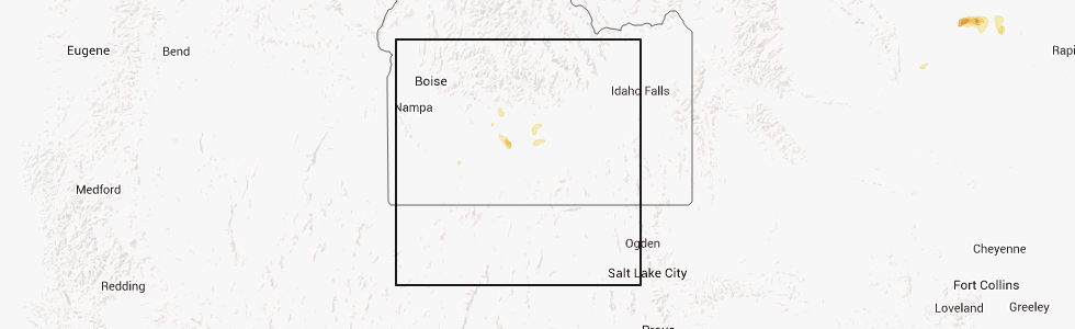
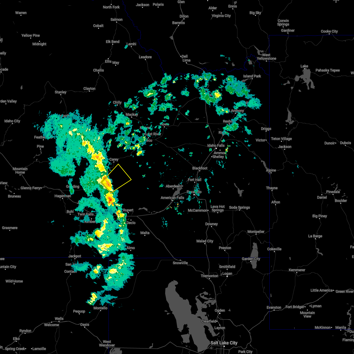
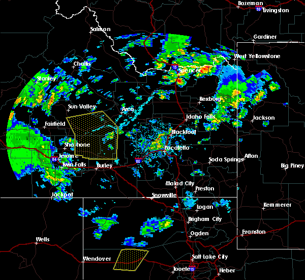
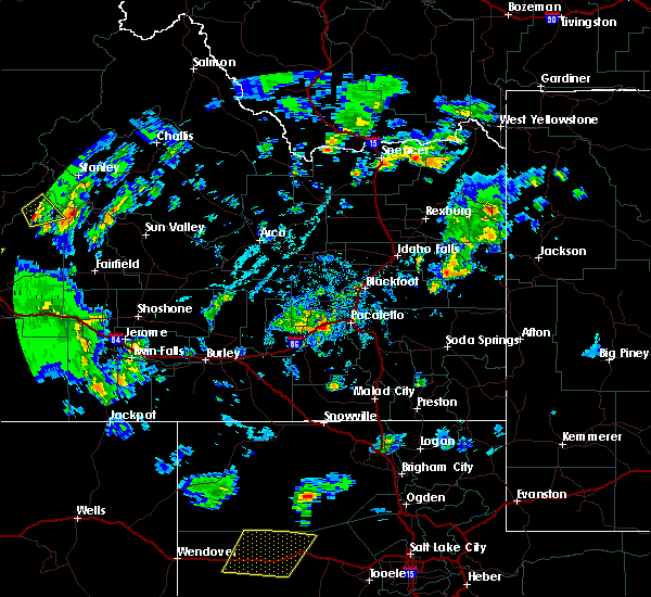
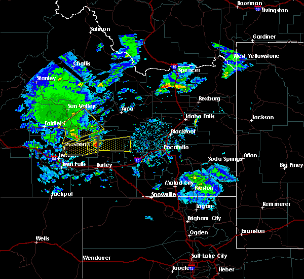
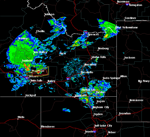
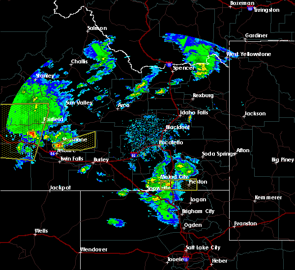
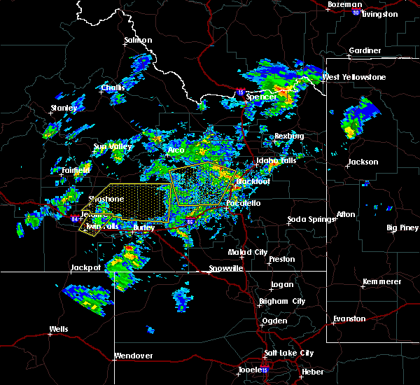
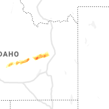
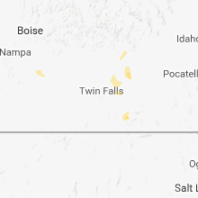
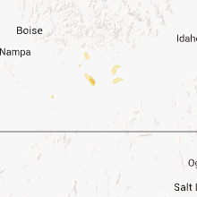
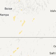
Hail Map for Richfield, ID
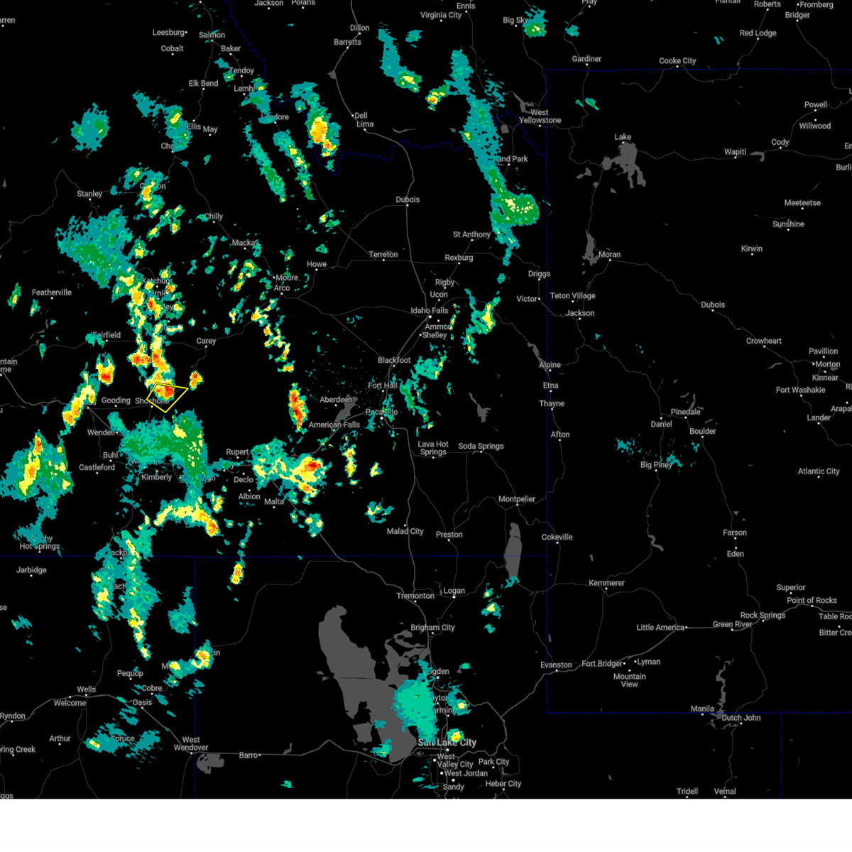
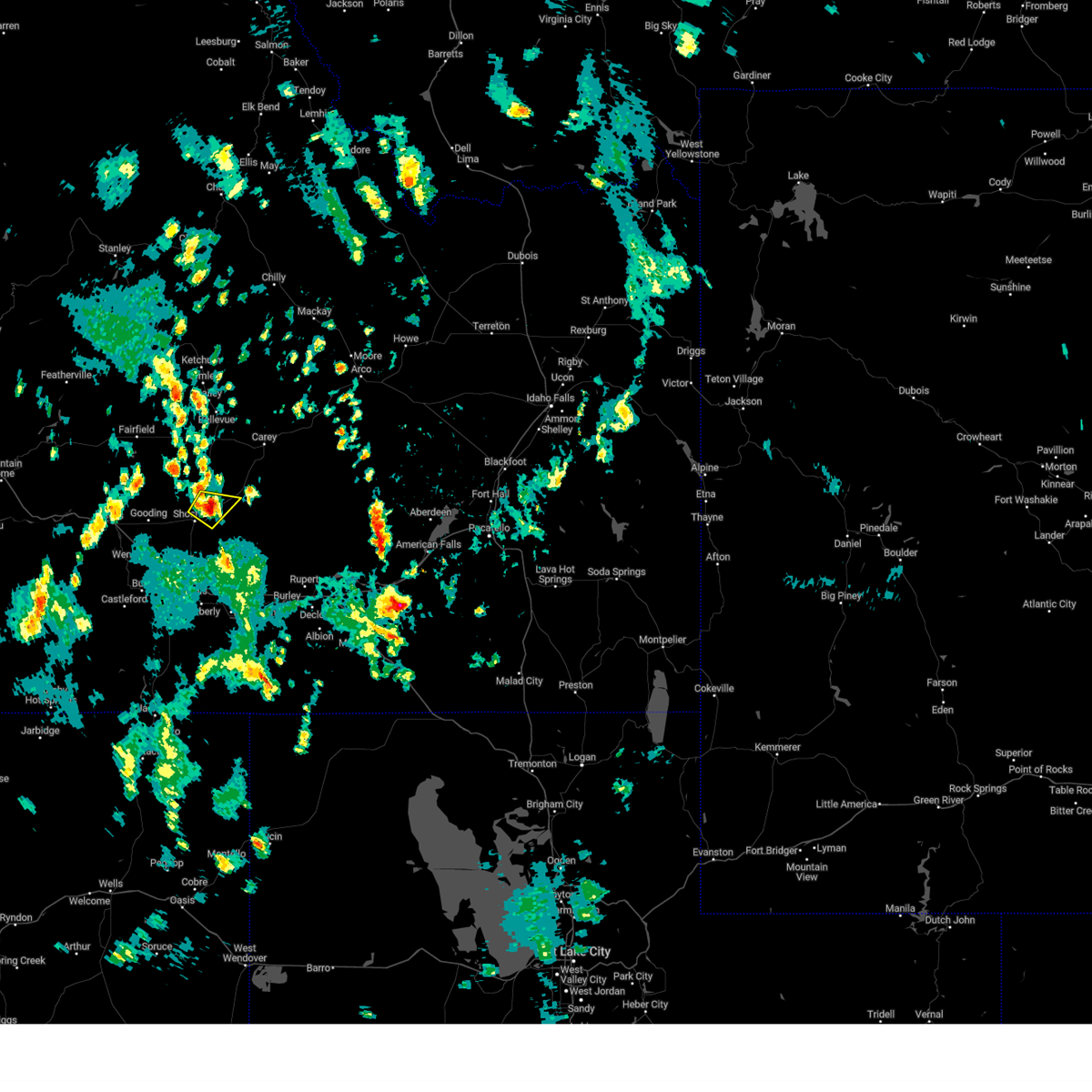
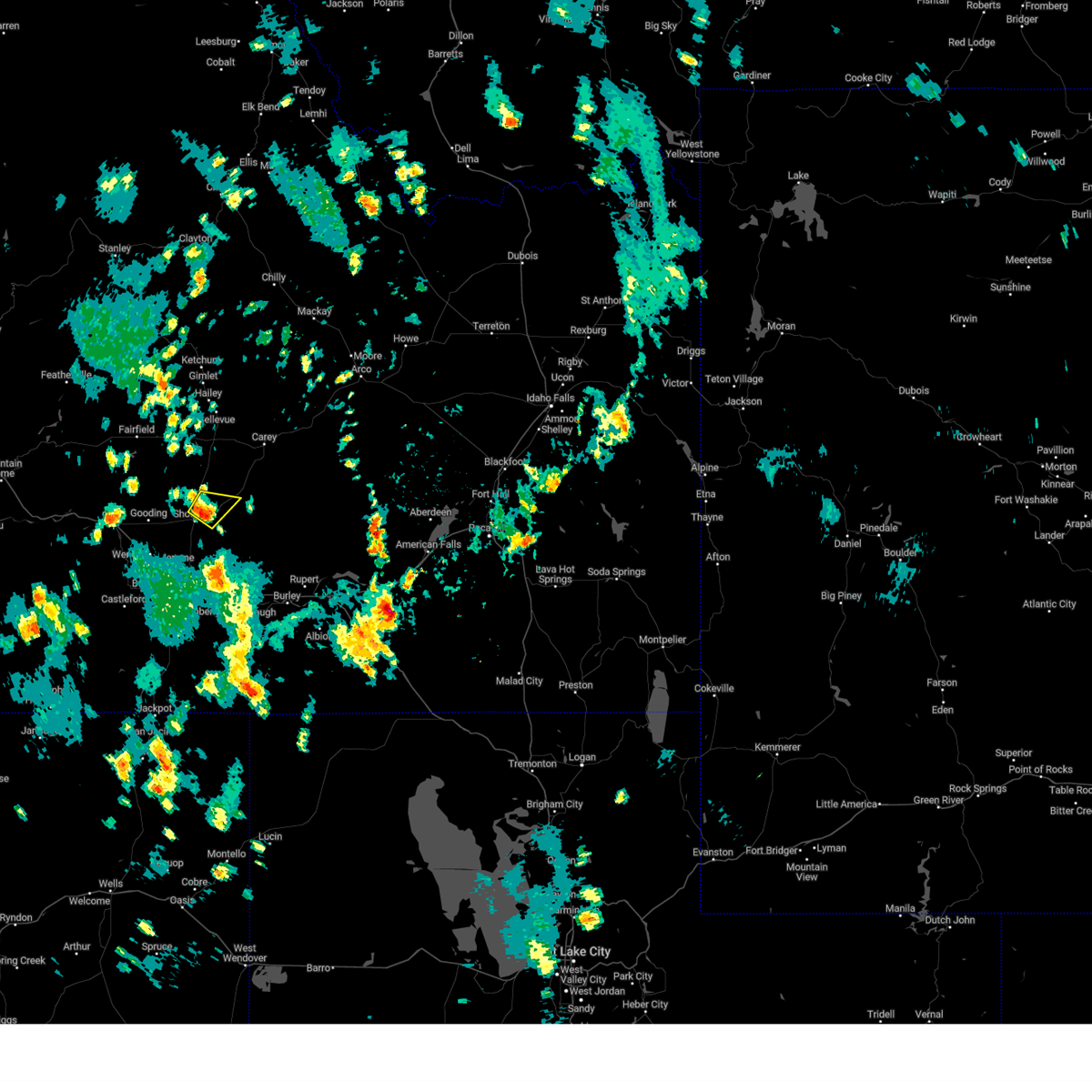
The Richfield, ID area has had 3 reports of on-the-ground hail by trained spotters, and has been under severe weather warnings 3 times during the past 12 months. Doppler radar has detected hail at or near Richfield, ID on 5 occasions.
| Name: | Richfield, ID |
| Where Located: | 37.7 miles NNE of Twin Falls, ID |
| Map: | Google Map for Richfield, ID |
| Population: | 482 |
| Housing Units: | 195 |
| More Info: | Search Google for Richfield, ID |
5
The Top Recent Hail Date for Richfield, ID is Friday, August 22, 2014 (2nd out of 5)
Hail and Wind Damage Spotted near Richfield, ID
| Date / Time | Report Details |
|---|---|
| 5/26/2023 3:55 PM MDT |
 The severe thunderstorm warning for west central lincoln county will expire at 400 pm mdt, the storm which prompted the warning has weakened below severe limits, and has exited the warned area. therefore, the warning will be allowed to expire. The severe thunderstorm warning for west central lincoln county will expire at 400 pm mdt, the storm which prompted the warning has weakened below severe limits, and has exited the warned area. therefore, the warning will be allowed to expire.
|
| 5/26/2023 3:42 PM MDT |
 At 341 pm mdt, a severe thunderstorm was located near shoshone, moving northeast at 5 mph (radar indicated). Hazards include quarter size hail. Damage to vehicles is expected. locations impacted include, richfield. hail threat, radar indicated max hail size, 1. 00 in wind threat, radar indicated max wind gust, <50 mph. At 341 pm mdt, a severe thunderstorm was located near shoshone, moving northeast at 5 mph (radar indicated). Hazards include quarter size hail. Damage to vehicles is expected. locations impacted include, richfield. hail threat, radar indicated max hail size, 1. 00 in wind threat, radar indicated max wind gust, <50 mph.
|
| 5/26/2023 3:27 PM MDT |
 At 327 pm mdt, a severe thunderstorm was located near shoshone, moving northeast at 10 mph (radar indicated). Hazards include quarter size hail. damage to vehicles is expected At 327 pm mdt, a severe thunderstorm was located near shoshone, moving northeast at 10 mph (radar indicated). Hazards include quarter size hail. damage to vehicles is expected
|
| 7/13/2022 2:44 PM MDT | Corrects previous non-tstm wnd gst report from 5 n owinza. mesonet station roci1 5 n owinz in lincoln county ID, 7.5 miles NW of Richfield, ID |
| 5/2/2022 4:16 PM MDT |
 At 416 pm mdt, a severe thunderstorm was located 8 miles east of richfield, or 17 miles south of carey, moving northeast at 35 mph (radar indicated). Hazards include 60 mph wind gusts and penny size hail. Expect damage to roofs, siding, and trees. locations impacted include, richfield and laidlaw corrals airport. hail threat, radar indicated max hail size, 0. 75 in wind threat, radar indicated max wind gust, 60 mph. At 416 pm mdt, a severe thunderstorm was located 8 miles east of richfield, or 17 miles south of carey, moving northeast at 35 mph (radar indicated). Hazards include 60 mph wind gusts and penny size hail. Expect damage to roofs, siding, and trees. locations impacted include, richfield and laidlaw corrals airport. hail threat, radar indicated max hail size, 0. 75 in wind threat, radar indicated max wind gust, 60 mph.
|
| 5/2/2022 4:01 PM MDT |
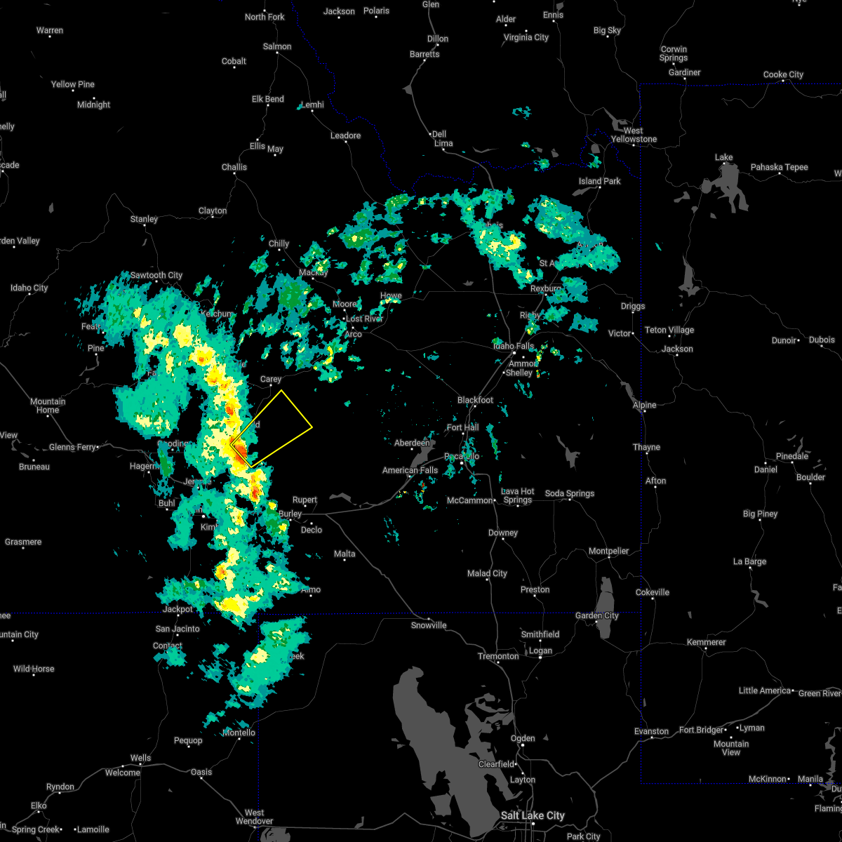 At 401 pm mdt, a severe thunderstorm was located 7 miles south of richfield, or 15 miles east of shoshone, moving northeast at 35 mph (radar indicated). Hazards include 60 mph wind gusts and penny size hail. expect damage to roofs, siding, and trees At 401 pm mdt, a severe thunderstorm was located 7 miles south of richfield, or 15 miles east of shoshone, moving northeast at 35 mph (radar indicated). Hazards include 60 mph wind gusts and penny size hail. expect damage to roofs, siding, and trees
|
| 9/10/2021 5:45 PM MDT | 1 ene richfield. mesonet station ric 1 ene richfiel in lincoln county ID, 1.5 miles WSW of Richfield, ID |
| 8/26/2020 6:37 PM MDT |
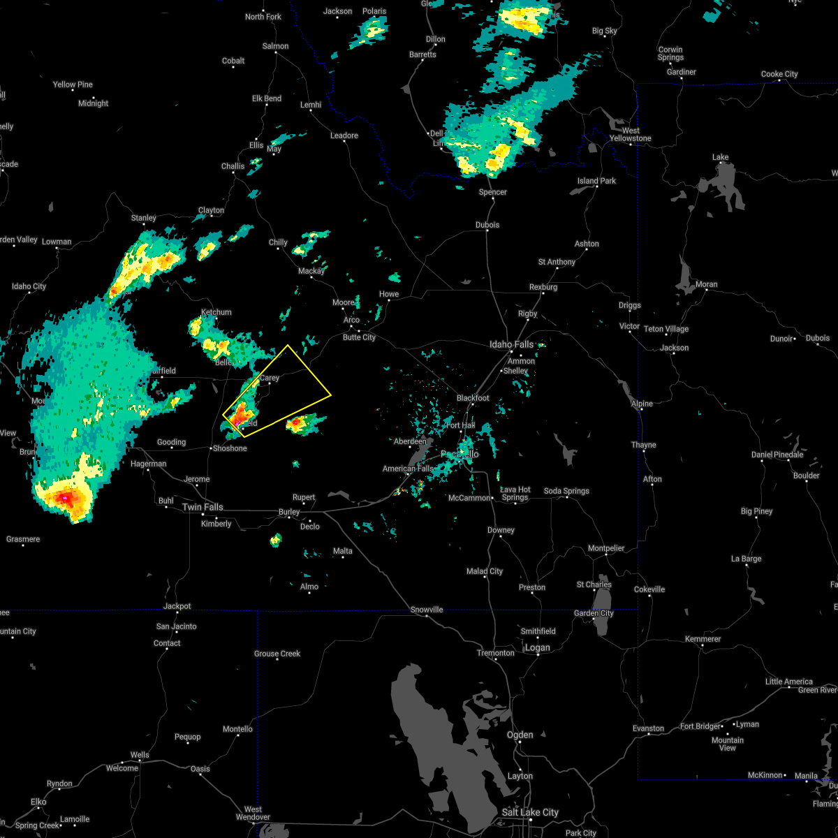 At 637 pm mdt, a severe thunderstorm was located near richfield, or 11 miles south of picabo, moving northeast at 30 mph (radar indicated). Hazards include 60 mph wind gusts and quarter size hail. Hail damage to vehicles is expected. Expect wind damage to roofs, siding, and trees. At 637 pm mdt, a severe thunderstorm was located near richfield, or 11 miles south of picabo, moving northeast at 30 mph (radar indicated). Hazards include 60 mph wind gusts and quarter size hail. Hail damage to vehicles is expected. Expect wind damage to roofs, siding, and trees.
|
| 7/23/2020 6:38 PM MDT |
 At 636 pm mdt, severe winds associated with thunderstorm outflows were located along a line extending from near bellevue to 7 miles south of carey to 17 miles southeast of richfield, moving east at 40 mph (public). Hazards include 60 mph wind gusts. Expect damage to roofs, siding, and trees. Locations impacted include, hailey, carey, little wood reservoir, picabo, bellevue, richfield, minidoka, craters of the moon, gannett, kimama, garfield ranger station and laidlaw corrals airport. At 636 pm mdt, severe winds associated with thunderstorm outflows were located along a line extending from near bellevue to 7 miles south of carey to 17 miles southeast of richfield, moving east at 40 mph (public). Hazards include 60 mph wind gusts. Expect damage to roofs, siding, and trees. Locations impacted include, hailey, carey, little wood reservoir, picabo, bellevue, richfield, minidoka, craters of the moon, gannett, kimama, garfield ranger station and laidlaw corrals airport.
|
| 7/23/2020 6:35 PM MDT | Mesonet station ric richfiel in lincoln county ID, 1.5 miles WSW of Richfield, ID |
| 7/23/2020 6:25 PM MDT |
 At 623 pm mdt, severe winds associated with thunderstorm outflows were located along a line extending from near hailey to 9 miles north of richfield to 14 miles southeast of shoshone, moving east at 35 mph (public). Hazards include 60 mph wind gusts. expect wind damage to roofs, siding, and trees At 623 pm mdt, severe winds associated with thunderstorm outflows were located along a line extending from near hailey to 9 miles north of richfield to 14 miles southeast of shoshone, moving east at 35 mph (public). Hazards include 60 mph wind gusts. expect wind damage to roofs, siding, and trees
|
| 4/30/2020 4:40 PM MDT |
 The severe thunderstorm warning for central lincoln county will expire at 445 pm mdt, the storm which prompted the warning has moved out of the area. therefore, the warning will be allowed to expire. The severe thunderstorm warning for central lincoln county will expire at 445 pm mdt, the storm which prompted the warning has moved out of the area. therefore, the warning will be allowed to expire.
|
| 4/30/2020 4:21 PM MDT |
 At 421 pm mdt, a severe thunderstorm was located near richfield, or 17 miles east of shoshone, moving northeast at 60 mph (radar indicated). Hazards include 60 mph wind gusts and quarter size hail. Hail damage to vehicles is expected. expect wind damage to roofs, siding, and trees. Locations impacted include, shoshone, richfield and dietrich. At 421 pm mdt, a severe thunderstorm was located near richfield, or 17 miles east of shoshone, moving northeast at 60 mph (radar indicated). Hazards include 60 mph wind gusts and quarter size hail. Hail damage to vehicles is expected. expect wind damage to roofs, siding, and trees. Locations impacted include, shoshone, richfield and dietrich.
|
| 4/30/2020 3:57 PM MDT |
 At 357 pm mdt, a severe thunderstorm was located near shoshone, moving east at 55 mph (radar indicated). Hazards include 60 mph wind gusts and quarter size hail. Hail damage to vehicles is expected. Expect wind damage to roofs, siding, and trees. At 357 pm mdt, a severe thunderstorm was located near shoshone, moving east at 55 mph (radar indicated). Hazards include 60 mph wind gusts and quarter size hail. Hail damage to vehicles is expected. Expect wind damage to roofs, siding, and trees.
|
| 10/19/2019 2:44 PM MDT | Rock lake raws sit in lincoln county ID, 7.5 miles NW of Richfield, ID |
| 5/22/2018 4:48 PM MDT |
 At 448 pm mdt, a severe thunderstorm was located 14 miles east of richfield or 17 miles south of carey, moving west at 15 mph (radar indicated). Hazards include quarter size hail. damage to vehicles is expected At 448 pm mdt, a severe thunderstorm was located 14 miles east of richfield or 17 miles south of carey, moving west at 15 mph (radar indicated). Hazards include quarter size hail. damage to vehicles is expected
|
| 6/11/2017 7:40 PM MDT | Storm damage reported in lincoln county ID, 0.4 miles WNW of Richfield, ID |
| 9/13/2016 9:15 PM MDT | Richfield arl mesonet sit in lincoln county ID, 1.5 miles WSW of Richfield, ID |
| 9/13/2016 9:15 PM MDT | Rock lake raws site. time based off radar and other observation in lincoln county ID, 7.2 miles NW of Richfield, ID |
| 7/10/2016 3:19 PM MDT |
 At 317 pm mdt, doppler radar indicated a severe thunderstorm capable of producing damaging winds in excess of 60 mph. this storm was located near richfield, or 13 miles east of shoshone. this storm was moving northeast around 50 mph. locations impacted include, rupert, carey, lake walcott, richfield, minidoka, craters of the moon, acequia, bear trap airport, kimama and laidlaw corrals airport. these storms have produced wind gusts up to 73 mph at tom cat summit. At 317 pm mdt, doppler radar indicated a severe thunderstorm capable of producing damaging winds in excess of 60 mph. this storm was located near richfield, or 13 miles east of shoshone. this storm was moving northeast around 50 mph. locations impacted include, rupert, carey, lake walcott, richfield, minidoka, craters of the moon, acequia, bear trap airport, kimama and laidlaw corrals airport. these storms have produced wind gusts up to 73 mph at tom cat summit.
|
| 7/10/2016 2:55 PM MDT |
 At 252 pm mdt, doppler radar indicated severe thunderstorm outflow winds in excess of 60 mph. thunderstorms outflow winds of 62 mph were measured at richfield. At 252 pm mdt, doppler radar indicated severe thunderstorm outflow winds in excess of 60 mph. thunderstorms outflow winds of 62 mph were measured at richfield.
|
| 7/10/2016 2:35 PM MDT | Storm damage reported in lincoln county ID, 0.4 miles WNW of Richfield, ID |
| 8/14/2015 9:26 PM MDT |
 At 925 pm mdt, doppler radar indicated a line of severe thunderstorms capable of producing damaging winds in excess of 60 mph. these storms were located along a line extending from 14 miles south of richfield to 6 miles northwest of paul to 7 miles southeast of oakley, moving east at 40 mph. locations impacted include, burley, rupert, heyburn, malta, oakley reservoir, lake walcott, paul, oakley, richfield, declo, albion, minidoka, elba, almo, dietrich, acequia, interstate 84 and 86 junction, bridge, kimama and mt harrison. At 925 pm mdt, doppler radar indicated a line of severe thunderstorms capable of producing damaging winds in excess of 60 mph. these storms were located along a line extending from 14 miles south of richfield to 6 miles northwest of paul to 7 miles southeast of oakley, moving east at 40 mph. locations impacted include, burley, rupert, heyburn, malta, oakley reservoir, lake walcott, paul, oakley, richfield, declo, albion, minidoka, elba, almo, dietrich, acequia, interstate 84 and 86 junction, bridge, kimama and mt harrison.
|
| 8/14/2015 9:00 PM MDT |
 At 858 pm mdt, doppler radar indicated a line of severe thunderstorms capable of producing damaging winds in excess of 60 mph. these storms were located along a line extending from near jerome to eden to 10 miles southwest of oakley reservoir, and moving east at 40 mph. 61 mph winds were reported in twin falls at 853 pm. At 858 pm mdt, doppler radar indicated a line of severe thunderstorms capable of producing damaging winds in excess of 60 mph. these storms were located along a line extending from near jerome to eden to 10 miles southwest of oakley reservoir, and moving east at 40 mph. 61 mph winds were reported in twin falls at 853 pm.
|
| 8/14/2015 6:27 PM MDT |
 At 626 pm mdt, doppler radar indicated a severe thunderstorm capable of producing damaging winds in excess of 60 mph. this storm was located 12 miles north of hazelton, or 20 miles northwest of burley, and moving northeast at 30 mph. At 626 pm mdt, doppler radar indicated a severe thunderstorm capable of producing damaging winds in excess of 60 mph. this storm was located 12 miles north of hazelton, or 20 miles northwest of burley, and moving northeast at 30 mph.
|
| 8/22/2014 3:45 PM MDT | Quarter sized hail reported 0.4 miles WNW of Richfield, ID, one inch hail |
| 8/22/2014 3:16 PM MDT | Quarter sized hail reported 0.4 miles WNW of Richfield, ID, quarter size hail reported |
| 8/22/2014 3:16 PM MDT | Golf Ball sized hail reported 0.4 miles WNW of Richfield, ID, golf ball size hail reported |
| 7/4/2013 8:13 PM MDT | Wind gusts to 61 mp in lincoln county ID, 0.4 miles WNW of Richfield, ID |
| 8/26/2012 4:45 PM MDT | At mile post 169 on hwy 26 a downburst fell 4 trees 2 power poles damaged 4 other power poles. power lines on hwy and only one lane ope in lincoln county ID, 0.4 miles WNW of Richfield, ID |
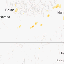
Hail Maps for Richfield, ID
Connect with Interactive Hail Maps