

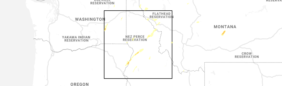
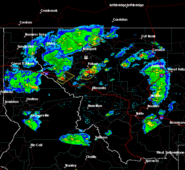
Hail Map for Riverbend, MT
The Riverbend, MT area has had 0 reports of on-the-ground hail by trained spotters, and has been under severe weather warnings 3 times during the past 12 months. Doppler radar has detected hail at or near Riverbend, MT on 8 occasions.
| Name: | Riverbend, MT |
| Where Located: | 43.9 miles WNW of Missoula, MT |
| Map: | Google Map for Riverbend, MT |
| Population: | 484 |
| Housing Units: | 253 |
| More Info: | Search Google for Riverbend, MT |
0
The Top Recent Hail Date for Riverbend, MT is Friday, August 12, 2022 (7th out of 8)
Hail and Wind Damage Spotted near Riverbend, MT
| Date / Time | Report Details |
|---|---|
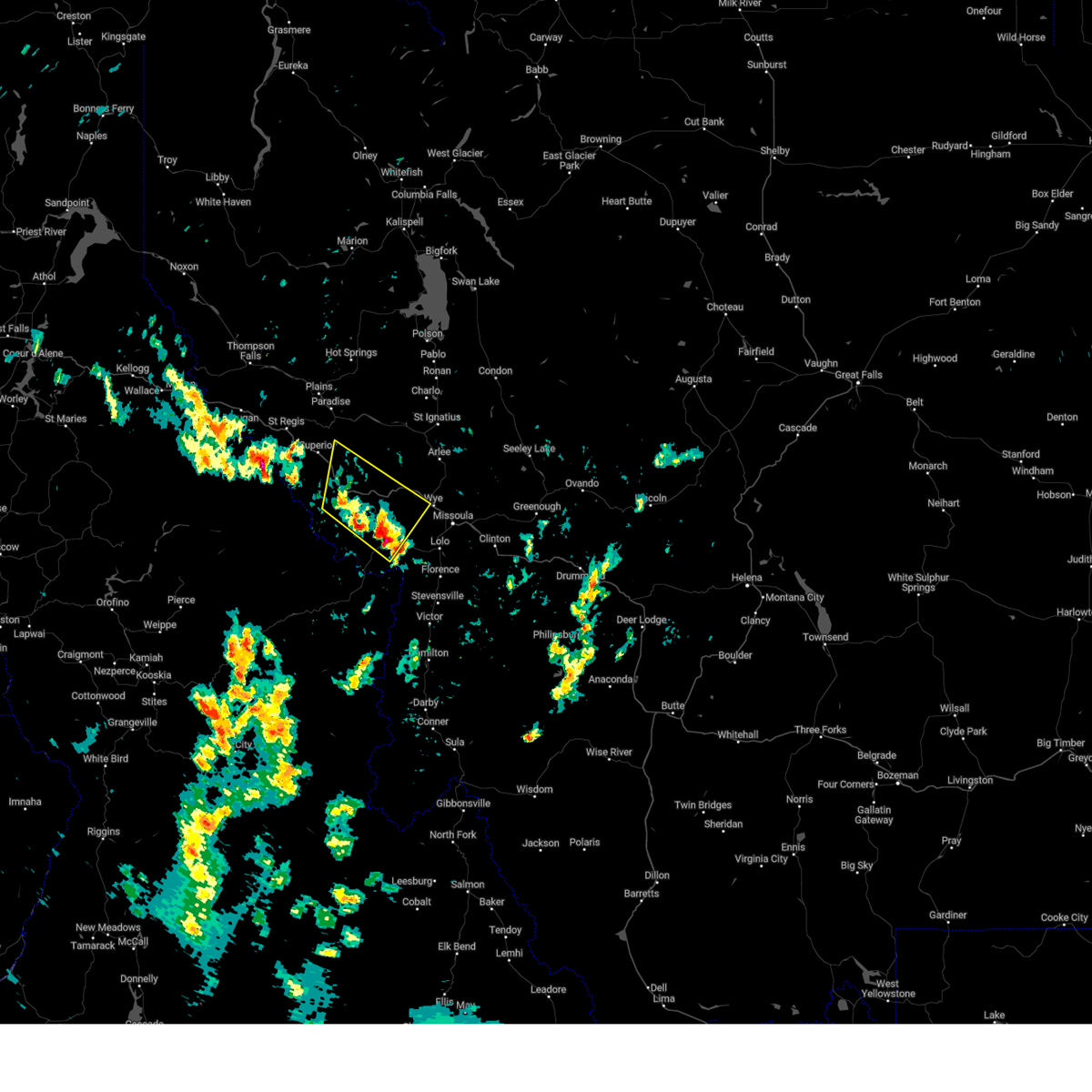
| 8/29/2023 4:38 PM MDT |
 The severe thunderstorm warning for east central mineral and southwestern missoula counties will expire at 445 pm mdt, the storms which prompted the warning have moved out of the area. therefore, the warning will be allowed to expire. a severe thunderstorm watch remains in effect until 900 pm mdt for west central montana. The severe thunderstorm warning for east central mineral and southwestern missoula counties will expire at 445 pm mdt, the storms which prompted the warning have moved out of the area. therefore, the warning will be allowed to expire. a severe thunderstorm watch remains in effect until 900 pm mdt for west central montana.
|
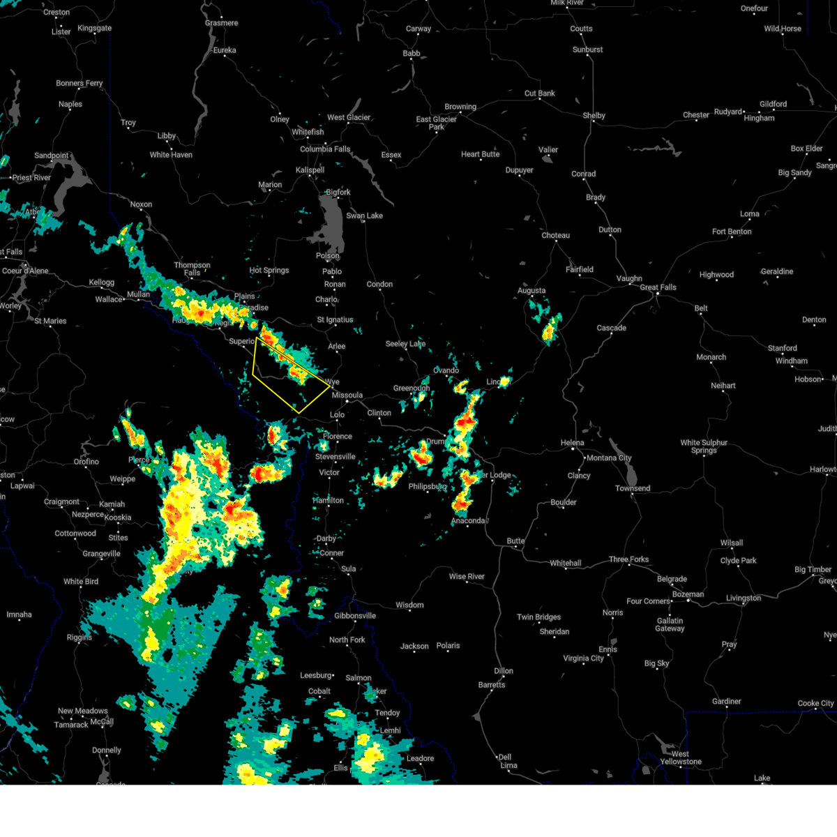
| 8/29/2023 4:14 PM MDT |
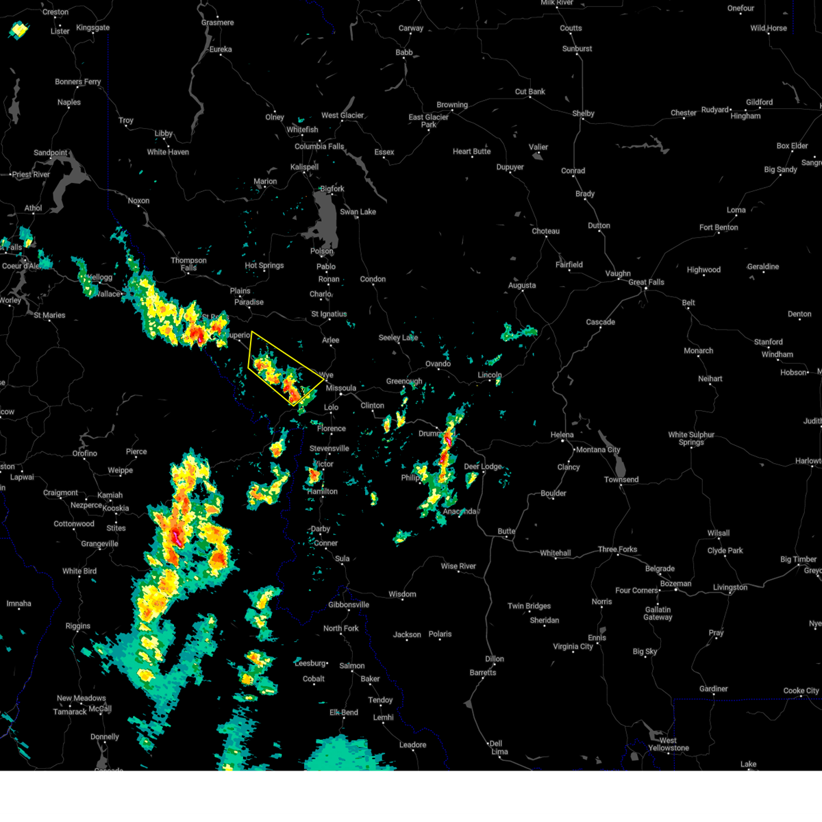 At 413 pm mdt, severe thunderstorms were located along a line extending from near tarkio to 12 miles west of lolo, moving north at 20 mph (radar indicated). Hazards include 60 mph wind gusts. Expect damage to roofs, siding, and trees. locations impacted include, alberton, tarkio, wye, riverbend, ninemile, lozeau, huson, quartz, cyr, and stark. hail threat, radar indicated max hail size, <. 75 in wind threat, radar indicated max wind gust, 60 mph. At 413 pm mdt, severe thunderstorms were located along a line extending from near tarkio to 12 miles west of lolo, moving north at 20 mph (radar indicated). Hazards include 60 mph wind gusts. Expect damage to roofs, siding, and trees. locations impacted include, alberton, tarkio, wye, riverbend, ninemile, lozeau, huson, quartz, cyr, and stark. hail threat, radar indicated max hail size, <. 75 in wind threat, radar indicated max wind gust, 60 mph.
|
| 8/29/2023 3:59 PM MDT |
 At 359 pm mdt, severe thunderstorms were located along a line extending from near tarkio to 13 miles west of florence, moving north at 20 mph (radar indicated). Hazards include 60 mph wind gusts and penny size hail. expect damage to roofs, siding, and trees At 359 pm mdt, severe thunderstorms were located along a line extending from near tarkio to 13 miles west of florence, moving north at 20 mph (radar indicated). Hazards include 60 mph wind gusts and penny size hail. expect damage to roofs, siding, and trees
|
| 7/13/2019 7:12 AM MDT |
 At 711 am mdt, a severe thunderstorm was located over superior, moving northeast at 25 mph (radar indicated). Hazards include 25 mph wind gusts, small hail, and brief heavy rain. At 711 am mdt, a severe thunderstorm was located over superior, moving northeast at 25 mph (radar indicated). Hazards include 25 mph wind gusts, small hail, and brief heavy rain.
|
| 6/8/2016 6:37 PM MDT |
 At 637 pm mdt, doppler radar indicated a severe thunderstorm capable of producing quarter size hail and damaging winds in excess of 60 mph. this storm was located near superior, and moving northeast at 40 mph. At 637 pm mdt, doppler radar indicated a severe thunderstorm capable of producing quarter size hail and damaging winds in excess of 60 mph. this storm was located near superior, and moving northeast at 40 mph.
|
| 5/30/2015 4:11 PM MDT | The severe thunderstorm warning for northwestern missoula and east central mineral counties will expire at 415 pm mdt, the storm which prompted the warning has weakened below severe limits, and no longer poses an immediate threat to life or property. therefore the warning will be allowed to expire. however gusty winds, hail, and heavy rain are still possible with this thunderstorm. |
| 5/30/2015 3:59 PM MDT | At 358 pm mdt, doppler radar indicated a severe thunderstorm capable of producing quarter size hail and damaging winds in excess of 60 mph. this storm was located near riverbend, or 8 miles east of superior. this storm was nearly stationary. locations impacted include, riverbend and lozeau. |
| 5/30/2015 3:42 PM MDT | At 342 pm mdt, doppler radar indicated a severe thunderstorm capable of producing quarter size hail and damaging winds in excess of 60 mph. this storm was located over riverbend, or near superior, and moving east at 20 mph. |
| 5/30/2015 3:27 PM MDT | The severe thunderstorm warning for south central sanders and north central mineral counties will expire at 330 pm mdt, the storm which prompted the warning has weakened below severe limits, and no longer poses an immediate threat to life or property. therefore the warning will be allowed to expire. however gusty winds and heavy rain are still possible with this thunderstorm. |
| 5/30/2015 3:19 PM MDT | At 319 pm mdt, doppler radar indicated a severe thunderstorm capable of producing damaging winds in excess of 60 mph. this storm was located near paradise, or 10 miles north of superior, moving east at 25 mph. nickel size hail may also accompany the damaging winds. locations impacted include, superior, st. regis, paradise, riverbend and keystone. |
| 5/30/2015 2:59 PM MDT | At 258 pm mdt, doppler radar indicated a severe thunderstorm capable of producing damaging winds in excess of 60 mph. this storm was located near st. regis, or 16 miles northwest of superior, and moving east at 20 mph. nickel size hail may also accompany the damaging winds. |
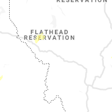
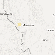
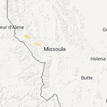
Hail Maps for Riverbend, MT


Connect with Interactive Hail Maps