

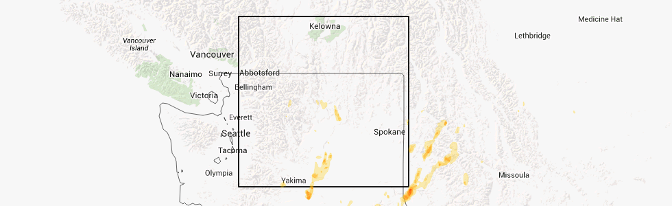
Hail Map for Riverside, WA
The Riverside, WA area has had 0 reports of on-the-ground hail by trained spotters, and has been under severe weather warnings 0 times during the past 12 months. Doppler radar has detected hail at or near Riverside, WA on 2 occasions.
| Name: | Riverside, WA |
| Where Located: | 6.6 miles N of Omak, WA |
| Map: | Google Map for Riverside, WA |
| Population: | 280 |
| Housing Units: | 154 |
| More Info: | Search Google for Riverside, WA |
0
The Top Recent Hail Date for Riverside, WA is Friday, July 20, 2012 (2nd out of 2)
Hail and Wind Damage Spotted near Riverside, WA
| Date / Time | Report Details |
|---|---|
| 5/29/2015 4:36 PM PDT | The severe thunderstorm warning for central okanogan county will expire at 445 pm pdt, the storm which prompted the warning has weakened below severe limits, and no longer poses an immediate threat to life or property. therefore the warning will be allowed to expire. however heavy rain and localized flooding is still possible with this thunderstorm. |
| 5/29/2015 4:27 PM PDT | At 425 pm pdt, the threat for large hail has ended in the warned area, however torrential rains and posssible flash flooding will remain possible under this storm with rainfall amounts in excess of an inch possible. this storm was located near omak, moving east at 15 mph. locations impacted include, omak, okanogan, north omak and riverside. |
| 5/29/2015 4:15 PM PDT | At 413 pm pdt, the public reported half inch hail and torrential rains under this storm. this storm remains strong producing wind gusts to 40 mph and potential for quarter size hail as well as flash flooding. this storm was located near omak, moving east at 15 mph. locations impacted include, omak, okanogan, north omak and riverside. |
| 5/29/2015 3:57 PM PDT | At 357 pm pdt, doppler radar indicated a severe thunderstorm capable of producing quarter size hail. this storm was located 10 miles northwest of omak, just south of conconully and moving east at 15 mph. |
Hail Maps for Riverside, WA


Connect with Interactive Hail Maps