| 3/18/2024 1:28 PM PDT |
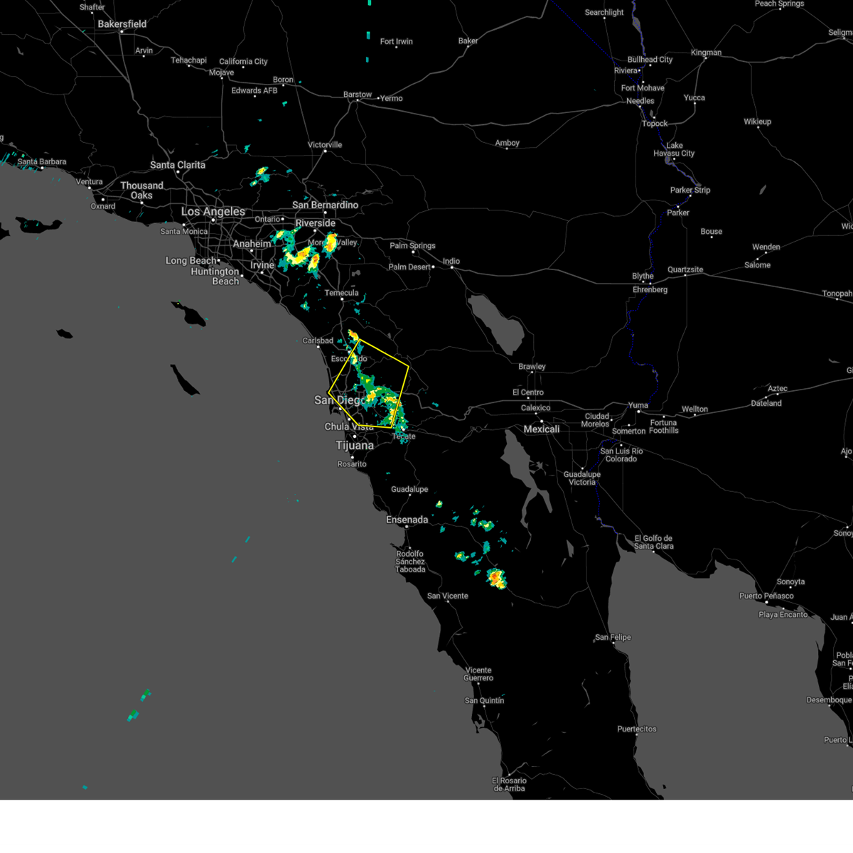 At 125 pm pdt, a severe thunderstorm was located over bonita, or over chula vista and just south of alpine, moving south at 25 mph (radar indicated). Hazards include 60 mph wind gusts and penny size hail. wind gusts of 50 to 55 mph have been observed in the warned area near i-8. Expect some damage to roofs, siding, and trees. Locations impacted include, chula vista, el cajon, national city, la mesa, poway, ramona, alpine, mission valley, hillcrest, linda vista, north park, tierrasanta, university city, la jolla, valley center, cuyamaca rancho state park, escondido, santee, lemon grove, and rancho san diego. At 125 pm pdt, a severe thunderstorm was located over bonita, or over chula vista and just south of alpine, moving south at 25 mph (radar indicated). Hazards include 60 mph wind gusts and penny size hail. wind gusts of 50 to 55 mph have been observed in the warned area near i-8. Expect some damage to roofs, siding, and trees. Locations impacted include, chula vista, el cajon, national city, la mesa, poway, ramona, alpine, mission valley, hillcrest, linda vista, north park, tierrasanta, university city, la jolla, valley center, cuyamaca rancho state park, escondido, santee, lemon grove, and rancho san diego.
|
| 3/18/2024 12:54 PM PDT |
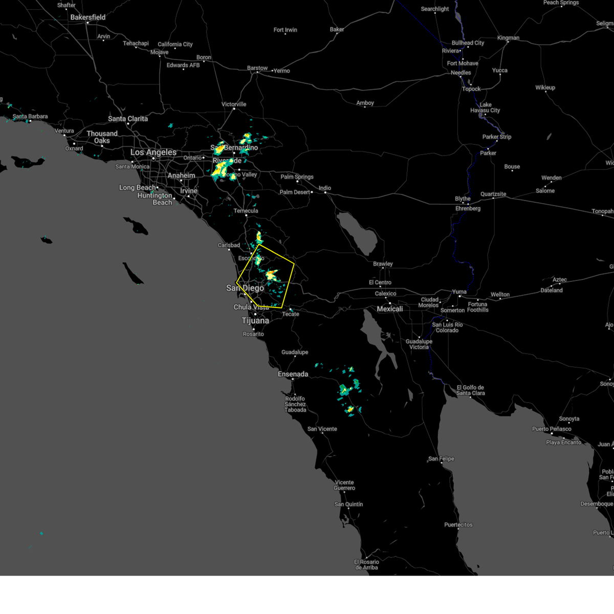 Svrsgx the national weather service in san diego has issued a * severe thunderstorm warning for, southwestern san diego county in southwestern california, * until 200 pm pdt. * at 1253 pm pdt, a severe thunderstorm was located over lakeside, or near el cajon, moving south at 25 mph (radar indicated). Hazards include 60 mph wind gusts and nickel size hail. expect damage to roofs, siding, and trees Svrsgx the national weather service in san diego has issued a * severe thunderstorm warning for, southwestern san diego county in southwestern california, * until 200 pm pdt. * at 1253 pm pdt, a severe thunderstorm was located over lakeside, or near el cajon, moving south at 25 mph (radar indicated). Hazards include 60 mph wind gusts and nickel size hail. expect damage to roofs, siding, and trees
|
| 2/6/2024 12:07 PM PST |
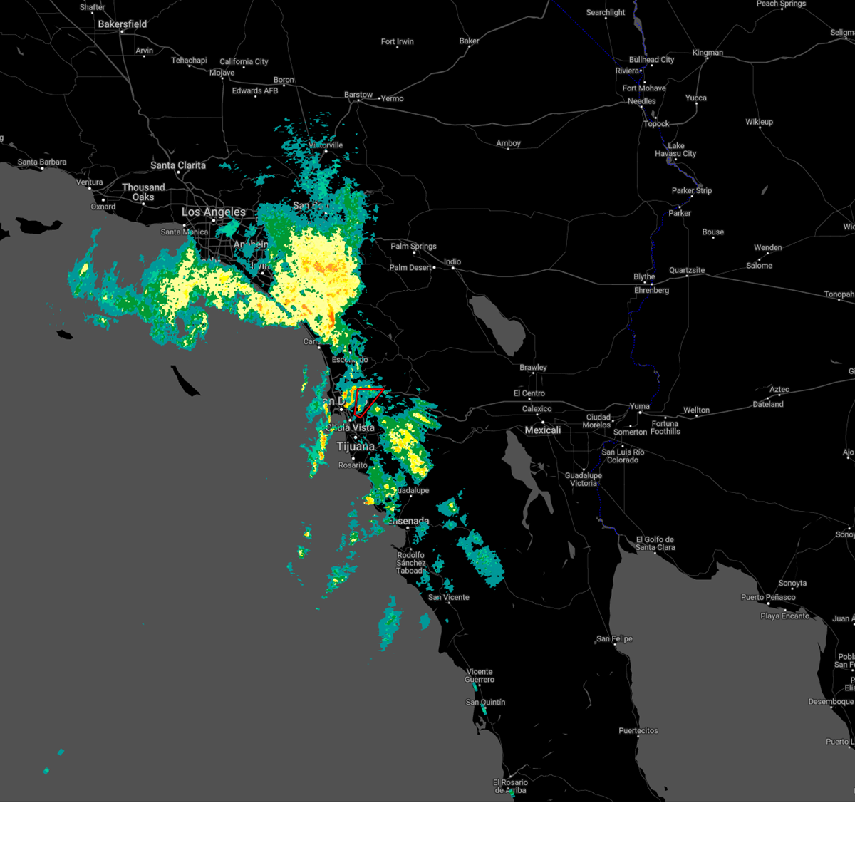 The tornado warning for south central san diego county will expire at 1215 pm pst, the storm which prompted the warning has weakened below severe limits, and no longer appears capable of producing a tornado. therefore, the warning will be allowed to expire. The tornado warning for south central san diego county will expire at 1215 pm pst, the storm which prompted the warning has weakened below severe limits, and no longer appears capable of producing a tornado. therefore, the warning will be allowed to expire.
|
| 2/6/2024 12:00 PM PST |
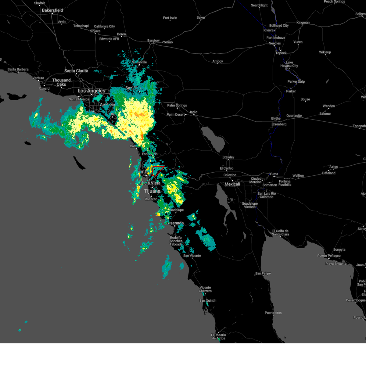 At 1200 pm pst, a severe thunderstorm capable of producing a tornado was located over el cajon, moving northeast at 35 mph (radar indicated rotation). Hazards include tornado. Flying debris will be dangerous to those caught without shelter. mobile homes will be damaged or destroyed. damage to roofs, windows, and vehicles will occur. Tree damage is likely. At 1200 pm pst, a severe thunderstorm capable of producing a tornado was located over el cajon, moving northeast at 35 mph (radar indicated rotation). Hazards include tornado. Flying debris will be dangerous to those caught without shelter. mobile homes will be damaged or destroyed. damage to roofs, windows, and vehicles will occur. Tree damage is likely.
|
| 2/6/2024 11:55 AM PST |
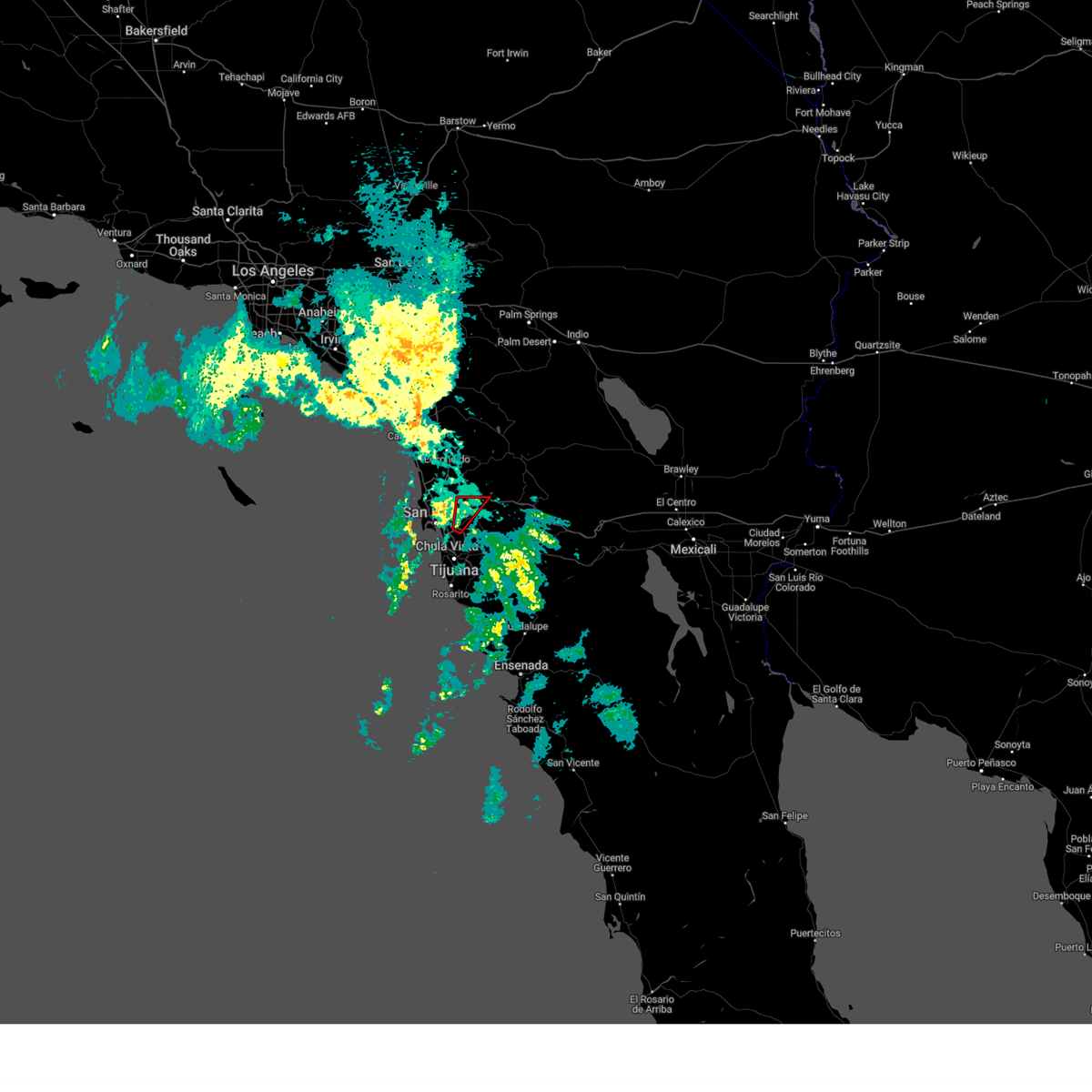 At 1155 am pst, a severe thunderstorm capable of producing a tornado was located over la mesa, moving northeast at 35 mph (radar indicated rotation). Hazards include tornado. Flying debris will be dangerous to those caught without shelter. mobile homes will be damaged or destroyed. damage to roofs, windows, and vehicles will occur. tree damage is likely. Locations impacted include, chula vista, el cajon, la mesa, tierrasanta, santee, lemon grove, rancho san diego, la presa, spring valley, crest, lakeside, bonita, lake murray, winter gardens, skyline, jamacha lomita, bay terraces, harbison canyon, granite hills, and bostonia. At 1155 am pst, a severe thunderstorm capable of producing a tornado was located over la mesa, moving northeast at 35 mph (radar indicated rotation). Hazards include tornado. Flying debris will be dangerous to those caught without shelter. mobile homes will be damaged or destroyed. damage to roofs, windows, and vehicles will occur. tree damage is likely. Locations impacted include, chula vista, el cajon, la mesa, tierrasanta, santee, lemon grove, rancho san diego, la presa, spring valley, crest, lakeside, bonita, lake murray, winter gardens, skyline, jamacha lomita, bay terraces, harbison canyon, granite hills, and bostonia.
|
| 2/6/2024 11:44 AM PST |
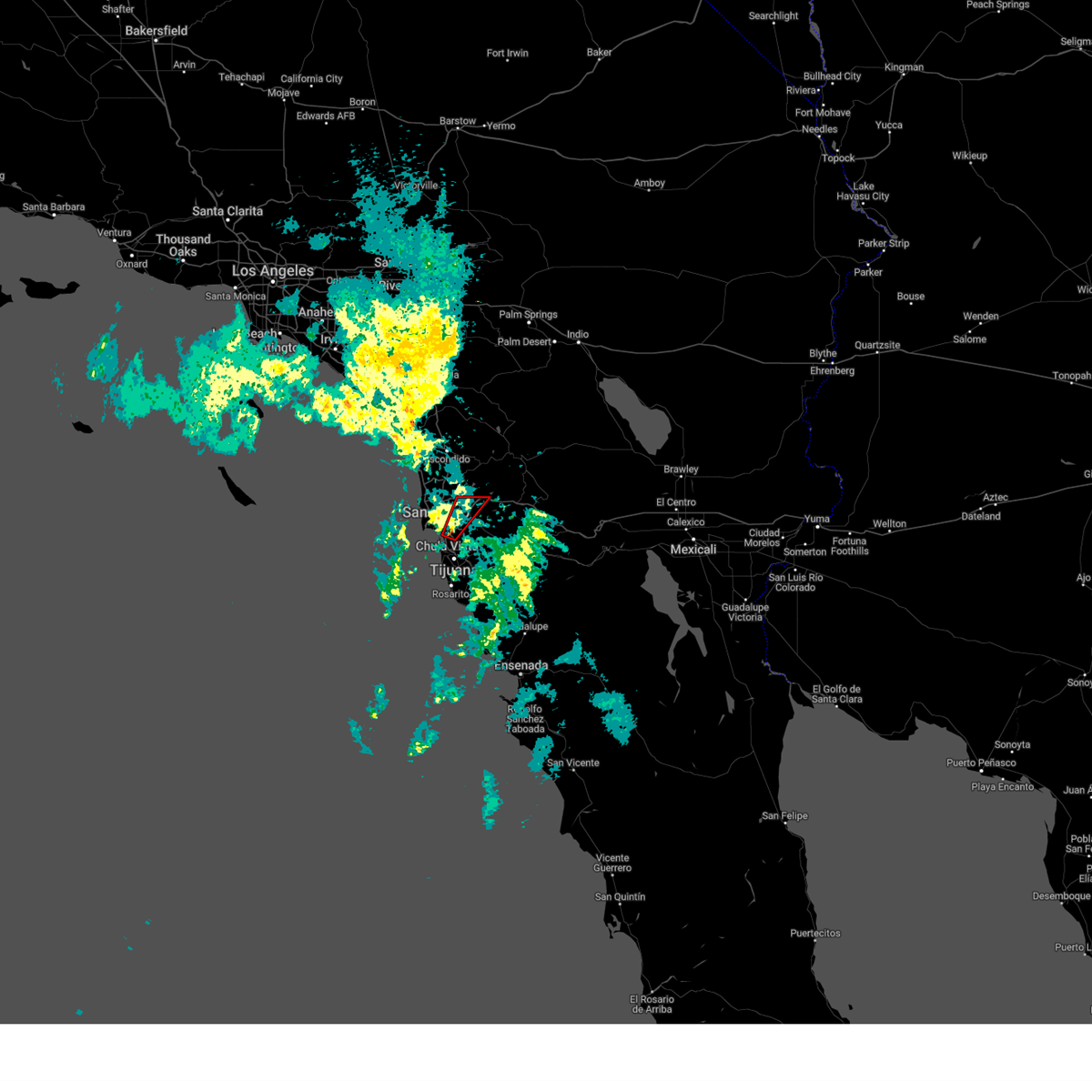 At 1144 am pst, a severe thunderstorm capable of producing a tornado was located over paradise hills, or near chula vista, moving northeast at 35 mph (radar indicated rotation). Hazards include tornado. Flying debris will be dangerous to those caught without shelter. mobile homes will be damaged or destroyed. damage to roofs, windows, and vehicles will occur. Tree damage is likely. At 1144 am pst, a severe thunderstorm capable of producing a tornado was located over paradise hills, or near chula vista, moving northeast at 35 mph (radar indicated rotation). Hazards include tornado. Flying debris will be dangerous to those caught without shelter. mobile homes will be damaged or destroyed. damage to roofs, windows, and vehicles will occur. Tree damage is likely.
|
| 1/22/2024 10:13 AM PST |
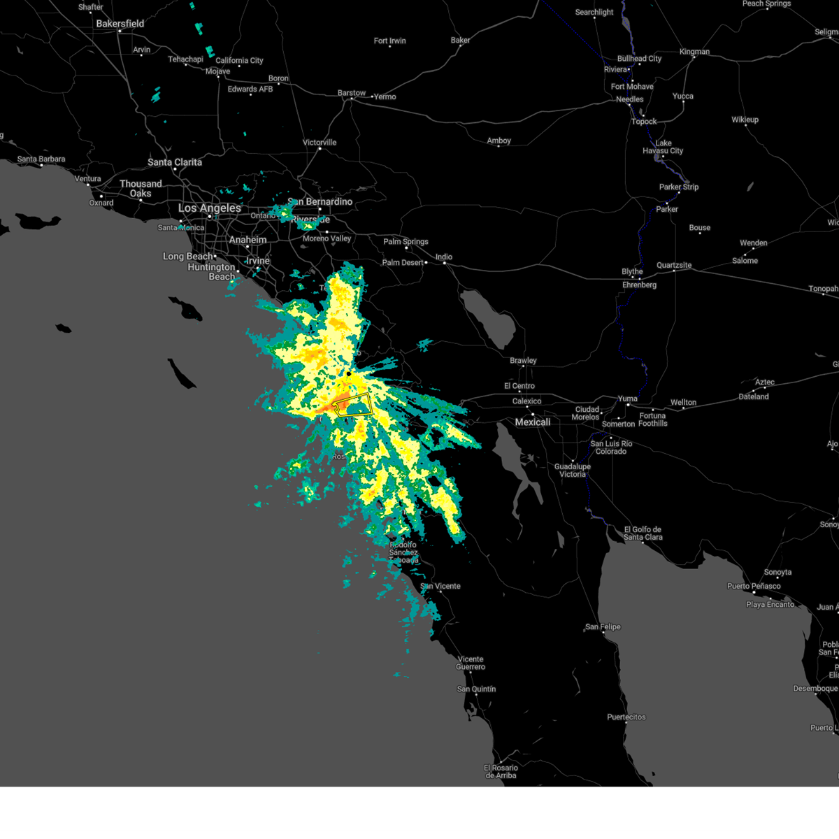 At 1012 am pst, a severe thunderstorm was located over spring valley, or near la mesa, moving east (radar indicated). Hazards include 60 mph wind gusts. heavy rain reducing visibility and creating areas of flooding. expect damage to roofs, siding, and trees At 1012 am pst, a severe thunderstorm was located over spring valley, or near la mesa, moving east (radar indicated). Hazards include 60 mph wind gusts. heavy rain reducing visibility and creating areas of flooding. expect damage to roofs, siding, and trees
|
| 3/21/2023 11:11 AM PDT |
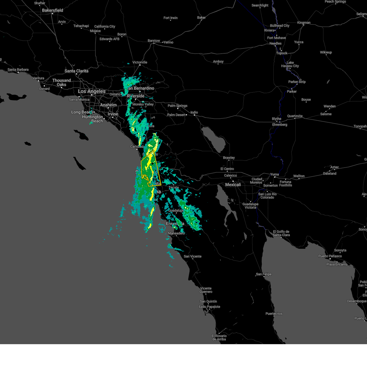 The severe thunderstorm warning for southwestern san diego county will expire at 1115 am pdt, the storms which prompted the warning have weakened below severe limits, and no longer pose an immediate threat to life or property. therefore, the warning will be allowed to expire. however heavy rain is still possible with these thunderstorms. The severe thunderstorm warning for southwestern san diego county will expire at 1115 am pdt, the storms which prompted the warning have weakened below severe limits, and no longer pose an immediate threat to life or property. therefore, the warning will be allowed to expire. however heavy rain is still possible with these thunderstorms.
|
| 3/21/2023 11:00 AM PDT |
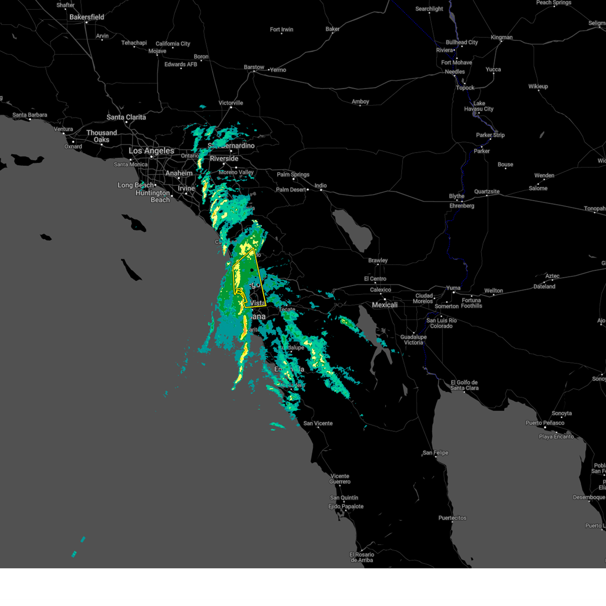 At 1059 am pdt, severe thunderstorms were located along a line extending from near del mar heights to imperial beach, moving northeast at 40 mph. this warning includes portions of the san diego city limits (radar indicated). Hazards include 60 mph wind gusts. expect damage to roofs, siding, and trees At 1059 am pdt, severe thunderstorms were located along a line extending from near del mar heights to imperial beach, moving northeast at 40 mph. this warning includes portions of the san diego city limits (radar indicated). Hazards include 60 mph wind gusts. expect damage to roofs, siding, and trees
|
| 3/21/2023 10:26 AM PDT |
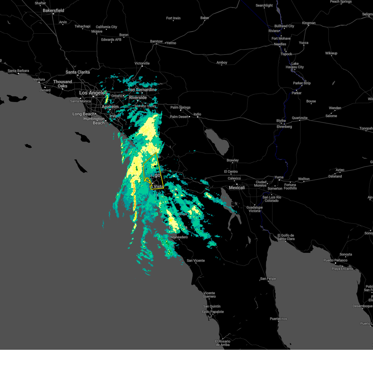 At 1026 am pdt, severe thunderstorms were located along a line extending from 8 miles west of mission beach to 17 miles southwest of imperial beach, moving northeast at 40 mph (radar indicated). Hazards include 60 mph wind gusts. expect damage to roofs, siding, and trees At 1026 am pdt, severe thunderstorms were located along a line extending from 8 miles west of mission beach to 17 miles southwest of imperial beach, moving northeast at 40 mph (radar indicated). Hazards include 60 mph wind gusts. expect damage to roofs, siding, and trees
|
| 9/24/2021 4:12 PM PDT |
 The severe thunderstorm warning for southwestern san diego county will expire at 415 pm pdt, the severe thunderstorm which prompted the warning has weakened and moved out of the warned area. therefore, the warning will be allowed to expire. The severe thunderstorm warning for southwestern san diego county will expire at 415 pm pdt, the severe thunderstorm which prompted the warning has weakened and moved out of the warned area. therefore, the warning will be allowed to expire.
|
| 9/24/2021 3:45 PM PDT |
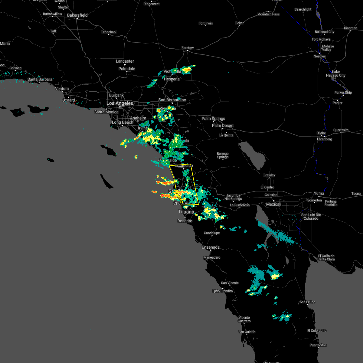 At 339 pm pdt, a severe thunderstorm was located near downtown san diego, moving west at about 15 mph. so far heavy rainfall and localized flooding has been reported (radar indicated). Hazards include 60 mph wind gusts. Expect damage to roofs, siding, and trees. locations impacted include, chula vista, oceanside, carlsbad, el cajon, vista, encinitas, national city, la mesa, poway and imperial beach. hail threat, radar indicated max hail size, <. 75 in wind threat, radar indicated max wind gust, 60 mph. At 339 pm pdt, a severe thunderstorm was located near downtown san diego, moving west at about 15 mph. so far heavy rainfall and localized flooding has been reported (radar indicated). Hazards include 60 mph wind gusts. Expect damage to roofs, siding, and trees. locations impacted include, chula vista, oceanside, carlsbad, el cajon, vista, encinitas, national city, la mesa, poway and imperial beach. hail threat, radar indicated max hail size, <. 75 in wind threat, radar indicated max wind gust, 60 mph.
|
| 9/24/2021 3:20 PM PDT |
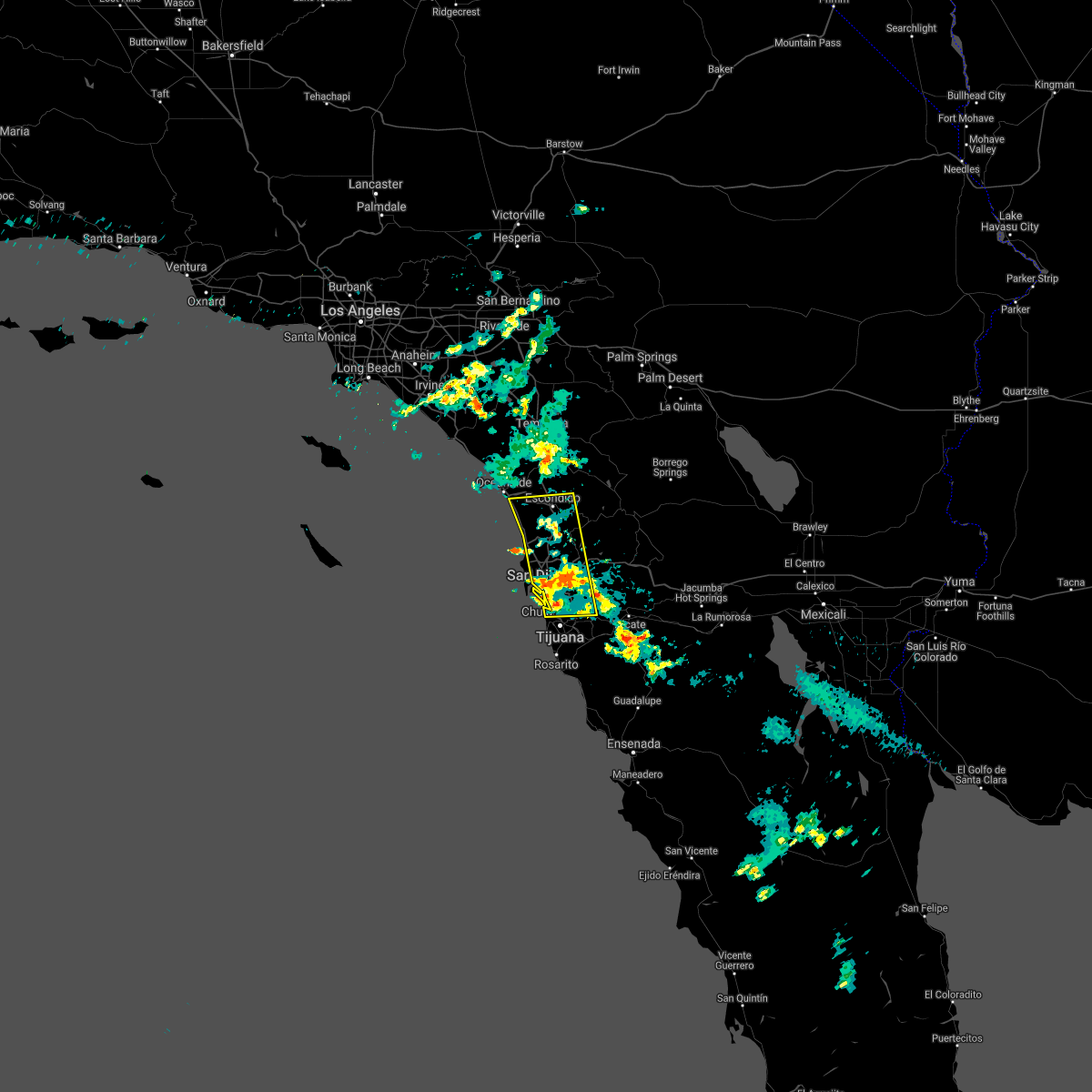 At 319 pm pdt, a severe thunderstorm was located over lakeside, or near el cajon, moving west at about 15 mph (radar indicated). Hazards include 60 mph wind gusts. expect damage to roofs, siding, and trees At 319 pm pdt, a severe thunderstorm was located over lakeside, or near el cajon, moving west at about 15 mph (radar indicated). Hazards include 60 mph wind gusts. expect damage to roofs, siding, and trees
|
| 2/2/2019 3:52 PM PST |
 The severe thunderstorm warning for southwestern san diego county will expire at 400 pm pst, the storms which prompted the warning have weakened below severe limits, and have exited the warned area. therefore, the warning will be allowed to expire. gusty west winds up to 45 mph will continue through 6 pm in san diego county with isolated damage to trees and powerlines still possible. The severe thunderstorm warning for southwestern san diego county will expire at 400 pm pst, the storms which prompted the warning have weakened below severe limits, and have exited the warned area. therefore, the warning will be allowed to expire. gusty west winds up to 45 mph will continue through 6 pm in san diego county with isolated damage to trees and powerlines still possible.
|
| 2/2/2019 3:05 PM PST |
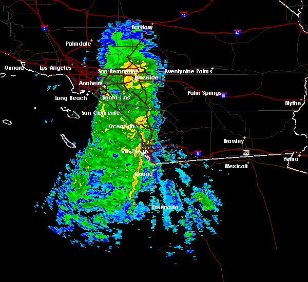 At 301 pm pst, a severe rain squall was located along a line extending from near vista to 20 miles west of imperial beach, moving east at 25 mph. this warning includes portions of the san diego city limits. no thunder or lightning but severe winds are expected with heavy rain through 400 pm (radar indicated). Hazards include up to 60 mph wind gusts. expect damage to roofs, siding, and trees At 301 pm pst, a severe rain squall was located along a line extending from near vista to 20 miles west of imperial beach, moving east at 25 mph. this warning includes portions of the san diego city limits. no thunder or lightning but severe winds are expected with heavy rain through 400 pm (radar indicated). Hazards include up to 60 mph wind gusts. expect damage to roofs, siding, and trees
|
| 2/17/2017 6:35 PM PST |
 At 631 pm pst, national weather service doppler radar indicated a line of severe storms capable of producing damaging winds in excess of 60 mph. the highest threat is from la jolla to del mar and areas a few miles inland. these storms were located along a line extending along the san diego coast to point loma, moving east at 15 mph. very heavy rain is associated with these storms with rainfall up to 0.50 inches per hour. locations impacted include, chula vista, oceanside, carlsbad, el cajon, vista, encinitas, national city, la mesa, poway, north park, point loma, hillcrest, midway district including lindbergh field, downtown san diego and la jolla. At 631 pm pst, national weather service doppler radar indicated a line of severe storms capable of producing damaging winds in excess of 60 mph. the highest threat is from la jolla to del mar and areas a few miles inland. these storms were located along a line extending along the san diego coast to point loma, moving east at 15 mph. very heavy rain is associated with these storms with rainfall up to 0.50 inches per hour. locations impacted include, chula vista, oceanside, carlsbad, el cajon, vista, encinitas, national city, la mesa, poway, north park, point loma, hillcrest, midway district including lindbergh field, downtown san diego and la jolla.
|
| 2/17/2017 5:43 PM PST |
 At 541 pm pst, national weather service doppler radar indicated a line of severe thunderstorms capable of producing damaging winds in excess of 60 mph. these storms were located along a line extending from 20 miles southwest of laguna beach to 40 miles southwest of point loma, and moving east at 25 mph. this intense line of heavy rain and high wind will move into coastal cities between 600 and 630 pm. At 541 pm pst, national weather service doppler radar indicated a line of severe thunderstorms capable of producing damaging winds in excess of 60 mph. these storms were located along a line extending from 20 miles southwest of laguna beach to 40 miles southwest of point loma, and moving east at 25 mph. this intense line of heavy rain and high wind will move into coastal cities between 600 and 630 pm.
|
| 1/20/2017 3:12 PM PST |
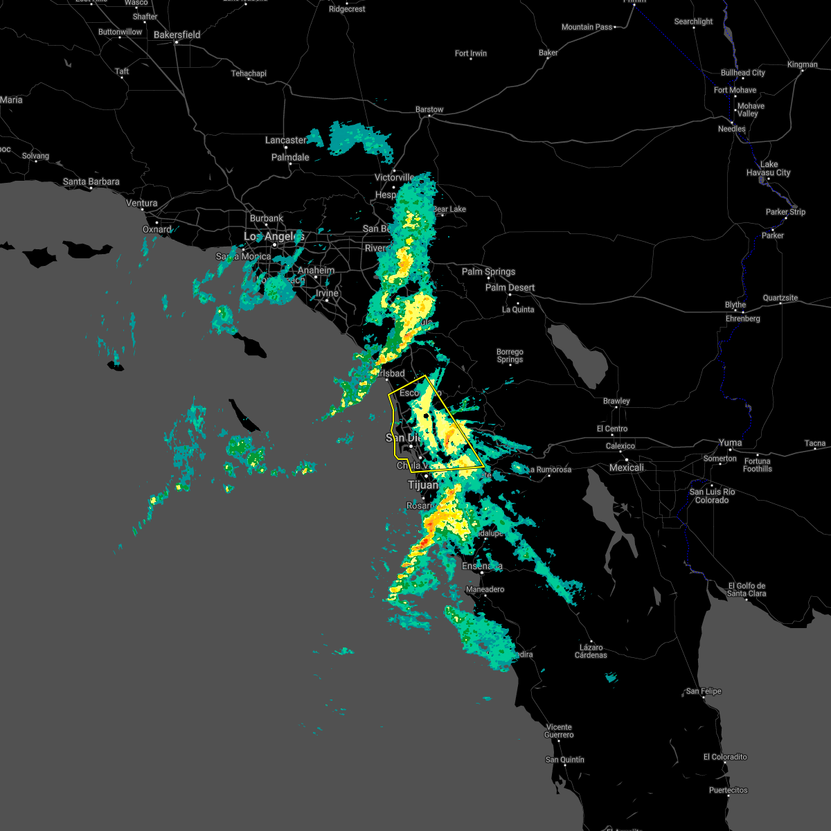 The severe thunderstorm warning for southwestern san diego county will expire at 315 pm pst, the severe thunderstorm/squall which prompted the warning has weakened. therefore the warning will be allowed to expire at 315 pm. winds will remain gusty over the region through this evening and additional strong squalls may redevelop. flooding will continue over the region as heavy rains drain. The severe thunderstorm warning for southwestern san diego county will expire at 315 pm pst, the severe thunderstorm/squall which prompted the warning has weakened. therefore the warning will be allowed to expire at 315 pm. winds will remain gusty over the region through this evening and additional strong squalls may redevelop. flooding will continue over the region as heavy rains drain.
|
| 1/20/2017 2:45 PM PST |
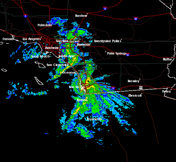 At 241 pm pst, doppler radar continued to indicated a severe thunderstorm/squall capable of producing damaging winds in excess of 60 mph. this storm was impacting the san diego metro, moving east northeast at 40 mph. currently the area of greatest concern is the southern part of the metro. this storm will likely cause tree damage and local power outages. water spouts are also possible along the coast. locations impacted include, chula vista, el cajon, encinitas, national city, la mesa, poway, north park, point loma, hillcrest, midway district including lindbergh field, downtown san diego, la jolla, imperial beach, coronado and mission valley. At 241 pm pst, doppler radar continued to indicated a severe thunderstorm/squall capable of producing damaging winds in excess of 60 mph. this storm was impacting the san diego metro, moving east northeast at 40 mph. currently the area of greatest concern is the southern part of the metro. this storm will likely cause tree damage and local power outages. water spouts are also possible along the coast. locations impacted include, chula vista, el cajon, encinitas, national city, la mesa, poway, north park, point loma, hillcrest, midway district including lindbergh field, downtown san diego, la jolla, imperial beach, coronado and mission valley.
|
| 1/20/2017 2:25 PM PST |
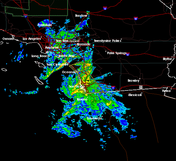 At 221 pm pst, doppler radar indicated a severe thunderstorm/squall capable of producing damaging winds in excess of 60 mph. this storm was rapidly approving the san diego metro, moving east northeast at 40 mph. this storm will likely cause tree damage and local power outages. water spouts will also be possible along the coast. At 221 pm pst, doppler radar indicated a severe thunderstorm/squall capable of producing damaging winds in excess of 60 mph. this storm was rapidly approving the san diego metro, moving east northeast at 40 mph. this storm will likely cause tree damage and local power outages. water spouts will also be possible along the coast.
|
| 1/20/2017 2:23 PM PST |
Utility pole down on residential fence. telephone pole down with hanging wires near sr94 and steele canyon roa in san diego county CA, 541.2 miles NW of Spring Valley, CA
|
| 3/11/2016 4:26 PM PST |
 At 406 pm pst, doppler radar and trained weather spotters reported a severe thunderstorm producing damaging winds from 50 to 60 mph. this storm extended from valley center southward to chula vista. it was moving rapidly eastward toward the mountains at 40 mph. at 3:52 pm, a wind gust of 54 mph was reported by a spotter in leucadia. solana beach had a wind gust of 44 mph at 4:10 pm. west rancho bernardo had a wind gust of 46 mph at 4:10 pm. locations impacted include, escondido, el cajon, carlsbad, san marcos, la mesa, san diego, chula vista, national city, santee, poway, fallbrook, spring valley, lemon grove, lakeside, rancho san diego and bostonia. At 406 pm pst, doppler radar and trained weather spotters reported a severe thunderstorm producing damaging winds from 50 to 60 mph. this storm extended from valley center southward to chula vista. it was moving rapidly eastward toward the mountains at 40 mph. at 3:52 pm, a wind gust of 54 mph was reported by a spotter in leucadia. solana beach had a wind gust of 44 mph at 4:10 pm. west rancho bernardo had a wind gust of 46 mph at 4:10 pm. locations impacted include, escondido, el cajon, carlsbad, san marcos, la mesa, san diego, chula vista, national city, santee, poway, fallbrook, spring valley, lemon grove, lakeside, rancho san diego and bostonia.
|
| 3/11/2016 3:48 PM PST |
 At 346 pm pst, doppler radar indicated a severe thunderstorm capable of producing damaging winds from 50 to 60 mph. this storm was located off the coast and will move inland through 500 pm. At 346 pm pst, doppler radar indicated a severe thunderstorm capable of producing damaging winds from 50 to 60 mph. this storm was located off the coast and will move inland through 500 pm.
|
| 3/7/2016 9:24 AM PST |
 The severe thunderstorm warning for central san diego county will expire at 930 am pst, the line of severe thunderstorms which prompted the warning has weakened and moved east. therefore the warning will be allowed to expire at 930 am. The severe thunderstorm warning for central san diego county will expire at 930 am pst, the line of severe thunderstorms which prompted the warning has weakened and moved east. therefore the warning will be allowed to expire at 930 am.
|
| 3/7/2016 8:46 AM PST |
 At 845 am pst, doppler radar continued indicated a line of severe thunderstorms capable of producing damaging winds of 45 to 60 mph moving through the san diego county valley and coastal areas. this line of storms was moving east at 35 mph. locations impacted include, san diego, chula vista, el cajon, encinitas, national city, escondido, la mesa, poway, imperial beach and ramona. At 845 am pst, doppler radar continued indicated a line of severe thunderstorms capable of producing damaging winds of 45 to 60 mph moving through the san diego county valley and coastal areas. this line of storms was moving east at 35 mph. locations impacted include, san diego, chula vista, el cajon, encinitas, national city, escondido, la mesa, poway, imperial beach and ramona.
|
|
|
| 3/7/2016 8:06 AM PST |
 At 805 am pst, doppler radar indicated a line of severe thunderstorms capable of producing damaging wind gusts of 45 to 60 mph approaching the san diego county coast. this line of storms was located near del mar, and moving east at 35 mph. * locations impacted include but are not limited to, san diego, chula vista, carlsbad, el cajon, encinitas, national city, escondido, la mesa, poway, imperial beach and ramona. At 805 am pst, doppler radar indicated a line of severe thunderstorms capable of producing damaging wind gusts of 45 to 60 mph approaching the san diego county coast. this line of storms was located near del mar, and moving east at 35 mph. * locations impacted include but are not limited to, san diego, chula vista, carlsbad, el cajon, encinitas, national city, escondido, la mesa, poway, imperial beach and ramona.
|
| 1/6/2016 2:23 PM PST |
 At 220 pm pst, doppler radar indicated a line of severe thunderstorm capable of producing damaging winds in excess of 60 mph. these storms were located 14 miles west of del mar to 20 miles west of la jolla, and moving east at 25 mph. these storms are also capable of a brief tornado and hail. these storms will impact coastal cities now through 3 pm, south to point loma and san diego bay. At 220 pm pst, doppler radar indicated a line of severe thunderstorm capable of producing damaging winds in excess of 60 mph. these storms were located 14 miles west of del mar to 20 miles west of la jolla, and moving east at 25 mph. these storms are also capable of a brief tornado and hail. these storms will impact coastal cities now through 3 pm, south to point loma and san diego bay.
|
| 6/30/2015 2:08 PM PDT |
 At 207 pm pdt, doppler radar indicated a severe thunderstorm capable of producing damaging winds in excess of 60 mph. this storm was located from ramona southward to alpine, and moving west northwest at 25 mph. penny size hail may also accompany the damaging winds. At 207 pm pdt, doppler radar indicated a severe thunderstorm capable of producing damaging winds in excess of 60 mph. this storm was located from ramona southward to alpine, and moving west northwest at 25 mph. penny size hail may also accompany the damaging winds.
|
| 9/16/2014 1:26 PM PDT |
Chp reports tree down blocking right lane near the intersection of jamacha blvd and doubletree r in san diego county CA, 1.6 miles W of Spring Valley, CA
|
 At 125 pm pdt, a severe thunderstorm was located over bonita, or over chula vista and just south of alpine, moving south at 25 mph (radar indicated). Hazards include 60 mph wind gusts and penny size hail. wind gusts of 50 to 55 mph have been observed in the warned area near i-8. Expect some damage to roofs, siding, and trees. Locations impacted include, chula vista, el cajon, national city, la mesa, poway, ramona, alpine, mission valley, hillcrest, linda vista, north park, tierrasanta, university city, la jolla, valley center, cuyamaca rancho state park, escondido, santee, lemon grove, and rancho san diego.
 Svrsgx the national weather service in san diego has issued a * severe thunderstorm warning for, southwestern san diego county in southwestern california, * until 200 pm pdt. * at 1253 pm pdt, a severe thunderstorm was located over lakeside, or near el cajon, moving south at 25 mph (radar indicated). Hazards include 60 mph wind gusts and nickel size hail. expect damage to roofs, siding, and trees
 The tornado warning for south central san diego county will expire at 1215 pm pst, the storm which prompted the warning has weakened below severe limits, and no longer appears capable of producing a tornado. therefore, the warning will be allowed to expire.
 At 1200 pm pst, a severe thunderstorm capable of producing a tornado was located over el cajon, moving northeast at 35 mph (radar indicated rotation). Hazards include tornado. Flying debris will be dangerous to those caught without shelter. mobile homes will be damaged or destroyed. damage to roofs, windows, and vehicles will occur. Tree damage is likely.
 At 1155 am pst, a severe thunderstorm capable of producing a tornado was located over la mesa, moving northeast at 35 mph (radar indicated rotation). Hazards include tornado. Flying debris will be dangerous to those caught without shelter. mobile homes will be damaged or destroyed. damage to roofs, windows, and vehicles will occur. tree damage is likely. Locations impacted include, chula vista, el cajon, la mesa, tierrasanta, santee, lemon grove, rancho san diego, la presa, spring valley, crest, lakeside, bonita, lake murray, winter gardens, skyline, jamacha lomita, bay terraces, harbison canyon, granite hills, and bostonia.
 At 1144 am pst, a severe thunderstorm capable of producing a tornado was located over paradise hills, or near chula vista, moving northeast at 35 mph (radar indicated rotation). Hazards include tornado. Flying debris will be dangerous to those caught without shelter. mobile homes will be damaged or destroyed. damage to roofs, windows, and vehicles will occur. Tree damage is likely.
 At 1012 am pst, a severe thunderstorm was located over spring valley, or near la mesa, moving east (radar indicated). Hazards include 60 mph wind gusts. heavy rain reducing visibility and creating areas of flooding. expect damage to roofs, siding, and trees
 The severe thunderstorm warning for southwestern san diego county will expire at 1115 am pdt, the storms which prompted the warning have weakened below severe limits, and no longer pose an immediate threat to life or property. therefore, the warning will be allowed to expire. however heavy rain is still possible with these thunderstorms.
 At 1059 am pdt, severe thunderstorms were located along a line extending from near del mar heights to imperial beach, moving northeast at 40 mph. this warning includes portions of the san diego city limits (radar indicated). Hazards include 60 mph wind gusts. expect damage to roofs, siding, and trees
 At 1026 am pdt, severe thunderstorms were located along a line extending from 8 miles west of mission beach to 17 miles southwest of imperial beach, moving northeast at 40 mph (radar indicated). Hazards include 60 mph wind gusts. expect damage to roofs, siding, and trees
 The severe thunderstorm warning for southwestern san diego county will expire at 415 pm pdt, the severe thunderstorm which prompted the warning has weakened and moved out of the warned area. therefore, the warning will be allowed to expire.
 At 339 pm pdt, a severe thunderstorm was located near downtown san diego, moving west at about 15 mph. so far heavy rainfall and localized flooding has been reported (radar indicated). Hazards include 60 mph wind gusts. Expect damage to roofs, siding, and trees. locations impacted include, chula vista, oceanside, carlsbad, el cajon, vista, encinitas, national city, la mesa, poway and imperial beach. hail threat, radar indicated max hail size, <. 75 in wind threat, radar indicated max wind gust, 60 mph.
 At 319 pm pdt, a severe thunderstorm was located over lakeside, or near el cajon, moving west at about 15 mph (radar indicated). Hazards include 60 mph wind gusts. expect damage to roofs, siding, and trees
 The severe thunderstorm warning for southwestern san diego county will expire at 400 pm pst, the storms which prompted the warning have weakened below severe limits, and have exited the warned area. therefore, the warning will be allowed to expire. gusty west winds up to 45 mph will continue through 6 pm in san diego county with isolated damage to trees and powerlines still possible.
 At 301 pm pst, a severe rain squall was located along a line extending from near vista to 20 miles west of imperial beach, moving east at 25 mph. this warning includes portions of the san diego city limits. no thunder or lightning but severe winds are expected with heavy rain through 400 pm (radar indicated). Hazards include up to 60 mph wind gusts. expect damage to roofs, siding, and trees
 At 631 pm pst, national weather service doppler radar indicated a line of severe storms capable of producing damaging winds in excess of 60 mph. the highest threat is from la jolla to del mar and areas a few miles inland. these storms were located along a line extending along the san diego coast to point loma, moving east at 15 mph. very heavy rain is associated with these storms with rainfall up to 0.50 inches per hour. locations impacted include, chula vista, oceanside, carlsbad, el cajon, vista, encinitas, national city, la mesa, poway, north park, point loma, hillcrest, midway district including lindbergh field, downtown san diego and la jolla.
 At 541 pm pst, national weather service doppler radar indicated a line of severe thunderstorms capable of producing damaging winds in excess of 60 mph. these storms were located along a line extending from 20 miles southwest of laguna beach to 40 miles southwest of point loma, and moving east at 25 mph. this intense line of heavy rain and high wind will move into coastal cities between 600 and 630 pm.
 The severe thunderstorm warning for southwestern san diego county will expire at 315 pm pst, the severe thunderstorm/squall which prompted the warning has weakened. therefore the warning will be allowed to expire at 315 pm. winds will remain gusty over the region through this evening and additional strong squalls may redevelop. flooding will continue over the region as heavy rains drain.
 At 241 pm pst, doppler radar continued to indicated a severe thunderstorm/squall capable of producing damaging winds in excess of 60 mph. this storm was impacting the san diego metro, moving east northeast at 40 mph. currently the area of greatest concern is the southern part of the metro. this storm will likely cause tree damage and local power outages. water spouts are also possible along the coast. locations impacted include, chula vista, el cajon, encinitas, national city, la mesa, poway, north park, point loma, hillcrest, midway district including lindbergh field, downtown san diego, la jolla, imperial beach, coronado and mission valley.
 At 221 pm pst, doppler radar indicated a severe thunderstorm/squall capable of producing damaging winds in excess of 60 mph. this storm was rapidly approving the san diego metro, moving east northeast at 40 mph. this storm will likely cause tree damage and local power outages. water spouts will also be possible along the coast.
 At 406 pm pst, doppler radar and trained weather spotters reported a severe thunderstorm producing damaging winds from 50 to 60 mph. this storm extended from valley center southward to chula vista. it was moving rapidly eastward toward the mountains at 40 mph. at 3:52 pm, a wind gust of 54 mph was reported by a spotter in leucadia. solana beach had a wind gust of 44 mph at 4:10 pm. west rancho bernardo had a wind gust of 46 mph at 4:10 pm. locations impacted include, escondido, el cajon, carlsbad, san marcos, la mesa, san diego, chula vista, national city, santee, poway, fallbrook, spring valley, lemon grove, lakeside, rancho san diego and bostonia.
 At 346 pm pst, doppler radar indicated a severe thunderstorm capable of producing damaging winds from 50 to 60 mph. this storm was located off the coast and will move inland through 500 pm.
 The severe thunderstorm warning for central san diego county will expire at 930 am pst, the line of severe thunderstorms which prompted the warning has weakened and moved east. therefore the warning will be allowed to expire at 930 am.
 At 845 am pst, doppler radar continued indicated a line of severe thunderstorms capable of producing damaging winds of 45 to 60 mph moving through the san diego county valley and coastal areas. this line of storms was moving east at 35 mph. locations impacted include, san diego, chula vista, el cajon, encinitas, national city, escondido, la mesa, poway, imperial beach and ramona.
 At 805 am pst, doppler radar indicated a line of severe thunderstorms capable of producing damaging wind gusts of 45 to 60 mph approaching the san diego county coast. this line of storms was located near del mar, and moving east at 35 mph. * locations impacted include but are not limited to, san diego, chula vista, carlsbad, el cajon, encinitas, national city, escondido, la mesa, poway, imperial beach and ramona.
 At 220 pm pst, doppler radar indicated a line of severe thunderstorm capable of producing damaging winds in excess of 60 mph. these storms were located 14 miles west of del mar to 20 miles west of la jolla, and moving east at 25 mph. these storms are also capable of a brief tornado and hail. these storms will impact coastal cities now through 3 pm, south to point loma and san diego bay.
 At 207 pm pdt, doppler radar indicated a severe thunderstorm capable of producing damaging winds in excess of 60 mph. this storm was located from ramona southward to alpine, and moving west northwest at 25 mph. penny size hail may also accompany the damaging winds.


Connect with Interactive Hail Maps