

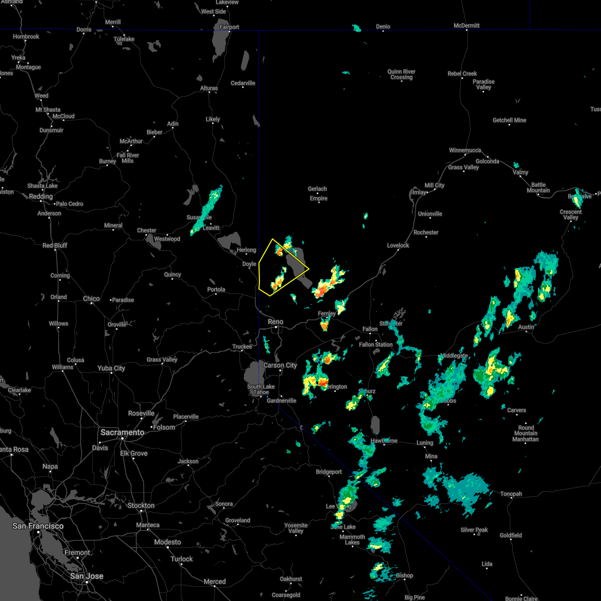
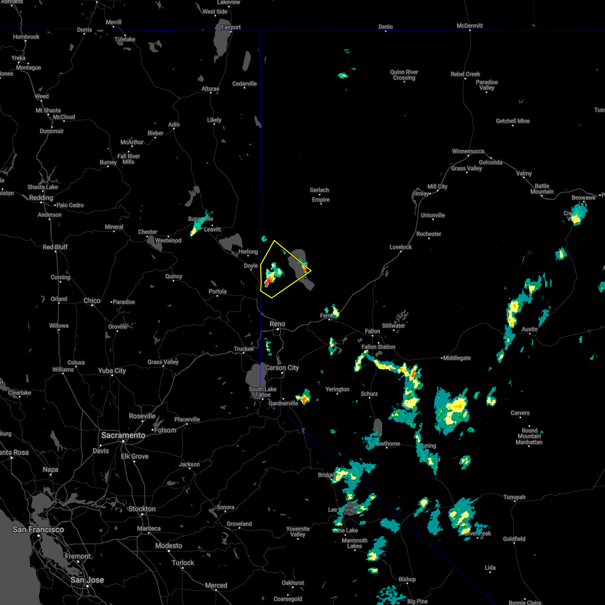
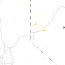
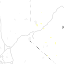
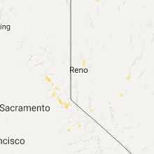
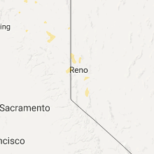
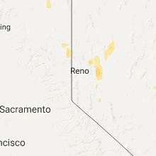
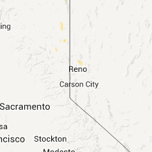
Hail Map for Sutcliffe, NV
The Sutcliffe, NV area has had 0 reports of on-the-ground hail by trained spotters, and has been under severe weather warnings 0 times during the past 12 months. Doppler radar has detected hail at or near Sutcliffe, NV on 8 occasions.
| Name: | Sutcliffe, NV |
| Where Located: | 30.7 miles NNE of Reno, NV |
| Map: | Google Map for Sutcliffe, NV |
| Population: | 253 |
| Housing Units: | 120 |
| More Info: | Search Google for Sutcliffe, NV |
5
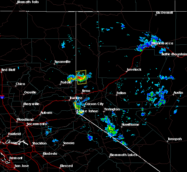
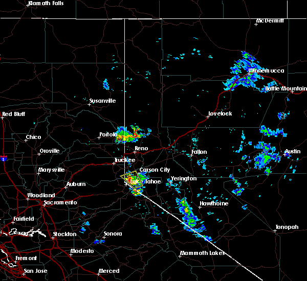
The Top Recent Hail Date for Sutcliffe, NV is Wednesday, June 24, 2020 (1st out of 8)

Hail and Wind Damage Spotted near Sutcliffe, NV
| Date / Time | Report Details |
|---|---|
| 8/18/2020 4:26 PM PDT |
 The severe thunderstorm warning for southeastern lassen and central washoe counties will expire at 430 pm pdt, the severe thunderstorm which prompted the warning has moved out of the warned area. therefore, the warning will be allowed to expire. however, more thunderstorms are developing from the loyalton fire. the area northeast of the of the loyalton fire to around pyramid lake may continue to see periods of heavy rain, strong winds, hail, and blowing dust. The severe thunderstorm warning for southeastern lassen and central washoe counties will expire at 430 pm pdt, the severe thunderstorm which prompted the warning has moved out of the warned area. therefore, the warning will be allowed to expire. however, more thunderstorms are developing from the loyalton fire. the area northeast of the of the loyalton fire to around pyramid lake may continue to see periods of heavy rain, strong winds, hail, and blowing dust.
|
| 8/18/2020 3:45 PM PDT |
 At 345 pm pdt, a severe thunderstorm was located 10 miles northeast of hallelujah junction, or 11 miles southeast of doyle, moving northeast at 15 mph (radar indicated). Hazards include 60 mph wind gusts and quarter size hail. Hail damage to vehicles is expected. Expect wind damage to roofs, siding, fencing and trees. At 345 pm pdt, a severe thunderstorm was located 10 miles northeast of hallelujah junction, or 11 miles southeast of doyle, moving northeast at 15 mph (radar indicated). Hazards include 60 mph wind gusts and quarter size hail. Hail damage to vehicles is expected. Expect wind damage to roofs, siding, fencing and trees.
|
| 8/8/2019 1:50 PM PDT |
 At 148 pm pdt, a severe thunderstorm was located near sutcliffe, or 9 miles south of pyramid lake, moving southeast at 10 mph (radar indicated). Hazards include 60 mph wind gusts and quarter size hail. Hail damage to vehicles is expected. Expect wind damage to roofs, siding, fencing and trees. At 148 pm pdt, a severe thunderstorm was located near sutcliffe, or 9 miles south of pyramid lake, moving southeast at 10 mph (radar indicated). Hazards include 60 mph wind gusts and quarter size hail. Hail damage to vehicles is expected. Expect wind damage to roofs, siding, fencing and trees.
|
| 6/27/2015 6:18 PM PDT |
 At 617 pm pdt, doppler radar indicated a severe thunderstorm capable of producing damaging winds in excess of 60 mph. this storm was located 12 miles east of doyle, moving north at 30 mph. penny size hail may also accompany the damaging winds. locations impacted include, dogskin mountain. At 617 pm pdt, doppler radar indicated a severe thunderstorm capable of producing damaging winds in excess of 60 mph. this storm was located 12 miles east of doyle, moving north at 30 mph. penny size hail may also accompany the damaging winds. locations impacted include, dogskin mountain.
|
| 6/27/2015 6:01 PM PDT |
 At 600 pm pdt, doppler radar indicated a severe thunderstorm capable of producing damaging winds in excess of 60 mph. this storm was located 10 miles southwest of sutcliffe, or 17 miles southwest of pyramid lake, and moving north at 30 mph. penny size hail may also accompany the damaging winds. At 600 pm pdt, doppler radar indicated a severe thunderstorm capable of producing damaging winds in excess of 60 mph. this storm was located 10 miles southwest of sutcliffe, or 17 miles southwest of pyramid lake, and moving north at 30 mph. penny size hail may also accompany the damaging winds.
|
| 5/25/2015 2:06 PM PDT | At 205 pm pdt, doppler radar indicated a severe thunderstorm capable of producing quarter size hail and damaging winds in excess of 60 mph. this storm was located near sutcliffe, or 12 miles south of pyramid lake, moving east at 25 mph. locations impacted include, virginia peak, sutcliffe, nixon, lemmon valley-golden valley, spanish springs and dogskin mountain. |
| 5/25/2015 1:50 PM PDT | At 150 pm pdt, doppler radar indicated a severe thunderstorm capable of producing quarter size hail and destructive winds in excess of 70 mph. this storm was located 9 miles southwest of sutcliffe, or 16 miles southwest of pyramid lake, and moving east at 30 mph. |
| 7/2/2013 5:30 PM PDT | Outflow wind gusts on anaho island. several gusts up to 58 mph between 530 and 7 p in washoe county NV, 8.4 miles SSW of Sutcliffe, NV |
| 5/15/2012 5:45 PM PDT | Storm damage reported in washoe county NV, 1.2 miles W of Sutcliffe, NV |
Hail Maps for Sutcliffe, NV


Connect with Interactive Hail Maps