

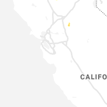
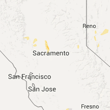
Hail Map for Sutter, CA
The Sutter, CA area has had 0 reports of on-the-ground hail by trained spotters, and has been under severe weather warnings 0 times during the past 12 months. Doppler radar has detected hail at or near Sutter, CA on 2 occasions.
| Name: | Sutter, CA |
| Where Located: | 40.5 miles NW of Citrus Heights, CA |
| Map: | Google Map for Sutter, CA |
| Population: | 2904 |
| Housing Units: | 1082 |
| More Info: | Search Google for Sutter, CA |
5
The Top Recent Hail Date for Sutter, CA is Thursday, May 5, 2016 (1st out of 2)

Hail and Wind Damage Spotted near Sutter, CA
| Date / Time | Report Details |
|---|---|
| 5/5/2016 1:26 PM PDT |
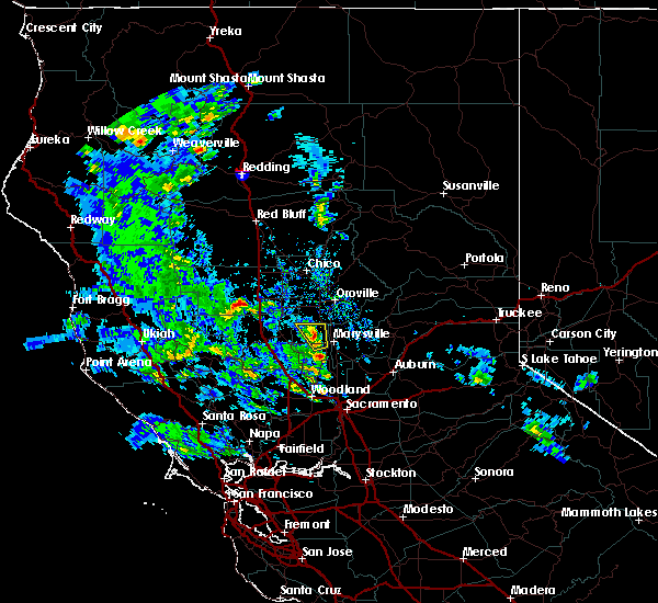 The severe thunderstorm warning for western yuba and north central sutter counties will expire at 130 pm pdt, the storm which prompted the warning has weakened below severe limits, and no longer poses an immediate threat to life or property. therefore the warning will be allowed to expire. however small hail is still possible with this thunderstorm. The severe thunderstorm warning for western yuba and north central sutter counties will expire at 130 pm pdt, the storm which prompted the warning has weakened below severe limits, and no longer poses an immediate threat to life or property. therefore the warning will be allowed to expire. however small hail is still possible with this thunderstorm.
|
| 5/5/2016 1:05 PM PDT |
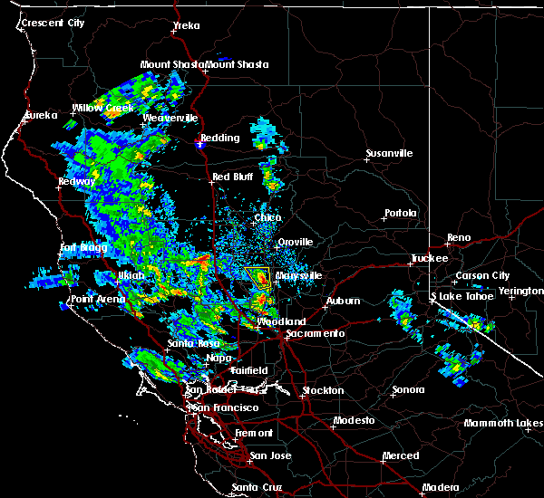 At 103 pm pdt, the public reported a severe thunderstorm producing quarter size hail. this storm was located near pennington, or 8 miles northwest of marysville, moving north at 15 mph. this storm is likely still producing quarter sized hail and very heavy rain. locations impacted include, yuba city, south yuba city, pennington, sutter and tierra buena. At 103 pm pdt, the public reported a severe thunderstorm producing quarter size hail. this storm was located near pennington, or 8 miles northwest of marysville, moving north at 15 mph. this storm is likely still producing quarter sized hail and very heavy rain. locations impacted include, yuba city, south yuba city, pennington, sutter and tierra buena.
|
| 5/5/2016 12:48 PM PDT |
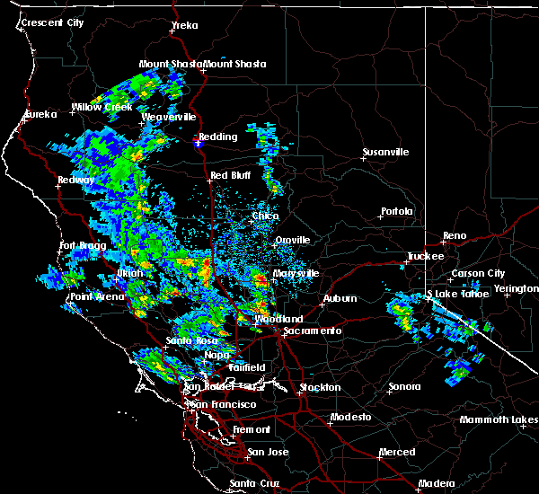 At 1247 pm pdt, the public reported a severe thunderstorm producing quarter size hail. this storm was located near yuba city, or near marysville, and moving north at 15 mph. At 1247 pm pdt, the public reported a severe thunderstorm producing quarter size hail. this storm was located near yuba city, or near marysville, and moving north at 15 mph.
|
Hail Maps for Sutter, CA
Connect with Interactive Hail Maps