

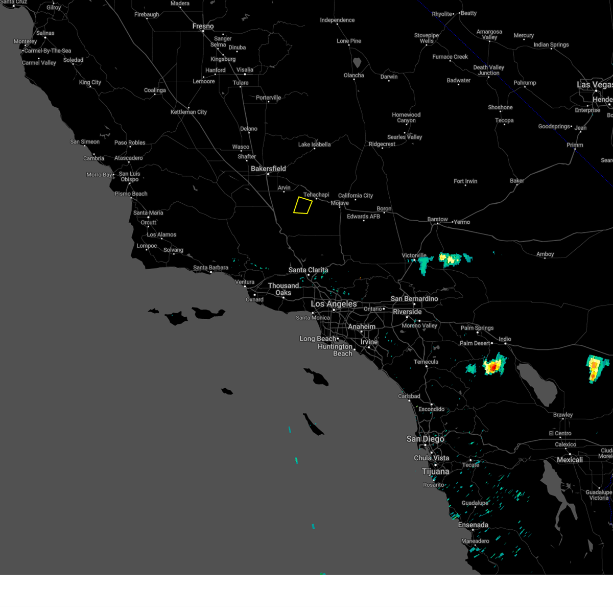
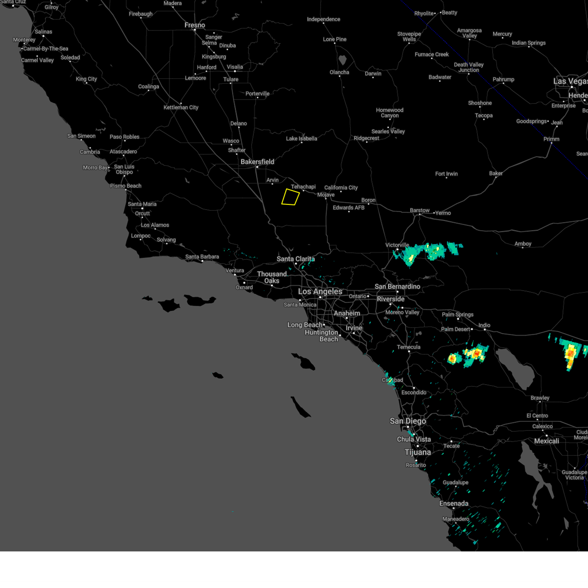
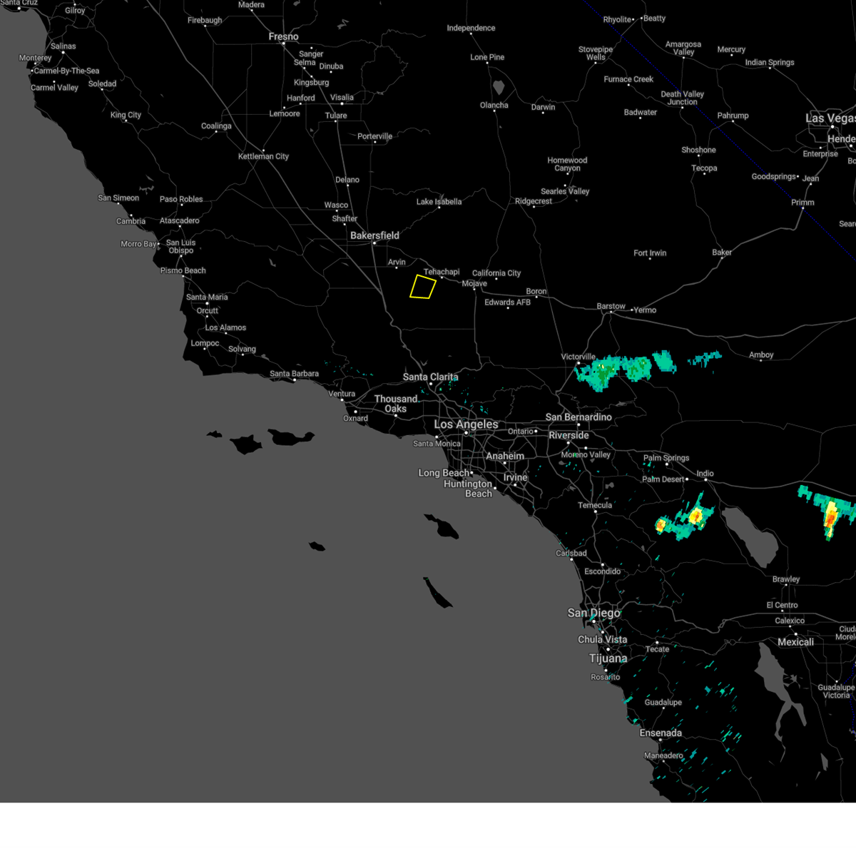
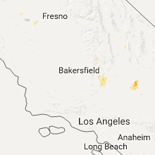
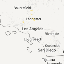
Hail Map for Tehachapi, CA
The Tehachapi, CA area has had 2 reports of on-the-ground hail by trained spotters, and has been under severe weather warnings 3 times during the past 12 months. Doppler radar has detected hail at or near Tehachapi, CA on 3 occasions.
| Name: | Tehachapi, CA |
| Where Located: | 35.7 miles ESE of Bakersfield, CA |
| Map: | Google Map for Tehachapi, CA |
| Population: | 14414 |
| Housing Units: | 3539 |
| More Info: | Search Google for Tehachapi, CA |
0
The Top Recent Hail Date for Tehachapi, CA is Monday, September 11, 2017 (3rd out of 3)

Hail and Wind Damage Spotted near Tehachapi, CA
| Date / Time | Report Details |
|---|---|
| 8/13/2023 6:37 PM PDT |
 The severe thunderstorm warning for southeastern kern county will expire at 645 pm pdt, the storm which prompted the warning has weakened below severe limits, and no longer poses an immediate threat to life or property. therefore, the warning will be allowed to expire. The severe thunderstorm warning for southeastern kern county will expire at 645 pm pdt, the storm which prompted the warning has weakened below severe limits, and no longer poses an immediate threat to life or property. therefore, the warning will be allowed to expire.
|
| 8/13/2023 6:26 PM PDT |
 At 625 pm pdt, a severe thunderstorm was located near stallion springs, and is nearly stationary (radar indicated). Hazards include quarter size hail. Damage to vehicles is expected. locations impacted include, tehachapi, stallion springs, and bear valley springs. hail threat, radar indicated max hail size, 1. 00 in wind threat, radar indicated max wind gust, <50 mph. At 625 pm pdt, a severe thunderstorm was located near stallion springs, and is nearly stationary (radar indicated). Hazards include quarter size hail. Damage to vehicles is expected. locations impacted include, tehachapi, stallion springs, and bear valley springs. hail threat, radar indicated max hail size, 1. 00 in wind threat, radar indicated max wind gust, <50 mph.
|
| 8/13/2023 6:16 PM PDT |
 At 615 pm pdt, a severe thunderstorm was located near stallion springs and is nearly stationary (radar indicated). Hazards include quarter size hail. damage to vehicles is expected At 615 pm pdt, a severe thunderstorm was located near stallion springs and is nearly stationary (radar indicated). Hazards include quarter size hail. damage to vehicles is expected
|
| 6/5/2023 9:18 PM PDT | Golf Ball sized hail reported 7.9 miles E of Tehachapi, CA, golf ball sized hail was observed in stallion springs at 9:18 pm pdt. report and pictures submitted via social media. |
| 6/5/2023 9:04 AM PDT | Ping Pong Ball sized hail reported 9.7 miles E of Tehachapi, CA, ping pong sized hail was observed in stallion springs at 9:04 pm pdt. report and picture submitted via social media. |
| 4/24/2016 9:07 PM PDT |
 At 907 pm pdt, the public reported a severe thunderstorm producing quarter size hail. this storm was located over bakersfield, and moving southeast at 40 mph. At 907 pm pdt, the public reported a severe thunderstorm producing quarter size hail. this storm was located over bakersfield, and moving southeast at 40 mph.
|
| 10/15/2015 3:30 PM PDT |
 At 329 pm pdt, doppler radar indicated an area of severe thunderstorms capable of producing quarter size hail and damaging winds in excess of 60 mph. this storm was located 7 miles west of rosamond, or 15 miles northwest of lancaster, and moving west northwest at 20 mph. At 329 pm pdt, doppler radar indicated an area of severe thunderstorms capable of producing quarter size hail and damaging winds in excess of 60 mph. this storm was located 7 miles west of rosamond, or 15 miles northwest of lancaster, and moving west northwest at 20 mph.
|
Hail Maps for Tehachapi, CA

Connect with Interactive Hail Maps