

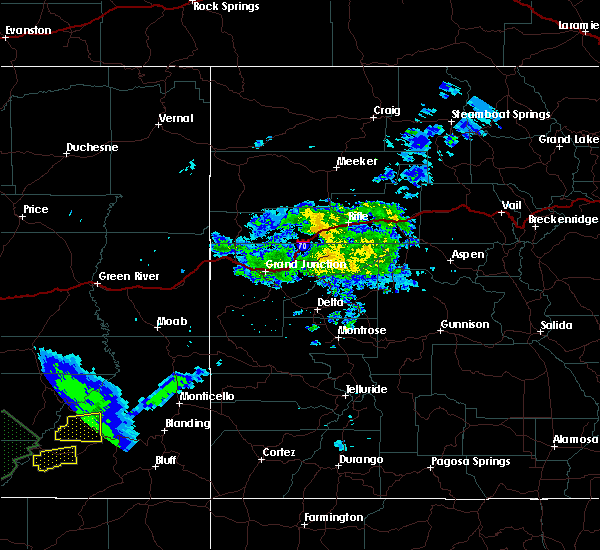
Hail Map for Tselakai Dezza, UT
The Tselakai Dezza, UT area has had 0 reports of on-the-ground hail by trained spotters, and has been under severe weather warnings 0 times during the past 12 months. Doppler radar has detected hail at or near Tselakai Dezza, UT on 1 occasion.
| Name: | Tselakai Dezza, UT |
| Where Located: | 84.9 miles WNW of Farmington, NM |
| Map: | Google Map for Tselakai Dezza, UT |
| Population: | 109 |
| Housing Units: | 43 |
| More Info: | Search Google for Tselakai Dezza, UT |
0
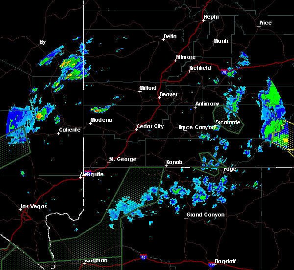
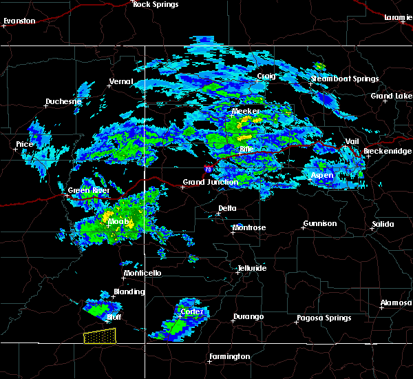
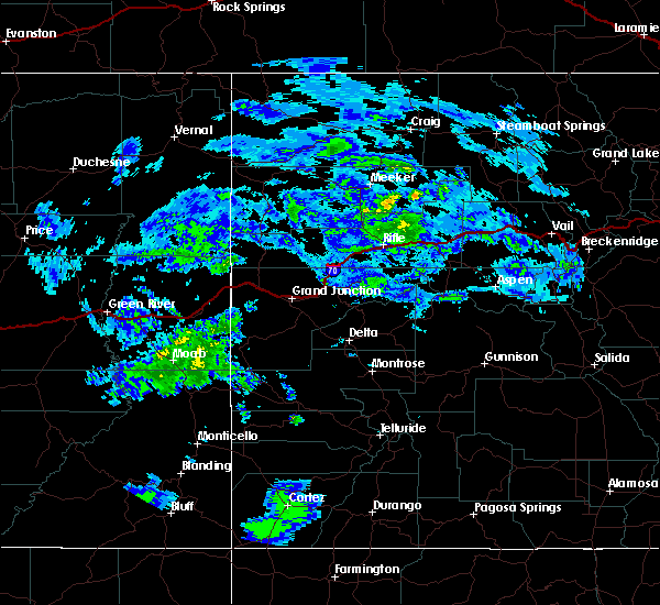
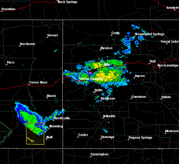
The Top Recent Hail Date for Tselakai Dezza, UT is Saturday, June 6, 2020 (1st out of 1)

Hail and Wind Damage Spotted near Tselakai Dezza, UT
| Date / Time | Report Details |
|---|---|
| 6/6/2020 9:52 AM MDT |
 At 952 am mdt, a severe thunderstorm was located 8 miles northwest of bluff, or 17 miles northeast of mexican hat, moving north at 50 mph (radar indicated). Hazards include 70 mph wind gusts and quarter size hail. Hail damage to vehicles is expected. expect considerable tree damage. wind damage is also likely to mobile homes, roofs, and outbuildings. locations impacted include, blanding, white mesa, bluff and tselakai dezza. this includes the following highways, u. s. highway 191 in utah between mile markers 18 and 51. u. s. highway 163 in utah between mile markers 32 and 41. utah 95 between mile markers 97 and 121. Utah 162 between mile markers 0 and 4. At 952 am mdt, a severe thunderstorm was located 8 miles northwest of bluff, or 17 miles northeast of mexican hat, moving north at 50 mph (radar indicated). Hazards include 70 mph wind gusts and quarter size hail. Hail damage to vehicles is expected. expect considerable tree damage. wind damage is also likely to mobile homes, roofs, and outbuildings. locations impacted include, blanding, white mesa, bluff and tselakai dezza. this includes the following highways, u. s. highway 191 in utah between mile markers 18 and 51. u. s. highway 163 in utah between mile markers 32 and 41. utah 95 between mile markers 97 and 121. Utah 162 between mile markers 0 and 4.
|
| 6/6/2020 9:39 AM MDT |
 At 937 am mdt, a severe thunderstorm was located near tselakai dezza, or 8 miles east of mexican hat, moving north at 50 mph (radar indicated). Hazards include 60 mph wind gusts and quarter size hail. Hail damage to vehicles is expected. Expect wind damage to roofs, siding, and trees. At 937 am mdt, a severe thunderstorm was located near tselakai dezza, or 8 miles east of mexican hat, moving north at 50 mph (radar indicated). Hazards include 60 mph wind gusts and quarter size hail. Hail damage to vehicles is expected. Expect wind damage to roofs, siding, and trees.
|
| 7/25/2017 4:55 PM MDT |
 At 452 pm mdt, severe thunderstorms were located along a line extending from near ticaboo to 19 miles south of fry canyon to 8 miles south of mexican hat, moving northeast at 30 mph (radar indicated). Hazards include 60 mph wind gusts and quarter size hail. Hail damage to vehicles is expected. Expect wind damage to roofs, siding, and trees. At 452 pm mdt, severe thunderstorms were located along a line extending from near ticaboo to 19 miles south of fry canyon to 8 miles south of mexican hat, moving northeast at 30 mph (radar indicated). Hazards include 60 mph wind gusts and quarter size hail. Hail damage to vehicles is expected. Expect wind damage to roofs, siding, and trees.
|
| 8/26/2015 5:28 PM MDT | The severe thunderstorm warning for south central san juan county will expire at 530 pm mdt. the storm which prompted the warning has weakened below severe limits. and no longer poses an immediate threat to life or property. therefore the warning will be allowed to expire. However gusty winds are still possible with this thunderstorm. |
| 8/26/2015 5:14 PM MDT |
 At 513 pm mdt, a severe thunderstorm was located near mexican water, or 13 miles east of mexican hat, moving east at 25 mph (radar indicated). Hazards include 60 mph wind gusts and quarter size hail. Hail damage to vehicles is expected. expect wind damage to roofs, siding and trees. Locations impacted include, halchita and tselakai dezza. At 513 pm mdt, a severe thunderstorm was located near mexican water, or 13 miles east of mexican hat, moving east at 25 mph (radar indicated). Hazards include 60 mph wind gusts and quarter size hail. Hail damage to vehicles is expected. expect wind damage to roofs, siding and trees. Locations impacted include, halchita and tselakai dezza.
|
| 8/26/2015 5:01 PM MDT |
 At 501 pm mdt, a severe thunderstorm was located 8 miles southeast of halchita, or 9 miles southeast of mexican hat, moving east at 25 mph (radar indicated). Hazards include 60 mph wind gusts and quarter size hail. Hail damage to vehicles is expected. Expect wind damage to roofs, siding and trees. At 501 pm mdt, a severe thunderstorm was located 8 miles southeast of halchita, or 9 miles southeast of mexican hat, moving east at 25 mph (radar indicated). Hazards include 60 mph wind gusts and quarter size hail. Hail damage to vehicles is expected. Expect wind damage to roofs, siding and trees.
|
| 6/11/2015 12:13 AM MDT | The severe thunderstorm warning for south central san juan county will expire at 1215 am mdt, the line of storms which prompted the warning have weakened below severe limits, and exited the warned area. therefore the warning will be allowed to expire. |
| 6/10/2015 11:55 PM MDT |
 At 1155 pm mdt, severe thunderstorms were located along a line extending from 9 miles east of fry canyon to near mexican hat, moving east at 30 mph (radar indicated). Hazards include 60 mph wind gusts and quarter size hail. Hail damage to vehicles is expected. expect wind damage to roofs, siding and trees. Locations impacted include, mexican hat, halchita, fry canyon, tselakai dezza and bluff. At 1155 pm mdt, severe thunderstorms were located along a line extending from 9 miles east of fry canyon to near mexican hat, moving east at 30 mph (radar indicated). Hazards include 60 mph wind gusts and quarter size hail. Hail damage to vehicles is expected. expect wind damage to roofs, siding and trees. Locations impacted include, mexican hat, halchita, fry canyon, tselakai dezza and bluff.
|
| 6/10/2015 11:40 PM MDT |
 At 1140 pm mdt, severe thunderstorms were located along a line extending from near fry canyon to 11 miles northwest of mexican hat, moving east at 35 mph (radar indicated). Hazards include 60 mph wind gusts and quarter size hail. Hail damage to vehicles is expected. Expect wind damage to roofs, siding and trees. At 1140 pm mdt, severe thunderstorms were located along a line extending from near fry canyon to 11 miles northwest of mexican hat, moving east at 35 mph (radar indicated). Hazards include 60 mph wind gusts and quarter size hail. Hail damage to vehicles is expected. Expect wind damage to roofs, siding and trees.
|
| 6/6/2015 6:18 PM MDT | At 618 pm mdt, a severe thunderstorm was located near montezuma creek, or 25 miles south of blanding, moving northeast at 35 mph (radar indicated). Hazards include 60 mph wind gusts and quarter size hail. Hail damage to vehicles is expected. expect wind damage to roofs, siding and trees. This severe storm will be near, montezuma creek around 625 pm mdt. |
| 6/6/2015 6:07 PM MDT | At 607 pm mdt, doppler radar indicated a severe thunderstorm capable of producing quarter size hail and damaging winds in excess of 60 mph. this storm was located near tselakai dezza, or 20 miles east of mexican hat, and moving northeast at 35 mph. * this severe thunderstorm will be near, bluff around 615 pm mdt. montezuma creek around 630 pm mdt. |
Hail Maps for Tselakai Dezza, UT

Connect with Interactive Hail Maps