

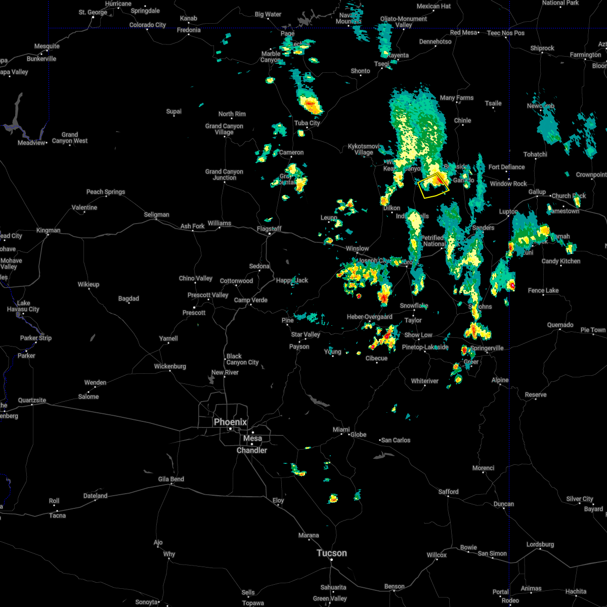
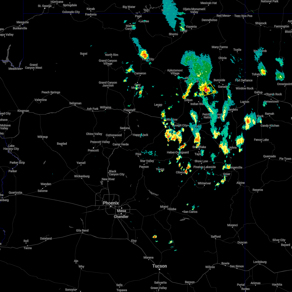
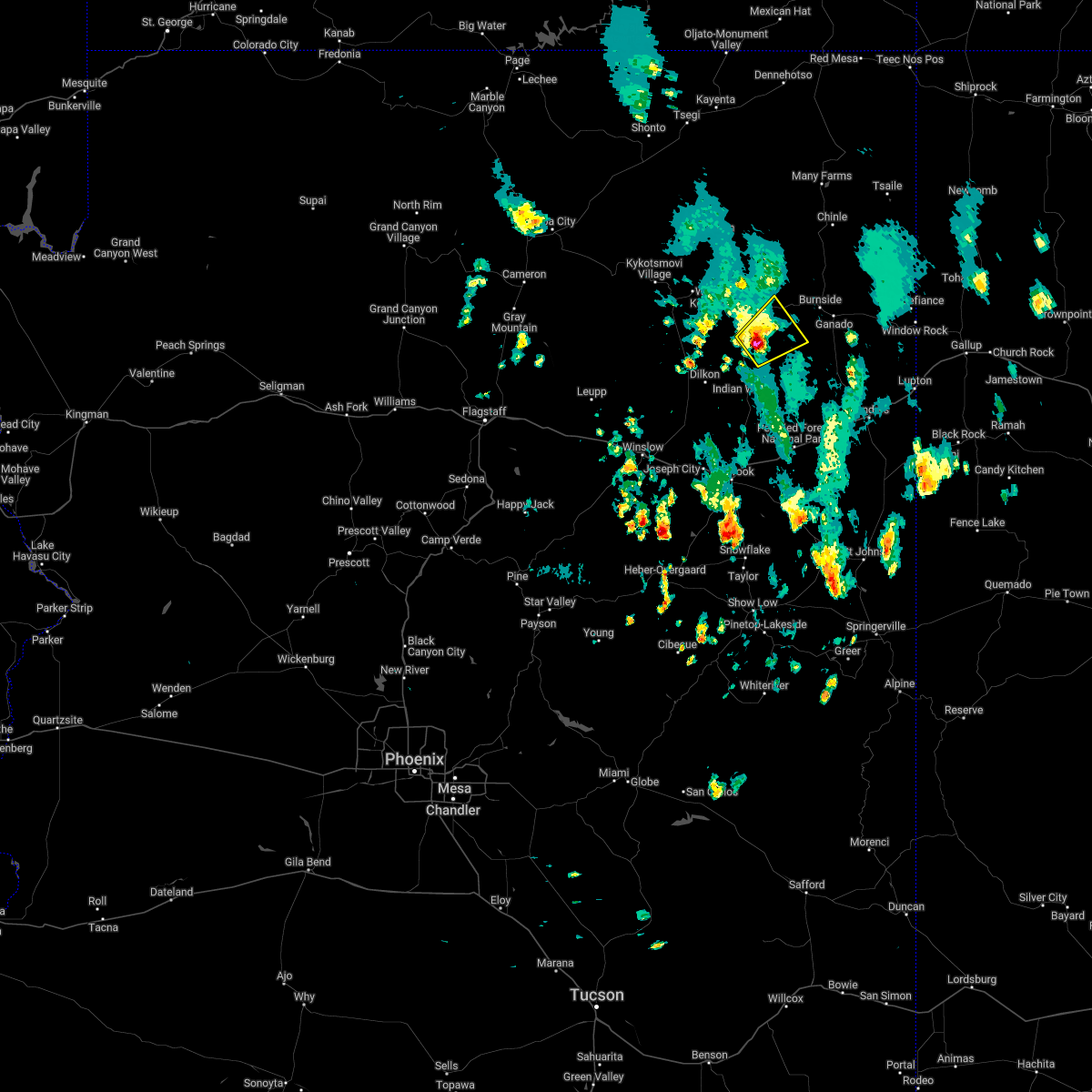
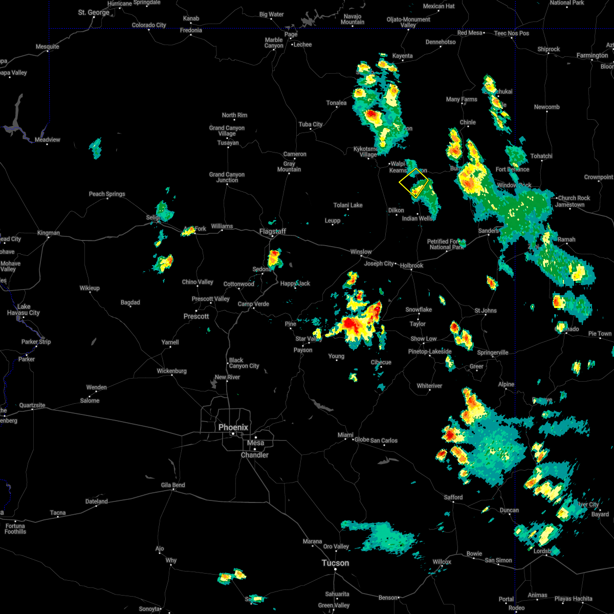
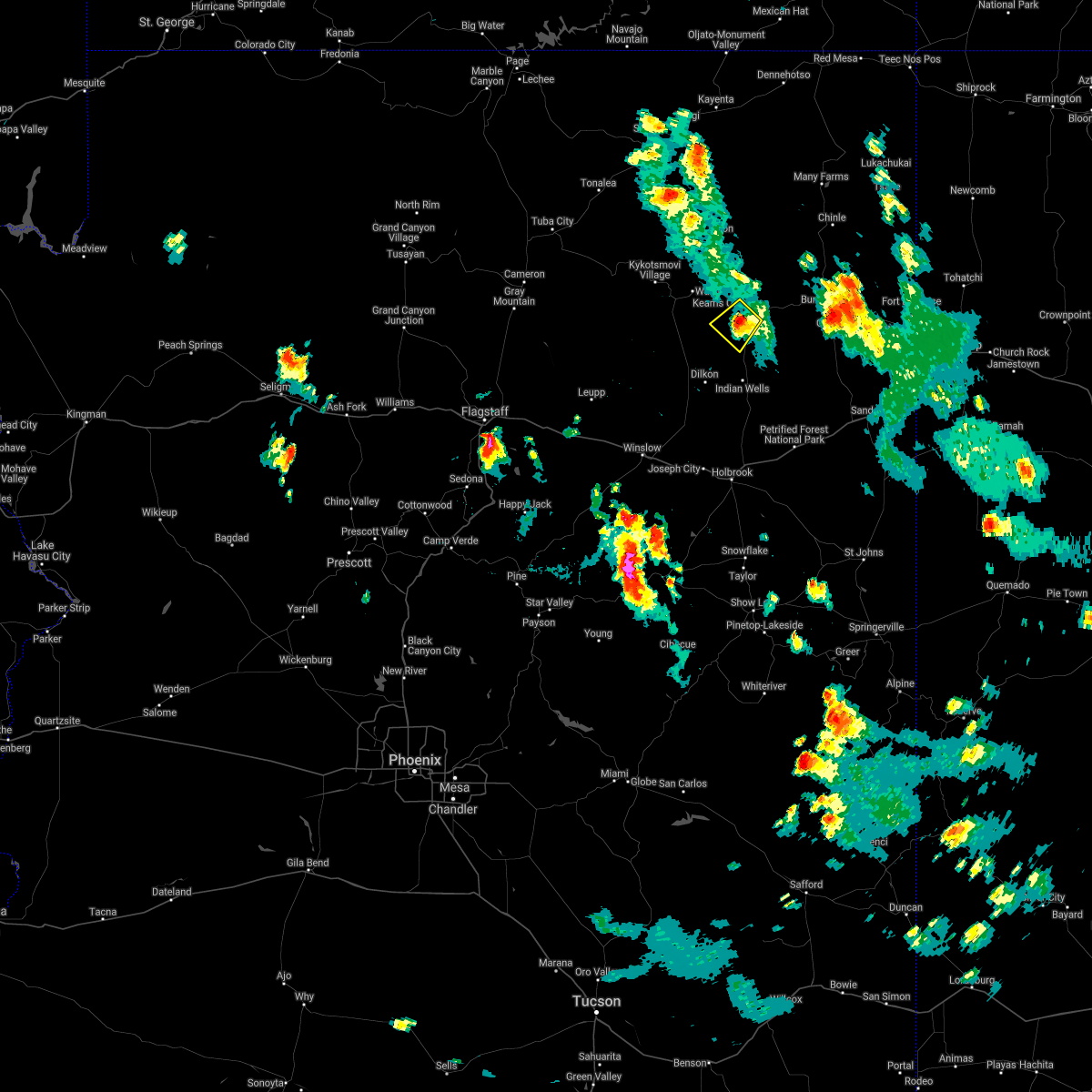
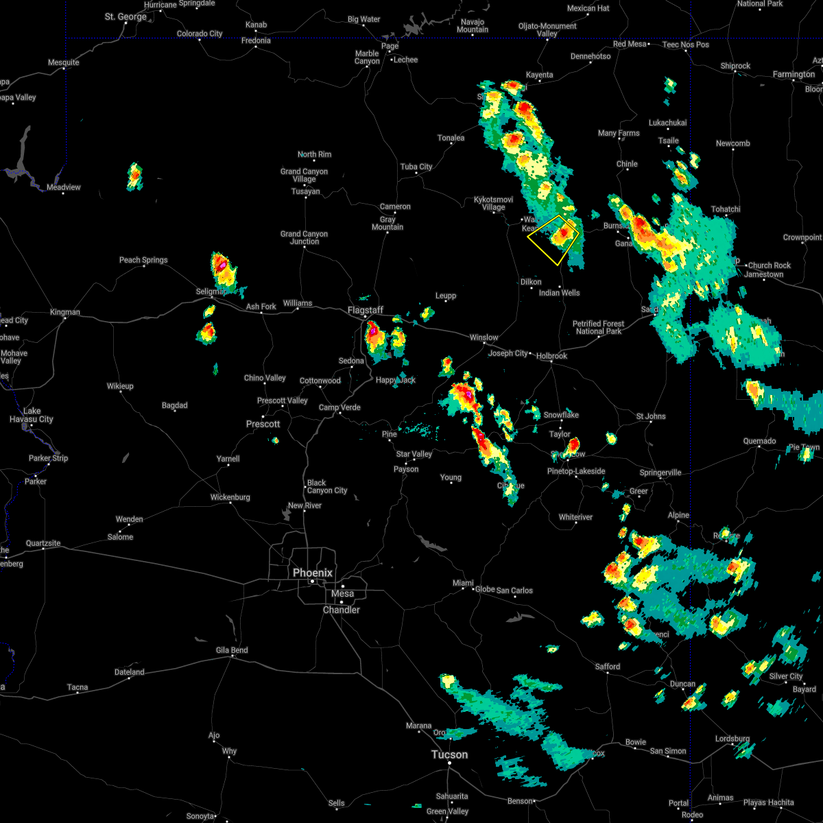
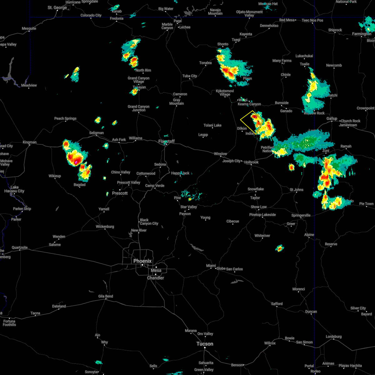
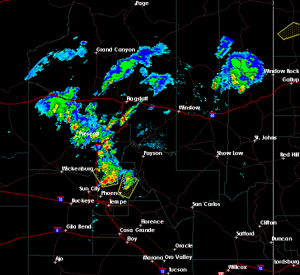
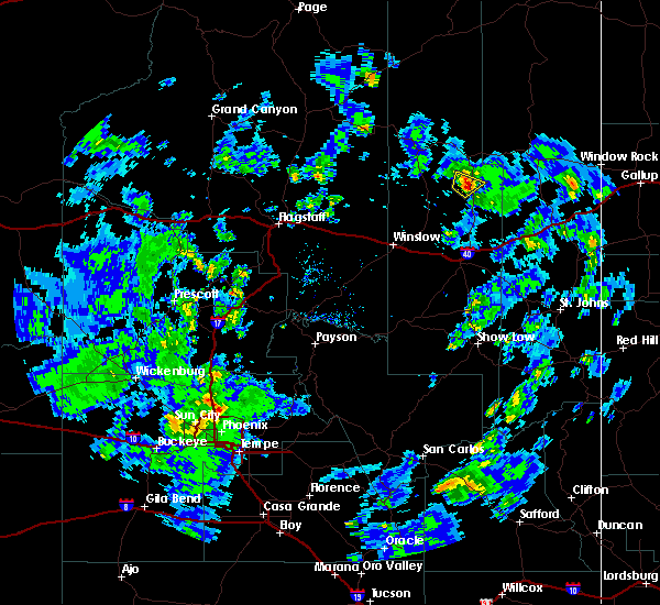
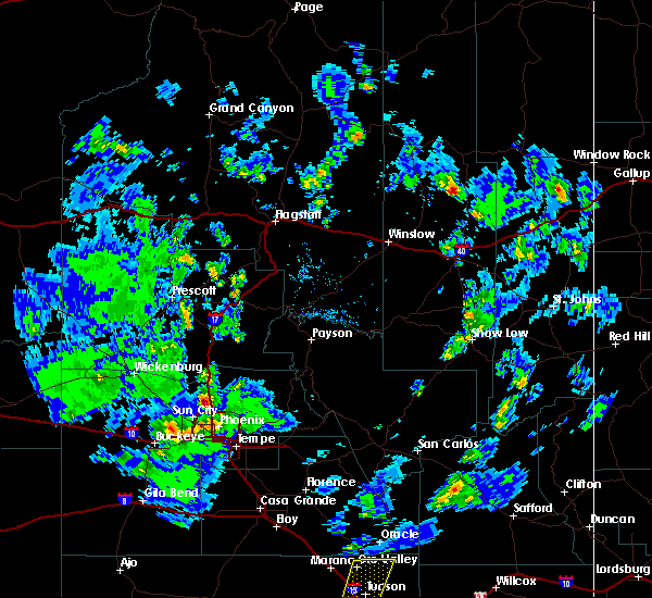
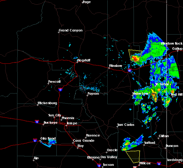
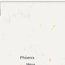
Hail Map for Whitecone, AZ
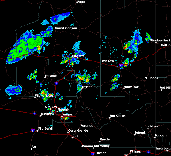
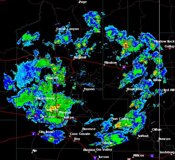
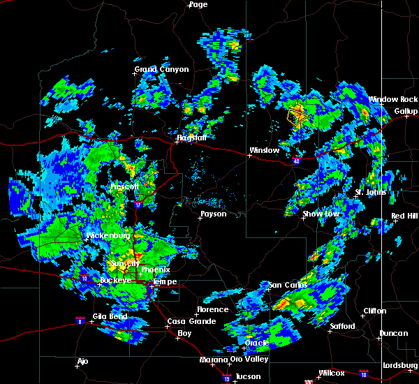
The Whitecone, AZ area has had 0 reports of on-the-ground hail by trained spotters, and has been under severe weather warnings 0 times during the past 12 months. Doppler radar has detected hail at or near Whitecone, AZ on 7 occasions, including 1 occasion during the past year.
| Name: | Whitecone, AZ |
| Where Located: | 91.3 miles N of Show Low, AZ |
| Map: | Google Map for Whitecone, AZ |
| Population: | 817 |
| Housing Units: | 300 |
| More Info: | Search Google for Whitecone, AZ |
0
The Top Recent Hail Date for Whitecone, AZ is Monday, August 7, 2023 (7th out of 7)

Hail and Wind Damage Spotted near Whitecone, AZ
| Date / Time | Report Details |
|---|---|
| 7/5/2022 3:27 PM MDT |
 The severe thunderstorm warning for apache and navajo counties will expire at 330 pm mdt, the storm which prompted the warning has weakened below severe limits, and no longer poses an immediate threat to life or property. therefore, the warning will be allowed to expire. however gusty winds are still possible with this thunderstorm. The severe thunderstorm warning for apache and navajo counties will expire at 330 pm mdt, the storm which prompted the warning has weakened below severe limits, and no longer poses an immediate threat to life or property. therefore, the warning will be allowed to expire. however gusty winds are still possible with this thunderstorm.
|
| 7/5/2022 2:59 PM MDT |
 At 258 pm mdt, a severe thunderstorm was located near greasewood springs, or 21 miles southeast of keams canyon, moving east at 10 mph (radar indicated). Hazards include 60 mph wind gusts and quarter size hail. Hail damage to vehicles is expected. expect wind damage to roofs, siding, and trees. locations impacted include, sunrise springs and greasewood. hail threat, radar indicated max hail size, 1. 00 in wind threat, radar indicated max wind gust, 60 mph. At 258 pm mdt, a severe thunderstorm was located near greasewood springs, or 21 miles southeast of keams canyon, moving east at 10 mph (radar indicated). Hazards include 60 mph wind gusts and quarter size hail. Hail damage to vehicles is expected. expect wind damage to roofs, siding, and trees. locations impacted include, sunrise springs and greasewood. hail threat, radar indicated max hail size, 1. 00 in wind threat, radar indicated max wind gust, 60 mph.
|
| 7/5/2022 2:38 PM MDT |
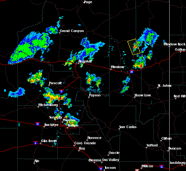
 At 137 pm mst/237 pm mdt/, a severe thunderstorm was located near white cone, or 19 miles southeast of keams canyon, moving northeast at 10 mph (radar indicated). Hazards include 60 mph wind gusts and half dollar size hail. Hail damage to vehicles is expected. Expect wind damage to roofs, siding, and trees. At 137 pm mst/237 pm mdt/, a severe thunderstorm was located near white cone, or 19 miles southeast of keams canyon, moving northeast at 10 mph (radar indicated). Hazards include 60 mph wind gusts and half dollar size hail. Hail damage to vehicles is expected. Expect wind damage to roofs, siding, and trees.
|
| 8/16/2021 3:13 PM MST |
 The severe thunderstorm warning for apache and navajo counties will expire at 315 pm mst/415 pm mdt/, the storm which prompted the warning has weakened below severe limits, and no longer poses an immediate threat to life or property. therefore, the warning will be allowed to expire. The severe thunderstorm warning for apache and navajo counties will expire at 315 pm mst/415 pm mdt/, the storm which prompted the warning has weakened below severe limits, and no longer poses an immediate threat to life or property. therefore, the warning will be allowed to expire.
|
| 8/16/2021 2:55 PM MST |
 At 254 pm mst/354 pm mdt/, a severe thunderstorm was located near jeddito, or 7 miles southeast of keams canyon, moving southwest at 5 mph (radar indicated). Hazards include quarter size hail. Damage to vehicles is expected. locations impacted include, white cone, jeddito and navajo. hail threat, radar indicated max hail size, 1. 00 in wind threat, radar indicated max wind gust, <50 mph. At 254 pm mst/354 pm mdt/, a severe thunderstorm was located near jeddito, or 7 miles southeast of keams canyon, moving southwest at 5 mph (radar indicated). Hazards include quarter size hail. Damage to vehicles is expected. locations impacted include, white cone, jeddito and navajo. hail threat, radar indicated max hail size, 1. 00 in wind threat, radar indicated max wind gust, <50 mph.
|
| 8/16/2021 3:30 PM MDT |
 At 229 pm mst/329 pm mdt/, a severe thunderstorm was located over jeddito, or 7 miles southeast of keams canyon, moving southwest at 5 mph (radar indicated). Hazards include quarter size hail. damage to vehicles is expected At 229 pm mst/329 pm mdt/, a severe thunderstorm was located over jeddito, or 7 miles southeast of keams canyon, moving southwest at 5 mph (radar indicated). Hazards include quarter size hail. damage to vehicles is expected
|
| 8/15/2021 4:52 PM MDT |
 At 352 pm mst/452 pm mdt/, a severe thunderstorm was located over white cone, or 16 miles south of keams canyon, moving southwest at 15 mph (radar indicated). Hazards include quarter size hail. damage to vehicles is expected At 352 pm mst/452 pm mdt/, a severe thunderstorm was located over white cone, or 16 miles south of keams canyon, moving southwest at 15 mph (radar indicated). Hazards include quarter size hail. damage to vehicles is expected
|
| 9/2/2018 5:44 PM MST |
 At 544 pm mst, a severe thunderstorm was located 8 miles north of seba dalkai, or 19 miles southwest of keams canyon, moving southeast at 15 mph (radar indicated). Hazards include quarter size hail. damage to vehicles is expected At 544 pm mst, a severe thunderstorm was located 8 miles north of seba dalkai, or 19 miles southwest of keams canyon, moving southeast at 15 mph (radar indicated). Hazards include quarter size hail. damage to vehicles is expected
|
| 10/20/2015 5:42 AM MDT | The severe thunderstorm warning for east central navajo county will expire at 445 am mst, the storm which prompted the warning near indian wells is approaching white cone and continues to weaken well below severe limits, and no longer poses an immediate threat to life or property. therefore the warning will be allowed to expire. however heavy rain is still possible with this thunderstorm. |
| 10/20/2015 5:25 AM MDT |
 At 422 am mst, doppler radar indicated a severe thunderstorm capable of producing quarter size hail and damaging winds in excess of 60 mph. this storm was located over indian wells, or 26 miles south of keams canyon, and moving northwest at 20 mph. At 422 am mst, doppler radar indicated a severe thunderstorm capable of producing quarter size hail and damaging winds in excess of 60 mph. this storm was located over indian wells, or 26 miles south of keams canyon, and moving northwest at 20 mph.
|
| 10/20/2015 3:42 AM MST | The severe thunderstorm warning for northwestern apache and east central navajo counties will expire at 345 am mst, the storm which prompted the warning has weakened below severe limits, and no longer poses an immediate threat to life or property. therefore, the warning will be allowed to expire. however, small hail and gusty winds are still possible with this thunderstorm. |
| 10/20/2015 3:30 AM MST |
 At 329 am mst, doppler radar indicated a severe thunderstorm capable of producing damaging winds in excess of 60 mph. this storm was located near jadito, or 10 miles southeast of keams canyon, moving north at 30 mph. nickel size hail may also accompany the damaging winds. locations impacted include, keams canyon, white cone, jadito, and navajo. At 329 am mst, doppler radar indicated a severe thunderstorm capable of producing damaging winds in excess of 60 mph. this storm was located near jadito, or 10 miles southeast of keams canyon, moving north at 30 mph. nickel size hail may also accompany the damaging winds. locations impacted include, keams canyon, white cone, jadito, and navajo.
|
| 10/20/2015 3:08 AM MST |
 At 306 am mst, doppler radar indicated a severe thunderstorm capable of producing quarter size hail and destructive winds in excess of 70 mph. this storm was located near white cone, or 21 miles southeast of keams canyon, and moving north at 35 mph. At 306 am mst, doppler radar indicated a severe thunderstorm capable of producing quarter size hail and destructive winds in excess of 70 mph. this storm was located near white cone, or 21 miles southeast of keams canyon, and moving north at 35 mph.
|
| 10/6/2015 1:37 PM MST |
 At 134 pm mst (234 pm mdt), doppler radar indicated a severe thunderstorm capable of producing half dollar size hail and damaging winds in excess of 60 mph. this storm was located over white cone, or 15 miles southeast of keams canyon, moving northeast at 25 mph. locations impacted include, white cone and toyei. this storm will approach highway 264 around 10 miles west of steamboat canyon by 3 pm mdt. At 134 pm mst (234 pm mdt), doppler radar indicated a severe thunderstorm capable of producing half dollar size hail and damaging winds in excess of 60 mph. this storm was located over white cone, or 15 miles southeast of keams canyon, moving northeast at 25 mph. locations impacted include, white cone and toyei. this storm will approach highway 264 around 10 miles west of steamboat canyon by 3 pm mdt.
|
| 10/6/2015 2:28 PM MDT |
 At 127 pm mst, doppler radar indicated a severe thunderstorm capable of producing quarter size hail and damaging winds in excess of 60 mph. this storm was located over white cone, or 17 miles southeast of keams canyon, and moving northeast at 25 mph. At 127 pm mst, doppler radar indicated a severe thunderstorm capable of producing quarter size hail and damaging winds in excess of 60 mph. this storm was located over white cone, or 17 miles southeast of keams canyon, and moving northeast at 25 mph.
|
| 10/6/2015 2:15 PM MDT |
 At 114 pm mst (214 pm mdt), doppler radar indicated a severe thunderstorm capable of producing quarter size hail and damaging winds in excess of 60 mph. this storm was located 7 miles southwest of white cone, or 20 miles south of keams canyon, moving northeast at 20 mph. this severe thunderstorm will remain over mainly rural areas of east central navajo county. this storm will affect state highway 77 from white cone south to the route 15 intersection. At 114 pm mst (214 pm mdt), doppler radar indicated a severe thunderstorm capable of producing quarter size hail and damaging winds in excess of 60 mph. this storm was located 7 miles southwest of white cone, or 20 miles south of keams canyon, moving northeast at 20 mph. this severe thunderstorm will remain over mainly rural areas of east central navajo county. this storm will affect state highway 77 from white cone south to the route 15 intersection.
|
| 10/6/2015 2:03 PM MDT |
 At 100 pm mst, doppler radar indicated a severe thunderstorm capable of producing quarter size hail and damaging winds in excess of 60 mph. this storm was located just northwest of indian wells, or 25 miles south of keams canyon, and moving northeast at 20 mph. * this severe thunderstorm will remain over mainly rural areas of east central navajo county. this storm will cross state highway 77 around 5 miles south of white cone. At 100 pm mst, doppler radar indicated a severe thunderstorm capable of producing quarter size hail and damaging winds in excess of 60 mph. this storm was located just northwest of indian wells, or 25 miles south of keams canyon, and moving northeast at 20 mph. * this severe thunderstorm will remain over mainly rural areas of east central navajo county. this storm will cross state highway 77 around 5 miles south of white cone.
|
| 7/12/2015 3:20 PM MDT |
 At 219 pm mst, doppler radar indicated a severe thunderstorm capable of producing quarter size hail and damaging winds in excess of 60 mph. this storm was located 9 miles southeast of indian wells, or 36 miles south of keams canyon, and moving north at 25 mph. At 219 pm mst, doppler radar indicated a severe thunderstorm capable of producing quarter size hail and damaging winds in excess of 60 mph. this storm was located 9 miles southeast of indian wells, or 36 miles south of keams canyon, and moving north at 25 mph.
|
| 6/5/2015 10:16 PM MST | At 1015 pm mst, doppler radar indicated a severe thunderstorm capable of producing half dollar size hail and destructive winds in excess of 70 mph. this storm was located near seba dalkai, or 29 miles southwest of keams canyon, and moving northeast at 45 mph. |
Hail Maps for Whitecone, AZ


Connect with Interactive Hail Maps