

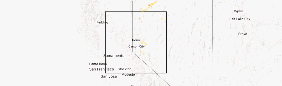
Hail Map for Winnemucca, NV
The Winnemucca, NV area has had 0 reports of on-the-ground hail by trained spotters, and has been under severe weather warnings 0 times during the past 12 months. Doppler radar has detected hail at or near Winnemucca, NV on 1 occasion.
| Name: | Winnemucca, NV |
| Where Located: | 0.7 miles SE of Winnemucca, NV |
| Map: | Google Map for Winnemucca, NV |
| Population: | 7396 |
| Housing Units: | 3214 |
| More Info: | Search Google for Winnemucca, NV |
0
The Top Recent Hail Date for Winnemucca, NV is Thursday, July 4, 2013 (1st out of 1)
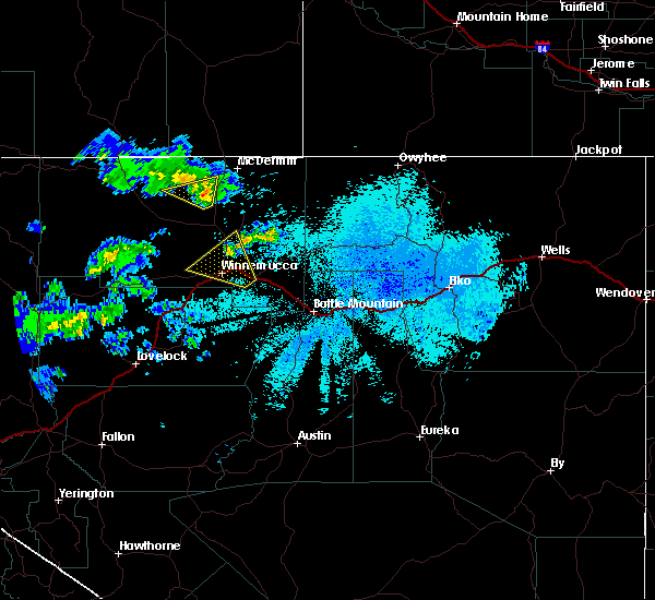
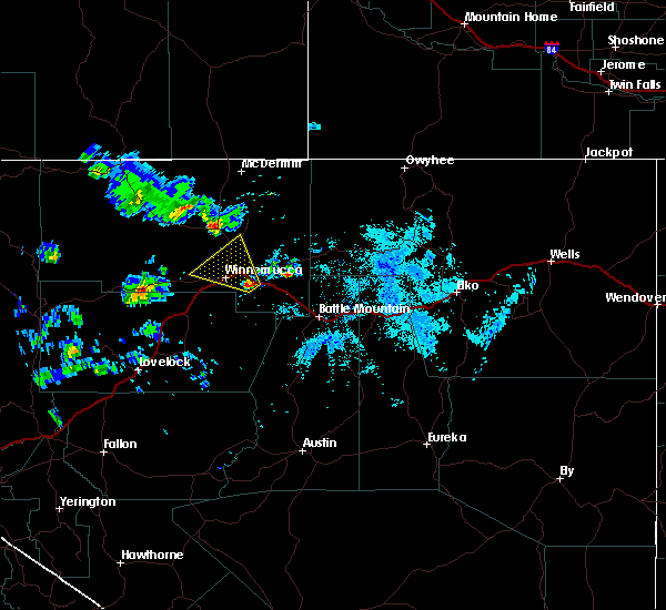
Hail and Wind Damage Spotted near Winnemucca, NV
| Date / Time | Report Details |
|---|---|
| 9/3/2023 12:05 PM PDT | Raws site giants grave (ggrn2)... elevation 4789 fee in humboldt county NV, 5.1 miles WSW of Winnemucca, NV |
| 5/24/2018 9:38 PM PDT |
 The severe thunderstorm warning for southeastern humboldt county will expire at 945 pm pdt, the severe thunderstorm which prompted the warning has weakened. therefore, the warning will be allowed to expire. The severe thunderstorm warning for southeastern humboldt county will expire at 945 pm pdt, the severe thunderstorm which prompted the warning has weakened. therefore, the warning will be allowed to expire.
|
| 5/24/2018 9:26 PM PDT |
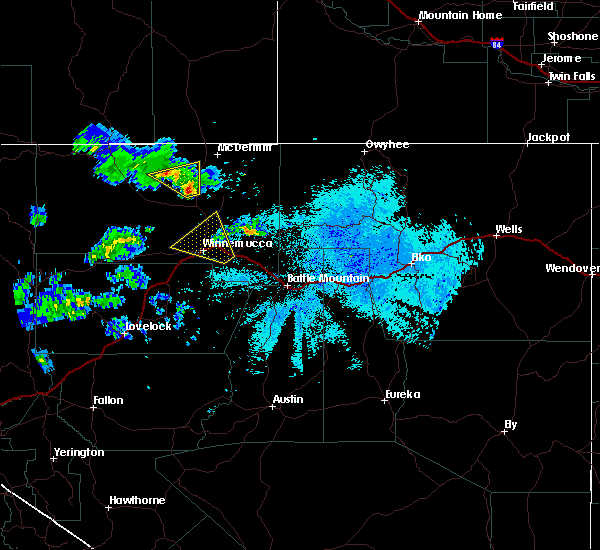 At 856 pm pdt, a severe thunderstorm was located near golconda, moving northwest at 25 mph (radar indicated). Hazards include 60 mph wind gusts and quarter size hail. Hail damage to vehicles is expected. Expect wind damage to roofs, siding, and trees. At 856 pm pdt, a severe thunderstorm was located near golconda, moving northwest at 25 mph (radar indicated). Hazards include 60 mph wind gusts and quarter size hail. Hail damage to vehicles is expected. Expect wind damage to roofs, siding, and trees.
|
| 5/24/2018 8:57 PM PDT |
 At 856 pm pdt, a severe thunderstorm was located near golconda, moving northwest at 25 mph (radar indicated). Hazards include 60 mph wind gusts and quarter size hail. Hail damage to vehicles is expected. Expect wind damage to roofs, siding, and trees. At 856 pm pdt, a severe thunderstorm was located near golconda, moving northwest at 25 mph (radar indicated). Hazards include 60 mph wind gusts and quarter size hail. Hail damage to vehicles is expected. Expect wind damage to roofs, siding, and trees.
|
| 10/30/2016 4:11 PM PDT | Asos station winnemucca airport asos /wmc in humboldt county NV, 6.5 miles NE of Winnemucca, NV |
| 10/30/2016 4:05 PM PDT | Mesonet station rose creek ndot /rsenv in humboldt county NV, 11.1 miles ENE of Winnemucca, NV |
Hail Maps for Winnemucca, NV

Connect with Interactive Hail Maps