

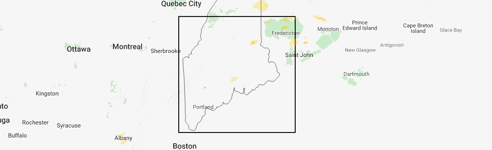
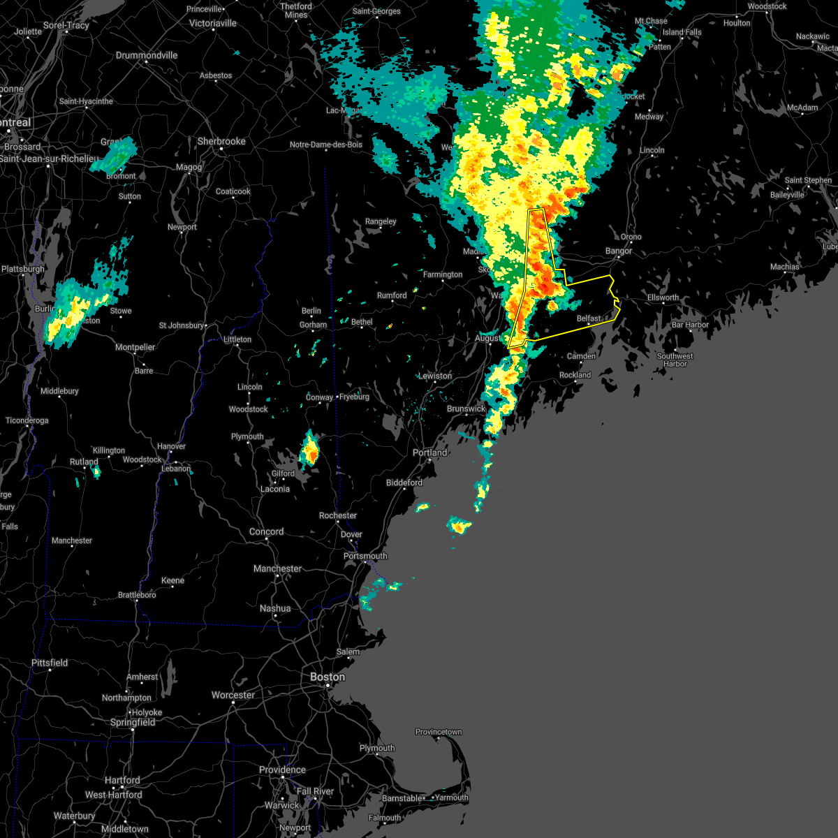
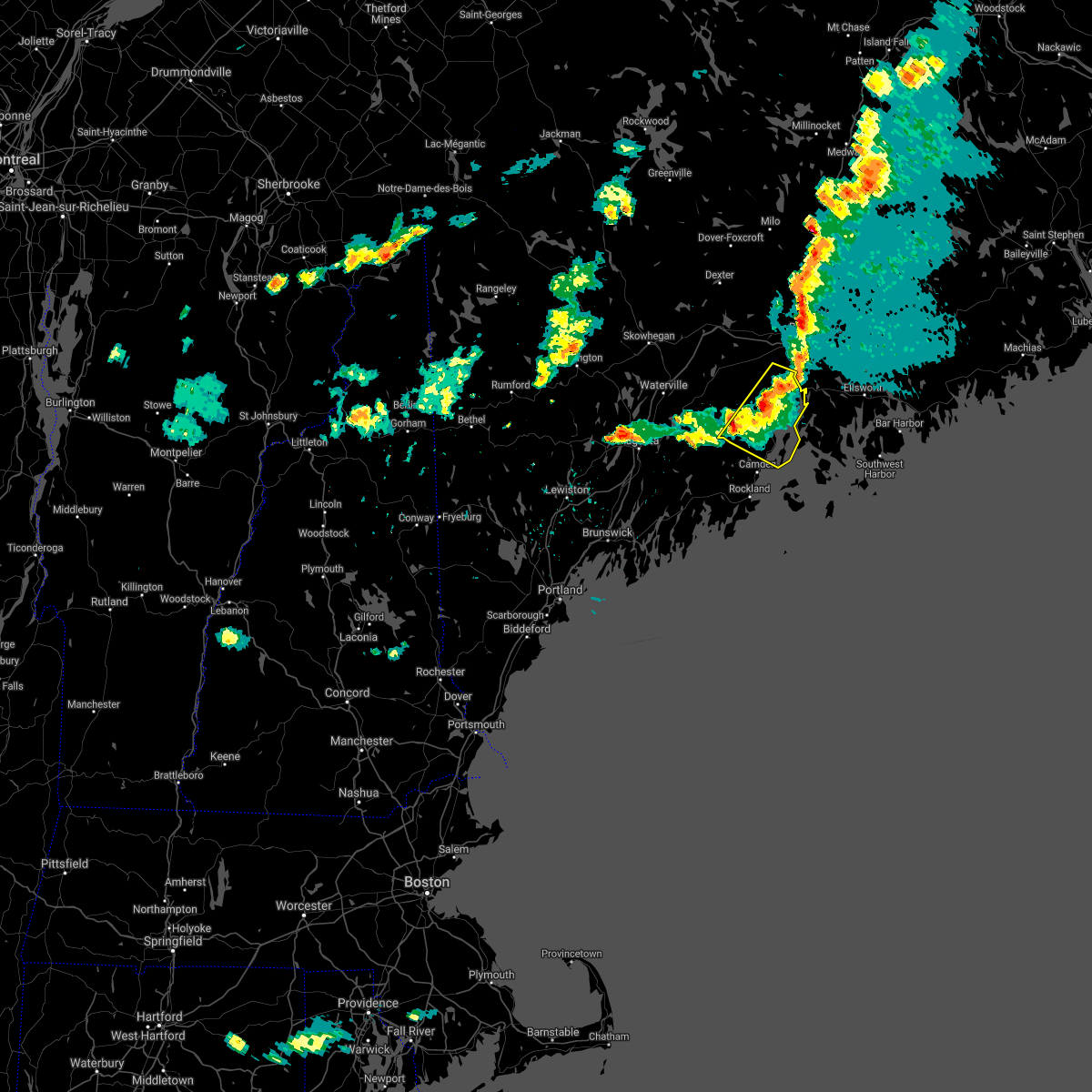
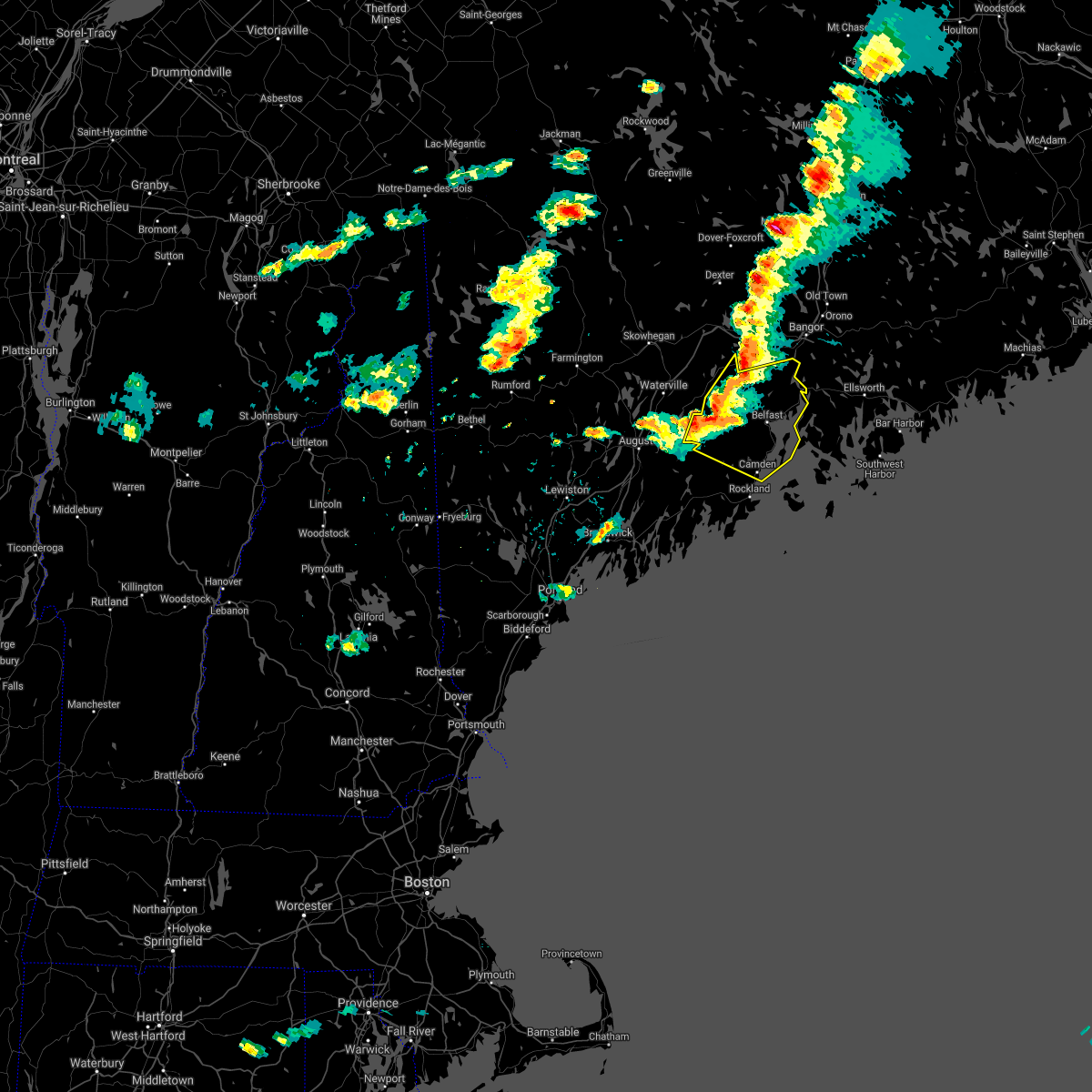
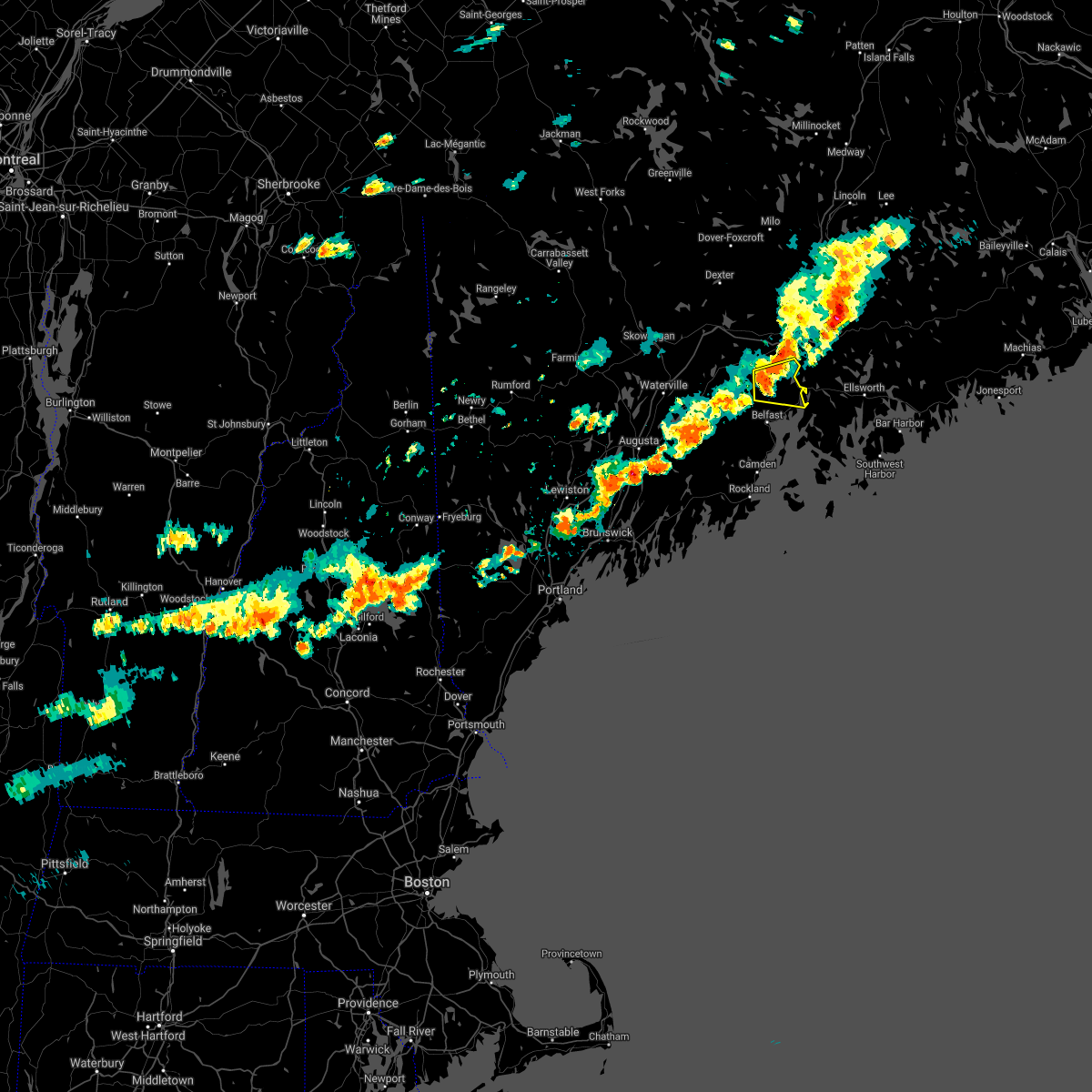
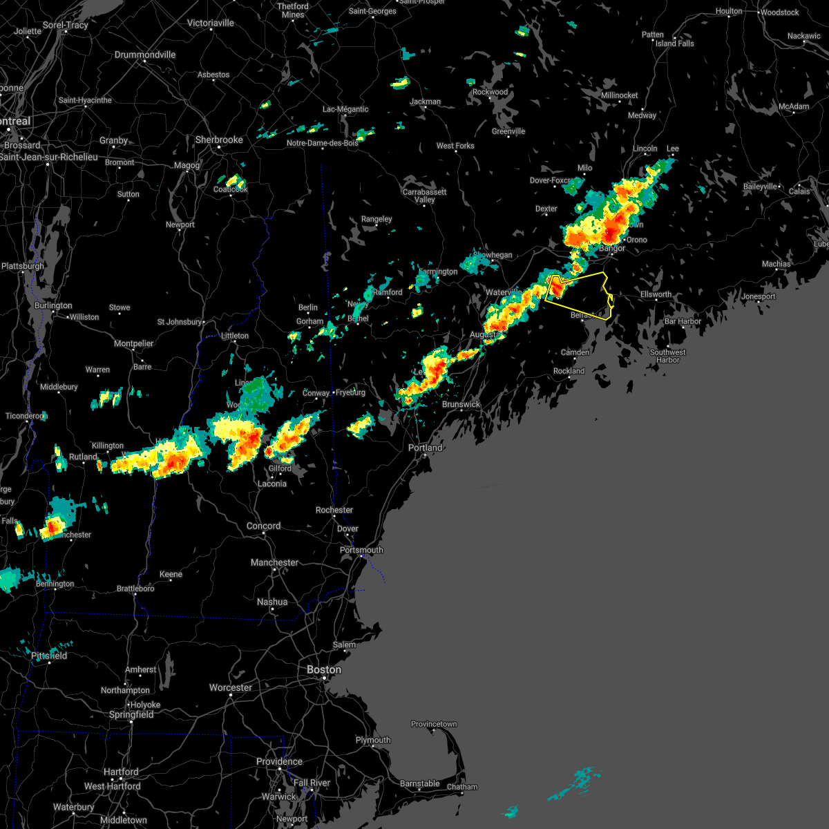
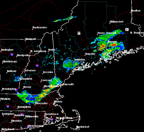
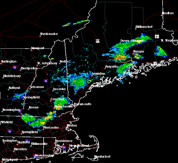
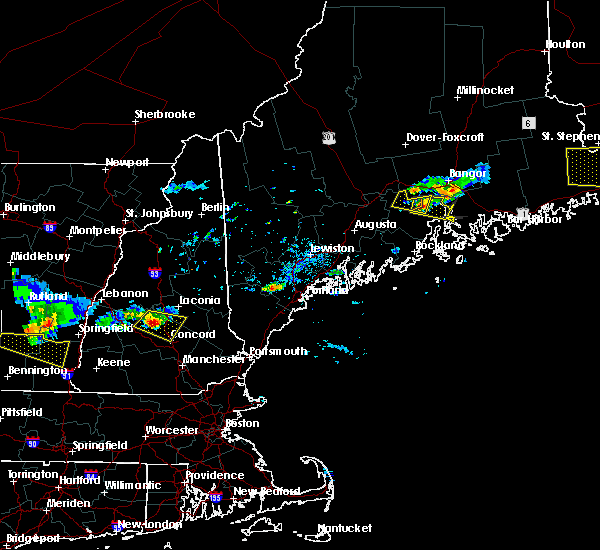
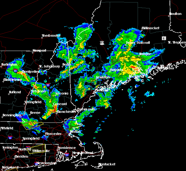
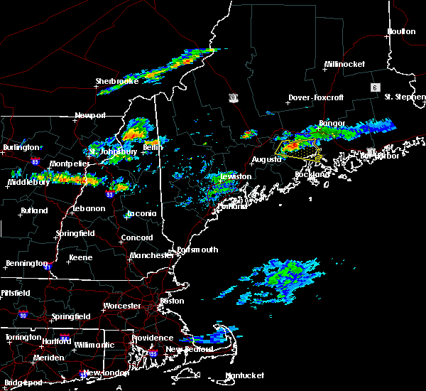
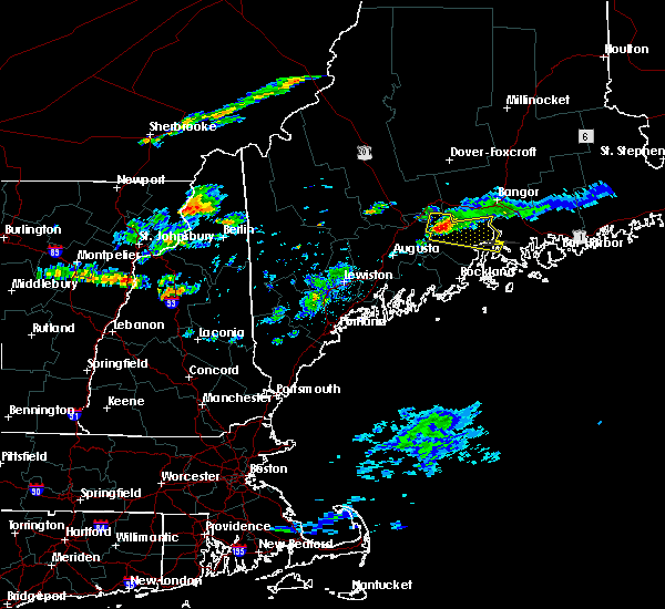
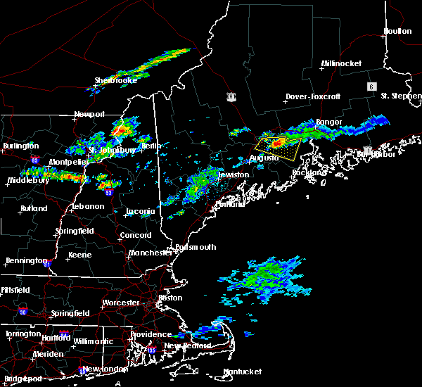
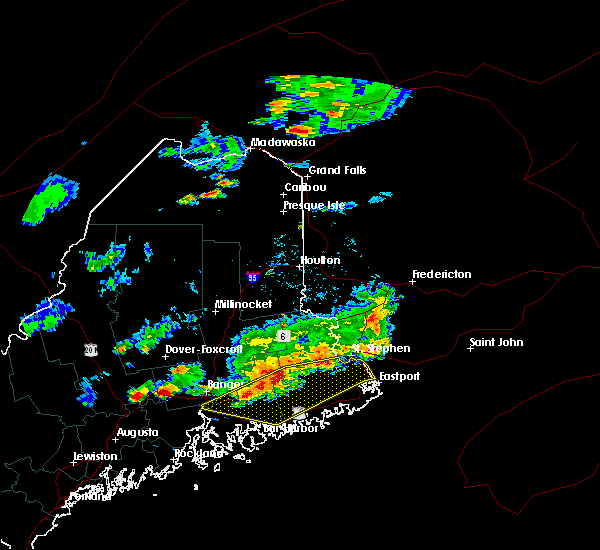
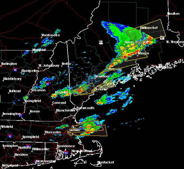
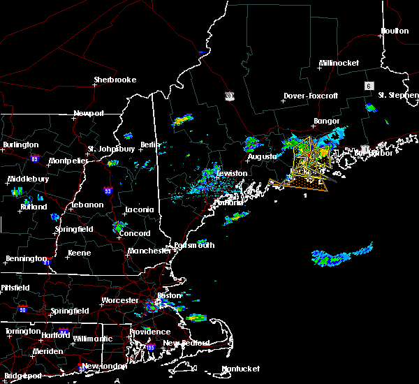
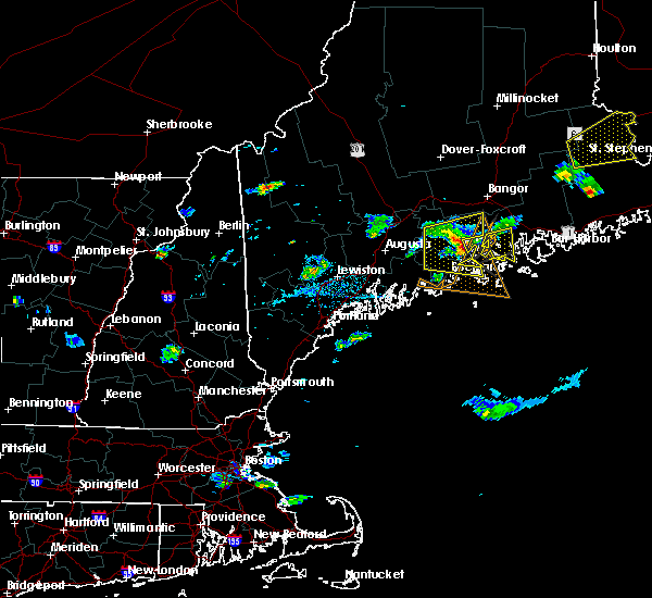
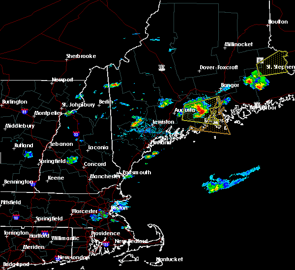
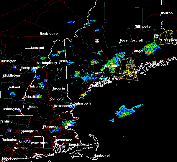
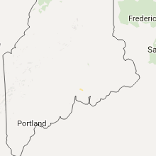
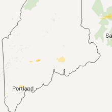
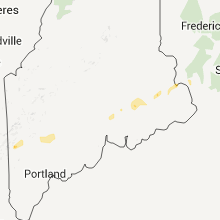
Hail Map for Winterport, ME
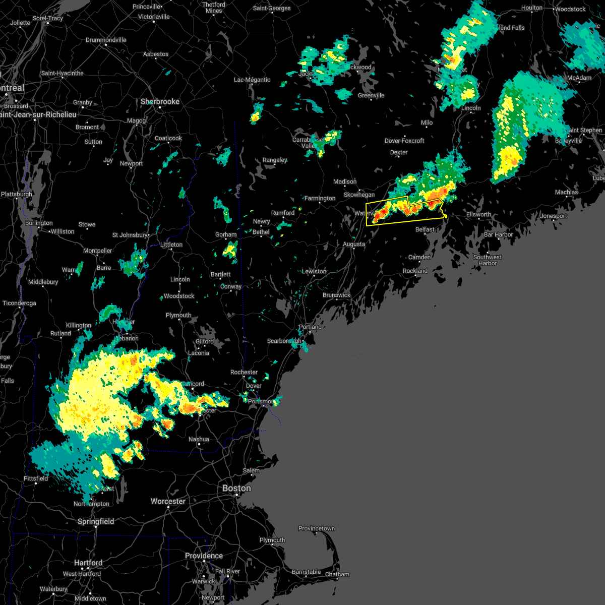
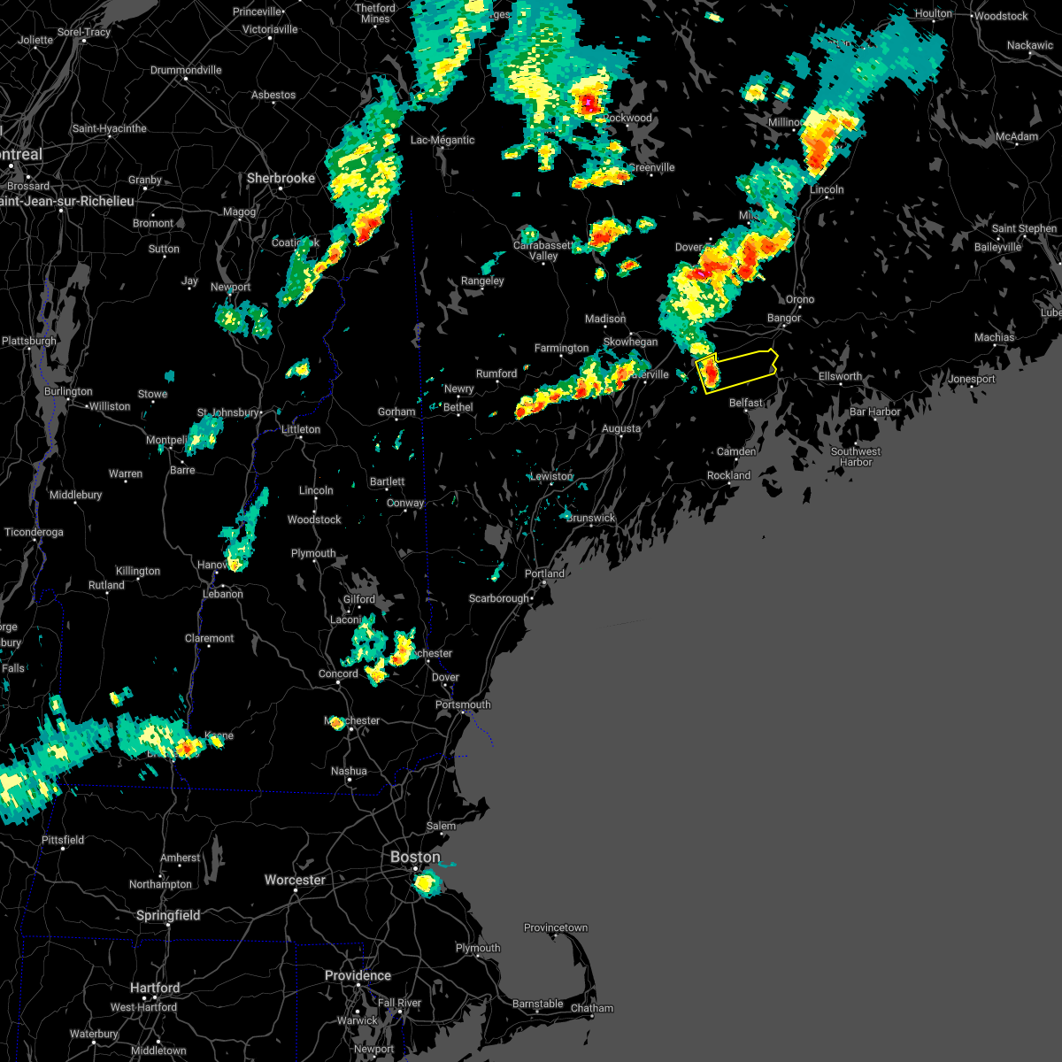
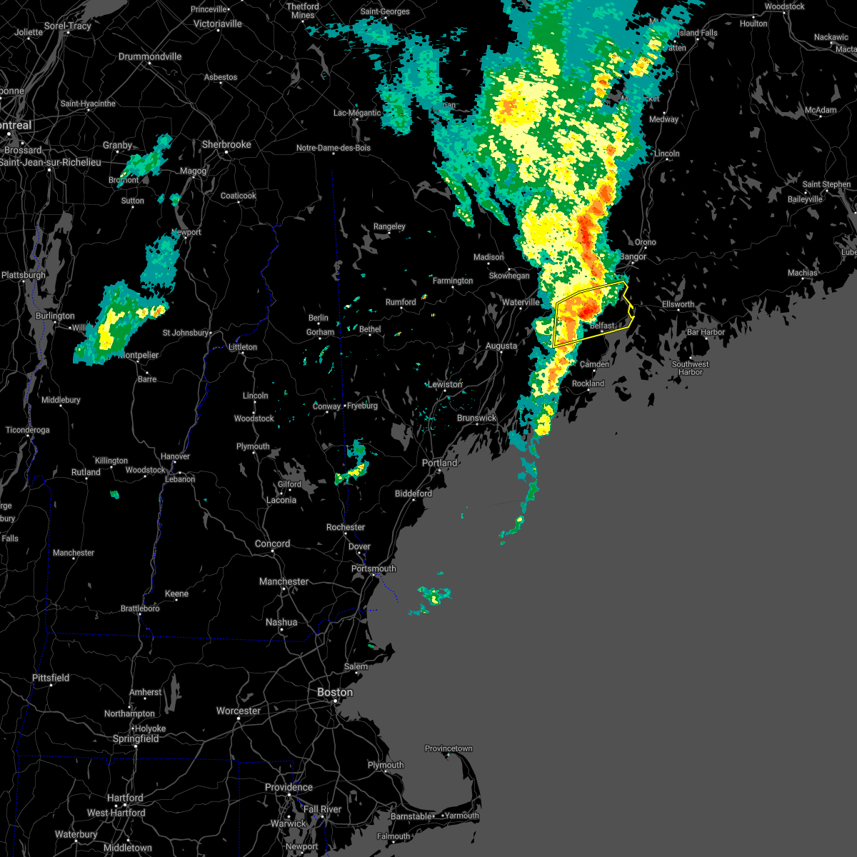
The Winterport, ME area has had 0 reports of on-the-ground hail by trained spotters, and has been under severe weather warnings 0 times during the past 12 months. Doppler radar has detected hail at or near Winterport, ME on 7 occasions.
| Name: | Winterport, ME |
| Where Located: | 11.6 miles SSW of Bangor, ME |
| Map: | Google Map for Winterport, ME |
| Population: | 1340 |
| Housing Units: | 623 |
| More Info: | Search Google for Winterport, ME |
5
The Top Recent Hail Date for Winterport, ME is Tuesday, August 7, 2018 (1st out of 7)
Hail and Wind Damage Spotted near Winterport, ME
| Date / Time | Report Details |
|---|---|
| 5/22/2022 7:33 PM EDT |
 At 732 pm edt, a line of severe thunderstorms was located near china to monroe, moving east at 35 mph (radar indicated). Hazards include 60 mph wind gusts and quarter size hail. Hail damage to vehicles is expected. expect wind damage to roofs, siding, and trees. locations impacted include, waterville, fairfield, thorndike, searsport, clinton, winterport, unity, prospect, knox, benton, albion, burnham, frankfort, brooks, freedom, jackson, monroe, troy, winslow and swanville. This includes interstate 95 between mile markers 131 and 141. At 732 pm edt, a line of severe thunderstorms was located near china to monroe, moving east at 35 mph (radar indicated). Hazards include 60 mph wind gusts and quarter size hail. Hail damage to vehicles is expected. expect wind damage to roofs, siding, and trees. locations impacted include, waterville, fairfield, thorndike, searsport, clinton, winterport, unity, prospect, knox, benton, albion, burnham, frankfort, brooks, freedom, jackson, monroe, troy, winslow and swanville. This includes interstate 95 between mile markers 131 and 141.
|
| 5/22/2022 6:55 PM EDT |
 At 654 pm edt, a severe thunderstorm was located over unity, or near thorndike, moving east at 35 mph (radar indicated). Hazards include 60 mph wind gusts and quarter size hail. Hail damage to vehicles is expected. Expect wind damage to roofs, siding, and trees. At 654 pm edt, a severe thunderstorm was located over unity, or near thorndike, moving east at 35 mph (radar indicated). Hazards include 60 mph wind gusts and quarter size hail. Hail damage to vehicles is expected. Expect wind damage to roofs, siding, and trees.
|
| 5/22/2022 6:05 PM EDT |
 The severe thunderstorm warning for northeastern waldo county will expire at 615 pm edt, the storm which prompted the warning has weakened below severe limits, and no longer poses an immediate threat to life or property. therefore, the warning will be allowed to expire. however heavy rain is still possible with this thunderstorm. The severe thunderstorm warning for northeastern waldo county will expire at 615 pm edt, the storm which prompted the warning has weakened below severe limits, and no longer poses an immediate threat to life or property. therefore, the warning will be allowed to expire. however heavy rain is still possible with this thunderstorm.
|
| 5/22/2022 5:59 PM EDT |
 At 559 pm edt, a severe thunderstorm was located near thorndike, moving east at 40 mph (radar indicated). Hazards include 60 mph wind gusts and quarter size hail. Hail damage to vehicles is expected. expect wind damage to roofs, siding, and trees. locations impacted include, thorndike, winterport, unity, prospect, knox, frankfort, brooks, jackson, monroe, troy and swanville. hail threat, radar indicated max hail size, 1. 00 in wind threat, radar indicated max wind gust, 60 mph. At 559 pm edt, a severe thunderstorm was located near thorndike, moving east at 40 mph (radar indicated). Hazards include 60 mph wind gusts and quarter size hail. Hail damage to vehicles is expected. expect wind damage to roofs, siding, and trees. locations impacted include, thorndike, winterport, unity, prospect, knox, frankfort, brooks, jackson, monroe, troy and swanville. hail threat, radar indicated max hail size, 1. 00 in wind threat, radar indicated max wind gust, 60 mph.
|
| 5/22/2022 5:38 PM EDT |
 At 537 pm edt, a severe thunderstorm was located near clinton, or near fairfield, moving east at 40 mph (radar indicated). Hazards include 60 mph wind gusts and quarter size hail. Hail damage to vehicles is expected. Expect wind damage to roofs, siding, and trees. At 537 pm edt, a severe thunderstorm was located near clinton, or near fairfield, moving east at 40 mph (radar indicated). Hazards include 60 mph wind gusts and quarter size hail. Hail damage to vehicles is expected. Expect wind damage to roofs, siding, and trees.
|
| 9/6/2021 5:31 PM EDT |
 At 530 pm edt, severe thunderstorms were located along a line extending from 24 miles northeast of pittsfield to near winterport to 7 miles east of thorndike to 6 miles east of liberty, moving east at 55 mph (radar indicated). Hazards include 60 mph wind gusts and quarter size hail. Hail damage to vehicles is expected. expect wind damage to roofs, siding, and trees. locations impacted include, belfast, searsport, thorndike, liberty, winterport, stockton springs, prospect, unity, palermo, knox, frankfort, brooks, freedom, jackson, morrill, monroe, montville, waldo, swanville and searsmont. hail threat, radar indicated max hail size, 1. 00 in wind threat, radar indicated max wind gust, 60 mph. At 530 pm edt, severe thunderstorms were located along a line extending from 24 miles northeast of pittsfield to near winterport to 7 miles east of thorndike to 6 miles east of liberty, moving east at 55 mph (radar indicated). Hazards include 60 mph wind gusts and quarter size hail. Hail damage to vehicles is expected. expect wind damage to roofs, siding, and trees. locations impacted include, belfast, searsport, thorndike, liberty, winterport, stockton springs, prospect, unity, palermo, knox, frankfort, brooks, freedom, jackson, morrill, monroe, montville, waldo, swanville and searsmont. hail threat, radar indicated max hail size, 1. 00 in wind threat, radar indicated max wind gust, 60 mph.
|
| 9/6/2021 5:08 PM EDT |
 At 508 pm edt, severe thunderstorms were located along a line extending from 12 miles north of pittsfield to thorndike to china to 6 miles southwest of palermo, moving east at 45 mph (radar indicated). Hazards include 60 mph wind gusts and nickel size hail. expect damage to roofs, siding, and trees At 508 pm edt, severe thunderstorms were located along a line extending from 12 miles north of pittsfield to thorndike to china to 6 miles southwest of palermo, moving east at 45 mph (radar indicated). Hazards include 60 mph wind gusts and nickel size hail. expect damage to roofs, siding, and trees
|
| 6/30/2021 2:55 PM EDT | Tree down across the road along with a down wire. the road is closed. time estimated by rada in waldo county ME, 2.5 miles NNE of Winterport, ME |
| 6/30/2021 2:48 PM EDT | Corrects previous tstm wnd dmg report from 2 n monroe. multiple trees down blocking road. time estimated from rada in waldo county ME, 7.9 miles E of Winterport, ME |
| 6/30/2021 2:24 PM EDT | Multiple trees down blocking road. time estimated from rada in waldo county ME, 7.9 miles E of Winterport, ME |
| 6/19/2021 4:19 PM EDT |
 At 418 pm edt, severe thunderstorms were located along a line extending from near winterport to near belfast to 6 miles southeast of liberty, moving east at 35 mph (radar indicated). Hazards include 60 mph wind gusts and nickel size hail. Expect damage to roofs, siding, and trees. locations impacted include, belfast, lincolnville, searsport, liberty, winterport, stockton springs, islesboro, prospect, knox, frankfort, brooks, morrill, northport, belmont, monroe, searsmont, waldo, swanville and montville. This also includes, moose point state park. At 418 pm edt, severe thunderstorms were located along a line extending from near winterport to near belfast to 6 miles southeast of liberty, moving east at 35 mph (radar indicated). Hazards include 60 mph wind gusts and nickel size hail. Expect damage to roofs, siding, and trees. locations impacted include, belfast, lincolnville, searsport, liberty, winterport, stockton springs, islesboro, prospect, knox, frankfort, brooks, morrill, northport, belmont, monroe, searsmont, waldo, swanville and montville. This also includes, moose point state park.
|
| 6/19/2021 4:05 PM EDT | Trees dow in waldo county ME, 8.8 miles ENE of Winterport, ME |
| 6/19/2021 3:56 PM EDT |
 At 355 pm edt, severe thunderstorms were located along a line extending from 8 miles northeast of thorndike to 6 miles northeast of liberty to near palermo, moving southeast at 35 mph (radar indicated). Hazards include 60 mph wind gusts and quarter size hail. Hail damage to vehicles is expected. expect wind damage to roofs, siding, and trees. Some power outages expected. At 355 pm edt, severe thunderstorms were located along a line extending from 8 miles northeast of thorndike to 6 miles northeast of liberty to near palermo, moving southeast at 35 mph (radar indicated). Hazards include 60 mph wind gusts and quarter size hail. Hail damage to vehicles is expected. expect wind damage to roofs, siding, and trees. Some power outages expected.
|
| 8/25/2020 3:30 PM EDT |
 At 330 pm edt, a severe thunderstorm was located near prospect, or 9 miles north of searsport, moving east at 35 mph (radar indicated). Hazards include 60 mph wind gusts and penny size hail. Expect damage to roofs, siding, and trees. Locations impacted include, searsport, winterport, prospect, stockton springs, frankfort, brooks, monroe and swanville. At 330 pm edt, a severe thunderstorm was located near prospect, or 9 miles north of searsport, moving east at 35 mph (radar indicated). Hazards include 60 mph wind gusts and penny size hail. Expect damage to roofs, siding, and trees. Locations impacted include, searsport, winterport, prospect, stockton springs, frankfort, brooks, monroe and swanville.
|
| 8/25/2020 3:25 PM EDT | Report of a tree down in monroe. time estimated from rada in waldo county ME, 8.1 miles ENE of Winterport, ME |
| 8/25/2020 3:15 PM EDT |
 At 315 pm edt, a severe thunderstorm was located near thorndike, moving east at 40 mph (radar indicated). Hazards include 60 mph wind gusts and penny size hail. expect damage to roofs, siding, and trees At 315 pm edt, a severe thunderstorm was located near thorndike, moving east at 40 mph (radar indicated). Hazards include 60 mph wind gusts and penny size hail. expect damage to roofs, siding, and trees
|
| 7/27/2020 7:47 PM EDT |
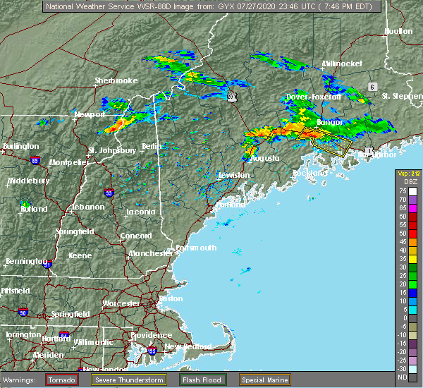 At 746 pm edt, a severe thunderstorm was located 7 miles northwest of winterport, or 17 miles north of searsport, moving southeast at 35 mph (radar indicated). Hazards include 60 mph wind gusts. expect damage to roofs, siding, and trees At 746 pm edt, a severe thunderstorm was located 7 miles northwest of winterport, or 17 miles north of searsport, moving southeast at 35 mph (radar indicated). Hazards include 60 mph wind gusts. expect damage to roofs, siding, and trees
|
| 8/9/2019 7:14 PM EDT |
 At 714 pm edt, a severe thunderstorm was located 8 miles northwest of searsport, moving east at 30 mph (radar indicated). Hazards include 60 mph wind gusts and quarter size hail. Hail damage to vehicles is expected. expect wind damage to roofs, siding, and trees. Locations impacted include, belfast, searsport, thorndike, winterport, stockton springs, prospect, knox, frankfort, brooks, jackson, monroe, waldo and swanville. At 714 pm edt, a severe thunderstorm was located 8 miles northwest of searsport, moving east at 30 mph (radar indicated). Hazards include 60 mph wind gusts and quarter size hail. Hail damage to vehicles is expected. expect wind damage to roofs, siding, and trees. Locations impacted include, belfast, searsport, thorndike, winterport, stockton springs, prospect, knox, frankfort, brooks, jackson, monroe, waldo and swanville.
|
| 8/9/2019 7:04 PM EDT |
 At 704 pm edt, a severe thunderstorm was located near thorndike, moving east at 30 mph (radar indicated). Hazards include 60 mph wind gusts and quarter size hail. Hail damage to vehicles is expected. Expect wind damage to roofs, siding, and trees. At 704 pm edt, a severe thunderstorm was located near thorndike, moving east at 30 mph (radar indicated). Hazards include 60 mph wind gusts and quarter size hail. Hail damage to vehicles is expected. Expect wind damage to roofs, siding, and trees.
|
| 8/7/2018 7:40 PM EDT | Trees down on airport road... monroe road... and lebanon roa in waldo county ME, 8.1 miles ENE of Winterport, ME |
| 8/7/2018 7:35 PM EDT |
 At 735 pm edt, a severe thunderstorm was located 11 miles west of winterport, or 12 miles northeast of thorndike, moving east at 30 mph (radar indicated). Hazards include 60 mph wind gusts and quarter size hail. Hail damage to vehicles is expected. expect wind damage to roofs, siding, and trees. Locations impacted include, searsport, winterport, prospect, frankfort, brooks, jackson, monroe and swanville. At 735 pm edt, a severe thunderstorm was located 11 miles west of winterport, or 12 miles northeast of thorndike, moving east at 30 mph (radar indicated). Hazards include 60 mph wind gusts and quarter size hail. Hail damage to vehicles is expected. expect wind damage to roofs, siding, and trees. Locations impacted include, searsport, winterport, prospect, frankfort, brooks, jackson, monroe and swanville.
|
| 8/7/2018 7:15 PM EDT |
 At 715 pm edt, a severe thunderstorm was located over unity, or near thorndike, moving east at 30 mph (radar indicated). Hazards include 60 mph wind gusts and quarter size hail. Hail damage to vehicles is expected. Expect wind damage to roofs, siding, and trees. At 715 pm edt, a severe thunderstorm was located over unity, or near thorndike, moving east at 30 mph (radar indicated). Hazards include 60 mph wind gusts and quarter size hail. Hail damage to vehicles is expected. Expect wind damage to roofs, siding, and trees.
|
| 7/10/2018 5:10 PM EDT |
 At 510 pm edt, a severe thunderstorm was located 8 miles west of prospect, or 8 miles northwest of searsport, moving east at 30 mph (radar indicated). Hazards include 60 mph wind gusts and quarter size hail. Hail damage to vehicles is expected. Expect wind damage to roofs, siding, and trees. At 510 pm edt, a severe thunderstorm was located 8 miles west of prospect, or 8 miles northwest of searsport, moving east at 30 mph (radar indicated). Hazards include 60 mph wind gusts and quarter size hail. Hail damage to vehicles is expected. Expect wind damage to roofs, siding, and trees.
|
| 6/27/2017 3:21 PM EDT |
 At 720 pm edt, a severe thunderstorm was located over stockton springs, or near searsport, moving northeast at 30 mph (radar indicated). Hazards include 60 mph wind gusts and quarter size hail. Minor hail damage to vehicles is possible. Expect wind damage to roofs, siding, and trees. At 720 pm edt, a severe thunderstorm was located over stockton springs, or near searsport, moving northeast at 30 mph (radar indicated). Hazards include 60 mph wind gusts and quarter size hail. Minor hail damage to vehicles is possible. Expect wind damage to roofs, siding, and trees.
|
| 7/18/2016 9:02 PM EDT |
 At 902 pm edt, a severe thunderstorm was located 9 miles west of prospect, or 10 miles northwest of searsport, moving east at 30 mph (radar indicated). Hazards include 60 mph wind gusts. Expect damage to roofs. siding. and trees. Locations impacted include, belfast, bucksport, searsport, thorndike, verona island, winterport, prospect, stockton springs, knox, frankfort, brooks, jackson, waldo, verona, swanville, monroe, morrill and montville. At 902 pm edt, a severe thunderstorm was located 9 miles west of prospect, or 10 miles northwest of searsport, moving east at 30 mph (radar indicated). Hazards include 60 mph wind gusts. Expect damage to roofs. siding. and trees. Locations impacted include, belfast, bucksport, searsport, thorndike, verona island, winterport, prospect, stockton springs, knox, frankfort, brooks, jackson, waldo, verona, swanville, monroe, morrill and montville.
|
| 7/18/2016 8:50 PM EDT |
 At 849 pm edt, a severe thunderstorm was located near thorndike, moving east at 30 mph (radar indicated). Hazards include 60 mph wind gusts and quarter size hail. Hail damage to vehicles is expected. expect wind damage to roofs, siding, and trees. Locations impacted include, belfast, bucksport, searsport, thorndike, castine, verona island, winterport, prospect, stockton springs, unity, penobscot township, knox, frankfort, brooks, brooksville, freedom, jackson, waldo, troy and morrill. At 849 pm edt, a severe thunderstorm was located near thorndike, moving east at 30 mph (radar indicated). Hazards include 60 mph wind gusts and quarter size hail. Hail damage to vehicles is expected. expect wind damage to roofs, siding, and trees. Locations impacted include, belfast, bucksport, searsport, thorndike, castine, verona island, winterport, prospect, stockton springs, unity, penobscot township, knox, frankfort, brooks, brooksville, freedom, jackson, waldo, troy and morrill.
|
| 7/18/2016 8:43 PM EDT |
 At 842 pm edt, a severe thunderstorm was located over unity, or near thorndike, moving east at 25 mph (radar indicated). Hazards include 60 mph wind gusts and quarter size hail. Hail damage to vehicles is expected. Expect wind damage to roofs, siding, and trees. At 842 pm edt, a severe thunderstorm was located over unity, or near thorndike, moving east at 25 mph (radar indicated). Hazards include 60 mph wind gusts and quarter size hail. Hail damage to vehicles is expected. Expect wind damage to roofs, siding, and trees.
|
| 7/18/2016 4:27 PM EDT |
 At 427 pm edt, severe thunderstorms were located along a line extending from calais to 8 miles southwest of grand lake stream to near dedham, moving east at 30 mph (radar indicated). Hazards include 60 mph wind gusts and quarter size hail. Hail damage to vehicles is expected. Expect wind damage to roofs, siding, and trees. At 427 pm edt, severe thunderstorms were located along a line extending from calais to 8 miles southwest of grand lake stream to near dedham, moving east at 30 mph (radar indicated). Hazards include 60 mph wind gusts and quarter size hail. Hail damage to vehicles is expected. Expect wind damage to roofs, siding, and trees.
|
| 8/4/2015 5:26 PM EDT |
 The severe thunderstorm warning for southeastern somerset, northeastern kennebec and northern waldo counties will expire at 530 pm edt, the storms which prompted the warning have weakened below severe limits, and no longer poses an immediate threat to life or property. therefore the warning will be allowed to expire. The severe thunderstorm warning for southeastern somerset, northeastern kennebec and northern waldo counties will expire at 530 pm edt, the storms which prompted the warning have weakened below severe limits, and no longer poses an immediate threat to life or property. therefore the warning will be allowed to expire.
|
| 8/4/2015 5:00 PM EDT |
 At 459 pm edt, doppler radar indicated a line of severe thunderstorms capable of producing quarter size hail and damaging winds in excess of 60 mph. these storms were located along a line extending from near pittsfield to augusta, moving east at 25 mph. locations impacted include, northern augusta, southeastern waterville, thorndike, pittsfield, searsport, china, clinton, manchester, liberty, palermo, winterport, prospect, unity, winthrop, stockton springs, knox, benton, albion, burnham and frankfort. At 459 pm edt, doppler radar indicated a line of severe thunderstorms capable of producing quarter size hail and damaging winds in excess of 60 mph. these storms were located along a line extending from near pittsfield to augusta, moving east at 25 mph. locations impacted include, northern augusta, southeastern waterville, thorndike, pittsfield, searsport, china, clinton, manchester, liberty, palermo, winterport, prospect, unity, winthrop, stockton springs, knox, benton, albion, burnham and frankfort.
|
| 8/4/2015 4:30 PM EDT |
 At 429 pm edt, doppler radar indicated a line of severe thunderstorms capable of producing half dollar size hail and damaging winds in excess of 60 mph. these storms were located along a line extending from 6 miles east of skowhegan to near winthrop, and moving northeast at 30 mph. At 429 pm edt, doppler radar indicated a line of severe thunderstorms capable of producing half dollar size hail and damaging winds in excess of 60 mph. these storms were located along a line extending from 6 miles east of skowhegan to near winthrop, and moving northeast at 30 mph.
|
| 8/1/2015 4:51 PM EDT |
 At 451 pm edt, doppler radar indicated a severe thunderstorm capable of producing damaging winds in excess of 60 mph. this storm was located over castine, or 7 miles west of blue hill, moving east at 40 mph. penny size hail may also accompany the damaging winds. locations impacted include, belfast, eastern camden, lincolnville, searsport, stockton springs, islesboro, camden hills state park, winterport, prospect, warren island state park, rockport, frankfort, swan lake state park, northport, swanville, north haven, waldo and vinalhaven. At 451 pm edt, doppler radar indicated a severe thunderstorm capable of producing damaging winds in excess of 60 mph. this storm was located over castine, or 7 miles west of blue hill, moving east at 40 mph. penny size hail may also accompany the damaging winds. locations impacted include, belfast, eastern camden, lincolnville, searsport, stockton springs, islesboro, camden hills state park, winterport, prospect, warren island state park, rockport, frankfort, swan lake state park, northport, swanville, north haven, waldo and vinalhaven.
|
| 8/1/2015 4:39 PM EDT |
 At 438 pm edt, doppler radar indicated a severe thunderstorm capable of producing damaging winds in excess of 60 mph. this storm was located over searsport, moving east at 40 mph. penny size hail may also accompany the damaging winds. locations impacted include, belfast, camden, lincolnville, searsport, thorndike, camden hills state park, rockport, stockton springs, islesboro, winterport, prospect, warren island state park, knox, hope, frankfort, brooks, jackson, swan lake state park, northport and swanville. At 438 pm edt, doppler radar indicated a severe thunderstorm capable of producing damaging winds in excess of 60 mph. this storm was located over searsport, moving east at 40 mph. penny size hail may also accompany the damaging winds. locations impacted include, belfast, camden, lincolnville, searsport, thorndike, camden hills state park, rockport, stockton springs, islesboro, winterport, prospect, warren island state park, knox, hope, frankfort, brooks, jackson, swan lake state park, northport and swanville.
|
| 8/1/2015 4:38 PM EDT |
 At 437 pm edt, doppler radar indicated a severe thunderstorm capable of producing damaging winds in excess of 60 mph. this storm was located near islesboro, or near belfast, and moving east at 40 mph. At 437 pm edt, doppler radar indicated a severe thunderstorm capable of producing damaging winds in excess of 60 mph. this storm was located near islesboro, or near belfast, and moving east at 40 mph.
|
| 8/1/2015 4:27 PM EDT |
 At 426 pm edt, doppler radar indicated a severe thunderstorm capable of producing damaging winds in excess of 60 mph. this storm was located near belfast, moving east at 40 mph. penny size hail may also accompany the damaging winds. locations impacted include, rockland, belfast, camden, lincolnville, searsport, thorndike, liberty, camden hills state park, rockport, stockton springs, islesboro, winterport, prospect, warren island state park, lake st. george state park, unity, knox, hope, appleton and frankfort. At 426 pm edt, doppler radar indicated a severe thunderstorm capable of producing damaging winds in excess of 60 mph. this storm was located near belfast, moving east at 40 mph. penny size hail may also accompany the damaging winds. locations impacted include, rockland, belfast, camden, lincolnville, searsport, thorndike, liberty, camden hills state park, rockport, stockton springs, islesboro, winterport, prospect, warren island state park, lake st. george state park, unity, knox, hope, appleton and frankfort.
|
| 8/1/2015 4:12 PM EDT |
 At 411 pm edt, doppler radar indicated a severe thunderstorm capable of producing damaging winds in excess of 60 mph. this storm was located over liberty, or 13 miles west of belfast, moving east at 40 mph. penny size hail may also accompany the damaging winds. locations impacted include, rockland, belfast, camden, lincolnville, searsport, thorndike, china, liberty, camden hills state park, palermo, rockport, stockton springs, lake st. george state park, islesboro, damariscotta lake state park, winterport, prospect, warren island state park, unity and knox. At 411 pm edt, doppler radar indicated a severe thunderstorm capable of producing damaging winds in excess of 60 mph. this storm was located over liberty, or 13 miles west of belfast, moving east at 40 mph. penny size hail may also accompany the damaging winds. locations impacted include, rockland, belfast, camden, lincolnville, searsport, thorndike, china, liberty, camden hills state park, palermo, rockport, stockton springs, lake st. george state park, islesboro, damariscotta lake state park, winterport, prospect, warren island state park, unity and knox.
|
| 8/1/2015 3:55 PM EDT |
 At 354 pm edt, doppler radar indicated a severe thunderstorm capable of producing quarter size hail and damaging winds in excess of 60 mph. this storm was located near palermo, or 14 miles east of augusta, moving east at 40 mph. locations impacted include, augusta, rockland, belfast, gardiner, camden, lincolnville, searsport, thorndike, china, farmingdale, hallowell, liberty, camden hills state park, rockport, islesboro, damariscotta lake state park, winterport, warren island state park, palermo and stockton springs. At 354 pm edt, doppler radar indicated a severe thunderstorm capable of producing quarter size hail and damaging winds in excess of 60 mph. this storm was located near palermo, or 14 miles east of augusta, moving east at 40 mph. locations impacted include, augusta, rockland, belfast, gardiner, camden, lincolnville, searsport, thorndike, china, farmingdale, hallowell, liberty, camden hills state park, rockport, islesboro, damariscotta lake state park, winterport, warren island state park, palermo and stockton springs.
|
| 8/1/2015 3:51 PM EDT |
 At 351 pm edt, doppler radar indicated a severe thunderstorm capable of producing quarter size hail and damaging winds in excess of 60 mph. this storm was located near palermo, or 12 miles east of augusta, and moving east at 40 mph. At 351 pm edt, doppler radar indicated a severe thunderstorm capable of producing quarter size hail and damaging winds in excess of 60 mph. this storm was located near palermo, or 12 miles east of augusta, and moving east at 40 mph.
|
Hail Maps for Winterport, ME

Connect with Interactive Hail Maps