

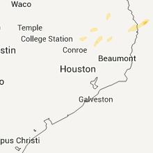
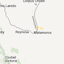
Hail Map for Wednesday, February 15, 2012

Number of Impacted Households on 2/15/2012
0
Impacted by 1" or Larger Hail
0
Impacted by 1.75" or Larger Hail
0
Impacted by 2.5" or Larger Hail
Square Miles of Populated Area Impacted on 2/15/2012
0
Impacted by 1" or Larger Hail
0
Impacted by 1.75" or Larger Hail
0
Impacted by 2.5" or Larger Hail

Cities Most Affected by Hail Storms of 2/15/2012
| Hail Size | Demographics of Zip Codes Affected | ||||||
|---|---|---|---|---|---|---|---|
| City | Count | Average | Largest | Pop Density | House Value | Income | Age |
Hail and Wind Damage Spotted on 2/15/2012
Filter by Report Type:Hail ReportsWind Reports
Texas
| Local Time | Report Details |
|---|---|
| 6:40 PM UTC | Quarter sized hail reported near Etoile, TX, 17.2 miles E of Lufkin, TX, quarter sized hail reported near the intersection hwy 103 and fm226 |
Mississippi
| Local Time | Report Details |
|---|---|
| 1:00 AM UTC | Several trees were blown down around natchez. one on highway 61 north and another on martin luther king roa in adams county MS, 87.8 miles SW of Jackson, MS |
| 2:10 AM UTC | Power lines were blown down in tow in franklin county MS, 72 miles SW of Jackson, MS |
| 2:10 AM UTC | Several trees were reported down in the county around meadvill in franklin county MS, 70.7 miles SW of Jackson, MS |
| 2:10 AM UTC | Power lines were blown down in oldenbur in franklin county MS, 70 miles SW of Jackson, MS |
Connect with Interactive Hail Maps