

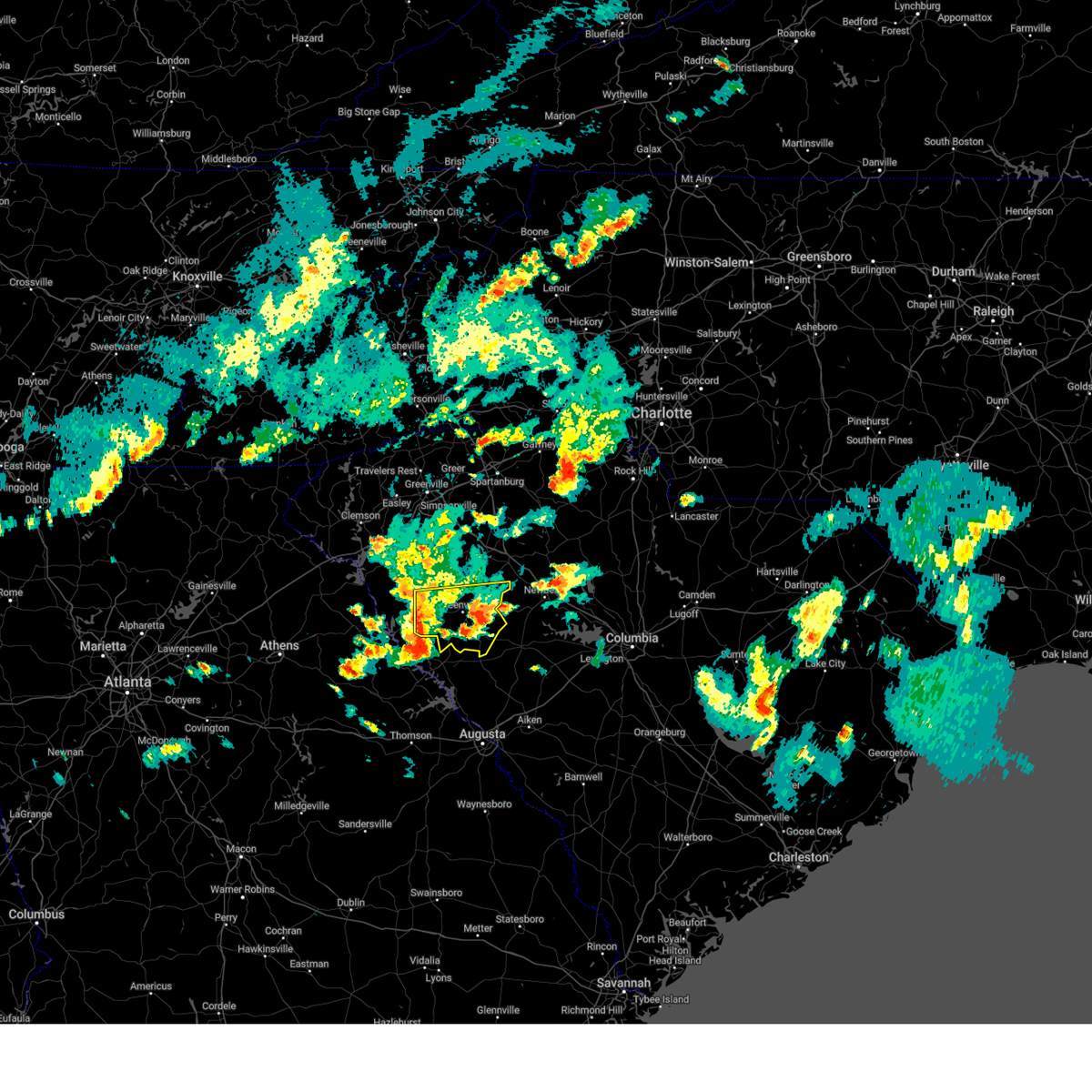
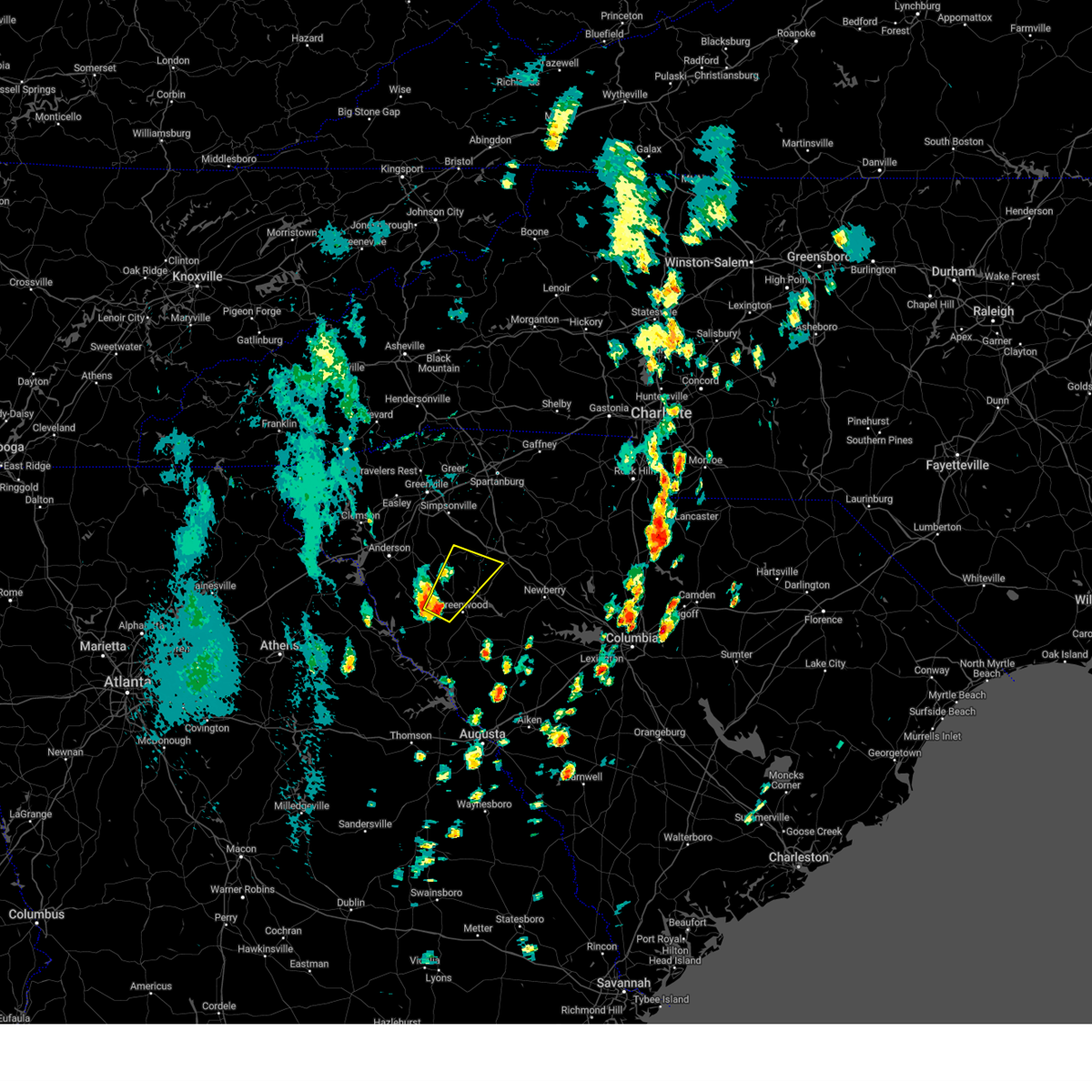
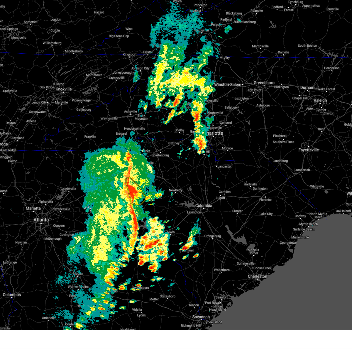
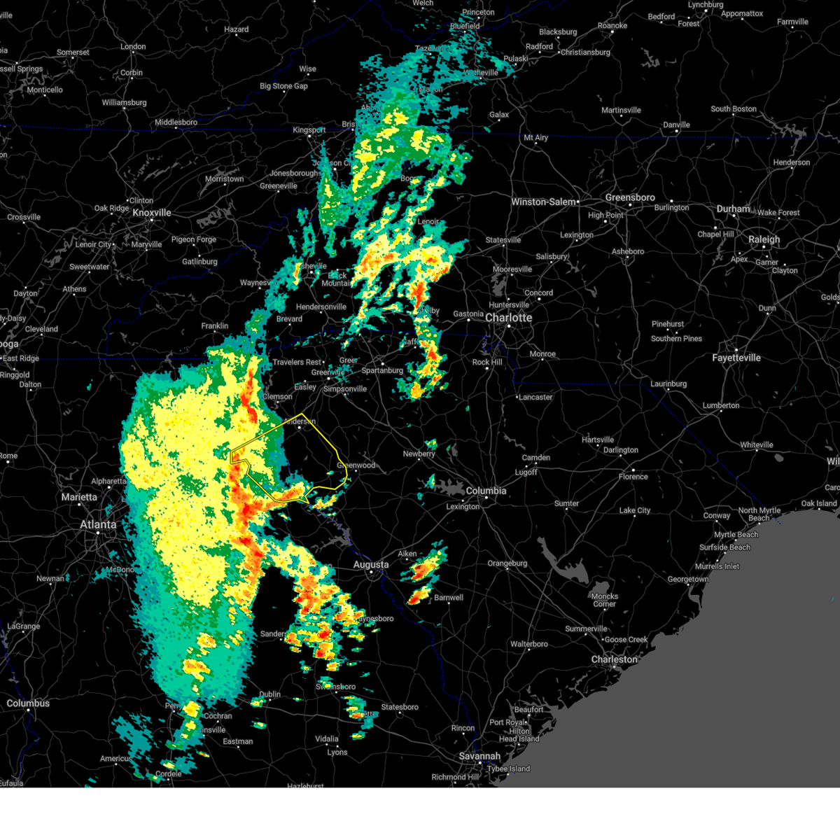
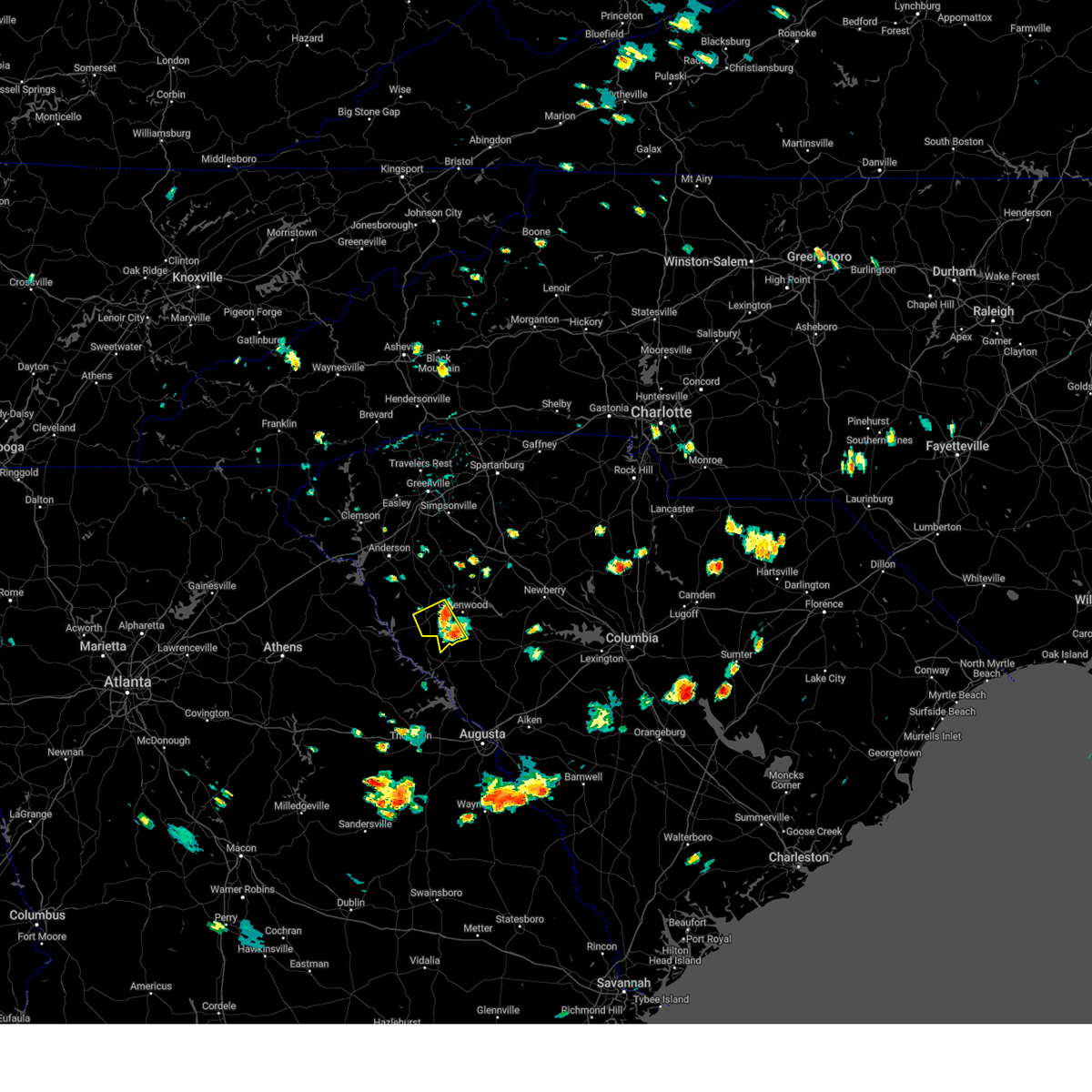
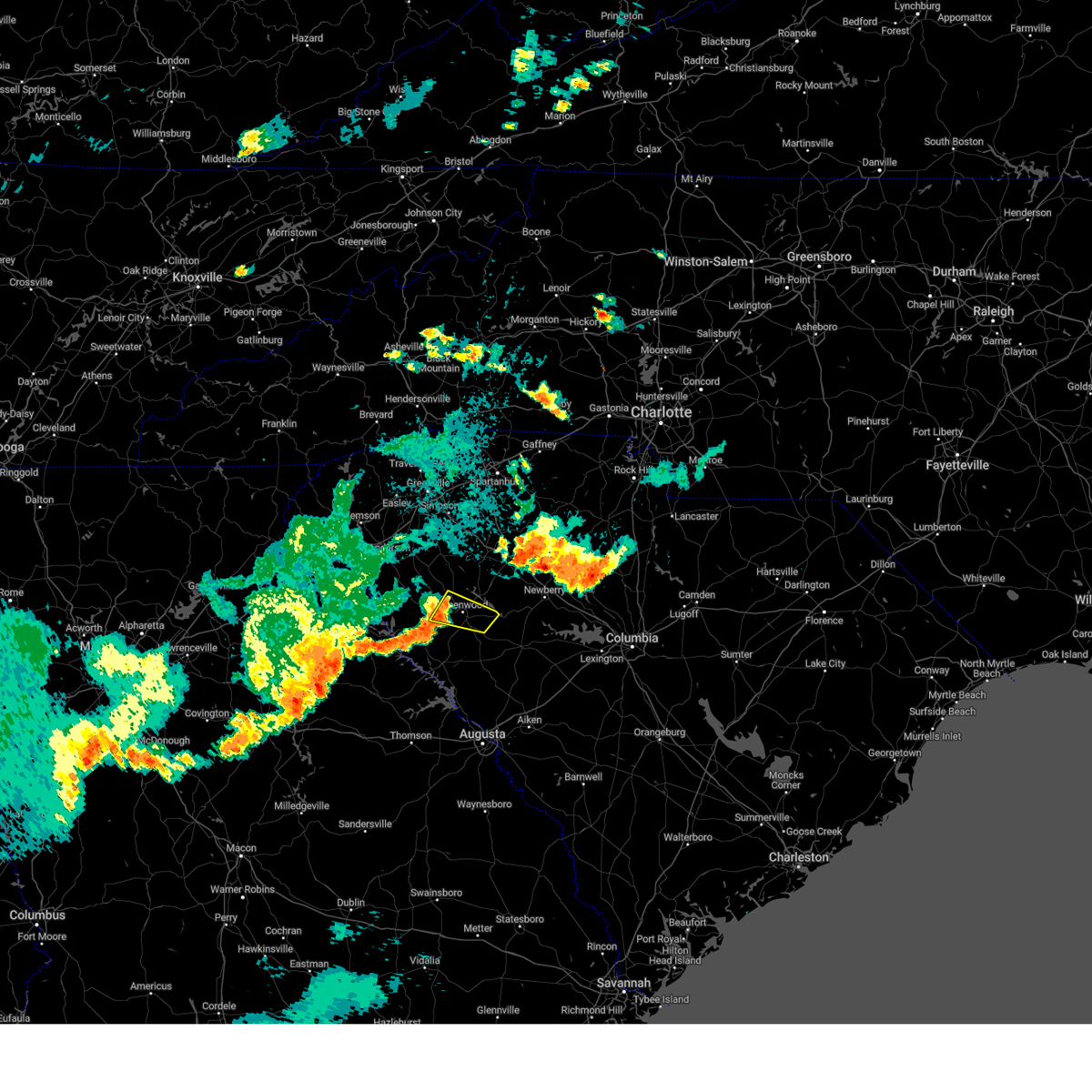
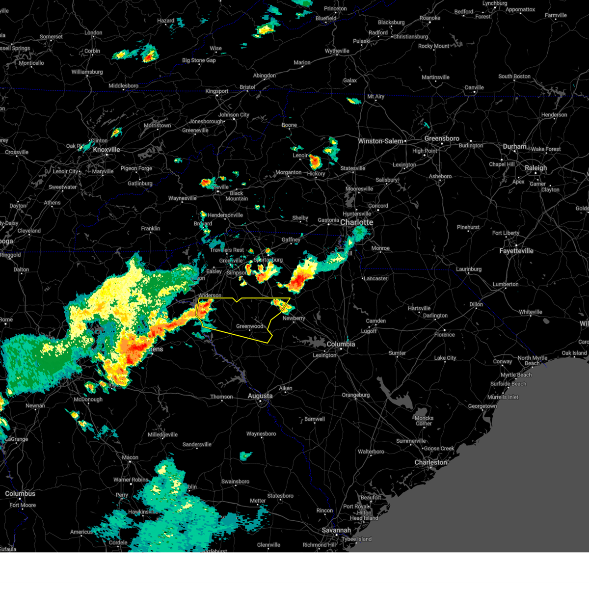
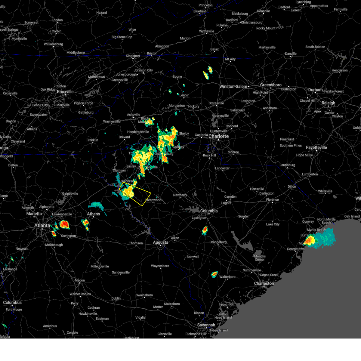
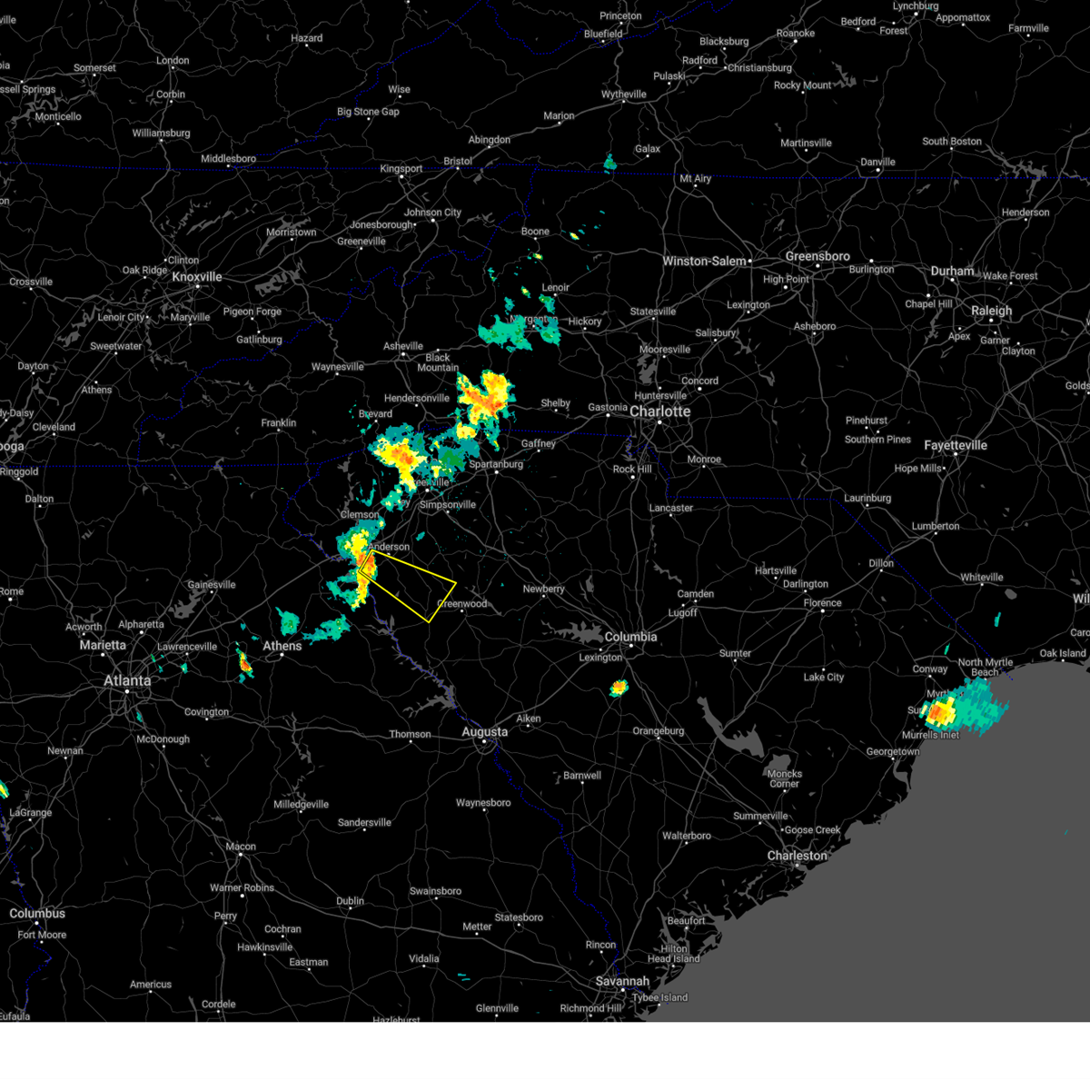
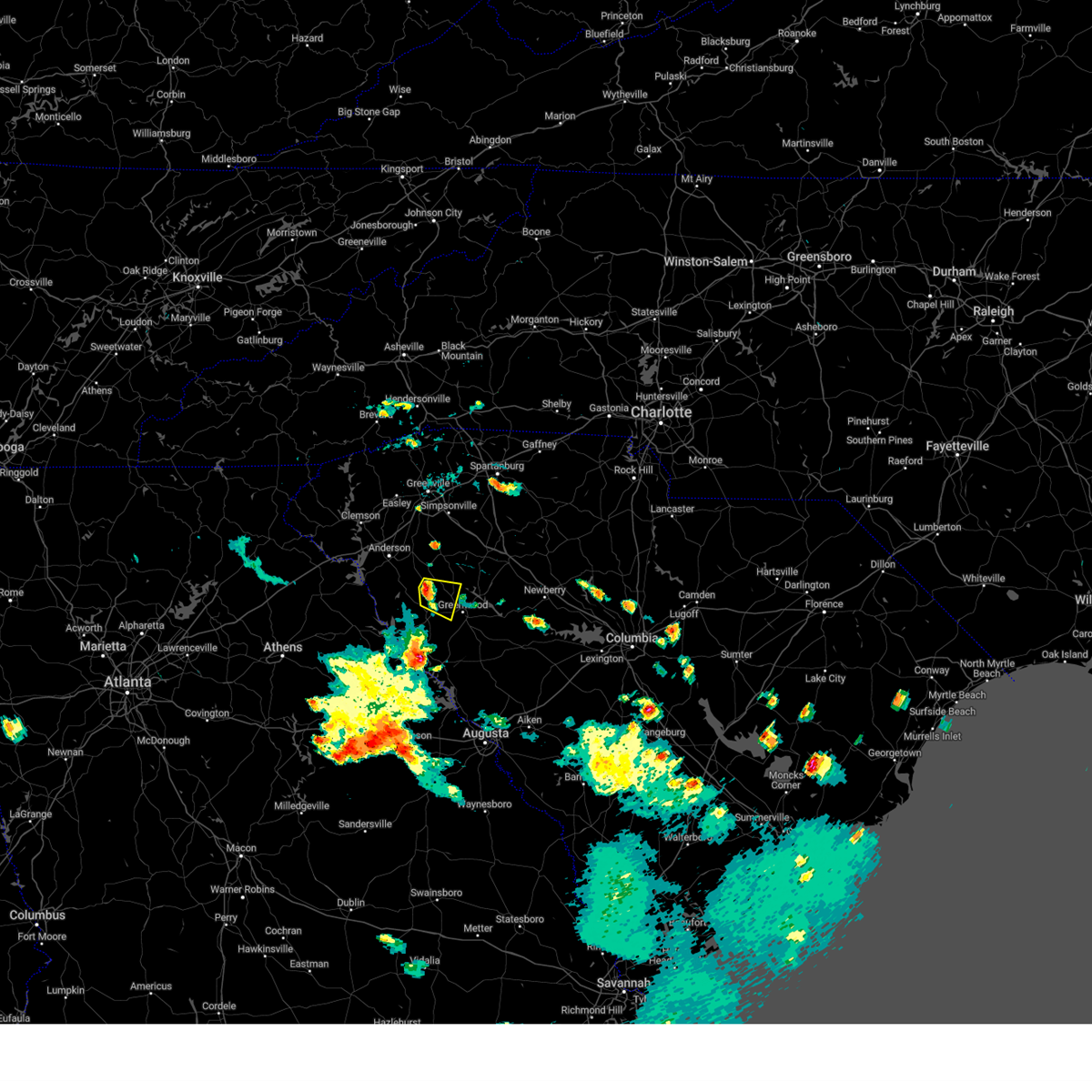
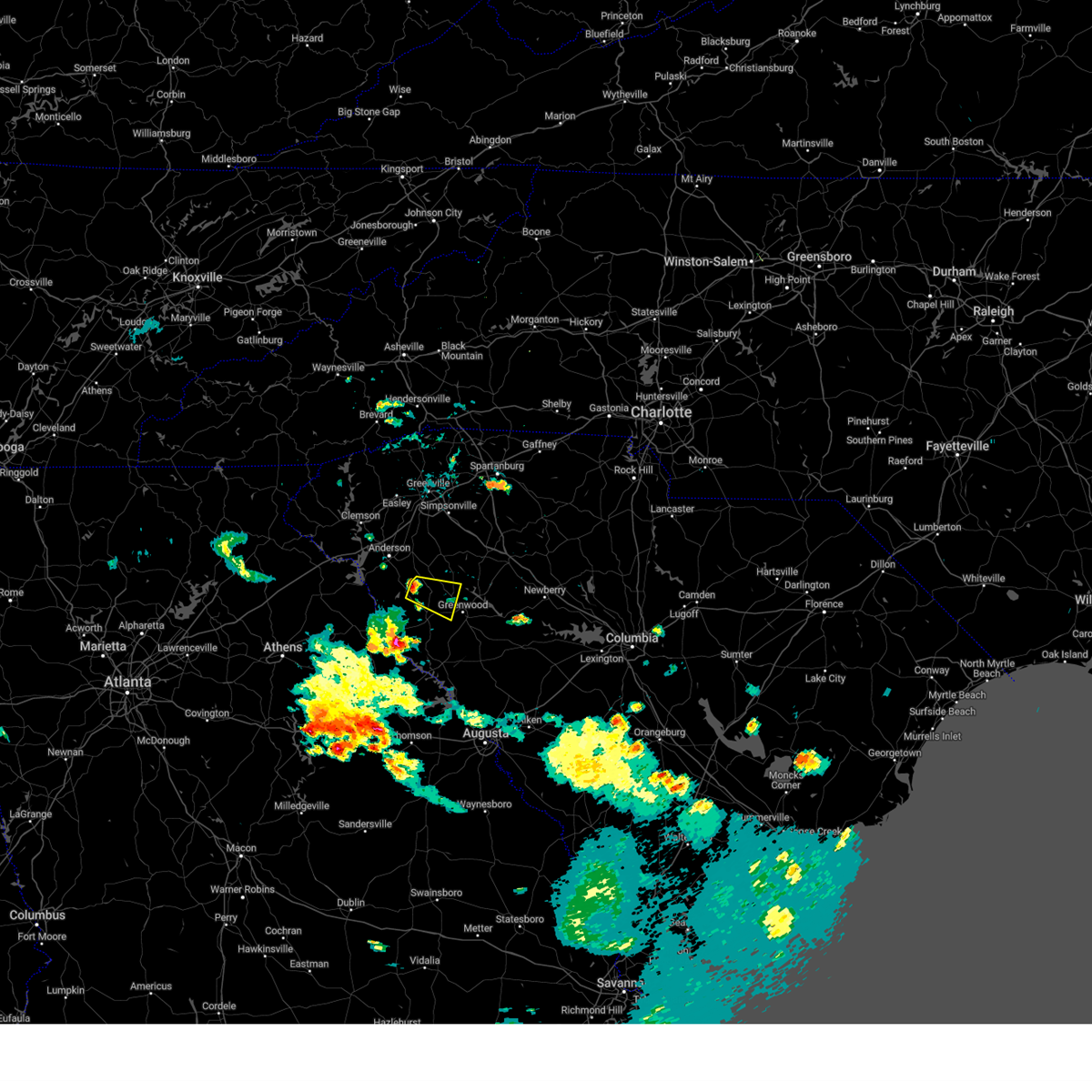
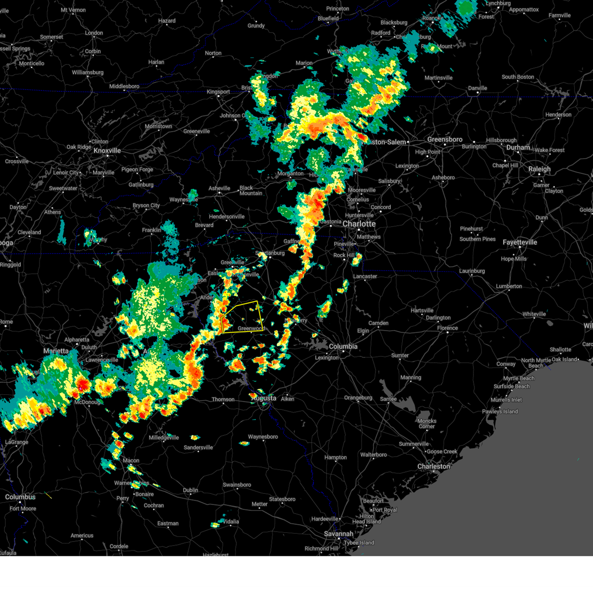
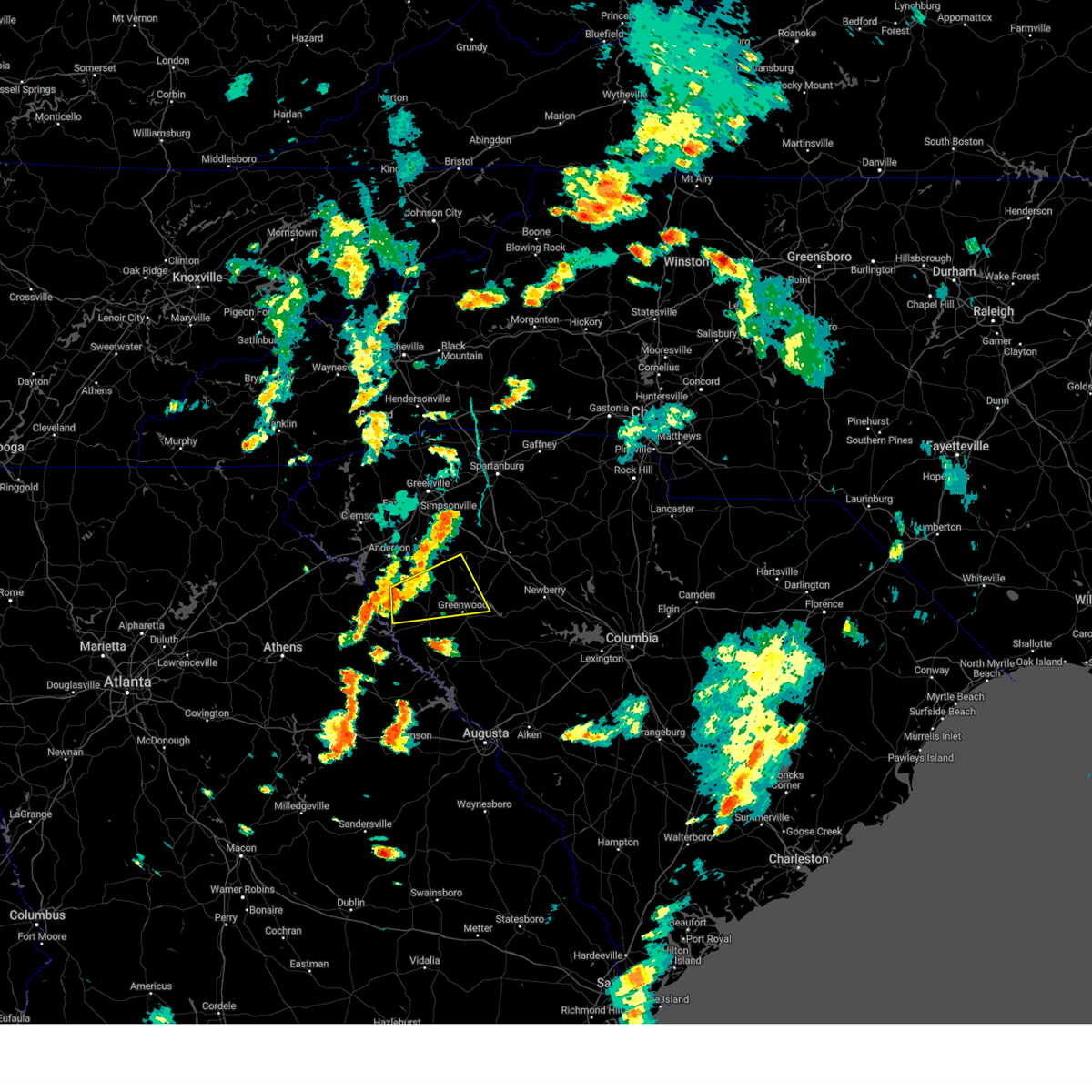
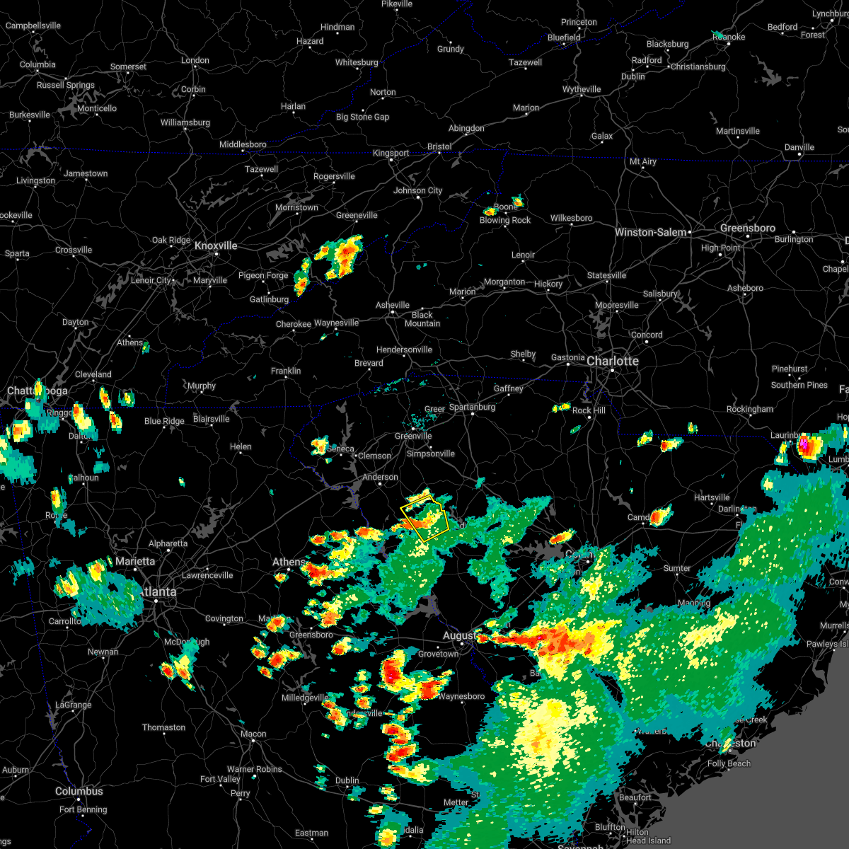
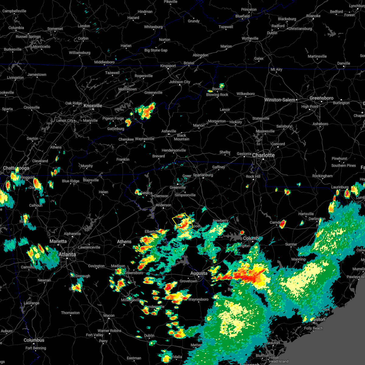
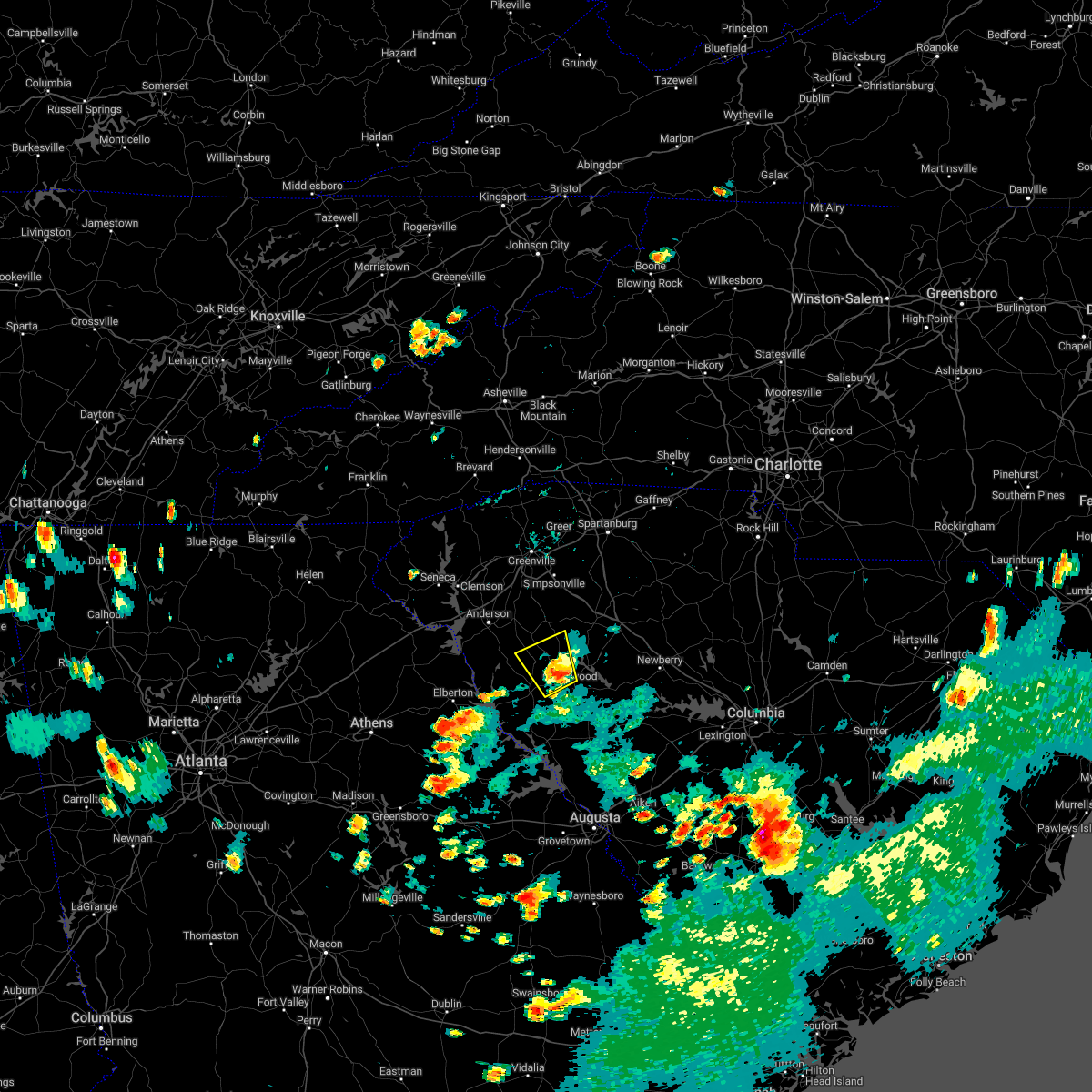
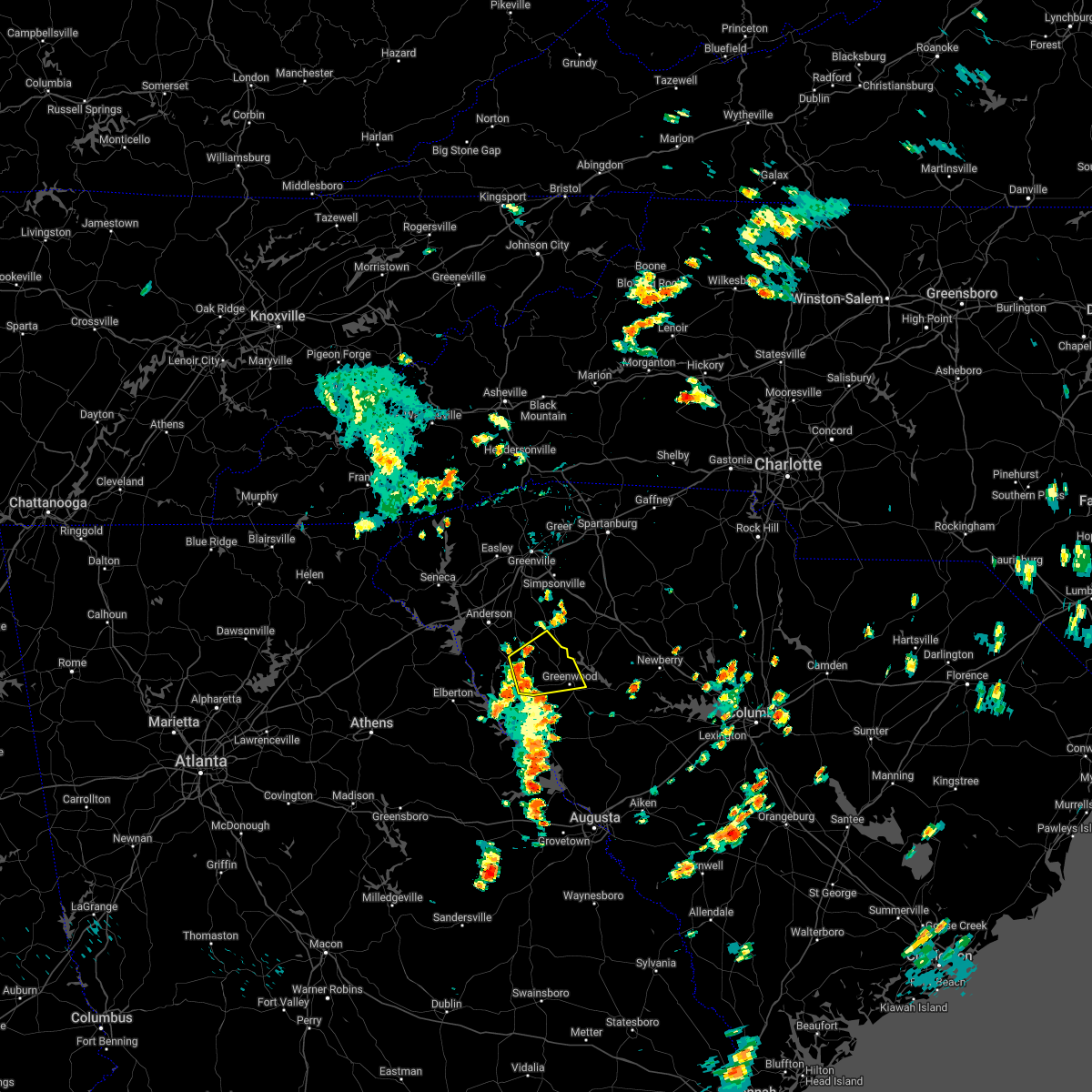
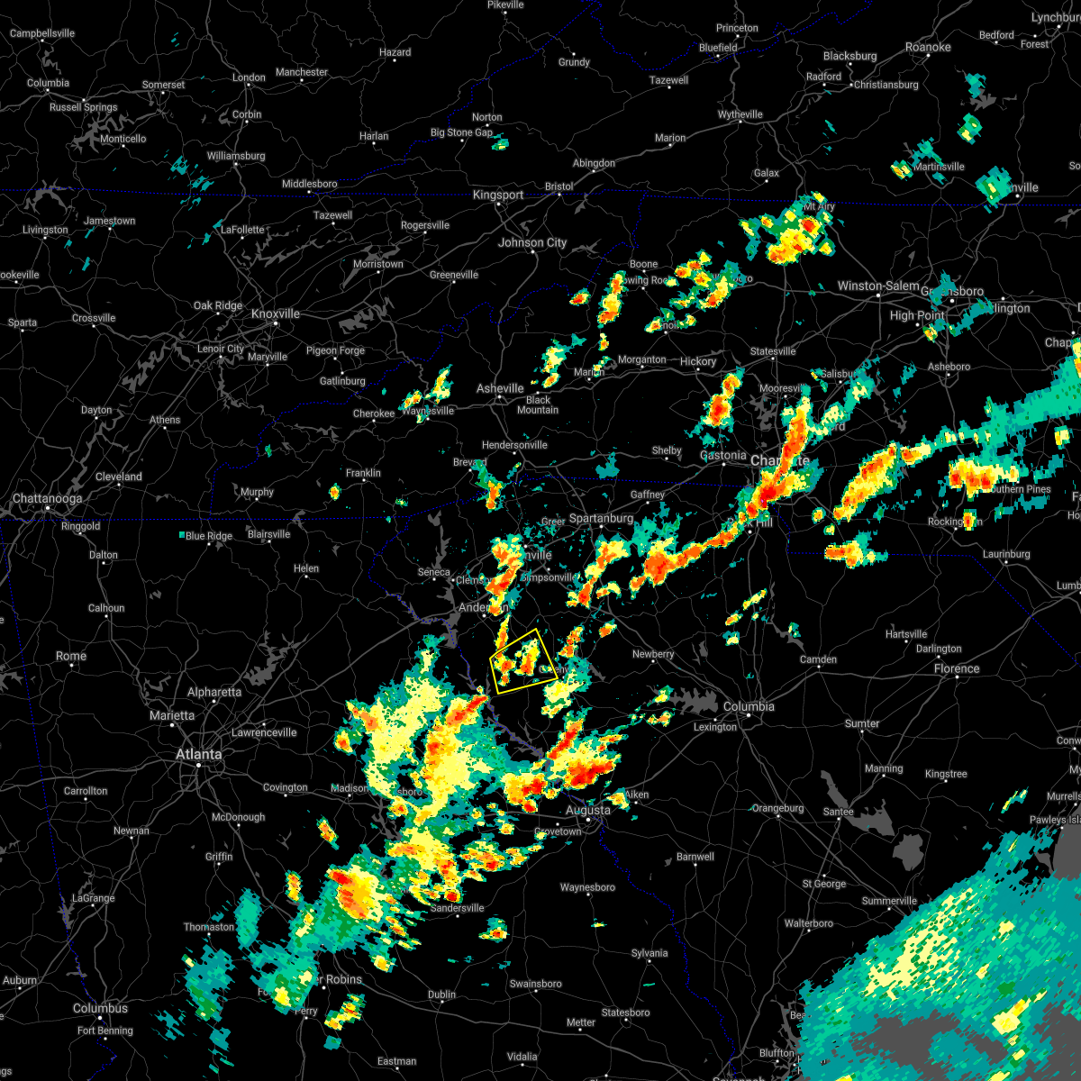
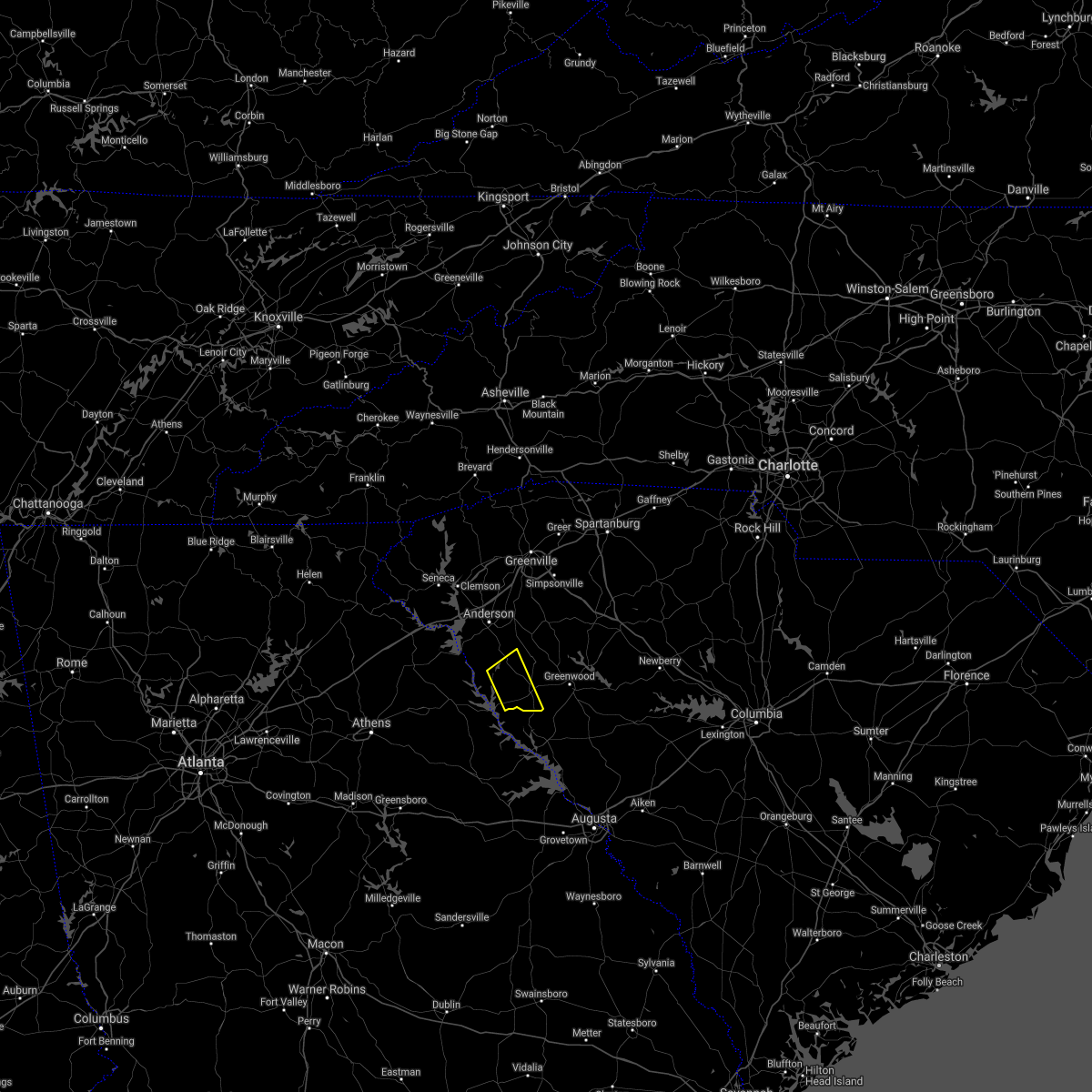
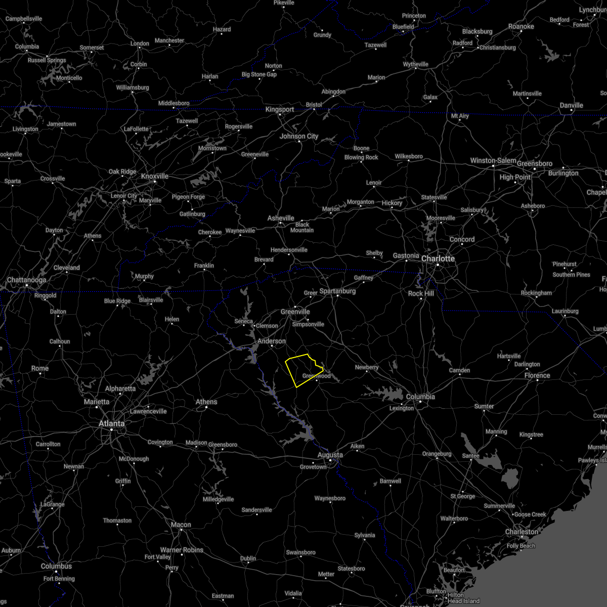
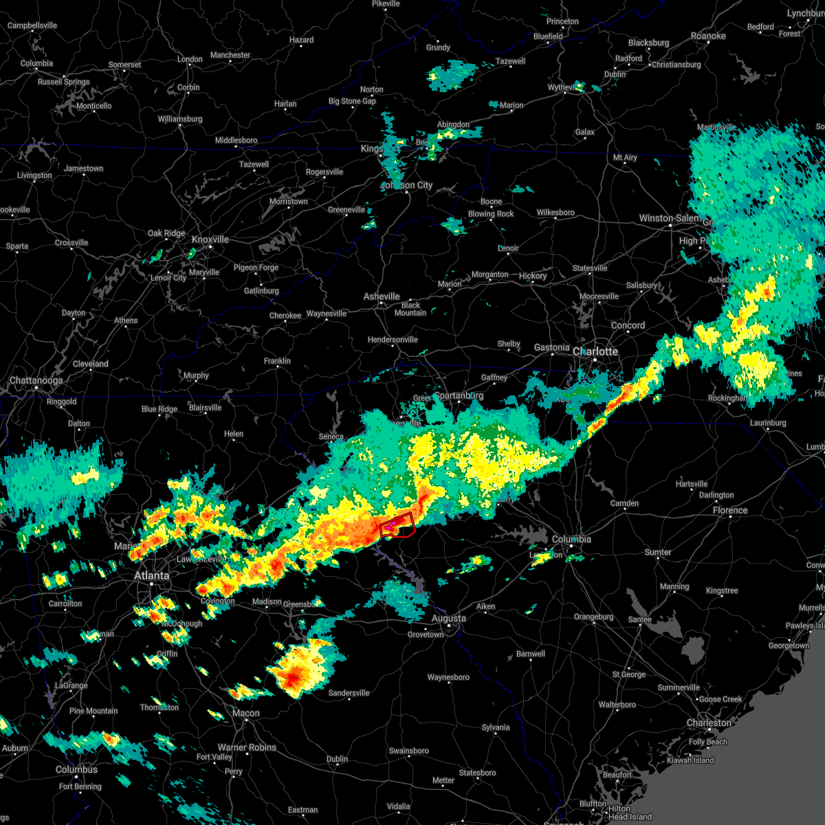
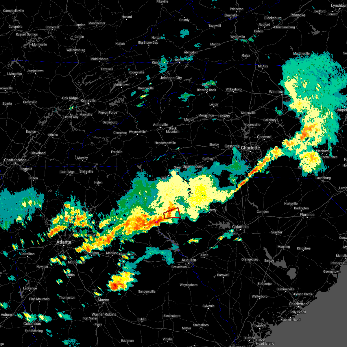
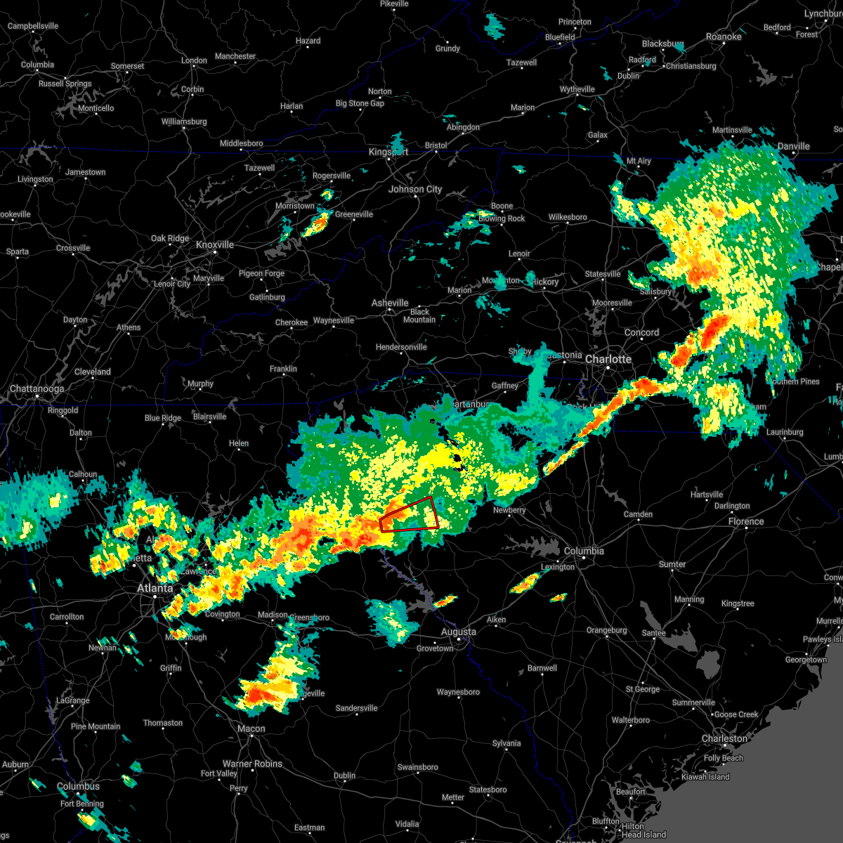
Hail Map for Abbeville, SC
The Abbeville, SC area has had 2 reports of on-the-ground hail by trained spotters, and has been under severe weather warnings 33 times during the past 12 months. Doppler radar has detected hail at or near Abbeville, SC on 34 occasions, including 4 occasions during the past year.
| Name: | Abbeville, SC |
| Where Located: | 46.6 miles SSE of Greenville, SC |
| Map: | Google Map for Abbeville, SC |
| Population: | 5237 |
| Housing Units: | 2594 |
| More Info: | Search Google for Abbeville, SC |
0
The Top Recent Hail Date for Abbeville, SC is Monday, June 9, 2025 (11th out of 34)

Hail and Wind Damage Spotted near Abbeville, SC
| Date / Time | Report Details |
|---|---|
| 6/9/2025 7:29 PM EDT |
 Svrgsp the national weather service in greenville-spartanburg has issued a * severe thunderstorm warning for, southwestern laurens county in upstate south carolina, southeastern abbeville county in upstate south carolina, greenwood county in upstate south carolina, * until 815 pm edt. * at 728 pm edt, severe thunderstorms were located along a line extending from 7 miles northwest of abbeville to 21 miles southwest of greenwood, moving east at 40 mph (radar indicated). Hazards include 60 mph wind gusts and penny size hail. expect damage to trees and power lines Svrgsp the national weather service in greenville-spartanburg has issued a * severe thunderstorm warning for, southwestern laurens county in upstate south carolina, southeastern abbeville county in upstate south carolina, greenwood county in upstate south carolina, * until 815 pm edt. * at 728 pm edt, severe thunderstorms were located along a line extending from 7 miles northwest of abbeville to 21 miles southwest of greenwood, moving east at 40 mph (radar indicated). Hazards include 60 mph wind gusts and penny size hail. expect damage to trees and power lines
|
| 6/7/2025 7:50 PM EDT | Several social media reports of trees downed in the abbeville are in abbeville county SC, 0.2 miles ENE of Abbeville, SC |
| 6/7/2025 7:47 PM EDT |
 Svrgsp the national weather service in greenville-spartanburg has issued a * severe thunderstorm warning for, southwestern laurens county in upstate south carolina, abbeville county in upstate south carolina, greenwood county in upstate south carolina, * until 830 pm edt. * at 747 pm edt, severe thunderstorms were located along a line extending from 14 miles southeast of anderson to 11 miles southwest of abbeville, moving east at 50 mph (radar indicated). Hazards include 60 mph wind gusts. expect damage to trees and power lines Svrgsp the national weather service in greenville-spartanburg has issued a * severe thunderstorm warning for, southwestern laurens county in upstate south carolina, abbeville county in upstate south carolina, greenwood county in upstate south carolina, * until 830 pm edt. * at 747 pm edt, severe thunderstorms were located along a line extending from 14 miles southeast of anderson to 11 miles southwest of abbeville, moving east at 50 mph (radar indicated). Hazards include 60 mph wind gusts. expect damage to trees and power lines
|
| 5/9/2025 4:38 AM EDT |
 the severe thunderstorm warning has been cancelled and is no longer in effect the severe thunderstorm warning has been cancelled and is no longer in effect
|
| 5/9/2025 4:15 AM EDT |
 Svrgsp the national weather service in greenville-spartanburg has issued a * severe thunderstorm warning for, southwestern laurens county in upstate south carolina, east central abbeville county in upstate south carolina, northwestern greenwood county in upstate south carolina, * until 500 am edt. * at 414 am edt, a severe thunderstorm was located 5 miles northeast of abbeville, moving northeast at 25 mph (radar indicated). Hazards include 60 mph wind gusts and half dollar size hail. Minor hail damage to vehicles is expected. Expect wind damage to trees and power lines. Svrgsp the national weather service in greenville-spartanburg has issued a * severe thunderstorm warning for, southwestern laurens county in upstate south carolina, east central abbeville county in upstate south carolina, northwestern greenwood county in upstate south carolina, * until 500 am edt. * at 414 am edt, a severe thunderstorm was located 5 miles northeast of abbeville, moving northeast at 25 mph (radar indicated). Hazards include 60 mph wind gusts and half dollar size hail. Minor hail damage to vehicles is expected. Expect wind damage to trees and power lines.
|
| 5/3/2025 2:10 PM EDT |
 Svrgsp the national weather service in greenville-spartanburg has issued a * severe thunderstorm warning for, southwestern laurens county in upstate south carolina, east central abbeville county in upstate south carolina, northwestern greenwood county in upstate south carolina, * until 300 pm edt. * at 210 pm edt, a severe thunderstorm was located 5 miles northeast of abbeville, or 4 miles southwest of hodges, moving northeast at 30 mph (radar indicated). Hazards include 60 mph wind gusts and quarter size hail. Minor hail damage to vehicles is expected. Expect wind damage to trees and power lines. Svrgsp the national weather service in greenville-spartanburg has issued a * severe thunderstorm warning for, southwestern laurens county in upstate south carolina, east central abbeville county in upstate south carolina, northwestern greenwood county in upstate south carolina, * until 300 pm edt. * at 210 pm edt, a severe thunderstorm was located 5 miles northeast of abbeville, or 4 miles southwest of hodges, moving northeast at 30 mph (radar indicated). Hazards include 60 mph wind gusts and quarter size hail. Minor hail damage to vehicles is expected. Expect wind damage to trees and power lines.
|
| 5/2/2025 4:13 PM EDT | The storm which prompted the warning has weakened below severe limits, and no longer poses an immediate threat to life or property. therefore, the warning will be allowed to expire. however, small hail is still possible with this thunderstorm. |
| 5/2/2025 3:30 PM EDT | Svrgsp the national weather service in greenville-spartanburg has issued a * severe thunderstorm warning for, northeastern elbert county in northeastern georgia, southeastern anderson county in upstate south carolina, central abbeville county in upstate south carolina, * until 415 pm edt. * at 330 pm edt, a severe thunderstorm was located 6 miles northeast of elberton, or near russell state park, moving east at 25 mph (radar indicated). Hazards include 60 mph wind gusts and quarter size hail. Minor hail damage to vehicles is expected. Expect wind damage to trees and power lines. |
| 4/10/2025 9:05 PM EDT |
 The storm which prompted the warning has weakened below severe limits, and no longer poses an immediate threat to life or property. therefore, the warning will be allowed to expire. to report severe weather to the national weather service greenville-spartanburg, call toll free, 1, 800, 2 6 7, 8 1 0 1, or post on our facebook page, or tweet it using hashtag nwsgsp. your message should describe the event and the specific location where it occurred. The storm which prompted the warning has weakened below severe limits, and no longer poses an immediate threat to life or property. therefore, the warning will be allowed to expire. to report severe weather to the national weather service greenville-spartanburg, call toll free, 1, 800, 2 6 7, 8 1 0 1, or post on our facebook page, or tweet it using hashtag nwsgsp. your message should describe the event and the specific location where it occurred.
|
| 4/10/2025 8:49 PM EDT |
 At 848 pm edt, a severe thunderstorm was located 8 miles northwest of abbeville, or 4 miles southwest of due west, moving east at 35 mph (radar indicated). Hazards include 60 mph wind gusts and quarter size hail. Minor hail damage to vehicles is expected. expect wind damage to trees and power lines. Locations impacted include, hodges, donalds, abbeville, shoals junction, due west, lake secession, and antreville. At 848 pm edt, a severe thunderstorm was located 8 miles northwest of abbeville, or 4 miles southwest of due west, moving east at 35 mph (radar indicated). Hazards include 60 mph wind gusts and quarter size hail. Minor hail damage to vehicles is expected. expect wind damage to trees and power lines. Locations impacted include, hodges, donalds, abbeville, shoals junction, due west, lake secession, and antreville.
|
| 4/10/2025 8:49 PM EDT |
 the severe thunderstorm warning has been cancelled and is no longer in effect the severe thunderstorm warning has been cancelled and is no longer in effect
|
| 4/10/2025 8:20 PM EDT |
 Svrgsp the national weather service in greenville-spartanburg has issued a * severe thunderstorm warning for, southeastern anderson county in upstate south carolina, central abbeville county in upstate south carolina, northwestern greenwood county in upstate south carolina, * until 915 pm edt. * at 820 pm edt, a severe thunderstorm was located 10 miles south of anderson, or over starr, moving east at 35 mph (radar indicated). Hazards include 60 mph wind gusts and quarter size hail. Minor hail damage to vehicles is expected. Expect wind damage to trees and power lines. Svrgsp the national weather service in greenville-spartanburg has issued a * severe thunderstorm warning for, southeastern anderson county in upstate south carolina, central abbeville county in upstate south carolina, northwestern greenwood county in upstate south carolina, * until 915 pm edt. * at 820 pm edt, a severe thunderstorm was located 10 miles south of anderson, or over starr, moving east at 35 mph (radar indicated). Hazards include 60 mph wind gusts and quarter size hail. Minor hail damage to vehicles is expected. Expect wind damage to trees and power lines.
|
| 3/31/2025 3:14 PM EDT |
 At 314 pm edt, severe thunderstorms were located along a line extending from 7 miles southeast of anderson to 8 miles southwest of abbeville, moving northeast at 60 mph (radar indicated). Hazards include 70 mph wind gusts. Expect considerable tree damage. damage is likely to mobile homes, roofs, and outbuildings. Locations impacted include, abbeville, due west, broadway lake, antreville, anderson, lake secession, and homeland park. At 314 pm edt, severe thunderstorms were located along a line extending from 7 miles southeast of anderson to 8 miles southwest of abbeville, moving northeast at 60 mph (radar indicated). Hazards include 70 mph wind gusts. Expect considerable tree damage. damage is likely to mobile homes, roofs, and outbuildings. Locations impacted include, abbeville, due west, broadway lake, antreville, anderson, lake secession, and homeland park.
|
| 3/31/2025 3:06 PM EDT |
 the severe thunderstorm warning has been cancelled and is no longer in effect the severe thunderstorm warning has been cancelled and is no longer in effect
|
| 3/31/2025 3:06 PM EDT |
 At 306 pm edt, severe thunderstorms were located along a line extending from 3 miles southwest of anderson to 14 miles east of elberton to 12 miles northeast of washington, moving northeast at 55 mph (radar indicated). Hazards include 60 mph wind gusts. Expect damage to trees and power lines. Locations impacted include, homeland park, anderson airport, starr, broadway lake, anderson, lowndesville, abbeville, northlake, calhoun falls, and iva. At 306 pm edt, severe thunderstorms were located along a line extending from 3 miles southwest of anderson to 14 miles east of elberton to 12 miles northeast of washington, moving northeast at 55 mph (radar indicated). Hazards include 60 mph wind gusts. Expect damage to trees and power lines. Locations impacted include, homeland park, anderson airport, starr, broadway lake, anderson, lowndesville, abbeville, northlake, calhoun falls, and iva.
|
| 3/31/2025 2:58 PM EDT |
 At 258 pm edt, severe thunderstorms were located along a line extending from 9 miles southwest of anderson to 8 miles east of elberton to 7 miles northeast of washington, moving northeast at 55 mph (radar indicated). Hazards include 60 mph wind gusts. Expect damage to trees and power lines. Locations impacted include, fortsonia, anderson airport, starr, broadway lake, russell state park, ruckersville, lowndesville, northlake, due west, and middleton. At 258 pm edt, severe thunderstorms were located along a line extending from 9 miles southwest of anderson to 8 miles east of elberton to 7 miles northeast of washington, moving northeast at 55 mph (radar indicated). Hazards include 60 mph wind gusts. Expect damage to trees and power lines. Locations impacted include, fortsonia, anderson airport, starr, broadway lake, russell state park, ruckersville, lowndesville, northlake, due west, and middleton.
|
| 3/31/2025 2:47 PM EDT |
 the severe thunderstorm warning has been cancelled and is no longer in effect the severe thunderstorm warning has been cancelled and is no longer in effect
|
| 3/31/2025 2:47 PM EDT |
 At 247 pm edt, severe thunderstorms were located along a line extending from 3 miles north of hartwell to near elberton to 5 miles northwest of washington, moving northeast at 55 mph (radar indicated). Hazards include 60 mph wind gusts. Expect damage to trees and power lines. Locations impacted include, dewy rose, bowman, fortsonia, anderson airport, starr, broadway lake, russell state park, ruckersville, lowndesville, and northlake. At 247 pm edt, severe thunderstorms were located along a line extending from 3 miles north of hartwell to near elberton to 5 miles northwest of washington, moving northeast at 55 mph (radar indicated). Hazards include 60 mph wind gusts. Expect damage to trees and power lines. Locations impacted include, dewy rose, bowman, fortsonia, anderson airport, starr, broadway lake, russell state park, ruckersville, lowndesville, and northlake.
|
| 3/31/2025 2:34 PM EDT |
 Svrgsp the national weather service in greenville-spartanburg has issued a * severe thunderstorm warning for, southeastern franklin county in northeastern georgia, elbert county in northeastern georgia, hart county in northeastern georgia, southern anderson county in upstate south carolina, abbeville county in upstate south carolina, * until 330 pm edt. * at 234 pm edt, severe thunderstorms were located along a line extending from 7 miles east of carnesville to 11 miles northeast of lexington to 12 miles northwest of crawfordville, moving east at 55 mph (radar indicated). Hazards include 60 mph wind gusts. expect damage to trees and power lines Svrgsp the national weather service in greenville-spartanburg has issued a * severe thunderstorm warning for, southeastern franklin county in northeastern georgia, elbert county in northeastern georgia, hart county in northeastern georgia, southern anderson county in upstate south carolina, abbeville county in upstate south carolina, * until 330 pm edt. * at 234 pm edt, severe thunderstorms were located along a line extending from 7 miles east of carnesville to 11 miles northeast of lexington to 12 miles northwest of crawfordville, moving east at 55 mph (radar indicated). Hazards include 60 mph wind gusts. expect damage to trees and power lines
|
| 2/16/2025 6:15 AM EST |
 the severe thunderstorm warning has been cancelled and is no longer in effect the severe thunderstorm warning has been cancelled and is no longer in effect
|
| 2/16/2025 6:15 AM EST |
 At 615 am est, severe thunderstorms were located along a line extending from 7 miles southwest of spartanburg to 9 miles northwest of laurens to 10 miles southwest of abbeville, moving east at 75 mph (radar indicated). Hazards include 60 mph wind gusts. Expect damage to trees and power lines. Locations impacted include, greenwood, laurens, union, abbeville, clinton, woodruff, ware shoals, calhoun falls, monarch mill, and ninety six. At 615 am est, severe thunderstorms were located along a line extending from 7 miles southwest of spartanburg to 9 miles northwest of laurens to 10 miles southwest of abbeville, moving east at 75 mph (radar indicated). Hazards include 60 mph wind gusts. Expect damage to trees and power lines. Locations impacted include, greenwood, laurens, union, abbeville, clinton, woodruff, ware shoals, calhoun falls, monarch mill, and ninety six.
|
| 2/16/2025 5:58 AM EST |
 Svrgsp the national weather service in greenville-spartanburg has issued a * severe thunderstorm warning for, eastern elbert county in northeastern georgia, laurens county in upstate south carolina, southeastern greenville county in upstate south carolina, southern spartanburg county in upstate south carolina, eastern anderson county in upstate south carolina, abbeville county in upstate south carolina, union county in upstate south carolina, greenwood county in upstate south carolina, * until 630 am est. * at 558 am est, severe thunderstorms were located along a line extending from near greenville downtown to 11 miles east of anderson to 7 miles east of elberton, moving east at 105 mph (radar indicated). Hazards include 60 mph wind gusts. expect damage to trees and power lines Svrgsp the national weather service in greenville-spartanburg has issued a * severe thunderstorm warning for, eastern elbert county in northeastern georgia, laurens county in upstate south carolina, southeastern greenville county in upstate south carolina, southern spartanburg county in upstate south carolina, eastern anderson county in upstate south carolina, abbeville county in upstate south carolina, union county in upstate south carolina, greenwood county in upstate south carolina, * until 630 am est. * at 558 am est, severe thunderstorms were located along a line extending from near greenville downtown to 11 miles east of anderson to 7 miles east of elberton, moving east at 105 mph (radar indicated). Hazards include 60 mph wind gusts. expect damage to trees and power lines
|
| 12/29/2024 7:28 AM EST |
 At 728 am est, severe thunderstorms were located along a line extending from 16 miles southwest of laurens to 3 miles west of greenwood to 3 miles west of evans, moving northeast at 50 mph (radar indicated). Hazards include 60 mph wind gusts. Expect damage to trees and power lines. Locations impacted include, greenwood, abbeville, honea path, ware shoals, ninety six, due west, donalds, cokesbury, hodges, and troy. At 728 am est, severe thunderstorms were located along a line extending from 16 miles southwest of laurens to 3 miles west of greenwood to 3 miles west of evans, moving northeast at 50 mph (radar indicated). Hazards include 60 mph wind gusts. Expect damage to trees and power lines. Locations impacted include, greenwood, abbeville, honea path, ware shoals, ninety six, due west, donalds, cokesbury, hodges, and troy.
|
| 12/29/2024 7:15 AM EST | Several trees down scattered across the count in abbeville county SC, 0.2 miles ENE of Abbeville, SC |
| 12/29/2024 7:00 AM EST | Svrgsp the national weather service in greenville-spartanburg has issued a * severe thunderstorm warning for, southeastern anderson county in upstate south carolina, abbeville county in upstate south carolina, greenwood county in upstate south carolina, * until 800 am est. * at 659 am est, severe thunderstorms were located along a line extending from 12 miles west of abbeville to 20 miles northeast of washington to 7 miles northeast of gibson, moving northeast at 50 mph (radar indicated). Hazards include 60 mph wind gusts. expect damage to trees and power lines |
| 8/29/2024 3:30 PM EDT |
 At 330 pm edt, a severe thunderstorm was located 9 miles southwest of greenwood, or 6 miles northeast of troy, moving southwest at 10 mph (radar indicated). Hazards include 60 mph wind gusts and quarter size hail. Minor hail damage to vehicles is expected. expect wind damage to trees and power lines. Locations impacted include, abbeville, troy, promised land, and bradley. At 330 pm edt, a severe thunderstorm was located 9 miles southwest of greenwood, or 6 miles northeast of troy, moving southwest at 10 mph (radar indicated). Hazards include 60 mph wind gusts and quarter size hail. Minor hail damage to vehicles is expected. expect wind damage to trees and power lines. Locations impacted include, abbeville, troy, promised land, and bradley.
|
| 8/29/2024 3:12 PM EDT | Svrgsp the national weather service in greenville-spartanburg has issued a * severe thunderstorm warning for, southeastern abbeville county in upstate south carolina, southwestern greenwood county in upstate south carolina, * until 415 pm edt. * at 312 pm edt, a severe thunderstorm was located 4 miles east of abbeville, moving southwest at 10 mph (radar indicated). Hazards include 60 mph wind gusts and nickel size hail. expect damage to trees and power lines |
| 8/17/2024 8:36 PM EDT |
 At 835 pm edt, severe thunderstorms were located along a line extending from 5 miles northwest of greenwood to 7 miles south of abbeville, moving southeast at 30 mph (radar indicated). Hazards include 60 mph wind gusts and penny size hail. Expect damage to trees and power lines. Locations impacted include, greenwood, abbeville, ninety six, cokesbury, hodges, lake greenwood state park, greenwood state park, ninety six historic site, promised land, epworth, and dyson. At 835 pm edt, severe thunderstorms were located along a line extending from 5 miles northwest of greenwood to 7 miles south of abbeville, moving southeast at 30 mph (radar indicated). Hazards include 60 mph wind gusts and penny size hail. Expect damage to trees and power lines. Locations impacted include, greenwood, abbeville, ninety six, cokesbury, hodges, lake greenwood state park, greenwood state park, ninety six historic site, promised land, epworth, and dyson.
|
| 8/17/2024 8:36 PM EDT |
 the severe thunderstorm warning has been cancelled and is no longer in effect the severe thunderstorm warning has been cancelled and is no longer in effect
|
| 8/17/2024 7:44 PM EDT |
 Svrgsp the national weather service in greenville-spartanburg has issued a * severe thunderstorm warning for, laurens county in upstate south carolina, southeastern anderson county in upstate south carolina, abbeville county in upstate south carolina, greenwood county in upstate south carolina, * until 845 pm edt. * at 743 pm edt, severe thunderstorms were located along a line extending from 3 miles southeast of anderson to 13 miles east of hartwell, moving east at 35 mph (radar indicated). Hazards include 60 mph wind gusts and quarter size hail. Minor hail damage to vehicles is expected. Expect wind damage to trees and power lines. Svrgsp the national weather service in greenville-spartanburg has issued a * severe thunderstorm warning for, laurens county in upstate south carolina, southeastern anderson county in upstate south carolina, abbeville county in upstate south carolina, greenwood county in upstate south carolina, * until 845 pm edt. * at 743 pm edt, severe thunderstorms were located along a line extending from 3 miles southeast of anderson to 13 miles east of hartwell, moving east at 35 mph (radar indicated). Hazards include 60 mph wind gusts and quarter size hail. Minor hail damage to vehicles is expected. Expect wind damage to trees and power lines.
|
| 8/1/2024 5:17 PM EDT |
 the severe thunderstorm warning has been cancelled and is no longer in effect the severe thunderstorm warning has been cancelled and is no longer in effect
|
| 8/1/2024 4:40 PM EDT |
 Svrgsp the national weather service in greenville-spartanburg has issued a * severe thunderstorm warning for, southeastern anderson county in upstate south carolina, central abbeville county in upstate south carolina, northwestern greenwood county in upstate south carolina, * until 530 pm edt. * at 440 pm edt, a severe thunderstorm was located 6 miles southwest of anderson, or near homeland park, moving southeast at 35 mph (radar indicated). Hazards include 60 mph wind gusts and nickel size hail. expect damage to trees and power lines Svrgsp the national weather service in greenville-spartanburg has issued a * severe thunderstorm warning for, southeastern anderson county in upstate south carolina, central abbeville county in upstate south carolina, northwestern greenwood county in upstate south carolina, * until 530 pm edt. * at 440 pm edt, a severe thunderstorm was located 6 miles southwest of anderson, or near homeland park, moving southeast at 35 mph (radar indicated). Hazards include 60 mph wind gusts and nickel size hail. expect damage to trees and power lines
|
| 7/18/2024 5:26 PM EDT |
 the severe thunderstorm warning has been cancelled and is no longer in effect the severe thunderstorm warning has been cancelled and is no longer in effect
|
| 7/18/2024 5:26 PM EDT |
 At 526 pm edt, a severe thunderstorm was located over abbeville, moving southeast at 25 mph (radar indicated). Hazards include 60 mph wind gusts and quarter size hail. Minor hail damage to vehicles is expected. expect wind damage to trees and power lines. Locations impacted include, greenwood, abbeville, lake secession, lowndesville, troy, promised land, bradley, and antreville. At 526 pm edt, a severe thunderstorm was located over abbeville, moving southeast at 25 mph (radar indicated). Hazards include 60 mph wind gusts and quarter size hail. Minor hail damage to vehicles is expected. expect wind damage to trees and power lines. Locations impacted include, greenwood, abbeville, lake secession, lowndesville, troy, promised land, bradley, and antreville.
|
| 7/18/2024 5:00 PM EDT | Several trees and power lines down along highway 28 in abbeville county SC, 11.8 miles ESE of Abbeville, SC |
| 7/18/2024 4:57 PM EDT |
 Svrgsp the national weather service in greenville-spartanburg has issued a * severe thunderstorm warning for, south central anderson county in upstate south carolina, abbeville county in upstate south carolina, southwestern greenwood county in upstate south carolina, * until 600 pm edt. * at 457 pm edt, a severe thunderstorm was located 12 miles northwest of abbeville, or near lake secession, moving southeast at 25 mph (radar indicated). Hazards include 60 mph wind gusts and quarter size hail. Minor hail damage to vehicles is expected. Expect wind damage to trees and power lines. Svrgsp the national weather service in greenville-spartanburg has issued a * severe thunderstorm warning for, south central anderson county in upstate south carolina, abbeville county in upstate south carolina, southwestern greenwood county in upstate south carolina, * until 600 pm edt. * at 457 pm edt, a severe thunderstorm was located 12 miles northwest of abbeville, or near lake secession, moving southeast at 25 mph (radar indicated). Hazards include 60 mph wind gusts and quarter size hail. Minor hail damage to vehicles is expected. Expect wind damage to trees and power lines.
|
| 5/26/2024 7:19 PM EDT |
 the severe thunderstorm warning has been cancelled and is no longer in effect the severe thunderstorm warning has been cancelled and is no longer in effect
|
| 5/26/2024 7:19 PM EDT |
 At 719 pm edt, a severe thunderstorm was located 15 miles east of hartwell, or near iva, moving east at 20 mph (radar indicated). Hazards include 60 mph wind gusts and quarter size hail. Minor hail damage to vehicles is expected. expect wind damage to trees and power lines. Locations impacted include, honea path, due west, iva, lake secession, lowndesville, antreville, donalds, and abbeville. At 719 pm edt, a severe thunderstorm was located 15 miles east of hartwell, or near iva, moving east at 20 mph (radar indicated). Hazards include 60 mph wind gusts and quarter size hail. Minor hail damage to vehicles is expected. expect wind damage to trees and power lines. Locations impacted include, honea path, due west, iva, lake secession, lowndesville, antreville, donalds, and abbeville.
|
| 5/26/2024 6:44 PM EDT |
 Svrgsp the national weather service in greenville-spartanburg has issued a * severe thunderstorm warning for, north central elbert county in northeastern georgia, southeastern hart county in northeastern georgia, southeastern anderson county in upstate south carolina, central abbeville county in upstate south carolina, * until 745 pm edt. * at 643 pm edt, a severe thunderstorm was located 6 miles south of hartwell, moving east at 35 mph (radar indicated). Hazards include ping pong ball size hail and 60 mph wind gusts. People and animals outdoors will be injured. expect hail damage to roofs, siding, windows, and vehicles. Expect wind damage to trees and power lines. Svrgsp the national weather service in greenville-spartanburg has issued a * severe thunderstorm warning for, north central elbert county in northeastern georgia, southeastern hart county in northeastern georgia, southeastern anderson county in upstate south carolina, central abbeville county in upstate south carolina, * until 745 pm edt. * at 643 pm edt, a severe thunderstorm was located 6 miles south of hartwell, moving east at 35 mph (radar indicated). Hazards include ping pong ball size hail and 60 mph wind gusts. People and animals outdoors will be injured. expect hail damage to roofs, siding, windows, and vehicles. Expect wind damage to trees and power lines.
|
| 5/24/2024 6:33 PM EDT |
 At 633 pm edt, a severe thunderstorm was located 8 miles north of abbeville, or near due west, moving east at 20 mph (radar indicated). Hazards include 60 mph wind gusts and penny size hail. Expect damage to trees and power lines. Locations impacted include, due west, cokesbury, hodges, shoals junction, and donalds. At 633 pm edt, a severe thunderstorm was located 8 miles north of abbeville, or near due west, moving east at 20 mph (radar indicated). Hazards include 60 mph wind gusts and penny size hail. Expect damage to trees and power lines. Locations impacted include, due west, cokesbury, hodges, shoals junction, and donalds.
|
| 5/24/2024 6:20 PM EDT |
 Svrgsp the national weather service in greenville-spartanburg has issued a * severe thunderstorm warning for, northeastern abbeville county in upstate south carolina, northwestern greenwood county in upstate south carolina, * until 715 pm edt. * at 620 pm edt, a severe thunderstorm was located 10 miles north of abbeville, or near due west, moving east at 20 mph (radar indicated). Hazards include 60 mph wind gusts and quarter size hail. Minor hail damage to vehicles is expected. Expect wind damage to trees and power lines. Svrgsp the national weather service in greenville-spartanburg has issued a * severe thunderstorm warning for, northeastern abbeville county in upstate south carolina, northwestern greenwood county in upstate south carolina, * until 715 pm edt. * at 620 pm edt, a severe thunderstorm was located 10 miles north of abbeville, or near due west, moving east at 20 mph (radar indicated). Hazards include 60 mph wind gusts and quarter size hail. Minor hail damage to vehicles is expected. Expect wind damage to trees and power lines.
|
| 5/9/2024 9:24 AM EDT |
 At 924 am edt, severe thunderstorms were located along a line extending from 14 miles west of laurens to 5 miles northeast of abbeville to 19 miles northeast of washington, moving east at 50 mph (radar indicated). Hazards include 60 mph wind gusts and penny size hail. Expect damage to trees and power lines. Locations impacted include, greenwood, abbeville, ware shoals, ninety six, joanna, cross hill, donalds, cokesbury, waterloo, and hodges. At 924 am edt, severe thunderstorms were located along a line extending from 14 miles west of laurens to 5 miles northeast of abbeville to 19 miles northeast of washington, moving east at 50 mph (radar indicated). Hazards include 60 mph wind gusts and penny size hail. Expect damage to trees and power lines. Locations impacted include, greenwood, abbeville, ware shoals, ninety six, joanna, cross hill, donalds, cokesbury, waterloo, and hodges.
|
| 5/9/2024 9:24 AM EDT |
 the severe thunderstorm warning has been cancelled and is no longer in effect the severe thunderstorm warning has been cancelled and is no longer in effect
|
| 5/9/2024 9:13 AM EDT |
 At 913 am edt, severe thunderstorms were located along a line extending from 13 miles east of anderson to 6 miles northwest of abbeville to 13 miles southeast of elberton, moving east at 50 mph (radar indicated). Hazards include 60 mph wind gusts and penny size hail. Expect damage to trees and power lines. Locations impacted include, greenwood, abbeville, honea path, ware shoals, calhoun falls, ninety six, joanna, due west, cross hill, and donalds. At 913 am edt, severe thunderstorms were located along a line extending from 13 miles east of anderson to 6 miles northwest of abbeville to 13 miles southeast of elberton, moving east at 50 mph (radar indicated). Hazards include 60 mph wind gusts and penny size hail. Expect damage to trees and power lines. Locations impacted include, greenwood, abbeville, honea path, ware shoals, calhoun falls, ninety six, joanna, due west, cross hill, and donalds.
|
| 5/9/2024 9:01 AM EDT |
 Svrgsp the national weather service in greenville-spartanburg has issued a * severe thunderstorm warning for, eastern elbert county in northeastern georgia, southern laurens county in upstate south carolina, southeastern anderson county in upstate south carolina, abbeville county in upstate south carolina, greenwood county in upstate south carolina, * until 1015 am edt. * at 901 am edt, severe thunderstorms were located along a line extending from 4 miles east of anderson to 14 miles northwest of abbeville to 7 miles south of elberton, moving east at 50 mph (radar indicated). Hazards include 60 mph wind gusts and penny size hail. expect damage to trees and power lines Svrgsp the national weather service in greenville-spartanburg has issued a * severe thunderstorm warning for, eastern elbert county in northeastern georgia, southern laurens county in upstate south carolina, southeastern anderson county in upstate south carolina, abbeville county in upstate south carolina, greenwood county in upstate south carolina, * until 1015 am edt. * at 901 am edt, severe thunderstorms were located along a line extending from 4 miles east of anderson to 14 miles northwest of abbeville to 7 miles south of elberton, moving east at 50 mph (radar indicated). Hazards include 60 mph wind gusts and penny size hail. expect damage to trees and power lines
|
| 5/9/2024 2:39 AM EDT |
 At 239 am edt, severe thunderstorms were located along a line extending from 7 miles southwest of union to 18 miles south of laurens to 10 miles southwest of greenwood, moving east at 45 mph (radar indicated). Hazards include 70 mph wind gusts and penny size hail. Expect considerable tree damage. damage is likely to mobile homes, roofs, and outbuildings. Locations impacted include, greenwood, abbeville, clinton, ninety six, joanna, cross hill, carlisle, waterloo, lake greenwood state park, and lake greenwood. At 239 am edt, severe thunderstorms were located along a line extending from 7 miles southwest of union to 18 miles south of laurens to 10 miles southwest of greenwood, moving east at 45 mph (radar indicated). Hazards include 70 mph wind gusts and penny size hail. Expect considerable tree damage. damage is likely to mobile homes, roofs, and outbuildings. Locations impacted include, greenwood, abbeville, clinton, ninety six, joanna, cross hill, carlisle, waterloo, lake greenwood state park, and lake greenwood.
|
| 5/9/2024 2:39 AM EDT |
 the severe thunderstorm warning has been cancelled and is no longer in effect the severe thunderstorm warning has been cancelled and is no longer in effect
|
| 5/9/2024 2:23 AM EDT |
 Svrgsp the national weather service in greenville-spartanburg has issued a * severe thunderstorm warning for, laurens county in upstate south carolina, southeastern spartanburg county in upstate south carolina, southeastern abbeville county in upstate south carolina, southern union county in upstate south carolina, greenwood county in upstate south carolina, * until 315 am edt. * at 223 am edt, severe thunderstorms were located along a line extending from 13 miles west of union to 7 miles north of greenwood to 5 miles southwest of abbeville, moving east at 45 mph (radar indicated). Hazards include 70 mph wind gusts and penny size hail. Expect considerable tree damage. Damage is likely to mobile homes, roofs, and outbuildings. Svrgsp the national weather service in greenville-spartanburg has issued a * severe thunderstorm warning for, laurens county in upstate south carolina, southeastern spartanburg county in upstate south carolina, southeastern abbeville county in upstate south carolina, southern union county in upstate south carolina, greenwood county in upstate south carolina, * until 315 am edt. * at 223 am edt, severe thunderstorms were located along a line extending from 13 miles west of union to 7 miles north of greenwood to 5 miles southwest of abbeville, moving east at 45 mph (radar indicated). Hazards include 70 mph wind gusts and penny size hail. Expect considerable tree damage. Damage is likely to mobile homes, roofs, and outbuildings.
|
| 4/3/2024 1:31 AM EDT |
 the severe thunderstorm warning has been cancelled and is no longer in effect the severe thunderstorm warning has been cancelled and is no longer in effect
|
| 4/3/2024 1:31 AM EDT |
 At 130 am edt, severe thunderstorms were located along a line extending from 12 miles south of anderson to 9 miles west of abbeville to 14 miles southeast of elberton, moving east at 75 mph (radar indicated). Hazards include 60 mph wind gusts and nickel size hail. Expect damage to trees and power lines. Locations impacted include, abbeville, homeland park, calhoun falls, due west, iva, lake secession, starr, lowndesville, lake strom thurmond, and russell state park. At 130 am edt, severe thunderstorms were located along a line extending from 12 miles south of anderson to 9 miles west of abbeville to 14 miles southeast of elberton, moving east at 75 mph (radar indicated). Hazards include 60 mph wind gusts and nickel size hail. Expect damage to trees and power lines. Locations impacted include, abbeville, homeland park, calhoun falls, due west, iva, lake secession, starr, lowndesville, lake strom thurmond, and russell state park.
|
| 4/3/2024 12:58 AM EDT |
 Svrgsp the national weather service in greenville-spartanburg has issued a * severe thunderstorm warning for, elbert county in northeastern georgia, southern hart county in northeastern georgia, southern anderson county in upstate south carolina, abbeville county in upstate south carolina, * until 145 am edt. * at 1257 am edt, severe thunderstorms were located along a line extending from near danielsville to 9 miles north of lexington to 10 miles southeast of watkinsville, moving east at 75 mph (radar indicated). Hazards include 60 mph wind gusts and nickel size hail. expect damage to trees and power lines Svrgsp the national weather service in greenville-spartanburg has issued a * severe thunderstorm warning for, elbert county in northeastern georgia, southern hart county in northeastern georgia, southern anderson county in upstate south carolina, abbeville county in upstate south carolina, * until 145 am edt. * at 1257 am edt, severe thunderstorms were located along a line extending from near danielsville to 9 miles north of lexington to 10 miles southeast of watkinsville, moving east at 75 mph (radar indicated). Hazards include 60 mph wind gusts and nickel size hail. expect damage to trees and power lines
|
| 1/9/2024 11:33 AM EST |
 At 1132 am est, severe thunderstorms were located along a line extending from 16 miles east of anderson to 6 miles northeast of abbeville to 17 miles southwest of greenwood, moving northeast at 65 mph (radar indicated). Hazards include 60 mph wind gusts. expect damage to trees and power lines At 1132 am est, severe thunderstorms were located along a line extending from 16 miles east of anderson to 6 miles northeast of abbeville to 17 miles southwest of greenwood, moving northeast at 65 mph (radar indicated). Hazards include 60 mph wind gusts. expect damage to trees and power lines
|
| 8/15/2023 3:25 PM EDT |
 The severe thunderstorm warning for southeastern abbeville and greenwood counties will expire at 330 pm edt, the storm which prompted the warning has weakened below severe limits, and has exited the warned area. therefore, the warning will be allowed to expire. The severe thunderstorm warning for southeastern abbeville and greenwood counties will expire at 330 pm edt, the storm which prompted the warning has weakened below severe limits, and has exited the warned area. therefore, the warning will be allowed to expire.
|
| 8/15/2023 2:56 PM EDT | Tree downed along hwy 2 in abbeville county SC, 6.3 miles N of Abbeville, SC |
| 8/15/2023 2:48 PM EDT | One tree across highway 28 near the county lin in abbeville county SC, 6.1 miles NE of Abbeville, SC |
| 8/15/2023 2:44 PM EDT |
 At 243 pm edt, a severe thunderstorm was located 10 miles southwest of abbeville, or 4 miles east of calhoun falls, moving east at 30 mph (radar indicated). Hazards include 60 mph wind gusts. expect damage to trees and power lines At 243 pm edt, a severe thunderstorm was located 10 miles southwest of abbeville, or 4 miles east of calhoun falls, moving east at 30 mph (radar indicated). Hazards include 60 mph wind gusts. expect damage to trees and power lines
|
| 8/7/2023 5:35 PM EDT | 911 call center reports numerous trees and powerlines down across abbeville count in abbeville county SC, 4.7 miles NE of Abbeville, SC |
| 8/7/2023 5:24 PM EDT |
 At 524 pm edt, severe thunderstorms were located along a line extending from 6 miles west of laurens to 6 miles northwest of greenwood to 14 miles southwest of abbeville, moving southeast at 40 mph (radar indicated). Hazards include 60 mph wind gusts and nickel size hail. expect damage to trees and power lines At 524 pm edt, severe thunderstorms were located along a line extending from 6 miles west of laurens to 6 miles northwest of greenwood to 14 miles southwest of abbeville, moving southeast at 40 mph (radar indicated). Hazards include 60 mph wind gusts and nickel size hail. expect damage to trees and power lines
|
| 8/7/2023 4:50 PM EDT |
 At 450 pm edt, severe thunderstorms were located along a line extending from 3 miles east of anderson to 17 miles northwest of abbeville to 7 miles west of elberton, moving southeast at 45 mph (radar indicated). Hazards include 60 mph wind gusts and quarter size hail. Minor hail damage to vehicles is expected. Expect wind damage to trees and power lines. At 450 pm edt, severe thunderstorms were located along a line extending from 3 miles east of anderson to 17 miles northwest of abbeville to 7 miles west of elberton, moving southeast at 45 mph (radar indicated). Hazards include 60 mph wind gusts and quarter size hail. Minor hail damage to vehicles is expected. Expect wind damage to trees and power lines.
|
| 8/6/2023 3:03 PM EDT |
 At 302 pm edt, a severe thunderstorm was located 9 miles north of abbeville, or near due west, moving east at 35 mph (radar indicated). Hazards include 60 mph wind gusts and penny size hail. expect damage to trees and power lines At 302 pm edt, a severe thunderstorm was located 9 miles north of abbeville, or near due west, moving east at 35 mph (radar indicated). Hazards include 60 mph wind gusts and penny size hail. expect damage to trees and power lines
|
| 7/15/2023 7:09 PM EDT |
 At 709 pm edt, a severe thunderstorm was located over abbeville, moving east at 35 mph (radar indicated). Hazards include 60 mph wind gusts and penny size hail. expect damage to trees and power lines At 709 pm edt, a severe thunderstorm was located over abbeville, moving east at 35 mph (radar indicated). Hazards include 60 mph wind gusts and penny size hail. expect damage to trees and power lines
|
| 7/15/2023 6:40 PM EDT |
 At 640 pm edt, a severe thunderstorm was located 8 miles northwest of abbeville, or 5 miles southeast of lake secession, moving east at 45 mph (radar indicated). Hazards include 60 mph wind gusts and quarter size hail. Minor hail damage to vehicles is expected. Expect wind damage to trees and power lines. At 640 pm edt, a severe thunderstorm was located 8 miles northwest of abbeville, or 5 miles southeast of lake secession, moving east at 45 mph (radar indicated). Hazards include 60 mph wind gusts and quarter size hail. Minor hail damage to vehicles is expected. Expect wind damage to trees and power lines.
|
| 1/12/2023 6:18 PM EST | 911 call center reports multiple trees powerlines down across abbeville count in abbeville county SC, 5.3 miles NNW of Abbeville, SC |
| 1/12/2023 6:15 PM EST | Multiple trees down on roadway on old abbeville hwy and stevenson r in abbeville county SC, 3.3 miles W of Abbeville, SC |
| 1/12/2023 6:03 PM EST |
 At 603 pm est, severe thunderstorms were located along a line extending from 12 miles north of abbeville to 10 miles northeast of washington, moving northeast at 75 mph (radar indicated). Hazards include 60 mph wind gusts and nickel size hail. expect damage to trees and power lines At 603 pm est, severe thunderstorms were located along a line extending from 12 miles north of abbeville to 10 miles northeast of washington, moving northeast at 75 mph (radar indicated). Hazards include 60 mph wind gusts and nickel size hail. expect damage to trees and power lines
|
| 8/15/2022 6:37 PM EDT |
 At 636 pm edt, severe thunderstorms were located along a line extending from 25 miles south of laurens to 7 miles southeast of greenwood to near abbeville, moving southeast at 35 mph.**! (radar indicated). Hazards include 60 mph wind gusts and quarter size hail. Minor hail damage to vehicles is expected. Expect wind damage to trees and power lines. At 636 pm edt, severe thunderstorms were located along a line extending from 25 miles south of laurens to 7 miles southeast of greenwood to near abbeville, moving southeast at 35 mph.**! (radar indicated). Hazards include 60 mph wind gusts and quarter size hail. Minor hail damage to vehicles is expected. Expect wind damage to trees and power lines.
|
| 8/3/2022 5:44 PM EDT |
 At 543 pm edt, a severe thunderstorm was located 8 miles northwest of abbeville, or 6 miles east of lake secession, moving northwest at 20 mph (radar indicated). Hazards include 60 mph wind gusts and penny size hail. expect damage to trees and power lines At 543 pm edt, a severe thunderstorm was located 8 miles northwest of abbeville, or 6 miles east of lake secession, moving northwest at 20 mph (radar indicated). Hazards include 60 mph wind gusts and penny size hail. expect damage to trees and power lines
|
| 8/3/2022 5:36 PM EDT |
 The severe thunderstorm warning for northeastern abbeville and northwestern greenwood counties will expire at 545 pm edt, the storm which prompted the warning has weakened below severe limits, and no longer poses an immediate threat to life or property. therefore, the warning will be allowed to expire. however gusty winds are still possible with this thunderstorm. The severe thunderstorm warning for northeastern abbeville and northwestern greenwood counties will expire at 545 pm edt, the storm which prompted the warning has weakened below severe limits, and no longer poses an immediate threat to life or property. therefore, the warning will be allowed to expire. however gusty winds are still possible with this thunderstorm.
|
| 8/3/2022 5:21 PM EDT |
 At 520 pm edt, a severe thunderstorm was located 4 miles northeast of abbeville, moving northwest at 10 mph (radar indicated). Hazards include 60 mph wind gusts and penny size hail. Expect damage to trees and power lines. locations impacted include, ware shoals, due west, donalds, cokesbury, hodges, shoals junction and greenwood. hail threat, radar indicated max hail size, 0. 75 in wind threat, radar indicated max wind gust, 60 mph. At 520 pm edt, a severe thunderstorm was located 4 miles northeast of abbeville, moving northwest at 10 mph (radar indicated). Hazards include 60 mph wind gusts and penny size hail. Expect damage to trees and power lines. locations impacted include, ware shoals, due west, donalds, cokesbury, hodges, shoals junction and greenwood. hail threat, radar indicated max hail size, 0. 75 in wind threat, radar indicated max wind gust, 60 mph.
|
| 8/3/2022 5:15 PM EDT | Multiple reports of trees down east of the city of abbeville. time estimated from rada in abbeville county SC, 4.9 miles W of Abbeville, SC |
| 8/3/2022 4:59 PM EDT |
 At 459 pm edt, a severe thunderstorm was located 6 miles northwest of greenwood, or near hodges, moving northwest at 10 mph (radar indicated). Hazards include 60 mph wind gusts and penny size hail. expect damage to trees and power lines At 459 pm edt, a severe thunderstorm was located 6 miles northwest of greenwood, or near hodges, moving northwest at 10 mph (radar indicated). Hazards include 60 mph wind gusts and penny size hail. expect damage to trees and power lines
|
| 6/8/2022 12:53 PM EDT |
 At 1253 pm edt, a severe thunderstorm was located 6 miles north of abbeville, or 4 miles southwest of due west, moving east at 25 mph (radar indicated). Hazards include 60 mph wind gusts and quarter size hail. Minor hail damage to vehicles is expected. expect wind damage to trees and power lines. locations impacted include, greenwood, abbeville, ware shoals, due west, donalds, cokesbury, hodges, shoals junction and coronaca. hail threat, radar indicated max hail size, 1. 00 in wind threat, radar indicated max wind gust, 60 mph. At 1253 pm edt, a severe thunderstorm was located 6 miles north of abbeville, or 4 miles southwest of due west, moving east at 25 mph (radar indicated). Hazards include 60 mph wind gusts and quarter size hail. Minor hail damage to vehicles is expected. expect wind damage to trees and power lines. locations impacted include, greenwood, abbeville, ware shoals, due west, donalds, cokesbury, hodges, shoals junction and coronaca. hail threat, radar indicated max hail size, 1. 00 in wind threat, radar indicated max wind gust, 60 mph.
|
| 6/8/2022 12:39 PM EDT |
 At 1239 pm edt, a severe thunderstorm was located 8 miles west of abbeville, or 5 miles southeast of lake secession, moving east at 25 mph (radar indicated). Hazards include 60 mph wind gusts and quarter size hail. Minor hail damage to vehicles is expected. Expect wind damage to trees and power lines. At 1239 pm edt, a severe thunderstorm was located 8 miles west of abbeville, or 5 miles southeast of lake secession, moving east at 25 mph (radar indicated). Hazards include 60 mph wind gusts and quarter size hail. Minor hail damage to vehicles is expected. Expect wind damage to trees and power lines.
|
| 5/26/2022 5:24 PM EDT |
 At 524 pm edt, a severe thunderstorm capable of producing a tornado was located 6 miles southeast of abbeville, moving north at 45 mph (radar indicated rotation). Hazards include tornado. Flying debris will be dangerous to those caught without shelter. mobile homes will be damaged or destroyed. damage to roofs, windows, and vehicles will occur. tree damage is likely. this dangerous storm will be near, greenwood, hodges and cokesbury around 540 pm edt. ware shoals and shoals junction around 550 pm edt. waterloo around 600 pm edt. laurens and gray court around 610 pm edt. Other locations impacted by this dangerous thunderstorm include coronaca, bradley, hickory tavern, ora and promised land. At 524 pm edt, a severe thunderstorm capable of producing a tornado was located 6 miles southeast of abbeville, moving north at 45 mph (radar indicated rotation). Hazards include tornado. Flying debris will be dangerous to those caught without shelter. mobile homes will be damaged or destroyed. damage to roofs, windows, and vehicles will occur. tree damage is likely. this dangerous storm will be near, greenwood, hodges and cokesbury around 540 pm edt. ware shoals and shoals junction around 550 pm edt. waterloo around 600 pm edt. laurens and gray court around 610 pm edt. Other locations impacted by this dangerous thunderstorm include coronaca, bradley, hickory tavern, ora and promised land.
|
| 3/23/2022 6:14 PM EDT |
 At 612 pm edt, a severe thunderstorm capable of producing a tornado was located 7 miles northwest of abbeville, or 7 miles southeast of lake secession, moving northeast at 35 mph (radar indicated rotation). Hazards include tornado. Flying debris will be dangerous to those caught without shelter. mobile homes will be damaged or destroyed. damage to roofs, windows, and vehicles will occur. tree damage is likely. This tornadic thunderstorm will remain over mainly rural areas of central abbeville county, including the following locations, antreville. At 612 pm edt, a severe thunderstorm capable of producing a tornado was located 7 miles northwest of abbeville, or 7 miles southeast of lake secession, moving northeast at 35 mph (radar indicated rotation). Hazards include tornado. Flying debris will be dangerous to those caught without shelter. mobile homes will be damaged or destroyed. damage to roofs, windows, and vehicles will occur. tree damage is likely. This tornadic thunderstorm will remain over mainly rural areas of central abbeville county, including the following locations, antreville.
|
| 3/23/2022 5:57 PM EDT |
 At 556 pm edt, a severe thunderstorm capable of producing a tornado was located 11 miles west of abbeville, or 4 miles southeast of lowndesville, moving northeast at 40 mph (radar indicated rotation). Hazards include tornado and quarter size hail. Flying debris will be dangerous to those caught without shelter. mobile homes will be damaged or destroyed. damage to roofs, windows, and vehicles will occur. tree damage is likely. this dangerous storm will be near, abbeville and lake secession around 610 pm edt. Other locations impacted by this dangerous thunderstorm include antreville. At 556 pm edt, a severe thunderstorm capable of producing a tornado was located 11 miles west of abbeville, or 4 miles southeast of lowndesville, moving northeast at 40 mph (radar indicated rotation). Hazards include tornado and quarter size hail. Flying debris will be dangerous to those caught without shelter. mobile homes will be damaged or destroyed. damage to roofs, windows, and vehicles will occur. tree damage is likely. this dangerous storm will be near, abbeville and lake secession around 610 pm edt. Other locations impacted by this dangerous thunderstorm include antreville.
|
| 8/31/2021 3:19 PM EDT |
 At 319 pm edt, severe thunderstorms were located along a line extending from 5 miles southeast of abbeville to 11 miles southeast of greenwood, moving northeast at 50 mph (radar indicated). Hazards include 60 mph wind gusts. Expect damage to trees and power lines. locations impacted include, greenwood, abbeville, ware shoals, ninety six, cross hill, cokesbury, waterloo, hodges, lake greenwood state park and lake greenwood. hail threat, radar indicated max hail size, <. 75 in wind threat, radar indicated max wind gust, 60 mph. At 319 pm edt, severe thunderstorms were located along a line extending from 5 miles southeast of abbeville to 11 miles southeast of greenwood, moving northeast at 50 mph (radar indicated). Hazards include 60 mph wind gusts. Expect damage to trees and power lines. locations impacted include, greenwood, abbeville, ware shoals, ninety six, cross hill, cokesbury, waterloo, hodges, lake greenwood state park and lake greenwood. hail threat, radar indicated max hail size, <. 75 in wind threat, radar indicated max wind gust, 60 mph.
|
| 8/31/2021 3:01 PM EDT |
 At 300 pm edt, severe thunderstorms were located along a line extending from 17 miles south of abbeville to 23 miles south of greenwood, moving northeast at 45 mph (radar indicated). Hazards include 60 mph wind gusts. expect damage to trees and power lines At 300 pm edt, severe thunderstorms were located along a line extending from 17 miles south of abbeville to 23 miles south of greenwood, moving northeast at 45 mph (radar indicated). Hazards include 60 mph wind gusts. expect damage to trees and power lines
|
| 8/17/2021 5:24 PM EDT |
 At 524 pm edt, a severe thunderstorm capable of producing a tornado was located 6 miles southwest of greenwood, moving north at 30 mph (radar indicated rotation). Hazards include tornado. Flying debris will be dangerous to those caught without shelter. mobile homes will be damaged or destroyed. damage to roofs, windows, and vehicles will occur. tree damage is likely. this dangerous storm will be near, greenwood and hodges around 540 pm edt. cokesbury around 550 pm edt. waterloo and ware shoals around 600 pm edt. laurens around 610 pm edt. Other locations impacted by this tornadic thunderstorm include coronaca, hickory tavern and promised land. At 524 pm edt, a severe thunderstorm capable of producing a tornado was located 6 miles southwest of greenwood, moving north at 30 mph (radar indicated rotation). Hazards include tornado. Flying debris will be dangerous to those caught without shelter. mobile homes will be damaged or destroyed. damage to roofs, windows, and vehicles will occur. tree damage is likely. this dangerous storm will be near, greenwood and hodges around 540 pm edt. cokesbury around 550 pm edt. waterloo and ware shoals around 600 pm edt. laurens around 610 pm edt. Other locations impacted by this tornadic thunderstorm include coronaca, hickory tavern and promised land.
|
| 8/17/2021 5:10 PM EDT |
 At 510 pm edt, a severe thunderstorm capable of producing a tornado was located 6 miles northeast of abbeville, or 4 miles southwest of hodges, moving northeast at 35 mph (radar indicated rotation). Hazards include tornado. Flying debris will be dangerous to those caught without shelter. mobile homes will be damaged or destroyed. damage to roofs, windows, and vehicles will occur. tree damage is likely. this dangerous storm will be near, shoals junction and donalds around 520 pm edt. ware shoals around 530 pm edt. gray court around 600 pm edt. Other locations impacted by this dangerous thunderstorm include princeton, hickory tavern and ora. At 510 pm edt, a severe thunderstorm capable of producing a tornado was located 6 miles northeast of abbeville, or 4 miles southwest of hodges, moving northeast at 35 mph (radar indicated rotation). Hazards include tornado. Flying debris will be dangerous to those caught without shelter. mobile homes will be damaged or destroyed. damage to roofs, windows, and vehicles will occur. tree damage is likely. this dangerous storm will be near, shoals junction and donalds around 520 pm edt. ware shoals around 530 pm edt. gray court around 600 pm edt. Other locations impacted by this dangerous thunderstorm include princeton, hickory tavern and ora.
|
| 8/14/2021 3:52 PM EDT |
 The severe thunderstorm warning for central abbeville and west central greenwood counties will expire at 400 pm edt, the storm which prompted the warning has weakened below severe limits, and no longer poses an immediate threat to life or property. therefore, the warning will be allowed to expire. however, small hail, gusty winds, and very heavy rain are still possible with this thunderstorm. The severe thunderstorm warning for central abbeville and west central greenwood counties will expire at 400 pm edt, the storm which prompted the warning has weakened below severe limits, and no longer poses an immediate threat to life or property. therefore, the warning will be allowed to expire. however, small hail, gusty winds, and very heavy rain are still possible with this thunderstorm.
|
| 8/14/2021 3:11 PM EDT |
 At 311 pm edt, a severe thunderstorm was located 7 miles northwest of abbeville, or 6 miles southeast of lake secession, moving northeast at 10 mph (radar indicated). Hazards include 60 mph wind gusts and quarter size hail. Minor hail damage to vehicles is expected. Expect wind damage to trees and power lines. At 311 pm edt, a severe thunderstorm was located 7 miles northwest of abbeville, or 6 miles southeast of lake secession, moving northeast at 10 mph (radar indicated). Hazards include 60 mph wind gusts and quarter size hail. Minor hail damage to vehicles is expected. Expect wind damage to trees and power lines.
|
| 8/11/2021 5:30 PM EDT | Law enforcement reported tree down on vienna s in abbeville county SC, 0.2 miles ENE of Abbeville, SC |
| 8/11/2021 5:19 PM EDT |
 At 519 pm edt, severe thunderstorms were located along a line extending from 17 miles south of anderson to 8 miles southwest of abbeville, and are nearly stationary (radar indicated). Hazards include 60 mph wind gusts and quarter size hail. Minor hail damage to vehicles is expected. Expect wind damage to trees and power lines. At 519 pm edt, severe thunderstorms were located along a line extending from 17 miles south of anderson to 8 miles southwest of abbeville, and are nearly stationary (radar indicated). Hazards include 60 mph wind gusts and quarter size hail. Minor hail damage to vehicles is expected. Expect wind damage to trees and power lines.
|
| 8/11/2021 4:23 PM EDT |
 The severe thunderstorm warning for northeastern abbeville and northwestern greenwood counties will expire at 430 pm edt, the storm which prompted the warning has weakened below severe limits, and no longer poses an immediate threat to life or property. therefore, the warning will be allowed to expire. The severe thunderstorm warning for northeastern abbeville and northwestern greenwood counties will expire at 430 pm edt, the storm which prompted the warning has weakened below severe limits, and no longer poses an immediate threat to life or property. therefore, the warning will be allowed to expire.
|
| 8/11/2021 3:41 PM EDT |
 At 341 pm edt, a severe thunderstorm was located 11 miles north of greenwood, or near cokesbury, moving southwest at 10 mph (radar indicated). Hazards include 60 mph wind gusts and quarter size hail. Minor hail damage to vehicles is expected. Expect wind damage to trees and power lines. At 341 pm edt, a severe thunderstorm was located 11 miles north of greenwood, or near cokesbury, moving southwest at 10 mph (radar indicated). Hazards include 60 mph wind gusts and quarter size hail. Minor hail damage to vehicles is expected. Expect wind damage to trees and power lines.
|
| 5/4/2021 3:44 PM EDT |
 At 344 pm edt, a severe thunderstorm was located 7 miles west of abbeville, or 6 miles northeast of calhoun falls, moving east at 40 mph (radar indicated). Hazards include 60 mph wind gusts and nickel size hail. expect damage to trees and power lines At 344 pm edt, a severe thunderstorm was located 7 miles west of abbeville, or 6 miles northeast of calhoun falls, moving east at 40 mph (radar indicated). Hazards include 60 mph wind gusts and nickel size hail. expect damage to trees and power lines
|
| 5/3/2021 2:53 PM EDT | Golf Ball sized hail reported 0.8 miles E of Abbeville, SC, spotter network report of golf ball size hail. |
| 5/3/2021 2:52 PM EDT |
 At 251 pm edt, a severe thunderstorm capable of producing a tornado was located near abbeville, moving northeast at 35 mph (radar indicated rotation). Hazards include tornado and tennis ball size hail. Flying debris will be dangerous to those caught without shelter. mobile homes will be damaged or destroyed. damage to roofs, windows, and vehicles will occur. tree damage is likely. This dangerous storm will remain over mainly rural areas of southeastern abbeville county. At 251 pm edt, a severe thunderstorm capable of producing a tornado was located near abbeville, moving northeast at 35 mph (radar indicated rotation). Hazards include tornado and tennis ball size hail. Flying debris will be dangerous to those caught without shelter. mobile homes will be damaged or destroyed. damage to roofs, windows, and vehicles will occur. tree damage is likely. This dangerous storm will remain over mainly rural areas of southeastern abbeville county.
|
| 5/3/2021 2:48 PM EDT |
 At 247 pm edt, a severe thunderstorm capable of producing a tornado was located 5 miles southwest of abbeville, moving east at 25 mph (radar indicated rotation). Hazards include tornado and tennis ball size hail. Flying debris will be dangerous to those caught without shelter. mobile homes will be damaged or destroyed. damage to roofs, windows, and vehicles will occur. tree damage is likely. This dangerous storm will be near, abbeville around 300 pm edt. At 247 pm edt, a severe thunderstorm capable of producing a tornado was located 5 miles southwest of abbeville, moving east at 25 mph (radar indicated rotation). Hazards include tornado and tennis ball size hail. Flying debris will be dangerous to those caught without shelter. mobile homes will be damaged or destroyed. damage to roofs, windows, and vehicles will occur. tree damage is likely. This dangerous storm will be near, abbeville around 300 pm edt.
|
| 5/3/2021 2:43 PM EDT |
 At 243 pm edt, a severe thunderstorm capable of producing a tornado was located 8 miles southwest of abbeville, or 6 miles east of calhoun falls, moving east at 35 mph (radar indicated rotation). Hazards include tornado and half dollar size hail. Flying debris will be dangerous to those caught without shelter. mobile homes will be damaged or destroyed. damage to roofs, windows, and vehicles will occur. tree damage is likely. This dangerous storm will be near, abbeville around 300 pm edt. At 243 pm edt, a severe thunderstorm capable of producing a tornado was located 8 miles southwest of abbeville, or 6 miles east of calhoun falls, moving east at 35 mph (radar indicated rotation). Hazards include tornado and half dollar size hail. Flying debris will be dangerous to those caught without shelter. mobile homes will be damaged or destroyed. damage to roofs, windows, and vehicles will occur. tree damage is likely. This dangerous storm will be near, abbeville around 300 pm edt.
|
| 5/3/2021 2:36 PM EDT |
 At 236 pm edt, a confirmed large and extremely dangerous tornado was located near abbeville, moving east at 35 mph. this is a particularly dangerous situation. take cover now! (radar confirmed tornado). Hazards include damaging tornado. You are in a life-threatening situation. flying debris may be deadly to those caught without shelter. mobile homes will be destroyed. considerable damage to homes, businesses, and vehicles is likely and complete destruction is possible. The tornado will be near, hodges and cokesbury around 250 pm edt. At 236 pm edt, a confirmed large and extremely dangerous tornado was located near abbeville, moving east at 35 mph. this is a particularly dangerous situation. take cover now! (radar confirmed tornado). Hazards include damaging tornado. You are in a life-threatening situation. flying debris may be deadly to those caught without shelter. mobile homes will be destroyed. considerable damage to homes, businesses, and vehicles is likely and complete destruction is possible. The tornado will be near, hodges and cokesbury around 250 pm edt.
|
| 5/3/2021 2:18 PM EDT |
 At 218 pm edt, a confirmed large and extremely dangerous tornado was located 11 miles west of abbeville, or 4 miles east of lowndesville, moving east at 30 mph. this is a particularly dangerous situation. take cover now! (radar confirmed tornado). Hazards include damaging tornado. You are in a life-threatening situation. flying debris may be deadly to those caught without shelter. mobile homes will be destroyed. considerable damage to homes, businesses, and vehicles is likely and complete destruction is possible. the tornado will be near, abbeville and due west around 240 pm edt. hodges and shoals junction around 250 pm edt. Greenwood, cokesbury and ware shoals around 300 pm edt. At 218 pm edt, a confirmed large and extremely dangerous tornado was located 11 miles west of abbeville, or 4 miles east of lowndesville, moving east at 30 mph. this is a particularly dangerous situation. take cover now! (radar confirmed tornado). Hazards include damaging tornado. You are in a life-threatening situation. flying debris may be deadly to those caught without shelter. mobile homes will be destroyed. considerable damage to homes, businesses, and vehicles is likely and complete destruction is possible. the tornado will be near, abbeville and due west around 240 pm edt. hodges and shoals junction around 250 pm edt. Greenwood, cokesbury and ware shoals around 300 pm edt.
|
| 5/3/2021 2:13 PM EDT |
 At 212 pm edt, a storm with a history of producing a tornado was located 14 miles west of abbeville, or near lowndesville, moving east at 30 mph. this is a particularly dangerous situation. take cover now! (emergency management confirmed tornado). Hazards include damaging tornado. You are in a life-threatening situation. flying debris may be deadly to those caught without shelter. mobile homes will be destroyed. considerable damage to homes, businesses, and vehicles is likely and complete destruction is possible. the tornado will be near, abbeville and due west around 240 pm edt. shoals junction around 250 pm edt. Greenwood, cokesbury and hodges around 300 pm edt. At 212 pm edt, a storm with a history of producing a tornado was located 14 miles west of abbeville, or near lowndesville, moving east at 30 mph. this is a particularly dangerous situation. take cover now! (emergency management confirmed tornado). Hazards include damaging tornado. You are in a life-threatening situation. flying debris may be deadly to those caught without shelter. mobile homes will be destroyed. considerable damage to homes, businesses, and vehicles is likely and complete destruction is possible. the tornado will be near, abbeville and due west around 240 pm edt. shoals junction around 250 pm edt. Greenwood, cokesbury and hodges around 300 pm edt.
|
| 5/3/2021 2:09 PM EDT |
 At 209 pm edt, a confirmed large and extremely dangerous tornado was located 13 miles northeast of elberton, or near lowndesville, moving east at 30 mph. this is a particularly dangerous situation. take cover now! (emergency management confirmed tornado). Hazards include damaging tornado. You are in a life-threatening situation. flying debris may be deadly to those caught without shelter. mobile homes will be destroyed. considerable damage to homes, businesses, and vehicles is likely and complete destruction is possible. the tornado will be near, lake secession around 220 pm edt. abbeville and due west around 240 pm edt. hodges and shoals junction around 250 pm edt. Greenwood and cokesbury around 300 pm edt. At 209 pm edt, a confirmed large and extremely dangerous tornado was located 13 miles northeast of elberton, or near lowndesville, moving east at 30 mph. this is a particularly dangerous situation. take cover now! (emergency management confirmed tornado). Hazards include damaging tornado. You are in a life-threatening situation. flying debris may be deadly to those caught without shelter. mobile homes will be destroyed. considerable damage to homes, businesses, and vehicles is likely and complete destruction is possible. the tornado will be near, lake secession around 220 pm edt. abbeville and due west around 240 pm edt. hodges and shoals junction around 250 pm edt. Greenwood and cokesbury around 300 pm edt.
|
| 3/26/2021 9:41 AM EDT |
 At 941 am edt, a severe thunderstorm was located 8 miles north of abbeville, or near due west, moving northeast at 55 mph (radar indicated). Hazards include 60 mph wind gusts and quarter size hail. Minor hail damage to vehicles is expected. Expect wind damage to trees and power lines. At 941 am edt, a severe thunderstorm was located 8 miles north of abbeville, or near due west, moving northeast at 55 mph (radar indicated). Hazards include 60 mph wind gusts and quarter size hail. Minor hail damage to vehicles is expected. Expect wind damage to trees and power lines.
|
| 6/29/2020 8:19 PM EDT |
 At 818 pm edt, severe thunderstorms were located along a line extending from 14 miles southeast of laurens to 11 miles northwest of greenwood, moving southeast at 25 mph (radar indicated). Hazards include 60 mph wind gusts and penny size hail. expect damage to trees and power lines At 818 pm edt, severe thunderstorms were located along a line extending from 14 miles southeast of laurens to 11 miles northwest of greenwood, moving southeast at 25 mph (radar indicated). Hazards include 60 mph wind gusts and penny size hail. expect damage to trees and power lines
|
| 5/22/2020 4:08 PM EDT |
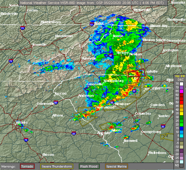 The severe thunderstorm warning for southern abbeville and southwestern greenwood counties will expire at 415 pm edt, the storm which prompted the warning has weakened below severe limits, and has exited the warned area. therefore the warning will be allowed to expire. however small hail is still possible with this thunderstorm. a severe thunderstorm watch remains in effect until 800 pm edt for upstate south carolina. The severe thunderstorm warning for southern abbeville and southwestern greenwood counties will expire at 415 pm edt, the storm which prompted the warning has weakened below severe limits, and has exited the warned area. therefore the warning will be allowed to expire. however small hail is still possible with this thunderstorm. a severe thunderstorm watch remains in effect until 800 pm edt for upstate south carolina.
|
| 5/22/2020 3:40 PM EDT | Power lines down on sc 72 at cambridge st. extension in abbeville county SC, 1.6 miles WSW of Abbeville, SC |
| 5/22/2020 3:25 PM EDT |
 At 325 pm edt, a severe thunderstorm was located 11 miles west of abbeville, or 4 miles southeast of lowndesville, moving east at 30 mph (radar indicated). Hazards include 60 mph wind gusts and quarter size hail. Minor hail damage to vehicles is expected. Expect wind damage to trees and power lines. At 325 pm edt, a severe thunderstorm was located 11 miles west of abbeville, or 4 miles southeast of lowndesville, moving east at 30 mph (radar indicated). Hazards include 60 mph wind gusts and quarter size hail. Minor hail damage to vehicles is expected. Expect wind damage to trees and power lines.
|
| 5/5/2020 8:58 PM EDT |
 At 857 pm edt, severe thunderstorms were located along a line extending from 12 miles northwest of newberry to 6 miles west of greenwood, moving east at 50 mph (radar indicated). Hazards include 60 mph wind gusts and penny size hail. Expect damage to trees and power lines. Locations impacted include, greenwood, abbeville, ninety six, joanna, cross hill, cokesbury, waterloo, hodges, lake greenwood state park and lake greenwood. At 857 pm edt, severe thunderstorms were located along a line extending from 12 miles northwest of newberry to 6 miles west of greenwood, moving east at 50 mph (radar indicated). Hazards include 60 mph wind gusts and penny size hail. Expect damage to trees and power lines. Locations impacted include, greenwood, abbeville, ninety six, joanna, cross hill, cokesbury, waterloo, hodges, lake greenwood state park and lake greenwood.
|
| 5/5/2020 8:26 PM EDT |
 At 825 pm edt, severe thunderstorms were located along a line extending from 15 miles west of laurens to 10 miles west of abbeville, moving east at 40 mph (radar indicated). Hazards include 60 mph wind gusts and quarter size hail. Minor hail damage to vehicles is expected. Expect wind damage to trees and power lines. At 825 pm edt, severe thunderstorms were located along a line extending from 15 miles west of laurens to 10 miles west of abbeville, moving east at 40 mph (radar indicated). Hazards include 60 mph wind gusts and quarter size hail. Minor hail damage to vehicles is expected. Expect wind damage to trees and power lines.
|
| 5/5/2020 3:00 AM EDT |
 At 258 am edt, severe thunderstorms were located along a line extending from 9 miles northeast of greenville downtown to 14 miles southwest of spartanburg to 7 miles north of laurens to 13 miles north of abbeville, moving east at 60 mph (radar indicated). Hazards include 70 mph wind gusts and quarter size hail. Minor hail damage to vehicles is expected. expect considerable tree damage. wind damage is also likely to mobile homes, roofs, and outbuildings. Locations impacted include, greenville downtown, spartanburg, greenwood, laurens, union, abbeville, greenville eastside, west greenville, greer and mauldin. At 258 am edt, severe thunderstorms were located along a line extending from 9 miles northeast of greenville downtown to 14 miles southwest of spartanburg to 7 miles north of laurens to 13 miles north of abbeville, moving east at 60 mph (radar indicated). Hazards include 70 mph wind gusts and quarter size hail. Minor hail damage to vehicles is expected. expect considerable tree damage. wind damage is also likely to mobile homes, roofs, and outbuildings. Locations impacted include, greenville downtown, spartanburg, greenwood, laurens, union, abbeville, greenville eastside, west greenville, greer and mauldin.
|
| 5/5/2020 2:40 AM EDT |
 At 239 am edt, severe thunderstorms were located along a line extending from 10 miles northeast of easley to 7 miles southeast of greenville downtown to 9 miles northwest of abbeville, moving east at 65 mph (radar indicated). Hazards include 70 mph wind gusts and quarter size hail. Minor hail damage to vehicles is expected. expect considerable tree damage. Wind damage is also likely to mobile homes, roofs, and outbuildings. At 239 am edt, severe thunderstorms were located along a line extending from 10 miles northeast of easley to 7 miles southeast of greenville downtown to 9 miles northwest of abbeville, moving east at 65 mph (radar indicated). Hazards include 70 mph wind gusts and quarter size hail. Minor hail damage to vehicles is expected. expect considerable tree damage. Wind damage is also likely to mobile homes, roofs, and outbuildings.
|
| 2/6/2020 1:24 PM EST |
 At 123 pm est, a severe thunderstorm capable of producing a tornado was located 16 miles southwest of abbeville, or 4 miles east of bobby brown state park, moving northeast at 60 mph (radar indicated rotation). Hazards include tornado. Flying debris will be dangerous to those caught without shelter. mobile homes will be damaged or destroyed. damage to roofs, windows, and vehicles will occur. tree damage is likely. this dangerous storm will be near, greenwood and cokesbury around 150 pm est. greenwood state park, ninety six, lake greenwood state park and lake greenwood around 200 pm est. Other locations impacted by this dangerous thunderstorm include coronaca, bradley, promised land, kirksey and dyson. At 123 pm est, a severe thunderstorm capable of producing a tornado was located 16 miles southwest of abbeville, or 4 miles east of bobby brown state park, moving northeast at 60 mph (radar indicated rotation). Hazards include tornado. Flying debris will be dangerous to those caught without shelter. mobile homes will be damaged or destroyed. damage to roofs, windows, and vehicles will occur. tree damage is likely. this dangerous storm will be near, greenwood and cokesbury around 150 pm est. greenwood state park, ninety six, lake greenwood state park and lake greenwood around 200 pm est. Other locations impacted by this dangerous thunderstorm include coronaca, bradley, promised land, kirksey and dyson.
|
| 1/11/2020 8:34 PM EST |
 At 833 pm est, a severe thunderstorm capable of producing a tornado was located near abbeville, moving northeast at 55 mph (radar indicated rotation). Hazards include tornado. Flying debris will be dangerous to those caught without shelter. mobile homes will be damaged or destroyed. damage to roofs, windows, and vehicles will occur. tree damage is likely. this dangerous storm will be near, hodges around 840 pm est. greenwood and cokesbury around 850 pm est. waterloo and cross hill around 900 pm est. Other locations impacted by this dangerous thunderstorm include coronaca and mountville. At 833 pm est, a severe thunderstorm capable of producing a tornado was located near abbeville, moving northeast at 55 mph (radar indicated rotation). Hazards include tornado. Flying debris will be dangerous to those caught without shelter. mobile homes will be damaged or destroyed. damage to roofs, windows, and vehicles will occur. tree damage is likely. this dangerous storm will be near, hodges around 840 pm est. greenwood and cokesbury around 850 pm est. waterloo and cross hill around 900 pm est. Other locations impacted by this dangerous thunderstorm include coronaca and mountville.
|
| 1/11/2020 8:21 PM EST |
 At 821 pm est, a severe thunderstorm was located 11 miles southwest of abbeville, or near calhoun falls, moving northeast at 50 mph (radar indicated). Hazards include 60 mph wind gusts. expect damage to trees and power lines At 821 pm est, a severe thunderstorm was located 11 miles southwest of abbeville, or near calhoun falls, moving northeast at 50 mph (radar indicated). Hazards include 60 mph wind gusts. expect damage to trees and power lines
|
| 10/31/2019 4:27 PM EDT |
 At 426 pm edt, a severe thunderstorm was located 10 miles north of greenwood, or 4 miles northeast of cokesbury, moving northeast at 55 mph. another strong storm will move across the middle of greenwood county at about 50 mph (radar indicated). Hazards include 60 mph wind gusts. expect damage to trees and power lines At 426 pm edt, a severe thunderstorm was located 10 miles north of greenwood, or 4 miles northeast of cokesbury, moving northeast at 55 mph. another strong storm will move across the middle of greenwood county at about 50 mph (radar indicated). Hazards include 60 mph wind gusts. expect damage to trees and power lines
|
| 10/31/2019 4:12 PM EDT |
 At 412 pm edt, a severe thunderstorm was located 6 miles north of abbeville, or 4 miles southeast of due west, moving northeast at 60 mph (radar indicated). Hazards include 60 mph wind gusts. Expect damage to trees and power lines. locations impacted include, abbeville, ware shoals, calhoun falls, due west, lake secession, donalds, cokesbury, hodges, lowndesville and bobby brown state park. A tornado watch remains in effect until 1100 pm edt for upstate south carolina. At 412 pm edt, a severe thunderstorm was located 6 miles north of abbeville, or 4 miles southeast of due west, moving northeast at 60 mph (radar indicated). Hazards include 60 mph wind gusts. Expect damage to trees and power lines. locations impacted include, abbeville, ware shoals, calhoun falls, due west, lake secession, donalds, cokesbury, hodges, lowndesville and bobby brown state park. A tornado watch remains in effect until 1100 pm edt for upstate south carolina.
|
| 10/31/2019 4:00 PM EDT | Several trees down across the count in abbeville county SC, 0.2 miles ENE of Abbeville, SC |
| 10/31/2019 3:40 PM EDT |
 At 339 pm edt, a severe thunderstorm was located 4 miles southeast of elberton, or near middleton, moving northeast at 60 mph (radar indicated). Hazards include 60 mph wind gusts. expect damage to trees and power lines At 339 pm edt, a severe thunderstorm was located 4 miles southeast of elberton, or near middleton, moving northeast at 60 mph (radar indicated). Hazards include 60 mph wind gusts. expect damage to trees and power lines
|
| 10/31/2019 3:29 PM EDT |
 At 329 pm edt, severe thunderstorms were located along a line extending from 14 miles west of laurens to 6 miles northwest of abbeville, moving northeast at 45 mph (radar indicated). Hazards include 60 mph wind gusts. Expect damage to trees and power lines. Locations impacted include, abbeville, fountain inn, belton, honea path, ware shoals, due west, iva, gray court, lake secession and donalds. At 329 pm edt, severe thunderstorms were located along a line extending from 14 miles west of laurens to 6 miles northwest of abbeville, moving northeast at 45 mph (radar indicated). Hazards include 60 mph wind gusts. Expect damage to trees and power lines. Locations impacted include, abbeville, fountain inn, belton, honea path, ware shoals, due west, iva, gray court, lake secession and donalds.
|
| 10/31/2019 3:06 PM EDT |
 At 306 pm edt, severe thunderstorms were located along a line extending from 12 miles east of anderson to 13 miles east of elberton, moving northeast at 45 mph (radar indicated). Hazards include 60 mph wind gusts. expect damage to trees and power lines At 306 pm edt, severe thunderstorms were located along a line extending from 12 miles east of anderson to 13 miles east of elberton, moving northeast at 45 mph (radar indicated). Hazards include 60 mph wind gusts. expect damage to trees and power lines
|
| 7/13/2019 6:20 PM EDT |
 At 620 pm edt, a severe thunderstorm was located near abbeville, moving east at 15 mph (radar indicated). Hazards include 60 mph wind gusts. Expect damage to trees and power lines. Locations impacted include, greenwood, abbeville, promised land, bradley and cokesbury. At 620 pm edt, a severe thunderstorm was located near abbeville, moving east at 15 mph (radar indicated). Hazards include 60 mph wind gusts. Expect damage to trees and power lines. Locations impacted include, greenwood, abbeville, promised land, bradley and cokesbury.
|
| 7/13/2019 6:05 PM EDT |
 At 605 pm edt, a severe thunderstorm was located near abbeville, moving east at 10 mph (radar indicated). Hazards include 60 mph wind gusts and quarter size hail. Minor hail damage to vehicles is expected. expect wind damage to trees and power lines. Locations impacted include, greenwood, abbeville, promised land, bradley, cokesbury, hodges and lake russell. At 605 pm edt, a severe thunderstorm was located near abbeville, moving east at 10 mph (radar indicated). Hazards include 60 mph wind gusts and quarter size hail. Minor hail damage to vehicles is expected. expect wind damage to trees and power lines. Locations impacted include, greenwood, abbeville, promised land, bradley, cokesbury, hodges and lake russell.
|
| 7/13/2019 5:47 PM EDT |
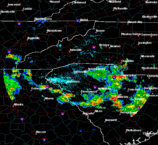 At 547 pm edt, a severe thunderstorm was located near abbeville, moving east at 15 mph (radar indicated). Hazards include 60 mph wind gusts and quarter size hail. Minor hail damage to vehicles is expected. Expect wind damage to trees and power lines. At 547 pm edt, a severe thunderstorm was located near abbeville, moving east at 15 mph (radar indicated). Hazards include 60 mph wind gusts and quarter size hail. Minor hail damage to vehicles is expected. Expect wind damage to trees and power lines.
|
| 6/22/2019 3:27 AM EDT |
 The severe thunderstorm warning for southern laurens, eastern abbeville and greenwood counties will expire at 330 am edt, the storm which prompted the warning has moved out of the area. therefore the warning will be allowed to expire. however gusty winds and heavy rain are still possible with this thunderstorm. a severe thunderstorm watch remains in effect until 500 am edt for upstate south carolina. The severe thunderstorm warning for southern laurens, eastern abbeville and greenwood counties will expire at 330 am edt, the storm which prompted the warning has moved out of the area. therefore the warning will be allowed to expire. however gusty winds and heavy rain are still possible with this thunderstorm. a severe thunderstorm watch remains in effect until 500 am edt for upstate south carolina.
|
| 6/22/2019 3:00 AM EDT |
 At 300 am edt, a severe thunderstorm was located 15 miles north of abbeville, or near donalds, moving east at 30 mph (radar indicated). Hazards include 60 mph wind gusts and quarter size hail. Minor hail damage to vehicles is expected. expect wind damage to trees and power lines. Locations impacted include, greenwood, abbeville, ware shoals, ninety six, joanna, due west, cross hill, donalds, cokesbury and waterloo. At 300 am edt, a severe thunderstorm was located 15 miles north of abbeville, or near donalds, moving east at 30 mph (radar indicated). Hazards include 60 mph wind gusts and quarter size hail. Minor hail damage to vehicles is expected. expect wind damage to trees and power lines. Locations impacted include, greenwood, abbeville, ware shoals, ninety six, joanna, due west, cross hill, donalds, cokesbury and waterloo.
|
| 6/22/2019 2:35 AM EDT | Nws employee relayed a report of a power pole snapped and trees and power lines blown down on old calhoun falls rd. damage also reported in other areas of the count in abbeville county SC, 4.5 miles ENE of Abbeville, SC |
| 6/22/2019 2:32 AM EDT |
 At 232 am edt, a severe thunderstorm was located 8 miles southeast of anderson, or 6 miles south of biltmore park, moving east at 30 mph (radar indicated). Hazards include 60 mph wind gusts and quarter size hail. Minor hail damage to vehicles is expected. Expect wind damage to trees and power lines. At 232 am edt, a severe thunderstorm was located 8 miles southeast of anderson, or 6 miles south of biltmore park, moving east at 30 mph (radar indicated). Hazards include 60 mph wind gusts and quarter size hail. Minor hail damage to vehicles is expected. Expect wind damage to trees and power lines.
|
| 6/20/2019 3:44 PM EDT | Fire dept/rescue reported a tree down on a house on candy branch r in abbeville county SC, 8.4 miles N of Abbeville, SC |
| 6/20/2019 3:22 PM EDT |
 The severe thunderstorm warning for southeastern elbert and southern abbeville counties will expire at 330 pm edt, the storms which prompted the warning have moved out of the area. therefore the warning will be allowed to expire. however small hail and gusty winds are still possible with these thunderstorms. a severe thunderstorm watch remains in effect until 1000 pm edt for northeastern georgia, and upstate south carolina. if you observed large hail or wind damage, please report it to the national weather service greenville-spartanburg by calling toll free, 1, 800, 2 6 7, 8 1 0 1, or by posting on our facebook page, or tweet it using hashtag nwsgsp. your message should describe the event and the specific location where it occurred. remember, a severe thunderstorm warning still remains in effect for southeastern abbeville county until 4:00 pm edt. The severe thunderstorm warning for southeastern elbert and southern abbeville counties will expire at 330 pm edt, the storms which prompted the warning have moved out of the area. therefore the warning will be allowed to expire. however small hail and gusty winds are still possible with these thunderstorms. a severe thunderstorm watch remains in effect until 1000 pm edt for northeastern georgia, and upstate south carolina. if you observed large hail or wind damage, please report it to the national weather service greenville-spartanburg by calling toll free, 1, 800, 2 6 7, 8 1 0 1, or by posting on our facebook page, or tweet it using hashtag nwsgsp. your message should describe the event and the specific location where it occurred. remember, a severe thunderstorm warning still remains in effect for southeastern abbeville county until 4:00 pm edt.
|
| 6/20/2019 3:22 PM EDT |
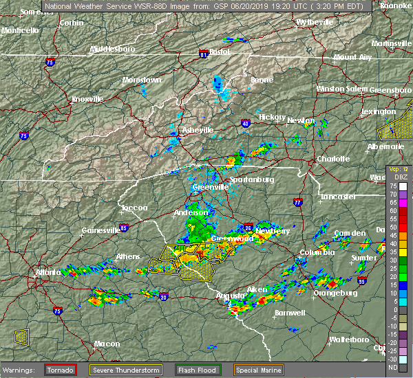 The severe thunderstorm warning for southeastern elbert and southern abbeville counties will expire at 330 pm edt, the storms which prompted the warning have moved out of the area. therefore the warning will be allowed to expire. however small hail and gusty winds are still possible with these thunderstorms. a severe thunderstorm watch remains in effect until 1000 pm edt for northeastern georgia, and upstate south carolina. if you observed large hail or wind damage, please report it to the national weather service greenville-spartanburg by calling toll free, 1, 800, 2 6 7, 8 1 0 1, or by posting on our facebook page, or tweet it using hashtag nwsgsp. your message should describe the event and the specific location where it occurred. remember, a severe thunderstorm warning still remains in effect for southeastern abbeville county until 4:00 pm edt. The severe thunderstorm warning for southeastern elbert and southern abbeville counties will expire at 330 pm edt, the storms which prompted the warning have moved out of the area. therefore the warning will be allowed to expire. however small hail and gusty winds are still possible with these thunderstorms. a severe thunderstorm watch remains in effect until 1000 pm edt for northeastern georgia, and upstate south carolina. if you observed large hail or wind damage, please report it to the national weather service greenville-spartanburg by calling toll free, 1, 800, 2 6 7, 8 1 0 1, or by posting on our facebook page, or tweet it using hashtag nwsgsp. your message should describe the event and the specific location where it occurred. remember, a severe thunderstorm warning still remains in effect for southeastern abbeville county until 4:00 pm edt.
|
| 6/20/2019 3:20 PM EDT | Law enforcement reported multiple trees and powerlines down on sc 28 between abbeville and clatworthy crossroads. time estimated from rada in abbeville county SC, 6.3 miles N of Abbeville, SC |
| 6/20/2019 3:20 PM EDT | Fire dept/rescue reported a tree down on a house on candy branch rd. multiple trees down on candy branch r in abbeville county SC, 8.4 miles N of Abbeville, SC |
| 6/20/2019 3:20 PM EDT | Fire dept/rescue reported trees down on mt carmel rd. time estimated from rada in abbeville county SC, 4 miles NNE of Abbeville, SC |
| 6/20/2019 3:16 PM EDT |
 At 315 pm edt, a severe thunderstorm was located 9 miles south of abbeville, or 6 miles northwest of troy, moving east at 60 mph (radar indicated). Hazards include 70 mph wind gusts and ping pong ball size hail. People and animals outdoors will be injured. expect hail damage to roofs, siding, windows, and vehicles. expect considerable tree damage. Wind damage is also likely to mobile homes, roofs, and outbuildings. At 315 pm edt, a severe thunderstorm was located 9 miles south of abbeville, or 6 miles northwest of troy, moving east at 60 mph (radar indicated). Hazards include 70 mph wind gusts and ping pong ball size hail. People and animals outdoors will be injured. expect hail damage to roofs, siding, windows, and vehicles. expect considerable tree damage. Wind damage is also likely to mobile homes, roofs, and outbuildings.
|
| 6/20/2019 3:02 PM EDT |
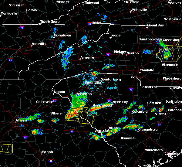 At 301 pm edt, severe thunderstorms were located along a line extending from 12 miles west of abbeville to 9 miles north of washington, moving east at 50 mph (radar indicated). Hazards include 60 mph wind gusts and nickel size hail. Expect damage to trees and power lines. Locations impacted include, abbeville, calhoun falls, bobby brown state park, lake strom thurmond, nancy hart state park, middleton, lake russell, broad river campground, fortsonia and rice town. At 301 pm edt, severe thunderstorms were located along a line extending from 12 miles west of abbeville to 9 miles north of washington, moving east at 50 mph (radar indicated). Hazards include 60 mph wind gusts and nickel size hail. Expect damage to trees and power lines. Locations impacted include, abbeville, calhoun falls, bobby brown state park, lake strom thurmond, nancy hart state park, middleton, lake russell, broad river campground, fortsonia and rice town.
|
| 6/20/2019 2:39 PM EDT |
 The national weather service in greenville-spartanburg has issued a * severe thunderstorm warning for. elbert county in northeastern georgia. southern abbeville county in upstate south carolina. until 330 pm edt. At 237 pm edt, severe thunderstorms were located along a line. The national weather service in greenville-spartanburg has issued a * severe thunderstorm warning for. elbert county in northeastern georgia. southern abbeville county in upstate south carolina. until 330 pm edt. At 237 pm edt, severe thunderstorms were located along a line.
|
| 6/20/2019 2:39 PM EDT |
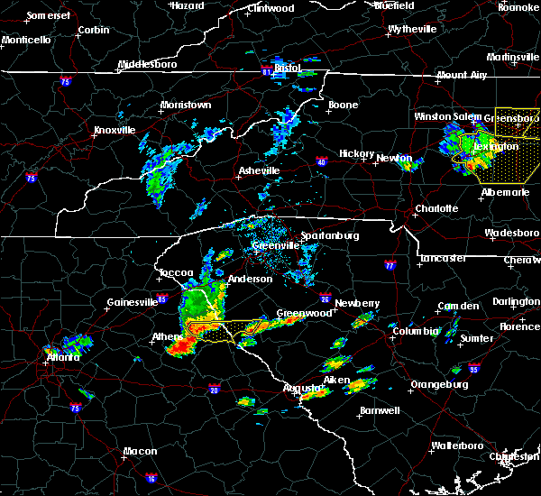 At 237 pm edt, severe thunderstorms were located along a line extending from 5 miles west of elberton to near lexington, moving east at 50 mph (radar indicated). Hazards include 60 mph wind gusts and penny size hail. expect damage to trees and power lines At 237 pm edt, severe thunderstorms were located along a line extending from 5 miles west of elberton to near lexington, moving east at 50 mph (radar indicated). Hazards include 60 mph wind gusts and penny size hail. expect damage to trees and power lines
|
| 4/8/2019 4:26 PM EDT |
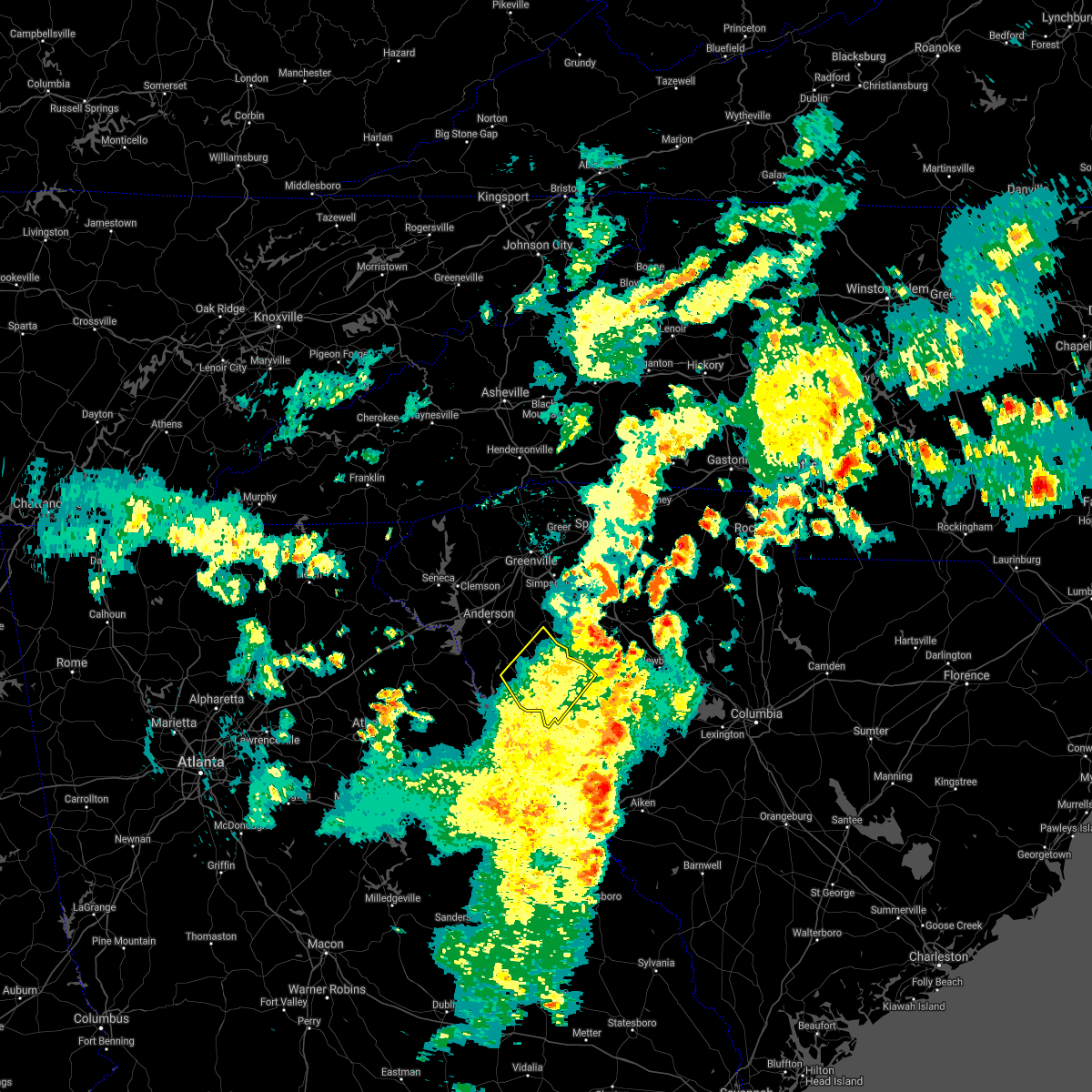 The severe thunderstorm warning for abbeville and western greenwood counties will expire at 430 pm edt, the storm which prompted the warning has moved out of the area. therefore the warning will be allowed to expire. a severe thunderstorm watch remains in effect until 1000 pm edt for upstate south carolina. The severe thunderstorm warning for abbeville and western greenwood counties will expire at 430 pm edt, the storm which prompted the warning has moved out of the area. therefore the warning will be allowed to expire. a severe thunderstorm watch remains in effect until 1000 pm edt for upstate south carolina.
|
| 4/8/2019 3:46 PM EDT |
 At 346 pm edt, a severe thunderstorm was located 5 miles southeast of abbeville, moving northeast at 55 mph (radar indicated). Hazards include 60 mph wind gusts. expect damage to trees and power lines At 346 pm edt, a severe thunderstorm was located 5 miles southeast of abbeville, moving northeast at 55 mph (radar indicated). Hazards include 60 mph wind gusts. expect damage to trees and power lines
|
| 3/1/2019 6:20 PM EST | State emd relayed report of multiple trees and power lines blown down in the area around pinehurst st. possible tornad in abbeville county SC, 1.3 miles SSW of Abbeville, SC |
| 3/1/2019 6:20 PM EST | State emd relayed report of numerous trees and power lines blown down in the area around pinehurst st. in addition... a large oak tree fell through a home... a carport in abbeville county SC, 2 miles S of Abbeville, SC |
| 9/27/2018 6:34 PM EDT |
 At 632 pm edt, severe thunderstorms were located along a line extending from 7 miles east of carnesville to 7 miles north of elberton to 19 miles north of washington, moving northeast at 45 mph (radar indicated. one tree has already been reported down near the town of dewy rose). Hazards include 60 mph wind gusts and penny size hail. Expect damage to trees and power lines. Locations impacted include, anderson, clemson, abbeville, hartwell, homeland park, belton, central, northlake, honea path and pendleton. At 632 pm edt, severe thunderstorms were located along a line extending from 7 miles east of carnesville to 7 miles north of elberton to 19 miles north of washington, moving northeast at 45 mph (radar indicated. one tree has already been reported down near the town of dewy rose). Hazards include 60 mph wind gusts and penny size hail. Expect damage to trees and power lines. Locations impacted include, anderson, clemson, abbeville, hartwell, homeland park, belton, central, northlake, honea path and pendleton.
|
| 9/27/2018 6:00 PM EDT |
 At 559 pm edt, severe thunderstorms were located along a line extending from 4 miles southeast of homer to 6 miles northeast of lexington, moving northeast at 45 mph (radar indicated). Hazards include 60 mph wind gusts and penny size hail. expect damage to trees and power lines At 559 pm edt, severe thunderstorms were located along a line extending from 4 miles southeast of homer to 6 miles northeast of lexington, moving northeast at 45 mph (radar indicated). Hazards include 60 mph wind gusts and penny size hail. expect damage to trees and power lines
|
| 8/1/2018 10:22 PM EDT |
 The severe thunderstorm warning for southern abbeville county will expire at 1030 pm edt, the storm which prompted the warning has weakened below severe limits, and no longer poses an immediate threat to life or property. therefore, the warning will be allowed to expire. however, gusty winds to 35 mph are still possible with this thunderstorm. The severe thunderstorm warning for southern abbeville county will expire at 1030 pm edt, the storm which prompted the warning has weakened below severe limits, and no longer poses an immediate threat to life or property. therefore, the warning will be allowed to expire. however, gusty winds to 35 mph are still possible with this thunderstorm.
|
| 8/1/2018 9:59 PM EDT |
 At 958 pm edt, a severe thunderstorm capable of producing a tornado was located 9 miles west of abbeville, or 4 miles northeast of calhoun falls, moving northeast at 25 mph (radar indicated rotation). Hazards include tornado. Flying debris will be dangerous to those caught without shelter. mobile homes will be damaged or destroyed. damage to roofs, windows, and vehicles will occur. tree damage is likely. this dangerous storm will be near, abbeville around 1010 pm edt. Other locations impacted by this dangerous storm include antreville. At 958 pm edt, a severe thunderstorm capable of producing a tornado was located 9 miles west of abbeville, or 4 miles northeast of calhoun falls, moving northeast at 25 mph (radar indicated rotation). Hazards include tornado. Flying debris will be dangerous to those caught without shelter. mobile homes will be damaged or destroyed. damage to roofs, windows, and vehicles will occur. tree damage is likely. this dangerous storm will be near, abbeville around 1010 pm edt. Other locations impacted by this dangerous storm include antreville.
|
| 8/1/2018 9:55 PM EDT |
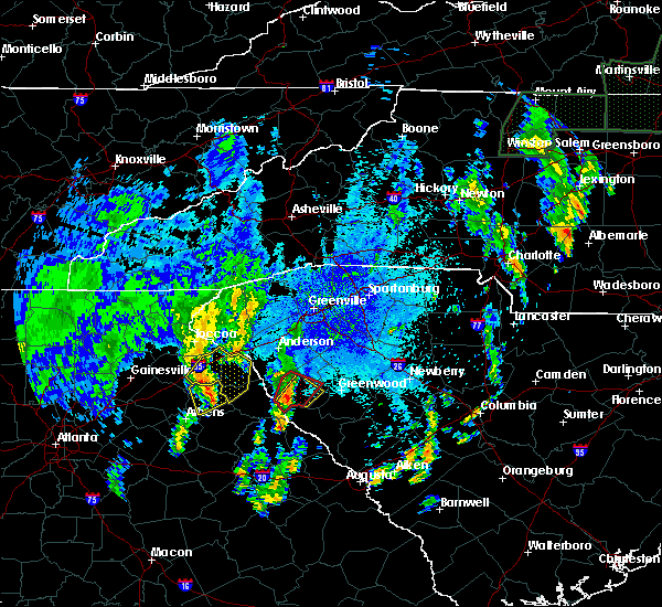 At 954 pm edt, a severe thunderstorm was located 11 miles southwest of abbeville, or near calhoun falls, moving northeast at 20 mph (radar indicated). Hazards include 60 mph wind gusts and penny size hail. please see the separate tornado warning on this storm. Expect damage to trees and power lines. Locations impacted include, abbeville, calhoun falls and lake russell. At 954 pm edt, a severe thunderstorm was located 11 miles southwest of abbeville, or near calhoun falls, moving northeast at 20 mph (radar indicated). Hazards include 60 mph wind gusts and penny size hail. please see the separate tornado warning on this storm. Expect damage to trees and power lines. Locations impacted include, abbeville, calhoun falls and lake russell.
|
| 8/1/2018 9:46 PM EDT |
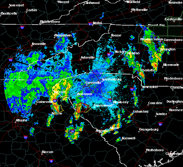 At 945 pm edt, a severe thunderstorm capable of producing a tornado was located 13 miles southwest of abbeville, or near calhoun falls, moving northeast at 25 mph (radar indicated rotation). Hazards include tornado. Flying debris will be dangerous to those caught without shelter. mobile homes will be damaged or destroyed. damage to roofs, windows, and vehicles will occur. tree damage is likely. this dangerous storm will be near, abbeville around 1010 pm edt. Other locations impacted by this dangerous thunderstorm include antreville. At 945 pm edt, a severe thunderstorm capable of producing a tornado was located 13 miles southwest of abbeville, or near calhoun falls, moving northeast at 25 mph (radar indicated rotation). Hazards include tornado. Flying debris will be dangerous to those caught without shelter. mobile homes will be damaged or destroyed. damage to roofs, windows, and vehicles will occur. tree damage is likely. this dangerous storm will be near, abbeville around 1010 pm edt. Other locations impacted by this dangerous thunderstorm include antreville.
|
| 8/1/2018 9:38 PM EDT |
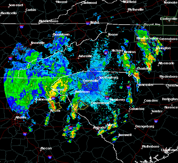 At 938 pm edt, a severe thunderstorm was located 16 miles east of elberton, or over lake strom thurmond, moving northeast at 20 mph (radar indicated). Hazards include 60 mph wind gusts and penny size hail. expect damage to trees and power lines At 938 pm edt, a severe thunderstorm was located 16 miles east of elberton, or over lake strom thurmond, moving northeast at 20 mph (radar indicated). Hazards include 60 mph wind gusts and penny size hail. expect damage to trees and power lines
|
| 7/21/2018 10:26 PM EDT |
 At 1026 pm edt, severe thunderstorms were located along a line extending from 15 miles southeast of anderson to 10 miles northwest of abbeville, moving southeast at 25 mph (radar indicated). Hazards include 70 mph wind gusts and quarter size hail. Minor hail damage to vehicles is expected. expect considerable tree damage. Wind damage is also likely to mobile homes, roofs, and outbuildings. At 1026 pm edt, severe thunderstorms were located along a line extending from 15 miles southeast of anderson to 10 miles northwest of abbeville, moving southeast at 25 mph (radar indicated). Hazards include 70 mph wind gusts and quarter size hail. Minor hail damage to vehicles is expected. expect considerable tree damage. Wind damage is also likely to mobile homes, roofs, and outbuildings.
|
| 7/3/2018 8:25 PM EDT | 911 call center reported multiple trees down in abbeville. time estimated from rada in abbeville county SC, 0.2 miles ENE of Abbeville, SC |
| 7/3/2018 8:22 PM EDT |
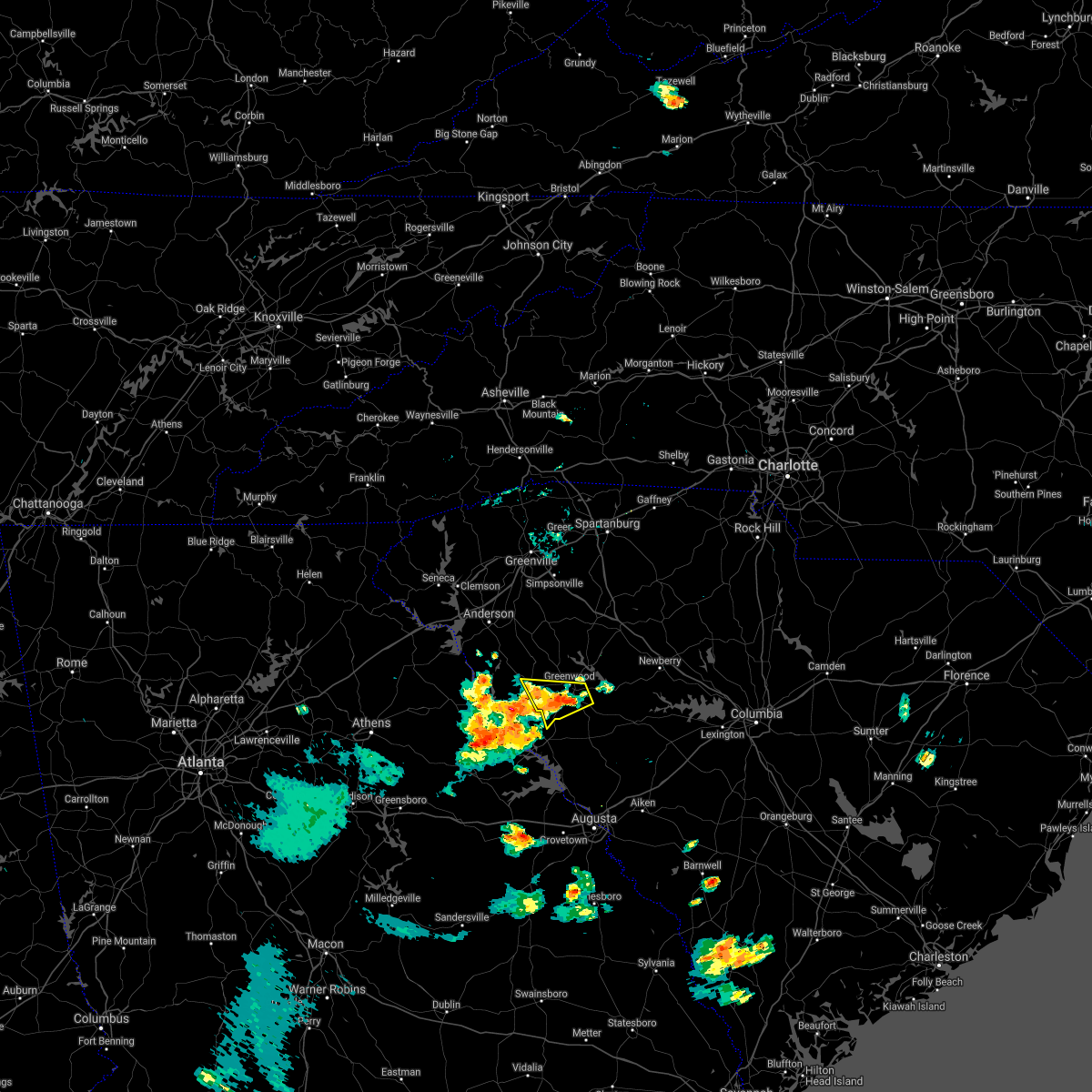 At 822 pm edt, a severe thunderstorm was located 7 miles southwest of greenwood, moving west at 25 mph (radar indicated). Hazards include 60 mph wind gusts. Expect damage to trees and power lines. Locations impacted include, greenwood, abbeville, troy, promised land, bradley and epworth. At 822 pm edt, a severe thunderstorm was located 7 miles southwest of greenwood, moving west at 25 mph (radar indicated). Hazards include 60 mph wind gusts. Expect damage to trees and power lines. Locations impacted include, greenwood, abbeville, troy, promised land, bradley and epworth.
|
| 7/3/2018 8:07 PM EDT |
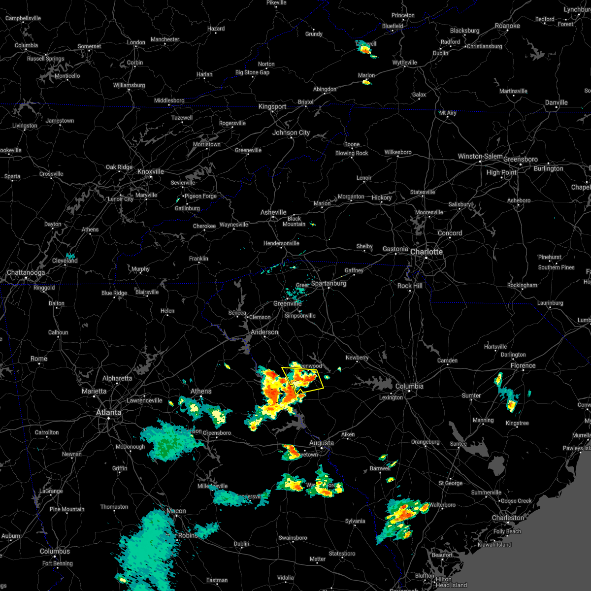 At 806 pm edt, a severe thunderstorm was located 6 miles southwest of greenwood, moving west at 25 mph (radar indicated). Hazards include 60 mph wind gusts. expect damage to trees and power lines At 806 pm edt, a severe thunderstorm was located 6 miles southwest of greenwood, moving west at 25 mph (radar indicated). Hazards include 60 mph wind gusts. expect damage to trees and power lines
|
| 7/3/2018 7:37 PM EDT |
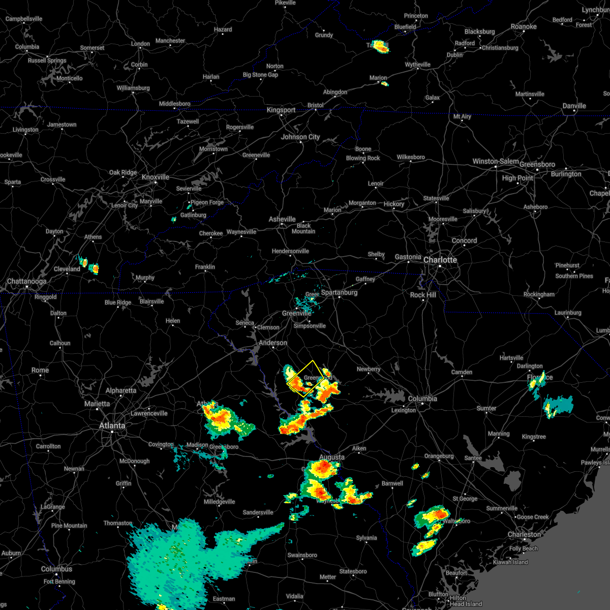 The severe thunderstorm warning for southeastern abbeville and northwestern greenwood counties will expire at 745 pm edt, the storm which prompted the warning has weakened below severe limits, and no longer poses an immediate threat to life or property. therefore the warning will be allowed to expire. however gusty winds are still possible with this thunderstorm. The severe thunderstorm warning for southeastern abbeville and northwestern greenwood counties will expire at 745 pm edt, the storm which prompted the warning has weakened below severe limits, and no longer poses an immediate threat to life or property. therefore the warning will be allowed to expire. however gusty winds are still possible with this thunderstorm.
|
| 7/3/2018 7:03 PM EDT |
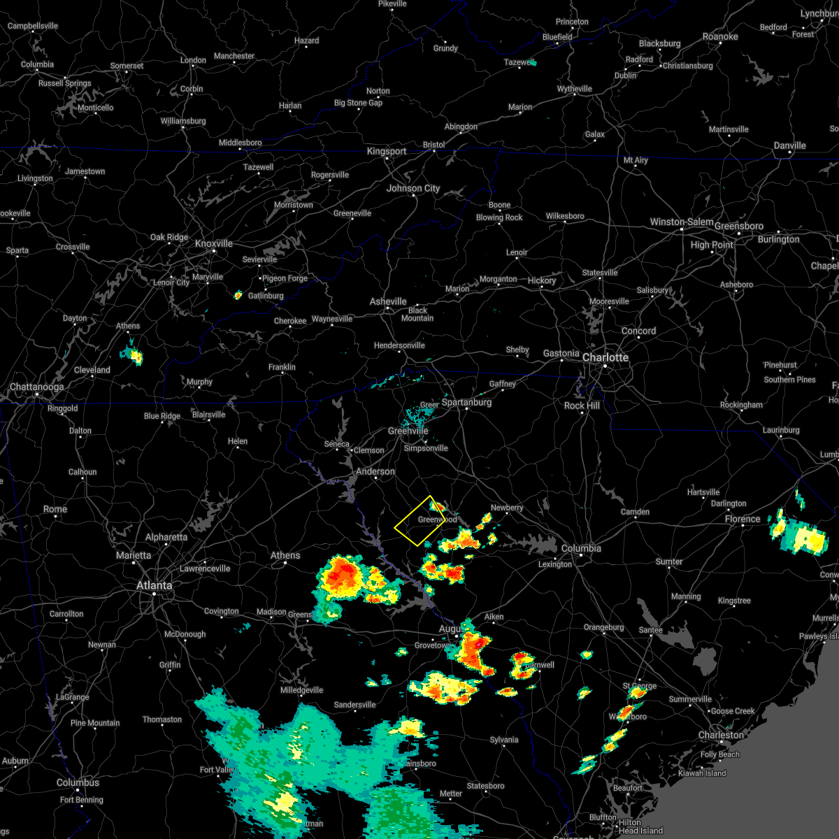 At 703 pm edt, a severe thunderstorm was located 6 miles northwest of greenwood, or near cokesbury, moving southwest at 25 mph (radar indicated). Hazards include 60 mph wind gusts. expect damage to trees and power lines At 703 pm edt, a severe thunderstorm was located 6 miles northwest of greenwood, or near cokesbury, moving southwest at 25 mph (radar indicated). Hazards include 60 mph wind gusts. expect damage to trees and power lines
|
| 6/27/2018 6:09 PM EDT |
 At 609 pm edt, a severe thunderstorm was located 13 miles east of elberton, or near calhoun falls, moving east at 15 mph (radar indicated). Hazards include 60 mph wind gusts and quarter size hail. Minor hail damage to vehicles is expected. Expect wind damage to trees and power lines. At 609 pm edt, a severe thunderstorm was located 13 miles east of elberton, or near calhoun falls, moving east at 15 mph (radar indicated). Hazards include 60 mph wind gusts and quarter size hail. Minor hail damage to vehicles is expected. Expect wind damage to trees and power lines.
|
| 6/26/2018 6:38 PM EDT |
 The severe thunderstorm warning for southeastern elbert, southern abbeville and greenwood counties will expire at 645 pm edt, the storms which prompted the warning have moved out of the area. therefore, the warning will be allowed to expire. gusty winds to 35 mph are still possible with these thunderstorms. The severe thunderstorm warning for southeastern elbert, southern abbeville and greenwood counties will expire at 645 pm edt, the storms which prompted the warning have moved out of the area. therefore, the warning will be allowed to expire. gusty winds to 35 mph are still possible with these thunderstorms.
|
| 6/26/2018 6:34 PM EDT |
 At 633 pm edt, severe thunderstorms were located along a line extending from 5 miles northeast of greenwood to 6 miles south of abbeville to 11 miles east of elberton, moving south at 10 mph (radar indicated). Hazards include 60 mph wind gusts and quarter size hail. Minor hail damage to vehicles is expected. expect wind damage to trees and power lines. Locations impacted include, greenwood, calhoun falls, ninety six, troy, lake greenwood, bobby brown state park, greenwood state park, ninety six historic site, lake strom thurmond and nancy hart state park. At 633 pm edt, severe thunderstorms were located along a line extending from 5 miles northeast of greenwood to 6 miles south of abbeville to 11 miles east of elberton, moving south at 10 mph (radar indicated). Hazards include 60 mph wind gusts and quarter size hail. Minor hail damage to vehicles is expected. expect wind damage to trees and power lines. Locations impacted include, greenwood, calhoun falls, ninety six, troy, lake greenwood, bobby brown state park, greenwood state park, ninety six historic site, lake strom thurmond and nancy hart state park.
|
| 6/26/2018 6:34 PM EDT |
 The severe thunderstorm warning for southeastern elbert, southern abbeville and greenwood counties will expire at 645 pm edt, the storms which prompted the warning have moved out of the area. therefore, the warning will be allowed to expire. gusty winds to 35 mph are still possible with these thunderstorms. The severe thunderstorm warning for southeastern elbert, southern abbeville and greenwood counties will expire at 645 pm edt, the storms which prompted the warning have moved out of the area. therefore, the warning will be allowed to expire. gusty winds to 35 mph are still possible with these thunderstorms.
|
| 6/26/2018 6:20 PM EDT |
 At 620 pm edt, severe thunderstorms were located along a line extending from 5 miles north of greenwood to 12 miles east of elberton, moving south at 15 mph (radar indicated). Hazards include 60 mph wind gusts and quarter size hail. Minor hail damage to vehicles is expected. expect wind damage to trees and power lines. Locations impacted include, greenwood, abbeville, calhoun falls, ninety six, cokesbury, hodges, troy, lake greenwood, bobby brown state park and greenwood state park. At 620 pm edt, severe thunderstorms were located along a line extending from 5 miles north of greenwood to 12 miles east of elberton, moving south at 15 mph (radar indicated). Hazards include 60 mph wind gusts and quarter size hail. Minor hail damage to vehicles is expected. expect wind damage to trees and power lines. Locations impacted include, greenwood, abbeville, calhoun falls, ninety six, cokesbury, hodges, troy, lake greenwood, bobby brown state park and greenwood state park.
|
| 6/26/2018 6:01 PM EDT |
 At 600 pm edt, severe thunderstorms were located along a line extending from 9 miles north of greenwood to 10 miles east of elberton, moving south at 15 mph (radar indicated). Hazards include 60 mph wind gusts and quarter size hail. Minor hail damage to vehicles is expected. Expect wind damage to trees and power lines. At 600 pm edt, severe thunderstorms were located along a line extending from 9 miles north of greenwood to 10 miles east of elberton, moving south at 15 mph (radar indicated). Hazards include 60 mph wind gusts and quarter size hail. Minor hail damage to vehicles is expected. Expect wind damage to trees and power lines.
|
| 6/25/2018 7:24 PM EDT |
 At 723 pm edt, severe thunderstorms were located along a line extending from near york to 12 miles southeast of greenwood, moving east at 45 mph (radar indicated). Hazards include 60 mph wind gusts and quarter size hail. Minor hail damage to vehicles is expected. expect wind damage to trees and power lines. Locations impacted include, rock hill, greenwood, laurens, union, york, chester, abbeville, clinton, newport and pacolet. At 723 pm edt, severe thunderstorms were located along a line extending from near york to 12 miles southeast of greenwood, moving east at 45 mph (radar indicated). Hazards include 60 mph wind gusts and quarter size hail. Minor hail damage to vehicles is expected. expect wind damage to trees and power lines. Locations impacted include, rock hill, greenwood, laurens, union, york, chester, abbeville, clinton, newport and pacolet.
|
| 6/25/2018 7:07 PM EDT |
 The severe thunderstorm warning for elbert, laurens, southeastern greenville, southern spartanburg, southeastern anderson, abbeville, northwestern union and northwestern greenwood counties will expire at 715 pm edt, the storms which prompted the warning have moved out of the area. therefore the warning will be allowed to expire. however gusty winds are still possible with these thunderstorms. a severe thunderstorm watch remains in effect until 1000 pm edt for northeastern georgia, and upstate south carolina. The severe thunderstorm warning for elbert, laurens, southeastern greenville, southern spartanburg, southeastern anderson, abbeville, northwestern union and northwestern greenwood counties will expire at 715 pm edt, the storms which prompted the warning have moved out of the area. therefore the warning will be allowed to expire. however gusty winds are still possible with these thunderstorms. a severe thunderstorm watch remains in effect until 1000 pm edt for northeastern georgia, and upstate south carolina.
|
| 6/25/2018 7:07 PM EDT |
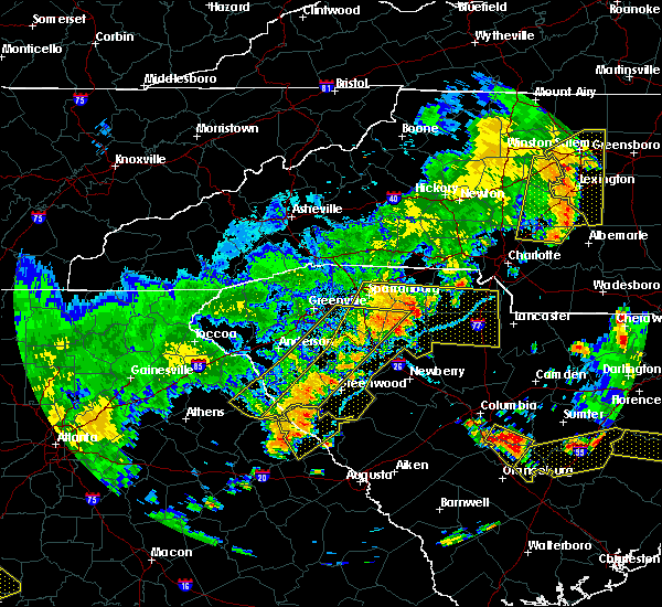 The severe thunderstorm warning for elbert, laurens, southeastern greenville, southern spartanburg, southeastern anderson, abbeville, northwestern union and northwestern greenwood counties will expire at 715 pm edt, the storms which prompted the warning have moved out of the area. therefore the warning will be allowed to expire. however gusty winds are still possible with these thunderstorms. a severe thunderstorm watch remains in effect until 1000 pm edt for northeastern georgia, and upstate south carolina. The severe thunderstorm warning for elbert, laurens, southeastern greenville, southern spartanburg, southeastern anderson, abbeville, northwestern union and northwestern greenwood counties will expire at 715 pm edt, the storms which prompted the warning have moved out of the area. therefore the warning will be allowed to expire. however gusty winds are still possible with these thunderstorms. a severe thunderstorm watch remains in effect until 1000 pm edt for northeastern georgia, and upstate south carolina.
|
| 6/25/2018 6:58 PM EDT |
 The national weather service in greenville-spartanburg has issued a * severe thunderstorm warning for. southeastern elbert county in northeastern georgia. laurens county in upstate south carolina. chester county in upstate south carolina. Southern york county in upstate south carolina. The national weather service in greenville-spartanburg has issued a * severe thunderstorm warning for. southeastern elbert county in northeastern georgia. laurens county in upstate south carolina. chester county in upstate south carolina. Southern york county in upstate south carolina.
|
| 6/25/2018 6:58 PM EDT |
 At 658 pm edt, severe thunderstorms were located along a line extending from 10 miles southeast of gaffney to 10 miles southeast of abbeville, moving east at 45 mph (radar indicated). Hazards include 60 mph wind gusts and quarter size hail. Minor hail damage to vehicles is expected. Expect wind damage to trees and power lines. At 658 pm edt, severe thunderstorms were located along a line extending from 10 miles southeast of gaffney to 10 miles southeast of abbeville, moving east at 45 mph (radar indicated). Hazards include 60 mph wind gusts and quarter size hail. Minor hail damage to vehicles is expected. Expect wind damage to trees and power lines.
|
| 6/25/2018 6:30 PM EDT |
 At 630 pm edt, severe thunderstorms were located along a line extending from 5 miles south of spartanburg to 14 miles north of abbeville to 7 miles south of elberton, moving southeast at 40 mph (radar indicated). Hazards include 60 mph wind gusts and quarter size hail. Minor hail damage to vehicles is expected. Expect wind damage to trees and power lines. At 630 pm edt, severe thunderstorms were located along a line extending from 5 miles south of spartanburg to 14 miles north of abbeville to 7 miles south of elberton, moving southeast at 40 mph (radar indicated). Hazards include 60 mph wind gusts and quarter size hail. Minor hail damage to vehicles is expected. Expect wind damage to trees and power lines.
|
| 6/1/2018 5:40 PM EDT |
 At 539 pm edt, a severe thunderstorm was located 4 miles south of abbeville, moving northeast at 35 mph (radar indicated). Hazards include 60 mph wind gusts and quarter size hail. Minor hail damage to vehicles is expected. expect wind damage to trees and power lines. Locations impacted include, abbeville, calhoun falls, lake strom thurmond, bobby brown state park, rice town and lake russell. At 539 pm edt, a severe thunderstorm was located 4 miles south of abbeville, moving northeast at 35 mph (radar indicated). Hazards include 60 mph wind gusts and quarter size hail. Minor hail damage to vehicles is expected. expect wind damage to trees and power lines. Locations impacted include, abbeville, calhoun falls, lake strom thurmond, bobby brown state park, rice town and lake russell.
|
| 6/1/2018 5:40 PM EDT |
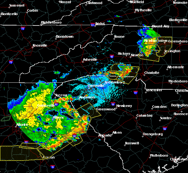 At 539 pm edt, a severe thunderstorm was located 4 miles south of abbeville, moving northeast at 35 mph (radar indicated). Hazards include 60 mph wind gusts and quarter size hail. Minor hail damage to vehicles is expected. expect wind damage to trees and power lines. Locations impacted include, abbeville, calhoun falls, lake strom thurmond, bobby brown state park, rice town and lake russell. At 539 pm edt, a severe thunderstorm was located 4 miles south of abbeville, moving northeast at 35 mph (radar indicated). Hazards include 60 mph wind gusts and quarter size hail. Minor hail damage to vehicles is expected. expect wind damage to trees and power lines. Locations impacted include, abbeville, calhoun falls, lake strom thurmond, bobby brown state park, rice town and lake russell.
|
| 6/1/2018 5:18 PM EDT |
 At 517 pm edt, a severe thunderstorm was located 15 miles east of elberton, or near lake strom thurmond, moving east at 35 mph (radar indicated). Hazards include 60 mph wind gusts and quarter size hail. Minor hail damage to vehicles is expected. Expect wind damage to trees and power lines. At 517 pm edt, a severe thunderstorm was located 15 miles east of elberton, or near lake strom thurmond, moving east at 35 mph (radar indicated). Hazards include 60 mph wind gusts and quarter size hail. Minor hail damage to vehicles is expected. Expect wind damage to trees and power lines.
|
| 7/5/2017 7:37 PM EDT |
 At 736 pm edt, a severe thunderstorm was located 6 miles south of hartwell, moving east at 25 mph (radar indicated). Hazards include 60 mph wind gusts and quarter size hail. Minor hail damage to vehicles is expected. Expect wind damage to trees and power lines. At 736 pm edt, a severe thunderstorm was located 6 miles south of hartwell, moving east at 25 mph (radar indicated). Hazards include 60 mph wind gusts and quarter size hail. Minor hail damage to vehicles is expected. Expect wind damage to trees and power lines.
|
| 4/6/2017 12:57 AM EDT |
 At 1256 am edt, severe thunderstorms were located along a line extending from 10 miles southeast of anderson to 9 miles west of abbeville to 16 miles east of elberton, moving northeast at 60 mph (radar indicated). Hazards include 60 mph wind gusts and quarter size hail. Hail damage to vehicles is expected. expect wind damage to roofs, siding, and trees. Locations impacted include, abbeville, belton, honea path, ware shoals, calhoun falls, due west, lake secession, donalds, cokesbury and hodges. At 1256 am edt, severe thunderstorms were located along a line extending from 10 miles southeast of anderson to 9 miles west of abbeville to 16 miles east of elberton, moving northeast at 60 mph (radar indicated). Hazards include 60 mph wind gusts and quarter size hail. Hail damage to vehicles is expected. expect wind damage to roofs, siding, and trees. Locations impacted include, abbeville, belton, honea path, ware shoals, calhoun falls, due west, lake secession, donalds, cokesbury and hodges.
|
| 4/6/2017 12:39 AM EDT |
 At 1238 am edt, severe thunderstorms were located along a line extending from 7 miles east of hartwell to 6 miles northeast of elberton to 18 miles northeast of lexington, moving northeast at 65 mph (radar indicated). Hazards include 60 mph wind gusts and quarter size hail. Hail damage to vehicles is expected. Expect wind damage to roofs, siding, and trees. At 1238 am edt, severe thunderstorms were located along a line extending from 7 miles east of hartwell to 6 miles northeast of elberton to 18 miles northeast of lexington, moving northeast at 65 mph (radar indicated). Hazards include 60 mph wind gusts and quarter size hail. Hail damage to vehicles is expected. Expect wind damage to roofs, siding, and trees.
|
| 11/30/2016 4:41 PM EST |
 At 441 pm est, severe thunderstorms were located along a line extending from 7 miles west of rutherfordton to near greenville downtown to 18 miles southeast of easley to 5 miles northeast of abbeville to 21 miles northeast of washington, moving east at 55 mph (radar indicated). Hazards include 60 mph wind gusts. Expect damage to roofs. Siding and trees. At 441 pm est, severe thunderstorms were located along a line extending from 7 miles west of rutherfordton to near greenville downtown to 18 miles southeast of easley to 5 miles northeast of abbeville to 21 miles northeast of washington, moving east at 55 mph (radar indicated). Hazards include 60 mph wind gusts. Expect damage to roofs. Siding and trees.
|
| 11/30/2016 3:59 PM EST |
 At 359 pm est, severe thunderstorms were located along a line extending from 11 miles northwest of pickens to 6 miles south of clemson to near hartwell to 9 miles north of elberton to 4 miles southwest of lexington, moving east at 40 mph (radar indicated). Hazards include 60 mph wind gusts. Expect damage to roofs. Siding and trees. At 359 pm est, severe thunderstorms were located along a line extending from 11 miles northwest of pickens to 6 miles south of clemson to near hartwell to 9 miles north of elberton to 4 miles southwest of lexington, moving east at 40 mph (radar indicated). Hazards include 60 mph wind gusts. Expect damage to roofs. Siding and trees.
|
| 7/7/2016 10:02 PM EDT |
 At 1002 pm edt, severe thunderstorms were located along a line extending from 14 miles southwest of union to 11 miles south of laurens to 8 miles north of abbeville, moving southeast at 40 mph (radar indicated). Hazards include 70 mph wind gusts and quarter size hail. Hail damage to vehicles is expected. expect considerable tree damage. wind damage is also likely to mobile homes, roofs and outbuildings. Locations impacted include, greenwood, abbeville, clinton, ninety six, joanna, due west, cross hill, cokesbury, waterloo and hodges. At 1002 pm edt, severe thunderstorms were located along a line extending from 14 miles southwest of union to 11 miles south of laurens to 8 miles north of abbeville, moving southeast at 40 mph (radar indicated). Hazards include 70 mph wind gusts and quarter size hail. Hail damage to vehicles is expected. expect considerable tree damage. wind damage is also likely to mobile homes, roofs and outbuildings. Locations impacted include, greenwood, abbeville, clinton, ninety six, joanna, due west, cross hill, cokesbury, waterloo and hodges.
|
| 7/7/2016 9:40 PM EDT |
 At 939 pm edt, severe thunderstorms were located along a line extending from 11 miles north of laurens to 12 miles southeast of anderson, moving southeast at 45 mph (radar indicated). Hazards include 60 mph wind gusts. Expect damage to roofs. Siding and trees. At 939 pm edt, severe thunderstorms were located along a line extending from 11 miles north of laurens to 12 miles southeast of anderson, moving southeast at 45 mph (radar indicated). Hazards include 60 mph wind gusts. Expect damage to roofs. Siding and trees.
|
| 6/30/2016 2:30 PM EDT | Quarter sized hail reported 4.7 miles S of Abbeville, SC |
| 6/30/2016 2:18 PM EDT |
 At 217 pm edt, a severe thunderstorm was located near abbeville, moving northeast at 20 mph (radar indicated). Hazards include 60 mph wind gusts and quarter size hail. Hail damage to vehicles is expected. Expect wind damage to roofs, siding and trees. At 217 pm edt, a severe thunderstorm was located near abbeville, moving northeast at 20 mph (radar indicated). Hazards include 60 mph wind gusts and quarter size hail. Hail damage to vehicles is expected. Expect wind damage to roofs, siding and trees.
|
| 6/29/2016 9:52 PM EDT |
 At 951 pm edt, severe thunderstorms were located along a line extending from 20 miles west of laurens to 11 miles southeast of anderson to 10 miles east of hartwell, moving east at 20 mph (radar indicated). Hazards include 60 mph wind gusts and quarter size hail. Hail damage to vehicles is expected. Expect wind damage to roofs, siding and trees. At 951 pm edt, severe thunderstorms were located along a line extending from 20 miles west of laurens to 11 miles southeast of anderson to 10 miles east of hartwell, moving east at 20 mph (radar indicated). Hazards include 60 mph wind gusts and quarter size hail. Hail damage to vehicles is expected. Expect wind damage to roofs, siding and trees.
|
| 6/17/2016 4:27 PM EDT | The severe thunderstorm warning for greenwood and southeastern abbeville counties will expire at 430 pm edt. the storms which prompted the warning have weakened below severe limits. and no longer pose an immediate threat to life or property. therefore the warning will be allowed to expire. However gusty winds are still possible with these thunderstorms. |
| 6/17/2016 4:09 PM EDT |
 At 409 pm edt, severe thunderstorms were located along a line extending from 6 miles east of abbeville to 14 miles southeast of greenwood to 20 miles southwest of newberry, moving southeast at 35 mph (radar indicated). Hazards include 60 mph wind gusts. Expect damage to roofs. siding and trees. Locations impacted include, greenwood, abbeville, ninety six, cokesbury, hodges, troy, greenwood state park, ninety six historic site, promised land and bradley. At 409 pm edt, severe thunderstorms were located along a line extending from 6 miles east of abbeville to 14 miles southeast of greenwood to 20 miles southwest of newberry, moving southeast at 35 mph (radar indicated). Hazards include 60 mph wind gusts. Expect damage to roofs. siding and trees. Locations impacted include, greenwood, abbeville, ninety six, cokesbury, hodges, troy, greenwood state park, ninety six historic site, promised land and bradley.
|
| 6/17/2016 3:49 PM EDT |
 At 349 pm edt, severe thunderstorms were located along a line extending from 6 miles north of abbeville to 6 miles southwest of greenwood to 20 miles southwest of newberry, moving southeast at 25 mph (radar indicated). Hazards include 60 mph wind gusts. Expect damage to roofs. Siding and trees. At 349 pm edt, severe thunderstorms were located along a line extending from 6 miles north of abbeville to 6 miles southwest of greenwood to 20 miles southwest of newberry, moving southeast at 25 mph (radar indicated). Hazards include 60 mph wind gusts. Expect damage to roofs. Siding and trees.
|
| 6/1/2016 8:43 PM EDT |
 At 842 pm edt, a severe thunderstorm was located 4 miles east of abbeville, and is nearly stationary (radar indicated). Hazards include 60 mph wind gusts. Expect damage to roofs. Siding and trees. At 842 pm edt, a severe thunderstorm was located 4 miles east of abbeville, and is nearly stationary (radar indicated). Hazards include 60 mph wind gusts. Expect damage to roofs. Siding and trees.
|
| 8/11/2015 8:51 PM EDT |
 At 850 pm edt, doppler radar indicated a severe thunderstorm capable of producing damaging winds in excess of 60 mph. this storm was located 14 miles east of elberton, or near lowndesville, moving southeast at 20 mph. locations impacted include, calhoun falls, lake secession, lowndesville, russell state park and lake russell. At 850 pm edt, doppler radar indicated a severe thunderstorm capable of producing damaging winds in excess of 60 mph. this storm was located 14 miles east of elberton, or near lowndesville, moving southeast at 20 mph. locations impacted include, calhoun falls, lake secession, lowndesville, russell state park and lake russell.
|
| 8/11/2015 8:25 PM EDT |
 At 825 pm edt, doppler radar indicated a severe thunderstorm capable of producing damaging winds in excess of 60 mph. this storm was located 14 miles east of hartwell, or near iva, and moving southeast at 20 mph. * locations in the warning include, calhoun falls, iva, lake secession, starr, lowndesville, russell state park, lake russell, rock branch and antreville. At 825 pm edt, doppler radar indicated a severe thunderstorm capable of producing damaging winds in excess of 60 mph. this storm was located 14 miles east of hartwell, or near iva, and moving southeast at 20 mph. * locations in the warning include, calhoun falls, iva, lake secession, starr, lowndesville, russell state park, lake russell, rock branch and antreville.
|
| 8/10/2015 7:06 PM EDT |
 At 705 pm edt, doppler radar indicated a severe thunderstorm with a history of producing damaging winds in excess of 60 mph. this storm was located 14 miles east of hartwell, or near iva, moving east at 25 mph. locations impacted include, abbeville, elberton, honea path, ware shoals, calhoun falls, due west, iva, lake secession, donalds and starr. At 705 pm edt, doppler radar indicated a severe thunderstorm with a history of producing damaging winds in excess of 60 mph. this storm was located 14 miles east of hartwell, or near iva, moving east at 25 mph. locations impacted include, abbeville, elberton, honea path, ware shoals, calhoun falls, due west, iva, lake secession, donalds and starr.
|
| 8/10/2015 6:31 PM EDT |
 At 630 pm edt, doppler radar indicated a severe thunderstorm with a history of producing damaging winds in excess of 60 mph. this storm was located over hartwell, and moving east at 30 mph. * locations in the warning include, anderson, abbeville, elberton, hartwell, homeland park, belton, northlake, honea path, ware shoals and calhoun falls. At 630 pm edt, doppler radar indicated a severe thunderstorm with a history of producing damaging winds in excess of 60 mph. this storm was located over hartwell, and moving east at 30 mph. * locations in the warning include, anderson, abbeville, elberton, hartwell, homeland park, belton, northlake, honea path, ware shoals and calhoun falls.
|
| 7/18/2015 7:12 PM EDT |
 At 711 pm edt, doppler radar indicated a line of thunderstorms with a history of producing damaging winds in excess of 60 mph. these storms were located along a line extending from 10 miles east of greenwood to 6 miles southwest of abbeville to 12 miles east of elberton, moving south at 20 mph. locations impacted include, calhoun falls, ninety six, troy, ninety six historic site, greenwood state park, promised land, bradley, dyson, epworth and callison. At 711 pm edt, doppler radar indicated a line of thunderstorms with a history of producing damaging winds in excess of 60 mph. these storms were located along a line extending from 10 miles east of greenwood to 6 miles southwest of abbeville to 12 miles east of elberton, moving south at 20 mph. locations impacted include, calhoun falls, ninety six, troy, ninety six historic site, greenwood state park, promised land, bradley, dyson, epworth and callison.
|
| 7/18/2015 6:42 PM EDT |
 At 640 pm edt, doppler radar indicated a line of severe thunderstorms with a history of producing damaging winds in excess of 60 mph. these storms were located along a line extending from 10 miles southeast of laurens to near greenwood to near abbeville to 17 miles south of anderson, moving south at 25 mph. penny size hail may also accompany the damaging winds. this line has produced tree and power line damage from anderson to hickory tavern to ware shoals and will likely blow down numerous trees and power lines in its path. move away from rooms in your house that could be affected by falling trees. locations impacted include, greenwood, abbeville, calhoun falls, ninety six, due west, lake secession, cross hill, cokesbury, waterloo and hodges. At 640 pm edt, doppler radar indicated a line of severe thunderstorms with a history of producing damaging winds in excess of 60 mph. these storms were located along a line extending from 10 miles southeast of laurens to near greenwood to near abbeville to 17 miles south of anderson, moving south at 25 mph. penny size hail may also accompany the damaging winds. this line has produced tree and power line damage from anderson to hickory tavern to ware shoals and will likely blow down numerous trees and power lines in its path. move away from rooms in your house that could be affected by falling trees. locations impacted include, greenwood, abbeville, calhoun falls, ninety six, due west, lake secession, cross hill, cokesbury, waterloo and hodges.
|
| 7/18/2015 6:09 PM EDT |
 At 609 pm edt, doppler radar indicated a line of severe thunderstorms with a history of producing damaging winds in excess of 60 mph. these storms were located along a line extending from 4 miles south of laurens to 6 miles northwest of greenwood to 10 miles south of anderson, and moving south at 25 mph. * locations in the warning include, greenwood, abbeville, calhoun falls, ninety six, due west, lake secession, cross hill, cokesbury, waterloo and hodges. At 609 pm edt, doppler radar indicated a line of severe thunderstorms with a history of producing damaging winds in excess of 60 mph. these storms were located along a line extending from 4 miles south of laurens to 6 miles northwest of greenwood to 10 miles south of anderson, and moving south at 25 mph. * locations in the warning include, greenwood, abbeville, calhoun falls, ninety six, due west, lake secession, cross hill, cokesbury, waterloo and hodges.
|
| 7/14/2015 8:14 PM EDT |
 At 814 pm edt, doppler radar indicated a line of severe thunderstorms with a history of producing damaging winds in excess of 60 mph. these storms were located along a line extending from 12 miles east of anderson to 12 miles east of elberton to 10 miles north of lexington, moving southeast at 45 mph. locations impacted include, abbeville, elberton, belton, williamston, honea path, calhoun falls, due west, iva, bowman and lake secession. At 814 pm edt, doppler radar indicated a line of severe thunderstorms with a history of producing damaging winds in excess of 60 mph. these storms were located along a line extending from 12 miles east of anderson to 12 miles east of elberton to 10 miles north of lexington, moving southeast at 45 mph. locations impacted include, abbeville, elberton, belton, williamston, honea path, calhoun falls, due west, iva, bowman and lake secession.
|
| 7/14/2015 7:47 PM EDT |
 At 746 pm edt, doppler radar indicated a line of severe thunderstorms with a history of producing damaging winds in excess of 60 mph. these storms were located along a line extending from 6 miles east of clemson to 3 miles southeast of hartwell to 7 miles east of commerce, and moving southeast at 45 mph. At 746 pm edt, doppler radar indicated a line of severe thunderstorms with a history of producing damaging winds in excess of 60 mph. these storms were located along a line extending from 6 miles east of clemson to 3 miles southeast of hartwell to 7 miles east of commerce, and moving southeast at 45 mph.
|
| 5/26/2015 7:33 PM EDT | At 733 pm edt, doppler radar indicated a line of severe thunderstorms capable of producing quarter size hail and damaging winds in excess of 60 mph. these storms were located along a line extending from 8 miles south of easley to 12 miles north of abbeville, moving northeast at 50 mph. locations impacted include, anderson, abbeville, homeland park, belton, williamston, northlake, honea path, calhoun falls, due west and iva. |
| 5/26/2015 7:22 PM EDT | At 722 pm edt, doppler radar indicated a line of severe thunderstorms capable of producing quarter size hail and damaging winds in excess of 60 mph. these storms were located along a line extending from 9 miles east of clemson to 10 miles north of abbeville, moving northeast at 45 mph. locations impacted include, anderson, abbeville, homeland park, belton, williamston, northlake, honea path, pendleton, calhoun falls and due west. |
| 5/26/2015 7:08 PM EDT | At 707 pm edt, doppler radar indicated a line of severe thunderstorms capable of producing quarter size hail and damaging winds in excess of 60 mph. these storms were located along a line extending from 5 miles south of clemson to 13 miles northwest of abbeville, moving northeast at 55 mph. locations impacted include, anderson, abbeville, homeland park, belton, williamston, northlake, honea path, pendleton, calhoun falls and due west. |
| 5/26/2015 6:51 PM EDT | At 651 pm edt, doppler radar indicated a line of severe thunderstorms capable of producing quarter size hail and damaging winds in excess of 60 mph. these storms were located along a line extending from 7 miles north of hartwell to 4 miles northeast of elberton, and moving northeast at 50 mph. |
| 4/20/2015 6:23 PM EDT | At 615 pm edt, national weather service doppler radar indicated a severe thunderstorm capable of producing quarter size hail. this storm was located 8 miles southwest of cokesbury, or near abbeville, and moving east at 40 mph. * other locations in the warning include but are not limited to cross hill, clinton and joanna. |
| 4/20/2015 4:02 PM EDT | At 355 pm edt, national weather service doppler radar indicated a severe thunderstorm capable of producing quarter size hail. this storm was located 7 miles southwest of royston, or 10 miles south of carnesville, and moving east at 50 mph. * other locations in the warning include but are not limited to canon, vanna, bowman, nuberg, ruckersville, lowndesville, iva, antreville, honea path and due west. |
| 4/20/2015 4:02 PM EDT | The national weather service in columbia has issued a * severe thunderstorm warning for. elbert county in northeast georgia. franklin county in northeast georgia. hart county in northeast georgia. This includes the city of hartwell. |
| 7/17/2013 7:30 PM EDT | Em reports numerous trees and limbs blown down throughout the count in abbeville county SC, 0.2 miles ENE of Abbeville, SC |
| 7/4/2013 4:31 PM EDT | Tree down on highway 28 bypass on west side of abbeville. trees also down on trail drive...rock hill rd...and old calhoun falls r in abbeville county SC, 1.9 miles E of Abbeville, SC |
| 7/16/2012 9:00 PM EDT | Trees and powerlines down throughout the count in abbeville county SC, 0.2 miles ENE of Abbeville, SC |
| 7/16/2012 6:48 PM EDT | Several trees down in abbeville in abbeville county SC, 0.2 miles ENE of Abbeville, SC |
| 7/1/2012 5:35 PM EDT | Widespread tree damage from calhoun falls to abbeville. damaging winds were assoicated with outflow boundary. time determined from rada in abbeville county SC, 0.2 miles ENE of Abbeville, SC |
| 1/1/0001 12:00 AM | One tree down on old abbeville highway. time determined by rada in abbeville county SC, 3.3 miles WNW of Abbeville, SC |
| 1/1/0001 12:00 AM | Trees and limbs down hwy 28 near hwy 20 nw of abbevill in abbeville county SC, 1 miles SE of Abbeville, SC |
| 1/1/0001 12:00 AM | Trees down on carolina circl in abbeville county SC, 0.2 miles ENE of Abbeville, SC |
| 1/1/0001 12:00 AM | Trees down on stephenson roa in abbeville county SC, 2.9 miles SW of Abbeville, SC |
| 1/1/0001 12:00 AM | Several areas in county with trees and power lines down in abbeville county SC, 0.2 miles ENE of Abbeville, SC |
| 1/1/0001 12:00 AM | Trees down all across the county in abbeville county SC, 0.2 miles ENE of Abbeville, SC |
Hail Maps for Abbeville, SC
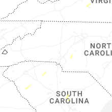


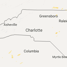


Connect with Interactive Hail Maps