

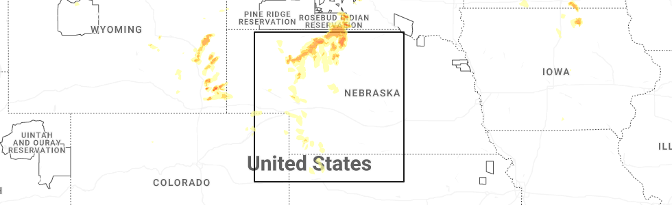
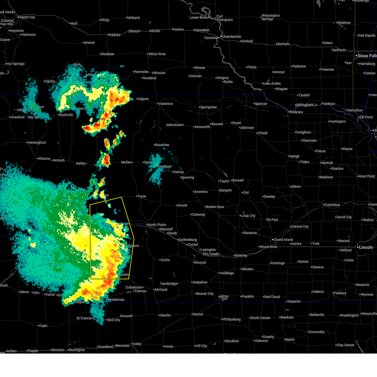
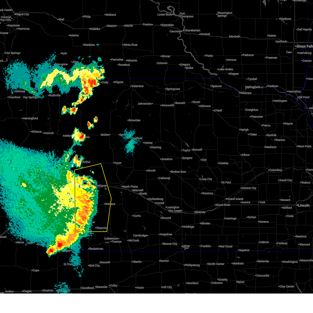
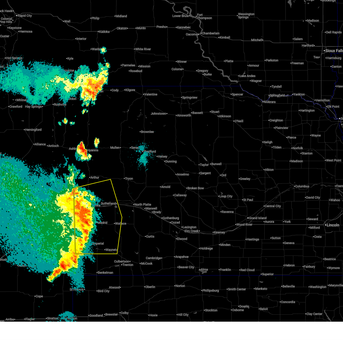
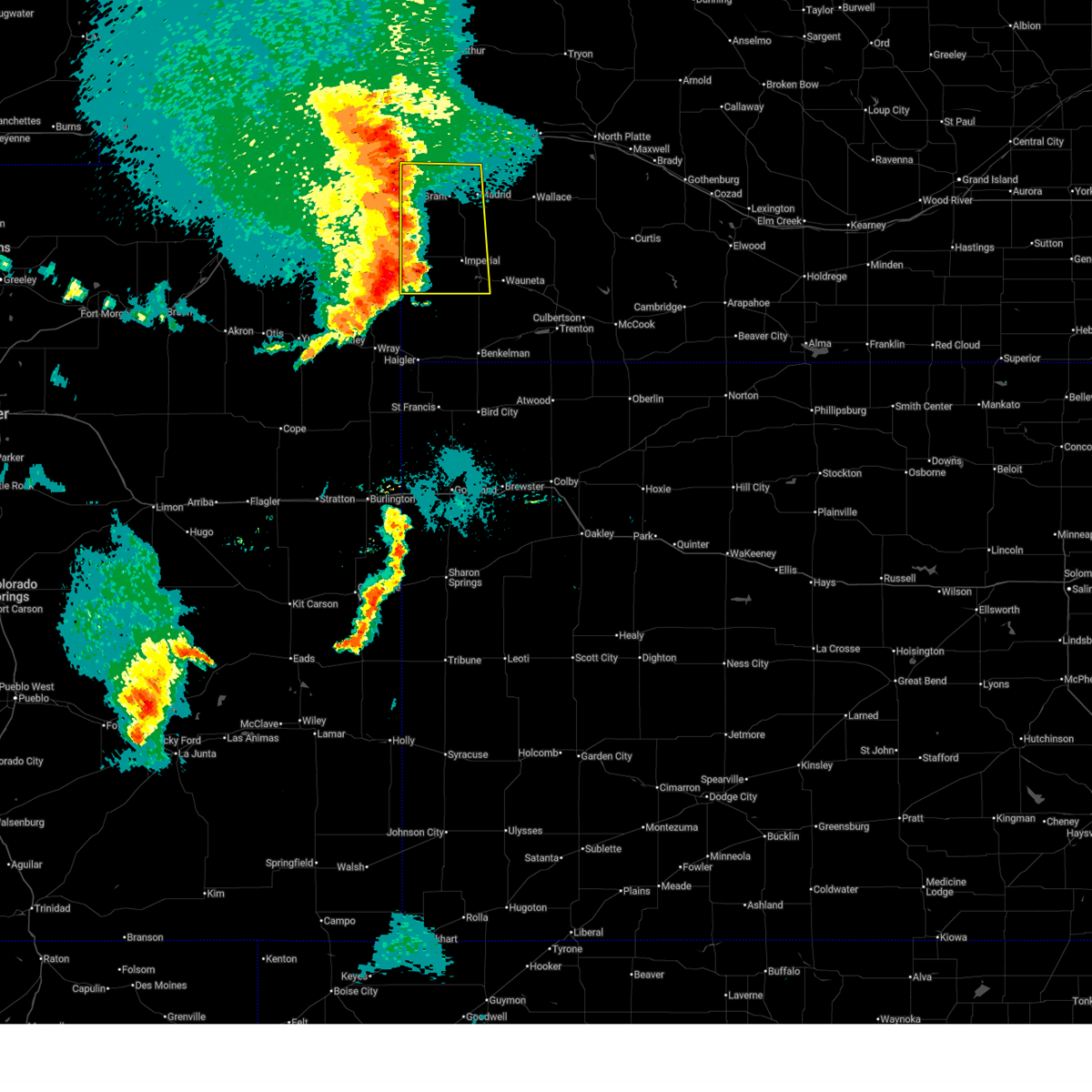
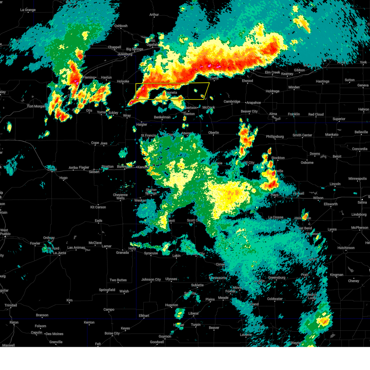
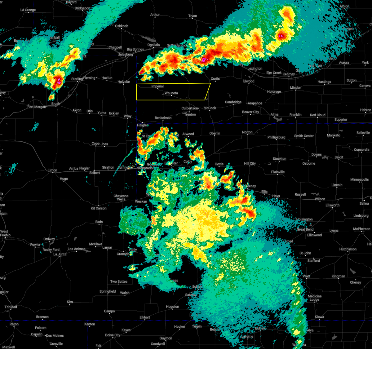
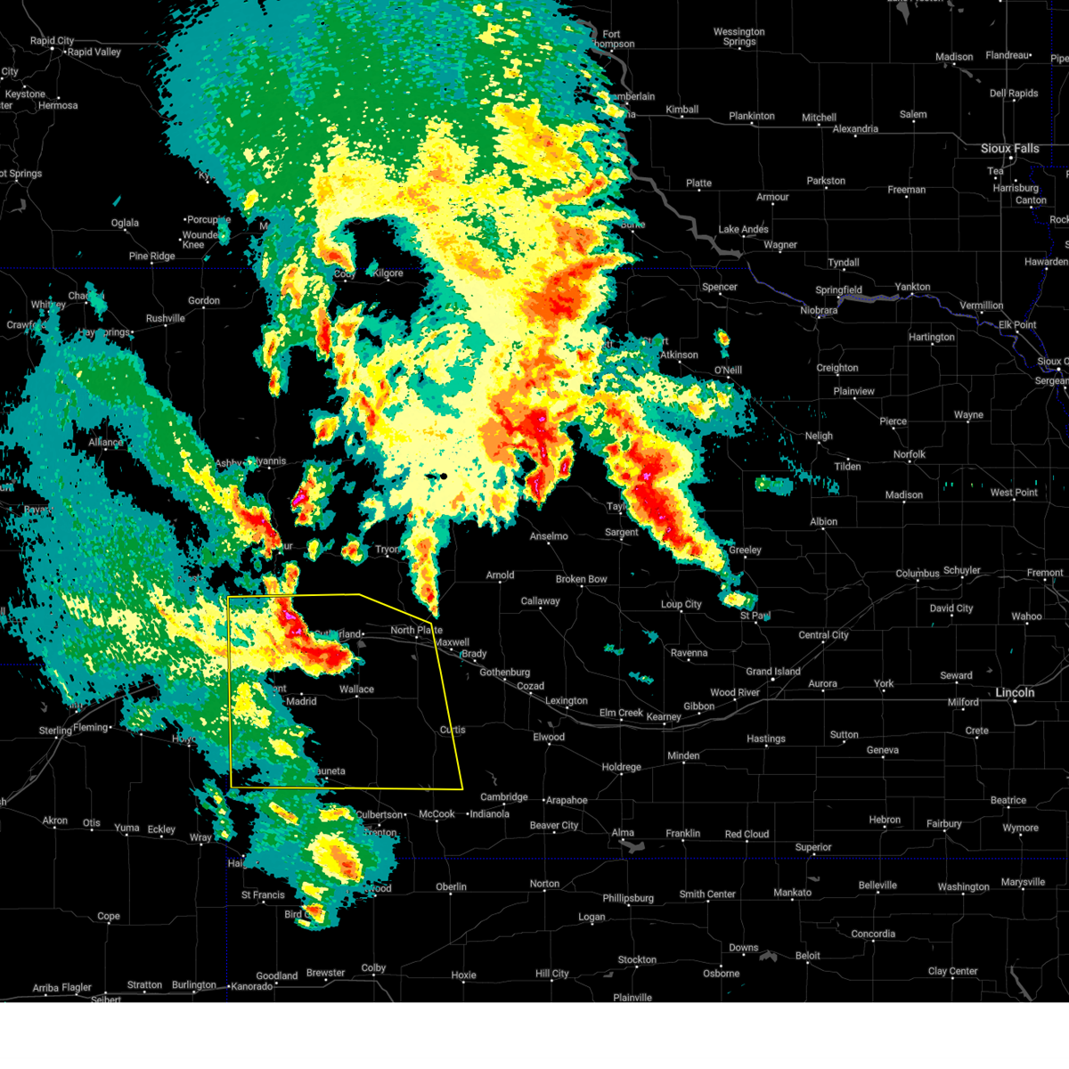
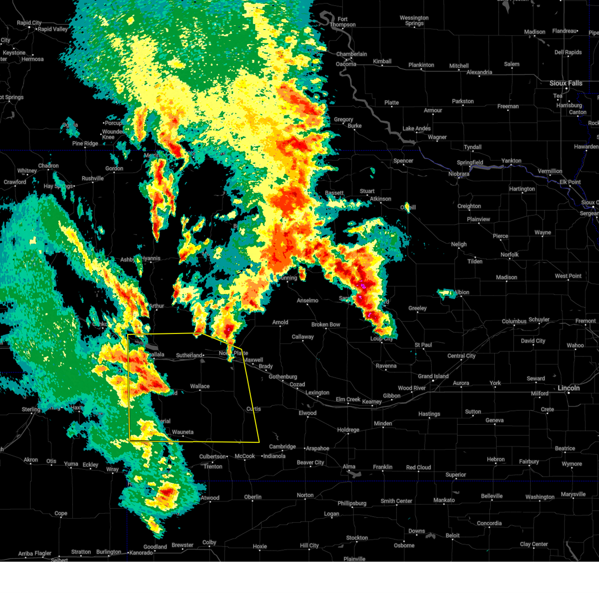
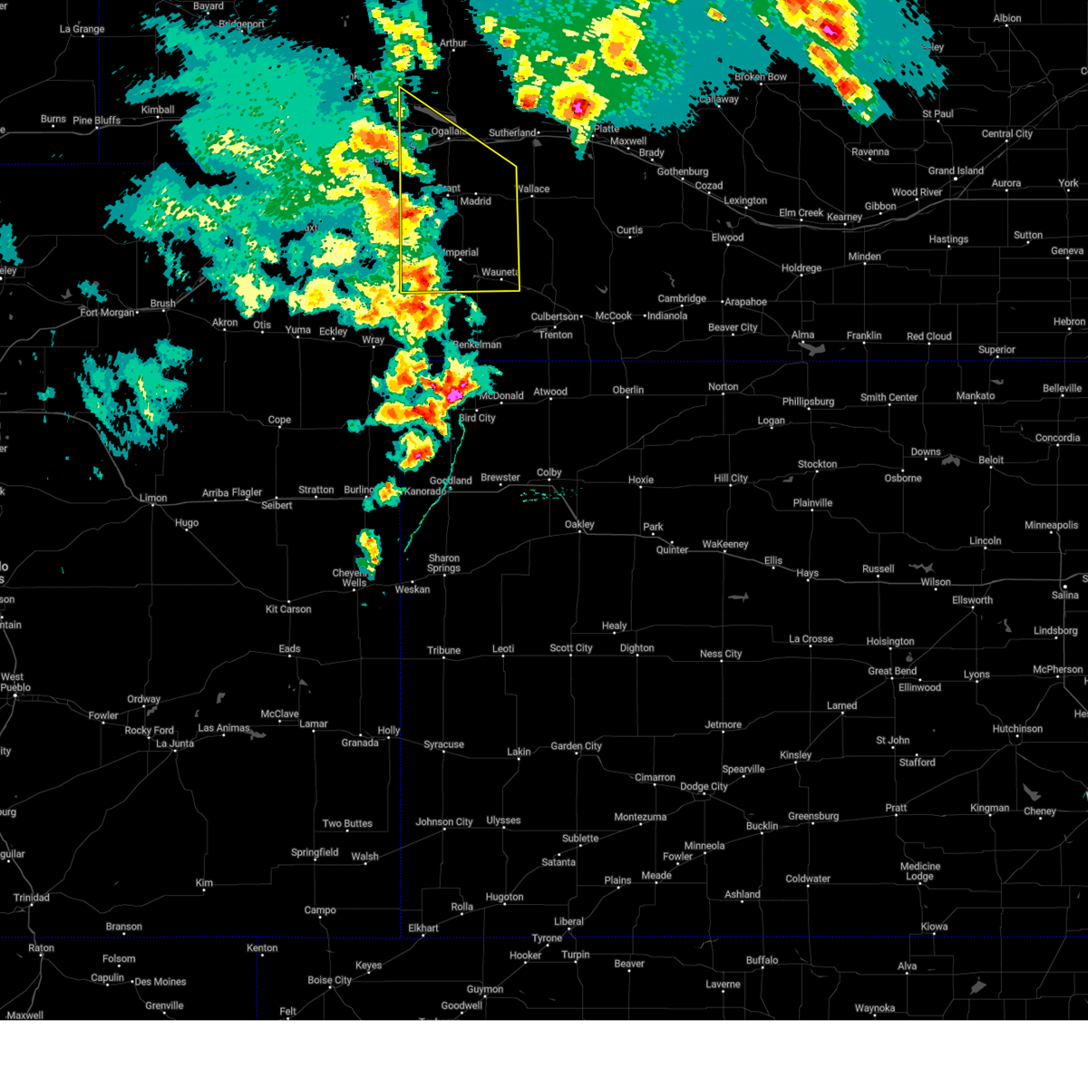
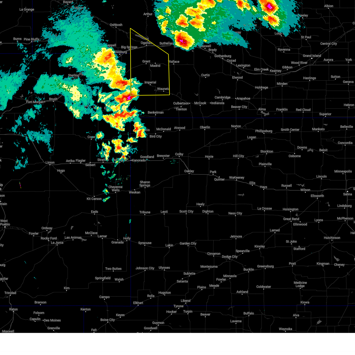
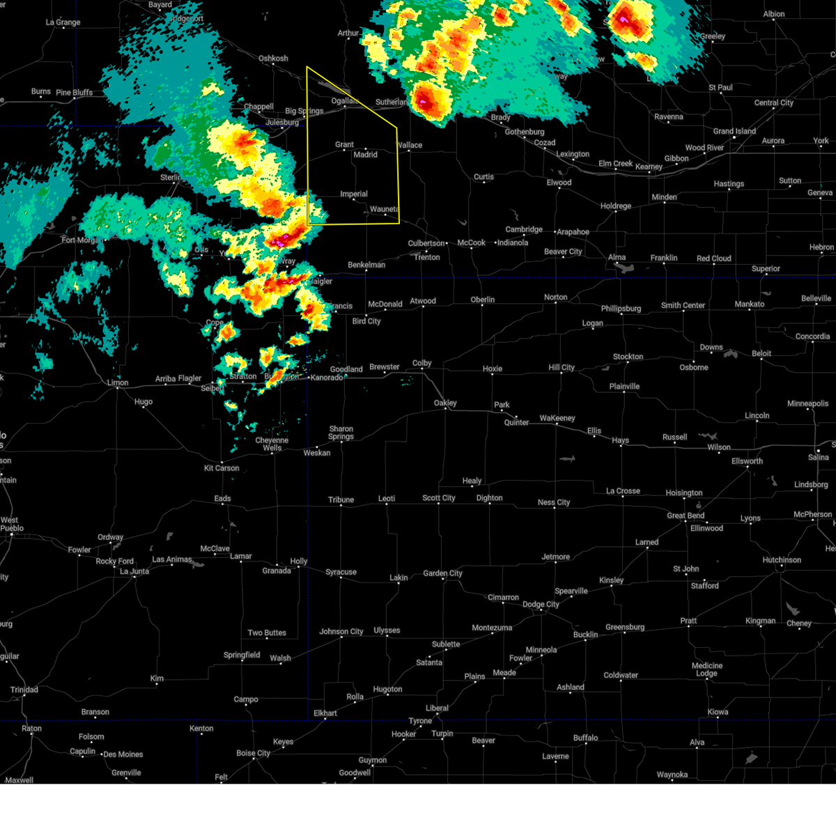
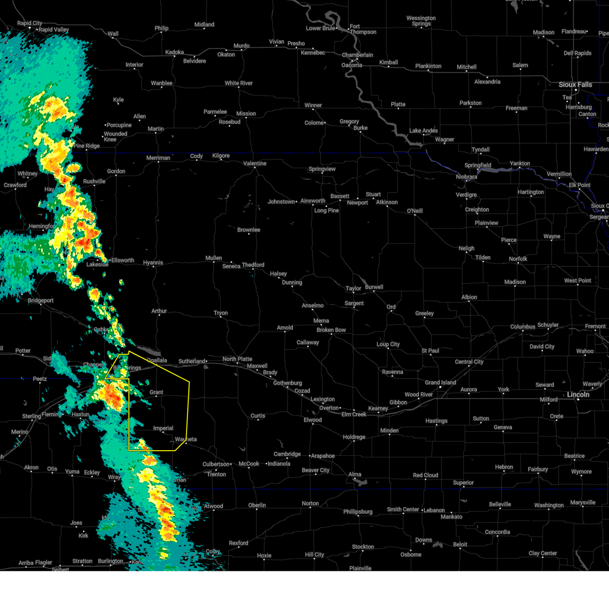
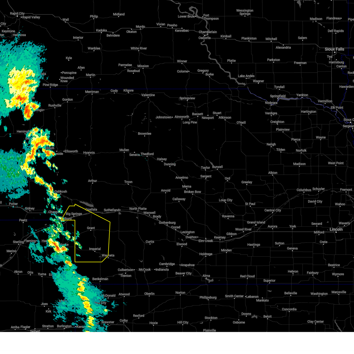
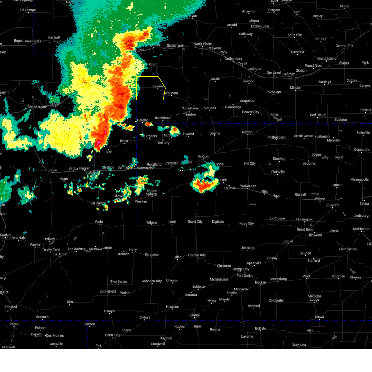
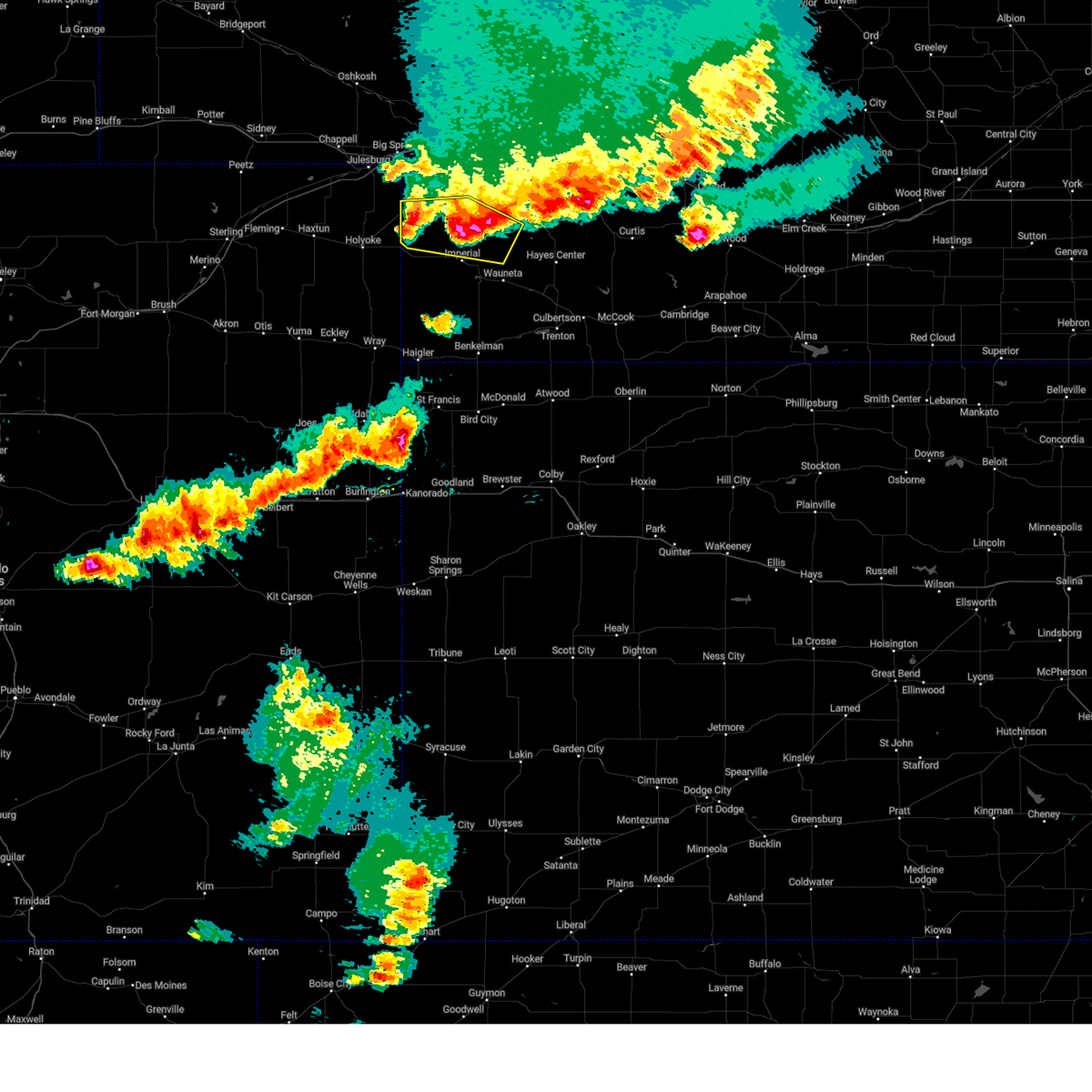
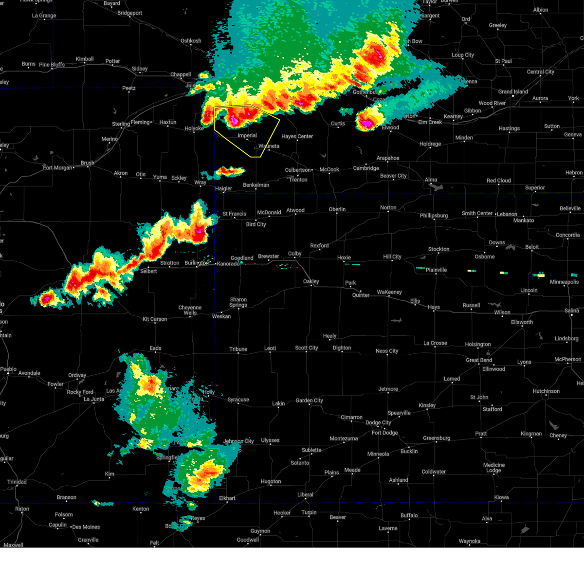
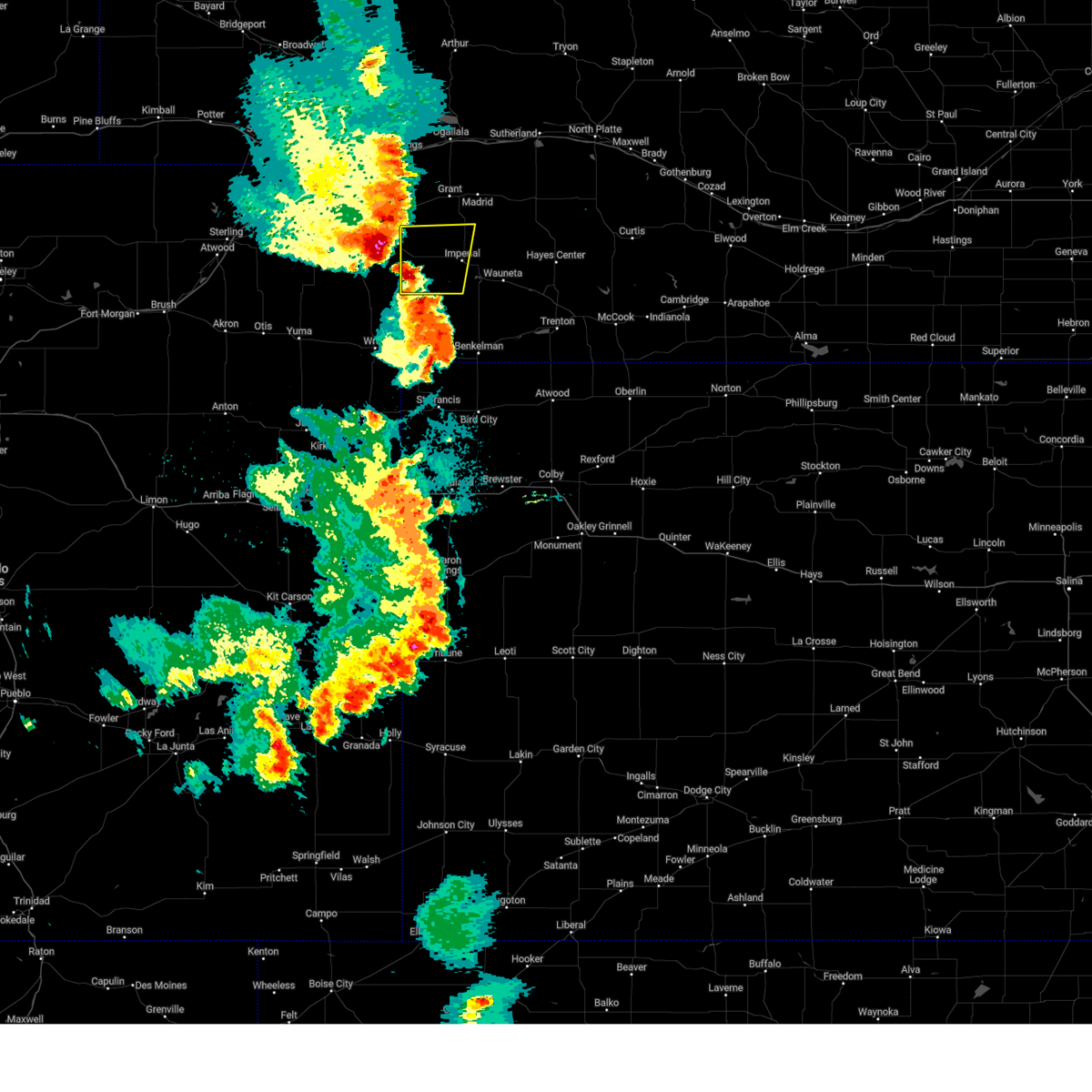
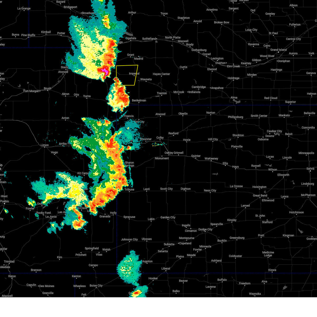
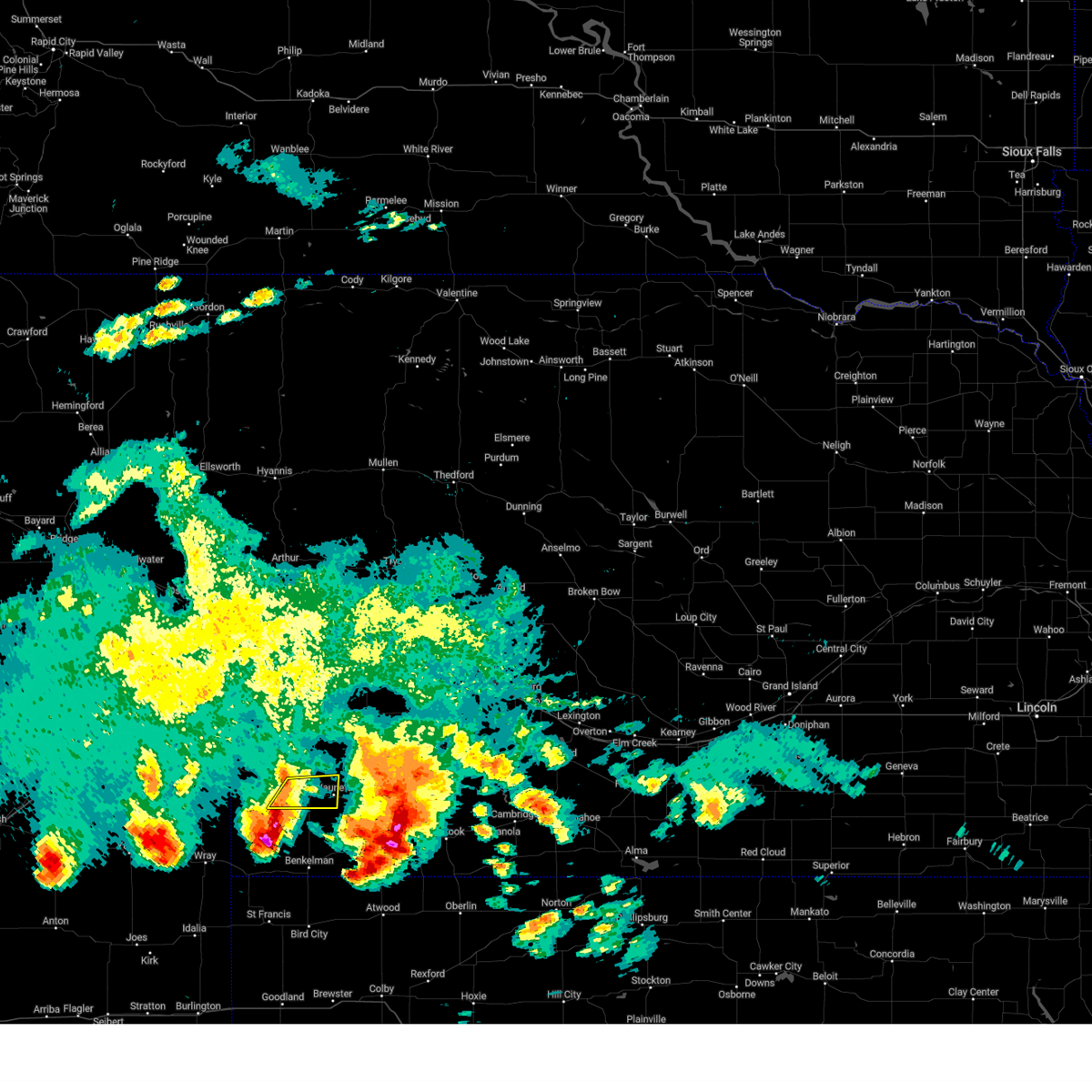
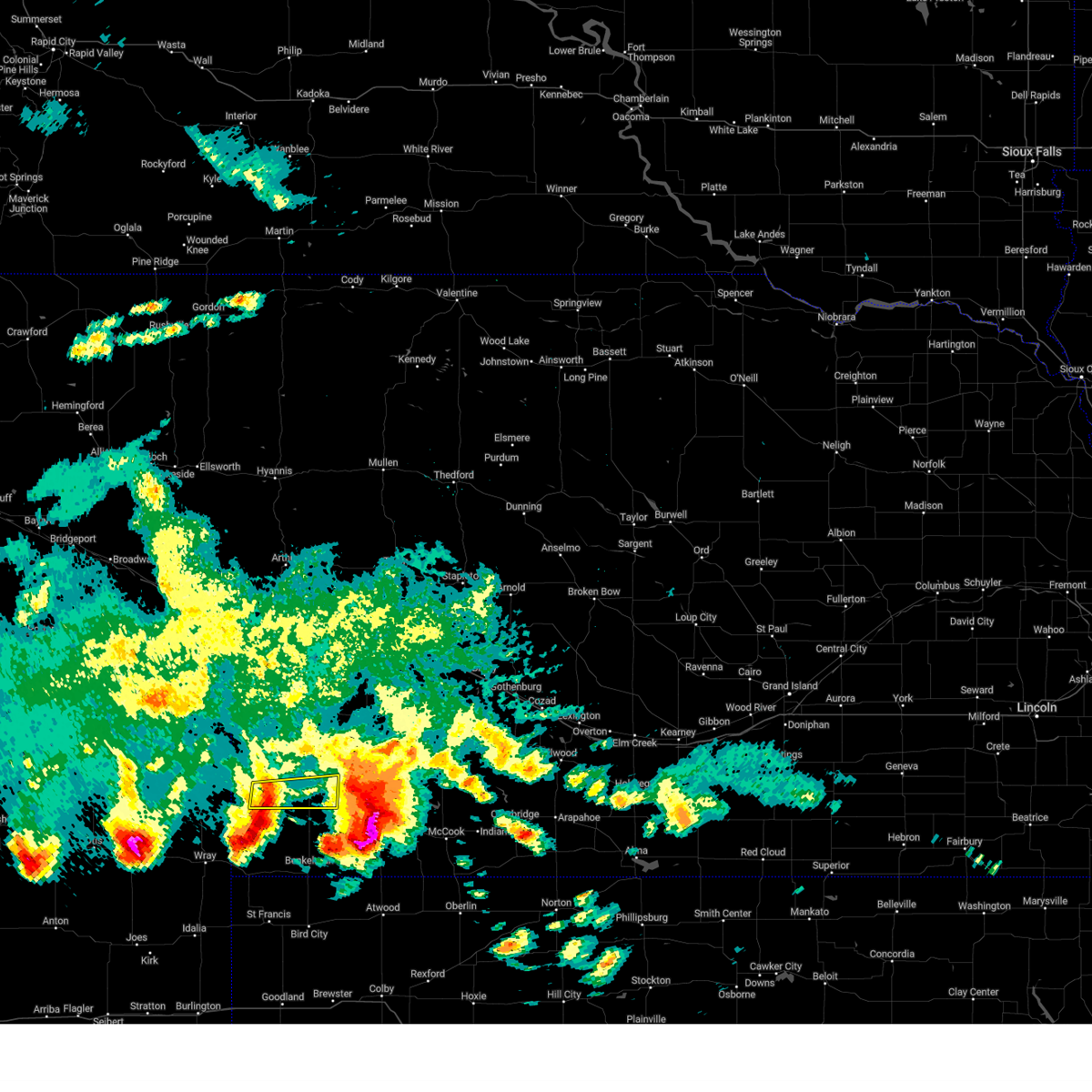
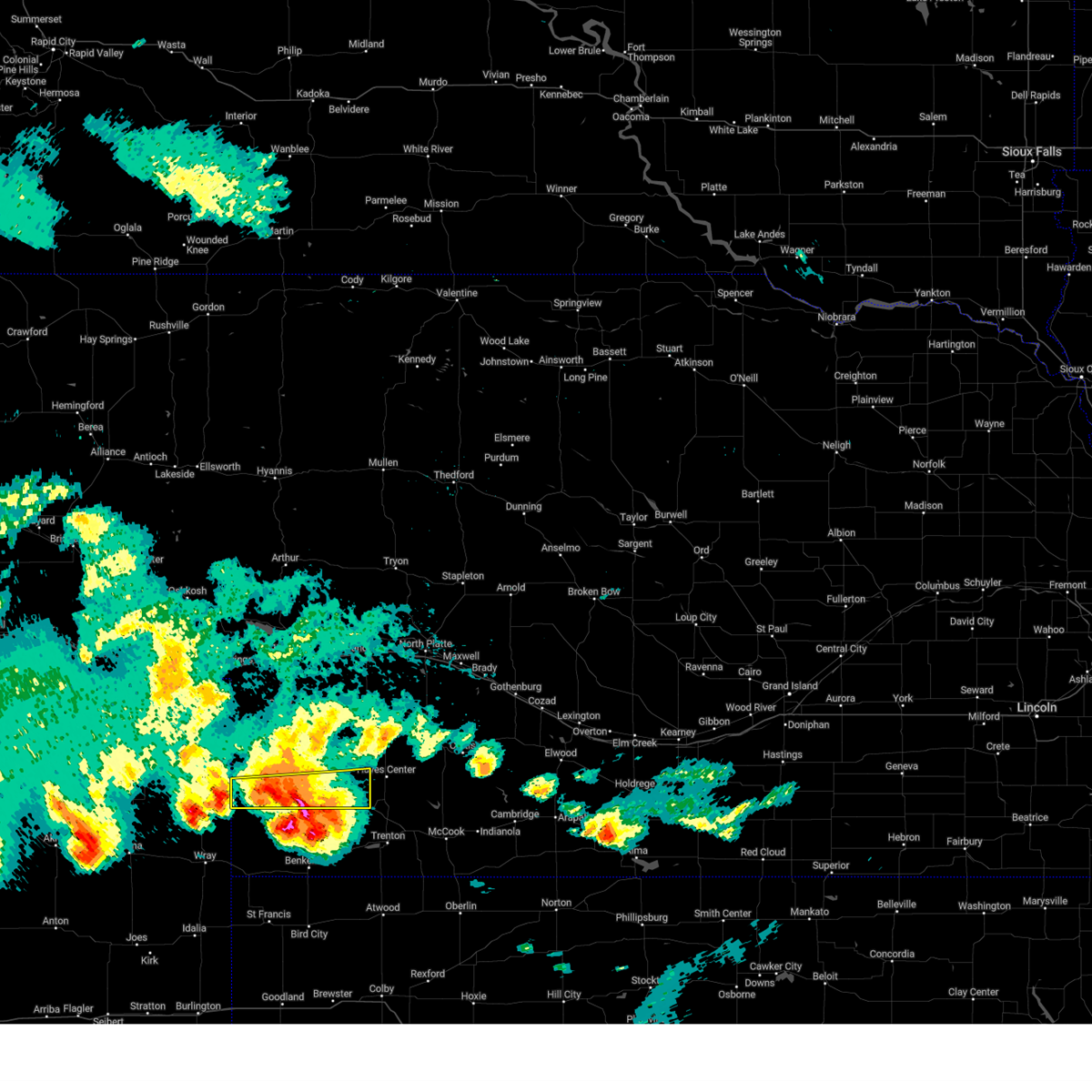
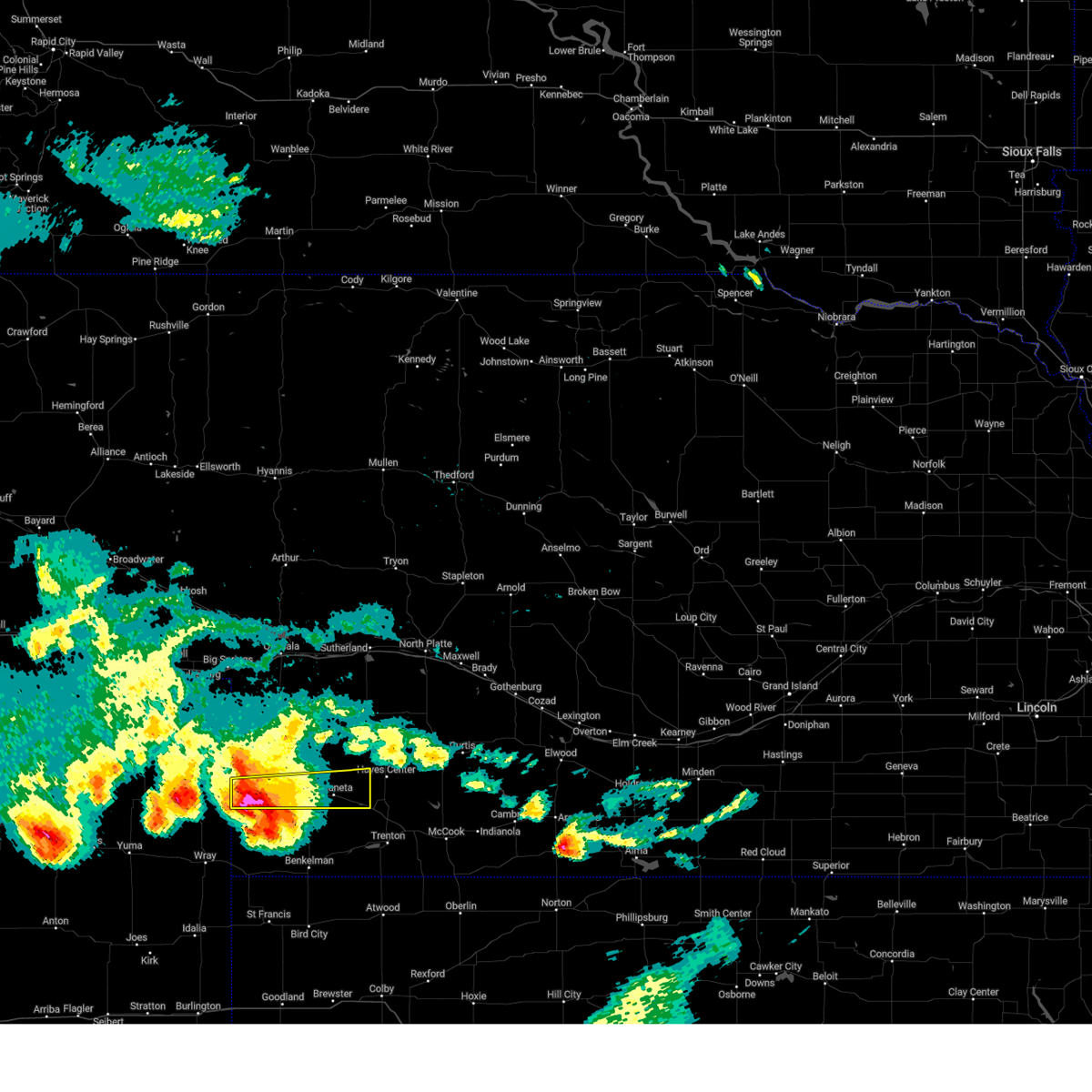
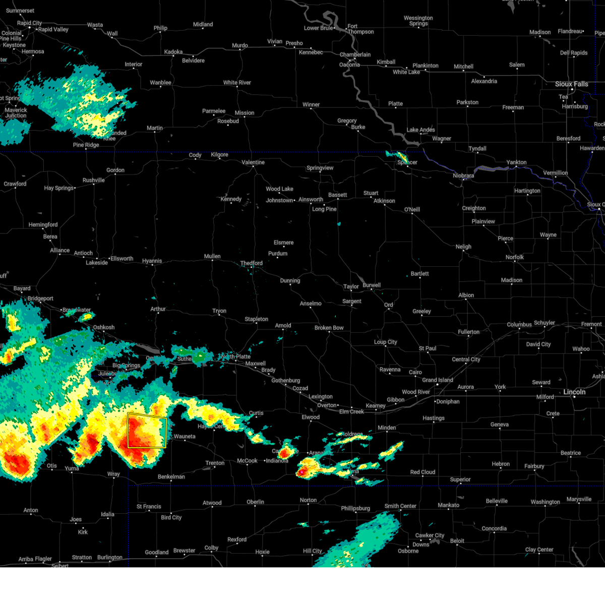
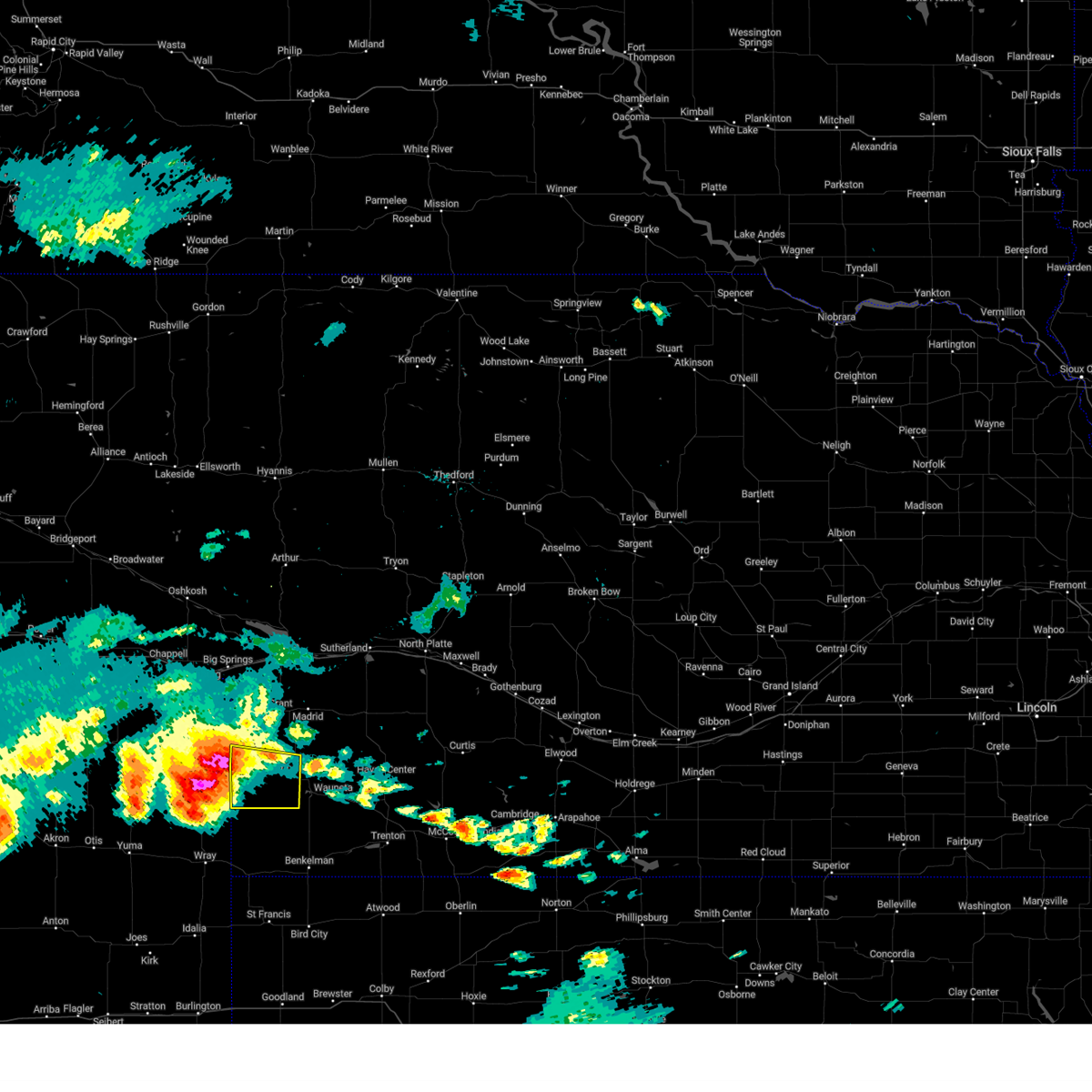
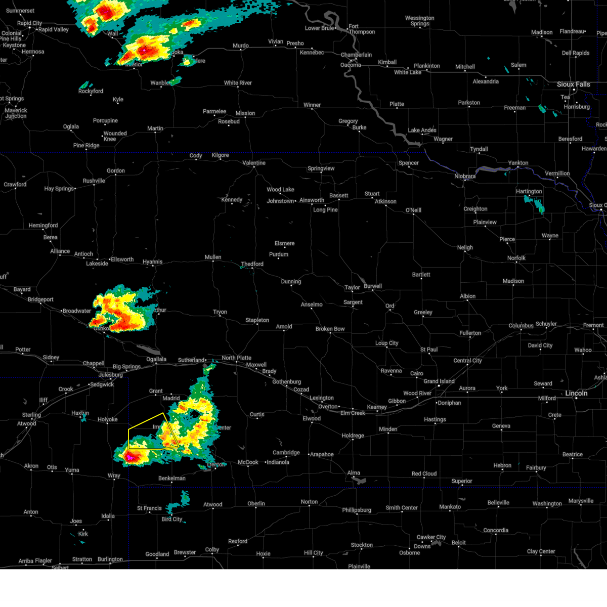
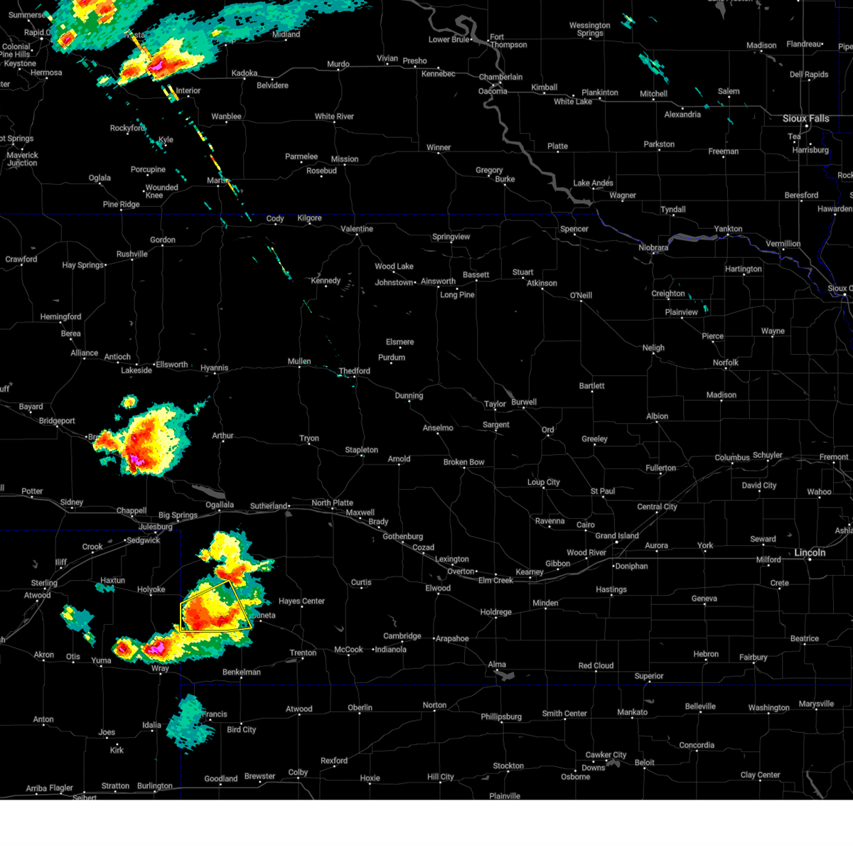
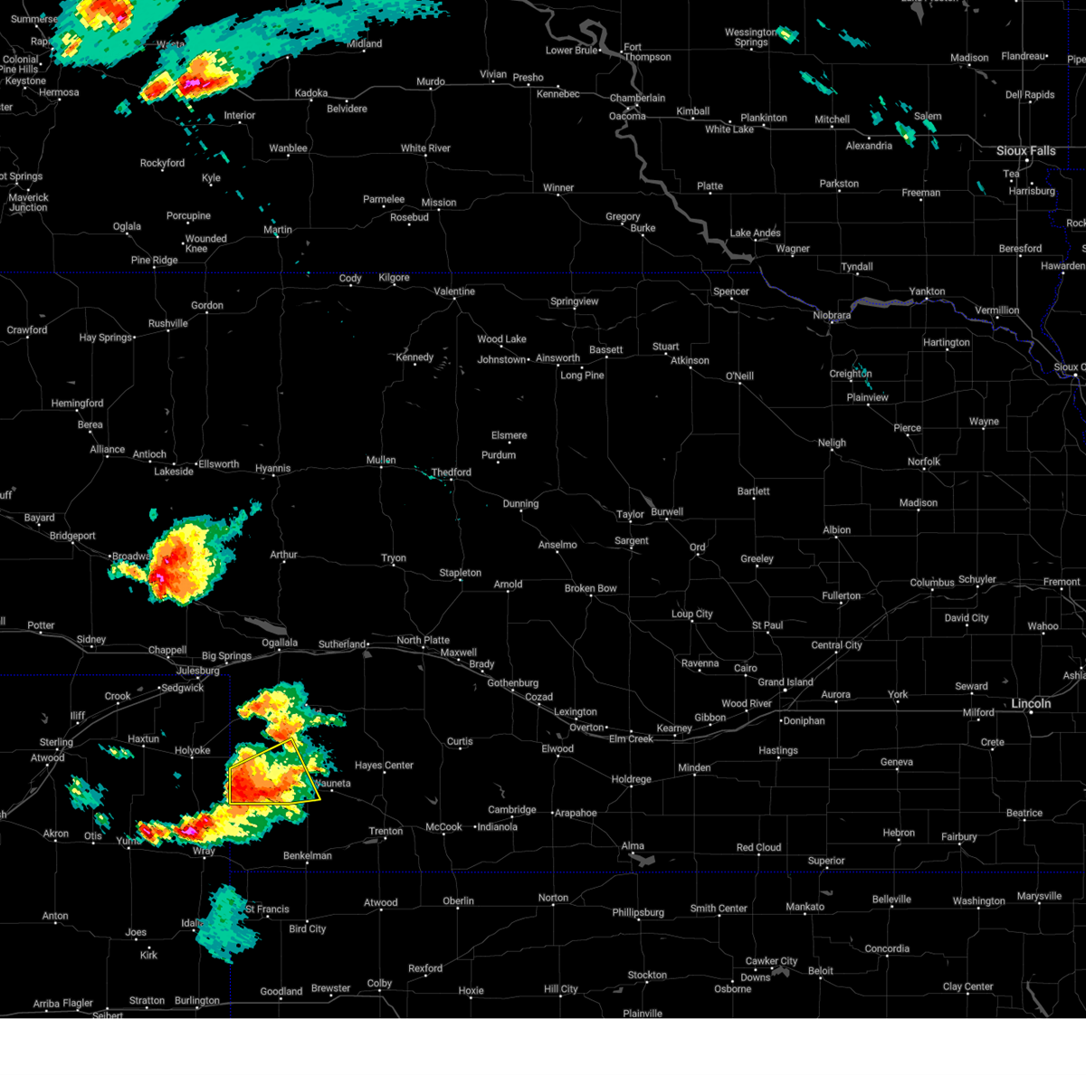
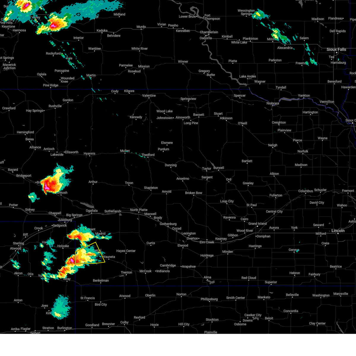
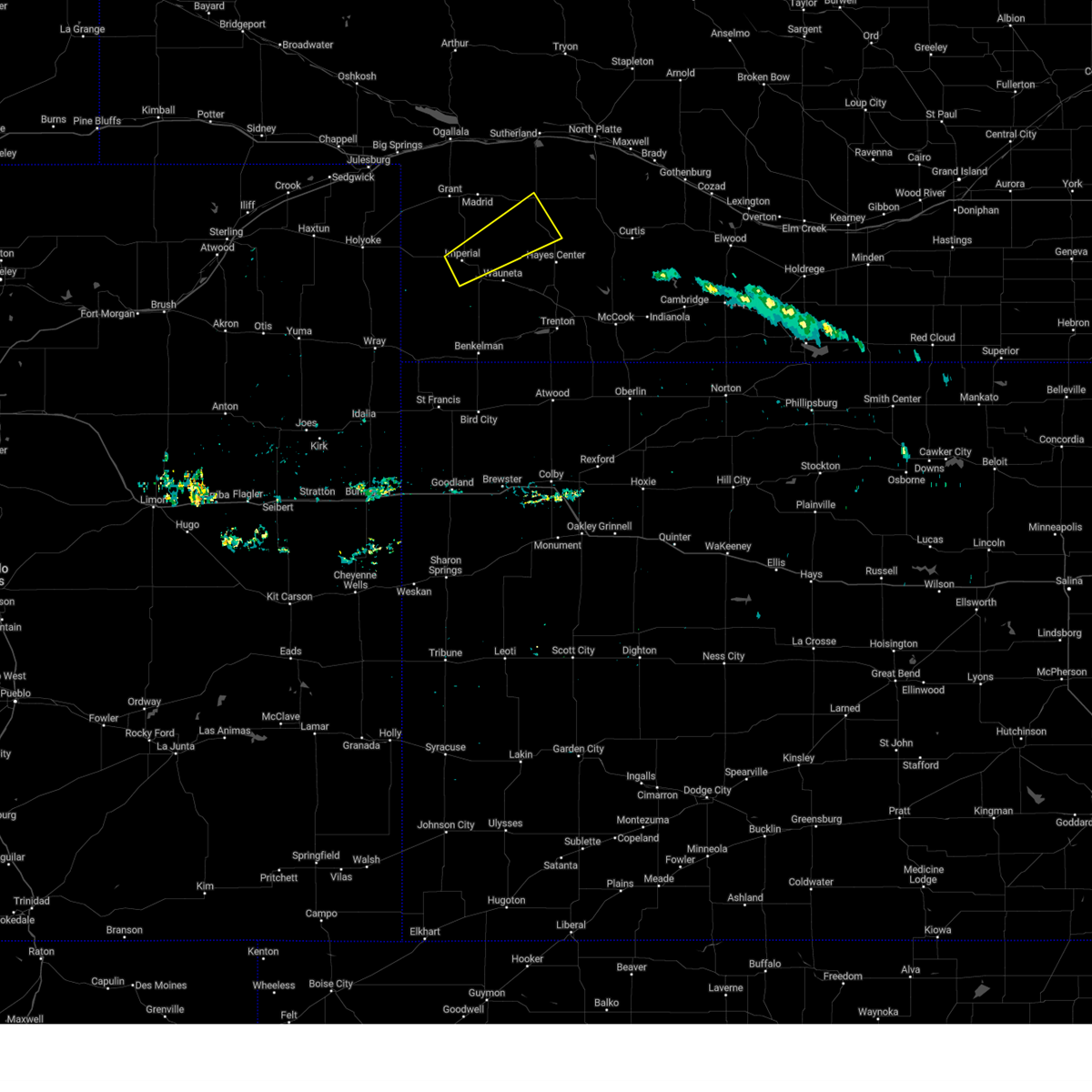
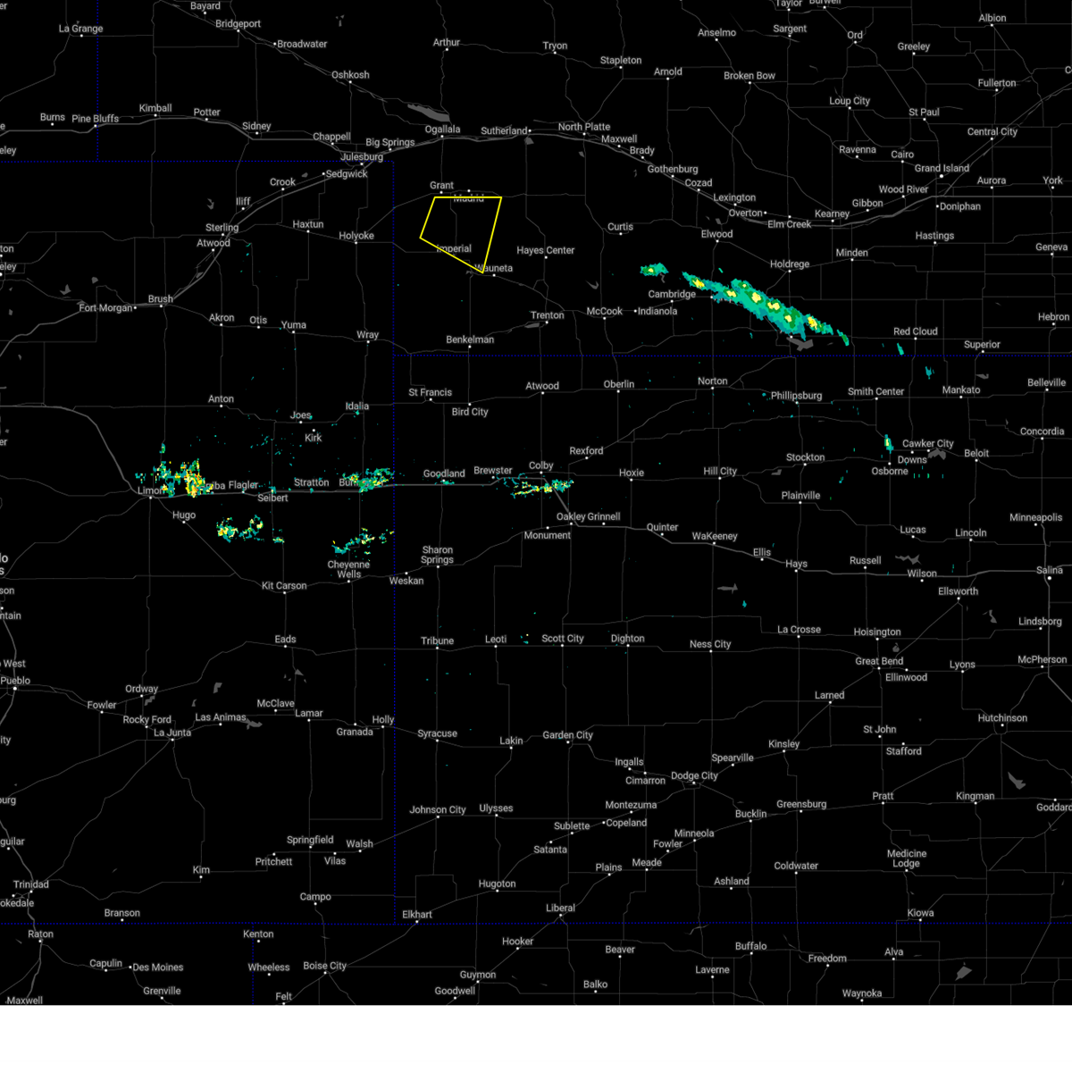
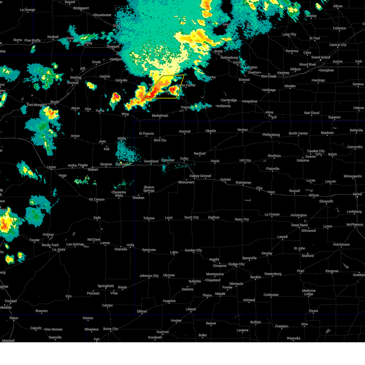
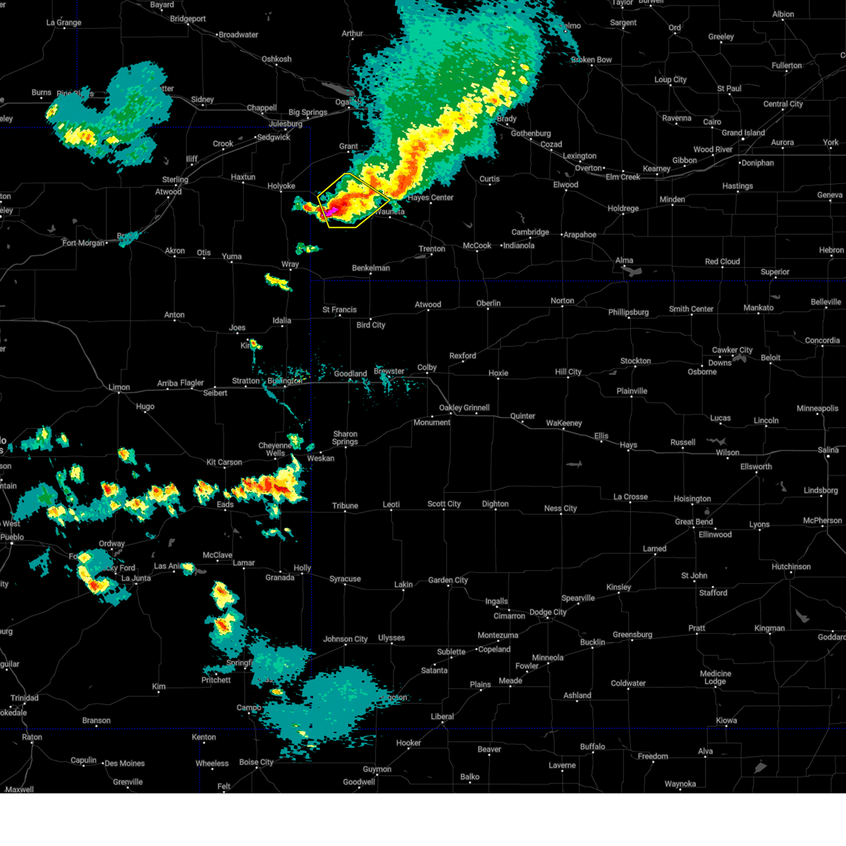
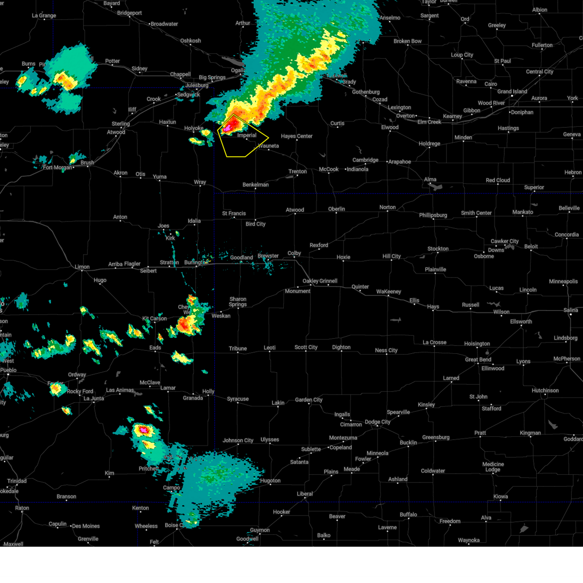
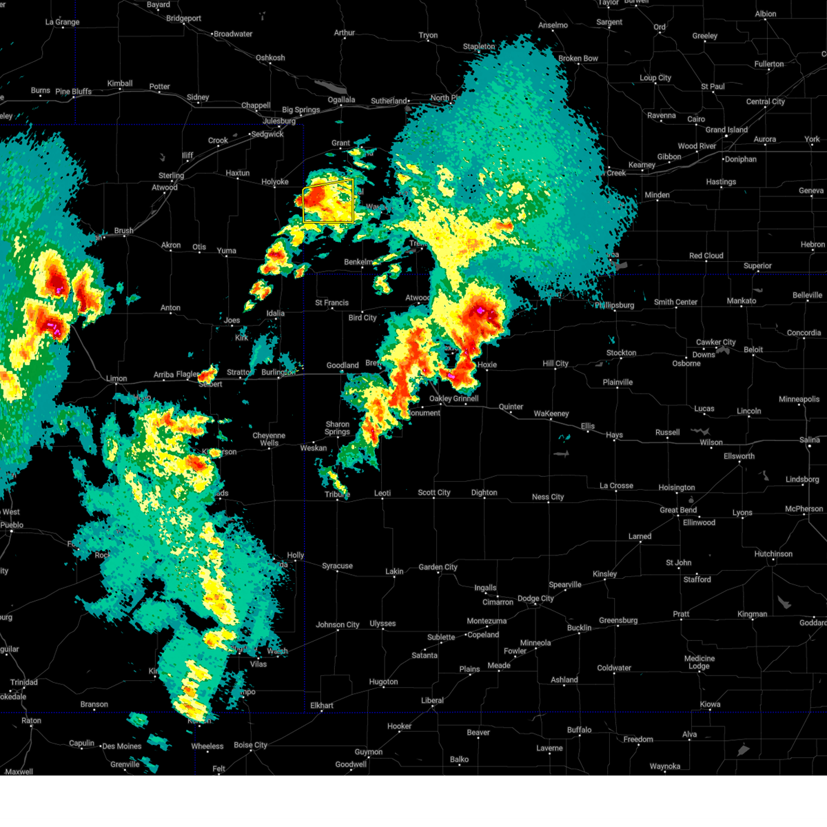
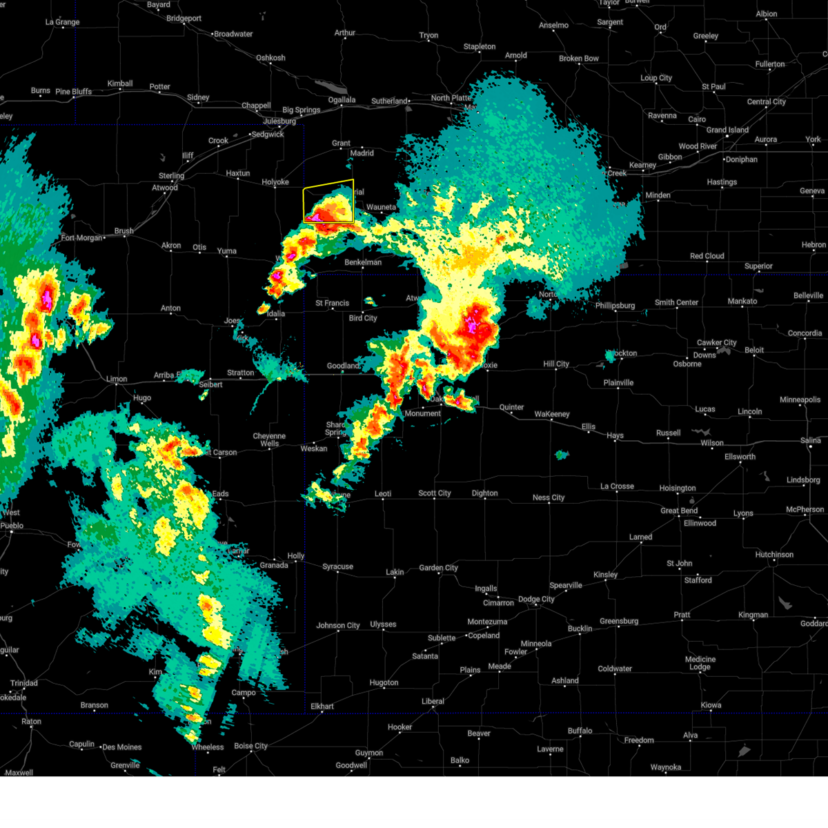
Hail Map for Imperial, NE
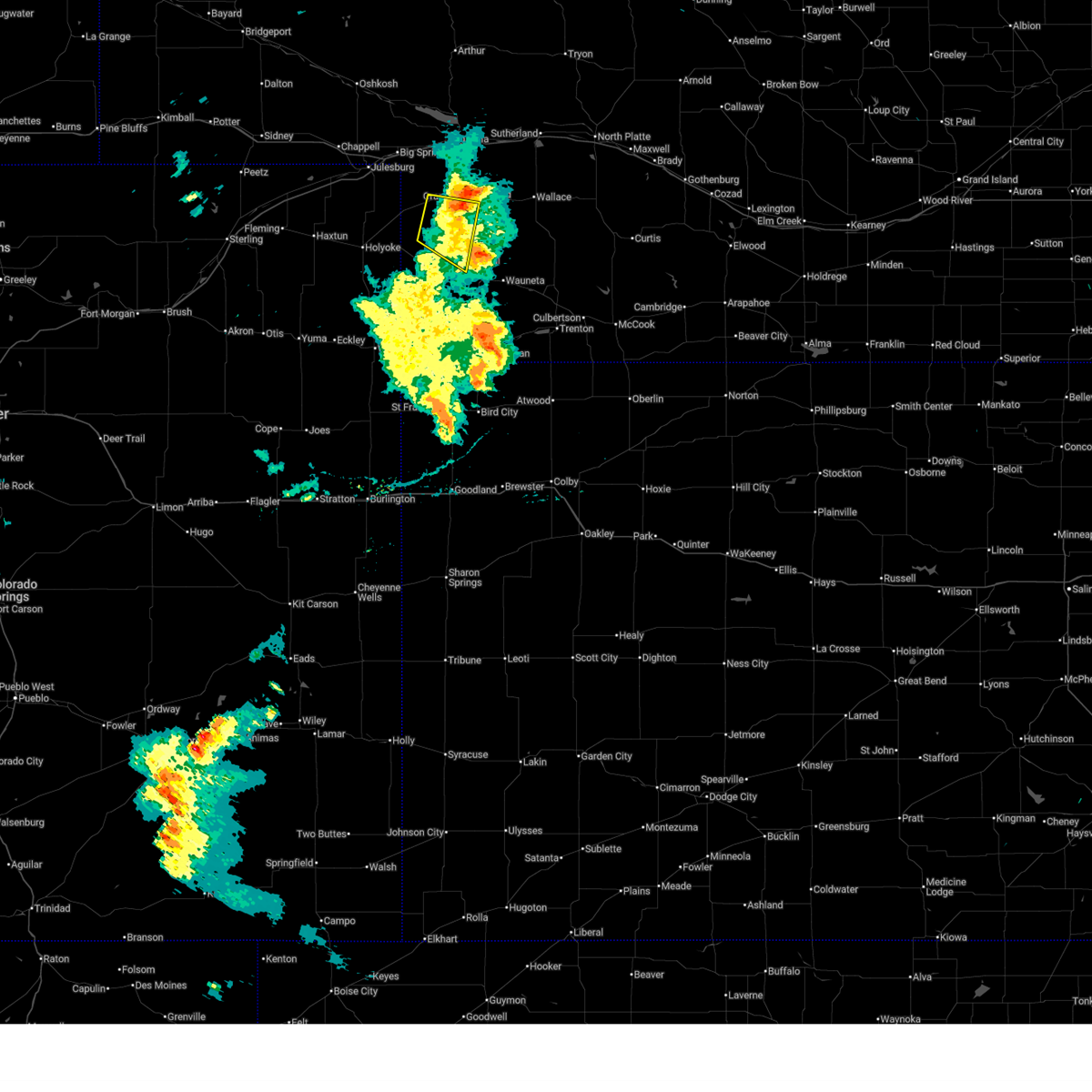
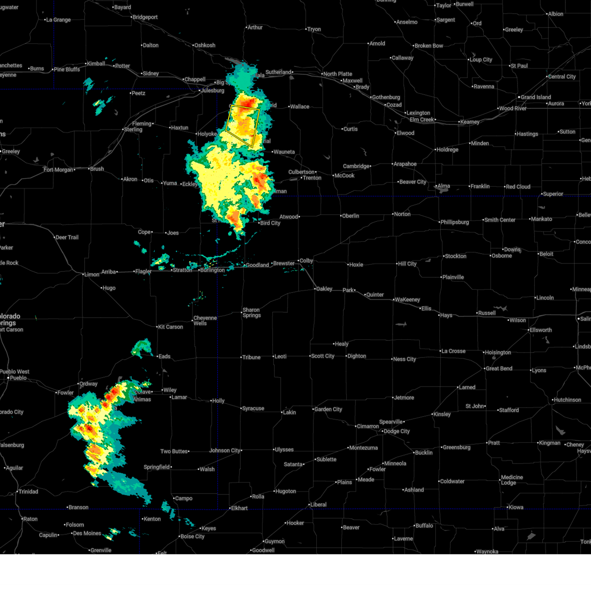
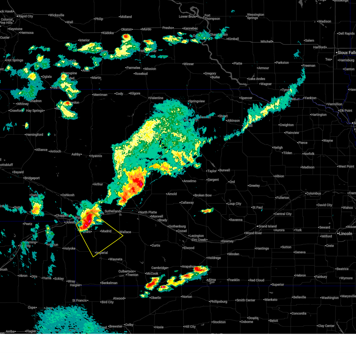
The Imperial, NE area has had 54 reports of on-the-ground hail by trained spotters, and has been under severe weather warnings 26 times during the past 12 months. Doppler radar has detected hail at or near Imperial, NE on 95 occasions, including 6 occasions during the past year.
| Name: | Imperial, NE |
| Where Located: | 62.6 miles SW of North Platte, NE |
| Map: | Google Map for Imperial, NE |
| Population: | 2071 |
| Housing Units: | 948 |
| More Info: | Search Google for Imperial, NE |
1
The Top Recent Hail Date for Imperial, NE is Thursday, June 12, 2025 (18th out of 95)
Hail and Wind Damage Spotted near Imperial, NE
| Date / Time | Report Details |
|---|---|
| 7/7/2025 6:39 PM MDT |
 The storm which prompted the warning has weakened below severe limits, and no longer poses an immediate threat to life or property. therefore, the warning will be allowed to expire. however, gusty winds are still possible with this thunderstorm. a severe thunderstorm watch remains in effect until 900 pm mdt for southwestern nebraska. The storm which prompted the warning has weakened below severe limits, and no longer poses an immediate threat to life or property. therefore, the warning will be allowed to expire. however, gusty winds are still possible with this thunderstorm. a severe thunderstorm watch remains in effect until 900 pm mdt for southwestern nebraska.
|
| 7/7/2025 6:27 PM MDT |
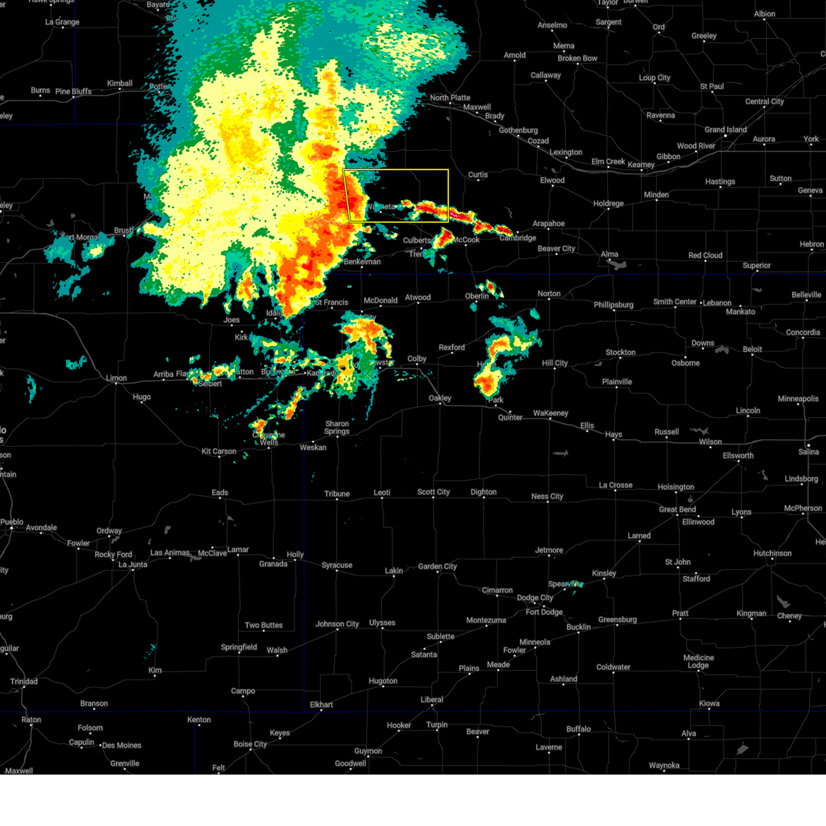
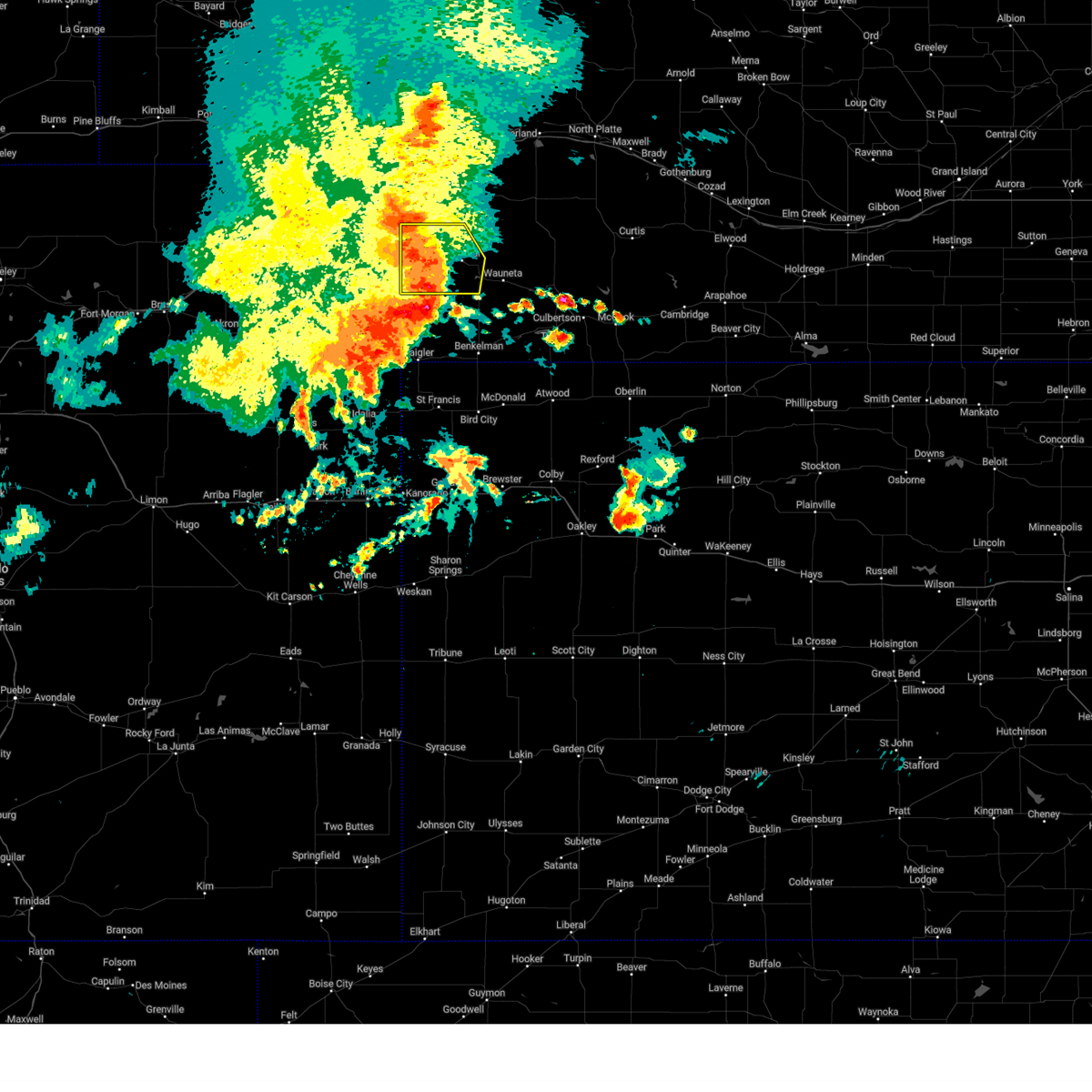
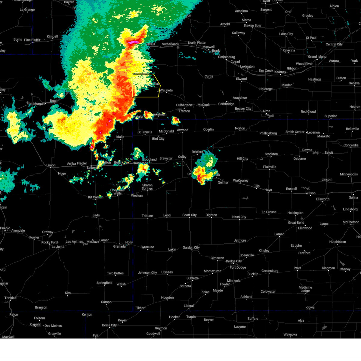
 At 627 pm mdt, a severe thunderstorm was located 9 miles south of grant, moving east at 20 mph (radar indicated). Hazards include 60 mph wind gusts and quarter size hail. Hail damage to vehicles is expected. expect wind damage to roofs, siding, and trees. locations impacted include, imperial, chase, and wanamaker state wildfire management area. This includes highway 61 between mile markers 41 and 63. At 627 pm mdt, a severe thunderstorm was located 9 miles south of grant, moving east at 20 mph (radar indicated). Hazards include 60 mph wind gusts and quarter size hail. Hail damage to vehicles is expected. expect wind damage to roofs, siding, and trees. locations impacted include, imperial, chase, and wanamaker state wildfire management area. This includes highway 61 between mile markers 41 and 63.
|
| 7/7/2025 6:07 PM MDT | Svrlbf the national weather service in north platte has issued a * severe thunderstorm warning for, southwestern perkins county in southwestern nebraska, northwestern chase county in southwestern nebraska, * until 645 pm mdt. * at 607 pm mdt, a severe thunderstorm was located 7 miles east of venango, or 11 miles southwest of grant, moving east at 20 mph (radar indicated). Hazards include 60 mph wind gusts and half dollar size hail. Hail damage to vehicles is expected. Expect wind damage to roofs, siding, and trees. |
| 6/29/2025 11:53 PM MDT | Storm damage reported in chase county NE, 0.2 miles SE of Imperial, NE |
| 6/29/2025 11:10 PM MDT |
 Svrlbf the national weather service in north platte has issued a * severe thunderstorm warning for, perkins county in southwestern nebraska, south central keith county in southwestern nebraska, northeastern chase county in southwestern nebraska, southwestern lincoln county in southwestern nebraska, northwestern hayes county in southwestern nebraska, * until 100 am cdt/midnight mdt/. * at 1209 am cdt/1109 pm mdt/, a severe thunderstorm was located 8 miles southeast of brule, or 10 miles northwest of grant, moving southeast at 45 mph (radar indicated). Hazards include 60 mph wind gusts and quarter size hail. Hail damage to vehicles is expected. expect wind damage to roofs, siding, and trees. this severe thunderstorm will be near, grant around 1120 pm mdt. other locations impacted by this severe thunderstorm include brandon, wanamaker state wildfire management area, grainton, and wild horse spring. this includes the following highways, highway 61 between mile markers 41 and 86. Interstate 80 in nebraska between mile markers 122 and 128. Svrlbf the national weather service in north platte has issued a * severe thunderstorm warning for, perkins county in southwestern nebraska, south central keith county in southwestern nebraska, northeastern chase county in southwestern nebraska, southwestern lincoln county in southwestern nebraska, northwestern hayes county in southwestern nebraska, * until 100 am cdt/midnight mdt/. * at 1209 am cdt/1109 pm mdt/, a severe thunderstorm was located 8 miles southeast of brule, or 10 miles northwest of grant, moving southeast at 45 mph (radar indicated). Hazards include 60 mph wind gusts and quarter size hail. Hail damage to vehicles is expected. expect wind damage to roofs, siding, and trees. this severe thunderstorm will be near, grant around 1120 pm mdt. other locations impacted by this severe thunderstorm include brandon, wanamaker state wildfire management area, grainton, and wild horse spring. this includes the following highways, highway 61 between mile markers 41 and 86. Interstate 80 in nebraska between mile markers 122 and 128.
|
| 6/17/2025 5:36 PM MDT | Imperial aso in chase county NE, 1 miles WNW of Imperial, NE |
| 6/13/2025 10:43 PM MDT |
 The storms which prompted the warning have weakened below severe limits, and no longer pose an immediate threat to life or property. therefore, the warning will be allowed to expire. however, gusty winds are still possible with these thunderstorms. a severe thunderstorm watch remains in effect until 400 am cdt/300 am mdt/ for southwestern and west central nebraska. to report severe weather, contact your nearest law enforcement agency. they will relay your report to the national weather service north platte. The storms which prompted the warning have weakened below severe limits, and no longer pose an immediate threat to life or property. therefore, the warning will be allowed to expire. however, gusty winds are still possible with these thunderstorms. a severe thunderstorm watch remains in effect until 400 am cdt/300 am mdt/ for southwestern and west central nebraska. to report severe weather, contact your nearest law enforcement agency. they will relay your report to the national weather service north platte.
|
| 6/13/2025 10:16 PM MDT |
 At 1114 pm cdt/1014 pm mdt/, severe thunderstorms were located along a line extending from 7 miles north of keystone to 6 miles northwest of elsie to enders, moving east at 35 mph (radar indicated. at 1000 pm mdt, multiple instances of 60 mph winds were reported across central keith county). Hazards include 70 mph wind gusts. Expect considerable tree damage. damage is likely to mobile homes, roofs, and outbuildings. locations impacted include, ogallala, imperial, grant, sutherland, wauneta, paxton, wallace, madrid, elsie, keystone, enders reservoir state recreation area, kingsley dam, sarben, enders, lemoyne, sutherland reservoir state recreation area, champion, roscoe, chase, and hamlet. this includes the following highways, highway 61 between mile markers 25 and 115. highway 92 between mile markers 130 and 138. Interstate 80 in nebraska between mile markers 120 and 159. At 1114 pm cdt/1014 pm mdt/, severe thunderstorms were located along a line extending from 7 miles north of keystone to 6 miles northwest of elsie to enders, moving east at 35 mph (radar indicated. at 1000 pm mdt, multiple instances of 60 mph winds were reported across central keith county). Hazards include 70 mph wind gusts. Expect considerable tree damage. damage is likely to mobile homes, roofs, and outbuildings. locations impacted include, ogallala, imperial, grant, sutherland, wauneta, paxton, wallace, madrid, elsie, keystone, enders reservoir state recreation area, kingsley dam, sarben, enders, lemoyne, sutherland reservoir state recreation area, champion, roscoe, chase, and hamlet. this includes the following highways, highway 61 between mile markers 25 and 115. highway 92 between mile markers 130 and 138. Interstate 80 in nebraska between mile markers 120 and 159.
|
| 6/13/2025 9:54 PM MDT |
 Svrlbf the national weather service in north platte has issued a * severe thunderstorm warning for, southern arthur county in west central nebraska, perkins county in southwestern nebraska, keith county in southwestern nebraska, chase county in southwestern nebraska, western lincoln county in southwestern nebraska, southwestern mcpherson county in west central nebraska, western hayes county in southwestern nebraska, * until 1145 pm cdt/1045 pm mdt/. * at 1053 pm cdt/953 pm mdt/, severe thunderstorms were located along a line extending from near lemoyne to near grant to near champion, moving east at 35 mph (radar indicated. at 950 pm mdt, a 66 mph gust was reported at the ogallala airport). Hazards include 70 mph wind gusts and nickel size hail. Expect considerable tree damage. Damage is likely to mobile homes, roofs, and outbuildings. Svrlbf the national weather service in north platte has issued a * severe thunderstorm warning for, southern arthur county in west central nebraska, perkins county in southwestern nebraska, keith county in southwestern nebraska, chase county in southwestern nebraska, western lincoln county in southwestern nebraska, southwestern mcpherson county in west central nebraska, western hayes county in southwestern nebraska, * until 1145 pm cdt/1045 pm mdt/. * at 1053 pm cdt/953 pm mdt/, severe thunderstorms were located along a line extending from near lemoyne to near grant to near champion, moving east at 35 mph (radar indicated. at 950 pm mdt, a 66 mph gust was reported at the ogallala airport). Hazards include 70 mph wind gusts and nickel size hail. Expect considerable tree damage. Damage is likely to mobile homes, roofs, and outbuildings.
|
| 6/13/2025 9:31 PM MDT |
 Svrlbf the national weather service in north platte has issued a * severe thunderstorm warning for, perkins county in southwestern nebraska, chase county in southwestern nebraska, * until 1000 pm mdt. * at 930 pm mdt, severe thunderstorms were located along a line extending from near big springs to near lamar, moving east at 30 mph (radar indicated). Hazards include 70 mph wind gusts and quarter size hail. Hail damage to vehicles is expected. expect considerable tree damage. Wind damage is also likely to mobile homes, roofs, and outbuildings. Svrlbf the national weather service in north platte has issued a * severe thunderstorm warning for, perkins county in southwestern nebraska, chase county in southwestern nebraska, * until 1000 pm mdt. * at 930 pm mdt, severe thunderstorms were located along a line extending from near big springs to near lamar, moving east at 30 mph (radar indicated). Hazards include 70 mph wind gusts and quarter size hail. Hail damage to vehicles is expected. expect considerable tree damage. Wind damage is also likely to mobile homes, roofs, and outbuildings.
|
| 6/2/2025 8:10 PM MDT |
 The storms which prompted the warning have weakened below severe limits, and no longer pose an immediate threat to life or property. therefore, the warning will be allowed to expire. however, gusty winds and heavy rain are still possible with these thunderstorms. a severe thunderstorm watch remains in effect until 100 am cdt/midnight mdt/ for southwestern nebraska. The storms which prompted the warning have weakened below severe limits, and no longer pose an immediate threat to life or property. therefore, the warning will be allowed to expire. however, gusty winds and heavy rain are still possible with these thunderstorms. a severe thunderstorm watch remains in effect until 100 am cdt/midnight mdt/ for southwestern nebraska.
|
| 6/2/2025 7:44 PM MDT | At 842 pm cdt/742 pm mdt/, severe thunderstorms were located along a line extending from 7 miles southeast of lamar to 6 miles north of wauneta to 6 miles north of culbertson, moving north at 60 mph (automated weather sensor. a 58 mile per hour wind gust was reported at imperial airport at 740 pm mdt). Hazards include 70 mph wind gusts and blowing dust. Expect considerable tree damage. damage is likely to mobile homes, roofs, and outbuildings. locations impacted include, imperial, hayes center, wauneta, lamar, enders, enders reservoir state recreation area, champion, crete, chase, hamlet, center dam campground, hayes center state wildlife management area, wanamaker state wildfire management area, area a campground, and church grove campground. this includes the following highways, highway 61 between mile markers 25 and 46. Highway 83 between mile markers 38 and 43. |
| 6/2/2025 7:40 PM MDT | Storm damage reported in chase county NE, 1 miles WNW of Imperial, NE |
| 6/2/2025 7:20 PM MDT |
 Svrlbf the national weather service in north platte has issued a * severe thunderstorm warning for, southwestern frontier county in southwestern nebraska, chase county in southwestern nebraska, hayes county in southwestern nebraska, * until 915 pm cdt/815 pm mdt/. * at 819 pm cdt/719 pm mdt/, severe thunderstorms were located along a line extending from 12 miles northeast of wray to 11 miles north of benkelman to 11 miles northwest of herndon, moving north at 60 mph (radar indicated). Hazards include 70 mph wind gusts. blowing dust has also been reported across portions of northwest kansas and southwest nebraska with the damaging winds. Expect considerable tree damage. Damage is likely to mobile homes, roofs, and outbuildings. Svrlbf the national weather service in north platte has issued a * severe thunderstorm warning for, southwestern frontier county in southwestern nebraska, chase county in southwestern nebraska, hayes county in southwestern nebraska, * until 915 pm cdt/815 pm mdt/. * at 819 pm cdt/719 pm mdt/, severe thunderstorms were located along a line extending from 12 miles northeast of wray to 11 miles north of benkelman to 11 miles northwest of herndon, moving north at 60 mph (radar indicated). Hazards include 70 mph wind gusts. blowing dust has also been reported across portions of northwest kansas and southwest nebraska with the damaging winds. Expect considerable tree damage. Damage is likely to mobile homes, roofs, and outbuildings.
|
| 5/14/2025 7:57 PM MDT |
 At 855 pm cdt/755 pm mdt/, damaging winds were located along a line extending from 14 miles north of sarben to 8 miles west of lake maloney state recreation area to 8 miles west of stockville, moving northeast at 55 mph (radar indicated). Hazards include 80 mph wind gusts. Flying debris will be dangerous to those caught without shelter. mobile homes will be heavily damaged. expect considerable damage to roofs, windows, and vehicles. extensive tree damage and power outages are likely. locations impacted include, north platte, ogallala, imperial, grant, curtis, hayes center, sutherland, hershey, wauneta, paxton, wallace, brule, madrid, elsie, wellfleet, lamar, dickens, lake maloney state recreation area, kingsley dam, and enders. this includes the following highways, highway 61 between mile markers 26 and 107. highway 92 between mile markers 120 and 138. highway 97 between mile markers 1 and 5. interstate 80 in nebraska between mile markers 110 and 184. Highway 83 between mile markers 28 and 90. At 855 pm cdt/755 pm mdt/, damaging winds were located along a line extending from 14 miles north of sarben to 8 miles west of lake maloney state recreation area to 8 miles west of stockville, moving northeast at 55 mph (radar indicated). Hazards include 80 mph wind gusts. Flying debris will be dangerous to those caught without shelter. mobile homes will be heavily damaged. expect considerable damage to roofs, windows, and vehicles. extensive tree damage and power outages are likely. locations impacted include, north platte, ogallala, imperial, grant, curtis, hayes center, sutherland, hershey, wauneta, paxton, wallace, brule, madrid, elsie, wellfleet, lamar, dickens, lake maloney state recreation area, kingsley dam, and enders. this includes the following highways, highway 61 between mile markers 26 and 107. highway 92 between mile markers 120 and 138. highway 97 between mile markers 1 and 5. interstate 80 in nebraska between mile markers 110 and 184. Highway 83 between mile markers 28 and 90.
|
| 5/14/2025 7:28 PM MDT |
 Svrlbf the national weather service in north platte has issued a * severe thunderstorm warning for, western frontier county in southwestern nebraska, perkins county in southwestern nebraska, keith county in southwestern nebraska, chase county in southwestern nebraska, western lincoln county in southwestern nebraska, hayes county in southwestern nebraska, * until 930 pm cdt/830 pm mdt/. * at 827 pm cdt/727 pm mdt/, severe thunderstorms were located along a line extending from roscoe to 7 miles northwest of palisade, moving east at 55 mph (radar indicated). Hazards include 80 mph wind gusts. Flying debris will be dangerous to those caught without shelter. mobile homes will be heavily damaged. expect considerable damage to roofs, windows, and vehicles. Extensive tree damage and power outages are likely. Svrlbf the national weather service in north platte has issued a * severe thunderstorm warning for, western frontier county in southwestern nebraska, perkins county in southwestern nebraska, keith county in southwestern nebraska, chase county in southwestern nebraska, western lincoln county in southwestern nebraska, hayes county in southwestern nebraska, * until 930 pm cdt/830 pm mdt/. * at 827 pm cdt/727 pm mdt/, severe thunderstorms were located along a line extending from roscoe to 7 miles northwest of palisade, moving east at 55 mph (radar indicated). Hazards include 80 mph wind gusts. Flying debris will be dangerous to those caught without shelter. mobile homes will be heavily damaged. expect considerable damage to roofs, windows, and vehicles. Extensive tree damage and power outages are likely.
|
| 5/14/2025 7:18 PM MDT | Storm damage reported in chase county NE, 1.1 miles SE of Imperial, NE |
| 5/14/2025 7:16 PM MDT |
 At 816 pm cdt/716 pm mdt/, severe thunderstorms were located along a line extending from brule to near enders, moving east at 65 mph (radar indicated). Hazards include 70 mph wind gusts. Expect considerable tree damage. damage is likely to mobile homes, roofs, and outbuildings. locations impacted include, ogallala, imperial, grant, wauneta, brule, madrid, venango, elsie, lamar, enders reservoir state recreation area, enders, champion, roscoe. this includes the following highways, highway 61 between mile markers 25 and 94. highway 92 between mile markers 119 and 130. Interstate 80 in nebraska between mile markers 109 and 138. At 816 pm cdt/716 pm mdt/, severe thunderstorms were located along a line extending from brule to near enders, moving east at 65 mph (radar indicated). Hazards include 70 mph wind gusts. Expect considerable tree damage. damage is likely to mobile homes, roofs, and outbuildings. locations impacted include, ogallala, imperial, grant, wauneta, brule, madrid, venango, elsie, lamar, enders reservoir state recreation area, enders, champion, roscoe. this includes the following highways, highway 61 between mile markers 25 and 94. highway 92 between mile markers 119 and 130. Interstate 80 in nebraska between mile markers 109 and 138.
|
| 5/14/2025 7:15 PM MDT | Building damage and power poles snapped in imperia in chase county NE, 0.2 miles SE of Imperial, NE |
| 5/14/2025 7:12 PM MDT | Storm damage reported in chase county NE, 0.9 miles S of Imperial, NE |
| 5/14/2025 7:08 PM MDT | Storm damage reported in chase county NE, 11.4 miles S of Imperial, NE |
| 5/14/2025 6:50 PM MDT |
 At 749 pm cdt/649 pm mdt/, severe thunderstorms were located along a line extending from near julesburg to 11 miles south of champion, moving east at 55 mph (radar indicated). Hazards include 70 mph wind gusts. Expect considerable tree damage. damage is likely to mobile homes, roofs, and outbuildings. locations impacted include, ogallala, imperial, grant, wauneta, brule, madrid, venango, elsie, lamar, enders reservoir state recreation area, enders, champion, roscoe, crete, chase, center dam campground, megeath, wanamaker state wildfire management area, eagle gulch campground, and ruthon. this includes the following highways, highway 61 between mile markers 25 and 94. highway 92 between mile markers 119 and 130. Interstate 80 in nebraska between mile markers 109 and 138. At 749 pm cdt/649 pm mdt/, severe thunderstorms were located along a line extending from near julesburg to 11 miles south of champion, moving east at 55 mph (radar indicated). Hazards include 70 mph wind gusts. Expect considerable tree damage. damage is likely to mobile homes, roofs, and outbuildings. locations impacted include, ogallala, imperial, grant, wauneta, brule, madrid, venango, elsie, lamar, enders reservoir state recreation area, enders, champion, roscoe, crete, chase, center dam campground, megeath, wanamaker state wildfire management area, eagle gulch campground, and ruthon. this includes the following highways, highway 61 between mile markers 25 and 94. highway 92 between mile markers 119 and 130. Interstate 80 in nebraska between mile markers 109 and 138.
|
| 5/14/2025 6:38 PM MDT |
 Svrlbf the national weather service in north platte has issued a * severe thunderstorm warning for, perkins county in southwestern nebraska, western keith county in southwestern nebraska, chase county in southwestern nebraska, western hayes county in southwestern nebraska, * until 845 pm cdt/745 pm mdt/. * at 738 pm cdt/638 pm mdt/, severe thunderstorms were located along a line extending from near sedgwick to 15 miles southwest of champion, moving east at 55 mph (radar indicated). Hazards include 60 mph wind gusts. expect damage to roofs, siding, and trees Svrlbf the national weather service in north platte has issued a * severe thunderstorm warning for, perkins county in southwestern nebraska, western keith county in southwestern nebraska, chase county in southwestern nebraska, western hayes county in southwestern nebraska, * until 845 pm cdt/745 pm mdt/. * at 738 pm cdt/638 pm mdt/, severe thunderstorms were located along a line extending from near sedgwick to 15 miles southwest of champion, moving east at 55 mph (radar indicated). Hazards include 60 mph wind gusts. expect damage to roofs, siding, and trees
|
| 9/17/2024 7:04 PM MDT |
 At 702 pm mdt, severe thunderstorms were located along a line extending from near barton to near venango to near champion, moving north at 40 mph (radar indicated). Hazards include 60 mph wind gusts. Expect damage to roofs, siding, and trees. locations impacted include, ogallala, imperial, grant, big springs, brule, madrid, venango, elsie, lamar, barton, enders, enders reservoir state recreation area, champion, crete, chase, center dam campground, brandon, megeath, wild horse spring, and goldeneye state wildlife management area. this includes the following highways, highway 61 between mile markers 25 and 86. Interstate 80 in nebraska between mile markers 95 and 127. At 702 pm mdt, severe thunderstorms were located along a line extending from near barton to near venango to near champion, moving north at 40 mph (radar indicated). Hazards include 60 mph wind gusts. Expect damage to roofs, siding, and trees. locations impacted include, ogallala, imperial, grant, big springs, brule, madrid, venango, elsie, lamar, barton, enders, enders reservoir state recreation area, champion, crete, chase, center dam campground, brandon, megeath, wild horse spring, and goldeneye state wildlife management area. this includes the following highways, highway 61 between mile markers 25 and 86. Interstate 80 in nebraska between mile markers 95 and 127.
|
| 9/17/2024 6:33 PM MDT |
 Svrlbf the national weather service in north platte has issued a * severe thunderstorm warning for, perkins county in southwestern nebraska, southwestern keith county in southwestern nebraska, chase county in southwestern nebraska, eastern deuel county in the panhandle of nebraska, * until 715 pm mdt. * at 631 pm mdt, severe thunderstorms were located along a line extending from near fairfield to 6 miles south of pleasant valley to 10 miles north of haigler, moving northeast at 45 mph (radar indicated). Hazards include 60 mph wind gusts. expect damage to roofs, siding, and trees Svrlbf the national weather service in north platte has issued a * severe thunderstorm warning for, perkins county in southwestern nebraska, southwestern keith county in southwestern nebraska, chase county in southwestern nebraska, eastern deuel county in the panhandle of nebraska, * until 715 pm mdt. * at 631 pm mdt, severe thunderstorms were located along a line extending from near fairfield to 6 miles south of pleasant valley to 10 miles north of haigler, moving northeast at 45 mph (radar indicated). Hazards include 60 mph wind gusts. expect damage to roofs, siding, and trees
|
| 8/13/2024 8:58 PM MDT | Storm damage reported in chase county NE, 11.4 miles S of Imperial, NE |
| 8/13/2024 9:50 PM CDT |
 Svrlbf the national weather service in north platte has issued a * severe thunderstorm warning for, eastern chase county in southwestern nebraska, hayes county in southwestern nebraska, * until 1045 pm cdt/945 pm mdt/. * at 949 pm cdt/849 pm mdt/, severe thunderstorms were located along a line extending from 7 miles north of imperial to near enders to near enders reservoir state recreation area, moving east at 50 mph (radar indicated). Hazards include 60 mph wind gusts and penny size hail. expect damage to roofs, siding, and trees Svrlbf the national weather service in north platte has issued a * severe thunderstorm warning for, eastern chase county in southwestern nebraska, hayes county in southwestern nebraska, * until 1045 pm cdt/945 pm mdt/. * at 949 pm cdt/849 pm mdt/, severe thunderstorms were located along a line extending from 7 miles north of imperial to near enders to near enders reservoir state recreation area, moving east at 50 mph (radar indicated). Hazards include 60 mph wind gusts and penny size hail. expect damage to roofs, siding, and trees
|
| 8/13/2024 8:47 PM MDT | Storm damage reported in chase county NE, 1 miles WNW of Imperial, NE |
| 8/13/2024 8:36 PM MDT |
 At 836 pm mdt, severe thunderstorms were located along a line extending from 10 miles northeast of lamar to near imperial to 12 miles south of champion, moving east at 40 mph (radar indicated). Hazards include 60 mph wind gusts and penny size hail. Expect damage to roofs, siding, and trees. locations impacted include, imperial, lamar, enders, enders reservoir state recreation area, champion, crete, chase, center dam campground, wanamaker state wildfire management area, area a campground, and church grove campground. This includes highway 61 between mile markers 25 and 53. At 836 pm mdt, severe thunderstorms were located along a line extending from 10 miles northeast of lamar to near imperial to 12 miles south of champion, moving east at 40 mph (radar indicated). Hazards include 60 mph wind gusts and penny size hail. Expect damage to roofs, siding, and trees. locations impacted include, imperial, lamar, enders, enders reservoir state recreation area, champion, crete, chase, center dam campground, wanamaker state wildfire management area, area a campground, and church grove campground. This includes highway 61 between mile markers 25 and 53.
|
| 8/13/2024 8:12 PM MDT |
 At 811 pm mdt, severe thunderstorms were located along a line extending from near amherst to near lamar to 17 miles northeast of wray, moving east at 35 mph (radar indicated). Hazards include 70 mph wind gusts and penny size hail. Expect considerable tree damage. damage is likely to mobile homes, roofs, and outbuildings. locations impacted include, imperial, lamar, enders, enders reservoir state recreation area, champion, crete, chase, center dam campground, wanamaker state wildfire management area, area a campground, and church grove campground. This includes highway 61 between mile markers 25 and 53. At 811 pm mdt, severe thunderstorms were located along a line extending from near amherst to near lamar to 17 miles northeast of wray, moving east at 35 mph (radar indicated). Hazards include 70 mph wind gusts and penny size hail. Expect considerable tree damage. damage is likely to mobile homes, roofs, and outbuildings. locations impacted include, imperial, lamar, enders, enders reservoir state recreation area, champion, crete, chase, center dam campground, wanamaker state wildfire management area, area a campground, and church grove campground. This includes highway 61 between mile markers 25 and 53.
|
| 8/13/2024 7:55 PM MDT |
 Svrlbf the national weather service in north platte has issued a * severe thunderstorm warning for, chase county in southwestern nebraska, * until 900 pm mdt. * at 754 pm mdt, severe thunderstorms were located along a line extending from near holyoke to near pleasant valley to 6 miles north of wray, moving east at 40 mph (radar indicated). Hazards include 60 mph wind gusts and penny size hail. expect damage to roofs, siding, and trees Svrlbf the national weather service in north platte has issued a * severe thunderstorm warning for, chase county in southwestern nebraska, * until 900 pm mdt. * at 754 pm mdt, severe thunderstorms were located along a line extending from near holyoke to near pleasant valley to 6 miles north of wray, moving east at 40 mph (radar indicated). Hazards include 60 mph wind gusts and penny size hail. expect damage to roofs, siding, and trees
|
| 8/7/2024 10:39 PM MDT |
 the severe thunderstorm warning has been cancelled and is no longer in effect the severe thunderstorm warning has been cancelled and is no longer in effect
|
| 8/7/2024 10:20 PM MDT |
 the severe thunderstorm warning has been cancelled and is no longer in effect the severe thunderstorm warning has been cancelled and is no longer in effect
|
| 8/7/2024 10:20 PM MDT |
 At 1120 pm cdt/1020 pm mdt/, a severe thunderstorm was located 10 miles north of wauneta, or 14 miles east of imperial, moving southeast at 25 mph (radar indicated). Hazards include 60 mph wind gusts and quarter size hail. Hail damage to vehicles is expected. expect wind damage to roofs, siding, and trees. locations impacted include, imperial, wauneta, enders, enders reservoir state recreation area, center dam campground, wanamaker state wildfire management area, area a campground, and church grove campground. This includes highway 61 between mile markers 25 and 43. At 1120 pm cdt/1020 pm mdt/, a severe thunderstorm was located 10 miles north of wauneta, or 14 miles east of imperial, moving southeast at 25 mph (radar indicated). Hazards include 60 mph wind gusts and quarter size hail. Hail damage to vehicles is expected. expect wind damage to roofs, siding, and trees. locations impacted include, imperial, wauneta, enders, enders reservoir state recreation area, center dam campground, wanamaker state wildfire management area, area a campground, and church grove campground. This includes highway 61 between mile markers 25 and 43.
|
| 8/7/2024 10:07 PM MDT | Asos station kiml imperial airpor in chase county NE, 0.9 miles WSW of Imperial, NE |
| 8/7/2024 9:55 PM MDT |
 Svrlbf the national weather service in north platte has issued a * severe thunderstorm warning for, south central perkins county in southwestern nebraska, eastern chase county in southwestern nebraska, southwestern hayes county in southwestern nebraska, * until midnight cdt/1100 pm mdt/. * at 1054 pm cdt/954 pm mdt/, a severe thunderstorm was located 11 miles south of madrid, or 13 miles northeast of imperial, moving southeast at 25 mph (mesonet observation). Hazards include 70 mph wind gusts and half dollar size hail. Hail damage to vehicles is expected. expect considerable tree damage. Wind damage is also likely to mobile homes, roofs, and outbuildings. Svrlbf the national weather service in north platte has issued a * severe thunderstorm warning for, south central perkins county in southwestern nebraska, eastern chase county in southwestern nebraska, southwestern hayes county in southwestern nebraska, * until midnight cdt/1100 pm mdt/. * at 1054 pm cdt/954 pm mdt/, a severe thunderstorm was located 11 miles south of madrid, or 13 miles northeast of imperial, moving southeast at 25 mph (mesonet observation). Hazards include 70 mph wind gusts and half dollar size hail. Hail damage to vehicles is expected. expect considerable tree damage. Wind damage is also likely to mobile homes, roofs, and outbuildings.
|
| 8/7/2024 9:51 PM MDT | Via ambient weather networ in chase county NE, 11.4 miles S of Imperial, NE |
| 7/3/2024 6:09 PM MDT |
 The storm which prompted the warning has weakened below severe limits, and no longer poses an immediate threat to life or property. therefore, the warning will be allowed to expire. a severe thunderstorm watch remains in effect until 800 pm cdt/700 pm mdt/ for southwestern nebraska. to report severe weather, contact your nearest law enforcement agency. they will relay your report to the national weather service north platte. The storm which prompted the warning has weakened below severe limits, and no longer poses an immediate threat to life or property. therefore, the warning will be allowed to expire. a severe thunderstorm watch remains in effect until 800 pm cdt/700 pm mdt/ for southwestern nebraska. to report severe weather, contact your nearest law enforcement agency. they will relay your report to the national weather service north platte.
|
| 7/3/2024 5:57 PM MDT |
 At 657 pm cdt/557 pm mdt/, a severe thunderstorm was located 10 miles north of imperial, moving east at 25 mph (radar indicated). Hazards include 60 mph wind gusts and half dollar size hail. Hail damage to vehicles is expected. expect wind damage to roofs, siding, and trees. locations impacted include, venango, chase, brandon, and wanamaker state wildfire management area. This includes highway 61 between mile markers 42 and 63. At 657 pm cdt/557 pm mdt/, a severe thunderstorm was located 10 miles north of imperial, moving east at 25 mph (radar indicated). Hazards include 60 mph wind gusts and half dollar size hail. Hail damage to vehicles is expected. expect wind damage to roofs, siding, and trees. locations impacted include, venango, chase, brandon, and wanamaker state wildfire management area. This includes highway 61 between mile markers 42 and 63.
|
| 7/3/2024 5:41 PM MDT |
 At 641 pm cdt/541 pm mdt/, a severe thunderstorm was located 12 miles south of grant, moving southeast at 40 mph (radar indicated). Hazards include two inch hail and 60 mph wind gusts. People and animals outdoors will be injured. expect hail damage to roofs, siding, windows, and vehicles. expect wind damage to roofs, siding, and trees. locations impacted include, imperial, venango, lamar, enders, enders reservoir state recreation area, champion, chase, center dam campground, brandon, wanamaker state wildfire management area, area a campground, and church grove campground. This includes highway 61 between mile markers 25 and 63. At 641 pm cdt/541 pm mdt/, a severe thunderstorm was located 12 miles south of grant, moving southeast at 40 mph (radar indicated). Hazards include two inch hail and 60 mph wind gusts. People and animals outdoors will be injured. expect hail damage to roofs, siding, windows, and vehicles. expect wind damage to roofs, siding, and trees. locations impacted include, imperial, venango, lamar, enders, enders reservoir state recreation area, champion, chase, center dam campground, brandon, wanamaker state wildfire management area, area a campground, and church grove campground. This includes highway 61 between mile markers 25 and 63.
|
| 7/3/2024 5:23 PM MDT |
 Svrlbf the national weather service in north platte has issued a * severe thunderstorm warning for, southern perkins county in southwestern nebraska, chase county in southwestern nebraska, northwestern hayes county in southwestern nebraska, * until 715 pm cdt/615 pm mdt/. * at 623 pm cdt/523 pm mdt/, a severe thunderstorm was located near venango, or 14 miles southwest of grant, moving southeast at 40 mph (radar indicated. at 514 pm mdt, trained spotters reported ping pong ball size hail in brandon). Hazards include two inch hail and 60 mph wind gusts. People and animals outdoors will be injured. expect hail damage to roofs, siding, windows, and vehicles. Expect wind damage to roofs, siding, and trees. Svrlbf the national weather service in north platte has issued a * severe thunderstorm warning for, southern perkins county in southwestern nebraska, chase county in southwestern nebraska, northwestern hayes county in southwestern nebraska, * until 715 pm cdt/615 pm mdt/. * at 623 pm cdt/523 pm mdt/, a severe thunderstorm was located near venango, or 14 miles southwest of grant, moving southeast at 40 mph (radar indicated. at 514 pm mdt, trained spotters reported ping pong ball size hail in brandon). Hazards include two inch hail and 60 mph wind gusts. People and animals outdoors will be injured. expect hail damage to roofs, siding, windows, and vehicles. Expect wind damage to roofs, siding, and trees.
|
| 6/14/2024 8:47 PM CDT |
 Svrlbf the national weather service in north platte has issued a * severe thunderstorm warning for, southeastern chase county in southwestern nebraska, hayes county in southwestern nebraska, * until 930 pm cdt/830 pm mdt/. * at 846 pm cdt/746 pm mdt/, severe thunderstorms were located along a line extending from near imperial to near enders to 8 miles south of wauneta, moving east at 40 mph (radar indicated). Hazards include 60 mph wind gusts and nickel size hail. expect damage to roofs, siding, and trees Svrlbf the national weather service in north platte has issued a * severe thunderstorm warning for, southeastern chase county in southwestern nebraska, hayes county in southwestern nebraska, * until 930 pm cdt/830 pm mdt/. * at 846 pm cdt/746 pm mdt/, severe thunderstorms were located along a line extending from near imperial to near enders to 8 miles south of wauneta, moving east at 40 mph (radar indicated). Hazards include 60 mph wind gusts and nickel size hail. expect damage to roofs, siding, and trees
|
| 6/2/2024 5:56 PM MDT |
 The storms which prompted the warning remain severe so a new warning has been issued. a severe thunderstorm watch remains in effect until 1100 pm cdt/1000 pm mdt/ for southwestern nebraska. The storms which prompted the warning remain severe so a new warning has been issued. a severe thunderstorm watch remains in effect until 1100 pm cdt/1000 pm mdt/ for southwestern nebraska.
|
| 6/2/2024 5:40 PM MDT | Storm damage reported in chase county NE, 0.2 miles SE of Imperial, NE |
| 6/2/2024 5:28 PM MDT | Storm damage reported in chase county NE, 5 miles S of Imperial, NE |
| 6/2/2024 5:15 PM MDT |
 At 614 pm cdt/514 pm mdt/, severe thunderstorms were located along a line extending from 9 miles north of keystone to near madrid to near lamar, moving east at 35 mph (radar indicated). Hazards include 70 mph wind gusts and half dollar size hail. Hail damage to vehicles is expected. expect considerable tree damage. wind damage is also likely to mobile homes, roofs, and outbuildings. locations impacted include, ogallala, imperial, grant, sutherland, hershey, wauneta, paxton, wallace, madrid, elsie, lamar, keystone, enders reservoir state recreation area, kingsley dam, sarben, enders, sutherland reservoir state recreation area, champion, roscoe, and crete. this includes the following highways, highway 61 between mile markers 25 and 109. highway 92 between mile markers 136 and 138. Interstate 80 in nebraska between mile markers 124 and 166. At 614 pm cdt/514 pm mdt/, severe thunderstorms were located along a line extending from 9 miles north of keystone to near madrid to near lamar, moving east at 35 mph (radar indicated). Hazards include 70 mph wind gusts and half dollar size hail. Hail damage to vehicles is expected. expect considerable tree damage. wind damage is also likely to mobile homes, roofs, and outbuildings. locations impacted include, ogallala, imperial, grant, sutherland, hershey, wauneta, paxton, wallace, madrid, elsie, lamar, keystone, enders reservoir state recreation area, kingsley dam, sarben, enders, sutherland reservoir state recreation area, champion, roscoe, and crete. this includes the following highways, highway 61 between mile markers 25 and 109. highway 92 between mile markers 136 and 138. Interstate 80 in nebraska between mile markers 124 and 166.
|
| 6/2/2024 5:09 PM MDT |
 Svrlbf the national weather service in north platte has issued a * severe thunderstorm warning for, perkins county in southwestern nebraska, keith county in southwestern nebraska, chase county in southwestern nebraska, western lincoln county in southwestern nebraska, northwestern hayes county in southwestern nebraska, * until 700 pm cdt/600 pm mdt/. * at 608 pm cdt/508 pm mdt/, severe thunderstorms were located along a line extending from 9 miles northeast of lemoyne to near grant to near lamar, moving east at 35 mph (radar indicated). Hazards include 60 mph wind gusts and half dollar size hail. Hail damage to vehicles is expected. Expect wind damage to roofs, siding, and trees. Svrlbf the national weather service in north platte has issued a * severe thunderstorm warning for, perkins county in southwestern nebraska, keith county in southwestern nebraska, chase county in southwestern nebraska, western lincoln county in southwestern nebraska, northwestern hayes county in southwestern nebraska, * until 700 pm cdt/600 pm mdt/. * at 608 pm cdt/508 pm mdt/, severe thunderstorms were located along a line extending from 9 miles northeast of lemoyne to near grant to near lamar, moving east at 35 mph (radar indicated). Hazards include 60 mph wind gusts and half dollar size hail. Hail damage to vehicles is expected. Expect wind damage to roofs, siding, and trees.
|
| 5/23/2024 6:49 PM MDT |
 Svrlbf the national weather service in north platte has issued a * severe thunderstorm warning for, southeastern perkins county in southwestern nebraska, eastern chase county in southwestern nebraska, southwestern lincoln county in southwestern nebraska, hayes county in southwestern nebraska, * until 830 pm cdt/730 pm mdt/. * at 748 pm cdt/648 pm mdt/, a severe thunderstorm was located 11 miles northeast of imperial, moving east at 35 mph (radar indicated). Hazards include two inch hail and 60 mph wind gusts. People and animals outdoors will be injured. expect hail damage to roofs, siding, windows, and vehicles. expect wind damage to roofs, siding, and trees. this severe thunderstorm will remain over mainly rural areas of southeastern perkins, eastern chase, southwestern lincoln and hayes counties, including the following locations, hamlet, wanamaker state wildfire management area, area a campground, center dam campground, and church grove campground. This includes highway 61 between mile markers 25 and 50. Svrlbf the national weather service in north platte has issued a * severe thunderstorm warning for, southeastern perkins county in southwestern nebraska, eastern chase county in southwestern nebraska, southwestern lincoln county in southwestern nebraska, hayes county in southwestern nebraska, * until 830 pm cdt/730 pm mdt/. * at 748 pm cdt/648 pm mdt/, a severe thunderstorm was located 11 miles northeast of imperial, moving east at 35 mph (radar indicated). Hazards include two inch hail and 60 mph wind gusts. People and animals outdoors will be injured. expect hail damage to roofs, siding, windows, and vehicles. expect wind damage to roofs, siding, and trees. this severe thunderstorm will remain over mainly rural areas of southeastern perkins, eastern chase, southwestern lincoln and hayes counties, including the following locations, hamlet, wanamaker state wildfire management area, area a campground, center dam campground, and church grove campground. This includes highway 61 between mile markers 25 and 50.
|
| 8/4/2023 6:32 PM MDT |
 At 731 pm cdt/631 pm mdt/, severe thunderstorms were located along a line extending from near madrid to 10 miles northeast of imperial to near enders to 10 miles south of champion, moving southeast at 40 mph (radar indicated). Hazards include 60 mph wind gusts and penny size hail. Expect damage to roofs, siding, and trees. locations impacted include, imperial, wauneta, enders, enders reservoir state recreation area, champion, hamlet, center dam campground, area a campground and church grove campground. this includes highway 61 between mile markers 25 and 51. hail threat, radar indicated max hail size, 0. 75 in wind threat, radar indicated max wind gust, 60 mph. At 731 pm cdt/631 pm mdt/, severe thunderstorms were located along a line extending from near madrid to 10 miles northeast of imperial to near enders to 10 miles south of champion, moving southeast at 40 mph (radar indicated). Hazards include 60 mph wind gusts and penny size hail. Expect damage to roofs, siding, and trees. locations impacted include, imperial, wauneta, enders, enders reservoir state recreation area, champion, hamlet, center dam campground, area a campground and church grove campground. this includes highway 61 between mile markers 25 and 51. hail threat, radar indicated max hail size, 0. 75 in wind threat, radar indicated max wind gust, 60 mph.
|
| 8/4/2023 6:26 PM MDT |
 The severe thunderstorm warning for perkins and western chase counties will expire at 630 pm mdt, the storms which prompted the warning have moved out of the area. therefore, the warning will be allowed to expire. however gusty winds are still possible with these thunderstorms. a severe thunderstorm watch remains in effect until midnight mdt for southwestern nebraska. remember, a severe thunderstorm warning still remains in effect for southeastern perkins and eastern chase county until 7 pm mdt. The severe thunderstorm warning for perkins and western chase counties will expire at 630 pm mdt, the storms which prompted the warning have moved out of the area. therefore, the warning will be allowed to expire. however gusty winds are still possible with these thunderstorms. a severe thunderstorm watch remains in effect until midnight mdt for southwestern nebraska. remember, a severe thunderstorm warning still remains in effect for southeastern perkins and eastern chase county until 7 pm mdt.
|
| 8/4/2023 6:16 PM MDT | Kiml aso in chase county NE, 0.9 miles WSW of Imperial, NE |
| 8/4/2023 6:14 PM MDT |
 At 714 pm cdt/614 pm mdt/, severe thunderstorms were located along a line extending from near grant to 13 miles southwest of madrid to near imperial to 12 miles southwest of champion, moving southeast at 40 mph (radar indicated). Hazards include 60 mph wind gusts. expect damage to roofs, siding, and trees At 714 pm cdt/614 pm mdt/, severe thunderstorms were located along a line extending from near grant to 13 miles southwest of madrid to near imperial to 12 miles southwest of champion, moving southeast at 40 mph (radar indicated). Hazards include 60 mph wind gusts. expect damage to roofs, siding, and trees
|
| 8/4/2023 5:59 PM MDT |
 At 559 pm mdt, severe thunderstorms were located along a line extending from 7 miles south of brule to 12 miles southeast of venango to 6 miles south of lamar, moving east-southeast at 35 mph (radar indicated). Hazards include 60 mph wind gusts and nickel size hail. Expect damage to roofs, siding, and trees. locations impacted include, grant, madrid, venango, lamar, crete, chase, wild horse spring, brandon and wanamaker state wildfire management area. this includes highway 61 between mile markers 44 and 77. hail threat, radar indicated max hail size, 0. 88 in wind threat, radar indicated max wind gust, 60 mph. At 559 pm mdt, severe thunderstorms were located along a line extending from 7 miles south of brule to 12 miles southeast of venango to 6 miles south of lamar, moving east-southeast at 35 mph (radar indicated). Hazards include 60 mph wind gusts and nickel size hail. Expect damage to roofs, siding, and trees. locations impacted include, grant, madrid, venango, lamar, crete, chase, wild horse spring, brandon and wanamaker state wildfire management area. this includes highway 61 between mile markers 44 and 77. hail threat, radar indicated max hail size, 0. 88 in wind threat, radar indicated max wind gust, 60 mph.
|
| 8/4/2023 5:39 PM MDT |
 At 539 pm mdt, severe thunderstorms were located along a line extending from near big springs to near venango to 11 miles southwest of holyoke, moving east at 40 mph (radar indicated). Hazards include 70 mph wind gusts and quarter size hail. Hail damage to vehicles is expected. expect considerable tree damage. Wind damage is also likely to mobile homes, roofs, and outbuildings. At 539 pm mdt, severe thunderstorms were located along a line extending from near big springs to near venango to 11 miles southwest of holyoke, moving east at 40 mph (radar indicated). Hazards include 70 mph wind gusts and quarter size hail. Hail damage to vehicles is expected. expect considerable tree damage. Wind damage is also likely to mobile homes, roofs, and outbuildings.
|
| 8/3/2023 9:46 PM MDT |
 At 945 pm mdt, severe thunderstorms were located along a line extending from 6 miles southeast of venango to near lamar to 6 miles southwest of champion, moving east at 30 mph (radar indicated). Hazards include 60 mph wind gusts and quarter size hail. Hail damage to vehicles is expected. expect wind damage to roofs, siding, and trees. locations impacted include, imperial, lamar, champion, crete, chase and wanamaker state wildfire management area. this includes highway 61 between mile markers 41 and 53. hail threat, radar indicated max hail size, 1. 00 in wind threat, radar indicated max wind gust, 60 mph. At 945 pm mdt, severe thunderstorms were located along a line extending from 6 miles southeast of venango to near lamar to 6 miles southwest of champion, moving east at 30 mph (radar indicated). Hazards include 60 mph wind gusts and quarter size hail. Hail damage to vehicles is expected. expect wind damage to roofs, siding, and trees. locations impacted include, imperial, lamar, champion, crete, chase and wanamaker state wildfire management area. this includes highway 61 between mile markers 41 and 53. hail threat, radar indicated max hail size, 1. 00 in wind threat, radar indicated max wind gust, 60 mph.
|
| 8/3/2023 9:33 PM MDT |
 At 932 pm mdt, a severe thunderstorm was located near holyoke, moving east at 40 mph (radar indicated). Hazards include ping pong ball size hail and 60 mph wind gusts. People and animals outdoors will be injured. expect hail damage to roofs, siding, windows, and vehicles. Expect wind damage to roofs, siding, and trees. At 932 pm mdt, a severe thunderstorm was located near holyoke, moving east at 40 mph (radar indicated). Hazards include ping pong ball size hail and 60 mph wind gusts. People and animals outdoors will be injured. expect hail damage to roofs, siding, windows, and vehicles. Expect wind damage to roofs, siding, and trees.
|
| 6/29/2023 1:09 AM MDT |
 At 109 am mdt, a severe thunderstorm was located near enders reservoir state recreation area, or 8 miles south of imperial, moving east at 20 mph (radar indicated). Hazards include 60 mph wind gusts and quarter size hail. Hail damage to vehicles is expected. expect wind damage to roofs, siding, and trees. locations impacted include, imperial, wauneta, enders, enders reservoir state recreation area, champion, center dam campground, area a campground and church grove campground. this includes highway 61 between mile markers 25 and 30. hail threat, radar indicated max hail size, 1. 00 in wind threat, radar indicated max wind gust, 60 mph. At 109 am mdt, a severe thunderstorm was located near enders reservoir state recreation area, or 8 miles south of imperial, moving east at 20 mph (radar indicated). Hazards include 60 mph wind gusts and quarter size hail. Hail damage to vehicles is expected. expect wind damage to roofs, siding, and trees. locations impacted include, imperial, wauneta, enders, enders reservoir state recreation area, champion, center dam campground, area a campground and church grove campground. this includes highway 61 between mile markers 25 and 30. hail threat, radar indicated max hail size, 1. 00 in wind threat, radar indicated max wind gust, 60 mph.
|
| 6/29/2023 12:45 AM MDT |
 At 1245 am mdt, a severe thunderstorm was located near champion, or 11 miles southwest of imperial, moving east at 25 mph (radar indicated). Hazards include 60 mph wind gusts and quarter size hail. Hail damage to vehicles is expected. Expect wind damage to roofs, siding, and trees. At 1245 am mdt, a severe thunderstorm was located near champion, or 11 miles southwest of imperial, moving east at 25 mph (radar indicated). Hazards include 60 mph wind gusts and quarter size hail. Hail damage to vehicles is expected. Expect wind damage to roofs, siding, and trees.
|
| 6/29/2023 12:12 AM MDT |
 At 112 am cdt/1212 am mdt/, a severe thunderstorm was located over enders reservoir state recreation area, or 8 miles south of imperial, moving east at 25 mph (radar indicated). Hazards include two inch hail and 70 mph wind gusts. People and animals outdoors will be injured. expect hail damage to roofs, siding, windows, and vehicles. expect considerable tree damage. wind damage is also likely to mobile homes, roofs, and outbuildings. locations impacted include, imperial, wauneta, enders, enders reservoir state recreation area, champion, crete, hamlet, center dam campground, area a campground and church grove campground. this includes highway 61 between mile markers 25 and 41. thunderstorm damage threat, considerable hail threat, radar indicated max hail size, 2. 00 in wind threat, radar indicated max wind gust, 70 mph. At 112 am cdt/1212 am mdt/, a severe thunderstorm was located over enders reservoir state recreation area, or 8 miles south of imperial, moving east at 25 mph (radar indicated). Hazards include two inch hail and 70 mph wind gusts. People and animals outdoors will be injured. expect hail damage to roofs, siding, windows, and vehicles. expect considerable tree damage. wind damage is also likely to mobile homes, roofs, and outbuildings. locations impacted include, imperial, wauneta, enders, enders reservoir state recreation area, champion, crete, hamlet, center dam campground, area a campground and church grove campground. this includes highway 61 between mile markers 25 and 41. thunderstorm damage threat, considerable hail threat, radar indicated max hail size, 2. 00 in wind threat, radar indicated max wind gust, 70 mph.
|
| 6/28/2023 11:46 PM MDT |
 At 1245 am cdt/1145 pm mdt/, a severe thunderstorm was located 8 miles southwest of champion, or 13 miles southwest of imperial, moving east at 35 mph (radar indicated). Hazards include two inch hail and 70 mph wind gusts. People and animals outdoors will be injured. expect hail damage to roofs, siding, windows, and vehicles. expect considerable tree damage. Wind damage is also likely to mobile homes, roofs, and outbuildings. At 1245 am cdt/1145 pm mdt/, a severe thunderstorm was located 8 miles southwest of champion, or 13 miles southwest of imperial, moving east at 35 mph (radar indicated). Hazards include two inch hail and 70 mph wind gusts. People and animals outdoors will be injured. expect hail damage to roofs, siding, windows, and vehicles. expect considerable tree damage. Wind damage is also likely to mobile homes, roofs, and outbuildings.
|
| 6/28/2023 11:29 PM MDT |
 At 1129 pm mdt, a severe thunderstorm was located near lamar, or 17 miles east of holyoke, moving east at 15 mph (radar indicated). Hazards include two inch hail and 70 mph wind gusts. People and animals outdoors will be injured. expect hail damage to roofs, siding, windows, and vehicles. expect considerable tree damage. wind damage is also likely to mobile homes, roofs, and outbuildings. locations impacted include, imperial, lamar, champion, crete, chase and wanamaker state wildfire management area. this includes highway 61 between mile markers 41 and 48. thunderstorm damage threat, considerable hail threat, observed max hail size, 2. 00 in wind threat, observed max wind gust, 70 mph. At 1129 pm mdt, a severe thunderstorm was located near lamar, or 17 miles east of holyoke, moving east at 15 mph (radar indicated). Hazards include two inch hail and 70 mph wind gusts. People and animals outdoors will be injured. expect hail damage to roofs, siding, windows, and vehicles. expect considerable tree damage. wind damage is also likely to mobile homes, roofs, and outbuildings. locations impacted include, imperial, lamar, champion, crete, chase and wanamaker state wildfire management area. this includes highway 61 between mile markers 41 and 48. thunderstorm damage threat, considerable hail threat, observed max hail size, 2. 00 in wind threat, observed max wind gust, 70 mph.
|
| 6/28/2023 11:07 PM MDT |
 At 1106 pm mdt, a severe thunderstorm was located over pleasant valley, or 12 miles east of holyoke, moving southeast at 15 mph. this is a destructive storm for western chase county (mesonet station and weather spotters). Hazards include 80 mph wind gusts and two inch hail. Flying debris will be dangerous to those caught without shelter. mobile homes will be heavily damaged. expect considerable damage to roofs, windows, and vehicles. Extensive tree damage and power outages are likely. At 1106 pm mdt, a severe thunderstorm was located over pleasant valley, or 12 miles east of holyoke, moving southeast at 15 mph. this is a destructive storm for western chase county (mesonet station and weather spotters). Hazards include 80 mph wind gusts and two inch hail. Flying debris will be dangerous to those caught without shelter. mobile homes will be heavily damaged. expect considerable damage to roofs, windows, and vehicles. Extensive tree damage and power outages are likely.
|
| 6/27/2023 6:24 PM MDT |
 The severe thunderstorm warning for chase county will expire at 630 pm mdt, the storm which prompted the warning has weakened below severe limits, and no longer poses an immediate threat to life or property. therefore, the warning will be allowed to expire. however gusty winds and heavy rain are still possible with this thunderstorm. a severe thunderstorm watch remains in effect until 900 pm mdt for southwestern nebraska. The severe thunderstorm warning for chase county will expire at 630 pm mdt, the storm which prompted the warning has weakened below severe limits, and no longer poses an immediate threat to life or property. therefore, the warning will be allowed to expire. however gusty winds and heavy rain are still possible with this thunderstorm. a severe thunderstorm watch remains in effect until 900 pm mdt for southwestern nebraska.
|
| 6/27/2023 5:53 PM MDT |
 At 552 pm mdt, a severe thunderstorm was located near champion, moving east at 35 mph (radar indicated). Hazards include 60 mph wind gusts and quarter size hail. Hail damage to vehicles is expected. expect wind damage to roofs, siding, and trees. locations impacted include, imperial, enders, enders reservoir state recreation area, champion, crete, chase, center dam campground, wanamaker state wildfire management area, area a campground and church grove campground. this includes highway 61 between mile markers 26 and 50. hail threat, radar indicated max hail size, 1. 00 in wind threat, radar indicated max wind gust, 60 mph. At 552 pm mdt, a severe thunderstorm was located near champion, moving east at 35 mph (radar indicated). Hazards include 60 mph wind gusts and quarter size hail. Hail damage to vehicles is expected. expect wind damage to roofs, siding, and trees. locations impacted include, imperial, enders, enders reservoir state recreation area, champion, crete, chase, center dam campground, wanamaker state wildfire management area, area a campground and church grove campground. this includes highway 61 between mile markers 26 and 50. hail threat, radar indicated max hail size, 1. 00 in wind threat, radar indicated max wind gust, 60 mph.
|
| 6/27/2023 5:45 PM MDT |
 At 544 pm mdt, a severe thunderstorm was located 9 miles south of lamar, or 16 miles west of imperial, moving east at 30 mph (radar indicated). Hazards include 60 mph wind gusts and half dollar size hail. Hail damage to vehicles is expected. expect wind damage to roofs, siding, and trees. locations impacted include, imperial, enders, enders reservoir state recreation area, champion, crete, chase, center dam campground, wanamaker state wildfire management area, area a campground and church grove campground. this includes highway 61 between mile markers 26 and 50. hail threat, radar indicated max hail size, 1. 25 in wind threat, radar indicated max wind gust, 60 mph. At 544 pm mdt, a severe thunderstorm was located 9 miles south of lamar, or 16 miles west of imperial, moving east at 30 mph (radar indicated). Hazards include 60 mph wind gusts and half dollar size hail. Hail damage to vehicles is expected. expect wind damage to roofs, siding, and trees. locations impacted include, imperial, enders, enders reservoir state recreation area, champion, crete, chase, center dam campground, wanamaker state wildfire management area, area a campground and church grove campground. this includes highway 61 between mile markers 26 and 50. hail threat, radar indicated max hail size, 1. 25 in wind threat, radar indicated max wind gust, 60 mph.
|
| 6/27/2023 5:24 PM MDT |
 At 523 pm mdt, a severe thunderstorm was located 10 miles south of pleasant valley, or 17 miles southeast of holyoke, moving east at 30 mph (radar indicated). Hazards include 60 mph wind gusts and half dollar size hail. Hail damage to vehicles is expected. Expect wind damage to roofs, siding, and trees. At 523 pm mdt, a severe thunderstorm was located 10 miles south of pleasant valley, or 17 miles southeast of holyoke, moving east at 30 mph (radar indicated). Hazards include 60 mph wind gusts and half dollar size hail. Hail damage to vehicles is expected. Expect wind damage to roofs, siding, and trees.
|
| 6/27/2023 1:46 AM MDT |
 At 245 am cdt/145 am mdt/, a severe thunderstorm was located over imperial, moving northeast at 35 mph (radar indicated). Hazards include 60 mph wind gusts and quarter size hail. Hail damage to vehicles is expected. Expect wind damage to roofs, siding, and trees. At 245 am cdt/145 am mdt/, a severe thunderstorm was located over imperial, moving northeast at 35 mph (radar indicated). Hazards include 60 mph wind gusts and quarter size hail. Hail damage to vehicles is expected. Expect wind damage to roofs, siding, and trees.
|
| 6/27/2023 1:57 AM CDT |
 At 156 am cdt/1256 am mdt/, a severe thunderstorm was located 9 miles northeast of imperial, moving southeast at 30 mph (radar indicated). Hazards include 60 mph wind gusts and quarter size hail. Hail damage to vehicles is expected. Expect wind damage to roofs, siding, and trees. At 156 am cdt/1256 am mdt/, a severe thunderstorm was located 9 miles northeast of imperial, moving southeast at 30 mph (radar indicated). Hazards include 60 mph wind gusts and quarter size hail. Hail damage to vehicles is expected. Expect wind damage to roofs, siding, and trees.
|
| 6/27/2023 12:48 AM MDT |
 At 1248 am mdt, a severe thunderstorm was located 10 miles north of imperial, moving southeast at 35 mph (radar indicated). Hazards include 60 mph wind gusts and half dollar size hail. Hail damage to vehicles is expected. expect wind damage to roofs, siding, and trees. locations impacted include, imperial and wanamaker state wildfire management area. this includes highway 61 between mile markers 41 and 62. hail threat, radar indicated max hail size, 1. 25 in wind threat, radar indicated max wind gust, 60 mph. At 1248 am mdt, a severe thunderstorm was located 10 miles north of imperial, moving southeast at 35 mph (radar indicated). Hazards include 60 mph wind gusts and half dollar size hail. Hail damage to vehicles is expected. expect wind damage to roofs, siding, and trees. locations impacted include, imperial and wanamaker state wildfire management area. this includes highway 61 between mile markers 41 and 62. hail threat, radar indicated max hail size, 1. 25 in wind threat, radar indicated max wind gust, 60 mph.
|
| 6/27/2023 12:26 AM MDT |
 At 1225 am mdt, a severe thunderstorm was located 9 miles east of venango, or 9 miles southwest of grant, moving southeast at 35 mph (radar indicated. at 1208 am mdt, an estimated 60 mph wind gust was reported in venango). Hazards include 60 mph wind gusts and half dollar size hail. Hail damage to vehicles is expected. expect wind damage to roofs, siding, and trees. locations impacted include, imperial, grant, madrid, elsie, wild horse spring, brandon and wanamaker state wildfire management area. this includes highway 61 between mile markers 41 and 71. hail threat, radar indicated max hail size, 1. 25 in wind threat, radar indicated max wind gust, 60 mph. At 1225 am mdt, a severe thunderstorm was located 9 miles east of venango, or 9 miles southwest of grant, moving southeast at 35 mph (radar indicated. at 1208 am mdt, an estimated 60 mph wind gust was reported in venango). Hazards include 60 mph wind gusts and half dollar size hail. Hail damage to vehicles is expected. expect wind damage to roofs, siding, and trees. locations impacted include, imperial, grant, madrid, elsie, wild horse spring, brandon and wanamaker state wildfire management area. this includes highway 61 between mile markers 41 and 71. hail threat, radar indicated max hail size, 1. 25 in wind threat, radar indicated max wind gust, 60 mph.
|
| 6/26/2023 11:55 PM MDT |
 At 1155 pm mdt, a severe thunderstorm was located near sixteen-mile corner, or 10 miles southeast of julesburg, moving southeast at 35 mph (radar indicated). Hazards include golf ball size hail and 60 mph wind gusts. People and animals outdoors will be injured. expect hail damage to roofs, siding, windows, and vehicles. Expect wind damage to roofs, siding, and trees. At 1155 pm mdt, a severe thunderstorm was located near sixteen-mile corner, or 10 miles southeast of julesburg, moving southeast at 35 mph (radar indicated). Hazards include golf ball size hail and 60 mph wind gusts. People and animals outdoors will be injured. expect hail damage to roofs, siding, windows, and vehicles. Expect wind damage to roofs, siding, and trees.
|
| 5/30/2023 8:09 PM MDT |
 At 808 pm mdt, severe thunderstorms were located along a line extending from near sixteen-mile corner to pleasant valley to 15 miles southwest of champion, moving northeast at 25 mph (radar indicated). Hazards include 60 mph wind gusts and quarter size hail. Hail damage to vehicles is expected. Expect wind damage to roofs, siding, and trees. At 808 pm mdt, severe thunderstorms were located along a line extending from near sixteen-mile corner to pleasant valley to 15 miles southwest of champion, moving northeast at 25 mph (radar indicated). Hazards include 60 mph wind gusts and quarter size hail. Hail damage to vehicles is expected. Expect wind damage to roofs, siding, and trees.
|
| 5/29/2023 7:28 PM MDT |
 At 828 pm cdt/728 pm mdt/, severe thunderstorms were located along a line extending from 7 miles northeast of imperial to 10 miles southwest of champion, moving northeast at 20 mph (radar indicated). Hazards include 60 mph wind gusts and quarter size hail. Hail damage to vehicles is expected. Expect wind damage to roofs, siding, and trees. At 828 pm cdt/728 pm mdt/, severe thunderstorms were located along a line extending from 7 miles northeast of imperial to 10 miles southwest of champion, moving northeast at 20 mph (radar indicated). Hazards include 60 mph wind gusts and quarter size hail. Hail damage to vehicles is expected. Expect wind damage to roofs, siding, and trees.
|
| 5/17/2023 5:54 PM MDT |
 At 553 pm mdt, a severe thunderstorm was located near champion, or near imperial, moving southeast at 20 mph (radar indicated). Hazards include 60 mph wind gusts and quarter size hail. Hail damage to vehicles is expected. expect wind damage to roofs, siding, and trees. locations impacted include, imperial, enders, enders reservoir state recreation area, champion, crete, chase, center dam campground, wanamaker state wildfire management area and church grove campground. this includes highway 61 between mile markers 41 and 50. hail threat, radar indicated max hail size, 1. 00 in wind threat, radar indicated max wind gust, 60 mph. At 553 pm mdt, a severe thunderstorm was located near champion, or near imperial, moving southeast at 20 mph (radar indicated). Hazards include 60 mph wind gusts and quarter size hail. Hail damage to vehicles is expected. expect wind damage to roofs, siding, and trees. locations impacted include, imperial, enders, enders reservoir state recreation area, champion, crete, chase, center dam campground, wanamaker state wildfire management area and church grove campground. this includes highway 61 between mile markers 41 and 50. hail threat, radar indicated max hail size, 1. 00 in wind threat, radar indicated max wind gust, 60 mph.
|
| 5/17/2023 5:26 PM MDT |
 At 526 pm mdt, a severe thunderstorm was located 7 miles northeast of lamar, or 13 miles northwest of imperial, moving southeast at 20 mph (radar indicated). Hazards include 60 mph wind gusts and quarter size hail. Hail damage to vehicles is expected. Expect wind damage to roofs, siding, and trees. At 526 pm mdt, a severe thunderstorm was located 7 miles northeast of lamar, or 13 miles northwest of imperial, moving southeast at 20 mph (radar indicated). Hazards include 60 mph wind gusts and quarter size hail. Hail damage to vehicles is expected. Expect wind damage to roofs, siding, and trees.
|
| 5/11/2023 4:10 PM MDT |
 The severe thunderstorm warning for southeastern perkins, eastern chase and western hayes counties will expire at 515 pm cdt/415 pm mdt/, the storm which prompted the warning has weakened below severe limits, and no longer poses an immediate threat to life or property. therefore, the warning will be allowed to expire. however gusty winds and heavy rain are still possible with this thunderstorm. The severe thunderstorm warning for southeastern perkins, eastern chase and western hayes counties will expire at 515 pm cdt/415 pm mdt/, the storm which prompted the warning has weakened below severe limits, and no longer poses an immediate threat to life or property. therefore, the warning will be allowed to expire. however gusty winds and heavy rain are still possible with this thunderstorm.
|
| 5/11/2023 4:00 PM MDT |
 At 459 pm cdt/359 pm mdt/, a severe thunderstorm was located 9 miles northeast of enders, or 11 miles east of imperial, moving northwest at 50 mph (public. at 347 mdt 60 mph wind was reported in wauneta). Hazards include 60 mph wind gusts and penny size hail. Expect damage to roofs, siding, and trees. locations impacted include, imperial, wauneta, enders, enders reservoir state recreation area, chase, hamlet, center dam campground, wanamaker state wildfire management area, area a campground and church grove campground. this includes highway 61 between mile markers 25 and 55. hail threat, radar indicated max hail size, 0. 75 in wind threat, observed max wind gust, 60 mph. At 459 pm cdt/359 pm mdt/, a severe thunderstorm was located 9 miles northeast of enders, or 11 miles east of imperial, moving northwest at 50 mph (public. at 347 mdt 60 mph wind was reported in wauneta). Hazards include 60 mph wind gusts and penny size hail. Expect damage to roofs, siding, and trees. locations impacted include, imperial, wauneta, enders, enders reservoir state recreation area, chase, hamlet, center dam campground, wanamaker state wildfire management area, area a campground and church grove campground. this includes highway 61 between mile markers 25 and 55. hail threat, radar indicated max hail size, 0. 75 in wind threat, observed max wind gust, 60 mph.
|
| 5/11/2023 3:37 PM MDT |
 At 437 pm cdt/337 pm mdt/, a severe thunderstorm was located 8 miles west of palisade, or 16 miles northwest of trenton, moving northwest at 50 mph (radar indicated). Hazards include 60 mph wind gusts and penny size hail. expect damage to roofs, siding, and trees At 437 pm cdt/337 pm mdt/, a severe thunderstorm was located 8 miles west of palisade, or 16 miles northwest of trenton, moving northwest at 50 mph (radar indicated). Hazards include 60 mph wind gusts and penny size hail. expect damage to roofs, siding, and trees
|
| 5/10/2023 5:11 PM MDT |
 The severe thunderstorm warning for western chase county will expire at 515 pm mdt, the storm which prompted the warning has moved out of the area. therefore, the warning will be allowed to expire. a tornado watch remains in effect until 900 pm mdt for southwestern nebraska. The severe thunderstorm warning for western chase county will expire at 515 pm mdt, the storm which prompted the warning has moved out of the area. therefore, the warning will be allowed to expire. a tornado watch remains in effect until 900 pm mdt for southwestern nebraska.
|
| 5/10/2023 4:58 PM MDT |
 At 456 pm mdt, a severe thunderstorm was located 9 miles south of lamar, or 15 miles west of imperial, moving north at 40 mph (at 448 pm mdt, the public reported golf ball sized hail 14 miles south of lamar). Hazards include golf ball size hail and 60 mph wind gusts. People and animals outdoors will be injured. expect hail damage to roofs, siding, windows, and vehicles. expect wind damage to roofs, siding, and trees. locations impacted include, imperial, lamar, champion, crete, chase and wanamaker state wildfire management area. this includes highway 61 between mile markers 41 and 49. thunderstorm damage threat, considerable hail threat, observed max hail size, 1. 75 in wind threat, radar indicated max wind gust, 60 mph. At 456 pm mdt, a severe thunderstorm was located 9 miles south of lamar, or 15 miles west of imperial, moving north at 40 mph (at 448 pm mdt, the public reported golf ball sized hail 14 miles south of lamar). Hazards include golf ball size hail and 60 mph wind gusts. People and animals outdoors will be injured. expect hail damage to roofs, siding, windows, and vehicles. expect wind damage to roofs, siding, and trees. locations impacted include, imperial, lamar, champion, crete, chase and wanamaker state wildfire management area. this includes highway 61 between mile markers 41 and 49. thunderstorm damage threat, considerable hail threat, observed max hail size, 1. 75 in wind threat, radar indicated max wind gust, 60 mph.
|
| 5/10/2023 4:34 PM MDT |
 At 434 pm mdt, a severe thunderstorm was located 16 miles north of haigler, or 21 miles northeast of wray, moving north at 25 mph (radar indicated). Hazards include ping pong ball size hail and 60 mph wind gusts. People and animals outdoors will be injured. expect hail damage to roofs, siding, windows, and vehicles. Expect wind damage to roofs, siding, and trees. At 434 pm mdt, a severe thunderstorm was located 16 miles north of haigler, or 21 miles northeast of wray, moving north at 25 mph (radar indicated). Hazards include ping pong ball size hail and 60 mph wind gusts. People and animals outdoors will be injured. expect hail damage to roofs, siding, windows, and vehicles. Expect wind damage to roofs, siding, and trees.
|
| 5/5/2023 7:35 PM MDT | Imperial asos report of 60 mph gus in chase county NE, 0.9 miles WSW of Imperial, NE |
| 5/5/2023 6:56 PM MDT | Ping Pong Ball sized hail reported 7.3 miles W of Imperial, NE, spotter network report of ping pong sized hail 4 miles n of enders. |
| 5/5/2023 6:55 PM MDT | Golf Ball sized hail reported 4.2 miles WNW of Imperial, NE, trained spotter report of golf ball sized hail in between imperial and enders on hwy 6. |
| 5/5/2023 7:55 PM CDT |
 At 754 pm cdt/654 pm mdt/, a severe thunderstorm was located near enders, or 10 miles east of imperial, moving northeast at 20 mph (radar indicated). Hazards include two inch hail. People and animals outdoors will be injured. expect damage to roofs, siding, windows, and vehicles. locations impacted include, imperial, hayes center, wauneta, enders, enders reservoir state recreation area, hamlet, center dam campground and area a campground. this includes highway 61 between mile markers 29 and 42. thunderstorm damage threat, considerable hail threat, radar indicated max hail size, 2. 00 in wind threat, radar indicated max wind gust, <50 mph. At 754 pm cdt/654 pm mdt/, a severe thunderstorm was located near enders, or 10 miles east of imperial, moving northeast at 20 mph (radar indicated). Hazards include two inch hail. People and animals outdoors will be injured. expect damage to roofs, siding, windows, and vehicles. locations impacted include, imperial, hayes center, wauneta, enders, enders reservoir state recreation area, hamlet, center dam campground and area a campground. this includes highway 61 between mile markers 29 and 42. thunderstorm damage threat, considerable hail threat, radar indicated max hail size, 2. 00 in wind threat, radar indicated max wind gust, <50 mph.
|
| 5/5/2023 7:44 PM CDT |
 At 743 pm cdt/643 pm mdt/, a severe thunderstorm was located near enders, or 10 miles east of imperial, moving northeast at 30 mph (radar indicated). Hazards include half dollar size hail. damage to vehicles is expected At 743 pm cdt/643 pm mdt/, a severe thunderstorm was located near enders, or 10 miles east of imperial, moving northeast at 30 mph (radar indicated). Hazards include half dollar size hail. damage to vehicles is expected
|
| 5/5/2023 6:24 PM MDT |
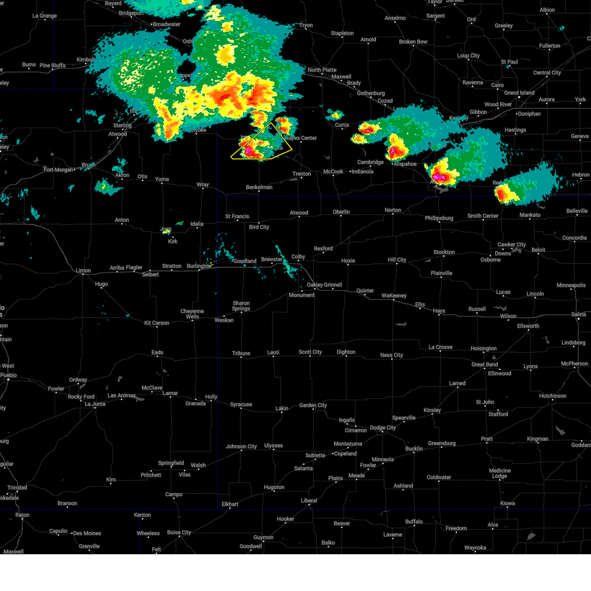 At 724 pm cdt/624 pm mdt/, a severe thunderstorm was located near champion, or 7 miles south of imperial, moving northeast at 20 mph (radar indicated). Hazards include ping pong ball size hail. People and animals outdoors will be injured. expect damage to roofs, siding, windows, and vehicles. locations impacted include, imperial, wauneta, enders, enders reservoir state recreation area, champion, center dam campground, area a campground and church grove campground. this includes highway 61 between mile markers 25 and 42. hail threat, radar indicated max hail size, 1. 50 in wind threat, radar indicated max wind gust, <50 mph. At 724 pm cdt/624 pm mdt/, a severe thunderstorm was located near champion, or 7 miles south of imperial, moving northeast at 20 mph (radar indicated). Hazards include ping pong ball size hail. People and animals outdoors will be injured. expect damage to roofs, siding, windows, and vehicles. locations impacted include, imperial, wauneta, enders, enders reservoir state recreation area, champion, center dam campground, area a campground and church grove campground. this includes highway 61 between mile markers 25 and 42. hail threat, radar indicated max hail size, 1. 50 in wind threat, radar indicated max wind gust, <50 mph.
|
| 5/5/2023 6:15 PM MDT | Imperial asos reports wind gust of 63 mp in chase county NE, 0.9 miles WSW of Imperial, NE |
| 5/5/2023 6:05 PM MDT |
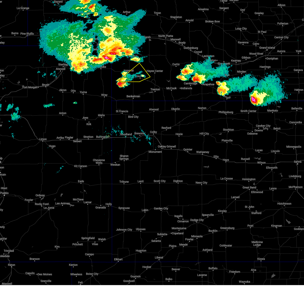 At 704 pm cdt/604 pm mdt/, a severe thunderstorm was located 9 miles south of champion, or 13 miles southwest of imperial, moving northeast at 20 mph (radar indicated). Hazards include ping pong ball size hail. People and animals outdoors will be injured. Expect damage to roofs, siding, windows, and vehicles. At 704 pm cdt/604 pm mdt/, a severe thunderstorm was located 9 miles south of champion, or 13 miles southwest of imperial, moving northeast at 20 mph (radar indicated). Hazards include ping pong ball size hail. People and animals outdoors will be injured. Expect damage to roofs, siding, windows, and vehicles.
|
| 4/27/2023 4:46 PM MDT | Delayed report. thunderstorm outflo in chase county NE, 1 miles WNW of Imperial, NE |
| 7/27/2022 9:15 PM MDT |
 At 1014 pm cdt/914 pm mdt/, severe thunderstorms were located along a line extending from 6 miles northeast of wauneta to near imperial to 7 miles southeast of lamar, moving east at 30 mph. these are destructive storms for portions of southern chase and far southeastern hayes counties (at 914 pm mdt, an 81 mile per hour wind gust was observed at imperial airport). Hazards include 80 mph wind gusts and quarter size hail. Flying debris will be dangerous to those caught without shelter. mobile homes will be heavily damaged. expect considerable damage to roofs, windows, and vehicles. extensive tree damage and power outages are likely. locations impacted include, imperial, wauneta, enders, enders reservoir state recreation area, champion, crete, chase, hamlet, center dam campground, wanamaker state wildfire management area, area a campground and church grove campground. this includes highway 61 between mile markers 25 and 45. thunderstorm damage threat, destructive hail threat, radar indicated max hail size, 1. 00 in wind threat, observed max wind gust, 80 mph. At 1014 pm cdt/914 pm mdt/, severe thunderstorms were located along a line extending from 6 miles northeast of wauneta to near imperial to 7 miles southeast of lamar, moving east at 30 mph. these are destructive storms for portions of southern chase and far southeastern hayes counties (at 914 pm mdt, an 81 mile per hour wind gust was observed at imperial airport). Hazards include 80 mph wind gusts and quarter size hail. Flying debris will be dangerous to those caught without shelter. mobile homes will be heavily damaged. expect considerable damage to roofs, windows, and vehicles. extensive tree damage and power outages are likely. locations impacted include, imperial, wauneta, enders, enders reservoir state recreation area, champion, crete, chase, hamlet, center dam campground, wanamaker state wildfire management area, area a campground and church grove campground. this includes highway 61 between mile markers 25 and 45. thunderstorm damage threat, destructive hail threat, radar indicated max hail size, 1. 00 in wind threat, observed max wind gust, 80 mph.
|
| 7/27/2022 9:14 PM MDT | Imperial asos report of 81 mph wind gust in chase county NE, 0.9 miles WSW of Imperial, NE |
| 7/27/2022 9:12 PM MDT |
 At 1011 pm cdt/911 pm mdt/, severe thunderstorms were located along a line extending from 6 miles northeast of wauneta to near imperial to 7 miles south of lamar, moving southeast at 30 mph (radar indicated). Hazards include 60 mph wind gusts and quarter size hail. Hail damage to vehicles is expected. Expect wind damage to roofs, siding, and trees. At 1011 pm cdt/911 pm mdt/, severe thunderstorms were located along a line extending from 6 miles northeast of wauneta to near imperial to 7 miles south of lamar, moving southeast at 30 mph (radar indicated). Hazards include 60 mph wind gusts and quarter size hail. Hail damage to vehicles is expected. Expect wind damage to roofs, siding, and trees.
|
| 7/27/2022 8:59 PM MDT |
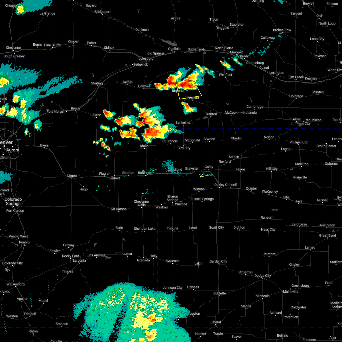 At 958 pm cdt/858 pm mdt/, a severe thunderstorm was located 7 miles northeast of imperial, moving southeast at 15 mph (radar indicated). Hazards include 60 mph wind gusts and quarter size hail. Hail damage to vehicles is expected. expect wind damage to roofs, siding, and trees. locations impacted include, imperial, enders and center dam campground. this includes highway 61 between mile markers 41 and 52. hail threat, radar indicated max hail size, 1. 00 in wind threat, radar indicated max wind gust, 60 mph. At 958 pm cdt/858 pm mdt/, a severe thunderstorm was located 7 miles northeast of imperial, moving southeast at 15 mph (radar indicated). Hazards include 60 mph wind gusts and quarter size hail. Hail damage to vehicles is expected. expect wind damage to roofs, siding, and trees. locations impacted include, imperial, enders and center dam campground. this includes highway 61 between mile markers 41 and 52. hail threat, radar indicated max hail size, 1. 00 in wind threat, radar indicated max wind gust, 60 mph.
|
| 7/27/2022 8:57 PM MDT |
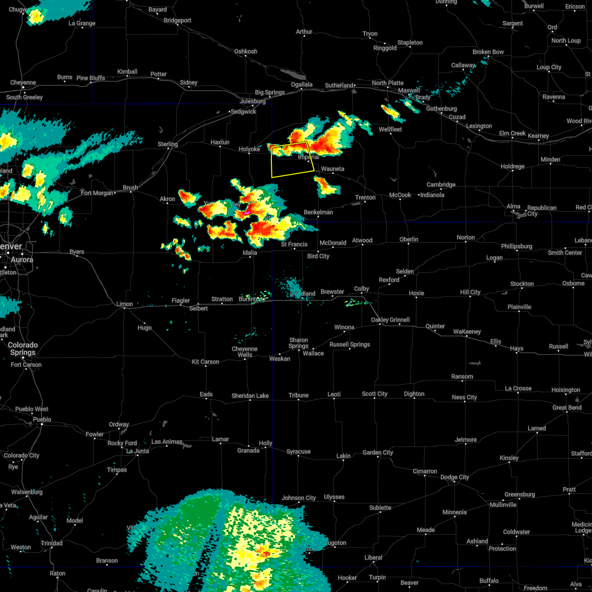 At 857 pm mdt, severe thunderstorms were located along a line extending from near imperial to 8 miles northwest of champion to near lamar, moving south at 40 mph (radar indicated). Hazards include 60 mph wind gusts and quarter size hail. Hail damage to vehicles is expected. Expect wind damage to roofs, siding, and trees. At 857 pm mdt, severe thunderstorms were located along a line extending from near imperial to 8 miles northwest of champion to near lamar, moving south at 40 mph (radar indicated). Hazards include 60 mph wind gusts and quarter size hail. Hail damage to vehicles is expected. Expect wind damage to roofs, siding, and trees.
|
| 7/27/2022 8:27 PM MDT |
 At 926 pm cdt/826 pm mdt/, a severe thunderstorm was located near madrid, or 8 miles southeast of grant, moving southeast at 35 mph (radar indicated). Hazards include 60 mph wind gusts and quarter size hail. Hail damage to vehicles is expected. Expect wind damage to roofs, siding, and trees. At 926 pm cdt/826 pm mdt/, a severe thunderstorm was located near madrid, or 8 miles southeast of grant, moving southeast at 35 mph (radar indicated). Hazards include 60 mph wind gusts and quarter size hail. Hail damage to vehicles is expected. Expect wind damage to roofs, siding, and trees.
|
| 7/21/2022 8:29 PM CDT |
 At 829 pm cdt/729 pm mdt/, severe thunderstorms were located along a line extending from 11 miles north of hayes center to 15 miles northeast of wauneta to 7 miles north of enders to champion to 7 miles south of lamar, moving southeast at 45 mph (radar indicated). Hazards include 60 mph wind gusts and nickel size hail. expect damage to roofs, siding, and trees At 829 pm cdt/729 pm mdt/, severe thunderstorms were located along a line extending from 11 miles north of hayes center to 15 miles northeast of wauneta to 7 miles north of enders to champion to 7 miles south of lamar, moving southeast at 45 mph (radar indicated). Hazards include 60 mph wind gusts and nickel size hail. expect damage to roofs, siding, and trees
|
| 7/21/2022 7:20 PM MDT | Storm damage reported in chase county NE, 0.2 miles SE of Imperial, NE |
| 7/11/2022 1:09 AM MDT |
 At 108 am mdt, a severe thunderstorm was located over imperial, moving north at 20 mph (public). Hazards include 60 mph wind gusts. expect damage to roofs, siding, and trees At 108 am mdt, a severe thunderstorm was located over imperial, moving north at 20 mph (public). Hazards include 60 mph wind gusts. expect damage to roofs, siding, and trees
|
| 7/11/2022 1:04 AM MDT | Imperial airport in chase county NE, 0.2 miles SE of Imperial, NE |
| 7/10/2022 7:38 PM MDT |
 At 737 pm mdt, a severe thunderstorm was located 11 miles northeast of imperial, moving northeast at 20 mph (radar indicated). Hazards include 60 mph wind gusts. expect damage to roofs, siding, and trees At 737 pm mdt, a severe thunderstorm was located 11 miles northeast of imperial, moving northeast at 20 mph (radar indicated). Hazards include 60 mph wind gusts. expect damage to roofs, siding, and trees
|
| 7/10/2022 7:28 PM MDT |
 The severe thunderstorm warning for central chase county will expire at 730 pm mdt, the storm which prompted the warning has weakened below severe limits, and no longer poses an immediate threat to life or property. therefore, the warning will be allowed to expire. however gusty winds and heavy rain are still possible with this thunderstorm. to report severe weather, contact your nearest law enforcement agency. they will relay your report to the national weather service north platte. The severe thunderstorm warning for central chase county will expire at 730 pm mdt, the storm which prompted the warning has weakened below severe limits, and no longer poses an immediate threat to life or property. therefore, the warning will be allowed to expire. however gusty winds and heavy rain are still possible with this thunderstorm. to report severe weather, contact your nearest law enforcement agency. they will relay your report to the national weather service north platte.
|
| 7/10/2022 7:05 PM MDT | Estimated time based on rada in chase county NE, 8 miles E of Imperial, NE |
| 7/10/2022 7:03 PM MDT |
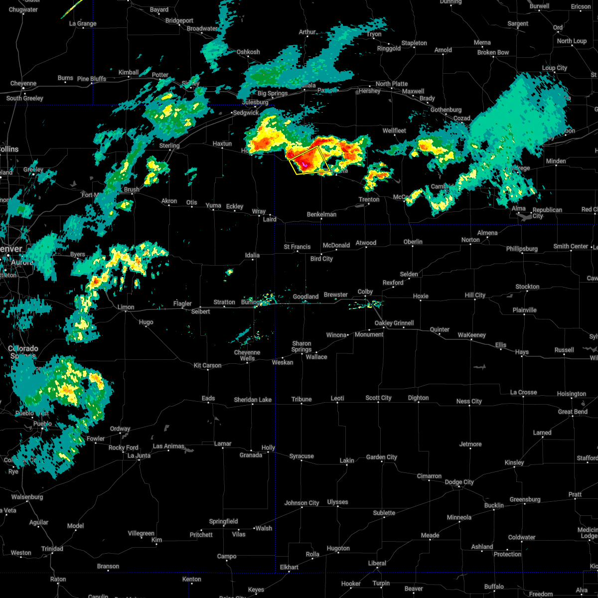 At 703 pm mdt, a severe thunderstorm was located near imperial, moving north at 10 mph (radar indicated). Hazards include 60 mph wind gusts and quarter size hail. Hail damage to vehicles is expected. expect wind damage to roofs, siding, and trees. locations impacted include, imperial, champion, chase and wanamaker state wildfire management area. this includes highway 61 between mile markers 41 and 49. hail threat, radar indicated max hail size, 1. 00 in wind threat, radar indicated max wind gust, 60 mph. At 703 pm mdt, a severe thunderstorm was located near imperial, moving north at 10 mph (radar indicated). Hazards include 60 mph wind gusts and quarter size hail. Hail damage to vehicles is expected. expect wind damage to roofs, siding, and trees. locations impacted include, imperial, champion, chase and wanamaker state wildfire management area. this includes highway 61 between mile markers 41 and 49. hail threat, radar indicated max hail size, 1. 00 in wind threat, radar indicated max wind gust, 60 mph.
|
| 7/10/2022 6:54 PM MDT | Half Dollar sized hail reported 5 miles NE of Imperial, NE |
| 7/10/2022 6:50 PM MDT | Quarter sized hail reported 5 miles NE of Imperial, NE, estimated time from radar. |
| 7/10/2022 6:50 PM MDT | Estimated time based on radar. 60 mph winds shredded leaves and blew walnuts off tree in chase county NE, 5 miles NE of Imperial, NE |
| 7/10/2022 6:42 PM MDT |
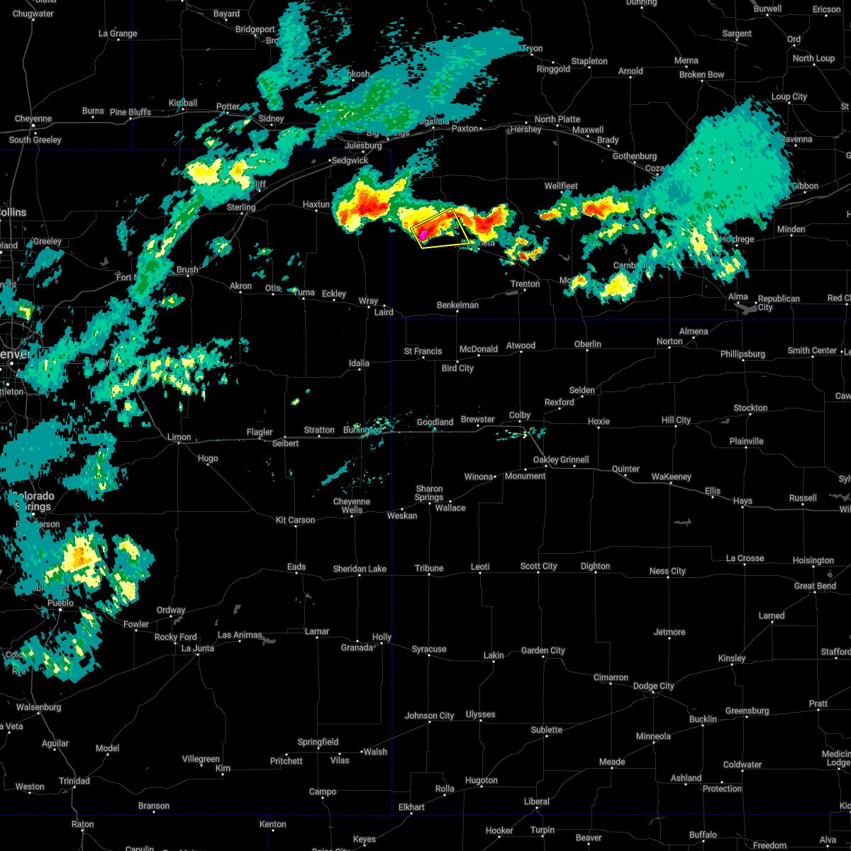 At 642 pm mdt, a severe thunderstorm was located near champion, or 7 miles west of imperial, moving east at 20 mph (radar indicated). Hazards include 60 mph wind gusts and quarter size hail. Hail damage to vehicles is expected. Expect wind damage to roofs, siding, and trees. At 642 pm mdt, a severe thunderstorm was located near champion, or 7 miles west of imperial, moving east at 20 mph (radar indicated). Hazards include 60 mph wind gusts and quarter size hail. Hail damage to vehicles is expected. Expect wind damage to roofs, siding, and trees.
|
| 6/7/2022 6:41 PM MDT |
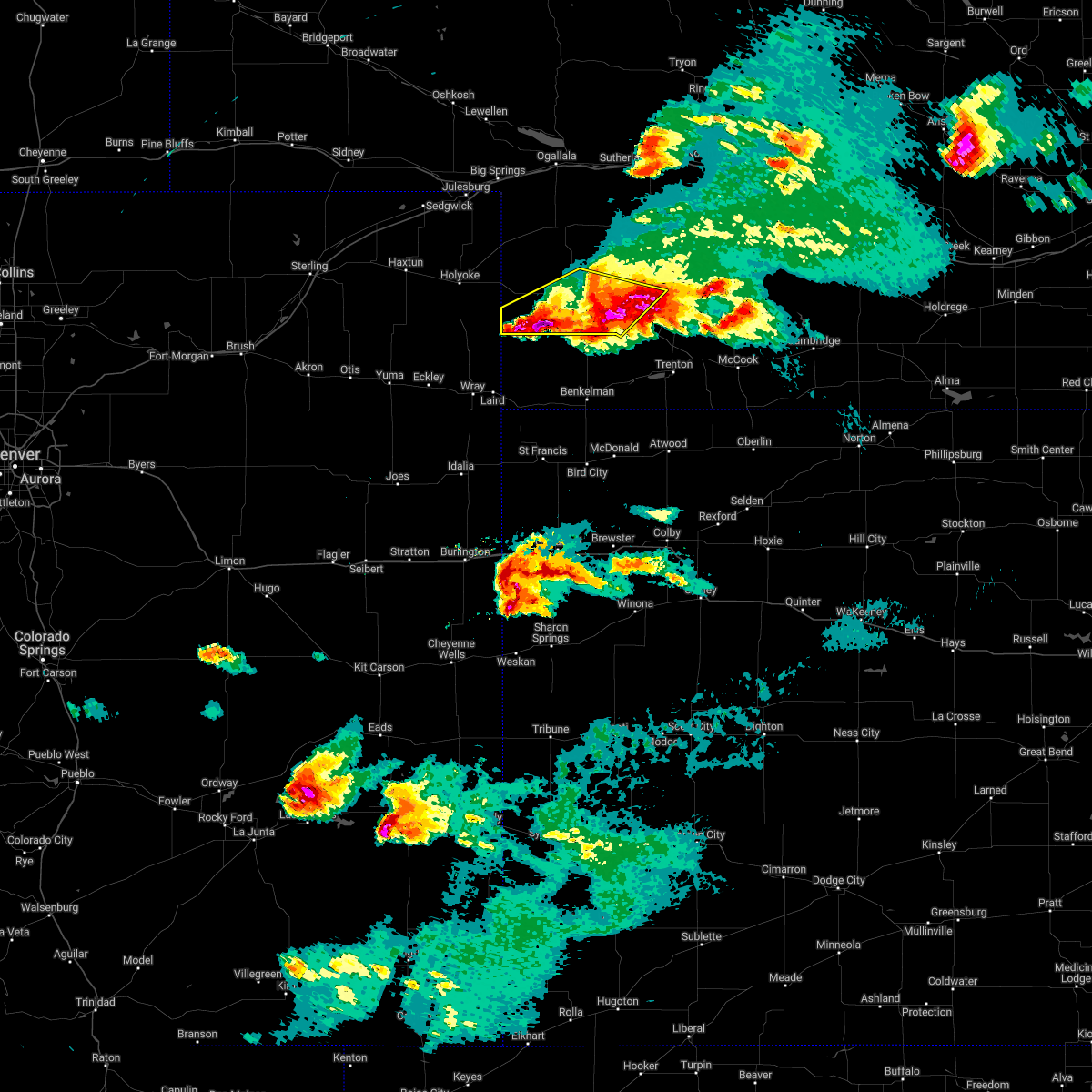 At 741 pm cdt/641 pm mdt/, a severe thunderstorm was located over wauneta, or 17 miles west of hayes center, moving southeast at 45 mph (radar indicated). Hazards include 60 mph wind gusts and half dollar size hail. Hail damage to vehicles is expected. expect wind damage to roofs, siding, and trees. locations impacted include, imperial, wauneta, enders, enders reservoir state recreation area, champion, crete, center dam campground, wanamaker state wildfire management area, area a campground and church grove campground. this includes highway 61 between mile markers 25 and 48. hail threat, radar indicated max hail size, 1. 25 in wind threat, radar indicated max wind gust, 60 mph. At 741 pm cdt/641 pm mdt/, a severe thunderstorm was located over wauneta, or 17 miles west of hayes center, moving southeast at 45 mph (radar indicated). Hazards include 60 mph wind gusts and half dollar size hail. Hail damage to vehicles is expected. expect wind damage to roofs, siding, and trees. locations impacted include, imperial, wauneta, enders, enders reservoir state recreation area, champion, crete, center dam campground, wanamaker state wildfire management area, area a campground and church grove campground. this includes highway 61 between mile markers 25 and 48. hail threat, radar indicated max hail size, 1. 25 in wind threat, radar indicated max wind gust, 60 mph.
|
| 6/7/2022 6:25 PM MDT | Hen Egg sized hail reported 0.2 miles SE of Imperial, NE, 2 inch diameter hail... most closer to golfball size. |
| 6/7/2022 6:24 PM MDT | Quarter sized hail reported 2.3 miles S of Imperial, NE |
| 6/7/2022 6:24 PM MDT |
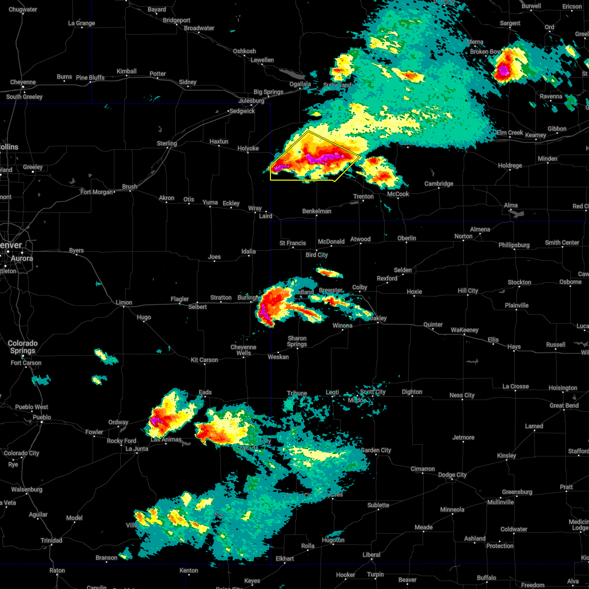 At 722 pm cdt/622 pm mdt/, a severe thunderstorm was located near imperial, moving southeast at 35 mph. a second storm with large hail is also located 7 miles south of lamar also moving southeast at 35 mph. this is a destructive storm for imperial and the enders dam area (radar indicated). Hazards include three inch hail and 60 mph wind gusts. People and animals outdoors will be severely injured. expect shattered windows, extensive damage to roofs, siding, and vehicles. locations impacted include, imperial, wauneta, enders, enders reservoir state recreation area, champion, crete, chase, center dam campground, wanamaker state wildfire management area, area a campground and church grove campground. This includes highway 61 between mile markers 25 and 57. At 722 pm cdt/622 pm mdt/, a severe thunderstorm was located near imperial, moving southeast at 35 mph. a second storm with large hail is also located 7 miles south of lamar also moving southeast at 35 mph. this is a destructive storm for imperial and the enders dam area (radar indicated). Hazards include three inch hail and 60 mph wind gusts. People and animals outdoors will be severely injured. expect shattered windows, extensive damage to roofs, siding, and vehicles. locations impacted include, imperial, wauneta, enders, enders reservoir state recreation area, champion, crete, chase, center dam campground, wanamaker state wildfire management area, area a campground and church grove campground. This includes highway 61 between mile markers 25 and 57.
|
| 6/7/2022 6:16 PM MDT |
 At 715 pm cdt/615 pm mdt/, a severe thunderstorm was located over imperial, moving southeast at 35 mph. this is a destructive storm for imperial (radar indicated). Hazards include three inch hail and 60 mph wind gusts. People and animals outdoors will be severely injured. expect shattered windows, extensive damage to roofs, siding, and vehicles. locations impacted include, imperial, wauneta, enders, enders reservoir state recreation area, champion, crete, chase, center dam campground, wanamaker state wildfire management area, area a campground and church grove campground. This includes highway 61 between mile markers 25 and 57. At 715 pm cdt/615 pm mdt/, a severe thunderstorm was located over imperial, moving southeast at 35 mph. this is a destructive storm for imperial (radar indicated). Hazards include three inch hail and 60 mph wind gusts. People and animals outdoors will be severely injured. expect shattered windows, extensive damage to roofs, siding, and vehicles. locations impacted include, imperial, wauneta, enders, enders reservoir state recreation area, champion, crete, chase, center dam campground, wanamaker state wildfire management area, area a campground and church grove campground. This includes highway 61 between mile markers 25 and 57.
|
| 6/7/2022 6:10 PM MDT |
 At 710 pm cdt/610 pm mdt/, a severe thunderstorm was located near imperial, moving southeast at 45 mph (radar indicated). Hazards include two inch hail and 60 mph wind gusts. People and animals outdoors will be injured. expect hail damage to roofs, siding, windows, and vehicles. Expect wind damage to roofs, siding, and trees. At 710 pm cdt/610 pm mdt/, a severe thunderstorm was located near imperial, moving southeast at 45 mph (radar indicated). Hazards include two inch hail and 60 mph wind gusts. People and animals outdoors will be injured. expect hail damage to roofs, siding, windows, and vehicles. Expect wind damage to roofs, siding, and trees.
|
| 6/7/2022 5:55 PM MDT | Quarter sized hail reported 15.9 miles SE of Imperial, NE |
| 6/7/2022 5:54 PM MDT |
 At 554 pm mdt, a severe thunderstorm was located 8 miles northeast of lamar, or 14 miles southwest of grant, moving southeast at 35 mph (radar indicated). Hazards include tennis ball size hail. People and animals outdoors will be injured. expect damage to roofs, siding, windows, and vehicles. locations impacted include, imperial, venango, lamar, crete, chase, brandon and wanamaker state wildfire management area. This includes highway 61 between mile markers 43 and 59. At 554 pm mdt, a severe thunderstorm was located 8 miles northeast of lamar, or 14 miles southwest of grant, moving southeast at 35 mph (radar indicated). Hazards include tennis ball size hail. People and animals outdoors will be injured. expect damage to roofs, siding, windows, and vehicles. locations impacted include, imperial, venango, lamar, crete, chase, brandon and wanamaker state wildfire management area. This includes highway 61 between mile markers 43 and 59.
|
| 6/7/2022 5:38 PM MDT |
 At 538 pm mdt, a severe thunderstorm was located over venango, or 15 miles southwest of grant, moving southeast at 40 mph (radar indicated). Hazards include two inch hail. People and animals outdoors will be injured. expect damage to roofs, siding, windows, and vehicles. locations impacted include, imperial, venango, lamar, crete, chase, brandon and wanamaker state wildfire management area. This includes highway 61 between mile markers 43 and 59. At 538 pm mdt, a severe thunderstorm was located over venango, or 15 miles southwest of grant, moving southeast at 40 mph (radar indicated). Hazards include two inch hail. People and animals outdoors will be injured. expect damage to roofs, siding, windows, and vehicles. locations impacted include, imperial, venango, lamar, crete, chase, brandon and wanamaker state wildfire management area. This includes highway 61 between mile markers 43 and 59.
|
| 6/7/2022 5:27 PM MDT |
 At 527 pm mdt, a severe thunderstorm was located near venango, or 13 miles southeast of julesburg, moving southeast at 35 mph (radar indicated). Hazards include two inch hail. People and animals outdoors will be injured. Expect damage to roofs, siding, windows, and vehicles. At 527 pm mdt, a severe thunderstorm was located near venango, or 13 miles southeast of julesburg, moving southeast at 35 mph (radar indicated). Hazards include two inch hail. People and animals outdoors will be injured. Expect damage to roofs, siding, windows, and vehicles.
|
| 6/3/2022 7:58 PM MDT |
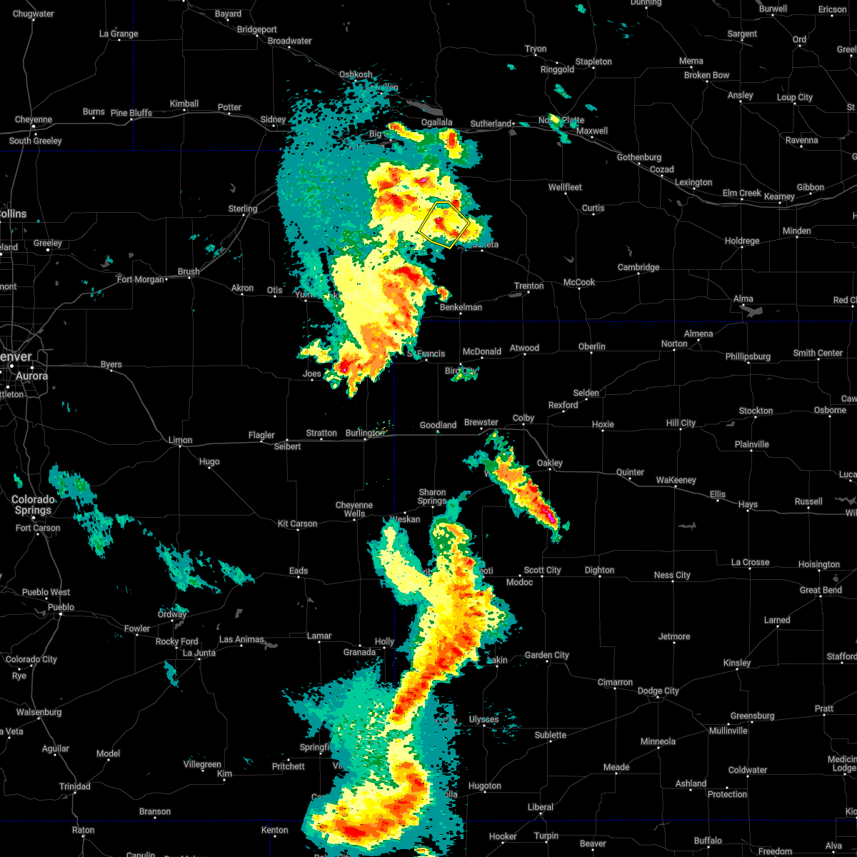 The severe thunderstorm warning for central chase county will expire at 800 pm mdt, the severe thunderstorm which prompted the warning has weakened. therefore, the warning will be allowed to expire. however small hail and heavy rain are still possible with this thunderstorm. The severe thunderstorm warning for central chase county will expire at 800 pm mdt, the severe thunderstorm which prompted the warning has weakened. therefore, the warning will be allowed to expire. however small hail and heavy rain are still possible with this thunderstorm.
|
| 6/3/2022 7:30 PM MDT |
 At 729 pm mdt, a severe thunderstorm was located near imperial, moving northeast at 30 mph (radar indicated). Hazards include 60 mph wind gusts and quarter size hail. Hail damage to vehicles is expected. expect wind damage to roofs, siding, and trees. locations impacted include, imperial, champion, chase and wanamaker state wildfire management area. this includes highway 61 between mile markers 41 and 53. hail threat, radar indicated max hail size, 1. 00 in wind threat, radar indicated max wind gust, 60 mph. At 729 pm mdt, a severe thunderstorm was located near imperial, moving northeast at 30 mph (radar indicated). Hazards include 60 mph wind gusts and quarter size hail. Hail damage to vehicles is expected. expect wind damage to roofs, siding, and trees. locations impacted include, imperial, champion, chase and wanamaker state wildfire management area. this includes highway 61 between mile markers 41 and 53. hail threat, radar indicated max hail size, 1. 00 in wind threat, radar indicated max wind gust, 60 mph.
|
| 6/3/2022 7:08 PM MDT | Half Dollar sized hail reported 7.5 miles E of Imperial, NE |
| 6/3/2022 7:03 PM MDT |
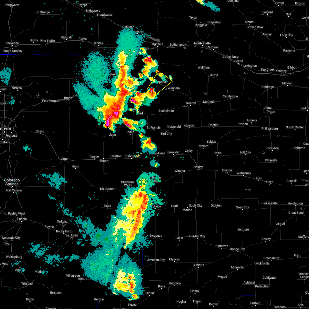 At 702 pm mdt, a severe thunderstorm was located near champion, or 7 miles southwest of imperial, moving northeast at 30 mph (radar indicated). Hazards include 60 mph wind gusts and half dollar size hail. Hail damage to vehicles is expected. Expect wind damage to roofs, siding, and trees. At 702 pm mdt, a severe thunderstorm was located near champion, or 7 miles southwest of imperial, moving northeast at 30 mph (radar indicated). Hazards include 60 mph wind gusts and half dollar size hail. Hail damage to vehicles is expected. Expect wind damage to roofs, siding, and trees.
|
| 5/16/2022 8:54 PM MDT |
 At 953 pm cdt/853 pm mdt/, severe thunderstorms were located along a line extending from near wallace to champion, moving east at 30 mph (radar indicated). Hazards include 70 mph wind gusts. Expect considerable tree damage. Damage is likely to mobile homes, roofs, and outbuildings. At 953 pm cdt/853 pm mdt/, severe thunderstorms were located along a line extending from near wallace to champion, moving east at 30 mph (radar indicated). Hazards include 70 mph wind gusts. Expect considerable tree damage. Damage is likely to mobile homes, roofs, and outbuildings.
|
| 4/22/2022 11:42 PM MDT |
 The severe thunderstorm warning for perkins and chase counties will expire at 1145 pm mdt, the storms which prompted the warning have weakened below severe limits, and no longer pose an immediate threat to life or property. therefore, the warning will be allowed to expire. however gusty winds are still possible with these thunderstorms. a severe thunderstorm watch remains in effect until 400 am mdt for southwestern nebraska. The severe thunderstorm warning for perkins and chase counties will expire at 1145 pm mdt, the storms which prompted the warning have weakened below severe limits, and no longer pose an immediate threat to life or property. therefore, the warning will be allowed to expire. however gusty winds are still possible with these thunderstorms. a severe thunderstorm watch remains in effect until 400 am mdt for southwestern nebraska.
|
| 4/22/2022 11:27 PM MDT |
 At 1127 pm mdt, severe thunderstorms were located along a line extending from 9 miles north of grant to near champion, moving east at 30 mph (radar indicated). Hazards include 70 mph wind gusts. Expect considerable tree damage. damage is likely to mobile homes, roofs, and outbuildings. locations impacted include, imperial, grant, wauneta, madrid, venango, elsie, lamar, enders, enders reservoir state recreation area, champion, crete, chase, center dam campground, brandon, wild horse spring, wanamaker state wildfire management area, area a campground and church grove campground. this includes highway 61 between mile markers 27 and 77. thunderstorm damage threat, considerable hail threat, radar indicated max hail size, <. 75 in wind threat, radar indicated max wind gust, 70 mph. At 1127 pm mdt, severe thunderstorms were located along a line extending from 9 miles north of grant to near champion, moving east at 30 mph (radar indicated). Hazards include 70 mph wind gusts. Expect considerable tree damage. damage is likely to mobile homes, roofs, and outbuildings. locations impacted include, imperial, grant, wauneta, madrid, venango, elsie, lamar, enders, enders reservoir state recreation area, champion, crete, chase, center dam campground, brandon, wild horse spring, wanamaker state wildfire management area, area a campground and church grove campground. this includes highway 61 between mile markers 27 and 77. thunderstorm damage threat, considerable hail threat, radar indicated max hail size, <. 75 in wind threat, radar indicated max wind gust, 70 mph.
|
| 4/22/2022 10:47 PM MDT |
 At 1047 pm mdt, severe thunderstorms were located along a line extending from 6 miles south of big springs to 9 miles southeast of holyoke, moving east at 30 mph (radar indicated). Hazards include 70 mph wind gusts and penny size hail. Expect considerable tree damage. Damage is likely to mobile homes, roofs, and outbuildings. At 1047 pm mdt, severe thunderstorms were located along a line extending from 6 miles south of big springs to 9 miles southeast of holyoke, moving east at 30 mph (radar indicated). Hazards include 70 mph wind gusts and penny size hail. Expect considerable tree damage. Damage is likely to mobile homes, roofs, and outbuildings.
|
| 10/12/2021 6:57 PM MDT |
 The severe thunderstorm warning for western perkins and western chase counties will expire at 700 pm mdt, the storms which prompted the warning have weakened below severe limits, and no longer pose an immediate threat to life or property. therefore, the warning will be allowed to expire. however gusty winds are still possible with these thunderstorms. a tornado watch remains in effect until 1000 pm mdt for southwestern nebraska. to report severe weather, contact your nearest law enforcement agency. they will relay your report to the national weather service north platte. The severe thunderstorm warning for western perkins and western chase counties will expire at 700 pm mdt, the storms which prompted the warning have weakened below severe limits, and no longer pose an immediate threat to life or property. therefore, the warning will be allowed to expire. however gusty winds are still possible with these thunderstorms. a tornado watch remains in effect until 1000 pm mdt for southwestern nebraska. to report severe weather, contact your nearest law enforcement agency. they will relay your report to the national weather service north platte.
|
| 10/12/2021 6:28 PM MDT |
 At 628 pm mdt, severe thunderstorms were located along a line extending from near venango to near lamar to 17 miles southwest of champion, moving northeast at 35 mph (radar indicated). Hazards include 60 mph wind gusts and quarter size hail. Hail damage to vehicles is expected. expect wind damage to roofs, siding, and trees. locations impacted include, imperial, grant, venango, lamar, crete, chase, brandon and wanamaker state wildfire management area. this includes highway 61 between mile markers 42 and 69. hail threat, radar indicated max hail size, 1. 00 in wind threat, radar indicated max wind gust, 60 mph. At 628 pm mdt, severe thunderstorms were located along a line extending from near venango to near lamar to 17 miles southwest of champion, moving northeast at 35 mph (radar indicated). Hazards include 60 mph wind gusts and quarter size hail. Hail damage to vehicles is expected. expect wind damage to roofs, siding, and trees. locations impacted include, imperial, grant, venango, lamar, crete, chase, brandon and wanamaker state wildfire management area. this includes highway 61 between mile markers 42 and 69. hail threat, radar indicated max hail size, 1. 00 in wind threat, radar indicated max wind gust, 60 mph.
|
| 10/12/2021 6:02 PM MDT |
 At 601 pm mdt, severe thunderstorms were located along a line extending from 6 miles southwest of holyoke to 14 miles south of pleasant valley to 19 miles southwest of lamar to near wray, moving northeast at 45 mph (radar indicated). Hazards include 70 mph wind gusts and quarter size hail. Hail damage to vehicles is expected. expect considerable tree damage. Wind damage is also likely to mobile homes, roofs, and outbuildings. At 601 pm mdt, severe thunderstorms were located along a line extending from 6 miles southwest of holyoke to 14 miles south of pleasant valley to 19 miles southwest of lamar to near wray, moving northeast at 45 mph (radar indicated). Hazards include 70 mph wind gusts and quarter size hail. Hail damage to vehicles is expected. expect considerable tree damage. Wind damage is also likely to mobile homes, roofs, and outbuildings.
|
| 8/19/2021 8:19 PM MDT | Imperial awo in chase county NE, 1 miles WNW of Imperial, NE |
| 8/19/2021 8:17 PM MDT |
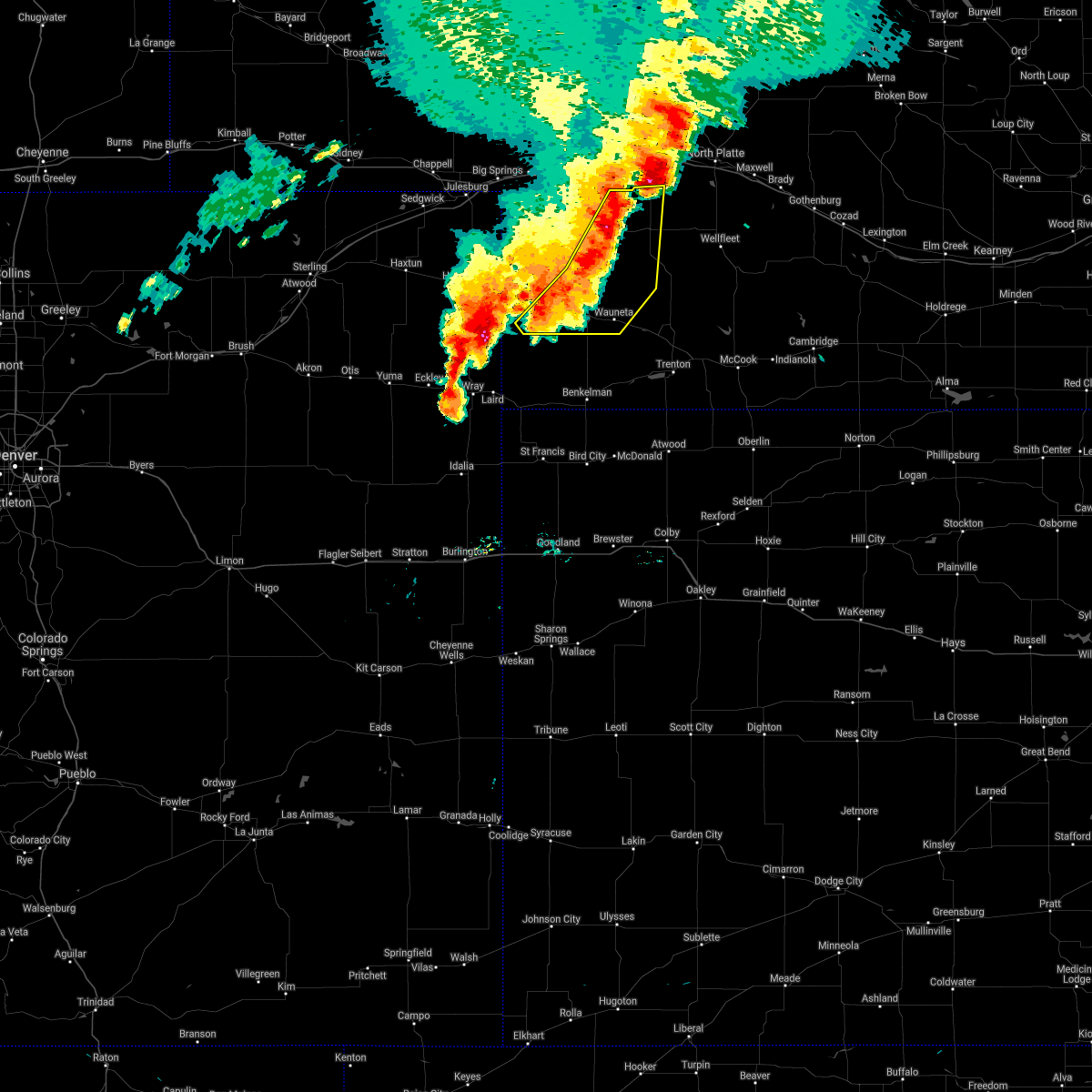 At 916 pm cdt/816 pm mdt/, severe thunderstorms were located along a line extending from near elsie to 6 miles north of imperial to 8 miles southwest of champion, moving southeast at 35 mph (radar indicated). Hazards include 70 mph wind gusts and penny size hail. Expect considerable tree damage. Damage is likely to mobile homes, roofs, and outbuildings. At 916 pm cdt/816 pm mdt/, severe thunderstorms were located along a line extending from near elsie to 6 miles north of imperial to 8 miles southwest of champion, moving southeast at 35 mph (radar indicated). Hazards include 70 mph wind gusts and penny size hail. Expect considerable tree damage. Damage is likely to mobile homes, roofs, and outbuildings.
|
| 8/19/2021 6:32 PM MDT |
 At 631 pm mdt, a severe thunderstorm was located 11 miles south of madrid, or 12 miles southeast of grant, moving east at 20 mph (radar indicated). Hazards include 60 mph wind gusts and quarter size hail. Hail damage to vehicles is expected. Expect wind damage to roofs, siding, and trees. At 631 pm mdt, a severe thunderstorm was located 11 miles south of madrid, or 12 miles southeast of grant, moving east at 20 mph (radar indicated). Hazards include 60 mph wind gusts and quarter size hail. Hail damage to vehicles is expected. Expect wind damage to roofs, siding, and trees.
|
| 8/19/2021 6:02 PM MDT |
 At 602 pm mdt, a severe thunderstorm was located 11 miles northeast of lamar, or 11 miles northwest of imperial, moving east at 20 mph (radar indicated). Hazards include 70 mph wind gusts and half dollar size hail. Hail damage to vehicles is expected. expect considerable tree damage. Wind damage is also likely to mobile homes, roofs, and outbuildings. At 602 pm mdt, a severe thunderstorm was located 11 miles northeast of lamar, or 11 miles northwest of imperial, moving east at 20 mph (radar indicated). Hazards include 70 mph wind gusts and half dollar size hail. Hail damage to vehicles is expected. expect considerable tree damage. Wind damage is also likely to mobile homes, roofs, and outbuildings.
|
| 8/9/2021 7:11 PM MDT | Delayed report from kiml asos in chase county NE, 0.2 miles SE of Imperial, NE |
| 6/19/2021 6:07 PM MDT | Power out as wel in chase county NE, 0.2 miles SE of Imperial, NE |
| 6/19/2021 6:07 PM MDT |
 At 606 pm mdt, severe thunderstorms were located along a line extending from 6 miles northwest of imperial to 12 miles southwest of champion, moving southeast at 40 mph (radar indicated). Hazards include 60 mph wind gusts. Expect damage to roofs, siding, and trees. locations impacted include, imperial, grant, madrid, venango, elsie, lamar, enders, enders reservoir state recreation area, champion, crete, chase, center dam campground, brandon, wild horse spring, wanamaker state wildfire management area, area a campground and church grove campground. This includes highway 61 between mile markers 25 and 76. At 606 pm mdt, severe thunderstorms were located along a line extending from 6 miles northwest of imperial to 12 miles southwest of champion, moving southeast at 40 mph (radar indicated). Hazards include 60 mph wind gusts. Expect damage to roofs, siding, and trees. locations impacted include, imperial, grant, madrid, venango, elsie, lamar, enders, enders reservoir state recreation area, champion, crete, chase, center dam campground, brandon, wild horse spring, wanamaker state wildfire management area, area a campground and church grove campground. This includes highway 61 between mile markers 25 and 76.
|
| 6/19/2021 5:24 PM MDT |
 At 522 pm mdt, severe thunderstorms were located along a line extending from 8 miles north of venango to 13 miles south of pleasant valley, moving southeast at 35 mph (radar indicated). Hazards include 60 mph wind gusts. expect damage to roofs, siding, and trees At 522 pm mdt, severe thunderstorms were located along a line extending from 8 miles north of venango to 13 miles south of pleasant valley, moving southeast at 35 mph (radar indicated). Hazards include 60 mph wind gusts. expect damage to roofs, siding, and trees
|
| 5/26/2021 7:56 PM MDT |
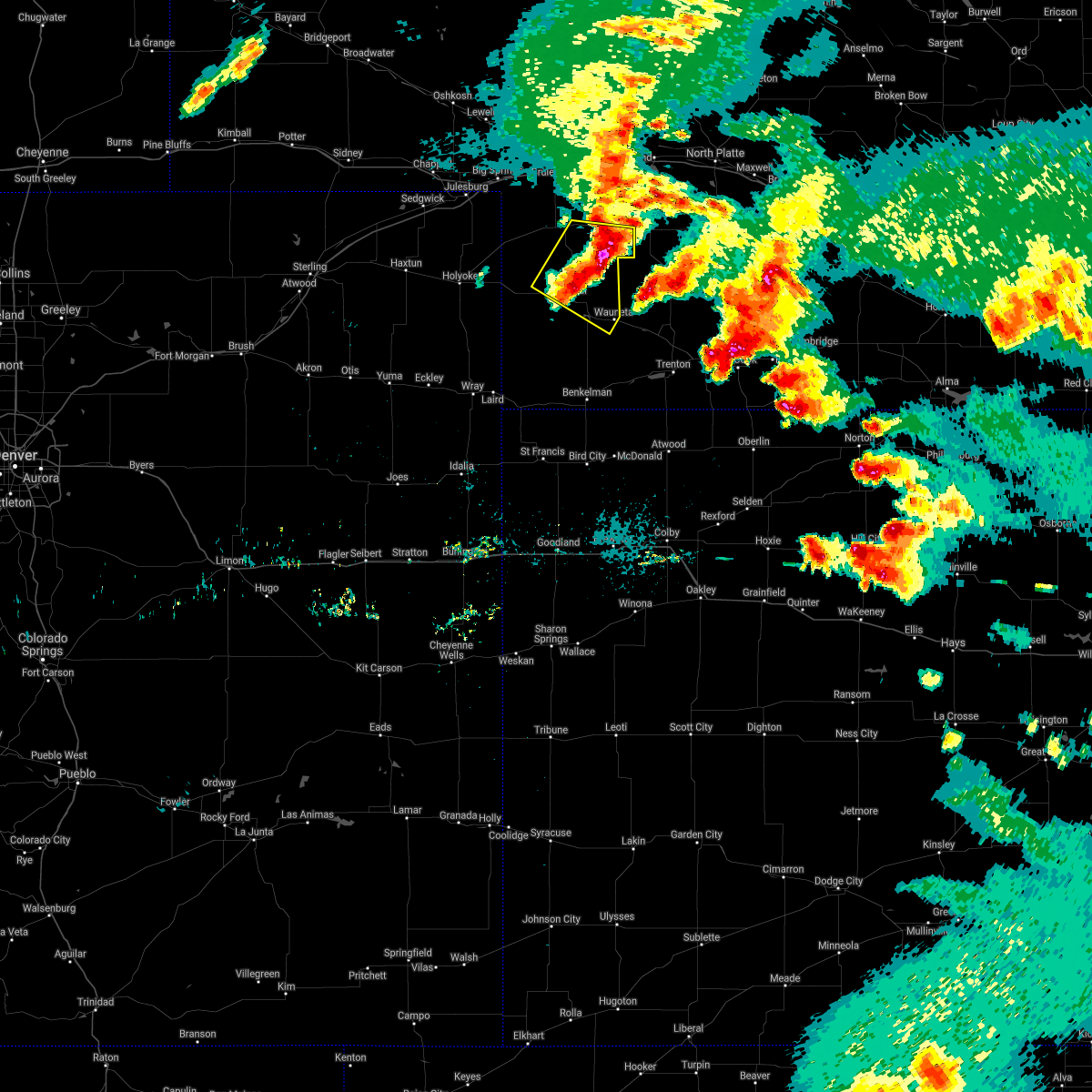 The severe thunderstorm warning for southeastern perkins and eastern chase counties will expire at 800 pm mdt, the storms which prompted the warning have weakened below severe limits, and no longer pose an immediate threat to life or property. therefore, the warning will be allowed to expire. however small hail and gusty winds are still possible with these thunderstorms. a tornado watch remains in effect until 100 am mdt for southwestern nebraska. The severe thunderstorm warning for southeastern perkins and eastern chase counties will expire at 800 pm mdt, the storms which prompted the warning have weakened below severe limits, and no longer pose an immediate threat to life or property. therefore, the warning will be allowed to expire. however small hail and gusty winds are still possible with these thunderstorms. a tornado watch remains in effect until 100 am mdt for southwestern nebraska.
|
| 5/26/2021 7:46 PM MDT |
 At 746 pm mdt, severe thunderstorms were located along a line extending from near madrid to 14 miles southeast of grant to near imperial, moving southeast at 35 mph (radar indicated). Hazards include 60 mph wind gusts and penny size hail. Expect damage to roofs, siding, and trees. locations impacted include, imperial, wauneta, madrid, elsie, enders, enders reservoir state recreation area, chase, grainton, center dam campground, wanamaker state wildfire management area and area a campground. This includes highway 61 between mile markers 29 and 62. At 746 pm mdt, severe thunderstorms were located along a line extending from near madrid to 14 miles southeast of grant to near imperial, moving southeast at 35 mph (radar indicated). Hazards include 60 mph wind gusts and penny size hail. Expect damage to roofs, siding, and trees. locations impacted include, imperial, wauneta, madrid, elsie, enders, enders reservoir state recreation area, chase, grainton, center dam campground, wanamaker state wildfire management area and area a campground. This includes highway 61 between mile markers 29 and 62.
|
| 5/26/2021 7:28 PM MDT |
 At 728 pm mdt, severe thunderstorms were located along a line extending from grant to 13 miles southwest of madrid to 9 miles northeast of lamar, moving east at 35 mph (radar indicated). Hazards include 60 mph wind gusts and quarter size hail. Hail damage to vehicles is expected. Expect wind damage to roofs, siding, and trees. At 728 pm mdt, severe thunderstorms were located along a line extending from grant to 13 miles southwest of madrid to 9 miles northeast of lamar, moving east at 35 mph (radar indicated). Hazards include 60 mph wind gusts and quarter size hail. Hail damage to vehicles is expected. Expect wind damage to roofs, siding, and trees.
|
| 5/26/2021 8:04 PM CDT |
 At 804 pm cdt/704 pm mdt/, a severe thunderstorm was located over enders reservoir state recreation area, or 9 miles southeast of imperial, moving east at 40 mph (radar indicated). Hazards include 60 mph wind gusts and half dollar size hail. Hail damage to vehicles is expected. Expect wind damage to roofs, siding, and trees. At 804 pm cdt/704 pm mdt/, a severe thunderstorm was located over enders reservoir state recreation area, or 9 miles southeast of imperial, moving east at 40 mph (radar indicated). Hazards include 60 mph wind gusts and half dollar size hail. Hail damage to vehicles is expected. Expect wind damage to roofs, siding, and trees.
|
| 8/13/2020 12:36 AM MDT |
 At 135 am cdt/1235 am mdt/, a severe thunderstorm was located near champion, or near imperial, moving east at 30 mph (radar indicated). Hazards include 60 mph wind gusts. Expect damage to roofs, siding, and trees. locations impacted include, imperial, wauneta, venango, lamar, enders, enders reservoir state recreation area, champion, crete, chase, hamlet, center dam campground, wanamaker state wildfire management area, area a campground and church grove campground. This includes highway 61 between mile markers 25 and 55. At 135 am cdt/1235 am mdt/, a severe thunderstorm was located near champion, or near imperial, moving east at 30 mph (radar indicated). Hazards include 60 mph wind gusts. Expect damage to roofs, siding, and trees. locations impacted include, imperial, wauneta, venango, lamar, enders, enders reservoir state recreation area, champion, crete, chase, hamlet, center dam campground, wanamaker state wildfire management area, area a campground and church grove campground. This includes highway 61 between mile markers 25 and 55.
|
| 8/13/2020 12:04 AM MDT |
 At 103 am cdt/1203 am mdt/, a severe thunderstorm was located near pleasant valley, or 12 miles east of holyoke, moving east at 30 mph (radar indicated). Hazards include 60 mph wind gusts. expect damage to roofs, siding, and trees At 103 am cdt/1203 am mdt/, a severe thunderstorm was located near pleasant valley, or 12 miles east of holyoke, moving east at 30 mph (radar indicated). Hazards include 60 mph wind gusts. expect damage to roofs, siding, and trees
|
| 8/12/2020 2:26 AM MDT | Thunderstorm outflow in chase county NE, 0.2 miles SE of Imperial, NE |
| 8/11/2020 5:27 PM MDT |
 At 527 pm mdt, a severe thunderstorm was located over enders, or near imperial, moving east at 20 mph (radar indicated). Hazards include 60 mph wind gusts and quarter size hail. Hail damage to vehicles is expected. expect wind damage to roofs, siding, and trees. locations impacted include, imperial, wauneta, enders, enders reservoir state recreation area, center dam campground, wanamaker state wildfire management area, area a campground and church grove campground. This includes highway 61 between mile markers 25 and 47. At 527 pm mdt, a severe thunderstorm was located over enders, or near imperial, moving east at 20 mph (radar indicated). Hazards include 60 mph wind gusts and quarter size hail. Hail damage to vehicles is expected. expect wind damage to roofs, siding, and trees. locations impacted include, imperial, wauneta, enders, enders reservoir state recreation area, center dam campground, wanamaker state wildfire management area, area a campground and church grove campground. This includes highway 61 between mile markers 25 and 47.
|
| 8/11/2020 5:12 PM MDT |
 At 512 pm mdt, a severe thunderstorm was located over imperial, moving east at 20 mph (radar indicated). Hazards include 60 mph wind gusts and half dollar size hail. Hail damage to vehicles is expected. expect wind damage to roofs, siding, and trees. locations impacted include, imperial, wauneta, enders, enders reservoir state recreation area, champion, center dam campground, wanamaker state wildfire management area, area a campground and church grove campground. This includes highway 61 between mile markers 25 and 47. At 512 pm mdt, a severe thunderstorm was located over imperial, moving east at 20 mph (radar indicated). Hazards include 60 mph wind gusts and half dollar size hail. Hail damage to vehicles is expected. expect wind damage to roofs, siding, and trees. locations impacted include, imperial, wauneta, enders, enders reservoir state recreation area, champion, center dam campground, wanamaker state wildfire management area, area a campground and church grove campground. This includes highway 61 between mile markers 25 and 47.
|
| 8/11/2020 4:57 PM MDT | Half Dollar sized hail reported 5 miles NE of Imperial, NE |
| 8/11/2020 4:57 PM MDT | Storm damage reported in chase county NE, 5 miles NE of Imperial, NE |
| 8/11/2020 4:54 PM MDT |
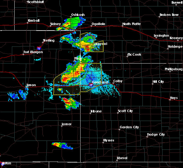 At 454 pm mdt, a severe thunderstorm was located over champion, or near imperial, moving east at 30 mph (radar indicated). Hazards include 60 mph wind gusts and quarter size hail. Hail damage to vehicles is expected. Expect wind damage to roofs, siding, and trees. At 454 pm mdt, a severe thunderstorm was located over champion, or near imperial, moving east at 30 mph (radar indicated). Hazards include 60 mph wind gusts and quarter size hail. Hail damage to vehicles is expected. Expect wind damage to roofs, siding, and trees.
|
| 7/31/2020 4:37 PM MDT |
 At 536 pm cdt/436 pm mdt/, severe thunderstorms were located along a line extending from 11 miles west of hayes center to near imperial, moving southeast at 25 mph (public. at 420 pm mdt, a wind gust to 59 mph was reported at imperial airport). Hazards include 60 mph wind gusts and penny size hail. expect damage to roofs, siding, and trees At 536 pm cdt/436 pm mdt/, severe thunderstorms were located along a line extending from 11 miles west of hayes center to near imperial, moving southeast at 25 mph (public. at 420 pm mdt, a wind gust to 59 mph was reported at imperial airport). Hazards include 60 mph wind gusts and penny size hail. expect damage to roofs, siding, and trees
|
| 7/31/2020 4:20 PM MDT | Kiml asos in chase county NE, 0.2 miles SE of Imperial, NE |
| 7/24/2020 10:19 PM CDT |
 At 1018 pm cdt/918 pm mdt/, a severe thunderstorm was located 7 miles north of enders, or 8 miles east of imperial, moving northeast at 35 mph (radar indicated). Hazards include 70 mph wind gusts. Expect considerable tree damage. Damage is likely to mobile homes, roofs, and outbuildings. At 1018 pm cdt/918 pm mdt/, a severe thunderstorm was located 7 miles north of enders, or 8 miles east of imperial, moving northeast at 35 mph (radar indicated). Hazards include 70 mph wind gusts. Expect considerable tree damage. Damage is likely to mobile homes, roofs, and outbuildings.
|
| 7/24/2020 9:11 PM MDT | 64 mph wind gust on imperial asos in chase county NE, 0.2 miles SE of Imperial, NE |
| 7/19/2020 8:09 PM MDT |
 The severe thunderstorm warning for southern chase county will expire at 815 pm mdt, the storm which prompted the warning has weakened below severe limits, and no longer poses an immediate threat to life or property. therefore, the warning will be allowed to expire. however gusty winds are still possible with this thunderstorm. a severe thunderstorm watch remains in effect until 1100 pm mdt for southwestern nebraska. The severe thunderstorm warning for southern chase county will expire at 815 pm mdt, the storm which prompted the warning has weakened below severe limits, and no longer poses an immediate threat to life or property. therefore, the warning will be allowed to expire. however gusty winds are still possible with this thunderstorm. a severe thunderstorm watch remains in effect until 1100 pm mdt for southwestern nebraska.
|
| 7/19/2020 7:53 PM MDT |
 At 753 pm mdt, a severe thunderstorm was located near enders reservoir state recreation area, or near imperial, moving east at 30 mph (radar indicated). Hazards include 60 mph wind gusts and penny size hail. Expect damage to roofs, siding, and trees. locations impacted include, imperial, enders, enders reservoir state recreation area, champion, crete, center dam campground, wanamaker state wildfire management area, area a campground and church grove campground. This includes highway 61 between mile markers 25 and 42. At 753 pm mdt, a severe thunderstorm was located near enders reservoir state recreation area, or near imperial, moving east at 30 mph (radar indicated). Hazards include 60 mph wind gusts and penny size hail. Expect damage to roofs, siding, and trees. locations impacted include, imperial, enders, enders reservoir state recreation area, champion, crete, center dam campground, wanamaker state wildfire management area, area a campground and church grove campground. This includes highway 61 between mile markers 25 and 42.
|
| 7/19/2020 7:30 PM MDT |
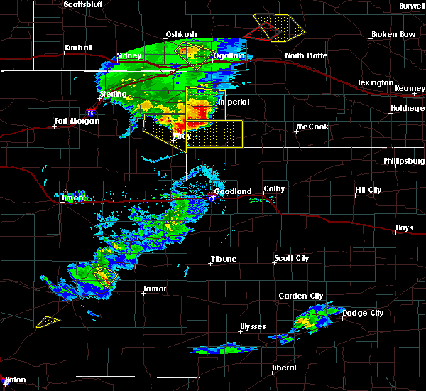 At 730 pm mdt, a severe thunderstorm was located near champion, or 11 miles southwest of imperial, moving east at 30 mph (radar indicated). Hazards include 60 mph wind gusts and quarter size hail. Hail damage to vehicles is expected. Expect wind damage to roofs, siding, and trees. At 730 pm mdt, a severe thunderstorm was located near champion, or 11 miles southwest of imperial, moving east at 30 mph (radar indicated). Hazards include 60 mph wind gusts and quarter size hail. Hail damage to vehicles is expected. Expect wind damage to roofs, siding, and trees.
|
| 7/19/2020 7:09 PM MDT |
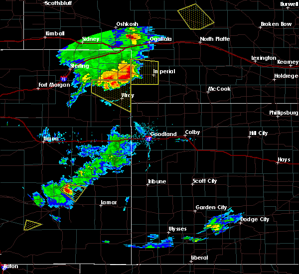 At 708 pm mdt, a severe thunderstorm was located over lamar, or 17 miles east of holyoke, moving east at 35 mph (radar indicated). Hazards include 70 mph wind gusts and quarter size hail. Hail damage to vehicles is expected. expect considerable tree damage. wind damage is also likely to mobile homes, roofs, and outbuildings. locations impacted include, imperial, venango, lamar, champion, enders reservoir state recreation area, crete, chase, wanamaker state wildfire management area and church grove campground. This includes highway 61 between mile markers 41 and 57. At 708 pm mdt, a severe thunderstorm was located over lamar, or 17 miles east of holyoke, moving east at 35 mph (radar indicated). Hazards include 70 mph wind gusts and quarter size hail. Hail damage to vehicles is expected. expect considerable tree damage. wind damage is also likely to mobile homes, roofs, and outbuildings. locations impacted include, imperial, venango, lamar, champion, enders reservoir state recreation area, crete, chase, wanamaker state wildfire management area and church grove campground. This includes highway 61 between mile markers 41 and 57.
|
| 7/19/2020 6:47 PM MDT |
 At 647 pm mdt, a severe thunderstorm was located over pleasant valley, or 7 miles east of holyoke, moving east at 40 mph (radar indicated). Hazards include 70 mph wind gusts and quarter size hail. Hail damage to vehicles is expected. expect considerable tree damage. Wind damage is also likely to mobile homes, roofs, and outbuildings. At 647 pm mdt, a severe thunderstorm was located over pleasant valley, or 7 miles east of holyoke, moving east at 40 mph (radar indicated). Hazards include 70 mph wind gusts and quarter size hail. Hail damage to vehicles is expected. expect considerable tree damage. Wind damage is also likely to mobile homes, roofs, and outbuildings.
|
| 7/13/2020 8:12 PM CDT |
 At 811 pm cdt/711 pm mdt/, severe thunderstorms were located along a line extending from near wallace to 9 miles northwest of palisade, moving east at 45 mph (trained weather spotters. at 805 pm cdt, trained spotters reported 70 mph winds near grainton). Hazards include 70 mph wind gusts and quarter size hail. Hail damage to vehicles is expected. expect considerable tree damage. wind damage is also likely to mobile homes, roofs, and outbuildings. locations impacted include, imperial, hayes center, wauneta, wallace, elsie, dickens, enders, enders reservoir state recreation area, champion, hamlet, grainton, center dam campground, hayes center state wildlife management area, marengo, wanamaker state wildfire management area, area a campground, church grove campground and somerset. this includes the following highways, highway 61 between mile markers 25 and 45. Highway 83 between mile markers 61 and 75. At 811 pm cdt/711 pm mdt/, severe thunderstorms were located along a line extending from near wallace to 9 miles northwest of palisade, moving east at 45 mph (trained weather spotters. at 805 pm cdt, trained spotters reported 70 mph winds near grainton). Hazards include 70 mph wind gusts and quarter size hail. Hail damage to vehicles is expected. expect considerable tree damage. wind damage is also likely to mobile homes, roofs, and outbuildings. locations impacted include, imperial, hayes center, wauneta, wallace, elsie, dickens, enders, enders reservoir state recreation area, champion, hamlet, grainton, center dam campground, hayes center state wildlife management area, marengo, wanamaker state wildfire management area, area a campground, church grove campground and somerset. this includes the following highways, highway 61 between mile markers 25 and 45. Highway 83 between mile markers 61 and 75.
|
| 7/13/2020 7:58 PM CDT |
 At 757 pm cdt/657 pm mdt/, severe thunderstorms were located along a line extending from near sutherland reservoir state recreation area to 10 miles south of champion, moving east at 30 mph (radar indicated). Hazards include 60 mph wind gusts and half dollar size hail. Hail damage to vehicles is expected. Expect wind damage to roofs, siding, and trees. At 757 pm cdt/657 pm mdt/, severe thunderstorms were located along a line extending from near sutherland reservoir state recreation area to 10 miles south of champion, moving east at 30 mph (radar indicated). Hazards include 60 mph wind gusts and half dollar size hail. Hail damage to vehicles is expected. Expect wind damage to roofs, siding, and trees.
|
| 7/13/2020 6:38 PM MDT |
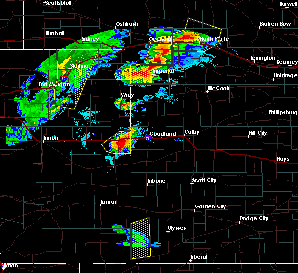 At 738 pm cdt/638 pm mdt/, severe thunderstorms were located along a line extending from near elsie to champion, moving east at 40 mph (radar indicated). Hazards include 60 mph wind gusts and quarter size hail. Hail damage to vehicles is expected. expect wind damage to roofs, siding, and trees. locations impacted include, imperial, wauneta, lamar, enders, enders reservoir state recreation area, champion, crete, chase, center dam campground, wanamaker state wildfire management area, area a campground and church grove campground. This includes highway 61 between mile markers 28 and 57. At 738 pm cdt/638 pm mdt/, severe thunderstorms were located along a line extending from near elsie to champion, moving east at 40 mph (radar indicated). Hazards include 60 mph wind gusts and quarter size hail. Hail damage to vehicles is expected. expect wind damage to roofs, siding, and trees. locations impacted include, imperial, wauneta, lamar, enders, enders reservoir state recreation area, champion, crete, chase, center dam campground, wanamaker state wildfire management area, area a campground and church grove campground. This includes highway 61 between mile markers 28 and 57.
|
| 7/13/2020 6:13 PM MDT |
 At 713 pm cdt/613 pm mdt/, severe thunderstorms were located along a line extending from 7 miles south of grant to 16 miles south of lamar, moving east at 40 mph (radar indicated). Hazards include golf ball size hail and 70 mph wind gusts. People and animals outdoors will be injured. expect hail damage to roofs, siding, windows, and vehicles. expect considerable tree damage. Wind damage is also likely to mobile homes, roofs, and outbuildings. At 713 pm cdt/613 pm mdt/, severe thunderstorms were located along a line extending from 7 miles south of grant to 16 miles south of lamar, moving east at 40 mph (radar indicated). Hazards include golf ball size hail and 70 mph wind gusts. People and animals outdoors will be injured. expect hail damage to roofs, siding, windows, and vehicles. expect considerable tree damage. Wind damage is also likely to mobile homes, roofs, and outbuildings.
|
| 7/12/2020 5:53 PM MDT | Tennis Ball sized hail reported 7.4 miles N of Imperial, NE |
| 7/12/2020 5:46 PM MDT |
 At 646 pm cdt/546 pm mdt/, a severe thunderstorm was located near champion, or 9 miles south of imperial, moving east at 20 mph (radar indicated). Hazards include two inch hail and 60 mph wind gusts. People and animals outdoors will be injured. expect hail damage to roofs, siding, windows, and vehicles. Expect wind damage to roofs, siding, and trees. At 646 pm cdt/546 pm mdt/, a severe thunderstorm was located near champion, or 9 miles south of imperial, moving east at 20 mph (radar indicated). Hazards include two inch hail and 60 mph wind gusts. People and animals outdoors will be injured. expect hail damage to roofs, siding, windows, and vehicles. Expect wind damage to roofs, siding, and trees.
|
| 7/2/2020 4:10 PM MDT |
 At 510 pm cdt/410 pm mdt/, a severe thunderstorm was located over imperial, moving northeast at 25 mph (radar indicated). Hazards include ping pong ball size hail and 60 mph wind gusts. People and animals outdoors will be injured. expect hail damage to roofs, siding, windows, and vehicles. expect wind damage to roofs, siding, and trees. locations impacted include, imperial, wauneta, enders, enders reservoir state recreation area, champion, center dam campground, wanamaker state wildfire management area, area a campground and church grove campground. This includes highway 61 between mile markers 25 and 44. At 510 pm cdt/410 pm mdt/, a severe thunderstorm was located over imperial, moving northeast at 25 mph (radar indicated). Hazards include ping pong ball size hail and 60 mph wind gusts. People and animals outdoors will be injured. expect hail damage to roofs, siding, windows, and vehicles. expect wind damage to roofs, siding, and trees. locations impacted include, imperial, wauneta, enders, enders reservoir state recreation area, champion, center dam campground, wanamaker state wildfire management area, area a campground and church grove campground. This includes highway 61 between mile markers 25 and 44.
|
| 7/2/2020 4:09 PM MDT | Half Dollar sized hail reported 3.6 miles S of Imperial, NE |
| 7/2/2020 4:07 PM MDT |
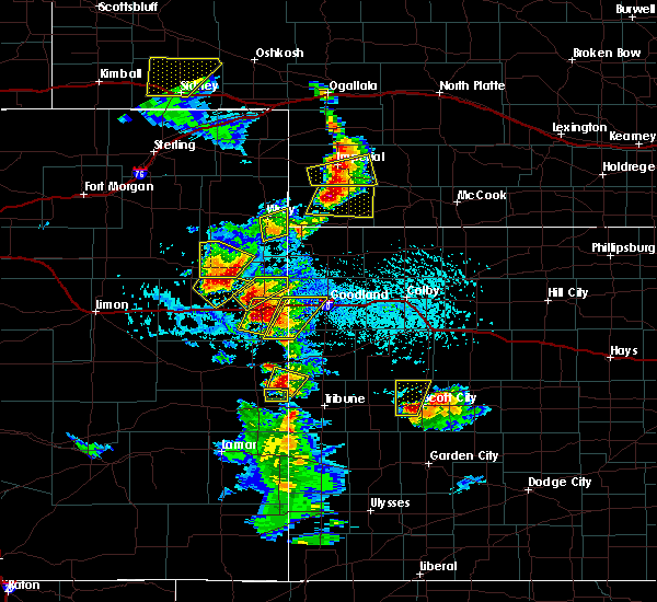 At 406 pm mdt, a severe thunderstorm was located near imperial, moving east at 10 mph (radar indicated). Hazards include ping pong ball size hail and 60 mph wind gusts. People and animals outdoors will be injured. expect hail damage to roofs, siding, windows, and vehicles. Expect wind damage to roofs, siding, and trees. At 406 pm mdt, a severe thunderstorm was located near imperial, moving east at 10 mph (radar indicated). Hazards include ping pong ball size hail and 60 mph wind gusts. People and animals outdoors will be injured. expect hail damage to roofs, siding, windows, and vehicles. Expect wind damage to roofs, siding, and trees.
|
| 7/2/2020 4:04 PM MDT | Asos station kiml imperial airpor in chase county NE, 0.9 miles WSW of Imperial, NE |
| 7/2/2020 4:02 PM MDT | Asos station kiml imperial airpor in chase county NE, 0.9 miles WSW of Imperial, NE |
| 7/2/2020 3:48 PM MDT |
 At 448 pm cdt/348 pm mdt/, a severe thunderstorm was located over champion, or near imperial, moving east at 25 mph (radar indicated). Hazards include ping pong ball size hail and 60 mph wind gusts. People and animals outdoors will be injured. expect hail damage to roofs, siding, windows, and vehicles. Expect wind damage to roofs, siding, and trees. At 448 pm cdt/348 pm mdt/, a severe thunderstorm was located over champion, or near imperial, moving east at 25 mph (radar indicated). Hazards include ping pong ball size hail and 60 mph wind gusts. People and animals outdoors will be injured. expect hail damage to roofs, siding, windows, and vehicles. Expect wind damage to roofs, siding, and trees.
|
| 6/26/2020 9:36 PM MDT |
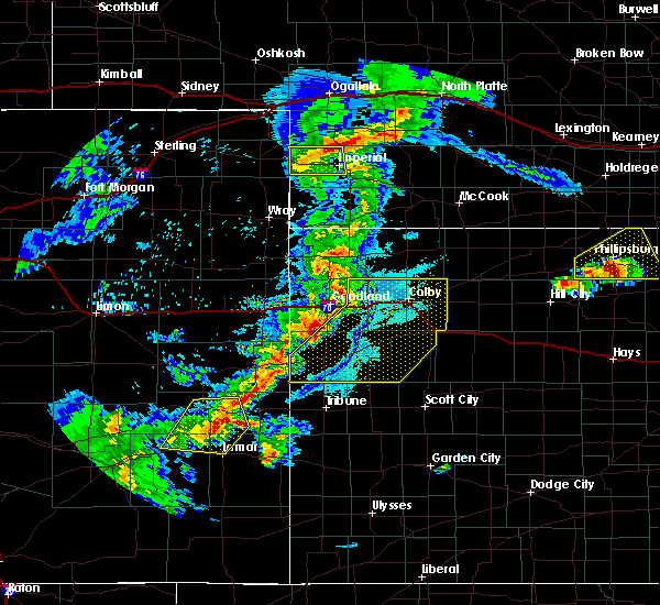 At 936 pm mdt, a severe thunderstorm was located 11 miles north of imperial, moving east at 20 mph (radar indicated). Hazards include quarter size hail. Damage to vehicles is expected. locations impacted include, imperial, champion, chase and wanamaker state wildfire management area. This includes highway 61 between mile markers 41 and 52. At 936 pm mdt, a severe thunderstorm was located 11 miles north of imperial, moving east at 20 mph (radar indicated). Hazards include quarter size hail. Damage to vehicles is expected. locations impacted include, imperial, champion, chase and wanamaker state wildfire management area. This includes highway 61 between mile markers 41 and 52.
|
| 6/26/2020 9:30 PM MDT | Quarter sized hail reported 9.9 miles S of Imperial, NE, quarter size hail and heavy rain |
| 6/26/2020 8:59 PM MDT |
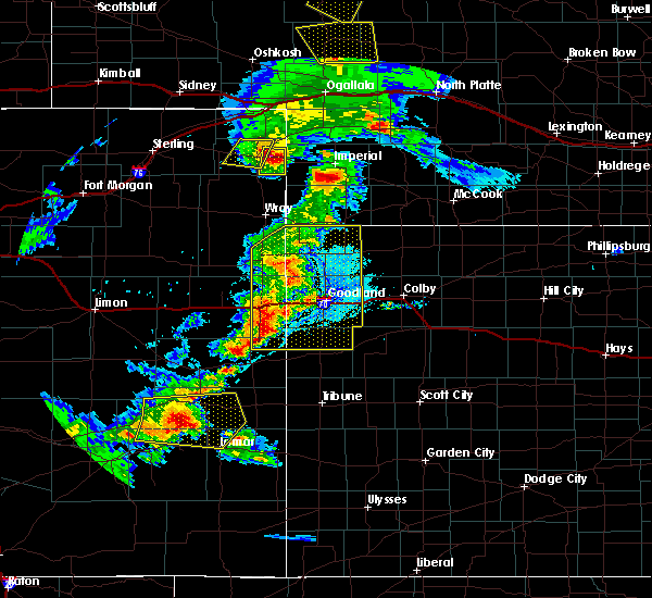 At 858 pm mdt, a severe thunderstorm was located near pleasant valley, or 8 miles west of lamar, moving east at 30 mph (radar indicated). Hazards include half dollar size hail. damage to vehicles is expected At 858 pm mdt, a severe thunderstorm was located near pleasant valley, or 8 miles west of lamar, moving east at 30 mph (radar indicated). Hazards include half dollar size hail. damage to vehicles is expected
|
| 6/3/2020 4:42 PM MDT |
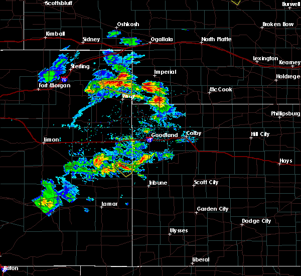 At 442 pm mdt, a severe thunderstorm was located near champion, or 10 miles southwest of imperial, moving east at 25 mph (radar indicated). Hazards include 60 mph wind gusts and half dollar size hail. Hail damage to vehicles is expected. Expect wind damage to roofs, siding, and trees. At 442 pm mdt, a severe thunderstorm was located near champion, or 10 miles southwest of imperial, moving east at 25 mph (radar indicated). Hazards include 60 mph wind gusts and half dollar size hail. Hail damage to vehicles is expected. Expect wind damage to roofs, siding, and trees.
|
| 6/2/2020 4:30 PM MDT |
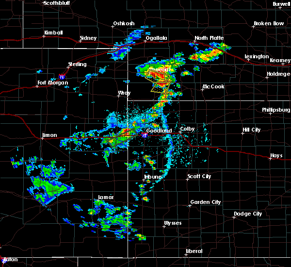 At 529 pm cdt/429 pm mdt/, a severe thunderstorm was located near enders, or near imperial, moving southeast at 15 mph (radar indicated). Hazards include golf ball size hail and 60 mph wind gusts. People and animals outdoors will be injured. expect hail damage to roofs, siding, windows, and vehicles. Expect wind damage to roofs, siding, and trees. At 529 pm cdt/429 pm mdt/, a severe thunderstorm was located near enders, or near imperial, moving southeast at 15 mph (radar indicated). Hazards include golf ball size hail and 60 mph wind gusts. People and animals outdoors will be injured. expect hail damage to roofs, siding, windows, and vehicles. Expect wind damage to roofs, siding, and trees.
|
| 6/2/2020 4:20 PM MDT |
 At 519 pm cdt/419 pm mdt/, a confirmed tornado was located over enders, or near imperial, moving southeast at 25 mph (weather spotters confirmed tornado). Hazards include damaging tornado and golf ball size hail. Flying debris will be dangerous to those caught without shelter. mobile homes will be damaged or destroyed. damage to roofs, windows, and vehicles will occur. tree damage is likely. this tornado will be near, wauneta around 440 pm mdt. other locations impacted by this tornadic thunderstorm include wanamaker state wildfire management area, center dam campground, area a campground and church grove campground. This includes highway 61 between mile markers 25 and 45. At 519 pm cdt/419 pm mdt/, a confirmed tornado was located over enders, or near imperial, moving southeast at 25 mph (weather spotters confirmed tornado). Hazards include damaging tornado and golf ball size hail. Flying debris will be dangerous to those caught without shelter. mobile homes will be damaged or destroyed. damage to roofs, windows, and vehicles will occur. tree damage is likely. this tornado will be near, wauneta around 440 pm mdt. other locations impacted by this tornadic thunderstorm include wanamaker state wildfire management area, center dam campground, area a campground and church grove campground. This includes highway 61 between mile markers 25 and 45.
|
| 6/2/2020 4:03 PM MDT | Golf Ball sized hail reported 2.9 miles NE of Imperial, NE |
| 6/2/2020 3:56 PM MDT |
 At 456 pm cdt/356 pm mdt/, a confirmed tornado was located over imperial, moving southeast at 30 mph (weather spotters confirmed tornado). Hazards include damaging tornado and quarter size hail. Flying debris will be dangerous to those caught without shelter. mobile homes will be damaged or destroyed. damage to roofs, windows, and vehicles will occur. tree damage is likely. the tornado will be near, enders reservoir state recreation area and enders around 415 pm mdt. wauneta around 430 pm mdt. other locations impacted by this tornadic thunderstorm include wanamaker state wildfire management area, center dam campground, area a campground and church grove campground. This includes highway 61 between mile markers 25 and 45. At 456 pm cdt/356 pm mdt/, a confirmed tornado was located over imperial, moving southeast at 30 mph (weather spotters confirmed tornado). Hazards include damaging tornado and quarter size hail. Flying debris will be dangerous to those caught without shelter. mobile homes will be damaged or destroyed. damage to roofs, windows, and vehicles will occur. tree damage is likely. the tornado will be near, enders reservoir state recreation area and enders around 415 pm mdt. wauneta around 430 pm mdt. other locations impacted by this tornadic thunderstorm include wanamaker state wildfire management area, center dam campground, area a campground and church grove campground. This includes highway 61 between mile markers 25 and 45.
|
| 5/3/2020 6:07 PM CDT |
 At 607 pm cdt/507 pm mdt/, severe thunderstorms were located along a line extending from 12 miles northwest of hayes center to 14 miles north of wauneta to 8 miles northeast of imperial, moving southeast at 30 mph (radar indicated). Hazards include 60 mph wind gusts and quarter size hail. Hail damage to vehicles is expected. expect wind damage to roofs, siding, and trees. locations impacted include, imperial, hayes center, wauneta, enders, enders reservoir state recreation area, champion, center dam campground, marengo, wanamaker state wildfire management area, area a campground, hayes center state wildlife management area and church grove campground. This includes highway 61 between mile markers 30 and 59. At 607 pm cdt/507 pm mdt/, severe thunderstorms were located along a line extending from 12 miles northwest of hayes center to 14 miles north of wauneta to 8 miles northeast of imperial, moving southeast at 30 mph (radar indicated). Hazards include 60 mph wind gusts and quarter size hail. Hail damage to vehicles is expected. expect wind damage to roofs, siding, and trees. locations impacted include, imperial, hayes center, wauneta, enders, enders reservoir state recreation area, champion, center dam campground, marengo, wanamaker state wildfire management area, area a campground, hayes center state wildlife management area and church grove campground. This includes highway 61 between mile markers 30 and 59.
|
| 5/3/2020 5:42 PM CDT |
 At 542 pm cdt/442 pm mdt/, severe thunderstorms were located along a line extending from 7 miles south of elsie to 10 miles south of madrid to 10 miles southwest of grant, moving southeast at 30 mph (radar indicated). Hazards include 60 mph wind gusts and quarter size hail. Hail damage to vehicles is expected. Expect wind damage to roofs, siding, and trees. At 542 pm cdt/442 pm mdt/, severe thunderstorms were located along a line extending from 7 miles south of elsie to 10 miles south of madrid to 10 miles southwest of grant, moving southeast at 30 mph (radar indicated). Hazards include 60 mph wind gusts and quarter size hail. Hail damage to vehicles is expected. Expect wind damage to roofs, siding, and trees.
|
| 9/19/2019 7:30 PM MDT | Asos station kiml imperial airport. this is a corrected ls in chase county NE, 0.9 miles WSW of Imperial, NE |
| 9/11/2019 8:29 PM MDT | Storm damage reported in chase county NE, 0.2 miles SE of Imperial, NE |
| 9/11/2019 6:37 PM MDT | Golf Ball sized hail reported 1.7 miles SSE of Imperial, NE, report from mping: golf ball (1.75 in.). |
| 9/11/2019 6:25 PM MDT | Ping Pong Ball sized hail reported 5.6 miles ESE of Imperial, NE, report from mping: ping pong ball (1.50 in.). |
| 9/11/2019 6:19 PM MDT | Golf Ball sized hail reported 0.2 miles SE of Imperial, NE |
| 9/11/2019 6:19 PM MDT |
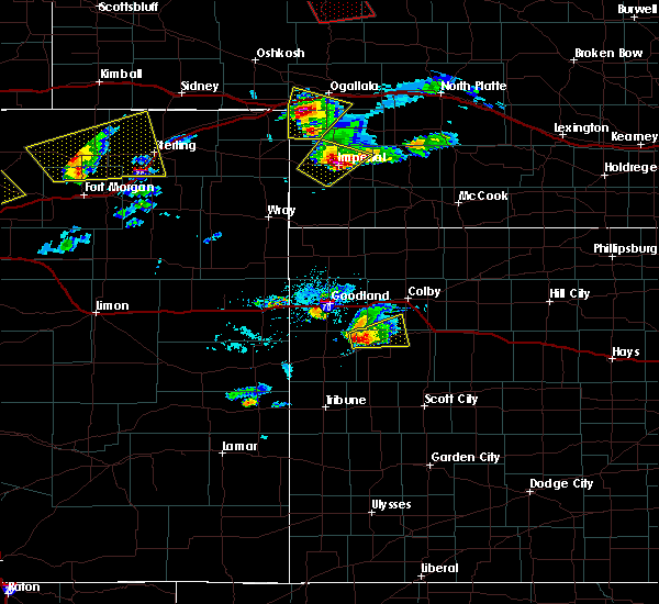 At 555 pm mdt, a severe thunderstorm was located near champion, or 9 miles west of imperial, moving northeast at 25 mph (radar indicated). Hazards include tennis ball size hail. People and animals outdoors will be injured. Expect damage to roofs, siding, windows, and vehicles. At 555 pm mdt, a severe thunderstorm was located near champion, or 9 miles west of imperial, moving northeast at 25 mph (radar indicated). Hazards include tennis ball size hail. People and animals outdoors will be injured. Expect damage to roofs, siding, windows, and vehicles.
|
| 9/11/2019 6:15 PM MDT | Golf Ball sized hail reported 0.2 miles SE of Imperial, NE |
| 9/11/2019 5:56 PM MDT |
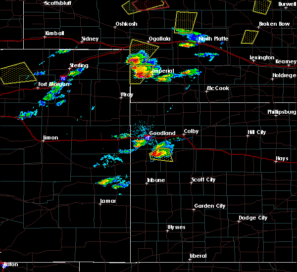 At 555 pm mdt, a severe thunderstorm was located near champion, or 9 miles west of imperial, moving northeast at 25 mph (radar indicated). Hazards include tennis ball size hail. People and animals outdoors will be injured. Expect damage to roofs, siding, windows, and vehicles. At 555 pm mdt, a severe thunderstorm was located near champion, or 9 miles west of imperial, moving northeast at 25 mph (radar indicated). Hazards include tennis ball size hail. People and animals outdoors will be injured. Expect damage to roofs, siding, windows, and vehicles.
|
| 8/13/2019 2:42 PM MDT |
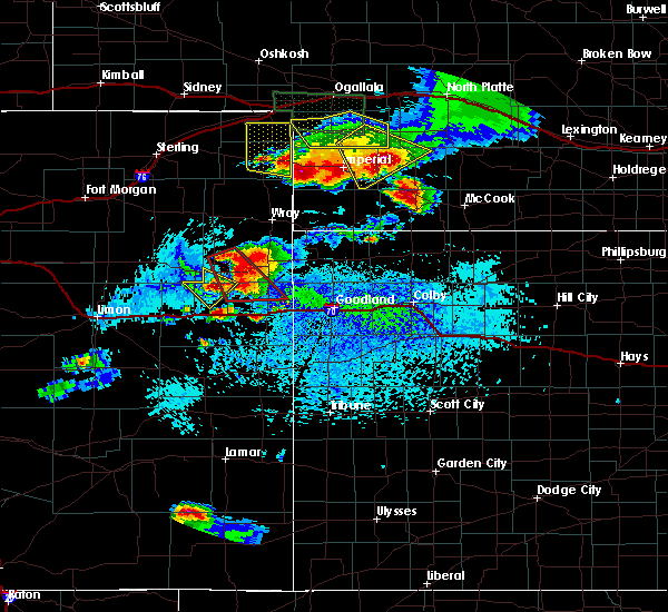 At 242 pm mdt, a severe thunderstorm was located over enders reservoir state recreation area, or near imperial, moving southeast at 40 mph (radar indicated). Hazards include 70 mph wind gusts and quarter size hail. Hail damage to vehicles is expected. expect considerable tree damage. wind damage is also likely to mobile homes, roofs, and outbuildings. locations impacted include, imperial, enders, enders reservoir state recreation area, champion, chase, center dam campground, wanamaker state wildfire management area, area a campground and church grove campground. this includes highway 61 between mile markers 25 and 47. A tornado watch remains in effect until 700 pm mdt for southwestern nebraska. At 242 pm mdt, a severe thunderstorm was located over enders reservoir state recreation area, or near imperial, moving southeast at 40 mph (radar indicated). Hazards include 70 mph wind gusts and quarter size hail. Hail damage to vehicles is expected. expect considerable tree damage. wind damage is also likely to mobile homes, roofs, and outbuildings. locations impacted include, imperial, enders, enders reservoir state recreation area, champion, chase, center dam campground, wanamaker state wildfire management area, area a campground and church grove campground. this includes highway 61 between mile markers 25 and 47. A tornado watch remains in effect until 700 pm mdt for southwestern nebraska.
|
| 8/13/2019 2:39 PM MDT |
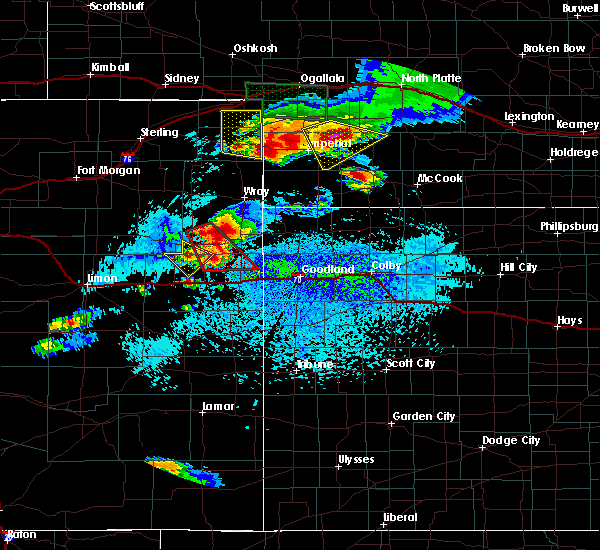 At 238 pm mdt, a severe thunderstorm was located 9 miles south of lamar, or 15 miles west of imperial, moving southeast at 25 mph (radar indicated). Hazards include golf ball size hail and 70 mph wind gusts. People and animals outdoors will be injured. expect hail damage to roofs, siding, windows, and vehicles. expect considerable tree damage. wind damage is also likely to mobile homes, roofs, and outbuildings. this severe storm will be near, champion around 300 pm mdt. other locations impacted by this severe thunderstorm include crete, wanamaker state wildfire management area and chase. this includes highway 61 between mile markers 46 and 47. A tornado watch remains in effect until 700 pm mdt for southwestern nebraska. At 238 pm mdt, a severe thunderstorm was located 9 miles south of lamar, or 15 miles west of imperial, moving southeast at 25 mph (radar indicated). Hazards include golf ball size hail and 70 mph wind gusts. People and animals outdoors will be injured. expect hail damage to roofs, siding, windows, and vehicles. expect considerable tree damage. wind damage is also likely to mobile homes, roofs, and outbuildings. this severe storm will be near, champion around 300 pm mdt. other locations impacted by this severe thunderstorm include crete, wanamaker state wildfire management area and chase. this includes highway 61 between mile markers 46 and 47. A tornado watch remains in effect until 700 pm mdt for southwestern nebraska.
|
| 8/13/2019 2:30 PM MDT | Storm damage reported in chase county NE, 0.2 miles SE of Imperial, NE |
| 8/13/2019 2:28 PM MDT |
 At 228 pm mdt, a severe thunderstorm was located over imperial, moving southeast at 45 mph (radar indicated). Hazards include 70 mph wind gusts and quarter size hail. Hail damage to vehicles is expected. expect considerable tree damage. Wind damage is also likely to mobile homes, roofs, and outbuildings. At 228 pm mdt, a severe thunderstorm was located over imperial, moving southeast at 45 mph (radar indicated). Hazards include 70 mph wind gusts and quarter size hail. Hail damage to vehicles is expected. expect considerable tree damage. Wind damage is also likely to mobile homes, roofs, and outbuildings.
|
| 8/13/2019 2:23 PM MDT | Storm damage reported in chase county NE, 0.2 miles SE of Imperial, NE |
| 8/13/2019 2:21 PM MDT |
 At 220 pm mdt, a severe thunderstorm was located near lamar, or 13 miles east of holyoke, moving east at 20 mph (radar indicated). Hazards include golf ball size hail and 60 mph wind gusts. People and animals outdoors will be injured. expect hail damage to roofs, siding, windows, and vehicles. expect wind damage to roofs, siding, and trees. this severe thunderstorm will be near, lamar around 230 pm mdt. champion around 300 pm mdt. other locations impacted by this severe thunderstorm include crete, wanamaker state wildfire management area and chase. this includes highway 61 between mile markers 46 and 47. A tornado watch remains in effect until 700 pm mdt for southwestern nebraska. At 220 pm mdt, a severe thunderstorm was located near lamar, or 13 miles east of holyoke, moving east at 20 mph (radar indicated). Hazards include golf ball size hail and 60 mph wind gusts. People and animals outdoors will be injured. expect hail damage to roofs, siding, windows, and vehicles. expect wind damage to roofs, siding, and trees. this severe thunderstorm will be near, lamar around 230 pm mdt. champion around 300 pm mdt. other locations impacted by this severe thunderstorm include crete, wanamaker state wildfire management area and chase. this includes highway 61 between mile markers 46 and 47. A tornado watch remains in effect until 700 pm mdt for southwestern nebraska.
|
| 7/7/2019 2:05 AM CDT |
 At 204 am cdt/104 am mdt/, severe thunderstorms were located along a line extending from 12 miles north of hershey to 12 miles south of wallace to near imperial, moving southeast at 35 mph (radar indicated). Hazards include 60 mph wind gusts and penny size hail. expect damage to roofs, siding, and trees At 204 am cdt/104 am mdt/, severe thunderstorms were located along a line extending from 12 miles north of hershey to 12 miles south of wallace to near imperial, moving southeast at 35 mph (radar indicated). Hazards include 60 mph wind gusts and penny size hail. expect damage to roofs, siding, and trees
|
| 7/7/2019 12:50 AM MDT |
 At 149 am cdt/1249 am mdt/, severe thunderstorms were located along a line extending from 11 miles north of sutherland to near elsie to 11 miles south of grant, moving southeast at 40 mph (radar indicated). Hazards include 60 mph wind gusts and penny size hail. Expect damage to roofs, siding, and trees. locations impacted include, imperial, grant, sutherland, hershey, paxton, wallace, madrid, venango, elsie, lamar, dickens, sarben, sutherland reservoir state recreation area, chase, o`fallons, wanamaker state wildfire management area, somerset, grainton, brandon and coker. this includes the following highways, highway 61 between mile markers 41 and 75. highway 97 between mile markers 5 and 9. Interstate 80 in nebraska between mile markers 134 and 174. At 149 am cdt/1249 am mdt/, severe thunderstorms were located along a line extending from 11 miles north of sutherland to near elsie to 11 miles south of grant, moving southeast at 40 mph (radar indicated). Hazards include 60 mph wind gusts and penny size hail. Expect damage to roofs, siding, and trees. locations impacted include, imperial, grant, sutherland, hershey, paxton, wallace, madrid, venango, elsie, lamar, dickens, sarben, sutherland reservoir state recreation area, chase, o`fallons, wanamaker state wildfire management area, somerset, grainton, brandon and coker. this includes the following highways, highway 61 between mile markers 41 and 75. highway 97 between mile markers 5 and 9. Interstate 80 in nebraska between mile markers 134 and 174.
|
| 7/7/2019 12:22 AM MDT |
 At 121 am cdt/1221 am mdt/, severe thunderstorms were located along a line extending from 14 miles north of keystone to 6 miles north of madrid to near venango, moving east at 40 mph (radar indicated). Hazards include 60 mph wind gusts and penny size hail. expect damage to roofs, siding, and trees At 121 am cdt/1221 am mdt/, severe thunderstorms were located along a line extending from 14 miles north of keystone to 6 miles north of madrid to near venango, moving east at 40 mph (radar indicated). Hazards include 60 mph wind gusts and penny size hail. expect damage to roofs, siding, and trees
|
| 7/6/2019 2:57 AM CDT |
 At 236 am cdt/136 am mdt/, severe thunderstorms were located along a line extending from 7 miles northwest of north platte to 9 miles southwest of wellfleet to near enders reservoir, moving southeast at 40 mph (radar indicated). Hazards include 60 mph wind gusts and penny size hail. Expect damage to roofs, siding, and trees. locations impacted include, north platte, imperial, hayes center, sutherland, hershey, wauneta, wallace, wellfleet, dickens, lake maloney, enders reservoir, sutherland reservoir, champion, crete, chase, maywood and hamlet. this includes the following highways, highway 61 between mile markers 25 and 48. highway 97 between mile markers 1 and 3. interstate 80 in nebraska between mile markers 158 and 190. Highway 83 between mile markers 34 and 87. At 236 am cdt/136 am mdt/, severe thunderstorms were located along a line extending from 7 miles northwest of north platte to 9 miles southwest of wellfleet to near enders reservoir, moving southeast at 40 mph (radar indicated). Hazards include 60 mph wind gusts and penny size hail. Expect damage to roofs, siding, and trees. locations impacted include, north platte, imperial, hayes center, sutherland, hershey, wauneta, wallace, wellfleet, dickens, lake maloney, enders reservoir, sutherland reservoir, champion, crete, chase, maywood and hamlet. this includes the following highways, highway 61 between mile markers 25 and 48. highway 97 between mile markers 1 and 3. interstate 80 in nebraska between mile markers 158 and 190. Highway 83 between mile markers 34 and 87.
|
| 7/6/2019 2:37 AM CDT |
 At 236 am cdt/136 am mdt/, severe thunderstorms were located along a line extending from 7 miles northwest of north platte to 9 miles southwest of wellfleet to near enders reservoir, moving southeast at 40 mph (radar indicated). Hazards include 60 mph wind gusts and penny size hail. Expect damage to roofs, siding, and trees. locations impacted include, north platte, imperial, hayes center, sutherland, hershey, wauneta, wallace, wellfleet, dickens, lake maloney, enders reservoir, sutherland reservoir, champion, crete, chase, maywood and hamlet. this includes the following highways, highway 61 between mile markers 25 and 48. highway 97 between mile markers 1 and 3. interstate 80 in nebraska between mile markers 158 and 190. Highway 83 between mile markers 34 and 87. At 236 am cdt/136 am mdt/, severe thunderstorms were located along a line extending from 7 miles northwest of north platte to 9 miles southwest of wellfleet to near enders reservoir, moving southeast at 40 mph (radar indicated). Hazards include 60 mph wind gusts and penny size hail. Expect damage to roofs, siding, and trees. locations impacted include, north platte, imperial, hayes center, sutherland, hershey, wauneta, wallace, wellfleet, dickens, lake maloney, enders reservoir, sutherland reservoir, champion, crete, chase, maywood and hamlet. this includes the following highways, highway 61 between mile markers 25 and 48. highway 97 between mile markers 1 and 3. interstate 80 in nebraska between mile markers 158 and 190. Highway 83 between mile markers 34 and 87.
|
| 7/6/2019 1:56 AM CDT |
 At 155 am cdt/1255 am mdt/, severe thunderstorms were located along a line extending from 14 miles southwest of tryon to 8 miles northwest of wallace to 10 miles north of imperial, moving southeast at 40 mph (radar indicated). Hazards include 60 mph wind gusts and penny size hail. expect damage to roofs, siding, and trees At 155 am cdt/1255 am mdt/, severe thunderstorms were located along a line extending from 14 miles southwest of tryon to 8 miles northwest of wallace to 10 miles north of imperial, moving southeast at 40 mph (radar indicated). Hazards include 60 mph wind gusts and penny size hail. expect damage to roofs, siding, and trees
|
| 6/17/2019 5:37 PM MDT | Quarter sized hail reported 12.3 miles E of Imperial, NE, mostly pea to dime size hail with a handful of quarter inch hail. |
| 6/17/2019 5:33 PM MDT |
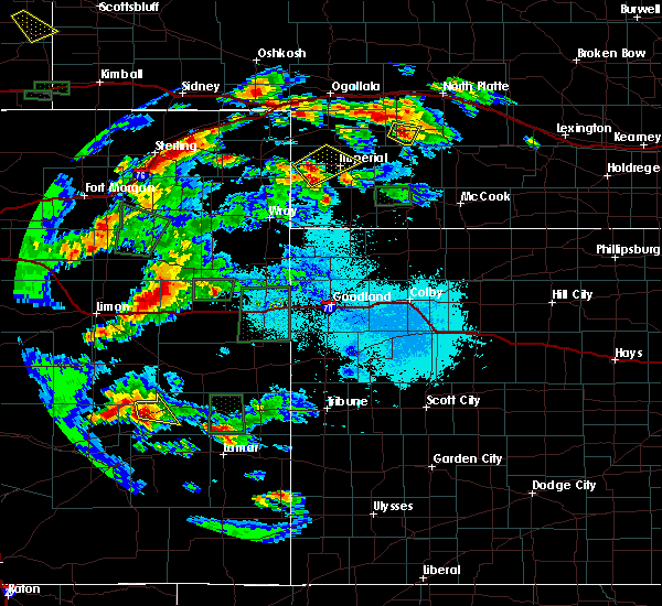 At 532 pm mdt, a severe thunderstorm was located near lamar, or 12 miles west of imperial, moving northeast at 20 mph (radar indicated). Hazards include ping pong ball size hail. People and animals outdoors will be injured. Expect damage to roofs, siding, windows, and vehicles. At 532 pm mdt, a severe thunderstorm was located near lamar, or 12 miles west of imperial, moving northeast at 20 mph (radar indicated). Hazards include ping pong ball size hail. People and animals outdoors will be injured. Expect damage to roofs, siding, windows, and vehicles.
|
| 6/17/2019 4:55 PM MDT | Golf Ball sized hail reported 0.2 miles SE of Imperial, NE |
| 6/16/2019 1:54 PM MDT |
 At 153 pm mdt, a severe thunderstorm was located near enders, or near imperial, moving southeast at 5 mph (emergency management reported golf ball size hail near imperial at 2:22 pm mdt). Hazards include golf ball size hail. People and animals outdoors will be injured. expect damage to roofs, siding, windows, and vehicles. locations impacted include, imperial, enders reservoir state recreation area, enders, wanamaker state wildfire management area and center dam campground. This includes highway 61 between mile markers 41 and 47. At 153 pm mdt, a severe thunderstorm was located near enders, or near imperial, moving southeast at 5 mph (emergency management reported golf ball size hail near imperial at 2:22 pm mdt). Hazards include golf ball size hail. People and animals outdoors will be injured. expect damage to roofs, siding, windows, and vehicles. locations impacted include, imperial, enders reservoir state recreation area, enders, wanamaker state wildfire management area and center dam campground. This includes highway 61 between mile markers 41 and 47.
|
| 6/16/2019 1:53 PM MDT | Quarter sized hail reported 5 miles WNW of Imperial, NE, pea to quarter size hail. |
| 6/16/2019 1:29 PM MDT |
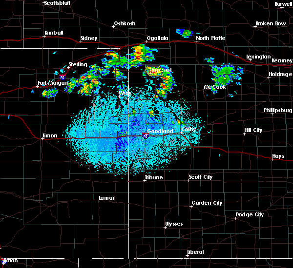 At 128 pm mdt, a severe thunderstorm was located over imperial, moving southeast at 5 mph (at 2:22 pm mdt emergency management reported golf ball size hail one mile north of imperial). Hazards include golf ball size hail. People and animals outdoors will be injured. Expect damage to roofs, siding, windows, and vehicles. At 128 pm mdt, a severe thunderstorm was located over imperial, moving southeast at 5 mph (at 2:22 pm mdt emergency management reported golf ball size hail one mile north of imperial). Hazards include golf ball size hail. People and animals outdoors will be injured. Expect damage to roofs, siding, windows, and vehicles.
|
| 6/16/2019 1:25 PM MDT | Golf Ball sized hail reported 2.3 miles S of Imperial, NE, hail up to golf ball size. skylights knocked out. extensive garden damage. |
| 6/16/2019 1:23 PM MDT |
 At 119 pm mdt, a severe thunderstorm was located near imperial, moving southeast at 5 mph (emergency management reported quarter size hail just north of imperial). Hazards include half dollar size hail. Damage to vehicles is expected. locations impacted include, imperial and wanamaker state wildfire management area. This includes highway 61 between mile markers 41 and 51. At 119 pm mdt, a severe thunderstorm was located near imperial, moving southeast at 5 mph (emergency management reported quarter size hail just north of imperial). Hazards include half dollar size hail. Damage to vehicles is expected. locations impacted include, imperial and wanamaker state wildfire management area. This includes highway 61 between mile markers 41 and 51.
|
| 6/16/2019 1:22 PM MDT | Golf Ball sized hail reported 0.9 miles S of Imperial, NE |
| 6/16/2019 1:20 PM MDT | Quarter sized hail reported 2.3 miles S of Imperial, NE, quarter size hail covering highway 61 2 miles north of imperial. |
| 6/16/2019 1:20 PM MDT |
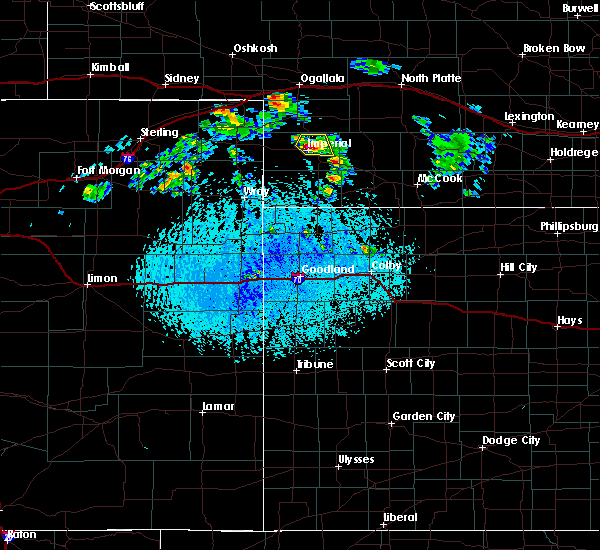 At 119 pm mdt, a severe thunderstorm was located near imperial, moving southeast at 5 mph (emergency management reported quarter size hail just north of imperial). Hazards include half dollar size hail. Damage to vehicles is expected. locations impacted include, imperial and wanamaker state wildfire management area. This includes highway 61 between mile markers 41 and 51. At 119 pm mdt, a severe thunderstorm was located near imperial, moving southeast at 5 mph (emergency management reported quarter size hail just north of imperial). Hazards include half dollar size hail. Damage to vehicles is expected. locations impacted include, imperial and wanamaker state wildfire management area. This includes highway 61 between mile markers 41 and 51.
|
| 6/16/2019 12:57 PM MDT |
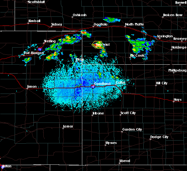 At 1256 pm mdt, a severe thunderstorm was located near imperial, moving northeast at 10 mph (radar indicated). Hazards include half dollar size hail. damage to vehicles is expected At 1256 pm mdt, a severe thunderstorm was located near imperial, moving northeast at 10 mph (radar indicated). Hazards include half dollar size hail. damage to vehicles is expected
|
| 5/28/2019 12:00 AM MDT |
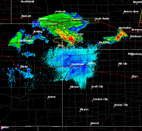 At 1200 am mdt, a severe thunderstorm was located 8 miles southwest of enders reservoir state recreation area, or 11 miles south of imperial, moving northeast at 45 mph (radar indicated). Hazards include golf ball size hail and 60 mph wind gusts. People and animals outdoors will be injured. expect hail damage to roofs, siding, windows, and vehicles. expect wind damage to roofs, siding, and trees. locations impacted include, imperial, wauneta, enders, enders reservoir state recreation area, champion, center dam campground, wanamaker state wildfire management area, area a campground and church grove campground. This includes highway 61 between mile markers 25 and 43. At 1200 am mdt, a severe thunderstorm was located 8 miles southwest of enders reservoir state recreation area, or 11 miles south of imperial, moving northeast at 45 mph (radar indicated). Hazards include golf ball size hail and 60 mph wind gusts. People and animals outdoors will be injured. expect hail damage to roofs, siding, windows, and vehicles. expect wind damage to roofs, siding, and trees. locations impacted include, imperial, wauneta, enders, enders reservoir state recreation area, champion, center dam campground, wanamaker state wildfire management area, area a campground and church grove campground. This includes highway 61 between mile markers 25 and 43.
|
| 5/27/2019 11:40 PM MDT |
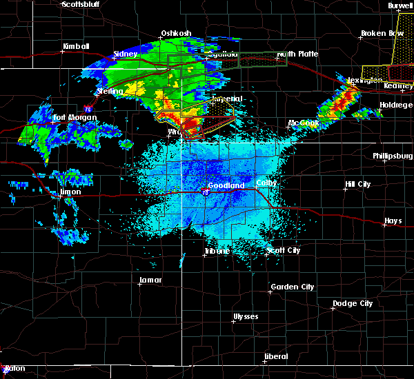 At 1139 pm mdt, a severe thunderstorm was located 16 miles southwest of champion, or 21 miles southwest of imperial, moving northeast at 40 mph (radar indicated). Hazards include golf ball size hail and 60 mph wind gusts. People and animals outdoors will be injured. expect hail damage to roofs, siding, windows, and vehicles. Expect wind damage to roofs, siding, and trees. At 1139 pm mdt, a severe thunderstorm was located 16 miles southwest of champion, or 21 miles southwest of imperial, moving northeast at 40 mph (radar indicated). Hazards include golf ball size hail and 60 mph wind gusts. People and animals outdoors will be injured. expect hail damage to roofs, siding, windows, and vehicles. Expect wind damage to roofs, siding, and trees.
|
| 5/27/2019 8:48 PM MDT |
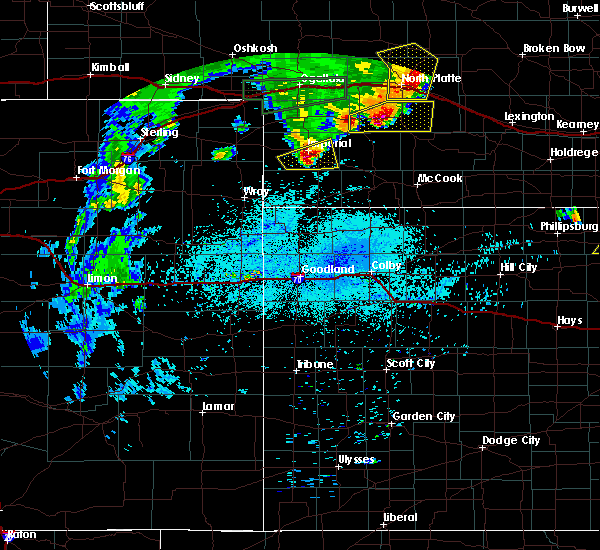 At 848 pm mdt, a severe thunderstorm was located near imperial, moving east at 35 mph (radar indicated). Hazards include 60 mph wind gusts and half dollar size hail. Hail damage to vehicles is expected. expect wind damage to roofs, siding, and trees. locations impacted include, imperial, wauneta, enders, enders reservoir state recreation area, center dam campground, wanamaker state wildfire management area, area a campground and church grove campground. This includes highway 61 between mile markers 25 and 44. At 848 pm mdt, a severe thunderstorm was located near imperial, moving east at 35 mph (radar indicated). Hazards include 60 mph wind gusts and half dollar size hail. Hail damage to vehicles is expected. expect wind damage to roofs, siding, and trees. locations impacted include, imperial, wauneta, enders, enders reservoir state recreation area, center dam campground, wanamaker state wildfire management area, area a campground and church grove campground. This includes highway 61 between mile markers 25 and 44.
|
| 5/27/2019 8:28 PM MDT |
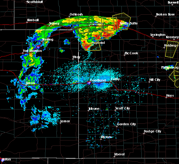 At 827 pm mdt, a severe thunderstorm was located near champion, or 10 miles southwest of imperial, moving east at 40 mph (radar indicated). Hazards include 60 mph wind gusts and quarter size hail. Hail damage to vehicles is expected. Expect wind damage to roofs, siding, and trees. At 827 pm mdt, a severe thunderstorm was located near champion, or 10 miles southwest of imperial, moving east at 40 mph (radar indicated). Hazards include 60 mph wind gusts and quarter size hail. Hail damage to vehicles is expected. Expect wind damage to roofs, siding, and trees.
|
| 5/27/2019 7:51 PM MDT |
 The tornado warning for northeastern chase county will expire at 800 pm mdt, the storm which prompted the warning has weakened below severe limits, and has exited the warned area. therefore, the warning will be allowed to expire. however small hail and gusty winds are still possible with this thunderstorm. a severe thunderstorm watch remains in effect until 1100 pm mdt for southwestern nebraska. The tornado warning for northeastern chase county will expire at 800 pm mdt, the storm which prompted the warning has weakened below severe limits, and has exited the warned area. therefore, the warning will be allowed to expire. however small hail and gusty winds are still possible with this thunderstorm. a severe thunderstorm watch remains in effect until 1100 pm mdt for southwestern nebraska.
|
| 5/27/2019 7:38 PM MDT |
 At 738 pm mdt, a confirmed tornado was located 9 miles northeast of imperial, moving northeast at 30 mph (weather spotters confirmed tornado). Hazards include damaging tornado and golf ball size hail. Flying debris will be dangerous to those caught without shelter. mobile homes will be damaged or destroyed. damage to roofs, windows, and vehicles will occur. tree damage is likely. this tornadic thunderstorm will remain over mainly rural areas of northeastern chase county, including the following locations, wanamaker state wildfire management area. This includes highway 61 between mile markers 42 and 54. At 738 pm mdt, a confirmed tornado was located 9 miles northeast of imperial, moving northeast at 30 mph (weather spotters confirmed tornado). Hazards include damaging tornado and golf ball size hail. Flying debris will be dangerous to those caught without shelter. mobile homes will be damaged or destroyed. damage to roofs, windows, and vehicles will occur. tree damage is likely. this tornadic thunderstorm will remain over mainly rural areas of northeastern chase county, including the following locations, wanamaker state wildfire management area. This includes highway 61 between mile markers 42 and 54.
|
| 5/27/2019 7:35 PM MDT | Snapped power pole in chase county NE, 3.6 miles S of Imperial, NE |
| 5/27/2019 7:27 PM MDT |
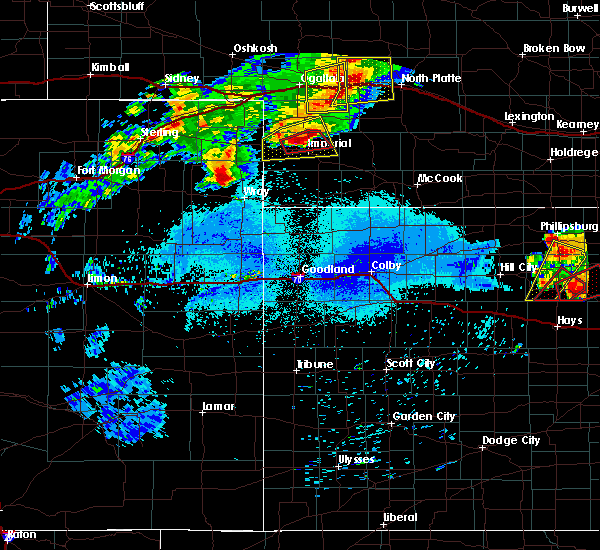 At 726 pm mdt, a confirmed tornado was located 7 miles northwest of imperial, moving east at 25 mph (public confirmed tornado). Hazards include damaging tornado and two inch hail. Flying debris will be dangerous to those caught without shelter. mobile homes will be damaged or destroyed. damage to roofs, windows, and vehicles will occur. tree damage is likely. this tornadic thunderstorm will remain over mainly rural areas of northeastern chase county, including the following locations, wanamaker state wildfire management area and chase. This includes highway 61 between mile markers 42 and 54. At 726 pm mdt, a confirmed tornado was located 7 miles northwest of imperial, moving east at 25 mph (public confirmed tornado). Hazards include damaging tornado and two inch hail. Flying debris will be dangerous to those caught without shelter. mobile homes will be damaged or destroyed. damage to roofs, windows, and vehicles will occur. tree damage is likely. this tornadic thunderstorm will remain over mainly rural areas of northeastern chase county, including the following locations, wanamaker state wildfire management area and chase. This includes highway 61 between mile markers 42 and 54.
|
| 5/27/2019 7:25 PM MDT | Measured with weather station in chase county NE, 4.1 miles ESE of Imperial, NE |
| 5/27/2019 7:22 PM MDT | Storm damage reported in chase county NE, 4.1 miles ESE of Imperial, NE |
| 5/27/2019 7:14 PM MDT |
 At 713 pm mdt, a confirmed tornado was located 7 miles northwest of imperial, moving northeast at 20 mph (weather spotters confirmed tornado). Hazards include damaging tornado and hail up to two inches in diameter. Flying debris will be dangerous to those caught without shelter. mobile homes will be damaged or destroyed. damage to roofs, windows, and vehicles will occur. tree damage is likely. the tornado will be near, imperial around 725 pm mdt. other locations impacted by this tornadic thunderstorm include wanamaker state wildfire management area and chase. This includes highway 61 between mile markers 42 and 54. At 713 pm mdt, a confirmed tornado was located 7 miles northwest of imperial, moving northeast at 20 mph (weather spotters confirmed tornado). Hazards include damaging tornado and hail up to two inches in diameter. Flying debris will be dangerous to those caught without shelter. mobile homes will be damaged or destroyed. damage to roofs, windows, and vehicles will occur. tree damage is likely. the tornado will be near, imperial around 725 pm mdt. other locations impacted by this tornadic thunderstorm include wanamaker state wildfire management area and chase. This includes highway 61 between mile markers 42 and 54.
|
| 5/27/2019 7:06 PM MDT |
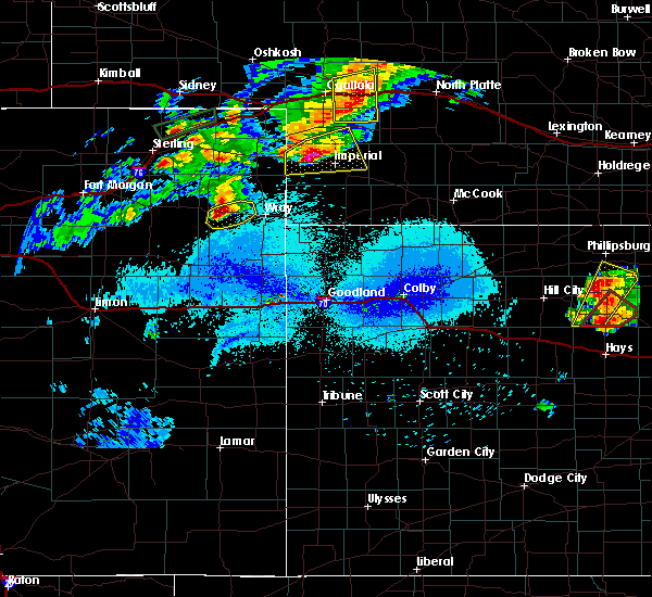 At 706 pm mdt, a severe thunderstorm was located near lamar, or 11 miles west of imperial, moving east at 25 mph (radar indicated). Hazards include golf ball size hail and 60 mph wind gusts. People and animals outdoors will be injured. expect hail damage to roofs, siding, windows, and vehicles. expect wind damage to roofs, siding, and trees. locations impacted include, imperial, lamar, champion, crete, chase and wanamaker state wildfire management area. This includes highway 61 between mile markers 41 and 60. At 706 pm mdt, a severe thunderstorm was located near lamar, or 11 miles west of imperial, moving east at 25 mph (radar indicated). Hazards include golf ball size hail and 60 mph wind gusts. People and animals outdoors will be injured. expect hail damage to roofs, siding, windows, and vehicles. expect wind damage to roofs, siding, and trees. locations impacted include, imperial, lamar, champion, crete, chase and wanamaker state wildfire management area. This includes highway 61 between mile markers 41 and 60.
|
| 5/27/2019 6:46 PM MDT |
 At 646 pm mdt, a severe thunderstorm was located near lamar, or 14 miles west of imperial, moving east at 25 mph (radar indicated). Hazards include golf ball size hail and 60 mph wind gusts. People and animals outdoors will be injured. expect hail damage to roofs, siding, windows, and vehicles. expect wind damage to roofs, siding, and trees. locations impacted include, imperial, lamar, champion, crete, chase and wanamaker state wildfire management area. This includes highway 61 between mile markers 41 and 60. At 646 pm mdt, a severe thunderstorm was located near lamar, or 14 miles west of imperial, moving east at 25 mph (radar indicated). Hazards include golf ball size hail and 60 mph wind gusts. People and animals outdoors will be injured. expect hail damage to roofs, siding, windows, and vehicles. expect wind damage to roofs, siding, and trees. locations impacted include, imperial, lamar, champion, crete, chase and wanamaker state wildfire management area. This includes highway 61 between mile markers 41 and 60.
|
| 5/27/2019 6:31 PM MDT |
 At 630 pm mdt, a severe thunderstorm was located near lamar, or 14 miles east of holyoke, moving east at 40 mph (radar indicated). Hazards include golf ball size hail and 60 mph wind gusts. People and animals outdoors will be injured. expect hail damage to roofs, siding, windows, and vehicles. Expect wind damage to roofs, siding, and trees. At 630 pm mdt, a severe thunderstorm was located near lamar, or 14 miles east of holyoke, moving east at 40 mph (radar indicated). Hazards include golf ball size hail and 60 mph wind gusts. People and animals outdoors will be injured. expect hail damage to roofs, siding, windows, and vehicles. Expect wind damage to roofs, siding, and trees.
|
| 4/28/2019 4:38 PM MDT |
 At 538 pm cdt/438 pm mdt/, a severe thunderstorm was located 7 miles northeast of imperial, moving east at 25 mph (trained weather spotters). Hazards include 65 mph wind gusts and quarter size hail. Hail damage to vehicles is expected. expect wind damage to roofs, siding, and trees. locations impacted include, imperial, wauneta, enders, enders reservoir state recreation area, center dam campground, area a campground and church grove campground. This includes highway 61 between mile markers 28 and 50. At 538 pm cdt/438 pm mdt/, a severe thunderstorm was located 7 miles northeast of imperial, moving east at 25 mph (trained weather spotters). Hazards include 65 mph wind gusts and quarter size hail. Hail damage to vehicles is expected. expect wind damage to roofs, siding, and trees. locations impacted include, imperial, wauneta, enders, enders reservoir state recreation area, center dam campground, area a campground and church grove campground. This includes highway 61 between mile markers 28 and 50.
|
| 4/28/2019 4:30 PM MDT | Quarter sized hail reported 1.1 miles SE of Imperial, NE |
| 4/28/2019 4:28 PM MDT | Quarter sized hail reported 0.2 miles SE of Imperial, NE |
| 4/28/2019 4:24 PM MDT | Estimated wind gust of 60-70 mph. reports 1 inch hail als in chase county NE, 0.2 miles SE of Imperial, NE |
| 4/28/2019 4:22 PM MDT | Quarter sized hail reported 6.1 miles SE of Imperial, NE |
| 4/28/2019 4:22 PM MDT |
 At 522 pm cdt/422 pm mdt/, a severe thunderstorm was located 7 miles north of imperial, moving east at 35 mph (radar indicated). Hazards include 60 mph wind gusts and quarter size hail. Hail damage to vehicles is expected. Expect wind damage to roofs, siding, and trees. At 522 pm cdt/422 pm mdt/, a severe thunderstorm was located 7 miles north of imperial, moving east at 35 mph (radar indicated). Hazards include 60 mph wind gusts and quarter size hail. Hail damage to vehicles is expected. Expect wind damage to roofs, siding, and trees.
|
| 4/28/2019 4:13 PM MDT |
 At 413 pm mdt, a severe thunderstorm was located 9 miles northwest of imperial, moving east at 30 mph (trained weather spotters). Hazards include 60 mph wind gusts and quarter size hail. Hail damage to vehicles is expected. expect wind damage to roofs, siding, and trees. locations impacted include, imperial, champion, chase and wanamaker state wildfire management area. This includes highway 61 between mile markers 41 and 60. At 413 pm mdt, a severe thunderstorm was located 9 miles northwest of imperial, moving east at 30 mph (trained weather spotters). Hazards include 60 mph wind gusts and quarter size hail. Hail damage to vehicles is expected. expect wind damage to roofs, siding, and trees. locations impacted include, imperial, champion, chase and wanamaker state wildfire management area. This includes highway 61 between mile markers 41 and 60.
|
| 4/28/2019 4:10 PM MDT |
 At 410 pm mdt, a severe thunderstorm was located 10 miles northwest of imperial, moving east at 30 mph (radar indicated). Hazards include 60 mph wind gusts and penny size hail. Expect damage to roofs, siding, and trees. locations impacted include, imperial, champion, chase and wanamaker state wildfire management area. This includes highway 61 between mile markers 41 and 60. At 410 pm mdt, a severe thunderstorm was located 10 miles northwest of imperial, moving east at 30 mph (radar indicated). Hazards include 60 mph wind gusts and penny size hail. Expect damage to roofs, siding, and trees. locations impacted include, imperial, champion, chase and wanamaker state wildfire management area. This includes highway 61 between mile markers 41 and 60.
|
| 4/28/2019 3:48 PM MDT |
 At 348 pm mdt, a severe thunderstorm was located near venango, or 16 miles southwest of grant, moving east at 30 mph (radar indicated). Hazards include 60 mph wind gusts and penny size hail. expect damage to roofs, siding, and trees At 348 pm mdt, a severe thunderstorm was located near venango, or 16 miles southwest of grant, moving east at 30 mph (radar indicated). Hazards include 60 mph wind gusts and penny size hail. expect damage to roofs, siding, and trees
|
| 8/6/2018 8:00 PM MDT |
 At 800 pm mdt, a severe thunderstorm was located 8 miles southwest of madrid, or 8 miles southeast of grant, moving southeast at 30 mph (radar indicated). Hazards include tennis ball size hail and 60 mph wind gusts. People and animals outdoors will be injured. expect hail damage to roofs, siding, windows, and vehicles. expect wind damage to roofs, siding, and trees. locations impacted include, imperial. This includes highway 61 between mile markers 41 and 60. At 800 pm mdt, a severe thunderstorm was located 8 miles southwest of madrid, or 8 miles southeast of grant, moving southeast at 30 mph (radar indicated). Hazards include tennis ball size hail and 60 mph wind gusts. People and animals outdoors will be injured. expect hail damage to roofs, siding, windows, and vehicles. expect wind damage to roofs, siding, and trees. locations impacted include, imperial. This includes highway 61 between mile markers 41 and 60.
|
| 8/6/2018 7:48 PM MDT |
 At 748 pm mdt, a severe thunderstorm was located near madrid, or near grant, moving southeast at 35 mph (radar indicated). Hazards include tennis ball size hail and 60 mph wind gusts. People and animals outdoors will be injured. expect hail damage to roofs, siding, windows, and vehicles. expect wind damage to roofs, siding, and trees. locations impacted include, imperial, grant and madrid. This includes highway 61 between mile markers 41 and 69. At 748 pm mdt, a severe thunderstorm was located near madrid, or near grant, moving southeast at 35 mph (radar indicated). Hazards include tennis ball size hail and 60 mph wind gusts. People and animals outdoors will be injured. expect hail damage to roofs, siding, windows, and vehicles. expect wind damage to roofs, siding, and trees. locations impacted include, imperial, grant and madrid. This includes highway 61 between mile markers 41 and 69.
|
| 7/28/2018 8:59 PM MDT |
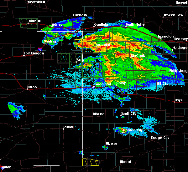 At 858 pm mdt, a severe thunderstorm was located over lamar, or 17 miles west of imperial, moving south at 30 mph (radar indicated). Hazards include tennis ball size hail and 70 mph wind gusts. People and animals outdoors will be injured. expect hail damage to roofs, siding, windows, and vehicles. expect considerable tree damage. wind damage is also likely to mobile homes, roofs, and outbuildings. Locations impacted include, imperial, lamar, champion, crete, chase and wanamaker state wildfire management area. At 858 pm mdt, a severe thunderstorm was located over lamar, or 17 miles west of imperial, moving south at 30 mph (radar indicated). Hazards include tennis ball size hail and 70 mph wind gusts. People and animals outdoors will be injured. expect hail damage to roofs, siding, windows, and vehicles. expect considerable tree damage. wind damage is also likely to mobile homes, roofs, and outbuildings. Locations impacted include, imperial, lamar, champion, crete, chase and wanamaker state wildfire management area.
|
| 7/28/2018 8:49 PM MDT |
 At 848 pm mdt, a severe thunderstorm was located over lamar, or 17 miles east of holyoke, moving southeast at 40 mph. this is a very dangerous storm (radar indicated). Hazards include 80 mph wind gusts and baseball size hail. Flying debris will be dangerous to those caught without shelter. mobile homes will be heavily damaged. expect considerable damage to roofs, windows, and vehicles. extensive tree damage and power outages are likely. Locations impacted include, imperial, venango, lamar, champion, crete, chase and wanamaker state wildfire management area. At 848 pm mdt, a severe thunderstorm was located over lamar, or 17 miles east of holyoke, moving southeast at 40 mph. this is a very dangerous storm (radar indicated). Hazards include 80 mph wind gusts and baseball size hail. Flying debris will be dangerous to those caught without shelter. mobile homes will be heavily damaged. expect considerable damage to roofs, windows, and vehicles. extensive tree damage and power outages are likely. Locations impacted include, imperial, venango, lamar, champion, crete, chase and wanamaker state wildfire management area.
|
| 7/28/2018 8:31 PM MDT |
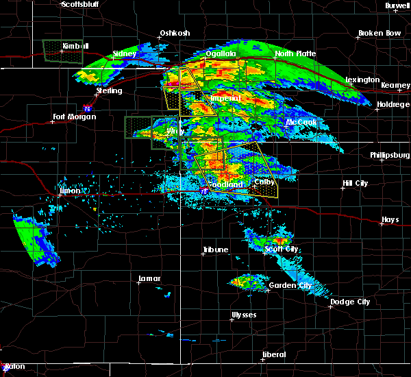 At 830 pm mdt, a severe thunderstorm was located over venango, or 16 miles southwest of grant, moving southeast at 35 mph. this is a very dangerous storm (radar indicated). Hazards include 80 mph wind gusts and baseball size hail. Flying debris will be dangerous to those caught without shelter. mobile homes will be heavily damaged. expect considerable damage to roofs, windows, and vehicles. Extensive tree damage and power outages are likely. At 830 pm mdt, a severe thunderstorm was located over venango, or 16 miles southwest of grant, moving southeast at 35 mph. this is a very dangerous storm (radar indicated). Hazards include 80 mph wind gusts and baseball size hail. Flying debris will be dangerous to those caught without shelter. mobile homes will be heavily damaged. expect considerable damage to roofs, windows, and vehicles. Extensive tree damage and power outages are likely.
|
| 7/22/2018 7:58 PM MDT |
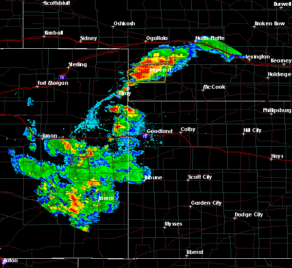 At 858 pm cdt/758 pm mdt/, a severe thunderstorm was located near champion, or 11 miles southwest of imperial, moving south at 20 mph (radar indicated). Hazards include 60 mph wind gusts and quarter size hail. Hail damage to vehicles is expected. expect wind damage to roofs, siding, and trees. locations impacted include, imperial, wauneta, lamar, enders, enders reservoir state recreation area, champion, crete, chase, center dam campground, wanamaker state wildfire management area, area a campground and church grove campground. This includes highway 61 between mile markers 25 and 54. At 858 pm cdt/758 pm mdt/, a severe thunderstorm was located near champion, or 11 miles southwest of imperial, moving south at 20 mph (radar indicated). Hazards include 60 mph wind gusts and quarter size hail. Hail damage to vehicles is expected. expect wind damage to roofs, siding, and trees. locations impacted include, imperial, wauneta, lamar, enders, enders reservoir state recreation area, champion, crete, chase, center dam campground, wanamaker state wildfire management area, area a campground and church grove campground. This includes highway 61 between mile markers 25 and 54.
|
| 7/22/2018 7:42 PM MDT | Quarter sized hail reported 12.3 miles E of Imperial, NE |
| 7/22/2018 7:36 PM MDT |
 At 835 pm cdt/735 pm mdt/, a severe thunderstorm was located near lamar, or 13 miles west of imperial, moving south at 25 mph (radar indicated). Hazards include 60 mph wind gusts and half dollar size hail. Hail damage to vehicles is expected. Expect wind damage to roofs, siding, and trees. At 835 pm cdt/735 pm mdt/, a severe thunderstorm was located near lamar, or 13 miles west of imperial, moving south at 25 mph (radar indicated). Hazards include 60 mph wind gusts and half dollar size hail. Hail damage to vehicles is expected. Expect wind damage to roofs, siding, and trees.
|
| 6/23/2018 10:13 PM MDT |
 At 1113 pm cdt/1013 pm mdt/, severe thunderstorms were located along a line extending from 9 miles south of ringgold to 8 miles northeast of wallace to 8 miles east of lamar, moving east at 40 mph (radar indicated). Hazards include 60 mph wind gusts and penny size hail. Expect damage to roofs, siding, and trees. locations impacted include, north platte, imperial, sutherland, hershey, wallace, madrid, elsie, lamar, sutherland reservoir state recreation area, champion, crete, chase, grainton, coker, o`fallons, wanamaker state wildfire management area and birdwood. this includes the following highways, highway 61 between mile markers 41 and 61. highway 97 between mile markers 1 and 16. interstate 80 in nebraska between mile markers 151 and 177. Highway 83 between mile markers 82 and 91. At 1113 pm cdt/1013 pm mdt/, severe thunderstorms were located along a line extending from 9 miles south of ringgold to 8 miles northeast of wallace to 8 miles east of lamar, moving east at 40 mph (radar indicated). Hazards include 60 mph wind gusts and penny size hail. Expect damage to roofs, siding, and trees. locations impacted include, north platte, imperial, sutherland, hershey, wallace, madrid, elsie, lamar, sutherland reservoir state recreation area, champion, crete, chase, grainton, coker, o`fallons, wanamaker state wildfire management area and birdwood. this includes the following highways, highway 61 between mile markers 41 and 61. highway 97 between mile markers 1 and 16. interstate 80 in nebraska between mile markers 151 and 177. Highway 83 between mile markers 82 and 91.
|
| 6/23/2018 9:52 PM MDT |
 At 1052 pm cdt/952 pm mdt/, severe thunderstorms were located along a line extending from 14 miles south of tryon to near elsie to near lamar, moving east at 30 mph (radar indicated). Hazards include 60 mph wind gusts and penny size hail. expect damage to roofs, siding, and trees At 1052 pm cdt/952 pm mdt/, severe thunderstorms were located along a line extending from 14 miles south of tryon to near elsie to near lamar, moving east at 30 mph (radar indicated). Hazards include 60 mph wind gusts and penny size hail. expect damage to roofs, siding, and trees
|
| 6/14/2018 8:23 PM MDT |
 At 920 pm cdt/820 pm mdt/, a severe thunderstorm was located over kansas and sending out flow winds into southwest nebraska (asos). Hazards include 60 mph wind gusts. Expect damage to roofs, siding, and trees. locations impacted include, imperial, grant, wauneta, madrid, lamar, enders, enders reservoir state recreation area, champion, chase, center dam campground, wild horse spring, wanamaker state wildfire management area, area a campground and church grove campground. This includes highway 61 between mile markers 27 and 75. At 920 pm cdt/820 pm mdt/, a severe thunderstorm was located over kansas and sending out flow winds into southwest nebraska (asos). Hazards include 60 mph wind gusts. Expect damage to roofs, siding, and trees. locations impacted include, imperial, grant, wauneta, madrid, lamar, enders, enders reservoir state recreation area, champion, chase, center dam campground, wild horse spring, wanamaker state wildfire management area, area a campground and church grove campground. This includes highway 61 between mile markers 27 and 75.
|
| 6/14/2018 8:04 PM MDT |
 At 902 pm cdt/802 pm mdt/, a severe thunderstorm was located south in kansas and was sending outflow winds into southwest nebraska (asos). Hazards include 60 mph wind gusts at imperial. expect damage to roofs, siding, and trees At 902 pm cdt/802 pm mdt/, a severe thunderstorm was located south in kansas and was sending outflow winds into southwest nebraska (asos). Hazards include 60 mph wind gusts at imperial. expect damage to roofs, siding, and trees
|
| 6/14/2018 7:55 PM MDT | Storm damage reported in chase county NE, 0.2 miles SE of Imperial, NE |
| 6/14/2018 7:51 PM MDT | Storm damage reported in chase county NE, 0.2 miles SE of Imperial, NE |
| 6/6/2018 10:55 PM CDT |
 The severe thunderstorm warning for southeastern perkins, southern chase, southwestern lincoln and western hayes counties will expire at 1100 pm cdt/1000 pm mdt/, the storms which prompted the warning have weakened below severe limits, and no longer pose an immediate threat to life or property. therefore, the warning will be allowed to expire. however gusty winds are still possible with these thunderstorms. a severe thunderstorm watch remains in effect until 200 am cdt/100 am mdt/ for southwestern nebraska. The severe thunderstorm warning for southeastern perkins, southern chase, southwestern lincoln and western hayes counties will expire at 1100 pm cdt/1000 pm mdt/, the storms which prompted the warning have weakened below severe limits, and no longer pose an immediate threat to life or property. therefore, the warning will be allowed to expire. however gusty winds are still possible with these thunderstorms. a severe thunderstorm watch remains in effect until 200 am cdt/100 am mdt/ for southwestern nebraska.
|
| 6/6/2018 10:26 PM CDT |
 At 1026 pm cdt/926 pm mdt/, severe thunderstorms were located along a line extending from 12 miles northwest of hayes center to 16 miles southwest of champion, moving southeast at 20 mph (radar indicated). Hazards include 60 mph wind gusts and penny size hail. Expect damage to roofs, siding, and trees. locations impacted include, imperial, hayes center, wauneta, enders, enders reservoir state recreation area, champion, hamlet, center dam campground, area a campground and church grove campground. This includes highway 61 between mile markers 25 and 43. At 1026 pm cdt/926 pm mdt/, severe thunderstorms were located along a line extending from 12 miles northwest of hayes center to 16 miles southwest of champion, moving southeast at 20 mph (radar indicated). Hazards include 60 mph wind gusts and penny size hail. Expect damage to roofs, siding, and trees. locations impacted include, imperial, hayes center, wauneta, enders, enders reservoir state recreation area, champion, hamlet, center dam campground, area a campground and church grove campground. This includes highway 61 between mile markers 25 and 43.
|
| 6/6/2018 9:12 PM MDT |
 At 1012 pm cdt/912 pm mdt/, severe thunderstorms were located along a line extending from 12 miles south of wallace to 15 miles southwest of champion, moving southeast at 20 mph (radar indicated). Hazards include 60 mph wind gusts and penny size hail. expect damage to roofs, siding, and trees At 1012 pm cdt/912 pm mdt/, severe thunderstorms were located along a line extending from 12 miles south of wallace to 15 miles southwest of champion, moving southeast at 20 mph (radar indicated). Hazards include 60 mph wind gusts and penny size hail. expect damage to roofs, siding, and trees
|
| 5/28/2018 7:44 PM MDT |
 At 744 pm mdt, severe thunderstorms were located along a line extending from 11 miles northeast of lamar to 11 miles southwest of champion, moving east at 25 mph (radar indicated). Hazards include 60 mph wind gusts and quarter size hail. Hail damage to vehicles is expected. Expect wind damage to roofs, siding, and trees. At 744 pm mdt, severe thunderstorms were located along a line extending from 11 miles northeast of lamar to 11 miles southwest of champion, moving east at 25 mph (radar indicated). Hazards include 60 mph wind gusts and quarter size hail. Hail damage to vehicles is expected. Expect wind damage to roofs, siding, and trees.
|
| 5/27/2018 7:03 PM MDT |
 At 702 pm mdt, a severe thunderstorm was located 12 miles south of grant, moving north at 55 mph (radar indicated). Hazards include 60 mph wind gusts and penny size hail. Expect damage to roofs, siding, and trees. locations impacted include, imperial, grant, madrid, lamar, enders, enders reservoir state recreation area, champion, crete, chase, center dam campground, brandon, wild horse spring, wanamaker state wildfire management area, area a campground and church grove campground. This includes highway 61 between mile markers 25 and 74. At 702 pm mdt, a severe thunderstorm was located 12 miles south of grant, moving north at 55 mph (radar indicated). Hazards include 60 mph wind gusts and penny size hail. Expect damage to roofs, siding, and trees. locations impacted include, imperial, grant, madrid, lamar, enders, enders reservoir state recreation area, champion, crete, chase, center dam campground, brandon, wild horse spring, wanamaker state wildfire management area, area a campground and church grove campground. This includes highway 61 between mile markers 25 and 74.
|
| 5/27/2018 6:55 PM MDT | Imperial asos kiml in chase county NE, 0.2 miles SE of Imperial, NE |
| 5/27/2018 6:46 PM MDT |
 At 646 pm mdt, a severe thunderstorm was located near champion, or 8 miles southwest of imperial, moving north at 55 mph (radar indicated). Hazards include 60 mph wind gusts and quarter size hail. Hail damage to vehicles is expected. Expect wind damage to roofs, siding, and trees. At 646 pm mdt, a severe thunderstorm was located near champion, or 8 miles southwest of imperial, moving north at 55 mph (radar indicated). Hazards include 60 mph wind gusts and quarter size hail. Hail damage to vehicles is expected. Expect wind damage to roofs, siding, and trees.
|
| 10/1/2017 4:54 PM MDT |
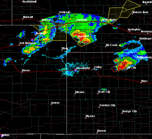 At 554 pm cdt/454 pm mdt/, a severe thunderstorm was located near imperial, moving northeast at 30 mph (radar indicated). Hazards include golf ball size hail and 60 mph wind gusts. People and animals outdoors will be injured. expect hail damage to roofs, siding, windows, and vehicles. expect wind damage to roofs, siding, and trees. locations impacted include, imperial, wauneta, enders, enders reservoir state recreation area, champion, chase, hamlet, center dam campground, wanamaker state wildfire management area, area a campground and church grove campground. this includes highway 61 between mile markers 25 and 56. A tornado watch remains in effect until 1100 pm cdt/1000 pm mdt/ for southwestern nebraska. At 554 pm cdt/454 pm mdt/, a severe thunderstorm was located near imperial, moving northeast at 30 mph (radar indicated). Hazards include golf ball size hail and 60 mph wind gusts. People and animals outdoors will be injured. expect hail damage to roofs, siding, windows, and vehicles. expect wind damage to roofs, siding, and trees. locations impacted include, imperial, wauneta, enders, enders reservoir state recreation area, champion, chase, hamlet, center dam campground, wanamaker state wildfire management area, area a campground and church grove campground. this includes highway 61 between mile markers 25 and 56. A tornado watch remains in effect until 1100 pm cdt/1000 pm mdt/ for southwestern nebraska.
|
| 10/1/2017 4:46 PM MDT | Golf Ball sized hail reported 0.2 miles SE of Imperial, NE |
| 10/1/2017 4:40 PM MDT | Quarter sized hail reported 0.2 miles SE of Imperial, NE, quarter size hail lasted 10 minutes. report via social media. |
| 10/1/2017 4:37 PM MDT |
 At 537 pm cdt/437 pm mdt/, a severe thunderstorm was located over champion, or near imperial, moving northeast at 30 mph (radar indicated). Hazards include golf ball size hail and 60 mph wind gusts. People and animals outdoors will be injured. expect hail damage to roofs, siding, windows, and vehicles. Expect wind damage to roofs, siding, and trees. At 537 pm cdt/437 pm mdt/, a severe thunderstorm was located over champion, or near imperial, moving northeast at 30 mph (radar indicated). Hazards include golf ball size hail and 60 mph wind gusts. People and animals outdoors will be injured. expect hail damage to roofs, siding, windows, and vehicles. Expect wind damage to roofs, siding, and trees.
|
| 8/2/2017 6:40 PM MDT | Storm damage reported in chase county NE, 0.2 miles SE of Imperial, NE |
| 8/2/2017 6:37 PM MDT | Co-op estimated winds north of imperial in chase county NE, 2.3 miles S of Imperial, NE |
| 8/2/2017 6:21 PM MDT |
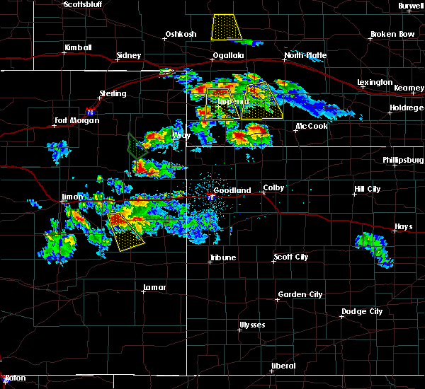 At 620 pm mdt, a severe thunderstorm was located 10 miles southeast of grant, moving south at 30 mph (radar indicated). Hazards include half dollar size hail. damage to vehicles is expected At 620 pm mdt, a severe thunderstorm was located 10 miles southeast of grant, moving south at 30 mph (radar indicated). Hazards include half dollar size hail. damage to vehicles is expected
|
| 7/25/2017 9:14 PM MDT |
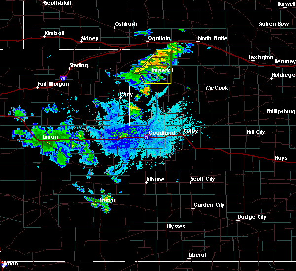 At 1014 pm cdt/914 pm mdt/, severe thunderstorms were located along a line extending from 8 miles north of elsie to near imperial, moving east at 20 mph (radar indicated). Hazards include 60 mph wind gusts. Expect damage to roofs, siding, and trees. locations impacted include, imperial, wauneta, madrid, elsie, enders, enders reservoir state recreation area, champion, chase, grainton, center dam campground, wanamaker state wildfire management area, area a campground and church grove campground. This includes highway 61 between mile markers 25 and 63. At 1014 pm cdt/914 pm mdt/, severe thunderstorms were located along a line extending from 8 miles north of elsie to near imperial, moving east at 20 mph (radar indicated). Hazards include 60 mph wind gusts. Expect damage to roofs, siding, and trees. locations impacted include, imperial, wauneta, madrid, elsie, enders, enders reservoir state recreation area, champion, chase, grainton, center dam campground, wanamaker state wildfire management area, area a campground and church grove campground. This includes highway 61 between mile markers 25 and 63.
|
| 7/25/2017 8:53 PM MDT |
 At 952 pm cdt/852 pm mdt/, severe thunderstorms were located along a line extending from 8 miles north of madrid to 14 miles south of lamar, moving east at 25 mph (radar indicated). Hazards include 60 mph wind gusts. expect damage to roofs, siding, and trees At 952 pm cdt/852 pm mdt/, severe thunderstorms were located along a line extending from 8 miles north of madrid to 14 miles south of lamar, moving east at 25 mph (radar indicated). Hazards include 60 mph wind gusts. expect damage to roofs, siding, and trees
|
| 5/25/2017 3:27 PM MDT |
 The severe thunderstorm warning for eastern chase county will expire at 330 pm mdt, the storm which prompted the warning has weakened below severe limits, and no longer poses an immediate threat to life or property. therefore the warning will be allowed to expire. The severe thunderstorm warning for eastern chase county will expire at 330 pm mdt, the storm which prompted the warning has weakened below severe limits, and no longer poses an immediate threat to life or property. therefore the warning will be allowed to expire.
|
| 5/25/2017 3:18 PM MDT |
 At 317 pm mdt, doppler radar indicated a severe thunderstorm capable of producing damaging winds in excess of 60 mph. this storm was located near imperial, moving east at 25 mph. locations impacted include, imperial, wauneta, enders, enders reservoir state recreation area, champion, center dam campground, wanamaker state wildfire management area, area a campground and church grove campground. this includes highway 61 between mile markers 25 and 53. At 317 pm mdt, doppler radar indicated a severe thunderstorm capable of producing damaging winds in excess of 60 mph. this storm was located near imperial, moving east at 25 mph. locations impacted include, imperial, wauneta, enders, enders reservoir state recreation area, champion, center dam campground, wanamaker state wildfire management area, area a campground and church grove campground. this includes highway 61 between mile markers 25 and 53.
|
| 5/25/2017 2:59 PM MDT |
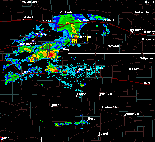 At 258 pm mdt, doppler radar indicated a severe thunderstorm capable of producing damaging winds in excess of 60 mph. this storm was located near imperial, moving east at 30 mph. locations impacted include, imperial, wauneta, enders, enders reservoir state recreation area, champion, crete, chase, center dam campground, wanamaker state wildfire management area, area a campground and church grove campground. this includes highway 61 between mile markers 25 and 53. At 258 pm mdt, doppler radar indicated a severe thunderstorm capable of producing damaging winds in excess of 60 mph. this storm was located near imperial, moving east at 30 mph. locations impacted include, imperial, wauneta, enders, enders reservoir state recreation area, champion, crete, chase, center dam campground, wanamaker state wildfire management area, area a campground and church grove campground. this includes highway 61 between mile markers 25 and 53.
|
| 5/25/2017 2:48 PM MDT |
 At 248 pm mdt, doppler radar indicated a severe thunderstorm capable of producing damaging winds in excess of 60 mph. this storm was located 7 miles northwest of champion, or 9 miles west of imperial, and moving east at 30 mph. At 248 pm mdt, doppler radar indicated a severe thunderstorm capable of producing damaging winds in excess of 60 mph. this storm was located 7 miles northwest of champion, or 9 miles west of imperial, and moving east at 30 mph.
|
| 10/3/2016 3:53 PM MDT | Ping Pong Ball sized hail reported 10.8 miles SSE of Imperial, NE |
| 10/3/2016 3:38 PM MDT |
 At 338 pm mdt, a severe thunderstorm was located near imperial, moving northeast at 35 mph (radar indicated). Hazards include ping pong ball size hail and 60 mph wind gusts. People and animals outdoors will be injured. expect hail damage to roofs, siding, windows, and vehicles. Expect wind damage to roofs, siding, and trees. At 338 pm mdt, a severe thunderstorm was located near imperial, moving northeast at 35 mph (radar indicated). Hazards include ping pong ball size hail and 60 mph wind gusts. People and animals outdoors will be injured. expect hail damage to roofs, siding, windows, and vehicles. Expect wind damage to roofs, siding, and trees.
|
| 9/4/2016 4:12 PM MDT |
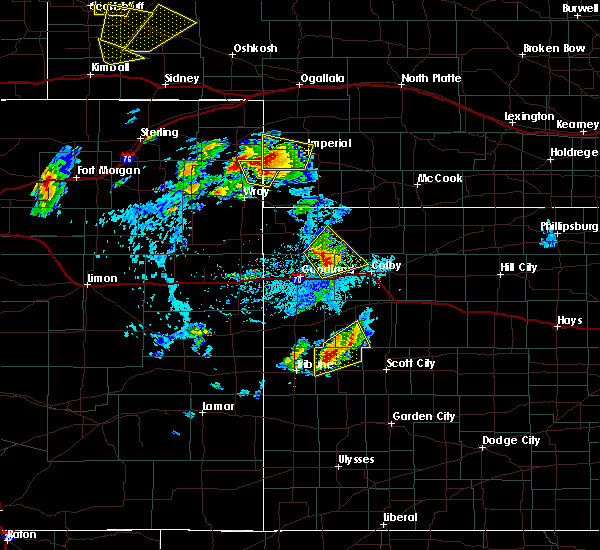 At 412 pm mdt, a severe thunderstorm was located 7 miles south of lamar, or 16 miles southeast of holyoke, moving north at 55 mph (radar indicated). Hazards include ping pong ball size hail and 60 mph wind gusts. People and animals outdoors will be injured. expect hail damage to roofs, siding, windows, and vehicles. expect wind damage to roofs, siding, and trees. locations impacted include, imperial, lamar, champion, chase, crete and wanamaker state wildfire management area. This includes highway 61 between mile markers 41 and 45. At 412 pm mdt, a severe thunderstorm was located 7 miles south of lamar, or 16 miles southeast of holyoke, moving north at 55 mph (radar indicated). Hazards include ping pong ball size hail and 60 mph wind gusts. People and animals outdoors will be injured. expect hail damage to roofs, siding, windows, and vehicles. expect wind damage to roofs, siding, and trees. locations impacted include, imperial, lamar, champion, chase, crete and wanamaker state wildfire management area. This includes highway 61 between mile markers 41 and 45.
|
| 9/4/2016 3:50 PM MDT |
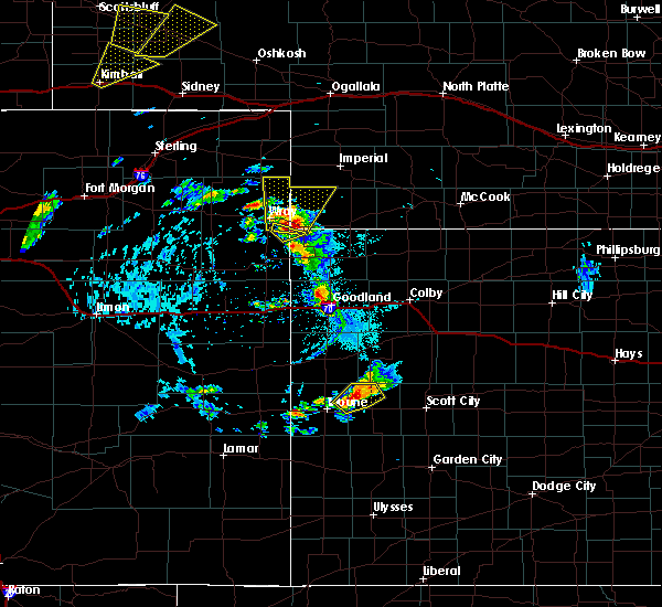 At 350 pm mdt, a severe thunderstorm was located 8 miles northwest of haigler, or 10 miles east of wray, moving north at 50 mph (radar indicated). Hazards include ping pong ball size hail and 60 mph wind gusts. People and animals outdoors will be injured. expect hail damage to roofs, siding, windows, and vehicles. Expect wind damage to roofs, siding, and trees. At 350 pm mdt, a severe thunderstorm was located 8 miles northwest of haigler, or 10 miles east of wray, moving north at 50 mph (radar indicated). Hazards include ping pong ball size hail and 60 mph wind gusts. People and animals outdoors will be injured. expect hail damage to roofs, siding, windows, and vehicles. Expect wind damage to roofs, siding, and trees.
|
| 6/28/2016 10:00 PM CDT |
 At 1000 pm cdt/900 pm mdt/, severe thunderstorms were located along a line extending from near dickens to 11 miles north of wauneta to 9 miles southwest of champion, moving east at 65 mph (radar indicated). Hazards include 70 mph wind gusts and penny size hail. Expect considerable tree damage. damage is likely to mobile homes, roofs, and outbuildings. locations impacted include, imperial, curtis, hayes center, wauneta, brady, wallace, wellfleet, moorefield, dickens, champion, enders, enders reservoir state recreation area, crete, maywood, hamlet, somerset, marengo, grainton, jeffrey canyon state wildlife management area and area a campground. this includes the following highways, highway 61 between mile markers 25 and 48. interstate 80 in nebraska between mile markers 195 and 208. Highway 83 between mile markers 33 and 75. At 1000 pm cdt/900 pm mdt/, severe thunderstorms were located along a line extending from near dickens to 11 miles north of wauneta to 9 miles southwest of champion, moving east at 65 mph (radar indicated). Hazards include 70 mph wind gusts and penny size hail. Expect considerable tree damage. damage is likely to mobile homes, roofs, and outbuildings. locations impacted include, imperial, curtis, hayes center, wauneta, brady, wallace, wellfleet, moorefield, dickens, champion, enders, enders reservoir state recreation area, crete, maywood, hamlet, somerset, marengo, grainton, jeffrey canyon state wildlife management area and area a campground. this includes the following highways, highway 61 between mile markers 25 and 48. interstate 80 in nebraska between mile markers 195 and 208. Highway 83 between mile markers 33 and 75.
|
| 6/28/2016 9:56 PM CDT |
 At 956 pm cdt/856 pm mdt/, severe thunderstorms were located along a line extending from near dickens to 13 miles north of wauneta to 9 miles southwest of champion, moving southeast at 65 mph (radar indicated). Hazards include 60 mph wind gusts and penny size hail. Expect damage to roofs. siding. And trees. At 956 pm cdt/856 pm mdt/, severe thunderstorms were located along a line extending from near dickens to 13 miles north of wauneta to 9 miles southwest of champion, moving southeast at 65 mph (radar indicated). Hazards include 60 mph wind gusts and penny size hail. Expect damage to roofs. siding. And trees.
|
| 6/28/2016 8:27 PM MDT |
 At 927 pm cdt/827 pm mdt/, severe thunderstorms were located along a line extending from 6 miles northwest of sutherland to near venango, moving southeast at 75 mph (radar indicated). Hazards include 60 mph wind gusts and nickel size hail. Expect damage to roofs. siding. And trees. At 927 pm cdt/827 pm mdt/, severe thunderstorms were located along a line extending from 6 miles northwest of sutherland to near venango, moving southeast at 75 mph (radar indicated). Hazards include 60 mph wind gusts and nickel size hail. Expect damage to roofs. siding. And trees.
|
| 6/28/2016 6:50 PM MDT | Storm damage reported in chase county NE, 0.2 miles SE of Imperial, NE |
| 6/27/2016 6:42 PM MDT |
 The severe thunderstorm warning for central chase county will expire at 645 pm mdt, the severe thunderstorm which prompted the warning has weakened. therefore the warning will be allowed to expire. however gusty winds and heavy rain are still possible with this thunderstorm. a severe thunderstorm watch remains in effect until 800 pm mdt for southwestern nebraska. to report severe weather, contact your nearest law enforcement agency. they will relay your report to the national weather service north platte. The severe thunderstorm warning for central chase county will expire at 645 pm mdt, the severe thunderstorm which prompted the warning has weakened. therefore the warning will be allowed to expire. however gusty winds and heavy rain are still possible with this thunderstorm. a severe thunderstorm watch remains in effect until 800 pm mdt for southwestern nebraska. to report severe weather, contact your nearest law enforcement agency. they will relay your report to the national weather service north platte.
|
| 6/27/2016 6:10 PM MDT |
 At 610 pm mdt, a severe thunderstorm was located over champion, or 8 miles southwest of imperial, moving southeast at 25 mph (radar indicated). Hazards include 60 mph wind gusts and quarter size hail. Hail damage to vehicles is expected. expect wind damage to roofs, siding, and trees. locations impacted include, imperial, lamar, champion, enders reservoir state recreation area, enders, crete, chase, church grove campground, center dam campground, area a campground and wanamaker state wildfire management area. This includes highway 61 between mile markers 29 and 43. At 610 pm mdt, a severe thunderstorm was located over champion, or 8 miles southwest of imperial, moving southeast at 25 mph (radar indicated). Hazards include 60 mph wind gusts and quarter size hail. Hail damage to vehicles is expected. expect wind damage to roofs, siding, and trees. locations impacted include, imperial, lamar, champion, enders reservoir state recreation area, enders, crete, chase, church grove campground, center dam campground, area a campground and wanamaker state wildfire management area. This includes highway 61 between mile markers 29 and 43.
|
| 6/27/2016 5:58 PM MDT |
 At 556 pm mdt, a severe thunderstorm was located near champion, or near imperial, moving southeast at 20 mph (radar indicated). Hazards include 60 mph wind gusts and quarter size hail. Hail damage to vehicles is expected. expect wind damage to roofs, siding, and trees. locations impacted include, imperial, lamar, champion, enders reservoir state recreation area, enders, crete, chase, church grove campground, center dam campground, area a campground and wanamaker state wildfire management area. This includes highway 61 between mile markers 29 and 43. At 556 pm mdt, a severe thunderstorm was located near champion, or near imperial, moving southeast at 20 mph (radar indicated). Hazards include 60 mph wind gusts and quarter size hail. Hail damage to vehicles is expected. expect wind damage to roofs, siding, and trees. locations impacted include, imperial, lamar, champion, enders reservoir state recreation area, enders, crete, chase, church grove campground, center dam campground, area a campground and wanamaker state wildfire management area. This includes highway 61 between mile markers 29 and 43.
|
| 6/27/2016 5:48 PM MDT | Quarter sized hail reported 11 miles ESE of Imperial, NE |
| 6/27/2016 5:48 PM MDT | Wind gust were estimated at 70+ mph...in addition to a few quarter size hailstone in chase county NE, 11 miles ESE of Imperial, NE |
| 6/27/2016 5:40 PM MDT |
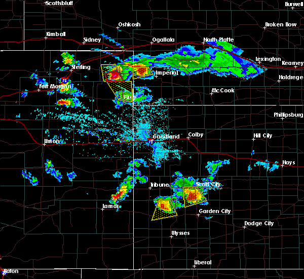 At 539 pm mdt, a severe thunderstorm was located 8 miles east of lamar, or 10 miles northwest of imperial, moving southeast at 30 mph (radar indicated). Hazards include golf ball size hail and 60 mph wind gusts. People and animals outdoors will be injured. expect hail damage to roofs, siding, windows, and vehicles. Expect wind damage to roofs, siding, and trees. At 539 pm mdt, a severe thunderstorm was located 8 miles east of lamar, or 10 miles northwest of imperial, moving southeast at 30 mph (radar indicated). Hazards include golf ball size hail and 60 mph wind gusts. People and animals outdoors will be injured. expect hail damage to roofs, siding, windows, and vehicles. Expect wind damage to roofs, siding, and trees.
|
| 5/30/2016 6:54 PM CDT |
 At 654 pm cdt/554 pm mdt/, severe thunderstorms were located along a line extending from 8 miles south of sutherland reservoir state recreation area to near enders reservoir state recreation area, moving east at 60 mph (radar indicated). Hazards include 60 mph wind gusts. Expect damage to roofs. siding. And trees. At 654 pm cdt/554 pm mdt/, severe thunderstorms were located along a line extending from 8 miles south of sutherland reservoir state recreation area to near enders reservoir state recreation area, moving east at 60 mph (radar indicated). Hazards include 60 mph wind gusts. Expect damage to roofs. siding. And trees.
|
| 5/30/2016 5:47 PM MDT | Storm damage reported in chase county NE, 0.2 miles SE of Imperial, NE |
| 5/29/2016 7:32 PM CDT |
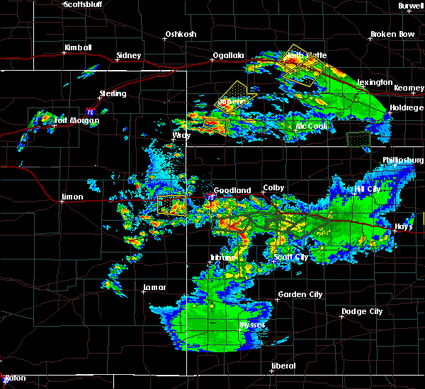 At 731 pm cdt/631 pm mdt/, a severe thunderstorm was located near imperial, moving northeast at 15 mph (radar indicated). Hazards include quarter size hail. damage to vehicles is expected At 731 pm cdt/631 pm mdt/, a severe thunderstorm was located near imperial, moving northeast at 15 mph (radar indicated). Hazards include quarter size hail. damage to vehicles is expected
|
| 5/29/2016 6:11 PM MDT |
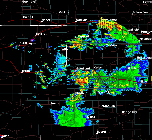 The severe thunderstorm warning for south central chase county will expire at 615 pm mdt, the storm which prompted the warning has weakened below severe limits, and no longer pose an immediate threat to life or property. therefore the warning will be allowed to expire. to report severe weather, contact your nearest law enforcement agency. they will relay your report to the national weather service north platte. The severe thunderstorm warning for south central chase county will expire at 615 pm mdt, the storm which prompted the warning has weakened below severe limits, and no longer pose an immediate threat to life or property. therefore the warning will be allowed to expire. to report severe weather, contact your nearest law enforcement agency. they will relay your report to the national weather service north platte.
|
| 5/29/2016 6:01 PM MDT |
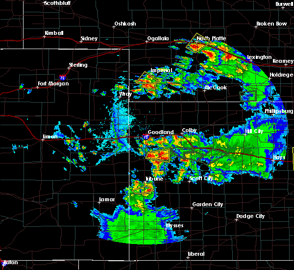 At 601 pm mdt, a severe thunderstorm was located near champion, or 9 miles southwest of imperial, moving northeast at 10 mph (radar indicated). Hazards include quarter size hail. Damage to vehicles is expected. locations impacted include, champion and church grove campground. This includes highway 61 between mile markers 25 and 28. At 601 pm mdt, a severe thunderstorm was located near champion, or 9 miles southwest of imperial, moving northeast at 10 mph (radar indicated). Hazards include quarter size hail. Damage to vehicles is expected. locations impacted include, champion and church grove campground. This includes highway 61 between mile markers 25 and 28.
|
| 5/29/2016 6:00 PM MDT | Quarter sized hail reported 2 miles NNE of Imperial, NE |
| 5/29/2016 5:44 PM MDT |
 At 544 pm mdt, a severe thunderstorm was located 7 miles south of champion, or 12 miles southwest of imperial, moving northeast at 10 mph (radar indicated). Hazards include half dollar size hail. damage to vehicles is expected At 544 pm mdt, a severe thunderstorm was located 7 miles south of champion, or 12 miles southwest of imperial, moving northeast at 10 mph (radar indicated). Hazards include half dollar size hail. damage to vehicles is expected
|
| 5/24/2016 11:51 PM MDT | Golf Ball sized hail reported 0.2 miles SE of Imperial, NE |
| 5/24/2016 11:38 PM MDT | Half Dollar sized hail reported 5 miles NE of Imperial, NE |
| 8/7/2015 8:28 PM MDT | The severe thunderstorm warning for chase and western perkins counties will expire at 830 pm mdt, the storms which prompted the warning have moved out of the area. therefore the warning will be allowed to expire. however gusty winds and heavy rain are still possible with these thunderstorms. a severe thunderstorm watch remains in effect until 1100 pm mdt for southwestern nebraska. remember, a severe thunderstorm warning still remains in effect for eastern chase county. |
| 8/7/2015 8:14 PM MDT |
 At 814 pm mdt, a severe thunderstorm was located near enders reservoir state recreation area, or 9 miles south of imperial, moving east at 15 mph (radar indicated). Hazards include 70 mph wind gusts and quarter size hail. Hail damage to vehicles is expected. expect considerable tree damage. wind damage is also likely to mobile homes, roofs and outbuildings. this includes highway 61 between mile markers 25 and 30. Locations impacted include, center dam campground, enders, enders reservoir state recreation area, church grove campground, wauneta and area a campground. At 814 pm mdt, a severe thunderstorm was located near enders reservoir state recreation area, or 9 miles south of imperial, moving east at 15 mph (radar indicated). Hazards include 70 mph wind gusts and quarter size hail. Hail damage to vehicles is expected. expect considerable tree damage. wind damage is also likely to mobile homes, roofs and outbuildings. this includes highway 61 between mile markers 25 and 30. Locations impacted include, center dam campground, enders, enders reservoir state recreation area, church grove campground, wauneta and area a campground.
|
| 8/7/2015 8:10 PM MDT |
 At 809 pm mdt, severe thunderstorms were located along a line extending from near grant to 6 miles southwest of champion, moving east at 35 mph (radar indicated). Hazards include 60 mph wind gusts and penny size hail. Expect damage to roofs. siding and trees. this includes highway 61 between mile markers 41 and 75. Locations impacted include, champion, lamar, chase, grant, crete, church grove campground, brandon, madrid, imperial, wild horse spring, venango and wanamaker state wildfire management area. At 809 pm mdt, severe thunderstorms were located along a line extending from near grant to 6 miles southwest of champion, moving east at 35 mph (radar indicated). Hazards include 60 mph wind gusts and penny size hail. Expect damage to roofs. siding and trees. this includes highway 61 between mile markers 41 and 75. Locations impacted include, champion, lamar, chase, grant, crete, church grove campground, brandon, madrid, imperial, wild horse spring, venango and wanamaker state wildfire management area.
|
| 8/7/2015 7:58 PM MDT |
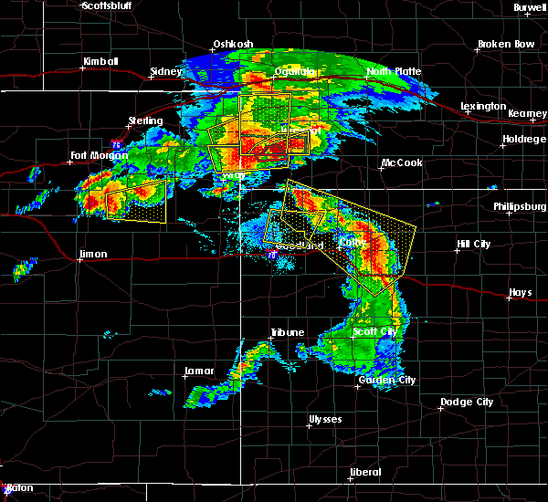 At 757 pm mdt, a severe thunderstorm was located near champion, or 10 miles south of imperial, moving east at 15 mph (radar indicated). Hazards include ping pong ball size hail and 60 mph wind gusts. People and animals outdoors will be injured. expect hail damage to roofs, siding, windows and vehicles. Expect wind damage to roofs, siding and trees. At 757 pm mdt, a severe thunderstorm was located near champion, or 10 miles south of imperial, moving east at 15 mph (radar indicated). Hazards include ping pong ball size hail and 60 mph wind gusts. People and animals outdoors will be injured. expect hail damage to roofs, siding, windows and vehicles. Expect wind damage to roofs, siding and trees.
|
| 8/7/2015 7:52 PM MDT | Quarter sized hail reported 9.6 miles NNE of Imperial, NE |
| 8/7/2015 7:49 PM MDT |
 At 749 pm mdt, severe thunderstorms were located along a line extending from 9 miles north of venango to 14 miles south of lamar, moving east at 35 mph (radar indicated). Hazards include 60 mph wind gusts and penny size hail. Expect damage to roofs. Siding and trees. At 749 pm mdt, severe thunderstorms were located along a line extending from 9 miles north of venango to 14 miles south of lamar, moving east at 35 mph (radar indicated). Hazards include 60 mph wind gusts and penny size hail. Expect damage to roofs. Siding and trees.
|
| 8/7/2015 7:22 PM MDT |
 At 722 pm mdt, a severe thunderstorm was located 8 miles southwest of champion, or 13 miles southwest of imperial, moving east at 20 mph (radar indicated). Hazards include ping pong ball size hail and 60 mph wind gusts. People and animals outdoors will be injured. expect hail damage to roofs, siding, windows and vehicles. Expect wind damage to roofs, siding and trees. At 722 pm mdt, a severe thunderstorm was located 8 miles southwest of champion, or 13 miles southwest of imperial, moving east at 20 mph (radar indicated). Hazards include ping pong ball size hail and 60 mph wind gusts. People and animals outdoors will be injured. expect hail damage to roofs, siding, windows and vehicles. Expect wind damage to roofs, siding and trees.
|
| 8/4/2015 12:03 PM MDT |
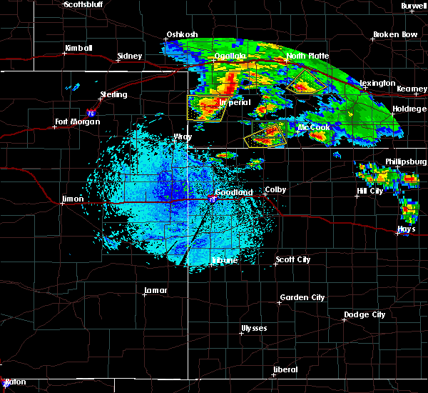 At 1202 pm mdt, a severe thunderstorm was located over champion, or near imperial, moving east at 35 mph (radar indicated). Hazards include quarter size hail. Damage to vehicles is expected. this includes highway 61 between mile markers 41 and 51. Locations impacted include, champion, lamar, chase, crete, church grove campground, imperial and wanamaker state wildfire management area. At 1202 pm mdt, a severe thunderstorm was located over champion, or near imperial, moving east at 35 mph (radar indicated). Hazards include quarter size hail. Damage to vehicles is expected. this includes highway 61 between mile markers 41 and 51. Locations impacted include, champion, lamar, chase, crete, church grove campground, imperial and wanamaker state wildfire management area.
|
| 8/4/2015 11:41 AM MDT |
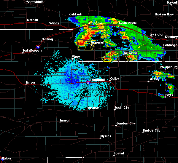 At 1140 am mdt, a severe thunderstorm was located near lamar, or 17 miles west of imperial, moving east at 25 mph (radar indicated). Hazards include quarter size hail. damage to vehicles is expected At 1140 am mdt, a severe thunderstorm was located near lamar, or 17 miles west of imperial, moving east at 25 mph (radar indicated). Hazards include quarter size hail. damage to vehicles is expected
|
| 7/23/2015 6:27 PM MDT | The severe thunderstorm warning for northeastern chase. southeastern perkins and northwestern hayes counties will expire at 730 pm cdt. the storm which prompted the warning has weakened below severe limits. and no longer pose an immediate threat to life or property. Therefore the warning will be allowed to expire. |
| 7/23/2015 6:09 PM MDT |
 At 708 pm cdt /608 pm mdt/, a severe thunderstorm was located 11 miles northeast of imperial, moving east at 25 mph (radar indicated). Hazards include golf ball size hail and 60 mph wind gusts. People and animals outdoors will be injured. expect hail damage to roofs, siding, windows and vehicles. expect wind damage to roofs, siding and trees. this includes highway 61 between mile markers 42 and 54. Locations impacted include, rural portions of northeastern chase, far southeastern perkins and far northwestern hayes county. At 708 pm cdt /608 pm mdt/, a severe thunderstorm was located 11 miles northeast of imperial, moving east at 25 mph (radar indicated). Hazards include golf ball size hail and 60 mph wind gusts. People and animals outdoors will be injured. expect hail damage to roofs, siding, windows and vehicles. expect wind damage to roofs, siding and trees. this includes highway 61 between mile markers 42 and 54. Locations impacted include, rural portions of northeastern chase, far southeastern perkins and far northwestern hayes county.
|
| 7/23/2015 6:01 PM MDT | Quarter sized hail reported 9.2 miles SSW of Imperial, NE, in addition to the hail... winds were estimated at 50 mph. |
| 7/23/2015 5:54 PM MDT |
 At 654 pm cdt /554 pm mdt/, a severe thunderstorm was located 8 miles northeast of imperial, moving east at 25 mph (radar indicated). Hazards include 60 mph wind gusts and quarter size hail. Hail damage to vehicles is expected. expect wind damage to roofs, siding and trees. this includes highway 61 between mile markers 42 and 54. Locations impacted include, rural portions of northeastern chase, far southwestern perkins and far northwestern hayes county. At 654 pm cdt /554 pm mdt/, a severe thunderstorm was located 8 miles northeast of imperial, moving east at 25 mph (radar indicated). Hazards include 60 mph wind gusts and quarter size hail. Hail damage to vehicles is expected. expect wind damage to roofs, siding and trees. this includes highway 61 between mile markers 42 and 54. Locations impacted include, rural portions of northeastern chase, far southwestern perkins and far northwestern hayes county.
|
| 6/25/2015 9:43 PM CDT |
 At 840 pm mdt, severe thunderstorms were located along a line extending from 11 miles northeast of imperial to 8 miles north of enders to enders reservoir state recreation area, and moving southeast at 55 mph (radar indicated). Hazards include 60 mph wind gusts. Expect damage to roofs. Siding and trees. At 840 pm mdt, severe thunderstorms were located along a line extending from 11 miles northeast of imperial to 8 miles north of enders to enders reservoir state recreation area, and moving southeast at 55 mph (radar indicated). Hazards include 60 mph wind gusts. Expect damage to roofs. Siding and trees.
|
| 6/25/2015 8:27 PM MDT |
 At 825 pm mdt, severe thunderstorms were located along a line extending from grant to 11 miles north of imperial to 6 miles northwest of champion, and moving southeast at 50 mph (radar indicated). Hazards include 70 mph wind gusts. Expect considerable tree damage. damage is likely to mobile homes, roofs and outbuildings. locations impacted include, imperial, madrid, enders, wauneta, elsie, wanamaker state wildfire management area and center dam campground. This includes highway 61 between mile markers 30 and 72. At 825 pm mdt, severe thunderstorms were located along a line extending from grant to 11 miles north of imperial to 6 miles northwest of champion, and moving southeast at 50 mph (radar indicated). Hazards include 70 mph wind gusts. Expect considerable tree damage. damage is likely to mobile homes, roofs and outbuildings. locations impacted include, imperial, madrid, enders, wauneta, elsie, wanamaker state wildfire management area and center dam campground. This includes highway 61 between mile markers 30 and 72.
|
| 6/25/2015 8:13 PM MDT |
 At 810 pm mdt, severe thunderstorms were located along a line extending from 7 miles north of brandon to brandon to 5 miles north of lamar, and moving southeast at 50 mph (trained weather spotters). Hazards include 70 mph wind gusts. Expect considerable tree damage. damage is likely to mobile homes, roofs and outbuildings. locations impacted include, grant, imperial, madrid, enders, wauneta, elsie, chase, wild horse spring, wanamaker state wildfire management area and center dam campground. This includes highway 61 between mile markers 30 and 73. At 810 pm mdt, severe thunderstorms were located along a line extending from 7 miles north of brandon to brandon to 5 miles north of lamar, and moving southeast at 50 mph (trained weather spotters). Hazards include 70 mph wind gusts. Expect considerable tree damage. damage is likely to mobile homes, roofs and outbuildings. locations impacted include, grant, imperial, madrid, enders, wauneta, elsie, chase, wild horse spring, wanamaker state wildfire management area and center dam campground. This includes highway 61 between mile markers 30 and 73.
|
| 6/25/2015 8:04 PM MDT |
 At 802 pm mdt, severe thunderstorms were located along a line extending from 9 miles northwest of brandon to brandon to venango, and moving southeast at 50 mph (law enforcement). Hazards include 60 mph wind gusts. Expect damage to roofs. Siding and trees. At 802 pm mdt, severe thunderstorms were located along a line extending from 9 miles northwest of brandon to brandon to venango, and moving southeast at 50 mph (law enforcement). Hazards include 60 mph wind gusts. Expect damage to roofs. Siding and trees.
|
| 5/27/2015 5:03 PM MDT | At 502 pm mdt, a severe thunderstorm was located 6 miles south of champion, and moving east at 10 mph (radar indicated). Hazards include golf ball size hail. People and animals outdoors will be injured. expect damage to roofs, siding, windows and vehicles. the severe thunderstorm will affect mainly rural areas of south central chase county. This includes highway 61 between mile markers 25 and 28. |
| 5/27/2015 4:29 PM MDT | At 428 pm mdt, a severe thunderstorm was located 9 miles southwest of champion, and moving east at 10 mph (radar indicated). Hazards include golf ball size hail. People and animals outdoors will be injured. expect damage to roofs, siding, windows and vehicles. the severe thunderstorm will be near, champion around 505 pm mdt. other locations in the warning include church grove campground. This includes highway 61 between mile markers 25 and 28. |
| 5/24/2015 7:23 PM MDT | The severe thunderstorm warning for eastern chase county will expire at 830 pm cdt, the storm which prompted the warning has weakened and moved out of the warned area. however, heavy rain is still possible with this thunderstorm. |
| 5/24/2015 6:58 PM MDT | At 657 pm mdt, a severe thunderstorm was located 5 miles east of imperial, and moving northeast at 30 mph (radar indicated). Hazards include 60 mph wind gusts and quarter size hail. Hail damage to vehicles is expected. expect wind damage to roofs, siding and trees. locations impacted include, mainly rural areas of northeastern chase county. This includes highway 61 between mile markers 28 and 51. |
| 5/24/2015 6:43 PM MDT | At 641 pm mdt, a severe thunderstorm was located near champion, and moving northeast at 25 mph (radar indicated). Hazards include 60 mph wind gusts and quarter size hail. Hail damage to vehicles is expected. Expect wind damage to roofs, siding and trees. |
| 5/24/2015 6:38 PM MDT | Quarter sized hail reported 0.2 miles SE of Imperial, NE |
| 8/8/2014 8:07 PM MDT | Sustained wnw winds at 33 mph with wind gust of 61 mph at aso in chase county NE, 0.2 miles SE of Imperial, NE |
| 8/8/2014 8:00 PM MDT | Storm damage reported in chase county NE, 0.2 miles SE of Imperial, NE |
| 6/18/2014 10:29 PM MDT | Storm damage reported in chase county NE, 0.2 miles SE of Imperial, NE |
| 6/18/2014 10:20 PM MDT | Storm damage reported in chase county NE, 0.2 miles SE of Imperial, NE |
| 5/19/2014 9:39 PM MDT | Baseball sized hail reported 12.6 miles S of Imperial, NE |
| 5/19/2014 9:38 PM MDT | Hen Egg sized hail reported 11.2 miles S of Imperial, NE |
| 10/14/2013 1:12 PM MDT | Law enforcement reported zero visibility and estimated 65 mph wind gusts at imperia in chase county NE, 0.2 miles SE of Imperial, NE |
| 10/14/2013 1:10 PM MDT | Cooperative observer at imperial reported extensive tree damage minor street flooding overturned pivot and hay bales being blown across highway as well as power outage in chase county NE, 0.2 miles SE of Imperial, NE |
| 10/14/2013 1:07 PM MDT | Ping Pong Ball sized hail reported 2.8 miles NNE of Imperial, NE |
| 5/29/2013 2:20 PM MDT | Quarter sized hail reported 10.2 miles NNE of Imperial, NE |
| 5/18/2013 7:35 PM MDT | Quarter sized hail reported 3 miles W of Imperial, NE |
| 5/18/2013 5:50 PM MDT | Tennis Ball sized hail reported 7.4 miles N of Imperial, NE |
| 8/7/2012 5:05 PM MDT | Estimated 50 to 60 mph wind gusts as thunderstorm passed through imperia in chase county NE, 0.2 miles SE of Imperial, NE |
| 8/7/2012 5:00 PM MDT | Power pole broken in half in imperial. power outage continues for the city of imperial. power was also knocked out at the automated surface observing station at the imp in chase county NE, 0.2 miles SE of Imperial, NE |
| 7/4/2012 7:00 PM MDT | Delayed report from chase county emergency manager of one power pole snapped and another power pole leaning about 2 miles east and one half mile north of imperia in chase county NE, 0.9 miles WSW of Imperial, NE |
| 7/4/2012 7:00 PM MDT | Emergency manager from chase county had a delayed report of damage to a wooden garag in chase county NE, 3 miles W of Imperial, NE |
| 7/4/2012 7:00 PM MDT | Delayed report of a pole barn blown to the north.location approximately 4 to 5 miles east of imperia in chase county NE, 4.1 miles W of Imperial, NE |
| 6/28/2012 8:22 PM MDT | Storm damage reported in chase county NE, 0.2 miles SE of Imperial, NE |
| 1/1/0001 12:00 AM | Tennis Ball sized hail reported 12 miles SE of Imperial, NE |
| 1/1/0001 12:00 AM | Half Dollar sized hail reported 12 miles SE of Imperial, NE |
| 1/1/0001 12:00 AM | Golf Ball sized hail reported 5.1 miles SW of Imperial, NE, public reported golf ball sized hail 5 miles northeast of imperial. |
| 1/1/0001 12:00 AM | Half Dollar sized hail reported 9.9 miles S of Imperial, NE, public reported half-dollar sized hail 10 miles north of imperial. |
| 1/1/0001 12:00 AM | Golf Ball sized hail reported 0.2 miles SE of Imperial, NE |
| 1/1/0001 12:00 AM | Coop observer estimated wind gusts up to 70 mph. power is out in imperia in chase county NE, 0.2 miles SE of Imperial, NE |
| 1/1/0001 12:00 AM | Delayed reports of storm damage from the evening of july 5th. high winds caused tree branches to blow down onto power lines and caused power outages in imperial. large in chase county NE, 0.2 miles SE of Imperial, NE |
| 1/1/0001 12:00 AM | Golf Ball sized hail reported 0.2 miles SE of Imperial, NE |
| 1/1/0001 12:00 AM | Imperial asos reported a wind gust of 77 mph. delayed repor in chase county NE, 0.2 miles SE of Imperial, NE |
| 1/1/0001 12:00 AM | Baseball sized hail reported 9.8 miles ESE of Imperial, NE, time of report corrected. |
| 1/1/0001 12:00 AM | Baseball sized hail reported 9.8 miles ESE of Imperial, NE |
| 1/1/0001 12:00 AM | Imperial asos reported a wind gust of 77 mph. delayed repor in chase county NE, 0.2 miles SE of Imperial, NE |
| 1/1/0001 12:00 AM | Quarter sized hail reported 3.8 miles E of Imperial, NE |
| 1/1/0001 12:00 AM | Quarter sized hail reported 5.9 miles E of Imperial, NE, pea to marble size hail reported covering ground...largest hail size of a quarter. |
| 1/1/0001 12:00 AM | Golf Ball sized hail reported 4.9 miles E of Imperial, NE, report was relayed via sheriffs office...time was estimated. |
Hail Maps for Imperial, NE
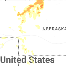


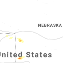


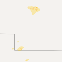


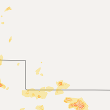


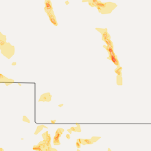

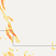


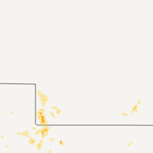


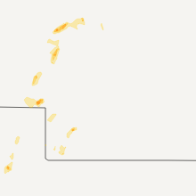


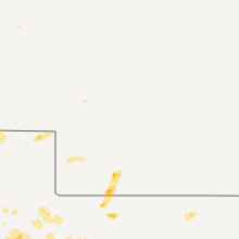
Connect with Interactive Hail Maps