

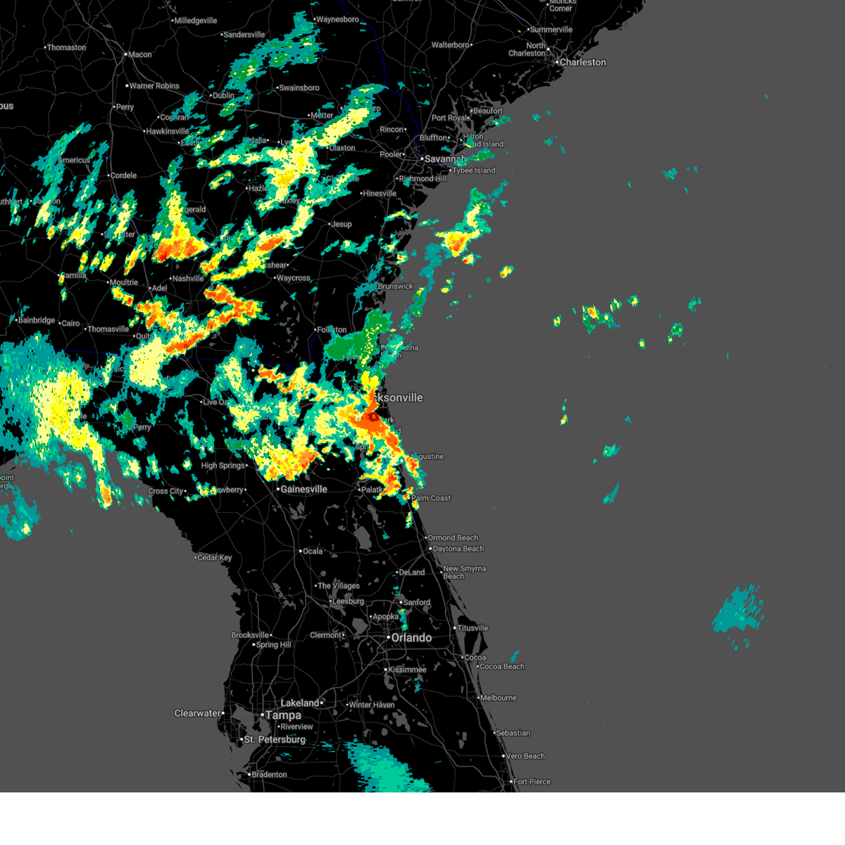
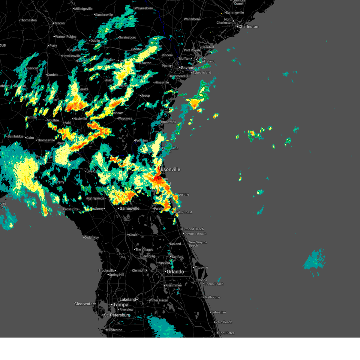
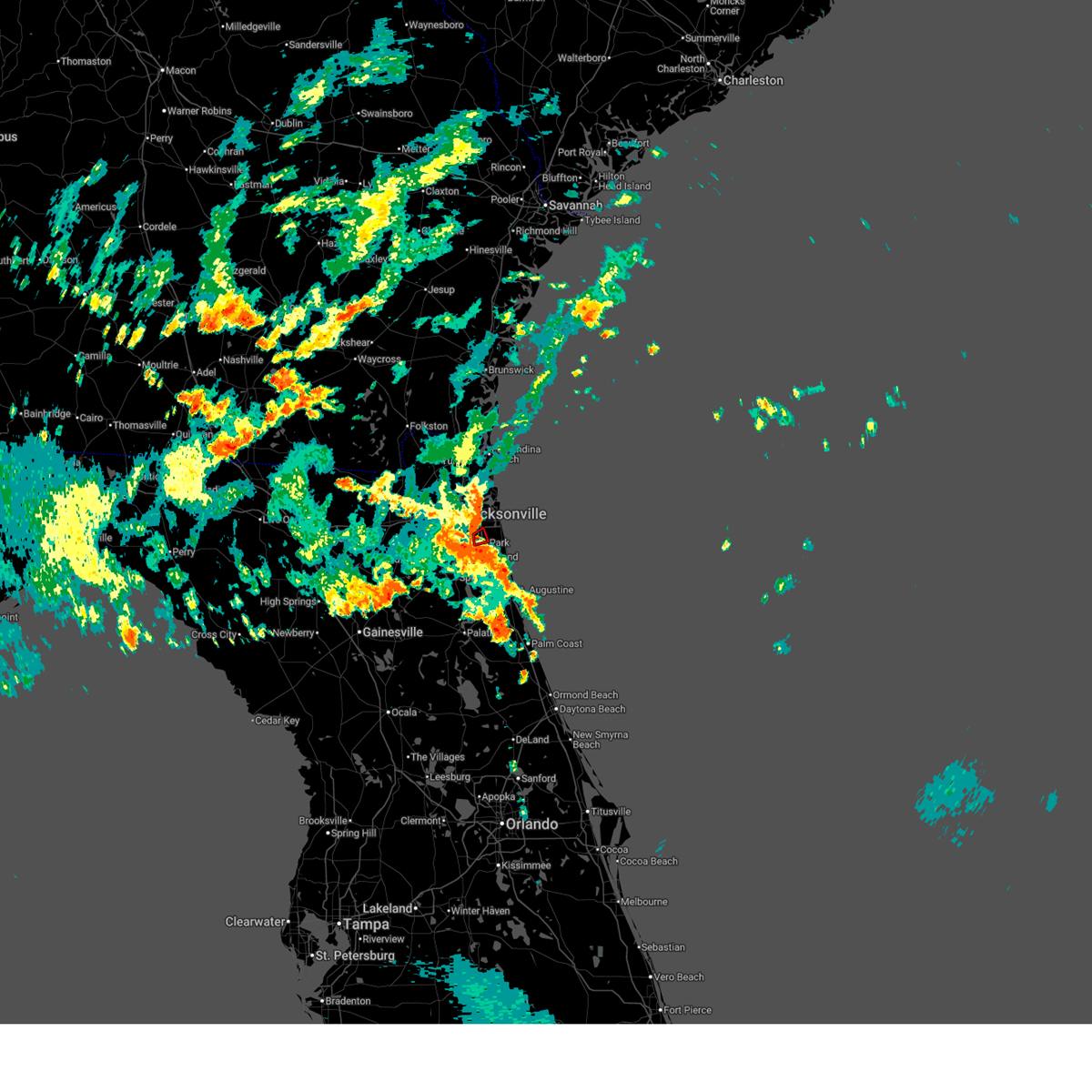
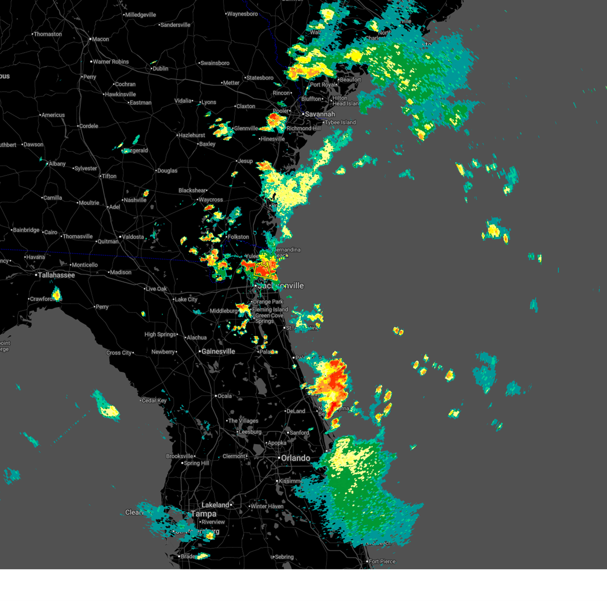
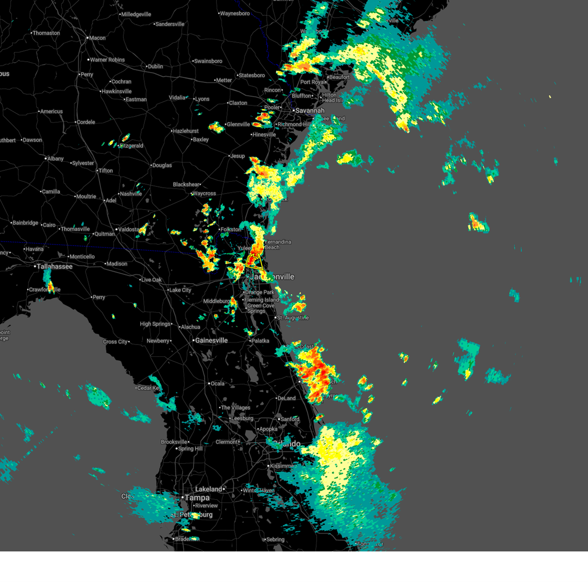
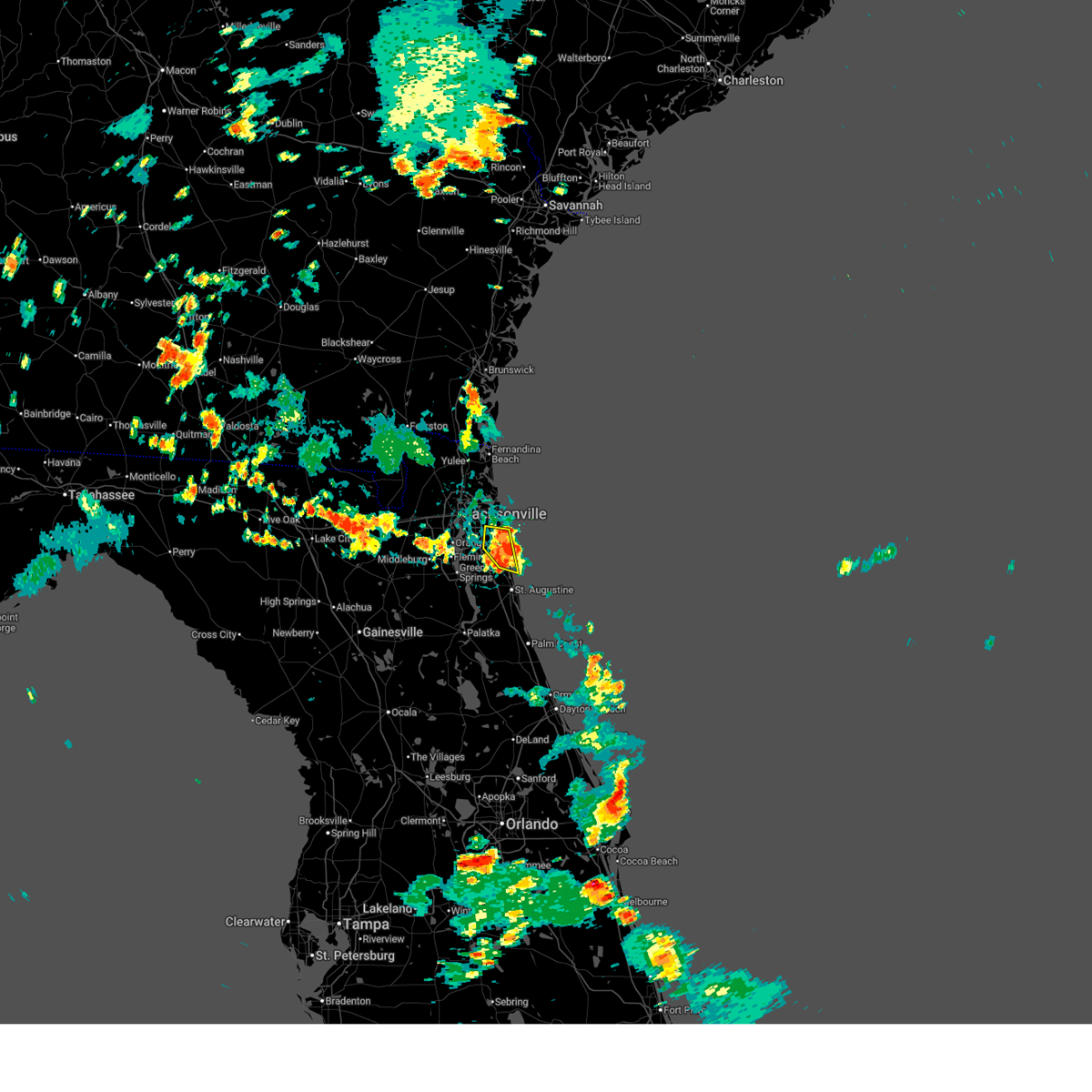
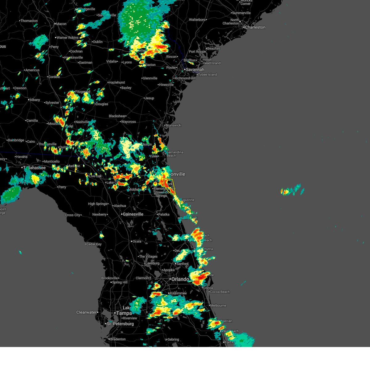
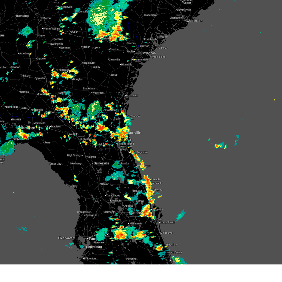
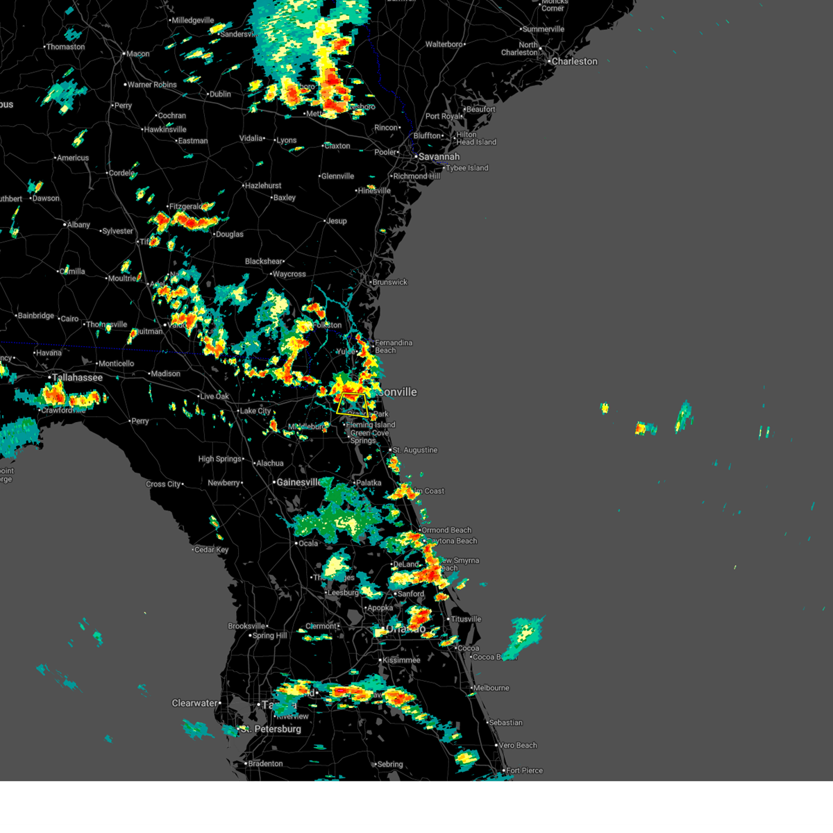
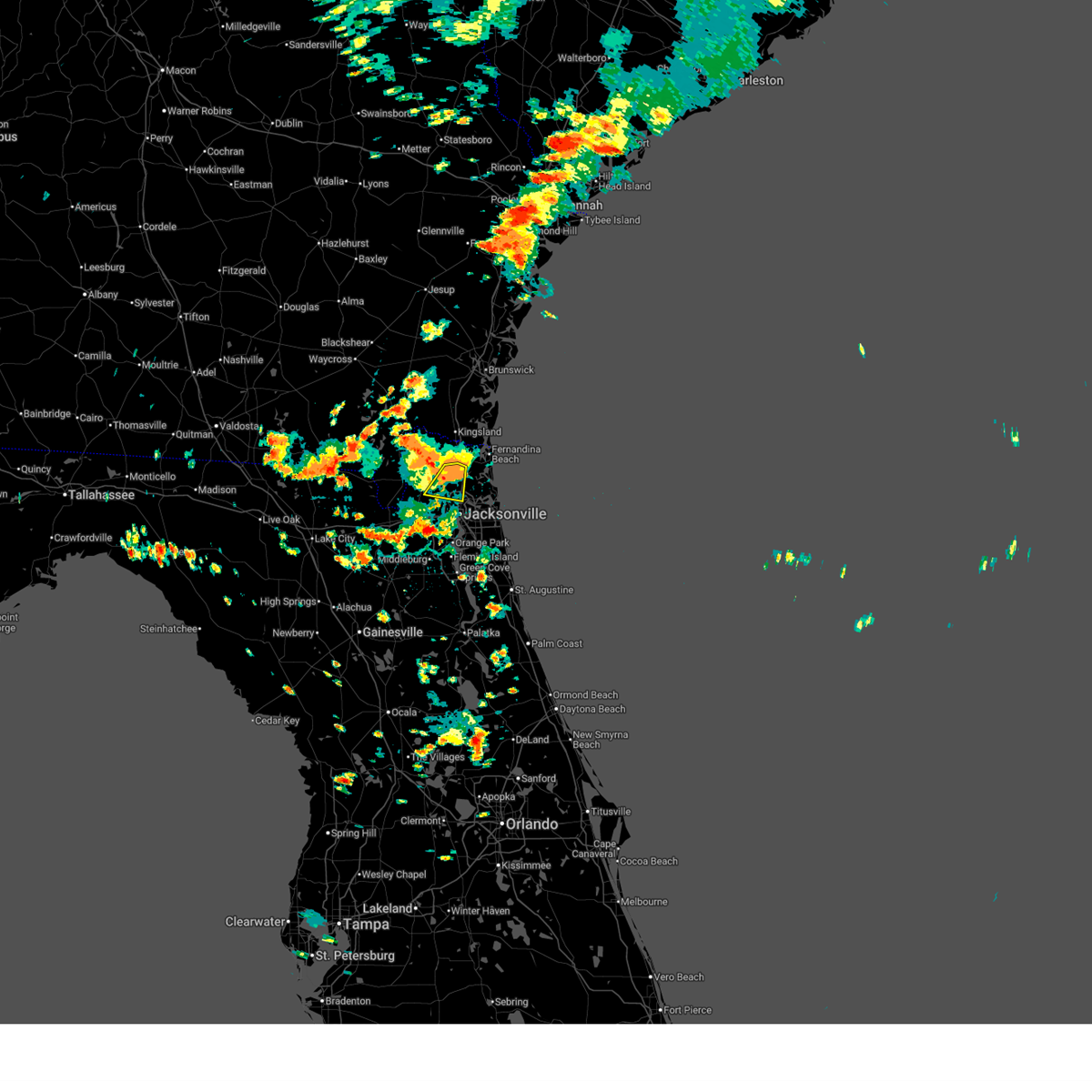
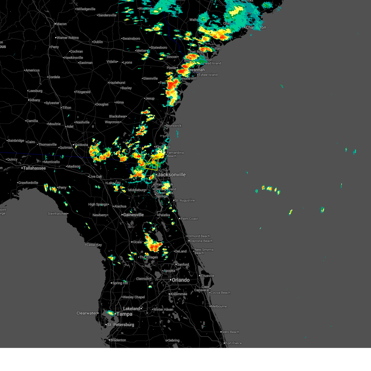
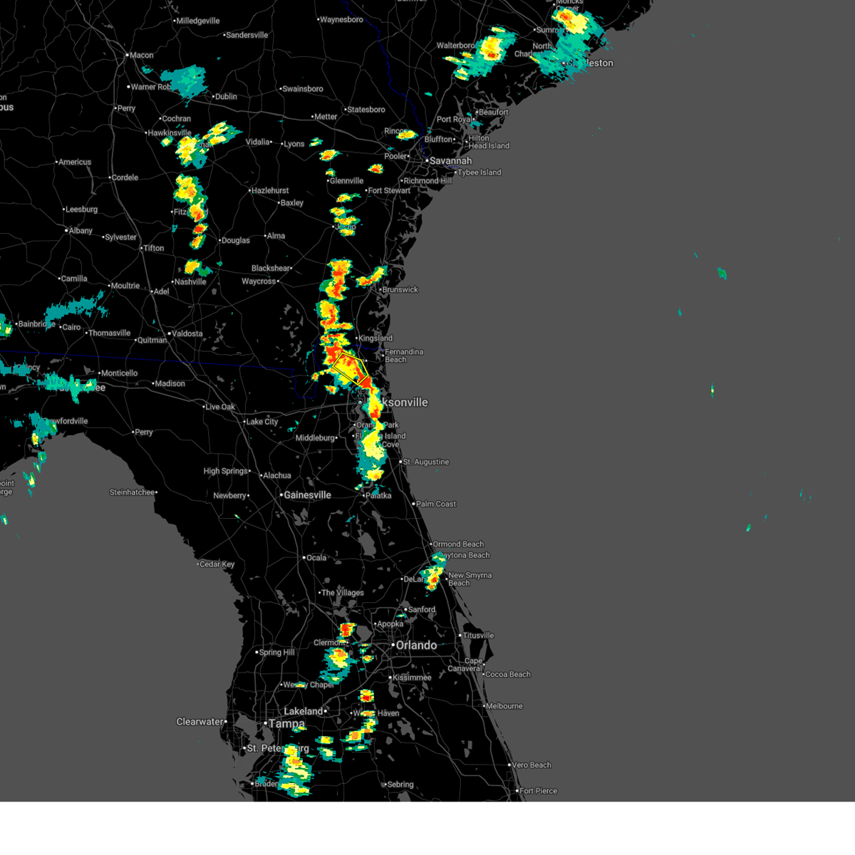
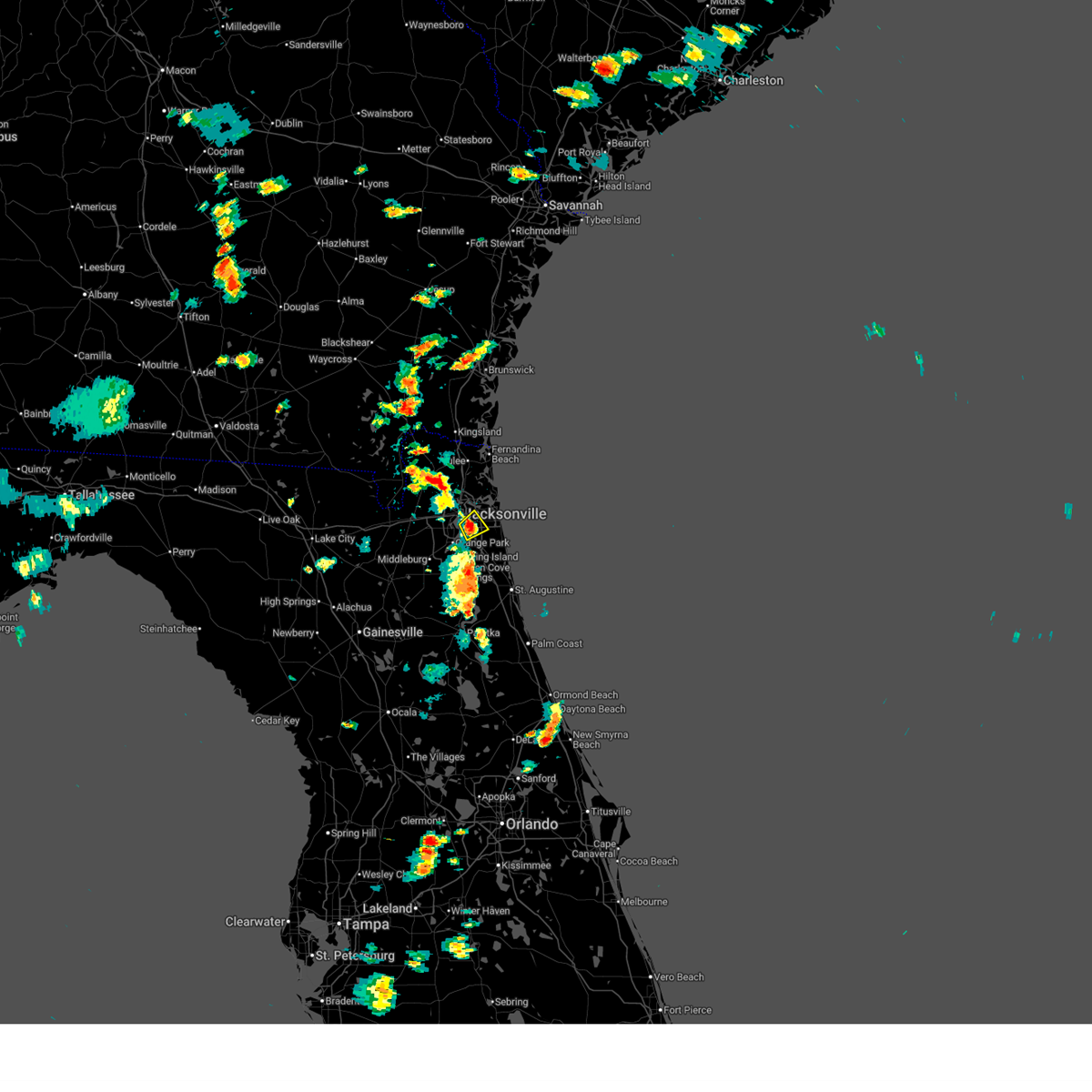
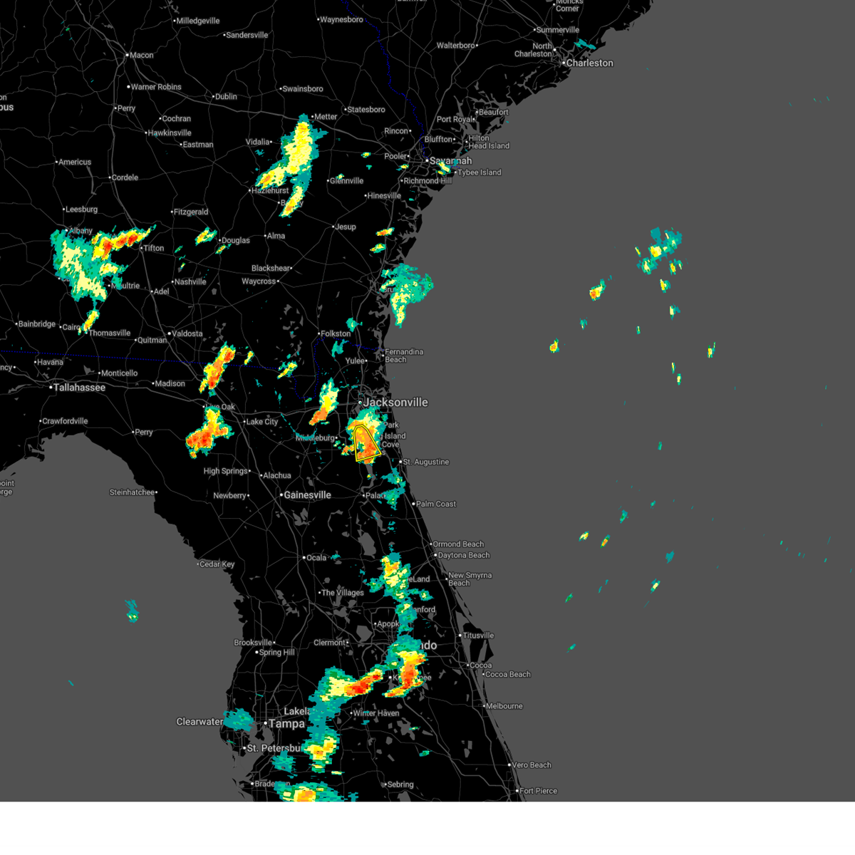
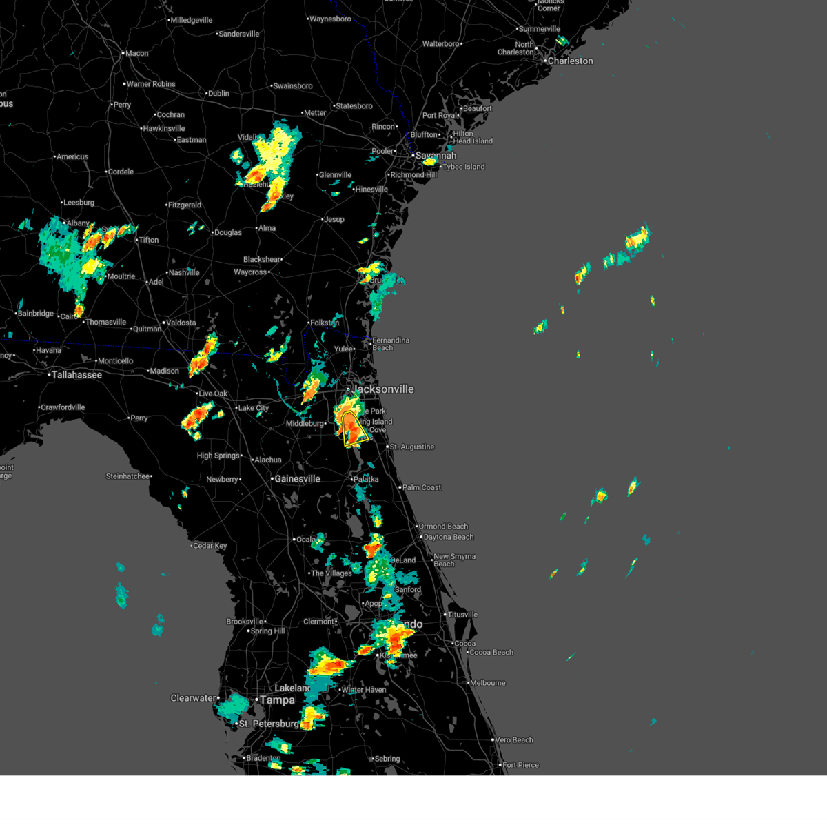
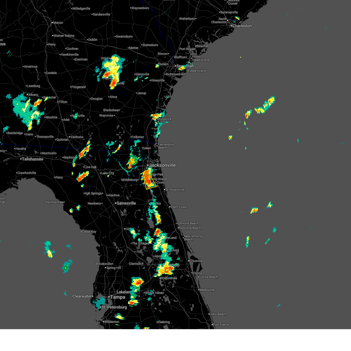
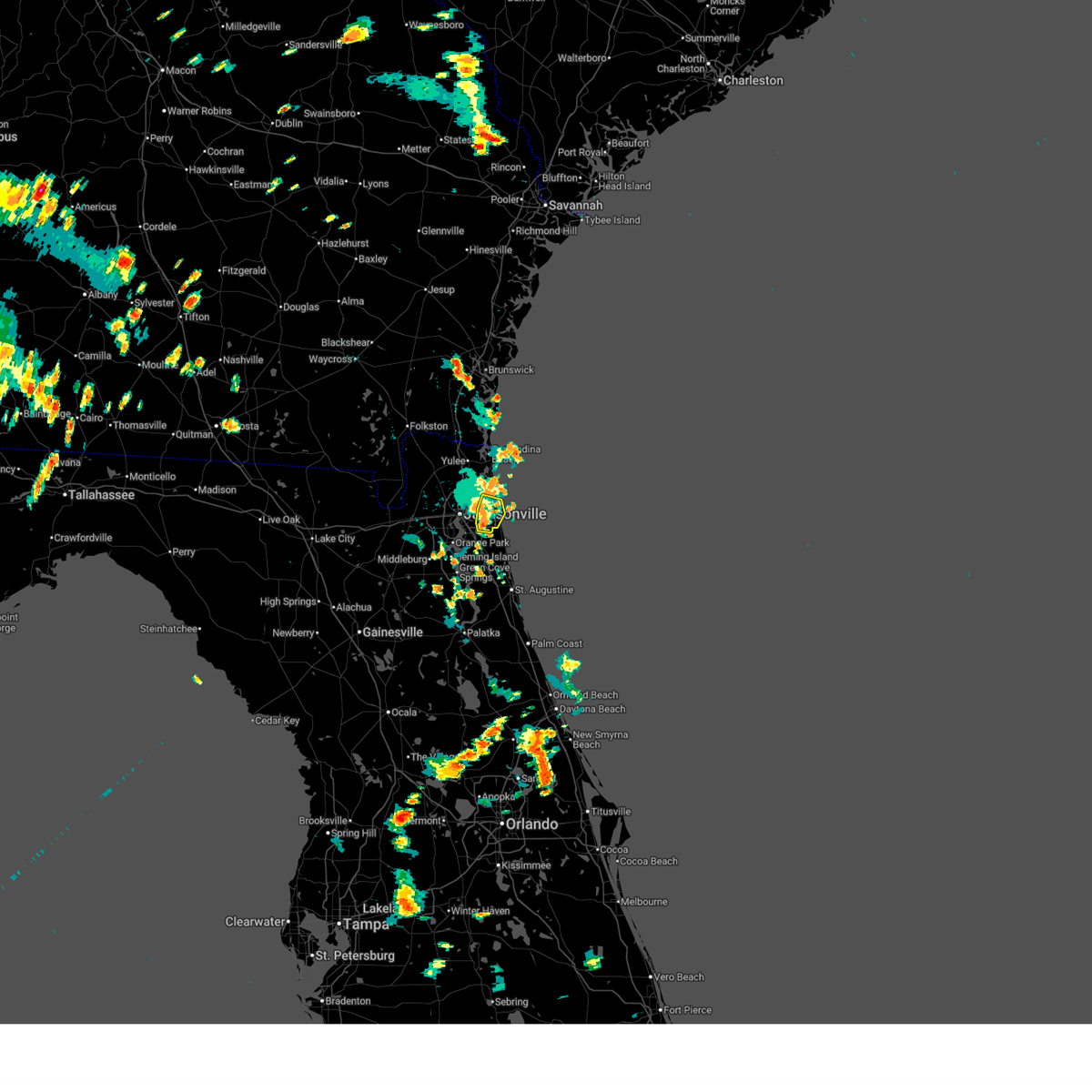
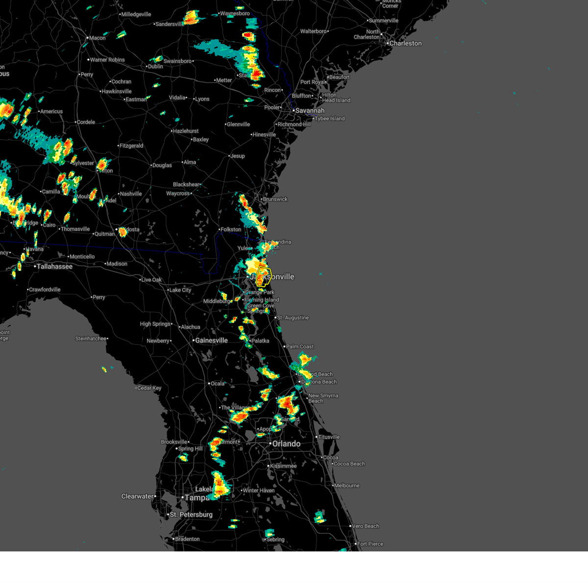
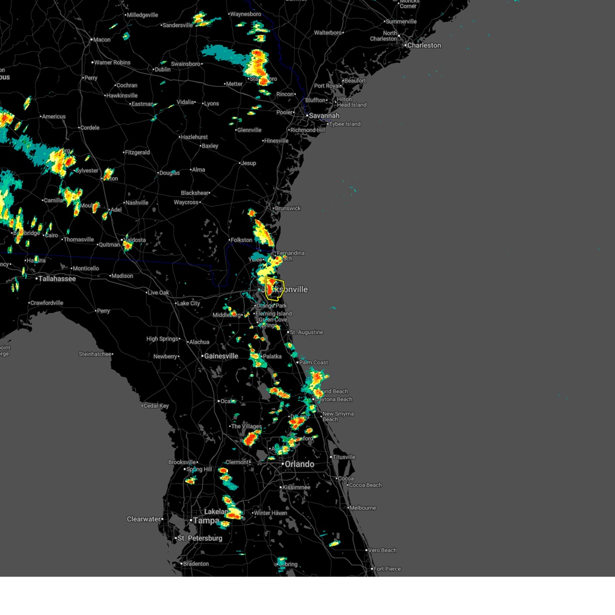
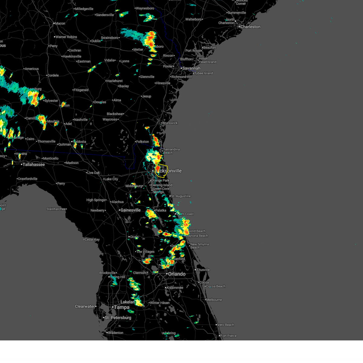
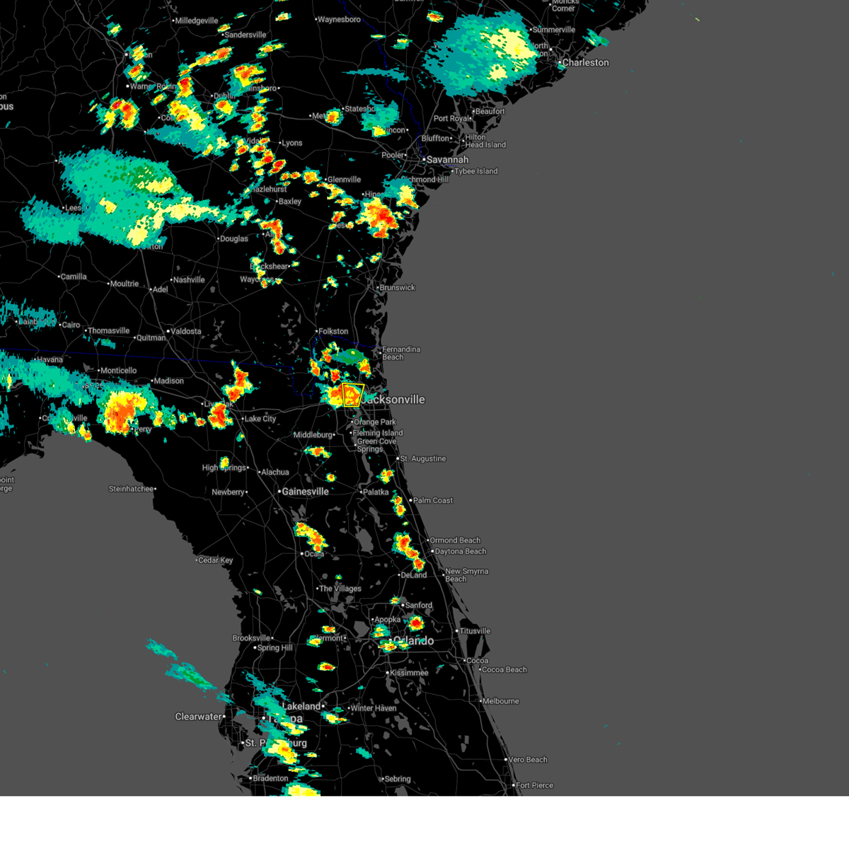
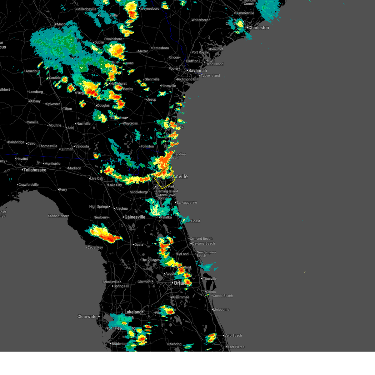
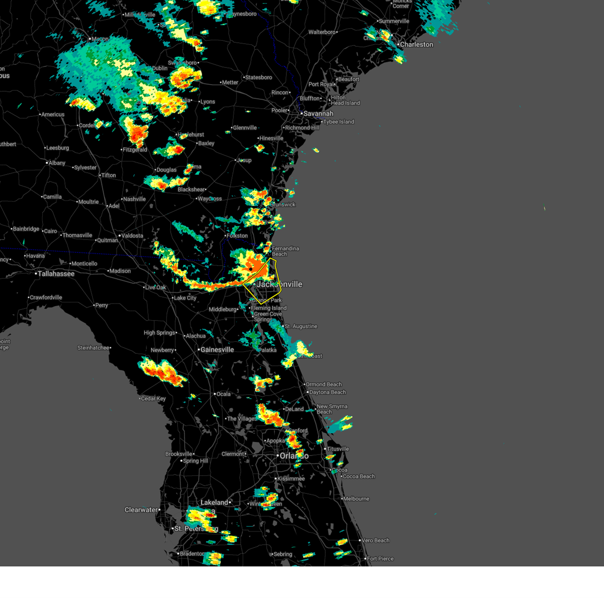
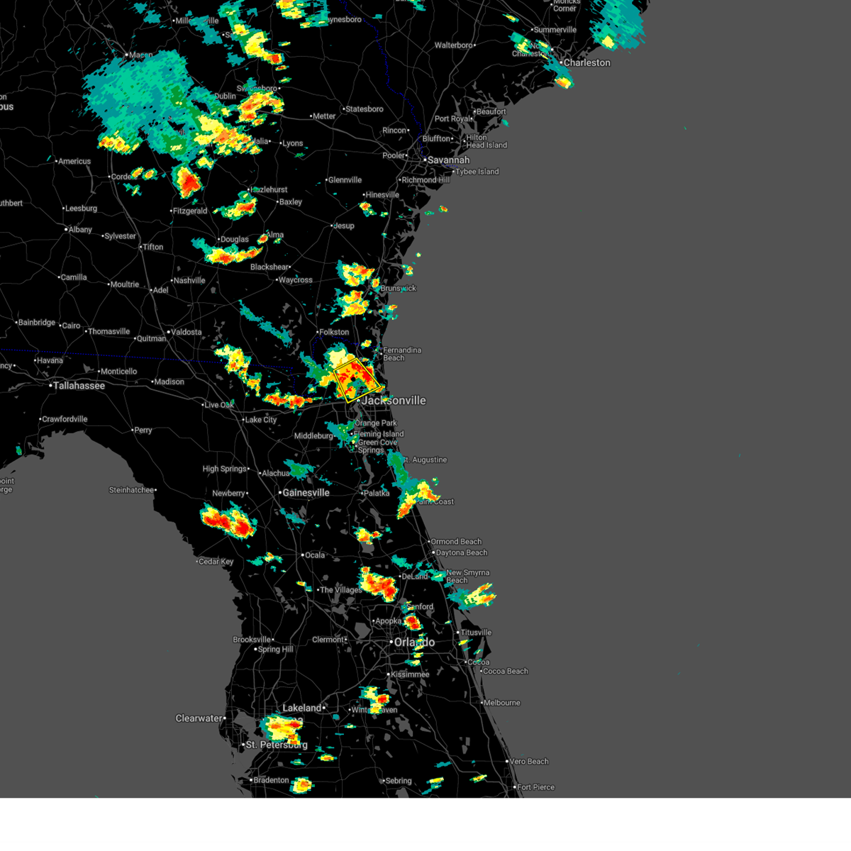
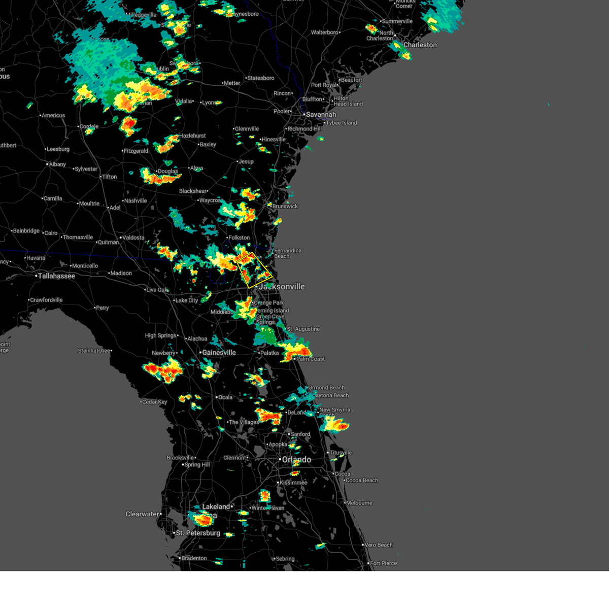
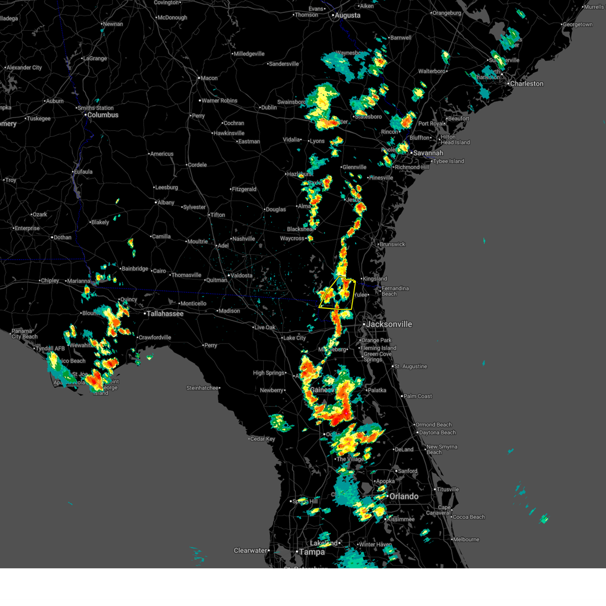
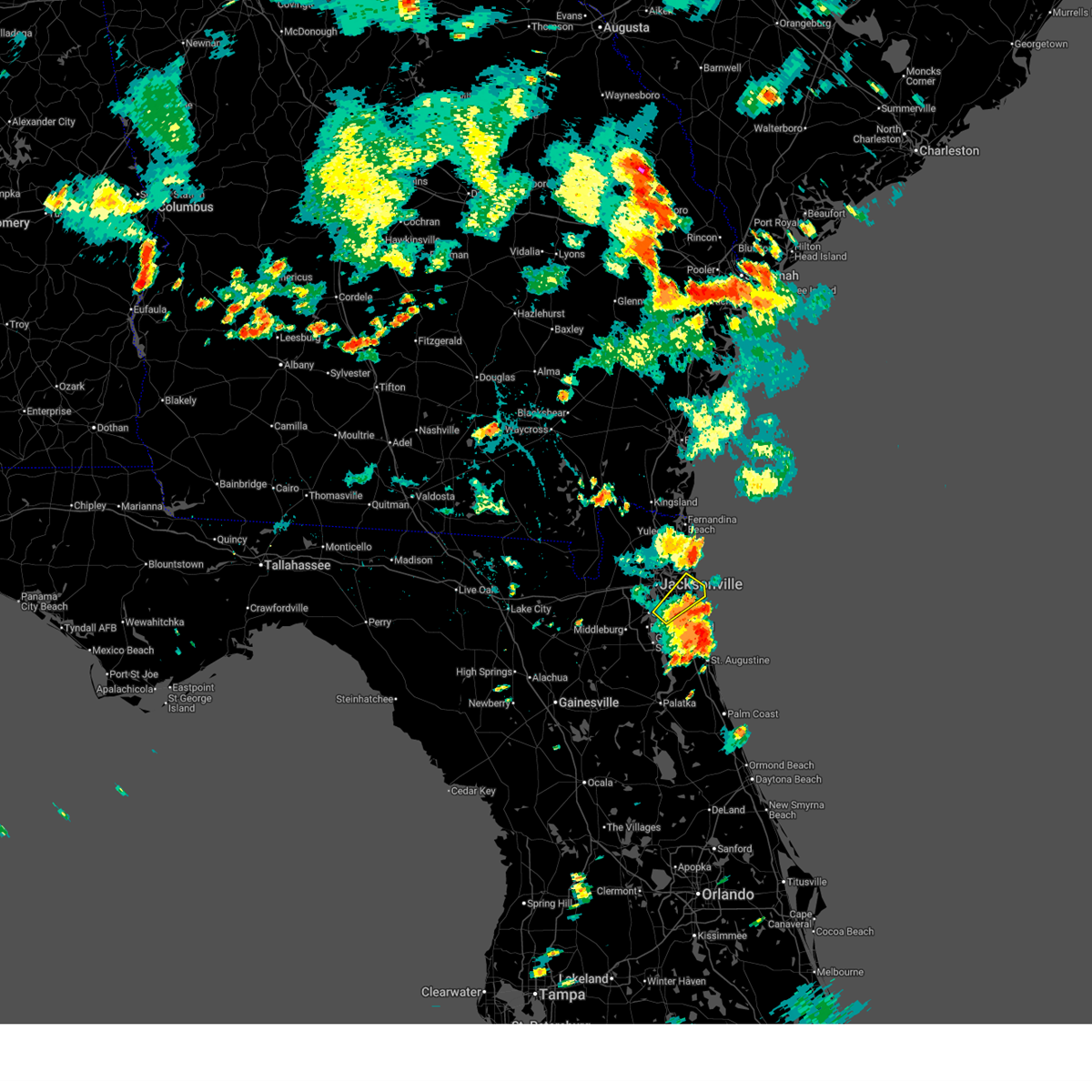
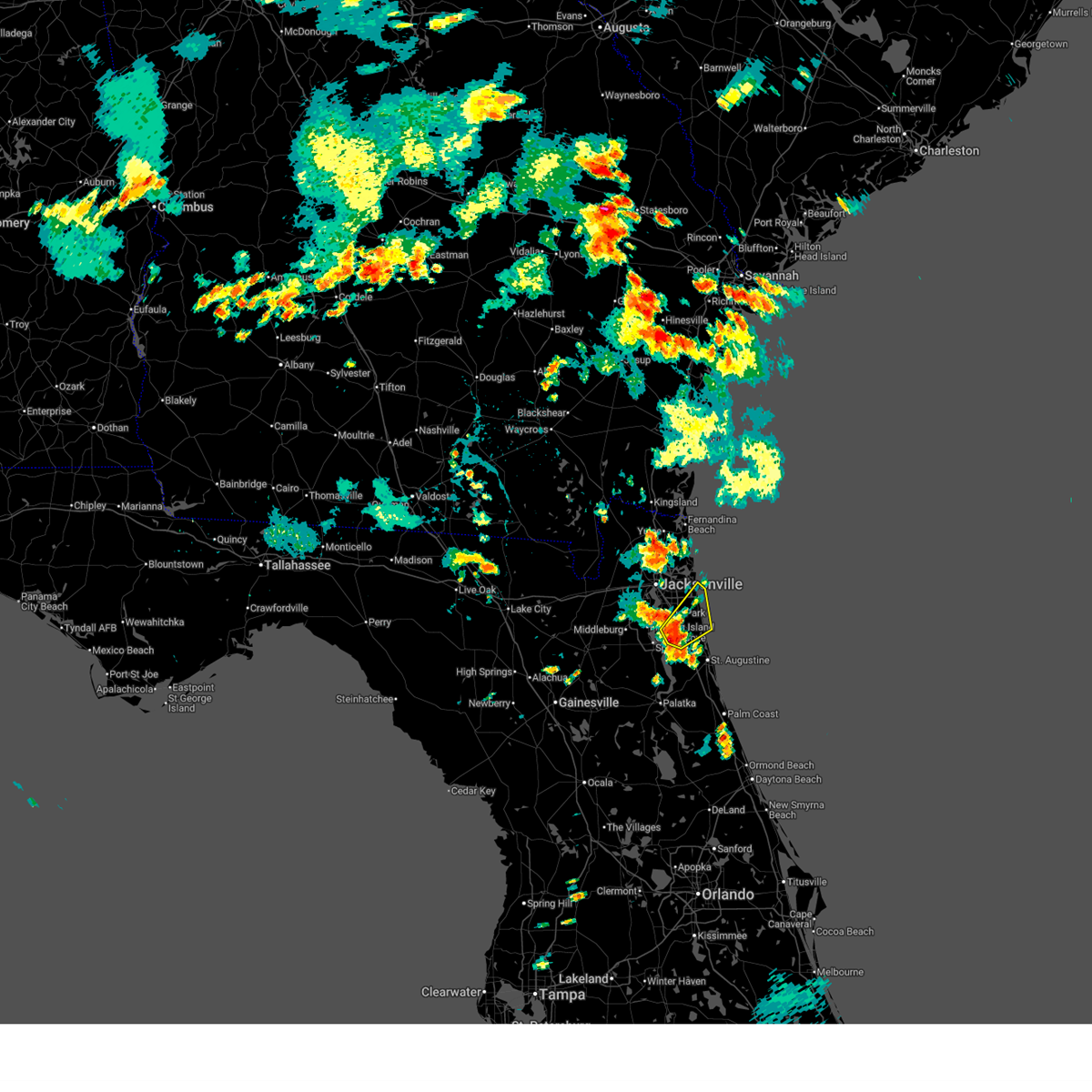
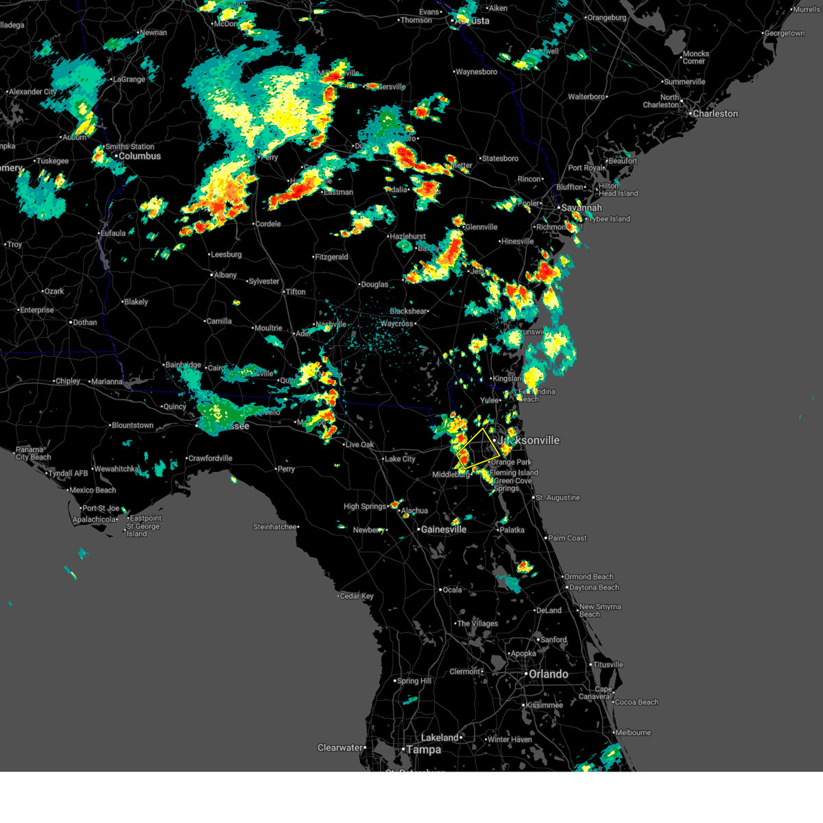
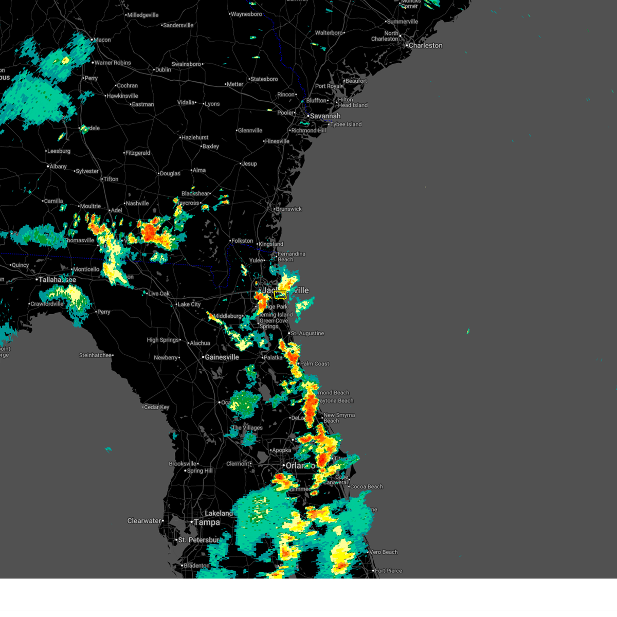
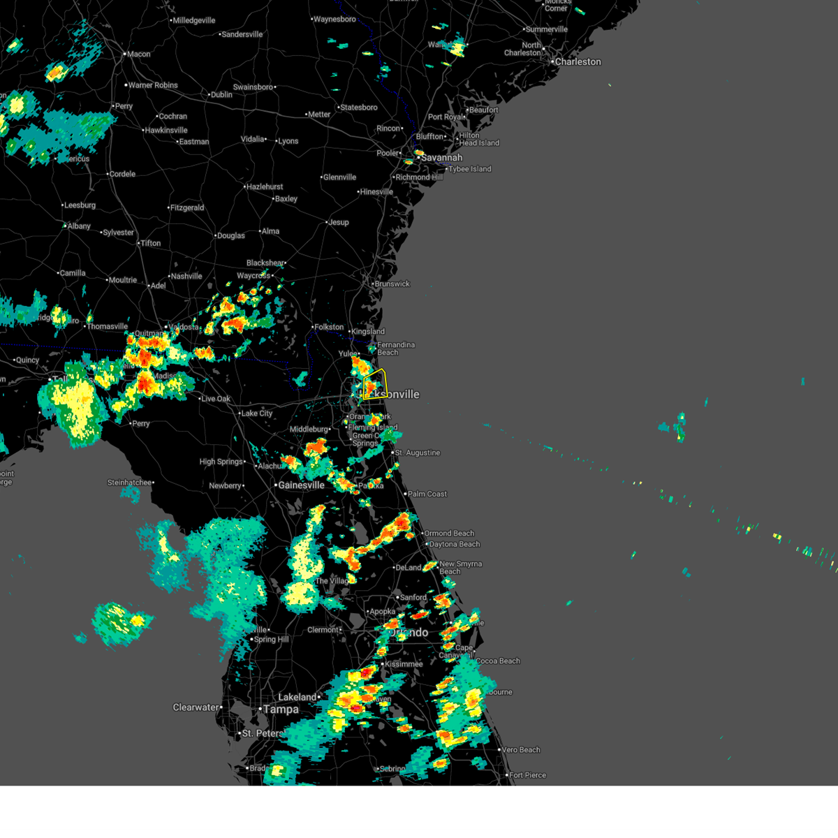
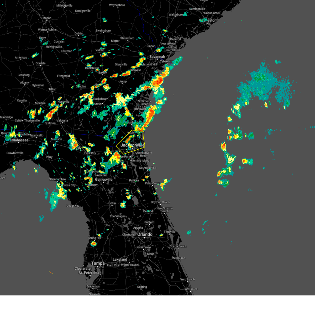
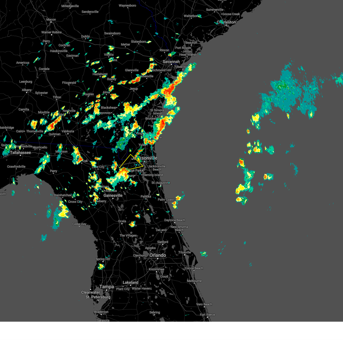
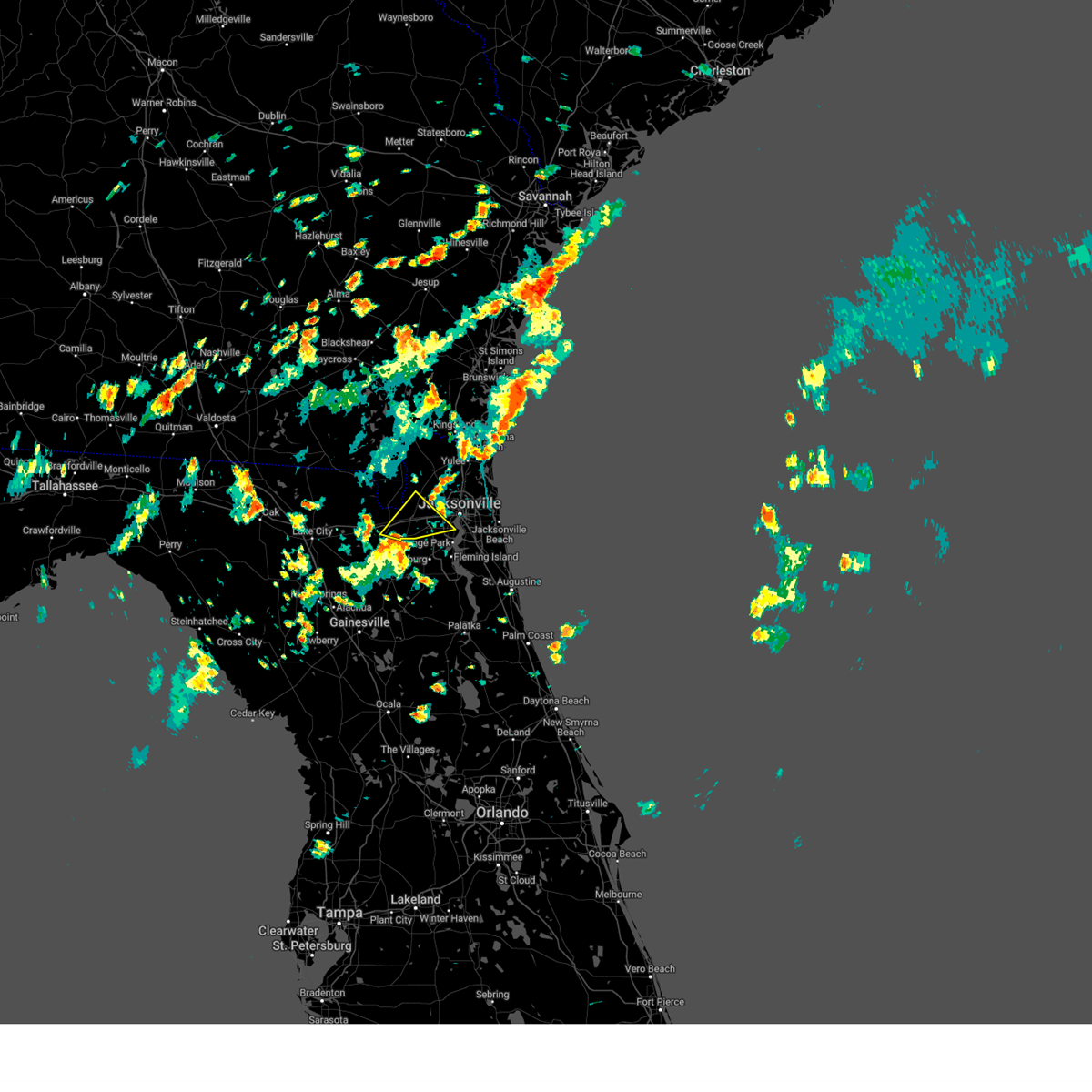
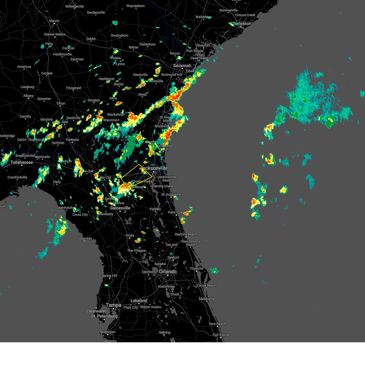
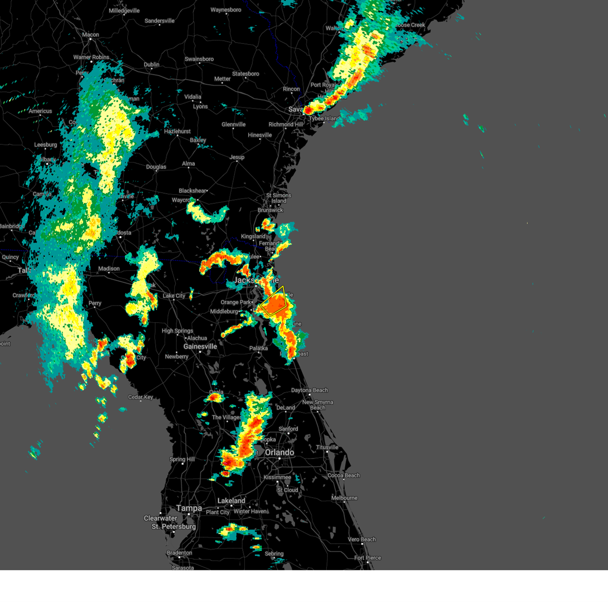
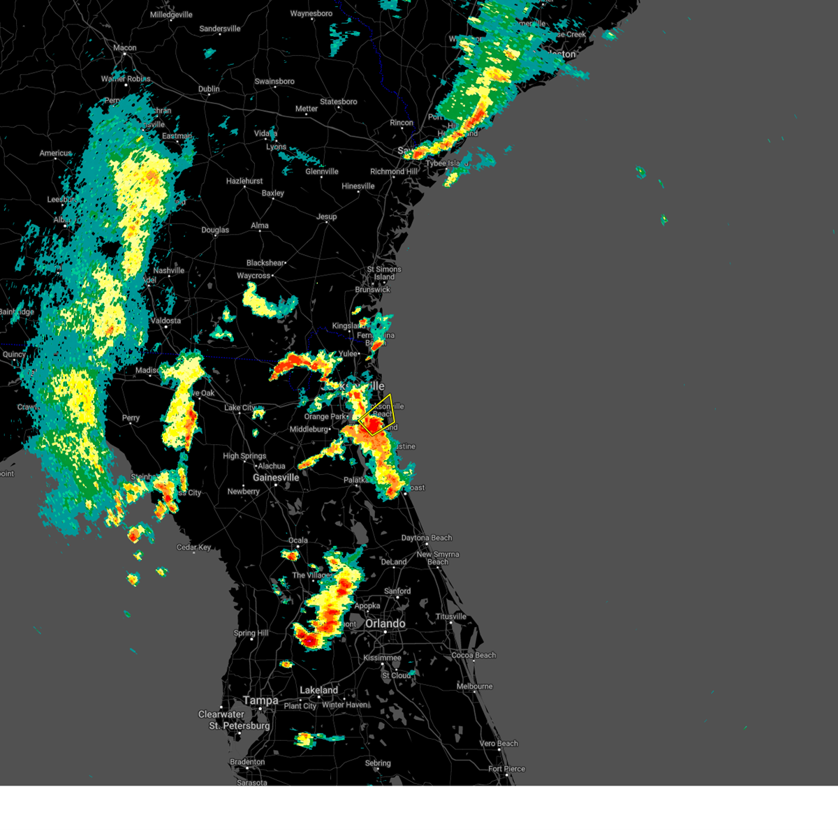
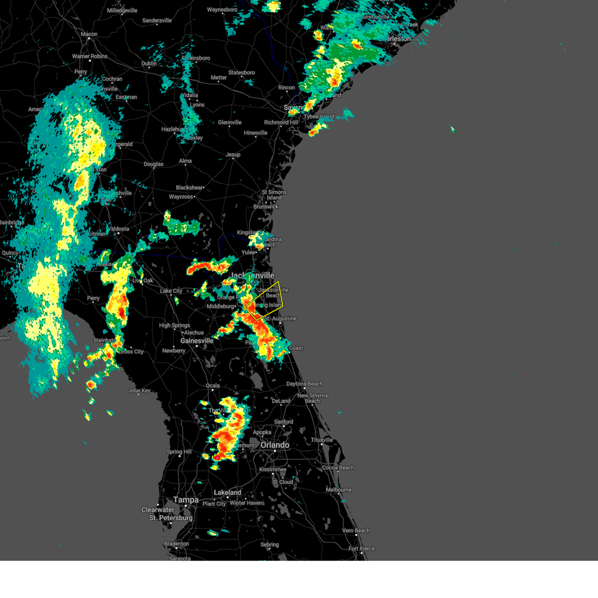
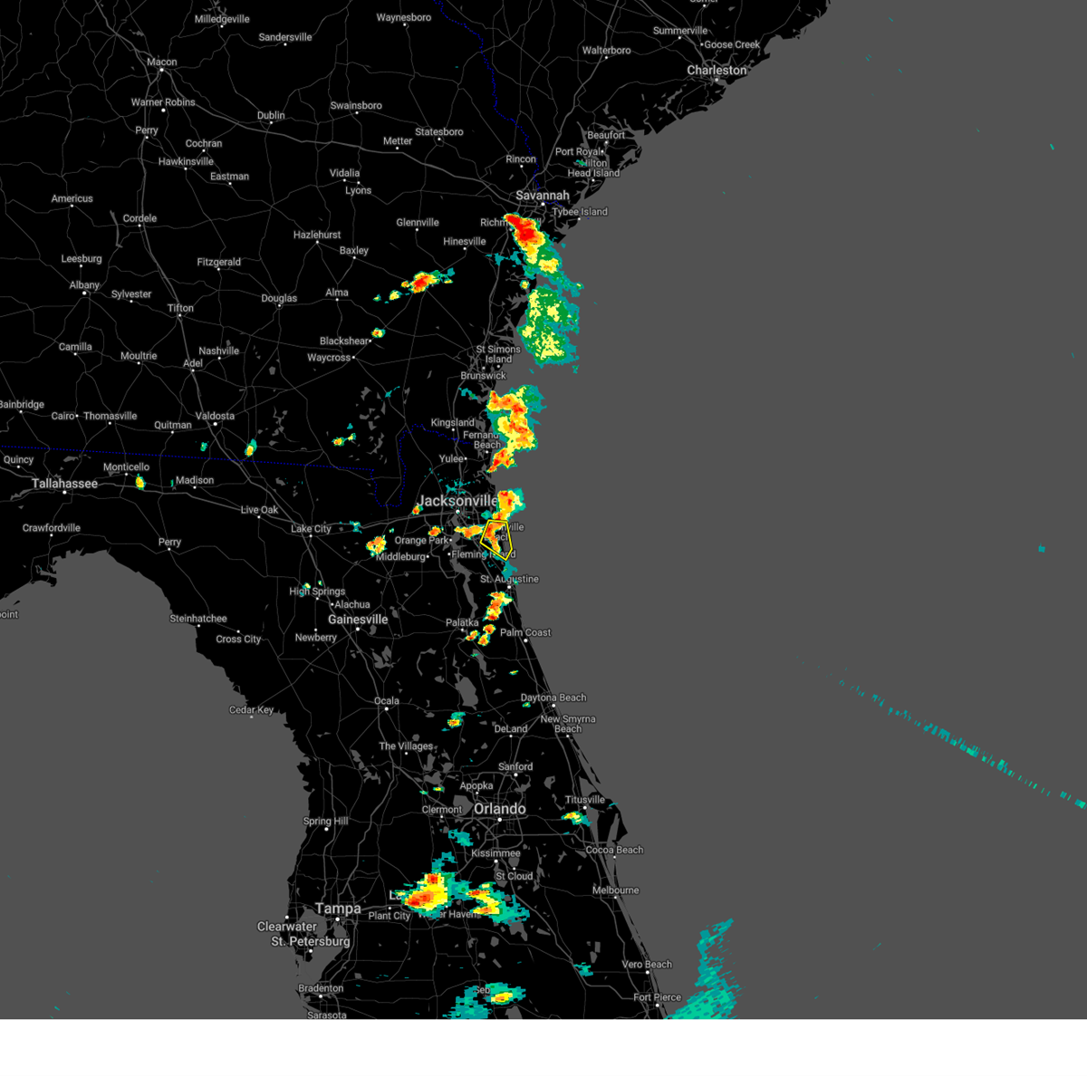
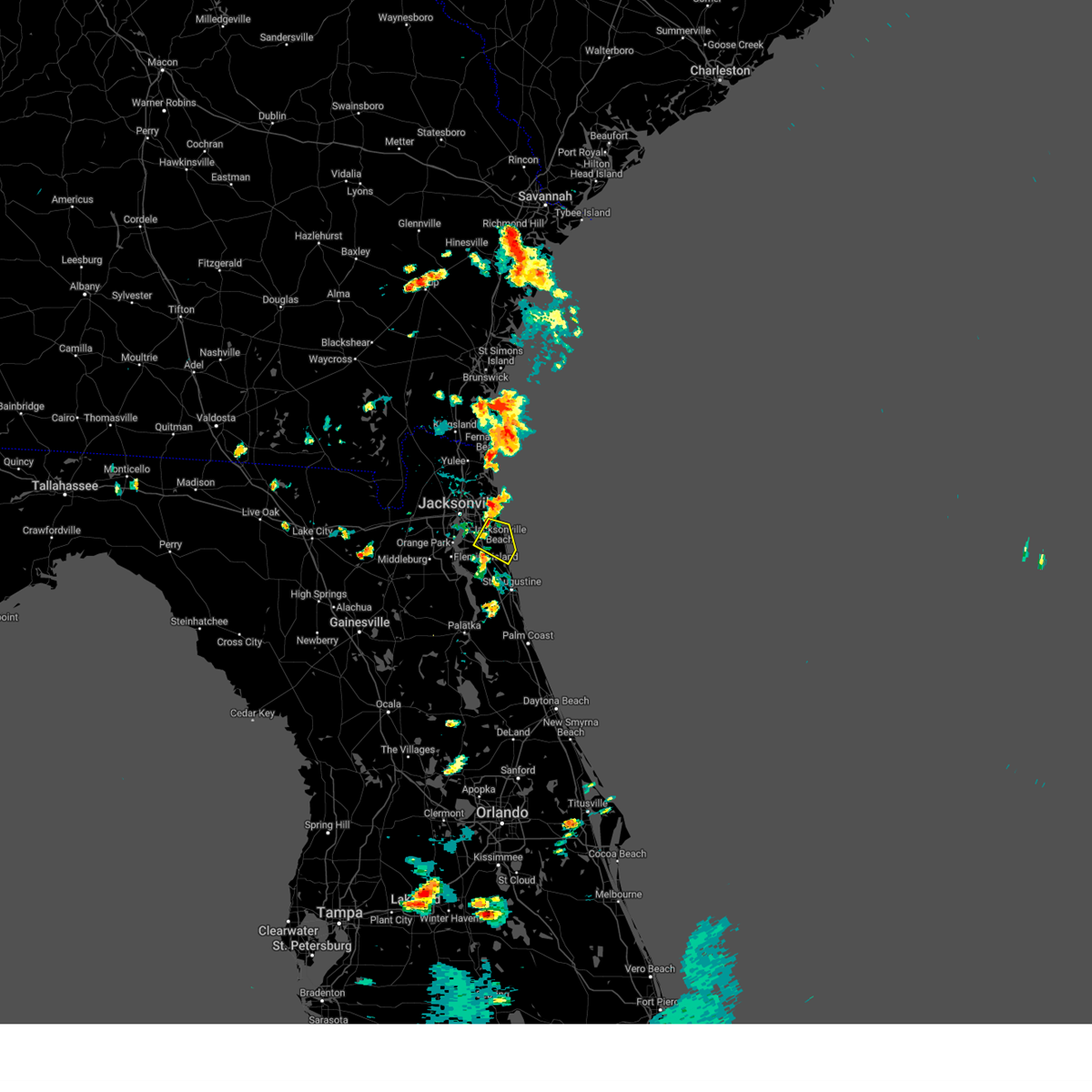
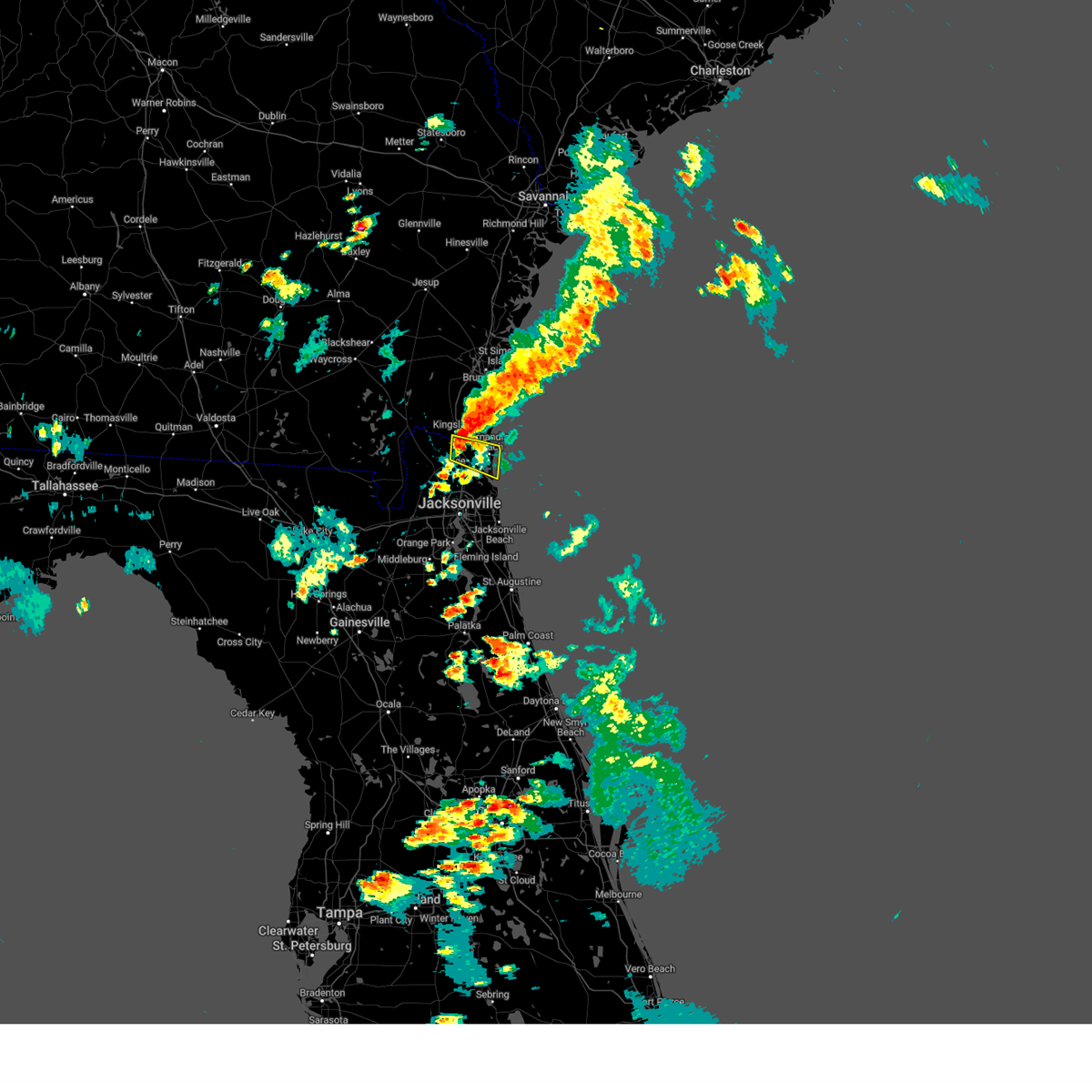
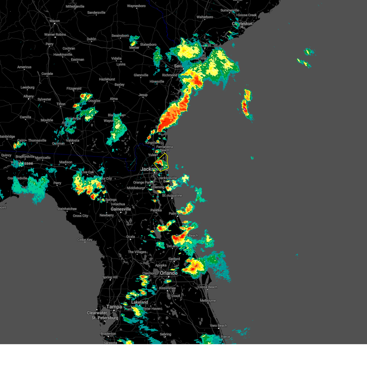
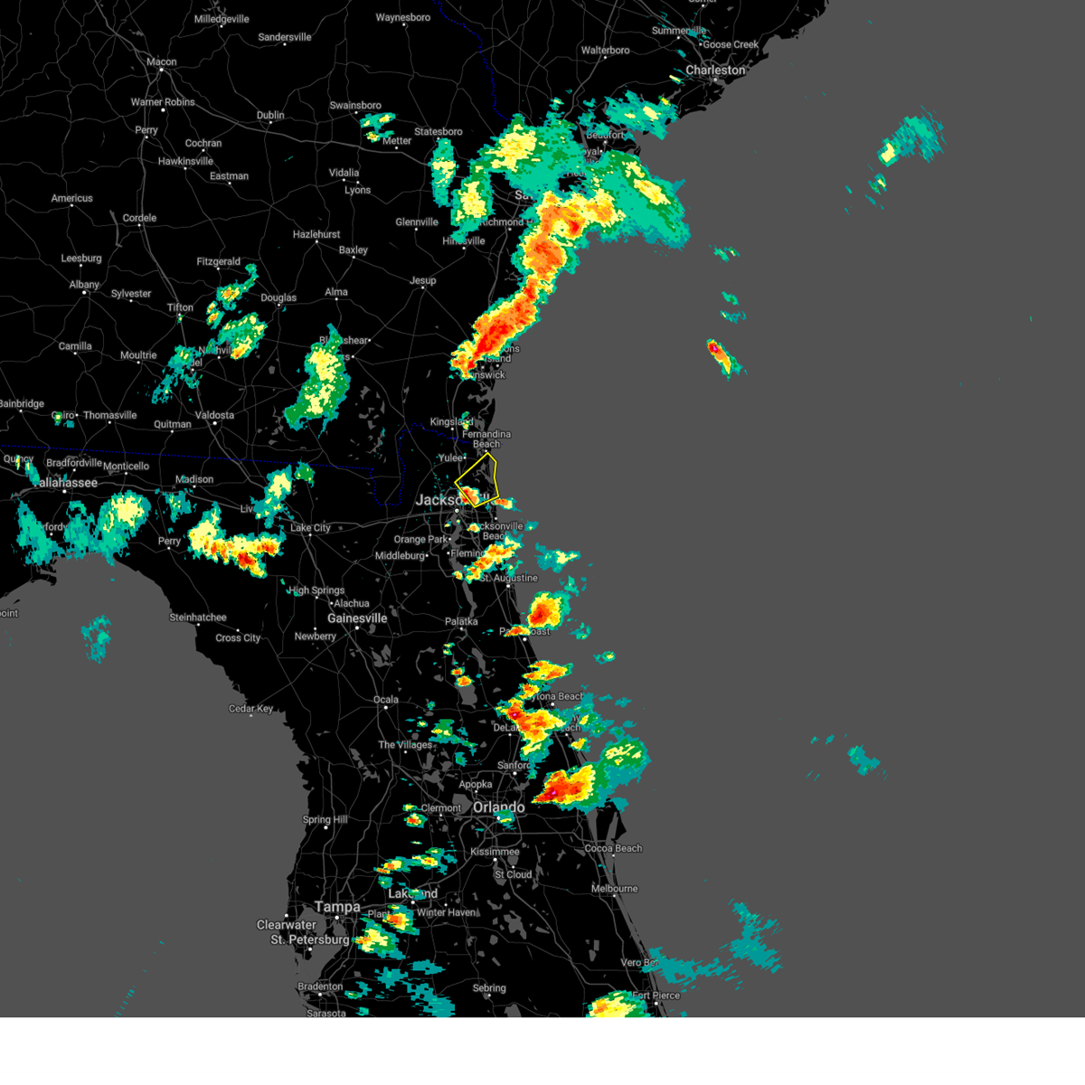
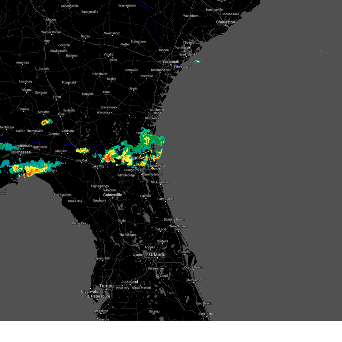
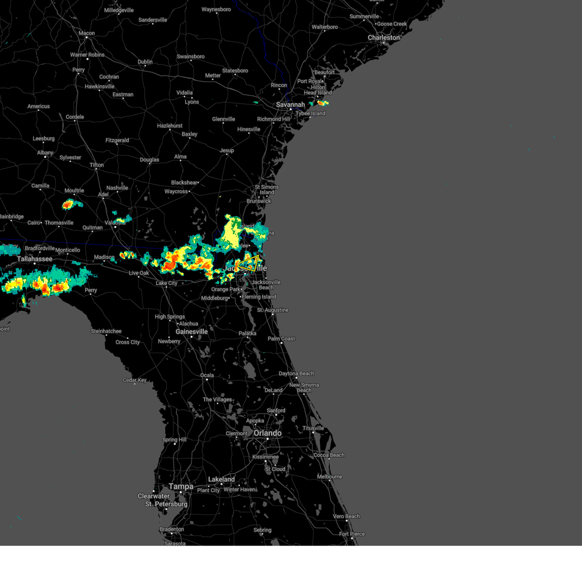
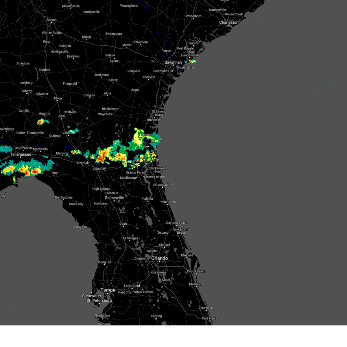
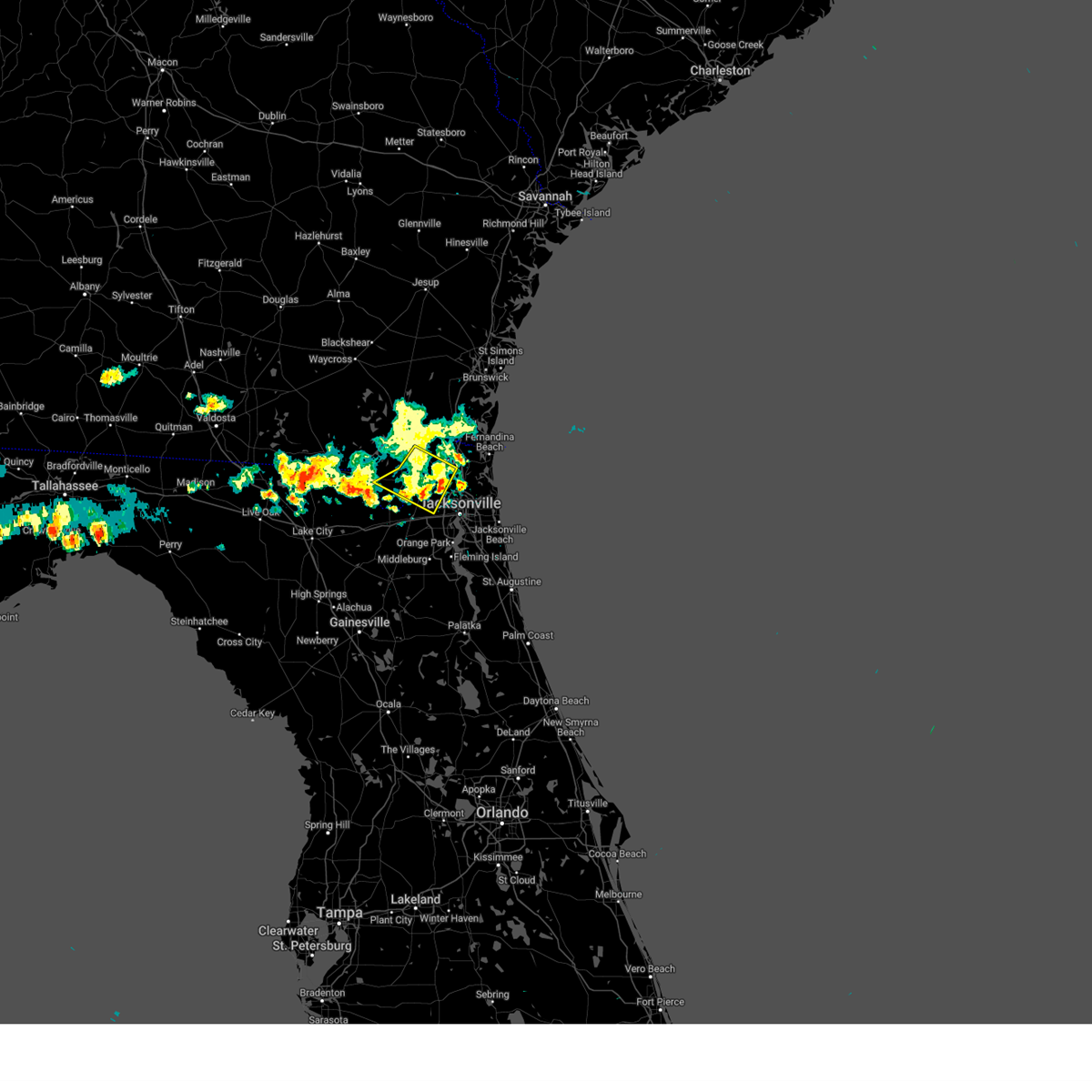
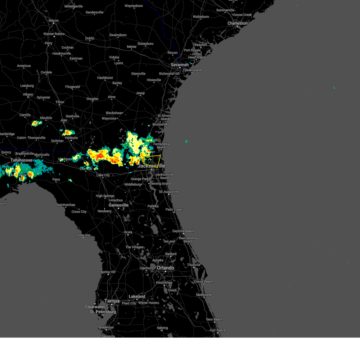
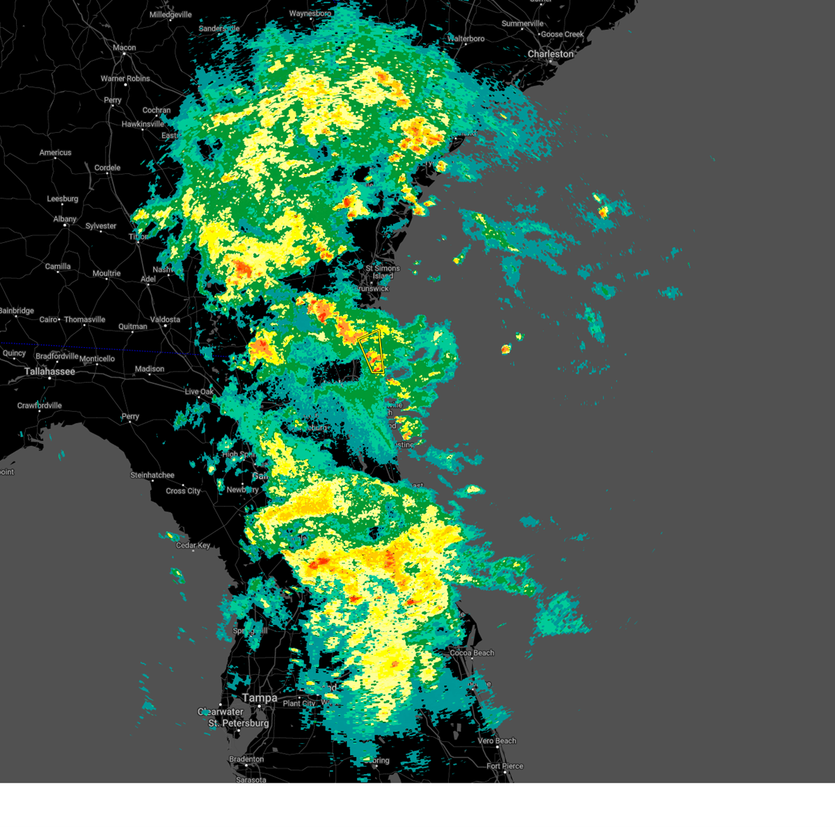
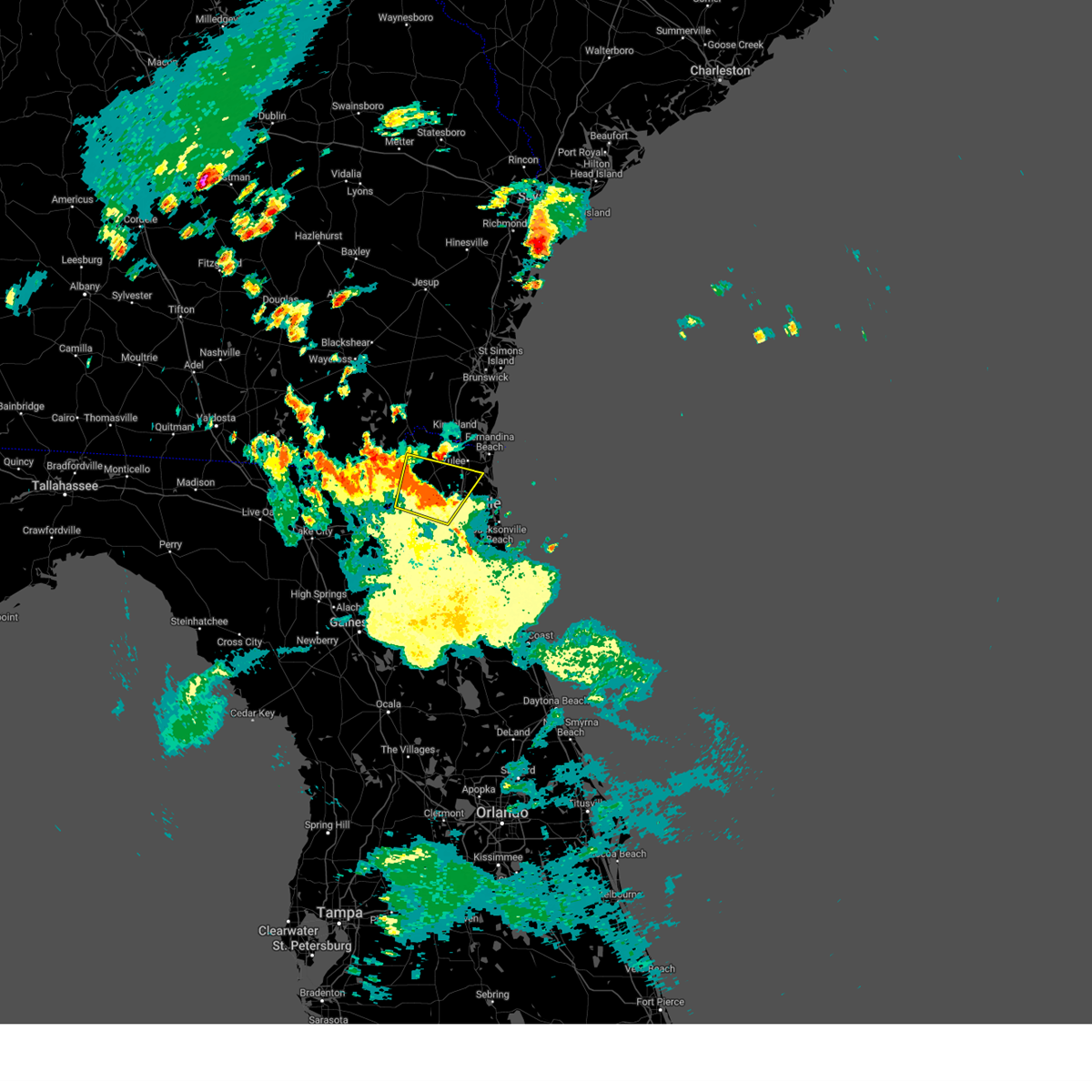
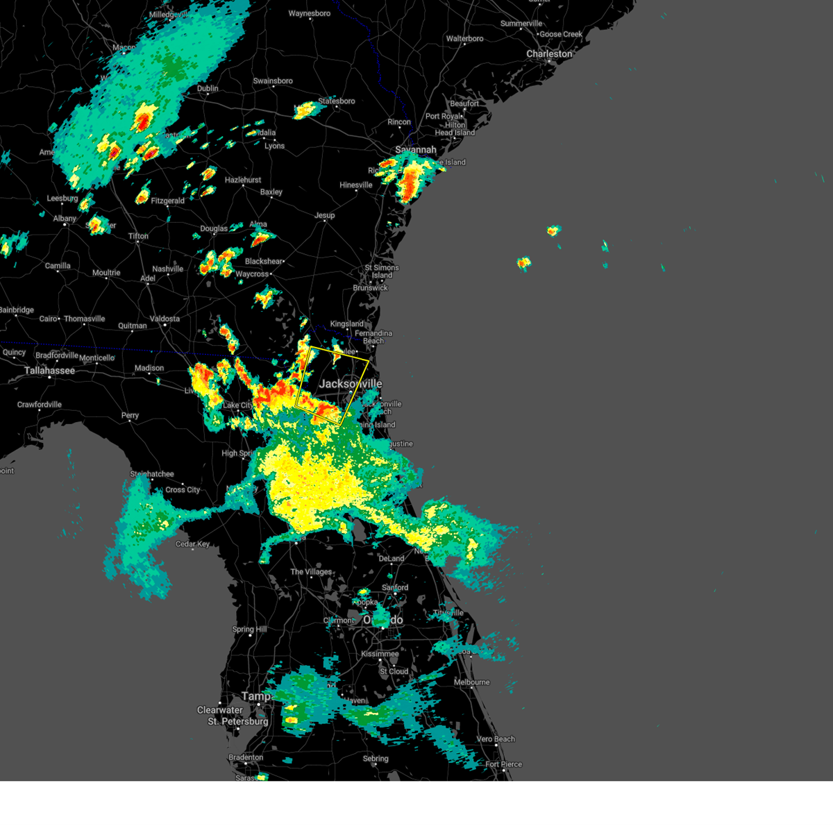
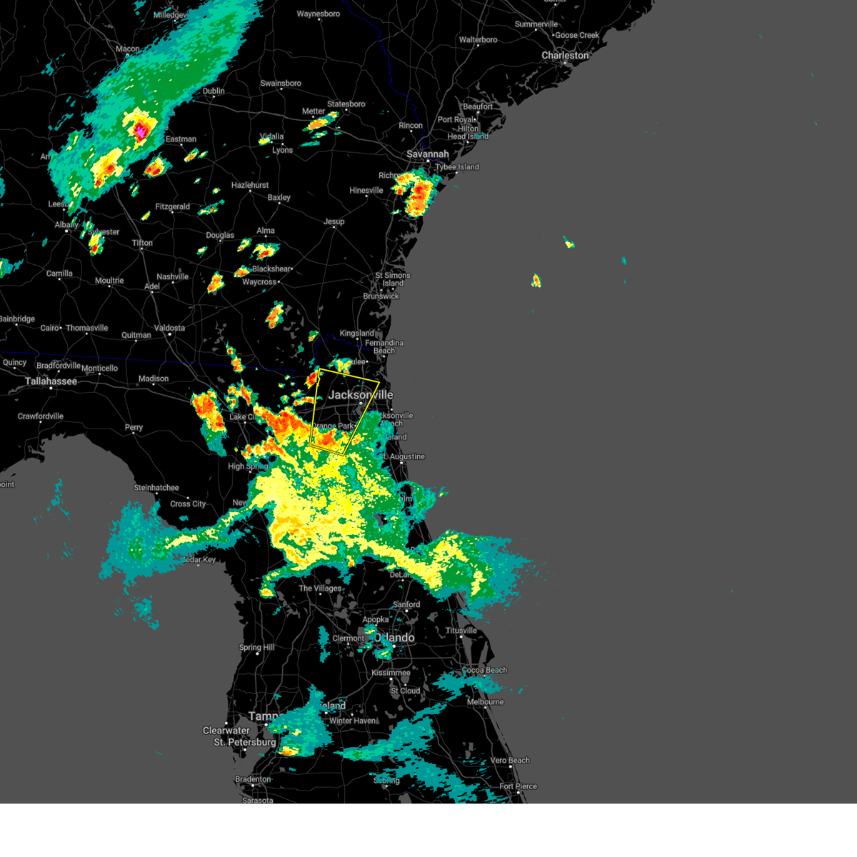
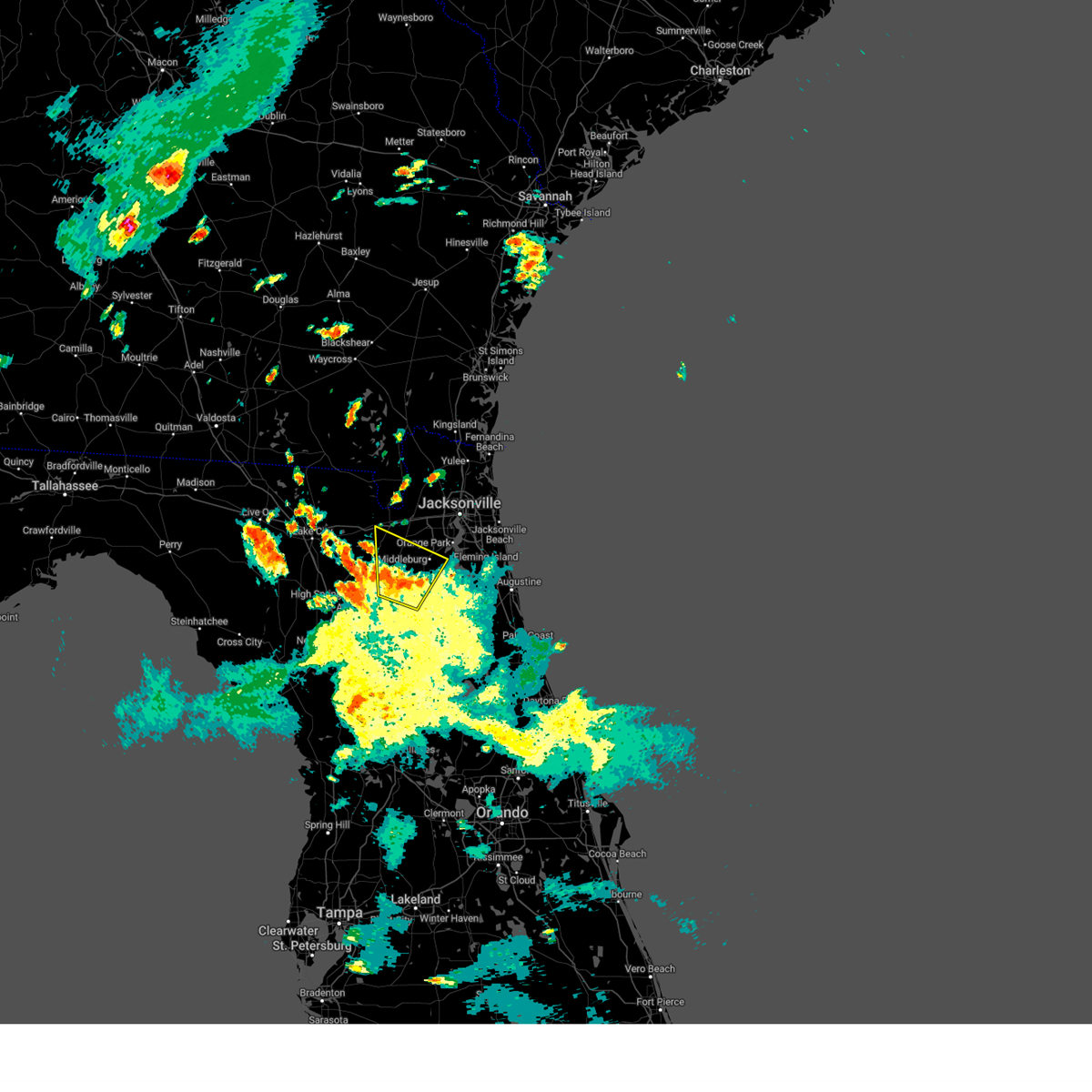
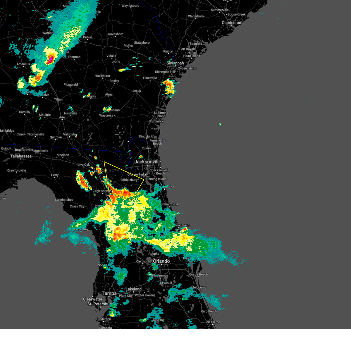
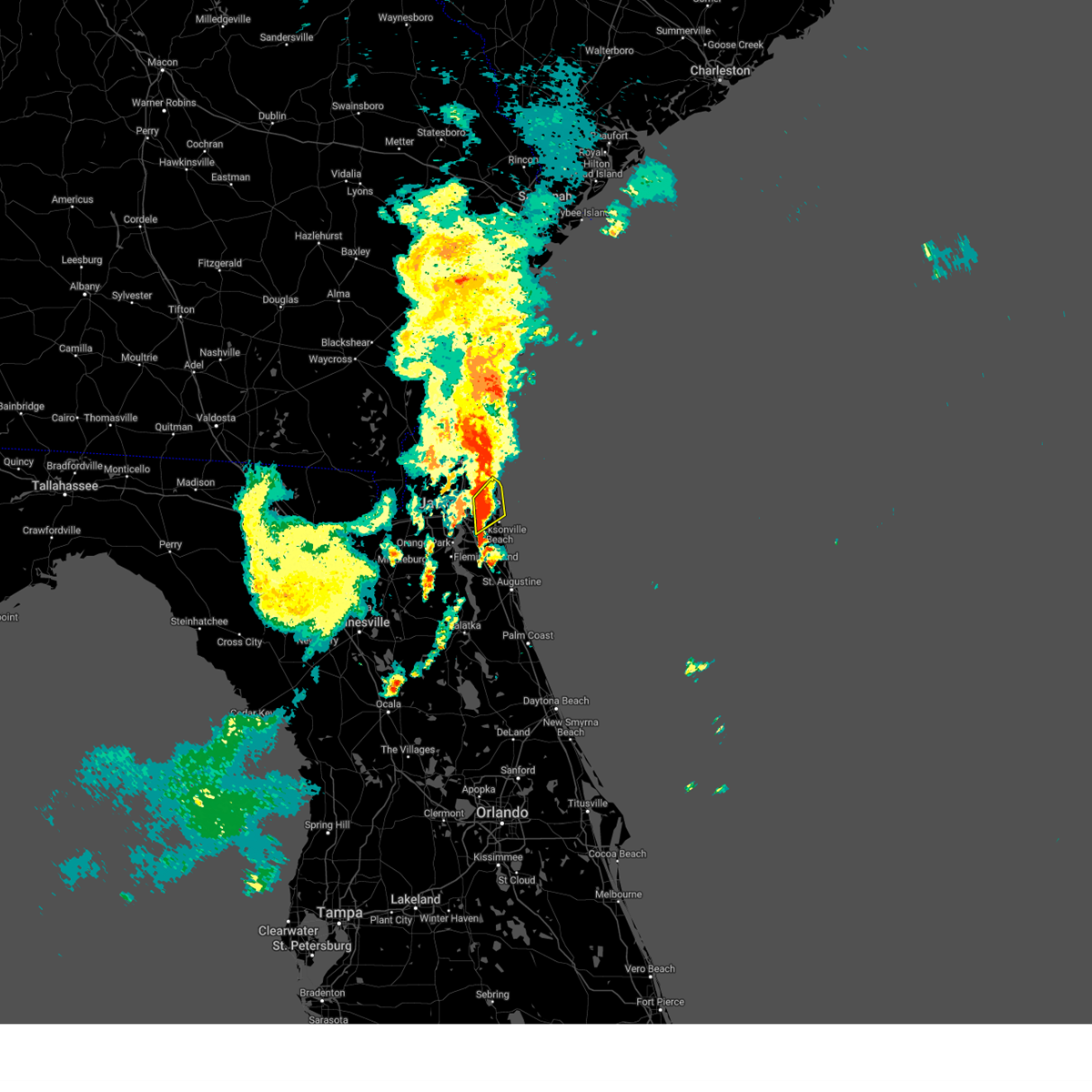
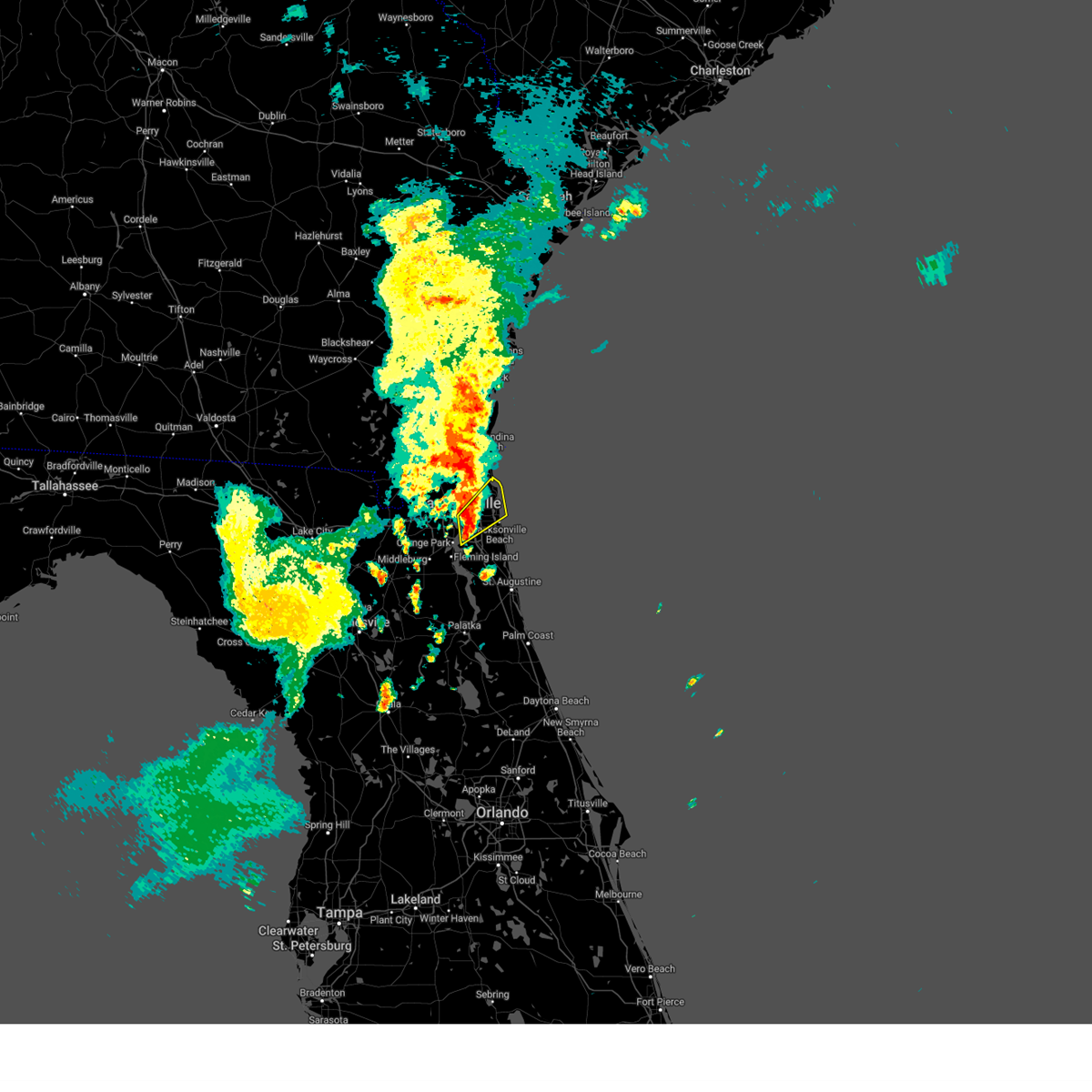
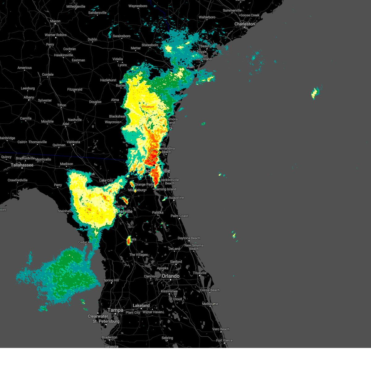
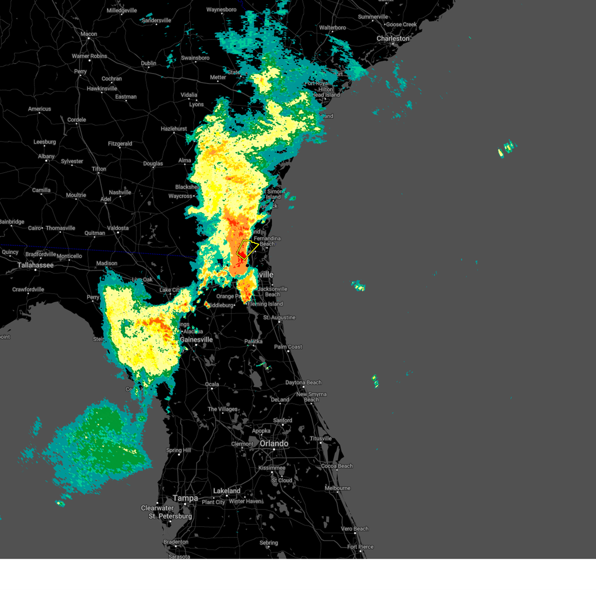
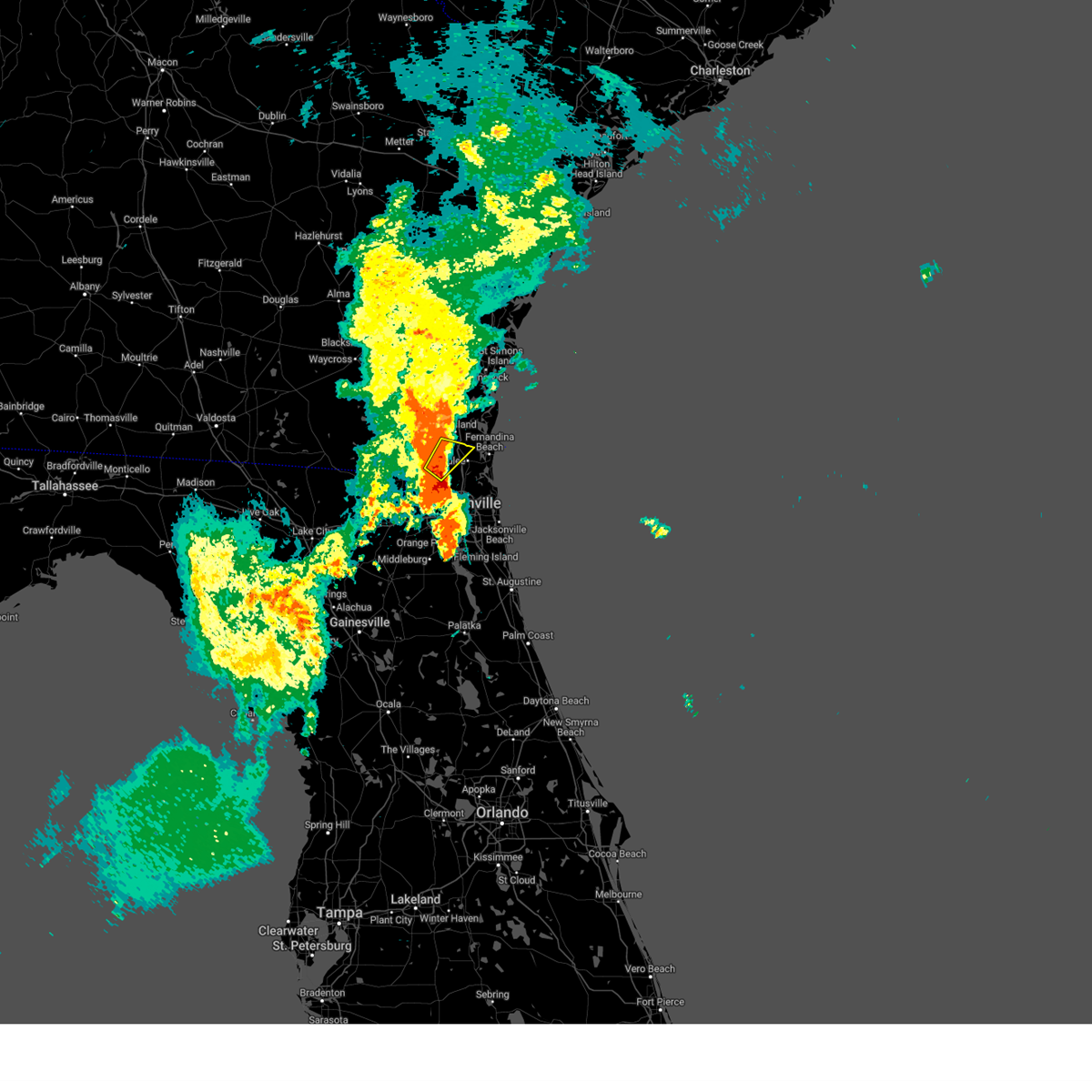
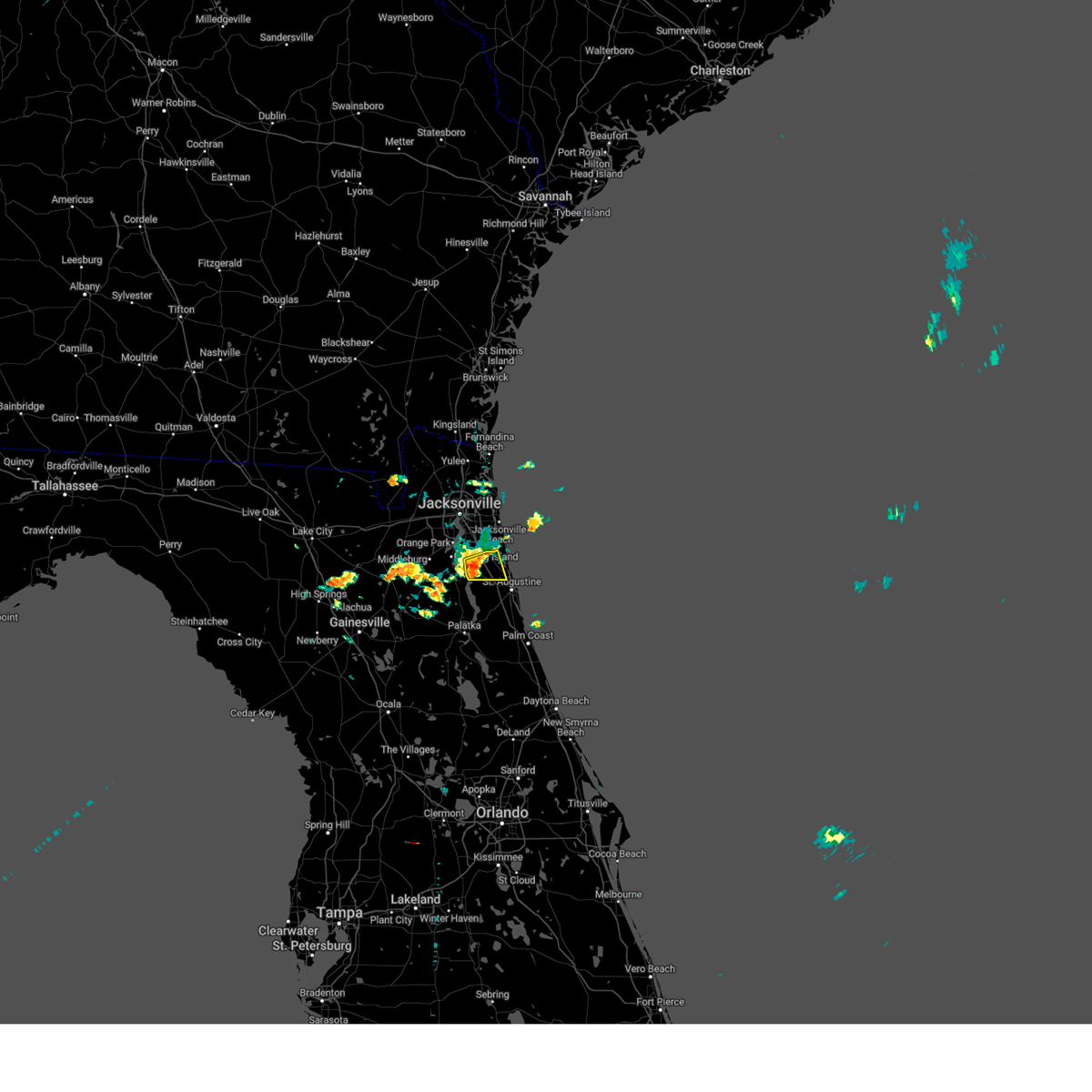
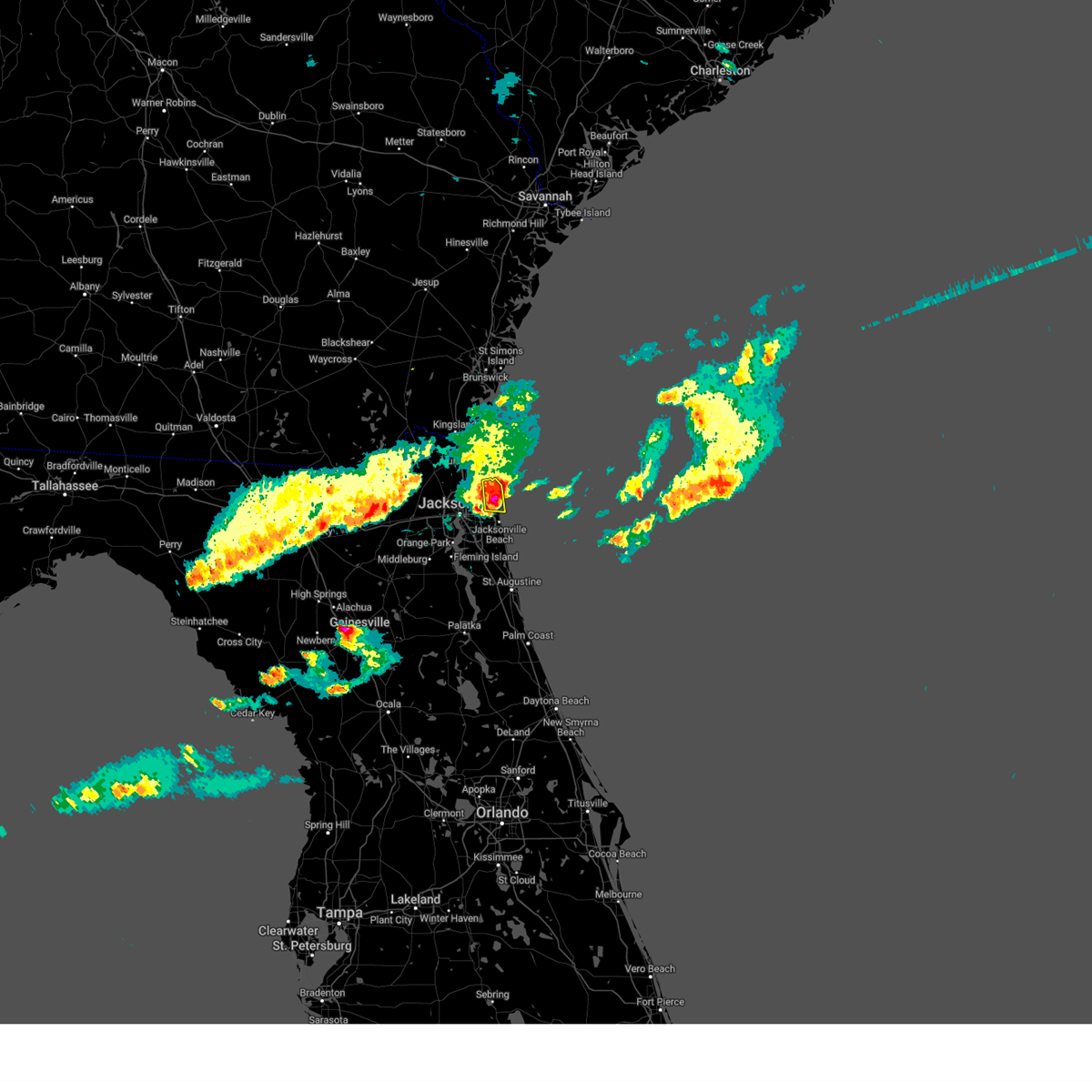
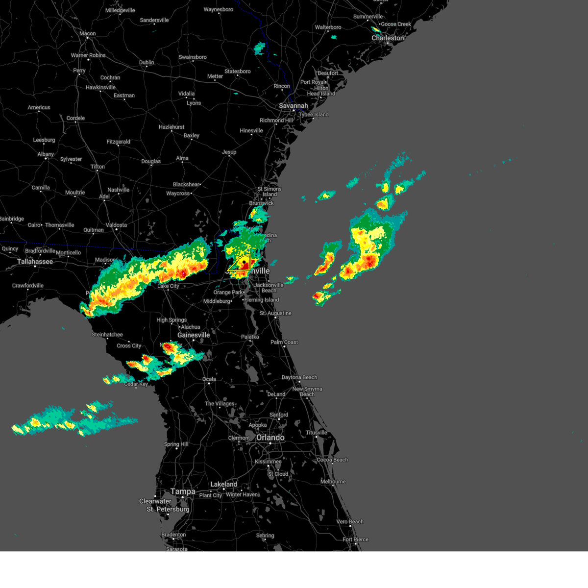
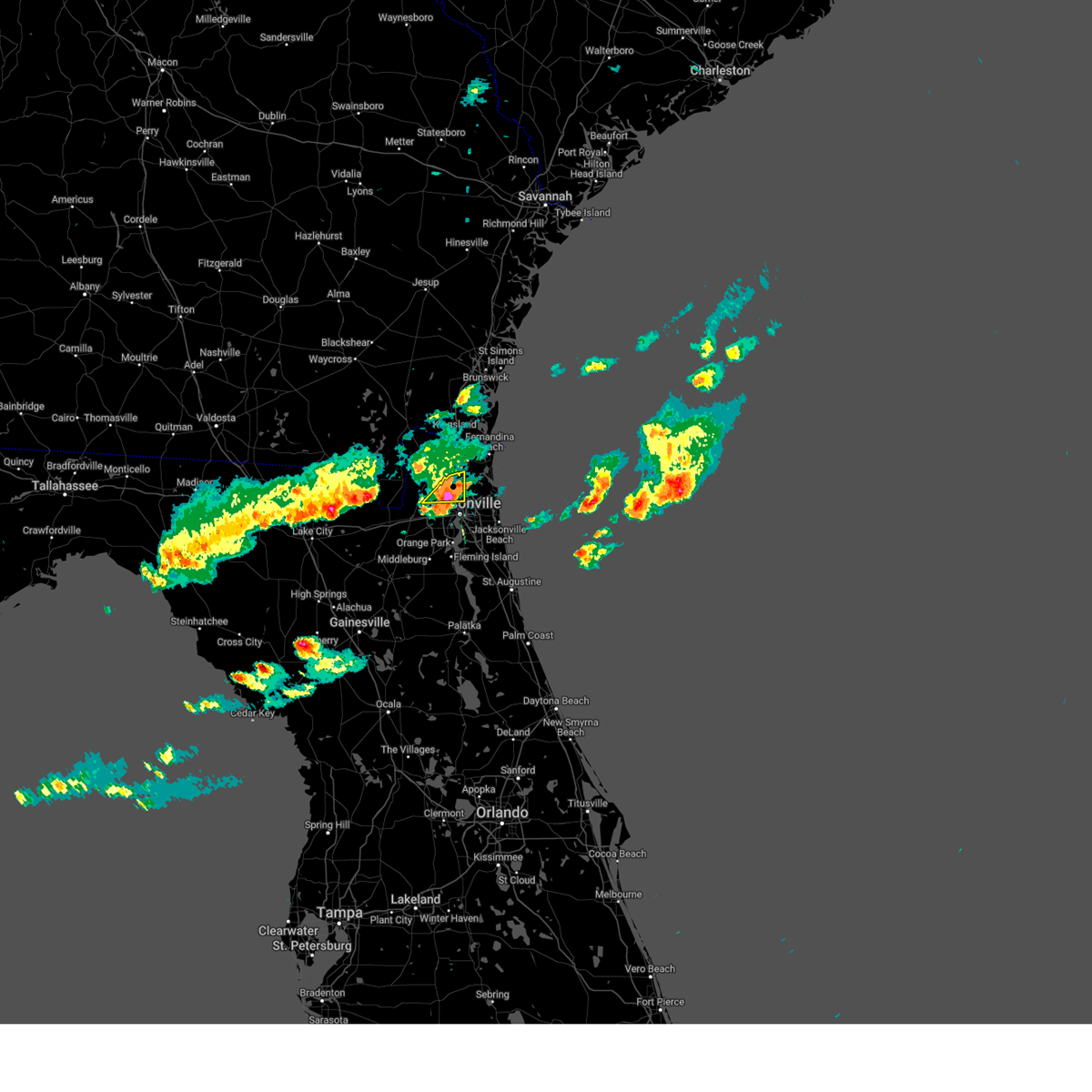
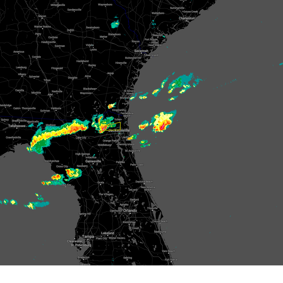
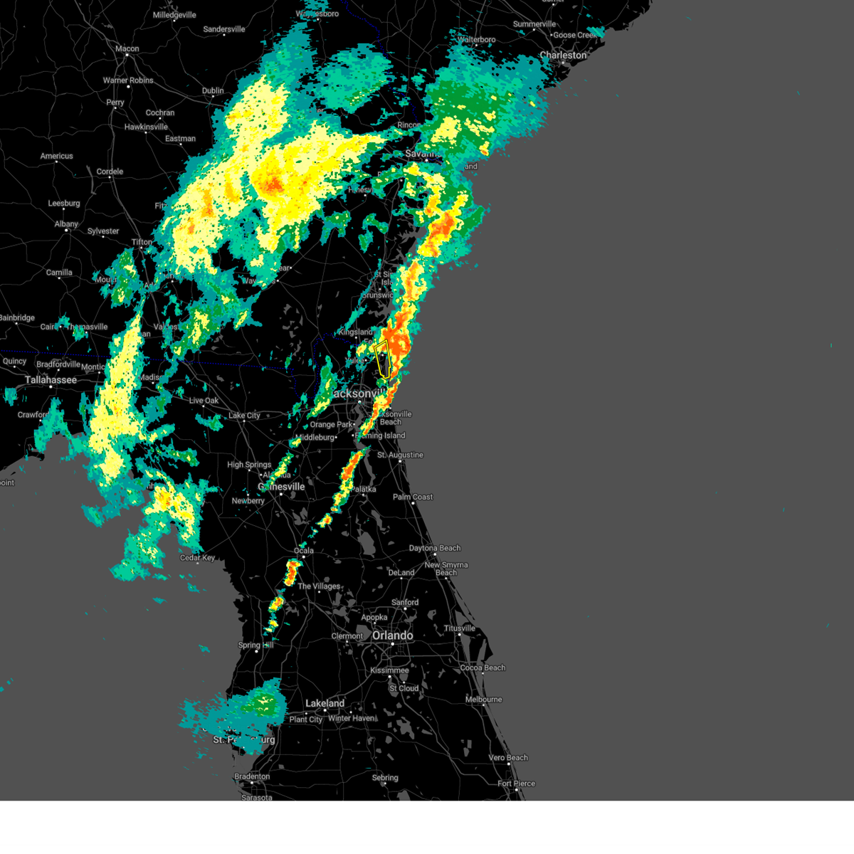
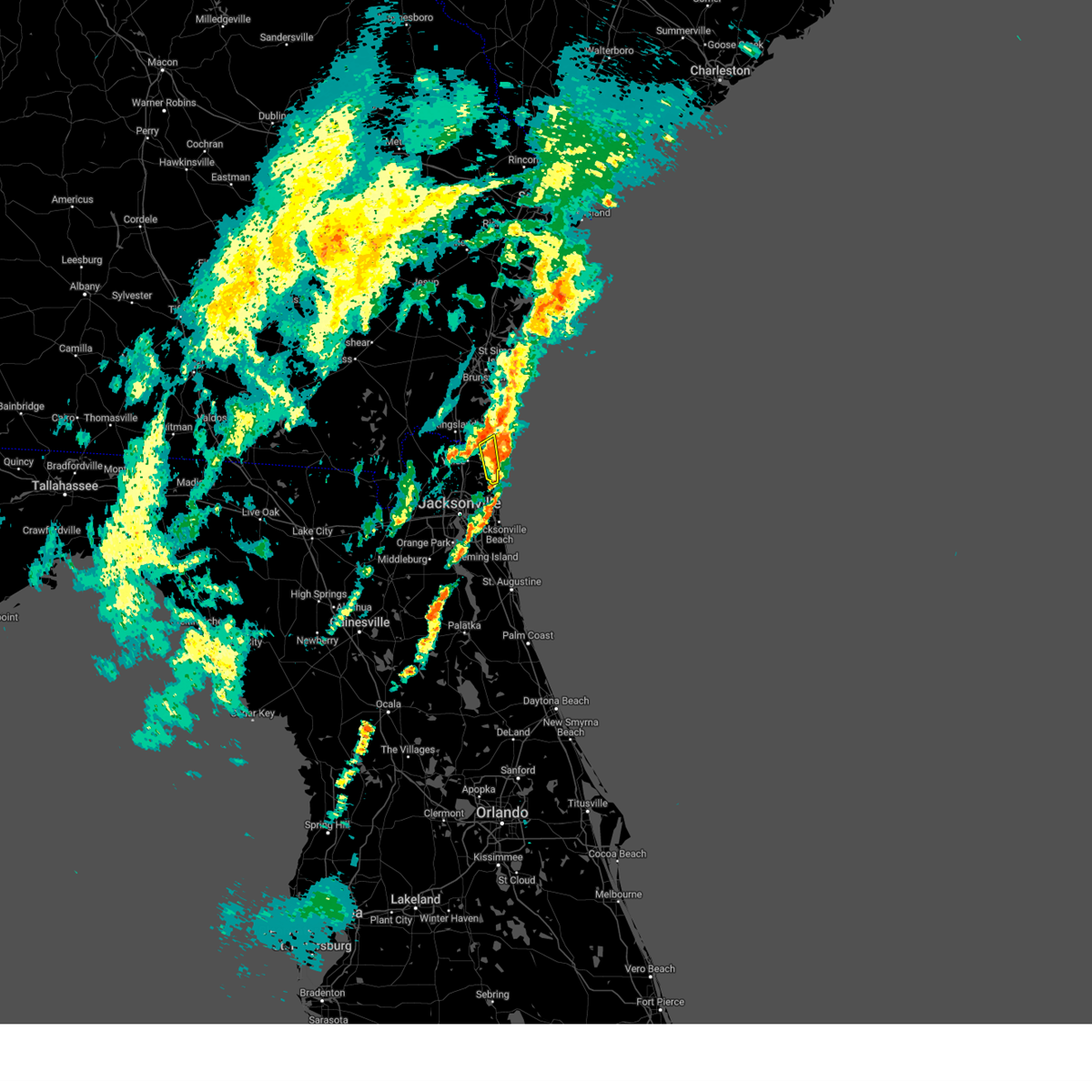
Hail Map for Jacksonville, FL
The Jacksonville, FL area has had 61 reports of on-the-ground hail by trained spotters, and has been under severe weather warnings 133 times during the past 12 months. Doppler radar has detected hail at or near Jacksonville, FL on 261 occasions, including 17 occasions during the past year.
| Name: | Jacksonville, FL |
| Where Located: | 3.9 miles NNW of Jacksonville, FL |
| Map: | Google Map for Jacksonville, FL |
| Population: | 821784 |
| Housing Units: | 366273 |
| More Info: | Search Google for Jacksonville, FL |
1
The Top Recent Hail Date for Jacksonville, FL is Wednesday, July 9, 2025 (27th out of 261)

Hail and Wind Damage Spotted near Jacksonville, FL
| Date / Time | Report Details |
|---|---|
| 8/23/2025 6:13 PM EDT |
 The circulation which prompted the tornado warning has weakened below and no longer appears to be capable of producing a tornado. therefore, the warning will be allowed to expire. The circulation which prompted the tornado warning has weakened below and no longer appears to be capable of producing a tornado. therefore, the warning will be allowed to expire.
|
| 8/23/2025 6:08 PM EDT |
 At 608 pm edt, a severe thunderstorm capable of producing a tornado was located over bayard, or near unf, and is nearly stationary (radar indicated rotation). Hazards include tornado. Flying debris will be dangerous to those caught without shelter. mobile homes will be damaged or destroyed. damage to roofs, windows, and vehicles will occur. tree damage is likely. This tornadic thunderstorm will remain over mainly rural areas of southeastern duval county. At 608 pm edt, a severe thunderstorm capable of producing a tornado was located over bayard, or near unf, and is nearly stationary (radar indicated rotation). Hazards include tornado. Flying debris will be dangerous to those caught without shelter. mobile homes will be damaged or destroyed. damage to roofs, windows, and vehicles will occur. tree damage is likely. This tornadic thunderstorm will remain over mainly rural areas of southeastern duval county.
|
| 8/23/2025 6:02 PM EDT |
 Torjax the national weather service in jacksonville has issued a * tornado warning for, southeastern duval county in northeastern florida, * until 615 pm edt. * at 602 pm edt, a severe thunderstorm capable of producing a tornado was located near bayard, or near mandarin, and is nearly stationary (radar indicated rotation). Hazards include tornado. Flying debris will be dangerous to those caught without shelter. mobile homes will be damaged or destroyed. damage to roofs, windows, and vehicles will occur. tree damage is likely. This tornadic thunderstorm will remain over mainly rural areas of southeastern duval county. Torjax the national weather service in jacksonville has issued a * tornado warning for, southeastern duval county in northeastern florida, * until 615 pm edt. * at 602 pm edt, a severe thunderstorm capable of producing a tornado was located near bayard, or near mandarin, and is nearly stationary (radar indicated rotation). Hazards include tornado. Flying debris will be dangerous to those caught without shelter. mobile homes will be damaged or destroyed. damage to roofs, windows, and vehicles will occur. tree damage is likely. This tornadic thunderstorm will remain over mainly rural areas of southeastern duval county.
|
| 8/23/2025 5:15 PM EDT | Public report on social media of a tree down on townsend rd near blanding blvd. some power outages also occurred near the area. time estimated via rada in duval county FL, 11.5 miles NNE of Jacksonville, FL |
| 8/22/2025 3:39 PM EDT |
 The storm which prompted the warning has weakened below severe limits, and no longer poses an immediate threat to life or property. therefore, the warning will be allowed to expire. however, heavy rain is still possible with this thunderstorm. The storm which prompted the warning has weakened below severe limits, and no longer poses an immediate threat to life or property. therefore, the warning will be allowed to expire. however, heavy rain is still possible with this thunderstorm.
|
| 8/22/2025 3:15 PM EDT |
 Svrjax the national weather service in jacksonville has issued a * severe thunderstorm warning for, northeastern duval county in northeastern florida, * until 345 pm edt. * at 315 pm edt, a severe thunderstorm was located over oceanway, or near jacksonville international arpt, moving east at 10 mph (radar indicated). Hazards include 60 mph wind gusts. possible tornado. expect damage to roofs, siding, and trees Svrjax the national weather service in jacksonville has issued a * severe thunderstorm warning for, northeastern duval county in northeastern florida, * until 345 pm edt. * at 315 pm edt, a severe thunderstorm was located over oceanway, or near jacksonville international arpt, moving east at 10 mph (radar indicated). Hazards include 60 mph wind gusts. possible tornado. expect damage to roofs, siding, and trees
|
| 8/21/2025 4:55 PM EDT |
 The storm which prompted the warning has weakened below severe limits. therefore, the warning will be allowed to expire. however, gusty winds and heavy rain are still possible with this thunderstorm. The storm which prompted the warning has weakened below severe limits. therefore, the warning will be allowed to expire. however, gusty winds and heavy rain are still possible with this thunderstorm.
|
| 8/21/2025 4:31 PM EDT |
 Svrjax the national weather service in jacksonville has issued a * severe thunderstorm warning for, northeastern st. johns county in northeastern florida, southeastern duval county in northeastern florida, * until 500 pm edt. * at 431 pm edt, a severe thunderstorm was located near bayard, or near ponte vedra beach, moving east at 25 mph (radar indicated). Hazards include 60 mph wind gusts. expect damage to roofs, siding, and trees Svrjax the national weather service in jacksonville has issued a * severe thunderstorm warning for, northeastern st. johns county in northeastern florida, southeastern duval county in northeastern florida, * until 500 pm edt. * at 431 pm edt, a severe thunderstorm was located near bayard, or near ponte vedra beach, moving east at 25 mph (radar indicated). Hazards include 60 mph wind gusts. expect damage to roofs, siding, and trees
|
| 8/21/2025 4:08 PM EDT |
 The storm which prompted the warning has weakened below severe limits. therefore, the warning will be allowed to expire. however, gusty winds and heavy rain are still possible with this thunderstorm. The storm which prompted the warning has weakened below severe limits. therefore, the warning will be allowed to expire. however, gusty winds and heavy rain are still possible with this thunderstorm.
|
| 8/21/2025 3:42 PM EDT |
 Svrjax the national weather service in jacksonville has issued a * severe thunderstorm warning for, north central clay county in northeastern florida, southeastern duval county in northeastern florida, * until 415 pm edt. * at 342 pm edt, a severe thunderstorm was located over san marco, or near jacksonville, moving south at 10 mph (radar indicated). Hazards include 60 mph wind gusts. expect damage to roofs, siding, and trees Svrjax the national weather service in jacksonville has issued a * severe thunderstorm warning for, north central clay county in northeastern florida, southeastern duval county in northeastern florida, * until 415 pm edt. * at 342 pm edt, a severe thunderstorm was located over san marco, or near jacksonville, moving south at 10 mph (radar indicated). Hazards include 60 mph wind gusts. expect damage to roofs, siding, and trees
|
| 8/16/2025 3:01 PM EDT |
 the severe thunderstorm warning has been cancelled and is no longer in effect the severe thunderstorm warning has been cancelled and is no longer in effect
|
| 8/16/2025 2:41 PM EDT |
 Svrjax the national weather service in jacksonville has issued a * severe thunderstorm warning for, central nassau county in northeastern florida, north central duval county in northeastern florida, * until 315 pm edt. * at 241 pm edt, a severe thunderstorm was located over jacksonville international arpt, moving south at 10 mph (radar indicated). Hazards include 60 mph wind gusts. expect damage to roofs, siding, and trees Svrjax the national weather service in jacksonville has issued a * severe thunderstorm warning for, central nassau county in northeastern florida, north central duval county in northeastern florida, * until 315 pm edt. * at 241 pm edt, a severe thunderstorm was located over jacksonville international arpt, moving south at 10 mph (radar indicated). Hazards include 60 mph wind gusts. expect damage to roofs, siding, and trees
|
| 8/13/2025 6:07 PM EDT |
 The storm which prompted the warning has weakened below severe limits, and no longer poses an immediate threat to life or property. therefore, the warning will be allowed to expire. however, gusty winds and heavy rain are still possible with this thunderstorm. The storm which prompted the warning has weakened below severe limits, and no longer poses an immediate threat to life or property. therefore, the warning will be allowed to expire. however, gusty winds and heavy rain are still possible with this thunderstorm.
|
| 8/13/2025 6:03 PM EDT |
 At 603 pm edt, a severe thunderstorm was located near callahan, moving northeast at 10 mph (radar indicated). Hazards include 60 mph wind gusts. Expect damage to roofs, siding, and trees. Locations impacted include, callahan and jacksonville international arpt. At 603 pm edt, a severe thunderstorm was located near callahan, moving northeast at 10 mph (radar indicated). Hazards include 60 mph wind gusts. Expect damage to roofs, siding, and trees. Locations impacted include, callahan and jacksonville international arpt.
|
| 8/13/2025 5:52 PM EDT |
 the severe thunderstorm warning has been cancelled and is no longer in effect the severe thunderstorm warning has been cancelled and is no longer in effect
|
| 8/13/2025 5:46 PM EDT |
 Svrjax the national weather service in jacksonville has issued a * severe thunderstorm warning for, central nassau county in northeastern florida, north central duval county in northeastern florida, * until 615 pm edt. * at 546 pm edt, a severe thunderstorm was located near nassau village-ratliff, or near callahan, moving northeast at 10 mph (radar indicated). Hazards include 60 mph wind gusts. expect damage to roofs, siding, and trees Svrjax the national weather service in jacksonville has issued a * severe thunderstorm warning for, central nassau county in northeastern florida, north central duval county in northeastern florida, * until 615 pm edt. * at 546 pm edt, a severe thunderstorm was located near nassau village-ratliff, or near callahan, moving northeast at 10 mph (radar indicated). Hazards include 60 mph wind gusts. expect damage to roofs, siding, and trees
|
| 8/13/2025 5:42 PM EDT | Delayed report from 911 dispatch. tree down on powerlines at 7171 arlington expressway. time estimated by radar velocit in duval county FL, 7.3 miles WNW of Jacksonville, FL |
| 8/13/2025 5:42 PM EDT | Delayed report. 911 dispatch relayed tree down on power line at north arlington road and arlington expressway. time estimated by radar velocit in duval county FL, 6.8 miles WNW of Jacksonville, FL |
| 8/13/2025 5:40 PM EDT |
 Svrjax the national weather service in jacksonville has issued a * severe thunderstorm warning for, southeastern duval county in northeastern florida, * until 615 pm edt. * at 540 pm edt, a severe thunderstorm was located over baymeadows, or near unf, moving northeast at 5 mph (radar indicated). Hazards include 60 mph wind gusts. expect damage to roofs, siding, and trees Svrjax the national weather service in jacksonville has issued a * severe thunderstorm warning for, southeastern duval county in northeastern florida, * until 615 pm edt. * at 540 pm edt, a severe thunderstorm was located over baymeadows, or near unf, moving northeast at 5 mph (radar indicated). Hazards include 60 mph wind gusts. expect damage to roofs, siding, and trees
|
| 8/13/2025 5:39 PM EDT | Delayed report from 911 dispatch. tree down on powerlines at 7461 phillips highway. time estimated by radar velocit in duval county FL, 11.3 miles NNW of Jacksonville, FL |
| 8/13/2025 5:38 PM EDT | Delayed report from 911 dispatch. tree down on powerline at clara road in the southside area. time based on radar velocit in duval county FL, 9.4 miles NW of Jacksonville, FL |
| 8/13/2025 5:20 PM EDT | Several downed trees and powerlines in the vicinity of old kings rd and san clerc rd. several unanchored storage shed were overturned and fencing damaged along old king in duval county FL, 11.6 miles NNW of Jacksonville, FL |
| 8/6/2025 5:15 PM EDT |
 The storm which prompted the warning has moved out of the area. therefore, the warning will be allowed to expire. however, gusty winds are still possible with this thunderstorm. a new warning was issued further south as the storm travels southeast. The storm which prompted the warning has moved out of the area. therefore, the warning will be allowed to expire. however, gusty winds are still possible with this thunderstorm. a new warning was issued further south as the storm travels southeast.
|
| 8/6/2025 4:55 PM EDT |
 At 454 pm edt, a severe thunderstorm was located around switzerland, or near fruit cove, moving south at 15 mph (radar indicated). Hazards include 60 mph wind gusts. Expect damage to roofs, siding, and trees. Locations impacted include, green cove springs, mandarin, fruit cove, and switzerland. At 454 pm edt, a severe thunderstorm was located around switzerland, or near fruit cove, moving south at 15 mph (radar indicated). Hazards include 60 mph wind gusts. Expect damage to roofs, siding, and trees. Locations impacted include, green cove springs, mandarin, fruit cove, and switzerland.
|
| 8/6/2025 4:45 PM EDT |
 Svrjax the national weather service in jacksonville has issued a * severe thunderstorm warning for, west central st. johns county in northeastern florida, northeastern clay county in northeastern florida, southern duval county in northeastern florida, * until 515 pm edt. * at 445 pm edt, a severe thunderstorm was located over switzerland, or near fruit cove, moving south at 10 mph (radar indicated). Hazards include 60 mph wind gusts and small hail. expect damage to roofs, siding, and trees Svrjax the national weather service in jacksonville has issued a * severe thunderstorm warning for, west central st. johns county in northeastern florida, northeastern clay county in northeastern florida, southern duval county in northeastern florida, * until 515 pm edt. * at 445 pm edt, a severe thunderstorm was located over switzerland, or near fruit cove, moving south at 10 mph (radar indicated). Hazards include 60 mph wind gusts and small hail. expect damage to roofs, siding, and trees
|
| 8/5/2025 3:51 PM EDT | The storm which prompted the warning has weakened below severe limits, and no longer poses an immediate threat to life or property. therefore, the warning will be allowed to expire. however, gusty winds are still possible with this thunderstorm. |
| 8/5/2025 3:37 PM EDT | At 337 pm edt, a severe thunderstorm was located near yulee, or 7 miles north of jacksonville international arpt, moving east at 10 mph (radar indicated). Hazards include 60 mph wind gusts. Expect damage to roofs, siding, and trees. locations impacted include, st. Marys, kingsland, kings bay base, and yulee. |
| 8/5/2025 3:22 PM EDT | Svrjax the national weather service in jacksonville has issued a * severe thunderstorm warning for, northeastern nassau county in northeastern florida, north central duval county in northeastern florida, south central camden county in southeastern georgia, * until 400 pm edt. * at 321 pm edt, a severe thunderstorm was located just north of jacksonville international arpt, moving northeast at 15 mph (radar indicated). Hazards include 60 mph wind gusts. expect damage to roofs, siding, and trees |
| 7/30/2025 6:54 PM EDT |
 The storm which prompted the warning has weakened below severe limits, and no longer poses an immediate threat to life or property. therefore, the warning will be allowed to expire. however, gusty winds and heavy rain are still possible with this thunderstorm. The storm which prompted the warning has weakened below severe limits, and no longer poses an immediate threat to life or property. therefore, the warning will be allowed to expire. however, gusty winds and heavy rain are still possible with this thunderstorm.
|
| 7/30/2025 6:44 PM EDT |
 At 643 pm edt, a severe thunderstorm was located just southeast of craig field, or over unf, moving east at 5 mph (radar indicated). Hazards include 60 mph wind gusts. Expect damage to roofs, siding, and trees. Locations impacted include, unf, jacksonville beach, atlantic beach, neptune beach, mayport, craig field, san pablo, and fort caroline. At 643 pm edt, a severe thunderstorm was located just southeast of craig field, or over unf, moving east at 5 mph (radar indicated). Hazards include 60 mph wind gusts. Expect damage to roofs, siding, and trees. Locations impacted include, unf, jacksonville beach, atlantic beach, neptune beach, mayport, craig field, san pablo, and fort caroline.
|
| 7/30/2025 6:26 PM EDT |
 At 625 pm edt, a severe thunderstorm was located over craig field, or near arlington, moving east at 10 mph (radar indicated). Hazards include 60 mph wind gusts. craig airport recently reported a gust to 48 mph. Expect damage to roofs, siding, and trees. Locations impacted include, unf, jacksonville beach, atlantic beach, neptune beach, mayport, craig field, san pablo, and fort caroline. At 625 pm edt, a severe thunderstorm was located over craig field, or near arlington, moving east at 10 mph (radar indicated). Hazards include 60 mph wind gusts. craig airport recently reported a gust to 48 mph. Expect damage to roofs, siding, and trees. Locations impacted include, unf, jacksonville beach, atlantic beach, neptune beach, mayport, craig field, san pablo, and fort caroline.
|
| 7/30/2025 6:20 PM EDT | Photo shared from broadcast media of a shed that was picked up and destroyed on saint johns bluff road due to strong winds. time estimated via radar and measured wind g in duval county FL, 10.8 miles WNW of Jacksonville, FL |
| 7/30/2025 6:15 PM EDT |
 Svrjax the national weather service in jacksonville has issued a * severe thunderstorm warning for, east central duval county in northeastern florida, * until 700 pm edt. * at 614 pm edt, a severe thunderstorm was located over craig field, or near arlington, moving east at 10 mph (radar indicated). Hazards include 60 mph wind gusts. expect damage to roofs, siding, and trees Svrjax the national weather service in jacksonville has issued a * severe thunderstorm warning for, east central duval county in northeastern florida, * until 700 pm edt. * at 614 pm edt, a severe thunderstorm was located over craig field, or near arlington, moving east at 10 mph (radar indicated). Hazards include 60 mph wind gusts. expect damage to roofs, siding, and trees
|
| 7/29/2025 4:48 PM EDT |
 the severe thunderstorm warning has been cancelled and is no longer in effect the severe thunderstorm warning has been cancelled and is no longer in effect
|
| 7/29/2025 4:26 PM EDT |
 Svrjax the national weather service in jacksonville has issued a * severe thunderstorm warning for, central duval county in northeastern florida, * until 515 pm edt. * at 425 pm edt, a severe thunderstorm was located over jacksonville, and is nearly stationary (radar indicated). Hazards include 60 mph wind gusts and penny size hail. expect damage to roofs, siding, and trees Svrjax the national weather service in jacksonville has issued a * severe thunderstorm warning for, central duval county in northeastern florida, * until 515 pm edt. * at 425 pm edt, a severe thunderstorm was located over jacksonville, and is nearly stationary (radar indicated). Hazards include 60 mph wind gusts and penny size hail. expect damage to roofs, siding, and trees
|
| 7/29/2025 4:18 PM EDT | Photos of snapped palm tree along rockland dr in jacksonville... fl. time est off radar and kheg reported wind gust of 30mph at 4:15p in duval county FL, 7.8 miles NE of Jacksonville, FL |
| 7/21/2025 4:48 PM EDT |
 the severe thunderstorm warning has been cancelled and is no longer in effect the severe thunderstorm warning has been cancelled and is no longer in effect
|
| 7/21/2025 4:42 PM EDT |
 At 442 pm edt, severe thunderstorms were located along a line extending from little talbot island to near arlington, moving southeast at 15 mph (radar indicated). Hazards include 60 mph wind gusts. Expect damage to roofs, siding, and trees. Locations impacted include, jacksonville, unf, ponte vedra beach, arlington, jacksonville beach, atlantic beach, neptune beach, baymeadows, mayport, and craig field. At 442 pm edt, severe thunderstorms were located along a line extending from little talbot island to near arlington, moving southeast at 15 mph (radar indicated). Hazards include 60 mph wind gusts. Expect damage to roofs, siding, and trees. Locations impacted include, jacksonville, unf, ponte vedra beach, arlington, jacksonville beach, atlantic beach, neptune beach, baymeadows, mayport, and craig field.
|
| 7/21/2025 4:35 PM EDT |
 At 434 pm edt, severe thunderstorms were located along a line extending from little talbot island to near baymeadows, moving southeast at 10 mph (radar indicated). Hazards include 60 mph wind gusts. Expect damage to roofs, siding, and trees. Locations impacted include, jacksonville, unf, ponte vedra beach, arlington, jacksonville beach, atlantic beach, neptune beach, baymeadows, mayport, and craig field. At 434 pm edt, severe thunderstorms were located along a line extending from little talbot island to near baymeadows, moving southeast at 10 mph (radar indicated). Hazards include 60 mph wind gusts. Expect damage to roofs, siding, and trees. Locations impacted include, jacksonville, unf, ponte vedra beach, arlington, jacksonville beach, atlantic beach, neptune beach, baymeadows, mayport, and craig field.
|
| 7/21/2025 4:35 PM EDT |
 the severe thunderstorm warning has been cancelled and is no longer in effect the severe thunderstorm warning has been cancelled and is no longer in effect
|
| 7/21/2025 4:15 PM EDT |
 Svrjax the national weather service in jacksonville has issued a * severe thunderstorm warning for, east central nassau county in northeastern florida, north central st. johns county in northeastern florida, eastern duval county in northeastern florida, * until 500 pm edt. * at 414 pm edt, severe thunderstorms were located along a line extending from near talbot island to near riverside, moving southeast at 15 mph (radar indicated). Hazards include 60 mph wind gusts. expect damage to roofs, siding, and trees Svrjax the national weather service in jacksonville has issued a * severe thunderstorm warning for, east central nassau county in northeastern florida, north central st. johns county in northeastern florida, eastern duval county in northeastern florida, * until 500 pm edt. * at 414 pm edt, severe thunderstorms were located along a line extending from near talbot island to near riverside, moving southeast at 15 mph (radar indicated). Hazards include 60 mph wind gusts. expect damage to roofs, siding, and trees
|
| 7/21/2025 4:07 PM EDT |
 At 406 pm edt, a severe thunderstorm was located near jacksonville international arpt, moving southeast at 10 mph (radar indicated). Hazards include 60 mph wind gusts. Expect damage to roofs, siding, and trees. Locations impacted include, jacksonville, callahan, jacksonville international arpt, nassau village-ratliff, ratliff, oceanway, and tallyrand. At 406 pm edt, a severe thunderstorm was located near jacksonville international arpt, moving southeast at 10 mph (radar indicated). Hazards include 60 mph wind gusts. Expect damage to roofs, siding, and trees. Locations impacted include, jacksonville, callahan, jacksonville international arpt, nassau village-ratliff, ratliff, oceanway, and tallyrand.
|
| 7/21/2025 3:46 PM EDT |
 Svrjax the national weather service in jacksonville has issued a * severe thunderstorm warning for, central nassau county in northeastern florida, northeastern duval county in northeastern florida, * until 430 pm edt. * at 346 pm edt, a severe thunderstorm was located near callahan, moving southeast at 10 mph (radar indicated). Hazards include 60 mph wind gusts. expect damage to roofs, siding, and trees Svrjax the national weather service in jacksonville has issued a * severe thunderstorm warning for, central nassau county in northeastern florida, northeastern duval county in northeastern florida, * until 430 pm edt. * at 346 pm edt, a severe thunderstorm was located near callahan, moving southeast at 10 mph (radar indicated). Hazards include 60 mph wind gusts. expect damage to roofs, siding, and trees
|
| 7/14/2025 3:45 PM EDT |
 Svrjax the national weather service in jacksonville has issued a * severe thunderstorm warning for, northwestern nassau county in northeastern florida, southeastern charlton county in southeastern georgia, * until 430 pm edt. * at 345 pm edt, a severe thunderstorm was located near kings ferry, or near hilliard, moving south at 15 mph (radar indicated). Hazards include 60 mph wind gusts and penny size hail. expect damage to roofs, siding, and trees Svrjax the national weather service in jacksonville has issued a * severe thunderstorm warning for, northwestern nassau county in northeastern florida, southeastern charlton county in southeastern georgia, * until 430 pm edt. * at 345 pm edt, a severe thunderstorm was located near kings ferry, or near hilliard, moving south at 15 mph (radar indicated). Hazards include 60 mph wind gusts and penny size hail. expect damage to roofs, siding, and trees
|
| 7/11/2025 5:25 PM EDT |
 The storm which prompted the warning has weakened below severe limits, and no longer poses an immediate threat to life or property. therefore, the warning will be allowed to expire. however, gusty winds and heavy rain are still possible with this thunderstorm. The storm which prompted the warning has weakened below severe limits, and no longer poses an immediate threat to life or property. therefore, the warning will be allowed to expire. however, gusty winds and heavy rain are still possible with this thunderstorm.
|
| 7/11/2025 5:00 PM EDT |
 Svrjax the national weather service in jacksonville has issued a * severe thunderstorm warning for, northwestern st. johns county in northeastern florida, southeastern duval county in northeastern florida, * until 530 pm edt. * at 500 pm edt, a severe thunderstorm was located near unf, moving northeast at 25 mph (radar indicated). Hazards include 60 mph wind gusts and quarter size hail. Hail damage to vehicles is expected. Expect wind damage to roofs, siding, and trees. Svrjax the national weather service in jacksonville has issued a * severe thunderstorm warning for, northwestern st. johns county in northeastern florida, southeastern duval county in northeastern florida, * until 530 pm edt. * at 500 pm edt, a severe thunderstorm was located near unf, moving northeast at 25 mph (radar indicated). Hazards include 60 mph wind gusts and quarter size hail. Hail damage to vehicles is expected. Expect wind damage to roofs, siding, and trees.
|
| 7/11/2025 4:51 PM EDT |
 Svrjax the national weather service in jacksonville has issued a * severe thunderstorm warning for, northwestern st. johns county in northeastern florida, southeastern duval county in northeastern florida, * until 515 pm edt. * at 451 pm edt, a severe thunderstorm was located over durbin, or 8 miles east of fruit cove, moving northeast at 20 mph (radar indicated). Hazards include 60 mph wind gusts and quarter size hail. Hail damage to vehicles is expected. Expect wind damage to roofs, siding, and trees. Svrjax the national weather service in jacksonville has issued a * severe thunderstorm warning for, northwestern st. johns county in northeastern florida, southeastern duval county in northeastern florida, * until 515 pm edt. * at 451 pm edt, a severe thunderstorm was located over durbin, or 8 miles east of fruit cove, moving northeast at 20 mph (radar indicated). Hazards include 60 mph wind gusts and quarter size hail. Hail damage to vehicles is expected. Expect wind damage to roofs, siding, and trees.
|
| 7/11/2025 4:15 PM EDT | the severe thunderstorm warning has been cancelled and is no longer in effect |
| 7/11/2025 4:04 PM EDT |
 Svrjax the national weather service in jacksonville has issued a * severe thunderstorm warning for, north central clay county in northeastern florida, southwestern duval county in northeastern florida, * until 430 pm edt. * at 404 pm edt, a severe thunderstorm was located over cecil field, or 10 miles north of middleburg, moving east at 15 mph (radar indicated). Hazards include 60 mph wind gusts and quarter size hail. Hail damage to vehicles is expected. Expect wind damage to roofs, siding, and trees. Svrjax the national weather service in jacksonville has issued a * severe thunderstorm warning for, north central clay county in northeastern florida, southwestern duval county in northeastern florida, * until 430 pm edt. * at 404 pm edt, a severe thunderstorm was located over cecil field, or 10 miles north of middleburg, moving east at 15 mph (radar indicated). Hazards include 60 mph wind gusts and quarter size hail. Hail damage to vehicles is expected. Expect wind damage to roofs, siding, and trees.
|
| 7/9/2025 3:10 PM EDT | A video of a powerline coming down at the intersection of philips hwy and emerson st was relayed via broadcast media. duval county watch office reported that jacksonvil in duval county FL, 7.1 miles NNW of Jacksonville, FL |
| 6/28/2025 4:49 PM EDT |
 The storm which prompted the warning has weakened below severe limits, and has exited the warned area. therefore, the warning has been allowed to expire. to report severe weather, contact your nearest law enforcement agency. they will relay your report to the national weather service jacksonville. The storm which prompted the warning has weakened below severe limits, and has exited the warned area. therefore, the warning has been allowed to expire. to report severe weather, contact your nearest law enforcement agency. they will relay your report to the national weather service jacksonville.
|
| 6/28/2025 4:36 PM EDT |
 At 436 pm edt, a severe thunderstorm was located over ponte vedra beach, moving southeast at 15 mph (radar indicated). Hazards include 60 mph wind gusts. Expect damage to roofs, siding, and trees. Locations impacted include, jacksonville beach, neptune beach, and san pablo. At 436 pm edt, a severe thunderstorm was located over ponte vedra beach, moving southeast at 15 mph (radar indicated). Hazards include 60 mph wind gusts. Expect damage to roofs, siding, and trees. Locations impacted include, jacksonville beach, neptune beach, and san pablo.
|
| 6/28/2025 4:36 PM EDT |
 the severe thunderstorm warning has been cancelled and is no longer in effect the severe thunderstorm warning has been cancelled and is no longer in effect
|
| 6/28/2025 4:19 PM EDT |
 Svrjax the national weather service in jacksonville has issued a * severe thunderstorm warning for, northern st. johns county in northeastern florida, east central duval county in northeastern florida, * until 445 pm edt. * at 419 pm edt, a severe thunderstorm was located over san pablo, or near unf, moving southeast at 15 mph (radar indicated). Hazards include 60 mph wind gusts. expect damage to roofs, siding, and trees Svrjax the national weather service in jacksonville has issued a * severe thunderstorm warning for, northern st. johns county in northeastern florida, east central duval county in northeastern florida, * until 445 pm edt. * at 419 pm edt, a severe thunderstorm was located over san pablo, or near unf, moving southeast at 15 mph (radar indicated). Hazards include 60 mph wind gusts. expect damage to roofs, siding, and trees
|
| 6/28/2025 4:15 PM EDT | Severe thunderstorm damage occurred to utility equipment in neptune beach between first and 2nd street... just north of 3rd street. the time of damage was based on rada in duval county FL, 17.5 miles WNW of Jacksonville, FL |
| 6/28/2025 4:15 PM EDT |
 At 415 pm edt, severe thunderstorms were located along a line extending from mayport to unf, moving southeast at 15 mph (radar indicated). Hazards include 60 mph wind gusts. Expect damage to roofs, siding, and trees. Locations impacted include, atlantic beach, neptune beach, craig field, and mayport. At 415 pm edt, severe thunderstorms were located along a line extending from mayport to unf, moving southeast at 15 mph (radar indicated). Hazards include 60 mph wind gusts. Expect damage to roofs, siding, and trees. Locations impacted include, atlantic beach, neptune beach, craig field, and mayport.
|
| 6/28/2025 4:10 PM EDT | Jea reported equipment damage from a severe thunderstorm just south of atlantic blvd between sunnyside ave and riverview drive. the time of damage was based on rada in duval county FL, 15.3 miles WNW of Jacksonville, FL |
| 6/28/2025 3:55 PM EDT |
 Svrjax the national weather service in jacksonville has issued a * severe thunderstorm warning for, east central duval county in northeastern florida, * until 430 pm edt. * at 355 pm edt, severe thunderstorms were located along a line extending from near fort caroline to craig field, moving north at 10 mph (radar indicated). Hazards include 60 mph wind gusts. expect damage to roofs, siding, and trees Svrjax the national weather service in jacksonville has issued a * severe thunderstorm warning for, east central duval county in northeastern florida, * until 430 pm edt. * at 355 pm edt, severe thunderstorms were located along a line extending from near fort caroline to craig field, moving north at 10 mph (radar indicated). Hazards include 60 mph wind gusts. expect damage to roofs, siding, and trees
|
| 6/19/2025 4:10 PM EDT | The storm which prompted the warning has weakened below severe limits, and no longer poses an immediate threat to life or property. therefore, the warning will be allowed to expire. however, gusty winds are still possible with this thunderstorm. |
| 6/19/2025 3:50 PM EDT |
 At 350 pm edt, a severe thunderstorm was located over jacksonville, moving northeast at 10 mph (radar indicated). Hazards include 60 mph wind gusts and penny size hail. Expect damage to roofs, siding, and trees. Locations impacted include, jacksonville, orange park, arlington, nas jax, baymeadows, ortega, san marco, riverside, and tallyrand. At 350 pm edt, a severe thunderstorm was located over jacksonville, moving northeast at 10 mph (radar indicated). Hazards include 60 mph wind gusts and penny size hail. Expect damage to roofs, siding, and trees. Locations impacted include, jacksonville, orange park, arlington, nas jax, baymeadows, ortega, san marco, riverside, and tallyrand.
|
| 6/19/2025 3:43 PM EDT |
 At 343 pm edt, a severe thunderstorm was located over normandy, or near jacksonville, moving east at 5 mph (radar indicated). Hazards include 60 mph wind gusts and penny size hail. Expect damage to roofs, siding, and trees. Locations impacted include, jacksonville, orange park, arlington, nas jax, baymeadows, ortega, normandy, bellair-meadowbrook terrace, san marco, and riverside. At 343 pm edt, a severe thunderstorm was located over normandy, or near jacksonville, moving east at 5 mph (radar indicated). Hazards include 60 mph wind gusts and penny size hail. Expect damage to roofs, siding, and trees. Locations impacted include, jacksonville, orange park, arlington, nas jax, baymeadows, ortega, normandy, bellair-meadowbrook terrace, san marco, and riverside.
|
| 6/19/2025 3:35 PM EDT | Duval fire rescue reported powerlines blown down near the intersection of i-295 and i-10 on the jacksonville westsid in duval county FL, 7.4 miles NE of Jacksonville, FL |
| 6/19/2025 3:28 PM EDT |
 Svrjax the national weather service in jacksonville has issued a * severe thunderstorm warning for, north central clay county in northeastern florida, central duval county in northeastern florida, * until 415 pm edt. * at 327 pm edt, a severe thunderstorm was located over normandy, or near jacksonville, moving east at 5 mph (radar indicated). Hazards include 60 mph wind gusts and penny size hail. expect damage to roofs, siding, and trees Svrjax the national weather service in jacksonville has issued a * severe thunderstorm warning for, north central clay county in northeastern florida, central duval county in northeastern florida, * until 415 pm edt. * at 327 pm edt, a severe thunderstorm was located over normandy, or near jacksonville, moving east at 5 mph (radar indicated). Hazards include 60 mph wind gusts and penny size hail. expect damage to roofs, siding, and trees
|
| 6/19/2025 3:21 PM EDT |
 The storm which prompted the warning has weakened below severe limits, and no longer poses an immediate threat to life or property. therefore, the warning will be allowed to expire. however, gusty winds are still possible with this thunderstorm. The storm which prompted the warning has weakened below severe limits, and no longer poses an immediate threat to life or property. therefore, the warning will be allowed to expire. however, gusty winds are still possible with this thunderstorm.
|
| 6/19/2025 3:04 PM EDT |
 Svrjax the national weather service in jacksonville has issued a * severe thunderstorm warning for, northwestern st. johns county in northeastern florida, northeastern clay county in northeastern florida, southeastern duval county in northeastern florida, * until 330 pm edt. * at 304 pm edt, a severe thunderstorm was located near fleming island, or near green cove springs, moving northeast at 5 mph (radar indicated). Hazards include 60 mph wind gusts and penny size hail. expect damage to roofs, siding, and trees Svrjax the national weather service in jacksonville has issued a * severe thunderstorm warning for, northwestern st. johns county in northeastern florida, northeastern clay county in northeastern florida, southeastern duval county in northeastern florida, * until 330 pm edt. * at 304 pm edt, a severe thunderstorm was located near fleming island, or near green cove springs, moving northeast at 5 mph (radar indicated). Hazards include 60 mph wind gusts and penny size hail. expect damage to roofs, siding, and trees
|
| 6/17/2025 8:24 PM EDT | The storm which prompted the warning has weakened below severe limits, and no longer poses an immediate threat to life or property. therefore, the warning will be allowed to expire. however, gusty winds and heavy rain are still possible with this thunderstorm. |
| 6/17/2025 7:54 PM EDT | Svrjax the national weather service in jacksonville has issued a * severe thunderstorm warning for, southwestern nassau county in northeastern florida, central baker county in northeastern florida, west central duval county in northeastern florida, southeastern ware county in southeastern georgia, south central charlton county in southeastern georgia, * until 830 pm edt. * at 753 pm edt, a severe thunderstorm was located near taylor, or 23 miles southwest of callahan, moving north at 15 mph (radar indicated). Hazards include 60 mph wind gusts and penny size hail. expect damage to roofs, siding, and trees |
| 6/17/2025 4:28 PM EDT | the severe thunderstorm warning has been cancelled and is no longer in effect |
| 6/17/2025 4:08 PM EDT | Svrjax the national weather service in jacksonville has issued a * severe thunderstorm warning for, northeastern nassau county in northeastern florida, north central duval county in northeastern florida, south central camden county in southeastern georgia, * until 445 pm edt. * at 407 pm edt, a severe thunderstorm was located 7 miles north of jacksonville international arpt, moving north at 10 mph (radar indicated). Hazards include 60 mph wind gusts and quarter size hail. Hail damage to vehicles is expected. Expect wind damage to roofs, siding, and trees. |
| 6/16/2025 7:23 PM EDT |
 The storm which prompted the warning has weakened below severe limits, and has exited the warned area. therefore, the warning will be allowed to expire. however, gusty winds are still possible with this thunderstorm. remember, a severe thunderstorm warning still remains in effect for portions of nassau and camden counties. The storm which prompted the warning has weakened below severe limits, and has exited the warned area. therefore, the warning will be allowed to expire. however, gusty winds are still possible with this thunderstorm. remember, a severe thunderstorm warning still remains in effect for portions of nassau and camden counties.
|
| 6/16/2025 6:55 PM EDT |
 Svrjax the national weather service in jacksonville has issued a * severe thunderstorm warning for, northeastern nassau county in northeastern florida, north central duval county in northeastern florida, southern camden county in southeastern georgia, * until 730 pm edt. * at 655 pm edt, a severe thunderstorm was located 7 miles southwest of kingsland, moving northeast at 10 mph (radar indicated). Hazards include 60 mph wind gusts and penny size hail. expect damage to roofs, siding, and trees Svrjax the national weather service in jacksonville has issued a * severe thunderstorm warning for, northeastern nassau county in northeastern florida, north central duval county in northeastern florida, southern camden county in southeastern georgia, * until 730 pm edt. * at 655 pm edt, a severe thunderstorm was located 7 miles southwest of kingsland, moving northeast at 10 mph (radar indicated). Hazards include 60 mph wind gusts and penny size hail. expect damage to roofs, siding, and trees
|
| 6/5/2025 3:45 PM EDT | Public reported a large tree limb broke off and fell on their roof along charlotte st near atlantic blvd. their neighbor claims they saw weak rotation and debris lofted in duval county FL, 15.3 miles WNW of Jacksonville, FL |
| 6/5/2025 3:27 PM EDT |
 The storm which prompted the warning has weakened below severe limits, and no longer poses an immediate threat to life or property. therefore, the warning will be allowed to expire. however, gusty winds are still possible with this thunderstorm. The storm which prompted the warning has weakened below severe limits, and no longer poses an immediate threat to life or property. therefore, the warning will be allowed to expire. however, gusty winds are still possible with this thunderstorm.
|
| 6/5/2025 3:07 PM EDT |
 Svrjax the national weather service in jacksonville has issued a * severe thunderstorm warning for, central nassau county in northeastern florida, duval county in northeastern florida, * until 330 pm edt. * at 307 pm edt, a severe thunderstorm was located near cisco gardens, or 10 miles west of jacksonville, moving northeast at 40 mph (radar indicated). Hazards include 60 mph wind gusts. expect damage to roofs, siding, and trees Svrjax the national weather service in jacksonville has issued a * severe thunderstorm warning for, central nassau county in northeastern florida, duval county in northeastern florida, * until 330 pm edt. * at 307 pm edt, a severe thunderstorm was located near cisco gardens, or 10 miles west of jacksonville, moving northeast at 40 mph (radar indicated). Hazards include 60 mph wind gusts. expect damage to roofs, siding, and trees
|
| 6/5/2025 2:51 PM EDT |
 the severe thunderstorm warning has been cancelled and is no longer in effect the severe thunderstorm warning has been cancelled and is no longer in effect
|
| 6/5/2025 2:51 PM EDT |
 At 251 pm edt, a severe thunderstorm was located over maxville, or 14 miles northwest of middleburg, moving northeast at 40 mph (radar indicated). Hazards include 60 mph wind gusts. Expect damage to roofs, siding, and trees. Locations impacted include, macclenny, cecil field, maxville, bryceville, baldwin, jacksonville heights, and whitehouse air field. At 251 pm edt, a severe thunderstorm was located over maxville, or 14 miles northwest of middleburg, moving northeast at 40 mph (radar indicated). Hazards include 60 mph wind gusts. Expect damage to roofs, siding, and trees. Locations impacted include, macclenny, cecil field, maxville, bryceville, baldwin, jacksonville heights, and whitehouse air field.
|
| 6/5/2025 2:43 PM EDT |
 Svrjax the national weather service in jacksonville has issued a * severe thunderstorm warning for, southwestern nassau county in northeastern florida, northeastern bradford county in northern florida, southeastern baker county in northeastern florida, northeastern union county in northern florida, northwestern clay county in northeastern florida, southwestern duval county in northeastern florida, south central charlton county in southeastern georgia, * until 315 pm edt. * at 242 pm edt, a severe thunderstorm was located 7 miles west of maxville, or 9 miles northeast of raiford, moving northeast at 40 mph (radar indicated). Hazards include 60 mph wind gusts. expect damage to roofs, siding, and trees Svrjax the national weather service in jacksonville has issued a * severe thunderstorm warning for, southwestern nassau county in northeastern florida, northeastern bradford county in northern florida, southeastern baker county in northeastern florida, northeastern union county in northern florida, northwestern clay county in northeastern florida, southwestern duval county in northeastern florida, south central charlton county in southeastern georgia, * until 315 pm edt. * at 242 pm edt, a severe thunderstorm was located 7 miles west of maxville, or 9 miles northeast of raiford, moving northeast at 40 mph (radar indicated). Hazards include 60 mph wind gusts. expect damage to roofs, siding, and trees
|
| 5/29/2025 5:35 PM EDT | Weatherflow station near fort caroline reported a peak wind gust of 65 mph as thunderstorms moved across the are in duval county FL, 12.4 miles W of Jacksonville, FL |
| 5/29/2025 5:23 PM EDT |
 The storm which prompted the warning has weakened below severe limits, and no longer poses an immediate threat to life or property. therefore, the warning has been allowed to expire. however, gusty winds and heavy rain are still possible with this thunderstorm. The storm which prompted the warning has weakened below severe limits, and no longer poses an immediate threat to life or property. therefore, the warning has been allowed to expire. however, gusty winds and heavy rain are still possible with this thunderstorm.
|
| 5/29/2025 5:08 PM EDT |
 the severe thunderstorm warning has been cancelled and is no longer in effect the severe thunderstorm warning has been cancelled and is no longer in effect
|
| 5/29/2025 5:08 PM EDT |
 At 507 pm edt, a severe thunderstorm was located over sawgrass, or near ponte vedra beach, moving northeast at 45 mph (radar indicated). Hazards include 60 mph wind gusts and quarter size hail. Hail damage to vehicles is expected. expect wind damage to roofs, siding, and trees. Locations impacted include, ponte vedra beach, jacksonville beach, palm valley, sawgrass, nocatee, bayard, and durbin. At 507 pm edt, a severe thunderstorm was located over sawgrass, or near ponte vedra beach, moving northeast at 45 mph (radar indicated). Hazards include 60 mph wind gusts and quarter size hail. Hail damage to vehicles is expected. expect wind damage to roofs, siding, and trees. Locations impacted include, ponte vedra beach, jacksonville beach, palm valley, sawgrass, nocatee, bayard, and durbin.
|
| 5/29/2025 4:50 PM EDT |
 Svrjax the national weather service in jacksonville has issued a * severe thunderstorm warning for, northwestern st. johns county in northeastern florida, northeastern clay county in northeastern florida, southeastern duval county in northeastern florida, * until 515 pm edt. * at 450 pm edt, a severe thunderstorm was located near world golf village, or near fruit cove, moving northeast at 45 mph (radar indicated). Hazards include 60 mph wind gusts and quarter size hail. Hail damage to vehicles is expected. Expect wind damage to roofs, siding, and trees. Svrjax the national weather service in jacksonville has issued a * severe thunderstorm warning for, northwestern st. johns county in northeastern florida, northeastern clay county in northeastern florida, southeastern duval county in northeastern florida, * until 515 pm edt. * at 450 pm edt, a severe thunderstorm was located near world golf village, or near fruit cove, moving northeast at 45 mph (radar indicated). Hazards include 60 mph wind gusts and quarter size hail. Hail damage to vehicles is expected. Expect wind damage to roofs, siding, and trees.
|
| 5/28/2025 6:15 PM EDT |
 At 615 pm edt, a severe thunderstorm was located near palm valley, or near ponte vedra beach, moving east at 15 mph (radar indicated). Hazards include 60 mph wind gusts. Expect damage to roofs, siding, and trees. Locations impacted include, ponte vedra beach, jacksonville beach, palm valley, sawgrass, and guana river state park. At 615 pm edt, a severe thunderstorm was located near palm valley, or near ponte vedra beach, moving east at 15 mph (radar indicated). Hazards include 60 mph wind gusts. Expect damage to roofs, siding, and trees. Locations impacted include, ponte vedra beach, jacksonville beach, palm valley, sawgrass, and guana river state park.
|
| 5/28/2025 6:03 PM EDT |
 Svrjax the national weather service in jacksonville has issued a * severe thunderstorm warning for, north central st. johns county in northeastern florida, southeastern duval county in northeastern florida, * until 630 pm edt. * at 602 pm edt, a severe thunderstorm was located near bayard, or near unf, moving east at 15 mph (radar indicated). Hazards include 60 mph wind gusts. expect damage to roofs, siding, and trees Svrjax the national weather service in jacksonville has issued a * severe thunderstorm warning for, north central st. johns county in northeastern florida, southeastern duval county in northeastern florida, * until 630 pm edt. * at 602 pm edt, a severe thunderstorm was located near bayard, or near unf, moving east at 15 mph (radar indicated). Hazards include 60 mph wind gusts. expect damage to roofs, siding, and trees
|
| 5/25/2025 5:39 PM EDT | The storm which prompted the warning has weakened below severe limits, and no longer poses an immediate threat to life or property. therefore, the warning will be allowed to expire. however, gusty winds are still possible with this thunderstorm. |
| 5/25/2025 5:13 PM EDT |
 Svrjax the national weather service in jacksonville has issued a * severe thunderstorm warning for, northeastern nassau county in northeastern florida, south central camden county in southeastern georgia, * until 545 pm edt. * at 513 pm edt, a severe thunderstorm was located near st. marys, moving east at 20 mph (radar indicated). Hazards include 60 mph wind gusts and quarter size hail. Hail damage to vehicles is expected. Expect wind damage to roofs, siding, and trees. Svrjax the national weather service in jacksonville has issued a * severe thunderstorm warning for, northeastern nassau county in northeastern florida, south central camden county in southeastern georgia, * until 545 pm edt. * at 513 pm edt, a severe thunderstorm was located near st. marys, moving east at 20 mph (radar indicated). Hazards include 60 mph wind gusts and quarter size hail. Hail damage to vehicles is expected. Expect wind damage to roofs, siding, and trees.
|
| 5/25/2025 4:21 PM EDT |
 The storm which prompted the warning has weakened below severe limits, and no longer poses an immediate threat to life or property. therefore, the warning will be allowed to expire. however, gusty winds are still possible with this thunderstorm. The storm which prompted the warning has weakened below severe limits, and no longer poses an immediate threat to life or property. therefore, the warning will be allowed to expire. however, gusty winds are still possible with this thunderstorm.
|
| 5/25/2025 4:10 PM EDT | Quarter sized hail reported 8.2 miles SSW of Jacksonville, FL, video via social media of hail of nickel to quarter size near first coast high school. time estimated via time of video and radar. |
| 5/25/2025 4:03 PM EDT |
 Svrjax the national weather service in jacksonville has issued a * severe thunderstorm warning for, east central nassau county in northeastern florida, northeastern duval county in northeastern florida, * until 430 pm edt. * at 403 pm edt, a severe thunderstorm was located near oceanway, or 9 miles east of jacksonville international arpt, moving northeast at 20 mph (radar indicated). Hazards include 60 mph wind gusts and quarter size hail. Hail damage to vehicles is expected. Expect wind damage to roofs, siding, and trees. Svrjax the national weather service in jacksonville has issued a * severe thunderstorm warning for, east central nassau county in northeastern florida, northeastern duval county in northeastern florida, * until 430 pm edt. * at 403 pm edt, a severe thunderstorm was located near oceanway, or 9 miles east of jacksonville international arpt, moving northeast at 20 mph (radar indicated). Hazards include 60 mph wind gusts and quarter size hail. Hail damage to vehicles is expected. Expect wind damage to roofs, siding, and trees.
|
| 5/21/2025 3:10 PM EDT |
 The storm which prompted the warning has weakened below severe limits, and has exited the warned area. therefore, the warning will be allowed to expire. The storm which prompted the warning has weakened below severe limits, and has exited the warned area. therefore, the warning will be allowed to expire.
|
| 5/21/2025 3:03 PM EDT |
 At 303 pm edt, a severe thunderstorm was located near oceanway, or 8 miles east of jacksonville international arpt, moving east at 35 mph (radar indicated). Hazards include 60 mph wind gusts and penny size hail. Expect damage to roofs, siding, and trees. Locations impacted include, oceanway. At 303 pm edt, a severe thunderstorm was located near oceanway, or 8 miles east of jacksonville international arpt, moving east at 35 mph (radar indicated). Hazards include 60 mph wind gusts and penny size hail. Expect damage to roofs, siding, and trees. Locations impacted include, oceanway.
|
| 5/21/2025 3:03 PM EDT |
 the severe thunderstorm warning has been cancelled and is no longer in effect the severe thunderstorm warning has been cancelled and is no longer in effect
|
| 5/21/2025 2:42 PM EDT |
 The storm which prompted the warning has moved out of the area. therefore, the warning will be allowed to expire. however, gusty winds are still possible with this thunderstorm. remember, a severe thunderstorm warning still remains in effect for portions of nassau and duval counties. The storm which prompted the warning has moved out of the area. therefore, the warning will be allowed to expire. however, gusty winds are still possible with this thunderstorm. remember, a severe thunderstorm warning still remains in effect for portions of nassau and duval counties.
|
| 5/21/2025 2:39 PM EDT |
 Svrjax the national weather service in jacksonville has issued a * severe thunderstorm warning for, central nassau county in northeastern florida, northeastern duval county in northeastern florida, * until 315 pm edt. * at 239 pm edt, a severe thunderstorm was located over ratliff, or near jacksonville international arpt, moving east at 35 mph (radar indicated). Hazards include 60 mph wind gusts and penny size hail. expect damage to roofs, siding, and trees Svrjax the national weather service in jacksonville has issued a * severe thunderstorm warning for, central nassau county in northeastern florida, northeastern duval county in northeastern florida, * until 315 pm edt. * at 239 pm edt, a severe thunderstorm was located over ratliff, or near jacksonville international arpt, moving east at 35 mph (radar indicated). Hazards include 60 mph wind gusts and penny size hail. expect damage to roofs, siding, and trees
|
| 5/21/2025 2:24 PM EDT |
 At 224 pm edt, a severe thunderstorm was located near st. george, or 7 miles west of callahan, moving southeast at 35 mph (radar indicated). Hazards include 60 mph wind gusts and penny size hail. Expect damage to roofs, siding, and trees. locations impacted include, hilliard, callahan, st. George, ratliff, bryceville, and nassau village-ratliff. At 224 pm edt, a severe thunderstorm was located near st. george, or 7 miles west of callahan, moving southeast at 35 mph (radar indicated). Hazards include 60 mph wind gusts and penny size hail. Expect damage to roofs, siding, and trees. locations impacted include, hilliard, callahan, st. George, ratliff, bryceville, and nassau village-ratliff.
|
| 5/21/2025 2:24 PM EDT |
 the severe thunderstorm warning has been cancelled and is no longer in effect the severe thunderstorm warning has been cancelled and is no longer in effect
|
| 5/21/2025 2:06 PM EDT |
 Svrjax the national weather service in jacksonville has issued a * severe thunderstorm warning for, southwestern nassau county in northeastern florida, north central baker county in northeastern florida, northwestern duval county in northeastern florida, southern ware county in southeastern georgia, southeastern charlton county in southeastern georgia, * until 245 pm edt. * at 206 pm edt, a severe thunderstorm was located 8 miles northwest of st. george, or 12 miles west of hilliard, moving southeast at 35 mph (radar indicated). Hazards include 60 mph wind gusts and penny size hail. expect damage to roofs, siding, and trees Svrjax the national weather service in jacksonville has issued a * severe thunderstorm warning for, southwestern nassau county in northeastern florida, north central baker county in northeastern florida, northwestern duval county in northeastern florida, southern ware county in southeastern georgia, southeastern charlton county in southeastern georgia, * until 245 pm edt. * at 206 pm edt, a severe thunderstorm was located 8 miles northwest of st. george, or 12 miles west of hilliard, moving southeast at 35 mph (radar indicated). Hazards include 60 mph wind gusts and penny size hail. expect damage to roofs, siding, and trees
|
| 5/12/2025 1:50 AM EDT |
 At 150 am edt, a severe thunderstorm was located over amelia city, or over fernandina beach, moving north at 25 mph (radar indicated). Hazards include 60 mph wind gusts. Expect damage to roofs, siding, and trees. Locations impacted include, fernandina beach, yulee, amelia city, and dungeness. At 150 am edt, a severe thunderstorm was located over amelia city, or over fernandina beach, moving north at 25 mph (radar indicated). Hazards include 60 mph wind gusts. Expect damage to roofs, siding, and trees. Locations impacted include, fernandina beach, yulee, amelia city, and dungeness.
|
| 5/12/2025 1:50 AM EDT |
 the severe thunderstorm warning has been cancelled and is no longer in effect the severe thunderstorm warning has been cancelled and is no longer in effect
|
| 5/12/2025 1:37 AM EDT |
 Svrjax the national weather service in jacksonville has issued a * severe thunderstorm warning for, northeastern nassau county in northeastern florida, northeastern duval county in northeastern florida, southeastern camden county in southeastern georgia, * until 215 am edt. * at 136 am edt, a severe thunderstorm was located near talbot island, or 8 miles south of fernandina beach, moving north at 30 mph (radar indicated). Hazards include 60 mph wind gusts. expect damage to roofs, siding, and trees Svrjax the national weather service in jacksonville has issued a * severe thunderstorm warning for, northeastern nassau county in northeastern florida, northeastern duval county in northeastern florida, southeastern camden county in southeastern georgia, * until 215 am edt. * at 136 am edt, a severe thunderstorm was located near talbot island, or 8 miles south of fernandina beach, moving north at 30 mph (radar indicated). Hazards include 60 mph wind gusts. expect damage to roofs, siding, and trees
|
| 5/10/2025 7:33 PM EDT |
 At 733 pm edt, a severe thunderstorm was located over ratliff, or near callahan, moving north at 35 mph (radar indicated). Hazards include 60 mph wind gusts. Expect damage to roofs, siding, and trees. locations impacted include, jacksonville, callahan, jacksonville international arpt, cisco gardens, nassau village-ratliff, st. George, ratliff, oceanway, normandy, and bryceville. At 733 pm edt, a severe thunderstorm was located over ratliff, or near callahan, moving north at 35 mph (radar indicated). Hazards include 60 mph wind gusts. Expect damage to roofs, siding, and trees. locations impacted include, jacksonville, callahan, jacksonville international arpt, cisco gardens, nassau village-ratliff, st. George, ratliff, oceanway, normandy, and bryceville.
|
| 5/10/2025 7:33 PM EDT |
 the severe thunderstorm warning has been cancelled and is no longer in effect the severe thunderstorm warning has been cancelled and is no longer in effect
|
| 5/10/2025 7:12 PM EDT |
 Svrjax the national weather service in jacksonville has issued a * severe thunderstorm warning for, southern nassau county in northeastern florida, southeastern baker county in northeastern florida, northwestern clay county in northeastern florida, central duval county in northeastern florida, southeastern charlton county in southeastern georgia, * until 745 pm edt. * at 711 pm edt, a severe thunderstorm was located near cecil field, or 11 miles west of jacksonville, moving north at 35 mph (radar indicated). Hazards include 60 mph wind gusts. expect damage to roofs, siding, and trees Svrjax the national weather service in jacksonville has issued a * severe thunderstorm warning for, southern nassau county in northeastern florida, southeastern baker county in northeastern florida, northwestern clay county in northeastern florida, central duval county in northeastern florida, southeastern charlton county in southeastern georgia, * until 745 pm edt. * at 711 pm edt, a severe thunderstorm was located near cecil field, or 11 miles west of jacksonville, moving north at 35 mph (radar indicated). Hazards include 60 mph wind gusts. expect damage to roofs, siding, and trees
|
| 5/10/2025 6:52 PM EDT |
 Svrjax the national weather service in jacksonville has issued a * severe thunderstorm warning for, southwestern nassau county in northeastern florida, northeastern bradford county in northern florida, southeastern baker county in northeastern florida, northwestern clay county in northeastern florida, central duval county in northeastern florida, * until 715 pm edt. * at 651 pm edt, a severe thunderstorm was located near middleburg, moving north at 25 mph (radar indicated). Hazards include 60 mph wind gusts. expect damage to roofs, siding, and trees Svrjax the national weather service in jacksonville has issued a * severe thunderstorm warning for, southwestern nassau county in northeastern florida, northeastern bradford county in northern florida, southeastern baker county in northeastern florida, northwestern clay county in northeastern florida, central duval county in northeastern florida, * until 715 pm edt. * at 651 pm edt, a severe thunderstorm was located near middleburg, moving north at 25 mph (radar indicated). Hazards include 60 mph wind gusts. expect damage to roofs, siding, and trees
|
| 5/10/2025 6:35 PM EDT |
 At 635 pm edt, severe thunderstorms were located along a line extending from near keystone heights to near palestine community, moving north at 20 mph (radar indicated). Hazards include 60 mph wind gusts and penny size hail. Expect damage to roofs, siding, and trees. Locations impacted include, starke, keystone heights, middleburg, kingsley, camp blanding, penney farms, lawtey, hampton, asbury lake, and ellerbee. At 635 pm edt, severe thunderstorms were located along a line extending from near keystone heights to near palestine community, moving north at 20 mph (radar indicated). Hazards include 60 mph wind gusts and penny size hail. Expect damage to roofs, siding, and trees. Locations impacted include, starke, keystone heights, middleburg, kingsley, camp blanding, penney farms, lawtey, hampton, asbury lake, and ellerbee.
|
| 5/10/2025 6:35 PM EDT |
 the severe thunderstorm warning has been cancelled and is no longer in effect the severe thunderstorm warning has been cancelled and is no longer in effect
|
| 5/10/2025 6:19 PM EDT |
 Svrjax the national weather service in jacksonville has issued a * severe thunderstorm warning for, bradford county in northern florida, northeastern alachua county in northern florida, southern baker county in northeastern florida, northwestern putnam county in northeastern florida, union county in northern florida, western clay county in northeastern florida, east central columbia county in northern florida, * until 645 pm edt. * at 619 pm edt, severe thunderstorms were located along a line extending from lake geneva to groves, moving north at 20 mph (radar indicated). Hazards include 60 mph wind gusts and penny size hail. expect damage to roofs, siding, and trees Svrjax the national weather service in jacksonville has issued a * severe thunderstorm warning for, bradford county in northern florida, northeastern alachua county in northern florida, southern baker county in northeastern florida, northwestern putnam county in northeastern florida, union county in northern florida, western clay county in northeastern florida, east central columbia county in northern florida, * until 645 pm edt. * at 619 pm edt, severe thunderstorms were located along a line extending from lake geneva to groves, moving north at 20 mph (radar indicated). Hazards include 60 mph wind gusts and penny size hail. expect damage to roofs, siding, and trees
|
| 5/10/2025 9:58 AM EDT |
 The storm which prompted the warning has weakened below severe limits, and no longer poses an immediate threat to life or property. therefore, the warning will be allowed to expire. however, small hail, gusty winds and heavy rain are still possible with this thunderstorm. The storm which prompted the warning has weakened below severe limits, and no longer poses an immediate threat to life or property. therefore, the warning will be allowed to expire. however, small hail, gusty winds and heavy rain are still possible with this thunderstorm.
|
| 5/10/2025 9:52 AM EDT |
 At 952 am edt, a severe thunderstorm was located over fort caroline, or near unf, moving northeast at 25 mph (radar indicated). Hazards include 60 mph wind gusts and penny size hail. Expect damage to roofs, siding, and trees. Locations impacted include, unf, jacksonville beach, atlantic beach, neptune beach, mayport, talbot island, craig field, san pablo, little talbot island, and fort caroline. At 952 am edt, a severe thunderstorm was located over fort caroline, or near unf, moving northeast at 25 mph (radar indicated). Hazards include 60 mph wind gusts and penny size hail. Expect damage to roofs, siding, and trees. Locations impacted include, unf, jacksonville beach, atlantic beach, neptune beach, mayport, talbot island, craig field, san pablo, little talbot island, and fort caroline.
|
| 5/10/2025 9:40 AM EDT | Photo via social media of a large branch down near smullian trail near san jose. time estimated via rada in duval county FL, 10.3 miles NNW of Jacksonville, FL |
| 5/10/2025 9:36 AM EDT |
 Svrjax the national weather service in jacksonville has issued a * severe thunderstorm warning for, southeastern duval county in northeastern florida, * until 1000 am edt. * at 936 am edt, a severe thunderstorm was located over unf, moving northeast at 30 mph (radar indicated). Hazards include 60 mph wind gusts and penny size hail. expect damage to roofs, siding, and trees Svrjax the national weather service in jacksonville has issued a * severe thunderstorm warning for, southeastern duval county in northeastern florida, * until 1000 am edt. * at 936 am edt, a severe thunderstorm was located over unf, moving northeast at 30 mph (radar indicated). Hazards include 60 mph wind gusts and penny size hail. expect damage to roofs, siding, and trees
|
| 5/10/2025 9:25 AM EDT |
 The storm which prompted the warning has weakened below severe limits, and no longer poses an immediate threat to life or property. therefore, the warning will be allowed to expire. however, heavy rain is still possible with this thunderstorm. The storm which prompted the warning has weakened below severe limits, and no longer poses an immediate threat to life or property. therefore, the warning will be allowed to expire. however, heavy rain is still possible with this thunderstorm.
|
| 5/10/2025 9:14 AM EDT |
 At 913 am edt, a severe thunderstorm was located 7 miles northeast of callahan, moving northeast at 25 mph (radar indicated). Hazards include 60 mph wind gusts. possible tornado. Expect damage to roofs, siding, and trees. This severe thunderstorm will remain over mainly rural areas of northeastern nassau county. At 913 am edt, a severe thunderstorm was located 7 miles northeast of callahan, moving northeast at 25 mph (radar indicated). Hazards include 60 mph wind gusts. possible tornado. Expect damage to roofs, siding, and trees. This severe thunderstorm will remain over mainly rural areas of northeastern nassau county.
|
| 5/10/2025 9:03 AM EDT |
 Svrjax the national weather service in jacksonville has issued a * severe thunderstorm warning for, northeastern nassau county in northeastern florida, * until 930 am edt. * at 903 am edt, a severe thunderstorm was located over callahan, moving northeast at 20 mph (radar indicated). Hazards include 60 mph wind gusts. possible tornado. expect damage to roofs, siding, and trees Svrjax the national weather service in jacksonville has issued a * severe thunderstorm warning for, northeastern nassau county in northeastern florida, * until 930 am edt. * at 903 am edt, a severe thunderstorm was located over callahan, moving northeast at 20 mph (radar indicated). Hazards include 60 mph wind gusts. possible tornado. expect damage to roofs, siding, and trees
|
| 5/4/2025 3:10 PM EDT |
 Svrjax the national weather service in jacksonville has issued a * severe thunderstorm warning for, central st. johns county in northeastern florida, * until 345 pm edt. * at 310 pm edt, a severe thunderstorm was located near fruit cove, moving east at 25 mph (radar indicated). Hazards include 60 mph wind gusts and quarter size hail. Hail damage to vehicles is expected. Expect wind damage to roofs, siding, and trees. Svrjax the national weather service in jacksonville has issued a * severe thunderstorm warning for, central st. johns county in northeastern florida, * until 345 pm edt. * at 310 pm edt, a severe thunderstorm was located near fruit cove, moving east at 25 mph (radar indicated). Hazards include 60 mph wind gusts and quarter size hail. Hail damage to vehicles is expected. Expect wind damage to roofs, siding, and trees.
|
| 4/11/2025 6:52 PM EDT |
 The storm which prompted the warning has moved out of the area. therefore, the warning will be allowed to expire. to report severe weather, contact your nearest law enforcement agency. they will relay your report to the national weather service jacksonville. The storm which prompted the warning has moved out of the area. therefore, the warning will be allowed to expire. to report severe weather, contact your nearest law enforcement agency. they will relay your report to the national weather service jacksonville.
|
| 4/11/2025 6:40 PM EDT | Awos station knrb mayport naval station recorded a peak wind gust of 61 mp in duval county FL, 15.9 miles W of Jacksonville, FL |
| 4/11/2025 6:39 PM EDT |
 At 638 pm edt, a severe thunderstorm was located over little talbot island, or 13 miles north of ponte vedra beach, moving east at 50 mph (radar indicated). Hazards include 60 mph wind gusts and quarter size hail. Hail damage to vehicles is expected. expect wind damage to roofs, siding, and trees. Locations impacted include, little talbot island, mayport, talbot island, and atlantic beach. At 638 pm edt, a severe thunderstorm was located over little talbot island, or 13 miles north of ponte vedra beach, moving east at 50 mph (radar indicated). Hazards include 60 mph wind gusts and quarter size hail. Hail damage to vehicles is expected. expect wind damage to roofs, siding, and trees. Locations impacted include, little talbot island, mayport, talbot island, and atlantic beach.
|
| 4/11/2025 6:30 PM EDT | Mesonet station xjak jacksonville reported a peak wind gust of 60 mp in duval county FL, 12.4 miles W of Jacksonville, FL |
| 4/11/2025 6:22 PM EDT |
 Svrjax the national weather service in jacksonville has issued a * severe thunderstorm warning for, northeastern duval county in northeastern florida, * until 700 pm edt. * at 622 pm edt, a severe thunderstorm was located near oceanway, or near arlington, moving east at 50 mph (radar indicated). Hazards include 60 mph wind gusts and quarter size hail. Hail damage to vehicles is expected. Expect wind damage to roofs, siding, and trees. Svrjax the national weather service in jacksonville has issued a * severe thunderstorm warning for, northeastern duval county in northeastern florida, * until 700 pm edt. * at 622 pm edt, a severe thunderstorm was located near oceanway, or near arlington, moving east at 50 mph (radar indicated). Hazards include 60 mph wind gusts and quarter size hail. Hail damage to vehicles is expected. Expect wind damage to roofs, siding, and trees.
|
| 4/11/2025 6:22 PM EDT |
 The storm which prompted the warning has moved out of the area. therefore, the warning will be allowed to expire. to report severe weather, contact your nearest law enforcement agency. they will relay your report to the national weather service jacksonville. The storm which prompted the warning has moved out of the area. therefore, the warning will be allowed to expire. to report severe weather, contact your nearest law enforcement agency. they will relay your report to the national weather service jacksonville.
|
| 4/11/2025 6:14 PM EDT |
 At 613 pm edt, a severe thunderstorm was located over jacksonville international arpt, moving east at 45 mph (radar indicated). Hazards include 60 mph wind gusts and quarter size hail. Hail damage to vehicles is expected. expect wind damage to roofs, siding, and trees. Locations impacted include, oceanway and jacksonville international arpt. At 613 pm edt, a severe thunderstorm was located over jacksonville international arpt, moving east at 45 mph (radar indicated). Hazards include 60 mph wind gusts and quarter size hail. Hail damage to vehicles is expected. expect wind damage to roofs, siding, and trees. Locations impacted include, oceanway and jacksonville international arpt.
|
| 4/11/2025 6:14 PM EDT |
 the severe thunderstorm warning has been cancelled and is no longer in effect the severe thunderstorm warning has been cancelled and is no longer in effect
|
| 4/11/2025 5:54 PM EDT |
 Svrjax the national weather service in jacksonville has issued a * severe thunderstorm warning for, southwestern nassau county in northeastern florida, northwestern duval county in northeastern florida, * until 630 pm edt. * at 554 pm edt, a severe thunderstorm was located near bryceville, or 11 miles southwest of callahan, moving east at 45 mph (radar indicated). Hazards include 60 mph wind gusts and quarter size hail. Hail damage to vehicles is expected. Expect wind damage to roofs, siding, and trees. Svrjax the national weather service in jacksonville has issued a * severe thunderstorm warning for, southwestern nassau county in northeastern florida, northwestern duval county in northeastern florida, * until 630 pm edt. * at 554 pm edt, a severe thunderstorm was located near bryceville, or 11 miles southwest of callahan, moving east at 45 mph (radar indicated). Hazards include 60 mph wind gusts and quarter size hail. Hail damage to vehicles is expected. Expect wind damage to roofs, siding, and trees.
|
| 4/7/2025 9:01 PM EDT |
 the severe thunderstorm warning has been cancelled and is no longer in effect the severe thunderstorm warning has been cancelled and is no longer in effect
|
| 4/7/2025 8:57 PM EDT |
 At 857 pm edt, a severe thunderstorm was located 7 miles east of amelia city, or 7 miles southeast of fernandina beach, moving east at 50 mph (radar indicated). Hazards include 60 mph wind gusts. Expect damage to roofs, siding, and trees. Locations impacted include, dungeness, amelia city, and fernandina beach. At 857 pm edt, a severe thunderstorm was located 7 miles east of amelia city, or 7 miles southeast of fernandina beach, moving east at 50 mph (radar indicated). Hazards include 60 mph wind gusts. Expect damage to roofs, siding, and trees. Locations impacted include, dungeness, amelia city, and fernandina beach.
|
| 4/7/2025 8:57 PM EDT |
 the severe thunderstorm warning has been cancelled and is no longer in effect the severe thunderstorm warning has been cancelled and is no longer in effect
|
| 4/7/2025 8:40 PM EDT |
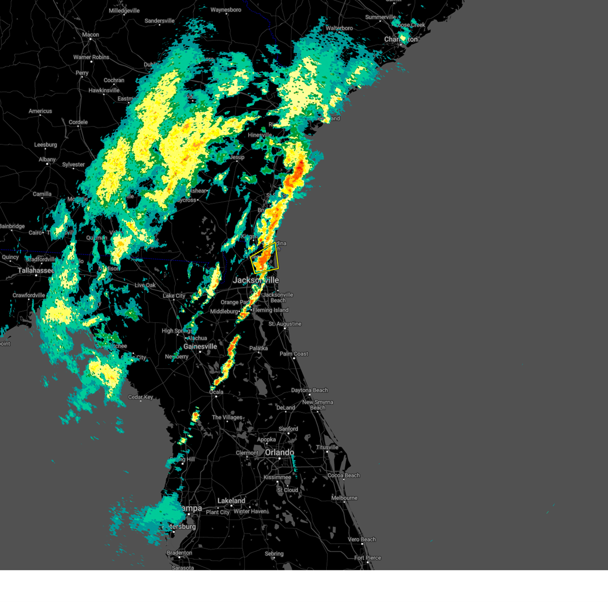 Svrjax the national weather service in jacksonville has issued a * severe thunderstorm warning for, northeastern nassau county in northeastern florida, northeastern duval county in northeastern florida, southeastern camden county in southeastern georgia, * until 915 pm edt. * at 840 pm edt, a severe thunderstorm was located near oceanway, or 8 miles northeast of jacksonville international arpt, moving northeast at 50 mph (radar indicated). Hazards include 60 mph wind gusts. expect damage to roofs, siding, and trees Svrjax the national weather service in jacksonville has issued a * severe thunderstorm warning for, northeastern nassau county in northeastern florida, northeastern duval county in northeastern florida, southeastern camden county in southeastern georgia, * until 915 pm edt. * at 840 pm edt, a severe thunderstorm was located near oceanway, or 8 miles northeast of jacksonville international arpt, moving northeast at 50 mph (radar indicated). Hazards include 60 mph wind gusts. expect damage to roofs, siding, and trees
|
| 3/16/2025 12:17 PM EDT |
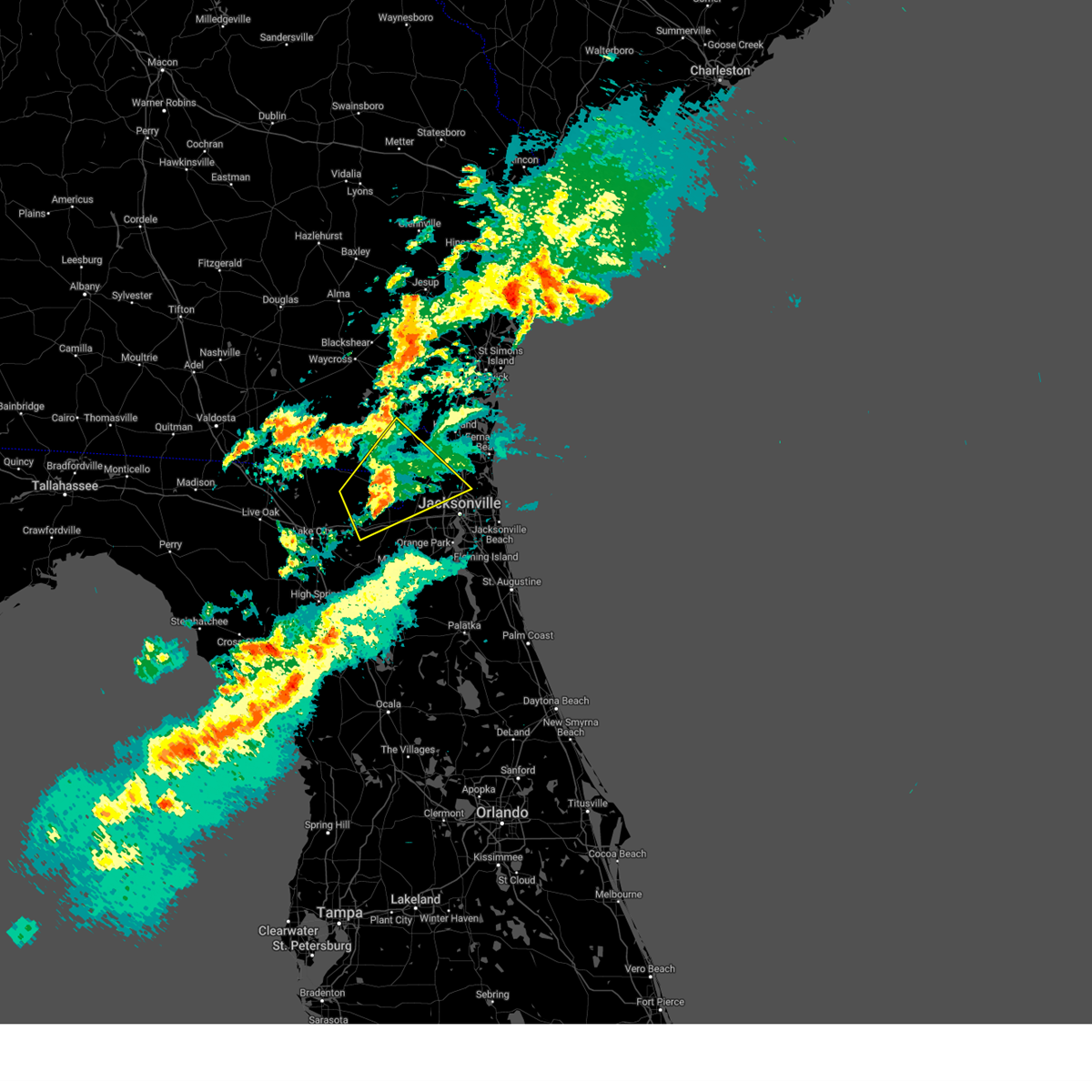 the severe thunderstorm warning has been cancelled and is no longer in effect the severe thunderstorm warning has been cancelled and is no longer in effect
|
| 3/16/2025 12:04 PM EDT |
 At 1204 pm edt, a severe thunderstorm was located near st. george, or 9 miles southwest of hilliard, moving northeast at 50 mph (radar indicated). Hazards include 60 mph wind gusts and penny size hail. Expect damage to roofs, siding, and trees. locations impacted include, callahan, taylor, st. George, jacksonville international arpt, macclenny, bryceville, nassau village-ratliff, ratliff, oceanway, and sanderson. At 1204 pm edt, a severe thunderstorm was located near st. george, or 9 miles southwest of hilliard, moving northeast at 50 mph (radar indicated). Hazards include 60 mph wind gusts and penny size hail. Expect damage to roofs, siding, and trees. locations impacted include, callahan, taylor, st. George, jacksonville international arpt, macclenny, bryceville, nassau village-ratliff, ratliff, oceanway, and sanderson.
|
| 3/16/2025 12:04 PM EDT |
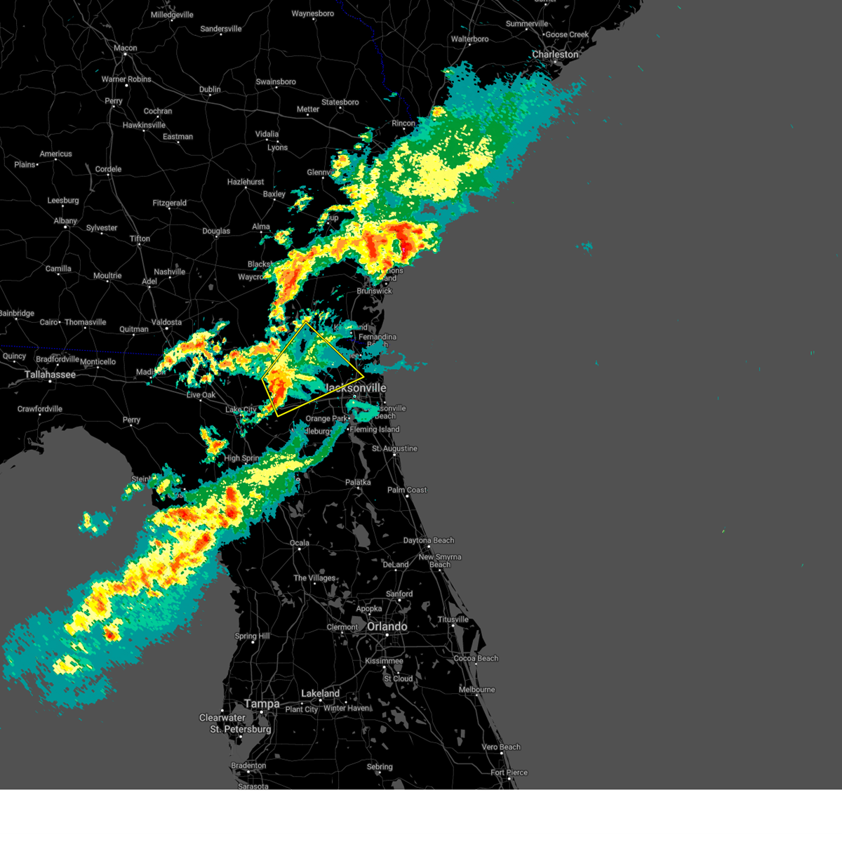 the severe thunderstorm warning has been cancelled and is no longer in effect the severe thunderstorm warning has been cancelled and is no longer in effect
|
| 3/16/2025 11:46 AM EDT |
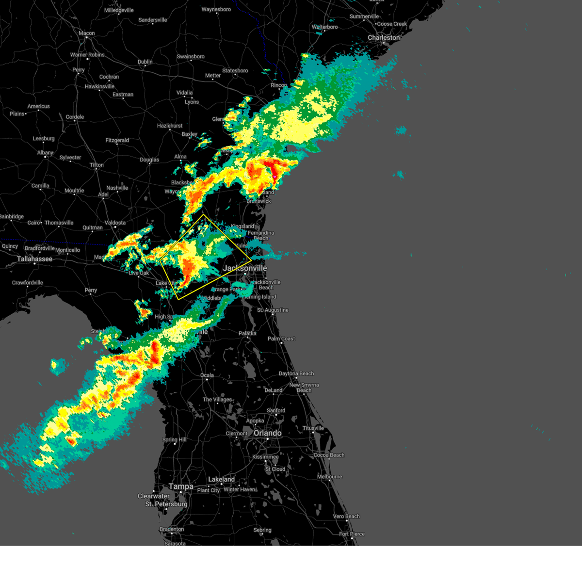 Svrjax the national weather service in jacksonville has issued a * severe thunderstorm warning for, western nassau county in northeastern florida, baker county in northeastern florida, northwestern union county in northern florida, northeastern columbia county in northern florida, northwestern duval county in northeastern florida, east central hamilton county in northern florida, southeastern ware county in southeastern georgia, southeastern clinch county in southeastern georgia, central charlton county in southeastern georgia, * until 1230 pm edt. * at 1146 am edt, a severe thunderstorm was located near taylor, or 22 miles southeast of fargo, moving northeast at 50 mph (radar indicated). Hazards include 60 mph wind gusts and penny size hail. expect damage to roofs, siding, and trees Svrjax the national weather service in jacksonville has issued a * severe thunderstorm warning for, western nassau county in northeastern florida, baker county in northeastern florida, northwestern union county in northern florida, northeastern columbia county in northern florida, northwestern duval county in northeastern florida, east central hamilton county in northern florida, southeastern ware county in southeastern georgia, southeastern clinch county in southeastern georgia, central charlton county in southeastern georgia, * until 1230 pm edt. * at 1146 am edt, a severe thunderstorm was located near taylor, or 22 miles southeast of fargo, moving northeast at 50 mph (radar indicated). Hazards include 60 mph wind gusts and penny size hail. expect damage to roofs, siding, and trees
|
| 3/16/2025 11:13 AM EDT | Svrjax the national weather service in jacksonville has issued a * severe thunderstorm warning for, southwestern nassau county in northeastern florida, baker county in northeastern florida, northwestern union county in northern florida, columbia county in northern florida, northeastern suwannee county in northern florida, west central duval county in northeastern florida, southeastern hamilton county in northern florida, south central ware county in southeastern georgia, southeastern clinch county in southeastern georgia, south central charlton county in southeastern georgia, * until 1145 am edt. * at 1113 am edt, a severe thunderstorm was located over five points, or over lake city, moving northeast at 60 mph (radar indicated). Hazards include 60 mph wind gusts and penny size hail. expect damage to roofs, siding, and trees |
| 3/10/2025 9:43 AM EDT |
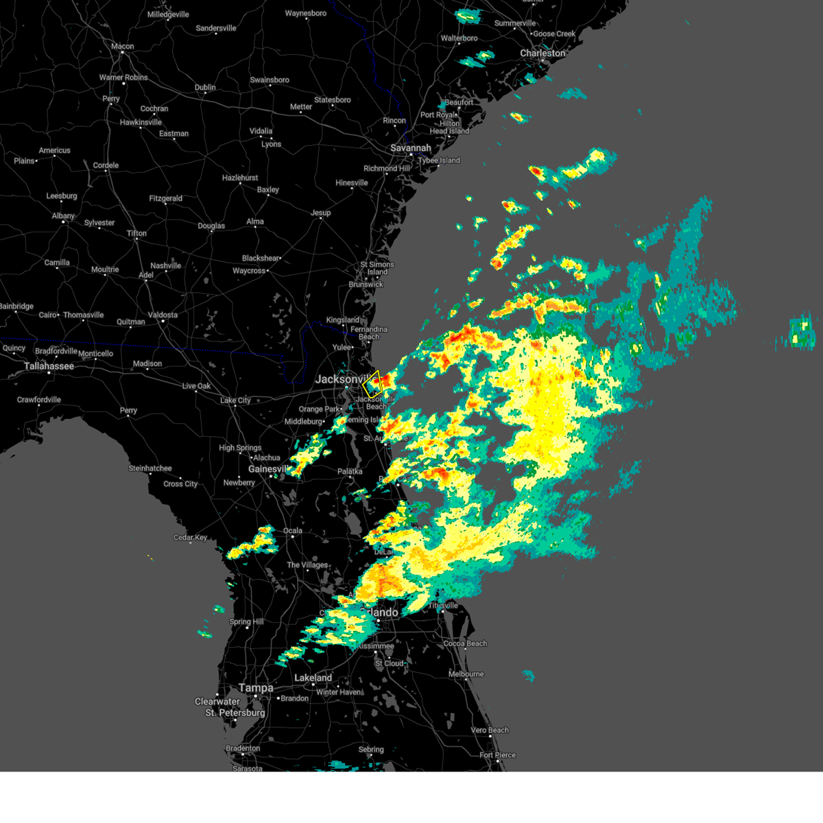 The storm which prompted the warning has moved out of the area. therefore, the warning will be allowed to expire. however, gusty winds are still possible with this thunderstorm. The storm which prompted the warning has moved out of the area. therefore, the warning will be allowed to expire. however, gusty winds are still possible with this thunderstorm.
|
| 3/10/2025 9:38 AM EDT |
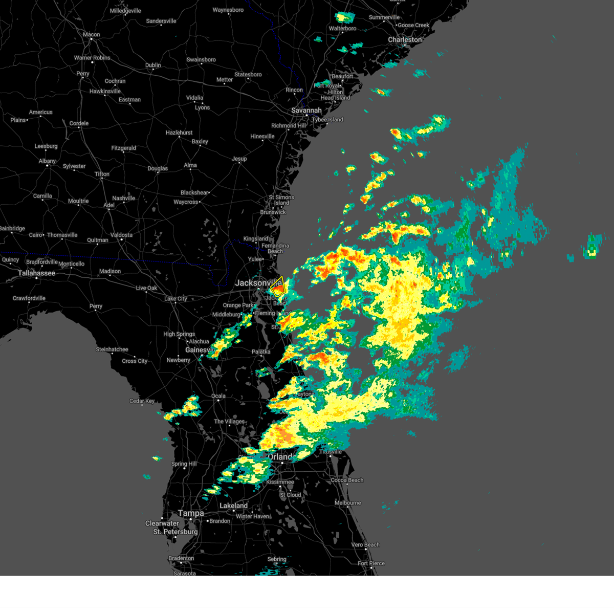 At 938 am edt, a severe thunderstorm was located over mayport, or 10 miles north of ponte vedra beach, moving northeast at 65 mph (radar indicated). Hazards include 60 mph wind gusts and quarter size hail. Hail damage to vehicles is expected. expect wind damage to roofs, siding, and trees. Locations impacted include, atlantic beach, san pablo, jacksonville beach, mayport, and neptune beach. At 938 am edt, a severe thunderstorm was located over mayport, or 10 miles north of ponte vedra beach, moving northeast at 65 mph (radar indicated). Hazards include 60 mph wind gusts and quarter size hail. Hail damage to vehicles is expected. expect wind damage to roofs, siding, and trees. Locations impacted include, atlantic beach, san pablo, jacksonville beach, mayport, and neptune beach.
|
| 3/10/2025 9:29 AM EDT |
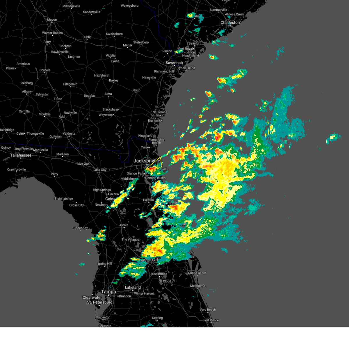 At 929 am edt, a severe thunderstorm was located over unf, moving northeast at 65 mph (radar indicated). Hazards include 60 mph wind gusts and quarter size hail. Hail damage to vehicles is expected. expect wind damage to roofs, siding, and trees. Locations impacted include, atlantic beach, jacksonville beach, baymeadows, mayport, neptune beach, craig field, san pablo, and unf. At 929 am edt, a severe thunderstorm was located over unf, moving northeast at 65 mph (radar indicated). Hazards include 60 mph wind gusts and quarter size hail. Hail damage to vehicles is expected. expect wind damage to roofs, siding, and trees. Locations impacted include, atlantic beach, jacksonville beach, baymeadows, mayport, neptune beach, craig field, san pablo, and unf.
|
| 3/10/2025 9:21 AM EDT |
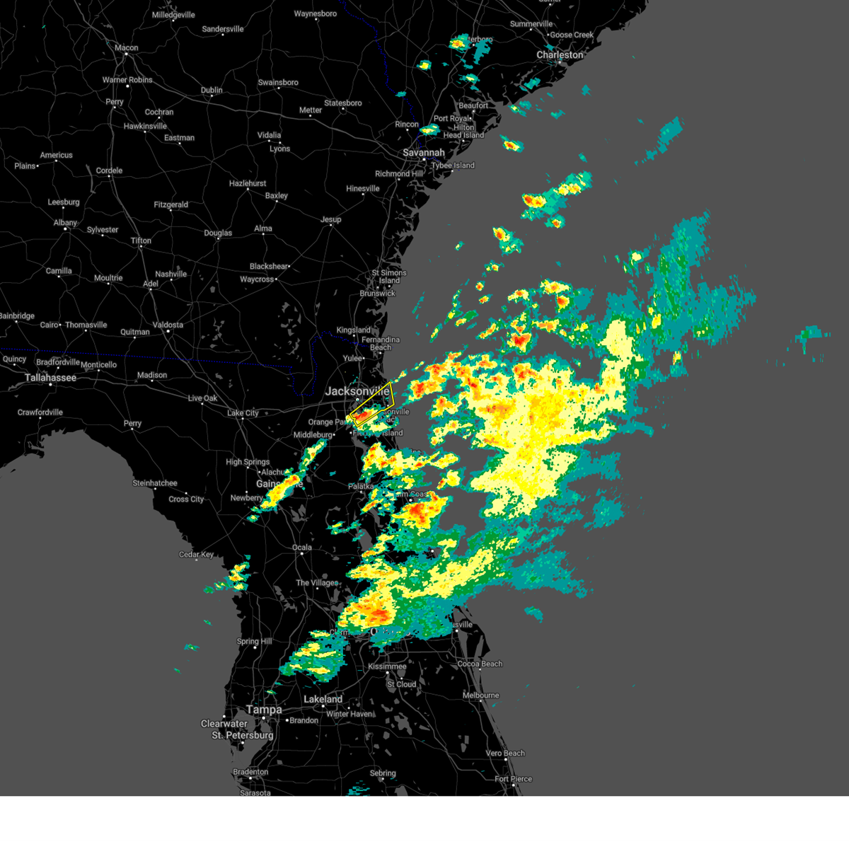 Svrjax the national weather service in jacksonville has issued a * severe thunderstorm warning for, southeastern duval county in northeastern florida, * until 945 am edt. * at 921 am edt, a severe thunderstorm was located near baymeadows, or near mandarin, moving northeast at 65 mph (radar indicated). Hazards include 60 mph wind gusts and quarter size hail. Hail damage to vehicles is expected. Expect wind damage to roofs, siding, and trees. Svrjax the national weather service in jacksonville has issued a * severe thunderstorm warning for, southeastern duval county in northeastern florida, * until 945 am edt. * at 921 am edt, a severe thunderstorm was located near baymeadows, or near mandarin, moving northeast at 65 mph (radar indicated). Hazards include 60 mph wind gusts and quarter size hail. Hail damage to vehicles is expected. Expect wind damage to roofs, siding, and trees.
|
| 3/9/2025 11:07 AM EDT |
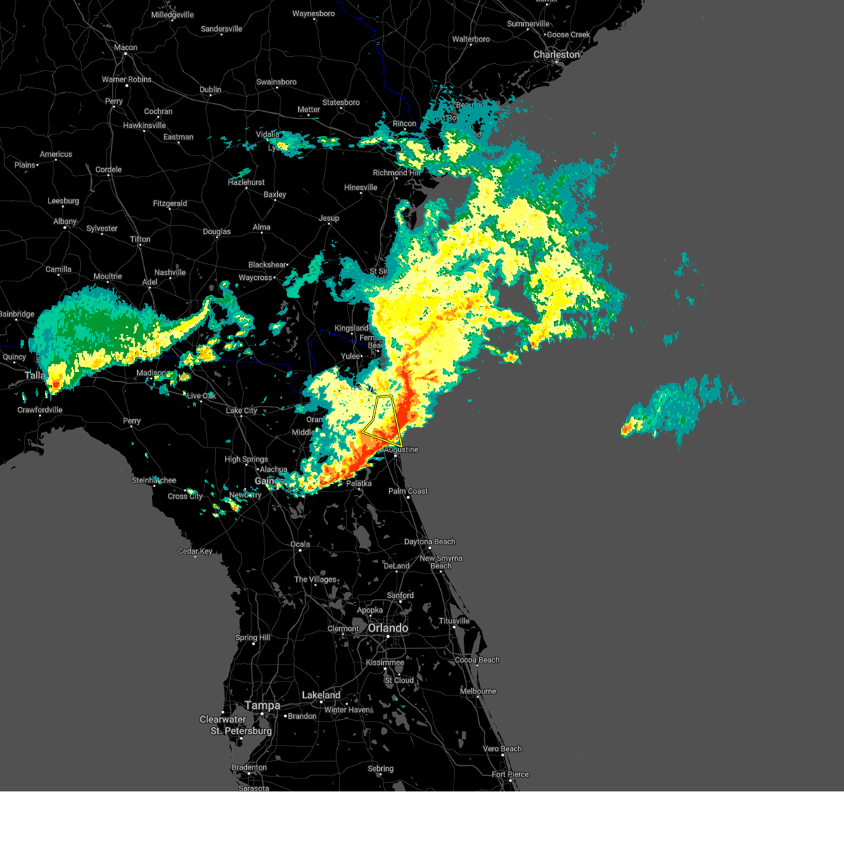 The storms which prompted the warning have moved out of the area. therefore, the warning will be allowed to expire. The storms which prompted the warning have moved out of the area. therefore, the warning will be allowed to expire.
|
| 3/9/2025 10:51 AM EDT |
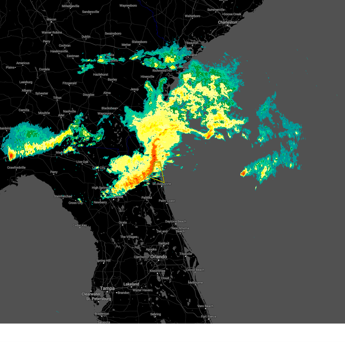 Svrjax the national weather service in jacksonville has issued a * severe thunderstorm warning for, northern st. johns county in northeastern florida, southeastern duval county in northeastern florida, * until 1115 am edt. * at 1051 am edt, severe thunderstorms were located along a line extending from near palm valley to near nocatee to bayard, moving east at 40 mph (radar indicated). Hazards include 60 mph wind gusts and penny size hail. expect damage to roofs, siding, and trees Svrjax the national weather service in jacksonville has issued a * severe thunderstorm warning for, northern st. johns county in northeastern florida, southeastern duval county in northeastern florida, * until 1115 am edt. * at 1051 am edt, severe thunderstorms were located along a line extending from near palm valley to near nocatee to bayard, moving east at 40 mph (radar indicated). Hazards include 60 mph wind gusts and penny size hail. expect damage to roofs, siding, and trees
|
| 3/9/2025 10:13 AM EDT |
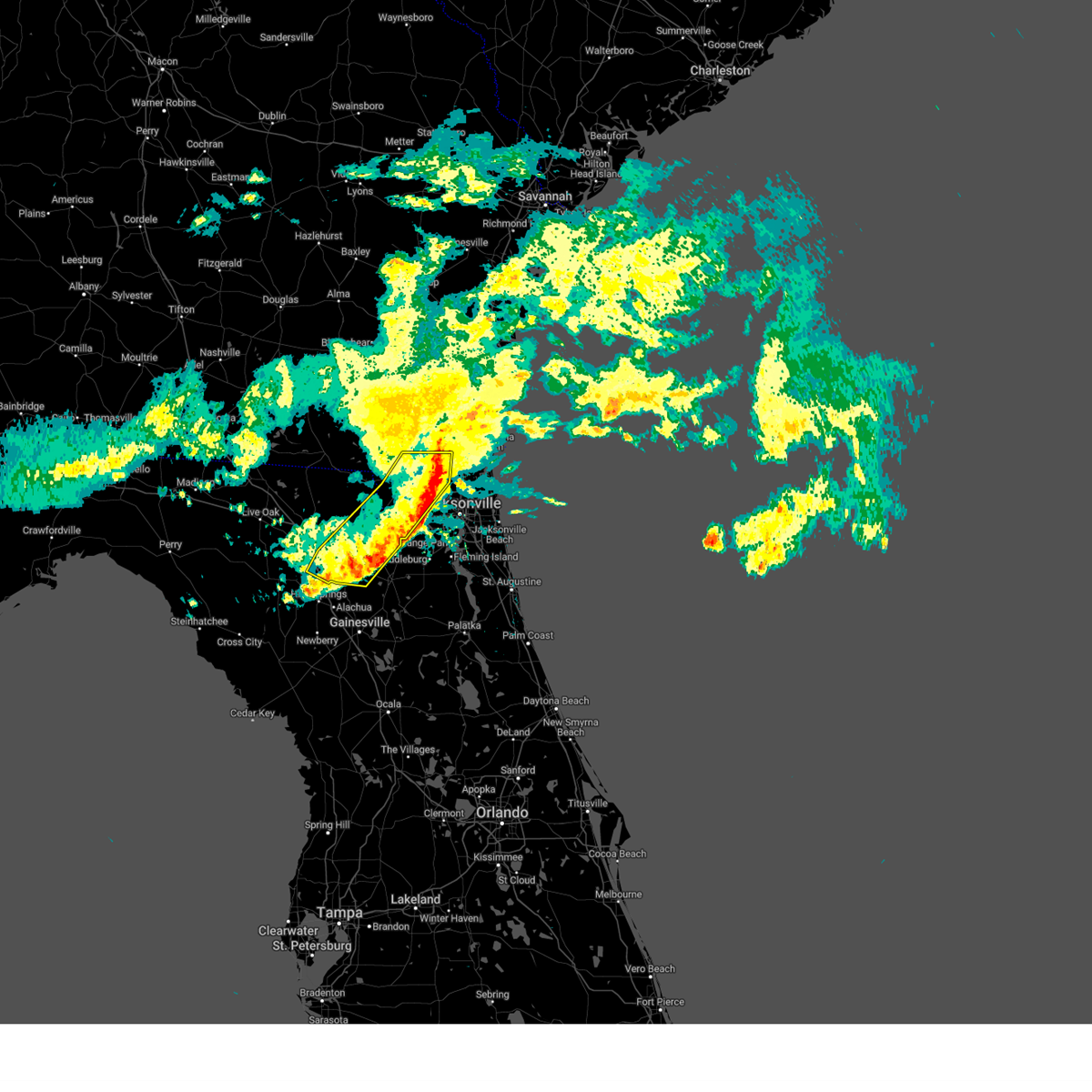 The storms which prompted the warning have weakened below severe limits, and no longer pose an immediate threat to life or property. therefore, the warning will be allowed to expire. however, small hail and strong gusty winds are still possible with these thunderstorms. The storms which prompted the warning have weakened below severe limits, and no longer pose an immediate threat to life or property. therefore, the warning will be allowed to expire. however, small hail and strong gusty winds are still possible with these thunderstorms.
|
| 3/9/2025 10:01 AM EDT |
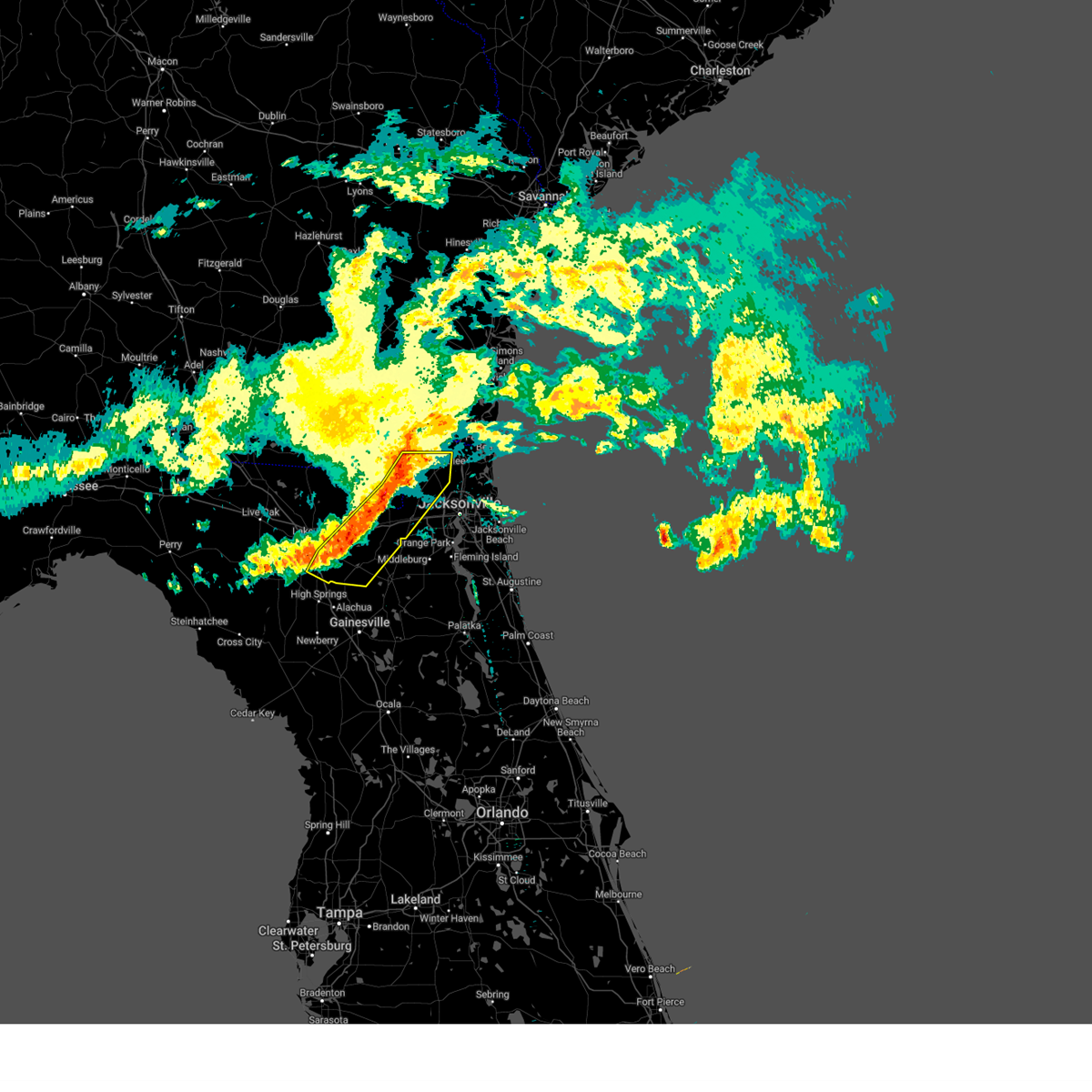 At 1000 am edt, severe thunderstorms were located along a line extending from 6 miles northeast of st. george to near olustee, moving east at 60 mph (radar indicated). Hazards include 60 mph wind gusts and nickel size hail. Expect damage to roofs, siding, and trees. locations impacted include, palestine community, groves, callahan, worthington spring, st. George, johnstown, raiford, new river, macclenny, and lake butler. At 1000 am edt, severe thunderstorms were located along a line extending from 6 miles northeast of st. george to near olustee, moving east at 60 mph (radar indicated). Hazards include 60 mph wind gusts and nickel size hail. Expect damage to roofs, siding, and trees. locations impacted include, palestine community, groves, callahan, worthington spring, st. George, johnstown, raiford, new river, macclenny, and lake butler.
|
| 3/9/2025 9:44 AM EDT |
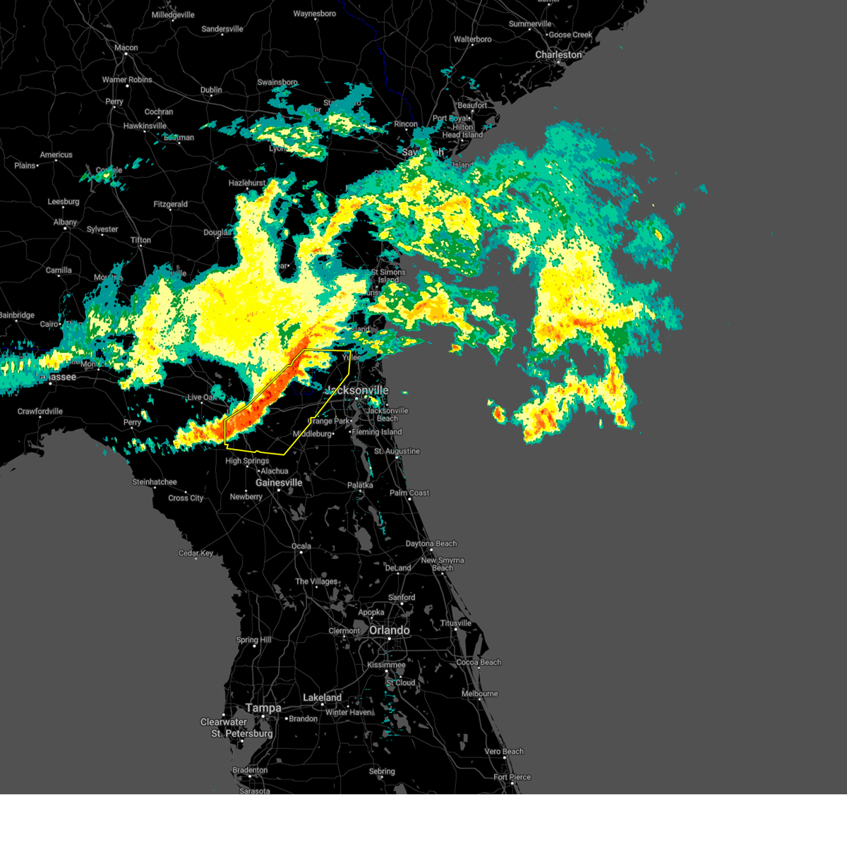 Svrjax the national weather service in jacksonville has issued a * severe thunderstorm warning for, southwestern nassau county in northeastern florida, northwestern bradford county in northern florida, baker county in northeastern florida, union county in northern florida, central columbia county in northern florida, northwestern duval county in northeastern florida, southeastern charlton county in southeastern georgia, * until 1015 am edt. * at 944 am edt, severe thunderstorms were located along a line extending from 8 miles northeast of taylor to near lake city, moving east at 60 mph (radar indicated). Hazards include 60 mph wind gusts and quarter size hail. Hail damage to vehicles is expected. Expect wind damage to roofs, siding, and trees. Svrjax the national weather service in jacksonville has issued a * severe thunderstorm warning for, southwestern nassau county in northeastern florida, northwestern bradford county in northern florida, baker county in northeastern florida, union county in northern florida, central columbia county in northern florida, northwestern duval county in northeastern florida, southeastern charlton county in southeastern georgia, * until 1015 am edt. * at 944 am edt, severe thunderstorms were located along a line extending from 8 miles northeast of taylor to near lake city, moving east at 60 mph (radar indicated). Hazards include 60 mph wind gusts and quarter size hail. Hail damage to vehicles is expected. Expect wind damage to roofs, siding, and trees.
|
| 2/16/2025 11:48 AM EST |
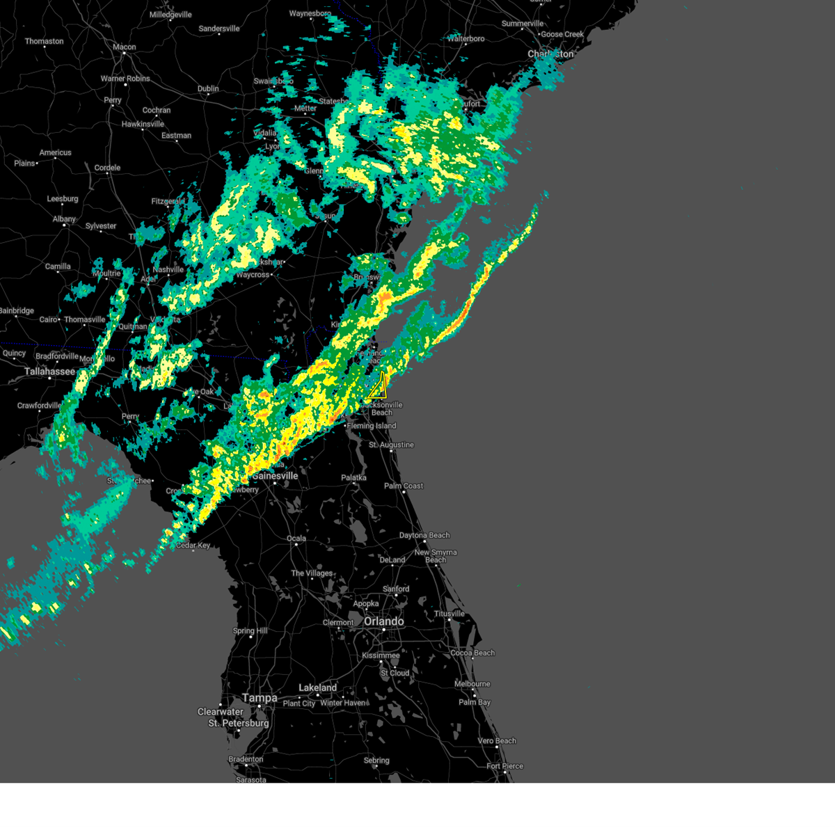 the severe thunderstorm warning has been cancelled and is no longer in effect the severe thunderstorm warning has been cancelled and is no longer in effect
|
| 2/16/2025 11:44 AM EST |
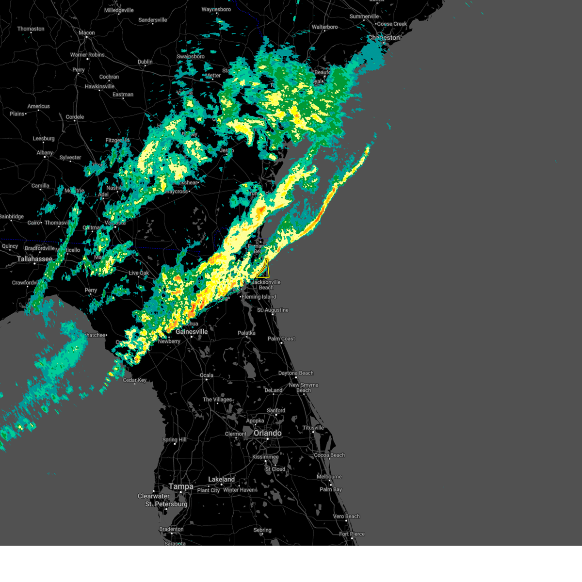 At 1144 am est, severe thunderstorms were located along a line extending from 8 miles northeast of little talbot island to near mayport to near unf, moving east at 55 mph (radar indicated). Hazards include 60 mph wind gusts. Expect damage to roofs, siding, and trees. Locations impacted include, jacksonville beach, atlantic beach, neptune beach, san pablo, and mayport. At 1144 am est, severe thunderstorms were located along a line extending from 8 miles northeast of little talbot island to near mayport to near unf, moving east at 55 mph (radar indicated). Hazards include 60 mph wind gusts. Expect damage to roofs, siding, and trees. Locations impacted include, jacksonville beach, atlantic beach, neptune beach, san pablo, and mayport.
|
| 2/16/2025 11:34 AM EST | Traffic accident reported of a dump truck turned over off of i-95 and airport rd in jacksonville f in duval county FL, 7.2 miles SSW of Jacksonville, FL |
| 2/16/2025 11:34 AM EST |
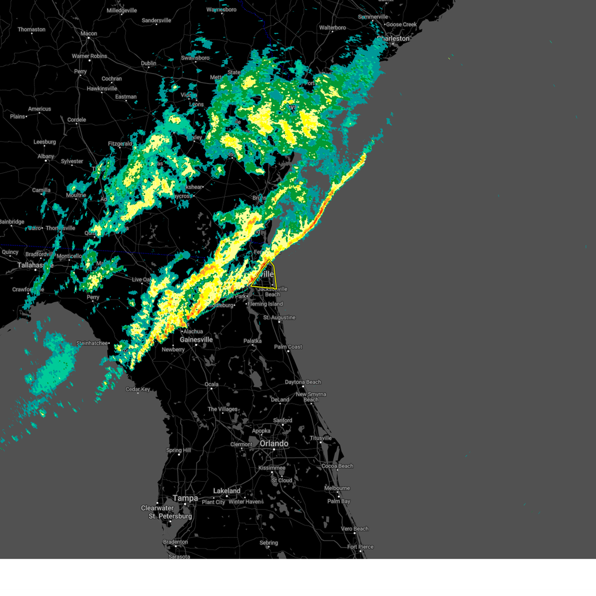 Svrjax the national weather service in jacksonville has issued a * severe thunderstorm warning for, east central duval county in northeastern florida, * until noon est. * at 1134 am est, severe thunderstorms were located along a line extending from near talbot island to fort caroline to near bellair-meadowbrook terrace, moving east at 50 mph (radar indicated). Hazards include 60 mph wind gusts. expect damage to roofs, siding, and trees Svrjax the national weather service in jacksonville has issued a * severe thunderstorm warning for, east central duval county in northeastern florida, * until noon est. * at 1134 am est, severe thunderstorms were located along a line extending from near talbot island to fort caroline to near bellair-meadowbrook terrace, moving east at 50 mph (radar indicated). Hazards include 60 mph wind gusts. expect damage to roofs, siding, and trees
|
| 2/16/2025 11:25 AM EST | Partial collapse of columns and beams at the construction site of new jacksonville fairgrounds due to thunderstorm winds. time estimated via radar and reported gust of in duval county FL, 16 miles NE of Jacksonville, FL |
| 2/16/2025 10:54 AM EST |
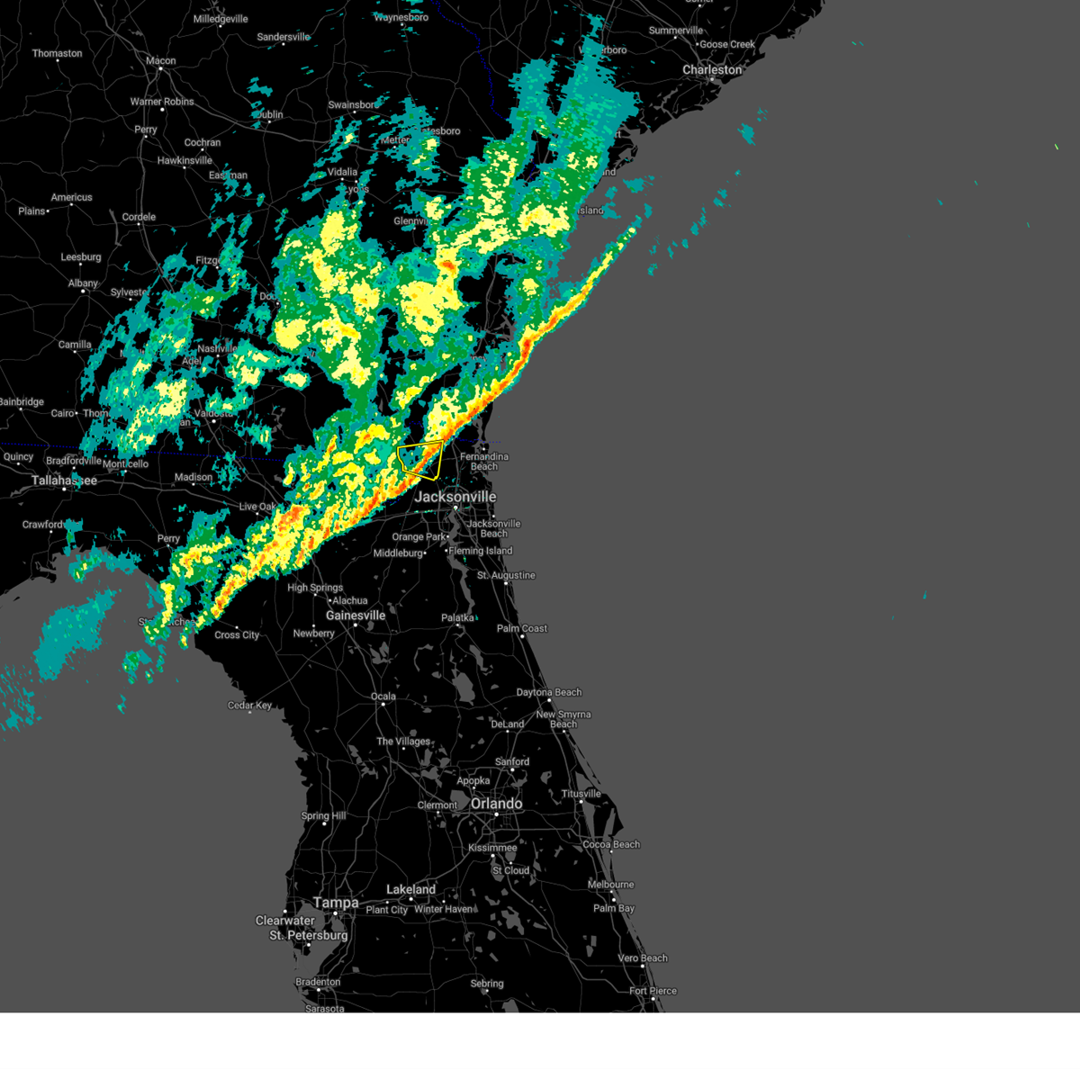 The storm which prompted the warning has weakened below severe limits, and no longer poses an immediate threat to life or property. therefore, the warning will be allowed to expire. a severe thunderstorm watch remains in effect until 100 pm est for northeastern florida, and southeastern georgia. The storm which prompted the warning has weakened below severe limits, and no longer poses an immediate threat to life or property. therefore, the warning will be allowed to expire. a severe thunderstorm watch remains in effect until 100 pm est for northeastern florida, and southeastern georgia.
|
| 2/16/2025 10:39 AM EST |
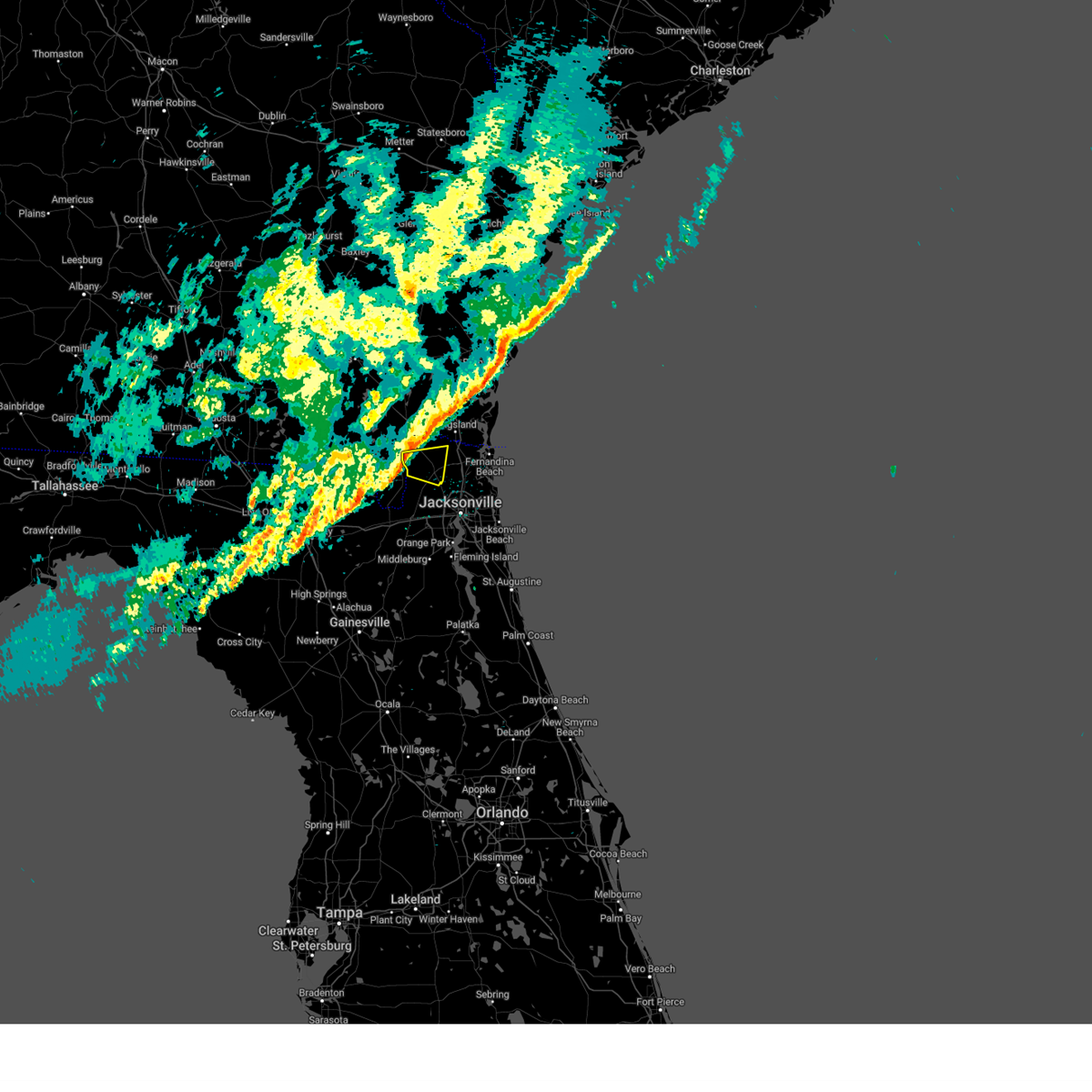 At 1039 am est, a severe thunderstorm was located near hilliard, moving east at 50 mph (radar indicated). Hazards include 60 mph wind gusts. Expect damage to roofs, siding, and trees. Locations impacted include, hilliard, callahan, ratliff, and nassau village-ratliff. At 1039 am est, a severe thunderstorm was located near hilliard, moving east at 50 mph (radar indicated). Hazards include 60 mph wind gusts. Expect damage to roofs, siding, and trees. Locations impacted include, hilliard, callahan, ratliff, and nassau village-ratliff.
|
| 2/16/2025 10:39 AM EST |
 the severe thunderstorm warning has been cancelled and is no longer in effect the severe thunderstorm warning has been cancelled and is no longer in effect
|
| 2/16/2025 10:32 AM EST |
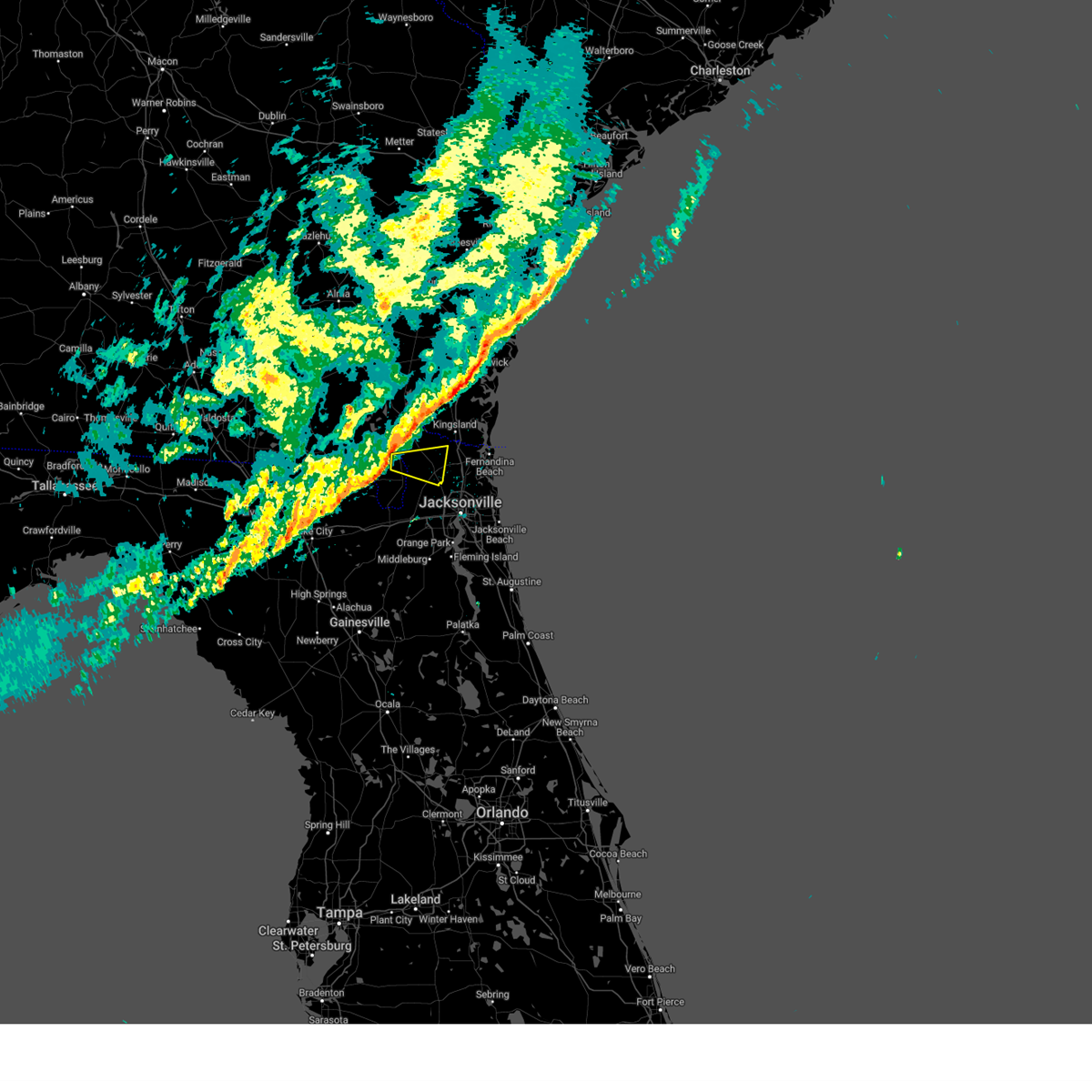 Svrjax the national weather service in jacksonville has issued a * severe thunderstorm warning for, northwestern nassau county in northeastern florida, east central charlton county in southeastern georgia, * until 1100 am est. * at 1032 am est, a severe thunderstorm was located 7 miles north of st. george, or 9 miles southwest of hilliard, moving east at 50 mph (radar indicated). Hazards include 60 mph wind gusts. possible tornado. expect damage to roofs, siding, and trees Svrjax the national weather service in jacksonville has issued a * severe thunderstorm warning for, northwestern nassau county in northeastern florida, east central charlton county in southeastern georgia, * until 1100 am est. * at 1032 am est, a severe thunderstorm was located 7 miles north of st. george, or 9 miles southwest of hilliard, moving east at 50 mph (radar indicated). Hazards include 60 mph wind gusts. possible tornado. expect damage to roofs, siding, and trees
|
| 12/11/2024 12:18 PM EST | Awos station knrb mayport naval statio in duval county FL, 15.9 miles W of Jacksonville, FL |
| 9/26/2024 6:01 PM EDT |
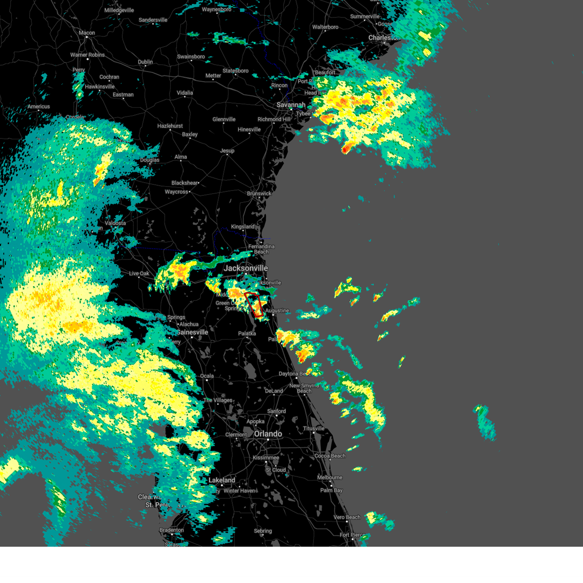 the tornado warning has been cancelled and is no longer in effect the tornado warning has been cancelled and is no longer in effect
|
| 9/26/2024 5:55 PM EDT |
 Torjax the national weather service in jacksonville has issued a * tornado warning for, northwestern st. johns county in northeastern florida, * until 615 pm edt. * at 555 pm edt, a severe thunderstorm capable of producing a tornado was located near picolata, or 11 miles southeast of green cove springs, moving north at 35 mph (radar indicated rotation). Hazards include tornado. Flying debris will be dangerous to those caught without shelter. mobile homes will be damaged or destroyed. damage to roofs, windows, and vehicles will occur. tree damage is likely. this dangerous storm will be near, world golf village around 600 pm edt. fruit cove around 610 pm edt. Other locations impacted by this tornadic thunderstorm include bakersville. Torjax the national weather service in jacksonville has issued a * tornado warning for, northwestern st. johns county in northeastern florida, * until 615 pm edt. * at 555 pm edt, a severe thunderstorm capable of producing a tornado was located near picolata, or 11 miles southeast of green cove springs, moving north at 35 mph (radar indicated rotation). Hazards include tornado. Flying debris will be dangerous to those caught without shelter. mobile homes will be damaged or destroyed. damage to roofs, windows, and vehicles will occur. tree damage is likely. this dangerous storm will be near, world golf village around 600 pm edt. fruit cove around 610 pm edt. Other locations impacted by this tornadic thunderstorm include bakersville.
|
| 8/19/2024 4:44 PM EDT |
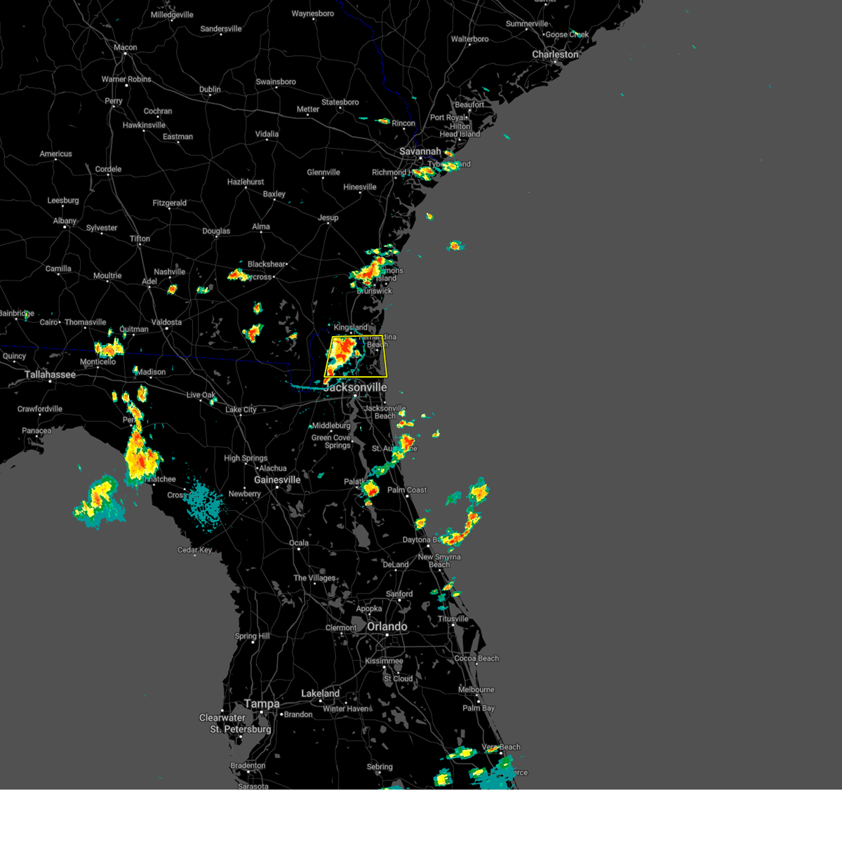 At 443 pm edt, a severe thunderstorm was located near yulee, or 9 miles southwest of st. marys, moving east at 30 mph (radar indicated). Hazards include 60 mph wind gusts. Expect damage to roofs, siding, and trees. locations impacted include, st. Marys, fernandina beach, callahan, jacksonville international arpt, yulee, nassau village-ratliff, and ratliff. At 443 pm edt, a severe thunderstorm was located near yulee, or 9 miles southwest of st. marys, moving east at 30 mph (radar indicated). Hazards include 60 mph wind gusts. Expect damage to roofs, siding, and trees. locations impacted include, st. Marys, fernandina beach, callahan, jacksonville international arpt, yulee, nassau village-ratliff, and ratliff.
|
| 8/19/2024 4:11 PM EDT |
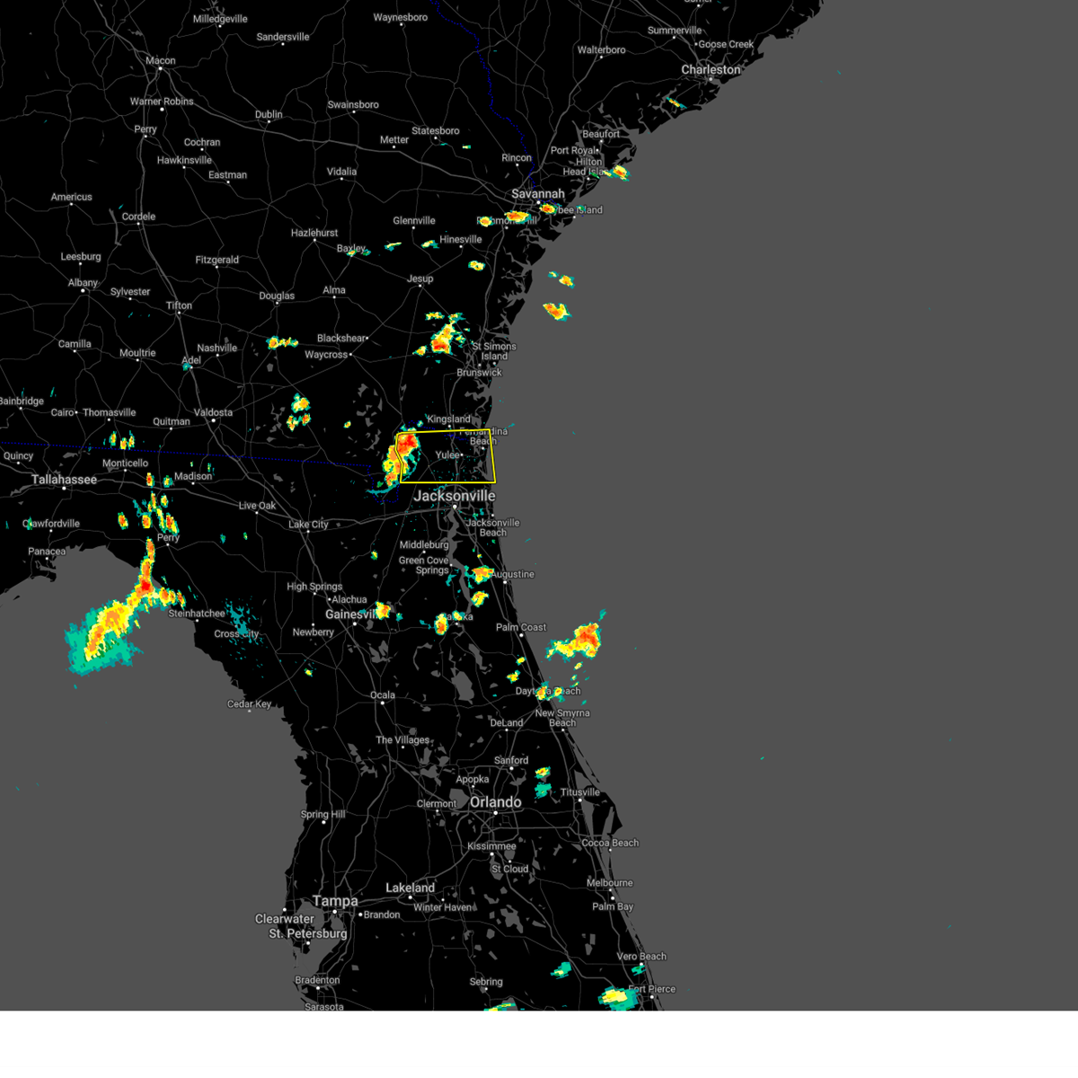 Svrjax the national weather service in jacksonville has issued a * severe thunderstorm warning for, nassau county in northeastern florida, northeastern duval county in northeastern florida, southeastern camden county in southeastern georgia, * until 500 pm edt. * at 410 pm edt, a severe thunderstorm was located near hilliard, moving east at 30 mph (radar indicated). Hazards include 60 mph wind gusts. expect damage to roofs, siding, and trees Svrjax the national weather service in jacksonville has issued a * severe thunderstorm warning for, nassau county in northeastern florida, northeastern duval county in northeastern florida, southeastern camden county in southeastern georgia, * until 500 pm edt. * at 410 pm edt, a severe thunderstorm was located near hilliard, moving east at 30 mph (radar indicated). Hazards include 60 mph wind gusts. expect damage to roofs, siding, and trees
|
| 8/5/2024 5:50 PM EDT |
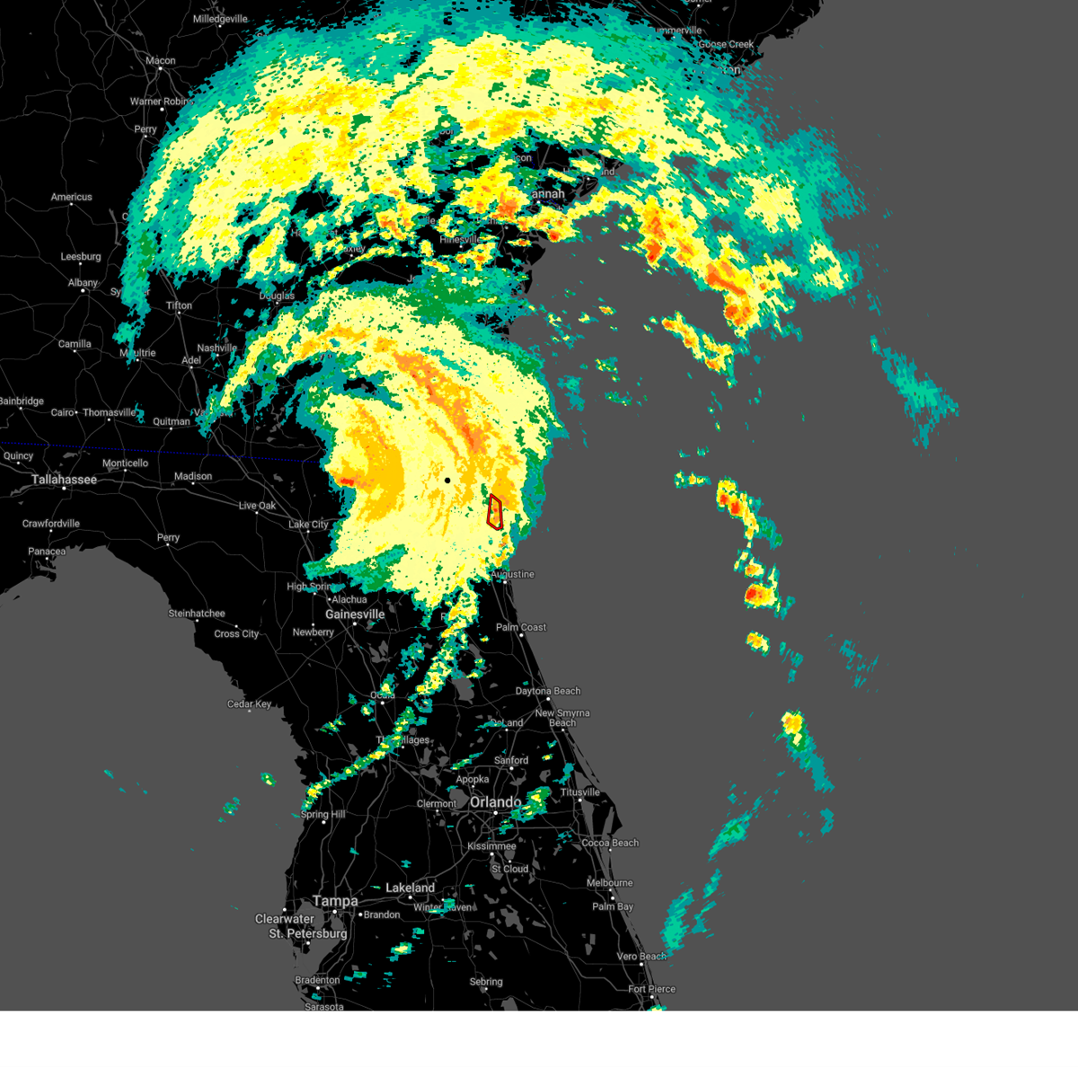 The storm which prompted the warning has moved out of the area. therefore, the warning will be allowed to expire. however, gusty winds and heavy rain are still possible with this thunderstorm. a tornado watch remains in effect until 600 pm edt for northeastern florida. The storm which prompted the warning has moved out of the area. therefore, the warning will be allowed to expire. however, gusty winds and heavy rain are still possible with this thunderstorm. a tornado watch remains in effect until 600 pm edt for northeastern florida.
|
| 8/5/2024 5:46 PM EDT |
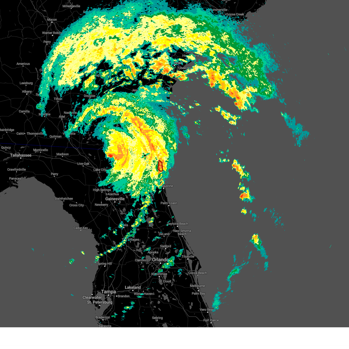 At 546 pm edt, a severe thunderstorm capable of producing a tornado was located over jacksonville beach, or near ponte vedra beach, moving north at 40 mph (radar indicated rotation). Hazards include tornado. Flying debris will be dangerous to those caught without shelter. mobile homes will be damaged or destroyed. damage to roofs, windows, and vehicles will occur. tree damage is likely. This dangerous storm will be near, jacksonville beach, atlantic beach, and neptune beach around 550 pm edt. At 546 pm edt, a severe thunderstorm capable of producing a tornado was located over jacksonville beach, or near ponte vedra beach, moving north at 40 mph (radar indicated rotation). Hazards include tornado. Flying debris will be dangerous to those caught without shelter. mobile homes will be damaged or destroyed. damage to roofs, windows, and vehicles will occur. tree damage is likely. This dangerous storm will be near, jacksonville beach, atlantic beach, and neptune beach around 550 pm edt.
|
| 8/5/2024 5:37 PM EDT |
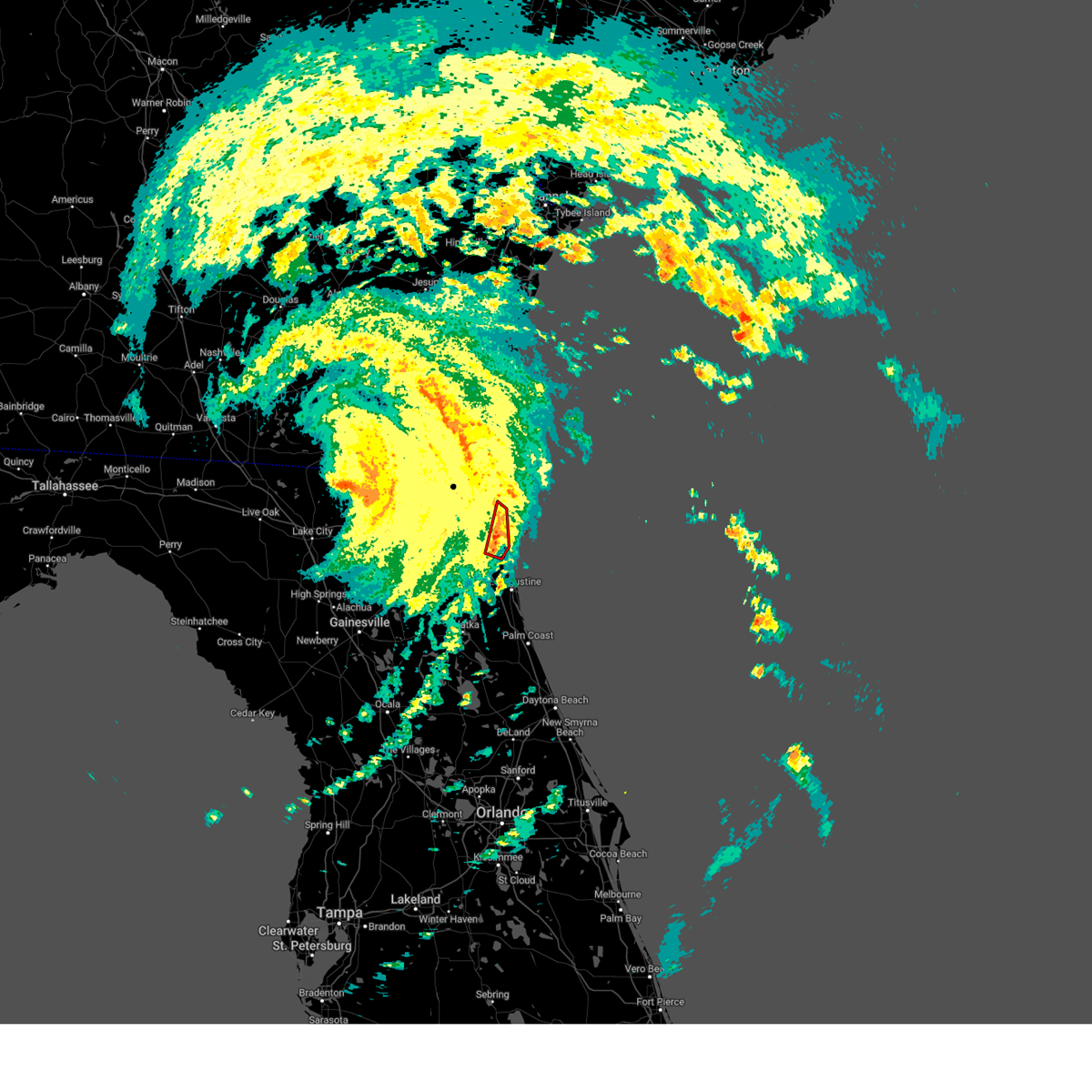 At 537 pm edt, a severe thunderstorm capable of producing a tornado was located over nocatee, or 9 miles south of ponte vedra beach, moving north at 35 mph (radar indicated rotation). Hazards include tornado. Flying debris will be dangerous to those caught without shelter. mobile homes will be damaged or destroyed. damage to roofs, windows, and vehicles will occur. tree damage is likely. this dangerous storm will be near, jacksonville, ponte vedra beach, palm valley, and sawgrass around 545 pm edt. jacksonville beach around 550 pm edt. neptune beach around 555 pm edt. Atlantic beach around 600 pm edt. At 537 pm edt, a severe thunderstorm capable of producing a tornado was located over nocatee, or 9 miles south of ponte vedra beach, moving north at 35 mph (radar indicated rotation). Hazards include tornado. Flying debris will be dangerous to those caught without shelter. mobile homes will be damaged or destroyed. damage to roofs, windows, and vehicles will occur. tree damage is likely. this dangerous storm will be near, jacksonville, ponte vedra beach, palm valley, and sawgrass around 545 pm edt. jacksonville beach around 550 pm edt. neptune beach around 555 pm edt. Atlantic beach around 600 pm edt.
|
| 8/5/2024 5:28 PM EDT |
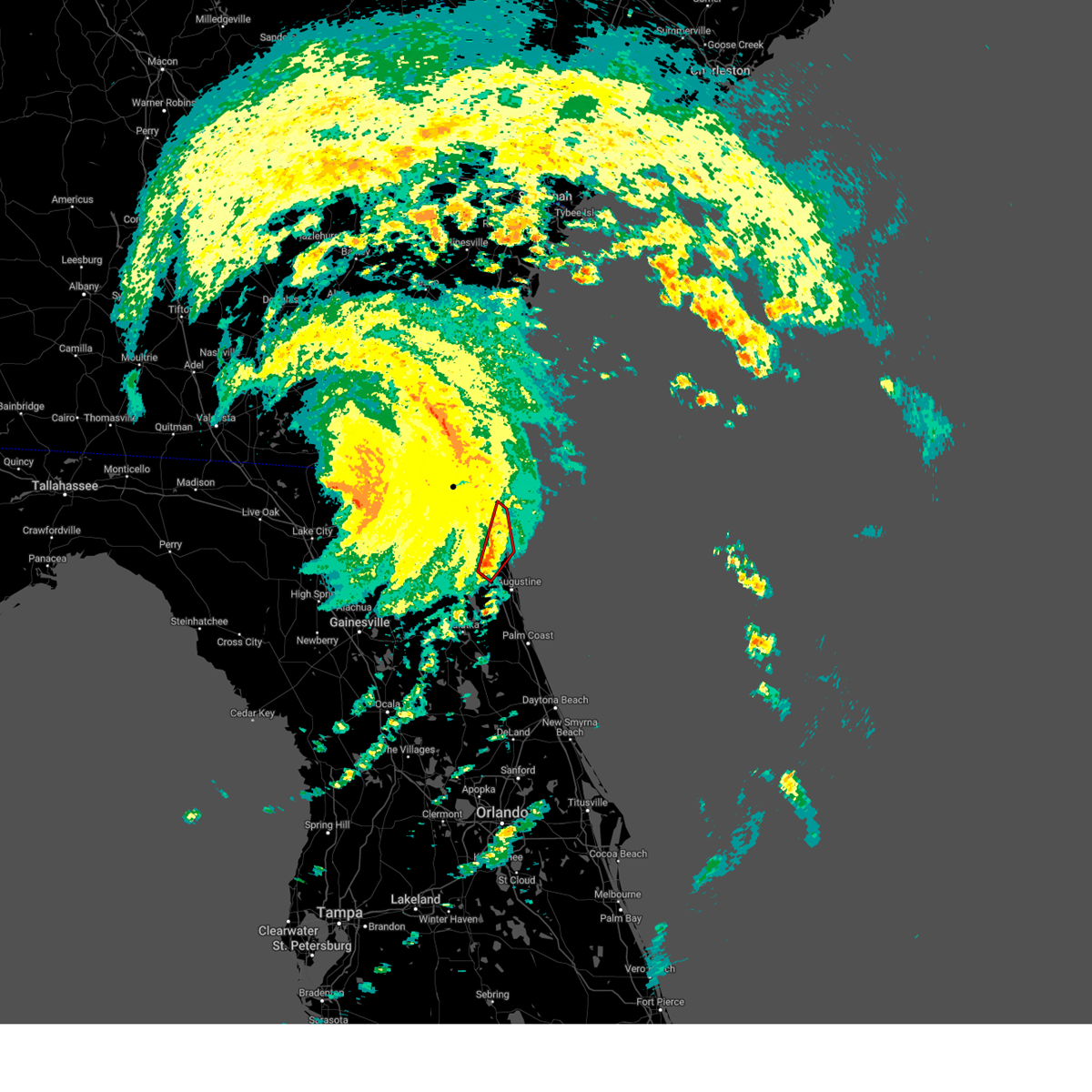 Torjax the national weather service in jacksonville has issued a * tornado warning for, north central st. johns county in northeastern florida, southeastern duval county in northeastern florida, * until 600 pm edt. * at 528 pm edt, a severe thunderstorm capable of producing a tornado was located over world golf village, or 10 miles southeast of fruit cove, moving northeast at 30 mph (radar indicated rotation). Hazards include tornado. Flying debris will be dangerous to those caught without shelter. mobile homes will be damaged or destroyed. damage to roofs, windows, and vehicles will occur. tree damage is likely. this dangerous storm will be near, jacksonville, durbin, nocatee, and palm valley around 535 pm edt. sawgrass around 540 pm edt. Ponte vedra beach around 555 pm edt. Torjax the national weather service in jacksonville has issued a * tornado warning for, north central st. johns county in northeastern florida, southeastern duval county in northeastern florida, * until 600 pm edt. * at 528 pm edt, a severe thunderstorm capable of producing a tornado was located over world golf village, or 10 miles southeast of fruit cove, moving northeast at 30 mph (radar indicated rotation). Hazards include tornado. Flying debris will be dangerous to those caught without shelter. mobile homes will be damaged or destroyed. damage to roofs, windows, and vehicles will occur. tree damage is likely. this dangerous storm will be near, jacksonville, durbin, nocatee, and palm valley around 535 pm edt. sawgrass around 540 pm edt. Ponte vedra beach around 555 pm edt.
|
| 8/5/2024 4:06 PM EDT |
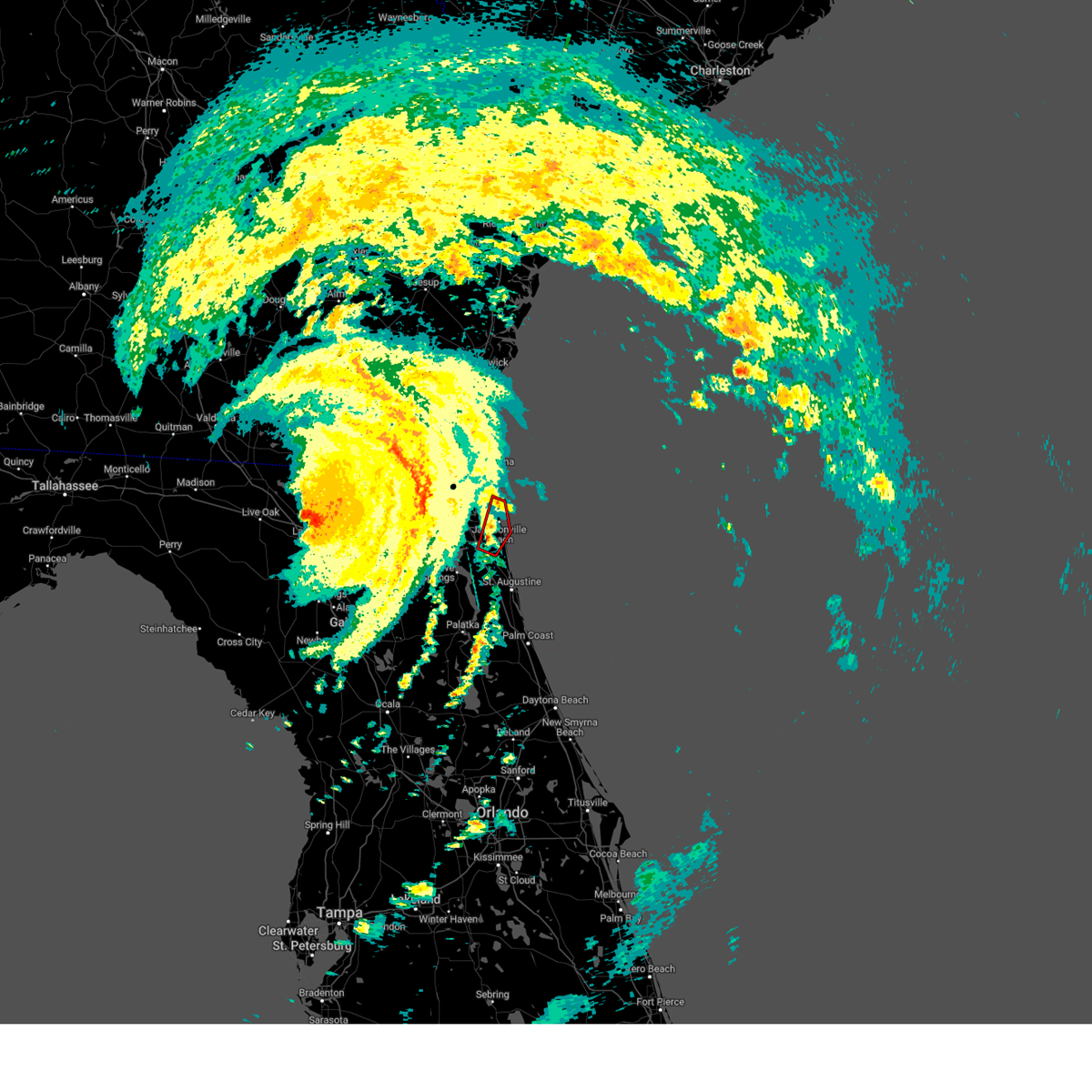 The storm which prompted the warning has weakened below severe limits, and no longer appears capable of producing a tornado. therefore, the warning will be allowed to expire. however, gusty winds and heavy rain are still possible with this thunderstorm. a tornado watch remains in effect until 600 pm edt for northeastern florida. The storm which prompted the warning has weakened below severe limits, and no longer appears capable of producing a tornado. therefore, the warning will be allowed to expire. however, gusty winds and heavy rain are still possible with this thunderstorm. a tornado watch remains in effect until 600 pm edt for northeastern florida.
|
| 8/5/2024 3:55 PM EDT |
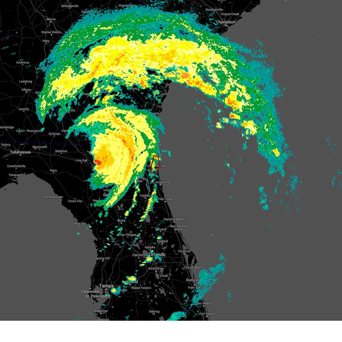 Torjax the national weather service in jacksonville has issued a * tornado warning for, north central st. johns county in northeastern florida, southeastern duval county in northeastern florida, * until 415 pm edt. * at 355 pm edt, a severe thunderstorm capable of producing a tornado was located near palm valley, or near ponte vedra beach, moving northeast at 40 mph (radar indicated rotation). Hazards include tornado. Flying debris will be dangerous to those caught without shelter. mobile homes will be damaged or destroyed. damage to roofs, windows, and vehicles will occur. tree damage is likely. this dangerous storm will be near, jacksonville, ponte vedra beach, jacksonville beach, palm valley, and sawgrass around 400 pm edt. Atlantic beach, neptune beach, and san pablo around 405 pm edt. Torjax the national weather service in jacksonville has issued a * tornado warning for, north central st. johns county in northeastern florida, southeastern duval county in northeastern florida, * until 415 pm edt. * at 355 pm edt, a severe thunderstorm capable of producing a tornado was located near palm valley, or near ponte vedra beach, moving northeast at 40 mph (radar indicated rotation). Hazards include tornado. Flying debris will be dangerous to those caught without shelter. mobile homes will be damaged or destroyed. damage to roofs, windows, and vehicles will occur. tree damage is likely. this dangerous storm will be near, jacksonville, ponte vedra beach, jacksonville beach, palm valley, and sawgrass around 400 pm edt. Atlantic beach, neptune beach, and san pablo around 405 pm edt.
|
| 7/22/2024 3:13 PM EDT |
 the severe thunderstorm warning has been cancelled and is no longer in effect the severe thunderstorm warning has been cancelled and is no longer in effect
|
| 7/22/2024 2:51 PM EDT |
 Svrjax the national weather service in jacksonville has issued a * severe thunderstorm warning for, northwestern st. johns county in northeastern florida, northeastern clay county in northeastern florida, south central duval county in northeastern florida, * until 330 pm edt. * at 251 pm edt, a severe thunderstorm was located near fruit cove, moving southwest at 10 mph (radar indicated). Hazards include 60 mph wind gusts. expect damage to roofs, siding, and trees Svrjax the national weather service in jacksonville has issued a * severe thunderstorm warning for, northwestern st. johns county in northeastern florida, northeastern clay county in northeastern florida, south central duval county in northeastern florida, * until 330 pm edt. * at 251 pm edt, a severe thunderstorm was located near fruit cove, moving southwest at 10 mph (radar indicated). Hazards include 60 mph wind gusts. expect damage to roofs, siding, and trees
|
| 7/19/2024 5:51 PM EDT |
 The storm which prompted the warning has weakened below severe limits, and no longer poses an immediate threat to life or property. therefore, the warning will be allowed to expire. however, gusty winds are still possible with this thunderstorm. The storm which prompted the warning has weakened below severe limits, and no longer poses an immediate threat to life or property. therefore, the warning will be allowed to expire. however, gusty winds are still possible with this thunderstorm.
|
| 7/19/2024 5:34 PM EDT |
 Svrjax the national weather service in jacksonville has issued a * severe thunderstorm warning for, north central nassau county in northeastern florida, north central duval county in northeastern florida, south central camden county in southeastern georgia, * until 600 pm edt. * at 534 pm edt, a severe thunderstorm was located 7 miles northeast of callahan, moving north at 15 mph (radar indicated). Hazards include 60 mph wind gusts. expect damage to roofs, siding, and trees Svrjax the national weather service in jacksonville has issued a * severe thunderstorm warning for, north central nassau county in northeastern florida, north central duval county in northeastern florida, south central camden county in southeastern georgia, * until 600 pm edt. * at 534 pm edt, a severe thunderstorm was located 7 miles northeast of callahan, moving north at 15 mph (radar indicated). Hazards include 60 mph wind gusts. expect damage to roofs, siding, and trees
|
| 7/19/2024 5:06 PM EDT |
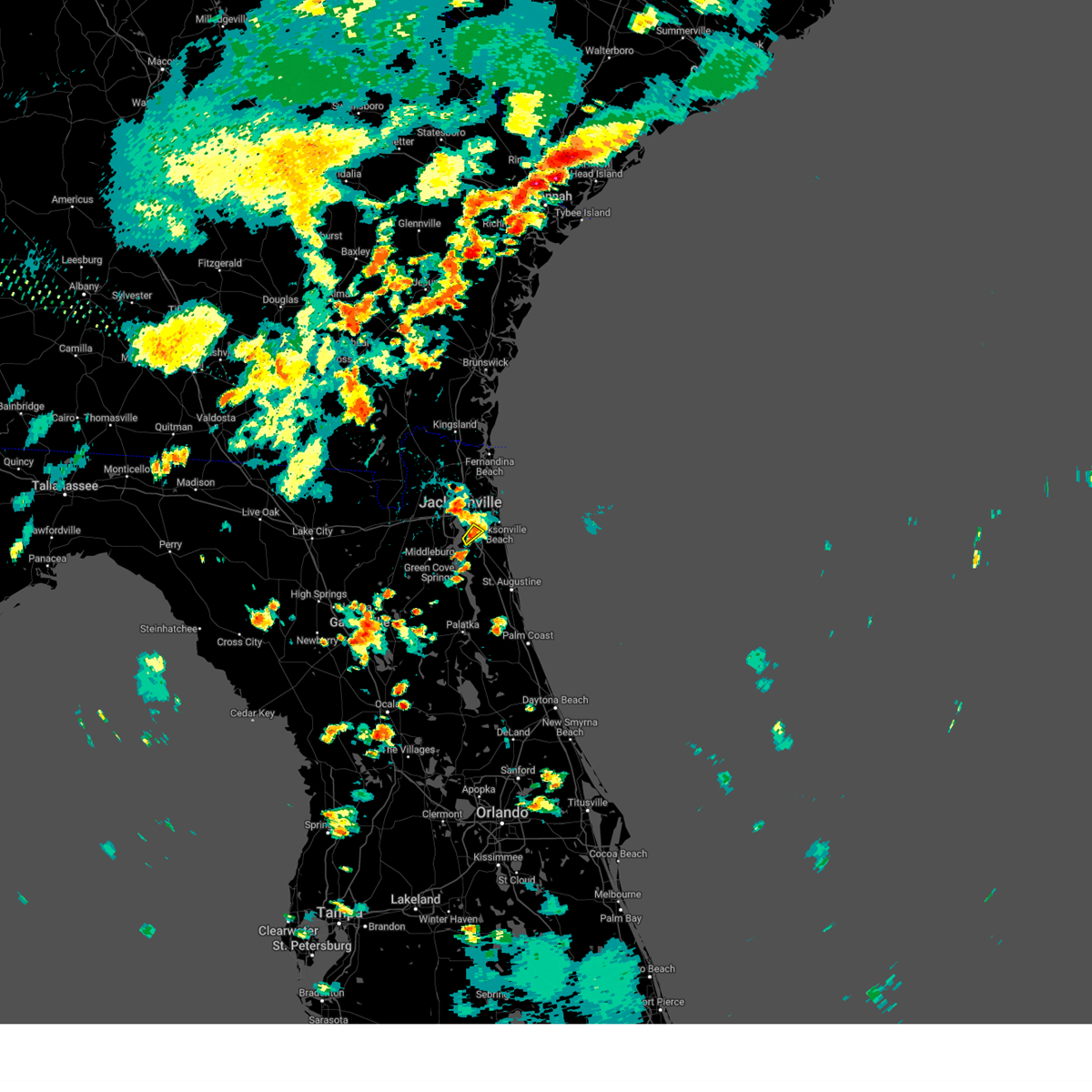 The storm which prompted the warning has weakened below severe limits, and no longer poses an immediate threat to life or property. therefore, the warning will be allowed to expire. The storm which prompted the warning has weakened below severe limits, and no longer poses an immediate threat to life or property. therefore, the warning will be allowed to expire.
|
| 7/19/2024 4:52 PM EDT |
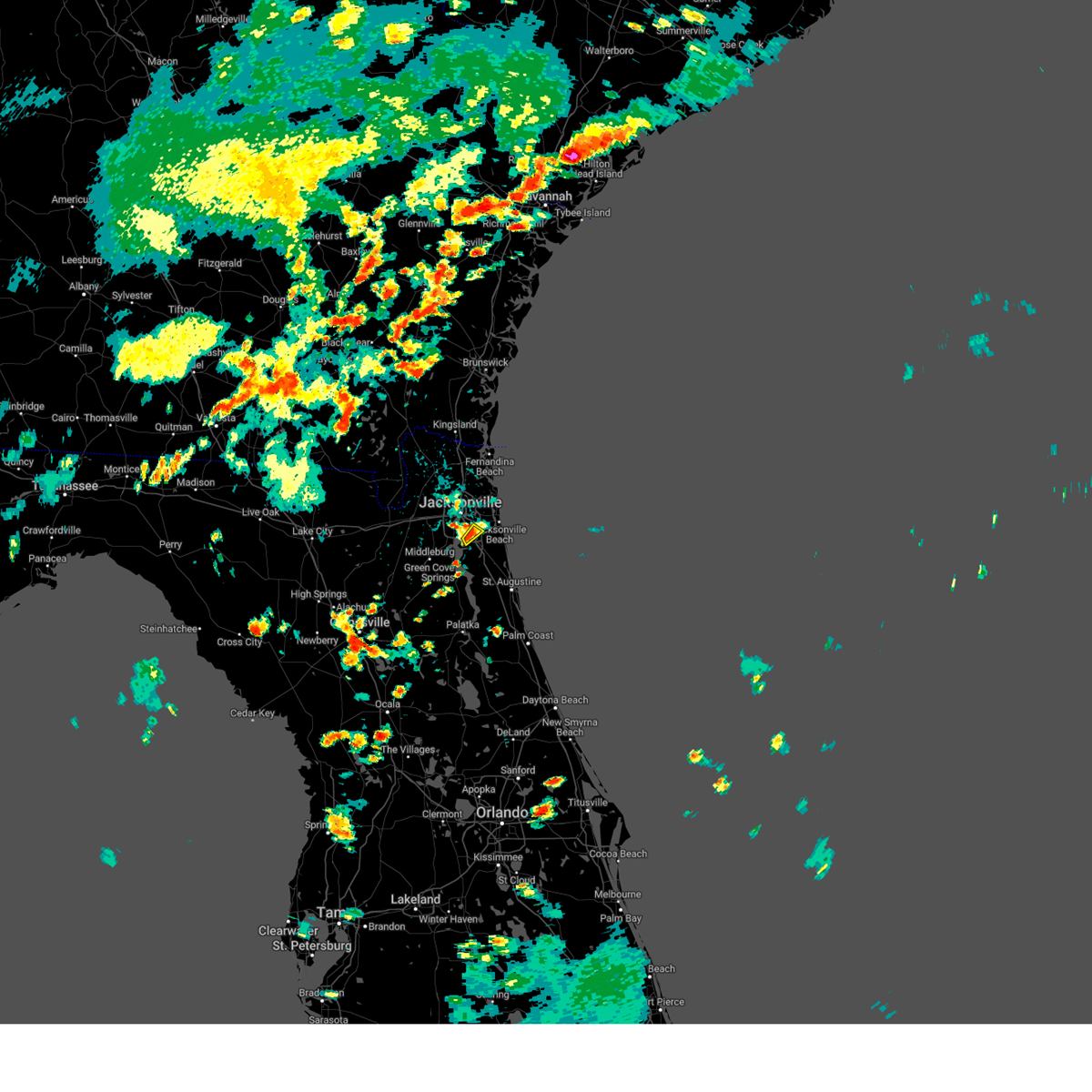 Svrjax the national weather service in jacksonville has issued a * severe thunderstorm warning for, southeastern duval county in northeastern florida, * until 515 pm edt. * at 452 pm edt, a severe thunderstorm was located over baymeadows, or near unf, and is nearly stationary (radar indicated). Hazards include 60 mph wind gusts. expect damage to roofs, siding, and trees Svrjax the national weather service in jacksonville has issued a * severe thunderstorm warning for, southeastern duval county in northeastern florida, * until 515 pm edt. * at 452 pm edt, a severe thunderstorm was located over baymeadows, or near unf, and is nearly stationary (radar indicated). Hazards include 60 mph wind gusts. expect damage to roofs, siding, and trees
|
| 7/18/2024 5:34 PM EDT |
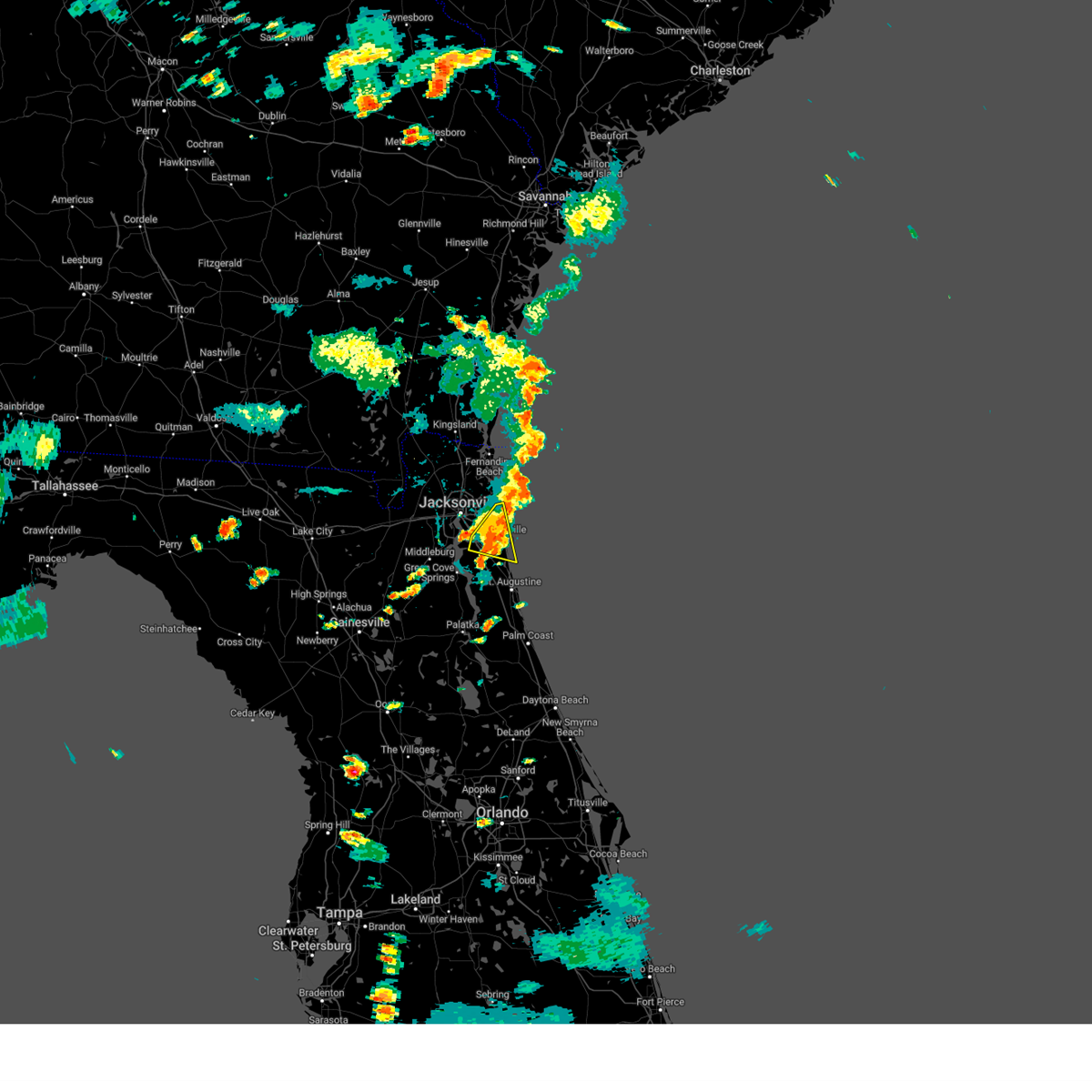 the severe thunderstorm warning has been cancelled and is no longer in effect the severe thunderstorm warning has been cancelled and is no longer in effect
|
| 7/18/2024 5:15 PM EDT |
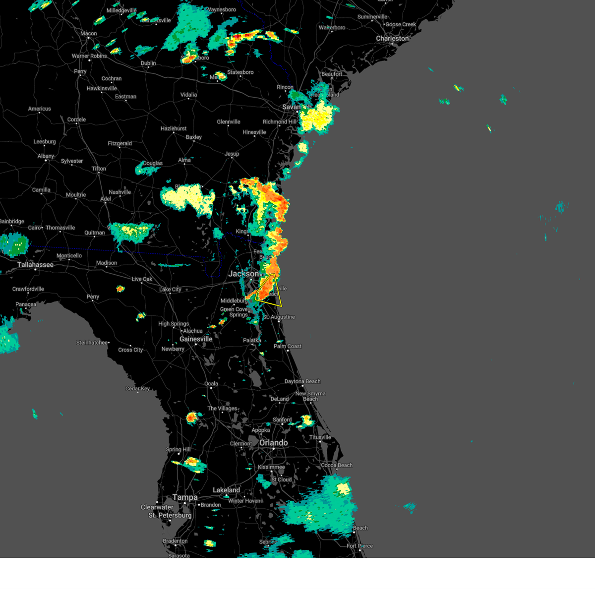 At 515 pm edt, severe thunderstorms were located along a line extending from near mayport to bayard, moving east at 15 mph (radar indicated). Hazards include 60 mph wind gusts. Expect damage to roofs, siding, and trees. Locations impacted include, unf, ponte vedra beach, jacksonville beach, atlantic beach, neptune beach, palm valley, sawgrass, nocatee, bayard, and san pablo. At 515 pm edt, severe thunderstorms were located along a line extending from near mayport to bayard, moving east at 15 mph (radar indicated). Hazards include 60 mph wind gusts. Expect damage to roofs, siding, and trees. Locations impacted include, unf, ponte vedra beach, jacksonville beach, atlantic beach, neptune beach, palm valley, sawgrass, nocatee, bayard, and san pablo.
|
| 7/18/2024 4:57 PM EDT |
 The storm which prompted the warning has weakened below severe limits, and has exited the warned area. therefore, the warning will be allowed to expire. however, gusty winds are still possible with this thunderstorm. The storm which prompted the warning has weakened below severe limits, and has exited the warned area. therefore, the warning will be allowed to expire. however, gusty winds are still possible with this thunderstorm.
|
| 7/18/2024 4:54 PM EDT |
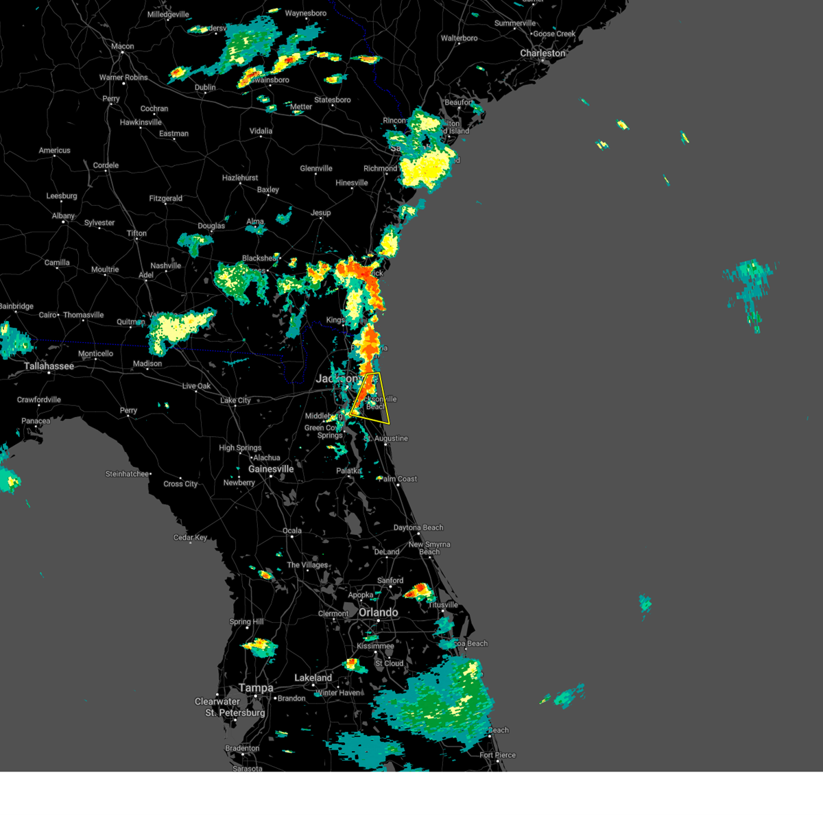 Svrjax the national weather service in jacksonville has issued a * severe thunderstorm warning for, northwestern st. johns county in northeastern florida, southeastern duval county in northeastern florida, * until 545 pm edt. * at 454 pm edt, severe thunderstorms were located along a line extending from near fort caroline to near baymeadows, moving east at 15 mph (radar indicated). Hazards include 60 mph wind gusts and penny size hail. expect damage to roofs, siding, and trees Svrjax the national weather service in jacksonville has issued a * severe thunderstorm warning for, northwestern st. johns county in northeastern florida, southeastern duval county in northeastern florida, * until 545 pm edt. * at 454 pm edt, severe thunderstorms were located along a line extending from near fort caroline to near baymeadows, moving east at 15 mph (radar indicated). Hazards include 60 mph wind gusts and penny size hail. expect damage to roofs, siding, and trees
|
| 7/18/2024 4:39 PM EDT |
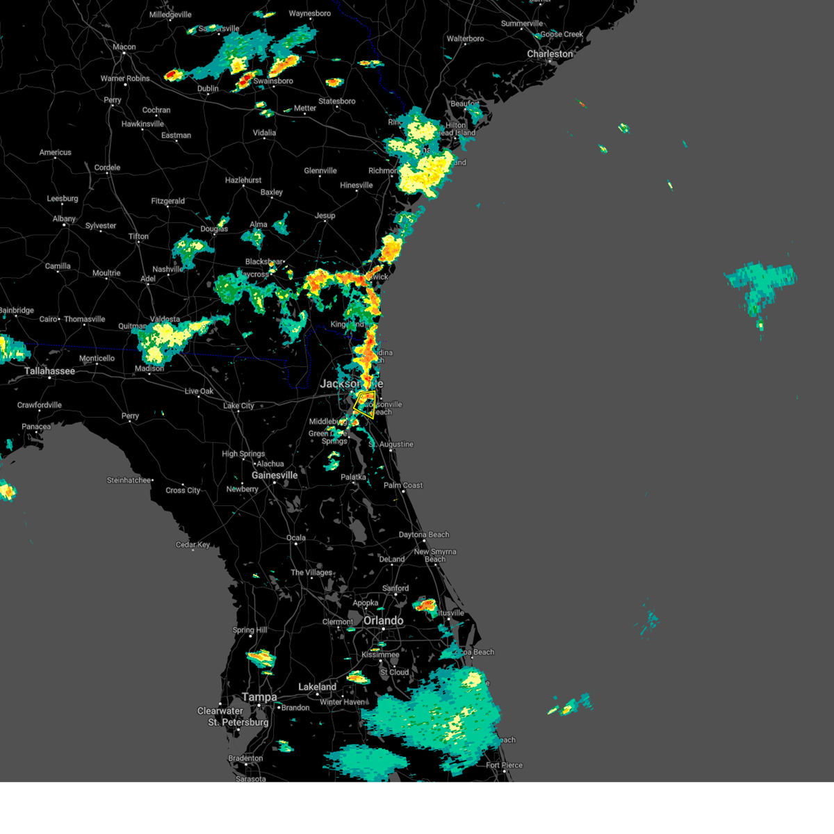 At 439 pm edt, a severe thunderstorm was located over baymeadows, or over unf, moving east at 15 mph (radar indicated). Hazards include 60 mph wind gusts and penny size hail. Expect damage to roofs, siding, and trees. Locations impacted include, unf and baymeadows. At 439 pm edt, a severe thunderstorm was located over baymeadows, or over unf, moving east at 15 mph (radar indicated). Hazards include 60 mph wind gusts and penny size hail. Expect damage to roofs, siding, and trees. Locations impacted include, unf and baymeadows.
|
| 7/18/2024 4:35 PM EDT |
 At 435 pm edt, a severe thunderstorm was located near fernandina beach, moving east at 10 mph (radar indicated). Hazards include 60 mph wind gusts and penny size hail. Expect damage to roofs, siding, and trees. Locations impacted include, fernandina beach, yulee, amelia city, and dungeness. At 435 pm edt, a severe thunderstorm was located near fernandina beach, moving east at 10 mph (radar indicated). Hazards include 60 mph wind gusts and penny size hail. Expect damage to roofs, siding, and trees. Locations impacted include, fernandina beach, yulee, amelia city, and dungeness.
|
| 7/18/2024 4:27 PM EDT |
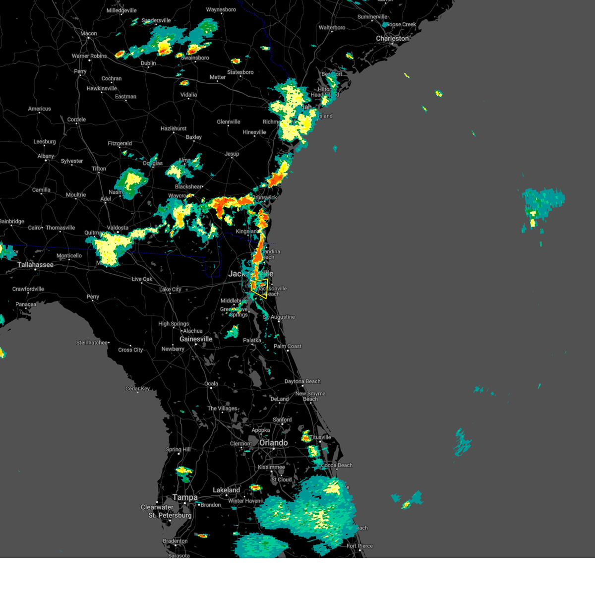 At 427 pm edt, a severe thunderstorm was located over baymeadows, or near arlington, moving east at 10 mph. another storm was over unf moving east at 10 mph (radar indicated). Hazards include 60 mph wind gusts and penny size hail. Expect damage to roofs, siding, and trees. Locations impacted include, unf and baymeadows. At 427 pm edt, a severe thunderstorm was located over baymeadows, or near arlington, moving east at 10 mph. another storm was over unf moving east at 10 mph (radar indicated). Hazards include 60 mph wind gusts and penny size hail. Expect damage to roofs, siding, and trees. Locations impacted include, unf and baymeadows.
|
| 7/18/2024 4:22 PM EDT |
 Svrjax the national weather service in jacksonville has issued a * severe thunderstorm warning for, northeastern nassau county in northeastern florida, southeastern camden county in southeastern georgia, * until 500 pm edt. * at 422 pm edt, a severe thunderstorm was located near yulee, or near fernandina beach, moving east at 10 mph (radar indicated). Hazards include 60 mph wind gusts. expect damage to roofs, siding, and trees Svrjax the national weather service in jacksonville has issued a * severe thunderstorm warning for, northeastern nassau county in northeastern florida, southeastern camden county in southeastern georgia, * until 500 pm edt. * at 422 pm edt, a severe thunderstorm was located near yulee, or near fernandina beach, moving east at 10 mph (radar indicated). Hazards include 60 mph wind gusts. expect damage to roofs, siding, and trees
|
| 7/18/2024 4:13 PM EDT |
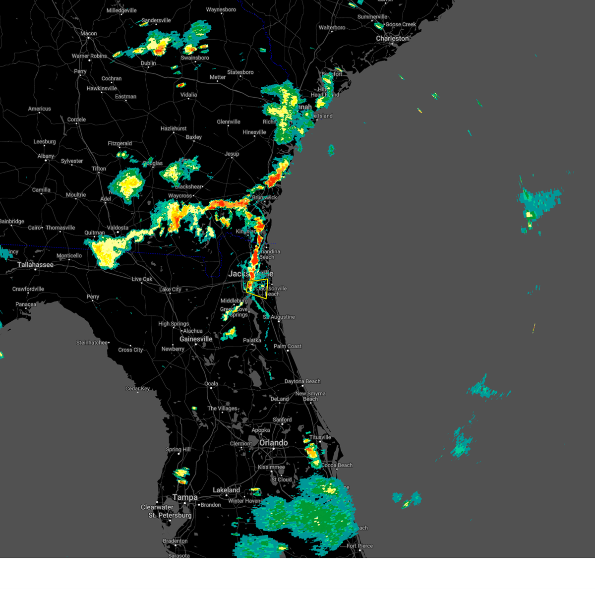 Svrjax the national weather service in jacksonville has issued a * severe thunderstorm warning for, southeastern duval county in northeastern florida, * until 500 pm edt. * at 412 pm edt, a severe thunderstorm was located near san marco, or near jacksonville, moving east at 10 mph (radar indicated). Hazards include 60 mph wind gusts and penny size hail. expect damage to roofs, siding, and trees Svrjax the national weather service in jacksonville has issued a * severe thunderstorm warning for, southeastern duval county in northeastern florida, * until 500 pm edt. * at 412 pm edt, a severe thunderstorm was located near san marco, or near jacksonville, moving east at 10 mph (radar indicated). Hazards include 60 mph wind gusts and penny size hail. expect damage to roofs, siding, and trees
|
| 7/17/2024 2:53 PM EDT |
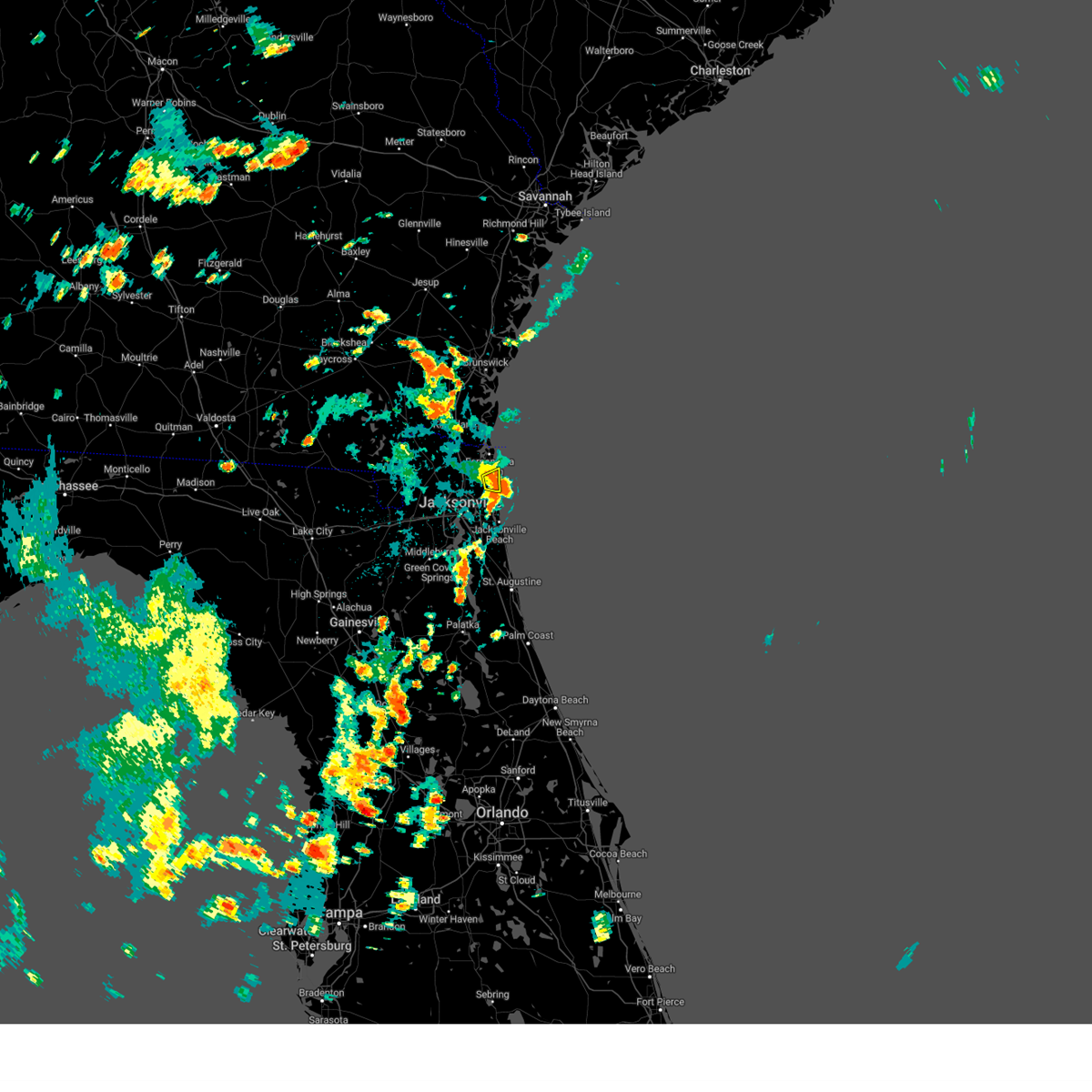 The storm which prompted the warning has moved out of the area. therefore, the warning will be allowed to expire. however, gusty winds are still possible with this thunderstorm. The storm which prompted the warning has moved out of the area. therefore, the warning will be allowed to expire. however, gusty winds are still possible with this thunderstorm.
|
| 7/17/2024 2:39 PM EDT |
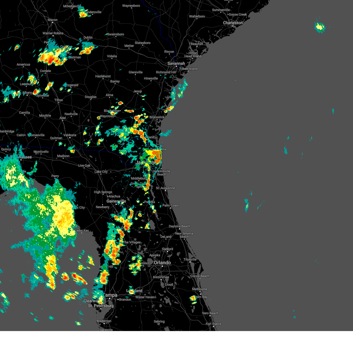 At 239 pm edt, a severe thunderstorm was located over talbot island, or 10 miles south of fernandina beach, moving east at 15 mph (radar indicated). Hazards include 60 mph wind gusts and penny size hail. Expect damage to roofs, siding, and trees. Locations impacted include, talbot island. At 239 pm edt, a severe thunderstorm was located over talbot island, or 10 miles south of fernandina beach, moving east at 15 mph (radar indicated). Hazards include 60 mph wind gusts and penny size hail. Expect damage to roofs, siding, and trees. Locations impacted include, talbot island.
|
| 7/17/2024 2:24 PM EDT |
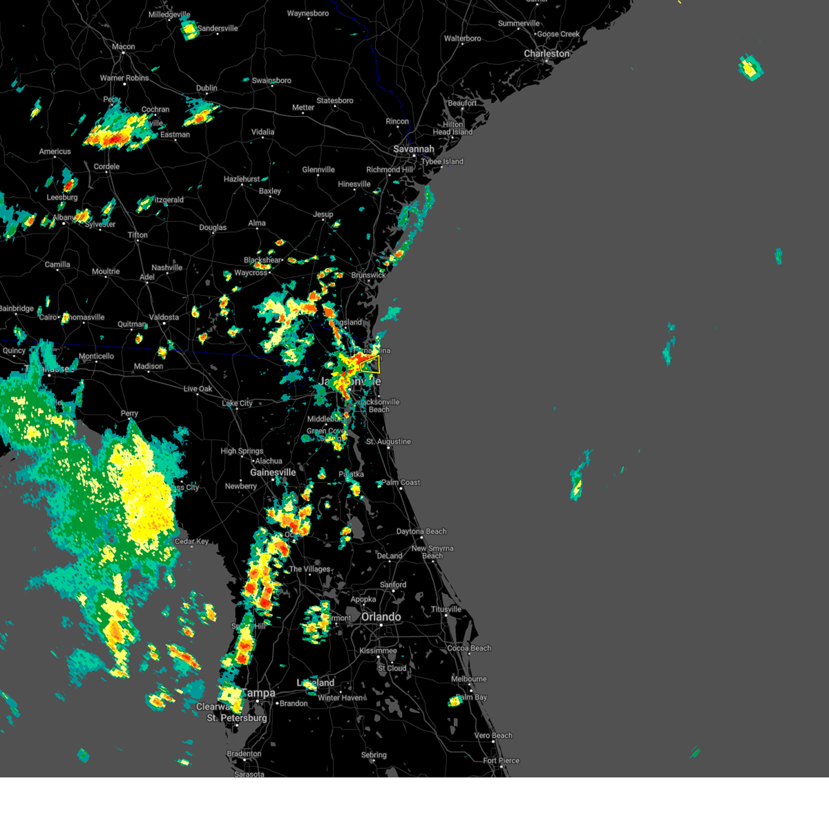 Svrjax the national weather service in jacksonville has issued a * severe thunderstorm warning for, east central nassau county in northeastern florida, northeastern duval county in northeastern florida, * until 300 pm edt. * at 224 pm edt, a severe thunderstorm was located near talbot island, or 11 miles south of fernandina beach, moving east at 15 mph (radar indicated). Hazards include 60 mph wind gusts. expect damage to roofs, siding, and trees Svrjax the national weather service in jacksonville has issued a * severe thunderstorm warning for, east central nassau county in northeastern florida, northeastern duval county in northeastern florida, * until 300 pm edt. * at 224 pm edt, a severe thunderstorm was located near talbot island, or 11 miles south of fernandina beach, moving east at 15 mph (radar indicated). Hazards include 60 mph wind gusts. expect damage to roofs, siding, and trees
|
| 7/16/2024 2:44 PM EDT |
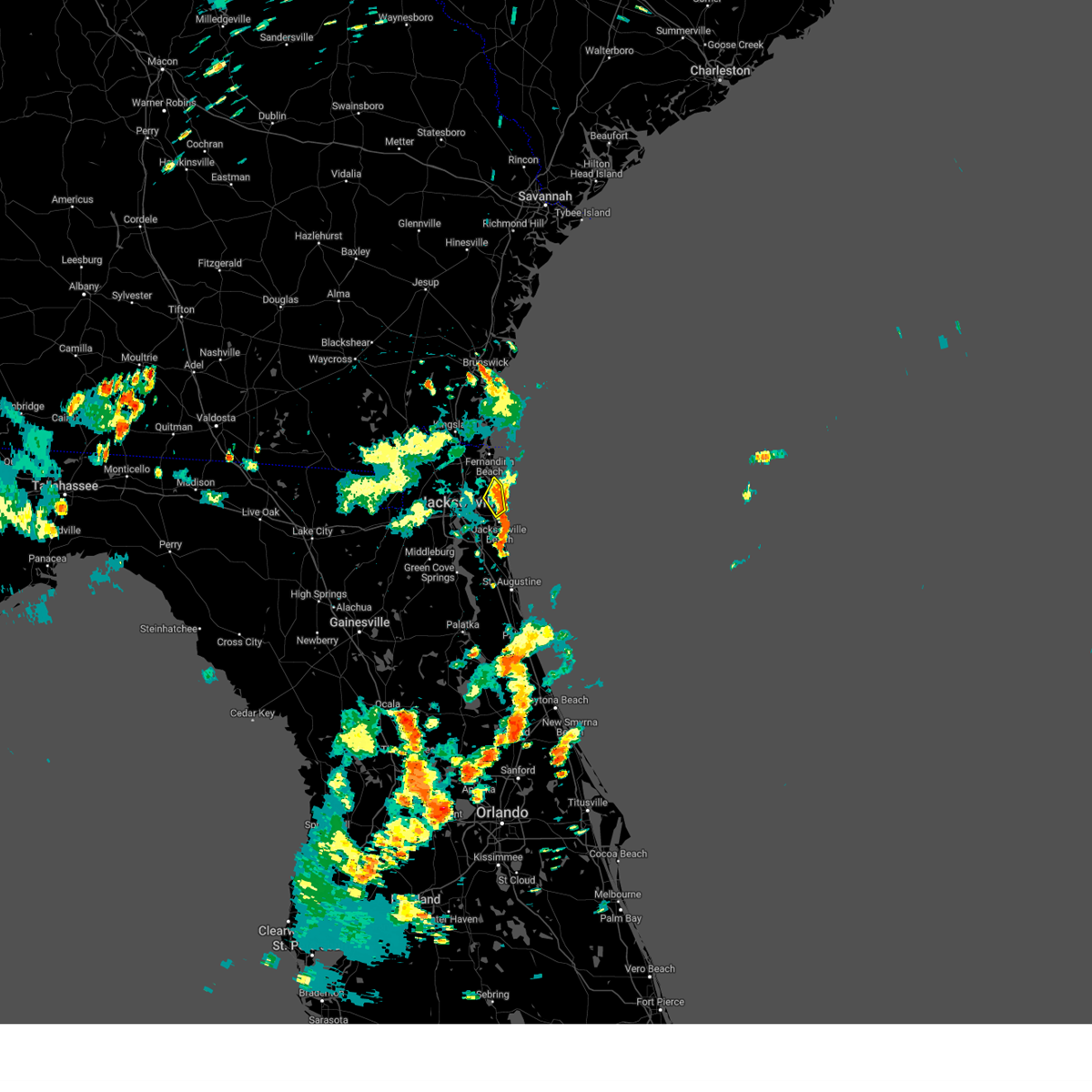 the severe thunderstorm warning has been cancelled and is no longer in effect the severe thunderstorm warning has been cancelled and is no longer in effect
|
| 7/16/2024 2:27 PM EDT |
 Svrjax the national weather service in jacksonville has issued a * severe thunderstorm warning for, east central duval county in northeastern florida, * until 300 pm edt. * at 227 pm edt, a severe thunderstorm was located over little talbot island, or 13 miles northeast of unf, moving northeast at 15 mph (radar indicated). Hazards include 60 mph wind gusts and penny size hail. expect damage to roofs, siding, and trees Svrjax the national weather service in jacksonville has issued a * severe thunderstorm warning for, east central duval county in northeastern florida, * until 300 pm edt. * at 227 pm edt, a severe thunderstorm was located over little talbot island, or 13 miles northeast of unf, moving northeast at 15 mph (radar indicated). Hazards include 60 mph wind gusts and penny size hail. expect damage to roofs, siding, and trees
|
| 6/28/2024 5:41 PM EDT |
 the severe thunderstorm warning has been cancelled and is no longer in effect the severe thunderstorm warning has been cancelled and is no longer in effect
|
| 6/28/2024 5:34 PM EDT |
 At 534 pm edt, a severe thunderstorm was located over bellair-meadowbrook terrace, or over orange park, moving east at 25 mph (radar indicated). Hazards include 60 mph wind gusts. Expect damage to roofs, siding, and trees. Locations impacted include, jacksonville, orange park, green cove springs, middleburg, mandarin, fruit cove, arlington, fleming island, baymeadows, and ortega. At 534 pm edt, a severe thunderstorm was located over bellair-meadowbrook terrace, or over orange park, moving east at 25 mph (radar indicated). Hazards include 60 mph wind gusts. Expect damage to roofs, siding, and trees. Locations impacted include, jacksonville, orange park, green cove springs, middleburg, mandarin, fruit cove, arlington, fleming island, baymeadows, and ortega.
|
| 6/28/2024 5:17 PM EDT |
 Svrjax the national weather service in jacksonville has issued a * severe thunderstorm warning for, northwestern st. johns county in northeastern florida, northern clay county in northeastern florida, southwestern duval county in northeastern florida, * until 600 pm edt. * at 516 pm edt, a severe thunderstorm was located over oakleaf plantation, or near middleburg, moving east at 25 mph (radar indicated). Hazards include 60 mph wind gusts. expect damage to roofs, siding, and trees Svrjax the national weather service in jacksonville has issued a * severe thunderstorm warning for, northwestern st. johns county in northeastern florida, northern clay county in northeastern florida, southwestern duval county in northeastern florida, * until 600 pm edt. * at 516 pm edt, a severe thunderstorm was located over oakleaf plantation, or near middleburg, moving east at 25 mph (radar indicated). Hazards include 60 mph wind gusts. expect damage to roofs, siding, and trees
|
| 6/28/2024 3:09 PM EDT |
 Svrjax the national weather service in jacksonville has issued a * severe thunderstorm warning for, northeastern nassau county in northeastern florida, southwestern camden county in southeastern georgia, * until 400 pm edt. * at 309 pm edt, a severe thunderstorm was located 7 miles northeast of callahan, moving northeast at 20 mph (radar indicated). Hazards include 60 mph wind gusts. expect damage to roofs, siding, and trees Svrjax the national weather service in jacksonville has issued a * severe thunderstorm warning for, northeastern nassau county in northeastern florida, southwestern camden county in southeastern georgia, * until 400 pm edt. * at 309 pm edt, a severe thunderstorm was located 7 miles northeast of callahan, moving northeast at 20 mph (radar indicated). Hazards include 60 mph wind gusts. expect damage to roofs, siding, and trees
|
| 6/28/2024 2:46 PM EDT | Duval emergency management relayed a report of powerline wires down along the road at kernan blvd and atlantic blv in duval county FL, 12.5 miles WNW of Jacksonville, FL |
| 6/28/2024 2:38 PM EDT |
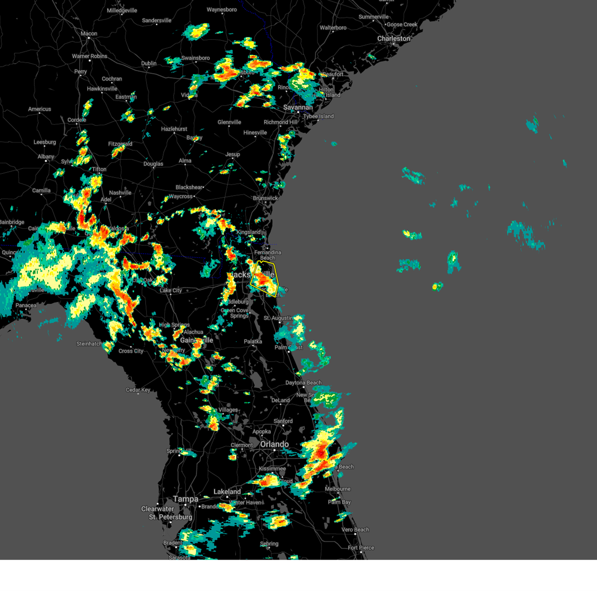 The storm which prompted the warning has weakened below severe limits, and no longer poses an immediate threat to life or property. therefore, the warning will be allowed to expire. however, gusty winds are still possible with this thunderstorm. The storm which prompted the warning has weakened below severe limits, and no longer poses an immediate threat to life or property. therefore, the warning will be allowed to expire. however, gusty winds are still possible with this thunderstorm.
|
| 6/28/2024 2:35 PM EDT |
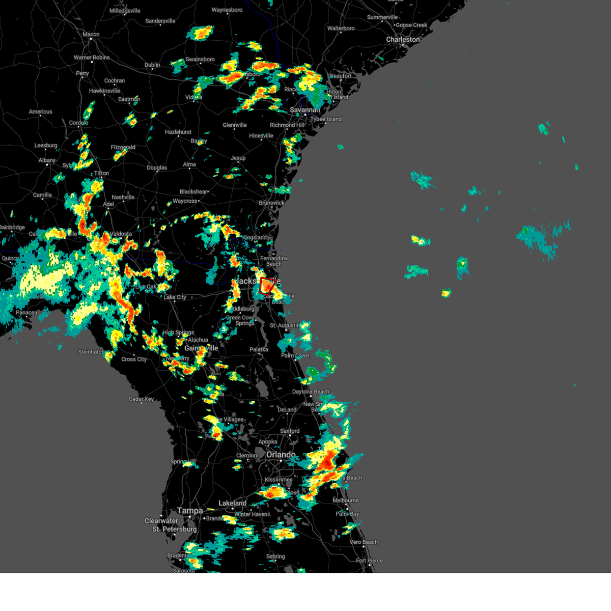 The storm which prompted the warning has weakened below severe limits, and no longer appears capable of producing a tornado. therefore, the warning will be allowed to expire. remember, a severe thunderstorm warning still remains in effect for duval county. The storm which prompted the warning has weakened below severe limits, and no longer appears capable of producing a tornado. therefore, the warning will be allowed to expire. remember, a severe thunderstorm warning still remains in effect for duval county.
|
| 6/28/2024 2:26 PM EDT |
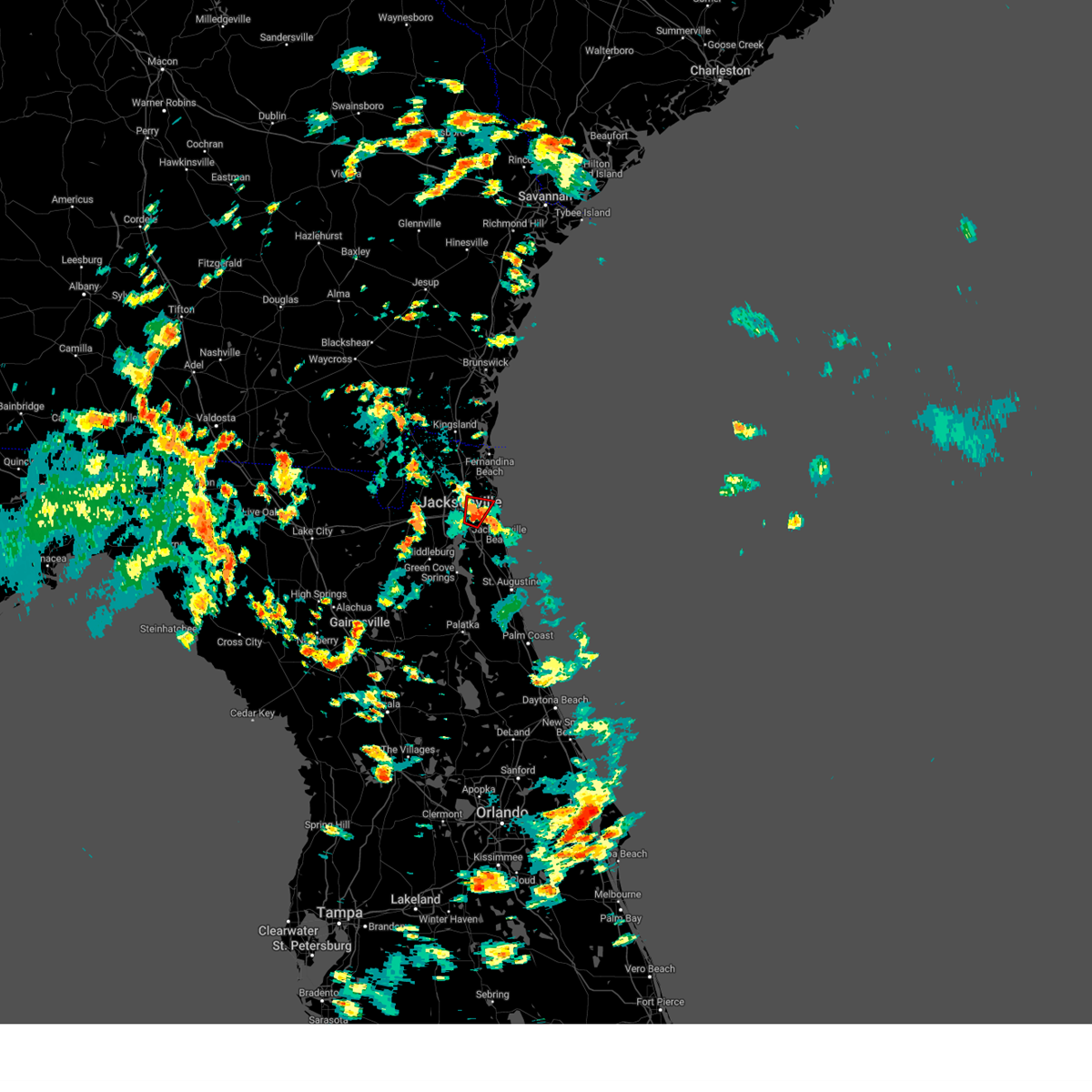 At 226 pm edt, a severe thunderstorm capable of producing a tornado was located near arlington, and is nearly stationary (radar indicated rotation). Hazards include tornado. Flying debris will be dangerous to those caught without shelter. mobile homes will be damaged or destroyed. damage to roofs, windows, and vehicles will occur. tree damage is likely. This dangerous storm will be near, jacksonville around 230 pm edt. At 226 pm edt, a severe thunderstorm capable of producing a tornado was located near arlington, and is nearly stationary (radar indicated rotation). Hazards include tornado. Flying debris will be dangerous to those caught without shelter. mobile homes will be damaged or destroyed. damage to roofs, windows, and vehicles will occur. tree damage is likely. This dangerous storm will be near, jacksonville around 230 pm edt.
|
| 6/28/2024 2:25 PM EDT | Corrects timing of event based on radar. duval emergency management relayed a report of powerline wires down along the road at kernan blvd and atlantic blv in duval county FL, 12.5 miles WNW of Jacksonville, FL |
| 6/28/2024 2:21 PM EDT |
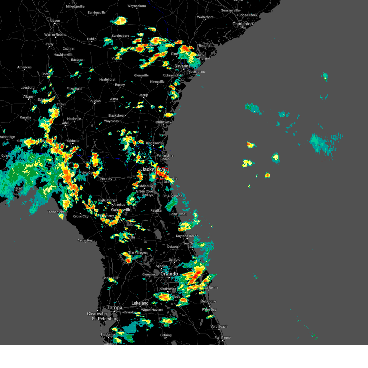 Torjax the national weather service in jacksonville has issued a * tornado warning for, east central duval county in northeastern florida, * until 245 pm edt. * at 220 pm edt, a severe thunderstorm capable of producing a tornado was located near unf, moving north at 15 mph (radar indicated rotation). Hazards include tornado. Flying debris will be dangerous to those caught without shelter. mobile homes will be damaged or destroyed. damage to roofs, windows, and vehicles will occur. tree damage is likely. this dangerous storm will be near, jacksonville, arlington, and craig field around 225 pm edt. Fort caroline around 230 pm edt. Torjax the national weather service in jacksonville has issued a * tornado warning for, east central duval county in northeastern florida, * until 245 pm edt. * at 220 pm edt, a severe thunderstorm capable of producing a tornado was located near unf, moving north at 15 mph (radar indicated rotation). Hazards include tornado. Flying debris will be dangerous to those caught without shelter. mobile homes will be damaged or destroyed. damage to roofs, windows, and vehicles will occur. tree damage is likely. this dangerous storm will be near, jacksonville, arlington, and craig field around 225 pm edt. Fort caroline around 230 pm edt.
|
| 6/28/2024 2:17 PM EDT | Photos on social media of a large tree down on powerlines at grove park blvd and catalina dr. time estimated based on rada in duval county FL, 9.4 miles NW of Jacksonville, FL |
| 6/28/2024 2:16 PM EDT |
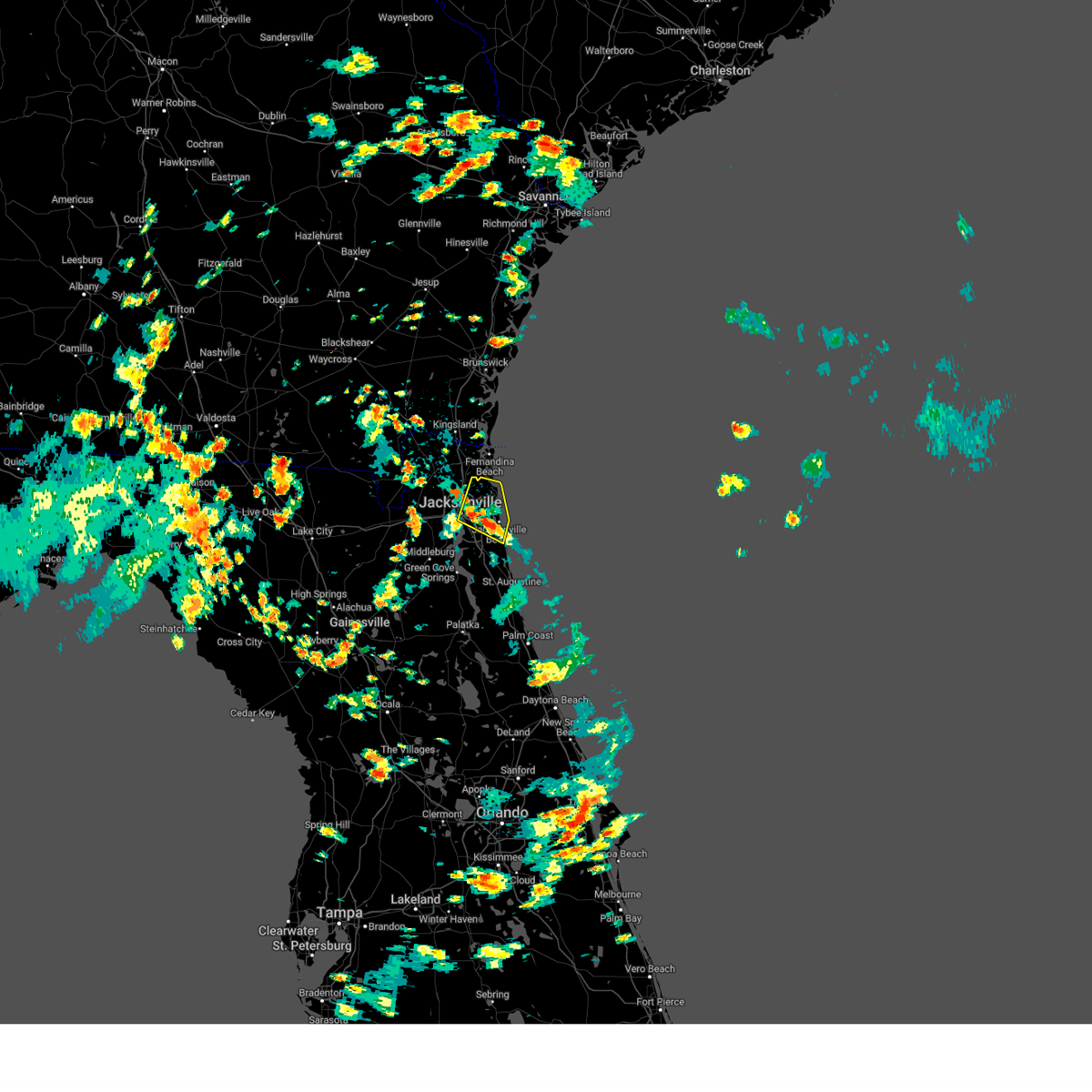 Svrjax the national weather service in jacksonville has issued a * severe thunderstorm warning for, northern st. johns county in northeastern florida, northeastern duval county in northeastern florida, * until 245 pm edt. * at 216 pm edt, a severe thunderstorm was located over unf, moving north at 20 mph (radar indicated). Hazards include 60 mph wind gusts. expect damage to roofs, siding, and trees Svrjax the national weather service in jacksonville has issued a * severe thunderstorm warning for, northern st. johns county in northeastern florida, northeastern duval county in northeastern florida, * until 245 pm edt. * at 216 pm edt, a severe thunderstorm was located over unf, moving north at 20 mph (radar indicated). Hazards include 60 mph wind gusts. expect damage to roofs, siding, and trees
|
| 6/28/2024 2:15 PM EDT | Duval county emergency management reported an overturned vehicle. damage may be result of brief tornado in the are in duval county FL, 10.3 miles NW of Jacksonville, FL |
| 6/25/2024 10:24 PM EDT |
 The storms which prompted the warning have weakened below severe limits, and no longer pose an immediate threat to life or property. therefore, the warning will be allowed to expire. however, heavy rain is still possible with these thunderstorms. The storms which prompted the warning have weakened below severe limits, and no longer pose an immediate threat to life or property. therefore, the warning will be allowed to expire. however, heavy rain is still possible with these thunderstorms.
|
| 6/25/2024 10:08 PM EDT |
 At 1007 pm edt, severe thunderstorms were located along a line extending from near durbin to near switzerland, moving east at 15 mph (radar indicated). Hazards include 60 mph wind gusts and penny size hail. Expect damage to roofs, siding, and trees. Locations impacted include, green cove springs, mandarin, fruit cove, world golf village, fleming island, picolata, switzerland, and bakersville. At 1007 pm edt, severe thunderstorms were located along a line extending from near durbin to near switzerland, moving east at 15 mph (radar indicated). Hazards include 60 mph wind gusts and penny size hail. Expect damage to roofs, siding, and trees. Locations impacted include, green cove springs, mandarin, fruit cove, world golf village, fleming island, picolata, switzerland, and bakersville.
|
| 6/25/2024 9:54 PM EDT |
 Svrjax the national weather service in jacksonville has issued a * severe thunderstorm warning for, central st. johns county in northeastern florida, northeastern clay county in northeastern florida, southeastern duval county in northeastern florida, * until 1030 pm edt. * at 953 pm edt, severe thunderstorms were located along a line extending from near fruit cove to switzerland, moving southeast at 15 mph (radar indicated). Hazards include 60 mph wind gusts and penny size hail. expect damage to roofs, siding, and trees Svrjax the national weather service in jacksonville has issued a * severe thunderstorm warning for, central st. johns county in northeastern florida, northeastern clay county in northeastern florida, southeastern duval county in northeastern florida, * until 1030 pm edt. * at 953 pm edt, severe thunderstorms were located along a line extending from near fruit cove to switzerland, moving southeast at 15 mph (radar indicated). Hazards include 60 mph wind gusts and penny size hail. expect damage to roofs, siding, and trees
|
| 6/5/2024 4:58 PM EDT |
 Svrjax the national weather service in jacksonville has issued a * severe thunderstorm warning for, northwestern nassau county in northeastern florida, north central duval county in northeastern florida, southern camden county in southeastern georgia, * until 530 pm edt. * at 458 pm edt, a severe thunderstorm was located near hilliard, moving east at 15 mph (radar indicated). Hazards include 60 mph wind gusts and quarter size hail. Hail damage to vehicles is expected. Expect wind damage to roofs, siding, and trees. Svrjax the national weather service in jacksonville has issued a * severe thunderstorm warning for, northwestern nassau county in northeastern florida, north central duval county in northeastern florida, southern camden county in southeastern georgia, * until 530 pm edt. * at 458 pm edt, a severe thunderstorm was located near hilliard, moving east at 15 mph (radar indicated). Hazards include 60 mph wind gusts and quarter size hail. Hail damage to vehicles is expected. Expect wind damage to roofs, siding, and trees.
|
| 5/10/2024 10:30 AM EDT | Reports of 11 schools without power in duval county. trees down county wide... with some having fallen on home in duval county FL, 3.6 miles NW of Jacksonville, FL |
| 5/10/2024 10:00 AM EDT |
 the severe thunderstorm warning has been cancelled and is no longer in effect the severe thunderstorm warning has been cancelled and is no longer in effect
|
| 5/10/2024 9:59 AM EDT |
 The storms which prompted the warning have moved out of the area. therefore, the warning will be allowed to expire. however, heavy rain is still possible with these thunderstorms. a severe thunderstorm watch remains in effect until noon edt for northern and northeastern florida, and southeastern georgia. The storms which prompted the warning have moved out of the area. therefore, the warning will be allowed to expire. however, heavy rain is still possible with these thunderstorms. a severe thunderstorm watch remains in effect until noon edt for northern and northeastern florida, and southeastern georgia.
|
| 5/10/2024 9:53 AM EDT | Asos station kcrg jacksonvil crai in duval county FL, 10.6 miles WNW of Jacksonville, FL |
| 5/10/2024 9:52 AM EDT | Awos station knrb mayport naval statio in duval county FL, 15.9 miles W of Jacksonville, FL |
| 5/10/2024 9:52 AM EDT | Photos of tree damage and power lines down along neptune lane in neptune beach. time based off gust reading from knr in duval county FL, 17.8 miles WNW of Jacksonville, FL |
| 5/10/2024 9:47 AM EDT | Mesonet station xhup huguenot par in amz452 county FL, 16.8 miles W of Jacksonville, FL |
| 5/10/2024 9:45 AM EDT |
 Svrjax the national weather service in jacksonville has issued a * severe thunderstorm warning for, northwestern flagler county in northeastern florida, northeastern nassau county in northeastern florida, st. johns county in northeastern florida, putnam county in northeastern florida, northeastern clay county in northeastern florida, duval county in northeastern florida, southeastern camden county in southeastern georgia, * until 1015 am edt. * at 945 am edt, severe thunderstorms were located along a line extending from near st. marys to near bostwick to near lake delancy, moving east at 55 mph (radar indicated). Hazards include 60 mph wind gusts and penny size hail. expect damage to roofs, siding, and trees Svrjax the national weather service in jacksonville has issued a * severe thunderstorm warning for, northwestern flagler county in northeastern florida, northeastern nassau county in northeastern florida, st. johns county in northeastern florida, putnam county in northeastern florida, northeastern clay county in northeastern florida, duval county in northeastern florida, southeastern camden county in southeastern georgia, * until 1015 am edt. * at 945 am edt, severe thunderstorms were located along a line extending from near st. marys to near bostwick to near lake delancy, moving east at 55 mph (radar indicated). Hazards include 60 mph wind gusts and penny size hail. expect damage to roofs, siding, and trees
|
| 5/10/2024 9:44 AM EDT | Mesonet station xjak jacksonvill in duval county FL, 12.4 miles W of Jacksonville, FL |
| 5/10/2024 9:42 AM EDT | Mesonet station xhup huguenot par in amz452 county FL, 16.8 miles W of Jacksonville, FL |
| 5/10/2024 9:40 AM EDT | Mesonet station 1483w fswn jfrd station 4 in amz452 county FL, 14.8 miles W of Jacksonville, FL |
| 5/10/2024 9:40 AM EDT | Mesonet station 1323w 1.3 se jacksonville (weatherstem in duval county FL, 5 miles NW of Jacksonville, FL |
| 5/10/2024 9:31 AM EDT | Trees snapped from severe winds at bryceville... fl homes. time based off nearest mesonet station gust reading of 47mp in nassau county FL, 14.5 miles E of Jacksonville, FL |
| 5/10/2024 9:30 AM EDT | Mesonet station blif1 1 wnw fort carolin in duval county FL, 10 miles W of Jacksonville, FL |
| 5/10/2024 9:25 AM EDT |
 Svrjax the national weather service in jacksonville has issued a * severe thunderstorm warning for, nassau county in northeastern florida, southeastern alachua county in northern florida, st. johns county in northeastern florida, central marion county in northern florida, putnam county in northeastern florida, clay county in northeastern florida, duval county in northeastern florida, camden county in southeastern georgia, northeastern charlton county in southeastern georgia, * until 1000 am edt. * at 925 am edt, severe thunderstorms were located along a line extending from near kings ferry to near florahome to near williston municipal airport, moving east at 60 mph (radar indicated). Hazards include 60 mph wind gusts and penny size hail. expect damage to roofs, siding, and trees Svrjax the national weather service in jacksonville has issued a * severe thunderstorm warning for, nassau county in northeastern florida, southeastern alachua county in northern florida, st. johns county in northeastern florida, central marion county in northern florida, putnam county in northeastern florida, clay county in northeastern florida, duval county in northeastern florida, camden county in southeastern georgia, northeastern charlton county in southeastern georgia, * until 1000 am edt. * at 925 am edt, severe thunderstorms were located along a line extending from near kings ferry to near florahome to near williston municipal airport, moving east at 60 mph (radar indicated). Hazards include 60 mph wind gusts and penny size hail. expect damage to roofs, siding, and trees
|
| 5/10/2024 9:24 AM EDT | Awos station knip jacksonville na in duval county FL, 11.1 miles N of Jacksonville, FL |
| 5/10/2024 9:20 AM EDT | Asos station kjax jacksonville intl airpor in duval county FL, 8.2 miles S of Jacksonville, FL |
| 5/10/2024 9:20 AM EDT | Video of roof damage to business. time based off kjax wind gust reading of 64 mp in duval county FL, 4.1 miles S of Jacksonville, FL |
| 5/10/2024 9:20 AM EDT |
 At 920 am edt, severe thunderstorms were located along a line extending from 10 miles east of woodbine to baymeadows to near bardin to 8 miles southwest of cross creek, moving east at 90 mph (radar indicated). Hazards include 60 mph wind gusts and penny size hail. Expect damage to roofs, siding, and trees. locations impacted include, jacksonville, st. Marys, kingsland, fernandina beach, palatka, orange park, green cove springs, rainbow lakes estates, woodbine, and interlachen. At 920 am edt, severe thunderstorms were located along a line extending from 10 miles east of woodbine to baymeadows to near bardin to 8 miles southwest of cross creek, moving east at 90 mph (radar indicated). Hazards include 60 mph wind gusts and penny size hail. Expect damage to roofs, siding, and trees. locations impacted include, jacksonville, st. Marys, kingsland, fernandina beach, palatka, orange park, green cove springs, rainbow lakes estates, woodbine, and interlachen.
|
| 5/10/2024 9:00 AM EDT |
 Svrjax the national weather service in jacksonville has issued a * severe thunderstorm warning for, nassau county in northeastern florida, southeastern bradford county in northern florida, southeastern alachua county in northern florida, northwestern st. johns county in northeastern florida, northwestern marion county in northern florida, northwestern putnam county in northeastern florida, clay county in northeastern florida, duval county in northeastern florida, camden county in southeastern georgia, * until 930 am edt. * at 900 am edt, severe thunderstorms were located along a line extending from near hickox to near bryceville to near keystone heights to near archer, moving east at 70 mph (radar indicated). Hazards include 70 mph wind gusts and quarter size hail. Hail damage to vehicles is expected. expect considerable tree damage. Wind damage is also likely to mobile homes, roofs, and outbuildings. Svrjax the national weather service in jacksonville has issued a * severe thunderstorm warning for, nassau county in northeastern florida, southeastern bradford county in northern florida, southeastern alachua county in northern florida, northwestern st. johns county in northeastern florida, northwestern marion county in northern florida, northwestern putnam county in northeastern florida, clay county in northeastern florida, duval county in northeastern florida, camden county in southeastern georgia, * until 930 am edt. * at 900 am edt, severe thunderstorms were located along a line extending from near hickox to near bryceville to near keystone heights to near archer, moving east at 70 mph (radar indicated). Hazards include 70 mph wind gusts and quarter size hail. Hail damage to vehicles is expected. expect considerable tree damage. Wind damage is also likely to mobile homes, roofs, and outbuildings.
|
| 5/10/2024 8:44 AM EDT |
 Svrjax the national weather service in jacksonville has issued a * severe thunderstorm warning for, nassau county in northeastern florida, bradford county in northern florida, alachua county in northern florida, north central marion county in northern florida, baker county in northeastern florida, northwestern putnam county in northeastern florida, union county in northern florida, western clay county in northeastern florida, western duval county in northeastern florida, southwestern camden county in southeastern georgia, southeastern ware county in southeastern georgia, charlton county in southeastern georgia, * until 915 am edt. * at 843 am edt, severe thunderstorms were located along a line extending from 9 miles south of argyle to near lulu to 7 miles southeast of cross city, moving east at 70 mph. these are destructive storms for lake butler, starke, gainesville, macclenny, baldwin, and hilliard. (radar indicated). Hazards include 80 mph wind gusts and quarter size hail. Flying debris will be dangerous to those caught without shelter. mobile homes will be heavily damaged. expect considerable damage to roofs, windows, and vehicles. Extensive tree damage and power outages are likely. Svrjax the national weather service in jacksonville has issued a * severe thunderstorm warning for, nassau county in northeastern florida, bradford county in northern florida, alachua county in northern florida, north central marion county in northern florida, baker county in northeastern florida, northwestern putnam county in northeastern florida, union county in northern florida, western clay county in northeastern florida, western duval county in northeastern florida, southwestern camden county in southeastern georgia, southeastern ware county in southeastern georgia, charlton county in southeastern georgia, * until 915 am edt. * at 843 am edt, severe thunderstorms were located along a line extending from 9 miles south of argyle to near lulu to 7 miles southeast of cross city, moving east at 70 mph. these are destructive storms for lake butler, starke, gainesville, macclenny, baldwin, and hilliard. (radar indicated). Hazards include 80 mph wind gusts and quarter size hail. Flying debris will be dangerous to those caught without shelter. mobile homes will be heavily damaged. expect considerable damage to roofs, windows, and vehicles. Extensive tree damage and power outages are likely.
|
| 4/11/2024 11:36 AM EDT |
 At 1135 am edt, a severe thunderstorm was located over picolata, or 9 miles southeast of green cove springs, moving east at 45 mph (radar indicated). Hazards include 70 mph wind gusts. Expect considerable tree damage. damage is likely to mobile homes, roofs, and outbuildings. Locations impacted include, saint augustine, world golf village, saint augustine beach, nocatee, durbin, vilano beach, picolata, south ponte vedra, saint augustine shores, and saint augustine south. At 1135 am edt, a severe thunderstorm was located over picolata, or 9 miles southeast of green cove springs, moving east at 45 mph (radar indicated). Hazards include 70 mph wind gusts. Expect considerable tree damage. damage is likely to mobile homes, roofs, and outbuildings. Locations impacted include, saint augustine, world golf village, saint augustine beach, nocatee, durbin, vilano beach, picolata, south ponte vedra, saint augustine shores, and saint augustine south.
|
| 4/11/2024 11:36 AM EDT |
 the severe thunderstorm warning has been cancelled and is no longer in effect the severe thunderstorm warning has been cancelled and is no longer in effect
|
| 4/11/2024 11:27 AM EDT |
 Svrjax the national weather service in jacksonville has issued a * severe thunderstorm warning for, central st. johns county in northeastern florida, east central clay county in northeastern florida, * until 1145 am edt. * at 1127 am edt, a severe thunderstorm was located near picolata, or near green cove springs, moving northeast at 50 mph (radar indicated). Hazards include 70 mph wind gusts. Expect considerable tree damage. Damage is likely to mobile homes, roofs, and outbuildings. Svrjax the national weather service in jacksonville has issued a * severe thunderstorm warning for, central st. johns county in northeastern florida, east central clay county in northeastern florida, * until 1145 am edt. * at 1127 am edt, a severe thunderstorm was located near picolata, or near green cove springs, moving northeast at 50 mph (radar indicated). Hazards include 70 mph wind gusts. Expect considerable tree damage. Damage is likely to mobile homes, roofs, and outbuildings.
|
| 4/3/2024 1:14 PM EDT | Broadcast media had a photo showing a large tree branch blocking the left lane of arlington expressway eastbound near the southside connector ram in duval county FL, 8.7 miles WNW of Jacksonville, FL |
| 4/3/2024 12:29 PM EDT |
 The storm which prompted the warning has moved out of the area. therefore, the warning will be allowed to expire. however, gusty winds and heavy rain are still possible with this thunderstorm. a tornado watch remains in effect until 500 pm edt for northeastern florida. The storm which prompted the warning has moved out of the area. therefore, the warning will be allowed to expire. however, gusty winds and heavy rain are still possible with this thunderstorm. a tornado watch remains in effect until 500 pm edt for northeastern florida.
|
| 4/3/2024 12:08 PM EDT |
 Svrjax the national weather service in jacksonville has issued a * severe thunderstorm warning for, central st. johns county in northeastern florida, * until 1230 pm edt. * at 1208 pm edt, a severe thunderstorm was located over durbin, or 10 miles east of fruit cove, moving east at 35 mph (radar indicated). Hazards include 60 mph wind gusts. expect damage to roofs, siding, and trees Svrjax the national weather service in jacksonville has issued a * severe thunderstorm warning for, central st. johns county in northeastern florida, * until 1230 pm edt. * at 1208 pm edt, a severe thunderstorm was located over durbin, or 10 miles east of fruit cove, moving east at 35 mph (radar indicated). Hazards include 60 mph wind gusts. expect damage to roofs, siding, and trees
|
| 4/3/2024 11:44 AM EDT |
 The storms which prompted the warning have weakened below severe limits, and no longer pose an immediate threat to life or property. therefore, the warning will be allowed to expire. however, gusty winds and heavy rain are still possible with these thunderstorms. a tornado watch remains in effect until 500 pm edt for northern and northeastern florida. The storms which prompted the warning have weakened below severe limits, and no longer pose an immediate threat to life or property. therefore, the warning will be allowed to expire. however, gusty winds and heavy rain are still possible with these thunderstorms. a tornado watch remains in effect until 500 pm edt for northern and northeastern florida.
|
| 4/3/2024 11:31 AM EDT |
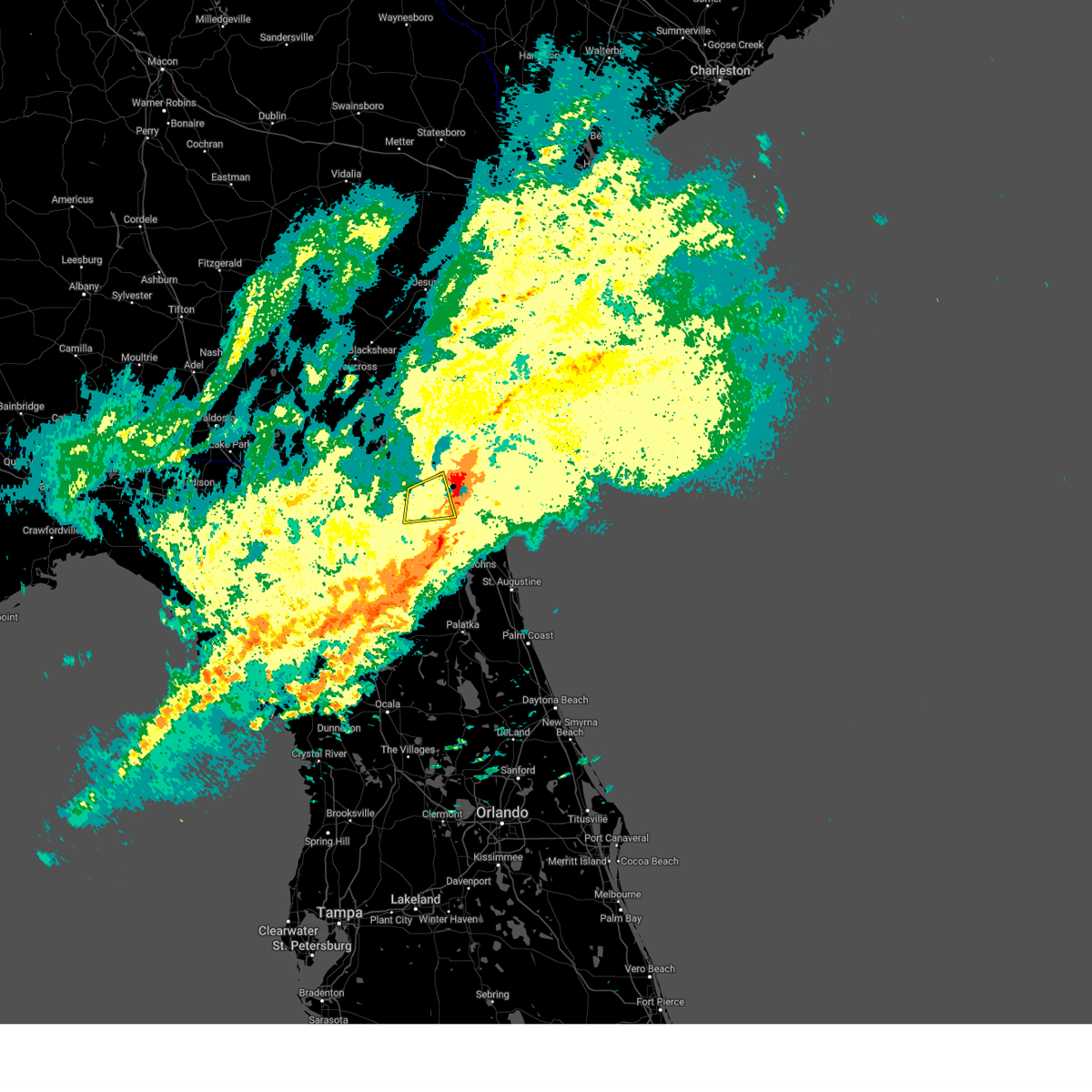 The storm which prompted the warning has weakened below severe limits, and has exited the warned area. therefore, the warning has been allowed to expire. however, gusty winds and heavy rain are still possible with this thunderstorm. a tornado watch remains in effect until 500 pm edt for northeastern florida. The storm which prompted the warning has weakened below severe limits, and has exited the warned area. therefore, the warning has been allowed to expire. however, gusty winds and heavy rain are still possible with this thunderstorm. a tornado watch remains in effect until 500 pm edt for northeastern florida.
|
| 4/3/2024 11:21 AM EDT |
 the severe thunderstorm warning has been cancelled and is no longer in effect the severe thunderstorm warning has been cancelled and is no longer in effect
|
| 4/3/2024 11:21 AM EDT |
 At 1120 am edt, severe thunderstorms were located along a line extending from near normandy to near starke, moving east at 40 mph (radar indicated). Hazards include 60 mph wind gusts. Expect damage to roofs, siding, and trees. Locations impacted include, orange park, green cove springs, starke, keystone heights, unf, mandarin, fruit cove, middleburg, ponte vedra beach, and jacksonville beach. At 1120 am edt, severe thunderstorms were located along a line extending from near normandy to near starke, moving east at 40 mph (radar indicated). Hazards include 60 mph wind gusts. Expect damage to roofs, siding, and trees. Locations impacted include, orange park, green cove springs, starke, keystone heights, unf, mandarin, fruit cove, middleburg, ponte vedra beach, and jacksonville beach.
|
| 4/3/2024 11:16 AM EDT |
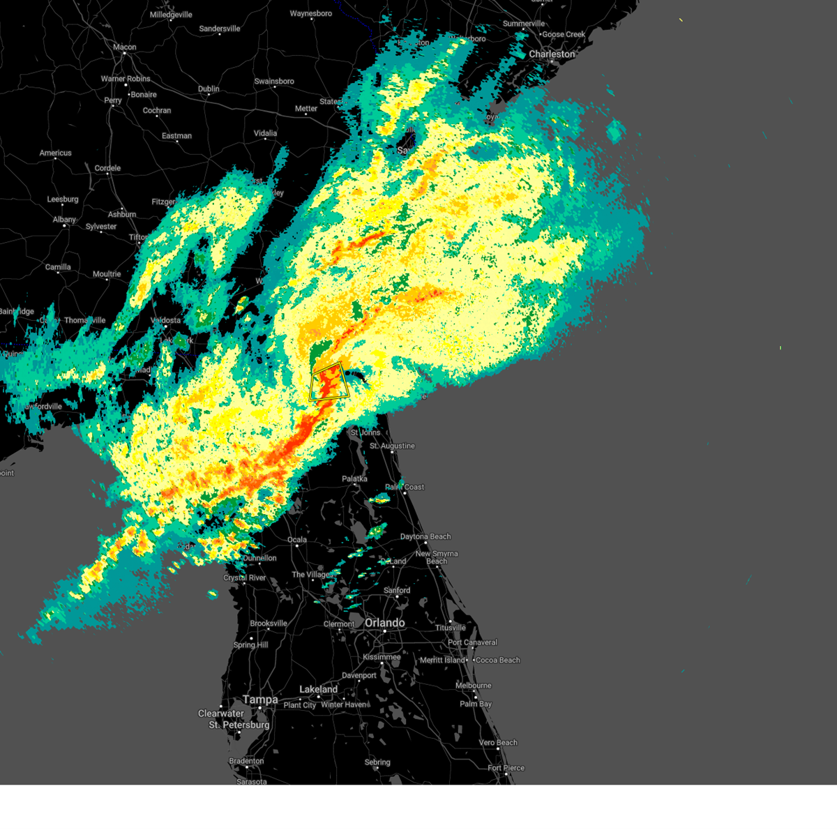 the severe thunderstorm warning has been cancelled and is no longer in effect the severe thunderstorm warning has been cancelled and is no longer in effect
|
| 4/3/2024 11:16 AM EDT |
 At 1116 am edt, a severe thunderstorm was located near cisco gardens, or 11 miles west of jacksonville, moving east at 45 mph (radar indicated). Hazards include 60 mph wind gusts. Expect damage to roofs, siding, and trees. Locations impacted include, cisco gardens, nassau village-ratliff, ratliff, normandy, bryceville, baldwin, and whitehouse air field. At 1116 am edt, a severe thunderstorm was located near cisco gardens, or 11 miles west of jacksonville, moving east at 45 mph (radar indicated). Hazards include 60 mph wind gusts. Expect damage to roofs, siding, and trees. Locations impacted include, cisco gardens, nassau village-ratliff, ratliff, normandy, bryceville, baldwin, and whitehouse air field.
|
| 4/3/2024 11:04 AM EDT |
 Svrjax the national weather service in jacksonville has issued a * severe thunderstorm warning for, bradford county in northern florida, northeastern alachua county in northern florida, northwestern st. johns county in northeastern florida, southeastern baker county in northeastern florida, north central putnam county in northeastern florida, northeastern union county in northern florida, clay county in northeastern florida, southern duval county in northeastern florida, * until 1145 am edt. * at 1103 am edt, severe thunderstorms were located along a line extending from near maxville to sampson, moving east at 40 mph (radar indicated). Hazards include 60 mph wind gusts. expect damage to roofs, siding, and trees Svrjax the national weather service in jacksonville has issued a * severe thunderstorm warning for, bradford county in northern florida, northeastern alachua county in northern florida, northwestern st. johns county in northeastern florida, southeastern baker county in northeastern florida, north central putnam county in northeastern florida, northeastern union county in northern florida, clay county in northeastern florida, southern duval county in northeastern florida, * until 1145 am edt. * at 1103 am edt, severe thunderstorms were located along a line extending from near maxville to sampson, moving east at 40 mph (radar indicated). Hazards include 60 mph wind gusts. expect damage to roofs, siding, and trees
|
| 4/3/2024 10:53 AM EDT |
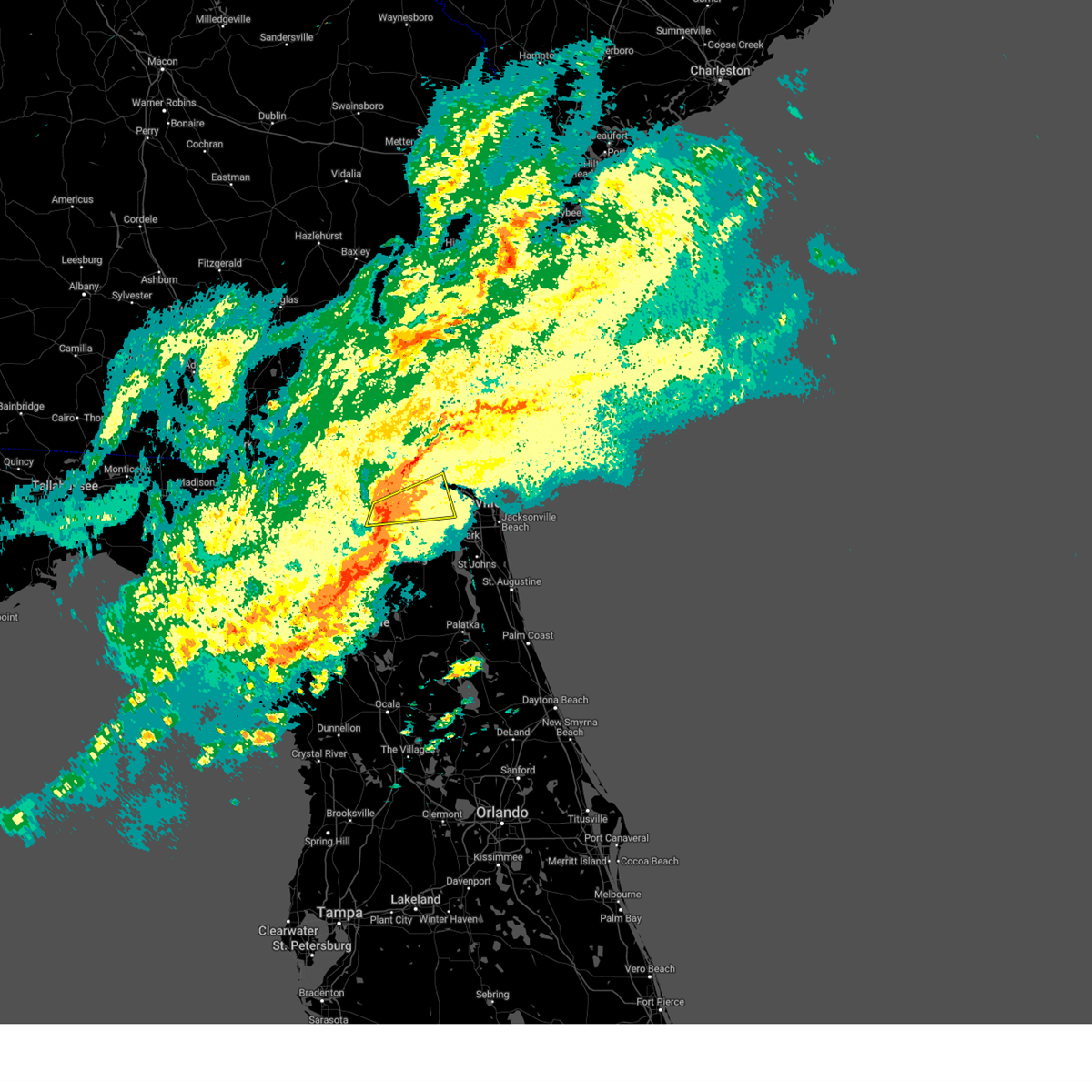 Svrjax the national weather service in jacksonville has issued a * severe thunderstorm warning for, southwestern nassau county in northeastern florida, east central baker county in northeastern florida, northwestern duval county in northeastern florida, south central charlton county in southeastern georgia, * until 1130 am edt. * at 1053 am edt, a severe thunderstorm was located over glen st. mary, or 17 miles north of raiford, moving east at 45 mph (radar indicated). Hazards include 60 mph wind gusts. expect damage to roofs, siding, and trees Svrjax the national weather service in jacksonville has issued a * severe thunderstorm warning for, southwestern nassau county in northeastern florida, east central baker county in northeastern florida, northwestern duval county in northeastern florida, south central charlton county in southeastern georgia, * until 1130 am edt. * at 1053 am edt, a severe thunderstorm was located over glen st. mary, or 17 miles north of raiford, moving east at 45 mph (radar indicated). Hazards include 60 mph wind gusts. expect damage to roofs, siding, and trees
|
| 3/9/2024 1:01 PM EST |
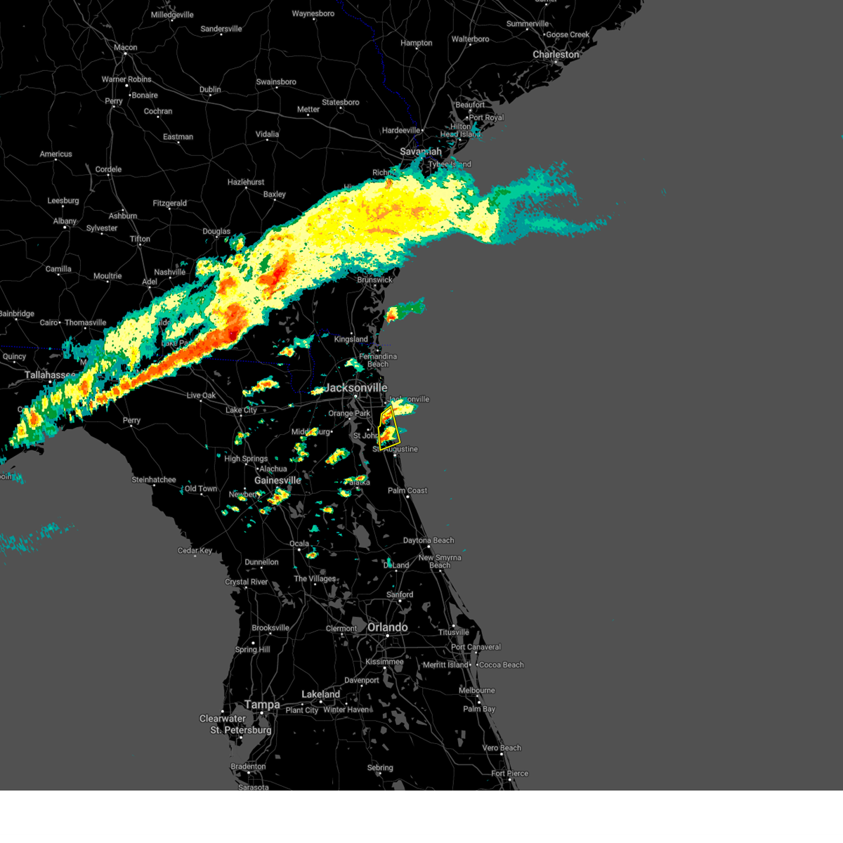 Svrjax the national weather service in jacksonville has issued a * severe thunderstorm warning for, northeastern st. johns county in northeastern florida, * until 130 pm est. * at 100 pm est, a severe thunderstorm was located over sawgrass, or near ponte vedra beach, moving northeast at 25 mph (radar indicated). Hazards include 60 mph wind gusts and quarter size hail. Hail damage to vehicles is expected. Expect wind damage to roofs, siding, and trees. Svrjax the national weather service in jacksonville has issued a * severe thunderstorm warning for, northeastern st. johns county in northeastern florida, * until 130 pm est. * at 100 pm est, a severe thunderstorm was located over sawgrass, or near ponte vedra beach, moving northeast at 25 mph (radar indicated). Hazards include 60 mph wind gusts and quarter size hail. Hail damage to vehicles is expected. Expect wind damage to roofs, siding, and trees.
|
| 2/4/2024 6:38 PM EST |
 The tornado warning for central nassau county will expire at 645 pm est, the storm which prompted the warning has weakened below severe limits, and no longer appears capable of producing a tornado. therefore, the warning will be allowed to expire. however, hail is still possible with this thunderstorm. The tornado warning for central nassau county will expire at 645 pm est, the storm which prompted the warning has weakened below severe limits, and no longer appears capable of producing a tornado. therefore, the warning will be allowed to expire. however, hail is still possible with this thunderstorm.
|
| 2/4/2024 6:25 PM EST |
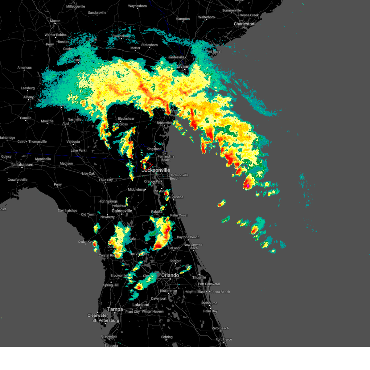 The tornado warning for west central nassau and north central duval counties will expire at 630 pm est, the storm which prompted the warning has moved out of the area. therefore, the warning will be allowed to expire. The tornado warning for west central nassau and north central duval counties will expire at 630 pm est, the storm which prompted the warning has moved out of the area. therefore, the warning will be allowed to expire.
|
| 2/4/2024 6:16 PM EST |
 At 615 pm est, a severe thunderstorm capable of producing a tornado was just south of callahan, moving north at 40 mph (radar indicated rotation). Hazards include tornado. Flying debris will be dangerous to those caught without shelter. mobile homes will be damaged or destroyed. damage to roofs, windows, and vehicles will occur. tree damage is likely. This dangerous storm will be near, callahan and nassau village-ratliff around 620 pm est. At 615 pm est, a severe thunderstorm capable of producing a tornado was just south of callahan, moving north at 40 mph (radar indicated rotation). Hazards include tornado. Flying debris will be dangerous to those caught without shelter. mobile homes will be damaged or destroyed. damage to roofs, windows, and vehicles will occur. tree damage is likely. This dangerous storm will be near, callahan and nassau village-ratliff around 620 pm est.
|
| 2/4/2024 6:09 PM EST |
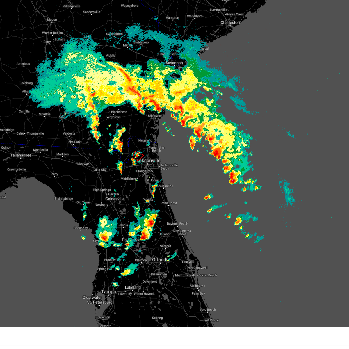 At 609 pm est, a severe thunderstorm capable of producing a tornado was located near ratliff, or near callahan, moving north at 20 mph (radar indicated rotation). Hazards include tornado. Flying debris will be dangerous to those caught without shelter. mobile homes will be damaged or destroyed. damage to roofs, windows, and vehicles will occur. tree damage is likely. This dangerous storm will be near, ratliff and nassau village-ratliff around 615 pm est. At 609 pm est, a severe thunderstorm capable of producing a tornado was located near ratliff, or near callahan, moving north at 20 mph (radar indicated rotation). Hazards include tornado. Flying debris will be dangerous to those caught without shelter. mobile homes will be damaged or destroyed. damage to roofs, windows, and vehicles will occur. tree damage is likely. This dangerous storm will be near, ratliff and nassau village-ratliff around 615 pm est.
|
| 2/4/2024 5:53 PM EST |
 At 553 pm est, a severe thunderstorm was located near jacksonville international arpt, moving northeast at 25 mph (radar indicated). Hazards include 60 mph wind gusts and quarter size hail. Hail damage to vehicles is expected. Expect wind damage to roofs, siding, and trees. At 553 pm est, a severe thunderstorm was located near jacksonville international arpt, moving northeast at 25 mph (radar indicated). Hazards include 60 mph wind gusts and quarter size hail. Hail damage to vehicles is expected. Expect wind damage to roofs, siding, and trees.
|
| 2/4/2024 5:51 PM EST |
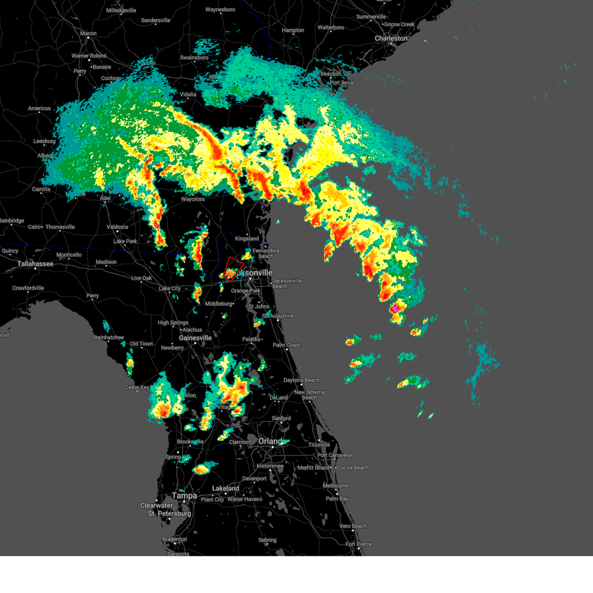 At 551 pm est, a severe thunderstorm capable of producing a tornado was located over bryceville, or 13 miles south of callahan, moving northeast at 25 mph (radar indicated rotation). Hazards include tornado. Flying debris will be dangerous to those caught without shelter. mobile homes will be damaged or destroyed. damage to roofs, windows, and vehicles will occur. tree damage is likely. this dangerous storm will be near, jacksonville around 555 pm est. nassau village-ratliff around 600 pm est. ratliff around 605 pm est. Other locations impacted by this tornadic thunderstorm include whitehouse air field. At 551 pm est, a severe thunderstorm capable of producing a tornado was located over bryceville, or 13 miles south of callahan, moving northeast at 25 mph (radar indicated rotation). Hazards include tornado. Flying debris will be dangerous to those caught without shelter. mobile homes will be damaged or destroyed. damage to roofs, windows, and vehicles will occur. tree damage is likely. this dangerous storm will be near, jacksonville around 555 pm est. nassau village-ratliff around 600 pm est. ratliff around 605 pm est. Other locations impacted by this tornadic thunderstorm include whitehouse air field.
|
| 2/4/2024 5:47 PM EST |
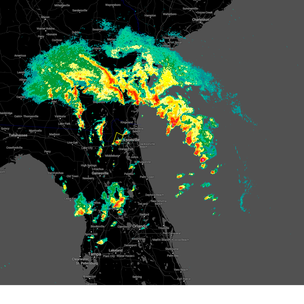 At 547 pm est, a severe thunderstorm was located over bryceville, or 14 miles south of callahan, moving northeast at 25 mph (radar indicated). Hazards include 60 mph wind gusts and quarter size hail. Hail damage to vehicles is expected. Expect wind damage to roofs, siding, and trees. At 547 pm est, a severe thunderstorm was located over bryceville, or 14 miles south of callahan, moving northeast at 25 mph (radar indicated). Hazards include 60 mph wind gusts and quarter size hail. Hail damage to vehicles is expected. Expect wind damage to roofs, siding, and trees.
|
| 2/4/2024 5:44 PM EST |
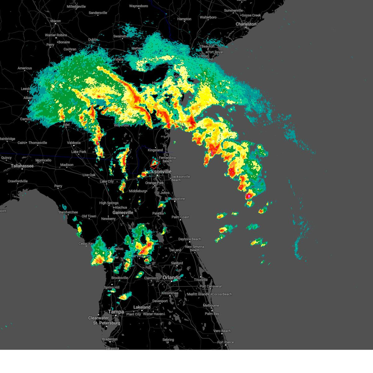 At 544 pm est, a severe thunderstorm capable of producing a tornado was located over jacksonville international arpt, moving northeast at 20 mph (radar indicated rotation). Hazards include tornado. Flying debris will be dangerous to those caught without shelter. mobile homes will be damaged or destroyed. damage to roofs, windows, and vehicles will occur. tree damage is likely. This dangerous storm will be near, jacksonville around 550 pm est. At 544 pm est, a severe thunderstorm capable of producing a tornado was located over jacksonville international arpt, moving northeast at 20 mph (radar indicated rotation). Hazards include tornado. Flying debris will be dangerous to those caught without shelter. mobile homes will be damaged or destroyed. damage to roofs, windows, and vehicles will occur. tree damage is likely. This dangerous storm will be near, jacksonville around 550 pm est.
|
| 2/4/2024 5:33 PM EST |
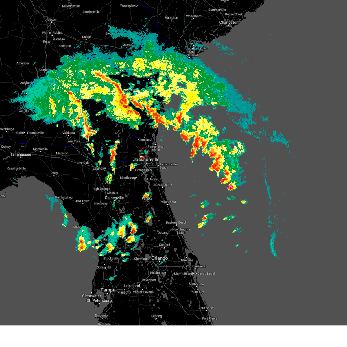 At 533 pm est, a severe thunderstorm capable of producing a tornado was located near jacksonville international arpt, moving northeast at 20 mph (radar indicated rotation). Hazards include tornado. Flying debris will be dangerous to those caught without shelter. mobile homes will be damaged or destroyed. damage to roofs, windows, and vehicles will occur. tree damage is likely. This dangerous storm will be near, jacksonville and jacksonville international arpt around 540 pm est. At 533 pm est, a severe thunderstorm capable of producing a tornado was located near jacksonville international arpt, moving northeast at 20 mph (radar indicated rotation). Hazards include tornado. Flying debris will be dangerous to those caught without shelter. mobile homes will be damaged or destroyed. damage to roofs, windows, and vehicles will occur. tree damage is likely. This dangerous storm will be near, jacksonville and jacksonville international arpt around 540 pm est.
|
| 2/4/2024 5:20 PM EST |
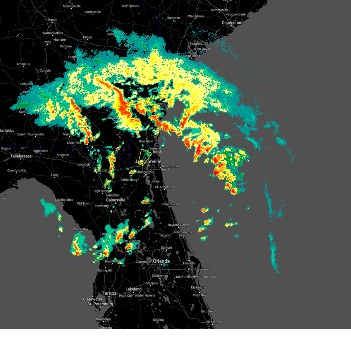 At 520 pm est, a severe thunderstorm was located over cisco gardens, or 8 miles northwest of jacksonville, moving northeast at 25 mph (radar indicated). Hazards include 60 mph wind gusts and quarter size hail. Hail damage to vehicles is expected. Expect wind damage to roofs, siding, and trees. At 520 pm est, a severe thunderstorm was located over cisco gardens, or 8 miles northwest of jacksonville, moving northeast at 25 mph (radar indicated). Hazards include 60 mph wind gusts and quarter size hail. Hail damage to vehicles is expected. Expect wind damage to roofs, siding, and trees.
|
| 2/4/2024 5:13 PM EST |
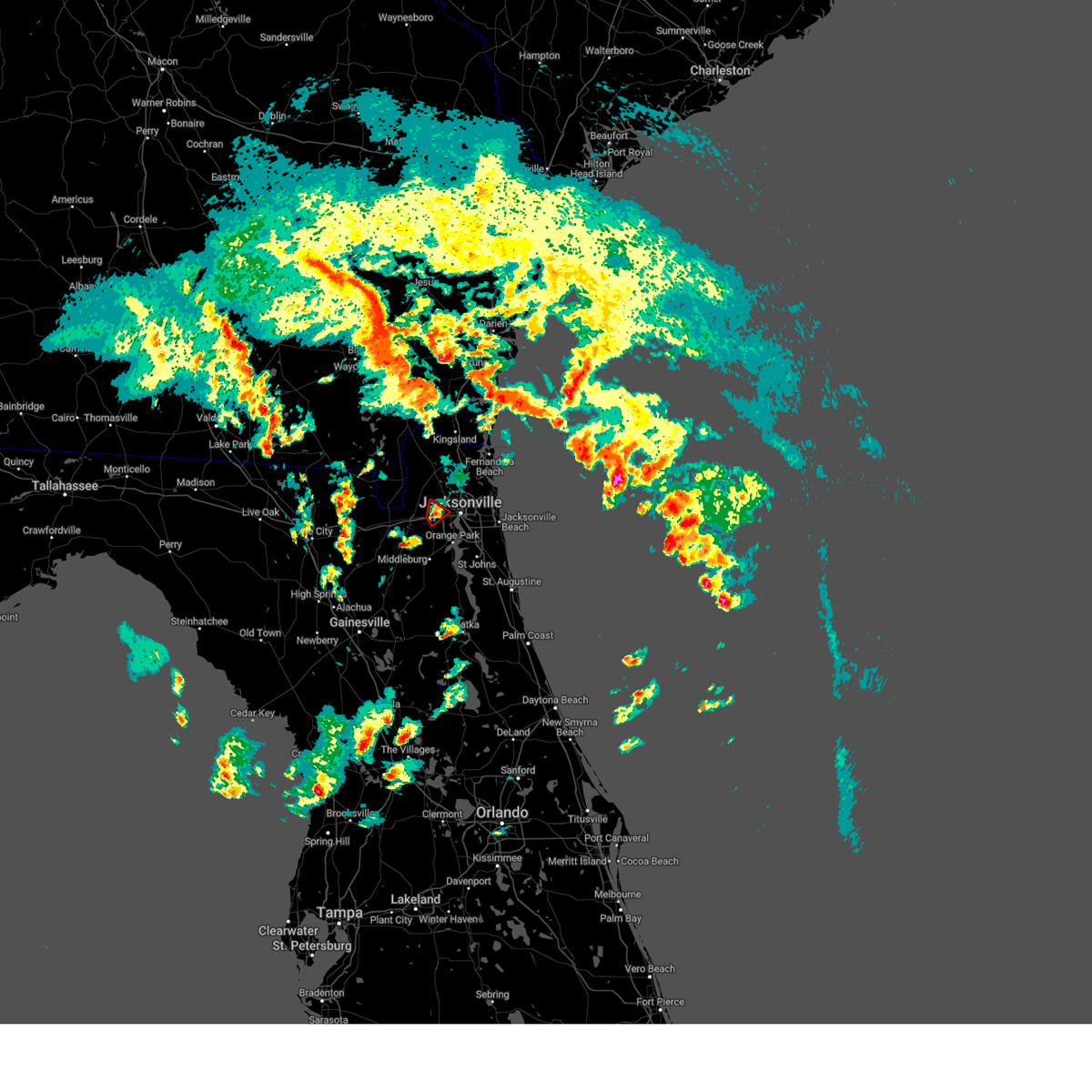 At 513 pm est, a severe thunderstorm capable of producing a tornado was located near normandy, or 9 miles west of jacksonville, moving northeast at 20 mph (radar indicated rotation). Hazards include tornado. Flying debris will be dangerous to those caught without shelter. mobile homes will be damaged or destroyed. damage to roofs, windows, and vehicles will occur. tree damage is likely. This dangerous storm will be near, jacksonville and cisco gardens around 520 pm est. At 513 pm est, a severe thunderstorm capable of producing a tornado was located near normandy, or 9 miles west of jacksonville, moving northeast at 20 mph (radar indicated rotation). Hazards include tornado. Flying debris will be dangerous to those caught without shelter. mobile homes will be damaged or destroyed. damage to roofs, windows, and vehicles will occur. tree damage is likely. This dangerous storm will be near, jacksonville and cisco gardens around 520 pm est.
|
| 2/4/2024 5:03 PM EST |
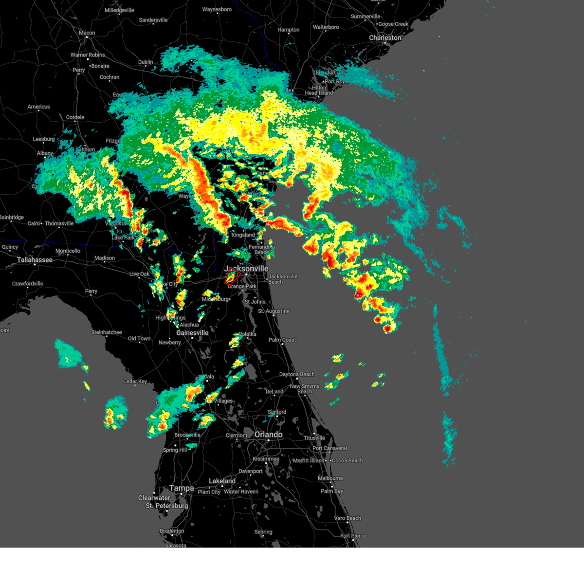 At 502 pm est, a severe thunderstorm capable of producing a tornado was located near cecil field, or 11 miles northwest of orange park, moving northeast at 25 mph (radar indicated rotation). Hazards include tornado. Flying debris will be dangerous to those caught without shelter. mobile homes will be damaged or destroyed. damage to roofs, windows, and vehicles will occur. tree damage is likely. this dangerous storm will be near, jacksonville around 510 pm est. cisco gardens around 515 pm est. Other locations impacted by this tornadic thunderstorm include whitehouse air field. At 502 pm est, a severe thunderstorm capable of producing a tornado was located near cecil field, or 11 miles northwest of orange park, moving northeast at 25 mph (radar indicated rotation). Hazards include tornado. Flying debris will be dangerous to those caught without shelter. mobile homes will be damaged or destroyed. damage to roofs, windows, and vehicles will occur. tree damage is likely. this dangerous storm will be near, jacksonville around 510 pm est. cisco gardens around 515 pm est. Other locations impacted by this tornadic thunderstorm include whitehouse air field.
|
| 2/4/2024 4:52 PM EST |
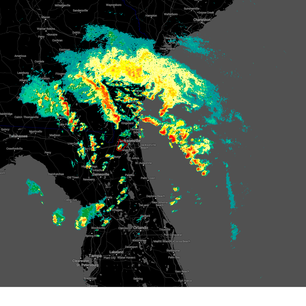 At 452 pm est, a severe thunderstorm capable of producing a tornado was located over cecil field, or 11 miles north of middleburg, moving northeast at 20 mph (radar indicated rotation). Hazards include tornado. Flying debris will be dangerous to those caught without shelter. mobile homes will be damaged or destroyed. damage to roofs, windows, and vehicles will occur. tree damage is likely. this dangerous storm will be near, jacksonville around 500 pm est. Other locations impacted by this tornadic thunderstorm include jacksonville heights and whitehouse air field. At 452 pm est, a severe thunderstorm capable of producing a tornado was located over cecil field, or 11 miles north of middleburg, moving northeast at 20 mph (radar indicated rotation). Hazards include tornado. Flying debris will be dangerous to those caught without shelter. mobile homes will be damaged or destroyed. damage to roofs, windows, and vehicles will occur. tree damage is likely. this dangerous storm will be near, jacksonville around 500 pm est. Other locations impacted by this tornadic thunderstorm include jacksonville heights and whitehouse air field.
|
| 2/4/2024 4:37 PM EST |
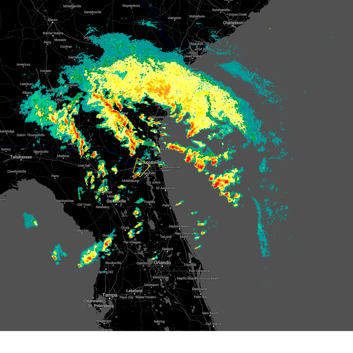 At 437 pm est, a severe thunderstorm was located over cecil field, or 9 miles north of middleburg, moving northeast at 20 mph (radar indicated). Hazards include 60 mph wind gusts and half dollar size hail. Hail damage to vehicles is expected. Expect wind damage to roofs, siding, and trees. At 437 pm est, a severe thunderstorm was located over cecil field, or 9 miles north of middleburg, moving northeast at 20 mph (radar indicated). Hazards include 60 mph wind gusts and half dollar size hail. Hail damage to vehicles is expected. Expect wind damage to roofs, siding, and trees.
|
| 2/4/2024 4:24 PM EST |
 At 424 pm est, a severe thunderstorm capable of producing a tornado was located near middleburg, moving northeast at 25 mph (radar indicated rotation). Hazards include tornado. Flying debris will be dangerous to those caught without shelter. mobile homes will be damaged or destroyed. damage to roofs, windows, and vehicles will occur. tree damage is likely. This dangerous storm will be near, middleburg around 430 pm est. At 424 pm est, a severe thunderstorm capable of producing a tornado was located near middleburg, moving northeast at 25 mph (radar indicated rotation). Hazards include tornado. Flying debris will be dangerous to those caught without shelter. mobile homes will be damaged or destroyed. damage to roofs, windows, and vehicles will occur. tree damage is likely. This dangerous storm will be near, middleburg around 430 pm est.
|
| 2/4/2024 4:23 PM EST |
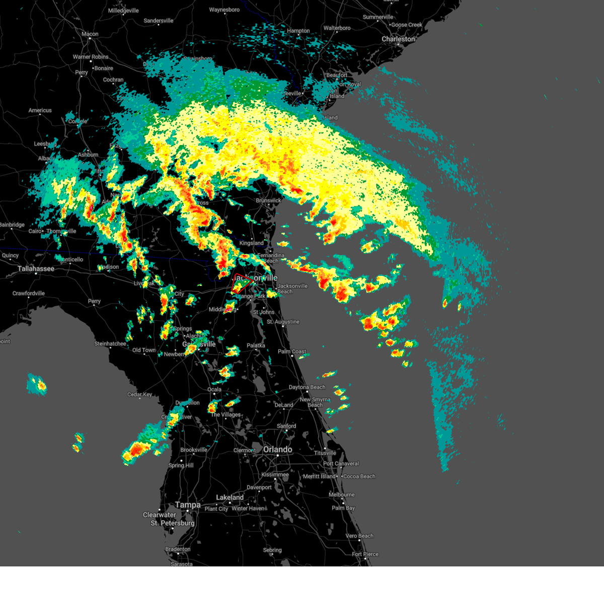 At 423 pm est, a severe thunderstorm capable of producing a tornado was located near cecil field, or 12 miles northwest of orange park, moving north at 20 mph (radar indicated rotation). Hazards include tornado. Flying debris will be dangerous to those caught without shelter. mobile homes will be damaged or destroyed. damage to roofs, windows, and vehicles will occur. tree damage is likely. this dangerous storm will be near, jacksonville around 430 pm est. cisco gardens around 435 pm est. Other locations impacted by this tornadic thunderstorm include whitehouse air field. At 423 pm est, a severe thunderstorm capable of producing a tornado was located near cecil field, or 12 miles northwest of orange park, moving north at 20 mph (radar indicated rotation). Hazards include tornado. Flying debris will be dangerous to those caught without shelter. mobile homes will be damaged or destroyed. damage to roofs, windows, and vehicles will occur. tree damage is likely. this dangerous storm will be near, jacksonville around 430 pm est. cisco gardens around 435 pm est. Other locations impacted by this tornadic thunderstorm include whitehouse air field.
|
| 2/4/2024 4:13 PM EST |
 At 412 pm est, a severe thunderstorm capable of producing a tornado was located near camp blanding, or near middleburg, moving northeast at 20 mph (radar indicated rotation). Hazards include tornado. Flying debris will be dangerous to those caught without shelter. mobile homes will be damaged or destroyed. damage to roofs, windows, and vehicles will occur. tree damage is likely. this dangerous storm will be near, middleburg around 420 pm est. Other locations impacted by this tornadic thunderstorm include lawtey. At 412 pm est, a severe thunderstorm capable of producing a tornado was located near camp blanding, or near middleburg, moving northeast at 20 mph (radar indicated rotation). Hazards include tornado. Flying debris will be dangerous to those caught without shelter. mobile homes will be damaged or destroyed. damage to roofs, windows, and vehicles will occur. tree damage is likely. this dangerous storm will be near, middleburg around 420 pm est. Other locations impacted by this tornadic thunderstorm include lawtey.
|
| 2/4/2024 4:12 PM EST |
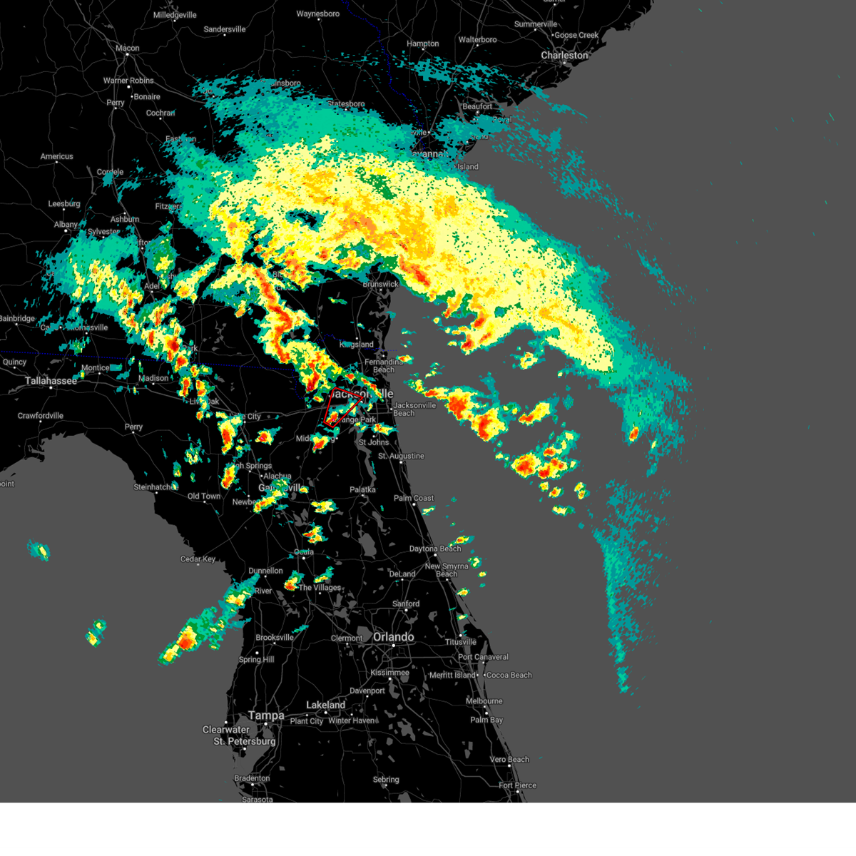 At 411 pm est, a severe thunderstorm capable of producing a tornado was located over cecil field, or 11 miles north of middleburg, moving northeast at 25 mph (radar indicated rotation). Hazards include tornado. Flying debris will be dangerous to those caught without shelter. mobile homes will be damaged or destroyed. damage to roofs, windows, and vehicles will occur. tree damage is likely. this dangerous storm will be near, jacksonville and cecil field around 415 pm est. normandy around 430 pm est. cisco gardens around 435 pm est. Other locations impacted by this tornadic thunderstorm include jacksonville heights and whitehouse air field. At 411 pm est, a severe thunderstorm capable of producing a tornado was located over cecil field, or 11 miles north of middleburg, moving northeast at 25 mph (radar indicated rotation). Hazards include tornado. Flying debris will be dangerous to those caught without shelter. mobile homes will be damaged or destroyed. damage to roofs, windows, and vehicles will occur. tree damage is likely. this dangerous storm will be near, jacksonville and cecil field around 415 pm est. normandy around 430 pm est. cisco gardens around 435 pm est. Other locations impacted by this tornadic thunderstorm include jacksonville heights and whitehouse air field.
|
| 2/4/2024 4:06 PM EST |
 At 406 pm est, a severe thunderstorm was located near camp blanding, or near starke, moving northeast at 25 mph (radar indicated). Hazards include 60 mph wind gusts and quarter size hail. Hail damage to vehicles is expected. Expect wind damage to roofs, siding, and trees. At 406 pm est, a severe thunderstorm was located near camp blanding, or near starke, moving northeast at 25 mph (radar indicated). Hazards include 60 mph wind gusts and quarter size hail. Hail damage to vehicles is expected. Expect wind damage to roofs, siding, and trees.
|
| 2/4/2024 4:03 PM EST |
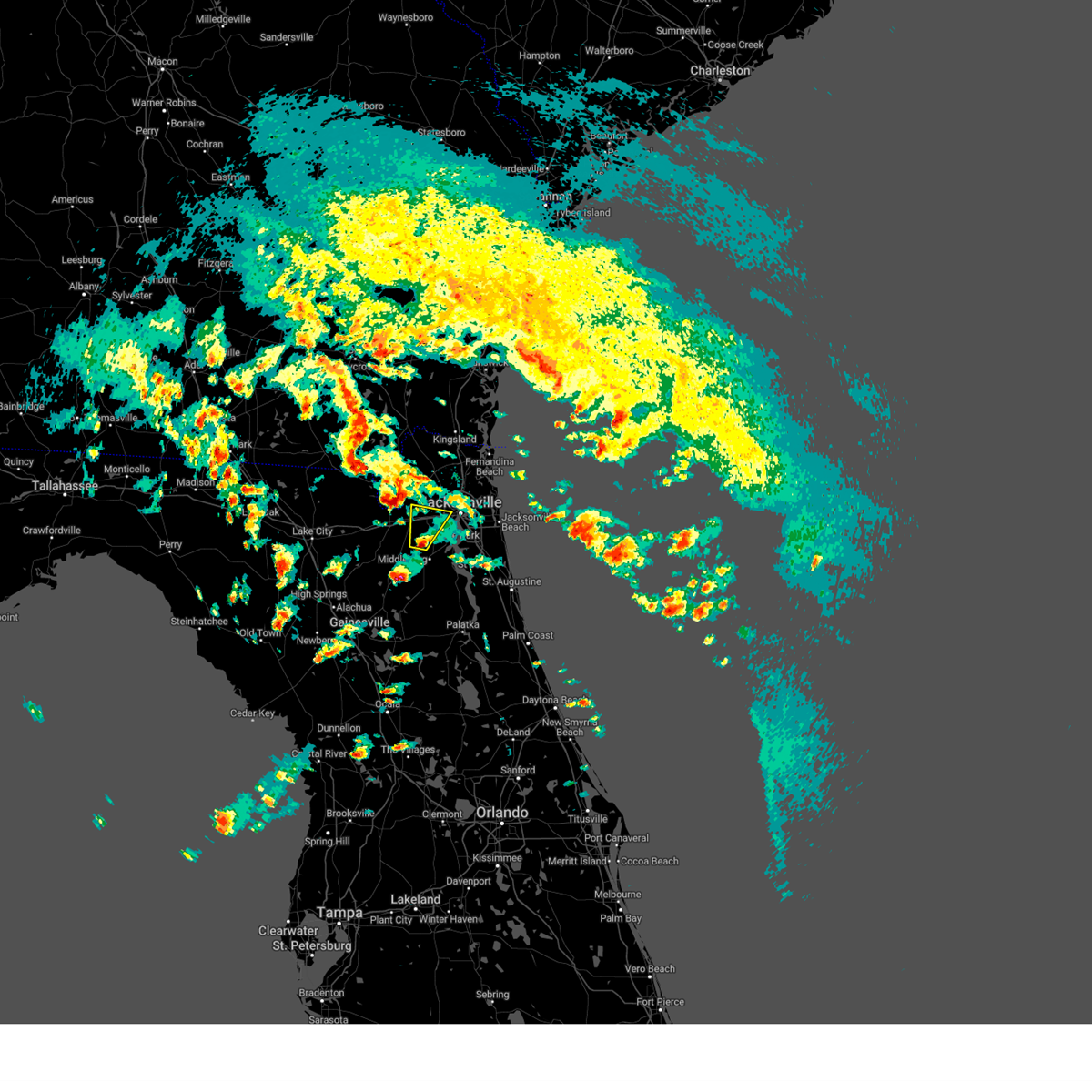 At 402 pm est, a severe thunderstorm was located over cecil field, or 9 miles north of middleburg, moving north at 25 mph (radar indicated). Hazards include 60 mph wind gusts and quarter size hail. Hail damage to vehicles is expected. expect wind damage to roofs, siding, and trees. Locations impacted include, cecil field, normandy, oakleaf plantation, baldwin, jacksonville heights, and whitehouse air field. At 402 pm est, a severe thunderstorm was located over cecil field, or 9 miles north of middleburg, moving north at 25 mph (radar indicated). Hazards include 60 mph wind gusts and quarter size hail. Hail damage to vehicles is expected. expect wind damage to roofs, siding, and trees. Locations impacted include, cecil field, normandy, oakleaf plantation, baldwin, jacksonville heights, and whitehouse air field.
|
| 2/4/2024 3:53 PM EST |
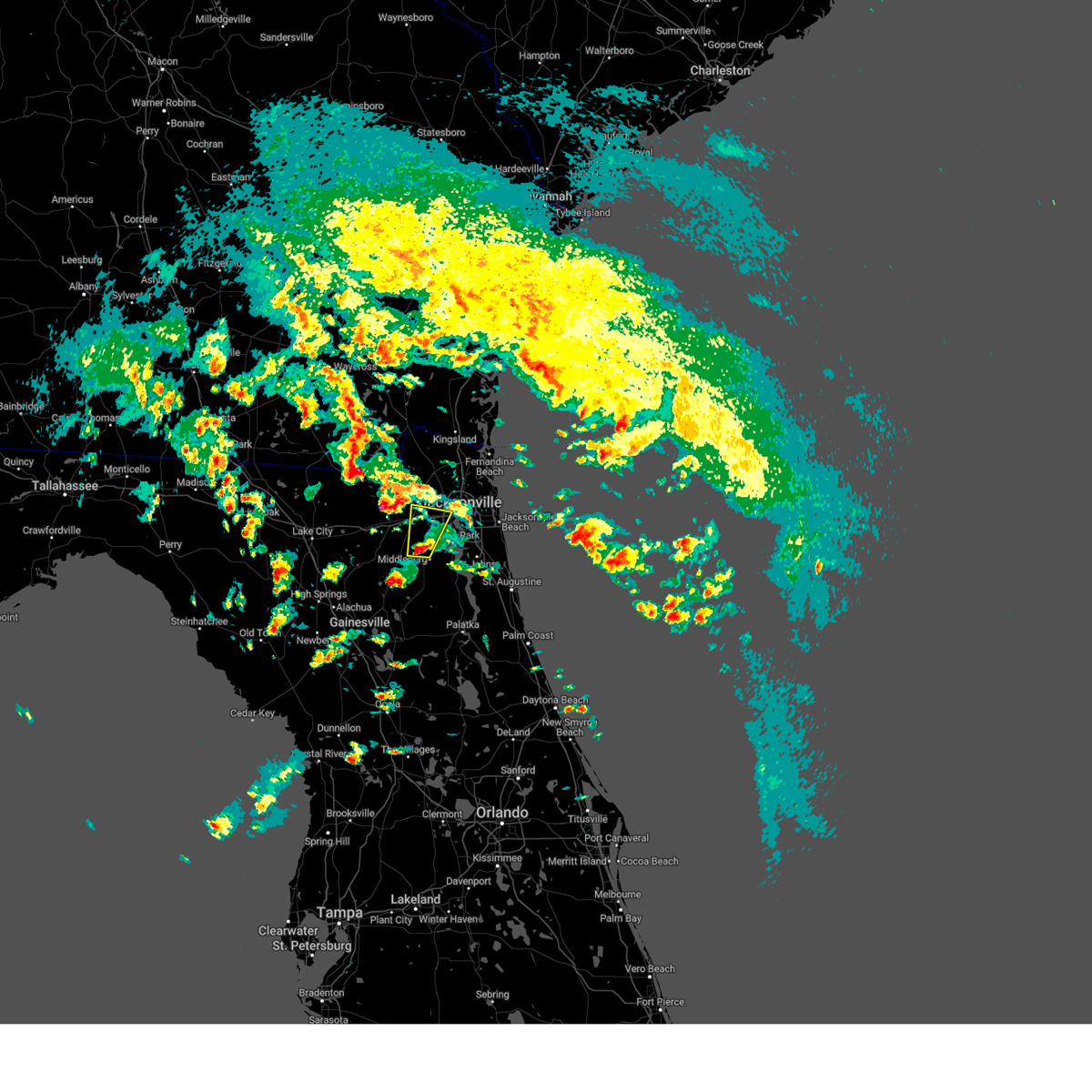 At 353 pm est, a severe thunderstorm was located near oakleaf plantation, or near middleburg, moving north at 25 mph (radar indicated). Hazards include 60 mph wind gusts and quarter size hail. Hail damage to vehicles is expected. Expect wind damage to roofs, siding, and trees. At 353 pm est, a severe thunderstorm was located near oakleaf plantation, or near middleburg, moving north at 25 mph (radar indicated). Hazards include 60 mph wind gusts and quarter size hail. Hail damage to vehicles is expected. Expect wind damage to roofs, siding, and trees.
|
| 2/4/2024 3:42 PM EST |
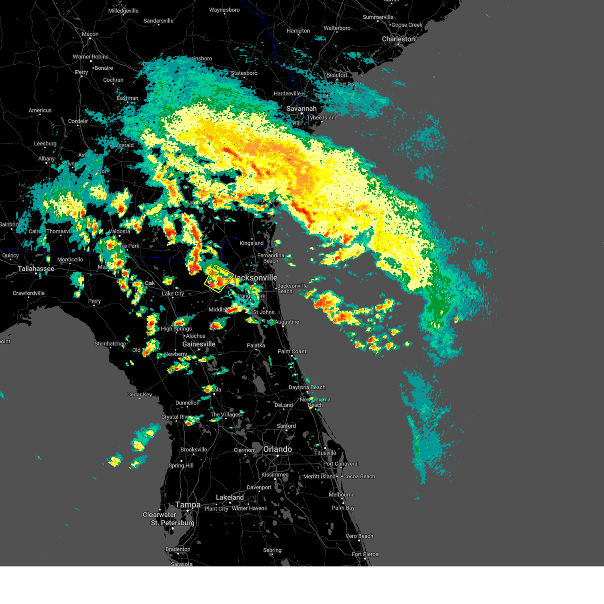 At 342 pm est, a severe thunderstorm was located near macclenny, or 19 miles north of raiford, moving northeast at 25 mph (radar indicated). Hazards include 60 mph wind gusts and quarter size hail. Hail damage to vehicles is expected. expect wind damage to roofs, siding, and trees. locations impacted include, macclenny and glen st. mary. hail threat, radar indicated max hail size, 1. 00 in wind threat, radar indicated max wind gust, 60 mph. At 342 pm est, a severe thunderstorm was located near macclenny, or 19 miles north of raiford, moving northeast at 25 mph (radar indicated). Hazards include 60 mph wind gusts and quarter size hail. Hail damage to vehicles is expected. expect wind damage to roofs, siding, and trees. locations impacted include, macclenny and glen st. mary. hail threat, radar indicated max hail size, 1. 00 in wind threat, radar indicated max wind gust, 60 mph.
|
| 2/4/2024 3:13 PM EST |
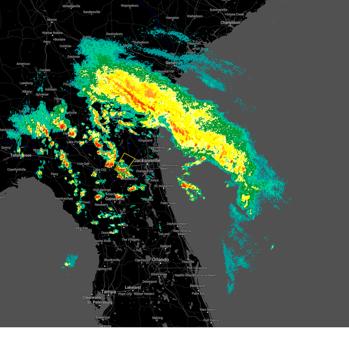 At 312 pm est, a severe thunderstorm was located near glen st. mary, or 12 miles northeast of raiford, moving northeast at 25 mph (radar indicated). Hazards include 60 mph wind gusts and quarter size hail. Hail damage to vehicles is expected. Expect wind damage to roofs, siding, and trees. At 312 pm est, a severe thunderstorm was located near glen st. mary, or 12 miles northeast of raiford, moving northeast at 25 mph (radar indicated). Hazards include 60 mph wind gusts and quarter size hail. Hail damage to vehicles is expected. Expect wind damage to roofs, siding, and trees.
|
| 1/9/2024 4:50 PM EST |
 The severe thunderstorm warning for central st. johns and north central putnam counties will expire at 500 pm est, the storms which prompted the warning have moved out of the area. therefore, the warning will be allowed to expire. a tornado watch remains in effect until 600 pm est for northeastern florida. The severe thunderstorm warning for central st. johns and north central putnam counties will expire at 500 pm est, the storms which prompted the warning have moved out of the area. therefore, the warning will be allowed to expire. a tornado watch remains in effect until 600 pm est for northeastern florida.
|
| 1/9/2024 4:15 PM EST |
 The national weather service in jacksonville has issued a * severe thunderstorm warning for. central st. johns county in northeastern florida. north central putnam county in northeastern florida. until 500 pm est. At 414 pm est, severe thunderstorms were located along a line. The national weather service in jacksonville has issued a * severe thunderstorm warning for. central st. johns county in northeastern florida. north central putnam county in northeastern florida. until 500 pm est. At 414 pm est, severe thunderstorms were located along a line.
|
| 1/9/2024 4:11 PM EST |
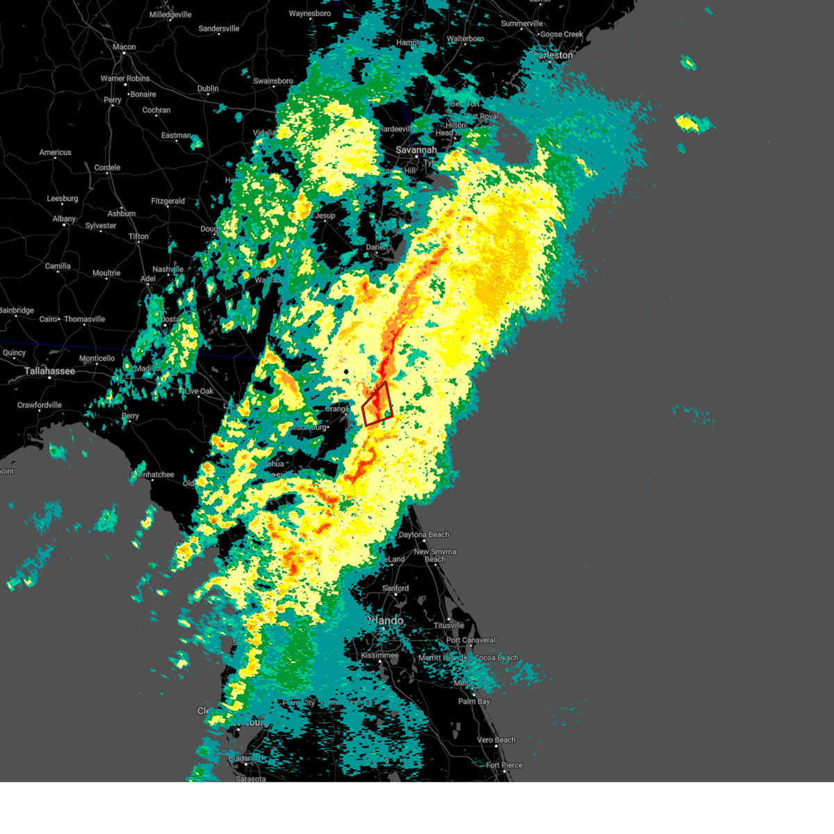 The tornado warning for north central st. johns and southeastern duval counties will expire at 415 pm est, the tornado warning that was previously in effect has been reissued for duval and st johns counties and is in effect until 430 pm. please refer to that bulletin for the latest severe weather information. a tornado watch remains in effect until 600 pm est for northeastern florida. The tornado warning for north central st. johns and southeastern duval counties will expire at 415 pm est, the tornado warning that was previously in effect has been reissued for duval and st johns counties and is in effect until 430 pm. please refer to that bulletin for the latest severe weather information. a tornado watch remains in effect until 600 pm est for northeastern florida.
|
| 1/9/2024 4:10 PM EST | Local media reported tree snapped in residential area. time of damage estimated off rada in duval county FL, 19.6 miles NNW of Jacksonville, FL |
| 1/9/2024 4:10 PM EST |
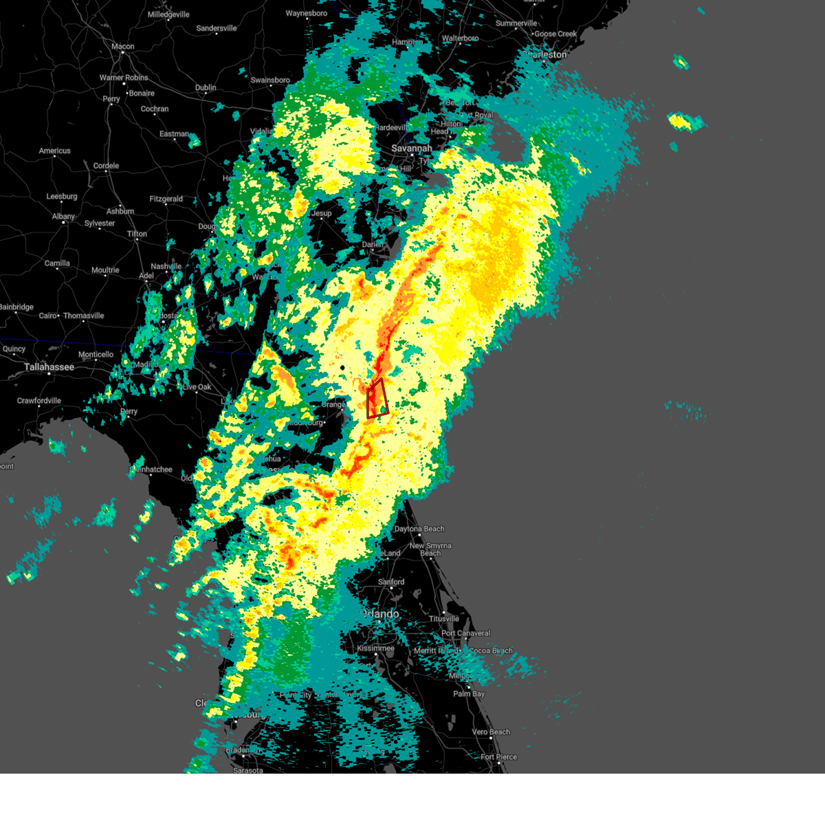 The national weather service in jacksonville has issued a * tornado warning for. north central st. johns county in northeastern florida. southeastern duval county in northeastern florida. until 430 pm est. At 410 pm est, a severe thunderstorm capable of producing a tornado. The national weather service in jacksonville has issued a * tornado warning for. north central st. johns county in northeastern florida. southeastern duval county in northeastern florida. until 430 pm est. At 410 pm est, a severe thunderstorm capable of producing a tornado.
|
| 1/9/2024 4:09 PM EST |
 At 407 pm est, severe thunderstorms were located along a line extending from 9 miles northeast of fernandina beach to near bostwick, moving east at 45 mph (radar indicated). Hazards include 60 mph wind gusts. Expect damage to roofs, siding, and trees. Locations impacted include, saint augustine, fernandina beach, hastings, unf, ponte vedra beach, jacksonville beach, atlantic beach, neptune beach, world golf village, and nocatee. At 407 pm est, severe thunderstorms were located along a line extending from 9 miles northeast of fernandina beach to near bostwick, moving east at 45 mph (radar indicated). Hazards include 60 mph wind gusts. Expect damage to roofs, siding, and trees. Locations impacted include, saint augustine, fernandina beach, hastings, unf, ponte vedra beach, jacksonville beach, atlantic beach, neptune beach, world golf village, and nocatee.
|
| 1/9/2024 4:05 PM EST |
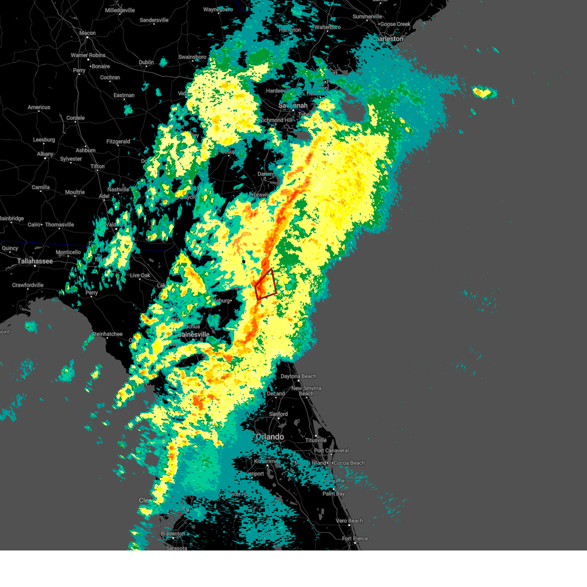 A tornado warning remains in effect until 415 pm est for north central st. johns and southeastern duval counties. at 405 pm est, a severe thunderstorm capable of producing a tornado was located near bayard, or near unf, moving northeast at 60 mph. hazard. tornado. source. Radar indicated rotation. A tornado warning remains in effect until 415 pm est for north central st. johns and southeastern duval counties. at 405 pm est, a severe thunderstorm capable of producing a tornado was located near bayard, or near unf, moving northeast at 60 mph. hazard. tornado. source. Radar indicated rotation.
|
| 1/9/2024 4:00 PM EST | Public report of widespread wind damage and possible tornado just south of bayard. possible brief tds on radar as well. time is estimate in duval county FL, 19.9 miles NNW of Jacksonville, FL |
| 1/9/2024 3:53 PM EST |
 The national weather service in jacksonville has issued a * tornado warning for. northwestern st. johns county in northeastern florida. northeastern clay county in northeastern florida. southeastern duval county in northeastern florida. Until 415 pm est. The national weather service in jacksonville has issued a * tornado warning for. northwestern st. johns county in northeastern florida. northeastern clay county in northeastern florida. southeastern duval county in northeastern florida. Until 415 pm est.
|
| 1/9/2024 3:48 PM EST |
 The national weather service in jacksonville has issued a * severe thunderstorm warning for. northeastern nassau county in northeastern florida. st. johns county in northeastern florida. northern putnam county in northeastern florida. Clay county in northeastern florida. The national weather service in jacksonville has issued a * severe thunderstorm warning for. northeastern nassau county in northeastern florida. st. johns county in northeastern florida. northern putnam county in northeastern florida. Clay county in northeastern florida.
|
| 1/9/2024 3:48 PM EST |
 At 348 pm est, severe thunderstorms were located along a line extending from st. marys to near george`s lake, moving east at 45 mph (radar indicated). Hazards include 60 mph wind gusts. expect damage to roofs, siding, and trees At 348 pm est, severe thunderstorms were located along a line extending from st. marys to near george`s lake, moving east at 45 mph (radar indicated). Hazards include 60 mph wind gusts. expect damage to roofs, siding, and trees
|
| 1/9/2024 3:37 PM EST |
 At 337 pm est, severe thunderstorms were located along a line extending from 7 miles west of yulee to 6 miles northeast of keystone heights, moving east at 35 mph (radar indicated). Hazards include 60 mph wind gusts. Expect damage to roofs, siding, and trees. locations impacted include, jacksonville, st. Marys, fernandina beach, orange park, green cove springs, jacksonville international arpt, mandarin, fruit cove, arlington, and middleburg. At 337 pm est, severe thunderstorms were located along a line extending from 7 miles west of yulee to 6 miles northeast of keystone heights, moving east at 35 mph (radar indicated). Hazards include 60 mph wind gusts. Expect damage to roofs, siding, and trees. locations impacted include, jacksonville, st. Marys, fernandina beach, orange park, green cove springs, jacksonville international arpt, mandarin, fruit cove, arlington, and middleburg.
|
| 1/9/2024 3:12 PM EST |
 A severe thunderstorm warning remains in effect until 345 pm est for nassau. eastern bradford. northeastern alachua. west central st. johns. north central putnam. clay. duval and southeastern camden counties. At 311 pm est, severe thunderstorms were located along a line extending from near hilliard to near sampson, moving east at 35 mph. A severe thunderstorm warning remains in effect until 345 pm est for nassau. eastern bradford. northeastern alachua. west central st. johns. north central putnam. clay. duval and southeastern camden counties. At 311 pm est, severe thunderstorms were located along a line extending from near hilliard to near sampson, moving east at 35 mph.
|
| 1/9/2024 3:12 PM EST |
 At 311 pm est, severe thunderstorms were located along a line extending from near hilliard to near sampson, moving east at 35 mph (radar indicated). Hazards include 60 mph wind gusts. Expect damage to roofs, siding, and trees. locations impacted include, jacksonville, st. Marys, fernandina beach, orange park, green cove springs, starke, hilliard, keystone heights, callahan, and jacksonville international arpt. At 311 pm est, severe thunderstorms were located along a line extending from near hilliard to near sampson, moving east at 35 mph (radar indicated). Hazards include 60 mph wind gusts. Expect damage to roofs, siding, and trees. locations impacted include, jacksonville, st. Marys, fernandina beach, orange park, green cove springs, starke, hilliard, keystone heights, callahan, and jacksonville international arpt.
|
| 1/9/2024 2:44 PM EST |
 At 244 pm est, severe thunderstorms were located along a line extending from 11 miles northwest of st. george to near alachua, moving east at 35 mph (radar indicated). Hazards include 60 mph wind gusts. expect damage to roofs, siding, and trees At 244 pm est, severe thunderstorms were located along a line extending from 11 miles northwest of st. george to near alachua, moving east at 35 mph (radar indicated). Hazards include 60 mph wind gusts. expect damage to roofs, siding, and trees
|
| 1/9/2024 2:15 PM EST |
 The national weather service in jacksonville has issued a * severe thunderstorm warning for. southeastern bradford county in northern florida. eastern alachua county in northern florida. northwestern putnam county in northeastern florida. Clay county in northeastern florida. The national weather service in jacksonville has issued a * severe thunderstorm warning for. southeastern bradford county in northern florida. eastern alachua county in northern florida. northwestern putnam county in northeastern florida. Clay county in northeastern florida.
|
| 1/9/2024 2:02 PM EST |
 At 201 pm est, severe thunderstorms were located along a line extending from 7 miles north of taylor to near high springs, moving east at 40 mph (radar indicated). Hazards include 60 mph wind gusts. expect damage to roofs, siding, and trees At 201 pm est, severe thunderstorms were located along a line extending from 7 miles north of taylor to near high springs, moving east at 40 mph (radar indicated). Hazards include 60 mph wind gusts. expect damage to roofs, siding, and trees
|
| 12/2/2023 6:11 PM EST |
 The severe thunderstorm warning for northeastern clay and southeastern duval counties will expire at 615 pm est, the storm which prompted the warning has weakened below severe limits, and has exited the warned area. therefore, the warning will be allowed to expire. however, gusty winds at 35 to 45 mph are still possible with this thunderstorm near the beaches through 615 pm when the storms push offshore. The severe thunderstorm warning for northeastern clay and southeastern duval counties will expire at 615 pm est, the storm which prompted the warning has weakened below severe limits, and has exited the warned area. therefore, the warning will be allowed to expire. however, gusty winds at 35 to 45 mph are still possible with this thunderstorm near the beaches through 615 pm when the storms push offshore.
|
| 12/2/2023 5:44 PM EST |
 At 544 pm est, a severe thunderstorm was located over craig field, or near unf, moving east at 25 mph (radar indicated). Hazards include 60 mph wind gusts and nickel size hail. expect damage to roofs, siding, and trees At 544 pm est, a severe thunderstorm was located over craig field, or near unf, moving east at 25 mph (radar indicated). Hazards include 60 mph wind gusts and nickel size hail. expect damage to roofs, siding, and trees
|
| 12/2/2023 5:36 PM EST |
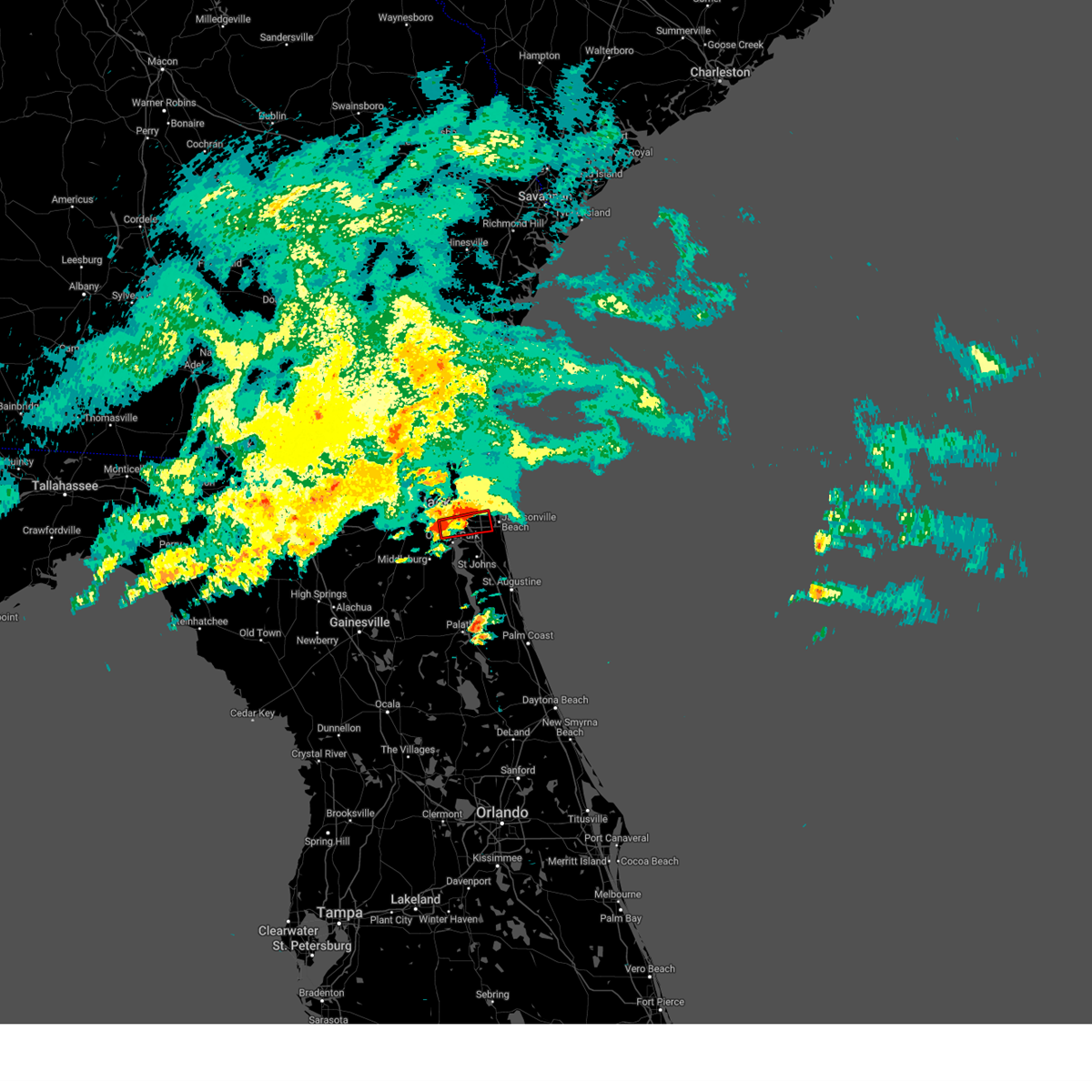 The tornado warning for southeastern duval county will expire at 545 pm est, the storm which prompted the warning has weakened below severe limits, and no longer appears capable of producing a tornado. therefore, the warning will be allowed to expire. however, gusty winds are still possible with this thunderstorm. The tornado warning for southeastern duval county will expire at 545 pm est, the storm which prompted the warning has weakened below severe limits, and no longer appears capable of producing a tornado. therefore, the warning will be allowed to expire. however, gusty winds are still possible with this thunderstorm.
|
| 12/2/2023 5:13 PM EST |
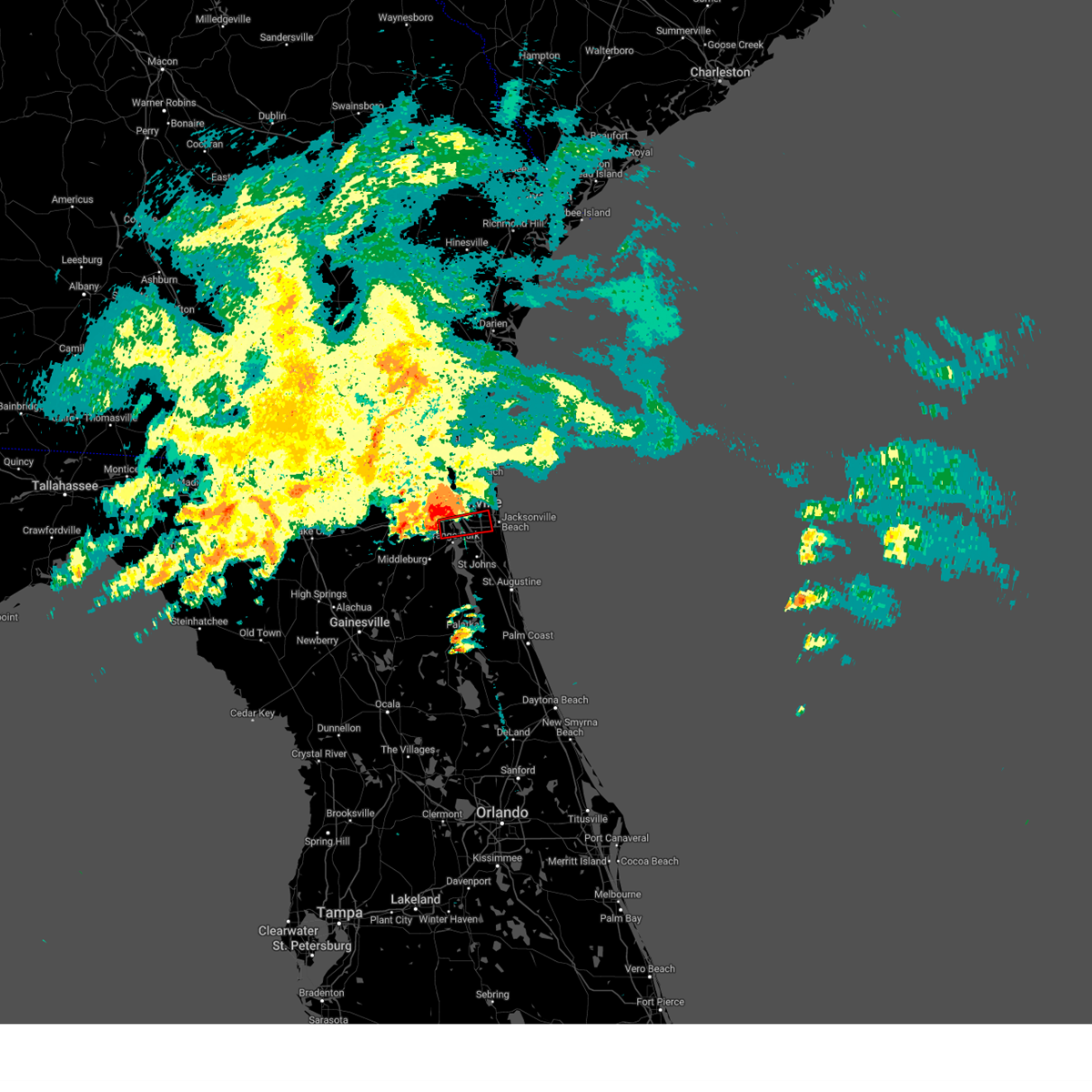 At 513 pm est, a severe thunderstorm capable of producing a tornado was located over ortega, or near jacksonville, moving east at 35 mph (radar indicated rotation). Hazards include tornado and quarter size hail. Flying debris will be dangerous to those caught without shelter. mobile homes will be damaged or destroyed. damage to roofs, windows, and vehicles will occur. tree damage is likely. this dangerous storm will be near, jacksonville, san marco, and nas jax around 520 pm est. baymeadows around 525 pm est. unf around 530 pm est. craig field around 535 pm est. Other locations impacted by this tornadic thunderstorm include jacksonville heights. At 513 pm est, a severe thunderstorm capable of producing a tornado was located over ortega, or near jacksonville, moving east at 35 mph (radar indicated rotation). Hazards include tornado and quarter size hail. Flying debris will be dangerous to those caught without shelter. mobile homes will be damaged or destroyed. damage to roofs, windows, and vehicles will occur. tree damage is likely. this dangerous storm will be near, jacksonville, san marco, and nas jax around 520 pm est. baymeadows around 525 pm est. unf around 530 pm est. craig field around 535 pm est. Other locations impacted by this tornadic thunderstorm include jacksonville heights.
|
| 12/2/2023 5:02 PM EST |
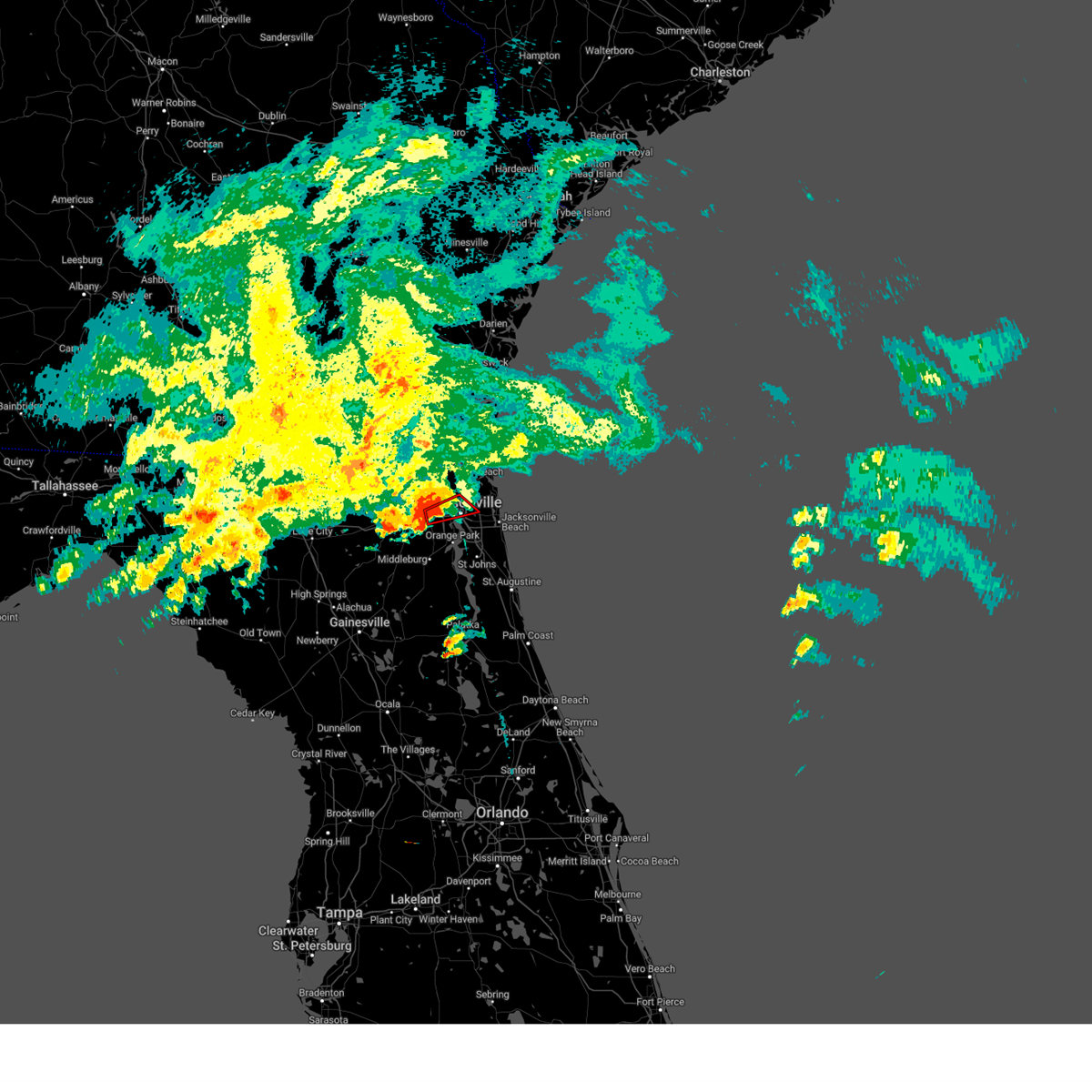 At 502 pm est, a severe thunderstorm capable of producing a tornado was located near normandy, or 9 miles west of jacksonville, moving east at 25 mph (radar indicated rotation). Hazards include tornado. Flying debris will be dangerous to those caught without shelter. mobile homes will be damaged or destroyed. damage to roofs, windows, and vehicles will occur. tree damage is likely. this dangerous storm will be near, jacksonville and normandy around 505 pm est. riverside around 515 pm est. Other locations impacted by this tornadic thunderstorm include tallyrand and whitehouse air field. At 502 pm est, a severe thunderstorm capable of producing a tornado was located near normandy, or 9 miles west of jacksonville, moving east at 25 mph (radar indicated rotation). Hazards include tornado. Flying debris will be dangerous to those caught without shelter. mobile homes will be damaged or destroyed. damage to roofs, windows, and vehicles will occur. tree damage is likely. this dangerous storm will be near, jacksonville and normandy around 505 pm est. riverside around 515 pm est. Other locations impacted by this tornadic thunderstorm include tallyrand and whitehouse air field.
|
| 12/2/2023 4:54 PM EST |
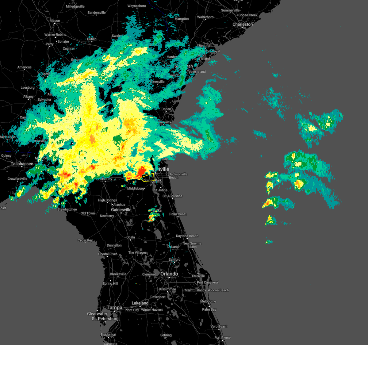 At 454 pm est, a severe thunderstorm was located near normandy, or 9 miles southwest of jacksonville, moving east at 40 mph (radar indicated). Hazards include 60 mph wind gusts and penny size hail. expect damage to roofs, siding, and trees At 454 pm est, a severe thunderstorm was located near normandy, or 9 miles southwest of jacksonville, moving east at 40 mph (radar indicated). Hazards include 60 mph wind gusts and penny size hail. expect damage to roofs, siding, and trees
|
| 12/2/2023 4:49 PM EST |
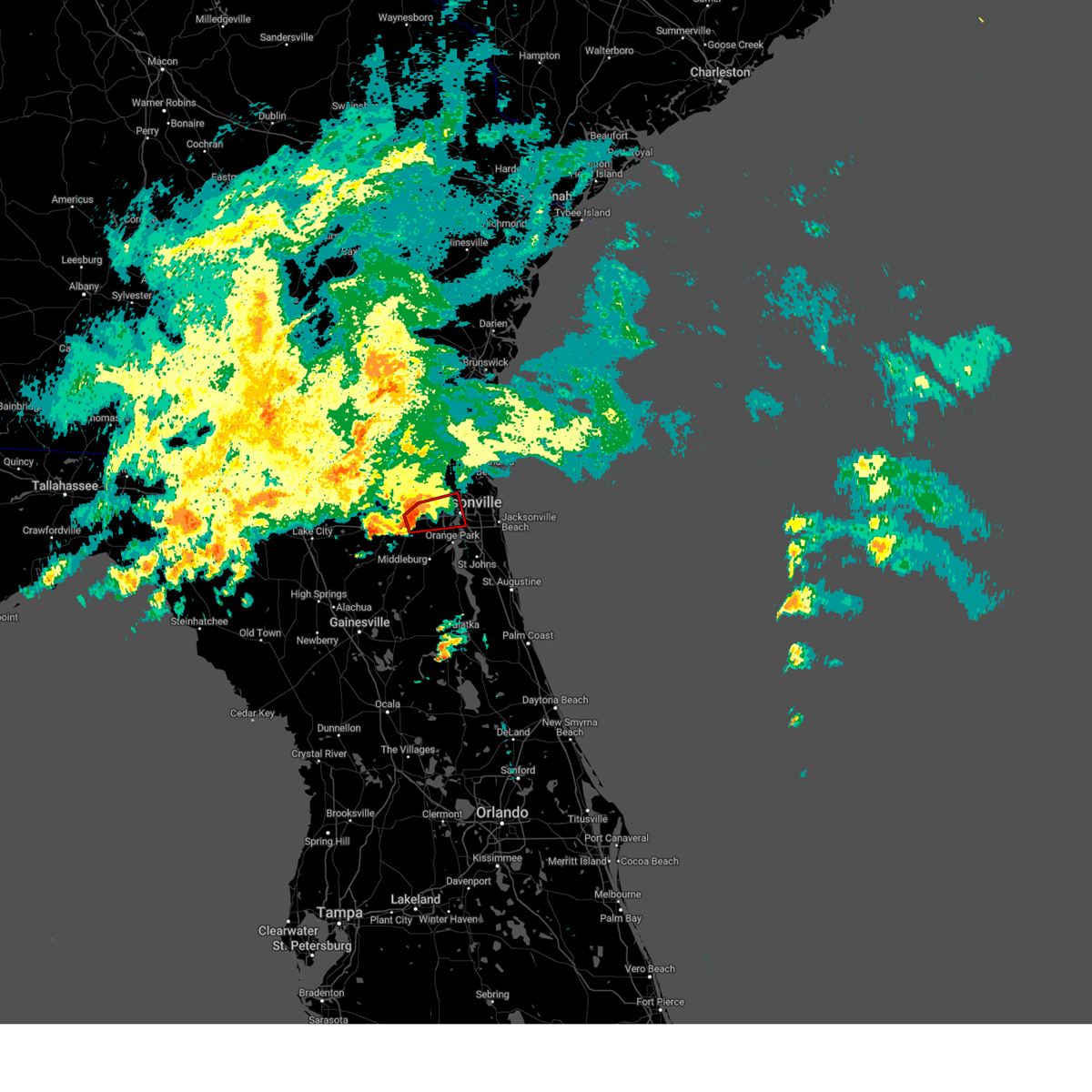 At 449 pm est, a severe thunderstorm capable of producing a tornado was located near bryceville, or 14 miles west of jacksonville, moving east at 50 mph (radar indicated rotation). Hazards include tornado. Flying debris will be dangerous to those caught without shelter. mobile homes will be damaged or destroyed. damage to roofs, windows, and vehicles will occur. tree damage is likely. this dangerous storm will be near, jacksonville, normandy, and cisco gardens around 455 pm est. san marco and riverside around 505 pm est. Other locations impacted by this tornadic thunderstorm include baldwin, jacksonville heights, and whitehouse air field. At 449 pm est, a severe thunderstorm capable of producing a tornado was located near bryceville, or 14 miles west of jacksonville, moving east at 50 mph (radar indicated rotation). Hazards include tornado. Flying debris will be dangerous to those caught without shelter. mobile homes will be damaged or destroyed. damage to roofs, windows, and vehicles will occur. tree damage is likely. this dangerous storm will be near, jacksonville, normandy, and cisco gardens around 455 pm est. san marco and riverside around 505 pm est. Other locations impacted by this tornadic thunderstorm include baldwin, jacksonville heights, and whitehouse air field.
|
| 12/2/2023 4:37 PM EST |
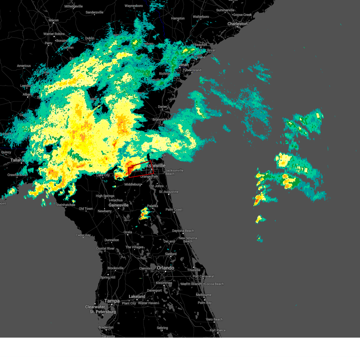 At 437 pm est, a severe thunderstorm capable of producing a tornado was located near bryceville, or 19 miles north of middleburg, moving east at 65 mph (radar indicated rotation). Hazards include tornado. Flying debris will be dangerous to those caught without shelter. mobile homes will be damaged or destroyed. damage to roofs, windows, and vehicles will occur. tree damage is likely. this dangerous storm will be near, jacksonville and bryceville around 440 pm est. cisco gardens around 445 pm est. Other locations impacted by this tornadic thunderstorm include baldwin, jacksonville heights, and whitehouse air field. At 437 pm est, a severe thunderstorm capable of producing a tornado was located near bryceville, or 19 miles north of middleburg, moving east at 65 mph (radar indicated rotation). Hazards include tornado. Flying debris will be dangerous to those caught without shelter. mobile homes will be damaged or destroyed. damage to roofs, windows, and vehicles will occur. tree damage is likely. this dangerous storm will be near, jacksonville and bryceville around 440 pm est. cisco gardens around 445 pm est. Other locations impacted by this tornadic thunderstorm include baldwin, jacksonville heights, and whitehouse air field.
|
| 12/2/2023 4:33 PM EST |
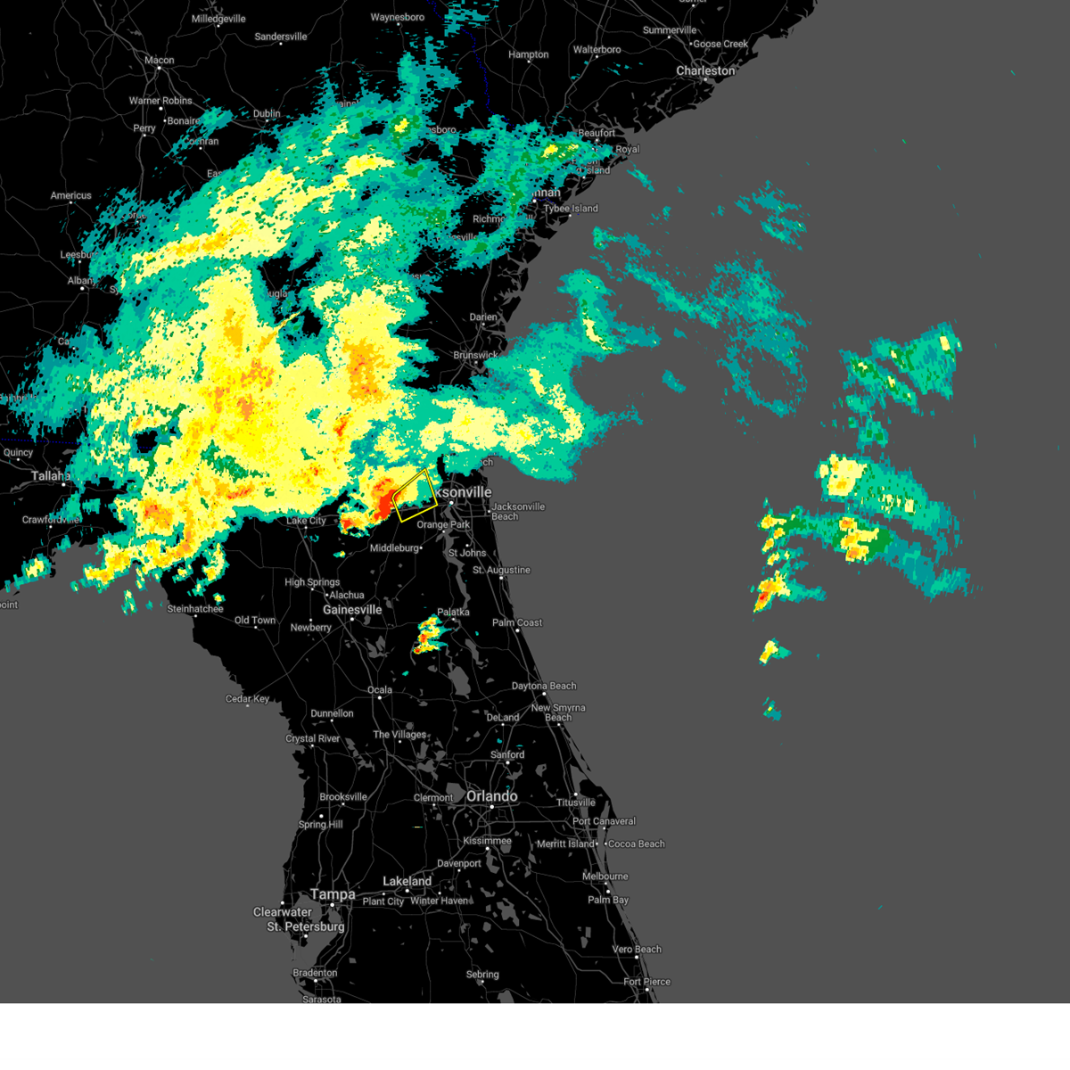 At 432 pm est, a severe thunderstorm was located near bryceville, or 19 miles north of middleburg, moving northeast at 55 mph (radar indicated). Hazards include 60 mph wind gusts and penny size hail. expect damage to roofs, siding, and trees At 432 pm est, a severe thunderstorm was located near bryceville, or 19 miles north of middleburg, moving northeast at 55 mph (radar indicated). Hazards include 60 mph wind gusts and penny size hail. expect damage to roofs, siding, and trees
|
| 12/2/2023 4:30 PM EST | Small trees and branches down. minor flooding also reporte in duval county FL, 18.4 miles ENE of Jacksonville, FL |
| 12/2/2023 4:18 PM EST |
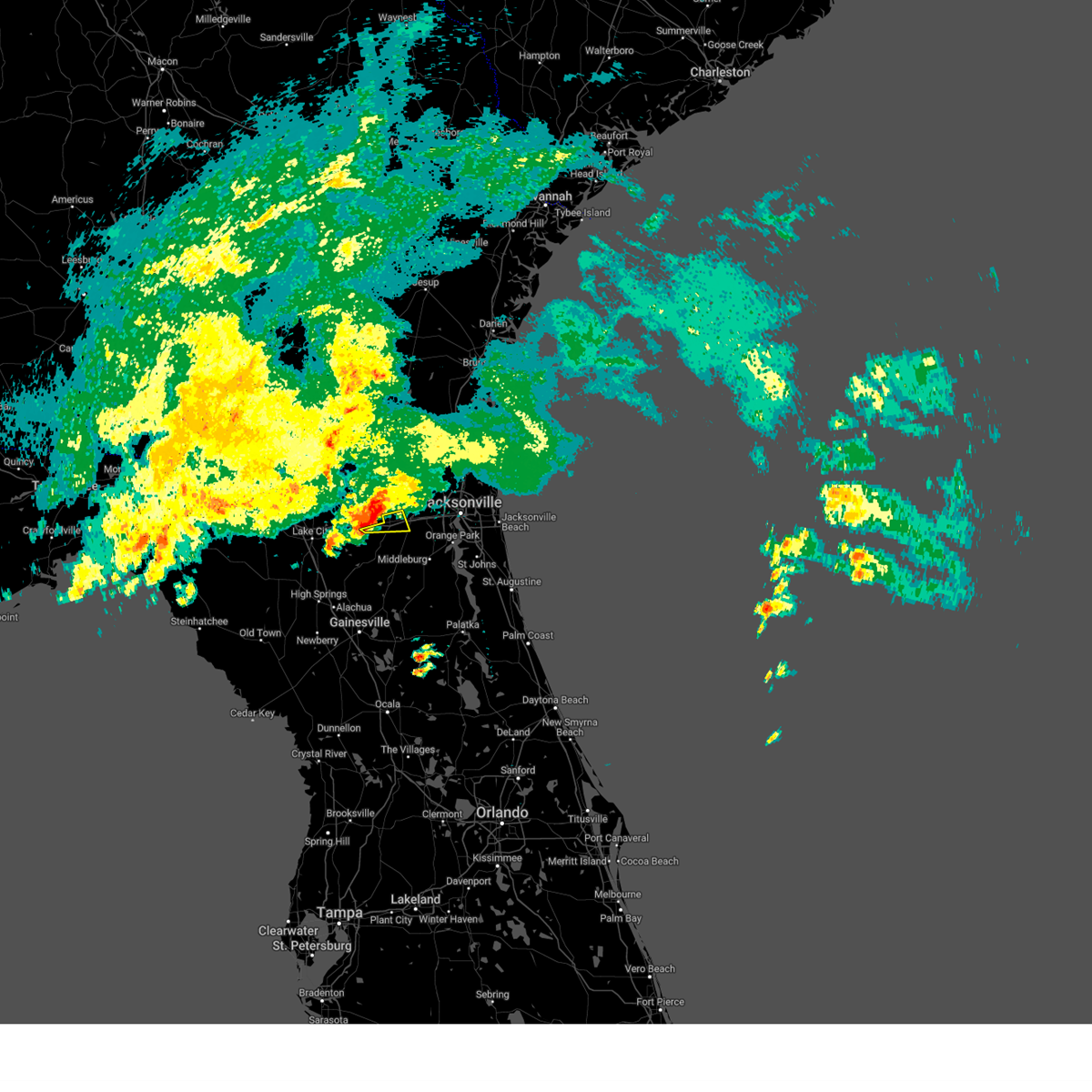 At 418 pm est, a severe thunderstorm was located over glen st. mary, or 16 miles north of raiford, moving east at 30 mph (radar indicated). Hazards include 60 mph wind gusts and nickel size hail. expect damage to roofs, siding, and trees At 418 pm est, a severe thunderstorm was located over glen st. mary, or 16 miles north of raiford, moving east at 30 mph (radar indicated). Hazards include 60 mph wind gusts and nickel size hail. expect damage to roofs, siding, and trees
|
| 9/12/2023 9:11 PM EDT |
 The severe thunderstorm warning for northeastern clay and southwestern duval counties will expire at 915 pm edt, the storm which prompted the warning has weakened below severe limits, and no longer poses an immediate threat to life or property. therefore, the warning will be allowed to expire. however, gusty winds and heavy rain are still possible with this thunderstorm. The severe thunderstorm warning for northeastern clay and southwestern duval counties will expire at 915 pm edt, the storm which prompted the warning has weakened below severe limits, and no longer poses an immediate threat to life or property. therefore, the warning will be allowed to expire. however, gusty winds and heavy rain are still possible with this thunderstorm.
|
| 9/12/2023 8:59 PM EDT |
 At 859 pm edt, a severe thunderstorm was located over cecil field, or 11 miles west of orange park, moving east at 20 mph (radar indicated). Hazards include 60 mph wind gusts. Expect damage to roofs, siding, and trees. locations impacted include, jacksonville, orange park, maxville, fleming island, ortega, oakleaf plantation, bellair-meadowbrook terrace, cecil field, nas jax, and doctors inlet. hail threat, radar indicated max hail size, <. 75 in wind threat, radar indicated max wind gust, 60 mph. At 859 pm edt, a severe thunderstorm was located over cecil field, or 11 miles west of orange park, moving east at 20 mph (radar indicated). Hazards include 60 mph wind gusts. Expect damage to roofs, siding, and trees. locations impacted include, jacksonville, orange park, maxville, fleming island, ortega, oakleaf plantation, bellair-meadowbrook terrace, cecil field, nas jax, and doctors inlet. hail threat, radar indicated max hail size, <. 75 in wind threat, radar indicated max wind gust, 60 mph.
|
| 9/12/2023 8:55 PM EDT |
 At 854 pm edt, a severe thunderstorm was located over cecil field, or 12 miles north of middleburg, moving east at 20 mph (radar indicated). Hazards include 60 mph wind gusts. expect damage to roofs, siding, and trees At 854 pm edt, a severe thunderstorm was located over cecil field, or 12 miles north of middleburg, moving east at 20 mph (radar indicated). Hazards include 60 mph wind gusts. expect damage to roofs, siding, and trees
|
| 9/12/2023 8:39 PM EDT |
 The severe thunderstorm warning for nassau and central duval counties will expire at 845 pm edt, the storms which prompted the warning have weakened below severe limits, and no longer pose an immediate threat to life or property. therefore, the warning will be allowed to expire. however, gusty winds and heavy rain are still possible with these thunderstorms. The severe thunderstorm warning for nassau and central duval counties will expire at 845 pm edt, the storms which prompted the warning have weakened below severe limits, and no longer pose an immediate threat to life or property. therefore, the warning will be allowed to expire. however, gusty winds and heavy rain are still possible with these thunderstorms.
|
| 9/12/2023 8:34 PM EDT |
 At 834 pm edt, severe thunderstorms were located along a line extending from near woodbine to near bryceville, moving east at 15 mph (radar indicated). Hazards include 60 mph wind gusts. Expect damage to roofs, siding, and trees. locations impacted include, hilliard, callahan, jacksonville international arpt, kings ferry, cisco gardens, nassau village-ratliff, ratliff, normandy, bryceville, and jacksonville heights. hail threat, radar indicated max hail size, <. 75 in wind threat, radar indicated max wind gust, 60 mph. At 834 pm edt, severe thunderstorms were located along a line extending from near woodbine to near bryceville, moving east at 15 mph (radar indicated). Hazards include 60 mph wind gusts. Expect damage to roofs, siding, and trees. locations impacted include, hilliard, callahan, jacksonville international arpt, kings ferry, cisco gardens, nassau village-ratliff, ratliff, normandy, bryceville, and jacksonville heights. hail threat, radar indicated max hail size, <. 75 in wind threat, radar indicated max wind gust, 60 mph.
|
| 9/12/2023 8:27 PM EDT |
 At 827 pm edt, severe thunderstorms were located along a line extending from near woodbine to near bryceville, moving east at 25 mph (radar indicated). Hazards include 60 mph wind gusts. Expect damage to roofs, siding, and trees. locations impacted include, hilliard, woodbine, callahan, jacksonville international arpt, kings ferry, cisco gardens, bryceville, nassau village-ratliff, ratliff, and normandy. hail threat, radar indicated max hail size, <. 75 in wind threat, radar indicated max wind gust, 60 mph. At 827 pm edt, severe thunderstorms were located along a line extending from near woodbine to near bryceville, moving east at 25 mph (radar indicated). Hazards include 60 mph wind gusts. Expect damage to roofs, siding, and trees. locations impacted include, hilliard, woodbine, callahan, jacksonville international arpt, kings ferry, cisco gardens, bryceville, nassau village-ratliff, ratliff, and normandy. hail threat, radar indicated max hail size, <. 75 in wind threat, radar indicated max wind gust, 60 mph.
|
| 9/12/2023 8:13 PM EDT |
 At 813 pm edt, severe thunderstorms were located along a line extending from 10 miles southwest of waverly to 7 miles west of bryceville, moving east at 15 mph (radar indicated). Hazards include 60 mph wind gusts. expect damage to roofs, siding, and trees At 813 pm edt, severe thunderstorms were located along a line extending from 10 miles southwest of waverly to 7 miles west of bryceville, moving east at 15 mph (radar indicated). Hazards include 60 mph wind gusts. expect damage to roofs, siding, and trees
|
| 9/11/2023 4:40 PM EDT | Reports of several trees down near st. augustine rd near san jose... some blocking the road. time estimated from rada in duval county FL, 9.6 miles NNW of Jacksonville, FL |
| 9/11/2023 4:39 PM EDT |
 The severe thunderstorm warning for southeastern duval county will expire at 445 pm edt, the storm which prompted the warning has weakened below severe limits, and no longer poses an immediate threat to life or property. therefore, the warning will be allowed to expire. however, gusty winds and heavy rain are still possible with this thunderstorm. The severe thunderstorm warning for southeastern duval county will expire at 445 pm edt, the storm which prompted the warning has weakened below severe limits, and no longer poses an immediate threat to life or property. therefore, the warning will be allowed to expire. however, gusty winds and heavy rain are still possible with this thunderstorm.
|
| 9/11/2023 4:31 PM EDT | Awos station knip jacksonville na in duval county FL, 11.1 miles N of Jacksonville, FL |
| 9/11/2023 4:30 PM EDT | Adds hard top of gazebo blown off to previous tstm wnd dmg report from 2 sse ortega. report of a tree down off roosevelt blvd near timuquana rd. time estimated from rad in duval county FL, 9 miles N of Jacksonville, FL |
| 9/11/2023 4:30 PM EDT | Adds hard top of gazebo blown off to previous tstm wnd dmg report from 2 sse ortega. report of a tree down off roosevelt blvd near timuquana rd. time estimated from rad in duval county FL, 9 miles N of Jacksonville, FL |
| 9/11/2023 4:30 PM EDT | Report of large tree down across vehicle on lofty pine circle in orteg in duval county FL, 9.2 miles NNE of Jacksonville, FL |
| 9/11/2023 4:25 PM EDT | Corrects previous tstm wnd dmg report from 1 nw ortega. report of roof blown off. location at intersection of blanding blvd and shirley avenu in duval county FL, 6.8 miles NNE of Jacksonville, FL |
| 9/11/2023 4:22 PM EDT |
 At 422 pm edt, a severe thunderstorm was located over ortega, or near jacksonville, moving southeast at 15 mph (radar indicated). Hazards include 60 mph wind gusts and penny size hail. expect damage to roofs, siding, and trees At 422 pm edt, a severe thunderstorm was located over ortega, or near jacksonville, moving southeast at 15 mph (radar indicated). Hazards include 60 mph wind gusts and penny size hail. expect damage to roofs, siding, and trees
|
| 9/11/2023 3:38 PM EDT |
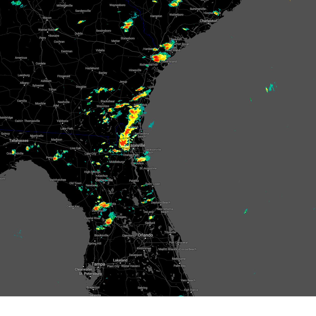 At 338 pm edt, a severe thunderstorm was located near bryceville, or 10 miles southwest of callahan, moving east at 10 mph (radar indicated). Hazards include 60 mph wind gusts and penny size hail. Expect damage to roofs, siding, and trees. locations impacted include, ratliff, cisco gardens, bryceville, nassau village-ratliff, and whitehouse air field. hail threat, radar indicated max hail size, 0. 75 in wind threat, radar indicated max wind gust, 60 mph. At 338 pm edt, a severe thunderstorm was located near bryceville, or 10 miles southwest of callahan, moving east at 10 mph (radar indicated). Hazards include 60 mph wind gusts and penny size hail. Expect damage to roofs, siding, and trees. locations impacted include, ratliff, cisco gardens, bryceville, nassau village-ratliff, and whitehouse air field. hail threat, radar indicated max hail size, 0. 75 in wind threat, radar indicated max wind gust, 60 mph.
|
| 9/11/2023 3:13 PM EDT |
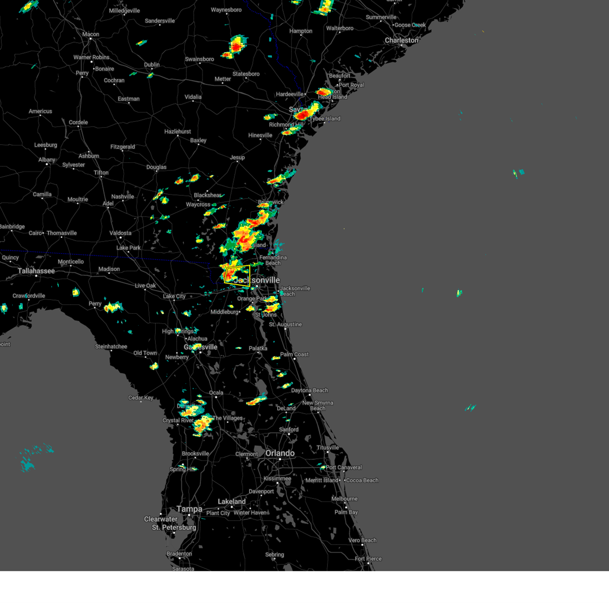 At 313 pm edt, a severe thunderstorm was located near bryceville, or 12 miles southwest of callahan, moving east at 10 mph (radar indicated). Hazards include 60 mph wind gusts and penny size hail. expect damage to roofs, siding, and trees At 313 pm edt, a severe thunderstorm was located near bryceville, or 12 miles southwest of callahan, moving east at 10 mph (radar indicated). Hazards include 60 mph wind gusts and penny size hail. expect damage to roofs, siding, and trees
|
| 9/11/2023 2:01 PM EDT |
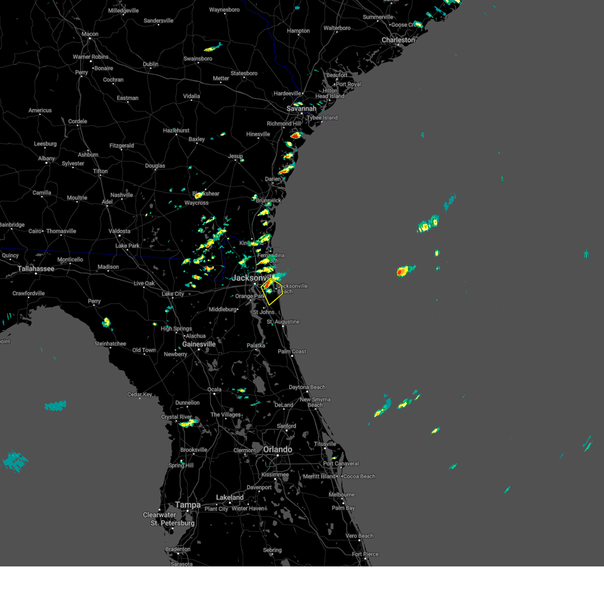 At 201 pm edt, a severe thunderstorm was located over craig field, or over unf, moving southeast at 10 mph (radar indicated). Hazards include 60 mph wind gusts and penny size hail. expect damage to roofs, siding, and trees At 201 pm edt, a severe thunderstorm was located over craig field, or over unf, moving southeast at 10 mph (radar indicated). Hazards include 60 mph wind gusts and penny size hail. expect damage to roofs, siding, and trees
|
| 8/15/2023 3:39 PM EDT |
 The severe thunderstorm warning for northern st. johns and east central duval counties will expire at 345 pm edt, the storm which prompted the warning has weakened below severe limits, and has exited the warned area. therefore, the warning will be allowed to expire. The severe thunderstorm warning for northern st. johns and east central duval counties will expire at 345 pm edt, the storm which prompted the warning has weakened below severe limits, and has exited the warned area. therefore, the warning will be allowed to expire.
|
| 8/15/2023 3:16 PM EDT |
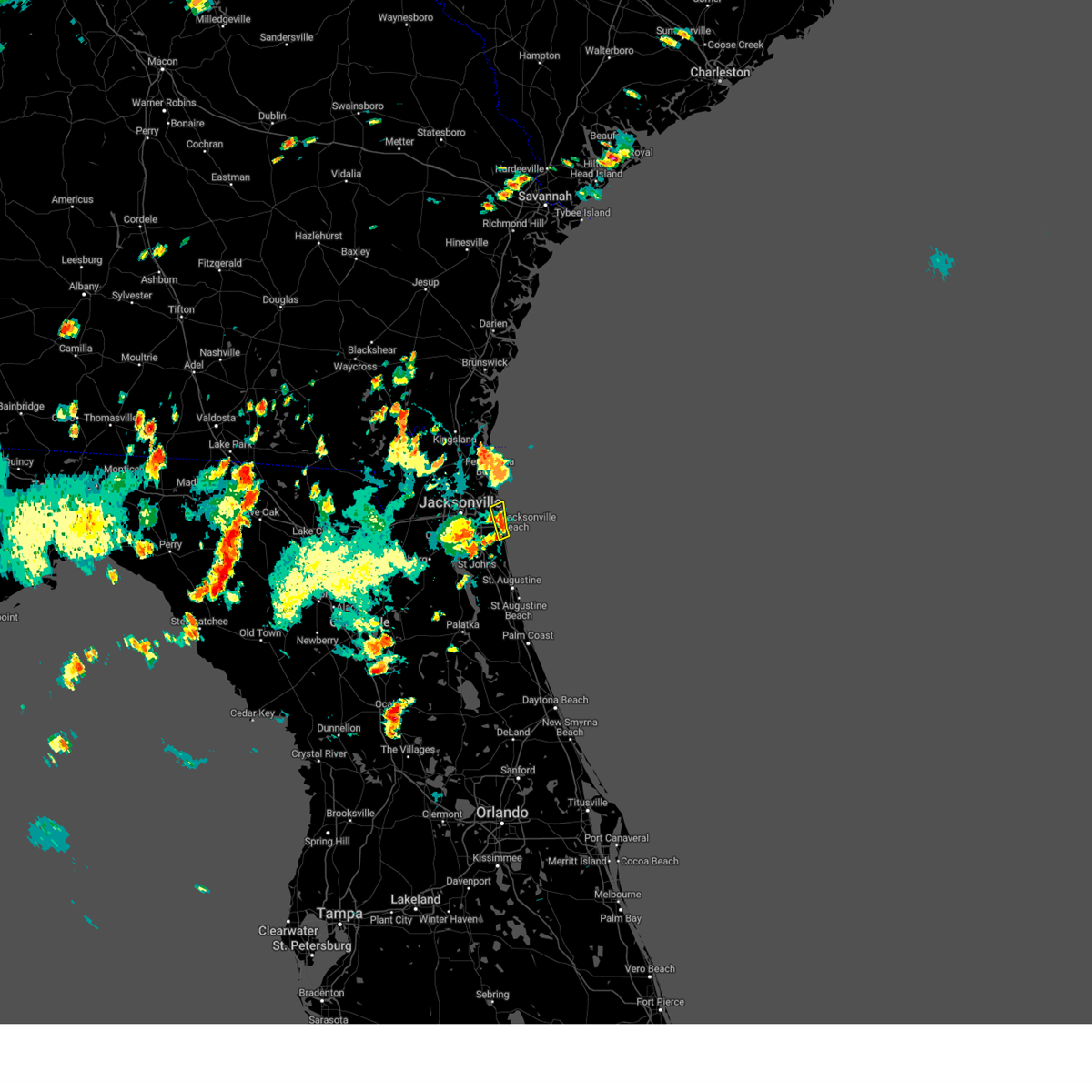 At 316 pm edt, a severe thunderstorm was located over ponte vedra beach, moving northeast at 10 mph (radar indicated). Hazards include 60 mph wind gusts. expect damage to roofs, siding, and trees At 316 pm edt, a severe thunderstorm was located over ponte vedra beach, moving northeast at 10 mph (radar indicated). Hazards include 60 mph wind gusts. expect damage to roofs, siding, and trees
|
| 8/15/2023 3:12 PM EDT |
 The severe thunderstorm warning for northwestern st. johns, northeastern clay and southeastern duval counties will expire at 315 pm edt, the storm which prompted the warning has weakened below severe limits, and has exited the warned area. therefore, the warning will be allowed to expire. The severe thunderstorm warning for northwestern st. johns, northeastern clay and southeastern duval counties will expire at 315 pm edt, the storm which prompted the warning has weakened below severe limits, and has exited the warned area. therefore, the warning will be allowed to expire.
|
| 8/15/2023 3:11 PM EDT |
 At 311 pm edt, a severe thunderstorm was located near fernandina beach, moving east at 15 mph (radar indicated). Hazards include 60 mph wind gusts. expect damage to roofs, siding, and trees At 311 pm edt, a severe thunderstorm was located near fernandina beach, moving east at 15 mph (radar indicated). Hazards include 60 mph wind gusts. expect damage to roofs, siding, and trees
|
| 8/15/2023 2:36 PM EDT |
 At 236 pm edt, a severe thunderstorm was located over orange park, moving east at 20 mph (radar indicated). Hazards include 60 mph wind gusts. expect damage to roofs, siding, and trees At 236 pm edt, a severe thunderstorm was located over orange park, moving east at 20 mph (radar indicated). Hazards include 60 mph wind gusts. expect damage to roofs, siding, and trees
|
| 8/15/2023 1:42 PM EDT |
 At 142 pm edt, a severe thunderstorm was located over raiford, moving northeast at 15 mph (radar indicated). Hazards include 60 mph wind gusts. expect damage to roofs, siding, and trees At 142 pm edt, a severe thunderstorm was located over raiford, moving northeast at 15 mph (radar indicated). Hazards include 60 mph wind gusts. expect damage to roofs, siding, and trees
|
| 7/30/2023 7:08 PM EDT |
 At 708 pm edt, a severe thunderstorm was located 7 miles northeast of raiford, and is nearly stationary (radar indicated). Hazards include 60 mph wind gusts and penny size hail. expect damage to roofs, siding, and trees At 708 pm edt, a severe thunderstorm was located 7 miles northeast of raiford, and is nearly stationary (radar indicated). Hazards include 60 mph wind gusts and penny size hail. expect damage to roofs, siding, and trees
|
| 7/30/2023 6:51 PM EDT |
 At 650 pm edt, severe thunderstorms were located along a line extending from 7 miles south of maxville to bostwick, moving southeast at 5 mph (radar indicated). Hazards include 60 mph wind gusts and nickel size hail. expect damage to roofs, siding, and trees At 650 pm edt, severe thunderstorms were located along a line extending from 7 miles south of maxville to bostwick, moving southeast at 5 mph (radar indicated). Hazards include 60 mph wind gusts and nickel size hail. expect damage to roofs, siding, and trees
|
| 7/30/2023 6:31 PM EDT |
 At 631 pm edt, severe thunderstorms were located along a line extending from near sawgrass to near mandarin, moving south at 20 mph (radar indicated). Hazards include 70 mph wind gusts and penny size hail. Expect considerable tree damage. Damage is likely to mobile homes, roofs, and outbuildings. At 631 pm edt, severe thunderstorms were located along a line extending from near sawgrass to near mandarin, moving south at 20 mph (radar indicated). Hazards include 70 mph wind gusts and penny size hail. Expect considerable tree damage. Damage is likely to mobile homes, roofs, and outbuildings.
|
| 7/30/2023 6:26 PM EDT |
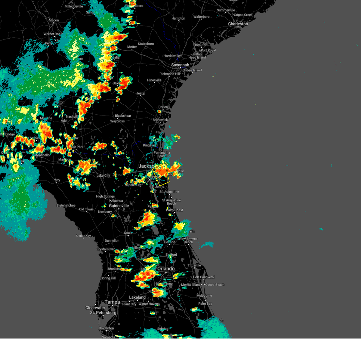 At 626 pm edt, a severe thunderstorm was located over craig field, or near unf, moving southeast at 10 mph (radar indicated). Hazards include 70 mph wind gusts and penny size hail. Expect considerable tree damage. damage is likely to mobile homes, roofs, and outbuildings. locations impacted include, unf, ponte vedra beach, arlington, jacksonville beach, atlantic beach, neptune beach, sawgrass, baymeadows, mayport and nocatee. thunderstorm damage threat, considerable hail threat, radar indicated max hail size, 0. 75 in wind threat, radar indicated max wind gust, 70 mph. At 626 pm edt, a severe thunderstorm was located over craig field, or near unf, moving southeast at 10 mph (radar indicated). Hazards include 70 mph wind gusts and penny size hail. Expect considerable tree damage. damage is likely to mobile homes, roofs, and outbuildings. locations impacted include, unf, ponte vedra beach, arlington, jacksonville beach, atlantic beach, neptune beach, sawgrass, baymeadows, mayport and nocatee. thunderstorm damage threat, considerable hail threat, radar indicated max hail size, 0. 75 in wind threat, radar indicated max wind gust, 70 mph.
|
| 7/30/2023 6:09 PM EDT |
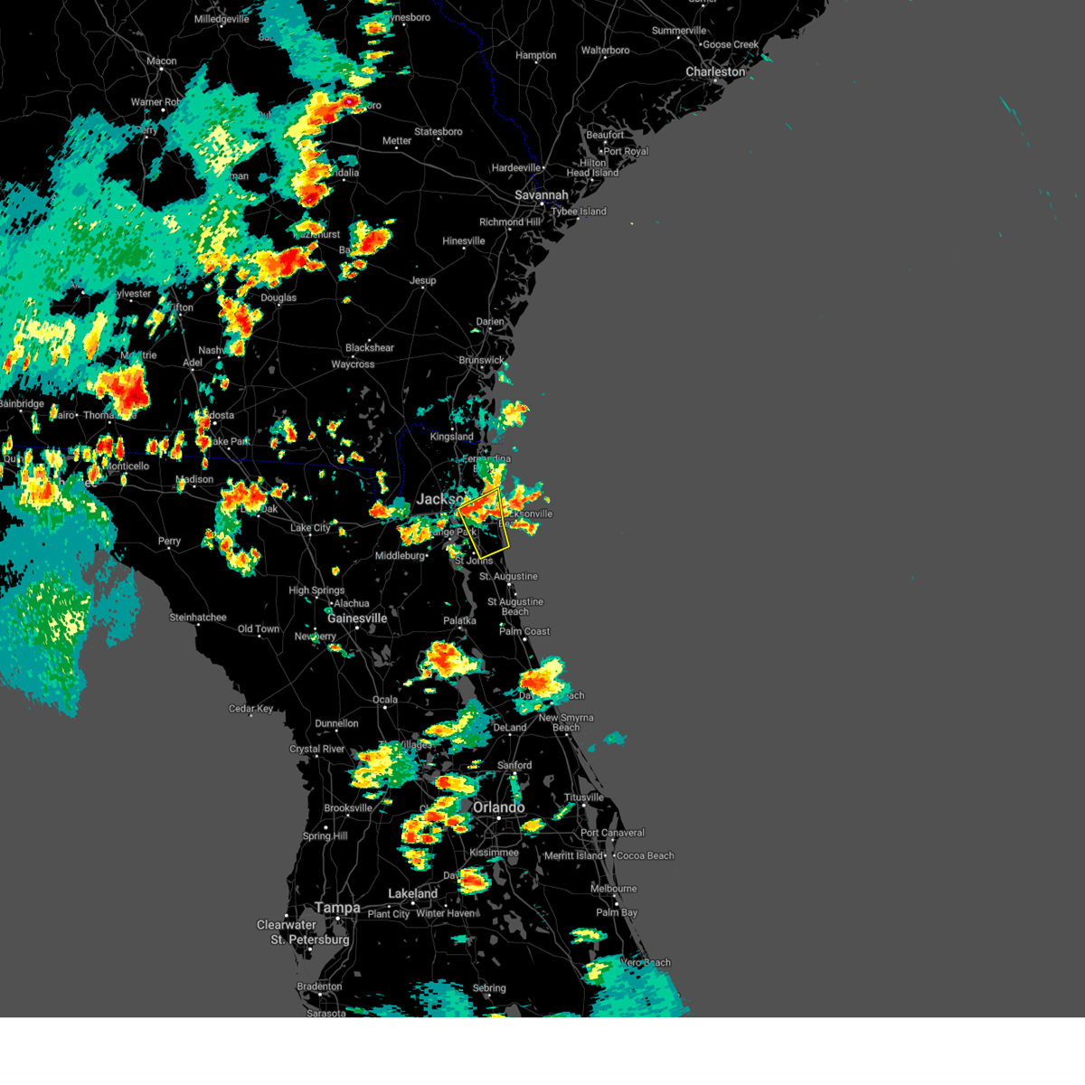 At 609 pm edt, a severe thunderstorm was located over craig field, or near unf, moving southeast at 10 mph (radar indicated). Hazards include 60 mph wind gusts and penny size hail. expect damage to roofs, siding, and trees At 609 pm edt, a severe thunderstorm was located over craig field, or near unf, moving southeast at 10 mph (radar indicated). Hazards include 60 mph wind gusts and penny size hail. expect damage to roofs, siding, and trees
|
| 7/30/2023 6:04 PM EDT | Mesonet station xjak jacksonvill in duval county FL, 12.4 miles W of Jacksonville, FL |
| 7/30/2023 5:53 PM EDT |
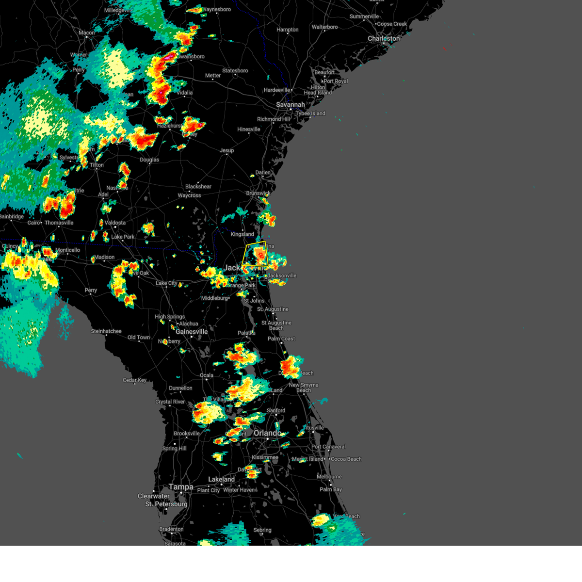 The severe thunderstorm warning for east central nassau and northeastern duval counties will expire at 600 pm edt, the storm which prompted the warning has weakened below severe limits, and no longer poses an immediate threat to life or property. therefore, the warning will be allowed to expire. however small hail, gusty winds and heavy rain are still possible with this thunderstorm. The severe thunderstorm warning for east central nassau and northeastern duval counties will expire at 600 pm edt, the storm which prompted the warning has weakened below severe limits, and no longer poses an immediate threat to life or property. therefore, the warning will be allowed to expire. however small hail, gusty winds and heavy rain are still possible with this thunderstorm.
|
| 7/30/2023 5:31 PM EDT |
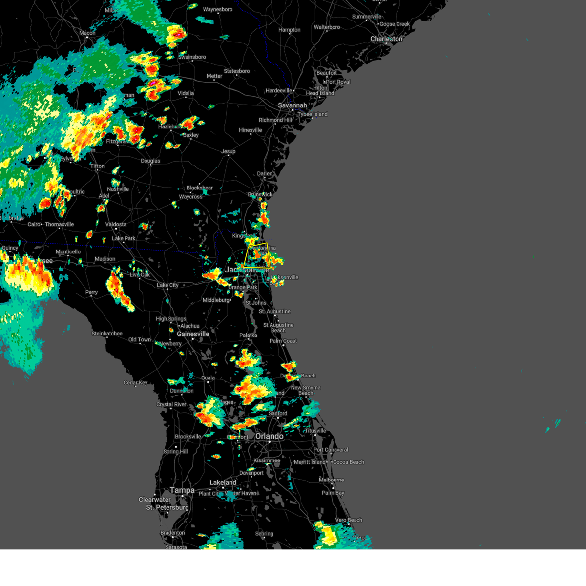 At 531 pm edt, a severe thunderstorm was located near amelia city, or 7 miles southwest of fernandina beach, and is nearly stationary (radar indicated). Hazards include 60 mph wind gusts and penny size hail. expect damage to roofs, siding, and trees At 531 pm edt, a severe thunderstorm was located near amelia city, or 7 miles southwest of fernandina beach, and is nearly stationary (radar indicated). Hazards include 60 mph wind gusts and penny size hail. expect damage to roofs, siding, and trees
|
| 7/23/2023 2:25 PM EDT |
 The severe thunderstorm warning for east central nassau and northeastern duval counties will expire at 230 pm edt, the storm which prompted the warning has moved out of the area. therefore, the warning will be allowed to expire. however gusty winds and heavy rain are still possible with this thunderstorm. The severe thunderstorm warning for east central nassau and northeastern duval counties will expire at 230 pm edt, the storm which prompted the warning has moved out of the area. therefore, the warning will be allowed to expire. however gusty winds and heavy rain are still possible with this thunderstorm.
|
| 7/23/2023 2:25 PM EDT |
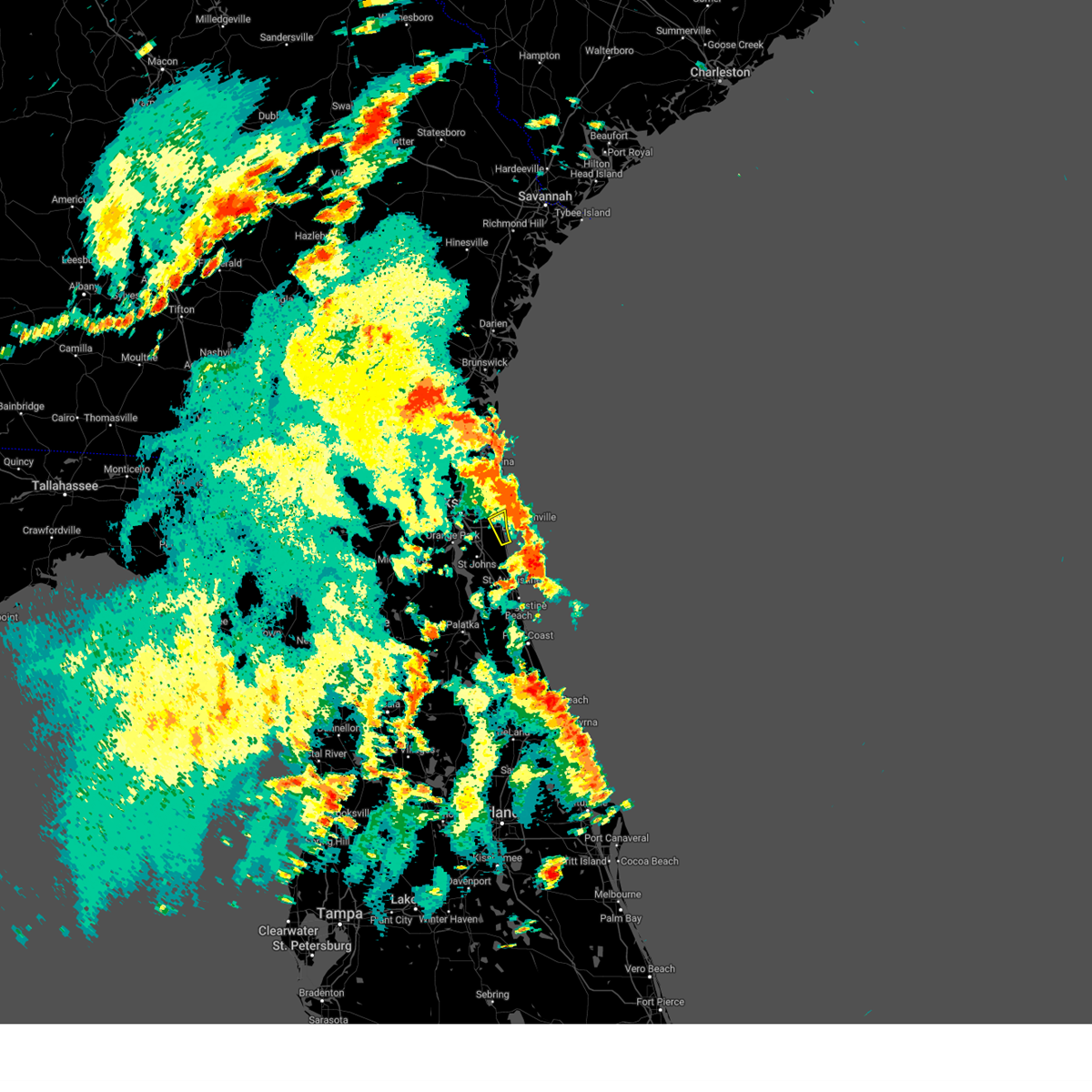 The severe thunderstorm warning for northern st. johns and eastern duval counties will expire at 230 pm edt, the storm which prompted the warning has moved out of the area. therefore, the warning will be allowed to expire. however gusty winds and heavy rain are still possible with this thunderstorm. The severe thunderstorm warning for northern st. johns and eastern duval counties will expire at 230 pm edt, the storm which prompted the warning has moved out of the area. therefore, the warning will be allowed to expire. however gusty winds and heavy rain are still possible with this thunderstorm.
|
| 7/23/2023 2:11 PM EDT |
 At 211 pm edt, a severe thunderstorm was located over san pablo, or near ponte vedra beach, moving northeast at 15 mph (radar indicated). Hazards include 60 mph wind gusts and penny size hail. Expect damage to roofs, siding, and trees. locations impacted include, ponte vedra beach, jacksonville beach, atlantic beach, neptune beach, palm valley, sawgrass and san pablo. hail threat, radar indicated max hail size, 0. 75 in wind threat, radar indicated max wind gust, 60 mph. At 211 pm edt, a severe thunderstorm was located over san pablo, or near ponte vedra beach, moving northeast at 15 mph (radar indicated). Hazards include 60 mph wind gusts and penny size hail. Expect damage to roofs, siding, and trees. locations impacted include, ponte vedra beach, jacksonville beach, atlantic beach, neptune beach, palm valley, sawgrass and san pablo. hail threat, radar indicated max hail size, 0. 75 in wind threat, radar indicated max wind gust, 60 mph.
|
| 7/23/2023 2:07 PM EDT |
 At 207 pm edt, a severe thunderstorm was located over oceanway, or near jacksonville international arpt, moving northeast at 15 mph (radar indicated). Hazards include 60 mph wind gusts and penny size hail. expect damage to roofs, siding, and trees At 207 pm edt, a severe thunderstorm was located over oceanway, or near jacksonville international arpt, moving northeast at 15 mph (radar indicated). Hazards include 60 mph wind gusts and penny size hail. expect damage to roofs, siding, and trees
|
| 7/23/2023 2:07 PM EDT |
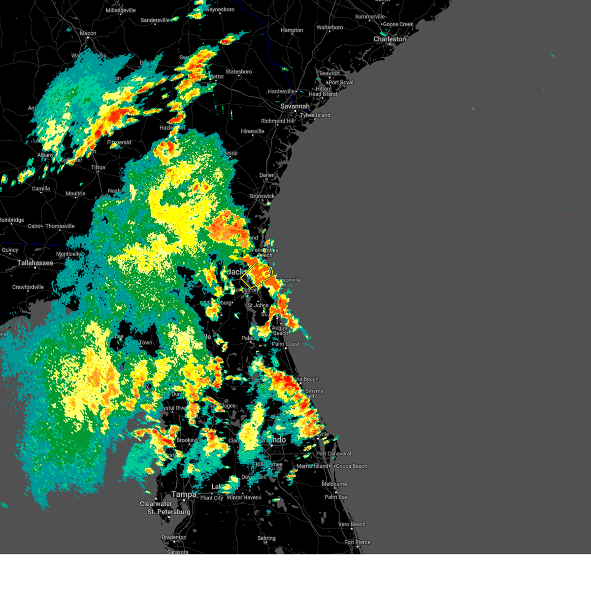 The severe thunderstorm warning for northeastern duval county will expire at 215 pm edt, the storm which prompted the warning has weakened below severe limits, and no longer poses an immediate threat to life or property. therefore, the warning will be allowed to expire. The severe thunderstorm warning for northeastern duval county will expire at 215 pm edt, the storm which prompted the warning has weakened below severe limits, and no longer poses an immediate threat to life or property. therefore, the warning will be allowed to expire.
|
| 7/23/2023 1:54 PM EDT |
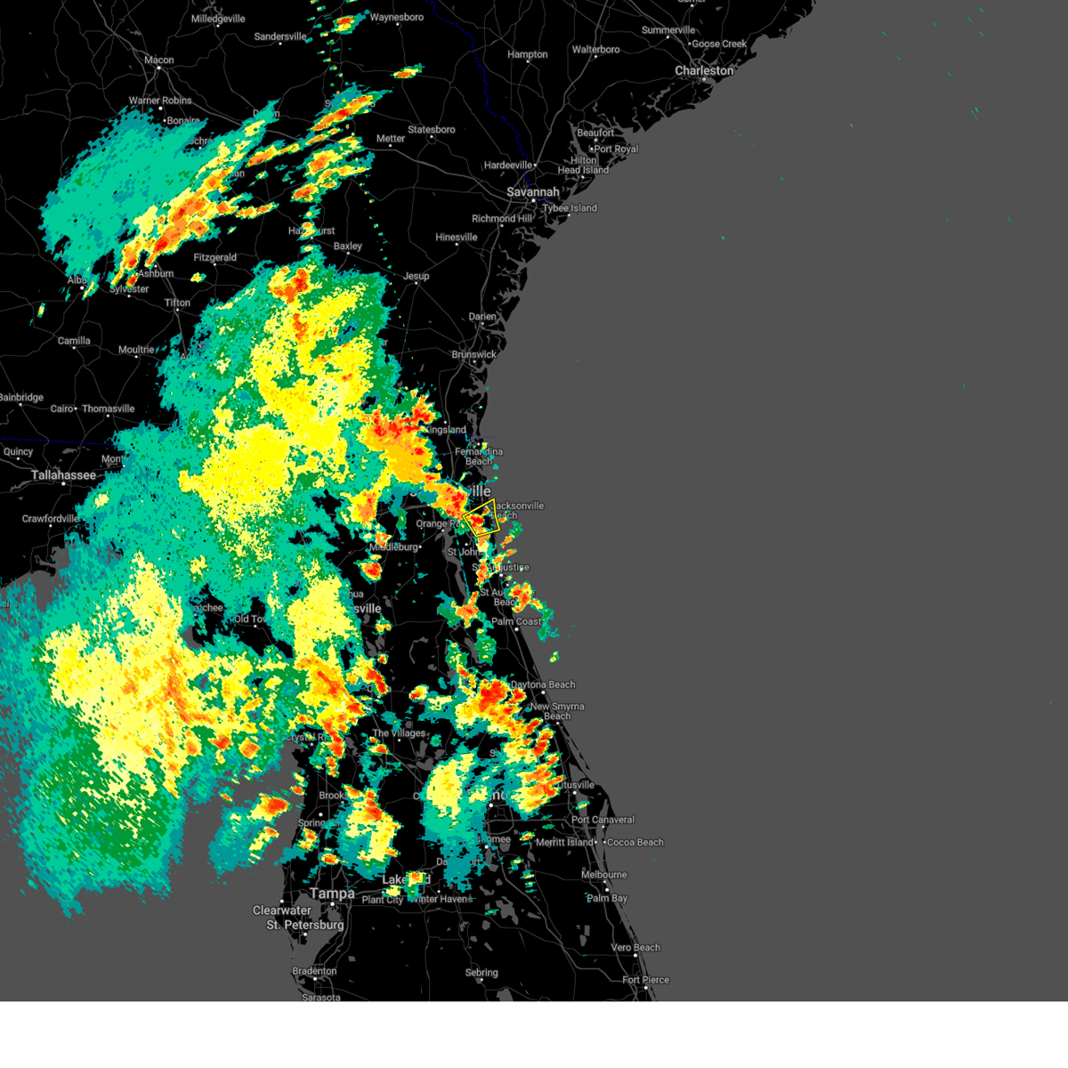 At 154 pm edt, a severe thunderstorm was located near unf, moving northeast at 15 mph (radar indicated). Hazards include 60 mph wind gusts and penny size hail. expect damage to roofs, siding, and trees At 154 pm edt, a severe thunderstorm was located near unf, moving northeast at 15 mph (radar indicated). Hazards include 60 mph wind gusts and penny size hail. expect damage to roofs, siding, and trees
|
| 7/23/2023 1:49 PM EDT |
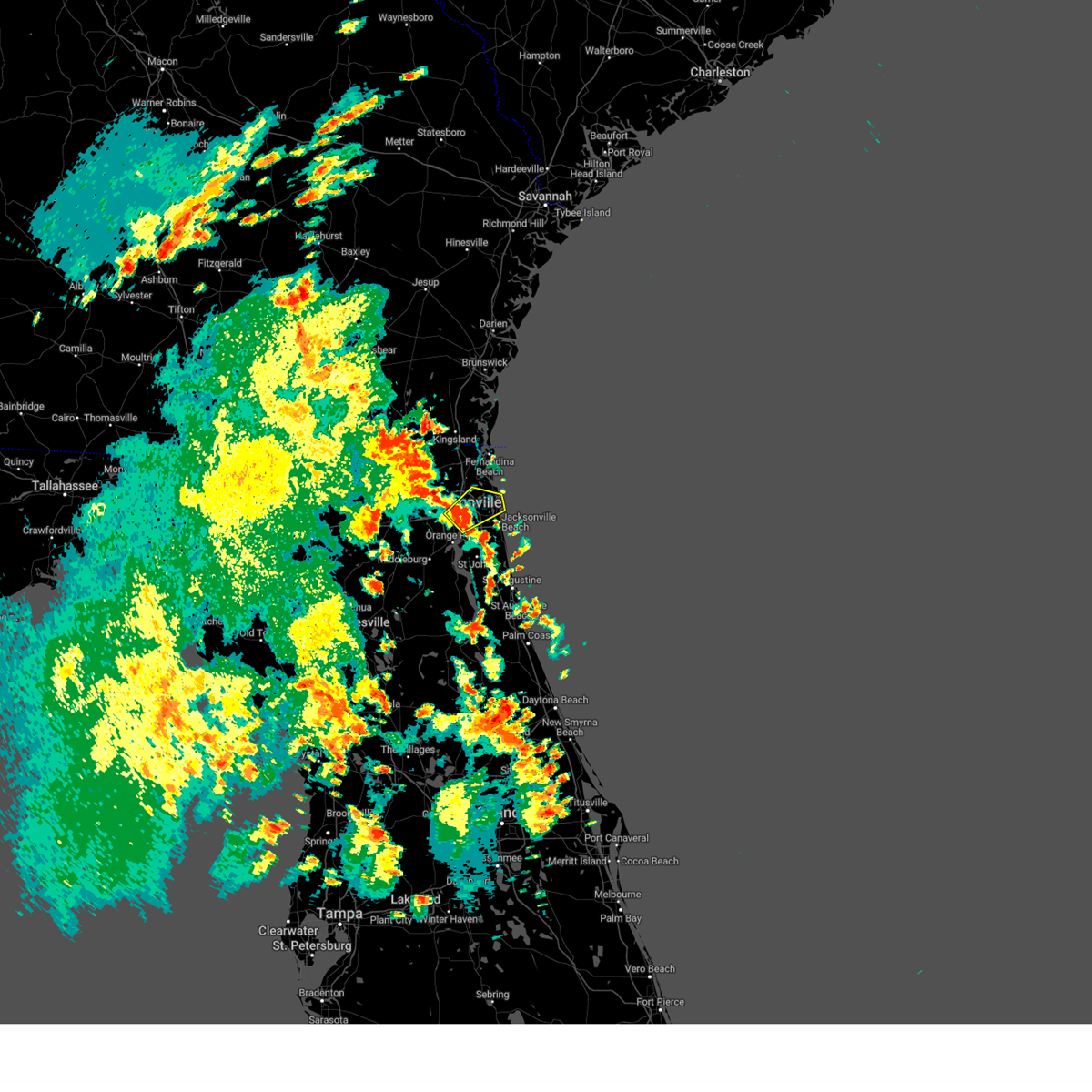 At 149 pm edt, a severe thunderstorm was located over san marco, or over jacksonville, moving northeast at 20 mph (radar indicated). Hazards include 60 mph wind gusts. expect damage to roofs, siding, and trees At 149 pm edt, a severe thunderstorm was located over san marco, or over jacksonville, moving northeast at 20 mph (radar indicated). Hazards include 60 mph wind gusts. expect damage to roofs, siding, and trees
|
| 7/23/2023 1:26 PM EDT |
 The severe thunderstorm warning for southwestern nassau, eastern baker and southeastern charlton counties will expire at 130 pm edt, the storm which prompted the warning has weakened below severe limits, and no longer poses an immediate threat to life or property. therefore, the warning will be allowed to expire. however gusty winds and heavy rain are still possible with this thunderstorm. The severe thunderstorm warning for southwestern nassau, eastern baker and southeastern charlton counties will expire at 130 pm edt, the storm which prompted the warning has weakened below severe limits, and no longer poses an immediate threat to life or property. therefore, the warning will be allowed to expire. however gusty winds and heavy rain are still possible with this thunderstorm.
|
| 7/23/2023 1:26 PM EDT |
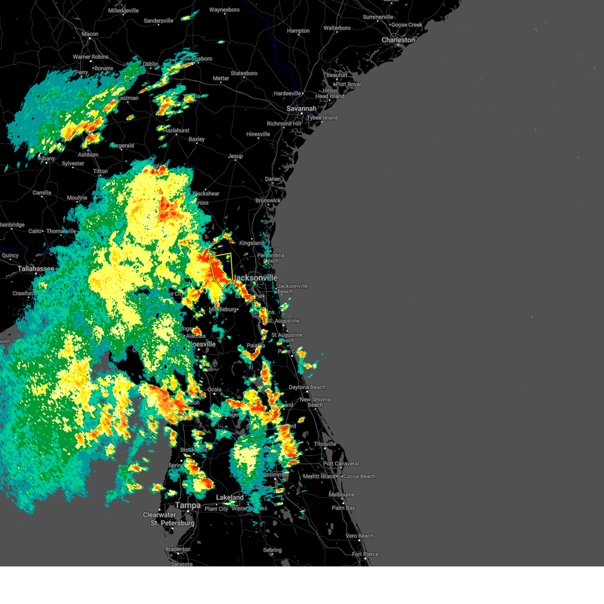 The severe thunderstorm warning for southwestern nassau, eastern baker and southeastern charlton counties will expire at 130 pm edt, the storm which prompted the warning has weakened below severe limits, and no longer poses an immediate threat to life or property. therefore, the warning will be allowed to expire. however gusty winds and heavy rain are still possible with this thunderstorm. The severe thunderstorm warning for southwestern nassau, eastern baker and southeastern charlton counties will expire at 130 pm edt, the storm which prompted the warning has weakened below severe limits, and no longer poses an immediate threat to life or property. therefore, the warning will be allowed to expire. however gusty winds and heavy rain are still possible with this thunderstorm.
|
| 7/23/2023 1:22 PM EDT |
 At 122 pm edt, a severe thunderstorm was located over st. george, or 12 miles southwest of callahan, moving east at 30 mph (radar indicated). Hazards include 60 mph wind gusts and penny size hail. Expect damage to roofs, siding, and trees. locations impacted include, st. george and bryceville. hail threat, radar indicated max hail size, 0. 75 in wind threat, radar indicated max wind gust, 60 mph. At 122 pm edt, a severe thunderstorm was located over st. george, or 12 miles southwest of callahan, moving east at 30 mph (radar indicated). Hazards include 60 mph wind gusts and penny size hail. Expect damage to roofs, siding, and trees. locations impacted include, st. george and bryceville. hail threat, radar indicated max hail size, 0. 75 in wind threat, radar indicated max wind gust, 60 mph.
|
| 7/23/2023 1:22 PM EDT |
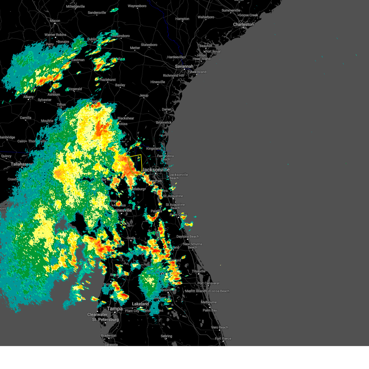 At 122 pm edt, a severe thunderstorm was located over st. george, or 12 miles southwest of callahan, moving east at 30 mph (radar indicated). Hazards include 60 mph wind gusts and penny size hail. Expect damage to roofs, siding, and trees. locations impacted include, st. george and bryceville. hail threat, radar indicated max hail size, 0. 75 in wind threat, radar indicated max wind gust, 60 mph. At 122 pm edt, a severe thunderstorm was located over st. george, or 12 miles southwest of callahan, moving east at 30 mph (radar indicated). Hazards include 60 mph wind gusts and penny size hail. Expect damage to roofs, siding, and trees. locations impacted include, st. george and bryceville. hail threat, radar indicated max hail size, 0. 75 in wind threat, radar indicated max wind gust, 60 mph.
|
| 7/23/2023 1:07 PM EDT |
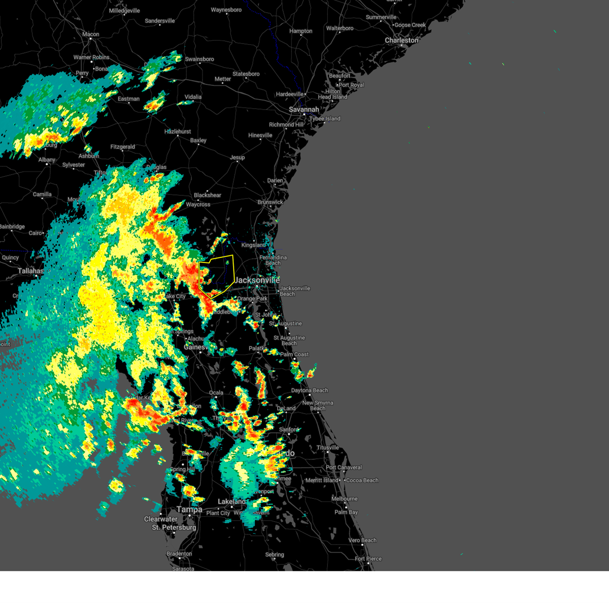 At 106 pm edt, a severe thunderstorm was located 7 miles east of taylor, or 20 miles west of callahan, moving east at 30 mph (radar indicated). Hazards include 60 mph wind gusts and penny size hail. expect damage to roofs, siding, and trees At 106 pm edt, a severe thunderstorm was located 7 miles east of taylor, or 20 miles west of callahan, moving east at 30 mph (radar indicated). Hazards include 60 mph wind gusts and penny size hail. expect damage to roofs, siding, and trees
|
| 7/22/2023 4:21 PM EDT |
 At 421 pm edt, a severe thunderstorm was located over south ponte vedra, or 9 miles north of saint augustine, moving northeast at 20 mph (radar indicated). Hazards include 60 mph wind gusts and penny size hail. Expect damage to roofs, siding, and trees. locations impacted include, saint augustine, world golf village, palm valley, sawgrass, south ponte vedra, nocatee, durbin, vilano beach, guana river state park and anastasia. hail threat, radar indicated max hail size, 0. 75 in wind threat, radar indicated max wind gust, 60 mph. At 421 pm edt, a severe thunderstorm was located over south ponte vedra, or 9 miles north of saint augustine, moving northeast at 20 mph (radar indicated). Hazards include 60 mph wind gusts and penny size hail. Expect damage to roofs, siding, and trees. locations impacted include, saint augustine, world golf village, palm valley, sawgrass, south ponte vedra, nocatee, durbin, vilano beach, guana river state park and anastasia. hail threat, radar indicated max hail size, 0. 75 in wind threat, radar indicated max wind gust, 60 mph.
|
| 7/22/2023 4:06 PM EDT |
 At 406 pm edt, a severe thunderstorm was located over world golf village, or 10 miles northwest of saint augustine, moving northeast at 20 mph (radar indicated). Hazards include 60 mph wind gusts and penny size hail. expect damage to roofs, siding, and trees At 406 pm edt, a severe thunderstorm was located over world golf village, or 10 miles northwest of saint augustine, moving northeast at 20 mph (radar indicated). Hazards include 60 mph wind gusts and penny size hail. expect damage to roofs, siding, and trees
|
| 7/17/2023 6:19 PM EDT |
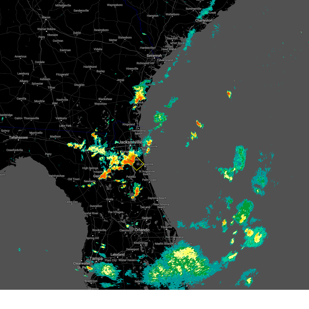 At 619 pm edt, a severe thunderstorm was located near world golf village, or 8 miles southeast of fruit cove, moving southeast at 25 mph (radar indicated). Hazards include 60 mph wind gusts and penny size hail. Expect damage to roofs, siding, and trees. locations impacted include, fruit cove, world golf village, picolata, switzerland and bakersville. hail threat, radar indicated max hail size, 0. 75 in wind threat, radar indicated max wind gust, 60 mph. At 619 pm edt, a severe thunderstorm was located near world golf village, or 8 miles southeast of fruit cove, moving southeast at 25 mph (radar indicated). Hazards include 60 mph wind gusts and penny size hail. Expect damage to roofs, siding, and trees. locations impacted include, fruit cove, world golf village, picolata, switzerland and bakersville. hail threat, radar indicated max hail size, 0. 75 in wind threat, radar indicated max wind gust, 60 mph.
|
| 7/17/2023 6:10 PM EDT |
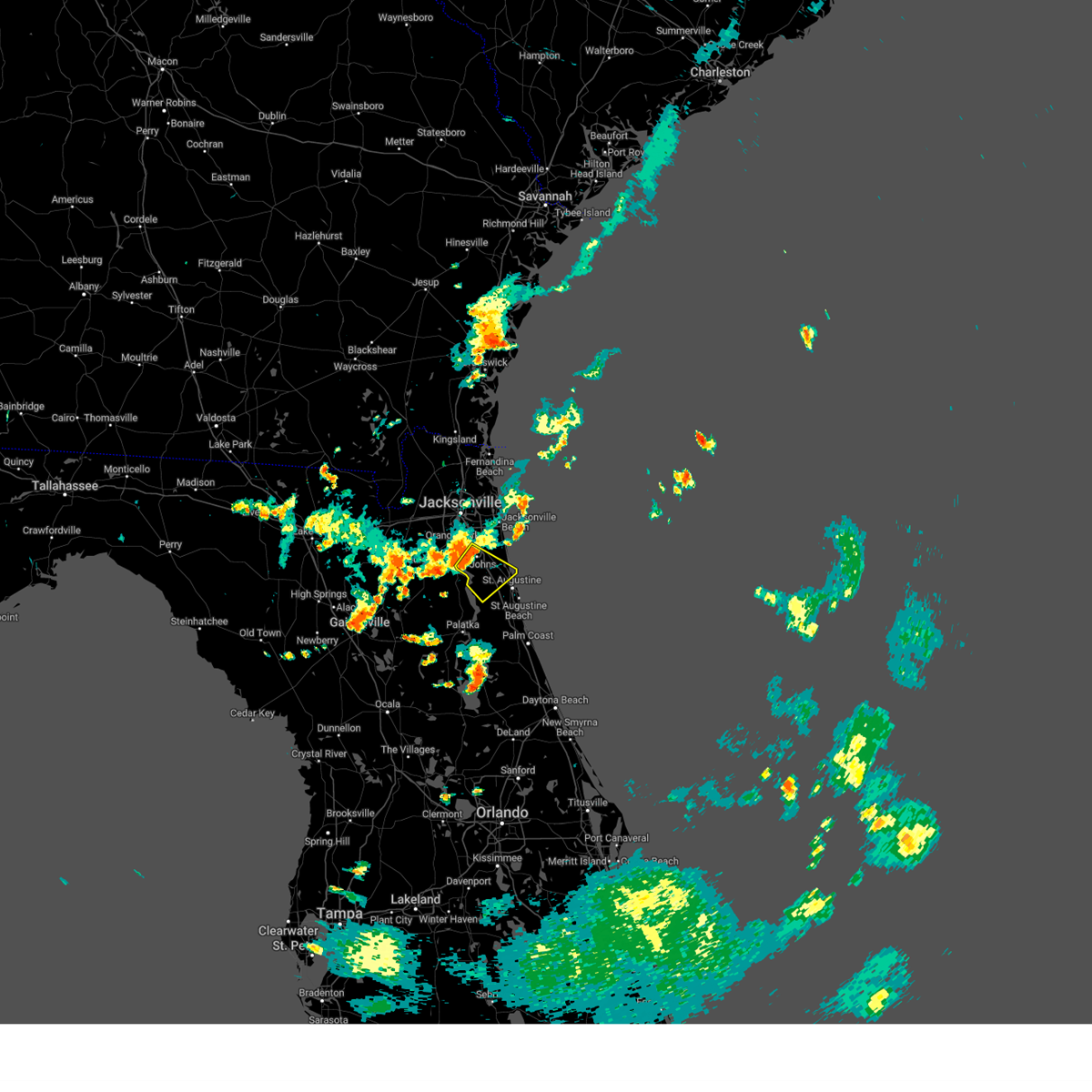 At 609 pm edt, a severe thunderstorm was located near fruit cove, moving southeast at 25 mph (radar indicated). Hazards include 60 mph wind gusts. expect damage to roofs, siding, and trees At 609 pm edt, a severe thunderstorm was located near fruit cove, moving southeast at 25 mph (radar indicated). Hazards include 60 mph wind gusts. expect damage to roofs, siding, and trees
|
| 7/16/2023 6:22 PM EDT |
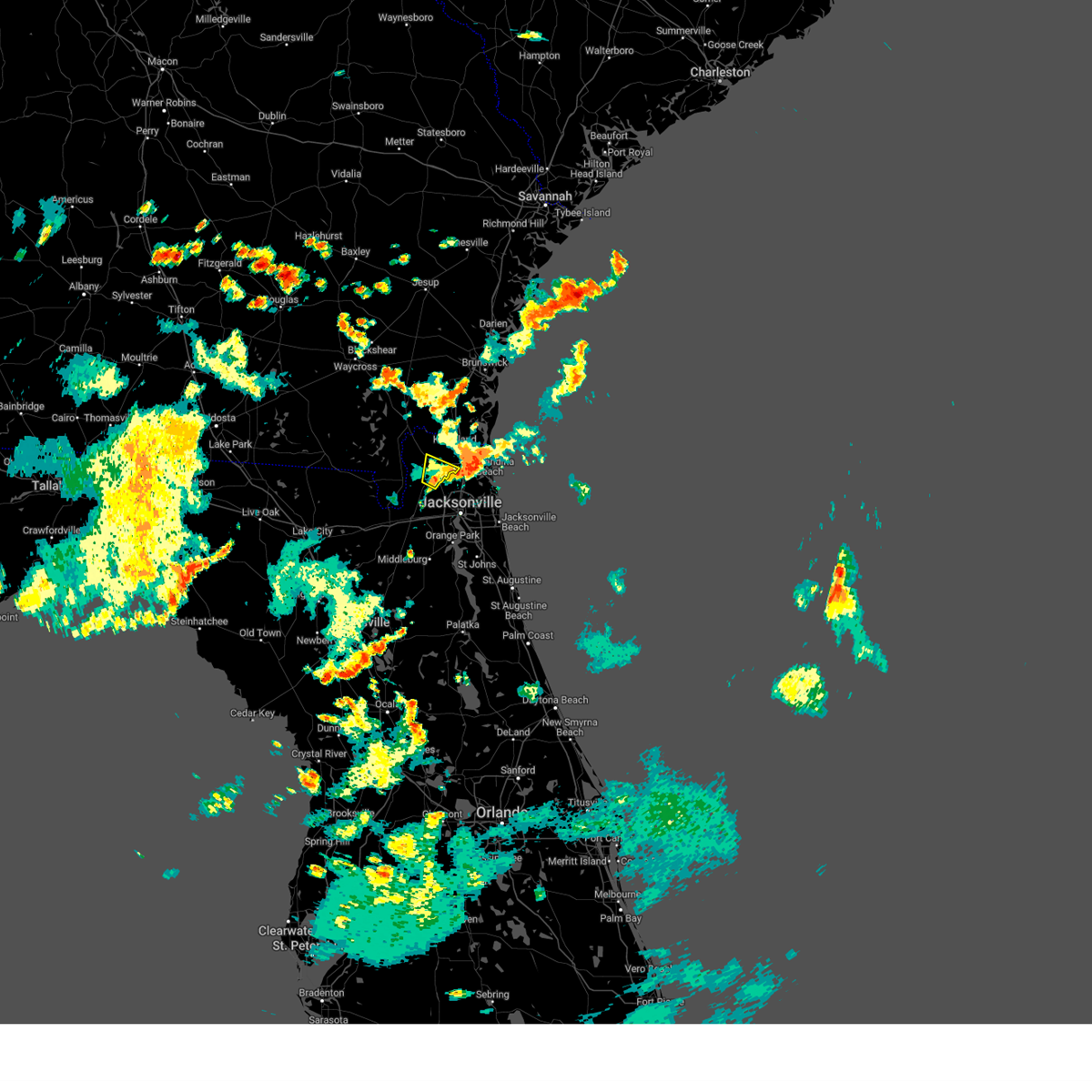 The severe thunderstorm warning for central nassau county will expire at 630 pm edt, the storm which prompted the warning has weakened below severe limits, and has exited the warned area. therefore, the warning will be allowed to expire. to report severe weather, contact your nearest law enforcement agency. they will relay your report to the national weather service jacksonville. The severe thunderstorm warning for central nassau county will expire at 630 pm edt, the storm which prompted the warning has weakened below severe limits, and has exited the warned area. therefore, the warning will be allowed to expire. to report severe weather, contact your nearest law enforcement agency. they will relay your report to the national weather service jacksonville.
|
| 7/16/2023 5:46 PM EDT |
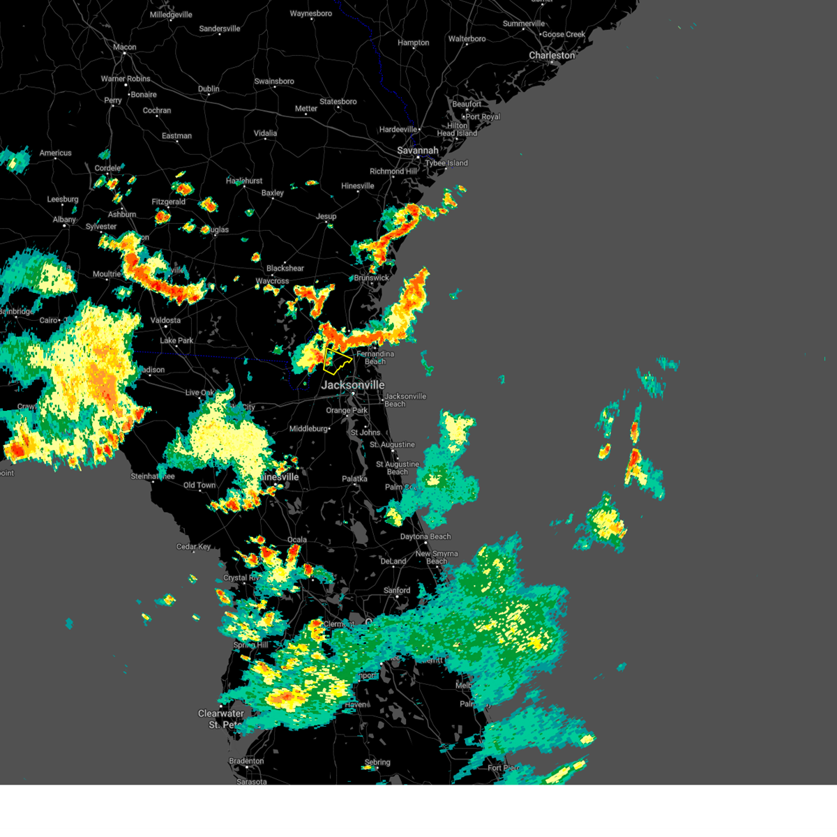 At 546 pm edt, a severe thunderstorm was located near callahan, moving east at 15 mph (radar indicated). Hazards include 60 mph wind gusts. expect damage to roofs, siding, and trees At 546 pm edt, a severe thunderstorm was located near callahan, moving east at 15 mph (radar indicated). Hazards include 60 mph wind gusts. expect damage to roofs, siding, and trees
|
| 7/10/2023 12:29 PM EDT | Tree reported down caused by thunderstorm wind in duval county FL, 11.2 miles W of Jacksonville, FL |
| 7/10/2023 12:26 PM EDT |
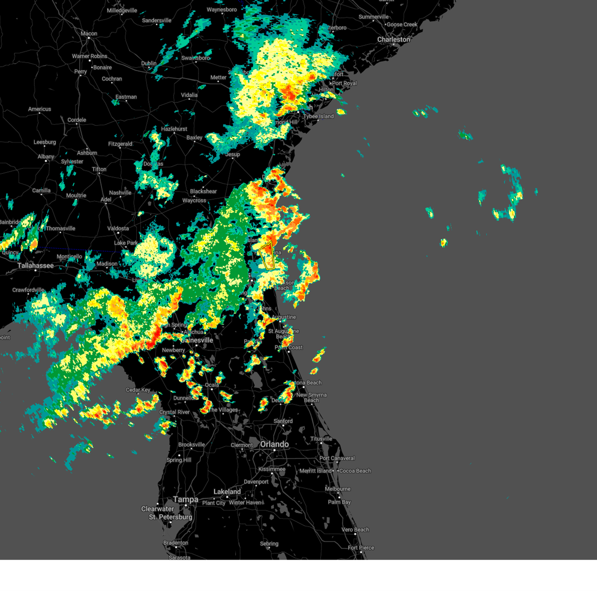 The severe thunderstorm warning for east central nassau and northeastern duval counties will expire at 1230 pm edt, the storm which prompted the warning has moved out of the area. therefore, the warning will be allowed to expire. however heavy rain is still possible with this thunderstorm. The severe thunderstorm warning for east central nassau and northeastern duval counties will expire at 1230 pm edt, the storm which prompted the warning has moved out of the area. therefore, the warning will be allowed to expire. however heavy rain is still possible with this thunderstorm.
|
| 7/10/2023 12:15 PM EDT |
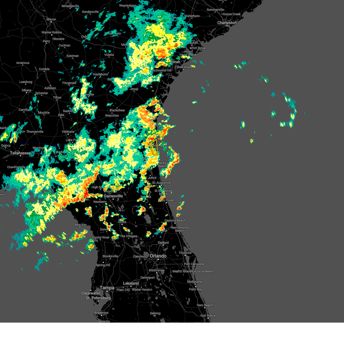 At 1215 pm edt, a severe thunderstorm was located over fernandina beach, moving northeast at 40 mph (radar indicated). Hazards include 60 mph wind gusts. Expect damage to roofs, siding, and trees. locations impacted include, fernandina beach, yulee, amelia city, little talbot island and talbot island. hail threat, radar indicated max hail size, <. 75 in wind threat, radar indicated max wind gust, 60 mph. At 1215 pm edt, a severe thunderstorm was located over fernandina beach, moving northeast at 40 mph (radar indicated). Hazards include 60 mph wind gusts. Expect damage to roofs, siding, and trees. locations impacted include, fernandina beach, yulee, amelia city, little talbot island and talbot island. hail threat, radar indicated max hail size, <. 75 in wind threat, radar indicated max wind gust, 60 mph.
|
| 7/10/2023 12:05 PM EDT |
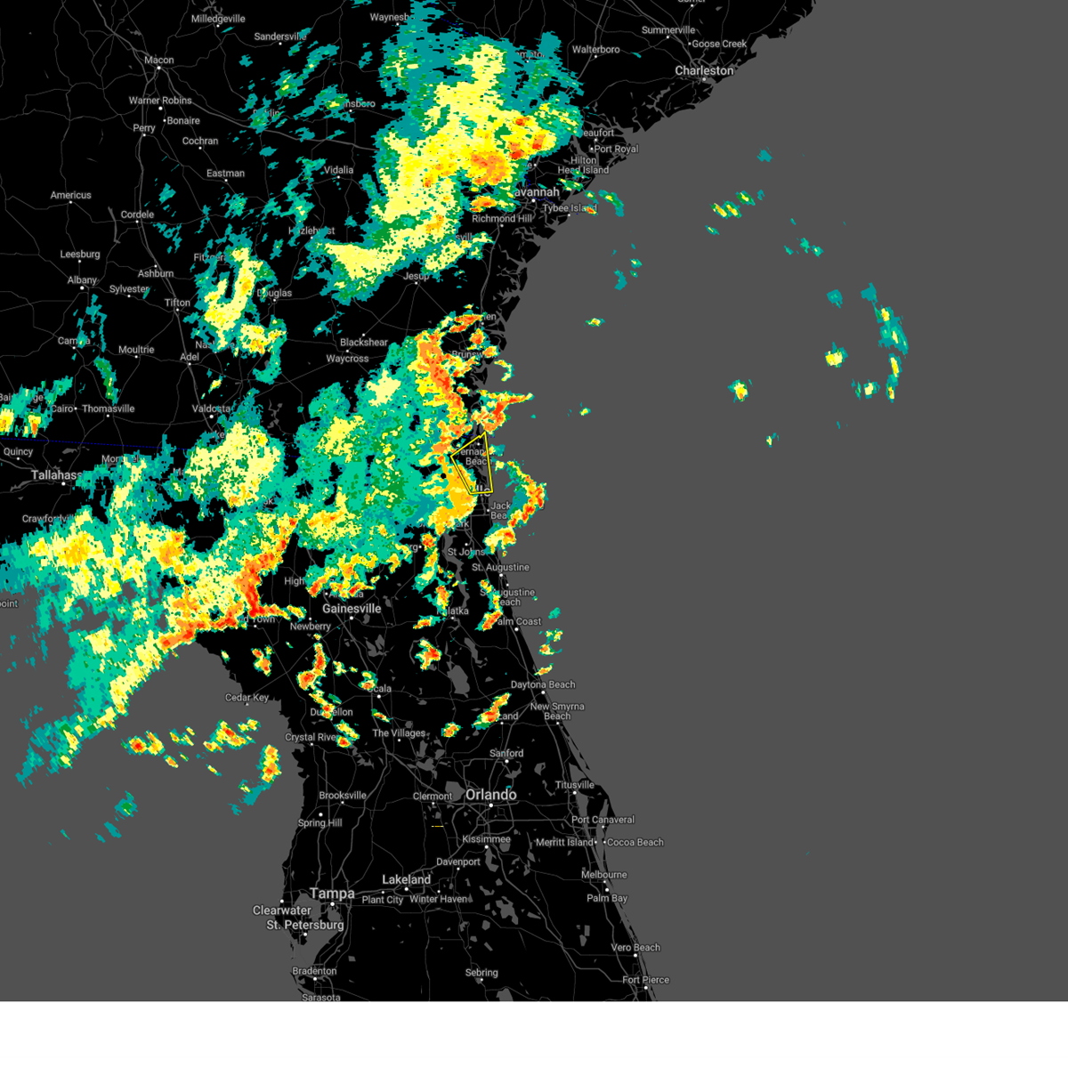 At 1204 pm edt, a severe thunderstorm was located near amelia city, or 9 miles southwest of fernandina beach, moving northeast at 40 mph (radar indicated). Hazards include 60 mph wind gusts. expect damage to roofs, siding, and trees At 1204 pm edt, a severe thunderstorm was located near amelia city, or 9 miles southwest of fernandina beach, moving northeast at 40 mph (radar indicated). Hazards include 60 mph wind gusts. expect damage to roofs, siding, and trees
|
| 7/10/2023 12:00 PM EDT | Mesonet station 1323w 1.3 se jacksonville (weatherstem) on the elevated wind sensor at tiaa bank fiel in duval county FL, 5 miles NW of Jacksonville, FL |
| 7/10/2023 11:50 AM EDT | Tree down off lem turner road near jax airport. time estimated by rada in duval county FL, 7.8 miles SSE of Jacksonville, FL |
| 7/9/2023 1:10 PM EDT |
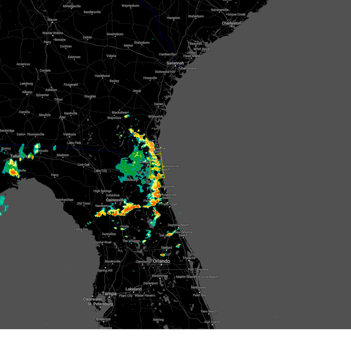 At 108 pm edt, severe thunderstorms were located along a line extending from fort caroline to bayard, moving east at 40 mph (radar indicated. at 1255 pm, craig airport gusted to 58 mph). Hazards include 60 mph wind gusts. Expect damage to roofs, siding, and trees. locations impacted include, unf, ponte vedra beach, arlington, fruit cove, jacksonville beach, atlantic beach, neptune beach, sawgrass, baymeadows and mayport. hail threat, radar indicated max hail size, <. 75 in wind threat, radar indicated max wind gust, 60 mph. At 108 pm edt, severe thunderstorms were located along a line extending from fort caroline to bayard, moving east at 40 mph (radar indicated. at 1255 pm, craig airport gusted to 58 mph). Hazards include 60 mph wind gusts. Expect damage to roofs, siding, and trees. locations impacted include, unf, ponte vedra beach, arlington, fruit cove, jacksonville beach, atlantic beach, neptune beach, sawgrass, baymeadows and mayport. hail threat, radar indicated max hail size, <. 75 in wind threat, radar indicated max wind gust, 60 mph.
|
| 7/9/2023 1:01 PM EDT | Asos station kcrg jacksonvil crai in duval county FL, 10.6 miles WNW of Jacksonville, FL |
| 7/9/2023 1:00 PM EDT | Tree down on race track rd. time estimated by rada in st. johns county FL, 22.6 miles NNW of Jacksonville, FL |
| 7/9/2023 12:55 PM EDT | Tree down blocking right lane on i-295s near town center exit. time estimated by rada in duval county FL, 12.6 miles NW of Jacksonville, FL |
| 7/9/2023 12:50 PM EDT | Mesonet station 1323w 1.3 se jacksonville (weatherstem in duval county FL, 5 miles NW of Jacksonville, FL |
| 7/9/2023 12:50 PM EDT | Spotter reports damage to a railroad crossing on talleyrand av in duval county FL, 3.7 miles WNW of Jacksonville, FL |
| 7/9/2023 12:50 PM EDT |
 At 1249 pm edt, severe thunderstorms were located along a line extending from normandy to doctors inlet, moving east at 40 mph (radar indicated. at 1240 pm, nas jax reported a gust to 62 mph). Hazards include 60 mph wind gusts. Expect damage to roofs, siding, and trees. locations impacted include, jacksonville, orange park, unf, mandarin, fruit cove, arlington, ponte vedra beach, jacksonville beach, atlantic beach and neptune beach. hail threat, radar indicated max hail size, <. 75 in wind threat, radar indicated max wind gust, 60 mph. At 1249 pm edt, severe thunderstorms were located along a line extending from normandy to doctors inlet, moving east at 40 mph (radar indicated. at 1240 pm, nas jax reported a gust to 62 mph). Hazards include 60 mph wind gusts. Expect damage to roofs, siding, and trees. locations impacted include, jacksonville, orange park, unf, mandarin, fruit cove, arlington, ponte vedra beach, jacksonville beach, atlantic beach and neptune beach. hail threat, radar indicated max hail size, <. 75 in wind threat, radar indicated max wind gust, 60 mph.
|
| 7/9/2023 12:45 PM EDT | Tree down in backyard off of w 2nd st. time estimated by rada in duval county FL, 3.2 miles NNW of Jacksonville, FL |
| 7/9/2023 12:42 PM EDT | Awos station knip jacksonville naval air statio in duval county FL, 11.1 miles N of Jacksonville, FL |
| 7/9/2023 12:40 PM EDT | Snapped tree caused damage to a roof in duclay near blanding blvd. time estimated by rada in duval county FL, 12.3 miles NNE of Jacksonville, FL |
| 7/9/2023 12:36 PM EDT |
 At 1236 pm edt, severe thunderstorms were located along a line extending from near cecil field to near middleburg, moving east at 30 mph (radar indicated). Hazards include 60 mph wind gusts. expect damage to roofs, siding, and trees At 1236 pm edt, severe thunderstorms were located along a line extending from near cecil field to near middleburg, moving east at 30 mph (radar indicated). Hazards include 60 mph wind gusts. expect damage to roofs, siding, and trees
|
| 7/9/2023 12:30 PM EDT | Awos station kvqq cecil fiel in duval county FL, 16 miles NE of Jacksonville, FL |
| 7/7/2023 3:39 PM EDT | Delayed report. three trees down across terrell road near the jacksonville international airport. time estimated by radar downburst signatur in duval county FL, 6.9 miles S of Jacksonville, FL |
| 7/7/2023 3:25 PM EDT |
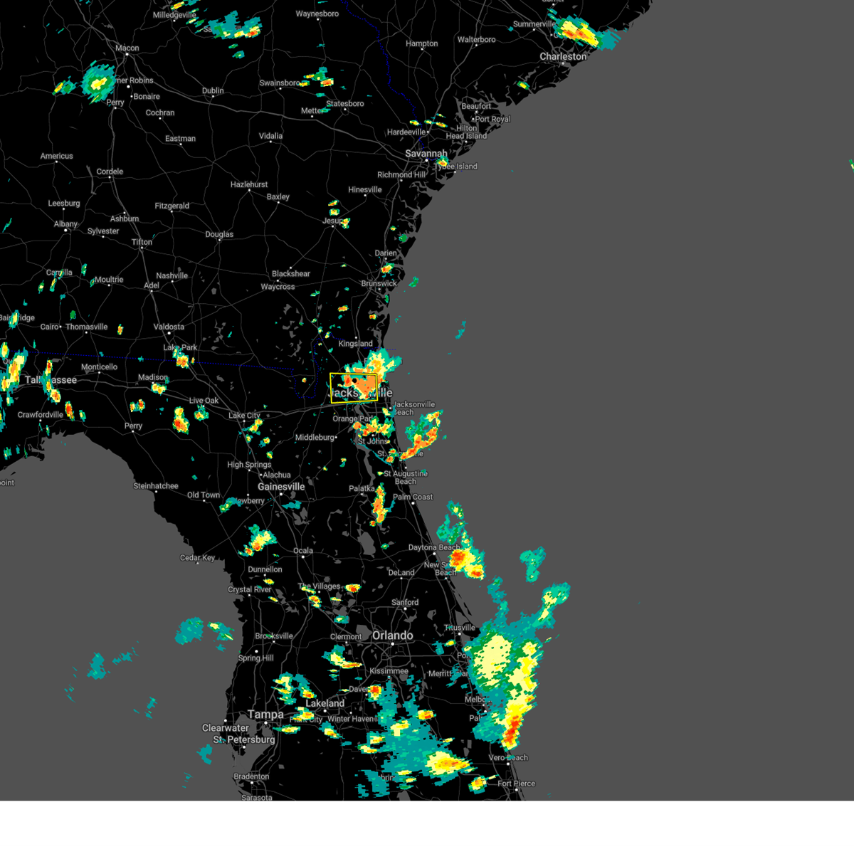 At 325 pm edt, a severe thunderstorm was located near jacksonville international arpt, moving southeast at 25 mph (radar indicated). Hazards include 60 mph wind gusts. expect damage to roofs, siding, and trees At 325 pm edt, a severe thunderstorm was located near jacksonville international arpt, moving southeast at 25 mph (radar indicated). Hazards include 60 mph wind gusts. expect damage to roofs, siding, and trees
|
| 7/5/2023 7:21 PM EDT |
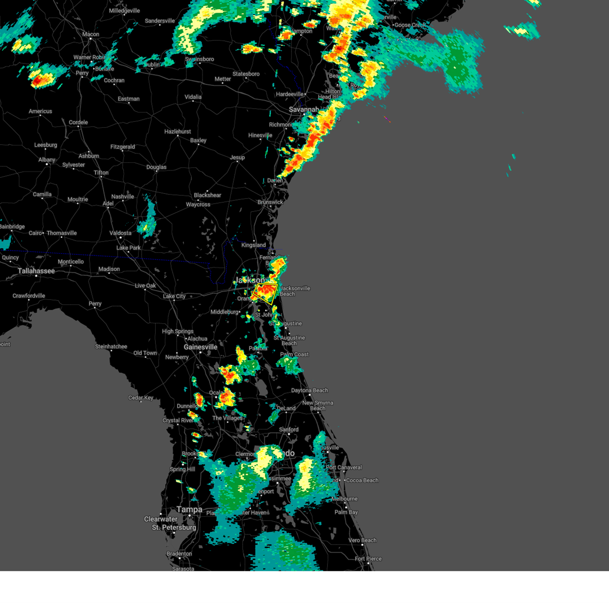 The severe thunderstorm warning for southeastern duval county will expire at 730 pm edt, the storm which prompted the warning has weakened below severe limits, and no longer poses an immediate threat to life or property. therefore, the warning will be allowed to expire. however gusty winds and heavy rain are still possible with this thunderstorm. The severe thunderstorm warning for southeastern duval county will expire at 730 pm edt, the storm which prompted the warning has weakened below severe limits, and no longer poses an immediate threat to life or property. therefore, the warning will be allowed to expire. however gusty winds and heavy rain are still possible with this thunderstorm.
|
| 7/5/2023 7:05 PM EDT | Mesonet station xtrm terminal channe in duval county FL, 4.4 miles NW of Jacksonville, FL |
| 7/5/2023 7:01 PM EDT |
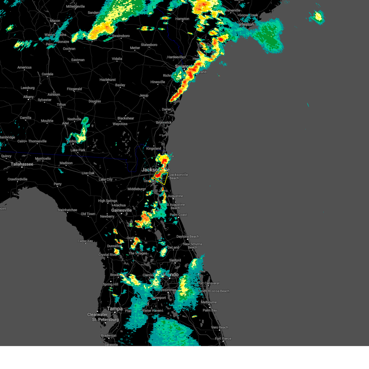 At 701 pm edt, a severe thunderstorm was located near arlington, moving east at 10 mph (radar indicated). Hazards include 60 mph wind gusts. expect damage to roofs, siding, and trees At 701 pm edt, a severe thunderstorm was located near arlington, moving east at 10 mph (radar indicated). Hazards include 60 mph wind gusts. expect damage to roofs, siding, and trees
|
| 7/5/2023 6:53 PM EDT |
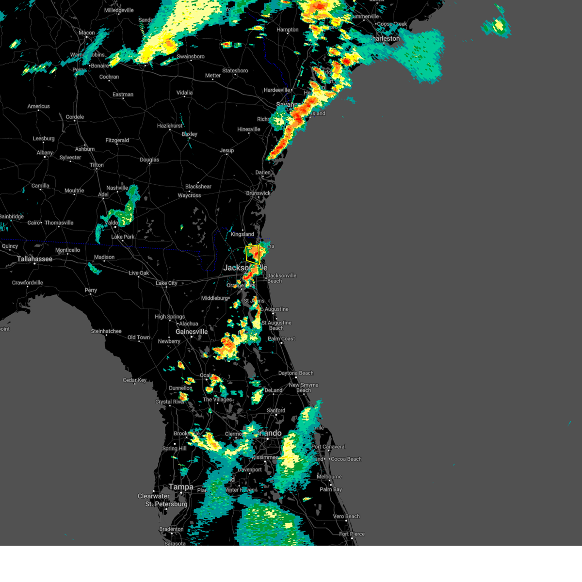 The severe thunderstorm warning for east central nassau and northeastern duval counties will expire at 700 pm edt, the storm which prompted the warning has weakened below severe limits, and no longer poses an immediate threat to life or property. therefore, the warning will be allowed to expire. however gusty winds are still possible with this thunderstorm. The severe thunderstorm warning for east central nassau and northeastern duval counties will expire at 700 pm edt, the storm which prompted the warning has weakened below severe limits, and no longer poses an immediate threat to life or property. therefore, the warning will be allowed to expire. however gusty winds are still possible with this thunderstorm.
|
| 7/5/2023 6:37 PM EDT |
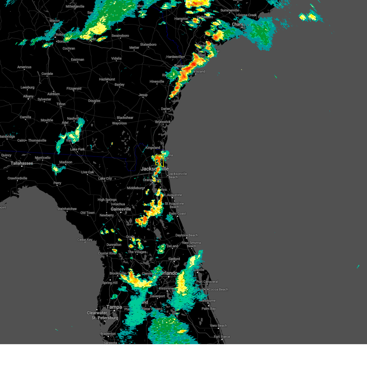 At 637 pm edt, a severe thunderstorm was located near oceanway, or 8 miles east of jacksonville international arpt, moving east at 5 mph (radar indicated). Hazards include 60 mph wind gusts. expect damage to roofs, siding, and trees At 637 pm edt, a severe thunderstorm was located near oceanway, or 8 miles east of jacksonville international arpt, moving east at 5 mph (radar indicated). Hazards include 60 mph wind gusts. expect damage to roofs, siding, and trees
|
| 7/3/2023 4:30 PM EDT |
 At 430 pm edt, a severe thunderstorm was located over nas jax, or near jacksonville, moving south at 20 mph (radar indicated). Hazards include 60 mph wind gusts. expect damage to roofs, siding, and trees At 430 pm edt, a severe thunderstorm was located over nas jax, or near jacksonville, moving south at 20 mph (radar indicated). Hazards include 60 mph wind gusts. expect damage to roofs, siding, and trees
|
| 7/3/2023 4:25 PM EDT | Damage to utility equipment on spring park rd. time estimated by rada in duval county FL, 7.1 miles NNW of Jacksonville, FL |
| 7/3/2023 4:10 PM EDT | Damage to utility equipment near marion park caused power outages. time estimated by rada in duval county FL, 1.2 miles WSW of Jacksonville, FL |
| 7/3/2023 4:10 PM EDT | Trees were blown down near ford avenue... just nw of the jacksonville zoo. the time of damage was based on radar dat in duval county FL, 3 miles SW of Jacksonville, FL |
| 7/3/2023 4:03 PM EDT |
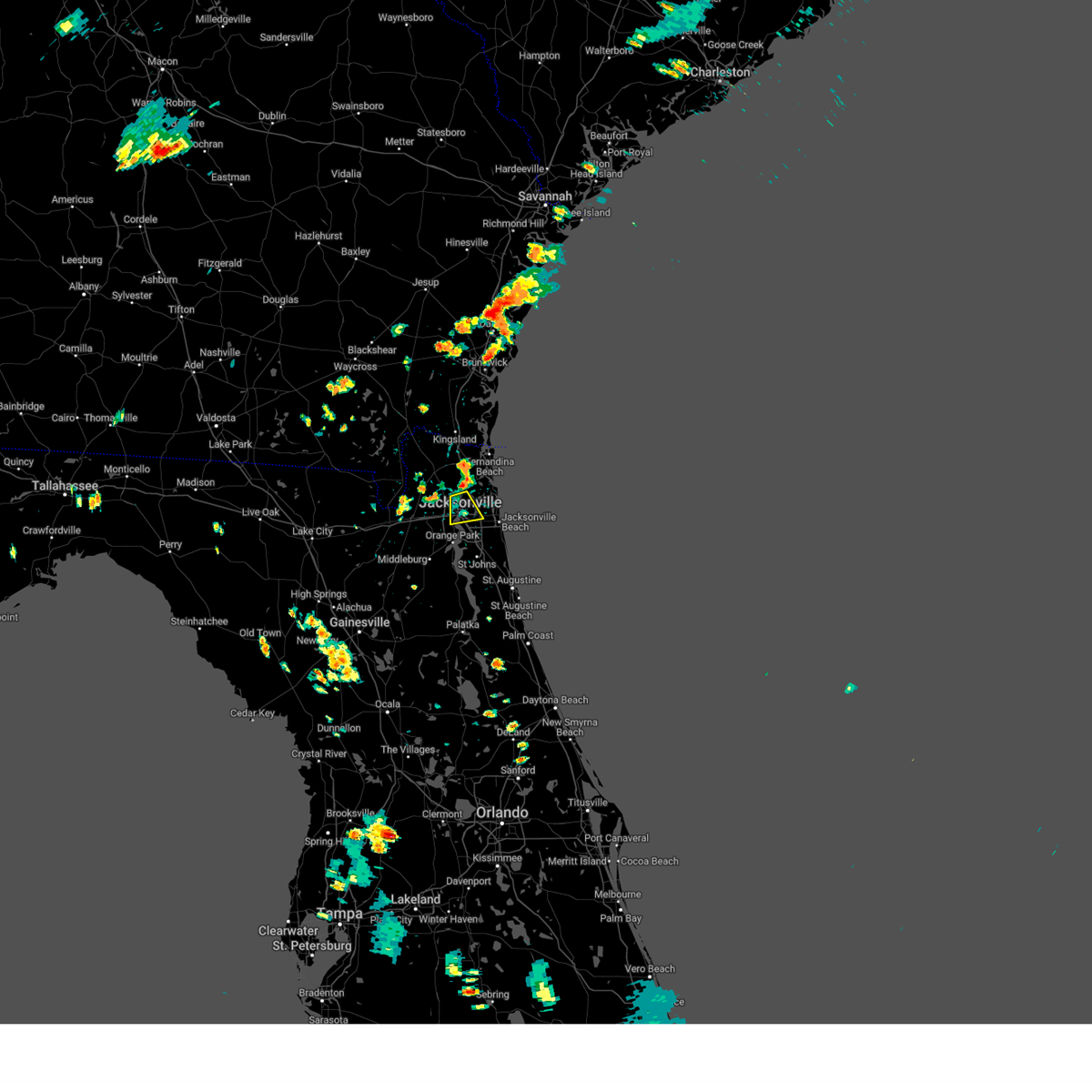 At 402 pm edt, a severe thunderstorm was located near jacksonville, moving south at 10 mph (radar indicated). Hazards include 60 mph wind gusts. expect damage to roofs, siding, and trees At 402 pm edt, a severe thunderstorm was located near jacksonville, moving south at 10 mph (radar indicated). Hazards include 60 mph wind gusts. expect damage to roofs, siding, and trees
|
| 6/27/2023 8:28 PM EDT |
 The severe thunderstorm warning for central st. johns and southeastern duval counties will expire at 830 pm edt, the storm which prompted the warning has weakened below severe limits, and has exited the warned area. therefore, the warning will be allowed to expire. however small hail, gusty winds and heavy rain are still possible with this thunderstorm. The severe thunderstorm warning for central st. johns and southeastern duval counties will expire at 830 pm edt, the storm which prompted the warning has weakened below severe limits, and has exited the warned area. therefore, the warning will be allowed to expire. however small hail, gusty winds and heavy rain are still possible with this thunderstorm.
|
| 6/27/2023 8:16 PM EDT |
 At 816 pm edt, a severe thunderstorm was located over south ponte vedra, or 10 miles north of saint augustine, moving east at 40 mph (radar indicated). Hazards include 60 mph wind gusts and nickel size hail. Expect damage to roofs, siding, and trees. locations impacted include, saint augustine, fruit cove, world golf village, saint augustine beach, sawgrass, nocatee, durbin, vilano beach, picolata and palm valley. hail threat, radar indicated max hail size, 0. 88 in wind threat, radar indicated max wind gust, 60 mph. At 816 pm edt, a severe thunderstorm was located over south ponte vedra, or 10 miles north of saint augustine, moving east at 40 mph (radar indicated). Hazards include 60 mph wind gusts and nickel size hail. Expect damage to roofs, siding, and trees. locations impacted include, saint augustine, fruit cove, world golf village, saint augustine beach, sawgrass, nocatee, durbin, vilano beach, picolata and palm valley. hail threat, radar indicated max hail size, 0. 88 in wind threat, radar indicated max wind gust, 60 mph.
|
| 6/27/2023 8:08 PM EDT |
 At 808 pm edt, a severe thunderstorm was located near durbin, or 11 miles east of fruit cove, moving east at 40 mph (radar indicated). Hazards include 60 mph wind gusts and nickel size hail. Expect damage to roofs, siding, and trees. locations impacted include, saint augustine, mandarin, fruit cove, ponte vedra beach, jacksonville beach, neptune beach, world golf village, saint augustine beach, sawgrass and nocatee. hail threat, radar indicated max hail size, 0. 88 in wind threat, radar indicated max wind gust, 60 mph. At 808 pm edt, a severe thunderstorm was located near durbin, or 11 miles east of fruit cove, moving east at 40 mph (radar indicated). Hazards include 60 mph wind gusts and nickel size hail. Expect damage to roofs, siding, and trees. locations impacted include, saint augustine, mandarin, fruit cove, ponte vedra beach, jacksonville beach, neptune beach, world golf village, saint augustine beach, sawgrass and nocatee. hail threat, radar indicated max hail size, 0. 88 in wind threat, radar indicated max wind gust, 60 mph.
|
| 6/27/2023 7:56 PM EDT |
 At 756 pm edt, a severe thunderstorm was located near fruit cove, moving east at 35 mph (radar indicated). Hazards include 70 mph wind gusts and quarter size hail. Hail damage to vehicles is expected. expect considerable tree damage. wind damage is also likely to mobile homes, roofs, and outbuildings. locations impacted include, saint augustine, orange park, green cove springs, unf, mandarin, fruit cove, ponte vedra beach, jacksonville beach, atlantic beach and neptune beach. thunderstorm damage threat, considerable hail threat, radar indicated max hail size, 1. 00 in wind threat, radar indicated max wind gust, 70 mph. At 756 pm edt, a severe thunderstorm was located near fruit cove, moving east at 35 mph (radar indicated). Hazards include 70 mph wind gusts and quarter size hail. Hail damage to vehicles is expected. expect considerable tree damage. wind damage is also likely to mobile homes, roofs, and outbuildings. locations impacted include, saint augustine, orange park, green cove springs, unf, mandarin, fruit cove, ponte vedra beach, jacksonville beach, atlantic beach and neptune beach. thunderstorm damage threat, considerable hail threat, radar indicated max hail size, 1. 00 in wind threat, radar indicated max wind gust, 70 mph.
|
| 6/27/2023 7:44 PM EDT |
 At 744 pm edt, a severe thunderstorm was located over fleming island, or near orange park, moving east at 30 mph (radar indicated). Hazards include 70 mph wind gusts and half dollar size hail. Hail damage to vehicles is expected. expect considerable tree damage. wind damage is also likely to mobile homes, roofs, and outbuildings. locations impacted include, saint augustine, orange park, green cove springs, unf, mandarin, fruit cove, middleburg, ponte vedra beach, jacksonville beach and atlantic beach. thunderstorm damage threat, considerable hail threat, radar indicated max hail size, 1. 25 in wind threat, radar indicated max wind gust, 70 mph. At 744 pm edt, a severe thunderstorm was located over fleming island, or near orange park, moving east at 30 mph (radar indicated). Hazards include 70 mph wind gusts and half dollar size hail. Hail damage to vehicles is expected. expect considerable tree damage. wind damage is also likely to mobile homes, roofs, and outbuildings. locations impacted include, saint augustine, orange park, green cove springs, unf, mandarin, fruit cove, middleburg, ponte vedra beach, jacksonville beach and atlantic beach. thunderstorm damage threat, considerable hail threat, radar indicated max hail size, 1. 25 in wind threat, radar indicated max wind gust, 70 mph.
|
| 6/27/2023 7:27 PM EDT |
 At 726 pm edt, a severe thunderstorm was located near doctors inlet, or near middleburg, moving east at 40 mph (radar indicated). Hazards include 70 mph wind gusts and half dollar size hail. Hail damage to vehicles is expected. expect considerable tree damage. Wind damage is also likely to mobile homes, roofs, and outbuildings. At 726 pm edt, a severe thunderstorm was located near doctors inlet, or near middleburg, moving east at 40 mph (radar indicated). Hazards include 70 mph wind gusts and half dollar size hail. Hail damage to vehicles is expected. expect considerable tree damage. Wind damage is also likely to mobile homes, roofs, and outbuildings.
|
| 6/27/2023 7:02 PM EDT |
 At 702 pm edt, a severe thunderstorm was located near raiford, moving east at 30 mph (radar indicated). Hazards include golf ball size hail and 70 mph wind gusts. People and animals outdoors will be injured. expect hail damage to roofs, siding, windows, and vehicles. expect considerable tree damage. wind damage is also likely to mobile homes, roofs, and outbuildings. locations impacted include, orange park, green cove springs, starke, raiford, middleburg, maxville, fleming island, oakleaf plantation, bellair-meadowbrook terrace and camp blanding. thunderstorm damage threat, considerable hail threat, radar indicated max hail size, 1. 75 in wind threat, radar indicated max wind gust, 70 mph. At 702 pm edt, a severe thunderstorm was located near raiford, moving east at 30 mph (radar indicated). Hazards include golf ball size hail and 70 mph wind gusts. People and animals outdoors will be injured. expect hail damage to roofs, siding, windows, and vehicles. expect considerable tree damage. wind damage is also likely to mobile homes, roofs, and outbuildings. locations impacted include, orange park, green cove springs, starke, raiford, middleburg, maxville, fleming island, oakleaf plantation, bellair-meadowbrook terrace and camp blanding. thunderstorm damage threat, considerable hail threat, radar indicated max hail size, 1. 75 in wind threat, radar indicated max wind gust, 70 mph.
|
| 6/27/2023 6:55 PM EDT |
 At 654 pm edt, a severe thunderstorm was located 7 miles northeast of raiford, moving east at 30 mph (radar indicated). Hazards include 70 mph wind gusts and ping pong ball size hail. People and animals outdoors will be injured. expect hail damage to roofs, siding, windows, and vehicles. expect considerable tree damage. Wind damage is also likely to mobile homes, roofs, and outbuildings. At 654 pm edt, a severe thunderstorm was located 7 miles northeast of raiford, moving east at 30 mph (radar indicated). Hazards include 70 mph wind gusts and ping pong ball size hail. People and animals outdoors will be injured. expect hail damage to roofs, siding, windows, and vehicles. expect considerable tree damage. Wind damage is also likely to mobile homes, roofs, and outbuildings.
|
| 6/20/2023 8:08 PM EDT |
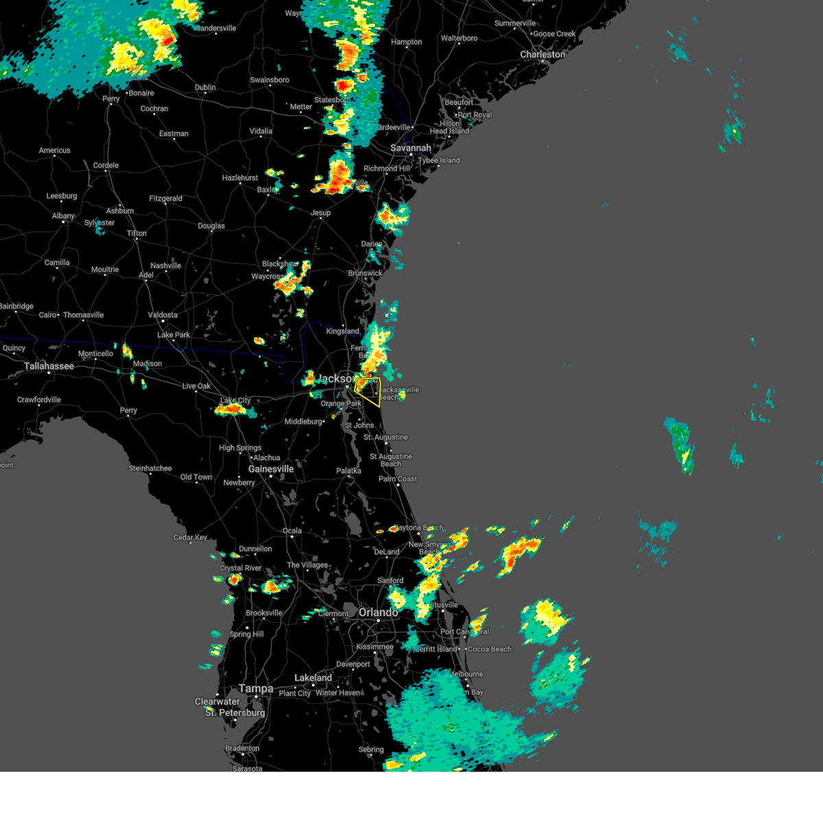 At 808 pm edt, a severe thunderstorm was located over craig field, or over unf, moving east at 15 mph (radar indicated). Hazards include 60 mph wind gusts and penny size hail. Expect damage to roofs, siding, and trees. locations impacted include, unf, ponte vedra beach, jacksonville beach, atlantic beach, neptune beach, palm valley, sawgrass, mayport, craig field and san pablo. hail threat, radar indicated max hail size, 0. 75 in wind threat, radar indicated max wind gust, 60 mph. At 808 pm edt, a severe thunderstorm was located over craig field, or over unf, moving east at 15 mph (radar indicated). Hazards include 60 mph wind gusts and penny size hail. Expect damage to roofs, siding, and trees. locations impacted include, unf, ponte vedra beach, jacksonville beach, atlantic beach, neptune beach, palm valley, sawgrass, mayport, craig field and san pablo. hail threat, radar indicated max hail size, 0. 75 in wind threat, radar indicated max wind gust, 60 mph.
|
| 6/20/2023 7:58 PM EDT |
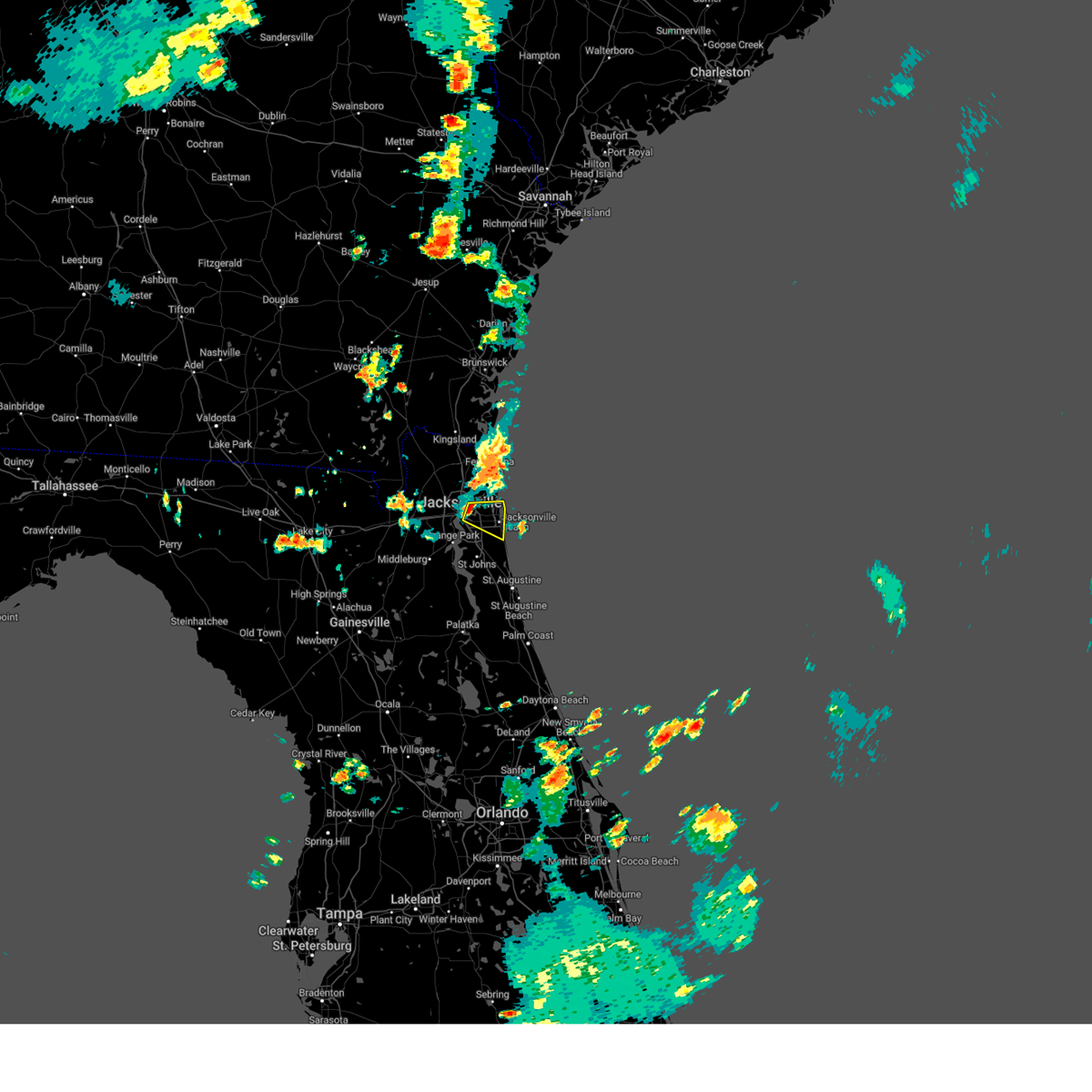 At 758 pm edt, a severe thunderstorm was located over arlington, moving east at 15 mph (radar indicated). Hazards include 60 mph wind gusts and penny size hail. expect damage to roofs, siding, and trees At 758 pm edt, a severe thunderstorm was located over arlington, moving east at 15 mph (radar indicated). Hazards include 60 mph wind gusts and penny size hail. expect damage to roofs, siding, and trees
|
| 6/15/2023 3:25 PM EDT | 10 to 12 inch tree fell onto i-295 blocking right lane just before exit 25. time estimated by rada in duval county FL, 4.4 miles E of Jacksonville, FL |
| 6/14/2023 10:09 PM EDT | Awos station knrb mayport naval statio in duval county FL, 15.9 miles W of Jacksonville, FL |
| 6/14/2023 10:03 PM EDT | Thunderstorm wind gust of 60 mph was measured with a handheld instrument near i-295 and baymeadows r in duval county FL, 15.3 miles NW of Jacksonville, FL |
| 6/14/2023 9:57 PM EDT |
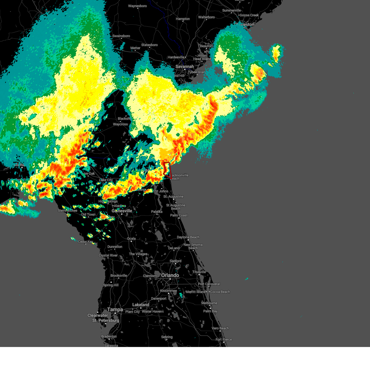 The tornado warning for northeastern duval county will expire at 1000 pm edt, the storm which prompted the warning has moved over the coastal waters. therefore, the warning will be allowed to expire. however small hail, gusty winds and heavy rain are still possible with this thunderstorm. a tornado watch remains in effect until 1000 pm edt for northeastern florida. a severe thunderstorm watch remains in effect until 100 am edt for northeastern florida. The tornado warning for northeastern duval county will expire at 1000 pm edt, the storm which prompted the warning has moved over the coastal waters. therefore, the warning will be allowed to expire. however small hail, gusty winds and heavy rain are still possible with this thunderstorm. a tornado watch remains in effect until 1000 pm edt for northeastern florida. a severe thunderstorm watch remains in effect until 100 am edt for northeastern florida.
|
| 6/14/2023 9:56 PM EDT |
 The severe thunderstorm warning for northeastern nassau and duval counties will expire at 1000 pm edt, the storm which prompted the warning has weakened below severe limits, and no longer poses an immediate threat to life or property. therefore, the warning will be allowed to expire. however small hail, gusty winds and heavy rain are still possible with this thunderstorm. a tornado watch remains in effect until 1000 pm edt for northeastern florida, and southeastern georgia. a severe thunderstorm watch remains in effect until 100 am edt for northeastern florida. The severe thunderstorm warning for northeastern nassau and duval counties will expire at 1000 pm edt, the storm which prompted the warning has weakened below severe limits, and no longer poses an immediate threat to life or property. therefore, the warning will be allowed to expire. however small hail, gusty winds and heavy rain are still possible with this thunderstorm. a tornado watch remains in effect until 1000 pm edt for northeastern florida, and southeastern georgia. a severe thunderstorm watch remains in effect until 100 am edt for northeastern florida.
|
| 6/14/2023 9:54 PM EDT |
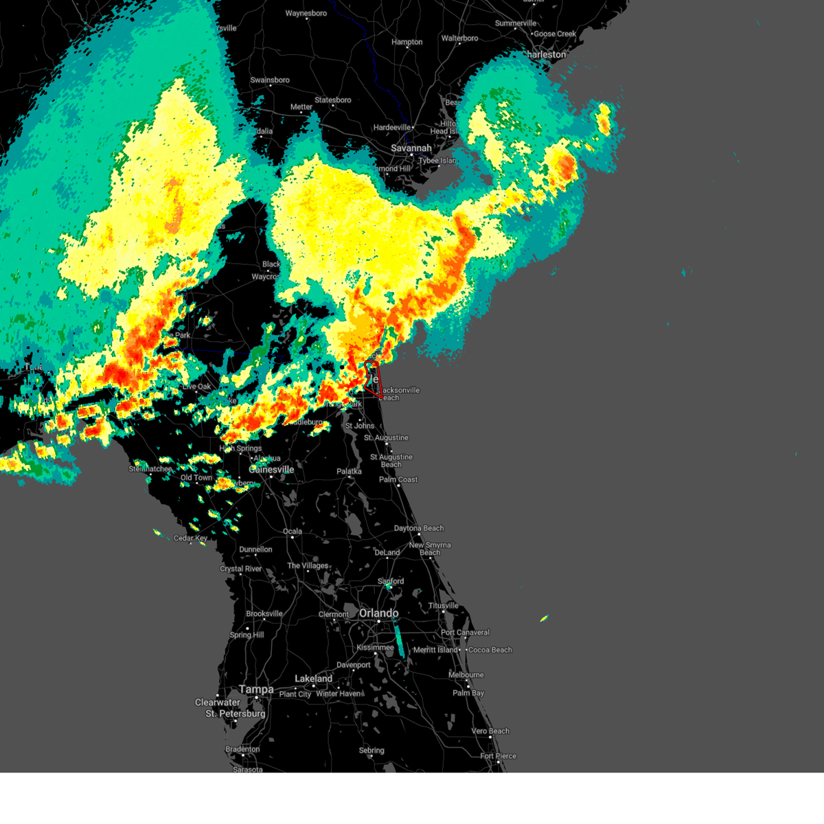 At 954 pm edt, a severe thunderstorm capable of producing a tornado was located over mayport, or 11 miles northeast of unf, moving east at 55 mph (radar indicated rotation). Hazards include tornado. Flying debris will be dangerous to those caught without shelter. mobile homes will be damaged or destroyed. damage to roofs, windows, and vehicles will occur. tree damage is likely. This tornadic thunderstorm will remain over mainly rural areas of northeastern duval county. At 954 pm edt, a severe thunderstorm capable of producing a tornado was located over mayport, or 11 miles northeast of unf, moving east at 55 mph (radar indicated rotation). Hazards include tornado. Flying debris will be dangerous to those caught without shelter. mobile homes will be damaged or destroyed. damage to roofs, windows, and vehicles will occur. tree damage is likely. This tornadic thunderstorm will remain over mainly rural areas of northeastern duval county.
|
| 6/14/2023 9:51 PM EDT | Fence blown down and a number of trees were blown down in the arlington are in duval county FL, 6.4 miles WNW of Jacksonville, FL |
| 6/14/2023 9:48 PM EDT |
 At 948 pm edt, a severe thunderstorm capable of producing a tornado was located near fort caroline, or 9 miles northeast of arlington, moving east at 55 mph (radar indicated rotation). Hazards include tornado. Flying debris will be dangerous to those caught without shelter. mobile homes will be damaged or destroyed. damage to roofs, windows, and vehicles will occur. tree damage is likely. this dangerous storm will be near, atlantic beach around 955 pm edt. Jacksonville beach and neptune beach around 1000 pm edt. At 948 pm edt, a severe thunderstorm capable of producing a tornado was located near fort caroline, or 9 miles northeast of arlington, moving east at 55 mph (radar indicated rotation). Hazards include tornado. Flying debris will be dangerous to those caught without shelter. mobile homes will be damaged or destroyed. damage to roofs, windows, and vehicles will occur. tree damage is likely. this dangerous storm will be near, atlantic beach around 955 pm edt. Jacksonville beach and neptune beach around 1000 pm edt.
|
| 6/14/2023 9:45 PM EDT |
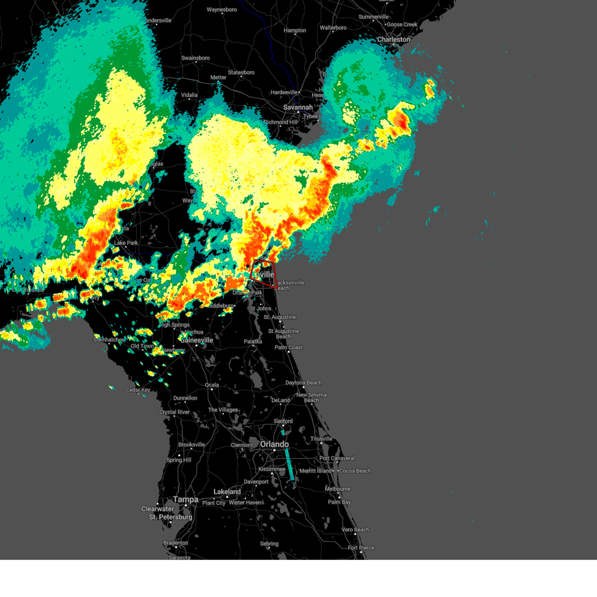 At 945 pm edt, a severe thunderstorm capable of producing a tornado was located near fort caroline, or 8 miles northeast of arlington, moving east at 55 mph (radar indicated rotation). Hazards include tornado. Flying debris will be dangerous to those caught without shelter. mobile homes will be damaged or destroyed. damage to roofs, windows, and vehicles will occur. tree damage is likely. this dangerous storm will be near, talbot island around 950 pm edt. atlantic beach, neptune beach, mayport and little talbot island around 955 pm edt. jacksonville beach around 1000 pm edt. Other locations impacted by this tornadic thunderstorm include tallyrand. At 945 pm edt, a severe thunderstorm capable of producing a tornado was located near fort caroline, or 8 miles northeast of arlington, moving east at 55 mph (radar indicated rotation). Hazards include tornado. Flying debris will be dangerous to those caught without shelter. mobile homes will be damaged or destroyed. damage to roofs, windows, and vehicles will occur. tree damage is likely. this dangerous storm will be near, talbot island around 950 pm edt. atlantic beach, neptune beach, mayport and little talbot island around 955 pm edt. jacksonville beach around 1000 pm edt. Other locations impacted by this tornadic thunderstorm include tallyrand.
|
| 6/14/2023 9:43 PM EDT |
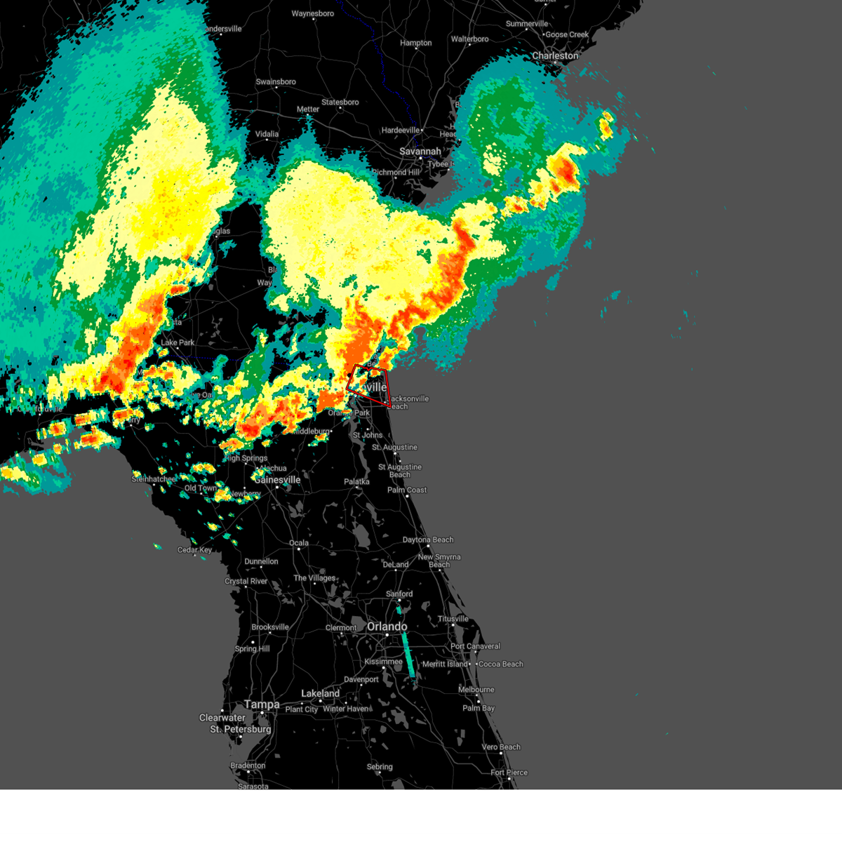 At 943 pm edt, a severe thunderstorm capable of producing a tornado was located over oceanway, or near jacksonville international arpt, moving east at 50 mph (radar indicated rotation). Hazards include tornado. Flying debris will be dangerous to those caught without shelter. mobile homes will be damaged or destroyed. damage to roofs, windows, and vehicles will occur. tree damage is likely. this dangerous storm will be near, fort caroline, little talbot island, talbot island and craig field around 955 pm edt. jacksonville beach, atlantic beach, neptune beach, mayport and san pablo around 1000 pm edt. Other locations impacted by this tornadic thunderstorm include tallyrand. At 943 pm edt, a severe thunderstorm capable of producing a tornado was located over oceanway, or near jacksonville international arpt, moving east at 50 mph (radar indicated rotation). Hazards include tornado. Flying debris will be dangerous to those caught without shelter. mobile homes will be damaged or destroyed. damage to roofs, windows, and vehicles will occur. tree damage is likely. this dangerous storm will be near, fort caroline, little talbot island, talbot island and craig field around 955 pm edt. jacksonville beach, atlantic beach, neptune beach, mayport and san pablo around 1000 pm edt. Other locations impacted by this tornadic thunderstorm include tallyrand.
|
| 6/14/2023 9:40 PM EDT | Asos station kjax jacksonville intl airpor in duval county FL, 8.2 miles S of Jacksonville, FL |
| 6/14/2023 9:39 PM EDT |
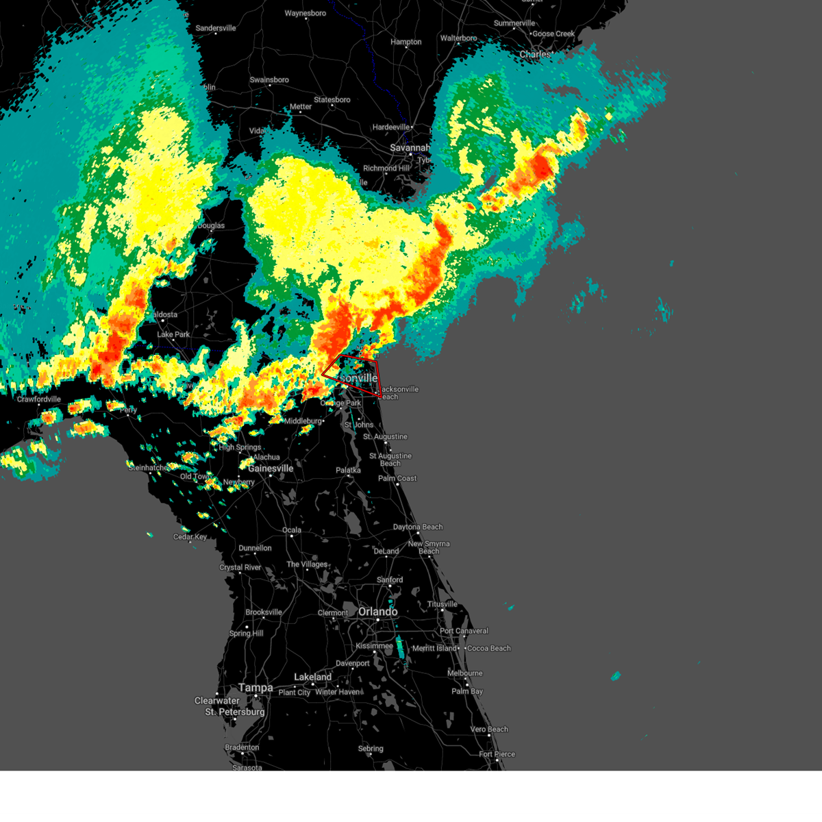 At 939 pm edt, a severe thunderstorm capable of producing a tornado was located over oceanway, or near jacksonville international arpt, moving east at 55 mph (radar indicated rotation). Hazards include tornado. Flying debris will be dangerous to those caught without shelter. mobile homes will be damaged or destroyed. damage to roofs, windows, and vehicles will occur. tree damage is likely. this dangerous storm will be near, fort caroline, talbot island and craig field around 950 pm edt. jacksonville beach, atlantic beach, neptune beach, mayport, little talbot island and san pablo around 955 pm edt. Other locations impacted by this tornadic thunderstorm include tallyrand. At 939 pm edt, a severe thunderstorm capable of producing a tornado was located over oceanway, or near jacksonville international arpt, moving east at 55 mph (radar indicated rotation). Hazards include tornado. Flying debris will be dangerous to those caught without shelter. mobile homes will be damaged or destroyed. damage to roofs, windows, and vehicles will occur. tree damage is likely. this dangerous storm will be near, fort caroline, talbot island and craig field around 950 pm edt. jacksonville beach, atlantic beach, neptune beach, mayport, little talbot island and san pablo around 955 pm edt. Other locations impacted by this tornadic thunderstorm include tallyrand.
|
| 6/14/2023 9:38 PM EDT |
 The severe thunderstorm warning for nassau and southeastern charlton counties will expire at 945 pm edt, the storm which prompted the warning has moved out of the area. therefore, the warning will be allowed to expire. a tornado watch remains in effect until 1000 pm edt for northeastern florida, and southeastern georgia. a severe thunderstorm watch remains in effect until 100 am edt for northeastern florida. The severe thunderstorm warning for nassau and southeastern charlton counties will expire at 945 pm edt, the storm which prompted the warning has moved out of the area. therefore, the warning will be allowed to expire. a tornado watch remains in effect until 1000 pm edt for northeastern florida, and southeastern georgia. a severe thunderstorm watch remains in effect until 100 am edt for northeastern florida.
|
| 6/14/2023 9:33 PM EDT | Report of tree down on residence on jacksonville northsid in duval county FL, 3.5 miles SSW of Jacksonville, FL |
| 6/14/2023 9:30 PM EDT |
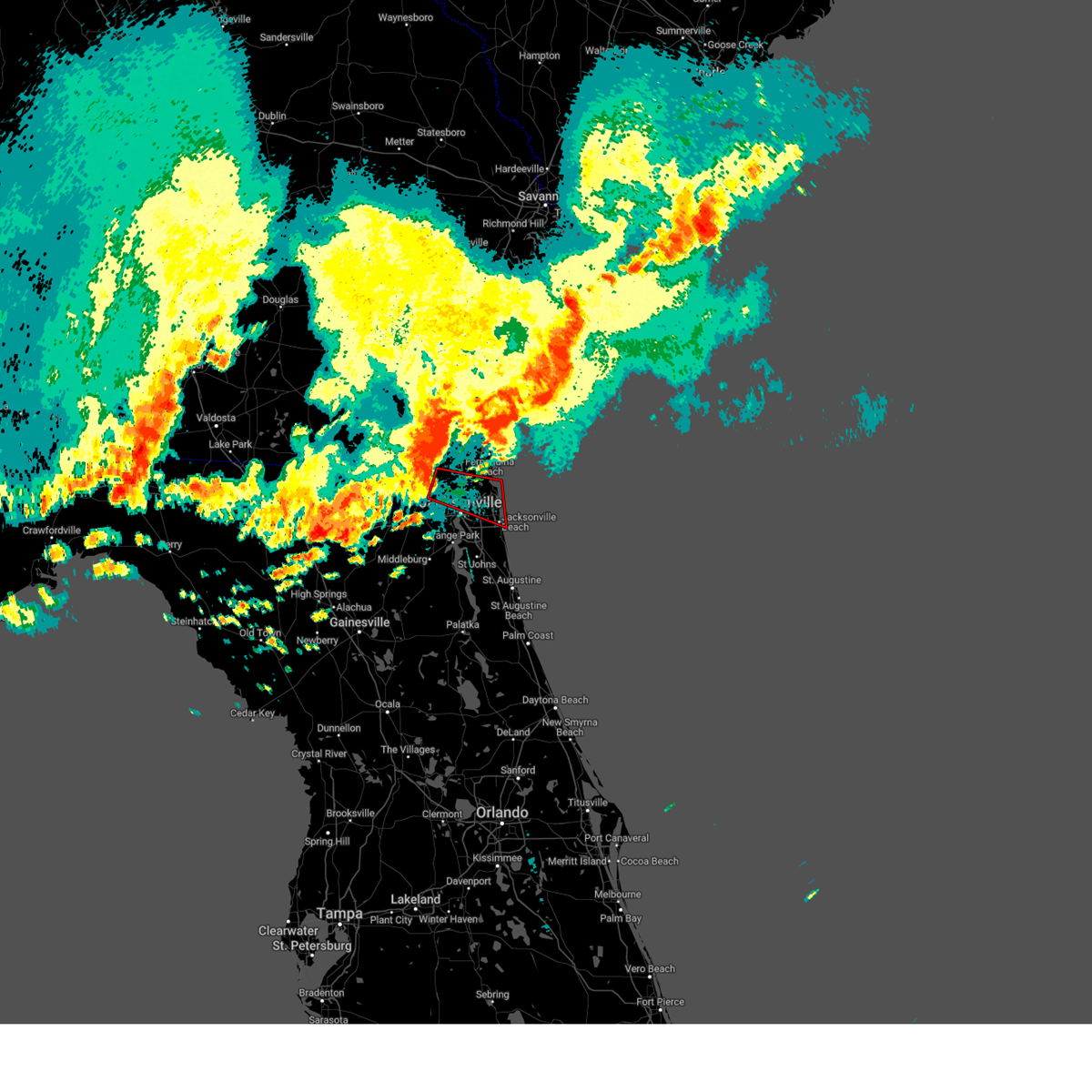 At 930 pm edt, a severe thunderstorm capable of producing a tornado was located near nassau village-ratliff, or near jacksonville international arpt, moving east at 55 mph (radar indicated rotation). Hazards include tornado. Flying debris will be dangerous to those caught without shelter. mobile homes will be damaged or destroyed. damage to roofs, windows, and vehicles will occur. tree damage is likely. this dangerous storm will be near, oceanway around 940 pm edt. arlington around 945 pm edt. fort caroline, talbot island and craig field around 950 pm edt. atlantic beach, mayport, little talbot island and san pablo around 955 pm edt. jacksonville beach and neptune beach around 1000 pm edt. Other locations impacted by this tornadic thunderstorm include tallyrand. At 930 pm edt, a severe thunderstorm capable of producing a tornado was located near nassau village-ratliff, or near jacksonville international arpt, moving east at 55 mph (radar indicated rotation). Hazards include tornado. Flying debris will be dangerous to those caught without shelter. mobile homes will be damaged or destroyed. damage to roofs, windows, and vehicles will occur. tree damage is likely. this dangerous storm will be near, oceanway around 940 pm edt. arlington around 945 pm edt. fort caroline, talbot island and craig field around 950 pm edt. atlantic beach, mayport, little talbot island and san pablo around 955 pm edt. jacksonville beach and neptune beach around 1000 pm edt. Other locations impacted by this tornadic thunderstorm include tallyrand.
|
| 6/14/2023 9:27 PM EDT |
 At 927 pm edt, a severe thunderstorm was located over ratliff, or near callahan, moving east at 55 mph (radar indicated). Hazards include 60 mph wind gusts and quarter size hail. Hail damage to vehicles is expected. Expect wind damage to roofs, siding, and trees. At 927 pm edt, a severe thunderstorm was located over ratliff, or near callahan, moving east at 55 mph (radar indicated). Hazards include 60 mph wind gusts and quarter size hail. Hail damage to vehicles is expected. Expect wind damage to roofs, siding, and trees.
|
| 6/14/2023 9:20 PM EDT |
 At 920 pm edt, a severe thunderstorm was located near callahan, moving east at 55 mph (radar indicated). Hazards include 60 mph wind gusts and nickel size hail. Expect damage to roofs, siding, and trees. locations impacted include, hilliard, callahan, kings ferry, nassau village-ratliff, st. George, ratliff and bryceville. At 920 pm edt, a severe thunderstorm was located near callahan, moving east at 55 mph (radar indicated). Hazards include 60 mph wind gusts and nickel size hail. Expect damage to roofs, siding, and trees. locations impacted include, hilliard, callahan, kings ferry, nassau village-ratliff, st. George, ratliff and bryceville.
|
| 6/14/2023 9:12 PM EDT |
 At 911 pm edt, a severe thunderstorm was located near st. george, or 10 miles southwest of hilliard, moving east at 50 mph (radar indicated). Hazards include 60 mph wind gusts and nickel size hail. expect damage to roofs, siding, and trees At 911 pm edt, a severe thunderstorm was located near st. george, or 10 miles southwest of hilliard, moving east at 50 mph (radar indicated). Hazards include 60 mph wind gusts and nickel size hail. expect damage to roofs, siding, and trees
|
| 6/13/2023 8:39 PM EDT |
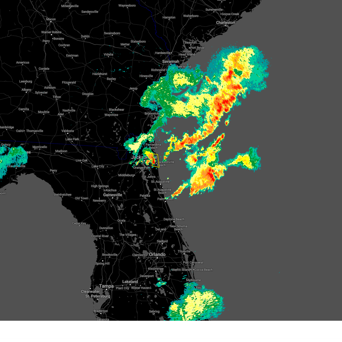 At 839 pm edt, a severe thunderstorm was located over fort caroline, or 7 miles north of unf, moving east at 30 mph (radar indicated). Hazards include 60 mph wind gusts and penny size hail. Expect damage to roofs, siding, and trees. locations impacted include, ponte vedra beach, jacksonville beach, atlantic beach, neptune beach, mayport and san pablo. hail threat, radar indicated max hail size, 0. 75 in wind threat, radar indicated max wind gust, 60 mph. At 839 pm edt, a severe thunderstorm was located over fort caroline, or 7 miles north of unf, moving east at 30 mph (radar indicated). Hazards include 60 mph wind gusts and penny size hail. Expect damage to roofs, siding, and trees. locations impacted include, ponte vedra beach, jacksonville beach, atlantic beach, neptune beach, mayport and san pablo. hail threat, radar indicated max hail size, 0. 75 in wind threat, radar indicated max wind gust, 60 mph.
|
| 6/13/2023 8:32 PM EDT |
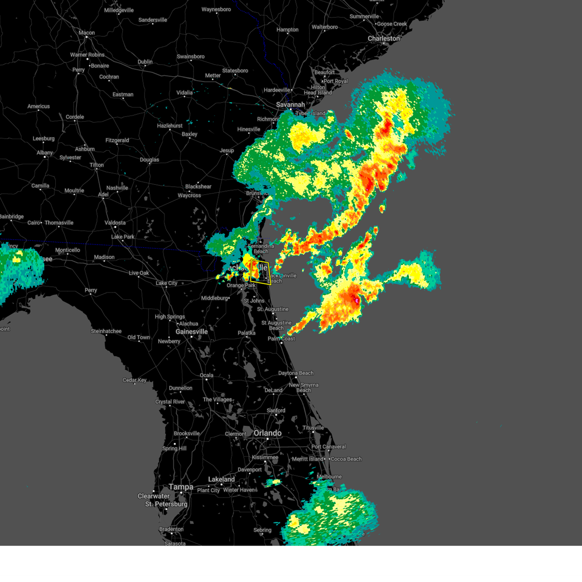 At 832 pm edt, a severe thunderstorm was located over fort caroline, or near arlington, moving east at 30 mph (radar indicated). Hazards include 60 mph wind gusts and penny size hail. expect damage to roofs, siding, and trees At 832 pm edt, a severe thunderstorm was located over fort caroline, or near arlington, moving east at 30 mph (radar indicated). Hazards include 60 mph wind gusts and penny size hail. expect damage to roofs, siding, and trees
|
| 6/13/2023 8:07 PM EDT |
 The severe thunderstorm warning for southwestern nassau, northern clay, southwestern duval and south central charlton counties will expire at 815 pm edt, the storm which prompted the warning has weakened below severe limits, and has exited the warned area. therefore, the warning will be allowed to expire. a severe thunderstorm watch remains in effect until 1000 pm edt for northeastern florida. The severe thunderstorm warning for southwestern nassau, northern clay, southwestern duval and south central charlton counties will expire at 815 pm edt, the storm which prompted the warning has weakened below severe limits, and has exited the warned area. therefore, the warning will be allowed to expire. a severe thunderstorm watch remains in effect until 1000 pm edt for northeastern florida.
|
| 6/13/2023 8:07 PM EDT |
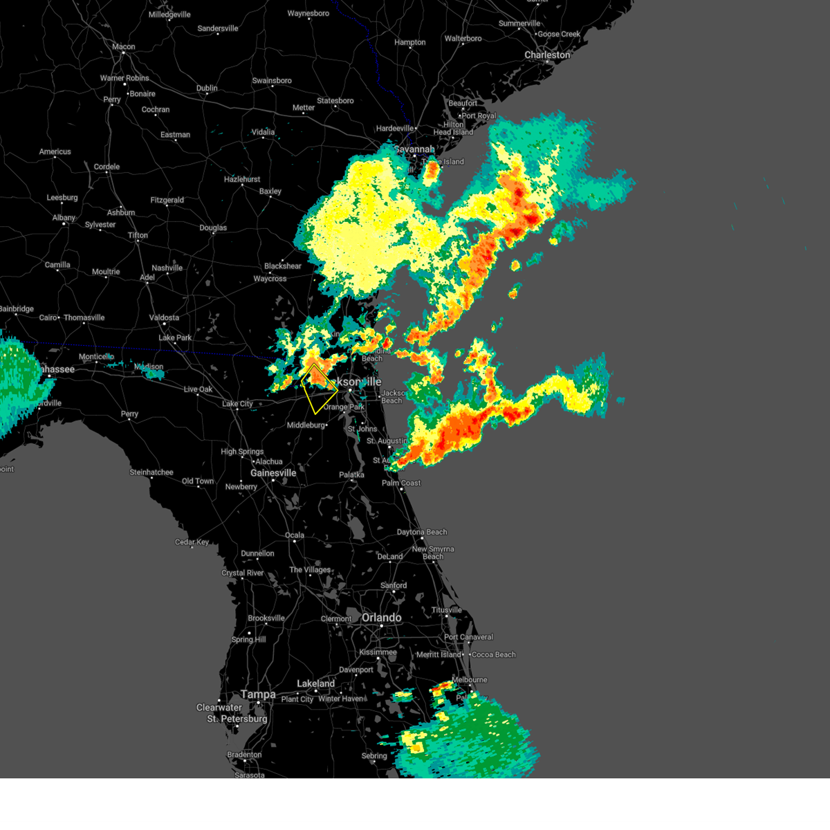 The severe thunderstorm warning for southwestern nassau, northern clay, southwestern duval and south central charlton counties will expire at 815 pm edt, the storm which prompted the warning has weakened below severe limits, and has exited the warned area. therefore, the warning will be allowed to expire. a severe thunderstorm watch remains in effect until 1000 pm edt for northeastern florida. The severe thunderstorm warning for southwestern nassau, northern clay, southwestern duval and south central charlton counties will expire at 815 pm edt, the storm which prompted the warning has weakened below severe limits, and has exited the warned area. therefore, the warning will be allowed to expire. a severe thunderstorm watch remains in effect until 1000 pm edt for northeastern florida.
|
| 6/13/2023 8:02 PM EDT |
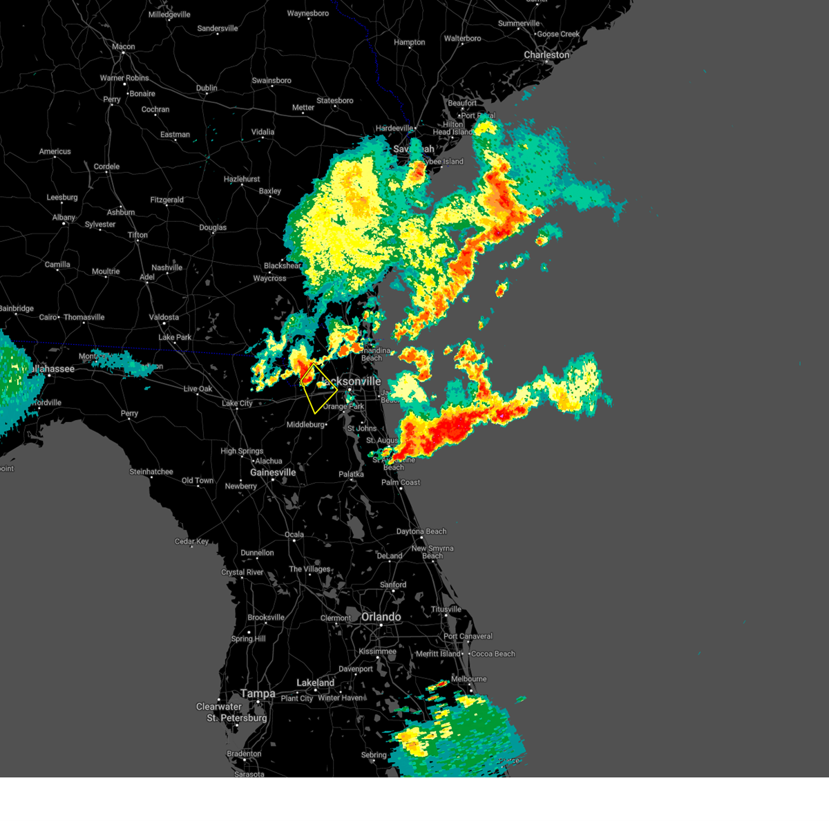 At 802 pm edt, a severe thunderstorm was located near bryceville, or 14 miles west of jacksonville, moving southeast at 35 mph (radar indicated). Hazards include 60 mph wind gusts. Expect damage to roofs, siding, and trees. locations impacted include, bryceville, baldwin and whitehouse air field. hail threat, radar indicated max hail size, <. 75 in wind threat, radar indicated max wind gust, 60 mph. At 802 pm edt, a severe thunderstorm was located near bryceville, or 14 miles west of jacksonville, moving southeast at 35 mph (radar indicated). Hazards include 60 mph wind gusts. Expect damage to roofs, siding, and trees. locations impacted include, bryceville, baldwin and whitehouse air field. hail threat, radar indicated max hail size, <. 75 in wind threat, radar indicated max wind gust, 60 mph.
|
| 6/13/2023 8:02 PM EDT |
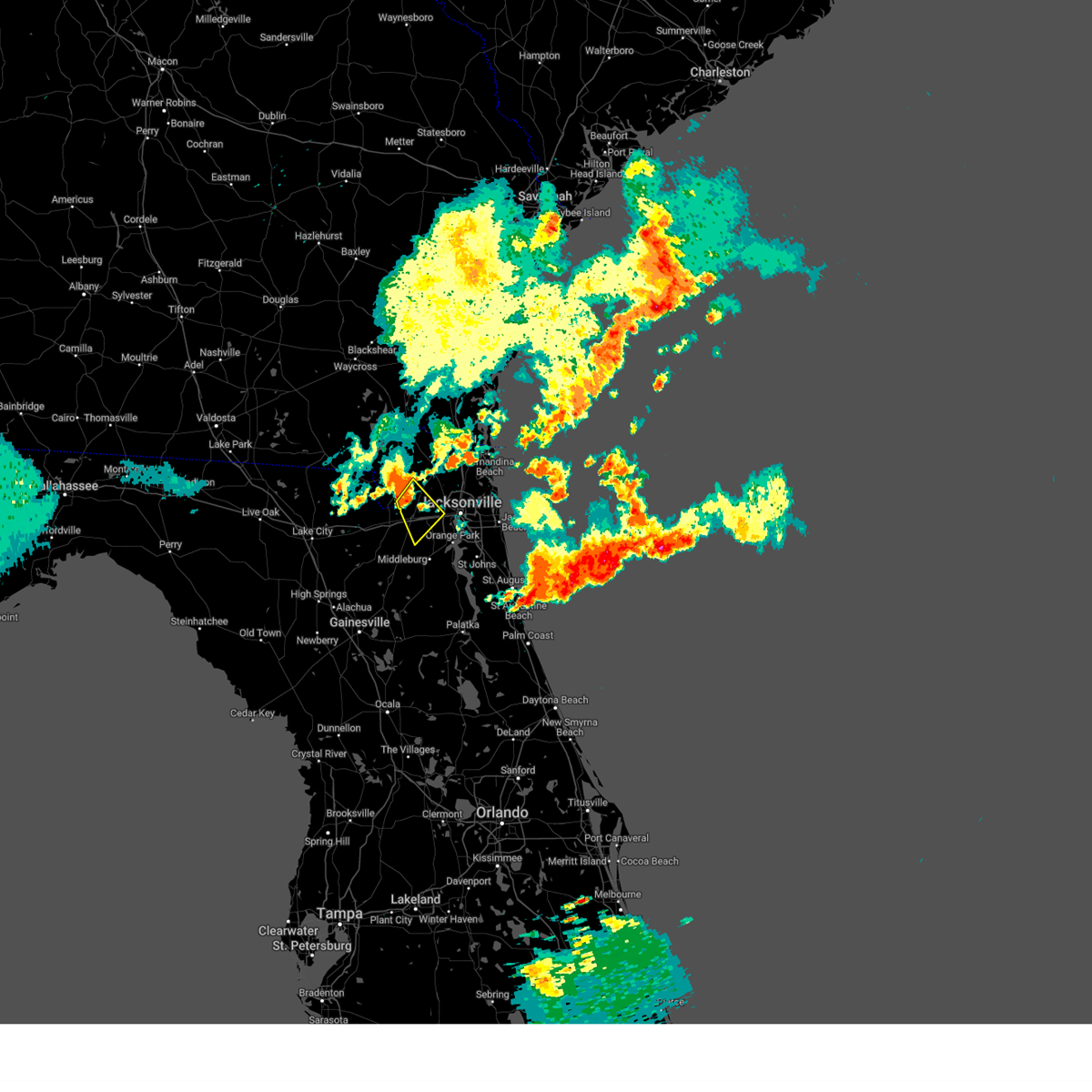 At 802 pm edt, a severe thunderstorm was located near bryceville, or 14 miles west of jacksonville, moving southeast at 35 mph (radar indicated). Hazards include 60 mph wind gusts. Expect damage to roofs, siding, and trees. locations impacted include, bryceville, baldwin and whitehouse air field. hail threat, radar indicated max hail size, <. 75 in wind threat, radar indicated max wind gust, 60 mph. At 802 pm edt, a severe thunderstorm was located near bryceville, or 14 miles west of jacksonville, moving southeast at 35 mph (radar indicated). Hazards include 60 mph wind gusts. Expect damage to roofs, siding, and trees. locations impacted include, bryceville, baldwin and whitehouse air field. hail threat, radar indicated max hail size, <. 75 in wind threat, radar indicated max wind gust, 60 mph.
|
| 6/13/2023 7:53 PM EDT |
 The severe thunderstorm warning for central nassau, northeastern duval and southeastern camden counties will expire at 800 pm edt, the storms which prompted the warning have weakened below severe limits, and no longer pose an immediate threat to life or property. therefore, the warning will be allowed to expire. however gusty winds are still possible with these thunderstorms. a severe thunderstorm watch remains in effect until 1000 pm edt for northeastern florida, and southeastern georgia. The severe thunderstorm warning for central nassau, northeastern duval and southeastern camden counties will expire at 800 pm edt, the storms which prompted the warning have weakened below severe limits, and no longer pose an immediate threat to life or property. therefore, the warning will be allowed to expire. however gusty winds are still possible with these thunderstorms. a severe thunderstorm watch remains in effect until 1000 pm edt for northeastern florida, and southeastern georgia.
|
| 6/13/2023 7:48 PM EDT |
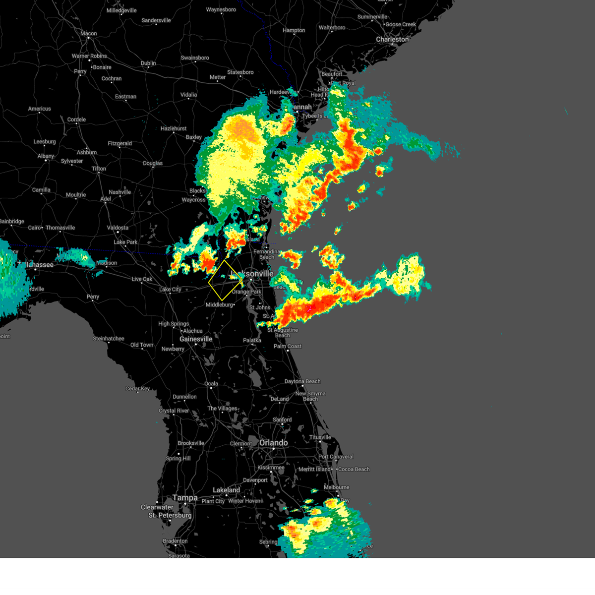 At 748 pm edt, a severe thunderstorm was located near bryceville, or 17 miles southwest of callahan, moving southeast at 35 mph (radar indicated). Hazards include 60 mph wind gusts. expect damage to roofs, siding, and trees At 748 pm edt, a severe thunderstorm was located near bryceville, or 17 miles southwest of callahan, moving southeast at 35 mph (radar indicated). Hazards include 60 mph wind gusts. expect damage to roofs, siding, and trees
|
| 6/13/2023 7:36 PM EDT |
 At 736 pm edt, severe thunderstorms were located along a line extending from near kingsland to near callahan to 6 miles east of st. george, moving southeast at 45 mph (radar indicated). Hazards include 60 mph wind gusts. expect damage to roofs, siding, and trees At 736 pm edt, severe thunderstorms were located along a line extending from near kingsland to near callahan to 6 miles east of st. george, moving southeast at 45 mph (radar indicated). Hazards include 60 mph wind gusts. expect damage to roofs, siding, and trees
|
| 6/13/2023 7:23 PM EDT |
 At 723 pm edt, a severe thunderstorm was located near south ponte vedra, or 8 miles northwest of saint augustine, moving east at 20 mph (radar indicated). Hazards include 60 mph wind gusts and nickel size hail. expect damage to roofs, siding, and trees At 723 pm edt, a severe thunderstorm was located near south ponte vedra, or 8 miles northwest of saint augustine, moving east at 20 mph (radar indicated). Hazards include 60 mph wind gusts and nickel size hail. expect damage to roofs, siding, and trees
|
| 6/13/2023 7:19 PM EDT |
 At 718 pm edt, severe thunderstorms were located along a line extending from near guana river state park to near fruit cove, moving northeast at 15 mph (radar indicated). Hazards include 60 mph wind gusts and penny size hail. Expect damage to roofs, siding, and trees. locations impacted include, world golf village, south ponte vedra, nocatee, durbin, guana river state park, vilano beach and south ponte vedra beach. hail threat, radar indicated max hail size, 0. 75 in wind threat, radar indicated max wind gust, 60 mph. At 718 pm edt, severe thunderstorms were located along a line extending from near guana river state park to near fruit cove, moving northeast at 15 mph (radar indicated). Hazards include 60 mph wind gusts and penny size hail. Expect damage to roofs, siding, and trees. locations impacted include, world golf village, south ponte vedra, nocatee, durbin, guana river state park, vilano beach and south ponte vedra beach. hail threat, radar indicated max hail size, 0. 75 in wind threat, radar indicated max wind gust, 60 mph.
|
| 6/13/2023 7:00 PM EDT |
 At 700 pm edt, severe thunderstorms were located along a line extending from guana river state park to switzerland, moving northeast at 15 mph (radar indicated). Hazards include 60 mph wind gusts and penny size hail. expect damage to roofs, siding, and trees At 700 pm edt, severe thunderstorms were located along a line extending from guana river state park to switzerland, moving northeast at 15 mph (radar indicated). Hazards include 60 mph wind gusts and penny size hail. expect damage to roofs, siding, and trees
|
| 6/13/2023 6:50 PM EDT |
 The severe thunderstorm warning for northwestern clay and southwestern duval counties will expire at 700 pm edt, the storm which prompted the warning has weakened below severe limits, and no longer poses an immediate threat to life or property. therefore, the warning will be allowed to expire. however gusty winds are still possible with this thunderstorm. a severe thunderstorm watch remains in effect until 1000 pm edt for northeastern florida. The severe thunderstorm warning for northwestern clay and southwestern duval counties will expire at 700 pm edt, the storm which prompted the warning has weakened below severe limits, and no longer poses an immediate threat to life or property. therefore, the warning will be allowed to expire. however gusty winds are still possible with this thunderstorm. a severe thunderstorm watch remains in effect until 1000 pm edt for northeastern florida.
|
| 6/13/2023 6:39 PM EDT |
 At 639 pm edt, a severe thunderstorm was located over cecil field, or 10 miles north of middleburg, moving east at 30 mph (radar indicated). Hazards include 60 mph wind gusts and quarter size hail. Hail damage to vehicles is expected. expect wind damage to roofs, siding, and trees. locations impacted include, cecil field, maxville, oakleaf plantation and asbury lake. hail threat, radar indicated max hail size, 1. 00 in wind threat, radar indicated max wind gust, 60 mph. At 639 pm edt, a severe thunderstorm was located over cecil field, or 10 miles north of middleburg, moving east at 30 mph (radar indicated). Hazards include 60 mph wind gusts and quarter size hail. Hail damage to vehicles is expected. expect wind damage to roofs, siding, and trees. locations impacted include, cecil field, maxville, oakleaf plantation and asbury lake. hail threat, radar indicated max hail size, 1. 00 in wind threat, radar indicated max wind gust, 60 mph.
|
| 6/13/2023 6:38 PM EDT |
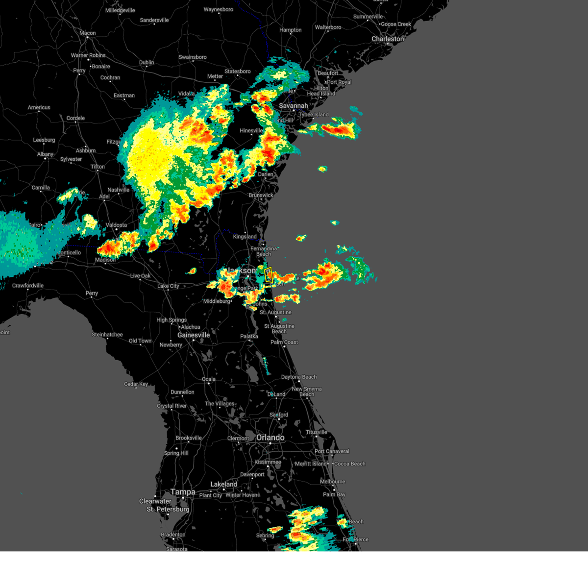 The severe thunderstorm warning for east central duval county will expire at 645 pm edt, the storm which prompted the warning has weakened below severe limits, and has exited the warned area. therefore, the warning will be allowed to expire. a severe thunderstorm watch remains in effect until 1000 pm edt for northeastern florida. The severe thunderstorm warning for east central duval county will expire at 645 pm edt, the storm which prompted the warning has weakened below severe limits, and has exited the warned area. therefore, the warning will be allowed to expire. a severe thunderstorm watch remains in effect until 1000 pm edt for northeastern florida.
|
| 6/13/2023 6:34 PM EDT |
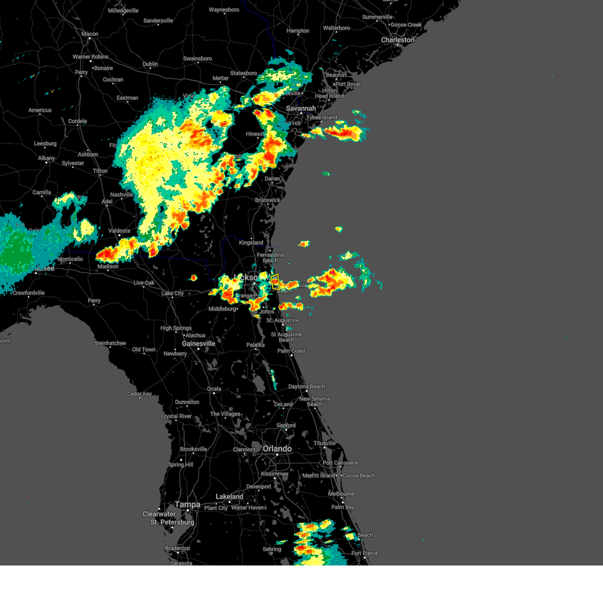 At 634 pm edt, a severe thunderstorm was located over atlantic beach, or 7 miles north of ponte vedra beach, moving east at 15 mph (radar indicated). Hazards include 60 mph wind gusts and quarter size hail. Hail damage to vehicles is expected. expect wind damage to roofs, siding, and trees. locations impacted include, jacksonville beach, atlantic beach, neptune beach and mayport. hail threat, radar indicated max hail size, 1. 00 in wind threat, radar indicated max wind gust, 60 mph. At 634 pm edt, a severe thunderstorm was located over atlantic beach, or 7 miles north of ponte vedra beach, moving east at 15 mph (radar indicated). Hazards include 60 mph wind gusts and quarter size hail. Hail damage to vehicles is expected. expect wind damage to roofs, siding, and trees. locations impacted include, jacksonville beach, atlantic beach, neptune beach and mayport. hail threat, radar indicated max hail size, 1. 00 in wind threat, radar indicated max wind gust, 60 mph.
|
| 6/13/2023 6:31 PM EDT |
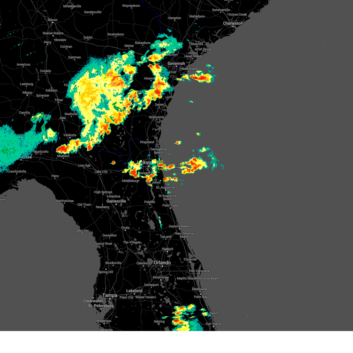 At 631 pm edt, a severe thunderstorm was located over atlantic beach, or near unf, moving east at 15 mph (radar indicated). Hazards include 60 mph wind gusts and quarter size hail. Hail damage to vehicles is expected. Expect wind damage to roofs, siding, and trees. At 631 pm edt, a severe thunderstorm was located over atlantic beach, or near unf, moving east at 15 mph (radar indicated). Hazards include 60 mph wind gusts and quarter size hail. Hail damage to vehicles is expected. Expect wind damage to roofs, siding, and trees.
|
| 6/13/2023 6:27 PM EDT |
 At 627 pm edt, a severe thunderstorm was located over maxville, or 11 miles northwest of middleburg, moving east at 30 mph (radar indicated). Hazards include 60 mph wind gusts and quarter size hail. Hail damage to vehicles is expected. Expect wind damage to roofs, siding, and trees. At 627 pm edt, a severe thunderstorm was located over maxville, or 11 miles northwest of middleburg, moving east at 30 mph (radar indicated). Hazards include 60 mph wind gusts and quarter size hail. Hail damage to vehicles is expected. Expect wind damage to roofs, siding, and trees.
|
| 6/13/2023 6:21 PM EDT |
 The severe thunderstorm warning for north central duval county will expire at 630 pm edt, the storm which prompted the warning has weakened below severe limits, and no longer poses an immediate threat to life or property. therefore, the warning will be allowed to expire. a severe thunderstorm watch remains in effect until 1000 pm edt for northeastern florida. The severe thunderstorm warning for north central duval county will expire at 630 pm edt, the storm which prompted the warning has weakened below severe limits, and no longer poses an immediate threat to life or property. therefore, the warning will be allowed to expire. a severe thunderstorm watch remains in effect until 1000 pm edt for northeastern florida.
|
| 6/13/2023 6:10 PM EDT |
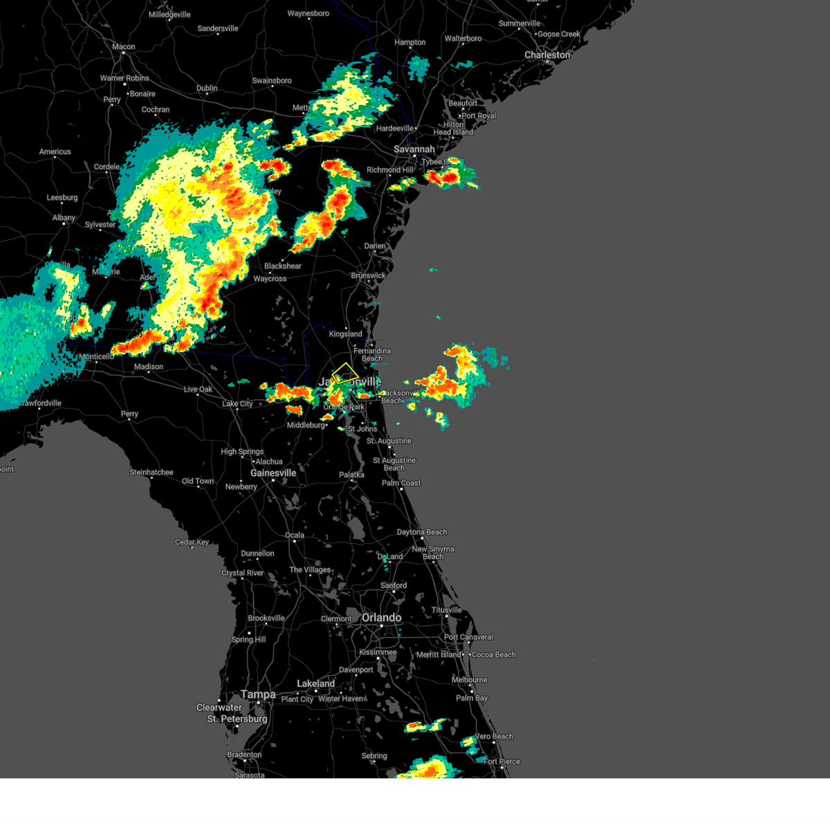 At 610 pm edt, a severe thunderstorm was located near jacksonville international arpt, moving east at 30 mph (radar indicated). Hazards include 60 mph wind gusts. expect damage to roofs, siding, and trees At 610 pm edt, a severe thunderstorm was located near jacksonville international arpt, moving east at 30 mph (radar indicated). Hazards include 60 mph wind gusts. expect damage to roofs, siding, and trees
|
| 6/13/2023 5:44 PM EDT |
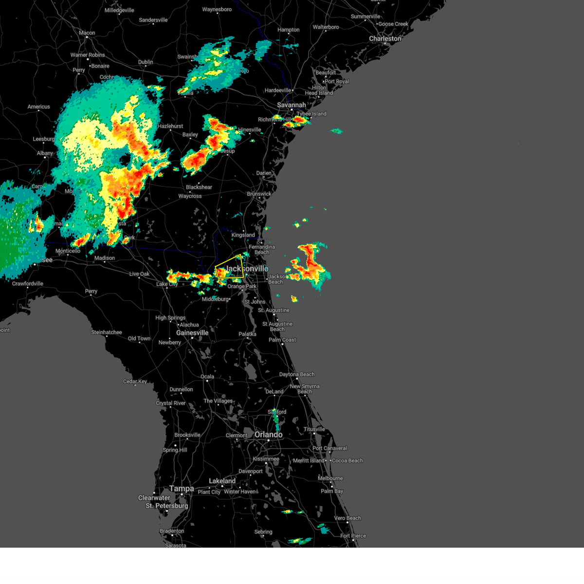 At 544 pm edt, a severe thunderstorm was located over bryceville, or 14 miles southwest of callahan, moving east at 30 mph (radar indicated). Hazards include 60 mph wind gusts and quarter size hail. Hail damage to vehicles is expected. Expect wind damage to roofs, siding, and trees. At 544 pm edt, a severe thunderstorm was located over bryceville, or 14 miles southwest of callahan, moving east at 30 mph (radar indicated). Hazards include 60 mph wind gusts and quarter size hail. Hail damage to vehicles is expected. Expect wind damage to roofs, siding, and trees.
|
| 6/11/2023 7:14 PM EDT | Awos station knrb mayport naval statio in duval county FL, 15.9 miles W of Jacksonville, FL |
| 6/9/2023 5:35 PM EDT |
 The severe thunderstorm warning for northwestern st. johns, northeastern clay and southwestern duval counties will expire at 545 pm edt, the storm which prompted the warning has weakened below severe limits, and no longer poses an immediate threat to life or property. therefore, the warning will be allowed to expire. however small hail and gusty winds are still possible with this thunderstorm. The severe thunderstorm warning for northwestern st. johns, northeastern clay and southwestern duval counties will expire at 545 pm edt, the storm which prompted the warning has weakened below severe limits, and no longer poses an immediate threat to life or property. therefore, the warning will be allowed to expire. however small hail and gusty winds are still possible with this thunderstorm.
|
| 6/9/2023 5:31 PM EDT |
 At 531 pm edt, a severe thunderstorm was located over lakeside, or near orange park, and is nearly stationary (radar indicated). Hazards include 60 mph wind gusts and quarter size hail. Hail damage to vehicles is expected. expect wind damage to roofs, siding, and trees. locations impacted include, orange park, middleburg, mandarin, fruit cove, fleming island, oakleaf plantation, bellair-meadowbrook terrace, switzerland, cecil field and nas jax. hail threat, radar indicated max hail size, 1. 00 in wind threat, radar indicated max wind gust, 60 mph. At 531 pm edt, a severe thunderstorm was located over lakeside, or near orange park, and is nearly stationary (radar indicated). Hazards include 60 mph wind gusts and quarter size hail. Hail damage to vehicles is expected. expect wind damage to roofs, siding, and trees. locations impacted include, orange park, middleburg, mandarin, fruit cove, fleming island, oakleaf plantation, bellair-meadowbrook terrace, switzerland, cecil field and nas jax. hail threat, radar indicated max hail size, 1. 00 in wind threat, radar indicated max wind gust, 60 mph.
|
| 6/9/2023 5:24 PM EDT |
 At 524 pm edt, a severe thunderstorm was located over bellair-meadowbrook terrace, or near orange park, and is nearly stationary (radar indicated). Hazards include 60 mph wind gusts and quarter size hail. Hail damage to vehicles is expected. expect wind damage to roofs, siding, and trees. locations impacted include, orange park, middleburg, mandarin, fruit cove, fleming island, oakleaf plantation, bellair-meadowbrook terrace, switzerland, cecil field and nas jax. hail threat, radar indicated max hail size, 1. 00 in wind threat, radar indicated max wind gust, 60 mph. At 524 pm edt, a severe thunderstorm was located over bellair-meadowbrook terrace, or near orange park, and is nearly stationary (radar indicated). Hazards include 60 mph wind gusts and quarter size hail. Hail damage to vehicles is expected. expect wind damage to roofs, siding, and trees. locations impacted include, orange park, middleburg, mandarin, fruit cove, fleming island, oakleaf plantation, bellair-meadowbrook terrace, switzerland, cecil field and nas jax. hail threat, radar indicated max hail size, 1. 00 in wind threat, radar indicated max wind gust, 60 mph.
|
| 6/9/2023 5:14 PM EDT |
 At 514 pm edt, a severe thunderstorm was located over bellair-meadowbrook terrace, or near orange park, and is nearly stationary (radar indicated). Hazards include 60 mph wind gusts and quarter size hail. Hail damage to vehicles is expected. Expect wind damage to roofs, siding, and trees. At 514 pm edt, a severe thunderstorm was located over bellair-meadowbrook terrace, or near orange park, and is nearly stationary (radar indicated). Hazards include 60 mph wind gusts and quarter size hail. Hail damage to vehicles is expected. Expect wind damage to roofs, siding, and trees.
|
| 5/17/2023 5:28 PM EDT |
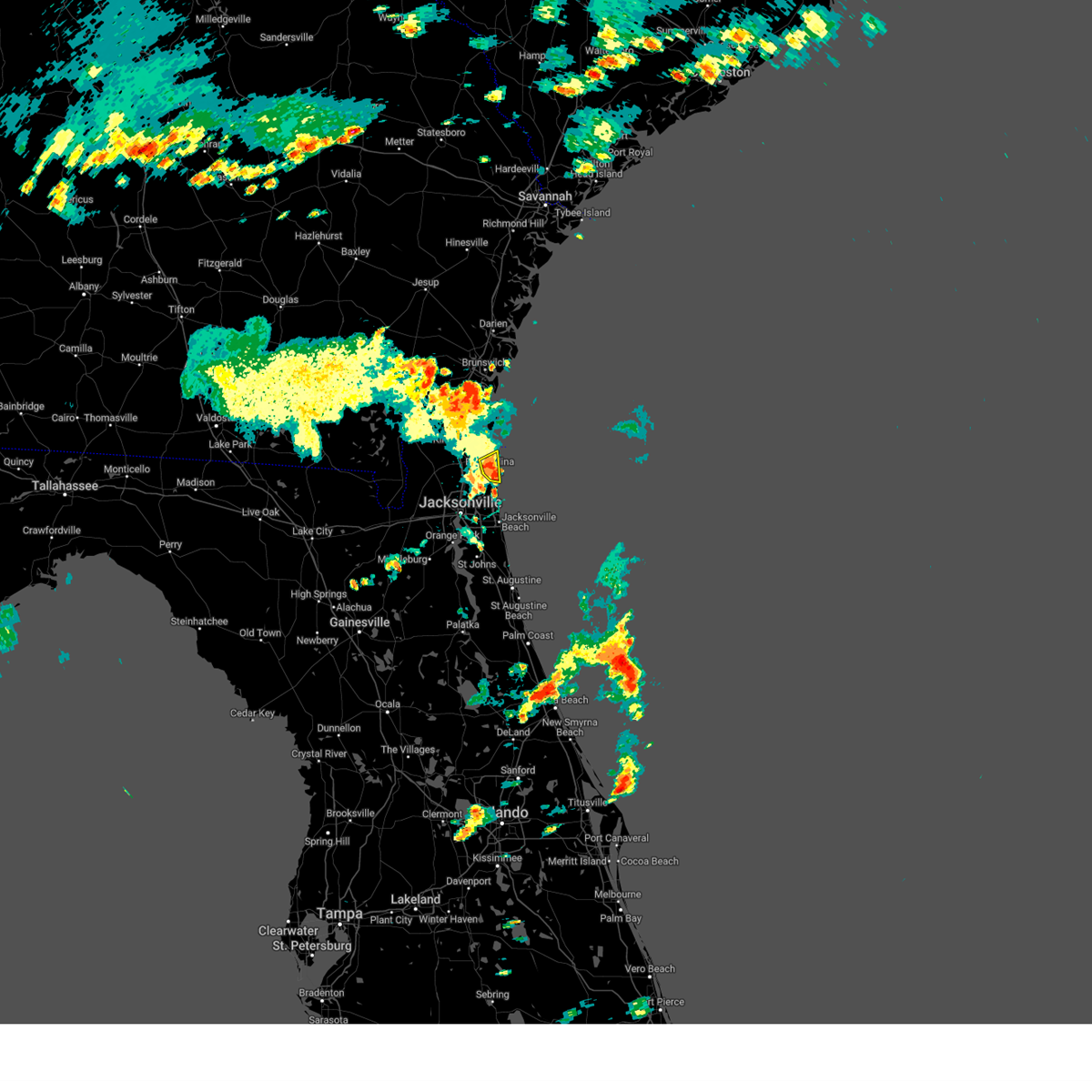 At 528 pm edt, a severe thunderstorm was located over amelia city, or near fernandina beach, moving east at 15 mph (radar indicated). Hazards include 60 mph wind gusts and penny size hail. Expect damage to roofs, siding, and trees. locations impacted include, fernandina beach and amelia city. hail threat, radar indicated max hail size, 0. 75 in wind threat, radar indicated max wind gust, 60 mph. At 528 pm edt, a severe thunderstorm was located over amelia city, or near fernandina beach, moving east at 15 mph (radar indicated). Hazards include 60 mph wind gusts and penny size hail. Expect damage to roofs, siding, and trees. locations impacted include, fernandina beach and amelia city. hail threat, radar indicated max hail size, 0. 75 in wind threat, radar indicated max wind gust, 60 mph.
|
| 5/17/2023 5:09 PM EDT |
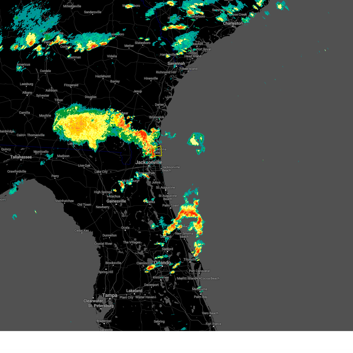 At 509 pm edt, a severe thunderstorm was located near yulee, or 8 miles southwest of fernandina beach, moving east at 15 mph (radar indicated). Hazards include 60 mph wind gusts and quarter size hail. Hail damage to vehicles is expected. Expect wind damage to roofs, siding, and trees. At 509 pm edt, a severe thunderstorm was located near yulee, or 8 miles southwest of fernandina beach, moving east at 15 mph (radar indicated). Hazards include 60 mph wind gusts and quarter size hail. Hail damage to vehicles is expected. Expect wind damage to roofs, siding, and trees.
|
| 5/17/2023 2:37 PM EDT |
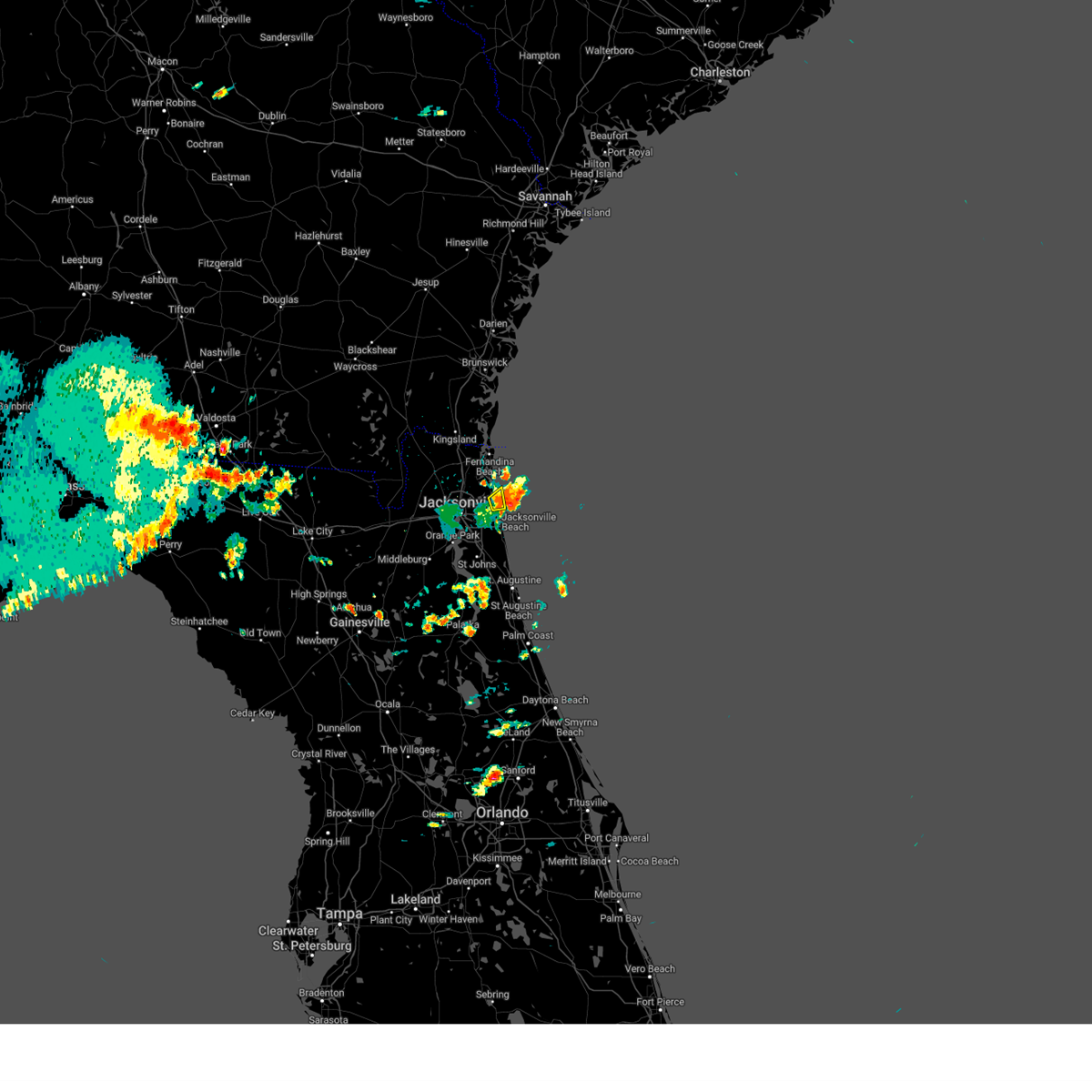 The severe thunderstorm warning for northeastern duval county will expire at 245 pm edt, the storm which prompted the warning has moved out of the area. therefore, the warning will be allowed to expire. to report severe weather, contact your nearest law enforcement agency. they will relay your report to the national weather service jacksonville. The severe thunderstorm warning for northeastern duval county will expire at 245 pm edt, the storm which prompted the warning has moved out of the area. therefore, the warning will be allowed to expire. to report severe weather, contact your nearest law enforcement agency. they will relay your report to the national weather service jacksonville.
|
| 5/17/2023 2:24 PM EDT |
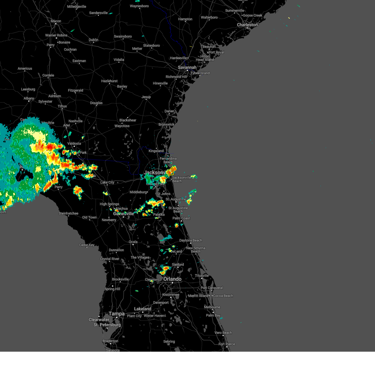 At 223 pm edt, a severe thunderstorm was located over little talbot island, or 12 miles northeast of unf, moving northeast at 15 mph (radar indicated). Hazards include 60 mph wind gusts and nickel size hail. Expect damage to roofs, siding, and trees. locations impacted include, mayport. hail threat, radar indicated max hail size, 0. 88 in wind threat, radar indicated max wind gust, 60 mph. At 223 pm edt, a severe thunderstorm was located over little talbot island, or 12 miles northeast of unf, moving northeast at 15 mph (radar indicated). Hazards include 60 mph wind gusts and nickel size hail. Expect damage to roofs, siding, and trees. locations impacted include, mayport. hail threat, radar indicated max hail size, 0. 88 in wind threat, radar indicated max wind gust, 60 mph.
|
| 5/17/2023 2:20 PM EDT | Severe storm winds caused damage to utility equipment on little talbot island. the time of damage was based on radar imager in duval county FL, 16.8 miles WSW of Jacksonville, FL |
| 5/17/2023 2:20 PM EDT | Corrects previous tstm wnd dmg report from 2 wnw mayport. restaurant along the st. johns river reports electronic sign blown over and smashed. time estimated from radar in duval county FL, 14.8 miles W of Jacksonville, FL |
| 5/17/2023 2:15 PM EDT | Restaurant along the st. johns river reports electronic sign blown over and smashed. time estimated from rada in duval county FL, 14.8 miles W of Jacksonville, FL |
| 5/17/2023 2:15 PM EDT |
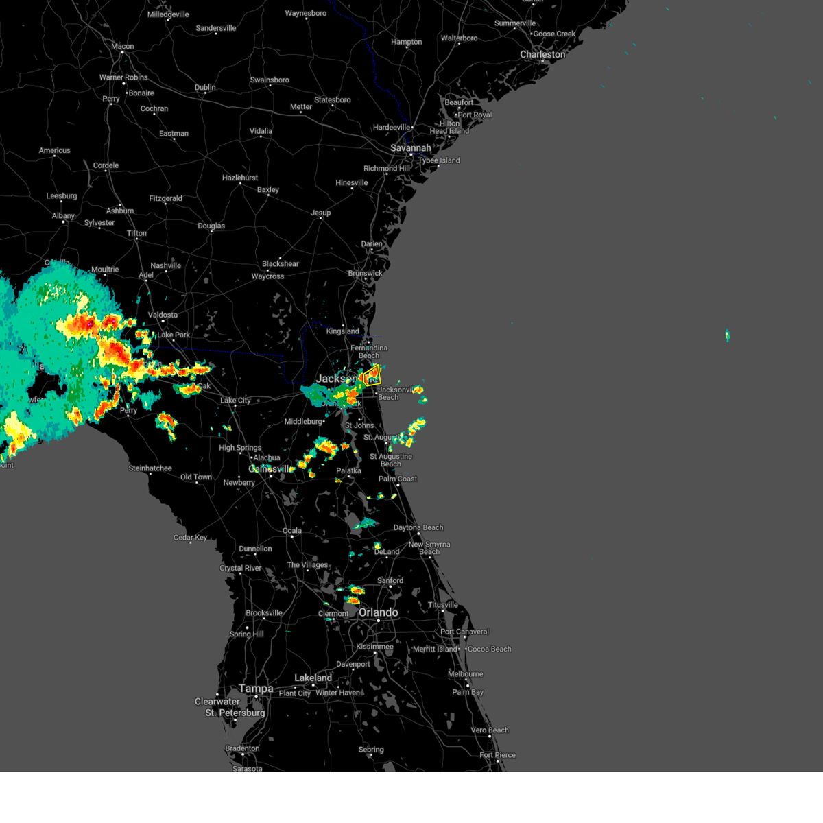 At 215 pm edt, a severe thunderstorm was located over mayport, or 10 miles north of unf, moving east at 15 mph (radar indicated). Hazards include 60 mph wind gusts and quarter size hail. Hail damage to vehicles is expected. Expect wind damage to roofs, siding, and trees. At 215 pm edt, a severe thunderstorm was located over mayport, or 10 miles north of unf, moving east at 15 mph (radar indicated). Hazards include 60 mph wind gusts and quarter size hail. Hail damage to vehicles is expected. Expect wind damage to roofs, siding, and trees.
|
| 4/27/2023 10:11 PM EDT |
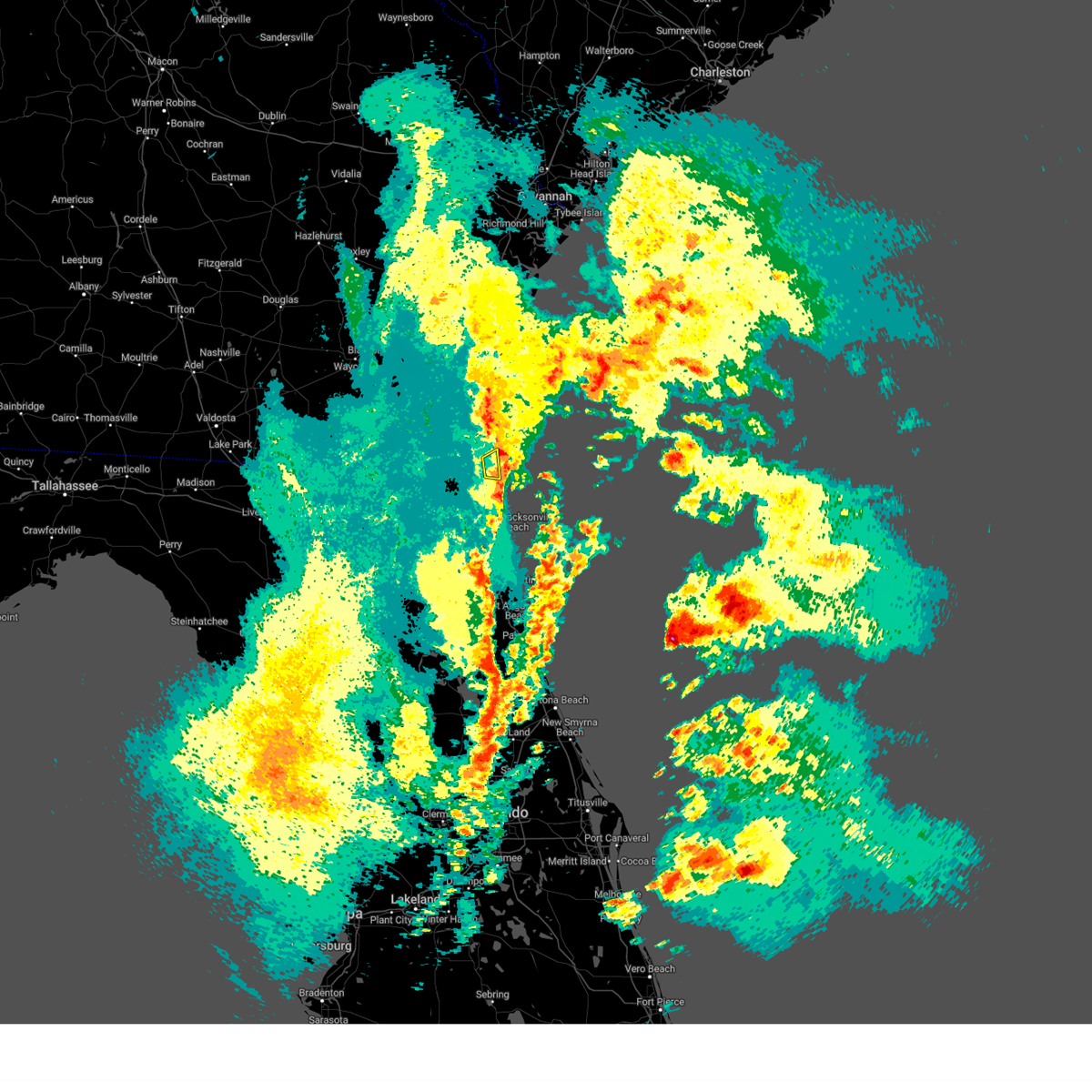 The severe thunderstorm warning for east central nassau county will expire at 1015 pm edt, the storm which prompted the warning has moved out of the area. therefore, the warning will be allowed to expire. however gusty winds are still possible with this thunderstorm. The severe thunderstorm warning for east central nassau county will expire at 1015 pm edt, the storm which prompted the warning has moved out of the area. therefore, the warning will be allowed to expire. however gusty winds are still possible with this thunderstorm.
|
| 4/27/2023 9:58 PM EDT |
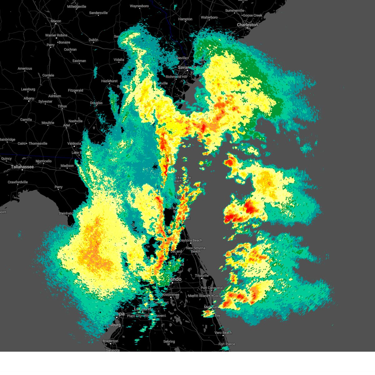 At 957 pm edt, a severe thunderstorm was located over amelia city, or near fernandina beach, moving east at 25 mph (radar indicated). Hazards include 60 mph wind gusts. expect damage to roofs, siding, and trees At 957 pm edt, a severe thunderstorm was located over amelia city, or near fernandina beach, moving east at 25 mph (radar indicated). Hazards include 60 mph wind gusts. expect damage to roofs, siding, and trees
|
| 4/27/2023 5:28 PM EDT |
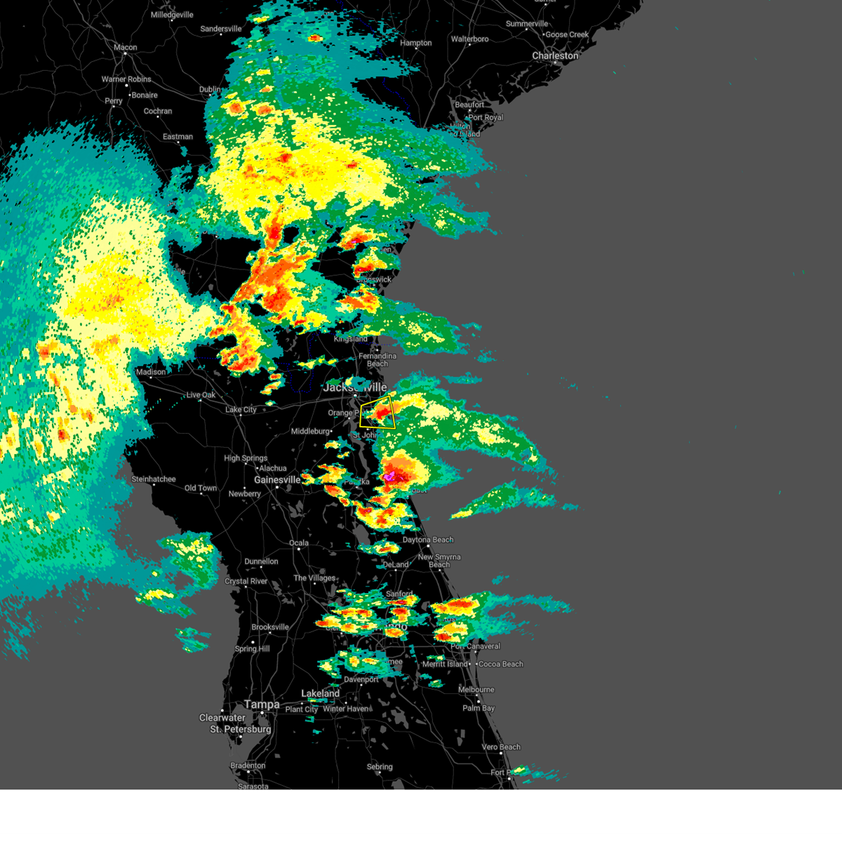 The severe thunderstorm warning for northwestern st. johns and southeastern duval counties will expire at 530 pm edt, the storm which prompted the warning has weakened below severe limits, and no longer poses an immediate threat to life or property. therefore, the warning will be allowed to expire. however small hail, gusty winds and very heavy rain are still expected with this thunderstorm. a severe thunderstorm watch remains in effect until 1000 pm edt for northeastern florida. The severe thunderstorm warning for northwestern st. johns and southeastern duval counties will expire at 530 pm edt, the storm which prompted the warning has weakened below severe limits, and no longer poses an immediate threat to life or property. therefore, the warning will be allowed to expire. however small hail, gusty winds and very heavy rain are still expected with this thunderstorm. a severe thunderstorm watch remains in effect until 1000 pm edt for northeastern florida.
|
| 4/27/2023 4:44 PM EDT |
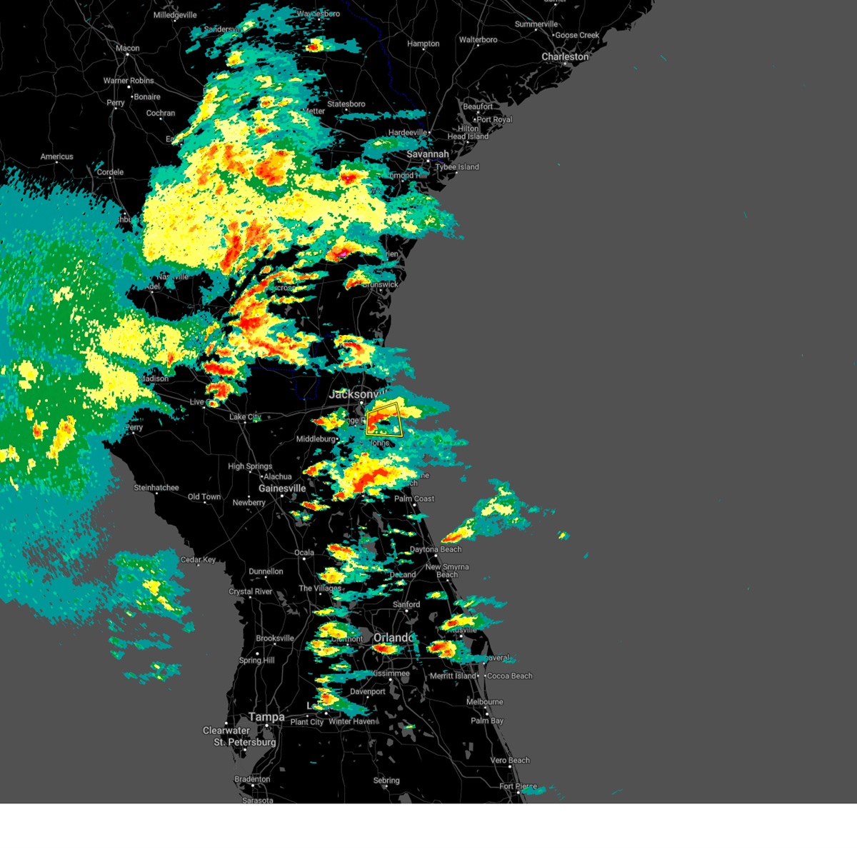 At 444 pm edt, a severe thunderstorm was located near baymeadows, or near unf, moving east at 15 mph (radar indicated). Hazards include 60 mph wind gusts and penny size hail. expect damage to roofs, siding, and trees At 444 pm edt, a severe thunderstorm was located near baymeadows, or near unf, moving east at 15 mph (radar indicated). Hazards include 60 mph wind gusts and penny size hail. expect damage to roofs, siding, and trees
|
| 4/27/2023 4:35 PM EDT |
 At 434 pm edt, a severe thunderstorm was located over baymeadows, or near unf, moving east at 15 mph (radar indicated). Hazards include 70 mph wind gusts and quarter size hail. Hail damage to vehicles is expected. expect considerable tree damage. wind damage is also likely to mobile homes, roofs, and outbuildings. Locations impacted include, mandarin, unf, ponte vedra beach, fruit cove, jacksonville beach, atlantic beach, neptune beach, palm valley, sawgrass and baymeadows. At 434 pm edt, a severe thunderstorm was located over baymeadows, or near unf, moving east at 15 mph (radar indicated). Hazards include 70 mph wind gusts and quarter size hail. Hail damage to vehicles is expected. expect considerable tree damage. wind damage is also likely to mobile homes, roofs, and outbuildings. Locations impacted include, mandarin, unf, ponte vedra beach, fruit cove, jacksonville beach, atlantic beach, neptune beach, palm valley, sawgrass and baymeadows.
|
| 4/27/2023 4:24 PM EDT | Awos station knip jacksonville na in duval county FL, 11.1 miles N of Jacksonville, FL |
| 4/27/2023 4:24 PM EDT |
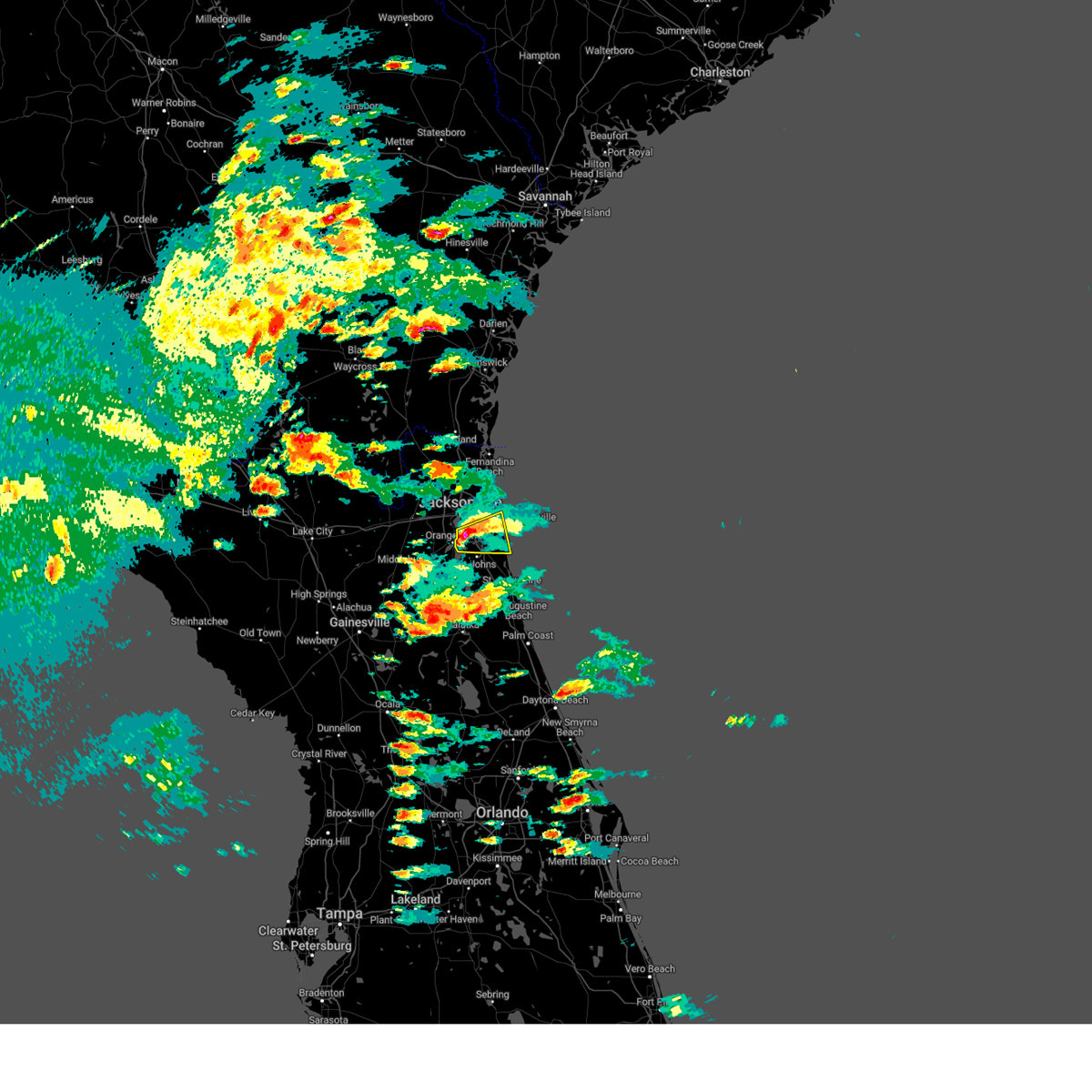 At 424 pm edt, a severe thunderstorm was located over baymeadows, or near unf, moving east at 20 mph (radar indicated). Hazards include golf ball size hail and 70 mph wind gusts. People and animals outdoors will be injured. expect hail damage to roofs, siding, windows, and vehicles. expect considerable tree damage. wind damage is also likely to mobile homes, roofs, and outbuildings. locations impacted include, unf, mandarin, ponte vedra beach, fruit cove, jacksonville beach, atlantic beach, neptune beach, sawgrass, baymeadows and san pablo. thunderstorm damage threat, considerable hail threat, radar indicated max hail size, 1. 75 in wind threat, radar indicated max wind gust, 70 mph. At 424 pm edt, a severe thunderstorm was located over baymeadows, or near unf, moving east at 20 mph (radar indicated). Hazards include golf ball size hail and 70 mph wind gusts. People and animals outdoors will be injured. expect hail damage to roofs, siding, windows, and vehicles. expect considerable tree damage. wind damage is also likely to mobile homes, roofs, and outbuildings. locations impacted include, unf, mandarin, ponte vedra beach, fruit cove, jacksonville beach, atlantic beach, neptune beach, sawgrass, baymeadows and san pablo. thunderstorm damage threat, considerable hail threat, radar indicated max hail size, 1. 75 in wind threat, radar indicated max wind gust, 70 mph.
|
| 4/27/2023 4:20 PM EDT | Quarter sized hail reported 13.1 miles NNW of Jacksonville, FL, storm report submitted. time estimated from radar. |
| 4/27/2023 4:20 PM EDT | Storm report submitted. damage to wooden fence. time estimated from rada in duval county FL, 13.1 miles NNW of Jacksonville, FL |
| 4/27/2023 4:15 PM EDT | Downed trees... roof damage to supermarket... and 1/4 inch hail reported. time of event estimated via rada in duval county FL, 13.6 miles NNW of Jacksonville, FL |
| 4/27/2023 4:15 PM EDT | Social media. photos of trees down along claire ln and san jose jose blvd in jacksonville... fl. time radar estimate in duval county FL, 14.2 miles NNW of Jacksonville, FL |
| 4/27/2023 4:02 PM EDT |
 At 402 pm edt, a severe thunderstorm was located over nas jax, or near orange park, moving east at 20 mph (radar indicated). Hazards include golf ball size hail and 60 mph wind gusts. People and animals outdoors will be injured. expect hail damage to roofs, siding, windows, and vehicles. Expect wind damage to roofs, siding, and trees. At 402 pm edt, a severe thunderstorm was located over nas jax, or near orange park, moving east at 20 mph (radar indicated). Hazards include golf ball size hail and 60 mph wind gusts. People and animals outdoors will be injured. expect hail damage to roofs, siding, windows, and vehicles. Expect wind damage to roofs, siding, and trees.
|
| 4/27/2023 4:00 PM EDT | Quarter sized hail reported 12.5 miles N of Jacksonville, FL, report of pea to quarter sized hail falling at us 17 and i-295. |
| 4/27/2023 3:52 PM EDT |
 At 351 pm edt, a severe thunderstorm was located over bellair-meadowbrook terrace, or near orange park, moving northeast at 20 mph (radar indicated). Hazards include ping pong ball size hail and 60 mph wind gusts. People and animals outdoors will be injured. expect hail damage to roofs, siding, windows, and vehicles. expect wind damage to roofs, siding, and trees. locations impacted include, jacksonville, orange park, nas jax, baymeadows, ortega, normandy, bellair-meadowbrook terrace, san marco, riverside and lakeside. hail threat, radar indicated max hail size, 1. 50 in wind threat, radar indicated max wind gust, 60 mph. At 351 pm edt, a severe thunderstorm was located over bellair-meadowbrook terrace, or near orange park, moving northeast at 20 mph (radar indicated). Hazards include ping pong ball size hail and 60 mph wind gusts. People and animals outdoors will be injured. expect hail damage to roofs, siding, windows, and vehicles. expect wind damage to roofs, siding, and trees. locations impacted include, jacksonville, orange park, nas jax, baymeadows, ortega, normandy, bellair-meadowbrook terrace, san marco, riverside and lakeside. hail threat, radar indicated max hail size, 1. 50 in wind threat, radar indicated max wind gust, 60 mph.
|
| 4/27/2023 3:50 PM EDT | 2 trees down. 1 medium sized and 1 larger tree uprooted. time radar estimate in duval county FL, 13.8 miles NNE of Jacksonville, FL |
| 4/27/2023 3:38 PM EDT |
 At 338 pm edt, a severe thunderstorm was located near bellair-meadowbrook terrace, or near orange park, moving northeast at 15 mph (radar indicated). Hazards include ping pong ball size hail and 60 mph wind gusts. People and animals outdoors will be injured. expect hail damage to roofs, siding, windows, and vehicles. Expect wind damage to roofs, siding, and trees. At 338 pm edt, a severe thunderstorm was located near bellair-meadowbrook terrace, or near orange park, moving northeast at 15 mph (radar indicated). Hazards include ping pong ball size hail and 60 mph wind gusts. People and animals outdoors will be injured. expect hail damage to roofs, siding, windows, and vehicles. Expect wind damage to roofs, siding, and trees.
|
| 4/26/2023 5:51 PM EDT |
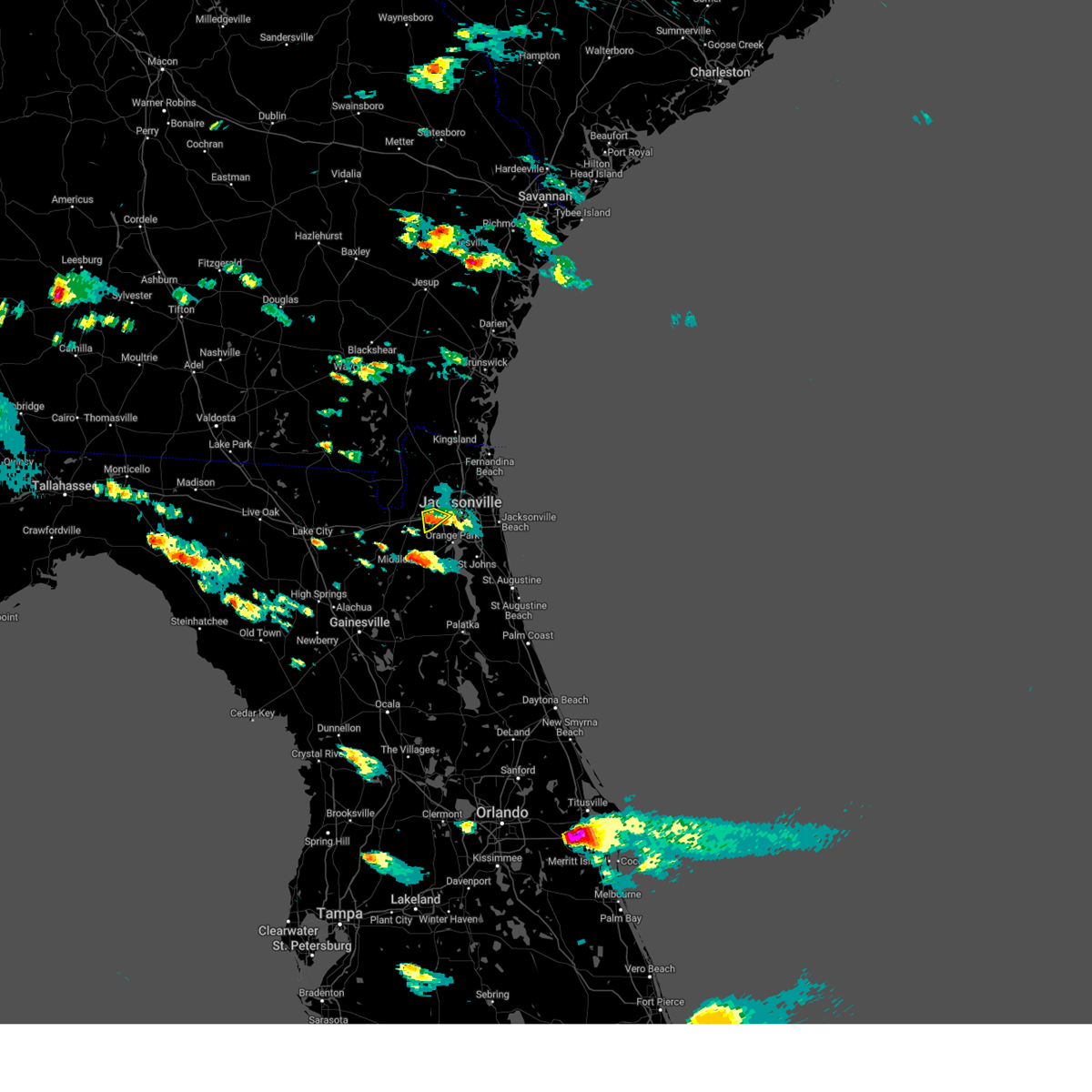 The severe thunderstorm warning for west central duval county will expire at 600 pm edt, the storm which prompted the warning has weakened below severe limits, and no longer poses an immediate threat to life or property. therefore, the warning will be allowed to expire. however small hail and gusty winds are still possible with this thunderstorm. The severe thunderstorm warning for west central duval county will expire at 600 pm edt, the storm which prompted the warning has weakened below severe limits, and no longer poses an immediate threat to life or property. therefore, the warning will be allowed to expire. however small hail and gusty winds are still possible with this thunderstorm.
|
| 4/26/2023 5:40 PM EDT | Quarter sized hail reported 9.7 miles NE of Jacksonville, FL, hail melted too quickly to get accurate sizes. |
| 4/26/2023 5:40 PM EDT |
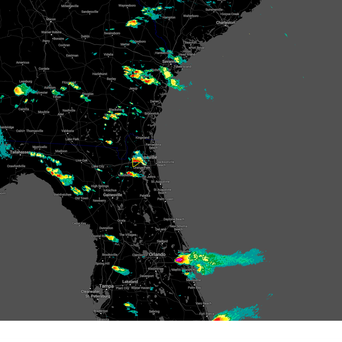 At 540 pm edt, a severe thunderstorm was located near bryceville, or 11 miles west of jacksonville, moving southeast at 10 mph (radar indicated). Hazards include 60 mph wind gusts and quarter size hail. Hail damage to vehicles is expected. expect wind damage to roofs, siding, and trees. locations impacted include, normandy. hail threat, radar indicated max hail size, 1. 00 in wind threat, radar indicated max wind gust, 60 mph. At 540 pm edt, a severe thunderstorm was located near bryceville, or 11 miles west of jacksonville, moving southeast at 10 mph (radar indicated). Hazards include 60 mph wind gusts and quarter size hail. Hail damage to vehicles is expected. expect wind damage to roofs, siding, and trees. locations impacted include, normandy. hail threat, radar indicated max hail size, 1. 00 in wind threat, radar indicated max wind gust, 60 mph.
|
| 4/26/2023 5:27 PM EDT |
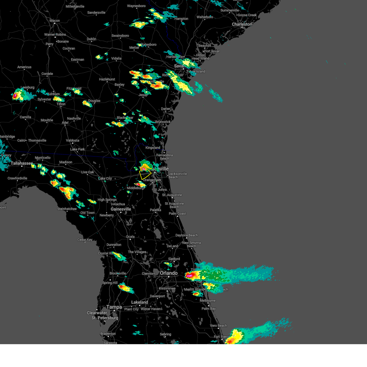 At 527 pm edt, a severe thunderstorm was located near bryceville, or 12 miles west of jacksonville, moving southeast at 10 mph (radar indicated). Hazards include ping pong ball size hail and 60 mph wind gusts. People and animals outdoors will be injured. expect hail damage to roofs, siding, windows, and vehicles. Expect wind damage to roofs, siding, and trees. At 527 pm edt, a severe thunderstorm was located near bryceville, or 12 miles west of jacksonville, moving southeast at 10 mph (radar indicated). Hazards include ping pong ball size hail and 60 mph wind gusts. People and animals outdoors will be injured. expect hail damage to roofs, siding, windows, and vehicles. Expect wind damage to roofs, siding, and trees.
|
| 4/26/2023 5:13 PM EDT |
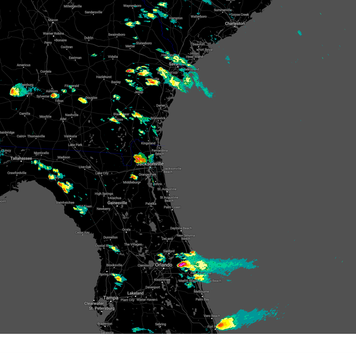 The severe thunderstorm warning for west central nassau and north central duval counties will expire at 515 pm edt, the storm which prompted the warning has weakened below severe limits, and no longer poses an immediate threat to life or property. therefore, the warning will be allowed to expire. however small hail and gusty winds are still possible with this thunderstorm. to report severe weather, contact your nearest law enforcement agency. they will relay your report to the national weather service jacksonville. The severe thunderstorm warning for west central nassau and north central duval counties will expire at 515 pm edt, the storm which prompted the warning has weakened below severe limits, and no longer poses an immediate threat to life or property. therefore, the warning will be allowed to expire. however small hail and gusty winds are still possible with this thunderstorm. to report severe weather, contact your nearest law enforcement agency. they will relay your report to the national weather service jacksonville.
|
| 4/26/2023 5:05 PM EDT |
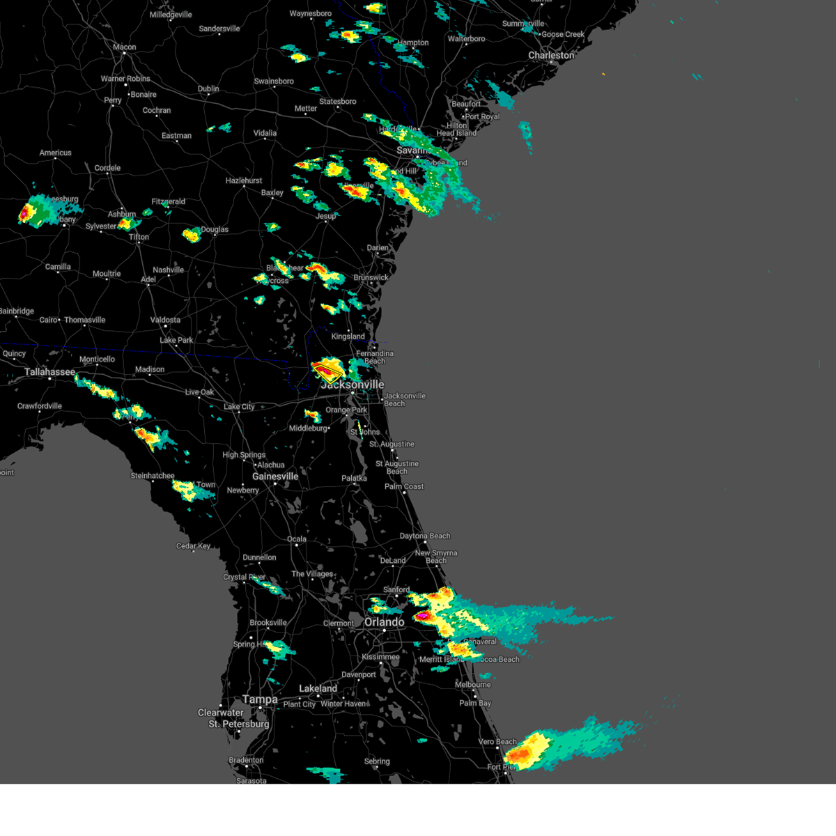 At 505 pm edt, a severe thunderstorm was located over jacksonville international arpt, moving southeast at 15 mph (radar indicated). Hazards include 60 mph wind gusts and quarter size hail. Hail damage to vehicles is expected. expect wind damage to roofs, siding, and trees. this severe thunderstorm will remain over mainly rural areas of west central nassau and north central duval counties. hail threat, radar indicated max hail size, 1. 00 in wind threat, radar indicated max wind gust, 60 mph. At 505 pm edt, a severe thunderstorm was located over jacksonville international arpt, moving southeast at 15 mph (radar indicated). Hazards include 60 mph wind gusts and quarter size hail. Hail damage to vehicles is expected. expect wind damage to roofs, siding, and trees. this severe thunderstorm will remain over mainly rural areas of west central nassau and north central duval counties. hail threat, radar indicated max hail size, 1. 00 in wind threat, radar indicated max wind gust, 60 mph.
|
| 4/26/2023 4:55 PM EDT |
 At 455 pm edt, a severe thunderstorm was located over nassau village-ratliff, or near callahan, moving southeast at 15 mph (radar indicated). Hazards include golf ball size hail and 70 mph wind gusts. People and animals outdoors will be injured. expect hail damage to roofs, siding, windows, and vehicles. expect considerable tree damage. wind damage is also likely to mobile homes, roofs, and outbuildings. locations impacted include, callahan, ratliff and nassau village-ratliff. thunderstorm damage threat, considerable hail threat, radar indicated max hail size, 1. 75 in wind threat, radar indicated max wind gust, 70 mph. At 455 pm edt, a severe thunderstorm was located over nassau village-ratliff, or near callahan, moving southeast at 15 mph (radar indicated). Hazards include golf ball size hail and 70 mph wind gusts. People and animals outdoors will be injured. expect hail damage to roofs, siding, windows, and vehicles. expect considerable tree damage. wind damage is also likely to mobile homes, roofs, and outbuildings. locations impacted include, callahan, ratliff and nassau village-ratliff. thunderstorm damage threat, considerable hail threat, radar indicated max hail size, 1. 75 in wind threat, radar indicated max wind gust, 70 mph.
|
| 4/26/2023 4:38 PM EDT |
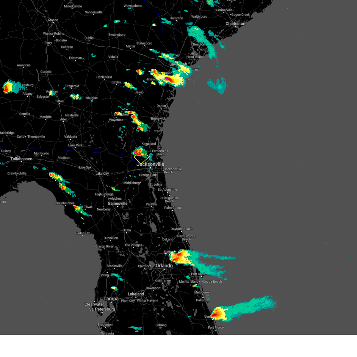 At 438 pm edt, a severe thunderstorm was located over callahan, moving southeast at 15 mph (radar indicated). Hazards include two inch hail and 70 mph wind gusts. People and animals outdoors will be injured. expect hail damage to roofs, siding, windows, and vehicles. expect considerable tree damage. Wind damage is also likely to mobile homes, roofs, and outbuildings. At 438 pm edt, a severe thunderstorm was located over callahan, moving southeast at 15 mph (radar indicated). Hazards include two inch hail and 70 mph wind gusts. People and animals outdoors will be injured. expect hail damage to roofs, siding, windows, and vehicles. expect considerable tree damage. Wind damage is also likely to mobile homes, roofs, and outbuildings.
|
| 4/22/2023 6:33 PM EDT |
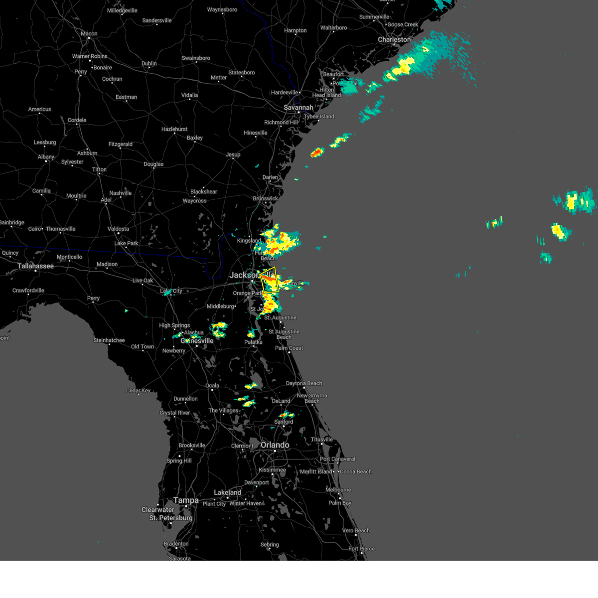 At 633 pm edt, a severe thunderstorm was located near mayport, or 7 miles northeast of unf, moving northeast at 20 mph (radar indicated). Hazards include 60 mph wind gusts and penny size hail. Expect damage to roofs, siding, and trees. locations impacted include, unf, ponte vedra beach, jacksonville beach, atlantic beach, neptune beach, mayport, craig field, san pablo, little talbot island and fort caroline. hail threat, radar indicated max hail size, 0. 75 in wind threat, radar indicated max wind gust, 60 mph. At 633 pm edt, a severe thunderstorm was located near mayport, or 7 miles northeast of unf, moving northeast at 20 mph (radar indicated). Hazards include 60 mph wind gusts and penny size hail. Expect damage to roofs, siding, and trees. locations impacted include, unf, ponte vedra beach, jacksonville beach, atlantic beach, neptune beach, mayport, craig field, san pablo, little talbot island and fort caroline. hail threat, radar indicated max hail size, 0. 75 in wind threat, radar indicated max wind gust, 60 mph.
|
| 4/22/2023 6:21 PM EDT |
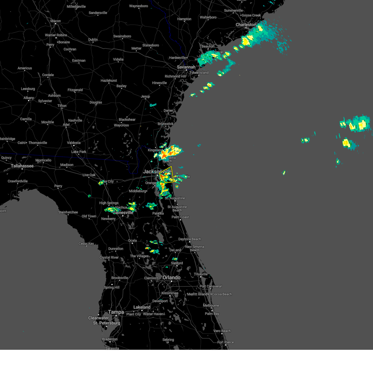 At 621 pm edt, a severe thunderstorm was located over craig field, or near unf, moving northeast at 25 mph (radar indicated). Hazards include 60 mph wind gusts and quarter size hail. Hail damage to vehicles is expected. expect wind damage to roofs, siding, and trees. locations impacted include, unf, ponte vedra beach, jacksonville beach, atlantic beach, neptune beach, mayport, craig field, san pablo, little talbot island and fort caroline. hail threat, radar indicated max hail size, 1. 00 in wind threat, radar indicated max wind gust, 60 mph. At 621 pm edt, a severe thunderstorm was located over craig field, or near unf, moving northeast at 25 mph (radar indicated). Hazards include 60 mph wind gusts and quarter size hail. Hail damage to vehicles is expected. expect wind damage to roofs, siding, and trees. locations impacted include, unf, ponte vedra beach, jacksonville beach, atlantic beach, neptune beach, mayport, craig field, san pablo, little talbot island and fort caroline. hail threat, radar indicated max hail size, 1. 00 in wind threat, radar indicated max wind gust, 60 mph.
|
| 4/22/2023 6:11 PM EDT |
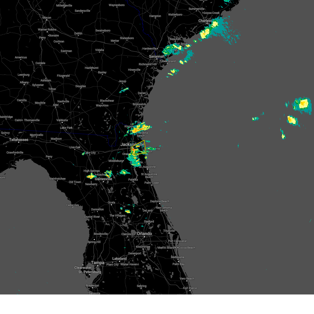 At 611 pm edt, a severe thunderstorm was located over arlington, moving east at 25 mph (radar indicated). Hazards include 60 mph wind gusts and penny size hail. expect damage to roofs, siding, and trees At 611 pm edt, a severe thunderstorm was located over arlington, moving east at 25 mph (radar indicated). Hazards include 60 mph wind gusts and penny size hail. expect damage to roofs, siding, and trees
|
| 4/13/2023 7:18 PM EDT |
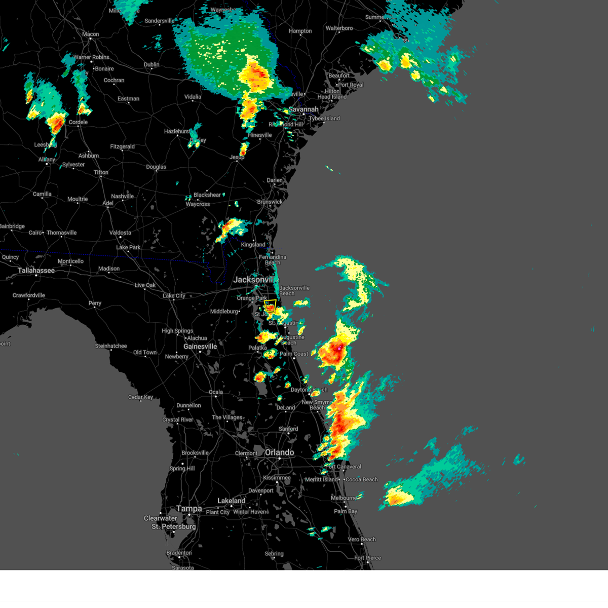 At 717 pm edt, a severe thunderstorm was located over durbin, or 7 miles east of fruit cove, moving north at 25 mph (radar indicated). Hazards include 60 mph wind gusts and nickel size hail. Expect damage to roofs, siding, and trees. locations impacted include, durbin, nocatee and bayard. hail threat, radar indicated max hail size, 0. 88 in wind threat, radar indicated max wind gust, 60 mph. At 717 pm edt, a severe thunderstorm was located over durbin, or 7 miles east of fruit cove, moving north at 25 mph (radar indicated). Hazards include 60 mph wind gusts and nickel size hail. Expect damage to roofs, siding, and trees. locations impacted include, durbin, nocatee and bayard. hail threat, radar indicated max hail size, 0. 88 in wind threat, radar indicated max wind gust, 60 mph.
|
| 4/13/2023 7:07 PM EDT |
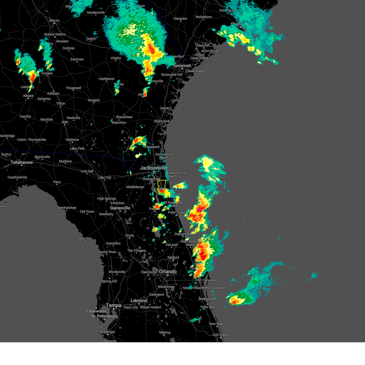 At 706 pm edt, a severe thunderstorm was located over world golf village, or 9 miles southeast of fruit cove, moving north at 25 mph (radar indicated). Hazards include 60 mph wind gusts and quarter size hail. Hail damage to vehicles is expected. Expect wind damage to roofs, siding, and trees. At 706 pm edt, a severe thunderstorm was located over world golf village, or 9 miles southeast of fruit cove, moving north at 25 mph (radar indicated). Hazards include 60 mph wind gusts and quarter size hail. Hail damage to vehicles is expected. Expect wind damage to roofs, siding, and trees.
|
| 4/13/2023 6:20 PM EDT |
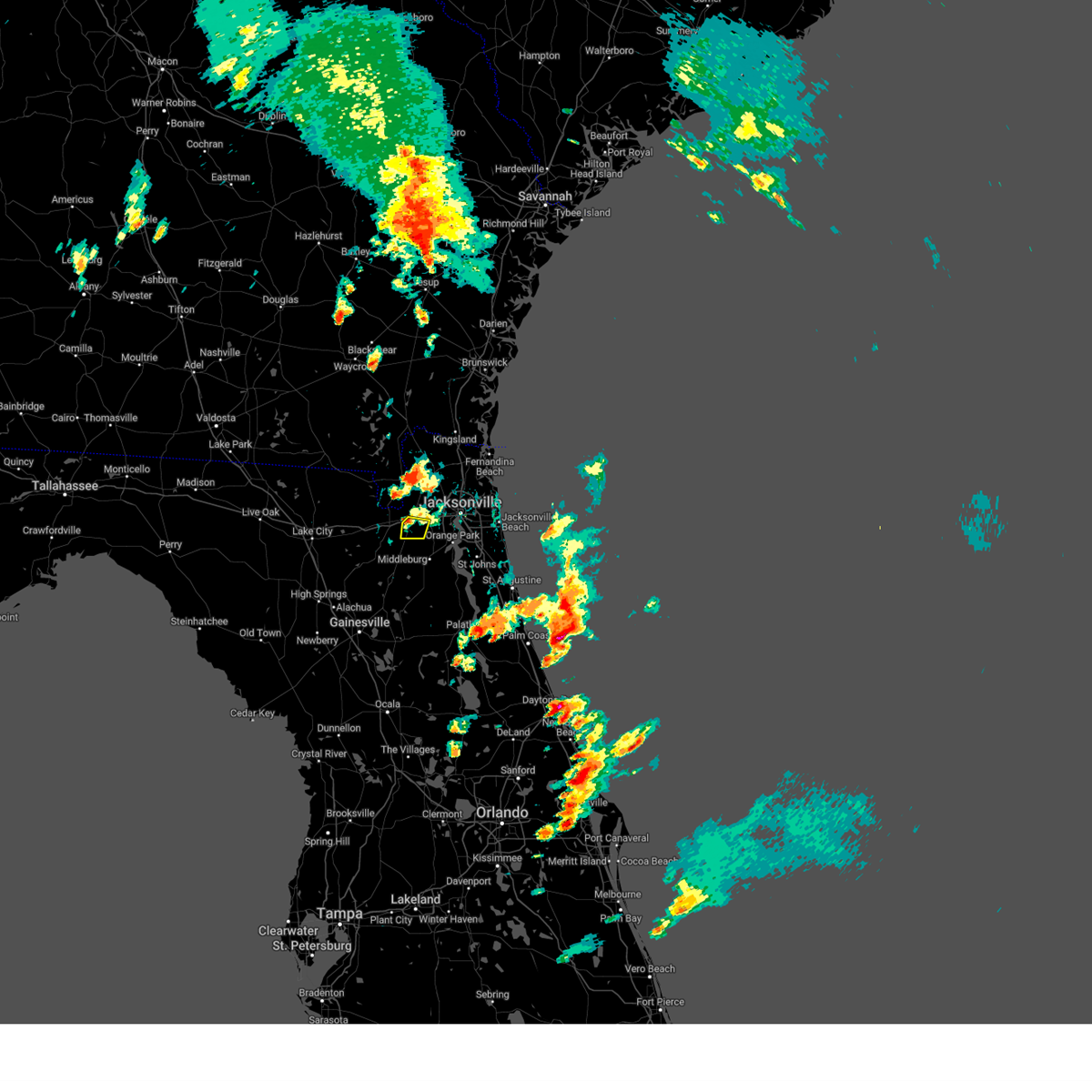 The severe thunderstorm warning for southwestern duval county will expire at 630 pm edt, the storm which prompted the warning has weakened below severe limits, and no longer poses an immediate threat to life or property. therefore, the warning will be allowed to expire. a severe thunderstorm watch remains in effect until 1000 pm edt for northeastern florida. The severe thunderstorm warning for southwestern duval county will expire at 630 pm edt, the storm which prompted the warning has weakened below severe limits, and no longer poses an immediate threat to life or property. therefore, the warning will be allowed to expire. a severe thunderstorm watch remains in effect until 1000 pm edt for northeastern florida.
|
| 4/13/2023 6:09 PM EDT |
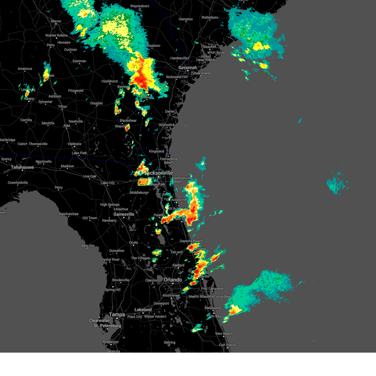 At 609 pm edt, a severe thunderstorm was located near maxville, or 11 miles north of middleburg, moving north at 20 mph (radar indicated). Hazards include 60 mph wind gusts and nickel size hail. Expect damage to roofs, siding, and trees. locations impacted include, maxville and baldwin. hail threat, radar indicated max hail size, 0. 88 in wind threat, radar indicated max wind gust, 60 mph. At 609 pm edt, a severe thunderstorm was located near maxville, or 11 miles north of middleburg, moving north at 20 mph (radar indicated). Hazards include 60 mph wind gusts and nickel size hail. Expect damage to roofs, siding, and trees. locations impacted include, maxville and baldwin. hail threat, radar indicated max hail size, 0. 88 in wind threat, radar indicated max wind gust, 60 mph.
|
| 4/13/2023 5:57 PM EDT |
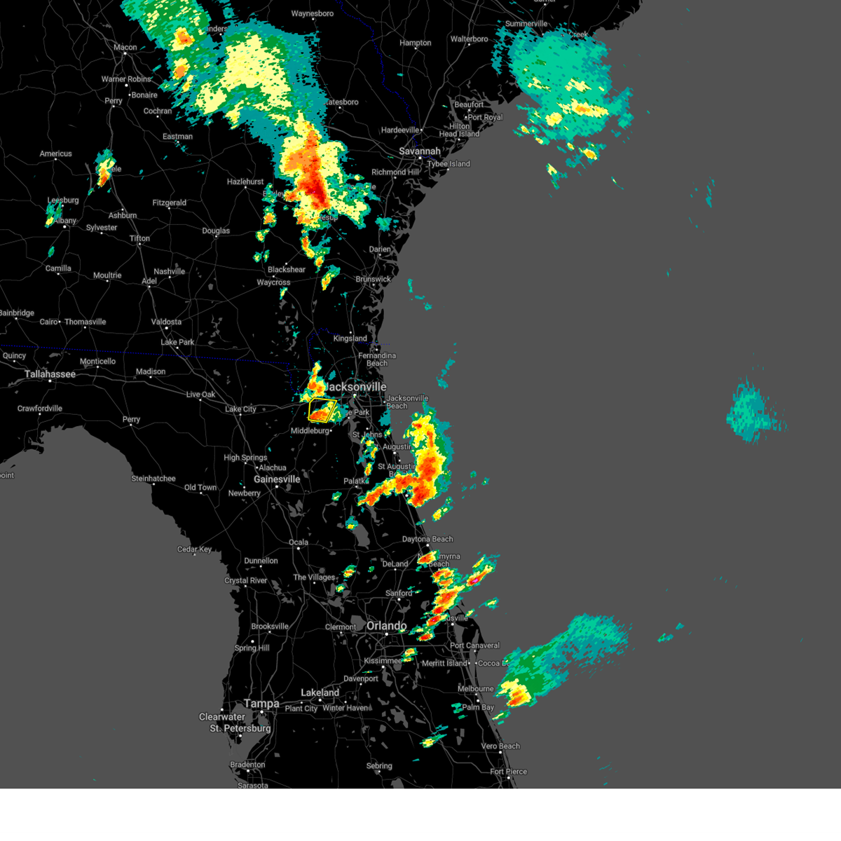 At 557 pm edt, a severe thunderstorm was located near maxville, or 8 miles northwest of middleburg, moving north at 20 mph (radar indicated). Hazards include 60 mph wind gusts and quarter size hail. Hail damage to vehicles is expected. expect wind damage to roofs, siding, and trees. locations impacted include, cecil field, maxville and baldwin. hail threat, radar indicated max hail size, 1. 00 in wind threat, radar indicated max wind gust, 60 mph. At 557 pm edt, a severe thunderstorm was located near maxville, or 8 miles northwest of middleburg, moving north at 20 mph (radar indicated). Hazards include 60 mph wind gusts and quarter size hail. Hail damage to vehicles is expected. expect wind damage to roofs, siding, and trees. locations impacted include, cecil field, maxville and baldwin. hail threat, radar indicated max hail size, 1. 00 in wind threat, radar indicated max wind gust, 60 mph.
|
| 4/13/2023 5:43 PM EDT |
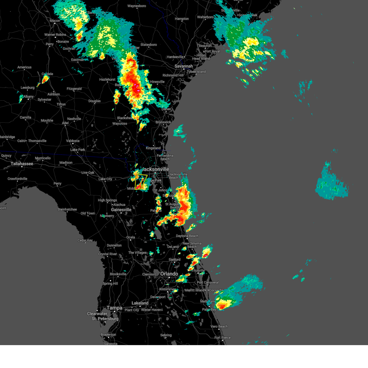 At 543 pm edt, a severe thunderstorm was located near middleburg, moving north at 20 mph (radar indicated). Hazards include ping pong ball size hail and 60 mph wind gusts. People and animals outdoors will be injured. expect hail damage to roofs, siding, windows, and vehicles. Expect wind damage to roofs, siding, and trees. At 543 pm edt, a severe thunderstorm was located near middleburg, moving north at 20 mph (radar indicated). Hazards include ping pong ball size hail and 60 mph wind gusts. People and animals outdoors will be injured. expect hail damage to roofs, siding, windows, and vehicles. Expect wind damage to roofs, siding, and trees.
|
| 4/13/2023 9:05 AM EDT |
 At 905 am edt, a severe thunderstorm was located near amelia city, or 8 miles southeast of fernandina beach, moving northwest at 25 mph (radar indicated). Hazards include 60 mph wind gusts. expect damage to roofs, siding, and trees At 905 am edt, a severe thunderstorm was located near amelia city, or 8 miles southeast of fernandina beach, moving northwest at 25 mph (radar indicated). Hazards include 60 mph wind gusts. expect damage to roofs, siding, and trees
|
| 1/22/2023 9:26 PM EST |
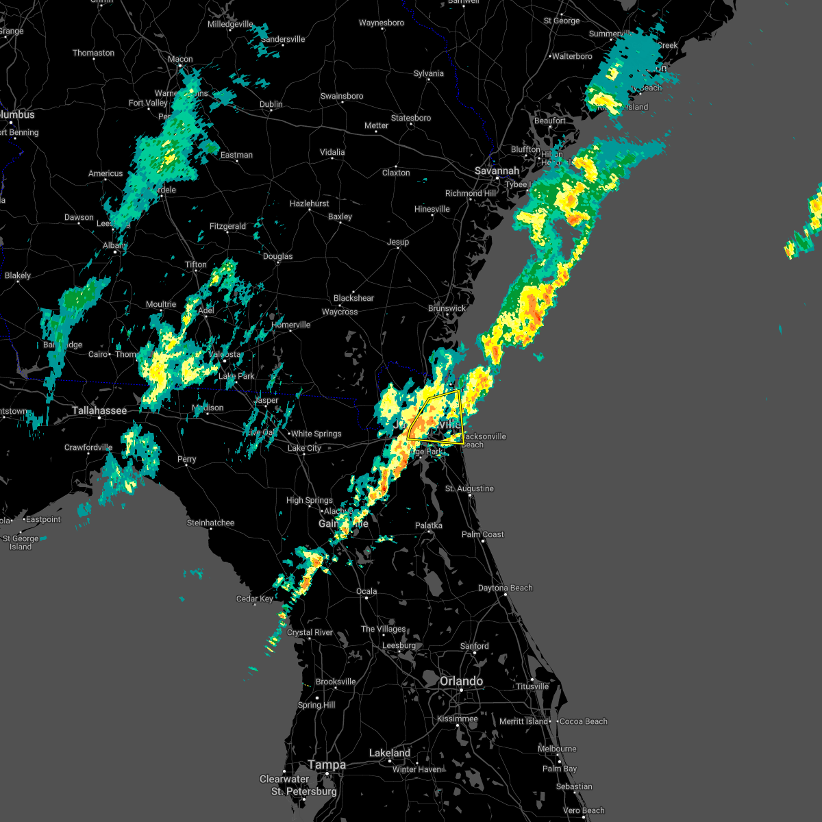 The severe thunderstorm warning for east central nassau and northeastern duval counties will expire at 930 pm est, the storms which prompted the warning have weakened below severe limits, and no longer pose an immediate threat to life or property. therefore, the warning will be allowed to expire. however gusty winds are still possible with these thunderstorms. The severe thunderstorm warning for east central nassau and northeastern duval counties will expire at 930 pm est, the storms which prompted the warning have weakened below severe limits, and no longer pose an immediate threat to life or property. therefore, the warning will be allowed to expire. however gusty winds are still possible with these thunderstorms.
|
| 1/22/2023 9:13 PM EST |
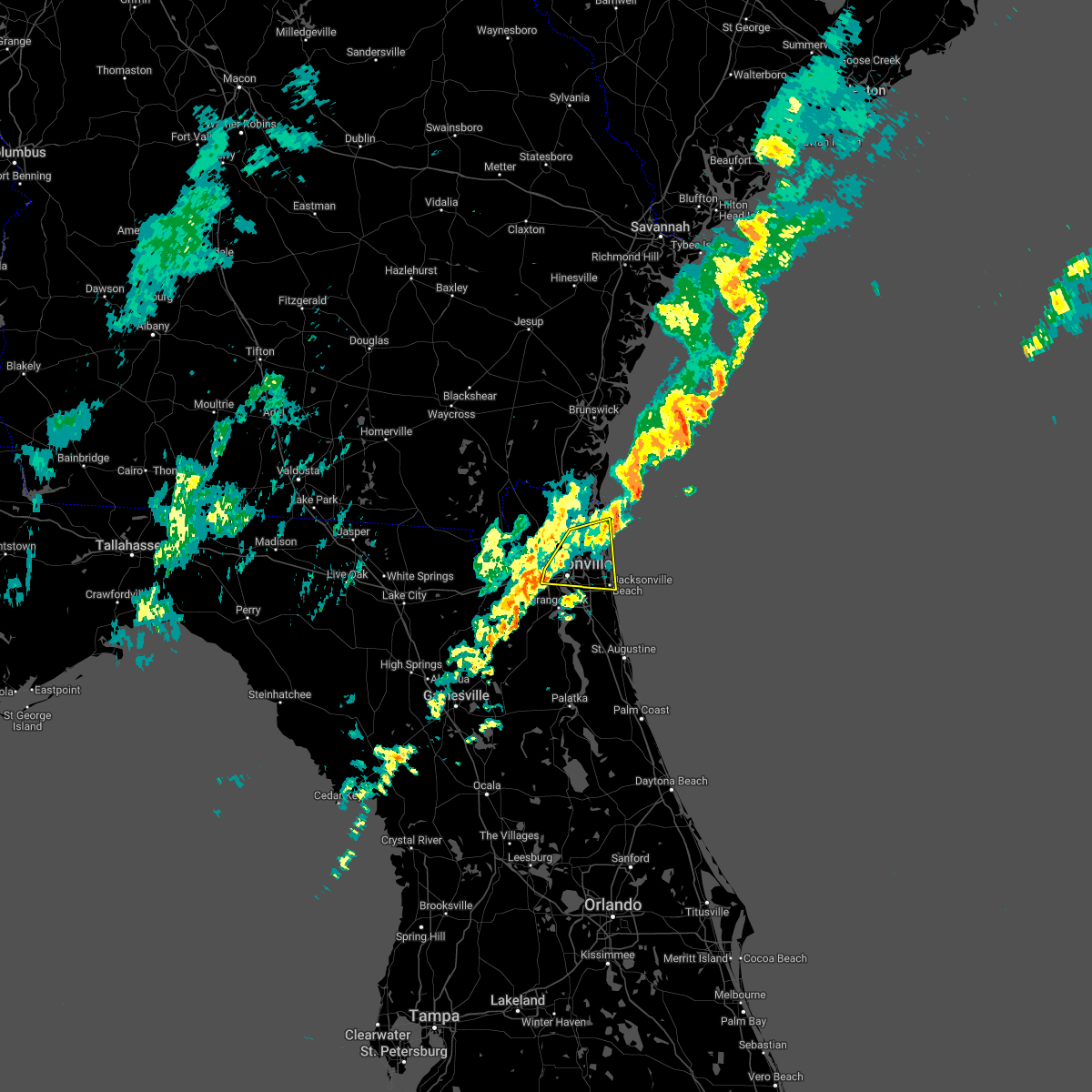 At 913 pm est, severe thunderstorms were located along a line extending from 7 miles east of fernandina beach to near talbot island to near normandy, moving east at 45 mph (radar indicated). Hazards include 70 mph wind gusts. Expect considerable tree damage. damage is likely to mobile homes, roofs, and outbuildings. Locations impacted include, unf, arlington, jacksonville international arpt, jacksonville beach, atlantic beach, neptune beach, mayport, craig field, san pablo and amelia city. At 913 pm est, severe thunderstorms were located along a line extending from 7 miles east of fernandina beach to near talbot island to near normandy, moving east at 45 mph (radar indicated). Hazards include 70 mph wind gusts. Expect considerable tree damage. damage is likely to mobile homes, roofs, and outbuildings. Locations impacted include, unf, arlington, jacksonville international arpt, jacksonville beach, atlantic beach, neptune beach, mayport, craig field, san pablo and amelia city.
|
| 1/22/2023 8:51 PM EST |
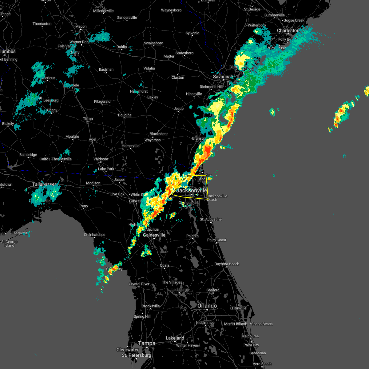 At 851 pm est, severe thunderstorms were located along a line extending from yulee to near ratliff to near bryceville, moving east at 45 mph (radar indicated). Hazards include 70 mph wind gusts. Expect considerable tree damage. Damage is likely to mobile homes, roofs, and outbuildings. At 851 pm est, severe thunderstorms were located along a line extending from yulee to near ratliff to near bryceville, moving east at 45 mph (radar indicated). Hazards include 70 mph wind gusts. Expect considerable tree damage. Damage is likely to mobile homes, roofs, and outbuildings.
|
| 1/4/2023 4:19 PM EST |
 At 419 pm est, severe thunderstorms were located along a line extending from near amelia city to near unf to near green cove springs, moving northeast at 55 mph (radar indicated). Hazards include 60 mph wind gusts and penny size hail. Expect damage to roofs, siding, and trees. locations impacted include, green cove springs, unf, fruit cove, baymeadows, bayard, durbin, craig field, fort caroline, switzerland and penney farms. hail threat, radar indicated max hail size, 0. 75 in wind threat, radar indicated max wind gust, 60 mph. At 419 pm est, severe thunderstorms were located along a line extending from near amelia city to near unf to near green cove springs, moving northeast at 55 mph (radar indicated). Hazards include 60 mph wind gusts and penny size hail. Expect damage to roofs, siding, and trees. locations impacted include, green cove springs, unf, fruit cove, baymeadows, bayard, durbin, craig field, fort caroline, switzerland and penney farms. hail threat, radar indicated max hail size, 0. 75 in wind threat, radar indicated max wind gust, 60 mph.
|
| 1/4/2023 4:14 PM EST |
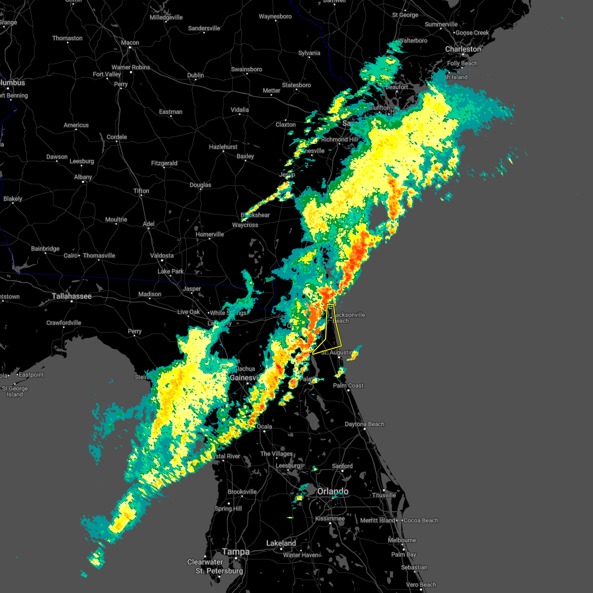 At 414 pm est, severe thunderstorms were located along a line extending from near mayport to bayard to near bardin, moving northeast at 55 mph (radar indicated). Hazards include 60 mph wind gusts and penny size hail. expect damage to roofs, siding, and trees At 414 pm est, severe thunderstorms were located along a line extending from near mayport to bayard to near bardin, moving northeast at 55 mph (radar indicated). Hazards include 60 mph wind gusts and penny size hail. expect damage to roofs, siding, and trees
|
| 1/4/2023 4:03 PM EST |
 At 403 pm est, severe thunderstorms were located along a line extending from oceanway to near mandarin to 7 miles southeast of kingsley, moving northeast at 60 mph (radar indicated). Hazards include 70 mph wind gusts and penny size hail. Expect considerable tree damage. damage is likely to mobile homes, roofs, and outbuildings. locations impacted include, orange park, green cove springs, unf, mandarin, fruit cove, arlington, middleburg, baymeadows, ortega and fort caroline. thunderstorm damage threat, considerable hail threat, radar indicated max hail size, 0. 75 in wind threat, radar indicated max wind gust, 70 mph. At 403 pm est, severe thunderstorms were located along a line extending from oceanway to near mandarin to 7 miles southeast of kingsley, moving northeast at 60 mph (radar indicated). Hazards include 70 mph wind gusts and penny size hail. Expect considerable tree damage. damage is likely to mobile homes, roofs, and outbuildings. locations impacted include, orange park, green cove springs, unf, mandarin, fruit cove, arlington, middleburg, baymeadows, ortega and fort caroline. thunderstorm damage threat, considerable hail threat, radar indicated max hail size, 0. 75 in wind threat, radar indicated max wind gust, 70 mph.
|
| 1/4/2023 3:44 PM EST |
 At 344 pm est, severe thunderstorms were located along a line extending from near ratliff to near middleburg to 6 miles north of gainesville airport, moving northeast at 55 mph (radar indicated). Hazards include 70 mph wind gusts and penny size hail. Expect considerable tree damage. Damage is likely to mobile homes, roofs, and outbuildings. At 344 pm est, severe thunderstorms were located along a line extending from near ratliff to near middleburg to 6 miles north of gainesville airport, moving northeast at 55 mph (radar indicated). Hazards include 70 mph wind gusts and penny size hail. Expect considerable tree damage. Damage is likely to mobile homes, roofs, and outbuildings.
|
| 1/4/2023 3:36 PM EST |
 At 336 pm est, severe thunderstorms were located along a line extending from near bryceville to near camp blanding to near sampson, moving east at 40 mph (radar indicated). Hazards include 70 mph wind gusts and quarter size hail. possible tornado. Hail damage to vehicles is expected. expect considerable tree damage. wind damage is also likely to mobile homes, roofs, and outbuildings. Locations impacted include, starke, callahan, middleburg, macclenny, maxville, bryceville, camp blanding, cecil field, kingsley and sampson. At 336 pm est, severe thunderstorms were located along a line extending from near bryceville to near camp blanding to near sampson, moving east at 40 mph (radar indicated). Hazards include 70 mph wind gusts and quarter size hail. possible tornado. Hail damage to vehicles is expected. expect considerable tree damage. wind damage is also likely to mobile homes, roofs, and outbuildings. Locations impacted include, starke, callahan, middleburg, macclenny, maxville, bryceville, camp blanding, cecil field, kingsley and sampson.
|
| 1/4/2023 3:34 PM EST |
 At 334 pm est, severe thunderstorms were located along a line extending from 7 miles south of jekyll island to near fernandina beach to cisco gardens, moving northeast at 40 mph (radar indicated). Hazards include 70 mph wind gusts and quarter size hail. possible tornado. Hail damage to vehicles is expected. expect considerable tree damage. wind damage is also likely to mobile homes, roofs, and outbuildings. locations impacted include, st. Marys, kingsland, fernandina beach, jacksonville international arpt, kings bay base, yulee, cisco gardens, amelia city, little talbot island and talbot island. At 334 pm est, severe thunderstorms were located along a line extending from 7 miles south of jekyll island to near fernandina beach to cisco gardens, moving northeast at 40 mph (radar indicated). Hazards include 70 mph wind gusts and quarter size hail. possible tornado. Hail damage to vehicles is expected. expect considerable tree damage. wind damage is also likely to mobile homes, roofs, and outbuildings. locations impacted include, st. Marys, kingsland, fernandina beach, jacksonville international arpt, kings bay base, yulee, cisco gardens, amelia city, little talbot island and talbot island.
|
| 1/4/2023 3:30 PM EST | Corrects previous tstm wnd gst report from 2 ne jacksonville inter. asos station kjax jacksonville intl airport report gust of 65 mph win in duval county FL, 8.2 miles S of Jacksonville, FL |
| 1/4/2023 3:15 PM EST |
 At 315 pm est, a severe thunderstorm was located 9 miles northeast of callahan, moving northeast at 40 mph (radar indicated). Hazards include 70 mph wind gusts and quarter size hail. possible tornado. Hail damage to vehicles is expected. expect considerable tree damage. Wind damage is also likely to mobile homes, roofs, and outbuildings. At 315 pm est, a severe thunderstorm was located 9 miles northeast of callahan, moving northeast at 40 mph (radar indicated). Hazards include 70 mph wind gusts and quarter size hail. possible tornado. Hail damage to vehicles is expected. expect considerable tree damage. Wind damage is also likely to mobile homes, roofs, and outbuildings.
|
| 1/4/2023 3:11 PM EST |
 At 310 pm est, a severe thunderstorm was located near lake butler, moving northeast at 50 mph (radar indicated). Hazards include 70 mph wind gusts and quarter size hail. possible tornado. Hail damage to vehicles is expected. expect considerable tree damage. Wind damage is also likely to mobile homes, roofs, and outbuildings. At 310 pm est, a severe thunderstorm was located near lake butler, moving northeast at 50 mph (radar indicated). Hazards include 70 mph wind gusts and quarter size hail. possible tornado. Hail damage to vehicles is expected. expect considerable tree damage. Wind damage is also likely to mobile homes, roofs, and outbuildings.
|
| 11/30/2022 1:30 PM EST |
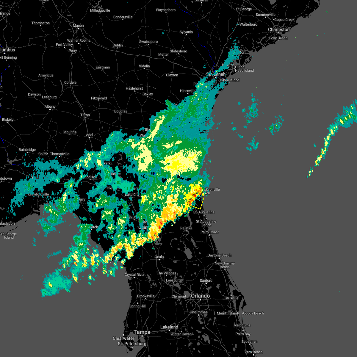 At 130 pm est, a severe thunderstorm was located over bayard, or 7 miles east of fruit cove, moving southeast at 30 mph (radar indicated). Hazards include 60 mph wind gusts. Expect damage to roofs, siding, and trees. locations impacted include, ponte vedra beach, fruit cove, palm valley, sawgrass, nocatee, bayard and durbin. hail threat, radar indicated max hail size, <. 75 in wind threat, radar indicated max wind gust, 60 mph. At 130 pm est, a severe thunderstorm was located over bayard, or 7 miles east of fruit cove, moving southeast at 30 mph (radar indicated). Hazards include 60 mph wind gusts. Expect damage to roofs, siding, and trees. locations impacted include, ponte vedra beach, fruit cove, palm valley, sawgrass, nocatee, bayard and durbin. hail threat, radar indicated max hail size, <. 75 in wind threat, radar indicated max wind gust, 60 mph.
|
| 11/30/2022 1:19 PM EST |
 At 118 pm est, a severe thunderstorm was located near baymeadows, or near mandarin, moving east at 35 mph (radar indicated). Hazards include 60 mph wind gusts. Expect damage to roofs, siding, and trees. locations impacted include, orange park, unf, mandarin, fruit cove, ponte vedra beach, jacksonville beach, sawgrass, baymeadows, nocatee and durbin. hail threat, radar indicated max hail size, <. 75 in wind threat, radar indicated max wind gust, 60 mph. At 118 pm est, a severe thunderstorm was located near baymeadows, or near mandarin, moving east at 35 mph (radar indicated). Hazards include 60 mph wind gusts. Expect damage to roofs, siding, and trees. locations impacted include, orange park, unf, mandarin, fruit cove, ponte vedra beach, jacksonville beach, sawgrass, baymeadows, nocatee and durbin. hail threat, radar indicated max hail size, <. 75 in wind threat, radar indicated max wind gust, 60 mph.
|
| 11/30/2022 1:16 PM EST | Trees and tree debris damaged utility equipment along plummer grant road per the jax electric authory. the time of damage was based on rada in duval county FL, 17.6 miles NNW of Jacksonville, FL |
| 11/30/2022 1:06 PM EST |
 At 105 pm est, a severe thunderstorm was located over nas jax, or near orange park, moving east at 30 mph (radar indicated). Hazards include 60 mph wind gusts. expect damage to roofs, siding, and trees At 105 pm est, a severe thunderstorm was located over nas jax, or near orange park, moving east at 30 mph (radar indicated). Hazards include 60 mph wind gusts. expect damage to roofs, siding, and trees
|
| 11/30/2022 1:00 PM EST | Trees and tree debris damaged utility equipment near lyle road. wind gusts measured in the area were 35-45 mph around the time of damage. the time was based on radar. r in duval county FL, 8.5 miles SSW of Jacksonville, FL |
| 11/10/2022 11:12 AM EST |
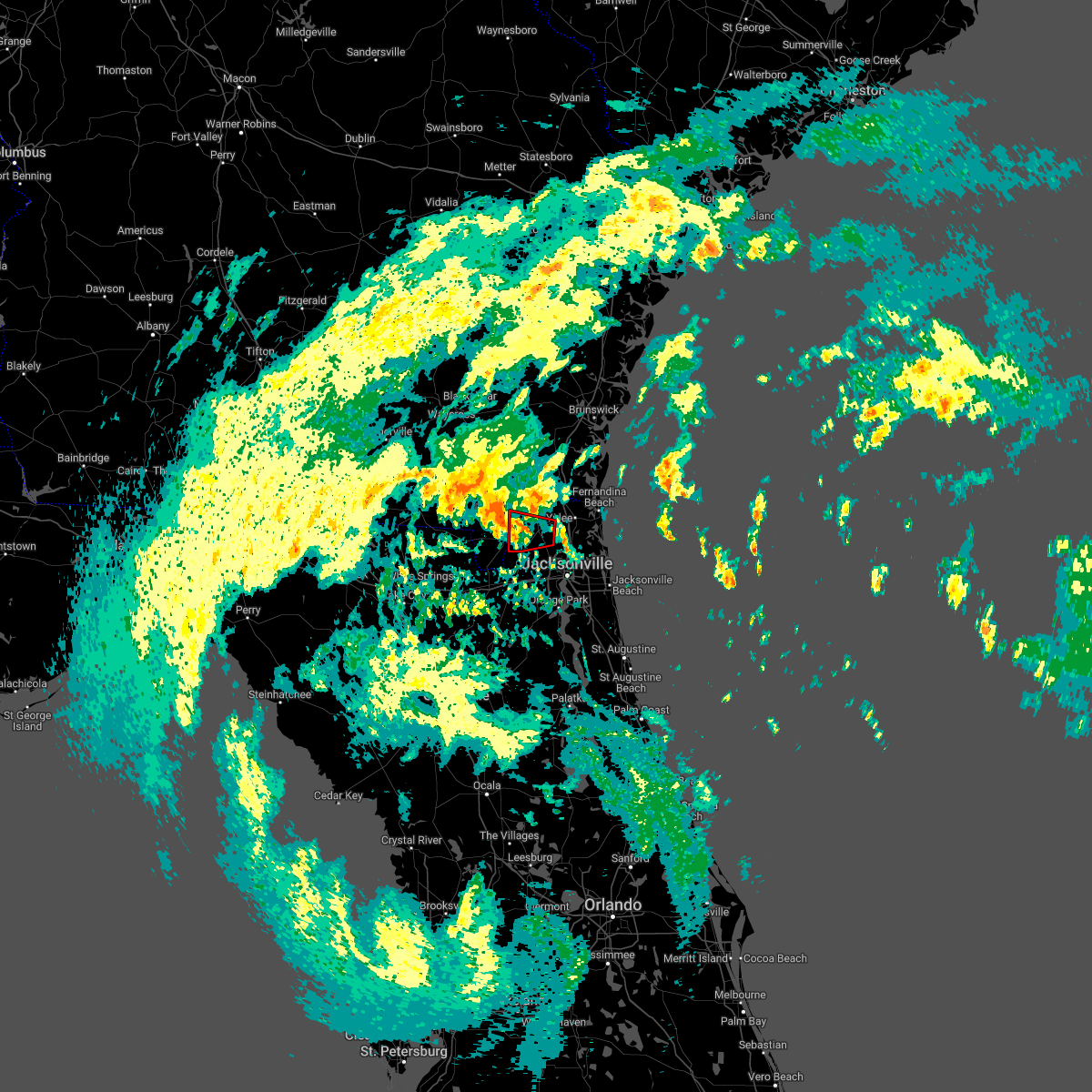 The tornado warning for west central nassau and northwestern duval counties will expire at 1115 am est, the storm which prompted the warning has weakened, and no longer appears capable of producing a tornado. therefore, the warning will be allowed to expire. a tornado watch remains in effect until 100 pm est for northeastern florida. to report severe weather, contact your nearest law enforcement agency. they will relay your report to the national weather service jacksonville. The tornado warning for west central nassau and northwestern duval counties will expire at 1115 am est, the storm which prompted the warning has weakened, and no longer appears capable of producing a tornado. therefore, the warning will be allowed to expire. a tornado watch remains in effect until 100 pm est for northeastern florida. to report severe weather, contact your nearest law enforcement agency. they will relay your report to the national weather service jacksonville.
|
| 11/10/2022 11:03 AM EST |
 At 1103 am est, a severe thunderstorm capable of producing a tornado was located over nassau village-ratliff, or over callahan, moving west at 65 mph (radar indicated rotation). Hazards include tornado. Flying debris will be dangerous to those caught without shelter. mobile homes will be damaged or destroyed. damage to roofs, windows, and vehicles will occur. tree damage is likely. This tornadic thunderstorm will remain over mainly rural areas of west central nassau and northwestern duval counties. At 1103 am est, a severe thunderstorm capable of producing a tornado was located over nassau village-ratliff, or over callahan, moving west at 65 mph (radar indicated rotation). Hazards include tornado. Flying debris will be dangerous to those caught without shelter. mobile homes will be damaged or destroyed. damage to roofs, windows, and vehicles will occur. tree damage is likely. This tornadic thunderstorm will remain over mainly rural areas of west central nassau and northwestern duval counties.
|
| 11/10/2022 10:49 AM EST |
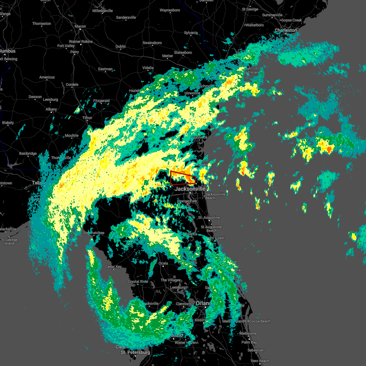 At 1049 am est, a severe thunderstorm capable of producing a tornado was located near oceanway, or near jacksonville international arpt, moving west at 60 mph (radar indicated rotation). Hazards include tornado. Flying debris will be dangerous to those caught without shelter. mobile homes will be damaged or destroyed. damage to roofs, windows, and vehicles will occur. tree damage is likely. This dangerous storm will be near, callahan, nassau village-ratliff and ratliff around 1100 am est. At 1049 am est, a severe thunderstorm capable of producing a tornado was located near oceanway, or near jacksonville international arpt, moving west at 60 mph (radar indicated rotation). Hazards include tornado. Flying debris will be dangerous to those caught without shelter. mobile homes will be damaged or destroyed. damage to roofs, windows, and vehicles will occur. tree damage is likely. This dangerous storm will be near, callahan, nassau village-ratliff and ratliff around 1100 am est.
|
| 9/9/2022 9:37 PM EDT |
 The tornado warning for northeastern bradford, northwestern clay and southwestern duval counties will expire at 945 pm edt, the storm which prompted the warning has weakened below severe limits, and no longer appears capable of producing a tornado. therefore, the warning will be allowed to expire. The tornado warning for northeastern bradford, northwestern clay and southwestern duval counties will expire at 945 pm edt, the storm which prompted the warning has weakened below severe limits, and no longer appears capable of producing a tornado. therefore, the warning will be allowed to expire.
|
| 9/9/2022 9:37 PM EDT |
 The severe thunderstorm warning for northeastern bradford, northwestern clay and southwestern duval counties will expire at 945 pm edt, the storm which prompted the warning has weakened below severe limits, and no longer poses an immediate threat to life or property. therefore, the warning will be allowed to expire. however gusty winds are still possible with this thunderstorm. The severe thunderstorm warning for northeastern bradford, northwestern clay and southwestern duval counties will expire at 945 pm edt, the storm which prompted the warning has weakened below severe limits, and no longer poses an immediate threat to life or property. therefore, the warning will be allowed to expire. however gusty winds are still possible with this thunderstorm.
|
| 9/9/2022 9:28 PM EDT |
 At 928 pm edt, a severe thunderstorm capable of producing a tornado was located near middleburg, moving northeast at 20 mph (radar indicated rotation). Hazards include tornado. Flying debris will be dangerous to those caught without shelter. mobile homes will be damaged or destroyed. damage to roofs, windows, and vehicles will occur. tree damage is likely. this dangerous storm will be near, maxville around 940 pm edt. oakleaf plantation around 955 pm edt. cecil field, doctors inlet and lakeside around 1000 pm edt. Other locations impacted by this tornadic thunderstorm include asbury lake. At 928 pm edt, a severe thunderstorm capable of producing a tornado was located near middleburg, moving northeast at 20 mph (radar indicated rotation). Hazards include tornado. Flying debris will be dangerous to those caught without shelter. mobile homes will be damaged or destroyed. damage to roofs, windows, and vehicles will occur. tree damage is likely. this dangerous storm will be near, maxville around 940 pm edt. oakleaf plantation around 955 pm edt. cecil field, doctors inlet and lakeside around 1000 pm edt. Other locations impacted by this tornadic thunderstorm include asbury lake.
|
| 9/9/2022 9:16 PM EDT |
 At 916 pm edt, a severe thunderstorm capable of producing a tornado was located near camp blanding, or 7 miles west of middleburg, moving northeast at 20 mph (radar indicated rotation). Hazards include tornado. Flying debris will be dangerous to those caught without shelter. mobile homes will be damaged or destroyed. damage to roofs, windows, and vehicles will occur. tree damage is likely. this dangerous storm will be near, middleburg and maxville around 940 pm edt. oakleaf plantation and cecil field around 945 pm edt. Other locations impacted by this tornadic thunderstorm include asbury lake and lawtey. At 916 pm edt, a severe thunderstorm capable of producing a tornado was located near camp blanding, or 7 miles west of middleburg, moving northeast at 20 mph (radar indicated rotation). Hazards include tornado. Flying debris will be dangerous to those caught without shelter. mobile homes will be damaged or destroyed. damage to roofs, windows, and vehicles will occur. tree damage is likely. this dangerous storm will be near, middleburg and maxville around 940 pm edt. oakleaf plantation and cecil field around 945 pm edt. Other locations impacted by this tornadic thunderstorm include asbury lake and lawtey.
|
| 9/9/2022 9:10 PM EDT |
 At 910 pm edt, a severe thunderstorm was located near starke, moving northeast at 20 mph (radar indicated). Hazards include 60 mph wind gusts. expect damage to roofs, siding, and trees At 910 pm edt, a severe thunderstorm was located near starke, moving northeast at 20 mph (radar indicated). Hazards include 60 mph wind gusts. expect damage to roofs, siding, and trees
|
| 9/1/2022 3:40 PM EDT | Tree reported down at altama rd and grove park blvd. wires reported dow in duval county FL, 8.9 miles NW of Jacksonville, FL |
| 8/31/2022 3:17 PM EDT |
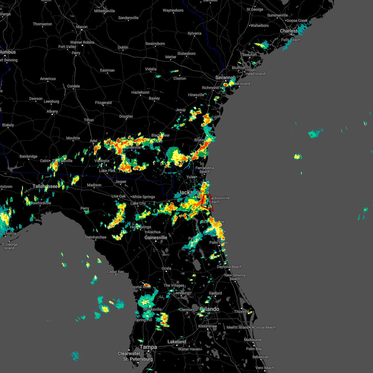 At 317 pm edt, a severe thunderstorm capable of producing a tornado was located over san pablo, or over ponte vedra beach, moving east at 10 mph (radar indicated rotation). Hazards include tornado. Flying debris will be dangerous to those caught without shelter. mobile homes will be damaged or destroyed. damage to roofs, windows, and vehicles will occur. tree damage is likely. this dangerous storm will be near, ponte vedra beach around 335 pm edt. Sawgrass and palm valley around 345 pm edt. At 317 pm edt, a severe thunderstorm capable of producing a tornado was located over san pablo, or over ponte vedra beach, moving east at 10 mph (radar indicated rotation). Hazards include tornado. Flying debris will be dangerous to those caught without shelter. mobile homes will be damaged or destroyed. damage to roofs, windows, and vehicles will occur. tree damage is likely. this dangerous storm will be near, ponte vedra beach around 335 pm edt. Sawgrass and palm valley around 345 pm edt.
|
| 8/31/2022 3:04 PM EDT |
 At 304 pm edt, a severe thunderstorm was located over craig field, or over unf, moving east at 10 mph (radar indicated). Hazards include 60 mph wind gusts and penny size hail. expect damage to roofs, siding, and trees At 304 pm edt, a severe thunderstorm was located over craig field, or over unf, moving east at 10 mph (radar indicated). Hazards include 60 mph wind gusts and penny size hail. expect damage to roofs, siding, and trees
|
| 8/31/2022 2:56 PM EDT |
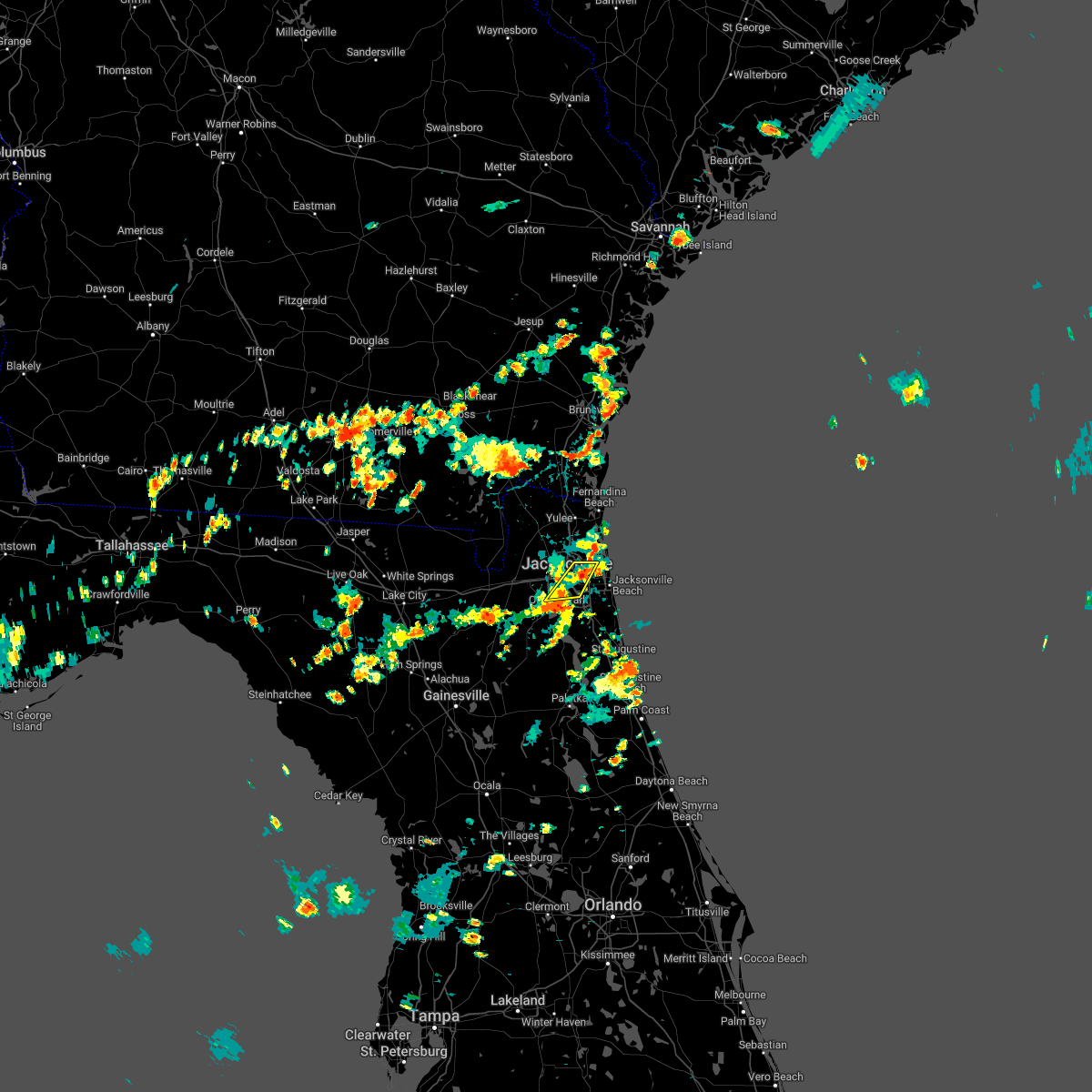 The severe thunderstorm warning for central duval county will expire at 300 pm edt, the storm which prompted the warning has weakened below severe limits, and no longer poses an immediate threat to life or property. therefore, the warning will be allowed to expire. however gusty winds and heavy rain are still possible with this thunderstorm. The severe thunderstorm warning for central duval county will expire at 300 pm edt, the storm which prompted the warning has weakened below severe limits, and no longer poses an immediate threat to life or property. therefore, the warning will be allowed to expire. however gusty winds and heavy rain are still possible with this thunderstorm.
|
| 8/31/2022 2:50 PM EDT |
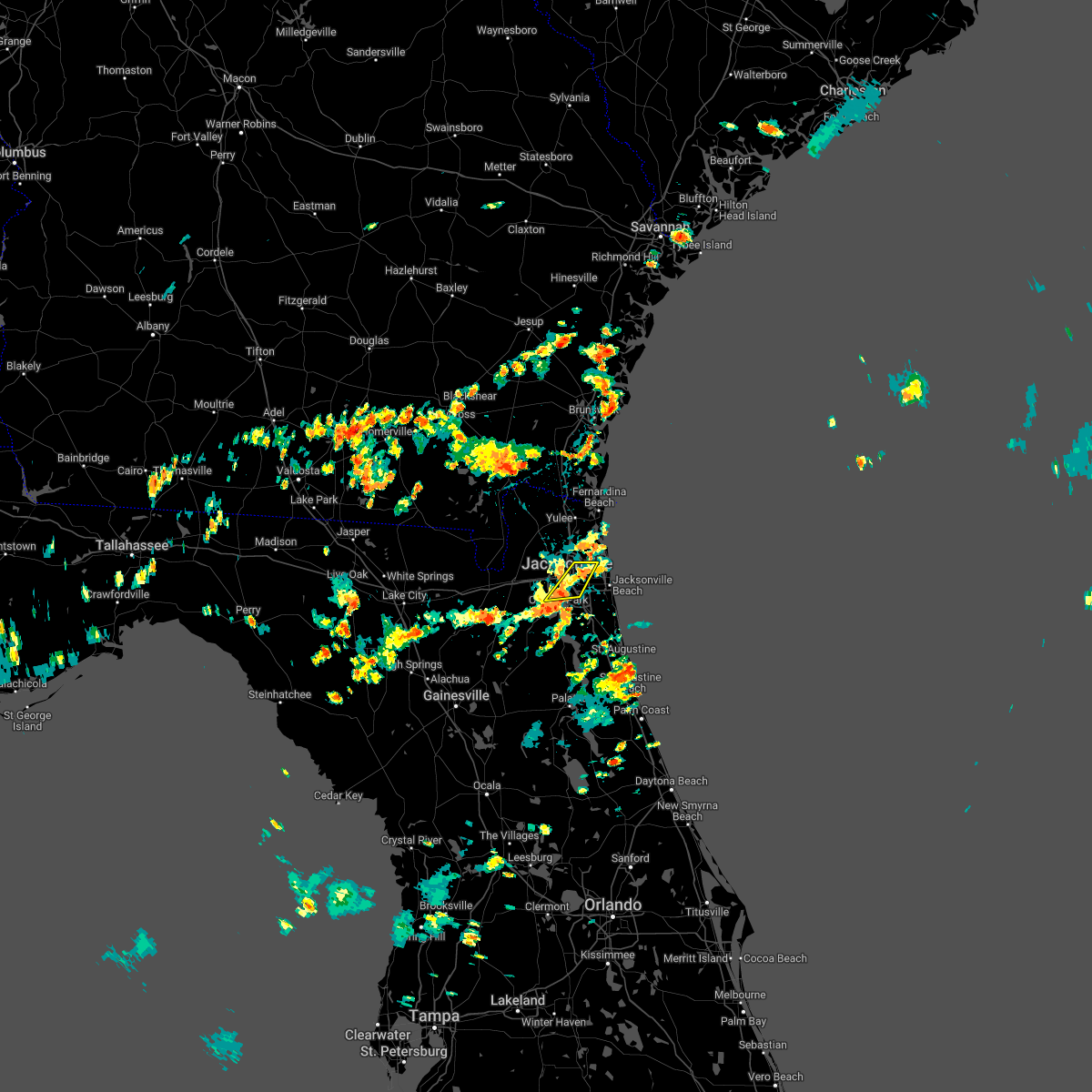 At 250 pm edt, a severe thunderstorm was located over riverside, or over jacksonville, and is nearly stationary (radar indicated). Hazards include 60 mph wind gusts and quarter size hail. Hail damage to vehicles is expected. expect wind damage to roofs, siding, and trees. locations impacted include, jacksonville, arlington, nas jax, ortega, craig field, fort caroline, san marco, riverside and tallyrand. hail threat, radar indicated max hail size, 1. 00 in wind threat, radar indicated max wind gust, 60 mph. At 250 pm edt, a severe thunderstorm was located over riverside, or over jacksonville, and is nearly stationary (radar indicated). Hazards include 60 mph wind gusts and quarter size hail. Hail damage to vehicles is expected. expect wind damage to roofs, siding, and trees. locations impacted include, jacksonville, arlington, nas jax, ortega, craig field, fort caroline, san marco, riverside and tallyrand. hail threat, radar indicated max hail size, 1. 00 in wind threat, radar indicated max wind gust, 60 mph.
|
| 8/31/2022 2:31 PM EDT |
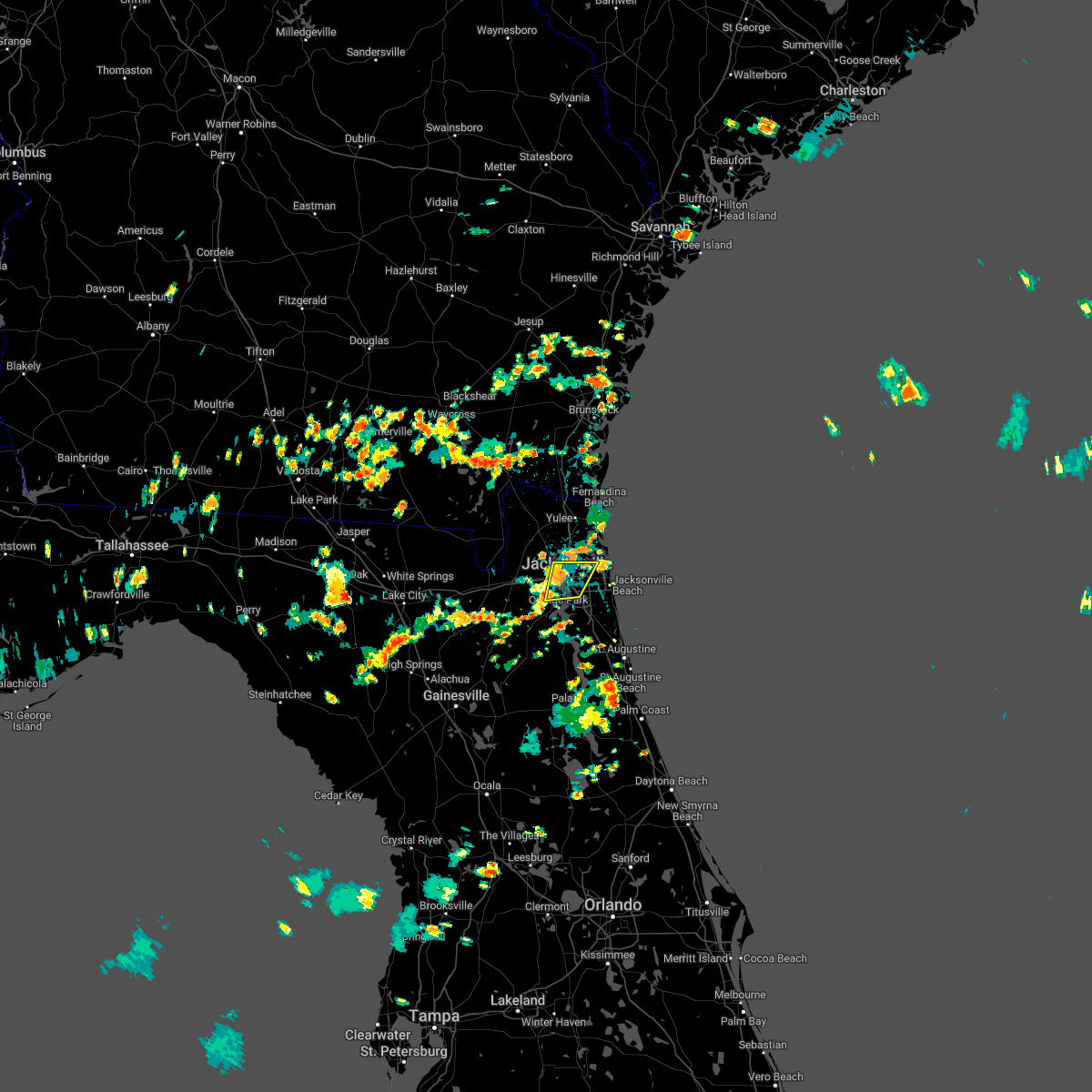 At 231 pm edt, a severe thunderstorm was located over riverside, or over jacksonville, moving southeast at 5 mph (radar indicated). Hazards include 60 mph wind gusts and quarter size hail. Hail damage to vehicles is expected. Expect wind damage to roofs, siding, and trees. At 231 pm edt, a severe thunderstorm was located over riverside, or over jacksonville, moving southeast at 5 mph (radar indicated). Hazards include 60 mph wind gusts and quarter size hail. Hail damage to vehicles is expected. Expect wind damage to roofs, siding, and trees.
|
| 8/23/2022 7:27 PM EDT | At 727 pm edt, a severe thunderstorm was located over bellair-meadowbrook terrace, or over orange park, and is nearly stationary (radar indicated). Hazards include 60 mph wind gusts. expect damage to roofs, siding, and trees |
| 8/22/2022 3:28 PM EDT | The severe thunderstorm warning for east central nassau and northeastern duval counties will expire at 330 pm edt, the storm which prompted the warning is moving offshore, and the warning will be allowed to expire. however gusty winds and heavy rain are still possible with this thunderstorm. |
| 8/22/2022 3:15 PM EDT | At 315 pm edt, a severe thunderstorm was located 7 miles south of fernandina beach, moving northeast at 20 mph (radar indicated). Hazards include 60 mph wind gusts and quarter size hail. Hail damage to vehicles is expected. Expect wind damage to roofs, siding, and trees. |
| 8/21/2022 5:54 PM EDT |
 The severe thunderstorm warning for northwestern st. johns and southern duval counties will expire at 600 pm edt, the severe thunderstorm which prompted the warning has weakened. therefore, the warning will be allowed to expire. The severe thunderstorm warning for northwestern st. johns and southern duval counties will expire at 600 pm edt, the severe thunderstorm which prompted the warning has weakened. therefore, the warning will be allowed to expire.
|
| 8/21/2022 5:53 PM EDT |
 The tornado warning for northwestern st. johns and southern duval counties will expire at 600 pm edt, the tornado threat has diminished and the tornado warning has been cancelled. however, large hail and damaging winds remain likely and a severe thunderstorm warning remains in effect for the area. however gusty winds are still possible with this thunderstorm. remember, a severe thunderstorm warning still remains in effect for st johns county. The tornado warning for northwestern st. johns and southern duval counties will expire at 600 pm edt, the tornado threat has diminished and the tornado warning has been cancelled. however, large hail and damaging winds remain likely and a severe thunderstorm warning remains in effect for the area. however gusty winds are still possible with this thunderstorm. remember, a severe thunderstorm warning still remains in effect for st johns county.
|
| 8/21/2022 5:51 PM EDT |
 At 551 pm edt, a severe thunderstorm capable of producing a tornado was located over fruit cove, and is nearly stationary (radar indicated rotation). Hazards include tornado. Flying debris will be dangerous to those caught without shelter. mobile homes will be damaged or destroyed. damage to roofs, windows, and vehicles will occur. tree damage is likely. this dangerous storm will be near, switzerland around 605 pm edt. Green cove springs around 615 pm edt. At 551 pm edt, a severe thunderstorm capable of producing a tornado was located over fruit cove, and is nearly stationary (radar indicated rotation). Hazards include tornado. Flying debris will be dangerous to those caught without shelter. mobile homes will be damaged or destroyed. damage to roofs, windows, and vehicles will occur. tree damage is likely. this dangerous storm will be near, switzerland around 605 pm edt. Green cove springs around 615 pm edt.
|
| 8/21/2022 5:50 PM EDT | Report of tree down due to thunderstorm wind in duval county FL, 17.1 miles NNW of Jacksonville, FL |
| 8/21/2022 5:50 PM EDT |
 At 550 pm edt, a severe thunderstorm was located over switzerland, or near fruit cove, moving southwest at 10 mph (radar indicated). Hazards include 60 mph wind gusts and quarter size hail. Hail damage to vehicles is expected. expect wind damage to roofs, siding, and trees. Locations impacted include, fruit cove, mandarin and switzerland. At 550 pm edt, a severe thunderstorm was located over switzerland, or near fruit cove, moving southwest at 10 mph (radar indicated). Hazards include 60 mph wind gusts and quarter size hail. Hail damage to vehicles is expected. expect wind damage to roofs, siding, and trees. Locations impacted include, fruit cove, mandarin and switzerland.
|
| 8/21/2022 5:46 PM EDT |
 At 545 pm edt, a severe thunderstorm capable of producing a tornado was located over fruit cove, and is nearly stationary (radar indicated rotation). Hazards include tornado. Flying debris will be dangerous to those caught without shelter. mobile homes will be damaged or destroyed. damage to roofs, windows, and vehicles will occur. tree damage is likely. This dangerous storm will be near, green cove springs and switzerland around 600 pm edt. At 545 pm edt, a severe thunderstorm capable of producing a tornado was located over fruit cove, and is nearly stationary (radar indicated rotation). Hazards include tornado. Flying debris will be dangerous to those caught without shelter. mobile homes will be damaged or destroyed. damage to roofs, windows, and vehicles will occur. tree damage is likely. This dangerous storm will be near, green cove springs and switzerland around 600 pm edt.
|
| 8/21/2022 5:46 PM EDT |
 At 546 pm edt, a severe thunderstorm was located over switzerland, or near fruit cove, moving southwest at 10 mph (radar indicated). Hazards include 60 mph wind gusts and quarter size hail. Hail damage to vehicles is expected. expect wind damage to roofs, siding, and trees. Locations impacted include, fruit cove, mandarin and switzerland. At 546 pm edt, a severe thunderstorm was located over switzerland, or near fruit cove, moving southwest at 10 mph (radar indicated). Hazards include 60 mph wind gusts and quarter size hail. Hail damage to vehicles is expected. expect wind damage to roofs, siding, and trees. Locations impacted include, fruit cove, mandarin and switzerland.
|
| 8/21/2022 5:39 PM EDT |
 At 538 pm edt, a severe thunderstorm capable of producing a tornado was located over fruit cove, and is nearly stationary (radar indicated rotation). Hazards include tornado. Flying debris will be dangerous to those caught without shelter. mobile homes will be damaged or destroyed. damage to roofs, windows, and vehicles will occur. tree damage is likely. This dangerous storm will be near, green cove springs and switzerland around 600 pm edt. At 538 pm edt, a severe thunderstorm capable of producing a tornado was located over fruit cove, and is nearly stationary (radar indicated rotation). Hazards include tornado. Flying debris will be dangerous to those caught without shelter. mobile homes will be damaged or destroyed. damage to roofs, windows, and vehicles will occur. tree damage is likely. This dangerous storm will be near, green cove springs and switzerland around 600 pm edt.
|
| 8/21/2022 5:32 PM EDT | Broadcast media relayed photos on social media of multiple trees down along walnut bend rd. time estimate based on rada in duval county FL, 13.9 miles NNW of Jacksonville, FL |
| 8/21/2022 5:29 PM EDT |
 At 529 pm edt, a severe thunderstorm was located over fruit cove, moving southwest at 10 mph (radar indicated). Hazards include 60 mph wind gusts and quarter size hail. Hail damage to vehicles is expected. Expect wind damage to roofs, siding, and trees. At 529 pm edt, a severe thunderstorm was located over fruit cove, moving southwest at 10 mph (radar indicated). Hazards include 60 mph wind gusts and quarter size hail. Hail damage to vehicles is expected. Expect wind damage to roofs, siding, and trees.
|
| 8/18/2022 5:35 PM EDT | Report of tree down on a powerlin in duval county FL, 9.2 miles WNW of Jacksonville, FL |
| 8/18/2022 4:11 PM EDT |
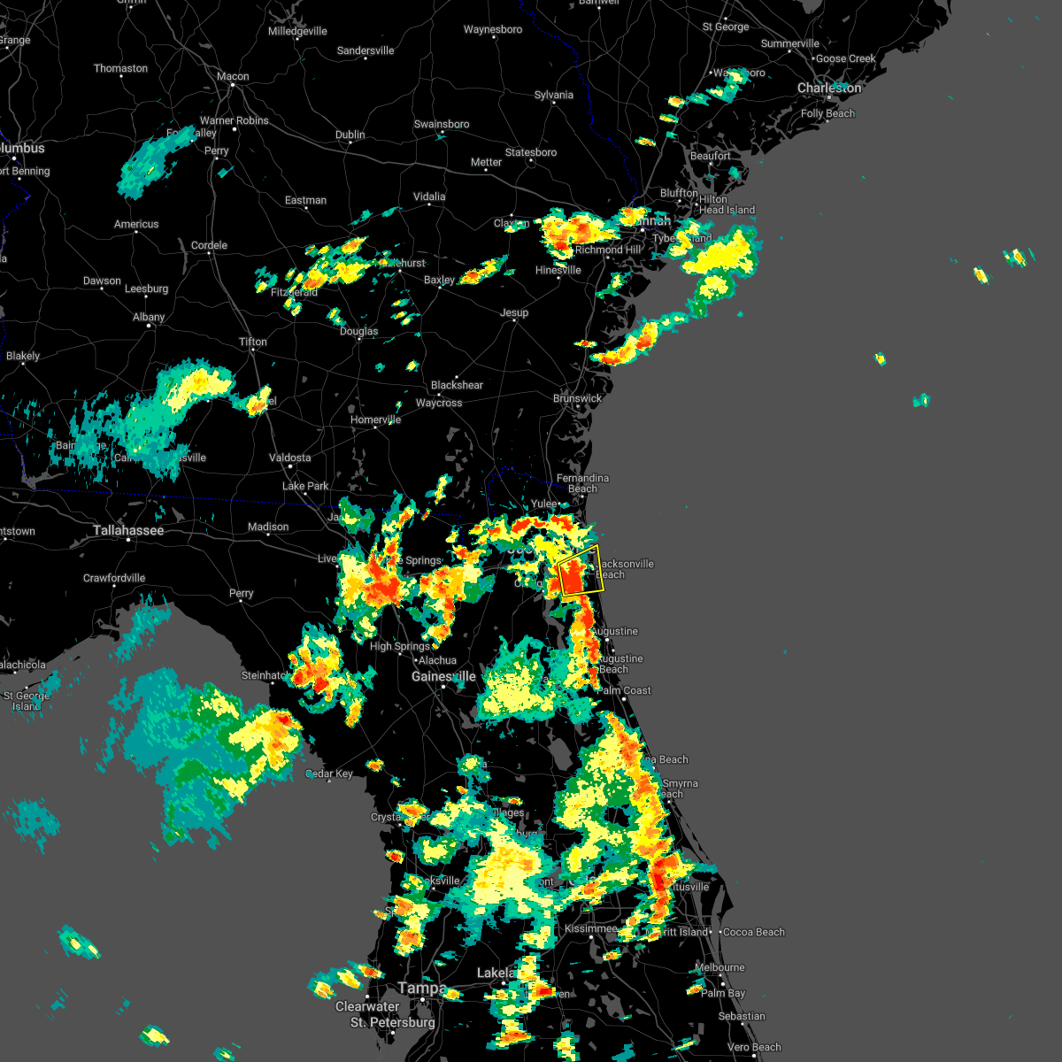 The severe thunderstorm warning for northern st. johns and southeastern duval counties will expire at 415 pm edt, the storm which prompted the warning has weakened below severe limits, and no longer poses an immediate threat to life or property. therefore, the warning will be allowed to expire. however gusty winds and heavy rain are still possible with this thunderstorm. The severe thunderstorm warning for northern st. johns and southeastern duval counties will expire at 415 pm edt, the storm which prompted the warning has weakened below severe limits, and no longer poses an immediate threat to life or property. therefore, the warning will be allowed to expire. however gusty winds and heavy rain are still possible with this thunderstorm.
|
| 8/18/2022 3:56 PM EDT |
 At 355 pm edt, a severe thunderstorm was located over unf, moving northeast at 25 mph (radar indicated). Hazards include 60 mph wind gusts and penny size hail. Expect damage to roofs, siding, and trees. locations impacted include, unf, ponte vedra beach, neptune beach, palm valley, sawgrass, baymeadows, craig field and san pablo. hail threat, radar indicated max hail size, 0. 75 in wind threat, radar indicated max wind gust, 60 mph. At 355 pm edt, a severe thunderstorm was located over unf, moving northeast at 25 mph (radar indicated). Hazards include 60 mph wind gusts and penny size hail. Expect damage to roofs, siding, and trees. locations impacted include, unf, ponte vedra beach, neptune beach, palm valley, sawgrass, baymeadows, craig field and san pablo. hail threat, radar indicated max hail size, 0. 75 in wind threat, radar indicated max wind gust, 60 mph.
|
| 8/18/2022 3:38 PM EDT |
 At 338 pm edt, a severe thunderstorm was located over nas jax, or near mandarin, moving northeast at 10 mph (radar indicated). Hazards include 60 mph wind gusts and penny size hail. expect damage to roofs, siding, and trees At 338 pm edt, a severe thunderstorm was located over nas jax, or near mandarin, moving northeast at 10 mph (radar indicated). Hazards include 60 mph wind gusts and penny size hail. expect damage to roofs, siding, and trees
|
| 8/17/2022 6:23 PM EDT |
 At 622 pm edt, severe thunderstorms were located along a line extending from nocatee to world golf village to near green cove springs, moving southeast at 15 mph (radar indicated). Hazards include 60 mph wind gusts and penny size hail. expect damage to roofs, siding, and trees At 622 pm edt, severe thunderstorms were located along a line extending from nocatee to world golf village to near green cove springs, moving southeast at 15 mph (radar indicated). Hazards include 60 mph wind gusts and penny size hail. expect damage to roofs, siding, and trees
|
| 8/17/2022 6:08 PM EDT |
 At 608 pm edt, severe thunderstorms were located along a line extending from near bayard to near fruit cove, moving east at 15 mph (radar indicated). Hazards include 60 mph wind gusts and quarter size hail. Hail damage to vehicles is expected. expect wind damage to roofs, siding, and trees. locations impacted include, fruit cove, world golf village, south ponte vedra, nocatee, bayard, durbin, switzerland, guana river state park, sawgrass and palm valley. hail threat, radar indicated max hail size, 1. 00 in wind threat, radar indicated max wind gust, 60 mph. At 608 pm edt, severe thunderstorms were located along a line extending from near bayard to near fruit cove, moving east at 15 mph (radar indicated). Hazards include 60 mph wind gusts and quarter size hail. Hail damage to vehicles is expected. expect wind damage to roofs, siding, and trees. locations impacted include, fruit cove, world golf village, south ponte vedra, nocatee, bayard, durbin, switzerland, guana river state park, sawgrass and palm valley. hail threat, radar indicated max hail size, 1. 00 in wind threat, radar indicated max wind gust, 60 mph.
|
| 8/17/2022 6:00 PM EDT |
 At 600 pm edt, severe thunderstorms were located along a line extending from near baymeadows to switzerland, moving east at 10 mph (radar indicated). Hazards include 60 mph wind gusts and quarter size hail. Hail damage to vehicles is expected. Expect wind damage to roofs, siding, and trees. At 600 pm edt, severe thunderstorms were located along a line extending from near baymeadows to switzerland, moving east at 10 mph (radar indicated). Hazards include 60 mph wind gusts and quarter size hail. Hail damage to vehicles is expected. Expect wind damage to roofs, siding, and trees.
|
| 8/17/2022 5:55 PM EDT | The jacksonville electric authority reported severe thunderstorm damage to utility equipment along harp street... just north of julington creek road. the time of damage in duval county FL, 17.8 miles NNW of Jacksonville, FL |
| 8/17/2022 5:43 PM EDT | Jacksonville electric authority reported severe thunderstorm damage to utility equipment along n village grove drive off of scott mill road. the time of damage was base in duval county FL, 13.6 miles NNW of Jacksonville, FL |
| 8/17/2022 5:37 PM EDT |
 At 537 pm edt, a severe thunderstorm was located over baymeadows, or near unf, moving southeast at 20 mph (radar indicated). Hazards include 60 mph wind gusts. expect damage to roofs, siding, and trees At 537 pm edt, a severe thunderstorm was located over baymeadows, or near unf, moving southeast at 20 mph (radar indicated). Hazards include 60 mph wind gusts. expect damage to roofs, siding, and trees
|
| 8/11/2022 2:00 PM EDT | Delayed report. public posted a video on twitter of a large tree down in north jacksonville beach blocking the road on the intersection of 9th ave and 9th s in duval county FL, 18 miles WNW of Jacksonville, FL |
| 8/11/2022 1:11 PM EDT |
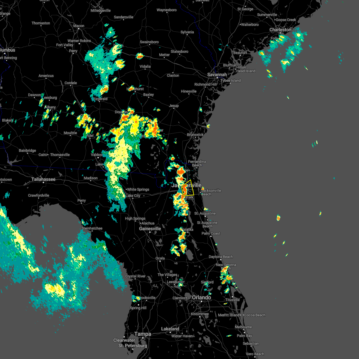 At 111 pm edt, a severe thunderstorm was located over riverside, or over jacksonville, and is nearly stationary (radar indicated). Hazards include 60 mph wind gusts and nickel size hail. expect damage to roofs, siding, and trees At 111 pm edt, a severe thunderstorm was located over riverside, or over jacksonville, and is nearly stationary (radar indicated). Hazards include 60 mph wind gusts and nickel size hail. expect damage to roofs, siding, and trees
|
| 8/11/2022 1:00 PM EDT |
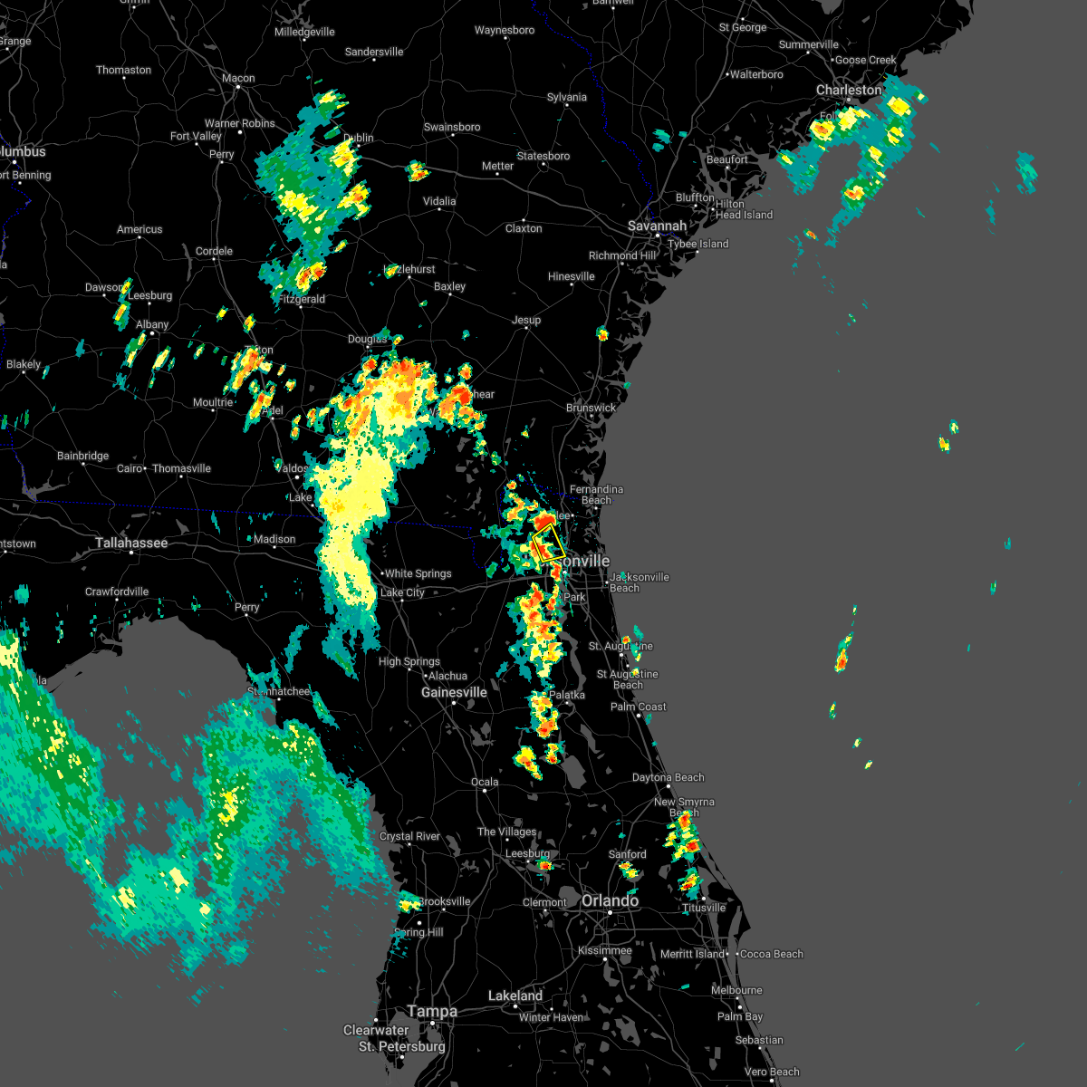 At 100 pm edt, a severe thunderstorm was located over ratliff, or near jacksonville international arpt, moving northeast at 15 mph (radar indicated). Hazards include 60 mph wind gusts. Expect damage to roofs, siding, and trees. locations impacted include, jacksonville international arpt, ratliff and nassau village-ratliff. hail threat, radar indicated max hail size, <. 75 in wind threat, radar indicated max wind gust, 60 mph. At 100 pm edt, a severe thunderstorm was located over ratliff, or near jacksonville international arpt, moving northeast at 15 mph (radar indicated). Hazards include 60 mph wind gusts. Expect damage to roofs, siding, and trees. locations impacted include, jacksonville international arpt, ratliff and nassau village-ratliff. hail threat, radar indicated max hail size, <. 75 in wind threat, radar indicated max wind gust, 60 mph.
|
| 8/11/2022 12:46 PM EDT |
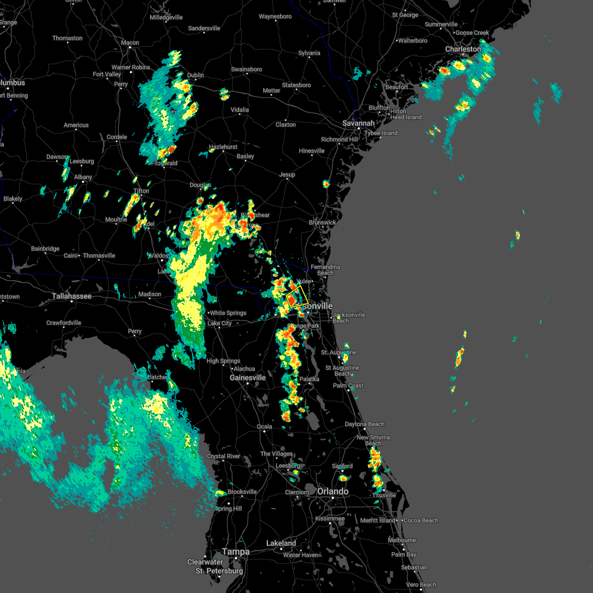 At 1246 pm edt, a severe thunderstorm was located near ratliff, or 7 miles west of jacksonville international arpt, moving northeast at 15 mph (radar indicated). Hazards include 60 mph wind gusts. expect damage to roofs, siding, and trees At 1246 pm edt, a severe thunderstorm was located near ratliff, or 7 miles west of jacksonville international arpt, moving northeast at 15 mph (radar indicated). Hazards include 60 mph wind gusts. expect damage to roofs, siding, and trees
|
| 7/22/2022 4:40 PM EDT |
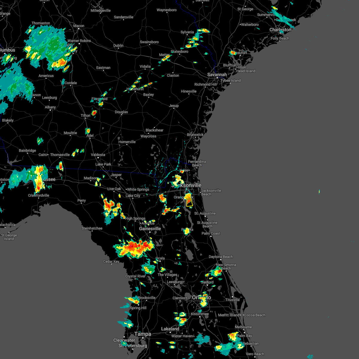 The severe thunderstorm warning for northwestern st. johns and south central duval counties will expire at 445 pm edt, the storm which prompted the warning has weakened below severe limits, and no longer poses an immediate threat to life or property. therefore, the warning will be allowed to expire. however gusty winds and heavy rain are still possible with this thunderstorm. The severe thunderstorm warning for northwestern st. johns and south central duval counties will expire at 445 pm edt, the storm which prompted the warning has weakened below severe limits, and no longer poses an immediate threat to life or property. therefore, the warning will be allowed to expire. however gusty winds and heavy rain are still possible with this thunderstorm.
|
| 7/22/2022 4:19 PM EDT |
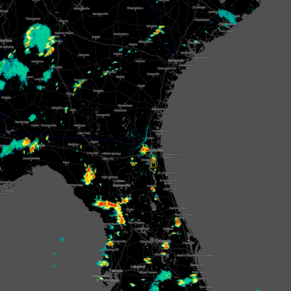 At 419 pm edt, a severe thunderstorm was located over mandarin, moving south at 10 mph (radar indicated). Hazards include 60 mph wind gusts and penny size hail. expect damage to roofs, siding, and trees At 419 pm edt, a severe thunderstorm was located over mandarin, moving south at 10 mph (radar indicated). Hazards include 60 mph wind gusts and penny size hail. expect damage to roofs, siding, and trees
|
| 7/20/2022 2:12 PM EDT | Strong thunderstorm winds knocked multiple trees down in a few backyards on morning light r in duval county FL, 7.1 miles SW of Jacksonville, FL |
| 7/11/2022 5:22 PM EDT |
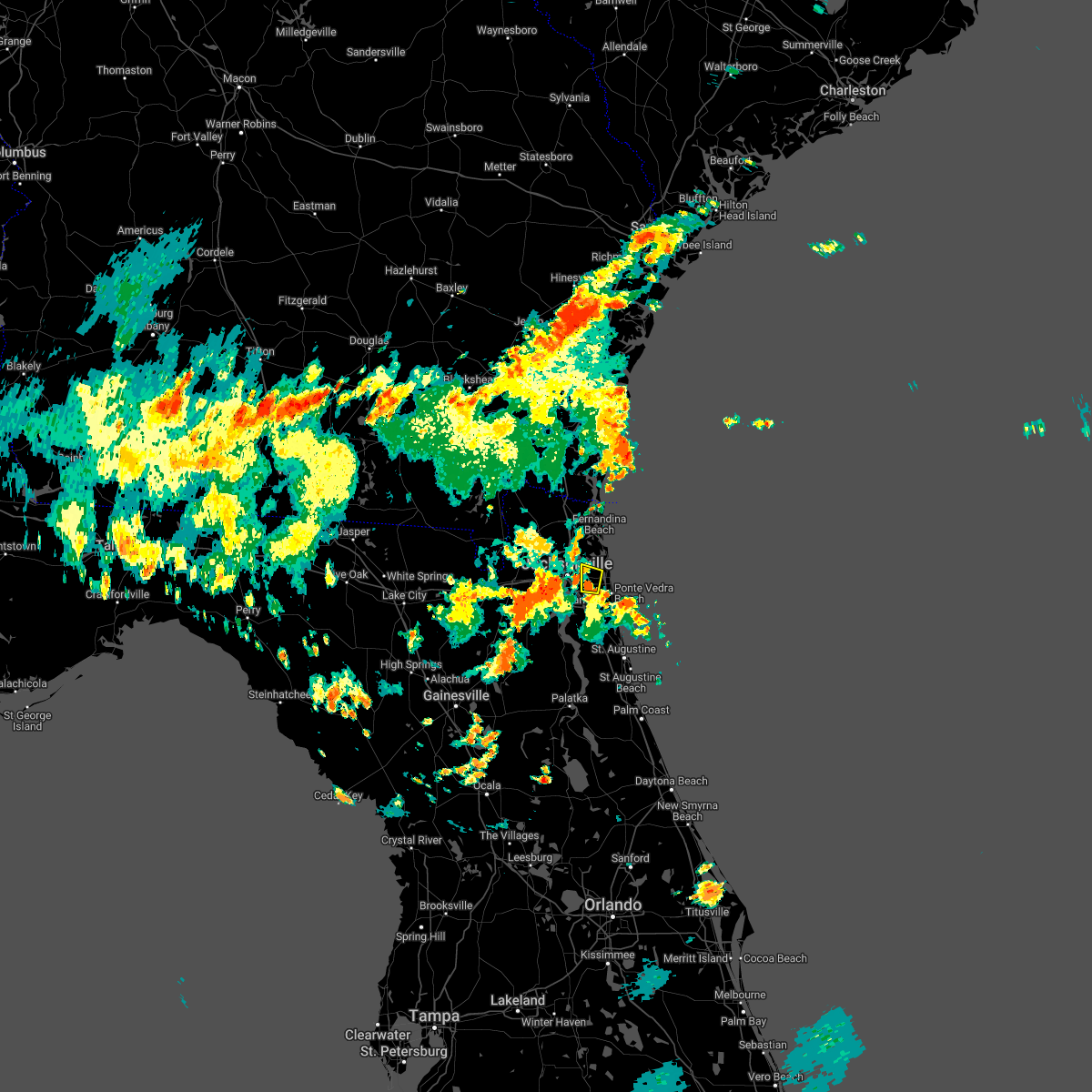 At 522 pm edt, a severe thunderstorm was located over craig field, or near unf, moving north at 35 mph (radar indicated). Hazards include 60 mph wind gusts. Expect damage to roofs, siding, and trees. locations impacted include, unf and craig field. hail threat, radar indicated max hail size, <. 75 in wind threat, radar indicated max wind gust, 60 mph. At 522 pm edt, a severe thunderstorm was located over craig field, or near unf, moving north at 35 mph (radar indicated). Hazards include 60 mph wind gusts. Expect damage to roofs, siding, and trees. locations impacted include, unf and craig field. hail threat, radar indicated max hail size, <. 75 in wind threat, radar indicated max wind gust, 60 mph.
|
| 7/11/2022 5:12 PM EDT |
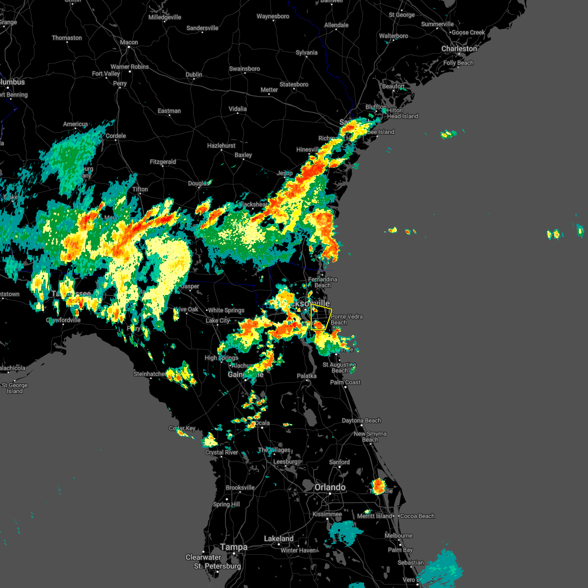 At 511 pm edt, a severe thunderstorm was located near unf, moving north at 35 mph (radar indicated). Hazards include 60 mph wind gusts. expect damage to roofs, siding, and trees At 511 pm edt, a severe thunderstorm was located near unf, moving north at 35 mph (radar indicated). Hazards include 60 mph wind gusts. expect damage to roofs, siding, and trees
|
| 7/8/2022 5:44 PM EDT | Shingles blown off house. 1 inch tree branches dow in nassau county FL, 18.4 miles SW of Jacksonville, FL |
| 6/18/2022 9:12 AM EDT |
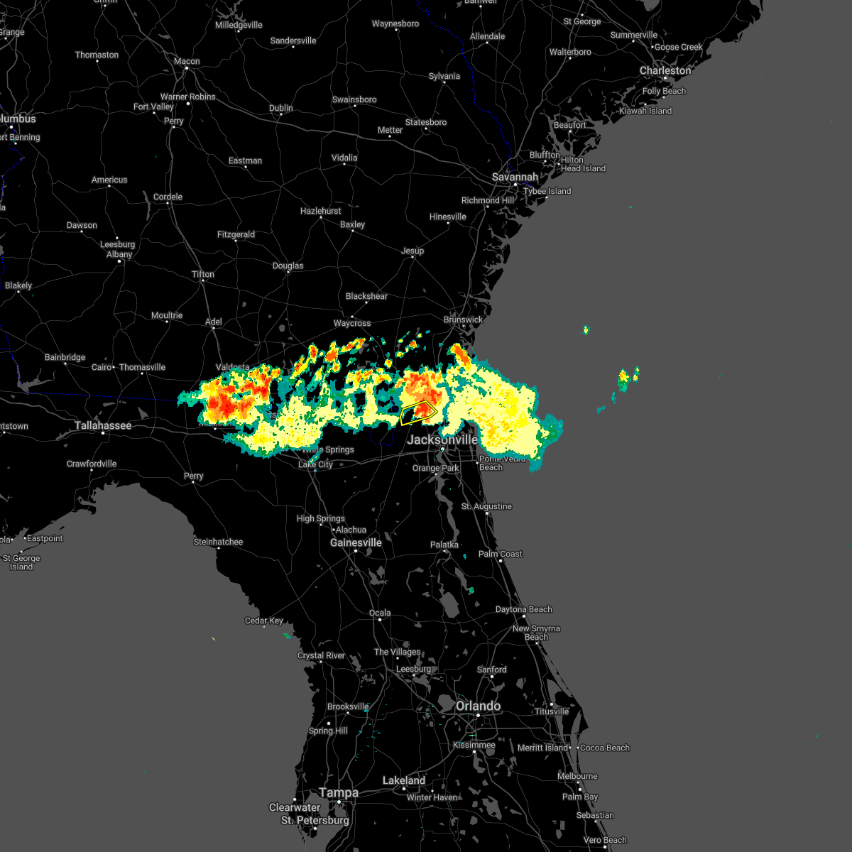 The severe thunderstorm warning for west central nassau county will expire at 915 am edt, the storm which prompted the warning has weakened below severe limits, and the warning will be allowed to expire. gusty winds and heavy rain are still possible with this thunderstorm and could cause minor damage to trees and tree limbs. The severe thunderstorm warning for west central nassau county will expire at 915 am edt, the storm which prompted the warning has weakened below severe limits, and the warning will be allowed to expire. gusty winds and heavy rain are still possible with this thunderstorm and could cause minor damage to trees and tree limbs.
|
| 6/18/2022 9:07 AM EDT |
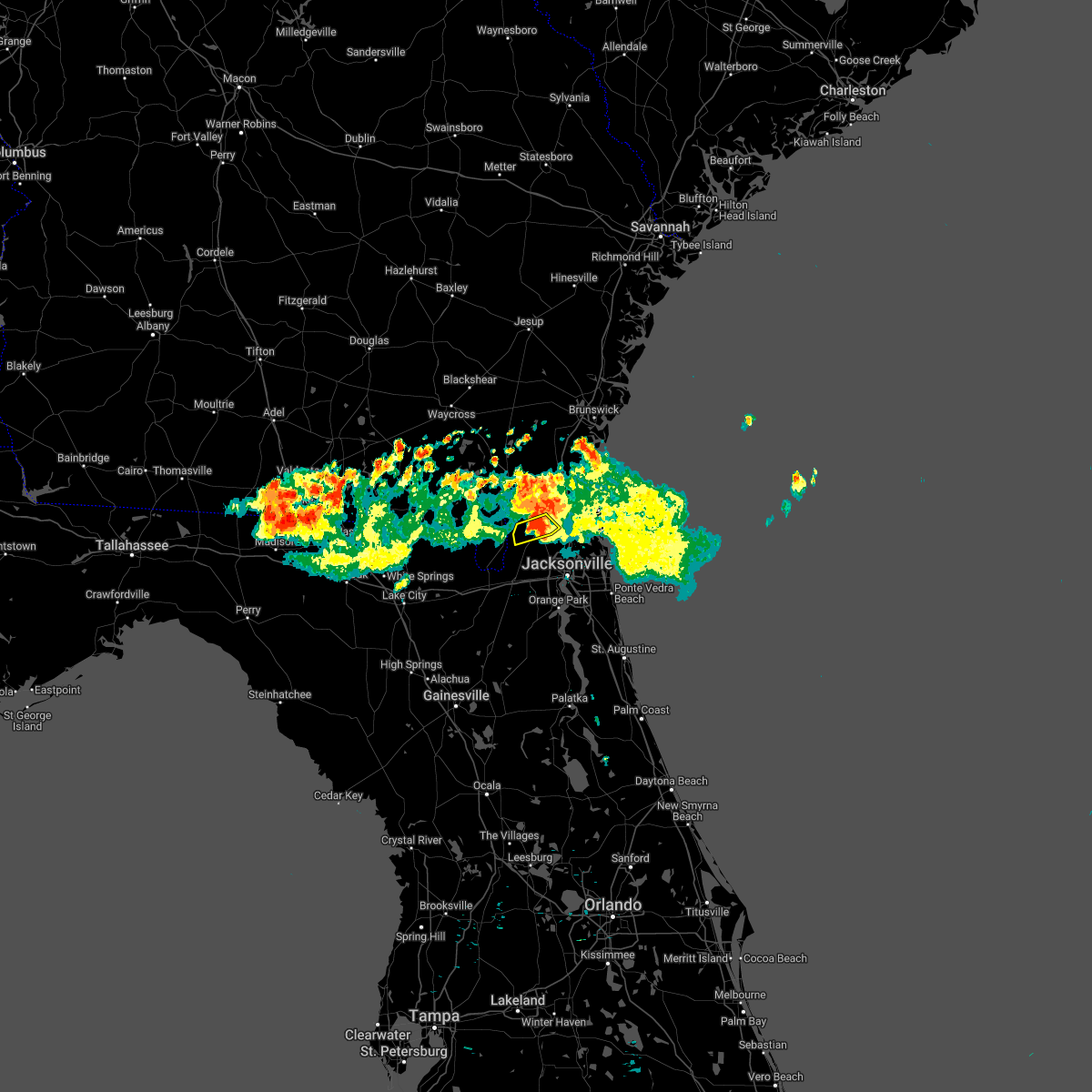 At 906 am edt, a severe thunderstorm was located near callahan, moving south at 20 mph (radar indicated). Hazards include 60 mph wind gusts and quarter size hail. Hail damage to vehicles is expected. expect wind damage to roofs, siding, and trees. locations impacted include, callahan. hail threat, radar indicated max hail size, 1. 00 in wind threat, radar indicated max wind gust, 60 mph. At 906 am edt, a severe thunderstorm was located near callahan, moving south at 20 mph (radar indicated). Hazards include 60 mph wind gusts and quarter size hail. Hail damage to vehicles is expected. expect wind damage to roofs, siding, and trees. locations impacted include, callahan. hail threat, radar indicated max hail size, 1. 00 in wind threat, radar indicated max wind gust, 60 mph.
|
| 6/18/2022 8:59 AM EDT |
 At 859 am edt, a severe thunderstorm was located near callahan, moving south at 20 mph (radar indicated). Hazards include 60 mph wind gusts and quarter size hail. Hail damage to vehicles is expected. expect wind damage to roofs, siding, and trees. locations impacted include, callahan. hail threat, radar indicated max hail size, 1. 00 in wind threat, radar indicated max wind gust, 60 mph. At 859 am edt, a severe thunderstorm was located near callahan, moving south at 20 mph (radar indicated). Hazards include 60 mph wind gusts and quarter size hail. Hail damage to vehicles is expected. expect wind damage to roofs, siding, and trees. locations impacted include, callahan. hail threat, radar indicated max hail size, 1. 00 in wind threat, radar indicated max wind gust, 60 mph.
|
| 6/18/2022 8:50 AM EDT |
 At 850 am edt, a severe thunderstorm was located near hilliard, moving south at 20 mph (radar indicated). Hazards include 60 mph wind gusts and quarter size hail. Hail damage to vehicles is expected. expect wind damage to roofs, siding, and trees. locations impacted include, hilliard and callahan. hail threat, radar indicated max hail size, 1. 00 in wind threat, radar indicated max wind gust, 60 mph. At 850 am edt, a severe thunderstorm was located near hilliard, moving south at 20 mph (radar indicated). Hazards include 60 mph wind gusts and quarter size hail. Hail damage to vehicles is expected. expect wind damage to roofs, siding, and trees. locations impacted include, hilliard and callahan. hail threat, radar indicated max hail size, 1. 00 in wind threat, radar indicated max wind gust, 60 mph.
|
| 6/18/2022 8:46 AM EDT |
 At 846 am edt, a severe thunderstorm was located near hilliard, moving south at 20 mph (radar indicated). Hazards include 60 mph wind gusts and quarter size hail. Hail damage to vehicles is expected. expect wind damage to roofs, siding, and trees. locations impacted include, hilliard and callahan. hail threat, radar indicated max hail size, 1. 00 in wind threat, radar indicated max wind gust, 60 mph. At 846 am edt, a severe thunderstorm was located near hilliard, moving south at 20 mph (radar indicated). Hazards include 60 mph wind gusts and quarter size hail. Hail damage to vehicles is expected. expect wind damage to roofs, siding, and trees. locations impacted include, hilliard and callahan. hail threat, radar indicated max hail size, 1. 00 in wind threat, radar indicated max wind gust, 60 mph.
|
| 6/18/2022 8:40 AM EDT |
 At 840 am edt, a severe thunderstorm was located over hilliard, moving south at 20 mph (radar indicated). Hazards include 60 mph wind gusts and quarter size hail. Hail damage to vehicles is expected. Expect wind damage to roofs, siding, and trees. At 840 am edt, a severe thunderstorm was located over hilliard, moving south at 20 mph (radar indicated). Hazards include 60 mph wind gusts and quarter size hail. Hail damage to vehicles is expected. Expect wind damage to roofs, siding, and trees.
|
| 6/18/2022 12:06 AM EDT |
 At 1205 am edt, weakening thunderstorms were located along a line extending from near homeland to near kings ferry to 6 miles north of kings bay base, moving southeast at 40 mph. although the storms are weakening, they are still capable of producing 40-50 mph wind gusts (radar indicated). Hazards include 40 to 50 mph wind gusts. Expect minor damage to trees and structures. locations impacted include, st. marys, kingsland, fernandina beach, hilliard, folkston, woodbine, kings bay base, yulee, homeland and kings ferry. hail threat, radar indicated max hail size, <. 75 in wind threat, radar indicated max wind gust, 60 mph. At 1205 am edt, weakening thunderstorms were located along a line extending from near homeland to near kings ferry to 6 miles north of kings bay base, moving southeast at 40 mph. although the storms are weakening, they are still capable of producing 40-50 mph wind gusts (radar indicated). Hazards include 40 to 50 mph wind gusts. Expect minor damage to trees and structures. locations impacted include, st. marys, kingsland, fernandina beach, hilliard, folkston, woodbine, kings bay base, yulee, homeland and kings ferry. hail threat, radar indicated max hail size, <. 75 in wind threat, radar indicated max wind gust, 60 mph.
|
| 6/17/2022 11:39 PM EDT |
 At 1139 pm edt, severe thunderstorms were located along a line extending from 6 miles northwest of race pond to 10 miles west of woodbine to near waverly, moving southeast at 50 mph. the storms have a history of producing damage (radar indicated). Hazards include 60 mph wind gusts. expect damage to roofs, siding, and trees At 1139 pm edt, severe thunderstorms were located along a line extending from 6 miles northwest of race pond to 10 miles west of woodbine to near waverly, moving southeast at 50 mph. the storms have a history of producing damage (radar indicated). Hazards include 60 mph wind gusts. expect damage to roofs, siding, and trees
|
| 6/17/2022 11:39 PM EDT |
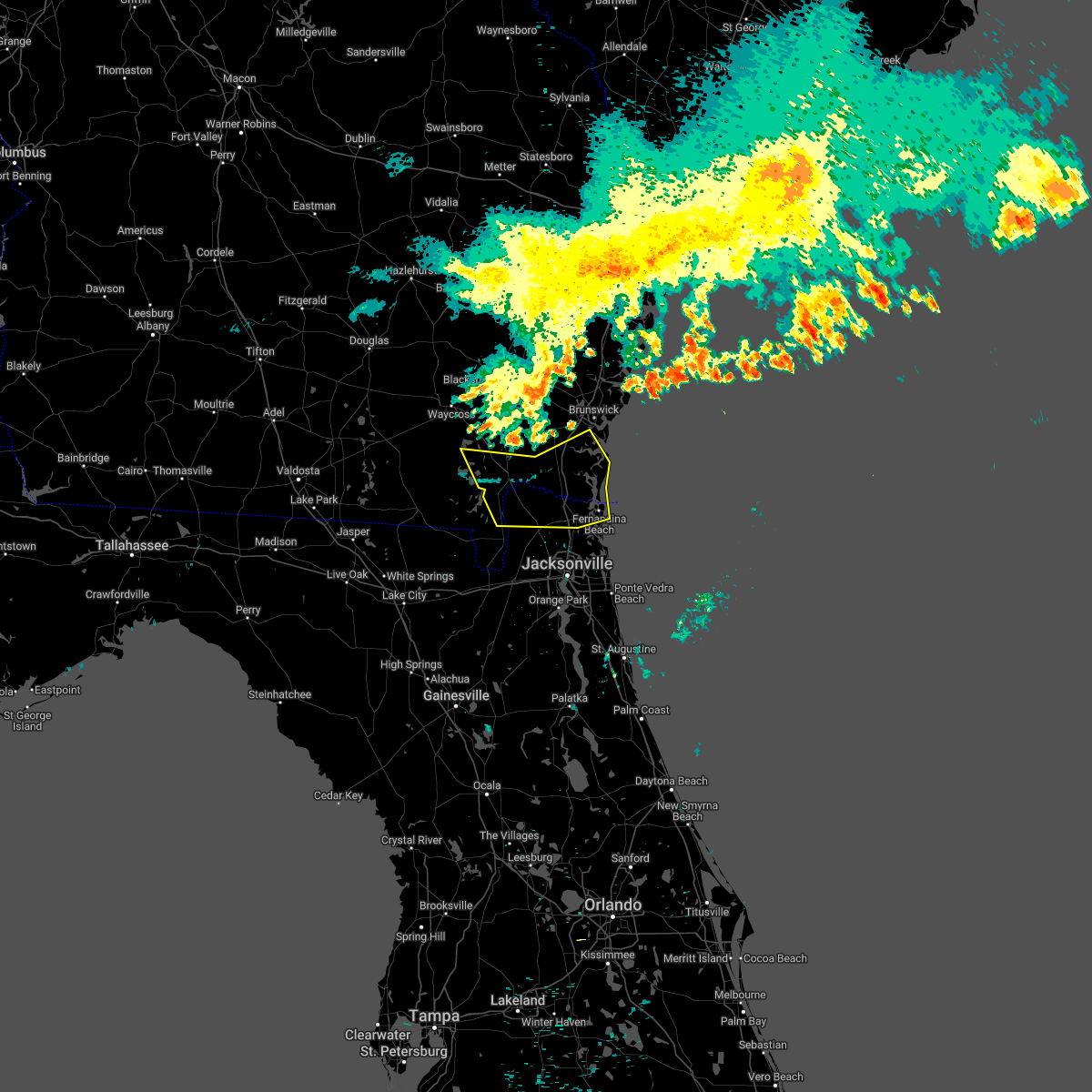 At 1139 pm edt, severe thunderstorms were located along a line extending from 6 miles northwest of race pond to 10 miles west of woodbine to near waverly, moving southeast at 50 mph. the storms have a history of producing damage (radar indicated). Hazards include 60 mph wind gusts. expect damage to roofs, siding, and trees At 1139 pm edt, severe thunderstorms were located along a line extending from 6 miles northwest of race pond to 10 miles west of woodbine to near waverly, moving southeast at 50 mph. the storms have a history of producing damage (radar indicated). Hazards include 60 mph wind gusts. expect damage to roofs, siding, and trees
|
| 6/14/2022 5:12 PM EDT | A few trees down in the mandarin are in duval county FL, 16.1 miles N of Jacksonville, FL |
| 6/9/2022 4:30 PM EDT | Mesonet station xjak jacksonvill in duval county FL, 12.4 miles W of Jacksonville, FL |
| 6/9/2022 4:30 PM EDT |
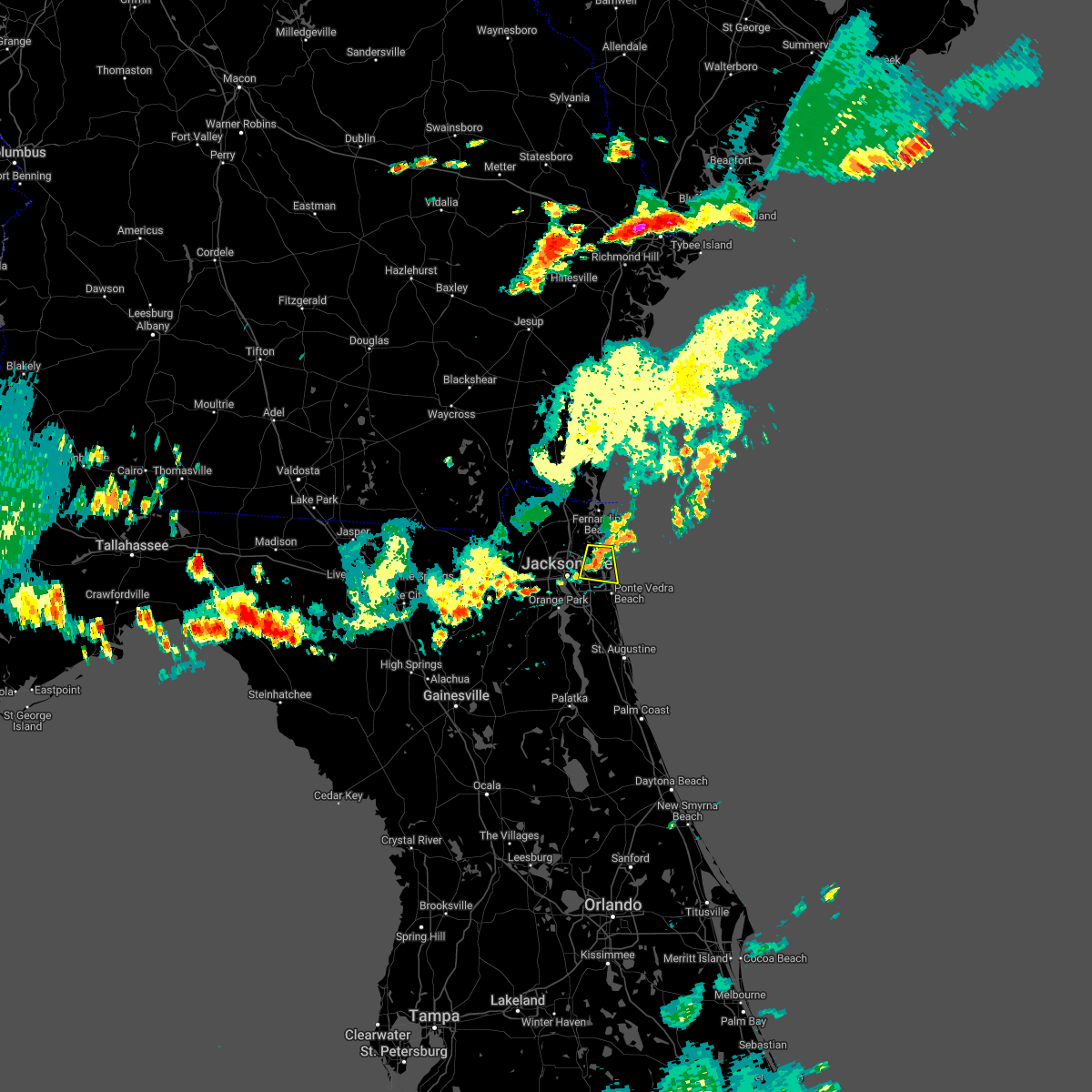 At 429 pm edt, a severe thunderstorm was located over fort caroline, or 8 miles north of unf, moving east at 20 mph (radar indicated). Hazards include 60 mph wind gusts and penny size hail. expect damage to roofs, siding, and trees At 429 pm edt, a severe thunderstorm was located over fort caroline, or 8 miles north of unf, moving east at 20 mph (radar indicated). Hazards include 60 mph wind gusts and penny size hail. expect damage to roofs, siding, and trees
|
| 5/29/2022 5:08 PM EDT |
 The severe thunderstorm warning for northwestern clay county will expire at 515 pm edt, the storm which prompted the warning has weakened below severe limits, and no longer poses an immediate threat to life or property. therefore, the warning will be allowed to expire. The severe thunderstorm warning for northwestern clay county will expire at 515 pm edt, the storm which prompted the warning has weakened below severe limits, and no longer poses an immediate threat to life or property. therefore, the warning will be allowed to expire.
|
| 5/29/2022 4:48 PM EDT |
 At 448 pm edt, a severe thunderstorm was located near oakleaf plantation, or near middleburg, moving west at 10 mph (radar indicated). Hazards include 60 mph wind gusts and quarter size hail. Hail damage to vehicles is expected. Expect wind damage to roofs, siding, and trees. At 448 pm edt, a severe thunderstorm was located near oakleaf plantation, or near middleburg, moving west at 10 mph (radar indicated). Hazards include 60 mph wind gusts and quarter size hail. Hail damage to vehicles is expected. Expect wind damage to roofs, siding, and trees.
|
| 5/21/2022 5:39 PM EDT |
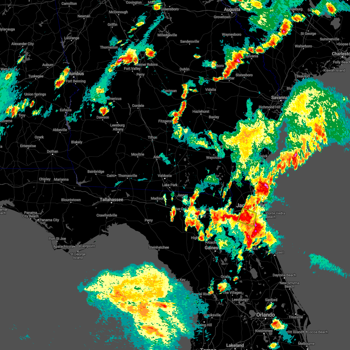 The severe thunderstorm warning for northwestern st. johns, northeastern clay and south central duval counties will expire at 545 pm edt, the storm which prompted the warning has weakened below severe limits, and no longer poses an immediate threat to life or property. therefore, the warning will be allowed to expire. however small hail, gusty winds and heavy rain are still possible with this thunderstorm. to report severe weather, contact your nearest law enforcement agency. they will relay your report to the national weather service jacksonville. The severe thunderstorm warning for northwestern st. johns, northeastern clay and south central duval counties will expire at 545 pm edt, the storm which prompted the warning has weakened below severe limits, and no longer poses an immediate threat to life or property. therefore, the warning will be allowed to expire. however small hail, gusty winds and heavy rain are still possible with this thunderstorm. to report severe weather, contact your nearest law enforcement agency. they will relay your report to the national weather service jacksonville.
|
| 5/21/2022 5:28 PM EDT |
 At 528 pm edt, a severe thunderstorm was located over bellair-meadowbrook terrace, or near orange park, moving north at 20 mph (radar indicated). Hazards include 60 mph wind gusts and quarter size hail. Hail damage to vehicles is expected. expect wind damage to roofs, siding, and trees. locations impacted include, orange park, mandarin, fruit cove, fleming island, baymeadows, ortega, oakleaf plantation, bellair-meadowbrook terrace, switzerland and nas jax. hail threat, radar indicated max hail size, 1. 00 in wind threat, radar indicated max wind gust, 60 mph. At 528 pm edt, a severe thunderstorm was located over bellair-meadowbrook terrace, or near orange park, moving north at 20 mph (radar indicated). Hazards include 60 mph wind gusts and quarter size hail. Hail damage to vehicles is expected. expect wind damage to roofs, siding, and trees. locations impacted include, orange park, mandarin, fruit cove, fleming island, baymeadows, ortega, oakleaf plantation, bellair-meadowbrook terrace, switzerland and nas jax. hail threat, radar indicated max hail size, 1. 00 in wind threat, radar indicated max wind gust, 60 mph.
|
| 5/21/2022 5:22 PM EDT |
 The severe thunderstorm warning for northeastern nassau, northeastern duval and southeastern camden counties will expire at 530 pm edt, the storm which prompted the warning has weakened below severe limits, and no longer poses an immediate threat to life or property. therefore, the warning will be allowed to expire. however small hail, gusty winds and heavy rain are still possible with this thunderstorm. to report severe weather, contact your nearest law enforcement agency. they will relay your report to the national weather service jacksonville. The severe thunderstorm warning for northeastern nassau, northeastern duval and southeastern camden counties will expire at 530 pm edt, the storm which prompted the warning has weakened below severe limits, and no longer poses an immediate threat to life or property. therefore, the warning will be allowed to expire. however small hail, gusty winds and heavy rain are still possible with this thunderstorm. to report severe weather, contact your nearest law enforcement agency. they will relay your report to the national weather service jacksonville.
|
| 5/21/2022 5:21 PM EDT |
 At 521 pm edt, a severe thunderstorm was located over lakeside, or near orange park, moving northeast at 20 mph (radar indicated). Hazards include ping pong ball size hail and 60 mph wind gusts. People and animals outdoors will be injured. expect hail damage to roofs, siding, windows, and vehicles. expect wind damage to roofs, siding, and trees. locations impacted include, orange park, green cove springs, middleburg, mandarin, fruit cove, fleming island, baymeadows, ortega, oakleaf plantation and bellair-meadowbrook terrace. hail threat, radar indicated max hail size, 1. 50 in wind threat, radar indicated max wind gust, 60 mph. At 521 pm edt, a severe thunderstorm was located over lakeside, or near orange park, moving northeast at 20 mph (radar indicated). Hazards include ping pong ball size hail and 60 mph wind gusts. People and animals outdoors will be injured. expect hail damage to roofs, siding, windows, and vehicles. expect wind damage to roofs, siding, and trees. locations impacted include, orange park, green cove springs, middleburg, mandarin, fruit cove, fleming island, baymeadows, ortega, oakleaf plantation and bellair-meadowbrook terrace. hail threat, radar indicated max hail size, 1. 50 in wind threat, radar indicated max wind gust, 60 mph.
|
| 5/21/2022 5:15 PM EDT |
 At 514 pm edt, a severe thunderstorm was located over oakleaf plantation, or 7 miles northeast of middleburg, moving north at 20 mph (radar indicated). Hazards include 60 mph wind gusts and quarter size hail. Hail damage to vehicles is expected. Expect wind damage to roofs, siding, and trees. At 514 pm edt, a severe thunderstorm was located over oakleaf plantation, or 7 miles northeast of middleburg, moving north at 20 mph (radar indicated). Hazards include 60 mph wind gusts and quarter size hail. Hail damage to vehicles is expected. Expect wind damage to roofs, siding, and trees.
|
| 5/21/2022 5:12 PM EDT |
 At 511 pm edt, a severe thunderstorm was located near yulee, or 8 miles northeast of jacksonville international arpt, moving north at 20 mph (radar indicated). Hazards include 60 mph wind gusts and quarter size hail. Hail damage to vehicles is expected. expect wind damage to roofs, siding, and trees. locations impacted include, st. marys, kingsland, kings bay base, jacksonville international arpt, yulee, oceanway, cisco gardens and tallyrand. hail threat, radar indicated max hail size, 1. 00 in wind threat, radar indicated max wind gust, 60 mph. At 511 pm edt, a severe thunderstorm was located near yulee, or 8 miles northeast of jacksonville international arpt, moving north at 20 mph (radar indicated). Hazards include 60 mph wind gusts and quarter size hail. Hail damage to vehicles is expected. expect wind damage to roofs, siding, and trees. locations impacted include, st. marys, kingsland, kings bay base, jacksonville international arpt, yulee, oceanway, cisco gardens and tallyrand. hail threat, radar indicated max hail size, 1. 00 in wind threat, radar indicated max wind gust, 60 mph.
|
| 5/21/2022 4:57 PM EDT |
 At 457 pm edt, a severe thunderstorm was located over oceanway, or near jacksonville international arpt, moving northeast at 15 mph (radar indicated). Hazards include 60 mph wind gusts and quarter size hail. Hail damage to vehicles is expected. Expect wind damage to roofs, siding, and trees. At 457 pm edt, a severe thunderstorm was located over oceanway, or near jacksonville international arpt, moving northeast at 15 mph (radar indicated). Hazards include 60 mph wind gusts and quarter size hail. Hail damage to vehicles is expected. Expect wind damage to roofs, siding, and trees.
|
| 5/15/2022 3:09 PM EDT |
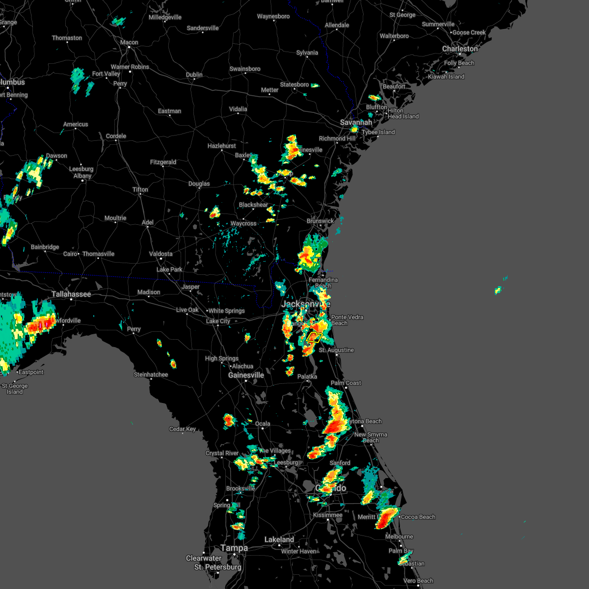 The severe thunderstorm warning for northwestern st. johns county will expire at 315 pm edt, the storm which prompted the warning has weakened below severe limits, and no longer poses an immediate threat to life or property. therefore, the warning will be allowed to expire. however heavy rain is still possible with this thunderstorm. The severe thunderstorm warning for northwestern st. johns county will expire at 315 pm edt, the storm which prompted the warning has weakened below severe limits, and no longer poses an immediate threat to life or property. therefore, the warning will be allowed to expire. however heavy rain is still possible with this thunderstorm.
|
| 5/15/2022 2:59 PM EDT |
 At 259 pm edt, a severe thunderstorm was located over fruit cove, and is nearly stationary (radar indicated). Hazards include 60 mph wind gusts and quarter size hail. Hail damage to vehicles is expected. expect wind damage to roofs, siding, and trees. locations impacted include, fruit cove. hail threat, radar indicated max hail size, 1. 00 in wind threat, radar indicated max wind gust, 60 mph. At 259 pm edt, a severe thunderstorm was located over fruit cove, and is nearly stationary (radar indicated). Hazards include 60 mph wind gusts and quarter size hail. Hail damage to vehicles is expected. expect wind damage to roofs, siding, and trees. locations impacted include, fruit cove. hail threat, radar indicated max hail size, 1. 00 in wind threat, radar indicated max wind gust, 60 mph.
|
| 5/15/2022 2:47 PM EDT |
 At 247 pm edt, a severe thunderstorm was located near fruit cove, moving south at 10 mph (radar indicated). Hazards include 60 mph wind gusts and quarter size hail. Hail damage to vehicles is expected. Expect wind damage to roofs, siding, and trees. At 247 pm edt, a severe thunderstorm was located near fruit cove, moving south at 10 mph (radar indicated). Hazards include 60 mph wind gusts and quarter size hail. Hail damage to vehicles is expected. Expect wind damage to roofs, siding, and trees.
|
| 5/15/2022 2:40 PM EDT | Photo of railroad crossing arm damaged at airport center dr and north main. photo sent on twitter by broadcast media... relayed from publi in duval county FL, 7.6 miles SSW of Jacksonville, FL |
| 5/15/2022 2:16 PM EDT |
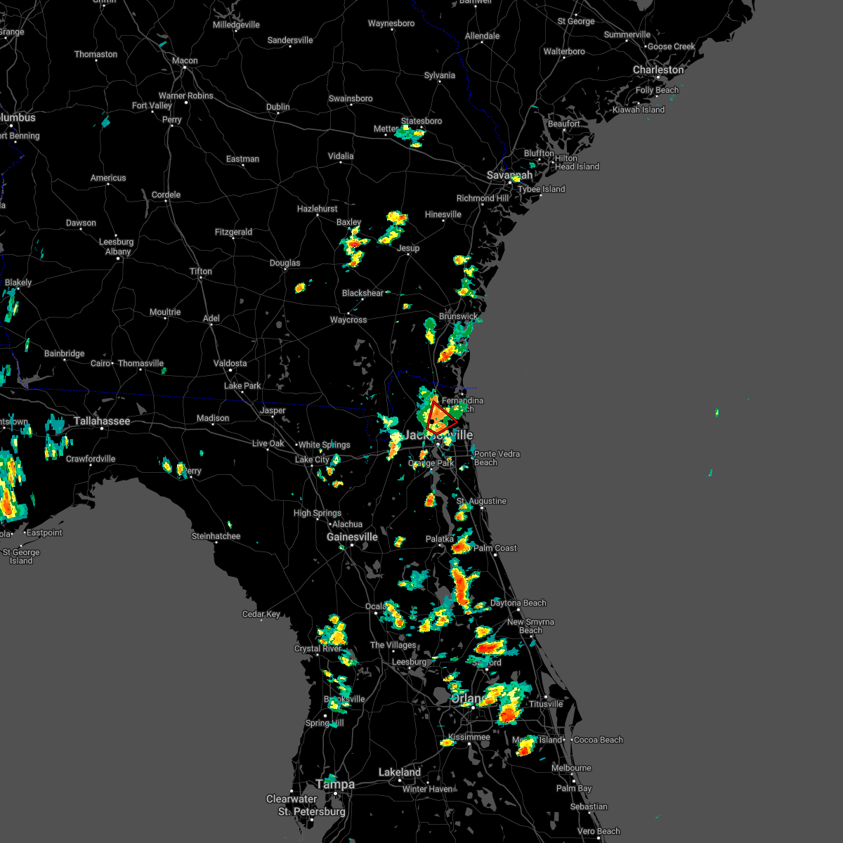 At 216 pm edt, a severe thunderstorm capable of producing a tornado was located over oceanway, or just east of jacksonville international arpt, moving northeast at 5 mph (radar indicated rotation). Hazards include tornado. Flying debris will be dangerous to those caught without shelter. mobile homes will be damaged or destroyed. damage to roofs, windows, and vehicles will occur. tree damage is likely. This tornadic thunderstorm will remain over mainly rural areas of eastern nassau and northeastern duval counties. At 216 pm edt, a severe thunderstorm capable of producing a tornado was located over oceanway, or just east of jacksonville international arpt, moving northeast at 5 mph (radar indicated rotation). Hazards include tornado. Flying debris will be dangerous to those caught without shelter. mobile homes will be damaged or destroyed. damage to roofs, windows, and vehicles will occur. tree damage is likely. This tornadic thunderstorm will remain over mainly rural areas of eastern nassau and northeastern duval counties.
|
| 5/15/2022 2:02 PM EDT |
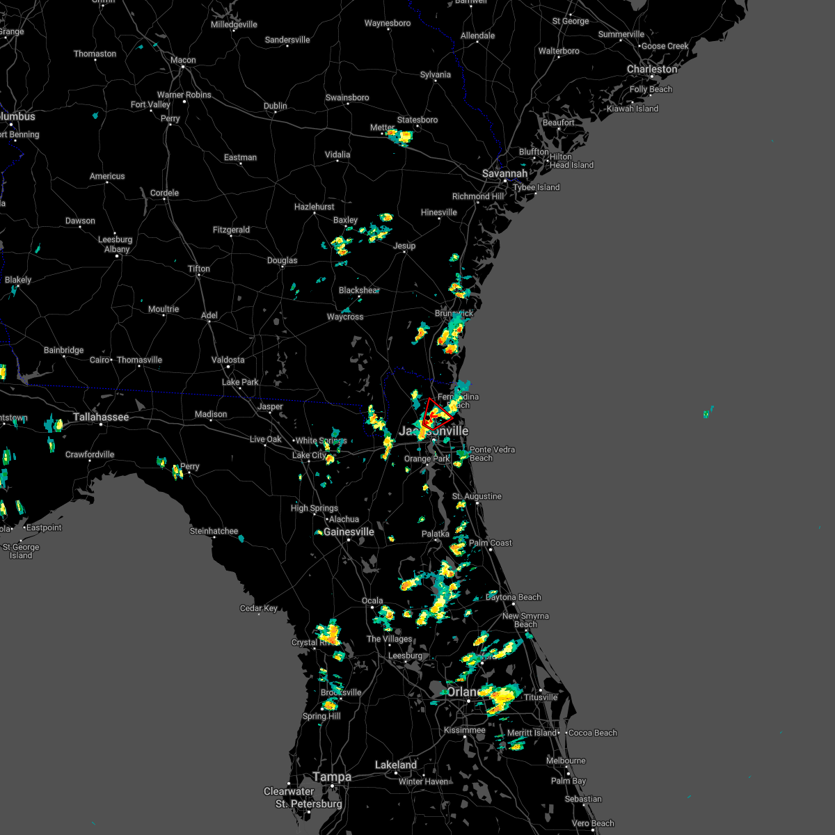 At 202 pm edt, a confirmed tornado was located over oceanway, or near jacksonville international arpt, moving northeast at 10 mph (weather spotters confirmed tornado). Hazards include damaging tornado. Flying debris will be dangerous to those caught without shelter. mobile homes will be damaged or destroyed. damage to roofs, windows, and vehicles will occur. tree damage is likely. This tornadic thunderstorm will remain over mainly rural areas of eastern nassau and northeastern duval counties. At 202 pm edt, a confirmed tornado was located over oceanway, or near jacksonville international arpt, moving northeast at 10 mph (weather spotters confirmed tornado). Hazards include damaging tornado. Flying debris will be dangerous to those caught without shelter. mobile homes will be damaged or destroyed. damage to roofs, windows, and vehicles will occur. tree damage is likely. This tornadic thunderstorm will remain over mainly rural areas of eastern nassau and northeastern duval counties.
|
| 5/15/2022 1:48 PM EDT |
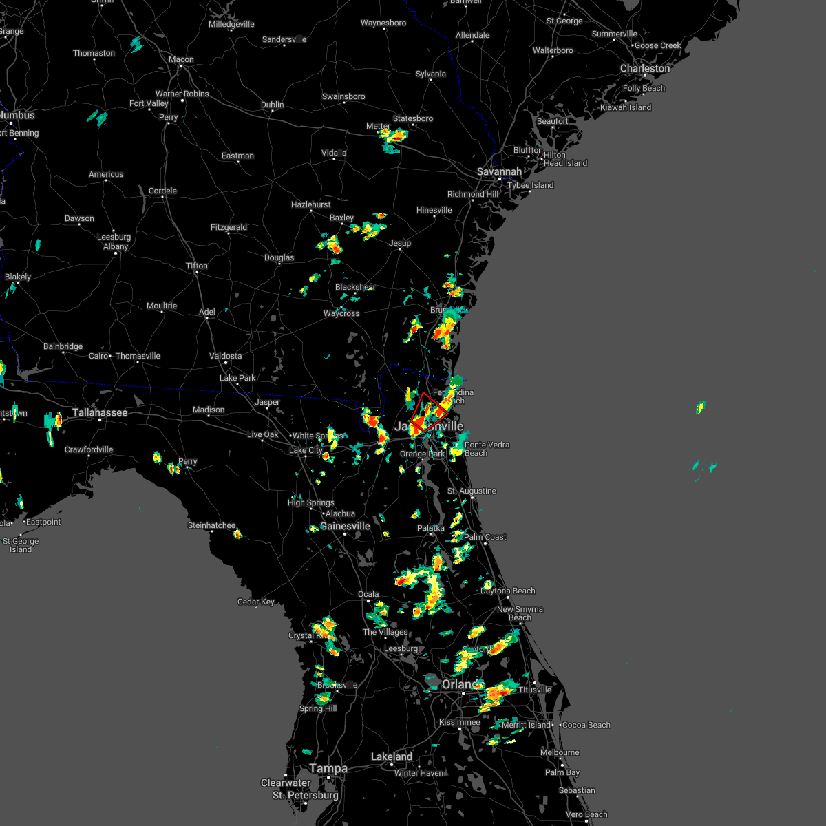 At 148 pm edt, a severe thunderstorm capable of producing a tornado was located over oceanway, or near jacksonville international arpt, moving northeast at 5 mph (radar indicated rotation). Hazards include tornado and quarter size hail. Flying debris will be dangerous to those caught without shelter. mobile homes will be damaged or destroyed. damage to roofs, windows, and vehicles will occur. tree damage is likely. this dangerous storm will be near, jacksonville international arpt around 200 pm edt. oceanway around 210 pm edt. Jacksonville around 215 pm edt. At 148 pm edt, a severe thunderstorm capable of producing a tornado was located over oceanway, or near jacksonville international arpt, moving northeast at 5 mph (radar indicated rotation). Hazards include tornado and quarter size hail. Flying debris will be dangerous to those caught without shelter. mobile homes will be damaged or destroyed. damage to roofs, windows, and vehicles will occur. tree damage is likely. this dangerous storm will be near, jacksonville international arpt around 200 pm edt. oceanway around 210 pm edt. Jacksonville around 215 pm edt.
|
| 5/6/2022 10:47 PM EDT |
 At 1046 pm edt, severe thunderstorms were located along a line extending from durbin to 6 miles east of picolata to near bostwick, moving east at 40 mph (radar indicated). Hazards include 60 mph wind gusts and penny size hail. Expect damage to roofs, siding, and trees. Locations impacted include, palatka, green cove springs, east palatka, fruit cove, world golf village, fleming island, george`s lake, nocatee, durbin and picolata. At 1046 pm edt, severe thunderstorms were located along a line extending from durbin to 6 miles east of picolata to near bostwick, moving east at 40 mph (radar indicated). Hazards include 60 mph wind gusts and penny size hail. Expect damage to roofs, siding, and trees. Locations impacted include, palatka, green cove springs, east palatka, fruit cove, world golf village, fleming island, george`s lake, nocatee, durbin and picolata.
|
| 5/6/2022 10:23 PM EDT |
 At 1022 pm edt, severe thunderstorms were located along a line extending from fleming island to 7 miles southwest of green cove springs to near george`s lake, moving east at 25 mph (radar indicated). Hazards include 60 mph wind gusts and penny size hail. Expect damage to roofs, siding, and trees. Locations impacted include, palatka, green cove springs, east palatka, fruit cove, world golf village, fleming island, george`s lake, nocatee, durbin and picolata. At 1022 pm edt, severe thunderstorms were located along a line extending from fleming island to 7 miles southwest of green cove springs to near george`s lake, moving east at 25 mph (radar indicated). Hazards include 60 mph wind gusts and penny size hail. Expect damage to roofs, siding, and trees. Locations impacted include, palatka, green cove springs, east palatka, fruit cove, world golf village, fleming island, george`s lake, nocatee, durbin and picolata.
|
| 5/6/2022 10:08 PM EDT |
 At 1008 pm edt, severe thunderstorms were located along a line extending from near doctors inlet to 7 miles north of george`s lake to near keystone heights, moving east at 25 mph (radar indicated). Hazards include 60 mph wind gusts and penny size hail. expect damage to roofs, siding, and trees At 1008 pm edt, severe thunderstorms were located along a line extending from near doctors inlet to 7 miles north of george`s lake to near keystone heights, moving east at 25 mph (radar indicated). Hazards include 60 mph wind gusts and penny size hail. expect damage to roofs, siding, and trees
|
| 4/17/2022 4:22 PM EDT |
 The severe thunderstorm warning for northwestern clay and southwestern duval counties will expire at 430 pm edt, the storm which prompted the warning has weakened below severe limits, and no longer poses an immediate threat to life or property. therefore, the warning will be allowed to expire. however gusty winds and heavy rain are still possible with this thunderstorm. The severe thunderstorm warning for northwestern clay and southwestern duval counties will expire at 430 pm edt, the storm which prompted the warning has weakened below severe limits, and no longer poses an immediate threat to life or property. therefore, the warning will be allowed to expire. however gusty winds and heavy rain are still possible with this thunderstorm.
|
| 4/17/2022 4:11 PM EDT |
 At 411 pm edt, a severe thunderstorm was located near maxville, or 7 miles northwest of middleburg, moving northeast at 15 mph (radar indicated). Hazards include 60 mph wind gusts and quarter size hail. Hail damage to vehicles is expected. expect wind damage to roofs, siding, and trees. locations impacted include, middleburg, cecil field, maxville, oakleaf plantation and asbury lake. hail threat, radar indicated max hail size, 1. 00 in wind threat, radar indicated max wind gust, 60 mph. At 411 pm edt, a severe thunderstorm was located near maxville, or 7 miles northwest of middleburg, moving northeast at 15 mph (radar indicated). Hazards include 60 mph wind gusts and quarter size hail. Hail damage to vehicles is expected. expect wind damage to roofs, siding, and trees. locations impacted include, middleburg, cecil field, maxville, oakleaf plantation and asbury lake. hail threat, radar indicated max hail size, 1. 00 in wind threat, radar indicated max wind gust, 60 mph.
|
| 4/17/2022 4:02 PM EDT |
 At 402 pm edt, a severe thunderstorm was located near maxville, or 7 miles northwest of middleburg, moving northeast at 15 mph (radar indicated). Hazards include 60 mph wind gusts and quarter size hail. Hail damage to vehicles is expected. Expect wind damage to roofs, siding, and trees. At 402 pm edt, a severe thunderstorm was located near maxville, or 7 miles northwest of middleburg, moving northeast at 15 mph (radar indicated). Hazards include 60 mph wind gusts and quarter size hail. Hail damage to vehicles is expected. Expect wind damage to roofs, siding, and trees.
|
| 4/17/2022 2:57 PM EDT |
 At 256 pm edt, severe thunderstorms were located along a line extending from guana river state park to near switzerland, moving south at 10 mph (radar indicated). Hazards include golf ball size hail and 70 mph wind gusts. People and animals outdoors will be injured. expect hail damage to roofs, siding, windows, and vehicles. expect considerable tree damage. wind damage is also likely to mobile homes, roofs, and outbuildings. locations impacted include, saint augustine, green cove springs, fruit cove, world golf village, saint augustine beach, fleming island, nocatee, durbin, vilano beach and picolata. thunderstorm damage threat, considerable hail threat, observed max hail size, 1. 75 in wind threat, radar indicated max wind gust, 70 mph. At 256 pm edt, severe thunderstorms were located along a line extending from guana river state park to near switzerland, moving south at 10 mph (radar indicated). Hazards include golf ball size hail and 70 mph wind gusts. People and animals outdoors will be injured. expect hail damage to roofs, siding, windows, and vehicles. expect considerable tree damage. wind damage is also likely to mobile homes, roofs, and outbuildings. locations impacted include, saint augustine, green cove springs, fruit cove, world golf village, saint augustine beach, fleming island, nocatee, durbin, vilano beach and picolata. thunderstorm damage threat, considerable hail threat, observed max hail size, 1. 75 in wind threat, radar indicated max wind gust, 70 mph.
|
| 4/17/2022 2:53 PM EDT |
 At 252 pm edt, severe thunderstorms were located along a line extending from guana river state park to near green cove springs, moving south at 10 mph (radar indicated). Hazards include golf ball size hail and 70 mph wind gusts. People and animals outdoors will be injured. expect hail damage to roofs, siding, windows, and vehicles. expect considerable tree damage. wind damage is also likely to mobile homes, roofs, and outbuildings. locations impacted include, saint augustine, green cove springs, fruit cove, world golf village, saint augustine beach, fleming island, nocatee, durbin, vilano beach and picolata. thunderstorm damage threat, considerable hail threat, observed max hail size, 1. 75 in wind threat, radar indicated max wind gust, 70 mph. At 252 pm edt, severe thunderstorms were located along a line extending from guana river state park to near green cove springs, moving south at 10 mph (radar indicated). Hazards include golf ball size hail and 70 mph wind gusts. People and animals outdoors will be injured. expect hail damage to roofs, siding, windows, and vehicles. expect considerable tree damage. wind damage is also likely to mobile homes, roofs, and outbuildings. locations impacted include, saint augustine, green cove springs, fruit cove, world golf village, saint augustine beach, fleming island, nocatee, durbin, vilano beach and picolata. thunderstorm damage threat, considerable hail threat, observed max hail size, 1. 75 in wind threat, radar indicated max wind gust, 70 mph.
|
| 4/17/2022 2:43 PM EDT |
 At 242 pm edt, severe thunderstorms were located along a line extending from near guana river state park to switzerland, moving south at 10 mph (radar indicated). Hazards include golf ball size hail and 70 mph wind gusts. People and animals outdoors will be injured. expect hail damage to roofs, siding, windows, and vehicles. expect considerable tree damage. Wind damage is also likely to mobile homes, roofs, and outbuildings. At 242 pm edt, severe thunderstorms were located along a line extending from near guana river state park to switzerland, moving south at 10 mph (radar indicated). Hazards include golf ball size hail and 70 mph wind gusts. People and animals outdoors will be injured. expect hail damage to roofs, siding, windows, and vehicles. expect considerable tree damage. Wind damage is also likely to mobile homes, roofs, and outbuildings.
|
| 4/17/2022 2:36 PM EDT |
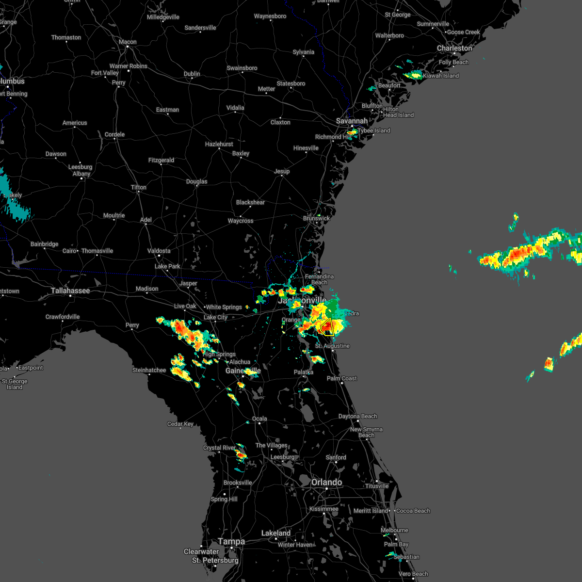 At 234 pm edt, a severe thunderstorm was located near sawgrass, or 7 miles south of ponte vedra beach, moving southeast at 5 mph (radar indicated). Hazards include two inch hail and 70 mph wind gusts. People and animals outdoors will be injured. expect hail damage to roofs, siding, windows, and vehicles. expect considerable tree damage. wind damage is also likely to mobile homes, roofs, and outbuildings. locations impacted include, sawgrass, nocatee and guana river state park. thunderstorm damage threat, considerable hail threat, radar indicated max hail size, 2. 00 in wind threat, radar indicated max wind gust, 70 mph. At 234 pm edt, a severe thunderstorm was located near sawgrass, or 7 miles south of ponte vedra beach, moving southeast at 5 mph (radar indicated). Hazards include two inch hail and 70 mph wind gusts. People and animals outdoors will be injured. expect hail damage to roofs, siding, windows, and vehicles. expect considerable tree damage. wind damage is also likely to mobile homes, roofs, and outbuildings. locations impacted include, sawgrass, nocatee and guana river state park. thunderstorm damage threat, considerable hail threat, radar indicated max hail size, 2. 00 in wind threat, radar indicated max wind gust, 70 mph.
|
| 4/17/2022 2:28 PM EDT |
 At 227 pm edt, a severe thunderstorm was located near sawgrass, or 7 miles south of ponte vedra beach, moving southeast at 10 mph (radar indicated). Hazards include 60 mph wind gusts and quarter size hail. Hail damage to vehicles is expected. expect wind damage to roofs, siding, and trees. locations impacted include, sawgrass, nocatee and guana river state park. hail threat, radar indicated max hail size, 1. 00 in wind threat, radar indicated max wind gust, 60 mph. At 227 pm edt, a severe thunderstorm was located near sawgrass, or 7 miles south of ponte vedra beach, moving southeast at 10 mph (radar indicated). Hazards include 60 mph wind gusts and quarter size hail. Hail damage to vehicles is expected. expect wind damage to roofs, siding, and trees. locations impacted include, sawgrass, nocatee and guana river state park. hail threat, radar indicated max hail size, 1. 00 in wind threat, radar indicated max wind gust, 60 mph.
|
| 4/17/2022 2:26 PM EDT |
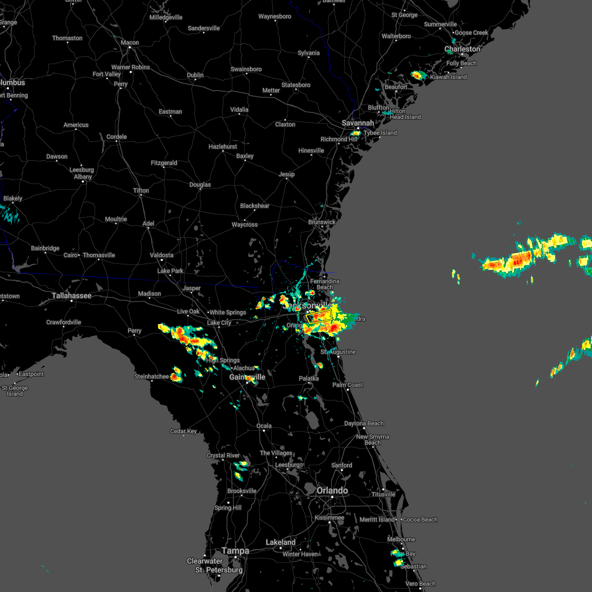 The severe thunderstorm warning for east central duval county will expire at 230 pm edt, the storms which prompted the warning have weakened below severe limits, and no longer pose an immediate threat to life or property. therefore, the warning will be allowed to expire. however gusty winds and heavy rain are still possible with these thunderstorms. The severe thunderstorm warning for east central duval county will expire at 230 pm edt, the storms which prompted the warning have weakened below severe limits, and no longer pose an immediate threat to life or property. therefore, the warning will be allowed to expire. however gusty winds and heavy rain are still possible with these thunderstorms.
|
| 4/17/2022 2:22 PM EDT |
 At 221 pm edt, a severe thunderstorm was located over sawgrass, or near ponte vedra beach, moving southeast at 5 mph (radar indicated). Hazards include 60 mph wind gusts and quarter size hail. Hail damage to vehicles is expected. expect wind damage to roofs, siding, and trees. locations impacted include, palm valley, sawgrass, nocatee and guana river state park. hail threat, radar indicated max hail size, 1. 00 in wind threat, radar indicated max wind gust, 60 mph. At 221 pm edt, a severe thunderstorm was located over sawgrass, or near ponte vedra beach, moving southeast at 5 mph (radar indicated). Hazards include 60 mph wind gusts and quarter size hail. Hail damage to vehicles is expected. expect wind damage to roofs, siding, and trees. locations impacted include, palm valley, sawgrass, nocatee and guana river state park. hail threat, radar indicated max hail size, 1. 00 in wind threat, radar indicated max wind gust, 60 mph.
|
| 4/17/2022 2:20 PM EDT |
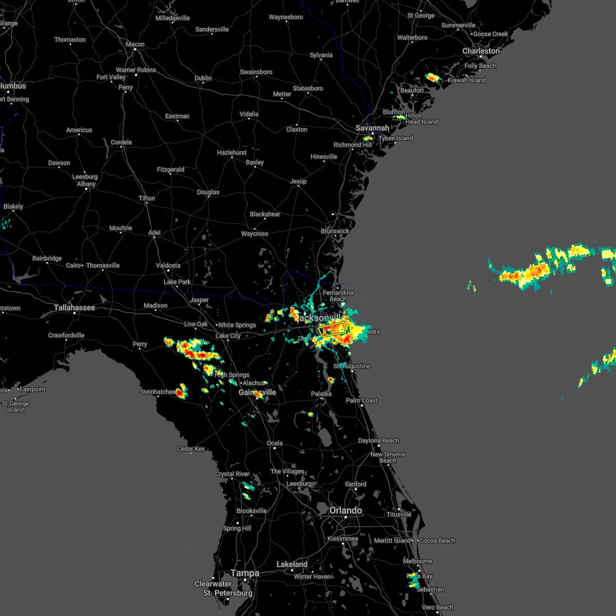 At 220 pm edt, severe thunderstorms were located along a line extending from neptune beach to near unf, moving southeast at 10 mph (radar indicated). Hazards include 60 mph wind gusts and half dollar size hail. Hail damage to vehicles is expected. expect wind damage to roofs, siding, and trees. locations impacted include, unf, neptune beach, san pablo and baymeadows. hail threat, observed max hail size, 1. 25 in wind threat, radar indicated max wind gust, 60 mph. At 220 pm edt, severe thunderstorms were located along a line extending from neptune beach to near unf, moving southeast at 10 mph (radar indicated). Hazards include 60 mph wind gusts and half dollar size hail. Hail damage to vehicles is expected. expect wind damage to roofs, siding, and trees. locations impacted include, unf, neptune beach, san pablo and baymeadows. hail threat, observed max hail size, 1. 25 in wind threat, radar indicated max wind gust, 60 mph.
|
| 4/17/2022 2:14 PM EDT |
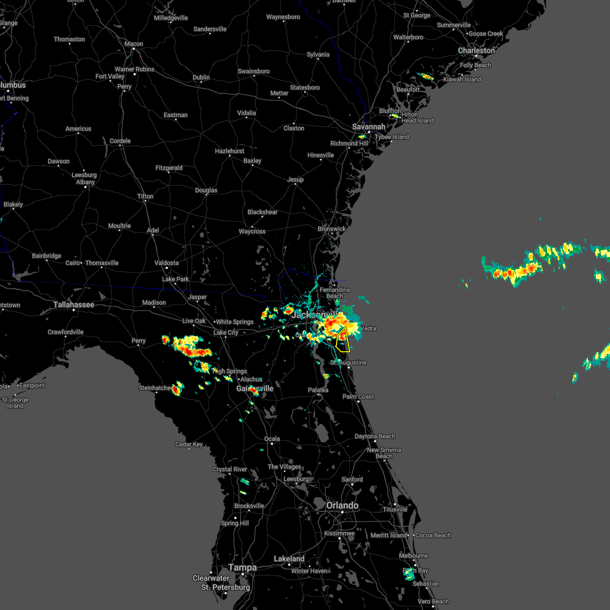 At 214 pm edt, a severe thunderstorm was located over sawgrass, or near ponte vedra beach, moving southeast at 5 mph (radar indicated). Hazards include 60 mph wind gusts and quarter size hail. Hail damage to vehicles is expected. Expect wind damage to roofs, siding, and trees. At 214 pm edt, a severe thunderstorm was located over sawgrass, or near ponte vedra beach, moving southeast at 5 mph (radar indicated). Hazards include 60 mph wind gusts and quarter size hail. Hail damage to vehicles is expected. Expect wind damage to roofs, siding, and trees.
|
| 4/17/2022 2:12 PM EDT |
 At 212 pm edt, severe thunderstorms were located along a line extending from neptune beach to san marco, moving southeast at 5 mph (radar indicated). Hazards include 60 mph wind gusts and half dollar size hail. Hail damage to vehicles is expected. expect wind damage to roofs, siding, and trees. locations impacted include, jacksonville, unf, arlington, neptune beach, baymeadows, craig field, san pablo, fort caroline and san marco. hail threat, observed max hail size, 1. 25 in wind threat, radar indicated max wind gust, 60 mph. At 212 pm edt, severe thunderstorms were located along a line extending from neptune beach to san marco, moving southeast at 5 mph (radar indicated). Hazards include 60 mph wind gusts and half dollar size hail. Hail damage to vehicles is expected. expect wind damage to roofs, siding, and trees. locations impacted include, jacksonville, unf, arlington, neptune beach, baymeadows, craig field, san pablo, fort caroline and san marco. hail threat, observed max hail size, 1. 25 in wind threat, radar indicated max wind gust, 60 mph.
|
| 4/17/2022 2:03 PM EDT |
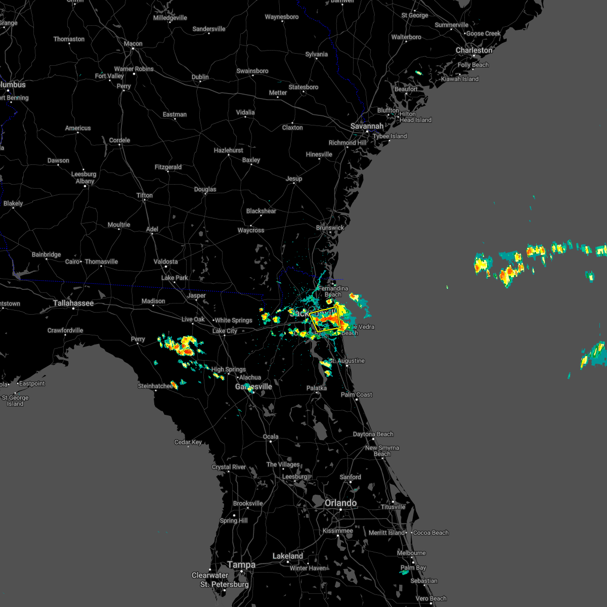 The national weather service in jacksonville has issued a * severe thunderstorm warning for. east central duval county in northeastern florida. until 230 pm edt. At 202 pm edt, a severe thunderstorm was located over craig field, or over arlington, moving east at 5 mph. The national weather service in jacksonville has issued a * severe thunderstorm warning for. east central duval county in northeastern florida. until 230 pm edt. At 202 pm edt, a severe thunderstorm was located over craig field, or over arlington, moving east at 5 mph.
|
| 4/7/2022 5:11 PM EDT |
 The severe thunderstorm warning for east central duval county will expire at 515 pm edt, the storm which prompted the warning has moved out of the area. therefore, the warning will be allowed to expire. The severe thunderstorm warning for east central duval county will expire at 515 pm edt, the storm which prompted the warning has moved out of the area. therefore, the warning will be allowed to expire.
|
| 4/7/2022 5:02 PM EDT |
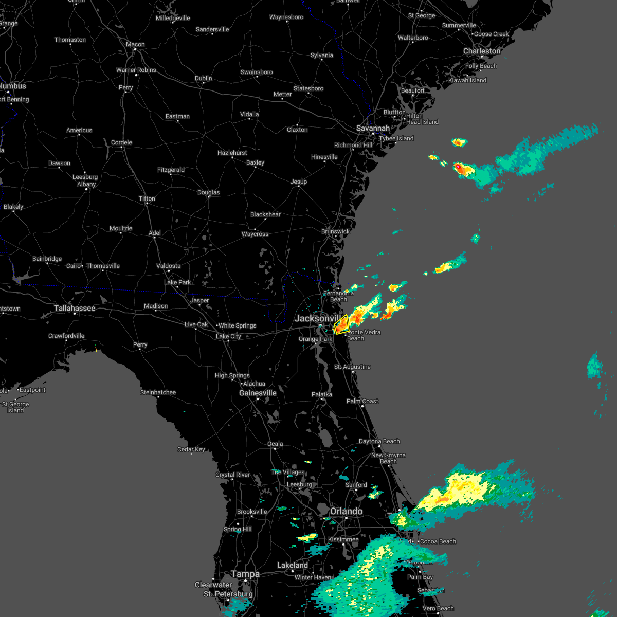 At 502 pm edt, a severe thunderstorm was located over san pablo, or near unf, moving east at 35 mph (radar indicated). Hazards include 60 mph wind gusts and quarter size hail. Hail damage to vehicles is expected. expect wind damage to roofs, siding, and trees. locations impacted include, neptune beach and san pablo. hail threat, radar indicated max hail size, 1. 00 in wind threat, radar indicated max wind gust, 60 mph. At 502 pm edt, a severe thunderstorm was located over san pablo, or near unf, moving east at 35 mph (radar indicated). Hazards include 60 mph wind gusts and quarter size hail. Hail damage to vehicles is expected. expect wind damage to roofs, siding, and trees. locations impacted include, neptune beach and san pablo. hail threat, radar indicated max hail size, 1. 00 in wind threat, radar indicated max wind gust, 60 mph.
|
| 4/7/2022 4:54 PM EDT |
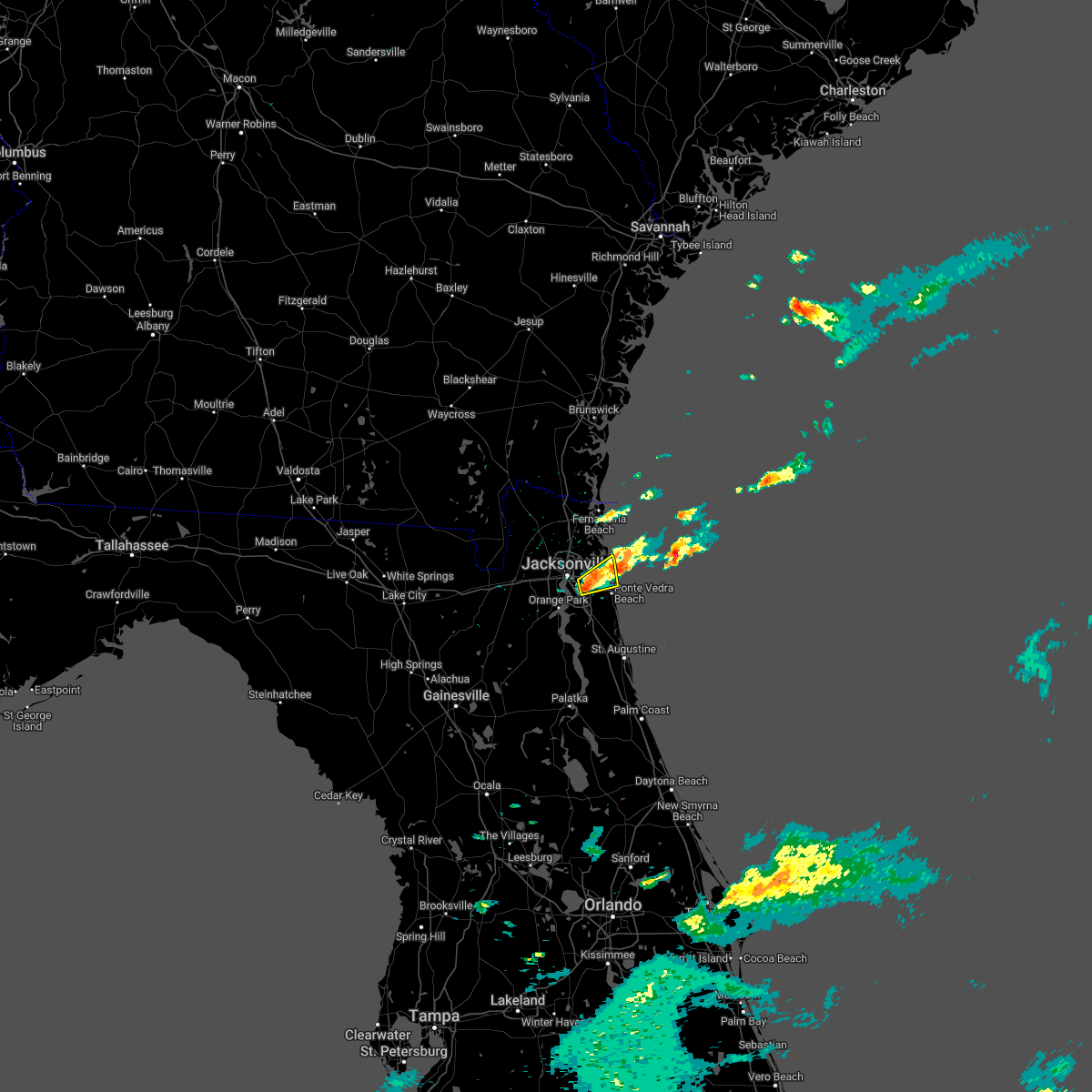 At 454 pm edt, a severe thunderstorm was located over craig field, or over unf, moving east at 35 mph (radar indicated). Hazards include 60 mph wind gusts and quarter size hail. Hail damage to vehicles is expected. expect wind damage to roofs, siding, and trees. locations impacted include, unf, neptune beach, craig field, san pablo and baymeadows. hail threat, radar indicated max hail size, 1. 00 in wind threat, radar indicated max wind gust, 60 mph. At 454 pm edt, a severe thunderstorm was located over craig field, or over unf, moving east at 35 mph (radar indicated). Hazards include 60 mph wind gusts and quarter size hail. Hail damage to vehicles is expected. expect wind damage to roofs, siding, and trees. locations impacted include, unf, neptune beach, craig field, san pablo and baymeadows. hail threat, radar indicated max hail size, 1. 00 in wind threat, radar indicated max wind gust, 60 mph.
|
| 4/7/2022 4:45 PM EDT |
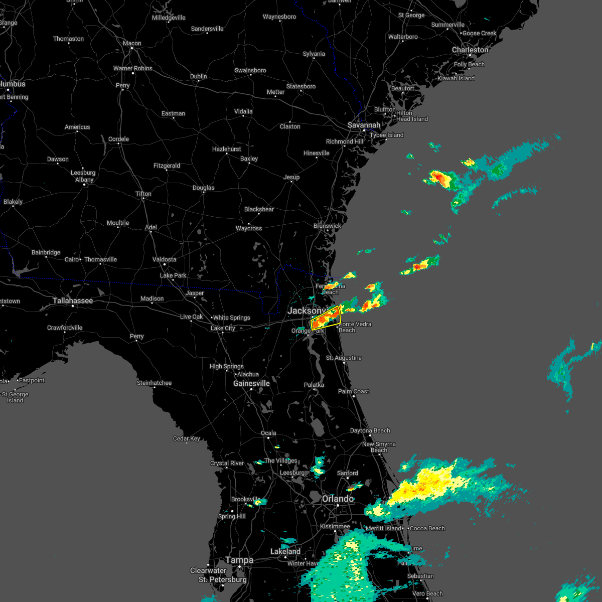 At 445 pm edt, a severe thunderstorm was located near baymeadows, or near arlington, moving east at 35 mph (radar indicated). Hazards include 60 mph wind gusts and quarter size hail. Hail damage to vehicles is expected. Expect wind damage to roofs, siding, and trees. At 445 pm edt, a severe thunderstorm was located near baymeadows, or near arlington, moving east at 35 mph (radar indicated). Hazards include 60 mph wind gusts and quarter size hail. Hail damage to vehicles is expected. Expect wind damage to roofs, siding, and trees.
|
| 4/7/2022 4:40 PM EDT | Large tree down on roa in duval county FL, 5.8 miles NW of Jacksonville, FL |
| 4/7/2022 4:35 PM EDT | Corrects previous tstm wnd gst report from 4 ssw fort caroline. asos station kcrg jacksonvil crai in duval county FL, 10.6 miles WNW of Jacksonville, FL |
| 4/7/2022 4:35 PM EDT |
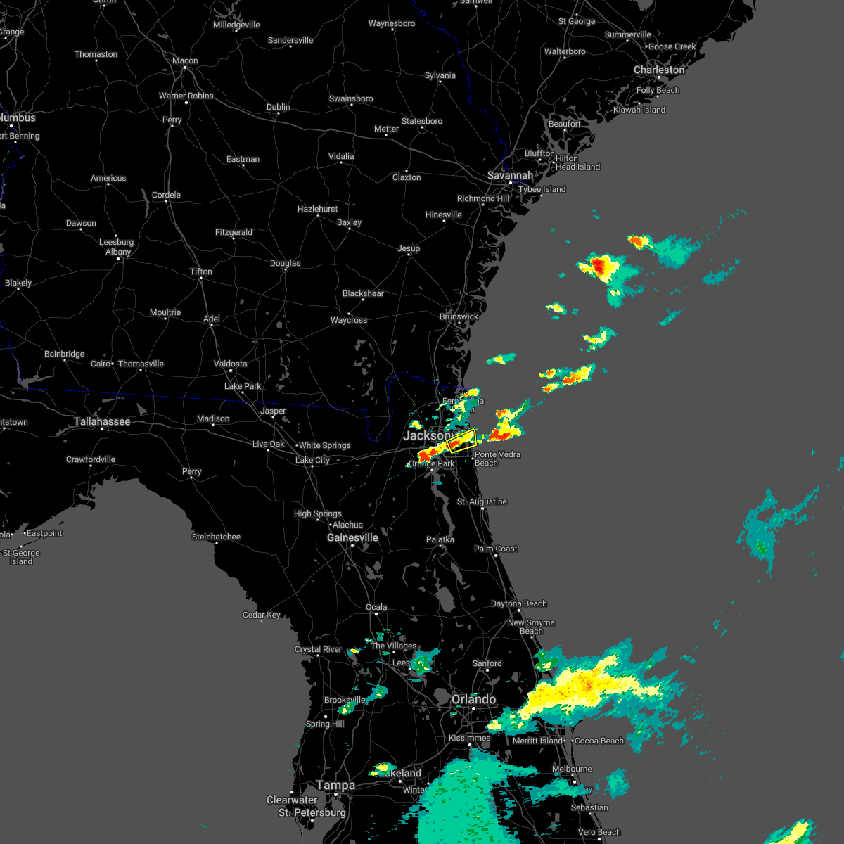 At 435 pm edt, a severe thunderstorm was located over craig field, or near unf, moving east at 35 mph (radar indicated). Hazards include 60 mph wind gusts and quarter size hail. Hail damage to vehicles is expected. Expect wind damage to roofs, siding, and trees. At 435 pm edt, a severe thunderstorm was located over craig field, or near unf, moving east at 35 mph (radar indicated). Hazards include 60 mph wind gusts and quarter size hail. Hail damage to vehicles is expected. Expect wind damage to roofs, siding, and trees.
|
| 4/7/2022 4:33 PM EDT | Asos station kcrg jacksonvil crai in duval county FL, 10.6 miles WNW of Jacksonville, FL |
| 4/7/2022 4:08 PM EDT | Awos station knrb mayport naval statio in duval county FL, 15.9 miles W of Jacksonville, FL |
| 4/7/2022 4:00 PM EDT | Large tree down along fort caroline road near the intersection of harbour cove dr s. radar estimated tim in duval county FL, 10.6 miles W of Jacksonville, FL |
| 4/7/2022 4:52 AM EDT |
 The severe thunderstorm warning for east central duval county will expire at 500 am edt, the storm which prompted the warning has moved offshore into a special marine warning area. therefore, the warning will be allowed to expire. however gusty winds are still possible with this thunderstorm. The severe thunderstorm warning for east central duval county will expire at 500 am edt, the storm which prompted the warning has moved offshore into a special marine warning area. therefore, the warning will be allowed to expire. however gusty winds are still possible with this thunderstorm.
|
| 4/7/2022 4:48 AM EDT |
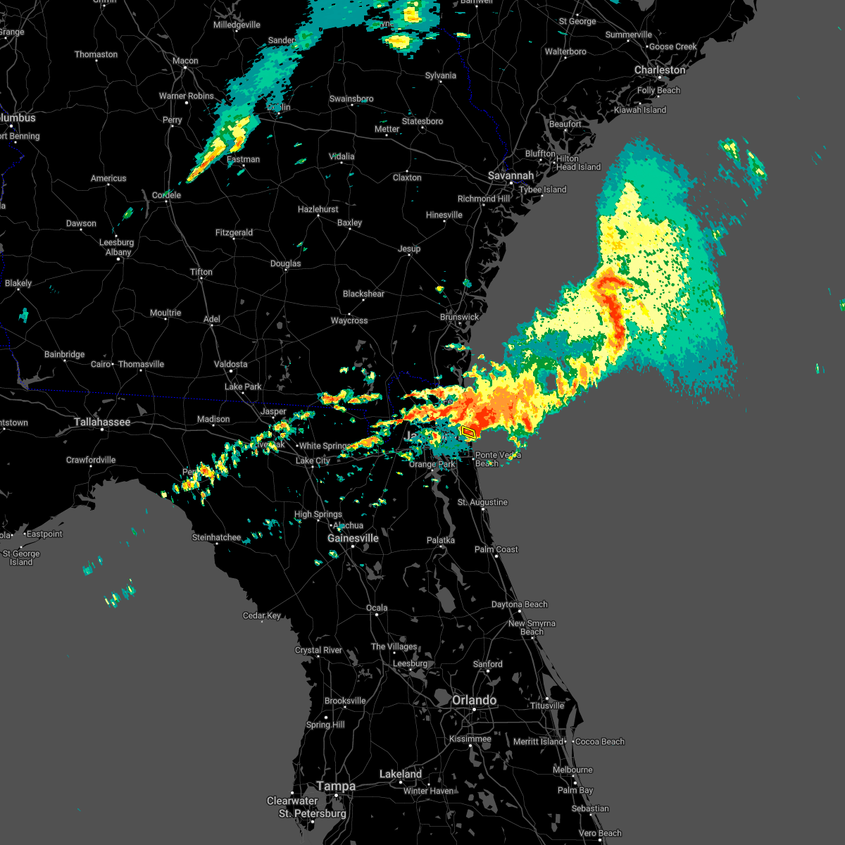 At 448 am edt, a severe thunderstorm was located near little talbot island, or 11 miles northeast of unf, moving southeast at 20 mph (radar indicated). Hazards include 60 mph wind gusts and quarter size hail. Hail damage to vehicles is expected. expect wind damage to roofs, siding, and trees. this severe thunderstorm will remain over mainly rural areas of east central duval county. hail threat, radar indicated max hail size, 1. 00 in wind threat, radar indicated max wind gust, 60 mph. At 448 am edt, a severe thunderstorm was located near little talbot island, or 11 miles northeast of unf, moving southeast at 20 mph (radar indicated). Hazards include 60 mph wind gusts and quarter size hail. Hail damage to vehicles is expected. expect wind damage to roofs, siding, and trees. this severe thunderstorm will remain over mainly rural areas of east central duval county. hail threat, radar indicated max hail size, 1. 00 in wind threat, radar indicated max wind gust, 60 mph.
|
| 4/7/2022 4:41 AM EDT |
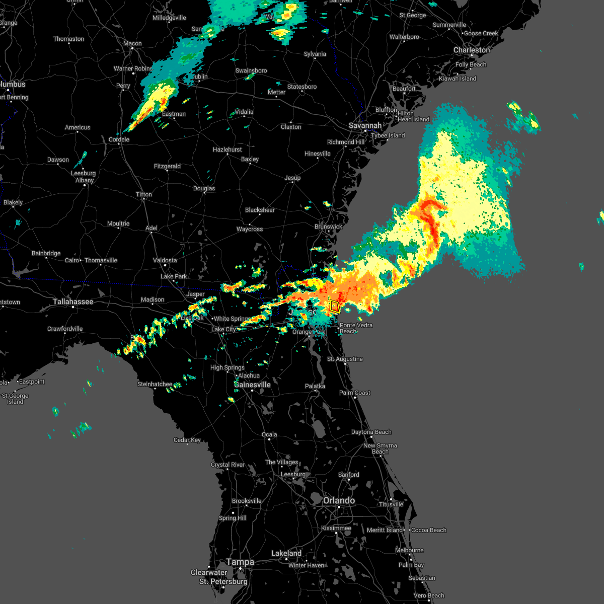 At 440 am edt, a severe thunderstorm was located near little talbot island, or 11 miles north of ponte vedra beach, moving east at 40 mph (radar indicated). Hazards include 60 mph wind gusts and quarter size hail. Hail damage to vehicles is expected. expect wind damage to roofs, siding, and trees. locations impacted include, little talbot island. hail threat, radar indicated max hail size, 1. 00 in wind threat, radar indicated max wind gust, 60 mph. At 440 am edt, a severe thunderstorm was located near little talbot island, or 11 miles north of ponte vedra beach, moving east at 40 mph (radar indicated). Hazards include 60 mph wind gusts and quarter size hail. Hail damage to vehicles is expected. expect wind damage to roofs, siding, and trees. locations impacted include, little talbot island. hail threat, radar indicated max hail size, 1. 00 in wind threat, radar indicated max wind gust, 60 mph.
|
| 4/7/2022 4:37 AM EDT |
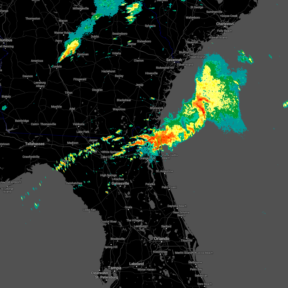 At 436 am edt, a severe thunderstorm was located near little talbot island, or 10 miles south of fernandina beach, moving east at 10 mph (radar indicated). Hazards include 60 mph wind gusts and quarter size hail. Hail damage to vehicles is expected. expect wind damage to roofs, siding, and trees. locations impacted include, little talbot island southern amelia island. hail threat, radar indicated max hail size, 1. 00 in wind threat, radar indicated max wind gust, 60 mph. At 436 am edt, a severe thunderstorm was located near little talbot island, or 10 miles south of fernandina beach, moving east at 10 mph (radar indicated). Hazards include 60 mph wind gusts and quarter size hail. Hail damage to vehicles is expected. expect wind damage to roofs, siding, and trees. locations impacted include, little talbot island southern amelia island. hail threat, radar indicated max hail size, 1. 00 in wind threat, radar indicated max wind gust, 60 mph.
|
| 4/7/2022 4:32 AM EDT |
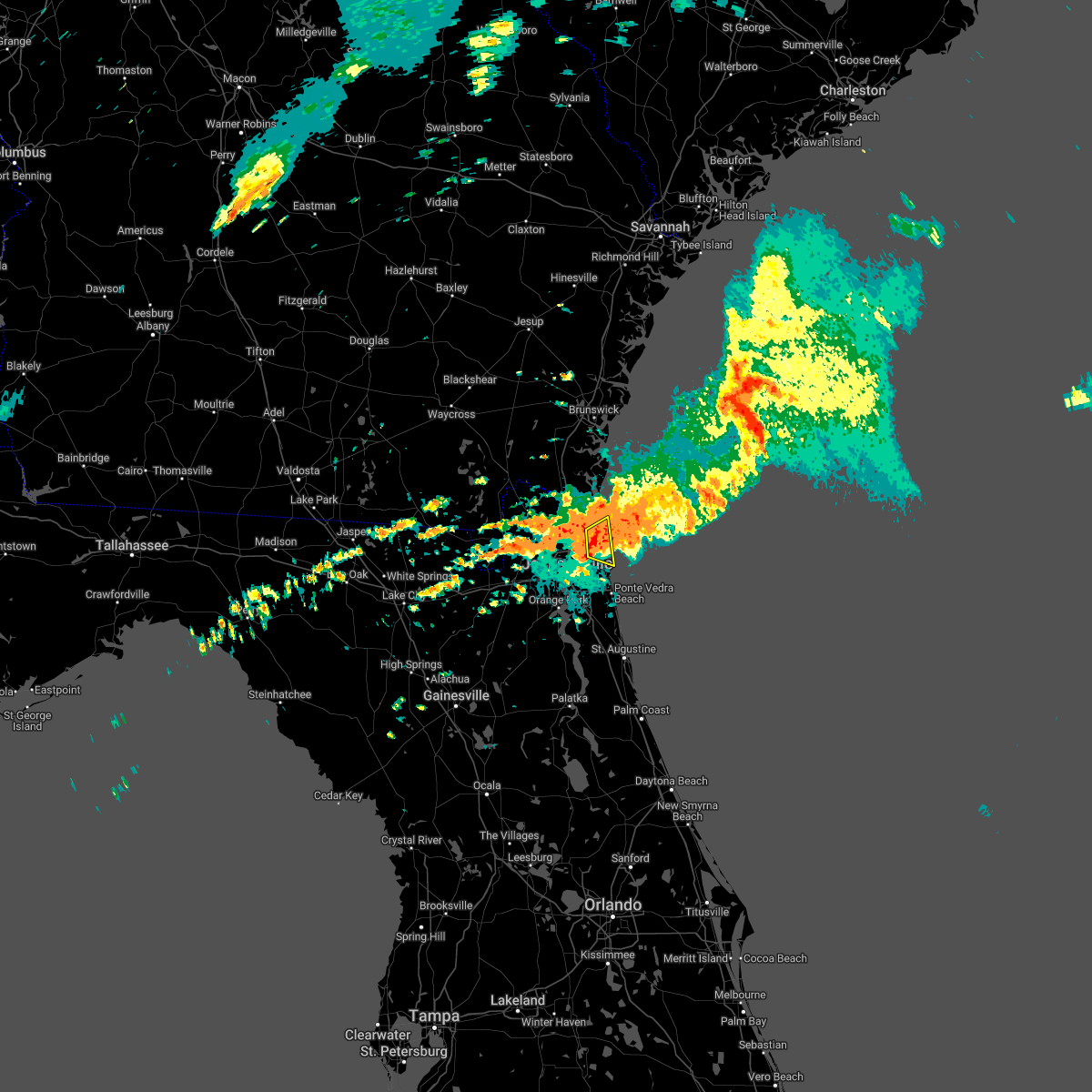 At 432 am edt, a severe thunderstorm was located near little talbot island, or 9 miles south of fernandina beach, moving east at 20 mph (radar indicated). Hazards include 60 mph wind gusts and quarter size hail. Hail damage to vehicles is expected. expect wind damage to roofs, siding, and trees. locations impacted include, little talbot island. hail threat, radar indicated max hail size, 1. 00 in wind threat, radar indicated max wind gust, 60 mph. At 432 am edt, a severe thunderstorm was located near little talbot island, or 9 miles south of fernandina beach, moving east at 20 mph (radar indicated). Hazards include 60 mph wind gusts and quarter size hail. Hail damage to vehicles is expected. expect wind damage to roofs, siding, and trees. locations impacted include, little talbot island. hail threat, radar indicated max hail size, 1. 00 in wind threat, radar indicated max wind gust, 60 mph.
|
| 4/7/2022 4:26 AM EDT |
 At 426 am edt, a severe thunderstorm was located near little talbot island, or 10 miles south of fernandina beach, moving east at 20 mph (radar indicated). Hazards include 60 mph wind gusts and quarter size hail. Hail damage to vehicles is expected. Expect wind damage to roofs, siding, and trees. At 426 am edt, a severe thunderstorm was located near little talbot island, or 10 miles south of fernandina beach, moving east at 20 mph (radar indicated). Hazards include 60 mph wind gusts and quarter size hail. Hail damage to vehicles is expected. Expect wind damage to roofs, siding, and trees.
|
| 4/7/2022 3:26 AM EDT |
 The severe thunderstorm warning for central nassau, northeastern duval, southeastern camden and south central glynn counties will expire at 330 am edt, the storms which prompted the warning have moved out of the area. therefore, the warning will be allowed to expire. however gusty winds and heavy rain are still possible with these thunderstorms. The severe thunderstorm warning for central nassau, northeastern duval, southeastern camden and south central glynn counties will expire at 330 am edt, the storms which prompted the warning have moved out of the area. therefore, the warning will be allowed to expire. however gusty winds and heavy rain are still possible with these thunderstorms.
|
| 4/7/2022 3:16 AM EDT |
 At 316 am edt, severe thunderstorms were located along a line extending from near brunswick to 6 miles east of kings bay base to near nassau village-ratliff, moving east at 45 mph (radar indicated). Hazards include 70 mph wind gusts. Expect considerable tree damage. damage is likely to mobile homes, roofs, and outbuildings. locations impacted include, st. Marys, kingsland, fernandina beach, callahan, jacksonville international arpt, kings bay base, yulee, jekyll island, nassau village-ratliff and ratliff. At 316 am edt, severe thunderstorms were located along a line extending from near brunswick to 6 miles east of kings bay base to near nassau village-ratliff, moving east at 45 mph (radar indicated). Hazards include 70 mph wind gusts. Expect considerable tree damage. damage is likely to mobile homes, roofs, and outbuildings. locations impacted include, st. Marys, kingsland, fernandina beach, callahan, jacksonville international arpt, kings bay base, yulee, jekyll island, nassau village-ratliff and ratliff.
|
| 4/7/2022 3:06 AM EDT |
 At 306 am edt, severe thunderstorms were located along a line extending from near brunswick to near kings bay base to nassau village-ratliff, moving east at 45 mph (radar indicated). Hazards include 70 mph wind gusts. Expect considerable tree damage. damage is likely to mobile homes, roofs, and outbuildings. locations impacted include, st. Marys, kingsland, fernandina beach, woodbine, callahan, jacksonville international arpt, kings bay base, yulee, jekyll island and nassau village-ratliff. At 306 am edt, severe thunderstorms were located along a line extending from near brunswick to near kings bay base to nassau village-ratliff, moving east at 45 mph (radar indicated). Hazards include 70 mph wind gusts. Expect considerable tree damage. damage is likely to mobile homes, roofs, and outbuildings. locations impacted include, st. Marys, kingsland, fernandina beach, woodbine, callahan, jacksonville international arpt, kings bay base, yulee, jekyll island and nassau village-ratliff.
|
| 4/7/2022 2:49 AM EDT |
 At 248 am edt, severe thunderstorms were located along a line extending from waverly to 6 miles east of kings ferry to st. george, moving east at 45 mph (radar indicated). Hazards include 70 mph wind gusts. Expect considerable tree damage. Damage is likely to mobile homes, roofs, and outbuildings. At 248 am edt, severe thunderstorms were located along a line extending from waverly to 6 miles east of kings ferry to st. george, moving east at 45 mph (radar indicated). Hazards include 70 mph wind gusts. Expect considerable tree damage. Damage is likely to mobile homes, roofs, and outbuildings.
|
| 4/6/2022 2:14 PM EDT |
 At 214 pm edt, a severe thunderstorm was located 8 miles northeast of callahan, moving northeast at 40 mph (radar indicated). Hazards include 60 mph wind gusts and quarter size hail. Hail damage to vehicles is expected. expect wind damage to roofs, siding, and trees. locations impacted include, st. marys, kingsland and yulee. hail threat, radar indicated max hail size, 1. 00 in wind threat, radar indicated max wind gust, 60 mph. At 214 pm edt, a severe thunderstorm was located 8 miles northeast of callahan, moving northeast at 40 mph (radar indicated). Hazards include 60 mph wind gusts and quarter size hail. Hail damage to vehicles is expected. expect wind damage to roofs, siding, and trees. locations impacted include, st. marys, kingsland and yulee. hail threat, radar indicated max hail size, 1. 00 in wind threat, radar indicated max wind gust, 60 mph.
|
| 4/6/2022 2:08 PM EDT |
 At 208 pm edt, a severe thunderstorm was located near callahan, moving northeast at 35 mph (radar indicated). Hazards include 60 mph wind gusts and quarter size hail. Hail damage to vehicles is expected. expect wind damage to roofs, siding, and trees. locations impacted include, st. marys, kingsland, callahan, yulee and nassau village-ratliff. hail threat, radar indicated max hail size, 1. 00 in wind threat, radar indicated max wind gust, 60 mph. At 208 pm edt, a severe thunderstorm was located near callahan, moving northeast at 35 mph (radar indicated). Hazards include 60 mph wind gusts and quarter size hail. Hail damage to vehicles is expected. expect wind damage to roofs, siding, and trees. locations impacted include, st. marys, kingsland, callahan, yulee and nassau village-ratliff. hail threat, radar indicated max hail size, 1. 00 in wind threat, radar indicated max wind gust, 60 mph.
|
| 4/6/2022 1:56 PM EDT |
 At 156 pm edt, a severe thunderstorm was located over nassau village-ratliff, or near callahan, moving northeast at 40 mph (radar indicated). Hazards include 60 mph wind gusts and quarter size hail. Hail damage to vehicles is expected. Expect wind damage to roofs, siding, and trees. At 156 pm edt, a severe thunderstorm was located over nassau village-ratliff, or near callahan, moving northeast at 40 mph (radar indicated). Hazards include 60 mph wind gusts and quarter size hail. Hail damage to vehicles is expected. Expect wind damage to roofs, siding, and trees.
|
| 3/18/2022 5:49 PM EDT |
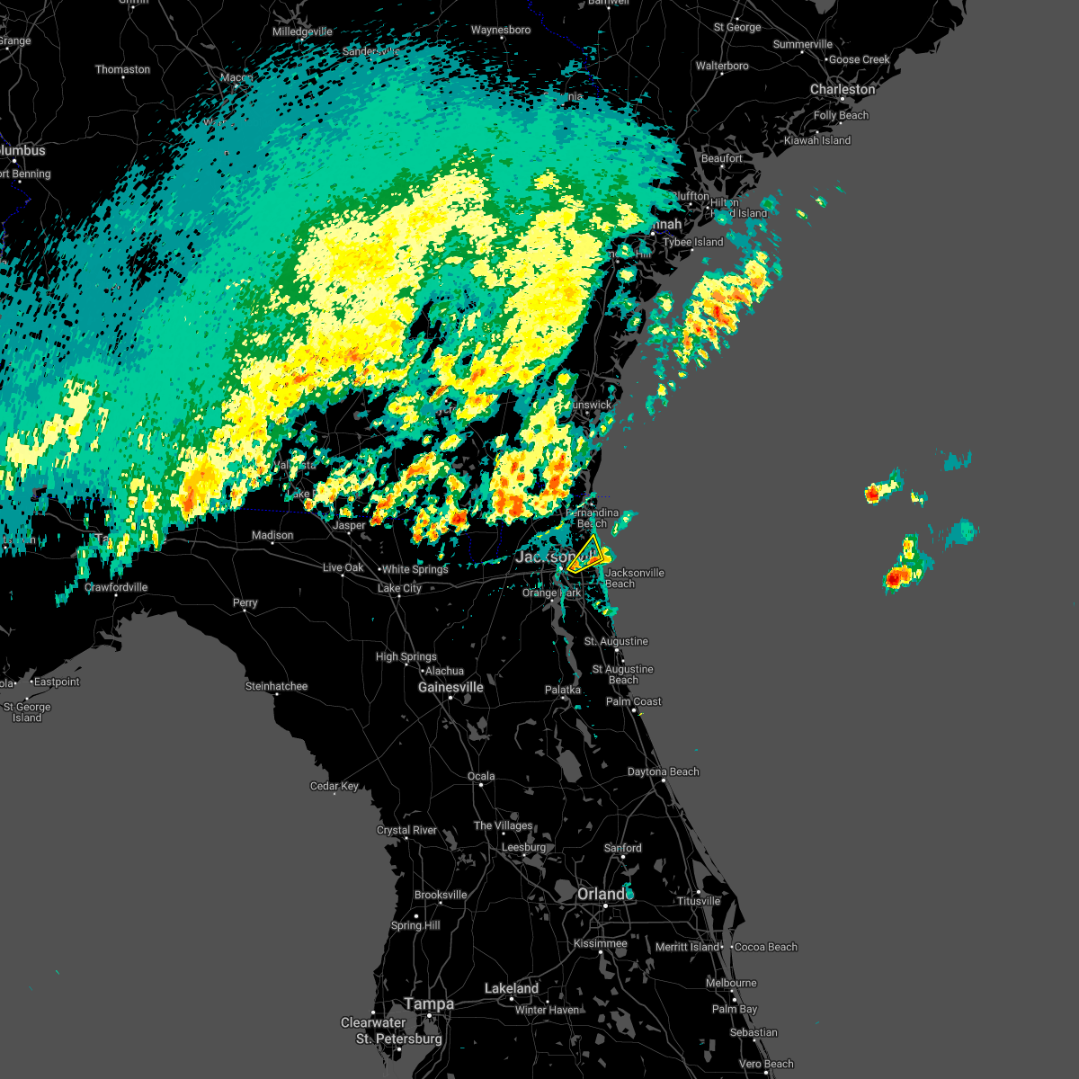 At 548 pm edt, radar indicated the initial severe thunderstorm had weakened. however, a new storm was quickly intensifying near arlington, heading northeast at 20 mph toward fort caroline (radar indicated). Hazards include 60 mph wind gusts and penny size hail. Expect damage to roofs, siding, and trees. locations impacted include, arlington, fort caroline and craig field. hail threat, radar indicated max hail size, 0. 75 in wind threat, radar indicated max wind gust, 60 mph. At 548 pm edt, radar indicated the initial severe thunderstorm had weakened. however, a new storm was quickly intensifying near arlington, heading northeast at 20 mph toward fort caroline (radar indicated). Hazards include 60 mph wind gusts and penny size hail. Expect damage to roofs, siding, and trees. locations impacted include, arlington, fort caroline and craig field. hail threat, radar indicated max hail size, 0. 75 in wind threat, radar indicated max wind gust, 60 mph.
|
| 3/18/2022 5:45 PM EDT | 911 call center reported power line wires down on a home at 6545 brandemere rd nort in duval county FL, 6.4 miles WNW of Jacksonville, FL |
| 3/18/2022 5:41 PM EDT |
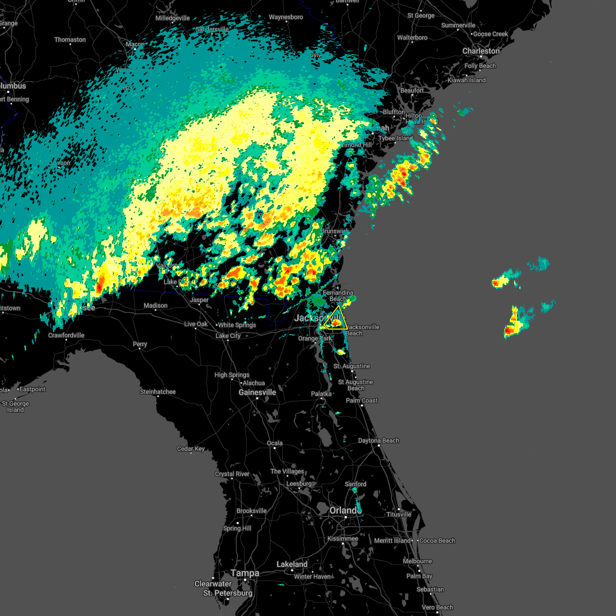 At 541 pm edt, a severe thunderstorm was located over craig field, or near unf, moving northeast at 25 mph. this storm has weakened some but may still be capable of producing small hail and strong wind gusts (radar indicated). Hazards include 60 mph wind gusts and penny size hail. Expect damage to roofs, siding, and trees. locations impacted include, arlington, neptune beach, craig field, san pablo and fort caroline. hail threat, radar indicated max hail size, 0. 75 in wind threat, radar indicated max wind gust, 60 mph. At 541 pm edt, a severe thunderstorm was located over craig field, or near unf, moving northeast at 25 mph. this storm has weakened some but may still be capable of producing small hail and strong wind gusts (radar indicated). Hazards include 60 mph wind gusts and penny size hail. Expect damage to roofs, siding, and trees. locations impacted include, arlington, neptune beach, craig field, san pablo and fort caroline. hail threat, radar indicated max hail size, 0. 75 in wind threat, radar indicated max wind gust, 60 mph.
|
| 3/18/2022 5:29 PM EDT |
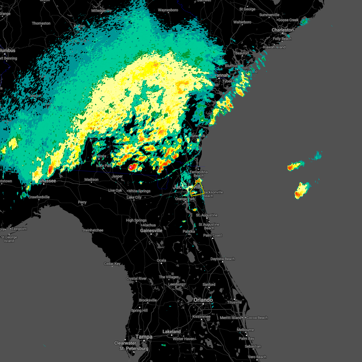 At 528 pm edt, a severe thunderstorm was located near san marco, or near arlington, moving northeast at 20 mph (radar indicated). Hazards include 60 mph wind gusts and quarter size hail. Hail damage to vehicles is expected. Expect wind damage to roofs, siding, and trees. At 528 pm edt, a severe thunderstorm was located near san marco, or near arlington, moving northeast at 20 mph (radar indicated). Hazards include 60 mph wind gusts and quarter size hail. Hail damage to vehicles is expected. Expect wind damage to roofs, siding, and trees.
|
| 3/12/2022 8:30 AM EST | Delayed report. social media reports a few large trees down near blanding and harlow blv in duval county FL, 8.9 miles NNE of Jacksonville, FL |
| 9/8/2021 3:12 PM EDT |
 The severe thunderstorm warning for northeastern nassau and southeastern camden counties will expire at 315 pm edt, the storms which prompted the warning have moved out of the area. therefore, the warning will be allowed to expire. however heavy rain is still possible with these thunderstorms. The severe thunderstorm warning for northeastern nassau and southeastern camden counties will expire at 315 pm edt, the storms which prompted the warning have moved out of the area. therefore, the warning will be allowed to expire. however heavy rain is still possible with these thunderstorms.
|
| 9/8/2021 2:58 PM EDT |
 At 258 pm edt, severe thunderstorms were located along a line extending from near kings bay base to fernandina beach to near little talbot island, moving east at 25 mph (radar indicated). Hazards include 60 mph wind gusts and quarter size hail. Hail damage to vehicles is expected. expect wind damage to roofs, siding, and trees. locations impacted include, st. marys, fernandina beach, kings bay base, yulee and cumberland island. hail threat, radar indicated max hail size, 1. 00 in wind threat, radar indicated max wind gust, 60 mph. At 258 pm edt, severe thunderstorms were located along a line extending from near kings bay base to fernandina beach to near little talbot island, moving east at 25 mph (radar indicated). Hazards include 60 mph wind gusts and quarter size hail. Hail damage to vehicles is expected. expect wind damage to roofs, siding, and trees. locations impacted include, st. marys, fernandina beach, kings bay base, yulee and cumberland island. hail threat, radar indicated max hail size, 1. 00 in wind threat, radar indicated max wind gust, 60 mph.
|
| 9/8/2021 2:49 PM EDT |
 At 249 pm edt, a severe thunderstorm was located near st. marys, moving northeast at 30 mph (radar indicated). Hazards include 60 mph wind gusts and quarter size hail. Hail damage to vehicles is expected. Expect wind damage to roofs, siding, and trees. At 249 pm edt, a severe thunderstorm was located near st. marys, moving northeast at 30 mph (radar indicated). Hazards include 60 mph wind gusts and quarter size hail. Hail damage to vehicles is expected. Expect wind damage to roofs, siding, and trees.
|
| 8/23/2021 2:08 PM EDT |
 The severe thunderstorm warning for nassau and central duval counties will expire at 215 pm edt, the storm which prompted the warning has weakened below severe limits, and no longer poses an immediate threat to life or property. therefore, the warning will be allowed to expire. however gusty winds and heavy rain are still possible with this thunderstorm. The severe thunderstorm warning for nassau and central duval counties will expire at 215 pm edt, the storm which prompted the warning has weakened below severe limits, and no longer poses an immediate threat to life or property. therefore, the warning will be allowed to expire. however gusty winds and heavy rain are still possible with this thunderstorm.
|
| 8/23/2021 1:57 PM EDT |
 At 157 pm edt, a severe thunderstorm was located near ratliff, or near callahan, moving east at 25 mph (radar indicated). Hazards include 60 mph wind gusts. Expect damage to roofs, siding, and trees. locations impacted include, jacksonville, hilliard, callahan, jacksonville international arpt, cisco gardens, nassau village-ratliff, ratliff, bryceville and whitehouse air field. hail threat, radar indicated max hail size, <. 75 in wind threat, radar indicated max wind gust, 60 mph. At 157 pm edt, a severe thunderstorm was located near ratliff, or near callahan, moving east at 25 mph (radar indicated). Hazards include 60 mph wind gusts. Expect damage to roofs, siding, and trees. locations impacted include, jacksonville, hilliard, callahan, jacksonville international arpt, cisco gardens, nassau village-ratliff, ratliff, bryceville and whitehouse air field. hail threat, radar indicated max hail size, <. 75 in wind threat, radar indicated max wind gust, 60 mph.
|
| 8/23/2021 1:39 PM EDT |
 At 139 pm edt, a severe thunderstorm was located near bryceville, or 10 miles southwest of callahan, moving east at 35 mph (radar indicated). Hazards include 60 mph wind gusts. expect damage to roofs, siding, and trees At 139 pm edt, a severe thunderstorm was located near bryceville, or 10 miles southwest of callahan, moving east at 35 mph (radar indicated). Hazards include 60 mph wind gusts. expect damage to roofs, siding, and trees
|
| 8/22/2021 4:53 PM EDT | Mesonet station xhup huguenot par in amz452 county FL, 16.8 miles W of Jacksonville, FL |
| 8/22/2021 4:45 PM EDT |
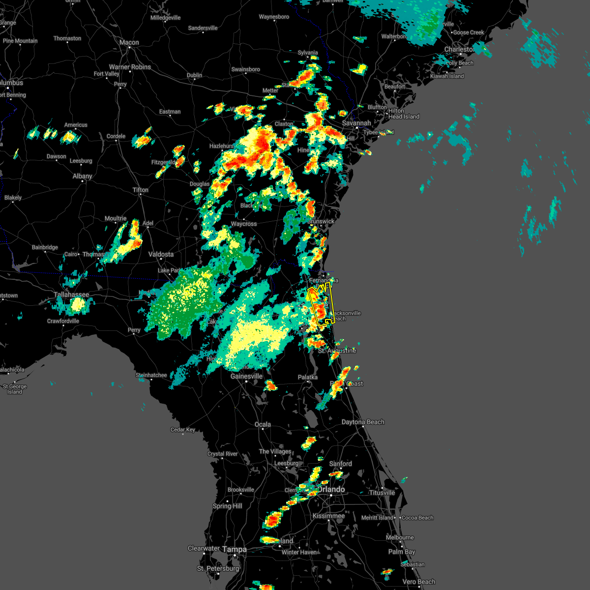 At 444 pm edt, a severe thunderstorm was located over fort caroline, or 7 miles northeast of arlington, moving east at 20 mph (radar indicated). Hazards include 60 mph wind gusts. expect damage to roofs, siding, and trees At 444 pm edt, a severe thunderstorm was located over fort caroline, or 7 miles northeast of arlington, moving east at 20 mph (radar indicated). Hazards include 60 mph wind gusts. expect damage to roofs, siding, and trees
|
| 8/22/2021 4:34 PM EDT | Asos station kjax jacksonville intl airpor in duval county FL, 8.2 miles S of Jacksonville, FL |
| 8/20/2021 10:56 PM EDT |
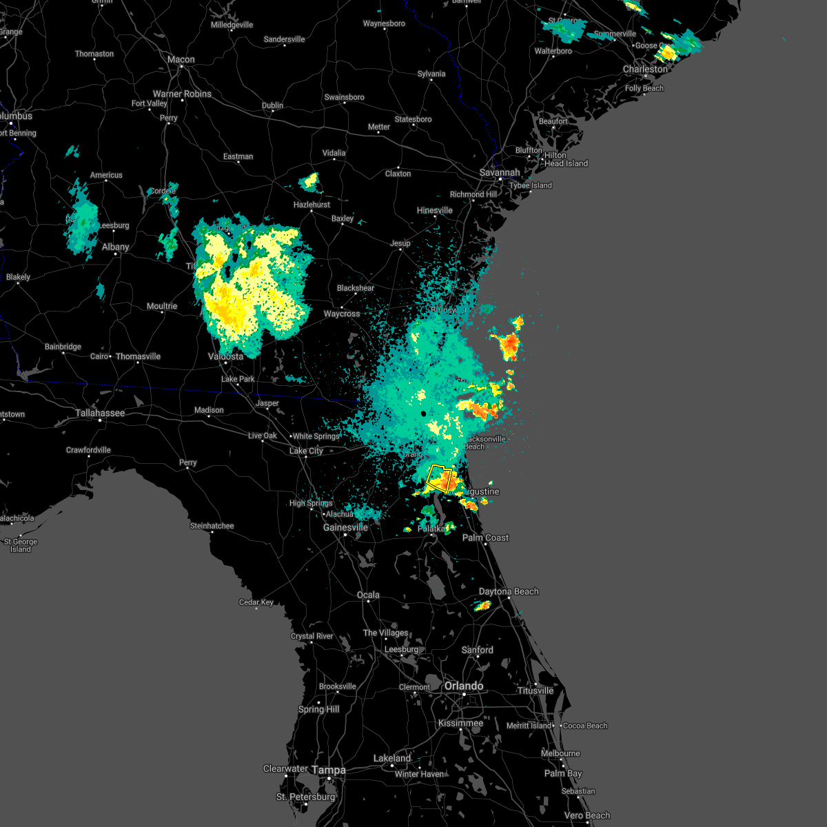 The severe thunderstorm warning for northwestern st. johns county will expire at 1100 pm edt, the storm which prompted the warning has weakened below severe limits, and no longer poses an immediate threat to life or property. therefore, the warning will be allowed to expire. however gusty winds are still possible with this thunderstorm. The severe thunderstorm warning for northwestern st. johns county will expire at 1100 pm edt, the storm which prompted the warning has weakened below severe limits, and no longer poses an immediate threat to life or property. therefore, the warning will be allowed to expire. however gusty winds are still possible with this thunderstorm.
|
| 8/20/2021 10:42 PM EDT |
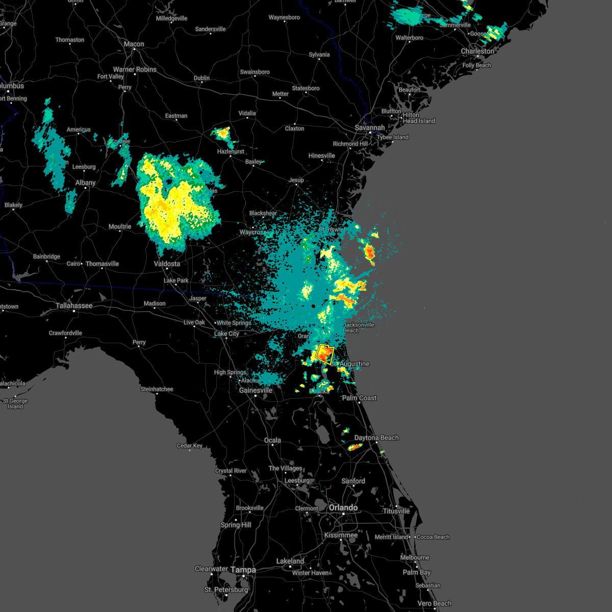 At 1041 pm edt, a severe thunderstorm was located near fruit cove, moving east at 15 mph (radar indicated). Hazards include 60 mph wind gusts and penny size hail. Expect damage to roofs, siding, and trees. locations impacted include, fruit cove and switzerland. hail threat, radar indicated max hail size, 0. 75 in wind threat, radar indicated max wind gust, 60 mph. At 1041 pm edt, a severe thunderstorm was located near fruit cove, moving east at 15 mph (radar indicated). Hazards include 60 mph wind gusts and penny size hail. Expect damage to roofs, siding, and trees. locations impacted include, fruit cove and switzerland. hail threat, radar indicated max hail size, 0. 75 in wind threat, radar indicated max wind gust, 60 mph.
|
| 8/20/2021 10:25 PM EDT |
 At 1025 pm edt, a severe thunderstorm was located over switzerland, or over fruit cove, moving east at 15 mph (radar indicated). Hazards include 60 mph wind gusts and penny size hail. expect damage to roofs, siding, and trees At 1025 pm edt, a severe thunderstorm was located over switzerland, or over fruit cove, moving east at 15 mph (radar indicated). Hazards include 60 mph wind gusts and penny size hail. expect damage to roofs, siding, and trees
|
| 8/17/2021 4:00 PM EDT | Delayed report of large tree branches snapped and palm tree topple in duval county FL, 18 miles WNW of Jacksonville, FL |
| 8/2/2021 3:56 PM EDT |
 The national weather service in jacksonville has issued a * severe thunderstorm warning for. southwestern nassau county in northeastern florida. central baker county in northeastern florida. south central charlton county in southeastern georgia. Until 430 pm edt. The national weather service in jacksonville has issued a * severe thunderstorm warning for. southwestern nassau county in northeastern florida. central baker county in northeastern florida. south central charlton county in southeastern georgia. Until 430 pm edt.
|
| 8/2/2021 3:56 PM EDT |
 At 356 pm edt, a severe thunderstorm was located near taylor, or 22 miles north of raiford, moving east at 15 mph (radar indicated). Hazards include 60 mph wind gusts. expect damage to roofs, siding, and trees At 356 pm edt, a severe thunderstorm was located near taylor, or 22 miles north of raiford, moving east at 15 mph (radar indicated). Hazards include 60 mph wind gusts. expect damage to roofs, siding, and trees
|
| 7/23/2021 5:44 PM EDT |
 At 544 pm edt, a severe thunderstorm was located near camp blanding, or near middleburg, moving south at 25 mph (radar indicated). Hazards include 60 mph wind gusts. Expect damage to roofs, siding, and trees. Locations impacted include, keystone heights, kingsley, camp blanding and lawtey. At 544 pm edt, a severe thunderstorm was located near camp blanding, or near middleburg, moving south at 25 mph (radar indicated). Hazards include 60 mph wind gusts. Expect damage to roofs, siding, and trees. Locations impacted include, keystone heights, kingsley, camp blanding and lawtey.
|
| 7/23/2021 5:20 PM EDT |
 At 520 pm edt, a severe thunderstorm was located near middleburg, moving south at 15 mph (radar indicated). Hazards include 60 mph wind gusts. expect damage to roofs, siding, and trees At 520 pm edt, a severe thunderstorm was located near middleburg, moving south at 15 mph (radar indicated). Hazards include 60 mph wind gusts. expect damage to roofs, siding, and trees
|
| 7/22/2021 9:13 PM EDT |
 The severe thunderstorm warning for central st. johns and southeastern duval counties will expire at 915 pm edt, the storm which prompted the warning has weakened below severe limits, and no longer poses an immediate threat to life or property. therefore, the warning will be allowed to expire. however gusty winds are still possible with this thunderstorm. The severe thunderstorm warning for central st. johns and southeastern duval counties will expire at 915 pm edt, the storm which prompted the warning has weakened below severe limits, and no longer poses an immediate threat to life or property. therefore, the warning will be allowed to expire. however gusty winds are still possible with this thunderstorm.
|
| 7/22/2021 8:58 PM EDT |
 At 858 pm edt, a severe thunderstorm was located near guana river state park, or 12 miles south of ponte vedra beach, moving east at 25 mph (radar indicated). Hazards include 60 mph wind gusts. Expect damage to roofs, siding, and trees. Locations impacted include, saint augustine, world golf village, saint augustine beach, sawgrass, nocatee, durbin, vilano beach, palm valley, south ponte vedra and saint augustine shores. At 858 pm edt, a severe thunderstorm was located near guana river state park, or 12 miles south of ponte vedra beach, moving east at 25 mph (radar indicated). Hazards include 60 mph wind gusts. Expect damage to roofs, siding, and trees. Locations impacted include, saint augustine, world golf village, saint augustine beach, sawgrass, nocatee, durbin, vilano beach, palm valley, south ponte vedra and saint augustine shores.
|
| 7/22/2021 8:45 PM EDT |
 At 845 pm edt, a severe thunderstorm was located over durbin, or 8 miles east of fruit cove, moving east at 25 mph (radar indicated). Hazards include 60 mph wind gusts. expect damage to roofs, siding, and trees At 845 pm edt, a severe thunderstorm was located over durbin, or 8 miles east of fruit cove, moving east at 25 mph (radar indicated). Hazards include 60 mph wind gusts. expect damage to roofs, siding, and trees
|
| 7/22/2021 8:25 PM EDT |
 At 825 pm edt, a severe thunderstorm was located near baymeadows, or near mandarin, moving southeast at 20 mph (radar indicated). Hazards include 60 mph wind gusts. Expect damage to roofs, siding, and trees. Locations impacted include, orange park, unf, mandarin, ponte vedra beach, fruit cove, sawgrass, baymeadows, nocatee, durbin and san pablo. At 825 pm edt, a severe thunderstorm was located near baymeadows, or near mandarin, moving southeast at 20 mph (radar indicated). Hazards include 60 mph wind gusts. Expect damage to roofs, siding, and trees. Locations impacted include, orange park, unf, mandarin, ponte vedra beach, fruit cove, sawgrass, baymeadows, nocatee, durbin and san pablo.
|
| 7/22/2021 8:16 PM EDT |
 At 815 pm edt, a severe thunderstorm was located near nas jax, or near mandarin, moving southeast at 20 mph (radar indicated). Hazards include 60 mph wind gusts. Expect damage to roofs, siding, and trees. Locations impacted include, jacksonville, orange park, unf, mandarin, fruit cove, ponte vedra beach, sawgrass, baymeadows, nocatee and ortega. At 815 pm edt, a severe thunderstorm was located near nas jax, or near mandarin, moving southeast at 20 mph (radar indicated). Hazards include 60 mph wind gusts. Expect damage to roofs, siding, and trees. Locations impacted include, jacksonville, orange park, unf, mandarin, fruit cove, ponte vedra beach, sawgrass, baymeadows, nocatee and ortega.
|
| 7/22/2021 8:05 PM EDT | Tree down on jammes road just south of 103rd st. radar estimated tim in duval county FL, 9.8 miles NNE of Jacksonville, FL |
| 7/22/2021 8:01 PM EDT |
 At 801 pm edt, a severe thunderstorm was located over nas jax, or near orange park, moving southeast at 20 mph (radar indicated). Hazards include 60 mph wind gusts. expect damage to roofs, siding, and trees At 801 pm edt, a severe thunderstorm was located over nas jax, or near orange park, moving southeast at 20 mph (radar indicated). Hazards include 60 mph wind gusts. expect damage to roofs, siding, and trees
|
| 7/22/2021 7:49 PM EDT |
 At 749 pm edt, a severe thunderstorm was located over lakeside, or near orange park, moving southeast at 25 mph (radar indicated). Hazards include 60 mph wind gusts. Expect damage to roofs, siding, and trees. Locations impacted include, orange park, green cove springs, middleburg, mandarin, fruit cove, fleming island, oakleaf plantation, picolata, bellair-meadowbrook terrace and switzerland. At 749 pm edt, a severe thunderstorm was located over lakeside, or near orange park, moving southeast at 25 mph (radar indicated). Hazards include 60 mph wind gusts. Expect damage to roofs, siding, and trees. Locations impacted include, orange park, green cove springs, middleburg, mandarin, fruit cove, fleming island, oakleaf plantation, picolata, bellair-meadowbrook terrace and switzerland.
|
| 7/22/2021 7:29 PM EDT |
 At 729 pm edt, a severe thunderstorm was located over cecil field, or 9 miles north of middleburg, moving southeast at 25 mph (radar indicated). Hazards include 60 mph wind gusts and penny size hail. expect damage to roofs, siding, and trees At 729 pm edt, a severe thunderstorm was located over cecil field, or 9 miles north of middleburg, moving southeast at 25 mph (radar indicated). Hazards include 60 mph wind gusts and penny size hail. expect damage to roofs, siding, and trees
|
| 7/22/2021 7:15 PM EDT |
 At 715 pm edt, a severe thunderstorm was located near macclenny, or 13 miles northeast of raiford, moving southeast at 25 mph (radar indicated). Hazards include 60 mph wind gusts and quarter size hail. Hail damage to vehicles is expected. expect wind damage to roofs, siding, and trees. locations impacted include, macclenny, glen st. Mary, sanderson, maxville, baldwin and lawtey. At 715 pm edt, a severe thunderstorm was located near macclenny, or 13 miles northeast of raiford, moving southeast at 25 mph (radar indicated). Hazards include 60 mph wind gusts and quarter size hail. Hail damage to vehicles is expected. expect wind damage to roofs, siding, and trees. locations impacted include, macclenny, glen st. Mary, sanderson, maxville, baldwin and lawtey.
|
| 7/22/2021 7:09 PM EDT |
 At 708 pm edt, a severe thunderstorm was located over glen st. mary, or 14 miles north of raiford, moving southeast at 25 mph (radar indicated). Hazards include 60 mph wind gusts and quarter size hail. Hail damage to vehicles is expected. expect wind damage to roofs, siding, and trees. locations impacted include, macclenny, glen st. Mary, sanderson, maxville, baldwin and lawtey. At 708 pm edt, a severe thunderstorm was located over glen st. mary, or 14 miles north of raiford, moving southeast at 25 mph (radar indicated). Hazards include 60 mph wind gusts and quarter size hail. Hail damage to vehicles is expected. expect wind damage to roofs, siding, and trees. locations impacted include, macclenny, glen st. Mary, sanderson, maxville, baldwin and lawtey.
|
| 7/22/2021 6:59 PM EDT |
 At 659 pm edt, a severe thunderstorm was located near glen st. mary, or 15 miles north of raiford, moving southeast at 25 mph (radar indicated). Hazards include 60 mph wind gusts. expect damage to roofs, siding, and trees At 659 pm edt, a severe thunderstorm was located near glen st. mary, or 15 miles north of raiford, moving southeast at 25 mph (radar indicated). Hazards include 60 mph wind gusts. expect damage to roofs, siding, and trees
|
| 7/19/2021 4:32 PM EDT |
 At 431 pm edt, a severe thunderstorm was located over yulee, or 9 miles west of fernandina beach, moving northeast at 20 mph (radar indicated). Hazards include 60 mph wind gusts and penny size hail. Expect damage to roofs, siding, and trees. locations impacted include, st. Marys, fernandina beach, kings bay base, yulee and cumberland island. At 431 pm edt, a severe thunderstorm was located over yulee, or 9 miles west of fernandina beach, moving northeast at 20 mph (radar indicated). Hazards include 60 mph wind gusts and penny size hail. Expect damage to roofs, siding, and trees. locations impacted include, st. Marys, fernandina beach, kings bay base, yulee and cumberland island.
|
| 7/19/2021 4:14 PM EDT |
 At 414 pm edt, a severe thunderstorm was located near jacksonville international arpt, moving northeast at 20 mph (radar indicated). Hazards include 60 mph wind gusts and penny size hail. expect damage to roofs, siding, and trees At 414 pm edt, a severe thunderstorm was located near jacksonville international arpt, moving northeast at 20 mph (radar indicated). Hazards include 60 mph wind gusts and penny size hail. expect damage to roofs, siding, and trees
|
| 7/19/2021 4:07 PM EDT |
 At 407 pm edt, a severe thunderstorm was located near jacksonville, moving northeast at 15 mph (radar indicated). Hazards include 60 mph wind gusts and nickel size hail. Expect damage to roofs, siding, and trees. Locations impacted include, jacksonville, fernandina beach, jacksonville international arpt, yulee, nassau village-ratliff, oceanway and tallyrand. At 407 pm edt, a severe thunderstorm was located near jacksonville, moving northeast at 15 mph (radar indicated). Hazards include 60 mph wind gusts and nickel size hail. Expect damage to roofs, siding, and trees. Locations impacted include, jacksonville, fernandina beach, jacksonville international arpt, yulee, nassau village-ratliff, oceanway and tallyrand.
|
| 7/19/2021 3:56 PM EDT |
 At 356 pm edt, a severe thunderstorm was located near jacksonville, moving northeast at 15 mph (radar indicated). Hazards include 60 mph wind gusts and nickel size hail. Expect damage to roofs, siding, and trees. Locations impacted include, jacksonville, fernandina beach, jacksonville international arpt, unf, arlington, yulee, neptune beach, cisco gardens, ortega and craig field. At 356 pm edt, a severe thunderstorm was located near jacksonville, moving northeast at 15 mph (radar indicated). Hazards include 60 mph wind gusts and nickel size hail. Expect damage to roofs, siding, and trees. Locations impacted include, jacksonville, fernandina beach, jacksonville international arpt, unf, arlington, yulee, neptune beach, cisco gardens, ortega and craig field.
|
| 7/19/2021 3:45 PM EDT | Trees and tree debris were blown down onto power lines in the lakeshore area along edgewood avenue near the intersection with marion street. the time of damage was base in duval county FL, 1.2 miles WSW of Jacksonville, FL |
| 7/19/2021 3:42 PM EDT | Trees and debris were blown into power lines that caused power outages to over 65 residences near the intersection of old middleburg road and lenox ave. the time of dam in duval county FL, 7.1 miles NE of Jacksonville, FL |
| 7/19/2021 3:40 PM EDT | Powerlines were down and damaged along fouraker road... just south of normandy blvd. there was power disruption to over 300 customers. the time of damage was based on r in duval county FL, 8.4 miles NE of Jacksonville, FL |
| 7/19/2021 3:35 PM EDT |
 At 335 pm edt, a severe thunderstorm was located over normandy, or 7 miles west of jacksonville, moving northeast at 15 mph (radar indicated). Hazards include 60 mph wind gusts and nickel size hail. expect damage to roofs, siding, and trees At 335 pm edt, a severe thunderstorm was located over normandy, or 7 miles west of jacksonville, moving northeast at 15 mph (radar indicated). Hazards include 60 mph wind gusts and nickel size hail. expect damage to roofs, siding, and trees
|
| 7/18/2021 4:20 PM EDT |
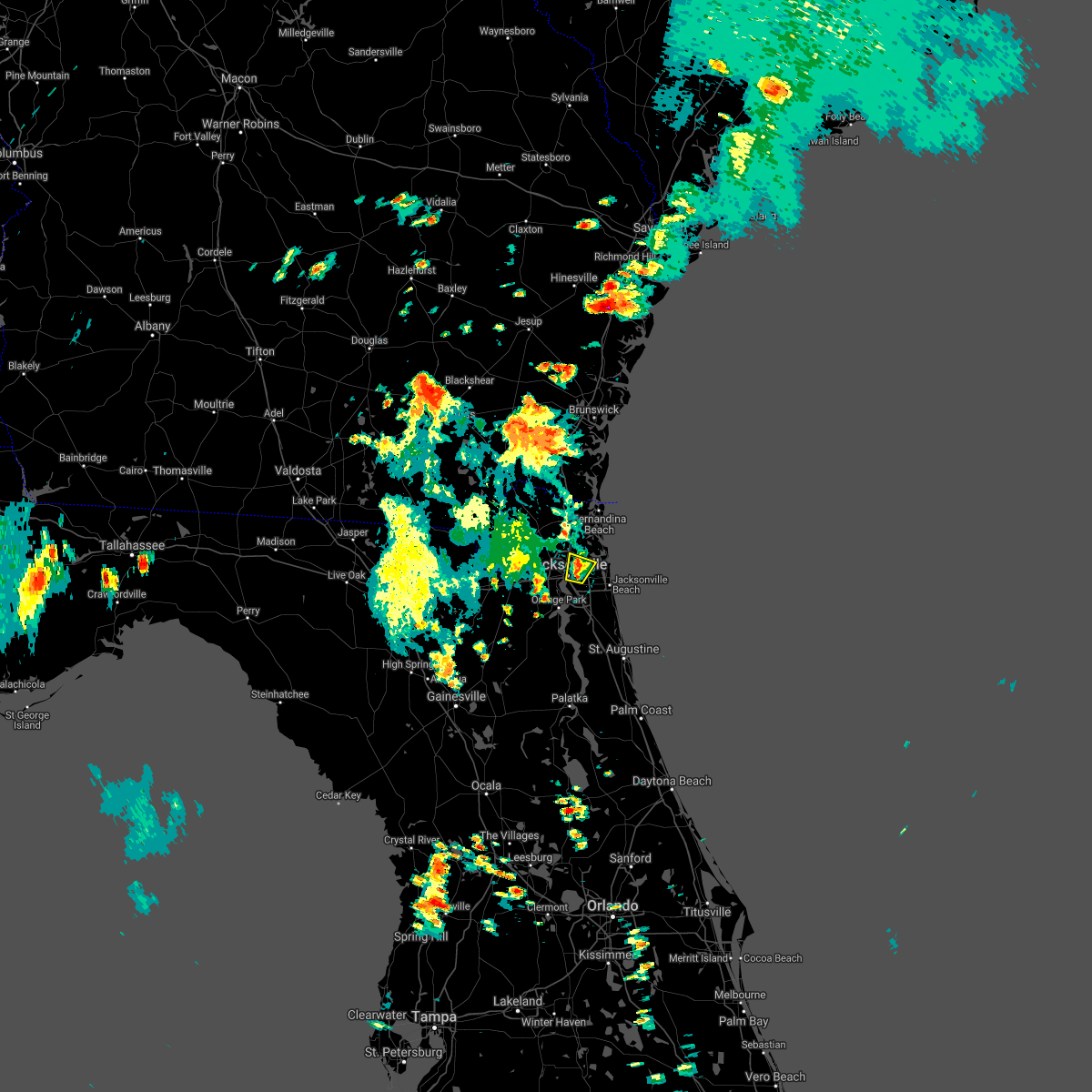 The severe thunderstorm warning for east central duval county will expire at 430 pm edt, the storm which prompted the warning has weakened below severe limits, and no longer poses an immediate threat to life or property. therefore, the warning will be allowed to expire. however gusty winds and heavy rain are still possible with this thunderstorm. The severe thunderstorm warning for east central duval county will expire at 430 pm edt, the storm which prompted the warning has weakened below severe limits, and no longer poses an immediate threat to life or property. therefore, the warning will be allowed to expire. however gusty winds and heavy rain are still possible with this thunderstorm.
|
| 7/18/2021 4:17 PM EDT |
 At 417 pm edt, a severe thunderstorm was located over arlington, and is nearly stationary (radar indicated). Hazards include 60 mph wind gusts and nickel size hail. Expect damage to roofs, siding, and trees. Locations impacted include, arlington, fort caroline, san marco and tallyrand. At 417 pm edt, a severe thunderstorm was located over arlington, and is nearly stationary (radar indicated). Hazards include 60 mph wind gusts and nickel size hail. Expect damage to roofs, siding, and trees. Locations impacted include, arlington, fort caroline, san marco and tallyrand.
|
| 7/18/2021 4:15 PM EDT | Jea utilities responeded to severe thunerstorm wind damage to infrastrure between tarpon drive and peeler road. the time of damage was based on rada in duval county FL, 5.4 miles WNW of Jacksonville, FL |
| 7/18/2021 4:01 PM EDT |
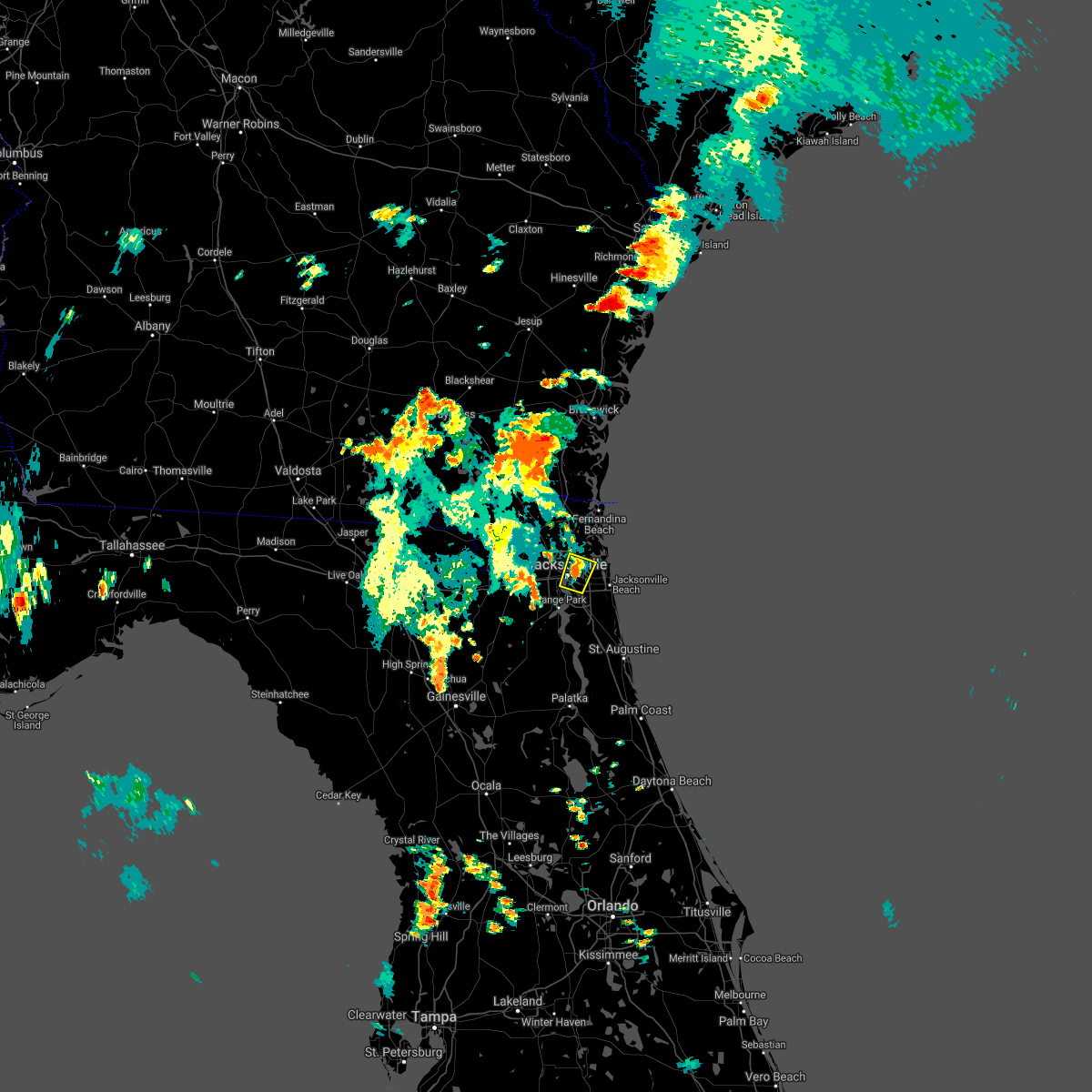 At 401 pm edt, a severe thunderstorm was located over arlington, and is nearly stationary (radar indicated). Hazards include 60 mph wind gusts and quarter size hail. Hail damage to vehicles is expected. Expect wind damage to roofs, siding, and trees. At 401 pm edt, a severe thunderstorm was located over arlington, and is nearly stationary (radar indicated). Hazards include 60 mph wind gusts and quarter size hail. Hail damage to vehicles is expected. Expect wind damage to roofs, siding, and trees.
|
| 7/11/2021 4:02 PM EDT |
 At 402 pm edt, a severe thunderstorm was located near maxville, or 8 miles north of middleburg, moving northeast at 10 mph (radar indicated). Hazards include 60 mph wind gusts and nickel size hail. expect damage to roofs, siding, and trees At 402 pm edt, a severe thunderstorm was located near maxville, or 8 miles north of middleburg, moving northeast at 10 mph (radar indicated). Hazards include 60 mph wind gusts and nickel size hail. expect damage to roofs, siding, and trees
|
| 7/7/2021 5:25 PM EDT |
 The tornado warning for northeastern nassau and northeastern duval counties will expire at 530 pm edt, the storm which prompted the warning has weakened below severe limits, and no longer appears capable of producing a tornado. therefore, the warning will be allowed to expire. however gusty winds and heavy rain are still possible with this thunderstorm. a tornado watch remains in effect until 800 pm edt for northeastern florida, and southeastern georgia. to report severe weather, contact your nearest law enforcement agency. they will relay your report to the national weather service jacksonville. The tornado warning for northeastern nassau and northeastern duval counties will expire at 530 pm edt, the storm which prompted the warning has weakened below severe limits, and no longer appears capable of producing a tornado. therefore, the warning will be allowed to expire. however gusty winds and heavy rain are still possible with this thunderstorm. a tornado watch remains in effect until 800 pm edt for northeastern florida, and southeastern georgia. to report severe weather, contact your nearest law enforcement agency. they will relay your report to the national weather service jacksonville.
|
| 7/7/2021 5:19 PM EDT |
 At 518 pm edt, a severe thunderstorm capable of producing a tornado was located near oceanway, or 8 miles east of jacksonville international arpt, moving north at 25 mph (radar indicated rotation). Hazards include tornado. Flying debris will be dangerous to those caught without shelter. mobile homes will be damaged or destroyed. damage to roofs, windows, and vehicles will occur. tree damage is likely. this dangerous storm will be near, yulee around 550 pm edt. st. Marys and fernandina beach around 600 pm edt. At 518 pm edt, a severe thunderstorm capable of producing a tornado was located near oceanway, or 8 miles east of jacksonville international arpt, moving north at 25 mph (radar indicated rotation). Hazards include tornado. Flying debris will be dangerous to those caught without shelter. mobile homes will be damaged or destroyed. damage to roofs, windows, and vehicles will occur. tree damage is likely. this dangerous storm will be near, yulee around 550 pm edt. st. Marys and fernandina beach around 600 pm edt.
|
| 7/7/2021 5:10 PM EDT | Trees down and debris on the road at university and i-95. power is out parts of the area. reported by media via twitte in duval county FL, 8.9 miles NNW of Jacksonville, FL |
| 7/7/2021 4:54 PM EDT |
 At 454 pm edt, a tornado producing storm was located over arlington, moving north at 30 mph (radar confirmed tornado). Hazards include damaging tornado. Flying debris will be dangerous to those caught without shelter. mobile homes will be damaged or destroyed. damage to roofs, windows, and vehicles will occur. tree damage is likely. this tornadic storm will be near, oceanway around 515 pm edt. jacksonville international arpt around 520 pm edt. jacksonville around 530 pm edt. Other locations impacted by this tornadic thunderstorm include tallyrand. At 454 pm edt, a tornado producing storm was located over arlington, moving north at 30 mph (radar confirmed tornado). Hazards include damaging tornado. Flying debris will be dangerous to those caught without shelter. mobile homes will be damaged or destroyed. damage to roofs, windows, and vehicles will occur. tree damage is likely. this tornadic storm will be near, oceanway around 515 pm edt. jacksonville international arpt around 520 pm edt. jacksonville around 530 pm edt. Other locations impacted by this tornadic thunderstorm include tallyrand.
|
| 7/7/2021 4:50 PM EDT |
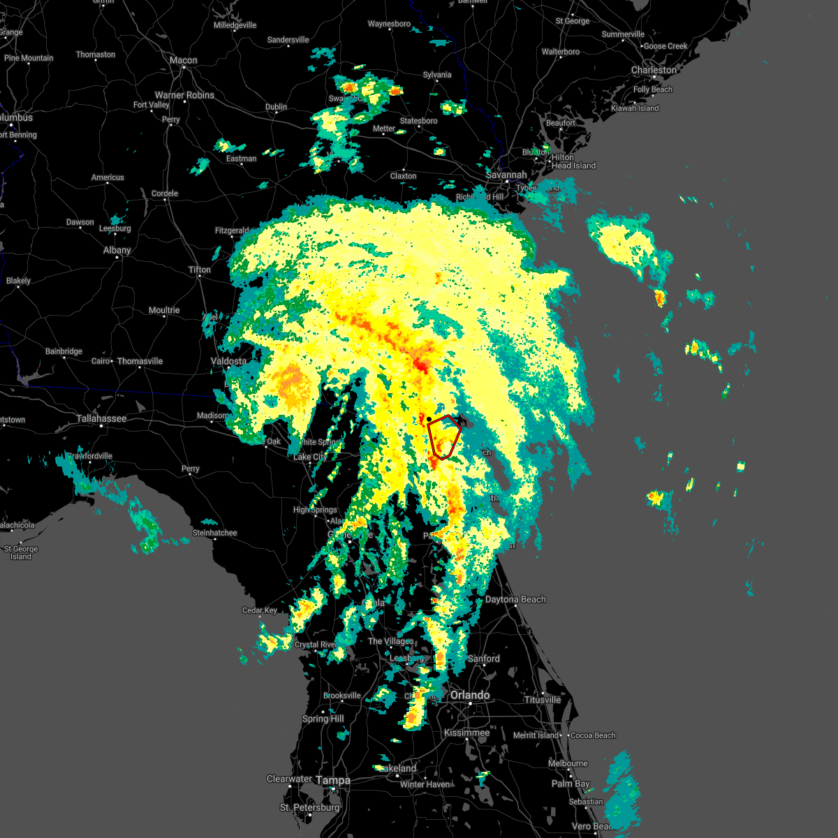 At 450 pm edt, a severe thunderstorm capable of producing a tornado was located over baymeadows, or near unf, moving north at 30 mph (radar indicated rotation). Hazards include tornado. Flying debris will be dangerous to those caught without shelter. mobile homes will be damaged or destroyed. damage to roofs, windows, and vehicles will occur. tree damage is likely. this dangerous storm will be near, san marco around 455 pm edt. arlington and craig field around 500 pm edt. fort caroline around 510 pm edt. oceanway around 515 pm edt. Other locations impacted by this tornadic thunderstorm include tallyrand. At 450 pm edt, a severe thunderstorm capable of producing a tornado was located over baymeadows, or near unf, moving north at 30 mph (radar indicated rotation). Hazards include tornado. Flying debris will be dangerous to those caught without shelter. mobile homes will be damaged or destroyed. damage to roofs, windows, and vehicles will occur. tree damage is likely. this dangerous storm will be near, san marco around 455 pm edt. arlington and craig field around 500 pm edt. fort caroline around 510 pm edt. oceanway around 515 pm edt. Other locations impacted by this tornadic thunderstorm include tallyrand.
|
| 7/7/2021 4:48 PM EDT | Storm damage to private property in the area of phillips highway and bowden road possibly associated with a potential tornado in the outer bands of ts els in duval county FL, 8.6 miles NNW of Jacksonville, FL |
| 7/7/2021 4:43 PM EDT |
 At 443 pm edt, a severe thunderstorm capable of producing a tornado was located near baymeadows, or near mandarin, moving north at 30 mph (radar indicated rotation). Hazards include tornado. Flying debris will be dangerous to those caught without shelter. mobile homes will be damaged or destroyed. damage to roofs, windows, and vehicles will occur. tree damage is likely. this dangerous storm will be near, unf, san marco and riverside around 455 pm edt. arlington and craig field around 500 pm edt. fort caroline around 510 pm edt. oceanway around 515 pm edt. Other locations impacted by this tornadic thunderstorm include tallyrand. At 443 pm edt, a severe thunderstorm capable of producing a tornado was located near baymeadows, or near mandarin, moving north at 30 mph (radar indicated rotation). Hazards include tornado. Flying debris will be dangerous to those caught without shelter. mobile homes will be damaged or destroyed. damage to roofs, windows, and vehicles will occur. tree damage is likely. this dangerous storm will be near, unf, san marco and riverside around 455 pm edt. arlington and craig field around 500 pm edt. fort caroline around 510 pm edt. oceanway around 515 pm edt. Other locations impacted by this tornadic thunderstorm include tallyrand.
|
| 7/7/2021 4:37 PM EDT |
 At 437 pm edt, a severe thunderstorm capable of producing a tornado was located over mandarin, moving north at 30 mph (radar indicated rotation). Hazards include tornado. Flying debris will be dangerous to those caught without shelter. mobile homes will be damaged or destroyed. damage to roofs, windows, and vehicles will occur. tree damage is likely. this dangerous storm will be near, nas jax around 445 pm edt. baymeadows and ortega around 450 pm edt. unf, san marco and riverside around 455 pm edt. arlington, craig field and fort caroline around 500 pm edt. Other locations impacted by this tornadic thunderstorm include tallyrand. At 437 pm edt, a severe thunderstorm capable of producing a tornado was located over mandarin, moving north at 30 mph (radar indicated rotation). Hazards include tornado. Flying debris will be dangerous to those caught without shelter. mobile homes will be damaged or destroyed. damage to roofs, windows, and vehicles will occur. tree damage is likely. this dangerous storm will be near, nas jax around 445 pm edt. baymeadows and ortega around 450 pm edt. unf, san marco and riverside around 455 pm edt. arlington, craig field and fort caroline around 500 pm edt. Other locations impacted by this tornadic thunderstorm include tallyrand.
|
| 7/7/2021 4:32 PM EDT |
 At 432 pm edt, a severe thunderstorm capable of producing a tornado was located over fruit cove, moving north at 30 mph (radar indicated rotation). Hazards include tornado. Flying debris will be dangerous to those caught without shelter. mobile homes will be damaged or destroyed. damage to roofs, windows, and vehicles will occur. tree damage is likely. this dangerous storm will be near, nas jax around 445 pm edt. baymeadows and ortega around 450 pm edt. unf, san marco and riverside around 455 pm edt. arlington, craig field and fort caroline around 500 pm edt. Other locations impacted by this tornadic thunderstorm include tallyrand. At 432 pm edt, a severe thunderstorm capable of producing a tornado was located over fruit cove, moving north at 30 mph (radar indicated rotation). Hazards include tornado. Flying debris will be dangerous to those caught without shelter. mobile homes will be damaged or destroyed. damage to roofs, windows, and vehicles will occur. tree damage is likely. this dangerous storm will be near, nas jax around 445 pm edt. baymeadows and ortega around 450 pm edt. unf, san marco and riverside around 455 pm edt. arlington, craig field and fort caroline around 500 pm edt. Other locations impacted by this tornadic thunderstorm include tallyrand.
|
| 7/7/2021 3:30 PM EDT | *** 1 fatal *** in the ortega neighborhood in jacksonville... there was a confirmed fatality with a tree felling on two cars on roosevelt blv in duval county FL, 8.4 miles N of Jacksonville, FL |
| 6/22/2021 1:40 PM EDT | A large tree uprooted and fell on top of a house on west 69th street in jacksonville. no injuries. time estimated by rada in duval county FL, 1.7 miles WSW of Jacksonville, FL |
| 6/15/2021 6:43 PM EDT |
 The severe thunderstorm warning for north central st. johns and eastern duval counties will expire at 645 pm edt, the storm which prompted the warning has weakened below severe limits, and no longer poses an immediate threat to life or property. therefore, the warning will be allowed to expire. however gusty winds and heavy rain are still possible with this thunderstorm. The severe thunderstorm warning for north central st. johns and eastern duval counties will expire at 645 pm edt, the storm which prompted the warning has weakened below severe limits, and no longer poses an immediate threat to life or property. therefore, the warning will be allowed to expire. however gusty winds and heavy rain are still possible with this thunderstorm.
|
| 6/15/2021 6:13 PM EDT |
 The severe thunderstorm warning for central nassau, northeastern clay and central duval counties will expire at 615 pm edt, the storms which prompted the warning have weakened below severe limits, and no longer pose an immediate threat to life or property. therefore, the warning will be allowed to expire. however gusty winds and heavy rain are still possible with these thunderstorms. The severe thunderstorm warning for central nassau, northeastern clay and central duval counties will expire at 615 pm edt, the storms which prompted the warning have weakened below severe limits, and no longer pose an immediate threat to life or property. therefore, the warning will be allowed to expire. however gusty winds and heavy rain are still possible with these thunderstorms.
|
| 6/15/2021 6:12 PM EDT |
 The severe thunderstorm warning for southwestern nassau, northeastern bradford, southern baker, northeastern union, east central columbia, northwestern clay and southwestern duval counties will expire at 615 pm edt, the storms which prompted the warning have weakened below severe limits, and no longer pose an immediate threat to life or property. therefore, the warning will be allowed to expire. however gusty winds and heavy rain are still possible with these thunderstorms. The severe thunderstorm warning for southwestern nassau, northeastern bradford, southern baker, northeastern union, east central columbia, northwestern clay and southwestern duval counties will expire at 615 pm edt, the storms which prompted the warning have weakened below severe limits, and no longer pose an immediate threat to life or property. therefore, the warning will be allowed to expire. however gusty winds and heavy rain are still possible with these thunderstorms.
|
| 6/15/2021 6:06 PM EDT | Mesonet station xhup huguenot par in amz452 county FL, 16.8 miles W of Jacksonville, FL |
| 6/15/2021 6:01 PM EDT | Mesonet station xjak jacksonvill in duval county FL, 12.4 miles W of Jacksonville, FL |
| 6/15/2021 6:01 PM EDT |
 At 601 pm edt, a severe thunderstorm was located over little talbot island, or 11 miles northeast of unf, moving south at 20 mph (radar indicated). Hazards include 60 mph wind gusts and quarter size hail. Hail damage to vehicles is expected. Expect wind damage to roofs, siding, and trees. At 601 pm edt, a severe thunderstorm was located over little talbot island, or 11 miles northeast of unf, moving south at 20 mph (radar indicated). Hazards include 60 mph wind gusts and quarter size hail. Hail damage to vehicles is expected. Expect wind damage to roofs, siding, and trees.
|
| 6/15/2021 5:36 PM EDT |
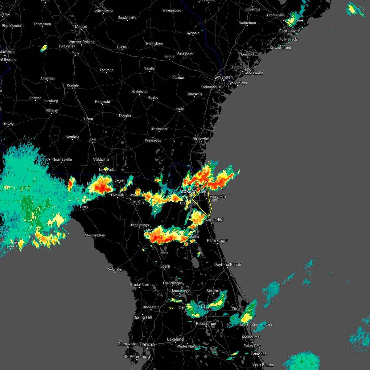 At 536 pm edt, a severe thunderstorm was located near little talbot island, or 14 miles south of fernandina beach, moving southwest at 15 mph (radar indicated). Hazards include 60 mph wind gusts and quarter size hail. Hail damage to vehicles is expected. Expect wind damage to roofs, siding, and trees. At 536 pm edt, a severe thunderstorm was located near little talbot island, or 14 miles south of fernandina beach, moving southwest at 15 mph (radar indicated). Hazards include 60 mph wind gusts and quarter size hail. Hail damage to vehicles is expected. Expect wind damage to roofs, siding, and trees.
|
| 6/15/2021 5:30 PM EDT |
 At 530 pm edt, severe thunderstorms were located along a line extending from yulee to near cecil field, moving southeast at 20 mph toward the jacksonville metro (radar indicated). Hazards include 60 mph wind gusts and quarter size hail. Hail damage to vehicles is expected. Expect wind damage to roofs, siding, and trees. At 530 pm edt, severe thunderstorms were located along a line extending from yulee to near cecil field, moving southeast at 20 mph toward the jacksonville metro (radar indicated). Hazards include 60 mph wind gusts and quarter size hail. Hail damage to vehicles is expected. Expect wind damage to roofs, siding, and trees.
|
| 6/15/2021 5:26 PM EDT |
 At 526 pm edt, severe thunderstorms were located along a line extending from near cecil field to 7 miles northeast of five points, moving southeast at 15 mph (radar indicated). Hazards include 60 mph wind gusts and quarter size hail. Hail damage to vehicles is expected. Expect wind damage to roofs, siding, and trees. At 526 pm edt, severe thunderstorms were located along a line extending from near cecil field to 7 miles northeast of five points, moving southeast at 15 mph (radar indicated). Hazards include 60 mph wind gusts and quarter size hail. Hail damage to vehicles is expected. Expect wind damage to roofs, siding, and trees.
|
| 6/15/2021 5:12 PM EDT |
 At 512 pm edt, a severe thunderstorm was located near kings bay base, moving southeast at 30 mph (radar indicated). Hazards include 60 mph wind gusts and quarter size hail. Hail damage to vehicles is expected. Expect wind damage to roofs, siding, and trees. At 512 pm edt, a severe thunderstorm was located near kings bay base, moving southeast at 30 mph (radar indicated). Hazards include 60 mph wind gusts and quarter size hail. Hail damage to vehicles is expected. Expect wind damage to roofs, siding, and trees.
|
| 6/15/2021 5:09 PM EDT |
 At 509 pm edt, a severe thunderstorm was located near bryceville, or 19 miles southwest of callahan, moving southeast at 15 mph (radar indicated). Hazards include 50 mph wind gusts and quarter size hail. Hail damage to vehicles is expected. Expect wind damage to roofs, siding, and trees. At 509 pm edt, a severe thunderstorm was located near bryceville, or 19 miles southwest of callahan, moving southeast at 15 mph (radar indicated). Hazards include 50 mph wind gusts and quarter size hail. Hail damage to vehicles is expected. Expect wind damage to roofs, siding, and trees.
|
| 6/15/2021 5:09 PM EDT |
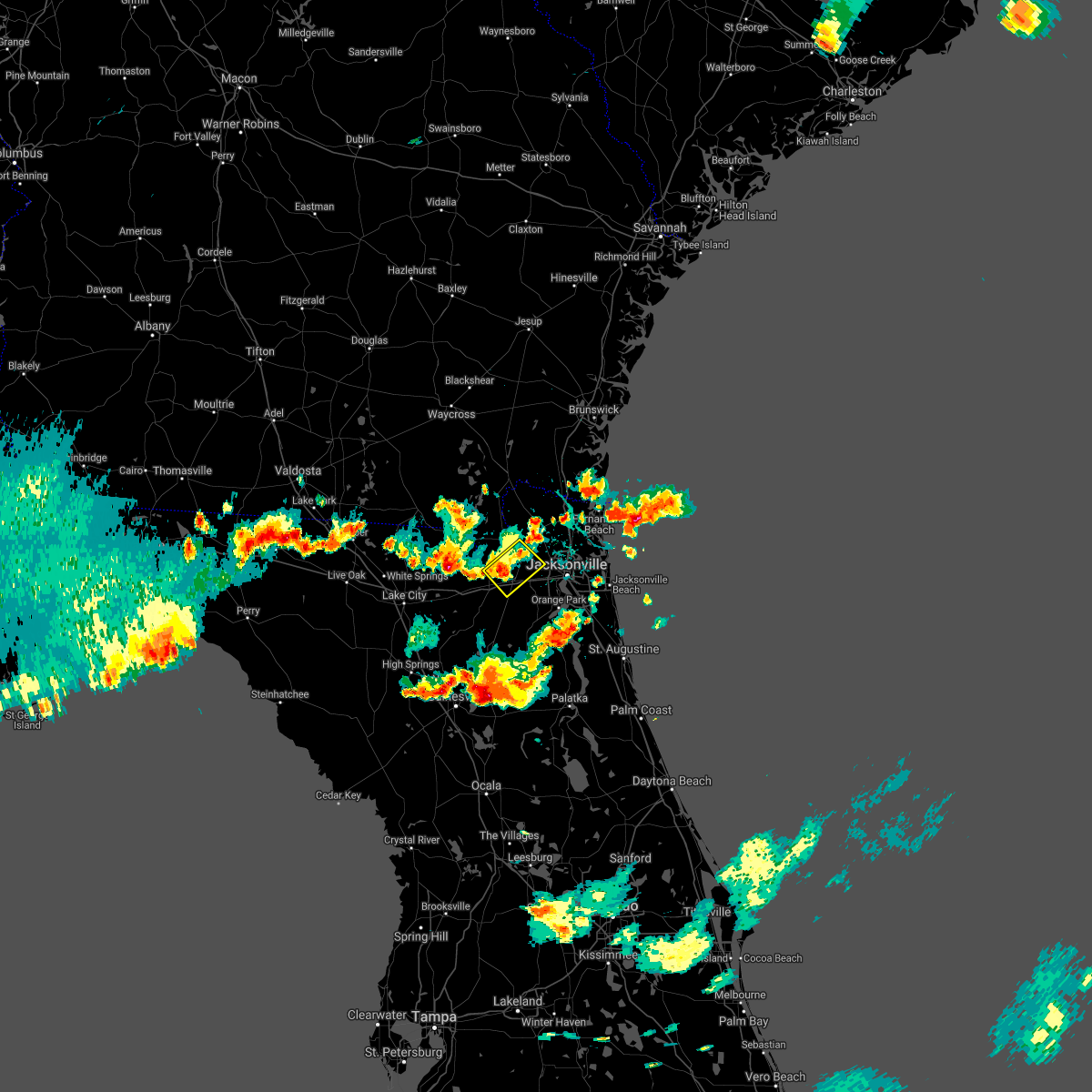 At 509 pm edt, a severe thunderstorm was located near bryceville, or 19 miles southwest of callahan, moving southeast at 15 mph (radar indicated). Hazards include 50 mph wind gusts and quarter size hail. Hail damage to vehicles is expected. Expect wind damage to roofs, siding, and trees. At 509 pm edt, a severe thunderstorm was located near bryceville, or 19 miles southwest of callahan, moving southeast at 15 mph (radar indicated). Hazards include 50 mph wind gusts and quarter size hail. Hail damage to vehicles is expected. Expect wind damage to roofs, siding, and trees.
|
| 6/15/2021 5:07 PM EDT |
 At 506 pm edt, a severe thunderstorm was located near green cove springs, moving northeast at 15 mph (radar indicated). Hazards include 60 mph wind gusts and quarter size hail. Hail damage to vehicles is expected. Expect wind damage to roofs, siding, and trees. At 506 pm edt, a severe thunderstorm was located near green cove springs, moving northeast at 15 mph (radar indicated). Hazards include 60 mph wind gusts and quarter size hail. Hail damage to vehicles is expected. Expect wind damage to roofs, siding, and trees.
|
| 6/15/2021 4:15 PM EDT |
 At 414 pm edt, severe thunderstorms were located along a line extending from 6 miles southwest of maxville to near keystone heights, moving east at 15 mph (radar indicated). Hazards include 60 mph wind gusts and quarter size hail. Hail damage to vehicles is expected. Expect wind damage to roofs, siding, and trees. At 414 pm edt, severe thunderstorms were located along a line extending from 6 miles southwest of maxville to near keystone heights, moving east at 15 mph (radar indicated). Hazards include 60 mph wind gusts and quarter size hail. Hail damage to vehicles is expected. Expect wind damage to roofs, siding, and trees.
|
| 6/13/2021 4:56 PM EDT |
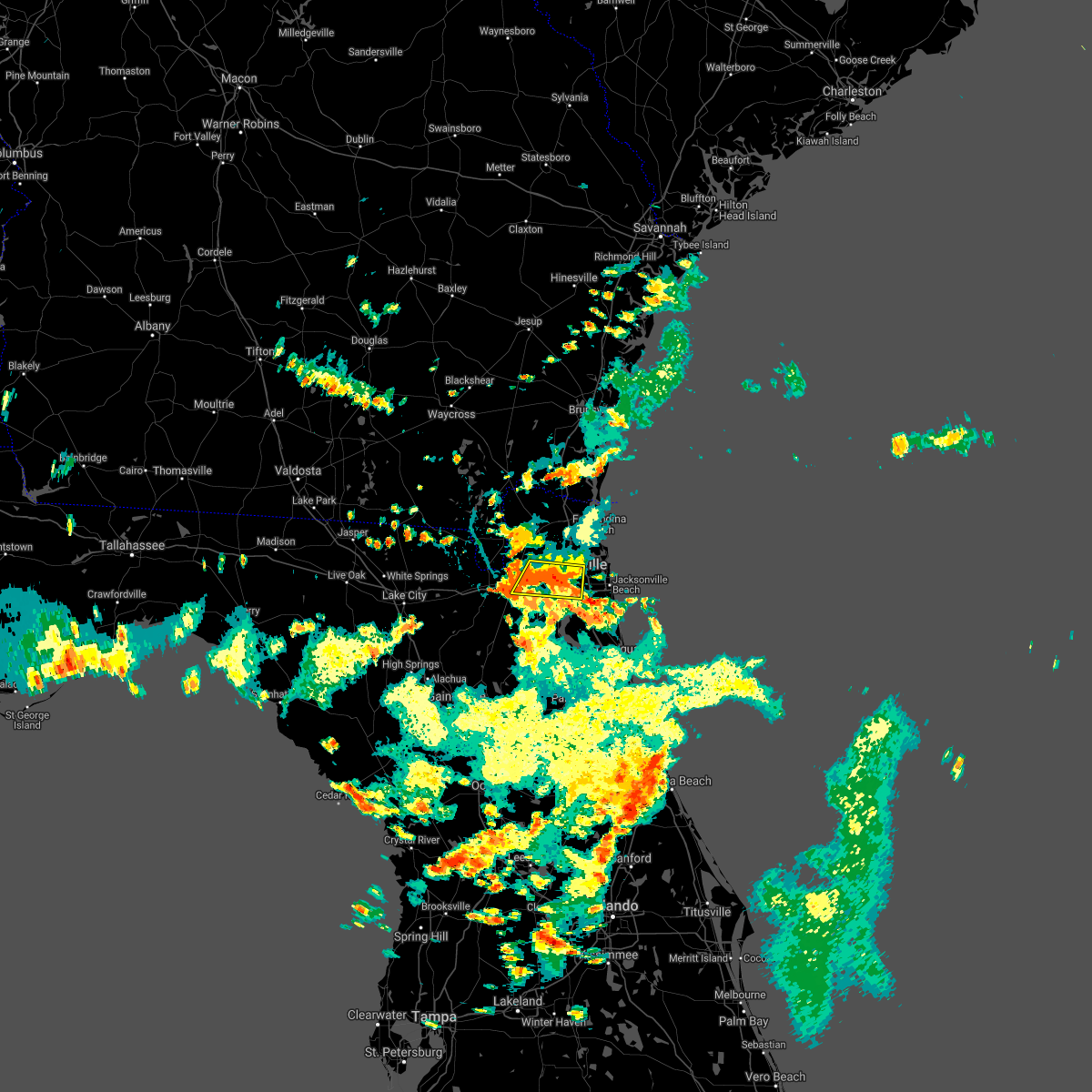 At 456 pm edt, a severe thunderstorm was located over riverside, or over jacksonville, moving west at 5 mph (radar indicated). Hazards include 60 mph wind gusts and half dollar size hail. Hail damage to vehicles is expected. Expect wind damage to roofs, siding, and trees. At 456 pm edt, a severe thunderstorm was located over riverside, or over jacksonville, moving west at 5 mph (radar indicated). Hazards include 60 mph wind gusts and half dollar size hail. Hail damage to vehicles is expected. Expect wind damage to roofs, siding, and trees.
|
| 6/12/2021 2:59 PM EDT |
 At 259 pm edt, a severe thunderstorm was located over ortega, or near jacksonville, moving east at 15 mph (radar indicated). Hazards include 60 mph wind gusts and penny size hail. expect damage to roofs, siding, and trees At 259 pm edt, a severe thunderstorm was located over ortega, or near jacksonville, moving east at 15 mph (radar indicated). Hazards include 60 mph wind gusts and penny size hail. expect damage to roofs, siding, and trees
|
| 6/9/2021 6:05 PM EDT | Tree debris was blown down onto powerlines that caused power outages near dunn avenue... just south of the trout river... west of highway 23/us route in duval county FL, 5.5 miles SE of Jacksonville, FL |
| 5/11/2021 5:30 PM EDT |
 At 530 pm edt, a severe thunderstorm was located over fruit cove, moving east at 20 mph (radar indicated). Hazards include 60 mph wind gusts. expect damage to roofs, siding, and trees At 530 pm edt, a severe thunderstorm was located over fruit cove, moving east at 20 mph (radar indicated). Hazards include 60 mph wind gusts. expect damage to roofs, siding, and trees
|
| 5/11/2021 5:24 PM EDT |
 The severe thunderstorm warning for northwestern st. johns, northeastern clay and southeastern duval counties will expire at 530 pm edt, the storm which prompted the warning has weakened below severe limits, and no longer poses an immediate threat to life or property. therefore, the warning will be allowed to expire. however gusty winds and heavy rain are still possible with this thunderstorm. The severe thunderstorm warning for northwestern st. johns, northeastern clay and southeastern duval counties will expire at 530 pm edt, the storm which prompted the warning has weakened below severe limits, and no longer poses an immediate threat to life or property. therefore, the warning will be allowed to expire. however gusty winds and heavy rain are still possible with this thunderstorm.
|
| 5/11/2021 5:02 PM EDT |
 At 502 pm edt, a severe thunderstorm was located over bellair-meadowbrook terrace, or over orange park, moving east at 15 mph (radar indicated). Hazards include 60 mph wind gusts. Expect damage to roofs, siding, and trees. Locations impacted include, orange park, mandarin, fruit cove, nas jax, fleming island, doctors inlet, baymeadows, lakeside, bellair-meadowbrook terrace and switzerland. At 502 pm edt, a severe thunderstorm was located over bellair-meadowbrook terrace, or over orange park, moving east at 15 mph (radar indicated). Hazards include 60 mph wind gusts. Expect damage to roofs, siding, and trees. Locations impacted include, orange park, mandarin, fruit cove, nas jax, fleming island, doctors inlet, baymeadows, lakeside, bellair-meadowbrook terrace and switzerland.
|
| 5/11/2021 4:49 PM EDT |
 At 449 pm edt, a severe thunderstorm was located over lakeside, or near orange park, moving east at 20 mph (radar indicated). Hazards include 60 mph wind gusts. expect damage to roofs, siding, and trees At 449 pm edt, a severe thunderstorm was located over lakeside, or near orange park, moving east at 20 mph (radar indicated). Hazards include 60 mph wind gusts. expect damage to roofs, siding, and trees
|
| 4/25/2021 2:43 AM EDT |
 At 242 am edt, a severe thunderstorm was located over jacksonville international arpt, moving east at 50 mph (radar indicated). Hazards include 60 mph wind gusts and quarter size hail. Hail damage to vehicles is expected. expect wind damage to roofs, siding, and trees. Locations impacted include, fernandina beach, jacksonville international arpt, cisco gardens, oceanway, little talbot island, fort caroline and nassau village-ratliff. At 242 am edt, a severe thunderstorm was located over jacksonville international arpt, moving east at 50 mph (radar indicated). Hazards include 60 mph wind gusts and quarter size hail. Hail damage to vehicles is expected. expect wind damage to roofs, siding, and trees. Locations impacted include, fernandina beach, jacksonville international arpt, cisco gardens, oceanway, little talbot island, fort caroline and nassau village-ratliff.
|
| 4/25/2021 2:26 AM EDT |
 At 226 am edt, a severe thunderstorm was located near ratliff, or 7 miles southwest of callahan, moving east at 50 mph (radar indicated). Hazards include 60 mph wind gusts and quarter size hail. Hail damage to vehicles is expected. expect wind damage to roofs, siding, and trees. Locations impacted include, fernandina beach, callahan, jacksonville international arpt, yulee, cisco gardens, nassau village-ratliff, ratliff, oceanway, little talbot island and fort caroline. At 226 am edt, a severe thunderstorm was located near ratliff, or 7 miles southwest of callahan, moving east at 50 mph (radar indicated). Hazards include 60 mph wind gusts and quarter size hail. Hail damage to vehicles is expected. expect wind damage to roofs, siding, and trees. Locations impacted include, fernandina beach, callahan, jacksonville international arpt, yulee, cisco gardens, nassau village-ratliff, ratliff, oceanway, little talbot island and fort caroline.
|
| 4/25/2021 2:12 AM EDT |
 At 212 am edt, a severe thunderstorm was located near st. george, or 16 miles southwest of callahan, moving east at 50 mph (radar indicated). Hazards include 60 mph wind gusts and quarter size hail. Hail damage to vehicles is expected. Expect wind damage to roofs, siding, and trees. At 212 am edt, a severe thunderstorm was located near st. george, or 16 miles southwest of callahan, moving east at 50 mph (radar indicated). Hazards include 60 mph wind gusts and quarter size hail. Hail damage to vehicles is expected. Expect wind damage to roofs, siding, and trees.
|
| 4/24/2021 4:51 PM EDT |
 The severe thunderstorm warning for northeastern nassau, northeastern duval and south central camden counties will expire at 500 pm edt, the storm which prompted the warning has weakened below severe limits, and has exited into the atlantic coastal waters. therefore, the warning will be allowed to expire. a tornado watch remains in effect until 600 pm edt for northeastern florida. The severe thunderstorm warning for northeastern nassau, northeastern duval and south central camden counties will expire at 500 pm edt, the storm which prompted the warning has weakened below severe limits, and has exited into the atlantic coastal waters. therefore, the warning will be allowed to expire. a tornado watch remains in effect until 600 pm edt for northeastern florida.
|
| 4/24/2021 4:39 PM EDT |
 At 439 pm edt, a severe thunderstorm was located near oceanway, or near jacksonville international arpt, moving east at 45 mph (radar indicated). Hazards include 60 mph wind gusts and nickel size hail. Expect damage to roofs, siding, and trees. Locations impacted include, fernandina beach, jacksonville international arpt, yulee, cisco gardens, oceanway, little talbot island and fort caroline. At 439 pm edt, a severe thunderstorm was located near oceanway, or near jacksonville international arpt, moving east at 45 mph (radar indicated). Hazards include 60 mph wind gusts and nickel size hail. Expect damage to roofs, siding, and trees. Locations impacted include, fernandina beach, jacksonville international arpt, yulee, cisco gardens, oceanway, little talbot island and fort caroline.
|
| 4/24/2021 4:36 PM EDT |
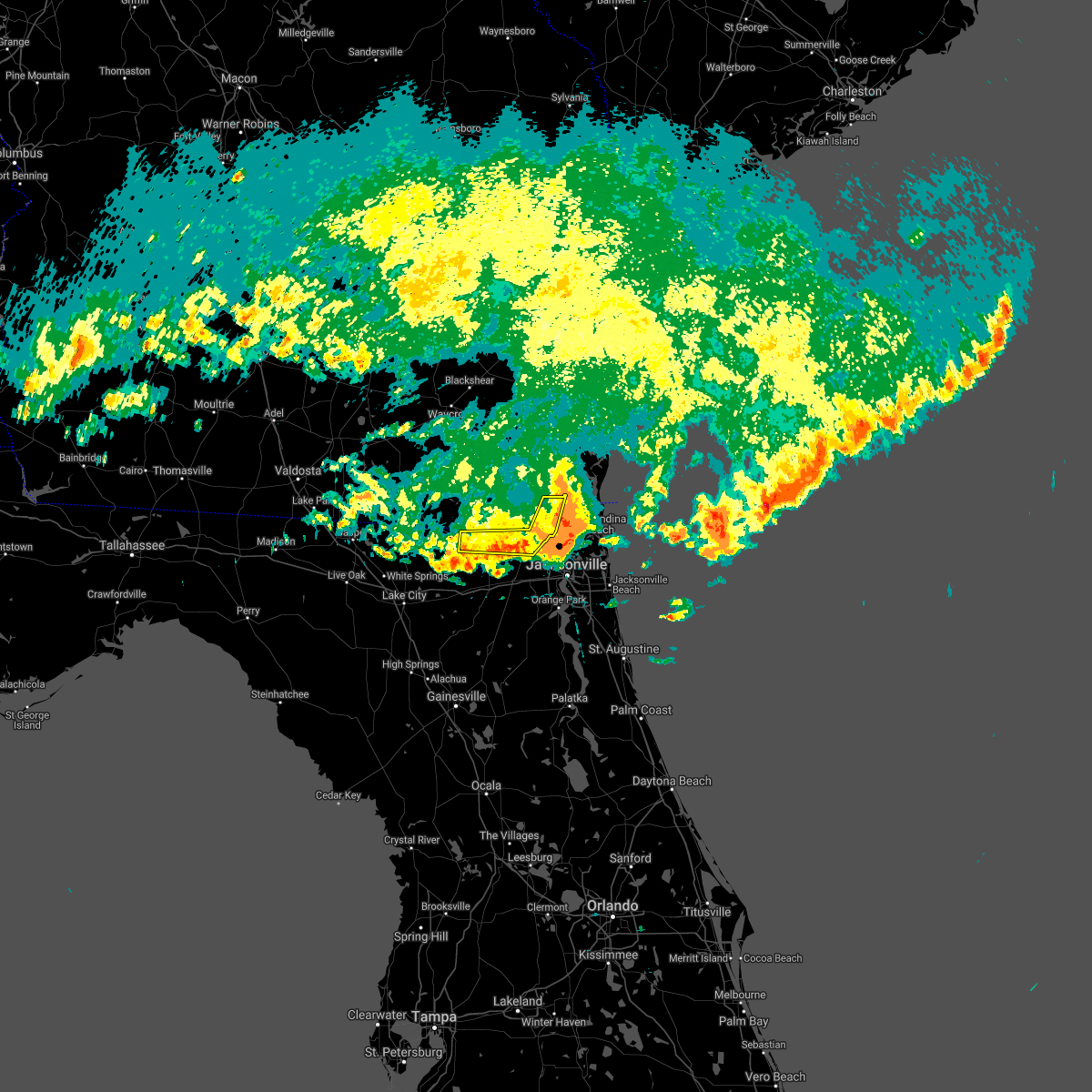 The severe thunderstorm warning for northwestern nassau, north central baker and southeastern charlton counties will expire at 445 pm edt, the storm which prompted the warning has weakened below severe limits, and has exited the warned area. therefore, the warning will be allowed to expire. a tornado watch remains in effect until 600 pm edt for northeastern florida. The severe thunderstorm warning for northwestern nassau, north central baker and southeastern charlton counties will expire at 445 pm edt, the storm which prompted the warning has weakened below severe limits, and has exited the warned area. therefore, the warning will be allowed to expire. a tornado watch remains in effect until 600 pm edt for northeastern florida.
|
| 4/24/2021 4:31 PM EDT |
 At 430 pm edt, a severe thunderstorm was located 7 miles southwest of st. george, or 19 miles southwest of callahan, moving east at 45 mph (radar indicated). Hazards include 60 mph wind gusts and nickel size hail. Expect damage to roofs, siding, and trees. locations impacted include, callahan, ratliff, st. George, bryceville and nassau village-ratliff. At 430 pm edt, a severe thunderstorm was located 7 miles southwest of st. george, or 19 miles southwest of callahan, moving east at 45 mph (radar indicated). Hazards include 60 mph wind gusts and nickel size hail. Expect damage to roofs, siding, and trees. locations impacted include, callahan, ratliff, st. George, bryceville and nassau village-ratliff.
|
| 4/24/2021 4:26 PM EDT |
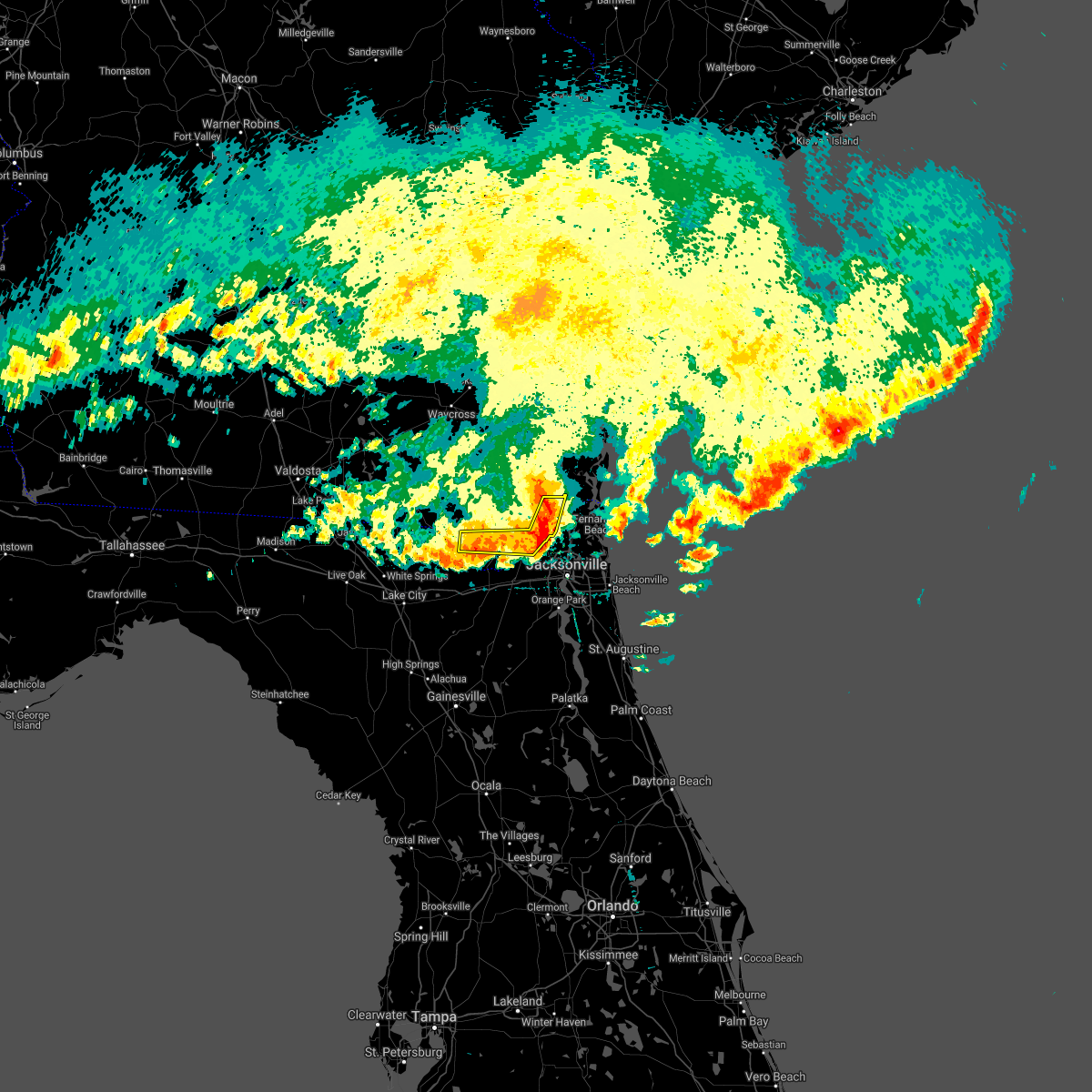 At 425 pm edt, a severe thunderstorm was located over callahan, moving east at 55 mph (radar indicated). Hazards include 60 mph wind gusts and half dollar size hail. Hail damage to vehicles is expected. expect wind damage to roofs, siding, and trees. locations impacted include, callahan, ratliff, st. George and nassau village-ratliff. At 425 pm edt, a severe thunderstorm was located over callahan, moving east at 55 mph (radar indicated). Hazards include 60 mph wind gusts and half dollar size hail. Hail damage to vehicles is expected. expect wind damage to roofs, siding, and trees. locations impacted include, callahan, ratliff, st. George and nassau village-ratliff.
|
| 4/24/2021 4:18 PM EDT |
 At 418 pm edt, a severe thunderstorm was located near ratliff, or near callahan, moving east at 45 mph (radar indicated). Hazards include 60 mph wind gusts and nickel size hail. expect damage to roofs, siding, and trees At 418 pm edt, a severe thunderstorm was located near ratliff, or near callahan, moving east at 45 mph (radar indicated). Hazards include 60 mph wind gusts and nickel size hail. expect damage to roofs, siding, and trees
|
| 4/24/2021 4:10 PM EDT |
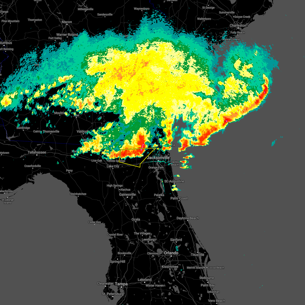 At 410 pm edt, a severe thunderstorm was located near taylor, or 19 miles southeast of fargo, moving east at 45 mph (radar indicated). Hazards include 60 mph wind gusts and half dollar size hail. Hail damage to vehicles is expected. Expect wind damage to roofs, siding, and trees. At 410 pm edt, a severe thunderstorm was located near taylor, or 19 miles southeast of fargo, moving east at 45 mph (radar indicated). Hazards include 60 mph wind gusts and half dollar size hail. Hail damage to vehicles is expected. Expect wind damage to roofs, siding, and trees.
|
| 4/24/2021 3:57 PM EDT |
 At 357 pm edt, a severe thunderstorm was located 10 miles north of taylor, or 17 miles south of stephen foster state park, moving east at 55 mph (radar indicated). Hazards include golf ball size hail. People and animals outdoors will be injured. Expect damage to roofs, siding, windows, and vehicles. At 357 pm edt, a severe thunderstorm was located 10 miles north of taylor, or 17 miles south of stephen foster state park, moving east at 55 mph (radar indicated). Hazards include golf ball size hail. People and animals outdoors will be injured. Expect damage to roofs, siding, windows, and vehicles.
|
| 4/10/2021 5:04 PM EDT |
 At 504 pm edt, a severe thunderstorm was located near jekyll island, or near brunswick, moving northeast at 45 mph (radar indicated). Hazards include 60 mph wind gusts. Expect damage to roofs, siding, and trees. locations impacted include, st. Marys, brunswick, fernandina beach, kings bay base, yulee, cumberland island, harrietts bluff and dover bluff. At 504 pm edt, a severe thunderstorm was located near jekyll island, or near brunswick, moving northeast at 45 mph (radar indicated). Hazards include 60 mph wind gusts. Expect damage to roofs, siding, and trees. locations impacted include, st. Marys, brunswick, fernandina beach, kings bay base, yulee, cumberland island, harrietts bluff and dover bluff.
|
| 4/10/2021 4:44 PM EDT |
 At 444 pm edt, a severe thunderstorm was located over woodbine, moving northeast at 45 mph (radar indicated). Hazards include 60 mph wind gusts and penny size hail. expect damage to roofs, siding, and trees At 444 pm edt, a severe thunderstorm was located over woodbine, moving northeast at 45 mph (radar indicated). Hazards include 60 mph wind gusts and penny size hail. expect damage to roofs, siding, and trees
|
| 4/10/2021 4:43 PM EDT | Asos at the jacksonville international airport reported wind gust from the west to 60 mph at 443 pm ed in duval county FL, 7 miles SSE of Jacksonville, FL |
| 3/18/2021 4:30 PM EDT |
 At 430 pm edt, a severe thunderstorm was located over san marco, or near jacksonville, moving northeast at 45 mph (radar indicated). Hazards include 60 mph wind gusts. Expect damage to roofs, siding, and trees. Locations impacted include, jacksonville, arlington, nas jax, ortega, normandy, san marco, riverside and tallyrand. At 430 pm edt, a severe thunderstorm was located over san marco, or near jacksonville, moving northeast at 45 mph (radar indicated). Hazards include 60 mph wind gusts. Expect damage to roofs, siding, and trees. Locations impacted include, jacksonville, arlington, nas jax, ortega, normandy, san marco, riverside and tallyrand.
|
| 3/18/2021 4:23 PM EDT |
 At 422 pm edt, a severe thunderstorm was located near bellair-meadowbrook terrace, or near orange park, moving northeast at 55 mph (radar indicated). Hazards include 60 mph wind gusts. Expect damage to roofs, siding, and trees. Locations impacted include, jacksonville, jacksonville international arpt, arlington, baymeadows, cisco gardens, ortega, nas jax, normandy, san marco and riverside. At 422 pm edt, a severe thunderstorm was located near bellair-meadowbrook terrace, or near orange park, moving northeast at 55 mph (radar indicated). Hazards include 60 mph wind gusts. Expect damage to roofs, siding, and trees. Locations impacted include, jacksonville, jacksonville international arpt, arlington, baymeadows, cisco gardens, ortega, nas jax, normandy, san marco and riverside.
|
| 3/18/2021 4:17 PM EDT |
 At 417 pm edt, a severe thunderstorm capable of producing a tornado was located over oakleaf plantation, or 7 miles northeast of middleburg, moving northeast at 45 mph (radar indicated rotation). Hazards include tornado. Flying debris will be dangerous to those caught without shelter. mobile homes will be damaged or destroyed. damage to roofs, windows, and vehicles will occur. tree damage is likely. this dangerous storm will be near, orange park, mandarin and bellair-meadowbrook terrace around 430 pm edt. nas jax, ortega and riverside around 435 pm edt. san marco around 440 pm edt. Other locations impacted by this tornadic thunderstorm include jacksonville heights. At 417 pm edt, a severe thunderstorm capable of producing a tornado was located over oakleaf plantation, or 7 miles northeast of middleburg, moving northeast at 45 mph (radar indicated rotation). Hazards include tornado. Flying debris will be dangerous to those caught without shelter. mobile homes will be damaged or destroyed. damage to roofs, windows, and vehicles will occur. tree damage is likely. this dangerous storm will be near, orange park, mandarin and bellair-meadowbrook terrace around 430 pm edt. nas jax, ortega and riverside around 435 pm edt. san marco around 440 pm edt. Other locations impacted by this tornadic thunderstorm include jacksonville heights.
|
| 3/18/2021 4:10 PM EDT |
 At 409 pm edt, a severe thunderstorm capable of producing a tornado was located over middleburg, moving northeast at 40 mph (radar indicated rotation). Hazards include tornado. Flying debris will be dangerous to those caught without shelter. mobile homes will be damaged or destroyed. damage to roofs, windows, and vehicles will occur. tree damage is likely. this dangerous storm will be near, oakleaf plantation and cecil field around 420 pm edt. lakeside, doctors inlet and fleming island around 425 pm edt. orange park and bellair-meadowbrook terrace around 430 pm edt. mandarin, fruit cove, nas jax, ortega and normandy around 435 pm edt. san marco and riverside around 440 pm edt. Other locations impacted by this tornadic thunderstorm include jacksonville heights and asbury lake. At 409 pm edt, a severe thunderstorm capable of producing a tornado was located over middleburg, moving northeast at 40 mph (radar indicated rotation). Hazards include tornado. Flying debris will be dangerous to those caught without shelter. mobile homes will be damaged or destroyed. damage to roofs, windows, and vehicles will occur. tree damage is likely. this dangerous storm will be near, oakleaf plantation and cecil field around 420 pm edt. lakeside, doctors inlet and fleming island around 425 pm edt. orange park and bellair-meadowbrook terrace around 430 pm edt. mandarin, fruit cove, nas jax, ortega and normandy around 435 pm edt. san marco and riverside around 440 pm edt. Other locations impacted by this tornadic thunderstorm include jacksonville heights and asbury lake.
|
| 3/18/2021 4:03 PM EDT |
 At 402 pm edt, a severe thunderstorm was located near middleburg, moving northeast at 45 mph (radar indicated). Hazards include 60 mph wind gusts. Expect damage to roofs, siding, and trees. Locations impacted include, jacksonville, orange park, jacksonville international arpt, mandarin, arlington, middleburg, baymeadows, cisco gardens, ortega and oakleaf plantation. At 402 pm edt, a severe thunderstorm was located near middleburg, moving northeast at 45 mph (radar indicated). Hazards include 60 mph wind gusts. Expect damage to roofs, siding, and trees. Locations impacted include, jacksonville, orange park, jacksonville international arpt, mandarin, arlington, middleburg, baymeadows, cisco gardens, ortega and oakleaf plantation.
|
| 3/18/2021 3:57 PM EDT |
 At 356 pm edt, a severe thunderstorm was located near maxville, or 10 miles northwest of middleburg, moving northeast at 55 mph (radar indicated). Hazards include 60 mph wind gusts. possible tornado. expect damage to roofs, siding, and trees At 356 pm edt, a severe thunderstorm was located near maxville, or 10 miles northwest of middleburg, moving northeast at 55 mph (radar indicated). Hazards include 60 mph wind gusts. possible tornado. expect damage to roofs, siding, and trees
|
| 3/18/2021 3:53 PM EDT |
 At 352 pm edt, a severe thunderstorm was located near starke, moving northeast at 50 mph (radar indicated). Hazards include 60 mph wind gusts. Expect damage to roofs, siding, and trees. Locations impacted include, starke, middleburg, kingsley, camp blanding and lawtey. At 352 pm edt, a severe thunderstorm was located near starke, moving northeast at 50 mph (radar indicated). Hazards include 60 mph wind gusts. Expect damage to roofs, siding, and trees. Locations impacted include, starke, middleburg, kingsley, camp blanding and lawtey.
|
| 3/18/2021 3:46 PM EDT |
 At 346 pm edt, a severe thunderstorm was located near camp blanding, or 8 miles west of middleburg, moving northeast at 50 mph (radar indicated). Hazards include 60 mph wind gusts. Expect damage to roofs, siding, and trees. Locations impacted include, starke, middleburg, kingsley, camp blanding and lawtey. At 346 pm edt, a severe thunderstorm was located near camp blanding, or 8 miles west of middleburg, moving northeast at 50 mph (radar indicated). Hazards include 60 mph wind gusts. Expect damage to roofs, siding, and trees. Locations impacted include, starke, middleburg, kingsley, camp blanding and lawtey.
|
| 3/18/2021 3:22 PM EDT |
 At 322 pm edt, a severe thunderstorm was located over new river, or near starke, moving northeast at 55 mph (radar indicated). Hazards include 60 mph wind gusts. expect damage to roofs, siding, and trees At 322 pm edt, a severe thunderstorm was located over new river, or near starke, moving northeast at 55 mph (radar indicated). Hazards include 60 mph wind gusts. expect damage to roofs, siding, and trees
|
| 2/15/2021 4:57 PM EST |
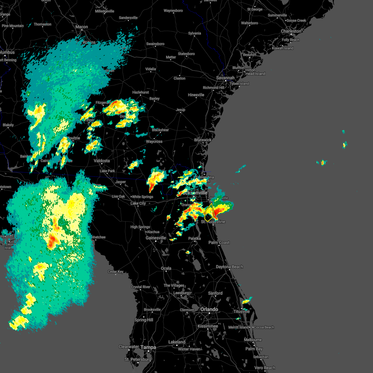 The severe thunderstorm warning for north central st. johns county will expire at 500 pm est, the storm which prompted the warning has moved out of the area. therefore, the warning will be allowed to expire. however small hail, gusty winds and heavy rain are still possible with this thunderstorm. a tornado watch remains in effect until 1000 pm est for northeastern florida. The severe thunderstorm warning for north central st. johns county will expire at 500 pm est, the storm which prompted the warning has moved out of the area. therefore, the warning will be allowed to expire. however small hail, gusty winds and heavy rain are still possible with this thunderstorm. a tornado watch remains in effect until 1000 pm est for northeastern florida.
|
| 2/15/2021 4:46 PM EST |
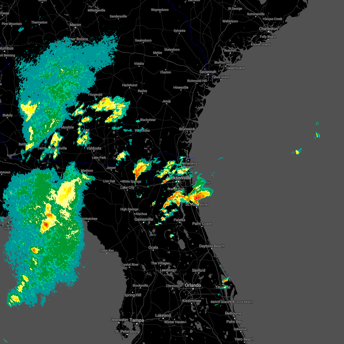 At 445 pm est, a severe thunderstorm was located over guana river state park, or 12 miles south of ponte vedra beach, moving northeast at 15 mph (radar indicated). Hazards include golf ball size hail and 60 mph wind gusts. People and animals outdoors will be injured. expect hail damage to roofs, siding, windows, and vehicles. expect wind damage to roofs, siding, and trees. Locations impacted include, sawgrass, nocatee, south ponte vedra and guana river state park. At 445 pm est, a severe thunderstorm was located over guana river state park, or 12 miles south of ponte vedra beach, moving northeast at 15 mph (radar indicated). Hazards include golf ball size hail and 60 mph wind gusts. People and animals outdoors will be injured. expect hail damage to roofs, siding, windows, and vehicles. expect wind damage to roofs, siding, and trees. Locations impacted include, sawgrass, nocatee, south ponte vedra and guana river state park.
|
| 2/15/2021 4:37 PM EST |
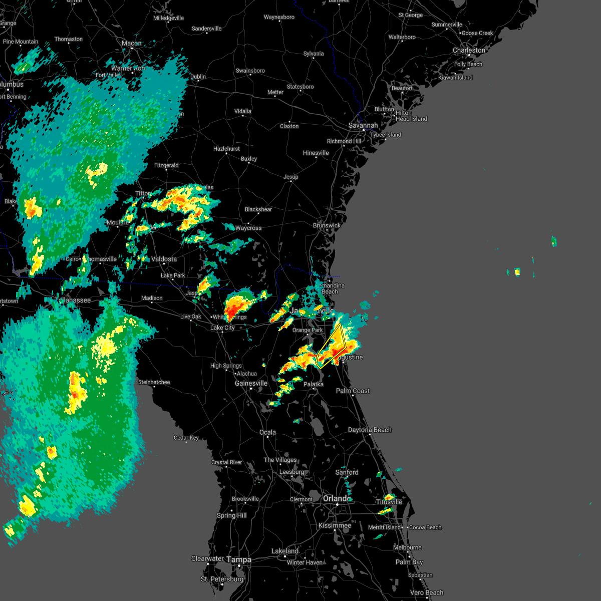 At 437 pm est, a severe thunderstorm was located over world golf village, or 11 miles southeast of fruit cove, moving northeast at 15 mph (radar indicated). Hazards include golf ball size hail and 60 mph wind gusts. People and animals outdoors will be injured. expect hail damage to roofs, siding, windows, and vehicles. expect wind damage to roofs, siding, and trees. Locations impacted include, world golf village, palm valley, sawgrass, nocatee, south ponte vedra, durbin, picolata, guana river state park and bakersville. At 437 pm est, a severe thunderstorm was located over world golf village, or 11 miles southeast of fruit cove, moving northeast at 15 mph (radar indicated). Hazards include golf ball size hail and 60 mph wind gusts. People and animals outdoors will be injured. expect hail damage to roofs, siding, windows, and vehicles. expect wind damage to roofs, siding, and trees. Locations impacted include, world golf village, palm valley, sawgrass, nocatee, south ponte vedra, durbin, picolata, guana river state park and bakersville.
|
| 2/15/2021 4:21 PM EST |
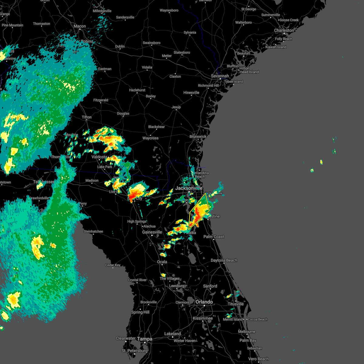 At 421 pm est, a severe thunderstorm was located over world golf village, or 9 miles southeast of fruit cove, moving northeast at 15 mph (radar indicated). Hazards include 60 mph wind gusts and quarter size hail. Hail damage to vehicles is expected. Expect wind damage to roofs, siding, and trees. At 421 pm est, a severe thunderstorm was located over world golf village, or 9 miles southeast of fruit cove, moving northeast at 15 mph (radar indicated). Hazards include 60 mph wind gusts and quarter size hail. Hail damage to vehicles is expected. Expect wind damage to roofs, siding, and trees.
|
| 2/9/2021 11:26 AM EST |
 The severe thunderstorm warning for northwestern st. johns, northeastern clay and south central duval counties will expire at 1130 am est, the storm which prompted the warning has weakened below severe limits, and no longer poses an immediate threat to life or property. therefore, the warning will be allowed to expire. however small hail and heavy rain are still possible with this thunderstorm. to report severe weather, contact your nearest law enforcement agency. they will relay your report to the national weather service jacksonville. The severe thunderstorm warning for northwestern st. johns, northeastern clay and south central duval counties will expire at 1130 am est, the storm which prompted the warning has weakened below severe limits, and no longer poses an immediate threat to life or property. therefore, the warning will be allowed to expire. however small hail and heavy rain are still possible with this thunderstorm. to report severe weather, contact your nearest law enforcement agency. they will relay your report to the national weather service jacksonville.
|
| 2/9/2021 11:16 AM EST |
 At 1116 am est, a severe thunderstorm was located over fleming island, or 7 miles northwest of green cove springs, moving east at 40 mph (radar indicated). Hazards include quarter size hail. Damage to vehicles is expected. Locations impacted include, orange park, green cove springs, mandarin, fruit cove, fleming island, baymeadows, oakleaf plantation, bellair-meadowbrook terrace, switzerland and nas jax. At 1116 am est, a severe thunderstorm was located over fleming island, or 7 miles northwest of green cove springs, moving east at 40 mph (radar indicated). Hazards include quarter size hail. Damage to vehicles is expected. Locations impacted include, orange park, green cove springs, mandarin, fruit cove, fleming island, baymeadows, oakleaf plantation, bellair-meadowbrook terrace, switzerland and nas jax.
|
| 2/9/2021 11:08 AM EST |
 At 1108 am est, a severe thunderstorm was located over middleburg, moving east at 45 mph (radar indicated). Hazards include quarter size hail. Damage to vehicles is expected. Locations impacted include, orange park, green cove springs, middleburg, mandarin, fruit cove, fleming island, baymeadows, oakleaf plantation, bellair-meadowbrook terrace and switzerland. At 1108 am est, a severe thunderstorm was located over middleburg, moving east at 45 mph (radar indicated). Hazards include quarter size hail. Damage to vehicles is expected. Locations impacted include, orange park, green cove springs, middleburg, mandarin, fruit cove, fleming island, baymeadows, oakleaf plantation, bellair-meadowbrook terrace and switzerland.
|
| 2/9/2021 10:58 AM EST |
 At 1058 am est, a severe thunderstorm was located near middleburg, moving east at 40 mph (radar indicated). Hazards include quarter size hail. damage to vehicles is expected At 1058 am est, a severe thunderstorm was located near middleburg, moving east at 40 mph (radar indicated). Hazards include quarter size hail. damage to vehicles is expected
|
| 2/1/2021 12:15 AM EST | An elevated wind gust of 63 mph was measured near tiaa bank fiel in duval county FL, 5 miles NW of Jacksonville, FL |
| 2/1/2021 12:09 AM EST |
 The severe thunderstorm warning for east central nassau and northeastern duval counties will expire at 1215 am est, the storms which prompted the warning have moved out of the area. therefore, the warning will be allowed to expire. The severe thunderstorm warning for east central nassau and northeastern duval counties will expire at 1215 am est, the storms which prompted the warning have moved out of the area. therefore, the warning will be allowed to expire.
|
| 2/1/2021 12:01 AM EST |
 At 1200 am est, severe thunderstorms were located along a line extending from near fernandina beach to 8 miles southeast of yulee to near little talbot island to fort caroline, moving east at 50 mph (radar indicated). Hazards include 60 mph wind gusts. Expect damage to roofs, siding, and trees. Locations impacted include, fernandina beach, little talbot island and fort caroline. At 1200 am est, severe thunderstorms were located along a line extending from near fernandina beach to 8 miles southeast of yulee to near little talbot island to fort caroline, moving east at 50 mph (radar indicated). Hazards include 60 mph wind gusts. Expect damage to roofs, siding, and trees. Locations impacted include, fernandina beach, little talbot island and fort caroline.
|
| 1/31/2021 11:52 PM EST |
 At 1152 pm est, severe thunderstorms were located along a line extending from near st. marys to 6 miles south of yulee to near oceanway to near arlington, moving east at 50 mph (radar indicated). Hazards include 60 mph wind gusts. Expect damage to roofs, siding, and trees. Locations impacted include, jacksonville, fernandina beach, yulee, oceanway, little talbot island, fort caroline and tallyrand. At 1152 pm est, severe thunderstorms were located along a line extending from near st. marys to 6 miles south of yulee to near oceanway to near arlington, moving east at 50 mph (radar indicated). Hazards include 60 mph wind gusts. Expect damage to roofs, siding, and trees. Locations impacted include, jacksonville, fernandina beach, yulee, oceanway, little talbot island, fort caroline and tallyrand.
|
| 1/31/2021 11:44 PM EST |
 At 1144 pm est, severe thunderstorms were located along a line extending from 9 miles west of yulee to jacksonville international arpt to near cisco gardens, moving east at 45 mph (radar indicated). Hazards include 60 mph wind gusts. Expect damage to roofs, siding, and trees. Locations impacted include, jacksonville, fernandina beach, jacksonville international arpt, yulee, oceanway, little talbot island, fort caroline and tallyrand. At 1144 pm est, severe thunderstorms were located along a line extending from 9 miles west of yulee to jacksonville international arpt to near cisco gardens, moving east at 45 mph (radar indicated). Hazards include 60 mph wind gusts. Expect damage to roofs, siding, and trees. Locations impacted include, jacksonville, fernandina beach, jacksonville international arpt, yulee, oceanway, little talbot island, fort caroline and tallyrand.
|
| 1/31/2021 11:35 PM EST |
 At 1135 pm est, severe thunderstorms were located along a line extending from 6 miles north of callahan to near ratliff to near cisco gardens, moving east at 50 mph (radar indicated). Hazards include 70 mph wind gusts. Expect considerable tree damage. damage is likely to mobile homes, roofs, and outbuildings. Locations impacted include, jacksonville, fernandina beach, callahan, jacksonville international arpt, yulee, cisco gardens, little talbot island, fort caroline, nassau village-ratliff and ratliff. At 1135 pm est, severe thunderstorms were located along a line extending from 6 miles north of callahan to near ratliff to near cisco gardens, moving east at 50 mph (radar indicated). Hazards include 70 mph wind gusts. Expect considerable tree damage. damage is likely to mobile homes, roofs, and outbuildings. Locations impacted include, jacksonville, fernandina beach, callahan, jacksonville international arpt, yulee, cisco gardens, little talbot island, fort caroline, nassau village-ratliff and ratliff.
|
| 1/31/2021 11:30 PM EST |
 At 1129 pm est, a severe thunderstorm was located near bryceville, or 9 miles south of callahan, moving east at 45 mph (radar indicated). Hazards include 60 mph wind gusts. expect damage to roofs, siding, and trees At 1129 pm est, a severe thunderstorm was located near bryceville, or 9 miles south of callahan, moving east at 45 mph (radar indicated). Hazards include 60 mph wind gusts. expect damage to roofs, siding, and trees
|
| 1/27/2021 4:13 PM EST |
 At 412 pm est, a severe thunderstorm capable of producing a tornado was located over mandarin, moving east at 40 mph (radar indicated rotation). Hazards include tornado. Flying debris will be dangerous to those caught without shelter. mobile homes will be damaged or destroyed. damage to roofs, windows, and vehicles will occur. tree damage is likely. This dangerous storm will be near, bayard around 425 pm est. At 412 pm est, a severe thunderstorm capable of producing a tornado was located over mandarin, moving east at 40 mph (radar indicated rotation). Hazards include tornado. Flying debris will be dangerous to those caught without shelter. mobile homes will be damaged or destroyed. damage to roofs, windows, and vehicles will occur. tree damage is likely. This dangerous storm will be near, bayard around 425 pm est.
|
| 1/27/2021 3:59 PM EST |
 At 359 pm est, a severe thunderstorm capable of producing a tornado was located over oakleaf plantation, or near orange park, moving east at 25 mph (radar indicated rotation). Hazards include tornado. Flying debris will be dangerous to those caught without shelter. mobile homes will be damaged or destroyed. damage to roofs, windows, and vehicles will occur. tree damage is likely. this dangerous storm will be near, doctors inlet around 405 pm est. lakeside and bellair-meadowbrook terrace around 410 pm est. orange park and fleming island around 415 pm est. mandarin and switzerland around 425 pm est. fruit cove around 430 pm est. Bayard around 440 pm est. At 359 pm est, a severe thunderstorm capable of producing a tornado was located over oakleaf plantation, or near orange park, moving east at 25 mph (radar indicated rotation). Hazards include tornado. Flying debris will be dangerous to those caught without shelter. mobile homes will be damaged or destroyed. damage to roofs, windows, and vehicles will occur. tree damage is likely. this dangerous storm will be near, doctors inlet around 405 pm est. lakeside and bellair-meadowbrook terrace around 410 pm est. orange park and fleming island around 415 pm est. mandarin and switzerland around 425 pm est. fruit cove around 430 pm est. Bayard around 440 pm est.
|
| 1/27/2021 3:40 PM EST |
 At 339 pm est, a severe thunderstorm was located near normandy, or 10 miles west of jacksonville, moving east at 40 mph (radar indicated). Hazards include 60 mph wind gusts. Expect damage to roofs, siding, and trees. Locations impacted include, jacksonville, orange park, unf, mandarin, arlington, maxville, baymeadows, ortega, craig field and oakleaf plantation. At 339 pm est, a severe thunderstorm was located near normandy, or 10 miles west of jacksonville, moving east at 40 mph (radar indicated). Hazards include 60 mph wind gusts. Expect damage to roofs, siding, and trees. Locations impacted include, jacksonville, orange park, unf, mandarin, arlington, maxville, baymeadows, ortega, craig field and oakleaf plantation.
|
| 1/27/2021 3:24 PM EST |
 At 324 pm est, a severe thunderstorm was located near bryceville, or 18 miles north of middleburg, moving east at 40 mph (radar indicated). Hazards include 60 mph wind gusts. Expect damage to roofs, siding, and trees. locations impacted include, jacksonville, orange park, unf, mandarin, arlington, macclenny, glen st. Mary, baymeadows, cisco gardens and ortega. At 324 pm est, a severe thunderstorm was located near bryceville, or 18 miles north of middleburg, moving east at 40 mph (radar indicated). Hazards include 60 mph wind gusts. Expect damage to roofs, siding, and trees. locations impacted include, jacksonville, orange park, unf, mandarin, arlington, macclenny, glen st. Mary, baymeadows, cisco gardens and ortega.
|
| 1/27/2021 3:12 PM EST |
 At 311 pm est, a severe thunderstorm was located over macclenny, or 18 miles north of raiford, moving east at 40 mph (radar indicated). Hazards include 60 mph wind gusts. expect damage to roofs, siding, and trees At 311 pm est, a severe thunderstorm was located over macclenny, or 18 miles north of raiford, moving east at 40 mph (radar indicated). Hazards include 60 mph wind gusts. expect damage to roofs, siding, and trees
|
| 12/24/2020 7:22 PM EST |
 The severe thunderstorm warning for northeastern nassau, st. johns, north central putnam, northeastern clay, duval, eastern camden and southeastern glynn counties will expire at 730 pm est, the storms which prompted the warning have weakened below severe limits, and have exited the warned area. therefore, the warning will be allowed to expire. however gusty winds and heavy rain are still possible with these thunderstorms. remember, a severe thunderstorm warning still remains in effect for portions of st johns county until 730 pm. The severe thunderstorm warning for northeastern nassau, st. johns, north central putnam, northeastern clay, duval, eastern camden and southeastern glynn counties will expire at 730 pm est, the storms which prompted the warning have weakened below severe limits, and have exited the warned area. therefore, the warning will be allowed to expire. however gusty winds and heavy rain are still possible with these thunderstorms. remember, a severe thunderstorm warning still remains in effect for portions of st johns county until 730 pm.
|
| 12/24/2020 7:05 PM EST | Tree down at seagate ln and puryear s in duval county FL, 17.8 miles WNW of Jacksonville, FL |
| 12/24/2020 7:00 PM EST | Large tree down on central pkwy just north of unf campu in duval county FL, 12.6 miles WNW of Jacksonville, FL |
| 12/24/2020 7:00 PM EST | Light pole blown knocked down in winn dixie parking in baymeadow in duval county FL, 14.9 miles NW of Jacksonville, FL |
| 12/24/2020 6:56 PM EST |
 At 654 pm est, severe thunderstorms were located along a line extending from near brunswick to jacksonville and green cove springs, moving east at 60 mph (radar indicated). Hazards include 60 mph wind gusts. Expect damage to roofs, siding, and trees. locations impacted include, jacksonville, st. marys, kingsland, brunswick, saint augustine, st. Simons island, fernandina beach, orange park, green cove springs and jacksonville international arpt. At 654 pm est, severe thunderstorms were located along a line extending from near brunswick to jacksonville and green cove springs, moving east at 60 mph (radar indicated). Hazards include 60 mph wind gusts. Expect damage to roofs, siding, and trees. locations impacted include, jacksonville, st. marys, kingsland, brunswick, saint augustine, st. Simons island, fernandina beach, orange park, green cove springs and jacksonville international arpt.
|
| 12/24/2020 6:55 PM EST | Tree of 3 to 4 inch diameter knocked down near southside and interstate 9 in duval county FL, 15.8 miles NNW of Jacksonville, FL |
| 12/24/2020 6:50 PM EST | Tree down near southside and i-295 reported via social medi in duval county FL, 8.4 miles WNW of Jacksonville, FL |
| 12/24/2020 6:28 PM EST |
 At 627 pm est, severe thunderstorms were located along a line extending from 10 miles west of woodbine to near orange heights, moving northeast at 55 mph (radar indicated). Hazards include 60 mph wind gusts. expect damage to roofs, siding, and trees At 627 pm est, severe thunderstorms were located along a line extending from 10 miles west of woodbine to near orange heights, moving northeast at 55 mph (radar indicated). Hazards include 60 mph wind gusts. expect damage to roofs, siding, and trees
|
| 12/24/2020 6:03 PM EST |
 At 602 pm est, severe thunderstorms were located along a line extending from 10 miles southeast of stephen foster state park to near sanderson to alachua, moving east at 60 mph (radar indicated). Hazards include 60 mph wind gusts. Expect damage to roofs, siding, and trees. Locations impacted include, starke, hilliard, lake butler, keystone heights, callahan, raiford, worthington spring, taylor, alachua and macclenny. At 602 pm est, severe thunderstorms were located along a line extending from 10 miles southeast of stephen foster state park to near sanderson to alachua, moving east at 60 mph (radar indicated). Hazards include 60 mph wind gusts. Expect damage to roofs, siding, and trees. Locations impacted include, starke, hilliard, lake butler, keystone heights, callahan, raiford, worthington spring, taylor, alachua and macclenny.
|
| 12/24/2020 5:42 PM EST |
 At 542 pm est, severe thunderstorms were located along a line extending from 6 miles southeast of fargo to near watertown to 6 miles northeast of trenton, moving east at 55 mph (radar indicated). Hazards include 60 mph wind gusts. expect damage to roofs, siding, and trees At 542 pm est, severe thunderstorms were located along a line extending from 6 miles southeast of fargo to near watertown to 6 miles northeast of trenton, moving east at 55 mph (radar indicated). Hazards include 60 mph wind gusts. expect damage to roofs, siding, and trees
|
| 12/20/2020 5:05 PM EST |
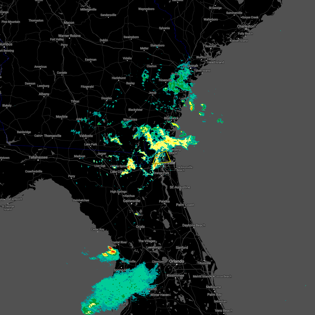 At 505 pm est, a severe thunderstorm was located over ratliff, or near callahan, moving east at 25 mph (radar indicated). Hazards include 60 mph wind gusts. Expect damage to roofs, siding, and trees. Locations impacted include, jacksonville international arpt, ratliff, oceanway, cisco gardens and nassau village-ratliff. At 505 pm est, a severe thunderstorm was located over ratliff, or near callahan, moving east at 25 mph (radar indicated). Hazards include 60 mph wind gusts. Expect damage to roofs, siding, and trees. Locations impacted include, jacksonville international arpt, ratliff, oceanway, cisco gardens and nassau village-ratliff.
|
| 12/20/2020 4:50 PM EST |
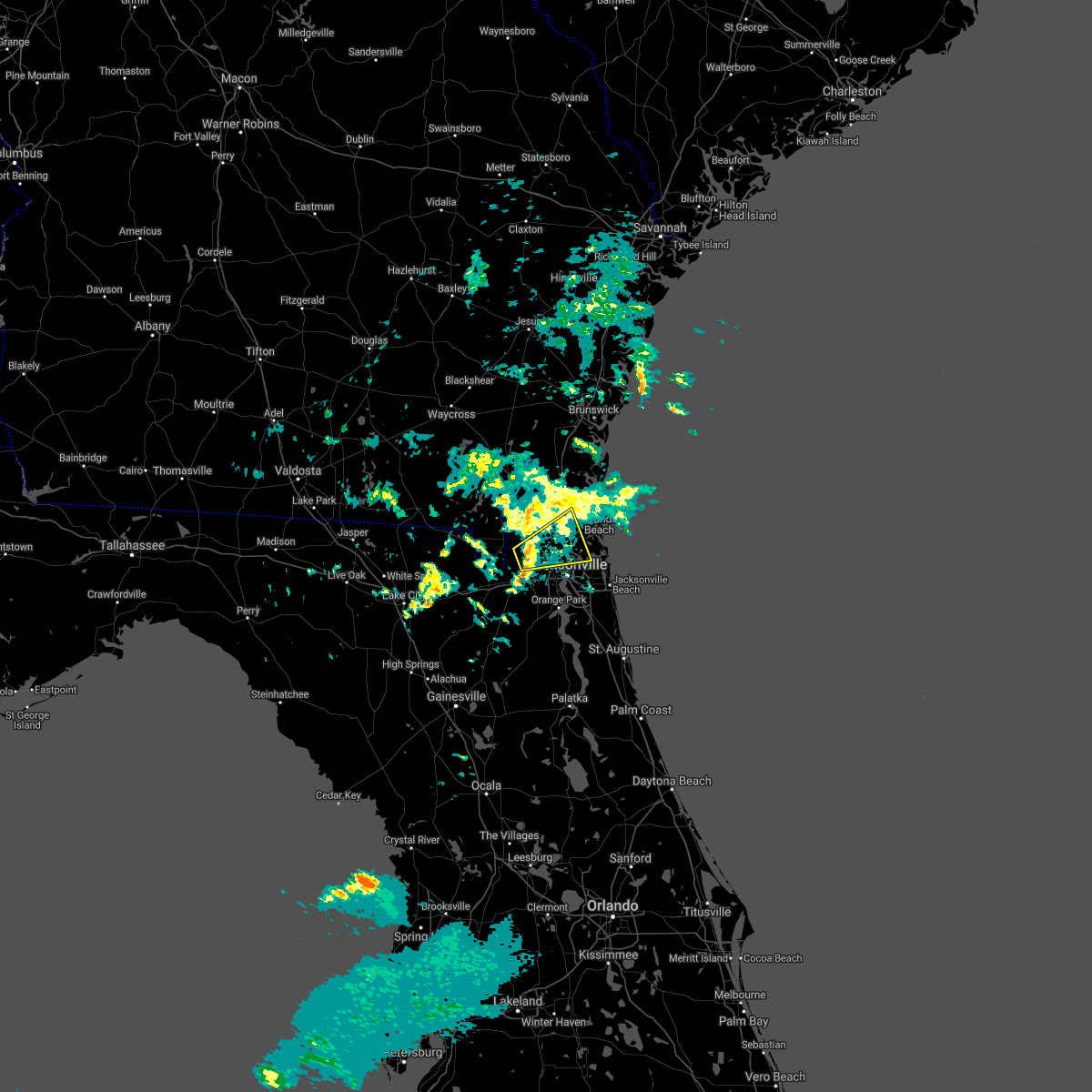 At 450 pm est, a severe thunderstorm was located near bryceville, or 10 miles southwest of callahan, moving east at 25 mph (radar indicated). Hazards include 60 mph wind gusts. expect damage to roofs, siding, and trees At 450 pm est, a severe thunderstorm was located near bryceville, or 10 miles southwest of callahan, moving east at 25 mph (radar indicated). Hazards include 60 mph wind gusts. expect damage to roofs, siding, and trees
|
| 8/14/2020 4:10 PM EDT |
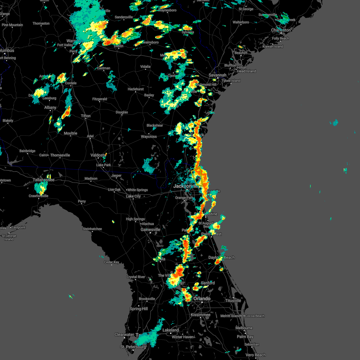 The severe thunderstorm warning for east central nassau and northeastern duval counties will expire at 415 pm edt, the storm which prompted the warning has moved out of the area. therefore, the warning will be allowed to expire. however gusty winds are still possible with this thunderstorm. The severe thunderstorm warning for east central nassau and northeastern duval counties will expire at 415 pm edt, the storm which prompted the warning has moved out of the area. therefore, the warning will be allowed to expire. however gusty winds are still possible with this thunderstorm.
|
| 8/14/2020 4:08 PM EDT |
 At 407 pm edt, a severe thunderstorm was located near world golf village, or 7 miles west of saint augustine, moving east at 30 mph (radar indicated). Hazards include 60 mph wind gusts and quarter size hail. Hail damage to vehicles is expected. Expect wind damage to roofs, siding, and trees. At 407 pm edt, a severe thunderstorm was located near world golf village, or 7 miles west of saint augustine, moving east at 30 mph (radar indicated). Hazards include 60 mph wind gusts and quarter size hail. Hail damage to vehicles is expected. Expect wind damage to roofs, siding, and trees.
|
| 8/14/2020 3:59 PM EDT |
 At 358 pm edt, a severe thunderstorm was located near little talbot island, or 8 miles south of fernandina beach, moving east at 25 mph (radar indicated). Hazards include 60 mph wind gusts. Expect damage to roofs, siding, and trees. Locations impacted include, fernandina beach, yulee and little talbot island. At 358 pm edt, a severe thunderstorm was located near little talbot island, or 8 miles south of fernandina beach, moving east at 25 mph (radar indicated). Hazards include 60 mph wind gusts. Expect damage to roofs, siding, and trees. Locations impacted include, fernandina beach, yulee and little talbot island.
|
| 8/14/2020 3:46 PM EDT |
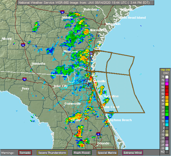 At 346 pm edt, a severe thunderstorm was located near oceanway, or 9 miles east of jacksonville international arpt, moving east at 25 mph (radar indicated). Hazards include 60 mph wind gusts. expect damage to roofs, siding, and trees At 346 pm edt, a severe thunderstorm was located near oceanway, or 9 miles east of jacksonville international arpt, moving east at 25 mph (radar indicated). Hazards include 60 mph wind gusts. expect damage to roofs, siding, and trees
|
| 8/14/2020 3:20 PM EDT | Trees were blown down onto power lines at the intersection of arlington road and whitlock ave. the time of damage was based on radar. observations just west of this loc in duval county FL, 6.3 miles NW of Jacksonville, FL |
| 8/11/2020 5:23 PM EDT | Tree fell on a minivan near the intersection of forest st and stockton st. driver sustained injurie in duval county FL, 3.5 miles N of Jacksonville, FL |
| 8/11/2020 5:21 PM EDT | Multiple trees down and snapped near francis road. radar estimated time. relayed from social medi in duval county FL, 2 miles E of Jacksonville, FL |
| 8/10/2020 8:42 PM EDT |
 The severe thunderstorm warning for northeastern nassau and central duval counties will expire at 845 pm edt, the storms which prompted the warning have weakened below severe limits, and no longer pose an immediate threat to life or property. therefore, the warning will be allowed to expire. however heavy rain and frequent cloud to ground lightning are still occurring with these thunderstorms. a significant weather alert will be issued for strong thunderstorms. The severe thunderstorm warning for northeastern nassau and central duval counties will expire at 845 pm edt, the storms which prompted the warning have weakened below severe limits, and no longer pose an immediate threat to life or property. therefore, the warning will be allowed to expire. however heavy rain and frequent cloud to ground lightning are still occurring with these thunderstorms. a significant weather alert will be issued for strong thunderstorms.
|
| 8/10/2020 8:33 PM EDT |
 At 833 pm edt, severe thunderstorms were located along a line extending from near fernandina beach to riverside, moving east at 10 mph (radar indicated). Hazards include 60 mph wind gusts. Expect damage to roofs, siding, and trees. Locations impacted include, jacksonville, fernandina beach, jacksonville international arpt, arlington, yulee, baymeadows, cisco gardens, ortega, oceanway and normandy. At 833 pm edt, severe thunderstorms were located along a line extending from near fernandina beach to riverside, moving east at 10 mph (radar indicated). Hazards include 60 mph wind gusts. Expect damage to roofs, siding, and trees. Locations impacted include, jacksonville, fernandina beach, jacksonville international arpt, arlington, yulee, baymeadows, cisco gardens, ortega, oceanway and normandy.
|
| 8/10/2020 8:12 PM EDT |
 At 812 pm edt, a severe thunderstorm was located near arlington, moving southeast at 15 mph (radar indicated). Hazards include 60 mph wind gusts. Expect damage to roofs, siding, and trees. Locations impacted include, jacksonville, fernandina beach, jacksonville international arpt, arlington, yulee, baymeadows, cisco gardens, ortega, oceanway and normandy. At 812 pm edt, a severe thunderstorm was located near arlington, moving southeast at 15 mph (radar indicated). Hazards include 60 mph wind gusts. Expect damage to roofs, siding, and trees. Locations impacted include, jacksonville, fernandina beach, jacksonville international arpt, arlington, yulee, baymeadows, cisco gardens, ortega, oceanway and normandy.
|
| 8/10/2020 7:56 PM EDT |
 At 756 pm edt, a severe thunderstorm was located over oceanway, or near jacksonville international arpt, moving southeast at 15 mph (radar indicated). Hazards include 60 mph wind gusts. expect damage to roofs, siding, and trees At 756 pm edt, a severe thunderstorm was located over oceanway, or near jacksonville international arpt, moving southeast at 15 mph (radar indicated). Hazards include 60 mph wind gusts. expect damage to roofs, siding, and trees
|
| 8/9/2020 9:20 PM EDT |
 The severe thunderstorm warning for central nassau and northeastern duval counties will expire at 930 pm edt, the storms which prompted the warning have weakened below severe limits, and have exited the warned area. therefore, the warning will be allowed to expire. however gusty winds and heavy rain are still possible with these thunderstorms. The severe thunderstorm warning for central nassau and northeastern duval counties will expire at 930 pm edt, the storms which prompted the warning have weakened below severe limits, and have exited the warned area. therefore, the warning will be allowed to expire. however gusty winds and heavy rain are still possible with these thunderstorms.
|
| 8/9/2020 9:12 PM EDT |
 At 912 pm edt, severe thunderstorms were located along a line extending from near yulee to near oceanway to near ratliff, moving southeast at 25 mph (radar indicated). Hazards include 60 mph wind gusts. Expect damage to roofs, siding, and trees. Locations impacted include, fernandina beach, callahan, jacksonville international arpt, yulee, nassau village-ratliff, ratliff, oceanway and little talbot island. At 912 pm edt, severe thunderstorms were located along a line extending from near yulee to near oceanway to near ratliff, moving southeast at 25 mph (radar indicated). Hazards include 60 mph wind gusts. Expect damage to roofs, siding, and trees. Locations impacted include, fernandina beach, callahan, jacksonville international arpt, yulee, nassau village-ratliff, ratliff, oceanway and little talbot island.
|
| 8/9/2020 8:44 PM EDT |
 At 843 pm edt, severe thunderstorms were located along a line extending from near kingsland to 8 miles northeast of nassau village-ratliff to near callahan, moving southeast at 25 mph (radar indicated). Hazards include 60 mph wind gusts. expect damage to roofs, siding, and trees At 843 pm edt, severe thunderstorms were located along a line extending from near kingsland to 8 miles northeast of nassau village-ratliff to near callahan, moving southeast at 25 mph (radar indicated). Hazards include 60 mph wind gusts. expect damage to roofs, siding, and trees
|
| 8/9/2020 3:38 PM EDT |
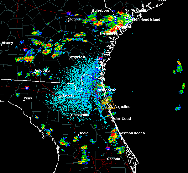 The severe thunderstorm warning for north central st. johns and southeastern duval counties will expire at 345 pm edt, the storm which prompted the warning has exited the warned area. therefore, the warning will be allowed to expire. however gusty winds are still possible with this thunderstorm. The severe thunderstorm warning for north central st. johns and southeastern duval counties will expire at 345 pm edt, the storm which prompted the warning has exited the warned area. therefore, the warning will be allowed to expire. however gusty winds are still possible with this thunderstorm.
|
| 8/9/2020 3:30 PM EDT |
 At 330 pm edt, a severe thunderstorm was located over nocatee, or 10 miles south of ponte vedra beach, moving southeast at 5 mph (radar indicated). Hazards include 60 mph wind gusts and quarter size hail. Hail damage to vehicles is expected. expect wind damage to roofs, siding, and trees. Locations impacted include, nocatee and durbin. At 330 pm edt, a severe thunderstorm was located over nocatee, or 10 miles south of ponte vedra beach, moving southeast at 5 mph (radar indicated). Hazards include 60 mph wind gusts and quarter size hail. Hail damage to vehicles is expected. expect wind damage to roofs, siding, and trees. Locations impacted include, nocatee and durbin.
|
| 8/9/2020 3:17 PM EDT |
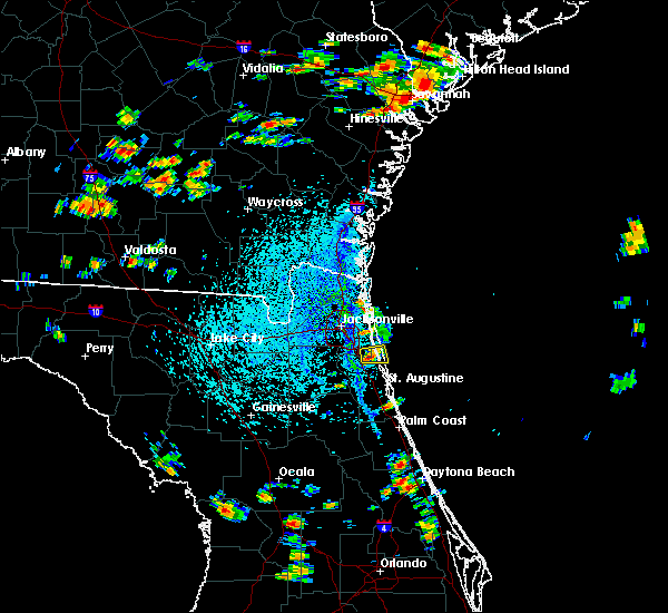 At 317 pm edt, a severe thunderstorm was located over nocatee, or 9 miles southwest of ponte vedra beach, and is nearly stationary (radar indicated). Hazards include 60 mph wind gusts and quarter size hail. Hail damage to vehicles is expected. expect wind damage to roofs, siding, and trees. Locations impacted include, durbin and nocatee. At 317 pm edt, a severe thunderstorm was located over nocatee, or 9 miles southwest of ponte vedra beach, and is nearly stationary (radar indicated). Hazards include 60 mph wind gusts and quarter size hail. Hail damage to vehicles is expected. expect wind damage to roofs, siding, and trees. Locations impacted include, durbin and nocatee.
|
| 8/9/2020 3:09 PM EDT |
 At 309 pm edt, a severe thunderstorm was located over nocatee, or 7 miles southwest of ponte vedra beach, and is nearly stationary (radar indicated). Hazards include 60 mph wind gusts. expect damage to roofs, siding, and trees At 309 pm edt, a severe thunderstorm was located over nocatee, or 7 miles southwest of ponte vedra beach, and is nearly stationary (radar indicated). Hazards include 60 mph wind gusts. expect damage to roofs, siding, and trees
|
| 8/7/2020 3:51 PM EDT |
 The severe thunderstorm warning for northeastern nassau and south central camden counties will expire at 400 pm edt, the storm which prompted the warning has weakened below severe limits, and no longer poses an immediate threat to life or property. therefore, the warning will be allowed to expire. The severe thunderstorm warning for northeastern nassau and south central camden counties will expire at 400 pm edt, the storm which prompted the warning has weakened below severe limits, and no longer poses an immediate threat to life or property. therefore, the warning will be allowed to expire.
|
| 8/7/2020 3:43 PM EDT |
 At 343 pm edt, a severe thunderstorm was located 7 miles south of kingsland, moving northeast at 5 mph (radar indicated). Hazards include 60 mph wind gusts and nickel size hail. Expect damage to roofs, siding, and trees. locations impacted include, st. Marys, kingsland, kings bay base and yulee. At 343 pm edt, a severe thunderstorm was located 7 miles south of kingsland, moving northeast at 5 mph (radar indicated). Hazards include 60 mph wind gusts and nickel size hail. Expect damage to roofs, siding, and trees. locations impacted include, st. Marys, kingsland, kings bay base and yulee.
|
| 8/7/2020 3:15 PM EDT |
 At 315 pm edt, a severe thunderstorm was located 9 miles west of yulee, or 9 miles northeast of callahan, moving northeast at 5 mph (radar indicated). Hazards include 60 mph wind gusts and nickel size hail. expect damage to roofs, siding, and trees At 315 pm edt, a severe thunderstorm was located 9 miles west of yulee, or 9 miles northeast of callahan, moving northeast at 5 mph (radar indicated). Hazards include 60 mph wind gusts and nickel size hail. expect damage to roofs, siding, and trees
|
| 8/6/2020 5:51 PM EDT |
 The severe thunderstorm warning for northwestern st. johns, northeastern clay and south central duval counties will expire at 600 pm edt, the storm which prompted the warning has weakened below severe limits, and no longer poses an immediate threat to life or property. therefore, the warning will be allowed to expire. however, frequent lightning, gusty winds and heavy rain are still expected with this thunderstorm. to report severe weather, contact your nearest law enforcement agency. they will relay your report to the national weather service jacksonville. The severe thunderstorm warning for northwestern st. johns, northeastern clay and south central duval counties will expire at 600 pm edt, the storm which prompted the warning has weakened below severe limits, and no longer poses an immediate threat to life or property. therefore, the warning will be allowed to expire. however, frequent lightning, gusty winds and heavy rain are still expected with this thunderstorm. to report severe weather, contact your nearest law enforcement agency. they will relay your report to the national weather service jacksonville.
|
| 8/6/2020 5:30 PM EDT |
 At 529 pm edt, a severe thunderstorm was located near doctors inlet, or near middleburg, moving northeast at 10 mph (radar indicated). Hazards include 60 mph wind gusts and nickel size hail. Expect damage to roofs, siding, and trees. Locations impacted include, orange park, green cove springs, mandarin, fruit cove, nas jax, fleming island, doctors inlet, lakeside, bellair-meadowbrook terrace and switzerland. At 529 pm edt, a severe thunderstorm was located near doctors inlet, or near middleburg, moving northeast at 10 mph (radar indicated). Hazards include 60 mph wind gusts and nickel size hail. Expect damage to roofs, siding, and trees. Locations impacted include, orange park, green cove springs, mandarin, fruit cove, nas jax, fleming island, doctors inlet, lakeside, bellair-meadowbrook terrace and switzerland.
|
| 8/6/2020 5:17 PM EDT |
 At 517 pm edt, a severe thunderstorm was located near middleburg, moving northeast at 10 mph (radar indicated). Hazards include 60 mph wind gusts and quarter size hail. Hail damage to vehicles is expected. Expect wind damage to roofs, siding, and trees. At 517 pm edt, a severe thunderstorm was located near middleburg, moving northeast at 10 mph (radar indicated). Hazards include 60 mph wind gusts and quarter size hail. Hail damage to vehicles is expected. Expect wind damage to roofs, siding, and trees.
|
| 8/5/2020 7:05 PM EDT |
 The severe thunderstorm warning for southeastern duval county will expire at 715 pm edt, the storm which prompted the warning has weakened below severe limits, and no longer poses an immediate threat to life or property. therefore, the warning will be allowed to expire. however gusty winds are still possible with this thunderstorm. The severe thunderstorm warning for southeastern duval county will expire at 715 pm edt, the storm which prompted the warning has weakened below severe limits, and no longer poses an immediate threat to life or property. therefore, the warning will be allowed to expire. however gusty winds are still possible with this thunderstorm.
|
| 8/5/2020 6:59 PM EDT |
 At 657 pm edt, a severe thunderstorm was located over mandarin, moving north at 15 mph (radar indicated). Hazards include 60 mph wind gusts. Expect damage to roofs, siding, and trees. Locations impacted include, mandarin, unf, nas jax, baymeadows and bayard. At 657 pm edt, a severe thunderstorm was located over mandarin, moving north at 15 mph (radar indicated). Hazards include 60 mph wind gusts. Expect damage to roofs, siding, and trees. Locations impacted include, mandarin, unf, nas jax, baymeadows and bayard.
|
| 8/5/2020 6:41 PM EDT |
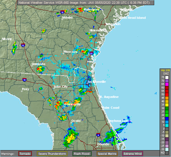 The national weather service in jacksonville has issued a * severe thunderstorm warning for. northwestern st. johns county in northeastern florida. northeastern clay county in northeastern florida. southeastern duval county in northeastern florida. Until 715 pm edt. The national weather service in jacksonville has issued a * severe thunderstorm warning for. northwestern st. johns county in northeastern florida. northeastern clay county in northeastern florida. southeastern duval county in northeastern florida. Until 715 pm edt.
|
| 8/4/2020 8:57 PM EDT |
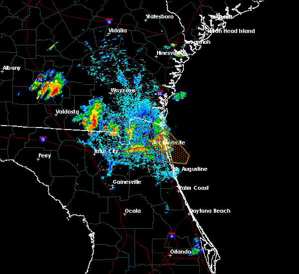 At 845 pm edt, a severe thunderstorm was located over fort caroline, or near arlington, moving southeast at 15 mph (radar indicated). Hazards include 60 mph wind gusts. Expect damage to roofs, siding, and trees. Locations impacted include, unf, arlington, neptune beach, baymeadows, oceanway, craig field, san pablo, little talbot island, fort caroline and tallyrand. At 845 pm edt, a severe thunderstorm was located over fort caroline, or near arlington, moving southeast at 15 mph (radar indicated). Hazards include 60 mph wind gusts. Expect damage to roofs, siding, and trees. Locations impacted include, unf, arlington, neptune beach, baymeadows, oceanway, craig field, san pablo, little talbot island, fort caroline and tallyrand.
|
| 8/4/2020 8:45 PM EDT |
 At 845 pm edt, a severe thunderstorm was located over fort caroline, or near arlington, moving southeast at 15 mph (radar indicated). Hazards include 60 mph wind gusts. Expect damage to roofs, siding, and trees. Locations impacted include, unf, arlington, neptune beach, baymeadows, oceanway, craig field, san pablo, little talbot island, fort caroline and tallyrand. At 845 pm edt, a severe thunderstorm was located over fort caroline, or near arlington, moving southeast at 15 mph (radar indicated). Hazards include 60 mph wind gusts. Expect damage to roofs, siding, and trees. Locations impacted include, unf, arlington, neptune beach, baymeadows, oceanway, craig field, san pablo, little talbot island, fort caroline and tallyrand.
|
| 8/4/2020 8:23 PM EDT |
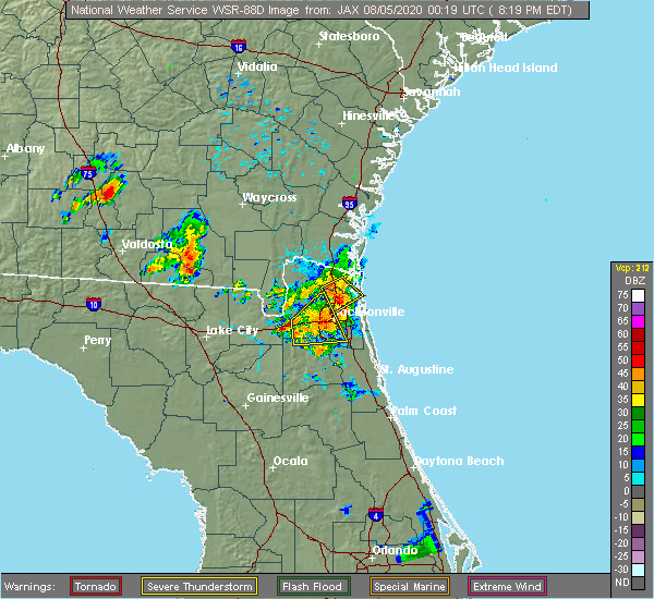 At 823 pm edt, a severe thunderstorm was located over oceanway, or near jacksonville international arpt, moving southeast at 15 mph (radar indicated). Hazards include 60 mph wind gusts and quarter size hail. Hail damage to vehicles is expected. Expect wind damage to roofs, siding, and trees. At 823 pm edt, a severe thunderstorm was located over oceanway, or near jacksonville international arpt, moving southeast at 15 mph (radar indicated). Hazards include 60 mph wind gusts and quarter size hail. Hail damage to vehicles is expected. Expect wind damage to roofs, siding, and trees.
|
| 8/4/2020 8:21 PM EDT |
 At 821 pm edt, a severe thunderstorm was located over bellair-meadowbrook terrace, or near orange park, moving southeast at 5 mph (radar indicated). Hazards include 60 mph wind gusts and quarter size hail. Hail damage to vehicles is expected. expect wind damage to roofs, siding, and trees. Locations impacted include, jacksonville, orange park, jacksonville international arpt, cisco gardens, ortega, oakleaf plantation, bellair-meadowbrook terrace, cecil field, nas jax and normandy. At 821 pm edt, a severe thunderstorm was located over bellair-meadowbrook terrace, or near orange park, moving southeast at 5 mph (radar indicated). Hazards include 60 mph wind gusts and quarter size hail. Hail damage to vehicles is expected. expect wind damage to roofs, siding, and trees. Locations impacted include, jacksonville, orange park, jacksonville international arpt, cisco gardens, ortega, oakleaf plantation, bellair-meadowbrook terrace, cecil field, nas jax and normandy.
|
| 8/4/2020 8:17 PM EDT |
 At 817 pm edt, a severe thunderstorm was located near oceanway, or 8 miles east of jacksonville international arpt, moving southeast at 20 mph (radar indicated). Hazards include 60 mph wind gusts and penny size hail. Expect damage to roofs, siding, and trees. Locations impacted include, jacksonville international arpt, yulee and oceanway. At 817 pm edt, a severe thunderstorm was located near oceanway, or 8 miles east of jacksonville international arpt, moving southeast at 20 mph (radar indicated). Hazards include 60 mph wind gusts and penny size hail. Expect damage to roofs, siding, and trees. Locations impacted include, jacksonville international arpt, yulee and oceanway.
|
| 8/4/2020 8:10 PM EDT | First coast news wjxx-tv relayed a report of a small tree that was snapped and numerous broken tree limbs as well as damage to a fence. time of damage based on radar da in duval county FL, 7.1 miles SW of Jacksonville, FL |
| 8/4/2020 7:57 PM EDT | Golf Ball sized hail reported 9.5 miles ENE of Jacksonville, FL, report of golf ball size hail in the paradise village subdivision just north of beaver st. |
| 8/4/2020 7:57 PM EDT | Hen Egg sized hail reported 9.7 miles NE of Jacksonville, FL, broadcast media relayed a report from socal media of up to 2 inch size hail falling near crystal springs rd. |
| 8/4/2020 7:52 PM EDT |
 At 752 pm edt, a severe thunderstorm was located near normandy, or 7 miles northwest of orange park, moving southeast at 5 mph (radar indicated). Hazards include 60 mph wind gusts and quarter size hail. Hail damage to vehicles is expected. Expect wind damage to roofs, siding, and trees. At 752 pm edt, a severe thunderstorm was located near normandy, or 7 miles northwest of orange park, moving southeast at 5 mph (radar indicated). Hazards include 60 mph wind gusts and quarter size hail. Hail damage to vehicles is expected. Expect wind damage to roofs, siding, and trees.
|
| 8/4/2020 7:42 PM EDT | Quarter sized hail reported 10.9 miles ENE of Jacksonville, FL, broadcast media relayed report of quarter sized hail west of normandy. |
| 8/4/2020 7:40 PM EDT | Ping Pong Ball sized hail reported 10.1 miles NE of Jacksonville, FL, report of ping pong size hail falling near herlong airfied |
| 8/4/2020 7:37 PM EDT |
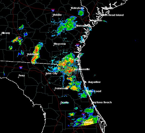 At 737 pm edt, a severe thunderstorm was located 7 miles north of jacksonville international arpt, moving southeast at 20 mph (radar indicated). Hazards include 60 mph wind gusts. expect damage to roofs, siding, and trees At 737 pm edt, a severe thunderstorm was located 7 miles north of jacksonville international arpt, moving southeast at 20 mph (radar indicated). Hazards include 60 mph wind gusts. expect damage to roofs, siding, and trees
|
| 8/4/2020 7:30 PM EDT | Golf Ball sized hail reported 8.8 miles ENE of Jacksonville, FL, golf ball hail at westside chandler oaks. |
| 8/4/2020 7:29 PM EDT | Golf Ball sized hail reported 6.5 miles NE of Jacksonville, FL, broadcast media relayed a picture on social media of golf ball size hail. |
| 8/4/2020 7:25 PM EDT | Quarter sized hail reported 6.1 miles NE of Jacksonville, FL, trained spotter reported quarter sized hail in the marietta subdivision in jacksonville. |
| 8/4/2020 7:24 PM EDT |
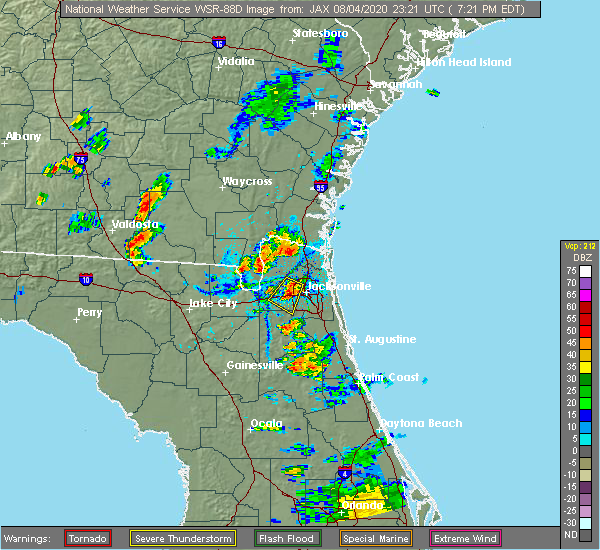 At 724 pm edt, a severe thunderstorm was located over st. george, or 11 miles west of callahan, moving south at 10 mph (radar indicated). Hazards include 60 mph wind gusts and quarter size hail. Hail damage to vehicles is expected. Expect wind damage to roofs, siding, and trees. At 724 pm edt, a severe thunderstorm was located over st. george, or 11 miles west of callahan, moving south at 10 mph (radar indicated). Hazards include 60 mph wind gusts and quarter size hail. Hail damage to vehicles is expected. Expect wind damage to roofs, siding, and trees.
|
| 8/4/2020 7:20 PM EDT |
 At 720 pm edt, a severe thunderstorm was located near normandy, or 8 miles west of jacksonville, moving southwest at 5 mph (radar indicated). Hazards include two inch hail and 60 mph wind gusts. People and animals outdoors will be injured. expect hail damage to roofs, siding, windows, and vehicles. Expect wind damage to roofs, siding, and trees. At 720 pm edt, a severe thunderstorm was located near normandy, or 8 miles west of jacksonville, moving southwest at 5 mph (radar indicated). Hazards include two inch hail and 60 mph wind gusts. People and animals outdoors will be injured. expect hail damage to roofs, siding, windows, and vehicles. Expect wind damage to roofs, siding, and trees.
|
| 8/4/2020 7:14 PM EDT |
 At 714 pm edt, a severe thunderstorm was located near normandy, or 8 miles west of jacksonville, moving southwest at 5 mph (radar indicated). Hazards include 60 mph wind gusts and quarter size hail. Hail damage to vehicles is expected. Expect wind damage to roofs, siding, and trees. At 714 pm edt, a severe thunderstorm was located near normandy, or 8 miles west of jacksonville, moving southwest at 5 mph (radar indicated). Hazards include 60 mph wind gusts and quarter size hail. Hail damage to vehicles is expected. Expect wind damage to roofs, siding, and trees.
|
| 7/1/2020 6:52 PM EDT |
 The severe thunderstorm warning for east central nassau and northeastern duval counties will expire at 700 pm edt, the storm which prompted the warning has moved into the nearshore coastal waters. therefore, the severe thunderstorm warning will be allowed to expire. however gusty winds are still possible with this thunderstorm. The severe thunderstorm warning for east central nassau and northeastern duval counties will expire at 700 pm edt, the storm which prompted the warning has moved into the nearshore coastal waters. therefore, the severe thunderstorm warning will be allowed to expire. however gusty winds are still possible with this thunderstorm.
|
| 7/1/2020 6:44 PM EDT |
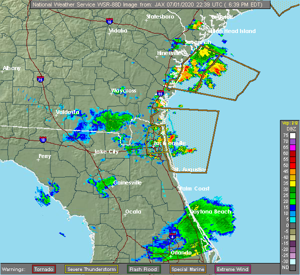 At 644 pm edt, a severe thunderstorm was located near little talbot island, or 10 miles northeast of arlington, moving east at 20 mph (radar indicated). Hazards include 60 mph wind gusts. Expect damage to roofs, siding, and trees. Locations impacted include, neptune beach, craig field, san pablo and fort caroline. At 644 pm edt, a severe thunderstorm was located near little talbot island, or 10 miles northeast of arlington, moving east at 20 mph (radar indicated). Hazards include 60 mph wind gusts. Expect damage to roofs, siding, and trees. Locations impacted include, neptune beach, craig field, san pablo and fort caroline.
|
| 7/1/2020 6:33 PM EDT |
 At 632 pm edt, a severe thunderstorm was located near oceanway, or 7 miles north of arlington, moving east near 40 mph (radar indicated). Hazards include 60 mph wind gusts. Expect damage to roofs, siding, and trees. Locations impacted include, jacksonville, fernandina beach, jacksonville international arpt, unf, arlington, yulee, neptune beach, baymeadows, ortega and craig field. At 632 pm edt, a severe thunderstorm was located near oceanway, or 7 miles north of arlington, moving east near 40 mph (radar indicated). Hazards include 60 mph wind gusts. Expect damage to roofs, siding, and trees. Locations impacted include, jacksonville, fernandina beach, jacksonville international arpt, unf, arlington, yulee, neptune beach, baymeadows, ortega and craig field.
|
| 7/1/2020 6:19 PM EDT |
 At 618 pm edt, a severe thunderstorm was located near cisco gardens, or 10 miles southwest of jacksonville international arpt, moving east at 30 mph (radar indicated). Hazards include 60 mph wind gusts. Expect damage to roofs, siding, and trees. Locations impacted include, jacksonville, fernandina beach, callahan, jacksonville international arpt, unf, arlington, yulee, neptune beach, baymeadows and cisco gardens. At 618 pm edt, a severe thunderstorm was located near cisco gardens, or 10 miles southwest of jacksonville international arpt, moving east at 30 mph (radar indicated). Hazards include 60 mph wind gusts. Expect damage to roofs, siding, and trees. Locations impacted include, jacksonville, fernandina beach, callahan, jacksonville international arpt, unf, arlington, yulee, neptune beach, baymeadows and cisco gardens.
|
| 7/1/2020 5:56 PM EDT |
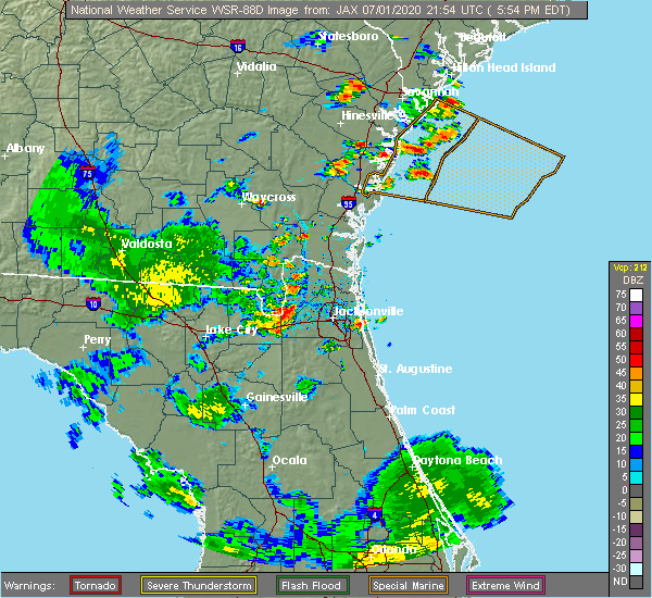 At 556 pm edt, a severe thunderstorm was located near bryceville, or 15 miles southwest of callahan, moving east at 30 mph. additional storms were over western nassau county moving east at 30 mph (radar indicated). Hazards include 60 mph wind gusts and penny size hail. expect damage to roofs, siding, and trees At 556 pm edt, a severe thunderstorm was located near bryceville, or 15 miles southwest of callahan, moving east at 30 mph. additional storms were over western nassau county moving east at 30 mph (radar indicated). Hazards include 60 mph wind gusts and penny size hail. expect damage to roofs, siding, and trees
|
| 6/30/2020 4:14 PM EDT |
 At 414 pm edt, a severe thunderstorm was located over sawgrass, or near ponte vedra beach, moving south at 15 mph (radar indicated). Hazards include 60 mph wind gusts and quarter size hail. Hail damage to vehicles is expected. expect wind damage to roofs, siding, and trees. Locations impacted include, saint augustine, ponte vedra beach, world golf village, sawgrass, nocatee, durbin, vilano beach, palm valley, south ponte vedra and bayard. At 414 pm edt, a severe thunderstorm was located over sawgrass, or near ponte vedra beach, moving south at 15 mph (radar indicated). Hazards include 60 mph wind gusts and quarter size hail. Hail damage to vehicles is expected. expect wind damage to roofs, siding, and trees. Locations impacted include, saint augustine, ponte vedra beach, world golf village, sawgrass, nocatee, durbin, vilano beach, palm valley, south ponte vedra and bayard.
|
| 6/30/2020 4:06 PM EDT |
 The severe thunderstorm warning for northwestern st. johns, northeastern clay and southeastern duval counties will expire at 415 pm edt, the storm which prompted the warning has weakened below severe limits, and has exited the warned area. therefore, the warning will be allowed to expire. however small hail, gusty winds and heavy rain are still possible with this thunderstorm. remember, a severe thunderstorm warning still remains in effect for portions of duval and st johns counties until 445 pm edt. The severe thunderstorm warning for northwestern st. johns, northeastern clay and southeastern duval counties will expire at 415 pm edt, the storm which prompted the warning has weakened below severe limits, and has exited the warned area. therefore, the warning will be allowed to expire. however small hail, gusty winds and heavy rain are still possible with this thunderstorm. remember, a severe thunderstorm warning still remains in effect for portions of duval and st johns counties until 445 pm edt.
|
| 6/30/2020 3:59 PM EDT |
 At 358 pm edt, a severe thunderstorm was located over palm valley, or near ponte vedra beach, moving south at 30 mph (radar indicated). Hazards include 70 mph wind gusts and ping pong ball size hail. People and animals outdoors will be injured. expect hail damage to roofs, siding, windows, and vehicles. expect considerable tree damage. wind damage is also likely to mobile homes, roofs, and outbuildings. Locations impacted include, saint augustine, unf, ponte vedra beach, neptune beach, world golf village, sawgrass, nocatee, durbin, vilano beach and san pablo. At 358 pm edt, a severe thunderstorm was located over palm valley, or near ponte vedra beach, moving south at 30 mph (radar indicated). Hazards include 70 mph wind gusts and ping pong ball size hail. People and animals outdoors will be injured. expect hail damage to roofs, siding, windows, and vehicles. expect considerable tree damage. wind damage is also likely to mobile homes, roofs, and outbuildings. Locations impacted include, saint augustine, unf, ponte vedra beach, neptune beach, world golf village, sawgrass, nocatee, durbin, vilano beach and san pablo.
|
| 6/30/2020 3:52 PM EDT |
 At 352 pm edt, a severe thunderstorm was located over neptune beach, or near ponte vedra beach, moving south at 15 mph (radar indicated). Hazards include 60 mph wind gusts and quarter size hail. Hail damage to vehicles is expected. Expect wind damage to roofs, siding, and trees. At 352 pm edt, a severe thunderstorm was located over neptune beach, or near ponte vedra beach, moving south at 15 mph (radar indicated). Hazards include 60 mph wind gusts and quarter size hail. Hail damage to vehicles is expected. Expect wind damage to roofs, siding, and trees.
|
| 6/30/2020 3:51 PM EDT | Public reported a tree down on loretto road by mandarin presbyterian churc in duval county FL, 14.8 miles N of Jacksonville, FL |
| 6/30/2020 3:31 PM EDT |
 At 331 pm edt, a severe thunderstorm was located over bellair-meadowbrook terrace, or over orange park, moving southeast at 15 mph (radar indicated). Hazards include 60 mph wind gusts and quarter size hail. Hail damage to vehicles is expected. Expect wind damage to roofs, siding, and trees. At 331 pm edt, a severe thunderstorm was located over bellair-meadowbrook terrace, or over orange park, moving southeast at 15 mph (radar indicated). Hazards include 60 mph wind gusts and quarter size hail. Hail damage to vehicles is expected. Expect wind damage to roofs, siding, and trees.
|
| 6/27/2020 6:07 PM EDT | Huguenot park mesonet measured wind gust to 69 mph from the southwes in amz452 county FL, 16.8 miles W of Jacksonville, FL |
| 6/27/2020 5:55 PM EDT |
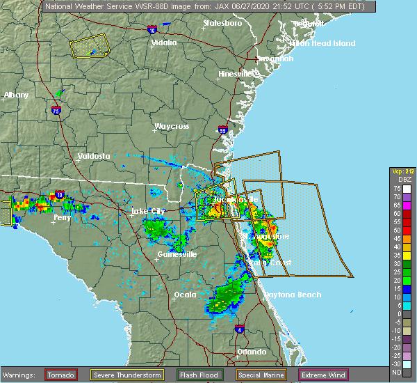 At 555 pm edt, a severe thunderstorm was located over arlington, moving east at 15 mph (radar indicated). Hazards include 60 mph wind gusts and quarter size hail. Hail damage to vehicles is expected. expect wind damage to roofs, siding, and trees. Locations impacted include, jacksonville, jacksonville international arpt, unf, ponte vedra beach, arlington, mandarin, neptune beach, sawgrass, baymeadows and ortega. At 555 pm edt, a severe thunderstorm was located over arlington, moving east at 15 mph (radar indicated). Hazards include 60 mph wind gusts and quarter size hail. Hail damage to vehicles is expected. expect wind damage to roofs, siding, and trees. Locations impacted include, jacksonville, jacksonville international arpt, unf, ponte vedra beach, arlington, mandarin, neptune beach, sawgrass, baymeadows and ortega.
|
| 6/27/2020 5:25 PM EDT |
 At 525 pm edt, a severe thunderstorm was located over ortega, or near jacksonville, moving east at 15 mph (radar indicated). Hazards include 60 mph wind gusts and quarter size hail. Hail damage to vehicles is expected. Expect wind damage to roofs, siding, and trees. At 525 pm edt, a severe thunderstorm was located over ortega, or near jacksonville, moving east at 15 mph (radar indicated). Hazards include 60 mph wind gusts and quarter size hail. Hail damage to vehicles is expected. Expect wind damage to roofs, siding, and trees.
|
| 6/27/2020 5:19 PM EDT |
 At 519 pm edt, a severe thunderstorm was located near bryceville, or 17 miles west of jacksonville, moving east at 15 mph (radar indicated). Hazards include 60 mph wind gusts and penny size hail. Expect damage to roofs, siding, and trees. Locations impacted include, orange park, callahan, maxville, cisco gardens, ortega, bellair-meadowbrook terrace, bryceville, cecil field, nas jax and nassau village-ratliff. At 519 pm edt, a severe thunderstorm was located near bryceville, or 17 miles west of jacksonville, moving east at 15 mph (radar indicated). Hazards include 60 mph wind gusts and penny size hail. Expect damage to roofs, siding, and trees. Locations impacted include, orange park, callahan, maxville, cisco gardens, ortega, bellair-meadowbrook terrace, bryceville, cecil field, nas jax and nassau village-ratliff.
|
| 6/27/2020 5:05 PM EDT |
 At 505 pm edt, a severe thunderstorm was located near macclenny, or 20 miles northwest of middleburg, moving east at 15 mph (radar indicated). Hazards include 60 mph wind gusts and penny size hail. expect damage to roofs, siding, and trees At 505 pm edt, a severe thunderstorm was located near macclenny, or 20 miles northwest of middleburg, moving east at 15 mph (radar indicated). Hazards include 60 mph wind gusts and penny size hail. expect damage to roofs, siding, and trees
|
| 6/27/2020 4:53 PM EDT |
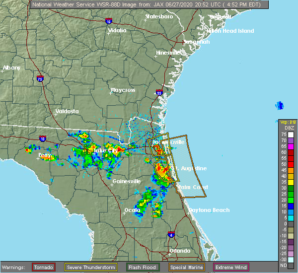 At 453 pm edt, a severe thunderstorm was located over craig field, or near unf, moving east at 20 mph (radar indicated). Hazards include 60 mph wind gusts and half dollar size hail. Hail damage to vehicles is expected. expect wind damage to roofs, siding, and trees. Locations impacted include, jacksonville, unf, ponte vedra beach, arlington, neptune beach, sawgrass, baymeadows, craig field, san pablo and little talbot island. At 453 pm edt, a severe thunderstorm was located over craig field, or near unf, moving east at 20 mph (radar indicated). Hazards include 60 mph wind gusts and half dollar size hail. Hail damage to vehicles is expected. expect wind damage to roofs, siding, and trees. Locations impacted include, jacksonville, unf, ponte vedra beach, arlington, neptune beach, sawgrass, baymeadows, craig field, san pablo and little talbot island.
|
| 6/27/2020 4:44 PM EDT |
 At 444 pm edt, a severe thunderstorm was located near world golf village, or 11 miles west of saint augustine, moving east at 20 mph (radar indicated). Hazards include 60 mph wind gusts and half dollar size hail. Hail damage to vehicles is expected. expect wind damage to roofs, siding, and trees. Locations impacted include, saint augustine, world golf village, saint augustine beach, nocatee, durbin, vilano beach, south ponte vedra, saint augustine shores, butler beach and saint augustine south. At 444 pm edt, a severe thunderstorm was located near world golf village, or 11 miles west of saint augustine, moving east at 20 mph (radar indicated). Hazards include 60 mph wind gusts and half dollar size hail. Hail damage to vehicles is expected. expect wind damage to roofs, siding, and trees. Locations impacted include, saint augustine, world golf village, saint augustine beach, nocatee, durbin, vilano beach, south ponte vedra, saint augustine shores, butler beach and saint augustine south.
|
| 6/27/2020 4:38 PM EDT |
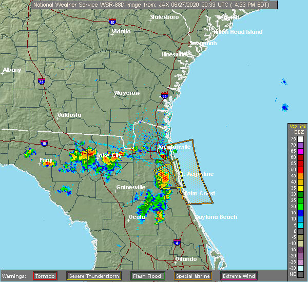 The national weather service in jacksonville has issued a * severe thunderstorm warning for. northern st. johns county in northeastern florida. eastern duval county in northeastern florida. until 530 pm edt. At 438 pm edt, a severe thunderstorm was located over arlington,. The national weather service in jacksonville has issued a * severe thunderstorm warning for. northern st. johns county in northeastern florida. eastern duval county in northeastern florida. until 530 pm edt. At 438 pm edt, a severe thunderstorm was located over arlington,.
|
| 6/27/2020 4:23 PM EDT |
 At 423 pm edt, a severe thunderstorm was located over picolata, or 8 miles southeast of green cove springs, moving east at 20 mph (radar indicated). Hazards include 60 mph wind gusts and half dollar size hail. Hail damage to vehicles is expected. Expect wind damage to roofs, siding, and trees. At 423 pm edt, a severe thunderstorm was located over picolata, or 8 miles southeast of green cove springs, moving east at 20 mph (radar indicated). Hazards include 60 mph wind gusts and half dollar size hail. Hail damage to vehicles is expected. Expect wind damage to roofs, siding, and trees.
|
| 6/25/2020 7:35 PM EDT |
 At 735 pm edt, a severe thunderstorm was located over guana river state park, or 10 miles south of ponte vedra beach, moving east at 25 mph (radar indicated). Hazards include 70 mph wind gusts and quarter size hail. Hail damage to vehicles is expected. expect considerable tree damage. wind damage is also likely to mobile homes, roofs, and outbuildings. Locations impacted include, ponte vedra beach, world golf village, palm valley, sawgrass, nocatee, south ponte vedra, bayard, durbin and guana river state park. At 735 pm edt, a severe thunderstorm was located over guana river state park, or 10 miles south of ponte vedra beach, moving east at 25 mph (radar indicated). Hazards include 70 mph wind gusts and quarter size hail. Hail damage to vehicles is expected. expect considerable tree damage. wind damage is also likely to mobile homes, roofs, and outbuildings. Locations impacted include, ponte vedra beach, world golf village, palm valley, sawgrass, nocatee, south ponte vedra, bayard, durbin and guana river state park.
|
| 6/25/2020 7:30 PM EDT | Public report of a tree down on a powerline near the intersection of county road 210 and south hampton subdivision. time estimated based on radar imager in st. johns county FL, 23.9 miles NNW of Jacksonville, FL |
| 6/25/2020 7:30 PM EDT | Golf Ball sized hail reported 23.9 miles NNW of Jacksonville, FL, public estimated golf ball size hail along county road 210 to the west of i-95. this was relayed by social media and time is estimated based on radar. |
| 6/25/2020 7:12 PM EDT |
 At 711 pm edt, a severe thunderstorm was located over bayard, or near fruit cove, moving east at 25 mph (radar indicated). Hazards include 70 mph wind gusts. Expect considerable tree damage. Damage is likely to mobile homes, roofs, and outbuildings. At 711 pm edt, a severe thunderstorm was located over bayard, or near fruit cove, moving east at 25 mph (radar indicated). Hazards include 70 mph wind gusts. Expect considerable tree damage. Damage is likely to mobile homes, roofs, and outbuildings.
|
| 6/25/2020 7:08 PM EDT |
 At 708 pm edt, a severe thunderstorm was located near bayard, or near mandarin, moving east at 25 mph (radar indicated). Hazards include 60 mph wind gusts. Expect damage to roofs, siding, and trees. Locations impacted include, orange park, mandarin, unf, fruit cove, nas jax, baymeadows and bayard. At 708 pm edt, a severe thunderstorm was located near bayard, or near mandarin, moving east at 25 mph (radar indicated). Hazards include 60 mph wind gusts. Expect damage to roofs, siding, and trees. Locations impacted include, orange park, mandarin, unf, fruit cove, nas jax, baymeadows and bayard.
|
| 6/25/2020 6:56 PM EDT |
 At 656 pm edt, a severe thunderstorm was located over nas jax, or near mandarin, moving east at 25 mph (radar indicated). Hazards include 60 mph wind gusts. Expect damage to roofs, siding, and trees. Locations impacted include, orange park, mandarin, fruit cove, unf, nas jax, baymeadows, ortega, bayard, bellair-meadowbrook terrace and riverside. At 656 pm edt, a severe thunderstorm was located over nas jax, or near mandarin, moving east at 25 mph (radar indicated). Hazards include 60 mph wind gusts. Expect damage to roofs, siding, and trees. Locations impacted include, orange park, mandarin, fruit cove, unf, nas jax, baymeadows, ortega, bayard, bellair-meadowbrook terrace and riverside.
|
| 6/25/2020 6:38 PM EDT |
 At 638 pm edt, a severe thunderstorm was located near ortega, or near orange park, moving east at 25 mph (radar indicated). Hazards include 60 mph wind gusts. expect damage to roofs, siding, and trees At 638 pm edt, a severe thunderstorm was located near ortega, or near orange park, moving east at 25 mph (radar indicated). Hazards include 60 mph wind gusts. expect damage to roofs, siding, and trees
|
| 6/24/2020 6:57 PM EDT |
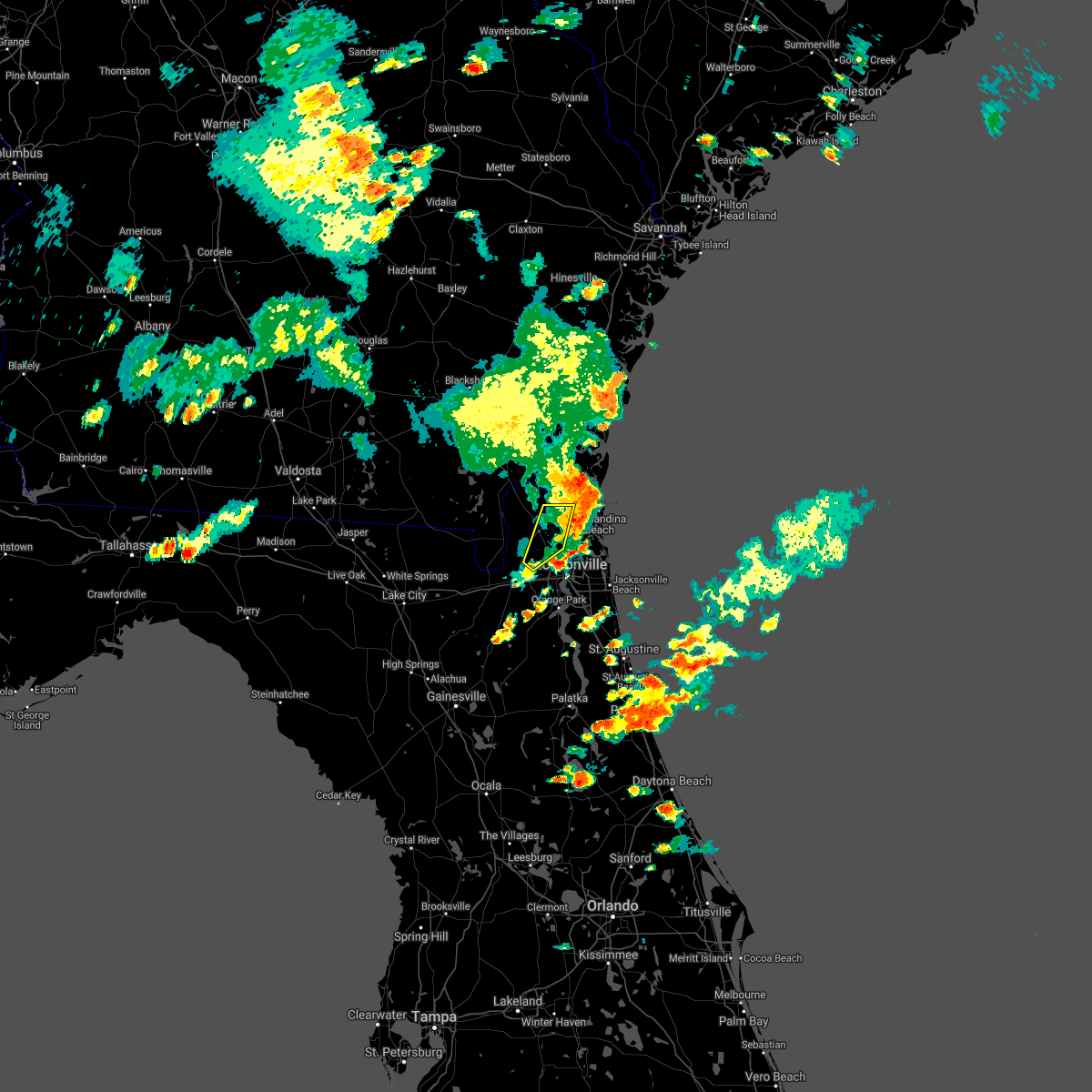 The severe thunderstorm warning for central nassau and northwestern duval counties will expire at 700 pm edt, the storm which prompted the warning has moved out of the area. therefore, the warning will be allowed to expire. remember, a severe thunderstorm warning still remains in effect for northeastern nassau county and northeastern duval county in northeastern florida. The severe thunderstorm warning for central nassau and northwestern duval counties will expire at 700 pm edt, the storm which prompted the warning has moved out of the area. therefore, the warning will be allowed to expire. remember, a severe thunderstorm warning still remains in effect for northeastern nassau county and northeastern duval county in northeastern florida.
|
| 6/24/2020 6:45 PM EDT |
 At 645 pm edt, a severe thunderstorm was located near nassau village-ratliff, or near callahan, moving east at 20 mph (radar indicated). Hazards include 60 mph wind gusts and nickel size hail. Expect damage to roofs, siding, and trees. Locations impacted include, callahan, jacksonville international arpt, ratliff and nassau village-ratliff. At 645 pm edt, a severe thunderstorm was located near nassau village-ratliff, or near callahan, moving east at 20 mph (radar indicated). Hazards include 60 mph wind gusts and nickel size hail. Expect damage to roofs, siding, and trees. Locations impacted include, callahan, jacksonville international arpt, ratliff and nassau village-ratliff.
|
| 6/24/2020 6:39 PM EDT |
 The national weather service in jacksonville has issued a * severe thunderstorm warning for. northeastern nassau county in northeastern florida. northeastern duval county in northeastern florida. until 715 pm edt. At 639 pm edt, a severe thunderstorm was located near jacksonville. The national weather service in jacksonville has issued a * severe thunderstorm warning for. northeastern nassau county in northeastern florida. northeastern duval county in northeastern florida. until 715 pm edt. At 639 pm edt, a severe thunderstorm was located near jacksonville.
|
| 6/24/2020 6:32 PM EDT |
 At 632 pm edt, a severe thunderstorm was located over callahan, moving east at 20 mph (radar indicated). Hazards include 60 mph wind gusts and nickel size hail. Expect damage to roofs, siding, and trees. Locations impacted include, hilliard, callahan, jacksonville international arpt, ratliff and nassau village-ratliff. At 632 pm edt, a severe thunderstorm was located over callahan, moving east at 20 mph (radar indicated). Hazards include 60 mph wind gusts and nickel size hail. Expect damage to roofs, siding, and trees. Locations impacted include, hilliard, callahan, jacksonville international arpt, ratliff and nassau village-ratliff.
|
| 6/24/2020 6:15 PM EDT |
 At 615 pm edt, a severe thunderstorm was located near callahan, moving east at 20 mph (radar indicated). Hazards include 60 mph wind gusts and nickel size hail. expect damage to roofs, siding, and trees At 615 pm edt, a severe thunderstorm was located near callahan, moving east at 20 mph (radar indicated). Hazards include 60 mph wind gusts and nickel size hail. expect damage to roofs, siding, and trees
|
| 6/20/2020 6:05 PM EDT | Tree one foot in diameter downed on personal residence in bartram spring in duval county FL, 21.7 miles NNW of Jacksonville, FL |
| 6/20/2020 5:54 PM EDT | Tree down on fence near cimmarone blvd and old country rd 210. time of event estimated with rada in st. johns county FL, 23.1 miles NNW of Jacksonville, FL |
| 6/20/2020 5:53 PM EDT |
 At 553 pm edt, a severe thunderstorm was located near durbin, or near fruit cove, moving south at 10 mph (radar indicated). Hazards include 60 mph wind gusts and quarter size hail. Hail damage to vehicles is expected. expect wind damage to roofs, siding, and trees. Locations impacted include, world golf village and durbin. At 553 pm edt, a severe thunderstorm was located near durbin, or near fruit cove, moving south at 10 mph (radar indicated). Hazards include 60 mph wind gusts and quarter size hail. Hail damage to vehicles is expected. expect wind damage to roofs, siding, and trees. Locations impacted include, world golf village and durbin.
|
| 6/20/2020 5:48 PM EDT |
 At 548 pm edt, a severe thunderstorm was located near durbin, or near fruit cove, moving south at 10 mph (radar indicated). Hazards include 60 mph wind gusts and quarter size hail. Hail damage to vehicles is expected. Expect wind damage to roofs, siding, and trees. At 548 pm edt, a severe thunderstorm was located near durbin, or near fruit cove, moving south at 10 mph (radar indicated). Hazards include 60 mph wind gusts and quarter size hail. Hail damage to vehicles is expected. Expect wind damage to roofs, siding, and trees.
|
| 6/20/2020 4:23 PM EDT | Multiple trees down in oceanway village mobile home park. time of event estimated with rada in duval county FL, 7.3 miles SSW of Jacksonville, FL |
| 6/20/2020 4:12 PM EDT | Downed tree covering driveway. approximate time of event estimated with rada in duval county FL, 4.9 miles SSW of Jacksonville, FL |
| 6/19/2020 5:32 PM EDT |
 At 532 pm edt, a severe thunderstorm was located over doctors inlet, or 7 miles southwest of orange park, moving northeast at 10 mph (radar indicated). Hazards include 60 mph wind gusts and quarter size hail. Hail damage to vehicles is expected. Expect wind damage to roofs, siding, and trees. At 532 pm edt, a severe thunderstorm was located over doctors inlet, or 7 miles southwest of orange park, moving northeast at 10 mph (radar indicated). Hazards include 60 mph wind gusts and quarter size hail. Hail damage to vehicles is expected. Expect wind damage to roofs, siding, and trees.
|
| 6/19/2020 5:31 PM EDT |
 At 531 pm edt, a severe thunderstorm was located near oceanway, or near jacksonville international arpt, moving northeast at 15 mph (radar indicated). Hazards include 60 mph wind gusts and quarter size hail. Hail damage to vehicles is expected. Expect wind damage to roofs, siding, and trees. At 531 pm edt, a severe thunderstorm was located near oceanway, or near jacksonville international arpt, moving northeast at 15 mph (radar indicated). Hazards include 60 mph wind gusts and quarter size hail. Hail damage to vehicles is expected. Expect wind damage to roofs, siding, and trees.
|
| 6/19/2020 5:04 PM EDT |
 At 504 pm edt, a severe thunderstorm was located near kings ferry, or near kingsland, moving south at 10 mph (radar indicated). Hazards include 60 mph wind gusts and half dollar size hail. Hail damage to vehicles is expected. expect wind damage to roofs, siding, and trees. Locations impacted include, kingsland and yulee. At 504 pm edt, a severe thunderstorm was located near kings ferry, or near kingsland, moving south at 10 mph (radar indicated). Hazards include 60 mph wind gusts and half dollar size hail. Hail damage to vehicles is expected. expect wind damage to roofs, siding, and trees. Locations impacted include, kingsland and yulee.
|
| 6/19/2020 5:03 PM EDT |
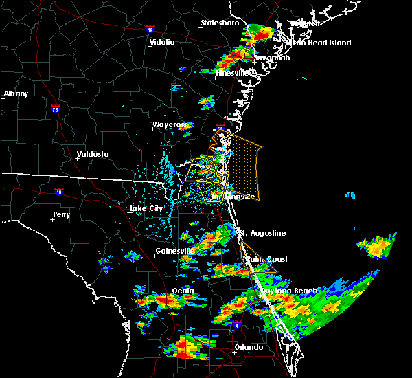 At 503 pm edt, a severe thunderstorm was located over oceanway, or near jacksonville international arpt, moving north at 15 mph (radar indicated). Hazards include 60 mph wind gusts and quarter size hail. Hail damage to vehicles is expected. expect wind damage to roofs, siding, and trees. Locations impacted include, fernandina beach, jacksonville international arpt, yulee and oceanway. At 503 pm edt, a severe thunderstorm was located over oceanway, or near jacksonville international arpt, moving north at 15 mph (radar indicated). Hazards include 60 mph wind gusts and quarter size hail. Hail damage to vehicles is expected. expect wind damage to roofs, siding, and trees. Locations impacted include, fernandina beach, jacksonville international arpt, yulee and oceanway.
|
| 6/19/2020 4:47 PM EDT |
 At 447 pm edt, a severe thunderstorm was located near oceanway, or near arlington, moving north at 15 mph (radar indicated). Hazards include 60 mph wind gusts and quarter size hail. Hail damage to vehicles is expected. Expect wind damage to roofs, siding, and trees. At 447 pm edt, a severe thunderstorm was located near oceanway, or near arlington, moving north at 15 mph (radar indicated). Hazards include 60 mph wind gusts and quarter size hail. Hail damage to vehicles is expected. Expect wind damage to roofs, siding, and trees.
|
| 6/19/2020 4:42 PM EDT |
 At 441 pm edt, a severe thunderstorm was located near kingsland, moving south at 10 mph (radar indicated). Hazards include 60 mph wind gusts and half dollar size hail. Hail damage to vehicles is expected. Expect wind damage to roofs, siding, and trees. At 441 pm edt, a severe thunderstorm was located near kingsland, moving south at 10 mph (radar indicated). Hazards include 60 mph wind gusts and half dollar size hail. Hail damage to vehicles is expected. Expect wind damage to roofs, siding, and trees.
|
| 6/12/2020 10:38 PM EDT |
 At 1038 pm edt, a severe thunderstorm was located over cecil field, or 9 miles north of middleburg, moving southwest at 30 mph (radar indicated). Hazards include 60 mph wind gusts. expect damage to roofs, siding, and trees At 1038 pm edt, a severe thunderstorm was located over cecil field, or 9 miles north of middleburg, moving southwest at 30 mph (radar indicated). Hazards include 60 mph wind gusts. expect damage to roofs, siding, and trees
|
| 5/28/2020 2:53 PM EDT |
 At 253 pm edt, a severe thunderstorm was located near middleburg, moving northeast at 20 mph (radar indicated). Hazards include 60 mph wind gusts and penny size hail. expect damage to roofs, siding, and trees At 253 pm edt, a severe thunderstorm was located near middleburg, moving northeast at 20 mph (radar indicated). Hazards include 60 mph wind gusts and penny size hail. expect damage to roofs, siding, and trees
|
| 5/21/2020 5:00 PM EDT | Quarter sized hail reported 13 miles SW of Jacksonville, FL, large hail was observed near first coast high school. the time of the event was based on radar. |
| 5/21/2020 4:58 PM EDT |
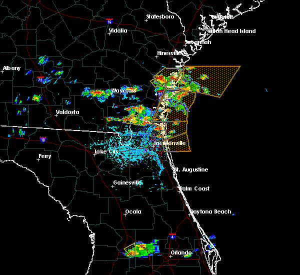 At 457 pm edt, a severe thunderstorm was located over yulee, or 7 miles west of fernandina beach, moving east at 15 mph (radar indicated). Hazards include 60 mph wind gusts and quarter size hail. Hail damage to vehicles is expected. Expect wind damage to roofs, siding, and trees. At 457 pm edt, a severe thunderstorm was located over yulee, or 7 miles west of fernandina beach, moving east at 15 mph (radar indicated). Hazards include 60 mph wind gusts and quarter size hail. Hail damage to vehicles is expected. Expect wind damage to roofs, siding, and trees.
|
| 4/23/2020 10:30 PM EDT |
 At 1029 pm edt, a severe thunderstorm was located over maxville, or 11 miles northwest of middleburg, moving east at 45 mph (radar indicated). Hazards include 60 mph wind gusts. Expect damage to roofs, siding, and trees. Locations impacted include, orange park, maxville, cisco gardens, ortega, oakleaf plantation, bellair-meadowbrook terrace, bryceville, cecil field, nas jax and normandy. At 1029 pm edt, a severe thunderstorm was located over maxville, or 11 miles northwest of middleburg, moving east at 45 mph (radar indicated). Hazards include 60 mph wind gusts. Expect damage to roofs, siding, and trees. Locations impacted include, orange park, maxville, cisco gardens, ortega, oakleaf plantation, bellair-meadowbrook terrace, bryceville, cecil field, nas jax and normandy.
|
| 4/23/2020 10:11 PM EDT |
 At 1011 pm edt, a severe thunderstorm was located near raiford, moving northeast at 35 mph (radar indicated). Hazards include 60 mph wind gusts. expect damage to roofs, siding, and trees At 1011 pm edt, a severe thunderstorm was located near raiford, moving northeast at 35 mph (radar indicated). Hazards include 60 mph wind gusts. expect damage to roofs, siding, and trees
|
| 4/20/2020 7:54 AM EDT |
 At 753 am edt, a severe thunderstorm was located over neptune beach, or near ponte vedra beach, moving east at 60 mph (radar indicated). Hazards include 60 mph wind gusts. Expect damage to roofs, siding, and trees. Locations impacted include, unf, ponte vedra beach, neptune beach, sawgrass, baymeadows, craig field, san pablo, little talbot island, fort caroline and palm valley. At 753 am edt, a severe thunderstorm was located over neptune beach, or near ponte vedra beach, moving east at 60 mph (radar indicated). Hazards include 60 mph wind gusts. Expect damage to roofs, siding, and trees. Locations impacted include, unf, ponte vedra beach, neptune beach, sawgrass, baymeadows, craig field, san pablo, little talbot island, fort caroline and palm valley.
|
| 4/20/2020 7:49 AM EDT |
 At 748 am edt, a severe thunderstorm was located over craig field, or near unf, moving east at 60 mph (radar indicated). Hazards include 60 mph wind gusts. Expect damage to roofs, siding, and trees. Locations impacted include, jacksonville, unf, ponte vedra beach, arlington, neptune beach, sawgrass, baymeadows, craig field, san pablo and little talbot island. At 748 am edt, a severe thunderstorm was located over craig field, or near unf, moving east at 60 mph (radar indicated). Hazards include 60 mph wind gusts. Expect damage to roofs, siding, and trees. Locations impacted include, jacksonville, unf, ponte vedra beach, arlington, neptune beach, sawgrass, baymeadows, craig field, san pablo and little talbot island.
|
| 4/20/2020 7:44 AM EDT |
 At 744 am edt, a severe thunderstorm was located over san marco, or over jacksonville, moving east at 45 mph (radar indicated). Hazards include 60 mph wind gusts. expect damage to roofs, siding, and trees At 744 am edt, a severe thunderstorm was located over san marco, or over jacksonville, moving east at 45 mph (radar indicated). Hazards include 60 mph wind gusts. expect damage to roofs, siding, and trees
|
| 4/20/2020 4:47 AM EDT |
 At 447 am edt, a severe thunderstorm was located near callahan, moving northeast at 60 mph (radar indicated). Hazards include 60 mph wind gusts and penny size hail. Expect damage to roofs, siding, and trees. locations impacted include, st. Marys, kingsland, fernandina beach, callahan, kings bay base, yulee and cumberland island. At 447 am edt, a severe thunderstorm was located near callahan, moving northeast at 60 mph (radar indicated). Hazards include 60 mph wind gusts and penny size hail. Expect damage to roofs, siding, and trees. locations impacted include, st. Marys, kingsland, fernandina beach, callahan, kings bay base, yulee and cumberland island.
|
| 4/20/2020 4:38 AM EDT |
 At 438 am edt, a severe thunderstorm was located over st. george, or 10 miles west of callahan, moving northeast at 60 mph (radar indicated). Hazards include 60 mph wind gusts and penny size hail. expect damage to roofs, siding, and trees At 438 am edt, a severe thunderstorm was located over st. george, or 10 miles west of callahan, moving northeast at 60 mph (radar indicated). Hazards include 60 mph wind gusts and penny size hail. expect damage to roofs, siding, and trees
|
| 4/15/2020 7:43 AM EDT |
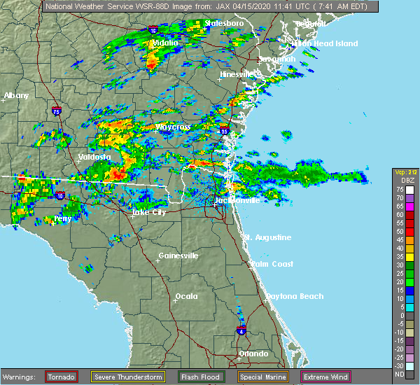 At 742 am edt, a severe thunderstorm was located near little talbot island, or 9 miles south of fernandina beach, moving east at 55 mph (radar indicated). Hazards include 60 mph wind gusts. Expect damage to roofs, siding, and trees. this severe thunderstorm will remain over mainly rural areas of east central nassau and northeastern duval counties. Thunderstorms can produce tornadoes with little warning. At 742 am edt, a severe thunderstorm was located near little talbot island, or 9 miles south of fernandina beach, moving east at 55 mph (radar indicated). Hazards include 60 mph wind gusts. Expect damage to roofs, siding, and trees. this severe thunderstorm will remain over mainly rural areas of east central nassau and northeastern duval counties. Thunderstorms can produce tornadoes with little warning.
|
| 3/31/2020 7:13 PM EDT |
 At 713 pm edt, a severe thunderstorm capable of producing a tornado was located near bayard, or near mandarin, moving east at 50 mph (radar indicated rotation). Hazards include tornado. Flying debris will be dangerous to those caught without shelter. mobile homes will be damaged or destroyed. damage to roofs, windows, and vehicles will occur. tree damage is likely. this dangerous storm will be near, durbin around 720 pm edt. ponte vedra beach and nocatee around 725 pm edt. Palm valley and sawgrass around 730 pm edt. At 713 pm edt, a severe thunderstorm capable of producing a tornado was located near bayard, or near mandarin, moving east at 50 mph (radar indicated rotation). Hazards include tornado. Flying debris will be dangerous to those caught without shelter. mobile homes will be damaged or destroyed. damage to roofs, windows, and vehicles will occur. tree damage is likely. this dangerous storm will be near, durbin around 720 pm edt. ponte vedra beach and nocatee around 725 pm edt. Palm valley and sawgrass around 730 pm edt.
|
| 3/31/2020 7:10 PM EDT | Large tree down in yard on mandarin roa in duval county FL, 15.9 miles N of Jacksonville, FL |
| 3/31/2020 7:07 PM EDT |
 At 707 pm edt, a severe thunderstorm capable of producing a tornado was located over mandarin, moving east at 50 mph (radar indicated rotation). Hazards include tornado. Flying debris will be dangerous to those caught without shelter. mobile homes will be damaged or destroyed. damage to roofs, windows, and vehicles will occur. tree damage is likely. this dangerous storm will be near, bayard around 715 pm edt. nocatee and durbin around 720 pm edt. ponte vedra beach and sawgrass around 725 pm edt. Palm valley and guana river state park around 730 pm edt. At 707 pm edt, a severe thunderstorm capable of producing a tornado was located over mandarin, moving east at 50 mph (radar indicated rotation). Hazards include tornado. Flying debris will be dangerous to those caught without shelter. mobile homes will be damaged or destroyed. damage to roofs, windows, and vehicles will occur. tree damage is likely. this dangerous storm will be near, bayard around 715 pm edt. nocatee and durbin around 720 pm edt. ponte vedra beach and sawgrass around 725 pm edt. Palm valley and guana river state park around 730 pm edt.
|
| 3/31/2020 7:05 PM EDT | Tree across south burning tree lane in mandarin. power outages reporte in duval county FL, 17.4 miles NNW of Jacksonville, FL |
| 3/31/2020 6:57 PM EDT |
 At 657 pm edt, a severe thunderstorm was located over lakeside, or near orange park, moving east at 45 mph (radar indicated). Hazards include 60 mph wind gusts. Expect damage to roofs, siding, and trees. Locations impacted include, orange park, green cove springs, mandarin, fruit cove, world golf village, fleming island, durbin, bellair-meadowbrook terrace, switzerland and doctors inlet. At 657 pm edt, a severe thunderstorm was located over lakeside, or near orange park, moving east at 45 mph (radar indicated). Hazards include 60 mph wind gusts. Expect damage to roofs, siding, and trees. Locations impacted include, orange park, green cove springs, mandarin, fruit cove, world golf village, fleming island, durbin, bellair-meadowbrook terrace, switzerland and doctors inlet.
|
| 3/31/2020 6:49 PM EDT |
 At 648 pm edt, a severe thunderstorm was located near oakleaf plantation, or near middleburg, moving east at 40 mph (radar indicated). Hazards include 70 mph wind gusts. Expect considerable tree damage. damage is likely to mobile homes, roofs, and outbuildings. Locations impacted include, orange park, green cove springs, middleburg, mandarin, fruit cove, world golf village, fleming island, baymeadows, durbin and oakleaf plantation. At 648 pm edt, a severe thunderstorm was located near oakleaf plantation, or near middleburg, moving east at 40 mph (radar indicated). Hazards include 70 mph wind gusts. Expect considerable tree damage. damage is likely to mobile homes, roofs, and outbuildings. Locations impacted include, orange park, green cove springs, middleburg, mandarin, fruit cove, world golf village, fleming island, baymeadows, durbin and oakleaf plantation.
|
| 3/31/2020 6:40 PM EDT | Many trees reported down near intersection of highways 301 and 218. time estimated by rada in clay county FL, 25.9 miles NE of Jacksonville, FL |
| 3/31/2020 6:39 PM EDT |
 At 639 pm edt, a severe thunderstorm was located near maxville, or 8 miles northwest of middleburg, moving east at 50 mph. this is a very dangerous storm (radar indicated). Hazards include 90 mph wind gusts. You are in a life-threatening situation. flying debris may be deadly to those caught without shelter. mobile homes will be heavily damaged or destroyed. homes and businesses will have substantial roof and window damage. expect extensive tree damage and power outages. Locations impacted include, orange park, green cove springs, middleburg, mandarin, fruit cove, world golf village, maxville, fleming island, baymeadows and durbin. At 639 pm edt, a severe thunderstorm was located near maxville, or 8 miles northwest of middleburg, moving east at 50 mph. this is a very dangerous storm (radar indicated). Hazards include 90 mph wind gusts. You are in a life-threatening situation. flying debris may be deadly to those caught without shelter. mobile homes will be heavily damaged or destroyed. homes and businesses will have substantial roof and window damage. expect extensive tree damage and power outages. Locations impacted include, orange park, green cove springs, middleburg, mandarin, fruit cove, world golf village, maxville, fleming island, baymeadows and durbin.
|
| 3/31/2020 6:31 PM EDT |
 At 630 pm edt, a severe thunderstorm was located 8 miles southwest of maxville, or 8 miles northeast of raiford, moving east at 35 mph (radar indicated). Hazards include 70 mph wind gusts. Expect considerable tree damage. damage is likely to mobile homes, roofs, and outbuildings. Locations impacted include, jacksonville, orange park, green cove springs, starke, unf, mandarin, fruit cove, arlington, middleburg and world golf village. At 630 pm edt, a severe thunderstorm was located 8 miles southwest of maxville, or 8 miles northeast of raiford, moving east at 35 mph (radar indicated). Hazards include 70 mph wind gusts. Expect considerable tree damage. damage is likely to mobile homes, roofs, and outbuildings. Locations impacted include, jacksonville, orange park, green cove springs, starke, unf, mandarin, fruit cove, arlington, middleburg and world golf village.
|
| 3/31/2020 6:28 PM EDT |
 At 628 pm edt, a severe thunderstorm was located 7 miles southwest of maxville, or 8 miles northeast of raiford, moving east at 50 mph (radar indicated). Hazards include 60 mph wind gusts. expect damage to roofs, siding, and trees At 628 pm edt, a severe thunderstorm was located 7 miles southwest of maxville, or 8 miles northeast of raiford, moving east at 50 mph (radar indicated). Hazards include 60 mph wind gusts. expect damage to roofs, siding, and trees
|
| 3/31/2020 6:03 PM EDT |
 At 602 pm edt, severe thunderstorms were centered near yulee, or 9 miles southwest of st. marys, moving east at 45 mph (radar indicated). Hazards include 60 mph wind gusts. Expect damage to roofs, siding, and trees. locations impacted include, st. Marys, fernandina beach, callahan and yulee. At 602 pm edt, severe thunderstorms were centered near yulee, or 9 miles southwest of st. marys, moving east at 45 mph (radar indicated). Hazards include 60 mph wind gusts. Expect damage to roofs, siding, and trees. locations impacted include, st. Marys, fernandina beach, callahan and yulee.
|
| 3/31/2020 5:27 PM EDT |
 At 527 pm edt, a band of severe thunderstorms was located 11 miles northwest of st. george, or 13 miles west of hilliard, moving east at 45 mph (radar indicated). Hazards include 60 mph wind gusts. expect damage to roofs, siding, and trees At 527 pm edt, a band of severe thunderstorms was located 11 miles northwest of st. george, or 13 miles west of hilliard, moving east at 45 mph (radar indicated). Hazards include 60 mph wind gusts. expect damage to roofs, siding, and trees
|
| 2/6/2020 11:32 PM EST | The weatherflow station at huguenot park measured a peak wind gust of 60 mp in amz452 county FL, 16.8 miles W of Jacksonville, FL |
| 2/6/2020 11:09 PM EST |
 At 1108 pm est, severe thunderstorms were located along a line extending from near sawgrass to guana river state park to near orange mills, moving east at 45 mph (radar indicated). Hazards include 60 mph wind gusts. Expect damage to roofs, siding, and trees. Locations impacted include, saint augustine, hastings, east palatka, world golf village, saint augustine beach, sawgrass, nocatee, vilano beach, palm valley and federal point. At 1108 pm est, severe thunderstorms were located along a line extending from near sawgrass to guana river state park to near orange mills, moving east at 45 mph (radar indicated). Hazards include 60 mph wind gusts. Expect damage to roofs, siding, and trees. Locations impacted include, saint augustine, hastings, east palatka, world golf village, saint augustine beach, sawgrass, nocatee, vilano beach, palm valley and federal point.
|
| 2/6/2020 10:53 PM EST |
 At 1051 pm est, severe thunderstorms were located along a line extending from near neptune beach to near durbin to near hollister, moving east at 45 mph (radar indicated). Hazards include 60 to 70 mph wind gusts. Expect considerable tree damage. damage is likely to mobile homes, roofs, and outbuildings. Locations impacted include, saint augustine, palatka, green cove springs, hastings, east palatka, unf, fruit cove, ponte vedra beach, neptune beach and world golf village. At 1051 pm est, severe thunderstorms were located along a line extending from near neptune beach to near durbin to near hollister, moving east at 45 mph (radar indicated). Hazards include 60 to 70 mph wind gusts. Expect considerable tree damage. damage is likely to mobile homes, roofs, and outbuildings. Locations impacted include, saint augustine, palatka, green cove springs, hastings, east palatka, unf, fruit cove, ponte vedra beach, neptune beach and world golf village.
|
| 2/6/2020 10:42 PM EST |
 At 1042 pm est, severe thunderstorms were located along a line extending from 6 miles north of little talbot island to fruit cove to near hollister, moving east at 40 mph (radar indicated). Hazards include 70 mph wind gusts. Expect considerable tree damage. Damage is likely to mobile homes, roofs, and outbuildings. At 1042 pm est, severe thunderstorms were located along a line extending from 6 miles north of little talbot island to fruit cove to near hollister, moving east at 40 mph (radar indicated). Hazards include 70 mph wind gusts. Expect considerable tree damage. Damage is likely to mobile homes, roofs, and outbuildings.
|
| 2/6/2020 10:34 PM EST |
 At 1032 pm est, severe thunderstorms were located along a line extending from near fernandina beach to interlachen, moving east at 65 mph (radar indicated. at 1023 pm, nas jax airport measured a gust to 76 mph). Hazards include up to 70 to 75 mph wind gusts. Expect considerable tree damage. damage is likely to mobile homes, roofs, and outbuildings. Locations impacted include, jacksonville, saint augustine, fernandina beach, palatka, orange park, green cove springs, interlachen, hastings, east palatka and jacksonville international arpt. At 1032 pm est, severe thunderstorms were located along a line extending from near fernandina beach to interlachen, moving east at 65 mph (radar indicated. at 1023 pm, nas jax airport measured a gust to 76 mph). Hazards include up to 70 to 75 mph wind gusts. Expect considerable tree damage. damage is likely to mobile homes, roofs, and outbuildings. Locations impacted include, jacksonville, saint augustine, fernandina beach, palatka, orange park, green cove springs, interlachen, hastings, east palatka and jacksonville international arpt.
|
| 2/6/2020 10:30 PM EST | Action news jax reports a semi-tractor trailer tipped over on the dames point bridg in duval county FL, 7.8 miles WSW of Jacksonville, FL |
| 2/6/2020 10:28 PM EST | Social media report of a tree down in alderman park. time of damage based on radar dat in duval county FL, 7.8 miles WNW of Jacksonville, FL |
| 2/6/2020 10:23 PM EST | The airport weather observing station at naval air station jacksonville measured a sustained wind of 59 mph with a peak gust of 76 mp in duval county FL, 10.4 miles N of Jacksonville, FL |
| 2/6/2020 10:22 PM EST |
 At 1021 pm est, severe thunderstorms were located along a line extending from near yulee to near hawthorne, moving east at 45 mph (radar indicated. at 1012 pm, jacksonville international airport reported a gust to 58 mph). Hazards include 70 mph wind gusts. Expect considerable tree damage. damage is likely to mobile homes, roofs, and outbuildings. Locations impacted include, jacksonville, saint augustine, fernandina beach, palatka, orange park, green cove springs, starke, interlachen, keystone heights and callahan. At 1021 pm est, severe thunderstorms were located along a line extending from near yulee to near hawthorne, moving east at 45 mph (radar indicated. at 1012 pm, jacksonville international airport reported a gust to 58 mph). Hazards include 70 mph wind gusts. Expect considerable tree damage. damage is likely to mobile homes, roofs, and outbuildings. Locations impacted include, jacksonville, saint augustine, fernandina beach, palatka, orange park, green cove springs, starke, interlachen, keystone heights and callahan.
|
| 2/6/2020 10:18 PM EST | Action news jax reported a tree downed onto a mobile home along collins road in ortega. no injuries reporte in duval county FL, 10.5 miles N of Jacksonville, FL |
| 2/6/2020 10:12 PM EST | The automated surface observing system at jacksonville international airport measured a peak wind gust of 58 mp in duval county FL, 7.5 miles S of Jacksonville, FL |
| 2/6/2020 10:12 PM EST | Wind gust of 58 mph measured at jacksonville international airpor in duval county FL, 7 miles SSE of Jacksonville, FL |
| 2/6/2020 9:56 PM EST |
 At 955 pm est, severe thunderstorms were located along a line extending from near callahan to rochelle, moving east at 50 mph (radar indicated). Hazards include 70 mph wind gusts. Expect considerable tree damage. Damage is likely to mobile homes, roofs, and outbuildings. At 955 pm est, severe thunderstorms were located along a line extending from near callahan to rochelle, moving east at 50 mph (radar indicated). Hazards include 70 mph wind gusts. Expect considerable tree damage. Damage is likely to mobile homes, roofs, and outbuildings.
|
| 2/6/2020 9:44 PM EST |
 At 944 pm est, severe thunderstorms were located along a line extending from near st. george to 6 miles northeast of archer, moving east at 35 mph. some storms could potentially produce brief tornadoes (radar indicated). Hazards include 70 mph wind gusts. Expect considerable tree damage. damage is likely to mobile homes, roofs, and outbuildings. Locations impacted include, gainesville, starke, lake butler, keystone heights, callahan, raiford, melrose, worthington spring, taylor and alachua. At 944 pm est, severe thunderstorms were located along a line extending from near st. george to 6 miles northeast of archer, moving east at 35 mph. some storms could potentially produce brief tornadoes (radar indicated). Hazards include 70 mph wind gusts. Expect considerable tree damage. damage is likely to mobile homes, roofs, and outbuildings. Locations impacted include, gainesville, starke, lake butler, keystone heights, callahan, raiford, melrose, worthington spring, taylor and alachua.
|
| 2/6/2020 9:22 PM EST |
 At 920 pm est, severe thunderstorms were located along a line extending from 10 miles northwest of taylor to near high springs, moving east at 45 mph. some storms could potentially produce brief tornadoes (radar indicated). Hazards include 70 mph wind gusts. Expect considerable tree damage. Damage is likely to mobile homes, roofs, and outbuildings. At 920 pm est, severe thunderstorms were located along a line extending from 10 miles northwest of taylor to near high springs, moving east at 45 mph. some storms could potentially produce brief tornadoes (radar indicated). Hazards include 70 mph wind gusts. Expect considerable tree damage. Damage is likely to mobile homes, roofs, and outbuildings.
|
| 2/6/2020 10:18 AM EST | Action news jax reported a tree downed onto a mobile home along collins road in ortega. no injuries reporte in duval county FL, 10.5 miles N of Jacksonville, FL |
| 10/22/2019 3:53 PM EDT |
 The severe thunderstorm warning for east central nassau and northeastern duval counties will expire at 400 pm edt, the storm which prompted the warning has weakened below severe limits, and has exited the warned area. therefore, the warning will be allowed to expire. however gusty winds are still possible with this thunderstorm. The severe thunderstorm warning for east central nassau and northeastern duval counties will expire at 400 pm edt, the storm which prompted the warning has weakened below severe limits, and has exited the warned area. therefore, the warning will be allowed to expire. however gusty winds are still possible with this thunderstorm.
|
| 10/22/2019 3:43 PM EDT |
 At 342 pm edt, a severe thunderstorm was located near oceanway, or 9 miles east of jacksonville international arpt, moving east at 40 mph (radar indicated). Hazards include 60 mph wind gusts. Expect damage to roofs, siding, and trees. Locations impacted include, fernandina beach, yulee and little talbot island. At 342 pm edt, a severe thunderstorm was located near oceanway, or 9 miles east of jacksonville international arpt, moving east at 40 mph (radar indicated). Hazards include 60 mph wind gusts. Expect damage to roofs, siding, and trees. Locations impacted include, fernandina beach, yulee and little talbot island.
|
| 10/22/2019 3:32 PM EDT |
 At 332 pm edt, a severe thunderstorm was located over jacksonville international arpt, moving east at 40 mph (radar indicated). Hazards include 60 mph wind gusts. Expect damage to roofs, siding, and trees. Locations impacted include, fernandina beach, yulee, oceanway and little talbot island. At 332 pm edt, a severe thunderstorm was located over jacksonville international arpt, moving east at 40 mph (radar indicated). Hazards include 60 mph wind gusts. Expect damage to roofs, siding, and trees. Locations impacted include, fernandina beach, yulee, oceanway and little talbot island.
|
| 10/22/2019 3:31 PM EDT |
 At 331 pm edt, severe thunderstorms were located along a line extending from near cecil field to bellair-meadowbrook terrace to 6 miles southwest of fleming island, moving east at 40 mph (radar indicated). Hazards include 60 mph wind gusts. Expect damage to roofs, siding, and trees. Locations impacted include, orange park, mandarin, fruit cove, fleming island, ortega, oakleaf plantation, bellair-meadowbrook terrace, switzerland, cecil field and nas jax. At 331 pm edt, severe thunderstorms were located along a line extending from near cecil field to bellair-meadowbrook terrace to 6 miles southwest of fleming island, moving east at 40 mph (radar indicated). Hazards include 60 mph wind gusts. Expect damage to roofs, siding, and trees. Locations impacted include, orange park, mandarin, fruit cove, fleming island, ortega, oakleaf plantation, bellair-meadowbrook terrace, switzerland, cecil field and nas jax.
|
| 10/22/2019 3:22 PM EDT |
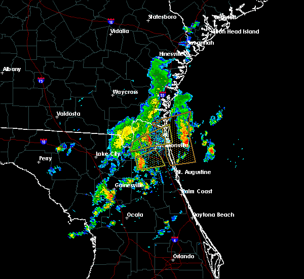 The severe thunderstorm warning for southwestern nassau and northwestern duval counties will expire at 330 pm edt, the storm which prompted the warning has moved out of the area. therefore, the warning will be allowed to expire. a severe thunderstorm warning still remains in effect for eastern nassau and duval counties. The severe thunderstorm warning for southwestern nassau and northwestern duval counties will expire at 330 pm edt, the storm which prompted the warning has moved out of the area. therefore, the warning will be allowed to expire. a severe thunderstorm warning still remains in effect for eastern nassau and duval counties.
|
| 10/22/2019 3:21 PM EDT |
 At 320 pm edt, severe thunderstorms were located along a line extending from near cecil field to near oakleaf plantation to near middleburg, moving east at 40 mph (radar indicated). Hazards include 60 mph wind gusts. Expect damage to roofs, siding, and trees. Locations impacted include, orange park, middleburg, mandarin, fruit cove, fleming island, ortega, oakleaf plantation, bellair-meadowbrook terrace, switzerland and cecil field. At 320 pm edt, severe thunderstorms were located along a line extending from near cecil field to near oakleaf plantation to near middleburg, moving east at 40 mph (radar indicated). Hazards include 60 mph wind gusts. Expect damage to roofs, siding, and trees. Locations impacted include, orange park, middleburg, mandarin, fruit cove, fleming island, ortega, oakleaf plantation, bellair-meadowbrook terrace, switzerland and cecil field.
|
| 10/22/2019 3:15 PM EDT |
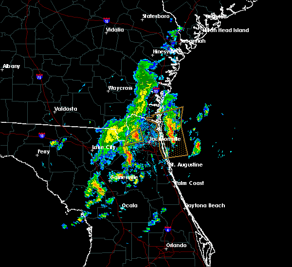 The national weather service in jacksonville has issued a * severe thunderstorm warning for. central nassau county in northeastern florida. northeastern duval county in northeastern florida. until 400 pm edt. At 315 pm edt, a severe thunderstorm was located near ratliff, or 7. The national weather service in jacksonville has issued a * severe thunderstorm warning for. central nassau county in northeastern florida. northeastern duval county in northeastern florida. until 400 pm edt. At 315 pm edt, a severe thunderstorm was located near ratliff, or 7.
|
| 10/22/2019 3:14 PM EDT |
 At 313 pm edt, severe thunderstorms were located along a line extending from maxville to near middleburg to camp blanding, moving east at 40 mph (radar indicated). Hazards include 60 mph wind gusts. expect damage to roofs, siding, and trees At 313 pm edt, severe thunderstorms were located along a line extending from maxville to near middleburg to camp blanding, moving east at 40 mph (radar indicated). Hazards include 60 mph wind gusts. expect damage to roofs, siding, and trees
|
| 10/22/2019 3:02 PM EDT |
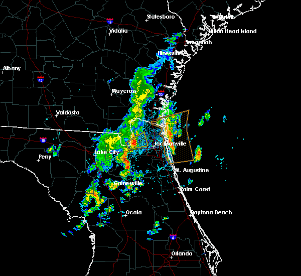 At 302 pm edt, a severe thunderstorm was located near bryceville, or 16 miles southwest of callahan, moving east at 30 mph (radar indicated). Hazards include 60 mph wind gusts. Expect damage to roofs, siding, and trees. Locations impacted include, callahan, ratliff, cisco gardens, bryceville, nassau village-ratliff and whitehouse air field. At 302 pm edt, a severe thunderstorm was located near bryceville, or 16 miles southwest of callahan, moving east at 30 mph (radar indicated). Hazards include 60 mph wind gusts. Expect damage to roofs, siding, and trees. Locations impacted include, callahan, ratliff, cisco gardens, bryceville, nassau village-ratliff and whitehouse air field.
|
| 10/22/2019 2:54 PM EDT |
 At 254 pm edt, a severe thunderstorm was located near macclenny, or 19 miles southwest of callahan, moving east at 30 mph (radar indicated). Hazards include 60 mph wind gusts. expect damage to roofs, siding, and trees At 254 pm edt, a severe thunderstorm was located near macclenny, or 19 miles southwest of callahan, moving east at 30 mph (radar indicated). Hazards include 60 mph wind gusts. expect damage to roofs, siding, and trees
|
| 10/22/2019 2:54 PM EDT |
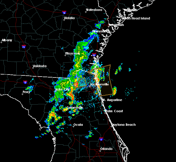 At 254 pm edt, a severe thunderstorm was located near macclenny, or 19 miles southwest of callahan, moving east at 30 mph (radar indicated). Hazards include 60 mph wind gusts. expect damage to roofs, siding, and trees At 254 pm edt, a severe thunderstorm was located near macclenny, or 19 miles southwest of callahan, moving east at 30 mph (radar indicated). Hazards include 60 mph wind gusts. expect damage to roofs, siding, and trees
|
| 10/19/2019 10:55 AM EDT | Trees were damaged and fell onto powerlines near little talbot island. the time of damage was based on rada in duval county FL, 14.2 miles W of Jacksonville, FL |
| 9/15/2019 12:40 PM EDT | Large branch down over terrell road. time estimated by rada in duval county FL, 6.8 miles S of Jacksonville, FL |
| 8/10/2019 6:29 PM EDT |
 At 629 pm edt, a severe thunderstorm was located over fleming island, or over orange park, moving east at 10 mph (radar indicated). Hazards include 60 mph wind gusts. expect damage to roofs, siding, and trees At 629 pm edt, a severe thunderstorm was located over fleming island, or over orange park, moving east at 10 mph (radar indicated). Hazards include 60 mph wind gusts. expect damage to roofs, siding, and trees
|
| 7/19/2019 1:48 PM EDT |
 At 147 pm edt, a severe thunderstorm was located near nas jax, or near mandarin, moving west at 10 mph (spotter reported quarter size hail in mandarin). Hazards include 60 mph wind gusts and quarter size hail. Hail damage to vehicles is expected. expect wind damage to roofs, siding, and trees. Locations impacted include, orange park, nas jax and bellair-meadowbrook terrace. At 147 pm edt, a severe thunderstorm was located near nas jax, or near mandarin, moving west at 10 mph (spotter reported quarter size hail in mandarin). Hazards include 60 mph wind gusts and quarter size hail. Hail damage to vehicles is expected. expect wind damage to roofs, siding, and trees. Locations impacted include, orange park, nas jax and bellair-meadowbrook terrace.
|
| 7/19/2019 1:42 PM EDT | Quarter sized hail reported 12.9 miles NNW of Jacksonville, FL, an nws spotter estimated quarter sized hail and 50 mph wind at jaybird circle west. |
| 7/19/2019 1:38 PM EDT |
 At 138 pm edt, a severe thunderstorm was located near baymeadows, or near mandarin, moving west at 10 mph (radar indicated). Hazards include 60 mph wind gusts and quarter size hail. Hail damage to vehicles is expected. Expect wind damage to roofs, siding, and trees. At 138 pm edt, a severe thunderstorm was located near baymeadows, or near mandarin, moving west at 10 mph (radar indicated). Hazards include 60 mph wind gusts and quarter size hail. Hail damage to vehicles is expected. Expect wind damage to roofs, siding, and trees.
|
| 7/17/2019 2:21 PM EDT |
 The severe thunderstorm warning for northwestern st. johns, northeastern clay and southeastern duval counties will expire at 230 pm edt, the storm which prompted the warning has weakened below severe limits, and no longer poses an immediate threat to life or property. therefore, the warning will be allowed to expire. to report severe weather, contact your nearest law enforcement agency. they will relay your report to the national weather service jacksonville. The severe thunderstorm warning for northwestern st. johns, northeastern clay and southeastern duval counties will expire at 230 pm edt, the storm which prompted the warning has weakened below severe limits, and no longer poses an immediate threat to life or property. therefore, the warning will be allowed to expire. to report severe weather, contact your nearest law enforcement agency. they will relay your report to the national weather service jacksonville.
|
| 7/17/2019 2:03 PM EDT |
 At 150 pm edt, a severe thunderstorm was located near baymeadows, or near mandarin, and is nearly stationary (radar indicated). Hazards include 60 mph wind gusts and quarter size hail. Hail damage to vehicles is expected. Expect wind damage to roofs, siding, and trees. At 150 pm edt, a severe thunderstorm was located near baymeadows, or near mandarin, and is nearly stationary (radar indicated). Hazards include 60 mph wind gusts and quarter size hail. Hail damage to vehicles is expected. Expect wind damage to roofs, siding, and trees.
|
| 7/17/2019 1:50 PM EDT |
 At 150 pm edt, a severe thunderstorm was located near baymeadows, or near mandarin, and is nearly stationary (radar indicated). Hazards include 60 mph wind gusts and quarter size hail. Hail damage to vehicles is expected. Expect wind damage to roofs, siding, and trees. At 150 pm edt, a severe thunderstorm was located near baymeadows, or near mandarin, and is nearly stationary (radar indicated). Hazards include 60 mph wind gusts and quarter size hail. Hail damage to vehicles is expected. Expect wind damage to roofs, siding, and trees.
|
| 7/11/2019 6:36 PM EDT |
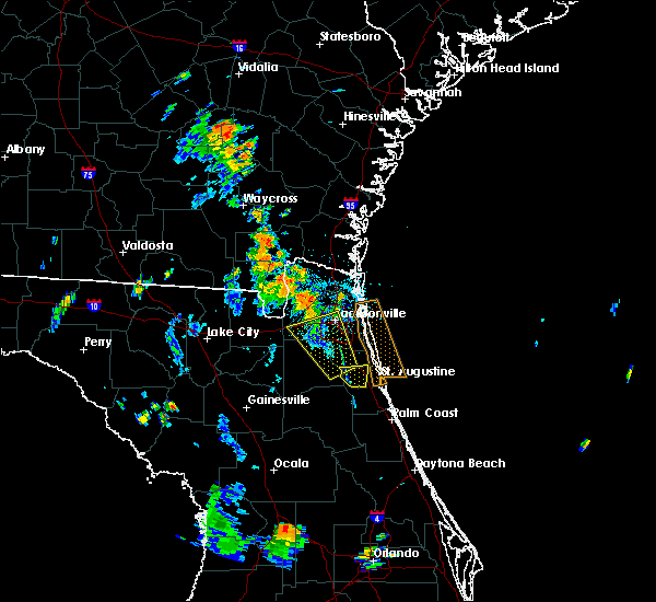 At 624 pm edt, a severe thunderstorm was located over cisco gardens, or 9 miles southwest of jacksonville international arpt, moving northwest at 25 mph (radar indicated). Hazards include 60 mph wind gusts. Expect damage to roofs, siding, and trees. Locations impacted include, callahan, jacksonville international arpt, cisco gardens, nassau village-ratliff, ratliff and whitehouse air field. At 624 pm edt, a severe thunderstorm was located over cisco gardens, or 9 miles southwest of jacksonville international arpt, moving northwest at 25 mph (radar indicated). Hazards include 60 mph wind gusts. Expect damage to roofs, siding, and trees. Locations impacted include, callahan, jacksonville international arpt, cisco gardens, nassau village-ratliff, ratliff and whitehouse air field.
|
| 7/11/2019 6:25 PM EDT |
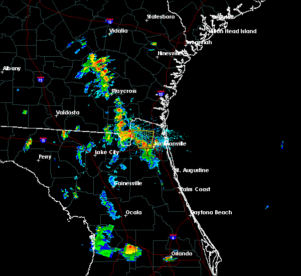 A severe thunderstorm warning remains in effect until 645 pm edt for southwestern nassau and northwestern duval counties. at 624 pm edt, a severe thunderstorm was located over cisco gardens, or 9 miles southwest of jacksonville international arpt, moving northwest at 25 mph. hazard. 60 mph wind gusts. A severe thunderstorm warning remains in effect until 645 pm edt for southwestern nassau and northwestern duval counties. at 624 pm edt, a severe thunderstorm was located over cisco gardens, or 9 miles southwest of jacksonville international arpt, moving northwest at 25 mph. hazard. 60 mph wind gusts.
|
| 7/11/2019 6:20 PM EDT | Tree knocked down near tayo ln and mandarin r in duval county FL, 16.7 miles N of Jacksonville, FL |
| 7/11/2019 6:13 PM EDT |
 The severe thunderstorm warning for north central clay and southwestern duval counties will expire at 615 pm edt. the storm which prompted the warning has moved out of the area. therefore, the warning will be allowed to expire. however gusty winds and heavy rain are still possible with this thunderstorm. To report severe weather, contact your nearest law enforcement. The severe thunderstorm warning for north central clay and southwestern duval counties will expire at 615 pm edt. the storm which prompted the warning has moved out of the area. therefore, the warning will be allowed to expire. however gusty winds and heavy rain are still possible with this thunderstorm. To report severe weather, contact your nearest law enforcement.
|
| 7/11/2019 6:11 PM EDT |
 The national weather service in jacksonville has issued a * severe thunderstorm warning for. southern nassau county in northeastern florida. central duval county in northeastern florida. until 645 pm edt. At 611 pm edt, a severe thunderstorm was located over normandy, or. The national weather service in jacksonville has issued a * severe thunderstorm warning for. southern nassau county in northeastern florida. central duval county in northeastern florida. until 645 pm edt. At 611 pm edt, a severe thunderstorm was located over normandy, or.
|
| 7/11/2019 6:03 PM EDT |
 A severe thunderstorm warning remains in effect until 615 pm edt for north central clay and southwestern duval counties. at 603 pm edt, a severe thunderstorm was located over bellair-meadowbrook terrace, or over orange park, moving northwest at 25 mph. hazard. 60 mph wind gusts. A severe thunderstorm warning remains in effect until 615 pm edt for north central clay and southwestern duval counties. at 603 pm edt, a severe thunderstorm was located over bellair-meadowbrook terrace, or over orange park, moving northwest at 25 mph. hazard. 60 mph wind gusts.
|
| 7/11/2019 5:57 PM EDT |
 A severe thunderstorm warning remains in effect until 615 pm edt for northwestern st. johns. northeastern clay and southwestern duval counties. at 557 pm edt, a severe thunderstorm was located over orange park, moving northwest at 25 mph. hazard. 70 mph wind gusts. A severe thunderstorm warning remains in effect until 615 pm edt for northwestern st. johns. northeastern clay and southwestern duval counties. at 557 pm edt, a severe thunderstorm was located over orange park, moving northwest at 25 mph. hazard. 70 mph wind gusts.
|
| 7/11/2019 5:49 PM EDT |
 A severe thunderstorm warning remains in effect until 615 pm edt for northwestern st. johns. northeastern clay and southwestern duval counties. at 548 pm edt, a severe thunderstorm was located over fleming island, or near fruit cove, moving northwest at 25 mph. hazard. 70 mph wind gusts and penny size hail. A severe thunderstorm warning remains in effect until 615 pm edt for northwestern st. johns. northeastern clay and southwestern duval counties. at 548 pm edt, a severe thunderstorm was located over fleming island, or near fruit cove, moving northwest at 25 mph. hazard. 70 mph wind gusts and penny size hail.
|
| 7/11/2019 5:48 PM EDT | Tree knocked by thunderstorm winds down near tayo ln and mandarin rd. time of wind event based on rada in duval county FL, 16.7 miles N of Jacksonville, FL |
| 7/11/2019 5:37 PM EDT |
 The national weather service in jacksonville has issued a * severe thunderstorm warning for. northwestern st. johns county in northeastern florida. northeastern clay county in northeastern florida. southwestern duval county in northeastern florida. Until 615 pm edt. The national weather service in jacksonville has issued a * severe thunderstorm warning for. northwestern st. johns county in northeastern florida. northeastern clay county in northeastern florida. southwestern duval county in northeastern florida. Until 615 pm edt.
|
| 7/4/2019 4:11 PM EDT |
 The severe thunderstorm warning for east central duval county will expire at 415 pm edt, the storm which prompted the warning has weakened below severe limits, and no longer poses an immediate threat to life or property. therefore, the warning will be allowed to expire. however gusty winds and heavy rain are still possible with this thunderstorm. The severe thunderstorm warning for east central duval county will expire at 415 pm edt, the storm which prompted the warning has weakened below severe limits, and no longer poses an immediate threat to life or property. therefore, the warning will be allowed to expire. however gusty winds and heavy rain are still possible with this thunderstorm.
|
| 7/4/2019 3:49 PM EDT |
 The national weather service in jacksonville has issued a * severe thunderstorm warning for. east central duval county in northeastern florida. until 415 pm edt. At 349 pm edt, a severe thunderstorm was located over arlington, and is nearly stationary. The national weather service in jacksonville has issued a * severe thunderstorm warning for. east central duval county in northeastern florida. until 415 pm edt. At 349 pm edt, a severe thunderstorm was located over arlington, and is nearly stationary.
|
| 7/4/2019 3:10 PM EDT |
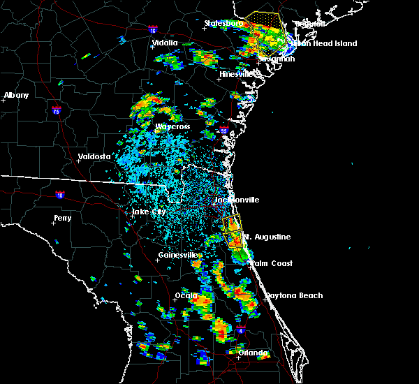 The severe thunderstorm warning for north central st. johns and southeastern duval counties will expire at 315 pm edt, the storm which prompted the warning has weakened below severe limits, and no longer poses an immediate threat to life or property. therefore, the warning will be allowed to expire. however gusty winds and heavy rain are still possible with this thunderstorm. to report severe weather, contact your nearest law enforcement agency. they will relay your report to the national weather service jacksonville. remember, a severe thunderstorm warning still remains in effect for central st. johns county until 330 pm edt,. The severe thunderstorm warning for north central st. johns and southeastern duval counties will expire at 315 pm edt, the storm which prompted the warning has weakened below severe limits, and no longer poses an immediate threat to life or property. therefore, the warning will be allowed to expire. however gusty winds and heavy rain are still possible with this thunderstorm. to report severe weather, contact your nearest law enforcement agency. they will relay your report to the national weather service jacksonville. remember, a severe thunderstorm warning still remains in effect for central st. johns county until 330 pm edt,.
|
| 7/4/2019 2:48 PM EDT |
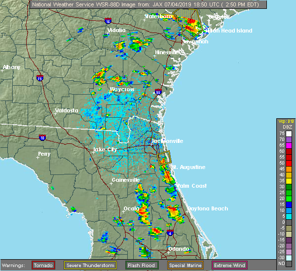 At 247 pm edt, a severe thunderstorm was located over nocatee, or 9 miles south of ponte vedra beach, moving north at 10 mph (radar indicated). Hazards include 60 mph wind gusts and penny size hail. expect damage to roofs, siding, and trees At 247 pm edt, a severe thunderstorm was located over nocatee, or 9 miles south of ponte vedra beach, moving north at 10 mph (radar indicated). Hazards include 60 mph wind gusts and penny size hail. expect damage to roofs, siding, and trees
|
| 7/3/2019 4:44 PM EDT |
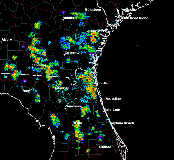 At 444 pm edt, a severe thunderstorm was located over baymeadows, or near unf, moving east at 10 mph (radar indicated). Hazards include 60 mph wind gusts. Expect damage to roofs, siding, and trees. Locations impacted include, mandarin, unf, nas jax, baymeadows and bayard. At 444 pm edt, a severe thunderstorm was located over baymeadows, or near unf, moving east at 10 mph (radar indicated). Hazards include 60 mph wind gusts. Expect damage to roofs, siding, and trees. Locations impacted include, mandarin, unf, nas jax, baymeadows and bayard.
|
| 7/3/2019 4:42 PM EDT |
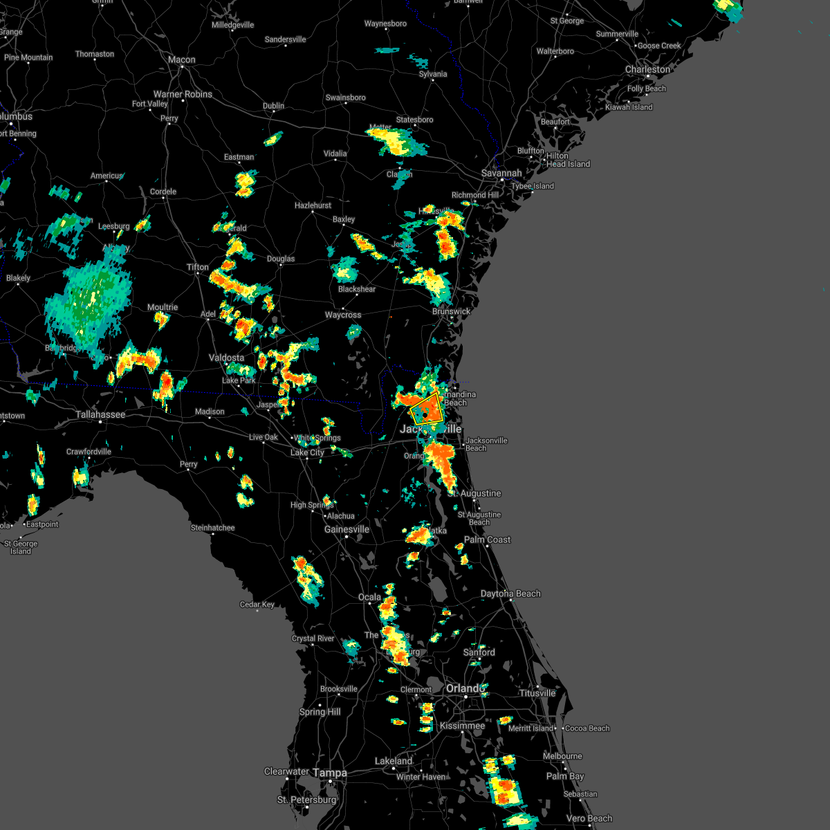 The severe thunderstorm warning for central nassau and north central duval counties will expire at 445 pm edt, the storm which prompted the warning has weakened below severe limits, and no longer poses an immediate threat to life or property. therefore, the warning will be allowed to expire. however gusty winds and heavy rain are still possible with this thunderstorm. remember, a severe thunderstorm warning still remains in effect for southeast duval county until 515 pm. The severe thunderstorm warning for central nassau and north central duval counties will expire at 445 pm edt, the storm which prompted the warning has weakened below severe limits, and no longer poses an immediate threat to life or property. therefore, the warning will be allowed to expire. however gusty winds and heavy rain are still possible with this thunderstorm. remember, a severe thunderstorm warning still remains in effect for southeast duval county until 515 pm.
|
| 7/3/2019 4:33 PM EDT | Broadcast media shared photos on social media of a convenient store sign blown dow in duval county FL, 7.3 miles NNW of Jacksonville, FL |
| 7/3/2019 4:28 PM EDT |
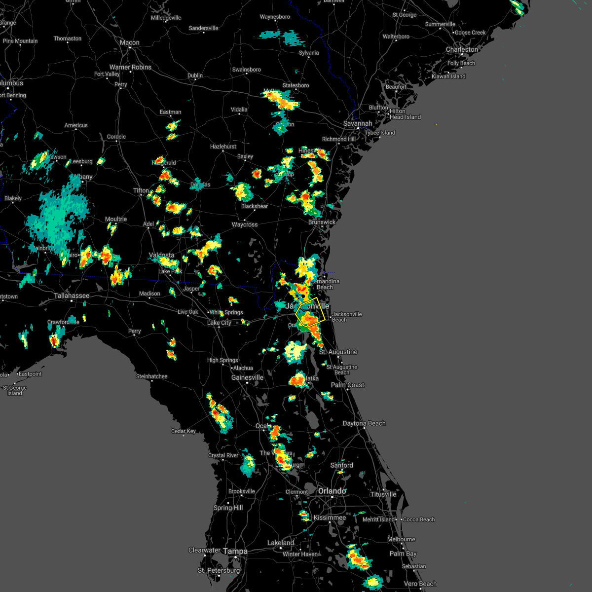 The severe thunderstorm warning for central duval county will expire at 430 pm edt, the storm which prompted the warning is moving out of the warned area. a new warning was issued for parts of duval county. remember, a severe thunderstorm warning still remains in effect for southeast duval county. The severe thunderstorm warning for central duval county will expire at 430 pm edt, the storm which prompted the warning is moving out of the warned area. a new warning was issued for parts of duval county. remember, a severe thunderstorm warning still remains in effect for southeast duval county.
|
| 7/3/2019 4:25 PM EDT |
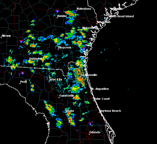 At 424 pm edt, a severe thunderstorm was located over nas jax, or near jacksonville, moving east at 10 mph. a gust to 69 mph was reported recently in the old san jose area (radar indicated). Hazards include 70 mph wind gusts and penny size hail. Expect considerable tree damage. Damage is likely to mobile homes, roofs, and outbuildings. At 424 pm edt, a severe thunderstorm was located over nas jax, or near jacksonville, moving east at 10 mph. a gust to 69 mph was reported recently in the old san jose area (radar indicated). Hazards include 70 mph wind gusts and penny size hail. Expect considerable tree damage. Damage is likely to mobile homes, roofs, and outbuildings.
|
| 7/3/2019 4:20 PM EDT | Storm damage reported in duval county FL, 8.6 miles NNW of Jacksonville, FL |
| 7/3/2019 4:12 PM EDT |
 At 412 pm edt, a severe thunderstorm was located over san marco, or over jacksonville, moving northeast at 10 mph (radar indicated). Hazards include 60 mph wind gusts and nickel size hail. Expect damage to roofs, siding, and trees. Locations impacted include, jacksonville, unf, arlington, nas jax, baymeadows, ortega, craig field, normandy, riverside and san marco. At 412 pm edt, a severe thunderstorm was located over san marco, or over jacksonville, moving northeast at 10 mph (radar indicated). Hazards include 60 mph wind gusts and nickel size hail. Expect damage to roofs, siding, and trees. Locations impacted include, jacksonville, unf, arlington, nas jax, baymeadows, ortega, craig field, normandy, riverside and san marco.
|
| 7/3/2019 4:06 PM EDT |
 At 406 pm edt, a severe thunderstorm was located over jacksonville international arpt, moving northeast at 10 mph (radar indicated). Hazards include 60 mph wind gusts and penny size hail. expect damage to roofs, siding, and trees At 406 pm edt, a severe thunderstorm was located over jacksonville international arpt, moving northeast at 10 mph (radar indicated). Hazards include 60 mph wind gusts and penny size hail. expect damage to roofs, siding, and trees
|
| 7/3/2019 4:02 PM EDT | Broadcast media passed on report of a tree down on a house at the 3900 block of mcgrits blvd in ortega. time estimated by rada in duval county FL, 7.7 miles N of Jacksonville, FL |
| 7/3/2019 3:52 PM EDT |
 At 352 pm edt, a severe thunderstorm was located over riverside, or near jacksonville, moving northeast at 10 mph (radar indicated). Hazards include 60 mph wind gusts and nickel size hail. expect damage to roofs, siding, and trees At 352 pm edt, a severe thunderstorm was located over riverside, or near jacksonville, moving northeast at 10 mph (radar indicated). Hazards include 60 mph wind gusts and nickel size hail. expect damage to roofs, siding, and trees
|
| 7/3/2019 3:48 PM EDT | Broadcast media passed on a report of a tree on powerlines near sumter road and rosselle stree in duval county FL, 4.9 miles NNE of Jacksonville, FL |
| 7/3/2019 3:48 PM EDT | Broadcast media passed on images showing a 5 to 6 inch diameter tree leaning on a westside jacksonville home. time estimated using radar dat in duval county FL, 5.8 miles NNE of Jacksonville, FL |
| 7/3/2019 3:34 PM EDT | Two inch tree limbs down along i-29 in duval county FL, 7.4 miles NE of Jacksonville, FL |
| 7/3/2019 3:30 PM EDT |
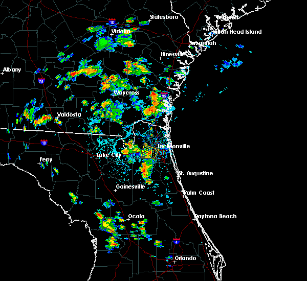 At 330 pm edt, a severe thunderstorm was located over normandy, or 8 miles southwest of jacksonville, moving north at 10 mph. a gust to 58 mph was recorded at herlong airport recently (radar indicated). Hazards include 60 mph wind gusts and quarter size hail. Hail damage to vehicles is expected. expect wind damage to roofs, siding, and trees. Locations impacted include, jacksonville, cisco gardens, ortega, normandy, riverside, san marco and jacksonville heights. At 330 pm edt, a severe thunderstorm was located over normandy, or 8 miles southwest of jacksonville, moving north at 10 mph. a gust to 58 mph was recorded at herlong airport recently (radar indicated). Hazards include 60 mph wind gusts and quarter size hail. Hail damage to vehicles is expected. expect wind damage to roofs, siding, and trees. Locations impacted include, jacksonville, cisco gardens, ortega, normandy, riverside, san marco and jacksonville heights.
|
| 7/3/2019 3:29 PM EDT | Herlong airport awos measured a gust to 58 mp in duval county FL, 10.1 miles NE of Jacksonville, FL |
| 7/3/2019 3:20 PM EDT | Tree downed and impacted empty parked car at home residence on lancia st. time of event estimated via rada in duval county FL, 10.6 miles NNE of Jacksonville, FL |
| 7/3/2019 3:19 PM EDT |
 The national weather service in jacksonville has issued a * severe thunderstorm warning for. central duval county in northeastern florida. until 400 pm edt. At 319 pm edt, a severe thunderstorm was located near normandy, or 8 miles northwest of orange park, moving north at 10 mph. The national weather service in jacksonville has issued a * severe thunderstorm warning for. central duval county in northeastern florida. until 400 pm edt. At 319 pm edt, a severe thunderstorm was located near normandy, or 8 miles northwest of orange park, moving north at 10 mph.
|
| 7/2/2019 5:42 PM EDT |
 The severe thunderstorm warning for north central clay and south central duval counties will expire at 545 pm edt, the storm which prompted the warning has moved out of the area. therefore, the warning will be allowed to expire. however heavy rain is still possible with this thunderstorm. remember, a severe thunderstorm warning still remains in effect for northeastern clay county and west central st. johns county. The severe thunderstorm warning for north central clay and south central duval counties will expire at 545 pm edt, the storm which prompted the warning has moved out of the area. therefore, the warning will be allowed to expire. however heavy rain is still possible with this thunderstorm. remember, a severe thunderstorm warning still remains in effect for northeastern clay county and west central st. johns county.
|
| 7/2/2019 5:33 PM EDT |
 At 532 pm edt, a severe thunderstorm was located over orange park, moving south at 10 mph (trained weather spotters. quarter size hail was recently reported with this storm). Hazards include 60 mph wind gusts and quarter size hail. Hail damage to vehicles is expected. Expect wind damage to roofs, siding, and trees. At 532 pm edt, a severe thunderstorm was located over orange park, moving south at 10 mph (trained weather spotters. quarter size hail was recently reported with this storm). Hazards include 60 mph wind gusts and quarter size hail. Hail damage to vehicles is expected. Expect wind damage to roofs, siding, and trees.
|
| 7/2/2019 5:29 PM EDT |
 At 511 pm edt, a severe thunderstorm was located over nas jax, or near orange park, and is nearly stationary (radar indicated). Hazards include 60 mph wind gusts and quarter size hail. Hail damage to vehicles is expected. Expect wind damage to roofs, siding, and trees. At 511 pm edt, a severe thunderstorm was located over nas jax, or near orange park, and is nearly stationary (radar indicated). Hazards include 60 mph wind gusts and quarter size hail. Hail damage to vehicles is expected. Expect wind damage to roofs, siding, and trees.
|
| 7/2/2019 5:11 PM EDT |
 At 511 pm edt, a severe thunderstorm was located over nas jax, or near orange park, and is nearly stationary (radar indicated). Hazards include 60 mph wind gusts and quarter size hail. Hail damage to vehicles is expected. Expect wind damage to roofs, siding, and trees. At 511 pm edt, a severe thunderstorm was located over nas jax, or near orange park, and is nearly stationary (radar indicated). Hazards include 60 mph wind gusts and quarter size hail. Hail damage to vehicles is expected. Expect wind damage to roofs, siding, and trees.
|
| 6/30/2019 6:43 PM EDT |
 The national weather service in jacksonville has issued a * severe thunderstorm warning for. central st. johns county in northeastern florida. until 730 pm edt. At 643 pm edt, a severe thunderstorm was located over world golf village, or 10 miles southeast of fruit cove, moving southeast at. The national weather service in jacksonville has issued a * severe thunderstorm warning for. central st. johns county in northeastern florida. until 730 pm edt. At 643 pm edt, a severe thunderstorm was located over world golf village, or 10 miles southeast of fruit cove, moving southeast at.
|
| 6/23/2019 8:48 PM EDT | Broadcast media relayed public report of tree down in southside near the avenues mall area. time based on radar imager in duval county FL, 16.1 miles NNW of Jacksonville, FL |
| 6/23/2019 8:47 PM EDT |
 At 847 pm edt, a severe thunderstorm was located over fruit cove, moving southeast at 20 mph (radar indicated). Hazards include 60 mph wind gusts and penny size hail. expect damage to roofs, siding, and trees At 847 pm edt, a severe thunderstorm was located over fruit cove, moving southeast at 20 mph (radar indicated). Hazards include 60 mph wind gusts and penny size hail. expect damage to roofs, siding, and trees
|
| 6/23/2019 8:30 PM EDT | 911 call center reported wire down on trees along sawpit road in northeast section of jacksonville. time is based on radar imager in duval county FL, 15.3 miles WSW of Jacksonville, FL |
| 6/19/2019 1:42 PM EDT |
 The severe thunderstorm warning for east central nassau and northeastern duval counties will expire at 145 pm edt, the storm which prompted the warning has now moved out into the coastal waters. therefore, the warning will be allowed to expire. however gusty winds are still possible with the thunderstorm. The severe thunderstorm warning for east central nassau and northeastern duval counties will expire at 145 pm edt, the storm which prompted the warning has now moved out into the coastal waters. therefore, the warning will be allowed to expire. however gusty winds are still possible with the thunderstorm.
|
| 6/19/2019 1:34 PM EDT |
 At 134 pm edt, a severe thunderstorm was located over fernandina beach, moving northeast at 30 mph (radar indicated). Hazards include 60 mph wind gusts. Expect damage to roofs, siding, and trees. Locations impacted include, fernandina beach and yulee. At 134 pm edt, a severe thunderstorm was located over fernandina beach, moving northeast at 30 mph (radar indicated). Hazards include 60 mph wind gusts. Expect damage to roofs, siding, and trees. Locations impacted include, fernandina beach and yulee.
|
| 6/19/2019 1:15 PM EDT |
 At 115 pm edt, a severe thunderstorm was located near yulee, or 9 miles southwest of fernandina beach, moving northeast at 30 mph (radar indicated). Hazards include 60 mph wind gusts. expect damage to roofs, siding, and trees At 115 pm edt, a severe thunderstorm was located near yulee, or 9 miles southwest of fernandina beach, moving northeast at 30 mph (radar indicated). Hazards include 60 mph wind gusts. expect damage to roofs, siding, and trees
|
| 6/19/2019 12:54 PM EDT |
 The severe thunderstorm warning for southwestern nassau, central baker and southeastern charlton counties will expire at 100 pm edt, the storm which prompted the warning has weakened below severe limits, and no longer poses an immediate threat to life or property. therefore, the warning will be allowed to expire. however gusty winds near 50 mph are still possible with this thunderstorm. The severe thunderstorm warning for southwestern nassau, central baker and southeastern charlton counties will expire at 100 pm edt, the storm which prompted the warning has weakened below severe limits, and no longer poses an immediate threat to life or property. therefore, the warning will be allowed to expire. however gusty winds near 50 mph are still possible with this thunderstorm.
|
| 6/19/2019 12:32 PM EDT |
 At 1232 pm edt, a severe thunderstorm was located near macclenny, or 22 miles north of raiford, moving east at 30 mph (radar indicated). Hazards include 60 mph wind gusts. Expect damage to roofs, siding, and trees. locations impacted include, macclenny, glen st. mary, st. George, sanderson and bryceville. At 1232 pm edt, a severe thunderstorm was located near macclenny, or 22 miles north of raiford, moving east at 30 mph (radar indicated). Hazards include 60 mph wind gusts. Expect damage to roofs, siding, and trees. locations impacted include, macclenny, glen st. mary, st. George, sanderson and bryceville.
|
| 6/19/2019 12:32 PM EDT |
 At 1211 pm edt, a severe thunderstorm was located near sanderson, or 19 miles north of raiford, moving east at 35 mph (radar indicated). Hazards include 60 mph wind gusts. expect damage to roofs, siding, and trees At 1211 pm edt, a severe thunderstorm was located near sanderson, or 19 miles north of raiford, moving east at 35 mph (radar indicated). Hazards include 60 mph wind gusts. expect damage to roofs, siding, and trees
|
| 6/19/2019 12:12 PM EDT |
 The national weather service in jacksonville has issued a * severe thunderstorm warning for. southwestern nassau county in northeastern florida. baker county in northeastern florida. southeastern charlton county in southeastern georgia. Until 100 pm edt. The national weather service in jacksonville has issued a * severe thunderstorm warning for. southwestern nassau county in northeastern florida. baker county in northeastern florida. southeastern charlton county in southeastern georgia. Until 100 pm edt.
|
| 5/28/2019 5:54 PM EDT |
 The severe thunderstorm warning for southwestern nassau, southeastern baker and west central duval counties will expire at 600 pm edt, the storm which prompted the warning has weakened below severe limits, and no longer poses an immediate threat to life or property. therefore, the warning will be allowed to expire. however small hail and gusty winds are still possible with this thunderstorm. The severe thunderstorm warning for southwestern nassau, southeastern baker and west central duval counties will expire at 600 pm edt, the storm which prompted the warning has weakened below severe limits, and no longer poses an immediate threat to life or property. therefore, the warning will be allowed to expire. however small hail and gusty winds are still possible with this thunderstorm.
|
| 5/28/2019 5:27 PM EDT |
 At 527 pm edt, a severe thunderstorm was located near macclenny, or 18 miles northwest of middleburg, and is nearly stationary (radar indicated). Hazards include 60 mph wind gusts and nickel size hail. Expect damage to roofs, siding, and trees. locations impacted include, macclenny, glen st. Mary and baldwin. At 527 pm edt, a severe thunderstorm was located near macclenny, or 18 miles northwest of middleburg, and is nearly stationary (radar indicated). Hazards include 60 mph wind gusts and nickel size hail. Expect damage to roofs, siding, and trees. locations impacted include, macclenny, glen st. Mary and baldwin.
|
| 5/28/2019 5:15 PM EDT |
 At 515 pm edt, a severe thunderstorm was located near macclenny, or 18 miles northeast of raiford, moving north at 5 mph (radar indicated). Hazards include 60 mph wind gusts and quarter size hail. Hail damage to vehicles is expected. Expect wind damage to roofs, siding, and trees. At 515 pm edt, a severe thunderstorm was located near macclenny, or 18 miles northeast of raiford, moving north at 5 mph (radar indicated). Hazards include 60 mph wind gusts and quarter size hail. Hail damage to vehicles is expected. Expect wind damage to roofs, siding, and trees.
|
| 5/28/2019 4:32 PM EDT |
 At 431 pm edt, a severe thunderstorm was located over jacksonville, and is nearly stationary (radar indicated. at arlington, nickel size hail was reported recently). Hazards include 60 mph wind gusts and nickel size hail. Expect damage to roofs, siding, and trees. Locations impacted include, jacksonville, arlington, ortega, craig field, normandy, riverside, san marco and tallyrand. At 431 pm edt, a severe thunderstorm was located over jacksonville, and is nearly stationary (radar indicated. at arlington, nickel size hail was reported recently). Hazards include 60 mph wind gusts and nickel size hail. Expect damage to roofs, siding, and trees. Locations impacted include, jacksonville, arlington, ortega, craig field, normandy, riverside, san marco and tallyrand.
|
| 5/28/2019 4:30 PM EDT | Light pole down due to thunderstorm along i-10... 2 miles w of 9 in duval county FL, 4.6 miles NNE of Jacksonville, FL |
| 5/28/2019 4:10 PM EDT |
 At 410 pm edt, a severe thunderstorm was located over jacksonville, and is drifting slowly south at 5 mph (radar indicated). Hazards include 60 mph wind gusts and quarter size hail. Hail damage to vehicles is expected. expect wind damage to roofs, siding, and trees. Locations impacted include, jacksonville, arlington, ortega, craig field, normandy, riverside, san marco and tallyrand. At 410 pm edt, a severe thunderstorm was located over jacksonville, and is drifting slowly south at 5 mph (radar indicated). Hazards include 60 mph wind gusts and quarter size hail. Hail damage to vehicles is expected. expect wind damage to roofs, siding, and trees. Locations impacted include, jacksonville, arlington, ortega, craig field, normandy, riverside, san marco and tallyrand.
|
| 5/28/2019 4:00 PM EDT |
 At 359 pm edt, a severe thunderstorm was located over jacksonville, and is drifting south at near 5 mph (radar indicated). Hazards include 60 mph wind gusts and nickel size hail. expect damage to roofs, siding, and trees At 359 pm edt, a severe thunderstorm was located over jacksonville, and is drifting south at near 5 mph (radar indicated). Hazards include 60 mph wind gusts and nickel size hail. expect damage to roofs, siding, and trees
|
| 5/5/2019 12:07 PM EDT |
 At 1207 pm edt, a severe thunderstorm was located over neptune beach, or 7 miles north of ponte vedra beach, moving northeast at 55 mph (radar indicated). Hazards include 60 mph wind gusts. Expect damage to roofs, siding, and trees. Locations impacted include, unf, ponte vedra beach, neptune beach, san pablo, craig field and fort caroline. At 1207 pm edt, a severe thunderstorm was located over neptune beach, or 7 miles north of ponte vedra beach, moving northeast at 55 mph (radar indicated). Hazards include 60 mph wind gusts. Expect damage to roofs, siding, and trees. Locations impacted include, unf, ponte vedra beach, neptune beach, san pablo, craig field and fort caroline.
|
| 5/5/2019 12:02 PM EDT | 911 call center passed on reports of scattered trees and powerlines down across the east side of jacksonville. time estimated using radar dat in duval county FL, 12.5 miles WNW of Jacksonville, FL |
| 5/5/2019 11:55 AM EDT |
 At 1155 am edt, a severe thunderstorm was located over unf, moving northeast at 55 mph (radar indicated). Hazards include 60 mph wind gusts. expect damage to roofs, siding, and trees At 1155 am edt, a severe thunderstorm was located over unf, moving northeast at 55 mph (radar indicated). Hazards include 60 mph wind gusts. expect damage to roofs, siding, and trees
|
| 5/5/2019 11:50 AM EDT |
 The severe thunderstorm warning for southwestern nassau and central duval counties will expire at noon edt, the storms which prompted the warning have weakened below severe limits, and no longer pose an immediate threat to life or property. therefore, the warning will be allowed to expire. however gusty winds and heavy rain are still possible with these thunderstorms. The severe thunderstorm warning for southwestern nassau and central duval counties will expire at noon edt, the storms which prompted the warning have weakened below severe limits, and no longer pose an immediate threat to life or property. therefore, the warning will be allowed to expire. however gusty winds and heavy rain are still possible with these thunderstorms.
|
| 5/5/2019 11:44 AM EDT |
 At 1143 am edt, severe thunderstorms were located along a line extending from 6 miles southeast of st. george to near ratliff to near cisco gardens to near normandy, moving northeast at 45 mph (radar indicated). Hazards include 60 mph wind gusts. Expect damage to roofs, siding, and trees. Locations impacted include, jacksonville, callahan, jacksonville international arpt, cisco gardens, ortega, bryceville, nas jax, nassau village-ratliff, ratliff and normandy. At 1143 am edt, severe thunderstorms were located along a line extending from 6 miles southeast of st. george to near ratliff to near cisco gardens to near normandy, moving northeast at 45 mph (radar indicated). Hazards include 60 mph wind gusts. Expect damage to roofs, siding, and trees. Locations impacted include, jacksonville, callahan, jacksonville international arpt, cisco gardens, ortega, bryceville, nas jax, nassau village-ratliff, ratliff and normandy.
|
| 5/5/2019 11:33 AM EDT |
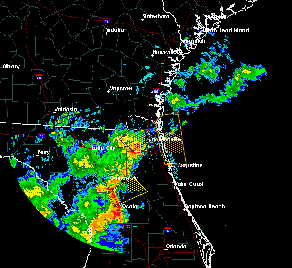 At 1133 am edt, severe thunderstorms were located along a line extending from 7 miles south of st. george to bryceville to near normandy to near oakleaf plantation, moving northeast at 50 mph (radar indicated). Hazards include 60 mph wind gusts. Expect damage to roofs, siding, and trees. Locations impacted include, jacksonville, callahan, jacksonville international arpt, cisco gardens, ortega, bryceville, cecil field, nas jax, nassau village-ratliff and ratliff. At 1133 am edt, severe thunderstorms were located along a line extending from 7 miles south of st. george to bryceville to near normandy to near oakleaf plantation, moving northeast at 50 mph (radar indicated). Hazards include 60 mph wind gusts. Expect damage to roofs, siding, and trees. Locations impacted include, jacksonville, callahan, jacksonville international arpt, cisco gardens, ortega, bryceville, cecil field, nas jax, nassau village-ratliff and ratliff.
|
| 5/5/2019 11:33 AM EDT |
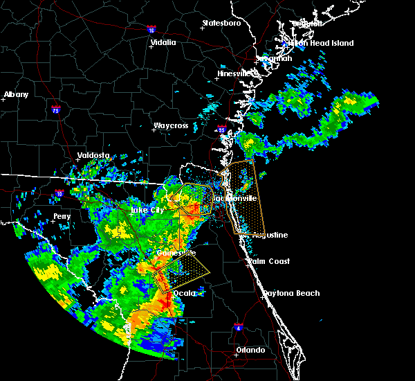 At 1133 am edt, severe thunderstorms were located along a line extending from 7 miles south of st. george to bryceville to near normandy to near oakleaf plantation, moving northeast at 50 mph (radar indicated). Hazards include 60 mph wind gusts. Expect damage to roofs, siding, and trees. Locations impacted include, jacksonville, callahan, jacksonville international arpt, cisco gardens, ortega, bryceville, cecil field, nas jax, nassau village-ratliff and ratliff. At 1133 am edt, severe thunderstorms were located along a line extending from 7 miles south of st. george to bryceville to near normandy to near oakleaf plantation, moving northeast at 50 mph (radar indicated). Hazards include 60 mph wind gusts. Expect damage to roofs, siding, and trees. Locations impacted include, jacksonville, callahan, jacksonville international arpt, cisco gardens, ortega, bryceville, cecil field, nas jax, nassau village-ratliff and ratliff.
|
| 5/5/2019 11:31 AM EDT | 911 call center passed on reports of scattered trees and powerlines down across the west side of jacksonville. time estimated using radar dat in duval county FL, 18.9 miles ENE of Jacksonville, FL |
| 5/5/2019 11:25 AM EDT |
 At 1124 am edt, severe thunderstorms were located along a line extending from near glen st. mary to 6 miles southwest of bryceville to near cecil field to near middleburg, moving northeast at 50 mph (radar indicated). Hazards include 60 to 70 mph wind gusts. Expect considerable tree damage. damage is likely to mobile homes, roofs, and outbuildings. locations impacted include, jacksonville, callahan, jacksonville international arpt, middleburg, macclenny, glen st. mary, maxville, cisco gardens, ortega and st. George. At 1124 am edt, severe thunderstorms were located along a line extending from near glen st. mary to 6 miles southwest of bryceville to near cecil field to near middleburg, moving northeast at 50 mph (radar indicated). Hazards include 60 to 70 mph wind gusts. Expect considerable tree damage. damage is likely to mobile homes, roofs, and outbuildings. locations impacted include, jacksonville, callahan, jacksonville international arpt, middleburg, macclenny, glen st. mary, maxville, cisco gardens, ortega and st. George.
|
| 5/5/2019 11:15 AM EDT |
 At 1114 am edt, severe thunderstorms were located along a line extending from sanderson to near glen st. mary to near maxville to near starke, moving northeast at 45 mph (radar indicated). Hazards include 60 to 70 mph wind gusts. Expect considerable tree damage. Damage is likely to mobile homes, roofs, and outbuildings. At 1114 am edt, severe thunderstorms were located along a line extending from sanderson to near glen st. mary to near maxville to near starke, moving northeast at 45 mph (radar indicated). Hazards include 60 to 70 mph wind gusts. Expect considerable tree damage. Damage is likely to mobile homes, roofs, and outbuildings.
|
| 5/5/2019 11:04 AM EDT |
 At 1104 am edt, a severe thunderstorm was located near raiford, moving northeast at 45 mph (radar indicated). Hazards include 60 mph wind gusts. Expect damage to roofs, siding, and trees. Locations impacted include, raiford, middleburg, macclenny, maxville, lawtey, ellerbee and johnstown. At 1104 am edt, a severe thunderstorm was located near raiford, moving northeast at 45 mph (radar indicated). Hazards include 60 mph wind gusts. Expect damage to roofs, siding, and trees. Locations impacted include, raiford, middleburg, macclenny, maxville, lawtey, ellerbee and johnstown.
|
| 5/5/2019 10:53 AM EDT |
 At 1053 am edt, a severe thunderstorm was located over beasley, or near lake butler, moving northeast at 40 mph (radar indicated). Hazards include 60 mph wind gusts. expect damage to roofs, siding, and trees At 1053 am edt, a severe thunderstorm was located over beasley, or near lake butler, moving northeast at 40 mph (radar indicated). Hazards include 60 mph wind gusts. expect damage to roofs, siding, and trees
|
| 4/19/2019 1:25 PM EDT |
 At 125 pm edt, severe thunderstorms were located along a line extending from sawgrass to near lake weir, moving east at 40 mph (radar indicated). Hazards include 60 mph wind gusts. expect damage to roofs, siding, and trees At 125 pm edt, severe thunderstorms were located along a line extending from sawgrass to near lake weir, moving east at 40 mph (radar indicated). Hazards include 60 mph wind gusts. expect damage to roofs, siding, and trees
|
| 4/19/2019 12:58 PM EDT |
 At 1257 pm edt, severe thunderstorms were located along a line extending from 7 miles northeast of fernandina beach to jacksonville to 6 miles north of george`s lake, moving east at 40 mph (radar indicated). Hazards include 60 mph wind gusts. Expect damage to roofs, siding, and trees. Locations impacted include, orange park, green cove springs, unf, mandarin, fruit cove, arlington, ponte vedra beach, neptune beach, baymeadows and nocatee. At 1257 pm edt, severe thunderstorms were located along a line extending from 7 miles northeast of fernandina beach to jacksonville to 6 miles north of george`s lake, moving east at 40 mph (radar indicated). Hazards include 60 mph wind gusts. Expect damage to roofs, siding, and trees. Locations impacted include, orange park, green cove springs, unf, mandarin, fruit cove, arlington, ponte vedra beach, neptune beach, baymeadows and nocatee.
|
| 4/19/2019 12:55 PM EDT | Broadcast media relayed report of large branch through a roof of a home near 103rd street and blanding blvd. time is estimated based on radar imager in duval county FL, 9.5 miles NNE of Jacksonville, FL |
| 4/19/2019 12:48 PM EDT | Emergency manager relayed a report of a powerline down on scott mill road. time estimated by rada in duval county FL, 14.1 miles NNW of Jacksonville, FL |
| 4/19/2019 12:45 PM EDT | The weatherflow station at huguenot park measured a peak wind gust of 60 mp in duval county FL, 16.7 miles W of Jacksonville, FL |
| 4/19/2019 12:41 PM EDT |
 At 1241 pm edt, severe thunderstorms were located along a line extending from near country club estates to 12 miles east of kings bay base to near hollister, moving northeast at 50 mph (radar indicated). Hazards include 70 mph wind gusts. Expect considerable tree damage. damage is likely to mobile homes, roofs, and outbuildings. locations impacted include, jacksonville, st. marys, brunswick, st. Simons island, fernandina beach, orange park, green cove springs, dock junction, arlington and ponte vedra beach. At 1241 pm edt, severe thunderstorms were located along a line extending from near country club estates to 12 miles east of kings bay base to near hollister, moving northeast at 50 mph (radar indicated). Hazards include 70 mph wind gusts. Expect considerable tree damage. damage is likely to mobile homes, roofs, and outbuildings. locations impacted include, jacksonville, st. marys, brunswick, st. Simons island, fernandina beach, orange park, green cove springs, dock junction, arlington and ponte vedra beach.
|
| 4/19/2019 12:35 PM EDT | Emergency manager relayed a report of a tree falling onto a powerline... blocking roa in duval county FL, 12.2 miles NNW of Jacksonville, FL |
| 4/19/2019 12:30 PM EDT | Emergency manager relayed a report of a tree down on a power line causing a small fir in duval county FL, 15.5 miles WNW of Jacksonville, FL |
| 4/19/2019 12:28 PM EDT | Public relayed a photo on social media of a tree down on los robles drive. time estimated by rada in nassau county FL, 21.2 miles SW of Jacksonville, FL |
| 4/19/2019 12:26 PM EDT |
 At 1226 pm edt, severe thunderstorms were located along a line extending from near everett to 6 miles west of waverly to near keystone heights, moving northeast at 50 mph (radar indicated). Hazards include 70 mph wind gusts. Expect considerable tree damage. Damage is likely to mobile homes, roofs, and outbuildings. At 1226 pm edt, severe thunderstorms were located along a line extending from near everett to 6 miles west of waverly to near keystone heights, moving northeast at 50 mph (radar indicated). Hazards include 70 mph wind gusts. Expect considerable tree damage. Damage is likely to mobile homes, roofs, and outbuildings.
|
| 4/19/2019 12:25 PM EDT | Broadcast media relayed a report of some roof damage to a home along morgan st. time estimated by rada in duval county FL, 2.8 miles N of Jacksonville, FL |
| 4/19/2019 12:25 PM EDT | Storm spotter relayed an observation of big tree limbs down on the 6300 block of old middleburg rd near sandler rd. time estimated by rada in duval county FL, 12.7 miles NE of Jacksonville, FL |
| 4/19/2019 12:22 PM EDT | Broadcast media relayed a photo on social media of a gate damaged at the heritage on the river apartement complex at confederate point rd. time estimated by rada in duval county FL, 8.7 miles NNE of Jacksonville, FL |
| 4/19/2019 12:14 PM EDT | Emergency manager relayed a report of power lines down from wind along cedar oaks drive. time estimated by rada in duval county FL, 7.6 miles NNE of Jacksonville, FL |
| 4/19/2019 12:12 PM EDT | Emerency manager relayed a report of a tree downed on a house along west 9th stree in duval county FL, 16 miles NE of Jacksonville, FL |
| 4/19/2019 12:00 PM EDT | Trained spotters reported tree down and large limbs down along crystal springs road near chaffee road. time is estimated based on radar imager in duval county FL, 10 miles ENE of Jacksonville, FL |
| 4/19/2019 11:33 AM EDT |
 At 1133 am edt, severe thunderstorms were located along a line extending from near fort mudge to near raiford, moving northeast at 55 mph (radar indicated). Hazards include 70 mph wind gusts. Expect considerable tree damage. Damage is likely to mobile homes, roofs, and outbuildings. At 1133 am edt, severe thunderstorms were located along a line extending from near fort mudge to near raiford, moving northeast at 55 mph (radar indicated). Hazards include 70 mph wind gusts. Expect considerable tree damage. Damage is likely to mobile homes, roofs, and outbuildings.
|
| 4/8/2019 5:26 PM EDT |
 At 526 pm edt, a severe thunderstorm was located over yulee, or 7 miles southwest of st. marys, moving northeast at 30 mph (radar indicated). Hazards include 60 mph wind gusts and quarter size hail. Hail damage to vehicles is expected. Expect wind damage to roofs, siding, and trees. At 526 pm edt, a severe thunderstorm was located over yulee, or 7 miles southwest of st. marys, moving northeast at 30 mph (radar indicated). Hazards include 60 mph wind gusts and quarter size hail. Hail damage to vehicles is expected. Expect wind damage to roofs, siding, and trees.
|
| 4/8/2019 5:21 PM EDT |
 At 521 pm edt, a severe thunderstorm was located near jacksonville international arpt, moving north at 30 mph (radar indicated). Hazards include 60 mph wind gusts. Expect damage to roofs, siding, and trees. Locations impacted include, jacksonville international arpt, oceanway and nassau village-ratliff. At 521 pm edt, a severe thunderstorm was located near jacksonville international arpt, moving north at 30 mph (radar indicated). Hazards include 60 mph wind gusts. Expect damage to roofs, siding, and trees. Locations impacted include, jacksonville international arpt, oceanway and nassau village-ratliff.
|
| 4/8/2019 5:03 PM EDT |
 At 503 pm edt, a severe thunderstorm was located over bryceville, or 12 miles south of callahan, moving northeast at 50 mph (radar indicated). Hazards include 60 mph wind gusts. Expect damage to roofs, siding, and trees. Locations impacted include, cisco gardens, bryceville, baldwin and whitehouse air field. At 503 pm edt, a severe thunderstorm was located over bryceville, or 12 miles south of callahan, moving northeast at 50 mph (radar indicated). Hazards include 60 mph wind gusts. Expect damage to roofs, siding, and trees. Locations impacted include, cisco gardens, bryceville, baldwin and whitehouse air field.
|
| 4/8/2019 5:00 PM EDT | Broadcast media shared photos showing roof damage to a home on dunn av in duval county FL, 5.6 miles SE of Jacksonville, FL |
| 4/8/2019 4:58 PM EDT |
 At 458 pm edt, a severe thunderstorm was located near cisco gardens, or near jacksonville international arpt, moving north at 30 mph (radar indicated). Hazards include 60 mph wind gusts. expect damage to roofs, siding, and trees At 458 pm edt, a severe thunderstorm was located near cisco gardens, or near jacksonville international arpt, moving north at 30 mph (radar indicated). Hazards include 60 mph wind gusts. expect damage to roofs, siding, and trees
|
| 4/8/2019 4:49 PM EDT |
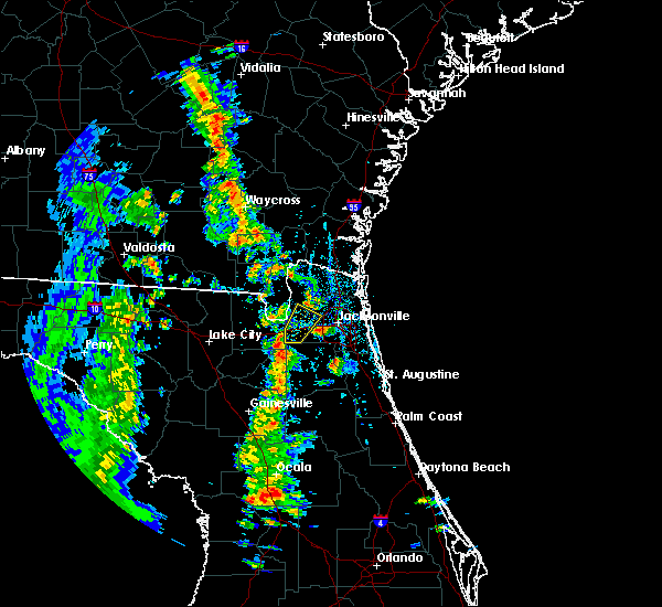 At 449 pm edt, a severe thunderstorm was located over maxville, or 13 miles northwest of middleburg, moving northeast at 50 mph (radar indicated). Hazards include 60 mph wind gusts. expect damage to roofs, siding, and trees At 449 pm edt, a severe thunderstorm was located over maxville, or 13 miles northwest of middleburg, moving northeast at 50 mph (radar indicated). Hazards include 60 mph wind gusts. expect damage to roofs, siding, and trees
|
| 4/6/2019 7:36 PM EDT |
 At 735 pm edt, a severe thunderstorm was located over jacksonville, moving northeast at 15 mph (radar indicated). Hazards include 60 mph wind gusts and quarter size hail. Hail damage to vehicles is expected. Expect wind damage to roofs, siding, and trees. At 735 pm edt, a severe thunderstorm was located over jacksonville, moving northeast at 15 mph (radar indicated). Hazards include 60 mph wind gusts and quarter size hail. Hail damage to vehicles is expected. Expect wind damage to roofs, siding, and trees.
|
| 3/1/2019 3:26 PM EST |
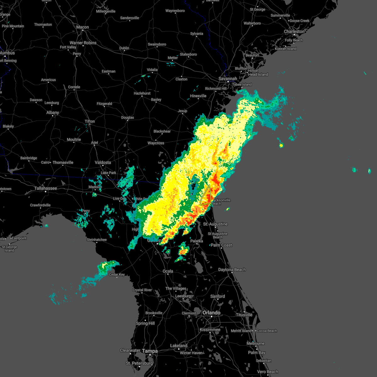 The severe thunderstorm warning for east central duval county will expire at 330 pm est, the storms which prompted the warning have are moving offshore. therefore, the warning will be allowed to expire. The severe thunderstorm warning for east central duval county will expire at 330 pm est, the storms which prompted the warning have are moving offshore. therefore, the warning will be allowed to expire.
|
| 3/1/2019 3:13 PM EST |
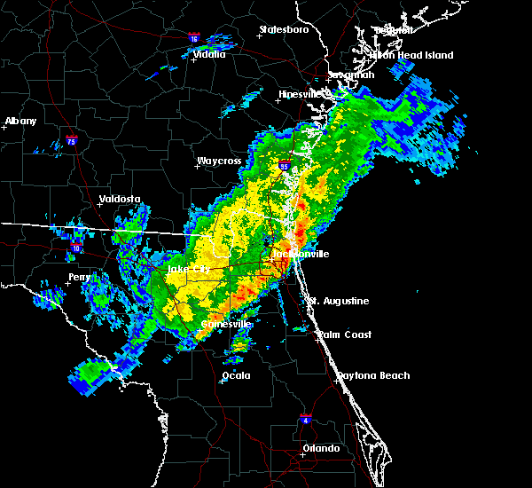 At 313 pm est, severe thunderstorms were located along a line extending from 8 miles east of fernandina beach to nas jax, moving east at 40 mph (radar indicated). Hazards include 60 mph wind gusts. Expect damage to roofs, siding, and trees. Locations impacted include, unf, neptune beach, san pablo, craig field, little talbot island and fort caroline. At 313 pm est, severe thunderstorms were located along a line extending from 8 miles east of fernandina beach to nas jax, moving east at 40 mph (radar indicated). Hazards include 60 mph wind gusts. Expect damage to roofs, siding, and trees. Locations impacted include, unf, neptune beach, san pablo, craig field, little talbot island and fort caroline.
|
| 3/1/2019 3:00 PM EST |
 At 259 pm est, severe thunderstorms were located along a line extending from fernandina beach to near cecil field, moving east at 45 mph (radar indicated). Hazards include 60 mph wind gusts. Expect wind damage to roofs, siding, and trees. locations impacted include, jacksonville, st. Marys, fernandina beach, unf, arlington, yulee, neptune beach, ortega, san pablo and craig field. At 259 pm est, severe thunderstorms were located along a line extending from fernandina beach to near cecil field, moving east at 45 mph (radar indicated). Hazards include 60 mph wind gusts. Expect wind damage to roofs, siding, and trees. locations impacted include, jacksonville, st. Marys, fernandina beach, unf, arlington, yulee, neptune beach, ortega, san pablo and craig field.
|
| 3/1/2019 2:33 PM EST |
 At 233 pm est, severe thunderstorms were located along a line extending from 7 miles southwest of kingsland to 7 miles southeast of sanderson, moving east at 40 mph (radar indicated). Hazards include 60 mph wind gusts and quarter size hail. Hail damage to vehicles is expected. Expect wind damage to roofs, siding, and trees. At 233 pm est, severe thunderstorms were located along a line extending from 7 miles southwest of kingsland to 7 miles southeast of sanderson, moving east at 40 mph (radar indicated). Hazards include 60 mph wind gusts and quarter size hail. Hail damage to vehicles is expected. Expect wind damage to roofs, siding, and trees.
|
| 3/1/2019 2:09 PM EST |
 At 209 pm est, a severe thunderstorm was located 7 miles north of glen st. mary, or 21 miles north of raiford, moving northeast at 35 mph (radar indicated). Hazards include 60 mph wind gusts and quarter size hail. Hail damage to vehicles is expected. Expect wind damage to roofs, siding, and trees. At 209 pm est, a severe thunderstorm was located 7 miles north of glen st. mary, or 21 miles north of raiford, moving northeast at 35 mph (radar indicated). Hazards include 60 mph wind gusts and quarter size hail. Hail damage to vehicles is expected. Expect wind damage to roofs, siding, and trees.
|
| 12/20/2018 11:28 AM EST |
 The severe thunderstorm warning for east central nassau and northeastern duval counties will expire at 1130 am est. the storm which prompted the warning has weakened below severe limits, and no longer poses an immediate threat to life or property. therefore, the warning will be allowed to expire. However gusty winds are still possible with this thunderstorm. The severe thunderstorm warning for east central nassau and northeastern duval counties will expire at 1130 am est. the storm which prompted the warning has weakened below severe limits, and no longer poses an immediate threat to life or property. therefore, the warning will be allowed to expire. However gusty winds are still possible with this thunderstorm.
|
| 12/20/2018 11:27 AM EST |
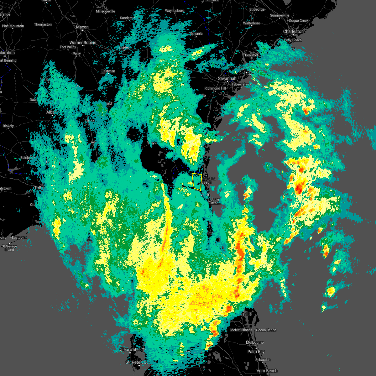 The severe thunderstorm warning for northeastern nassau and north central duval counties will expire at 1130 am est. the storm which prompted the warning has weakened below severe limits, and no longer poses an immediate threat to life or property. therefore, the warning will be allowed to expire. However gusty winds are still possible with this thunderstorm. The severe thunderstorm warning for northeastern nassau and north central duval counties will expire at 1130 am est. the storm which prompted the warning has weakened below severe limits, and no longer poses an immediate threat to life or property. therefore, the warning will be allowed to expire. However gusty winds are still possible with this thunderstorm.
|
| 12/20/2018 11:08 AM EST |
 At 1107 am est, showers and a thunderstorm were located near oceanway, or 8 miles northeast of jacksonville international arpt, moving north at 45 mph (radar indicated). Hazards include 60 mph wind gusts. Expect damage to roofs, siding, and trees. Locations impacted include, yulee. At 1107 am est, showers and a thunderstorm were located near oceanway, or 8 miles northeast of jacksonville international arpt, moving north at 45 mph (radar indicated). Hazards include 60 mph wind gusts. Expect damage to roofs, siding, and trees. Locations impacted include, yulee.
|
| 12/20/2018 11:05 AM EST |
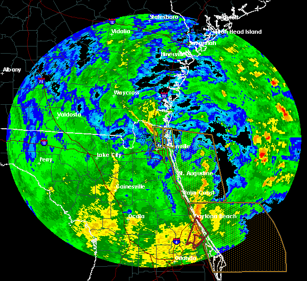 At 1105 am est, strong winds associated with showers and a thunderstorm were located over little talbot island, or 12 miles northeast of unf, moving north at 25 mph (radar indicated). Hazards include 60 mph wind gusts. Expect damage to roofs, siding, and trees. Locations impacted include, fernandina beach and little talbot island. At 1105 am est, strong winds associated with showers and a thunderstorm were located over little talbot island, or 12 miles northeast of unf, moving north at 25 mph (radar indicated). Hazards include 60 mph wind gusts. Expect damage to roofs, siding, and trees. Locations impacted include, fernandina beach and little talbot island.
|
| 12/20/2018 10:55 AM EST |
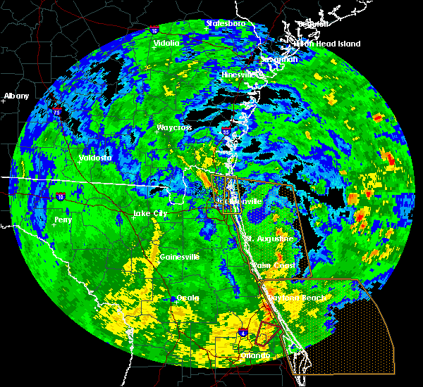 At 1055 am est, a severe thunderstorm was located near arlington, moving north at 45 mph (radar indicated). Hazards include 60 mph wind gusts. expect damage to roofs, siding, and trees At 1055 am est, a severe thunderstorm was located near arlington, moving north at 45 mph (radar indicated). Hazards include 60 mph wind gusts. expect damage to roofs, siding, and trees
|
| 12/20/2018 10:52 AM EST |
 At 1051 am est, severe showers and a thunderstorm were located near neptune beach, or 7 miles northeast of unf, moving north at 25 mph (radar indicated). Hazards include 60 mph wind gusts. expect damage to roofs, siding, and trees At 1051 am est, severe showers and a thunderstorm were located near neptune beach, or 7 miles northeast of unf, moving north at 25 mph (radar indicated). Hazards include 60 mph wind gusts. expect damage to roofs, siding, and trees
|
| 12/20/2018 10:48 AM EST | The weatherflow site at terminal channel in downtown jacksonville measured a peak wind gust of 60 mp in duval county FL, 4.4 miles NW of Jacksonville, FL |
| 12/3/2018 10:19 AM EST |
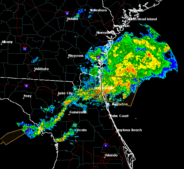 At 1018 am est, a severe thunderstorm was located over ponte vedra beach, moving east at 15 mph. additional storms were located further west over southern duval county (radar indicated). Hazards include 60 mph wind gusts. Expect damage to roofs, siding, and trees. Locations impacted include, unf, ponte vedra beach, palm valley, sawgrass, baymeadows and san pablo. At 1018 am est, a severe thunderstorm was located over ponte vedra beach, moving east at 15 mph. additional storms were located further west over southern duval county (radar indicated). Hazards include 60 mph wind gusts. Expect damage to roofs, siding, and trees. Locations impacted include, unf, ponte vedra beach, palm valley, sawgrass, baymeadows and san pablo.
|
| 12/3/2018 10:04 AM EST |
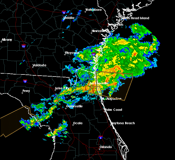 At 1004 am est, a severe thunderstorm was located near baymeadows, or near mandarin, moving east at 25 mph (radar indicated). Hazards include 60 mph wind gusts. Expect damage to roofs, siding, and trees. Locations impacted include, mandarin, unf, ponte vedra beach, fruit cove, palm valley, sawgrass, baymeadows, nocatee, bayard and durbin. At 1004 am est, a severe thunderstorm was located near baymeadows, or near mandarin, moving east at 25 mph (radar indicated). Hazards include 60 mph wind gusts. Expect damage to roofs, siding, and trees. Locations impacted include, mandarin, unf, ponte vedra beach, fruit cove, palm valley, sawgrass, baymeadows, nocatee, bayard and durbin.
|
| 12/3/2018 9:50 AM EST |
 At 949 am est, a severe thunderstorm was located over nas jax, or over orange park, moving east at 30 mph (radar indicated). Hazards include 60 mph wind gusts. Expect damage to roofs, siding, and trees. Locations impacted include, orange park, unf, mandarin, fruit cove, ponte vedra beach, neptune beach, sawgrass, baymeadows, nocatee and ortega. At 949 am est, a severe thunderstorm was located over nas jax, or over orange park, moving east at 30 mph (radar indicated). Hazards include 60 mph wind gusts. Expect damage to roofs, siding, and trees. Locations impacted include, orange park, unf, mandarin, fruit cove, ponte vedra beach, neptune beach, sawgrass, baymeadows, nocatee and ortega.
|
| 12/3/2018 9:47 AM EST |
 At 947 am est, a severe thunderstorm was located near bellair- meadowbrook terrace, or near orange park, moving east at 20 to 25 mph (radar indicated). Hazards include 60 mph wind gusts. Expect damage to roofs, siding, and trees. Locations impacted include, cecil field, maxville, normandy, oakleaf plantation, bellair-meadowbrook terrace and jacksonville heights. At 947 am est, a severe thunderstorm was located near bellair- meadowbrook terrace, or near orange park, moving east at 20 to 25 mph (radar indicated). Hazards include 60 mph wind gusts. Expect damage to roofs, siding, and trees. Locations impacted include, cecil field, maxville, normandy, oakleaf plantation, bellair-meadowbrook terrace and jacksonville heights.
|
| 12/3/2018 9:41 AM EST |
 The severe thunderstorm warning for northeastern bradford, southeastern baker, northeastern union, northwestern clay and southwestern duval counties will expire at 945 am est, the storm which prompted the warning has weakened below severe limits, and no longer poses an immediate threat to life or property. therefore, the warning will be allowed to expire. however gusty winds are still possible with this thunderstorm. remember, a severe thunderstorm warning still remains in effect for portions of clay, duval, and st johns county. The severe thunderstorm warning for northeastern bradford, southeastern baker, northeastern union, northwestern clay and southwestern duval counties will expire at 945 am est, the storm which prompted the warning has weakened below severe limits, and no longer poses an immediate threat to life or property. therefore, the warning will be allowed to expire. however gusty winds are still possible with this thunderstorm. remember, a severe thunderstorm warning still remains in effect for portions of clay, duval, and st johns county.
|
| 12/3/2018 9:39 AM EST |
 At 938 am est, a severe thunderstorm was located over bellair-meadowbrook terrace, or near orange park, moving east at 25 mph (radar indicated). Hazards include 60 mph wind gusts. expect damage to roofs, siding, and trees At 938 am est, a severe thunderstorm was located over bellair-meadowbrook terrace, or near orange park, moving east at 25 mph (radar indicated). Hazards include 60 mph wind gusts. expect damage to roofs, siding, and trees
|
| 12/3/2018 9:21 AM EST |
 At 921 am est, a severe thunderstorm was located near cecil field, or 8 miles north of middleburg, moving east at 40 mph (radar indicated). Hazards include 60 mph wind gusts. expect damage to roofs, siding, and trees At 921 am est, a severe thunderstorm was located near cecil field, or 8 miles north of middleburg, moving east at 40 mph (radar indicated). Hazards include 60 mph wind gusts. expect damage to roofs, siding, and trees
|
| 12/3/2018 8:58 AM EST |
 At 857 am est, a severe thunderstorm was located near raiford, moving northeast at 45 mph (radar indicated). Hazards include 60 mph wind gusts. expect damage to roofs, siding, and trees At 857 am est, a severe thunderstorm was located near raiford, moving northeast at 45 mph (radar indicated). Hazards include 60 mph wind gusts. expect damage to roofs, siding, and trees
|
| 10/10/2018 4:44 PM EDT |
 At 444 pm edt, severe thunderstorms were located along a line extending from 6 miles east of ponte vedra beach to craig field to arlington, moving north at 40 mph (radar indicated). Hazards include 60 mph wind gusts. expect damage to roofs, siding, and trees At 444 pm edt, severe thunderstorms were located along a line extending from 6 miles east of ponte vedra beach to craig field to arlington, moving north at 40 mph (radar indicated). Hazards include 60 mph wind gusts. expect damage to roofs, siding, and trees
|
| 10/10/2018 4:05 PM EDT |
 At 404 pm edt, severe thunderstorms were located along a line extending from picolata to near saint augustine to near marineland, moving north at 40 mph (radar indicated). Hazards include 60 mph wind gusts. expect damage to roofs, siding, and trees At 404 pm edt, severe thunderstorms were located along a line extending from picolata to near saint augustine to near marineland, moving north at 40 mph (radar indicated). Hazards include 60 mph wind gusts. expect damage to roofs, siding, and trees
|
| 10/10/2018 3:40 PM EDT |
 At 340 pm edt, a confirmed tornado was located near maxville, or 15 miles north of middleburg, moving north at 30 mph (emergency management confirmed tornado). Hazards include damaging tornado. Flying debris will be dangerous to those caught without shelter. mobile homes will be damaged or destroyed. damage to roofs, windows, and vehicles will occur. tree damage is likely. Locations impacted include, baldwin. At 340 pm edt, a confirmed tornado was located near maxville, or 15 miles north of middleburg, moving north at 30 mph (emergency management confirmed tornado). Hazards include damaging tornado. Flying debris will be dangerous to those caught without shelter. mobile homes will be damaged or destroyed. damage to roofs, windows, and vehicles will occur. tree damage is likely. Locations impacted include, baldwin.
|
| 10/10/2018 3:32 PM EDT |
 At 331 pm edt, a confirmed tornado was located over maxville, or 11 miles northwest of middleburg, moving north at 30 mph (emergency management confirmed tornado). Hazards include damaging tornado. Flying debris will be dangerous to those caught without shelter. mobile homes will be damaged or destroyed. damage to roofs, windows, and vehicles will occur. tree damage is likely. This tornadic thunderstorm will remain over mainly rural areas of southwestern nassau, northwestern clay and west central duval counties, including the following locations, baldwin. At 331 pm edt, a confirmed tornado was located over maxville, or 11 miles northwest of middleburg, moving north at 30 mph (emergency management confirmed tornado). Hazards include damaging tornado. Flying debris will be dangerous to those caught without shelter. mobile homes will be damaged or destroyed. damage to roofs, windows, and vehicles will occur. tree damage is likely. This tornadic thunderstorm will remain over mainly rural areas of southwestern nassau, northwestern clay and west central duval counties, including the following locations, baldwin.
|
| 10/10/2018 3:21 PM EDT |
 At 321 pm edt, a confirmed tornado was located near maxville, or 8 miles northwest of middleburg, moving north at 35 mph (emergency management confirmed tornado). Hazards include damaging tornado. Flying debris will be dangerous to those caught without shelter. mobile homes will be damaged or destroyed. damage to roofs, windows, and vehicles will occur. tree damage is likely. this tornado will be near, maxville around 330 pm edt. Other locations impacted by this tornadic thunderstorm include baldwin. At 321 pm edt, a confirmed tornado was located near maxville, or 8 miles northwest of middleburg, moving north at 35 mph (emergency management confirmed tornado). Hazards include damaging tornado. Flying debris will be dangerous to those caught without shelter. mobile homes will be damaged or destroyed. damage to roofs, windows, and vehicles will occur. tree damage is likely. this tornado will be near, maxville around 330 pm edt. Other locations impacted by this tornadic thunderstorm include baldwin.
|
| 10/10/2018 3:10 PM EDT |
 At 310 pm edt, a confirmed tornado was located near camp blanding, or 7 miles northeast of starke, moving north at 30 mph (emergency management confirmed tornado). Hazards include damaging tornado. Flying debris will be dangerous to those caught without shelter. mobile homes will be damaged or destroyed. damage to roofs, windows, and vehicles will occur. tree damage is likely. the tornado will be near, maxville around 335 pm edt. Other locations impacted by this tornadic thunderstorm include lawtey and baldwin. At 310 pm edt, a confirmed tornado was located near camp blanding, or 7 miles northeast of starke, moving north at 30 mph (emergency management confirmed tornado). Hazards include damaging tornado. Flying debris will be dangerous to those caught without shelter. mobile homes will be damaged or destroyed. damage to roofs, windows, and vehicles will occur. tree damage is likely. the tornado will be near, maxville around 335 pm edt. Other locations impacted by this tornadic thunderstorm include lawtey and baldwin.
|
| 10/9/2018 10:15 AM EDT |
 At 1014 am edt, a severe thunderstorm was located over oceanway, or near jacksonville international arpt, moving west at 40 mph (radar indicated). Hazards include 60 mph wind gusts. expect damage to roofs, siding, and trees At 1014 am edt, a severe thunderstorm was located over oceanway, or near jacksonville international arpt, moving west at 40 mph (radar indicated). Hazards include 60 mph wind gusts. expect damage to roofs, siding, and trees
|
| 10/9/2018 9:49 AM EDT |
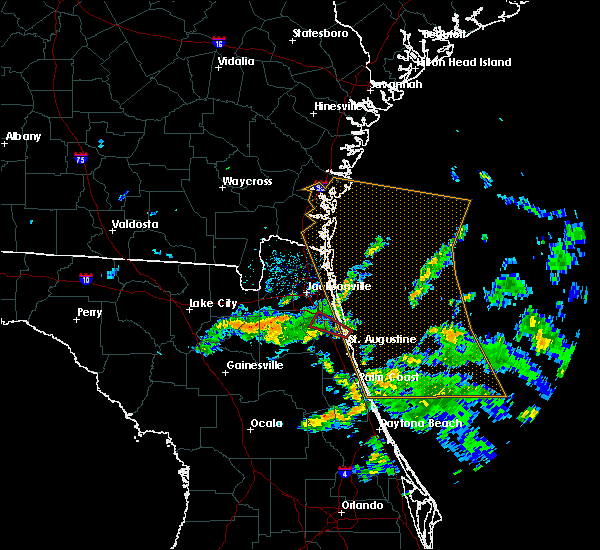 At 949 am edt, a severe thunderstorm capable of producing a tornado was located over south ponte vedra, or 7 miles north of saint augustine, moving west at 30 mph (radar indicated rotation). Hazards include tornado. Flying debris will be dangerous to those caught without shelter. mobile homes will be damaged or destroyed. damage to roofs, windows, and vehicles will occur. tree damage is likely. this dangerous storm will be near, nocatee around 1005 am edt. durbin around 1010 am edt. Fruit cove and bayard around 1015 am edt. At 949 am edt, a severe thunderstorm capable of producing a tornado was located over south ponte vedra, or 7 miles north of saint augustine, moving west at 30 mph (radar indicated rotation). Hazards include tornado. Flying debris will be dangerous to those caught without shelter. mobile homes will be damaged or destroyed. damage to roofs, windows, and vehicles will occur. tree damage is likely. this dangerous storm will be near, nocatee around 1005 am edt. durbin around 1010 am edt. Fruit cove and bayard around 1015 am edt.
|
| 9/28/2018 7:36 PM EDT |
 At 736 pm edt, a severe thunderstorm was located over maxville, or 14 miles northwest of middleburg, nearly stationary (radar indicated). Hazards include 60 mph wind gusts. expect damage to roofs, siding, and trees At 736 pm edt, a severe thunderstorm was located over maxville, or 14 miles northwest of middleburg, nearly stationary (radar indicated). Hazards include 60 mph wind gusts. expect damage to roofs, siding, and trees
|
| 9/19/2018 5:55 PM EDT |
 At 555 pm edt, a severe thunderstorm was located near jacksonville international arpt, moving south at 5 mph (radar indicated). Hazards include 60 mph wind gusts. Expect damage to roofs, siding, and trees. Locations impacted include, callahan, jacksonville international arpt, yulee, nassau village-ratliff, ratliff and oceanway. At 555 pm edt, a severe thunderstorm was located near jacksonville international arpt, moving south at 5 mph (radar indicated). Hazards include 60 mph wind gusts. Expect damage to roofs, siding, and trees. Locations impacted include, callahan, jacksonville international arpt, yulee, nassau village-ratliff, ratliff and oceanway.
|
| 9/19/2018 5:44 PM EDT |
 At 544 pm edt, a severe thunderstorm was located near jacksonville international arpt, moving south at 5 mph (radar indicated). Hazards include 60 mph wind gusts. expect damage to roofs, siding, and trees At 544 pm edt, a severe thunderstorm was located near jacksonville international arpt, moving south at 5 mph (radar indicated). Hazards include 60 mph wind gusts. expect damage to roofs, siding, and trees
|
| 9/19/2018 5:22 PM EDT |
 At 522 pm edt, a severe thunderstorm was located over jacksonville, moving south at 5 mph (radar indicated). Hazards include 60 mph wind gusts. expect damage to roofs, siding, and trees At 522 pm edt, a severe thunderstorm was located over jacksonville, moving south at 5 mph (radar indicated). Hazards include 60 mph wind gusts. expect damage to roofs, siding, and trees
|
| 9/16/2018 4:43 PM EDT |
 At 441 pm edt, a severe thunderstorm was located over nocatee, or 7 miles southwest of ponte vedra beach, moving northeast at 15 mph (radar indicated). Hazards include 60 mph wind gusts. Expect damage to roofs, siding, and trees. Locations impacted include, ponte vedra beach, palm valley, sawgrass, nocatee, bayard, durbin and guana river state park. At 441 pm edt, a severe thunderstorm was located over nocatee, or 7 miles southwest of ponte vedra beach, moving northeast at 15 mph (radar indicated). Hazards include 60 mph wind gusts. Expect damage to roofs, siding, and trees. Locations impacted include, ponte vedra beach, palm valley, sawgrass, nocatee, bayard, durbin and guana river state park.
|
| 9/16/2018 4:28 PM EDT |
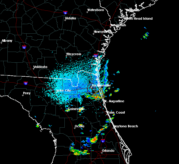 At 427 pm edt, a severe thunderstorm was located over durbin, or 8 miles east of fruit cove, moving northeast at 10 mph (radar indicated). Hazards include 60 mph wind gusts. expect damage to roofs, siding, and trees At 427 pm edt, a severe thunderstorm was located over durbin, or 8 miles east of fruit cove, moving northeast at 10 mph (radar indicated). Hazards include 60 mph wind gusts. expect damage to roofs, siding, and trees
|
| 8/30/2018 2:33 PM EDT |
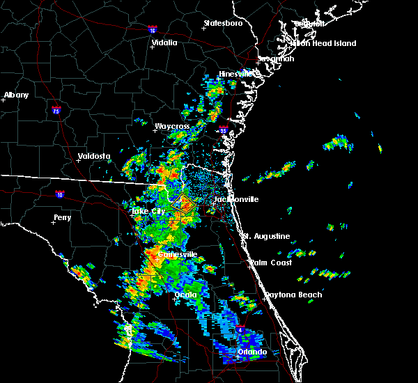 At 233 pm edt, a severe thunderstorm was located near bryceville, or 17 miles north of middleburg, moving northwest at 15 mph (radar indicated). Hazards include 60 mph wind gusts. Expect damage to roofs, siding, and trees. Locations impacted include, bryceville and baldwin. At 233 pm edt, a severe thunderstorm was located near bryceville, or 17 miles north of middleburg, moving northwest at 15 mph (radar indicated). Hazards include 60 mph wind gusts. Expect damage to roofs, siding, and trees. Locations impacted include, bryceville and baldwin.
|
| 8/30/2018 2:29 PM EDT | 911 call center reported a roadway blocked by a downed tree at 7578 county road 121. time estimated by rada in nassau county FL, 19.9 miles E of Jacksonville, FL |
| 8/30/2018 2:18 PM EDT |
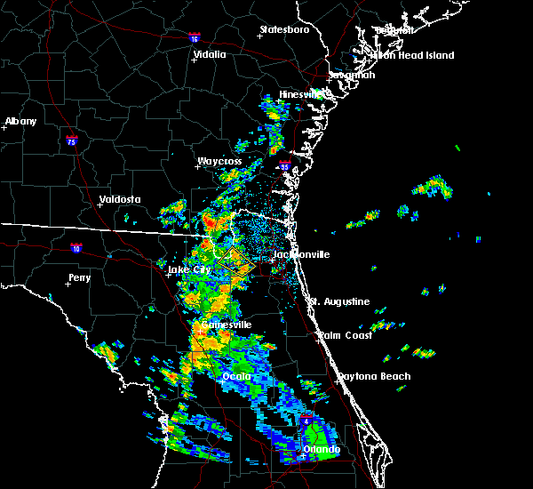 At 217 pm edt, a severe thunderstorm was located near cecil field, or 14 miles northwest of orange park, moving northwest at 15 mph (radar indicated). Hazards include 60 mph wind gusts and penny size hail. expect damage to roofs, siding, and trees At 217 pm edt, a severe thunderstorm was located near cecil field, or 14 miles northwest of orange park, moving northwest at 15 mph (radar indicated). Hazards include 60 mph wind gusts and penny size hail. expect damage to roofs, siding, and trees
|
| 8/18/2018 8:12 PM EDT |
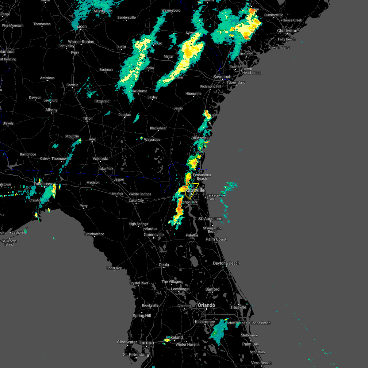 The severe thunderstorm warning for central duval county will expire at 815 pm edt, the storm which prompted the warning has weakened below severe limits, and no longer poses an immediate threat to life or property. therefore, the warning will be allowed to expire. however gusty winds and heavy rain are still possible with this thunderstorm. The severe thunderstorm warning for central duval county will expire at 815 pm edt, the storm which prompted the warning has weakened below severe limits, and no longer poses an immediate threat to life or property. therefore, the warning will be allowed to expire. however gusty winds and heavy rain are still possible with this thunderstorm.
|
| 8/18/2018 8:04 PM EDT |
 At 800 pm edt, a severe thunderstorm was located near jacksonville international arpt, moving southeast at 5 mph (radar indicated). Hazards include 60 mph wind gusts and quarter size hail. Hail damage to vehicles is expected. expect wind damage to roofs, siding, and trees. Locations impacted include, jacksonville, jacksonville international arpt, cisco gardens, oceanway, san marco, riverside and tallyrand. At 800 pm edt, a severe thunderstorm was located near jacksonville international arpt, moving southeast at 5 mph (radar indicated). Hazards include 60 mph wind gusts and quarter size hail. Hail damage to vehicles is expected. expect wind damage to roofs, siding, and trees. Locations impacted include, jacksonville, jacksonville international arpt, cisco gardens, oceanway, san marco, riverside and tallyrand.
|
| 8/18/2018 7:51 PM EDT |
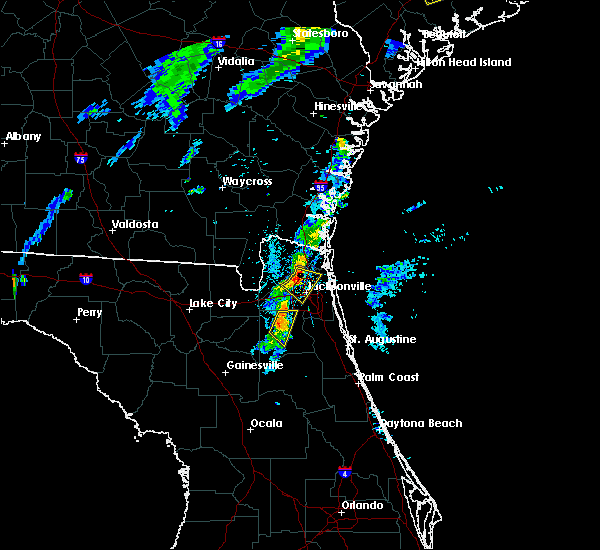 At 749 pm edt, a severe thunderstorm was located near jacksonville international arpt, moving southeast at 5 mph (radar indicated). Hazards include 60 mph wind gusts and quarter size hail. Hail damage to vehicles is expected. expect wind damage to roofs, siding, and trees. Locations impacted include, jacksonville, jacksonville international arpt, cisco gardens, oceanway, san marco, riverside and tallyrand. At 749 pm edt, a severe thunderstorm was located near jacksonville international arpt, moving southeast at 5 mph (radar indicated). Hazards include 60 mph wind gusts and quarter size hail. Hail damage to vehicles is expected. expect wind damage to roofs, siding, and trees. Locations impacted include, jacksonville, jacksonville international arpt, cisco gardens, oceanway, san marco, riverside and tallyrand.
|
| 8/18/2018 7:50 PM EDT | Nws volunteer reported a tree down at terrell road and lem turner road. multiple limbs on the roadway. pea size hail was also observed during the stor in duval county FL, 6.3 miles SSE of Jacksonville, FL |
| 8/18/2018 7:45 PM EDT |
 At 744 pm edt, a severe thunderstorm was located near jacksonville international arpt, moving southeast at 5 mph (radar indicated). Hazards include 60 mph wind gusts and quarter size hail. Hail damage to vehicles is expected. expect wind damage to roofs, siding, and trees. Locations impacted include, jacksonville, jacksonville international arpt, cisco gardens, oceanway, san marco, riverside and tallyrand. At 744 pm edt, a severe thunderstorm was located near jacksonville international arpt, moving southeast at 5 mph (radar indicated). Hazards include 60 mph wind gusts and quarter size hail. Hail damage to vehicles is expected. expect wind damage to roofs, siding, and trees. Locations impacted include, jacksonville, jacksonville international arpt, cisco gardens, oceanway, san marco, riverside and tallyrand.
|
| 8/18/2018 7:39 PM EDT |
 At 738 pm edt, a severe thunderstorm was located near jacksonville international arpt, moving southeast at 5 mph (radar indicated). Hazards include quarter size hail. damage to vehicles is expected At 738 pm edt, a severe thunderstorm was located near jacksonville international arpt, moving southeast at 5 mph (radar indicated). Hazards include quarter size hail. damage to vehicles is expected
|
| 8/17/2018 3:56 PM EDT | Wire down near edgewood ave and w 12th st. time estimated from rada in duval county FL, 3.3 miles NE of Jacksonville, FL |
| 8/17/2018 3:50 PM EDT |
 At 350 pm edt, a severe thunderstorm was located near maxville, or 9 miles northwest of middleburg, moving northwest at 10 mph (radar indicated). Hazards include 60 mph wind gusts and penny size hail. expect damage to roofs, siding, and trees At 350 pm edt, a severe thunderstorm was located near maxville, or 9 miles northwest of middleburg, moving northwest at 10 mph (radar indicated). Hazards include 60 mph wind gusts and penny size hail. expect damage to roofs, siding, and trees
|
| 8/15/2018 3:48 PM EDT |
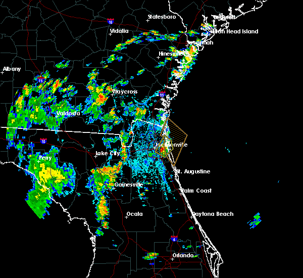 At 348 pm edt, a severe thunderstorm was located over unf, moving northeast at 15 mph (radar indicated). Hazards include 60 mph wind gusts. expect damage to roofs, siding, and trees At 348 pm edt, a severe thunderstorm was located over unf, moving northeast at 15 mph (radar indicated). Hazards include 60 mph wind gusts. expect damage to roofs, siding, and trees
|
| 8/14/2018 5:02 PM EDT |
 At 444 pm edt, a severe thunderstorm was located 8 miles west of yulee, or 8 miles northeast of callahan, moving northeast at 10 mph (radar indicated). Hazards include 60 mph wind gusts and penny size hail. expect damage to roofs, siding, and trees At 444 pm edt, a severe thunderstorm was located 8 miles west of yulee, or 8 miles northeast of callahan, moving northeast at 10 mph (radar indicated). Hazards include 60 mph wind gusts and penny size hail. expect damage to roofs, siding, and trees
|
| 8/14/2018 5:02 PM EDT |
 At 502 pm edt, a severe thunderstorm was located 8 miles west of yulee, or 8 miles northeast of callahan, and is nearly stationary (radar indicated). Hazards include 60 mph wind gusts. Expect damage to roofs, siding, and trees. locations impacted include, st. Marys, kingsland and yulee. At 502 pm edt, a severe thunderstorm was located 8 miles west of yulee, or 8 miles northeast of callahan, and is nearly stationary (radar indicated). Hazards include 60 mph wind gusts. Expect damage to roofs, siding, and trees. locations impacted include, st. Marys, kingsland and yulee.
|
| 8/14/2018 4:44 PM EDT |
 At 444 pm edt, a severe thunderstorm was located 8 miles west of yulee, or 8 miles northeast of callahan, moving northeast at 10 mph (radar indicated). Hazards include 60 mph wind gusts and penny size hail. expect damage to roofs, siding, and trees At 444 pm edt, a severe thunderstorm was located 8 miles west of yulee, or 8 miles northeast of callahan, moving northeast at 10 mph (radar indicated). Hazards include 60 mph wind gusts and penny size hail. expect damage to roofs, siding, and trees
|
| 8/12/2018 4:06 PM EDT |
 At 406 pm edt, a severe thunderstorm was located over baymeadows, or near mandarin, and is nearly stationary (radar indicated). Hazards include 60 mph wind gusts and quarter size hail. Hail damage to vehicles is expected. expect wind damage to roofs, siding, and trees. Locations impacted include, baymeadows and nas jax. At 406 pm edt, a severe thunderstorm was located over baymeadows, or near mandarin, and is nearly stationary (radar indicated). Hazards include 60 mph wind gusts and quarter size hail. Hail damage to vehicles is expected. expect wind damage to roofs, siding, and trees. Locations impacted include, baymeadows and nas jax.
|
| 8/12/2018 3:50 PM EDT |
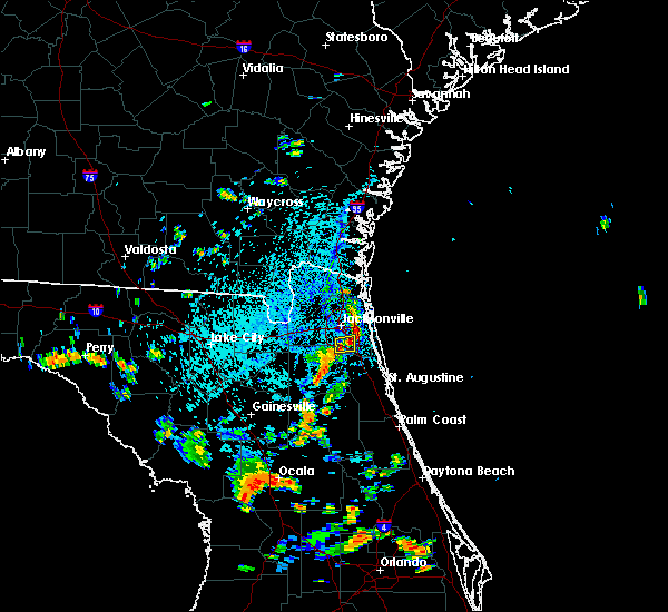 At 350 pm edt, a severe thunderstorm was located near baymeadows, or near mandarin, and is nearly stationary (radar indicated). Hazards include 60 mph wind gusts and quarter size hail. Hail damage to vehicles is expected. Expect wind damage to roofs, siding, and trees. At 350 pm edt, a severe thunderstorm was located near baymeadows, or near mandarin, and is nearly stationary (radar indicated). Hazards include 60 mph wind gusts and quarter size hail. Hail damage to vehicles is expected. Expect wind damage to roofs, siding, and trees.
|
| 8/9/2018 3:19 PM EDT |
 A severe thunderstorm warning remains in effect until 345 pm edt for central st. johns county. at 319 pm edt, a severe thunderstorm was located near world golf village, or 7 miles southeast of fruit cove, moving east at 15 mph. hazard. 60 mph wind gusts. source. Radar indicated. A severe thunderstorm warning remains in effect until 345 pm edt for central st. johns county. at 319 pm edt, a severe thunderstorm was located near world golf village, or 7 miles southeast of fruit cove, moving east at 15 mph. hazard. 60 mph wind gusts. source. Radar indicated.
|
| 8/9/2018 3:07 PM EDT |
 At 307 pm edt, a severe thunderstorm was located near switzerland, or near fruit cove, moving east at 25 mph (radar indicated). Hazards include 60 mph wind gusts. expect damage to roofs, siding, and trees At 307 pm edt, a severe thunderstorm was located near switzerland, or near fruit cove, moving east at 25 mph (radar indicated). Hazards include 60 mph wind gusts. expect damage to roofs, siding, and trees
|
| 8/8/2018 5:01 PM EDT |
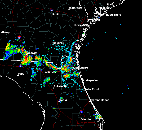 At 449 pm edt, a severe thunderstorm was located over bryceville, or 15 miles south of callahan, moving north at 5 mph (radar indicated). Hazards include 60 mph wind gusts. expect damage to roofs, siding, and trees At 449 pm edt, a severe thunderstorm was located over bryceville, or 15 miles south of callahan, moving north at 5 mph (radar indicated). Hazards include 60 mph wind gusts. expect damage to roofs, siding, and trees
|
| 8/8/2018 4:49 PM EDT |
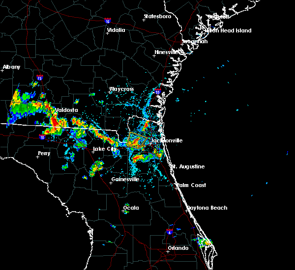 At 449 pm edt, a severe thunderstorm was located over bryceville, or 15 miles south of callahan, moving north at 5 mph (radar indicated). Hazards include 60 mph wind gusts. expect damage to roofs, siding, and trees At 449 pm edt, a severe thunderstorm was located over bryceville, or 15 miles south of callahan, moving north at 5 mph (radar indicated). Hazards include 60 mph wind gusts. expect damage to roofs, siding, and trees
|
| 7/29/2018 4:26 PM EDT |
 The severe thunderstorm warning for central nassau and north central duval counties will expire at 430 pm edt, the storm which prompted the warning has weakened below severe limits, and no longer poses an immediate threat to life or property. therefore, the warning will be allowed to expire. however gusty winds and heavy rain are still possible with this thunderstorm. time, mot, loc 2025z 136deg 388kt 3043 8175. The severe thunderstorm warning for central nassau and north central duval counties will expire at 430 pm edt, the storm which prompted the warning has weakened below severe limits, and no longer poses an immediate threat to life or property. therefore, the warning will be allowed to expire. however gusty winds and heavy rain are still possible with this thunderstorm. time, mot, loc 2025z 136deg 388kt 3043 8175.
|
| 7/29/2018 4:14 PM EDT |
 At 414 pm edt, a severe thunderstorm was located near cisco gardens, or near jacksonville international arpt, and is nearly stationary (radar indicated). Hazards include 60 mph wind gusts and penny size hail. Expect damage to roofs, siding, and trees. Locations impacted include, jacksonville international arpt, cisco gardens and nassau village-ratliff. At 414 pm edt, a severe thunderstorm was located near cisco gardens, or near jacksonville international arpt, and is nearly stationary (radar indicated). Hazards include 60 mph wind gusts and penny size hail. Expect damage to roofs, siding, and trees. Locations impacted include, jacksonville international arpt, cisco gardens and nassau village-ratliff.
|
| 7/29/2018 4:06 PM EDT |
 At 405 pm edt, a severe thunderstorm was located over cisco gardens, or near jacksonville international arpt, and is nearly stationary (radar indicated). Hazards include 60 mph wind gusts and penny size hail. expect damage to roofs, siding, and trees At 405 pm edt, a severe thunderstorm was located over cisco gardens, or near jacksonville international arpt, and is nearly stationary (radar indicated). Hazards include 60 mph wind gusts and penny size hail. expect damage to roofs, siding, and trees
|
| 7/27/2018 8:19 PM EDT |
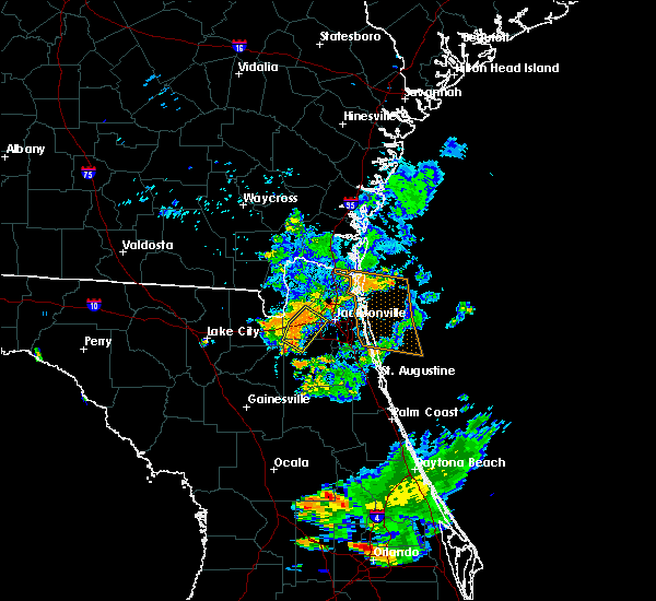 At 819 pm edt, a severe thunderstorm was located over cecil field, or 13 miles northwest of orange park, moving southeast at 15 mph (radar indicated). Hazards include 60 mph wind gusts. Expect damage to roofs, siding, and trees. Locations impacted include, cecil field, maxville, cisco gardens, normandy, oakleaf plantation, baldwin, jacksonville heights and whitehouse air field. At 819 pm edt, a severe thunderstorm was located over cecil field, or 13 miles northwest of orange park, moving southeast at 15 mph (radar indicated). Hazards include 60 mph wind gusts. Expect damage to roofs, siding, and trees. Locations impacted include, cecil field, maxville, cisco gardens, normandy, oakleaf plantation, baldwin, jacksonville heights and whitehouse air field.
|
| 7/27/2018 8:01 PM EDT |
 At 801 pm edt, a severe thunderstorm was located near bryceville, or 17 miles north of middleburg, moving south at 15 mph (radar indicated). Hazards include 60 mph wind gusts. expect damage to roofs, siding, and trees At 801 pm edt, a severe thunderstorm was located near bryceville, or 17 miles north of middleburg, moving south at 15 mph (radar indicated). Hazards include 60 mph wind gusts. expect damage to roofs, siding, and trees
|
| 7/27/2018 5:36 PM EDT |
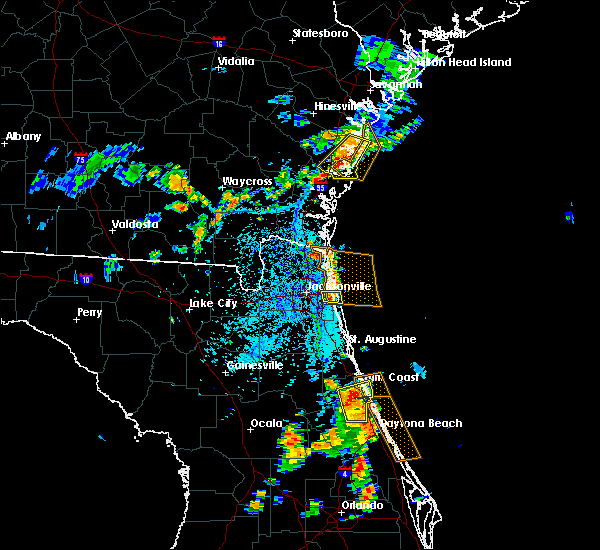 At 536 pm edt, a severe thunderstorm was located over san pablo, or near unf, moving southeast at 10 mph (radar indicated). Hazards include 60 mph wind gusts and penny size hail. Expect damage to roofs, siding, and trees. Locations impacted include, unf, neptune beach, san pablo and craig field. At 536 pm edt, a severe thunderstorm was located over san pablo, or near unf, moving southeast at 10 mph (radar indicated). Hazards include 60 mph wind gusts and penny size hail. Expect damage to roofs, siding, and trees. Locations impacted include, unf, neptune beach, san pablo and craig field.
|
| 7/27/2018 5:22 PM EDT |
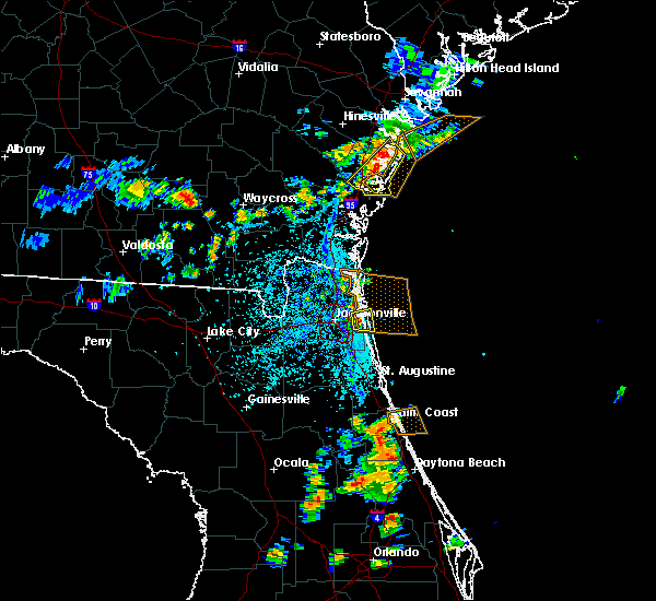 At 522 pm edt, a severe thunderstorm was located over san pablo, or near unf, moving east at 20 mph (radar indicated). Hazards include 60 mph wind gusts and penny size hail. expect damage to roofs, siding, and trees At 522 pm edt, a severe thunderstorm was located over san pablo, or near unf, moving east at 20 mph (radar indicated). Hazards include 60 mph wind gusts and penny size hail. expect damage to roofs, siding, and trees
|
| 7/22/2018 2:27 PM EDT |
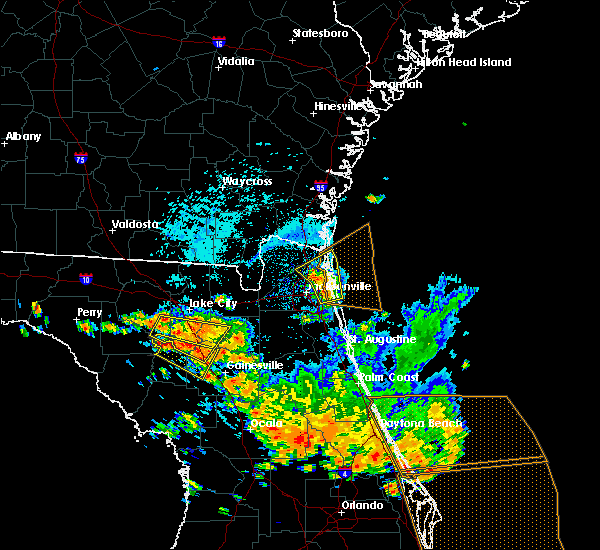 At 227 pm edt, a severe thunderstorm was located near little talbot island, or 10 miles northeast of arlington, moving northeast at 30 mph (radar indicated). Hazards include 70 mph wind gusts and quarter size hail. Hail damage to vehicles is expected. expect considerable tree damage. wind damage is also likely to mobile homes, roofs, and outbuildings. Locations impacted include, fernandina beach, unf, yulee, neptune beach, oceanway, san pablo, craig field, little talbot island and fort caroline. At 227 pm edt, a severe thunderstorm was located near little talbot island, or 10 miles northeast of arlington, moving northeast at 30 mph (radar indicated). Hazards include 70 mph wind gusts and quarter size hail. Hail damage to vehicles is expected. expect considerable tree damage. wind damage is also likely to mobile homes, roofs, and outbuildings. Locations impacted include, fernandina beach, unf, yulee, neptune beach, oceanway, san pablo, craig field, little talbot island and fort caroline.
|
| 7/22/2018 2:20 PM EDT |
 At 220 pm edt, a severe thunderstorm was located near oceanway, or 7 miles north of arlington, moving northeast at 30 mph (radar indicated). Hazards include 70 mph wind gusts and quarter size hail. Hail damage to vehicles is expected. expect considerable tree damage. wind damage is also likely to mobile homes, roofs, and outbuildings. Locations impacted include, fernandina beach, jacksonville international arpt, unf, arlington, yulee, neptune beach, oceanway, san pablo, craig field and little talbot island. At 220 pm edt, a severe thunderstorm was located near oceanway, or 7 miles north of arlington, moving northeast at 30 mph (radar indicated). Hazards include 70 mph wind gusts and quarter size hail. Hail damage to vehicles is expected. expect considerable tree damage. wind damage is also likely to mobile homes, roofs, and outbuildings. Locations impacted include, fernandina beach, jacksonville international arpt, unf, arlington, yulee, neptune beach, oceanway, san pablo, craig field and little talbot island.
|
| 7/22/2018 2:17 PM EDT |
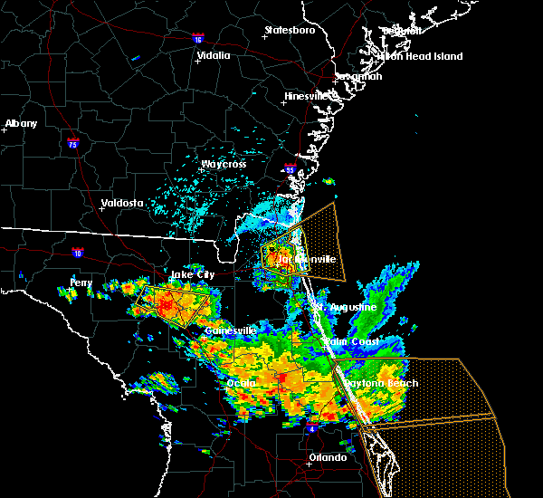 At 217 pm edt, a severe thunderstorm was located near oceanway, or near arlington, moving northeast at 30 mph (radar indicated). Hazards include 70 mph wind gusts and quarter size hail. Hail damage to vehicles is expected. expect considerable tree damage. wind damage is also likely to mobile homes, roofs, and outbuildings. Locations impacted include, jacksonville, fernandina beach, jacksonville international arpt, unf, arlington, yulee, neptune beach, san pablo, craig field and little talbot island. At 217 pm edt, a severe thunderstorm was located near oceanway, or near arlington, moving northeast at 30 mph (radar indicated). Hazards include 70 mph wind gusts and quarter size hail. Hail damage to vehicles is expected. expect considerable tree damage. wind damage is also likely to mobile homes, roofs, and outbuildings. Locations impacted include, jacksonville, fernandina beach, jacksonville international arpt, unf, arlington, yulee, neptune beach, san pablo, craig field and little talbot island.
|
| 7/22/2018 2:07 PM EDT |
 The severe thunderstorm warning for nassau and western duval counties will expire at 215 pm edt, a new severe thunderstorm warning has been issed for the central and eastern portions of nassau and duval counties. The severe thunderstorm warning for nassau and western duval counties will expire at 215 pm edt, a new severe thunderstorm warning has been issed for the central and eastern portions of nassau and duval counties.
|
| 7/22/2018 2:04 PM EDT |
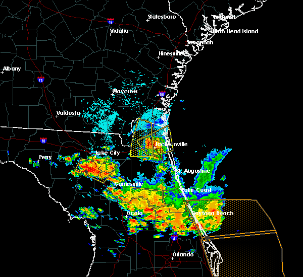 At 204 pm edt, a severe thunderstorm was located near jacksonville, moving northeast at 30 mph (radar indicated). Hazards include 70 mph wind gusts and quarter size hail. Hail damage to vehicles is expected. expect considerable tree damage. Wind damage is also likely to mobile homes, roofs, and outbuildings. At 204 pm edt, a severe thunderstorm was located near jacksonville, moving northeast at 30 mph (radar indicated). Hazards include 70 mph wind gusts and quarter size hail. Hail damage to vehicles is expected. expect considerable tree damage. Wind damage is also likely to mobile homes, roofs, and outbuildings.
|
| 7/22/2018 2:03 PM EDT | Quarter sized hail reported 2.1 miles ENE of Jacksonville, FL, report from a trained spotter of quarter size hail falling in a parking lot. |
| 7/22/2018 1:45 PM EDT |
 At 144 pm edt, severe thunderstorms were located along a line extending from near st. george to near riverside, moving northeast at 30 mph (radar indicated). Hazards include 70 mph wind gusts and quarter size hail. Hail damage to vehicles is expected. expect considerable tree damage. wind damage is also likely to mobile homes, roofs, and outbuildings. Locations impacted include, hilliard, callahan, jacksonville international arpt, maxville, kings ferry, cisco gardens, ortega, bryceville, cecil field and nassau village-ratliff. At 144 pm edt, severe thunderstorms were located along a line extending from near st. george to near riverside, moving northeast at 30 mph (radar indicated). Hazards include 70 mph wind gusts and quarter size hail. Hail damage to vehicles is expected. expect considerable tree damage. wind damage is also likely to mobile homes, roofs, and outbuildings. Locations impacted include, hilliard, callahan, jacksonville international arpt, maxville, kings ferry, cisco gardens, ortega, bryceville, cecil field and nassau village-ratliff.
|
| 7/22/2018 1:42 PM EDT |
 At 142 pm edt, severe thunderstorms were located along a line extending from bellair-meadowbrook terrace to 7 miles northwest of bostwick, moving east at 35 mph (radar indicated). Hazards include 70 mph wind gusts and quarter size hail. Hail damage to vehicles is expected. expect considerable tree damage. wind damage is also likely to mobile homes, roofs, and outbuildings. Locations impacted include, orange park, green cove springs, middleburg, fleming island, doctors inlet, lakeside, oakleaf plantation, lake geneva, bellair-meadowbrook terrace and penney farms. At 142 pm edt, severe thunderstorms were located along a line extending from bellair-meadowbrook terrace to 7 miles northwest of bostwick, moving east at 35 mph (radar indicated). Hazards include 70 mph wind gusts and quarter size hail. Hail damage to vehicles is expected. expect considerable tree damage. wind damage is also likely to mobile homes, roofs, and outbuildings. Locations impacted include, orange park, green cove springs, middleburg, fleming island, doctors inlet, lakeside, oakleaf plantation, lake geneva, bellair-meadowbrook terrace and penney farms.
|
| 7/22/2018 1:37 PM EDT |
 At 137 pm edt, severe thunderstorms were located along a line extending from near st. george to near jacksonville, moving northeast at 35 mph (radar indicated). Hazards include 70 mph wind gusts and quarter size hail. Hail damage to vehicles is expected. expect considerable tree damage. wind damage is also likely to mobile homes, roofs, and outbuildings. locations impacted include, hilliard, callahan, jacksonville international arpt, taylor, macclenny, glen st. Mary, maxville, kings ferry, cisco gardens and ortega. At 137 pm edt, severe thunderstorms were located along a line extending from near st. george to near jacksonville, moving northeast at 35 mph (radar indicated). Hazards include 70 mph wind gusts and quarter size hail. Hail damage to vehicles is expected. expect considerable tree damage. wind damage is also likely to mobile homes, roofs, and outbuildings. locations impacted include, hilliard, callahan, jacksonville international arpt, taylor, macclenny, glen st. Mary, maxville, kings ferry, cisco gardens and ortega.
|
| 7/22/2018 1:35 PM EDT |
 At 135 pm edt, severe thunderstorms were located along a line extending from near oakleaf plantation to near george`s lake, moving east at 35 mph (radar indicated). Hazards include 70 mph wind gusts and quarter size hail. Hail damage to vehicles is expected. expect considerable tree damage. wind damage is also likely to mobile homes, roofs, and outbuildings. Locations impacted include, orange park, green cove springs, keystone heights, middleburg, fleming island, oakleaf plantation, lake geneva, bellair-meadowbrook terrace, camp blanding and doctors inlet. At 135 pm edt, severe thunderstorms were located along a line extending from near oakleaf plantation to near george`s lake, moving east at 35 mph (radar indicated). Hazards include 70 mph wind gusts and quarter size hail. Hail damage to vehicles is expected. expect considerable tree damage. wind damage is also likely to mobile homes, roofs, and outbuildings. Locations impacted include, orange park, green cove springs, keystone heights, middleburg, fleming island, oakleaf plantation, lake geneva, bellair-meadowbrook terrace, camp blanding and doctors inlet.
|
| 7/22/2018 1:25 PM EDT |
 At 124 pm edt, severe thunderstorms were located along a line extending from near st. george to near oakleaf plantation, moving east at 35 mph (radar indicated). Hazards include 70 mph wind gusts and quarter size hail. Hail damage to vehicles is expected. expect considerable tree damage. Wind damage is also likely to mobile homes, roofs, and outbuildings. At 124 pm edt, severe thunderstorms were located along a line extending from near st. george to near oakleaf plantation, moving east at 35 mph (radar indicated). Hazards include 70 mph wind gusts and quarter size hail. Hail damage to vehicles is expected. expect considerable tree damage. Wind damage is also likely to mobile homes, roofs, and outbuildings.
|
| 7/22/2018 1:25 PM EDT |
 The national weather service in jacksonville has issued a * severe thunderstorm warning for. nassau county in northeastern florida. northeastern baker county in northeastern florida. western duval county in northeastern florida. Southeastern charlton county in southeastern georgia. The national weather service in jacksonville has issued a * severe thunderstorm warning for. nassau county in northeastern florida. northeastern baker county in northeastern florida. western duval county in northeastern florida. Southeastern charlton county in southeastern georgia.
|
| 7/22/2018 1:11 PM EDT |
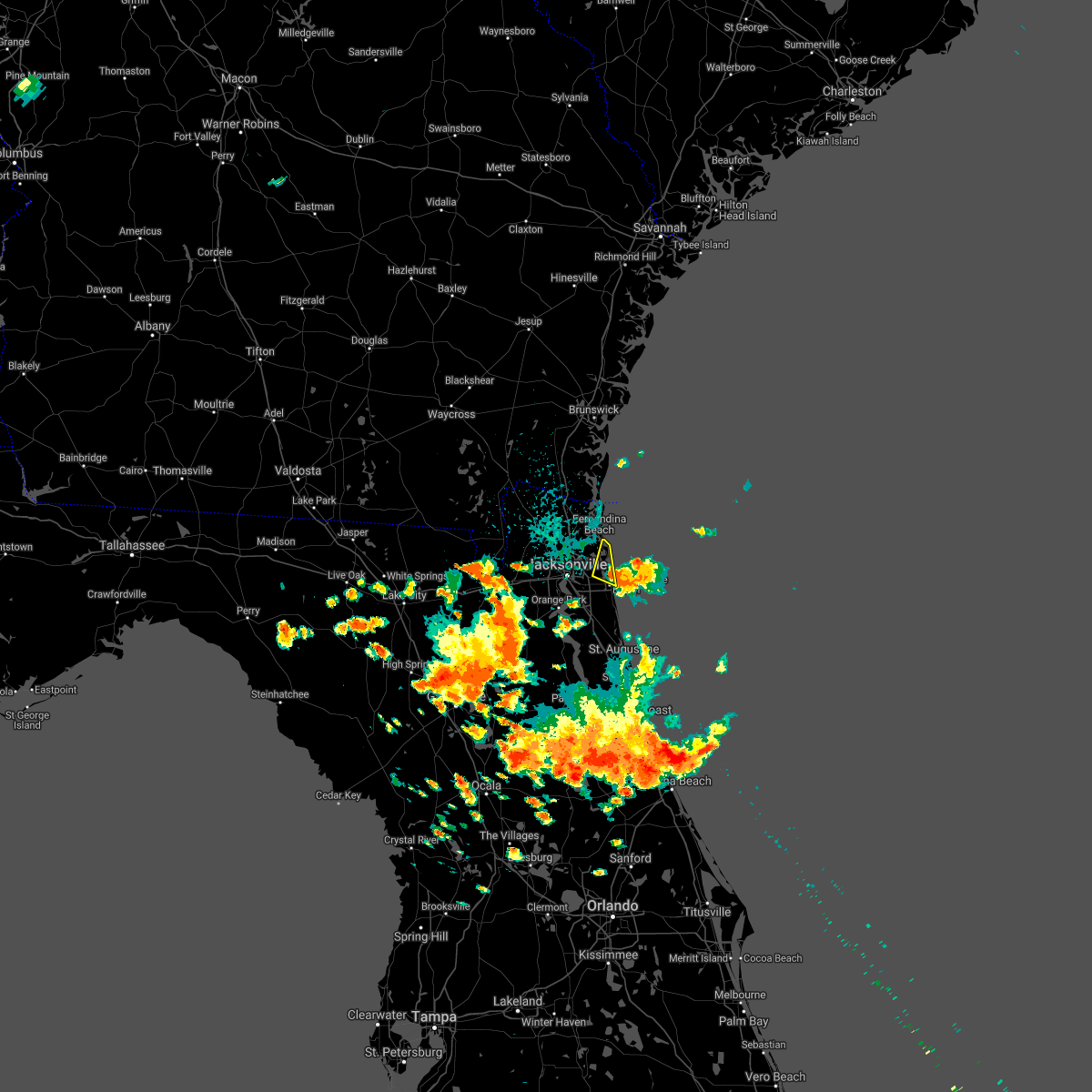 The severe thunderstorm warning for east central duval county will expire at 115 pm edt, the storm which prompted the warning has weakened below severe limits, and no longer poses an immediate threat to life or property. therefore, the warning will be allowed to expire. however small hail, gusty winds and heavy rain are still possible with this thunderstorm. a severe thunderstorm watch remains in effect until 800 pm edt for northeastern florida. The severe thunderstorm warning for east central duval county will expire at 115 pm edt, the storm which prompted the warning has weakened below severe limits, and no longer poses an immediate threat to life or property. therefore, the warning will be allowed to expire. however small hail, gusty winds and heavy rain are still possible with this thunderstorm. a severe thunderstorm watch remains in effect until 800 pm edt for northeastern florida.
|
| 7/22/2018 1:06 PM EDT |
 At 106 pm edt, severe thunderstorms were located along a line extending from near macclenny to near keystone heights, moving east at 30 mph (radar indicated). Hazards include 70 mph wind gusts and quarter size hail. Hail damage to vehicles is expected. expect considerable tree damage. Wind damage is also likely to mobile homes, roofs, and outbuildings. At 106 pm edt, severe thunderstorms were located along a line extending from near macclenny to near keystone heights, moving east at 30 mph (radar indicated). Hazards include 70 mph wind gusts and quarter size hail. Hail damage to vehicles is expected. expect considerable tree damage. Wind damage is also likely to mobile homes, roofs, and outbuildings.
|
| 7/22/2018 12:43 PM EDT |
 The national weather service in jacksonville has issued a * severe thunderstorm warning for. east central duval county in northeastern florida. until 115 pm edt. At 1242 pm edt, a severe thunderstorm was located near neptune beach, or 8 miles north of ponte vedra beach, moving northeast at. The national weather service in jacksonville has issued a * severe thunderstorm warning for. east central duval county in northeastern florida. until 115 pm edt. At 1242 pm edt, a severe thunderstorm was located near neptune beach, or 8 miles north of ponte vedra beach, moving northeast at.
|
| 7/21/2018 2:47 PM EDT |
 At 247 pm edt, severe thunderstorms were located along a line extending from near sawgrass to near camp blanding, moving south at 30 mph (radar indicated). Hazards include 60 mph wind gusts. Expect damage to roofs, siding, and trees. Locations impacted include, saint augustine, palatka, green cove springs, interlachen, keystone heights, hastings, melrose, east palatka, fruit cove and world golf village. At 247 pm edt, severe thunderstorms were located along a line extending from near sawgrass to near camp blanding, moving south at 30 mph (radar indicated). Hazards include 60 mph wind gusts. Expect damage to roofs, siding, and trees. Locations impacted include, saint augustine, palatka, green cove springs, interlachen, keystone heights, hastings, melrose, east palatka, fruit cove and world golf village.
|
| 7/21/2018 2:27 PM EDT |
 At 226 pm edt, severe thunderstorms were located along a line extending from neptune beach to near maxville, moving south at 30 mph (radar indicated). Hazards include 60 mph wind gusts. expect damage to roofs, siding, and trees At 226 pm edt, severe thunderstorms were located along a line extending from neptune beach to near maxville, moving south at 30 mph (radar indicated). Hazards include 60 mph wind gusts. expect damage to roofs, siding, and trees
|
| 7/17/2018 1:30 PM EDT | Powerline reported down near liberty and adams streets. time based on rada in duval county FL, 4.1 miles NNW of Jacksonville, FL |
| 7/17/2018 1:24 PM EDT |
 At 124 pm edt, a severe thunderstorm was located over ortega, or near orange park, moving northeast at 20 mph (radar indicated). Hazards include 60 mph wind gusts. Expect damage to roofs, siding, and trees. Locations impacted include, jacksonville, nas jax, ortega, normandy, san marco, riverside and jacksonville heights. At 124 pm edt, a severe thunderstorm was located over ortega, or near orange park, moving northeast at 20 mph (radar indicated). Hazards include 60 mph wind gusts. Expect damage to roofs, siding, and trees. Locations impacted include, jacksonville, nas jax, ortega, normandy, san marco, riverside and jacksonville heights.
|
| 7/17/2018 1:18 PM EDT |
 At 117 pm edt, a severe thunderstorm was located near ortega, or near orange park, moving northeast at 35 mph (radar indicated). Hazards include 70 mph wind gusts. Expect considerable tree damage. damage is likely to mobile homes, roofs, and outbuildings. Locations impacted include, jacksonville, orange park, nas jax, ortega, normandy, bellair-meadowbrook terrace, san marco, riverside and jacksonville heights. At 117 pm edt, a severe thunderstorm was located near ortega, or near orange park, moving northeast at 35 mph (radar indicated). Hazards include 70 mph wind gusts. Expect considerable tree damage. damage is likely to mobile homes, roofs, and outbuildings. Locations impacted include, jacksonville, orange park, nas jax, ortega, normandy, bellair-meadowbrook terrace, san marco, riverside and jacksonville heights.
|
| 7/17/2018 1:08 PM EDT |
 At 108 pm edt, a severe thunderstorm was located over oakleaf plantation, or near orange park, moving northeast at 35 mph (radar indicated). Hazards include 60 mph wind gusts. expect damage to roofs, siding, and trees At 108 pm edt, a severe thunderstorm was located over oakleaf plantation, or near orange park, moving northeast at 35 mph (radar indicated). Hazards include 60 mph wind gusts. expect damage to roofs, siding, and trees
|
| 7/6/2018 1:42 PM EDT |
 At 142 pm edt, a severe thunderstorm was located near bryceville, or 18 miles north of middleburg, moving east at 10 mph (radar indicated). Hazards include 60 mph wind gusts and nickel size hail. Expect damage to roofs, siding, and trees. Locations impacted include, maxville and baldwin. At 142 pm edt, a severe thunderstorm was located near bryceville, or 18 miles north of middleburg, moving east at 10 mph (radar indicated). Hazards include 60 mph wind gusts and nickel size hail. Expect damage to roofs, siding, and trees. Locations impacted include, maxville and baldwin.
|
| 7/6/2018 1:22 PM EDT |
 At 121 pm edt, a severe thunderstorm was located near bryceville, or 16 miles southwest of callahan, moving southwest at 10 mph (radar indicated). Hazards include 60 mph wind gusts and quarter size hail. Hail damage to vehicles is expected. Expect wind damage to roofs, siding, and trees. At 121 pm edt, a severe thunderstorm was located near bryceville, or 16 miles southwest of callahan, moving southwest at 10 mph (radar indicated). Hazards include 60 mph wind gusts and quarter size hail. Hail damage to vehicles is expected. Expect wind damage to roofs, siding, and trees.
|
| 6/30/2018 3:17 PM EDT |
 At 317 pm edt, a severe thunderstorm was located over nas jax, or near mandarin, and is nearly stationary (radar indicated). Hazards include 60 mph wind gusts. Expect damage to roofs, siding, and trees. Locations impacted include, orange park, mandarin, fruit cove, nas jax, fleming island, doctors inlet, baymeadows, lakeside and bellair-meadowbrook terrace. At 317 pm edt, a severe thunderstorm was located over nas jax, or near mandarin, and is nearly stationary (radar indicated). Hazards include 60 mph wind gusts. Expect damage to roofs, siding, and trees. Locations impacted include, orange park, mandarin, fruit cove, nas jax, fleming island, doctors inlet, baymeadows, lakeside and bellair-meadowbrook terrace.
|
| 6/30/2018 3:00 PM EDT |
 At 300 pm edt, a severe thunderstorm was located over mandarin, moving southwest at 20 mph (radar indicated). Hazards include 60 mph wind gusts. expect damage to roofs, siding, and trees At 300 pm edt, a severe thunderstorm was located over mandarin, moving southwest at 20 mph (radar indicated). Hazards include 60 mph wind gusts. expect damage to roofs, siding, and trees
|
| 6/28/2018 7:55 PM EDT |
 The severe thunderstorm warning for nassau, northern duval, south central camden and southeastern charlton counties will expire at 800 pm edt, the storms which prompted the warning have weakened below severe limits, and no longer pose an immediate threat to life or property. therefore, the warning will be allowed to expire. however gusty winds and heavy rain are still possible with these thunderstorms. The severe thunderstorm warning for nassau, northern duval, south central camden and southeastern charlton counties will expire at 800 pm edt, the storms which prompted the warning have weakened below severe limits, and no longer pose an immediate threat to life or property. therefore, the warning will be allowed to expire. however gusty winds and heavy rain are still possible with these thunderstorms.
|
| 6/28/2018 7:27 PM EDT |
 At 727 pm edt, severe thunderstorms were located along a line extending from near kings bay base to 7 miles north of jacksonville international arpt to 7 miles southwest of hilliard, moving southeast at 40 mph (radar indicated). Hazards include 60 mph wind gusts. Expect damage to roofs, siding, and trees. locations impacted include, st. marys, kingsland, hilliard, callahan, jacksonville international arpt, yulee, cisco gardens, st. George, bryceville and nassau village-ratliff. At 727 pm edt, severe thunderstorms were located along a line extending from near kings bay base to 7 miles north of jacksonville international arpt to 7 miles southwest of hilliard, moving southeast at 40 mph (radar indicated). Hazards include 60 mph wind gusts. Expect damage to roofs, siding, and trees. locations impacted include, st. marys, kingsland, hilliard, callahan, jacksonville international arpt, yulee, cisco gardens, st. George, bryceville and nassau village-ratliff.
|
| 6/28/2018 7:11 PM EDT |
 At 711 pm edt, severe thunderstorms were located along a line extending from 7 miles northwest of kings bay base to near kings ferry to 6 miles west of hilliard, moving south at 45 mph (radar indicated). Hazards include 60 mph wind gusts. expect damage to roofs, siding, and trees At 711 pm edt, severe thunderstorms were located along a line extending from 7 miles northwest of kings bay base to near kings ferry to 6 miles west of hilliard, moving south at 45 mph (radar indicated). Hazards include 60 mph wind gusts. expect damage to roofs, siding, and trees
|
| 6/28/2018 7:11 PM EDT |
 The national weather service in jacksonville has issued a * severe thunderstorm warning for. nassau county in northeastern florida. northern duval county in northeastern florida. south central camden county in southeastern georgia. Southeastern charlton county in southeastern georgia. The national weather service in jacksonville has issued a * severe thunderstorm warning for. nassau county in northeastern florida. northern duval county in northeastern florida. south central camden county in southeastern georgia. Southeastern charlton county in southeastern georgia.
|
| 6/28/2018 3:07 PM EDT |
 At 306 pm edt, a severe thunderstorm was located over guana river state park, or 10 miles south of ponte vedra beach, moving southeast at 20 mph (radar indicated). Hazards include 60 mph wind gusts and penny size hail. Expect damage to roofs, siding, and trees. Locations impacted include, palm valley, sawgrass, nocatee, south ponte vedra, durbin, vilano beach and guana river state park. At 306 pm edt, a severe thunderstorm was located over guana river state park, or 10 miles south of ponte vedra beach, moving southeast at 20 mph (radar indicated). Hazards include 60 mph wind gusts and penny size hail. Expect damage to roofs, siding, and trees. Locations impacted include, palm valley, sawgrass, nocatee, south ponte vedra, durbin, vilano beach and guana river state park.
|
| 6/28/2018 2:56 PM EDT |
 At 255 pm edt, a severe thunderstorm was located over nocatee, or 10 miles south of ponte vedra beach, moving southeast at 25 mph (radar indicated). Hazards include 60 mph wind gusts and nickel size hail. expect damage to roofs, siding, and trees At 255 pm edt, a severe thunderstorm was located over nocatee, or 10 miles south of ponte vedra beach, moving southeast at 25 mph (radar indicated). Hazards include 60 mph wind gusts and nickel size hail. expect damage to roofs, siding, and trees
|
| 6/26/2018 3:15 PM EDT |
 At 315 pm edt, a severe thunderstorm was located over switzerland, or over fruit cove, moving south at 10 mph (radar indicated). Hazards include 60 mph wind gusts and quarter size hail. Hail damage to vehicles is expected. Expect wind damage to roofs, siding, and trees. At 315 pm edt, a severe thunderstorm was located over switzerland, or over fruit cove, moving south at 10 mph (radar indicated). Hazards include 60 mph wind gusts and quarter size hail. Hail damage to vehicles is expected. Expect wind damage to roofs, siding, and trees.
|
| 6/21/2018 3:54 PM EDT |
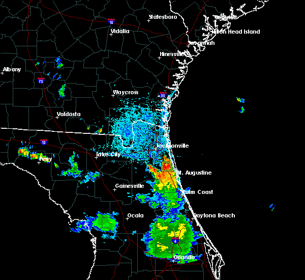 At 354 pm edt, a severe thunderstorm was located over durbin, or 9 miles east of fruit cove, moving south at 5 mph (radar indicated). Hazards include 60 mph wind gusts and penny size hail. Expect damage to roofs, siding, and trees. Locations impacted include, world golf village, nocatee and durbin. At 354 pm edt, a severe thunderstorm was located over durbin, or 9 miles east of fruit cove, moving south at 5 mph (radar indicated). Hazards include 60 mph wind gusts and penny size hail. Expect damage to roofs, siding, and trees. Locations impacted include, world golf village, nocatee and durbin.
|
| 6/21/2018 3:43 PM EDT |
 The national weather service in jacksonville has issued a * severe thunderstorm warning for. north central st. johns county in northeastern florida. southern duval county in northeastern florida. until 430 pm edt. At 343 pm edt, a severe thunderstorm was located over durbin, or 8. The national weather service in jacksonville has issued a * severe thunderstorm warning for. north central st. johns county in northeastern florida. southern duval county in northeastern florida. until 430 pm edt. At 343 pm edt, a severe thunderstorm was located over durbin, or 8.
|
| 6/20/2018 3:45 PM EDT | Downed tree on top of home. person trapped inside but otherwise unharme in duval county FL, 7.1 miles ENE of Jacksonville, FL |
| 6/3/2018 8:01 PM EDT |
 At 800 pm edt, a severe thunderstorm was located over green cove springs, moving east at 15 mph (radar indicated). Hazards include 60 mph wind gusts and quarter size hail. Hail damage to vehicles is expected. expect wind damage to roofs, siding, and trees. Locations impacted include, green cove springs, fruit cove, fleming island, picolata, switzerland, penney farms and bakersville. At 800 pm edt, a severe thunderstorm was located over green cove springs, moving east at 15 mph (radar indicated). Hazards include 60 mph wind gusts and quarter size hail. Hail damage to vehicles is expected. expect wind damage to roofs, siding, and trees. Locations impacted include, green cove springs, fruit cove, fleming island, picolata, switzerland, penney farms and bakersville.
|
| 6/3/2018 7:49 PM EDT |
 At 748 pm edt, a severe thunderstorm was located near green cove springs, moving east at 15 mph (radar indicated). Hazards include 60 mph wind gusts and quarter size hail. Hail damage to vehicles is expected. Expect wind damage to roofs, siding, and trees. At 748 pm edt, a severe thunderstorm was located near green cove springs, moving east at 15 mph (radar indicated). Hazards include 60 mph wind gusts and quarter size hail. Hail damage to vehicles is expected. Expect wind damage to roofs, siding, and trees.
|
| 6/2/2018 6:56 PM EDT |
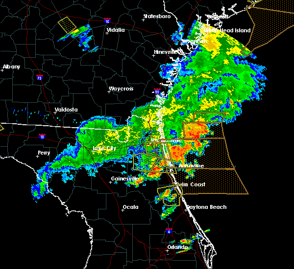 At 655 pm edt, a severe thunderstorm was located near palm valley, or near ponte vedra beach, moving east at 30 mph (radar indicated). Hazards include 60 mph wind gusts. Expect damage to roofs, siding, and trees. Locations impacted include, unf, ponte vedra beach, neptune beach, palm valley, sawgrass, baymeadows, nocatee, bayard, durbin and san pablo. At 655 pm edt, a severe thunderstorm was located near palm valley, or near ponte vedra beach, moving east at 30 mph (radar indicated). Hazards include 60 mph wind gusts. Expect damage to roofs, siding, and trees. Locations impacted include, unf, ponte vedra beach, neptune beach, palm valley, sawgrass, baymeadows, nocatee, bayard, durbin and san pablo.
|
| 6/2/2018 6:34 PM EDT |
 At 633 pm edt, a severe thunderstorm was located over nas jax, or near orange park, moving east at 20 mph (radar indicated). Hazards include 60 mph wind gusts and nickel size hail. Expect damage to roofs, siding, and trees. Locations impacted include, jacksonville, orange park, unf, mandarin, ponte vedra beach, arlington, neptune beach, sawgrass, baymeadows and nocatee. At 633 pm edt, a severe thunderstorm was located over nas jax, or near orange park, moving east at 20 mph (radar indicated). Hazards include 60 mph wind gusts and nickel size hail. Expect damage to roofs, siding, and trees. Locations impacted include, jacksonville, orange park, unf, mandarin, ponte vedra beach, arlington, neptune beach, sawgrass, baymeadows and nocatee.
|
| 6/2/2018 6:32 PM EDT |
 At 632 pm edt, a severe thunderstorm was located near middleburg, moving east at 35 mph (radar indicated). Hazards include 60 mph wind gusts. Expect damage to roofs, siding, and trees. Locations impacted include, green cove springs, middleburg, fruit cove, fleming island, doctors inlet, lakeside, switzerland, penney farms and asbury lake. At 632 pm edt, a severe thunderstorm was located near middleburg, moving east at 35 mph (radar indicated). Hazards include 60 mph wind gusts. Expect damage to roofs, siding, and trees. Locations impacted include, green cove springs, middleburg, fruit cove, fleming island, doctors inlet, lakeside, switzerland, penney farms and asbury lake.
|
| 6/2/2018 6:20 PM EDT | Wires reported down near hood road and sunbeam road. time based on rada in duval county FL, 13.4 miles NNW of Jacksonville, FL |
| 6/2/2018 6:17 PM EDT |
 At 617 pm edt, a severe thunderstorm was located over middleburg, moving east at 15 mph (radar indicated). Hazards include 60 mph wind gusts. expect damage to roofs, siding, and trees At 617 pm edt, a severe thunderstorm was located over middleburg, moving east at 15 mph (radar indicated). Hazards include 60 mph wind gusts. expect damage to roofs, siding, and trees
|
| 6/2/2018 6:12 PM EDT |
 At 612 pm edt, a severe thunderstorm was located over ortega, or 7 miles north of orange park, moving east at 25 mph (radar indicated). Hazards include 60 mph wind gusts and nickel size hail. expect damage to roofs, siding, and trees At 612 pm edt, a severe thunderstorm was located over ortega, or 7 miles north of orange park, moving east at 25 mph (radar indicated). Hazards include 60 mph wind gusts and nickel size hail. expect damage to roofs, siding, and trees
|
| 6/2/2018 5:52 PM EDT |
 At 552 pm edt, a severe thunderstorm was located near glen st. mary, or 12 miles north of raiford, moving east at 25 mph (radar indicated). Hazards include 60 mph wind gusts and quarter size hail. Hail damage to vehicles is expected. Expect wind damage to roofs, siding, and trees. At 552 pm edt, a severe thunderstorm was located near glen st. mary, or 12 miles north of raiford, moving east at 25 mph (radar indicated). Hazards include 60 mph wind gusts and quarter size hail. Hail damage to vehicles is expected. Expect wind damage to roofs, siding, and trees.
|
| 6/2/2018 5:50 PM EDT |
 At 549 pm edt, severe thunderstorms were located along a line extending from 9 miles northeast of kings bay base to near oceanway to near ratliff, moving southeast at 25 mph (radar indicated). Hazards include 60 mph wind gusts and penny size hail. Expect damage to roofs, siding, and trees. locations impacted include, st. Marys, fernandina beach, callahan, kings bay base, jacksonville international arpt, yulee, nassau village-ratliff, ratliff, oceanway and cumberland island. At 549 pm edt, severe thunderstorms were located along a line extending from 9 miles northeast of kings bay base to near oceanway to near ratliff, moving southeast at 25 mph (radar indicated). Hazards include 60 mph wind gusts and penny size hail. Expect damage to roofs, siding, and trees. locations impacted include, st. Marys, fernandina beach, callahan, kings bay base, jacksonville international arpt, yulee, nassau village-ratliff, ratliff, oceanway and cumberland island.
|
| 6/2/2018 5:38 PM EDT |
 At 538 pm edt, severe thunderstorms were located along a line extending from near waverly to 8 miles southeast of kings ferry to st. george, moving southeast at 35 mph (radar indicated). Hazards include 60 mph wind gusts and penny size hail. Expect damage to roofs, siding, and trees. locations impacted include, st. Marys, kingsland, fernandina beach, callahan, jacksonville international arpt, kings bay base, yulee, cisco gardens, bryceville and nassau village-ratliff. At 538 pm edt, severe thunderstorms were located along a line extending from near waverly to 8 miles southeast of kings ferry to st. george, moving southeast at 35 mph (radar indicated). Hazards include 60 mph wind gusts and penny size hail. Expect damage to roofs, siding, and trees. locations impacted include, st. Marys, kingsland, fernandina beach, callahan, jacksonville international arpt, kings bay base, yulee, cisco gardens, bryceville and nassau village-ratliff.
|
| 6/2/2018 5:16 PM EDT |
 At 516 pm edt, severe thunderstorms were located along a line extending from near woodbine to near kings ferry to near st. george, moving southeast at 30 mph (radar indicated). Hazards include 60 mph wind gusts and penny size hail. expect damage to roofs, siding, and trees At 516 pm edt, severe thunderstorms were located along a line extending from near woodbine to near kings ferry to near st. george, moving southeast at 30 mph (radar indicated). Hazards include 60 mph wind gusts and penny size hail. expect damage to roofs, siding, and trees
|
| 6/1/2018 5:28 PM EDT |
 At 528 pm edt, a severe thunderstorm was located near yulee, or 7 miles southwest of fernandina beach, moving northeast at 10 mph (radar indicated). Hazards include 60 mph wind gusts and quarter size hail. Hail damage to vehicles is expected. Expect wind damage to roofs, siding, and trees. At 528 pm edt, a severe thunderstorm was located near yulee, or 7 miles southwest of fernandina beach, moving northeast at 10 mph (radar indicated). Hazards include 60 mph wind gusts and quarter size hail. Hail damage to vehicles is expected. Expect wind damage to roofs, siding, and trees.
|
| 6/1/2018 4:18 PM EDT |
 At 418 pm edt, a severe thunderstorm was located over ponte vedra beach, and is nearly stationary (radar indicated). Hazards include 60 mph wind gusts and quarter size hail. Hail damage to vehicles is expected. expect wind damage to roofs, siding, and trees. Locations impacted include, ponte vedra beach, palm valley, sawgrass and guana river state park. At 418 pm edt, a severe thunderstorm was located over ponte vedra beach, and is nearly stationary (radar indicated). Hazards include 60 mph wind gusts and quarter size hail. Hail damage to vehicles is expected. expect wind damage to roofs, siding, and trees. Locations impacted include, ponte vedra beach, palm valley, sawgrass and guana river state park.
|
| 6/1/2018 4:09 PM EDT |
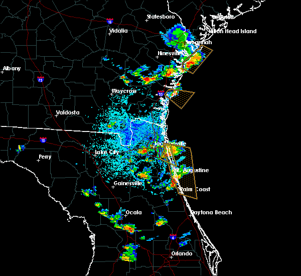 At 409 pm edt, a severe thunderstorm was located over palm valley, or near ponte vedra beach, and is nearly stationary (radar indicated). Hazards include 60 mph wind gusts and quarter size hail. Hail damage to vehicles is expected. Expect wind damage to roofs, siding, and trees. At 409 pm edt, a severe thunderstorm was located over palm valley, or near ponte vedra beach, and is nearly stationary (radar indicated). Hazards include 60 mph wind gusts and quarter size hail. Hail damage to vehicles is expected. Expect wind damage to roofs, siding, and trees.
|
| 4/15/2018 3:50 PM EDT |
 At 350 pm edt, severe thunderstorms were located along a line extending from near fernandina beach to near palm valley to 7 miles south of bunnell, moving northeast at 50 mph (radar indicated). Hazards include 60 mph wind gusts. Expect damage to roofs, siding, and trees. locations impacted include, palm coast, saint augustine, fernandina beach, flagler beach, bunnell, ponte vedra beach, neptune beach, saint augustine beach, marineland and sawgrass. A tornado watch remains in effect until 600 pm edt for northeastern florida. At 350 pm edt, severe thunderstorms were located along a line extending from near fernandina beach to near palm valley to 7 miles south of bunnell, moving northeast at 50 mph (radar indicated). Hazards include 60 mph wind gusts. Expect damage to roofs, siding, and trees. locations impacted include, palm coast, saint augustine, fernandina beach, flagler beach, bunnell, ponte vedra beach, neptune beach, saint augustine beach, marineland and sawgrass. A tornado watch remains in effect until 600 pm edt for northeastern florida.
|
| 4/15/2018 3:35 PM EDT |
 At 334 pm edt, severe thunderstorms were located along a line extending from near fernandina beach to near world golf village to near pierson, moving northeast at 40 mph (radar indicated). Hazards include 60 mph wind gusts. Expect damage to roofs, siding, and trees. locations impacted include, palm coast, saint augustine, fernandina beach, flagler beach, bunnell, hastings, unf, fruit cove, arlington and andalusia. A tornado watch remains in effect until 600 pm edt for northeastern florida. At 334 pm edt, severe thunderstorms were located along a line extending from near fernandina beach to near world golf village to near pierson, moving northeast at 40 mph (radar indicated). Hazards include 60 mph wind gusts. Expect damage to roofs, siding, and trees. locations impacted include, palm coast, saint augustine, fernandina beach, flagler beach, bunnell, hastings, unf, fruit cove, arlington and andalusia. A tornado watch remains in effect until 600 pm edt for northeastern florida.
|
| 4/15/2018 3:22 PM EDT |
 At 321 pm edt, severe thunderstorms were located along a line extending from near baymeadows to near crescent city, moving northeast at 40 mph (radar indicated). Hazards include 60 mph wind gusts. expect damage to roofs, siding, and trees At 321 pm edt, severe thunderstorms were located along a line extending from near baymeadows to near crescent city, moving northeast at 40 mph (radar indicated). Hazards include 60 mph wind gusts. expect damage to roofs, siding, and trees
|
| 4/15/2018 3:20 PM EDT | Large tree uprooted and fell on car in arlington. time given was based on rada in duval county FL, 5.9 miles WNW of Jacksonville, FL |
| 4/15/2018 3:04 PM EDT |
 At 303 pm edt, severe thunderstorms were located along a line extending from 6 miles south of kings ferry to jacksonville international arpt to 6 miles southwest of green cove springs, moving northeast at 40 mph (radar indicated). Hazards include 70 mph wind gusts. Expect considerable tree damage. damage is likely to mobile homes, roofs, and outbuildings. locations impacted include, jacksonville, orange park, green cove springs, callahan, jacksonville international arpt, mandarin, fruit cove, arlington, middleburg and yulee. A tornado watch remains in effect until 600 pm edt for northeastern florida, and southeastern georgia. At 303 pm edt, severe thunderstorms were located along a line extending from 6 miles south of kings ferry to jacksonville international arpt to 6 miles southwest of green cove springs, moving northeast at 40 mph (radar indicated). Hazards include 70 mph wind gusts. Expect considerable tree damage. damage is likely to mobile homes, roofs, and outbuildings. locations impacted include, jacksonville, orange park, green cove springs, callahan, jacksonville international arpt, mandarin, fruit cove, arlington, middleburg and yulee. A tornado watch remains in effect until 600 pm edt for northeastern florida, and southeastern georgia.
|
| 4/15/2018 3:00 PM EDT | *** 1 inj *** large tree fell on trailer home on the west side of jax and injured one person. time given was based on rada in duval county FL, 11.3 miles NE of Jacksonville, FL |
| 4/15/2018 2:45 PM EDT |
 At 245 pm edt, severe thunderstorms were located along a line extending from bryceville to cecil field to near interlachen, moving northeast at 50 mph (radar indicated). Hazards include 70 mph wind gusts. Expect considerable tree damage. Damage is likely to mobile homes, roofs, and outbuildings. At 245 pm edt, severe thunderstorms were located along a line extending from bryceville to cecil field to near interlachen, moving northeast at 50 mph (radar indicated). Hazards include 70 mph wind gusts. Expect considerable tree damage. Damage is likely to mobile homes, roofs, and outbuildings.
|
| 4/15/2018 2:35 PM EDT |
 At 235 pm edt, severe thunderstorms were located along a line extending from near bryceville to 6 miles northwest of cecil field to near lake geneva, moving northeast at 50 mph (radar indicated). Hazards include 60 mph wind gusts. Expect damage to roofs, siding, and trees. locations impacted include, keystone heights, middleburg, cecil field, maxville, kingsley, oakleaf plantation, lake geneva, bryceville, camp blanding and baldwin. A tornado watch remains in effect until 600 pm edt for northern and northeastern florida, and southeastern georgia. At 235 pm edt, severe thunderstorms were located along a line extending from near bryceville to 6 miles northwest of cecil field to near lake geneva, moving northeast at 50 mph (radar indicated). Hazards include 60 mph wind gusts. Expect damage to roofs, siding, and trees. locations impacted include, keystone heights, middleburg, cecil field, maxville, kingsley, oakleaf plantation, lake geneva, bryceville, camp blanding and baldwin. A tornado watch remains in effect until 600 pm edt for northern and northeastern florida, and southeastern georgia.
|
| 4/15/2018 2:23 PM EDT |
 At 223 pm edt, a severe thunderstorm was located over callahan, moving northeast at 45 mph (radar indicated). Hazards include 60 mph wind gusts. expect damage to roofs, siding, and trees At 223 pm edt, a severe thunderstorm was located over callahan, moving northeast at 45 mph (radar indicated). Hazards include 60 mph wind gusts. expect damage to roofs, siding, and trees
|
| 4/15/2018 2:16 PM EDT |
 At 216 pm edt, a severe thunderstorm was located over sampson, or 7 miles southwest of starke, moving northeast at 45 mph (radar indicated). Hazards include 60 mph wind gusts. expect damage to roofs, siding, and trees At 216 pm edt, a severe thunderstorm was located over sampson, or 7 miles southwest of starke, moving northeast at 45 mph (radar indicated). Hazards include 60 mph wind gusts. expect damage to roofs, siding, and trees
|
| 3/20/2018 3:39 PM EDT |
 The severe thunderstorm warning for central nassau and duval counties will expire at 345 pm edt, the storm which prompted the warning has weakened below severe limits, and has exited the warned area. therefore, the warning will be allowed to expire. however small hail, gusty winds and heavy rain are still possible with this thunderstorm. a tornado watch remains in effect until 700 pm edt for northeastern florida, and southeastern georgia. The severe thunderstorm warning for central nassau and duval counties will expire at 345 pm edt, the storm which prompted the warning has weakened below severe limits, and has exited the warned area. therefore, the warning will be allowed to expire. however small hail, gusty winds and heavy rain are still possible with this thunderstorm. a tornado watch remains in effect until 700 pm edt for northeastern florida, and southeastern georgia.
|
| 3/20/2018 3:30 PM EDT | Golf Ball sized hail reported 6.5 miles SSE of Jacksonville, FL, widespread golf ball sized hail fell over the jacksonville nws wfo. size measured and verified by nws employees. |
| 3/20/2018 3:26 PM EDT |
 At 325 pm edt, a severe thunderstorm was located near cisco gardens, or 3 miles southwest of jacksonville international arpt, moving northeast at 55 mph (radar indicated). Hazards include golf ball size hail and 60 mph wind gusts. People and animals outdoors will be injured. expect hail damage to roofs, siding, windows, and vehicles. expect wind damage to roofs, siding, and trees. locations impacted include, jacksonville, callahan, jacksonville international arpt, arlington, yulee, cisco gardens, little talbot island, fort caroline, bryceville and nassau village-ratliff. A tornado watch remains in effect until 700 pm edt for northeastern florida, and southeastern georgia. At 325 pm edt, a severe thunderstorm was located near cisco gardens, or 3 miles southwest of jacksonville international arpt, moving northeast at 55 mph (radar indicated). Hazards include golf ball size hail and 60 mph wind gusts. People and animals outdoors will be injured. expect hail damage to roofs, siding, windows, and vehicles. expect wind damage to roofs, siding, and trees. locations impacted include, jacksonville, callahan, jacksonville international arpt, arlington, yulee, cisco gardens, little talbot island, fort caroline, bryceville and nassau village-ratliff. A tornado watch remains in effect until 700 pm edt for northeastern florida, and southeastern georgia.
|
| 3/20/2018 3:25 PM EDT | Quarter sized hail reported 8.2 miles ESE of Jacksonville, FL, widespread quarter sized hail. |
| 3/20/2018 3:25 PM EDT | Quarter sized hail reported 5.1 miles NNE of Jacksonville, FL, widespread quarter sized hail about 12 miles south of jacksonville. |
| 3/20/2018 3:18 PM EDT | Ping Pong Ball sized hail reported 15.1 miles E of Jacksonville, FL, widespread hail up to ping pong ball sized observed at bryceville. |
| 3/20/2018 2:57 PM EDT |
 At 257 pm edt, a severe thunderstorm was located near sanderson, or 12 miles north of raiford, moving northeast at 55 mph (radar indicated). Hazards include golf ball size hail and 60 mph wind gusts. People and animals outdoors will be injured. expect hail damage to roofs, siding, windows, and vehicles. Expect wind damage to roofs, siding, and trees. At 257 pm edt, a severe thunderstorm was located near sanderson, or 12 miles north of raiford, moving northeast at 55 mph (radar indicated). Hazards include golf ball size hail and 60 mph wind gusts. People and animals outdoors will be injured. expect hail damage to roofs, siding, windows, and vehicles. Expect wind damage to roofs, siding, and trees.
|
| 3/20/2018 1:52 PM EDT |
 The severe thunderstorm warning for northwestern st. johns, northeastern clay and southeastern duval counties will expire at 200 pm edt, the storm which prompted the warning has weakened below severe limits, and has exited the warned area. therefore, the warning will be allowed to expire. however small hail, gusty winds and heavy rain are still possible with this thunderstorm. a tornado watch remains in effect until 700 pm edt for northeastern florida. The severe thunderstorm warning for northwestern st. johns, northeastern clay and southeastern duval counties will expire at 200 pm edt, the storm which prompted the warning has weakened below severe limits, and has exited the warned area. therefore, the warning will be allowed to expire. however small hail, gusty winds and heavy rain are still possible with this thunderstorm. a tornado watch remains in effect until 700 pm edt for northeastern florida.
|
| 3/20/2018 1:42 PM EDT |
 At 142 pm edt, a severe thunderstorm was located over fleming island, or near orange park, moving northeast at 50 mph (radar indicated). Hazards include 60 mph wind gusts and quarter size hail. Hail damage to vehicles is expected. expect wind damage to roofs, siding, and trees. locations impacted include, orange park, green cove springs, unf, mandarin, fruit cove, ponte vedra beach, neptune beach, sawgrass, fleming island and baymeadows. A tornado watch remains in effect until 700 pm edt for northeastern florida. At 142 pm edt, a severe thunderstorm was located over fleming island, or near orange park, moving northeast at 50 mph (radar indicated). Hazards include 60 mph wind gusts and quarter size hail. Hail damage to vehicles is expected. expect wind damage to roofs, siding, and trees. locations impacted include, orange park, green cove springs, unf, mandarin, fruit cove, ponte vedra beach, neptune beach, sawgrass, fleming island and baymeadows. A tornado watch remains in effect until 700 pm edt for northeastern florida.
|
| 3/20/2018 1:32 PM EDT |
 At 131 pm edt, a severe thunderstorm was located over middleburg, moving northeast at 50 mph (radar indicated). Hazards include 60 mph wind gusts and penny size hail. Expect damage to roofs, siding, and trees. locations impacted include, jacksonville, orange park, green cove springs, unf, mandarin, fruit cove, arlington, middleburg, ponte vedra beach and neptune beach. A tornado watch remains in effect until 700 pm edt for northeastern florida. At 131 pm edt, a severe thunderstorm was located over middleburg, moving northeast at 50 mph (radar indicated). Hazards include 60 mph wind gusts and penny size hail. Expect damage to roofs, siding, and trees. locations impacted include, jacksonville, orange park, green cove springs, unf, mandarin, fruit cove, arlington, middleburg, ponte vedra beach and neptune beach. A tornado watch remains in effect until 700 pm edt for northeastern florida.
|
| 3/20/2018 1:20 PM EDT |
 At 120 pm edt, a severe thunderstorm was located over kingsley, or near starke, moving northeast at 50 mph (radar indicated). Hazards include 60 mph wind gusts and penny size hail. expect damage to roofs, siding, and trees At 120 pm edt, a severe thunderstorm was located over kingsley, or near starke, moving northeast at 50 mph (radar indicated). Hazards include 60 mph wind gusts and penny size hail. expect damage to roofs, siding, and trees
|
| 10/16/2017 8:55 PM EDT |
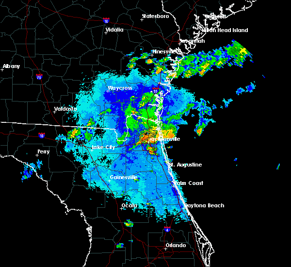 The severe thunderstorm warning for northern duval county will expire at 900 pm edt, the storm which prompted the warning has weakened below severe limits, and no longer poses an immediate threat to life or property. therefore the warning will be allowed to expire. however, the storm is still capable of producing 40 mph wind gusts as it moves southward. The severe thunderstorm warning for northern duval county will expire at 900 pm edt, the storm which prompted the warning has weakened below severe limits, and no longer poses an immediate threat to life or property. therefore the warning will be allowed to expire. however, the storm is still capable of producing 40 mph wind gusts as it moves southward.
|
| 10/16/2017 8:49 PM EDT |
 At 848 pm edt, a severe thunderstorm was located near cisco gardens, or just southwest of jacksonville international arpt, moving southeast at 20 mph (radar indicated). Hazards include 60 mph wind gusts and nickel size hail. Expect damage to roofs, siding, and trees. Locations impacted include, jacksonville international arpt and oceanway. At 848 pm edt, a severe thunderstorm was located near cisco gardens, or just southwest of jacksonville international arpt, moving southeast at 20 mph (radar indicated). Hazards include 60 mph wind gusts and nickel size hail. Expect damage to roofs, siding, and trees. Locations impacted include, jacksonville international arpt and oceanway.
|
| 10/16/2017 8:32 PM EDT |
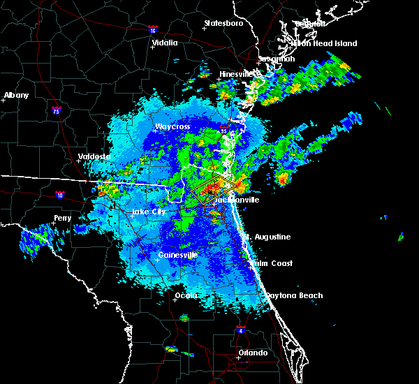 At 831 pm edt, severe thunderstorms were located along a line extending from near yulee to near ratliff, moving southeast at 15 mph (radar indicated). Hazards include 60 mph wind gusts and nickel size hail. Expect damage to roofs, siding, and trees. Locations impacted include, jacksonville international arpt, yulee and oceanway. At 831 pm edt, severe thunderstorms were located along a line extending from near yulee to near ratliff, moving southeast at 15 mph (radar indicated). Hazards include 60 mph wind gusts and nickel size hail. Expect damage to roofs, siding, and trees. Locations impacted include, jacksonville international arpt, yulee and oceanway.
|
| 10/16/2017 8:12 PM EDT |
 At 811 pm edt, severe thunderstorms were located along a line extending from st. marys to ratliff, moving southeast at 15 mph (radar indicated). Hazards include 60 mph wind gusts and quarter size hail. Hail damage to vehicles is expected. Expect wind damage to roofs, siding, and trees. At 811 pm edt, severe thunderstorms were located along a line extending from st. marys to ratliff, moving southeast at 15 mph (radar indicated). Hazards include 60 mph wind gusts and quarter size hail. Hail damage to vehicles is expected. Expect wind damage to roofs, siding, and trees.
|
| 9/11/2017 3:52 AM EDT |
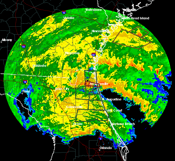 The tornado warning for east central duval county will expire at 400 am edt, the storm which prompted the warning has weakened below severe limits, and no longer appears capable of producing a tornado. therefore the warning will be allowed to expire. a tornado watch remains in effect until 1100 am edt for northeastern florida. The tornado warning for east central duval county will expire at 400 am edt, the storm which prompted the warning has weakened below severe limits, and no longer appears capable of producing a tornado. therefore the warning will be allowed to expire. a tornado watch remains in effect until 1100 am edt for northeastern florida.
|
| 9/11/2017 3:36 AM EDT |
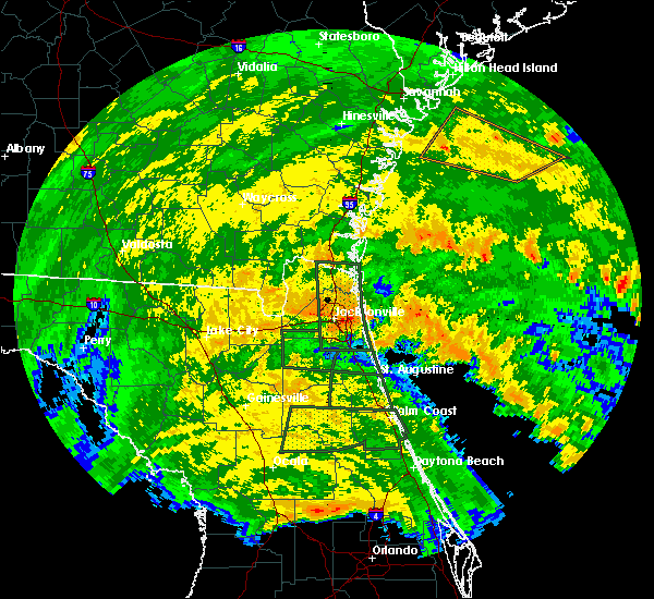 At 335 am edt, a severe thunderstorm capable of producing a tornado was located just east neptune beach, or 8 miles north of ponte vedra beach, moving west at 60 mph (radar indicated rotation). Hazards include tornado. Flying debris will be dangerous to those caught without shelter. mobile homes will be damaged or destroyed. damage to roofs, windows, and vehicles will occur. tree damage is likely. this dangerous storm will be near, fort caroline and craig field around 345 am edt. arlington around 350 am edt. Other locations impacted by this tornadic thunderstorm include tallyrand. At 335 am edt, a severe thunderstorm capable of producing a tornado was located just east neptune beach, or 8 miles north of ponte vedra beach, moving west at 60 mph (radar indicated rotation). Hazards include tornado. Flying debris will be dangerous to those caught without shelter. mobile homes will be damaged or destroyed. damage to roofs, windows, and vehicles will occur. tree damage is likely. this dangerous storm will be near, fort caroline and craig field around 345 am edt. arlington around 350 am edt. Other locations impacted by this tornadic thunderstorm include tallyrand.
|
| 9/1/2017 11:10 PM EDT |
 At 1110 pm edt, severe thunderstorms were located along a line extending from near yulee to 8 miles northeast of oceanway, moving northeast at 35 mph (radar indicated). Hazards include 60 mph wind gusts. expect damage to roofs, siding, and trees At 1110 pm edt, severe thunderstorms were located along a line extending from near yulee to 8 miles northeast of oceanway, moving northeast at 35 mph (radar indicated). Hazards include 60 mph wind gusts. expect damage to roofs, siding, and trees
|
| 9/1/2017 11:05 PM EDT |
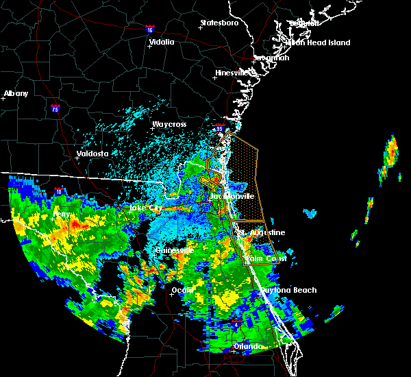 At 1105 pm edt, a severe thunderstorm was located near jacksonville international arpt, moving east at 25 mph (radar indicated). Hazards include 60 mph wind gusts. Expect damage to roofs, siding, and trees. This severe thunderstorm will remain over mainly rural areas of central nassau and north central duval counties. At 1105 pm edt, a severe thunderstorm was located near jacksonville international arpt, moving east at 25 mph (radar indicated). Hazards include 60 mph wind gusts. Expect damage to roofs, siding, and trees. This severe thunderstorm will remain over mainly rural areas of central nassau and north central duval counties.
|
| 9/1/2017 10:52 PM EDT |
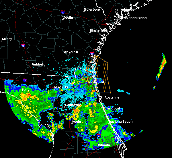 At 1052 pm edt, a severe thunderstorm was located over jacksonville international arpt, moving northeast at 25 mph (radar indicated). Hazards include 60 mph wind gusts. Expect damage to roofs, siding, and trees. Locations impacted include, jacksonville international arpt, ratliff, oceanway and nassau village-ratliff. At 1052 pm edt, a severe thunderstorm was located over jacksonville international arpt, moving northeast at 25 mph (radar indicated). Hazards include 60 mph wind gusts. Expect damage to roofs, siding, and trees. Locations impacted include, jacksonville international arpt, ratliff, oceanway and nassau village-ratliff.
|
| 9/1/2017 10:38 PM EDT |
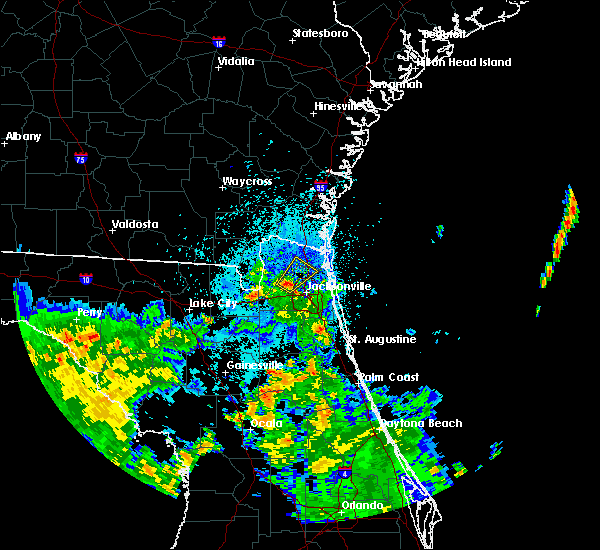 At 1038 pm edt, a severe thunderstorm was located near cisco gardens, or near jacksonville international arpt, moving northeast at 25 mph (radar indicated). Hazards include 60 mph wind gusts and penny size hail. expect damage to roofs, siding, and trees At 1038 pm edt, a severe thunderstorm was located near cisco gardens, or near jacksonville international arpt, moving northeast at 25 mph (radar indicated). Hazards include 60 mph wind gusts and penny size hail. expect damage to roofs, siding, and trees
|
| 9/1/2017 2:42 PM EDT |
 The severe thunderstorm warning for east central nassau and northeastern duval counties will expire at 245 pm edt, the storm which prompted the warning has moved out of the area. therefore the warning will be allowed to expire. however gusty winds and heavy rain are still possible with this thunderstorm. The severe thunderstorm warning for east central nassau and northeastern duval counties will expire at 245 pm edt, the storm which prompted the warning has moved out of the area. therefore the warning will be allowed to expire. however gusty winds and heavy rain are still possible with this thunderstorm.
|
| 9/1/2017 2:32 PM EDT |
 At 231 pm edt, a severe thunderstorm was located near fernandina beach, moving northeast at 30 mph (radar indicated). Hazards include 70 mph wind gusts and penny size hail. Expect considerable tree damage. damage is likely to mobile homes, roofs, and outbuildings. Locations impacted include, fernandina beach, yulee and little talbot island. At 231 pm edt, a severe thunderstorm was located near fernandina beach, moving northeast at 30 mph (radar indicated). Hazards include 70 mph wind gusts and penny size hail. Expect considerable tree damage. damage is likely to mobile homes, roofs, and outbuildings. Locations impacted include, fernandina beach, yulee and little talbot island.
|
| 9/1/2017 2:20 PM EDT | 911 call center reported power lines down on dunn creek road. time estimated from radar dat in duval county FL, 9 miles SW of Jacksonville, FL |
| 9/1/2017 2:20 PM EDT | Off duty nws employee estimated wind gusts of 60 mp in duval county FL, 9.1 miles SSW of Jacksonville, FL |
| 9/1/2017 2:16 PM EDT | 911 call center reported power lines down on woodland drive. time estimated using radar dat in duval county FL, 7.6 miles SSW of Jacksonville, FL |
| 9/1/2017 2:16 PM EDT | 911 call center reported power lines down near castleberry road and hollings street. time estimated from radar dat in duval county FL, 9.1 miles SSW of Jacksonville, FL |
| 9/1/2017 2:15 PM EDT |
 At 215 pm edt, a severe thunderstorm was located near oceanway, or 7 miles east of jacksonville international arpt, moving northeast at 30 mph (radar indicated). Hazards include 70 mph wind gusts and penny size hail. Expect considerable tree damage. damage is likely to mobile homes, roofs, and outbuildings. Locations impacted include, fernandina beach, jacksonville international arpt, unf, arlington, yulee, neptune beach, oceanway, san pablo, craig field and little talbot island. At 215 pm edt, a severe thunderstorm was located near oceanway, or 7 miles east of jacksonville international arpt, moving northeast at 30 mph (radar indicated). Hazards include 70 mph wind gusts and penny size hail. Expect considerable tree damage. damage is likely to mobile homes, roofs, and outbuildings. Locations impacted include, fernandina beach, jacksonville international arpt, unf, arlington, yulee, neptune beach, oceanway, san pablo, craig field and little talbot island.
|
| 9/1/2017 2:10 PM EDT | Broadcast media relayed photographs showing several trees down near the uf health center. time estimated from radar dat in duval county FL, 7.6 miles SSW of Jacksonville, FL |
| 9/1/2017 1:52 PM EDT |
 At 152 pm edt, a severe thunderstorm was located near cisco gardens, or near jacksonville international arpt, moving northeast at 30 mph (radar indicated). Hazards include 60 mph wind gusts and penny size hail. expect damage to roofs, siding, and trees At 152 pm edt, a severe thunderstorm was located near cisco gardens, or near jacksonville international arpt, moving northeast at 30 mph (radar indicated). Hazards include 60 mph wind gusts and penny size hail. expect damage to roofs, siding, and trees
|
| 9/1/2017 1:42 PM EDT |
 The severe thunderstorm warning for southwestern nassau and northwestern duval counties will expire at 145 pm edt, the storm which prompted the warning has weakened below severe limits, and no longer poses an immediate threat to life or property. therefore the warning will be allowed to expire. however gusty winds and heavy rain are still possible with this thunderstorm. The severe thunderstorm warning for southwestern nassau and northwestern duval counties will expire at 145 pm edt, the storm which prompted the warning has weakened below severe limits, and no longer poses an immediate threat to life or property. therefore the warning will be allowed to expire. however gusty winds and heavy rain are still possible with this thunderstorm.
|
| 9/1/2017 1:42 PM EDT |
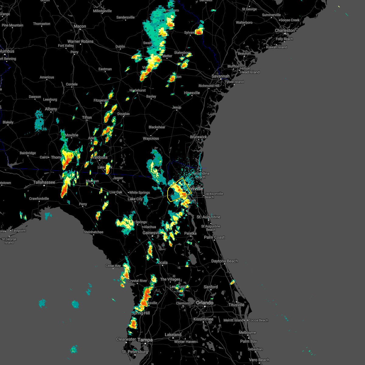 The severe thunderstorm warning for southwestern nassau and northwestern duval counties will expire at 145 pm edt, the storm which prompted the warning has weakened below severe limits, and no longer poses an immediate threat to life or property. therefore the warning will be allowed to expire. however gusty winds and heavy rain are still possible with this thunderstorm. The severe thunderstorm warning for southwestern nassau and northwestern duval counties will expire at 145 pm edt, the storm which prompted the warning has weakened below severe limits, and no longer poses an immediate threat to life or property. therefore the warning will be allowed to expire. however gusty winds and heavy rain are still possible with this thunderstorm.
|
| 9/1/2017 1:22 PM EDT |
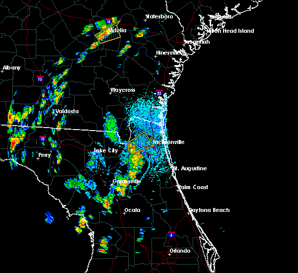 At 122 pm edt, a severe thunderstorm was located near bryceville, or 18 miles north of middleburg, moving northeast at 30 mph (radar indicated). Hazards include 60 mph wind gusts and penny size hail. expect damage to roofs, siding, and trees At 122 pm edt, a severe thunderstorm was located near bryceville, or 18 miles north of middleburg, moving northeast at 30 mph (radar indicated). Hazards include 60 mph wind gusts and penny size hail. expect damage to roofs, siding, and trees
|
| 8/24/2017 6:38 PM EDT |
 At 638 pm edt, a severe thunderstorm was located over oakleaf plantation, or 7 miles north of middleburg, moving south at 10 mph (radar indicated). Hazards include 60 mph wind gusts. Expect damage to roofs, siding, and trees. Locations impacted include, middleburg, oakleaf plantation, lakeside and asbury lake. At 638 pm edt, a severe thunderstorm was located over oakleaf plantation, or 7 miles north of middleburg, moving south at 10 mph (radar indicated). Hazards include 60 mph wind gusts. Expect damage to roofs, siding, and trees. Locations impacted include, middleburg, oakleaf plantation, lakeside and asbury lake.
|
| 8/24/2017 6:15 PM EDT |
 At 615 pm edt, a severe thunderstorm was located near cecil field, or 11 miles northwest of orange park, moving south at 10 mph (radar indicated). Hazards include 60 mph wind gusts and penny size hail. expect damage to roofs, siding, and trees At 615 pm edt, a severe thunderstorm was located near cecil field, or 11 miles northwest of orange park, moving south at 10 mph (radar indicated). Hazards include 60 mph wind gusts and penny size hail. expect damage to roofs, siding, and trees
|
| 8/24/2017 6:05 PM EDT | 911 call center reported tree down on power lines on church ave. time estimated using radar dat in nassau county FL, 15.1 miles E of Jacksonville, FL |
| 8/24/2017 6:04 PM EDT |
 At 603 pm edt, a severe thunderstorm was located near bryceville, or 13 miles west of jacksonville, moving southwest at 10 to 15 mph (radar indicated). Hazards include 60 mph wind gusts and penny size hail. Expect damage to roofs, siding, and trees. Locations impacted include, cecil field, normandy, cisco gardens, jacksonville heights and whitehouse air field. At 603 pm edt, a severe thunderstorm was located near bryceville, or 13 miles west of jacksonville, moving southwest at 10 to 15 mph (radar indicated). Hazards include 60 mph wind gusts and penny size hail. Expect damage to roofs, siding, and trees. Locations impacted include, cecil field, normandy, cisco gardens, jacksonville heights and whitehouse air field.
|
| 8/24/2017 6:00 PM EDT | 911 call center reported tree down on fernadina ave. time estimated using radar dat in duval county FL, 0.4 miles W of Jacksonville, FL |
| 8/24/2017 5:59 PM EDT |
 At 558 pm edt, a severe thunderstorm was located near bryceville, or 18 miles southwest of callahan, moving southwest at 15 mph (radar indicated). Hazards include 60 mph wind gusts and penny size hail. expect damage to roofs, siding, and trees At 558 pm edt, a severe thunderstorm was located near bryceville, or 18 miles southwest of callahan, moving southwest at 15 mph (radar indicated). Hazards include 60 mph wind gusts and penny size hail. expect damage to roofs, siding, and trees
|
| 8/24/2017 5:53 PM EDT | Broadcast media report of trees and wires down on otis road near the nassau county and duval county border. time estimated using radar dat in duval county FL, 14.5 miles E of Jacksonville, FL |
| 8/24/2017 5:38 PM EDT |
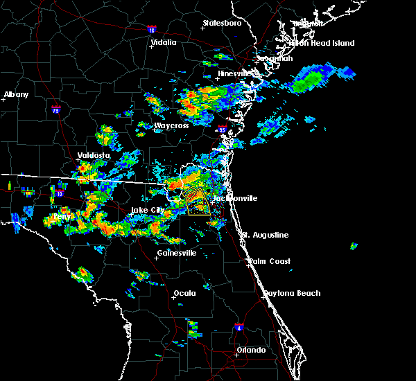 At 538 pm edt, a severe thunderstorm was located near bryceville, or 8 miles southwest of callahan, and is nearly stationary (radar indicated). Hazards include 60 mph wind gusts. Expect damage to roofs, siding, and trees. This severe thunderstorm will remain over mainly rural areas of southwestern nassau county. At 538 pm edt, a severe thunderstorm was located near bryceville, or 8 miles southwest of callahan, and is nearly stationary (radar indicated). Hazards include 60 mph wind gusts. Expect damage to roofs, siding, and trees. This severe thunderstorm will remain over mainly rural areas of southwestern nassau county.
|
| 8/24/2017 5:35 PM EDT |
 At 535 pm edt, a severe thunderstorm was located near cisco gardens, or 10 miles southwest of jacksonville international arpt, moving south at 10 mph (radar indicated). Hazards include 60 mph wind gusts and penny size hail. expect damage to roofs, siding, and trees At 535 pm edt, a severe thunderstorm was located near cisco gardens, or 10 miles southwest of jacksonville international arpt, moving south at 10 mph (radar indicated). Hazards include 60 mph wind gusts and penny size hail. expect damage to roofs, siding, and trees
|
| 8/24/2017 5:12 PM EDT |
 At 512 pm edt, a severe thunderstorm was located near hilliard, moving southwest at 10 mph (radar indicated). Hazards include 60 mph wind gusts and penny size hail. expect damage to roofs, siding, and trees At 512 pm edt, a severe thunderstorm was located near hilliard, moving southwest at 10 mph (radar indicated). Hazards include 60 mph wind gusts and penny size hail. expect damage to roofs, siding, and trees
|
| 8/24/2017 4:50 PM EDT |
 At 450 pm edt, a severe thunderstorm was located near callahan, moving southeast at 10 mph (radar indicated). Hazards include 60 mph wind gusts and penny size hail. expect damage to roofs, siding, and trees At 450 pm edt, a severe thunderstorm was located near callahan, moving southeast at 10 mph (radar indicated). Hazards include 60 mph wind gusts and penny size hail. expect damage to roofs, siding, and trees
|
| 8/20/2017 3:39 PM EDT |
 The severe thunderstorm warning for northwestern st. johns, northeastern clay and southeastern duval counties will expire at 345 pm edt, the storm which prompted the warning has weakened below severe limits, and has exited the warned area. therefore, the warning will be allowed to expire. however gusty winds and heavy rain are still possible with this thunderstorm. The severe thunderstorm warning for northwestern st. johns, northeastern clay and southeastern duval counties will expire at 345 pm edt, the storm which prompted the warning has weakened below severe limits, and has exited the warned area. therefore, the warning will be allowed to expire. however gusty winds and heavy rain are still possible with this thunderstorm.
|
| 8/20/2017 3:31 PM EDT |
 At 331 pm edt, a severe thunderstorm was located over nas jax, or near mandarin, moving south at 10 mph (radar indicated). Hazards include 60 mph wind gusts and nickel size hail. Expect damage to roofs, siding, and trees. Locations impacted include, orange park, mandarin, nas jax, baymeadows and bellair-meadowbrook terrace. At 331 pm edt, a severe thunderstorm was located over nas jax, or near mandarin, moving south at 10 mph (radar indicated). Hazards include 60 mph wind gusts and nickel size hail. Expect damage to roofs, siding, and trees. Locations impacted include, orange park, mandarin, nas jax, baymeadows and bellair-meadowbrook terrace.
|
| 8/20/2017 3:30 PM EDT | Downed power lines on hood landing rd... south of julington creek rd. time estimated with rada in duval county FL, 17.4 miles NNW of Jacksonville, FL |
| 8/20/2017 3:22 PM EDT |
 At 322 pm edt, a severe thunderstorm was located over nas jax, or near orange park, moving south at 5 mph (radar indicated). Hazards include 60 mph wind gusts and nickel size hail. Expect damage to roofs, siding, and trees. Locations impacted include, jacksonville, orange park, mandarin, nas jax, baymeadows, ortega, bellair-meadowbrook terrace, riverside, san marco and jacksonville heights. At 322 pm edt, a severe thunderstorm was located over nas jax, or near orange park, moving south at 5 mph (radar indicated). Hazards include 60 mph wind gusts and nickel size hail. Expect damage to roofs, siding, and trees. Locations impacted include, jacksonville, orange park, mandarin, nas jax, baymeadows, ortega, bellair-meadowbrook terrace, riverside, san marco and jacksonville heights.
|
| 8/20/2017 3:10 PM EDT |
 At 310 pm edt, a severe thunderstorm was located near nas jax, or near jacksonville, moving south at 5 mph (radar indicated). Hazards include 60 mph wind gusts and nickel size hail. expect damage to roofs, siding, and trees At 310 pm edt, a severe thunderstorm was located near nas jax, or near jacksonville, moving south at 5 mph (radar indicated). Hazards include 60 mph wind gusts and nickel size hail. expect damage to roofs, siding, and trees
|
| 8/19/2017 7:39 PM EDT |
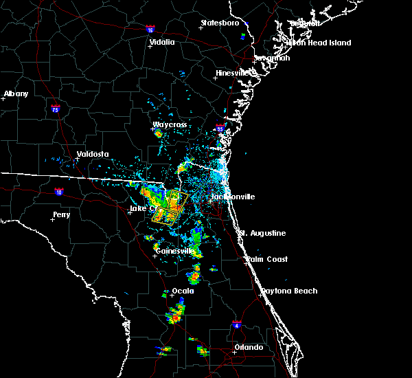 At 739 pm edt, severe thunderstorms were located along a line extending from macclenny to near taylor, moving north at 5 mph (radar indicated). Hazards include 60 mph wind gusts and penny size hail. Expect damage to roofs, siding, and trees. locations impacted include, macclenny, glen st. Mary, bryceville and baldwin. At 739 pm edt, severe thunderstorms were located along a line extending from macclenny to near taylor, moving north at 5 mph (radar indicated). Hazards include 60 mph wind gusts and penny size hail. Expect damage to roofs, siding, and trees. locations impacted include, macclenny, glen st. Mary, bryceville and baldwin.
|
| 8/19/2017 7:02 PM EDT |
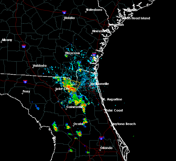 At 702 pm edt, severe thunderstorms were located along a line extending from near maxville to near sanderson, moving north at 5 mph (radar indicated). Hazards include 60 mph wind gusts and penny size hail. expect damage to roofs, siding, and trees At 702 pm edt, severe thunderstorms were located along a line extending from near maxville to near sanderson, moving north at 5 mph (radar indicated). Hazards include 60 mph wind gusts and penny size hail. expect damage to roofs, siding, and trees
|
| 8/19/2017 4:33 PM EDT |
 At 422 pm edt, a severe thunderstorm was located over jacksonville international arpt, moving northeast at 10 mph (radar indicated). Hazards include 60 mph wind gusts. pea size hail was observated at the jacksonville airport with this storm. Expect damage to roofs, siding, and trees. Locations impacted include, jacksonville international arpt and oceanway. At 422 pm edt, a severe thunderstorm was located over jacksonville international arpt, moving northeast at 10 mph (radar indicated). Hazards include 60 mph wind gusts. pea size hail was observated at the jacksonville airport with this storm. Expect damage to roofs, siding, and trees. Locations impacted include, jacksonville international arpt and oceanway.
|
| 8/19/2017 4:22 PM EDT |
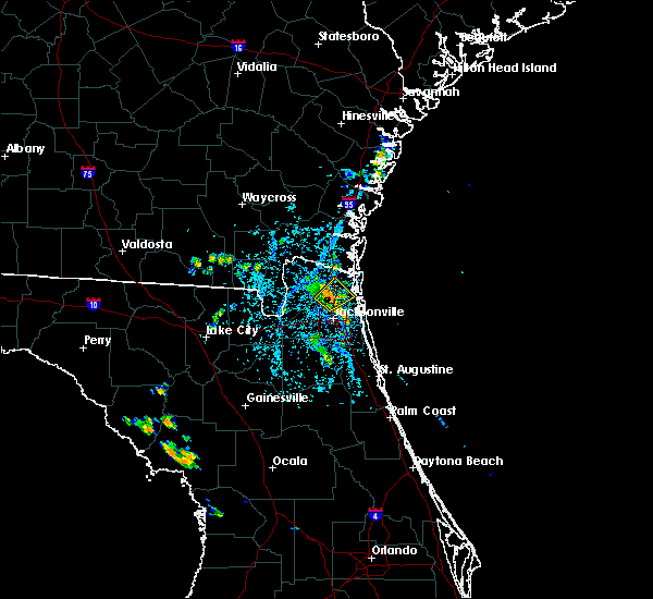 At 422 pm edt, a severe thunderstorm was located over jacksonville international arpt, moving northeast at 10 mph (radar indicated). Hazards include 60 mph wind gusts. pea size hail was observated at the jacksonville airport with this storm. Expect damage to roofs, siding, and trees. Locations impacted include, jacksonville international arpt and oceanway. At 422 pm edt, a severe thunderstorm was located over jacksonville international arpt, moving northeast at 10 mph (radar indicated). Hazards include 60 mph wind gusts. pea size hail was observated at the jacksonville airport with this storm. Expect damage to roofs, siding, and trees. Locations impacted include, jacksonville international arpt and oceanway.
|
| 8/19/2017 4:10 PM EDT |
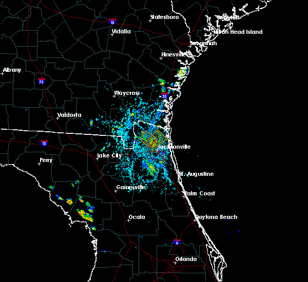 At 410 pm edt, a severe thunderstorm was located over jacksonville international arpt, moving northeast at 15 mph (radar indicated). Hazards include 60 mph wind gusts. expect damage to roofs, siding, and trees At 410 pm edt, a severe thunderstorm was located over jacksonville international arpt, moving northeast at 15 mph (radar indicated). Hazards include 60 mph wind gusts. expect damage to roofs, siding, and trees
|
| 8/19/2017 4:06 PM EDT |
 At 406 pm edt, a severe thunderstorm was located over nassau village-ratliff, or near callahan, moving northeast at 15 mph (radar indicated). Hazards include 60 mph wind gusts. Expect damage to roofs, siding, and trees. Locations impacted include, callahan, jacksonville international arpt, ratliff and nassau village-ratliff. At 406 pm edt, a severe thunderstorm was located over nassau village-ratliff, or near callahan, moving northeast at 15 mph (radar indicated). Hazards include 60 mph wind gusts. Expect damage to roofs, siding, and trees. Locations impacted include, callahan, jacksonville international arpt, ratliff and nassau village-ratliff.
|
| 8/19/2017 3:36 PM EDT |
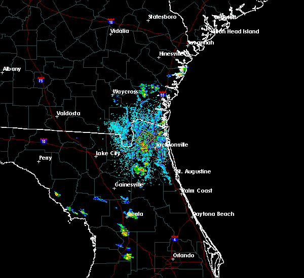 At 336 pm edt, a severe thunderstorm was located near bryceville, or 9 miles south of callahan, moving northeast at 10 mph (radar indicated). Hazards include 60 mph wind gusts. expect damage to roofs, siding, and trees At 336 pm edt, a severe thunderstorm was located near bryceville, or 9 miles south of callahan, moving northeast at 10 mph (radar indicated). Hazards include 60 mph wind gusts. expect damage to roofs, siding, and trees
|
| 8/18/2017 3:30 PM EDT |
 At 330 pm edt, a severe thunderstorm was located near jacksonville international arpt, and is nearly stationary (radar indicated). Hazards include 60 mph wind gusts. expect damage to roofs, siding, and trees At 330 pm edt, a severe thunderstorm was located near jacksonville international arpt, and is nearly stationary (radar indicated). Hazards include 60 mph wind gusts. expect damage to roofs, siding, and trees
|
| 8/9/2017 4:12 PM EDT |
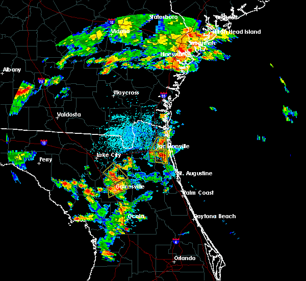 At 412 pm edt, a severe thunderstorm was located near oceanway, or 7 miles east of jacksonville international arpt, moving south at 10 mph (radar indicated). Hazards include 60 mph wind gusts. expect damage to roofs, siding, and trees At 412 pm edt, a severe thunderstorm was located near oceanway, or 7 miles east of jacksonville international arpt, moving south at 10 mph (radar indicated). Hazards include 60 mph wind gusts. expect damage to roofs, siding, and trees
|
| 8/9/2017 4:06 PM EDT |
 At 405 pm edt, severe thunderstorms were located along a line extending from near baymeadows to near fruit cove, and are nearly stationary (radar indicated). Hazards include 60 mph wind gusts. Expect damage to roofs, siding, and trees. Locations impacted include, jacksonville, mandarin, unf, baymeadows, bayard, craig field, riverside, san marco and nas jax. At 405 pm edt, severe thunderstorms were located along a line extending from near baymeadows to near fruit cove, and are nearly stationary (radar indicated). Hazards include 60 mph wind gusts. Expect damage to roofs, siding, and trees. Locations impacted include, jacksonville, mandarin, unf, baymeadows, bayard, craig field, riverside, san marco and nas jax.
|
| 8/9/2017 3:51 PM EDT |
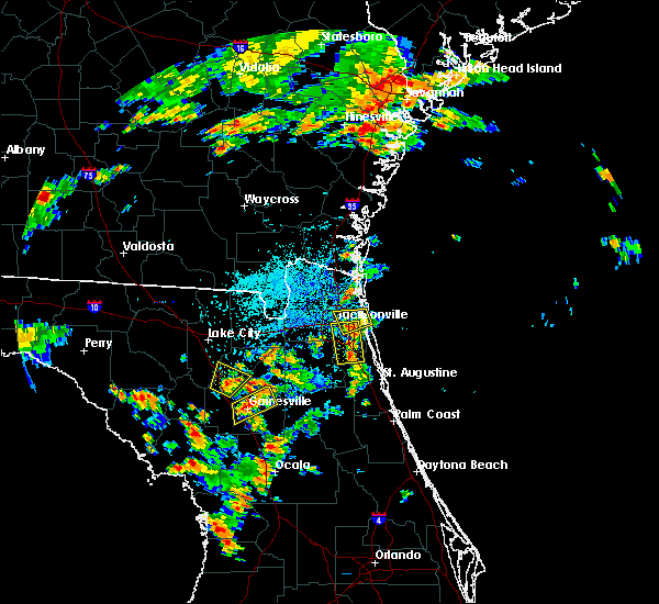 The severe thunderstorm warning for east central duval county will expire at 400 pm edt, the storm which prompted the warning has moved out of the area. therefore the warning will be allowed to expire. however gusty winds are still possible with this thunderstorm. remember, a severe thunderstorm warning still remains in effect for south central duval county. The severe thunderstorm warning for east central duval county will expire at 400 pm edt, the storm which prompted the warning has moved out of the area. therefore the warning will be allowed to expire. however gusty winds are still possible with this thunderstorm. remember, a severe thunderstorm warning still remains in effect for south central duval county.
|
| 8/9/2017 3:45 PM EDT |
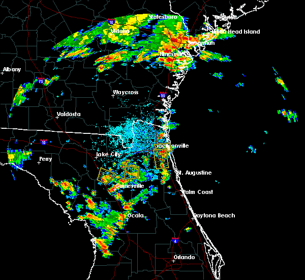 At 345 pm edt, severe thunderstorms were located along a line extending from near unf to near fruit cove, and are nearly stationary (radar indicated). Hazards include 60 mph wind gusts. expect damage to roofs, siding, and trees At 345 pm edt, severe thunderstorms were located along a line extending from near unf to near fruit cove, and are nearly stationary (radar indicated). Hazards include 60 mph wind gusts. expect damage to roofs, siding, and trees
|
| 8/9/2017 3:23 PM EDT |
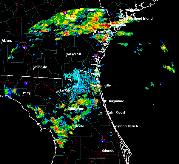 At 323 pm edt, a severe thunderstorm was located over craig field, or near unf, and is nearly stationary (radar indicated). Hazards include 60 mph wind gusts. expect damage to roofs, siding, and trees At 323 pm edt, a severe thunderstorm was located over craig field, or near unf, and is nearly stationary (radar indicated). Hazards include 60 mph wind gusts. expect damage to roofs, siding, and trees
|
| 8/9/2017 3:19 PM EDT | Wind gust of 61 mph measured at jacksonville executive airport at crai in duval county FL, 10.9 miles WNW of Jacksonville, FL |
| 8/6/2017 6:41 PM EDT |
 At 641 pm edt, a severe thunderstorm was located near callahan, moving northeast at 15 mph (radar indicated). Hazards include 60 mph wind gusts. Expect damage to roofs, siding, and trees. Locations impacted include, hilliard, callahan, ratliff and nassau village-ratliff. At 641 pm edt, a severe thunderstorm was located near callahan, moving northeast at 15 mph (radar indicated). Hazards include 60 mph wind gusts. Expect damage to roofs, siding, and trees. Locations impacted include, hilliard, callahan, ratliff and nassau village-ratliff.
|
| 8/6/2017 6:29 PM EDT |
 At 629 pm edt, a severe thunderstorm was located over ratliff, or near callahan, moving north at 10 mph. pea size hail is also possible (radar indicated). Hazards include 60 mph wind gusts. expect damage to roofs, siding, and trees At 629 pm edt, a severe thunderstorm was located over ratliff, or near callahan, moving north at 10 mph. pea size hail is also possible (radar indicated). Hazards include 60 mph wind gusts. expect damage to roofs, siding, and trees
|
| 7/29/2017 3:53 PM EDT |
 At 353 pm edt, a severe thunderstorm was located over world golf village, or 10 miles southeast of fruit cove, moving east at 35 mph (radar indicated). Hazards include 60 mph wind gusts. Expect damage to roofs, siding, and trees. Locations impacted include, saint augustine, world golf village, saint augustine beach, nocatee, durbin, vilano beach, palm valley, south ponte vedra, guana river state park and sawgrass. At 353 pm edt, a severe thunderstorm was located over world golf village, or 10 miles southeast of fruit cove, moving east at 35 mph (radar indicated). Hazards include 60 mph wind gusts. Expect damage to roofs, siding, and trees. Locations impacted include, saint augustine, world golf village, saint augustine beach, nocatee, durbin, vilano beach, palm valley, south ponte vedra, guana river state park and sawgrass.
|
| 7/29/2017 3:37 PM EDT |
 At 337 pm edt, a severe thunderstorm was located over green cove springs, moving east at 35 mph (radar indicated). Hazards include 60 mph wind gusts. Expect damage to roofs, siding, and trees. Locations impacted include, saint augustine, green cove springs, fruit cove, world golf village, saint augustine beach, sawgrass, nocatee, durbin, vilano beach and switzerland. At 337 pm edt, a severe thunderstorm was located over green cove springs, moving east at 35 mph (radar indicated). Hazards include 60 mph wind gusts. Expect damage to roofs, siding, and trees. Locations impacted include, saint augustine, green cove springs, fruit cove, world golf village, saint augustine beach, sawgrass, nocatee, durbin, vilano beach and switzerland.
|
| 7/29/2017 3:27 PM EDT |
 At 327 pm edt, a severe thunderstorm was located near green cove springs, moving east at 30 mph (radar indicated). Hazards include 60 mph wind gusts. expect damage to roofs, siding, and trees At 327 pm edt, a severe thunderstorm was located near green cove springs, moving east at 30 mph (radar indicated). Hazards include 60 mph wind gusts. expect damage to roofs, siding, and trees
|
| 7/27/2017 1:45 PM EDT | Possible tornado touchdown at huguenot park. nws enroute to survey. a lifeguard truck was damaged but still operational. a lifeguard tower was damaged. debris is scatte in duval county FL, 16.2 miles W of Jacksonville, FL |
| 7/27/2017 1:35 PM EDT | Thunderstorm damage near golf course just south of mayport. tracktor trailer was toppled in addition to roof damage and damage to cars from construction debris. was det in duval county FL, 16.6 miles W of Jacksonville, FL |
| 7/27/2017 1:32 PM EDT | Broadcast media forwarded report of tree on mobile home on wonderwood drive. time estimated from radar dat in duval county FL, 16 miles W of Jacksonville, FL |
| 7/26/2017 6:40 PM EDT |
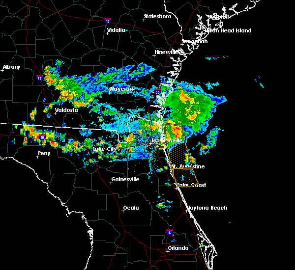 The severe thunderstorm warning for east central duval county will expire at 645 pm edt, the storm which prompted the warning has weakened below severe limits, and no longer poses an immediate threat to life or property. therefore the warning will be allowed to expire. however gusty winds to 45 mph and locally heavy rain that can cause ponding on local roadways are still possible with this thunderstorm. The severe thunderstorm warning for east central duval county will expire at 645 pm edt, the storm which prompted the warning has weakened below severe limits, and no longer poses an immediate threat to life or property. therefore the warning will be allowed to expire. however gusty winds to 45 mph and locally heavy rain that can cause ponding on local roadways are still possible with this thunderstorm.
|
| 7/26/2017 6:31 PM EDT |
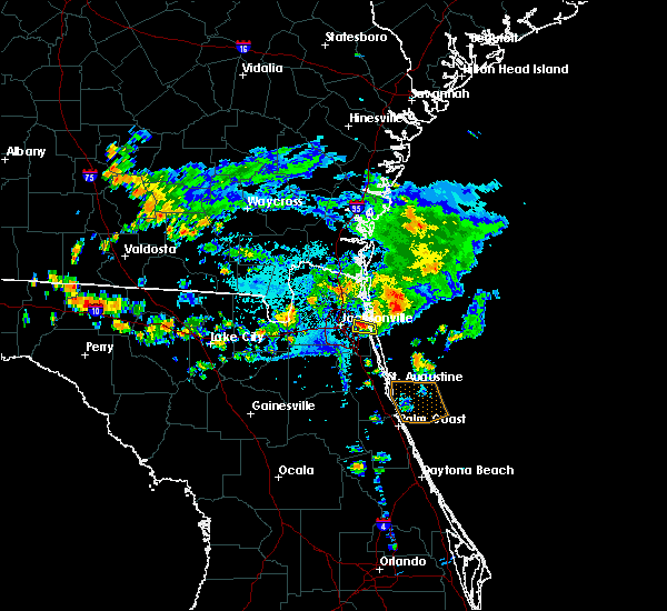 At 630 pm edt, a severe thunderstorm was located over craig field, or near unf, moving east at 15 mph (radar indicated). Hazards include 60 mph wind gusts. expect damage to roofs, siding, and trees At 630 pm edt, a severe thunderstorm was located over craig field, or near unf, moving east at 15 mph (radar indicated). Hazards include 60 mph wind gusts. expect damage to roofs, siding, and trees
|
| 7/26/2017 6:18 PM EDT |
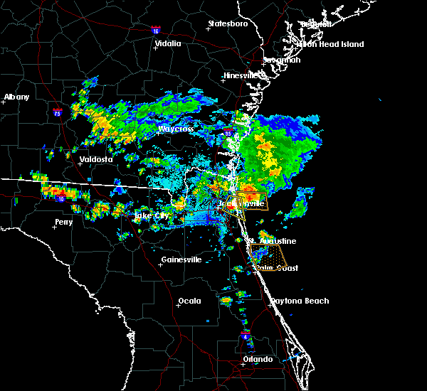 At 618 pm edt, a severe thunderstorm was located over fort caroline, or 7 miles northeast of unf, moving east at 20 mph (radar indicated). Hazards include 60 mph wind gusts. Expect damage to roofs, siding, and trees. Locations impacted include, unf, ponte vedra beach, neptune beach, san pablo, craig field, little talbot island, fort caroline and sawgrass. At 618 pm edt, a severe thunderstorm was located over fort caroline, or 7 miles northeast of unf, moving east at 20 mph (radar indicated). Hazards include 60 mph wind gusts. Expect damage to roofs, siding, and trees. Locations impacted include, unf, ponte vedra beach, neptune beach, san pablo, craig field, little talbot island, fort caroline and sawgrass.
|
| 7/26/2017 6:12 PM EDT | An off duty nws employee estimated wind gust of 60-65 mph in fort carolin in duval county FL, 9.4 miles W of Jacksonville, FL |
| 7/26/2017 6:11 PM EDT | Powerlines were blown down across interstate 295 at monument road. heavy traffic delays. police on scence. report relayed to nws jax from broadcast media via florida hi in duval county FL, 9.2 miles WNW of Jacksonville, FL |
| 7/26/2017 6:05 PM EDT | An off duty nws employee estimated wind gust of 50-60 mph in fort caroline. update to prior repor in duval county FL, 9.4 miles W of Jacksonville, FL |
| 7/26/2017 5:59 PM EDT |
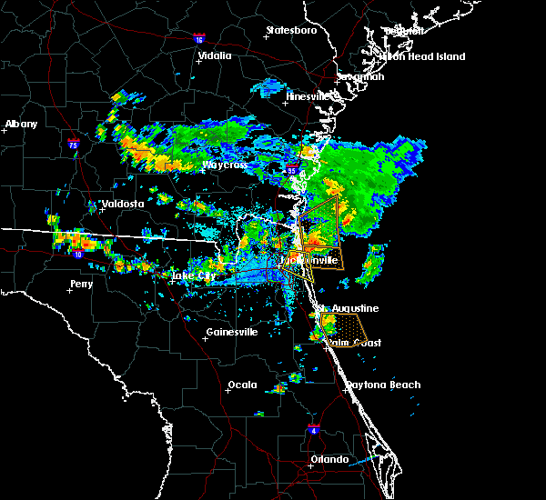 At 559 pm edt, a severe thunderstorm was located over fort caroline, or near arlington, moving east at 15 mph (radar indicated). Hazards include 60 mph wind gusts. expect damage to roofs, siding, and trees At 559 pm edt, a severe thunderstorm was located over fort caroline, or near arlington, moving east at 15 mph (radar indicated). Hazards include 60 mph wind gusts. expect damage to roofs, siding, and trees
|
| 7/22/2017 3:31 PM EDT |
 At 330 pm edt, a severe thunderstorm was located over green cove springs, moving northeast at 35 mph (radar indicated). Hazards include 60 mph wind gusts. Expect damage to roofs, siding, and trees. Locations impacted include, green cove springs, fruit cove, switzerland, picolata, fleming island and penney farms. At 330 pm edt, a severe thunderstorm was located over green cove springs, moving northeast at 35 mph (radar indicated). Hazards include 60 mph wind gusts. Expect damage to roofs, siding, and trees. Locations impacted include, green cove springs, fruit cove, switzerland, picolata, fleming island and penney farms.
|
| 7/22/2017 3:09 PM EDT |
 At 309 pm edt, a severe thunderstorm was located near george`s lake, or 11 miles northeast of keystone heights, moving northeast at 35 mph (radar indicated). Hazards include 60 mph wind gusts. expect damage to roofs, siding, and trees At 309 pm edt, a severe thunderstorm was located near george`s lake, or 11 miles northeast of keystone heights, moving northeast at 35 mph (radar indicated). Hazards include 60 mph wind gusts. expect damage to roofs, siding, and trees
|
| 7/22/2017 3:00 PM EDT |
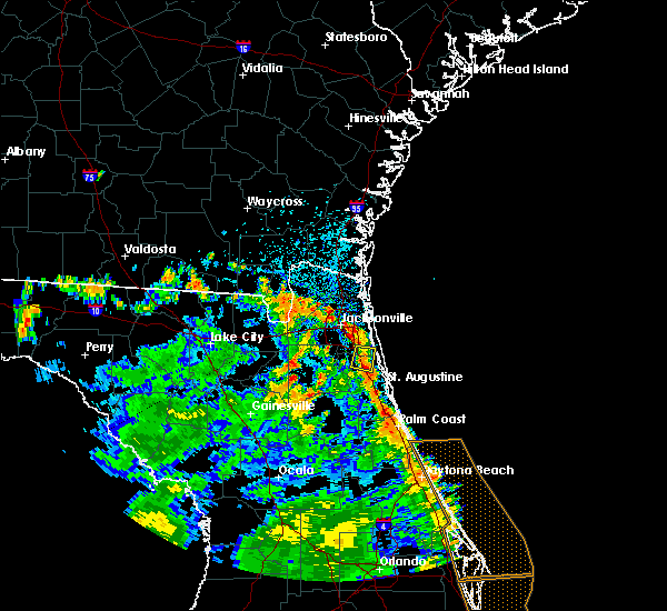 At 300 pm edt, a severe thunderstorm was located over durbin, or 8 miles east of fruit cove, moving north at 5 mph (radar indicated). Hazards include 60 mph wind gusts. Expect damage to roofs, siding, and trees. Locations impacted include, nocatee, durbin and bayard. At 300 pm edt, a severe thunderstorm was located over durbin, or 8 miles east of fruit cove, moving north at 5 mph (radar indicated). Hazards include 60 mph wind gusts. Expect damage to roofs, siding, and trees. Locations impacted include, nocatee, durbin and bayard.
|
| 7/22/2017 2:46 PM EDT |
 At 245 pm edt, a severe thunderstorm was located over durbin, or 8 miles east of fruit cove, and is nearly stationary or drifting north (radar indicated). Hazards include 60 mph wind gusts and penny size hail. expect damage to roofs, siding, and trees At 245 pm edt, a severe thunderstorm was located over durbin, or 8 miles east of fruit cove, and is nearly stationary or drifting north (radar indicated). Hazards include 60 mph wind gusts and penny size hail. expect damage to roofs, siding, and trees
|
| 7/17/2017 4:27 PM EDT |
 The severe thunderstorm warning for east central nassau county will expire at 430 pm edt. the storm which prompted the warning has weakened below severe limits, and no longer poses an immediate threat to life or property. therefore the warning will be allowed to expire. However heavy rain is still possible with this thunderstorm. The severe thunderstorm warning for east central nassau county will expire at 430 pm edt. the storm which prompted the warning has weakened below severe limits, and no longer poses an immediate threat to life or property. therefore the warning will be allowed to expire. However heavy rain is still possible with this thunderstorm.
|
| 7/17/2017 4:14 PM EDT |
 At 414 pm edt, a severe thunderstorm was located over st. marys, moving northeast at 30 mph (radar indicated). Hazards include 60 mph wind gusts and penny size hail. Expect damage to roofs, siding, and trees. Locations impacted include, fernandina beach and yulee. At 414 pm edt, a severe thunderstorm was located over st. marys, moving northeast at 30 mph (radar indicated). Hazards include 60 mph wind gusts and penny size hail. Expect damage to roofs, siding, and trees. Locations impacted include, fernandina beach and yulee.
|
| 7/17/2017 4:06 PM EDT |
 At 406 pm edt, a severe thunderstorm was located near kingsland, moving north at 25 mph (radar indicated). Hazards include 60 mph wind gusts and penny size hail. expect damage to roofs, siding, and trees At 406 pm edt, a severe thunderstorm was located near kingsland, moving north at 25 mph (radar indicated). Hazards include 60 mph wind gusts and penny size hail. expect damage to roofs, siding, and trees
|
| 7/17/2017 4:06 PM EDT |
 The national weather service in jacksonville has issued a * severe thunderstorm warning for. northeastern nassau county in northeastern florida. southern camden county in southeastern georgia. Until 445 pm edt * at 406 pm edt, a severe thunderstorm was located near kingsland,. The national weather service in jacksonville has issued a * severe thunderstorm warning for. northeastern nassau county in northeastern florida. southern camden county in southeastern georgia. Until 445 pm edt * at 406 pm edt, a severe thunderstorm was located near kingsland,.
|
| 7/17/2017 4:04 PM EDT |
 At 404 pm edt, a severe thunderstorm was located near jacksonville international arpt, moving northeast at 25 mph (radar indicated). Hazards include 60 mph wind gusts and penny size hail. Expect damage to roofs, siding, and trees. Locations impacted include, fernandina beach, jacksonville international arpt, yulee, oceanway and nassau village-ratliff. At 404 pm edt, a severe thunderstorm was located near jacksonville international arpt, moving northeast at 25 mph (radar indicated). Hazards include 60 mph wind gusts and penny size hail. Expect damage to roofs, siding, and trees. Locations impacted include, fernandina beach, jacksonville international arpt, yulee, oceanway and nassau village-ratliff.
|
| 7/17/2017 3:51 PM EDT |
 The severe thunderstorm warning for southwestern duval county will expire at 400 pm edt, the storm which prompted the warning has weakened below severe limits, and no longer poses an immediate threat to life or property. therefore the warning will be allowed to expire. however heavy rain is still possible with this thunderstorm. The severe thunderstorm warning for southwestern duval county will expire at 400 pm edt, the storm which prompted the warning has weakened below severe limits, and no longer poses an immediate threat to life or property. therefore the warning will be allowed to expire. however heavy rain is still possible with this thunderstorm.
|
| 7/17/2017 3:47 PM EDT |
 At 347 pm edt, a severe thunderstorm was located near normandy, or 9 miles northwest of orange park, moving northeast at 15 mph (radar indicated). Hazards include 60 mph wind gusts and penny size hail. Expect damage to roofs, siding, and trees. Locations impacted include, cecil field, normandy, cisco gardens, jacksonville heights and whitehouse air field. At 347 pm edt, a severe thunderstorm was located near normandy, or 9 miles northwest of orange park, moving northeast at 15 mph (radar indicated). Hazards include 60 mph wind gusts and penny size hail. Expect damage to roofs, siding, and trees. Locations impacted include, cecil field, normandy, cisco gardens, jacksonville heights and whitehouse air field.
|
| 7/17/2017 3:40 PM EDT | Duval county emergency management reports that a tree was downed by strong wind gusts and crashed into an apartment building along harts road.time of damage based on ra in duval county FL, 4.4 miles SSW of Jacksonville, FL |
| 7/17/2017 3:38 PM EDT |
 At 338 pm edt, a severe thunderstorm was located over oceanway, or 7 miles southeast of jacksonville international arpt, moving northeast at 15 mph (radar indicated). Hazards include 60 mph wind gusts and penny size hail. possible tornado. expect damage to roofs, siding, and trees At 338 pm edt, a severe thunderstorm was located over oceanway, or 7 miles southeast of jacksonville international arpt, moving northeast at 15 mph (radar indicated). Hazards include 60 mph wind gusts and penny size hail. possible tornado. expect damage to roofs, siding, and trees
|
| 7/17/2017 3:24 PM EDT |
 At 324 pm edt, a severe thunderstorm was located over cecil field, or 11 miles northwest of orange park, moving northeast at 25 mph (radar indicated). Hazards include 60 mph wind gusts and penny size hail. expect damage to roofs, siding, and trees At 324 pm edt, a severe thunderstorm was located over cecil field, or 11 miles northwest of orange park, moving northeast at 25 mph (radar indicated). Hazards include 60 mph wind gusts and penny size hail. expect damage to roofs, siding, and trees
|
| 7/17/2017 3:15 PM EDT | Duval county emergency management reports a tree downed along dodge road that crashed through the living room of a house. time of damage based on radar dat in duval county FL, 0.8 miles NNE of Jacksonville, FL |
| 7/17/2017 2:28 PM EDT |
 At 228 pm edt, a severe thunderstorm was located over world golf village, or 11 miles southeast of fruit cove, moving south at 10 mph (radar indicated). Hazards include 60 mph wind gusts and penny size hail. expect damage to roofs, siding, and trees At 228 pm edt, a severe thunderstorm was located over world golf village, or 11 miles southeast of fruit cove, moving south at 10 mph (radar indicated). Hazards include 60 mph wind gusts and penny size hail. expect damage to roofs, siding, and trees
|
| 7/16/2017 3:00 PM EDT |
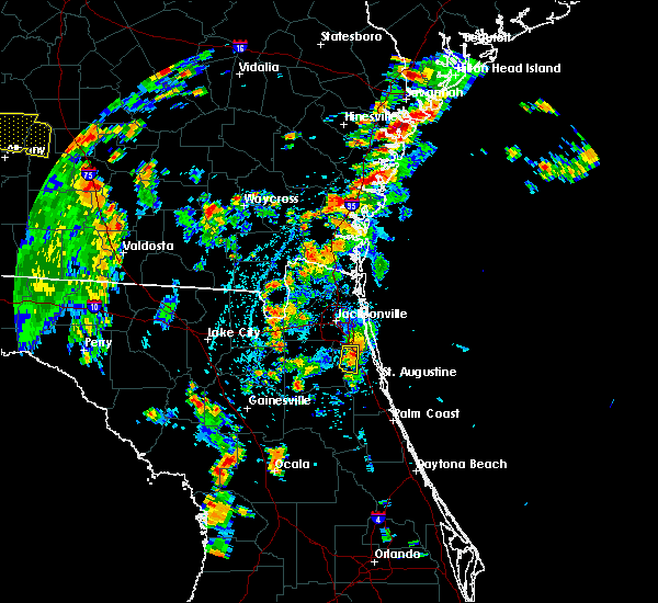 At 300 pm edt, a severe thunderstorm was located near durbin, or near fruit cove, moving south at 10 mph (radar indicated). Hazards include 60 mph wind gusts and penny size hail. Expect damage to roofs, siding, and trees. this severe thunderstorm will remain over mainly rural areas of northwestern st. Johns and southern duval counties. At 300 pm edt, a severe thunderstorm was located near durbin, or near fruit cove, moving south at 10 mph (radar indicated). Hazards include 60 mph wind gusts and penny size hail. Expect damage to roofs, siding, and trees. this severe thunderstorm will remain over mainly rural areas of northwestern st. Johns and southern duval counties.
|
| 7/16/2017 2:41 PM EDT |
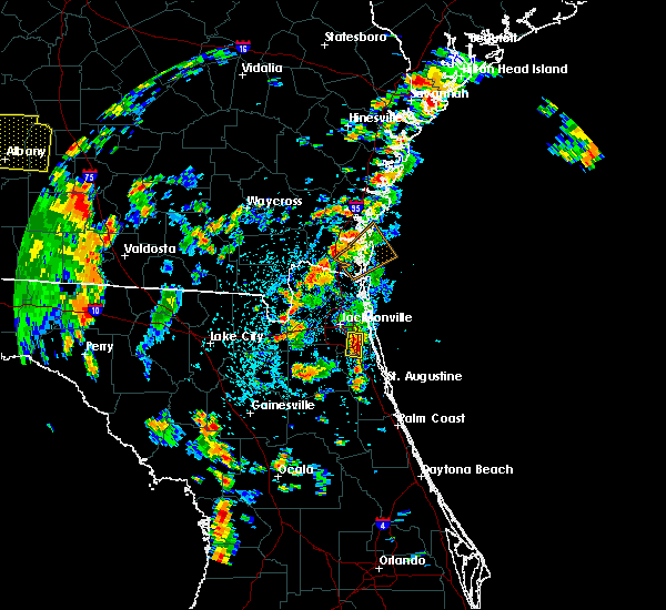 The national weather service in jacksonville has issued a * severe thunderstorm warning for. northwestern st. johns county in northeastern florida. southeastern duval county in northeastern florida. Until 330 pm edt * at 241 pm edt, a severe thunderstorm was located over bayard, or. The national weather service in jacksonville has issued a * severe thunderstorm warning for. northwestern st. johns county in northeastern florida. southeastern duval county in northeastern florida. Until 330 pm edt * at 241 pm edt, a severe thunderstorm was located over bayard, or.
|
| 7/16/2017 2:32 PM EDT |
 At 232 pm edt, a severe thunderstorm was located near baymeadows, or near unf, moving south at 5 mph (radar indicated). Hazards include 60 mph wind gusts and penny size hail. Expect damage to roofs, siding, and trees. Locations impacted include, fruit cove, baymeadows and bayard. At 232 pm edt, a severe thunderstorm was located near baymeadows, or near unf, moving south at 5 mph (radar indicated). Hazards include 60 mph wind gusts and penny size hail. Expect damage to roofs, siding, and trees. Locations impacted include, fruit cove, baymeadows and bayard.
|
| 7/16/2017 2:22 PM EDT |
 At 222 pm edt, a severe thunderstorm was located over baymeadows, or near unf, moving southeast at 5 mph (radar indicated). Hazards include 60 mph wind gusts and penny size hail. expect damage to roofs, siding, and trees At 222 pm edt, a severe thunderstorm was located over baymeadows, or near unf, moving southeast at 5 mph (radar indicated). Hazards include 60 mph wind gusts and penny size hail. expect damage to roofs, siding, and trees
|
| 7/16/2017 2:10 PM EDT |
 At 210 pm edt, a severe thunderstorm was located near fort caroline, or near arlington, moving southeast at 10 mph (radar indicated). Hazards include 60 mph wind gusts. Expect damage to roofs, siding, and trees. Locations impacted include, neptune beach, oceanway, craig field, fort caroline and tallyrand. At 210 pm edt, a severe thunderstorm was located near fort caroline, or near arlington, moving southeast at 10 mph (radar indicated). Hazards include 60 mph wind gusts. Expect damage to roofs, siding, and trees. Locations impacted include, neptune beach, oceanway, craig field, fort caroline and tallyrand.
|
| 7/16/2017 1:54 PM EDT |
 At 154 pm edt, a severe thunderstorm was located near oceanway, or 7 miles north of arlington, moving east at 10 mph (radar indicated). Hazards include 60 mph wind gusts and penny size hail. expect damage to roofs, siding, and trees At 154 pm edt, a severe thunderstorm was located near oceanway, or 7 miles north of arlington, moving east at 10 mph (radar indicated). Hazards include 60 mph wind gusts and penny size hail. expect damage to roofs, siding, and trees
|
| 6/29/2017 3:37 PM EDT |
 The severe thunderstorm warning for southwestern nassau and northwestern duval counties will expire at 745 pm edt, the storm which prompted the warning has weakened below severe limits, and no longer poses an immediate threat to life or property. therefore the warning will be allowed to expire. however gusty winds and heavy rain are still possible with this thunderstorm. The severe thunderstorm warning for southwestern nassau and northwestern duval counties will expire at 745 pm edt, the storm which prompted the warning has weakened below severe limits, and no longer poses an immediate threat to life or property. therefore the warning will be allowed to expire. however gusty winds and heavy rain are still possible with this thunderstorm.
|
| 6/29/2017 3:24 PM EDT |
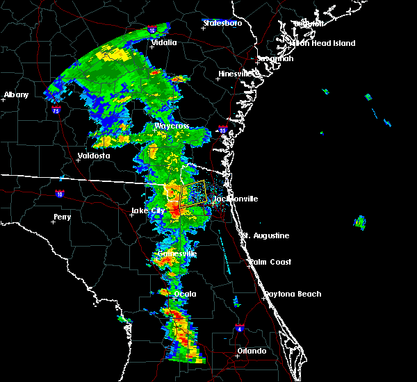 At 723 pm edt, a severe thunderstorm was located near bryceville, or 18 miles southwest of callahan, moving northeast at 25 mph (radar indicated). Hazards include 60 mph wind gusts. Expect damage to roofs, siding, and trees. Locations impacted include, callahan, cisco gardens, nassau village-ratliff, ratliff, bryceville, baldwin and whitehouse air field. At 723 pm edt, a severe thunderstorm was located near bryceville, or 18 miles southwest of callahan, moving northeast at 25 mph (radar indicated). Hazards include 60 mph wind gusts. Expect damage to roofs, siding, and trees. Locations impacted include, callahan, cisco gardens, nassau village-ratliff, ratliff, bryceville, baldwin and whitehouse air field.
|
| 6/29/2017 2:53 PM EDT |
 At 653 pm edt, a severe thunderstorm was located near st. george, or 17 miles southwest of callahan, moving east at 25 mph (radar indicated). Hazards include 60 mph wind gusts. expect damage to roofs, siding, and trees At 653 pm edt, a severe thunderstorm was located near st. george, or 17 miles southwest of callahan, moving east at 25 mph (radar indicated). Hazards include 60 mph wind gusts. expect damage to roofs, siding, and trees
|
| 6/26/2017 5:31 PM EDT |
 At 530 pm edt, severe thunderstorms were located along a line extending from near palm valley to near george`s lake, moving south at 20 mph (radar indicated). Hazards include 60 mph wind gusts and penny size hail. expect damage to roofs, siding, and trees At 530 pm edt, severe thunderstorms were located along a line extending from near palm valley to near george`s lake, moving south at 20 mph (radar indicated). Hazards include 60 mph wind gusts and penny size hail. expect damage to roofs, siding, and trees
|
| 6/26/2017 5:19 PM EDT |
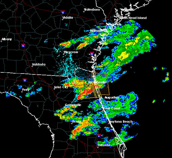 At 518 pm edt, a severe thunderstorm was located near ponte vedra beach, moving south at 25 mph (radar indicated). Hazards include 60 mph wind gusts. expect damage to roofs, siding, and trees At 518 pm edt, a severe thunderstorm was located near ponte vedra beach, moving south at 25 mph (radar indicated). Hazards include 60 mph wind gusts. expect damage to roofs, siding, and trees
|
| 6/26/2017 5:10 PM EDT |
 At 509 pm edt, severe thunderstorms were located along a line extending from near fruit cove to doctors inlet, moving south at 25 mph (radar indicated). Hazards include 60 mph wind gusts and penny size hail. Expect damage to roofs, siding, and trees. Locations impacted include, orange park, green cove springs, unf, mandarin, fruit cove, world golf village, fleming island, baymeadows, durbin and oakleaf plantation. At 509 pm edt, severe thunderstorms were located along a line extending from near fruit cove to doctors inlet, moving south at 25 mph (radar indicated). Hazards include 60 mph wind gusts and penny size hail. Expect damage to roofs, siding, and trees. Locations impacted include, orange park, green cove springs, unf, mandarin, fruit cove, world golf village, fleming island, baymeadows, durbin and oakleaf plantation.
|
| 6/26/2017 4:54 PM EDT |
 At 454 pm edt, severe thunderstorms were located along a line extending from near baymeadows to bellair-meadowbrook terrace, moving south at 25 mph (radar indicated). Hazards include 60 mph wind gusts and penny size hail. expect damage to roofs, siding, and trees At 454 pm edt, severe thunderstorms were located along a line extending from near baymeadows to bellair-meadowbrook terrace, moving south at 25 mph (radar indicated). Hazards include 60 mph wind gusts and penny size hail. expect damage to roofs, siding, and trees
|
| 6/17/2017 6:40 PM EDT | Tree knocked down onto power lines. repairs are currently underwa in nassau county FL, 20.7 miles E of Jacksonville, FL |
| 6/17/2017 6:36 PM EDT |
 At 636 pm edt, severe thunderstorms were located along a line extending from near kingsland to near oceanway, moving east at 15 mph (radar indicated). Hazards include 60 mph wind gusts and penny size hail. Expect damage to roofs, siding, and trees. Locations impacted include, fernandina beach, jacksonville international arpt, yulee, oceanway and little talbot island. At 636 pm edt, severe thunderstorms were located along a line extending from near kingsland to near oceanway, moving east at 15 mph (radar indicated). Hazards include 60 mph wind gusts and penny size hail. Expect damage to roofs, siding, and trees. Locations impacted include, fernandina beach, jacksonville international arpt, yulee, oceanway and little talbot island.
|
| 6/17/2017 6:22 PM EDT |
 At 621 pm edt, severe thunderstorms were located along a line extending from near kingsland to jacksonville international arpt, moving east 25 to 30 mph (radar indicated). Hazards include 60 mph wind gusts and penny size hail. expect damage to roofs, siding, and trees At 621 pm edt, severe thunderstorms were located along a line extending from near kingsland to jacksonville international arpt, moving east 25 to 30 mph (radar indicated). Hazards include 60 mph wind gusts and penny size hail. expect damage to roofs, siding, and trees
|
| 6/15/2017 7:26 PM EDT |
 The severe thunderstorm warning for northeastern clay county will expire at 730 pm edt, the storm which prompted the warning has weakened below severe limits, and no longer poses an immediate threat to life or property. therefore the warning will be allowed to expire. however gusty winds are still possible with this thunderstorm. The severe thunderstorm warning for northeastern clay county will expire at 730 pm edt, the storm which prompted the warning has weakened below severe limits, and no longer poses an immediate threat to life or property. therefore the warning will be allowed to expire. however gusty winds are still possible with this thunderstorm.
|
| 6/15/2017 7:25 PM EDT |
 At 725 pm edt, a severe thunderstorm was located over nas jax, or near orange park, moving northeast at 10 mph (radar indicated). Hazards include 60 mph wind gusts. expect damage to roofs, siding, and trees At 725 pm edt, a severe thunderstorm was located over nas jax, or near orange park, moving northeast at 10 mph (radar indicated). Hazards include 60 mph wind gusts. expect damage to roofs, siding, and trees
|
| 6/15/2017 7:06 PM EDT |
 At 705 pm edt, a severe thunderstorm was located over fleming island, or near orange park, moving northeast at 10 mph (radar indicated). Hazards include 60 mph wind gusts. Expect damage to roofs, siding, and trees. Locations impacted include, orange park, fleming island, doctors inlet, lakeside and bellair-meadowbrook terrace. At 705 pm edt, a severe thunderstorm was located over fleming island, or near orange park, moving northeast at 10 mph (radar indicated). Hazards include 60 mph wind gusts. Expect damage to roofs, siding, and trees. Locations impacted include, orange park, fleming island, doctors inlet, lakeside and bellair-meadowbrook terrace.
|
| 6/15/2017 6:43 PM EDT |
 At 643 pm edt, a severe thunderstorm was located near doctors inlet, or 7 miles east of middleburg, moving northeast at 10 mph (radar indicated). Hazards include 60 mph wind gusts and quarter size hail. Hail damage to vehicles is expected. Expect wind damage to roofs, siding, and trees. At 643 pm edt, a severe thunderstorm was located near doctors inlet, or 7 miles east of middleburg, moving northeast at 10 mph (radar indicated). Hazards include 60 mph wind gusts and quarter size hail. Hail damage to vehicles is expected. Expect wind damage to roofs, siding, and trees.
|
| 6/15/2017 3:56 PM EDT | Light pole down on the ups building near pecan park road and cole flyer roa in duval county FL, 7.5 miles S of Jacksonville, FL |
| 6/15/2017 3:56 PM EDT | Light pole down on the ups building near pecan park road and cole flyer roa in duval county FL, 7.5 miles S of Jacksonville, FL |
| 6/15/2017 3:45 PM EDT |
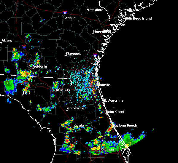 At 344 pm edt, a severe thunderstorm was located over oceanway, or near jacksonville international arpt, and is nearly stationary (radar indicated). Hazards include 60 mph wind gusts and penny size hail. expect damage to roofs, siding, and trees At 344 pm edt, a severe thunderstorm was located over oceanway, or near jacksonville international arpt, and is nearly stationary (radar indicated). Hazards include 60 mph wind gusts and penny size hail. expect damage to roofs, siding, and trees
|
| 6/14/2017 7:48 PM EDT |
 At 748 pm edt, a severe thunderstorm was located over arlington, moving east at 15 mph (radar indicated). Hazards include 60 mph wind gusts. Expect damage to roofs, siding, and trees. Locations impacted include, jacksonville, unf, arlington, san pablo, craig field, fort caroline, riverside, san marco and tallyrand. At 748 pm edt, a severe thunderstorm was located over arlington, moving east at 15 mph (radar indicated). Hazards include 60 mph wind gusts. Expect damage to roofs, siding, and trees. Locations impacted include, jacksonville, unf, arlington, san pablo, craig field, fort caroline, riverside, san marco and tallyrand.
|
| 6/14/2017 7:36 PM EDT |
 At 736 pm edt, a severe thunderstorm was located over jacksonville, moving east at 15 mph (radar indicated). Hazards include 60 mph wind gusts. expect damage to roofs, siding, and trees At 736 pm edt, a severe thunderstorm was located over jacksonville, moving east at 15 mph (radar indicated). Hazards include 60 mph wind gusts. expect damage to roofs, siding, and trees
|
| 6/14/2017 6:39 PM EDT |
 The severe thunderstorm warning for central nassau and northeastern duval counties will expire at 645 pm edt, the storm which prompted the warning has weakened below severe limits, and no longer poses an immediate threat to life or property. therefore the warning will be allowed to expire. however gusty winds and heavy rain are still possible with this thunderstorm. The severe thunderstorm warning for central nassau and northeastern duval counties will expire at 645 pm edt, the storm which prompted the warning has weakened below severe limits, and no longer poses an immediate threat to life or property. therefore the warning will be allowed to expire. however gusty winds and heavy rain are still possible with this thunderstorm.
|
| 6/14/2017 6:26 PM EDT |
 At 626 pm edt, a severe thunderstorm was located over maxville, or 11 miles northwest of middleburg, moving east at 25 mph (radar indicated). Hazards include 60 mph wind gusts. Expect damage to roofs, siding, and trees. Locations impacted include, cecil field, maxville, doctors inlet, lakeside, oakleaf plantation, bellair-meadowbrook terrace and jacksonville heights. At 626 pm edt, a severe thunderstorm was located over maxville, or 11 miles northwest of middleburg, moving east at 25 mph (radar indicated). Hazards include 60 mph wind gusts. Expect damage to roofs, siding, and trees. Locations impacted include, cecil field, maxville, doctors inlet, lakeside, oakleaf plantation, bellair-meadowbrook terrace and jacksonville heights.
|
| 6/14/2017 6:25 PM EDT |
 At 625 pm edt, a severe thunderstorm was located over callahan, moving east at 20 mph (radar indicated). Hazards include 60 mph wind gusts. Expect damage to roofs, siding, and trees. Locations impacted include, callahan, yulee and nassau village-ratliff. At 625 pm edt, a severe thunderstorm was located over callahan, moving east at 20 mph (radar indicated). Hazards include 60 mph wind gusts. Expect damage to roofs, siding, and trees. Locations impacted include, callahan, yulee and nassau village-ratliff.
|
| 6/14/2017 6:14 PM EDT |
 At 614 pm edt, a severe thunderstorm was located near maxville, or 11 miles northeast of raiford, moving east at 15 mph (radar indicated). Hazards include 60 mph wind gusts. expect damage to roofs, siding, and trees At 614 pm edt, a severe thunderstorm was located near maxville, or 11 miles northeast of raiford, moving east at 15 mph (radar indicated). Hazards include 60 mph wind gusts. expect damage to roofs, siding, and trees
|
| 6/14/2017 6:08 PM EDT |
 At 607 pm edt, a severe thunderstorm was located near callahan, moving east at 30 mph (radar indicated). Hazards include 60 mph wind gusts. expect damage to roofs, siding, and trees At 607 pm edt, a severe thunderstorm was located near callahan, moving east at 30 mph (radar indicated). Hazards include 60 mph wind gusts. expect damage to roofs, siding, and trees
|
| 6/14/2017 3:55 PM EDT |
 At 355 pm edt, a severe thunderstorm was located over world golf village, or 11 miles southeast of fruit cove, moving southeast at 20 mph (radar indicated). Hazards include 60 mph wind gusts and nickel size hail. expect damage to roofs, siding, and trees At 355 pm edt, a severe thunderstorm was located over world golf village, or 11 miles southeast of fruit cove, moving southeast at 20 mph (radar indicated). Hazards include 60 mph wind gusts and nickel size hail. expect damage to roofs, siding, and trees
|
| 6/1/2017 5:00 PM EDT | Thunderstorm wind gust of 60 mph and dime-sized hail was observed on zachary drive by off-duty nws employe in duval county FL, 9.1 miles SSW of Jacksonville, FL |
| 6/1/2017 4:45 PM EDT | Estimated thunderstorm wind gust of 60 mph was observed near junction of i-295 and i-9 in duval county FL, 5.9 miles SSW of Jacksonville, FL |
| 6/1/2017 4:45 PM EDT |
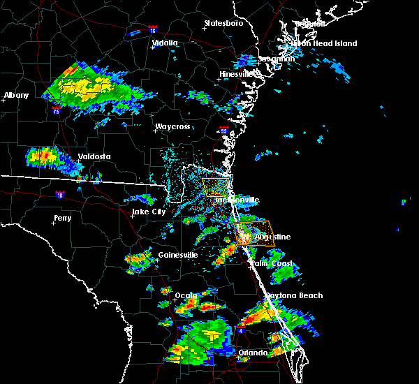 At 445 pm edt, a severe thunderstorm was located over oceanway, or near jacksonville international arpt, moving north at 15 mph (radar indicated). Hazards include 60 mph wind gusts and nickel size hail. expect damage to roofs, siding, and trees At 445 pm edt, a severe thunderstorm was located over oceanway, or near jacksonville international arpt, moving north at 15 mph (radar indicated). Hazards include 60 mph wind gusts and nickel size hail. expect damage to roofs, siding, and trees
|
| 6/1/2017 4:44 PM EDT | Downed tree knocked down a power line in oceanway. time of event determined with rada in duval county FL, 7 miles SSW of Jacksonville, FL |
| 6/1/2017 4:43 PM EDT | Quarter sized hail reported 5.9 miles SSW of Jacksonville, FL, hail of 1 inch in diameter observed at junction of i-295 and i-95. |
| 6/1/2017 4:22 PM EDT |
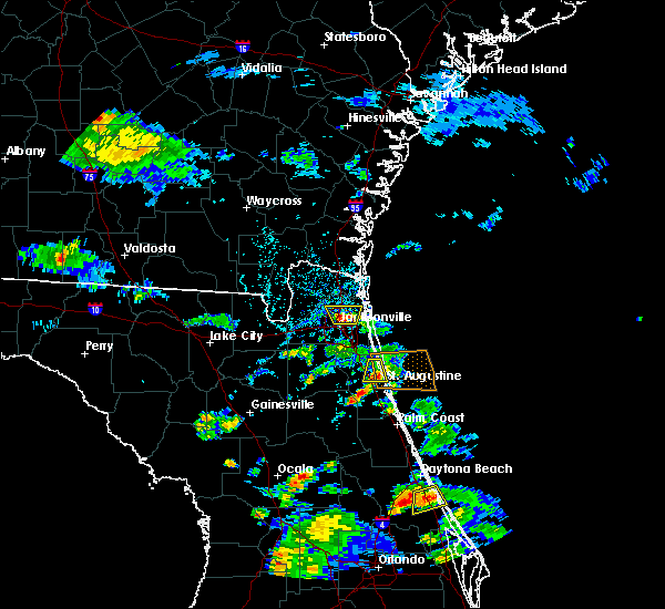 At 422 pm edt, a severe thunderstorm was located near jacksonville, moving north at 15 mph (radar indicated). Hazards include 60 mph wind gusts and penny size hail. Expect damage to roofs, siding, and trees. Locations impacted include, jacksonville, oceanway and tallyrand. At 422 pm edt, a severe thunderstorm was located near jacksonville, moving north at 15 mph (radar indicated). Hazards include 60 mph wind gusts and penny size hail. Expect damage to roofs, siding, and trees. Locations impacted include, jacksonville, oceanway and tallyrand.
|
| 6/1/2017 4:15 PM EDT | Media relayed report by public of 3 to 5 inch diameter tree branches down at east 12th and franklin st in jacksonvill in duval county FL, 3.5 miles NW of Jacksonville, FL |
| 6/1/2017 4:10 PM EDT |
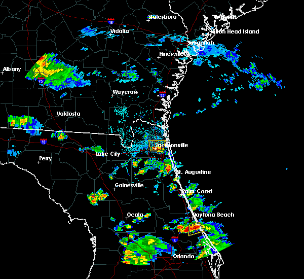 At 410 pm edt, a severe thunderstorm was located over jacksonville, moving north at 15 mph (radar indicated). Hazards include 60 mph wind gusts and penny size hail. expect damage to roofs, siding, and trees At 410 pm edt, a severe thunderstorm was located over jacksonville, moving north at 15 mph (radar indicated). Hazards include 60 mph wind gusts and penny size hail. expect damage to roofs, siding, and trees
|
| 5/31/2017 6:58 PM EDT |
 The severe thunderstorm warning for northeastern st. johns and southeastern duval counties will expire at 700 pm edt, the storms which prompted the warning have weakened below severe limits, and no longer pose an immediate threat to life or property. therefore the warning will be allowed to expire. however small hail and gusty winds are still possible with these thunderstorms. The severe thunderstorm warning for northeastern st. johns and southeastern duval counties will expire at 700 pm edt, the storms which prompted the warning have weakened below severe limits, and no longer pose an immediate threat to life or property. therefore the warning will be allowed to expire. however small hail and gusty winds are still possible with these thunderstorms.
|
| 5/31/2017 6:08 PM EDT |
 At 608 pm edt, severe thunderstorms were located along a line extending from bayard to near sawgrass, moving southeast at 20 mph (radar indicated). Hazards include 70 mph wind gusts and ping pong ball size hail. People and animals outdoors will be injured. expect hail damage to roofs, siding, windows, and vehicles. expect considerable tree damage. Wind damage is also likely to mobile homes, roofs, and outbuildings. At 608 pm edt, severe thunderstorms were located along a line extending from bayard to near sawgrass, moving southeast at 20 mph (radar indicated). Hazards include 70 mph wind gusts and ping pong ball size hail. People and animals outdoors will be injured. expect hail damage to roofs, siding, windows, and vehicles. expect considerable tree damage. Wind damage is also likely to mobile homes, roofs, and outbuildings.
|
| 5/31/2017 5:50 PM EDT | Hen Egg sized hail reported 19 miles WNW of Jacksonville, FL, first coast news relayed a social media photo of hailstones near 2 inches in diameter taken at gingers place restaurant in jacksonville beach. time of event based on ra |
| 5/31/2017 5:39 PM EDT |
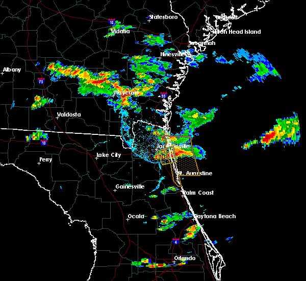 At 539 pm edt, severe thunderstorms were located along a line extending from 12 miles east of neptune beach to near ponte vedra beach, moving east at 25 mph (ground truth reports of golf ball size hail). Hazards include golf ball size hail and 70 mph wind gusts. People and animals outdoors will be injured. expect hail damage to roofs, siding, windows, and vehicles. expect considerable tree damage. wind damage is also likely to mobile homes, roofs, and outbuildings. Locations impacted include, unf, ponte vedra beach, neptune beach, palm valley, sawgrass, baymeadows, bayard, san pablo and craig field. At 539 pm edt, severe thunderstorms were located along a line extending from 12 miles east of neptune beach to near ponte vedra beach, moving east at 25 mph (ground truth reports of golf ball size hail). Hazards include golf ball size hail and 70 mph wind gusts. People and animals outdoors will be injured. expect hail damage to roofs, siding, windows, and vehicles. expect considerable tree damage. wind damage is also likely to mobile homes, roofs, and outbuildings. Locations impacted include, unf, ponte vedra beach, neptune beach, palm valley, sawgrass, baymeadows, bayard, san pablo and craig field.
|
| 5/31/2017 5:30 PM EDT | Baseball sized hail reported 19 miles WNW of Jacksonville, FL, wjax tv relayed a social media photo of baseball sized hail from jacksonville beach. |
| 5/31/2017 5:25 PM EDT | Quarter sized hail reported 19 miles WNW of Jacksonville, FL, trained spotter reports quarter sized hail along third street in jacksonville beach. |
| 5/31/2017 5:22 PM EDT | Quarter sized hail reported 17.5 miles WNW of Jacksonville, FL, wjax tv relayed a public report of quarter sized hail along penman road. |
| 5/31/2017 5:15 PM EDT | Half Dollar sized hail reported 18.4 miles WNW of Jacksonville, FL, duval county emergency manager reports half dollar sized hail in neptune beach. |
| 5/31/2017 5:10 PM EDT | Quarter sized hail reported 17.8 miles WNW of Jacksonville, FL, public report via social media of quarter sized hail near fletcher high school in atlantic beach. |
| 5/31/2017 5:10 PM EDT | Golf Ball sized hail reported 18.4 miles WNW of Jacksonville, FL, wjax tv relayed a social media photo of golf ball sized hail in neptune beach. |
| 5/31/2017 5:09 PM EDT |
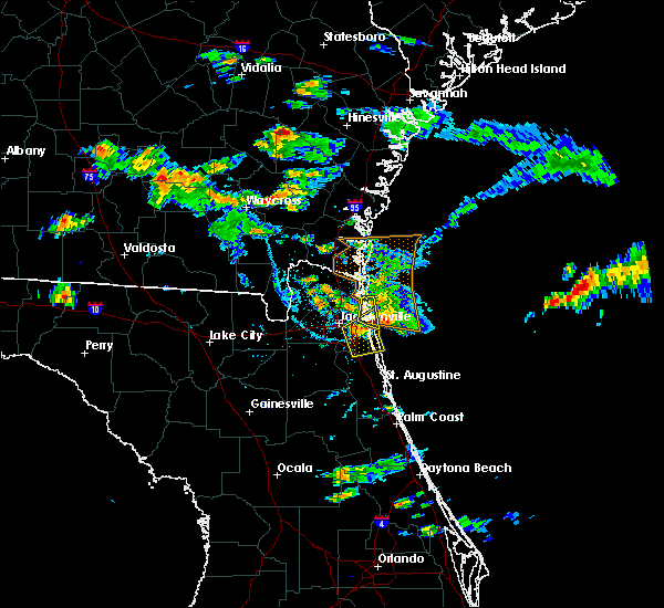 At 508 pm edt, severe thunderstorms were located along a line extending from near neptune beach to unf, moving east at 25 mph (radar indicated). Hazards include 70 mph wind gusts and quarter size hail. Hail damage to vehicles is expected. expect considerable tree damage. Wind damage is also likely to mobile homes, roofs, and outbuildings. At 508 pm edt, severe thunderstorms were located along a line extending from near neptune beach to unf, moving east at 25 mph (radar indicated). Hazards include 70 mph wind gusts and quarter size hail. Hail damage to vehicles is expected. expect considerable tree damage. Wind damage is also likely to mobile homes, roofs, and outbuildings.
|
| 5/31/2017 5:03 PM EDT |
 At 502 pm edt, severe thunderstorms were located along a line extending from near little talbot island to near fort caroline, moving southeast at 15 mph (radar indicated). Hazards include 70 mph wind gusts and quarter size hail. Hail damage to vehicles is expected. expect considerable tree damage. wind damage is also likely to mobile homes, roofs, and outbuildings. Locations impacted include, neptune beach, little talbot island and fort caroline. At 502 pm edt, severe thunderstorms were located along a line extending from near little talbot island to near fort caroline, moving southeast at 15 mph (radar indicated). Hazards include 70 mph wind gusts and quarter size hail. Hail damage to vehicles is expected. expect considerable tree damage. wind damage is also likely to mobile homes, roofs, and outbuildings. Locations impacted include, neptune beach, little talbot island and fort caroline.
|
| 5/31/2017 5:02 PM EDT | Half Dollar sized hail reported 16.2 miles W of Jacksonville, FL, first coast news relayed a social media photo of half dollar sized hail from dutton island park just east of the intracoastal waterway in atlantic beach. |
| 5/31/2017 4:55 PM EDT | Public report of a roof peeled off a local business near the fort george ferry landing along hecksher drive. insulation from the roof was thrown westward across the roa in duval county FL, 14.8 miles W of Jacksonville, FL |
| 5/31/2017 4:50 PM EDT | Quarter sized hail reported 16.5 miles W of Jacksonville, FL, trained spotter estimates quarter sized hail at mayport. hail was covering the ground. |
| 5/31/2017 4:37 PM EDT |
 At 437 pm edt, severe thunderstorms were located along a line extending from near yulee to near fort caroline, moving southeast at 20 mph (radar indicated). Hazards include 70 mph wind gusts and quarter size hail. Hail damage to vehicles is expected. expect considerable tree damage. Wind damage is also likely to mobile homes, roofs, and outbuildings. At 437 pm edt, severe thunderstorms were located along a line extending from near yulee to near fort caroline, moving southeast at 20 mph (radar indicated). Hazards include 70 mph wind gusts and quarter size hail. Hail damage to vehicles is expected. expect considerable tree damage. Wind damage is also likely to mobile homes, roofs, and outbuildings.
|
| 5/31/2017 4:30 PM EDT | Public report of a downed tree to the southeast of yulee. time of damage based on radar dat in nassau county FL, 18.2 miles SW of Jacksonville, FL |
| 5/31/2017 4:30 PM EDT |
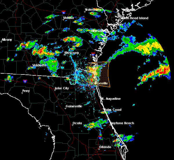 At 430 pm edt, a severe thunderstorm was located near oceanway, or 7 miles east of jacksonville international arpt, moving east at 25 mph (radar indicated). Hazards include 70 mph wind gusts and quarter size hail. recent wind gusts of 60 to 65 mph were reported near oceanway. Hail damage to vehicles is expected. expect considerable tree damage. wind damage is also likely to mobile homes, roofs, and outbuildings. Locations impacted include, jacksonville international arpt, oceanway and fort caroline. At 430 pm edt, a severe thunderstorm was located near oceanway, or 7 miles east of jacksonville international arpt, moving east at 25 mph (radar indicated). Hazards include 70 mph wind gusts and quarter size hail. recent wind gusts of 60 to 65 mph were reported near oceanway. Hail damage to vehicles is expected. expect considerable tree damage. wind damage is also likely to mobile homes, roofs, and outbuildings. Locations impacted include, jacksonville international arpt, oceanway and fort caroline.
|
| 5/31/2017 4:25 PM EDT | Off duty nws employeee in oceanway reports 60 to 65 mph wind gust in duval county FL, 9.1 miles SSW of Jacksonville, FL |
| 5/31/2017 4:21 PM EDT |
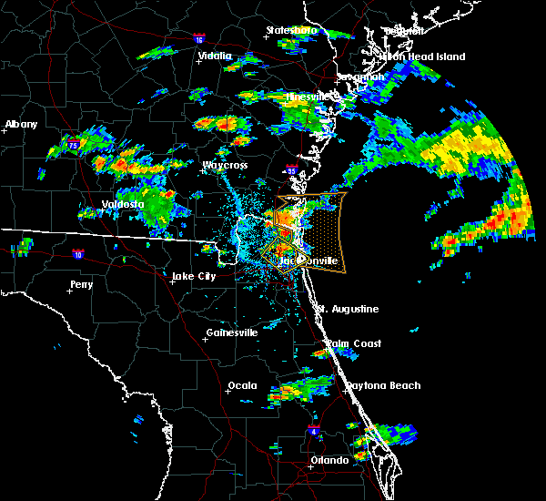 At 420 pm edt, a severe thunderstorm was located over oceanway, or near jacksonville international arpt, moving east at 15 mph (radar indicated. at 410 pm a 66 mph wind gust was measured at jacksonville international airport. small dime size hail was also observed). Hazards include 70 mph wind gusts and quarter size hail. Hail damage to vehicles is possible. expect considerable tree damage. wind damage is also likely to mobile homes, roofs, and outbuildings. Locations impacted include, jacksonville, jacksonville international arpt, arlington, oceanway, craig field, fort caroline and tallyrand. At 420 pm edt, a severe thunderstorm was located over oceanway, or near jacksonville international arpt, moving east at 15 mph (radar indicated. at 410 pm a 66 mph wind gust was measured at jacksonville international airport. small dime size hail was also observed). Hazards include 70 mph wind gusts and quarter size hail. Hail damage to vehicles is possible. expect considerable tree damage. wind damage is also likely to mobile homes, roofs, and outbuildings. Locations impacted include, jacksonville, jacksonville international arpt, arlington, oceanway, craig field, fort caroline and tallyrand.
|
| 5/31/2017 4:10 PM EDT | The automated surface observing station at jacksonville international airport reported a peak northwesterly wind gust of 66 mph. dime sized hail observed at nws jackson in duval county FL, 7 miles SSE of Jacksonville, FL |
| 5/31/2017 3:55 PM EDT | Quarter sized hail reported 11.7 miles S of Jacksonville, FL, public report of quarter sized hail and winds estimated at 35-40 mph. report location about 5 miles north of jacksonville international airport. |
| 5/31/2017 3:53 PM EDT |
 At 353 pm edt, a severe thunderstorm was located near jacksonville international arpt, moving southeast at 35 mph (radar indicated). Hazards include 60 mph wind gusts and quarter size hail. Hail damage to vehicles is expected. Expect wind damage to roofs, siding, and trees. At 353 pm edt, a severe thunderstorm was located near jacksonville international arpt, moving southeast at 35 mph (radar indicated). Hazards include 60 mph wind gusts and quarter size hail. Hail damage to vehicles is expected. Expect wind damage to roofs, siding, and trees.
|
| 5/31/2017 3:50 PM EDT | Quarter sized hail reported 16.5 miles W of Jacksonville, FL, trained spotter estimates quarter sized hail at mayport. hail was covering the ground. |
| 5/30/2017 6:25 PM EDT |
 The severe thunderstorm warning for northwestern st. johns, northeastern clay and south central duval counties will expire at 630 pm edt, the storms which prompted the warning have weakened below severe limits, and no longer pose an immediate threat to life or property. therefore the warning will be allowed to expire. however gusty winds and heavy rain are still possible with these thunderstorms. The severe thunderstorm warning for northwestern st. johns, northeastern clay and south central duval counties will expire at 630 pm edt, the storms which prompted the warning have weakened below severe limits, and no longer pose an immediate threat to life or property. therefore the warning will be allowed to expire. however gusty winds and heavy rain are still possible with these thunderstorms.
|
| 5/30/2017 6:02 PM EDT |
 At 602 pm edt, severe thunderstorms were located along a line extending from near doctors inlet to near picolata, moving north at 10 mph (radar indicated). Hazards include 60 mph wind gusts and quarter size hail. Hail damage to vehicles is expected. expect wind damage to roofs, siding, and trees. Locations impacted include, orange park, green cove springs, mandarin, fruit cove, fleming island, bellair-meadowbrook terrace, switzerland, picolata, doctors inlet and bayard. At 602 pm edt, severe thunderstorms were located along a line extending from near doctors inlet to near picolata, moving north at 10 mph (radar indicated). Hazards include 60 mph wind gusts and quarter size hail. Hail damage to vehicles is expected. expect wind damage to roofs, siding, and trees. Locations impacted include, orange park, green cove springs, mandarin, fruit cove, fleming island, bellair-meadowbrook terrace, switzerland, picolata, doctors inlet and bayard.
|
| 5/30/2017 5:46 PM EDT |
 At 546 pm edt, severe thunderstorms were located along a line extending from near doctors inlet to near picolata, moving north at 10 mph (radar indicated). Hazards include 60 mph wind gusts and quarter size hail. Hail damage to vehicles is expected. Expect wind damage to roofs, siding, and trees. At 546 pm edt, severe thunderstorms were located along a line extending from near doctors inlet to near picolata, moving north at 10 mph (radar indicated). Hazards include 60 mph wind gusts and quarter size hail. Hail damage to vehicles is expected. Expect wind damage to roofs, siding, and trees.
|
| 5/30/2017 3:55 PM EDT |
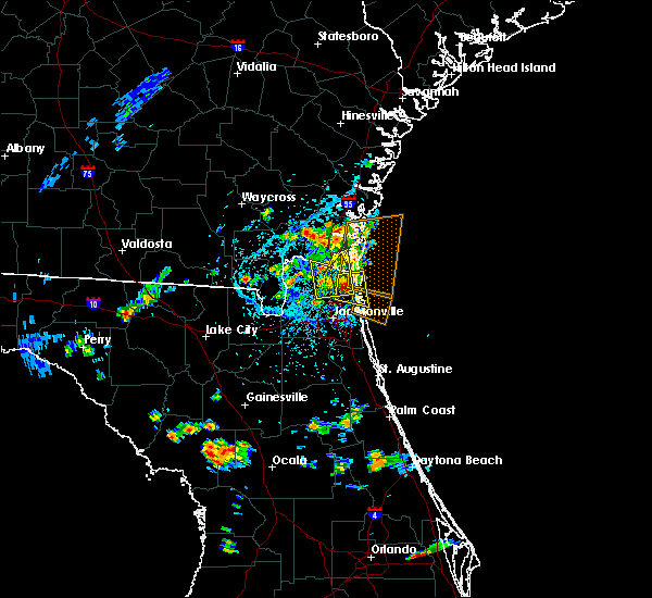 At 355 pm edt, a severe thunderstorm was located near yulee, or 9 miles southwest of fernandina beach, moving east at 10 mph (radar indicated). Hazards include 60 mph wind gusts and quarter size hail. Hail damage to vehicles is expected. Expect wind damage to roofs, siding, and trees. At 355 pm edt, a severe thunderstorm was located near yulee, or 9 miles southwest of fernandina beach, moving east at 10 mph (radar indicated). Hazards include 60 mph wind gusts and quarter size hail. Hail damage to vehicles is expected. Expect wind damage to roofs, siding, and trees.
|
| 5/30/2017 3:43 PM EDT |
 At 342 pm edt, a severe thunderstorm was located near yulee, or 7 miles north of jacksonville international arpt, moving east at 10 mph (radar indicated). Hazards include 60 mph wind gusts and quarter size hail. Hail damage to vehicles is expected. expect wind damage to roofs, siding, and trees. locations impacted include, st. Marys, kingsland and yulee. At 342 pm edt, a severe thunderstorm was located near yulee, or 7 miles north of jacksonville international arpt, moving east at 10 mph (radar indicated). Hazards include 60 mph wind gusts and quarter size hail. Hail damage to vehicles is expected. expect wind damage to roofs, siding, and trees. locations impacted include, st. Marys, kingsland and yulee.
|
| 5/30/2017 3:20 PM EDT |
 At 320 pm edt, a severe thunderstorm was located near callahan, moving east at 10 mph (radar indicated). Hazards include 60 mph wind gusts and quarter size hail. Hail damage to vehicles is expected. Expect wind damage to roofs, siding, and trees. At 320 pm edt, a severe thunderstorm was located near callahan, moving east at 10 mph (radar indicated). Hazards include 60 mph wind gusts and quarter size hail. Hail damage to vehicles is expected. Expect wind damage to roofs, siding, and trees.
|
| 5/24/2017 12:12 PM EDT |
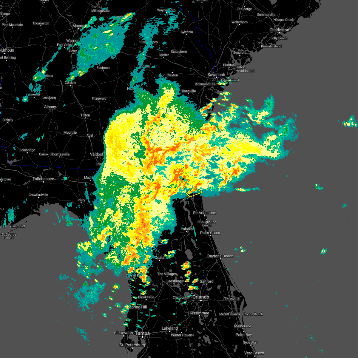 The severe thunderstorm warning for southeastern duval county will expire at 1215 pm edt, the storm which prompted the warning has moved out of the area. therefore the warning will be allowed to expire. however heavy rain is still possible with this thunderstorm. a tornado watch remains in effect until 300 pm edt for northeastern florida. a tornado watch also remains in effect until 600 pm edt for northeastern florida. The severe thunderstorm warning for southeastern duval county will expire at 1215 pm edt, the storm which prompted the warning has moved out of the area. therefore the warning will be allowed to expire. however heavy rain is still possible with this thunderstorm. a tornado watch remains in effect until 300 pm edt for northeastern florida. a tornado watch also remains in effect until 600 pm edt for northeastern florida.
|
| 5/24/2017 11:59 AM EDT |
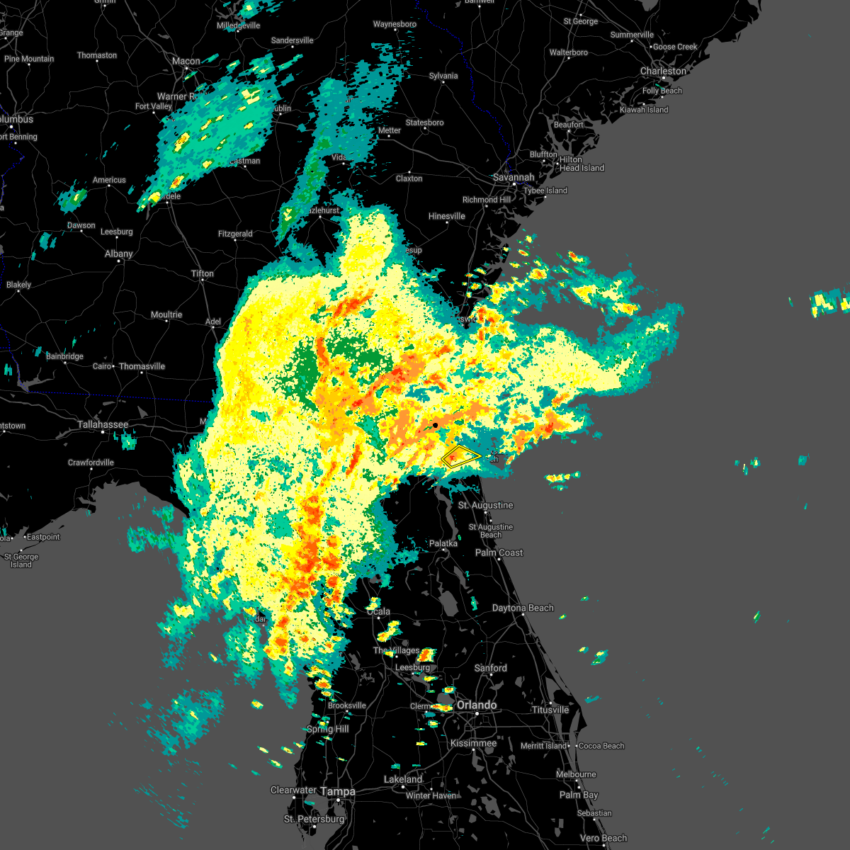 At 1159 am edt, a severe thunderstorm was located over baymeadows, or over unf, moving northeast at 40 mph (radar indicated). Hazards include 60 mph wind gusts. Expect damage to roofs, siding, and trees. locations impacted include, unf, san pablo, craig field and baymeadows. a tornado watch remains in effect until 300 pm edt for northeastern florida. A tornado watch also remains in effect until 600 pm edt for northeastern florida. At 1159 am edt, a severe thunderstorm was located over baymeadows, or over unf, moving northeast at 40 mph (radar indicated). Hazards include 60 mph wind gusts. Expect damage to roofs, siding, and trees. locations impacted include, unf, san pablo, craig field and baymeadows. a tornado watch remains in effect until 300 pm edt for northeastern florida. A tornado watch also remains in effect until 600 pm edt for northeastern florida.
|
| 5/24/2017 11:47 AM EDT |
 At 1147 am edt, a severe thunderstorm was located over mandarin, moving northeast at 35 mph (radar indicated). Hazards include 60 mph wind gusts. Expect damage to roofs, siding, and trees. locations impacted include, mandarin, unf, fruit cove, ponte vedra beach, palm valley, nas jax, sawgrass, baymeadows, bayard and san pablo. a tornado watch remains in effect until 300 pm edt for northeastern florida. A tornado watch also remains in effect until 600 pm edt for northeastern florida. At 1147 am edt, a severe thunderstorm was located over mandarin, moving northeast at 35 mph (radar indicated). Hazards include 60 mph wind gusts. Expect damage to roofs, siding, and trees. locations impacted include, mandarin, unf, fruit cove, ponte vedra beach, palm valley, nas jax, sawgrass, baymeadows, bayard and san pablo. a tornado watch remains in effect until 300 pm edt for northeastern florida. A tornado watch also remains in effect until 600 pm edt for northeastern florida.
|
| 5/24/2017 11:37 AM EDT |
 At 1136 am edt, a severe thunderstorm was located over fleming island, or near orange park, moving northeast at 35 mph (radar indicated). Hazards include 60 mph wind gusts. expect damage to roofs, siding, and trees At 1136 am edt, a severe thunderstorm was located over fleming island, or near orange park, moving northeast at 35 mph (radar indicated). Hazards include 60 mph wind gusts. expect damage to roofs, siding, and trees
|
| 5/23/2017 9:23 PM EDT |
 At 923 pm edt, severe thunderstorms were located along a line extending from bryceville to near sanderson, moving northeast at 25 mph (radar indicated). Hazards include 60 mph wind gusts. Expect damage to roofs, siding, and trees. locations impacted include, callahan, macclenny, glen st. mary, nassau village-ratliff, ratliff, bryceville, baldwin and whitehouse air field. A tornado watch remains in effect until 1100 pm edt for southeastern georgia. At 923 pm edt, severe thunderstorms were located along a line extending from bryceville to near sanderson, moving northeast at 25 mph (radar indicated). Hazards include 60 mph wind gusts. Expect damage to roofs, siding, and trees. locations impacted include, callahan, macclenny, glen st. mary, nassau village-ratliff, ratliff, bryceville, baldwin and whitehouse air field. A tornado watch remains in effect until 1100 pm edt for southeastern georgia.
|
| 5/23/2017 9:12 PM EDT |
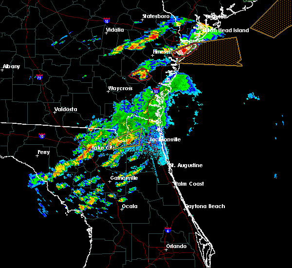 At 912 pm edt, severe thunderstorms were located along a line extending from near bryceville to near sanderson, moving northeast at 25 mph (radar indicated). Hazards include 60 mph wind gusts. expect damage to roofs, siding, and trees At 912 pm edt, severe thunderstorms were located along a line extending from near bryceville to near sanderson, moving northeast at 25 mph (radar indicated). Hazards include 60 mph wind gusts. expect damage to roofs, siding, and trees
|
| 5/23/2017 9:03 PM EDT |
 At 903 pm edt, severe thunderstorms capable of producing tornadoes were located along a line extending from sanderson to glen st. mary, moving northeast at 35 mph (radar indicated rotation). Hazards include tornado. Flying debris will be dangerous to those caught without shelter. mobile homes will be damaged or destroyed. damage to roofs, windows, and vehicles will occur. tree damage is likely. these dangerous storms will be near, glen st. mary around 920 pm edt. macclenny around 925 pm edt. Other locations impacted by these tornadic storms include baldwin. At 903 pm edt, severe thunderstorms capable of producing tornadoes were located along a line extending from sanderson to glen st. mary, moving northeast at 35 mph (radar indicated rotation). Hazards include tornado. Flying debris will be dangerous to those caught without shelter. mobile homes will be damaged or destroyed. damage to roofs, windows, and vehicles will occur. tree damage is likely. these dangerous storms will be near, glen st. mary around 920 pm edt. macclenny around 925 pm edt. Other locations impacted by these tornadic storms include baldwin.
|
| 5/23/2017 8:53 PM EDT |
 At 853 pm edt, severe thunderstorms capable of producing a tornado were located along a line extending from near olustee to near glen st. mary, moving northeast at 35 mph (radar indicated rotation). Hazards include tornado. Flying debris will be dangerous to those caught without shelter. mobile homes will be damaged or destroyed. damage to roofs, windows, and vehicles will occur. tree damage is likely. these dangerous storms will be near, glen st. mary around 900 pm edt. macclenny around 905 pm edt. Other locations impacted by these tornadic storms include baldwin. At 853 pm edt, severe thunderstorms capable of producing a tornado were located along a line extending from near olustee to near glen st. mary, moving northeast at 35 mph (radar indicated rotation). Hazards include tornado. Flying debris will be dangerous to those caught without shelter. mobile homes will be damaged or destroyed. damage to roofs, windows, and vehicles will occur. tree damage is likely. these dangerous storms will be near, glen st. mary around 900 pm edt. macclenny around 905 pm edt. Other locations impacted by these tornadic storms include baldwin.
|
| 5/23/2017 8:53 PM EDT |
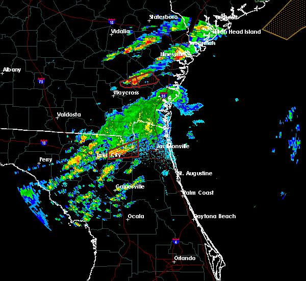 At 853 pm edt, severe thunderstorms capable of producing a tornado were located along a line extending from near olustee to near glen st. mary, moving northeast at 35 mph (radar indicated rotation). Hazards include tornado. Flying debris will be dangerous to those caught without shelter. mobile homes will be damaged or destroyed. damage to roofs, windows, and vehicles will occur. tree damage is likely. these dangerous storms will be near, glen st. mary around 900 pm edt. macclenny around 905 pm edt. Other locations impacted by these tornadic storms include baldwin. At 853 pm edt, severe thunderstorms capable of producing a tornado were located along a line extending from near olustee to near glen st. mary, moving northeast at 35 mph (radar indicated rotation). Hazards include tornado. Flying debris will be dangerous to those caught without shelter. mobile homes will be damaged or destroyed. damage to roofs, windows, and vehicles will occur. tree damage is likely. these dangerous storms will be near, glen st. mary around 900 pm edt. macclenny around 905 pm edt. Other locations impacted by these tornadic storms include baldwin.
|
| 5/22/2017 5:10 PM EDT | A tree was blown down onto 2 vehicles near beach blvd and hodges blv in duval county FL, 14.9 miles WNW of Jacksonville, FL |
| 5/22/2017 5:05 PM EDT |
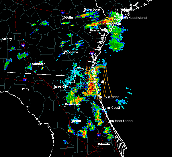 At 505 pm edt, severe thunderstorms were located along a line extending from near fort caroline to near ponte vedra beach to near world golf village, moving northeast at 25 mph (radar indicated). Hazards include 60 mph wind gusts and penny size hail. Expect damage to roofs, siding, and trees. Locations impacted include, unf, mandarin, fruit cove, arlington, ponte vedra beach, neptune beach, sawgrass, baymeadows, nocatee and durbin. At 505 pm edt, severe thunderstorms were located along a line extending from near fort caroline to near ponte vedra beach to near world golf village, moving northeast at 25 mph (radar indicated). Hazards include 60 mph wind gusts and penny size hail. Expect damage to roofs, siding, and trees. Locations impacted include, unf, mandarin, fruit cove, arlington, ponte vedra beach, neptune beach, sawgrass, baymeadows, nocatee and durbin.
|
| 5/22/2017 4:43 PM EDT |
 At 443 pm edt, severe thunderstorms were located along a line extending from near oceanway to bayard to near picolata, moving east at 15 mph (radar indicated). Hazards include 60 mph wind gusts and penny size hail. Expect damage to roofs, siding, and trees. Locations impacted include, jacksonville, orange park, green cove springs, unf, mandarin, fruit cove, arlington, ponte vedra beach, neptune beach and world golf village. At 443 pm edt, severe thunderstorms were located along a line extending from near oceanway to bayard to near picolata, moving east at 15 mph (radar indicated). Hazards include 60 mph wind gusts and penny size hail. Expect damage to roofs, siding, and trees. Locations impacted include, jacksonville, orange park, green cove springs, unf, mandarin, fruit cove, arlington, ponte vedra beach, neptune beach and world golf village.
|
| 5/22/2017 4:40 PM EDT | A gas station canopy was blown over by strong thunderstorm winds. the time of damage was based on radar. a vehicle was trapped under the canop in duval county FL, 2.2 miles W of Jacksonville, FL |
| 5/22/2017 4:30 PM EDT |
 At 429 pm edt, severe thunderstorms were located along a line extending from arlington to green cove springs, moving northeast at 40 mph (radar indicated). Hazards include 60 mph wind gusts and penny size hail. expect damage to roofs, siding, and trees At 429 pm edt, severe thunderstorms were located along a line extending from arlington to green cove springs, moving northeast at 40 mph (radar indicated). Hazards include 60 mph wind gusts and penny size hail. expect damage to roofs, siding, and trees
|
| 5/13/2017 5:13 PM EDT |
 At 512 pm edt, a severe thunderstorm was located near neptune beach, or 10 miles north of ponte vedra beach, moving east at 35 mph (radar indicated). Hazards include 60 mph wind gusts and quarter size hail. Hail damage to vehicles is expected. expect wind damage to roofs, siding, and trees. Locations impacted include, neptune beach, san pablo, craig field, little talbot island and fort caroline. At 512 pm edt, a severe thunderstorm was located near neptune beach, or 10 miles north of ponte vedra beach, moving east at 35 mph (radar indicated). Hazards include 60 mph wind gusts and quarter size hail. Hail damage to vehicles is expected. expect wind damage to roofs, siding, and trees. Locations impacted include, neptune beach, san pablo, craig field, little talbot island and fort caroline.
|
| 5/13/2017 4:43 PM EDT |
 At 443 pm edt, a severe thunderstorm was located near jacksonville, moving east at 35 mph (radar indicated). Hazards include 60 mph wind gusts and quarter size hail. Hail damage to vehicles is expected. Expect wind damage to roofs, siding, and trees. At 443 pm edt, a severe thunderstorm was located near jacksonville, moving east at 35 mph (radar indicated). Hazards include 60 mph wind gusts and quarter size hail. Hail damage to vehicles is expected. Expect wind damage to roofs, siding, and trees.
|
| 5/13/2017 4:43 PM EDT |
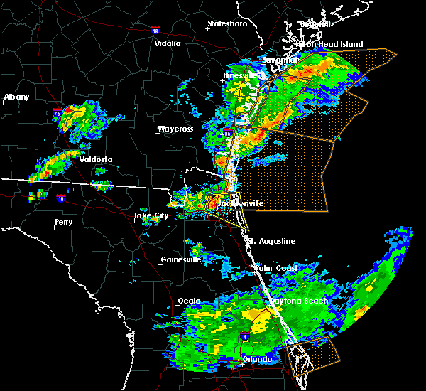 At 443 pm edt, a severe thunderstorm was located near jacksonville, moving east at 35 mph (radar indicated). Hazards include 60 mph wind gusts and quarter size hail. Hail damage to vehicles is expected. Expect wind damage to roofs, siding, and trees. At 443 pm edt, a severe thunderstorm was located near jacksonville, moving east at 35 mph (radar indicated). Hazards include 60 mph wind gusts and quarter size hail. Hail damage to vehicles is expected. Expect wind damage to roofs, siding, and trees.
|
| 5/13/2017 4:36 PM EDT |
 The severe thunderstorm warning for nassau, northern duval and southern camden counties will expire at 445 pm edt, the storm which prompted the warning has weakened below severe limits, and no longer poses an immediate threat to life or property. therefore the warning will be allowed to expire. however small hail, gusty winds and heavy rain are still possible with this thunderstorm. to report severe weather, contact your nearest law enforcement agency. they will relay your report to the national weather service jacksonville. The severe thunderstorm warning for nassau, northern duval and southern camden counties will expire at 445 pm edt, the storm which prompted the warning has weakened below severe limits, and no longer poses an immediate threat to life or property. therefore the warning will be allowed to expire. however small hail, gusty winds and heavy rain are still possible with this thunderstorm. to report severe weather, contact your nearest law enforcement agency. they will relay your report to the national weather service jacksonville.
|
| 5/13/2017 3:47 PM EDT |
 At 347 pm edt, a severe thunderstorm was located over st. george, or 12 miles west of callahan, moving east at 45 mph (radar indicated). Hazards include 70 mph wind gusts and quarter size hail. Hail damage to vehicles is expected. expect considerable tree damage. Wind damage is also likely to mobile homes, roofs, and outbuildings. At 347 pm edt, a severe thunderstorm was located over st. george, or 12 miles west of callahan, moving east at 45 mph (radar indicated). Hazards include 70 mph wind gusts and quarter size hail. Hail damage to vehicles is expected. expect considerable tree damage. Wind damage is also likely to mobile homes, roofs, and outbuildings.
|
| 5/13/2017 3:19 PM EDT |
 At 318 pm edt, severe thunderstorms were located along a line extending from 9 miles southeast of fargo to 12 miles northeast of suwannee valley, moving east at 30 mph (radar indicated). Hazards include 70 mph wind gusts and penny size hail. Expect considerable tree damage. Damage is likely to mobile homes, roofs, and outbuildings. At 318 pm edt, severe thunderstorms were located along a line extending from 9 miles southeast of fargo to 12 miles northeast of suwannee valley, moving east at 30 mph (radar indicated). Hazards include 70 mph wind gusts and penny size hail. Expect considerable tree damage. Damage is likely to mobile homes, roofs, and outbuildings.
|
| 5/4/2017 5:51 PM EDT |
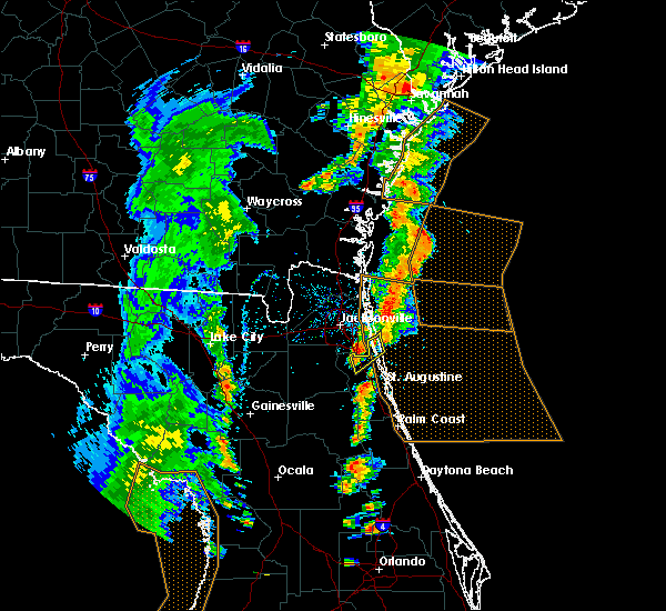 At 551 pm edt, a severe thunderstorm was located over sawgrass, or near ponte vedra beach, moving northeast at 20 mph (radar indicated). Hazards include 60 mph wind gusts and penny size hail. Expect damage to roofs, siding, and trees. This severe storm will be near, ponte vedra beach around 600 pm edt. At 551 pm edt, a severe thunderstorm was located over sawgrass, or near ponte vedra beach, moving northeast at 20 mph (radar indicated). Hazards include 60 mph wind gusts and penny size hail. Expect damage to roofs, siding, and trees. This severe storm will be near, ponte vedra beach around 600 pm edt.
|
| 5/4/2017 5:20 PM EDT |
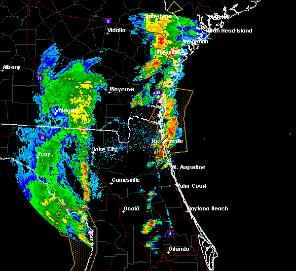 At 520 pm edt, a severe thunderstorm was located near world golf village, or 8 miles southeast of fruit cove, moving northeast at 30 mph (radar indicated). Hazards include 60 mph wind gusts and quarter size hail. Hail damage to vehicles is expected. Expect wind damage to roofs, siding, and trees. At 520 pm edt, a severe thunderstorm was located near world golf village, or 8 miles southeast of fruit cove, moving northeast at 30 mph (radar indicated). Hazards include 60 mph wind gusts and quarter size hail. Hail damage to vehicles is expected. Expect wind damage to roofs, siding, and trees.
|
| 5/4/2017 5:12 PM EDT | Trained storm spotter reported dime size hail at hodges blvd and jtb. peak wind gust estimated at 60 mp in duval county FL, 15.8 miles NW of Jacksonville, FL |
| 5/4/2017 5:10 PM EDT |
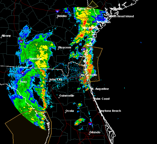 At 510 pm edt, a severe thunderstorm was located over bayard, or 7 miles south of unf, moving northeast at 30 mph (radar indicated). Hazards include 60 mph wind gusts and penny size hail. Expect damage to roofs, siding, and trees. this severe storm will be near, unf and palm valley around 520 pm edt. ponte vedra beach and sawgrass around 525 pm edt. Neptune beach and san pablo around 530 pm edt. At 510 pm edt, a severe thunderstorm was located over bayard, or 7 miles south of unf, moving northeast at 30 mph (radar indicated). Hazards include 60 mph wind gusts and penny size hail. Expect damage to roofs, siding, and trees. this severe storm will be near, unf and palm valley around 520 pm edt. ponte vedra beach and sawgrass around 525 pm edt. Neptune beach and san pablo around 530 pm edt.
|
| 5/4/2017 4:52 PM EDT |
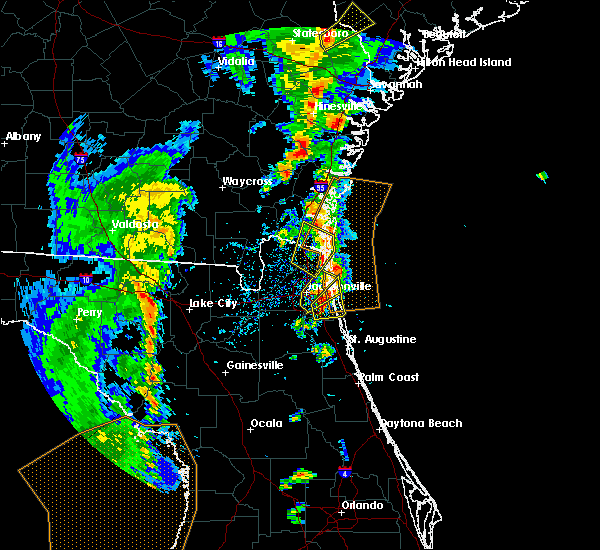 At 451 pm edt, a severe thunderstorm was located near bayard, or near unf, moving northeast at 30 mph (radar indicated). Hazards include 70 mph wind gusts and quarter size hail. Hail damage to vehicles is expected. expect considerable tree damage. wind damage is also likely to mobile homes, roofs, and outbuildings. this severe storm will be near, unf and palm valley around 455 pm edt. sawgrass around 500 pm edt. ponte vedra beach, san pablo and craig field around 505 pm edt. Neptune beach around 510 pm edt. At 451 pm edt, a severe thunderstorm was located near bayard, or near unf, moving northeast at 30 mph (radar indicated). Hazards include 70 mph wind gusts and quarter size hail. Hail damage to vehicles is expected. expect considerable tree damage. wind damage is also likely to mobile homes, roofs, and outbuildings. this severe storm will be near, unf and palm valley around 455 pm edt. sawgrass around 500 pm edt. ponte vedra beach, san pablo and craig field around 505 pm edt. Neptune beach around 510 pm edt.
|
| 5/4/2017 4:37 PM EDT |
 At 437 pm edt, a severe thunderstorm was located near bayard, or near fruit cove, moving northeast at 30 mph (radar indicated). Hazards include 70 mph wind gusts and quarter size hail. Hail damage to vehicles is expected. expect considerable tree damage. wind damage is also likely to mobile homes, roofs, and outbuildings. this severe thunderstorm will be near, nocatee around 445 pm edt. baymeadows around 450 pm edt. palm valley around 455 pm edt. unf around 500 pm edt. ponte vedra beach, san pablo, sawgrass and craig field around 505 pm edt. Neptune beach around 515 pm edt. At 437 pm edt, a severe thunderstorm was located near bayard, or near fruit cove, moving northeast at 30 mph (radar indicated). Hazards include 70 mph wind gusts and quarter size hail. Hail damage to vehicles is expected. expect considerable tree damage. wind damage is also likely to mobile homes, roofs, and outbuildings. this severe thunderstorm will be near, nocatee around 445 pm edt. baymeadows around 450 pm edt. palm valley around 455 pm edt. unf around 500 pm edt. ponte vedra beach, san pablo, sawgrass and craig field around 505 pm edt. Neptune beach around 515 pm edt.
|
| 5/4/2017 4:35 PM EDT | Action news jacksonville reports several trees downed by strong wind gusts in the vicinity of the st. johns town center and extending northeastward to beach boulevar in duval county FL, 12.5 miles NW of Jacksonville, FL |
| 5/4/2017 4:35 PM EDT |
 At 435 pm edt, a severe thunderstorm was located near yulee, or 9 miles southwest of st. marys, moving northeast at 30 mph (radar indicated). Hazards include 60 mph wind gusts and penny size hail. Expect damage to roofs, siding, and trees. locations impacted include, st. Marys, kingsland, fernandina beach, kings bay base, yulee and harrietts bluff. At 435 pm edt, a severe thunderstorm was located near yulee, or 9 miles southwest of st. marys, moving northeast at 30 mph (radar indicated). Hazards include 60 mph wind gusts and penny size hail. Expect damage to roofs, siding, and trees. locations impacted include, st. Marys, kingsland, fernandina beach, kings bay base, yulee and harrietts bluff.
|
| 5/4/2017 4:32 PM EDT |
 At 432 pm edt, a severe thunderstorm was located over craig field, or near arlington, moving northeast at 30 mph (radar indicated). Hazards include 70 mph wind gusts and quarter size hail. Hail damage to vehicles is expected. expect considerable tree damage. wind damage is also likely to mobile homes, roofs, and outbuildings. Locations impacted include, jacksonville, unf, arlington, neptune beach, baymeadows, san pablo, craig field, little talbot island, fort caroline and nas jax. At 432 pm edt, a severe thunderstorm was located over craig field, or near arlington, moving northeast at 30 mph (radar indicated). Hazards include 70 mph wind gusts and quarter size hail. Hail damage to vehicles is expected. expect considerable tree damage. wind damage is also likely to mobile homes, roofs, and outbuildings. Locations impacted include, jacksonville, unf, arlington, neptune beach, baymeadows, san pablo, craig field, little talbot island, fort caroline and nas jax.
|
| 5/4/2017 4:26 PM EDT | Media shared social media post of large tree limbs down and yard fences heavily damaged. time estimated from rada in duval county FL, 7.1 miles WNW of Jacksonville, FL |
| 5/4/2017 4:26 PM EDT | Ema reported tree down. time estimated from rada in duval county FL, 7 miles WNW of Jacksonville, FL |
| 5/4/2017 4:26 PM EDT | Ema reported three trees down on property. time estimated from rada in duval county FL, 6.5 miles WNW of Jacksonville, FL |
| 5/4/2017 4:18 PM EDT | Ema reported tree down. time estimated from rada in duval county FL, 8.1 miles WNW of Jacksonville, FL |
| 5/4/2017 4:18 PM EDT |
 At 418 pm edt, a severe thunderstorm was located near jacksonville international arpt, moving northeast at 30 mph (radar indicated). Hazards include 60 mph wind gusts. expect damage to roofs, siding, and trees At 418 pm edt, a severe thunderstorm was located near jacksonville international arpt, moving northeast at 30 mph (radar indicated). Hazards include 60 mph wind gusts. expect damage to roofs, siding, and trees
|
| 5/4/2017 4:15 PM EDT |
 At 415 pm edt, a severe thunderstorm was located near san marco, or near arlington, moving northeast at 30 mph (radar indicated). Hazards include 60 mph wind gusts and penny size hail. expect damage to roofs, siding, and trees At 415 pm edt, a severe thunderstorm was located near san marco, or near arlington, moving northeast at 30 mph (radar indicated). Hazards include 60 mph wind gusts and penny size hail. expect damage to roofs, siding, and trees
|
| 5/4/2017 4:14 PM EDT | Asos at naval air station jacksonville reported wind gust to 71 mph out of the south from 190 degree in duval county FL, 10.4 miles N of Jacksonville, FL |
| 4/6/2017 1:29 AM EDT |
 At 129 am edt, a severe thunderstorm was located 8 miles northwest of st. george, or 11 miles southwest of hilliard, moving east at 55 mph (radar indicated). Hazards include 60 mph wind gusts and quarter size hail. Hail damage to vehicles is expected. Expect wind damage to roofs, siding, and trees. At 129 am edt, a severe thunderstorm was located 8 miles northwest of st. george, or 11 miles southwest of hilliard, moving east at 55 mph (radar indicated). Hazards include 60 mph wind gusts and quarter size hail. Hail damage to vehicles is expected. Expect wind damage to roofs, siding, and trees.
|
| 4/4/2017 7:09 AM EDT |
 At 709 am edt, a severe thunderstorm was located near san marco, or near jacksonville, moving east at 10 mph (radar indicated). Hazards include 60 mph wind gusts. expect damage to roofs, siding, and trees At 709 am edt, a severe thunderstorm was located near san marco, or near jacksonville, moving east at 10 mph (radar indicated). Hazards include 60 mph wind gusts. expect damage to roofs, siding, and trees
|
| 4/4/2017 6:23 AM EDT |
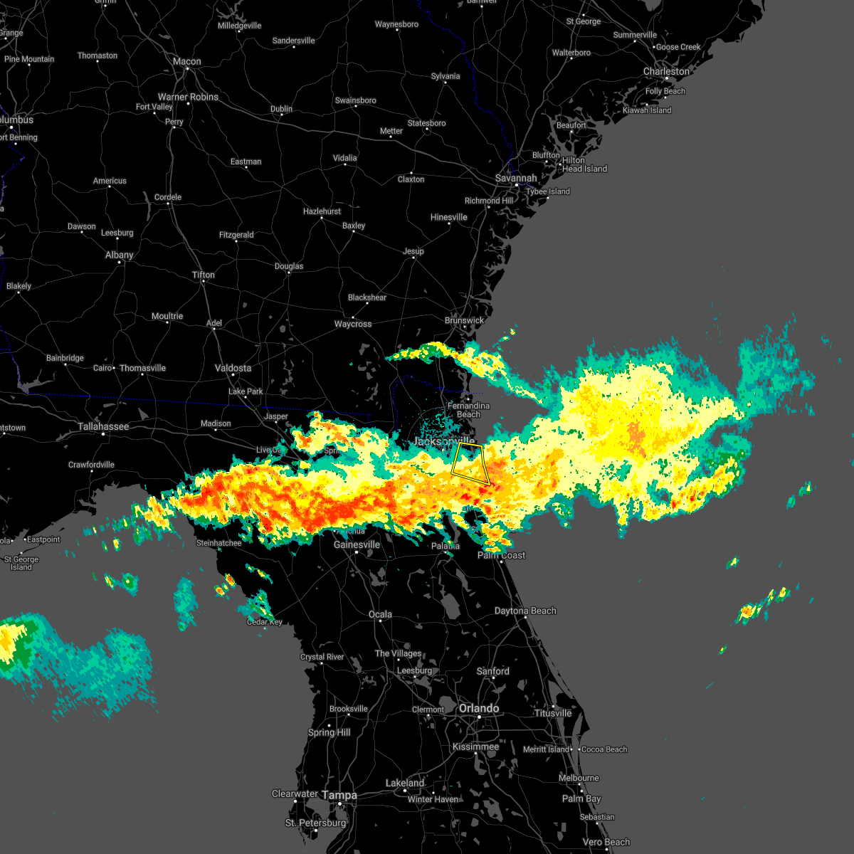 At 623 am edt, a severe thunderstorm was located over san pablo, or near ponte vedra beach, moving east at 30 mph (radar indicated). Hazards include 60 mph wind gusts. expect damage to roofs, siding, and trees At 623 am edt, a severe thunderstorm was located over san pablo, or near ponte vedra beach, moving east at 30 mph (radar indicated). Hazards include 60 mph wind gusts. expect damage to roofs, siding, and trees
|
| 4/4/2017 5:10 AM EDT |
 The severe thunderstorm warning for northern st. johns and southeastern duval counties will expire at 515 am edt, the storm which prompted the warning has weakened below severe limits, and no longer poses an immediate threat to life or property. therefore the warning will be allowed to expire. The severe thunderstorm warning for northern st. johns and southeastern duval counties will expire at 515 am edt, the storm which prompted the warning has weakened below severe limits, and no longer poses an immediate threat to life or property. therefore the warning will be allowed to expire.
|
| 4/4/2017 4:34 AM EDT |
 At 434 am edt, a severe thunderstorm was located over baymeadows, or near unf, moving east at 35 mph (radar indicated). Hazards include 60 mph wind gusts and penny size hail. expect damage to roofs, siding, and trees At 434 am edt, a severe thunderstorm was located over baymeadows, or near unf, moving east at 35 mph (radar indicated). Hazards include 60 mph wind gusts and penny size hail. expect damage to roofs, siding, and trees
|
| 4/3/2017 7:01 PM EDT |
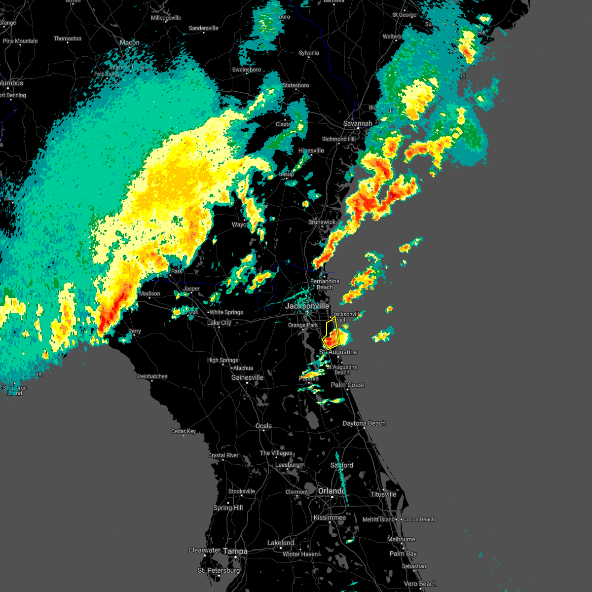 At 701 pm edt, a severe thunderstorm was located over guana river state park, or 12 miles south of ponte vedra beach, moving northeast at 25 mph (radar indicated). Hazards include 60 mph wind gusts and nickel size hail. Expect damage to roofs, siding, and trees. Locations impacted include, ponte vedra beach, palm valley, sawgrass, nocatee, south ponte vedra, durbin and guana river state park. At 701 pm edt, a severe thunderstorm was located over guana river state park, or 12 miles south of ponte vedra beach, moving northeast at 25 mph (radar indicated). Hazards include 60 mph wind gusts and nickel size hail. Expect damage to roofs, siding, and trees. Locations impacted include, ponte vedra beach, palm valley, sawgrass, nocatee, south ponte vedra, durbin and guana river state park.
|
| 4/3/2017 6:56 PM EDT |
 At 656 pm edt, a severe thunderstorm was located over palm valley, or near ponte vedra beach, moving northeast at 30 mph (radar indicated). Hazards include 60 mph wind gusts and nickel size hail. Expect damage to roofs, siding, and trees. Locations impacted include, ponte vedra beach, palm valley, sawgrass, nocatee, south ponte vedra, durbin and guana river state park. At 656 pm edt, a severe thunderstorm was located over palm valley, or near ponte vedra beach, moving northeast at 30 mph (radar indicated). Hazards include 60 mph wind gusts and nickel size hail. Expect damage to roofs, siding, and trees. Locations impacted include, ponte vedra beach, palm valley, sawgrass, nocatee, south ponte vedra, durbin and guana river state park.
|
| 4/3/2017 6:46 PM EDT |
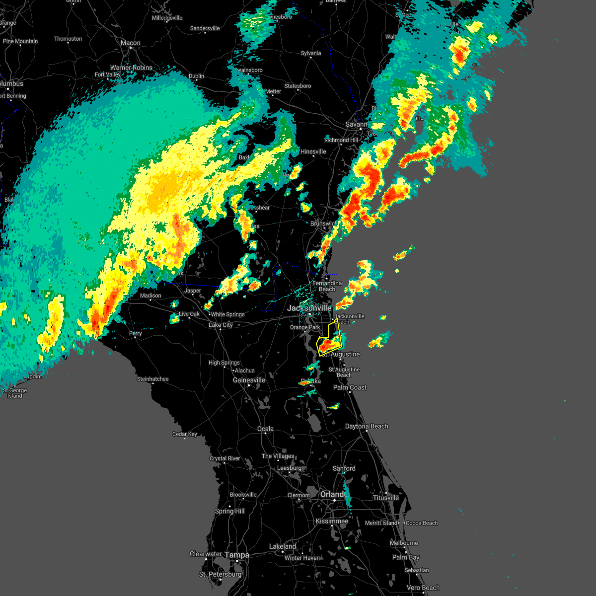 At 646 pm edt, a severe thunderstorm was located over durbin, or 9 miles east of fruit cove, moving northeast at 30 mph (radar indicated). Hazards include 60 mph wind gusts and nickel size hail. expect damage to roofs, siding, and trees At 646 pm edt, a severe thunderstorm was located over durbin, or 9 miles east of fruit cove, moving northeast at 30 mph (radar indicated). Hazards include 60 mph wind gusts and nickel size hail. expect damage to roofs, siding, and trees
|
| 4/3/2017 6:32 PM EDT |
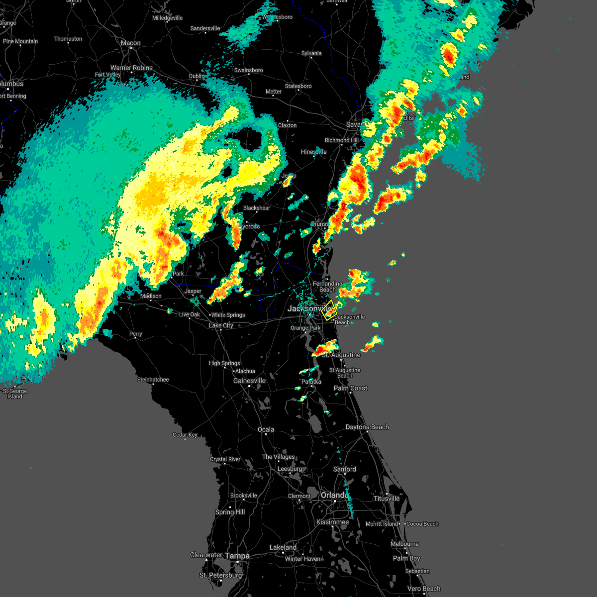 At 632 pm edt, a severe thunderstorm was located over craig field, or near unf, moving north at 15 mph (radar indicated). Hazards include 60 mph wind gusts and quarter size hail. Hail damage to vehicles is expected. Expect wind damage to roofs, siding, and trees. At 632 pm edt, a severe thunderstorm was located over craig field, or near unf, moving north at 15 mph (radar indicated). Hazards include 60 mph wind gusts and quarter size hail. Hail damage to vehicles is expected. Expect wind damage to roofs, siding, and trees.
|
| 4/3/2017 6:20 PM EDT |
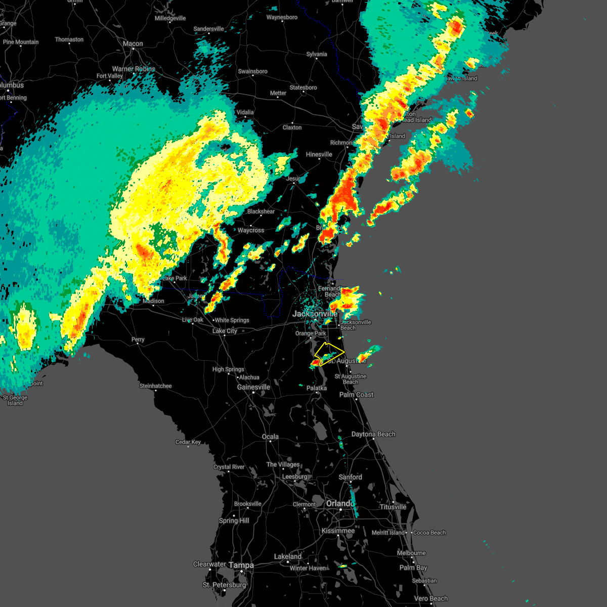 At 620 pm edt, a severe thunderstorm was located over picolata, or near green cove springs, moving northeast at 30 mph (radar indicated). Hazards include 60 mph wind gusts and quarter size hail. Hail damage to vehicles is expected. Expect wind damage to roofs, siding, and trees. At 620 pm edt, a severe thunderstorm was located over picolata, or near green cove springs, moving northeast at 30 mph (radar indicated). Hazards include 60 mph wind gusts and quarter size hail. Hail damage to vehicles is expected. Expect wind damage to roofs, siding, and trees.
|
| 4/3/2017 6:02 PM EDT |
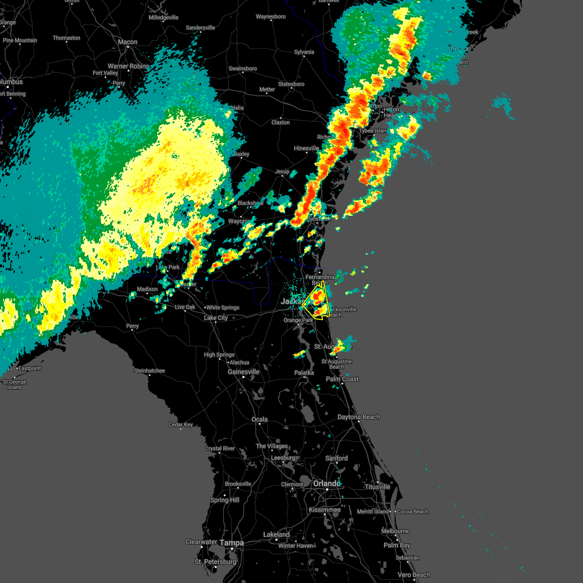 At 602 pm edt, severe thunderstorms were located along a line extending from 6 miles northwest of little talbot island to san pablo, moving northeast at 45 mph (radar indicated). Hazards include 60 mph wind gusts and nickel size hail. Expect damage to roofs, siding, and trees. Locations impacted include, unf, arlington, neptune beach, san pablo, craig field, little talbot island, fort caroline and tallyrand. At 602 pm edt, severe thunderstorms were located along a line extending from 6 miles northwest of little talbot island to san pablo, moving northeast at 45 mph (radar indicated). Hazards include 60 mph wind gusts and nickel size hail. Expect damage to roofs, siding, and trees. Locations impacted include, unf, arlington, neptune beach, san pablo, craig field, little talbot island, fort caroline and tallyrand.
|
| 4/3/2017 5:50 PM EDT | Quarter sized hail reported 10.3 miles NNW of Jacksonville, FL, quarter inch sized hail was reported at the san jose country club near mandarin. |
| 4/3/2017 5:49 PM EDT |
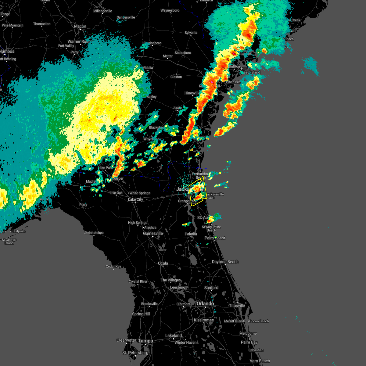 At 549 pm edt, severe thunderstorms were located along a line extending from near oceanway to near baymeadows, moving northeast at 45 mph (radar indicated). Hazards include 60 mph wind gusts and quarter size hail. Hail damage to vehicles is expected. Expect wind damage to roofs, siding, and trees. At 549 pm edt, severe thunderstorms were located along a line extending from near oceanway to near baymeadows, moving northeast at 45 mph (radar indicated). Hazards include 60 mph wind gusts and quarter size hail. Hail damage to vehicles is expected. Expect wind damage to roofs, siding, and trees.
|
| 2/7/2017 10:18 PM EST |
 At 1018 pm est, a severe thunderstorm was located 7 miles west of yulee, or 8 miles northeast of callahan, moving northeast at 50 mph (radar indicated). Hazards include 60 mph wind gusts. Expect damage to roofs, siding, and trees. locations impacted include, st. Marys, kingsland, fernandina beach, kings bay base, yulee, kings ferry, cumberland island and harrietts bluff. At 1018 pm est, a severe thunderstorm was located 7 miles west of yulee, or 8 miles northeast of callahan, moving northeast at 50 mph (radar indicated). Hazards include 60 mph wind gusts. Expect damage to roofs, siding, and trees. locations impacted include, st. Marys, kingsland, fernandina beach, kings bay base, yulee, kings ferry, cumberland island and harrietts bluff.
|
| 2/7/2017 10:05 PM EST |
 At 1005 pm est, a severe thunderstorm was located near hilliard, moving northeast at 45 mph (radar indicated). Hazards include 60 mph wind gusts. expect damage to roofs, siding, and trees At 1005 pm est, a severe thunderstorm was located near hilliard, moving northeast at 45 mph (radar indicated). Hazards include 60 mph wind gusts. expect damage to roofs, siding, and trees
|
| 1/22/2017 7:30 PM EST |
 At 728 pm est, severe thunderstorms were located along a line extending from 10 miles northeast of kings bay base to 6 miles northeast of federal point, moving east at 145 mph (radar indicated). Hazards include 60 mph wind gusts and quarter size hail. Hail damage to vehicles is expected. expect wind damage to roofs, siding, and trees. locations impacted include, saint augustine, fernandina beach, palatka, hastings, ponte vedra beach, unf, fruit cove, east palatka, neptune beach and world golf village. a tornado watch remains in effect until 800 pm est for northeastern florida, and southeastern georgia. Time, mot, loc 0028z 249deg 125kt 3090 8138 2980 8146. At 728 pm est, severe thunderstorms were located along a line extending from 10 miles northeast of kings bay base to 6 miles northeast of federal point, moving east at 145 mph (radar indicated). Hazards include 60 mph wind gusts and quarter size hail. Hail damage to vehicles is expected. expect wind damage to roofs, siding, and trees. locations impacted include, saint augustine, fernandina beach, palatka, hastings, ponte vedra beach, unf, fruit cove, east palatka, neptune beach and world golf village. a tornado watch remains in effect until 800 pm est for northeastern florida, and southeastern georgia. Time, mot, loc 0028z 249deg 125kt 3090 8138 2980 8146.
|
| 1/22/2017 7:23 PM EST |
 At 722 pm est, a severe thunderstorm capable of producing a tornado was located over world golf village, or 10 miles southeast of fruit cove, moving northeast at 75 mph (radar indicated rotation). Hazards include tornado and quarter size hail. Flying debris will be dangerous to those caught without shelter. mobile homes will be damaged or destroyed. damage to roofs, windows, and vehicles will occur. tree damage is likely. Locations impacted include, world golf village, south ponte vedra, vilano beach, nocatee, picolata, durbin, guana river state park and bakersville. At 722 pm est, a severe thunderstorm capable of producing a tornado was located over world golf village, or 10 miles southeast of fruit cove, moving northeast at 75 mph (radar indicated rotation). Hazards include tornado and quarter size hail. Flying debris will be dangerous to those caught without shelter. mobile homes will be damaged or destroyed. damage to roofs, windows, and vehicles will occur. tree damage is likely. Locations impacted include, world golf village, south ponte vedra, vilano beach, nocatee, picolata, durbin, guana river state park and bakersville.
|
| 1/22/2017 7:19 PM EST |
 At 718 pm est, a severe thunderstorm capable of producing a tornado was located near picolata, or 8 miles east of green cove springs, moving northeast at 75 mph (radar indicated rotation). Hazards include tornado and quarter size hail. Flying debris will be dangerous to those caught without shelter. mobile homes will be damaged or destroyed. damage to roofs, windows, and vehicles will occur. tree damage is likely. Locations impacted include, world golf village, south ponte vedra, vilano beach, nocatee, picolata, durbin, guana river state park and bakersville. At 718 pm est, a severe thunderstorm capable of producing a tornado was located near picolata, or 8 miles east of green cove springs, moving northeast at 75 mph (radar indicated rotation). Hazards include tornado and quarter size hail. Flying debris will be dangerous to those caught without shelter. mobile homes will be damaged or destroyed. damage to roofs, windows, and vehicles will occur. tree damage is likely. Locations impacted include, world golf village, south ponte vedra, vilano beach, nocatee, picolata, durbin, guana river state park and bakersville.
|
| 1/22/2017 7:15 PM EST |
 At 714 pm est, severe thunderstorms were located along a line extending from 6 miles northeast of kings bay base to near bostwick, moving northeast at 95 mph (radar indicated). Hazards include 60 mph wind gusts and quarter size hail. Hail damage to vehicles is expected. Expect wind damage to roofs, siding, and trees. At 714 pm est, severe thunderstorms were located along a line extending from 6 miles northeast of kings bay base to near bostwick, moving northeast at 95 mph (radar indicated). Hazards include 60 mph wind gusts and quarter size hail. Hail damage to vehicles is expected. Expect wind damage to roofs, siding, and trees.
|
| 1/22/2017 7:07 PM EST |
 At 706 pm est, a severe thunderstorm capable of producing a tornado was located near george`s lake, or 12 miles southwest of green cove springs, moving northeast at 75 mph (radar indicated rotation). Hazards include tornado and quarter size hail. Flying debris will be dangerous to those caught without shelter. mobile homes will be damaged or destroyed. damage to roofs, windows, and vehicles will occur. Tree damage is likely. At 706 pm est, a severe thunderstorm capable of producing a tornado was located near george`s lake, or 12 miles southwest of green cove springs, moving northeast at 75 mph (radar indicated rotation). Hazards include tornado and quarter size hail. Flying debris will be dangerous to those caught without shelter. mobile homes will be damaged or destroyed. damage to roofs, windows, and vehicles will occur. Tree damage is likely.
|
| 1/22/2017 7:01 PM EST |
 At 701 pm est, severe thunderstorms were located along a line extending from near kings bay base to near bostwick, moving northeast at 70 mph (radar indicated). Hazards include 60 mph wind gusts and quarter size hail. Hail damage to vehicles is expected. expect wind damage to roofs, siding, and trees. locations impacted include, jacksonville, saint augustine, fernandina beach, palatka, orange park, green cove springs, interlachen, callahan, hastings and jacksonville international arpt. A tornado watch remains in effect until 800 pm est for northern and northeastern florida. At 701 pm est, severe thunderstorms were located along a line extending from near kings bay base to near bostwick, moving northeast at 70 mph (radar indicated). Hazards include 60 mph wind gusts and quarter size hail. Hail damage to vehicles is expected. expect wind damage to roofs, siding, and trees. locations impacted include, jacksonville, saint augustine, fernandina beach, palatka, orange park, green cove springs, interlachen, callahan, hastings and jacksonville international arpt. A tornado watch remains in effect until 800 pm est for northern and northeastern florida.
|
| 1/22/2017 7:00 PM EST |
 At 700 pm est, a severe thunderstorm was located 10 miles northeast of kings bay base, moving northeast at 80 mph (radar indicated). Hazards include 60 mph wind gusts and quarter size hail. Hail damage to vehicles is expected. expect wind damage to roofs, siding, and trees. locations impacted include, st. marys, kingsland, fernandina beach, callahan, kings bay base, yulee and cumberland island. A tornado watch remains in effect until 800 pm est for northeastern florida, and southeastern georgia. At 700 pm est, a severe thunderstorm was located 10 miles northeast of kings bay base, moving northeast at 80 mph (radar indicated). Hazards include 60 mph wind gusts and quarter size hail. Hail damage to vehicles is expected. expect wind damage to roofs, siding, and trees. locations impacted include, st. marys, kingsland, fernandina beach, callahan, kings bay base, yulee and cumberland island. A tornado watch remains in effect until 800 pm est for northeastern florida, and southeastern georgia.
|
| 1/22/2017 6:55 PM EST |
 At 654 pm est, severe thunderstorms were located along a line extending from st. marys to near bardin, moving northeast at 70 mph (radar indicated). Hazards include 60 mph wind gusts and quarter size hail. Hail damage to vehicles is expected. expect wind damage to roofs, siding, and trees. locations impacted include, jacksonville, saint augustine, fernandina beach, palatka, orange park, green cove springs, interlachen, keystone heights, callahan and hastings. A tornado watch remains in effect until 800 pm est for northeastern and northern florida, and southeastern georgia. At 654 pm est, severe thunderstorms were located along a line extending from st. marys to near bardin, moving northeast at 70 mph (radar indicated). Hazards include 60 mph wind gusts and quarter size hail. Hail damage to vehicles is expected. expect wind damage to roofs, siding, and trees. locations impacted include, jacksonville, saint augustine, fernandina beach, palatka, orange park, green cove springs, interlachen, keystone heights, callahan and hastings. A tornado watch remains in effect until 800 pm est for northeastern and northern florida, and southeastern georgia.
|
| 1/22/2017 6:46 PM EST |
 At 646 pm est, severe thunderstorms were located along a line extending from near yulee to interlachen, moving northeast at 70 mph (radar indicated). Hazards include 60 mph wind gusts and quarter size hail. Hail damage to vehicles is expected. expect wind damage to roofs, siding, and trees. locations impacted include, jacksonville, saint augustine, fernandina beach, palatka, orange park, green cove springs, starke, interlachen, keystone heights and callahan. A tornado watch remains in effect until 800 pm est for northeastern and northern florida, and southeastern georgia. At 646 pm est, severe thunderstorms were located along a line extending from near yulee to interlachen, moving northeast at 70 mph (radar indicated). Hazards include 60 mph wind gusts and quarter size hail. Hail damage to vehicles is expected. expect wind damage to roofs, siding, and trees. locations impacted include, jacksonville, saint augustine, fernandina beach, palatka, orange park, green cove springs, starke, interlachen, keystone heights and callahan. A tornado watch remains in effect until 800 pm est for northeastern and northern florida, and southeastern georgia.
|
| 1/22/2017 6:44 PM EST |
 At 643 pm est, a severe thunderstorm was located near kingsland, moving northeast at 80 mph (radar indicated). Hazards include 60 mph wind gusts and quarter size hail. Hail damage to vehicles is expected. expect wind damage to roofs, siding, and trees. locations impacted include, st. marys, kingsland, fernandina beach, hilliard, callahan, kings bay base, yulee, cumberland island and harrietts bluff. A tornado watch remains in effect until 800 pm est for northeastern florida, and southeastern georgia. At 643 pm est, a severe thunderstorm was located near kingsland, moving northeast at 80 mph (radar indicated). Hazards include 60 mph wind gusts and quarter size hail. Hail damage to vehicles is expected. expect wind damage to roofs, siding, and trees. locations impacted include, st. marys, kingsland, fernandina beach, hilliard, callahan, kings bay base, yulee, cumberland island and harrietts bluff. A tornado watch remains in effect until 800 pm est for northeastern florida, and southeastern georgia.
|
| 1/22/2017 6:32 PM EST |
 At 631 pm est, severe thunderstorms were located along a line extending from 6 miles west of ratliff to cross creek, moving northeast at 70 mph (radar indicated). Hazards include 60 mph wind gusts and quarter size hail. Hail damage to vehicles is expected. expect wind damage to roofs, siding, and trees. locations impacted include, jacksonville, gainesville, saint augustine, fernandina beach, palatka, orange park, green cove springs, starke, lake butler and interlachen. A tornado watch remains in effect until 800 pm est for northeastern and northern florida, and southeastern georgia. At 631 pm est, severe thunderstorms were located along a line extending from 6 miles west of ratliff to cross creek, moving northeast at 70 mph (radar indicated). Hazards include 60 mph wind gusts and quarter size hail. Hail damage to vehicles is expected. expect wind damage to roofs, siding, and trees. locations impacted include, jacksonville, gainesville, saint augustine, fernandina beach, palatka, orange park, green cove springs, starke, lake butler and interlachen. A tornado watch remains in effect until 800 pm est for northeastern and northern florida, and southeastern georgia.
|
| 1/22/2017 6:27 PM EST |
 At 626 pm est, a severe thunderstorm was located over st. george, or 12 miles west of callahan, moving northeast at 80 mph (radar indicated). Hazards include 60 mph wind gusts and quarter size hail. Hail damage to vehicles is expected. Expect wind damage to roofs, siding, and trees. At 626 pm est, a severe thunderstorm was located over st. george, or 12 miles west of callahan, moving northeast at 80 mph (radar indicated). Hazards include 60 mph wind gusts and quarter size hail. Hail damage to vehicles is expected. Expect wind damage to roofs, siding, and trees.
|
| 1/22/2017 6:17 PM EST |
 At 617 pm est, severe thunderstorms were located along a line extending from 8 miles north of macclenny to near williston, moving northeast at 70 mph (radar indicated). Hazards include 60 mph wind gusts and quarter size hail. Hail damage to vehicles is expected. expect wind damage to roofs, siding, and trees. locations impacted include, jacksonville, gainesville, saint augustine, fernandina beach, palatka, orange park, green cove springs, starke, lake butler and interlachen. A tornado watch remains in effect until 800 pm est for northeastern and northern florida, and southeastern georgia. At 617 pm est, severe thunderstorms were located along a line extending from 8 miles north of macclenny to near williston, moving northeast at 70 mph (radar indicated). Hazards include 60 mph wind gusts and quarter size hail. Hail damage to vehicles is expected. expect wind damage to roofs, siding, and trees. locations impacted include, jacksonville, gainesville, saint augustine, fernandina beach, palatka, orange park, green cove springs, starke, lake butler and interlachen. A tornado watch remains in effect until 800 pm est for northeastern and northern florida, and southeastern georgia.
|
| 1/22/2017 6:06 PM EST |
 At 605 pm est, severe thunderstorms were located along a line extending from near sanderson to near williston highlands, moving northeast at 70 mph (radar indicated). Hazards include 60 mph wind gusts and quarter size hail. Hail damage to vehicles is expected. Expect wind damage to roofs, siding, and trees. At 605 pm est, severe thunderstorms were located along a line extending from near sanderson to near williston highlands, moving northeast at 70 mph (radar indicated). Hazards include 60 mph wind gusts and quarter size hail. Hail damage to vehicles is expected. Expect wind damage to roofs, siding, and trees.
|
| 1/22/2017 5:50 PM EST |
 At 550 pm est, severe thunderstorms were located along a line extending from 8 miles west of race pond to 6 miles northwest of olustee, moving northeast at 85 mph (radar indicated). Hazards include 60 mph wind gusts and quarter size hail. Hail damage to vehicles is expected. Expect wind damage to roofs, siding, and trees. At 550 pm est, severe thunderstorms were located along a line extending from 8 miles west of race pond to 6 miles northwest of olustee, moving northeast at 85 mph (radar indicated). Hazards include 60 mph wind gusts and quarter size hail. Hail damage to vehicles is expected. Expect wind damage to roofs, siding, and trees.
|
| 1/22/2017 3:58 PM EST |
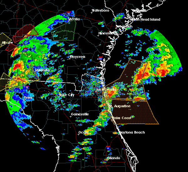 At 358 pm est, a severe thunderstorm was located 9 miles east of neptune beach, or 10 miles northeast of ponte vedra beach, moving northeast at 75 mph (radar indicated). Hazards include 60 mph wind gusts and quarter size hail. Hail damage to vehicles is expected. expect wind damage to roofs, siding, and trees. locations impacted include, ponte vedra beach, neptune beach, san pablo, palm valley, sawgrass, nocatee and durbin. A tornado watch remains in effect until 800 pm est for northeastern florida. At 358 pm est, a severe thunderstorm was located 9 miles east of neptune beach, or 10 miles northeast of ponte vedra beach, moving northeast at 75 mph (radar indicated). Hazards include 60 mph wind gusts and quarter size hail. Hail damage to vehicles is expected. expect wind damage to roofs, siding, and trees. locations impacted include, ponte vedra beach, neptune beach, san pablo, palm valley, sawgrass, nocatee and durbin. A tornado watch remains in effect until 800 pm est for northeastern florida.
|
| 1/22/2017 3:49 PM EST |
 At 349 pm est, a severe thunderstorm was located over ponte vedra beach, moving northeast at 75 mph (radar indicated). Hazards include 60 mph wind gusts and quarter size hail. Hail damage to vehicles is expected. expect wind damage to roofs, siding, and trees. locations impacted include, ponte vedra beach, unf, neptune beach, san pablo, palm valley, bayard, baymeadows, sawgrass, nocatee and durbin. A tornado watch remains in effect until 800 pm est for northeastern florida. At 349 pm est, a severe thunderstorm was located over ponte vedra beach, moving northeast at 75 mph (radar indicated). Hazards include 60 mph wind gusts and quarter size hail. Hail damage to vehicles is expected. expect wind damage to roofs, siding, and trees. locations impacted include, ponte vedra beach, unf, neptune beach, san pablo, palm valley, bayard, baymeadows, sawgrass, nocatee and durbin. A tornado watch remains in effect until 800 pm est for northeastern florida.
|
| 1/22/2017 3:43 PM EST |
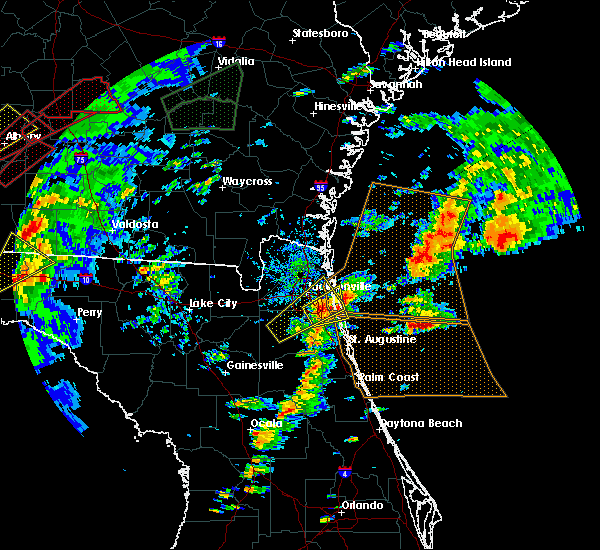 At 343 pm est, a severe thunderstorm was located near bayard, or near unf, moving northeast at 75 mph (radar indicated). Hazards include 60 mph wind gusts and quarter size hail. Hail damage to vehicles is expected. Expect wind damage to roofs, siding, and trees. At 343 pm est, a severe thunderstorm was located near bayard, or near unf, moving northeast at 75 mph (radar indicated). Hazards include 60 mph wind gusts and quarter size hail. Hail damage to vehicles is expected. Expect wind damage to roofs, siding, and trees.
|
| 1/22/2017 3:22 PM EST |
 At 322 pm est, a severe thunderstorm was located near mandarin, moving northeast at 60 mph (radar indicated). Hazards include 60 mph wind gusts. Expect damage to roofs, siding, and trees. locations impacted include, jacksonville, orange park, middleburg, ponte vedra beach, unf, fruit cove, mandarin, arlington, neptune beach and ortega. A tornado watch remains in effect until 800 pm est for northeastern florida. At 322 pm est, a severe thunderstorm was located near mandarin, moving northeast at 60 mph (radar indicated). Hazards include 60 mph wind gusts. Expect damage to roofs, siding, and trees. locations impacted include, jacksonville, orange park, middleburg, ponte vedra beach, unf, fruit cove, mandarin, arlington, neptune beach and ortega. A tornado watch remains in effect until 800 pm est for northeastern florida.
|
| 1/22/2017 3:03 PM EST |
 At 303 pm est, a severe thunderstorm was located near middleburg, moving northeast at 50 mph (radar indicated). Hazards include 60 mph wind gusts. expect damage to roofs, siding, and trees At 303 pm est, a severe thunderstorm was located near middleburg, moving northeast at 50 mph (radar indicated). Hazards include 60 mph wind gusts. expect damage to roofs, siding, and trees
|
| 1/22/2017 2:50 PM EST |
 The severe thunderstorm warning for east central nassau and northeastern duval counties will expire at 300 pm est, the storm which prompted the warning has moved out of the area. therefore the warning will be allowed to expire. a tornado watch remains in effect until 800 pm est for northeastern florida, and southeastern georgia. to report severe weather, contact your nearest law enforcement agency. they will relay your report to the national weather service jacksonville. The severe thunderstorm warning for east central nassau and northeastern duval counties will expire at 300 pm est, the storm which prompted the warning has moved out of the area. therefore the warning will be allowed to expire. a tornado watch remains in effect until 800 pm est for northeastern florida, and southeastern georgia. to report severe weather, contact your nearest law enforcement agency. they will relay your report to the national weather service jacksonville.
|
| 1/22/2017 2:34 PM EST |
 At 234 pm est, a severe thunderstorm was located over fort caroline, or 8 miles northeast of arlington, moving northeast at 65 mph (radar indicated). Hazards include 60 mph wind gusts. expect damage to roofs, siding, and trees At 234 pm est, a severe thunderstorm was located over fort caroline, or 8 miles northeast of arlington, moving northeast at 65 mph (radar indicated). Hazards include 60 mph wind gusts. expect damage to roofs, siding, and trees
|
| 1/22/2017 1:53 PM EST |
 The severe thunderstorm warning for southeastern duval county will expire at 200 pm est, the storm which prompted the warning has moved out of the area. therefore the warning will be allowed to expire. a tornado watch remains in effect until 800 pm est for northeastern florida. The severe thunderstorm warning for southeastern duval county will expire at 200 pm est, the storm which prompted the warning has moved out of the area. therefore the warning will be allowed to expire. a tornado watch remains in effect until 800 pm est for northeastern florida.
|
| 1/22/2017 1:40 PM EST | Quarter sized hail reported 12.5 miles WNW of Jacksonville, FL, local tv station received pictures of hail estimated to be around quarter sized along atlantic kernan. the time given was based on radar. |
| 1/22/2017 1:35 PM EST |
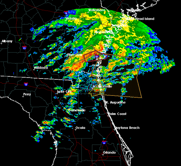 At 134 pm est, a severe thunderstorm was located over san pablo, or near unf, moving northeast at 60 mph (radar indicated). Hazards include 60 mph wind gusts and quarter size hail. Hail damage to vehicles is expected. expect wind damage to roofs, siding, and trees. locations impacted include, unf, neptune beach, san pablo, little talbot island, baymeadows, fort caroline and craig field. A tornado watch remains in effect until 800 pm est for northeastern florida. At 134 pm est, a severe thunderstorm was located over san pablo, or near unf, moving northeast at 60 mph (radar indicated). Hazards include 60 mph wind gusts and quarter size hail. Hail damage to vehicles is expected. expect wind damage to roofs, siding, and trees. locations impacted include, unf, neptune beach, san pablo, little talbot island, baymeadows, fort caroline and craig field. A tornado watch remains in effect until 800 pm est for northeastern florida.
|
| 1/21/2017 10:23 PM EST |
 The severe thunderstorm warning for northeastern nassau and northeastern duval counties will expire at 1030 pm est, the storm which prompted the warning has weakened below severe limits, and no longer pose an immediate threat to life or property. therefore the warning will be allowed to expire. however gusty winds are still possible with this thunderstorm. The severe thunderstorm warning for northeastern nassau and northeastern duval counties will expire at 1030 pm est, the storm which prompted the warning has weakened below severe limits, and no longer pose an immediate threat to life or property. therefore the warning will be allowed to expire. however gusty winds are still possible with this thunderstorm.
|
| 1/21/2017 10:15 PM EST |
 At 1014 pm est, a severe thunderstorm was located near yulee, or 9 miles northeast of jacksonville international arpt, moving east at 30 mph (radar indicated). Hazards include 60 mph wind gusts. Expect damage to roofs, siding, and trees. Locations impacted include, fernandina beach and yulee. At 1014 pm est, a severe thunderstorm was located near yulee, or 9 miles northeast of jacksonville international arpt, moving east at 30 mph (radar indicated). Hazards include 60 mph wind gusts. Expect damage to roofs, siding, and trees. Locations impacted include, fernandina beach and yulee.
|
| 1/21/2017 10:02 PM EST |
 At 1001 pm est, a severe thunderstorm was located near jacksonville international arpt, moving east at 30 mph (radar indicated). Hazards include 60 mph wind gusts. Expect damage to roofs, siding, and trees. locations impacted include, st. Marys, fernandina beach, hilliard, callahan, jacksonville international arpt, yulee, oceanway, little talbot island, ratliff and nassau village-ratliff. At 1001 pm est, a severe thunderstorm was located near jacksonville international arpt, moving east at 30 mph (radar indicated). Hazards include 60 mph wind gusts. Expect damage to roofs, siding, and trees. locations impacted include, st. Marys, fernandina beach, hilliard, callahan, jacksonville international arpt, yulee, oceanway, little talbot island, ratliff and nassau village-ratliff.
|
| 1/21/2017 9:46 PM EST |
 At 945 pm est, a severe thunderstorm was located over callahan, moving east at 30 mph (radar indicated). Hazards include 60 mph wind gusts. expect damage to roofs, siding, and trees At 945 pm est, a severe thunderstorm was located over callahan, moving east at 30 mph (radar indicated). Hazards include 60 mph wind gusts. expect damage to roofs, siding, and trees
|
| 1/3/2017 3:50 PM EST |
 At 349 pm est, a severe thunderstorm capable of producing a tornado was located over yulee, or near st. marys, moving east at 30 mph (radar indicated rotation). Hazards include tornado. Flying debris will be dangerous to those caught without shelter. mobile homes will be damaged or destroyed. damage to roofs, windows, and vehicles will occur. tree damage is likely. This dangerous storm will be near, fernandina beach around 405 pm est. At 349 pm est, a severe thunderstorm capable of producing a tornado was located over yulee, or near st. marys, moving east at 30 mph (radar indicated rotation). Hazards include tornado. Flying debris will be dangerous to those caught without shelter. mobile homes will be damaged or destroyed. damage to roofs, windows, and vehicles will occur. tree damage is likely. This dangerous storm will be near, fernandina beach around 405 pm est.
|
| 12/6/2016 8:52 AM EST |
 The tornado warning for north central st. johns county will expire at 900 am est, the storm which prompted the warning has moved out of the area. therefore the warning will be allowed to expire. to report severe weather, contact your nearest law enforcement agency. they will relay your report to the national weather service jacksonville. The tornado warning for north central st. johns county will expire at 900 am est, the storm which prompted the warning has moved out of the area. therefore the warning will be allowed to expire. to report severe weather, contact your nearest law enforcement agency. they will relay your report to the national weather service jacksonville.
|
| 12/6/2016 8:51 AM EST |
 The severe thunderstorm warning for northwestern st. johns and southeastern duval counties will expire at 900 am est, the storm which prompted the warning has moved out of the area. therefore the warning will be allowed to expire. to report severe weather, contact your nearest law enforcement agency. they will relay your report to the national weather service jacksonville. The severe thunderstorm warning for northwestern st. johns and southeastern duval counties will expire at 900 am est, the storm which prompted the warning has moved out of the area. therefore the warning will be allowed to expire. to report severe weather, contact your nearest law enforcement agency. they will relay your report to the national weather service jacksonville.
|
| 12/6/2016 8:43 AM EST |
 At 843 am est, a severe thunderstorm capable of producing a tornado was located over palm valley, or near ponte vedra beach, moving northeast at 30 mph (radar indicated rotation). Hazards include tornado. Flying debris will be dangerous to those caught without shelter. mobile homes will be damaged or destroyed. damage to roofs, windows, and vehicles will occur. tree damage is likely. this tornadic thunderstorm will remain over mainly rural areas of north central st. Johns county. At 843 am est, a severe thunderstorm capable of producing a tornado was located over palm valley, or near ponte vedra beach, moving northeast at 30 mph (radar indicated rotation). Hazards include tornado. Flying debris will be dangerous to those caught without shelter. mobile homes will be damaged or destroyed. damage to roofs, windows, and vehicles will occur. tree damage is likely. this tornadic thunderstorm will remain over mainly rural areas of north central st. Johns county.
|
| 12/6/2016 8:35 AM EST |
 At 831 am est, a severe thunderstorm capable of producing a tornado was located over bayard, or 7 miles east of fruit cove, moving east at 45 mph (radar indicated rotation). Hazards include tornado. Flying debris will be dangerous to those caught without shelter. mobile homes will be damaged or destroyed. damage to roofs, windows, and vehicles will occur. tree damage is likely. this dangerous storm will be near, nocatee around 835 am est. palm valley and guana river state park around 840 am est. Ponte vedra beach and sawgrass around 845 am est. At 831 am est, a severe thunderstorm capable of producing a tornado was located over bayard, or 7 miles east of fruit cove, moving east at 45 mph (radar indicated rotation). Hazards include tornado. Flying debris will be dangerous to those caught without shelter. mobile homes will be damaged or destroyed. damage to roofs, windows, and vehicles will occur. tree damage is likely. this dangerous storm will be near, nocatee around 835 am est. palm valley and guana river state park around 840 am est. Ponte vedra beach and sawgrass around 845 am est.
|
| 12/6/2016 8:21 AM EST |
 At 821 am est, a severe thunderstorm was located over switzerland, or over fruit cove, moving east at 40 mph (radar indicated). Hazards include 70 mph wind gusts. Expect considerable tree damage. damage is likely to mobile homes, roofs, and outbuildings. Locations impacted include, ponte vedra beach, fruit cove, mandarin, palm valley, bayard, sawgrass, nocatee, durbin and switzerland. At 821 am est, a severe thunderstorm was located over switzerland, or over fruit cove, moving east at 40 mph (radar indicated). Hazards include 70 mph wind gusts. Expect considerable tree damage. damage is likely to mobile homes, roofs, and outbuildings. Locations impacted include, ponte vedra beach, fruit cove, mandarin, palm valley, bayard, sawgrass, nocatee, durbin and switzerland.
|
| 12/6/2016 8:15 AM EST |
 At 813 am est, a severe thunderstorm was located near fleming island, or near green cove springs, moving northeast at 40 mph (radar indicated). Hazards include 70 mph wind gusts. Expect considerable tree damage. Damage is likely to mobile homes, roofs, and outbuildings. At 813 am est, a severe thunderstorm was located near fleming island, or near green cove springs, moving northeast at 40 mph (radar indicated). Hazards include 70 mph wind gusts. Expect considerable tree damage. Damage is likely to mobile homes, roofs, and outbuildings.
|
| 10/7/2016 10:53 AM EDT |
 The tornado warning for northern nassau and southeastern camden counties will expire at 1100 am edt, the storm which prompted the warning has weakened below severe limits, and no longer appears capable of producing a tornado. therefore the warning will be allowed to expire. however gusty winds are still possible with this thunderstorm. The tornado warning for northern nassau and southeastern camden counties will expire at 1100 am edt, the storm which prompted the warning has weakened below severe limits, and no longer appears capable of producing a tornado. therefore the warning will be allowed to expire. however gusty winds are still possible with this thunderstorm.
|
| 10/7/2016 10:36 AM EDT |
 At 1036 am edt, a severe thunderstorm capable of producing a tornado was located 8 miles east of kings bay base, moving southwest at 60 mph (radar indicated rotation). Hazards include tornado. Flying debris will be dangerous to those caught without shelter. mobile homes will be damaged or destroyed. damage to roofs, windows, and vehicles will occur. tree damage is likely. this dangerous storm will be near, fernandina beach and kings bay base around 1045 am edt. st. marys and yulee around 1050 am edt. Other locations impacted by this tornadic thunderstorm include cumberland island. At 1036 am edt, a severe thunderstorm capable of producing a tornado was located 8 miles east of kings bay base, moving southwest at 60 mph (radar indicated rotation). Hazards include tornado. Flying debris will be dangerous to those caught without shelter. mobile homes will be damaged or destroyed. damage to roofs, windows, and vehicles will occur. tree damage is likely. this dangerous storm will be near, fernandina beach and kings bay base around 1045 am edt. st. marys and yulee around 1050 am edt. Other locations impacted by this tornadic thunderstorm include cumberland island.
|
| 9/13/2016 10:15 PM EDT |
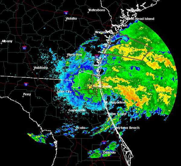 At 1013 pm edt, strong winds within a tropical rain band will were located along a line extending from near little talbot island to near fort caroline, moving northwest at 5 mph (radar indicated). Hazards include 60 mph wind gusts. Expect damage to roofs. siding. And trees. At 1013 pm edt, strong winds within a tropical rain band will were located along a line extending from near little talbot island to near fort caroline, moving northwest at 5 mph (radar indicated). Hazards include 60 mph wind gusts. Expect damage to roofs. siding. And trees.
|
| 9/13/2016 9:53 PM EDT | Gas station off of mayport road sustained minor roof damag in duval county FL, 16.2 miles W of Jacksonville, FL |
| 9/13/2016 9:29 PM EDT |
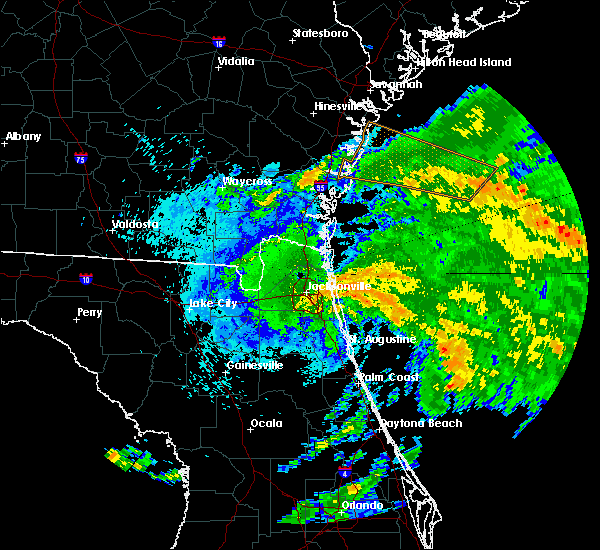 At 928 pm edt, severe thunderstorms were located along a line extending from little talbot island to neptune beach, moving northwest at 20 mph (radar indicated). Hazards include 60 mph wind gusts. Expect damage to roofs. siding. And trees. At 928 pm edt, severe thunderstorms were located along a line extending from little talbot island to neptune beach, moving northwest at 20 mph (radar indicated). Hazards include 60 mph wind gusts. Expect damage to roofs. siding. And trees.
|
| 9/13/2016 9:25 PM EDT | Measured wind of 37 mph gusting 48 mph at huguenot par in amz452 county FL, 16.8 miles W of Jacksonville, FL |
| 9/2/2016 11:17 AM EDT |
 At 1116 am edt, radar indicated a thunderstorm with rotation near fruit cove, moving northeast at 45 mph. this storm could produce a brief tornado at any time. a second storm with weak rotation was over northeast clay county and will pass just north of green cove springs (radar indicated rotation). Hazards include tornado. Flying debris will be dangerous to those caught without shelter. mobile homes will be damaged or destroyed. damage to roofs, windows, and vehicles will occur. tree damage is likely. This dangerous storm will be near, durbin and nocatee around 1125 am edt. At 1116 am edt, radar indicated a thunderstorm with rotation near fruit cove, moving northeast at 45 mph. this storm could produce a brief tornado at any time. a second storm with weak rotation was over northeast clay county and will pass just north of green cove springs (radar indicated rotation). Hazards include tornado. Flying debris will be dangerous to those caught without shelter. mobile homes will be damaged or destroyed. damage to roofs, windows, and vehicles will occur. tree damage is likely. This dangerous storm will be near, durbin and nocatee around 1125 am edt.
|
| 9/2/2016 11:09 AM EDT |
 At 1109 am edt, a severe thunderstorm capable of producing a tornado was located near switzerland, or near fruit cove, moving northeast at 45 mph (radar indicated rotation). Hazards include tornado. Flying debris will be dangerous to those caught without shelter. mobile homes will be damaged or destroyed. damage to roofs, windows, and vehicles will occur. tree damage is likely. This dangerous storm will be near, durbin and nocatee around 1125 am edt. At 1109 am edt, a severe thunderstorm capable of producing a tornado was located near switzerland, or near fruit cove, moving northeast at 45 mph (radar indicated rotation). Hazards include tornado. Flying debris will be dangerous to those caught without shelter. mobile homes will be damaged or destroyed. damage to roofs, windows, and vehicles will occur. tree damage is likely. This dangerous storm will be near, durbin and nocatee around 1125 am edt.
|
| 8/4/2016 2:10 PM EDT |
 The severe thunderstorm warning for northeastern nassau county will expire at 215 pm edt, the storm which prompted the warning has weakened below severe limits, and no longer pose an immediate threat to life or property. therefore, the warning will be allowed to expire. however gusty winds and heavy rain are still possible with this thunderstorm. to report severe weather, contact your nearest law enforcement agency. they will relay your report to the national weather service jacksonville. The severe thunderstorm warning for northeastern nassau county will expire at 215 pm edt, the storm which prompted the warning has weakened below severe limits, and no longer pose an immediate threat to life or property. therefore, the warning will be allowed to expire. however gusty winds and heavy rain are still possible with this thunderstorm. to report severe weather, contact your nearest law enforcement agency. they will relay your report to the national weather service jacksonville.
|
| 8/4/2016 1:53 PM EDT |
 At 153 pm edt, a severe thunderstorm was located over yulee, or near st. marys, moving north at 10 mph (radar indicated). Hazards include 70 mph wind gusts. Expect considerable tree damage. damage is likely to mobile homes, roofs, and outbuildings. locations impacted include, st. Marys, fernandina beach and yulee. At 153 pm edt, a severe thunderstorm was located over yulee, or near st. marys, moving north at 10 mph (radar indicated). Hazards include 70 mph wind gusts. Expect considerable tree damage. damage is likely to mobile homes, roofs, and outbuildings. locations impacted include, st. Marys, fernandina beach and yulee.
|
| 8/4/2016 1:51 PM EDT |
 At 150 pm edt, a severe thunderstorm was located over yulee, or 7 miles south of st. marys, moving north at 10 mph (radar indicated). Hazards include 60 mph wind gusts. Expect damage to roofs. siding. And trees. At 150 pm edt, a severe thunderstorm was located over yulee, or 7 miles south of st. marys, moving north at 10 mph (radar indicated). Hazards include 60 mph wind gusts. Expect damage to roofs. siding. And trees.
|
| 8/1/2016 5:40 PM EDT | Quarter sized hail reported 7.5 miles SW of Jacksonville, FL, public report received of quarter-sized hail in oceanway. timing estimated by radar. |
| 8/1/2016 5:30 PM EDT |
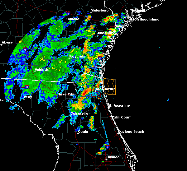 At 529 pm edt, a severe thunderstorm was located near oceanway, or 7 miles east of jacksonville international arpt, and is nearly stationary (radar indicated). Hazards include 60 mph wind gusts. Expect damage to roofs. siding. And trees. At 529 pm edt, a severe thunderstorm was located near oceanway, or 7 miles east of jacksonville international arpt, and is nearly stationary (radar indicated). Hazards include 60 mph wind gusts. Expect damage to roofs. siding. And trees.
|
| 7/15/2016 4:52 PM EDT |
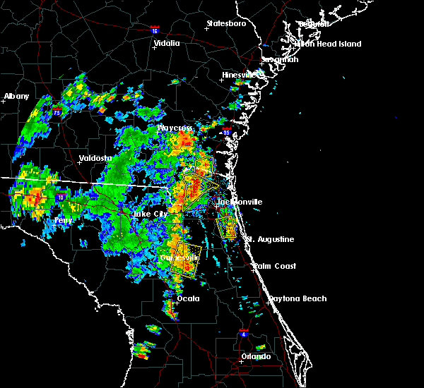 The severe thunderstorm warning for northwestern st. johns and southeastern duval counties will expire at 500 pm edt, the storm which prompted the warning has weakened below severe limits, and no longer pose an immediate threat to life or property. therefore, the warning will be allowed to expire. The severe thunderstorm warning for northwestern st. johns and southeastern duval counties will expire at 500 pm edt, the storm which prompted the warning has weakened below severe limits, and no longer pose an immediate threat to life or property. therefore, the warning will be allowed to expire.
|
| 7/15/2016 4:50 PM EDT |
 At 450 pm edt, a severe thunderstorm was located near callahan, moving northeast at 10 mph (radar indicated). Hazards include 60 mph wind gusts and quarter size hail. Hail damage to vehicles is expected. Expect wind damage to roofs, siding, and trees. At 450 pm edt, a severe thunderstorm was located near callahan, moving northeast at 10 mph (radar indicated). Hazards include 60 mph wind gusts and quarter size hail. Hail damage to vehicles is expected. Expect wind damage to roofs, siding, and trees.
|
| 7/15/2016 4:37 PM EDT |
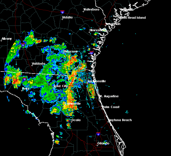 At 437 pm edt, a severe thunderstorm was located over durbin, or 8 miles east of fruit cove, moving north at 10 mph (radar indicated). Hazards include 60 mph wind gusts and penny size hail. Expect damage to roofs. siding. and trees. Locations impacted include, jacksonville, mandarin, fruit cove, world golf village, bayard and durbin. At 437 pm edt, a severe thunderstorm was located over durbin, or 8 miles east of fruit cove, moving north at 10 mph (radar indicated). Hazards include 60 mph wind gusts and penny size hail. Expect damage to roofs. siding. and trees. Locations impacted include, jacksonville, mandarin, fruit cove, world golf village, bayard and durbin.
|
| 7/15/2016 4:11 PM EDT |
 At 411 pm edt, a severe thunderstorm was located near durbin, or near fruit cove, moving northwest at 5 mph (radar indicated). Hazards include 60 mph wind gusts and penny size hail. Expect damage to roofs. siding. And trees. At 411 pm edt, a severe thunderstorm was located near durbin, or near fruit cove, moving northwest at 5 mph (radar indicated). Hazards include 60 mph wind gusts and penny size hail. Expect damage to roofs. siding. And trees.
|
| 7/15/2016 3:51 PM EDT |
 At 351 pm edt, a severe thunderstorm was located over baymeadows, or near unf, and is nearly stationary (radar indicated). Hazards include 60 mph wind gusts and penny size hail. Expect damage to roofs. siding. and trees. Locations impacted include, jacksonville, mandarin, unf, arlington, bayard, baymeadows, craig field, nas jax, riverside, san marco and tallyrand. At 351 pm edt, a severe thunderstorm was located over baymeadows, or near unf, and is nearly stationary (radar indicated). Hazards include 60 mph wind gusts and penny size hail. Expect damage to roofs. siding. and trees. Locations impacted include, jacksonville, mandarin, unf, arlington, bayard, baymeadows, craig field, nas jax, riverside, san marco and tallyrand.
|
| 7/15/2016 3:27 PM EDT |
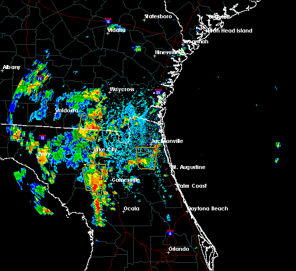 At 327 pm edt, a severe thunderstorm was located over baymeadows, or near unf, moving north at 10 mph (radar indicated). Hazards include 60 mph wind gusts and penny size hail. Expect damage to roofs. siding. And trees. At 327 pm edt, a severe thunderstorm was located over baymeadows, or near unf, moving north at 10 mph (radar indicated). Hazards include 60 mph wind gusts and penny size hail. Expect damage to roofs. siding. And trees.
|
| 7/15/2016 3:05 PM EDT |
 At 304 pm edt, a severe thunderstorm was located near green cove springs, moving north at 10 mph (radar indicated). Hazards include 60 mph wind gusts and penny size hail. Expect damage to roofs. siding. and trees. Locations impacted include, jacksonville, orange park, green cove springs, fruit cove, mandarin, middleburg, ortega, baymeadows, oakleaf plantation, switzerland, doctors inlet, cecil field, fleming island, nas jax, lakeside, bellair-meadowbrook terrace, penney farms, jacksonville heights and asbury lake. At 304 pm edt, a severe thunderstorm was located near green cove springs, moving north at 10 mph (radar indicated). Hazards include 60 mph wind gusts and penny size hail. Expect damage to roofs. siding. and trees. Locations impacted include, jacksonville, orange park, green cove springs, fruit cove, mandarin, middleburg, ortega, baymeadows, oakleaf plantation, switzerland, doctors inlet, cecil field, fleming island, nas jax, lakeside, bellair-meadowbrook terrace, penney farms, jacksonville heights and asbury lake.
|
| 7/15/2016 2:47 PM EDT |
 At 246 pm edt, a severe thunderstorm was located over green cove springs, moving north at 20 mph (radar indicated). Hazards include 60 mph wind gusts and penny size hail. Expect damage to roofs. siding. And trees. At 246 pm edt, a severe thunderstorm was located over green cove springs, moving north at 20 mph (radar indicated). Hazards include 60 mph wind gusts and penny size hail. Expect damage to roofs. siding. And trees.
|
| 7/14/2016 4:07 PM EDT |
 At 407 pm edt, a severe thunderstorm was located over yulee, or near st. marys, moving northeast at 15 mph (radar indicated). Hazards include 60 mph wind gusts and quarter size hail. Hail damage to vehicles is expected. expect wind damage to roofs, siding, and trees. locations impacted include, st. Marys and yulee. At 407 pm edt, a severe thunderstorm was located over yulee, or near st. marys, moving northeast at 15 mph (radar indicated). Hazards include 60 mph wind gusts and quarter size hail. Hail damage to vehicles is expected. expect wind damage to roofs, siding, and trees. locations impacted include, st. Marys and yulee.
|
| 7/14/2016 3:37 PM EDT |
 At 337 pm edt, a severe thunderstorm was located near yulee, or 7 miles southwest of st. marys, moving east at 10 mph (radar indicated). Hazards include 60 mph wind gusts and quarter size hail. Hail damage to vehicles is expected. Expect wind damage to roofs, siding, and trees. At 337 pm edt, a severe thunderstorm was located near yulee, or 7 miles southwest of st. marys, moving east at 10 mph (radar indicated). Hazards include 60 mph wind gusts and quarter size hail. Hail damage to vehicles is expected. Expect wind damage to roofs, siding, and trees.
|
| 7/12/2016 4:28 PM EDT |
 At 428 pm edt, a severe thunderstorm was located over green cove springs, moving south at 15 mph (radar indicated). Hazards include 70 mph wind gusts and quarter size hail. Hail damage to vehicles is expected. expect considerable tree damage. wind damage is also likely to mobile homes, roofs, and outbuildings. Locations impacted include, fruit cove and switzerland. At 428 pm edt, a severe thunderstorm was located over green cove springs, moving south at 15 mph (radar indicated). Hazards include 70 mph wind gusts and quarter size hail. Hail damage to vehicles is expected. expect considerable tree damage. wind damage is also likely to mobile homes, roofs, and outbuildings. Locations impacted include, fruit cove and switzerland.
|
| 7/12/2016 4:15 PM EDT | Broadcast media reported a tree down in mandarin at loretto road and flynn roa in duval county FL, 16.1 miles N of Jacksonville, FL |
| 7/12/2016 4:12 PM EDT | Quarter sized hail reported 16.1 miles N of Jacksonville, FL, trained spotter reported quarter size hail in mandarin off san jose blvd just north of interstate 295. |
| 7/12/2016 4:12 PM EDT |
 At 412 pm edt, a severe thunderstorm was located over switzerland, or over fruit cove, moving south at 20 mph (radar indicated). Hazards include 60 mph wind gusts and quarter size hail. Hail damage to vehicles is expected. Expect wind damage to roofs, siding, and trees. At 412 pm edt, a severe thunderstorm was located over switzerland, or over fruit cove, moving south at 20 mph (radar indicated). Hazards include 60 mph wind gusts and quarter size hail. Hail damage to vehicles is expected. Expect wind damage to roofs, siding, and trees.
|
| 7/12/2016 4:10 PM EDT | Large oak tree down along san jose boulevar in duval county FL, 8.8 miles NNW of Jacksonville, FL |
| 7/12/2016 4:07 PM EDT | Quarter sized hail reported 16.1 miles N of Jacksonville, FL, trained spotter reported quarter size hail in mandarin off san jose blvd just north of interstate 295. |
| 7/12/2016 4:05 PM EDT | National weather service employee reported a very large branch across san jose blvd at loretto roa in duval county FL, 15.6 miles NNW of Jacksonville, FL |
| 7/12/2016 3:55 PM EDT | Trees down near 5th street and iona stree in duval county FL, 3.6 miles NW of Jacksonville, FL |
| 7/12/2016 3:35 PM EDT | Quarter sized hail reported 7.2 miles NW of Jacksonville, FL, picture relayed by social media. quarter sized hail reported on beach blvd near emerson. |
| 7/12/2016 3:35 PM EDT | Golf Ball sized hail reported 7.2 miles NW of Jacksonville, FL, pictures were posted on social media showing hail approximately the size of golf balls on emerson street in jacksonville. |
| 7/12/2016 3:31 PM EDT |
 At 331 pm edt, a severe thunderstorm was located near arlington, moving southeast at 10 mph (radar indicated). Hazards include 60 mph wind gusts and quarter size hail. Hail damage to vehicles is expected. Expect wind damage to roofs, siding, and trees. At 331 pm edt, a severe thunderstorm was located near arlington, moving southeast at 10 mph (radar indicated). Hazards include 60 mph wind gusts and quarter size hail. Hail damage to vehicles is expected. Expect wind damage to roofs, siding, and trees.
|
| 7/12/2016 3:25 PM EDT | Quarter sized hail reported 3.8 miles NNW of Jacksonville, FL, numerous reports of hail at least the size of quarters in downtown jacksonville. |
| 7/12/2016 3:23 PM EDT | Broadcast media reported a tree down on market stree in duval county FL, 3.8 miles NNW of Jacksonville, FL |
| 7/12/2016 3:22 PM EDT |
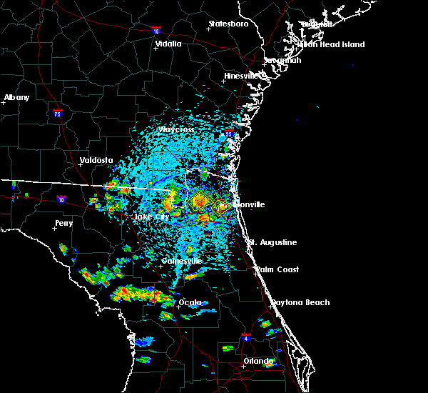 At 322 pm edt, a severe thunderstorm was located over jacksonville, and is nearly stationary (radar indicated). Hazards include 60 mph wind gusts and quarter size hail. Hail damage to vehicles is expected. expect wind damage to roofs, siding, and trees. Locations impacted include, jacksonville, arlington, san marco, riverside and tallyrand. At 322 pm edt, a severe thunderstorm was located over jacksonville, and is nearly stationary (radar indicated). Hazards include 60 mph wind gusts and quarter size hail. Hail damage to vehicles is expected. expect wind damage to roofs, siding, and trees. Locations impacted include, jacksonville, arlington, san marco, riverside and tallyrand.
|
| 7/12/2016 3:18 PM EDT |
 At 317 pm edt, a severe thunderstorm was located over bryceville, or 11 miles south of callahan, and is nearly stationary (radar indicated). Hazards include 60 mph wind gusts and penny size hail. Expect damage to roofs. siding. and trees. Locations impacted include, jacksonville, nassau village-ratliff, bryceville, ratliff and whitehouse air field. At 317 pm edt, a severe thunderstorm was located over bryceville, or 11 miles south of callahan, and is nearly stationary (radar indicated). Hazards include 60 mph wind gusts and penny size hail. Expect damage to roofs. siding. and trees. Locations impacted include, jacksonville, nassau village-ratliff, bryceville, ratliff and whitehouse air field.
|
| 7/12/2016 3:11 PM EDT |
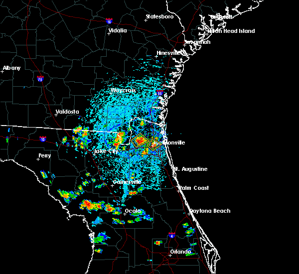 At 311 pm edt, a severe thunderstorm was located over jacksonville, and is nearly stationary (radar indicated). Hazards include 60 mph wind gusts and quarter size hail. Hail damage to vehicles is expected. Expect wind damage to roofs, siding, and trees. At 311 pm edt, a severe thunderstorm was located over jacksonville, and is nearly stationary (radar indicated). Hazards include 60 mph wind gusts and quarter size hail. Hail damage to vehicles is expected. Expect wind damage to roofs, siding, and trees.
|
| 7/12/2016 3:01 PM EDT |
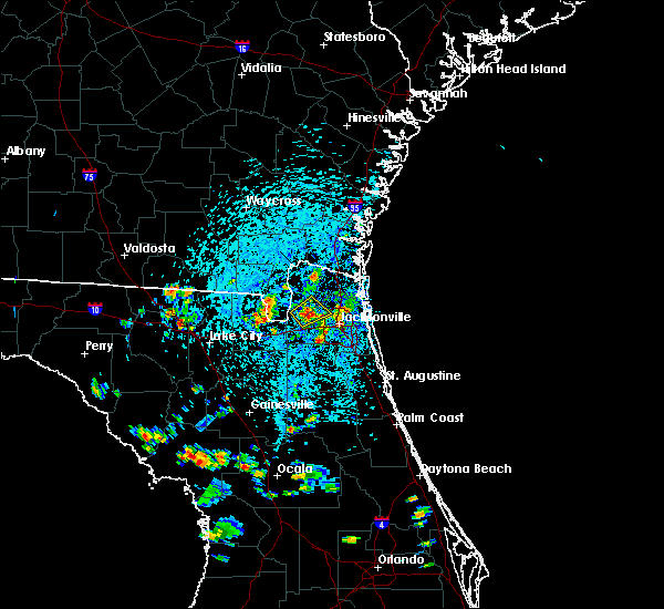 At 300 pm edt, a severe thunderstorm was located near bryceville, or 10 miles south of callahan, and is nearly stationary (radar indicated). Hazards include 60 mph wind gusts and quarter size hail. Hail damage to vehicles is expected. Expect wind damage to roofs, siding, and trees. At 300 pm edt, a severe thunderstorm was located near bryceville, or 10 miles south of callahan, and is nearly stationary (radar indicated). Hazards include 60 mph wind gusts and quarter size hail. Hail damage to vehicles is expected. Expect wind damage to roofs, siding, and trees.
|
| 6/30/2016 1:51 PM EDT |
 At 150 pm edt, a severe thunderstorm was located near maxville, or 16 miles northeast of raiford, moving northeast at 25 mph (radar indicated). Hazards include 60 mph wind gusts. Expect damage to roofs. siding. And trees. At 150 pm edt, a severe thunderstorm was located near maxville, or 16 miles northeast of raiford, moving northeast at 25 mph (radar indicated). Hazards include 60 mph wind gusts. Expect damage to roofs. siding. And trees.
|
| 6/29/2016 6:25 PM EDT | Wjax relayed a report of several small to medium sized trees uprooted at an apartment comple in duval county FL, 21.1 miles NNW of Jacksonville, FL |
| 6/29/2016 4:06 PM EDT | Broadcast media received report of a tree down across philips manor drive. timing estimated by rada in nassau county FL, 20.3 miles SW of Jacksonville, FL |
| 6/16/2016 2:04 PM EDT |
 At 203 pm edt, severe thunderstorms were located along a line extending from near bryceville to near macclenny, moving east at 25 mph (radar indicated). Hazards include 60 mph wind gusts. Expect damage to roofs. siding. and trees. Locations impacted include, jacksonville, jacksonville international arpt, unf, arlington, neptune beach, ortega, craig field, san marco, riverside, ratliff, nas jax, nassau village-ratliff, oceanway, baymeadows, bryceville, cisco gardens, cecil field, san pablo, little talbot island and fort caroline. At 203 pm edt, severe thunderstorms were located along a line extending from near bryceville to near macclenny, moving east at 25 mph (radar indicated). Hazards include 60 mph wind gusts. Expect damage to roofs. siding. and trees. Locations impacted include, jacksonville, jacksonville international arpt, unf, arlington, neptune beach, ortega, craig field, san marco, riverside, ratliff, nas jax, nassau village-ratliff, oceanway, baymeadows, bryceville, cisco gardens, cecil field, san pablo, little talbot island and fort caroline.
|
| 6/16/2016 1:48 PM EDT |
 At 148 pm edt, severe thunderstorms were located along a line extending from near st. george to near glen st. mary, moving east at 25 mph (radar indicated). Hazards include 60 mph wind gusts. Expect damage to roofs. siding. And trees. At 148 pm edt, severe thunderstorms were located along a line extending from near st. george to near glen st. mary, moving east at 25 mph (radar indicated). Hazards include 60 mph wind gusts. Expect damage to roofs. siding. And trees.
|
| 6/6/2016 3:57 PM EDT | The weatherflow sensor at huguenot park reported a southwest west sustained at 51 mph with a gust to 63 mp in amz452 county FL, 16.8 miles W of Jacksonville, FL |
| 6/6/2016 3:47 PM EDT |
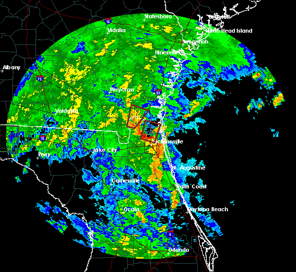 At 347 pm edt, a severe thunderstorm capable of producing a tornado was located near jacksonville international arpt, moving north at 50 mph (radar indicated rotation). Hazards include tornado. Flying debris will be dangerous to those caught without shelter. mobile homes will be damaged or destroyed. damage to roofs, windows, and vehicles will occur. tree damage is likely. This dangerous storm will be near, yulee around 400 pm edt. At 347 pm edt, a severe thunderstorm capable of producing a tornado was located near jacksonville international arpt, moving north at 50 mph (radar indicated rotation). Hazards include tornado. Flying debris will be dangerous to those caught without shelter. mobile homes will be damaged or destroyed. damage to roofs, windows, and vehicles will occur. tree damage is likely. This dangerous storm will be near, yulee around 400 pm edt.
|
| 6/6/2016 3:30 PM EDT |
 At 330 pm edt, a severe thunderstorm capable of producing a tornado was located over normandy, or near jacksonville, moving north at 45 mph (radar indicated rotation). Hazards include tornado. Flying debris will be dangerous to those caught without shelter. mobile homes will be damaged or destroyed. damage to roofs, windows, and vehicles will occur. tree damage is likely. this dangerous storm will be near, jacksonville international arpt and oceanway around 345 pm edt. jacksonville around 355 pm edt. yulee around 400 pm edt. Other locations impacted by this tornadic thunderstorm include tallyrand and jacksonville heights. At 330 pm edt, a severe thunderstorm capable of producing a tornado was located over normandy, or near jacksonville, moving north at 45 mph (radar indicated rotation). Hazards include tornado. Flying debris will be dangerous to those caught without shelter. mobile homes will be damaged or destroyed. damage to roofs, windows, and vehicles will occur. tree damage is likely. this dangerous storm will be near, jacksonville international arpt and oceanway around 345 pm edt. jacksonville around 355 pm edt. yulee around 400 pm edt. Other locations impacted by this tornadic thunderstorm include tallyrand and jacksonville heights.
|
| 6/6/2016 3:25 PM EDT | Wjax relayed a report of trees downed near interstate 10 and chaffee roa in duval county FL, 10.9 miles ENE of Jacksonville, FL |
| 6/6/2016 3:20 PM EDT |
 At 320 pm edt, a severe thunderstorm capable of producing a tornado was located near ortega, or near orange park, moving north at 50 mph (radar indicated rotation). Hazards include tornado. Flying debris will be dangerous to those caught without shelter. mobile homes will be damaged or destroyed. damage to roofs, windows, and vehicles will occur. tree damage is likely. this dangerous storm will be near, riverside and san marco around 325 pm edt. cisco gardens around 330 pm edt. jacksonville international arpt and oceanway around 340 pm edt. jacksonville around 350 pm edt. yulee around 400 pm edt. Other locations impacted by this tornadic thunderstorm include tallyrand and jacksonville heights. At 320 pm edt, a severe thunderstorm capable of producing a tornado was located near ortega, or near orange park, moving north at 50 mph (radar indicated rotation). Hazards include tornado. Flying debris will be dangerous to those caught without shelter. mobile homes will be damaged or destroyed. damage to roofs, windows, and vehicles will occur. tree damage is likely. this dangerous storm will be near, riverside and san marco around 325 pm edt. cisco gardens around 330 pm edt. jacksonville international arpt and oceanway around 340 pm edt. jacksonville around 350 pm edt. yulee around 400 pm edt. Other locations impacted by this tornadic thunderstorm include tallyrand and jacksonville heights.
|
| 6/6/2016 2:15 PM EDT |
 At 214 pm edt, a severe thunderstorm capable of producing a tornado was located 8 miles east of raiford, moving northeast at 30 mph (radar indicated rotation). Hazards include tornado. Flying debris will be dangerous to those caught without shelter. mobile homes will be damaged or destroyed. damage to roofs, windows, and vehicles will occur. tree damage is likely. Locations impacted include, lawtey. At 214 pm edt, a severe thunderstorm capable of producing a tornado was located 8 miles east of raiford, moving northeast at 30 mph (radar indicated rotation). Hazards include tornado. Flying debris will be dangerous to those caught without shelter. mobile homes will be damaged or destroyed. damage to roofs, windows, and vehicles will occur. tree damage is likely. Locations impacted include, lawtey.
|
| 6/6/2016 2:01 PM EDT |
 At 200 pm edt, a severe thunderstorm capable of producing a tornado was located near starke, moving northeast at 25 mph (radar indicated rotation). Hazards include tornado. Flying debris will be dangerous to those caught without shelter. mobile homes will be damaged or destroyed. damage to roofs, windows, and vehicles will occur. tree damage is likely. This tornadic thunderstorm will remain over mainly rural areas of northeastern bradford, southeastern baker and northwestern clay counties, including the following locations: lawtey. At 200 pm edt, a severe thunderstorm capable of producing a tornado was located near starke, moving northeast at 25 mph (radar indicated rotation). Hazards include tornado. Flying debris will be dangerous to those caught without shelter. mobile homes will be damaged or destroyed. damage to roofs, windows, and vehicles will occur. tree damage is likely. This tornadic thunderstorm will remain over mainly rural areas of northeastern bradford, southeastern baker and northwestern clay counties, including the following locations: lawtey.
|
| 6/1/2016 5:02 PM EDT |
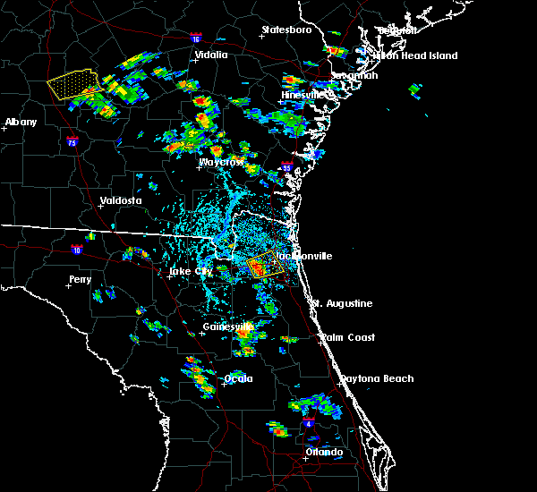 At 502 pm edt, a severe thunderstorm was located near normandy, or 7 miles northwest of orange park, moving east at 5 mph (radar indicated). Hazards include 60 mph wind gusts and quarter size hail. Hail damage to vehicles is expected. expect wind damage to roofs, siding, and trees. Locations impacted include, jacksonville, ortega, san marco, nas jax, riverside, cisco gardens, normandy, whitehouse air field, tallyrand and jacksonville heights. At 502 pm edt, a severe thunderstorm was located near normandy, or 7 miles northwest of orange park, moving east at 5 mph (radar indicated). Hazards include 60 mph wind gusts and quarter size hail. Hail damage to vehicles is expected. expect wind damage to roofs, siding, and trees. Locations impacted include, jacksonville, ortega, san marco, nas jax, riverside, cisco gardens, normandy, whitehouse air field, tallyrand and jacksonville heights.
|
| 6/1/2016 4:55 PM EDT | Jacksonville fire rescue reports a tree downed on a house along firestone road on the west side of town. time of damage based on radar dat in duval county FL, 10 miles NNE of Jacksonville, FL |
| 6/1/2016 4:50 PM EDT | Duval county emergency management relayed a report of a tree downed by strong wind gusts along doyon court near herlong airport. time of damage based on radar dat in duval county FL, 8.8 miles NE of Jacksonville, FL |
| 6/1/2016 4:47 PM EDT |
 At 447 pm edt, a severe thunderstorm was located over normandy, or 8 miles northwest of orange park, moving northeast at 5 mph (radar indicated). Hazards include 60 mph wind gusts and quarter size hail. Hail damage to vehicles is expected. Expect wind damage to roofs, siding, and trees. At 447 pm edt, a severe thunderstorm was located over normandy, or 8 miles northwest of orange park, moving northeast at 5 mph (radar indicated). Hazards include 60 mph wind gusts and quarter size hail. Hail damage to vehicles is expected. Expect wind damage to roofs, siding, and trees.
|
| 5/20/2016 12:55 PM EDT | A couple of trees reported dow in duval county FL, 5.9 miles WNW of Jacksonville, FL |
| 5/20/2016 12:50 PM EDT | Wires down due to lighthning striking a tree near hipps roa in duval county FL, 13.6 miles NNE of Jacksonville, FL |
| 5/19/2016 6:49 PM EDT | The national weather service in jacksonville has issued a * severe thunderstorm warning for. central st. johns county in northeastern florida. central clay county in northeastern florida. until 730 pm edt * at 649 pm edt. A severe thunderstorm was located near green cove. |
| 5/19/2016 4:35 PM EDT | Tree down and powerlines down near belfort and touchton roads. time estimated from rada in duval county FL, 10.3 miles NW of Jacksonville, FL |
| 4/22/2016 4:05 PM EDT | Emergency manager reports wires down blocking the roadway near the 7800 block of la trec drive. time estimated by rada in duval county FL, 8.4 miles NE of Jacksonville, FL |
| 4/22/2016 4:05 PM EDT | Emergency manager reports wires down on a house in the 2700 block of arapahoe ave. time estimated by rada in duval county FL, 7.7 miles N of Jacksonville, FL |
| 4/22/2016 4:03 PM EDT | Emergency manager reports wires down near the intersection of algonquin ave and baltic street. time estimated by rada in duval county FL, 7.7 miles N of Jacksonville, FL |
| 4/22/2016 4:03 PM EDT | Emergency manager reports wires down near the intersection of algonquin ave and baltic street. time estimated by rada in duval county FL, 7.7 miles N of Jacksonville, FL |
| 4/22/2016 4:00 PM EDT | Emergency manager reports various trees and wires down on seaboard ave and timuquana rd. time estimated from rada in duval county FL, 9.4 miles NNE of Jacksonville, FL |
| 4/2/2016 9:21 AM EDT |
 At 921 am edt, a severe thunderstorm was located over new river, or near raiford, moving east at 65 mph (radar indicated). Hazards include 60 mph wind gusts and quarter size hail. Hail damage to vehicles is expected. Expect wind damage to roofs, siding, and trees. At 921 am edt, a severe thunderstorm was located over new river, or near raiford, moving east at 65 mph (radar indicated). Hazards include 60 mph wind gusts and quarter size hail. Hail damage to vehicles is expected. Expect wind damage to roofs, siding, and trees.
|
| 4/1/2016 5:11 PM EDT |
 At 511 pm edt, a severe thunderstorm was located near yulee, or 7 miles west of st. marys, moving northeast at 35 mph (radar indicated). Hazards include 60 mph wind gusts and quarter size hail. Hail damage to vehicles is expected. Expect wind damage to roofs, siding, and trees. At 511 pm edt, a severe thunderstorm was located near yulee, or 7 miles west of st. marys, moving northeast at 35 mph (radar indicated). Hazards include 60 mph wind gusts and quarter size hail. Hail damage to vehicles is expected. Expect wind damage to roofs, siding, and trees.
|
| 3/24/2016 9:52 PM EDT |
 At 952 pm edt, severe thunderstorms were located along a line extending from near fargo to 11 miles east of belmont, moving east at 40 mph (radar indicated). Hazards include 60 to 70 mph wind gusts. Expect considerable tree damage. Damage is likely to mobile homes, roofs, and outbuildings. At 952 pm edt, severe thunderstorms were located along a line extending from near fargo to 11 miles east of belmont, moving east at 40 mph (radar indicated). Hazards include 60 to 70 mph wind gusts. Expect considerable tree damage. Damage is likely to mobile homes, roofs, and outbuildings.
|
| 2/24/2016 7:51 AM EST |
 At 751 am est, a severe thunderstorm was located near middleburg, moving northeast at 45 mph (radar indicated). Hazards include 60 mph wind gusts. Expect damage to roofs. siding and trees. locations impacted include, jacksonville, orange park, middleburg, mandarin, arlington, fruit cove, ortega, san marco, riverside, oakleaf plantation, fleming island, nas jax, lakeside, kingsley, bayard, baymeadows, maxville, cisco gardens, camp blanding and doctors inlet. A tornado watch remains in effect until 1000 am est for northeastern florida. At 751 am est, a severe thunderstorm was located near middleburg, moving northeast at 45 mph (radar indicated). Hazards include 60 mph wind gusts. Expect damage to roofs. siding and trees. locations impacted include, jacksonville, orange park, middleburg, mandarin, arlington, fruit cove, ortega, san marco, riverside, oakleaf plantation, fleming island, nas jax, lakeside, kingsley, bayard, baymeadows, maxville, cisco gardens, camp blanding and doctors inlet. A tornado watch remains in effect until 1000 am est for northeastern florida.
|
| 2/24/2016 7:36 AM EST |
 At 735 am est, a severe thunderstorm was located near starke, moving northeast at 45 mph (radar indicated). Hazards include 70 mph wind gusts. Expect considerable tree damage. Damage is likely to mobile homes, roofs and outbuildings. At 735 am est, a severe thunderstorm was located near starke, moving northeast at 45 mph (radar indicated). Hazards include 70 mph wind gusts. Expect considerable tree damage. Damage is likely to mobile homes, roofs and outbuildings.
|
| 2/24/2016 7:09 AM EST |
 At 709 am est, a severe thunderstorm was located near worthington spring, moving northeast at 55 mph (radar indicated). Hazards include 60 mph wind gusts. Expect damage to roofs. Siding and trees. At 709 am est, a severe thunderstorm was located near worthington spring, moving northeast at 55 mph (radar indicated). Hazards include 60 mph wind gusts. Expect damage to roofs. Siding and trees.
|
| 9/8/2015 3:10 PM EDT | Public reported a tree downed near the intersection of fort caroline road and mccormick road. report received via social media and time estimated by rada in duval county FL, 10.1 miles W of Jacksonville, FL |
| 8/26/2015 5:57 PM EDT | The severe thunderstorm warning for east central nassau county will expire at 600 pm edt, the storm which prompted the warning has weakened below severe limits, and no longer poses an immediate threat to life or property. therefore the warning will be allowed to expire. however gusty winds and heavy rain are still possible with this thunderstorm. |
| 8/26/2015 5:29 PM EDT |
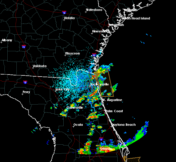 At 529 pm edt, doppler radar indicated a severe thunderstorm capable of producing quarter size hail and damaging winds in excess of 60 mph. this storm was located near yulee, or near fernandina beach, and moving east at 5 mph. At 529 pm edt, doppler radar indicated a severe thunderstorm capable of producing quarter size hail and damaging winds in excess of 60 mph. this storm was located near yulee, or near fernandina beach, and moving east at 5 mph.
|
| 8/23/2015 6:15 PM EDT | Central dispatch reported a tree down on a home off of underhill drive in the arlington are in duval county FL, 6.8 miles WNW of Jacksonville, FL |
| 8/23/2015 6:06 PM EDT | Central dispatch reported a tree down on a power line and on fire on lyle lane near the ortega are in duval county FL, 9.4 miles NNE of Jacksonville, FL |
| 8/23/2015 6:05 PM EDT |
 At 604 pm edt, doppler radar indicated a severe thunderstorm capable of producing damaging winds in excess of 60 mph. this storm was located near arlington, and moving east at 40 mph. At 604 pm edt, doppler radar indicated a severe thunderstorm capable of producing damaging winds in excess of 60 mph. this storm was located near arlington, and moving east at 40 mph.
|
| 8/23/2015 5:57 PM EDT | Central dispatch reported a tree down on power lines at palmdale street and lake park driv in duval county FL, 0.7 miles SSE of Jacksonville, FL |
| 8/23/2015 5:56 PM EDT |
 At 555 pm edt, doppler radar indicated a severe thunderstorm capable of producing damaging winds in excess of 60 mph. this storm was located over oceanway, or near jacksonville international arpt, moving east at 40 mph. penny size hail may also accompany the damaging winds. locations impacted include, jacksonville, st. marys, kingsland, fernandina beach, callahan, jacksonville international arpt, arlington, yulee, neptune beach, oceanway, craig field, cisco gardens, san pablo, little talbot island, fort caroline, ratliff, nassau village-ratliff and tallyrand. At 555 pm edt, doppler radar indicated a severe thunderstorm capable of producing damaging winds in excess of 60 mph. this storm was located over oceanway, or near jacksonville international arpt, moving east at 40 mph. penny size hail may also accompany the damaging winds. locations impacted include, jacksonville, st. marys, kingsland, fernandina beach, callahan, jacksonville international arpt, arlington, yulee, neptune beach, oceanway, craig field, cisco gardens, san pablo, little talbot island, fort caroline, ratliff, nassau village-ratliff and tallyrand.
|
| 8/23/2015 5:50 PM EDT | Central dispatch reported a tree down on power lines on pitts roa in duval county FL, 5.5 miles SE of Jacksonville, FL |
| 8/23/2015 5:41 PM EDT |
 At 540 pm edt, doppler radar indicated a severe thunderstorm capable of producing damaging winds in excess of 60 mph. this storm was located over nassau village-ratliff, or near callahan, moving east at 40 mph. nickel size hail may also accompany the damaging winds. locations impacted include, jacksonville, st. marys, kingsland, fernandina beach, hilliard, callahan, jacksonville international arpt, arlington, yulee, neptune beach, oceanway, craig field, cisco gardens, san pablo, little talbot island, fort caroline, ratliff, nassau village-ratliff, bryceville and tallyrand. At 540 pm edt, doppler radar indicated a severe thunderstorm capable of producing damaging winds in excess of 60 mph. this storm was located over nassau village-ratliff, or near callahan, moving east at 40 mph. nickel size hail may also accompany the damaging winds. locations impacted include, jacksonville, st. marys, kingsland, fernandina beach, hilliard, callahan, jacksonville international arpt, arlington, yulee, neptune beach, oceanway, craig field, cisco gardens, san pablo, little talbot island, fort caroline, ratliff, nassau village-ratliff, bryceville and tallyrand.
|
| 8/23/2015 5:29 PM EDT |
 At 529 pm edt, doppler radar indicated a severe thunderstorm capable of producing damaging winds in excess of 60 mph. this storm was located near callahan, moving east at 40 mph. nickel size hail may also accompany the damaging winds. locations impacted include, jacksonville, st. marys, kingsland, fernandina beach, hilliard, callahan, jacksonville international arpt, arlington, yulee, neptune beach, oceanway, craig field, cisco gardens, san pablo, little talbot island, st. george, fort caroline, ratliff, nassau village-ratliff and tallyrand. At 529 pm edt, doppler radar indicated a severe thunderstorm capable of producing damaging winds in excess of 60 mph. this storm was located near callahan, moving east at 40 mph. nickel size hail may also accompany the damaging winds. locations impacted include, jacksonville, st. marys, kingsland, fernandina beach, hilliard, callahan, jacksonville international arpt, arlington, yulee, neptune beach, oceanway, craig field, cisco gardens, san pablo, little talbot island, st. george, fort caroline, ratliff, nassau village-ratliff and tallyrand.
|
| 8/23/2015 5:17 PM EDT |
 At 516 pm edt, doppler radar indicated a severe thunderstorm capable of producing damaging winds in excess of 60 mph. this storm was located near st. george, or 10 miles southwest of hilliard, and moving east at 40 mph. At 516 pm edt, doppler radar indicated a severe thunderstorm capable of producing damaging winds in excess of 60 mph. this storm was located near st. george, or 10 miles southwest of hilliard, and moving east at 40 mph.
|
| 8/22/2015 9:45 PM EDT |
 At 945 pm edt, doppler radar indicated a severe thunderstorm capable of producing destructive winds in excess of 80 mph. this storm was located near st. marys, moving south at 25 mph. locations impacted include, st. marys, kingsland, hilliard, kings bay base and yulee. At 945 pm edt, doppler radar indicated a severe thunderstorm capable of producing destructive winds in excess of 80 mph. this storm was located near st. marys, moving south at 25 mph. locations impacted include, st. marys, kingsland, hilliard, kings bay base and yulee.
|
| 8/22/2015 9:27 PM EDT |
 At 926 pm edt, doppler radar indicated a severe thunderstorm capable of producing quarter size hail and destructive winds in excess of 80 mph. this storm was located over kingsland, moving south at 25 mph. locations impacted include, st. marys, kingsland, hilliard, woodbine, kings bay base, yulee, kings ferry, colesburg and harrietts bluff. At 926 pm edt, doppler radar indicated a severe thunderstorm capable of producing quarter size hail and destructive winds in excess of 80 mph. this storm was located over kingsland, moving south at 25 mph. locations impacted include, st. marys, kingsland, hilliard, woodbine, kings bay base, yulee, kings ferry, colesburg and harrietts bluff.
|
| 8/22/2015 9:15 PM EDT |
 At 915 pm edt, doppler radar indicated a severe thunderstorm capable of producing quarter size hail and destructive winds in excess of 70 mph. this storm was located near woodbine, and moving south at 25 mph. At 915 pm edt, doppler radar indicated a severe thunderstorm capable of producing quarter size hail and destructive winds in excess of 70 mph. this storm was located near woodbine, and moving south at 25 mph.
|
| 8/20/2015 7:23 PM EDT | Wilson boulevard is closed in both directions at old middleburg road due to power lines dow in duval county FL, 9.1 miles NNE of Jacksonville, FL |
| 8/20/2015 5:20 PM EDT | Broadcast media relayed a report of a large tree down at jammes road and turknett road between blanding and i-295. possible vehicle involved with injurie in duval county FL, 11 miles NNE of Jacksonville, FL |
| 8/20/2015 5:15 PM EDT | Wilson boulevard is closed in both directions at old middleburg road due to power lines dow in duval county FL, 9.1 miles NNE of Jacksonville, FL |
| 8/19/2015 4:40 PM EDT | Wires were blown down onto a vechile along forest blv in duval county FL, 10.8 miles NW of Jacksonville, FL |
| 8/19/2015 4:39 PM EDT |
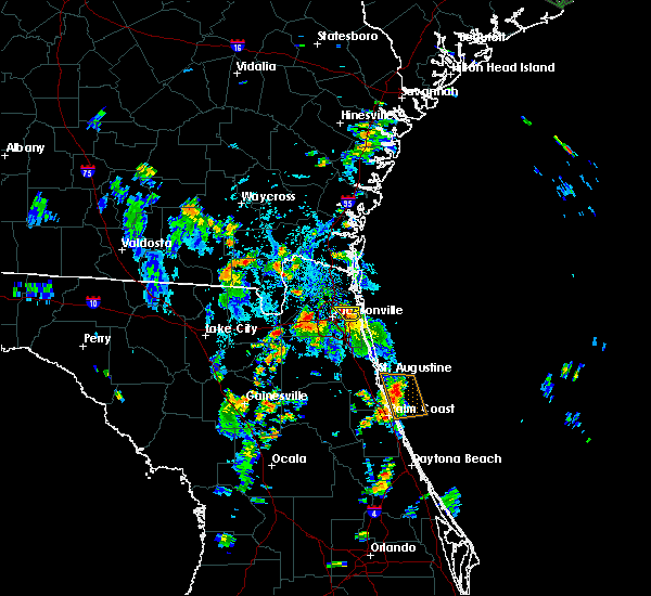 At 439 pm edt, doppler radar indicated a severe thunderstorm capable of producing damaging winds in excess of 60 mph. this storm was located near fort caroline, or near arlington, moving north at 10 mph. locations impacted include, jacksonville, fort caroline and craig field. At 439 pm edt, doppler radar indicated a severe thunderstorm capable of producing damaging winds in excess of 60 mph. this storm was located near fort caroline, or near arlington, moving north at 10 mph. locations impacted include, jacksonville, fort caroline and craig field.
|
| 8/19/2015 4:36 PM EDT | Social media post of picture showing large tree down. time of event estimated by rada in duval county FL, 6.9 miles WSW of Jacksonville, FL |
| 8/19/2015 4:34 PM EDT | A tree branch was blown down onto a moving vehicle at north terry parker drive and cesary blv in duval county FL, 5.9 miles WNW of Jacksonville, FL |
| 8/19/2015 4:26 PM EDT | Social media post showing downed tree on gaillardia roa in duval county FL, 6.2 miles WNW of Jacksonville, FL |
| 8/19/2015 4:20 PM EDT | Spotter estimated wind gusts to 60 mph near craig airfiel in duval county FL, 10.4 miles WNW of Jacksonville, FL |
| 8/19/2015 4:15 PM EDT | A large tree was blown down near beach and kernan blvd in duval county FL, 14.5 miles WNW of Jacksonville, FL |
| 8/19/2015 4:13 PM EDT |
 At 413 pm edt, doppler radar indicated a severe thunderstorm capable of producing damaging winds in excess of 60 mph. this storm was located over craig field, or near unf, and moving north at 10 mph. At 413 pm edt, doppler radar indicated a severe thunderstorm capable of producing damaging winds in excess of 60 mph. this storm was located over craig field, or near unf, and moving north at 10 mph.
|
| 8/18/2015 6:20 PM EDT | Quarter sized hail reported 7.6 miles S of Jacksonville, FL, quarter size hail at the nws office. |
| 8/18/2015 5:56 PM EDT |
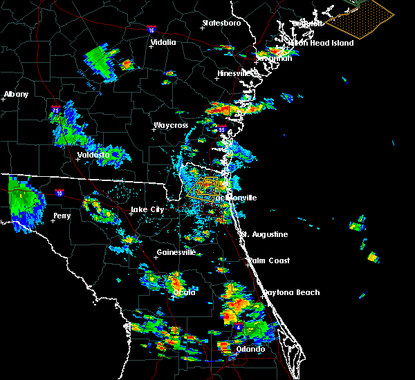 At 555 pm edt, doppler radar indicated a severe thunderstorm capable of producing quarter size hail and damaging winds in excess of 60 mph. this storm was located near jacksonville international arpt, and moving southwest at 10 mph. At 555 pm edt, doppler radar indicated a severe thunderstorm capable of producing quarter size hail and damaging winds in excess of 60 mph. this storm was located near jacksonville international arpt, and moving southwest at 10 mph.
|
| 8/18/2015 5:36 PM EDT |
 At 536 pm edt, doppler radar indicated a severe thunderstorm capable of producing quarter size hail and damaging winds in excess of 60 mph. this storm was located near jacksonville international arpt, and moving south at 10 mph. At 536 pm edt, doppler radar indicated a severe thunderstorm capable of producing quarter size hail and damaging winds in excess of 60 mph. this storm was located near jacksonville international arpt, and moving south at 10 mph.
|
| 8/13/2015 3:33 PM EDT |
 At 333 pm edt, doppler radar indicated a severe thunderstorm capable of producing damaging winds in excess of 60 mph. this storm was located over oakleaf plantation, or 7 miles northeast of middleburg, moving south at 5 mph. locations impacted include, middleburg, doctors inlet, oakleaf plantation, lakeside, bellair-meadowbrook terrace and asbury lake. At 333 pm edt, doppler radar indicated a severe thunderstorm capable of producing damaging winds in excess of 60 mph. this storm was located over oakleaf plantation, or 7 miles northeast of middleburg, moving south at 5 mph. locations impacted include, middleburg, doctors inlet, oakleaf plantation, lakeside, bellair-meadowbrook terrace and asbury lake.
|
| 8/13/2015 3:22 PM EDT |
 At 322 pm edt, doppler radar indicated a severe thunderstorm capable of producing damaging winds in excess of 60 mph. this storm was located over oakleaf plantation, or near orange park. this storm was nearly stationary. At 322 pm edt, doppler radar indicated a severe thunderstorm capable of producing damaging winds in excess of 60 mph. this storm was located over oakleaf plantation, or near orange park. this storm was nearly stationary.
|
| 8/11/2015 7:54 PM EDT |
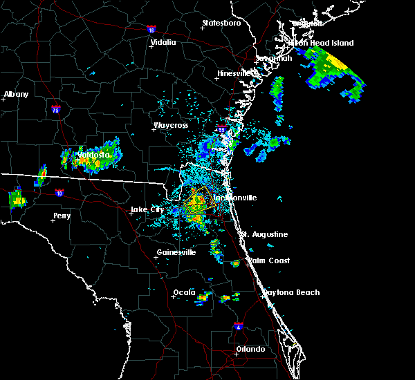 The severe thunderstorm warning for central duval county will expire at 800 pm edt, the storm which prompted the warning has weakened below severe limits, and no longer poses an immediate threat to life or property. therefore the warning will be allowed to expire. however gusty winds and heavy rain are still possible with this thunderstorm. to report severe weather, contact your nearest law enforcement agency. they will relay your report to the national weather service jacksonville. The severe thunderstorm warning for central duval county will expire at 800 pm edt, the storm which prompted the warning has weakened below severe limits, and no longer poses an immediate threat to life or property. therefore the warning will be allowed to expire. however gusty winds and heavy rain are still possible with this thunderstorm. to report severe weather, contact your nearest law enforcement agency. they will relay your report to the national weather service jacksonville.
|
| 8/11/2015 7:37 PM EDT |
 At 737 pm edt, doppler radar indicated a severe thunderstorm capable of producing quarter size hail and damaging winds in excess of 60 mph. this storm was located over cisco gardens, or 9 miles southwest of jacksonville international arpt, moving northeast at 15 mph. locations impacted include, jacksonville, jacksonville international arpt, cecil field, ortega, san marco, riverside, cisco gardens, normandy, nassau village-ratliff, baldwin, whitehouse air field, jacksonville heights and tallyrand. At 737 pm edt, doppler radar indicated a severe thunderstorm capable of producing quarter size hail and damaging winds in excess of 60 mph. this storm was located over cisco gardens, or 9 miles southwest of jacksonville international arpt, moving northeast at 15 mph. locations impacted include, jacksonville, jacksonville international arpt, cecil field, ortega, san marco, riverside, cisco gardens, normandy, nassau village-ratliff, baldwin, whitehouse air field, jacksonville heights and tallyrand.
|
| 8/11/2015 7:20 PM EDT |
 At 719 pm edt, doppler radar indicated a severe thunderstorm capable of producing quarter size hail and damaging winds in excess of 60 mph. this storm was located near bryceville, or 14 miles west of jacksonville, and moving northeast at 15 mph. At 719 pm edt, doppler radar indicated a severe thunderstorm capable of producing quarter size hail and damaging winds in excess of 60 mph. this storm was located near bryceville, or 14 miles west of jacksonville, and moving northeast at 15 mph.
|
| 8/11/2015 7:00 PM EDT |
 At 700 pm edt, doppler radar indicated a severe thunderstorm capable of producing quarter size hail and damaging winds in excess of 60 mph. this storm was located near cecil field, or 14 miles north of middleburg, moving east at 10 mph. locations impacted include, jacksonville, cecil field, ortega, cisco gardens, normandy, baldwin, whitehouse air field and jacksonville heights. At 700 pm edt, doppler radar indicated a severe thunderstorm capable of producing quarter size hail and damaging winds in excess of 60 mph. this storm was located near cecil field, or 14 miles north of middleburg, moving east at 10 mph. locations impacted include, jacksonville, cecil field, ortega, cisco gardens, normandy, baldwin, whitehouse air field and jacksonville heights.
|
| 8/11/2015 6:46 PM EDT |
 At 646 pm edt, doppler radar indicated a severe thunderstorm capable of producing quarter size hail and damaging winds in excess of 60 mph. this storm was located near cecil field, or 14 miles north of middleburg, and moving east at 10 mph. At 646 pm edt, doppler radar indicated a severe thunderstorm capable of producing quarter size hail and damaging winds in excess of 60 mph. this storm was located near cecil field, or 14 miles north of middleburg, and moving east at 10 mph.
|
| 8/7/2015 5:39 PM EDT |
 At 539 pm edt, doppler radar indicated a line of severe thunderstorms capable of producing damaging winds in excess of 60 mph. these storms were located along a line extending from near glen st. mary to near upland pines, and moving southeast at 30 mph. At 539 pm edt, doppler radar indicated a line of severe thunderstorms capable of producing damaging winds in excess of 60 mph. these storms were located along a line extending from near glen st. mary to near upland pines, and moving southeast at 30 mph.
|
| 8/7/2015 3:29 PM EDT |
 At 329 pm edt, doppler radar indicated a line of severe thunderstorms capable of producing damaging winds in excess of 60 mph. these storms were located along a line extending from near neptune beach to near maxville to 7 miles northeast of suwannee valley, moving southeast at 35 mph. locations impacted include, jacksonville, orange park, unf, mandarin, arlington, fruit cove, taylor, neptune beach, macclenny, glen st. mary, ortega, craig field, san marco, riverside, nas jax, olustee, bayard, baymeadows, maxville and bryceville. At 329 pm edt, doppler radar indicated a line of severe thunderstorms capable of producing damaging winds in excess of 60 mph. these storms were located along a line extending from near neptune beach to near maxville to 7 miles northeast of suwannee valley, moving southeast at 35 mph. locations impacted include, jacksonville, orange park, unf, mandarin, arlington, fruit cove, taylor, neptune beach, macclenny, glen st. mary, ortega, craig field, san marco, riverside, nas jax, olustee, bayard, baymeadows, maxville and bryceville.
|
| 8/7/2015 3:14 PM EDT |
 At 314 pm edt, doppler radar indicated a line of severe thunderstorms capable of producing damaging winds in excess of 60 mph. these storms were located along a line extending from near neptune beach to 6 miles northeast of macclenny to near glen st. mary, and moving southeast at 35 mph. At 314 pm edt, doppler radar indicated a line of severe thunderstorms capable of producing damaging winds in excess of 60 mph. these storms were located along a line extending from near neptune beach to 6 miles northeast of macclenny to near glen st. mary, and moving southeast at 35 mph.
|
| 8/7/2015 3:10 PM EDT |
 At 310 pm edt, doppler radar indicated a line of severe thunderstorms capable of producing damaging winds in excess of 60 mph. these storms were located along a line extending from 6 miles northeast of guana river state park to near saint augustine to bardin, moving east at 35 mph. locations impacted include, saint augustine, palatka, hastings, east palatka, world golf village, bostwick, nocatee, durbin, saint augustine south, federal point, san mateo, butler beach, south ponte vedra, orange mills, guana river state park, saint augustine shores, picolata, crescent beach, dupont center and spuds. At 310 pm edt, doppler radar indicated a line of severe thunderstorms capable of producing damaging winds in excess of 60 mph. these storms were located along a line extending from 6 miles northeast of guana river state park to near saint augustine to bardin, moving east at 35 mph. locations impacted include, saint augustine, palatka, hastings, east palatka, world golf village, bostwick, nocatee, durbin, saint augustine south, federal point, san mateo, butler beach, south ponte vedra, orange mills, guana river state park, saint augustine shores, picolata, crescent beach, dupont center and spuds.
|
| 8/7/2015 3:02 PM EDT |
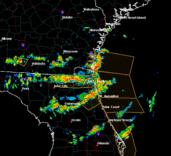 At 302 pm edt, doppler radar indicated a line of severe thunderstorms capable of producing damaging winds in excess of 60 mph. these storms were located along a line extending from near jacksonville to near sanderson to 8 miles east of belmont, moving southeast at 35 mph. locations impacted include, jacksonville, jacksonville international arpt, unf, arlington, taylor, neptune beach, macclenny, glen st. mary, ortega, craig field, san marco, riverside, ratliff, nas jax, nassau village-ratliff, oceanway, baymeadows, maxville, bryceville and sanderson. At 302 pm edt, doppler radar indicated a line of severe thunderstorms capable of producing damaging winds in excess of 60 mph. these storms were located along a line extending from near jacksonville to near sanderson to 8 miles east of belmont, moving southeast at 35 mph. locations impacted include, jacksonville, jacksonville international arpt, unf, arlington, taylor, neptune beach, macclenny, glen st. mary, ortega, craig field, san marco, riverside, ratliff, nas jax, nassau village-ratliff, oceanway, baymeadows, maxville, bryceville and sanderson.
|
| 8/7/2015 2:56 PM EDT |
 At 256 pm edt, doppler radar indicated a line of severe thunderstorms capable of producing damaging winds in excess of 60 mph. these storms were located along a line extending from 6 miles southeast of sawgrass to near picolata to near interlachen, and moving southeast at 35 mph. At 256 pm edt, doppler radar indicated a line of severe thunderstorms capable of producing damaging winds in excess of 60 mph. these storms were located along a line extending from 6 miles southeast of sawgrass to near picolata to near interlachen, and moving southeast at 35 mph.
|
| 8/7/2015 2:45 PM EDT |
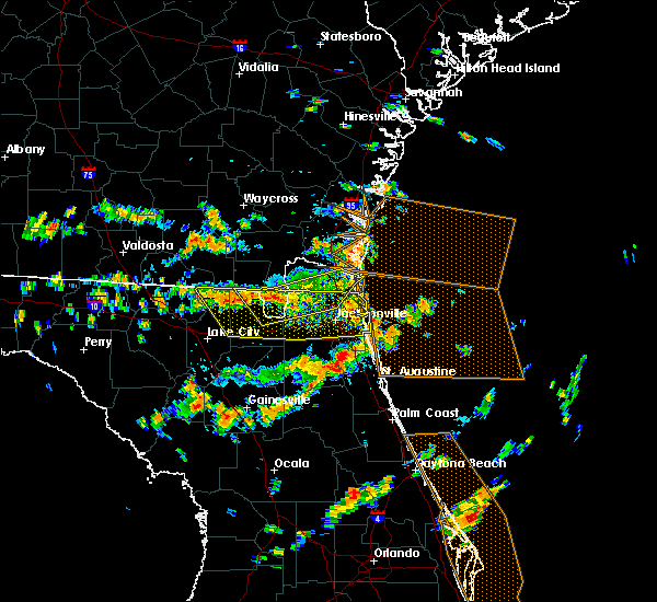 At 244 pm edt, doppler radar indicated a line of severe thunderstorms capable of producing damaging winds in excess of 60 mph. these storms were located along a line extending from 6 miles southwest of callahan to near taylor to near belmont, and moving southeast at 35 mph. At 244 pm edt, doppler radar indicated a line of severe thunderstorms capable of producing damaging winds in excess of 60 mph. these storms were located along a line extending from 6 miles southwest of callahan to near taylor to near belmont, and moving southeast at 35 mph.
|
| 8/7/2015 2:34 PM EDT |
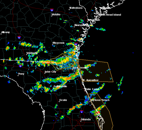 At 233 pm edt, doppler radar indicated a line of severe thunderstorms capable of producing damaging winds in excess of 60 mph. these storms were located along a line extending from near kingsland to near ratliff to 7 miles northwest of taylor, moving southeast at 35 mph. locations impacted include, jacksonville, fernandina beach, callahan, jacksonville international arpt, taylor, yulee, oceanway, st. george, bryceville, ratliff and nassau village-ratliff. At 233 pm edt, doppler radar indicated a line of severe thunderstorms capable of producing damaging winds in excess of 60 mph. these storms were located along a line extending from near kingsland to near ratliff to 7 miles northwest of taylor, moving southeast at 35 mph. locations impacted include, jacksonville, fernandina beach, callahan, jacksonville international arpt, taylor, yulee, oceanway, st. george, bryceville, ratliff and nassau village-ratliff.
|
| 8/7/2015 2:11 PM EDT |
 At 210 pm edt, doppler radar indicated a line of severe thunderstorms capable of producing damaging winds in excess of 60 mph. these storms were located along a line extending from near folkston to 9 miles northwest of st. george to 8 miles south of fargo, and moving southeast at 30 mph. At 210 pm edt, doppler radar indicated a line of severe thunderstorms capable of producing damaging winds in excess of 60 mph. these storms were located along a line extending from near folkston to 9 miles northwest of st. george to 8 miles south of fargo, and moving southeast at 30 mph.
|
| 8/7/2015 2:00 PM EDT | Tree down on collins road between blanding blvd and roosevelt blvd in duval county FL, 13.6 miles NNE of Jacksonville, FL |
| 8/7/2015 2:00 PM EDT | Large tree down at 8100 w coralberry lane in duval county FL, 13.2 miles NNE of Jacksonville, FL |
| 7/23/2015 7:48 PM EDT | Power line down at the corner of beach blvd and san pablo rd. time estimated by rada in duval county FL, 16 miles WNW of Jacksonville, FL |
| 7/23/2015 7:47 PM EDT |
 At 746 pm edt, doppler radar indicated a line of severe thunderstorms capable of producing damaging winds in excess of 60 mph. these storms were located along a line extending from near jacksonville to near normandy, moving east at 15 mph. locations impacted include, jacksonville, orange park, unf, arlington, neptune beach, ortega, baymeadows, craig field, riverside, san marco, san pablo, cecil field, little talbot island, fort caroline, nas jax, normandy, bellair-meadowbrook terrace, palm valley, tallyrand and jacksonville heights. At 746 pm edt, doppler radar indicated a line of severe thunderstorms capable of producing damaging winds in excess of 60 mph. these storms were located along a line extending from near jacksonville to near normandy, moving east at 15 mph. locations impacted include, jacksonville, orange park, unf, arlington, neptune beach, ortega, baymeadows, craig field, riverside, san marco, san pablo, cecil field, little talbot island, fort caroline, nas jax, normandy, bellair-meadowbrook terrace, palm valley, tallyrand and jacksonville heights.
|
| 7/23/2015 7:37 PM EDT |
 At 736 pm edt, doppler radar indicated a line of severe thunderstorms capable of producing damaging winds in excess of 60 mph. these storms were located along a line extending from near cisco gardens to near normandy, moving east at 15 mph. locations impacted include, jacksonville, orange park, unf, arlington, neptune beach, ortega, baymeadows, craig field, riverside, san marco, cisco gardens, san pablo, cecil field, little talbot island, fort caroline, nas jax, normandy, bellair-meadowbrook terrace, palm valley and tallyrand. At 736 pm edt, doppler radar indicated a line of severe thunderstorms capable of producing damaging winds in excess of 60 mph. these storms were located along a line extending from near cisco gardens to near normandy, moving east at 15 mph. locations impacted include, jacksonville, orange park, unf, arlington, neptune beach, ortega, baymeadows, craig field, riverside, san marco, cisco gardens, san pablo, cecil field, little talbot island, fort caroline, nas jax, normandy, bellair-meadowbrook terrace, palm valley and tallyrand.
|
| 7/23/2015 7:18 PM EDT |
 At 718 pm edt, doppler radar indicated a line of severe thunderstorms capable of producing damaging winds in excess of 60 mph. these storms were located along a line extending from cisco gardens to near bryceville, and moving east at 15 mph. At 718 pm edt, doppler radar indicated a line of severe thunderstorms capable of producing damaging winds in excess of 60 mph. these storms were located along a line extending from cisco gardens to near bryceville, and moving east at 15 mph.
|
| 7/22/2015 5:00 PM EDT |
 At 458 pm edt, doppler radar indicated a line of severe thunderstorms capable of producing damaging winds in excess of 60 mph. these storms were located along a line extending from near guana river state park to 6 miles southeast of middleburg, moving southeast at 30 mph. penny size hail may also accompany the damaging winds. locations impacted include, saint augustine, green cove springs, fruit cove, middleburg, world golf village, saint augustine beach, saint augustine shores, nocatee, durbin, saint augustine south, switzerland, bardin, fleming island, guana river state park, bostwick, federal point, south ponte vedra, butler beach, palm valley and sawgrass. At 458 pm edt, doppler radar indicated a line of severe thunderstorms capable of producing damaging winds in excess of 60 mph. these storms were located along a line extending from near guana river state park to 6 miles southeast of middleburg, moving southeast at 30 mph. penny size hail may also accompany the damaging winds. locations impacted include, saint augustine, green cove springs, fruit cove, middleburg, world golf village, saint augustine beach, saint augustine shores, nocatee, durbin, saint augustine south, switzerland, bardin, fleming island, guana river state park, bostwick, federal point, south ponte vedra, butler beach, palm valley and sawgrass.
|
| 7/22/2015 4:50 PM EDT | Top of a mcdonalds sign on beach blvd was ripped from the pole and blown about 50 fee in duval county FL, 19 miles WNW of Jacksonville, FL |
| 7/22/2015 4:45 PM EDT | Public report of powerline down along san jose blvd just south of i-295 beltway in duval county FL, 14.2 miles NNW of Jacksonville, FL |
| 7/22/2015 4:43 PM EDT |
 At 443 pm edt, doppler radar indicated a line of severe thunderstorms capable of producing damaging winds in excess of 60 mph. these storms were located along a line extending from palm valley to near middleburg, and moving southeast at 30 mph. penny size hail may also accompany the damaging winds. At 443 pm edt, doppler radar indicated a line of severe thunderstorms capable of producing damaging winds in excess of 60 mph. these storms were located along a line extending from palm valley to near middleburg, and moving southeast at 30 mph. penny size hail may also accompany the damaging winds.
|
| 7/22/2015 4:24 PM EDT |
 At 423 pm edt, doppler radar indicated a line of severe thunderstorms capable of producing damaging winds in excess of 60 mph. these storms were located along a line extending from ponte vedra beach to near nas jax, moving southeast at 10 mph. penny size hail may also accompany the damaging winds. locations impacted include, jacksonville, orange park, ponte vedra beach, unf, fruit cove, mandarin, arlington, neptune beach, ortega, craig field, riverside, san marco, nocatee, durbin, switzerland, fleming island, nas jax, lakeside, bayard and baymeadows. At 423 pm edt, doppler radar indicated a line of severe thunderstorms capable of producing damaging winds in excess of 60 mph. these storms were located along a line extending from ponte vedra beach to near nas jax, moving southeast at 10 mph. penny size hail may also accompany the damaging winds. locations impacted include, jacksonville, orange park, ponte vedra beach, unf, fruit cove, mandarin, arlington, neptune beach, ortega, craig field, riverside, san marco, nocatee, durbin, switzerland, fleming island, nas jax, lakeside, bayard and baymeadows.
|
| 7/22/2015 3:52 PM EDT | Top of a mcdonalds sign on atlantic blvd was ripped from the pole and blown about 50 fee in duval county FL, 18.4 miles WNW of Jacksonville, FL |
| 7/22/2015 3:50 PM EDT | Severe damage to a house at 690 goldenrod lane south...unclear if a tree went through the home or not. trees and power lines down between the house and the intersection in duval county FL, 18.4 miles WNW of Jacksonville, FL |
| 7/22/2015 3:50 PM EDT | Public twitter report and photo of a large tree down and blocking the interstate 295 southbound ramp from normandy blv in duval county FL, 6.5 miles NE of Jacksonville, FL |
| 7/22/2015 3:41 PM EDT |
 At 340 pm edt, doppler radar indicated a line of severe thunderstorms capable of producing damaging winds in excess of 60 mph. these storms were located along a line extending from craig field to normandy, and moving southeast at 10 mph. At 340 pm edt, doppler radar indicated a line of severe thunderstorms capable of producing damaging winds in excess of 60 mph. these storms were located along a line extending from craig field to normandy, and moving southeast at 10 mph.
|
| 7/22/2015 3:06 PM EDT |
 At 306 pm edt, doppler radar indicated a severe thunderstorm capable of producing damaging winds in excess of 60 mph. this storm was located near st. george, or 14 miles southwest of hilliard, and moving east at 30 mph. At 306 pm edt, doppler radar indicated a severe thunderstorm capable of producing damaging winds in excess of 60 mph. this storm was located near st. george, or 14 miles southwest of hilliard, and moving east at 30 mph.
|
| 7/21/2015 5:00 PM EDT | Broadcast media relayed a report of a large tree down on a backyard shed in the murray hill area of jacksonvill in duval county FL, 5.2 miles NNE of Jacksonville, FL |
| 7/21/2015 5:00 PM EDT |
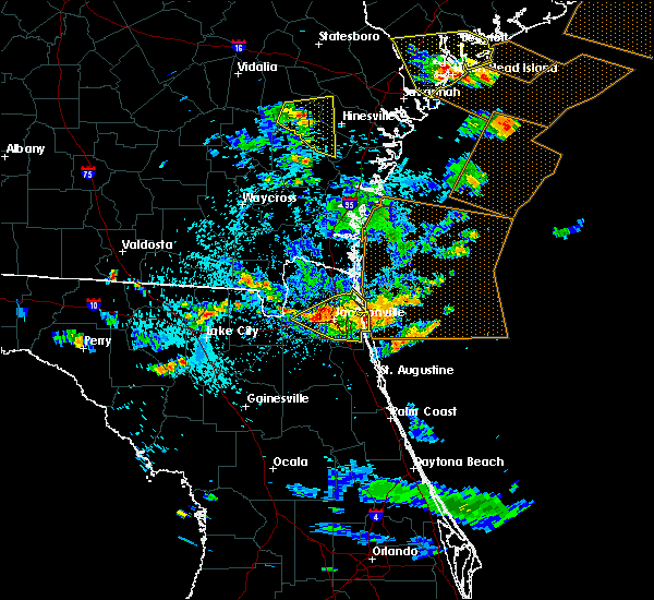 At 500 pm edt, doppler radar indicated a line of severe thunderstorms capable of producing damaging winds in excess of 60 mph. these storms were located along a line extending from near neptune beach to near cisco gardens, moving southeast at 25 mph. locations impacted include, jacksonville, jacksonville international arpt, unf, arlington, neptune beach, oceanway, ortega, baymeadows, craig field, riverside, san marco, cisco gardens, san pablo, little talbot island, fort caroline, nas jax, normandy, palm valley, tallyrand and jacksonville heights. At 500 pm edt, doppler radar indicated a line of severe thunderstorms capable of producing damaging winds in excess of 60 mph. these storms were located along a line extending from near neptune beach to near cisco gardens, moving southeast at 25 mph. locations impacted include, jacksonville, jacksonville international arpt, unf, arlington, neptune beach, oceanway, ortega, baymeadows, craig field, riverside, san marco, cisco gardens, san pablo, little talbot island, fort caroline, nas jax, normandy, palm valley, tallyrand and jacksonville heights.
|
| 7/21/2015 4:43 PM EDT |
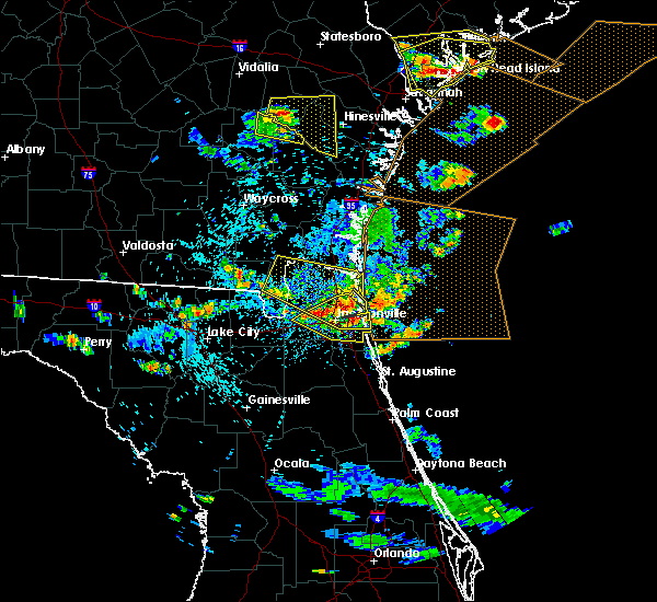 At 443 pm edt, doppler radar indicated a line of severe thunderstorms capable of producing damaging winds in excess of 60 mph. these storms were located along a line extending from near little talbot island to near cisco gardens, and moving east at 25 mph. At 443 pm edt, doppler radar indicated a line of severe thunderstorms capable of producing damaging winds in excess of 60 mph. these storms were located along a line extending from near little talbot island to near cisco gardens, and moving east at 25 mph.
|
| 7/21/2015 4:33 PM EDT |
 At 433 pm edt, doppler radar indicated a severe thunderstorm capable of producing damaging winds in excess of 60 mph. this storm was located over oceanway, or near jacksonville international arpt, moving southeast at 30 mph. locations impacted include, jacksonville, fernandina beach, jacksonville international arpt, unf, arlington, yulee, neptune beach, oceanway, craig field, riverside, san marco, cisco gardens, san pablo, little talbot island, fort caroline, ratliff, nassau village-ratliff and tallyrand. At 433 pm edt, doppler radar indicated a severe thunderstorm capable of producing damaging winds in excess of 60 mph. this storm was located over oceanway, or near jacksonville international arpt, moving southeast at 30 mph. locations impacted include, jacksonville, fernandina beach, jacksonville international arpt, unf, arlington, yulee, neptune beach, oceanway, craig field, riverside, san marco, cisco gardens, san pablo, little talbot island, fort caroline, ratliff, nassau village-ratliff and tallyrand.
|
| 7/21/2015 4:30 PM EDT | *** 1 inj *** emergency manager reports large tree limb fell on motorcyclist on cesery blvd. time estimated by rada in duval county FL, 5.9 miles WNW of Jacksonville, FL |
| 7/21/2015 4:30 PM EDT | Emergency manager reports multiple trees down near the 2300 block of cesery blvd. time estimated by rada in duval county FL, 5.6 miles WNW of Jacksonville, FL |
| 7/21/2015 4:14 PM EDT |
 At 414 pm edt, doppler radar indicated a severe thunderstorm capable of producing damaging winds in excess of 60 mph. this storm was located near jacksonville international arpt, moving southeast at 30 mph. locations impacted include, jacksonville, fernandina beach, callahan, jacksonville international arpt, unf, arlington, yulee, neptune beach, oceanway, craig field, riverside, san marco, cisco gardens, san pablo, little talbot island, fort caroline, ratliff, nassau village-ratliff and tallyrand. At 414 pm edt, doppler radar indicated a severe thunderstorm capable of producing damaging winds in excess of 60 mph. this storm was located near jacksonville international arpt, moving southeast at 30 mph. locations impacted include, jacksonville, fernandina beach, callahan, jacksonville international arpt, unf, arlington, yulee, neptune beach, oceanway, craig field, riverside, san marco, cisco gardens, san pablo, little talbot island, fort caroline, ratliff, nassau village-ratliff and tallyrand.
|
| 7/21/2015 4:05 PM EDT |
 At 405 pm edt, doppler radar indicated a severe thunderstorm capable of producing damaging winds in excess of 60 mph. this storm was located over callahan, moving southeast at 30 mph. locations impacted include, jacksonville, st. marys, fernandina beach, hilliard, folkston, callahan, jacksonville international arpt, unf, arlington, yulee, neptune beach, oceanway, craig field, riverside, san marco, cisco gardens, san pablo, st. george, little talbot island and fort caroline. At 405 pm edt, doppler radar indicated a severe thunderstorm capable of producing damaging winds in excess of 60 mph. this storm was located over callahan, moving southeast at 30 mph. locations impacted include, jacksonville, st. marys, fernandina beach, hilliard, folkston, callahan, jacksonville international arpt, unf, arlington, yulee, neptune beach, oceanway, craig field, riverside, san marco, cisco gardens, san pablo, st. george, little talbot island and fort caroline.
|
| 7/21/2015 3:40 PM EDT |
 At 340 pm edt, doppler radar indicated a severe thunderstorm capable of producing damaging winds in excess of 60 mph. this storm was located near hilliard, and moving southeast at 30 mph. At 340 pm edt, doppler radar indicated a severe thunderstorm capable of producing damaging winds in excess of 60 mph. this storm was located near hilliard, and moving southeast at 30 mph.
|
| 7/14/2015 6:09 PM EDT |
 The severe thunderstorm warning for northeastern nassau and southeastern camden counties will expire at 615 pm edt, the storm which prompted the warning has moved out of the area. therefore the warning will be allowed to expire. however gusty winds are still possible with this thunderstorm. The severe thunderstorm warning for northeastern nassau and southeastern camden counties will expire at 615 pm edt, the storm which prompted the warning has moved out of the area. therefore the warning will be allowed to expire. however gusty winds are still possible with this thunderstorm.
|
| 7/14/2015 5:25 PM EDT |
 At 525 pm edt, doppler radar indicated a severe thunderstorm capable of producing quarter size hail and damaging winds in excess of 60 mph. this storm was located near yulee, or near st. marys, and moving northeast at 15 mph. At 525 pm edt, doppler radar indicated a severe thunderstorm capable of producing quarter size hail and damaging winds in excess of 60 mph. this storm was located near yulee, or near st. marys, and moving northeast at 15 mph.
|
| 7/12/2015 6:00 PM EDT |
 At 600 pm edt, doppler radar indicated a severe thunderstorm capable of producing damaging winds in excess of 60 mph. this storm was located over world golf village, or 9 miles southeast of fruit cove, and moving south at 15 mph. penny size hail may also accompany the damaging winds. At 600 pm edt, doppler radar indicated a severe thunderstorm capable of producing damaging winds in excess of 60 mph. this storm was located over world golf village, or 9 miles southeast of fruit cove, and moving south at 15 mph. penny size hail may also accompany the damaging winds.
|
| 7/12/2015 5:33 PM EDT |
 At 532 pm edt, doppler radar indicated a severe thunderstorm capable of producing damaging winds in excess of 60 mph. this storm was located over fleming island, or near fruit cove, moving south at 15 mph. locations impacted include, orange park, green cove springs, fruit cove, middleburg, doctors inlet, fleming island, lakeside, switzerland, bellair-meadowbrook terrace, picolata, penney farms and asbury lake. At 532 pm edt, doppler radar indicated a severe thunderstorm capable of producing damaging winds in excess of 60 mph. this storm was located over fleming island, or near fruit cove, moving south at 15 mph. locations impacted include, orange park, green cove springs, fruit cove, middleburg, doctors inlet, fleming island, lakeside, switzerland, bellair-meadowbrook terrace, picolata, penney farms and asbury lake.
|
| 7/12/2015 5:17 PM EDT |
 At 516 pm edt, doppler radar indicated a severe thunderstorm capable of producing damaging winds in excess of 60 mph. this storm was located over orange park, and moving south at 15 mph. nickel size hail may also accompany the damaging winds. At 516 pm edt, doppler radar indicated a severe thunderstorm capable of producing damaging winds in excess of 60 mph. this storm was located over orange park, and moving south at 15 mph. nickel size hail may also accompany the damaging winds.
|
| 7/11/2015 4:57 PM EDT | The severe thunderstorm warning for northeastern duval county will expire at 500 pm edt, the storm which prompted the warning has weakened below severe limits, and no longer poses an immediate threat to life or property. therefore the warning will be allowed to expire. however gusty winds are still possible with this thunderstorm. |
| 7/11/2015 4:44 PM EDT |
 At 444 pm edt, doppler radar indicated a severe thunderstorm capable of producing damaging winds in excess of 60 mph. this storm was located over oceanway, or near jacksonville international arpt, moving south at 5 mph. locations impacted include, jacksonville and oceanway. At 444 pm edt, doppler radar indicated a severe thunderstorm capable of producing damaging winds in excess of 60 mph. this storm was located over oceanway, or near jacksonville international arpt, moving south at 5 mph. locations impacted include, jacksonville and oceanway.
|
| 7/11/2015 4:30 PM EDT | Storm damage reported in duval county FL, 11.9 miles SSW of Jacksonville, FL |
| 7/11/2015 4:28 PM EDT |
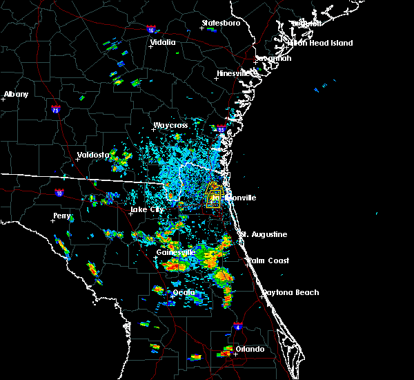 At 427 pm edt, doppler radar indicated a severe thunderstorm capable of producing damaging winds in excess of 60 mph. this storm was located near oceanway, or near jacksonville international arpt, and moving south at 5 mph. penny size hail may also accompany the damaging winds. At 427 pm edt, doppler radar indicated a severe thunderstorm capable of producing damaging winds in excess of 60 mph. this storm was located near oceanway, or near jacksonville international arpt, and moving south at 5 mph. penny size hail may also accompany the damaging winds.
|
| 7/11/2015 4:11 PM EDT |
 At 410 pm edt, doppler radar indicated a severe thunderstorm capable of producing damaging winds in excess of 60 mph. this storm was located over oceanway, or just east of jacksonville international airport, moving south at 5 mph. penny size hail may also accompany the damaging winds. locations impacted include, jacksonville, arlington, oceanway, ortega, riverside, san marco and tallyrand. At 410 pm edt, doppler radar indicated a severe thunderstorm capable of producing damaging winds in excess of 60 mph. this storm was located over oceanway, or just east of jacksonville international airport, moving south at 5 mph. penny size hail may also accompany the damaging winds. locations impacted include, jacksonville, arlington, oceanway, ortega, riverside, san marco and tallyrand.
|
| 7/11/2015 3:53 PM EDT |
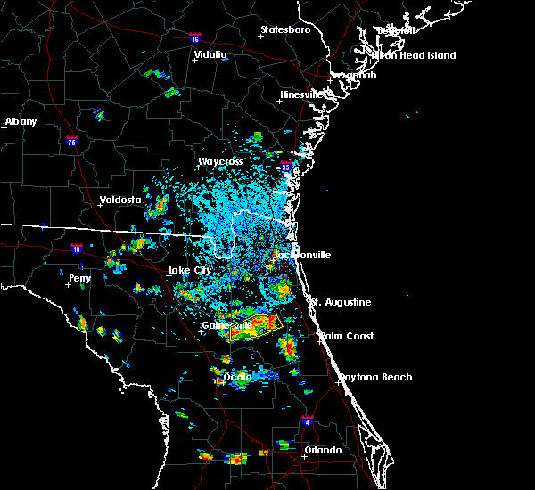 At 352 pm edt, doppler radar indicated a severe thunderstorm capable of producing damaging winds in excess of 60 mph. this storm was located near oceanway, or near arlington, and moving south at 10 mph. penny size hail may also accompany the damaging winds. At 352 pm edt, doppler radar indicated a severe thunderstorm capable of producing damaging winds in excess of 60 mph. this storm was located near oceanway, or near arlington, and moving south at 10 mph. penny size hail may also accompany the damaging winds.
|
| 7/11/2015 3:21 PM EDT | Media reported downed trees near baymeadows rd in the hamtpon glen subdivision on the southside of jacksonvill in duval county FL, 14.1 miles NW of Jacksonville, FL |
| 7/11/2015 3:16 PM EDT |
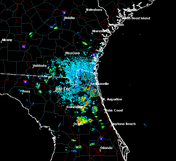 At 316 pm edt, doppler radar indicated a severe thunderstorm capable of producing damaging winds in excess of 60 mph. this storm was located over bayard, or near fruit cove, moving south at 15 mph. penny size hail may also accompany the damaging winds. locations impacted include, jacksonville, fruit cove, bayard, nocatee and durbin. At 316 pm edt, doppler radar indicated a severe thunderstorm capable of producing damaging winds in excess of 60 mph. this storm was located over bayard, or near fruit cove, moving south at 15 mph. penny size hail may also accompany the damaging winds. locations impacted include, jacksonville, fruit cove, bayard, nocatee and durbin.
|
| 7/11/2015 3:03 PM EDT |
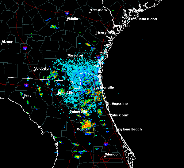 At 303 pm edt, doppler radar indicated a severe thunderstorm capable of producing damaging winds in excess of 60 mph. this storm was located near bayard, or near mandarin, and moving south at 15 mph. penny size hail may also accompany the damaging winds. At 303 pm edt, doppler radar indicated a severe thunderstorm capable of producing damaging winds in excess of 60 mph. this storm was located near bayard, or near mandarin, and moving south at 15 mph. penny size hail may also accompany the damaging winds.
|
| 7/7/2015 6:52 PM EDT |
 The severe thunderstorm warning for northeastern clay, northwestern st. johns and south central duval counties will expire at 700 pm edt, the storm which prompted the warning has weakened below severe limits, and no longer poses an immediate threat to life or property. therefore the warning will be allowed to expire. The severe thunderstorm warning for northeastern clay, northwestern st. johns and south central duval counties will expire at 700 pm edt, the storm which prompted the warning has weakened below severe limits, and no longer poses an immediate threat to life or property. therefore the warning will be allowed to expire.
|
| 7/7/2015 6:32 PM EDT |
 At 631 pm edt, doppler radar indicated a severe thunderstorm capable of producing quarter size hail and damaging winds in excess of 60 mph. this storm was located near doctors inlet, or near middleburg, and moving east at 15 mph. At 631 pm edt, doppler radar indicated a severe thunderstorm capable of producing quarter size hail and damaging winds in excess of 60 mph. this storm was located near doctors inlet, or near middleburg, and moving east at 15 mph.
|
| 7/5/2015 4:52 PM EDT |
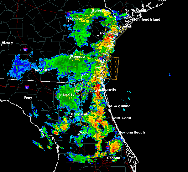 At 451 pm edt, doppler radar indicated a severe thunderstorm capable of producing damaging winds in excess of 60 mph. this storm was located over arlington, and moving east at 35 mph. At 451 pm edt, doppler radar indicated a severe thunderstorm capable of producing damaging winds in excess of 60 mph. this storm was located over arlington, and moving east at 35 mph.
|
| 7/5/2015 4:42 PM EDT | The severe thunderstorm warning for east central baker, west central duval, southwestern nassau and south central charlton counties will expire at 445 pm edt, the storm which prompted the warning has moved out of the area. therefore the warning will be allowed to expire. |
| 7/5/2015 4:42 PM EDT | The severe thunderstorm warning for east central baker, west central duval, southwestern nassau and south central charlton counties will expire at 445 pm edt, the storm which prompted the warning has moved out of the area. therefore the warning will be allowed to expire. |
| 7/5/2015 4:21 PM EDT | Wind gust 60 mph near west beaver st and calhoon rd n in duval county FL, 7 miles NE of Jacksonville, FL |
| 7/5/2015 4:11 PM EDT |
 At 411 pm edt, doppler radar indicated a severe thunderstorm capable of producing damaging winds in excess of 60 mph. this storm was located over macclenny, or 18 miles north of raiford, and moving northeast at 20 mph. nickel size hail may also accompany the damaging winds. At 411 pm edt, doppler radar indicated a severe thunderstorm capable of producing damaging winds in excess of 60 mph. this storm was located over macclenny, or 18 miles north of raiford, and moving northeast at 20 mph. nickel size hail may also accompany the damaging winds.
|
| 7/5/2015 4:11 PM EDT |
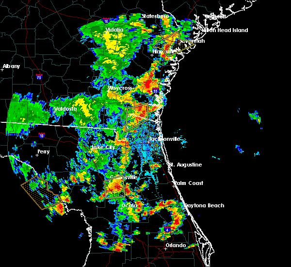 At 411 pm edt, doppler radar indicated a severe thunderstorm capable of producing damaging winds in excess of 60 mph. this storm was located over macclenny, or 18 miles north of raiford, and moving northeast at 20 mph. nickel size hail may also accompany the damaging winds. At 411 pm edt, doppler radar indicated a severe thunderstorm capable of producing damaging winds in excess of 60 mph. this storm was located over macclenny, or 18 miles north of raiford, and moving northeast at 20 mph. nickel size hail may also accompany the damaging winds.
|
| 7/4/2015 1:48 PM EDT |
 At 148 pm edt, doppler radar indicated a severe thunderstorm capable of producing quarter size hail and damaging winds in excess of 60 mph. this storm was located near middleburg, and moving northeast at 20 mph. At 148 pm edt, doppler radar indicated a severe thunderstorm capable of producing quarter size hail and damaging winds in excess of 60 mph. this storm was located near middleburg, and moving northeast at 20 mph.
|
| 7/2/2015 5:09 PM EDT |
 At 508 pm edt, doppler radar indicated a line of severe thunderstorms capable of producing damaging winds in excess of 60 mph. these storms were located along a line extending from 6 miles north of callahan to maxville, and moving northeast at 20 mph. At 508 pm edt, doppler radar indicated a line of severe thunderstorms capable of producing damaging winds in excess of 60 mph. these storms were located along a line extending from 6 miles north of callahan to maxville, and moving northeast at 20 mph.
|
| 7/2/2015 4:52 PM EDT |
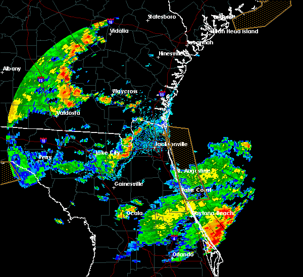 At 452 pm edt, doppler radar indicated a severe thunderstorm capable of producing damaging winds in excess of 60 mph. this storm was located near maxville, or 12 miles northeast of raiford, and moving east at 20 mph. At 452 pm edt, doppler radar indicated a severe thunderstorm capable of producing damaging winds in excess of 60 mph. this storm was located near maxville, or 12 miles northeast of raiford, and moving east at 20 mph.
|
| 7/2/2015 4:45 PM EDT |
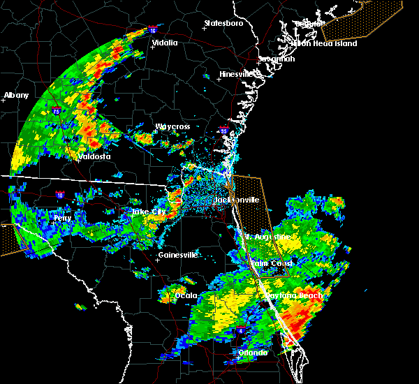 At 445 pm edt, doppler radar indicated a severe thunderstorm capable of producing damaging winds in excess of 60 mph. this storm was located over st. george, or 14 miles southwest of callahan, and moving east at 20 mph. At 445 pm edt, doppler radar indicated a severe thunderstorm capable of producing damaging winds in excess of 60 mph. this storm was located over st. george, or 14 miles southwest of callahan, and moving east at 20 mph.
|
| 6/30/2015 4:01 PM EDT |
 At 401 pm edt, doppler radar indicated a severe thunderstorm capable of producing damaging winds in excess of 60 mph. this storm was located near bayard, or near ponte vedra beach, and moving east at 20 mph. At 401 pm edt, doppler radar indicated a severe thunderstorm capable of producing damaging winds in excess of 60 mph. this storm was located near bayard, or near ponte vedra beach, and moving east at 20 mph.
|
| 6/28/2015 4:55 PM EDT |
 At 454 pm edt, doppler radar indicated a line of severe thunderstorms capable of producing damaging winds in excess of 60 mph. these storms were located along a line extending from 9 miles southwest of jekyll island to near nassau village-ratliff, moving east at 30 mph. locations impacted include, jacksonville, st. marys, kingsland, fernandina beach, callahan, jacksonville international arpt, kings bay base, yulee, oceanway, ratliff, nassau village-ratliff, cumberland island, harrietts bluff and dover bluff. At 454 pm edt, doppler radar indicated a line of severe thunderstorms capable of producing damaging winds in excess of 60 mph. these storms were located along a line extending from 9 miles southwest of jekyll island to near nassau village-ratliff, moving east at 30 mph. locations impacted include, jacksonville, st. marys, kingsland, fernandina beach, callahan, jacksonville international arpt, kings bay base, yulee, oceanway, ratliff, nassau village-ratliff, cumberland island, harrietts bluff and dover bluff.
|
| 6/28/2015 4:34 PM EDT |
 At 434 pm edt, doppler radar indicated a line of severe thunderstorms capable of producing damaging winds in excess of 60 mph. these storms were located along a line extending from near woodbine to near callahan, and moving east at 25 mph. At 434 pm edt, doppler radar indicated a line of severe thunderstorms capable of producing damaging winds in excess of 60 mph. these storms were located along a line extending from near woodbine to near callahan, and moving east at 25 mph.
|
| 6/28/2015 1:53 PM EDT |
 At 153 pm edt, doppler radar indicated a line of severe thunderstorms capable of producing damaging winds in excess of 60 mph. these storms were located along a line extending from near jacksonville international arpt to near arlington to green cove springs, moving east at 30 mph. locations impacted include, jacksonville, saint augustine, fernandina beach, orange park, green cove springs, jacksonville international arpt, ponte vedra beach, unf, fruit cove, mandarin, arlington, yulee, neptune beach, world golf village, ortega, craig field, riverside, san marco, nocatee and durbin. At 153 pm edt, doppler radar indicated a line of severe thunderstorms capable of producing damaging winds in excess of 60 mph. these storms were located along a line extending from near jacksonville international arpt to near arlington to green cove springs, moving east at 30 mph. locations impacted include, jacksonville, saint augustine, fernandina beach, orange park, green cove springs, jacksonville international arpt, ponte vedra beach, unf, fruit cove, mandarin, arlington, yulee, neptune beach, world golf village, ortega, craig field, riverside, san marco, nocatee and durbin.
|
| 6/28/2015 1:43 PM EDT |
 At 142 pm edt, doppler radar indicated a line of severe thunderstorms capable of producing damaging winds in excess of 60 mph. these storms were located along a line extending from near jacksonville international arpt to near san marco to green cove springs, moving east at 35 mph. locations impacted include, jacksonville, st. marys, saint augustine, fernandina beach, orange park, green cove springs, jacksonville international arpt, ponte vedra beach, unf, fruit cove, mandarin, arlington, yulee, neptune beach, world golf village, ortega, craig field, riverside, san marco and nocatee. At 142 pm edt, doppler radar indicated a line of severe thunderstorms capable of producing damaging winds in excess of 60 mph. these storms were located along a line extending from near jacksonville international arpt to near san marco to green cove springs, moving east at 35 mph. locations impacted include, jacksonville, st. marys, saint augustine, fernandina beach, orange park, green cove springs, jacksonville international arpt, ponte vedra beach, unf, fruit cove, mandarin, arlington, yulee, neptune beach, world golf village, ortega, craig field, riverside, san marco and nocatee.
|
| 6/28/2015 1:40 PM EDT | Event reported by a trained spotter near old saint augustine road and loretto roa in duval county FL, 16.1 miles NNW of Jacksonville, FL |
| 6/28/2015 1:37 PM EDT | A large tree was snapped along osteen street near corner of brannon avenu in duval county FL, 10.9 miles NE of Jacksonville, FL |
| 6/28/2015 1:37 PM EDT |
 At 137 pm edt, doppler radar indicated a line of severe thunderstorms capable of producing damaging winds in excess of 60 mph. these storms were located along a line extending from callahan to normandy to 7 miles west of green cove springs, moving northeast at 40 mph. locations impacted include, jacksonville, st. marys, saint augustine, fernandina beach, orange park, green cove springs, callahan, jacksonville international arpt, unf, middleburg, ponte vedra beach, fruit cove, mandarin, arlington, yulee, neptune beach, world golf village, ortega, craig field and riverside. At 137 pm edt, doppler radar indicated a line of severe thunderstorms capable of producing damaging winds in excess of 60 mph. these storms were located along a line extending from callahan to normandy to 7 miles west of green cove springs, moving northeast at 40 mph. locations impacted include, jacksonville, st. marys, saint augustine, fernandina beach, orange park, green cove springs, callahan, jacksonville international arpt, unf, middleburg, ponte vedra beach, fruit cove, mandarin, arlington, yulee, neptune beach, world golf village, ortega, craig field and riverside.
|
| 6/28/2015 1:23 PM EDT |
 At 122 pm edt, doppler radar indicated a line of severe thunderstorms capable of producing damaging winds in excess of 60 mph. these storms were located along a line extending from near st. george to near maxville to near kingsley, moving northeast at 40 mph. locations impacted include, jacksonville, st. marys, saint augustine, fernandina beach, orange park, green cove springs, hilliard, callahan, jacksonville international arpt, unf, middleburg, ponte vedra beach, fruit cove, mandarin, arlington, yulee, neptune beach, world golf village, ortega and craig field. At 122 pm edt, doppler radar indicated a line of severe thunderstorms capable of producing damaging winds in excess of 60 mph. these storms were located along a line extending from near st. george to near maxville to near kingsley, moving northeast at 40 mph. locations impacted include, jacksonville, st. marys, saint augustine, fernandina beach, orange park, green cove springs, hilliard, callahan, jacksonville international arpt, unf, middleburg, ponte vedra beach, fruit cove, mandarin, arlington, yulee, neptune beach, world golf village, ortega and craig field.
|
| 6/28/2015 1:12 PM EDT |
 At 112 pm edt, doppler radar indicated a line of severe thunderstorms capable of producing damaging winds in excess of 60 mph. these storms were located along a line extending from near st. george to near maxville to near kingsley, moving east at 30 mph. locations impacted include, jacksonville, st. marys, saint augustine, fernandina beach, orange park, green cove springs, starke, hilliard, callahan, jacksonville international arpt, unf, middleburg, ponte vedra beach, fruit cove, mandarin, arlington, yulee, neptune beach, world golf village and macclenny. At 112 pm edt, doppler radar indicated a line of severe thunderstorms capable of producing damaging winds in excess of 60 mph. these storms were located along a line extending from near st. george to near maxville to near kingsley, moving east at 30 mph. locations impacted include, jacksonville, st. marys, saint augustine, fernandina beach, orange park, green cove springs, starke, hilliard, callahan, jacksonville international arpt, unf, middleburg, ponte vedra beach, fruit cove, mandarin, arlington, yulee, neptune beach, world golf village and macclenny.
|
| 6/28/2015 12:59 PM EDT |
 At 1258 pm edt, doppler radar indicated a line of severe thunderstorms capable of producing damaging winds in excess of 60 mph. these storms were located along a line extending from 6 miles west of st. george to near maxville to 6 miles south of kingsley, and moving northeast at 40 mph. At 1258 pm edt, doppler radar indicated a line of severe thunderstorms capable of producing damaging winds in excess of 60 mph. these storms were located along a line extending from 6 miles west of st. george to near maxville to 6 miles south of kingsley, and moving northeast at 40 mph.
|
| 6/26/2015 1:30 PM EDT | Large tree down near hendricks ave and southside united methodist church in duval county FL, 6.6 miles NNW of Jacksonville, FL |
| 6/26/2015 1:25 PM EDT | Large oak tree down 1300 block of belvedere av in duval county FL, 5.1 miles NNE of Jacksonville, FL |
| 6/25/2015 2:42 PM EDT | Media reported via social media power lines downed off of boulevard center drive. time estimated by rada in duval county FL, 6.3 miles NW of Jacksonville, FL |
| 6/24/2015 6:58 PM EDT | The severe thunderstorm warning for western flagler and south central st. johns counties will expire at 700 pm edt, the storms which prompted the warning have weakened below severe limits, and no longer poses an immediate threat to life or property. therefore the warning will be allowed to expire. however small. |
| 6/24/2015 6:52 PM EDT |
 A severe thunderstorm warning remains in effect until 700 pm edt for western flagler and south central st. johns counties. at 652 pm edt. doppler radar indicated a line of severe thunderstorms capable of producing quarter size hail and damaging winds in excess of 60 mph. these storms were located along a line extending from near bayard to near pierson. Moving east at 15 mph. A severe thunderstorm warning remains in effect until 700 pm edt for western flagler and south central st. johns counties. at 652 pm edt. doppler radar indicated a line of severe thunderstorms capable of producing quarter size hail and damaging winds in excess of 60 mph. these storms were located along a line extending from near bayard to near pierson. Moving east at 15 mph.
|
| 6/24/2015 6:46 PM EDT |
 At 646 pm edt, doppler radar indicated a line of severe thunderstorms capable of producing quarter size hail and damaging winds in excess of 60 mph. these storms were located along a line extending from near bayard to near pierson, moving east at 15 mph. locations impacted include, hastings, andalusia, world golf village, durbin, elkton, bakersville and spuds. At 646 pm edt, doppler radar indicated a line of severe thunderstorms capable of producing quarter size hail and damaging winds in excess of 60 mph. these storms were located along a line extending from near bayard to near pierson, moving east at 15 mph. locations impacted include, hastings, andalusia, world golf village, durbin, elkton, bakersville and spuds.
|
| 6/24/2015 6:42 PM EDT |
 At 641 pm edt, doppler radar indicated a line of severe thunderstorms capable of producing quarter size hail and damaging winds in excess of 60 mph. these storms were located along a line extending from near bayard to near pierson. these storms were nearly stationary. locations impacted include, green cove springs, crescent city, hastings, andalusia, fruit cove, world golf village, durbin, switzerland, federal point, picolata, orange mills, spuds, elkton and bakersville. At 641 pm edt, doppler radar indicated a line of severe thunderstorms capable of producing quarter size hail and damaging winds in excess of 60 mph. these storms were located along a line extending from near bayard to near pierson. these storms were nearly stationary. locations impacted include, green cove springs, crescent city, hastings, andalusia, fruit cove, world golf village, durbin, switzerland, federal point, picolata, orange mills, spuds, elkton and bakersville.
|
| 6/24/2015 6:29 PM EDT |
 At 629 pm edt, doppler radar indicated a line of severe thunderstorms capable of producing quarter size hail and damaging winds in excess of 60 mph. these storms were located along a line extending from near bayard to near pierson, and moving east at 15 mph. At 629 pm edt, doppler radar indicated a line of severe thunderstorms capable of producing quarter size hail and damaging winds in excess of 60 mph. these storms were located along a line extending from near bayard to near pierson, and moving east at 15 mph.
|
| 6/24/2015 5:12 PM EDT |
 At 512 pm edt, doppler radar indicated a severe thunderstorm capable of producing quarter size hail and damaging winds in excess of 60 mph. this storm was located near middleburg, moving northeast at 15 mph. locations impacted include, orange park, green cove springs, middleburg, doctors inlet, fleming island, oakleaf plantation, lakeside, camp blanding, bellair-meadowbrook terrace, penney farms and asbury lake. At 512 pm edt, doppler radar indicated a severe thunderstorm capable of producing quarter size hail and damaging winds in excess of 60 mph. this storm was located near middleburg, moving northeast at 15 mph. locations impacted include, orange park, green cove springs, middleburg, doctors inlet, fleming island, oakleaf plantation, lakeside, camp blanding, bellair-meadowbrook terrace, penney farms and asbury lake.
|
| 6/24/2015 4:59 PM EDT |
 At 459 pm edt, doppler radar indicated a severe thunderstorm capable of producing quarter size hail and destructive winds in excess of 70 mph. this storm was located near middleburg, and moving northeast at 30 mph. At 459 pm edt, doppler radar indicated a severe thunderstorm capable of producing quarter size hail and destructive winds in excess of 70 mph. this storm was located near middleburg, and moving northeast at 30 mph.
|
| 6/24/2015 4:49 PM EDT |
 At 448 pm edt, doppler radar indicated a severe thunderstorm capable of producing quarter size hail and destructive winds in excess of 70 mph. this storm was located over middleburg, moving northeast at 15 mph. locations impacted include, middleburg, doctors inlet, kingsley, oakleaf plantation, lakeside, camp blanding and asbury lake. At 448 pm edt, doppler radar indicated a severe thunderstorm capable of producing quarter size hail and destructive winds in excess of 70 mph. this storm was located over middleburg, moving northeast at 15 mph. locations impacted include, middleburg, doctors inlet, kingsley, oakleaf plantation, lakeside, camp blanding and asbury lake.
|
| 6/24/2015 4:41 PM EDT |
 At 441 pm edt, doppler radar indicated a severe thunderstorm capable of producing quarter size hail and damaging winds in excess of 60 mph. this storm was located near starke, moving northeast at 15 mph. locations impacted include, starke, keystone heights, middleburg, kingsley, oakleaf plantation, camp blanding, beasley, doctors inlet, new river, sampson, lakeside, lawtey, hampton and asbury lake. At 441 pm edt, doppler radar indicated a severe thunderstorm capable of producing quarter size hail and damaging winds in excess of 60 mph. this storm was located near starke, moving northeast at 15 mph. locations impacted include, starke, keystone heights, middleburg, kingsley, oakleaf plantation, camp blanding, beasley, doctors inlet, new river, sampson, lakeside, lawtey, hampton and asbury lake.
|
| 6/24/2015 4:31 PM EDT |
 At 431 pm edt, doppler radar indicated a severe thunderstorm capable of producing quarter size hail and damaging winds in excess of 60 mph. this storm was located near starke, and moving northeast at 30 mph. At 431 pm edt, doppler radar indicated a severe thunderstorm capable of producing quarter size hail and damaging winds in excess of 60 mph. this storm was located near starke, and moving northeast at 30 mph.
|
| 6/23/2015 6:55 PM EDT |
 The severe thunderstorm warning for northeastern duval county will expire at 700 pm edt, the storm which prompted the warning has weakened below severe limits, and no longer poses an immediate threat to life or property. therefore the warning will be allowed to expire. however gusty winds and heavy rain are still possible with this thunderstorm. The severe thunderstorm warning for northeastern duval county will expire at 700 pm edt, the storm which prompted the warning has weakened below severe limits, and no longer poses an immediate threat to life or property. therefore the warning will be allowed to expire. however gusty winds and heavy rain are still possible with this thunderstorm.
|
| 6/23/2015 6:43 PM EDT |
 At 642 pm edt, a severe storm was located near oceanway, or near jacksonville international arpt, moving north at 5 mph. penny size hail may accompany the damaging winds. locations impacted include, jacksonville, jacksonville international arpt, arlington, oceanway, fort caroline, craig field and tallyrand. At 642 pm edt, a severe storm was located near oceanway, or near jacksonville international arpt, moving north at 5 mph. penny size hail may accompany the damaging winds. locations impacted include, jacksonville, jacksonville international arpt, arlington, oceanway, fort caroline, craig field and tallyrand.
|
| 6/23/2015 6:35 PM EDT |
 At 634 pm edt, emergency management and the media continued to relay reports of hail up to penny size and wind damage from a severe thunderstorm building norhtward toward jacksonville international airport. locations impacted include, jacksonville, jacksonville international arpt, arlington, oceanway, little talbot island, fort caroline, craig field and tallyrand. At 634 pm edt, emergency management and the media continued to relay reports of hail up to penny size and wind damage from a severe thunderstorm building norhtward toward jacksonville international airport. locations impacted include, jacksonville, jacksonville international arpt, arlington, oceanway, little talbot island, fort caroline, craig field and tallyrand.
|
| 6/23/2015 6:23 PM EDT |
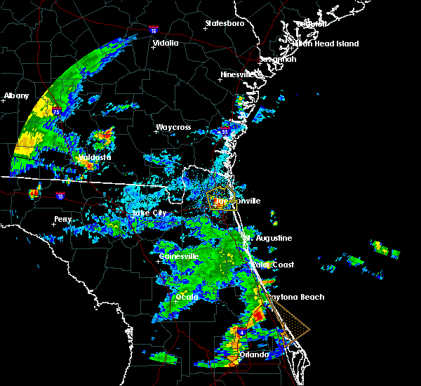 At 620 pm edt, emergency management and local media reported a severe thunderstorm producing quarter size hail and wind damage across the jacksonville northside. this storm was located over arlington. this storm was nearly stationary, with strong winds pushing outward away from the storm. locations impacted include, jacksonville, jacksonville international arpt, arlington, neptune beach, oceanway, san pablo, little talbot island, fort caroline, craig field, riverside, san marco and tallyrand. At 620 pm edt, emergency management and local media reported a severe thunderstorm producing quarter size hail and wind damage across the jacksonville northside. this storm was located over arlington. this storm was nearly stationary, with strong winds pushing outward away from the storm. locations impacted include, jacksonville, jacksonville international arpt, arlington, neptune beach, oceanway, san pablo, little talbot island, fort caroline, craig field, riverside, san marco and tallyrand.
|
| 6/23/2015 6:02 PM EDT | Tree on a house on west 21st stree in duval county FL, 1.5 miles NNW of Jacksonville, FL |
| 6/23/2015 6:00 PM EDT |
 At 600 pm edt, doppler radar indicated a severe thunderstorm capable of producing quarter size hail and damaging winds in excess of 60 mph. this storm was located over jacksonville. this storm was nearly stationary. At 600 pm edt, doppler radar indicated a severe thunderstorm capable of producing quarter size hail and damaging winds in excess of 60 mph. this storm was located over jacksonville. this storm was nearly stationary.
|
| 6/23/2015 5:41 PM EDT | Quarter sized hail reported 1.7 miles NW of Jacksonville, FL, 1 inch hail reported near golfair and interstate 95. |
| 6/23/2015 5:37 PM EDT |
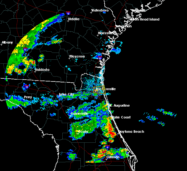 At 537 pm edt, doppler radar indicated a severe thunderstorm capable of producing damaging winds in excess of 60 mph. this storm was located over jacksonville, and moving east at 10 mph. penny size hail may also accompany the damaging winds. At 537 pm edt, doppler radar indicated a severe thunderstorm capable of producing damaging winds in excess of 60 mph. this storm was located over jacksonville, and moving east at 10 mph. penny size hail may also accompany the damaging winds.
|
| 6/23/2015 5:22 PM EDT |
 The severe thunderstorm warning for st. johns county will expire at 530 pm edt, the storms which prompted the warning have weakened below severe limits, and no longer poses an immediate threat to life or property. therefore the warning will be allowed to expire. however gusty winds are still possible with these thunderstorms. The severe thunderstorm warning for st. johns county will expire at 530 pm edt, the storms which prompted the warning have weakened below severe limits, and no longer poses an immediate threat to life or property. therefore the warning will be allowed to expire. however gusty winds are still possible with these thunderstorms.
|
| 6/23/2015 5:04 PM EDT |
 At 504 pm edt, doppler radar indicated a line of severe thunderstorms capable of producing damaging winds in excess of 60 mph. these storms were located along a line extending from near doctors inlet to hastings. these storms were nearly stationary. nickel size hail may also accompany the damaging winds. locations impacted include, saint augustine, green cove springs, hastings, fruit cove, world golf village, saint augustine shores, switzerland, picolata, saint augustine south, butler beach, dupont center, spuds, elkton and bakersville. At 504 pm edt, doppler radar indicated a line of severe thunderstorms capable of producing damaging winds in excess of 60 mph. these storms were located along a line extending from near doctors inlet to hastings. these storms were nearly stationary. nickel size hail may also accompany the damaging winds. locations impacted include, saint augustine, green cove springs, hastings, fruit cove, world golf village, saint augustine shores, switzerland, picolata, saint augustine south, butler beach, dupont center, spuds, elkton and bakersville.
|
| 6/23/2015 4:38 PM EDT |
 At 437 pm edt, doppler radar indicated a line of severe thunderstorms capable of producing quarter size hail and damaging winds in excess of 60 mph. these storms were located along a line extending from near doctors inlet to hastings, and moving east at 10 mph. At 437 pm edt, doppler radar indicated a line of severe thunderstorms capable of producing quarter size hail and damaging winds in excess of 60 mph. these storms were located along a line extending from near doctors inlet to hastings, and moving east at 10 mph.
|
| 6/22/2015 11:32 PM EDT |
 At 1131 pm edt, doppler radar indicated a severe thunderstorm capable of producing damaging winds in excess of 60 mph. this storm was located near camp blanding, or near middleburg, and moving north at 15 mph. penny size hail may also accompany the damaging winds. At 1131 pm edt, doppler radar indicated a severe thunderstorm capable of producing damaging winds in excess of 60 mph. this storm was located near camp blanding, or near middleburg, and moving north at 15 mph. penny size hail may also accompany the damaging winds.
|
| 6/22/2015 10:52 PM EDT |
 The severe thunderstorm warning for central st. johns county will expire at 1100 pm edt, the storm which prompted the warning has weakened below severe limits, and no longer poses an immediate threat to life or property. therefore the warning will be allowed to expire. however heavy rain is still expected with this thunderstorm. The severe thunderstorm warning for central st. johns county will expire at 1100 pm edt, the storm which prompted the warning has weakened below severe limits, and no longer poses an immediate threat to life or property. therefore the warning will be allowed to expire. however heavy rain is still expected with this thunderstorm.
|
| 6/22/2015 10:25 PM EDT |
 At 1024 pm edt, doppler radar indicated a severe thunderstorm capable of producing damaging winds in excess of 60 mph. this storm was located near south ponte vedra, or 8 miles northwest of saint augustine, and moving northeast at 10 mph. penny size hail may also accompany the damaging winds. At 1024 pm edt, doppler radar indicated a severe thunderstorm capable of producing damaging winds in excess of 60 mph. this storm was located near south ponte vedra, or 8 miles northwest of saint augustine, and moving northeast at 10 mph. penny size hail may also accompany the damaging winds.
|
| 6/22/2015 9:28 PM EDT |
 At 928 pm edt, doppler radar indicated a severe thunderstorm capable of producing damaging winds in excess of 60 mph. this storm was located near fernandina beach, moving north at 30 mph. locations impacted include, fernandina beach and yulee. At 928 pm edt, doppler radar indicated a severe thunderstorm capable of producing damaging winds in excess of 60 mph. this storm was located near fernandina beach, moving north at 30 mph. locations impacted include, fernandina beach and yulee.
|
| 6/22/2015 9:24 PM EDT |
 At 924 pm edt, doppler radar indicated a severe thunderstorm capable of producing damaging winds in excess of 60 mph. this storm was located near st. marys, moving northeast at 20 mph. locations impacted include, st. marys, kingsland, kings bay base and yulee. At 924 pm edt, doppler radar indicated a severe thunderstorm capable of producing damaging winds in excess of 60 mph. this storm was located near st. marys, moving northeast at 20 mph. locations impacted include, st. marys, kingsland, kings bay base and yulee.
|
| 6/22/2015 9:13 PM EDT |
 At 913 pm edt, doppler radar indicated a severe thunderstorm capable of producing destructive winds in excess of 70 mph. this storm was located near yulee, or near fernandina beach, and moving northeast at 20 mph. penny size hail may also accompany the damaging winds. At 913 pm edt, doppler radar indicated a severe thunderstorm capable of producing destructive winds in excess of 70 mph. this storm was located near yulee, or near fernandina beach, and moving northeast at 20 mph. penny size hail may also accompany the damaging winds.
|
| 6/22/2015 9:01 PM EDT |
 At 901 pm edt, doppler radar indicated a severe thunderstorm capable of producing destructive winds in excess of 70 mph. this storm was located near yulee, or 9 miles north of jacksonville international arpt, and moving north at 25 mph. penny size hail may also accompany the damaging winds. At 901 pm edt, doppler radar indicated a severe thunderstorm capable of producing destructive winds in excess of 70 mph. this storm was located near yulee, or 9 miles north of jacksonville international arpt, and moving north at 25 mph. penny size hail may also accompany the damaging winds.
|
| 6/22/2015 9:00 PM EDT | Power lines were blown down. the lines caused a storage shed fir in duval county FL, 8.5 miles SW of Jacksonville, FL |
| 6/22/2015 8:55 PM EDT | A tree was blown down onto a car at 3rd avenue and belvedere street trapping one person inside the vehicl in duval county FL, 2 miles S of Jacksonville, FL |
| 6/22/2015 8:53 PM EDT | Storm damage reported in duval county FL, 7 miles SSE of Jacksonville, FL |
| 6/22/2015 8:50 PM EDT |
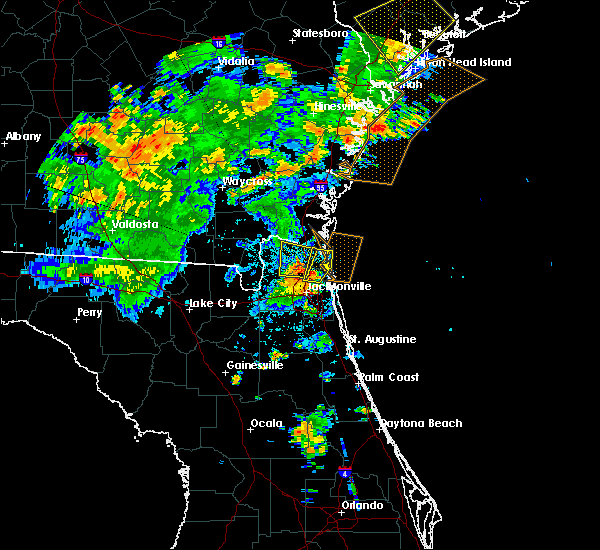 At 849 pm edt, doppler radar indicated a severe thunderstorm capable of producing damaging winds in excess of 60 mph. this storm was located near oceanway, or 7 miles east of jacksonville international arpt, and moving north at 25 mph. penny size hail may also accompany the damaging winds. At 849 pm edt, doppler radar indicated a severe thunderstorm capable of producing damaging winds in excess of 60 mph. this storm was located near oceanway, or 7 miles east of jacksonville international arpt, and moving north at 25 mph. penny size hail may also accompany the damaging winds.
|
| 6/22/2015 8:34 PM EDT |
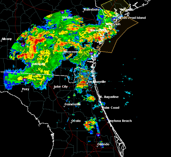 At 833 pm edt, doppler radar indicated a severe thunderstorm capable of producing destructive winds in excess of 70 mph. this storm was located over jacksonville international arpt, and moving north at 25 mph. penny size hail may also accompany the damaging winds. At 833 pm edt, doppler radar indicated a severe thunderstorm capable of producing destructive winds in excess of 70 mph. this storm was located over jacksonville international arpt, and moving north at 25 mph. penny size hail may also accompany the damaging winds.
|
| 6/22/2015 8:30 PM EDT | A tree was blown down onto a car at 3rd avenue and belvedere street trapping one person inside the vehicle. time of damage based on radar imager in duval county FL, 2 miles S of Jacksonville, FL |
| 6/22/2015 8:30 PM EDT | Powers lines down at trout river blvd and lem turner rd in duval county FL, 2.8 miles SSE of Jacksonville, FL |
| 6/22/2015 8:25 PM EDT | A tree was blown dow in duval county FL, 1.3 miles S of Jacksonville, FL |
| 6/22/2015 8:25 PM EDT | Trees and powerlines reported down on shannon av in duval county FL, 3.5 miles ENE of Jacksonville, FL |
| 6/22/2015 8:21 PM EDT |
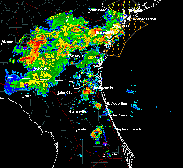 At 821 pm edt, doppler radar indicated a severe thunderstorm capable of producing destructive winds in excess of 70 mph. this storm was located over cisco gardens, or 7 miles southwest of jacksonville international arpt, moving north at 25 mph. penny size hail may also accompany the damaging winds. locations impacted include, jacksonville, jacksonville international arpt, nassau village-ratliff, cisco gardens, ratliff and whitehouse air field. At 821 pm edt, doppler radar indicated a severe thunderstorm capable of producing destructive winds in excess of 70 mph. this storm was located over cisco gardens, or 7 miles southwest of jacksonville international arpt, moving north at 25 mph. penny size hail may also accompany the damaging winds. locations impacted include, jacksonville, jacksonville international arpt, nassau village-ratliff, cisco gardens, ratliff and whitehouse air field.
|
| 6/22/2015 8:15 PM EDT | Power lines were blown down on the westsid in duval county FL, 7.6 miles ENE of Jacksonville, FL |
| 6/22/2015 8:15 PM EDT | Winds blew down power lines along lenox avenue near cox roa in duval county FL, 8.3 miles NE of Jacksonville, FL |
| 6/22/2015 8:15 PM EDT | Tree fell on a house on perryman lan in duval county FL, 7.8 miles NE of Jacksonville, FL |
| 6/22/2015 8:09 PM EDT |
 At 809 pm edt, doppler radar indicated a severe thunderstorm capable of producing damaging winds in excess of 60 mph. this storm was located over cisco gardens, or 9 miles west of jacksonville, and moving north at 25 mph. nickel size hail may also accompany the damaging winds. At 809 pm edt, doppler radar indicated a severe thunderstorm capable of producing damaging winds in excess of 60 mph. this storm was located over cisco gardens, or 9 miles west of jacksonville, and moving north at 25 mph. nickel size hail may also accompany the damaging winds.
|
| 6/19/2015 5:00 PM EDT | Strong wind gust 60-70 mph and large palm tree down at 121 zachary dr n in duval county FL, 9.1 miles SSW of Jacksonville, FL |
| 6/19/2015 5:00 PM EDT | Large tree down in the 7400 block san jose blvd in duval county FL, 16.9 miles NNW of Jacksonville, FL |
| 6/19/2015 4:47 PM EDT |
 At 447 pm edt, doppler radar indicated a severe thunderstorm capable of producing damaging winds in excess of 60 mph. this storm was located over oceanway, or near jacksonville international arpt, and moving north at 10 mph. At 447 pm edt, doppler radar indicated a severe thunderstorm capable of producing damaging winds in excess of 60 mph. this storm was located over oceanway, or near jacksonville international arpt, and moving north at 10 mph.
|
| 6/19/2015 4:33 PM EDT |
 At 433 pm edt, doppler radar indicated a severe thunderstorm capable of producing damaging winds in excess of 60 mph. this storm was located over bayard, or 7 miles south of unf. this storm was nearly stationary. At 433 pm edt, doppler radar indicated a severe thunderstorm capable of producing damaging winds in excess of 60 mph. this storm was located over bayard, or 7 miles south of unf. this storm was nearly stationary.
|
| 6/19/2015 4:20 PM EDT | A tree was blocking the intersection of lasalle street and palm avenue in the san marco area as reported by local media. the time given was based on rada in duval county FL, 5.1 miles NNW of Jacksonville, FL |
| 6/19/2015 4:20 PM EDT | Large tree down on hendricks ave in duval county FL, 5.3 miles NNW of Jacksonville, FL |
| 6/19/2015 4:15 PM EDT |
 At 415 pm edt, doppler radar indicated a severe thunderstorm capable of producing quarter size hail and damaging winds in excess of 60 mph. this storm was located over san marco, or near jacksonville. this storm was nearly stationary. At 415 pm edt, doppler radar indicated a severe thunderstorm capable of producing quarter size hail and damaging winds in excess of 60 mph. this storm was located over san marco, or near jacksonville. this storm was nearly stationary.
|
| 6/18/2015 5:15 PM EDT | Tree limbs were blown down in normandy as reported by publi in duval county FL, 6.5 miles NE of Jacksonville, FL |
| 6/18/2015 5:02 PM EDT | At 502 pm edt, doppler radar indicated a severe thunderstorm capable of producing damaging winds in excess of 60 mph. this storm was located near cecil field, or 10 miles northwest of orange park, and moving northeast at 10 mph. |
| 6/13/2015 3:20 PM EDT |
 The national weather service in jacksonville has issued a * severe thunderstorm warning for. southeastern duval county in northeastern florida. until 400 pm edt * at 319 pm edt. Doppler radar indicated a severe thunderstorm capable of producing damaging winds in excess of 60 to 70 mph. The national weather service in jacksonville has issued a * severe thunderstorm warning for. southeastern duval county in northeastern florida. until 400 pm edt * at 319 pm edt. Doppler radar indicated a severe thunderstorm capable of producing damaging winds in excess of 60 to 70 mph.
|
| 6/12/2015 6:30 PM EDT |
 At 629 pm edt, doppler radar indicated a severe thunderstorm capable of producing damaging winds in excess of 60 mph. this storm was located near middleburg, and moving north at 25 mph. nickel size hail may also accompany the damaging winds. At 629 pm edt, doppler radar indicated a severe thunderstorm capable of producing damaging winds in excess of 60 mph. this storm was located near middleburg, and moving north at 25 mph. nickel size hail may also accompany the damaging winds.
|
| 6/12/2015 5:52 PM EDT |
 At 552 pm edt, doppler radar indicated a severe thunderstorm capable of producing damaging winds in excess of 60 mph. this storm was located near lake geneva, or near keystone heights, and moving northwest at 25 mph. penny size hail may also accompany the damaging winds. At 552 pm edt, doppler radar indicated a severe thunderstorm capable of producing damaging winds in excess of 60 mph. this storm was located near lake geneva, or near keystone heights, and moving northwest at 25 mph. penny size hail may also accompany the damaging winds.
|
| 6/9/2015 5:25 PM EDT |
 At 525 pm edt, doppler radar indicated a severe thunderstorm capable of producing quarter size hail and damaging winds in excess of 60 mph. this storm was located near palm valley, or near ponte vedra beach, and moving southeast at 10 mph. At 525 pm edt, doppler radar indicated a severe thunderstorm capable of producing quarter size hail and damaging winds in excess of 60 mph. this storm was located near palm valley, or near ponte vedra beach, and moving southeast at 10 mph.
|
| 6/9/2015 4:53 PM EDT |
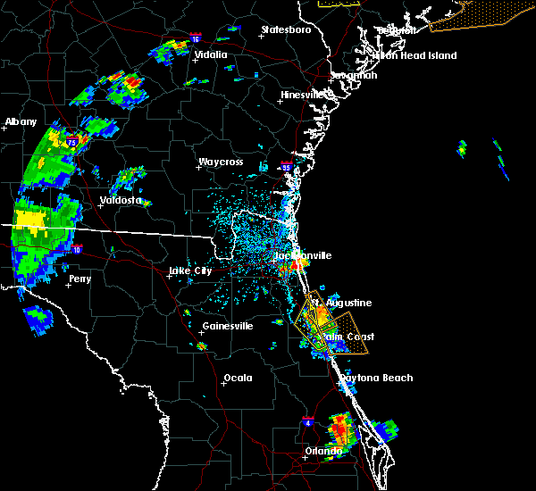 At 453 pm edt, doppler radar indicated a severe thunderstorm capable of producing quarter size hail and damaging winds in excess of 60 mph. this storm was located over san pablo, or near unf, and moving east at 10 mph. At 453 pm edt, doppler radar indicated a severe thunderstorm capable of producing quarter size hail and damaging winds in excess of 60 mph. this storm was located over san pablo, or near unf, and moving east at 10 mph.
|
| 6/5/2015 4:40 PM EDT | The severe thunderstorm warning for northwestern clay and southwestern duval counties will expire at 445 pm edt, the storms which prompted the warning have weakened below severe limits, and no longer poses an immediate threat to life or property. therefore the warning will be allowed to expire. however small. |
| 6/5/2015 4:29 PM EDT | At 429 pm edt, doppler radar indicated a line of severe thunderstorms capable of producing half dollar size hail and damaging winds in excess of 60 mph. these storms were located along a line extending from normandy to near cecil field, moving southeast at 25 mph. locations impacted include, jacksonville, orange park, middleburg, mandarin, ortega, maxville, oakleaf plantation, camp blanding, doctors inlet, cecil field, fleming island, nas jax, lakeside, normandy, bellair-meadowbrook terrace, jacksonville heights and asbury lake. |
| 6/5/2015 4:13 PM EDT | At 413 pm edt, doppler radar indicated a line of severe thunderstorms capable of producing half dollar size hail and damaging winds in excess of 60 mph. these storms were located along a line extending from cisco gardens to 6 miles northeast of maxville, moving southeast at 20 mph. locations impacted include, jacksonville, orange park, middleburg, mandarin, ortega, maxville, riverside, cisco gardens, oakleaf plantation, camp blanding, doctors inlet, cecil field, fleming island, nas jax, lakeside, normandy, bellair-meadowbrook terrace, baldwin, jacksonville heights and whitehouse air field. |
| 6/5/2015 3:54 PM EDT | At 354 pm edt, doppler radar indicated a line of severe thunderstorms capable of producing half dollar size hail and damaging winds in excess of 60 mph. these storms were located along a line extending from near ratliff to near bryceville, and moving southeast at 20 mph. |
| 6/3/2015 5:08 PM EDT | The severe thunderstorm warning for northeastern duval county will expire at 515 pm edt, the storms which prompted the warning have weakened below severe limits, and no longer poses an immediate threat to life or property. therefore the warning will be allowed to expire. however gusty winds and heavy rain are still possible with these thunderstorms. |
| 6/3/2015 5:03 PM EDT | At 502 pm edt, doppler radar indicated a line of severe thunderstorms capable of producing damaging winds in excess of 60 mph. these storms were located along a line extending from near oceanway to near yulee, moving southeast at 15 mph. nickel size hail may also accompany the damaging winds. locations impacted include, jacksonville, jacksonville international arpt, unf, arlington, neptune beach, oceanway, baymeadows, craig field, riverside, san marco, san pablo, little talbot island, fort caroline, palm valley and tallyrand. |
| 6/3/2015 4:49 PM EDT | At 449 pm edt, doppler radar indicated a line of severe thunderstorms capable of producing damaging winds in excess of 60 mph. these storms were located along a line extending from near oceanway to yulee, moving southeast at 10 mph. nickel size hail may also accompany the damaging winds. locations impacted include, jacksonville, fernandina beach, jacksonville international arpt, unf, arlington, yulee, neptune beach, oceanway, baymeadows, craig field, riverside, san marco, san pablo, little talbot island, fort caroline, palm valley and tallyrand. |
| 6/3/2015 4:37 PM EDT | At 436 pm edt, doppler radar indicated a line of severe thunderstorms capable of producing damaging winds in excess of 60 mph. these storms were located along a line extending from jacksonville international arpt to near yulee, moving southeast at 15 mph. nickel size hail may also accompany the damaging winds. locations impacted include, jacksonville, fernandina beach, jacksonville international arpt, unf, arlington, yulee, neptune beach, oceanway, ortega, craig field, riverside, san marco, cisco gardens, san pablo, little talbot island, fort caroline, normandy, baymeadows, nassau village-ratliff and palm valley. |
| 6/3/2015 4:16 PM EDT | At 416 pm edt, doppler radar indicated a line of severe thunderstorms capable of producing quarter size hail and damaging winds in excess of 60 mph. these storms were located along a line extending from callahan to near st. marys, and moving southeast at 10 mph. |
| 6/3/2015 3:46 PM EDT | At 346 pm edt, doppler radar indicated a line of severe thunderstorms capable of producing damaging winds in excess of 60 mph. these storms were located along a line extending from near st. marys to near hilliard. these storms were nearly stationary. |
| 6/3/2015 3:46 PM EDT | At 346 pm edt, doppler radar indicated a line of severe thunderstorms capable of producing damaging winds in excess of 60 mph. these storms were located along a line extending from near st. marys to near hilliard. these storms were nearly stationary. |
| 5/20/2015 5:52 PM EDT | At 550 pm edt, doppler radar indicated a line of severe thunderstorms capable of producing quarter size hail and damaging winds in excess of 60 mph. these storms were located along a line extending from near palm valley to crescent beach, moving northeast at 15 mph. locations impacted include, saint augustine, saint augustine beach, saint augustine shores, nocatee, durbin, saint augustine south, south ponte vedra, butler beach, palm valley, sawgrass, guana river state park, vilano beach, crescent beach, dupont center and anastasia. |
| 5/20/2015 5:29 PM EDT | At 528 pm edt, doppler radar indicated a line of severe thunderstorms capable of producing quarter size hail and damaging winds in excess of 60 mph. these storms were located along a line extending from near mandarin to near palm coast, and moving east at 30 mph. |
| 5/20/2015 5:17 PM EDT | At 516 pm edt, doppler radar indicated a line of severe thunderstorms capable of producing quarter size hail and damaging winds in excess of 60 mph. these storms were located along a line extending from near world golf village to 8 miles west of ormond beach, moving east at 35 mph. locations impacted include, palm coast, saint augustine, green cove springs, flagler beach, bunnell, hastings, fruit cove, world golf village, marineland, saint augustine shores, nocatee, durbin, saint augustine south, switzerland, orange mills, guana river state park, bayard, federal point, south ponte vedra and butler beach. |
| 5/20/2015 5:05 PM EDT | At 504 pm edt, doppler radar indicated a line of severe thunderstorms capable of producing quarter size hail and damaging winds in excess of 60 mph. these storms were located along a line extending from near switzerland to 9 miles northeast of barberville, and moving east at 35 mph. |
| 5/19/2015 5:58 PM EDT | At 558 pm edt, doppler radar indicated line of thunderstorms capable of producing quarter size hail and damaging winds in excess of 60 mph. this storm was located near bryceville, or 9 miles south of callahan, and moving east at 10 mph. |
| 5/19/2015 5:32 PM EDT | Quarter sized hail reported 2.3 miles WSW of Jacksonville, FL, quarter size hail reported near main street and trout river road. |
| 5/19/2015 5:12 PM EDT | At 511 pm edt, doppler radar indicated a severe thunderstorm capable of producing quarter size hail and damaging winds in excess of 60 mph. this storm was located near arlington, and moving southeast at 5 mph. |
| 5/19/2015 4:47 PM EDT | Tree fell on house on rutgers roa in duval county FL, 3.4 miles S of Jacksonville, FL |
| 5/19/2015 4:44 PM EDT | At 444 pm edt, doppler radar indicated a severe thunderstorm capable of producing quarter size hail and damaging winds in excess of 60 mph. this storm was located near arlington, and moving southeast at 15 mph. |
| 5/11/2015 4:16 PM EDT | Tree down on residence on lake marieta d in duval county FL, 7.1 miles ENE of Jacksonville, FL |
| 5/11/2015 3:45 PM EDT | Powerlines down near old kings roa in duval county FL, 3.3 miles ENE of Jacksonville, FL |
| 4/25/2015 6:06 PM EDT | Part of gas station awning torn off. numerous large trees dow in duval county FL, 14 miles WNW of Jacksonville, FL |
| 4/25/2015 6:05 PM EDT | Estimated 70 mph wind gust along hodges blvd north of butler blvd. numerous large tree limbs dow in duval county FL, 15.8 miles WNW of Jacksonville, FL |
| 4/25/2015 6:03 PM EDT | Numerous trees down. patio roof ripped off in southside jacksonvill in duval county FL, 10.8 miles NW of Jacksonville, FL |
| 4/25/2015 6:00 PM EDT | At 600 pm edt, doppler radar indicated a severe thunderstorm capable of producing quarter size hail and damaging winds in excess of 60 mph. this storm was located near arlington, and moving east at 45 mph. |
| 4/25/2015 5:57 PM EDT | Media reporting trees and transformers down near san jose blvd. and emerso in duval county FL, 7.5 miles NNW of Jacksonville, FL |
| 4/25/2015 5:46 PM EDT | Trees down and quarter size hail reported on normandy blv in duval county FL, 8.4 miles NE of Jacksonville, FL |
| 4/25/2015 5:42 PM EDT | At 541 pm edt, doppler radar indicated a severe thunderstorm capable of producing quarter size hail and damaging winds in excess of 60 mph. this storm was located over normandy, or 8 miles west of jacksonville, moving east at 50 mph. locations impacted include, jacksonville, orange park, unf, arlington, ortega, baymeadows, craig field, riverside, san marco, cisco gardens, fort caroline, nas jax, normandy, bellair-meadowbrook terrace, baldwin, tallyrand, jacksonville heights and whitehouse air field. |
| 4/25/2015 5:29 PM EDT | At 528 pm edt, doppler radar indicated a severe thunderstorm capable of producing quarter size hail and damaging winds in excess of 60 mph. this storm was located near bryceville, or 16 miles southwest of callahan, and moving east at 50 mph. |
| 4/25/2015 5:29 PM EDT | At 528 pm edt, doppler radar indicated a severe thunderstorm capable of producing quarter size hail and damaging winds in excess of 60 mph. this storm was located near bryceville, or 16 miles southwest of callahan, and moving east at 50 mph. |
| 4/25/2015 3:25 PM EDT | The tornado warning for northwestern st. johns county will expire at 330 pm edt, the storm which prompted the warning has weakened below severe limits, and no longer appears to be capable of producing a tornado. therefore the warning will be allowed to expire. however gusty winds and heavy rain are still possible with this thunderstorm. to report severe weather, contact your nearest law enforcement agency. they will relay your report to the national weather service jacksonville. |
| 4/25/2015 3:14 PM EDT | At 314 pm edt, doppler radar indicated a severe thunderstorm capable of producing a tornado. this dangerous storm was located over fruit cove, moving east at 40 mph. locations impacted include, fruit cove, nocatee, durbin and switzerland. |
| 4/25/2015 3:06 PM EDT | At 305 pm edt, doppler radar indicated a severe thunderstorm capable of producing a tornado. this dangerous storm was located over fleming island, or near mandarin, and moving northeast at 45 mph. |
| 4/25/2015 2:58 PM EDT | At 257 pm edt, doppler radar indicated a severe thunderstorm capable of producing damaging winds in excess of 60 mph. this storm was located over orange park, moving east at 30 mph. locations impacted include, jacksonville, orange park, fruit cove, mandarin, doctors inlet, bayard, fleming island, nas jax, lakeside, switzerland and bellair-meadowbrook terrace. a tornado watch remains in effect until 400 pm edt for northeastern florida. |
| 4/25/2015 2:28 PM EDT | At 228 pm edt, doppler radar indicated a severe thunderstorm capable of producing damaging winds in excess of 60 mph. this storm was located over maxville, or 12 miles northwest of middleburg, and moving east at 40 mph. |
| 4/19/2015 4:55 PM EDT | Estimated 50-60 mph winds with tree branches less than 1 inch diameter dow in duval county FL, 18.6 miles WNW of Jacksonville, FL |
| 4/19/2015 4:55 PM EDT | At 455 pm edt, doppler radar indicated a line of severe thunderstorms capable of producing damaging winds in excess of 60 mph. these storms were located along a line extending from near race pond to near folkston to bryceville, and moving east at 55 mph. |
| 4/19/2015 4:55 PM EDT | At 455 pm edt, doppler radar indicated a line of severe thunderstorms capable of producing damaging winds in excess of 60 mph. these storms were located along a line extending from near race pond to near folkston to bryceville, and moving east at 55 mph. |
| 4/19/2015 4:41 PM EDT | Weather spotter reported 60 mph wind in duval county FL, 12.2 miles NW of Jacksonville, FL |
| 4/19/2015 4:35 PM EDT | Media received report with photo of a tree downed off of old kings roa in duval county FL, 13.1 miles NNW of Jacksonville, FL |
| 4/19/2015 4:34 PM EDT | At 434 pm edt, doppler radar indicated a line of severe thunderstorms capable of producing quarter size hail and damaging winds in excess of 60 mph. these storms were located along a line extending from orange park to world golf village, moving northeast at 35 mph. locations impacted include, jacksonville, saint augustine, orange park, ponte vedra beach, unf, fruit cove, mandarin, arlington, neptune beach, world golf village, ortega, craig field, riverside, san marco, nocatee, durbin, nas jax, guana river state park, bayard and baymeadows. a tornado watch remains in effect until 800 pm edt for northeastern florida. |
| 4/19/2015 4:15 PM EDT | At 415 pm edt, doppler radar indicated a line of severe thunderstorms capable of producing quarter size hail and damaging winds in excess of 60 mph. these storms were located along a line extending from near doctors inlet to picolata, moving northeast at 40 mph. locations impacted include, jacksonville, saint augustine, orange park, green cove springs, ponte vedra beach, unf, fruit cove, mandarin, arlington, middleburg, neptune beach, world golf village, ortega, craig field, riverside, san marco, oakleaf plantation, nocatee, durbin and switzerland. a tornado watch remains in effect until 800 pm edt for northeastern florida. |
| 4/19/2015 4:07 PM EDT | At 407 pm edt, doppler radar indicated a line of severe thunderstorms capable of producing quarter size hail and damaging winds in excess of 60 mph. these storms were located along a line extending from near middleburg to near picolata, and moving northeast at 35 mph. |
| 4/12/2015 4:32 PM EDT | The national weather service in jacksonville has issued a * severe thunderstorm warning for. northwestern duval county in northeastern florida. western nassau county in northeastern florida. southeastern charlton county in southeastern georgia. Until 500 pm edt. |
| 4/12/2015 4:32 PM EDT | The national weather service in jacksonville has issued a * severe thunderstorm warning for. northwestern duval county in northeastern florida. western nassau county in northeastern florida. southeastern charlton county in southeastern georgia. Until 500 pm edt. |
| 12/22/2014 11:53 PM EST | Quarter sized hail reported 16.7 miles ENE of Jacksonville, FL, a spotter reported a brief period of quarter size hail. |
| 12/22/2014 11:53 AM EST | Quarter sized hail reported 16.7 miles ENE of Jacksonville, FL, a spotter reported a brief period of quarter size hail. |
| 11/17/2014 1:55 PM EST | Broadcast media is reporting portion of roof blown off of apartment complex in jacksonville beach at 127 south 1st avenue. time is estimated based on radar imagery and in duval county FL, 18.8 miles WNW of Jacksonville, FL |
| 11/17/2014 1:52 PM EST | Broadcast media showed pictures of a large tree that fell through a brick home and caused significant damage. no injuries were reporte in duval county FL, 18.4 miles WNW of Jacksonville, FL |
| 11/17/2014 1:51 PM EST | A thunderstorm wind gust of 67 mph was measured by a weather flow station near fort caroline. also received reports of significant damage to a gas station in this are in duval county FL, 12.4 miles W of Jacksonville, FL |
| 11/17/2014 1:50 PM EST | Broadcast media reported large trees down on black hawk trai in duval county FL, 13.7 miles W of Jacksonville, FL |
| 11/17/2014 1:45 PM EST | Two semi-trucks blown over on the dames point bridg in duval county FL, 8.2 miles W of Jacksonville, FL |
| 11/17/2014 1:43 PM EST | The public measured a wind gust to 58 mph in blount islan in duval county FL, 9.5 miles W of Jacksonville, FL |
| 11/17/2014 1:40 PM EST | Broadcast media relayed pictures of two trees twisted and downed at holly and weller avenue in duval county FL, 6.7 miles NW of Jacksonville, FL |
| 11/17/2014 1:36 PM EST | Street sign blown down near water street and csx drive downtow in duval county FL, 3.8 miles NNW of Jacksonville, FL |
| 11/17/2014 1:35 PM EST | A thunderstorm wind gust of 59 mph was measured at the jacksonville naval air statio in duval county FL, 10.4 miles N of Jacksonville, FL |
| 11/17/2014 1:15 PM EST | The state watch office relayed a report of a possible tornado in baker county. a carport was detached from a home and power lines were down at county road 228 and deerf in baker county FL, 25.2 miles ENE of Jacksonville, FL |
| 10/14/2014 3:36 PM EDT | Duval county emergency management relayed a few sporadic reports of wires and trees down on the west and north side of downtown jacksonvill in duval county FL, 1.1 miles NE of Jacksonville, FL |
| 10/14/2014 3:20 PM EDT | Tree down near argyle forest blv in duval county FL, 15.7 miles NNE of Jacksonville, FL |
| 10/14/2014 3:10 PM EDT | Tree down near argyle forest blv in duval county FL, 15.7 miles NNE of Jacksonville, FL |
| 8/18/2014 4:40 PM EDT | *** 2 inj *** wokv/wtev reports a tree blown over and onto a car as well as powerline blown down across southside boulevard at the intersection of hogan road in jackson in duval county FL, 10.8 miles NW of Jacksonville, FL |
| 7/14/2014 4:53 PM EDT | The weatherflow sensor at buck island recorded a 70 mph wind gust as a severe thunderstorm moved through coastal duval count in duval county FL, 12.4 miles W of Jacksonville, FL |
| 7/14/2014 4:45 PM EDT | Wtev broadcasted a picture of a tree downed by thunderstorm wind gusts near the intersection of hodges and beach boulevard. time of damage based on radar dat in duval county FL, 14.9 miles WNW of Jacksonville, FL |
| 7/14/2014 4:42 PM EDT | Several trees reported down in the danforth subdivision off of hodges boulevard. time based on radar dat in duval county FL, 15.2 miles WNW of Jacksonville, FL |
| 7/14/2014 4:42 PM EDT | Local media reports trees downed in the windsor park subdivision in eastern jacksonville. time based on radar dat in duval county FL, 14.5 miles WNW of Jacksonville, FL |
| 6/25/2014 7:50 PM EDT | Broadcast media reported large tree down near dupont middle school near the intersection of dupont ave and la mesa driv in duval county FL, 9.6 miles NNW of Jacksonville, FL |
| 6/25/2014 7:15 PM EDT | 11680 aaron road reported powerlines down in duval county FL, 5.9 miles SW of Jacksonville, FL |
| 6/25/2014 6:55 PM EDT | Broadcast media reporting story where tree fell through and split a home in half at 5625 atlee ave on the westside of jacksonville. no injuries were reporte in duval county FL, 6.2 miles NE of Jacksonville, FL |
| 6/21/2014 5:40 PM EDT | Storm damage reported in duval county FL, 16.9 miles WNW of Jacksonville, FL |
| 6/21/2014 3:51 PM EDT | Public reported large tree limbs downed off of cr 21 in clay county FL, 25.9 miles NE of Jacksonville, FL |
| 6/10/2014 5:50 PM EDT | Whitehouse naval outlying field asos reported peak wind gust of 55 mph - direction from the south... 48 knots... 550 pm edt. pk wnd 18048/215 in duval county FL, 11.1 miles E of Jacksonville, FL |
| 5/26/2014 1:24 PM EDT | Half Dollar sized hail reported 9.2 miles NNW of Jacksonville, FL, received photo of half dollar-sized hail off of university blvd w in jacksonville. |
| 5/26/2014 1:22 PM EDT | Media reported tree uprooted near the intersection of parental home road and beach blv in duval county FL, 8.9 miles NW of Jacksonville, FL |
| 5/26/2014 1:20 PM EDT | Several large tree limbs downed near emerson street in jacksonvill in duval county FL, 7.5 miles NNW of Jacksonville, FL |
| 5/26/2014 1:18 PM EDT | Media reported one tree down on a home on evergreen ave and another tree downed on same roadwa in duval county FL, 4 miles NW of Jacksonville, FL |
| 5/26/2014 1:10 PM EDT | Mesonet observation recorded wind gust of 65 mph at 110 pm ed in duval county FL, 4.4 miles NW of Jacksonville, FL |
| 5/26/2014 1:05 PM EDT | Quarter sized hail reported 5.9 miles WNW of Jacksonville, FL, mostly pea size hail...but few stones up to quarter size reported. |
| 5/11/2014 5:00 PM EDT | Tree reported down on ellis road on the westside of jacksonvill in duval county FL, 4.3 miles NE of Jacksonville, FL |
| 5/11/2014 4:22 PM EDT | Asos at jax intl airport measured a gust of 60 mp in duval county FL, 7.5 miles S of Jacksonville, FL |
| 5/1/2014 2:15 PM EDT | Quarter sized hail reported 12.8 miles NNE of Jacksonville, FL, media received public report of quarter-sized hail off of collins road and blanding blvd. |
| 1/21/2014 4:40 PM EST | Quarter sized hail reported 12.6 miles WNW of Jacksonville, FL, local media broadcaster reported one-inch size hail on central parkway. |
| 1/21/2014 4:30 PM EST | Quarter sized hail reported 5.9 miles WNW of Jacksonville, FL, quarter sized hail near corner of atlantic blvd and university blvd. wind gusts to 50 mph with tree branches down. |
| 1/21/2014 4:30 PM EST | Quarter sized hail reported 12.1 miles NNW of Jacksonville, FL, quarter sized hail near corner of atlantic blvd and university blvd. wind gusts to 50 mph with tree branches down. |
| 8/15/2013 6:05 PM EDT | Wires were reported down in the southside are in duval county FL, 10.8 miles NW of Jacksonville, FL |
| 8/15/2013 5:52 PM EDT | Broadcast media and ema reported tree down on nelson street in the riverside are in duval county FL, 4.9 miles N of Jacksonville, FL |
| 8/14/2013 8:15 PM EDT | Large tree down in arlington area blocking road. time based on rada in duval county FL, 5.9 miles WNW of Jacksonville, FL |
| 8/1/2013 5:00 PM EDT | Wtev relayed a report from jacksonville electric authority with an estimate of 3000 homes currently without powe in duval county FL, 3.8 miles NNW of Jacksonville, FL |
| 8/1/2013 4:40 PM EDT | Numerous large trees down at mt pleasant road and spanish point driv in duval county FL, 12.4 miles W of Jacksonville, FL |
| 8/1/2013 4:40 PM EDT | Numerous large tress down at mt pleasant road and spanish point driv in duval county FL, 12.4 miles W of Jacksonville, FL |
| 8/1/2013 4:25 PM EDT | Wtev relayed a report and picture of a tree downed by strong thunderstorm wind gusts in the fort caroline lakes neighborhood just south of monument road. time of damage in duval county FL, 10.8 miles WNW of Jacksonville, FL |
| 8/1/2013 4:20 PM EDT | *** 1 inj *** jacksonville sheriffs office reports three homes damaged by downed trees in the fort caroline area with one minor injury sustained. time of incident based in duval county FL, 10.6 miles W of Jacksonville, FL |
| 8/1/2013 4:15 PM EDT | Wjxt relayed a public report of multiple trees down along with damage to a shed and a fence in the vicinity of momument road and mccormick roa in duval county FL, 11.3 miles W of Jacksonville, FL |
| 7/22/2013 1:43 PM EDT | Reported by the jacksonville electric authority...jea... northside power station. the anemometer is located 100 feet above the groun in duval county FL, 9.4 miles WSW of Jacksonville, FL |
| 7/22/2013 1:36 PM EDT | A waws broadcast meteorologist relayed a report of a gas station canopy blown down at old saint augustine road and phillips highwa in duval county FL, 12.5 miles NNW of Jacksonville, FL |
| 7/22/2013 1:28 PM EDT | An nws storm spotter estimated several gusts up to 65 mph with a possible 70 mph gust near old st augustine road and loretto road. time between 124 pm and 130 p in duval county FL, 16.1 miles NNW of Jacksonville, FL |
| 7/11/2013 6:35 PM EDT | Broadcast media relayed report of trees down on at least 4 different homes along 118th street on the jacksonville westside with one tree on a car. no injuries were repo in duval county FL, 10.7 miles NNE of Jacksonville, FL |
| 7/11/2013 6:30 PM EDT | A storm spotter and the 911 center reported trees and wires down around the 5500 block of 118th street. time estimated by rada in duval county FL, 9.9 miles NNE of Jacksonville, FL |
| 6/26/2013 3:13 PM EDT | 60 mph wind gust at old st. augustine road and loretto roa in duval county FL, 16.1 miles N of Jacksonville, FL |
| 6/26/2013 3:10 PM EDT | Medium sized hollow oak tree downed in a parking lot near the intersection of bowden road and parental home road...damaging a car. picture submitted via social media. t in duval county FL, 10.1 miles NW of Jacksonville, FL |
| 6/26/2013 3:05 PM EDT | Quarter sized hail reported 16.1 miles N of Jacksonville, FL, quarter sized hail at i-295 and st. jose boulevard...and at i-295 at old st. augustine road. |
| 6/20/2013 3:10 PM EDT | Multiple trees reported down in the chimney lakes subdivisio in duval county FL, 13.5 miles NNE of Jacksonville, FL |
| 6/14/2013 5:00 PM EDT | Numerous tree limbs and powerlines reported down in the arlington area as well as westsid in duval county FL, 5.9 miles WNW of Jacksonville, FL |
| 6/14/2013 5:00 PM EDT | Numerous tree limbs and powerlines reported down in the arlington area as well as westsid in duval county FL, 6.2 miles NW of Jacksonville, FL |
| 6/14/2013 4:20 PM EDT | Large tree limb was reported down near duval and liberty street in duval county FL, 3.1 miles NW of Jacksonville, FL |
| 6/13/2013 3:50 PM EDT | Numerous large limbs and a few small trees down in fort caroline. time estimated based on rada in duval county FL, 11.2 miles W of Jacksonville, FL |
| 6/3/2013 5:30 PM EDT | Broadcast media reports medium to large tree down on power lines on penman road in neptune beac in duval county FL, 17.1 miles WNW of Jacksonville, FL |
| 3/24/2013 10:15 AM EDT | Several trees were blown down aross driveways along ford road near u.s. highway 301 near bryceville. the time of damage was based on radar imager in nassau county FL, 14.5 miles ESE of Jacksonville, FL |
| 2/25/2013 12:15 PM EST | Broadcast media relayed report of damage to boats at fisherman marina on the trout rive in duval county FL, 2.9 miles WSW of Jacksonville, FL |
| 2/25/2013 11:15 AM EST | Quarter sized hail reported 22.8 miles ENE of Jacksonville, FL, quarter size hail reported on interstate 10. |
| 2/25/2013 9:20 AM EST | Utility company reported a tree down on fields ave and a few large limbs downing power lines on leora driv in duval county FL, 3 miles SW of Jacksonville, FL |
| 8/28/2012 5:00 PM EDT | 911 call center reported a couple of trees down in the mandarin area of town in addition to a few on the westside of jacksonville metro are in duval county FL, 16.1 miles N of Jacksonville, FL |
| 8/20/2012 4:53 PM EDT | Duval county emergency management reports a tree down over a roadway in the cedar point area of eastern duval count in duval county FL, 13.5 miles WSW of Jacksonville, FL |
| 8/17/2012 1:45 PM EDT | Broadcast media reports large tree fell down and smashed a car and damaged a home in the grove park neighborhood of jacksonville around 145 pm edt. tree was partially r in duval county FL, 8.5 miles NW of Jacksonville, FL |
| 8/14/2012 3:25 PM EDT | Off-duty nws employee reports a large tree down on san jose boulevard near the intersection of orange picker road in east mandarin. time of damage based on radar dat in duval county FL, 16.2 miles NNW of Jacksonville, FL |
| 7/17/2012 5:40 PM EDT | The general public reported a tree and powerlines down along harlow blvd on the west side. the tree was around 12 inches in diameter. there was also a branch down on po in duval county FL, 9.1 miles NNE of Jacksonville, FL |
| 7/4/2012 6:10 PM EDT | Quarter sized hail reported 3.8 miles SSW of Jacksonville, FL, wtev reports quarter sized hail near the intersection of dunn avenue and interstate 95. |
| 6/25/2012 7:45 AM EDT | Part of sheet metal roof torn off a hanger at jacksonville international airport hanger at 14600 young drive. minor damage to an airplane and hanger door. parking lot b in duval county FL, 7 miles SSE of Jacksonville, FL |
| 6/11/2012 7:15 PM EDT | Numerous trees down in baymeadows areas around belfort rd and philips hwy in duval county FL, 11.6 miles NNW of Jacksonville, FL |
| 6/11/2012 6:55 PM EDT | Quarter sized hail reported 7.5 miles NNW of Jacksonville, FL, 1 inch hail report submitted by nws employee at j. turner butler blvd and southside blvd. |
| 6/11/2012 6:30 PM EDT | A number of trees were down in the neighborhood knocking out the power. some trees fell on home in duval county FL, 9.6 miles NW of Jacksonville, FL |
| 6/11/2012 6:15 PM EDT | Strong microburst wind gust of 68 mph recorded at jacksonville naval air statio in duval county FL, 10.4 miles N of Jacksonville, FL |
| 6/10/2012 2:45 PM EDT | Florida power and light utility company reported several trees dow in duval county FL, 13.8 miles NE of Jacksonville, FL |
| 5/31/2012 4:55 PM EDT | Thunderstorm winds flipped over a carport at ramona blvd and westgate driv in duval county FL, 6.9 miles NE of Jacksonville, FL |
| 5/31/2012 4:30 PM EDT | Broadcast media relayed public report of damage near i-95 and county road 210. large wooden play house being thrown across yard. patio furniture thrown into the yard as in st. johns county FL, 24.1 miles NNW of Jacksonville, FL |
| 5/31/2012 3:55 PM EDT | Tree down across i-295 just south of i-10. pea sized hail also reported near pritchard roa in duval county FL, 6.9 miles NE of Jacksonville, FL |
| 5/31/2012 3:55 PM EDT | Tree fell on a house at mariner street and memorial park roa in duval county FL, 7 miles NE of Jacksonville, FL |
| 5/31/2012 3:54 PM EDT | Strong downburst winds downed several trees in a neighborhood just northwest of the i-295 and i-10 intersection. trees down on homes on mariner street and paschal st. r in duval county FL, 6.5 miles NE of Jacksonville, FL |
| 5/31/2012 3:52 PM EDT | Damage to a furniture store on beaver and lane streets with at least a quarter of a tin roof peeled of in duval county FL, 5.6 miles NE of Jacksonville, FL |
| 5/31/2012 3:50 PM EDT | Strong downburst winds removed the roof at the lee and cates glass manufacturing warehouse. heavy water damage reported inside the facility. time of event estimated by in duval county FL, 4.2 miles NE of Jacksonville, FL |
| 5/28/2012 6:20 PM EDT | Trees fell on a house on secretariat lane wes in duval county FL, 4.2 miles SSW of Jacksonville, FL |
| 5/15/2012 3:30 PM EDT | The jacksonville electric authority reported widespread powerline damage across arlington and near craig airfield where trees and debris were blown into power lines fro in duval county FL, 7 miles WNW of Jacksonville, FL |
| 5/15/2012 2:40 PM EDT | Powerlines were damaged due to thunderstorm winds blowing trees and debris into the lines. there were also reports of some lightning strikes damaging the powerlines. cu in duval county FL, 6 miles NE of Jacksonville, FL |
| 5/15/2012 2:39 PM EDT | Golf Ball sized hail reported 4.1 miles SSW of Jacksonville, FL, media relayed a public report of golfball sized hail at north main street and busch drive. |
| 5/14/2012 4:50 PM EDT | Quarter sized hail reported 10 miles W of Jacksonville, FL, nws employee reports pea sized hail beginning at 450 pm with quarter sized hail around 5 pm. |
| 5/7/2012 3:30 PM EDT | 911 call center reported trees and powerlines down on aladdin terrac in duval county FL, 16.5 miles NNW of Jacksonville, FL |
| 5/7/2012 3:30 PM EDT | 911 call center reported trees and powerlines down on brady roa in duval county FL, 16 miles N of Jacksonville, FL |
| 5/6/2012 3:40 PM EDT | Public reported trees down and a trampoline blown on a fence in the timbercreek area of yulee. time estimated from rada in nassau county FL, 15.1 miles S of Jacksonville, FL |
| 4/21/2012 6:55 PM EDT | Wjxt tv reported several large trees down damaging homes and cars and causing power outages in avondale. firefighters had to cut woman out of a car after a large water in duval county FL, 5.6 miles N of Jacksonville, FL |
| 3/31/2012 4:35 PM EDT | Quarter sized hail reported 6.7 miles WNW of Jacksonville, FL, quarter size reported in a grocery store parking lot on merrill road. |
| 1/1/0001 12:00 AM | Trees were down on power lines causing power outages. the time of damage was based on radar imager in duval county FL, 10.3 miles WNW of Jacksonville, FL |
| 1/1/0001 12:00 AM | Tree damage occurred on mccormick roa in duval county FL, 11.3 miles W of Jacksonville, FL |
| 1/1/0001 12:00 AM | Trees down on dunns creek road and caney lan in duval county FL, 7.5 miles SW of Jacksonville, FL |
| 1/1/0001 12:00 AM | Tree reported down on pate road wes in duval county FL, 9.4 miles SW of Jacksonville, FL |
| 1/1/0001 12:00 AM | The jacksonville electric authority confirmed that power line crews responded to scattered power outages across the jacksonville southside inlcuding along san pablo and in duval county FL, 16.6 miles WNW of Jacksonville, FL |
| 8/12/2011 6:55 PM EDT | Law enforcement reported a tree down in the mandarin are in duval county FL, 16.1 miles N of Jacksonville, FL |
| 8/12/2011 6:53 PM EDT | Law enforcement reported a tree down on maxville middleburg roa in duval county FL, 23.4 miles NE of Jacksonville, FL |
| 1/1/0001 12:00 AM | A home was damaged by a fallen tree. no injuries were reported. the time of the event was based on rada in nassau county FL, 15.8 miles S of Jacksonville, FL |
| 1/1/0001 12:00 AM | The jacksonville electric authority confirmed that power line crews responded to scattered power outages across the jacksonville southside inlcuding along san pablo and in duval county FL, 16.6 miles WNW of Jacksonville, FL |
| 1/1/0001 12:00 AM | The duval county fire rescue received sporatic reports of powelines line in the city including san marco and avendale. the time given was based on rada in duval county FL, 5.6 miles N of Jacksonville, FL |
| 1/1/0001 12:00 AM | Central dispatch reported a wire down off of loretto road in the mandarin are in duval county FL, 15.9 miles NNW of Jacksonville, FL |
| 1/1/0001 12:00 AM | Central dispatch reported a wire down off of loretto road in the mandarin are in duval county FL, 15.6 miles NNW of Jacksonville, FL |
| 1/1/0001 12:00 AM | A nws employee reported trees down in his community. a trampoline was blown over a fenc in duval county FL, 7.6 miles ESE of Jacksonville, FL |
| 1/1/0001 12:00 AM | Trees were blown down along beaver street between otis road and baldwin. the time of the event was based on rada in duval county FL, 13.6 miles ENE of Jacksonville, FL |
| 1/1/0001 12:00 AM | Public report of trees down along interstate 10 at mile marker 34 in duval county FL, 20.3 miles ENE of Jacksonville, FL |
| 1/1/0001 12:00 AM | A downburst wind gust of 57 mph was measured at the jacksonville international airport. the downburst dropped directly over the airport comple in duval county FL, 7 miles SSE of Jacksonville, FL |
| 1/1/0001 12:00 AM | Damage to the mcdonalds drive thru on southside boulevard just north of gate parkway caused by large tree limbs. trees damage also in thorton park arartment in duval county FL, 10.7 miles NNW of Jacksonville, FL |
| 1/1/0001 12:00 AM | Trees are down on homes on anniston roa in duval county FL, 11.2 miles NW of Jacksonville, FL |
| 1/1/0001 12:00 AM | Skywarn spotter reports a large oak tree is down on anniston road near beach boulevard. pea to penny size hail was occurring along anniston road. he estimated winds of in duval county FL, 10.8 miles NW of Jacksonville, FL |
| 1/1/0001 12:00 AM | Large limbs and damage to signs reported near beach blvd and kernan r in duval county FL, 13.3 miles WNW of Jacksonville, FL |
| 1/1/0001 12:00 AM | A large window was blown out at tom bush mazda on 9850 atlantic boulevar in duval county FL, 9.7 miles WNW of Jacksonville, FL |
| 6/13/2011 4:52 PM EDT | Power lines are down on arlington road at lillian roa in duval county FL, 5.9 miles WNW of Jacksonville, FL |
| 6/13/2011 4:45 PM EDT | Tree fell down on a car on arlington road near cesery boulevar in duval county FL, 5.9 miles WNW of Jacksonville, FL |
| 1/1/0001 12:00 AM | Stong wind gust 40 to 45 mph and pea size hail near regency square in duval county FL, 9.4 miles WNW of Jacksonville, FL |
| 1/1/0001 12:00 AM | Large tree down at stimson st and lexington ave in duval county FL, 7.4 miles NNE of Jacksonville, FL |
| 1/1/0001 12:00 AM | A trained spotter reported airborne debris in the vicinity of the blue cross building near riverside. he also reported a possible gustnado circulatio in duval county FL, 4.3 miles NNW of Jacksonville, FL |
| 1/1/0001 12:00 AM | Broadcast media reported a large tree down across scott mill road in the mandarin area. time estimated by radar dat in duval county FL, 14.8 miles N of Jacksonville, FL |
| 5/27/2011 4:17 PM EDT | Golf Ball sized hail reported 4.3 miles SSE of Jacksonville, FL, two reports of golfball size hail at lem turner rd. and dunn ave. |
| 5/27/2011 4:15 PM EDT | Quarter sized hail reported 4.5 miles SSE of Jacksonville, FL, quarter size hail reported near the intersection of dunn avenue and interstate 295. |
| 5/27/2011 4:11 PM EDT | Golf Ball sized hail reported 5.2 miles ENE of Jacksonville, FL, golf ball size hail at interstate 295 and commonwelth ave |
| 1/1/0001 12:00 AM | *** 1 inj *** emergency manager reported a tree down on a mobile home on yellow bluff road which injured the residen in duval county FL, 8.4 miles SW of Jacksonville, FL |
| 1/1/0001 12:00 AM | Quarter sized hail reported 6.2 miles NNW of Jacksonville, FL, quarter size hail reported by a storm spotter at saint augustine road and philips highway. |
Hail Maps for Jacksonville, FL
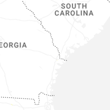
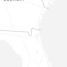
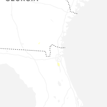
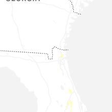
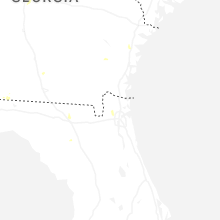
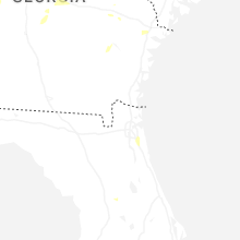
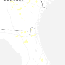
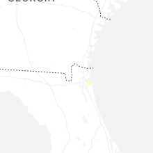
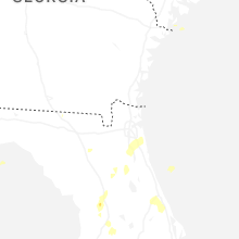
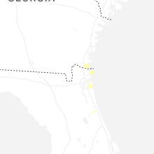
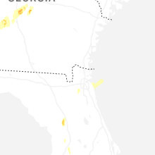

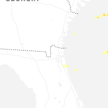
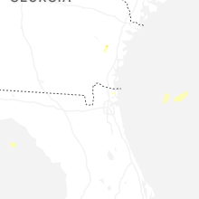
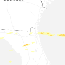


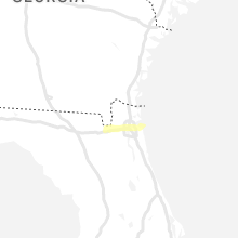


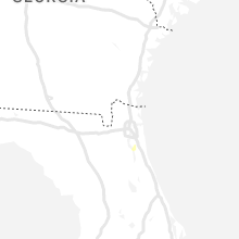
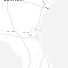


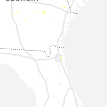


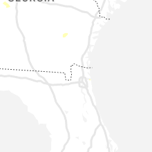


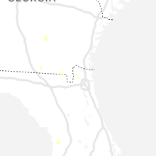


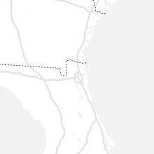

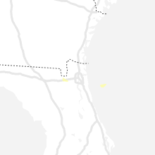


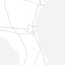
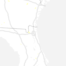


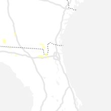


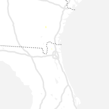


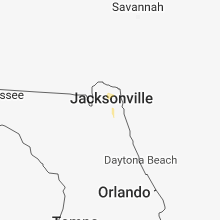
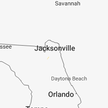


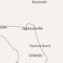


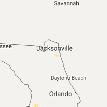


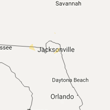


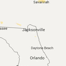


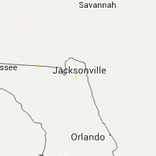


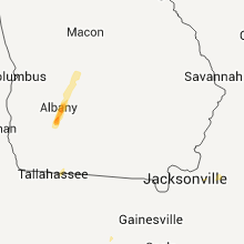


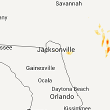


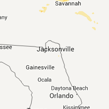


Connect with Interactive Hail Maps