

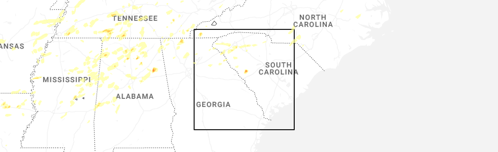
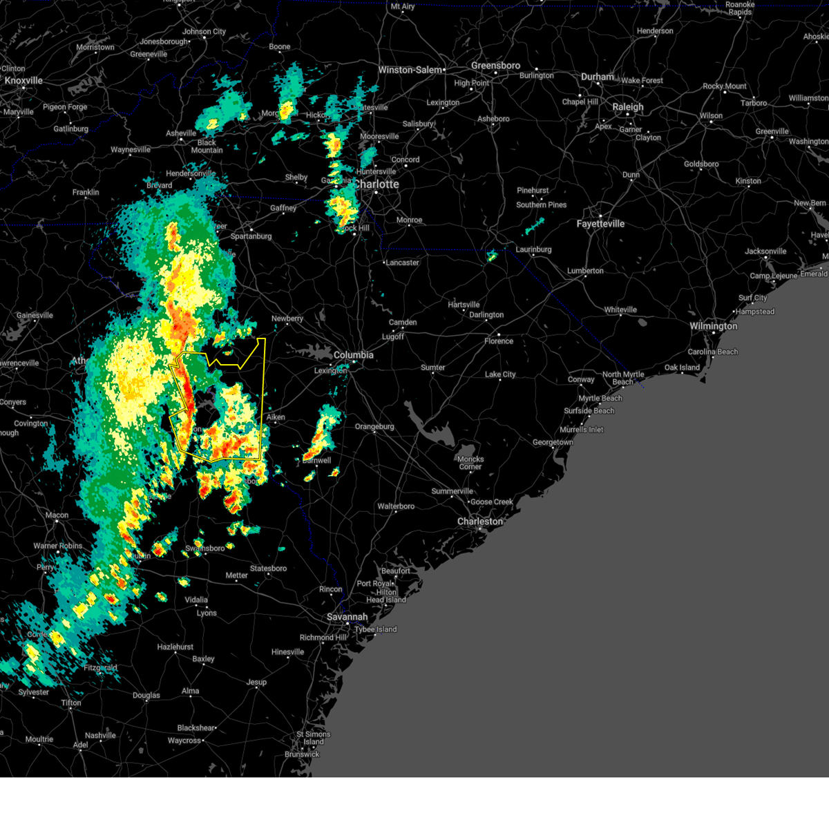
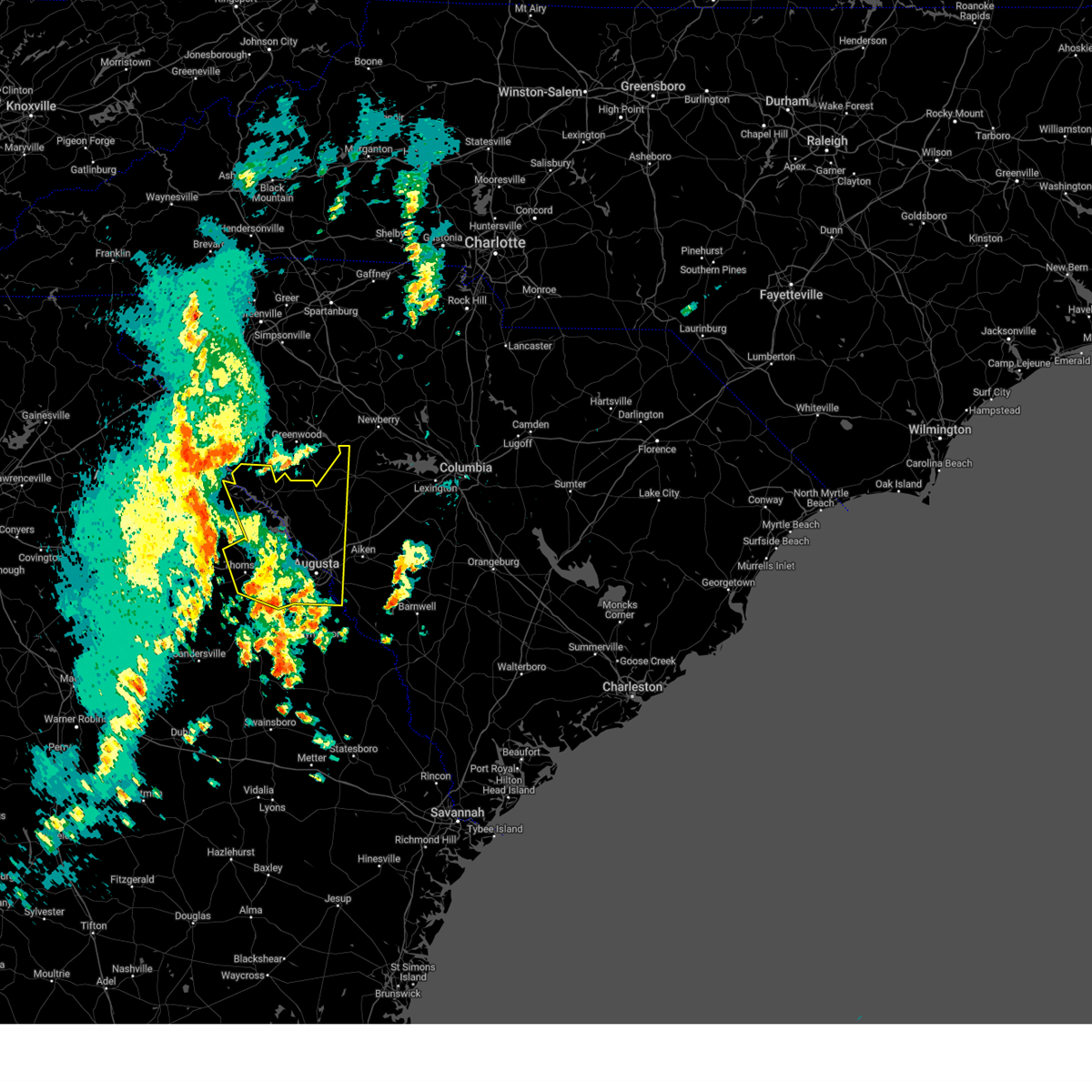
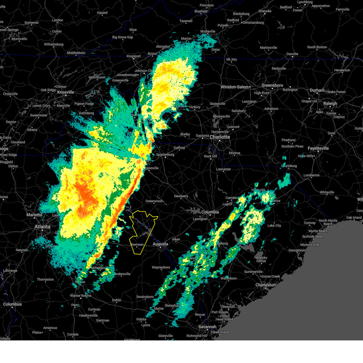
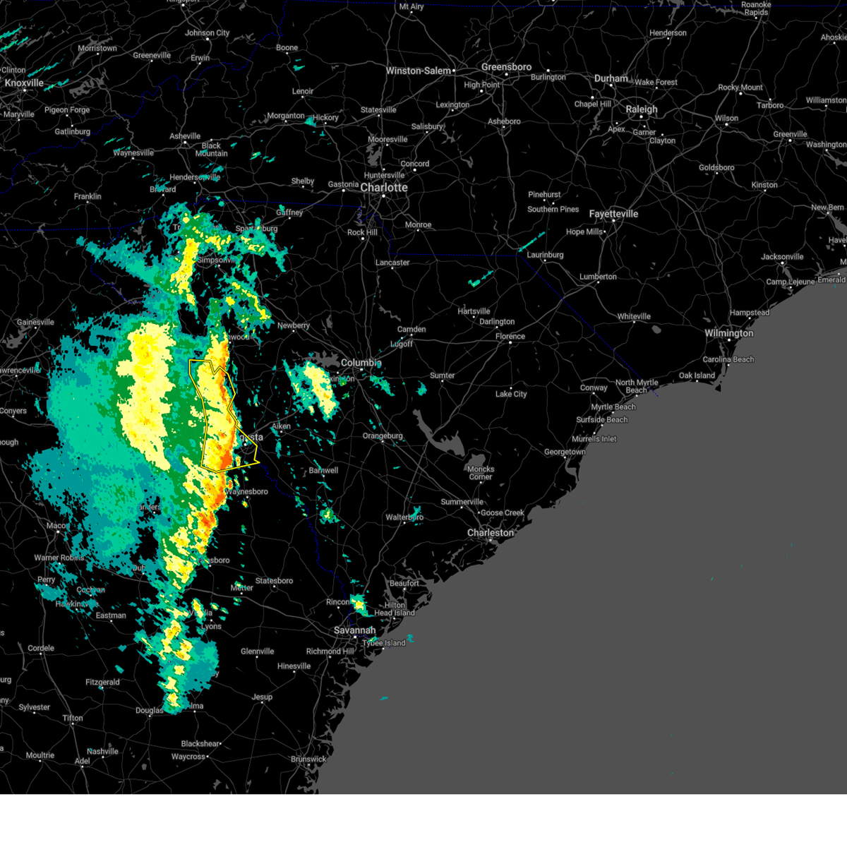
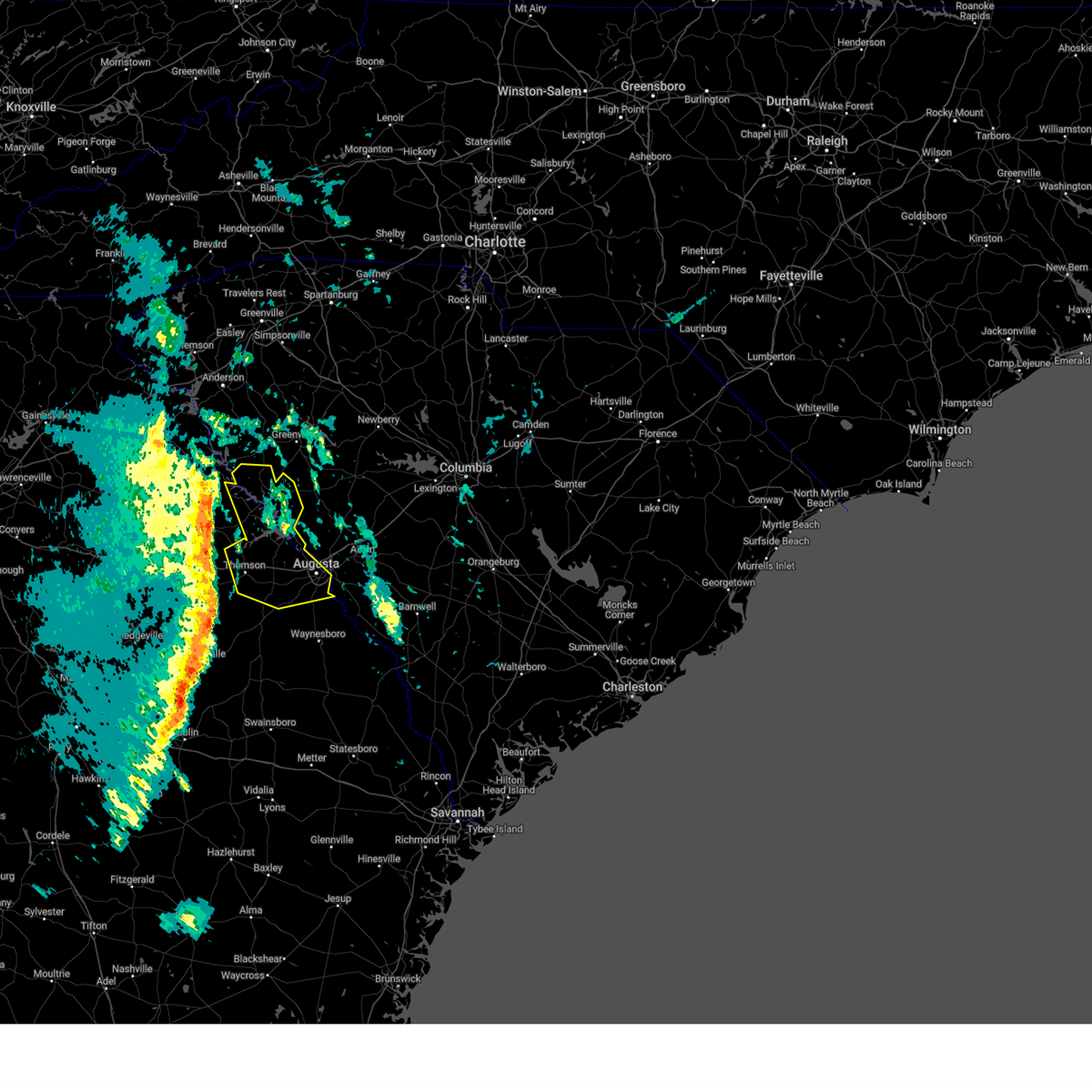
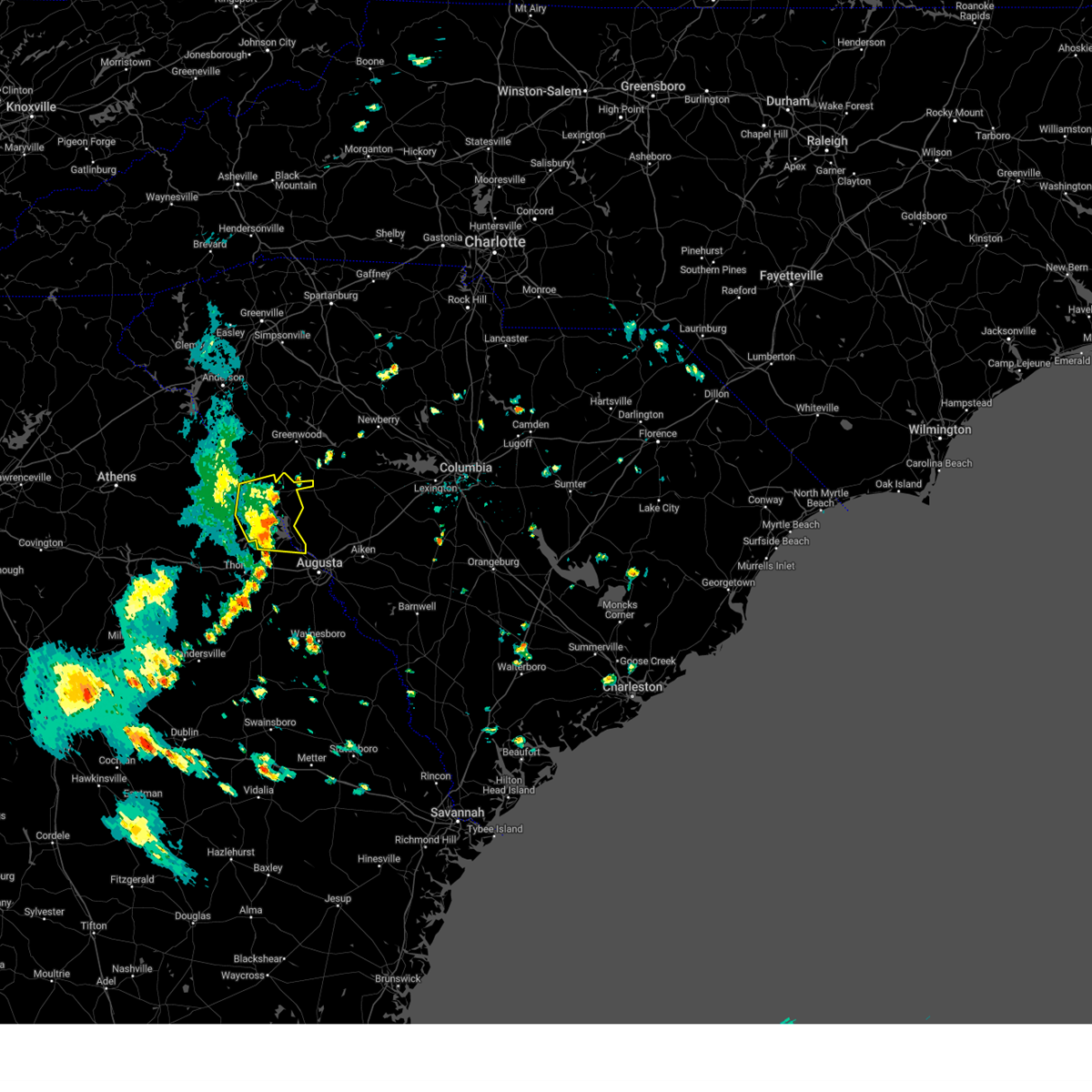
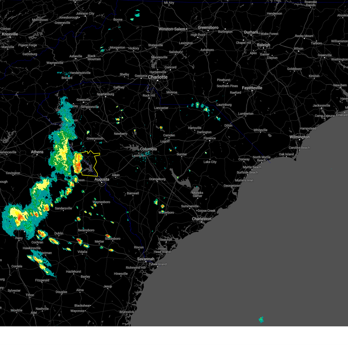
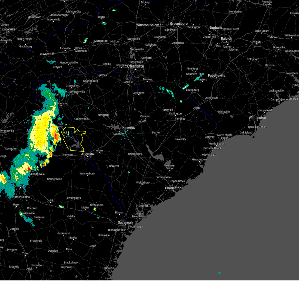
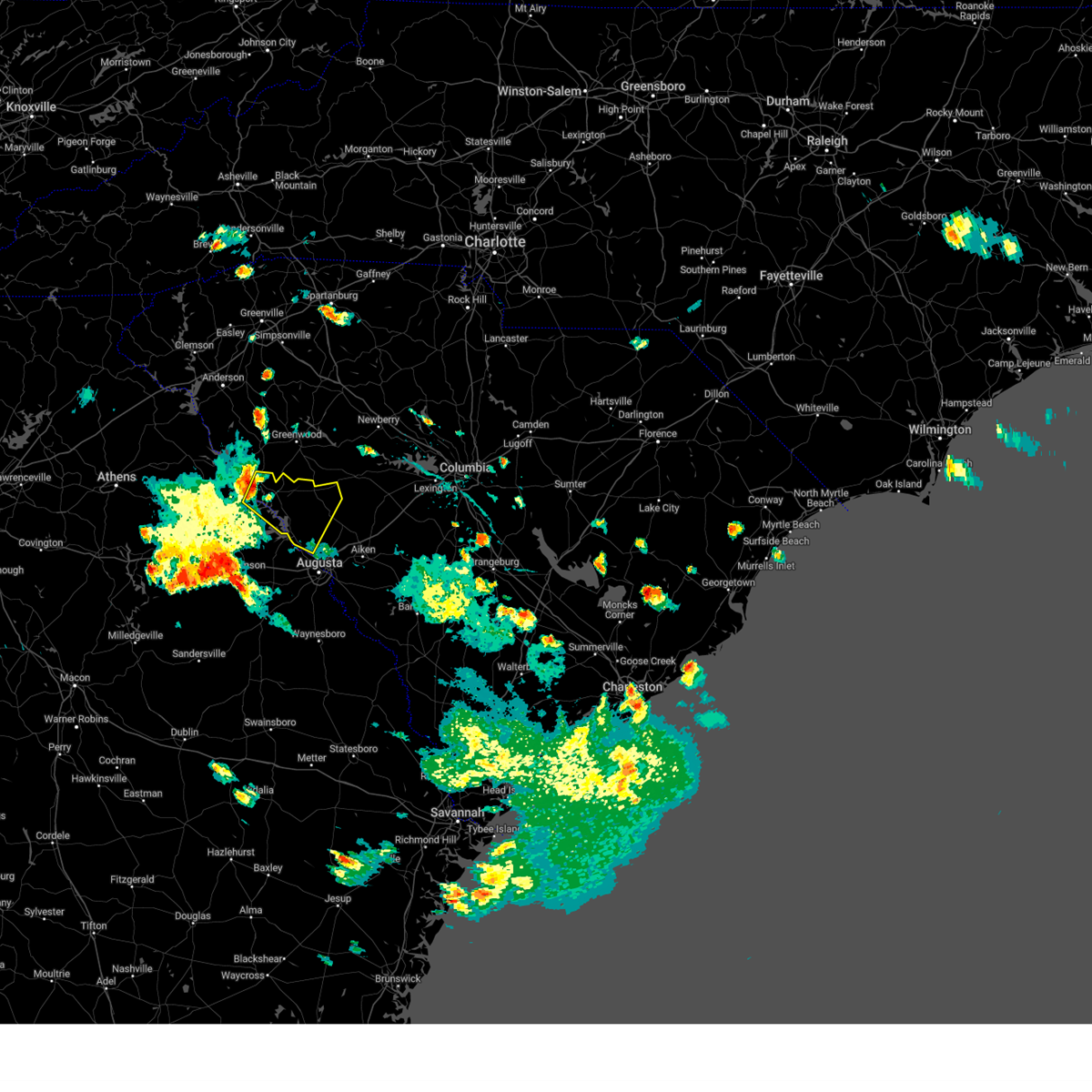
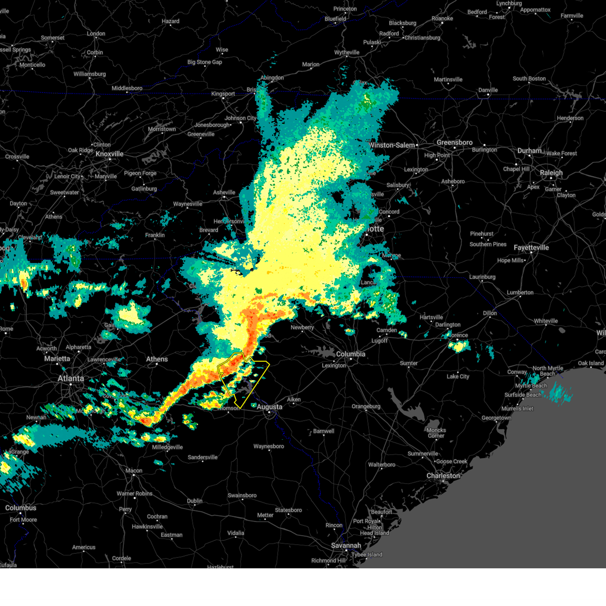
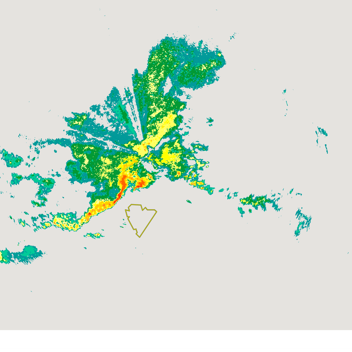
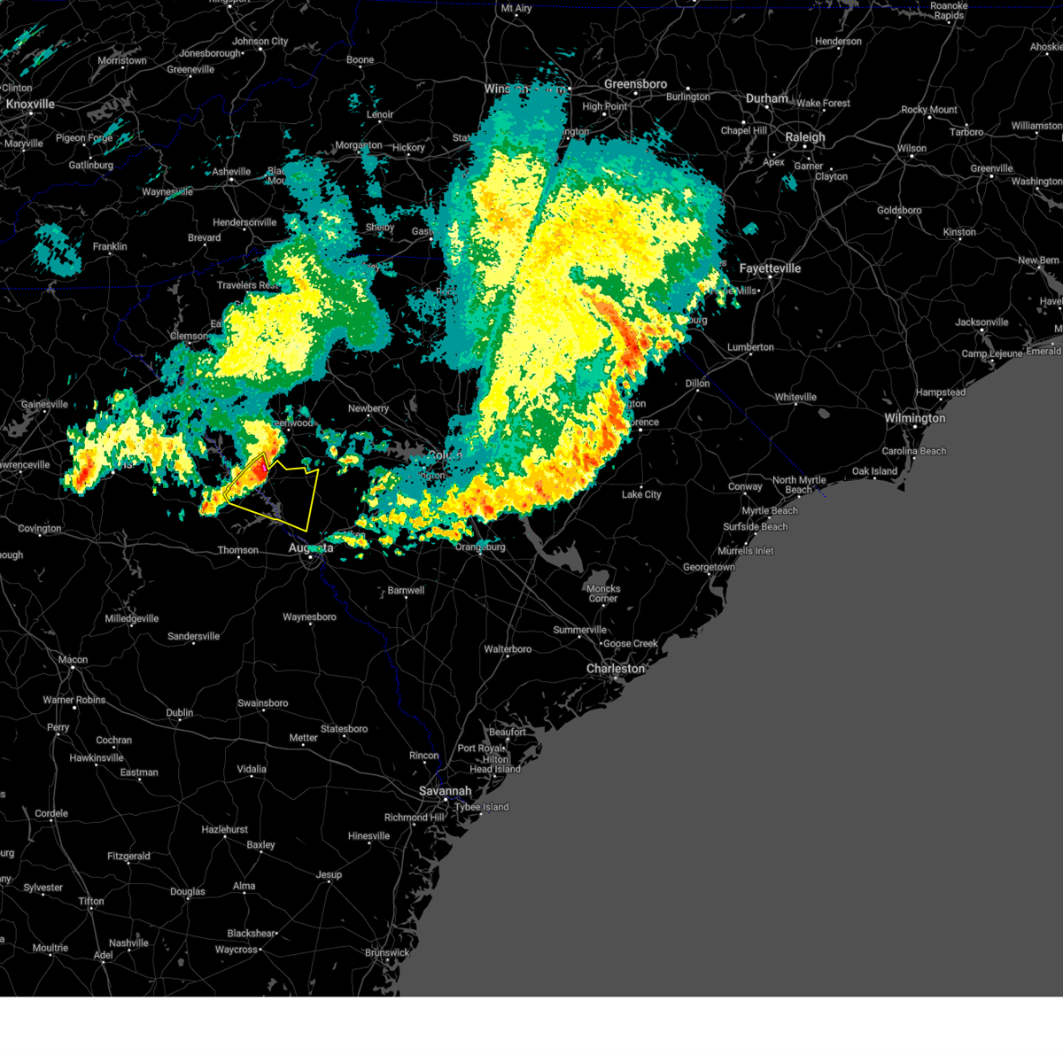
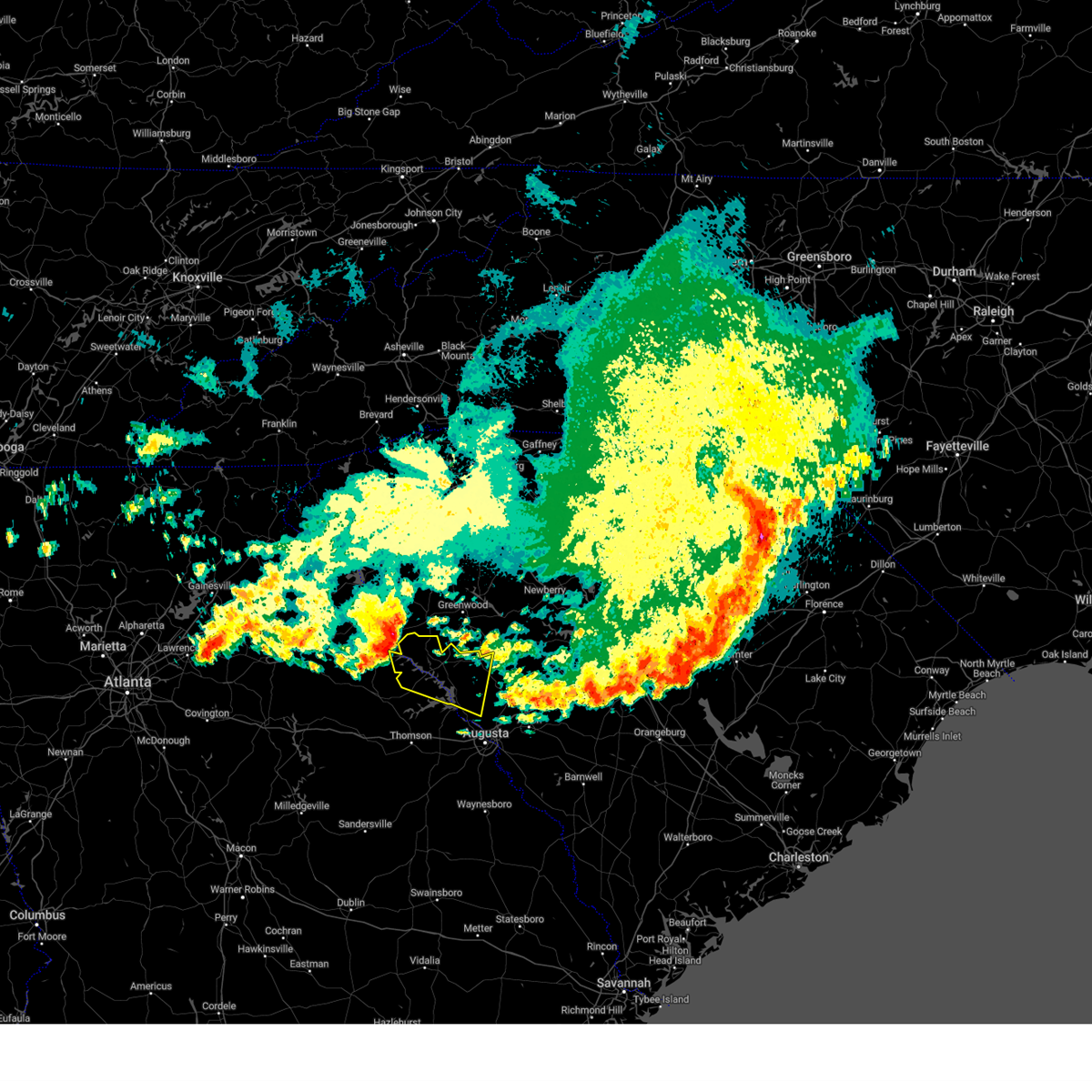
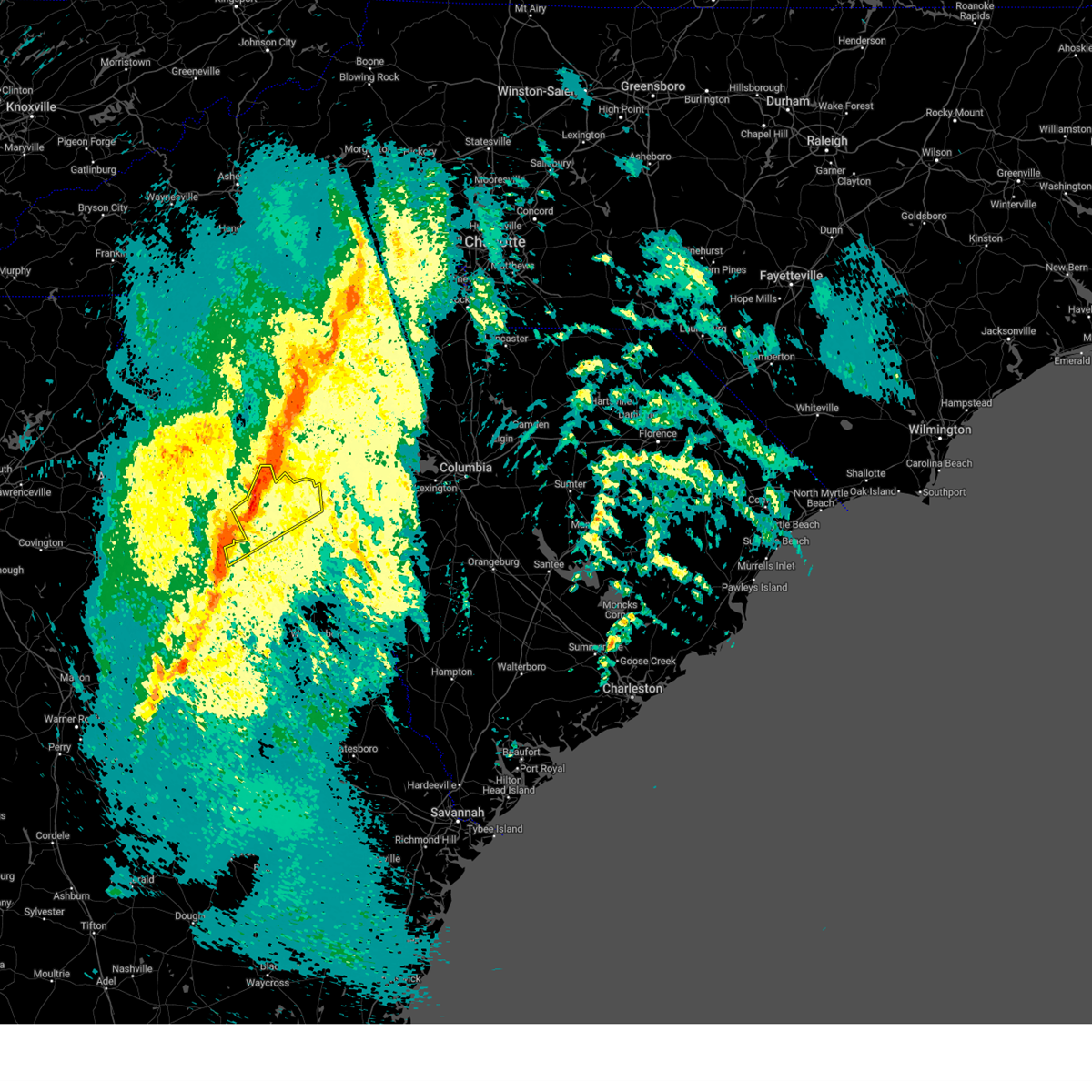
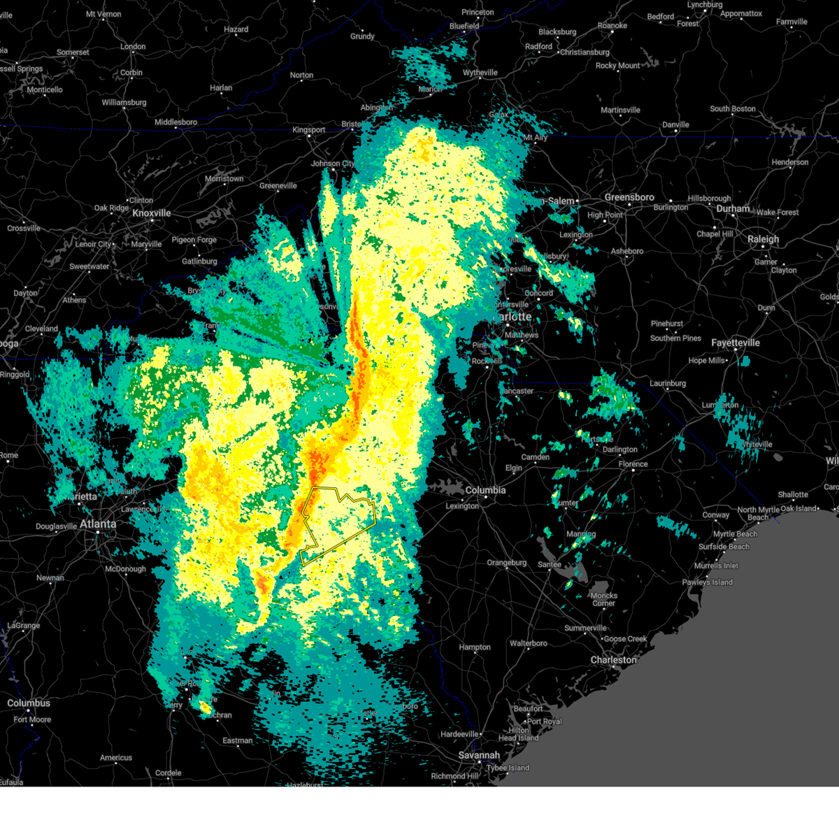
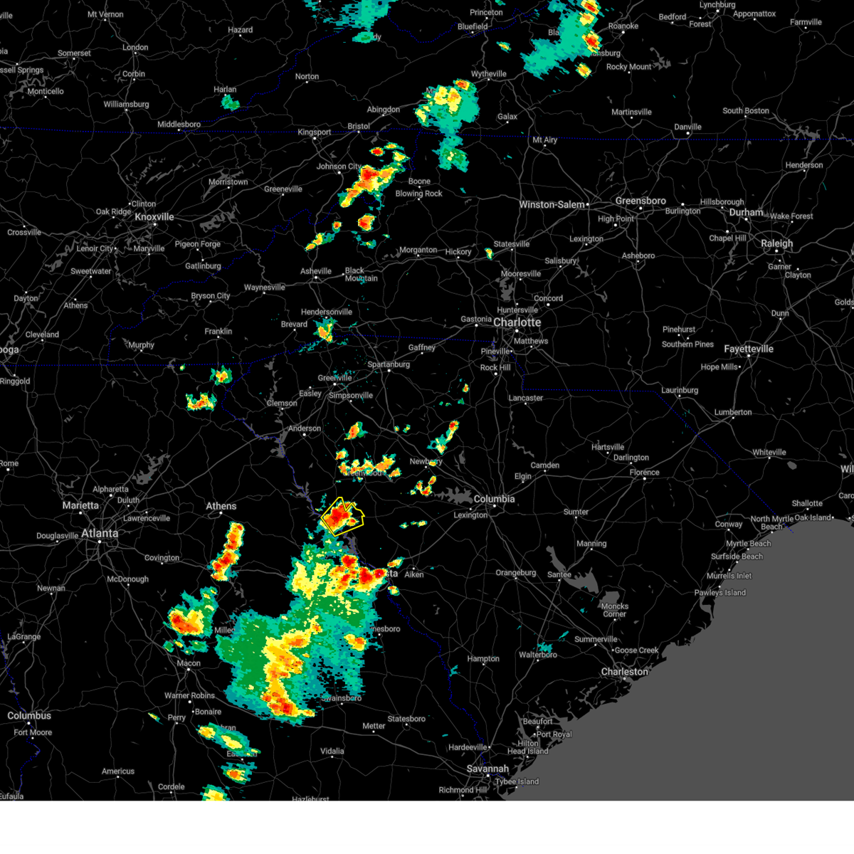
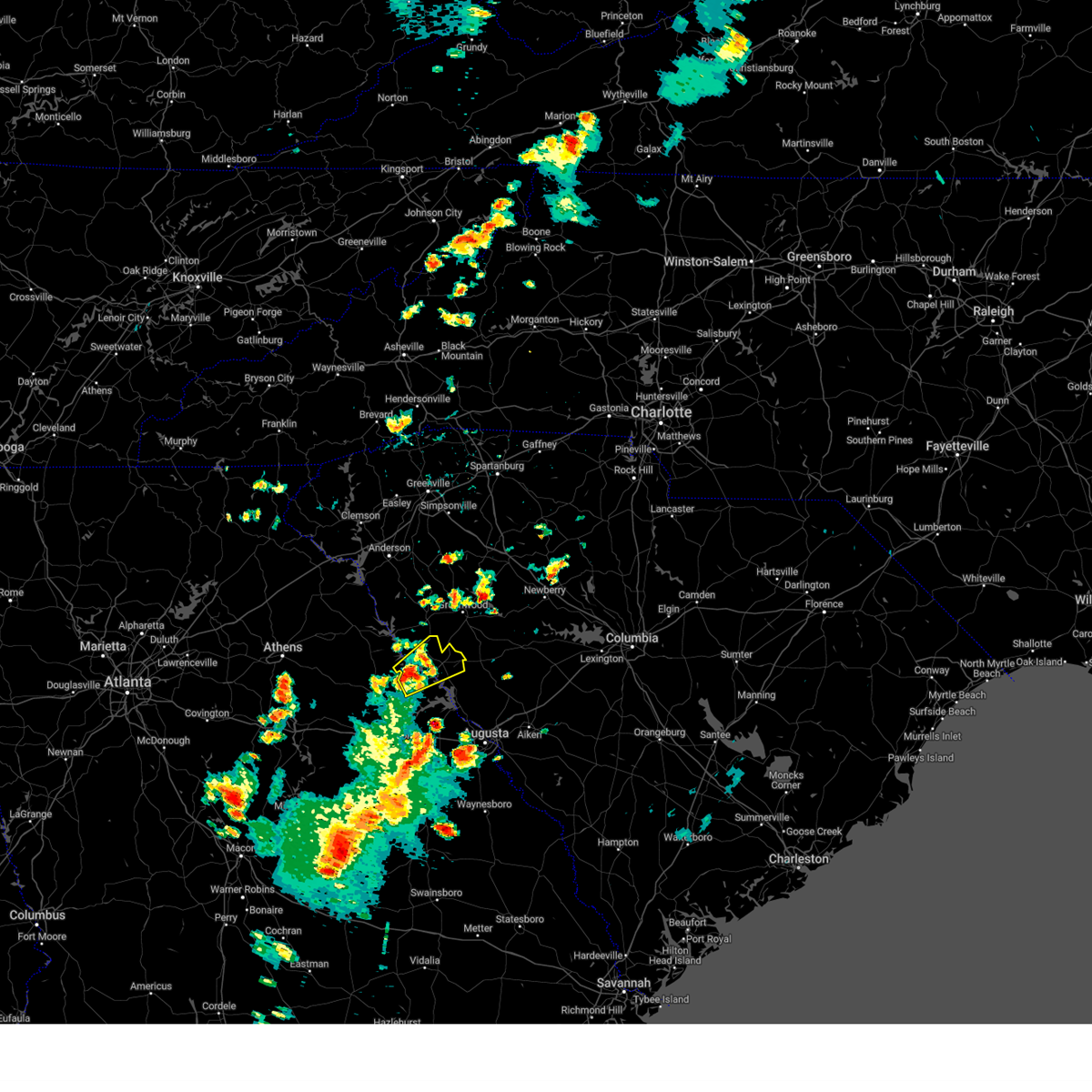
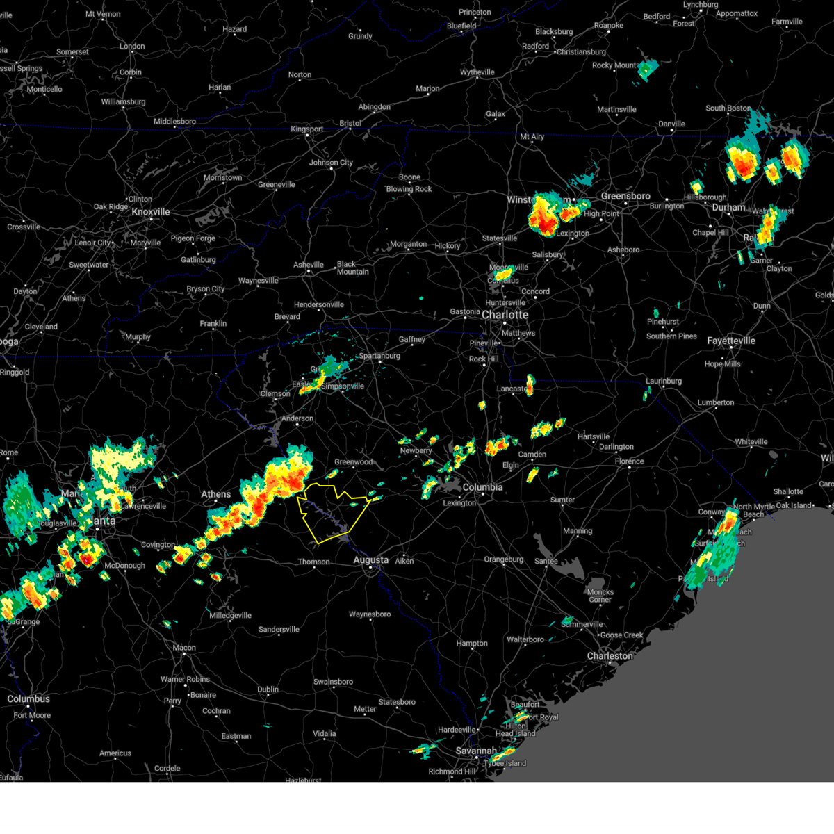
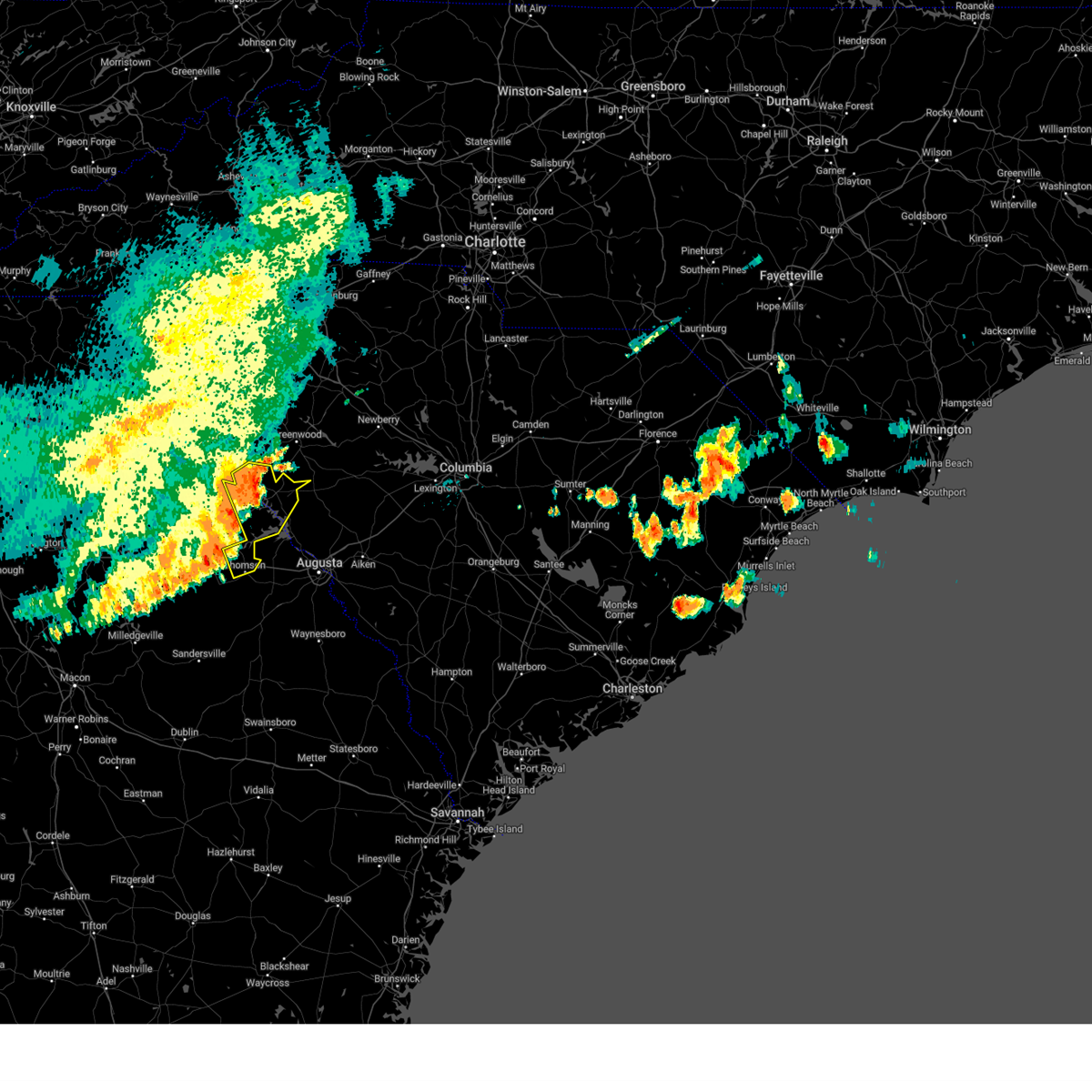
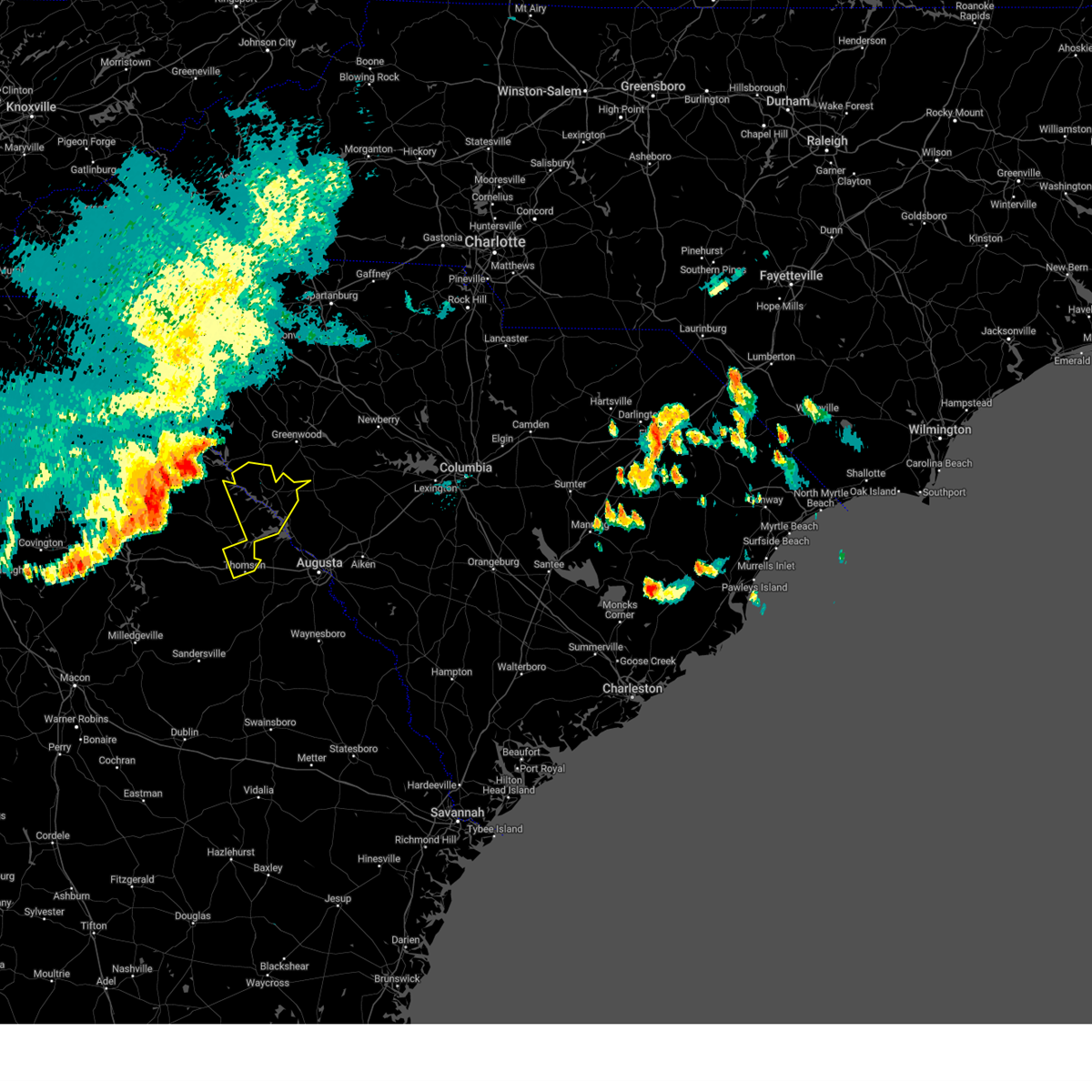
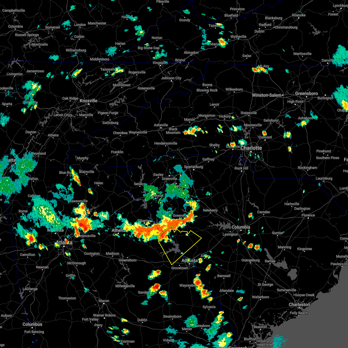
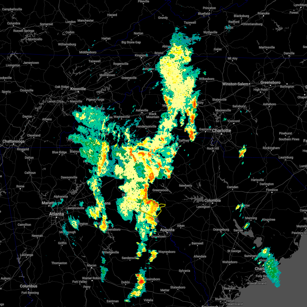
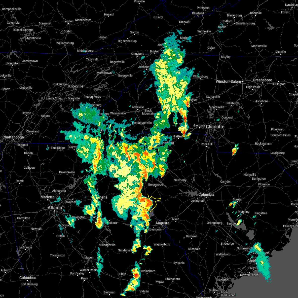
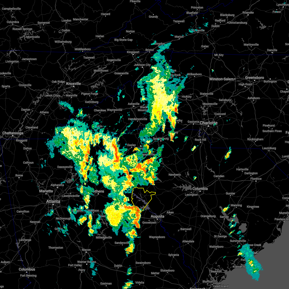
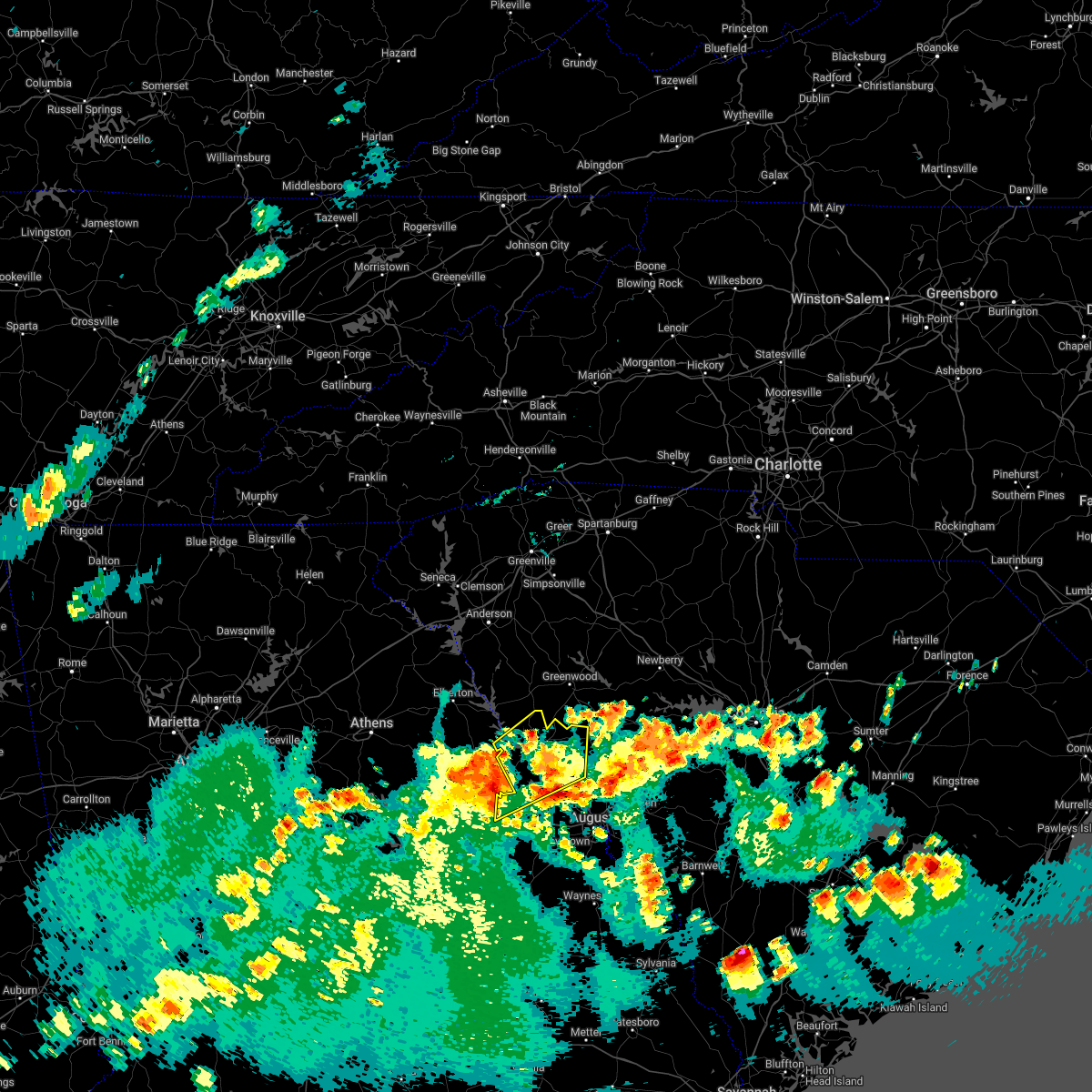
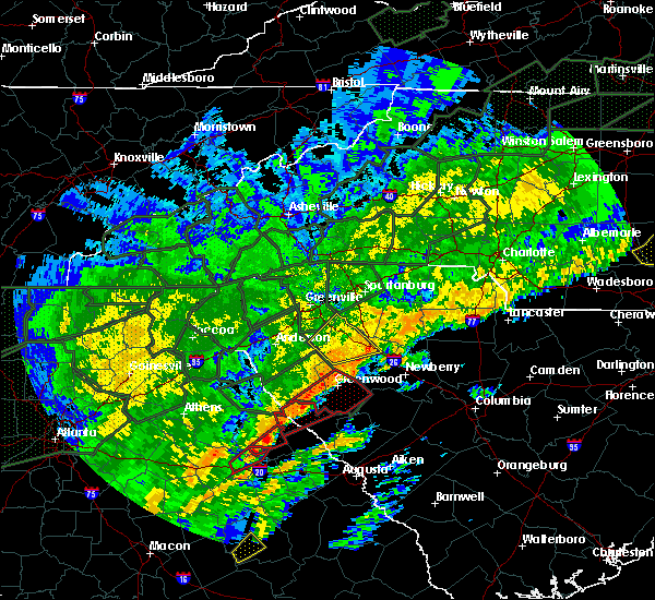
Hail Map for Willington, SC
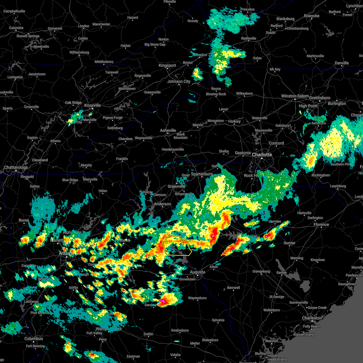
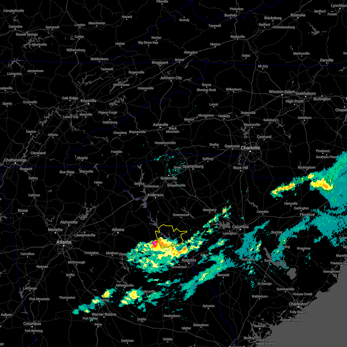
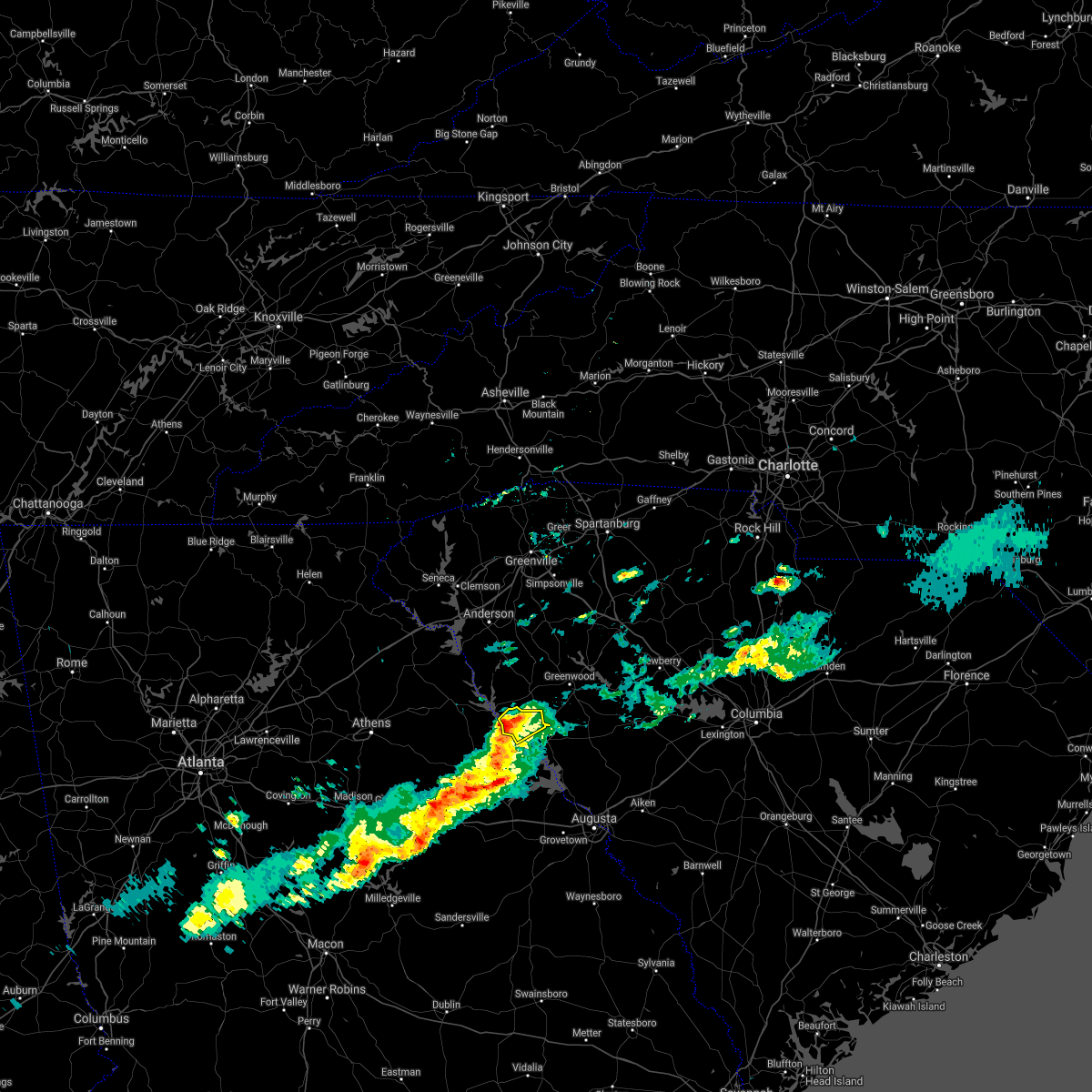
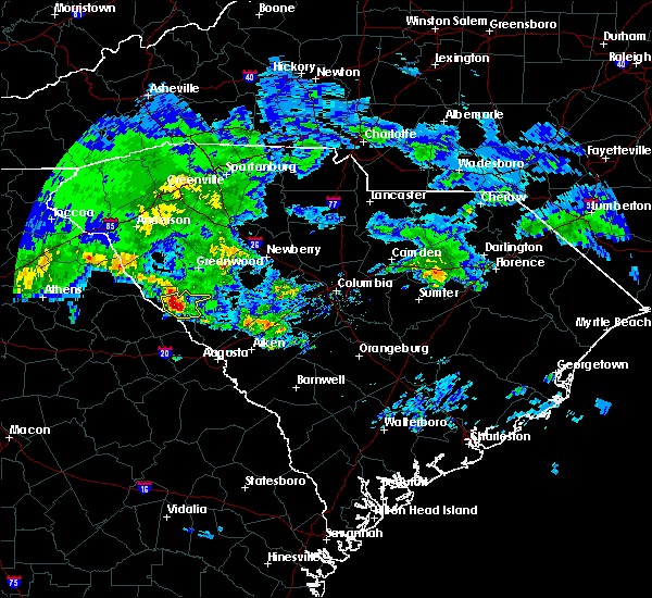
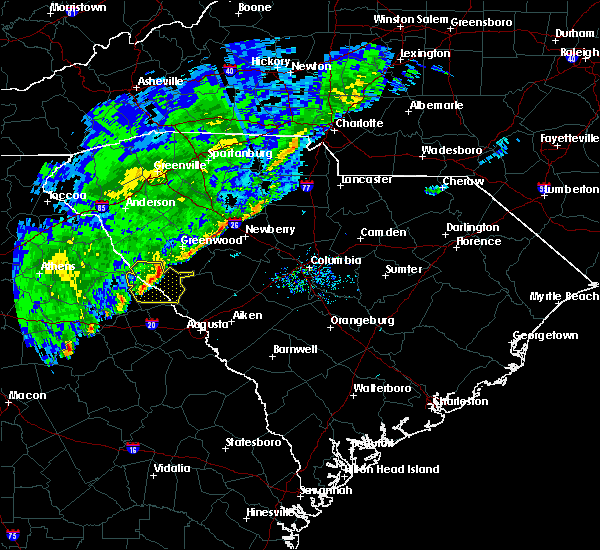
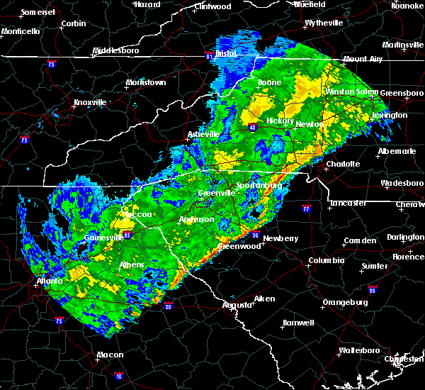
The Willington, SC area has had 1 report of on-the-ground hail by trained spotters, and has been under severe weather warnings 12 times during the past 12 months. Doppler radar has detected hail at or near Willington, SC on 34 occasions, including 3 occasions during the past year.
| Name: | Willington, SC |
| Where Located: | 43.5 miles NW of Augusta, GA |
| Map: | Google Map for Willington, SC |
| Population: | 142 |
| Housing Units: | 85 |
| More Info: | Search Google for Willington, SC |
0
The Top Recent Hail Date for Willington, SC is Friday, May 2, 2025 (34th out of 34)
Hail and Wind Damage Spotted near Willington, SC
| Date / Time | Report Details |
|---|---|
| 6/9/2025 7:36 PM EDT |
 the severe thunderstorm warning has been cancelled and is no longer in effect the severe thunderstorm warning has been cancelled and is no longer in effect
|
| 6/9/2025 7:36 PM EDT |
 At 736 pm edt, a severe thunderstorm was located over troy, or 13 miles south of abbeville, moving east at 35 mph (radar indicated). Hazards include 60 mph wind gusts. Expect damage to trees and powerlines. Locations impacted include, mccormick, mccormick county airport, bordeaux, long cane creek picnic area, and willington. At 736 pm edt, a severe thunderstorm was located over troy, or 13 miles south of abbeville, moving east at 35 mph (radar indicated). Hazards include 60 mph wind gusts. Expect damage to trees and powerlines. Locations impacted include, mccormick, mccormick county airport, bordeaux, long cane creek picnic area, and willington.
|
| 6/9/2025 7:16 PM EDT |
 Svrcae the national weather service in columbia has issued a * severe thunderstorm warning for, northwestern lincoln county in east central georgia, northwestern edgefield county in central south carolina, mccormick county in central south carolina, * until 745 pm edt. * at 716 pm edt, a severe thunderstorm was located near bobby brown state park, or 16 miles southwest of abbeville, moving east at 35 mph (radar indicated). Hazards include 60 mph wind gusts. expect damage to trees and powerlines Svrcae the national weather service in columbia has issued a * severe thunderstorm warning for, northwestern lincoln county in east central georgia, northwestern edgefield county in central south carolina, mccormick county in central south carolina, * until 745 pm edt. * at 716 pm edt, a severe thunderstorm was located near bobby brown state park, or 16 miles southwest of abbeville, moving east at 35 mph (radar indicated). Hazards include 60 mph wind gusts. expect damage to trees and powerlines
|
| 6/7/2025 7:38 PM EDT |
 Svrcae the national weather service in columbia has issued a * severe thunderstorm warning for, northwestern lincoln county in east central georgia, northern edgefield county in central south carolina, southwestern saluda county in central south carolina, mccormick county in central south carolina, * until 830 pm edt. * at 738 pm edt, a severe thunderstorm was located near bobby brown state park, or 17 miles northeast of washington, moving east at 60 mph (radar indicated). Hazards include 60 mph wind gusts. expect damage to trees and powerlines Svrcae the national weather service in columbia has issued a * severe thunderstorm warning for, northwestern lincoln county in east central georgia, northern edgefield county in central south carolina, southwestern saluda county in central south carolina, mccormick county in central south carolina, * until 830 pm edt. * at 738 pm edt, a severe thunderstorm was located near bobby brown state park, or 17 miles northeast of washington, moving east at 60 mph (radar indicated). Hazards include 60 mph wind gusts. expect damage to trees and powerlines
|
| 3/31/2025 3:12 PM EDT |
 At 310 pm edt, severe thunderstorms were located along a line extending from near lake strom thurmond to near lincolnton to near thomson, moving east at 60 mph (radar indicated). Hazards include 60 mph wind gusts. Expect damage to trees and powerlines. locations impacted include, west end augusta, bordeaux, parksville, new savannah bluff lock & dam park, poverty hill, blythe, glenn hills, thomson fire department, scott's landing, mcduffie regional medical center, northside fire station main, edgefield, westover, knox scout reservation, glendale, savannah bluffs heritage preserve, cleora, south augusta, clarks hill recreation area, and westmont. this includes the following highways, interstate 20 in georgia between mile markers 166 and 201. interstate 20 in south carolina between mile markers 0 and 11. interstate 520 in georgia between mile markers 1 and 15. Interstate 520 in south carolina between mile markers 16 and 23. At 310 pm edt, severe thunderstorms were located along a line extending from near lake strom thurmond to near lincolnton to near thomson, moving east at 60 mph (radar indicated). Hazards include 60 mph wind gusts. Expect damage to trees and powerlines. locations impacted include, west end augusta, bordeaux, parksville, new savannah bluff lock & dam park, poverty hill, blythe, glenn hills, thomson fire department, scott's landing, mcduffie regional medical center, northside fire station main, edgefield, westover, knox scout reservation, glendale, savannah bluffs heritage preserve, cleora, south augusta, clarks hill recreation area, and westmont. this includes the following highways, interstate 20 in georgia between mile markers 166 and 201. interstate 20 in south carolina between mile markers 0 and 11. interstate 520 in georgia between mile markers 1 and 15. Interstate 520 in south carolina between mile markers 16 and 23.
|
| 3/31/2025 2:50 PM EDT |
 Svrcae the national weather service in columbia has issued a * severe thunderstorm warning for, mcduffie county in east central georgia, columbia county in east central georgia, lincoln county in east central georgia, richmond county in east central georgia, edgefield county in central south carolina, western saluda county in central south carolina, southwestern aiken county in central south carolina, mccormick county in central south carolina, * until 345 pm edt. * at 250 pm edt, severe thunderstorms were located along a line extending from 7 miles west of nancy hart state park to near sparta, moving east at 50 mph (radar indicated). Hazards include 60 mph wind gusts. expect damage to trees and powerlines Svrcae the national weather service in columbia has issued a * severe thunderstorm warning for, mcduffie county in east central georgia, columbia county in east central georgia, lincoln county in east central georgia, richmond county in east central georgia, edgefield county in central south carolina, western saluda county in central south carolina, southwestern aiken county in central south carolina, mccormick county in central south carolina, * until 345 pm edt. * at 250 pm edt, severe thunderstorms were located along a line extending from 7 miles west of nancy hart state park to near sparta, moving east at 50 mph (radar indicated). Hazards include 60 mph wind gusts. expect damage to trees and powerlines
|
| 2/16/2025 6:01 AM EST |
 Svrcae the national weather service in columbia has issued a * severe thunderstorm warning for, mcduffie county in east central georgia, northwestern columbia county in east central georgia, lincoln county in east central georgia, mccormick county in central south carolina, * until 645 am est. * at 601 am est, severe thunderstorms were located along a line extending from near lake secession to near white plains, moving east at 65 mph (radar indicated). Hazards include 60 mph wind gusts. expect damage to trees and powerlines Svrcae the national weather service in columbia has issued a * severe thunderstorm warning for, mcduffie county in east central georgia, northwestern columbia county in east central georgia, lincoln county in east central georgia, mccormick county in central south carolina, * until 645 am est. * at 601 am est, severe thunderstorms were located along a line extending from near lake secession to near white plains, moving east at 65 mph (radar indicated). Hazards include 60 mph wind gusts. expect damage to trees and powerlines
|
| 12/29/2024 7:33 AM EST |
 At 733 am est, severe thunderstorms were located along a line extending from 6 miles southeast of abbeville to near harlem, moving east at 40 mph (radar indicated). Hazards include 60 mph wind gusts. Expect damage to trees and powerlines. locations impacted include, north augusta, grovetown, evans, fort eisenhower, augusta, martinez, hephzibah, mccormick, harlem, glendale, south augusta, clarks hill recreation area, elijah clark state park, summerville, augusta mall, daniel field, village plaza shopping center, augusta national golf club, j. strom thurmond dam, and appling. this includes the following highways, interstate 20 in georgia between mile markers 180 and 201. Interstate 520 in georgia between mile markers 1 and 14. At 733 am est, severe thunderstorms were located along a line extending from 6 miles southeast of abbeville to near harlem, moving east at 40 mph (radar indicated). Hazards include 60 mph wind gusts. Expect damage to trees and powerlines. locations impacted include, north augusta, grovetown, evans, fort eisenhower, augusta, martinez, hephzibah, mccormick, harlem, glendale, south augusta, clarks hill recreation area, elijah clark state park, summerville, augusta mall, daniel field, village plaza shopping center, augusta national golf club, j. strom thurmond dam, and appling. this includes the following highways, interstate 20 in georgia between mile markers 180 and 201. Interstate 520 in georgia between mile markers 1 and 14.
|
| 12/29/2024 6:44 AM EST |
 Svrcae the national weather service in columbia has issued a * severe thunderstorm warning for, mcduffie county in east central georgia, columbia county in east central georgia, lincoln county in east central georgia, richmond county in east central georgia, mccormick county in central south carolina, * until 745 am est. * at 642 am est, severe thunderstorms were located along a line extending from near nancy hart state park to near mitchell, moving northeast at 40 mph (radar indicated). Hazards include 60 mph wind gusts. expect damage to trees and powerlines Svrcae the national weather service in columbia has issued a * severe thunderstorm warning for, mcduffie county in east central georgia, columbia county in east central georgia, lincoln county in east central georgia, richmond county in east central georgia, mccormick county in central south carolina, * until 745 am est. * at 642 am est, severe thunderstorms were located along a line extending from near nancy hart state park to near mitchell, moving northeast at 40 mph (radar indicated). Hazards include 60 mph wind gusts. expect damage to trees and powerlines
|
| 8/29/2024 4:25 PM EDT |
 The storm which prompted the warning has weakened below severe limits, and no longer poses an immediate threat to life or property. therefore, the warning will be allowed to expire. The storm which prompted the warning has weakened below severe limits, and no longer poses an immediate threat to life or property. therefore, the warning will be allowed to expire.
|
| 8/29/2024 3:36 PM EDT |
 Svrcae the national weather service in columbia has issued a * severe thunderstorm warning for, mccormick county in central south carolina, * until 430 pm edt. * at 336 pm edt, a severe thunderstorm was located over troy, or 11 miles southeast of abbeville, moving southwest at 15 mph (radar indicated). Hazards include 60 mph wind gusts. expect damage to trees and powerlines Svrcae the national weather service in columbia has issued a * severe thunderstorm warning for, mccormick county in central south carolina, * until 430 pm edt. * at 336 pm edt, a severe thunderstorm was located over troy, or 11 miles southeast of abbeville, moving southwest at 15 mph (radar indicated). Hazards include 60 mph wind gusts. expect damage to trees and powerlines
|
| 8/17/2024 8:30 PM EDT |
 Svrcae the national weather service in columbia has issued a * severe thunderstorm warning for, lincoln county in east central georgia, northwestern edgefield county in central south carolina, mccormick county in central south carolina, * until 930 pm edt. * at 830 pm edt, a severe thunderstorm was located near lake strom thurmond, or 14 miles southwest of abbeville, moving east at 55 mph (radar indicated). Hazards include 60 mph wind gusts and penny size hail. expect damage to trees and powerlines Svrcae the national weather service in columbia has issued a * severe thunderstorm warning for, lincoln county in east central georgia, northwestern edgefield county in central south carolina, mccormick county in central south carolina, * until 930 pm edt. * at 830 pm edt, a severe thunderstorm was located near lake strom thurmond, or 14 miles southwest of abbeville, moving east at 55 mph (radar indicated). Hazards include 60 mph wind gusts and penny size hail. expect damage to trees and powerlines
|
| 5/25/2024 1:41 PM EDT |
 The storm which prompted the warning has weakened below severe limits, and no longer poses an immediate threat to life or property. therefore, the warning will be allowed to expire. however, gusty winds up 50 mph are still possible with this thunderstorm. The storm which prompted the warning has weakened below severe limits, and no longer poses an immediate threat to life or property. therefore, the warning will be allowed to expire. however, gusty winds up 50 mph are still possible with this thunderstorm.
|
| 5/25/2024 1:25 PM EDT |
 At 124 pm edt, a severe thunderstorm was located over lincolnton, or 16 miles east of washington, moving east at 25 mph (radar indicated). Hazards include 60 mph wind gusts and pea size hail. Expect damage to trees and powerlines. locations impacted include, mccormick, lincolnton, clarks hill recreation area, j. Strom thurmond dam, elijah clark state park, mistletoe state park, mccormick county airport, hamilton branch state park, parksville, plum branch, bordeaux, winfield, modoc, scott's landing, knox scout reservation, double branches, curry hill, wildwood park, modoc boat ramp, and eubank-blanchard community center. At 124 pm edt, a severe thunderstorm was located over lincolnton, or 16 miles east of washington, moving east at 25 mph (radar indicated). Hazards include 60 mph wind gusts and pea size hail. Expect damage to trees and powerlines. locations impacted include, mccormick, lincolnton, clarks hill recreation area, j. Strom thurmond dam, elijah clark state park, mistletoe state park, mccormick county airport, hamilton branch state park, parksville, plum branch, bordeaux, winfield, modoc, scott's landing, knox scout reservation, double branches, curry hill, wildwood park, modoc boat ramp, and eubank-blanchard community center.
|
| 5/25/2024 12:54 PM EDT |
 Svrcae the national weather service in columbia has issued a * severe thunderstorm warning for, northern columbia county in east central georgia, lincoln county in east central georgia, mccormick county in central south carolina, * until 145 pm edt. * at 1253 pm edt, a severe thunderstorm was located near tignall, or 7 miles northeast of washington, moving east at 40 mph (radar indicated). Hazards include 60 mph wind gusts and pea size hail. expect damage to trees and powerlines Svrcae the national weather service in columbia has issued a * severe thunderstorm warning for, northern columbia county in east central georgia, lincoln county in east central georgia, mccormick county in central south carolina, * until 145 pm edt. * at 1253 pm edt, a severe thunderstorm was located near tignall, or 7 miles northeast of washington, moving east at 40 mph (radar indicated). Hazards include 60 mph wind gusts and pea size hail. expect damage to trees and powerlines
|
| 5/24/2024 6:36 PM EDT | Social media report of downed trees near the intersection of sweet gum loop and lake ridge drive. time estimated by rada in mccormick county SC, 5.1 miles NW of Willington, SC |
| 5/24/2024 6:35 PM EDT |
 Svrcae the national weather service in columbia has issued a * severe thunderstorm warning for, northeastern lincoln county in east central georgia, western edgefield county in central south carolina, mccormick county in central south carolina, * until 730 pm edt. * at 635 pm edt, a severe thunderstorm was located near elijah clark state park, or 17 miles south of abbeville, moving southeast at 30 mph (radar indicated). Hazards include 60 mph wind gusts and penny size hail. expect damage to trees and powerlines Svrcae the national weather service in columbia has issued a * severe thunderstorm warning for, northeastern lincoln county in east central georgia, western edgefield county in central south carolina, mccormick county in central south carolina, * until 730 pm edt. * at 635 pm edt, a severe thunderstorm was located near elijah clark state park, or 17 miles south of abbeville, moving southeast at 30 mph (radar indicated). Hazards include 60 mph wind gusts and penny size hail. expect damage to trees and powerlines
|
| 5/9/2024 9:33 AM EDT |
 At 933 am edt, severe thunderstorms were located along a line extending from near troy to near lincolnton, moving east at 45 mph (radar indicated). Hazards include 60 mph wind gusts and penny size hail. Expect damage to trees and powerlines. Locations impacted include, mccormick, lincolnton, elijah clark state park, mistletoe state park, mccormick county airport, hamilton branch state park, parksville, plum branch, bordeaux, winfield, modoc, knox scout reservation, double branches, curry hill, wildwood park, chennault, modoc boat ramp, eubank-blanchard community center, bussey point campground, and new hope. At 933 am edt, severe thunderstorms were located along a line extending from near troy to near lincolnton, moving east at 45 mph (radar indicated). Hazards include 60 mph wind gusts and penny size hail. Expect damage to trees and powerlines. Locations impacted include, mccormick, lincolnton, elijah clark state park, mistletoe state park, mccormick county airport, hamilton branch state park, parksville, plum branch, bordeaux, winfield, modoc, knox scout reservation, double branches, curry hill, wildwood park, chennault, modoc boat ramp, eubank-blanchard community center, bussey point campground, and new hope.
|
| 5/9/2024 9:07 AM EDT |
 Svrcae the national weather service in columbia has issued a * severe thunderstorm warning for, northwestern columbia county in east central georgia, lincoln county in east central georgia, northwestern edgefield county in central south carolina, mccormick county in central south carolina, * until 945 am edt. * at 906 am edt, severe thunderstorms were located along a line extending from near lake secession to near nancy hart state park, moving southeast at 45 mph (radar indicated). Hazards include 60 mph wind gusts and penny size hail. expect damage to trees and powerlines Svrcae the national weather service in columbia has issued a * severe thunderstorm warning for, northwestern columbia county in east central georgia, lincoln county in east central georgia, northwestern edgefield county in central south carolina, mccormick county in central south carolina, * until 945 am edt. * at 906 am edt, severe thunderstorms were located along a line extending from near lake secession to near nancy hart state park, moving southeast at 45 mph (radar indicated). Hazards include 60 mph wind gusts and penny size hail. expect damage to trees and powerlines
|
| 5/9/2024 4:52 AM EDT |
 At 452 am edt, a severe thunderstorm was located over mccormick county airport, or 18 miles south of greenwood, moving east at 50 mph (radar indicated). Hazards include 60 mph wind gusts and quarter size hail. Hail damage to vehicles is expected. expect wind damage to trees and powerlines. Locations impacted include, mccormick, lincolnton, clarks hill recreation area, elijah clark state park, mccormick county airport, hamilton branch state park, parksville, plum branch, bordeaux, modoc, scott's landing, knox scout reservation, double branches, curry hill, cleora, modoc boat ramp, colliers, bussey point campground, new hope, and long cane creek picnic area. At 452 am edt, a severe thunderstorm was located over mccormick county airport, or 18 miles south of greenwood, moving east at 50 mph (radar indicated). Hazards include 60 mph wind gusts and quarter size hail. Hail damage to vehicles is expected. expect wind damage to trees and powerlines. Locations impacted include, mccormick, lincolnton, clarks hill recreation area, elijah clark state park, mccormick county airport, hamilton branch state park, parksville, plum branch, bordeaux, modoc, scott's landing, knox scout reservation, double branches, curry hill, cleora, modoc boat ramp, colliers, bussey point campground, new hope, and long cane creek picnic area.
|
| 5/9/2024 4:24 AM EDT |
 Svrcae the national weather service in columbia has issued a * severe thunderstorm warning for, lincoln county in east central georgia, western edgefield county in central south carolina, mccormick county in central south carolina, * until 515 am edt. * at 424 am edt, a severe thunderstorm was located over lake strom thurmond, or 15 miles southeast of elberton, moving east at 50 mph (radar indicated). Hazards include 60 mph wind gusts and quarter size hail. Hail damage to vehicles is expected. Expect wind damage to trees and powerlines. Svrcae the national weather service in columbia has issued a * severe thunderstorm warning for, lincoln county in east central georgia, western edgefield county in central south carolina, mccormick county in central south carolina, * until 515 am edt. * at 424 am edt, a severe thunderstorm was located over lake strom thurmond, or 15 miles southeast of elberton, moving east at 50 mph (radar indicated). Hazards include 60 mph wind gusts and quarter size hail. Hail damage to vehicles is expected. Expect wind damage to trees and powerlines.
|
| 2/28/2024 5:07 PM EST | Dispatch reported a tree down at moss ave and james speed r in mccormick county SC, 1 miles E of Willington, SC |
| 2/28/2024 4:59 PM EST | At 459 pm est, severe thunderstorms were located along a line extending from near cokesbury to near maxeys, moving east at 35 mph (radar indicated). Hazards include 60 mph wind gusts. Expect damage to trees and powerlines. locations impacted include, north augusta, grovetown, evans, thomson, batesburg-leesville, martinez, edgefield, saluda, mccormick, harlem, johnston, lincolnton, ridge spring, clarks hill recreation area, edgefield county airport, elijah clark state park, mistletoe state park, wrightsboro, village plaza shopping center, and j. strom thurmond dam. this includes the following highways, interstate 20 in georgia between mile markers 166 and 201. Interstate 20 in south carolina near mile marker 0. |
| 2/28/2024 4:54 PM EST | Svrcae the national weather service in columbia has issued a * severe thunderstorm warning for, mcduffie county in east central georgia, columbia county in east central georgia, lincoln county in east central georgia, edgefield county in central south carolina, saluda county in central south carolina, mccormick county in central south carolina, * until 615 pm est. * at 452 pm est, severe thunderstorms were located along a line extending from near cokesbury to near maxeys, moving east at 35 mph (radar indicated). Hazards include 60 mph wind gusts. expect damage to trees and powerlines |
| 1/9/2024 11:50 AM EST |
 At 1150 am est, severe thunderstorms were located along a line extending from near greenwood to near lincolnton, moving northeast at 45 mph (radar indicated). Hazards include 70 mph wind gusts. Expect considerable tree damage. damage is likely to mobile homes, roofs, and outbuildings. Locations impacted include, mccormick, lincolnton, elijah clark state park, mistletoe state park, mccormick county airport, wrightsboro, hamilton branch state park, parksville, plum branch, bordeaux, modoc, knox scout reservation, double branches, curry hill, cleora, modoc boat ramp, bussey point campground, new hope, long cane creek picnic area, and hickory knob state resort park. At 1150 am est, severe thunderstorms were located along a line extending from near greenwood to near lincolnton, moving northeast at 45 mph (radar indicated). Hazards include 70 mph wind gusts. Expect considerable tree damage. damage is likely to mobile homes, roofs, and outbuildings. Locations impacted include, mccormick, lincolnton, elijah clark state park, mistletoe state park, mccormick county airport, wrightsboro, hamilton branch state park, parksville, plum branch, bordeaux, modoc, knox scout reservation, double branches, curry hill, cleora, modoc boat ramp, bussey point campground, new hope, long cane creek picnic area, and hickory knob state resort park.
|
| 1/9/2024 11:25 AM EST |
 At 1124 am est, severe thunderstorms were located along a line extending from near lake strom thurmond to near sharon, moving northeast at 45 mph (radar indicated). Hazards include 70 mph wind gusts. Expect considerable tree damage. Damage is likely to mobile homes, roofs, and outbuildings. At 1124 am est, severe thunderstorms were located along a line extending from near lake strom thurmond to near sharon, moving northeast at 45 mph (radar indicated). Hazards include 70 mph wind gusts. Expect considerable tree damage. Damage is likely to mobile homes, roofs, and outbuildings.
|
| 9/7/2023 4:08 PM EDT |
 At 408 pm edt, a severe thunderstorm was located near mccormick, or 17 miles south of abbeville, moving northeast at 20 mph (radar indicated). Hazards include 60 mph wind gusts. Expect damage to trees and powerlines. locations impacted include, mccormick, mccormick county airport, elijah clark state park, plum branch, hickory knob state resort park, willington, bordeaux, baker creek state park, leroy`s ferry recreation area, whitetown, hawe creek campground, and long cane creek picnic area. hail threat, radar indicated max hail size, <. 75 in wind threat, radar indicated max wind gust, 60 mph. At 408 pm edt, a severe thunderstorm was located near mccormick, or 17 miles south of abbeville, moving northeast at 20 mph (radar indicated). Hazards include 60 mph wind gusts. Expect damage to trees and powerlines. locations impacted include, mccormick, mccormick county airport, elijah clark state park, plum branch, hickory knob state resort park, willington, bordeaux, baker creek state park, leroy`s ferry recreation area, whitetown, hawe creek campground, and long cane creek picnic area. hail threat, radar indicated max hail size, <. 75 in wind threat, radar indicated max wind gust, 60 mph.
|
| 9/7/2023 3:51 PM EDT |
 At 351 pm edt, a severe thunderstorm was located near lincolnton, or 17 miles northeast of washington, moving northeast at 15 mph (radar indicated). Hazards include 60 mph wind gusts. expect damage to trees and powerlines At 351 pm edt, a severe thunderstorm was located near lincolnton, or 17 miles northeast of washington, moving northeast at 15 mph (radar indicated). Hazards include 60 mph wind gusts. expect damage to trees and powerlines
|
| 8/15/2023 3:00 PM EDT | Mccormick dispatch reported strong winds knocking at tree down at the mims community center. time estimated by rada in mccormick county SC, 1 miles E of Willington, SC |
| 8/15/2023 2:54 PM EDT |
 At 254 pm edt, severe thunderstorms were located along a line extending from near troy to 8 miles east of lake strom thurmond to near bobby brown state park to near washington, moving east at 30 mph (radar indicated). Hazards include 60 mph wind gusts. Expect damage to trees and powerlines. locations impacted include, mccormick, lincolnton, elijah clark state park, mccormick county airport, hamilton branch state park, parksville, plum branch, bordeaux, knox scout reservation, double branches, curry hill, chennault, modoc boat ramp, new hope, long cane creek picnic area, hickory knob state resort park, loce, gill`s point, hester`s ferry campground, and mount carmel. hail threat, radar indicated max hail size, <. 75 in wind threat, radar indicated max wind gust, 60 mph. At 254 pm edt, severe thunderstorms were located along a line extending from near troy to 8 miles east of lake strom thurmond to near bobby brown state park to near washington, moving east at 30 mph (radar indicated). Hazards include 60 mph wind gusts. Expect damage to trees and powerlines. locations impacted include, mccormick, lincolnton, elijah clark state park, mccormick county airport, hamilton branch state park, parksville, plum branch, bordeaux, knox scout reservation, double branches, curry hill, chennault, modoc boat ramp, new hope, long cane creek picnic area, hickory knob state resort park, loce, gill`s point, hester`s ferry campground, and mount carmel. hail threat, radar indicated max hail size, <. 75 in wind threat, radar indicated max wind gust, 60 mph.
|
| 8/15/2023 2:54 PM EDT |
 At 233 pm edt, a severe thunderstorm was located over calhoun falls, or 14 miles east of elberton, moving southeast at 20 mph. another severe thunderstorm was located east of lincoln county, moving east at 20 mph (radar indicated). Hazards include 60 mph wind gusts and penny size hail. expect damage to trees and powerlines At 233 pm edt, a severe thunderstorm was located over calhoun falls, or 14 miles east of elberton, moving southeast at 20 mph. another severe thunderstorm was located east of lincoln county, moving east at 20 mph (radar indicated). Hazards include 60 mph wind gusts and penny size hail. expect damage to trees and powerlines
|
| 8/15/2023 2:34 PM EDT |
 At 233 pm edt, a severe thunderstorm was located over calhoun falls, or 14 miles east of elberton, moving southeast at 20 mph. another severe thunderstorm was located east of lincoln county, moving east at 20 mph (radar indicated). Hazards include 60 mph wind gusts and penny size hail. expect damage to trees and powerlines At 233 pm edt, a severe thunderstorm was located over calhoun falls, or 14 miles east of elberton, moving southeast at 20 mph. another severe thunderstorm was located east of lincoln county, moving east at 20 mph (radar indicated). Hazards include 60 mph wind gusts and penny size hail. expect damage to trees and powerlines
|
| 7/20/2023 7:52 PM EDT |
 At 751 pm edt, severe thunderstorms were located along a line extending from 6 miles northwest of troy to near sharon to near eatonton, moving east at 35 mph (emergency management reported several trees down in the town of lincolnton at 7:45 pm). Hazards include 70 mph wind gusts and penny size hail. Expect considerable tree damage. damage is likely to mobile homes, roofs, and outbuildings. locations impacted include, thomson, mccormick, lincolnton, elijah clark state park, mccormick county airport, thomson-mcduffie county airport, wrightsboro, parksville, plum branch, bordeaux, sweetwater park, thomson fire department, knox scout reservation, double branches, fishing creek public hunting area, curry hill, chennault, new hope, long cane creek picnic area and hickory knob state resort park. this includes interstate 20 in georgia between mile markers 167 and 176. thunderstorm damage threat, considerable hail threat, radar indicated max hail size, 0. 75 in wind threat, radar indicated max wind gust, 70 mph. At 751 pm edt, severe thunderstorms were located along a line extending from 6 miles northwest of troy to near sharon to near eatonton, moving east at 35 mph (emergency management reported several trees down in the town of lincolnton at 7:45 pm). Hazards include 70 mph wind gusts and penny size hail. Expect considerable tree damage. damage is likely to mobile homes, roofs, and outbuildings. locations impacted include, thomson, mccormick, lincolnton, elijah clark state park, mccormick county airport, thomson-mcduffie county airport, wrightsboro, parksville, plum branch, bordeaux, sweetwater park, thomson fire department, knox scout reservation, double branches, fishing creek public hunting area, curry hill, chennault, new hope, long cane creek picnic area and hickory knob state resort park. this includes interstate 20 in georgia between mile markers 167 and 176. thunderstorm damage threat, considerable hail threat, radar indicated max hail size, 0. 75 in wind threat, radar indicated max wind gust, 70 mph.
|
| 7/20/2023 7:15 PM EDT |
 At 714 pm edt, severe thunderstorms were located along a line extending from russell state park to woodville to mansfield, moving east at 35 mph (radar indicated). Hazards include 70 mph wind gusts and penny size hail. Expect considerable tree damage. Damage is likely to mobile homes, roofs, and outbuildings. At 714 pm edt, severe thunderstorms were located along a line extending from russell state park to woodville to mansfield, moving east at 35 mph (radar indicated). Hazards include 70 mph wind gusts and penny size hail. Expect considerable tree damage. Damage is likely to mobile homes, roofs, and outbuildings.
|
| 1/12/2023 5:56 PM EST |
 At 556 pm est, severe thunderstorms were located along a line extending from near nancy hart state park to 7 miles southeast of sparta, moving east at 55 mph (radar indicated). Hazards include 60 mph wind gusts and penny size hail. expect damage to trees and powerlines At 556 pm est, severe thunderstorms were located along a line extending from near nancy hart state park to 7 miles southeast of sparta, moving east at 55 mph (radar indicated). Hazards include 60 mph wind gusts and penny size hail. expect damage to trees and powerlines
|
| 1/4/2023 8:50 AM EST | Mccormick co sc em reported a tree down across the road on hwy 81 near willington... exact location not provided. time estimate in mccormick county SC, 1 miles E of Willington, SC |
| 7/7/2022 5:44 PM EDT |
 At 543 pm edt, severe thunderstorms were located along a line extending from 7 miles northeast of troy to lincolnton, moving southeast at 20 mph (radar indicated). Hazards include 60 mph wind gusts. expect damage to trees and powerlines At 543 pm edt, severe thunderstorms were located along a line extending from 7 miles northeast of troy to lincolnton, moving southeast at 20 mph (radar indicated). Hazards include 60 mph wind gusts. expect damage to trees and powerlines
|
| 5/26/2022 5:22 PM EDT |
 The severe thunderstorm warning for central lincoln, northwestern edgefield and mccormick counties will expire at 530 pm edt, the storms which prompted the warning are moving out of the area. therefore, the warning will be allowed to expire. however gusty winds and heavy rain are still possible with these thunderstorms. The severe thunderstorm warning for central lincoln, northwestern edgefield and mccormick counties will expire at 530 pm edt, the storms which prompted the warning are moving out of the area. therefore, the warning will be allowed to expire. however gusty winds and heavy rain are still possible with these thunderstorms.
|
| 5/26/2022 5:11 PM EDT |
 At 510 pm edt, severe thunderstorms were located along a line extending from near elijah clark state park to near hamilton branch state park, moving east at 40 mph (radar indicated). Hazards include 60 mph wind gusts. Expect damage to trees and powerlines. locations impacted include, mccormick, mccormick county airport, elijah clark state park, parksville, plum branch, hickory knob state resort park, bordeaux, hester`s ferry campground, mount carmel, baker creek state park, leroy`s ferry recreation area, knox scout reservation, willington, mount carmel park, whitetown, hawe creek campground and long cane creek picnic area. hail threat, radar indicated max hail size, <. 75 in wind threat, radar indicated max wind gust, 60 mph. At 510 pm edt, severe thunderstorms were located along a line extending from near elijah clark state park to near hamilton branch state park, moving east at 40 mph (radar indicated). Hazards include 60 mph wind gusts. Expect damage to trees and powerlines. locations impacted include, mccormick, mccormick county airport, elijah clark state park, parksville, plum branch, hickory knob state resort park, bordeaux, hester`s ferry campground, mount carmel, baker creek state park, leroy`s ferry recreation area, knox scout reservation, willington, mount carmel park, whitetown, hawe creek campground and long cane creek picnic area. hail threat, radar indicated max hail size, <. 75 in wind threat, radar indicated max wind gust, 60 mph.
|
| 5/26/2022 5:04 PM EDT | Mccormick dispatch reported trees down on country club dr at hwy 7. time estimated by rada in mccormick county SC, 6.5 miles NNW of Willington, SC |
| 5/26/2022 4:48 PM EDT |
 At 448 pm edt, severe thunderstorms were located along a line extending from near lincolnton to near mistletoe state park, moving northeast at 40 mph (radar indicated). Hazards include 60 mph wind gusts. expect damage to trees and powerlines At 448 pm edt, severe thunderstorms were located along a line extending from near lincolnton to near mistletoe state park, moving northeast at 40 mph (radar indicated). Hazards include 60 mph wind gusts. expect damage to trees and powerlines
|
| 4/6/2022 6:22 PM EDT |
 At 621 pm edt, severe thunderstorms were located along a line extending from 8 miles east of tignall to 7 miles southwest of lincolnton to wrightsboro, moving northeast at 35 mph (radar indicated). Hazards include 60 mph wind gusts. expect damage to trees and powerlines At 621 pm edt, severe thunderstorms were located along a line extending from 8 miles east of tignall to 7 miles southwest of lincolnton to wrightsboro, moving northeast at 35 mph (radar indicated). Hazards include 60 mph wind gusts. expect damage to trees and powerlines
|
| 8/31/2021 2:58 PM EDT | Mccormick co dispatch reported 3 trees down at gettys rd and hwy 81... between mccormick and mt carmel. time estimate in mccormick county SC, 1.9 miles WNW of Willington, SC |
| 5/3/2021 3:51 PM EDT |
 At 351 pm edt, a severe thunderstorm was located near tignall, or 11 miles north of washington, moving east at 40 mph (radar indicated). Hazards include 60 mph wind gusts and quarter size hail. Hail damage to vehicles is expected. Expect wind damage to roofs, siding, and trees. At 351 pm edt, a severe thunderstorm was located near tignall, or 11 miles north of washington, moving east at 40 mph (radar indicated). Hazards include 60 mph wind gusts and quarter size hail. Hail damage to vehicles is expected. Expect wind damage to roofs, siding, and trees.
|
| 3/26/2021 2:46 PM EDT |
 At 245 pm edt, a severe thunderstorm was located near washington, moving northeast at 65 mph (radar indicated). Hazards include 60 mph wind gusts and quarter size hail. Hail damage to vehicles is expected. Expect wind damage to roofs, siding, and trees. At 245 pm edt, a severe thunderstorm was located near washington, moving northeast at 65 mph (radar indicated). Hazards include 60 mph wind gusts and quarter size hail. Hail damage to vehicles is expected. Expect wind damage to roofs, siding, and trees.
|
| 3/26/2021 8:23 AM EDT |
 At 823 am edt, a severe thunderstorm was located over bobby brown state park, or 16 miles southwest of abbeville, moving northeast at 55 mph (radar indicated). Hazards include 60 mph wind gusts and quarter size hail. Hail damage to vehicles is expected. Expect wind damage to roofs, siding, and trees. At 823 am edt, a severe thunderstorm was located over bobby brown state park, or 16 miles southwest of abbeville, moving northeast at 55 mph (radar indicated). Hazards include 60 mph wind gusts and quarter size hail. Hail damage to vehicles is expected. Expect wind damage to roofs, siding, and trees.
|
| 5/22/2020 3:35 PM EDT |
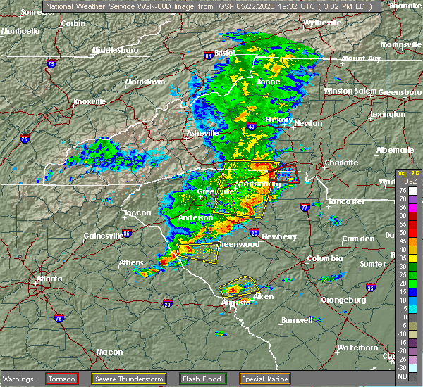 At 333 pm edt, severe thunderstorms were located along a line extending from 6 miles west of abbeville to near nancy hart state park, moving east at 40 mph (radar indicated). Hazards include 60 mph wind gusts and quarter size hail. Hail damage to vehicles is expected. Expect wind damage to roofs, siding, and trees. At 333 pm edt, severe thunderstorms were located along a line extending from 6 miles west of abbeville to near nancy hart state park, moving east at 40 mph (radar indicated). Hazards include 60 mph wind gusts and quarter size hail. Hail damage to vehicles is expected. Expect wind damage to roofs, siding, and trees.
|
| 4/13/2020 5:10 AM EDT |
 The severe thunderstorm warning for northeastern columbia, lincoln, southwestern newberry, edgefield, saluda and mccormick counties will expire at 515 am edt, the storms which prompted the warning have moved out of the warned area. therefore, the warning will be allowed to expire. a tornado watch remains in effect until 1100 am edt for east central georgia, and central south carolina. The severe thunderstorm warning for northeastern columbia, lincoln, southwestern newberry, edgefield, saluda and mccormick counties will expire at 515 am edt, the storms which prompted the warning have moved out of the warned area. therefore, the warning will be allowed to expire. a tornado watch remains in effect until 1100 am edt for east central georgia, and central south carolina.
|
| 4/13/2020 4:29 AM EDT |
 At 429 am edt, severe thunderstorms were located along a line extending from 6 miles west of troy to near thomson, moving northeast at 75 mph (radar indicated). Hazards include 70 mph wind gusts and penny size hail. Expect considerable tree damage. Damage is likely to mobile homes, roofs, and outbuildings. At 429 am edt, severe thunderstorms were located along a line extending from 6 miles west of troy to near thomson, moving northeast at 75 mph (radar indicated). Hazards include 70 mph wind gusts and penny size hail. Expect considerable tree damage. Damage is likely to mobile homes, roofs, and outbuildings.
|
| 3/24/2020 12:51 PM EDT |
 At 1251 pm edt, a severe thunderstorm was located over mccormick, or 19 miles south of abbeville, moving east at 50 mph (radar indicated). Hazards include quarter size hail. damage to vehicles is expected At 1251 pm edt, a severe thunderstorm was located over mccormick, or 19 miles south of abbeville, moving east at 50 mph (radar indicated). Hazards include quarter size hail. damage to vehicles is expected
|
| 2/13/2020 9:45 AM EST |
 At 944 am est, severe thunderstorms were located along a line extending from near troy to near lincolnton, moving east at 45 mph (radar indicated). Hazards include 60 mph wind gusts. Expect damage to roofs, siding, and trees. Locations impacted include, mccormick, lincolnton, mccormick county airport, elijah clark state park, parksville, plum branch, hickory knob state resort park, bordeaux, baker creek state park, curry hill, whitetown, hawe creek campground, long cane creek picnic area and willington. At 944 am est, severe thunderstorms were located along a line extending from near troy to near lincolnton, moving east at 45 mph (radar indicated). Hazards include 60 mph wind gusts. Expect damage to roofs, siding, and trees. Locations impacted include, mccormick, lincolnton, mccormick county airport, elijah clark state park, parksville, plum branch, hickory knob state resort park, bordeaux, baker creek state park, curry hill, whitetown, hawe creek campground, long cane creek picnic area and willington.
|
| 2/13/2020 9:29 AM EST |
 At 928 am est, severe thunderstorms were located along a line extending from near bobby brown state park to washington, moving east at 45 mph (radar indicated). Hazards include 60 mph wind gusts. expect damage to roofs, siding, and trees At 928 am est, severe thunderstorms were located along a line extending from near bobby brown state park to washington, moving east at 45 mph (radar indicated). Hazards include 60 mph wind gusts. expect damage to roofs, siding, and trees
|
| 2/6/2020 1:51 PM EST |
 At 150 pm est, severe thunderstorms were located along a line extending from 6 miles north of troy to 8 miles east of washington, moving northeast at 60 mph (radar indicated). Hazards include 60 mph wind gusts. expect damage to roofs, siding, and trees At 150 pm est, severe thunderstorms were located along a line extending from 6 miles north of troy to 8 miles east of washington, moving northeast at 60 mph (radar indicated). Hazards include 60 mph wind gusts. expect damage to roofs, siding, and trees
|
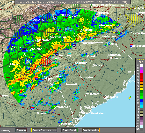
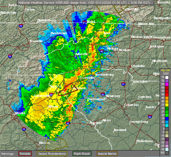
| 2/6/2020 1:36 PM EST |
 At 135 pm est, a severe thunderstorm capable of producing a tornado was located near troy, or 10 miles south of abbeville, moving northeast at 45 mph (radar indicated rotation). Hazards include tornado. Flying debris will be dangerous to those caught without shelter. mobile homes will be damaged or destroyed. damage to roofs, windows, and vehicles will occur. tree damage is likely. Locations impacted include, mccormick, hickory knob state resort park, gill`s point, bordeaux, hester`s ferry campground, broad river campground, mount carmel, baker creek state park, leroy`s ferry recreation area, willington, curry hill, mount carmel park, chennault and long cane creek picnic area. At 135 pm est, a severe thunderstorm capable of producing a tornado was located near troy, or 10 miles south of abbeville, moving northeast at 45 mph (radar indicated rotation). Hazards include tornado. Flying debris will be dangerous to those caught without shelter. mobile homes will be damaged or destroyed. damage to roofs, windows, and vehicles will occur. tree damage is likely. Locations impacted include, mccormick, hickory knob state resort park, gill`s point, bordeaux, hester`s ferry campground, broad river campground, mount carmel, baker creek state park, leroy`s ferry recreation area, willington, curry hill, mount carmel park, chennault and long cane creek picnic area.
|
| 2/6/2020 1:36 PM EST |
 At 127 pm est, a severe thunderstorm capable of producing a tornado was located near bobby brown state park, or 15 miles southwest of abbeville, moving northeast at 40 mph (radar indicated rotation). Hazards include tornado. Flying debris will be dangerous to those caught without shelter. mobile homes will be damaged or destroyed. damage to roofs, windows, and vehicles will occur. tree damage is likely. Locations impacted include, mccormick, hickory knob state resort park, gill`s point, bordeaux, hester`s ferry campground, broad river campground, mount carmel, baker creek state park, leroy`s ferry recreation area, willington, curry hill, mount carmel park, chennault and long cane creek picnic area. At 127 pm est, a severe thunderstorm capable of producing a tornado was located near bobby brown state park, or 15 miles southwest of abbeville, moving northeast at 40 mph (radar indicated rotation). Hazards include tornado. Flying debris will be dangerous to those caught without shelter. mobile homes will be damaged or destroyed. damage to roofs, windows, and vehicles will occur. tree damage is likely. Locations impacted include, mccormick, hickory knob state resort park, gill`s point, bordeaux, hester`s ferry campground, broad river campground, mount carmel, baker creek state park, leroy`s ferry recreation area, willington, curry hill, mount carmel park, chennault and long cane creek picnic area.
|
| 2/6/2020 1:27 PM EST |
 At 127 pm est, a severe thunderstorm capable of producing a tornado was located near bobby brown state park, or 15 miles southwest of abbeville, moving northeast at 40 mph (radar indicated rotation). Hazards include tornado. Flying debris will be dangerous to those caught without shelter. mobile homes will be damaged or destroyed. damage to roofs, windows, and vehicles will occur. tree damage is likely. Locations impacted include, mccormick, hickory knob state resort park, gill`s point, bordeaux, hester`s ferry campground, broad river campground, mount carmel, baker creek state park, leroy`s ferry recreation area, willington, curry hill, mount carmel park, chennault and long cane creek picnic area. At 127 pm est, a severe thunderstorm capable of producing a tornado was located near bobby brown state park, or 15 miles southwest of abbeville, moving northeast at 40 mph (radar indicated rotation). Hazards include tornado. Flying debris will be dangerous to those caught without shelter. mobile homes will be damaged or destroyed. damage to roofs, windows, and vehicles will occur. tree damage is likely. Locations impacted include, mccormick, hickory knob state resort park, gill`s point, bordeaux, hester`s ferry campground, broad river campground, mount carmel, baker creek state park, leroy`s ferry recreation area, willington, curry hill, mount carmel park, chennault and long cane creek picnic area.
|
| 2/6/2020 1:18 PM EST |
 At 118 pm est, a severe thunderstorm capable of producing a tornado was located near bobby brown state park, or 15 miles northeast of washington, moving northeast at 40 mph (radar indicated rotation). Hazards include tornado. Flying debris will be dangerous to those caught without shelter. mobile homes will be damaged or destroyed. damage to roofs, windows, and vehicles will occur. tree damage is likely. This tornadic thunderstorm will remain over mainly rural areas of northwestern lincoln and northern mccormick counties, including the following locations, hickory knob state resort park, gill`s point, bordeaux, hester`s ferry campground, broad river campground, mount carmel, baker creek state park, leroy`s ferry recreation area, willington and curry hill. At 118 pm est, a severe thunderstorm capable of producing a tornado was located near bobby brown state park, or 15 miles northeast of washington, moving northeast at 40 mph (radar indicated rotation). Hazards include tornado. Flying debris will be dangerous to those caught without shelter. mobile homes will be damaged or destroyed. damage to roofs, windows, and vehicles will occur. tree damage is likely. This tornadic thunderstorm will remain over mainly rural areas of northwestern lincoln and northern mccormick counties, including the following locations, hickory knob state resort park, gill`s point, bordeaux, hester`s ferry campground, broad river campground, mount carmel, baker creek state park, leroy`s ferry recreation area, willington and curry hill.
|
| 2/6/2020 1:16 PM EST |
 At 116 pm est, a severe thunderstorm was located near bobby brown state park, or 14 miles northeast of washington, moving northeast at 40 mph (radar indicated). Hazards include 70 mph wind gusts. Expect considerable tree damage. Damage is likely to mobile homes, roofs, and outbuildings. At 116 pm est, a severe thunderstorm was located near bobby brown state park, or 14 miles northeast of washington, moving northeast at 40 mph (radar indicated). Hazards include 70 mph wind gusts. Expect considerable tree damage. Damage is likely to mobile homes, roofs, and outbuildings.
|
| 1/11/2020 8:50 PM EST | Trees and power lines reported down along willington academy d in mccormick county SC, 1.8 miles ENE of Willington, SC |
| 1/11/2020 8:33 PM EST |
 At 833 pm est, a severe thunderstorm was located near troy, or 14 miles south of abbeville, moving east at 45 mph (trained weather spotters reported large branches down). Hazards include 60 mph wind gusts. Expect damage to roofs, siding, and trees. Locations impacted include, mccormick, hickory knob state resort park, willington, bordeaux, mount carmel, baker creek state park, leroy`s ferry recreation area and long cane creek picnic area. At 833 pm est, a severe thunderstorm was located near troy, or 14 miles south of abbeville, moving east at 45 mph (trained weather spotters reported large branches down). Hazards include 60 mph wind gusts. Expect damage to roofs, siding, and trees. Locations impacted include, mccormick, hickory knob state resort park, willington, bordeaux, mount carmel, baker creek state park, leroy`s ferry recreation area and long cane creek picnic area.
|
| 1/11/2020 8:26 PM EST | Corrects previous tstm wnd dmg report from 1 wsw willington. trees and power lines reported down along willington academy d in mccormick county SC, 1.8 miles ENE of Willington, SC |
| 1/11/2020 8:13 PM EST |
 At 812 pm est, a severe thunderstorm was located near tignall, or 12 miles north of washington, moving northeast at 45 mph (radar indicated). Hazards include 60 mph wind gusts. expect damage to roofs, siding, and trees At 812 pm est, a severe thunderstorm was located near tignall, or 12 miles north of washington, moving northeast at 45 mph (radar indicated). Hazards include 60 mph wind gusts. expect damage to roofs, siding, and trees
|
| 6/22/2019 4:34 PM EDT |
 At 434 pm edt, severe thunderstorms were located along a line extending from near washington to near mistletoe state park, moving east at 30 mph (radar indicated). Hazards include 70 mph wind gusts and quarter size hail. Hail damage to vehicles is expected. expect considerable tree damage. Wind damage is also likely to mobile homes, roofs, and outbuildings. At 434 pm edt, severe thunderstorms were located along a line extending from near washington to near mistletoe state park, moving east at 30 mph (radar indicated). Hazards include 70 mph wind gusts and quarter size hail. Hail damage to vehicles is expected. expect considerable tree damage. Wind damage is also likely to mobile homes, roofs, and outbuildings.
|
| 6/22/2019 3:24 AM EDT |
 The severe thunderstorm warning for lincoln and mccormick counties will expire at 330 am edt, the storms which prompted the warning have moved out of the area. therefore, the warning will be allowed to expire. to report severe weather, contact your nearest law enforcement agency. they will relay your report to the national weather service columbia. The severe thunderstorm warning for lincoln and mccormick counties will expire at 330 am edt, the storms which prompted the warning have moved out of the area. therefore, the warning will be allowed to expire. to report severe weather, contact your nearest law enforcement agency. they will relay your report to the national weather service columbia.
|
| 6/22/2019 3:03 AM EDT |
 At 302 am edt, severe thunderstorms were located along a line extending from 9 miles east of troy to near lincolnton, moving southeast at 40 mph (radar indicated). Hazards include 60 mph wind gusts and penny size hail. Expect damage to roofs, siding, and trees. Locations impacted include, mccormick, lincolnton, elijah clark state park, mccormick county airport, hamilton branch state park, parksville, plum branch, bordeaux, modoc, knox scout reservation, double branches, curry hill, chennault, modoc boat ramp, new hope, long cane creek picnic area, hickory knob state resort park, gill`s point, hester`s ferry campground and mount carmel. At 302 am edt, severe thunderstorms were located along a line extending from 9 miles east of troy to near lincolnton, moving southeast at 40 mph (radar indicated). Hazards include 60 mph wind gusts and penny size hail. Expect damage to roofs, siding, and trees. Locations impacted include, mccormick, lincolnton, elijah clark state park, mccormick county airport, hamilton branch state park, parksville, plum branch, bordeaux, modoc, knox scout reservation, double branches, curry hill, chennault, modoc boat ramp, new hope, long cane creek picnic area, hickory knob state resort park, gill`s point, hester`s ferry campground and mount carmel.
|
| 6/22/2019 3:03 AM EDT |
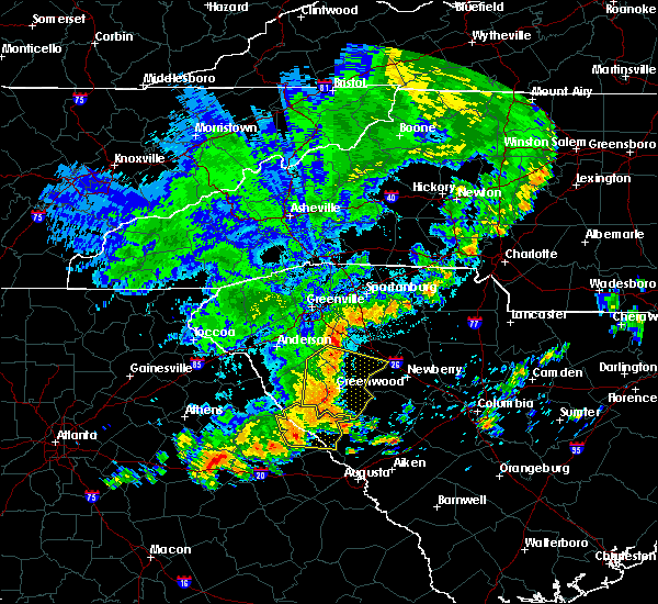 At 302 am edt, severe thunderstorms were located along a line extending from 9 miles east of troy to near lincolnton, moving southeast at 40 mph (radar indicated). Hazards include 60 mph wind gusts and penny size hail. Expect damage to roofs, siding, and trees. Locations impacted include, mccormick, lincolnton, elijah clark state park, mccormick county airport, hamilton branch state park, parksville, plum branch, bordeaux, modoc, knox scout reservation, double branches, curry hill, chennault, modoc boat ramp, new hope, long cane creek picnic area, hickory knob state resort park, gill`s point, hester`s ferry campground and mount carmel. At 302 am edt, severe thunderstorms were located along a line extending from 9 miles east of troy to near lincolnton, moving southeast at 40 mph (radar indicated). Hazards include 60 mph wind gusts and penny size hail. Expect damage to roofs, siding, and trees. Locations impacted include, mccormick, lincolnton, elijah clark state park, mccormick county airport, hamilton branch state park, parksville, plum branch, bordeaux, modoc, knox scout reservation, double branches, curry hill, chennault, modoc boat ramp, new hope, long cane creek picnic area, hickory knob state resort park, gill`s point, hester`s ferry campground and mount carmel.
|
| 6/22/2019 2:42 AM EDT |
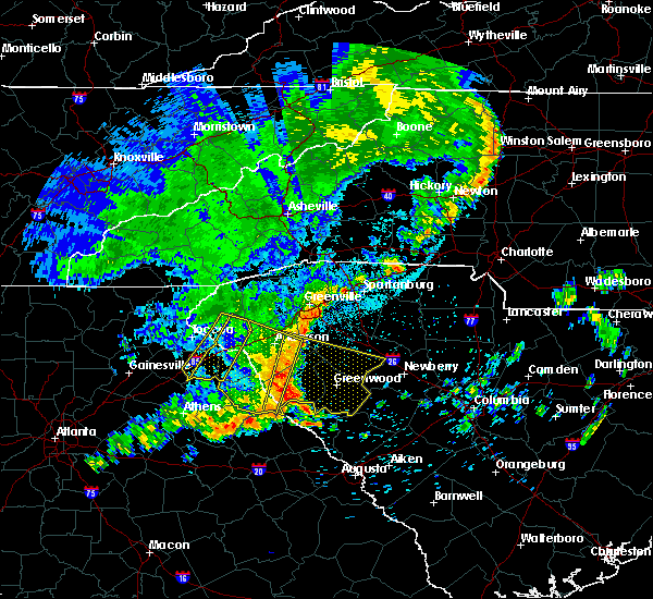 At 241 am edt, severe thunderstorms were located along a line extending from 7 miles west of abbeville to 7 miles north of elijah clark state park, moving east at 30 mph (radar indicated). Hazards include 60 mph wind gusts and penny size hail. expect damage to roofs, siding, and trees At 241 am edt, severe thunderstorms were located along a line extending from 7 miles west of abbeville to 7 miles north of elijah clark state park, moving east at 30 mph (radar indicated). Hazards include 60 mph wind gusts and penny size hail. expect damage to roofs, siding, and trees
|
| 6/20/2019 3:36 PM EDT |
 The severe thunderstorm warning for northern lincoln, northwestern edgefield and mccormick counties will expire at 345 pm edt, the storm which prompted the warning has moved out of the area. therefore, the warning will be allowed to expire. a severe thunderstorm watch remains in effect until 1000 pm edt for east central georgia, and central south carolina. The severe thunderstorm warning for northern lincoln, northwestern edgefield and mccormick counties will expire at 345 pm edt, the storm which prompted the warning has moved out of the area. therefore, the warning will be allowed to expire. a severe thunderstorm watch remains in effect until 1000 pm edt for east central georgia, and central south carolina.
|
| 6/20/2019 3:36 PM EDT |
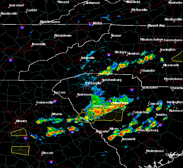 The severe thunderstorm warning for northern lincoln, northwestern edgefield and mccormick counties will expire at 345 pm edt, the storm which prompted the warning has moved out of the area. therefore, the warning will be allowed to expire. a severe thunderstorm watch remains in effect until 1000 pm edt for east central georgia, and central south carolina. The severe thunderstorm warning for northern lincoln, northwestern edgefield and mccormick counties will expire at 345 pm edt, the storm which prompted the warning has moved out of the area. therefore, the warning will be allowed to expire. a severe thunderstorm watch remains in effect until 1000 pm edt for east central georgia, and central south carolina.
|
| 6/20/2019 3:26 PM EDT |
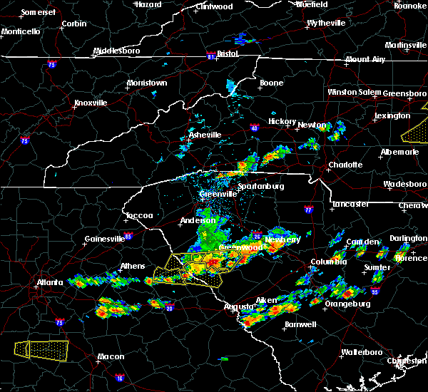 At 325 pm edt, a severe thunderstorm was located near elijah clark state park, or 18 miles northeast of washington, moving east at 45 mph (radar indicated). Hazards include 70 mph wind gusts and quarter size hail. Hail damage to vehicles is expected. expect considerable tree damage. wind damage is also likely to mobile homes, roofs, and outbuildings. Locations impacted include, mccormick, lincolnton, mccormick county airport, elijah clark state park, parksville, plum branch, hickory knob state resort park, gill`s point, hester`s ferry campground, bordeaux, mount carmel, baker creek state park, leroy`s ferry recreation area, willington, curry hill, mount carmel park, chennault, whitetown, hawe creek campground and long cane creek picnic area. At 325 pm edt, a severe thunderstorm was located near elijah clark state park, or 18 miles northeast of washington, moving east at 45 mph (radar indicated). Hazards include 70 mph wind gusts and quarter size hail. Hail damage to vehicles is expected. expect considerable tree damage. wind damage is also likely to mobile homes, roofs, and outbuildings. Locations impacted include, mccormick, lincolnton, mccormick county airport, elijah clark state park, parksville, plum branch, hickory knob state resort park, gill`s point, hester`s ferry campground, bordeaux, mount carmel, baker creek state park, leroy`s ferry recreation area, willington, curry hill, mount carmel park, chennault, whitetown, hawe creek campground and long cane creek picnic area.
|
| 6/20/2019 3:09 PM EDT |
 At 309 pm edt, a severe thunderstorm was located 7 miles east of bobby brown state park, or 13 miles southwest of abbeville, moving east at 55 mph (radar indicated). Hazards include 70 mph wind gusts and half dollar size hail. Hail damage to vehicles is expected. expect considerable tree damage. wind damage is also likely to mobile homes, roofs, and outbuildings. Locations impacted include, mccormick, lincolnton, elijah clark state park, mccormick county airport, hamilton branch state park, parksville, plum branch, bordeaux, modoc, knox scout reservation, double branches, curry hill, chennault, modoc boat ramp, new hope, long cane creek picnic area, hickory knob state resort park, gill`s point, hester`s ferry campground and mount carmel. At 309 pm edt, a severe thunderstorm was located 7 miles east of bobby brown state park, or 13 miles southwest of abbeville, moving east at 55 mph (radar indicated). Hazards include 70 mph wind gusts and half dollar size hail. Hail damage to vehicles is expected. expect considerable tree damage. wind damage is also likely to mobile homes, roofs, and outbuildings. Locations impacted include, mccormick, lincolnton, elijah clark state park, mccormick county airport, hamilton branch state park, parksville, plum branch, bordeaux, modoc, knox scout reservation, double branches, curry hill, chennault, modoc boat ramp, new hope, long cane creek picnic area, hickory knob state resort park, gill`s point, hester`s ferry campground and mount carmel.
|
| 6/20/2019 3:09 PM EDT |
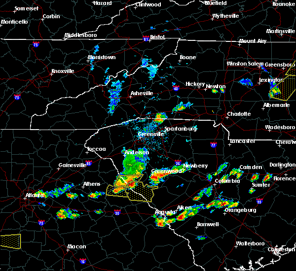 At 309 pm edt, a severe thunderstorm was located 7 miles east of bobby brown state park, or 13 miles southwest of abbeville, moving east at 55 mph (radar indicated). Hazards include 70 mph wind gusts and half dollar size hail. Hail damage to vehicles is expected. expect considerable tree damage. wind damage is also likely to mobile homes, roofs, and outbuildings. Locations impacted include, mccormick, lincolnton, elijah clark state park, mccormick county airport, hamilton branch state park, parksville, plum branch, bordeaux, modoc, knox scout reservation, double branches, curry hill, chennault, modoc boat ramp, new hope, long cane creek picnic area, hickory knob state resort park, gill`s point, hester`s ferry campground and mount carmel. At 309 pm edt, a severe thunderstorm was located 7 miles east of bobby brown state park, or 13 miles southwest of abbeville, moving east at 55 mph (radar indicated). Hazards include 70 mph wind gusts and half dollar size hail. Hail damage to vehicles is expected. expect considerable tree damage. wind damage is also likely to mobile homes, roofs, and outbuildings. Locations impacted include, mccormick, lincolnton, elijah clark state park, mccormick county airport, hamilton branch state park, parksville, plum branch, bordeaux, modoc, knox scout reservation, double branches, curry hill, chennault, modoc boat ramp, new hope, long cane creek picnic area, hickory knob state resort park, gill`s point, hester`s ferry campground and mount carmel.
|
| 6/20/2019 2:56 PM EDT |
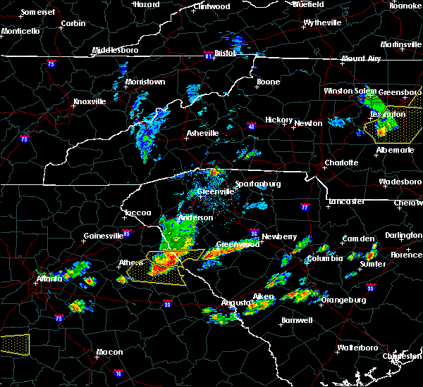 At 256 pm edt, a severe thunderstorm was located near nancy hart state park, or 13 miles southeast of elberton, moving east at 45 mph (radar indicated). Hazards include 60 mph wind gusts and quarter size hail. Hail damage to vehicles is expected. Expect wind damage to roofs, siding, and trees. At 256 pm edt, a severe thunderstorm was located near nancy hart state park, or 13 miles southeast of elberton, moving east at 45 mph (radar indicated). Hazards include 60 mph wind gusts and quarter size hail. Hail damage to vehicles is expected. Expect wind damage to roofs, siding, and trees.
|
| 5/4/2019 3:54 PM EDT |
 The severe thunderstorm warning for central lincoln and northwestern mccormick counties will expire at 400 pm edt, the storm which prompted the warning has weakened below severe limits, and no longer poses an immediate threat to life or property. therefore, the warning will be allowed to expire. however gusty winds are still possible with this thunderstorm. The severe thunderstorm warning for central lincoln and northwestern mccormick counties will expire at 400 pm edt, the storm which prompted the warning has weakened below severe limits, and no longer poses an immediate threat to life or property. therefore, the warning will be allowed to expire. however gusty winds are still possible with this thunderstorm.
|
| 5/4/2019 3:54 PM EDT |
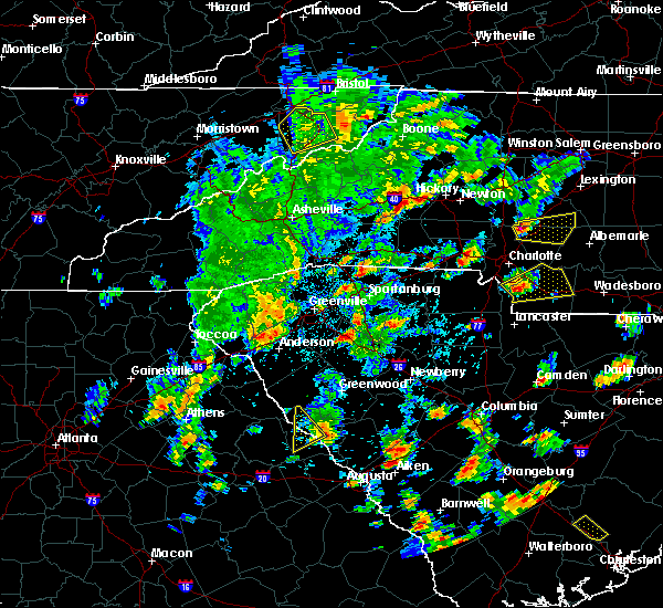 The severe thunderstorm warning for central lincoln and northwestern mccormick counties will expire at 400 pm edt, the storm which prompted the warning has weakened below severe limits, and no longer poses an immediate threat to life or property. therefore, the warning will be allowed to expire. however gusty winds are still possible with this thunderstorm. The severe thunderstorm warning for central lincoln and northwestern mccormick counties will expire at 400 pm edt, the storm which prompted the warning has weakened below severe limits, and no longer poses an immediate threat to life or property. therefore, the warning will be allowed to expire. however gusty winds are still possible with this thunderstorm.
|
| 5/4/2019 3:45 PM EDT |
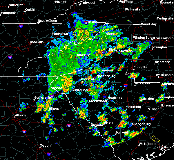 At 344 pm edt, a severe thunderstorm was located over elijah clark state park, or 19 miles northeast of washington, moving northeast at 20 mph (radar indicated. at 333pm, hail was reported near lincolnton by a trained spotter). Hazards include 60 mph wind gusts and quarter size hail. Hail damage to vehicles is expected. expect wind damage to roofs, siding, and trees. Locations impacted include, lincolnton, elijah clark state park, hickory knob state resort park, willington, bordeaux, mount carmel, baker creek state park, leroy`s ferry recreation area, hawe creek campground and long cane creek picnic area. At 344 pm edt, a severe thunderstorm was located over elijah clark state park, or 19 miles northeast of washington, moving northeast at 20 mph (radar indicated. at 333pm, hail was reported near lincolnton by a trained spotter). Hazards include 60 mph wind gusts and quarter size hail. Hail damage to vehicles is expected. expect wind damage to roofs, siding, and trees. Locations impacted include, lincolnton, elijah clark state park, hickory knob state resort park, willington, bordeaux, mount carmel, baker creek state park, leroy`s ferry recreation area, hawe creek campground and long cane creek picnic area.
|
| 5/4/2019 3:28 PM EDT |
 At 326 pm edt, a severe thunderstorm was located over lincolnton, or 14 miles northeast of washington, moving northeast at 20 mph (radar indicated). Hazards include 60 mph wind gusts and quarter size hail. Hail damage to vehicles is expected. expect wind damage to roofs, siding, and trees. locations impacted include, lincolnton, elijah clark state park, hickory knob state resort park, gill`s point, hester`s ferry campground, bordeaux, mount carmel, baker creek state park, leroy`s ferry recreation area, willington, curry hill, mount carmel park, chennault, hawe creek campground and long cane creek picnic area. People outdoors in many of the parks near the savannah river area should seek indoor shelter now. At 326 pm edt, a severe thunderstorm was located over lincolnton, or 14 miles northeast of washington, moving northeast at 20 mph (radar indicated). Hazards include 60 mph wind gusts and quarter size hail. Hail damage to vehicles is expected. expect wind damage to roofs, siding, and trees. locations impacted include, lincolnton, elijah clark state park, hickory knob state resort park, gill`s point, hester`s ferry campground, bordeaux, mount carmel, baker creek state park, leroy`s ferry recreation area, willington, curry hill, mount carmel park, chennault, hawe creek campground and long cane creek picnic area. People outdoors in many of the parks near the savannah river area should seek indoor shelter now.
|
| 5/4/2019 3:28 PM EDT |
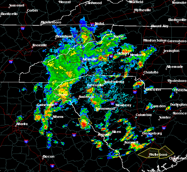 At 326 pm edt, a severe thunderstorm was located over lincolnton, or 14 miles northeast of washington, moving northeast at 20 mph (radar indicated). Hazards include 60 mph wind gusts and quarter size hail. Hail damage to vehicles is expected. expect wind damage to roofs, siding, and trees. locations impacted include, lincolnton, elijah clark state park, hickory knob state resort park, gill`s point, hester`s ferry campground, bordeaux, mount carmel, baker creek state park, leroy`s ferry recreation area, willington, curry hill, mount carmel park, chennault, hawe creek campground and long cane creek picnic area. People outdoors in many of the parks near the savannah river area should seek indoor shelter now. At 326 pm edt, a severe thunderstorm was located over lincolnton, or 14 miles northeast of washington, moving northeast at 20 mph (radar indicated). Hazards include 60 mph wind gusts and quarter size hail. Hail damage to vehicles is expected. expect wind damage to roofs, siding, and trees. locations impacted include, lincolnton, elijah clark state park, hickory knob state resort park, gill`s point, hester`s ferry campground, bordeaux, mount carmel, baker creek state park, leroy`s ferry recreation area, willington, curry hill, mount carmel park, chennault, hawe creek campground and long cane creek picnic area. People outdoors in many of the parks near the savannah river area should seek indoor shelter now.
|
| 5/4/2019 3:09 PM EDT |
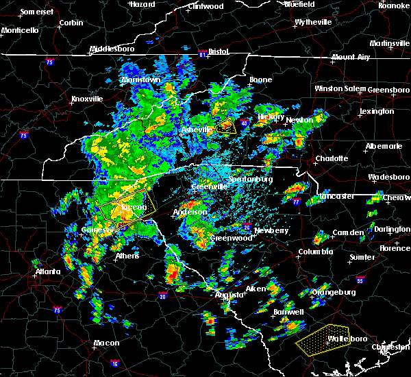 The national weather service in columbia has issued a * severe thunderstorm warning for. northwestern lincoln county in east central georgia. northwestern mccormick county in central south carolina. until 400 pm edt. At 308 pm edt, a severe thunderstorm was located 7 miles northeast. The national weather service in columbia has issued a * severe thunderstorm warning for. northwestern lincoln county in east central georgia. northwestern mccormick county in central south carolina. until 400 pm edt. At 308 pm edt, a severe thunderstorm was located 7 miles northeast.
|
| 4/14/2019 2:19 PM EDT |
 At 218 pm edt, a severe thunderstorm was located over wrightsboro, or 8 miles northwest of thomson, moving northeast at 60 mph (radar indicated). Hazards include 60 mph wind gusts. expect damage to roofs, siding, and trees At 218 pm edt, a severe thunderstorm was located over wrightsboro, or 8 miles northwest of thomson, moving northeast at 60 mph (radar indicated). Hazards include 60 mph wind gusts. expect damage to roofs, siding, and trees
|
| 4/14/2019 2:19 PM EDT |
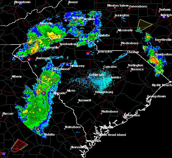 At 218 pm edt, a severe thunderstorm was located over wrightsboro, or 8 miles northwest of thomson, moving northeast at 60 mph (radar indicated). Hazards include 60 mph wind gusts. expect damage to roofs, siding, and trees At 218 pm edt, a severe thunderstorm was located over wrightsboro, or 8 miles northwest of thomson, moving northeast at 60 mph (radar indicated). Hazards include 60 mph wind gusts. expect damage to roofs, siding, and trees
|
| 7/22/2018 12:09 AM EDT |
 At 1208 am edt, a severe thunderstorm was located near mccormick, or 22 miles north of evans, moving east at 55 mph (radar indicated). Hazards include 60 mph wind gusts and penny size hail. expect damage to roofs, siding, and trees At 1208 am edt, a severe thunderstorm was located near mccormick, or 22 miles north of evans, moving east at 55 mph (radar indicated). Hazards include 60 mph wind gusts and penny size hail. expect damage to roofs, siding, and trees
|
| 7/21/2018 11:35 PM EDT |
 At 1134 pm edt, a severe thunderstorm was located near johnston, or 19 miles west of batesburg, moving east at 40 mph (radar indicated). Hazards include 60 mph wind gusts and quarter size hail. Hail damage to vehicles is expected. expect wind damage to roofs, siding, and trees. Locations impacted include, edgefield, mccormick, johnston, trenton, parksville, plum branch and willington. At 1134 pm edt, a severe thunderstorm was located near johnston, or 19 miles west of batesburg, moving east at 40 mph (radar indicated). Hazards include 60 mph wind gusts and quarter size hail. Hail damage to vehicles is expected. expect wind damage to roofs, siding, and trees. Locations impacted include, edgefield, mccormick, johnston, trenton, parksville, plum branch and willington.
|
| 7/21/2018 11:05 PM EDT |
 At 1104 pm edt, a severe thunderstorm was located 9 miles northwest of edgefield, or 23 miles north of martinez, moving southeast at 15 mph (radar indicated). Hazards include 60 mph wind gusts and quarter size hail. Hail damage to vehicles is expected. Expect wind damage to roofs, siding, and trees. At 1104 pm edt, a severe thunderstorm was located 9 miles northwest of edgefield, or 23 miles north of martinez, moving southeast at 15 mph (radar indicated). Hazards include 60 mph wind gusts and quarter size hail. Hail damage to vehicles is expected. Expect wind damage to roofs, siding, and trees.
|
| 6/26/2018 6:56 PM EDT |
 At 655 pm edt, a severe thunderstorm was located 8 miles north of lincolnton, or 30 miles north of thomson, moving southeast at 10 mph (radar indicated). Hazards include 60 mph wind gusts and quarter size hail. Hail damage to vehicles is expected. Expect wind damage to roofs, siding, and trees. At 655 pm edt, a severe thunderstorm was located 8 miles north of lincolnton, or 30 miles north of thomson, moving southeast at 10 mph (radar indicated). Hazards include 60 mph wind gusts and quarter size hail. Hail damage to vehicles is expected. Expect wind damage to roofs, siding, and trees.
|
| 6/26/2018 6:56 PM EDT |
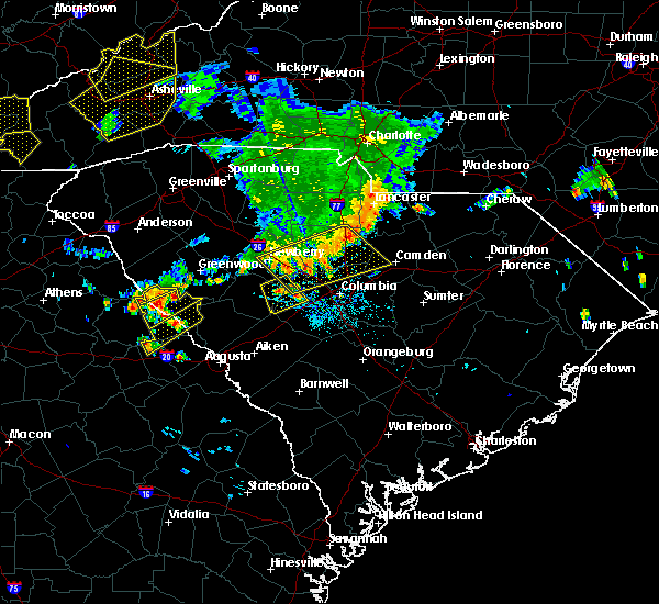 At 655 pm edt, a severe thunderstorm was located 8 miles north of lincolnton, or 30 miles north of thomson, moving southeast at 10 mph (radar indicated). Hazards include 60 mph wind gusts and quarter size hail. Hail damage to vehicles is expected. Expect wind damage to roofs, siding, and trees. At 655 pm edt, a severe thunderstorm was located 8 miles north of lincolnton, or 30 miles north of thomson, moving southeast at 10 mph (radar indicated). Hazards include 60 mph wind gusts and quarter size hail. Hail damage to vehicles is expected. Expect wind damage to roofs, siding, and trees.
|
| 6/26/2018 6:18 PM EDT |
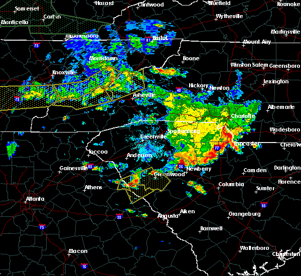 At 617 pm edt, a severe thunderstorm was located over calhoun falls, or 41 miles north of thomson, moving southeast at 15 mph (radar indicated). Hazards include 60 mph wind gusts and nickel size hail. expect damage to roofs, siding, and trees At 617 pm edt, a severe thunderstorm was located over calhoun falls, or 41 miles north of thomson, moving southeast at 15 mph (radar indicated). Hazards include 60 mph wind gusts and nickel size hail. expect damage to roofs, siding, and trees
|
| 6/25/2018 7:04 PM EDT | Sheriff dispatch reported multiple trees down across the northern portion of the count in mccormick county SC, 4.3 miles WNW of Willington, SC |
| 6/25/2018 6:57 PM EDT |
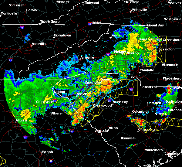 At 657 pm edt, a severe thunderstorm was located near lincolnton, or 25 miles north of thomson, moving east at 15 mph (radar indicated). Hazards include 60 mph wind gusts and quarter size hail. Hail damage to vehicles is expected. Expect wind damage to roofs, siding, and trees. At 657 pm edt, a severe thunderstorm was located near lincolnton, or 25 miles north of thomson, moving east at 15 mph (radar indicated). Hazards include 60 mph wind gusts and quarter size hail. Hail damage to vehicles is expected. Expect wind damage to roofs, siding, and trees.
|
| 6/1/2018 5:17 PM EDT |
 At 516 pm edt, severe thunderstorms were located along a line extending from lake strom thurmond to near washington, moving east at 15 mph (radar indicated). Hazards include 60 mph wind gusts and penny size hail. expect damage to roofs, siding, and trees At 516 pm edt, severe thunderstorms were located along a line extending from lake strom thurmond to near washington, moving east at 15 mph (radar indicated). Hazards include 60 mph wind gusts and penny size hail. expect damage to roofs, siding, and trees
|
| 11/7/2017 5:10 PM EST |
 At 508 pm est, a severe thunderstorm was located over northern mccormick county, between mccormick and troy, moving east at 30 mph (radar indicated). Hazards include 60 mph wind gusts and penny size hail. Expect damage to roofs, siding, and trees. Locations impacted include, mccormick, plum branch. At 508 pm est, a severe thunderstorm was located over northern mccormick county, between mccormick and troy, moving east at 30 mph (radar indicated). Hazards include 60 mph wind gusts and penny size hail. Expect damage to roofs, siding, and trees. Locations impacted include, mccormick, plum branch.
|
| 11/7/2017 4:42 PM EST |
 At 441 pm est, a severe thunderstorm was located just northwest of mount carmel, moving east at 40 mph (radar indicated). Hazards include 60 mph wind gusts and quarter size hail. Hail damage to vehicles is expected. Expect wind damage to roofs, siding, and trees. At 441 pm est, a severe thunderstorm was located just northwest of mount carmel, moving east at 40 mph (radar indicated). Hazards include 60 mph wind gusts and quarter size hail. Hail damage to vehicles is expected. Expect wind damage to roofs, siding, and trees.
|
| 10/8/2017 4:04 PM EDT |
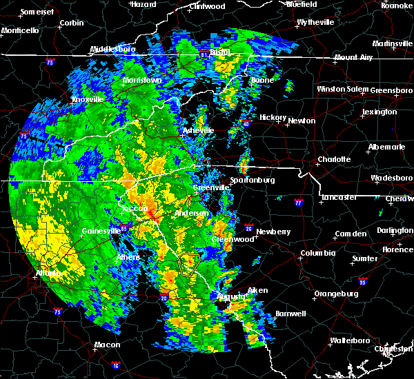 At 403 pm edt, a severe thunderstorm capable of producing a tornado was located 8 miles north of lincolnton, or 31 miles north of thomson, moving north at 30 mph (radar indicated rotation). Hazards include tornado. Flying debris will be dangerous to those caught without shelter. mobile homes will be damaged or destroyed. damage to roofs, windows, and vehicles will occur. tree damage is likely. This tornadic thunderstorm will remain over mainly rural areas of north central lincoln and northwestern mccormick counties, including the following locations: willington and mount carmel. At 403 pm edt, a severe thunderstorm capable of producing a tornado was located 8 miles north of lincolnton, or 31 miles north of thomson, moving north at 30 mph (radar indicated rotation). Hazards include tornado. Flying debris will be dangerous to those caught without shelter. mobile homes will be damaged or destroyed. damage to roofs, windows, and vehicles will occur. tree damage is likely. This tornadic thunderstorm will remain over mainly rural areas of north central lincoln and northwestern mccormick counties, including the following locations: willington and mount carmel.
|
| 10/8/2017 3:56 PM EDT |
 At 356 pm edt, a severe thunderstorm was located near lincolnton, or 26 miles north of thomson, moving north at 40 mph (radar indicated). Hazards include 60 mph wind gusts. expect damage to roofs, siding, and trees At 356 pm edt, a severe thunderstorm was located near lincolnton, or 26 miles north of thomson, moving north at 40 mph (radar indicated). Hazards include 60 mph wind gusts. expect damage to roofs, siding, and trees
|
| 10/8/2017 3:56 PM EDT |
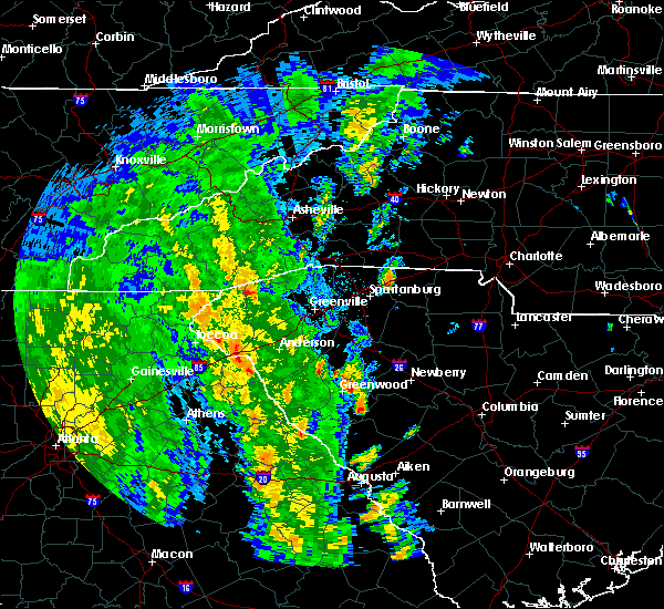 At 356 pm edt, a severe thunderstorm was located near lincolnton, or 26 miles north of thomson, moving north at 40 mph (radar indicated). Hazards include 60 mph wind gusts. expect damage to roofs, siding, and trees At 356 pm edt, a severe thunderstorm was located near lincolnton, or 26 miles north of thomson, moving north at 40 mph (radar indicated). Hazards include 60 mph wind gusts. expect damage to roofs, siding, and trees
|
| 7/23/2017 7:53 PM EDT |
 At 753 pm edt, a severe thunderstorm was located near bobby brown state park, or 35 miles north of thomson, moving southeast at 15 mph (radar indicated). Hazards include 60 mph wind gusts and quarter size hail. Minor hail damage to vehicles is expected. Expect wind damage to roofs, siding, and trees. At 753 pm edt, a severe thunderstorm was located near bobby brown state park, or 35 miles north of thomson, moving southeast at 15 mph (radar indicated). Hazards include 60 mph wind gusts and quarter size hail. Minor hail damage to vehicles is expected. Expect wind damage to roofs, siding, and trees.
|
| 7/23/2017 7:53 PM EDT |
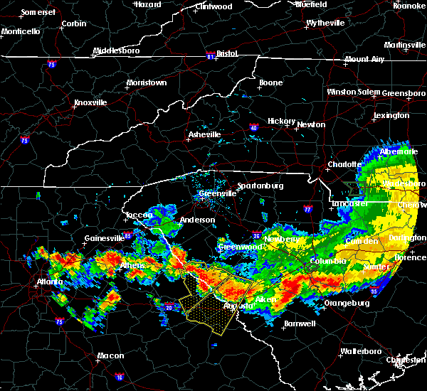 At 753 pm edt, a severe thunderstorm was located near bobby brown state park, or 35 miles north of thomson, moving southeast at 15 mph (radar indicated). Hazards include 60 mph wind gusts and quarter size hail. Minor hail damage to vehicles is expected. Expect wind damage to roofs, siding, and trees. At 753 pm edt, a severe thunderstorm was located near bobby brown state park, or 35 miles north of thomson, moving southeast at 15 mph (radar indicated). Hazards include 60 mph wind gusts and quarter size hail. Minor hail damage to vehicles is expected. Expect wind damage to roofs, siding, and trees.
|
| 7/7/2017 3:22 PM EDT |
 The severe thunderstorm warning for lincoln and northern mccormick counties will expire at 330 pm edt, the storms which prompted the warning have weakened below severe limits, and no longer pose an immediate threat to life or property. therefore the warning will be allowed to expire. however gusty winds are still possible with these thunderstorms. The severe thunderstorm warning for lincoln and northern mccormick counties will expire at 330 pm edt, the storms which prompted the warning have weakened below severe limits, and no longer pose an immediate threat to life or property. therefore the warning will be allowed to expire. however gusty winds are still possible with these thunderstorms.
|
| 7/7/2017 3:09 PM EDT |
 At 237 pm edt, severe thunderstorms were located along a line extending from 6 miles south of abbeville to near rayle, moving east at 25 mph (radar indicated). Hazards include 60 mph wind gusts and penny size hail. expect damage to roofs, siding, and trees At 237 pm edt, severe thunderstorms were located along a line extending from 6 miles south of abbeville to near rayle, moving east at 25 mph (radar indicated). Hazards include 60 mph wind gusts and penny size hail. expect damage to roofs, siding, and trees
|
| 7/7/2017 3:09 PM EDT |
 At 308 pm edt, severe thunderstorms were located along a line extending from 6 miles northeast of troy to washington, moving east at 25 mph (radar indicated). Hazards include 60 mph wind gusts and penny size hail. Expect damage to roofs, siding, and trees. Locations impacted include, mccormick, lincolnton, plum branch and willington. At 308 pm edt, severe thunderstorms were located along a line extending from 6 miles northeast of troy to washington, moving east at 25 mph (radar indicated). Hazards include 60 mph wind gusts and penny size hail. Expect damage to roofs, siding, and trees. Locations impacted include, mccormick, lincolnton, plum branch and willington.
|
| 7/7/2017 2:37 PM EDT |
 At 237 pm edt, severe thunderstorms were located along a line extending from 6 miles south of abbeville to near rayle, moving east at 25 mph (radar indicated). Hazards include 60 mph wind gusts and penny size hail. expect damage to roofs, siding, and trees At 237 pm edt, severe thunderstorms were located along a line extending from 6 miles south of abbeville to near rayle, moving east at 25 mph (radar indicated). Hazards include 60 mph wind gusts and penny size hail. expect damage to roofs, siding, and trees
|
| 7/6/2017 6:14 PM EDT |
 At 612 pm edt, severe thunderstorms were located along a line extending from 6 miles east of mccormick to near lincolnton, moving east at 40 mph (radar indicated. at 553 pm, 10 power poles were reported snapped due to damaging winds 11 miles northwest of lincolnton with this storm). Hazards include 60 mph wind gusts and quarter size hail. Hail damage to vehicles is expected. Expect wind damage to roofs, siding, and trees. At 612 pm edt, severe thunderstorms were located along a line extending from 6 miles east of mccormick to near lincolnton, moving east at 40 mph (radar indicated. at 553 pm, 10 power poles were reported snapped due to damaging winds 11 miles northwest of lincolnton with this storm). Hazards include 60 mph wind gusts and quarter size hail. Hail damage to vehicles is expected. Expect wind damage to roofs, siding, and trees.
|
| 7/6/2017 6:06 PM EDT |
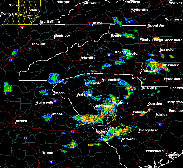 At 604 pm edt, severe thunderstorms were located along a line extending from 7 miles east of mccormick to near lincolnton, moving east at 30 mph (radar indicated). Hazards include 60 mph wind gusts and quarter size hail. Hail damage to vehicles is expected. expect wind damage to roofs, siding, and trees. Locations impacted include, mccormick, lincolnton, parksville, plum branch and willington. At 604 pm edt, severe thunderstorms were located along a line extending from 7 miles east of mccormick to near lincolnton, moving east at 30 mph (radar indicated). Hazards include 60 mph wind gusts and quarter size hail. Hail damage to vehicles is expected. expect wind damage to roofs, siding, and trees. Locations impacted include, mccormick, lincolnton, parksville, plum branch and willington.
|
| 7/6/2017 5:32 PM EDT |
 At 531 pm edt, a severe thunderstorm was located near lincolnton, or 23 miles north of thomson, moving east at 5 mph (radar indicated). Hazards include 70 mph wind gusts and quarter size hail. Hail damage to vehicles is expected. expect considerable tree damage. wind damage is also likely to mobile homes, roofs, and outbuildings. Locations impacted include, mccormick, lincolnton, parksville, plum branch, willington, mount carmel and modoc. At 531 pm edt, a severe thunderstorm was located near lincolnton, or 23 miles north of thomson, moving east at 5 mph (radar indicated). Hazards include 70 mph wind gusts and quarter size hail. Hail damage to vehicles is expected. expect considerable tree damage. wind damage is also likely to mobile homes, roofs, and outbuildings. Locations impacted include, mccormick, lincolnton, parksville, plum branch, willington, mount carmel and modoc.
|
| 7/6/2017 5:23 PM EDT |
 At 522 pm edt, a severe thunderstorm was located near lincolnton, or 23 miles north of thomson, moving east at 10 mph. additional severe thunderstorms could move into the warned area from the west (radar indicated). Hazards include 60 mph wind gusts. expect damage to roofs, siding, and trees At 522 pm edt, a severe thunderstorm was located near lincolnton, or 23 miles north of thomson, moving east at 10 mph. additional severe thunderstorms could move into the warned area from the west (radar indicated). Hazards include 60 mph wind gusts. expect damage to roofs, siding, and trees
|
| 7/6/2017 5:23 PM EDT |
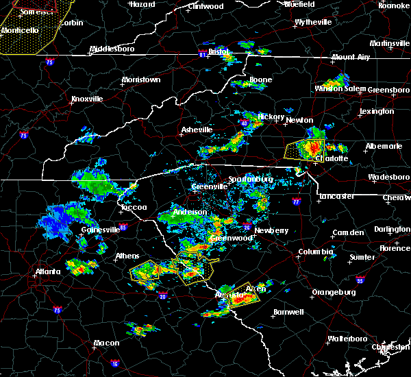 At 522 pm edt, a severe thunderstorm was located near lincolnton, or 23 miles north of thomson, moving east at 10 mph. additional severe thunderstorms could move into the warned area from the west (radar indicated). Hazards include 60 mph wind gusts. expect damage to roofs, siding, and trees At 522 pm edt, a severe thunderstorm was located near lincolnton, or 23 miles north of thomson, moving east at 10 mph. additional severe thunderstorms could move into the warned area from the west (radar indicated). Hazards include 60 mph wind gusts. expect damage to roofs, siding, and trees
|
| 5/29/2017 6:31 PM EDT |
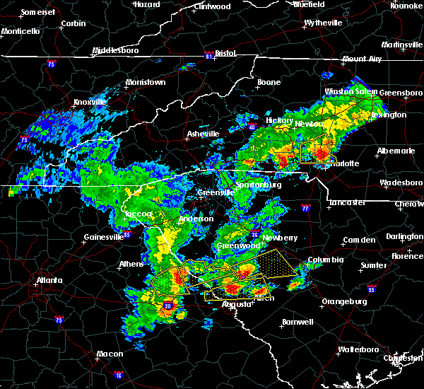 At 630 pm edt, a severe thunderstorm was located over tignall, or 30 miles northwest of thomson, moving northeast at 35 mph (radar indicated). Hazards include 60 mph wind gusts and penny size hail. expect damage to roofs, siding, and trees At 630 pm edt, a severe thunderstorm was located over tignall, or 30 miles northwest of thomson, moving northeast at 35 mph (radar indicated). Hazards include 60 mph wind gusts and penny size hail. expect damage to roofs, siding, and trees
|
| 5/29/2017 5:15 PM EDT |
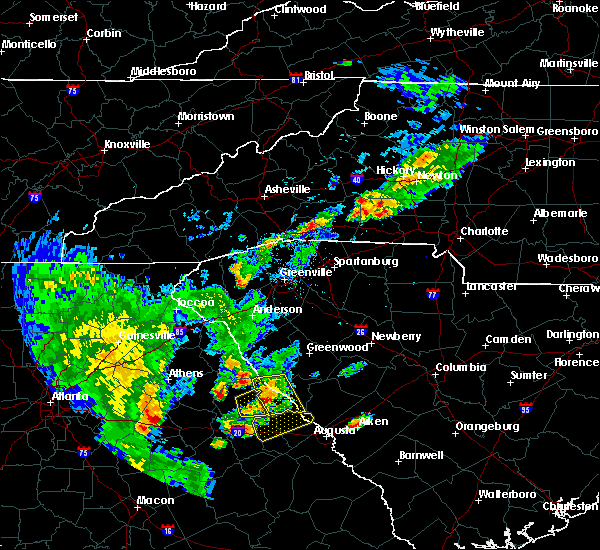 At 514 pm edt, a severe thunderstorm was located over lincolnton, or 21 miles north of thomson, moving east at 30 mph (radar indicated). Hazards include 70 mph wind gusts and quarter size hail. Hail damage to vehicles is expected. expect considerable tree damage. wind damage is also likely to mobile homes, roofs, and outbuildings. Locations impacted include, mccormick, lincolnton, plum branch, willington and modoc. At 514 pm edt, a severe thunderstorm was located over lincolnton, or 21 miles north of thomson, moving east at 30 mph (radar indicated). Hazards include 70 mph wind gusts and quarter size hail. Hail damage to vehicles is expected. expect considerable tree damage. wind damage is also likely to mobile homes, roofs, and outbuildings. Locations impacted include, mccormick, lincolnton, plum branch, willington and modoc.
|
| 5/29/2017 4:58 PM EDT |
 At 454 pm edt, a severe thunderstorm was located near washington, or 21 miles northwest of thomson, moving east at 30 mph (radar indicated). Hazards include 60 mph wind gusts and quarter size hail. Hail damage to vehicles is expected. expect wind damage to roofs, siding, and trees. Locations impacted include, mccormick, lincolnton, plum branch, willington and modoc. At 454 pm edt, a severe thunderstorm was located near washington, or 21 miles northwest of thomson, moving east at 30 mph (radar indicated). Hazards include 60 mph wind gusts and quarter size hail. Hail damage to vehicles is expected. expect wind damage to roofs, siding, and trees. Locations impacted include, mccormick, lincolnton, plum branch, willington and modoc.
|
| 5/29/2017 4:58 PM EDT |
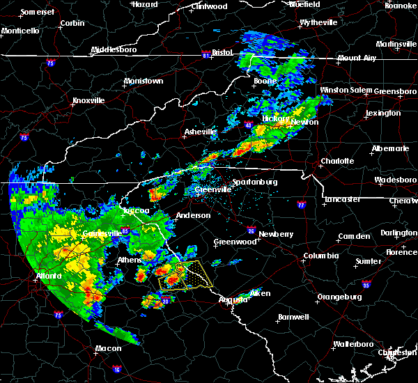 At 454 pm edt, a severe thunderstorm was located near washington, or 21 miles northwest of thomson, moving east at 30 mph (radar indicated). Hazards include 60 mph wind gusts and quarter size hail. Hail damage to vehicles is expected. expect wind damage to roofs, siding, and trees. Locations impacted include, mccormick, lincolnton, plum branch, willington and modoc. At 454 pm edt, a severe thunderstorm was located near washington, or 21 miles northwest of thomson, moving east at 30 mph (radar indicated). Hazards include 60 mph wind gusts and quarter size hail. Hail damage to vehicles is expected. expect wind damage to roofs, siding, and trees. Locations impacted include, mccormick, lincolnton, plum branch, willington and modoc.
|
| 5/29/2017 4:51 PM EDT |
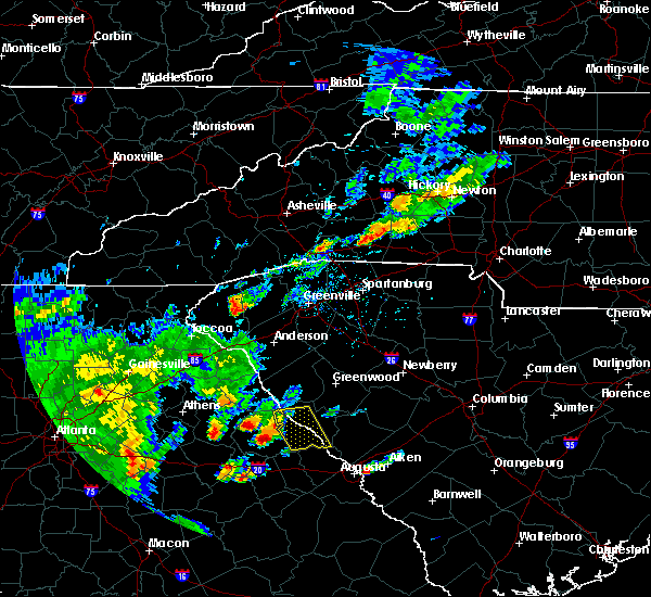 At 451 pm edt, a severe thunderstorm was located over washington, or 22 miles northwest of thomson, moving east at 30 mph (radar indicated). Hazards include 60 mph wind gusts and quarter size hail. Hail damage to vehicles is expected. Expect wind damage to roofs, siding, and trees. At 451 pm edt, a severe thunderstorm was located over washington, or 22 miles northwest of thomson, moving east at 30 mph (radar indicated). Hazards include 60 mph wind gusts and quarter size hail. Hail damage to vehicles is expected. Expect wind damage to roofs, siding, and trees.
|
| 5/1/2017 2:45 PM EDT |
 At 244 pm edt, a severe thunderstorm was located near lincolnton, or 25 miles north of thomson, moving northeast at 50 mph (radar indicated). Hazards include 60 mph wind gusts. expect damage to roofs, siding, and trees At 244 pm edt, a severe thunderstorm was located near lincolnton, or 25 miles north of thomson, moving northeast at 50 mph (radar indicated). Hazards include 60 mph wind gusts. expect damage to roofs, siding, and trees
|
| 5/1/2017 2:45 PM EDT |
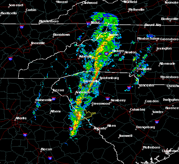 At 244 pm edt, a severe thunderstorm was located near lincolnton, or 25 miles north of thomson, moving northeast at 50 mph (radar indicated). Hazards include 60 mph wind gusts. expect damage to roofs, siding, and trees At 244 pm edt, a severe thunderstorm was located near lincolnton, or 25 miles north of thomson, moving northeast at 50 mph (radar indicated). Hazards include 60 mph wind gusts. expect damage to roofs, siding, and trees
|
| 4/5/2017 2:38 PM EDT |
 The severe thunderstorm warning for columbia, mcduffie, lincoln, southwestern edgefield and mccormick counties will expire at 245 pm edt, the storms which prompted the warning have moved out of the area. therefore the warning will be allowed to expire. however gusty winds and heavy rain are still possible with these thunderstorms. a tornado watch remains in effect until 800 pm edt for east central georgia, and central south carolina. The severe thunderstorm warning for columbia, mcduffie, lincoln, southwestern edgefield and mccormick counties will expire at 245 pm edt, the storms which prompted the warning have moved out of the area. therefore the warning will be allowed to expire. however gusty winds and heavy rain are still possible with these thunderstorms. a tornado watch remains in effect until 800 pm edt for east central georgia, and central south carolina.
|
| 4/5/2017 2:18 PM EDT |
 At 215 pm edt, severe thunderstorms were located along a line extending from near bobby brown state park to thomson, and are nearly stationary (emergency management reported golf ball sized hail at 210 pm 8 miles south of lincolnton). Hazards include golf ball size hail and 70 mph wind gusts. People and animals outdoors will be injured. expect hail damage to roofs, siding, windows, and vehicles. expect considerable tree damage. wind damage is also likely to mobile homes, roofs, and outbuildings. locations impacted include, evans, thomson, mccormick, lincolnton, dearing, parksville, plum branch, willington, mount carmel, modoc and clarks hill. A tornado watch remains in effect until 800 pm edt for east central georgia, and central south carolina. At 215 pm edt, severe thunderstorms were located along a line extending from near bobby brown state park to thomson, and are nearly stationary (emergency management reported golf ball sized hail at 210 pm 8 miles south of lincolnton). Hazards include golf ball size hail and 70 mph wind gusts. People and animals outdoors will be injured. expect hail damage to roofs, siding, windows, and vehicles. expect considerable tree damage. wind damage is also likely to mobile homes, roofs, and outbuildings. locations impacted include, evans, thomson, mccormick, lincolnton, dearing, parksville, plum branch, willington, mount carmel, modoc and clarks hill. A tornado watch remains in effect until 800 pm edt for east central georgia, and central south carolina.
|
| 4/5/2017 2:05 PM EDT |
 At 204 pm edt, severe thunderstorms were located along a line extending from near bobby brown state park to thomson, moving northeast at 55 mph (radar indicated). Hazards include golf ball size hail and 70 mph wind gusts. People and animals outdoors will be injured. expect hail damage to roofs, siding, windows, and vehicles. expect considerable tree damage. Wind damage is also likely to mobile homes, roofs, and outbuildings. At 204 pm edt, severe thunderstorms were located along a line extending from near bobby brown state park to thomson, moving northeast at 55 mph (radar indicated). Hazards include golf ball size hail and 70 mph wind gusts. People and animals outdoors will be injured. expect hail damage to roofs, siding, windows, and vehicles. expect considerable tree damage. Wind damage is also likely to mobile homes, roofs, and outbuildings.
|
| 4/5/2017 12:27 PM EDT | Golf Ball sized hail reported 1 miles E of Willington, SC, ongoing large hail and gusty winds at hwy 81 and morrah bridge road. |
| 4/5/2017 12:27 PM EDT |
 At 1225 pm edt, a severe thunderstorm was located 7 miles east of bobby brown state park, or 32 miles north of thomson, moving east at 50 mph (emergency manager). Hazards include golf ball size hail and 60 mph wind gusts. People and animals outdoors will be injured. expect hail damage to roofs, siding, windows, and vehicles. expect wind damage to roofs, siding, and trees. Locations impacted include, mccormick, lincolnton, parksville, plum branch, willington and mount carmel. At 1225 pm edt, a severe thunderstorm was located 7 miles east of bobby brown state park, or 32 miles north of thomson, moving east at 50 mph (emergency manager). Hazards include golf ball size hail and 60 mph wind gusts. People and animals outdoors will be injured. expect hail damage to roofs, siding, windows, and vehicles. expect wind damage to roofs, siding, and trees. Locations impacted include, mccormick, lincolnton, parksville, plum branch, willington and mount carmel.
|
| 4/5/2017 12:27 PM EDT |
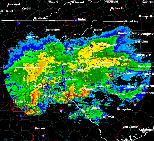 At 1225 pm edt, a severe thunderstorm was located 7 miles east of bobby brown state park, or 32 miles north of thomson, moving east at 50 mph (emergency manager). Hazards include golf ball size hail and 60 mph wind gusts. People and animals outdoors will be injured. expect hail damage to roofs, siding, windows, and vehicles. expect wind damage to roofs, siding, and trees. Locations impacted include, mccormick, lincolnton, parksville, plum branch, willington and mount carmel. At 1225 pm edt, a severe thunderstorm was located 7 miles east of bobby brown state park, or 32 miles north of thomson, moving east at 50 mph (emergency manager). Hazards include golf ball size hail and 60 mph wind gusts. People and animals outdoors will be injured. expect hail damage to roofs, siding, windows, and vehicles. expect wind damage to roofs, siding, and trees. Locations impacted include, mccormick, lincolnton, parksville, plum branch, willington and mount carmel.
|
| 4/5/2017 12:21 PM EDT |
 At 1202 pm edt, a severe thunderstorm was located over tignall, or 33 miles northwest of thomson, moving east at 55 mph (radar indicated). Hazards include 60 mph wind gusts and half dollar size hail. Hail damage to vehicles is expected. Expect wind damage to roofs, siding, and trees. At 1202 pm edt, a severe thunderstorm was located over tignall, or 33 miles northwest of thomson, moving east at 55 mph (radar indicated). Hazards include 60 mph wind gusts and half dollar size hail. Hail damage to vehicles is expected. Expect wind damage to roofs, siding, and trees.
|
| 4/5/2017 12:21 PM EDT |
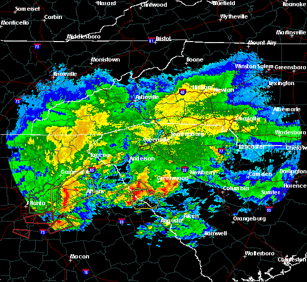 At 1220 pm edt, a severe thunderstorm was located near bobby brown state park, or 32 miles north of thomson, moving east at 50 mph (radar indicated). Hazards include 60 mph wind gusts and half dollar size hail. Hail damage to vehicles is expected. expect wind damage to roofs, siding, and trees. Locations impacted include, mccormick, lincolnton, parksville, plum branch, willington and mount carmel. At 1220 pm edt, a severe thunderstorm was located near bobby brown state park, or 32 miles north of thomson, moving east at 50 mph (radar indicated). Hazards include 60 mph wind gusts and half dollar size hail. Hail damage to vehicles is expected. expect wind damage to roofs, siding, and trees. Locations impacted include, mccormick, lincolnton, parksville, plum branch, willington and mount carmel.
|
| 4/5/2017 12:03 PM EDT |
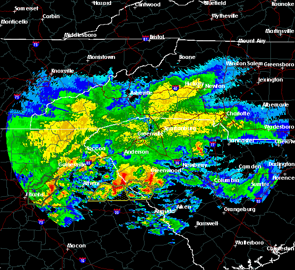 At 1202 pm edt, a severe thunderstorm was located over tignall, or 33 miles northwest of thomson, moving east at 55 mph (radar indicated). Hazards include 60 mph wind gusts and half dollar size hail. Hail damage to vehicles is expected. Expect wind damage to roofs, siding, and trees. At 1202 pm edt, a severe thunderstorm was located over tignall, or 33 miles northwest of thomson, moving east at 55 mph (radar indicated). Hazards include 60 mph wind gusts and half dollar size hail. Hail damage to vehicles is expected. Expect wind damage to roofs, siding, and trees.
|
| 4/3/2017 3:08 PM EDT |
 At 307 pm edt, severe thunderstorms were located along a line extending from near abbeville to near mitchell, moving northeast at 65 mph (radar indicated). Hazards include 70 mph wind gusts and quarter size hail. Hail damage to vehicles is expected. expect considerable tree damage. wind damage is also likely to mobile homes, roofs, and outbuildings. locations impacted include, grovetown, evans, thomson, martinez, mccormick, harlem, lincolnton, dearing, parksville, plum branch, mount carmel, modoc, willington and clarks hill. A tornado watch remains in effect until 900 pm edt for east central georgia, and central south carolina. At 307 pm edt, severe thunderstorms were located along a line extending from near abbeville to near mitchell, moving northeast at 65 mph (radar indicated). Hazards include 70 mph wind gusts and quarter size hail. Hail damage to vehicles is expected. expect considerable tree damage. wind damage is also likely to mobile homes, roofs, and outbuildings. locations impacted include, grovetown, evans, thomson, martinez, mccormick, harlem, lincolnton, dearing, parksville, plum branch, mount carmel, modoc, willington and clarks hill. A tornado watch remains in effect until 900 pm edt for east central georgia, and central south carolina.
|
| 4/3/2017 2:47 PM EDT |
 The national weather service in columbia has issued a * severe thunderstorm warning for. columbia county in east central georgia. mcduffie county in east central georgia. lincoln county in east central georgia. Mccormick county in central south carolina. The national weather service in columbia has issued a * severe thunderstorm warning for. columbia county in east central georgia. mcduffie county in east central georgia. lincoln county in east central georgia. Mccormick county in central south carolina.
|
| 4/3/2017 2:47 PM EDT |
 At 247 pm edt, severe thunderstorms were located along a line extending from near lake secession to 8 miles southwest of warrenton, moving east at 50 mph (radar indicated). Hazards include 60 mph wind gusts and quarter size hail. Hail damage to vehicles is expected. Expect wind damage to roofs, siding, and trees. At 247 pm edt, severe thunderstorms were located along a line extending from near lake secession to 8 miles southwest of warrenton, moving east at 50 mph (radar indicated). Hazards include 60 mph wind gusts and quarter size hail. Hail damage to vehicles is expected. Expect wind damage to roofs, siding, and trees.
|
| 3/21/2017 10:23 PM EDT |
 At 1022 pm edt, severe thunderstorms were located along a line extending from 7 miles east of lake strom thurmond to 10 miles southeast of lincolnton, moving east at 55 mph (radar indicated). Hazards include 60 mph wind gusts. Expect damage to roofs, siding, and trees. Locations impacted include, edgefield, mccormick, lincolnton, parksville, plum branch, willington, mount carmel and modoc. At 1022 pm edt, severe thunderstorms were located along a line extending from 7 miles east of lake strom thurmond to 10 miles southeast of lincolnton, moving east at 55 mph (radar indicated). Hazards include 60 mph wind gusts. Expect damage to roofs, siding, and trees. Locations impacted include, edgefield, mccormick, lincolnton, parksville, plum branch, willington, mount carmel and modoc.
|
| 3/21/2017 10:23 PM EDT |
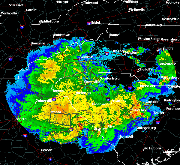 At 1022 pm edt, severe thunderstorms were located along a line extending from 7 miles east of lake strom thurmond to 10 miles southeast of lincolnton, moving east at 55 mph (radar indicated). Hazards include 60 mph wind gusts. Expect damage to roofs, siding, and trees. Locations impacted include, edgefield, mccormick, lincolnton, parksville, plum branch, willington, mount carmel and modoc. At 1022 pm edt, severe thunderstorms were located along a line extending from 7 miles east of lake strom thurmond to 10 miles southeast of lincolnton, moving east at 55 mph (radar indicated). Hazards include 60 mph wind gusts. Expect damage to roofs, siding, and trees. Locations impacted include, edgefield, mccormick, lincolnton, parksville, plum branch, willington, mount carmel and modoc.
|
| 3/21/2017 10:05 PM EDT |
 At 1005 pm edt, severe thunderstorms were located along a line extending from near lake strom thurmond to 7 miles southeast of washington, moving east at 60 mph (radar indicated). Hazards include 60 mph wind gusts. expect damage to roofs, siding, and trees At 1005 pm edt, severe thunderstorms were located along a line extending from near lake strom thurmond to 7 miles southeast of washington, moving east at 60 mph (radar indicated). Hazards include 60 mph wind gusts. expect damage to roofs, siding, and trees
|
| 7/10/2016 6:47 PM EDT |
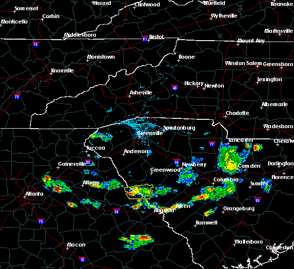 At 647 pm edt, a severe thunderstorm was located near lincolnton, or 17 miles northeast of washington, moving east at 5 mph (radar indicated). Hazards include 60 mph wind gusts. Expect damage to roofs. siding. and trees. Locations impacted include, lake strom thurmond, mccormick, lincolnton, parksville, plum branch, willington and modoc. At 647 pm edt, a severe thunderstorm was located near lincolnton, or 17 miles northeast of washington, moving east at 5 mph (radar indicated). Hazards include 60 mph wind gusts. Expect damage to roofs. siding. and trees. Locations impacted include, lake strom thurmond, mccormick, lincolnton, parksville, plum branch, willington and modoc.
|
| 7/10/2016 6:27 PM EDT |
 At 627 pm edt, a severe thunderstorm was located near lincolnton, or 16 miles northeast of washington, moving east at 15 mph (radar indicated). Hazards include 60 mph wind gusts. Expect damage to roofs. siding. And trees. At 627 pm edt, a severe thunderstorm was located near lincolnton, or 16 miles northeast of washington, moving east at 15 mph (radar indicated). Hazards include 60 mph wind gusts. Expect damage to roofs. siding. And trees.
|
| 7/6/2016 1:59 PM EDT | Reported that a tree fell down on a power line in a yard along gartrell road. the line sparked and the fire department is on scene. in mccormick county SC, 4.3 miles NNW of Willington, SC |
| 7/6/2016 1:40 PM EDT |
 At 138 pm edt, radar indicate thunderstorms will affect much of mccormick and lincoln counties, especially northern sections. storm movement was east near 30 mph. some of the storms will contain wind of 40 to 60 mph (radar indicated). Hazards include 60 mph wind gusts. Expect damage to roofs. siding. And trees. At 138 pm edt, radar indicate thunderstorms will affect much of mccormick and lincoln counties, especially northern sections. storm movement was east near 30 mph. some of the storms will contain wind of 40 to 60 mph (radar indicated). Hazards include 60 mph wind gusts. Expect damage to roofs. siding. And trees.
|
| 6/3/2016 12:04 AM EDT |
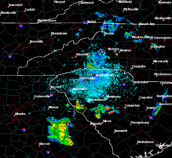 At 1201 am edt, a severe thunderstorm was located near lake strom thurmond, or 13 miles southwest of abbeville, moving southeast at 15 mph (radar indicated). Hazards include 60 mph wind gusts and quarter size hail. Hail damage to vehicles is expected. expect wind damage to roofs, siding, and trees. Locations impacted include, mccormick, lake strom thurmond, bobby brown state park, willington and mount carmel. At 1201 am edt, a severe thunderstorm was located near lake strom thurmond, or 13 miles southwest of abbeville, moving southeast at 15 mph (radar indicated). Hazards include 60 mph wind gusts and quarter size hail. Hail damage to vehicles is expected. expect wind damage to roofs, siding, and trees. Locations impacted include, mccormick, lake strom thurmond, bobby brown state park, willington and mount carmel.
|
| 6/2/2016 11:48 PM EDT |
 At 1147 pm edt, a severe thunderstorm was located near lake strom thurmond, or 13 miles southwest of abbeville, moving southeast at 15 mph (radar indicated). Hazards include 60 mph wind gusts and quarter size hail. Hail damage to vehicles is expected. Expect wind damage to roofs, siding, and trees. At 1147 pm edt, a severe thunderstorm was located near lake strom thurmond, or 13 miles southwest of abbeville, moving southeast at 15 mph (radar indicated). Hazards include 60 mph wind gusts and quarter size hail. Hail damage to vehicles is expected. Expect wind damage to roofs, siding, and trees.
|
| 8/6/2015 4:06 PM EDT |
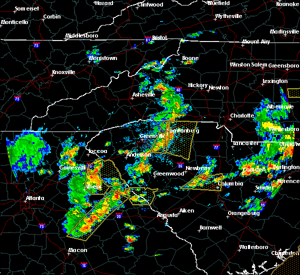 At 406 pm edt, doppler radar indicated a line of severe thunderstorms capable of producing damaging winds in excess of 60 mph. these storms were located along a line extending from near lake strom thurmond to near siloam, and moving east at 25 mph. At 406 pm edt, doppler radar indicated a line of severe thunderstorms capable of producing damaging winds in excess of 60 mph. these storms were located along a line extending from near lake strom thurmond to near siloam, and moving east at 25 mph.
|
| 7/14/2015 8:09 PM EDT |
 At 806 pm edt, doppler radar indicated a line of severe thunderstorms capable of producing damaging winds in excess of 60 mph. these storms were located along a line extending from near anderson south carolina to near danielsville georgia, and moving southeast at 35 mph. At 806 pm edt, doppler radar indicated a line of severe thunderstorms capable of producing damaging winds in excess of 60 mph. these storms were located along a line extending from near anderson south carolina to near danielsville georgia, and moving southeast at 35 mph.
|
| 4/20/2015 9:13 PM EDT | At 910 pm edt, national weather service doppler radar indicated a severe thunderstorm capable of producing quarter size hail, and damaging winds in excess of 60 mph. this storm was located 12 miles northwest of mccormick, or 12 miles south of abbeville, and moving east at 40 mph. * some communities in the warning area include mccormick. |
| 6/18/2013 7:21 PM EDT | Dispatch reported trees down on huguenot pkwy at jacque circle and on hwy 28 n at taylor cree in mccormick county SC, 4.9 miles NW of Willington, SC |
| 1/30/2013 6:52 PM EST | Several trees down on foster rd in mccormick county SC, 2.8 miles SW of Willington, SC |
| 5/17/2012 3:32 PM EDT | Sheriff dispatch reported trees down along highway 79 near tabernacle church roa in lincoln county GA, 7.1 miles NE of Willington, SC |
| 1/1/0001 12:00 AM | Trees down on powerline in mccormick county SC, 3.3 miles WSW of Willington, SC |
| 1/1/0001 12:00 AM | County emerg services reports trees down on morrah bridge roa in mccormick county SC, 3.8 miles WSW of Willington, SC |
Hail Maps for Willington, SC


Connect with Interactive Hail Maps