

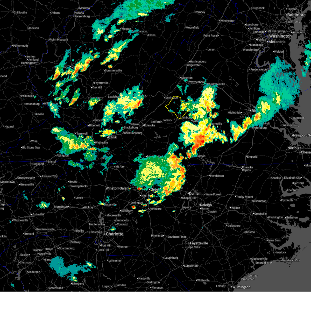
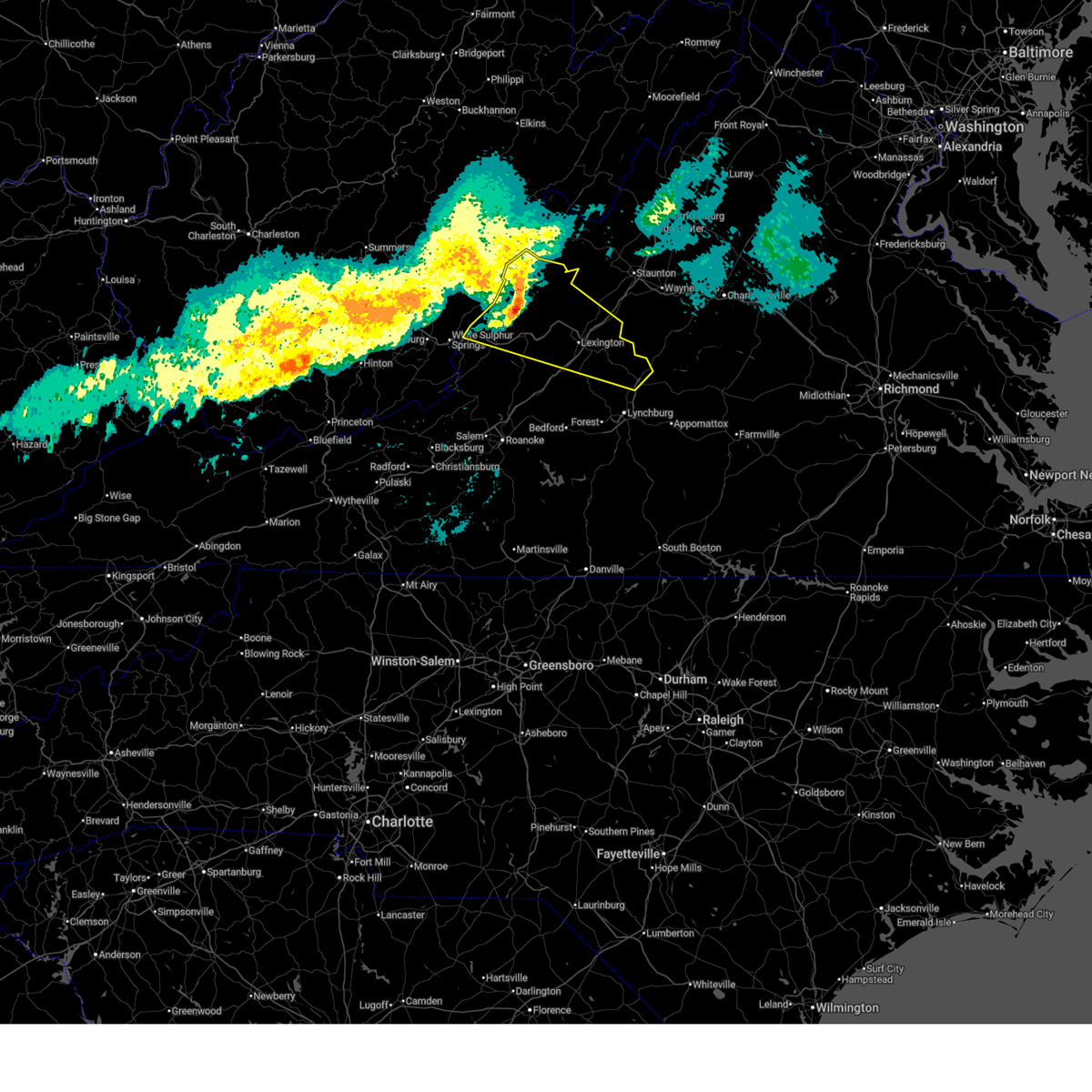
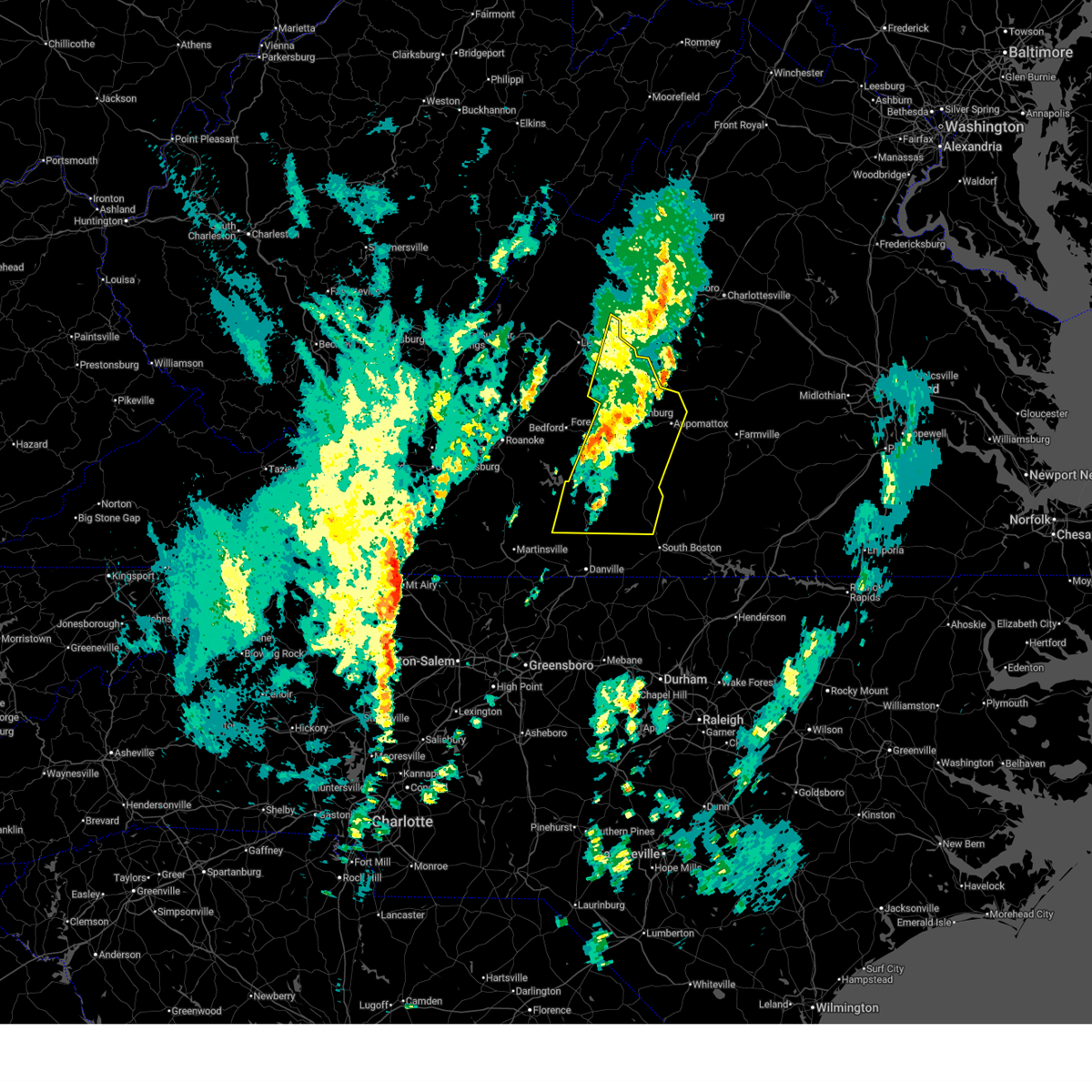
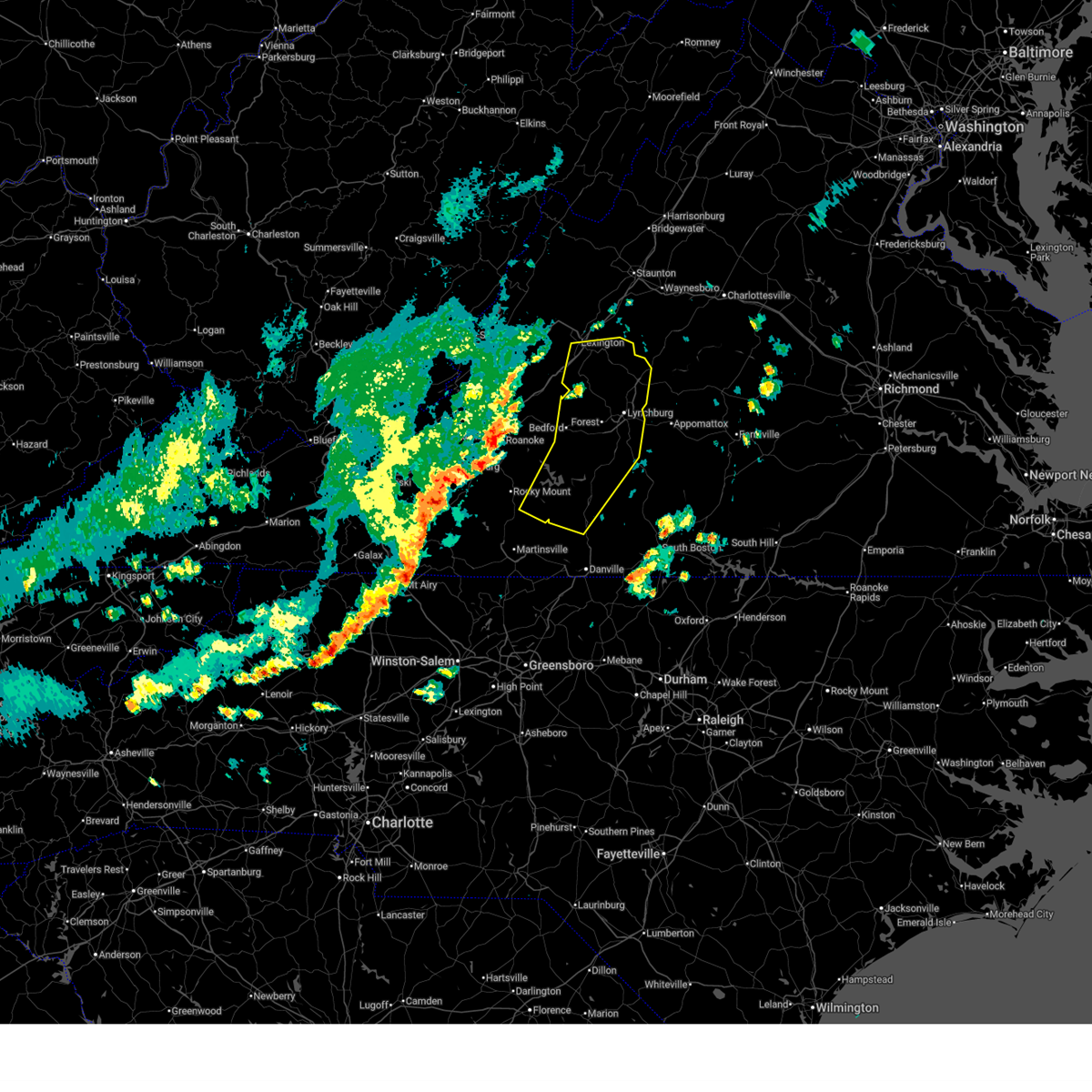
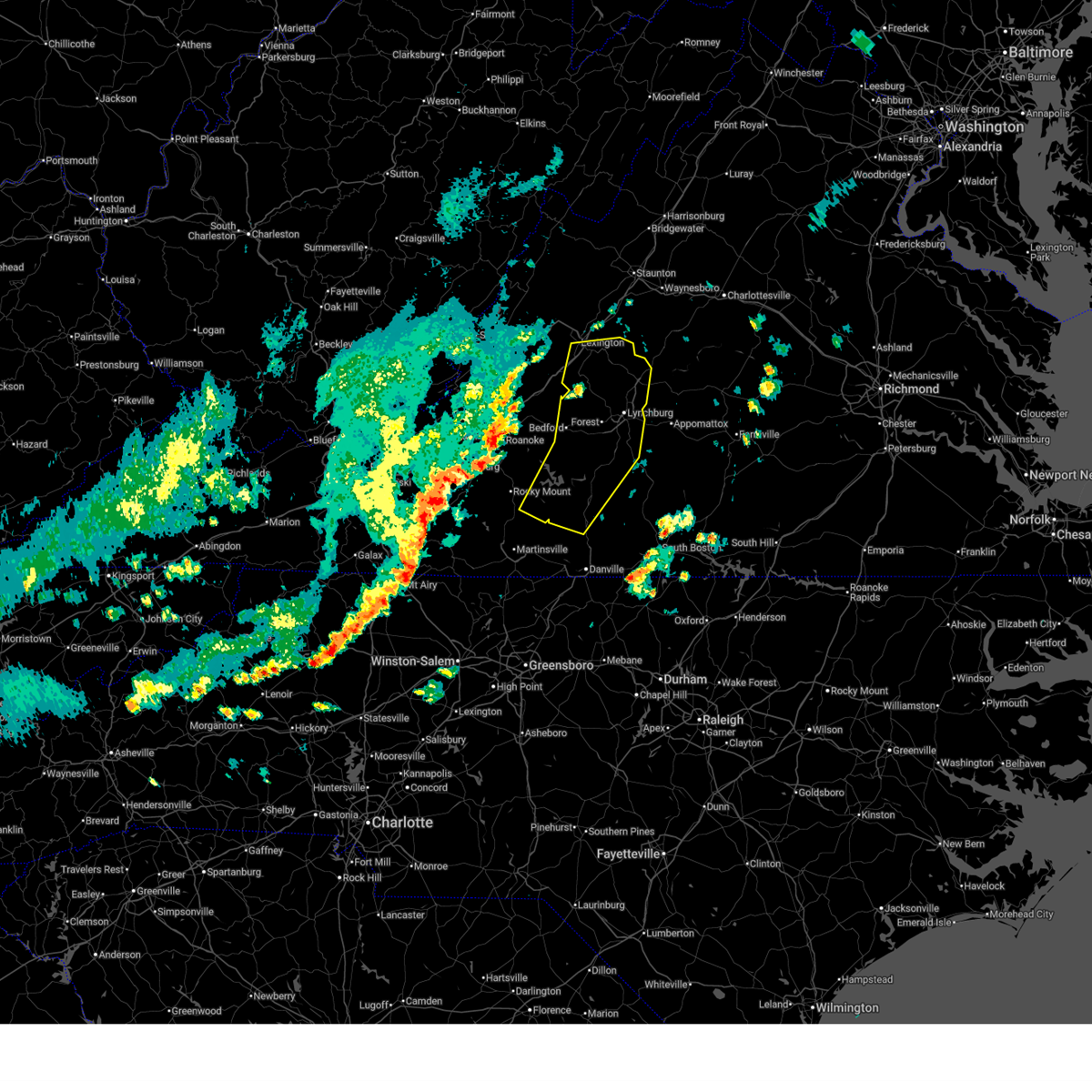
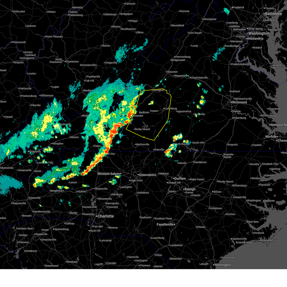
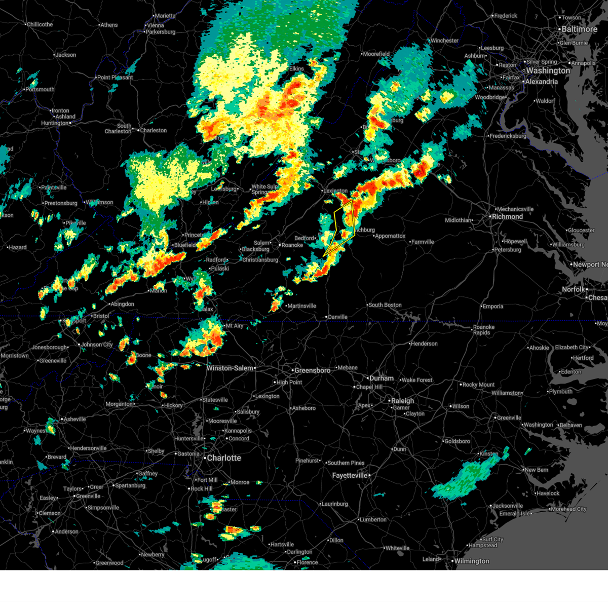
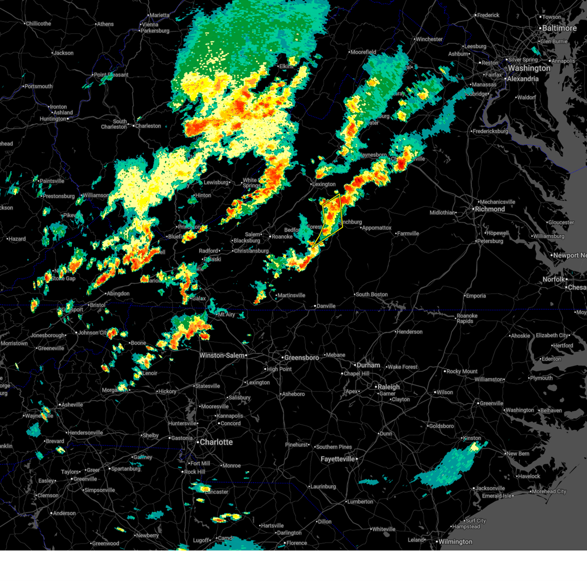
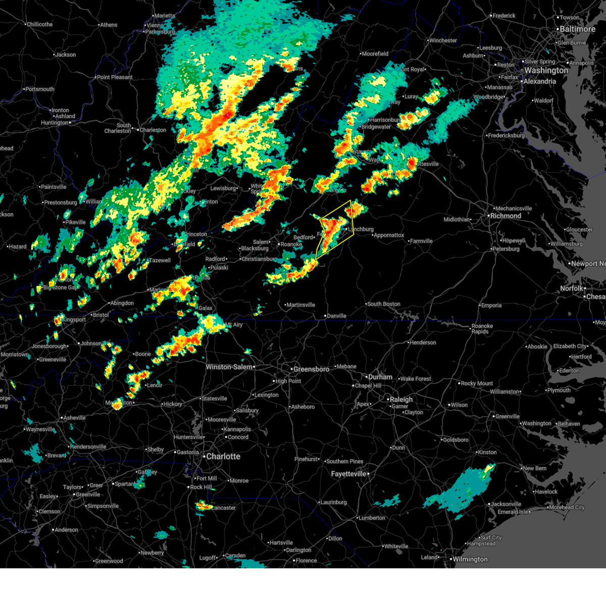
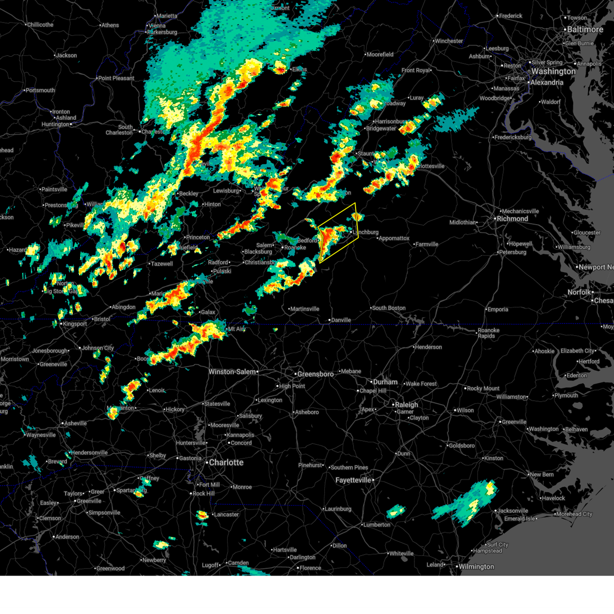
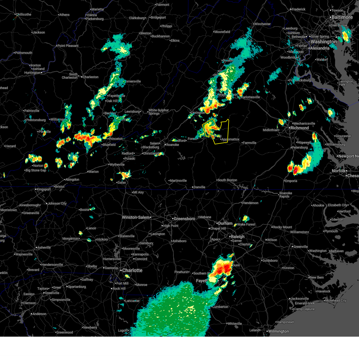
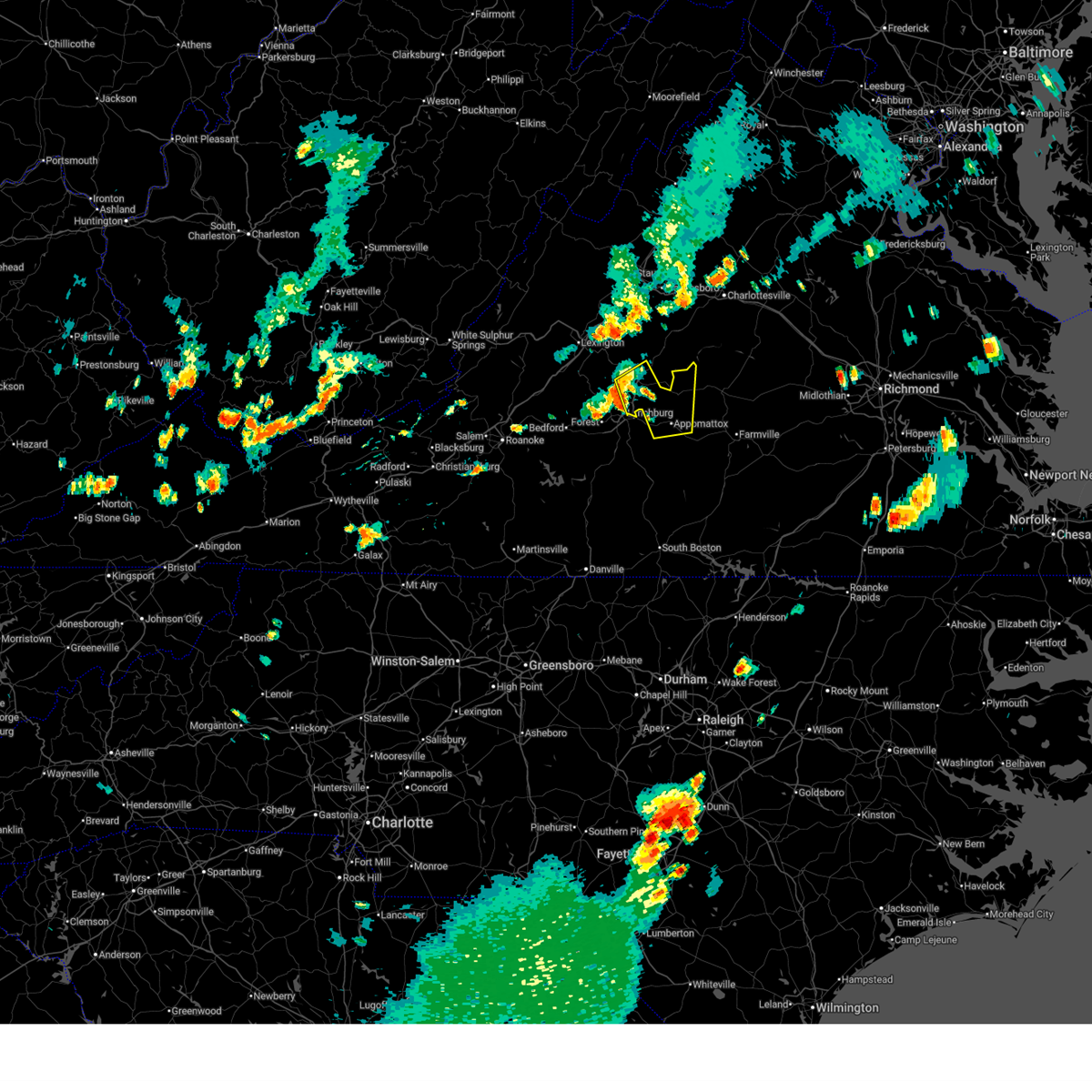
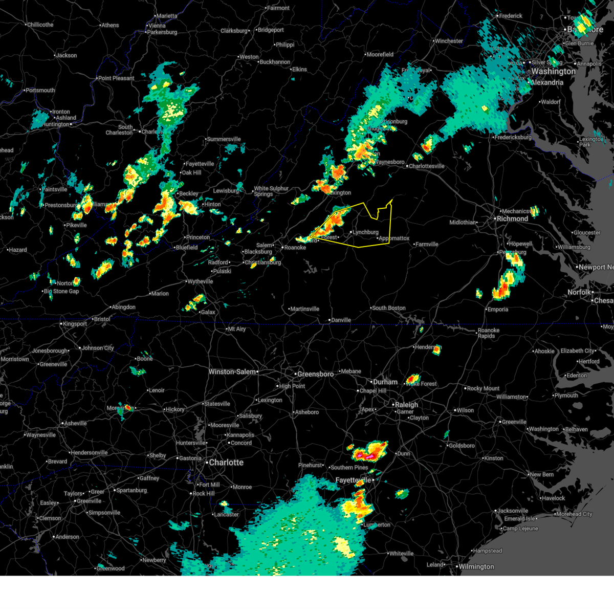
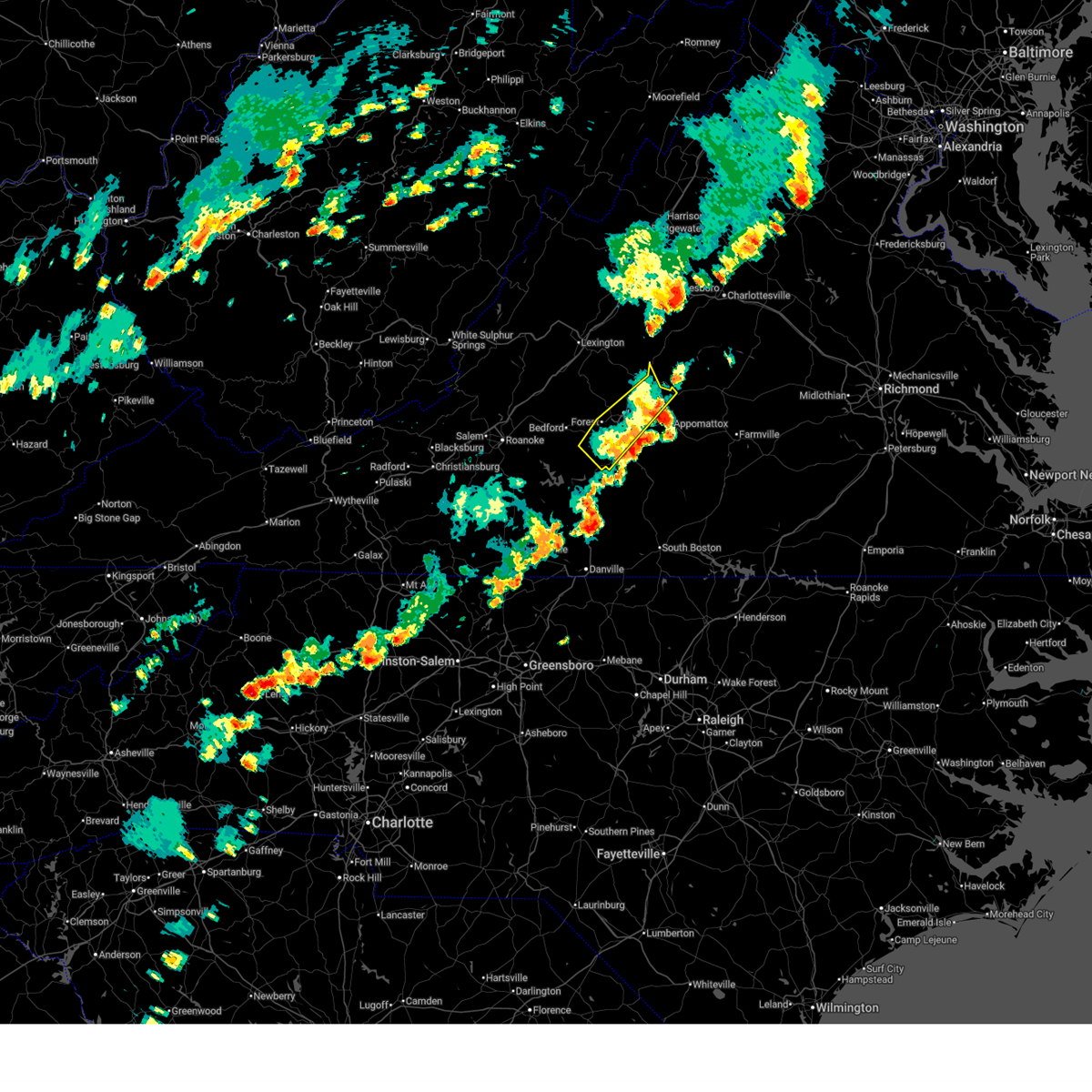
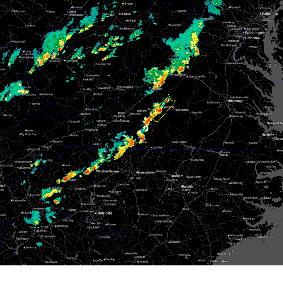
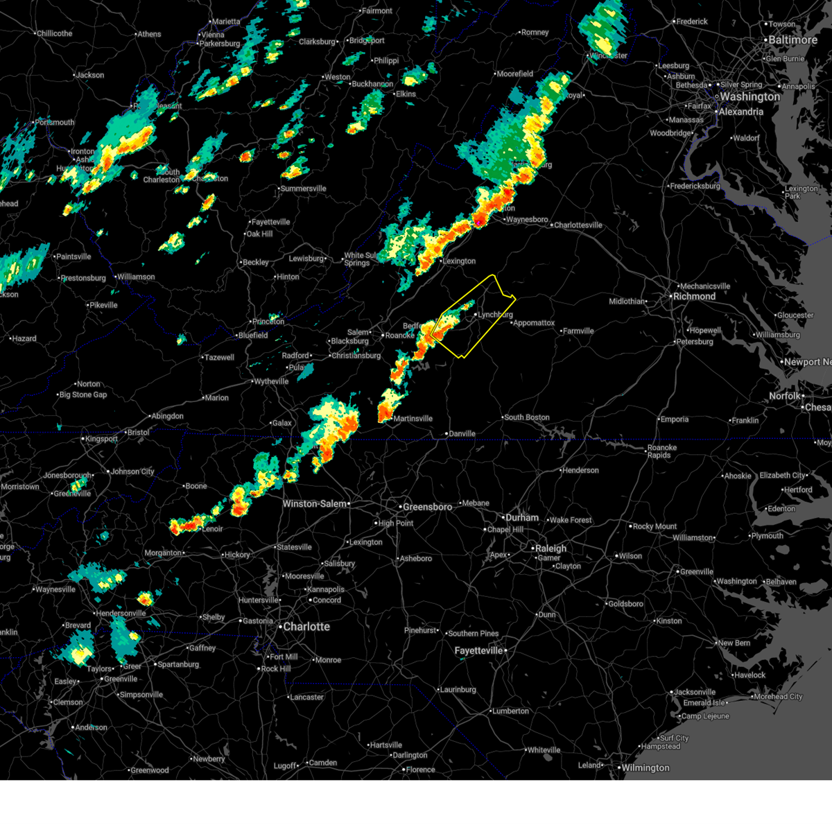
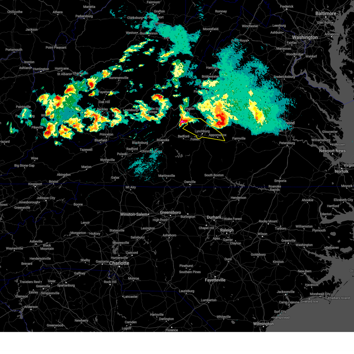
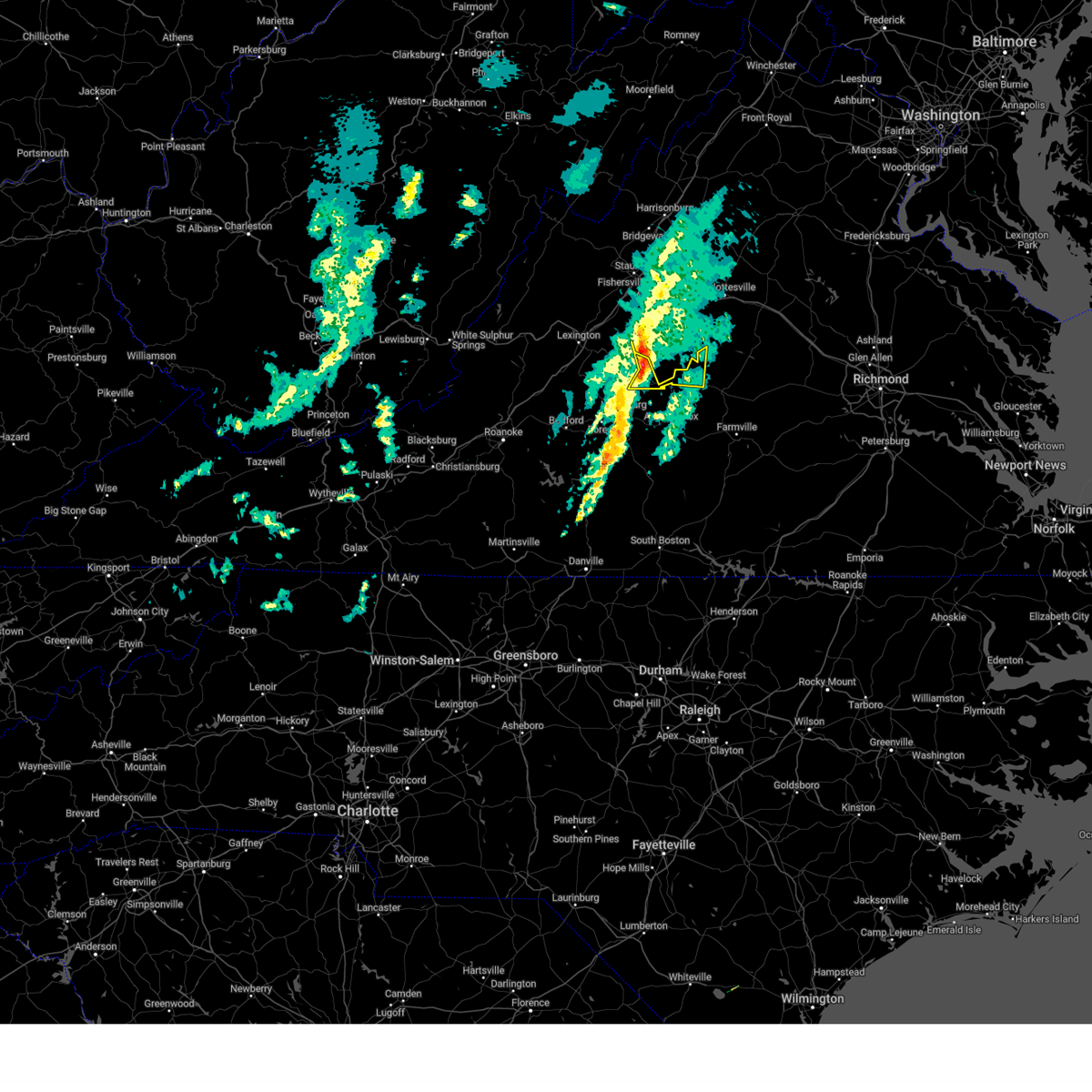
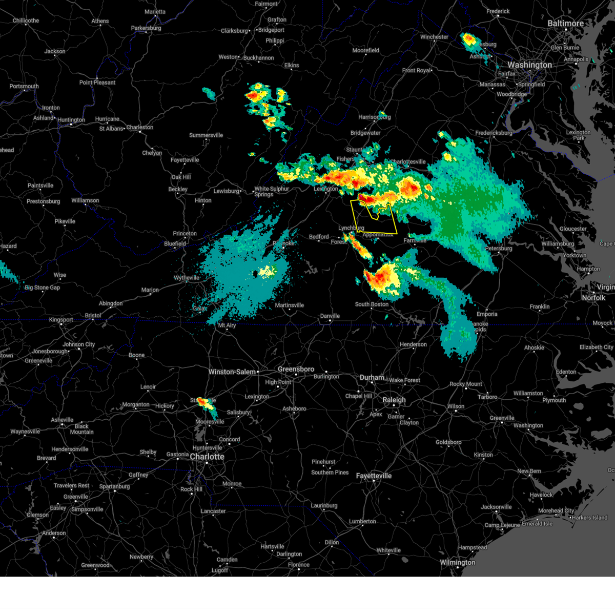
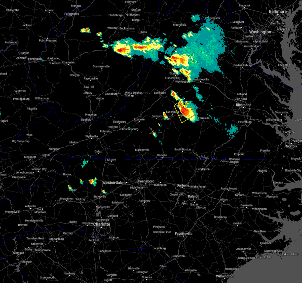
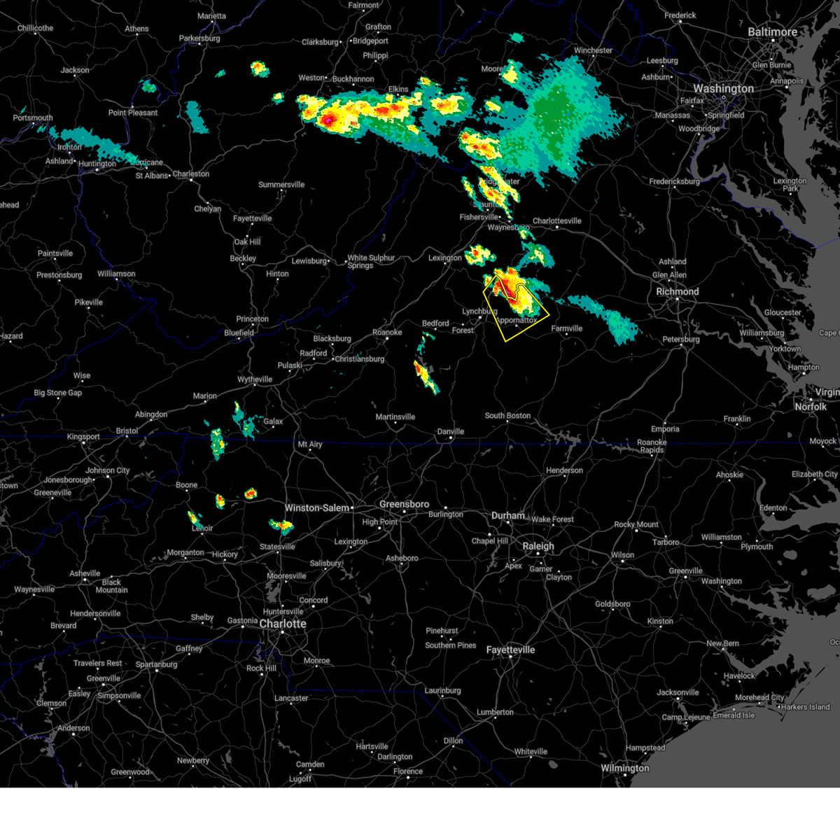
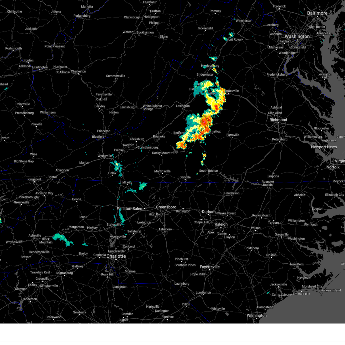
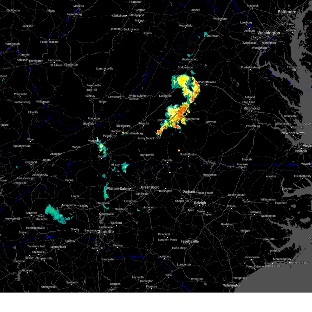
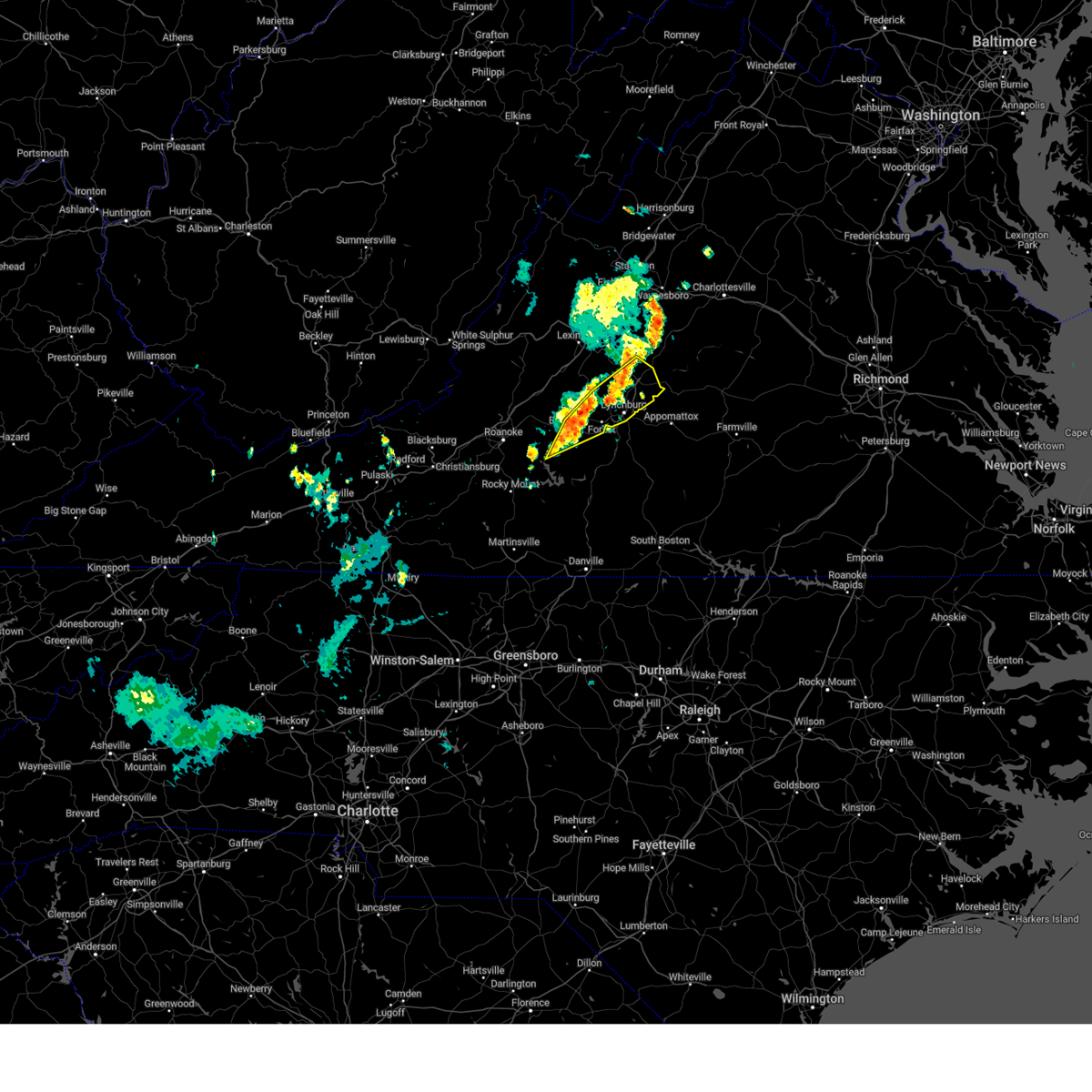
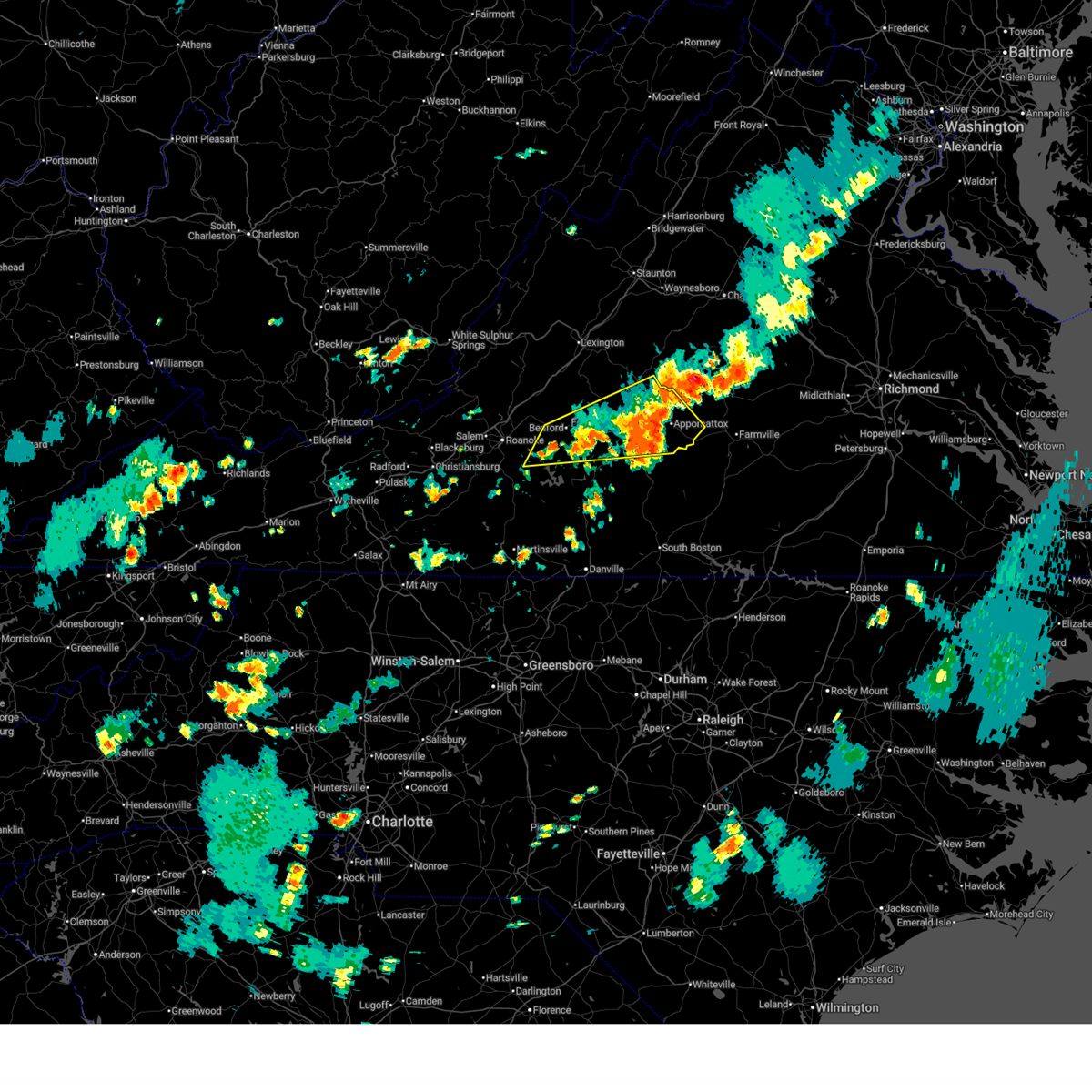
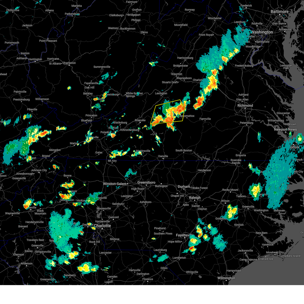
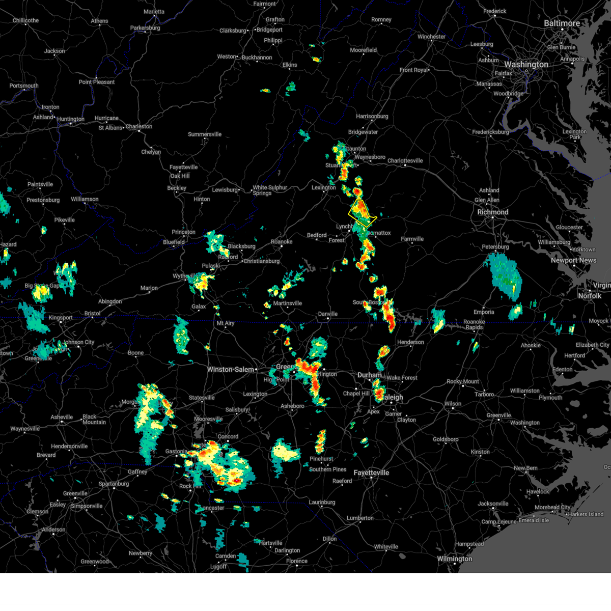
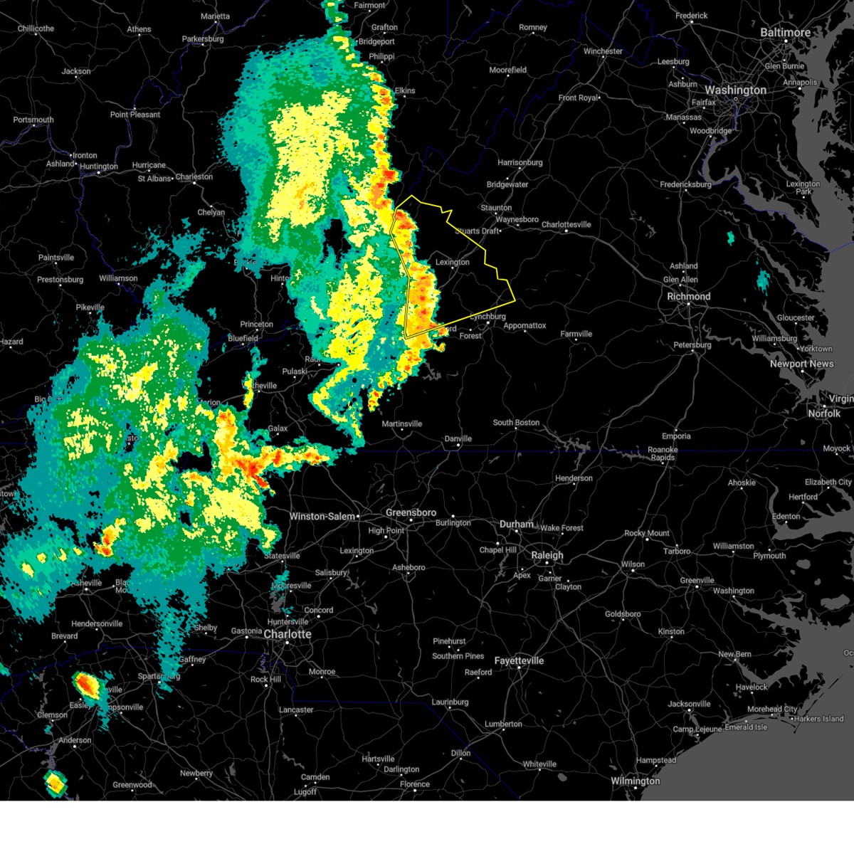
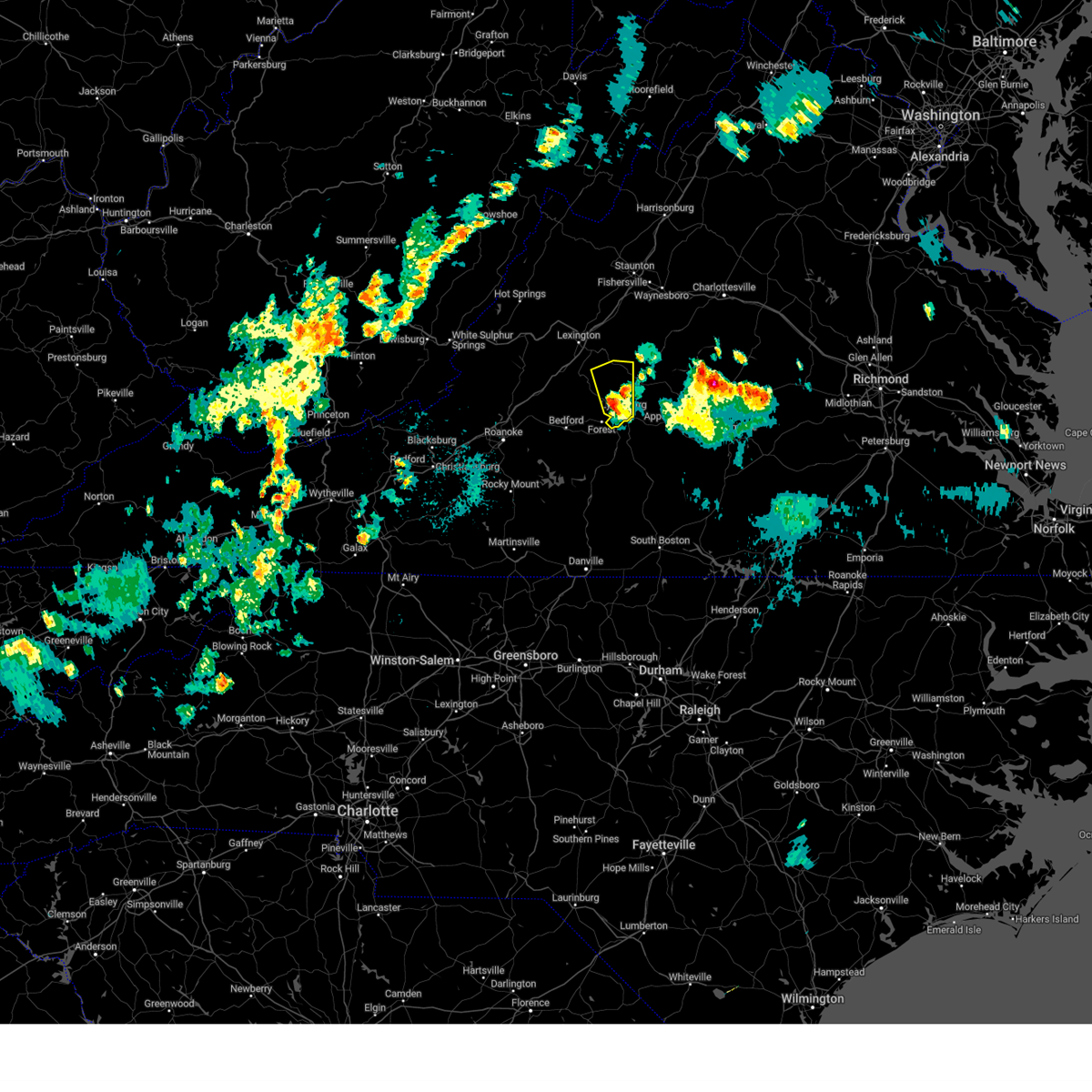
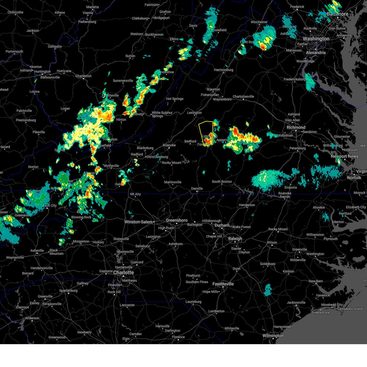
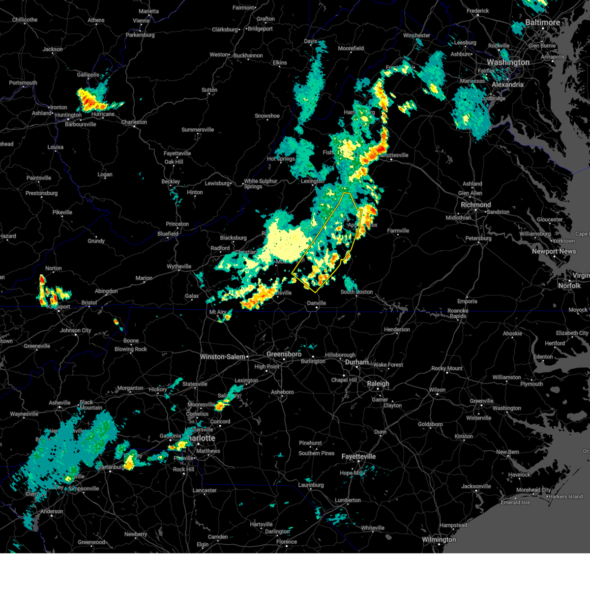
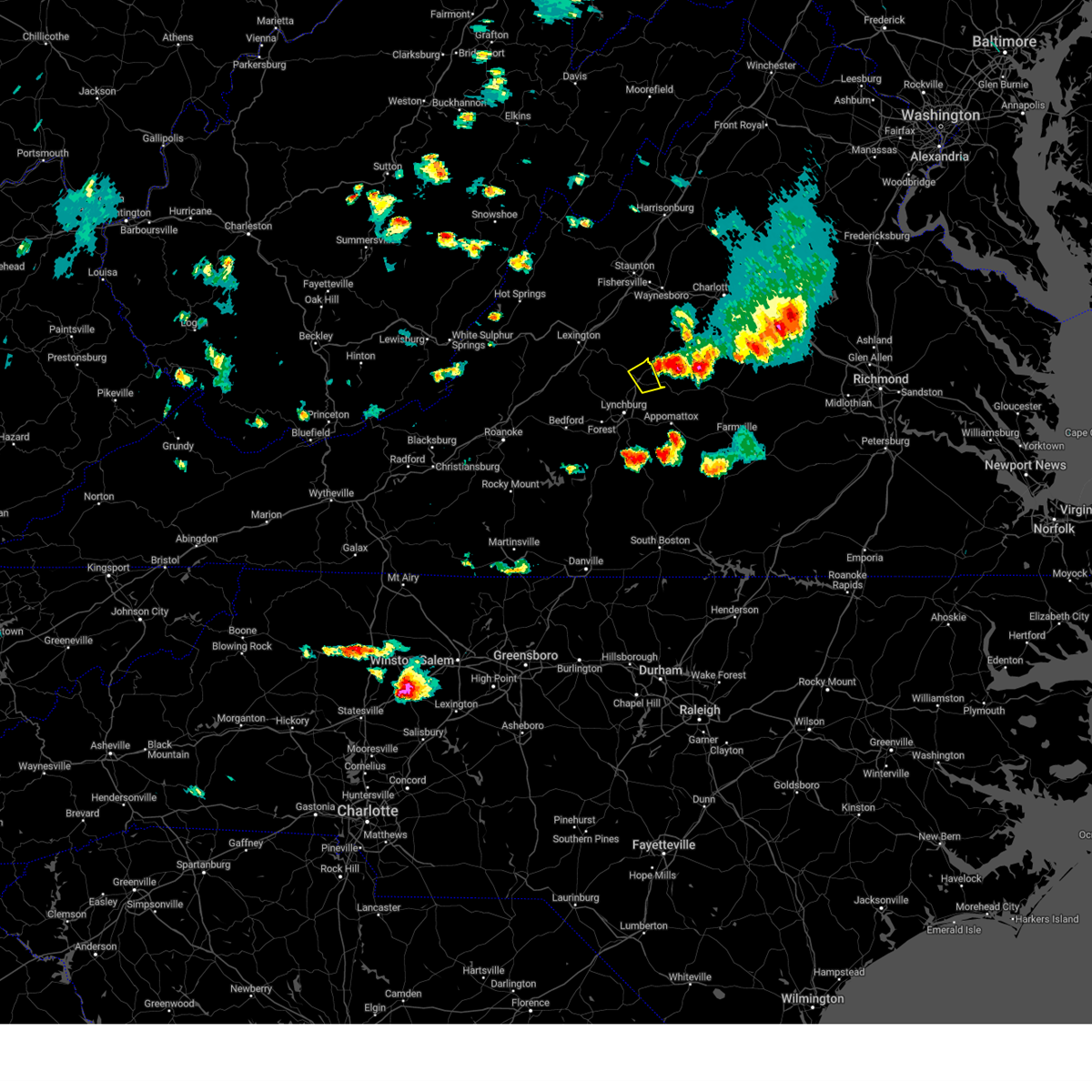
Hail Map for Amherst, VA
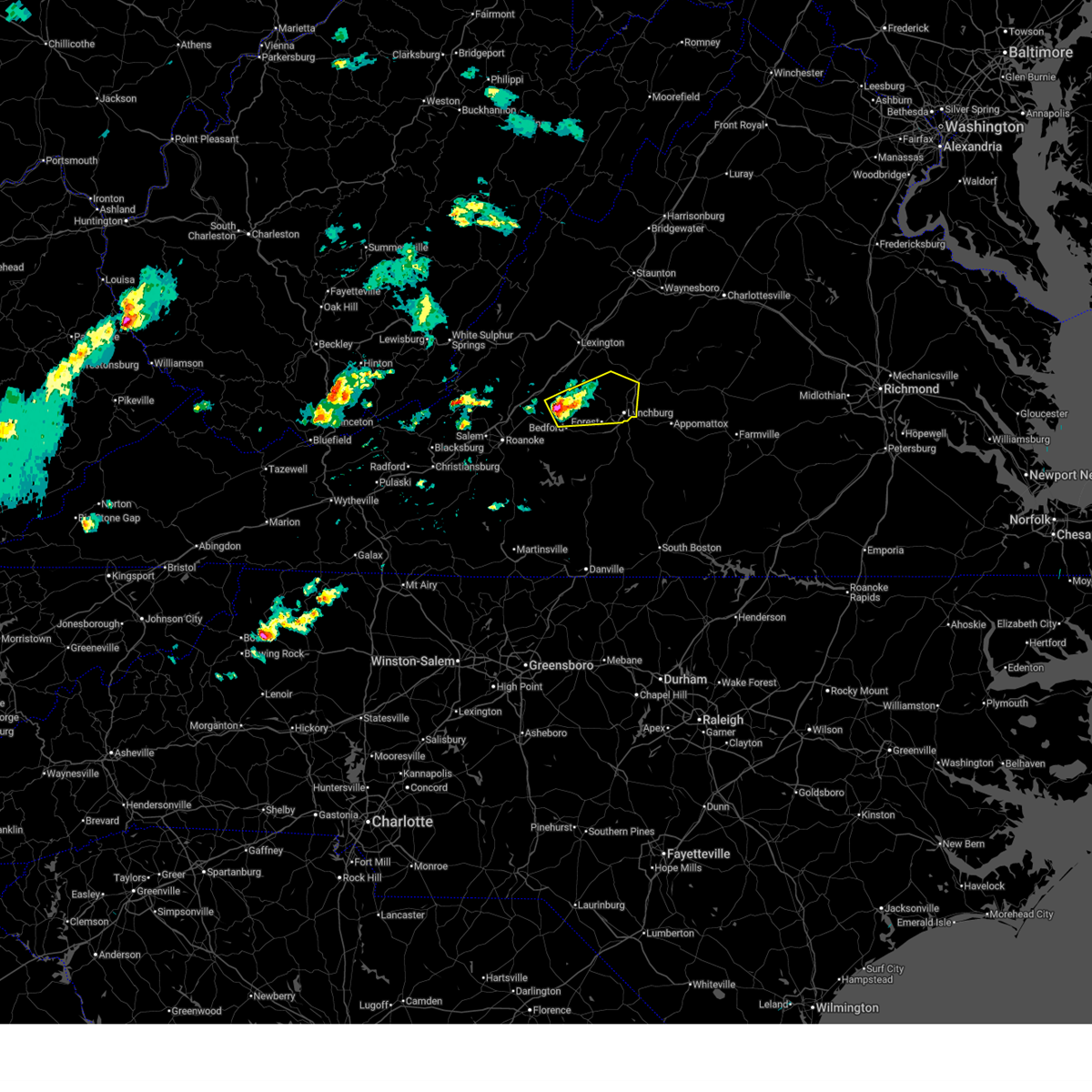
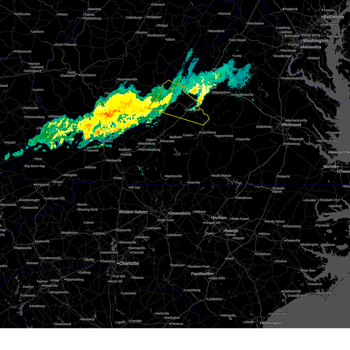
The Amherst, VA area has had 13 reports of on-the-ground hail by trained spotters, and has been under severe weather warnings 34 times during the past 12 months. Doppler radar has detected hail at or near Amherst, VA on 30 occasions, including 1 occasion during the past year.
| Name: | Amherst, VA |
| Where Located: | 53.9 miles ENE of Roanoke, VA |
| Map: | Google Map for Amherst, VA |
| Population: | 2231 |
| Housing Units: | 1032 |
| More Info: | Search Google for Amherst, VA |
1
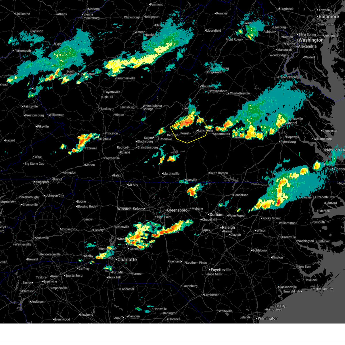
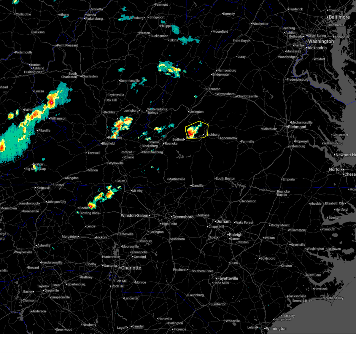
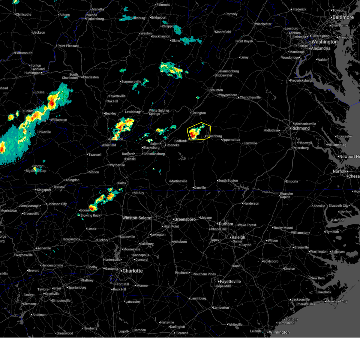
The Top Recent Hail Date for Amherst, VA is Wednesday, May 27, 2026 (12th out of 30)

Hail and Wind Damage Spotted near Amherst, VA
| Date / Time | Report Details |
|---|---|
| 6/22/2026 7:51 PM EDT |
 The storm which prompted the warning has weakened below severe limits, and no longer poses an immediate threat to life or property. therefore, the warning will be allowed to expire. a severe thunderstorm watch remains in effect until 900 pm edt for central, south central and west central virginia. a severe thunderstorm watch also remains in effect until 1100 pm edt for south central virginia. The storm which prompted the warning has weakened below severe limits, and no longer poses an immediate threat to life or property. therefore, the warning will be allowed to expire. a severe thunderstorm watch remains in effect until 900 pm edt for central, south central and west central virginia. a severe thunderstorm watch also remains in effect until 1100 pm edt for south central virginia.
|
| 6/22/2026 7:43 PM EDT |
 At 743 pm edt, a severe thunderstorm was located near riverville, or near amherst, moving east at 30 mph (radar indicated). Hazards include 60 mph wind gusts. Expect damage to roofs, siding, and trees. Locations impacted include, amherst, forks of buffalo, clifford, madison heights, naola, pleasant view, and falconerville. At 743 pm edt, a severe thunderstorm was located near riverville, or near amherst, moving east at 30 mph (radar indicated). Hazards include 60 mph wind gusts. Expect damage to roofs, siding, and trees. Locations impacted include, amherst, forks of buffalo, clifford, madison heights, naola, pleasant view, and falconerville.
|
| 6/22/2026 7:21 PM EDT |
 At 720 pm edt, a severe thunderstorm was located near madison heights, or near lynchburg, moving east at 30 mph (radar indicated). Hazards include 60 mph wind gusts. Expect damage to roofs, siding, and trees. Locations impacted include, lynchburg, amherst, forks of buffalo, clifford, rustburg, madison heights, and naola. At 720 pm edt, a severe thunderstorm was located near madison heights, or near lynchburg, moving east at 30 mph (radar indicated). Hazards include 60 mph wind gusts. Expect damage to roofs, siding, and trees. Locations impacted include, lynchburg, amherst, forks of buffalo, clifford, rustburg, madison heights, and naola.
|
| 6/22/2026 7:10 PM EDT | 911 call center reported a tree down at the 1400 block of riverville road in amherst county virgini in amherst county VA, 7.3 miles WNW of Amherst, VA |
| 6/22/2026 7:08 PM EDT | 911 call center reported a tree down at the intersection of lexington turnpike and lowesville road in amherst county virgini in amherst county VA, 5.3 miles SE of Amherst, VA |
| 6/22/2026 6:37 PM EDT |
 Svrrnk the national weather service in blacksburg has issued a * severe thunderstorm warning for, the city of buena vista in west central virginia, the city of lexington in west central virginia, central rockbridge county in west central virginia, northwestern campbell county in central virginia, northern bedford county in south central virginia, east central botetourt county in west central virginia, amherst county in central virginia, the city of lynchburg in central virginia, * until 800 pm edt. * at 637 pm edt, a severe thunderstorm was located near peaks of otter summit, or near bedford, moving east at 30 mph (radar indicated). Hazards include 60 mph wind gusts. expect damage to roofs, siding, and trees Svrrnk the national weather service in blacksburg has issued a * severe thunderstorm warning for, the city of buena vista in west central virginia, the city of lexington in west central virginia, central rockbridge county in west central virginia, northwestern campbell county in central virginia, northern bedford county in south central virginia, east central botetourt county in west central virginia, amherst county in central virginia, the city of lynchburg in central virginia, * until 800 pm edt. * at 637 pm edt, a severe thunderstorm was located near peaks of otter summit, or near bedford, moving east at 30 mph (radar indicated). Hazards include 60 mph wind gusts. expect damage to roofs, siding, and trees
|
| 5/27/2026 7:37 PM EDT |
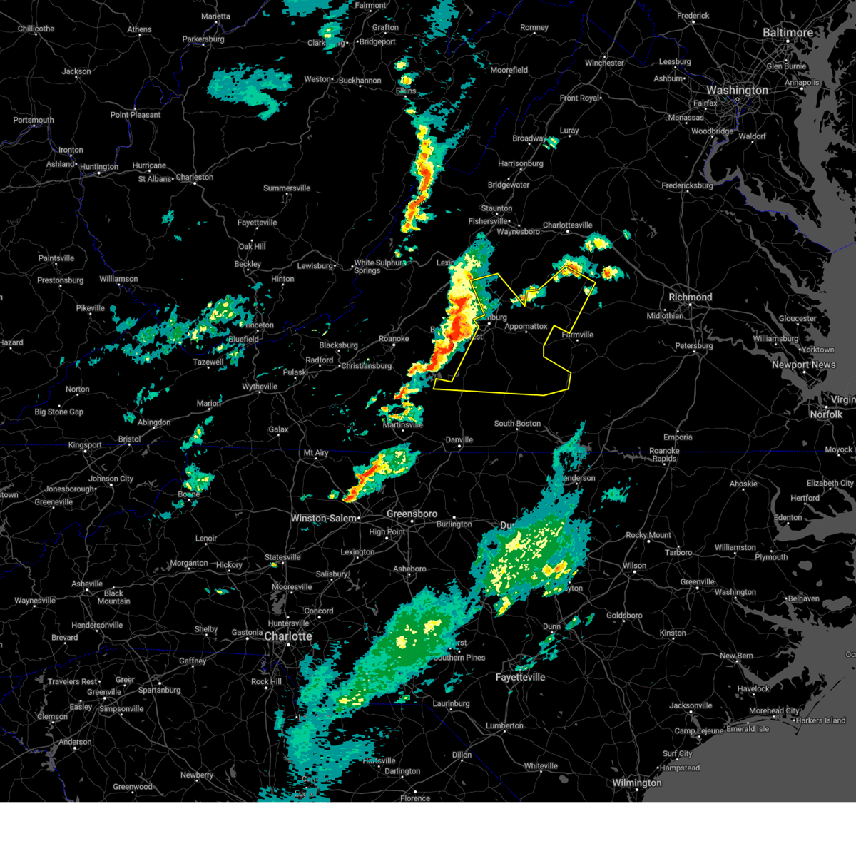
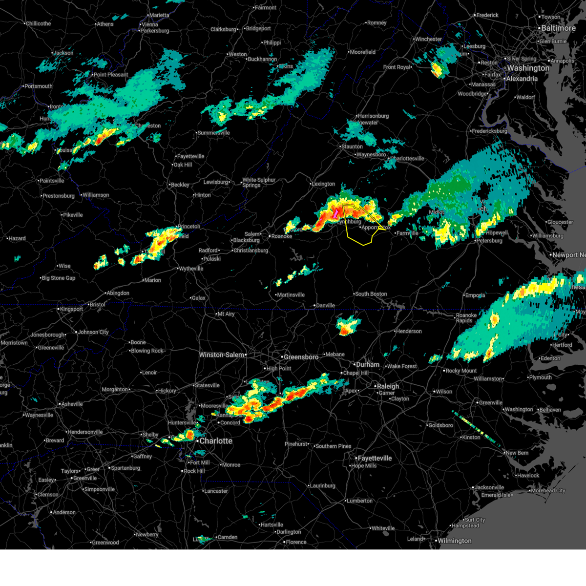 Svrrnk the national weather service in blacksburg has issued a * severe thunderstorm warning for, appomattox county in central virginia, north central charlotte county in south central virginia, northeastern campbell county in central virginia, southwestern buckingham county in central virginia, southeastern amherst county in central virginia, * until 845 pm edt. * at 737 pm edt, a severe thunderstorm was located over oakville, or near bent creek, moving east at 10 mph (radar indicated). Hazards include 60 mph wind gusts and quarter size hail. Hail damage to vehicles is expected. Expect wind damage to roofs, siding, and trees. Svrrnk the national weather service in blacksburg has issued a * severe thunderstorm warning for, appomattox county in central virginia, north central charlotte county in south central virginia, northeastern campbell county in central virginia, southwestern buckingham county in central virginia, southeastern amherst county in central virginia, * until 845 pm edt. * at 737 pm edt, a severe thunderstorm was located over oakville, or near bent creek, moving east at 10 mph (radar indicated). Hazards include 60 mph wind gusts and quarter size hail. Hail damage to vehicles is expected. Expect wind damage to roofs, siding, and trees.
|
| 5/27/2026 7:18 PM EDT |
 At 718 pm edt, severe thunderstorms were located along a line extending from near pleasant view to near sedalia to peaks of otter recreation area, moving southeast at 25 mph (radar indicated). Hazards include 60 mph wind gusts and half dollar size hail. Hail damage to vehicles is expected. expect wind damage to roofs, siding, and trees. Locations impacted include, lynchburg, bedford, amherst, concord, big island, forest, and evington. At 718 pm edt, severe thunderstorms were located along a line extending from near pleasant view to near sedalia to peaks of otter recreation area, moving southeast at 25 mph (radar indicated). Hazards include 60 mph wind gusts and half dollar size hail. Hail damage to vehicles is expected. expect wind damage to roofs, siding, and trees. Locations impacted include, lynchburg, bedford, amherst, concord, big island, forest, and evington.
|
| 5/27/2026 6:12 PM EDT |
 Svrrnk the national weather service in blacksburg has issued a * severe thunderstorm warning for, appomattox county in central virginia, northeastern campbell county in central virginia, buckingham county in central virginia, southeastern amherst county in central virginia, * until 745 pm edt. * at 612 pm edt, severe thunderstorms were located along a line extending from near centenary to near bent creek to near falconerville, moving southeast at 20 mph (radar indicated). Hazards include 60 mph wind gusts. expect damage to roofs, siding, and trees Svrrnk the national weather service in blacksburg has issued a * severe thunderstorm warning for, appomattox county in central virginia, northeastern campbell county in central virginia, buckingham county in central virginia, southeastern amherst county in central virginia, * until 745 pm edt. * at 612 pm edt, severe thunderstorms were located along a line extending from near centenary to near bent creek to near falconerville, moving southeast at 20 mph (radar indicated). Hazards include 60 mph wind gusts. expect damage to roofs, siding, and trees
|
| 4/1/2026 2:42 PM EDT |
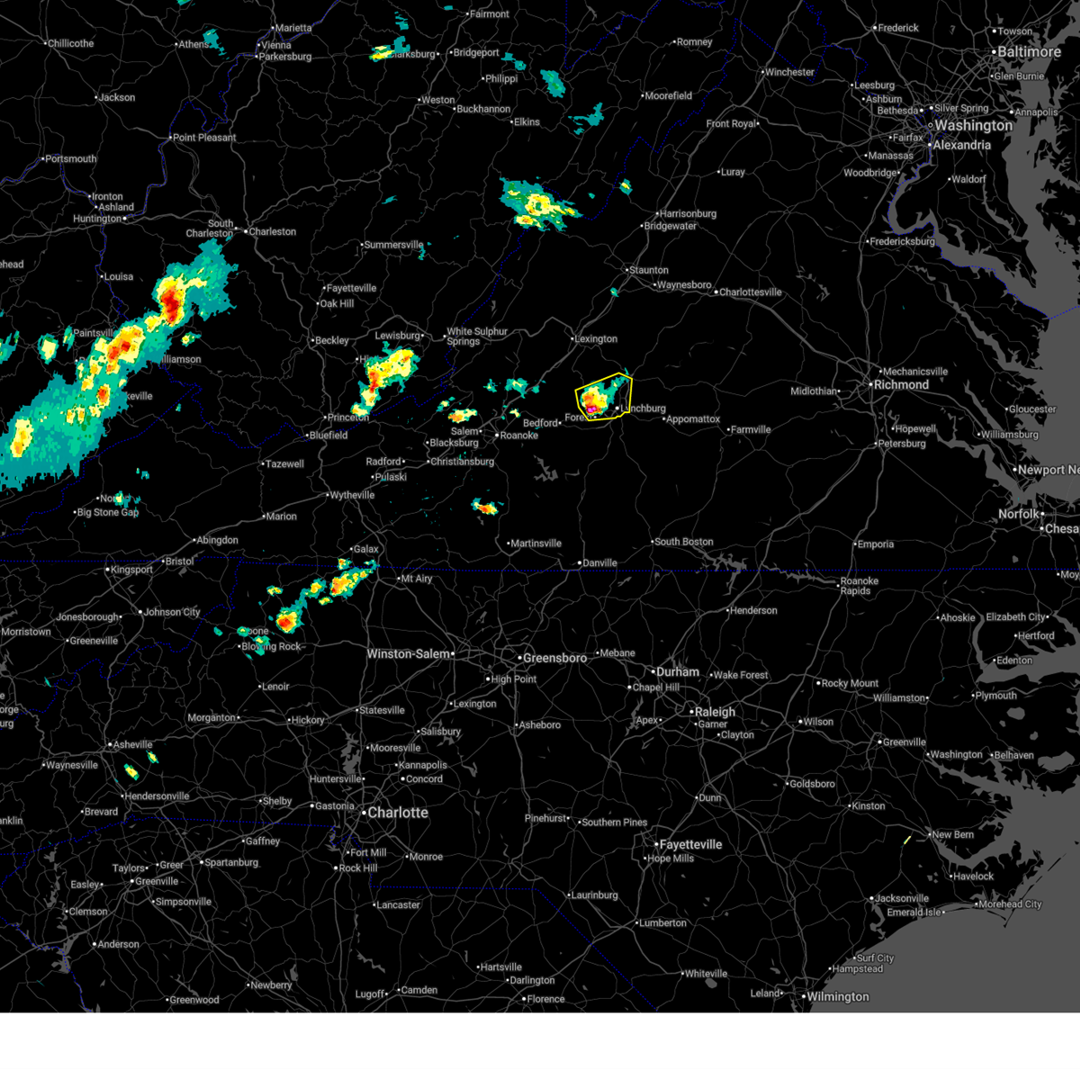 At 242 pm edt, a severe thunderstorm was located over forest, moving east at 25 mph (spotter previously reported quarter size hail). Hazards include ping pong ball size hail and 60 mph wind gusts. People and animals outdoors will be injured. expect hail damage to roofs, siding, windows, and vehicles. expect wind damage to roofs, siding, and trees. Locations impacted include, lynchburg, amherst, forest, big island, coleman falls, madison heights, and boonsboro. At 242 pm edt, a severe thunderstorm was located over forest, moving east at 25 mph (spotter previously reported quarter size hail). Hazards include ping pong ball size hail and 60 mph wind gusts. People and animals outdoors will be injured. expect hail damage to roofs, siding, windows, and vehicles. expect wind damage to roofs, siding, and trees. Locations impacted include, lynchburg, amherst, forest, big island, coleman falls, madison heights, and boonsboro.
|
| 4/1/2026 2:31 PM EDT |
 the severe thunderstorm warning has been cancelled and is no longer in effect the severe thunderstorm warning has been cancelled and is no longer in effect
|
| 4/1/2026 2:31 PM EDT |
 At 230 pm edt, a severe thunderstorm was located near goode, or near forest, moving east at 25 mph (spotter reported quarter size hail). Hazards include 60 mph wind gusts and quarter size hail. Hail damage to vehicles is expected. expect wind damage to roofs, siding, and trees. Locations impacted include, lynchburg, amherst, big island, forest, coleman falls, madison heights, and boonsboro. At 230 pm edt, a severe thunderstorm was located near goode, or near forest, moving east at 25 mph (spotter reported quarter size hail). Hazards include 60 mph wind gusts and quarter size hail. Hail damage to vehicles is expected. expect wind damage to roofs, siding, and trees. Locations impacted include, lynchburg, amherst, big island, forest, coleman falls, madison heights, and boonsboro.
|
| 4/1/2026 2:10 PM EDT |
 Svrrnk the national weather service in blacksburg has issued a * severe thunderstorm warning for, northeastern bedford county in south central virginia, east central botetourt county in west central virginia, southwestern amherst county in central virginia, the city of lynchburg in central virginia, * until 315 pm edt. * at 209 pm edt, a severe thunderstorm was located over peaks of otter summit, or 7 miles north of bedford, moving east at 25 mph (storm spotter reported quarter size hail). Hazards include 60 mph wind gusts and quarter size hail. Hail damage to vehicles is expected. Expect wind damage to roofs, siding, and trees. Svrrnk the national weather service in blacksburg has issued a * severe thunderstorm warning for, northeastern bedford county in south central virginia, east central botetourt county in west central virginia, southwestern amherst county in central virginia, the city of lynchburg in central virginia, * until 315 pm edt. * at 209 pm edt, a severe thunderstorm was located over peaks of otter summit, or 7 miles north of bedford, moving east at 25 mph (storm spotter reported quarter size hail). Hazards include 60 mph wind gusts and quarter size hail. Hail damage to vehicles is expected. Expect wind damage to roofs, siding, and trees.
|
| 3/23/2026 5:42 AM EDT |
 The storms which prompted the warning have weakened below severe limits, and no longer pose an immediate threat to life or property. therefore, the warning will be allowed to expire. however, gusty winds are still possible with these thunderstorms. The storms which prompted the warning have weakened below severe limits, and no longer pose an immediate threat to life or property. therefore, the warning will be allowed to expire. however, gusty winds are still possible with these thunderstorms.
|
| 3/23/2026 5:04 AM EDT |
 Svrrnk the national weather service in blacksburg has issued a * severe thunderstorm warning for, the city of covington in west central virginia, northern alleghany county in west central virginia, the city of buena vista in west central virginia, the city of lexington in west central virginia, rockbridge county in west central virginia, bath county in west central virginia, north central botetourt county in west central virginia, northern amherst county in central virginia, * until 545 am edt. * at 503 am edt, severe thunderstorms were located along a line extending from burnsville to ingalls field to near covington, moving east at 75 mph (radar indicated). Hazards include 60 mph wind gusts. expect damage to roofs, siding, and trees Svrrnk the national weather service in blacksburg has issued a * severe thunderstorm warning for, the city of covington in west central virginia, northern alleghany county in west central virginia, the city of buena vista in west central virginia, the city of lexington in west central virginia, rockbridge county in west central virginia, bath county in west central virginia, north central botetourt county in west central virginia, northern amherst county in central virginia, * until 545 am edt. * at 503 am edt, severe thunderstorms were located along a line extending from burnsville to ingalls field to near covington, moving east at 75 mph (radar indicated). Hazards include 60 mph wind gusts. expect damage to roofs, siding, and trees
|
| 3/16/2026 11:37 AM EDT |
 the severe thunderstorm warning has been cancelled and is no longer in effect the severe thunderstorm warning has been cancelled and is no longer in effect
|
| 3/16/2026 11:37 AM EDT |
 At 1136 am edt, severe thunderstorms were located along a line extending from near riverville to java to near turbeville, moving northeast at 45 mph (radar indicated). Hazards include 60 mph wind gusts. Expect damage to roofs, siding, and trees. Locations impacted include, lynchburg, danville, altavista, amherst, yanceyville, bethel, and halifax. At 1136 am edt, severe thunderstorms were located along a line extending from near riverville to java to near turbeville, moving northeast at 45 mph (radar indicated). Hazards include 60 mph wind gusts. Expect damage to roofs, siding, and trees. Locations impacted include, lynchburg, danville, altavista, amherst, yanceyville, bethel, and halifax.
|
| 3/16/2026 11:11 AM EDT |
 Svrrnk the national weather service in blacksburg has issued a * severe thunderstorm warning for, eastern rockingham county in north central north carolina, caswell county in north central north carolina, western appomattox county in central virginia, the city of danville in south central virginia, campbell county in central virginia, pittsylvania county in south central virginia, western halifax county in south central virginia, southeastern bedford county in south central virginia, southeastern amherst county in central virginia, the city of lynchburg in central virginia, * until 1215 pm edt. * at 1110 am edt, severe thunderstorms were located along a line extending from forest to near sandy river to near quick, moving northeast at 40 mph (radar indicated). Hazards include 60 mph wind gusts. expect damage to roofs, siding, and trees Svrrnk the national weather service in blacksburg has issued a * severe thunderstorm warning for, eastern rockingham county in north central north carolina, caswell county in north central north carolina, western appomattox county in central virginia, the city of danville in south central virginia, campbell county in central virginia, pittsylvania county in south central virginia, western halifax county in south central virginia, southeastern bedford county in south central virginia, southeastern amherst county in central virginia, the city of lynchburg in central virginia, * until 1215 pm edt. * at 1110 am edt, severe thunderstorms were located along a line extending from forest to near sandy river to near quick, moving northeast at 40 mph (radar indicated). Hazards include 60 mph wind gusts. expect damage to roofs, siding, and trees
|
| 3/16/2026 9:43 AM EDT |
 The storms which prompted the warning have weakened below severe limits, and no longer pose an immediate threat to life or property. therefore, the warning will be allowed to expire. however, gusty winds are still possible with these thunderstorms. a tornado watch remains in effect until 200 pm edt for north central north carolina, and central, south central and west central virginia. The storms which prompted the warning have weakened below severe limits, and no longer pose an immediate threat to life or property. therefore, the warning will be allowed to expire. however, gusty winds are still possible with these thunderstorms. a tornado watch remains in effect until 200 pm edt for north central north carolina, and central, south central and west central virginia.
|
| 3/16/2026 9:36 AM EDT |
 At 935 am edt, severe thunderstorms were located along a line extending from near crimora to near shipman to near java, moving northeast at 50 mph (radar indicated). Hazards include 60 mph wind gusts. Expect damage to roofs, siding, and trees. Locations impacted include, lynchburg, altavista, amherst, appomattox, hurt, chatham, and gretna. At 935 am edt, severe thunderstorms were located along a line extending from near crimora to near shipman to near java, moving northeast at 50 mph (radar indicated). Hazards include 60 mph wind gusts. Expect damage to roofs, siding, and trees. Locations impacted include, lynchburg, altavista, amherst, appomattox, hurt, chatham, and gretna.
|
| 3/16/2026 9:36 AM EDT |
 the severe thunderstorm warning has been cancelled and is no longer in effect the severe thunderstorm warning has been cancelled and is no longer in effect
|
| 3/16/2026 9:20 AM EDT |
 the severe thunderstorm warning has been cancelled and is no longer in effect the severe thunderstorm warning has been cancelled and is no longer in effect
|
| 3/16/2026 9:20 AM EDT |
 At 919 am edt, severe thunderstorms were located along a line extending from near staunton to near new glasgow to near chatham, moving northeast at 60 mph (radar indicated). Hazards include 60 mph wind gusts. Expect damage to roofs, siding, and trees. Locations impacted include, lynchburg, danville, buena vista, altavista, amherst, appomattox, and hurt. At 919 am edt, severe thunderstorms were located along a line extending from near staunton to near new glasgow to near chatham, moving northeast at 60 mph (radar indicated). Hazards include 60 mph wind gusts. Expect damage to roofs, siding, and trees. Locations impacted include, lynchburg, danville, buena vista, altavista, amherst, appomattox, and hurt.
|
| 3/16/2026 8:39 AM EDT |
 Svrrnk the national weather service in blacksburg has issued a * severe thunderstorm warning for, caswell county in north central north carolina, appomattox county in central virginia, the city of danville in south central virginia, the city of buena vista in west central virginia, the city of lexington in west central virginia, rockbridge county in west central virginia, campbell county in central virginia, pittsylvania county in south central virginia, western halifax county in south central virginia, eastern bedford county in south central virginia, amherst county in central virginia, the city of lynchburg in central virginia, * until 945 am edt. * at 838 am edt, severe thunderstorms were located along a line extending from near lexington to near evington to near wentworth, moving northeast at 70 mph (radar indicated). Hazards include 60 mph wind gusts. expect damage to roofs, siding, and trees Svrrnk the national weather service in blacksburg has issued a * severe thunderstorm warning for, caswell county in north central north carolina, appomattox county in central virginia, the city of danville in south central virginia, the city of buena vista in west central virginia, the city of lexington in west central virginia, rockbridge county in west central virginia, campbell county in central virginia, pittsylvania county in south central virginia, western halifax county in south central virginia, eastern bedford county in south central virginia, amherst county in central virginia, the city of lynchburg in central virginia, * until 945 am edt. * at 838 am edt, severe thunderstorms were located along a line extending from near lexington to near evington to near wentworth, moving northeast at 70 mph (radar indicated). Hazards include 60 mph wind gusts. expect damage to roofs, siding, and trees
|
| 9/4/2025 4:12 PM EDT |
 The storms which prompted the warning have weakened below severe limits, and no longer pose an immediate threat to life or property. therefore, the warning will be allowed to expire. however, gusty winds and heavy rain are still possible with these thunderstorms. The storms which prompted the warning have weakened below severe limits, and no longer pose an immediate threat to life or property. therefore, the warning will be allowed to expire. however, gusty winds and heavy rain are still possible with these thunderstorms.
|
| 9/4/2025 3:56 PM EDT |
 the severe thunderstorm warning has been cancelled and is no longer in effect the severe thunderstorm warning has been cancelled and is no longer in effect
|
| 9/4/2025 3:56 PM EDT |
 At 355 pm edt, severe thunderstorms were located along a line extending from near forks of buffalo to near evington to near climax, moving east at 30 mph (radar indicated). Hazards include 60 mph wind gusts. Expect damage to roofs, siding, and trees. Locations impacted include, lynchburg, lexington, buena vista, bedford, altavista, amherst, and hurt. At 355 pm edt, severe thunderstorms were located along a line extending from near forks of buffalo to near evington to near climax, moving east at 30 mph (radar indicated). Hazards include 60 mph wind gusts. Expect damage to roofs, siding, and trees. Locations impacted include, lynchburg, lexington, buena vista, bedford, altavista, amherst, and hurt.
|
| 9/4/2025 3:15 PM EDT |
 Svrrnk the national weather service in blacksburg has issued a * severe thunderstorm warning for, southeastern roanoke county in west central virginia, the city of buena vista in west central virginia, the city of lexington in west central virginia, southern rockbridge county in west central virginia, campbell county in central virginia, northern pittsylvania county in south central virginia, the southeastern city of roanoke in west central virginia, bedford county in south central virginia, central botetourt county in west central virginia, amherst county in central virginia, the city of lynchburg in central virginia, franklin county in west central virginia, * until 415 pm edt. * at 314 pm edt, severe thunderstorms were located along a line extending from collierstown to near chamblissburg to near ferrum, moving east at 30 mph (radar indicated). Hazards include 60 mph wind gusts. expect damage to roofs, siding, and trees Svrrnk the national weather service in blacksburg has issued a * severe thunderstorm warning for, southeastern roanoke county in west central virginia, the city of buena vista in west central virginia, the city of lexington in west central virginia, southern rockbridge county in west central virginia, campbell county in central virginia, northern pittsylvania county in south central virginia, the southeastern city of roanoke in west central virginia, bedford county in south central virginia, central botetourt county in west central virginia, amherst county in central virginia, the city of lynchburg in central virginia, franklin county in west central virginia, * until 415 pm edt. * at 314 pm edt, severe thunderstorms were located along a line extending from collierstown to near chamblissburg to near ferrum, moving east at 30 mph (radar indicated). Hazards include 60 mph wind gusts. expect damage to roofs, siding, and trees
|
| 7/27/2025 6:57 PM EDT | Tree blown down on partridge creek road blocking entire roa in amherst county VA, 5.6 miles N of Amherst, VA |
| 7/27/2025 6:55 PM EDT | Tree down blocking izaak walton roa in amherst county VA, 6.5 miles NNE of Amherst, VA |
| 7/27/2025 6:43 PM EDT | Tree down blocking braxton ridge roa in amherst county VA, 2.6 miles WNW of Amherst, VA |
| 7/9/2025 3:44 PM EDT |
 The storms which prompted the warning have weakened below severe limits, and have exited the warned area. therefore, the warning will be allowed to expire. however, gusty winds and heavy rain are still possible with these thunderstorms. a severe thunderstorm watch remains in effect until 1000 pm edt for central, south central and west central virginia. The storms which prompted the warning have weakened below severe limits, and have exited the warned area. therefore, the warning will be allowed to expire. however, gusty winds and heavy rain are still possible with these thunderstorms. a severe thunderstorm watch remains in effect until 1000 pm edt for central, south central and west central virginia.
|
| 7/9/2025 3:33 PM EDT |
 At 333 pm edt, severe thunderstorms were located along a line extending from near pleasant view to timberlake, moving northeast at 25 mph (radar indicated). Hazards include 60 mph wind gusts. Expect damage to roofs, siding, and trees. Locations impacted include, lynchburg, forest, evington, madison heights, boonsboro, falconerville, and timberlake. At 333 pm edt, severe thunderstorms were located along a line extending from near pleasant view to timberlake, moving northeast at 25 mph (radar indicated). Hazards include 60 mph wind gusts. Expect damage to roofs, siding, and trees. Locations impacted include, lynchburg, forest, evington, madison heights, boonsboro, falconerville, and timberlake.
|
| 7/9/2025 3:06 PM EDT |
 At 306 pm edt, severe thunderstorms were located along a line extending from coleman falls to near huddleston, moving northeast at 20 mph (radar indicated). Hazards include 60 mph wind gusts and quarter size hail. Hail damage to vehicles is expected. expect wind damage to roofs, siding, and trees. Locations impacted include, lynchburg, huddleston, big island, forest, evington, coleman falls, and madison heights. At 306 pm edt, severe thunderstorms were located along a line extending from coleman falls to near huddleston, moving northeast at 20 mph (radar indicated). Hazards include 60 mph wind gusts and quarter size hail. Hail damage to vehicles is expected. expect wind damage to roofs, siding, and trees. Locations impacted include, lynchburg, huddleston, big island, forest, evington, coleman falls, and madison heights.
|
| 7/9/2025 2:52 PM EDT |
 Svrrnk the national weather service in blacksburg has issued a * severe thunderstorm warning for, northwestern campbell county in central virginia, eastern bedford county in south central virginia, southwestern amherst county in central virginia, the city of lynchburg in central virginia, * until 345 pm edt. * at 252 pm edt, severe thunderstorms were located along a line extending from near sedalia to huddleston, moving northeast at 20 mph (radar indicated). Hazards include 60 mph wind gusts and quarter size hail. Hail damage to vehicles is expected. Expect wind damage to roofs, siding, and trees. Svrrnk the national weather service in blacksburg has issued a * severe thunderstorm warning for, northwestern campbell county in central virginia, eastern bedford county in south central virginia, southwestern amherst county in central virginia, the city of lynchburg in central virginia, * until 345 pm edt. * at 252 pm edt, severe thunderstorms were located along a line extending from near sedalia to huddleston, moving northeast at 20 mph (radar indicated). Hazards include 60 mph wind gusts and quarter size hail. Hail damage to vehicles is expected. Expect wind damage to roofs, siding, and trees.
|
| 7/8/2025 6:38 PM EDT |
 The storms which prompted the warning have weakened below severe limits, and have exited the warned area. therefore, the warning will be allowed to expire. however, gusty winds are still possible with these thunderstorms. a severe thunderstorm watch remains in effect until 900 pm edt for central and south central virginia. The storms which prompted the warning have weakened below severe limits, and have exited the warned area. therefore, the warning will be allowed to expire. however, gusty winds are still possible with these thunderstorms. a severe thunderstorm watch remains in effect until 900 pm edt for central and south central virginia.
|
| 7/8/2025 6:24 PM EDT |
 the severe thunderstorm warning has been cancelled and is no longer in effect the severe thunderstorm warning has been cancelled and is no longer in effect
|
| 7/8/2025 6:24 PM EDT |
 At 623 pm edt, severe thunderstorms were located along a line extending from near bent creek to near stonewall to lynchburg, moving east at 30 mph (radar indicated). Hazards include 60 mph wind gusts. Expect damage to roofs, siding, and trees. Locations impacted include, amherst, appomattox, bent creek, clifford, madison heights, appomattox national historic park, and stonewall. At 623 pm edt, severe thunderstorms were located along a line extending from near bent creek to near stonewall to lynchburg, moving east at 30 mph (radar indicated). Hazards include 60 mph wind gusts. Expect damage to roofs, siding, and trees. Locations impacted include, amherst, appomattox, bent creek, clifford, madison heights, appomattox national historic park, and stonewall.
|
| 7/8/2025 5:40 PM EDT |
 Svrrnk the national weather service in blacksburg has issued a * severe thunderstorm warning for, appomattox county in central virginia, northeastern campbell county in central virginia, northeastern bedford county in south central virginia, western buckingham county in central virginia, amherst county in central virginia, the city of lynchburg in central virginia, * until 645 pm edt. * at 540 pm edt, severe thunderstorms were located along a line extending from near naola to near forest to near bedford, moving east at 30 mph (radar indicated). Hazards include 60 mph wind gusts. expect damage to roofs, siding, and trees Svrrnk the national weather service in blacksburg has issued a * severe thunderstorm warning for, appomattox county in central virginia, northeastern campbell county in central virginia, northeastern bedford county in south central virginia, western buckingham county in central virginia, amherst county in central virginia, the city of lynchburg in central virginia, * until 645 pm edt. * at 540 pm edt, severe thunderstorms were located along a line extending from near naola to near forest to near bedford, moving east at 30 mph (radar indicated). Hazards include 60 mph wind gusts. expect damage to roofs, siding, and trees
|
| 6/19/2025 3:24 PM EDT |
 The storms which prompted the warning have moved out of the area. therefore, the warning will be allowed to expire. a severe thunderstorm watch remains in effect until 900 pm edt for central, south central and west central virginia. The storms which prompted the warning have moved out of the area. therefore, the warning will be allowed to expire. a severe thunderstorm watch remains in effect until 900 pm edt for central, south central and west central virginia.
|
| 6/19/2025 3:06 PM EDT |
 At 306 pm edt, severe thunderstorms were located along a line extending from riverville to near bocock to near altavista, moving east at 30 mph (radar indicated). Hazards include 60 mph wind gusts. Expect damage to roofs, siding, and trees. Locations impacted include, lynchburg, altavista, bent creek, concord, rustburg, forest, and evington. At 306 pm edt, severe thunderstorms were located along a line extending from riverville to near bocock to near altavista, moving east at 30 mph (radar indicated). Hazards include 60 mph wind gusts. Expect damage to roofs, siding, and trees. Locations impacted include, lynchburg, altavista, bent creek, concord, rustburg, forest, and evington.
|
| 6/19/2025 2:35 PM EDT |
 Svrrnk the national weather service in blacksburg has issued a * severe thunderstorm warning for, northwestern appomattox county in central virginia, central campbell county in central virginia, east central bedford county in south central virginia, southeastern amherst county in central virginia, the city of lynchburg in central virginia, * until 330 pm edt. * at 235 pm edt, severe thunderstorms were located along a line extending from forest to near huddleston, moving northeast at 40 mph (radar indicated). Hazards include 60 mph wind gusts. expect damage to roofs, siding, and trees Svrrnk the national weather service in blacksburg has issued a * severe thunderstorm warning for, northwestern appomattox county in central virginia, central campbell county in central virginia, east central bedford county in south central virginia, southeastern amherst county in central virginia, the city of lynchburg in central virginia, * until 330 pm edt. * at 235 pm edt, severe thunderstorms were located along a line extending from forest to near huddleston, moving northeast at 40 mph (radar indicated). Hazards include 60 mph wind gusts. expect damage to roofs, siding, and trees
|
| 6/8/2025 7:40 PM EDT |
 The storm which prompted the warning has weakened below severe limits, and no longer poses an immediate threat to life or property. therefore, the warning will be allowed to expire. however, gusty winds and heavy rain are still possible with this thunderstorm. a tornado watch remains in effect until 1000 pm edt for central virginia. a severe thunderstorm watch remains in effect until 1000 pm edt for central, south central and west central virginia. The storm which prompted the warning has weakened below severe limits, and no longer poses an immediate threat to life or property. therefore, the warning will be allowed to expire. however, gusty winds and heavy rain are still possible with this thunderstorm. a tornado watch remains in effect until 1000 pm edt for central virginia. a severe thunderstorm watch remains in effect until 1000 pm edt for central, south central and west central virginia.
|
| 6/8/2025 7:18 PM EDT |
 At 718 pm edt, a severe thunderstorm was located near falconerville, or near amherst, moving east at 25 mph (radar indicated). Hazards include 60 mph wind gusts and quarter size hail. Hail damage to vehicles is expected. expect wind damage to roofs, siding, and trees. Locations impacted include, amherst, appomattox, bent creek, clifford, concord, madison heights, and appomattox national historic park. At 718 pm edt, a severe thunderstorm was located near falconerville, or near amherst, moving east at 25 mph (radar indicated). Hazards include 60 mph wind gusts and quarter size hail. Hail damage to vehicles is expected. expect wind damage to roofs, siding, and trees. Locations impacted include, amherst, appomattox, bent creek, clifford, concord, madison heights, and appomattox national historic park.
|
| 6/8/2025 7:18 PM EDT |
 the severe thunderstorm warning has been cancelled and is no longer in effect the severe thunderstorm warning has been cancelled and is no longer in effect
|
| 6/8/2025 6:51 PM EDT |
 Svrrnk the national weather service in blacksburg has issued a * severe thunderstorm warning for, western appomattox county in central virginia, northeastern campbell county in central virginia, northeastern bedford county in south central virginia, west central buckingham county in central virginia, amherst county in central virginia, the city of lynchburg in central virginia, * until 745 pm edt. * at 650 pm edt, a severe thunderstorm was located near naola, or 7 miles east of big island, moving east at 25 mph (radar indicated). Hazards include 60 mph wind gusts and quarter size hail. Hail damage to vehicles is expected. Expect wind damage to roofs, siding, and trees. Svrrnk the national weather service in blacksburg has issued a * severe thunderstorm warning for, western appomattox county in central virginia, northeastern campbell county in central virginia, northeastern bedford county in south central virginia, west central buckingham county in central virginia, amherst county in central virginia, the city of lynchburg in central virginia, * until 745 pm edt. * at 650 pm edt, a severe thunderstorm was located near naola, or 7 miles east of big island, moving east at 25 mph (radar indicated). Hazards include 60 mph wind gusts and quarter size hail. Hail damage to vehicles is expected. Expect wind damage to roofs, siding, and trees.
|
| 5/30/2025 4:22 PM EDT |
 Svrrnk the national weather service in blacksburg has issued a * severe thunderstorm warning for, appomattox county in central virginia, charlotte county in south central virginia, campbell county in central virginia, northern pittsylvania county in south central virginia, northwestern halifax county in south central virginia, buckingham county in central virginia, amherst county in central virginia, the city of lynchburg in central virginia, * until 545 pm edt. * at 421 pm edt, severe thunderstorms were located along a line extending from near pleasant view to near goode to near huddleston to smith mountain lake state park, moving east at 50 mph (radar indicated). Hazards include 60 mph wind gusts. expect damage to roofs, siding, and trees Svrrnk the national weather service in blacksburg has issued a * severe thunderstorm warning for, appomattox county in central virginia, charlotte county in south central virginia, campbell county in central virginia, northern pittsylvania county in south central virginia, northwestern halifax county in south central virginia, buckingham county in central virginia, amherst county in central virginia, the city of lynchburg in central virginia, * until 545 pm edt. * at 421 pm edt, severe thunderstorms were located along a line extending from near pleasant view to near goode to near huddleston to smith mountain lake state park, moving east at 50 mph (radar indicated). Hazards include 60 mph wind gusts. expect damage to roofs, siding, and trees
|
| 5/13/2025 7:30 PM EDT |
 Svrrnk the national weather service in blacksburg has issued a * severe thunderstorm warning for, north central campbell county in central virginia, southern amherst county in central virginia, the city of lynchburg in central virginia, * until 800 pm edt. * at 729 pm edt, a severe thunderstorm was located over boonsboro, or near lynchburg, moving northeast at 35 mph (radar indicated). Hazards include 60 mph wind gusts and quarter size hail. Hail damage to vehicles is expected. Expect wind damage to roofs, siding, and trees. Svrrnk the national weather service in blacksburg has issued a * severe thunderstorm warning for, north central campbell county in central virginia, southern amherst county in central virginia, the city of lynchburg in central virginia, * until 800 pm edt. * at 729 pm edt, a severe thunderstorm was located over boonsboro, or near lynchburg, moving northeast at 35 mph (radar indicated). Hazards include 60 mph wind gusts and quarter size hail. Hail damage to vehicles is expected. Expect wind damage to roofs, siding, and trees.
|
| 4/14/2025 9:56 PM EDT |
 the severe thunderstorm warning has been cancelled and is no longer in effect the severe thunderstorm warning has been cancelled and is no longer in effect
|
| 4/14/2025 9:56 PM EDT |
 At 955 pm edt, a severe thunderstorm was located near riverville, or near amherst, moving east at 50 mph (radar indicated). Hazards include 60 mph wind gusts. Expect damage to roofs, siding, and trees. locations impacted include, lynchburg, amherst, appomattox, concord, madison heights, appomattox national historic park, and falconerville. This includes the following location liberty university. At 955 pm edt, a severe thunderstorm was located near riverville, or near amherst, moving east at 50 mph (radar indicated). Hazards include 60 mph wind gusts. Expect damage to roofs, siding, and trees. locations impacted include, lynchburg, amherst, appomattox, concord, madison heights, appomattox national historic park, and falconerville. This includes the following location liberty university.
|
| 4/14/2025 9:43 PM EDT |
 At 943 pm edt, a severe thunderstorm was located near falconerville, or 8 miles west of amherst, moving east at 50 mph (radar indicated). Hazards include 60 mph wind gusts. Expect damage to roofs, siding, and trees. locations impacted include, lynchburg, amherst, appomattox, concord, big island, forest, and coleman falls. This includes the following location liberty university. At 943 pm edt, a severe thunderstorm was located near falconerville, or 8 miles west of amherst, moving east at 50 mph (radar indicated). Hazards include 60 mph wind gusts. Expect damage to roofs, siding, and trees. locations impacted include, lynchburg, amherst, appomattox, concord, big island, forest, and coleman falls. This includes the following location liberty university.
|
| 4/14/2025 9:32 PM EDT |
 Svrrnk the national weather service in blacksburg has issued a * severe thunderstorm warning for, northern appomattox county in central virginia, northeastern campbell county in central virginia, northeastern bedford county in south central virginia, southern amherst county in central virginia, the city of lynchburg in central virginia, * until 1015 pm edt. * at 931 pm edt, a severe thunderstorm was located over snowden, or near glasgow, moving east at 50 mph (radar indicated). Hazards include 60 mph wind gusts. expect damage to roofs, siding, and trees Svrrnk the national weather service in blacksburg has issued a * severe thunderstorm warning for, northern appomattox county in central virginia, northeastern campbell county in central virginia, northeastern bedford county in south central virginia, southern amherst county in central virginia, the city of lynchburg in central virginia, * until 1015 pm edt. * at 931 pm edt, a severe thunderstorm was located over snowden, or near glasgow, moving east at 50 mph (radar indicated). Hazards include 60 mph wind gusts. expect damage to roofs, siding, and trees
|
| 4/14/2025 9:01 PM EDT | Tree down blocking roa in amherst county VA, 12.7 miles ESE of Amherst, VA |
| 12/31/2024 2:59 PM EST |
 Svrrnk the national weather service in blacksburg has issued a * severe thunderstorm warning for, northwestern buckingham county in central virginia, northeastern amherst county in central virginia, * until 345 pm est. * at 258 pm est, severe thunderstorms were located along a line extending from 6 miles east of montebello to near new glasgow to near clifford, moving northeast at 55 mph (radar indicated). Hazards include 60 mph wind gusts and quarter size hail. Hail damage to vehicles is expected. Expect wind damage to roofs, siding, and trees. Svrrnk the national weather service in blacksburg has issued a * severe thunderstorm warning for, northwestern buckingham county in central virginia, northeastern amherst county in central virginia, * until 345 pm est. * at 258 pm est, severe thunderstorms were located along a line extending from 6 miles east of montebello to near new glasgow to near clifford, moving northeast at 55 mph (radar indicated). Hazards include 60 mph wind gusts and quarter size hail. Hail damage to vehicles is expected. Expect wind damage to roofs, siding, and trees.
|
| 9/21/2024 8:07 PM EDT |
 Svrrnk the national weather service in blacksburg has issued a * severe thunderstorm warning for, northern appomattox county in central virginia, southwestern buckingham county in central virginia, eastern amherst county in central virginia, * until 900 pm edt. * at 807 pm edt, severe thunderstorms were located along a line extending from clifford to near shipman, moving south at 25 mph (radar indicated). Hazards include 60 mph wind gusts and quarter size hail. Hail damage to vehicles is expected. Expect wind damage to roofs, siding, and trees. Svrrnk the national weather service in blacksburg has issued a * severe thunderstorm warning for, northern appomattox county in central virginia, southwestern buckingham county in central virginia, eastern amherst county in central virginia, * until 900 pm edt. * at 807 pm edt, severe thunderstorms were located along a line extending from clifford to near shipman, moving south at 25 mph (radar indicated). Hazards include 60 mph wind gusts and quarter size hail. Hail damage to vehicles is expected. Expect wind damage to roofs, siding, and trees.
|
| 9/21/2024 6:05 PM EDT |
 At 605 pm edt, a severe thunderstorm was located over oakville, or near bent creek, moving south at 30 mph (public). Hazards include two inch hail and 70 mph wind gusts. People and animals outdoors will be injured. expect hail damage to roofs, siding, windows, and vehicles. expect considerable tree damage. wind damage is also likely to mobile homes, roofs, and outbuildings. Locations impacted include, amherst, appomattox, bent creek, appomattox national historic park, riverville, new glasgow, and stonewall. At 605 pm edt, a severe thunderstorm was located over oakville, or near bent creek, moving south at 30 mph (public). Hazards include two inch hail and 70 mph wind gusts. People and animals outdoors will be injured. expect hail damage to roofs, siding, windows, and vehicles. expect considerable tree damage. wind damage is also likely to mobile homes, roofs, and outbuildings. Locations impacted include, amherst, appomattox, bent creek, appomattox national historic park, riverville, new glasgow, and stonewall.
|
| 9/21/2024 6:00 PM EDT | Tree on roadway at the intersection of james river road and guest house road in gladstone virgini in appomattox county VA, 10.2 miles WNW of Amherst, VA |
| 9/21/2024 5:39 PM EDT |
 At 538 pm edt, a severe thunderstorm was located near new glasgow, or near amherst, moving southeast at 25 mph (radar indicated). Hazards include two inch hail and 70 mph wind gusts. People and animals outdoors will be injured. expect hail damage to roofs, siding, windows, and vehicles. expect considerable tree damage. wind damage is also likely to mobile homes, roofs, and outbuildings. Locations impacted include, amherst, appomattox, bent creek, clifford, appomattox national historic park, stonewall, and spout spring. At 538 pm edt, a severe thunderstorm was located near new glasgow, or near amherst, moving southeast at 25 mph (radar indicated). Hazards include two inch hail and 70 mph wind gusts. People and animals outdoors will be injured. expect hail damage to roofs, siding, windows, and vehicles. expect considerable tree damage. wind damage is also likely to mobile homes, roofs, and outbuildings. Locations impacted include, amherst, appomattox, bent creek, clifford, appomattox national historic park, stonewall, and spout spring.
|
| 9/21/2024 5:27 PM EDT | Multiple trees reported down along highway 29 in amherst county virgini in amherst county VA, 4.9 miles SW of Amherst, VA |
| 9/21/2024 5:27 PM EDT |
 At 527 pm edt, a severe thunderstorm was located over new glasgow, or over clifford, moving southeast at 30 mph (radar indicated). Hazards include 60 mph wind gusts and half dollar size hail. Hail damage to vehicles is expected. expect wind damage to roofs, siding, and trees. Locations impacted include, amherst, appomattox, bent creek, clifford, appomattox national historic park, stonewall, and spout spring. At 527 pm edt, a severe thunderstorm was located over new glasgow, or over clifford, moving southeast at 30 mph (radar indicated). Hazards include 60 mph wind gusts and half dollar size hail. Hail damage to vehicles is expected. expect wind damage to roofs, siding, and trees. Locations impacted include, amherst, appomattox, bent creek, clifford, appomattox national historic park, stonewall, and spout spring.
|
| 9/21/2024 5:23 PM EDT |
 Svrrnk the national weather service in blacksburg has issued a * severe thunderstorm warning for, appomattox county in central virginia, southwestern buckingham county in central virginia, eastern amherst county in central virginia, * until 630 pm edt. * at 522 pm edt, a severe thunderstorm was located over clifford, moving southeast at 30 mph (radar indicated). Hazards include 60 mph wind gusts and half dollar size hail. Hail damage to vehicles is expected. Expect wind damage to roofs, siding, and trees. Svrrnk the national weather service in blacksburg has issued a * severe thunderstorm warning for, appomattox county in central virginia, southwestern buckingham county in central virginia, eastern amherst county in central virginia, * until 630 pm edt. * at 522 pm edt, a severe thunderstorm was located over clifford, moving southeast at 30 mph (radar indicated). Hazards include 60 mph wind gusts and half dollar size hail. Hail damage to vehicles is expected. Expect wind damage to roofs, siding, and trees.
|
| 7/30/2024 1:58 PM EDT |
 The storms which prompted the warning have moved out of the area. therefore, the warning will be allowed to expire. however, heavy rain is still possible with these thunderstorms. The storms which prompted the warning have moved out of the area. therefore, the warning will be allowed to expire. however, heavy rain is still possible with these thunderstorms.
|
| 7/30/2024 1:52 PM EDT | Tree downed by thunderstorm winds on richmond highway... and caused a vehicle acciden in amherst county VA, 3.3 miles NW of Amherst, VA |
| 7/30/2024 1:51 PM EDT |
 At 150 pm edt, severe thunderstorms were located near falconerville moving northeast at 30 mph (radar indicated). Hazards include 60 mph wind gusts. Expect damage to roofs, siding, and trees. Locations impacted include, amherst, clifford, riverville, new glasgow, and madison heights. At 150 pm edt, severe thunderstorms were located near falconerville moving northeast at 30 mph (radar indicated). Hazards include 60 mph wind gusts. Expect damage to roofs, siding, and trees. Locations impacted include, amherst, clifford, riverville, new glasgow, and madison heights.
|
| 7/30/2024 1:51 PM EDT |
 the severe thunderstorm warning has been cancelled and is no longer in effect the severe thunderstorm warning has been cancelled and is no longer in effect
|
| 7/30/2024 1:40 PM EDT |
 At 140 pm edt, severe thunderstorms were located along a line extending from new glasgow to madison heights to near goode, moving northeast at 30 mph (radar indicated). Hazards include 60 mph wind gusts. Expect damage to roofs, siding, and trees. Locations impacted include, lynchburg, amherst, forest, clifford, madison heights, falconerville, and riverville. At 140 pm edt, severe thunderstorms were located along a line extending from new glasgow to madison heights to near goode, moving northeast at 30 mph (radar indicated). Hazards include 60 mph wind gusts. Expect damage to roofs, siding, and trees. Locations impacted include, lynchburg, amherst, forest, clifford, madison heights, falconerville, and riverville.
|
| 7/30/2024 1:33 PM EDT |
 At 132 pm edt, severe thunderstorms were located along a line extending from amherst to near lynchburg to near goode, moving northeast at 30 mph (radar indicated). Hazards include 60 mph wind gusts. Expect damage to roofs, siding, and trees. Locations impacted include, lynchburg, amherst, clifford, moneta, forest, madison heights, and boonsboro. At 132 pm edt, severe thunderstorms were located along a line extending from amherst to near lynchburg to near goode, moving northeast at 30 mph (radar indicated). Hazards include 60 mph wind gusts. Expect damage to roofs, siding, and trees. Locations impacted include, lynchburg, amherst, clifford, moneta, forest, madison heights, and boonsboro.
|
| 7/30/2024 1:06 PM EDT |
 Svrrnk the national weather service in blacksburg has issued a * severe thunderstorm warning for, northeastern bedford county in south central virginia, central amherst county in central virginia, the city of lynchburg in central virginia, * until 200 pm edt. * at 106 pm edt, severe thunderstorms were located along a line extending from near naola to goode to near moneta, moving northeast at 30 mph (radar indicated). Hazards include 60 mph wind gusts. expect damage to roofs, siding, and trees Svrrnk the national weather service in blacksburg has issued a * severe thunderstorm warning for, northeastern bedford county in south central virginia, central amherst county in central virginia, the city of lynchburg in central virginia, * until 200 pm edt. * at 106 pm edt, severe thunderstorms were located along a line extending from near naola to goode to near moneta, moving northeast at 30 mph (radar indicated). Hazards include 60 mph wind gusts. expect damage to roofs, siding, and trees
|
| 7/17/2024 5:35 PM EDT |
 At 533 pm edt, a severe thunderstorm was located over concord, moving east at 40 mph (radar indicated. at 507 pm downed trees were reported 3 miles north of the lynchburg airport). Hazards include 60 mph wind gusts. Expect damage to roofs, siding, and trees. locations impacted include, lynchburg, bedford, amherst, appomattox, huddleston, moneta, and bent creek. This includes the following locations liberty university, the national d-day memorial, and lynchburg airport. At 533 pm edt, a severe thunderstorm was located over concord, moving east at 40 mph (radar indicated. at 507 pm downed trees were reported 3 miles north of the lynchburg airport). Hazards include 60 mph wind gusts. Expect damage to roofs, siding, and trees. locations impacted include, lynchburg, bedford, amherst, appomattox, huddleston, moneta, and bent creek. This includes the following locations liberty university, the national d-day memorial, and lynchburg airport.
|
| 7/17/2024 5:13 PM EDT |
 The severe thunderstorm which prompted the warning has been replaced by a new warning. a severe thunderstorm watch remains in effect until 1000 pm edt for central, south central and west central virginia. remember, a severe thunderstorm warning still remains in effect for lynchburg and surrounding counties until 6:15 pm. The severe thunderstorm which prompted the warning has been replaced by a new warning. a severe thunderstorm watch remains in effect until 1000 pm edt for central, south central and west central virginia. remember, a severe thunderstorm warning still remains in effect for lynchburg and surrounding counties until 6:15 pm.
|
| 7/17/2024 5:09 PM EDT |
 Svrrnk the national weather service in blacksburg has issued a * severe thunderstorm warning for, appomattox county in central virginia, central campbell county in central virginia, bedford county in south central virginia, southern amherst county in central virginia, the city of lynchburg in central virginia, northeastern franklin county in west central virginia, * until 615 pm edt. * at 509 pm edt, a severe thunderstorm was located over bedford, moving east at 20 mph (radar indicated). Hazards include 60 mph wind gusts. expect damage to roofs, siding, and trees Svrrnk the national weather service in blacksburg has issued a * severe thunderstorm warning for, appomattox county in central virginia, central campbell county in central virginia, bedford county in south central virginia, southern amherst county in central virginia, the city of lynchburg in central virginia, northeastern franklin county in west central virginia, * until 615 pm edt. * at 509 pm edt, a severe thunderstorm was located over bedford, moving east at 20 mph (radar indicated). Hazards include 60 mph wind gusts. expect damage to roofs, siding, and trees
|
| 7/17/2024 4:40 PM EDT |
 At 439 pm edt, a severe thunderstorm was located over sedalia, or near big island, moving east at 40 mph (radar indicated). Hazards include 60 mph wind gusts. Expect damage to roofs, siding, and trees. locations impacted include, lynchburg, bedford, amherst, big island, concord, clifford, and forest. This includes the following locations liberty university, the national d-day memorial, and lynchburg airport. At 439 pm edt, a severe thunderstorm was located over sedalia, or near big island, moving east at 40 mph (radar indicated). Hazards include 60 mph wind gusts. Expect damage to roofs, siding, and trees. locations impacted include, lynchburg, bedford, amherst, big island, concord, clifford, and forest. This includes the following locations liberty university, the national d-day memorial, and lynchburg airport.
|
| 7/17/2024 4:17 PM EDT |
 Svrrnk the national weather service in blacksburg has issued a * severe thunderstorm warning for, northwestern appomattox county in central virginia, south central rockbridge county in west central virginia, northern campbell county in central virginia, central bedford county in south central virginia, east central botetourt county in west central virginia, amherst county in central virginia, the city of lynchburg in central virginia, * until 515 pm edt. * at 416 pm edt, a severe thunderstorm was located near peaks of otter recreation area, or near montvale, moving east at 40 mph (radar indicated). Hazards include 60 mph wind gusts. expect damage to roofs, siding, and trees Svrrnk the national weather service in blacksburg has issued a * severe thunderstorm warning for, northwestern appomattox county in central virginia, south central rockbridge county in west central virginia, northern campbell county in central virginia, central bedford county in south central virginia, east central botetourt county in west central virginia, amherst county in central virginia, the city of lynchburg in central virginia, * until 515 pm edt. * at 416 pm edt, a severe thunderstorm was located near peaks of otter recreation area, or near montvale, moving east at 40 mph (radar indicated). Hazards include 60 mph wind gusts. expect damage to roofs, siding, and trees
|
| 6/4/2024 6:06 PM EDT |
 The storm which prompted the warning has moved out of the area. therefore, the warning will be allowed to expire. however, heavy rain is still possible with this thunderstorm. The storm which prompted the warning has moved out of the area. therefore, the warning will be allowed to expire. however, heavy rain is still possible with this thunderstorm.
|
| 6/4/2024 6:03 PM EDT |
 At 602 pm edt, a severe thunderstorm was located near amherst, moving northeast at 10 mph (radar indicated). Hazards include 60 mph wind gusts and quarter size hail. Hail damage to vehicles is expected. expect wind damage to roofs, siding, and trees. Locations impacted include, amherst, clifford, bent creek, riverville, new glasgow, and piney river. At 602 pm edt, a severe thunderstorm was located near amherst, moving northeast at 10 mph (radar indicated). Hazards include 60 mph wind gusts and quarter size hail. Hail damage to vehicles is expected. expect wind damage to roofs, siding, and trees. Locations impacted include, amherst, clifford, bent creek, riverville, new glasgow, and piney river.
|
| 6/4/2024 6:03 PM EDT |
 the severe thunderstorm warning has been cancelled and is no longer in effect the severe thunderstorm warning has been cancelled and is no longer in effect
|
| 6/4/2024 5:50 PM EDT | Tree down on fletchers level roa in amherst county VA, 4.2 miles SW of Amherst, VA |
| 6/4/2024 5:32 PM EDT |
 At 532 pm edt, a severe thunderstorm was located near falconerville, or near amherst, moving northeast at 10 mph (radar indicated). Hazards include 60 mph wind gusts and quarter size hail. Hail damage to vehicles is expected. expect wind damage to roofs, siding, and trees. Locations impacted include, lynchburg, amherst, bent creek, clifford, madison heights, falconerville, and riverville. At 532 pm edt, a severe thunderstorm was located near falconerville, or near amherst, moving northeast at 10 mph (radar indicated). Hazards include 60 mph wind gusts and quarter size hail. Hail damage to vehicles is expected. expect wind damage to roofs, siding, and trees. Locations impacted include, lynchburg, amherst, bent creek, clifford, madison heights, falconerville, and riverville.
|
| 6/4/2024 5:30 PM EDT | Tree down on kenmore roa in amherst county VA, 2 miles ESE of Amherst, VA |
| 6/4/2024 5:09 PM EDT |
 Svrrnk the national weather service in blacksburg has issued a * severe thunderstorm warning for, northwestern appomattox county in central virginia, southeastern amherst county in central virginia, the north central city of lynchburg in central virginia, * until 615 pm edt. * at 509 pm edt, a severe thunderstorm was located over madison heights, or near lynchburg, moving northeast at 10 mph (radar indicated). Hazards include 60 mph wind gusts and quarter size hail. Hail damage to vehicles is expected. Expect wind damage to roofs, siding, and trees. Svrrnk the national weather service in blacksburg has issued a * severe thunderstorm warning for, northwestern appomattox county in central virginia, southeastern amherst county in central virginia, the north central city of lynchburg in central virginia, * until 615 pm edt. * at 509 pm edt, a severe thunderstorm was located over madison heights, or near lynchburg, moving northeast at 10 mph (radar indicated). Hazards include 60 mph wind gusts and quarter size hail. Hail damage to vehicles is expected. Expect wind damage to roofs, siding, and trees.
|
| 5/26/2024 7:54 PM EDT |
 the severe thunderstorm warning has been cancelled and is no longer in effect the severe thunderstorm warning has been cancelled and is no longer in effect
|
| 5/26/2024 7:54 PM EDT |
 At 753 pm edt, severe thunderstorms were located along a line extending from amherst to oakville to near brookneal, moving east at 40 mph (radar indicated). Hazards include 60 mph wind gusts. Expect damage to roofs, siding, and trees. Locations impacted include, lynchburg, buckingham, altavista, amherst, appomattox, hurt, and brookneal. At 753 pm edt, severe thunderstorms were located along a line extending from amherst to oakville to near brookneal, moving east at 40 mph (radar indicated). Hazards include 60 mph wind gusts. Expect damage to roofs, siding, and trees. Locations impacted include, lynchburg, buckingham, altavista, amherst, appomattox, hurt, and brookneal.
|
| 5/26/2024 7:24 PM EDT |
 Svrrnk the national weather service in blacksburg has issued a * severe thunderstorm warning for, appomattox county in central virginia, northern charlotte county in south central virginia, northeastern rockbridge county in west central virginia, campbell county in central virginia, northeastern pittsylvania county in south central virginia, north central halifax county in south central virginia, buckingham county in central virginia, amherst county in central virginia, the city of lynchburg in central virginia, * until 900 pm edt. * at 723 pm edt, severe thunderstorms were located along a line extending from rockbridge baths to lynchburg to near hurt, moving east at 40 mph (radar indicated). Hazards include 60 mph wind gusts. expect damage to roofs, siding, and trees Svrrnk the national weather service in blacksburg has issued a * severe thunderstorm warning for, appomattox county in central virginia, northern charlotte county in south central virginia, northeastern rockbridge county in west central virginia, campbell county in central virginia, northeastern pittsylvania county in south central virginia, north central halifax county in south central virginia, buckingham county in central virginia, amherst county in central virginia, the city of lynchburg in central virginia, * until 900 pm edt. * at 723 pm edt, severe thunderstorms were located along a line extending from rockbridge baths to lynchburg to near hurt, moving east at 40 mph (radar indicated). Hazards include 60 mph wind gusts. expect damage to roofs, siding, and trees
|
| 5/26/2024 7:18 PM EDT |
 At 717 pm edt, severe thunderstorms were located along a line extending from near yost to rockbridge baths to coleman falls, moving east at 50 mph (radar indicated). Hazards include 60 mph wind gusts. Expect damage to roofs, siding, and trees. locations impacted include, lexington, buena vista, amherst, glasgow, goshen, forks of buffalo, and big island. This includes the following location vmi. At 717 pm edt, severe thunderstorms were located along a line extending from near yost to rockbridge baths to coleman falls, moving east at 50 mph (radar indicated). Hazards include 60 mph wind gusts. Expect damage to roofs, siding, and trees. locations impacted include, lexington, buena vista, amherst, glasgow, goshen, forks of buffalo, and big island. This includes the following location vmi.
|
| 5/26/2024 7:18 PM EDT |
 the severe thunderstorm warning has been cancelled and is no longer in effect the severe thunderstorm warning has been cancelled and is no longer in effect
|
| 5/26/2024 7:00 PM EDT |
 At 659 pm edt, severe thunderstorms were located along a line extending from warm springs to near longdale furnace to near peaks of otter summit, moving east at 50 mph (radar indicated). Hazards include 60 mph wind gusts. Expect damage to roofs, siding, and trees. locations impacted include, lexington, buena vista, clifton forge, amherst, buchanan, glasgow, and goshen. This includes the following location vmi. At 659 pm edt, severe thunderstorms were located along a line extending from warm springs to near longdale furnace to near peaks of otter summit, moving east at 50 mph (radar indicated). Hazards include 60 mph wind gusts. Expect damage to roofs, siding, and trees. locations impacted include, lexington, buena vista, clifton forge, amherst, buchanan, glasgow, and goshen. This includes the following location vmi.
|
| 5/26/2024 7:00 PM EDT |
 the severe thunderstorm warning has been cancelled and is no longer in effect the severe thunderstorm warning has been cancelled and is no longer in effect
|
| 5/26/2024 6:46 PM EDT |
 the severe thunderstorm warning has been cancelled and is no longer in effect the severe thunderstorm warning has been cancelled and is no longer in effect
|
| 5/26/2024 6:46 PM EDT |
 At 646 pm edt, severe thunderstorms were located along a line extending from near mountain grove to iron gate to near laymantown, moving east at 35 mph (radar indicated). Hazards include 60 mph wind gusts. Expect damage to roofs, siding, and trees. locations impacted include, lexington, buena vista, covington, clifton forge, amherst, buchanan, and glasgow. This includes the following location vmi. At 646 pm edt, severe thunderstorms were located along a line extending from near mountain grove to iron gate to near laymantown, moving east at 35 mph (radar indicated). Hazards include 60 mph wind gusts. Expect damage to roofs, siding, and trees. locations impacted include, lexington, buena vista, covington, clifton forge, amherst, buchanan, and glasgow. This includes the following location vmi.
|
| 5/26/2024 6:17 PM EDT |
 Svrrnk the national weather service in blacksburg has issued a * severe thunderstorm warning for, the city of covington in west central virginia, alleghany county in west central virginia, the city of buena vista in west central virginia, northeastern craig county in southwestern virginia, the city of lexington in west central virginia, rockbridge county in west central virginia, bath county in west central virginia, northern bedford county in south central virginia, botetourt county in west central virginia, amherst county in central virginia, southeastern greenbrier county in southeastern west virginia, * until 730 pm edt. * at 617 pm edt, severe thunderstorms were located along a line extending from near beartown state park to near jordan mines to near catawba, moving east at 50 mph (radar indicated). Hazards include 70 mph wind gusts and quarter size hail. Hail damage to vehicles is expected. expect considerable tree damage. Wind damage is also likely to mobile homes, roofs, and outbuildings. Svrrnk the national weather service in blacksburg has issued a * severe thunderstorm warning for, the city of covington in west central virginia, alleghany county in west central virginia, the city of buena vista in west central virginia, northeastern craig county in southwestern virginia, the city of lexington in west central virginia, rockbridge county in west central virginia, bath county in west central virginia, northern bedford county in south central virginia, botetourt county in west central virginia, amherst county in central virginia, southeastern greenbrier county in southeastern west virginia, * until 730 pm edt. * at 617 pm edt, severe thunderstorms were located along a line extending from near beartown state park to near jordan mines to near catawba, moving east at 50 mph (radar indicated). Hazards include 70 mph wind gusts and quarter size hail. Hail damage to vehicles is expected. expect considerable tree damage. Wind damage is also likely to mobile homes, roofs, and outbuildings.
|
| 9/8/2023 8:27 PM EDT |
 At 827 pm edt, a severe thunderstorm was located near boonsboro, or near lynchburg, moving north at 20 mph (radar indicated). Hazards include 60 mph wind gusts and quarter size hail. Hail damage to vehicles is expected. expect wind damage to roofs, siding, and trees. locations impacted include, lynchburg, forks of buffalo, forest, madison heights, boonsboro, pleasant view, and falconerville. this includes the following location liberty university. hail threat, radar indicated max hail size, 1. 00 in wind threat, radar indicated max wind gust, 60 mph. At 827 pm edt, a severe thunderstorm was located near boonsboro, or near lynchburg, moving north at 20 mph (radar indicated). Hazards include 60 mph wind gusts and quarter size hail. Hail damage to vehicles is expected. expect wind damage to roofs, siding, and trees. locations impacted include, lynchburg, forks of buffalo, forest, madison heights, boonsboro, pleasant view, and falconerville. this includes the following location liberty university. hail threat, radar indicated max hail size, 1. 00 in wind threat, radar indicated max wind gust, 60 mph.
|
| 9/8/2023 8:11 PM EDT |
 At 811 pm edt, a severe thunderstorm was located over lynchburg, moving north at 20 mph (radar indicated). Hazards include 60 mph wind gusts and quarter size hail. Hail damage to vehicles is expected. Expect wind damage to roofs, siding, and trees. At 811 pm edt, a severe thunderstorm was located over lynchburg, moving north at 20 mph (radar indicated). Hazards include 60 mph wind gusts and quarter size hail. Hail damage to vehicles is expected. Expect wind damage to roofs, siding, and trees.
|
| 7/28/2023 7:35 PM EDT |
 The severe thunderstorm warning for western appomattox, campbell, northern pittsylvania, southeastern bedford, southeastern amherst and east central franklin counties and the city of lynchburg will expire at 745 pm edt, the storms which prompted the warning have moved out of the area. therefore, the warning will be allowed to expire. The severe thunderstorm warning for western appomattox, campbell, northern pittsylvania, southeastern bedford, southeastern amherst and east central franklin counties and the city of lynchburg will expire at 745 pm edt, the storms which prompted the warning have moved out of the area. therefore, the warning will be allowed to expire.
|
| 7/28/2023 7:16 PM EDT |
 At 716 pm edt, severe thunderstorms were located along a line extending from near schuyler to near riverville to near pittsville, moving east at 30 mph (radar indicated). Hazards include 60 mph wind gusts. Expect damage to roofs, siding, and trees. locations impacted include, lynchburg, altavista, amherst, hurt, chatham, gretna, and huddleston. this includes the following locations liberty university and lynchburg airport. hail threat, radar indicated max hail size, <. 75 in wind threat, radar indicated max wind gust, 60 mph. At 716 pm edt, severe thunderstorms were located along a line extending from near schuyler to near riverville to near pittsville, moving east at 30 mph (radar indicated). Hazards include 60 mph wind gusts. Expect damage to roofs, siding, and trees. locations impacted include, lynchburg, altavista, amherst, hurt, chatham, gretna, and huddleston. this includes the following locations liberty university and lynchburg airport. hail threat, radar indicated max hail size, <. 75 in wind threat, radar indicated max wind gust, 60 mph.
|
| 7/28/2023 6:56 PM EDT | One tree down on amherst highwa in amherst county VA, 4.9 miles NNE of Amherst, VA |
| 7/28/2023 6:29 PM EDT |
 At 629 pm edt, severe thunderstorms were located along a line extending from vesuvius to near pleasant view to rocky mount, moving east at 30 mph (radar indicated). Hazards include 60 mph wind gusts. expect damage to roofs, siding, and trees At 629 pm edt, severe thunderstorms were located along a line extending from vesuvius to near pleasant view to rocky mount, moving east at 30 mph (radar indicated). Hazards include 60 mph wind gusts. expect damage to roofs, siding, and trees
|
| 7/13/2023 3:38 PM EDT |
 At 338 pm edt, a severe thunderstorm was located over coleman falls, or near big island, moving east at 20 mph (radar indicated). Hazards include 60 mph wind gusts and quarter size hail. Hail damage to vehicles is expected. Expect wind damage to roofs, siding, and trees. At 338 pm edt, a severe thunderstorm was located over coleman falls, or near big island, moving east at 20 mph (radar indicated). Hazards include 60 mph wind gusts and quarter size hail. Hail damage to vehicles is expected. Expect wind damage to roofs, siding, and trees.
|
| 7/3/2023 8:04 PM EDT | A few trees were downed by thunderstorm winds near the intersection of patrick henry highway and canodys store roa in amherst county VA, 6.3 miles SSW of Amherst, VA |
| 7/3/2023 8:03 PM EDT |
 At 803 pm edt, severe thunderstorms were located along a line extending from near forks of buffalo to near falconerville to near timberlake, moving east at 25 mph (radar indicated). Hazards include 60 mph wind gusts and quarter size hail. Hail damage to vehicles is expected. Expect wind damage to roofs, siding, and trees. At 803 pm edt, severe thunderstorms were located along a line extending from near forks of buffalo to near falconerville to near timberlake, moving east at 25 mph (radar indicated). Hazards include 60 mph wind gusts and quarter size hail. Hail damage to vehicles is expected. Expect wind damage to roofs, siding, and trees.
|
| 7/3/2023 7:47 PM EDT | Thunderstorm winds blew down one tree near the intersection of lowesville road and u.s. 6 in amherst county VA, 5.3 miles SE of Amherst, VA |
| 7/3/2023 12:01 AM EDT | A tree fell down near the 1500 block of falling rock d in nelson county VA, 7.2 miles WSW of Amherst, VA |
| 6/26/2023 6:24 PM EDT |
 The severe thunderstorm warning for east central amherst county will expire at 630 pm edt, the storm which prompted the warning has moved out of the area. therefore, the warning will be allowed to expire. a severe thunderstorm watch remains in effect until 1000 pm edt for central, south central and west central virginia. The severe thunderstorm warning for east central amherst county will expire at 630 pm edt, the storm which prompted the warning has moved out of the area. therefore, the warning will be allowed to expire. a severe thunderstorm watch remains in effect until 1000 pm edt for central, south central and west central virginia.
|
| 6/26/2023 6:02 PM EDT |
 At 602 pm edt, a severe thunderstorm was located near new glasgow, or near clifford, moving east at 15 mph (radar indicated). Hazards include 60 mph wind gusts and quarter size hail. Hail damage to vehicles is expected. expect wind damage to roofs, siding, and trees. locations impacted include, amherst, clifford, and new glasgow. hail threat, radar indicated max hail size, 1. 00 in wind threat, radar indicated max wind gust, 60 mph. At 602 pm edt, a severe thunderstorm was located near new glasgow, or near clifford, moving east at 15 mph (radar indicated). Hazards include 60 mph wind gusts and quarter size hail. Hail damage to vehicles is expected. expect wind damage to roofs, siding, and trees. locations impacted include, amherst, clifford, and new glasgow. hail threat, radar indicated max hail size, 1. 00 in wind threat, radar indicated max wind gust, 60 mph.
|
| 6/26/2023 5:31 PM EDT | Ping Pong Ball sized hail reported 4.2 miles SW of Amherst, VA |
| 6/26/2023 5:29 PM EDT |
 At 529 pm edt, a severe thunderstorm was located over new glasgow, or near clifford, moving east at 35 mph (radar indicated). Hazards include 60 mph wind gusts and quarter size hail. Hail damage to vehicles is expected. Expect wind damage to roofs, siding, and trees. At 529 pm edt, a severe thunderstorm was located over new glasgow, or near clifford, moving east at 35 mph (radar indicated). Hazards include 60 mph wind gusts and quarter size hail. Hail damage to vehicles is expected. Expect wind damage to roofs, siding, and trees.
|
| 6/26/2023 5:15 PM EDT | Quarter sized hail reported 3.9 miles SSW of Amherst, VA |
| 6/26/2023 5:12 PM EDT |
 The severe thunderstorm warning for northeastern amherst county will expire at 515 pm edt, the storm which prompted the warning has moved out of the area. therefore, the warning will be allowed to expire. a severe thunderstorm watch remains in effect until 1000 pm edt for central, south central and west central virginia. The severe thunderstorm warning for northeastern amherst county will expire at 515 pm edt, the storm which prompted the warning has moved out of the area. therefore, the warning will be allowed to expire. a severe thunderstorm watch remains in effect until 1000 pm edt for central, south central and west central virginia.
|
| 6/26/2023 4:52 PM EDT |
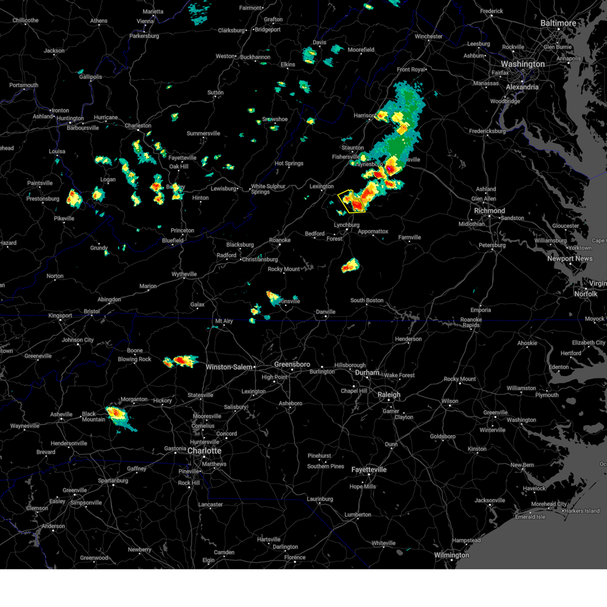 At 452 pm edt, a severe thunderstorm was located over clifford, moving east at 20 mph (radar indicated). Hazards include 60 mph wind gusts and quarter size hail. Hail damage to vehicles is expected. expect wind damage to roofs, siding, and trees. locations impacted include, amherst, forks of buffalo, clifford, lowesville, new glasgow, and piney river. hail threat, radar indicated max hail size, 1. 00 in wind threat, radar indicated max wind gust, 60 mph. At 452 pm edt, a severe thunderstorm was located over clifford, moving east at 20 mph (radar indicated). Hazards include 60 mph wind gusts and quarter size hail. Hail damage to vehicles is expected. expect wind damage to roofs, siding, and trees. locations impacted include, amherst, forks of buffalo, clifford, lowesville, new glasgow, and piney river. hail threat, radar indicated max hail size, 1. 00 in wind threat, radar indicated max wind gust, 60 mph.
|
| 6/26/2023 4:30 PM EDT |
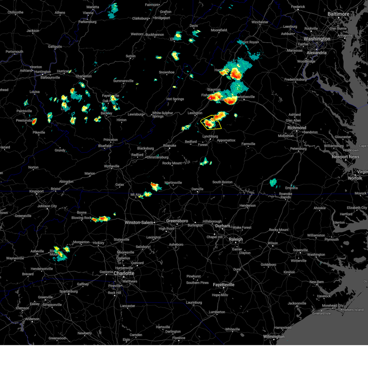 At 430 pm edt, a severe thunderstorm was located over forks of buffalo, moving east at 20 mph (radar indicated). Hazards include 60 mph wind gusts and quarter size hail. Hail damage to vehicles is expected. expect wind damage to roofs, siding, and trees. locations impacted include, amherst, forks of buffalo, clifford, pleasant view, new glasgow, lowesville, and oronoco. hail threat, radar indicated max hail size, 1. 00 in wind threat, radar indicated max wind gust, 60 mph. At 430 pm edt, a severe thunderstorm was located over forks of buffalo, moving east at 20 mph (radar indicated). Hazards include 60 mph wind gusts and quarter size hail. Hail damage to vehicles is expected. expect wind damage to roofs, siding, and trees. locations impacted include, amherst, forks of buffalo, clifford, pleasant view, new glasgow, lowesville, and oronoco. hail threat, radar indicated max hail size, 1. 00 in wind threat, radar indicated max wind gust, 60 mph.
|
| 6/26/2023 4:17 PM EDT |
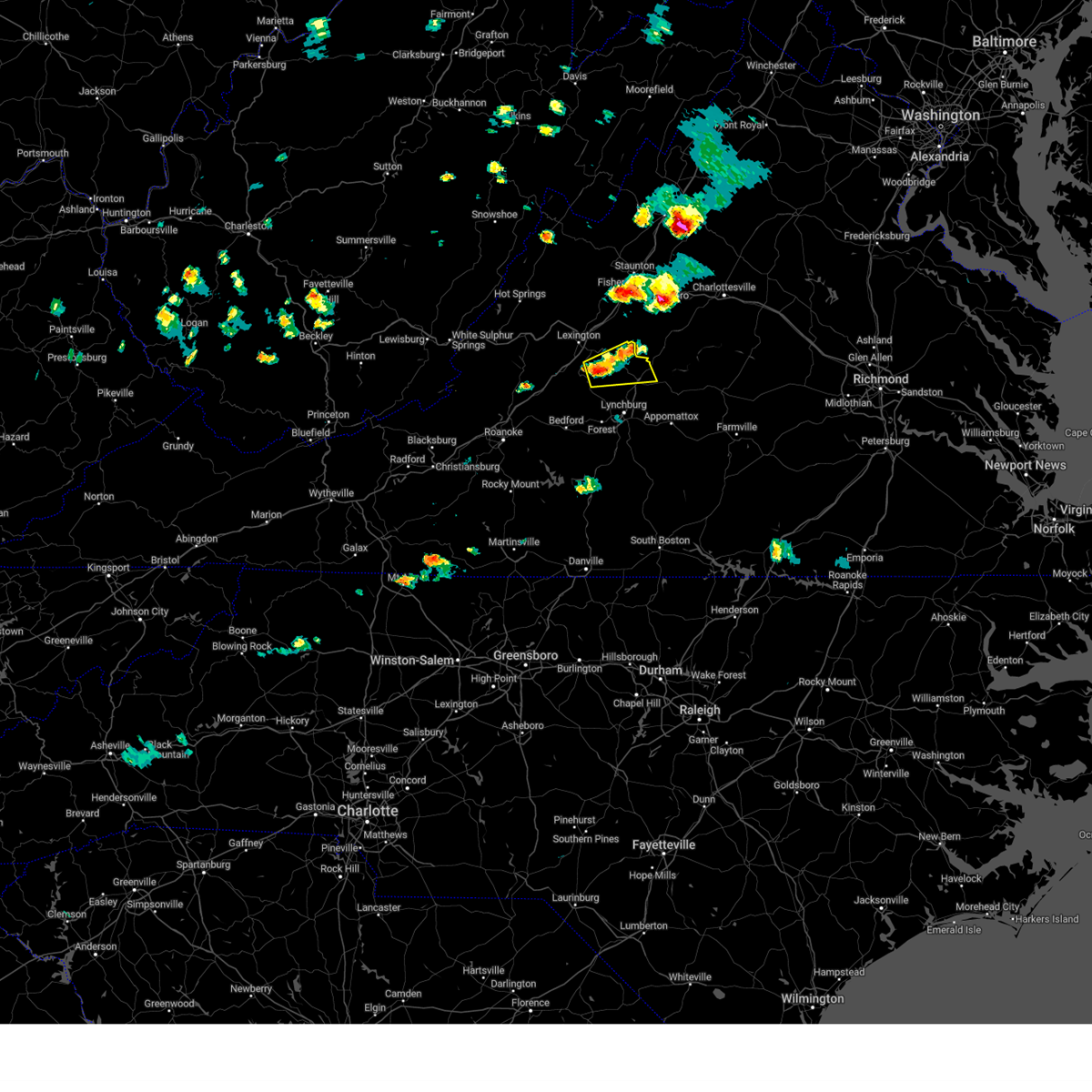 At 416 pm edt, a severe thunderstorm was located over pleasant view, or near forks of buffalo, moving east at 20 mph (radar indicated). Hazards include 60 mph wind gusts and quarter size hail. Hail damage to vehicles is expected. Expect wind damage to roofs, siding, and trees. At 416 pm edt, a severe thunderstorm was located over pleasant view, or near forks of buffalo, moving east at 20 mph (radar indicated). Hazards include 60 mph wind gusts and quarter size hail. Hail damage to vehicles is expected. Expect wind damage to roofs, siding, and trees.
|
| 6/16/2023 2:41 PM EDT |
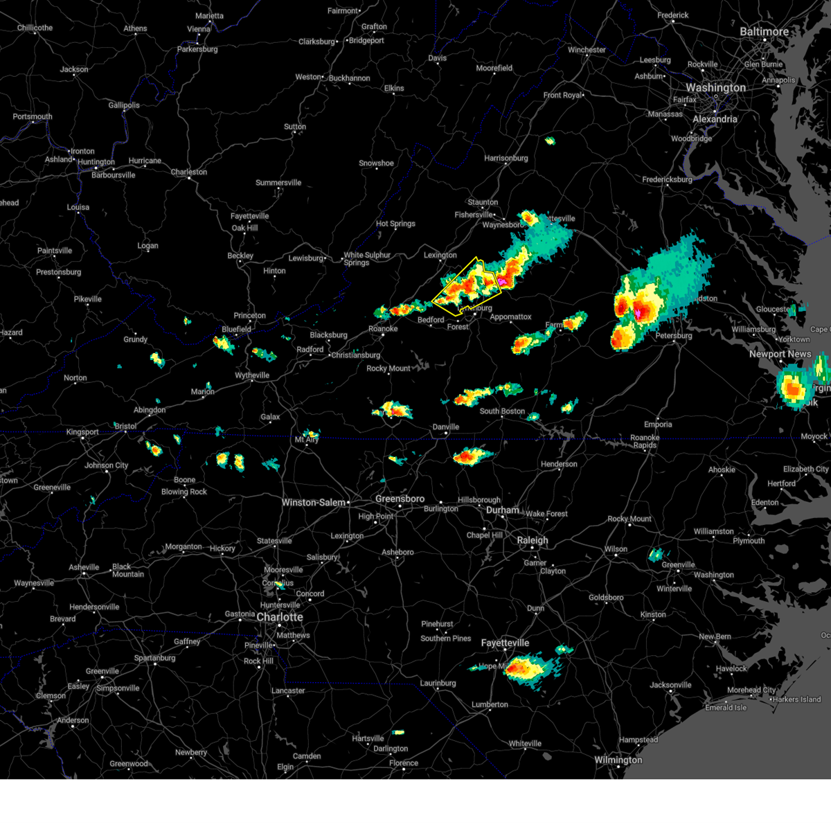 At 240 pm edt, severe thunderstorms were located along a line extending from near new glasgow to sedalia, moving southeast at 25 mph (radar indicated). Hazards include 60 mph wind gusts and quarter size hail. Hail damage to vehicles is expected. expect wind damage to roofs, siding, and trees. locations impacted include, amherst, forks of buffalo, clifford, big island, coleman falls, boonsboro, and naola. hail threat, observed max hail size, 1. 00 in wind threat, radar indicated max wind gust, 60 mph. At 240 pm edt, severe thunderstorms were located along a line extending from near new glasgow to sedalia, moving southeast at 25 mph (radar indicated). Hazards include 60 mph wind gusts and quarter size hail. Hail damage to vehicles is expected. expect wind damage to roofs, siding, and trees. locations impacted include, amherst, forks of buffalo, clifford, big island, coleman falls, boonsboro, and naola. hail threat, observed max hail size, 1. 00 in wind threat, radar indicated max wind gust, 60 mph.
|
| 6/16/2023 2:38 PM EDT | Quarter sized hail reported 7.7 miles WSW of Amherst, VA, report from tye river pottery |
| 6/16/2023 2:18 PM EDT |
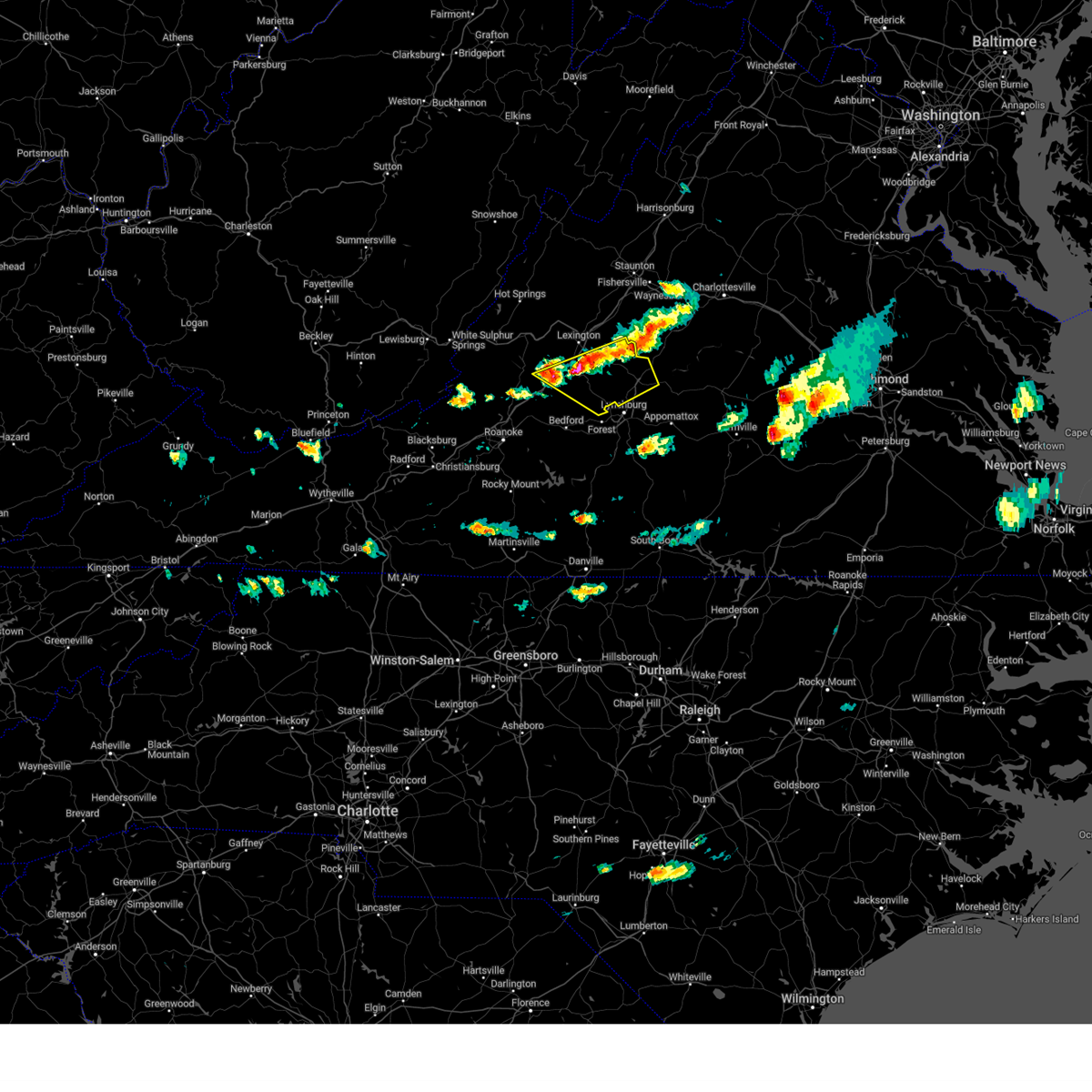 At 217 pm edt, severe thunderstorms were located along a line extending from near tyro to buena vista to natural bridge to near to near arcadia, moving southeast at 25 mph (radar indicated). Hazards include 60 mph wind gusts and quarter size hail. Hail damage to vehicles is expected. Expect wind damage to roofs, siding, and trees. At 217 pm edt, severe thunderstorms were located along a line extending from near tyro to buena vista to natural bridge to near to near arcadia, moving southeast at 25 mph (radar indicated). Hazards include 60 mph wind gusts and quarter size hail. Hail damage to vehicles is expected. Expect wind damage to roofs, siding, and trees.
|
| 4/1/2023 7:00 PM EDT | Numerous trees down throughout the county. a number of power lines down as well. no structural damage or blocked roads noted at this tim in amherst county VA, 0.8 miles NNE of Amherst, VA |
| 7/25/2022 3:12 PM EDT |
 The severe thunderstorm warning for western appomattox, central campbell, east central bedford, and southeastern amherst counties and the city of lynchburg will expire at 315 pm edt, the storms which prompted the warning have moved out of the area. therefore, the warning will be allowed to expire. a severe thunderstorm watch remains in effect until 1000 pm edt for central, south central and west central virginia. The severe thunderstorm warning for western appomattox, central campbell, east central bedford, and southeastern amherst counties and the city of lynchburg will expire at 315 pm edt, the storms which prompted the warning have moved out of the area. therefore, the warning will be allowed to expire. a severe thunderstorm watch remains in effect until 1000 pm edt for central, south central and west central virginia.
|
| 7/25/2022 3:11 PM EDT |
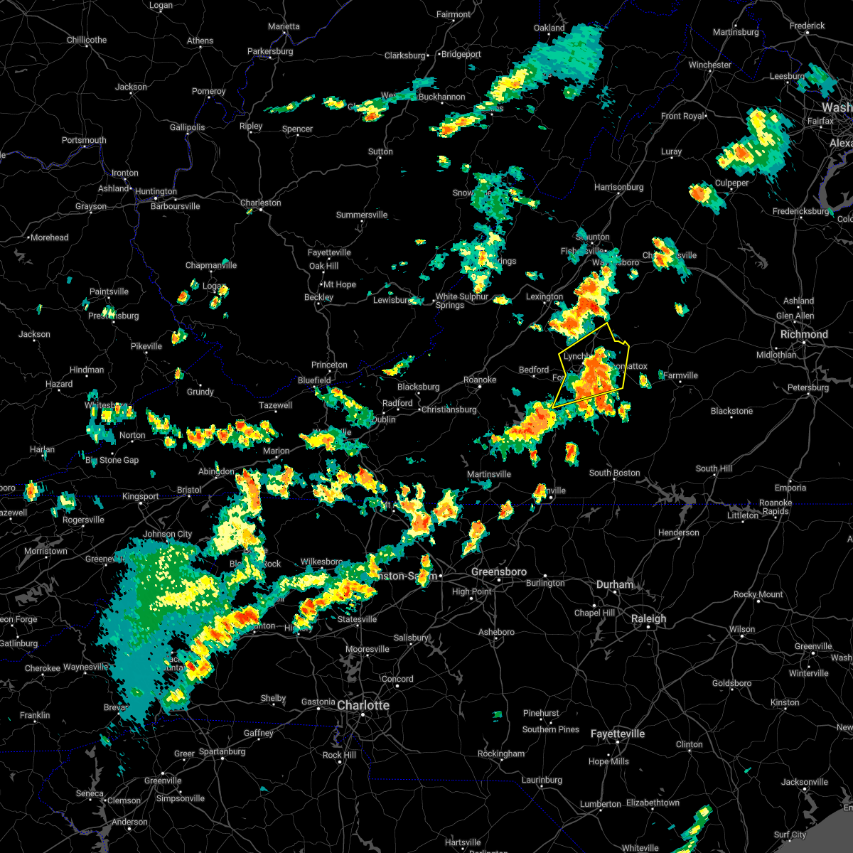 The severe thunderstorm warning for western appomattox, central campbell, east central bedford, and southeastern amherst counties and the city of lynchburg will expire at 315 pm edt, the storms which prompted the warning have moved out of the area. therefore, the warning will be allowed to expire. a severe thunderstorm watch remains in effect until 1000 pm edt for central, south central and west central virginia. The severe thunderstorm warning for western appomattox, central campbell, east central bedford, and southeastern amherst counties and the city of lynchburg will expire at 315 pm edt, the storms which prompted the warning have moved out of the area. therefore, the warning will be allowed to expire. a severe thunderstorm watch remains in effect until 1000 pm edt for central, south central and west central virginia.
|
| 7/25/2022 2:43 PM EDT |
 At 242 pm edt, severe thunderstorms were located along a line extending from near madison heights to bocock to near evington, moving northeast at 40 mph (radar indicated). Hazards include 60 mph wind gusts and quarter size hail. Hail damage to vehicles is expected. Expect wind damage to roofs, siding, and trees. At 242 pm edt, severe thunderstorms were located along a line extending from near madison heights to bocock to near evington, moving northeast at 40 mph (radar indicated). Hazards include 60 mph wind gusts and quarter size hail. Hail damage to vehicles is expected. Expect wind damage to roofs, siding, and trees.
|
| 7/12/2022 9:10 PM EDT |
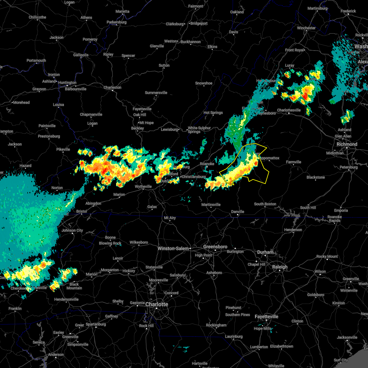 The severe thunderstorm warning for campbell, central bedford, and southern amherst counties and the city of lynchburg will expire at 915 pm edt, the storms which prompted the warning have weakened below severe limits, and no longer pose an immediate threat to life or property. therefore, the warning will be allowed to expire. however gusty winds and heavy rain are still possible with these thunderstorms. a severe thunderstorm watch remains in effect until 1000 pm edt for central, south central and west central virginia. The severe thunderstorm warning for campbell, central bedford, and southern amherst counties and the city of lynchburg will expire at 915 pm edt, the storms which prompted the warning have weakened below severe limits, and no longer pose an immediate threat to life or property. therefore, the warning will be allowed to expire. however gusty winds and heavy rain are still possible with these thunderstorms. a severe thunderstorm watch remains in effect until 1000 pm edt for central, south central and west central virginia.
|
| 7/12/2022 8:59 PM EDT |
 At 859 pm edt, severe thunderstorms were located along a line extending from near bocock to smith mountain lake state park, moving southeast at 25 mph (radar indicated). Hazards include 60 mph wind gusts and quarter size hail. Hail damage to vehicles is expected. expect wind damage to roofs, siding, and trees. locations impacted include, lynchburg, altavista, amherst, brookneal, huddleston, moneta, and concord. hail threat, radar indicated max hail size, 1. 00 in wind threat, radar indicated max wind gust, 60 mph. At 859 pm edt, severe thunderstorms were located along a line extending from near bocock to smith mountain lake state park, moving southeast at 25 mph (radar indicated). Hazards include 60 mph wind gusts and quarter size hail. Hail damage to vehicles is expected. expect wind damage to roofs, siding, and trees. locations impacted include, lynchburg, altavista, amherst, brookneal, huddleston, moneta, and concord. hail threat, radar indicated max hail size, 1. 00 in wind threat, radar indicated max wind gust, 60 mph.
|
| 7/12/2022 8:35 PM EDT |
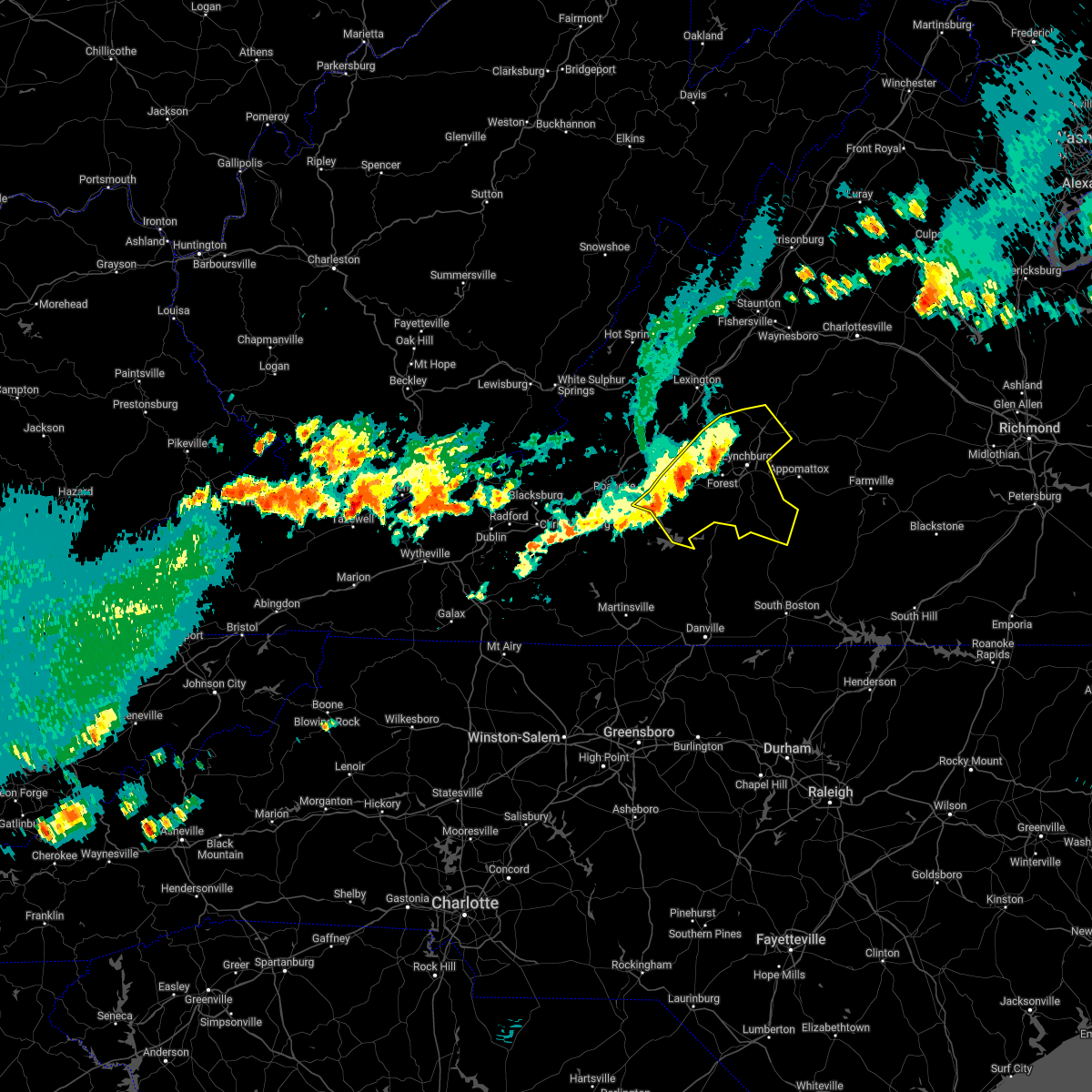 At 835 pm edt, severe thunderstorms were located along a line extending from near boonsboro to goodview, moving southeast at 20 mph (radar indicated). Hazards include ping pong ball size hail and 60 mph wind gusts. People and animals outdoors will be injured. expect hail damage to roofs, siding, windows, and vehicles. expect wind damage to roofs, siding, and trees. locations impacted include, lynchburg, bedford, altavista, amherst, brookneal, huddleston, and big island. hail threat, radar indicated max hail size, 1. 50 in wind threat, radar indicated max wind gust, 60 mph. At 835 pm edt, severe thunderstorms were located along a line extending from near boonsboro to goodview, moving southeast at 20 mph (radar indicated). Hazards include ping pong ball size hail and 60 mph wind gusts. People and animals outdoors will be injured. expect hail damage to roofs, siding, windows, and vehicles. expect wind damage to roofs, siding, and trees. locations impacted include, lynchburg, bedford, altavista, amherst, brookneal, huddleston, and big island. hail threat, radar indicated max hail size, 1. 50 in wind threat, radar indicated max wind gust, 60 mph.
|
| 7/12/2022 7:58 PM EDT |
 At 756 pm edt, severe thunderstorms were located along a line extending from natural bridge to near lithia, moving east at 25 mph (radar indicated. at 7:54pm power lines were reported down near buchanan). Hazards include ping pong ball size hail and 60 mph wind gusts. People and animals outdoors will be injured. expect hail damage to roofs, siding, windows, and vehicles. Expect wind damage to roofs, siding, and trees. At 756 pm edt, severe thunderstorms were located along a line extending from natural bridge to near lithia, moving east at 25 mph (radar indicated. at 7:54pm power lines were reported down near buchanan). Hazards include ping pong ball size hail and 60 mph wind gusts. People and animals outdoors will be injured. expect hail damage to roofs, siding, windows, and vehicles. Expect wind damage to roofs, siding, and trees.
|
| 7/6/2022 5:16 PM EDT |
 At 516 pm edt, severe thunderstorms were located along a line extending from near new glasgow to near madison heights to near coleman falls, moving southeast at 30 mph (radar indicated). Hazards include 60 mph wind gusts and nickel size hail. Expect damage to roofs, siding, and trees. locations impacted include, lynchburg, amherst, bent creek, concord, big island, forest, and rustburg. this includes the following locations liberty university and lynchburg airport. hail threat, radar indicated max hail size, 0. 88 in wind threat, radar indicated max wind gust, 60 mph. At 516 pm edt, severe thunderstorms were located along a line extending from near new glasgow to near madison heights to near coleman falls, moving southeast at 30 mph (radar indicated). Hazards include 60 mph wind gusts and nickel size hail. Expect damage to roofs, siding, and trees. locations impacted include, lynchburg, amherst, bent creek, concord, big island, forest, and rustburg. this includes the following locations liberty university and lynchburg airport. hail threat, radar indicated max hail size, 0. 88 in wind threat, radar indicated max wind gust, 60 mph.
|
| 7/6/2022 4:55 PM EDT | Several trees down on highway 60 wes in amherst county VA, 2.3 miles SE of Amherst, VA |
| 7/6/2022 4:49 PM EDT |
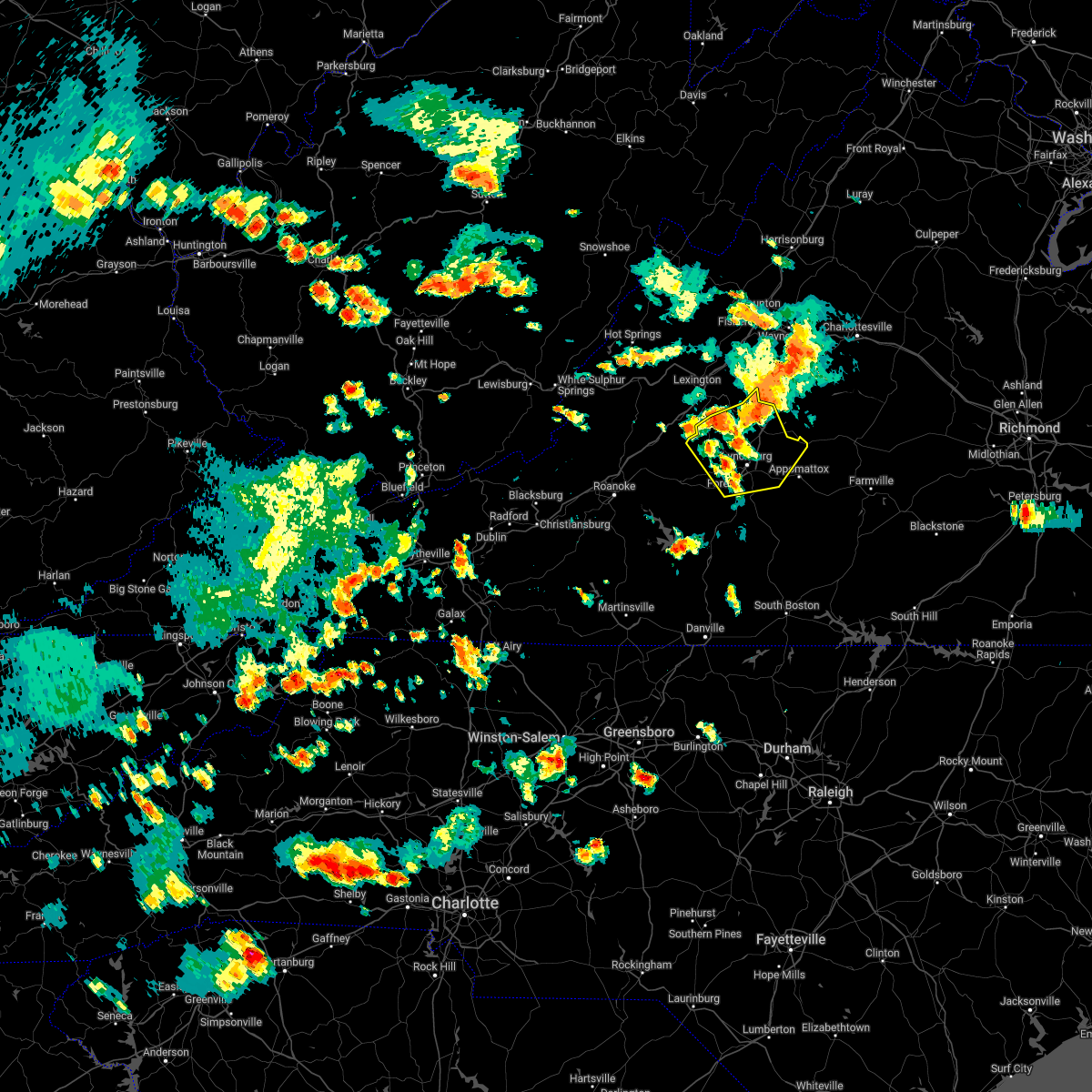 At 449 pm edt, severe thunderstorms were located along a line extending from near lowesville to near naola to near coleman falls, moving southeast at 15 mph (radar indicated). Hazards include 60 mph wind gusts and quarter size hail. Hail damage to vehicles is expected. Expect wind damage to roofs, siding, and trees. At 449 pm edt, severe thunderstorms were located along a line extending from near lowesville to near naola to near coleman falls, moving southeast at 15 mph (radar indicated). Hazards include 60 mph wind gusts and quarter size hail. Hail damage to vehicles is expected. Expect wind damage to roofs, siding, and trees.
|
| 7/6/2022 4:46 PM EDT |
 At 446 pm edt, a severe thunderstorm was located over clifford, moving southeast at 30 mph (radar indicated). Hazards include 60 mph wind gusts and nickel size hail. Expect damage to roofs, siding, and trees. locations impacted include, amherst, forks of buffalo, clifford, pleasant view, falconerville, riverville, and new glasgow. hail threat, radar indicated max hail size, 0. 88 in wind threat, radar indicated max wind gust, 60 mph. At 446 pm edt, a severe thunderstorm was located over clifford, moving southeast at 30 mph (radar indicated). Hazards include 60 mph wind gusts and nickel size hail. Expect damage to roofs, siding, and trees. locations impacted include, amherst, forks of buffalo, clifford, pleasant view, falconerville, riverville, and new glasgow. hail threat, radar indicated max hail size, 0. 88 in wind threat, radar indicated max wind gust, 60 mph.
|
| 7/6/2022 4:22 PM EDT |
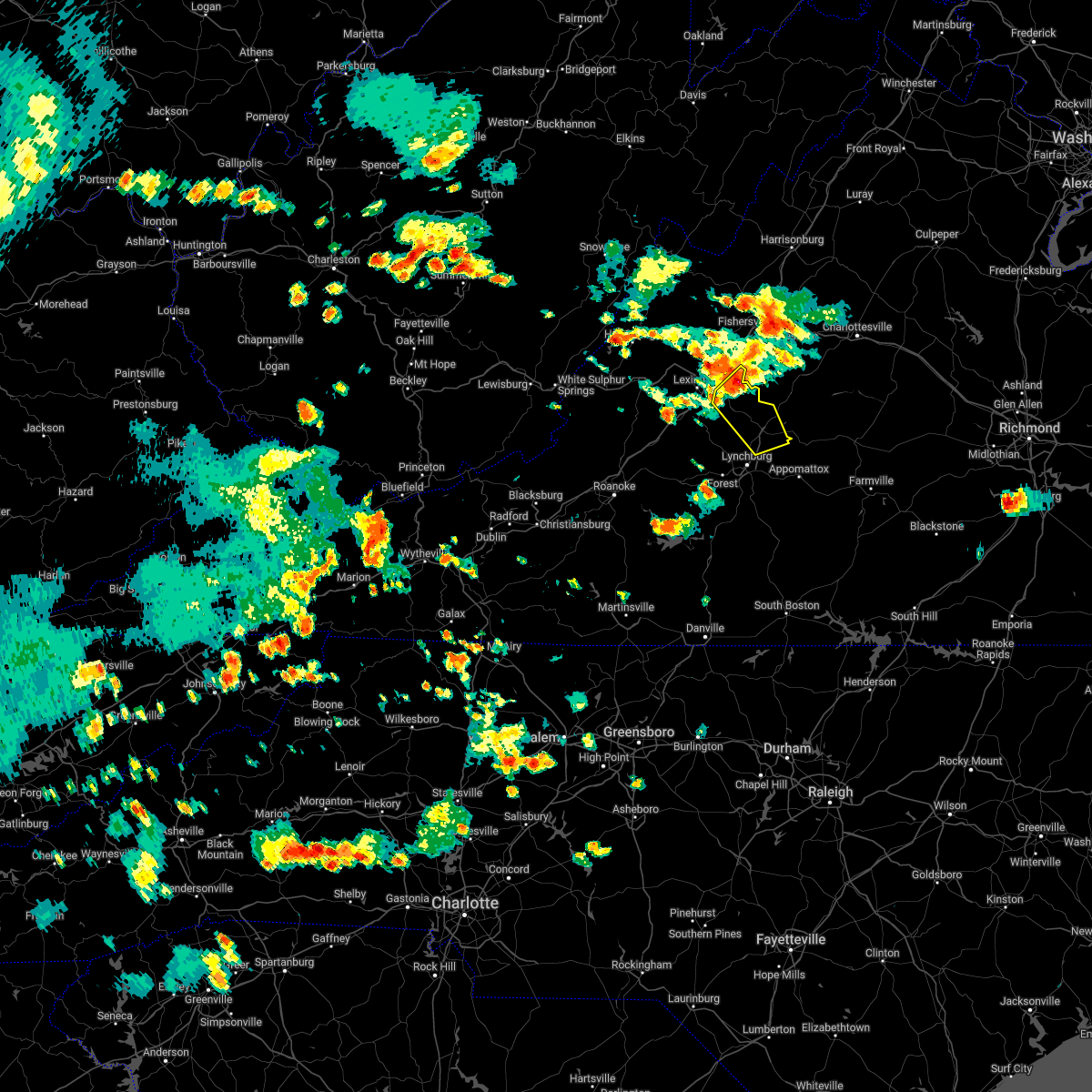 At 422 pm edt, a severe thunderstorm was located over alto, or near forks of buffalo, moving southeast at 20 mph (radar indicated). Hazards include 60 mph wind gusts and quarter size hail. Hail damage to vehicles is expected. Expect wind damage to roofs, siding, and trees. At 422 pm edt, a severe thunderstorm was located over alto, or near forks of buffalo, moving southeast at 20 mph (radar indicated). Hazards include 60 mph wind gusts and quarter size hail. Hail damage to vehicles is expected. Expect wind damage to roofs, siding, and trees.
|
| 7/5/2022 4:06 PM EDT |
 The severe thunderstorm warning for northwestern appomattox, central campbell, west central buckingham, and southeastern amherst counties and the city of lynchburg will expire at 415 pm edt, the storms which prompted the warning have weakened below severe limits, and have exited the warned area. therefore, the warning will be allowed to expire. The severe thunderstorm warning for northwestern appomattox, central campbell, west central buckingham, and southeastern amherst counties and the city of lynchburg will expire at 415 pm edt, the storms which prompted the warning have weakened below severe limits, and have exited the warned area. therefore, the warning will be allowed to expire.
|
| 7/5/2022 3:53 PM EDT |
 At 353 pm edt, severe thunderstorms were located along a line extending from near amherst to near hodges, moving east at 15 mph (radar indicated). Hazards include 60 mph wind gusts and quarter size hail. Hail damage to vehicles is expected. expect wind damage to roofs, siding, and trees. locations impacted include, lynchburg, amherst, bent creek, concord, rustburg, clifford, and evington. this includes the following locations liberty university and lynchburg airport. hail threat, radar indicated max hail size, 1. 00 in wind threat, radar indicated max wind gust, 60 mph. At 353 pm edt, severe thunderstorms were located along a line extending from near amherst to near hodges, moving east at 15 mph (radar indicated). Hazards include 60 mph wind gusts and quarter size hail. Hail damage to vehicles is expected. expect wind damage to roofs, siding, and trees. locations impacted include, lynchburg, amherst, bent creek, concord, rustburg, clifford, and evington. this includes the following locations liberty university and lynchburg airport. hail threat, radar indicated max hail size, 1. 00 in wind threat, radar indicated max wind gust, 60 mph.
|
| 7/5/2022 3:38 PM EDT |
 At 338 pm edt, severe thunderstorms were located along a line extending from near forks of buffalo to near evington, moving east at 15 mph (radar indicated). Hazards include 60 mph wind gusts and quarter size hail. Hail damage to vehicles is expected. expect wind damage to roofs, siding, and trees. locations impacted include, lynchburg, amherst, bent creek, concord, rustburg, clifford, and forest. this includes the following locations liberty university and lynchburg airport. hail threat, radar indicated max hail size, 1. 00 in wind threat, radar indicated max wind gust, 60 mph. At 338 pm edt, severe thunderstorms were located along a line extending from near forks of buffalo to near evington, moving east at 15 mph (radar indicated). Hazards include 60 mph wind gusts and quarter size hail. Hail damage to vehicles is expected. expect wind damage to roofs, siding, and trees. locations impacted include, lynchburg, amherst, bent creek, concord, rustburg, clifford, and forest. this includes the following locations liberty university and lynchburg airport. hail threat, radar indicated max hail size, 1. 00 in wind threat, radar indicated max wind gust, 60 mph.
|
| 7/5/2022 3:12 PM EDT |
 At 312 pm edt, severe thunderstorms were located along a line extending from near pleasant view to near goode, moving east at 15 mph (radar indicated). Hazards include 60 mph wind gusts and quarter size hail. Hail damage to vehicles is expected. Expect wind damage to roofs, siding, and trees. At 312 pm edt, severe thunderstorms were located along a line extending from near pleasant view to near goode, moving east at 15 mph (radar indicated). Hazards include 60 mph wind gusts and quarter size hail. Hail damage to vehicles is expected. Expect wind damage to roofs, siding, and trees.
|
| 6/22/2022 7:30 PM EDT | Winds from a gust front of a thunderstorm blew down one tree along the 1700 block of richmond highway and close to riverville roa in amherst county VA, 3.7 miles NW of Amherst, VA |
| 6/22/2022 7:23 PM EDT | Winds from a gust front of a thunderstorm blew down one tree near the intersection of patrick henry highway and turkey mountain road and fletchers level roa in amherst county VA, 3.7 miles SSW of Amherst, VA |
| 6/17/2022 5:06 PM EDT |
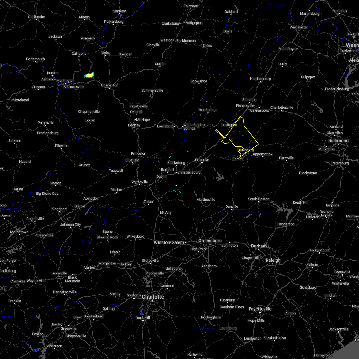 At 504 pm edt, severe thunderstorms were located along a line extending from near wintergreen to near smith mountain lake state park to near floyd, moving northeast at 20 mph (radar indicated). Hazards include 70 mph wind gusts. Expect considerable tree damage. damage is likely to mobile homes, roofs, and outbuildings. locations impacted include, lynchburg, buena vista, amherst, glasgow, forks of buffalo, clifford, and madison heights. thunderstorm damage threat, considerable hail threat, radar indicated max hail size, <. 75 in wind threat, radar indicated max wind gust, 70 mph. At 504 pm edt, severe thunderstorms were located along a line extending from near wintergreen to near smith mountain lake state park to near floyd, moving northeast at 20 mph (radar indicated). Hazards include 70 mph wind gusts. Expect considerable tree damage. damage is likely to mobile homes, roofs, and outbuildings. locations impacted include, lynchburg, buena vista, amherst, glasgow, forks of buffalo, clifford, and madison heights. thunderstorm damage threat, considerable hail threat, radar indicated max hail size, <. 75 in wind threat, radar indicated max wind gust, 70 mph.
|
| 6/17/2022 5:02 PM EDT | Tree down at the intersection of tye river rd. and boxwood farm r in nelson county VA, 6.7 miles WSW of Amherst, VA |
| 6/17/2022 5:00 PM EDT | 35 to 40 trees down around city of amherst reported by emergency manage in amherst county VA, 0.8 miles NNE of Amherst, VA |
| 6/17/2022 4:53 PM EDT |
 At 451 pm edt, severe thunderstorms were located along a line extending from stuarts draft to buena vista, to elon and boonsvoro, moving east at 45 mph (radar indicated). Hazards include 70 mph wind gusts. Expect considerable tree damage. Damage is likely to mobile homes, roofs, and outbuildings. At 451 pm edt, severe thunderstorms were located along a line extending from stuarts draft to buena vista, to elon and boonsvoro, moving east at 45 mph (radar indicated). Hazards include 70 mph wind gusts. Expect considerable tree damage. Damage is likely to mobile homes, roofs, and outbuildings.
|
| 6/17/2022 4:50 PM EDT | Multiple large trees down on baileys sawmill roa in amherst county VA, 2.7 miles SE of Amherst, VA |
| 6/17/2022 4:15 PM EDT |
 At 413 pm edt, severe thunderstorms were located along a line extending from vesuvius to near wirtz to near indian valley, moving southeast at 50 mph (radar indicated). Hazards include 70 mph wind gusts. Expect considerable tree damage. Damage is likely to mobile homes, roofs, and outbuildings. At 413 pm edt, severe thunderstorms were located along a line extending from vesuvius to near wirtz to near indian valley, moving southeast at 50 mph (radar indicated). Hazards include 70 mph wind gusts. Expect considerable tree damage. Damage is likely to mobile homes, roofs, and outbuildings.
|
| 6/2/2022 4:33 PM EDT |
 At 432 pm edt, severe thunderstorms were located along a line extending from 7 miles north of centenary to near riverville, moving southeast at 35 mph (radar indicated). Hazards include 60 mph wind gusts. expect damage to roofs, siding, and trees At 432 pm edt, severe thunderstorms were located along a line extending from 7 miles north of centenary to near riverville, moving southeast at 35 mph (radar indicated). Hazards include 60 mph wind gusts. expect damage to roofs, siding, and trees
|
| 6/2/2022 4:07 PM EDT |
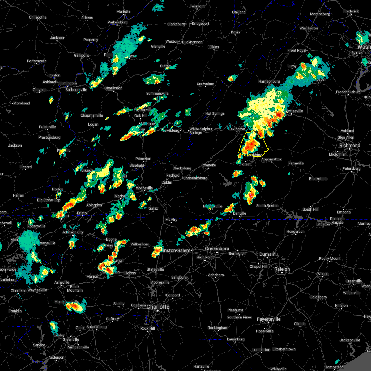 At 406 pm edt, a severe thunderstorm was located over amherst, moving east at 45 mph (radar indicated). Hazards include 60 mph wind gusts and quarter size hail. Hail damage to vehicles is expected. expect wind damage to roofs, siding, and trees. locations impacted include, amherst, forks of buffalo, clifford, big island, coleman falls, madison heights, and boonsboro. hail threat, radar indicated max hail size, 1. 00 in wind threat, radar indicated max wind gust, 60 mph. At 406 pm edt, a severe thunderstorm was located over amherst, moving east at 45 mph (radar indicated). Hazards include 60 mph wind gusts and quarter size hail. Hail damage to vehicles is expected. expect wind damage to roofs, siding, and trees. locations impacted include, amherst, forks of buffalo, clifford, big island, coleman falls, madison heights, and boonsboro. hail threat, radar indicated max hail size, 1. 00 in wind threat, radar indicated max wind gust, 60 mph.
|
| 6/2/2022 3:46 PM EDT |
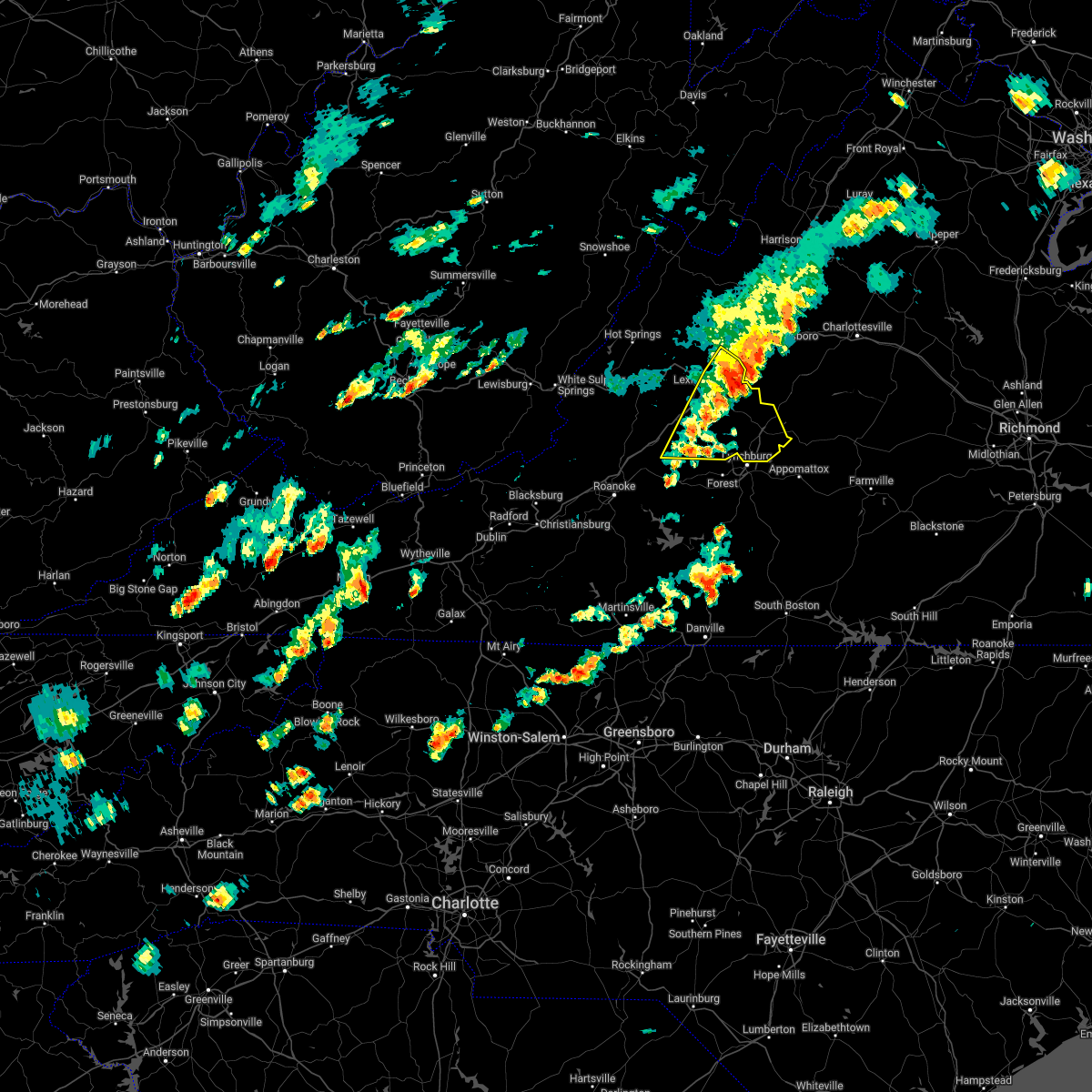 At 345 pm edt, a severe thunderstorm was located near montebello, or 12 miles northeast of forks of buffalo, moving east at 50 mph (radar indicated). Hazards include 60 mph wind gusts and quarter size hail. Hail damage to vehicles is expected. expect wind damage to roofs, siding, and trees. locations impacted include, lexington, buena vista, amherst, glasgow, forks of buffalo, big island, and clifford. this includes the following location vmi. hail threat, radar indicated max hail size, 1. 00 in wind threat, radar indicated max wind gust, 60 mph. At 345 pm edt, a severe thunderstorm was located near montebello, or 12 miles northeast of forks of buffalo, moving east at 50 mph (radar indicated). Hazards include 60 mph wind gusts and quarter size hail. Hail damage to vehicles is expected. expect wind damage to roofs, siding, and trees. locations impacted include, lexington, buena vista, amherst, glasgow, forks of buffalo, big island, and clifford. this includes the following location vmi. hail threat, radar indicated max hail size, 1. 00 in wind threat, radar indicated max wind gust, 60 mph.
|
| 6/2/2022 3:27 PM EDT |
 At 327 pm edt, a severe thunderstorm was located over cornwall, or near buena vista, moving east at 50 mph (radar indicated). Hazards include 60 mph wind gusts and quarter size hail. Hail damage to vehicles is expected. Expect wind damage to roofs, siding, and trees. At 327 pm edt, a severe thunderstorm was located over cornwall, or near buena vista, moving east at 50 mph (radar indicated). Hazards include 60 mph wind gusts and quarter size hail. Hail damage to vehicles is expected. Expect wind damage to roofs, siding, and trees.
|
| 5/27/2022 5:55 PM EDT |
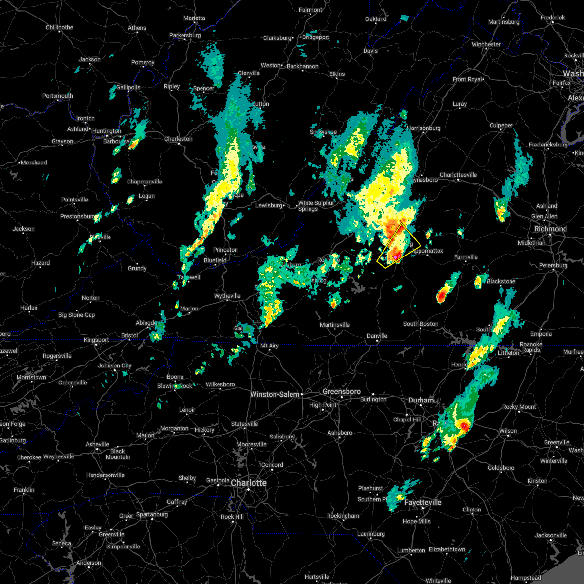 The severe thunderstorm warning for west central appomattox, northwestern campbell, east central bedford, and southeastern amherst counties and the city of lynchburg will expire at 600 pm edt, the storm which prompted the warning has moved out of the area. therefore, the warning will be allowed to expire. however small hail, gusty winds and heavy rain are still possible with this thunderstorm. a severe thunderstorm watch remains in effect until 1000 pm edt for central and south central virginia. remember, a tornado warning still remains in effect for the southern part of the city of lynchburg, amherst, campbell, and appomattox counties until 615 pm edt. The severe thunderstorm warning for west central appomattox, northwestern campbell, east central bedford, and southeastern amherst counties and the city of lynchburg will expire at 600 pm edt, the storm which prompted the warning has moved out of the area. therefore, the warning will be allowed to expire. however small hail, gusty winds and heavy rain are still possible with this thunderstorm. a severe thunderstorm watch remains in effect until 1000 pm edt for central and south central virginia. remember, a tornado warning still remains in effect for the southern part of the city of lynchburg, amherst, campbell, and appomattox counties until 615 pm edt.
|
| 5/27/2022 5:37 PM EDT |
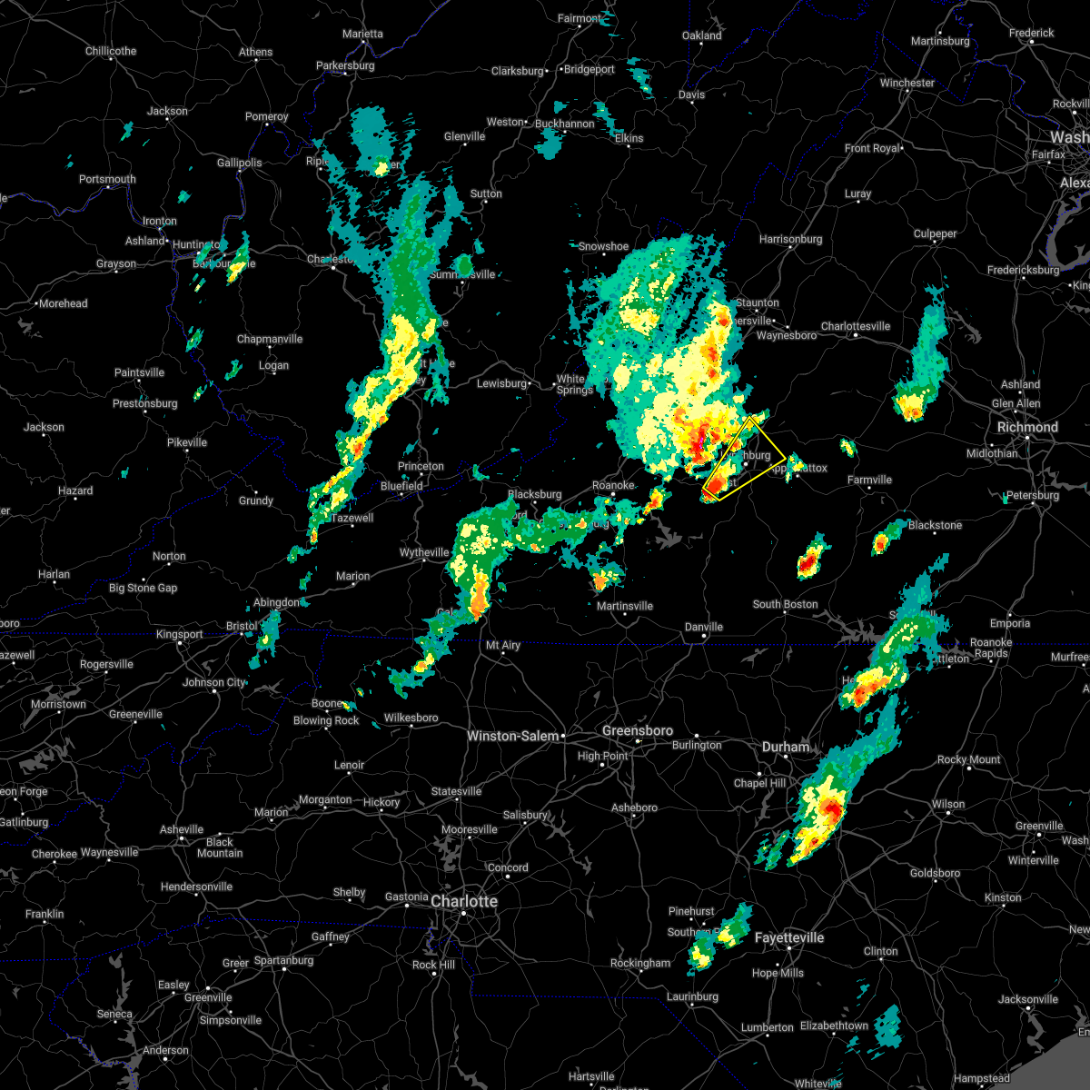 At 536 pm edt, a severe thunderstorm was located over timberlake, or over forest, moving northeast at 30 mph (radar indicated). Hazards include 60 mph wind gusts and penny size hail. Expect damage to roofs, siding, and trees. locations impacted include, lynchburg, amherst, forest, madison heights, boonsboro, falconerville, and stonewall. this includes the following locations liberty university and lynchburg airport. hail threat, radar indicated max hail size, 0. 75 in wind threat, radar indicated max wind gust, 60 mph. At 536 pm edt, a severe thunderstorm was located over timberlake, or over forest, moving northeast at 30 mph (radar indicated). Hazards include 60 mph wind gusts and penny size hail. Expect damage to roofs, siding, and trees. locations impacted include, lynchburg, amherst, forest, madison heights, boonsboro, falconerville, and stonewall. this includes the following locations liberty university and lynchburg airport. hail threat, radar indicated max hail size, 0. 75 in wind threat, radar indicated max wind gust, 60 mph.
|
| 5/27/2022 5:19 PM EDT |
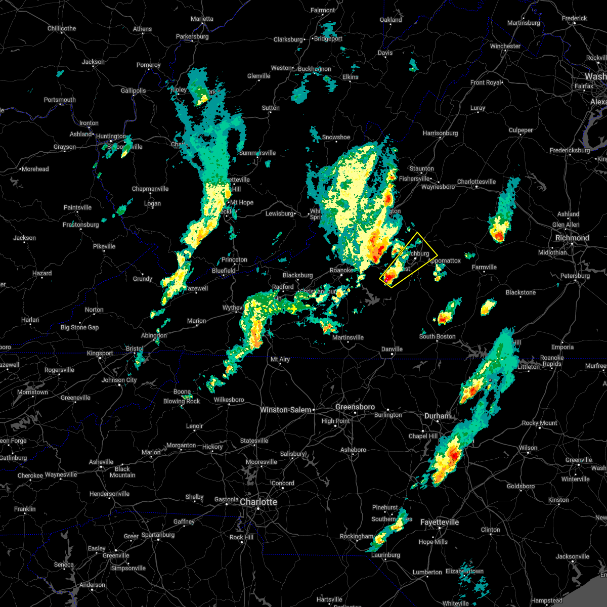 At 519 pm edt, a severe thunderstorm was located near goode, or near evington, moving northeast at 30 mph (radar indicated). Hazards include 60 mph wind gusts and half dollar size hail. Hail damage to vehicles is expected. Expect wind damage to roofs, siding, and trees. At 519 pm edt, a severe thunderstorm was located near goode, or near evington, moving northeast at 30 mph (radar indicated). Hazards include 60 mph wind gusts and half dollar size hail. Hail damage to vehicles is expected. Expect wind damage to roofs, siding, and trees.
|
| 5/27/2022 8:41 AM EDT | 1 tree down on smokey hollow rd near sweet bria in amherst county VA, 3.7 miles NE of Amherst, VA |
| 5/27/2022 8:20 AM EDT | 1 tree down at the intersection of my way and lowesville rd. time estimated from rada in amherst county VA, 5.4 miles SE of Amherst, VA |
| 5/27/2022 8:05 AM EDT |
 At 804 am edt, a severe thunderstorm capable of producing a tornado was located near clifford, moving northeast at 35 mph (radar indicated rotation. damage was reported in northeastern bedford co. from the storm earlier this morning). Hazards include tornado. Flying debris will be dangerous to those caught without shelter. mobile homes will be damaged or destroyed. damage to roofs, windows, and vehicles will occur. tree damage is likely. Locations impacted include, amherst, forks of buffalo, clifford, falconerville, new glasgow, lowesville, and pleasant view. At 804 am edt, a severe thunderstorm capable of producing a tornado was located near clifford, moving northeast at 35 mph (radar indicated rotation. damage was reported in northeastern bedford co. from the storm earlier this morning). Hazards include tornado. Flying debris will be dangerous to those caught without shelter. mobile homes will be damaged or destroyed. damage to roofs, windows, and vehicles will occur. tree damage is likely. Locations impacted include, amherst, forks of buffalo, clifford, falconerville, new glasgow, lowesville, and pleasant view.
|
| 5/27/2022 8:02 AM EDT | Corrects previous tstm wnd dmg report from 4 w clifford. 1 tree down at the intersection of my way and lowesville r in amherst county VA, 5.4 miles SE of Amherst, VA |
| 5/27/2022 7:55 AM EDT |
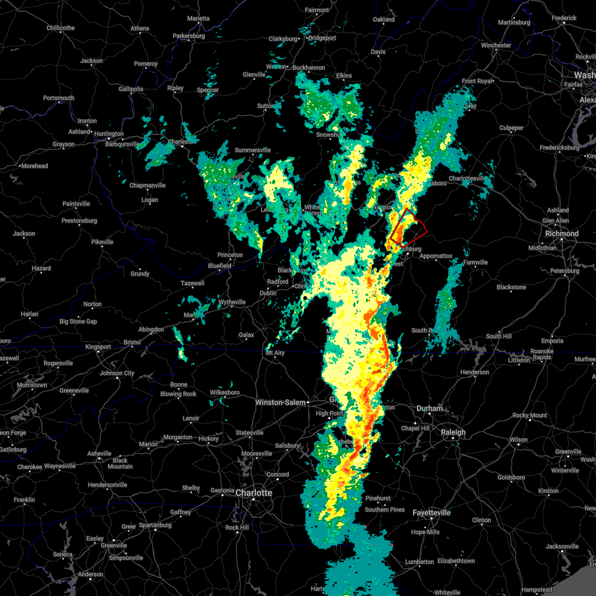 At 753 am edt, a severe thunderstorm capable of producing a tornado was located near naola, or 8 miles west of amherst, moving northeast at 30 mph (radar indicated rotation. damage has been reported per dispatch and scanner traffic in the vicinity of northeastern bedford county). Hazards include tornado. Flying debris will be dangerous to those caught without shelter. mobile homes will be damaged or destroyed. damage to roofs, windows, and vehicles will occur. tree damage is likely. Locations impacted include, amherst, forks of buffalo, clifford, pleasant view, falconerville, new glasgow, and lowesville. At 753 am edt, a severe thunderstorm capable of producing a tornado was located near naola, or 8 miles west of amherst, moving northeast at 30 mph (radar indicated rotation. damage has been reported per dispatch and scanner traffic in the vicinity of northeastern bedford county). Hazards include tornado. Flying debris will be dangerous to those caught without shelter. mobile homes will be damaged or destroyed. damage to roofs, windows, and vehicles will occur. tree damage is likely. Locations impacted include, amherst, forks of buffalo, clifford, pleasant view, falconerville, new glasgow, and lowesville.
|
| 5/27/2022 7:45 AM EDT |
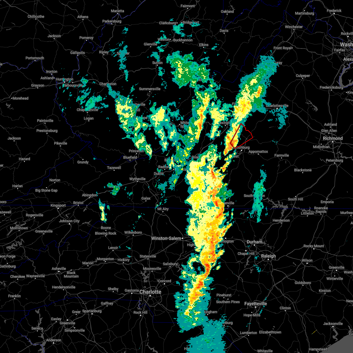 At 745 am edt, a severe thunderstorm capable of producing a tornado was located near naola, or 7 miles east of big island, moving northeast at 35 mph (radar indicated rotation). Hazards include tornado. Flying debris will be dangerous to those caught without shelter. mobile homes will be damaged or destroyed. damage to roofs, windows, and vehicles will occur. Tree damage is likely. At 745 am edt, a severe thunderstorm capable of producing a tornado was located near naola, or 7 miles east of big island, moving northeast at 35 mph (radar indicated rotation). Hazards include tornado. Flying debris will be dangerous to those caught without shelter. mobile homes will be damaged or destroyed. damage to roofs, windows, and vehicles will occur. Tree damage is likely.
|
| 5/26/2022 11:49 PM EDT |
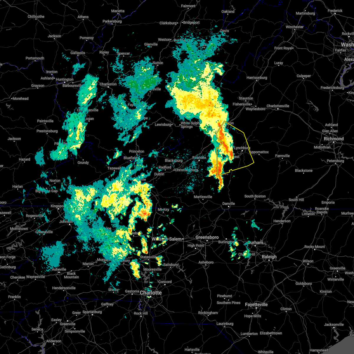 At 1149 pm edt, severe thunderstorms were located along a line extending from near lexington to big island to near goode, moving northeast at 50 mph (radar indicated). Hazards include 60 mph wind gusts. Expect damage to roofs, siding, and trees. locations impacted include, lynchburg, lexington, buena vista, bedford, altavista, amherst, and glasgow. this includes the following locations vmi, liberty university, the national d-day memorial, and lynchburg airport. hail threat, radar indicated max hail size, <. 75 in wind threat, radar indicated max wind gust, 60 mph. At 1149 pm edt, severe thunderstorms were located along a line extending from near lexington to big island to near goode, moving northeast at 50 mph (radar indicated). Hazards include 60 mph wind gusts. Expect damage to roofs, siding, and trees. locations impacted include, lynchburg, lexington, buena vista, bedford, altavista, amherst, and glasgow. this includes the following locations vmi, liberty university, the national d-day memorial, and lynchburg airport. hail threat, radar indicated max hail size, <. 75 in wind threat, radar indicated max wind gust, 60 mph.
|
| 5/26/2022 11:07 PM EDT |
 At 1106 pm edt, severe thunderstorms were located along a line extending from montvale to moneta to near sago, moving northeast at 45 mph (radar indicated). Hazards include 60 mph wind gusts. expect damage to roofs, siding, and trees At 1106 pm edt, severe thunderstorms were located along a line extending from montvale to moneta to near sago, moving northeast at 45 mph (radar indicated). Hazards include 60 mph wind gusts. expect damage to roofs, siding, and trees
|
| 5/22/2022 5:41 PM EDT |
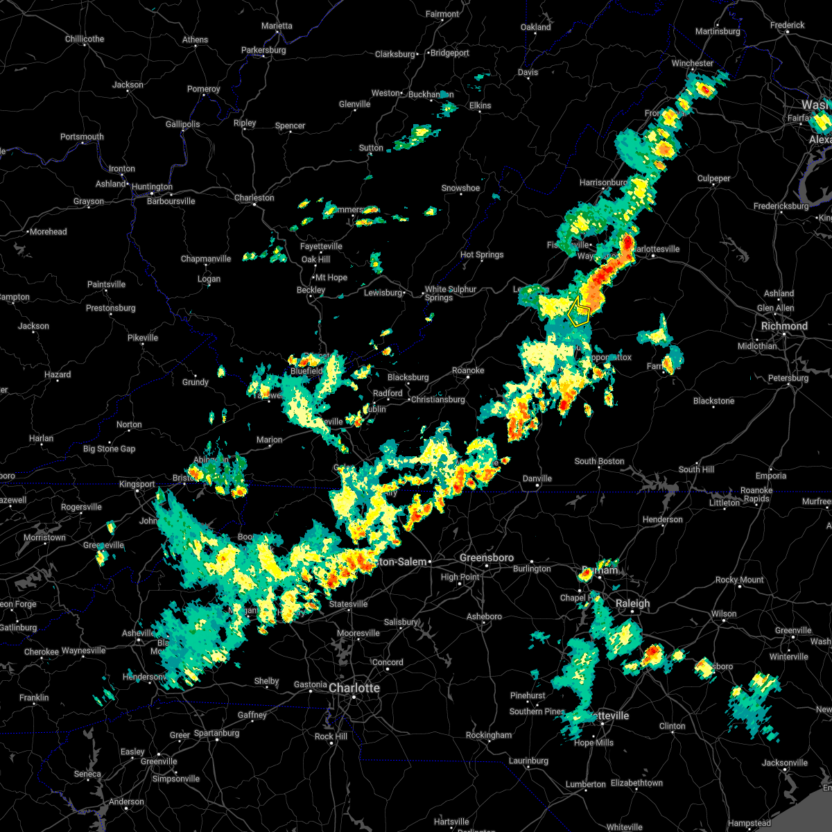 The severe thunderstorm warning for northeastern amherst county will expire at 545 pm edt, the storm which prompted the warning has moved out of the area. therefore, the warning will be allowed to expire. The severe thunderstorm warning for northeastern amherst county will expire at 545 pm edt, the storm which prompted the warning has moved out of the area. therefore, the warning will be allowed to expire.
|
| 5/22/2022 5:33 PM EDT |
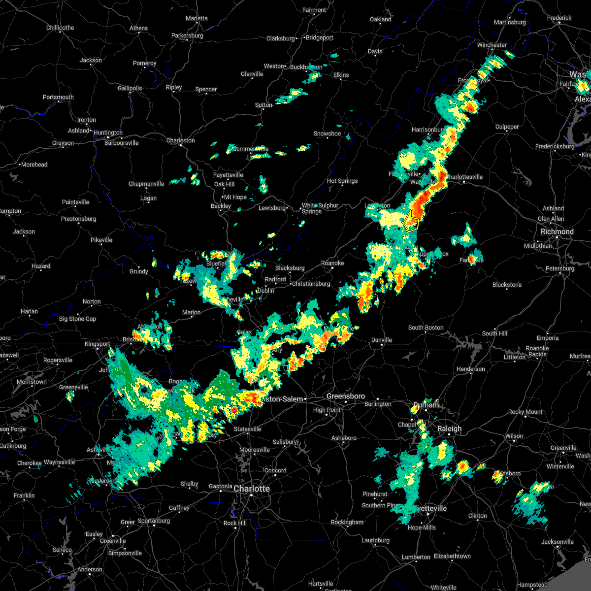 At 532 pm edt, a severe thunderstorm was located near clifford, moving east at 25 mph (radar indicated). Hazards include 60 mph wind gusts. Expect damage to roofs, siding, and trees. locations impacted include, clifford, lowesville, new glasgow, and piney river. hail threat, radar indicated max hail size, <. 75 in wind threat, radar indicated max wind gust, 60 mph. At 532 pm edt, a severe thunderstorm was located near clifford, moving east at 25 mph (radar indicated). Hazards include 60 mph wind gusts. Expect damage to roofs, siding, and trees. locations impacted include, clifford, lowesville, new glasgow, and piney river. hail threat, radar indicated max hail size, <. 75 in wind threat, radar indicated max wind gust, 60 mph.
|
| 5/22/2022 5:25 PM EDT |
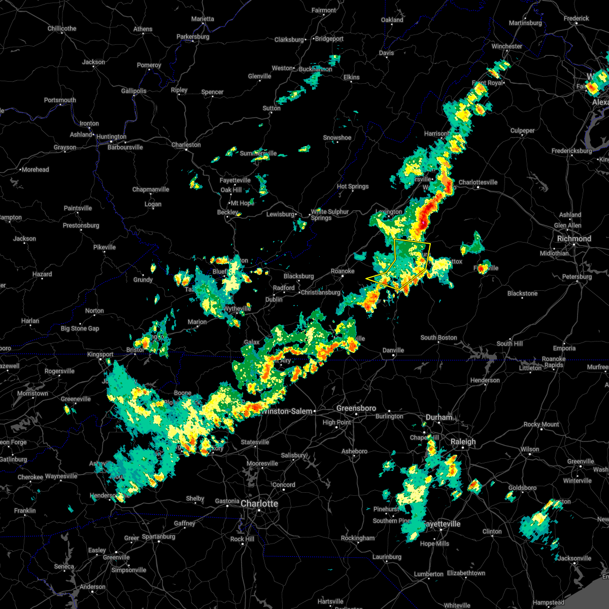 The severe thunderstorm warning for central campbell, northeastern bedford, and southern amherst counties and the city of lynchburg will expire at 530 pm edt, the storms which prompted the warning have weakened below severe limits, and no longer pose an immediate threat to life or property. therefore, the warning will be allowed to expire. however gusty winds and heavy rain are still possible with these thunderstorms. The severe thunderstorm warning for central campbell, northeastern bedford, and southern amherst counties and the city of lynchburg will expire at 530 pm edt, the storms which prompted the warning have weakened below severe limits, and no longer pose an immediate threat to life or property. therefore, the warning will be allowed to expire. however gusty winds and heavy rain are still possible with these thunderstorms.
|
| 5/22/2022 5:19 PM EDT |
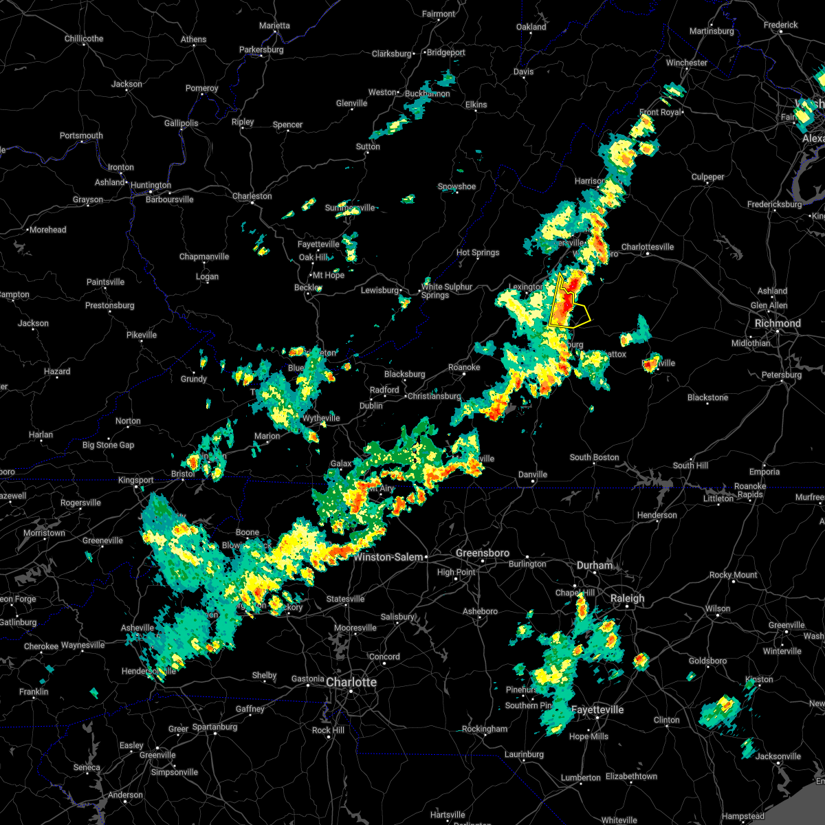 At 518 pm edt, severe thunderstorms were located along a line extending from near montebello to lowesville to near pleasant view, moving northeast at 40 mph (radar indicated). Hazards include 60 mph wind gusts and quarter size hail. Hail damage to vehicles is expected. expect wind damage to roofs, siding, and trees. locations impacted include, amherst, forks of buffalo, clifford, pleasant view, new glasgow, lowesville, and piney river. hail threat, radar indicated max hail size, 1. 00 in wind threat, radar indicated max wind gust, 60 mph. At 518 pm edt, severe thunderstorms were located along a line extending from near montebello to lowesville to near pleasant view, moving northeast at 40 mph (radar indicated). Hazards include 60 mph wind gusts and quarter size hail. Hail damage to vehicles is expected. expect wind damage to roofs, siding, and trees. locations impacted include, amherst, forks of buffalo, clifford, pleasant view, new glasgow, lowesville, and piney river. hail threat, radar indicated max hail size, 1. 00 in wind threat, radar indicated max wind gust, 60 mph.
|
| 5/22/2022 5:10 PM EDT | Tree down. time estimated from rada in amherst county VA, 7.5 miles ESE of Amherst, VA |
| 5/22/2022 5:04 PM EDT |
 At 503 pm edt, severe thunderstorms were located along a line extending from near naola to timberlake to near evington to near moneta, moving east at 25 mph (radar indicated). Hazards include 60 mph wind gusts. Expect damage to roofs, siding, and trees. locations impacted include, lynchburg, big island, forest, evington, rustburg, coleman falls, and madison heights. this includes the following locations liberty university and lynchburg airport. hail threat, radar indicated max hail size, <. 75 in wind threat, radar indicated max wind gust, 60 mph. At 503 pm edt, severe thunderstorms were located along a line extending from near naola to timberlake to near evington to near moneta, moving east at 25 mph (radar indicated). Hazards include 60 mph wind gusts. Expect damage to roofs, siding, and trees. locations impacted include, lynchburg, big island, forest, evington, rustburg, coleman falls, and madison heights. this includes the following locations liberty university and lynchburg airport. hail threat, radar indicated max hail size, <. 75 in wind threat, radar indicated max wind gust, 60 mph.
|
| 5/22/2022 5:01 PM EDT |
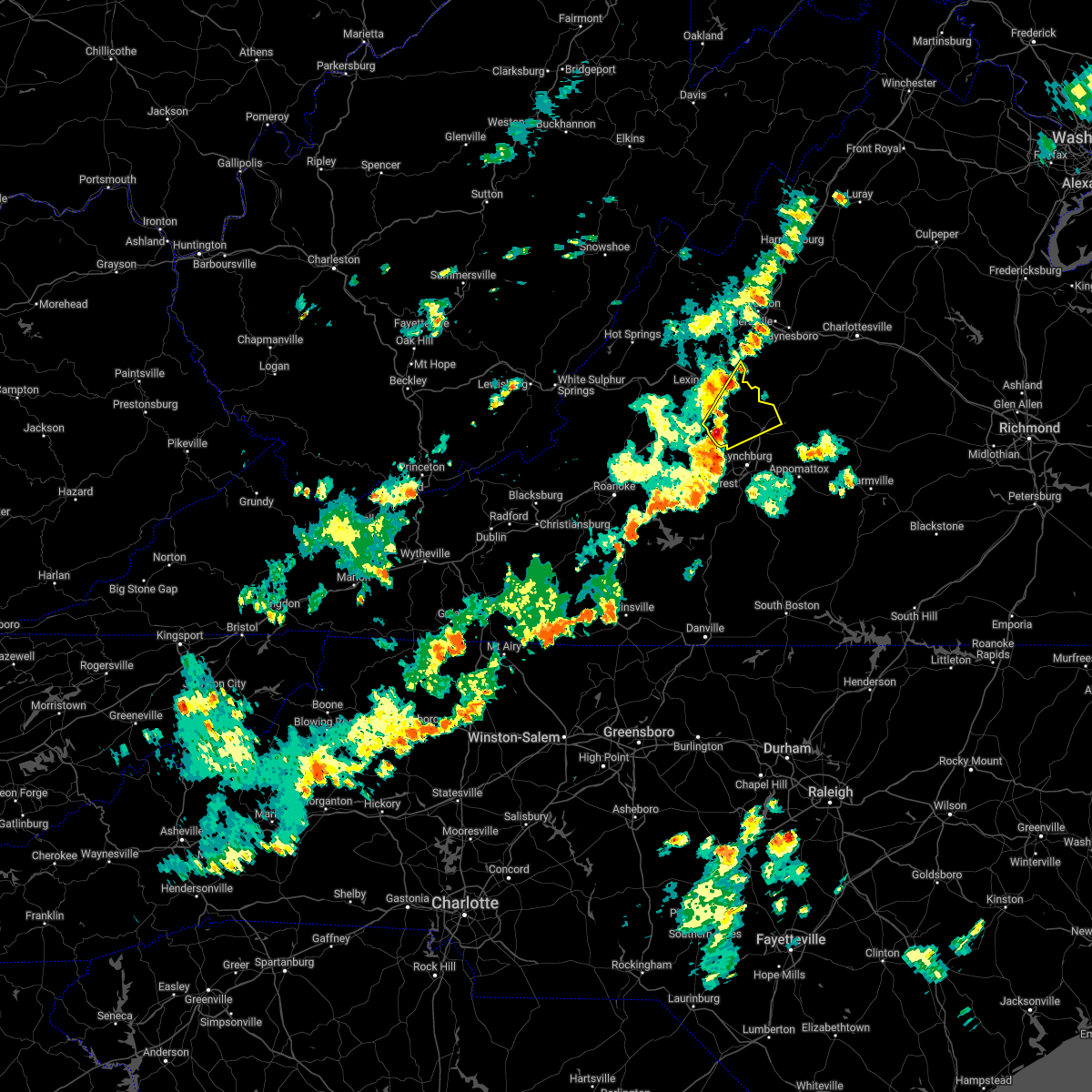 At 501 pm edt, a severe thunderstorm was located over pleasant view, or 7 miles northeast of big island, moving northeast at 30 mph (radar indicated). Hazards include 60 mph wind gusts. expect damage to roofs, siding, and trees At 501 pm edt, a severe thunderstorm was located over pleasant view, or 7 miles northeast of big island, moving northeast at 30 mph (radar indicated). Hazards include 60 mph wind gusts. expect damage to roofs, siding, and trees
|
| 5/22/2022 4:46 PM EDT |
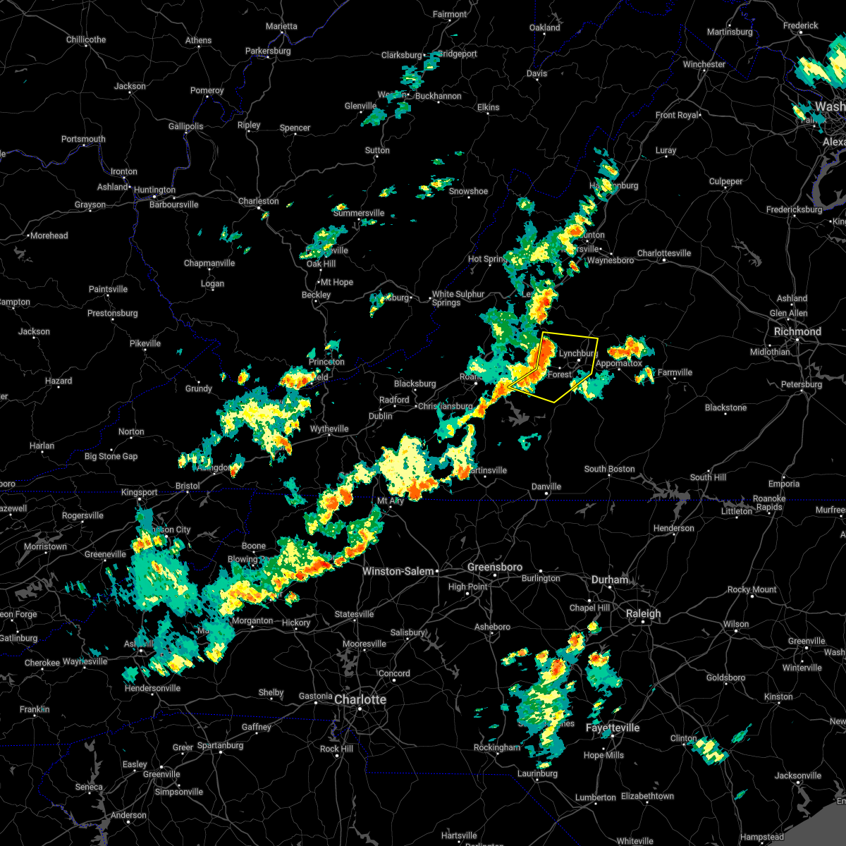 At 446 pm edt, severe thunderstorms were located along a line extending from big island to goode to near moneta, moving east at 25 mph (radar indicated). Hazards include 60 mph wind gusts. expect damage to roofs, siding, and trees At 446 pm edt, severe thunderstorms were located along a line extending from big island to goode to near moneta, moving east at 25 mph (radar indicated). Hazards include 60 mph wind gusts. expect damage to roofs, siding, and trees
|
| 5/6/2022 8:34 PM EDT |
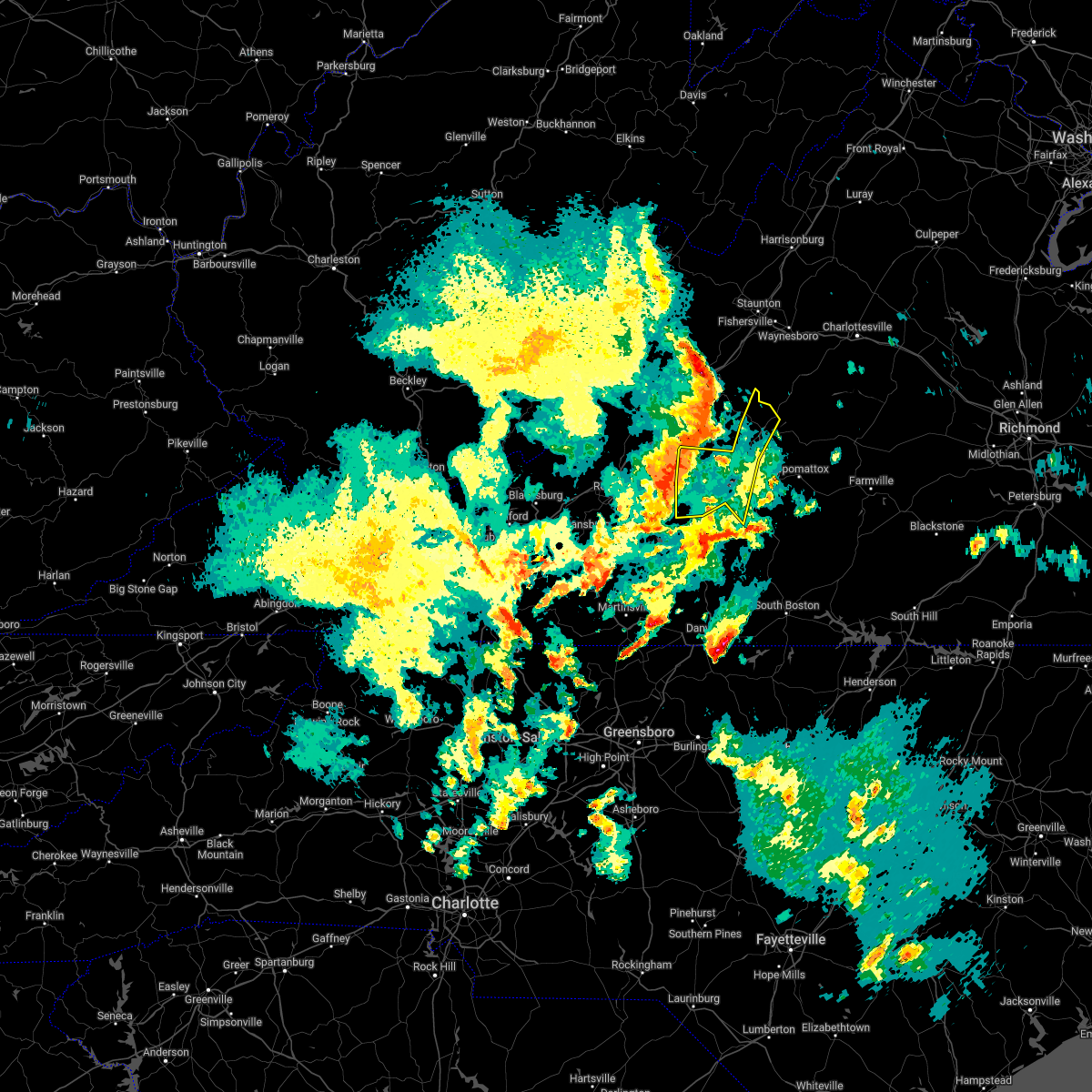 At 833 pm edt, severe thunderstorms were located along a line extending from near sedalia to near bedford to near moneta, moving east at 25 mph (radar indicated). Hazards include 60 mph wind gusts and quarter size hail. Hail damage to vehicles is expected. Expect wind damage to roofs, siding, and trees. At 833 pm edt, severe thunderstorms were located along a line extending from near sedalia to near bedford to near moneta, moving east at 25 mph (radar indicated). Hazards include 60 mph wind gusts and quarter size hail. Hail damage to vehicles is expected. Expect wind damage to roofs, siding, and trees.
|
| 10/25/2021 7:22 PM EDT |
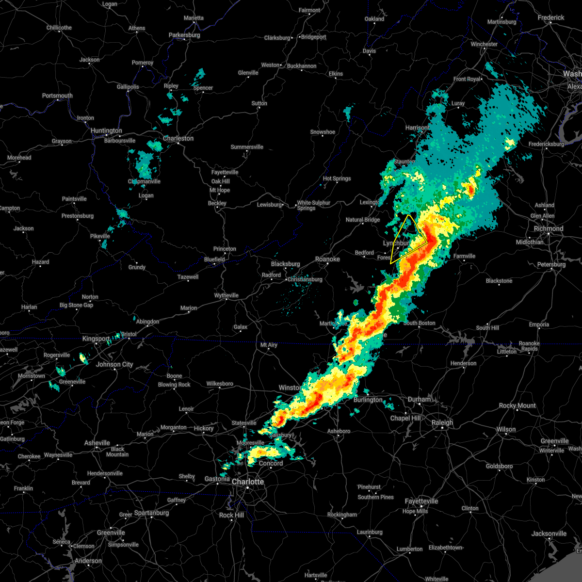 The severe thunderstorm warning for northwestern appomattox, north central campbell, and southeastern amherst counties and the eastern city of lynchburg will expire at 730 pm edt, the storm which prompted the warning has moved out of the area. therefore, the warning will be allowed to expire. a severe thunderstorm watch remains in effect until 100 am edt for central and south central virginia. The severe thunderstorm warning for northwestern appomattox, north central campbell, and southeastern amherst counties and the eastern city of lynchburg will expire at 730 pm edt, the storm which prompted the warning has moved out of the area. therefore, the warning will be allowed to expire. a severe thunderstorm watch remains in effect until 100 am edt for central and south central virginia.
|
| 10/25/2021 7:12 PM EDT |
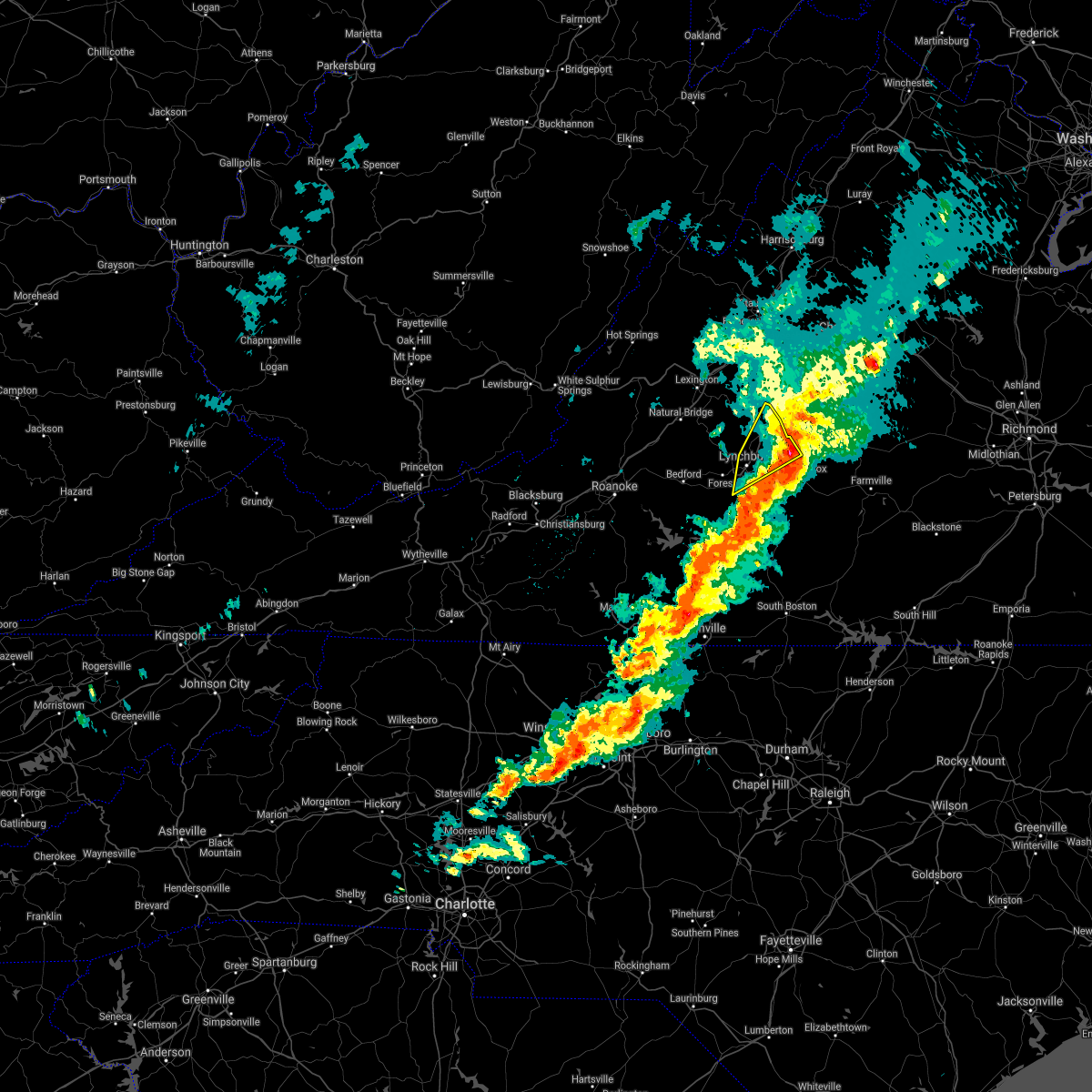 At 711 pm edt, a severe thunderstorm was located near falconerville, or near amherst, moving northeast at 35 mph (radar indicated). Hazards include 60 mph wind gusts and quarter size hail. Hail damage to vehicles is expected. expect wind damage to roofs, siding, and trees. locations impacted include, lynchburg, amherst, clifford, madison heights, falconerville, riverville, and new glasgow. this includes the following locations liberty university and lynchburg airport. hail threat, radar indicated max hail size, 1. 00 in wind threat, radar indicated max wind gust, 60 mph. At 711 pm edt, a severe thunderstorm was located near falconerville, or near amherst, moving northeast at 35 mph (radar indicated). Hazards include 60 mph wind gusts and quarter size hail. Hail damage to vehicles is expected. expect wind damage to roofs, siding, and trees. locations impacted include, lynchburg, amherst, clifford, madison heights, falconerville, riverville, and new glasgow. this includes the following locations liberty university and lynchburg airport. hail threat, radar indicated max hail size, 1. 00 in wind threat, radar indicated max wind gust, 60 mph.
|
| 10/25/2021 6:57 PM EDT | Two trees down on tye river road near the buffalo rive in nelson county VA, 7 miles W of Amherst, VA |
| 10/25/2021 6:53 PM EDT |
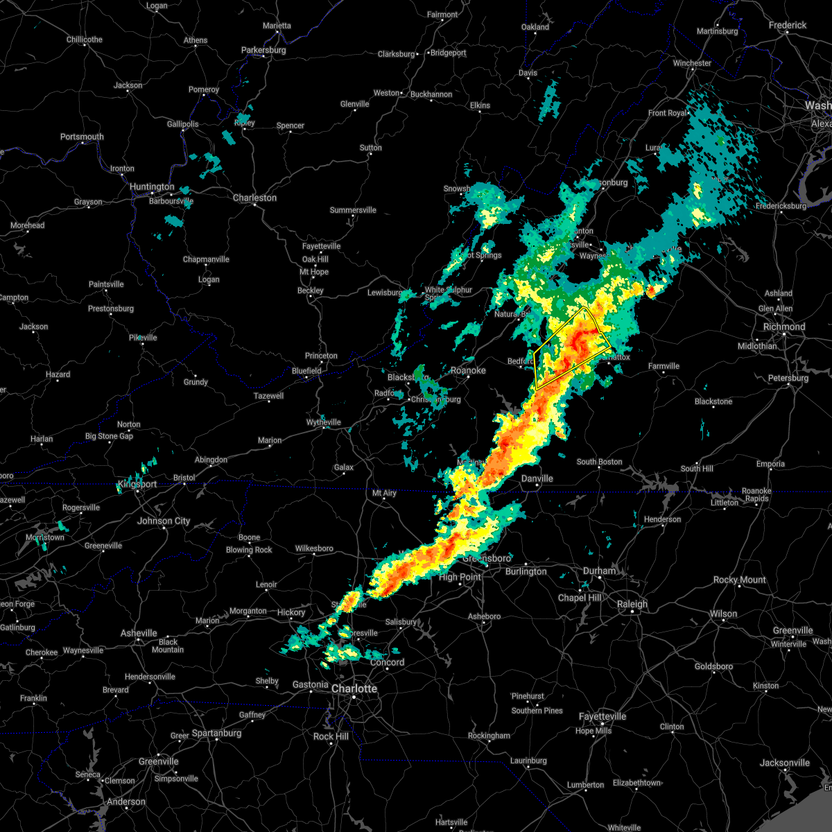 At 653 pm edt, a severe thunderstorm was located over boonsboro, or over lynchburg, moving northeast at 30 mph (radar indicated). Hazards include 60 mph wind gusts and quarter size hail. Hail damage to vehicles is expected. expect wind damage to roofs, siding, and trees. locations impacted include, lynchburg, amherst, clifford, forest, madison heights, boonsboro, and stonewall. this includes the following locations liberty university and lynchburg airport. hail threat, radar indicated max hail size, 1. 00 in wind threat, radar indicated max wind gust, 60 mph. At 653 pm edt, a severe thunderstorm was located over boonsboro, or over lynchburg, moving northeast at 30 mph (radar indicated). Hazards include 60 mph wind gusts and quarter size hail. Hail damage to vehicles is expected. expect wind damage to roofs, siding, and trees. locations impacted include, lynchburg, amherst, clifford, forest, madison heights, boonsboro, and stonewall. this includes the following locations liberty university and lynchburg airport. hail threat, radar indicated max hail size, 1. 00 in wind threat, radar indicated max wind gust, 60 mph.
|
| 10/25/2021 6:24 PM EDT |
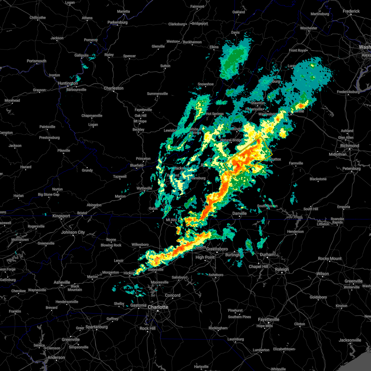 At 623 pm edt, a severe thunderstorm was located near bedford, moving northeast at 30 mph (radar indicated). Hazards include 60 mph wind gusts and quarter size hail. Hail damage to vehicles is expected. Expect wind damage to roofs, siding, and trees. At 623 pm edt, a severe thunderstorm was located near bedford, moving northeast at 30 mph (radar indicated). Hazards include 60 mph wind gusts and quarter size hail. Hail damage to vehicles is expected. Expect wind damage to roofs, siding, and trees.
|
| 8/29/2021 12:59 AM EDT |
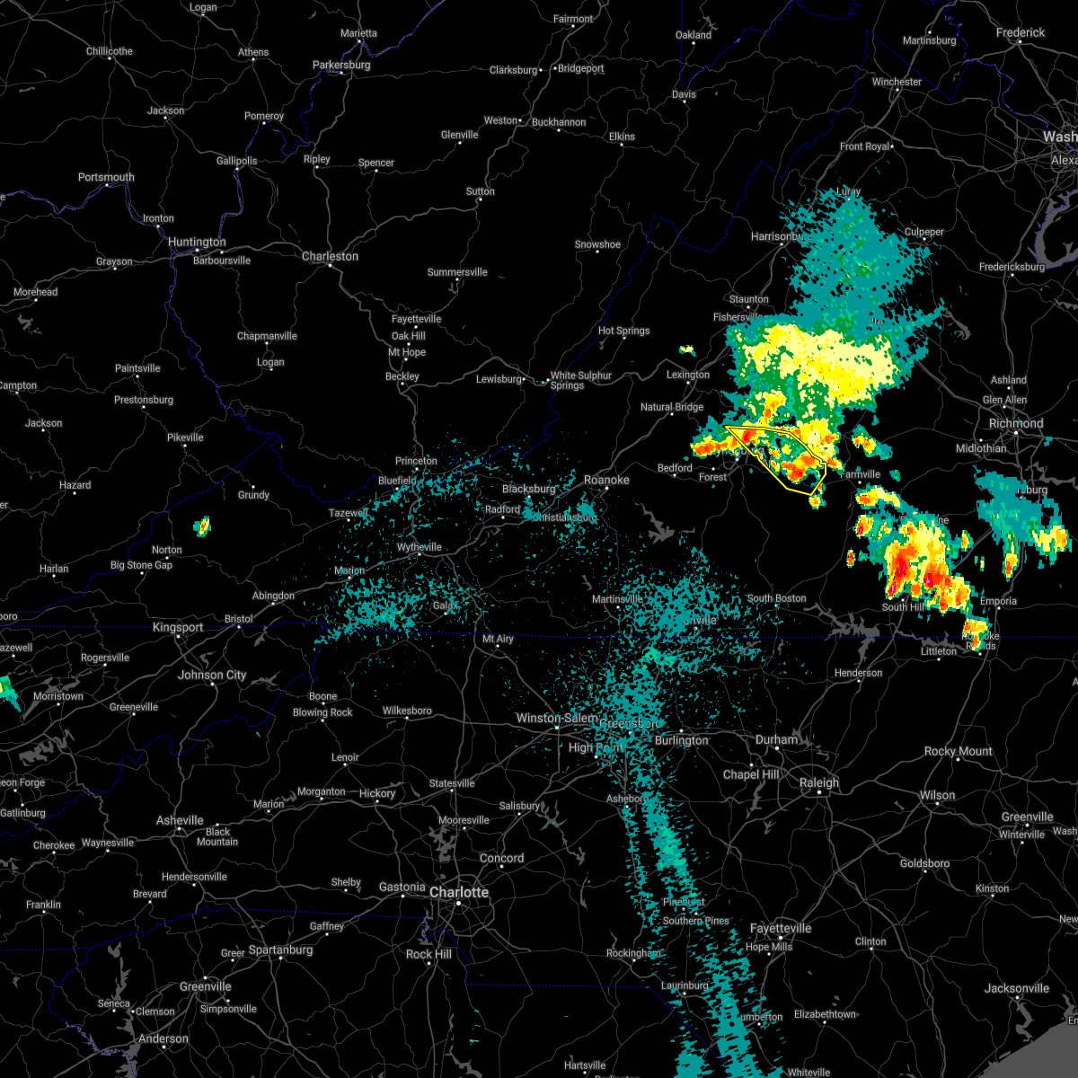 At 1259 am edt, severe thunderstorms were located along a line extending from near falconerville to evergreen, moving southeast at 5 mph (radar indicated). Hazards include 60 mph wind gusts and quarter size hail. Hail damage to vehicles is expected. Expect wind damage to roofs, siding, and trees. At 1259 am edt, severe thunderstorms were located along a line extending from near falconerville to evergreen, moving southeast at 5 mph (radar indicated). Hazards include 60 mph wind gusts and quarter size hail. Hail damage to vehicles is expected. Expect wind damage to roofs, siding, and trees.
|
| 8/29/2021 12:48 AM EDT |
 At 1247 am edt, severe thunderstorms were located along a line extending from falconerville to near appomattox national historic park, moving southeast at 10 mph (radar indicated). Hazards include 60 mph wind gusts and quarter size hail. Hail damage to vehicles is expected. expect wind damage to roofs, siding, and trees. locations impacted include, buckingham, amherst, appomattox, dillwyn, clifford, bent creek, and appomattox national historic park. hail threat, radar indicated max hail size, 1. 00 in wind threat, radar indicated max wind gust, 60 mph. At 1247 am edt, severe thunderstorms were located along a line extending from falconerville to near appomattox national historic park, moving southeast at 10 mph (radar indicated). Hazards include 60 mph wind gusts and quarter size hail. Hail damage to vehicles is expected. expect wind damage to roofs, siding, and trees. locations impacted include, buckingham, amherst, appomattox, dillwyn, clifford, bent creek, and appomattox national historic park. hail threat, radar indicated max hail size, 1. 00 in wind threat, radar indicated max wind gust, 60 mph.
|
| 8/29/2021 12:07 AM EDT |
 At 1207 am edt, severe thunderstorms were located along a line extending from near forks of buffalo to near appomattox national historic park, moving northeast at 25 mph (radar indicated). Hazards include 60 mph wind gusts and quarter size hail. Hail damage to vehicles is expected. Expect wind damage to roofs, siding, and trees. At 1207 am edt, severe thunderstorms were located along a line extending from near forks of buffalo to near appomattox national historic park, moving northeast at 25 mph (radar indicated). Hazards include 60 mph wind gusts and quarter size hail. Hail damage to vehicles is expected. Expect wind damage to roofs, siding, and trees.
|
| 8/11/2021 3:18 PM EDT |
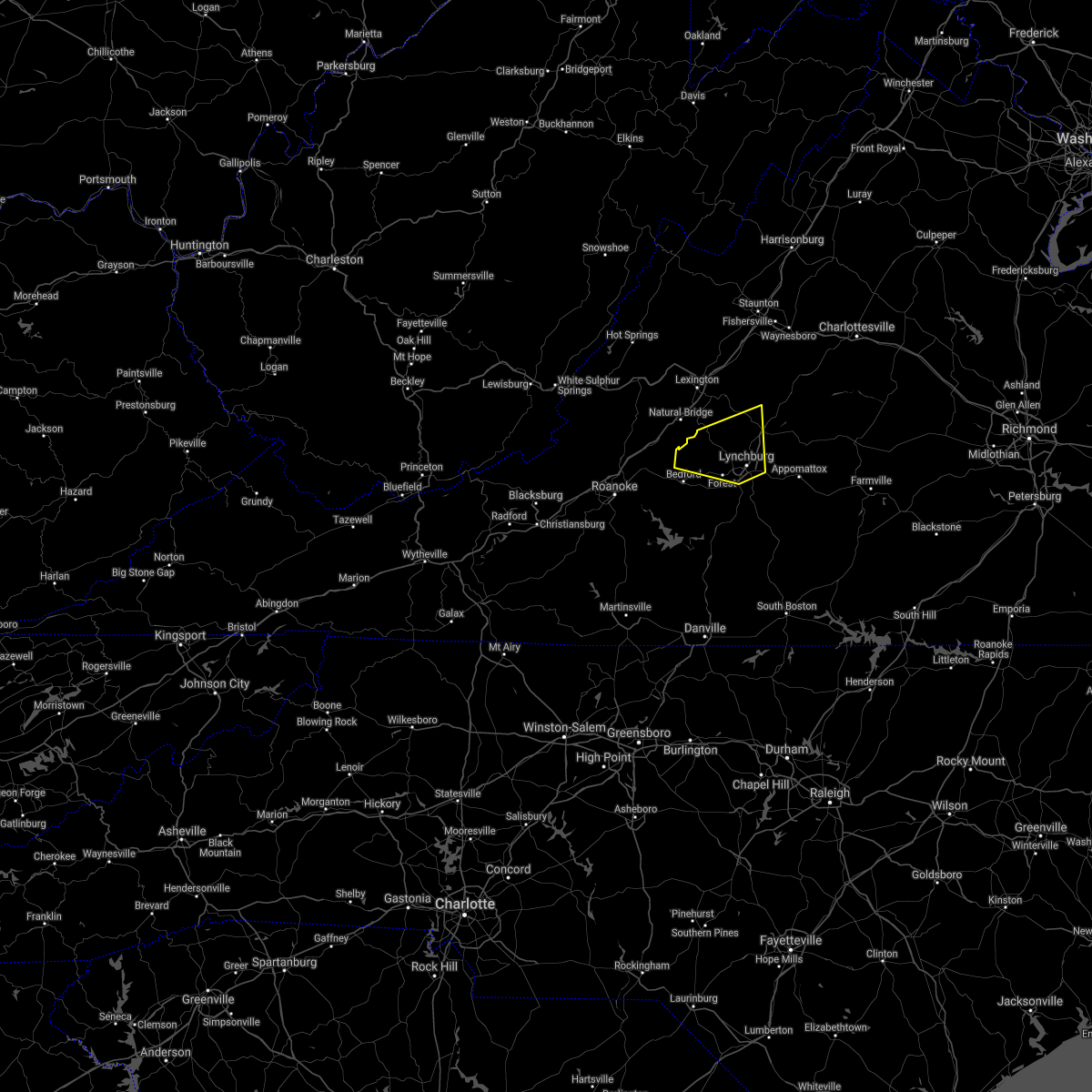 At 317 pm edt, a severe thunderstorm was located over big island, moving east at 10 mph (radar indicated). Hazards include 60 mph wind gusts and quarter size hail. Hail damage to vehicles is expected. Expect wind damage to roofs, siding, and trees. At 317 pm edt, a severe thunderstorm was located over big island, moving east at 10 mph (radar indicated). Hazards include 60 mph wind gusts and quarter size hail. Hail damage to vehicles is expected. Expect wind damage to roofs, siding, and trees.
|
| 8/10/2021 4:53 PM EDT |
 At 453 pm edt, severe thunderstorms were located along a line extending from lowesville to oakville, moving east at 20 mph (radar indicated). Hazards include 60 mph wind gusts and quarter size hail. Hail damage to vehicles is expected. Expect wind damage to roofs, siding, and trees. At 453 pm edt, severe thunderstorms were located along a line extending from lowesville to oakville, moving east at 20 mph (radar indicated). Hazards include 60 mph wind gusts and quarter size hail. Hail damage to vehicles is expected. Expect wind damage to roofs, siding, and trees.
|
| 7/26/2021 4:40 PM EDT |
 The severe thunderstorm warning for amherst county will expire at 445 pm edt, the storms which prompted the warning have weakened below severe limits, and no longer pose an immediate threat to life or property. therefore, the warning will be allowed to expire. however heavy rain is still possible with these thunderstorms. a severe thunderstorm watch remains in effect until 800 pm edt for central and south central virginia. when it is safe to do so, please send your reports of hail of any size, as well as reports of any wind damage, including downed trees or large limbs, to the national weather service by calling toll free at 1, 8 6 6, 2 1 5, 4 3 2 4. reports and pictures can also be shared on the national weather service blacksburg facebook page and on twitter. The severe thunderstorm warning for amherst county will expire at 445 pm edt, the storms which prompted the warning have weakened below severe limits, and no longer pose an immediate threat to life or property. therefore, the warning will be allowed to expire. however heavy rain is still possible with these thunderstorms. a severe thunderstorm watch remains in effect until 800 pm edt for central and south central virginia. when it is safe to do so, please send your reports of hail of any size, as well as reports of any wind damage, including downed trees or large limbs, to the national weather service by calling toll free at 1, 8 6 6, 2 1 5, 4 3 2 4. reports and pictures can also be shared on the national weather service blacksburg facebook page and on twitter.
|
| 7/26/2021 4:24 PM EDT | Thunderstorm winds blew down multiple trees near the intersection of harrison creek road and puppy creek roa in amherst county VA, 8.4 miles ESE of Amherst, VA |
| 7/26/2021 4:13 PM EDT | Thunderstorm winds blew down multiple trees on baileys sawmill roa in amherst county VA, 2.3 miles SE of Amherst, VA |
| 7/26/2021 4:03 PM EDT | Thunderstorm winds blew down multiple trees along the 300 block of mount pleasant roa in amherst county VA, 8.3 miles SE of Amherst, VA |
| 7/26/2021 3:49 PM EDT |
 At 349 pm edt, severe thunderstorms were located along a line extending from near lowesville to near oronoco, moving east at 25 mph (radar indicated). Hazards include 60 mph wind gusts. expect damage to roofs, siding, and trees At 349 pm edt, severe thunderstorms were located along a line extending from near lowesville to near oronoco, moving east at 25 mph (radar indicated). Hazards include 60 mph wind gusts. expect damage to roofs, siding, and trees
|
| 7/25/2021 6:44 PM EDT |
 At 644 pm edt, severe thunderstorms were located along a line extending from near new glasgow to near boonsboro, moving southeast at 15 mph (radar indicated). Hazards include 60 mph wind gusts and quarter size hail. Hail damage to vehicles is expected. Expect wind damage to roofs, siding, and trees. At 644 pm edt, severe thunderstorms were located along a line extending from near new glasgow to near boonsboro, moving southeast at 15 mph (radar indicated). Hazards include 60 mph wind gusts and quarter size hail. Hail damage to vehicles is expected. Expect wind damage to roofs, siding, and trees.
|
| 7/17/2021 7:20 PM EDT |
 At 720 pm edt, severe thunderstorms were located along a line extending from 6 miles southeast of montebello to near stewartsville, moving southeast at 20 mph (radar indicated). Hazards include 60 mph wind gusts. Expect damage to roofs, siding, and trees. locations impacted include, bedford, amherst, forks of buffalo, stewartsville, big island, moneta, and clifford. This includes the following location the national d-day memorial. At 720 pm edt, severe thunderstorms were located along a line extending from 6 miles southeast of montebello to near stewartsville, moving southeast at 20 mph (radar indicated). Hazards include 60 mph wind gusts. Expect damage to roofs, siding, and trees. locations impacted include, bedford, amherst, forks of buffalo, stewartsville, big island, moneta, and clifford. This includes the following location the national d-day memorial.
|
| 7/17/2021 6:51 PM EDT |
 At 651 pm edt, severe thunderstorms were located along a line extending from vesuvius to near laymantown, moving southeast at 20 mph (radar indicated). Hazards include 60 mph wind gusts. Expect damage to roofs, siding, and trees. locations impacted include, lexington, buena vista, bedford, amherst, buchanan, glasgow, and troutville. This includes the following locations vmi and the national d-day memorial. At 651 pm edt, severe thunderstorms were located along a line extending from vesuvius to near laymantown, moving southeast at 20 mph (radar indicated). Hazards include 60 mph wind gusts. Expect damage to roofs, siding, and trees. locations impacted include, lexington, buena vista, bedford, amherst, buchanan, glasgow, and troutville. This includes the following locations vmi and the national d-day memorial.
|
| 7/17/2021 6:25 PM EDT |
 At 625 pm edt, severe thunderstorms were located along a line extending from near brownsburg to near daleville, moving southeast at 20 mph (radar indicated). Hazards include 60 mph wind gusts. expect damage to roofs, siding, and trees At 625 pm edt, severe thunderstorms were located along a line extending from near brownsburg to near daleville, moving southeast at 20 mph (radar indicated). Hazards include 60 mph wind gusts. expect damage to roofs, siding, and trees
|
| 6/13/2021 6:55 PM EDT |
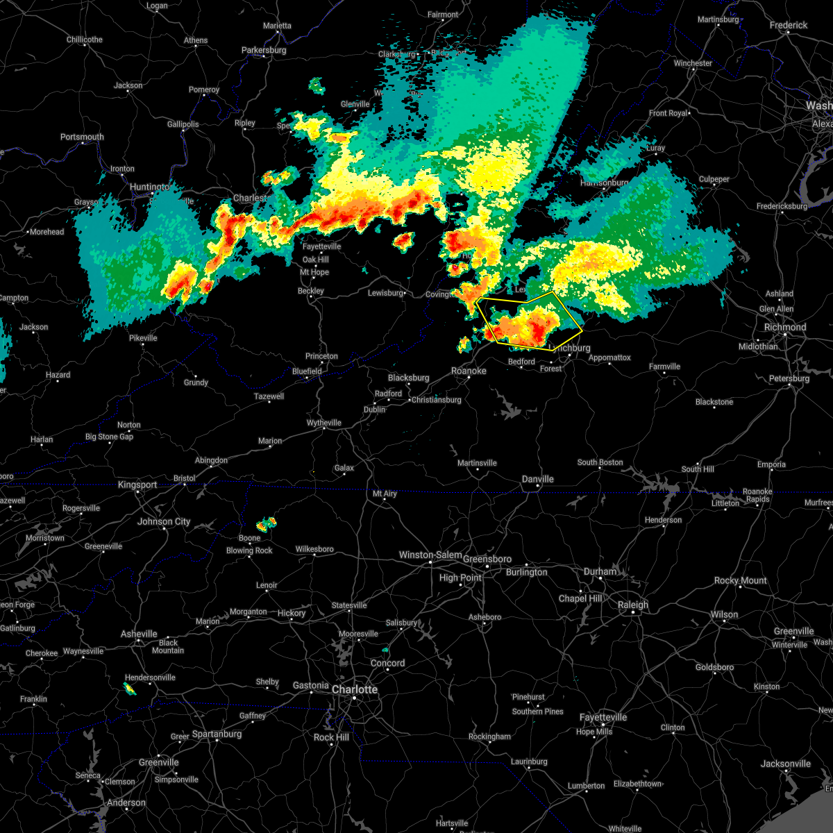 The severe thunderstorm warning for southern rockbridge, northeastern bedford, northeastern botetourt and western amherst counties and the city of buena vista will expire at 700 pm edt, the storms which prompted the warning have moved out of the warned area. therefore, the warning will be allowed to expire. remember, a new severe thunderstorm warning still remains in effect for portions of botetourt, bedford, and amherst counties. a severe thunderstorm watch remains in effect until 1000 pm edt for southwestern and west central virginia, and southeastern west virginia. when it is safe to do so, please send your reports of hail of any size, as well as reports of any wind damage, including downed trees or large limbs, to the national weather service by calling toll free at 1, 8 6 6, 2 1 5, 4 3 2 4. reports and pictures can also be shared on the national weather service blacksburg facebook page and on twitter. The severe thunderstorm warning for southern rockbridge, northeastern bedford, northeastern botetourt and western amherst counties and the city of buena vista will expire at 700 pm edt, the storms which prompted the warning have moved out of the warned area. therefore, the warning will be allowed to expire. remember, a new severe thunderstorm warning still remains in effect for portions of botetourt, bedford, and amherst counties. a severe thunderstorm watch remains in effect until 1000 pm edt for southwestern and west central virginia, and southeastern west virginia. when it is safe to do so, please send your reports of hail of any size, as well as reports of any wind damage, including downed trees or large limbs, to the national weather service by calling toll free at 1, 8 6 6, 2 1 5, 4 3 2 4. reports and pictures can also be shared on the national weather service blacksburg facebook page and on twitter.
|
| 6/13/2021 6:34 PM EDT |
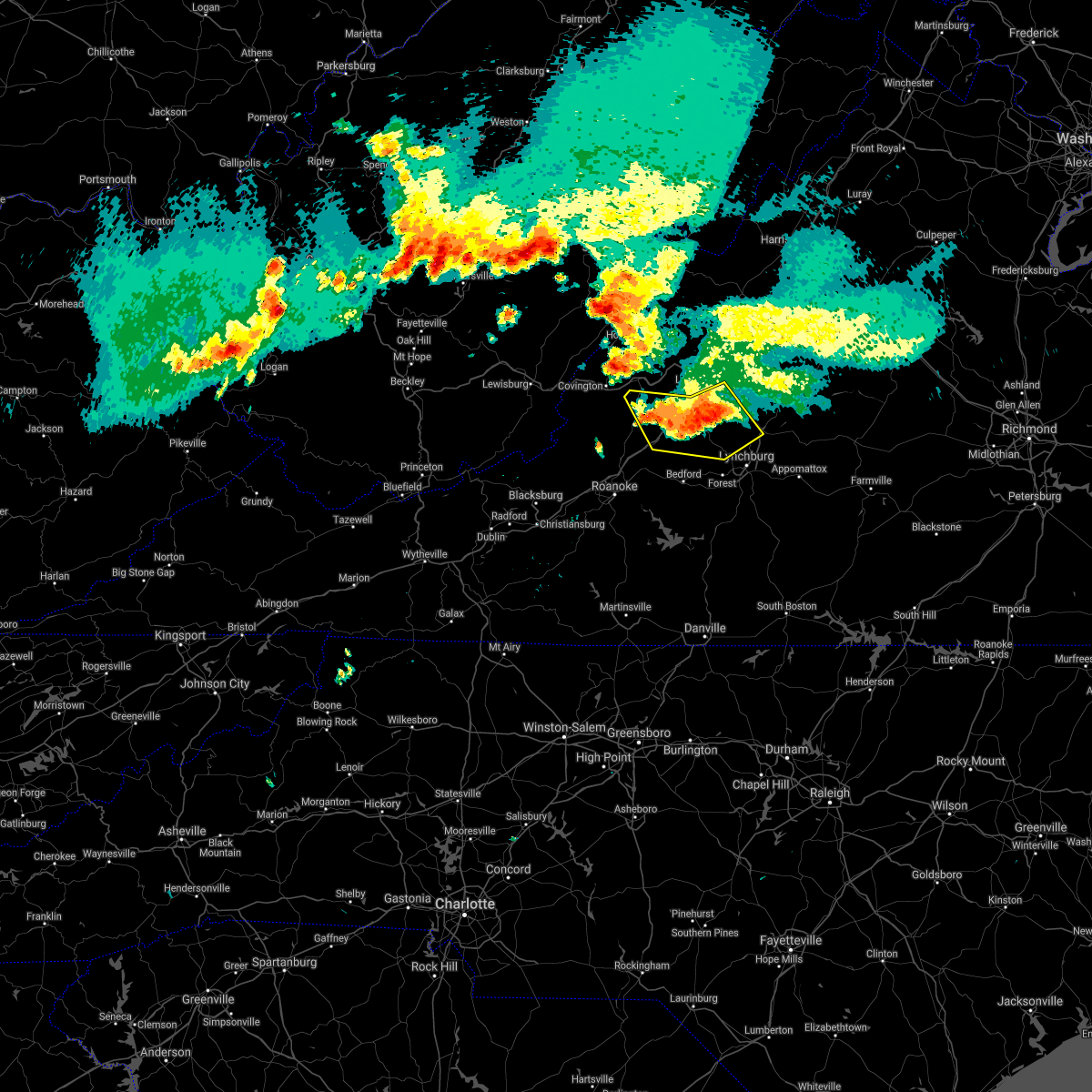 At 633 pm edt, severe thunderstorms were located along a line extending from forks of buffalo to near snowden to eagle rock, moving south at 20 mph (radar indicated). Hazards include 60 mph wind gusts and quarter size hail. Hail damage to vehicles is expected. expect wind damage to roofs, siding, and trees. Locations impacted include, buena vista, amherst, buchanan, glasgow, forks of buffalo, big island, and eagle rock. At 633 pm edt, severe thunderstorms were located along a line extending from forks of buffalo to near snowden to eagle rock, moving south at 20 mph (radar indicated). Hazards include 60 mph wind gusts and quarter size hail. Hail damage to vehicles is expected. expect wind damage to roofs, siding, and trees. Locations impacted include, buena vista, amherst, buchanan, glasgow, forks of buffalo, big island, and eagle rock.
|
| 6/13/2021 6:09 PM EDT |
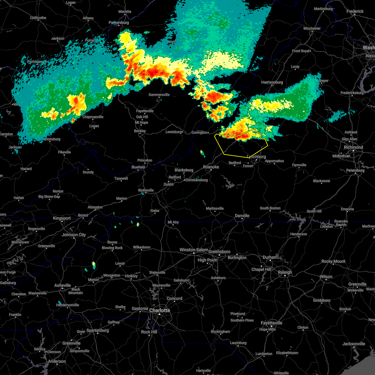 At 608 pm edt, severe thunderstorms were located along a line extending from alto to near glasgow to near glen wilton, moving southeast at 25 mph (radar indicated). Hazards include 60 mph wind gusts and quarter size hail. Hail damage to vehicles is expected. Expect wind damage to roofs, siding, and trees. At 608 pm edt, severe thunderstorms were located along a line extending from alto to near glasgow to near glen wilton, moving southeast at 25 mph (radar indicated). Hazards include 60 mph wind gusts and quarter size hail. Hail damage to vehicles is expected. Expect wind damage to roofs, siding, and trees.
|
| 6/9/2021 7:03 PM EDT |
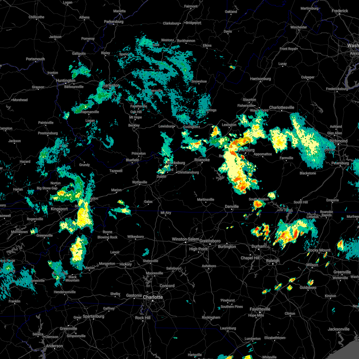 At 703 pm edt, severe thunderstorms were located along a line extending from near amherst to near naola, moving southeast at 10 mph (radar indicated). Hazards include 60 mph wind gusts. Expect damage to roofs, siding, and trees. Locations impacted include, amherst, naola, pleasant view, and elon. At 703 pm edt, severe thunderstorms were located along a line extending from near amherst to near naola, moving southeast at 10 mph (radar indicated). Hazards include 60 mph wind gusts. Expect damage to roofs, siding, and trees. Locations impacted include, amherst, naola, pleasant view, and elon.
|
| 6/9/2021 6:49 PM EDT |
 At 649 pm edt, a severe thunderstorm was located over pleasant view, or near forks of buffalo, moving southeast at 15 mph (radar indicated). Hazards include 60 mph wind gusts. Expect damage to roofs, siding, and trees. Locations impacted include, amherst, forks of buffalo, naola, pleasant view, and elon. At 649 pm edt, a severe thunderstorm was located over pleasant view, or near forks of buffalo, moving southeast at 15 mph (radar indicated). Hazards include 60 mph wind gusts. Expect damage to roofs, siding, and trees. Locations impacted include, amherst, forks of buffalo, naola, pleasant view, and elon.
|
| 6/9/2021 6:28 PM EDT |
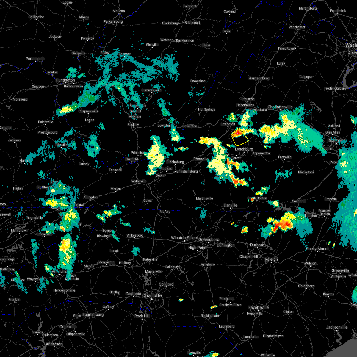 At 628 pm edt, a severe thunderstorm was located near oronoco, or near forks of buffalo, moving southeast at 15 mph (radar indicated). Hazards include 60 mph wind gusts and quarter size hail. Hail damage to vehicles is expected. Expect wind damage to roofs, siding, and trees. At 628 pm edt, a severe thunderstorm was located near oronoco, or near forks of buffalo, moving southeast at 15 mph (radar indicated). Hazards include 60 mph wind gusts and quarter size hail. Hail damage to vehicles is expected. Expect wind damage to roofs, siding, and trees.
|
| 5/4/2021 3:56 PM EDT |
 At 356 pm edt, a severe thunderstorm was located near shipman, or 8 miles east of clifford, moving east at 35 mph (radar indicated). Hazards include 60 mph wind gusts. Expect damage to roofs, siding, and trees. Locations impacted include, amherst, bent creek, concord, clifford, stonewall, tower hill, and falconerville. At 356 pm edt, a severe thunderstorm was located near shipman, or 8 miles east of clifford, moving east at 35 mph (radar indicated). Hazards include 60 mph wind gusts. Expect damage to roofs, siding, and trees. Locations impacted include, amherst, bent creek, concord, clifford, stonewall, tower hill, and falconerville.
|
| 5/4/2021 3:38 PM EDT | Two large trees downed. some limbs downed as wel in amherst county VA, 3.3 miles NW of Amherst, VA |
| 5/4/2021 3:35 PM EDT |
 At 334 pm edt, a severe thunderstorm was located near amherst, moving east at 35 mph (radar indicated). Hazards include 60 mph wind gusts. expect damage to roofs, siding, and trees At 334 pm edt, a severe thunderstorm was located near amherst, moving east at 35 mph (radar indicated). Hazards include 60 mph wind gusts. expect damage to roofs, siding, and trees
|
| 4/8/2021 10:02 PM EDT |
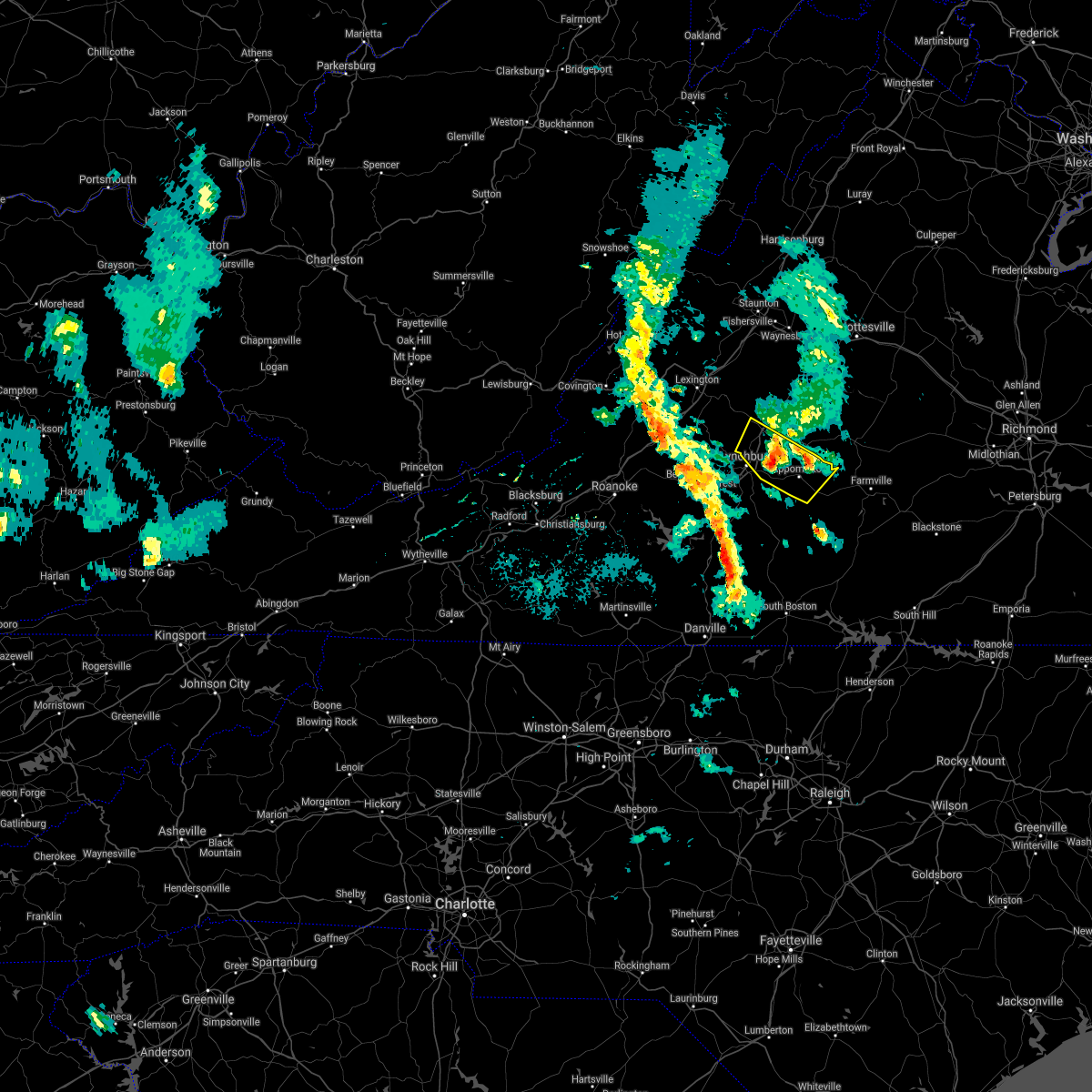 At 1002 pm edt, a severe thunderstorm was located over falconerville, or near amherst, moving north at 15 mph (radar indicated). Hazards include quarter size hail. Damage to vehicles is expected. Locations impacted include, amherst, appomattox, concord, appomattox national historic park, falconerville, riverville, and stonewall. At 1002 pm edt, a severe thunderstorm was located over falconerville, or near amherst, moving north at 15 mph (radar indicated). Hazards include quarter size hail. Damage to vehicles is expected. Locations impacted include, amherst, appomattox, concord, appomattox national historic park, falconerville, riverville, and stonewall.
|
| 4/8/2021 9:44 PM EDT |
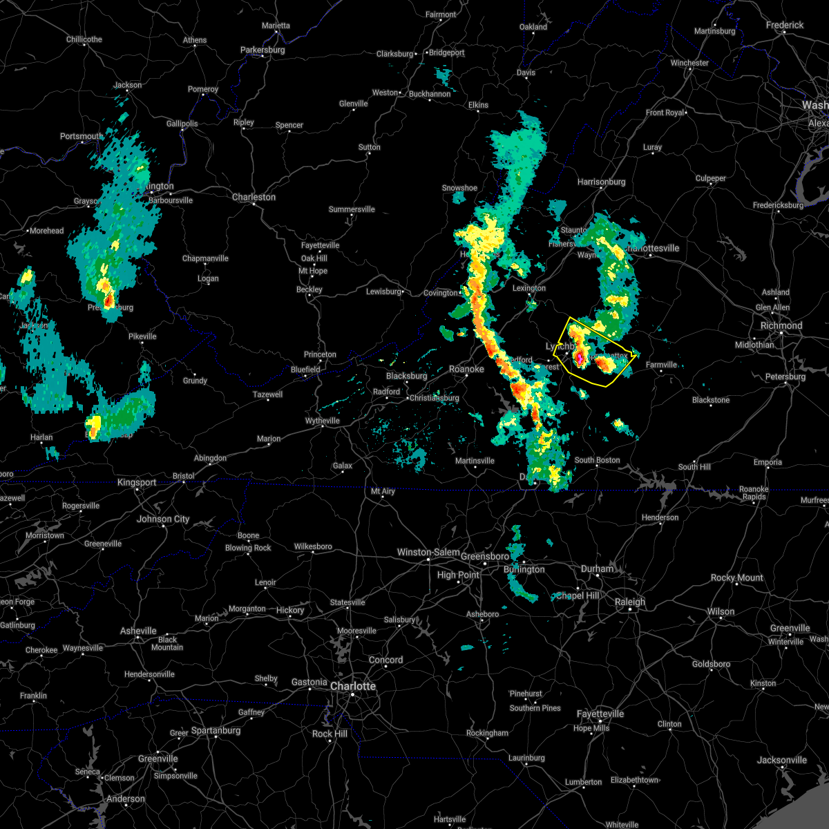 At 944 pm edt, a severe thunderstorm was located near madison heights, or near lynchburg, moving north at 15 mph (radar indicated). Hazards include quarter size hail. Damage to vehicles is expected. locations impacted include, lynchburg, amherst, appomattox, concord, rustburg, madison heights, and appomattox national historic park. This includes the following location liberty university. At 944 pm edt, a severe thunderstorm was located near madison heights, or near lynchburg, moving north at 15 mph (radar indicated). Hazards include quarter size hail. Damage to vehicles is expected. locations impacted include, lynchburg, amherst, appomattox, concord, rustburg, madison heights, and appomattox national historic park. This includes the following location liberty university.
|
| 4/8/2021 9:21 PM EDT |
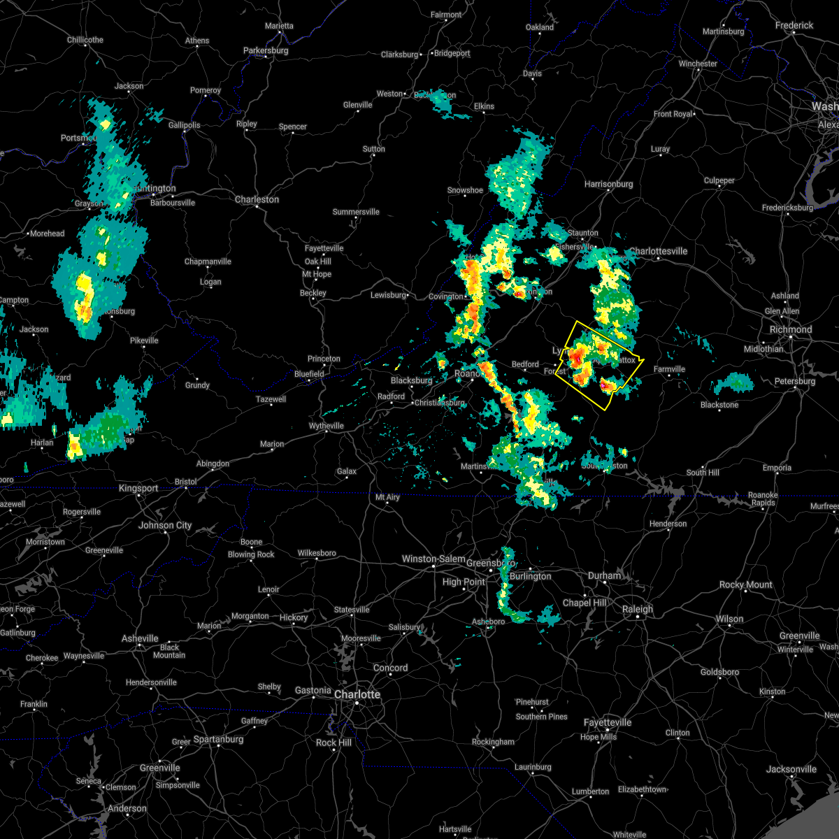 At 919 pm edt, a cluster of severe thunderstorms was located between lynchburg, hat creek, evergreen and stonewall, moving north at 15 mph (radar indicated). Hazards include quarter size hail. damage to vehicles is expected At 919 pm edt, a cluster of severe thunderstorms was located between lynchburg, hat creek, evergreen and stonewall, moving north at 15 mph (radar indicated). Hazards include quarter size hail. damage to vehicles is expected
|
| 7/28/2020 5:08 PM EDT |
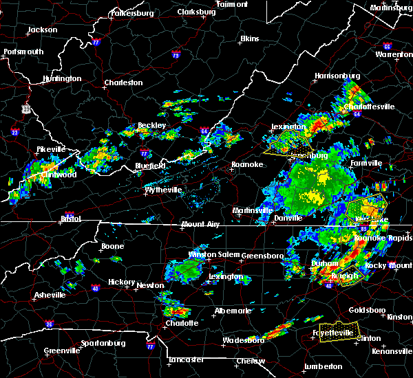 At 505 pm edt, severe thunderstorms were located along a line extending from near sherando to naola, moving east at 20 mph (radar indicated). Hazards include 60 mph wind gusts. Expect damage to roofs, siding, and trees. Locations impacted include, amherst, forks of buffalo, clifford, big island, coleman falls, snowden, and naola. At 505 pm edt, severe thunderstorms were located along a line extending from near sherando to naola, moving east at 20 mph (radar indicated). Hazards include 60 mph wind gusts. Expect damage to roofs, siding, and trees. Locations impacted include, amherst, forks of buffalo, clifford, big island, coleman falls, snowden, and naola.
|
| 7/28/2020 5:05 PM EDT |
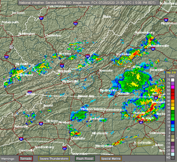 At 505 pm edt, severe thunderstorms were located along a line extending from near sherando to naola, moving east at 20 mph (radar indicated). Hazards include 60 mph wind gusts. Expect damage to roofs, siding, and trees. Locations impacted include, amherst, forks of buffalo, clifford, big island, coleman falls, snowden, and naola. At 505 pm edt, severe thunderstorms were located along a line extending from near sherando to naola, moving east at 20 mph (radar indicated). Hazards include 60 mph wind gusts. Expect damage to roofs, siding, and trees. Locations impacted include, amherst, forks of buffalo, clifford, big island, coleman falls, snowden, and naola.
|
| 7/28/2020 4:50 PM EDT |
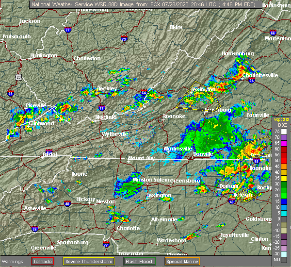 At 450 pm edt, severe thunderstorms were located along a line extending from 6 miles southwest of stuarts draft to big island, moving east at 20 mph (radar indicated). Hazards include 60 mph wind gusts. Expect damage to roofs, siding, and trees. Locations impacted include, buena vista, amherst, glasgow, forks of buffalo, clifford, big island, and coleman falls. At 450 pm edt, severe thunderstorms were located along a line extending from 6 miles southwest of stuarts draft to big island, moving east at 20 mph (radar indicated). Hazards include 60 mph wind gusts. Expect damage to roofs, siding, and trees. Locations impacted include, buena vista, amherst, glasgow, forks of buffalo, clifford, big island, and coleman falls.
|
| 7/28/2020 4:20 PM EDT |
 At 420 pm edt, severe thunderstorms were located along a line extending from near brownsburg to near natural bridge, moving east at 20 mph (radar indicated). Hazards include 60 mph wind gusts and quarter size hail. Hail damage to vehicles is expected. Expect wind damage to roofs, siding, and trees. At 420 pm edt, severe thunderstorms were located along a line extending from near brownsburg to near natural bridge, moving east at 20 mph (radar indicated). Hazards include 60 mph wind gusts and quarter size hail. Hail damage to vehicles is expected. Expect wind damage to roofs, siding, and trees.
|
| 7/10/2020 8:15 PM EDT |
 At 815 pm edt, a severe thunderstorm was located over madison heights, or near lynchburg, moving northeast at 20 mph (radar indicated). Hazards include 60 mph wind gusts and quarter size hail. Hail damage to vehicles is expected. Expect wind damage to roofs, siding, and trees. At 815 pm edt, a severe thunderstorm was located over madison heights, or near lynchburg, moving northeast at 20 mph (radar indicated). Hazards include 60 mph wind gusts and quarter size hail. Hail damage to vehicles is expected. Expect wind damage to roofs, siding, and trees.
|
| 4/8/2020 7:10 AM EDT |
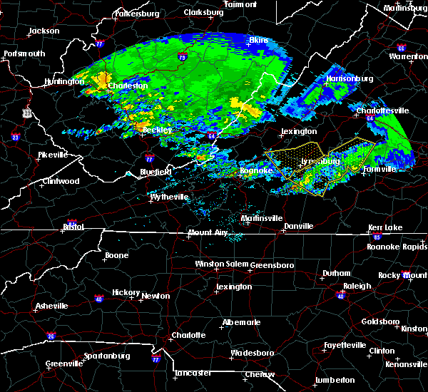 The severe thunderstorm warning for south central rockbridge, northeastern bedford, east central botetourt, and amherst counties and the city of lynchburg will expire at 715 am edt, the storms which prompted the warning have moved out of the area. therefore, the warning will be allowed to expire. when it is safe to do so, please send your reports of hail of any size, as well as reports of any wind damage, including downed trees or large limbs, to the national weather service by calling toll free at 1, 8 6 6, 2 1 5, 4 3 2 4. reports and pictures can also be shared on the national weather service blacksburg facebook page and on twitter. The severe thunderstorm warning for south central rockbridge, northeastern bedford, east central botetourt, and amherst counties and the city of lynchburg will expire at 715 am edt, the storms which prompted the warning have moved out of the area. therefore, the warning will be allowed to expire. when it is safe to do so, please send your reports of hail of any size, as well as reports of any wind damage, including downed trees or large limbs, to the national weather service by calling toll free at 1, 8 6 6, 2 1 5, 4 3 2 4. reports and pictures can also be shared on the national weather service blacksburg facebook page and on twitter.
|
| 4/8/2020 6:42 AM EDT |
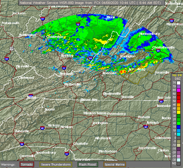 At 640 am edt, severe thunderstorms were located along a line extending from near wingina to near falconerville, moving southeast at 65 mph (radar indicated). Hazards include 60 mph wind gusts. Expect damage to roofs, siding, and trees. Locations impacted include, lynchburg, amherst, clifford, big island, forest, coleman falls, and madison heights. At 640 am edt, severe thunderstorms were located along a line extending from near wingina to near falconerville, moving southeast at 65 mph (radar indicated). Hazards include 60 mph wind gusts. Expect damage to roofs, siding, and trees. Locations impacted include, lynchburg, amherst, clifford, big island, forest, coleman falls, and madison heights.
|
| 4/8/2020 6:15 AM EDT |
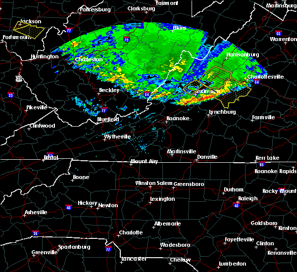 At 614 am edt, severe thunderstorms were located along a line extending from 6 miles southwest of wintergreen to near natural bridge, moving southeast at 65 mph (radar indicated). Hazards include 60 mph wind gusts. expect damage to roofs, siding, and trees At 614 am edt, severe thunderstorms were located along a line extending from 6 miles southwest of wintergreen to near natural bridge, moving southeast at 65 mph (radar indicated). Hazards include 60 mph wind gusts. expect damage to roofs, siding, and trees
|
| 1/11/2020 11:27 PM EST |
 At 1127 pm est, severe thunderstorms were located along a line extending from near crozet to near turbeville, moving east at 60 mph (radar indicated). Hazards include 70 mph wind gusts. Expect considerable tree damage. Damage is likely to mobile homes, roofs, and outbuildings. At 1127 pm est, severe thunderstorms were located along a line extending from near crozet to near turbeville, moving east at 60 mph (radar indicated). Hazards include 70 mph wind gusts. Expect considerable tree damage. Damage is likely to mobile homes, roofs, and outbuildings.
|
| 1/11/2020 11:07 PM EST |
 At 1106 pm est, severe thunderstorms were located along a line extending from 7 miles southwest of wintergreen to near jericho, moving east at 50 mph (radar indicated). Hazards include 60 mph wind gusts. Expect damage to roofs, siding, and trees. locations impacted include, lynchburg, danville, bedford, altavista, amherst, yanceyville, and bethel. This includes the following locations liberty university, danville airport, and lynchburg airport. At 1106 pm est, severe thunderstorms were located along a line extending from 7 miles southwest of wintergreen to near jericho, moving east at 50 mph (radar indicated). Hazards include 60 mph wind gusts. Expect damage to roofs, siding, and trees. locations impacted include, lynchburg, danville, bedford, altavista, amherst, yanceyville, and bethel. This includes the following locations liberty university, danville airport, and lynchburg airport.
|
| 1/11/2020 10:33 PM EST |
 At 1032 pm est, severe thunderstorms were located along a line extending from near buena vista to 6 miles northwest of greensboro, moving northeast at 75 mph (radar indicated. numerous trees were reported down by this line of storms in giles county and in galax). Hazards include 60 mph wind gusts. expect damage to roofs, siding, and trees At 1032 pm est, severe thunderstorms were located along a line extending from near buena vista to 6 miles northwest of greensboro, moving northeast at 75 mph (radar indicated. numerous trees were reported down by this line of storms in giles county and in galax). Hazards include 60 mph wind gusts. expect damage to roofs, siding, and trees
|
| 10/31/2019 6:21 PM EDT |
 The severe thunderstorm warning for northeastern bedford, and amherst counties and the northwestern city of lynchburg will expire at 630 pm edt, the storm which prompted the warning has weakened below severe limits, and has exited the warned area. therefore, the warning will be allowed to expire. a tornado watch remains in effect until 1100 pm edt for central, south central and west central virginia. when it is safe to do so, please send your reports of hail of any size, as well as reports of any wind damage, including downed trees or large limbs, to the national weather service by calling toll free at 1, 8 6 6, 2 1 5, 4 3 2 4. reports and pictures can also be shared on the national weather service blacksburg facebook page and on twitter. The severe thunderstorm warning for northeastern bedford, and amherst counties and the northwestern city of lynchburg will expire at 630 pm edt, the storm which prompted the warning has weakened below severe limits, and has exited the warned area. therefore, the warning will be allowed to expire. a tornado watch remains in effect until 1100 pm edt for central, south central and west central virginia. when it is safe to do so, please send your reports of hail of any size, as well as reports of any wind damage, including downed trees or large limbs, to the national weather service by calling toll free at 1, 8 6 6, 2 1 5, 4 3 2 4. reports and pictures can also be shared on the national weather service blacksburg facebook page and on twitter.
|
| 10/31/2019 5:25 PM EDT |
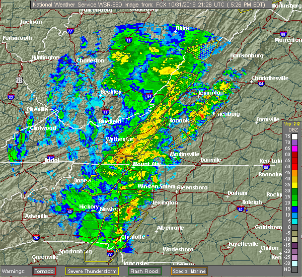 At 524 pm edt, a severe thunderstorm was located over goode, or near forest, moving northeast at 55 mph (radar indicated). Hazards include 60 mph wind gusts. expect damage to roofs, siding, and trees At 524 pm edt, a severe thunderstorm was located over goode, or near forest, moving northeast at 55 mph (radar indicated). Hazards include 60 mph wind gusts. expect damage to roofs, siding, and trees
|
| 9/29/2019 6:32 PM EDT |
 At 632 pm edt, severe thunderstorms were located along a line extending from near sedalia to amherst, moving south at 10 mph (radar indicated). Hazards include 60 mph wind gusts. expect damage to roofs, siding, and trees At 632 pm edt, severe thunderstorms were located along a line extending from near sedalia to amherst, moving south at 10 mph (radar indicated). Hazards include 60 mph wind gusts. expect damage to roofs, siding, and trees
|
| 9/28/2019 3:29 PM EDT |
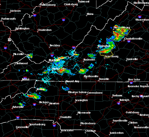 At 328 pm edt, severe thunderstorms extended from near clifford to near pleasant view to near snowden, moving southeast at 20 mph (radar indicated). Hazards include 60 mph wind gusts and quarter size hail. Hail damage to vehicles is expected. Expect wind damage to roofs, siding, and trees. At 328 pm edt, severe thunderstorms extended from near clifford to near pleasant view to near snowden, moving southeast at 20 mph (radar indicated). Hazards include 60 mph wind gusts and quarter size hail. Hail damage to vehicles is expected. Expect wind damage to roofs, siding, and trees.
|
| 9/11/2019 5:58 PM EDT |
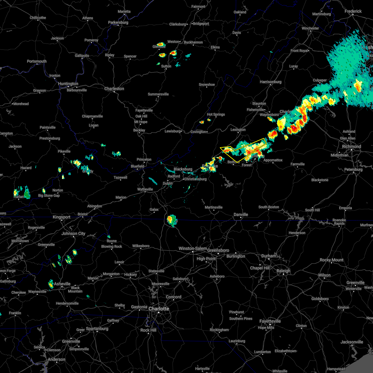 At 540 pm edt, severe thunderstorms were located along a line extending from near new glasgow to near coleman falls, moving southeast at 25 mph (emergency management reported several trees down near buchanan). Hazards include 60 mph wind gusts. Expect damage to roofs, siding, and trees. Locations impacted include, amherst, buchanan, clifford, big island, and coleman falls. At 540 pm edt, severe thunderstorms were located along a line extending from near new glasgow to near coleman falls, moving southeast at 25 mph (emergency management reported several trees down near buchanan). Hazards include 60 mph wind gusts. Expect damage to roofs, siding, and trees. Locations impacted include, amherst, buchanan, clifford, big island, and coleman falls.
|
| 9/11/2019 5:41 PM EDT |
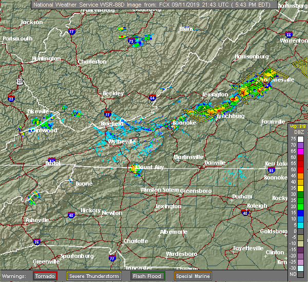 A severe thunderstorm warning remains in effect until 600 pm edt for northeastern bedford. east central botetourt. and central amherst counties. At 540 pm edt, severe thunderstorms were located along a line extending from near new glasgow to near coleman falls, moving southeast at 25 mph. A severe thunderstorm warning remains in effect until 600 pm edt for northeastern bedford. east central botetourt. and central amherst counties. At 540 pm edt, severe thunderstorms were located along a line extending from near new glasgow to near coleman falls, moving southeast at 25 mph.
|
| 9/11/2019 5:01 PM EDT |
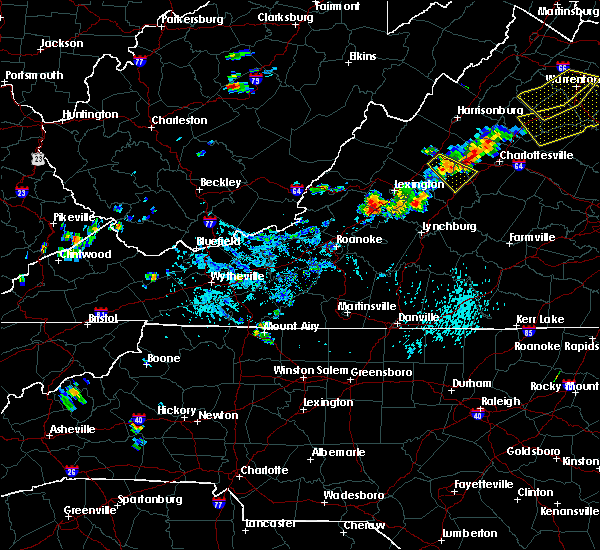 At 500 pm edt, severe thunderstorms were located along a line extending from near forks of buffalo to near arcadia, moving southeast at 15 mph (radar indicated). Hazards include 60 mph wind gusts and quarter size hail. Hail damage to vehicles is expected. expect wind damage to roofs, siding, and trees. Locations impacted include, bedford, amherst, buchanan, glasgow, and forks of buffalo. At 500 pm edt, severe thunderstorms were located along a line extending from near forks of buffalo to near arcadia, moving southeast at 15 mph (radar indicated). Hazards include 60 mph wind gusts and quarter size hail. Hail damage to vehicles is expected. expect wind damage to roofs, siding, and trees. Locations impacted include, bedford, amherst, buchanan, glasgow, and forks of buffalo.
|
| 9/11/2019 4:53 PM EDT |
 At 452 pm edt, severe thunderstorms were located along a line extending from near buena vista to near arcadia, moving east at 15 mph (radar indicated). Hazards include 60 mph wind gusts and quarter size hail. Hail damage to vehicles is expected. Expect wind damage to roofs, siding, and trees. At 452 pm edt, severe thunderstorms were located along a line extending from near buena vista to near arcadia, moving east at 15 mph (radar indicated). Hazards include 60 mph wind gusts and quarter size hail. Hail damage to vehicles is expected. Expect wind damage to roofs, siding, and trees.
|
| 8/22/2019 3:31 PM EDT |
 At 331 pm edt, severe thunderstorms were located along a line extending from near centenary to near leesville, moving east at 75 mph (radar indicated). Hazards include 60 mph wind gusts. expect damage to roofs, siding, and trees At 331 pm edt, severe thunderstorms were located along a line extending from near centenary to near leesville, moving east at 75 mph (radar indicated). Hazards include 60 mph wind gusts. expect damage to roofs, siding, and trees
|
| 8/22/2019 3:14 PM EDT |
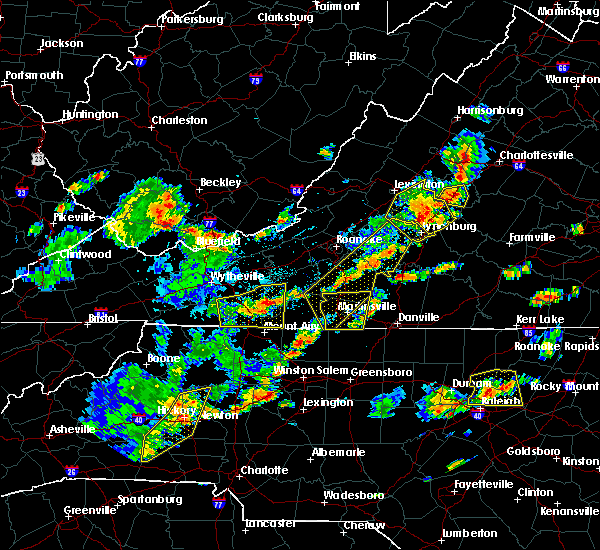 At 314 pm edt, severe thunderstorms were located along a line extending from 6 miles east of big meadows to 9 miles northeast of schuyler to near lowesville, moving east at 50 mph (radar indicated). Hazards include 60 mph wind gusts and quarter size hail. Hail damage to vehicles is expected. expect wind damage to roofs, siding, and trees. locations impacted include, lynchburg, buena vista, amherst, glasgow, and forks of buffalo. This includes the following location liberty university. At 314 pm edt, severe thunderstorms were located along a line extending from 6 miles east of big meadows to 9 miles northeast of schuyler to near lowesville, moving east at 50 mph (radar indicated). Hazards include 60 mph wind gusts and quarter size hail. Hail damage to vehicles is expected. expect wind damage to roofs, siding, and trees. locations impacted include, lynchburg, buena vista, amherst, glasgow, and forks of buffalo. This includes the following location liberty university.
|
| 8/22/2019 3:01 PM EDT |
 At 257 pm edt, severe thunderstorms were located along a line extending from near stanley to 6 miles northwest of schuyler to near oronoco, moving east at 50 mph (radar indicated). Hazards include 60 mph wind gusts and quarter size hail. Hail damage to vehicles is expected. expect wind damage to roofs, siding, and trees. locations impacted include, lynchburg, buena vista, amherst, glasgow, and forks of buffalo. This includes the following location liberty university. At 257 pm edt, severe thunderstorms were located along a line extending from near stanley to 6 miles northwest of schuyler to near oronoco, moving east at 50 mph (radar indicated). Hazards include 60 mph wind gusts and quarter size hail. Hail damage to vehicles is expected. expect wind damage to roofs, siding, and trees. locations impacted include, lynchburg, buena vista, amherst, glasgow, and forks of buffalo. This includes the following location liberty university.
|
| 8/22/2019 2:32 PM EDT |
 At 232 pm edt, severe thunderstorms were located along a line extending from near harrisonburg to near montebello to near natural bridge, moving east at 50 mph (radar indicated). Hazards include 60 mph wind gusts and quarter size hail. Hail damage to vehicles is expected. Expect wind damage to roofs, siding, and trees. At 232 pm edt, severe thunderstorms were located along a line extending from near harrisonburg to near montebello to near natural bridge, moving east at 50 mph (radar indicated). Hazards include 60 mph wind gusts and quarter size hail. Hail damage to vehicles is expected. Expect wind damage to roofs, siding, and trees.
|
| 8/15/2019 5:24 PM EDT |
 At 524 pm edt, a severe thunderstorm was located over amherst, moving east at 25 mph (radar indicated). Hazards include 60 mph wind gusts. Expect damage to roofs, siding, and trees. Locations impacted include, amherst, clifford, falconerville, riverville, and new glasgow. At 524 pm edt, a severe thunderstorm was located over amherst, moving east at 25 mph (radar indicated). Hazards include 60 mph wind gusts. Expect damage to roofs, siding, and trees. Locations impacted include, amherst, clifford, falconerville, riverville, and new glasgow.
|
| 8/15/2019 5:11 PM EDT |
 At 511 pm edt, a severe thunderstorm was located over falconerville, moving east at 25 mph (radar indicated). Hazards include 60 mph wind gusts and quarter size hail. Hail damage to vehicles is expected. Expect wind damage to roofs, siding, and trees. At 511 pm edt, a severe thunderstorm was located over falconerville, moving east at 25 mph (radar indicated). Hazards include 60 mph wind gusts and quarter size hail. Hail damage to vehicles is expected. Expect wind damage to roofs, siding, and trees.
|
| 7/31/2019 5:40 PM EDT |
 The severe thunderstorm warning for southeastern rockbridge, northeastern bedford and amherst counties will expire at 545 pm edt, the storm which prompted the warning has weakened below severe limits, and has exited the warned area. therefore, the warning will be allowed to expire. however heavy rain is still possible with this thunderstorm. when it is safe to do so, please send your reports of hail of any size, as well as reports of any wind damage, including downed trees or large limbs, to the national weather service by calling toll free at 1, 8 6 6, 2 1 5, 4 3 2 4. reports and pictures can also be shared on the national weather service blacksburg facebook page and on twitter. The severe thunderstorm warning for southeastern rockbridge, northeastern bedford and amherst counties will expire at 545 pm edt, the storm which prompted the warning has weakened below severe limits, and has exited the warned area. therefore, the warning will be allowed to expire. however heavy rain is still possible with this thunderstorm. when it is safe to do so, please send your reports of hail of any size, as well as reports of any wind damage, including downed trees or large limbs, to the national weather service by calling toll free at 1, 8 6 6, 2 1 5, 4 3 2 4. reports and pictures can also be shared on the national weather service blacksburg facebook page and on twitter.
|
| 7/31/2019 5:31 PM EDT |
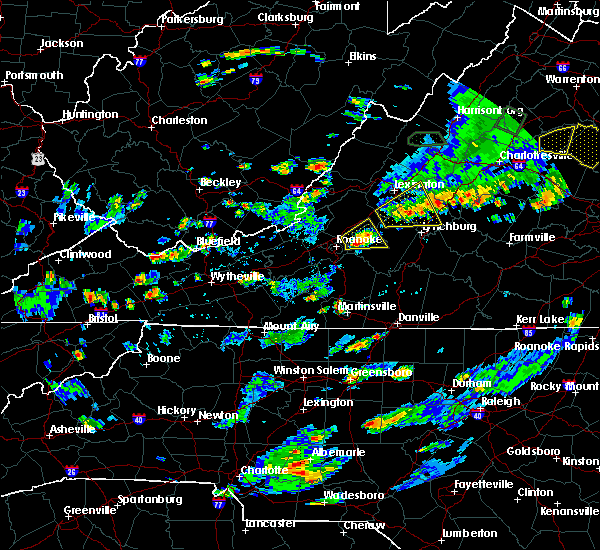 A severe thunderstorm warning remains in effect until 545 pm edt for southeastern rockbridge. northeastern bedford and amherst counties. At 531 pm edt, a severe thunderstorm was located over naola, moving east at 25 mph. A severe thunderstorm warning remains in effect until 545 pm edt for southeastern rockbridge. northeastern bedford and amherst counties. At 531 pm edt, a severe thunderstorm was located over naola, moving east at 25 mph.
|
| 7/31/2019 5:11 PM EDT |
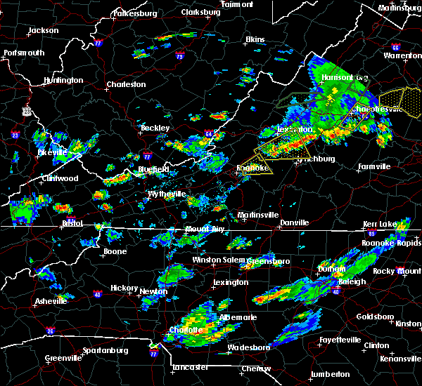 At 511 pm edt, a severe thunderstorm was located near sedalia, moving east at 25 mph (radar indicated). Hazards include 60 mph wind gusts and quarter size hail. Hail damage to vehicles is expected. expect wind damage to roofs, siding, and trees. Locations impacted include, buena vista, amherst, glasgow, forks of buffalo, and big island. At 511 pm edt, a severe thunderstorm was located near sedalia, moving east at 25 mph (radar indicated). Hazards include 60 mph wind gusts and quarter size hail. Hail damage to vehicles is expected. expect wind damage to roofs, siding, and trees. Locations impacted include, buena vista, amherst, glasgow, forks of buffalo, and big island.
|
| 7/31/2019 4:52 PM EDT |
 At 452 pm edt, a severe thunderstorm was located near arcadia, moving east at 25 mph (radar indicated). Hazards include 60 mph wind gusts and quarter size hail. Hail damage to vehicles is expected. Expect wind damage to roofs, siding, and trees. At 452 pm edt, a severe thunderstorm was located near arcadia, moving east at 25 mph (radar indicated). Hazards include 60 mph wind gusts and quarter size hail. Hail damage to vehicles is expected. Expect wind damage to roofs, siding, and trees.
|
| 7/21/2019 3:48 PM EDT |
 At 347 pm edt, severe thunderstorms were located along a line extending from oronoco to near dillwyn, moving northeast at 20 mph (radar indicated). Hazards include 60 mph wind gusts and quarter size hail. Hail damage to vehicles is expected. expect wind damage to roofs, siding, and trees. Locations impacted include, buckingham, amherst, dillwyn, forks of buffalo, and clifford. At 347 pm edt, severe thunderstorms were located along a line extending from oronoco to near dillwyn, moving northeast at 20 mph (radar indicated). Hazards include 60 mph wind gusts and quarter size hail. Hail damage to vehicles is expected. expect wind damage to roofs, siding, and trees. Locations impacted include, buckingham, amherst, dillwyn, forks of buffalo, and clifford.
|
| 7/21/2019 3:29 PM EDT |
 At 328 pm edt, severe thunderstorms were located along a line extending from near buena vista to near sheppards, moving northeast at 20 mph (radar indicated). Hazards include 60 mph wind gusts and quarter size hail. Hail damage to vehicles is expected. Expect wind damage to roofs, siding, and trees. At 328 pm edt, severe thunderstorms were located along a line extending from near buena vista to near sheppards, moving northeast at 20 mph (radar indicated). Hazards include 60 mph wind gusts and quarter size hail. Hail damage to vehicles is expected. Expect wind damage to roofs, siding, and trees.
|
| 7/21/2019 3:22 PM EDT |
 At 321 pm edt, severe thunderstorms were located along a line extending from near snowden to near tower hill, moving northeast at 20 mph (the public reported multiple trees and power lines down along with quarter sized hail in the city of lynchburg). Hazards include 60 mph wind gusts and quarter size hail. Hail damage to vehicles is expected. expect wind damage to roofs, siding, and trees. Locations impacted include, buckingham, amherst, forks of buffalo, bent creek, and clifford. At 321 pm edt, severe thunderstorms were located along a line extending from near snowden to near tower hill, moving northeast at 20 mph (the public reported multiple trees and power lines down along with quarter sized hail in the city of lynchburg). Hazards include 60 mph wind gusts and quarter size hail. Hail damage to vehicles is expected. expect wind damage to roofs, siding, and trees. Locations impacted include, buckingham, amherst, forks of buffalo, bent creek, and clifford.
|
| 7/21/2019 2:59 PM EDT |
 At 257 pm edt, severe thunderstorms were located along a line extending from near big island to near appomattox national historic park, moving northeast at 20 mph (the public reported quarter sized hail along with multiple trees and power lines down in the city of lynchburg). Hazards include 60 mph wind gusts and quarter size hail. Hail damage to vehicles is expected. expect wind damage to roofs, siding, and trees. locations impacted include, lynchburg, buckingham, amherst, appomattox, and forks of buffalo. This includes the following location liberty university. At 257 pm edt, severe thunderstorms were located along a line extending from near big island to near appomattox national historic park, moving northeast at 20 mph (the public reported quarter sized hail along with multiple trees and power lines down in the city of lynchburg). Hazards include 60 mph wind gusts and quarter size hail. Hail damage to vehicles is expected. expect wind damage to roofs, siding, and trees. locations impacted include, lynchburg, buckingham, amherst, appomattox, and forks of buffalo. This includes the following location liberty university.
|
| 7/21/2019 2:35 PM EDT |
 At 234 pm edt, severe thunderstorms were located along a line extending from sedalia to near appomattox, moving northeast at 30 mph (radar indicated). Hazards include 60 mph wind gusts and quarter size hail. Hail damage to vehicles is expected. Expect wind damage to roofs, siding, and trees. At 234 pm edt, severe thunderstorms were located along a line extending from sedalia to near appomattox, moving northeast at 30 mph (radar indicated). Hazards include 60 mph wind gusts and quarter size hail. Hail damage to vehicles is expected. Expect wind damage to roofs, siding, and trees.
|
| 7/15/2019 6:36 PM EDT |
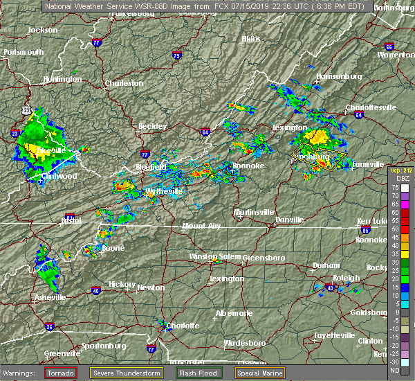 The severe thunderstorm warning for appomattox, southwestern buckingham and southeastern amherst counties will expire at 645 pm edt, the storms which prompted the warning have weakened below severe limits, and no longer poses an immediate threat to life or property. therefore, the warning will be allowed to expire. when it is safe to do so, please send your reports of hail of any size, as well as reports of any wind damage, including downed trees or large limbs, to the national weather service by calling toll free at 1, 8 6 6, 2 1 5, 4 3 2 4. reports and pictures can also be shared on the national weather service blacksburg facebook page and on twitter. The severe thunderstorm warning for appomattox, southwestern buckingham and southeastern amherst counties will expire at 645 pm edt, the storms which prompted the warning have weakened below severe limits, and no longer poses an immediate threat to life or property. therefore, the warning will be allowed to expire. when it is safe to do so, please send your reports of hail of any size, as well as reports of any wind damage, including downed trees or large limbs, to the national weather service by calling toll free at 1, 8 6 6, 2 1 5, 4 3 2 4. reports and pictures can also be shared on the national weather service blacksburg facebook page and on twitter.
|
| 7/15/2019 6:18 PM EDT |
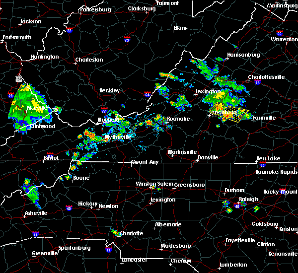 At 617 pm edt, a severe thunderstorm was located over bent creek, moving southeast at 20 mph (radar indicated). Hazards include 60 mph wind gusts and quarter size hail. Hail damage to vehicles is expected. expect wind damage to roofs, siding, and trees. Locations impacted include, amherst, appomattox, bent creek, appomattox national historic park, and andersonville. At 617 pm edt, a severe thunderstorm was located over bent creek, moving southeast at 20 mph (radar indicated). Hazards include 60 mph wind gusts and quarter size hail. Hail damage to vehicles is expected. expect wind damage to roofs, siding, and trees. Locations impacted include, amherst, appomattox, bent creek, appomattox national historic park, and andersonville.
|
| 7/15/2019 5:45 PM EDT |
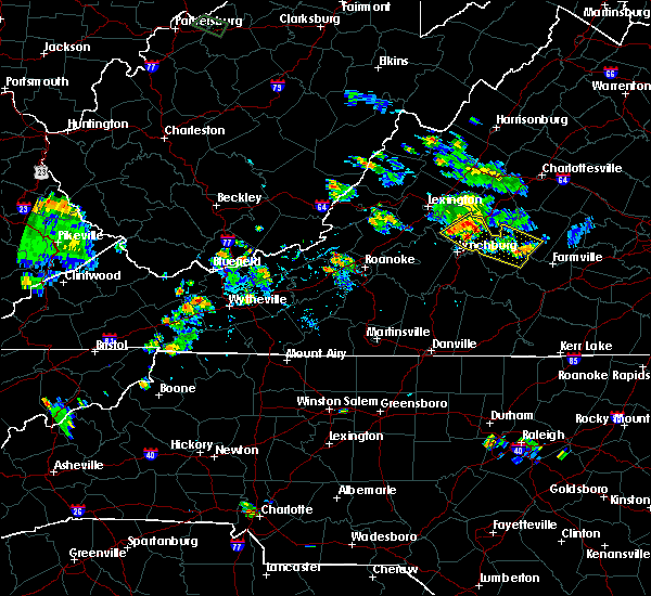 At 544 pm edt, a severe thunderstorm was located over amherst, moving southeast at 20 mph (radar indicated). Hazards include 60 mph wind gusts and quarter size hail. Hail damage to vehicles is expected. Expect wind damage to roofs, siding, and trees. At 544 pm edt, a severe thunderstorm was located over amherst, moving southeast at 20 mph (radar indicated). Hazards include 60 mph wind gusts and quarter size hail. Hail damage to vehicles is expected. Expect wind damage to roofs, siding, and trees.
|
| 7/11/2019 4:41 PM EDT |
 At 441 pm edt, a severe thunderstorm was located near pleasant view, moving east at 40 mph (radar indicated). Hazards include 60 mph wind gusts. Expect damage to roofs, siding, and trees. Locations impacted include, buena vista, amherst, glasgow, forks of buffalo, and clifford. At 441 pm edt, a severe thunderstorm was located near pleasant view, moving east at 40 mph (radar indicated). Hazards include 60 mph wind gusts. Expect damage to roofs, siding, and trees. Locations impacted include, buena vista, amherst, glasgow, forks of buffalo, and clifford.
|
| 7/11/2019 4:27 PM EDT |
 At 426 pm edt, a severe thunderstorm was located over glasgow, moving east at 35 mph (radar indicated). Hazards include 60 mph wind gusts. expect damage to roofs, siding, and trees At 426 pm edt, a severe thunderstorm was located over glasgow, moving east at 35 mph (radar indicated). Hazards include 60 mph wind gusts. expect damage to roofs, siding, and trees
|
| 7/6/2019 10:43 PM EDT | Tree down at intersection of matohe and peters hollow roa in amherst county VA, 5.8 miles E of Amherst, VA |
| 5/29/2019 5:55 PM EDT |
 At 554 pm edt, a severe thunderstorm was located near glasgow, moving east at 55 mph (radar indicated). Hazards include 60 mph wind gusts. expect damage to roofs, siding, and trees At 554 pm edt, a severe thunderstorm was located near glasgow, moving east at 55 mph (radar indicated). Hazards include 60 mph wind gusts. expect damage to roofs, siding, and trees
|
| 5/29/2019 4:53 PM EDT |
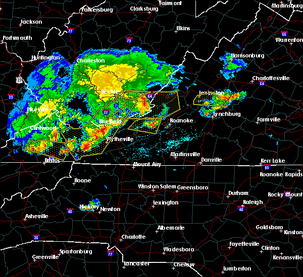 The severe thunderstorm warning for southeastern rockbridge and northern amherst counties, the city of buena vista and the city of lexington will expire at 500 pm edt, the storm which prompted the warning has moved out of the area. therefore, the warning will be allowed to expire. a severe thunderstorm watch remains in effect until 800 pm edt for central, south central and west central virginia. when it is safe to do so, please send your reports of hail of any size, as well as reports of any wind damage, including downed trees or large limbs, to the national weather service by calling toll free at 1, 8 6 6, 2 1 5, 4 3 2 4. reports and pictures can also be shared on the national weather service blacksburg facebook page and on twitter. The severe thunderstorm warning for southeastern rockbridge and northern amherst counties, the city of buena vista and the city of lexington will expire at 500 pm edt, the storm which prompted the warning has moved out of the area. therefore, the warning will be allowed to expire. a severe thunderstorm watch remains in effect until 800 pm edt for central, south central and west central virginia. when it is safe to do so, please send your reports of hail of any size, as well as reports of any wind damage, including downed trees or large limbs, to the national weather service by calling toll free at 1, 8 6 6, 2 1 5, 4 3 2 4. reports and pictures can also be shared on the national weather service blacksburg facebook page and on twitter.
|
| 5/29/2019 4:42 PM EDT | Widespread trees down near lowesville road and indian creek road. one tree fell on a business. time from rada in amherst county VA, 8.3 miles S of Amherst, VA |
| 5/29/2019 4:33 PM EDT |
 At 432 pm edt, a severe thunderstorm was located over oronoco, moving east at 30 mph (radar indicated). Hazards include 60 mph wind gusts. Expect damage to roofs, siding, and trees. locations impacted include, lexington, buena vista, glasgow, forks of buffalo, and clifford. This includes the following location vmi. At 432 pm edt, a severe thunderstorm was located over oronoco, moving east at 30 mph (radar indicated). Hazards include 60 mph wind gusts. Expect damage to roofs, siding, and trees. locations impacted include, lexington, buena vista, glasgow, forks of buffalo, and clifford. This includes the following location vmi.
|
| 5/29/2019 4:13 PM EDT |
 At 413 pm edt, a severe thunderstorm was located over lexington, moving east at 30 mph (radar indicated). Hazards include 60 mph wind gusts and quarter size hail. Hail damage to vehicles is expected. Expect wind damage to roofs, siding, and trees. At 413 pm edt, a severe thunderstorm was located over lexington, moving east at 30 mph (radar indicated). Hazards include 60 mph wind gusts and quarter size hail. Hail damage to vehicles is expected. Expect wind damage to roofs, siding, and trees.
|
| 5/12/2019 4:45 PM EDT |
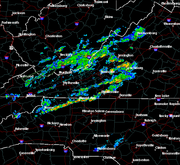 At 445 pm edt, a severe thunderstorm was located near falconerville, moving northeast at 35 mph (radar indicated). Hazards include 60 mph wind gusts. Expect damage to roofs, siding, and trees. Locations impacted include, amherst, naola, falconerville, pleasant view, and elon. At 445 pm edt, a severe thunderstorm was located near falconerville, moving northeast at 35 mph (radar indicated). Hazards include 60 mph wind gusts. Expect damage to roofs, siding, and trees. Locations impacted include, amherst, naola, falconerville, pleasant view, and elon.
|
| 5/12/2019 4:30 PM EDT |
 At 430 pm edt, a severe thunderstorm was located over boonsboro, moving northeast at 40 mph (radar indicated). Hazards include 60 mph wind gusts. Expect damage to roofs, siding, and trees. locations impacted include, lynchburg, amherst, forest, coleman falls, and madison heights. This includes the following location liberty university. At 430 pm edt, a severe thunderstorm was located over boonsboro, moving northeast at 40 mph (radar indicated). Hazards include 60 mph wind gusts. Expect damage to roofs, siding, and trees. locations impacted include, lynchburg, amherst, forest, coleman falls, and madison heights. This includes the following location liberty university.
|
| 5/12/2019 4:15 PM EDT |
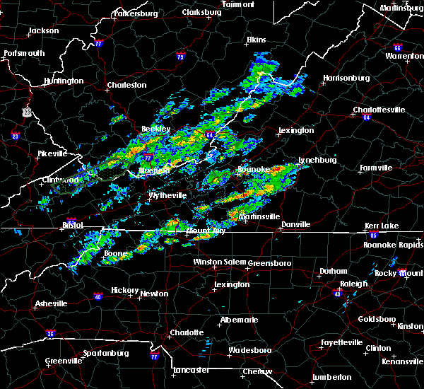 At 415 pm edt, a severe thunderstorm was located near goode, moving northeast at 35 mph (radar indicated). Hazards include 60 mph wind gusts. expect damage to roofs, siding, and trees At 415 pm edt, a severe thunderstorm was located near goode, moving northeast at 35 mph (radar indicated). Hazards include 60 mph wind gusts. expect damage to roofs, siding, and trees
|
| 5/2/2019 5:55 PM EDT |
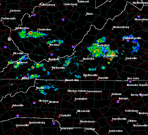 The severe thunderstorm warning for northwestern appomattox, north central campbell and southeastern amherst counties will expire at 600 pm edt, the storm which prompted the warning has weakened below severe limits, and no longer poses an immediate threat to life or property. therefore, the warning will be allowed to expire. when it is safe to do so, please send your reports of hail of any size, as well as reports of any wind damage, including downed trees or large limbs, to the national weather service by calling toll free at 1, 8 6 6, 2 1 5, 4 3 2 4. reports and pictures can also be shared on the national weather service blacksburg facebook page and on twitter. The severe thunderstorm warning for northwestern appomattox, north central campbell and southeastern amherst counties will expire at 600 pm edt, the storm which prompted the warning has weakened below severe limits, and no longer poses an immediate threat to life or property. therefore, the warning will be allowed to expire. when it is safe to do so, please send your reports of hail of any size, as well as reports of any wind damage, including downed trees or large limbs, to the national weather service by calling toll free at 1, 8 6 6, 2 1 5, 4 3 2 4. reports and pictures can also be shared on the national weather service blacksburg facebook page and on twitter.
|
| 5/2/2019 5:29 PM EDT |
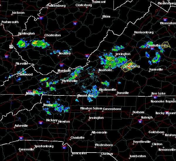 At 528 pm edt, a severe thunderstorm was located near madison heights, moving northeast at 15 mph (radar indicated). Hazards include 60 mph wind gusts and quarter size hail. Hail damage to vehicles is expected. expect wind damage to roofs, siding, and trees. Locations impacted include, amherst, bent creek, riverville, new glasgow, and stonewall. At 528 pm edt, a severe thunderstorm was located near madison heights, moving northeast at 15 mph (radar indicated). Hazards include 60 mph wind gusts and quarter size hail. Hail damage to vehicles is expected. expect wind damage to roofs, siding, and trees. Locations impacted include, amherst, bent creek, riverville, new glasgow, and stonewall.
|
| 5/2/2019 5:14 PM EDT |
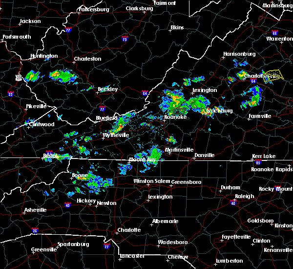 At 513 pm edt, a severe thunderstorm was located over madison heights, moving northeast at 15 mph (radar indicated). Hazards include 60 mph wind gusts and quarter size hail. Hail damage to vehicles is expected. Expect wind damage to roofs, siding, and trees. At 513 pm edt, a severe thunderstorm was located over madison heights, moving northeast at 15 mph (radar indicated). Hazards include 60 mph wind gusts and quarter size hail. Hail damage to vehicles is expected. Expect wind damage to roofs, siding, and trees.
|
| 4/14/2019 6:04 PM EDT | A tree was blown down by thunderstorm winds... blocking moss rock roa in amherst county VA, 11.8 miles ESE of Amherst, VA |
| 4/8/2019 4:41 PM EDT |
 At 439 pm edt, severe thunderstorms were located along a line extending from near amherst to near goode to north shore, moving east at 30 mph (radar indicated). Hazards include 60 mph wind gusts and quarter size hail. Hail damage to vehicles is expected. Expect wind damage to roofs, siding, and trees. At 439 pm edt, severe thunderstorms were located along a line extending from near amherst to near goode to north shore, moving east at 30 mph (radar indicated). Hazards include 60 mph wind gusts and quarter size hail. Hail damage to vehicles is expected. Expect wind damage to roofs, siding, and trees.
|
| 4/8/2019 4:32 PM EDT |
 At 431 pm edt, a severe thunderstorm was located near shipman, moving east at 40 mph (radar indicated). Hazards include 60 mph wind gusts and quarter size hail. Hail damage to vehicles is expected. expect wind damage to roofs, siding, and trees. Locations impacted include, buena vista, amherst, glasgow, forks of buffalo, and big island. At 431 pm edt, a severe thunderstorm was located near shipman, moving east at 40 mph (radar indicated). Hazards include 60 mph wind gusts and quarter size hail. Hail damage to vehicles is expected. expect wind damage to roofs, siding, and trees. Locations impacted include, buena vista, amherst, glasgow, forks of buffalo, and big island.
|
| 4/8/2019 4:14 PM EDT |
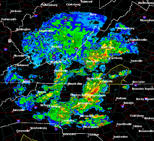 At 414 pm edt, a severe thunderstorm was located over forks of buffalo, moving east at 40 mph (radar indicated). Hazards include 60 mph wind gusts and quarter size hail. Hail damage to vehicles is expected. Expect wind damage to roofs, siding, and trees. At 414 pm edt, a severe thunderstorm was located over forks of buffalo, moving east at 40 mph (radar indicated). Hazards include 60 mph wind gusts and quarter size hail. Hail damage to vehicles is expected. Expect wind damage to roofs, siding, and trees.
|
| 4/8/2019 3:27 PM EDT |
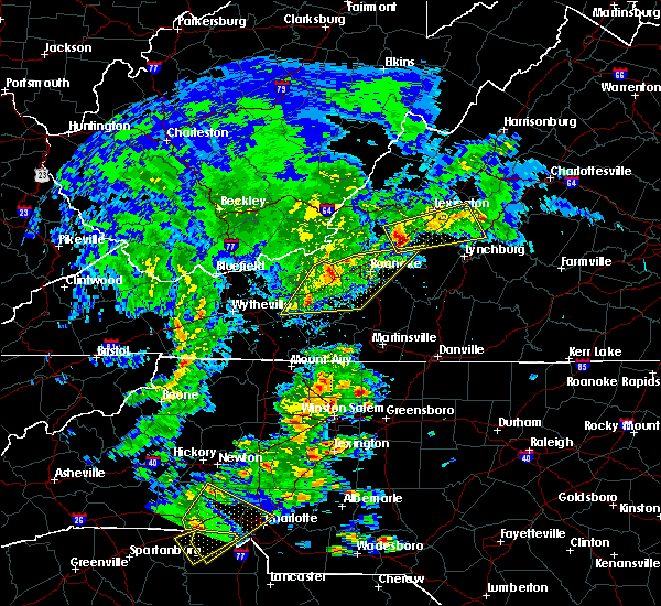 At 327 pm edt, a severe thunderstorm was located over buchanan, moving east at 40 mph (radar indicated). Hazards include 60 mph wind gusts and quarter size hail. Hail damage to vehicles is expected. Expect wind damage to roofs, siding, and trees. At 327 pm edt, a severe thunderstorm was located over buchanan, moving east at 40 mph (radar indicated). Hazards include 60 mph wind gusts and quarter size hail. Hail damage to vehicles is expected. Expect wind damage to roofs, siding, and trees.
|
| 10/11/2018 4:34 PM EDT | Tree onto tye river rd near falling rock d in nelson county VA, 7.2 miles WSW of Amherst, VA |
| 8/30/2018 6:11 PM EDT | One tree dow in amherst county VA, 9.7 miles ESE of Amherst, VA |
| 8/30/2018 5:53 PM EDT |
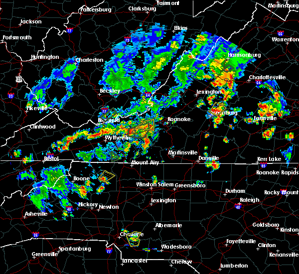 At 552 pm edt, a severe thunderstorm was located over falconerville, moving northeast at 10 mph (radar indicated). Hazards include 60 mph wind gusts and quarter size hail. Hail damage to vehicles is expected. expect wind damage to roofs, siding, and trees. Locations impacted include, amherst, falconerville, riverville, and madison heights. At 552 pm edt, a severe thunderstorm was located over falconerville, moving northeast at 10 mph (radar indicated). Hazards include 60 mph wind gusts and quarter size hail. Hail damage to vehicles is expected. expect wind damage to roofs, siding, and trees. Locations impacted include, amherst, falconerville, riverville, and madison heights.
|
| 8/30/2018 5:38 PM EDT | One tree dow in amherst county VA, 5.1 miles NNE of Amherst, VA |
| 8/30/2018 5:35 PM EDT |
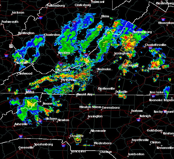 At 535 pm edt, a severe thunderstorm was located near madison heights, moving northeast at 15 mph (radar indicated). Hazards include 60 mph wind gusts and half dollar size hail. Hail damage to vehicles is expected. Expect wind damage to roofs, siding, and trees. At 535 pm edt, a severe thunderstorm was located near madison heights, moving northeast at 15 mph (radar indicated). Hazards include 60 mph wind gusts and half dollar size hail. Hail damage to vehicles is expected. Expect wind damage to roofs, siding, and trees.
|
| 8/13/2018 6:09 PM EDT |
 The severe thunderstorm warning for northwestern appomattox, central campbell, central bedford, southeastern amherst, and southwestern buckingham counties and the city of lynchburg will expire at 615 pm edt, the storms which prompted the warning have moved out of the area. therefore, the warning will be allowed to expire. however heavy rain is still possible with these thunderstorms. when it is safe to do so, please send your reports of hail of any size, as well as reports of any wind damage, including downed trees or large limbs, to the national weather service by calling toll free at 1, 8 6 6, 2 1 5, 4 3 2 4. reports and pictures can also be shared on the national weather service blacksburg facebook page and on twitter. The severe thunderstorm warning for northwestern appomattox, central campbell, central bedford, southeastern amherst, and southwestern buckingham counties and the city of lynchburg will expire at 615 pm edt, the storms which prompted the warning have moved out of the area. therefore, the warning will be allowed to expire. however heavy rain is still possible with these thunderstorms. when it is safe to do so, please send your reports of hail of any size, as well as reports of any wind damage, including downed trees or large limbs, to the national weather service by calling toll free at 1, 8 6 6, 2 1 5, 4 3 2 4. reports and pictures can also be shared on the national weather service blacksburg facebook page and on twitter.
|
| 8/13/2018 5:52 PM EDT |
 At 551 pm edt, severe thunderstorms were located along a line extending from near stonewall to near timberlake to near bedford, moving southeast at 25 mph (radar indicated). Hazards include 60 mph wind gusts and quarter size hail. Hail damage to vehicles is expected. expect wind damage to roofs, siding, and trees. locations impacted include, lynchburg, bedford, amherst, appomattox, and huddleston. This includes the following locations liberty university, the national d-day memorial, and lynchburg airport. At 551 pm edt, severe thunderstorms were located along a line extending from near stonewall to near timberlake to near bedford, moving southeast at 25 mph (radar indicated). Hazards include 60 mph wind gusts and quarter size hail. Hail damage to vehicles is expected. expect wind damage to roofs, siding, and trees. locations impacted include, lynchburg, bedford, amherst, appomattox, and huddleston. This includes the following locations liberty university, the national d-day memorial, and lynchburg airport.
|
| 8/13/2018 5:11 PM EDT |
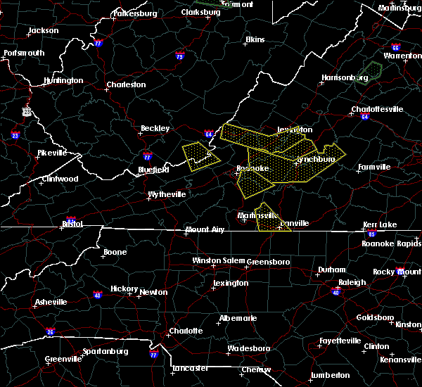 At 511 pm edt, severe thunderstorms were located along a line extending from near clifford to coleman falls to buchanan, moving southeast at 25 mph (radar indicated). Hazards include 60 mph wind gusts and quarter size hail. Hail damage to vehicles is expected. Expect wind damage to roofs, siding, and trees. At 511 pm edt, severe thunderstorms were located along a line extending from near clifford to coleman falls to buchanan, moving southeast at 25 mph (radar indicated). Hazards include 60 mph wind gusts and quarter size hail. Hail damage to vehicles is expected. Expect wind damage to roofs, siding, and trees.
|
| 8/13/2018 4:48 PM EDT |
 At 447 pm edt, severe thunderstorms were located along a line extending from near lowesville to near snowden to near callaghan, moving southeast at 20 mph (radar indicated). Hazards include 60 mph wind gusts and quarter size hail. Hail damage to vehicles is expected. expect wind damage to roofs, siding, and trees. Locations impacted include, lynchburg, lexington, buena vista, covington, and clifton forge. At 447 pm edt, severe thunderstorms were located along a line extending from near lowesville to near snowden to near callaghan, moving southeast at 20 mph (radar indicated). Hazards include 60 mph wind gusts and quarter size hail. Hail damage to vehicles is expected. expect wind damage to roofs, siding, and trees. Locations impacted include, lynchburg, lexington, buena vista, covington, and clifton forge.
|
| 8/13/2018 4:17 PM EDT |
 At 417 pm edt, severe thunderstorms were located along a line extending from vesuvius to near lexington to near natural well, moving southeast at 20 mph (radar indicated). Hazards include 60 mph wind gusts and quarter size hail. Hail damage to vehicles is expected. Expect wind damage to roofs, siding, and trees. At 417 pm edt, severe thunderstorms were located along a line extending from vesuvius to near lexington to near natural well, moving southeast at 20 mph (radar indicated). Hazards include 60 mph wind gusts and quarter size hail. Hail damage to vehicles is expected. Expect wind damage to roofs, siding, and trees.
|
| 8/8/2018 7:22 PM EDT |
 At 721 pm edt, severe thunderstorms were located along a line extending from near kents store to centenary to clifford, moving east at 25 mph (radar indicated. damage was reported just to the north with this same line of thunderstorms in albemarle county). Hazards include 60 mph wind gusts and quarter size hail. Hail damage to vehicles is expected. Expect wind damage to roofs, siding, and trees. At 721 pm edt, severe thunderstorms were located along a line extending from near kents store to centenary to clifford, moving east at 25 mph (radar indicated. damage was reported just to the north with this same line of thunderstorms in albemarle county). Hazards include 60 mph wind gusts and quarter size hail. Hail damage to vehicles is expected. Expect wind damage to roofs, siding, and trees.
|
| 8/2/2018 5:16 PM EDT |
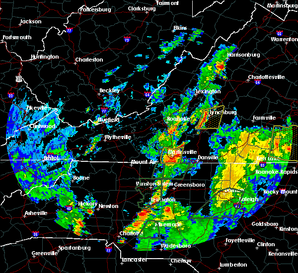 At 516 pm edt, severe thunderstorms were located along a line extending from near boonsboro to near evington, moving east at 15 mph (radar indicated). Hazards include 60 mph wind gusts. expect damage to roofs, siding, and trees At 516 pm edt, severe thunderstorms were located along a line extending from near boonsboro to near evington, moving east at 15 mph (radar indicated). Hazards include 60 mph wind gusts. expect damage to roofs, siding, and trees
|
| 7/16/2018 5:43 PM EDT |
 At 543 pm edt, a severe thunderstorm was located over madison heights, moving northeast at 30 mph (radar indicated). Hazards include 60 mph wind gusts and quarter size hail. Hail damage to vehicles is expected. Expect wind damage to roofs, siding, and trees. At 543 pm edt, a severe thunderstorm was located over madison heights, moving northeast at 30 mph (radar indicated). Hazards include 60 mph wind gusts and quarter size hail. Hail damage to vehicles is expected. Expect wind damage to roofs, siding, and trees.
|
| 6/10/2018 4:05 PM EDT |
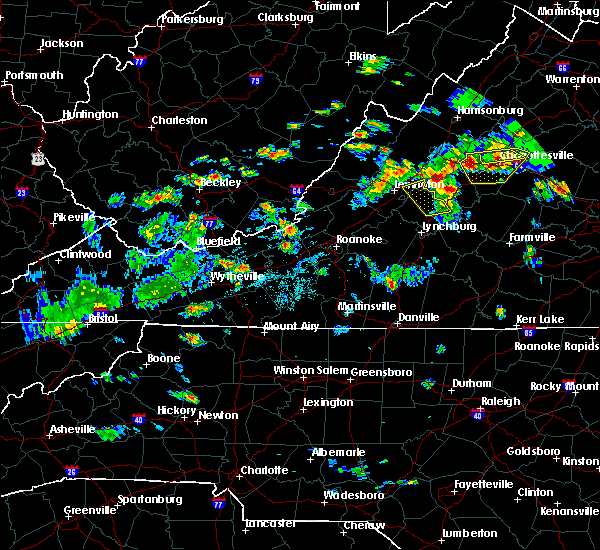 The severe thunderstorm warning for east central rockbridge and northeastern amherst counties will expire at 415 pm edt, the storms which prompted the warning have weakened below severe limits, and have exited the warned area. therefore, the warning will be allowed to expire. when it is safe to do so, please send your reports of hail of any size, as well as reports of any wind damage, including downed trees or large limbs, to the national weather service by calling toll free at 1, 8 6 6, 2 1 5, 4 3 2 4. reports and pictures can also be shared on the national weather service blacksburg facebook page and on twitter. The severe thunderstorm warning for east central rockbridge and northeastern amherst counties will expire at 415 pm edt, the storms which prompted the warning have weakened below severe limits, and have exited the warned area. therefore, the warning will be allowed to expire. when it is safe to do so, please send your reports of hail of any size, as well as reports of any wind damage, including downed trees or large limbs, to the national weather service by calling toll free at 1, 8 6 6, 2 1 5, 4 3 2 4. reports and pictures can also be shared on the national weather service blacksburg facebook page and on twitter.
|
| 6/10/2018 3:48 PM EDT | Tree down at stonehouse lake in amherst county VA, 6.5 miles SSE of Amherst, VA |
| 6/10/2018 3:38 PM EDT | Tree down on lowesville road off of route 60 in amherst county VA, 5.3 miles SE of Amherst, VA |
| 6/10/2018 3:36 PM EDT |
 At 336 pm edt, severe thunderstorms were located along a line extending from alto to near forks of buffalo, moving east at 25 mph (radar indicated). Hazards include 60 mph wind gusts and quarter size hail. Hail damage to vehicles is expected. expect wind damage to roofs, siding, and trees. Locations impacted include, amherst, forks of buffalo, clifford, cornwall, and new glasgow. At 336 pm edt, severe thunderstorms were located along a line extending from alto to near forks of buffalo, moving east at 25 mph (radar indicated). Hazards include 60 mph wind gusts and quarter size hail. Hail damage to vehicles is expected. expect wind damage to roofs, siding, and trees. Locations impacted include, amherst, forks of buffalo, clifford, cornwall, and new glasgow.
|
| 6/10/2018 3:34 PM EDT |
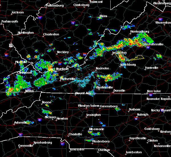 At 334 pm edt, severe thunderstorms extended from alto to near clifford, moving east at 25 mph (radar indicated). Hazards include 60 mph wind gusts and quarter size hail. Hail damage to vehicles is expected. Expect wind damage to roofs, siding, and trees. At 334 pm edt, severe thunderstorms extended from alto to near clifford, moving east at 25 mph (radar indicated). Hazards include 60 mph wind gusts and quarter size hail. Hail damage to vehicles is expected. Expect wind damage to roofs, siding, and trees.
|
| 6/9/2018 7:06 PM EDT |
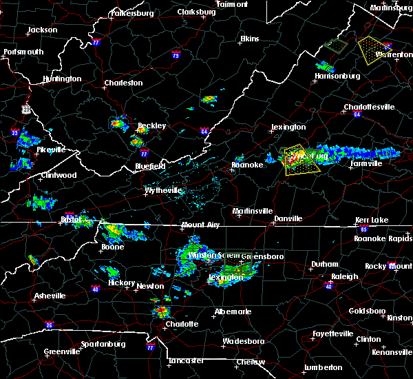 The severe thunderstorm warning for southwestern appomattox, northeastern campbell, and southeastern amherst counties and the city of lynchburg will expire at 715 pm edt, the storm which prompted the warning has weakened below severe limits, and no longer poses an immediate threat to life or property. therefore, the warning will be allowed to expire. however heavy rain is still possible with this thunderstorm. when it is safe to do so, please send your reports of hail of any size, as well as reports of any wind damage, including downed trees or large limbs, to the national weather service by calling toll free at 1, 8 6 6, 2 1 5, 4 3 2 4. reports and pictures can also be shared on the national weather service blacksburg facebook page and on twitter. The severe thunderstorm warning for southwestern appomattox, northeastern campbell, and southeastern amherst counties and the city of lynchburg will expire at 715 pm edt, the storm which prompted the warning has weakened below severe limits, and no longer poses an immediate threat to life or property. therefore, the warning will be allowed to expire. however heavy rain is still possible with this thunderstorm. when it is safe to do so, please send your reports of hail of any size, as well as reports of any wind damage, including downed trees or large limbs, to the national weather service by calling toll free at 1, 8 6 6, 2 1 5, 4 3 2 4. reports and pictures can also be shared on the national weather service blacksburg facebook page and on twitter.
|
| 6/9/2018 6:26 PM EDT |
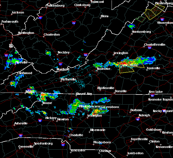 At 626 pm edt, a severe thunderstorm was located near madison heights, moving southeast at 15 mph (radar indicated). Hazards include 60 mph wind gusts and quarter size hail. Hail damage to vehicles is expected. expect wind damage to roofs, siding, and trees. locations impacted include, lynchburg, amherst, concord, rustburg, and madison heights. This includes the following locations liberty university and lynchburg airport. At 626 pm edt, a severe thunderstorm was located near madison heights, moving southeast at 15 mph (radar indicated). Hazards include 60 mph wind gusts and quarter size hail. Hail damage to vehicles is expected. expect wind damage to roofs, siding, and trees. locations impacted include, lynchburg, amherst, concord, rustburg, and madison heights. This includes the following locations liberty university and lynchburg airport.
|
| 6/9/2018 6:12 PM EDT |
 The national weather service in blacksburg has issued a * severe thunderstorm warning for. southwestern appomattox county in central virginia. northeastern campbell county in central virginia. southeastern amherst county in central virginia. The city of lynchburg in central virginia. The national weather service in blacksburg has issued a * severe thunderstorm warning for. southwestern appomattox county in central virginia. northeastern campbell county in central virginia. southeastern amherst county in central virginia. The city of lynchburg in central virginia.
|
| 6/9/2018 6:02 PM EDT | Tree down along tye river roa in nelson county VA, 7 miles W of Amherst, VA |
| 6/9/2018 5:54 PM EDT | A few trees down around amherst. one closed road briefly at east monitor road and lexington turnpike. time radar estimate in amherst county VA, 0.7 miles SSE of Amherst, VA |
| 6/9/2018 5:51 PM EDT |
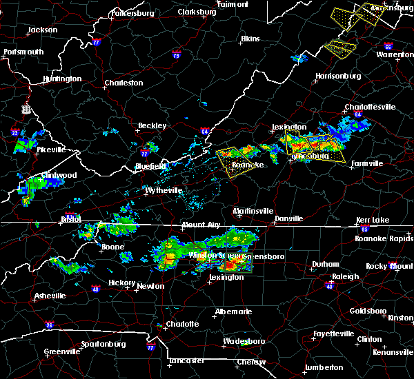 The severe thunderstorm warning for amherst county will expire at 600 pm edt, the storm which prompted the warning has weakened below severe limits, and no longer poses an immediate threat to life or property. therefore, the warning will be allowed to expire. however heavy rain is still possible with this thunderstorm. when it is safe to do so, please send your reports of hail of any size, as well as reports of any wind damage, including downed trees or large limbs, to the national weather service by calling toll free at 1, 8 6 6, 2 1 5, 4 3 2 4. reports and pictures can also be shared on the national weather service blacksburg facebook page and on twitter. The severe thunderstorm warning for amherst county will expire at 600 pm edt, the storm which prompted the warning has weakened below severe limits, and no longer poses an immediate threat to life or property. therefore, the warning will be allowed to expire. however heavy rain is still possible with this thunderstorm. when it is safe to do so, please send your reports of hail of any size, as well as reports of any wind damage, including downed trees or large limbs, to the national weather service by calling toll free at 1, 8 6 6, 2 1 5, 4 3 2 4. reports and pictures can also be shared on the national weather service blacksburg facebook page and on twitter.
|
| 6/9/2018 5:17 PM EDT |
 At 516 pm edt, a severe thunderstorm was located over lowesville, moving south at 15 mph (radar indicated). Hazards include 60 mph wind gusts and quarter size hail. Hail damage to vehicles is expected. expect wind damage to roofs, siding, and trees. Locations impacted include, amherst, forks of buffalo, clifford, falconerville, and riverville. At 516 pm edt, a severe thunderstorm was located over lowesville, moving south at 15 mph (radar indicated). Hazards include 60 mph wind gusts and quarter size hail. Hail damage to vehicles is expected. expect wind damage to roofs, siding, and trees. Locations impacted include, amherst, forks of buffalo, clifford, falconerville, and riverville.
|
| 6/9/2018 4:58 PM EDT |
 At 458 pm edt, a severe thunderstorm was located near montebello, moving south at 15 mph (radar indicated). Hazards include 60 mph wind gusts and quarter size hail. Hail damage to vehicles is expected. Expect wind damage to roofs, siding, and trees. At 458 pm edt, a severe thunderstorm was located near montebello, moving south at 15 mph (radar indicated). Hazards include 60 mph wind gusts and quarter size hail. Hail damage to vehicles is expected. Expect wind damage to roofs, siding, and trees.
|
| 5/14/2018 7:26 PM EDT |
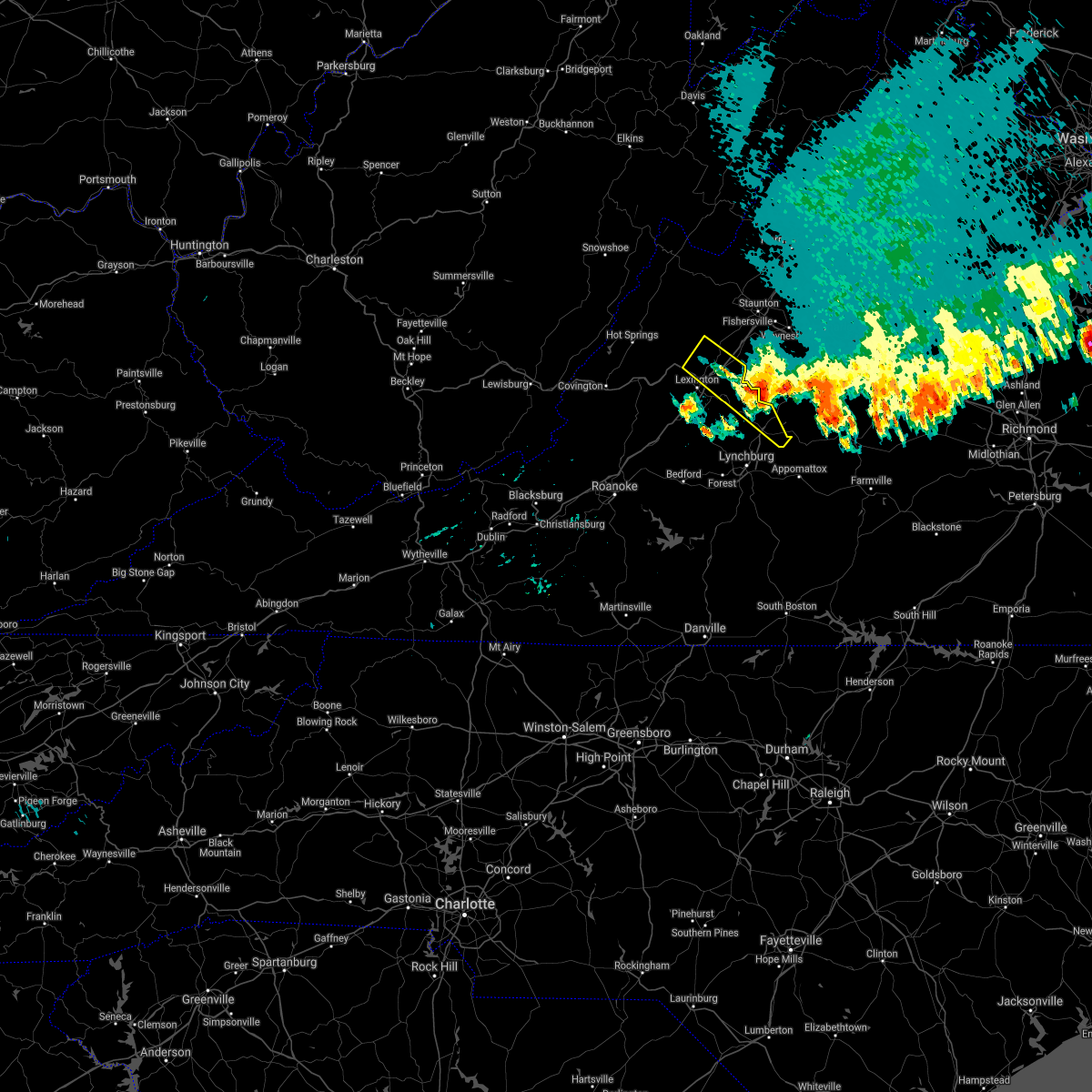 The severe thunderstorm warning for northeastern rockbridge and northeastern amherst counties will expire at 730 pm edt, the storm which prompted the warning has weakened below severe limits, and has exited the warned area. therefore, the warning will be allowed to expire. however gusty winds are still possible with this thunderstorm. a severe thunderstorm watch remains in effect until 100 am edt for central and south central virginia. when it is safe to do so, please send your reports of hail of any size, as well as reports of any wind damage, including downed trees or large limbs, to the national weather service by calling toll free at 1, 8 6 6, 2 1 5, 4 3 2 4. reports and pictures can also be shared on the national weather service blacksburg facebook page and on twitter. The severe thunderstorm warning for northeastern rockbridge and northeastern amherst counties will expire at 730 pm edt, the storm which prompted the warning has weakened below severe limits, and has exited the warned area. therefore, the warning will be allowed to expire. however gusty winds are still possible with this thunderstorm. a severe thunderstorm watch remains in effect until 100 am edt for central and south central virginia. when it is safe to do so, please send your reports of hail of any size, as well as reports of any wind damage, including downed trees or large limbs, to the national weather service by calling toll free at 1, 8 6 6, 2 1 5, 4 3 2 4. reports and pictures can also be shared on the national weather service blacksburg facebook page and on twitter.
|
| 5/14/2018 7:01 PM EDT |
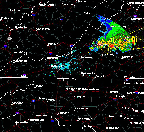 At 701 pm edt, a severe thunderstorm was located near alto, moving southeast at 25 mph (radar indicated). Hazards include 60 mph wind gusts and quarter size hail. Hail damage to vehicles is expected. expect wind damage to roofs, siding, and trees. Locations impacted include, buena vista, amherst, forks of buffalo, clifford, and rockbridge baths. At 701 pm edt, a severe thunderstorm was located near alto, moving southeast at 25 mph (radar indicated). Hazards include 60 mph wind gusts and quarter size hail. Hail damage to vehicles is expected. expect wind damage to roofs, siding, and trees. Locations impacted include, buena vista, amherst, forks of buffalo, clifford, and rockbridge baths.
|
| 5/14/2018 6:42 PM EDT |
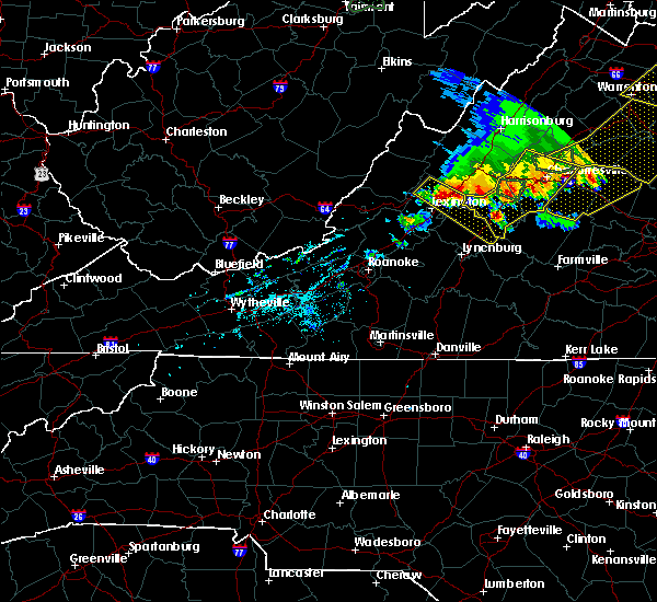 At 641 pm edt, a severe thunderstorm was located over fairfield, moving southeast at 20 mph (radar indicated). Hazards include 60 mph wind gusts and quarter size hail. Hail damage to vehicles is expected. expect wind damage to roofs, siding, and trees. Locations impacted include, buena vista, amherst, goshen, forks of buffalo, and clifford. At 641 pm edt, a severe thunderstorm was located over fairfield, moving southeast at 20 mph (radar indicated). Hazards include 60 mph wind gusts and quarter size hail. Hail damage to vehicles is expected. expect wind damage to roofs, siding, and trees. Locations impacted include, buena vista, amherst, goshen, forks of buffalo, and clifford.
|
| 5/14/2018 6:23 PM EDT |
 At 623 pm edt, a severe thunderstorm was located over brownsburg, moving southeast at 25 mph (radar indicated). Hazards include 60 mph wind gusts and quarter size hail. Hail damage to vehicles is expected. Expect wind damage to roofs, siding, and trees. At 623 pm edt, a severe thunderstorm was located over brownsburg, moving southeast at 25 mph (radar indicated). Hazards include 60 mph wind gusts and quarter size hail. Hail damage to vehicles is expected. Expect wind damage to roofs, siding, and trees.
|
| 5/10/2018 2:50 PM EDT | Quarter sized hail reported 0.8 miles NNE of Amherst, VA, hail falling at 911 dispatch center |
| 5/10/2018 2:40 PM EDT |
 At 239 pm edt, a severe thunderstorm was located near falconerville, moving east at 35 mph (radar indicated). Hazards include 60 mph wind gusts and half dollar size hail. Hail damage to vehicles is expected. Expect wind damage to roofs, siding, and trees. At 239 pm edt, a severe thunderstorm was located near falconerville, moving east at 35 mph (radar indicated). Hazards include 60 mph wind gusts and half dollar size hail. Hail damage to vehicles is expected. Expect wind damage to roofs, siding, and trees.
|
| 5/10/2018 2:32 PM EDT |
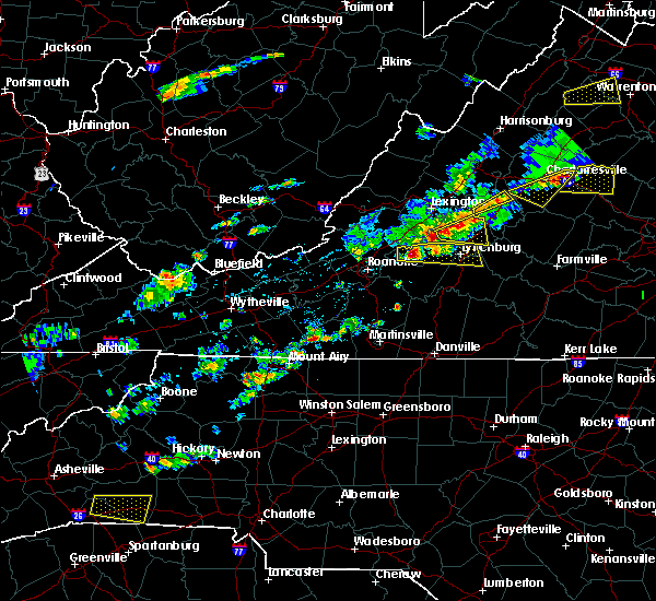 At 229 pm edt, a severe thunderstorm was located near pleasant view, moving east at 45 mph (radar indicated). Hazards include 60 mph wind gusts and half dollar size hail. Hail damage to vehicles is expected. expect wind damage to roofs, siding, and trees. Locations impacted include, amherst, forks of buffalo, clifford, pleasant view, and falconerville. At 229 pm edt, a severe thunderstorm was located near pleasant view, moving east at 45 mph (radar indicated). Hazards include 60 mph wind gusts and half dollar size hail. Hail damage to vehicles is expected. expect wind damage to roofs, siding, and trees. Locations impacted include, amherst, forks of buffalo, clifford, pleasant view, and falconerville.
|
| 5/10/2018 2:22 PM EDT |
 A severe thunderstorm warning remains in effect until 245 pm edt for south central rockbridge. amherst and northeastern bedford counties. At 221 pm edt, a severe thunderstorm was located over snowden, moving east at 45 mph. A severe thunderstorm warning remains in effect until 245 pm edt for south central rockbridge. amherst and northeastern bedford counties. At 221 pm edt, a severe thunderstorm was located over snowden, moving east at 45 mph.
|
| 5/10/2018 2:01 PM EDT |
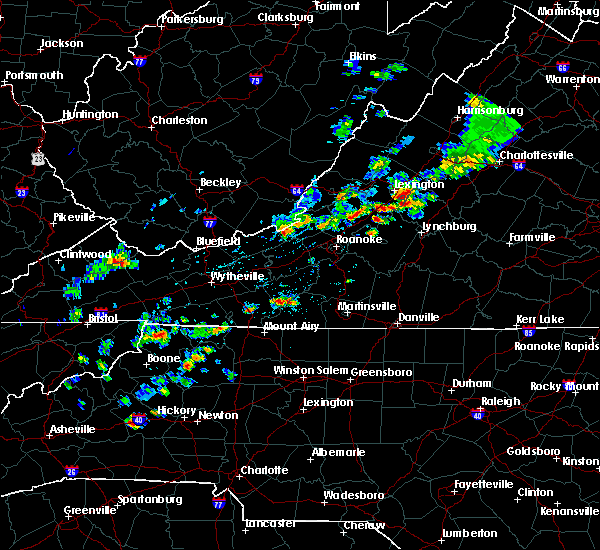 At 201 pm edt, a severe thunderstorm was located over arcadia, moving east at 45 mph (radar indicated). Hazards include 60 mph wind gusts and quarter size hail. Hail damage to vehicles is expected. Expect wind damage to roofs, siding, and trees. At 201 pm edt, a severe thunderstorm was located over arcadia, moving east at 45 mph (radar indicated). Hazards include 60 mph wind gusts and quarter size hail. Hail damage to vehicles is expected. Expect wind damage to roofs, siding, and trees.
|
| 4/15/2018 7:27 PM EDT |
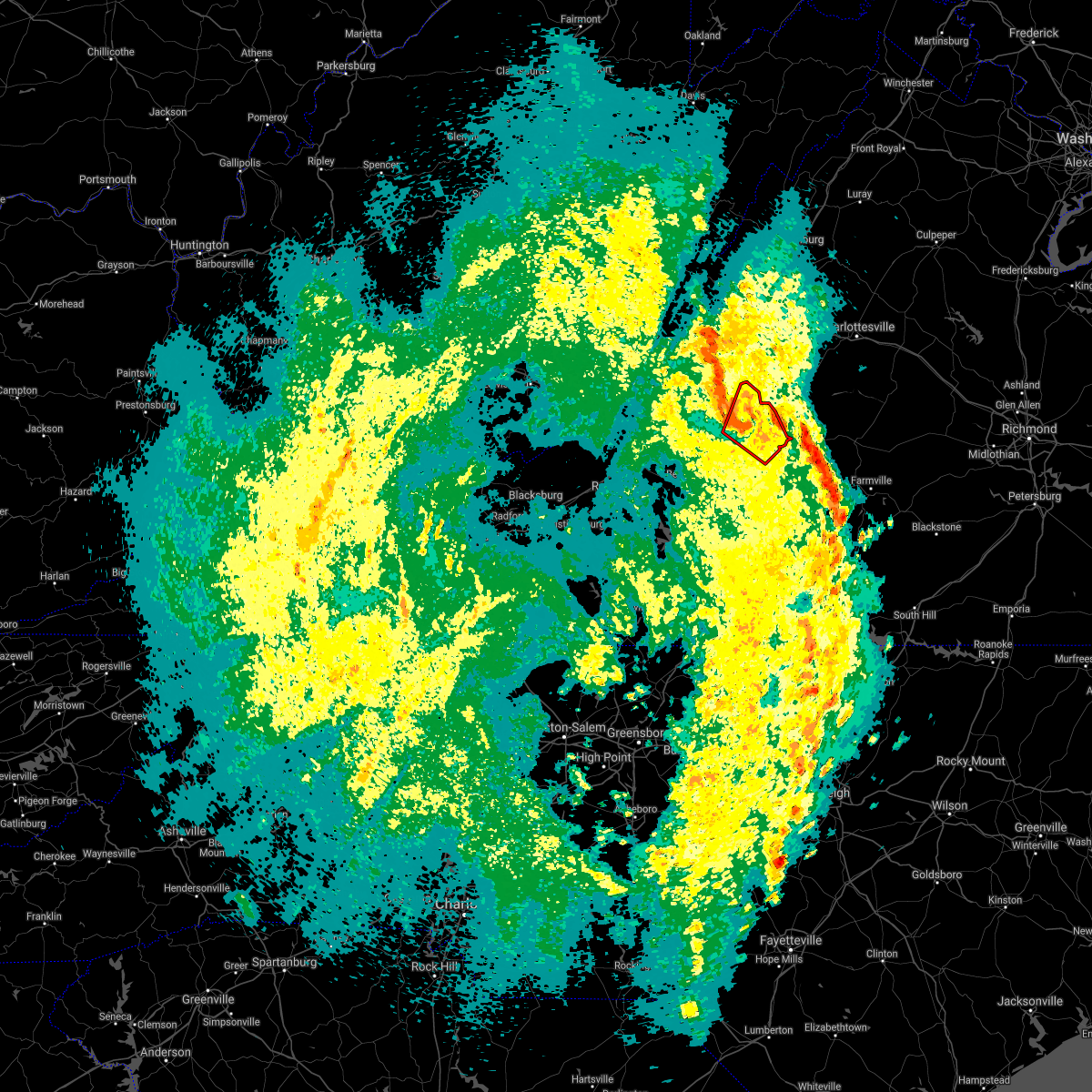 At 727 pm edt, a confirmed tornado was located near forks of buffalo, moving northeast at 50 mph (weather spotters confirmed tornado). Hazards include damaging tornado and quarter size hail. Flying debris will be dangerous to those caught without shelter. mobile homes will be damaged or destroyed. damage to roofs, windows, and vehicles will occur. tree damage is likely. Locations impacted include, amherst, forks of buffalo, clifford, pleasant view, and falconerville. At 727 pm edt, a confirmed tornado was located near forks of buffalo, moving northeast at 50 mph (weather spotters confirmed tornado). Hazards include damaging tornado and quarter size hail. Flying debris will be dangerous to those caught without shelter. mobile homes will be damaged or destroyed. damage to roofs, windows, and vehicles will occur. tree damage is likely. Locations impacted include, amherst, forks of buffalo, clifford, pleasant view, and falconerville.
|
| 4/15/2018 7:22 PM EDT |
 At 722 pm edt, severe thunderstorms were located along a line extending from near riverville to madisonville, moving northeast at 50 mph (radar indicated). Hazards include 60 mph wind gusts and quarter size hail. Hail damage to vehicles is expected. expect wind damage to roofs, siding, and trees. locations impacted include, lynchburg, buckingham, amherst, appomattox, and dillwyn. A tornado watch remains in effect until 1100 pm edt for central, south central and west central virginia. At 722 pm edt, severe thunderstorms were located along a line extending from near riverville to madisonville, moving northeast at 50 mph (radar indicated). Hazards include 60 mph wind gusts and quarter size hail. Hail damage to vehicles is expected. expect wind damage to roofs, siding, and trees. locations impacted include, lynchburg, buckingham, amherst, appomattox, and dillwyn. A tornado watch remains in effect until 1100 pm edt for central, south central and west central virginia.
|
| 4/15/2018 7:18 PM EDT |
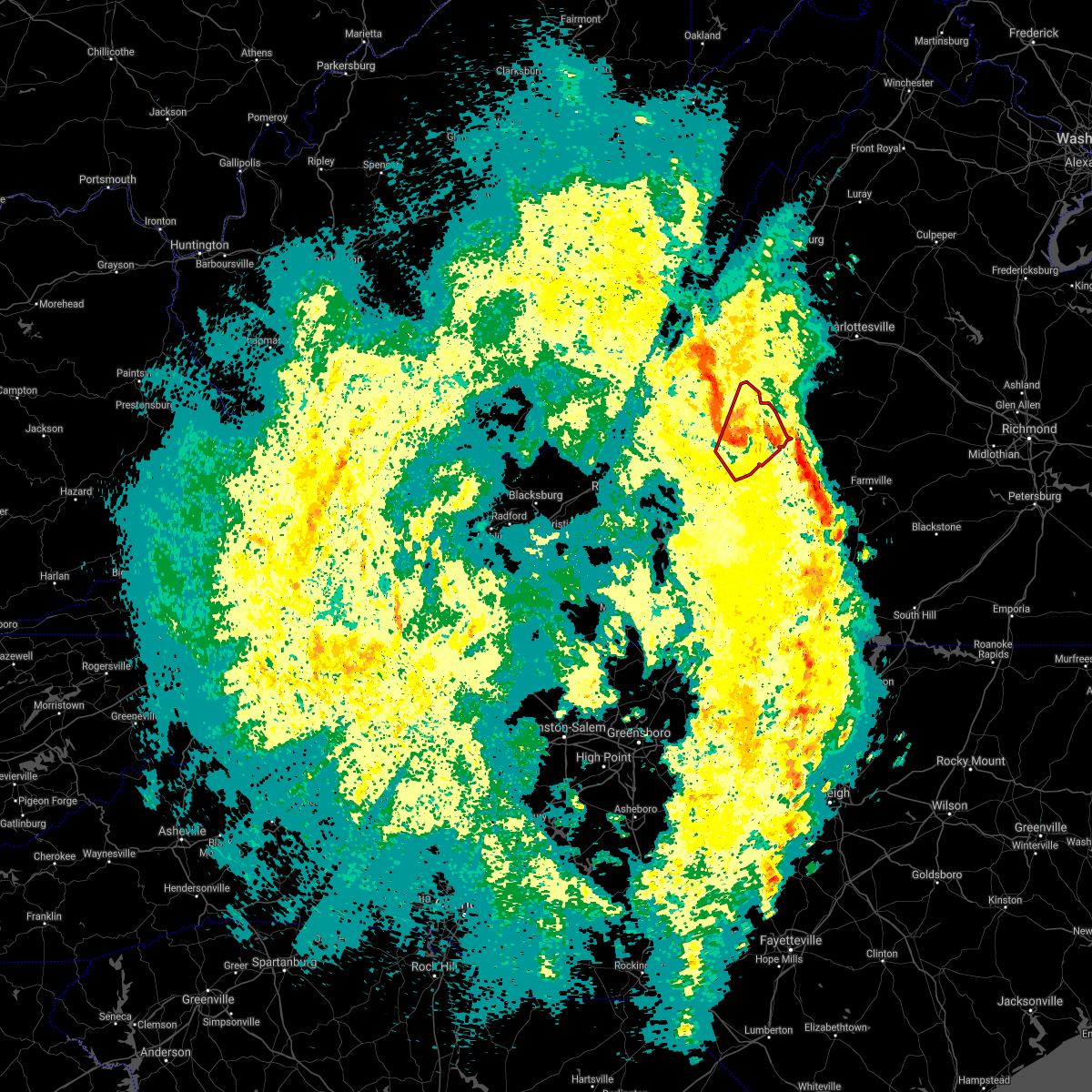 At 718 pm edt, a confirmed tornado was located near falconerville, moving north at 55 mph (weather spotters confirmed tornado). Hazards include damaging tornado and quarter size hail. Flying debris will be dangerous to those caught without shelter. mobile homes will be damaged or destroyed. damage to roofs, windows, and vehicles will occur. tree damage is likely. locations impacted include, lynchburg, amherst, forks of buffalo, clifford, and forest. This includes the following location liberty university. At 718 pm edt, a confirmed tornado was located near falconerville, moving north at 55 mph (weather spotters confirmed tornado). Hazards include damaging tornado and quarter size hail. Flying debris will be dangerous to those caught without shelter. mobile homes will be damaged or destroyed. damage to roofs, windows, and vehicles will occur. tree damage is likely. locations impacted include, lynchburg, amherst, forks of buffalo, clifford, and forest. This includes the following location liberty university.
|
| 4/15/2018 7:07 PM EDT |
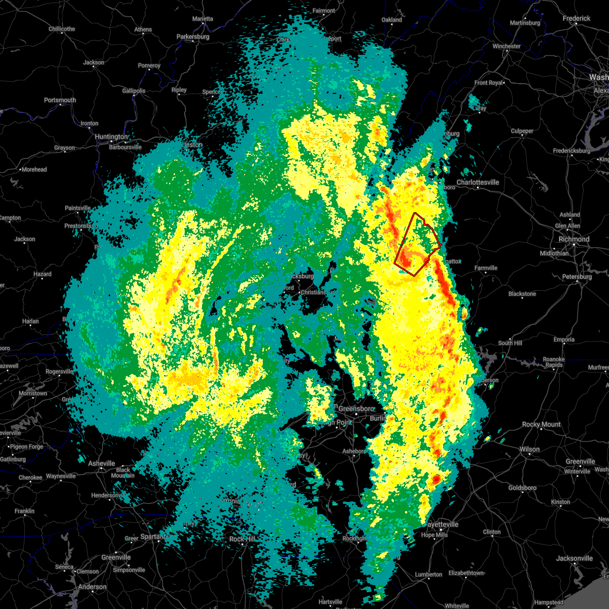 At 707 pm edt, a severe thunderstorm capable of producing a tornado was located over lynchburg, moving northeast at 50 mph (radar indicated rotation). Hazards include tornado and quarter size hail. Flying debris will be dangerous to those caught without shelter. mobile homes will be damaged or destroyed. damage to roofs, windows, and vehicles will occur. Tree damage is likely. At 707 pm edt, a severe thunderstorm capable of producing a tornado was located over lynchburg, moving northeast at 50 mph (radar indicated rotation). Hazards include tornado and quarter size hail. Flying debris will be dangerous to those caught without shelter. mobile homes will be damaged or destroyed. damage to roofs, windows, and vehicles will occur. Tree damage is likely.
|
| 4/15/2018 7:02 PM EDT |
 At 702 pm edt, severe thunderstorms were located along a line extending from near stonewall to near mt laurel, moving northeast at 55 mph (radar indicated). Hazards include 60 mph wind gusts and quarter size hail. Hail damage to vehicles is expected. expect wind damage to roofs, siding, and trees. locations impacted include, lynchburg, buckingham, amherst, appomattox, and brookneal. this includes the following locations liberty university and lynchburg airport. A tornado watch remains in effect until 1100 pm edt for central, south central and west central virginia. At 702 pm edt, severe thunderstorms were located along a line extending from near stonewall to near mt laurel, moving northeast at 55 mph (radar indicated). Hazards include 60 mph wind gusts and quarter size hail. Hail damage to vehicles is expected. expect wind damage to roofs, siding, and trees. locations impacted include, lynchburg, buckingham, amherst, appomattox, and brookneal. this includes the following locations liberty university and lynchburg airport. A tornado watch remains in effect until 1100 pm edt for central, south central and west central virginia.
|
| 4/15/2018 6:47 PM EDT |
 At 647 pm edt, severe thunderstorms were located along a line extending from near timberlake to mt laurel, moving northeast at 70 mph (radar indicated). Hazards include 60 mph wind gusts and quarter size hail. Hail damage to vehicles is expected. Expect wind damage to roofs, siding, and trees. At 647 pm edt, severe thunderstorms were located along a line extending from near timberlake to mt laurel, moving northeast at 70 mph (radar indicated). Hazards include 60 mph wind gusts and quarter size hail. Hail damage to vehicles is expected. Expect wind damage to roofs, siding, and trees.
|
| 10/23/2017 8:37 PM EDT |
 The severe thunderstorm warning for southeastern rockbridge, north central campbell, northeastern bedford, and amherst counties, the city of buena vista and the city of lynchburg will expire at 845 pm edt, the storms which prompted the warning have weakened below severe limits, and no longer pose an immediate threat to life or property. therefore the warning will be allowed to expire. a tornado watch remains in effect until 200 am edt for central, south central and west central virginia. when it is safe to do so, please send your reports of hail of any size, as well as reports of any wind damage, including downed trees or large limbs, to the national weather service by calling toll free at 1, 8 6 6, 2 1 5, 4 3 2 4. reports and pictures can also be shared on the national weather service blacksburg facebook page and on twitter. The severe thunderstorm warning for southeastern rockbridge, north central campbell, northeastern bedford, and amherst counties, the city of buena vista and the city of lynchburg will expire at 845 pm edt, the storms which prompted the warning have weakened below severe limits, and no longer pose an immediate threat to life or property. therefore the warning will be allowed to expire. a tornado watch remains in effect until 200 am edt for central, south central and west central virginia. when it is safe to do so, please send your reports of hail of any size, as well as reports of any wind damage, including downed trees or large limbs, to the national weather service by calling toll free at 1, 8 6 6, 2 1 5, 4 3 2 4. reports and pictures can also be shared on the national weather service blacksburg facebook page and on twitter.
|
| 10/23/2017 8:30 PM EDT |
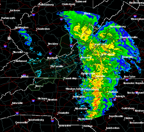 At 830 pm edt, severe thunderstorms were located along a line extending from near brownsburg to near montebello to near lowesville, moving northeast at 70 mph (radar indicated). Hazards include 60 mph wind gusts. Expect damage to roofs, siding, and trees. locations impacted include, lynchburg, buena vista, amherst, glasgow, and forks of buffalo. A tornado watch remains in effect until 200 am edt for central, south central and west central virginia. At 830 pm edt, severe thunderstorms were located along a line extending from near brownsburg to near montebello to near lowesville, moving northeast at 70 mph (radar indicated). Hazards include 60 mph wind gusts. Expect damage to roofs, siding, and trees. locations impacted include, lynchburg, buena vista, amherst, glasgow, and forks of buffalo. A tornado watch remains in effect until 200 am edt for central, south central and west central virginia.
|
| 10/23/2017 8:03 PM EDT |
 At 803 pm edt, severe thunderstorms were located along a line extending from 6 miles northwest of natural bridge to sedalia to near bedford, moving northeast at 70 mph (radar indicated). Hazards include 60 mph wind gusts. Expect damage to roofs, siding, and trees. locations impacted include, lynchburg, buena vista, bedford, amherst, and buchanan. A tornado watch remains in effect until 200 am edt for central, south central, southwestern and west central virginia. At 803 pm edt, severe thunderstorms were located along a line extending from 6 miles northwest of natural bridge to sedalia to near bedford, moving northeast at 70 mph (radar indicated). Hazards include 60 mph wind gusts. Expect damage to roofs, siding, and trees. locations impacted include, lynchburg, buena vista, bedford, amherst, and buchanan. A tornado watch remains in effect until 200 am edt for central, south central, southwestern and west central virginia.
|
| 10/23/2017 7:40 PM EDT |
 At 740 pm edt, severe thunderstorms were located along a line extending from near hollins to near northwest smith mountain lake to near burnt chimney, moving northeast at 70 mph (radar indicated). Hazards include 60 mph wind gusts and quarter size hail. Hail damage to vehicles is expected. Expect wind damage to roofs, siding, and trees. At 740 pm edt, severe thunderstorms were located along a line extending from near hollins to near northwest smith mountain lake to near burnt chimney, moving northeast at 70 mph (radar indicated). Hazards include 60 mph wind gusts and quarter size hail. Hail damage to vehicles is expected. Expect wind damage to roofs, siding, and trees.
|
| 6/19/2017 3:36 PM EDT |
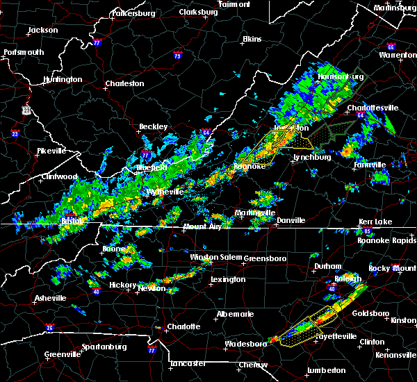 At 336 pm edt, severe thunderstorms were located along a line extending from near cornwall to near sedalia, moving east at 35 mph (radar indicated). Hazards include 60 mph wind gusts and quarter size hail. Hail damage to vehicles is expected. Expect wind damage to roofs, siding, and trees. At 336 pm edt, severe thunderstorms were located along a line extending from near cornwall to near sedalia, moving east at 35 mph (radar indicated). Hazards include 60 mph wind gusts and quarter size hail. Hail damage to vehicles is expected. Expect wind damage to roofs, siding, and trees.
|
| 6/19/2017 1:05 PM EDT | A large tree was blown down along highway 6 in amherst county VA, 3.1 miles SE of Amherst, VA |
| 6/19/2017 1:05 PM EDT |
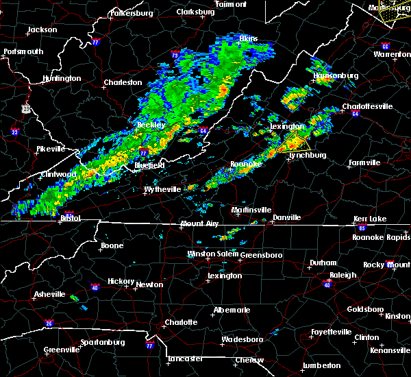 At 104 pm edt, a severe thunderstorm was located over naola, moving east at 25 mph (radar indicated). Hazards include 60 mph wind gusts. Expect damage to roofs, siding, and trees. Locations impacted include, amherst, forks of buffalo, clifford, pleasant view, and falconerville. At 104 pm edt, a severe thunderstorm was located over naola, moving east at 25 mph (radar indicated). Hazards include 60 mph wind gusts. Expect damage to roofs, siding, and trees. Locations impacted include, amherst, forks of buffalo, clifford, pleasant view, and falconerville.
|
| 6/19/2017 12:37 PM EDT |
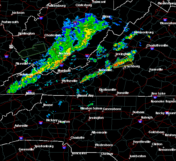 At 1236 pm edt, a severe thunderstorm was located over sedalia, moving northeast at 25 mph (radar indicated). Hazards include 60 mph wind gusts and quarter size hail. Hail damage to vehicles is expected. Expect wind damage to roofs, siding, and trees. At 1236 pm edt, a severe thunderstorm was located over sedalia, moving northeast at 25 mph (radar indicated). Hazards include 60 mph wind gusts and quarter size hail. Hail damage to vehicles is expected. Expect wind damage to roofs, siding, and trees.
|
| 5/5/2017 5:16 AM EDT | Em reported straight line wind damage. several trees down on boxwood farm rd. time radar estimate in amherst county VA, 3.7 miles W of Amherst, VA |
| 5/5/2017 5:14 AM EDT |
 At 514 am edt, severe thunderstorms were located along a line extending from amherst to near spring mills, moving northeast at 40 mph (radar indicated). Hazards include 60 mph wind gusts. expect damage to trees and power lines At 514 am edt, severe thunderstorms were located along a line extending from amherst to near spring mills, moving northeast at 40 mph (radar indicated). Hazards include 60 mph wind gusts. expect damage to trees and power lines
|
| 5/1/2017 6:58 PM EDT |
 At 658 pm edt, severe thunderstorms were located along a line extending from lynchburg to near hamer, moving east at 35 mph (radar indicated). Hazards include 60 mph wind gusts and quarter size hail. Minor damage to vehicles is possible. Expect wind damage to trees and power lines. At 658 pm edt, severe thunderstorms were located along a line extending from lynchburg to near hamer, moving east at 35 mph (radar indicated). Hazards include 60 mph wind gusts and quarter size hail. Minor damage to vehicles is possible. Expect wind damage to trees and power lines.
|
| 3/1/2017 12:33 PM EST |
 At 1231 pm est, severe thunderstorms with a history of producing wind damage weas located along a line extending from 7 miles north of lowesville to near forks of buffalo to coleman falls, moving east at 70 mph (radar indicated). Hazards include 60 mph wind gusts. expect damage to roofs, siding, and trees At 1231 pm est, severe thunderstorms with a history of producing wind damage weas located along a line extending from 7 miles north of lowesville to near forks of buffalo to coleman falls, moving east at 70 mph (radar indicated). Hazards include 60 mph wind gusts. expect damage to roofs, siding, and trees
|
| 2/25/2017 1:08 PM EST |
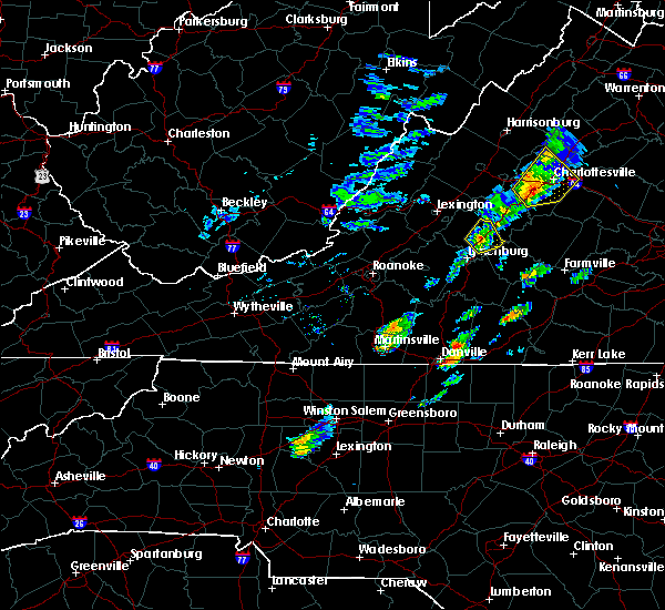 At 108 pm est, a severe thunderstorm was located over amherst, moving northeast at 50 mph (radar indicated). Hazards include 60 mph wind gusts and quarter size hail. Hail damage to vehicles is expected. expect wind damage to roofs, siding, and trees. Locations impacted include, amherst, clifford, falconerville, riverville, and new glasgow. At 108 pm est, a severe thunderstorm was located over amherst, moving northeast at 50 mph (radar indicated). Hazards include 60 mph wind gusts and quarter size hail. Hail damage to vehicles is expected. expect wind damage to roofs, siding, and trees. Locations impacted include, amherst, clifford, falconerville, riverville, and new glasgow.
|
| 2/25/2017 12:52 PM EST |
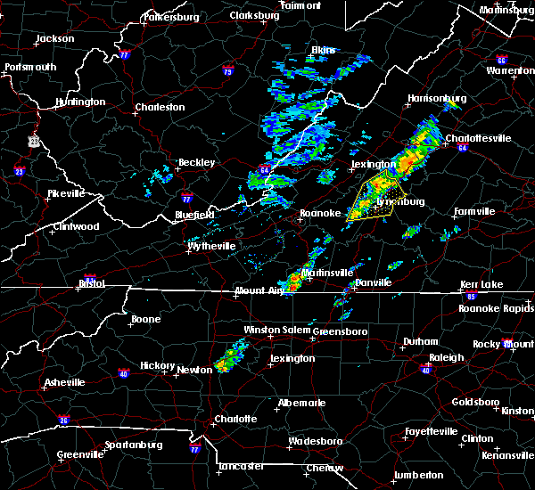 At 1250 pm est, a severe thunderstorm was located near pleasant view, moving northeast at 55 mph (radar indicated). Hazards include 60 mph wind gusts and quarter size hail. Hail damage to vehicles is expected. expect wind damage to roofs, siding, and trees. locations impacted include, lynchburg, amherst, forks of buffalo, clifford, and forest. This includes the following locations liberty university and lynchburg airport. At 1250 pm est, a severe thunderstorm was located near pleasant view, moving northeast at 55 mph (radar indicated). Hazards include 60 mph wind gusts and quarter size hail. Hail damage to vehicles is expected. expect wind damage to roofs, siding, and trees. locations impacted include, lynchburg, amherst, forks of buffalo, clifford, and forest. This includes the following locations liberty university and lynchburg airport.
|
| 2/25/2017 12:34 PM EST |
 At 1234 pm est, a severe thunderstorm was located near coleman falls, moving northeast at 50 mph (radar indicated). Hazards include 60 mph wind gusts and quarter size hail. Hail damage to vehicles is expected. Expect wind damage to roofs, siding, and trees. At 1234 pm est, a severe thunderstorm was located near coleman falls, moving northeast at 50 mph (radar indicated). Hazards include 60 mph wind gusts and quarter size hail. Hail damage to vehicles is expected. Expect wind damage to roofs, siding, and trees.
|
| 9/28/2016 9:58 PM EDT |
 At 956 pm edt, a severe thunderstorm was located near naola, moving northeast at 15 mph (radar indicated). Hazards include 60 mph wind gusts and quarter size hail. Hail damage to vehicles is expected. expect wind damage to roofs, siding, and trees. Locations impacted include, lynchburg, amherst, clifford, forks of buffalo, and new glasgow. At 956 pm edt, a severe thunderstorm was located near naola, moving northeast at 15 mph (radar indicated). Hazards include 60 mph wind gusts and quarter size hail. Hail damage to vehicles is expected. expect wind damage to roofs, siding, and trees. Locations impacted include, lynchburg, amherst, clifford, forks of buffalo, and new glasgow.
|
| 9/28/2016 9:45 PM EDT |
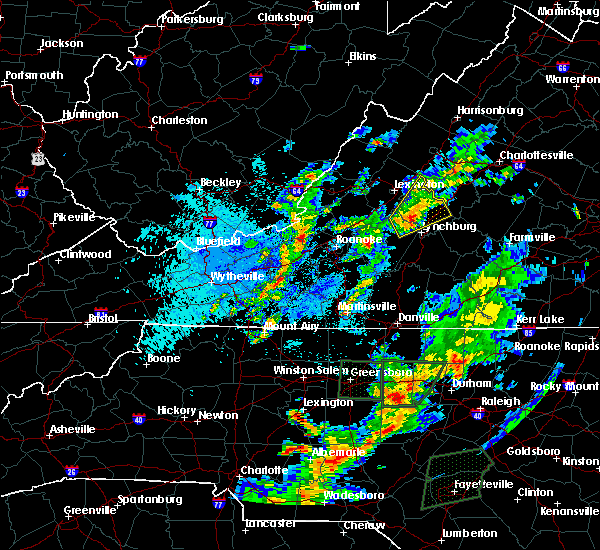 At 944 pm edt, a severe thunderstorm was located over naola, moving northeast at 15 mph (radar indicated). Hazards include 60 mph wind gusts and quarter size hail. Hail damage to vehicles is expected. expect wind damage to roofs, siding, and trees. Locations impacted include, lynchburg, amherst, clifford, big island, and forks of buffalo. At 944 pm edt, a severe thunderstorm was located over naola, moving northeast at 15 mph (radar indicated). Hazards include 60 mph wind gusts and quarter size hail. Hail damage to vehicles is expected. expect wind damage to roofs, siding, and trees. Locations impacted include, lynchburg, amherst, clifford, big island, and forks of buffalo.
|
| 9/28/2016 9:12 PM EDT |
 At 911 pm edt, a severe thunderstorm was located near sedalia, moving northeast at 15 mph (radar indicated). Hazards include 60 mph wind gusts and quarter size hail. Hail damage to vehicles is expected. Expect wind damage to roofs, siding, and trees. At 911 pm edt, a severe thunderstorm was located near sedalia, moving northeast at 15 mph (radar indicated). Hazards include 60 mph wind gusts and quarter size hail. Hail damage to vehicles is expected. Expect wind damage to roofs, siding, and trees.
|
| 9/28/2016 6:37 PM EDT |
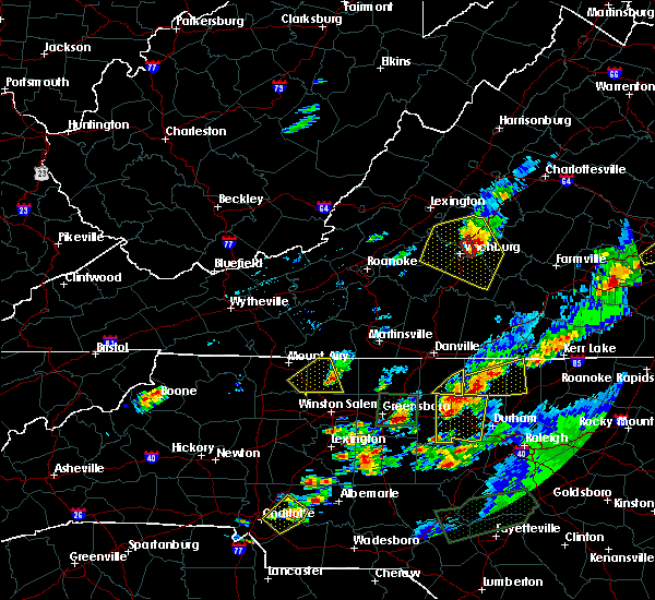 At 635 pm edt, severe thunderstorms were located along a line extending from new glasgow to riverville to near stonewall, moving east at 35 mph (radar indicated). Hazards include golf ball size hail and 60 mph wind gusts. People and animals outdoors will be injured. expect hail damage to roofs, siding, windows, and vehicles. expect wind damage to roofs, siding, and trees. Locations impacted include, lynchburg, amherst, clifford, concord, and new glasgow. At 635 pm edt, severe thunderstorms were located along a line extending from new glasgow to riverville to near stonewall, moving east at 35 mph (radar indicated). Hazards include golf ball size hail and 60 mph wind gusts. People and animals outdoors will be injured. expect hail damage to roofs, siding, windows, and vehicles. expect wind damage to roofs, siding, and trees. Locations impacted include, lynchburg, amherst, clifford, concord, and new glasgow.
|
| 9/28/2016 6:07 PM EDT |
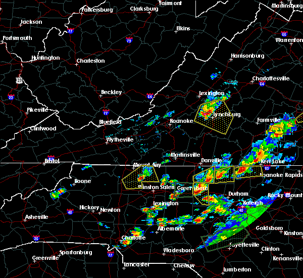 At 606 pm edt, severe thunderstorms were located along a line extending from near pleasant view to near boonsboro to near forest, moving east at 40 mph (radar indicated). Hazards include golf ball size hail and 60 mph wind gusts. People and animals outdoors will be injured. expect hail damage to roofs, siding, windows, and vehicles. expect wind damage to roofs, siding, and trees. locations impacted include, lynchburg, bedford, amherst, appomattox, and rustburg. This includes the following locations liberty university and lynchburg airport. At 606 pm edt, severe thunderstorms were located along a line extending from near pleasant view to near boonsboro to near forest, moving east at 40 mph (radar indicated). Hazards include golf ball size hail and 60 mph wind gusts. People and animals outdoors will be injured. expect hail damage to roofs, siding, windows, and vehicles. expect wind damage to roofs, siding, and trees. locations impacted include, lynchburg, bedford, amherst, appomattox, and rustburg. This includes the following locations liberty university and lynchburg airport.
|
| 9/28/2016 5:44 PM EDT |
 At 544 pm edt, severe thunderstorms were located along a line extending from big island to near coleman falls to near goode, moving east at 35 mph (radar indicated). Hazards include 60 mph wind gusts and quarter size hail. Hail damage to vehicles is expected. Expect wind damage to roofs, siding, and trees. At 544 pm edt, severe thunderstorms were located along a line extending from big island to near coleman falls to near goode, moving east at 35 mph (radar indicated). Hazards include 60 mph wind gusts and quarter size hail. Hail damage to vehicles is expected. Expect wind damage to roofs, siding, and trees.
|
| 8/17/2016 5:14 PM EDT | One tree blown down along lexington turnpik in amherst county VA, 4.1 miles ESE of Amherst, VA |
| 8/17/2016 4:56 PM EDT |
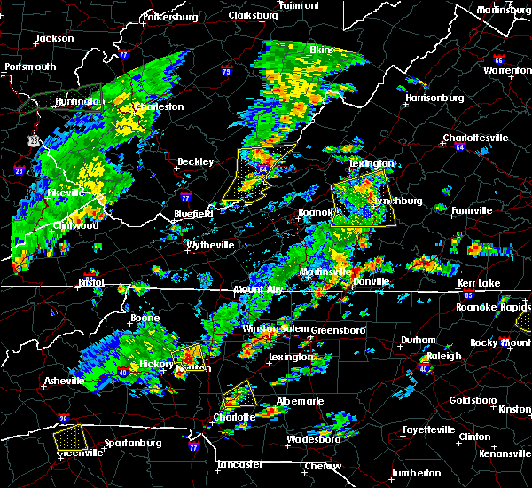 At 455 pm edt, severe thunderstorms were located along a line extending from forks of buffalo to near falconerville to near timberlake, moving east at 30 mph (radar indicated). Hazards include 60 mph wind gusts and quarter size hail. Hail damage to vehicles is expected. expect wind damage to roofs, siding, and trees. locations impacted include, lynchburg, amherst, rustburg, big island, and forks of buffalo. This includes the following locations liberty university and lynchburg airport. At 455 pm edt, severe thunderstorms were located along a line extending from forks of buffalo to near falconerville to near timberlake, moving east at 30 mph (radar indicated). Hazards include 60 mph wind gusts and quarter size hail. Hail damage to vehicles is expected. expect wind damage to roofs, siding, and trees. locations impacted include, lynchburg, amherst, rustburg, big island, and forks of buffalo. This includes the following locations liberty university and lynchburg airport.
|
| 8/17/2016 4:15 PM EDT |
 At 414 pm edt, severe thunderstorms were located along a line extending from natural bridge to near bedford to near huddleston, moving east at 30 mph (radar indicated). Hazards include 60 mph wind gusts and quarter size hail. Hail damage to vehicles is expected. Expect wind damage to roofs, siding, and trees. At 414 pm edt, severe thunderstorms were located along a line extending from natural bridge to near bedford to near huddleston, moving east at 30 mph (radar indicated). Hazards include 60 mph wind gusts and quarter size hail. Hail damage to vehicles is expected. Expect wind damage to roofs, siding, and trees.
|
| 8/14/2016 6:31 PM EDT | Four trees down along highway 29 near u.s. 6 in amherst county VA, 0.8 miles NNE of Amherst, VA |
| 7/28/2016 10:45 PM EDT |
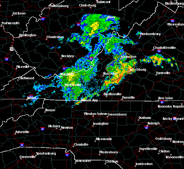 At 1044 pm edt, severe thunderstorms were located along a line extending from near arcadia to near sedalia to 7 miles southeast of bedford, moving northeast at 40 mph (radar indicated). Hazards include 60 mph wind gusts. Expect damage to roofs. siding. and trees. locations impacted include, lynchburg, bedford, amherst, big island, and forest. This includes the following location the national d day memorial. At 1044 pm edt, severe thunderstorms were located along a line extending from near arcadia to near sedalia to 7 miles southeast of bedford, moving northeast at 40 mph (radar indicated). Hazards include 60 mph wind gusts. Expect damage to roofs. siding. and trees. locations impacted include, lynchburg, bedford, amherst, big island, and forest. This includes the following location the national d day memorial.
|
| 7/28/2016 10:26 PM EDT |
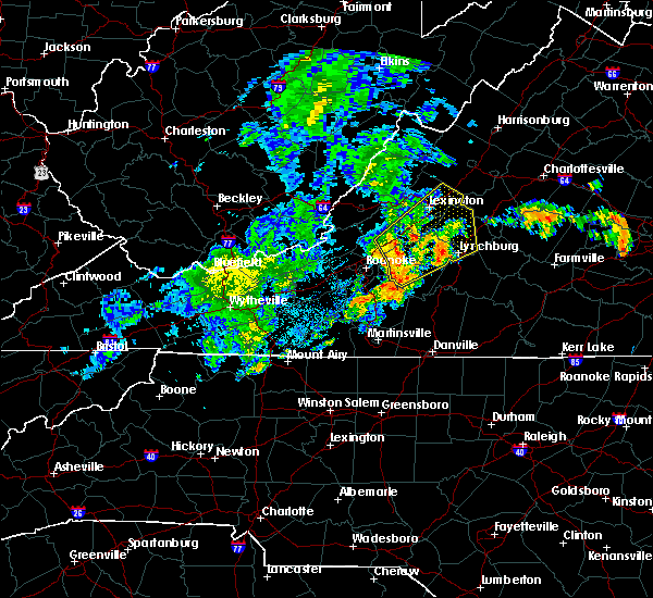 At 1024 pm edt, severe thunderstorms were located along a line extending from near lithia to montvale to westlake corner, moving northeast at 40 mph (radar indicated). Hazards include 60 mph wind gusts. Expect damage to roofs. siding. And trees. At 1024 pm edt, severe thunderstorms were located along a line extending from near lithia to montvale to westlake corner, moving northeast at 40 mph (radar indicated). Hazards include 60 mph wind gusts. Expect damage to roofs. siding. And trees.
|
| 7/28/2016 6:42 PM EDT | Tree blown down near 270 riverville roa in amherst county VA, 5.5 miles WNW of Amherst, VA |
| 7/28/2016 6:40 PM EDT | Several trees blown down near 2018 riverville road in amherst county VA, 9.4 miles WNW of Amherst, VA |
| 7/28/2016 6:34 PM EDT |
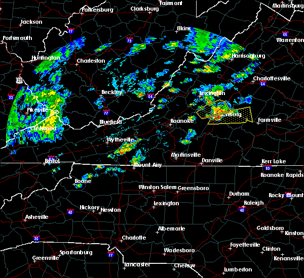 At 633 pm edt, a severe thunderstorm was located over riverville, moving east at 25 mph (radar indicated). Hazards include 60 mph wind gusts. Expect damage to roofs. siding. and trees. Locations impacted include, lynchburg, amherst, clifford, new glasgow, and riverville. At 633 pm edt, a severe thunderstorm was located over riverville, moving east at 25 mph (radar indicated). Hazards include 60 mph wind gusts. Expect damage to roofs. siding. and trees. Locations impacted include, lynchburg, amherst, clifford, new glasgow, and riverville.
|
| 7/28/2016 6:09 PM EDT |
 At 608 pm edt, a severe thunderstorm was located near goode, moving northeast at 25 mph (radar indicated). Hazards include 70 mph wind gusts. Expect considerable tree damage. damage is likely to mobile homes, roofs, and outbuildings. Locations impacted include, lynchburg, amherst, clifford, big island, and forks of buffalo. At 608 pm edt, a severe thunderstorm was located near goode, moving northeast at 25 mph (radar indicated). Hazards include 70 mph wind gusts. Expect considerable tree damage. damage is likely to mobile homes, roofs, and outbuildings. Locations impacted include, lynchburg, amherst, clifford, big island, and forks of buffalo.
|
| 7/28/2016 5:52 PM EDT |
 At 551 pm edt, a severe thunderstorm was located near sedalia, moving northeast at 25 mph (radar indicated). Hazards include 60 mph wind gusts. Expect damage to roofs. siding. And trees. At 551 pm edt, a severe thunderstorm was located near sedalia, moving northeast at 25 mph (radar indicated). Hazards include 60 mph wind gusts. Expect damage to roofs. siding. And trees.
|
| 7/26/2016 9:58 PM EDT |
 The severe thunderstorm warning for western appomattox. southeastern amherst. and northeastern campbell counties and the city of lynchburg will expire at 1000 pm edt. the storms which prompted the warning have moved out of the area. therefore the warning will be allowed to expire. However heavy rain and frequent lightning are still possible with these thunderstorms. The severe thunderstorm warning for western appomattox. southeastern amherst. and northeastern campbell counties and the city of lynchburg will expire at 1000 pm edt. the storms which prompted the warning have moved out of the area. therefore the warning will be allowed to expire. However heavy rain and frequent lightning are still possible with these thunderstorms.
|
| 7/26/2016 9:32 PM EDT |
 At 931 pm edt, severe thunderstorms were located along a line extending from near amherst to near rustburg, moving east at 20 mph (radar indicated). Hazards include 60 mph wind gusts. Expect damage to roofs. siding. and trees. locations impacted include, lynchburg, amherst, rustburg, concord, and bent creek. This includes the following locations liberty university and lynchburg airport. At 931 pm edt, severe thunderstorms were located along a line extending from near amherst to near rustburg, moving east at 20 mph (radar indicated). Hazards include 60 mph wind gusts. Expect damage to roofs. siding. and trees. locations impacted include, lynchburg, amherst, rustburg, concord, and bent creek. This includes the following locations liberty university and lynchburg airport.
|
| 7/26/2016 9:20 PM EDT |
 At 920 pm edt, severe thunderstorms were located along a line extending from near falconerville to near timberlake, moving east at 15 mph (radar indicated). Hazards include 60 mph wind gusts. Expect damage to roofs. siding. and trees. locations impacted include, lynchburg, amherst, rustburg, concord, and forest. This includes the following locations liberty university and lynchburg airport. At 920 pm edt, severe thunderstorms were located along a line extending from near falconerville to near timberlake, moving east at 15 mph (radar indicated). Hazards include 60 mph wind gusts. Expect damage to roofs. siding. and trees. locations impacted include, lynchburg, amherst, rustburg, concord, and forest. This includes the following locations liberty university and lynchburg airport.
|
| 7/26/2016 9:01 PM EDT |
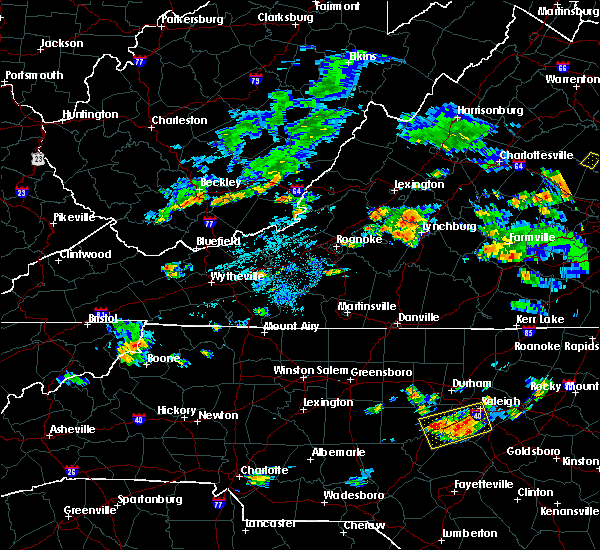 At 900 pm edt, severe thunderstorms were located along a line extending from near pleasant view to near forest, moving east at 15 mph (radar indicated). Hazards include 60 mph wind gusts. Expect damage to roofs. siding. And trees. At 900 pm edt, severe thunderstorms were located along a line extending from near pleasant view to near forest, moving east at 15 mph (radar indicated). Hazards include 60 mph wind gusts. Expect damage to roofs. siding. And trees.
|
| 6/27/2016 8:23 PM EDT |
 The severe thunderstorm warning for appomattox, southeastern amherst, northeastern campbell counties and the city of lynchburg will expire at 830 pm edt, the storms which prompted the warning have weakened. therefore the warning will be allowed to expire. moderate to heavy rainfall and gusty winds will continue across the area for another 30 minutes to an hour. when it is safe to do so, please send your reports of hail of any size, as well as any reports of wind damage, including downed trees or large limbs, to the national weather service by calling toll free at 1, 8 6 6, 2 1 5, 4 3 2 4. reports and pictures can also be shared on the national weather service blacksburg facebook page and on twitter. The severe thunderstorm warning for appomattox, southeastern amherst, northeastern campbell counties and the city of lynchburg will expire at 830 pm edt, the storms which prompted the warning have weakened. therefore the warning will be allowed to expire. moderate to heavy rainfall and gusty winds will continue across the area for another 30 minutes to an hour. when it is safe to do so, please send your reports of hail of any size, as well as any reports of wind damage, including downed trees or large limbs, to the national weather service by calling toll free at 1, 8 6 6, 2 1 5, 4 3 2 4. reports and pictures can also be shared on the national weather service blacksburg facebook page and on twitter.
|
| 6/27/2016 7:58 PM EDT |
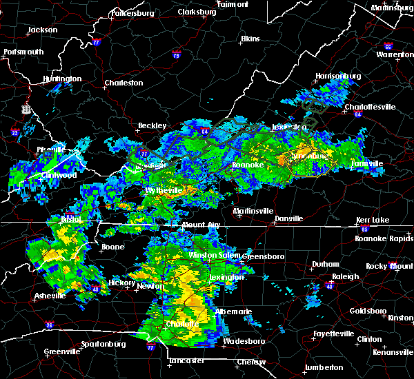 At 756 pm edt, severe thunderstorms were located along a line extending from near gold hill to andersonville to near tower hill, moving east at 45 mph (radar indicated). Hazards include 60 mph wind gusts. Expect damage to roofs. siding. and trees. locations impacted include, lynchburg, appomattox, rustburg, concord, and bent creek. This includes liberty university and lynchburg airport. At 756 pm edt, severe thunderstorms were located along a line extending from near gold hill to andersonville to near tower hill, moving east at 45 mph (radar indicated). Hazards include 60 mph wind gusts. Expect damage to roofs. siding. and trees. locations impacted include, lynchburg, appomattox, rustburg, concord, and bent creek. This includes liberty university and lynchburg airport.
|
| 6/27/2016 7:28 PM EDT |
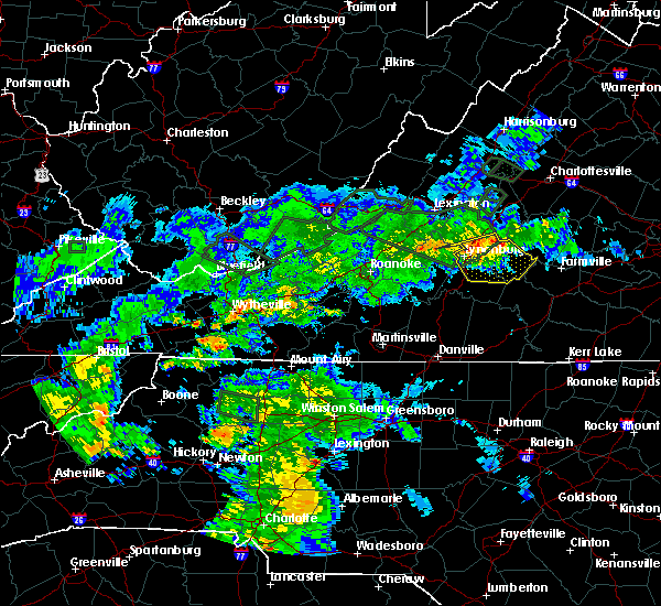 At 727 pm edt, severe thunderstorms were located along a line extending from near tower hill to near oakville to madison heights, moving east at 45 mph (radar indicated). Hazards include 60 mph wind gusts. Expect damage to roofs. siding. And trees. At 727 pm edt, severe thunderstorms were located along a line extending from near tower hill to near oakville to madison heights, moving east at 45 mph (radar indicated). Hazards include 60 mph wind gusts. Expect damage to roofs. siding. And trees.
|
| 6/16/2016 9:42 PM EDT | The severe thunderstorm warning for central appomattox. southeastern amherst and buckingham counties will expire at 945 pm edt. the storms which prompted the warning have moved out of the area. therefore the warning will be allowed to expire. however. Gusty winds and heavy rain from an additional line are still possible with. |
| 6/16/2016 9:26 PM EDT |
 At 926 pm edt, severe thunderstorms producing very heavy wind gusts were located along a line extending from near lakeside village through dillwyn to near tower hill, moving southeast at 30 mph (radar indicated). Hazards include 60 mph wind gusts and quarter size hail. Hail damage to vehicles is expected. expect wind damage to roofs, siding, and trees. Locations impacted include, buckingham, amherst, appomattox, dillwyn, and bent creek. At 926 pm edt, severe thunderstorms producing very heavy wind gusts were located along a line extending from near lakeside village through dillwyn to near tower hill, moving southeast at 30 mph (radar indicated). Hazards include 60 mph wind gusts and quarter size hail. Hail damage to vehicles is expected. expect wind damage to roofs, siding, and trees. Locations impacted include, buckingham, amherst, appomattox, dillwyn, and bent creek.
|
| 6/16/2016 9:02 PM EDT |
 At 902 pm edt, severe thunderstorms were located along a line extending from 6 miles east of centenary to near wingina to near shipman, moving southeast at 30 mph (radar indicated). Hazards include 60 mph wind gusts and quarter size hail. Hail damage to vehicles is expected. expect wind damage to roofs, siding, and trees. Locations impacted include, buckingham, amherst, appomattox, dillwyn, and clifford. At 902 pm edt, severe thunderstorms were located along a line extending from 6 miles east of centenary to near wingina to near shipman, moving southeast at 30 mph (radar indicated). Hazards include 60 mph wind gusts and quarter size hail. Hail damage to vehicles is expected. expect wind damage to roofs, siding, and trees. Locations impacted include, buckingham, amherst, appomattox, dillwyn, and clifford.
|
| 6/16/2016 8:47 PM EDT |
 At 846 pm edt, severe thunderstorms were located along a line extending from 7 miles north of centenary through shipman to near lowesville, moving southeast at 30 mph (radar indicated). Hazards include 60 mph wind gusts and quarter size hail. Hail damage to vehicles is expected. Expect wind damage to roofs, siding, and trees. At 846 pm edt, severe thunderstorms were located along a line extending from 7 miles north of centenary through shipman to near lowesville, moving southeast at 30 mph (radar indicated). Hazards include 60 mph wind gusts and quarter size hail. Hail damage to vehicles is expected. Expect wind damage to roofs, siding, and trees.
|
| 6/4/2016 10:46 PM EDT |
 At 1046 pm edt, a severe thunderstorm was located over new glasgow, moving east at 25 mph (radar indicated). Hazards include 60 mph wind gusts and quarter size hail. Hail damage to vehicles is expected. expect wind damage to roofs, siding, and trees. Locations impacted include, lynchburg, amherst, clifford, forks of buffalo, and forest. At 1046 pm edt, a severe thunderstorm was located over new glasgow, moving east at 25 mph (radar indicated). Hazards include 60 mph wind gusts and quarter size hail. Hail damage to vehicles is expected. expect wind damage to roofs, siding, and trees. Locations impacted include, lynchburg, amherst, clifford, forks of buffalo, and forest.
|
| 6/4/2016 10:06 PM EDT | Tree down on rte 60 near moss rock rd in amherst county VA, 12.2 miles SE of Amherst, VA |
| 6/4/2016 10:02 PM EDT |
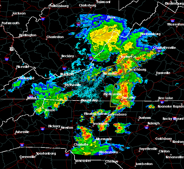 At 1001 pm edt, a severe thunderstorm was located over naola, moving northeast at 20 mph (radar indicated). Hazards include 60 mph wind gusts and quarter size hail. Hail damage to vehicles is expected. Expect wind damage to roofs, siding, and trees. At 1001 pm edt, a severe thunderstorm was located over naola, moving northeast at 20 mph (radar indicated). Hazards include 60 mph wind gusts and quarter size hail. Hail damage to vehicles is expected. Expect wind damage to roofs, siding, and trees.
|
| 5/2/2016 6:25 PM EDT |
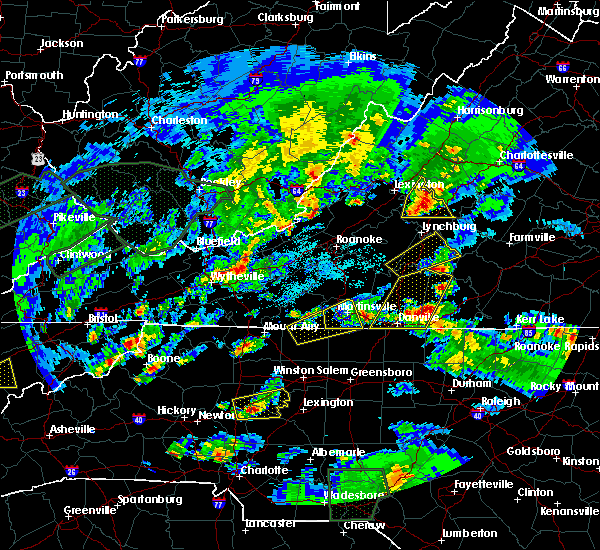 At 624 pm edt, a severe thunderstorm was located over forks of buffalo, moving east at 40 mph (radar indicated). Hazards include 60 mph wind gusts and half dollar size hail. Hail damage to vehicles is expected. expect wind damage to roofs, siding, and trees. Locations impacted include, amherst, clifford, forks of buffalo, new glasgow, and lowesville. At 624 pm edt, a severe thunderstorm was located over forks of buffalo, moving east at 40 mph (radar indicated). Hazards include 60 mph wind gusts and half dollar size hail. Hail damage to vehicles is expected. expect wind damage to roofs, siding, and trees. Locations impacted include, amherst, clifford, forks of buffalo, new glasgow, and lowesville.
|
| 5/2/2016 6:20 PM EDT | Quarter sized hail reported 10.5 miles ESE of Amherst, VA, dime to quarter size |
| 5/2/2016 6:10 PM EDT |
 At 610 pm edt, a severe thunderstorm was located near pleasant view, moving east at 35 mph (radar indicated). Hazards include 60 mph wind gusts and half dollar size hail. Hail damage to vehicles is expected. Expect wind damage to roofs, siding, and trees. At 610 pm edt, a severe thunderstorm was located near pleasant view, moving east at 35 mph (radar indicated). Hazards include 60 mph wind gusts and half dollar size hail. Hail damage to vehicles is expected. Expect wind damage to roofs, siding, and trees.
|
| 5/1/2016 10:21 PM EDT |
 At 1021 pm edt, a severe thunderstorm was located near boonsboro, moving east at 35 mph (radar indicated). Hazards include 60 mph wind gusts and quarter size hail. Hail damage to vehicles is expected. Expect wind damage to roofs, siding, and trees. At 1021 pm edt, a severe thunderstorm was located near boonsboro, moving east at 35 mph (radar indicated). Hazards include 60 mph wind gusts and quarter size hail. Hail damage to vehicles is expected. Expect wind damage to roofs, siding, and trees.
|
| 8/4/2015 4:30 PM EDT | Multiple trees down along patrick henry hwy. time radar estimate in amherst county VA, 6.3 miles SSW of Amherst, VA |
| 8/4/2015 4:24 PM EDT | Several trees down along turkey mountain r in amherst county VA, 4.1 miles S of Amherst, VA |
| 8/4/2015 4:18 PM EDT |
 At 417 pm edt, a severe thunderstorm was located over amherst, moving east at 30 mph (radar indicated). Hazards include 60 mph wind gusts. Expect damage to roofs. siding and trees. Locations impacted include, amherst, clifford, and new glasgow. At 417 pm edt, a severe thunderstorm was located over amherst, moving east at 30 mph (radar indicated). Hazards include 60 mph wind gusts. Expect damage to roofs. siding and trees. Locations impacted include, amherst, clifford, and new glasgow.
|
| 8/4/2015 4:11 PM EDT | 911 call center reports a tree down along lowesvill roa in amherst county VA, 5.3 miles SE of Amherst, VA |
| 8/4/2015 4:03 PM EDT |
 At 403 pm edt, a severe thunderstorm was located near pleasant view, moving east at 30 mph (radar indicated). Hazards include 60 mph wind gusts. Expect damage to roofs. siding and trees. Locations impacted include, amherst, clifford, new glasgow, falconerville, and elon. At 403 pm edt, a severe thunderstorm was located near pleasant view, moving east at 30 mph (radar indicated). Hazards include 60 mph wind gusts. Expect damage to roofs. siding and trees. Locations impacted include, amherst, clifford, new glasgow, falconerville, and elon.
|
| 8/4/2015 3:49 PM EDT |
 At 349 pm edt, a severe thunderstorm was located over big island, moving east at 30 mph (radar indicated). Hazards include 60 mph wind gusts. Expect damage to roofs. Siding and trees. At 349 pm edt, a severe thunderstorm was located over big island, moving east at 30 mph (radar indicated). Hazards include 60 mph wind gusts. Expect damage to roofs. Siding and trees.
|
| 7/27/2015 3:35 PM EDT |
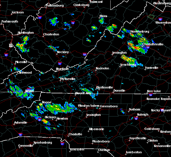 The severe thunderstorm warning for northeastern amherst county will expire at 345 pm edt, the storm which prompted the warning has weakened below severe limits, and no longer poses an immediate threat to life or property. therefore the severe thunderstorm warning will be allowed to expire. when it is safe to do so, please send your reports of hail of any size, as well as any reports of wind damage, including downed trees or large limbs, to the national weather service by calling toll free at 1, 8 6 6, 2 1 5, 4 3 2 4. reports and pictures can also be shared on the national weather service blacksburg facebook page and on twitter. The severe thunderstorm warning for northeastern amherst county will expire at 345 pm edt, the storm which prompted the warning has weakened below severe limits, and no longer poses an immediate threat to life or property. therefore the severe thunderstorm warning will be allowed to expire. when it is safe to do so, please send your reports of hail of any size, as well as any reports of wind damage, including downed trees or large limbs, to the national weather service by calling toll free at 1, 8 6 6, 2 1 5, 4 3 2 4. reports and pictures can also be shared on the national weather service blacksburg facebook page and on twitter.
|
| 7/27/2015 3:22 PM EDT |
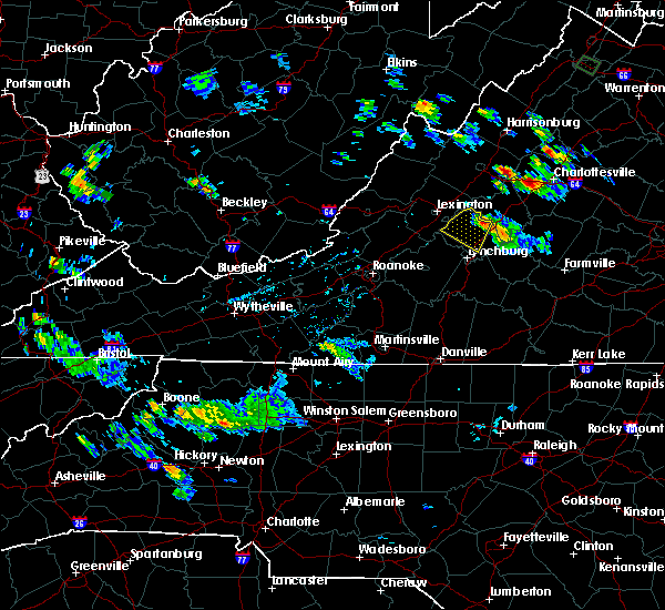 At 322 pm edt, a severe thunderstorm was located over lowesville, moving south at 5 mph (radar indicated). Hazards include 60 mph wind gusts. Expect damage to roofs. siding and trees. Locations impacted include, and clifford. At 322 pm edt, a severe thunderstorm was located over lowesville, moving south at 5 mph (radar indicated). Hazards include 60 mph wind gusts. Expect damage to roofs. siding and trees. Locations impacted include, and clifford.
|
| 7/27/2015 2:56 PM EDT |
 At 255 pm edt, a severe thunderstorm was located over lowesville, and is drifting to the southeast at around 5 mph (radar indicated). Hazards include 60 mph wind gusts and quarter size hail. Hail damage to vehicles is expected. expect wind damage to roofs, siding and trees. Locations impacted include, amherst, clifford, forks of buffalo, alto, and oronoco. At 255 pm edt, a severe thunderstorm was located over lowesville, and is drifting to the southeast at around 5 mph (radar indicated). Hazards include 60 mph wind gusts and quarter size hail. Hail damage to vehicles is expected. expect wind damage to roofs, siding and trees. Locations impacted include, amherst, clifford, forks of buffalo, alto, and oronoco.
|
| 7/27/2015 2:45 PM EDT | Tree down in amherst county VA, 10.7 miles SSE of Amherst, VA |
| 7/27/2015 2:40 PM EDT |
 At 240 pm edt, a severe thunderstorm was located over lowesville, moving southwest at 10 mph (radar indicated). Hazards include 60 mph wind gusts and quarter size hail. Hail damage to vehicles is expected. Expect wind damage to roofs, siding and trees. At 240 pm edt, a severe thunderstorm was located over lowesville, moving southwest at 10 mph (radar indicated). Hazards include 60 mph wind gusts and quarter size hail. Hail damage to vehicles is expected. Expect wind damage to roofs, siding and trees.
|
| 7/14/2015 9:20 PM EDT |
 At 919 pm edt, severe thunderstorms were located along a line extending from 6 miles east of montebello to naola, moving southeast at 15 mph (radar indicated). Hazards include 60 mph wind gusts and quarter size hail. Hail damage to vehicles is expected. expect wind damage to roofs, siding and trees. Locations impacted include, amherst, clifford, forks of buffalo, new glasgow, and centenary. At 919 pm edt, severe thunderstorms were located along a line extending from 6 miles east of montebello to naola, moving southeast at 15 mph (radar indicated). Hazards include 60 mph wind gusts and quarter size hail. Hail damage to vehicles is expected. expect wind damage to roofs, siding and trees. Locations impacted include, amherst, clifford, forks of buffalo, new glasgow, and centenary.
|
| 7/14/2015 9:11 PM EDT |
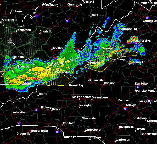 At 911 pm edt, severe thunderstorms were located along a line extending from near montebello to near big island, moving southeast at 20 mph (radar indicated). Hazards include 60 mph wind gusts and quarter size hail. Hail damage to vehicles is expected. expect wind damage to roofs, siding and trees. Locations impacted include, buena vista, amherst, clifford, forks of buffalo, and new glasgow. At 911 pm edt, severe thunderstorms were located along a line extending from near montebello to near big island, moving southeast at 20 mph (radar indicated). Hazards include 60 mph wind gusts and quarter size hail. Hail damage to vehicles is expected. expect wind damage to roofs, siding and trees. Locations impacted include, buena vista, amherst, clifford, forks of buffalo, and new glasgow.
|
| 7/14/2015 8:44 PM EDT |
 At 844 pm edt, severe thunderstorms were located along a line extending from vesuvius to near glasgow, moving southeast at 25 mph (radar indicated). Hazards include 60 mph wind gusts and quarter size hail. Hail damage to vehicles is expected. Expect wind damage to roofs, siding and trees. At 844 pm edt, severe thunderstorms were located along a line extending from vesuvius to near glasgow, moving southeast at 25 mph (radar indicated). Hazards include 60 mph wind gusts and quarter size hail. Hail damage to vehicles is expected. Expect wind damage to roofs, siding and trees.
|
| 7/13/2015 9:09 PM EDT |
 At 907 pm edt, severe thunderstorms were located along a line extending from vesuvius to near forest, moving southeast at 50 mph (radar indicated). Hazards include 60 mph wind gusts and quarter size hail. Hail damage to vehicles is expected. expect wind damage to roofs, siding and trees. locations impacted include, lynchburg, buena vista, amherst, buena vista city, and clifford. This includes liberty university and lynchburg airport. At 907 pm edt, severe thunderstorms were located along a line extending from vesuvius to near forest, moving southeast at 50 mph (radar indicated). Hazards include 60 mph wind gusts and quarter size hail. Hail damage to vehicles is expected. expect wind damage to roofs, siding and trees. locations impacted include, lynchburg, buena vista, amherst, buena vista city, and clifford. This includes liberty university and lynchburg airport.
|
| 7/13/2015 8:41 PM EDT |
 At 840 pm edt, severe thunderstorms were located along a line extending from 6 miles east of bells valley to near bedford city, moving east at 35 mph (radar indicated). Hazards include 60 mph wind gusts. Expect damage to roofs. Siding and trees. At 840 pm edt, severe thunderstorms were located along a line extending from 6 miles east of bells valley to near bedford city, moving east at 35 mph (radar indicated). Hazards include 60 mph wind gusts. Expect damage to roofs. Siding and trees.
|
| 7/1/2015 12:12 AM EDT |
 At 1211 am edt, severe thunderstorms were located along a line extending from near lowesville to near falconerville to rustburg to near leesville, moving northeast at 45 mph (radar indicated). Hazards include 60 mph wind gusts and penny size hail. Expect damage to roofs. siding and trees. locations impacted include, lynchburg, amherst, appomattox, rustburg, and clifford. This includes liberty university and lynchburg airport. At 1211 am edt, severe thunderstorms were located along a line extending from near lowesville to near falconerville to rustburg to near leesville, moving northeast at 45 mph (radar indicated). Hazards include 60 mph wind gusts and penny size hail. Expect damage to roofs. siding and trees. locations impacted include, lynchburg, amherst, appomattox, rustburg, and clifford. This includes liberty university and lynchburg airport.
|
| 6/30/2015 11:49 PM EDT |
 At 1148 pm edt, severe thunderstorms were located along a line extending from near glasgow to goode to near smith mountain lake state park, moving northeast at 40 mph (radar indicated). Hazards include 60 mph wind gusts and quarter size hail. Hail damage to vehicles is expected. Expect wind damage to roofs, siding and trees. At 1148 pm edt, severe thunderstorms were located along a line extending from near glasgow to goode to near smith mountain lake state park, moving northeast at 40 mph (radar indicated). Hazards include 60 mph wind gusts and quarter size hail. Hail damage to vehicles is expected. Expect wind damage to roofs, siding and trees.
|
| 6/30/2015 10:43 PM EDT | The severe thunderstorm warning for northwestern appomattox. southeastern amherst and northwestern buckingham counties will expire at 1045 pm edt. the storm which prompted the warning has weakened below severe limits. and no longer poses an immediate threat to life or property. therefore the warning will be allowed to expire. However gusty winds. |
| 6/30/2015 10:02 PM EDT |
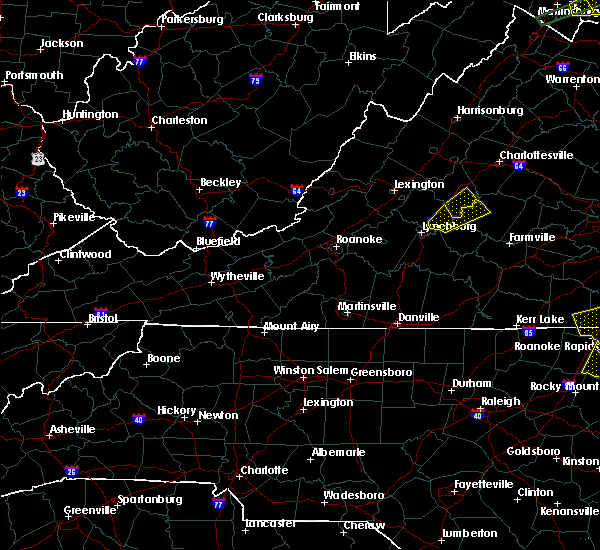 At 1001 pm edt, a severe thunderstorm was located near riverville, moving east at 15 mph (radar indicated). Hazards include 60 mph wind gusts and quarter size hail. Hail damage to vehicles is expected. expect wind damage to roofs, siding and trees. Locations impacted include, amherst, bent creek, new glasgow, riverville, and stonewall. At 1001 pm edt, a severe thunderstorm was located near riverville, moving east at 15 mph (radar indicated). Hazards include 60 mph wind gusts and quarter size hail. Hail damage to vehicles is expected. expect wind damage to roofs, siding and trees. Locations impacted include, amherst, bent creek, new glasgow, riverville, and stonewall.
|
| 6/30/2015 9:43 PM EDT |
 At 941 pm edt, a severe thunderstorm was located near madison heights, moving northeast at 25 mph (radar indicated). Hazards include 60 mph wind gusts and quarter size hail. Hail damage to vehicles is expected. Expect wind damage to roofs, siding and trees. At 941 pm edt, a severe thunderstorm was located near madison heights, moving northeast at 25 mph (radar indicated). Hazards include 60 mph wind gusts and quarter size hail. Hail damage to vehicles is expected. Expect wind damage to roofs, siding and trees.
|
| 6/18/2015 4:01 PM EDT | Amherst county 911 center reports that several trees were down on u.s. 29 near falconerville...partially blocking the south bound lan in amherst county VA, 5.1 miles NE of Amherst, VA |
| 6/1/2015 4:41 PM EDT | The severe thunderstorm warning for east central amherst county will expire at 445 pm edt, the storm which prompted the warning has moved out of the area. therefore the warning will be allowed to expire. when it is safe to do so, please send your reports of hail of any size, as well as any reports of wind damage, including downed trees or large limbs, to the national weather service by calling toll free at 1, 8 6 6, 2 1 5, 4 3 2 4. reports and pictures can also be shared on the national weather service blacksburg facebook page and on twitter. |
| 6/1/2015 4:28 PM EDT | At 428 pm edt, a severe thunderstorm was located over new glasgow, moving northeast at 25 mph (radar indicated). Hazards include 60 mph wind gusts and quarter size hail. Hail damage to vehicles is expected. expect wind damage to roofs, siding and trees. Locations impacted include, clifford, and new glasgow. |
| 6/1/2015 4:09 PM EDT | At 409 pm edt, a severe thunderstorm was located over amherst, moving northeast at 25 mph (radar indicated). Hazards include 60 mph wind gusts and quarter size hail. Hail damage to vehicles is expected. Expect wind damage trees. |
| 5/11/2015 8:21 PM EDT | The severe thunderstorm warning for south central amherst and the city of lynchburg will expire at 830 pm edt, the severe thunderstorm which prompted the warning has moved out of the warned area. therefore the warning will be allowed to expire. when it is safe to do so, please send your reports of hail of any size, as well as any reports of wind damage, including downed trees or large limbs, to the national weather service by calling toll free at 1, 8 6 6, 2 1 5, 4 3 2 4. reports and pictures can also be shared on the national weather service blacksburg facebook page and on twitter. |
| 5/11/2015 7:46 PM EDT | At 745 pm edt, a severe thunderstorm was located over lynchburg airport, moving south at 25 mph (radar indicated). Hazards include 60 mph wind gusts and half dollar size hail. Hail damage to vehicles is expected. expect wind damage to roofs, siding and trees. locations impacted include, eastern lynchburg city, amherst, madison heights, and falconerville. 1. 25in. |
| 5/11/2015 7:29 PM EDT | At 728 pm edt, a severe thunderstorm was located over the northern part of lynchburg city, moving south at 25 mph (radar indicated). Hazards include 60 mph wind gusts and quarter size hail. Hail damage to vehicles is expected. Expect wind damage to roofs, siding and trees. |
| 5/11/2015 6:09 PM EDT | At 608 pm edt, severe thunderstorms were located along a line extending from near lowesville to clifford to near shipman, moving southeast at 40 mph (radar indicated). Hazards include 60 mph wind gusts and quarter size hail. Hail damage to vehicles is expected. Expect wind damage to roofs, siding and trees. |
| 5/11/2015 5:50 PM EDT | Tree down near nelson in amherst county VA, 0.8 miles NNE of Amherst, VA |
| 7/27/2012 5:06 PM EDT | Power lines down in amherst county VA, 0.8 miles NNE of Amherst, VA |
| 7/27/2012 5:06 PM EDT | Power lines and phone lines down in amherst county VA, 0.3 miles WNW of Amherst, VA |
| 7/27/2012 5:05 PM EDT | Several trees down in amherst county VA, 4.2 miles WNW of Amherst, VA |
| 7/27/2012 5:02 PM EDT | Tree down in amherst county VA, 1.3 miles E of Amherst, VA |
| 7/27/2012 4:55 PM EDT | Numerous trees...limbs...and wires down throughout the town of amherst. large portion of town without powe in amherst county VA, 0.2 miles ENE of Amherst, VA |
| 7/23/2012 4:53 PM EDT | Tree down on cherry hill roa in amherst county VA, 3 miles SSE of Amherst, VA |
| 7/23/2012 4:52 PM EDT | Tree down on poorhouse farm roa in amherst county VA, 4.2 miles SE of Amherst, VA |
| 6/29/2012 10:35 PM EDT | Multiple trees and power lines dow in amherst county VA, 0.8 miles NNE of Amherst, VA |
| 6/29/2012 9:32 PM EDT | Multiple trees dow in amherst county VA, 0.8 miles NNE of Amherst, VA |
| 6/29/2012 9:30 PM EDT | Numerous trees down on wagon trail roa in amherst county VA, 5 miles ESE of Amherst, VA |
| 6/29/2012 9:30 PM EDT | Two trees reported down in clifford. several large limbs also blown down in the town of amhers in amherst county VA, 3.7 miles SSW of Amherst, VA |
| 6/29/2012 9:30 PM EDT | Several trees down...both snapped off and uprooted. roads are impassable due to downed trees in amherst county VA, 8.3 miles SSE of Amherst, VA |
| 6/1/2012 2:05 PM EDT | Half Dollar sized hail reported 9 miles S of Amherst, VA, little piney road |
| 6/1/2012 2:00 PM EDT | Golf Ball sized hail reported 8.3 miles SSE of Amherst, VA, gidsville road |
| 6/1/2012 1:47 PM EDT | Hen Egg sized hail reported 8.6 miles SE of Amherst, VA, thrashers creek road. hail ranged in size from 1 to 2 inches and covered the ground. |
| 5/22/2012 5:30 PM EDT | Quarter sized hail reported 7.6 miles S of Amherst, VA, lowesville road |
| 1/1/0001 12:00 AM | 2 large trees were blown down in the town of amhers in amherst county VA, 0.8 miles NNE of Amherst, VA |
| 1/1/0001 12:00 AM | Several trees were blown down near the intersection of highways 29 and 15 in amherst county VA, 2.8 miles SW of Amherst, VA |
| 1/1/0001 12:00 AM | Trees down on rt 600 riverville rd in amherst county VA, 8.6 miles WNW of Amherst, VA |
| 1/1/0001 12:00 AM | Numerous trees blown down all across amherst count in amherst county VA, 0.8 miles NNE of Amherst, VA |
| 1/1/0001 12:00 AM | Tree down in amherst county VA, 6 miles SSE of Amherst, VA |
| 1/1/0001 12:00 AM | Trees down for a one mile stretch along route 151 between piney river and clifford in amherst county VA, 6.3 miles SSW of Amherst, VA |
| 1/1/0001 12:00 AM | Quarter sized hail reported 1.3 miles S of Amherst, VA, quarter size hail reported on deerfield drive. |
| 1/1/0001 12:00 AM | Half Dollar sized hail reported 6.4 miles WSW of Amherst, VA, many nickels and quarters. largest half dollar. |
| 1/1/0001 12:00 AM | Half Dollar sized hail reported 6.2 miles SW of Amherst, VA |
| 1/1/0001 12:00 AM | One tree down along highway 60w near burley hollow roa in amherst county VA, 4.9 miles ESE of Amherst, VA |
| 1/1/0001 12:00 AM | Quarter sized hail reported 8.3 miles SSE of Amherst, VA |
| 1/1/0001 12:00 AM | Tree blocking road in amherst county VA, 3.5 miles N of Amherst, VA |
Hail Maps for Amherst, VA
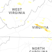
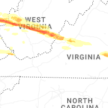
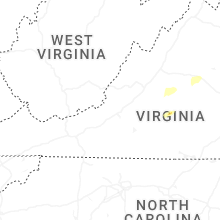


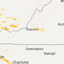


Connect with Interactive Hail Maps