

Hail Map for Aragon, NM
The Aragon, NM area has had 0 reports of on-the-ground hail by trained spotters, and has been under severe weather warnings 3 times during the past 12 months. Doppler radar has detected hail at or near Aragon, NM on 13 occasions.
| Name: | Aragon, NM |
| Where Located: | 78.9 miles N of Silver City, NM |
| Map: | Google Map for Aragon, NM |
| Population: | 94 |
| Housing Units: | 101 |
| More Info: | Search Google for Aragon, NM |
5
The Top Recent Hail Date for Aragon, NM is Tuesday, September 12, 2023 (1st out of 13)
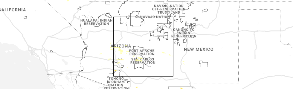
Hail and Wind Damage Spotted near Aragon, NM
| Date / Time | Report Details |
|---|---|
| 9/12/2025 5:38 PM MDT | The storm which prompted the warning has weakened below severe limits, and has exited the warned area. therefore, the warning will be allowed to expire. however, small hail and gusty winds are still possible with this thunderstorm. to report severe weather, contact your nearest law enforcement agency. they will send your report to the national weather service office. |
| 9/12/2025 5:19 PM MDT | At 519 pm mdt, a severe thunderstorm was located 5 miles west of cruzville, or 6 miles north of reserve, moving north at 30 mph (radar indicated). Hazards include 60 mph wind gusts and quarter size hail. Hail damage to vehicles is expected. expect wind damage to roofs, siding, and trees. Locations impacted include, reserve, cruzville, apache creek and san francisco plaza. |
| 9/12/2025 5:02 PM MDT | Svrabq the national weather service in albuquerque has issued a * severe thunderstorm warning for, west central catron county in west central new mexico, * until 545 pm mdt. * at 502 pm mdt, a severe thunderstorm was located over san francisco plaza, or over reserve, moving north at 30 mph (radar indicated). Hazards include 60 mph wind gusts and quarter size hail. Hail damage to vehicles is expected. Expect wind damage to roofs, siding, and trees. |
| 6/6/2023 1:11 PM MDT |
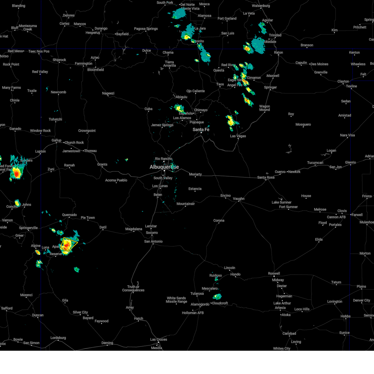 At 110 pm mdt, a severe thunderstorm was located over aragon, or 17 miles northeast of reserve, moving northeast at 15 mph (radar indicated). Hazards include 60 mph wind gusts and quarter size hail. Hail damage to vehicles is expected. expect wind damage to roofs, siding, and trees. locations impacted include, aragon and apache creek. hail threat, radar indicated max hail size, 1. 00 in wind threat, radar indicated max wind gust, 60 mph. At 110 pm mdt, a severe thunderstorm was located over aragon, or 17 miles northeast of reserve, moving northeast at 15 mph (radar indicated). Hazards include 60 mph wind gusts and quarter size hail. Hail damage to vehicles is expected. expect wind damage to roofs, siding, and trees. locations impacted include, aragon and apache creek. hail threat, radar indicated max hail size, 1. 00 in wind threat, radar indicated max wind gust, 60 mph.
|
| 6/6/2023 12:54 PM MDT |
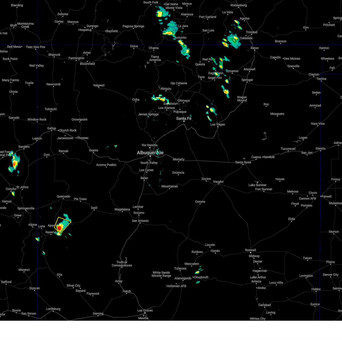 At 1254 pm mdt, a severe thunderstorm was located over apache creek, or 13 miles northeast of reserve, moving north at 15 mph (radar indicated). Hazards include 60 mph wind gusts and quarter size hail. Hail damage to vehicles is expected. Expect wind damage to roofs, siding, and trees. At 1254 pm mdt, a severe thunderstorm was located over apache creek, or 13 miles northeast of reserve, moving north at 15 mph (radar indicated). Hazards include 60 mph wind gusts and quarter size hail. Hail damage to vehicles is expected. Expect wind damage to roofs, siding, and trees.
|
| 10/20/2015 11:26 AM MDT |
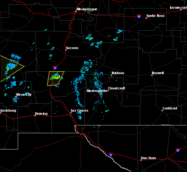 At 1122 am mdt, a severe thunderstorm was located 8 miles northeast of mogollon, or 15 miles south of reserve, moving northeast at 60 mph (public). Hazards include one inch hail was reported by the public three miles south of glenwood at 1111 am mdt. ping pong ball size hail and 60 mph wind gusts can be expected. People and animals outdoors will be injured. expect hail damage to roofs, siding, windows and vehicles. expect wind damage to roofs, siding and trees. Locations impacted include, reserve, san francisco plaza, pleasanton, cruzville, glenwood, mogollon, alma and apache creek. At 1122 am mdt, a severe thunderstorm was located 8 miles northeast of mogollon, or 15 miles south of reserve, moving northeast at 60 mph (public). Hazards include one inch hail was reported by the public three miles south of glenwood at 1111 am mdt. ping pong ball size hail and 60 mph wind gusts can be expected. People and animals outdoors will be injured. expect hail damage to roofs, siding, windows and vehicles. expect wind damage to roofs, siding and trees. Locations impacted include, reserve, san francisco plaza, pleasanton, cruzville, glenwood, mogollon, alma and apache creek.
|
| 10/20/2015 11:02 AM MDT |
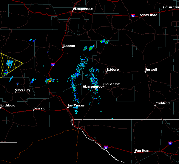 At 1101 am mdt, a severe thunderstorm was located near pleasanton, or 16 miles northwest of buckhorn, moving northeast at 60 mph (radar indicated). Hazards include ping pong size hail and 60 mph wind gusts. People and animals outdoors will be injured. expect hail damage to roofs, siding, windows and vehicles. Expect wind damage to roofs, siding and trees. At 1101 am mdt, a severe thunderstorm was located near pleasanton, or 16 miles northwest of buckhorn, moving northeast at 60 mph (radar indicated). Hazards include ping pong size hail and 60 mph wind gusts. People and animals outdoors will be injured. expect hail damage to roofs, siding, windows and vehicles. Expect wind damage to roofs, siding and trees.
|
Hail Maps for Aragon, NM




Connect with Interactive Hail Maps