

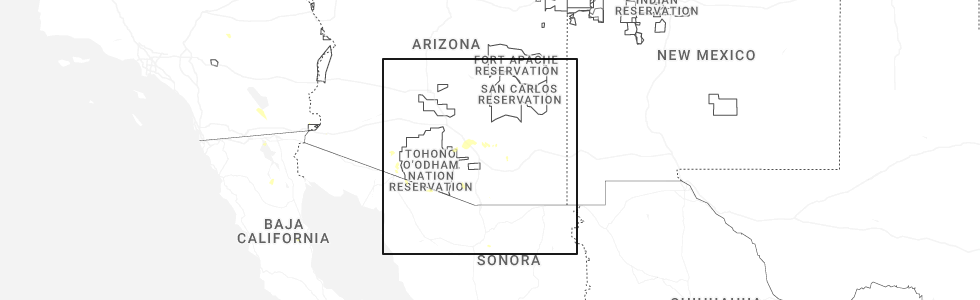
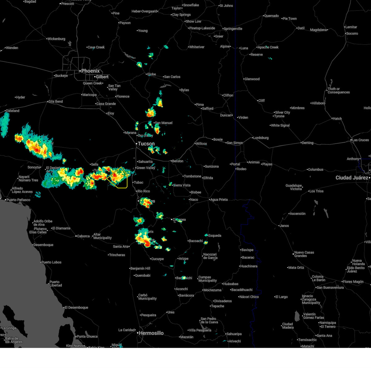
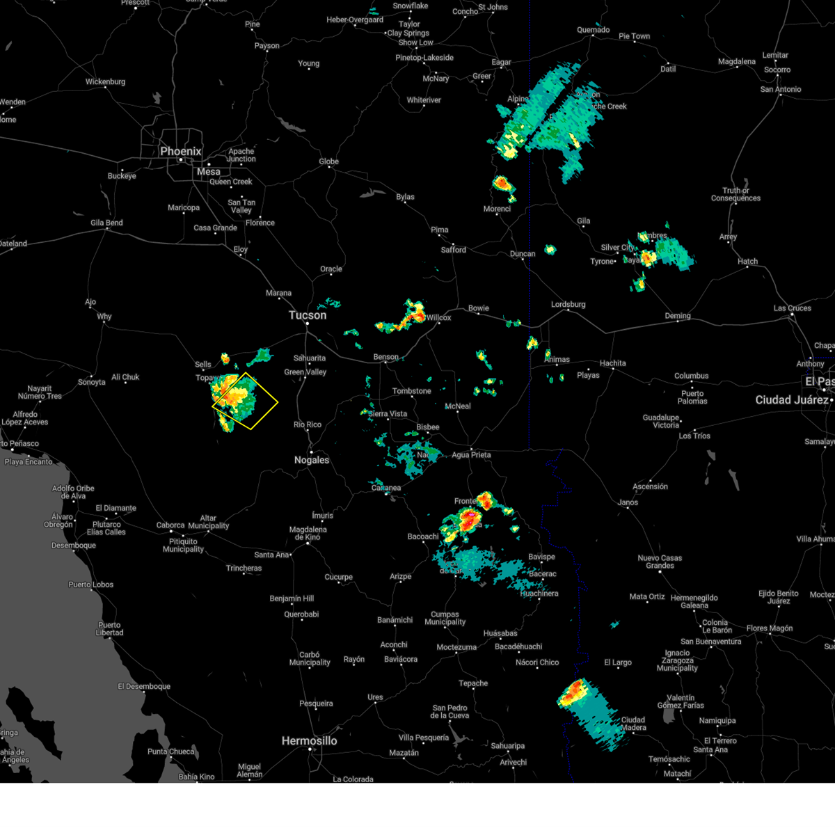
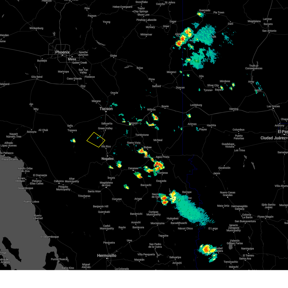
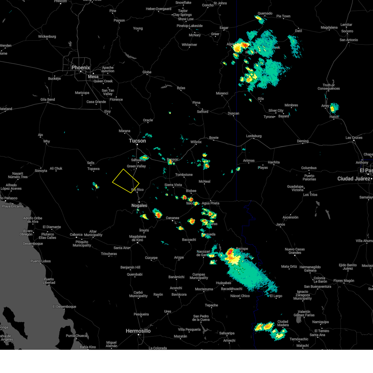
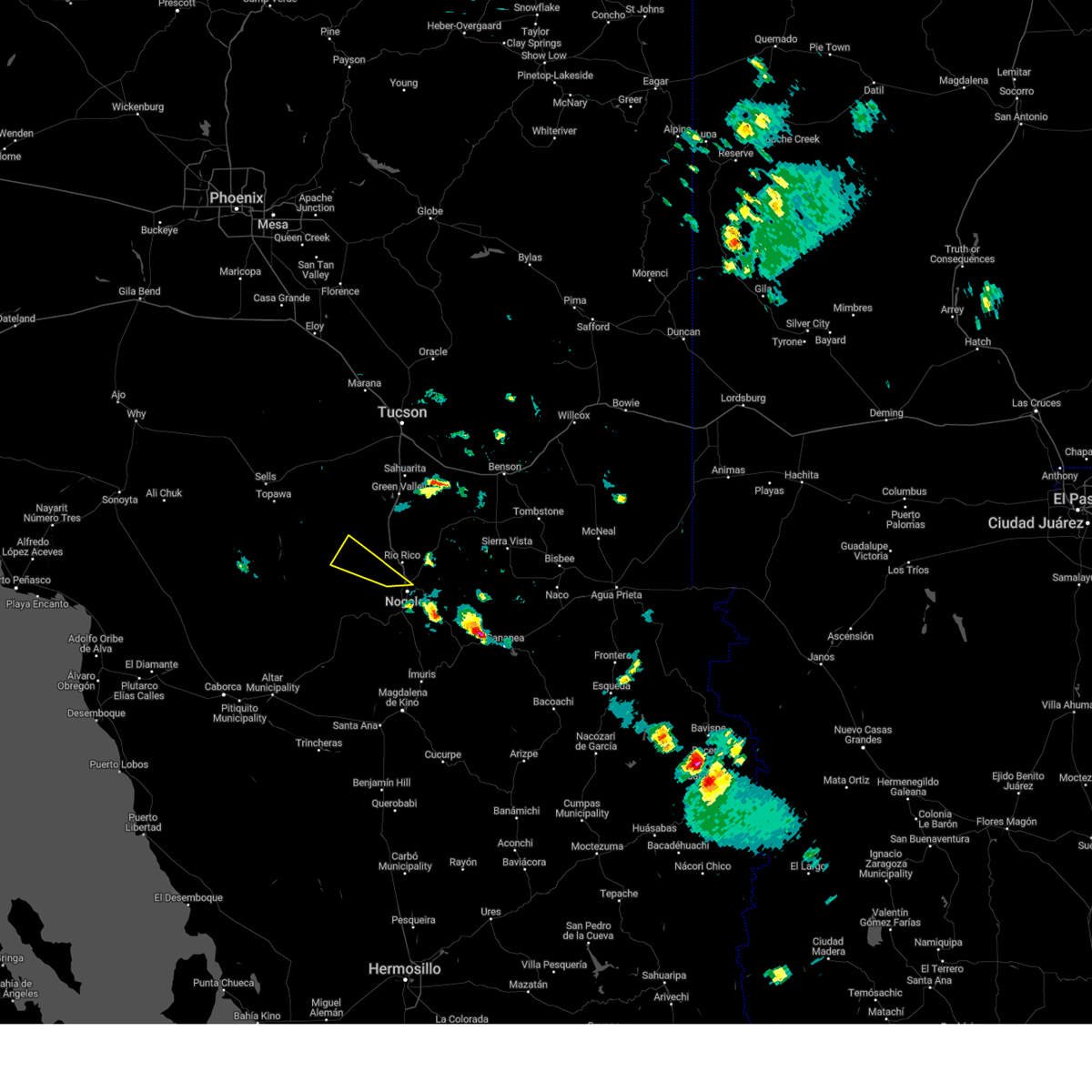
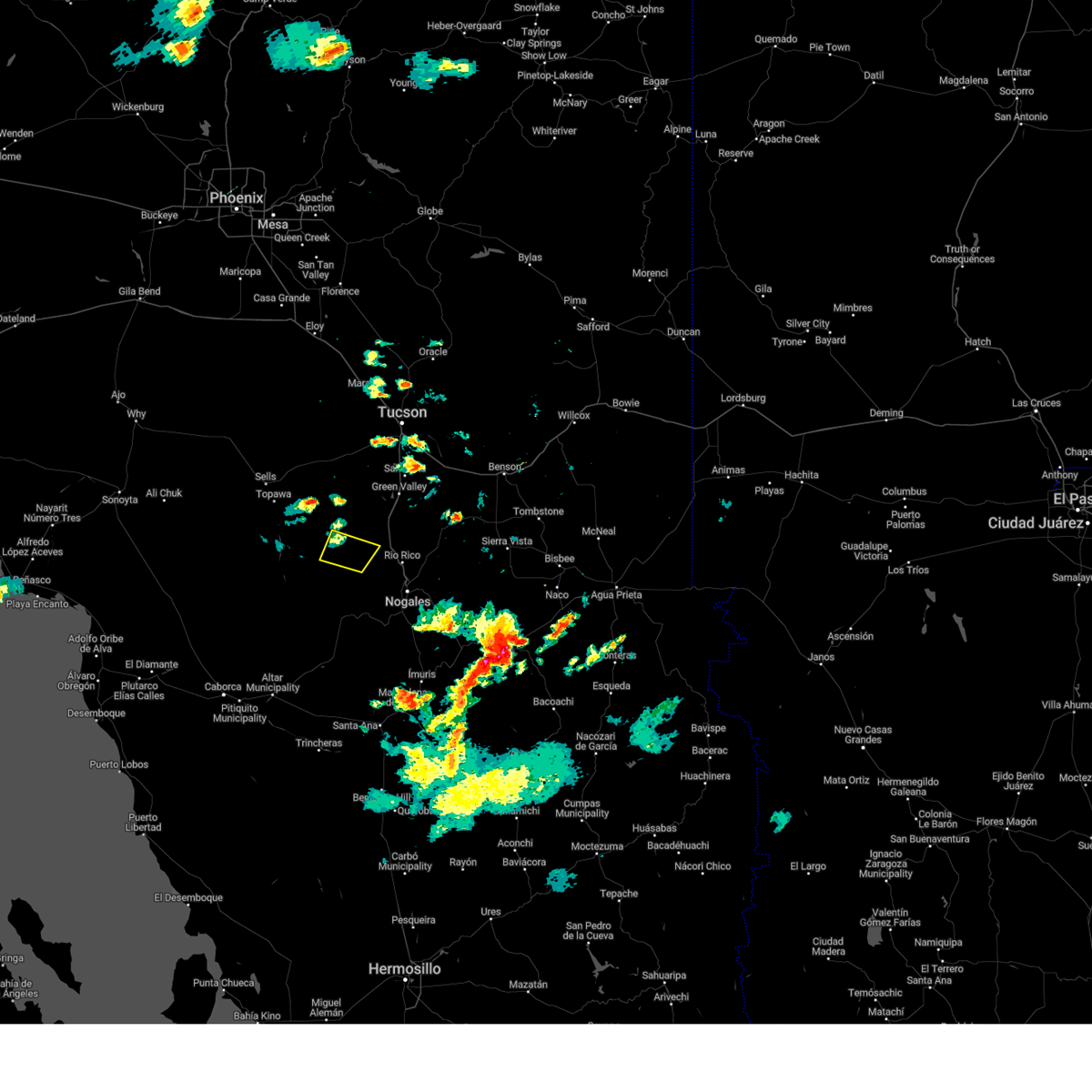
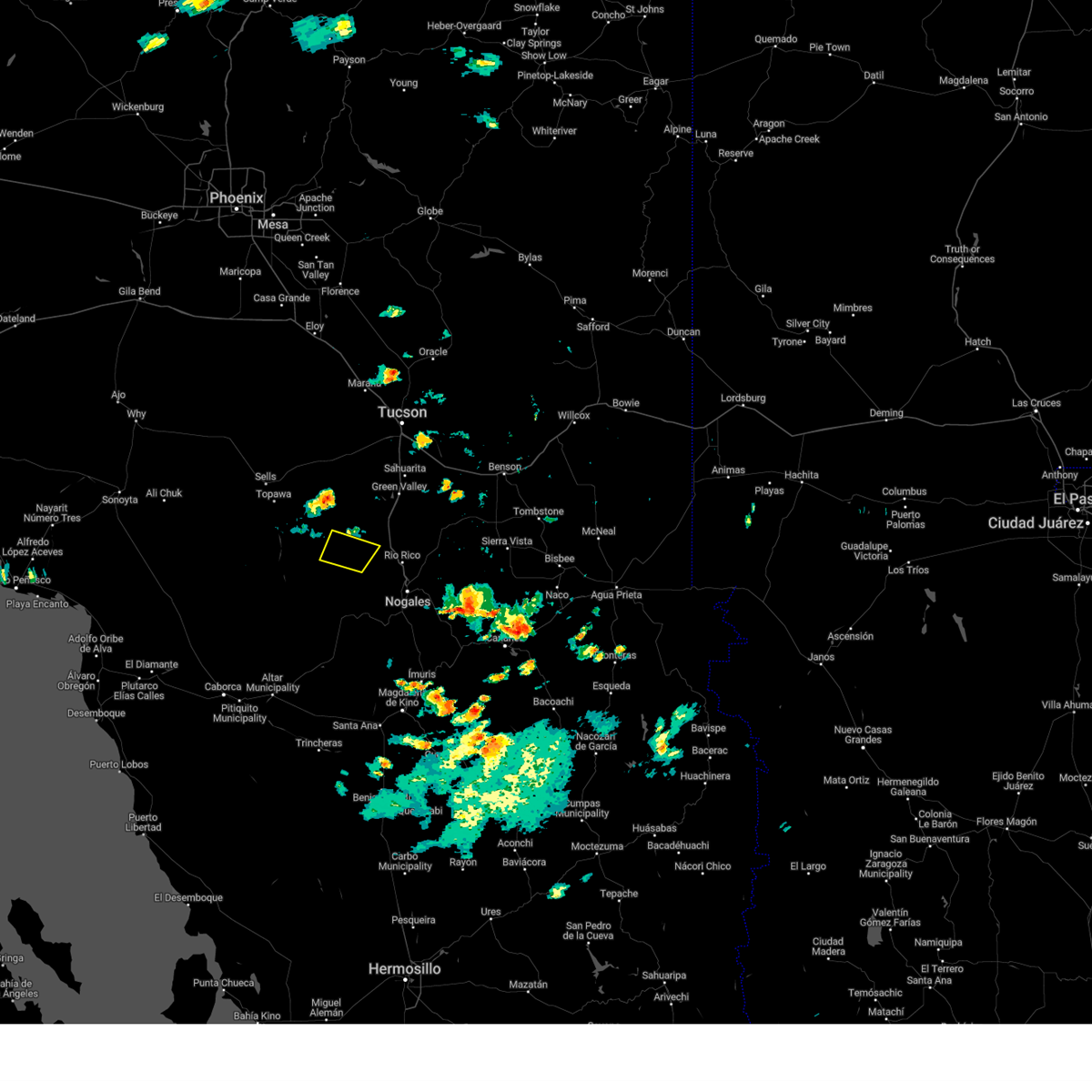
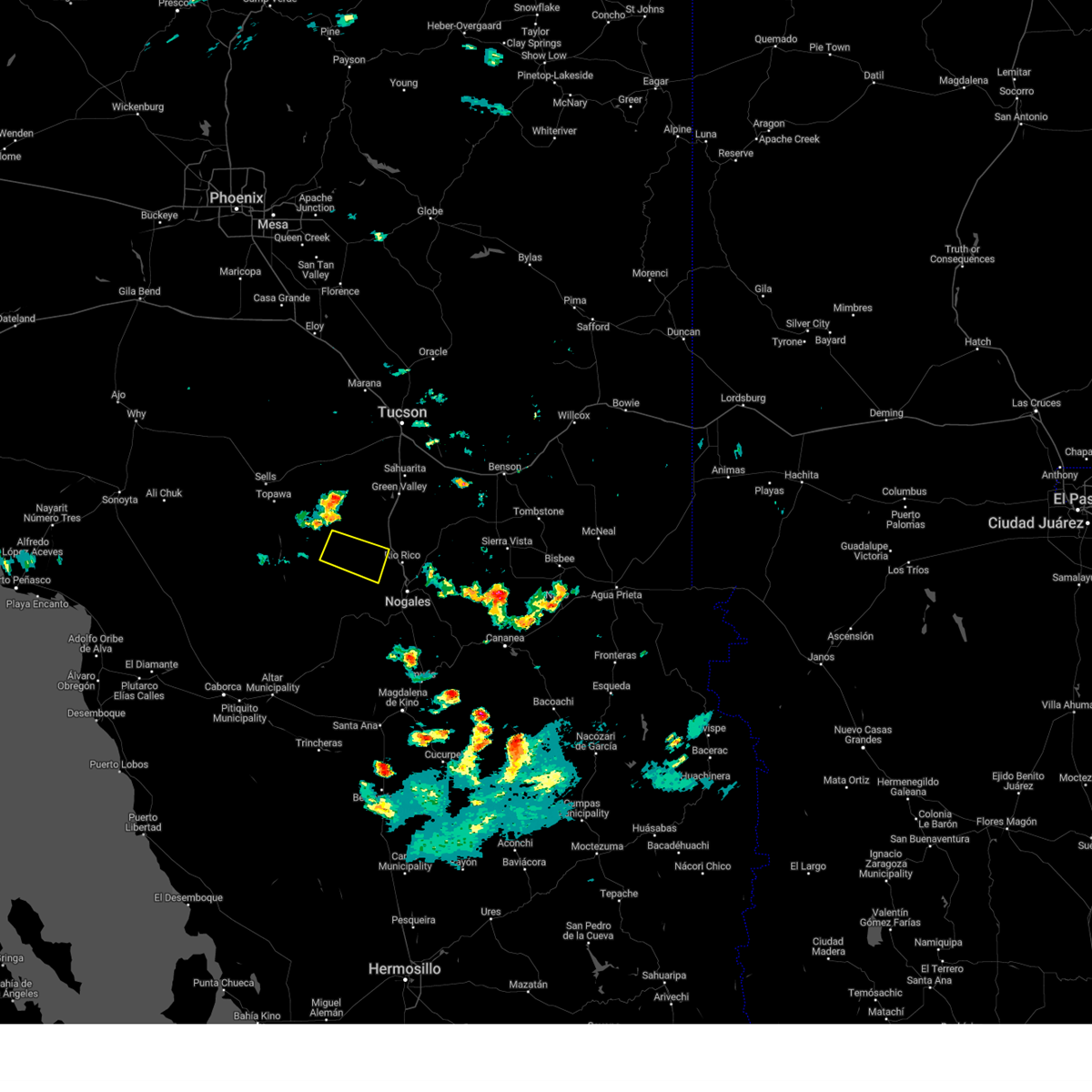
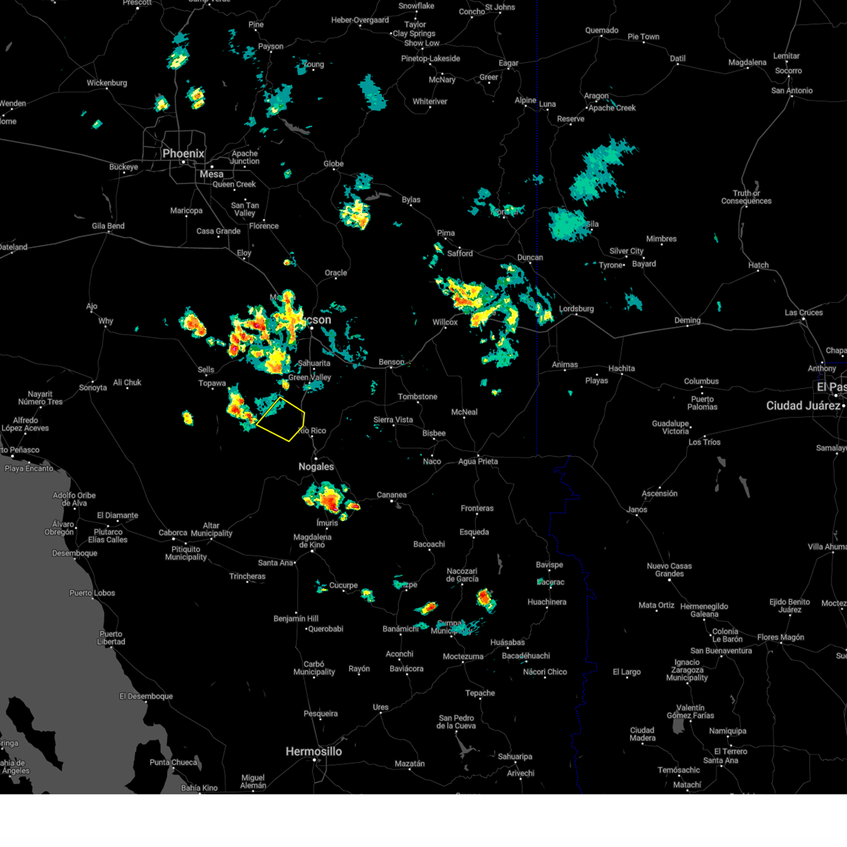
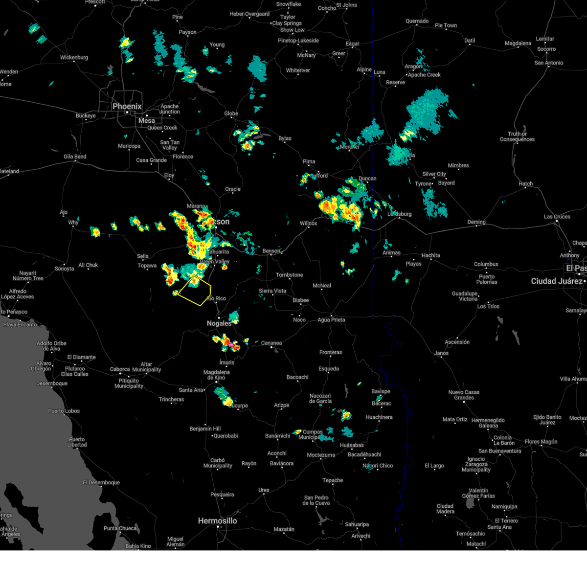
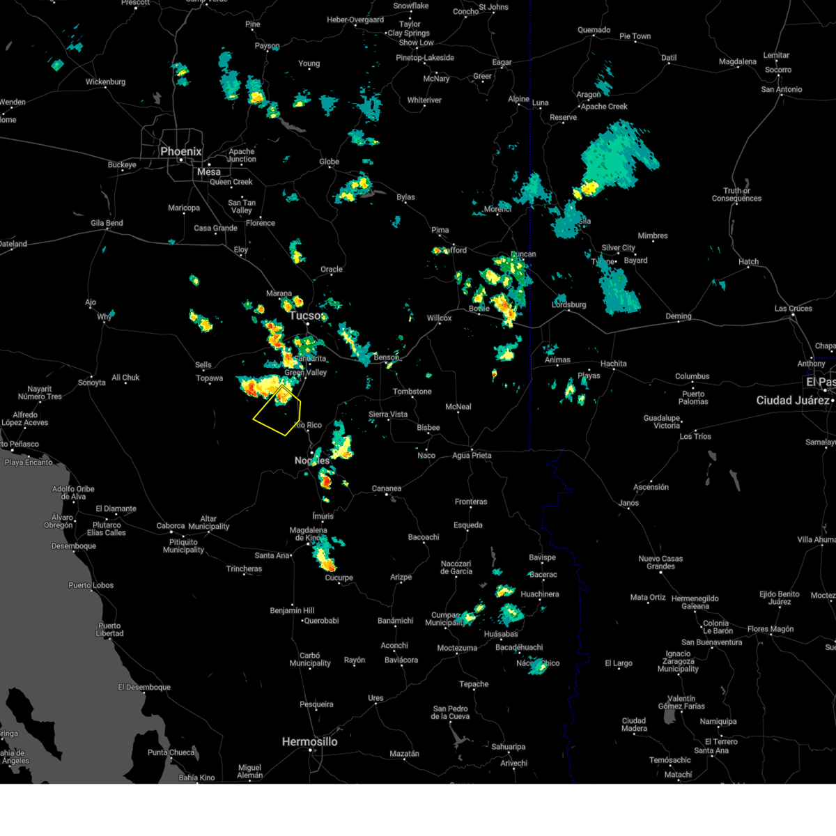
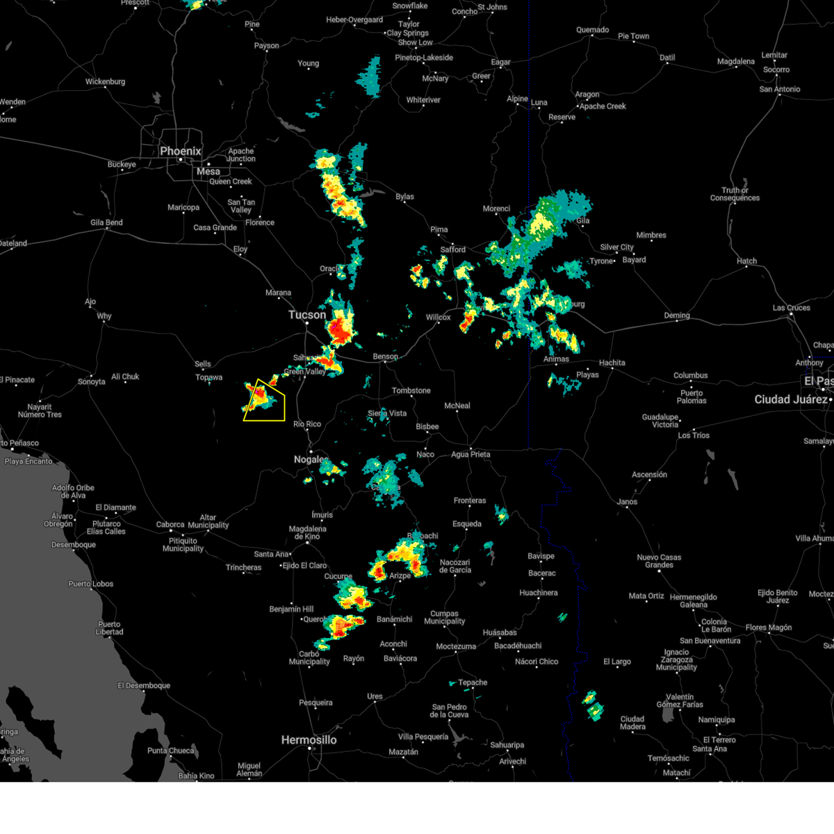
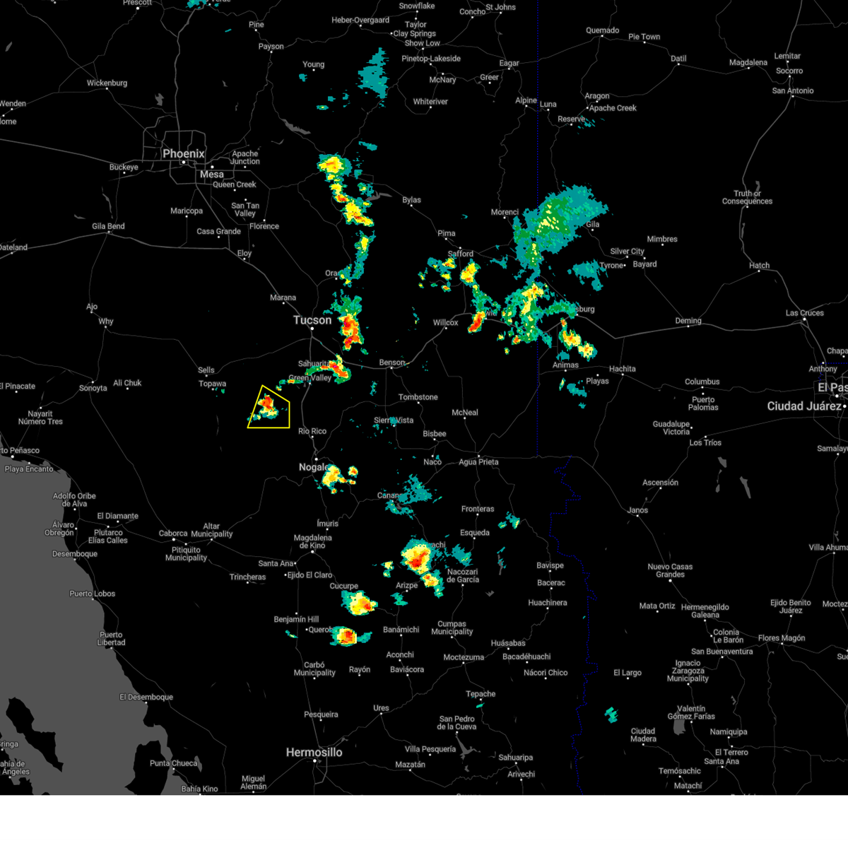
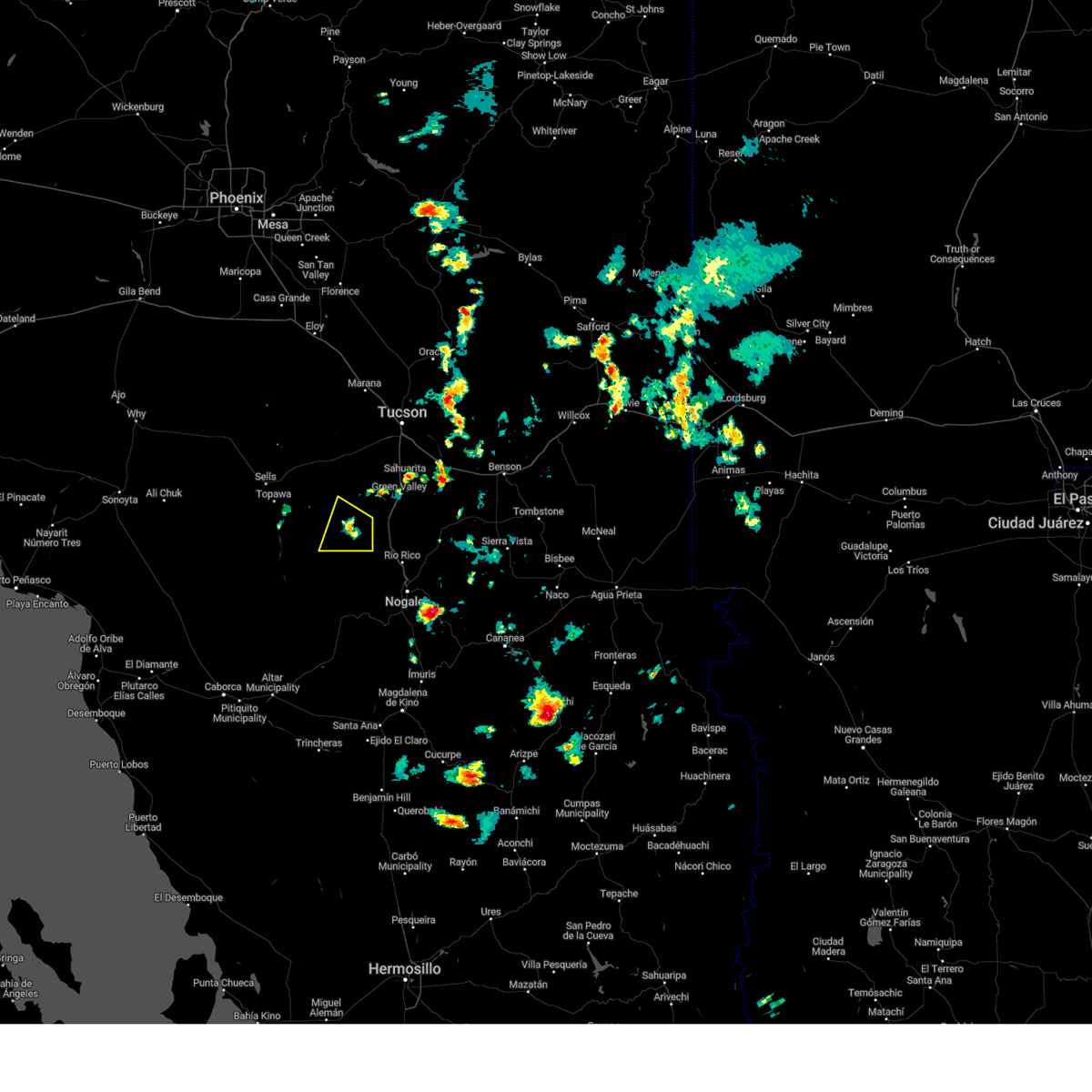
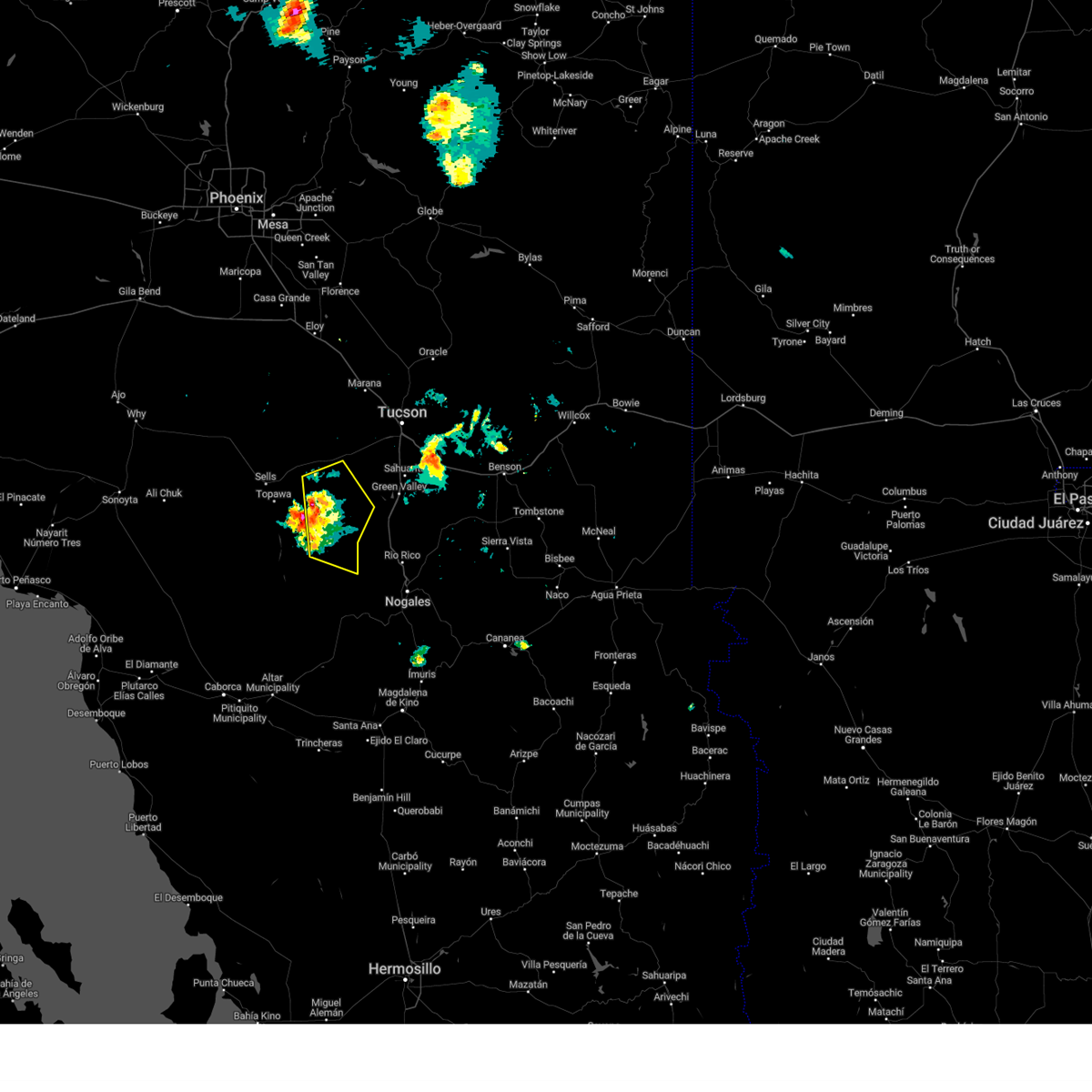
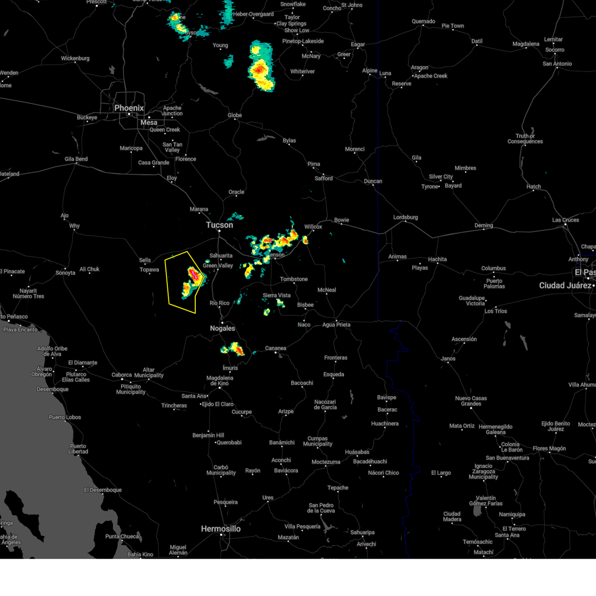
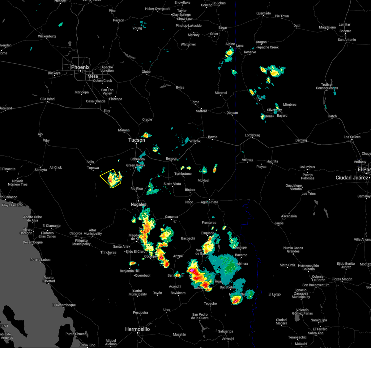
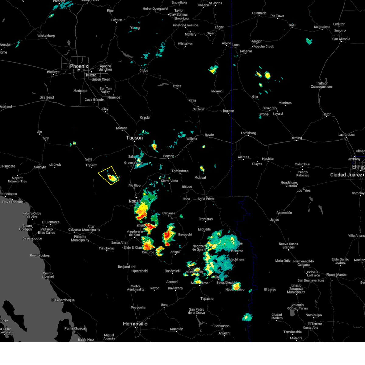
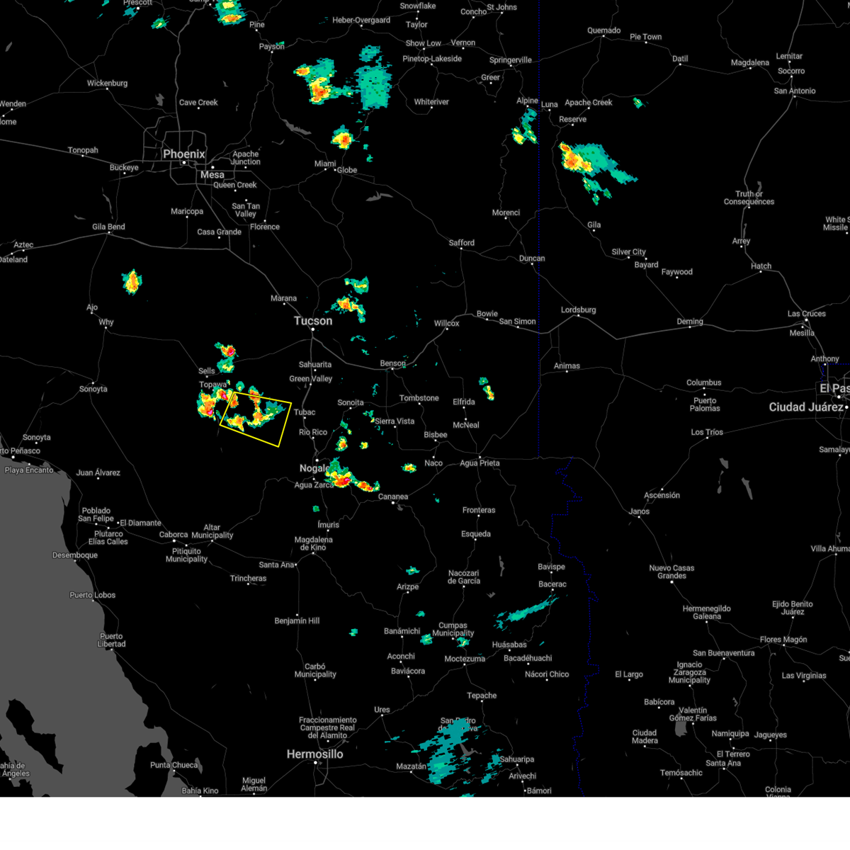
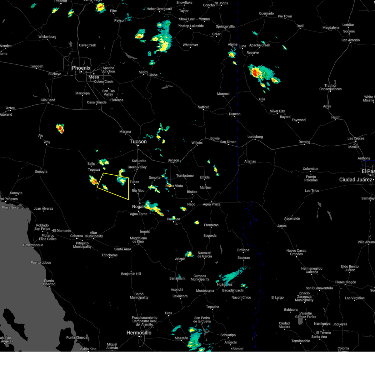
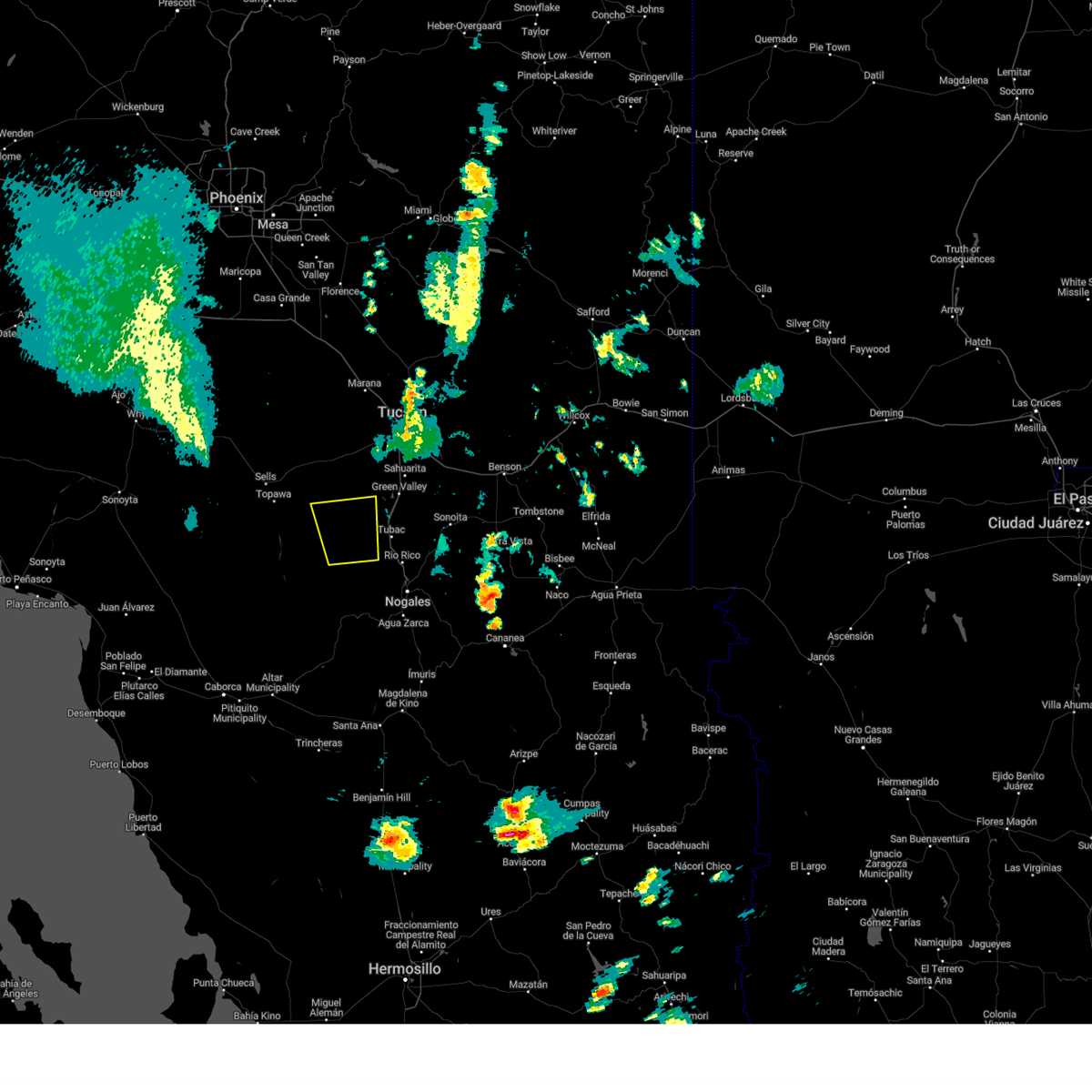
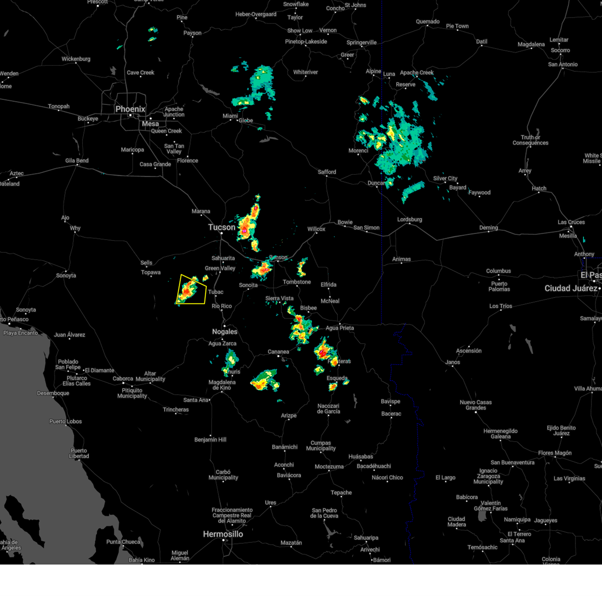
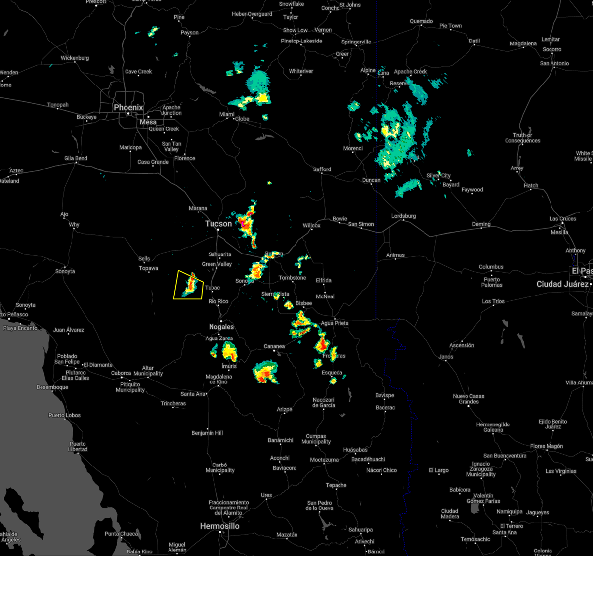
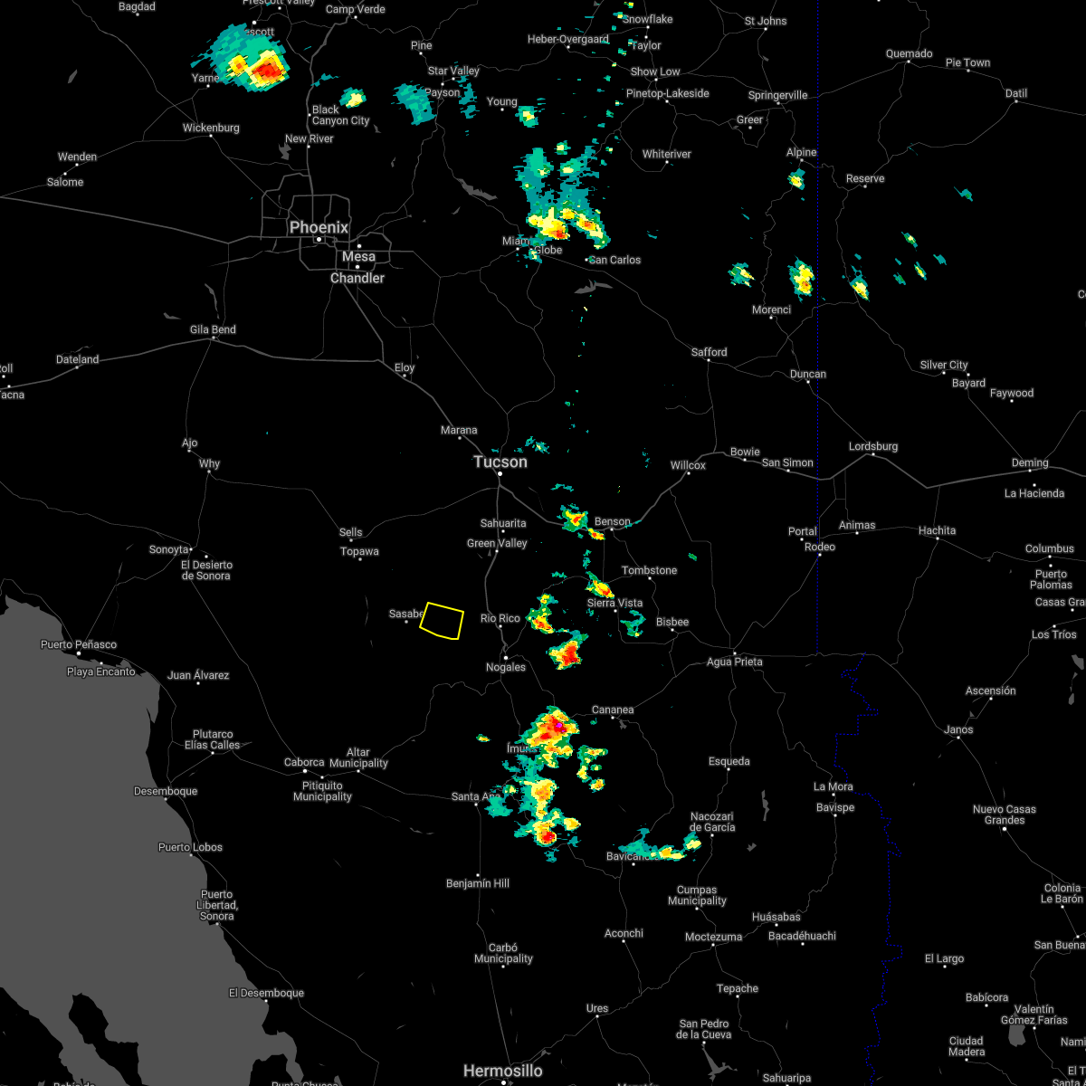
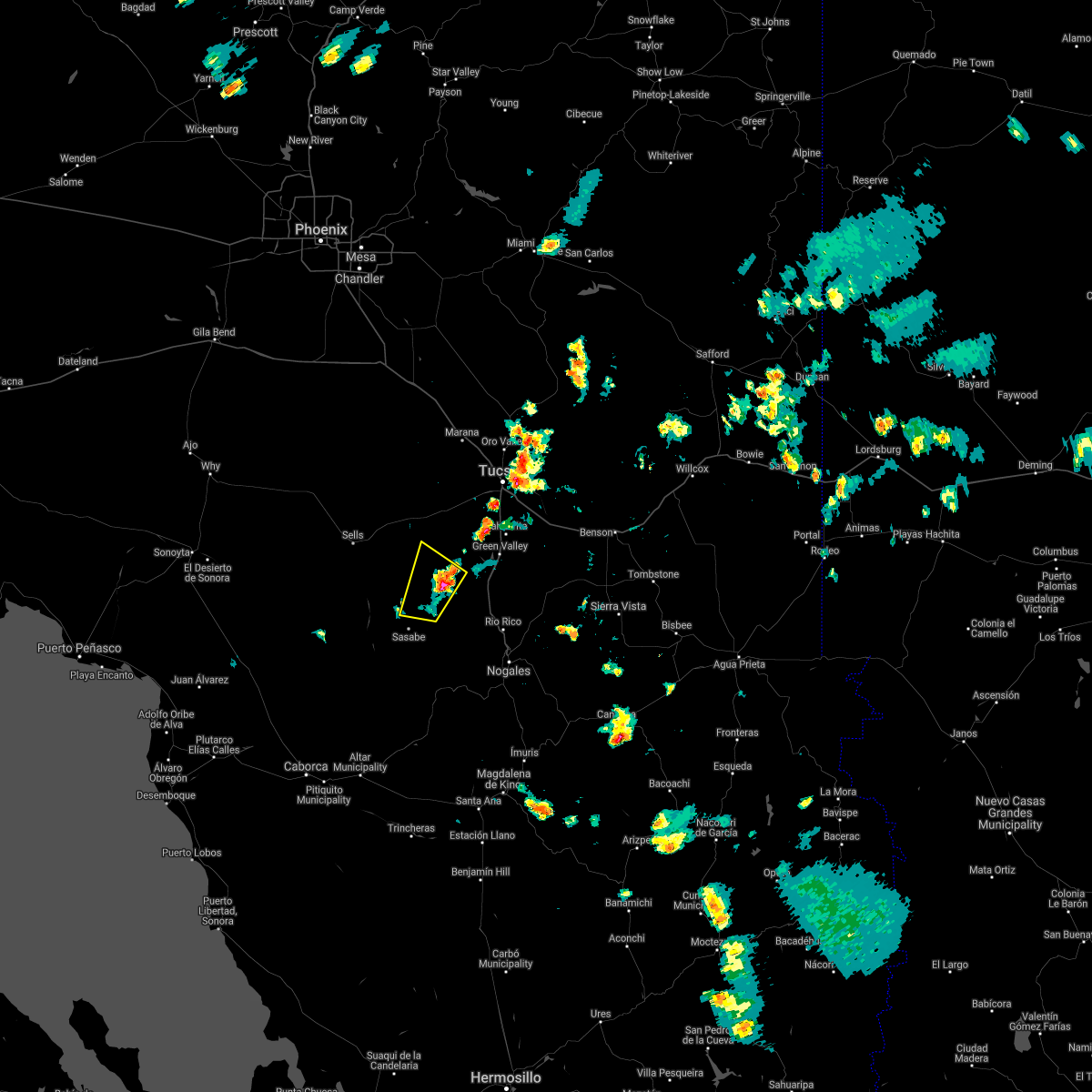
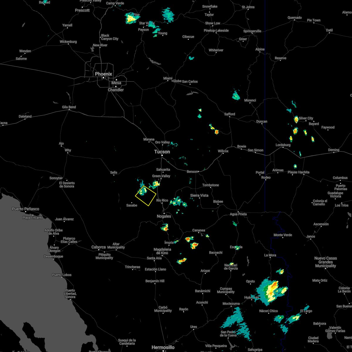
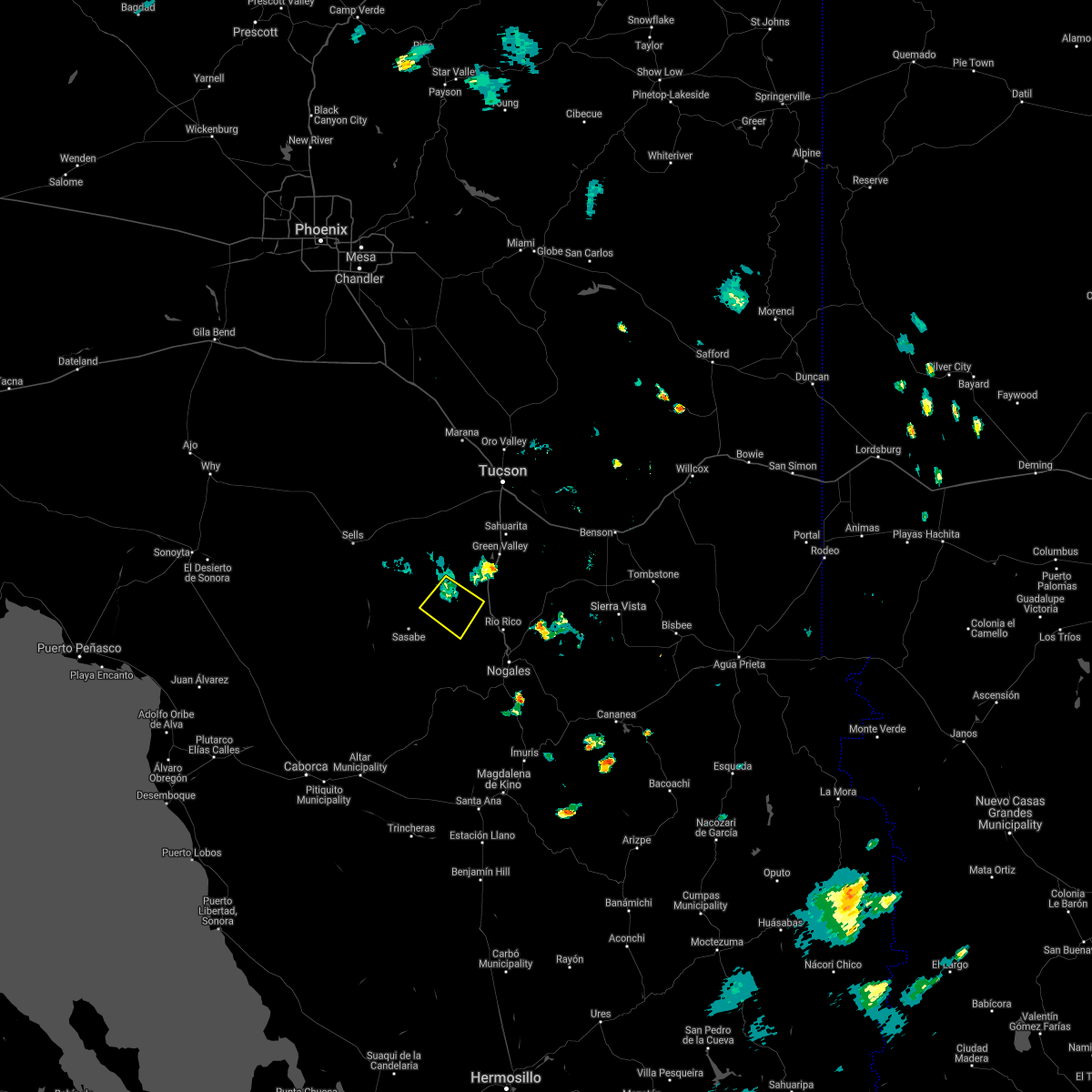
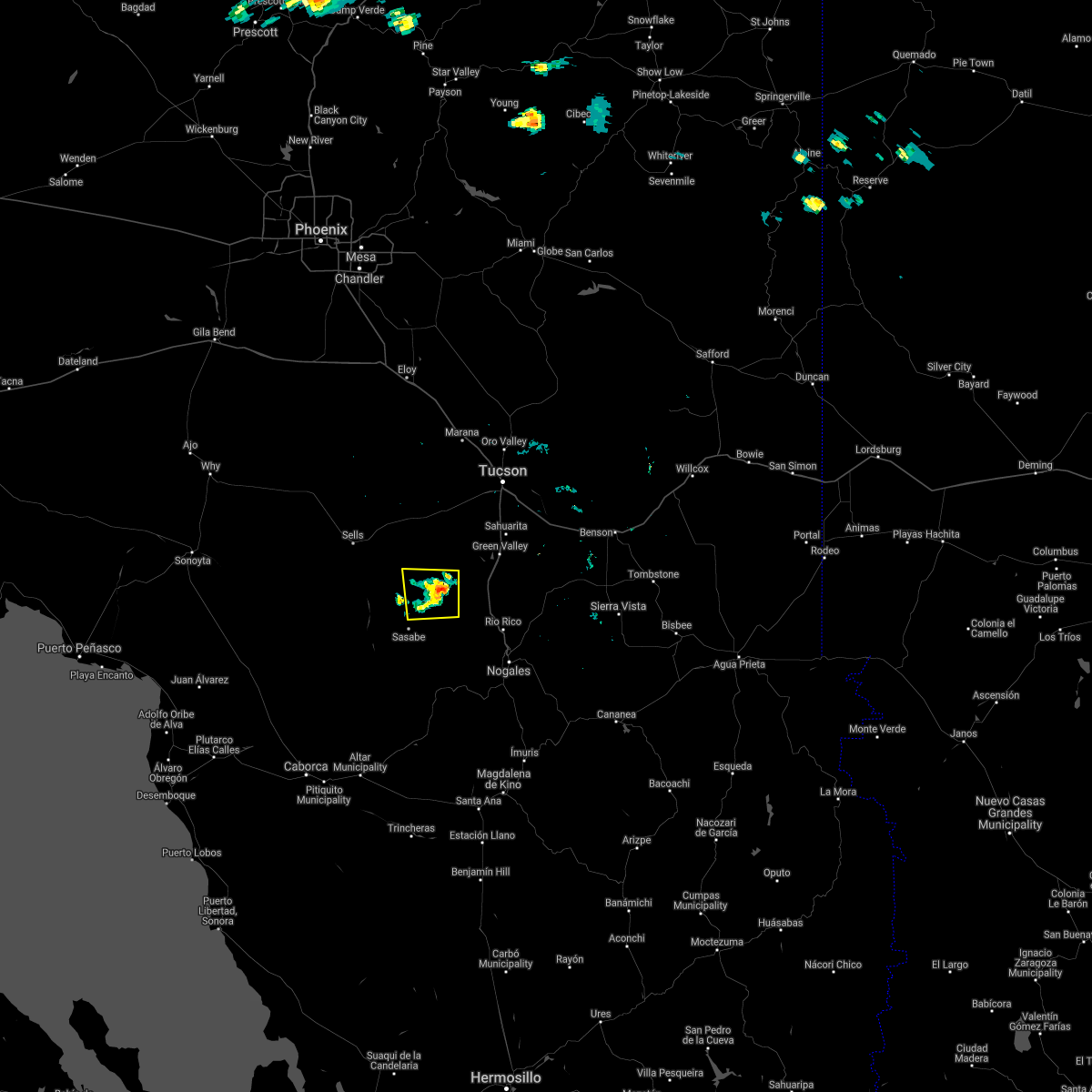
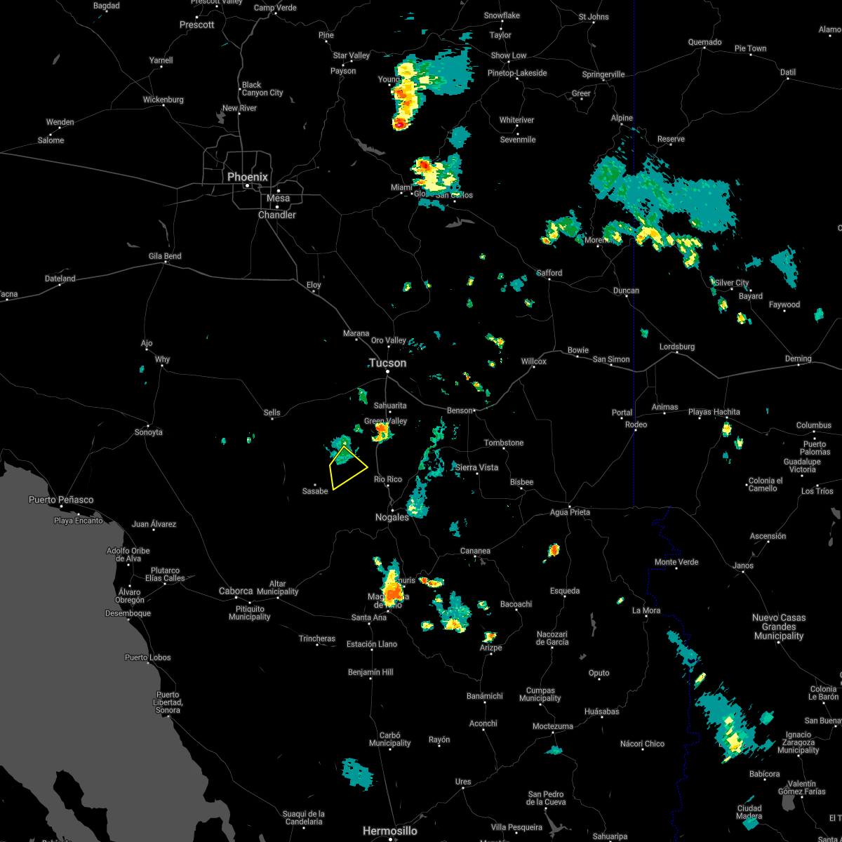
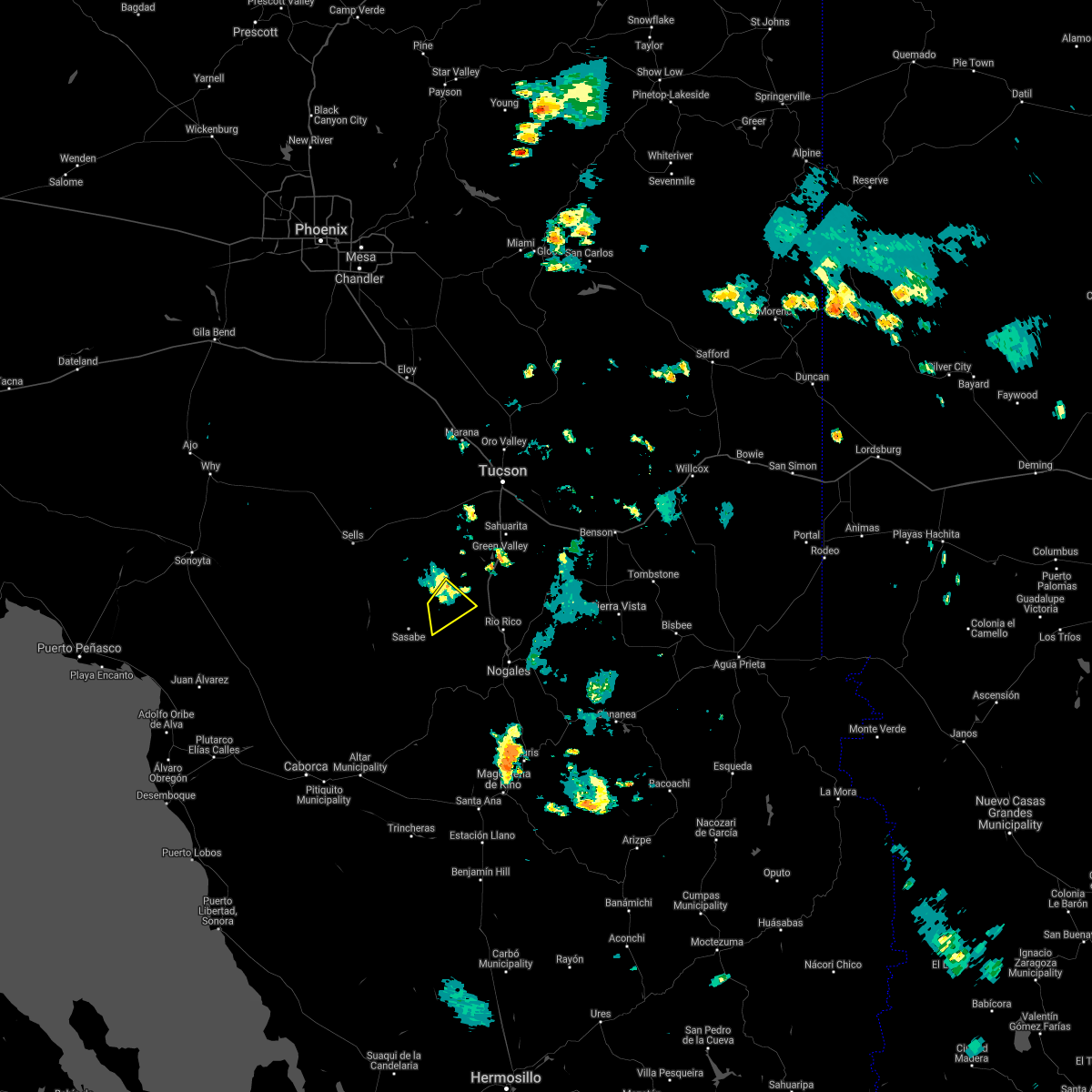
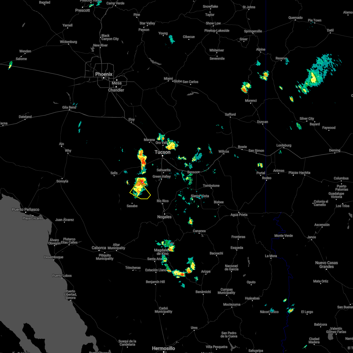
Hail Map for Arivaca, AZ
The Arivaca, AZ area has had 0 reports of on-the-ground hail by trained spotters, and has been under severe weather warnings 7 times during the past 12 months. Doppler radar has detected hail at or near Arivaca, AZ on 28 occasions, including 1 occasion during the past year.
| Name: | Arivaca, AZ |
| Where Located: | 49.2 miles SSW of Tucson, AZ |
| Map: | Google Map for Arivaca, AZ |
| Population: | 695 |
| Housing Units: | 492 |
| More Info: | Search Google for Arivaca, AZ |
0
The Top Recent Hail Date for Arivaca, AZ is Monday, August 25, 2025 (13th out of 28)
Hail and Wind Damage Spotted near Arivaca, AZ
| Date / Time | Report Details |
|---|---|
| 6/17/2026 6:40 PM MST |
 The storm which prompted the warning has weakened below severe limits, and no longer poses an immediate threat to life or property. therefore, the warning will be allowed to expire. The storm which prompted the warning has weakened below severe limits, and no longer poses an immediate threat to life or property. therefore, the warning will be allowed to expire.
|
| 6/17/2026 6:15 PM MST |
 Svrtwc the national weather service in tucson has issued a * severe thunderstorm warning for, southeastern pima county in southeastern arizona, west central santa cruz county in southeastern arizona, * until 645 pm mst. * at 615 pm mst, a severe thunderstorm was located near arivaca, moving east at 10 mph (radar indicated). Hazards include 60 mph wind gusts and quarter size hail. Hail damage to vehicles is expected. Expect wind damage to roofs, siding, and trees. Svrtwc the national weather service in tucson has issued a * severe thunderstorm warning for, southeastern pima county in southeastern arizona, west central santa cruz county in southeastern arizona, * until 645 pm mst. * at 615 pm mst, a severe thunderstorm was located near arivaca, moving east at 10 mph (radar indicated). Hazards include 60 mph wind gusts and quarter size hail. Hail damage to vehicles is expected. Expect wind damage to roofs, siding, and trees.
|
| 9/25/2025 7:50 PM MST | At 750 pm mst, a severe thunderstorm was located over rio rico, moving northeast at 20 mph (radar indicated). Hazards include 60 mph wind gusts and quarter size hail. Hail damage to vehicles is expected. expect wind damage to roofs, siding, and trees. this severe thunderstorm will be near, patagonia lake state park and tubac around 805 pm mst. other locations impacted by the severe thunderstorm include pena blanca lake and tumacacori. this includes the following highways, interstate 19 between mile markers 1 and 27. Route 82 between mile markers 1 and 23. |
| 9/25/2025 7:36 PM MST | Svrtwc the national weather service in tucson has issued a * severe thunderstorm warning for, south central pima county in southeastern arizona, central santa cruz county in southeastern arizona, * until 815 pm mst. * at 736 pm mst, a severe thunderstorm was located near rio rico, moving northeast at 25 mph (radar indicated). Hazards include 60 mph wind gusts and quarter size hail. Hail damage to vehicles is expected. Expect wind damage to roofs, siding, and trees. |
| 8/25/2025 2:25 PM MST |
 The storm which prompted the warning has weakened below severe limits, and no longer poses an immediate threat to life or property. therefore, the warning will be allowed to expire. however, gusty winds and heavy rain are still possible with this thunderstorm. The storm which prompted the warning has weakened below severe limits, and no longer poses an immediate threat to life or property. therefore, the warning will be allowed to expire. however, gusty winds and heavy rain are still possible with this thunderstorm.
|
| 8/25/2025 2:08 PM MST |
 At 208 pm mst, a severe thunderstorm was located 7 miles north of arivaca, moving northwest at 15 mph (radar indicated). Hazards include 60 mph wind gusts and quarter size hail. Hail damage to vehicles is expected. expect wind damage to roofs, siding, and trees. locations impacted include, arivaca and arivaca lake. This includes route 286 between mile markers 12 and 17. At 208 pm mst, a severe thunderstorm was located 7 miles north of arivaca, moving northwest at 15 mph (radar indicated). Hazards include 60 mph wind gusts and quarter size hail. Hail damage to vehicles is expected. expect wind damage to roofs, siding, and trees. locations impacted include, arivaca and arivaca lake. This includes route 286 between mile markers 12 and 17.
|
| 8/25/2025 1:44 PM MST |
 Svrtwc the national weather service in tucson has issued a * severe thunderstorm warning for, south central pima county in southeastern arizona, * until 230 pm mst. * at 144 pm mst, a severe thunderstorm was located 7 miles east of arivaca, moving northwest at 15 mph (radar indicated). Hazards include 60 mph wind gusts and quarter size hail. Hail damage to vehicles is expected. Expect wind damage to roofs, siding, and trees. Svrtwc the national weather service in tucson has issued a * severe thunderstorm warning for, south central pima county in southeastern arizona, * until 230 pm mst. * at 144 pm mst, a severe thunderstorm was located 7 miles east of arivaca, moving northwest at 15 mph (radar indicated). Hazards include 60 mph wind gusts and quarter size hail. Hail damage to vehicles is expected. Expect wind damage to roofs, siding, and trees.
|
| 8/20/2024 5:05 PM MST |
 The storm which prompted the warning has weakened below severe limits, and no longer poses an immediate threat to life or property. therefore, the warning will be allowed to expire. however, gusty winds and heavy rain are still possible with this thunderstorm. The storm which prompted the warning has weakened below severe limits, and no longer poses an immediate threat to life or property. therefore, the warning will be allowed to expire. however, gusty winds and heavy rain are still possible with this thunderstorm.
|
| 8/20/2024 4:31 PM MST |
 Svrtwc the national weather service in tucson has issued a * severe thunderstorm warning for, south central pima county in southeastern arizona, western santa cruz county in southeastern arizona, * until 515 pm mst. * at 430 pm mst, a severe thunderstorm was located 7 miles northwest of arivaca, or 22 miles west of tubac, moving west at 10 mph (radar indicated). Hazards include 60 mph wind gusts and quarter size hail. Hail damage to vehicles is expected. Expect wind damage to roofs, siding, and trees. Svrtwc the national weather service in tucson has issued a * severe thunderstorm warning for, south central pima county in southeastern arizona, western santa cruz county in southeastern arizona, * until 515 pm mst. * at 430 pm mst, a severe thunderstorm was located 7 miles northwest of arivaca, or 22 miles west of tubac, moving west at 10 mph (radar indicated). Hazards include 60 mph wind gusts and quarter size hail. Hail damage to vehicles is expected. Expect wind damage to roofs, siding, and trees.
|
| 8/16/2024 6:26 PM MST |
 The storm which prompted the warning has moved out of the area. therefore, the warning will be allowed to expire. however, gusty winds are still possible with this thunderstorm. remember, a severe thunderstorm warning still remains in effect for fresnal canyon, coldfield, topowa, and south komelik. The storm which prompted the warning has moved out of the area. therefore, the warning will be allowed to expire. however, gusty winds are still possible with this thunderstorm. remember, a severe thunderstorm warning still remains in effect for fresnal canyon, coldfield, topowa, and south komelik.
|
| 8/16/2024 6:04 PM MST |
 At 604 pm mst, a severe thunderstorm was located 13 miles west of arivaca, or 27 miles southeast of sells, moving northwest at 15 mph. this storm is capable of producing a tornado (radar indicated). Hazards include 60 mph wind gusts and quarter size hail. Hail damage to vehicles is expected. expect wind damage to roofs, siding, and trees. locations impacted include, choulic. This includes route 286 between mile markers 2 and 25. At 604 pm mst, a severe thunderstorm was located 13 miles west of arivaca, or 27 miles southeast of sells, moving northwest at 15 mph. this storm is capable of producing a tornado (radar indicated). Hazards include 60 mph wind gusts and quarter size hail. Hail damage to vehicles is expected. expect wind damage to roofs, siding, and trees. locations impacted include, choulic. This includes route 286 between mile markers 2 and 25.
|
| 8/16/2024 5:48 PM MST |
 Svrtwc the national weather service in tucson has issued a * severe thunderstorm warning for, south central pima county in southeastern arizona, * until 630 pm mst. * at 547 pm mst, a severe thunderstorm was located near arivaca, or 22 miles west of tubac, moving northwest at 15 mph (radar indicated). Hazards include 60 mph wind gusts and quarter size hail. Hail damage to vehicles is expected. Expect wind damage to roofs, siding, and trees. Svrtwc the national weather service in tucson has issued a * severe thunderstorm warning for, south central pima county in southeastern arizona, * until 630 pm mst. * at 547 pm mst, a severe thunderstorm was located near arivaca, or 22 miles west of tubac, moving northwest at 15 mph (radar indicated). Hazards include 60 mph wind gusts and quarter size hail. Hail damage to vehicles is expected. Expect wind damage to roofs, siding, and trees.
|
| 8/16/2024 5:24 PM MST |
 The storm which prompted the warning has weakened below severe limits, and no longer poses an immediate threat to life or property. therefore, the warning will be allowed to expire. however, heavy rain is still possible with this thunderstorm. The storm which prompted the warning has weakened below severe limits, and no longer poses an immediate threat to life or property. therefore, the warning will be allowed to expire. however, heavy rain is still possible with this thunderstorm.
|
| 8/16/2024 5:13 PM MST |
 At 512 pm mst, a severe thunderstorm was located near arivaca, or 11 miles west of tubac, moving northwest at 20 mph (radar indicated). Hazards include 60 mph wind gusts and quarter size hail. Hail damage to vehicles is expected. expect wind damage to roofs, siding, and trees. locations impacted include, tubac, arivaca, amado, and arivaca lake. This includes interstate 19 between mile markers 21 and 26. At 512 pm mst, a severe thunderstorm was located near arivaca, or 11 miles west of tubac, moving northwest at 20 mph (radar indicated). Hazards include 60 mph wind gusts and quarter size hail. Hail damage to vehicles is expected. expect wind damage to roofs, siding, and trees. locations impacted include, tubac, arivaca, amado, and arivaca lake. This includes interstate 19 between mile markers 21 and 26.
|
| 8/16/2024 4:50 PM MST |
 Svrtwc the national weather service in tucson has issued a * severe thunderstorm warning for, south central pima county in southeastern arizona, northwestern santa cruz county in southeastern arizona, * until 530 pm mst. * at 450 pm mst, a severe thunderstorm was located near tubac, moving northwest at 25 mph (radar indicated). Hazards include 60 mph wind gusts and quarter size hail. Hail damage to vehicles is expected. Expect wind damage to roofs, siding, and trees. Svrtwc the national weather service in tucson has issued a * severe thunderstorm warning for, south central pima county in southeastern arizona, northwestern santa cruz county in southeastern arizona, * until 530 pm mst. * at 450 pm mst, a severe thunderstorm was located near tubac, moving northwest at 25 mph (radar indicated). Hazards include 60 mph wind gusts and quarter size hail. Hail damage to vehicles is expected. Expect wind damage to roofs, siding, and trees.
|
| 8/16/2024 4:10 PM MST |
 Svrtwc the national weather service in tucson has issued a * severe thunderstorm warning for, southeastern pima county in southeastern arizona, southwestern santa cruz county in southeastern arizona, * until 515 pm mst. * at 410 pm mst, a severe thunderstorm was located 7 miles south of nogales, moving northwest at 25 mph (radar indicated). Hazards include ping pong ball size hail and 60 mph wind gusts. People and animals outdoors will be injured. expect hail damage to roofs, siding, windows, and vehicles. Expect wind damage to roofs, siding, and trees. Svrtwc the national weather service in tucson has issued a * severe thunderstorm warning for, southeastern pima county in southeastern arizona, southwestern santa cruz county in southeastern arizona, * until 515 pm mst. * at 410 pm mst, a severe thunderstorm was located 7 miles south of nogales, moving northwest at 25 mph (radar indicated). Hazards include ping pong ball size hail and 60 mph wind gusts. People and animals outdoors will be injured. expect hail damage to roofs, siding, windows, and vehicles. Expect wind damage to roofs, siding, and trees.
|
| 8/6/2024 4:00 PM MST |
 The storm which prompted the warning has weakened below severe limits, and no longer poses an immediate threat to life or property. therefore, the warning will be allowed to expire. however, gusty winds and heavy rain are still possible with this thunderstorm. The storm which prompted the warning has weakened below severe limits, and no longer poses an immediate threat to life or property. therefore, the warning will be allowed to expire. however, gusty winds and heavy rain are still possible with this thunderstorm.
|
| 8/6/2024 3:24 PM MST |
 At 324 pm mst, a severe thunderstorm was located near arivaca, or 11 miles west of tubac, moving northwest at 10 mph (radar indicated). Hazards include 60 mph wind gusts and quarter size hail. Hail damage to vehicles is expected. expect wind damage to roofs, siding, and trees. Locations impacted include, arivaca, ruby, and arivaca lake. At 324 pm mst, a severe thunderstorm was located near arivaca, or 11 miles west of tubac, moving northwest at 10 mph (radar indicated). Hazards include 60 mph wind gusts and quarter size hail. Hail damage to vehicles is expected. expect wind damage to roofs, siding, and trees. Locations impacted include, arivaca, ruby, and arivaca lake.
|
| 8/6/2024 2:56 PM MST |
 Svrtwc the national weather service in tucson has issued a * severe thunderstorm warning for, south central pima county in southeastern arizona, southwestern santa cruz county in southeastern arizona, * until 400 pm mst. * at 256 pm mst, a severe thunderstorm was located 9 miles southeast of arivaca, or 13 miles southwest of tubac, moving west at 25 mph (radar indicated). Hazards include 60 mph wind gusts and quarter size hail. Hail damage to vehicles is expected. Expect wind damage to roofs, siding, and trees. Svrtwc the national weather service in tucson has issued a * severe thunderstorm warning for, south central pima county in southeastern arizona, southwestern santa cruz county in southeastern arizona, * until 400 pm mst. * at 256 pm mst, a severe thunderstorm was located 9 miles southeast of arivaca, or 13 miles southwest of tubac, moving west at 25 mph (radar indicated). Hazards include 60 mph wind gusts and quarter size hail. Hail damage to vehicles is expected. Expect wind damage to roofs, siding, and trees.
|
| 8/4/2024 5:15 PM MST |
 The storm which prompted the warning has weakened below severe limits, and no longer poses an immediate threat to life or property. therefore, the warning will be allowed to expire. The storm which prompted the warning has weakened below severe limits, and no longer poses an immediate threat to life or property. therefore, the warning will be allowed to expire.
|
| 8/4/2024 4:47 PM MST |
 At 446 pm mst, a severe thunderstorm was located near arivaca, or 12 miles southwest of tubac, moving southwest at 15 mph (radar indicated). Hazards include 60 mph wind gusts and quarter size hail. Hail damage to vehicles is expected. expect wind damage to roofs, siding, and trees. locations impacted include, tubac, arivaca, tumacacori, arivaca lake, and ruby. This includes interstate 19 between mile markers 18 and 24. At 446 pm mst, a severe thunderstorm was located near arivaca, or 12 miles southwest of tubac, moving southwest at 15 mph (radar indicated). Hazards include 60 mph wind gusts and quarter size hail. Hail damage to vehicles is expected. expect wind damage to roofs, siding, and trees. locations impacted include, tubac, arivaca, tumacacori, arivaca lake, and ruby. This includes interstate 19 between mile markers 18 and 24.
|
| 8/4/2024 4:27 PM MST |
 Svrtwc the national weather service in tucson has issued a * severe thunderstorm warning for, south central pima county in southeastern arizona, northwestern santa cruz county in southeastern arizona, * until 515 pm mst. * at 427 pm mst, a severe thunderstorm was located 7 miles east of arivaca, or 9 miles west of tubac, moving southwest at 10 mph (radar indicated). Hazards include 60 mph wind gusts and quarter size hail. Hail damage to vehicles is expected. Expect wind damage to roofs, siding, and trees. Svrtwc the national weather service in tucson has issued a * severe thunderstorm warning for, south central pima county in southeastern arizona, northwestern santa cruz county in southeastern arizona, * until 515 pm mst. * at 427 pm mst, a severe thunderstorm was located 7 miles east of arivaca, or 9 miles west of tubac, moving southwest at 10 mph (radar indicated). Hazards include 60 mph wind gusts and quarter size hail. Hail damage to vehicles is expected. Expect wind damage to roofs, siding, and trees.
|
| 8/3/2024 3:40 PM MST |
 the severe thunderstorm warning has been cancelled and is no longer in effect the severe thunderstorm warning has been cancelled and is no longer in effect
|
| 8/3/2024 3:22 PM MST |
 Svrtwc the national weather service in tucson has issued a * severe thunderstorm warning for, southeastern pima county in southeastern arizona, western santa cruz county in southeastern arizona, * until 400 pm mst. * at 322 pm mst, a severe thunderstorm was located over arivaca, or 14 miles west of tubac, and is nearly stationary (radar indicated). Hazards include 60 mph wind gusts and quarter size hail. Hail damage to vehicles is expected. Expect wind damage to roofs, siding, and trees. Svrtwc the national weather service in tucson has issued a * severe thunderstorm warning for, southeastern pima county in southeastern arizona, western santa cruz county in southeastern arizona, * until 400 pm mst. * at 322 pm mst, a severe thunderstorm was located over arivaca, or 14 miles west of tubac, and is nearly stationary (radar indicated). Hazards include 60 mph wind gusts and quarter size hail. Hail damage to vehicles is expected. Expect wind damage to roofs, siding, and trees.
|
| 7/27/2024 3:24 PM MST |
 the severe thunderstorm warning has been cancelled and is no longer in effect the severe thunderstorm warning has been cancelled and is no longer in effect
|
| 7/27/2024 3:08 PM MST |
 Svrtwc the national weather service in tucson has issued a * severe thunderstorm warning for, southeastern pima county in southeastern arizona, southwestern santa cruz county in southeastern arizona, * until 400 pm mst. * at 308 pm mst, a severe thunderstorm was located 13 miles west of rio rico, or 14 miles west of nogales, and is nearly stationary (radar indicated). Hazards include 60 mph wind gusts and penny size hail. expect damage to roofs, siding, and trees Svrtwc the national weather service in tucson has issued a * severe thunderstorm warning for, southeastern pima county in southeastern arizona, southwestern santa cruz county in southeastern arizona, * until 400 pm mst. * at 308 pm mst, a severe thunderstorm was located 13 miles west of rio rico, or 14 miles west of nogales, and is nearly stationary (radar indicated). Hazards include 60 mph wind gusts and penny size hail. expect damage to roofs, siding, and trees
|
| 7/18/2024 6:22 PM MST |
 The storm which prompted the warning has weakened below severe limits, and has exited the warned area. therefore, the warning will be allowed to expire. remember, a severe thunderstorm warning still remains in effect for northeastern pima county untul 7:15 pm mst. The storm which prompted the warning has weakened below severe limits, and has exited the warned area. therefore, the warning will be allowed to expire. remember, a severe thunderstorm warning still remains in effect for northeastern pima county untul 7:15 pm mst.
|
| 7/18/2024 6:03 PM MST |
 At 602 pm mst, a severe thunderstorm was located near arivaca, or 15 miles west of tubac, moving northwest at 5 mph (radar indicated). Hazards include 60 mph wind gusts and nickel size hail. Expect damage to roofs, siding, and trees. Locations impacted include, arivaca and arivaca lake. At 602 pm mst, a severe thunderstorm was located near arivaca, or 15 miles west of tubac, moving northwest at 5 mph (radar indicated). Hazards include 60 mph wind gusts and nickel size hail. Expect damage to roofs, siding, and trees. Locations impacted include, arivaca and arivaca lake.
|
| 7/18/2024 5:48 PM MST |
 Svrtwc the national weather service in tucson has issued a * severe thunderstorm warning for, south central pima county in southeastern arizona, * until 630 pm mst. * at 548 pm mst, a severe thunderstorm was located near arivaca, or 14 miles west of tubac, moving northwest at 5 mph (radar indicated). Hazards include 60 mph wind gusts and nickel size hail. expect damage to roofs, siding, and trees Svrtwc the national weather service in tucson has issued a * severe thunderstorm warning for, south central pima county in southeastern arizona, * until 630 pm mst. * at 548 pm mst, a severe thunderstorm was located near arivaca, or 14 miles west of tubac, moving northwest at 5 mph (radar indicated). Hazards include 60 mph wind gusts and nickel size hail. expect damage to roofs, siding, and trees
|
| 7/15/2024 6:59 PM MST |
 The storm which prompted the warning has moved out of the area. therefore, the warning will be allowed to expire. however, gusty winds and heavy rain are still possible with this thunderstorm. remember, a severe thunderstorm warning still remains in effect for portions of santa cruz and southern pima county. The storm which prompted the warning has moved out of the area. therefore, the warning will be allowed to expire. however, gusty winds and heavy rain are still possible with this thunderstorm. remember, a severe thunderstorm warning still remains in effect for portions of santa cruz and southern pima county.
|
| 7/15/2024 6:22 PM MST |
 Svrtwc the national weather service in tucson has issued a * severe thunderstorm warning for, south central pima county in southeastern arizona, western santa cruz county in southeastern arizona, * until 700 pm mst. * at 622 pm mst, a severe thunderstorm was located 7 miles west of rio rico, or 9 miles south of tubac, moving northwest at 15 mph (radar indicated). Hazards include 60 mph wind gusts and penny size hail. expect damage to roofs, siding, and trees Svrtwc the national weather service in tucson has issued a * severe thunderstorm warning for, south central pima county in southeastern arizona, western santa cruz county in southeastern arizona, * until 700 pm mst. * at 622 pm mst, a severe thunderstorm was located 7 miles west of rio rico, or 9 miles south of tubac, moving northwest at 15 mph (radar indicated). Hazards include 60 mph wind gusts and penny size hail. expect damage to roofs, siding, and trees
|
| 7/14/2024 5:11 PM MST |
 The storms which prompted the severe thunderstorm warning have weakened below severe limits, and no longer pose an immediate threat to life or property. therefore, the warning will be allowed to expire. however, small hail, gusty winds and heavy rain are still possible with these thunderstorms. there remains a potential that these storms may re-intensify over the next half hour. The storms which prompted the severe thunderstorm warning have weakened below severe limits, and no longer pose an immediate threat to life or property. therefore, the warning will be allowed to expire. however, small hail, gusty winds and heavy rain are still possible with these thunderstorms. there remains a potential that these storms may re-intensify over the next half hour.
|
| 7/14/2024 4:27 PM MST |
 Svrtwc the national weather service in tucson has issued a * severe thunderstorm warning for, south central pima county in southeastern arizona, west central santa cruz county in southeastern arizona, * until 515 pm mst. * at 425 pm mst, severe thunderstorms were located along a line extending from 14 miles west of green valley to arivaca to 20 miles southwest of tubac, moving northwest at 25 mph. these storms will impact highway 286 south of highway 86 (radar indicated). Hazards include 60 mph wind gusts and quarter size hail. Hail damage to vehicles is expected. Expect wind damage to roofs, siding, and trees. Svrtwc the national weather service in tucson has issued a * severe thunderstorm warning for, south central pima county in southeastern arizona, west central santa cruz county in southeastern arizona, * until 515 pm mst. * at 425 pm mst, severe thunderstorms were located along a line extending from 14 miles west of green valley to arivaca to 20 miles southwest of tubac, moving northwest at 25 mph. these storms will impact highway 286 south of highway 86 (radar indicated). Hazards include 60 mph wind gusts and quarter size hail. Hail damage to vehicles is expected. Expect wind damage to roofs, siding, and trees.
|
| 7/14/2024 3:52 PM MST |
 Svrtwc the national weather service in tucson has issued a * severe thunderstorm warning for, southeastern pima county in southeastern arizona, western santa cruz county in southeastern arizona, * until 430 pm mst. * at 350 pm mst, severe thunderstorms were located along a line extending from near tubac and amado to 10 miles southeast of arivaca, moving west at 25 mph (radar indicated). Hazards include 60 mph wind gusts and quarter size hail. Hail damage to vehicles is expected. Expect wind damage to roofs, siding, and trees. Svrtwc the national weather service in tucson has issued a * severe thunderstorm warning for, southeastern pima county in southeastern arizona, western santa cruz county in southeastern arizona, * until 430 pm mst. * at 350 pm mst, severe thunderstorms were located along a line extending from near tubac and amado to 10 miles southeast of arivaca, moving west at 25 mph (radar indicated). Hazards include 60 mph wind gusts and quarter size hail. Hail damage to vehicles is expected. Expect wind damage to roofs, siding, and trees.
|
| 7/11/2024 7:03 PM MST |
 the severe thunderstorm warning has been cancelled and is no longer in effect the severe thunderstorm warning has been cancelled and is no longer in effect
|
| 7/11/2024 6:42 PM MST |
 At 641 pm mst, severe thunderstorms were located along a line extending from 7 miles north of kitt peak to 15 miles southwest of three points to 7 miles southwest of arivaca, moving west at 15 mph (radar indicated). Hazards include 60 mph wind gusts. Expect damage to roofs, siding, and trees. locations impacted include, sells, three points, arivaca, topawa, san isidro, kitt peak, ali chukson, fresnal, san pedro, sasabe, south comobabi, fresnal canyon, artesia, pan tak, and ali molina. this includes the following highways, route 86 between mile markers 114 and 147. Route 286 between mile markers 1 and 42. At 641 pm mst, severe thunderstorms were located along a line extending from 7 miles north of kitt peak to 15 miles southwest of three points to 7 miles southwest of arivaca, moving west at 15 mph (radar indicated). Hazards include 60 mph wind gusts. Expect damage to roofs, siding, and trees. locations impacted include, sells, three points, arivaca, topawa, san isidro, kitt peak, ali chukson, fresnal, san pedro, sasabe, south comobabi, fresnal canyon, artesia, pan tak, and ali molina. this includes the following highways, route 86 between mile markers 114 and 147. Route 286 between mile markers 1 and 42.
|
| 7/11/2024 6:12 PM MST |
 Svrtwc the national weather service in tucson has issued a * severe thunderstorm warning for, south central pima county in southeastern arizona, western santa cruz county in southeastern arizona, * until 715 pm mst. * at 611 pm mst, severe thunderstorms were located along a line extending from 10 miles west of three points to 14 miles west of green valley to near arivaca, moving west at 10 mph (radar indicated). Hazards include 60 mph wind gusts and blowing dust. expect damage to roofs, siding, and trees Svrtwc the national weather service in tucson has issued a * severe thunderstorm warning for, south central pima county in southeastern arizona, western santa cruz county in southeastern arizona, * until 715 pm mst. * at 611 pm mst, severe thunderstorms were located along a line extending from 10 miles west of three points to 14 miles west of green valley to near arivaca, moving west at 10 mph (radar indicated). Hazards include 60 mph wind gusts and blowing dust. expect damage to roofs, siding, and trees
|
| 7/10/2024 8:12 PM MST |
 The storm which prompted the warning has weakened below severe limits, and has exited the warned area. therefore, the warning will be allowed to expire. however, gusty winds and heavy rain are still possible with this thunderstorm. The storm which prompted the warning has weakened below severe limits, and has exited the warned area. therefore, the warning will be allowed to expire. however, gusty winds and heavy rain are still possible with this thunderstorm.
|
| 7/10/2024 7:38 PM MST |
 Svrtwc the national weather service in tucson has issued a * severe thunderstorm warning for, south central pima county in southeastern arizona, western santa cruz county in southeastern arizona, * until 815 pm mst. * at 737 pm mst, a severe thunderstorm was located near and south of arivaca, moving southwest at 10 mph (radar indicated). Hazards include 60 mph wind gusts and penny size hail. expect damage to roofs, siding, and trees Svrtwc the national weather service in tucson has issued a * severe thunderstorm warning for, south central pima county in southeastern arizona, western santa cruz county in southeastern arizona, * until 815 pm mst. * at 737 pm mst, a severe thunderstorm was located near and south of arivaca, moving southwest at 10 mph (radar indicated). Hazards include 60 mph wind gusts and penny size hail. expect damage to roofs, siding, and trees
|
| 7/10/2024 7:02 PM MST |
 Svrtwc the national weather service in tucson has issued a * severe thunderstorm warning for, south central pima county in southeastern arizona, western santa cruz county in southeastern arizona, * until 745 pm mst. * at 701 pm mst, a severe thunderstorm was located 7 miles southwest of tubac or 9 miles east of arivaca, moving southwest at 10 mph (radar indicated). Hazards include 60 mph wind gusts and penny size hail. expect damage to roofs, siding, and trees Svrtwc the national weather service in tucson has issued a * severe thunderstorm warning for, south central pima county in southeastern arizona, western santa cruz county in southeastern arizona, * until 745 pm mst. * at 701 pm mst, a severe thunderstorm was located 7 miles southwest of tubac or 9 miles east of arivaca, moving southwest at 10 mph (radar indicated). Hazards include 60 mph wind gusts and penny size hail. expect damage to roofs, siding, and trees
|
| 6/23/2024 4:26 PM MST |
 The storm which prompted the warning has weakened below severe limits, and no longer poses an immediate threat to life or property. therefore, the warning will be allowed to expire. however, gusty winds and brief heavy rain are still possible with this thunderstorm through 445 pm. The storm which prompted the warning has weakened below severe limits, and no longer poses an immediate threat to life or property. therefore, the warning will be allowed to expire. however, gusty winds and brief heavy rain are still possible with this thunderstorm through 445 pm.
|
| 6/23/2024 3:41 PM MST |
 The storm which prompted the warning has moved out of the area. therefore, the warning will be allowed to expire. remember, a severe thunderstorm warning still remains in effect for arivaca in southern pima county. The storm which prompted the warning has moved out of the area. therefore, the warning will be allowed to expire. remember, a severe thunderstorm warning still remains in effect for arivaca in southern pima county.
|
| 6/23/2024 3:39 PM MST |
 Svrtwc the national weather service in tucson has issued a * severe thunderstorm warning for, south central pima county in southeastern arizona, * until 430 pm mst. * at 339 pm mst, a severe thunderstorm was located 10 miles northwest of arivaca, or 25 miles west of tubac, moving northwest at 10 mph (radar indicated). Hazards include 60 mph wind gusts and quarter size hail. Hail damage to vehicles is expected. Expect wind damage to roofs, siding, and trees. Svrtwc the national weather service in tucson has issued a * severe thunderstorm warning for, south central pima county in southeastern arizona, * until 430 pm mst. * at 339 pm mst, a severe thunderstorm was located 10 miles northwest of arivaca, or 25 miles west of tubac, moving northwest at 10 mph (radar indicated). Hazards include 60 mph wind gusts and quarter size hail. Hail damage to vehicles is expected. Expect wind damage to roofs, siding, and trees.
|
| 6/23/2024 3:24 PM MST |
 At 324 pm mst, a severe thunderstorm was located 7 miles east of arivaca, or 9 miles southwest of tubac, moving northwest at 15 mph (radar indicated). Hazards include 60 mph wind gusts and quarter size hail. Hail damage to vehicles is expected. expect wind damage to roofs, siding, and trees. locations impacted include, nogales, tubac, rio rico, arivaca, tumacacori, pena blanca lake, arivaca lake, and ruby. This includes interstate 19 between mile markers 8 and 24. At 324 pm mst, a severe thunderstorm was located 7 miles east of arivaca, or 9 miles southwest of tubac, moving northwest at 15 mph (radar indicated). Hazards include 60 mph wind gusts and quarter size hail. Hail damage to vehicles is expected. expect wind damage to roofs, siding, and trees. locations impacted include, nogales, tubac, rio rico, arivaca, tumacacori, pena blanca lake, arivaca lake, and ruby. This includes interstate 19 between mile markers 8 and 24.
|
| 6/23/2024 2:59 PM MST |
 Svrtwc the national weather service in tucson has issued a * severe thunderstorm warning for, southeastern pima county in southeastern arizona, central santa cruz county in southeastern arizona, * until 345 pm mst. * at 259 pm mst, a severe thunderstorm was located over rio rico, or 8 miles north of nogales, moving northwest at 15 mph (radar indicated). Hazards include 60 mph wind gusts and quarter size hail. Hail damage to vehicles is expected. Expect wind damage to roofs, siding, and trees. Svrtwc the national weather service in tucson has issued a * severe thunderstorm warning for, southeastern pima county in southeastern arizona, central santa cruz county in southeastern arizona, * until 345 pm mst. * at 259 pm mst, a severe thunderstorm was located over rio rico, or 8 miles north of nogales, moving northwest at 15 mph (radar indicated). Hazards include 60 mph wind gusts and quarter size hail. Hail damage to vehicles is expected. Expect wind damage to roofs, siding, and trees.
|
| 8/31/2023 4:38 PM MST |
 At 437 pm mst, a severe thunderstorm was located near arivaca, or 19 miles west of tubac, moving west at 15 mph (radar indicated). Hazards include 60 mph wind gusts and quarter size hail. Hail damage to vehicles is expected. expect wind damage to roofs, siding, and trees. locations impacted include, arivaca, newfield, sasabe and arivaca lake. hail threat, radar indicated max hail size, 1. 00 in wind threat, radar indicated max wind gust, 60 mph. At 437 pm mst, a severe thunderstorm was located near arivaca, or 19 miles west of tubac, moving west at 15 mph (radar indicated). Hazards include 60 mph wind gusts and quarter size hail. Hail damage to vehicles is expected. expect wind damage to roofs, siding, and trees. locations impacted include, arivaca, newfield, sasabe and arivaca lake. hail threat, radar indicated max hail size, 1. 00 in wind threat, radar indicated max wind gust, 60 mph.
|
| 8/31/2023 4:15 PM MST |
 At 415 pm mst, a severe thunderstorm was located near arivaca, or 13 miles west of tubac, moving west at 15 mph (radar indicated). Hazards include 60 mph wind gusts and quarter size hail. Hail damage to vehicles is expected. Expect wind damage to roofs, siding, and trees. At 415 pm mst, a severe thunderstorm was located near arivaca, or 13 miles west of tubac, moving west at 15 mph (radar indicated). Hazards include 60 mph wind gusts and quarter size hail. Hail damage to vehicles is expected. Expect wind damage to roofs, siding, and trees.
|
| 8/31/2023 3:45 PM MST |
 At 345 pm mst, a severe thunderstorm was located 7 miles southwest of rio rico, or 9 miles northwest of nogales, moving northwest at 10 mph (radar indicated). Hazards include 60 mph wind gusts and quarter size hail. Hail damage to vehicles is expected. expect wind damage to roofs, siding, and trees. locations impacted include, green valley, tubac, arivaca, tumacacori, amado, pena blanca lake, arivaca lake, ruby and arivaca junction. hail threat, radar indicated max hail size, 1. 00 in wind threat, radar indicated max wind gust, 60 mph. At 345 pm mst, a severe thunderstorm was located 7 miles southwest of rio rico, or 9 miles northwest of nogales, moving northwest at 10 mph (radar indicated). Hazards include 60 mph wind gusts and quarter size hail. Hail damage to vehicles is expected. expect wind damage to roofs, siding, and trees. locations impacted include, green valley, tubac, arivaca, tumacacori, amado, pena blanca lake, arivaca lake, ruby and arivaca junction. hail threat, radar indicated max hail size, 1. 00 in wind threat, radar indicated max wind gust, 60 mph.
|
| 8/31/2023 3:27 PM MST |
 At 327 pm mst, a severe thunderstorm was located near rio rico, or 7 miles west of nogales, moving northwest at 10 mph (radar indicated). Hazards include 60 mph wind gusts and quarter size hail. Hail damage to vehicles is expected. Expect wind damage to roofs, siding, and trees. At 327 pm mst, a severe thunderstorm was located near rio rico, or 7 miles west of nogales, moving northwest at 10 mph (radar indicated). Hazards include 60 mph wind gusts and quarter size hail. Hail damage to vehicles is expected. Expect wind damage to roofs, siding, and trees.
|
| 8/18/2023 7:10 PM MST |
 At 710 pm mst, a severe thunderstorm was located near tubac, moving northwest at 40 mph (radar indicated). Hazards include 70 mph wind gusts and quarter size hail. Hail damage to vehicles is expected. expect considerable tree damage. Wind damage is also likely to mobile homes, roofs, and outbuildings. At 710 pm mst, a severe thunderstorm was located near tubac, moving northwest at 40 mph (radar indicated). Hazards include 70 mph wind gusts and quarter size hail. Hail damage to vehicles is expected. expect considerable tree damage. Wind damage is also likely to mobile homes, roofs, and outbuildings.
|
| 7/27/2023 10:25 PM MST |
 The severe thunderstorm warning for southeastern pima and western santa cruz counties will expire at 1030 pm mst, the storm which prompted the warning has weakened below severe limits, and no longer poses an immediate threat to life or property. therefore, the warning will be allowed to expire. however gusty winds are still possible with this thunderstorm. The severe thunderstorm warning for southeastern pima and western santa cruz counties will expire at 1030 pm mst, the storm which prompted the warning has weakened below severe limits, and no longer poses an immediate threat to life or property. therefore, the warning will be allowed to expire. however gusty winds are still possible with this thunderstorm.
|
| 7/27/2023 10:06 PM MST |
 At 1006 pm mst, a severe thunderstorm was located 9 miles southwest of tubac, moving southwest at 15 mph (radar indicated). Hazards include 60 mph wind gusts and penny size hail. Expect damage to roofs, siding, and trees. locations impacted include, tubac, tumacacori, amado, arivaca lake, ruby and pena blanca lake. hail threat, radar indicated max hail size, 0. 75 in wind threat, radar indicated max wind gust, 60 mph. At 1006 pm mst, a severe thunderstorm was located 9 miles southwest of tubac, moving southwest at 15 mph (radar indicated). Hazards include 60 mph wind gusts and penny size hail. Expect damage to roofs, siding, and trees. locations impacted include, tubac, tumacacori, amado, arivaca lake, ruby and pena blanca lake. hail threat, radar indicated max hail size, 0. 75 in wind threat, radar indicated max wind gust, 60 mph.
|
| 7/27/2023 9:43 PM MST |
 At 943 pm mst, a severe thunderstorm was located over tubac, moving southwest at 10 mph (radar indicated). Hazards include 60 mph wind gusts and penny size hail. expect damage to roofs, siding, and trees At 943 pm mst, a severe thunderstorm was located over tubac, moving southwest at 10 mph (radar indicated). Hazards include 60 mph wind gusts and penny size hail. expect damage to roofs, siding, and trees
|
| 7/27/2023 9:02 PM MST |
 At 901 pm mst, a severe thunderstorm was located 11 miles south of corona de tucson, or 13 miles east of green valley, moving west at 20 mph (radar indicated). Hazards include 60 mph wind gusts. expect damage to roofs, siding, and trees At 901 pm mst, a severe thunderstorm was located 11 miles south of corona de tucson, or 13 miles east of green valley, moving west at 20 mph (radar indicated). Hazards include 60 mph wind gusts. expect damage to roofs, siding, and trees
|
| 7/26/2023 5:54 PM MST |
 The severe thunderstorm warning for south central pima and northwestern santa cruz counties will expire at 600 pm mst, the storm which prompted the warning has weakened below severe limits. therefore, the warning will be allowed to expire. however heavy rain is still possible with this thunderstorm, now just west and northwest of arivaca. The severe thunderstorm warning for south central pima and northwestern santa cruz counties will expire at 600 pm mst, the storm which prompted the warning has weakened below severe limits. therefore, the warning will be allowed to expire. however heavy rain is still possible with this thunderstorm, now just west and northwest of arivaca.
|
| 7/26/2023 5:40 PM MST |
 At 540 pm mst, a severe thunderstorm was located near arivaca, or 15 miles west of tubac, moving west at 10 mph (radar indicated). Hazards include 60 mph wind gusts and quarter size hail. Hail damage to vehicles is expected. expect wind damage to roofs, siding, and trees. locations impacted include, arivaca and arivaca lake. hail threat, radar indicated max hail size, 1. 00 in wind threat, radar indicated max wind gust, 60 mph. At 540 pm mst, a severe thunderstorm was located near arivaca, or 15 miles west of tubac, moving west at 10 mph (radar indicated). Hazards include 60 mph wind gusts and quarter size hail. Hail damage to vehicles is expected. expect wind damage to roofs, siding, and trees. locations impacted include, arivaca and arivaca lake. hail threat, radar indicated max hail size, 1. 00 in wind threat, radar indicated max wind gust, 60 mph.
|
| 7/26/2023 5:19 PM MST |
 At 519 pm mst, a severe thunderstorm was located near arivaca, or 12 miles west of tubac, moving west at 10 mph (radar indicated). Hazards include 60 mph wind gusts and quarter size hail. Hail damage to vehicles is expected. Expect wind damage to roofs, siding, and trees. At 519 pm mst, a severe thunderstorm was located near arivaca, or 12 miles west of tubac, moving west at 10 mph (radar indicated). Hazards include 60 mph wind gusts and quarter size hail. Hail damage to vehicles is expected. Expect wind damage to roofs, siding, and trees.
|
| 7/17/2023 3:07 PM MST |
 At 307 pm mst, severe thunderstorms were located along a line extending from 9 miles southwest of green valley to 7 miles southwest of arivaca, moving northwest at 20 mph (radar indicated). Hazards include 60 mph wind gusts and penny size hail. Expect damage to roofs, siding, and trees. locations impacted include, three points, arivaca, amado, sasabe, arivaca lake and arivaca junction. hail threat, radar indicated max hail size, 0. 75 in wind threat, radar indicated max wind gust, 60 mph. At 307 pm mst, severe thunderstorms were located along a line extending from 9 miles southwest of green valley to 7 miles southwest of arivaca, moving northwest at 20 mph (radar indicated). Hazards include 60 mph wind gusts and penny size hail. Expect damage to roofs, siding, and trees. locations impacted include, three points, arivaca, amado, sasabe, arivaca lake and arivaca junction. hail threat, radar indicated max hail size, 0. 75 in wind threat, radar indicated max wind gust, 60 mph.
|
| 7/17/2023 2:52 PM MST |
 At 251 pm mst, severe thunderstorms were located along a line extending from 7 miles northwest of tubac to 7 miles south of arivaca, moving northwest at 15 to 20 mph (radar indicated). Hazards include 60 mph wind gusts and penny size hail. expect damage to roofs, siding, and trees At 251 pm mst, severe thunderstorms were located along a line extending from 7 miles northwest of tubac to 7 miles south of arivaca, moving northwest at 15 to 20 mph (radar indicated). Hazards include 60 mph wind gusts and penny size hail. expect damage to roofs, siding, and trees
|
| 8/1/2022 5:09 PM MST |
 The severe thunderstorm warning for south central pima and western santa cruz counties will expire at 515 pm mst, the storm which prompted the warning has weakened below severe limits, and no longer poses an immediate threat to life or property. therefore, the warning will be allowed to expire. The severe thunderstorm warning for south central pima and western santa cruz counties will expire at 515 pm mst, the storm which prompted the warning has weakened below severe limits, and no longer poses an immediate threat to life or property. therefore, the warning will be allowed to expire.
|
| 8/1/2022 4:46 PM MST |
 At 446 pm mst, a severe thunderstorm was located near rio rico, or 7 miles south of tubac, moving west at 15 mph (radar indicated). Hazards include 60 mph wind gusts and quarter size hail. Hail damage to vehicles is expected. expect wind damage to roofs, siding, and trees. locations impacted include, tubac, rio rico, patagonia lake state park, tumacacori, amado, pena blanca lake, ruby and arivaca lake. hail threat, radar indicated max hail size, 1. 00 in wind threat, radar indicated max wind gust, 60 mph. At 446 pm mst, a severe thunderstorm was located near rio rico, or 7 miles south of tubac, moving west at 15 mph (radar indicated). Hazards include 60 mph wind gusts and quarter size hail. Hail damage to vehicles is expected. expect wind damage to roofs, siding, and trees. locations impacted include, tubac, rio rico, patagonia lake state park, tumacacori, amado, pena blanca lake, ruby and arivaca lake. hail threat, radar indicated max hail size, 1. 00 in wind threat, radar indicated max wind gust, 60 mph.
|
| 8/1/2022 4:29 PM MST |
 At 429 pm mst, a severe thunderstorm was located over rio rico, or 8 miles southeast of tubac, moving west at 15 mph (radar indicated). Hazards include 60 mph wind gusts and quarter size hail. Hail damage to vehicles is expected. Expect wind damage to roofs, siding, and trees. At 429 pm mst, a severe thunderstorm was located over rio rico, or 8 miles southeast of tubac, moving west at 15 mph (radar indicated). Hazards include 60 mph wind gusts and quarter size hail. Hail damage to vehicles is expected. Expect wind damage to roofs, siding, and trees.
|
| 7/22/2022 5:19 PM MST |
 At 518 pm mst, a severe thunderstorm was located 11 miles west of rio rico, or 14 miles southwest of tubac, moving west at 15 mph (radar indicated). Hazards include 60 mph wind gusts and quarter size hail. Hail damage to vehicles is expected. expect wind damage to roofs, siding, and trees. locations impacted include, ruby, pena blanca lake and arivaca lake. hail threat, radar indicated max hail size, 1. 00 in wind threat, radar indicated max wind gust, 60 mph. At 518 pm mst, a severe thunderstorm was located 11 miles west of rio rico, or 14 miles southwest of tubac, moving west at 15 mph (radar indicated). Hazards include 60 mph wind gusts and quarter size hail. Hail damage to vehicles is expected. expect wind damage to roofs, siding, and trees. locations impacted include, ruby, pena blanca lake and arivaca lake. hail threat, radar indicated max hail size, 1. 00 in wind threat, radar indicated max wind gust, 60 mph.
|
| 7/22/2022 4:54 PM MST |
 At 453 pm mst, a severe thunderstorm was located 7 miles southwest of rio rico, or 9 miles northwest of nogales, moving west at 15 mph (radar indicated). Hazards include 60 mph wind gusts and quarter size hail. Hail damage to vehicles is expected. Expect wind damage to roofs, siding, and trees. At 453 pm mst, a severe thunderstorm was located 7 miles southwest of rio rico, or 9 miles northwest of nogales, moving west at 15 mph (radar indicated). Hazards include 60 mph wind gusts and quarter size hail. Hail damage to vehicles is expected. Expect wind damage to roofs, siding, and trees.
|
| 7/16/2022 3:56 PM MST |
 The severe thunderstorm warning for south central pima and west central santa cruz counties will expire at 400 pm mst, the storm which prompted the warning has weakened below severe limits, and has exited the warned area. therefore, the warning will be allowed to expire. The severe thunderstorm warning for south central pima and west central santa cruz counties will expire at 400 pm mst, the storm which prompted the warning has weakened below severe limits, and has exited the warned area. therefore, the warning will be allowed to expire.
|
| 7/16/2022 3:36 PM MST |
 At 336 pm mst, a severe thunderstorm was located 8 miles south of arivaca, or 19 miles southwest of tubac, moving west at 10 mph (radar indicated). Hazards include 60 mph wind gusts and quarter size hail. Hail damage to vehicles is expected. expect wind damage to roofs, siding, and trees. locations impacted include, ruby and arivaca lake. hail threat, radar indicated max hail size, 1. 00 in wind threat, radar indicated max wind gust, 60 mph. At 336 pm mst, a severe thunderstorm was located 8 miles south of arivaca, or 19 miles southwest of tubac, moving west at 10 mph (radar indicated). Hazards include 60 mph wind gusts and quarter size hail. Hail damage to vehicles is expected. expect wind damage to roofs, siding, and trees. locations impacted include, ruby and arivaca lake. hail threat, radar indicated max hail size, 1. 00 in wind threat, radar indicated max wind gust, 60 mph.
|
| 7/16/2022 3:21 PM MST |
 At 321 pm mst, a severe thunderstorm was located 9 miles southeast of arivaca, or 14 miles southwest of tubac, moving west at 10 mph (radar indicated). Hazards include 60 mph wind gusts and quarter size hail. Hail damage to vehicles is expected. Expect wind damage to roofs, siding, and trees. At 321 pm mst, a severe thunderstorm was located 9 miles southeast of arivaca, or 14 miles southwest of tubac, moving west at 10 mph (radar indicated). Hazards include 60 mph wind gusts and quarter size hail. Hail damage to vehicles is expected. Expect wind damage to roofs, siding, and trees.
|
| 8/28/2021 5:12 PM MST |
 The severe thunderstorm warning for south central pima county will expire at 515 pm mst, the storm which prompted the warning has weakened below severe limits, and has exited the warned area. therefore, the warning will be allowed to expire. The severe thunderstorm warning for south central pima county will expire at 515 pm mst, the storm which prompted the warning has weakened below severe limits, and has exited the warned area. therefore, the warning will be allowed to expire.
|
| 8/28/2021 4:51 PM MST |
 At 450 pm mst, a severe thunderstorm was located 7 miles west of arivaca along arivaca road, moving west at 15 mph (radar indicated). Hazards include 60 mph wind gusts and penny size hail. Expect damage to roofs, siding, and trees. locations impacted include, arivaca. hail threat, radar indicated max hail size, 0. 75 in wind threat, radar indicated max wind gust, 60 mph. At 450 pm mst, a severe thunderstorm was located 7 miles west of arivaca along arivaca road, moving west at 15 mph (radar indicated). Hazards include 60 mph wind gusts and penny size hail. Expect damage to roofs, siding, and trees. locations impacted include, arivaca. hail threat, radar indicated max hail size, 0. 75 in wind threat, radar indicated max wind gust, 60 mph.
|
| 8/28/2021 4:24 PM MST |
 At 423 pm mst, a severe thunderstorm was located 10 miles north of arivaca, or 18 miles northwest of tubac, moving west at 15 mph (radar indicated). Hazards include 60 mph wind gusts and quarter size hail. Hail damage to vehicles is expected. Expect wind damage to roofs, siding, and trees. At 423 pm mst, a severe thunderstorm was located 10 miles north of arivaca, or 18 miles northwest of tubac, moving west at 15 mph (radar indicated). Hazards include 60 mph wind gusts and quarter size hail. Hail damage to vehicles is expected. Expect wind damage to roofs, siding, and trees.
|
| 8/27/2021 1:38 PM MST |
 At 137 pm mst, a severe thunderstorm was located 9 miles west of arivaca, or 25 miles west of tubac, moving southwest at 5 mph (radar indicated). Hazards include 60 mph wind gusts and quarter size hail. Hail damage to vehicles is expected. Expect wind damage to roofs, siding, and trees. At 137 pm mst, a severe thunderstorm was located 9 miles west of arivaca, or 25 miles west of tubac, moving southwest at 5 mph (radar indicated). Hazards include 60 mph wind gusts and quarter size hail. Hail damage to vehicles is expected. Expect wind damage to roofs, siding, and trees.
|
| 7/19/2021 6:05 PM MST |
 The severe thunderstorm warning for south central pima and northwestern santa cruz counties will expire at 615 pm mst, the storm which prompted the warning has weakened below severe limits, and no longer poses an immediate threat to life or property. therefore, the warning will be allowed to expire. however heavy rain is still possible with this thunderstorm. The severe thunderstorm warning for south central pima and northwestern santa cruz counties will expire at 615 pm mst, the storm which prompted the warning has weakened below severe limits, and no longer poses an immediate threat to life or property. therefore, the warning will be allowed to expire. however heavy rain is still possible with this thunderstorm.
|
| 7/19/2021 5:55 PM MST |
 At 555 pm mst, a severe thunderstorm was located near arivaca, or 16 miles southwest of tubac, moving southwest at 15 mph (radar indicated). Hazards include 60 mph wind gusts and penny size hail. Expect damage to roofs, siding, and trees. Locations impacted include, arivaca, ruby and arivaca lake. At 555 pm mst, a severe thunderstorm was located near arivaca, or 16 miles southwest of tubac, moving southwest at 15 mph (radar indicated). Hazards include 60 mph wind gusts and penny size hail. Expect damage to roofs, siding, and trees. Locations impacted include, arivaca, ruby and arivaca lake.
|
| 7/19/2021 5:37 PM MST |
 At 537 pm mst, a severe thunderstorm was located near arivaca, or 12 miles west of tubac, moving southwest at 15 mph (radar indicated). Hazards include 60 mph wind gusts and quarter size hail. Hail damage to vehicles is expected. Expect wind damage to roofs, siding, and trees. At 537 pm mst, a severe thunderstorm was located near arivaca, or 12 miles west of tubac, moving southwest at 15 mph (radar indicated). Hazards include 60 mph wind gusts and quarter size hail. Hail damage to vehicles is expected. Expect wind damage to roofs, siding, and trees.
|
| 7/9/2021 4:05 PM MST | Storm damage reported in pima county AZ, 13 miles SE of Arivaca, AZ |
| 7/9/2021 3:24 PM MST |
 At 322 pm mst, a severe thunderstorm was located 9 miles northwest of arivaca, or 21 miles west of tubac, moving northwest at 15 mph (radar indicated). Hazards include 60 mph wind gusts and quarter size hail. severe thunderstorms of this intensity can also produce small tornadoes with little notice. Hail damage to vehicles is expected. expect wind damage to roofs, siding, and trees. locations impacted include, arivaca and arivaca lake. This includes route 286 between mile markers 3 and 21. At 322 pm mst, a severe thunderstorm was located 9 miles northwest of arivaca, or 21 miles west of tubac, moving northwest at 15 mph (radar indicated). Hazards include 60 mph wind gusts and quarter size hail. severe thunderstorms of this intensity can also produce small tornadoes with little notice. Hail damage to vehicles is expected. expect wind damage to roofs, siding, and trees. locations impacted include, arivaca and arivaca lake. This includes route 286 between mile markers 3 and 21.
|
| 7/9/2021 3:17 PM MST |
 At 316 pm mst, a severe thunderstorm was located 8 miles northwest of arivaca, or 20 miles west of tubac, moving northwest at 15 mph (radar indicated). Hazards include 60 mph wind gusts and quarter size hail. Hail damage to vehicles is expected. expect wind damage to roofs, siding, and trees. locations impacted include, arivaca and arivaca lake. This includes route 286 between mile markers 3 and 21. At 316 pm mst, a severe thunderstorm was located 8 miles northwest of arivaca, or 20 miles west of tubac, moving northwest at 15 mph (radar indicated). Hazards include 60 mph wind gusts and quarter size hail. Hail damage to vehicles is expected. expect wind damage to roofs, siding, and trees. locations impacted include, arivaca and arivaca lake. This includes route 286 between mile markers 3 and 21.
|
| 7/9/2021 3:06 PM MST |
 At 306 pm mst, a severe thunderstorm was located near arivaca, or 14 miles west of tubac, moving west at 5 mph (radar indicated). Hazards include 60 mph wind gusts and quarter size hail. Hail damage to vehicles is expected. Expect wind damage to roofs, siding, and trees. At 306 pm mst, a severe thunderstorm was located near arivaca, or 14 miles west of tubac, moving west at 5 mph (radar indicated). Hazards include 60 mph wind gusts and quarter size hail. Hail damage to vehicles is expected. Expect wind damage to roofs, siding, and trees.
|
| 7/4/2021 3:56 PM MST |
 The severe thunderstorm warning for south central pima and west central santa cruz counties will expire at 400 pm mst, the storm which prompted the warning has weakened below severe limits, and no longer poses an immediate threat to life or property. therefore, the warning will be allowed to expire. however heavy rain is still possible with this thunderstorm. The severe thunderstorm warning for south central pima and west central santa cruz counties will expire at 400 pm mst, the storm which prompted the warning has weakened below severe limits, and no longer poses an immediate threat to life or property. therefore, the warning will be allowed to expire. however heavy rain is still possible with this thunderstorm.
|
| 7/4/2021 3:38 PM MST |
 At 337 pm mst, a severe thunderstorm was located near arivaca, moving southeast at 5 mph (radar indicated). Hazards include 60 mph wind gusts and penny size hail. Expect damage to roofs, siding, and trees. Locations impacted include, arivaca and arivaca lake. At 337 pm mst, a severe thunderstorm was located near arivaca, moving southeast at 5 mph (radar indicated). Hazards include 60 mph wind gusts and penny size hail. Expect damage to roofs, siding, and trees. Locations impacted include, arivaca and arivaca lake.
|
| 7/4/2021 3:08 PM MST |
 At 308 pm mst, a severe thunderstorm was located near arivaca, moving southeast at 5 mph (radar indicated). Hazards include 60 mph wind gusts and quarter size hail. Hail damage to vehicles is expected. Expect wind damage to roofs, siding, and trees. At 308 pm mst, a severe thunderstorm was located near arivaca, moving southeast at 5 mph (radar indicated). Hazards include 60 mph wind gusts and quarter size hail. Hail damage to vehicles is expected. Expect wind damage to roofs, siding, and trees.
|
| 8/20/2020 4:46 PM MST |
 At 445 pm mst, a severe thunderstorm was located 11 miles northeast of arivaca, or 12 miles northwest of tubac, moving west at 10 mph (radar indicated). Hazards include 60 mph wind gusts and quarter size hail. Hail damage to vehicles is expected. expect wind damage to roofs, siding, and trees. locations impacted include, tubac, arivaca, tumacacori, amado and arivaca lake. This includes interstate 19 between mile markers 14 and 27. At 445 pm mst, a severe thunderstorm was located 11 miles northeast of arivaca, or 12 miles northwest of tubac, moving west at 10 mph (radar indicated). Hazards include 60 mph wind gusts and quarter size hail. Hail damage to vehicles is expected. expect wind damage to roofs, siding, and trees. locations impacted include, tubac, arivaca, tumacacori, amado and arivaca lake. This includes interstate 19 between mile markers 14 and 27.
|
| 8/20/2020 4:17 PM MST |
 At 416 pm mst, a severe thunderstorm was located 7 miles northwest of tubac, moving west at 10 mph (radar indicated). Hazards include 60 mph wind gusts and quarter size hail. Hail damage to vehicles is expected. Expect wind damage to roofs, siding, and trees. At 416 pm mst, a severe thunderstorm was located 7 miles northwest of tubac, moving west at 10 mph (radar indicated). Hazards include 60 mph wind gusts and quarter size hail. Hail damage to vehicles is expected. Expect wind damage to roofs, siding, and trees.
|
| 8/20/2020 3:44 PM MST |
 At 342 pm mst, a severe thunderstorm was located just southwest of amado, moving south at 10 mph (radar indicated). Hazards include 60 mph wind gusts and quarter size hail. Hail damage to vehicles is expected. expect wind damage to roofs, siding, and trees. Locations impacted include, arivaca junction. At 342 pm mst, a severe thunderstorm was located just southwest of amado, moving south at 10 mph (radar indicated). Hazards include 60 mph wind gusts and quarter size hail. Hail damage to vehicles is expected. expect wind damage to roofs, siding, and trees. Locations impacted include, arivaca junction.
|
| 8/20/2020 3:23 PM MST |
 At 323 pm mst, a severe thunderstorm was located 9 miles northwest of tubac, moving south at 10 mph (radar indicated). Hazards include 60 mph wind gusts and quarter size hail. Hail damage to vehicles is expected. Expect wind damage to roofs, siding, and trees. At 323 pm mst, a severe thunderstorm was located 9 miles northwest of tubac, moving south at 10 mph (radar indicated). Hazards include 60 mph wind gusts and quarter size hail. Hail damage to vehicles is expected. Expect wind damage to roofs, siding, and trees.
|
| 9/23/2019 6:54 PM MST |
 At 654 pm mst, a severe thunderstorm was located near arivaca, or 11 miles west of tubac, moving northeast at 30 mph (radar indicated). Hazards include 60 mph wind gusts and nickel size hail. Expect damage to roofs, siding, and trees. locations impacted include, tubac, arivaca, tumacacori, amado, arivaca lake and ruby. This includes interstate 19 between mile markers 15 and 28. At 654 pm mst, a severe thunderstorm was located near arivaca, or 11 miles west of tubac, moving northeast at 30 mph (radar indicated). Hazards include 60 mph wind gusts and nickel size hail. Expect damage to roofs, siding, and trees. locations impacted include, tubac, arivaca, tumacacori, amado, arivaca lake and ruby. This includes interstate 19 between mile markers 15 and 28.
|
| 9/23/2019 6:41 PM MST |
 At 640 pm mst, a severe thunderstorm was located 7 miles south of arivaca, or 19 miles southwest of tubac, moving northeast at 25 mph (radar indicated). Hazards include 60 mph wind gusts and quarter size hail. Hail damage to vehicles is expected. Expect wind damage to roofs, siding, and trees. At 640 pm mst, a severe thunderstorm was located 7 miles south of arivaca, or 19 miles southwest of tubac, moving northeast at 25 mph (radar indicated). Hazards include 60 mph wind gusts and quarter size hail. Hail damage to vehicles is expected. Expect wind damage to roofs, siding, and trees.
|
| 8/23/2019 7:40 PM MST |
 The severe thunderstorm warning for southeastern pima and western santa cruz counties will expire at 745 pm mst, the storm which prompted the warning has weakened below severe limits, and is moving out of the warned area. therefore, the warning will be allowed to expire. however gusty winds and heavy rain are still possible with this area. to report severe weather, contact your nearest law enforcement agency. they will relay your report to the national weather service tucson. The severe thunderstorm warning for southeastern pima and western santa cruz counties will expire at 745 pm mst, the storm which prompted the warning has weakened below severe limits, and is moving out of the warned area. therefore, the warning will be allowed to expire. however gusty winds and heavy rain are still possible with this area. to report severe weather, contact your nearest law enforcement agency. they will relay your report to the national weather service tucson.
|
| 8/23/2019 7:16 PM MST |
 At 715 pm mst, a small but severe thunderstorm was located near tubac, moving southwest at 15 mph (radar indicated). Hazards include 60 mph wind gusts. expect damage to roofs, siding, and trees At 715 pm mst, a small but severe thunderstorm was located near tubac, moving southwest at 15 mph (radar indicated). Hazards include 60 mph wind gusts. expect damage to roofs, siding, and trees
|
| 7/25/2019 4:42 PM MST |
 The severe thunderstorm warning for south central pima county will expire at 445 pm mst, the storm over arivaca which prompted the warning has weakened below severe limits, and no longer poses an immediate threat to life or property. therefore, the warning will be allowed to expire. however heavy rain is still possible with this thunderstorm. The severe thunderstorm warning for south central pima county will expire at 445 pm mst, the storm over arivaca which prompted the warning has weakened below severe limits, and no longer poses an immediate threat to life or property. therefore, the warning will be allowed to expire. however heavy rain is still possible with this thunderstorm.
|
| 7/25/2019 4:25 PM MST |
 At 424 pm mst, a severe thunderstorm was located over arivaca, moving northwest at 10 mph (radar indicated). Hazards include 60 mph wind gusts and quarter size hail. Hail damage to vehicles is expected. expect wind damage to roofs, siding, and trees. locations impacted include, arivaca. This includes route 286 between mile markers 10 and 24, and near mile marker 26. At 424 pm mst, a severe thunderstorm was located over arivaca, moving northwest at 10 mph (radar indicated). Hazards include 60 mph wind gusts and quarter size hail. Hail damage to vehicles is expected. expect wind damage to roofs, siding, and trees. locations impacted include, arivaca. This includes route 286 between mile markers 10 and 24, and near mile marker 26.
|
| 7/25/2019 4:00 PM MST |
 At 400 pm mst, a severe thunderstorm was located over arivaca, or 15 miles west of tubac, moving northwest at 10 mph (radar indicated). Hazards include 60 mph wind gusts and quarter size hail. Hail damage to vehicles is expected. Expect wind damage to roofs, siding, and trees. At 400 pm mst, a severe thunderstorm was located over arivaca, or 15 miles west of tubac, moving northwest at 10 mph (radar indicated). Hazards include 60 mph wind gusts and quarter size hail. Hail damage to vehicles is expected. Expect wind damage to roofs, siding, and trees.
|
| 7/22/2019 4:30 PM MST | 67 mph gust recorded at the sasabe raws observation site. time of occurrence is estimated from rada in pima county AZ, 13.5 miles SE of Arivaca, AZ |
| 8/20/2018 4:52 PM MST |
 At 451 pm mst, a severe thunderstorm was located 9 miles northwest of tubac, or 16 miles southwest of green valley, moving west at 5 mph (radar indicated). Hazards include 60 mph wind gusts and quarter size hail. Hail damage to vehicles is expected. expect wind damage to roofs, siding, and trees. locations impacted include, green valley, rio rico northwest, tubac, tumacacori-carmen, rio rico southwest, amado, pena blanca lake, tumacacori, arivaca lake, sasabe, junction of highway 286 and arivaca road, arivaca and ruby. this includes the following highways, interstate 19 between mile markers 17 and 29. Route 286 between mile markers 1 and 35. At 451 pm mst, a severe thunderstorm was located 9 miles northwest of tubac, or 16 miles southwest of green valley, moving west at 5 mph (radar indicated). Hazards include 60 mph wind gusts and quarter size hail. Hail damage to vehicles is expected. expect wind damage to roofs, siding, and trees. locations impacted include, green valley, rio rico northwest, tubac, tumacacori-carmen, rio rico southwest, amado, pena blanca lake, tumacacori, arivaca lake, sasabe, junction of highway 286 and arivaca road, arivaca and ruby. this includes the following highways, interstate 19 between mile markers 17 and 29. Route 286 between mile markers 1 and 35.
|
| 8/20/2018 4:23 PM MST |
 At 423 pm mst, a severe thunderstorm was located 7 miles west of tubac, or 16 miles southwest of green valley, moving southwest at 5 mph (radar indicated). Hazards include ping pong ball size hail and 60 mph wind gusts. People and animals outdoors will be injured. expect hail damage to roofs, siding, windows, and vehicles. Expect wind damage to roofs, siding, and trees. At 423 pm mst, a severe thunderstorm was located 7 miles west of tubac, or 16 miles southwest of green valley, moving southwest at 5 mph (radar indicated). Hazards include ping pong ball size hail and 60 mph wind gusts. People and animals outdoors will be injured. expect hail damage to roofs, siding, windows, and vehicles. Expect wind damage to roofs, siding, and trees.
|
| 7/13/2017 9:12 PM MST |
 At 911 pm mst, a severe thunderstorm was located 28 miles south of kitt peak, or 30 miles southeast of sells, moving southwest at 25 mph. another area of strong to severe thunderstorms with damaging outflows was located 15 miles north of arivaca, also moving southwest at 25 to 30 mph (radar indicated). Hazards include 60 mph wind gusts and very heavy rain. expect damage to roofs, siding, and trees At 911 pm mst, a severe thunderstorm was located 28 miles south of kitt peak, or 30 miles southeast of sells, moving southwest at 25 mph. another area of strong to severe thunderstorms with damaging outflows was located 15 miles north of arivaca, also moving southwest at 25 to 30 mph (radar indicated). Hazards include 60 mph wind gusts and very heavy rain. expect damage to roofs, siding, and trees
|
| 7/13/2017 8:32 PM MST |
 At 831 pm mst, a line of severe thunderstorm were located across the southern sections of the tohono o`odham nation, moving southwest at 25 mph (radar indicated). Hazards include 60 mph wind gusts. expect damage to roofs, siding, and trees At 831 pm mst, a line of severe thunderstorm were located across the southern sections of the tohono o`odham nation, moving southwest at 25 mph (radar indicated). Hazards include 60 mph wind gusts. expect damage to roofs, siding, and trees
|
| 7/29/2016 4:40 PM MST |
 The severe thunderstorm warning for northwestern santa cruz and southeastern pima counties will expire at 445 pm mst, the storm which prompted the warning has weakened below severe limits, and no longer poses an immediate threat to life or property. therefore the warning will be allowed to expire. The severe thunderstorm warning for northwestern santa cruz and southeastern pima counties will expire at 445 pm mst, the storm which prompted the warning has weakened below severe limits, and no longer poses an immediate threat to life or property. therefore the warning will be allowed to expire.
|
| 7/29/2016 4:02 PM MST |
 At 400 pm mst, doppler radar indicated a severe thunderstorm capable of producing quarter size hail and damaging winds in excess of 60 mph. this storm was located near tubac, or 14 miles south of green valley, moving west at 10 to 15 mph. in addition to the strong winds and large hail, moderate to heavy rain will also occur with amounts generally ranging from a half to three quarters of an inch, with isolated amounts in excess of one inch possible. locations impacted include, rio rico northeast, tumacacori-carmen, tubac, rio rico northwest, tumacacori, amado, arivaca junction, madera canyon and arivaca lake. At 400 pm mst, doppler radar indicated a severe thunderstorm capable of producing quarter size hail and damaging winds in excess of 60 mph. this storm was located near tubac, or 14 miles south of green valley, moving west at 10 to 15 mph. in addition to the strong winds and large hail, moderate to heavy rain will also occur with amounts generally ranging from a half to three quarters of an inch, with isolated amounts in excess of one inch possible. locations impacted include, rio rico northeast, tumacacori-carmen, tubac, rio rico northwest, tumacacori, amado, arivaca junction, madera canyon and arivaca lake.
|
| 7/29/2016 3:59 PM MST |
 At 358 pm mst, doppler radar indicated a severe thunderstorm capable of producing quarter size hail and damaging winds in excess of 60 mph. this storm was located 22 miles west of rio rico, or 29 miles west of nogales, moving west at 10 to 15 mph. locations impacted include, sasabe and ruby. At 358 pm mst, doppler radar indicated a severe thunderstorm capable of producing quarter size hail and damaging winds in excess of 60 mph. this storm was located 22 miles west of rio rico, or 29 miles west of nogales, moving west at 10 to 15 mph. locations impacted include, sasabe and ruby.
|
| 7/29/2016 3:50 PM MST |
 At 349 pm mst, doppler radar indicated a severe thunderstorm capable of producing quarter size hail and damaging winds in excess of 60 mph. this storm was located 7 miles east of tubac, or 15 miles south of green valley, and moving west at 15 mph. At 349 pm mst, doppler radar indicated a severe thunderstorm capable of producing quarter size hail and damaging winds in excess of 60 mph. this storm was located 7 miles east of tubac, or 15 miles south of green valley, and moving west at 15 mph.
|
| 7/29/2016 3:34 PM MST |
 At 333 pm mst, doppler radar indicated a severe thunderstorm capable of producing damaging winds in excess of 60 mph. this storm was located 17 miles west of rio rico northwest, or 25 miles west of nogales, and moving west at 10 to 15 mph. At 333 pm mst, doppler radar indicated a severe thunderstorm capable of producing damaging winds in excess of 60 mph. this storm was located 17 miles west of rio rico northwest, or 25 miles west of nogales, and moving west at 10 to 15 mph.
|
| 8/20/2015 3:57 PM MST | The severe thunderstorm warning for south central pima county will expire at 400 pm mst, the storm which prompted the warning has weakened below severe limits, and no longer poses an immediate threat to life or property. therefore the warning will be allowed to expire at 400 pm mst. however, half inch hail, gusty winds to 45 mph and heavy rain are still possible with this thunderstorm. |
| 8/20/2015 3:22 PM MST |
 At 321 pm mst, doppler radar indicated a severe thunderstorm capable of producing quarter size hail and damaging winds in excess of 60 mph. this storm was located 7 miles northeast of arivaca, and moving southwest at 10 mph. At 321 pm mst, doppler radar indicated a severe thunderstorm capable of producing quarter size hail and damaging winds in excess of 60 mph. this storm was located 7 miles northeast of arivaca, and moving southwest at 10 mph.
|
| 6/30/2015 10:44 PM MST |
 At 1041 pm mst, doppler radar indicated a severe thunderstorm capable of producing quarter size hail. this storm was located near arivaca junction, and moving west at 25 mph. At 1041 pm mst, doppler radar indicated a severe thunderstorm capable of producing quarter size hail. this storm was located near arivaca junction, and moving west at 25 mph.
|
| 6/30/2015 10:18 PM MST |
 At 1015 pm mst, doppler radar shows two severe storms that are likely producing or will soon produce quarter size hail. one storm was located about 15 miles west of amado and a second about 10 miles east of amado. these storms were moving west between 20 and 30 mph. locations impacted include, green valley, sahuarita, kitt peak, tumacacori-carmen, tubac, tumacacori, junction of highway 286 and arivaca road, fresnal canyon, arivaca, amado and arivaca junction. At 1015 pm mst, doppler radar shows two severe storms that are likely producing or will soon produce quarter size hail. one storm was located about 15 miles west of amado and a second about 10 miles east of amado. these storms were moving west between 20 and 30 mph. locations impacted include, green valley, sahuarita, kitt peak, tumacacori-carmen, tubac, tumacacori, junction of highway 286 and arivaca road, fresnal canyon, arivaca, amado and arivaca junction.
|
| 6/30/2015 9:49 PM MST |
 At 947 pm mst, trained weather spotters reported a severe thunderstorm producing quarter size hail. this storm was located near arivaca junction, and moving west at 30 mph. At 947 pm mst, trained weather spotters reported a severe thunderstorm producing quarter size hail. this storm was located near arivaca junction, and moving west at 30 mph.
|
| 6/30/2015 9:10 PM MST |
 At 908 pm mst, doppler radar indicated a severe thunderstorm capable of producing quarter size hail and damaging winds in excess of 60 mph. this storm was located over arivaca junction, and moving west at 30 mph. this storm has a history of producing large hail and strong winds. At 908 pm mst, doppler radar indicated a severe thunderstorm capable of producing quarter size hail and damaging winds in excess of 60 mph. this storm was located over arivaca junction, and moving west at 30 mph. this storm has a history of producing large hail and strong winds.
|
| 6/30/2015 8:27 PM MST |
 At 826 pm mst, doppler radar indicated a line of severe thunderstorms capable of producing quarter size hail and damaging winds in excess of 60 mph. these storms were located along a line extending from 6 miles east of kitt peak to 6 miles east of junction of highway 286 and arivaca road, and moving west at 30 mph. At 826 pm mst, doppler radar indicated a line of severe thunderstorms capable of producing quarter size hail and damaging winds in excess of 60 mph. these storms were located along a line extending from 6 miles east of kitt peak to 6 miles east of junction of highway 286 and arivaca road, and moving west at 30 mph.
|
| 6/30/2015 7:27 PM MST |
 At 727 pm mst, doppler radar indicated a severe thunderstorm capable of producing quarter size hail and damaging winds in excess of 60 mph. this storm was located near green valley, and moving west at 30 mph. At 727 pm mst, doppler radar indicated a severe thunderstorm capable of producing quarter size hail and damaging winds in excess of 60 mph. this storm was located near green valley, and moving west at 30 mph.
|
Hail Maps for Arivaca, AZ


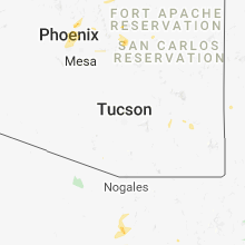


Connect with Interactive Hail Maps