

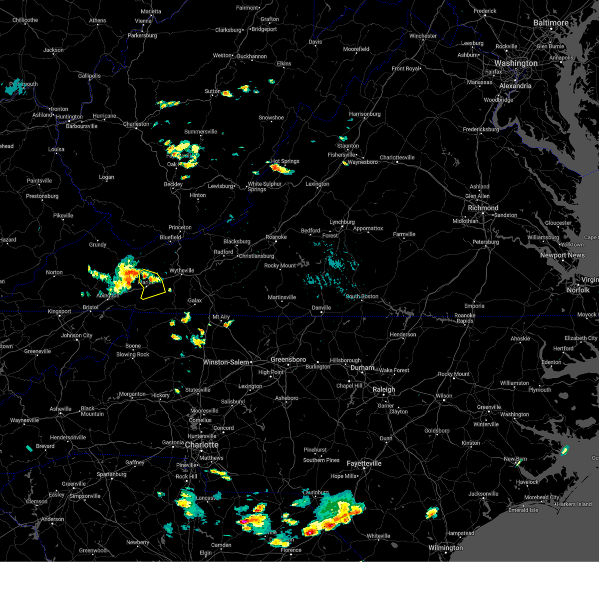
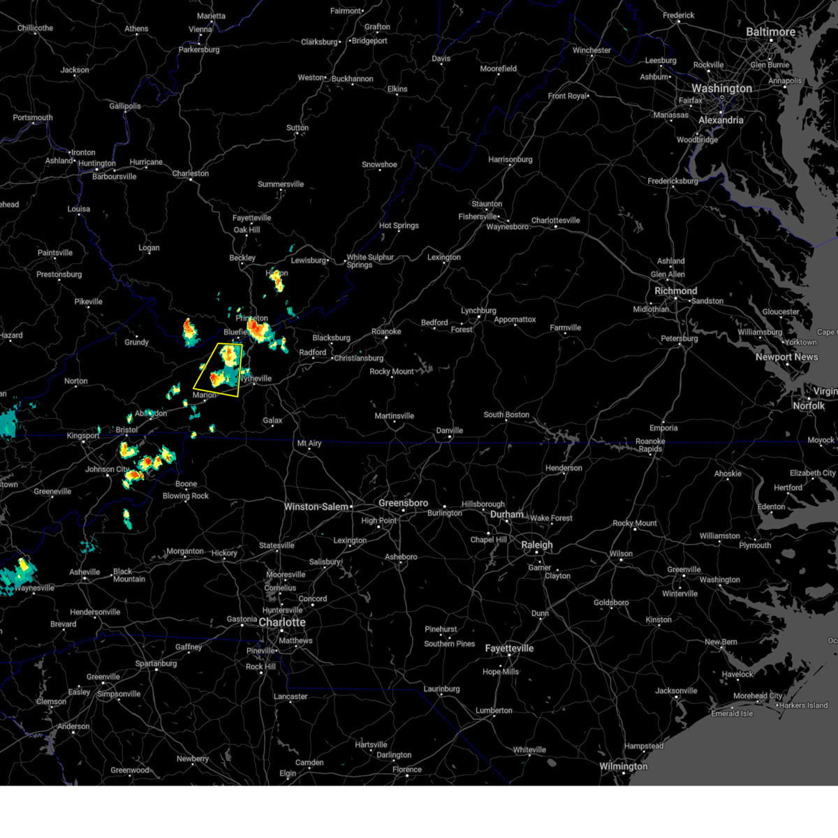
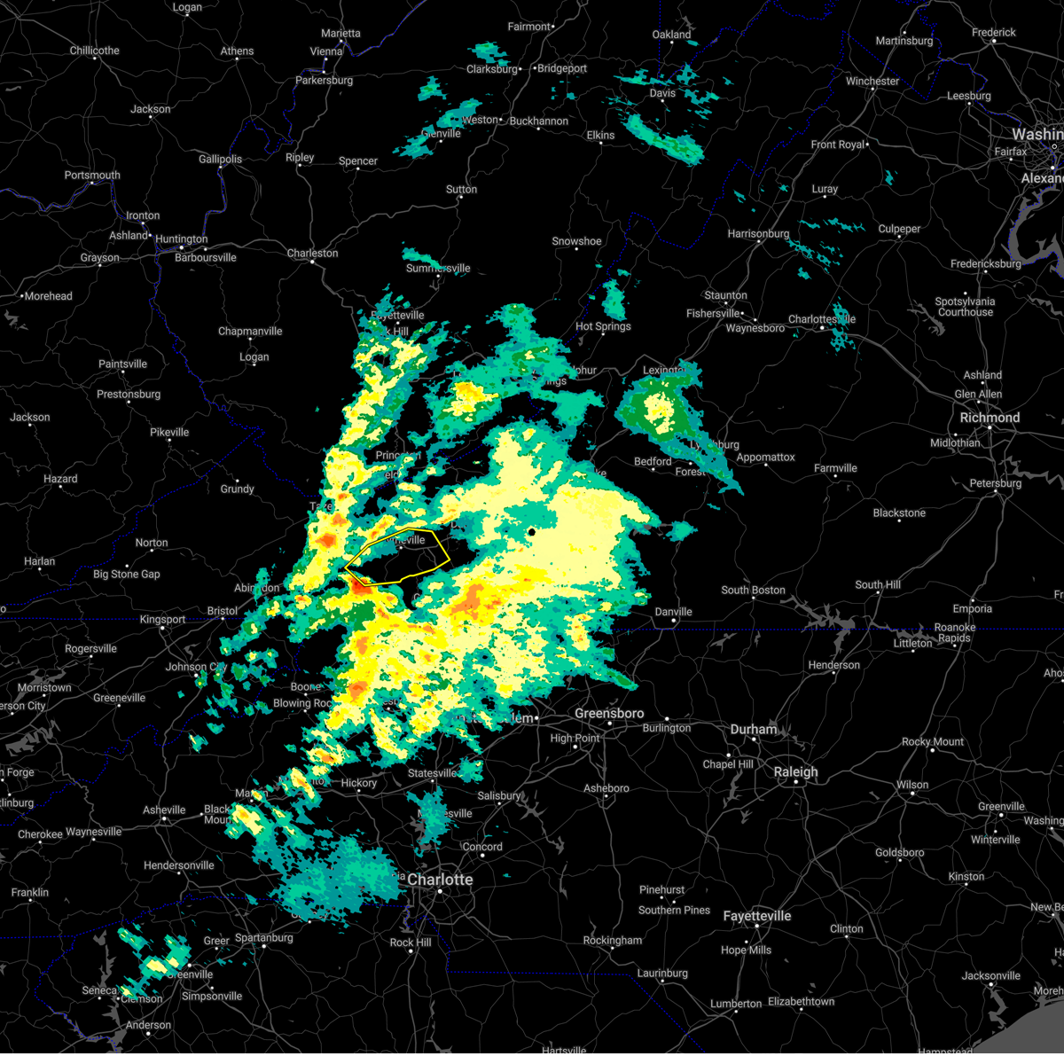
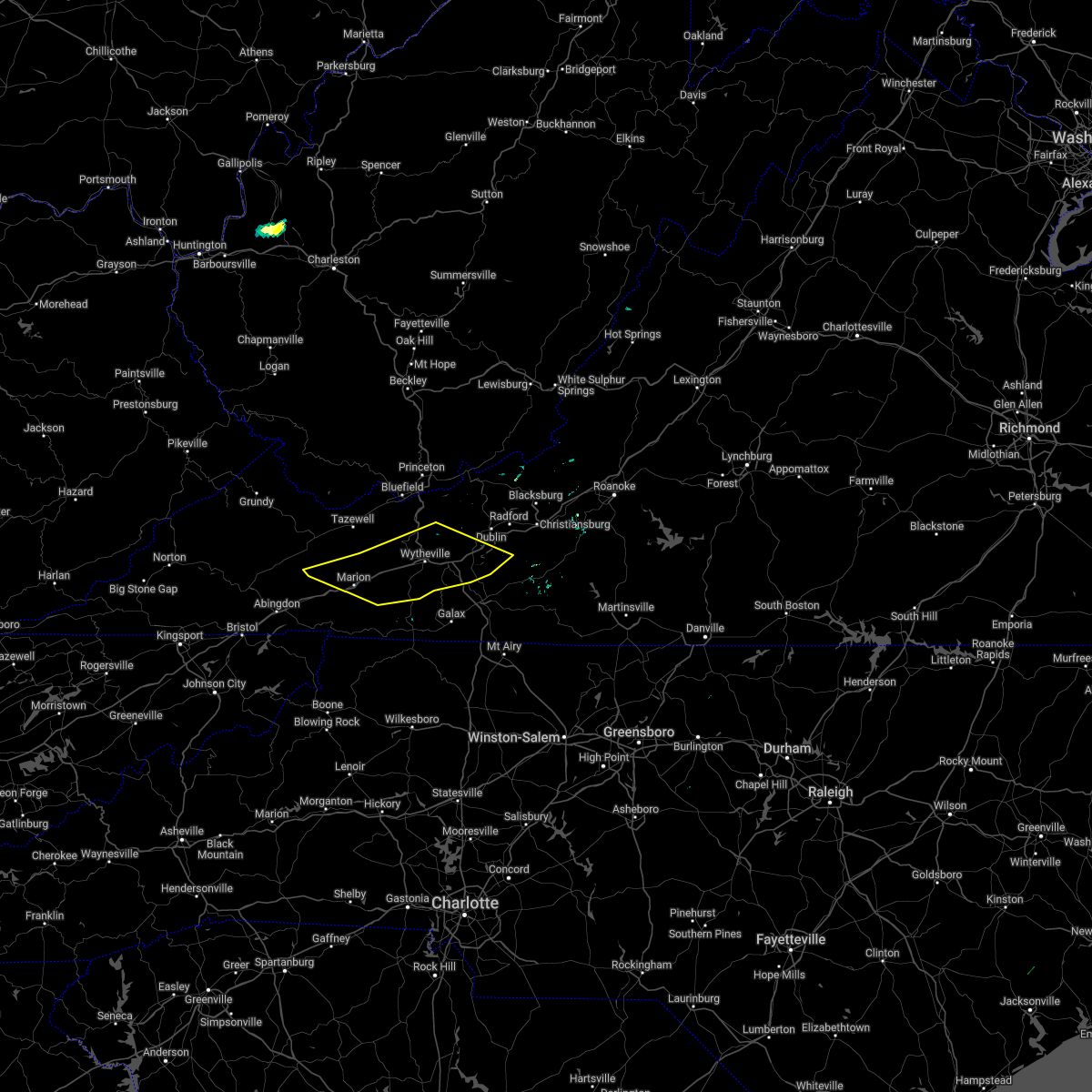
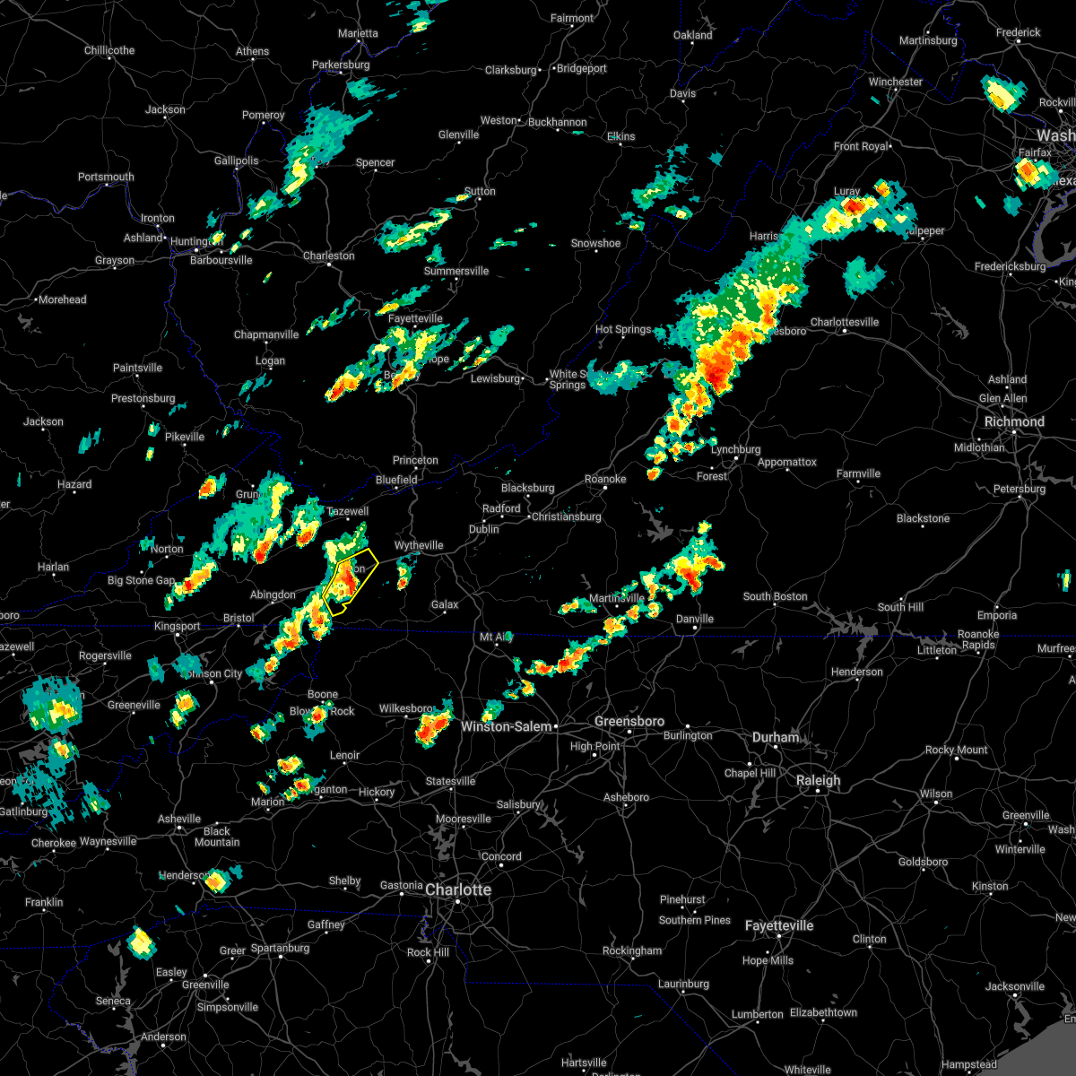
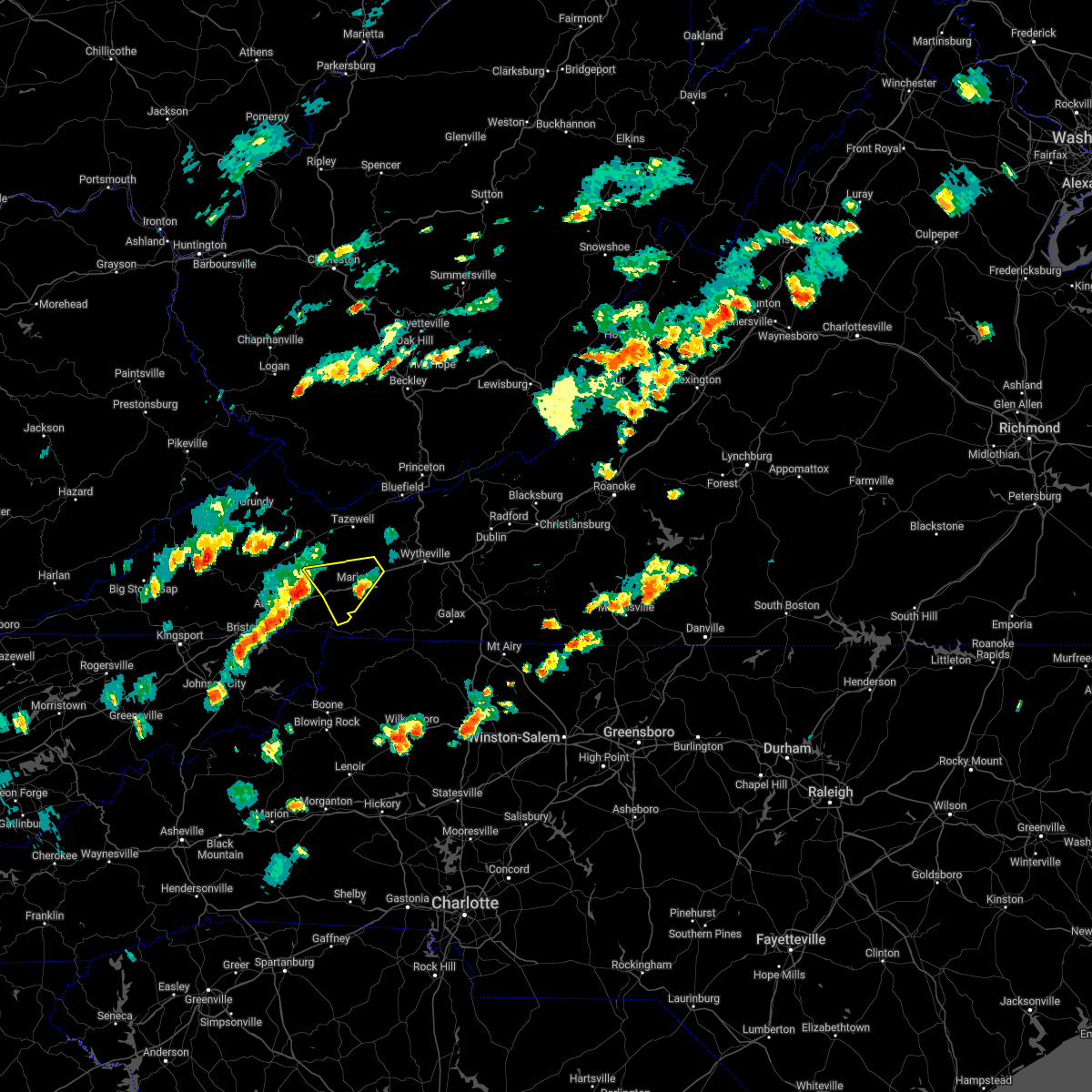
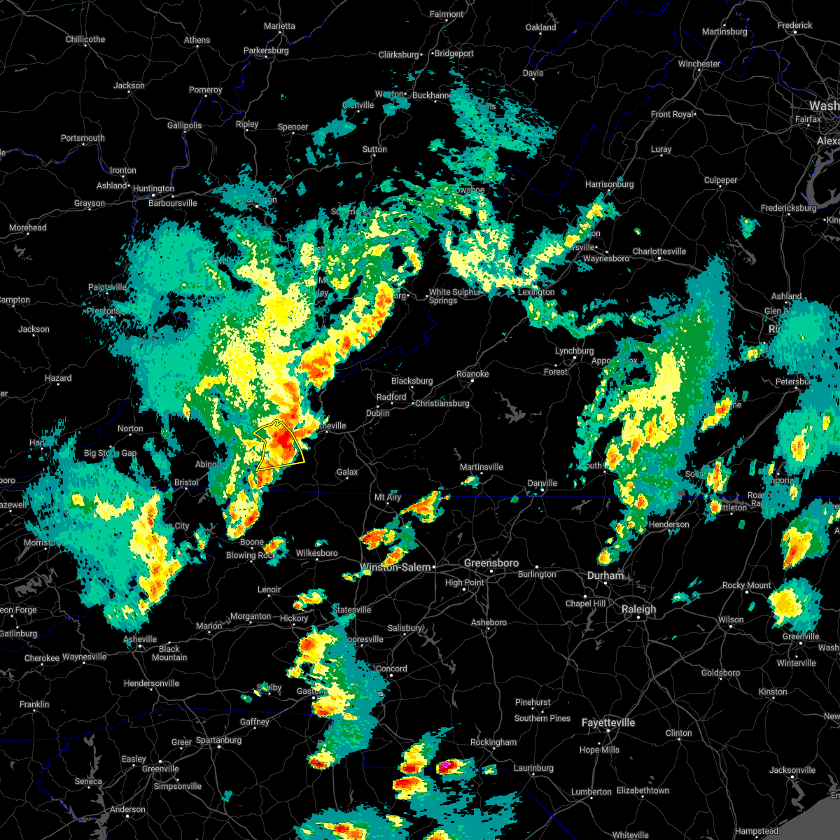
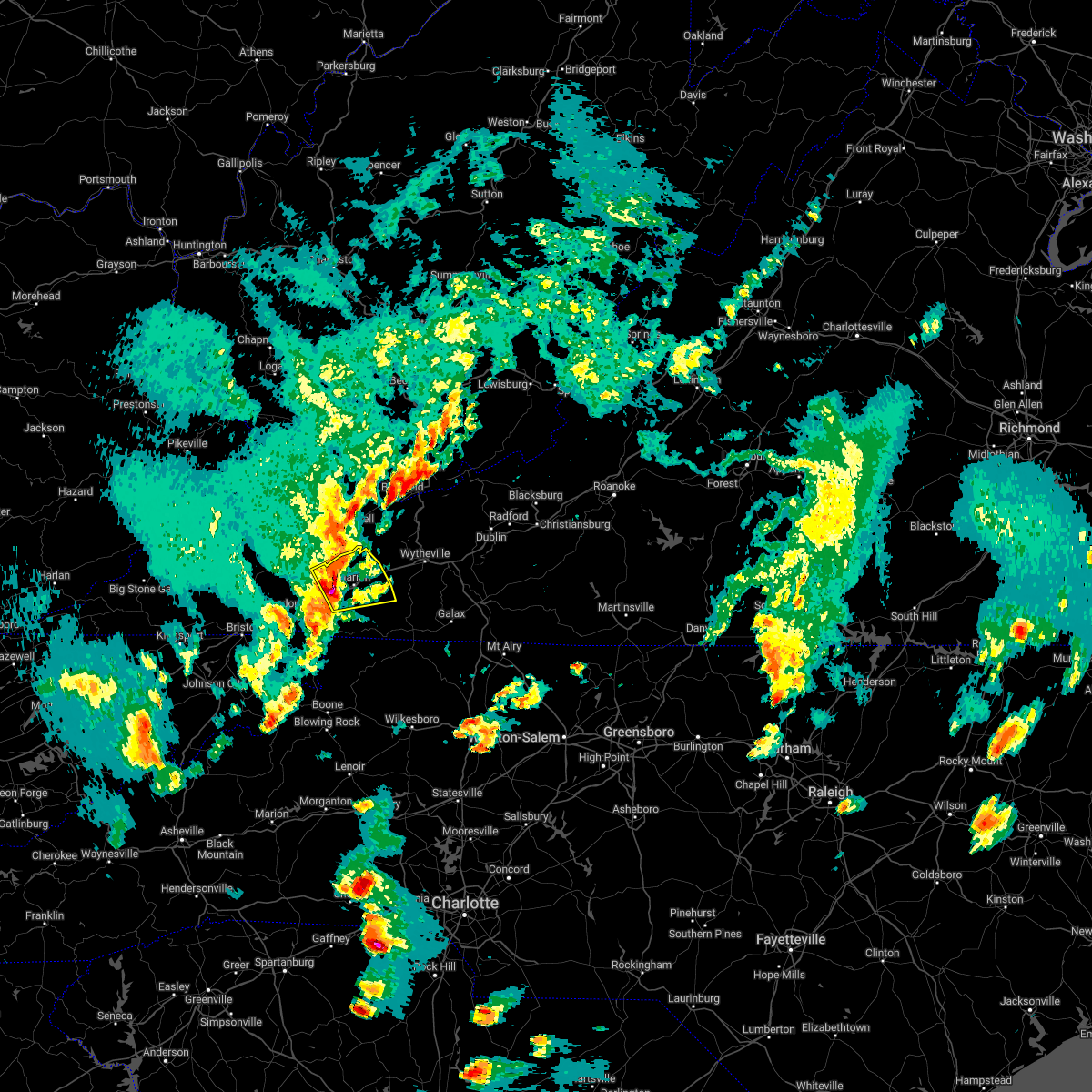
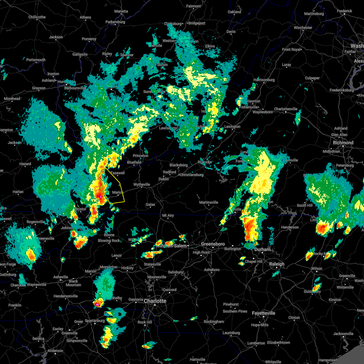
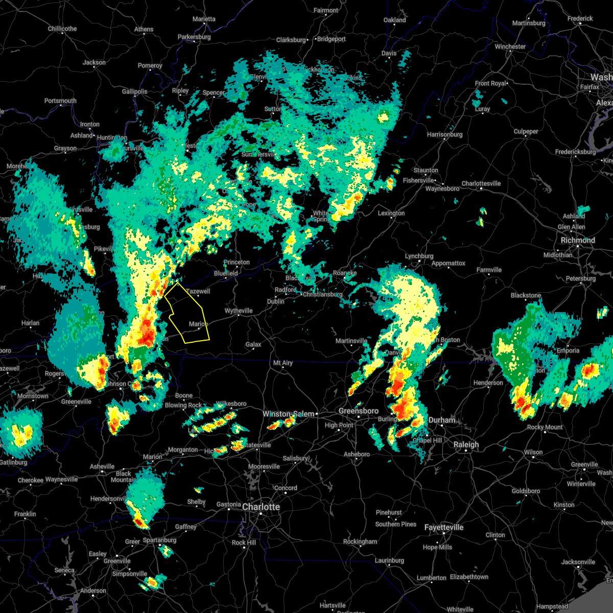
Hail Map for Atkins, VA
The Atkins, VA area has had 0 reports of on-the-ground hail by trained spotters, and has been under severe weather warnings 27 times during the past 12 months. Doppler radar has detected hail at or near Atkins, VA on 22 occasions.
| Name: | Atkins, VA |
| Where Located: | 48.8 miles ENE of Bristol, TN |
| Map: | Google Map for Atkins, VA |
| Population: | 1143 |
| Housing Units: | 584 |
| More Info: | Search Google for Atkins, VA |
2
The Top Recent Hail Date for Atkins, VA is Friday, May 6, 2022 (4th out of 22)

Hail and Wind Damage Spotted near Atkins, VA
| Date / Time | Report Details |
|---|---|
| 2/12/2024 11:26 PM EST |
 At 1124 pm est, severe thunderstorms were located along a line extending from near tiptop to near ceres to rural retreat to near volney to mount jefferson, moving east at 50 mph (law enforcement). Hazards include 60 mph wind gusts. downed trees. Expect damage to roofs, siding, and trees. at just after 11pm, there were reports of trees down in saltville and chilhowie. locations impacted include, marion, bluefield, tazewell, jefferson, west jefferson, lansing, and mouth of wilson. hail threat, radar indicated max hail size, <. 75 in wind threat, radar indicated max wind gust, 60 mph. At 1124 pm est, severe thunderstorms were located along a line extending from near tiptop to near ceres to rural retreat to near volney to mount jefferson, moving east at 50 mph (law enforcement). Hazards include 60 mph wind gusts. downed trees. Expect damage to roofs, siding, and trees. at just after 11pm, there were reports of trees down in saltville and chilhowie. locations impacted include, marion, bluefield, tazewell, jefferson, west jefferson, lansing, and mouth of wilson. hail threat, radar indicated max hail size, <. 75 in wind threat, radar indicated max wind gust, 60 mph.
|
| 2/12/2024 10:56 PM EST |
 At 1054 pm est, severe thunderstorms were located along a line extending from near glen burke to mountain city, moving east at 50 mph (radar indicated). Hazards include 60 mph wind gusts. expect damage to roofs, siding, and trees At 1054 pm est, severe thunderstorms were located along a line extending from near glen burke to mountain city, moving east at 50 mph (radar indicated). Hazards include 60 mph wind gusts. expect damage to roofs, siding, and trees
|
| 8/26/2023 5:03 PM EDT |
 At 503 pm edt, severe thunderstorms were located along a line extending from marion to near the mount rogers national recreation area to near sugar grove, moving east at 25 mph (radar indicated). Hazards include 60 mph wind gusts. Expect damage to roofs, siding, and trees. locations impacted include, marion, sugar grove, mount rogers national recreation area, nebo, marion wytheville, hungry mother state park, and atkins. hail threat, radar indicated max hail size, <. 75 in wind threat, radar indicated max wind gust, 60 mph. At 503 pm edt, severe thunderstorms were located along a line extending from marion to near the mount rogers national recreation area to near sugar grove, moving east at 25 mph (radar indicated). Hazards include 60 mph wind gusts. Expect damage to roofs, siding, and trees. locations impacted include, marion, sugar grove, mount rogers national recreation area, nebo, marion wytheville, hungry mother state park, and atkins. hail threat, radar indicated max hail size, <. 75 in wind threat, radar indicated max wind gust, 60 mph.
|
| 8/26/2023 4:45 PM EDT |
 At 444 pm edt, severe thunderstorms were located along a line extending from near hungry mother state park to marion to adwolf, moving east at 25 mph (radar indicated). Hazards include 60 mph wind gusts. frequent lightning. expect damage to roofs, siding, and trees At 444 pm edt, severe thunderstorms were located along a line extending from near hungry mother state park to marion to adwolf, moving east at 25 mph (radar indicated). Hazards include 60 mph wind gusts. frequent lightning. expect damage to roofs, siding, and trees
|
| 8/7/2023 2:23 PM EDT |
 The tornado warning for northeastern smyth, southern bland and wythe counties will expire at 230 pm edt, the storm which prompted the warning has weakened below severe limits, and no longer appears capable of producing a tornado. therefore, the warning will be allowed to expire. however, gusty winds are still possible with this thunderstorm. a tornado watch remains in effect until 900 pm edt for northwestern north carolina, southwestern virginia, and southeastern west virginia. The tornado warning for northeastern smyth, southern bland and wythe counties will expire at 230 pm edt, the storm which prompted the warning has weakened below severe limits, and no longer appears capable of producing a tornado. therefore, the warning will be allowed to expire. however, gusty winds are still possible with this thunderstorm. a tornado watch remains in effect until 900 pm edt for northwestern north carolina, southwestern virginia, and southeastern west virginia.
|
| 8/7/2023 2:20 PM EDT |
 At 220 pm edt, a severe thunderstorm capable of producing a tornado was located over marion wytheville, or near rural retreat, moving northeast at 35 mph (radar indicated rotation). Hazards include tornado and quarter size hail. Flying debris will be dangerous to those caught without shelter. mobile homes will be damaged or destroyed. damage to roofs, windows, and vehicles will occur. tree damage is likely. Locations impacted include, wytheville, bland, rural retreat, ceres, max meadows, speedwell, and fort chiswell. At 220 pm edt, a severe thunderstorm capable of producing a tornado was located over marion wytheville, or near rural retreat, moving northeast at 35 mph (radar indicated rotation). Hazards include tornado and quarter size hail. Flying debris will be dangerous to those caught without shelter. mobile homes will be damaged or destroyed. damage to roofs, windows, and vehicles will occur. tree damage is likely. Locations impacted include, wytheville, bland, rural retreat, ceres, max meadows, speedwell, and fort chiswell.
|
| 8/7/2023 2:02 PM EDT |
 At 202 pm edt, a severe thunderstorm capable of producing a tornado was located over marion, moving northeast at 40 mph (radar indicated rotation). Hazards include tornado and quarter size hail. Flying debris will be dangerous to those caught without shelter. mobile homes will be damaged or destroyed. damage to roofs, windows, and vehicles will occur. Tree damage is likely. At 202 pm edt, a severe thunderstorm capable of producing a tornado was located over marion, moving northeast at 40 mph (radar indicated rotation). Hazards include tornado and quarter size hail. Flying debris will be dangerous to those caught without shelter. mobile homes will be damaged or destroyed. damage to roofs, windows, and vehicles will occur. Tree damage is likely.
|
| 7/29/2023 5:37 PM EDT |
 At 537 pm edt, severe thunderstorms were located along a line extending from near spring valley to volney, moving southeast at 30 mph (radar indicated). Hazards include 60 mph wind gusts. Expect damage to roofs, siding, and trees. locations impacted include, marion, independence, whitetop, mouth of wilson, mount rogers national recreation area, speedwell, and sugar grove. hail threat, radar indicated max hail size, <. 75 in wind threat, radar indicated max wind gust, 60 mph. At 537 pm edt, severe thunderstorms were located along a line extending from near spring valley to volney, moving southeast at 30 mph (radar indicated). Hazards include 60 mph wind gusts. Expect damage to roofs, siding, and trees. locations impacted include, marion, independence, whitetop, mouth of wilson, mount rogers national recreation area, speedwell, and sugar grove. hail threat, radar indicated max hail size, <. 75 in wind threat, radar indicated max wind gust, 60 mph.
|
| 7/29/2023 4:58 PM EDT |
 At 458 pm edt, severe thunderstorms were located along a line extending from near nebo to chilhowie, moving southeast at 30 mph (radar indicated). Hazards include 60 mph wind gusts. expect damage to roofs, siding, and trees At 458 pm edt, severe thunderstorms were located along a line extending from near nebo to chilhowie, moving southeast at 30 mph (radar indicated). Hazards include 60 mph wind gusts. expect damage to roofs, siding, and trees
|
| 7/28/2023 5:41 PM EDT |
 At 541 pm edt, severe thunderstorms were located along a line extending from near catawba to pilot to near grahams forge to near sugar grove, moving southeast at 25 mph (radar indicated). Hazards include 60 mph wind gusts. Expect damage to roofs, siding, and trees. locations impacted include, blacksburg, salem, christiansburg, radford, pulaski, wytheville, and marion. this includes the following location virginia tech. hail threat, radar indicated max hail size, <. 75 in wind threat, radar indicated max wind gust, 60 mph. At 541 pm edt, severe thunderstorms were located along a line extending from near catawba to pilot to near grahams forge to near sugar grove, moving southeast at 25 mph (radar indicated). Hazards include 60 mph wind gusts. Expect damage to roofs, siding, and trees. locations impacted include, blacksburg, salem, christiansburg, radford, pulaski, wytheville, and marion. this includes the following location virginia tech. hail threat, radar indicated max hail size, <. 75 in wind threat, radar indicated max wind gust, 60 mph.
|
| 7/28/2023 5:20 PM EDT |
 At 520 pm edt, severe thunderstorms were located along a line extending from sinking creek to radford to near wytheville to marion, moving southeast at 35 mph (radar indicated). Hazards include 60 mph wind gusts. Expect damage to roofs, siding, and trees. locations impacted include, blacksburg, salem, christiansburg, radford, pulaski, wytheville, and bland. this includes the following location virginia tech. hail threat, radar indicated max hail size, <. 75 in wind threat, radar indicated max wind gust, 60 mph. At 520 pm edt, severe thunderstorms were located along a line extending from sinking creek to radford to near wytheville to marion, moving southeast at 35 mph (radar indicated). Hazards include 60 mph wind gusts. Expect damage to roofs, siding, and trees. locations impacted include, blacksburg, salem, christiansburg, radford, pulaski, wytheville, and bland. this includes the following location virginia tech. hail threat, radar indicated max hail size, <. 75 in wind threat, radar indicated max wind gust, 60 mph.
|
| 7/28/2023 4:51 PM EDT |
 At 451 pm edt, severe thunderstorms were located along a line extending from wolfcreek to near narrows to suiter to near broadford, moving southeast at 45 mph (radar indicated). Hazards include 60 mph wind gusts. expect damage to roofs, siding, and trees At 451 pm edt, severe thunderstorms were located along a line extending from wolfcreek to near narrows to suiter to near broadford, moving southeast at 45 mph (radar indicated). Hazards include 60 mph wind gusts. expect damage to roofs, siding, and trees
|
| 6/4/2023 6:20 PM EDT |
 The severe thunderstorm warning for northeastern smyth, southeastern tazewell, southwestern bland and northwestern wythe counties will expire at 630 pm edt, the storm which prompted the warning has weakened below severe limits, and no longer poses an immediate threat to life or property. therefore, the warning will be allowed to expire. The severe thunderstorm warning for northeastern smyth, southeastern tazewell, southwestern bland and northwestern wythe counties will expire at 630 pm edt, the storm which prompted the warning has weakened below severe limits, and no longer poses an immediate threat to life or property. therefore, the warning will be allowed to expire.
|
| 6/4/2023 6:10 PM EDT |
 At 610 pm edt, a severe thunderstorm was located near ceres, moving south at 15 mph (radar indicated). Hazards include 60 mph wind gusts and quarter size hail. Hail damage to vehicles is expected. expect wind damage to roofs, siding, and trees. locations impacted include, bluefield, rural retreat, ceres, burkes garden, nebo, clear fork, and marion wytheville. hail threat, radar indicated max hail size, 1. 00 in wind threat, radar indicated max wind gust, 60 mph. At 610 pm edt, a severe thunderstorm was located near ceres, moving south at 15 mph (radar indicated). Hazards include 60 mph wind gusts and quarter size hail. Hail damage to vehicles is expected. expect wind damage to roofs, siding, and trees. locations impacted include, bluefield, rural retreat, ceres, burkes garden, nebo, clear fork, and marion wytheville. hail threat, radar indicated max hail size, 1. 00 in wind threat, radar indicated max wind gust, 60 mph.
|
| 6/4/2023 5:43 PM EDT |
 At 542 pm edt, a severe thunderstorm was located over burkes garden, moving south at 15 mph. another thunderstorm was located near bluefield moving south at 20 mph (radar indicated). Hazards include 60 mph wind gusts and quarter size hail. Hail damage to vehicles is expected. expect wind damage to roofs, siding, and trees. locations impacted include, bluefield, rural retreat, ceres, burkes garden, pocahontas, nebo, and clear fork. hail threat, radar indicated max hail size, 1. 00 in wind threat, radar indicated max wind gust, 60 mph. At 542 pm edt, a severe thunderstorm was located over burkes garden, moving south at 15 mph. another thunderstorm was located near bluefield moving south at 20 mph (radar indicated). Hazards include 60 mph wind gusts and quarter size hail. Hail damage to vehicles is expected. expect wind damage to roofs, siding, and trees. locations impacted include, bluefield, rural retreat, ceres, burkes garden, pocahontas, nebo, and clear fork. hail threat, radar indicated max hail size, 1. 00 in wind threat, radar indicated max wind gust, 60 mph.
|
| 6/4/2023 5:30 PM EDT |
 At 529 pm edt, a severe thunderstorm was located over burkes garden, moving south at 15 mph (radar indicated). Hazards include 60 mph wind gusts and quarter size hail. Hail damage to vehicles is expected. Expect wind damage to roofs, siding, and trees. At 529 pm edt, a severe thunderstorm was located over burkes garden, moving south at 15 mph (radar indicated). Hazards include 60 mph wind gusts and quarter size hail. Hail damage to vehicles is expected. Expect wind damage to roofs, siding, and trees.
|
| 5/16/2023 7:11 PM EDT |
 The severe thunderstorm warning for west central pulaski, central smyth and wythe counties will expire at 715 pm edt, the storms which prompted the warning have moved out of the area. therefore, the warning will be allowed to expire. a severe thunderstorm watch remains in effect until 1000 pm edt for northwestern north carolina, southwestern virginia, and southeastern west virginia. The severe thunderstorm warning for west central pulaski, central smyth and wythe counties will expire at 715 pm edt, the storms which prompted the warning have moved out of the area. therefore, the warning will be allowed to expire. a severe thunderstorm watch remains in effect until 1000 pm edt for northwestern north carolina, southwestern virginia, and southeastern west virginia.
|
| 5/16/2023 6:55 PM EDT |
 At 654 pm edt, severe thunderstorms were located along a line extending from pulaski to near flatridge, moving east at 40 mph (radar indicated). Hazards include 60 mph wind gusts. Expect damage to roofs, siding, and trees. locations impacted include, wytheville, marion, chilhowie, rural retreat, max meadows, mount rogers national recreation area, and speedwell. hail threat, radar indicated max hail size, <. 75 in wind threat, radar indicated max wind gust, 60 mph. At 654 pm edt, severe thunderstorms were located along a line extending from pulaski to near flatridge, moving east at 40 mph (radar indicated). Hazards include 60 mph wind gusts. Expect damage to roofs, siding, and trees. locations impacted include, wytheville, marion, chilhowie, rural retreat, max meadows, mount rogers national recreation area, and speedwell. hail threat, radar indicated max hail size, <. 75 in wind threat, radar indicated max wind gust, 60 mph.
|
| 5/16/2023 6:45 PM EDT |
 At 644 pm edt, severe thunderstorms were located along a line extending from near long spur to near mount rogers national recreation area, moving east at 40 mph (radar indicated). Hazards include 60 mph wind gusts. Expect damage to roofs, siding, and trees. locations impacted include, wytheville, bland, marion, chilhowie, rural retreat, ceres, and max meadows. hail threat, radar indicated max hail size, <. 75 in wind threat, radar indicated max wind gust, 60 mph. At 644 pm edt, severe thunderstorms were located along a line extending from near long spur to near mount rogers national recreation area, moving east at 40 mph (radar indicated). Hazards include 60 mph wind gusts. Expect damage to roofs, siding, and trees. locations impacted include, wytheville, bland, marion, chilhowie, rural retreat, ceres, and max meadows. hail threat, radar indicated max hail size, <. 75 in wind threat, radar indicated max wind gust, 60 mph.
|
| 5/16/2023 6:30 PM EDT |
 At 629 pm edt, severe thunderstorms were located along a line extending from near bland to near chilhowie, moving east at 40 mph (radar indicated). Hazards include 60 mph wind gusts. Expect damage to roofs, siding, and trees. locations impacted include, wytheville, bland, marion, saltville, chilhowie, rural retreat, and ceres. hail threat, radar indicated max hail size, <. 75 in wind threat, radar indicated max wind gust, 60 mph. At 629 pm edt, severe thunderstorms were located along a line extending from near bland to near chilhowie, moving east at 40 mph (radar indicated). Hazards include 60 mph wind gusts. Expect damage to roofs, siding, and trees. locations impacted include, wytheville, bland, marion, saltville, chilhowie, rural retreat, and ceres. hail threat, radar indicated max hail size, <. 75 in wind threat, radar indicated max wind gust, 60 mph.
|
| 5/16/2023 6:22 PM EDT |
 At 621 pm edt, severe thunderstorms were located along a line extending from near clear fork to quarry, moving east at 40 mph (radar indicated). Hazards include 60 mph wind gusts. expect damage to roofs, siding, and trees At 621 pm edt, severe thunderstorms were located along a line extending from near clear fork to quarry, moving east at 40 mph (radar indicated). Hazards include 60 mph wind gusts. expect damage to roofs, siding, and trees
|
| 3/3/2023 6:18 PM EST |
 At 617 pm est, a severe thunderstorm was located near comers rock, or near speedwell, moving northeast at 60 mph (radar indicated). Hazards include 60 mph wind gusts. Expect damage to roofs, siding, and trees. locations impacted include, wytheville, rural retreat, max meadows, speedwell, patterson, fort chiswell, and grahams forge. hail threat, radar indicated max hail size, <. 75 in wind threat, radar indicated max wind gust, 60 mph. At 617 pm est, a severe thunderstorm was located near comers rock, or near speedwell, moving northeast at 60 mph (radar indicated). Hazards include 60 mph wind gusts. Expect damage to roofs, siding, and trees. locations impacted include, wytheville, rural retreat, max meadows, speedwell, patterson, fort chiswell, and grahams forge. hail threat, radar indicated max hail size, <. 75 in wind threat, radar indicated max wind gust, 60 mph.
|
| 3/3/2023 6:11 PM EST |
 At 611 pm est, a severe thunderstorm was located over sugar grove, moving northeast at 65 mph (radar indicated). Hazards include 60 mph wind gusts. expect damage to roofs, siding, and trees At 611 pm est, a severe thunderstorm was located over sugar grove, moving northeast at 65 mph (radar indicated). Hazards include 60 mph wind gusts. expect damage to roofs, siding, and trees
|
| 1/12/2023 3:26 PM EST |
 The severe thunderstorm warning for western alleghany, north central watauga and ashe counties in northwestern north carolina, eastern smyth, southwestern wythe and central grayson counties in southwestern virginia will expire at 330 pm est, the storms which prompted the warning have weakened below severe limits, and have exited the warned area. therefore, the warning will be allowed to expire. The severe thunderstorm warning for western alleghany, north central watauga and ashe counties in northwestern north carolina, eastern smyth, southwestern wythe and central grayson counties in southwestern virginia will expire at 330 pm est, the storms which prompted the warning have weakened below severe limits, and have exited the warned area. therefore, the warning will be allowed to expire.
|
| 1/12/2023 3:15 PM EST |
 At 314 pm est, severe thunderstorms were located along a line extending from hungry mother state park to near mount rogers summit to near rugby to clifton, moving northeast at 60 mph (radar indicated). Hazards include 60 mph wind gusts. Expect damage to roofs, siding, and trees. locations impacted include, marion, jefferson, west jefferson, lansing, mouth of wilson, mount rogers national recreation area, and glendale springs. hail threat, radar indicated max hail size, <. 75 in wind threat, radar indicated max wind gust, 60 mph. At 314 pm est, severe thunderstorms were located along a line extending from hungry mother state park to near mount rogers summit to near rugby to clifton, moving northeast at 60 mph (radar indicated). Hazards include 60 mph wind gusts. Expect damage to roofs, siding, and trees. locations impacted include, marion, jefferson, west jefferson, lansing, mouth of wilson, mount rogers national recreation area, and glendale springs. hail threat, radar indicated max hail size, <. 75 in wind threat, radar indicated max wind gust, 60 mph.
|
| 1/12/2023 2:51 PM EST |
 At 251 pm est, severe thunderstorms were located along a line extending from near abingdon to mountain city to near peoria, moving northeast at 60 mph (radar indicated). Hazards include 60 mph wind gusts. expect damage to roofs, siding, and trees At 251 pm est, severe thunderstorms were located along a line extending from near abingdon to mountain city to near peoria, moving northeast at 60 mph (radar indicated). Hazards include 60 mph wind gusts. expect damage to roofs, siding, and trees
|
| 7/18/2022 6:51 PM EDT |
 At 651 pm edt, a severe thunderstorm was located over mount rogers summit, or 7 miles northeast of whitetop, moving east at 30 mph (radar indicated). Hazards include 60 mph wind gusts. Expect damage to roofs, siding, and trees. locations impacted include, marion, lansing, whitetop, mouth of wilson, mount rogers national recreation area, sugar grove, and troutdale. hail threat, radar indicated max hail size, <. 75 in wind threat, radar indicated max wind gust, 60 mph. At 651 pm edt, a severe thunderstorm was located over mount rogers summit, or 7 miles northeast of whitetop, moving east at 30 mph (radar indicated). Hazards include 60 mph wind gusts. Expect damage to roofs, siding, and trees. locations impacted include, marion, lansing, whitetop, mouth of wilson, mount rogers national recreation area, sugar grove, and troutdale. hail threat, radar indicated max hail size, <. 75 in wind threat, radar indicated max wind gust, 60 mph.
|
| 7/18/2022 6:27 PM EDT |
 At 626 pm edt, a severe thunderstorm was located near whitetop, moving east at 30 mph (radar indicated). Hazards include 60 mph wind gusts. expect damage to roofs, siding, and trees At 626 pm edt, a severe thunderstorm was located near whitetop, moving east at 30 mph (radar indicated). Hazards include 60 mph wind gusts. expect damage to roofs, siding, and trees
|
| 7/6/2022 4:59 PM EDT |
 At 458 pm edt, severe thunderstorms were located along a line extending from near marion wytheville to near mount rogers summit, moving east at 25 mph (radar indicated). Hazards include 60 mph wind gusts and quarter size hail. Hail damage to vehicles is expected. Expect wind damage to roofs, siding, and trees. At 458 pm edt, severe thunderstorms were located along a line extending from near marion wytheville to near mount rogers summit, moving east at 25 mph (radar indicated). Hazards include 60 mph wind gusts and quarter size hail. Hail damage to vehicles is expected. Expect wind damage to roofs, siding, and trees.
|
| 6/17/2022 4:21 PM EDT |
 At 420 pm edt, severe thunderstorms were located along a line extending from near dublin to marion, moving east at 70 mph (radar indicated). Hazards include 60 mph wind gusts. Expect damage to roofs, siding, and trees. locations impacted include, pulaski, wytheville, bland, marion, saltville, rural retreat, and ceres. hail threat, radar indicated max hail size, <. 75 in wind threat, radar indicated max wind gust, 60 mph. At 420 pm edt, severe thunderstorms were located along a line extending from near dublin to marion, moving east at 70 mph (radar indicated). Hazards include 60 mph wind gusts. Expect damage to roofs, siding, and trees. locations impacted include, pulaski, wytheville, bland, marion, saltville, rural retreat, and ceres. hail threat, radar indicated max hail size, <. 75 in wind threat, radar indicated max wind gust, 60 mph.
|
| 6/17/2022 4:00 PM EDT | Scattered trees and powerlines down across the south and east part of the count in smyth county VA, 0.5 miles ESE of Atkins, VA |
| 6/17/2022 3:32 PM EDT |
 At 331 pm edt, severe thunderstorms were located along a line extending from near mechanicsburg to near nebo, moving east at 70 mph (radar indicated). Hazards include 60 mph wind gusts and quarter size hail. Hail damage to vehicles is expected. Expect wind damage to roofs, siding, and trees. At 331 pm edt, severe thunderstorms were located along a line extending from near mechanicsburg to near nebo, moving east at 70 mph (radar indicated). Hazards include 60 mph wind gusts and quarter size hail. Hail damage to vehicles is expected. Expect wind damage to roofs, siding, and trees.
|
| 6/14/2022 5:39 AM EDT |
 The severe thunderstorm warning for alleghany and ashe counties in northwestern north carolina, southern smyth, southern wythe, southwestern carroll and grayson counties in southwestern virginia and the city of galax will expire at 545 am edt, the storm which prompted the warning has weakened below severe limits, and no longer poses an immediate threat to life or property. therefore, the warning will be allowed to expire. however gusty winds and heavy rain are still possible with this thunderstorm. The severe thunderstorm warning for alleghany and ashe counties in northwestern north carolina, southern smyth, southern wythe, southwestern carroll and grayson counties in southwestern virginia and the city of galax will expire at 545 am edt, the storm which prompted the warning has weakened below severe limits, and no longer poses an immediate threat to life or property. therefore, the warning will be allowed to expire. however gusty winds and heavy rain are still possible with this thunderstorm.
|
| 6/14/2022 5:25 AM EDT |
 At 524 am edt, a severe thunderstorm was located over bridle creek, or near mouth of wilson, moving south at 40 mph (radar indicated). Hazards include 60 mph wind gusts and quarter size hail. Hail damage to vehicles is expected. expect wind damage to roofs, siding, and trees. locations impacted include, galax, marion, hillsville, chilhowie, sparta, jefferson, and west jefferson. hail threat, radar indicated max hail size, 1. 00 in wind threat, radar indicated max wind gust, 60 mph. At 524 am edt, a severe thunderstorm was located over bridle creek, or near mouth of wilson, moving south at 40 mph (radar indicated). Hazards include 60 mph wind gusts and quarter size hail. Hail damage to vehicles is expected. expect wind damage to roofs, siding, and trees. locations impacted include, galax, marion, hillsville, chilhowie, sparta, jefferson, and west jefferson. hail threat, radar indicated max hail size, 1. 00 in wind threat, radar indicated max wind gust, 60 mph.
|
| 6/14/2022 5:13 AM EDT |
 At 513 am edt, a severe thunderstorm was located near elk creek, or near speedwell, moving southeast at 55 mph (radar indicated). Hazards include 60 mph wind gusts. Expect damage to roofs, siding, and trees. locations impacted include, wytheville, galax, marion, hillsville, saltville, chilhowie, and sparta. hail threat, radar indicated max hail size, <. 75 in wind threat, radar indicated max wind gust, 60 mph. At 513 am edt, a severe thunderstorm was located near elk creek, or near speedwell, moving southeast at 55 mph (radar indicated). Hazards include 60 mph wind gusts. Expect damage to roofs, siding, and trees. locations impacted include, wytheville, galax, marion, hillsville, saltville, chilhowie, and sparta. hail threat, radar indicated max hail size, <. 75 in wind threat, radar indicated max wind gust, 60 mph.
|
| 6/14/2022 4:49 AM EDT |
 At 449 am edt, a severe thunderstorm was located over nebo, or 7 miles southwest of ceres, moving southeast at 55 mph (radar indicated). Hazards include 60 mph wind gusts and quarter size hail. Hail damage to vehicles is expected. Expect wind damage to roofs, siding, and trees. At 449 am edt, a severe thunderstorm was located over nebo, or 7 miles southwest of ceres, moving southeast at 55 mph (radar indicated). Hazards include 60 mph wind gusts and quarter size hail. Hail damage to vehicles is expected. Expect wind damage to roofs, siding, and trees.
|
| 6/2/2022 3:52 PM EDT |
 At 351 pm edt, severe thunderstorms were located along a line extending from near marion wytheville to near atkins to near sugar grove, moving east at 35 mph (radar indicated). Hazards include 60 mph wind gusts. expect damage to roofs, siding, and trees At 351 pm edt, severe thunderstorms were located along a line extending from near marion wytheville to near atkins to near sugar grove, moving east at 35 mph (radar indicated). Hazards include 60 mph wind gusts. expect damage to roofs, siding, and trees
|
| 6/2/2022 3:43 PM EDT |
 At 342 pm edt, severe thunderstorms were located along a line extending from near atkins to 6 miles west of peoria, moving east at 30 mph (radar indicated). Hazards include 60 mph wind gusts and quarter size hail. Hail damage to vehicles is expected. expect wind damage to roofs, siding, and trees. locations impacted include, marion, mount rogers national recreation area, nebo, marion wytheville, adwolf, hungry mother state park, and atkins. hail threat, radar indicated max hail size, 1. 00 in wind threat, radar indicated max wind gust, 60 mph. At 342 pm edt, severe thunderstorms were located along a line extending from near atkins to 6 miles west of peoria, moving east at 30 mph (radar indicated). Hazards include 60 mph wind gusts and quarter size hail. Hail damage to vehicles is expected. expect wind damage to roofs, siding, and trees. locations impacted include, marion, mount rogers national recreation area, nebo, marion wytheville, adwolf, hungry mother state park, and atkins. hail threat, radar indicated max hail size, 1. 00 in wind threat, radar indicated max wind gust, 60 mph.
|
| 6/2/2022 3:05 PM EDT |
 At 305 pm edt, severe thunderstorms were located along a line extending from near quarry to pine crest, moving east at 30 mph (radar indicated). Hazards include 60 mph wind gusts and quarter size hail. Hail damage to vehicles is expected. Expect wind damage to roofs, siding, and trees. At 305 pm edt, severe thunderstorms were located along a line extending from near quarry to pine crest, moving east at 30 mph (radar indicated). Hazards include 60 mph wind gusts and quarter size hail. Hail damage to vehicles is expected. Expect wind damage to roofs, siding, and trees.
|
| 5/6/2022 6:08 PM EDT |
 At 606 pm edt, severe thunderstorms were located along a line extending from near ceres to near atkins to near sugar grove, moving northeast at 40 mph (public. around 6 pm, up to half dollar sized hail was reported near marion). Hazards include 60 mph wind gusts and half dollar size hail. Hail damage to vehicles is expected. expect wind damage to roofs, siding, and trees. Locations impacted include, marion, sugar grove, mount rogers national recreation area, nebo, marion wytheville, hungry mother state park, and atkins. At 606 pm edt, severe thunderstorms were located along a line extending from near ceres to near atkins to near sugar grove, moving northeast at 40 mph (public. around 6 pm, up to half dollar sized hail was reported near marion). Hazards include 60 mph wind gusts and half dollar size hail. Hail damage to vehicles is expected. expect wind damage to roofs, siding, and trees. Locations impacted include, marion, sugar grove, mount rogers national recreation area, nebo, marion wytheville, hungry mother state park, and atkins.
|
| 5/6/2022 5:47 PM EDT |
 At 546 pm edt, a severe thunderstorm was located near broadford, or near marion, moving northeast at 55 mph (radar indicated). Hazards include 60 mph wind gusts and half dollar size hail. Hail damage to vehicles is expected. Expect wind damage to roofs, siding, and trees. At 546 pm edt, a severe thunderstorm was located near broadford, or near marion, moving northeast at 55 mph (radar indicated). Hazards include 60 mph wind gusts and half dollar size hail. Hail damage to vehicles is expected. Expect wind damage to roofs, siding, and trees.
|
| 5/6/2022 5:21 PM EDT |
 At 519 pm edt, severe thunderstorms were located along a line extending from raven to near allison gap to 7 miles southwest of quarry, moving northeast at 60 mph (radar indicated). Hazards include 60 mph wind gusts and quarter size hail. Hail damage to vehicles is expected. expect wind damage to roofs, siding, and trees. Locations impacted include, marion, richlands, saltville, chilhowie, cedar bluff, mount rogers national recreation area, and sugar grove. At 519 pm edt, severe thunderstorms were located along a line extending from raven to near allison gap to 7 miles southwest of quarry, moving northeast at 60 mph (radar indicated). Hazards include 60 mph wind gusts and quarter size hail. Hail damage to vehicles is expected. expect wind damage to roofs, siding, and trees. Locations impacted include, marion, richlands, saltville, chilhowie, cedar bluff, mount rogers national recreation area, and sugar grove.
|
| 5/6/2022 5:04 PM EDT |
 At 503 pm edt, severe thunderstorms were located along a line extending from near lebanon to 9 miles west of saltville to abingdon, moving northeast at 60 mph (radar indicated). Hazards include 60 mph wind gusts and quarter size hail. Hail damage to vehicles is expected. Expect wind damage to roofs, siding, and trees. At 503 pm edt, severe thunderstorms were located along a line extending from near lebanon to 9 miles west of saltville to abingdon, moving northeast at 60 mph (radar indicated). Hazards include 60 mph wind gusts and quarter size hail. Hail damage to vehicles is expected. Expect wind damage to roofs, siding, and trees.
|
| 3/27/2021 2:08 PM EDT |
 At 208 pm edt, severe thunderstorms were located along a line extending from clear fork to near darby, moving east at 40 mph (radar indicated). Hazards include 60 mph wind gusts and quarter size hail. Hail damage to vehicles is expected. expect wind damage to roofs, siding, and trees. Locations impacted include, jefferson, rural retreat, west jefferson, blowing rock, ceres, mouth of wilson, and mount rogers national recreation area. At 208 pm edt, severe thunderstorms were located along a line extending from clear fork to near darby, moving east at 40 mph (radar indicated). Hazards include 60 mph wind gusts and quarter size hail. Hail damage to vehicles is expected. expect wind damage to roofs, siding, and trees. Locations impacted include, jefferson, rural retreat, west jefferson, blowing rock, ceres, mouth of wilson, and mount rogers national recreation area.
|
| 3/27/2021 2:06 PM EDT |
 At 205 pm edt, severe thunderstorms were located along a line extending from near ceres to mouth of wilson to 8 miles northwest of lenoir, moving east at 45 mph (radar indicated). Hazards include 60 mph wind gusts. expect damage to roofs, siding, and trees At 205 pm edt, severe thunderstorms were located along a line extending from near ceres to mouth of wilson to 8 miles northwest of lenoir, moving east at 45 mph (radar indicated). Hazards include 60 mph wind gusts. expect damage to roofs, siding, and trees
|
| 3/27/2021 1:58 PM EDT |
 At 158 pm edt, severe thunderstorms were located along a line extending from near bluefield to blowing rock, moving east at 40 mph (radar indicated). Hazards include 60 mph wind gusts and quarter size hail. Hail damage to vehicles is expected. expect wind damage to roofs, siding, and trees. locations impacted include, boone, marion, bluefield, tazewell, jefferson, rural retreat, and west jefferson. This includes the following location appalachian state university. At 158 pm edt, severe thunderstorms were located along a line extending from near bluefield to blowing rock, moving east at 40 mph (radar indicated). Hazards include 60 mph wind gusts and quarter size hail. Hail damage to vehicles is expected. expect wind damage to roofs, siding, and trees. locations impacted include, boone, marion, bluefield, tazewell, jefferson, rural retreat, and west jefferson. This includes the following location appalachian state university.
|
| 3/27/2021 1:15 PM EDT |
 At 114 pm edt, severe thunderstorms were located along a line extending from glen burke to near bakersville, moving east at 40 mph (radar indicated). Hazards include 60 mph wind gusts and quarter size hail. Hail damage to vehicles is expected. Expect wind damage to roofs, siding, and trees. At 114 pm edt, severe thunderstorms were located along a line extending from glen burke to near bakersville, moving east at 40 mph (radar indicated). Hazards include 60 mph wind gusts and quarter size hail. Hail damage to vehicles is expected. Expect wind damage to roofs, siding, and trees.
|
| 3/27/2021 12:20 PM EDT |
 At 1220 pm edt, severe thunderstorms were located along a line extending from near asberrys to comers rock, moving northeast at 50 mph (radar indicated). Hazards include 60 mph wind gusts and half dollar size hail. Hail damage to vehicles is expected. expect wind damage to roofs, siding, and trees. Locations impacted include, wytheville, bland, marion, bluefield, tazewell, rural retreat, and ceres. At 1220 pm edt, severe thunderstorms were located along a line extending from near asberrys to comers rock, moving northeast at 50 mph (radar indicated). Hazards include 60 mph wind gusts and half dollar size hail. Hail damage to vehicles is expected. expect wind damage to roofs, siding, and trees. Locations impacted include, wytheville, bland, marion, bluefield, tazewell, rural retreat, and ceres.
|
| 3/27/2021 11:52 AM EDT |
 At 1151 am edt, severe thunderstorms were located along a line extending from near abingdon to nella, moving northeast at 50 mph (radar indicated). Hazards include 60 mph wind gusts and quarter size hail. Hail damage to vehicles is expected. Expect wind damage to roofs, siding, and trees. At 1151 am edt, severe thunderstorms were located along a line extending from near abingdon to nella, moving northeast at 50 mph (radar indicated). Hazards include 60 mph wind gusts and quarter size hail. Hail damage to vehicles is expected. Expect wind damage to roofs, siding, and trees.
|
| 6/4/2020 4:43 PM EDT |
 The severe thunderstorm warning for central smyth county will expire at 445 pm edt, the storm which prompted the warning has weakened below severe limits, and no longer poses an immediate threat to life or property. therefore, the warning will be allowed to expire. when it is safe to do so, please send your reports of hail of any size, as well as reports of any wind damage, including downed trees or large limbs, to the national weather service by calling toll free at 1, 8 6 6, 2 1 5, 4 3 2 4. reports and pictures can also be shared on the national weather service blacksburg facebook page and on twitter. The severe thunderstorm warning for central smyth county will expire at 445 pm edt, the storm which prompted the warning has weakened below severe limits, and no longer poses an immediate threat to life or property. therefore, the warning will be allowed to expire. when it is safe to do so, please send your reports of hail of any size, as well as reports of any wind damage, including downed trees or large limbs, to the national weather service by calling toll free at 1, 8 6 6, 2 1 5, 4 3 2 4. reports and pictures can also be shared on the national weather service blacksburg facebook page and on twitter.
|
| 6/4/2020 4:14 PM EDT |
 At 413 pm edt, a severe thunderstorm was located over thomas bridge, or near marion, moving north at 10 mph (radar indicated). Hazards include 60 mph wind gusts and quarter size hail. Hail damage to vehicles is expected. Expect wind damage to roofs, siding, and trees. At 413 pm edt, a severe thunderstorm was located over thomas bridge, or near marion, moving north at 10 mph (radar indicated). Hazards include 60 mph wind gusts and quarter size hail. Hail damage to vehicles is expected. Expect wind damage to roofs, siding, and trees.
|
| 4/8/2020 6:26 PM EDT |
 The severe thunderstorm warning for smyth, southwestern tazewell, southern wythe, northwestern carroll and northeastern grayson counties will expire at 630 pm edt, the storms which prompted the warning have weakened below severe limits, and have exited the warned area. therefore, the warning will be allowed to expire. a severe thunderstorm watch remains in effect until 800 pm edt for northwestern north carolina, and southwestern virginia. when it is safe to do so, please send your reports of hail of any size, as well as reports of any wind damage, including downed trees or large limbs, to the national weather service by calling toll free at 1, 8 6 6, 2 1 5, 4 3 2 4. reports and pictures can also be shared on the national weather service blacksburg facebook page and on twitter. The severe thunderstorm warning for smyth, southwestern tazewell, southern wythe, northwestern carroll and northeastern grayson counties will expire at 630 pm edt, the storms which prompted the warning have weakened below severe limits, and have exited the warned area. therefore, the warning will be allowed to expire. a severe thunderstorm watch remains in effect until 800 pm edt for northwestern north carolina, and southwestern virginia. when it is safe to do so, please send your reports of hail of any size, as well as reports of any wind damage, including downed trees or large limbs, to the national weather service by calling toll free at 1, 8 6 6, 2 1 5, 4 3 2 4. reports and pictures can also be shared on the national weather service blacksburg facebook page and on twitter.
|
| 4/8/2020 6:04 PM EDT |
 At 603 pm edt, severe thunderstorms were located along a line extending from near allison gap to near mount rogers national recreation area to near ivanhoe, moving southeast at 20 mph (radar indicated). Hazards include 60 mph wind gusts. Expect damage to roofs, siding, and trees. Locations impacted include, wytheville, marion, saltville, chilhowie, rural retreat, fries, and mount rogers national recreation area. At 603 pm edt, severe thunderstorms were located along a line extending from near allison gap to near mount rogers national recreation area to near ivanhoe, moving southeast at 20 mph (radar indicated). Hazards include 60 mph wind gusts. Expect damage to roofs, siding, and trees. Locations impacted include, wytheville, marion, saltville, chilhowie, rural retreat, fries, and mount rogers national recreation area.
|
| 4/8/2020 5:48 PM EDT |
 At 547 pm edt, severe thunderstorms were located along a line extending from near claypool hill to atkins to patterson, moving south at 25 mph (radar indicated). Hazards include 60 mph wind gusts. expect damage to roofs, siding, and trees At 547 pm edt, severe thunderstorms were located along a line extending from near claypool hill to atkins to patterson, moving south at 25 mph (radar indicated). Hazards include 60 mph wind gusts. expect damage to roofs, siding, and trees
|
| 1/11/2020 8:24 PM EST |
 The severe thunderstorm warning for western alleghany, watauga and ashe counties in northwestern north carolina, eastern smyth, southwestern wythe and western grayson counties in southwestern virginia will expire at 830 pm est, the storms which prompted the warning have moved out of the area. therefore, the warning will be allowed to expire. however gusty winds are still possible with these thunderstorms. a severe thunderstorm watch remains in effect until 100 am est for northwestern north carolina, southwestern virginia, and southeastern west virginia. when it is safe to do so, please send your reports of hail of any size, as well as reports of any wind damage, including downed trees or large limbs, to the national weather service by calling toll free at 1, 8 6 6, 2 1 5, 4 3 2 4. reports and pictures can also be shared on the national weather service blacksburg facebook page and on twitter. The severe thunderstorm warning for western alleghany, watauga and ashe counties in northwestern north carolina, eastern smyth, southwestern wythe and western grayson counties in southwestern virginia will expire at 830 pm est, the storms which prompted the warning have moved out of the area. therefore, the warning will be allowed to expire. however gusty winds are still possible with these thunderstorms. a severe thunderstorm watch remains in effect until 100 am est for northwestern north carolina, southwestern virginia, and southeastern west virginia. when it is safe to do so, please send your reports of hail of any size, as well as reports of any wind damage, including downed trees or large limbs, to the national weather service by calling toll free at 1, 8 6 6, 2 1 5, 4 3 2 4. reports and pictures can also be shared on the national weather service blacksburg facebook page and on twitter.
|
| 1/11/2020 8:15 PM EST |
 At 814 pm est, severe thunderstorms were located along a line extending from near clear fork to near comers rock to sands, moving east at 40 mph (radar indicated). Hazards include 60 mph wind gusts. Expect damage to roofs, siding, and trees. locations impacted include, boone, marion, jefferson, rural retreat, west jefferson, blowing rock, and lansing. This includes the following location appalachian state university. At 814 pm est, severe thunderstorms were located along a line extending from near clear fork to near comers rock to sands, moving east at 40 mph (radar indicated). Hazards include 60 mph wind gusts. Expect damage to roofs, siding, and trees. locations impacted include, boone, marion, jefferson, rural retreat, west jefferson, blowing rock, and lansing. This includes the following location appalachian state university.
|
| 1/11/2020 7:57 PM EST |
 At 756 pm est, severe thunderstorms were located along a line extending from gratton to near thomas bridge to rominger, moving east at 50 mph (radar indicated). Hazards include 70 mph wind gusts and quarter size hail. Hail damage to vehicles is expected. expect considerable tree damage. wind damage is also likely to mobile homes, roofs, and outbuildings. locations impacted include, boone, marion, richlands, bluefield, tazewell, saltville, and chilhowie. This includes the following location appalachian state university. At 756 pm est, severe thunderstorms were located along a line extending from gratton to near thomas bridge to rominger, moving east at 50 mph (radar indicated). Hazards include 70 mph wind gusts and quarter size hail. Hail damage to vehicles is expected. expect considerable tree damage. wind damage is also likely to mobile homes, roofs, and outbuildings. locations impacted include, boone, marion, richlands, bluefield, tazewell, saltville, and chilhowie. This includes the following location appalachian state university.
|
| 1/11/2020 7:42 PM EST |
 At 741 pm est, severe thunderstorms were located along a line extending from near raven to near chilhowie to near elk park, moving east at 50 mph (radar indicated). Hazards include 60 mph wind gusts and quarter size hail. Hail damage to vehicles is expected. expect wind damage to roofs, siding, and trees. locations impacted include, boone, marion, richlands, bluefield, tazewell, saltville, and chilhowie. This includes the following location appalachian state university. At 741 pm est, severe thunderstorms were located along a line extending from near raven to near chilhowie to near elk park, moving east at 50 mph (radar indicated). Hazards include 60 mph wind gusts and quarter size hail. Hail damage to vehicles is expected. expect wind damage to roofs, siding, and trees. locations impacted include, boone, marion, richlands, bluefield, tazewell, saltville, and chilhowie. This includes the following location appalachian state university.
|
| 1/11/2020 7:27 PM EST |
 At 726 pm est, severe thunderstorms were located along a line extending from near cleveland va to abingdon to near erwin, moving east at 40 mph (radar indicated). Hazards include 60 mph wind gusts and quarter size hail. Hail damage to vehicles is expected. Expect wind damage to roofs, siding, and trees. At 726 pm est, severe thunderstorms were located along a line extending from near cleveland va to abingdon to near erwin, moving east at 40 mph (radar indicated). Hazards include 60 mph wind gusts and quarter size hail. Hail damage to vehicles is expected. Expect wind damage to roofs, siding, and trees.
|
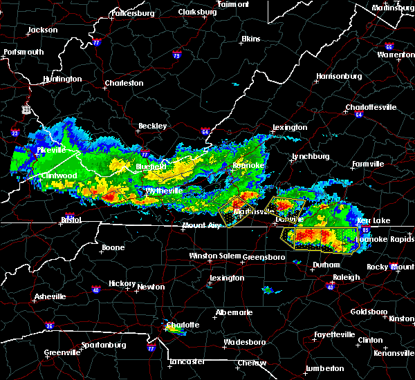
| 10/31/2019 2:45 PM EDT |
 At 242 pm edt, severe thunderstorms were located along a line extending from camden on gauley to near marion, moving northeast at 70 mph (radar indicated). Hazards include 60 mph wind gusts. expect damage to roofs, siding, and trees At 242 pm edt, severe thunderstorms were located along a line extending from camden on gauley to near marion, moving northeast at 70 mph (radar indicated). Hazards include 60 mph wind gusts. expect damage to roofs, siding, and trees
|
| 10/31/2019 2:45 PM EDT |
 The national weather service in blacksburg has issued a * severe thunderstorm warning for. giles county in southwestern virginia. smyth county in southwestern virginia. tazewell county in southwestern virginia. Bland county in southwestern virginia. The national weather service in blacksburg has issued a * severe thunderstorm warning for. giles county in southwestern virginia. smyth county in southwestern virginia. tazewell county in southwestern virginia. Bland county in southwestern virginia.
|
| 10/31/2019 2:06 PM EDT |
 At 205 pm edt, severe thunderstorms were located along a line extending from 7 miles southwest of summersville to near quarry, moving east at 60 mph (radar indicated). Hazards include 60 mph wind gusts. Expect damage to roofs, siding, and trees. locations impacted include, bluefield, wytheville, bland, princeton, marion, richlands, and tazewell. this includes the following location mercer county airport. A tornado watch remains in effect until 700 pm edt for northwestern north carolina, southwestern virginia, and southeastern west virginia. At 205 pm edt, severe thunderstorms were located along a line extending from 7 miles southwest of summersville to near quarry, moving east at 60 mph (radar indicated). Hazards include 60 mph wind gusts. Expect damage to roofs, siding, and trees. locations impacted include, bluefield, wytheville, bland, princeton, marion, richlands, and tazewell. this includes the following location mercer county airport. A tornado watch remains in effect until 700 pm edt for northwestern north carolina, southwestern virginia, and southeastern west virginia.
|
| 10/31/2019 1:32 PM EDT |
 At 130 pm edt, severe thunderstorms were located along a line extending from near oceana to near bristol va, moving northeast at 55 mph (radar indicated). Hazards include 60 mph wind gusts. expect damage to roofs, siding, and trees At 130 pm edt, severe thunderstorms were located along a line extending from near oceana to near bristol va, moving northeast at 55 mph (radar indicated). Hazards include 60 mph wind gusts. expect damage to roofs, siding, and trees
|
| 8/13/2019 1:01 PM EDT |
 At 101 pm edt, a severe thunderstorm was located over marion wytheville, moving southeast at 25 mph (radar indicated). Hazards include 60 mph wind gusts and quarter size hail. Hail damage to vehicles is expected. Expect wind damage to roofs, siding, and trees. At 101 pm edt, a severe thunderstorm was located over marion wytheville, moving southeast at 25 mph (radar indicated). Hazards include 60 mph wind gusts and quarter size hail. Hail damage to vehicles is expected. Expect wind damage to roofs, siding, and trees.
|
| 7/31/2019 1:44 PM EDT |
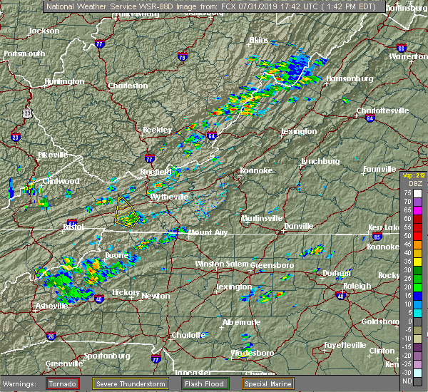 At 143 pm edt, a severe thunderstorm was located over sugar grove, moving north at 5 mph (radar indicated). Hazards include 60 mph wind gusts. Expect damage to roofs, siding, and trees. Locations impacted include, sugar grove, mount rogers national recreation area, nebo, and atkins. At 143 pm edt, a severe thunderstorm was located over sugar grove, moving north at 5 mph (radar indicated). Hazards include 60 mph wind gusts. Expect damage to roofs, siding, and trees. Locations impacted include, sugar grove, mount rogers national recreation area, nebo, and atkins.
|
| 7/31/2019 1:25 PM EDT |
 At 124 pm edt, a severe thunderstorm was located over troutdale, moving north at 5 mph (radar indicated). Hazards include 60 mph wind gusts and quarter size hail. Hail damage to vehicles is expected. Expect wind damage to roofs, siding, and trees. At 124 pm edt, a severe thunderstorm was located over troutdale, moving north at 5 mph (radar indicated). Hazards include 60 mph wind gusts and quarter size hail. Hail damage to vehicles is expected. Expect wind damage to roofs, siding, and trees.
|
| 6/24/2019 6:30 PM EDT |
 At 629 pm edt, severe thunderstorms were located along a line extending from marion-wytheville to near troutdale to shatley springs, moving northeast at 35 mph (radar indicated). Hazards include 60 mph wind gusts and quarter size hail. Hail damage to vehicles is expected. expect wind damage to roofs, siding, and trees. Locations impacted include, marion, jefferson, west jefferson, lansing, and mouth of wilson. At 629 pm edt, severe thunderstorms were located along a line extending from marion-wytheville to near troutdale to shatley springs, moving northeast at 35 mph (radar indicated). Hazards include 60 mph wind gusts and quarter size hail. Hail damage to vehicles is expected. expect wind damage to roofs, siding, and trees. Locations impacted include, marion, jefferson, west jefferson, lansing, and mouth of wilson.
|
| 6/24/2019 6:09 PM EDT |
 At 608 pm edt, severe thunderstorms were located along a line extending from marion to whitetop to near trout, moving northeast at 35 mph (radar indicated). Hazards include 60 mph wind gusts and quarter size hail. Hail damage to vehicles is expected. Expect wind damage to roofs, siding, and trees. At 608 pm edt, severe thunderstorms were located along a line extending from marion to whitetop to near trout, moving northeast at 35 mph (radar indicated). Hazards include 60 mph wind gusts and quarter size hail. Hail damage to vehicles is expected. Expect wind damage to roofs, siding, and trees.
|
| 6/17/2019 7:05 PM EDT |
 The severe thunderstorm warning for smyth, southwestern wythe and western grayson counties will expire at 715 pm edt, the storm which prompted the warning has weakened below severe limits, and no longer poses an immediate threat to life or property. therefore, the warning will be allowed to expire. however heavy rain is still possible with this thunderstorm. when it is safe to do so, please send your reports of hail of any size, as well as reports of any wind damage, including downed trees or large limbs, to the national weather service by calling toll free at 1, 8 6 6, 2 1 5, 4 3 2 4. reports and pictures can also be shared on the national weather service blacksburg facebook page and on twitter. The severe thunderstorm warning for smyth, southwestern wythe and western grayson counties will expire at 715 pm edt, the storm which prompted the warning has weakened below severe limits, and no longer poses an immediate threat to life or property. therefore, the warning will be allowed to expire. however heavy rain is still possible with this thunderstorm. when it is safe to do so, please send your reports of hail of any size, as well as reports of any wind damage, including downed trees or large limbs, to the national weather service by calling toll free at 1, 8 6 6, 2 1 5, 4 3 2 4. reports and pictures can also be shared on the national weather service blacksburg facebook page and on twitter.
|
| 6/17/2019 6:29 PM EDT |
 At 628 pm edt, a severe thunderstorm was located over thomas bridge, moving east at 20 mph (radar indicated). Hazards include 60 mph wind gusts and quarter size hail. Hail damage to vehicles is expected. expect wind damage to roofs, siding, and trees. Locations impacted include, marion, chilhowie, rural retreat, whitetop, and mount rogers national recreation area. At 628 pm edt, a severe thunderstorm was located over thomas bridge, moving east at 20 mph (radar indicated). Hazards include 60 mph wind gusts and quarter size hail. Hail damage to vehicles is expected. expect wind damage to roofs, siding, and trees. Locations impacted include, marion, chilhowie, rural retreat, whitetop, and mount rogers national recreation area.
|
| 6/17/2019 6:16 PM EDT |
 At 616 pm edt, a severe thunderstorm was located near thomas bridge, moving east at 25 mph (radar indicated). Hazards include 60 mph wind gusts and quarter size hail. Hail damage to vehicles is expected. Expect wind damage to roofs, siding, and trees. At 616 pm edt, a severe thunderstorm was located near thomas bridge, moving east at 25 mph (radar indicated). Hazards include 60 mph wind gusts and quarter size hail. Hail damage to vehicles is expected. Expect wind damage to roofs, siding, and trees.
|
| 5/29/2019 5:41 PM EDT |
 At 541 pm edt, severe thunderstorms were located along a line extending from near ivanhoe to near ceres to near thomas bridge, moving east at 40 mph (radar indicated). Hazards include 60 mph wind gusts and quarter size hail. Hail damage to vehicles is expected. expect wind damage to roofs, siding, and trees. Locations impacted include, pulaski, wytheville, bland, marion, and dublin. At 541 pm edt, severe thunderstorms were located along a line extending from near ivanhoe to near ceres to near thomas bridge, moving east at 40 mph (radar indicated). Hazards include 60 mph wind gusts and quarter size hail. Hail damage to vehicles is expected. expect wind damage to roofs, siding, and trees. Locations impacted include, pulaski, wytheville, bland, marion, and dublin.
|
| 5/29/2019 4:57 PM EDT |
 The severe thunderstorm warning for western giles, smyth, tazewell, bland, western wythe, summers, mercer and western monroe counties will expire at 500 pm edt, the storms which prompted the warning have moved out of the area, but additional storms are expected so a new warning has been issued for a portion of the area. a severe thunderstorm watch remains in effect until 800 pm edt for southwestern and west central virginia, and southeastern west virginia. when it is safe to do so, please send your reports of hail of any size, as well as reports of any wind damage, including downed trees or large limbs, to the national weather service by calling toll free at 1, 8 6 6, 2 1 5, 4 3 2 4. reports and pictures can also be shared on the national weather service blacksburg facebook page and on twitter. The severe thunderstorm warning for western giles, smyth, tazewell, bland, western wythe, summers, mercer and western monroe counties will expire at 500 pm edt, the storms which prompted the warning have moved out of the area, but additional storms are expected so a new warning has been issued for a portion of the area. a severe thunderstorm watch remains in effect until 800 pm edt for southwestern and west central virginia, and southeastern west virginia. when it is safe to do so, please send your reports of hail of any size, as well as reports of any wind damage, including downed trees or large limbs, to the national weather service by calling toll free at 1, 8 6 6, 2 1 5, 4 3 2 4. reports and pictures can also be shared on the national weather service blacksburg facebook page and on twitter.
|
| 5/29/2019 4:57 PM EDT |
 The severe thunderstorm warning for western giles. smyth. tazewell. bland. western wythe. summers. mercer and western monroe counties will expire at 500 pm edt. The storms which prompted the warning have moved out of the area, but additional storms are expected so a new warning has been issued for a portion of the area. The severe thunderstorm warning for western giles. smyth. tazewell. bland. western wythe. summers. mercer and western monroe counties will expire at 500 pm edt. The storms which prompted the warning have moved out of the area, but additional storms are expected so a new warning has been issued for a portion of the area.
|
| 5/29/2019 4:55 PM EDT |
 At 454 pm edt, severe thunderstorms were located along a line extending from chapel to near thomas bridge, moving east at 30 mph. additional storms will be moring into the region from the west (radar indicated). Hazards include 60 mph wind gusts and quarter size hail. Hail damage to vehicles is expected. Expect wind damage to roofs, siding, and trees. At 454 pm edt, severe thunderstorms were located along a line extending from chapel to near thomas bridge, moving east at 30 mph. additional storms will be moring into the region from the west (radar indicated). Hazards include 60 mph wind gusts and quarter size hail. Hail damage to vehicles is expected. Expect wind damage to roofs, siding, and trees.
|
| 5/29/2019 4:02 PM EDT |
 At 401 pm edt, severe thunderstorms were located along a line extending from near bradley to near coal city to near welch to near lebanon, moving east at 45 mph (radar indicated). Hazards include 70 mph wind gusts and quarter size hail. Hail damage to vehicles is expected. expect considerable tree damage. wind damage is also likely to mobile homes, roofs, and outbuildings. locations impacted include, bluefield, wytheville, bland, princeton, and marion. This includes the following location mercer county airport. At 401 pm edt, severe thunderstorms were located along a line extending from near bradley to near coal city to near welch to near lebanon, moving east at 45 mph (radar indicated). Hazards include 70 mph wind gusts and quarter size hail. Hail damage to vehicles is expected. expect considerable tree damage. wind damage is also likely to mobile homes, roofs, and outbuildings. locations impacted include, bluefield, wytheville, bland, princeton, and marion. This includes the following location mercer county airport.
|
| 5/29/2019 3:25 PM EDT |
 At 324 pm edt, severe thunderstorms were located along a line extending from wharton to 6 miles southeast of argo to 8 miles south of trammel, moving east at 40 mph (radar indicated). Hazards include 60 mph wind gusts and quarter size hail. Hail damage to vehicles is expected. Expect wind damage to roofs, siding, and trees. At 324 pm edt, severe thunderstorms were located along a line extending from wharton to 6 miles southeast of argo to 8 miles south of trammel, moving east at 40 mph (radar indicated). Hazards include 60 mph wind gusts and quarter size hail. Hail damage to vehicles is expected. Expect wind damage to roofs, siding, and trees.
|
| 5/26/2019 9:40 PM EDT |
 At 939 pm edt, severe thunderstorms were located along a line extending from near flat top to near rocky gap to near atkins, moving east at 55 mph (radar indicated). Hazards include 60 mph wind gusts. expect damage to roofs, siding, and trees At 939 pm edt, severe thunderstorms were located along a line extending from near flat top to near rocky gap to near atkins, moving east at 55 mph (radar indicated). Hazards include 60 mph wind gusts. expect damage to roofs, siding, and trees
|
| 4/19/2019 11:51 AM EDT |
 At 1150 am edt, severe thunderstorms were located along a line extending from near nebo to near comers rock to near flatridge, moving north at 55 mph (radar indicated). Hazards include 60 mph wind gusts and quarter size hail. Hail damage to vehicles is expected. expect wind damage to roofs, siding, and trees. locations impacted include, wytheville, marion, rural retreat, independence, and mount rogers national recreation area. A tornado watch remains in effect until 500 pm edt for northwestern north carolina, and southwestern virginia. At 1150 am edt, severe thunderstorms were located along a line extending from near nebo to near comers rock to near flatridge, moving north at 55 mph (radar indicated). Hazards include 60 mph wind gusts and quarter size hail. Hail damage to vehicles is expected. expect wind damage to roofs, siding, and trees. locations impacted include, wytheville, marion, rural retreat, independence, and mount rogers national recreation area. A tornado watch remains in effect until 500 pm edt for northwestern north carolina, and southwestern virginia.
|
| 4/19/2019 11:32 AM EDT |
 At 1131 am edt, a bowing line of severe thunderstorms were located from whitetop to near lansing to west jefferson, moving northeast at 35 mph (radar indicated). Hazards include 60 mph wind gusts and quarter size hail. Hail damage to vehicles is expected. Expect wind damage to roofs, siding, and trees. At 1131 am edt, a bowing line of severe thunderstorms were located from whitetop to near lansing to west jefferson, moving northeast at 35 mph (radar indicated). Hazards include 60 mph wind gusts and quarter size hail. Hail damage to vehicles is expected. Expect wind damage to roofs, siding, and trees.
|
| 11/6/2018 7:27 AM EST |
 The severe thunderstorm warning for northwestern alleghany. watauga and ashe counties in northwestern north carolina. southeastern smyth and western grayson counties in southwestern virginia will expire at 730 am est. The storms which prompted the warning have weakened below severe limits, and no longer pose an immediate threat to life or property. The severe thunderstorm warning for northwestern alleghany. watauga and ashe counties in northwestern north carolina. southeastern smyth and western grayson counties in southwestern virginia will expire at 730 am est. The storms which prompted the warning have weakened below severe limits, and no longer pose an immediate threat to life or property.
|
| 11/6/2018 7:04 AM EST |
 At 701 am est, a line of showers was extending from near chilhowie to near mountain city to 6 miles southeast of hampton, moving northeast at 50 mph. trees were reported blown down in washington county tennessee as the line of showers crossed that region (law enforcement). Hazards include 60 mph wind gusts. expect damage to roofs, siding, and trees At 701 am est, a line of showers was extending from near chilhowie to near mountain city to 6 miles southeast of hampton, moving northeast at 50 mph. trees were reported blown down in washington county tennessee as the line of showers crossed that region (law enforcement). Hazards include 60 mph wind gusts. expect damage to roofs, siding, and trees
|
| 8/8/2018 2:55 PM EDT |
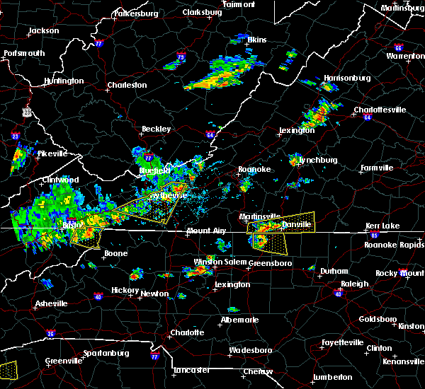 The severe thunderstorm warning for central pulaski, east central smyth, wythe, northwestern carroll and northeastern grayson counties will expire at 300 pm edt, the storms which prompted the warning will weaken below severe limits, and no longer pose an immediate threat to life or property by 3 pm. therefore, the warning will be allowed to expire. however gusty winds are still possible with these thunderstorms. when it is safe to do so, please send your reports of hail of any size, as well as reports of any wind damage, including downed trees or large limbs, to the national weather service by calling toll free at 1, 8 6 6, 2 1 5, 4 3 2 4. reports and pictures can also be shared on the national weather service blacksburg facebook page and on twitter. The severe thunderstorm warning for central pulaski, east central smyth, wythe, northwestern carroll and northeastern grayson counties will expire at 300 pm edt, the storms which prompted the warning will weaken below severe limits, and no longer pose an immediate threat to life or property by 3 pm. therefore, the warning will be allowed to expire. however gusty winds are still possible with these thunderstorms. when it is safe to do so, please send your reports of hail of any size, as well as reports of any wind damage, including downed trees or large limbs, to the national weather service by calling toll free at 1, 8 6 6, 2 1 5, 4 3 2 4. reports and pictures can also be shared on the national weather service blacksburg facebook page and on twitter.
|
| 8/8/2018 2:38 PM EDT |
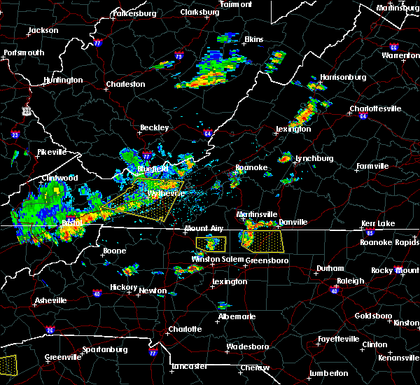 At 237 pm edt, severe thunderstorms were located along a line extending from near pulaski to wytheville to sugar grove moving east at 30 mph (radar indicated). Hazards include 60 mph wind gusts. Expect damage to roofs, siding, and trees. Locations impacted include, pulaski, wytheville, galax, marion, and dublin. At 237 pm edt, severe thunderstorms were located along a line extending from near pulaski to wytheville to sugar grove moving east at 30 mph (radar indicated). Hazards include 60 mph wind gusts. Expect damage to roofs, siding, and trees. Locations impacted include, pulaski, wytheville, galax, marion, and dublin.
|
| 8/8/2018 2:11 PM EDT |
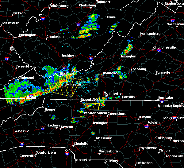 At 210 pm edt, severe thunderstorms were located along a line extending from near bland to near rural retreat to near mount rogers national recreation area, moving southeast at 30 mph (radar indicated). Hazards include 60 mph wind gusts and quarter size hail. Hail damage to vehicles is expected. expect wind damage to roofs, siding, and trees. Locations impacted include, pulaski, wytheville, galax, bland, and marion. At 210 pm edt, severe thunderstorms were located along a line extending from near bland to near rural retreat to near mount rogers national recreation area, moving southeast at 30 mph (radar indicated). Hazards include 60 mph wind gusts and quarter size hail. Hail damage to vehicles is expected. expect wind damage to roofs, siding, and trees. Locations impacted include, pulaski, wytheville, galax, bland, and marion.
|
| 8/8/2018 1:53 PM EDT |
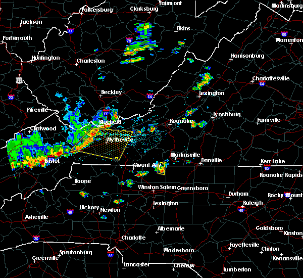 At 153 pm edt, a severe thunderstorm was located over nebo, moving east at 35 mph (radar indicated). Hazards include 60 mph wind gusts and quarter size hail. Hail damage to vehicles is expected. Expect wind damage to roofs, siding, and trees. At 153 pm edt, a severe thunderstorm was located over nebo, moving east at 35 mph (radar indicated). Hazards include 60 mph wind gusts and quarter size hail. Hail damage to vehicles is expected. Expect wind damage to roofs, siding, and trees.
|
| 4/4/2018 2:17 AM EDT |
 At 216 am edt, severe thunderstorms were located along a line extending from near red jacket to woodman to near davenport to 12 miles southeast of norton, moving east at 60 mph (radar indicated). Hazards include 60 mph wind gusts. expect damage to roofs, siding, and trees At 216 am edt, severe thunderstorms were located along a line extending from near red jacket to woodman to near davenport to 12 miles southeast of norton, moving east at 60 mph (radar indicated). Hazards include 60 mph wind gusts. expect damage to roofs, siding, and trees
|
| 11/18/2017 10:38 PM EST |
 At 1037 pm est, severe thunderstorms were located along a line extending from near quarry to 7 miles southeast of abingdon, moving east at 115 mph (radar indicated. wind gusts to 60 mph were reported in the bristol area during the past 30 minutes with this line of storms). Hazards include 60 mph wind gusts. expect damage to roofs, siding, and trees At 1037 pm est, severe thunderstorms were located along a line extending from near quarry to 7 miles southeast of abingdon, moving east at 115 mph (radar indicated. wind gusts to 60 mph were reported in the bristol area during the past 30 minutes with this line of storms). Hazards include 60 mph wind gusts. expect damage to roofs, siding, and trees
|
| 7/23/2017 9:41 PM EDT |
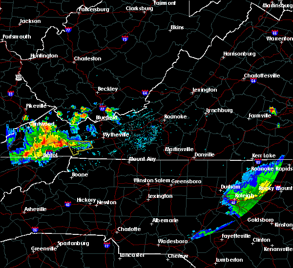 At 922 pm edt, a severe thunderstorm was located near adwolf, moving southeast at 10 mph (radar indicated). Hazards include 60 mph wind gusts. Expect damage to roofs, siding, and trees. Locations impacted include, marion, chilhowie, sugar grove, mount rogers national recreation area, and adwolf. At 922 pm edt, a severe thunderstorm was located near adwolf, moving southeast at 10 mph (radar indicated). Hazards include 60 mph wind gusts. Expect damage to roofs, siding, and trees. Locations impacted include, marion, chilhowie, sugar grove, mount rogers national recreation area, and adwolf.
|
| 7/23/2017 9:25 PM EDT |
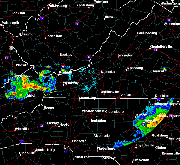 At 922 pm edt, a severe thunderstorm was located near adwolf, moving southeast at 10 mph (radar indicated). Hazards include 60 mph wind gusts. Expect damage to roofs, siding, and trees. Locations impacted include, marion, chilhowie, sugar grove, mount rogers national recreation area, and adwolf. At 922 pm edt, a severe thunderstorm was located near adwolf, moving southeast at 10 mph (radar indicated). Hazards include 60 mph wind gusts. Expect damage to roofs, siding, and trees. Locations impacted include, marion, chilhowie, sugar grove, mount rogers national recreation area, and adwolf.
|
| 7/23/2017 9:09 PM EDT |
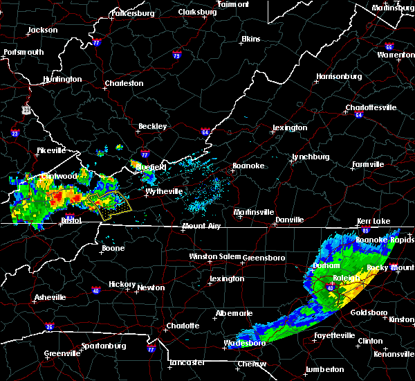 At 907 pm edt, a severe thunderstorm was located 5 miles north of chilhowie, moving southeast at 20 mph (radar indicated). Hazards include 60 mph wind gusts and quarter size hail. Hail damage to vehicles is expected. expect wind damage to roofs, siding, and trees. Locations impacted include, marion, chilhowie, sugar grove, mount rogers national recreation area, and nebo. At 907 pm edt, a severe thunderstorm was located 5 miles north of chilhowie, moving southeast at 20 mph (radar indicated). Hazards include 60 mph wind gusts and quarter size hail. Hail damage to vehicles is expected. expect wind damage to roofs, siding, and trees. Locations impacted include, marion, chilhowie, sugar grove, mount rogers national recreation area, and nebo.
|
| 7/23/2017 8:44 PM EDT |
 The national weather service in blacksburg has issued a * severe thunderstorm warning for. smyth county in southwestern virginia. Until 945 pm edt * at 844 pm edt, a severe thunderstorm was located over saltville, moving southeast at 30 mph. The national weather service in blacksburg has issued a * severe thunderstorm warning for. smyth county in southwestern virginia. Until 945 pm edt * at 844 pm edt, a severe thunderstorm was located over saltville, moving southeast at 30 mph.
|
| 5/27/2017 7:25 PM EDT |
 At 724 pm edt, a severe thunderstorm was located near thomas bridge, moving southeast at 20 mph (radar indicated). Hazards include 60 mph wind gusts and quarter size hail. Hail damage to vehicles is expected. expect wind damage to roofs, siding, and trees. Locations impacted include, marion, saltville, chilhowie, mount rogers national recreation area, and sugar grove. At 724 pm edt, a severe thunderstorm was located near thomas bridge, moving southeast at 20 mph (radar indicated). Hazards include 60 mph wind gusts and quarter size hail. Hail damage to vehicles is expected. expect wind damage to roofs, siding, and trees. Locations impacted include, marion, saltville, chilhowie, mount rogers national recreation area, and sugar grove.
|
| 5/27/2017 7:06 PM EDT |
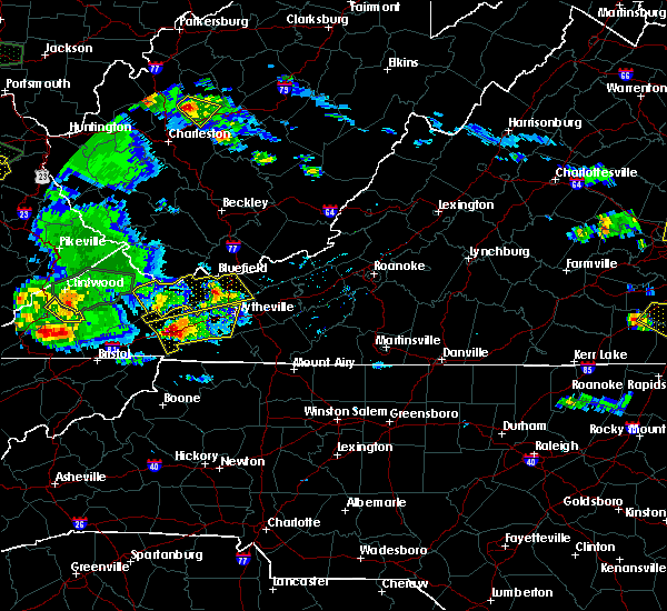 At 705 pm edt, a severe thunderstorm was located over hungry mother state park, moving east at 30 mph (radar indicated). Hazards include 60 mph wind gusts and quarter size hail. Hail damage to vehicles is expected. expect wind damage to roofs, siding, and trees. Locations impacted include, wytheville, marion, saltville, chilhowie, and rural retreat. At 705 pm edt, a severe thunderstorm was located over hungry mother state park, moving east at 30 mph (radar indicated). Hazards include 60 mph wind gusts and quarter size hail. Hail damage to vehicles is expected. expect wind damage to roofs, siding, and trees. Locations impacted include, wytheville, marion, saltville, chilhowie, and rural retreat.
|
| 5/27/2017 6:44 PM EDT |
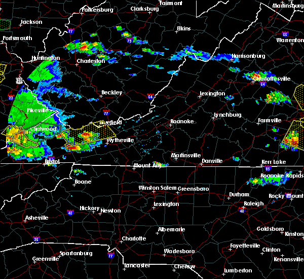 At 644 pm edt, a severe thunderstorm was located over saltville, moving east at 30 mph (radar indicated). Hazards include 60 mph wind gusts and quarter size hail. Hail damage to vehicles is expected. Expect wind damage to roofs, siding, and trees. At 644 pm edt, a severe thunderstorm was located over saltville, moving east at 30 mph (radar indicated). Hazards include 60 mph wind gusts and quarter size hail. Hail damage to vehicles is expected. Expect wind damage to roofs, siding, and trees.
|
| 5/24/2017 2:45 PM EDT |
 At 244 pm edt, a severe thunderstorm was located over broadford, moving northeast at 35 mph (radar indicated). Hazards include 60 mph wind gusts. Expect damage to roofs, siding, and trees. Locations impacted include, marion, richlands, tazewell, saltville, and chilhowie. At 244 pm edt, a severe thunderstorm was located over broadford, moving northeast at 35 mph (radar indicated). Hazards include 60 mph wind gusts. Expect damage to roofs, siding, and trees. Locations impacted include, marion, richlands, tazewell, saltville, and chilhowie.
|
| 5/24/2017 2:32 PM EDT |
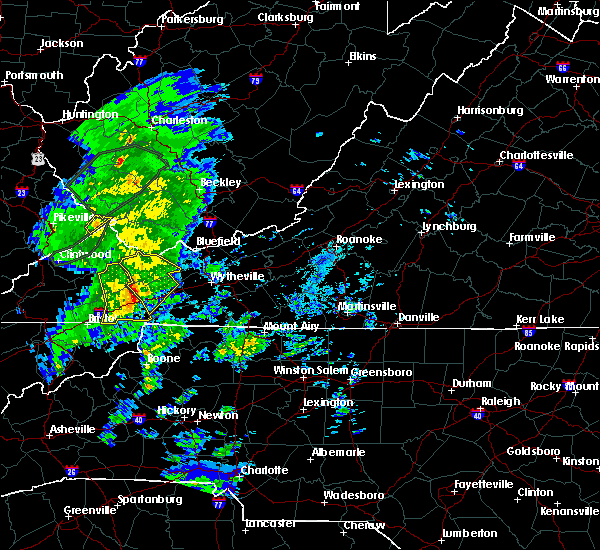 At 231 pm edt, a severe thunderstorm was located over allison gap, moving northeast at 40 mph (radar indicated). Hazards include 60 mph wind gusts. Expect damage to roofs, siding, and trees. Locations impacted include, marion, richlands, tazewell, saltville, and chilhowie. At 231 pm edt, a severe thunderstorm was located over allison gap, moving northeast at 40 mph (radar indicated). Hazards include 60 mph wind gusts. Expect damage to roofs, siding, and trees. Locations impacted include, marion, richlands, tazewell, saltville, and chilhowie.
|
| 5/24/2017 2:14 PM EDT |
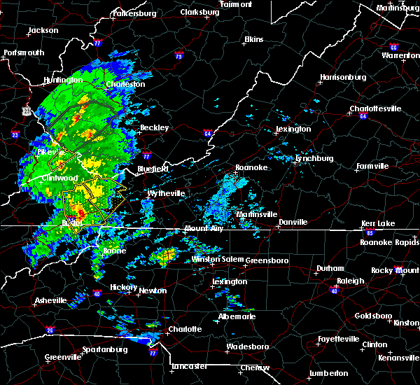 At 214 pm edt, a severe thunderstorm was located near abingdon, moving northeast at 45 mph (radar indicated). Hazards include 60 mph wind gusts. expect damage to roofs, siding, and trees At 214 pm edt, a severe thunderstorm was located near abingdon, moving northeast at 45 mph (radar indicated). Hazards include 60 mph wind gusts. expect damage to roofs, siding, and trees
|
| 5/9/2017 9:08 PM EDT |
 At 908 pm edt, severe thunderstorms were located along a line extending from near wytheville to favonia to near nebo, moving southeast at 40 mph (radar indicated). Hazards include 60 mph wind gusts and quarter size hail. Minor damage to vehicles is possible. Expect wind damage to trees and power lines. At 908 pm edt, severe thunderstorms were located along a line extending from near wytheville to favonia to near nebo, moving southeast at 40 mph (radar indicated). Hazards include 60 mph wind gusts and quarter size hail. Minor damage to vehicles is possible. Expect wind damage to trees and power lines.
|
| 4/29/2017 5:30 PM EDT |
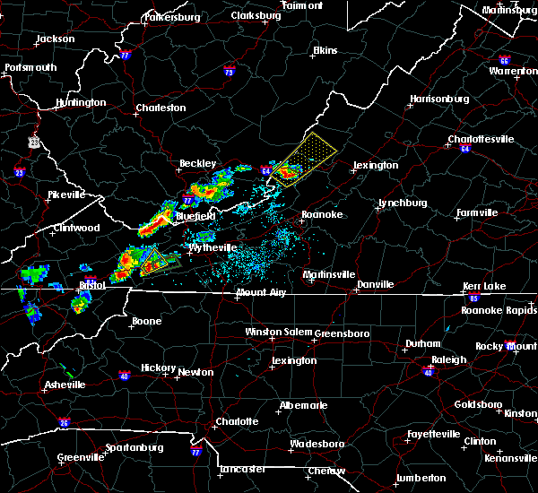 At 530 pm edt, a severe thunderstorm was located over marion, moving northeast at 20 mph (radar indicated). Hazards include 60 mph wind gusts and quarter size hail. Hail damage to vehicles is expected. expect wind damage to roofs, siding, and trees. Locations impacted include, marion, mount rogers national recreation area, nebo, atkins, and marion wytheville. At 530 pm edt, a severe thunderstorm was located over marion, moving northeast at 20 mph (radar indicated). Hazards include 60 mph wind gusts and quarter size hail. Hail damage to vehicles is expected. expect wind damage to roofs, siding, and trees. Locations impacted include, marion, mount rogers national recreation area, nebo, atkins, and marion wytheville.
|
| 4/29/2017 5:16 PM EDT |
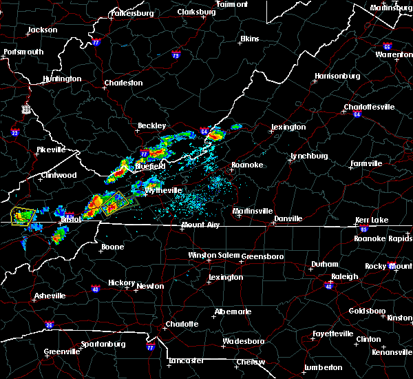 At 516 pm edt, a severe thunderstorm was located over thomas bridge, moving northeast at 10 mph (radar indicated). Hazards include 60 mph wind gusts and quarter size hail. Hail damage to vehicles is expected. Expect wind damage to roofs, siding, and trees. At 516 pm edt, a severe thunderstorm was located over thomas bridge, moving northeast at 10 mph (radar indicated). Hazards include 60 mph wind gusts and quarter size hail. Hail damage to vehicles is expected. Expect wind damage to roofs, siding, and trees.
|
| 4/29/2017 4:10 PM EDT |
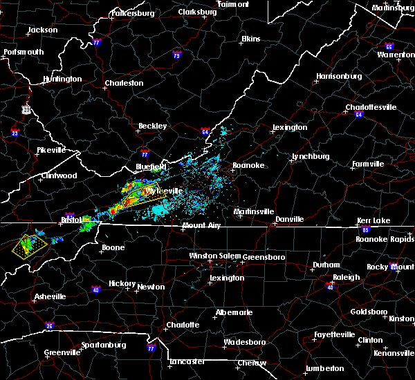 At 410 pm edt, a severe thunderstorm was located near marion wytheville, moving northeast at 10 mph (radar indicated). Hazards include 60 mph wind gusts and quarter size hail. Hail damage to vehicles is expected. Expect wind damage to roofs, siding, and trees. At 410 pm edt, a severe thunderstorm was located near marion wytheville, moving northeast at 10 mph (radar indicated). Hazards include 60 mph wind gusts and quarter size hail. Hail damage to vehicles is expected. Expect wind damage to roofs, siding, and trees.
|
| 3/1/2017 12:21 PM EST |
 The severe thunderstorm warning for pulaski, central smyth and wythe counties and the city of radford will expire at 1230 pm est, the storms which prompted the warning have weakened below severe limits, and have exited the warned area. therefore the warning will be allowed to expire. however heavy rain will continue as additional storms impact these areas moving in from the southwest. a severe thunderstorm watch remains in effect until 500 pm est for northwestern north carolina, southwestern and west central virginia, and southeastern west virginia. when it is safe to do so, please send your reports of hail of any size, as well as reports of any wind damage, including downed trees or large limbs, to the national weather service by calling toll free at 1, 8 6 6, 2 1 5, 4 3 2 4. reports and pictures can also be shared on the national weather service blacksburg facebook page and on twitter. The severe thunderstorm warning for pulaski, central smyth and wythe counties and the city of radford will expire at 1230 pm est, the storms which prompted the warning have weakened below severe limits, and have exited the warned area. therefore the warning will be allowed to expire. however heavy rain will continue as additional storms impact these areas moving in from the southwest. a severe thunderstorm watch remains in effect until 500 pm est for northwestern north carolina, southwestern and west central virginia, and southeastern west virginia. when it is safe to do so, please send your reports of hail of any size, as well as reports of any wind damage, including downed trees or large limbs, to the national weather service by calling toll free at 1, 8 6 6, 2 1 5, 4 3 2 4. reports and pictures can also be shared on the national weather service blacksburg facebook page and on twitter.
|
| 3/1/2017 12:04 PM EST |
 At 1204 pm est, severe thunderstorms were located along a line extending from near pulaski to near crockett to near thomas bridge, moving east at 70 mph (radar indicated). Hazards include 60 mph wind gusts. Expect damage to roofs, siding, and trees. Locations impacted include, radford, pulaski, wytheville, marion, and chilhowie. At 1204 pm est, severe thunderstorms were located along a line extending from near pulaski to near crockett to near thomas bridge, moving east at 70 mph (radar indicated). Hazards include 60 mph wind gusts. Expect damage to roofs, siding, and trees. Locations impacted include, radford, pulaski, wytheville, marion, and chilhowie.
|
| 3/1/2017 11:46 AM EST |
 At 1145 am est, severe thunderstorms were located along a line extending from near bland to nebo to quarry, moving southeast at 15 mph (radar indicated). Hazards include 60 mph wind gusts. Expect damage to roofs, siding, and trees. Locations impacted include, radford, pulaski, wytheville, marion, and chilhowie. At 1145 am est, severe thunderstorms were located along a line extending from near bland to nebo to quarry, moving southeast at 15 mph (radar indicated). Hazards include 60 mph wind gusts. Expect damage to roofs, siding, and trees. Locations impacted include, radford, pulaski, wytheville, marion, and chilhowie.
|
| 3/1/2017 11:30 AM EST |
 At 1130 am est, severe thunderstorms were located along a line extending from bland to nebo to near saltville, moving southeast at 15 mph (radar indicated). Hazards include 60 mph wind gusts. expect damage to roofs, siding, and trees At 1130 am est, severe thunderstorms were located along a line extending from bland to nebo to near saltville, moving southeast at 15 mph (radar indicated). Hazards include 60 mph wind gusts. expect damage to roofs, siding, and trees
|
| 8/16/2016 8:01 PM EDT |
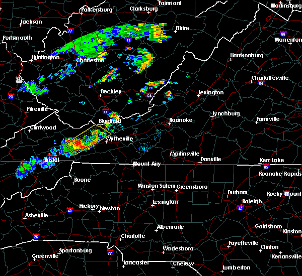 At 801 pm edt, severe thunderstorms were located along a line extending from near broadford to near asberrys to near atkins, moving northeast at 25 mph (radar indicated. at 738 pm quarter sized hail was reported saltville). Hazards include 60 mph wind gusts. Expect damage to roofs. siding. and trees. Locations impacted include, bland, marion, bluefield, tazewell, and ceres. At 801 pm edt, severe thunderstorms were located along a line extending from near broadford to near asberrys to near atkins, moving northeast at 25 mph (radar indicated. at 738 pm quarter sized hail was reported saltville). Hazards include 60 mph wind gusts. Expect damage to roofs. siding. and trees. Locations impacted include, bland, marion, bluefield, tazewell, and ceres.
|
| 8/16/2016 7:37 PM EDT |
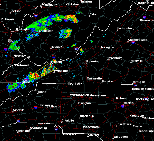 At 737 pm edt, a severe thunderstorm was located over broadford, moving northeast at 30 mph (radar indicated). Hazards include 60 mph wind gusts and half dollar size hail. Hail damage to vehicles is expected. Expect wind damage to roofs, siding, and trees. At 737 pm edt, a severe thunderstorm was located over broadford, moving northeast at 30 mph (radar indicated). Hazards include 60 mph wind gusts and half dollar size hail. Hail damage to vehicles is expected. Expect wind damage to roofs, siding, and trees.
|
| 6/23/2016 9:17 PM EDT |
 At 916 pm edt, severe thunderstorms were located along a line extending from near kimberling to sugar grove, moving east at 50 mph (radar indicated). Hazards include 60 mph wind gusts. Expect damage to roofs. siding. and trees. Locations impacted include, wytheville, bland, marion, chilhowie, and rural retreat. At 916 pm edt, severe thunderstorms were located along a line extending from near kimberling to sugar grove, moving east at 50 mph (radar indicated). Hazards include 60 mph wind gusts. Expect damage to roofs. siding. and trees. Locations impacted include, wytheville, bland, marion, chilhowie, and rural retreat.
|
| 6/23/2016 8:51 PM EDT |
 At 850 pm edt, severe thunderstorms were located along a line extending from near boissevain to quarry, moving east at 50 mph (radar indicated). Hazards include 60 mph wind gusts. Expect damage to roofs. siding. And trees. At 850 pm edt, severe thunderstorms were located along a line extending from near boissevain to quarry, moving east at 50 mph (radar indicated). Hazards include 60 mph wind gusts. Expect damage to roofs. siding. And trees.
|
| 6/21/2016 6:57 PM EDT | The severe thunderstorm warning for northwestern grayson, tazewell, smyth, southwestern wythe and southwestern bland counties will expire at 700 pm edt, the storm which prompted the warning has weakened below severe limits, and no longer poses an immediate threat to life or property. therefore the warning will be allowed to expire. however gusty winds and heavy rain are still possible with this thunderstorm. a severe thunderstorm watch remains in effect until 1000 pm edt for virginia and west virginia. when it is safe to do so, please send your reports of hail of any size, as well as any reports of wind damage, including downed trees or large limbs, to the national weather service by calling toll free at 1, 8 6 6, 2 1 5, 4 3 2 4. reports and pictures can also be shared on the national weather service blacksburg facebook page and on twitter. |
| 6/21/2016 6:22 PM EDT |
 At 621 pm edt, a severe thunderstorm was located over cliffield, moving southeast at 35 mph (radar indicated). Hazards include 60 mph wind gusts and quarter size hail. Hail damage to vehicles is expected. expect wind damage to roofs, siding, and trees. Locations impacted include, marion, richlands, tazewell, saltville, and chilhowie. At 621 pm edt, a severe thunderstorm was located over cliffield, moving southeast at 35 mph (radar indicated). Hazards include 60 mph wind gusts and quarter size hail. Hail damage to vehicles is expected. expect wind damage to roofs, siding, and trees. Locations impacted include, marion, richlands, tazewell, saltville, and chilhowie.
|
| 6/21/2016 6:06 PM EDT |
 At 605 pm edt, a severe thunderstorm was located over glen burke, moving southeast at 40 mph (radar indicated). Hazards include 60 mph wind gusts and quarter size hail. Hail damage to vehicles is expected. Expect wind damage to roofs, siding, and trees. At 605 pm edt, a severe thunderstorm was located over glen burke, moving southeast at 40 mph (radar indicated). Hazards include 60 mph wind gusts and quarter size hail. Hail damage to vehicles is expected. Expect wind damage to roofs, siding, and trees.
|
| 6/16/2016 10:28 PM EDT | The severe thunderstorm warning for central grayson, smyth, wythe and northwestern carroll counties will expire at 1030 pm edt, the storms which prompted the warning have weakened below severe limits, and no longer pose an immediate threat to life or property. therefore the warning will be allowed to expire. however gusty winds to 45 mph along with small hail and heavy rainfall will continue. when it is safe to do so, please send your reports of hail of any size, as well as any reports of wind damage, including downed trees or large limbs, to the national weather service by calling toll free at 1, 8 6 6, 2 1 5, 4 3 2 4. reports and pictures can also be shared on the national weather service blacksburg facebook page and on twitter. |
| 6/16/2016 10:06 PM EDT |
 At 1006 pm edt, severe thunderstorms were located along a line extending from near coleman store to near mount rogers national recreation area to near broadford, moving southeast at 40 mph (radar indicated). Hazards include 60 mph wind gusts. Expect damage to roofs. siding. and trees. Locations impacted include, wytheville, marion, saltville, chilhowie, and rural retreat. At 1006 pm edt, severe thunderstorms were located along a line extending from near coleman store to near mount rogers national recreation area to near broadford, moving southeast at 40 mph (radar indicated). Hazards include 60 mph wind gusts. Expect damage to roofs. siding. and trees. Locations impacted include, wytheville, marion, saltville, chilhowie, and rural retreat.
|
| 6/16/2016 9:39 PM EDT |
 At 937 pm edt, severe thunderstorms were located along a line extending from near favonia to asberrys to raven, moving southeast at 40 mph. these storms will drop through the region with damaging winds in the next hour (radar indicated). Hazards include 60 mph wind gusts. Expect damage to roofs. siding. And trees. At 937 pm edt, severe thunderstorms were located along a line extending from near favonia to asberrys to raven, moving southeast at 40 mph. these storms will drop through the region with damaging winds in the next hour (radar indicated). Hazards include 60 mph wind gusts. Expect damage to roofs. siding. And trees.
|
| 7/14/2015 9:04 PM EDT |
 At 902 pm edt, a line of severe thunderstorms was located across parts of smyth, wythe and bland counties, moving southeast at 45 mph (radar indicated). Hazards include 60 mph wind gusts. Expect damage to roofs. siding and trees. Locations impacted include, wytheville, galax, bland, marion, and hillsville. At 902 pm edt, a line of severe thunderstorms was located across parts of smyth, wythe and bland counties, moving southeast at 45 mph (radar indicated). Hazards include 60 mph wind gusts. Expect damage to roofs. siding and trees. Locations impacted include, wytheville, galax, bland, marion, and hillsville.
|
| 7/14/2015 8:50 PM EDT |
 At 849 pm edt, a line of severe thunderstorms was located over tazewell and bland counties, moving southeast at 45 mph (radar indicated). Hazards include 60 mph wind gusts. Expect damage to roofs. Siding and trees. At 849 pm edt, a line of severe thunderstorms was located over tazewell and bland counties, moving southeast at 45 mph (radar indicated). Hazards include 60 mph wind gusts. Expect damage to roofs. Siding and trees.
|
| 7/14/2015 8:21 PM EDT |
 At 821 pm edt, severe thunderstorms were located along a line extending from princeton to near bandy to trammel, moving south at 45 mph (radar indicated). Hazards include 60 mph wind gusts and quarter size hail. Hail damage to vehicles is expected. expect wind damage to roofs, siding and trees. locations impacted include, bluefield, wytheville, bland, princeton, and marion. This includes mercer county airport. At 821 pm edt, severe thunderstorms were located along a line extending from princeton to near bandy to trammel, moving south at 45 mph (radar indicated). Hazards include 60 mph wind gusts and quarter size hail. Hail damage to vehicles is expected. expect wind damage to roofs, siding and trees. locations impacted include, bluefield, wytheville, bland, princeton, and marion. This includes mercer county airport.
|
| 7/14/2015 8:01 PM EDT |
 At 801 pm edt, severe thunderstorms were located along a line extending from near mullens to near war to john flannagan lake, moving south at 40 mph (radar indicated). Hazards include 60 mph wind gusts and quarter size hail. Hail damage to vehicles is expected. Expect wind damage to roofs, siding and trees. At 801 pm edt, severe thunderstorms were located along a line extending from near mullens to near war to john flannagan lake, moving south at 40 mph (radar indicated). Hazards include 60 mph wind gusts and quarter size hail. Hail damage to vehicles is expected. Expect wind damage to roofs, siding and trees.
|
| 7/13/2015 6:32 PM EDT |
 At 630 pm edt, severe thunderstorms were located along a line extending from suiter to near chilhowie, moving southeast at 60 mph (radar indicated). Hazards include 60 mph wind gusts and quarter size hail. Hail damage to vehicles is expected. Expect wind damage to roofs, siding and trees. At 630 pm edt, severe thunderstorms were located along a line extending from suiter to near chilhowie, moving southeast at 60 mph (radar indicated). Hazards include 60 mph wind gusts and quarter size hail. Hail damage to vehicles is expected. Expect wind damage to roofs, siding and trees.
|
| 7/13/2015 6:04 PM EDT |
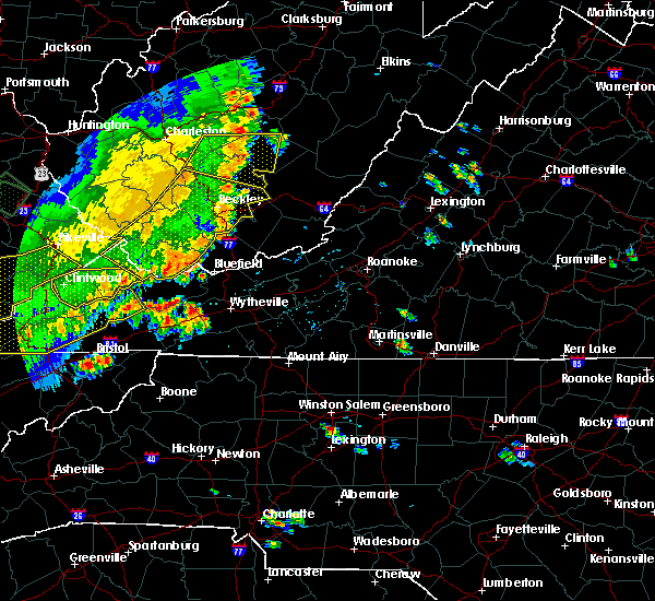 A severe thunderstorm warning remains in effect until 630 pm edt for northeastern smyth and southwestern wythe counties. at 603 pm edt. severe thunderstorms were located between mountain empire airport and saltville. moving east at 10 mph. hazard. 60 mph wind gusts and quarter size hail. source. Radar indicated. A severe thunderstorm warning remains in effect until 630 pm edt for northeastern smyth and southwestern wythe counties. at 603 pm edt. severe thunderstorms were located between mountain empire airport and saltville. moving east at 10 mph. hazard. 60 mph wind gusts and quarter size hail. source. Radar indicated.
|
| 7/13/2015 5:33 PM EDT |
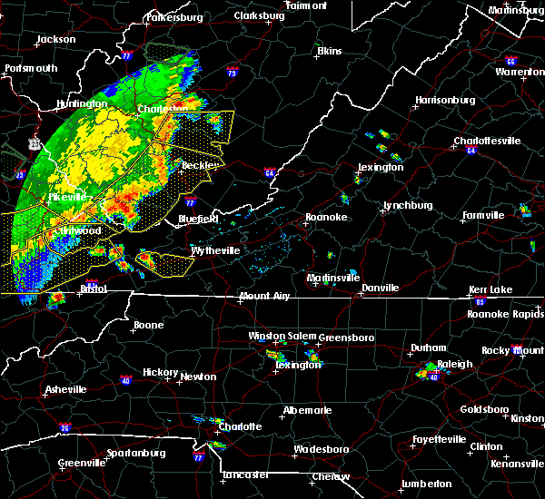 At 532 pm edt, a severe thunderstorm was located near asberrys, moving east at 25 mph (radar indicated). Hazards include 60 mph wind gusts and quarter size hail. Hail damage to vehicles is expected. Expect wind damage to roofs, siding and trees. At 532 pm edt, a severe thunderstorm was located near asberrys, moving east at 25 mph (radar indicated). Hazards include 60 mph wind gusts and quarter size hail. Hail damage to vehicles is expected. Expect wind damage to roofs, siding and trees.
|
| 6/21/2015 6:36 PM EDT |
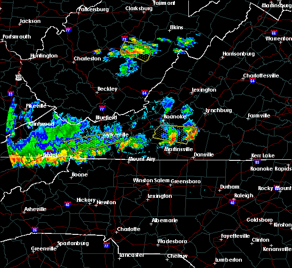 The severe thunderstorm warning for smyth and wythe counties will expire at 645 pm edt, the storm which prompted the warning has weakened below severe limits, and has exited the warned area. therefore the warning will be allowed to expire. a severe thunderstorm watch remains in effect until 800 pm edt for southwestern virginia and southeastern west virginia. when it is safe to do so, please send your reports of hail of any size, as well as any reports of wind damage, including downed trees or large limbs, to the national weather service by calling toll free at 1, 8 6 6, 2 1 5, 4 3 2 4. reports and pictures can also be shared on the national weather service blacksburg facebook page and on twitter. The severe thunderstorm warning for smyth and wythe counties will expire at 645 pm edt, the storm which prompted the warning has weakened below severe limits, and has exited the warned area. therefore the warning will be allowed to expire. a severe thunderstorm watch remains in effect until 800 pm edt for southwestern virginia and southeastern west virginia. when it is safe to do so, please send your reports of hail of any size, as well as any reports of wind damage, including downed trees or large limbs, to the national weather service by calling toll free at 1, 8 6 6, 2 1 5, 4 3 2 4. reports and pictures can also be shared on the national weather service blacksburg facebook page and on twitter.
|
| 6/21/2015 6:11 PM EDT |
 At 610 pm edt, a severe thunderstorm was located over crockett, moving east at 25 mph (radar indicated). Hazards include 60 mph wind gusts and quarter size hail. Hail damage to vehicles is expected. expect wind damage to roofs, siding and trees. Locations impacted include, wytheville, marion, saltville, chilhowie, and rural retreat. At 610 pm edt, a severe thunderstorm was located over crockett, moving east at 25 mph (radar indicated). Hazards include 60 mph wind gusts and quarter size hail. Hail damage to vehicles is expected. expect wind damage to roofs, siding and trees. Locations impacted include, wytheville, marion, saltville, chilhowie, and rural retreat.
|
| 6/21/2015 5:45 PM EDT |
 At 545 pm edt, a severe thunderstorm was located near ceres, moving east at 25 mph (radar indicated). Hazards include 60 mph wind gusts and quarter size hail. Hail damage to vehicles is expected. Expect wind damage to roofs, siding and trees. At 545 pm edt, a severe thunderstorm was located near ceres, moving east at 25 mph (radar indicated). Hazards include 60 mph wind gusts and quarter size hail. Hail damage to vehicles is expected. Expect wind damage to roofs, siding and trees.
|
| 6/8/2015 7:03 PM EDT | 1 tree down along nicks creek rd in smyth county VA, 2.7 miles N of Atkins, VA |
| 6/8/2015 6:49 PM EDT | At 647 pm edt, severe thunderstorms were located along a line extending from tiptop virginia, to 8 miles northwest of whitetop, moving east at 40 mph (radar indicated). Hazards include 60 mph wind gusts. Expect damage to roofs. siding and trees. Locations impacted include, marion, bluefield, tazewell, saltville, chilhowie and mount rogers. |
| 6/8/2015 6:32 PM EDT | At 630 pm edt, severe thunderstorms were located along a line extending from near tazewell, to south of abingdon, moving east at 40 mph (radar indicated). Hazards include 60 mph wind gusts. Expect damage to roofs. siding and trees. Locations impacted include, marion, richlands, bluefield, tazewell, saltville chilhowie and mount rogers. |
| 6/8/2015 6:09 PM EDT | At 606 pm edt, severe thunderstorms were located along a line extending from near richlands to bristol virginia, moving east at 35 mph (radar indicated). Hazards include 60 mph wind gusts. Expect damage to roofs. Siding and trees. |
| 4/26/2015 12:38 AM EDT | At 1237 am edt, a severe thunderstorm was located over broadford, moving east at 30 mph (radar indicated). Hazards include quarter size hail. Damage to vehicles is expected. locations impacted include, marion, saltville, broadford, nebo, and allison gap. 1. 00in. |
| 4/26/2015 12:21 AM EDT | At 1221 am edt, a severe thunderstorm was located near allison gap, moving east at 30 mph (radar indicated). Hazards include quarter size hail. damage to vehicles is expected |
| 6/13/2013 1:49 PM EDT | Tree down in atkins in smyth county VA, 0.5 miles ESE of Atkins, VA |
| 7/1/2012 11:14 AM EDT | Storm damage reported in smyth county VA, 4.1 miles WSW of Atkins, VA |
| 7/1/2012 11:14 AM EDT | Storm damage reported in smyth county VA, 4.1 miles WSW of Atkins, VA |
Hail Maps for Atkins, VA


Connect with Interactive Hail Maps