

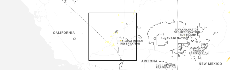
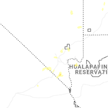
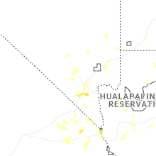
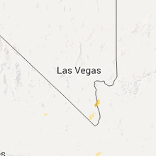
Hail Map for Baker, CA
The Baker, CA area has had 2 reports of on-the-ground hail by trained spotters, and has been under severe weather warnings 0 times during the past 12 months. Doppler radar has detected hail at or near Baker, CA on 8 occasions.
| Name: | Baker, CA |
| Where Located: | 81.1 miles SW of Las Vegas, NV |
| Map: | Google Map for Baker, CA |
| Population: | 735 |
| Housing Units: | 303 |
| More Info: | Search Google for Baker, CA |
0
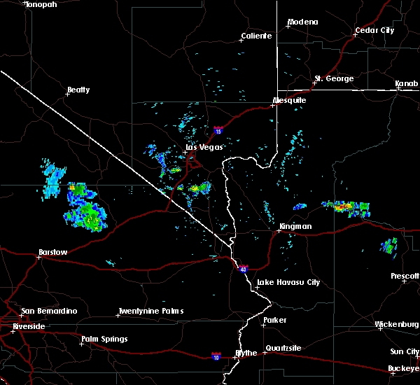
The Top Recent Hail Date for Baker, CA is Thursday, June 5, 2025 (8th out of 8)
Hail and Wind Damage Spotted near Baker, CA
| Date / Time | Report Details |
|---|---|
| 8/31/2023 4:49 PM PDT | Overturned big rig resulting in the closure of 3 lanes. heavy rain and wind were reported with this report. dispatch was unclear if it was a blow over or hydroplane sit in san bernardino county CA, 1.5 miles W of Baker, CA |
| 10/3/2018 9:50 PM PDT | Quarter sized hail reported 14.3 miles SSE of Baker, CA, social media post reported quarter size hail at fort mohave along the colorado river. |
| 8/15/2018 5:11 PM PDT | Chp reports two semis overturned. 1 minor injury. large mileage sign blown dow in san bernardino county CA, 24.1 miles NE of Baker, CA |
| 8/2/2018 3:25 PM PDT |
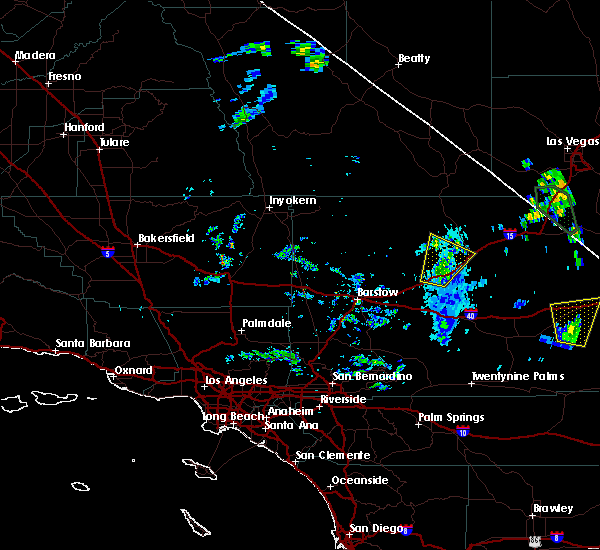 At 323 pm pdt, a severe thunderstorm was located near baker, moving northeast at 35 mph. chp reports semi trucks blown over along interstate 15 southwest of baker from winds associated with this storm (radar indicated). Hazards include 60 mph wind gusts. Expect damage to roofs and trees. locations impacted include, baker and afton canyon campground. This includes interstate 15 in california between mile markers 109 and 140. At 323 pm pdt, a severe thunderstorm was located near baker, moving northeast at 35 mph. chp reports semi trucks blown over along interstate 15 southwest of baker from winds associated with this storm (radar indicated). Hazards include 60 mph wind gusts. Expect damage to roofs and trees. locations impacted include, baker and afton canyon campground. This includes interstate 15 in california between mile markers 109 and 140.
|
| 8/2/2018 2:58 PM PDT |
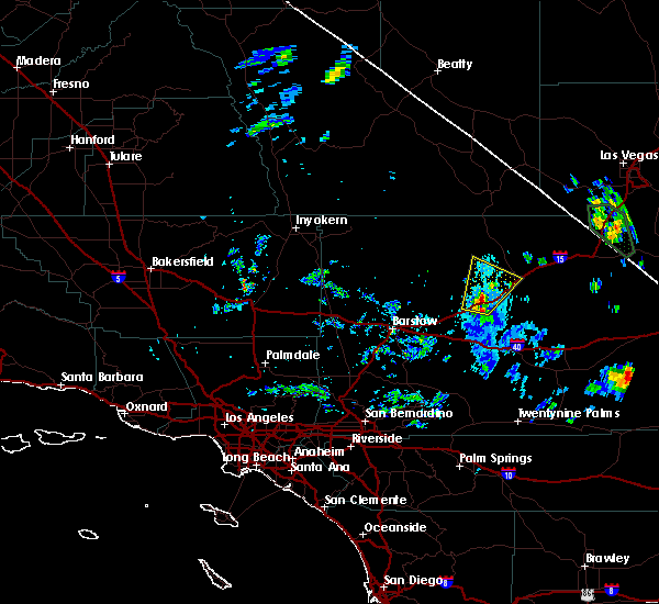 The national weather service in las vegas has issued a * severe thunderstorm warning for. north central san bernardino county in southern california. until 345 pm pdt. At 257 pm pdt, a severe thunderstorm was located 7 miles northeast of afton canyon campground, or 17 miles southwest of baker, moving. The national weather service in las vegas has issued a * severe thunderstorm warning for. north central san bernardino county in southern california. until 345 pm pdt. At 257 pm pdt, a severe thunderstorm was located 7 miles northeast of afton canyon campground, or 17 miles southwest of baker, moving.
|
| 8/2/2018 2:42 PM PDT | *** 1 inj *** corrects previous tstm wnd dmg report from 19 wsw zzyzx. california highway patrol reports two overturned semi trucks from storm related gusts along i 15 in san bernardino county CA, 24.1 miles NE of Baker, CA |
| 7/2/2016 5:54 PM PDT |
 At 553 pm pdt, doppler radar indicated a severe thunderstorm capable of producing quarter size hail and destructive winds in excess of 70 mph. this storm was located 11 miles west of baker, and moving east at 45 mph. At 553 pm pdt, doppler radar indicated a severe thunderstorm capable of producing quarter size hail and destructive winds in excess of 70 mph. this storm was located 11 miles west of baker, and moving east at 45 mph.
|
| 9/10/2011 7:00 PM PDT | Quarter sized hail reported 1.2 miles N of Baker, CA, two seperate reports of hail at least quarter size in baker...one from ihop and the other from a convenience store. hail covered the ground and was still there twenty m |
Hail Maps for Baker, CA


Connect with Interactive Hail Maps