

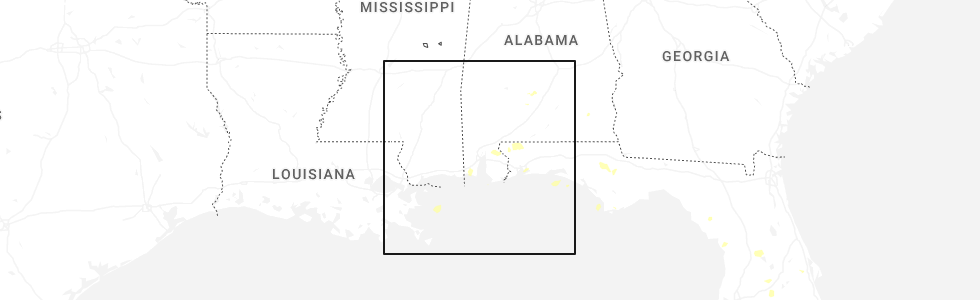
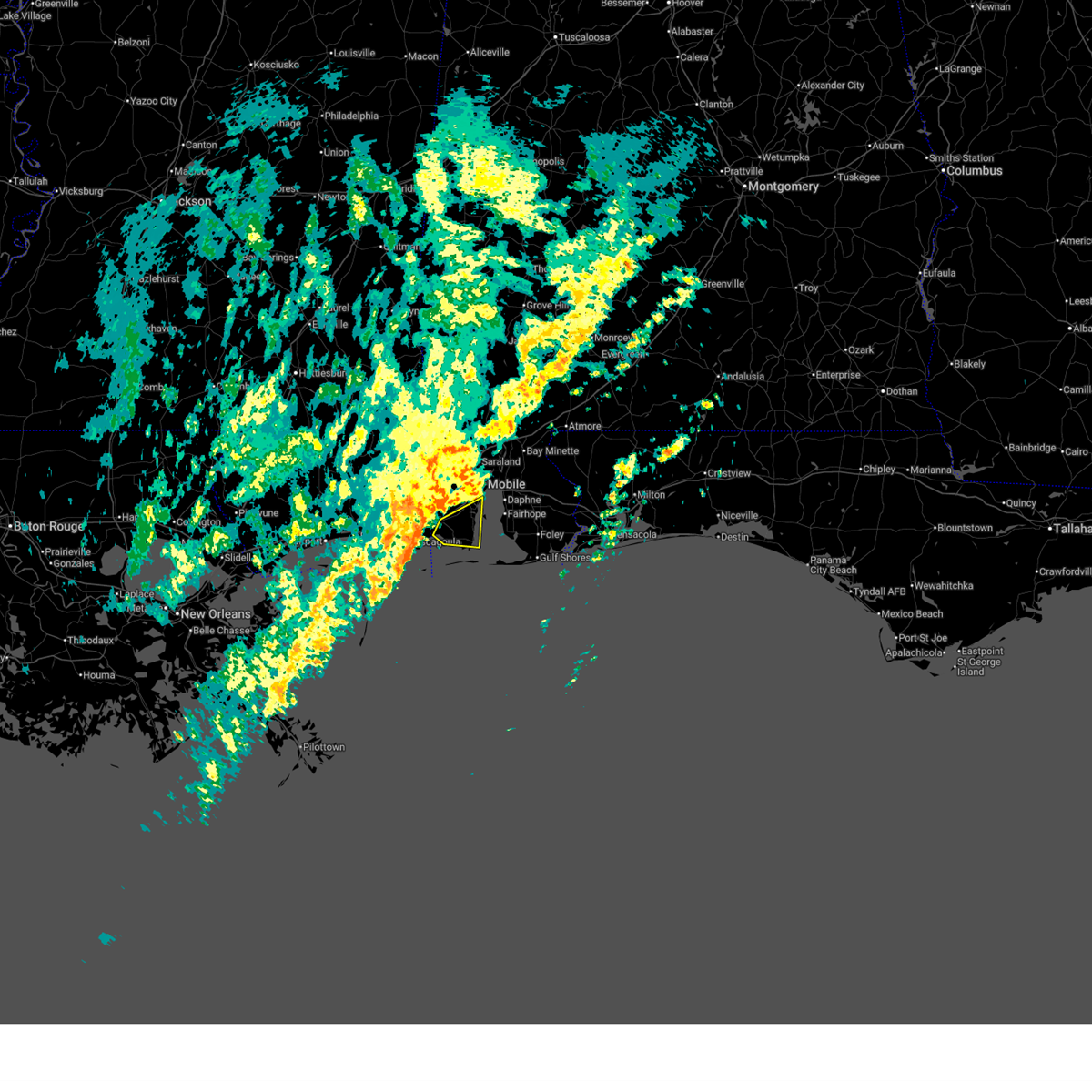
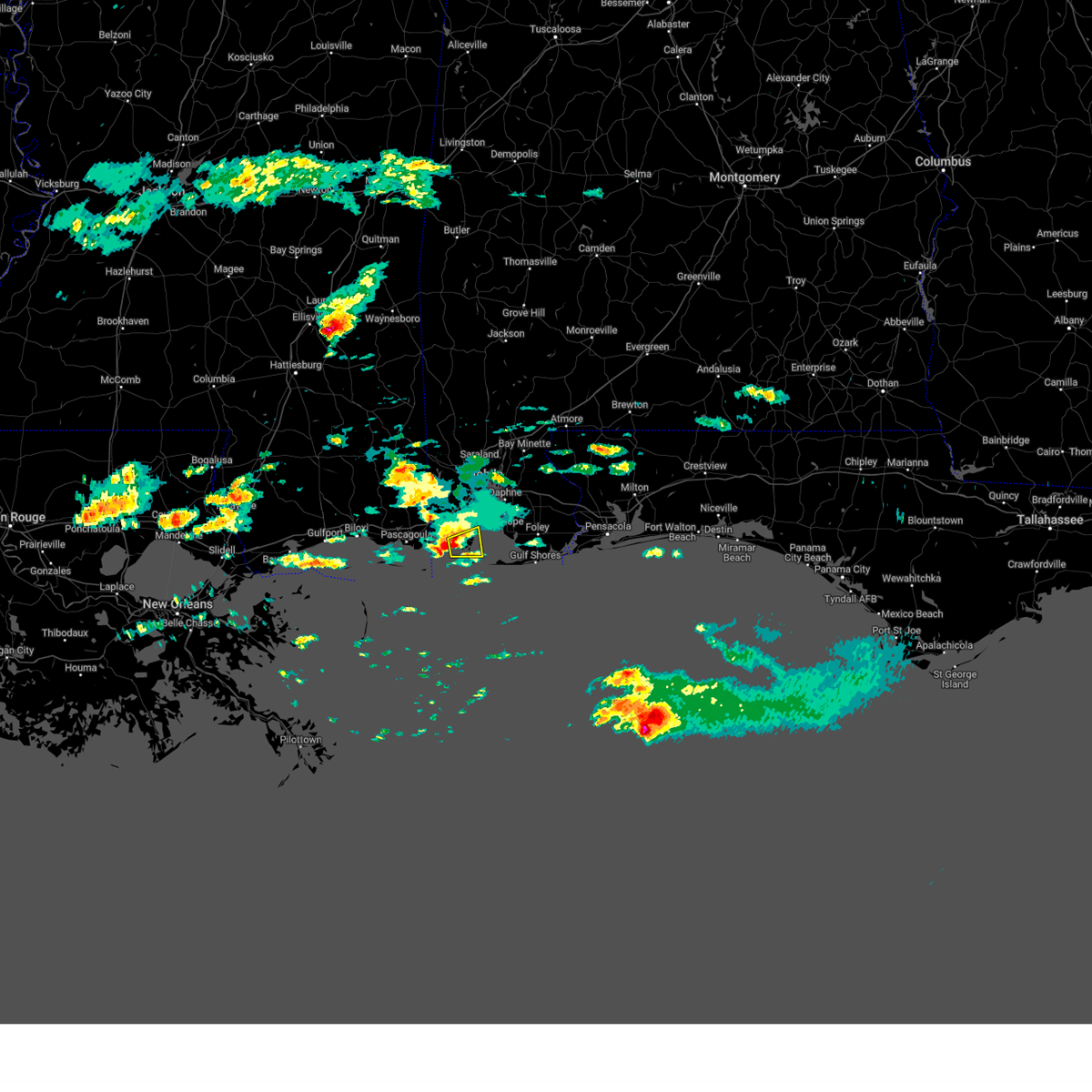
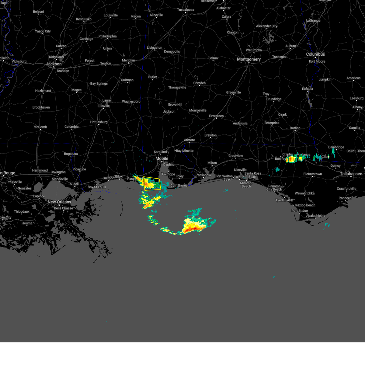
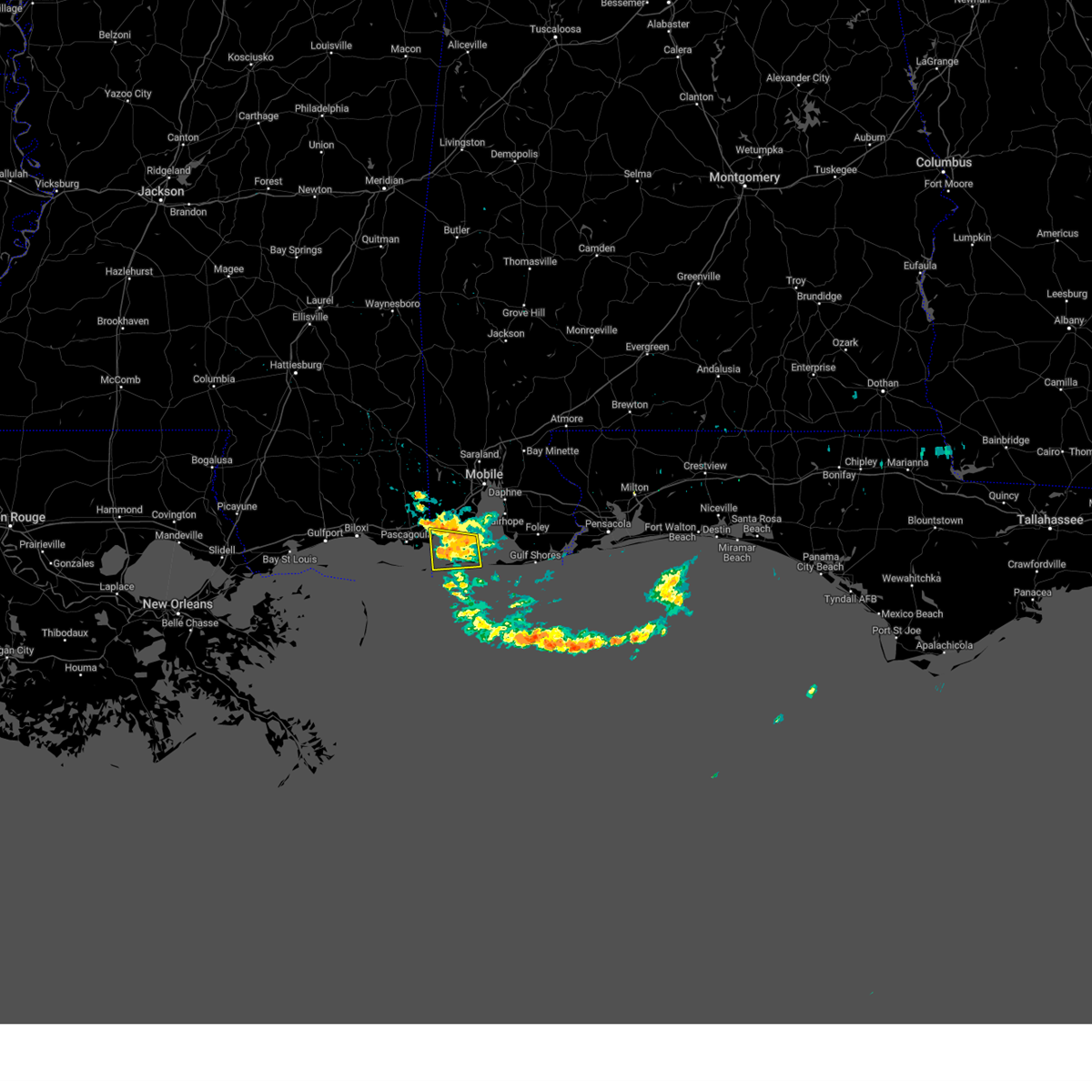
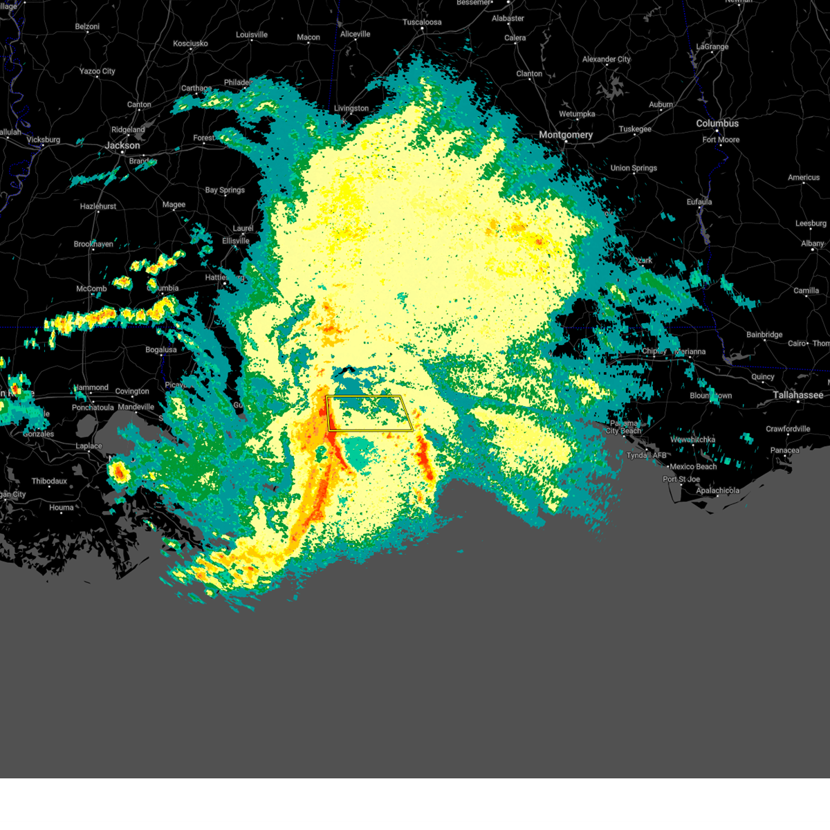
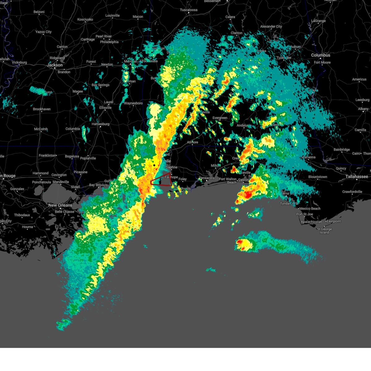
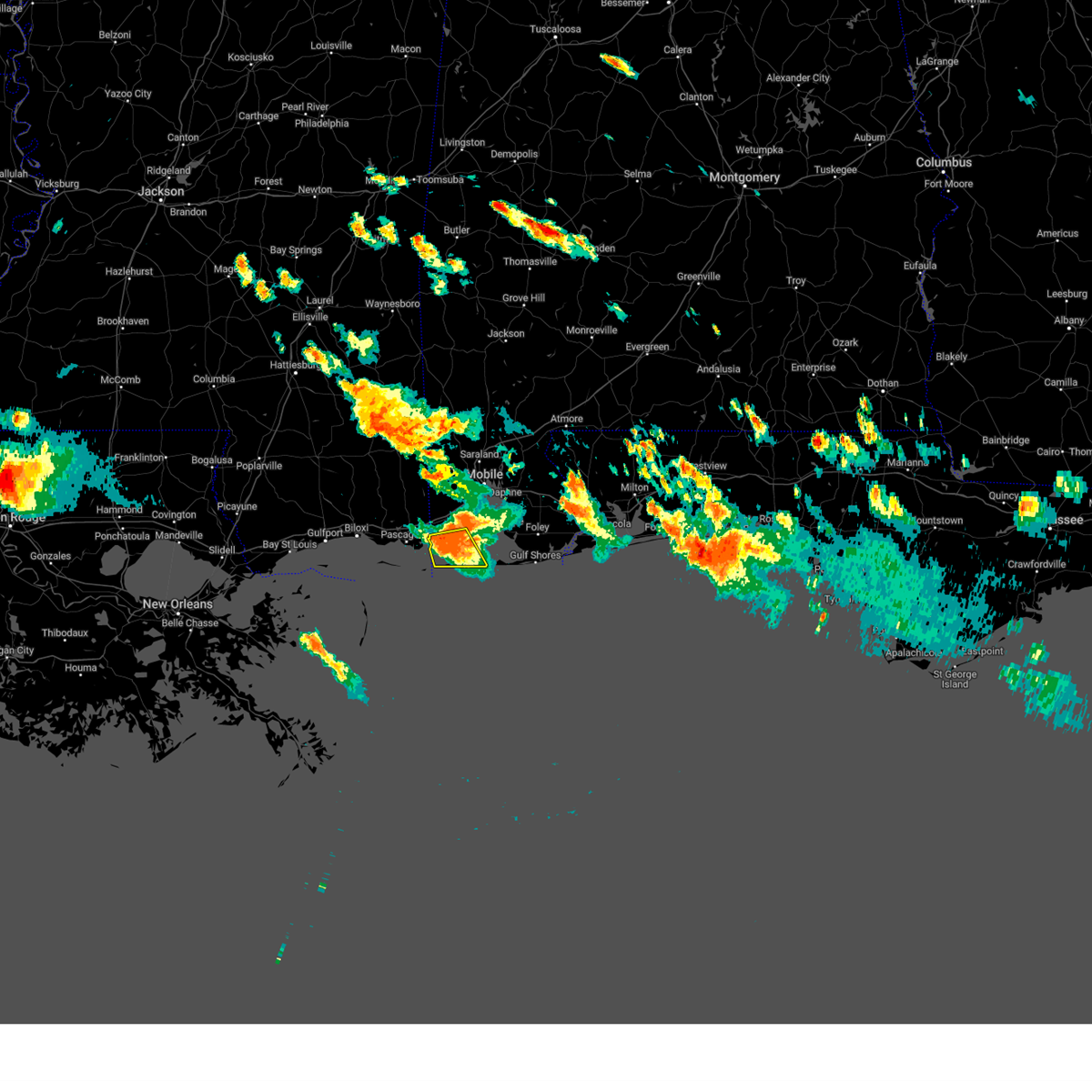
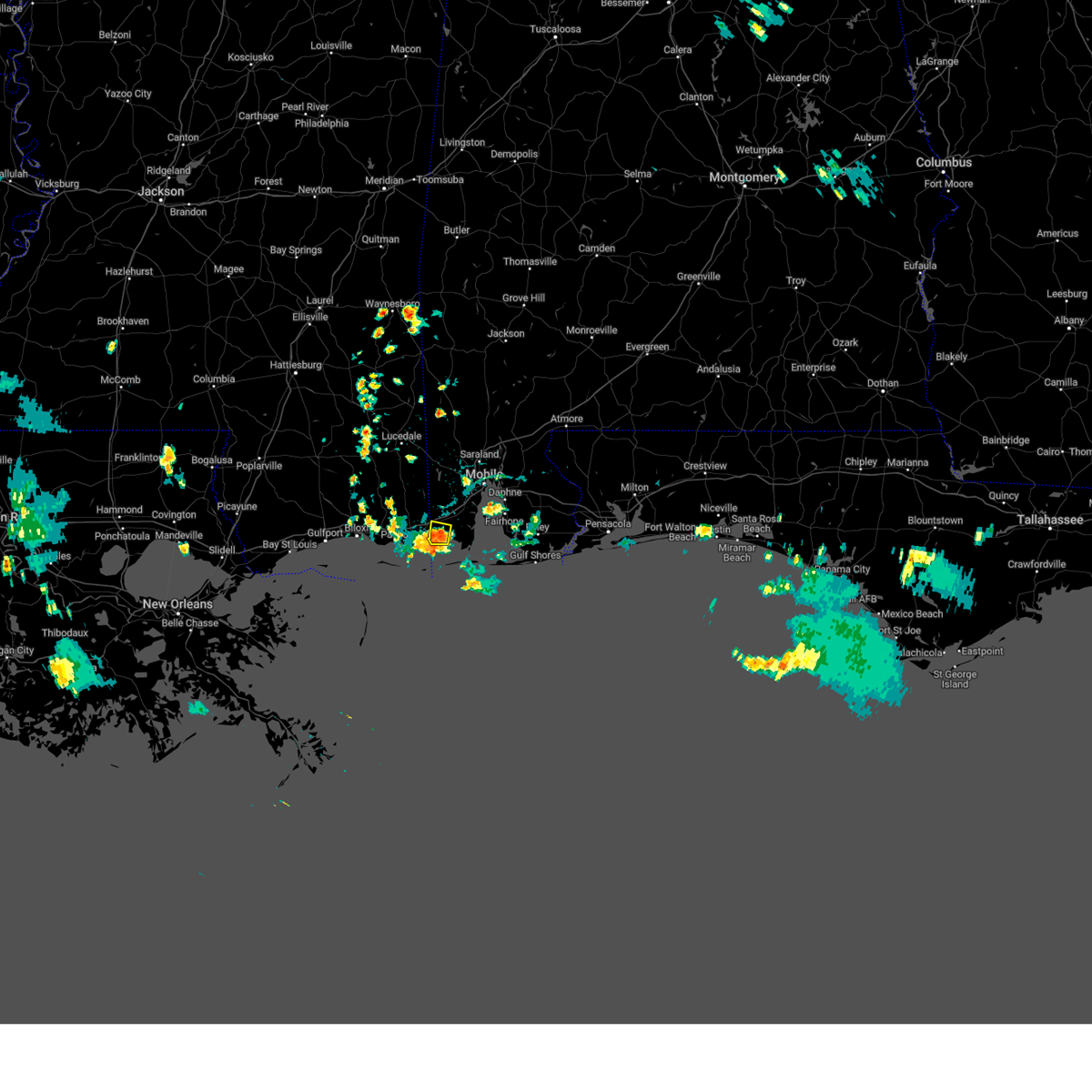
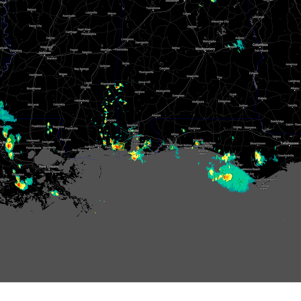
Hail Map for Bayou La Batre, AL
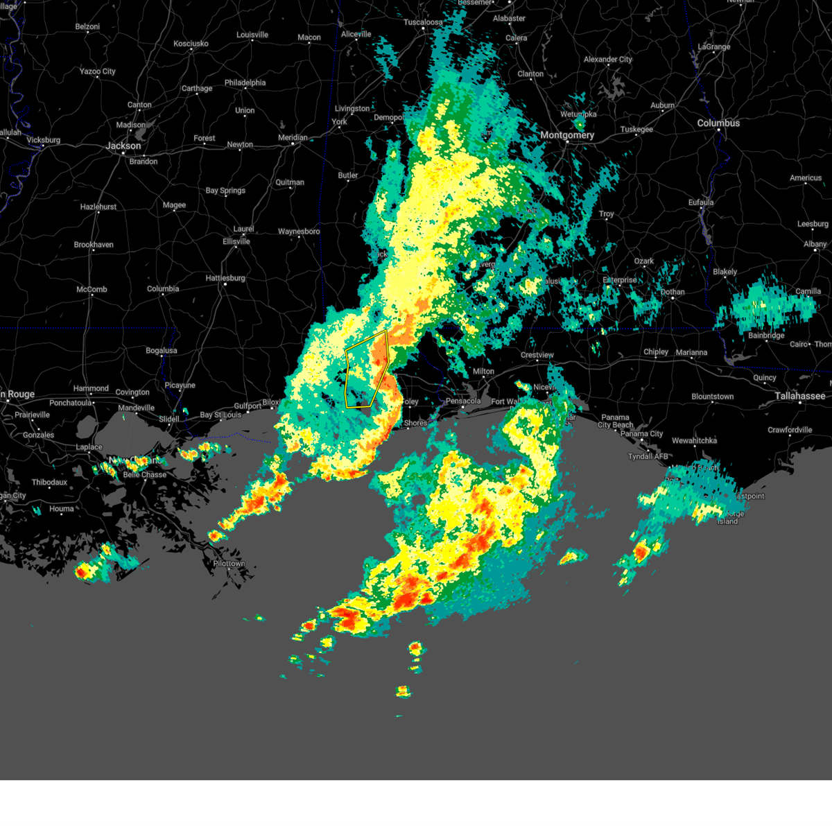
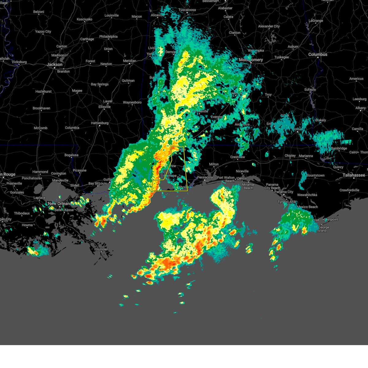
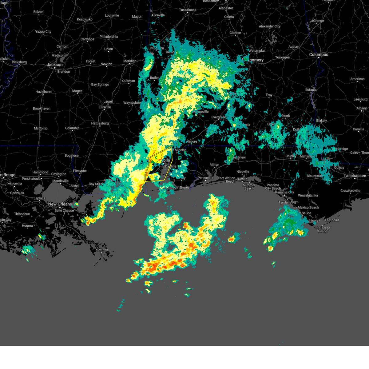
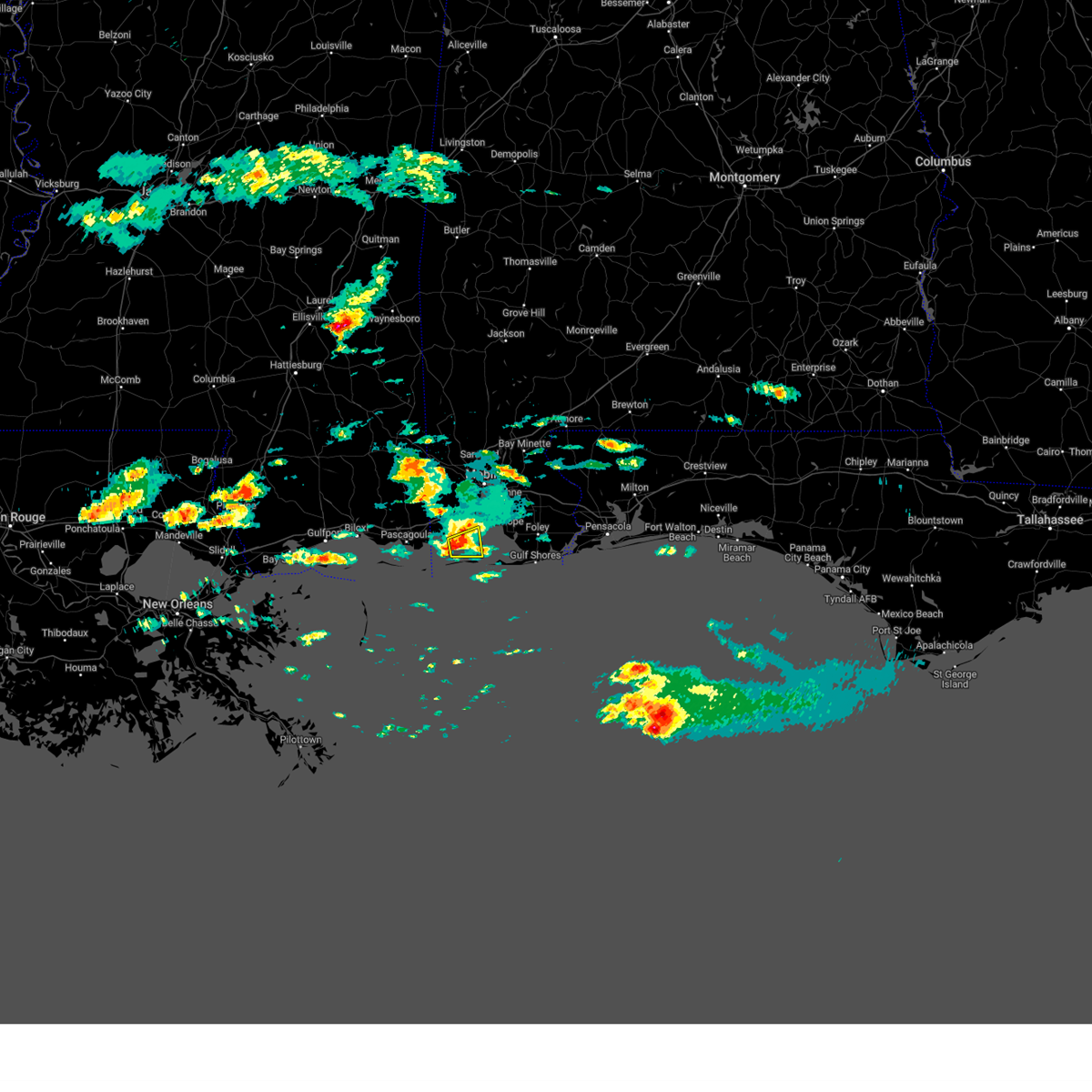
The Bayou La Batre, AL area has had 1 report of on-the-ground hail by trained spotters, and has been under severe weather warnings 7 times during the past 12 months. Doppler radar has detected hail at or near Bayou La Batre, AL on 35 occasions, including 2 occasions during the past year.
| Name: | Bayou La Batre, AL |
| Where Located: | 22.9 miles SSW of Mobile, AL |
| Map: | Google Map for Bayou La Batre, AL |
| Population: | 2558 |
| Housing Units: | 990 |
| More Info: | Search Google for Bayou La Batre, AL |
5
The Top Recent Hail Date for Bayou La Batre, AL is Tuesday, June 30, 2026 (2nd out of 35)
Hail and Wind Damage Spotted near Bayou La Batre, AL
| Date / Time | Report Details |
|---|---|
| 6/24/2026 4:35 PM CDT |
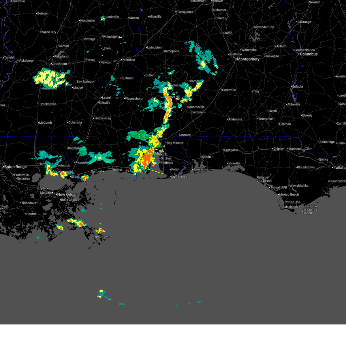 At 435 pm cdt, severe thunderstorms were located along a line extending from downtown mobile to 5 miles south of theodore, moving east at 40 mph (radar indicated). Hazards include 60 mph wind gusts. Expect damage to roofs, siding, and trees. Locations impacted include, midtown mobile, downtown mobile, prichard, daphne, tillmans corner, fairhope, theodore, chickasaw, spanish fort, grand bay, point clear, i65 and i165, and i10 and i65. At 435 pm cdt, severe thunderstorms were located along a line extending from downtown mobile to 5 miles south of theodore, moving east at 40 mph (radar indicated). Hazards include 60 mph wind gusts. Expect damage to roofs, siding, and trees. Locations impacted include, midtown mobile, downtown mobile, prichard, daphne, tillmans corner, fairhope, theodore, chickasaw, spanish fort, grand bay, point clear, i65 and i165, and i10 and i65.
|
| 6/24/2026 4:10 PM CDT |
 Svrmob the national weather service in mobile has issued a * severe thunderstorm warning for, southwestern mobile county in southwestern alabama, southwestern baldwin county in southwestern alabama, southeastern george county in southeastern mississippi, * until 500 pm cdt. * at 410 pm cdt, severe thunderstorms were located along a line extending from 3 miles southwest of wilmer to 5 miles south of tanner williams, moving southeast at 35 mph (radar indicated). Hazards include 60 mph wind gusts. expect damage to roofs, siding, and trees Svrmob the national weather service in mobile has issued a * severe thunderstorm warning for, southwestern mobile county in southwestern alabama, southwestern baldwin county in southwestern alabama, southeastern george county in southeastern mississippi, * until 500 pm cdt. * at 410 pm cdt, severe thunderstorms were located along a line extending from 3 miles southwest of wilmer to 5 miles south of tanner williams, moving southeast at 35 mph (radar indicated). Hazards include 60 mph wind gusts. expect damage to roofs, siding, and trees
|
| 5/24/2026 4:11 AM CDT |
 Svrmob the national weather service in mobile has issued a * severe thunderstorm warning for, southwestern mobile county in southwestern alabama, * until 500 am cdt. * at 411 am cdt, severe thunderstorms were located along a line extending from 7 miles southeast of moss point to near dauphin island, moving north at 35 mph (radar indicated). Hazards include 60 mph wind gusts. expect damage to roofs, siding, and trees Svrmob the national weather service in mobile has issued a * severe thunderstorm warning for, southwestern mobile county in southwestern alabama, * until 500 am cdt. * at 411 am cdt, severe thunderstorms were located along a line extending from 7 miles southeast of moss point to near dauphin island, moving north at 35 mph (radar indicated). Hazards include 60 mph wind gusts. expect damage to roofs, siding, and trees
|
| 1/25/2026 11:00 AM CST |
 Svrmob the national weather service in mobile has issued a * severe thunderstorm warning for, southwestern mobile county in southwestern alabama, * until 1130 am cst. * at 1100 am cst, a severe thunderstorm was located over bayou la batre, moving northeast at 65 mph (radar indicated). Hazards include 60 mph wind gusts. expect damage to roofs, siding, and trees Svrmob the national weather service in mobile has issued a * severe thunderstorm warning for, southwestern mobile county in southwestern alabama, * until 1130 am cst. * at 1100 am cst, a severe thunderstorm was located over bayou la batre, moving northeast at 65 mph (radar indicated). Hazards include 60 mph wind gusts. expect damage to roofs, siding, and trees
|
| 8/16/2025 3:31 PM CDT |
 the severe thunderstorm warning has been cancelled and is no longer in effect the severe thunderstorm warning has been cancelled and is no longer in effect
|
| 8/16/2025 3:05 PM CDT |
 Svrmob the national weather service in mobile has issued a * severe thunderstorm warning for, southwestern mobile county in southwestern alabama, * until 345 pm cdt. * at 305 pm cdt, a severe thunderstorm was located over grand bay, and is nearly stationary (radar indicated). Hazards include 60 mph wind gusts and quarter size hail. Hail damage to vehicles is expected. Expect wind damage to roofs, siding, and trees. Svrmob the national weather service in mobile has issued a * severe thunderstorm warning for, southwestern mobile county in southwestern alabama, * until 345 pm cdt. * at 305 pm cdt, a severe thunderstorm was located over grand bay, and is nearly stationary (radar indicated). Hazards include 60 mph wind gusts and quarter size hail. Hail damage to vehicles is expected. Expect wind damage to roofs, siding, and trees.
|
| 7/5/2025 4:31 PM CDT |
 Svrmob the national weather service in mobile has issued a * severe thunderstorm warning for, southwestern mobile county in southwestern alabama, * until 500 pm cdt. * at 431 pm cdt, a severe thunderstorm was located over grand bay, and is nearly stationary (radar indicated). Hazards include 60 mph wind gusts and quarter size hail. Hail damage to vehicles is expected. Expect wind damage to roofs, siding, and trees. Svrmob the national weather service in mobile has issued a * severe thunderstorm warning for, southwestern mobile county in southwestern alabama, * until 500 pm cdt. * at 431 pm cdt, a severe thunderstorm was located over grand bay, and is nearly stationary (radar indicated). Hazards include 60 mph wind gusts and quarter size hail. Hail damage to vehicles is expected. Expect wind damage to roofs, siding, and trees.
|
| 5/29/2025 9:43 AM CDT |
 The storms which prompted the warning have moved out of the area. therefore, the warning will be allowed to expire. remember, a tornado warning still remains in effect for baldwin. The storms which prompted the warning have moved out of the area. therefore, the warning will be allowed to expire. remember, a tornado warning still remains in effect for baldwin.
|
| 5/29/2025 9:14 AM CDT |
 At 914 am cdt, severe thunderstorms were located along a line extending from 4 miles west of i65 and al 158 to near midtown mobile to 4 miles east of grand bay, moving east at 20 mph (radar indicated). Hazards include 60 mph wind gusts. Expect damage to roofs, siding, and trees. Locations impacted include, i65 and i165, creola, chickasaw, saraland, midtown mobile, spanish fort, prichard, i65 and al 158, theodore, tillmans corner, i10 and i65, downtown mobile, and satsuma. At 914 am cdt, severe thunderstorms were located along a line extending from 4 miles west of i65 and al 158 to near midtown mobile to 4 miles east of grand bay, moving east at 20 mph (radar indicated). Hazards include 60 mph wind gusts. Expect damage to roofs, siding, and trees. Locations impacted include, i65 and i165, creola, chickasaw, saraland, midtown mobile, spanish fort, prichard, i65 and al 158, theodore, tillmans corner, i10 and i65, downtown mobile, and satsuma.
|
| 5/29/2025 9:14 AM CDT |
 Svrmob the national weather service in mobile has issued a * severe thunderstorm warning for, southeastern mobile county in southwestern alabama, southwestern baldwin county in southwestern alabama, * until 945 am cdt. * at 913 am cdt, a severe thunderstorm was located near dauphin island, moving east at 50 mph (radar indicated). Hazards include 60 mph wind gusts. expect damage to roofs, siding, and trees Svrmob the national weather service in mobile has issued a * severe thunderstorm warning for, southeastern mobile county in southwestern alabama, southwestern baldwin county in southwestern alabama, * until 945 am cdt. * at 913 am cdt, a severe thunderstorm was located near dauphin island, moving east at 50 mph (radar indicated). Hazards include 60 mph wind gusts. expect damage to roofs, siding, and trees
|
| 5/29/2025 8:55 AM CDT |
 Svrmob the national weather service in mobile has issued a * severe thunderstorm warning for, central mobile county in southwestern alabama, west central baldwin county in southwestern alabama, * until 945 am cdt. * at 855 am cdt, severe thunderstorms were located along a line extending from semmes to mobile regional airport to grand bay, moving east at 20 mph (radar indicated). Hazards include 60 mph wind gusts. expect damage to roofs, siding, and trees Svrmob the national weather service in mobile has issued a * severe thunderstorm warning for, central mobile county in southwestern alabama, west central baldwin county in southwestern alabama, * until 945 am cdt. * at 855 am cdt, severe thunderstorms were located along a line extending from semmes to mobile regional airport to grand bay, moving east at 20 mph (radar indicated). Hazards include 60 mph wind gusts. expect damage to roofs, siding, and trees
|
| 3/8/2025 11:57 PM CDT |
 At 1056 pm cst, a severe thunderstorm was located over alabama port, or 7 miles east of bayou la batre, moving east at 45 mph (radar indicated). Hazards include two inch hail. People and animals outdoors will be injured. expect damage to roofs, siding, windows, and vehicles. Locations impacted include, coden and alabama port. At 1056 pm cst, a severe thunderstorm was located over alabama port, or 7 miles east of bayou la batre, moving east at 45 mph (radar indicated). Hazards include two inch hail. People and animals outdoors will be injured. expect damage to roofs, siding, windows, and vehicles. Locations impacted include, coden and alabama port.
|
| 3/8/2025 11:49 PM CDT |
 Svrmob the national weather service in mobile has issued a * severe thunderstorm warning for, south central mobile county in southwestern alabama, * until 1115 pm cst. * at 1048 pm cst, a severe thunderstorm was located over coden, or near bayou la batre, moving east at 45 mph (radar indicated). Hazards include ping pong ball size hail. People and animals outdoors will be injured. Expect damage to roofs, siding, windows, and vehicles. Svrmob the national weather service in mobile has issued a * severe thunderstorm warning for, south central mobile county in southwestern alabama, * until 1115 pm cst. * at 1048 pm cst, a severe thunderstorm was located over coden, or near bayou la batre, moving east at 45 mph (radar indicated). Hazards include ping pong ball size hail. People and animals outdoors will be injured. Expect damage to roofs, siding, windows, and vehicles.
|
| 12/29/2024 12:07 AM CST |
 The storm which prompted the warning has moved out of the area. therefore, the warning will be allowed to expire. a tornado watch remains in effect until 200 am cst for southwestern alabama. The storm which prompted the warning has moved out of the area. therefore, the warning will be allowed to expire. a tornado watch remains in effect until 200 am cst for southwestern alabama.
|
| 12/29/2024 12:06 AM CST |
 The storm which prompted the warning has moved out of the area. therefore, the warning will be allowed to expire. a tornado watch remains in effect until 200 am cst for southwestern alabama. The storm which prompted the warning has moved out of the area. therefore, the warning will be allowed to expire. a tornado watch remains in effect until 200 am cst for southwestern alabama.
|
| 12/28/2024 11:52 PM CST |
 At 1152 pm cst, a severe thunderstorm capable of producing a tornado was located 4 miles northeast of bayou la batre, moving east at 30 mph (radar indicated rotation). Hazards include tornado. Flying debris will be dangerous to those caught without shelter. mobile homes will be damaged or destroyed. damage to roofs, windows, and vehicles will occur. tree damage is likely. This tornadic thunderstorm will remain over mainly rural areas of south central mobile county. At 1152 pm cst, a severe thunderstorm capable of producing a tornado was located 4 miles northeast of bayou la batre, moving east at 30 mph (radar indicated rotation). Hazards include tornado. Flying debris will be dangerous to those caught without shelter. mobile homes will be damaged or destroyed. damage to roofs, windows, and vehicles will occur. tree damage is likely. This tornadic thunderstorm will remain over mainly rural areas of south central mobile county.
|
| 12/28/2024 11:47 PM CST |
 At 1147 pm cst, a confirmed tornado was located over bayou la batre, moving east at 30 mph (radar confirmed tornado). Hazards include damaging tornado. Flying debris will be dangerous to those caught without shelter. mobile homes will be damaged or destroyed. damage to roofs, windows, and vehicles will occur. tree damage is likely. This tornadic thunderstorm will remain over mainly rural areas of southwestern mobile county. At 1147 pm cst, a confirmed tornado was located over bayou la batre, moving east at 30 mph (radar confirmed tornado). Hazards include damaging tornado. Flying debris will be dangerous to those caught without shelter. mobile homes will be damaged or destroyed. damage to roofs, windows, and vehicles will occur. tree damage is likely. This tornadic thunderstorm will remain over mainly rural areas of southwestern mobile county.
|
| 12/28/2024 11:42 PM CST |
 Tormob the national weather service in mobile has issued a * tornado warning for, southwestern mobile county in southwestern alabama, * until 1215 am cst. * at 1142 pm cst, a severe thunderstorm capable of producing a tornado was located near bayou la batre, moving east at 30 mph (radar indicated rotation). Hazards include tornado. Flying debris will be dangerous to those caught without shelter. mobile homes will be damaged or destroyed. damage to roofs, windows, and vehicles will occur. tree damage is likely. This dangerous storm will be near, bayou la batre around 1150 pm cst. Tormob the national weather service in mobile has issued a * tornado warning for, southwestern mobile county in southwestern alabama, * until 1215 am cst. * at 1142 pm cst, a severe thunderstorm capable of producing a tornado was located near bayou la batre, moving east at 30 mph (radar indicated rotation). Hazards include tornado. Flying debris will be dangerous to those caught without shelter. mobile homes will be damaged or destroyed. damage to roofs, windows, and vehicles will occur. tree damage is likely. This dangerous storm will be near, bayou la batre around 1150 pm cst.
|
| 12/28/2024 11:36 PM CST |
 Svrmob the national weather service in mobile has issued a * severe thunderstorm warning for, southwestern mobile county in southwestern alabama, * until 1215 am cst. * at 1136 pm cst, a severe thunderstorm was located 4 miles west of bayou la batre, moving east at 25 mph (radar indicated). Hazards include 60 mph wind gusts. expect damage to roofs, siding, and trees Svrmob the national weather service in mobile has issued a * severe thunderstorm warning for, southwestern mobile county in southwestern alabama, * until 1215 am cst. * at 1136 pm cst, a severe thunderstorm was located 4 miles west of bayou la batre, moving east at 25 mph (radar indicated). Hazards include 60 mph wind gusts. expect damage to roofs, siding, and trees
|
| 12/27/2024 8:16 PM CST |
 Svrmob the national weather service in mobile has issued a * severe thunderstorm warning for, central mobile county in southwestern alabama, central baldwin county in southwestern alabama, * until 900 pm cst. * at 816 pm cst, severe thunderstorms were located along a line extending from near tanner williams to 3 miles south of mobile regional airport to grand bay, moving northeast at 45 mph (radar indicated). Hazards include 60 mph wind gusts and quarter size hail. Hail damage to vehicles is expected. Expect wind damage to roofs, siding, and trees. Svrmob the national weather service in mobile has issued a * severe thunderstorm warning for, central mobile county in southwestern alabama, central baldwin county in southwestern alabama, * until 900 pm cst. * at 816 pm cst, severe thunderstorms were located along a line extending from near tanner williams to 3 miles south of mobile regional airport to grand bay, moving northeast at 45 mph (radar indicated). Hazards include 60 mph wind gusts and quarter size hail. Hail damage to vehicles is expected. Expect wind damage to roofs, siding, and trees.
|
| 8/14/2024 4:37 PM CDT |
 The storm which prompted the warning has weakened below severe limits, and no longer poses an immediate threat to life or property. therefore, the warning will be allowed to expire. The storm which prompted the warning has weakened below severe limits, and no longer poses an immediate threat to life or property. therefore, the warning will be allowed to expire.
|
| 8/14/2024 4:05 PM CDT |
 Svrmob the national weather service in mobile has issued a * severe thunderstorm warning for, south central mobile county in southwestern alabama, * until 445 pm cdt. * at 405 pm cdt, a severe thunderstorm was located over theodore, moving south at 20 mph (radar indicated). Hazards include 60 mph wind gusts. expect damage to roofs, siding, and trees Svrmob the national weather service in mobile has issued a * severe thunderstorm warning for, south central mobile county in southwestern alabama, * until 445 pm cdt. * at 405 pm cdt, a severe thunderstorm was located over theodore, moving south at 20 mph (radar indicated). Hazards include 60 mph wind gusts. expect damage to roofs, siding, and trees
|
| 6/4/2024 8:22 PM CDT |
 At 821 pm cdt, severe thunderstorms were located along a line extending from citronelle to 3 miles west of i65 and i165 to coden, moving east at 50 mph (radar indicated). Hazards include 60 mph wind gusts. Expect damage to roofs, siding, and trees. Locations impacted include, midtown mobile, downtown mobile, prichard, tillmans corner, saraland, theodore, chickasaw, satsuma, grand bay, bayou la batre, creola, chunchula, gulfcrest, axis, mount vernon, semmes, i65 and i165, coden, mobile regional airport, and i65 and al 158. At 821 pm cdt, severe thunderstorms were located along a line extending from citronelle to 3 miles west of i65 and i165 to coden, moving east at 50 mph (radar indicated). Hazards include 60 mph wind gusts. Expect damage to roofs, siding, and trees. Locations impacted include, midtown mobile, downtown mobile, prichard, tillmans corner, saraland, theodore, chickasaw, satsuma, grand bay, bayou la batre, creola, chunchula, gulfcrest, axis, mount vernon, semmes, i65 and i165, coden, mobile regional airport, and i65 and al 158.
|
| 6/4/2024 8:22 PM CDT |
 the severe thunderstorm warning has been cancelled and is no longer in effect the severe thunderstorm warning has been cancelled and is no longer in effect
|
| 6/4/2024 7:59 PM CDT |
 Svrmob the national weather service in mobile has issued a * severe thunderstorm warning for, mobile county in southwestern alabama, eastern george county in southeastern mississippi, southeastern greene county in southeastern mississippi, * until 845 pm cdt. * at 758 pm cdt, severe thunderstorms were located along a line extending from 6 miles south of leakesville to 4 miles west of tanner williams to 4 miles south of moss point, moving east at 35 mph (radar indicated). Hazards include 60 mph wind gusts. expect damage to roofs, siding, and trees Svrmob the national weather service in mobile has issued a * severe thunderstorm warning for, mobile county in southwestern alabama, eastern george county in southeastern mississippi, southeastern greene county in southeastern mississippi, * until 845 pm cdt. * at 758 pm cdt, severe thunderstorms were located along a line extending from 6 miles south of leakesville to 4 miles west of tanner williams to 4 miles south of moss point, moving east at 35 mph (radar indicated). Hazards include 60 mph wind gusts. expect damage to roofs, siding, and trees
|
| 5/27/2024 11:25 PM CDT |
 The storm which prompted the warning has weakened below severe limits, and no longer poses an immediate threat to life or property. therefore, the warning will be allowed to expire. The storm which prompted the warning has weakened below severe limits, and no longer poses an immediate threat to life or property. therefore, the warning will be allowed to expire.
|
| 5/27/2024 10:44 PM CDT |
 Svrmob the national weather service in mobile has issued a * severe thunderstorm warning for, southwestern mobile county in southwestern alabama, * until 1130 pm cdt. * at 1044 pm cdt, a severe thunderstorm was located 5 miles west of dauphin island, moving south at 35 mph (radar indicated). Hazards include 60 mph wind gusts. expect damage to roofs, siding, and trees Svrmob the national weather service in mobile has issued a * severe thunderstorm warning for, southwestern mobile county in southwestern alabama, * until 1130 pm cdt. * at 1044 pm cdt, a severe thunderstorm was located 5 miles west of dauphin island, moving south at 35 mph (radar indicated). Hazards include 60 mph wind gusts. expect damage to roofs, siding, and trees
|
| 5/17/2024 1:38 AM CDT |
 Svrmob the national weather service in mobile has issued a * severe thunderstorm warning for, southwestern mobile county in southwestern alabama, southwestern baldwin county in southwestern alabama, * until 215 am cdt. * at 137 am cdt, severe thunderstorms were located along a line extending from 6 miles southwest of coden to 24 miles south of dauphin island to 26 miles south of petit bois island, moving east at 55 mph (radar indicated). Hazards include 60 mph wind gusts and penny size hail. expect damage to roofs, siding, and trees Svrmob the national weather service in mobile has issued a * severe thunderstorm warning for, southwestern mobile county in southwestern alabama, southwestern baldwin county in southwestern alabama, * until 215 am cdt. * at 137 am cdt, severe thunderstorms were located along a line extending from 6 miles southwest of coden to 24 miles south of dauphin island to 26 miles south of petit bois island, moving east at 55 mph (radar indicated). Hazards include 60 mph wind gusts and penny size hail. expect damage to roofs, siding, and trees
|
| 5/10/2024 3:02 AM CDT |
 Svrmob the national weather service in mobile has issued a * severe thunderstorm warning for, southern mobile county in southwestern alabama, baldwin county in southwestern alabama, southwestern escambia county in northwestern florida, * until 345 am cdt. * at 301 am cdt, severe thunderstorms were located along a line extending from saraland to near i65 and i165 to 6 miles west of theodore to big point, moving southeast at 65 mph (radar indicated). Hazards include 70 mph wind gusts. Expect considerable tree damage. Damage is likely to mobile homes, roofs, and outbuildings. Svrmob the national weather service in mobile has issued a * severe thunderstorm warning for, southern mobile county in southwestern alabama, baldwin county in southwestern alabama, southwestern escambia county in northwestern florida, * until 345 am cdt. * at 301 am cdt, severe thunderstorms were located along a line extending from saraland to near i65 and i165 to 6 miles west of theodore to big point, moving southeast at 65 mph (radar indicated). Hazards include 70 mph wind gusts. Expect considerable tree damage. Damage is likely to mobile homes, roofs, and outbuildings.
|
| 4/10/2024 12:13 PM CDT |
 Svrmob the national weather service in mobile has issued a * severe thunderstorm warning for, central mobile county in southwestern alabama, baldwin county in southwestern alabama, northwestern escambia county in northwestern florida, * until 100 pm cdt. * at 1213 pm cdt, severe thunderstorms were located along a line extending from near i65 and al 158 to near i10 and i65 to 6 miles east of theodore to 4 miles southwest of coden, moving east at 45 mph (radar indicated). Hazards include 60 mph wind gusts and penny size hail. expect damage to roofs, siding, and trees Svrmob the national weather service in mobile has issued a * severe thunderstorm warning for, central mobile county in southwestern alabama, baldwin county in southwestern alabama, northwestern escambia county in northwestern florida, * until 100 pm cdt. * at 1213 pm cdt, severe thunderstorms were located along a line extending from near i65 and al 158 to near i10 and i65 to 6 miles east of theodore to 4 miles southwest of coden, moving east at 45 mph (radar indicated). Hazards include 60 mph wind gusts and penny size hail. expect damage to roofs, siding, and trees
|
| 4/10/2024 11:23 AM CDT |
 Svrmob the national weather service in mobile has issued a * severe thunderstorm warning for, mobile county in southwestern alabama, southern washington county in southwestern alabama, george county in southeastern mississippi, southern greene county in southeastern mississippi, * until 1215 pm cdt. * at 1123 am cdt, severe thunderstorms were located along a line extending from near mclain to 11 miles southwest of lucedale to vancleave to 5 miles southwest of gulf park estates, moving east at 50 mph (radar indicated). Hazards include 70 mph wind gusts. Expect considerable tree damage. Damage is likely to mobile homes, roofs, and outbuildings. Svrmob the national weather service in mobile has issued a * severe thunderstorm warning for, mobile county in southwestern alabama, southern washington county in southwestern alabama, george county in southeastern mississippi, southern greene county in southeastern mississippi, * until 1215 pm cdt. * at 1123 am cdt, severe thunderstorms were located along a line extending from near mclain to 11 miles southwest of lucedale to vancleave to 5 miles southwest of gulf park estates, moving east at 50 mph (radar indicated). Hazards include 70 mph wind gusts. Expect considerable tree damage. Damage is likely to mobile homes, roofs, and outbuildings.
|
| 1/9/2024 4:08 AM CST |
 At 407 am cst, a severe thunderstorm capable of producing a tornado was located over coden, or over bayou la batre, moving east at 45 mph (radar indicated rotation). Hazards include tornado. Flying debris will be dangerous to those caught without shelter. mobile homes will be damaged or destroyed. damage to roofs, windows, and vehicles will occur. tree damage is likely. this dangerous storm will be near, bayou la batre and coden around 410 am cst. Alabama port around 415 am cst. At 407 am cst, a severe thunderstorm capable of producing a tornado was located over coden, or over bayou la batre, moving east at 45 mph (radar indicated rotation). Hazards include tornado. Flying debris will be dangerous to those caught without shelter. mobile homes will be damaged or destroyed. damage to roofs, windows, and vehicles will occur. tree damage is likely. this dangerous storm will be near, bayou la batre and coden around 410 am cst. Alabama port around 415 am cst.
|
| 1/9/2024 4:02 AM CST |
 At 401 am cst, severe thunderstorms were located along a line extending from 5 miles east of mount vernon to 4 miles northeast of grand bay, moving east at 35 mph (radar indicated). Hazards include 70 mph wind gusts. Expect considerable tree damage. damage is likely to mobile homes, roofs, and outbuildings. Locations impacted include, midtown mobile, downtown mobile, prichard, tillmans corner, saraland, theodore, chickasaw, satsuma, grand bay, citronelle, bayou la batre, creola, chunchula, stockton, gulfcrest, axis, mount vernon, calvert, tanner williams, and semmes. At 401 am cst, severe thunderstorms were located along a line extending from 5 miles east of mount vernon to 4 miles northeast of grand bay, moving east at 35 mph (radar indicated). Hazards include 70 mph wind gusts. Expect considerable tree damage. damage is likely to mobile homes, roofs, and outbuildings. Locations impacted include, midtown mobile, downtown mobile, prichard, tillmans corner, saraland, theodore, chickasaw, satsuma, grand bay, citronelle, bayou la batre, creola, chunchula, stockton, gulfcrest, axis, mount vernon, calvert, tanner williams, and semmes.
|
| 1/9/2024 4:00 AM CST |
 The national weather service in mobile has issued a * severe thunderstorm warning for. central mobile county in southwestern alabama. baldwin county in southwestern alabama. southeastern washington county in southwestern alabama. Southern clarke county in southwestern alabama. The national weather service in mobile has issued a * severe thunderstorm warning for. central mobile county in southwestern alabama. baldwin county in southwestern alabama. southeastern washington county in southwestern alabama. Southern clarke county in southwestern alabama.
|
| 1/9/2024 4:00 AM CST |
 At 359 am cst, severe thunderstorms were located along a line extending from calvert to 10 miles west of coden, moving east at 40 mph (radar indicated). Hazards include 70 mph wind gusts. Expect considerable tree damage. Damage is likely to mobile homes, roofs, and outbuildings. At 359 am cst, severe thunderstorms were located along a line extending from calvert to 10 miles west of coden, moving east at 40 mph (radar indicated). Hazards include 70 mph wind gusts. Expect considerable tree damage. Damage is likely to mobile homes, roofs, and outbuildings.
|
| 1/9/2024 3:28 AM CST |
 The national weather service in mobile has issued a * severe thunderstorm warning for. mobile county in southwestern alabama. northwestern baldwin county in southwestern alabama. southern washington county in southwestern alabama. Eastern george county in southeastern mississippi. The national weather service in mobile has issued a * severe thunderstorm warning for. mobile county in southwestern alabama. northwestern baldwin county in southwestern alabama. southern washington county in southwestern alabama. Eastern george county in southeastern mississippi.
|
| 1/9/2024 3:28 AM CST |
 At 328 am cst, severe thunderstorms were located along a line extending from 4 miles north of citronelle to near vancleave, moving east at 35 mph (radar indicated). Hazards include 60 mph wind gusts. expect damage to roofs, siding, and trees At 328 am cst, severe thunderstorms were located along a line extending from 4 miles north of citronelle to near vancleave, moving east at 35 mph (radar indicated). Hazards include 60 mph wind gusts. expect damage to roofs, siding, and trees
|
| 8/28/2023 3:37 AM CDT |
 At 336 am cdt, a severe thunderstorm was located 5 miles northeast of bayou la batre, and is nearly stationary (radar indicated). Hazards include 60 mph wind gusts and quarter size hail. Hail damage to vehicles is expected. Expect wind damage to roofs, siding, and trees. At 336 am cdt, a severe thunderstorm was located 5 miles northeast of bayou la batre, and is nearly stationary (radar indicated). Hazards include 60 mph wind gusts and quarter size hail. Hail damage to vehicles is expected. Expect wind damage to roofs, siding, and trees.
|
| 8/5/2023 5:48 PM CDT |
 At 547 pm cdt, a severe thunderstorm was located over mobile regional airport, or 6 miles west of midtown mobile, moving southwest at 10 mph (radar indicated). Hazards include 60 mph wind gusts. expect damage to roofs, siding, and trees At 547 pm cdt, a severe thunderstorm was located over mobile regional airport, or 6 miles west of midtown mobile, moving southwest at 10 mph (radar indicated). Hazards include 60 mph wind gusts. expect damage to roofs, siding, and trees
|
| 7/30/2023 7:43 PM CDT |
 The severe thunderstorm warning for southwestern mobile county will expire at 745 pm cdt, the storm which prompted the warning has weakened below severe limits, and no longer poses an immediate threat to life or property. therefore, the warning will be allowed to expire. however, gusty winds are still possible with this thunderstorm. The severe thunderstorm warning for southwestern mobile county will expire at 745 pm cdt, the storm which prompted the warning has weakened below severe limits, and no longer poses an immediate threat to life or property. therefore, the warning will be allowed to expire. however, gusty winds are still possible with this thunderstorm.
|
| 7/30/2023 7:18 PM CDT |
 At 717 pm cdt, a severe thunderstorm was located 6 miles west of tillmans corner, moving south at 15 mph (radar indicated). Hazards include 60 mph wind gusts. Expect damage to roofs, siding, and trees. locations impacted include, midtown mobile, tillmans corner, theodore, grand bay, bayou la batre, i10 and i65, and coden. hail threat, radar indicated max hail size, <. 75 in wind threat, radar indicated max wind gust, 60 mph. At 717 pm cdt, a severe thunderstorm was located 6 miles west of tillmans corner, moving south at 15 mph (radar indicated). Hazards include 60 mph wind gusts. Expect damage to roofs, siding, and trees. locations impacted include, midtown mobile, tillmans corner, theodore, grand bay, bayou la batre, i10 and i65, and coden. hail threat, radar indicated max hail size, <. 75 in wind threat, radar indicated max wind gust, 60 mph.
|
| 7/30/2023 6:59 PM CDT |
 At 659 pm cdt, a severe thunderstorm was located over semmes, or 9 miles northwest of midtown mobile, moving south at 30 mph (radar indicated). Hazards include 60 mph wind gusts and quarter size hail. Hail damage to vehicles is expected. Expect wind damage to roofs, siding, and trees. At 659 pm cdt, a severe thunderstorm was located over semmes, or 9 miles northwest of midtown mobile, moving south at 30 mph (radar indicated). Hazards include 60 mph wind gusts and quarter size hail. Hail damage to vehicles is expected. Expect wind damage to roofs, siding, and trees.
|
| 6/26/2023 2:25 AM CDT |
 At 224 am cdt, severe thunderstorms were located along a line extending from 5 miles east of stockton to 6 miles east of satsuma to i10 and i65 to 5 miles northwest of grand bay, moving southeast at 45 mph (radar indicated). Hazards include 60 mph wind gusts. Expect damage to roofs, siding, and trees. locations impacted include, midtown mobile, downtown mobile, prichard, daphne, tillmans corner, fairhope, saraland, bay minette, theodore, chickasaw, satsuma, spanish fort, grand bay, robertsdale, bayou la batre, creola, point clear, dauphin island, loxley and chunchula. hail threat, radar indicated max hail size, <. 75 in wind threat, radar indicated max wind gust, 60 mph. At 224 am cdt, severe thunderstorms were located along a line extending from 5 miles east of stockton to 6 miles east of satsuma to i10 and i65 to 5 miles northwest of grand bay, moving southeast at 45 mph (radar indicated). Hazards include 60 mph wind gusts. Expect damage to roofs, siding, and trees. locations impacted include, midtown mobile, downtown mobile, prichard, daphne, tillmans corner, fairhope, saraland, bay minette, theodore, chickasaw, satsuma, spanish fort, grand bay, robertsdale, bayou la batre, creola, point clear, dauphin island, loxley and chunchula. hail threat, radar indicated max hail size, <. 75 in wind threat, radar indicated max wind gust, 60 mph.
|
| 6/26/2023 1:56 AM CDT |
 At 156 am cdt, severe thunderstorms were located along a line extending from 3 miles south of mcintosh to 3 miles southeast of citronelle to wilmer to 7 miles northwest of wade, moving southeast at 45 mph (radar indicated). Hazards include 60 mph wind gusts. expect damage to roofs, siding, and trees At 156 am cdt, severe thunderstorms were located along a line extending from 3 miles south of mcintosh to 3 miles southeast of citronelle to wilmer to 7 miles northwest of wade, moving southeast at 45 mph (radar indicated). Hazards include 60 mph wind gusts. expect damage to roofs, siding, and trees
|
| 6/19/2023 2:56 PM CDT | Quarter sized hail reported 3.3 miles SSW of Bayou La Batre, AL, bm reports quarter hail over dixons corner currently occurring. |
| 6/19/2023 2:52 PM CDT | Power lines down on padgett switch rd near roy e ray airport rd. time using rada in mobile county AL, 4.4 miles SSW of Bayou La Batre, AL |
| 6/19/2023 2:46 PM CDT |
 At 246 pm cdt, a severe thunderstorm was located over coden, or over bayou la batre, moving southeast at 15 mph. reports of quarter sized hail near bayou la batre (radar indicated). Hazards include 60 mph wind gusts and quarter size hail. Hail damage to vehicles is expected. Expect wind damage to roofs, siding, and trees. At 246 pm cdt, a severe thunderstorm was located over coden, or over bayou la batre, moving southeast at 15 mph. reports of quarter sized hail near bayou la batre (radar indicated). Hazards include 60 mph wind gusts and quarter size hail. Hail damage to vehicles is expected. Expect wind damage to roofs, siding, and trees.
|
| 6/19/2023 1:42 PM CDT |
 At 141 pm cdt, severe thunderstorms were located along a line extending from 6 miles east of big point to 7 miles southeast of theodore, moving east at 10 mph (radar indicated). Hazards include 60 mph wind gusts and quarter size hail. Hail damage to vehicles is expected. Expect wind damage to roofs, siding, and trees. At 141 pm cdt, severe thunderstorms were located along a line extending from 6 miles east of big point to 7 miles southeast of theodore, moving east at 10 mph (radar indicated). Hazards include 60 mph wind gusts and quarter size hail. Hail damage to vehicles is expected. Expect wind damage to roofs, siding, and trees.
|
| 6/17/2023 5:16 PM CDT |
 At 516 pm cdt, a severe thunderstorm was located near tanner williams, or 13 miles northwest of tillmans corner, moving southeast at 25 mph (radar indicated). Hazards include 60 mph wind gusts and quarter size hail. Hail damage to vehicles is expected. Expect wind damage to roofs, siding, and trees. At 516 pm cdt, a severe thunderstorm was located near tanner williams, or 13 miles northwest of tillmans corner, moving southeast at 25 mph (radar indicated). Hazards include 60 mph wind gusts and quarter size hail. Hail damage to vehicles is expected. Expect wind damage to roofs, siding, and trees.
|
| 6/17/2023 4:46 PM CDT |
 At 446 pm cdt, a severe thunderstorm was located near coden, or 5 miles south of bayou la batre, moving southeast at 40 mph (radar indicated). Hazards include 70 mph wind gusts and quarter size hail. Hail damage to vehicles is expected. expect considerable tree damage. wind damage is also likely to mobile homes, roofs, and outbuildings. locations impacted include, bayou la batre, dauphin island, coden and alabama port. thunderstorm damage threat, considerable hail threat, radar indicated max hail size, 1. 00 in wind threat, radar indicated max wind gust, 70 mph. At 446 pm cdt, a severe thunderstorm was located near coden, or 5 miles south of bayou la batre, moving southeast at 40 mph (radar indicated). Hazards include 70 mph wind gusts and quarter size hail. Hail damage to vehicles is expected. expect considerable tree damage. wind damage is also likely to mobile homes, roofs, and outbuildings. locations impacted include, bayou la batre, dauphin island, coden and alabama port. thunderstorm damage threat, considerable hail threat, radar indicated max hail size, 1. 00 in wind threat, radar indicated max wind gust, 70 mph.
|
| 6/17/2023 4:34 PM CDT |
 At 433 pm cdt, a severe thunderstorm was located near grand bay, moving south at 35 mph (radar indicated). Hazards include golf ball size hail and 70 mph wind gusts. People and animals outdoors will be injured. expect hail damage to roofs, siding, windows, and vehicles. expect considerable tree damage. wind damage is also likely to mobile homes, roofs, and outbuildings. locations impacted include, grand bay, bayou la batre, dauphin island, coden and alabama port. thunderstorm damage threat, considerable hail threat, radar indicated max hail size, 1. 75 in wind threat, radar indicated max wind gust, 70 mph. At 433 pm cdt, a severe thunderstorm was located near grand bay, moving south at 35 mph (radar indicated). Hazards include golf ball size hail and 70 mph wind gusts. People and animals outdoors will be injured. expect hail damage to roofs, siding, windows, and vehicles. expect considerable tree damage. wind damage is also likely to mobile homes, roofs, and outbuildings. locations impacted include, grand bay, bayou la batre, dauphin island, coden and alabama port. thunderstorm damage threat, considerable hail threat, radar indicated max hail size, 1. 75 in wind threat, radar indicated max wind gust, 70 mph.
|
| 6/17/2023 4:24 PM CDT |
 At 424 pm cdt, a severe thunderstorm was located over grand bay, moving southeast at 30 mph (radar indicated). Hazards include 70 mph wind gusts and ping pong ball size hail. People and animals outdoors will be injured. expect hail damage to roofs, siding, windows, and vehicles. expect considerable tree damage. wind damage is also likely to mobile homes, roofs, and outbuildings. locations impacted include, grand bay, bayou la batre, dauphin island, fort morgan, coden and alabama port. thunderstorm damage threat, considerable hail threat, radar indicated max hail size, 1. 50 in wind threat, radar indicated max wind gust, 70 mph. At 424 pm cdt, a severe thunderstorm was located over grand bay, moving southeast at 30 mph (radar indicated). Hazards include 70 mph wind gusts and ping pong ball size hail. People and animals outdoors will be injured. expect hail damage to roofs, siding, windows, and vehicles. expect considerable tree damage. wind damage is also likely to mobile homes, roofs, and outbuildings. locations impacted include, grand bay, bayou la batre, dauphin island, fort morgan, coden and alabama port. thunderstorm damage threat, considerable hail threat, radar indicated max hail size, 1. 50 in wind threat, radar indicated max wind gust, 70 mph.
|
| 6/17/2023 4:13 PM CDT |
 At 413 pm cdt, a severe thunderstorm was located over big point, or 8 miles northeast of escatawpa, moving southeast at 40 mph (radar indicated). Hazards include 60 mph wind gusts and half dollar size hail. Hail damage to vehicles is expected. Expect wind damage to roofs, siding, and trees. At 413 pm cdt, a severe thunderstorm was located over big point, or 8 miles northeast of escatawpa, moving southeast at 40 mph (radar indicated). Hazards include 60 mph wind gusts and half dollar size hail. Hail damage to vehicles is expected. Expect wind damage to roofs, siding, and trees.
|
| 6/17/2023 12:53 AM CDT |
 At 1253 am cdt, a severe thunderstorm was located near summerdale, or 5 miles northwest of foley, moving southeast at 40 mph (radar indicated). Hazards include 60 mph wind gusts and quarter size hail. Hail damage to vehicles is expected. expect wind damage to roofs, siding, and trees. Locations impacted include, daphne, fairhope, gulf shores, foley, orange beach, robertsdale, bayou la batre, point clear, dauphin island, loxley, lillian, magnolia springs, bon secour, summerdale, silverhill, perdido beach, elberta, coden, fort morgan and alabama port. At 1253 am cdt, a severe thunderstorm was located near summerdale, or 5 miles northwest of foley, moving southeast at 40 mph (radar indicated). Hazards include 60 mph wind gusts and quarter size hail. Hail damage to vehicles is expected. expect wind damage to roofs, siding, and trees. Locations impacted include, daphne, fairhope, gulf shores, foley, orange beach, robertsdale, bayou la batre, point clear, dauphin island, loxley, lillian, magnolia springs, bon secour, summerdale, silverhill, perdido beach, elberta, coden, fort morgan and alabama port.
|
| 6/17/2023 12:34 AM CDT |
 At 1233 am cdt, a severe thunderstorm was located over daphne, moving southeast at 40 mph (radar indicated). Hazards include 60 mph wind gusts and quarter size hail. Hail damage to vehicles is expected. Expect wind damage to roofs, siding, and trees. At 1233 am cdt, a severe thunderstorm was located over daphne, moving southeast at 40 mph (radar indicated). Hazards include 60 mph wind gusts and quarter size hail. Hail damage to vehicles is expected. Expect wind damage to roofs, siding, and trees.
|
| 6/17/2023 12:34 AM CDT |
 At 1234 am cdt, a severe thunderstorm capable of producing a tornado was located 5 miles northeast of bayou la batre, moving southeast at 30 mph (radar indicated rotation). Hazards include tornado. Flying debris will be dangerous to those caught without shelter. mobile homes will be damaged or destroyed. damage to roofs, windows, and vehicles will occur. tree damage is likely. This dangerous storm will be near, alabama port around 1255 am cdt. At 1234 am cdt, a severe thunderstorm capable of producing a tornado was located 5 miles northeast of bayou la batre, moving southeast at 30 mph (radar indicated rotation). Hazards include tornado. Flying debris will be dangerous to those caught without shelter. mobile homes will be damaged or destroyed. damage to roofs, windows, and vehicles will occur. tree damage is likely. This dangerous storm will be near, alabama port around 1255 am cdt.
|
| 6/17/2023 12:34 AM CDT |
 At 1233 am cdt, a severe thunderstorm was located over daphne, moving southeast at 40 mph (radar indicated). Hazards include 60 mph wind gusts and quarter size hail. Hail damage to vehicles is expected. Expect wind damage to roofs, siding, and trees. At 1233 am cdt, a severe thunderstorm was located over daphne, moving southeast at 40 mph (radar indicated). Hazards include 60 mph wind gusts and quarter size hail. Hail damage to vehicles is expected. Expect wind damage to roofs, siding, and trees.
|
| 6/17/2023 12:24 AM CDT |
 At 1223 am cdt, a severe thunderstorm capable of producing a tornado was located near theodore, moving southeast at 25 mph (radar indicated rotation). Hazards include tornado. Flying debris will be dangerous to those caught without shelter. mobile homes will be damaged or destroyed. damage to roofs, windows, and vehicles will occur. tree damage is likely. This dangerous storm will be near, alabama port around 1255 am cdt. At 1223 am cdt, a severe thunderstorm capable of producing a tornado was located near theodore, moving southeast at 25 mph (radar indicated rotation). Hazards include tornado. Flying debris will be dangerous to those caught without shelter. mobile homes will be damaged or destroyed. damage to roofs, windows, and vehicles will occur. tree damage is likely. This dangerous storm will be near, alabama port around 1255 am cdt.
|
| 6/16/2023 8:31 AM CDT |
 At 830 am cdt, severe thunderstorms were located along a line extending from 9 miles southwest of bratt to fort morgan, moving east at 50 mph (radar indicated). Hazards include 60 mph wind gusts and quarter size hail. Hail damage to vehicles is expected. Expect wind damage to roofs, siding, and trees. At 830 am cdt, severe thunderstorms were located along a line extending from 9 miles southwest of bratt to fort morgan, moving east at 50 mph (radar indicated). Hazards include 60 mph wind gusts and quarter size hail. Hail damage to vehicles is expected. Expect wind damage to roofs, siding, and trees.
|
| 6/16/2023 7:51 AM CDT |
 At 750 am cdt, severe thunderstorms were located along a line extending from 6 miles northwest of point clear to dauphin island, moving east at 45 mph (radar indicated). Hazards include 60 mph wind gusts and quarter size hail. Hail damage to vehicles is expected. Expect wind damage to roofs, siding, and trees. At 750 am cdt, severe thunderstorms were located along a line extending from 6 miles northwest of point clear to dauphin island, moving east at 45 mph (radar indicated). Hazards include 60 mph wind gusts and quarter size hail. Hail damage to vehicles is expected. Expect wind damage to roofs, siding, and trees.
|
| 6/4/2023 4:09 PM CDT |
 At 407 pm cdt, a severe thunderstorm was located 5 miles south of grand bay, moving southwest at 5 mph (radar indicated). Hazards include 60 mph wind gusts and quarter size hail. Hail damage to vehicles is expected. expect wind damage to roofs, siding, and trees. this severe thunderstorm will remain over mainly rural areas of southwestern mobile county. hail threat, radar indicated max hail size, 1. 00 in wind threat, radar indicated max wind gust, 60 mph. At 407 pm cdt, a severe thunderstorm was located 5 miles south of grand bay, moving southwest at 5 mph (radar indicated). Hazards include 60 mph wind gusts and quarter size hail. Hail damage to vehicles is expected. expect wind damage to roofs, siding, and trees. this severe thunderstorm will remain over mainly rural areas of southwestern mobile county. hail threat, radar indicated max hail size, 1. 00 in wind threat, radar indicated max wind gust, 60 mph.
|
| 6/4/2023 3:44 PM CDT |
 At 343 pm cdt, a severe thunderstorm was located near grand bay, and is nearly stationary (radar indicated). Hazards include 60 mph wind gusts and quarter size hail. Hail damage to vehicles is expected. Expect wind damage to roofs, siding, and trees. At 343 pm cdt, a severe thunderstorm was located near grand bay, and is nearly stationary (radar indicated). Hazards include 60 mph wind gusts and quarter size hail. Hail damage to vehicles is expected. Expect wind damage to roofs, siding, and trees.
|
| 4/15/2023 2:56 PM CDT |
 At 255 pm cdt, severe thunderstorms were located along a line extending from near spanish fort to 5 miles northeast of bayou la batre, moving east at 60 mph (radar indicated). Hazards include 70 mph wind gusts and penny size hail. Expect considerable tree damage. damage is likely to mobile homes, roofs, and outbuildings. locations impacted include, downtown mobile, daphne, tillmans corner, fairhope, gulf shores, foley, theodore, spanish fort, grand bay, bayou la batre, point clear, dauphin island, magnolia springs, bon secour, summerdale, silverhill, coden, fort morgan, i10 and i65 and alabama port. thunderstorm damage threat, considerable hail threat, radar indicated max hail size, 0. 75 in wind threat, radar indicated max wind gust, 70 mph. At 255 pm cdt, severe thunderstorms were located along a line extending from near spanish fort to 5 miles northeast of bayou la batre, moving east at 60 mph (radar indicated). Hazards include 70 mph wind gusts and penny size hail. Expect considerable tree damage. damage is likely to mobile homes, roofs, and outbuildings. locations impacted include, downtown mobile, daphne, tillmans corner, fairhope, gulf shores, foley, theodore, spanish fort, grand bay, bayou la batre, point clear, dauphin island, magnolia springs, bon secour, summerdale, silverhill, coden, fort morgan, i10 and i65 and alabama port. thunderstorm damage threat, considerable hail threat, radar indicated max hail size, 0. 75 in wind threat, radar indicated max wind gust, 70 mph.
|
| 4/15/2023 2:50 PM CDT | Multiple trees down near the communities of grand bay and irvingto in mobile county AL, 5 miles SSW of Bayou La Batre, AL |
| 4/15/2023 2:25 PM CDT |
 At 224 pm cdt, severe thunderstorms were located along a line extending from 6 miles northwest of petit bois island to 17 miles southwest of dauphin island, moving northeast at 40 mph (radar indicated). Hazards include 60 mph wind gusts and penny size hail. expect damage to roofs, siding, and trees At 224 pm cdt, severe thunderstorms were located along a line extending from 6 miles northwest of petit bois island to 17 miles southwest of dauphin island, moving northeast at 40 mph (radar indicated). Hazards include 60 mph wind gusts and penny size hail. expect damage to roofs, siding, and trees
|
| 1/25/2023 1:02 AM CST | Wkrg news 5 reported damage to alma bryant high school in bayou la batre... alabama. a sign and fencing was damaged due to wind in mobile county AL, 2.8 miles SSE of Bayou La Batre, AL |
| 12/30/2022 11:21 AM CST |
 At 1120 am cst, severe thunderstorms were located along a line extending from 6 miles north of citronelle to 5 miles northeast of semmes to 5 miles northeast of grand bay, moving east at 40 mph (radar indicated). Hazards include 70 mph wind gusts. Expect considerable tree damage. damage is likely to mobile homes, roofs, and outbuildings. Locations impacted include, midtown mobile, downtown mobile, prichard, tillmans corner, saraland, theodore, chickasaw, satsuma, grand bay, citronelle, bayou la batre, creola, chunchula, gulfcrest, axis, mount vernon, tanner williams, semmes, wilmer and movico. At 1120 am cst, severe thunderstorms were located along a line extending from 6 miles north of citronelle to 5 miles northeast of semmes to 5 miles northeast of grand bay, moving east at 40 mph (radar indicated). Hazards include 70 mph wind gusts. Expect considerable tree damage. damage is likely to mobile homes, roofs, and outbuildings. Locations impacted include, midtown mobile, downtown mobile, prichard, tillmans corner, saraland, theodore, chickasaw, satsuma, grand bay, citronelle, bayou la batre, creola, chunchula, gulfcrest, axis, mount vernon, tanner williams, semmes, wilmer and movico.
|
| 12/30/2022 10:50 AM CST |
 At 1050 am cst, severe thunderstorms were located along a line extending from 4 miles southeast of leakesville to 7 miles north of hurley to escatawpa, moving east at 40 mph (radar indicated). Hazards include 70 mph wind gusts. Expect considerable tree damage. damage is likely to mobile homes, roofs, and outbuildings. Locations impacted include, midtown mobile, downtown mobile, prichard, tillmans corner, saraland, theodore, chickasaw, satsuma, grand bay, citronelle, lucedale, bayou la batre, creola, chunchula, gulfcrest, axis, mount vernon, tanner williams, semmes and wilmer. At 1050 am cst, severe thunderstorms were located along a line extending from 4 miles southeast of leakesville to 7 miles north of hurley to escatawpa, moving east at 40 mph (radar indicated). Hazards include 70 mph wind gusts. Expect considerable tree damage. damage is likely to mobile homes, roofs, and outbuildings. Locations impacted include, midtown mobile, downtown mobile, prichard, tillmans corner, saraland, theodore, chickasaw, satsuma, grand bay, citronelle, lucedale, bayou la batre, creola, chunchula, gulfcrest, axis, mount vernon, tanner williams, semmes and wilmer.
|
| 12/30/2022 10:35 AM CST |
 At 1035 am cst, severe thunderstorms were located along a line extending from 6 miles southwest of leakesville to 7 miles northwest of wade to 5 miles east of gulf hills, moving east at 40 mph (radar indicated). Hazards include 60 mph wind gusts. expect damage to roofs, siding, and trees At 1035 am cst, severe thunderstorms were located along a line extending from 6 miles southwest of leakesville to 7 miles northwest of wade to 5 miles east of gulf hills, moving east at 40 mph (radar indicated). Hazards include 60 mph wind gusts. expect damage to roofs, siding, and trees
|
| 12/14/2022 7:28 PM CST |
 At 728 pm cst, severe thunderstorms were located along a line extending from 3 miles northwest of mcintosh to 3 miles south of theodore, moving northeast at 45 mph (radar indicated). Hazards include 60 mph wind gusts. expect damage to roofs, siding, and trees At 728 pm cst, severe thunderstorms were located along a line extending from 3 miles northwest of mcintosh to 3 miles south of theodore, moving northeast at 45 mph (radar indicated). Hazards include 60 mph wind gusts. expect damage to roofs, siding, and trees
|
| 10/29/2022 6:19 PM CDT |
 At 619 pm cdt, a confirmed tornado was located 4 miles south of mobile regional airport, or 5 miles west of tillmans corner, moving northeast at 25 mph (radar confirmed tornado). Hazards include damaging tornado. Flying debris will be dangerous to those caught without shelter. mobile homes will be damaged or destroyed. damage to roofs, windows, and vehicles will occur. tree damage is likely. this tornado will be near, mobile regional airport and i10 and i65 around 630 pm cdt. midtown mobile around 640 pm cdt. semmes around 645 pm cdt. prichard and i65 and i165 around 650 pm cdt. Chickasaw around 655 pm cdt. At 619 pm cdt, a confirmed tornado was located 4 miles south of mobile regional airport, or 5 miles west of tillmans corner, moving northeast at 25 mph (radar confirmed tornado). Hazards include damaging tornado. Flying debris will be dangerous to those caught without shelter. mobile homes will be damaged or destroyed. damage to roofs, windows, and vehicles will occur. tree damage is likely. this tornado will be near, mobile regional airport and i10 and i65 around 630 pm cdt. midtown mobile around 640 pm cdt. semmes around 645 pm cdt. prichard and i65 and i165 around 650 pm cdt. Chickasaw around 655 pm cdt.
|
| 10/29/2022 6:18 PM CDT |
 At 617 pm cdt, a severe thunderstorm capable of producing a tornado was located 4 miles north of bayou la batre, moving north at 30 mph (radar indicated rotation). Hazards include tornado. Flying debris will be dangerous to those caught without shelter. mobile homes will be damaged or destroyed. damage to roofs, windows, and vehicles will occur. tree damage is likely. this dangerous storm will be near, theodore around 630 pm cdt. tillmans corner around 635 pm cdt. i10 and i65 and mobile regional airport around 645 pm cdt. midtown mobile around 650 pm cdt. downtown mobile around 655 pm cdt. Prichard, chickasaw and i65 and i165 around 700 pm cdt. At 617 pm cdt, a severe thunderstorm capable of producing a tornado was located 4 miles north of bayou la batre, moving north at 30 mph (radar indicated rotation). Hazards include tornado. Flying debris will be dangerous to those caught without shelter. mobile homes will be damaged or destroyed. damage to roofs, windows, and vehicles will occur. tree damage is likely. this dangerous storm will be near, theodore around 630 pm cdt. tillmans corner around 635 pm cdt. i10 and i65 and mobile regional airport around 645 pm cdt. midtown mobile around 650 pm cdt. downtown mobile around 655 pm cdt. Prichard, chickasaw and i65 and i165 around 700 pm cdt.
|
| 5/25/2022 12:35 AM CDT |
 At 1235 am cdt, a severe thunderstorm was located 6 miles west of theodore, moving north at 45 mph (radar indicated). Hazards include 60 mph wind gusts. Expect damage to roofs, siding, and trees. locations impacted include, midtown mobile, tillmans corner, theodore, grand bay, bayou la batre, semmes, tanner williams, coden, i10 and i65 and mobile regional airport. hail threat, radar indicated max hail size, <. 75 in wind threat, radar indicated max wind gust, 60 mph. At 1235 am cdt, a severe thunderstorm was located 6 miles west of theodore, moving north at 45 mph (radar indicated). Hazards include 60 mph wind gusts. Expect damage to roofs, siding, and trees. locations impacted include, midtown mobile, tillmans corner, theodore, grand bay, bayou la batre, semmes, tanner williams, coden, i10 and i65 and mobile regional airport. hail threat, radar indicated max hail size, <. 75 in wind threat, radar indicated max wind gust, 60 mph.
|
| 5/25/2022 12:07 AM CDT |
 At 1206 am cdt, a severe thunderstorm was located 4 miles southwest of dauphin island, moving north at 50 mph (radar indicated). Hazards include 60 mph wind gusts. expect damage to roofs, siding, and trees At 1206 am cdt, a severe thunderstorm was located 4 miles southwest of dauphin island, moving north at 50 mph (radar indicated). Hazards include 60 mph wind gusts. expect damage to roofs, siding, and trees
|
| 5/12/2022 6:24 PM CDT |
 The severe thunderstorm warning for southwestern mobile and southeastern george counties will expire at 630 pm cdt, the storm which prompted the warning has weakened below severe limits. therefore, the warning will be allowed to expire. The severe thunderstorm warning for southwestern mobile and southeastern george counties will expire at 630 pm cdt, the storm which prompted the warning has weakened below severe limits. therefore, the warning will be allowed to expire.
|
| 5/12/2022 5:52 PM CDT |
 At 552 pm cdt, a severe thunderstorm was located over wilmer, or 13 miles southeast of lucedale, moving south at 35 mph (radar indicated). Hazards include 60 mph wind gusts and quarter size hail. Hail damage to vehicles is expected. Expect wind damage to roofs, siding, and trees. At 552 pm cdt, a severe thunderstorm was located over wilmer, or 13 miles southeast of lucedale, moving south at 35 mph (radar indicated). Hazards include 60 mph wind gusts and quarter size hail. Hail damage to vehicles is expected. Expect wind damage to roofs, siding, and trees.
|
| 5/6/2022 3:28 AM CDT |
 At 328 am cdt, severe thunderstorms were located along a line extending from near semmes to near tillmans corner to 4 miles southwest of coden to 8 miles south of petit bois island, moving east at 45 mph (radar indicated). Hazards include 60 mph wind gusts. Expect damage to roofs, siding, and trees. Locations impacted include, midtown mobile, downtown mobile, prichard, tillmans corner, saraland, theodore, chickasaw, satsuma, bayou la batre, creola, dauphin island, axis, i65 and i165, coden, i65 and al 158, i10 and i65 and alabama port. At 328 am cdt, severe thunderstorms were located along a line extending from near semmes to near tillmans corner to 4 miles southwest of coden to 8 miles south of petit bois island, moving east at 45 mph (radar indicated). Hazards include 60 mph wind gusts. Expect damage to roofs, siding, and trees. Locations impacted include, midtown mobile, downtown mobile, prichard, tillmans corner, saraland, theodore, chickasaw, satsuma, bayou la batre, creola, dauphin island, axis, i65 and i165, coden, i65 and al 158, i10 and i65 and alabama port.
|
| 5/6/2022 3:01 AM CDT |
 At 300 am cdt, severe thunderstorms were located along a line extending from 5 miles north of hurley to 3 miles northeast of escatawpa to 5 miles south of gautier to 19 miles southwest of petit bois island, moving east at 40 mph (radar indicated). Hazards include 60 mph wind gusts. expect damage to roofs, siding, and trees At 300 am cdt, severe thunderstorms were located along a line extending from 5 miles north of hurley to 3 miles northeast of escatawpa to 5 miles south of gautier to 19 miles southwest of petit bois island, moving east at 40 mph (radar indicated). Hazards include 60 mph wind gusts. expect damage to roofs, siding, and trees
|
| 4/17/2022 10:02 PM CDT |
 At 1002 pm cdt, severe thunderstorms were located along a line extending from 4 miles southeast of mount vernon to 5 miles north of grand bay, moving southeast at 40 mph (radar indicated). Hazards include 70 mph wind gusts and penny size hail. Expect considerable tree damage. damage is likely to mobile homes, roofs, and outbuildings. locations impacted include, midtown mobile, downtown mobile, prichard, daphne, tillmans corner, fairhope, saraland, bay minette, foley, theodore, chickasaw, satsuma, spanish fort, grand bay, robertsdale, bayou la batre, creola, point clear, dauphin island and loxley. thunderstorm damage threat, considerable hail threat, radar indicated max hail size, 0. 75 in wind threat, radar indicated max wind gust, 70 mph. At 1002 pm cdt, severe thunderstorms were located along a line extending from 4 miles southeast of mount vernon to 5 miles north of grand bay, moving southeast at 40 mph (radar indicated). Hazards include 70 mph wind gusts and penny size hail. Expect considerable tree damage. damage is likely to mobile homes, roofs, and outbuildings. locations impacted include, midtown mobile, downtown mobile, prichard, daphne, tillmans corner, fairhope, saraland, bay minette, foley, theodore, chickasaw, satsuma, spanish fort, grand bay, robertsdale, bayou la batre, creola, point clear, dauphin island and loxley. thunderstorm damage threat, considerable hail threat, radar indicated max hail size, 0. 75 in wind threat, radar indicated max wind gust, 70 mph.
|
| 4/17/2022 9:56 PM CDT |
 At 956 pm cdt, severe thunderstorms were located along a line extending from near mount vernon to 5 miles east of big point, moving southeast at 40 mph (radar indicated). Hazards include 60 mph wind gusts and penny size hail. expect damage to roofs, siding, and trees At 956 pm cdt, severe thunderstorms were located along a line extending from near mount vernon to 5 miles east of big point, moving southeast at 40 mph (radar indicated). Hazards include 60 mph wind gusts and penny size hail. expect damage to roofs, siding, and trees
|
| 3/30/2022 10:46 PM CDT |
 At 1046 pm cdt, a severe thunderstorm capable of producing a tornado was located over grand bay, moving northeast at 50 mph (radar indicated rotation). Hazards include tornado. Flying debris will be dangerous to those caught without shelter. mobile homes will be damaged or destroyed. damage to roofs, windows, and vehicles will occur. tree damage is likely. this dangerous storm will be near, tillmans corner and theodore around 1100 pm cdt. i10 and i65 around 1105 pm cdt. downtown mobile around 1115 pm cdt. Daphne and spanish fort around 1120 pm cdt. At 1046 pm cdt, a severe thunderstorm capable of producing a tornado was located over grand bay, moving northeast at 50 mph (radar indicated rotation). Hazards include tornado. Flying debris will be dangerous to those caught without shelter. mobile homes will be damaged or destroyed. damage to roofs, windows, and vehicles will occur. tree damage is likely. this dangerous storm will be near, tillmans corner and theodore around 1100 pm cdt. i10 and i65 around 1105 pm cdt. downtown mobile around 1115 pm cdt. Daphne and spanish fort around 1120 pm cdt.
|
| 3/30/2022 10:40 PM CDT |
 At 1039 pm cdt, severe thunderstorms were located along a line extending from 4 miles east of big point to 9 miles northeast of petit bois island to 23 miles south of gautier, moving east at 35 mph (radar indicated). Hazards include 70 mph wind gusts. Expect considerable tree damage. Damage is likely to mobile homes, roofs, and outbuildings. At 1039 pm cdt, severe thunderstorms were located along a line extending from 4 miles east of big point to 9 miles northeast of petit bois island to 23 miles south of gautier, moving east at 35 mph (radar indicated). Hazards include 70 mph wind gusts. Expect considerable tree damage. Damage is likely to mobile homes, roofs, and outbuildings.
|
| 3/18/2022 10:23 AM CDT |
 The severe thunderstorm warning for south central mobile county will expire at 1030 am cdt, the storm which prompted the warning has moved out of the area. therefore, the warning will be allowed to expire. a tornado watch remains in effect until noon cdt for southwestern alabama. a tornado watch also remains in effect until 200 pm cdt for southwestern alabama. The severe thunderstorm warning for south central mobile county will expire at 1030 am cdt, the storm which prompted the warning has moved out of the area. therefore, the warning will be allowed to expire. a tornado watch remains in effect until noon cdt for southwestern alabama. a tornado watch also remains in effect until 200 pm cdt for southwestern alabama.
|
| 3/18/2022 10:18 AM CDT |
 At 1017 am cdt, a severe thunderstorm was located over daphne, moving northeast at 50 mph (radar indicated). Hazards include 60 mph wind gusts and penny size hail. Expect damage to roofs, siding, and trees. locations impacted include, coden. hail threat, radar indicated max hail size, 0. 75 in wind threat, radar indicated max wind gust, 60 mph. At 1017 am cdt, a severe thunderstorm was located over daphne, moving northeast at 50 mph (radar indicated). Hazards include 60 mph wind gusts and penny size hail. Expect damage to roofs, siding, and trees. locations impacted include, coden. hail threat, radar indicated max hail size, 0. 75 in wind threat, radar indicated max wind gust, 60 mph.
|
| 3/18/2022 10:03 AM CDT |
 At 1003 am cdt, a severe thunderstorm was located near theodore, moving northeast at 45 mph (radar indicated). Hazards include 60 mph wind gusts and penny size hail. Expect damage to roofs, siding, and trees. locations impacted include, downtown mobile, theodore, bayou la batre, coden and i10 and i65. hail threat, radar indicated max hail size, 0. 75 in wind threat, radar indicated max wind gust, 60 mph. At 1003 am cdt, a severe thunderstorm was located near theodore, moving northeast at 45 mph (radar indicated). Hazards include 60 mph wind gusts and penny size hail. Expect damage to roofs, siding, and trees. locations impacted include, downtown mobile, theodore, bayou la batre, coden and i10 and i65. hail threat, radar indicated max hail size, 0. 75 in wind threat, radar indicated max wind gust, 60 mph.
|
| 3/18/2022 9:50 AM CDT |
 At 949 am cdt, a severe thunderstorm was located over bayou la batre, moving northeast at 45 mph (radar indicated). Hazards include 60 mph wind gusts and penny size hail. expect damage to roofs, siding, and trees At 949 am cdt, a severe thunderstorm was located over bayou la batre, moving northeast at 45 mph (radar indicated). Hazards include 60 mph wind gusts and penny size hail. expect damage to roofs, siding, and trees
|
| 1/9/2022 6:43 PM CST |
 At 643 pm cst, severe thunderstorms were located along a line extending from midtown mobile to near tillmans corner to grand bay, moving east at 60 mph (radar indicated). Hazards include 60 mph wind gusts and penny size hail. expect damage to roofs, siding, and trees At 643 pm cst, severe thunderstorms were located along a line extending from midtown mobile to near tillmans corner to grand bay, moving east at 60 mph (radar indicated). Hazards include 60 mph wind gusts and penny size hail. expect damage to roofs, siding, and trees
|
| 10/27/2021 9:08 PM CDT |
 At 907 pm cdt, a severe thunderstorm capable of producing a tornado was located near grand bay, moving northeast at 30 mph (radar indicated rotation). Hazards include tornado. Flying debris will be dangerous to those caught without shelter. mobile homes will be damaged or destroyed. damage to roofs, windows, and vehicles will occur. tree damage is likely. this dangerous storm will be near, theodore around 920 pm cdt. tillmans corner around 925 pm cdt. mobile regional airport around 935 pm cdt. midtown mobile around 940 pm cdt. Prichard around 950 pm cdt. At 907 pm cdt, a severe thunderstorm capable of producing a tornado was located near grand bay, moving northeast at 30 mph (radar indicated rotation). Hazards include tornado. Flying debris will be dangerous to those caught without shelter. mobile homes will be damaged or destroyed. damage to roofs, windows, and vehicles will occur. tree damage is likely. this dangerous storm will be near, theodore around 920 pm cdt. tillmans corner around 925 pm cdt. mobile regional airport around 935 pm cdt. midtown mobile around 940 pm cdt. Prichard around 950 pm cdt.
|
| 10/27/2021 8:53 PM CDT |
 At 853 pm cdt, a severe thunderstorm capable of producing a tornado was located 5 miles west of bayou la batre, moving northeast at 35 mph (radar indicated rotation). Hazards include tornado. Flying debris will be dangerous to those caught without shelter. mobile homes will be damaged or destroyed. damage to roofs, windows, and vehicles will occur. tree damage is likely. this dangerous storm will be near, grand bay around 900 pm cdt. Theodore around 920 pm cdt. At 853 pm cdt, a severe thunderstorm capable of producing a tornado was located 5 miles west of bayou la batre, moving northeast at 35 mph (radar indicated rotation). Hazards include tornado. Flying debris will be dangerous to those caught without shelter. mobile homes will be damaged or destroyed. damage to roofs, windows, and vehicles will occur. tree damage is likely. this dangerous storm will be near, grand bay around 900 pm cdt. Theodore around 920 pm cdt.
|
| 8/29/2021 7:56 AM CDT |
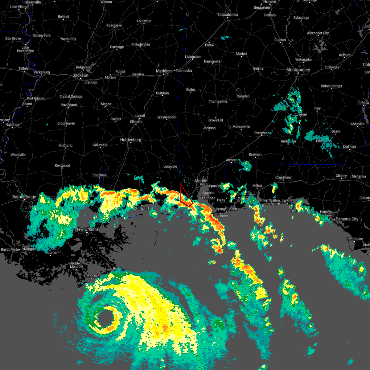 At 756 am cdt, a severe thunderstorm capable of producing a tornado was located over bayou la batre, moving northwest at 40 mph (radar indicated rotation). Hazards include tornado. Flying debris will be dangerous to those caught without shelter. mobile homes will be damaged or destroyed. damage to roofs, windows, and vehicles will occur. tree damage is likely. This dangerous storm will be near, grand bay around 805 am cdt. At 756 am cdt, a severe thunderstorm capable of producing a tornado was located over bayou la batre, moving northwest at 40 mph (radar indicated rotation). Hazards include tornado. Flying debris will be dangerous to those caught without shelter. mobile homes will be damaged or destroyed. damage to roofs, windows, and vehicles will occur. tree damage is likely. This dangerous storm will be near, grand bay around 805 am cdt.
|
| 8/29/2021 7:43 AM CDT |
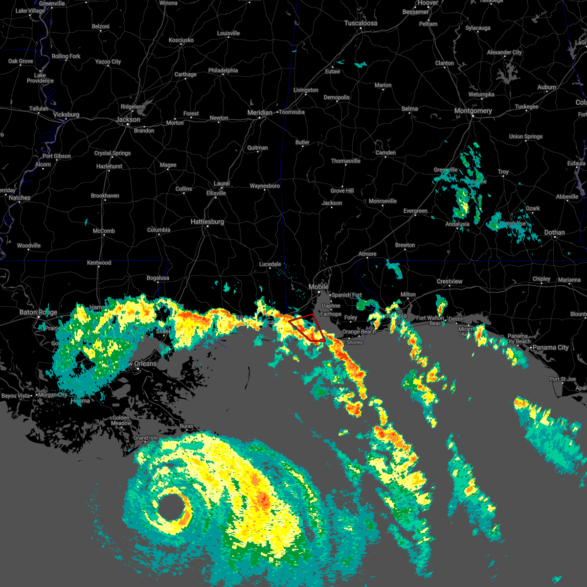 At 743 am cdt, a severe thunderstorm capable of producing a tornado was located 4 miles southeast of coden, or 5 miles southeast of bayou la batre, moving northwest at 40 mph (radar indicated rotation). Hazards include tornado. Flying debris will be dangerous to those caught without shelter. mobile homes will be damaged or destroyed. damage to roofs, windows, and vehicles will occur. tree damage is likely. This dangerous storm will be near, bayou la batre around 750 am cdt. At 743 am cdt, a severe thunderstorm capable of producing a tornado was located 4 miles southeast of coden, or 5 miles southeast of bayou la batre, moving northwest at 40 mph (radar indicated rotation). Hazards include tornado. Flying debris will be dangerous to those caught without shelter. mobile homes will be damaged or destroyed. damage to roofs, windows, and vehicles will occur. tree damage is likely. This dangerous storm will be near, bayou la batre around 750 am cdt.
|
| 8/29/2021 7:30 AM CDT |
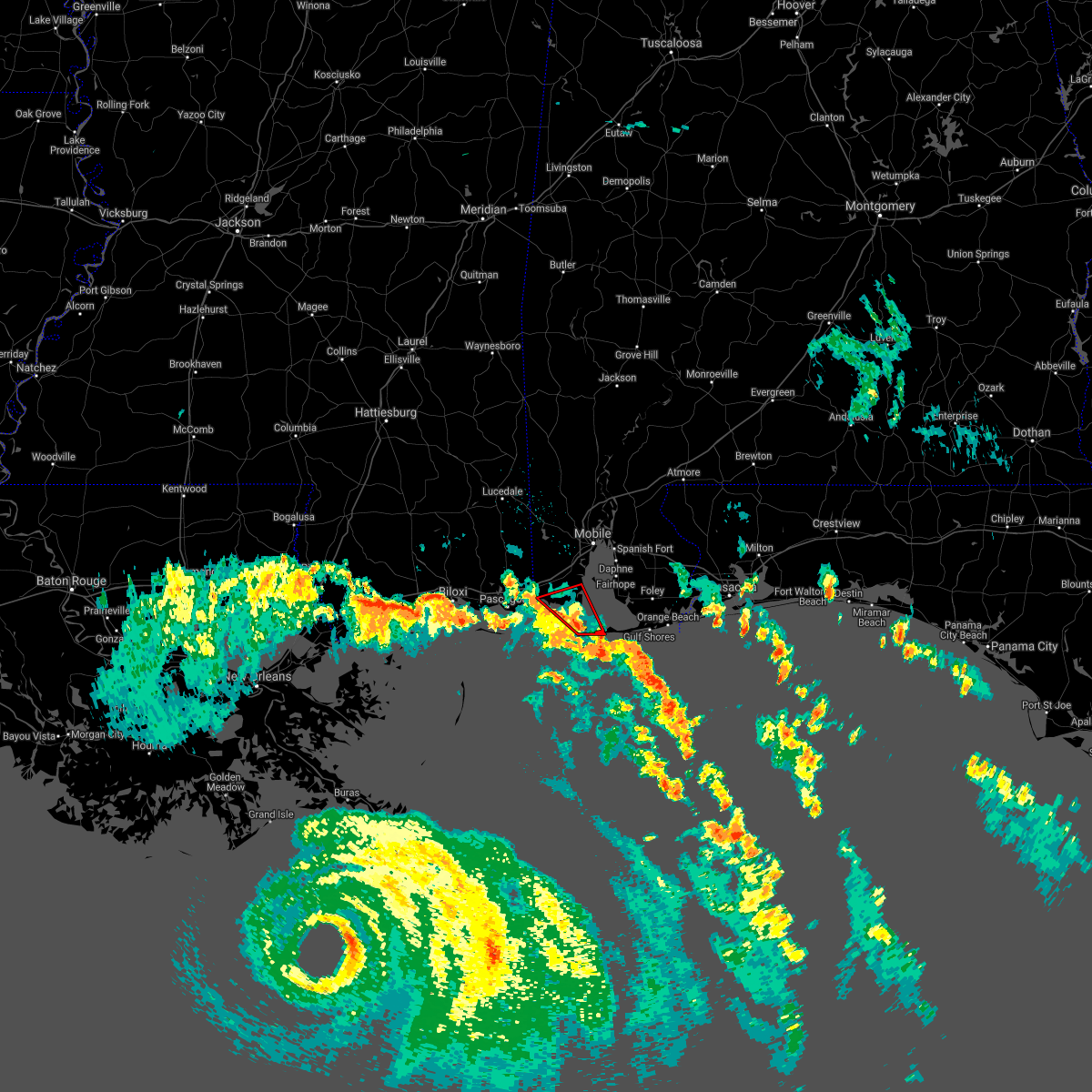 At 730 am cdt, a severe thunderstorm capable of producing a tornado was located over fort morgan, or near dauphin island, moving northwest at 40 mph (radar indicated rotation). Hazards include tornado. Flying debris will be dangerous to those caught without shelter. mobile homes will be damaged or destroyed. damage to roofs, windows, and vehicles will occur. tree damage is likely. this dangerous storm will be near, dauphin island around 735 am cdt. alabama port around 745 am cdt. Bayou la batre and coden around 755 am cdt. At 730 am cdt, a severe thunderstorm capable of producing a tornado was located over fort morgan, or near dauphin island, moving northwest at 40 mph (radar indicated rotation). Hazards include tornado. Flying debris will be dangerous to those caught without shelter. mobile homes will be damaged or destroyed. damage to roofs, windows, and vehicles will occur. tree damage is likely. this dangerous storm will be near, dauphin island around 735 am cdt. alabama port around 745 am cdt. Bayou la batre and coden around 755 am cdt.
|
| 8/10/2021 12:14 PM CDT |
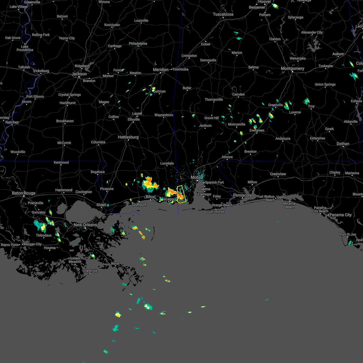 At 1213 pm cdt, a severe thunderstorm was located over grand bay, moving northwest at 10 mph (radar indicated). Hazards include 60 mph wind gusts. expect damage to roofs, siding, and trees At 1213 pm cdt, a severe thunderstorm was located over grand bay, moving northwest at 10 mph (radar indicated). Hazards include 60 mph wind gusts. expect damage to roofs, siding, and trees
|
| 6/19/2021 3:21 AM CDT |
 At 321 am cdt, a severe thunderstorm capable of producing a tornado was located over alabama port, or 6 miles southeast of bayou la batre, moving north at 35 mph (radar indicated rotation). Hazards include tornado. Flying debris will be dangerous to those caught without shelter. mobile homes will be damaged or destroyed. damage to roofs, windows, and vehicles will occur. tree damage is likely. This dangerous storm will be near, theodore around 345 am cdt. At 321 am cdt, a severe thunderstorm capable of producing a tornado was located over alabama port, or 6 miles southeast of bayou la batre, moving north at 35 mph (radar indicated rotation). Hazards include tornado. Flying debris will be dangerous to those caught without shelter. mobile homes will be damaged or destroyed. damage to roofs, windows, and vehicles will occur. tree damage is likely. This dangerous storm will be near, theodore around 345 am cdt.
|
| 6/19/2021 3:07 AM CDT |
 At 307 am cdt, a severe thunderstorm capable of producing a tornado was located over dauphin island, moving north at 35 mph (radar indicated rotation). Hazards include tornado. Flying debris will be dangerous to those caught without shelter. mobile homes will be damaged or destroyed. damage to roofs, windows, and vehicles will occur. tree damage is likely. this dangerous storm will be near, alabama port around 320 am cdt. coden around 325 am cdt. bayou la batre around 330 am cdt. Theodore around 345 am cdt. At 307 am cdt, a severe thunderstorm capable of producing a tornado was located over dauphin island, moving north at 35 mph (radar indicated rotation). Hazards include tornado. Flying debris will be dangerous to those caught without shelter. mobile homes will be damaged or destroyed. damage to roofs, windows, and vehicles will occur. tree damage is likely. this dangerous storm will be near, alabama port around 320 am cdt. coden around 325 am cdt. bayou la batre around 330 am cdt. Theodore around 345 am cdt.
|
| 6/15/2021 2:05 PM CDT |
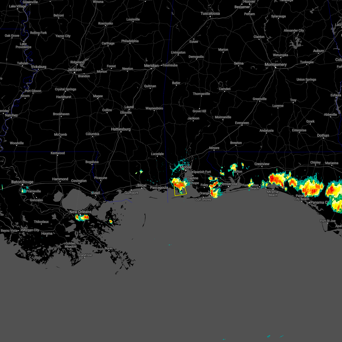 At 205 pm cdt, a severe thunderstorm was located near bayou la batre, moving south at 15 mph (radar indicated). Hazards include 60 mph wind gusts and penny size hail. Expect damage to roofs, siding, and trees. Locations impacted include, bayou la batre, coden and alabama port. At 205 pm cdt, a severe thunderstorm was located near bayou la batre, moving south at 15 mph (radar indicated). Hazards include 60 mph wind gusts and penny size hail. Expect damage to roofs, siding, and trees. Locations impacted include, bayou la batre, coden and alabama port.
|
| 6/15/2021 1:48 PM CDT |
 At 148 pm cdt, a severe thunderstorm was located 4 miles south of theodore, moving south at 15 mph (radar indicated). Hazards include 60 mph wind gusts and penny size hail. expect damage to roofs, siding, and trees At 148 pm cdt, a severe thunderstorm was located 4 miles south of theodore, moving south at 15 mph (radar indicated). Hazards include 60 mph wind gusts and penny size hail. expect damage to roofs, siding, and trees
|
| 4/24/2021 6:05 AM CDT |
 At 602 am cdt, severe thunderstorms were located along a line extending from 8 miles southeast of castleberry to pollard to 8 miles southeast of bratt to tillmans corner, moving east at 55 mph. mobile 911 call center reports structural damage and intense winds. radar also showing winds near 80 mph a few hundred feet off the surface. these are very dangerous storms (law enforcement). Hazards include 80 mph wind gusts. Flying debris will be dangerous to those caught without shelter. mobile homes will be heavily damaged. expect considerable damage to roofs, windows, and vehicles. extensive tree damage and power outages are likely. Locations impacted include, midtown mobile, downtown mobile, prichard, ferry pass, brent, west pensacola, ensley, daphne, tillmans corner, crestview, fairhope, saraland, gonzalez, gulf shores, bay minette, foley, pace, milton, theodore and chickasaw. At 602 am cdt, severe thunderstorms were located along a line extending from 8 miles southeast of castleberry to pollard to 8 miles southeast of bratt to tillmans corner, moving east at 55 mph. mobile 911 call center reports structural damage and intense winds. radar also showing winds near 80 mph a few hundred feet off the surface. these are very dangerous storms (law enforcement). Hazards include 80 mph wind gusts. Flying debris will be dangerous to those caught without shelter. mobile homes will be heavily damaged. expect considerable damage to roofs, windows, and vehicles. extensive tree damage and power outages are likely. Locations impacted include, midtown mobile, downtown mobile, prichard, ferry pass, brent, west pensacola, ensley, daphne, tillmans corner, crestview, fairhope, saraland, gonzalez, gulf shores, bay minette, foley, pace, milton, theodore and chickasaw.
|
| 4/24/2021 5:57 AM CDT |
 At 556 am cdt, severe thunderstorms were located along a line extending from 5 miles southeast of castleberry to flomaton to 7 miles south of bratt to near tillmans corner, moving east at 55 mph (radar indicated). Hazards include 70 mph wind gusts. Expect considerable tree damage. Damage is likely to mobile homes, roofs, and outbuildings. At 556 am cdt, severe thunderstorms were located along a line extending from 5 miles southeast of castleberry to flomaton to 7 miles south of bratt to near tillmans corner, moving east at 55 mph (radar indicated). Hazards include 70 mph wind gusts. Expect considerable tree damage. Damage is likely to mobile homes, roofs, and outbuildings.
|
| 4/15/2021 3:48 AM CDT |
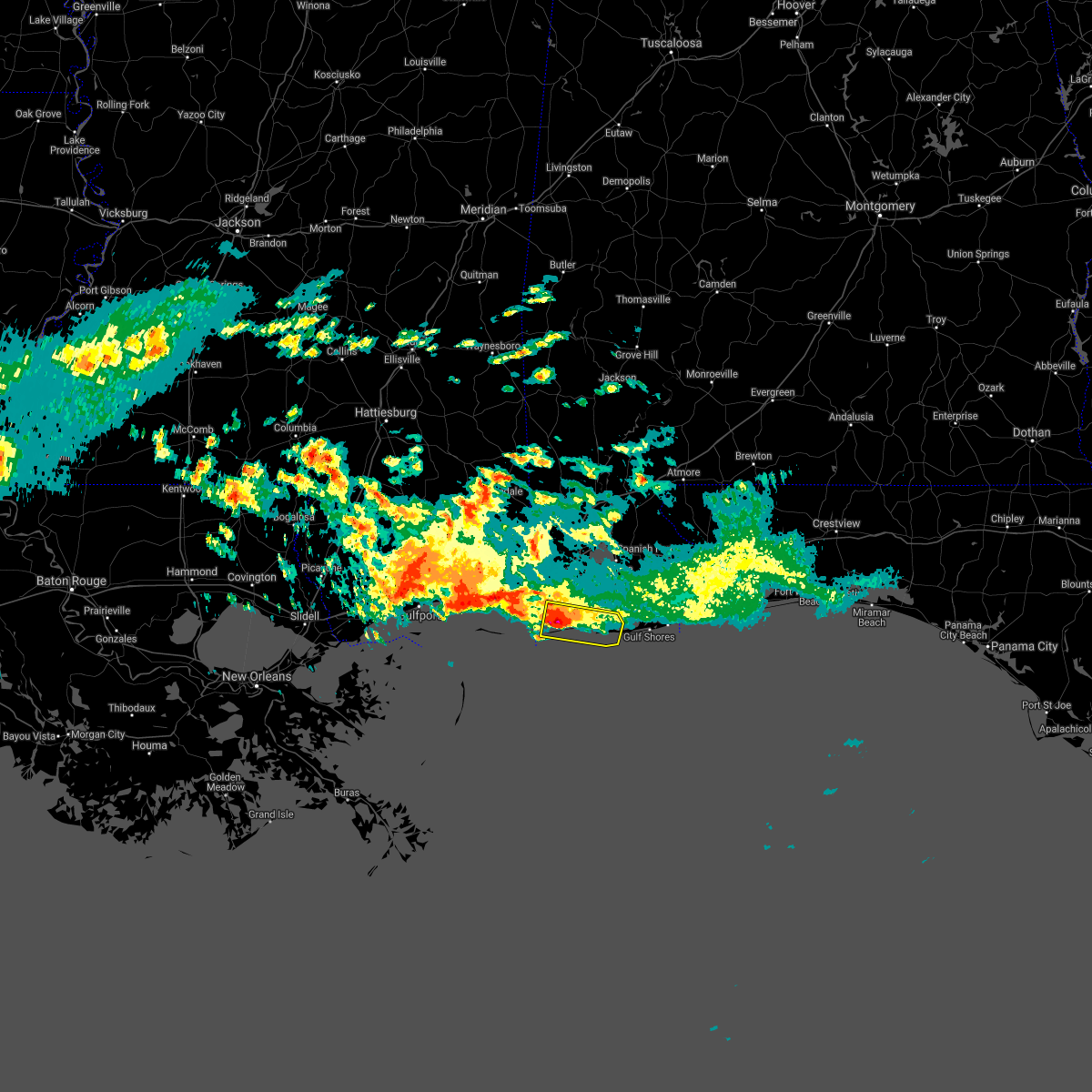 At 347 am cdt, a severe thunderstorm was located 6 miles south of coden, or 7 miles south of bayou la batre, moving east at 30 mph (radar indicated). Hazards include quarter size hail. damage to vehicles is expected At 347 am cdt, a severe thunderstorm was located 6 miles south of coden, or 7 miles south of bayou la batre, moving east at 30 mph (radar indicated). Hazards include quarter size hail. damage to vehicles is expected
|
| 4/10/2021 6:30 AM CDT |
 At 630 am cdt, severe thunderstorms were located along a line extending from 3 miles west of loxley to 14 miles southeast of petit bois island, moving southeast at 50 mph (radar indicated). Hazards include 60 mph wind gusts. Expect damage to roofs, siding, and trees. Locations impacted include, daphne, fairhope, gulf shores, foley, orange beach, spanish fort, robertsdale, bayou la batre, point clear, dauphin island, loxley, lillian, magnolia springs, stapleton, bon secour, summerdale, silverhill, perdido beach, elberta and coden. At 630 am cdt, severe thunderstorms were located along a line extending from 3 miles west of loxley to 14 miles southeast of petit bois island, moving southeast at 50 mph (radar indicated). Hazards include 60 mph wind gusts. Expect damage to roofs, siding, and trees. Locations impacted include, daphne, fairhope, gulf shores, foley, orange beach, spanish fort, robertsdale, bayou la batre, point clear, dauphin island, loxley, lillian, magnolia springs, stapleton, bon secour, summerdale, silverhill, perdido beach, elberta and coden.
|
| 4/10/2021 6:20 AM CDT |
 At 620 am cdt, severe thunderstorms were located along a line extending from near spanish fort to 7 miles southeast of petit bois island, moving southeast at 50 mph (radar indicated). Hazards include 60 mph wind gusts. expect damage to roofs, siding, and trees At 620 am cdt, severe thunderstorms were located along a line extending from near spanish fort to 7 miles southeast of petit bois island, moving southeast at 50 mph (radar indicated). Hazards include 60 mph wind gusts. expect damage to roofs, siding, and trees
|
| 4/10/2021 6:20 AM CDT |
 The national weather service in mobile has issued a * severe thunderstorm warning for. southwestern mobile county in southwestern alabama. southern baldwin county in southwestern alabama. south central escambia county in northwestern florida. Until 700 am cdt. The national weather service in mobile has issued a * severe thunderstorm warning for. southwestern mobile county in southwestern alabama. southern baldwin county in southwestern alabama. south central escambia county in northwestern florida. Until 700 am cdt.
|
| 4/10/2021 3:53 AM CDT |
 At 353 am cdt, severe thunderstorms were located along a line extending from 7 miles southwest of belknap to flomaton to midtown mobile to 4 miles northeast of gulf park estates, moving east at 40 mph (radar indicated). Hazards include 60 mph wind gusts and quarter size hail. Hail damage to vehicles is expected. Expect wind damage to roofs, siding, and trees. At 353 am cdt, severe thunderstorms were located along a line extending from 7 miles southwest of belknap to flomaton to midtown mobile to 4 miles northeast of gulf park estates, moving east at 40 mph (radar indicated). Hazards include 60 mph wind gusts and quarter size hail. Hail damage to vehicles is expected. Expect wind damage to roofs, siding, and trees.
|
| 4/9/2021 3:11 AM CDT |
 At 310 am cdt, a severe thunderstorm was located near grand bay, moving northeast at 35 mph (radar indicated). Hazards include 60 mph wind gusts and quarter size hail. Hail damage to vehicles is expected. expect wind damage to roofs, siding, and trees. Locations impacted include, midtown mobile, downtown mobile, prichard, tillmans corner, theodore, grand bay, semmes, i65 and i165, i10 and i65 and mobile regional airport. At 310 am cdt, a severe thunderstorm was located near grand bay, moving northeast at 35 mph (radar indicated). Hazards include 60 mph wind gusts and quarter size hail. Hail damage to vehicles is expected. expect wind damage to roofs, siding, and trees. Locations impacted include, midtown mobile, downtown mobile, prichard, tillmans corner, theodore, grand bay, semmes, i65 and i165, i10 and i65 and mobile regional airport.
|
| 4/9/2021 2:57 AM CDT |
 At 256 am cdt, a severe thunderstorm was located 7 miles southwest of grand bay, moving northeast at 35 mph (radar indicated). Hazards include 60 mph wind gusts and half dollar size hail. Hail damage to vehicles is expected. Expect wind damage to roofs, siding, and trees. At 256 am cdt, a severe thunderstorm was located 7 miles southwest of grand bay, moving northeast at 35 mph (radar indicated). Hazards include 60 mph wind gusts and half dollar size hail. Hail damage to vehicles is expected. Expect wind damage to roofs, siding, and trees.
|
| 11/26/2020 9:06 PM CST |
 At 903 pm cst, a severe thunderstorm was located 4 miles west of grand bay, moving east at 30 mph (radar indicated). Hazards include 60 mph wind gusts. expect damage to roofs, siding, and trees At 903 pm cst, a severe thunderstorm was located 4 miles west of grand bay, moving east at 30 mph (radar indicated). Hazards include 60 mph wind gusts. expect damage to roofs, siding, and trees
|
| 10/10/2020 5:00 AM CDT |
 At 500 am cdt, a severe thunderstorm capable of producing a tornado was located 4 miles north of bayou la batre, moving northeast at 35 mph (radar indicated rotation). Hazards include tornado. Flying debris will be dangerous to those caught without shelter. mobile homes will be damaged or destroyed. damage to roofs, windows, and vehicles will occur. tree damage is likely. this dangerous storm will be near, theodore around 510 am cdt. tillmans corner around 515 am cdt. i10 and i65 and mobile regional airport around 525 am cdt. Midtown mobile around 530 am cdt. At 500 am cdt, a severe thunderstorm capable of producing a tornado was located 4 miles north of bayou la batre, moving northeast at 35 mph (radar indicated rotation). Hazards include tornado. Flying debris will be dangerous to those caught without shelter. mobile homes will be damaged or destroyed. damage to roofs, windows, and vehicles will occur. tree damage is likely. this dangerous storm will be near, theodore around 510 am cdt. tillmans corner around 515 am cdt. i10 and i65 and mobile regional airport around 525 am cdt. Midtown mobile around 530 am cdt.
|
| 10/10/2020 4:53 AM CDT |
 At 453 am cdt, a severe thunderstorm was located over coden, or over bayou la batre, moving northeast at 40 mph (radar indicated). Hazards include 60 mph wind gusts. expect damage to roofs, siding, and trees At 453 am cdt, a severe thunderstorm was located over coden, or over bayou la batre, moving northeast at 40 mph (radar indicated). Hazards include 60 mph wind gusts. expect damage to roofs, siding, and trees
|
| 7/13/2020 5:34 PM CDT |
 At 531 pm cdt, a severe thunderstorm was located near theodore, moving south at 25 mph (radar indicated). Hazards include 60 mph wind gusts. expect damage to roofs, siding, and trees At 531 pm cdt, a severe thunderstorm was located near theodore, moving south at 25 mph (radar indicated). Hazards include 60 mph wind gusts. expect damage to roofs, siding, and trees
|
| 7/12/2020 8:10 PM CDT |
 At 809 pm cdt, a severe thunderstorm was located near i10 and i65, or near downtown mobile, moving south at 35 mph (radar indicated). Hazards include 60 mph wind gusts and penny size hail. Expect damage to roofs, siding, and trees. Locations impacted include, midtown mobile, downtown mobile, prichard, daphne, tillmans corner, fairhope, saraland, gulf shores, foley, theodore, chickasaw, satsuma, orange beach, spanish fort, grand bay, robertsdale, bayou la batre, creola, point clear and dauphin island. At 809 pm cdt, a severe thunderstorm was located near i10 and i65, or near downtown mobile, moving south at 35 mph (radar indicated). Hazards include 60 mph wind gusts and penny size hail. Expect damage to roofs, siding, and trees. Locations impacted include, midtown mobile, downtown mobile, prichard, daphne, tillmans corner, fairhope, saraland, gulf shores, foley, theodore, chickasaw, satsuma, orange beach, spanish fort, grand bay, robertsdale, bayou la batre, creola, point clear and dauphin island.
|
| 7/12/2020 7:33 PM CDT |
 At 733 pm cdt, a cluster of severe thunderstorms was located over chunchula, or 7 miles northwest of creola, moving south at 35 mph (radar indicated). Hazards include 60 mph wind gusts and penny size hail. expect damage to roofs, siding, and trees At 733 pm cdt, a cluster of severe thunderstorms was located over chunchula, or 7 miles northwest of creola, moving south at 35 mph (radar indicated). Hazards include 60 mph wind gusts and penny size hail. expect damage to roofs, siding, and trees
|
| 7/1/2020 5:16 PM CDT |
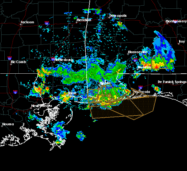 At 516 pm cdt, a severe thunderstorm was located 8 miles east of alabama port, or 9 miles south of point clear, moving east at 35 mph (radar indicated). Hazards include 60 mph wind gusts. Expect damage to roofs, siding, and trees. Locations impacted include, bayou la batre, dauphin island, coden and alabama port. At 516 pm cdt, a severe thunderstorm was located 8 miles east of alabama port, or 9 miles south of point clear, moving east at 35 mph (radar indicated). Hazards include 60 mph wind gusts. Expect damage to roofs, siding, and trees. Locations impacted include, bayou la batre, dauphin island, coden and alabama port.
|
| 7/1/2020 4:23 PM CDT |
 At 423 pm cdt, a severe thunderstorm was located near tillmans corner, moving south at 35 mph (radar indicated). Hazards include 60 mph wind gusts. expect damage to roofs, siding, and trees At 423 pm cdt, a severe thunderstorm was located near tillmans corner, moving south at 35 mph (radar indicated). Hazards include 60 mph wind gusts. expect damage to roofs, siding, and trees
|
| 7/1/2020 4:17 PM CDT |
 At 417 pm cdt, a severe thunderstorm was located over mobile regional airport, or 5 miles west of midtown mobile, moving south at 35 mph (radar indicated). Hazards include 60 mph wind gusts. Expect damage to roofs, siding, and trees. Locations impacted include, midtown mobile, downtown mobile, prichard, tillmans corner, saraland, theodore, chickasaw, grand bay, semmes, tanner williams, i65 and i165, mobile regional airport, wilmer, i65 and al 158 and i10 and i65. At 417 pm cdt, a severe thunderstorm was located over mobile regional airport, or 5 miles west of midtown mobile, moving south at 35 mph (radar indicated). Hazards include 60 mph wind gusts. Expect damage to roofs, siding, and trees. Locations impacted include, midtown mobile, downtown mobile, prichard, tillmans corner, saraland, theodore, chickasaw, grand bay, semmes, tanner williams, i65 and i165, mobile regional airport, wilmer, i65 and al 158 and i10 and i65.
|
| 7/1/2020 4:01 PM CDT |
 At 401 pm cdt, a severe thunderstorm was located 5 miles northeast of semmes, or 8 miles west of saraland, moving south at 30 mph (radar indicated). Hazards include 60 mph wind gusts. expect damage to roofs, siding, and trees At 401 pm cdt, a severe thunderstorm was located 5 miles northeast of semmes, or 8 miles west of saraland, moving south at 30 mph (radar indicated). Hazards include 60 mph wind gusts. expect damage to roofs, siding, and trees
|
| 6/24/2020 1:53 PM CDT |
 At 152 pm cdt, severe thunderstorms were located along a line extending from 6 miles southwest of movico to prichard to 8 miles west of dauphin island, moving northeast at 45 mph (radar indicated). Hazards include 60 mph wind gusts. Expect damage to roofs, siding, and trees. Locations impacted include, midtown mobile, downtown mobile, prichard, daphne, tillmans corner, fairhope, saraland, theodore, chickasaw, satsuma, spanish fort, grand bay, bayou la batre, creola, point clear, dauphin island, loxley, chunchula, stapleton and axis. At 152 pm cdt, severe thunderstorms were located along a line extending from 6 miles southwest of movico to prichard to 8 miles west of dauphin island, moving northeast at 45 mph (radar indicated). Hazards include 60 mph wind gusts. Expect damage to roofs, siding, and trees. Locations impacted include, midtown mobile, downtown mobile, prichard, daphne, tillmans corner, fairhope, saraland, theodore, chickasaw, satsuma, spanish fort, grand bay, bayou la batre, creola, point clear, dauphin island, loxley, chunchula, stapleton and axis.
|
| 6/24/2020 1:09 PM CDT |
 At 108 pm cdt, severe thunderstorms were located along a line extending from 9 miles southwest of lucedale to 3 miles northwest of escatawpa to 18 miles southwest of petit bois island, moving east at 40 mph (radar indicated). Hazards include 60 mph wind gusts. expect damage to roofs, siding, and trees At 108 pm cdt, severe thunderstorms were located along a line extending from 9 miles southwest of lucedale to 3 miles northwest of escatawpa to 18 miles southwest of petit bois island, moving east at 40 mph (radar indicated). Hazards include 60 mph wind gusts. expect damage to roofs, siding, and trees
|
| 4/20/2020 12:32 AM CDT | 60 mph winds estimated by ham radio operator in coden... a in mobile county AL, 2 miles NNW of Bayou La Batre, AL |
| 4/20/2020 12:28 AM CDT |
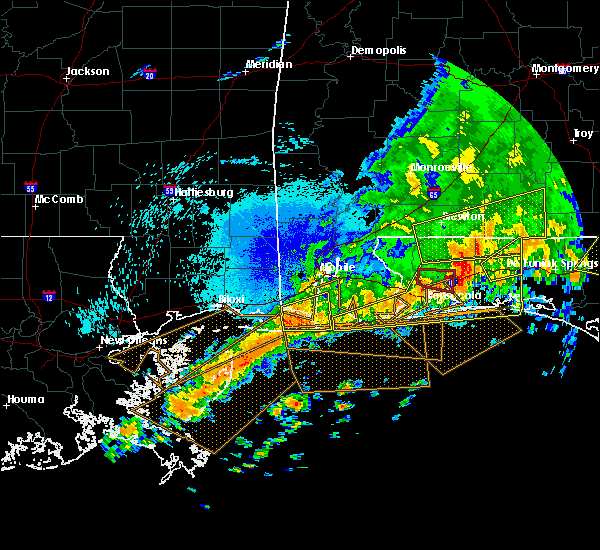 At 1227 am cdt, a severe thunderstorm was located 8 miles south of coden, or 10 miles south of bayou la batre, moving east at 35 mph (radar indicated). Hazards include 60 mph wind gusts. expect damage to roofs, siding, and trees At 1227 am cdt, a severe thunderstorm was located 8 miles south of coden, or 10 miles south of bayou la batre, moving east at 35 mph (radar indicated). Hazards include 60 mph wind gusts. expect damage to roofs, siding, and trees
|
| 4/19/2020 11:43 PM CDT |
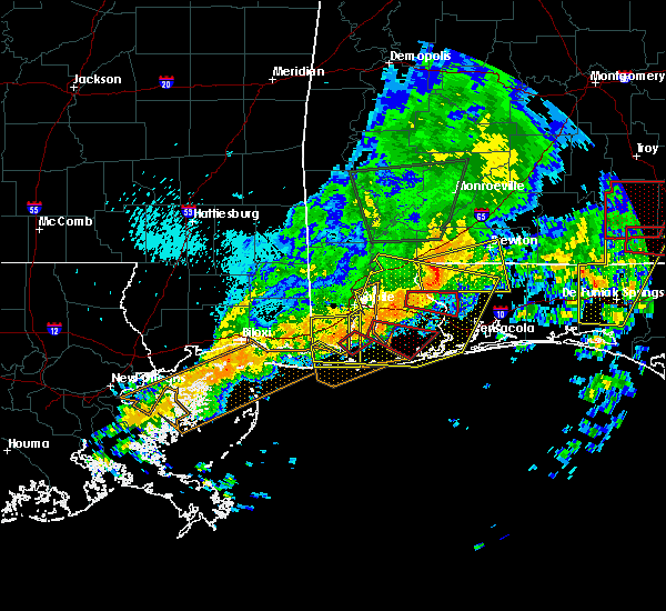 At 1142 pm cdt, severe thunderstorms were located along a line extending from 8 miles southwest of coden to 5 miles northeast of alabama port to near daphne, moving southeast at 40 mph (radar indicated). Hazards include 60 mph wind gusts. expect damage to roofs, siding, and trees At 1142 pm cdt, severe thunderstorms were located along a line extending from 8 miles southwest of coden to 5 miles northeast of alabama port to near daphne, moving southeast at 40 mph (radar indicated). Hazards include 60 mph wind gusts. expect damage to roofs, siding, and trees
|
| 4/19/2020 11:22 PM CDT |
 At 1121 pm cdt, a severe thunderstorm capable of producing a tornado was located 4 miles southwest of theodore, moving east at 35 mph (radar indicated rotation). Hazards include tornado. Flying debris will be dangerous to those caught without shelter. mobile homes will be damaged or destroyed. damage to roofs, windows, and vehicles will occur. tree damage is likely. This dangerous storm will be near, alabama port around 1140 pm cdt. At 1121 pm cdt, a severe thunderstorm capable of producing a tornado was located 4 miles southwest of theodore, moving east at 35 mph (radar indicated rotation). Hazards include tornado. Flying debris will be dangerous to those caught without shelter. mobile homes will be damaged or destroyed. damage to roofs, windows, and vehicles will occur. tree damage is likely. This dangerous storm will be near, alabama port around 1140 pm cdt.
|
| 4/19/2020 11:17 PM CDT |
 At 1116 pm cdt, a severe thunderstorm capable of producing a tornado was located 5 miles northeast of grand bay or 3 miles southeast of dees, moving southeast at 35 mph (radar indicated rotation). Hazards include tornado. Flying debris will be dangerous to those caught without shelter. mobile homes will be damaged or destroyed. damage to roofs, windows, and vehicles will occur. tree damage is likely. this dangerous storm will be near, theodore around 1125 pm cdt. bayou la batre around 1130 pm cdt. Alabama port around 1145 pm cdt. At 1116 pm cdt, a severe thunderstorm capable of producing a tornado was located 5 miles northeast of grand bay or 3 miles southeast of dees, moving southeast at 35 mph (radar indicated rotation). Hazards include tornado. Flying debris will be dangerous to those caught without shelter. mobile homes will be damaged or destroyed. damage to roofs, windows, and vehicles will occur. tree damage is likely. this dangerous storm will be near, theodore around 1125 pm cdt. bayou la batre around 1130 pm cdt. Alabama port around 1145 pm cdt.
|
| 4/19/2020 11:07 PM CDT |
 At 1106 pm cdt, a severe thunderstorm capable of producing a tornado was located 6 miles east of big point, or 6 miles north of grand bay, moving southeast at 45 mph (radar indicated rotation). Hazards include tornado. Flying debris will be dangerous to those caught without shelter. mobile homes will be damaged or destroyed. damage to roofs, windows, and vehicles will occur. tree damage is likely. this dangerous storm will be near, grand bay around 1115 pm cdt. theodore around 1120 pm cdt. bayou la batre around 1125 pm cdt. Alabama port around 1135 pm cdt. At 1106 pm cdt, a severe thunderstorm capable of producing a tornado was located 6 miles east of big point, or 6 miles north of grand bay, moving southeast at 45 mph (radar indicated rotation). Hazards include tornado. Flying debris will be dangerous to those caught without shelter. mobile homes will be damaged or destroyed. damage to roofs, windows, and vehicles will occur. tree damage is likely. this dangerous storm will be near, grand bay around 1115 pm cdt. theodore around 1120 pm cdt. bayou la batre around 1125 pm cdt. Alabama port around 1135 pm cdt.
|
| 4/19/2020 10:54 PM CDT |
 At 1054 pm cdt, severe thunderstorms were located along a line extending from near tanner williams to near big point to 4 miles northeast of gulfport, moving east at 50 mph (radar indicated). Hazards include 60 mph wind gusts. expect damage to roofs, siding, and trees At 1054 pm cdt, severe thunderstorms were located along a line extending from near tanner williams to near big point to 4 miles northeast of gulfport, moving east at 50 mph (radar indicated). Hazards include 60 mph wind gusts. expect damage to roofs, siding, and trees
|
| 4/10/2020 1:08 AM CDT |
 The severe thunderstorm warning for southwestern mobile county will expire at 115 am cdt, the storm which prompted the warning has moved out of the area. therefore, the warning will be allowed to expire. The severe thunderstorm warning for southwestern mobile county will expire at 115 am cdt, the storm which prompted the warning has moved out of the area. therefore, the warning will be allowed to expire.
|
| 4/10/2020 12:40 AM CDT |
 At 1240 am cdt, a severe thunderstorm was located 4 miles northeast of bayou la batre, moving southeast at 35 mph (radar indicated). Hazards include 60 mph wind gusts. expect damage to roofs, siding, and trees At 1240 am cdt, a severe thunderstorm was located 4 miles northeast of bayou la batre, moving southeast at 35 mph (radar indicated). Hazards include 60 mph wind gusts. expect damage to roofs, siding, and trees
|
| 10/30/2019 3:29 AM CDT |
 At 328 am cdt, a severe thunderstorm was located over coden, or over bayou la batre, moving north at 20 mph (radar indicated). Hazards include 60 mph wind gusts. expect damage to roofs, siding, and trees At 328 am cdt, a severe thunderstorm was located over coden, or over bayou la batre, moving north at 20 mph (radar indicated). Hazards include 60 mph wind gusts. expect damage to roofs, siding, and trees
|
| 10/30/2019 3:24 AM CDT |
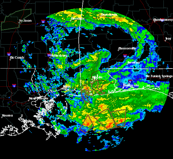 At 323 am cdt, a severe thunderstorm was located over coden, or over bayou la batre, moving north at 20 mph (radar indicated). Hazards include 60 mph wind gusts. Expect damage to roofs, siding, and trees. Locations impacted include, bayou la batre and coden. At 323 am cdt, a severe thunderstorm was located over coden, or over bayou la batre, moving north at 20 mph (radar indicated). Hazards include 60 mph wind gusts. Expect damage to roofs, siding, and trees. Locations impacted include, bayou la batre and coden.
|
| 10/30/2019 3:06 AM CDT |
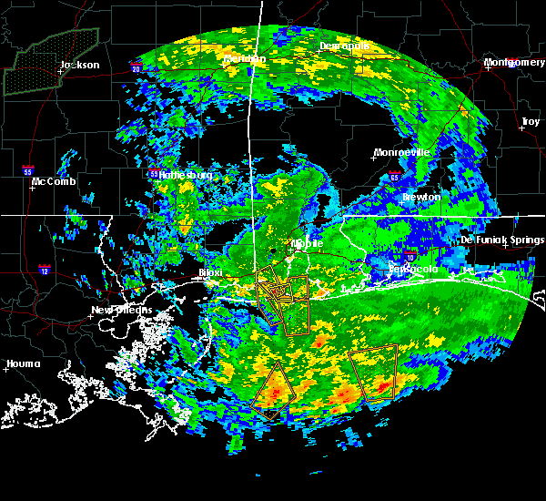 At 305 am cdt, a severe thunderstorm was located 5 miles south of coden, or 6 miles northwest of dauphin island, moving northwest at 15 mph (radar indicated). Hazards include 60 mph wind gusts. expect damage to roofs, siding, and trees At 305 am cdt, a severe thunderstorm was located 5 miles south of coden, or 6 miles northwest of dauphin island, moving northwest at 15 mph (radar indicated). Hazards include 60 mph wind gusts. expect damage to roofs, siding, and trees
|
| 10/30/2019 2:53 AM CDT |
 At 253 am cdt, a severe thunderstorm capable of producing a tornado was located near dauphin island, moving northwest at 15 mph (radar indicated rotation). Hazards include tornado. Flying debris will be dangerous to those caught without shelter. mobile homes will be damaged or destroyed. damage to roofs, windows, and vehicles will occur. tree damage is likely. This dangerous storm will be near, grand bay around 400 am cdt. At 253 am cdt, a severe thunderstorm capable of producing a tornado was located near dauphin island, moving northwest at 15 mph (radar indicated rotation). Hazards include tornado. Flying debris will be dangerous to those caught without shelter. mobile homes will be damaged or destroyed. damage to roofs, windows, and vehicles will occur. tree damage is likely. This dangerous storm will be near, grand bay around 400 am cdt.
|
| 10/26/2019 9:01 AM CDT |
 At 901 am cdt, a severe thunderstorm was located over coden, or over bayou la batre, moving north at 40 mph (radar indicated). Hazards include 60 mph wind gusts. expect damage to roofs, siding, and trees At 901 am cdt, a severe thunderstorm was located over coden, or over bayou la batre, moving north at 40 mph (radar indicated). Hazards include 60 mph wind gusts. expect damage to roofs, siding, and trees
|
| 10/25/2019 10:45 AM CDT |
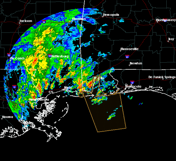 At 1045 am cdt, a severe thunderstorm was located 8 miles southwest of grand bay, moving north at 30 mph (radar indicated). Hazards include 60 mph wind gusts. expect damage to roofs, siding, and trees At 1045 am cdt, a severe thunderstorm was located 8 miles southwest of grand bay, moving north at 30 mph (radar indicated). Hazards include 60 mph wind gusts. expect damage to roofs, siding, and trees
|
| 7/23/2019 1:28 PM CDT |
 At 128 pm cdt, a severe thunderstorm was located 6 miles north of alabama port, or 6 miles southeast of theodore, moving southeast at 15 mph (radar indicated). Hazards include 60 mph wind gusts. expect damage to roofs, siding, and trees At 128 pm cdt, a severe thunderstorm was located 6 miles north of alabama port, or 6 miles southeast of theodore, moving southeast at 15 mph (radar indicated). Hazards include 60 mph wind gusts. expect damage to roofs, siding, and trees
|
| 6/28/2019 5:41 PM CDT |
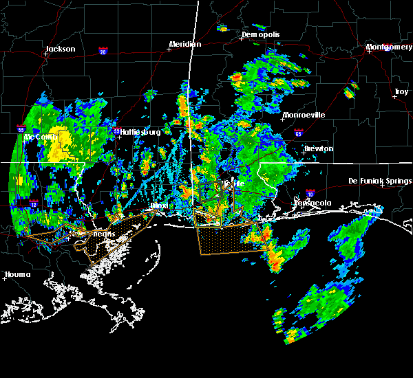 The severe thunderstorm warning for southwestern mobile county will expire at 545 pm cdt, the storm which prompted the warning has weakened below severe limits, therefore, the warning will be allowed to expire. however gusty winds are still possible. The severe thunderstorm warning for southwestern mobile county will expire at 545 pm cdt, the storm which prompted the warning has weakened below severe limits, therefore, the warning will be allowed to expire. however gusty winds are still possible.
|
| 6/28/2019 5:27 PM CDT |
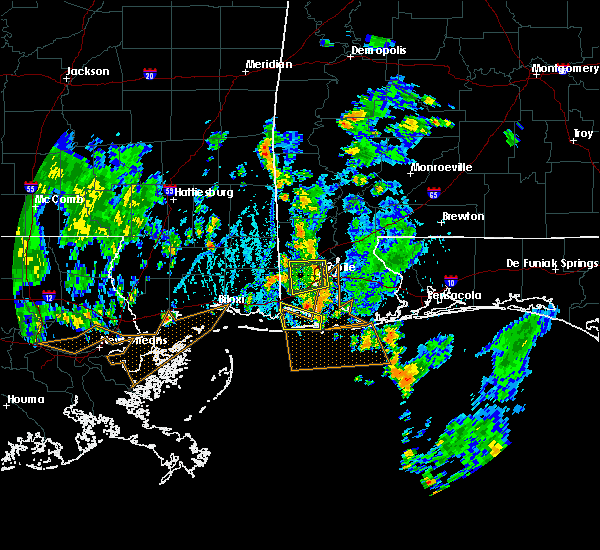 At 526 pm cdt, strong gusty northerly winds associated with a thunderstorm over central mobile county will affect the warned area (radar indicated). Hazards include 60 mph wind gusts. Expect damage to roofs, siding, and trees. Locations impacted include, dauphin island and coden. At 526 pm cdt, strong gusty northerly winds associated with a thunderstorm over central mobile county will affect the warned area (radar indicated). Hazards include 60 mph wind gusts. Expect damage to roofs, siding, and trees. Locations impacted include, dauphin island and coden.
|
| 6/28/2019 5:05 PM CDT |
 At 504 pm cdt, a large severe thunderstorm was located over mobile and is producing strong wind gusts which will affect the warned area (radar indicated). Hazards include 60 mph wind gusts. expect damage to roofs, siding, and trees At 504 pm cdt, a large severe thunderstorm was located over mobile and is producing strong wind gusts which will affect the warned area (radar indicated). Hazards include 60 mph wind gusts. expect damage to roofs, siding, and trees
|
| 6/27/2019 7:28 PM CDT |
 At 726 pm cdt, strong wind gusts associated with severe thunderstorms will affect the warned area (radar indicated). Hazards include 60 mph wind gusts. expect damage to roofs, siding, and trees At 726 pm cdt, strong wind gusts associated with severe thunderstorms will affect the warned area (radar indicated). Hazards include 60 mph wind gusts. expect damage to roofs, siding, and trees
|
| 6/27/2019 7:22 PM CDT |
 At 721 pm cdt, severe thunderstorms were located along a line extending from near summerdale to 3 miles southeast of alabama port to 8 miles northeast of petit bois island, moving south at 40 mph. a new severe thunderstorm warning will be issued shortly for a portion of this area (radar indicated). Hazards include 60 mph wind gusts. Expect damage to roofs, siding, and trees. Locations impacted include, fairhope, gulf shores, foley, bayou la batre, point clear, dauphin island, magnolia springs, bon secour, summerdale, silverhill, elberta, coden, fort morgan and alabama port. At 721 pm cdt, severe thunderstorms were located along a line extending from near summerdale to 3 miles southeast of alabama port to 8 miles northeast of petit bois island, moving south at 40 mph. a new severe thunderstorm warning will be issued shortly for a portion of this area (radar indicated). Hazards include 60 mph wind gusts. Expect damage to roofs, siding, and trees. Locations impacted include, fairhope, gulf shores, foley, bayou la batre, point clear, dauphin island, magnolia springs, bon secour, summerdale, silverhill, elberta, coden, fort morgan and alabama port.
|
| 6/27/2019 6:32 PM CDT |
 The national weather service in mobile has issued a * severe thunderstorm warning for. mobile county in southwestern alabama. southwestern baldwin county in southwestern alabama. southeastern george county in southeastern mississippi. Until 730 pm cdt. The national weather service in mobile has issued a * severe thunderstorm warning for. mobile county in southwestern alabama. southwestern baldwin county in southwestern alabama. southeastern george county in southeastern mississippi. Until 730 pm cdt.
|
| 6/27/2019 6:32 PM CDT |
 At 632 pm cdt, severe thunderstorms were located along a line extending from near i65 and al 225 to near semmes to 4 miles northwest of hurley, moving south at 40 mph (radar indicated). Hazards include 60 mph wind gusts. expect damage to roofs, siding, and trees At 632 pm cdt, severe thunderstorms were located along a line extending from near i65 and al 225 to near semmes to 4 miles northwest of hurley, moving south at 40 mph (radar indicated). Hazards include 60 mph wind gusts. expect damage to roofs, siding, and trees
|
| 4/18/2019 7:08 PM CDT |
 At 708 pm cdt, severe thunderstorms were located along a line extending from 7 miles southeast of jackson to 6 miles southwest of coden, moving east at 30 mph (radar indicated). Hazards include 60 mph wind gusts. expect damage to roofs, siding, and trees At 708 pm cdt, severe thunderstorms were located along a line extending from 7 miles southeast of jackson to 6 miles southwest of coden, moving east at 30 mph (radar indicated). Hazards include 60 mph wind gusts. expect damage to roofs, siding, and trees
|
| 4/18/2019 6:36 PM CDT |
 At 636 pm cdt, severe thunderstorms were located along a line extending from 6 miles west of wagarville to near moss point, moving east at 25 mph (radar indicated). Hazards include 60 mph wind gusts. expect damage to roofs, siding, and trees At 636 pm cdt, severe thunderstorms were located along a line extending from 6 miles west of wagarville to near moss point, moving east at 25 mph (radar indicated). Hazards include 60 mph wind gusts. expect damage to roofs, siding, and trees
|
| 11/1/2018 6:50 AM CDT |
 At 649 am cdt, severe thunderstorms were located along a line extending from 5 miles northwest of citronelle to near moss point, moving northeast at 45 mph (radar indicated). Hazards include 60 mph wind gusts. expect damage to roofs, siding, and trees At 649 am cdt, severe thunderstorms were located along a line extending from 5 miles northwest of citronelle to near moss point, moving northeast at 45 mph (radar indicated). Hazards include 60 mph wind gusts. expect damage to roofs, siding, and trees
|
| 7/16/2018 1:56 PM CDT |
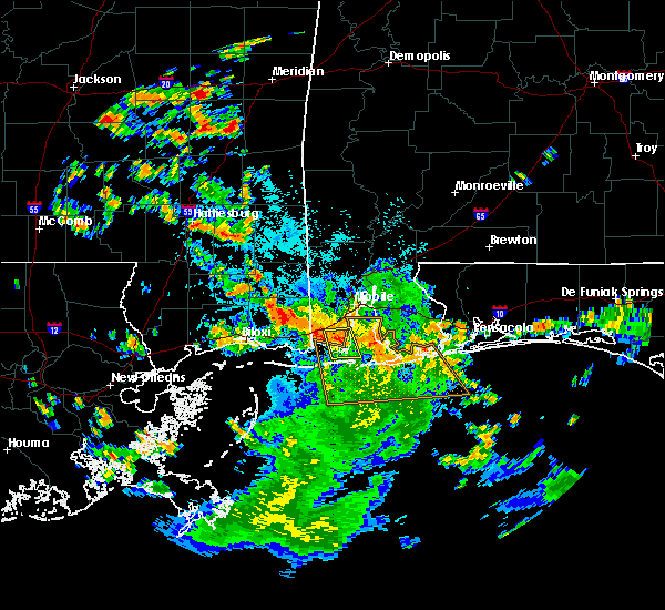 At 156 pm cdt, a severe thunderstorm was located 4 miles east of bayou la batre, moving southeast at 30 mph (radar indicated). Hazards include 60 mph wind gusts. Expect damage to roofs, siding, and trees. Locations impacted include, bayou la batre, coden and alabama port. At 156 pm cdt, a severe thunderstorm was located 4 miles east of bayou la batre, moving southeast at 30 mph (radar indicated). Hazards include 60 mph wind gusts. Expect damage to roofs, siding, and trees. Locations impacted include, bayou la batre, coden and alabama port.
|
| 7/16/2018 1:40 PM CDT |
 At 139 pm cdt, a severe thunderstorm was located near theodore, moving southeast at 25 mph (radar indicated). Hazards include 60 mph wind gusts. expect damage to roofs, siding, and trees At 139 pm cdt, a severe thunderstorm was located near theodore, moving southeast at 25 mph (radar indicated). Hazards include 60 mph wind gusts. expect damage to roofs, siding, and trees
|
| 6/28/2018 8:32 PM CDT |
 At 832 pm cdt, severe thunderstorms were located along a line extending from near wilmer to 3 miles north of tillmans corner to elberta, moving southeast at 25 mph (radar indicated). Hazards include 60 mph wind gusts. expect damage to roofs, siding, and trees At 832 pm cdt, severe thunderstorms were located along a line extending from near wilmer to 3 miles north of tillmans corner to elberta, moving southeast at 25 mph (radar indicated). Hazards include 60 mph wind gusts. expect damage to roofs, siding, and trees
|
| 8/30/2017 1:16 PM CDT |
 At 115 pm cdt, severe thunderstorms were located along a line extending from near semmes, to near mobile regional airport, to near tillmans corner, to near theodore to bayou la batre, moving northeast at 45 mph (radar indicated). Hazards include 60 mph wind gusts. Expect damage to roofs, siding, and trees. locations impacted include, midtown mobile, downtown mobile, prichard, daphne, tillmans corner, fairhope, saraland, theodore, chickasaw, satsuma, spanish fort, bayou la batre, creola, point clear, dauphin island, stockton, axis, semmes, i65 and i165 and coden. A tornado watch remains in effect until 600 pm cdt for southwestern alabama. At 115 pm cdt, severe thunderstorms were located along a line extending from near semmes, to near mobile regional airport, to near tillmans corner, to near theodore to bayou la batre, moving northeast at 45 mph (radar indicated). Hazards include 60 mph wind gusts. Expect damage to roofs, siding, and trees. locations impacted include, midtown mobile, downtown mobile, prichard, daphne, tillmans corner, fairhope, saraland, theodore, chickasaw, satsuma, spanish fort, bayou la batre, creola, point clear, dauphin island, stockton, axis, semmes, i65 and i165 and coden. A tornado watch remains in effect until 600 pm cdt for southwestern alabama.
|
| 8/30/2017 12:54 PM CDT |
 At 1254 pm cdt, severe thunderstorms were located along a line extending from near tanner williams to near grand bay to near bayou la batre to near coden, moving northeast at 25 mph (radar indicated). Hazards include 60 mph wind gusts. expect damage to roofs, siding, and trees At 1254 pm cdt, severe thunderstorms were located along a line extending from near tanner williams to near grand bay to near bayou la batre to near coden, moving northeast at 25 mph (radar indicated). Hazards include 60 mph wind gusts. expect damage to roofs, siding, and trees
|
| 6/29/2017 6:56 PM CDT |
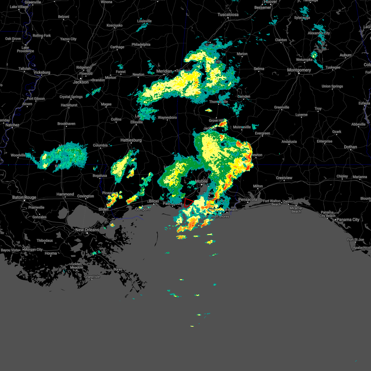 The tornado warning for southwestern mobile county will expire at midnight cdt, the storm which prompted the warning has weakened below severe limits, and no longer appears capable of producing a tornado. therefore the warning will be allowed to expire. however gusty winds and heavy rain are still possible with this thunderstorm. to report severe weather, contact your nearest law enforcement agency. they will relay your report to the national weather service mobile. The tornado warning for southwestern mobile county will expire at midnight cdt, the storm which prompted the warning has weakened below severe limits, and no longer appears capable of producing a tornado. therefore the warning will be allowed to expire. however gusty winds and heavy rain are still possible with this thunderstorm. to report severe weather, contact your nearest law enforcement agency. they will relay your report to the national weather service mobile.
|
| 6/29/2017 6:32 PM CDT |
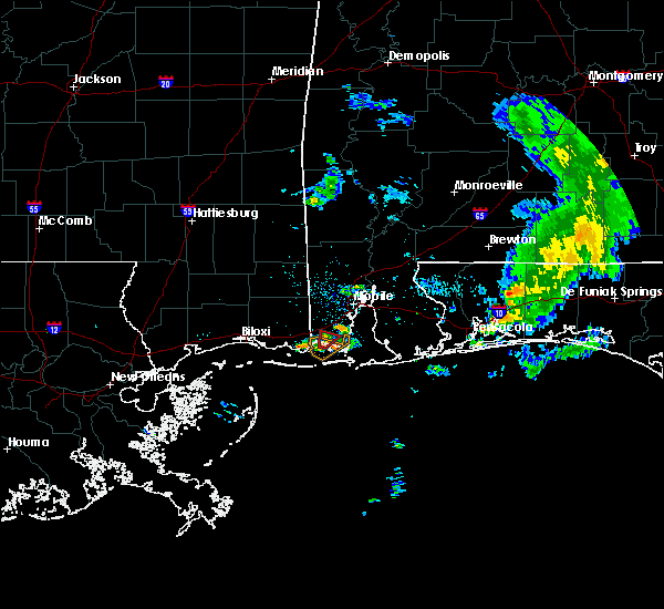 At 1132 pm cdt, a severe thunderstorm capable of producing a tornado was located near coden, or near bayou la batre, moving northeast at 10 mph (radar indicated rotation). Hazards include tornado. Expect damage to mobile homes, roofs, and vehicles. this dangerous storm will be near, bayou la batre around 1155 pm cdt. Grand bay around 1200 am cdt. At 1132 pm cdt, a severe thunderstorm capable of producing a tornado was located near coden, or near bayou la batre, moving northeast at 10 mph (radar indicated rotation). Hazards include tornado. Expect damage to mobile homes, roofs, and vehicles. this dangerous storm will be near, bayou la batre around 1155 pm cdt. Grand bay around 1200 am cdt.
|
| 6/21/2017 5:12 PM CDT | Reports of trees down across highway 188 near dauphin island parkwa in mobile county AL, 8.2 miles WNW of Bayou La Batre, AL |
| 5/12/2017 2:07 PM CDT |
 The severe thunderstorm warning for southwestern mobile county will expire at 215 pm cdt, the storms which prompted the warning have moved out of the area. therefore the warning will be allowed to expire. a severe thunderstorm watch remains in effect until 400 pm cdt for southwestern alabama. The severe thunderstorm warning for southwestern mobile county will expire at 215 pm cdt, the storms which prompted the warning have moved out of the area. therefore the warning will be allowed to expire. a severe thunderstorm watch remains in effect until 400 pm cdt for southwestern alabama.
|
| 5/12/2017 1:50 PM CDT |
 At 150 pm cdt, severe thunderstorms were located along a line extending from 6 miles northwest of point clear to alabama port to 7 miles west of central dauphin island, moving east at 30 mph (radar indicated). Hazards include 60 mph wind gusts. Expect damage to roofs, siding, and trees. Locations impacted include, bayou la batre, central dauphin island, fort gaines, coden and alabama port. At 150 pm cdt, severe thunderstorms were located along a line extending from 6 miles northwest of point clear to alabama port to 7 miles west of central dauphin island, moving east at 30 mph (radar indicated). Hazards include 60 mph wind gusts. Expect damage to roofs, siding, and trees. Locations impacted include, bayou la batre, central dauphin island, fort gaines, coden and alabama port.
|
| 5/12/2017 1:28 PM CDT |
 At 128 pm cdt, severe thunderstorms were located along a line extending from theodore to near coden to 11 miles southeast of moss point, moving east at 30 to 35 mph (radar indicated). Hazards include 60 mph wind gusts. expect damage to roofs, siding, and trees At 128 pm cdt, severe thunderstorms were located along a line extending from theodore to near coden to 11 miles southeast of moss point, moving east at 30 to 35 mph (radar indicated). Hazards include 60 mph wind gusts. expect damage to roofs, siding, and trees
|
| 5/12/2017 1:20 PM CDT |
 At 119 pm cdt, severe thunderstorms were located along a line extending from 11 miles west of poarch creek reservation to near bayou la batre, moving east at 40 to 45 mph (radar indicated). Hazards include 60 mph wind gusts and penny size hail. Expect damage to roofs, siding, and trees. Locations impacted include, midtown mobile, downtown mobile, prichard, tillmans corner, saraland, theodore, chickasaw, satsuma, grand bay, bayou la batre, creola, central dauphin island, axis, mount vernon, i65 and i165, coden, mobile regional airport, i65 and al 158, fort gaines and movico. At 119 pm cdt, severe thunderstorms were located along a line extending from 11 miles west of poarch creek reservation to near bayou la batre, moving east at 40 to 45 mph (radar indicated). Hazards include 60 mph wind gusts and penny size hail. Expect damage to roofs, siding, and trees. Locations impacted include, midtown mobile, downtown mobile, prichard, tillmans corner, saraland, theodore, chickasaw, satsuma, grand bay, bayou la batre, creola, central dauphin island, axis, mount vernon, i65 and i165, coden, mobile regional airport, i65 and al 158, fort gaines and movico.
|
| 5/12/2017 12:55 PM CDT |
 At 1254 pm cdt, severe thunderstorms were located along a line extending from calvert to near moss point, moving northeast at 65 mph (radar indicated). Hazards include 60 mph wind gusts and penny size hail. Expect damage to roofs, siding, and trees. Locations impacted include, midtown mobile, downtown mobile, prichard, tillmans corner, saraland, theodore, chickasaw, satsuma, grand bay, bayou la batre, creola, central dauphin island, chunchula, gulfcrest, axis, mount vernon, tanner williams, semmes, wilmer and movico. At 1254 pm cdt, severe thunderstorms were located along a line extending from calvert to near moss point, moving northeast at 65 mph (radar indicated). Hazards include 60 mph wind gusts and penny size hail. Expect damage to roofs, siding, and trees. Locations impacted include, midtown mobile, downtown mobile, prichard, tillmans corner, saraland, theodore, chickasaw, satsuma, grand bay, bayou la batre, creola, central dauphin island, chunchula, gulfcrest, axis, mount vernon, tanner williams, semmes, wilmer and movico.
|
| 5/12/2017 12:34 PM CDT |
 At 1234 pm cdt, severe thunderstorms were located along a line extending from gulfcrest to near ocean springs, moving east at 35 mph (radar indicated). Hazards include 60 mph wind gusts and penny size hail. expect damage to roofs, siding, and trees At 1234 pm cdt, severe thunderstorms were located along a line extending from gulfcrest to near ocean springs, moving east at 35 mph (radar indicated). Hazards include 60 mph wind gusts and penny size hail. expect damage to roofs, siding, and trees
|
| 4/4/2017 11:17 PM CDT |
 At 1116 pm cdt, a severe thunderstorm was located near dawes, or near dees, moving northeast at 35 mph (radar indicated). Hazards include 60 mph wind gusts and quarter size hail. Hail damage to vehicles is expected. Expect wind damage to roofs, siding, and trees. At 1116 pm cdt, a severe thunderstorm was located near dawes, or near dees, moving northeast at 35 mph (radar indicated). Hazards include 60 mph wind gusts and quarter size hail. Hail damage to vehicles is expected. Expect wind damage to roofs, siding, and trees.
|
| 4/3/2017 9:46 AM CDT |
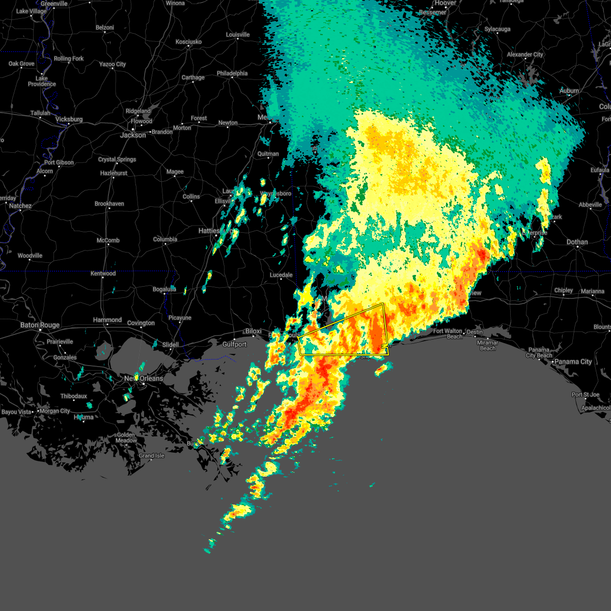 At 945 am cdt, severe thunderstorms were located along a line extending from near warrington to near gulf shores to 21 miles southwest of central dauphin island, moving southeast at 15 to 20 mph (radar indicated). Hazards include 60 mph wind gusts and quarter size hail. Hail damage to vehicles is expected. expect wind damage to roofs, siding, and trees. locations impacted include, fairhope, gulf shores, foley, orange beach, robertsdale, bayou la batre, point clear, central dauphin island, magnolia springs, bon secour, summerdale, silverhill, perdido beach, elberta, coden, fort gaines, fort morgan and alabama port. a tornado watch remains in effect until 1100 am cdt for southwestern alabama. A tornado watch also remains in effect until 100 pm cdt for northwestern florida. At 945 am cdt, severe thunderstorms were located along a line extending from near warrington to near gulf shores to 21 miles southwest of central dauphin island, moving southeast at 15 to 20 mph (radar indicated). Hazards include 60 mph wind gusts and quarter size hail. Hail damage to vehicles is expected. expect wind damage to roofs, siding, and trees. locations impacted include, fairhope, gulf shores, foley, orange beach, robertsdale, bayou la batre, point clear, central dauphin island, magnolia springs, bon secour, summerdale, silverhill, perdido beach, elberta, coden, fort gaines, fort morgan and alabama port. a tornado watch remains in effect until 1100 am cdt for southwestern alabama. A tornado watch also remains in effect until 100 pm cdt for northwestern florida.
|
| 4/3/2017 9:00 AM CDT |
 At 859 am cdt, severe thunderstorms were located along a line extending from 7 miles north of elberta to 6 miles southwest of point clear to 16 miles southwest of central dauphin island, moving south at 25 to 30 mph. reports of hail and high wind are also being received behind the line (radar indicated). Hazards include 60 mph wind gusts and quarter size hail. Hail damage to vehicles is expected. Expect wind damage to roofs, siding, and trees. At 859 am cdt, severe thunderstorms were located along a line extending from 7 miles north of elberta to 6 miles southwest of point clear to 16 miles southwest of central dauphin island, moving south at 25 to 30 mph. reports of hail and high wind are also being received behind the line (radar indicated). Hazards include 60 mph wind gusts and quarter size hail. Hail damage to vehicles is expected. Expect wind damage to roofs, siding, and trees.
|
| 4/3/2017 8:09 AM CDT |
 At 808 am cdt, severe thunderstorms were located along a line extending from near castleberry to near big point, moving east at 30 mph (radar indicated). Hazards include 60 mph wind gusts and quarter size hail. Hail damage to vehicles is expected. Expect wind damage to roofs, siding, and trees. At 808 am cdt, severe thunderstorms were located along a line extending from near castleberry to near big point, moving east at 30 mph (radar indicated). Hazards include 60 mph wind gusts and quarter size hail. Hail damage to vehicles is expected. Expect wind damage to roofs, siding, and trees.
|
| 2/7/2017 3:59 PM CST |
 At 359 pm cst, severe thunderstorms were located along a line extending from 6 miles south of moss point to central dauphin island to near orange beach, moving southeast at 35 mph (radar indicated). Hazards include 60 mph wind gusts and quarter size hail. Hail damage to vehicles is expected. Expect wind damage to roofs, siding, and trees. At 359 pm cst, severe thunderstorms were located along a line extending from 6 miles south of moss point to central dauphin island to near orange beach, moving southeast at 35 mph (radar indicated). Hazards include 60 mph wind gusts and quarter size hail. Hail damage to vehicles is expected. Expect wind damage to roofs, siding, and trees.
|
| 2/7/2017 2:46 PM CST |
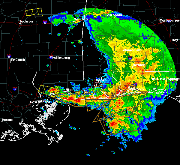 At 245 pm cst, severe thunderstorms were located along a line extending from near elberta to near orange beach to near bon secour to 12 miles west of central dauphin island, moving east at 50 mph (radar indicated). Hazards include 70 mph wind gusts and half dollar size hail. Hail damage to vehicles is expected. expect considerable tree damage. wind damage is also likely to mobile homes, roofs, and outbuildings. locations impacted include, gulf shores, foley, orange beach, robertsdale, point clear, central dauphin island, magnolia springs, bon secour, summerdale, elberta, coden, fort gaines, fort morgan and alabama port. A tornado watch remains in effect until 600 pm cst for southwestern alabama, and northwestern florida. At 245 pm cst, severe thunderstorms were located along a line extending from near elberta to near orange beach to near bon secour to 12 miles west of central dauphin island, moving east at 50 mph (radar indicated). Hazards include 70 mph wind gusts and half dollar size hail. Hail damage to vehicles is expected. expect considerable tree damage. wind damage is also likely to mobile homes, roofs, and outbuildings. locations impacted include, gulf shores, foley, orange beach, robertsdale, point clear, central dauphin island, magnolia springs, bon secour, summerdale, elberta, coden, fort gaines, fort morgan and alabama port. A tornado watch remains in effect until 600 pm cst for southwestern alabama, and northwestern florida.
|
| 2/7/2017 2:02 PM CST |
 At 200 pm cst, two clusters of severe thunderstorms will affect coastal alabama. one cluster of severe thunderstorms was located near moss point. another line of severe thunderstorms extended from the dog river bridge, south to the dauphin island causeway. movement was east at 55 mph (radar indicated). Hazards include 70 mph wind gusts and half dollar size hail. Hail damage to vehicles is expected. expect considerable tree damage. Wind damage is also likely to mobile homes, roofs, and outbuildings. At 200 pm cst, two clusters of severe thunderstorms will affect coastal alabama. one cluster of severe thunderstorms was located near moss point. another line of severe thunderstorms extended from the dog river bridge, south to the dauphin island causeway. movement was east at 55 mph (radar indicated). Hazards include 70 mph wind gusts and half dollar size hail. Hail damage to vehicles is expected. expect considerable tree damage. Wind damage is also likely to mobile homes, roofs, and outbuildings.
|
| 2/7/2017 1:39 PM CST |
 At 139 pm cst, severe thunderstorms were located along a line extending from near i10 and i65 to 8 miles southwest of coden, moving east at 45 mph (radar indicated). Hazards include 60 mph wind gusts and quarter size hail. Hail damage to vehicles is expected. expect wind damage to roofs, siding, and trees. locations impacted include, tillmans corner, theodore, grand bay, bayou la batre, central dauphin island, coden, fort gaines and alabama port. A tornado watch remains in effect until 600 pm cst for southwestern alabama. At 139 pm cst, severe thunderstorms were located along a line extending from near i10 and i65 to 8 miles southwest of coden, moving east at 45 mph (radar indicated). Hazards include 60 mph wind gusts and quarter size hail. Hail damage to vehicles is expected. expect wind damage to roofs, siding, and trees. locations impacted include, tillmans corner, theodore, grand bay, bayou la batre, central dauphin island, coden, fort gaines and alabama port. A tornado watch remains in effect until 600 pm cst for southwestern alabama.
|
| 2/7/2017 1:11 PM CST |
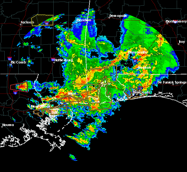 At 110 pm cst, a severe thunderstorm was located near moss point, moving east at 50 mph (radar indicated). Hazards include 70 mph wind gusts and quarter size hail. Hail damage to vehicles is expected. expect considerable tree damage. Wind damage is also likely to mobile homes, roofs, and outbuildings. At 110 pm cst, a severe thunderstorm was located near moss point, moving east at 50 mph (radar indicated). Hazards include 70 mph wind gusts and quarter size hail. Hail damage to vehicles is expected. expect considerable tree damage. Wind damage is also likely to mobile homes, roofs, and outbuildings.
|
| 1/21/2017 6:18 PM CST |
 At 617 pm cst, a severe thunderstorm was located over escatawpa, moving north at 45 mph (radar indicated). Hazards include 60 mph wind gusts and quarter size hail. Hail damage to vehicles is expected. Expect wind damage to roofs, siding, and trees. At 617 pm cst, a severe thunderstorm was located over escatawpa, moving north at 45 mph (radar indicated). Hazards include 60 mph wind gusts and quarter size hail. Hail damage to vehicles is expected. Expect wind damage to roofs, siding, and trees.
|
| 1/2/2017 5:30 PM CST |
 At 528 pm cst, severe thunderstorms were located along a line extending from near beatrice, to near i65 and al 113, to near bratt, to near i10 and i65, to near alabama port, moving east at 45 mph (radar indicated). Hazards include 60 mph wind gusts and quarter size hail. Hail damage to vehicles is expected. expect wind damage to roofs, siding, and trees. locations impacted include, downtown mobile, midtown mobile, pensacola, prichard, ferry pass, brent, west pensacola, ensley, daphne, tillmans corner, warrington, fairhope, gonzalez, gulf shores, bay minette, atmore, foley, pace, monroeville and theodore. A tornado watch remains in effect until 800 pm cst for south central and southwestern alabama, and northwestern florida. At 528 pm cst, severe thunderstorms were located along a line extending from near beatrice, to near i65 and al 113, to near bratt, to near i10 and i65, to near alabama port, moving east at 45 mph (radar indicated). Hazards include 60 mph wind gusts and quarter size hail. Hail damage to vehicles is expected. expect wind damage to roofs, siding, and trees. locations impacted include, downtown mobile, midtown mobile, pensacola, prichard, ferry pass, brent, west pensacola, ensley, daphne, tillmans corner, warrington, fairhope, gonzalez, gulf shores, bay minette, atmore, foley, pace, monroeville and theodore. A tornado watch remains in effect until 800 pm cst for south central and southwestern alabama, and northwestern florida.
|
| 1/2/2017 5:15 PM CST |
 At 513 pm cst, severe thunderstorms were located along a line extending from near beatrice to near uriah to near poarch creek reservation to daphne to near alabama port, moving east at 35 mph (radar indicated). Hazards include 60 mph wind gusts and quarter size hail. Hail damage to vehicles is expected. expect wind damage to roofs, siding, and trees. locations impacted include, downtown mobile, midtown mobile, pensacola, prichard, ferry pass, brent, west pensacola, ensley, daphne, tillmans corner, warrington, fairhope, gonzalez, gulf shores, bay minette, atmore, foley, pace, monroeville and theodore. A tornado watch remains in effect until 800 pm cst for south central and southwestern alabama, and northwestern florida. At 513 pm cst, severe thunderstorms were located along a line extending from near beatrice to near uriah to near poarch creek reservation to daphne to near alabama port, moving east at 35 mph (radar indicated). Hazards include 60 mph wind gusts and quarter size hail. Hail damage to vehicles is expected. expect wind damage to roofs, siding, and trees. locations impacted include, downtown mobile, midtown mobile, pensacola, prichard, ferry pass, brent, west pensacola, ensley, daphne, tillmans corner, warrington, fairhope, gonzalez, gulf shores, bay minette, atmore, foley, pace, monroeville and theodore. A tornado watch remains in effect until 800 pm cst for south central and southwestern alabama, and northwestern florida.
|
| 1/2/2017 4:55 PM CST |
 At 454 pm cst, severe thunderstorms were located along a line extending from 7 miles west of vredenburgh to 13 miles southeast of jackson to 8 miles northeast of stockton to near i10 and i65 to near grand bay, moving east at 35 mph (radar indicated). Hazards include 60 mph wind gusts and quarter size hail. Hail damage to vehicles is expected. Expect wind damage to roofs, siding, and trees. At 454 pm cst, severe thunderstorms were located along a line extending from 7 miles west of vredenburgh to 13 miles southeast of jackson to 8 miles northeast of stockton to near i10 and i65 to near grand bay, moving east at 35 mph (radar indicated). Hazards include 60 mph wind gusts and quarter size hail. Hail damage to vehicles is expected. Expect wind damage to roofs, siding, and trees.
|
| 1/2/2017 4:29 PM CST |
 At 427 pm cst, severe thunderstorms were located along a line extending from near wilmer to near moss point. another cluster of severe thunderstorms was located over southeastern mobile county, between theodore and the dauphin island bridge. movement was east at 50 mph (radar indicated). Hazards include 60 mph wind gusts and quarter size hail. Hail damage to vehicles is expected. Expect wind damage to roofs, siding, and trees. At 427 pm cst, severe thunderstorms were located along a line extending from near wilmer to near moss point. another cluster of severe thunderstorms was located over southeastern mobile county, between theodore and the dauphin island bridge. movement was east at 50 mph (radar indicated). Hazards include 60 mph wind gusts and quarter size hail. Hail damage to vehicles is expected. Expect wind damage to roofs, siding, and trees.
|
| 1/2/2017 3:44 PM CST |
 At 344 pm cst, a severe thunderstorm was located near coden, or near bayou la batre, moving northeast at 45 mph (radar indicated). Hazards include 70 mph wind gusts. Expect considerable tree damage. Damage is likely to mobile homes, roofs, and outbuildings. At 344 pm cst, a severe thunderstorm was located near coden, or near bayou la batre, moving northeast at 45 mph (radar indicated). Hazards include 70 mph wind gusts. Expect considerable tree damage. Damage is likely to mobile homes, roofs, and outbuildings.
|
| 11/30/2016 11:44 AM CST |
 At 1143 am cst, severe thunderstorms were located along a line extending from near theodore to near coden to 7 miles west of central dauphin island to 11 miles south of bayou la batre, moving east at 40 mph (radar indicated). Hazards include 60 mph wind gusts. Expect damage to roofs. siding. and trees. locations impacted include, grand bay, bayou la batre, central dauphin island, fort gaines, alabama port and coden. A tornado watch remains in effect until noon cst for southwestern alabama. At 1143 am cst, severe thunderstorms were located along a line extending from near theodore to near coden to 7 miles west of central dauphin island to 11 miles south of bayou la batre, moving east at 40 mph (radar indicated). Hazards include 60 mph wind gusts. Expect damage to roofs. siding. and trees. locations impacted include, grand bay, bayou la batre, central dauphin island, fort gaines, alabama port and coden. A tornado watch remains in effect until noon cst for southwestern alabama.
|
| 11/30/2016 11:38 AM CST |
 At 1137 am cst, a severe thunderstorm was located over bayou la batre, moving northeast at 35 mph. this storm was along the line and its rotation is being closely monitored (radar indicated). Hazards include 60 mph wind gusts. Expect damage to roofs. siding. and trees. locations impacted include, grand bay, bayou la batre, central dauphin island, fort gaines, alabama port and coden. A tornado watch remains in effect until noon cst for southwestern alabama. At 1137 am cst, a severe thunderstorm was located over bayou la batre, moving northeast at 35 mph. this storm was along the line and its rotation is being closely monitored (radar indicated). Hazards include 60 mph wind gusts. Expect damage to roofs. siding. and trees. locations impacted include, grand bay, bayou la batre, central dauphin island, fort gaines, alabama port and coden. A tornado watch remains in effect until noon cst for southwestern alabama.
|
| 11/30/2016 11:32 AM CST |
 At 1131 am cst, a severe thunderstorm was located over bayou la batre, moving east at 30 mph (radar indicated an area of severe thunderstorm winds along the line). Hazards include 60 mph wind gusts. Expect damage to roofs. siding. And trees. At 1131 am cst, a severe thunderstorm was located over bayou la batre, moving east at 30 mph (radar indicated an area of severe thunderstorm winds along the line). Hazards include 60 mph wind gusts. Expect damage to roofs. siding. And trees.
|
| 6/17/2016 8:12 PM CDT | The severe thunderstorm warning for southern baldwin, southwestern mobile, southeastern escambia, southern santa rosa and southern okaloosa counties will expire at 815 pm cdt, the storms which prompted the warning have moved out of the area. therefore the warning will be allowed to expire. |
| 6/17/2016 8:12 PM CDT | The severe thunderstorm warning for southern baldwin, southwestern mobile, southeastern escambia, southern santa rosa and southern okaloosa counties will expire at 815 pm cdt, the storms which prompted the warning have moved out of the area. therefore the warning will be allowed to expire. |
| 6/17/2016 7:53 PM CDT |
 At 752 pm cdt, severe thunderstorms were located along a line extending from 6 miles southeast of gautier to near fort gaines to near perdido beach to navarre to 7 miles north of santa rosa beach, moving southeast at 55 mph. wind damage will likely occur along a gust front ahead of the rain and lightning and will continue with the thunderstorms that follow (trained weather spotters). Hazards include 60 mph wind gusts. Expect damage to roofs. siding. and trees. Locations impacted include, pensacola, ferry pass, brent, west pensacola, wright, fort walton beach, ensley, daphne, tillmans corner, warrington, fairhope, niceville, gonzalez, destin, gulf shores, eglin afb, foley, pace, milton and theodore. At 752 pm cdt, severe thunderstorms were located along a line extending from 6 miles southeast of gautier to near fort gaines to near perdido beach to navarre to 7 miles north of santa rosa beach, moving southeast at 55 mph. wind damage will likely occur along a gust front ahead of the rain and lightning and will continue with the thunderstorms that follow (trained weather spotters). Hazards include 60 mph wind gusts. Expect damage to roofs. siding. and trees. Locations impacted include, pensacola, ferry pass, brent, west pensacola, wright, fort walton beach, ensley, daphne, tillmans corner, warrington, fairhope, niceville, gonzalez, destin, gulf shores, eglin afb, foley, pace, milton and theodore.
|
| 6/17/2016 7:20 PM CDT |
 At 719 pm cdt, severe thunderstorms were located along a line extending from 6 miles northwest of vancleave to near tillmans corner to 8 miles east of robertsdale to near point baker to 12 miles north of eglin air force base, moving southeast at 45 mph. wind damage will likely occur along a gust front ahead of the rain and lightning and will continue with the thunderstorms that follow (trained weather spotters. numerous reports of wind damage and measured gusts to 60 mph have been received). Hazards include 60 mph wind gusts and penny size hail. Expect damage to roofs. siding. And trees. At 719 pm cdt, severe thunderstorms were located along a line extending from 6 miles northwest of vancleave to near tillmans corner to 8 miles east of robertsdale to near point baker to 12 miles north of eglin air force base, moving southeast at 45 mph. wind damage will likely occur along a gust front ahead of the rain and lightning and will continue with the thunderstorms that follow (trained weather spotters. numerous reports of wind damage and measured gusts to 60 mph have been received). Hazards include 60 mph wind gusts and penny size hail. Expect damage to roofs. siding. And trees.
|
| 6/17/2016 6:59 PM CDT |
 At 658 pm cdt, severe thunderstorms were located along a line extending from near maxie to 9 miles south of lucedale to near stapleton to 7 miles northwest of baker, moving south at 45 mph. wind damage will likely occur along a gust front ahead of the rain and lightning and will continue with the thunderstorms that follow (trained weather spotters. numerous trees have been reported blown down. there have also been several measured wind gusts of 60 mph). Hazards include 60 mph wind gusts and penny size hail. Expect damage to roofs. siding. and trees. Locations impacted include, downtown mobile, midtown mobile, pensacola, prichard, ferry pass, ensley, daphne, tillmans corner, fairhope, saraland, gonzalez, bay minette, atmore, foley, pace, milton, theodore, chickasaw, satsuma and spanish fort. At 658 pm cdt, severe thunderstorms were located along a line extending from near maxie to 9 miles south of lucedale to near stapleton to 7 miles northwest of baker, moving south at 45 mph. wind damage will likely occur along a gust front ahead of the rain and lightning and will continue with the thunderstorms that follow (trained weather spotters. numerous trees have been reported blown down. there have also been several measured wind gusts of 60 mph). Hazards include 60 mph wind gusts and penny size hail. Expect damage to roofs. siding. and trees. Locations impacted include, downtown mobile, midtown mobile, pensacola, prichard, ferry pass, ensley, daphne, tillmans corner, fairhope, saraland, gonzalez, bay minette, atmore, foley, pace, milton, theodore, chickasaw, satsuma and spanish fort.
|
| 6/17/2016 6:24 PM CDT |
 At 622 pm cdt, severe thunderstorms were located along a line extending from near new augusta to 6 miles west of leakesville to near mount vernon to near i65 and al 113, moving south at 45 mph. wind damage will likely occur along a gust front ahead of the rain and lightning and will continue with the thunderstorms that follow (radar indicated). Hazards include 60 mph wind gusts and nickel size hail. Expect damage to roofs. siding. And trees. At 622 pm cdt, severe thunderstorms were located along a line extending from near new augusta to 6 miles west of leakesville to near mount vernon to near i65 and al 113, moving south at 45 mph. wind damage will likely occur along a gust front ahead of the rain and lightning and will continue with the thunderstorms that follow (radar indicated). Hazards include 60 mph wind gusts and nickel size hail. Expect damage to roofs. siding. And trees.
|
| 3/17/2016 8:58 PM CDT |
 At 857 pm cdt, severe thunderstorms were located along a line extending from daphne to near point clear to coden, moving east at 50 mph (radar indicated). Hazards include 60 mph wind gusts and quarter size hail. Hail damage to vehicles is expected. expect wind damage to roofs, siding, and trees. Locations impacted include, mobile, daphne, fairhope, foley, orange beach, robertsdale, bayou la batre, point clear, theodore, elberta, summerdale, magnolia springs, silverhill, perdido beach, coden, bon secour, belle fontaine and fairhope. At 857 pm cdt, severe thunderstorms were located along a line extending from daphne to near point clear to coden, moving east at 50 mph (radar indicated). Hazards include 60 mph wind gusts and quarter size hail. Hail damage to vehicles is expected. expect wind damage to roofs, siding, and trees. Locations impacted include, mobile, daphne, fairhope, foley, orange beach, robertsdale, bayou la batre, point clear, theodore, elberta, summerdale, magnolia springs, silverhill, perdido beach, coden, bon secour, belle fontaine and fairhope.
|
| 3/17/2016 8:45 PM CDT |
 At 843 pm cdt, severe thunderstorms were located along a line extending from near chickasaw to near belle fontaine to near grand bay, moving east at 45 mph (radar indicated). Hazards include 60 mph wind gusts and quarter size hail. Hail damage to vehicles is expected. Expect wind damage to roofs, siding, and trees. At 843 pm cdt, severe thunderstorms were located along a line extending from near chickasaw to near belle fontaine to near grand bay, moving east at 45 mph (radar indicated). Hazards include 60 mph wind gusts and quarter size hail. Hail damage to vehicles is expected. Expect wind damage to roofs, siding, and trees.
|
| 2/15/2016 4:40 PM CST |
 At 439 pm cst, severe thunderstorms were located along a line extending from 6 miles northwest of i65 and al 83 to near i65 and al 113 to near i65 and al 225 to escatawpa, moving southeast at 25 mph (radar indicated). Hazards include 60 mph wind gusts. Expect damage to roofs. siding. and trees. locations impacted include, mobile, prichard, foley, saraland, atmore, bay minette, monroeville, satsuma, chickasaw, robertsdale, bayou la batre and creola. A tornado watch remains in effect until 900 pm cst for southwestern alabama and northwestern florida. At 439 pm cst, severe thunderstorms were located along a line extending from 6 miles northwest of i65 and al 83 to near i65 and al 113 to near i65 and al 225 to escatawpa, moving southeast at 25 mph (radar indicated). Hazards include 60 mph wind gusts. Expect damage to roofs. siding. and trees. locations impacted include, mobile, prichard, foley, saraland, atmore, bay minette, monroeville, satsuma, chickasaw, robertsdale, bayou la batre and creola. A tornado watch remains in effect until 900 pm cst for southwestern alabama and northwestern florida.
|
| 2/15/2016 4:28 PM CST |
 At 428 pm cst, severe thunderstorms were located along a line extending from near beatrice to uriah to near i65 and al 225 to near gulf park estates, moving southeast at 30 mph (radar indicated). Hazards include 60 mph wind gusts. Expect damage to roofs. siding. And trees. At 428 pm cst, severe thunderstorms were located along a line extending from near beatrice to uriah to near i65 and al 225 to near gulf park estates, moving southeast at 30 mph (radar indicated). Hazards include 60 mph wind gusts. Expect damage to roofs. siding. And trees.
|
| 2/15/2016 4:20 PM CST |
 At 419 pm cst, severe thunderstorms were located along a line extending from 8 miles southeast of whatley to near mount vernon to near hickory hills, moving east at 50 mph (radar indicated). Hazards include 60 mph wind gusts and quarter size hail. Hail damage to vehicles is expected. expect wind damage to roofs, siding, and trees. locations impacted include, mobile, prichard, daphne, saraland, bay minette, spanish fort, monroeville, satsuma, chickasaw, jackson, citronelle and bayou la batre. a tornado watch remains in effect until 600 pm cst for southeastern mississippi. A tornado watch also remains in effect until 900 pm cst for southwestern alabama. At 419 pm cst, severe thunderstorms were located along a line extending from 8 miles southeast of whatley to near mount vernon to near hickory hills, moving east at 50 mph (radar indicated). Hazards include 60 mph wind gusts and quarter size hail. Hail damage to vehicles is expected. expect wind damage to roofs, siding, and trees. locations impacted include, mobile, prichard, daphne, saraland, bay minette, spanish fort, monroeville, satsuma, chickasaw, jackson, citronelle and bayou la batre. a tornado watch remains in effect until 600 pm cst for southeastern mississippi. A tornado watch also remains in effect until 900 pm cst for southwestern alabama.
|
| 2/15/2016 3:59 PM CST |
 At 358 pm cst, severe thunderstorms were located along a line extending from 8 miles northeast of mcintosh to gulfport, moving southeast at 35 mph (radar indicated). Hazards include 60 mph wind gusts and quarter size hail. Hail damage to vehicles is expected. Expect wind damage to roofs, siding, and trees. At 358 pm cst, severe thunderstorms were located along a line extending from 8 miles northeast of mcintosh to gulfport, moving southeast at 35 mph (radar indicated). Hazards include 60 mph wind gusts and quarter size hail. Hail damage to vehicles is expected. Expect wind damage to roofs, siding, and trees.
|
| 12/28/2015 8:46 AM CST |
 At 845 am cst, severe thunderstorms were located along a line extending from near coffeeville to near tibbie to near chunchula to near tillmans corner, moving northeast at 30 mph (radar indicated). Hazards include 60 mph wind gusts. Expect damage to roofs. siding and trees. locations impacted include, mobile, prichard, saraland, satsuma, chickasaw, jackson, thomasville, citronelle, bayou la batre, creola, grove hill and chatom. A tornado watch remains in effect until noon cst for southwestern alabama. At 845 am cst, severe thunderstorms were located along a line extending from near coffeeville to near tibbie to near chunchula to near tillmans corner, moving northeast at 30 mph (radar indicated). Hazards include 60 mph wind gusts. Expect damage to roofs. siding and trees. locations impacted include, mobile, prichard, saraland, satsuma, chickasaw, jackson, thomasville, citronelle, bayou la batre, creola, grove hill and chatom. A tornado watch remains in effect until noon cst for southwestern alabama.
|
| 12/28/2015 8:13 AM CST |
 At 812 am cst, a line of severe thunderstorms capable of producing damaging winds over 60 mph was located along a line extending from near buckatunna to 8 miles southeast of leakesville to near hurley to 6 miles east of pascagoula, and moving northeast at 65 mph. At 812 am cst, a line of severe thunderstorms capable of producing damaging winds over 60 mph was located along a line extending from near buckatunna to 8 miles southeast of leakesville to near hurley to 6 miles east of pascagoula, and moving northeast at 65 mph.
|
| 12/23/2015 7:01 AM CST | At 700 am cst, a severe thunderstorm was located over i10 and i65, or just east tillmans corner, moving northeast at 40 mph. large hail is likely falling near downtown mobile (radar indicated). Hazards include 60 mph wind gusts and half dollar size hail. Hail damage to vehicles is expected. expect wind damage to roofs, siding and trees. Locations impacted include, mobile, prichard, saraland, satsuma, chickasaw, creola, downtown mobile, tillmans corner, theodore, midtown mobile, regional airport in west mobile and northeastern grand bay. |
| 12/23/2015 6:38 AM CST | At 638 am cst, a severe thunderstorm capable of producing a tornado was located near bayou la batre, moving northeast at 55 mph (radar indicated rotation). Hazards include tornado. Flying debris will be dangerous to those caught without shelter. mobile homes will be damaged or destroyed. damage to roofs, windows and vehicles will occur. tree damage is likely. this dangerous storm will be near, tillmans corner and belle fontaine around 645 am cst. i10 and i65 around 650 am cst. daphne and fairhope around 700 am cst. spanish fort and daphne--fairhope around 705 am cst. Loxley and stapleton around 710 am cst. |
| 12/23/2015 6:33 AM CST |
 At 633 am cst, a severe thunderstorm was located near grand bay, moving northeast at 45 mph (radar indicated). Hazards include 60 mph wind gusts and quarter size hail. Hail damage to vehicles is expected. Expect wind damage to roofs, siding and trees. At 633 am cst, a severe thunderstorm was located near grand bay, moving northeast at 45 mph (radar indicated). Hazards include 60 mph wind gusts and quarter size hail. Hail damage to vehicles is expected. Expect wind damage to roofs, siding and trees.
|
| 12/21/2015 10:10 PM CST |
 The national weather service in mobile has issued a * severe thunderstorm warning for. southwestern baldwin county in southwestern alabama. southwestern mobile county in southwestern alabama. until 1100 pm cst * at 1010 pm cst. A severe thunderstorm was located over bayou la. The national weather service in mobile has issued a * severe thunderstorm warning for. southwestern baldwin county in southwestern alabama. southwestern mobile county in southwestern alabama. until 1100 pm cst * at 1010 pm cst. A severe thunderstorm was located over bayou la.
|
| 8/8/2015 7:10 PM CDT |
 At 709 pm cdt, a line of severe thunderstorms capable of producing damaging winds over 60 mph were located along a line extending from 6 miles southeast of gulf shores to 8 miles southwest of western dauphin island, moving south at 30 mph. At 709 pm cdt, a line of severe thunderstorms capable of producing damaging winds over 60 mph were located along a line extending from 6 miles southeast of gulf shores to 8 miles southwest of western dauphin island, moving south at 30 mph.
|
| 8/8/2015 6:44 PM CDT |
 At 643 pm cdt, a line of severe thunderstorms capable of producing damaging winds over 60 mph was located along a line extending from near orange beach to 8 miles northwest of western dauphin island, and moving south at 30 mph. At 643 pm cdt, a line of severe thunderstorms capable of producing damaging winds over 60 mph was located along a line extending from near orange beach to 8 miles northwest of western dauphin island, and moving south at 30 mph.
|
| 8/8/2015 5:43 PM CDT |
 At 543 pm cdt, a line of severe thunderstorms capable of producing damaging winds over 60 mph was located along a line extending from 8 miles south of i65 and cr 47 to 8 miles northwest of semmes, and moving southeast at 35 mph. At 543 pm cdt, a line of severe thunderstorms capable of producing damaging winds over 60 mph was located along a line extending from 8 miles south of i65 and cr 47 to 8 miles northwest of semmes, and moving southeast at 35 mph.
|
| 7/25/2015 2:57 PM CDT |
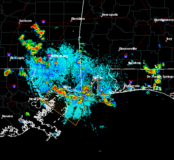 At 256 pm cdt, a severe thunderstorm capable of producing damaging winds over 60 mph was located over bayou la batre, and moving southeast at 25 mph. At 256 pm cdt, a severe thunderstorm capable of producing damaging winds over 60 mph was located over bayou la batre, and moving southeast at 25 mph.
|
| 7/17/2015 4:57 PM CDT |
 At 456 pm cdt, a line of severe thunderstorms capable of producing damaging winds over 60 mph were located along a line extending from near semmes to near grand bay to near coden to 6 miles north of east end of dauphin, moving west at 20 mph. these severe thunderstorms will be near, bayou la batre, grand bay and coden around 505 pm cdt. other locations impacted by these severe thunderstorms include grand bay, tillmans corner, bayou la batre, theodore, regional airport in west mobile, belle fontaine, coden and mobile. At 456 pm cdt, a line of severe thunderstorms capable of producing damaging winds over 60 mph were located along a line extending from near semmes to near grand bay to near coden to 6 miles north of east end of dauphin, moving west at 20 mph. these severe thunderstorms will be near, bayou la batre, grand bay and coden around 505 pm cdt. other locations impacted by these severe thunderstorms include grand bay, tillmans corner, bayou la batre, theodore, regional airport in west mobile, belle fontaine, coden and mobile.
|
| 7/17/2015 4:38 PM CDT |
 At 435 pm cdt, a line of severe thunderstorms capable of producing damaging winds over 70 mph were located along a line extending from i65 and i165 to theodore to near belle fontaine to near point clear, moving west at 45 mph. these severe thunderstorms will be near, theodore and tillmans corner around 440 pm cdt. mobile, bayou la batre, grand bay, regional airport in west mobile, coden and semmes around 450 pm cdt. other locations impacted by these severe thunderstorms include grand bay, downtown mobile, prichard, chickasaw, tillmans corner, bayou la batre, theodore, midtown mobile, mobile and regional airport in west mobile. At 435 pm cdt, a line of severe thunderstorms capable of producing damaging winds over 70 mph were located along a line extending from i65 and i165 to theodore to near belle fontaine to near point clear, moving west at 45 mph. these severe thunderstorms will be near, theodore and tillmans corner around 440 pm cdt. mobile, bayou la batre, grand bay, regional airport in west mobile, coden and semmes around 450 pm cdt. other locations impacted by these severe thunderstorms include grand bay, downtown mobile, prichard, chickasaw, tillmans corner, bayou la batre, theodore, midtown mobile, mobile and regional airport in west mobile.
|
| 7/17/2015 4:30 PM CDT |
 At 429 pm cdt, a line of severe thunderstorms capable of producing damaging winds over 60 mph were located along a line extending from 7 miles east of saraland to 6 miles northwest of fairhope to point clear to magnolia springs, moving west at 20 mph. At 429 pm cdt, a line of severe thunderstorms capable of producing damaging winds over 60 mph were located along a line extending from 7 miles east of saraland to 6 miles northwest of fairhope to point clear to magnolia springs, moving west at 20 mph.
|
| 7/17/2015 4:19 PM CDT |
 At 418 pm cdt, a line of severe thunderstorms capable of producing damaging winds over 60 mph was located along a line extending from 7 miles northwest of stapleton to near daphne to near point clear to near magnolia springs, and moving west at 20 mph. At 418 pm cdt, a line of severe thunderstorms capable of producing damaging winds over 60 mph was located along a line extending from 7 miles northwest of stapleton to near daphne to near point clear to near magnolia springs, and moving west at 20 mph.
|
| 6/23/2015 3:01 PM CDT |
 At 300 pm cdt, a severe thunderstorm capable of producing quarter size hail and damaging winds over 60 mph was located near theodore, and was nearly stationary. At 300 pm cdt, a severe thunderstorm capable of producing quarter size hail and damaging winds over 60 mph was located near theodore, and was nearly stationary.
|
| 6/23/2015 2:51 PM CDT |
 At 250 pm cdt, a severe thunderstorm capable of producing quarter size hail and damaging winds over 60 mph was located near theodore. the storm was drifting slowly southeast at less than 5 mph. At 250 pm cdt, a severe thunderstorm capable of producing quarter size hail and damaging winds over 60 mph was located near theodore. the storm was drifting slowly southeast at less than 5 mph.
|
| 6/23/2015 2:27 PM CDT |
 At 226 pm cdt, a severe thunderstorm capable of producing quarter size hail and damaging winds over 60 mph was located near theodore, and was nearly stationary. At 226 pm cdt, a severe thunderstorm capable of producing quarter size hail and damaging winds over 60 mph was located near theodore, and was nearly stationary.
|
| 4/25/2015 3:14 PM CDT | Storm damage reported in gmz632 county AL, 10.4 miles NNW of Bayou La Batre, AL |
| 4/25/2015 2:47 PM CDT | At 246 pm cdt, a line of severe thunderstorms capable of producing quarter size hail and damaging winds over 60 mph was located along a line extending from 8 miles northwest of semmes to near pascagoula, and moving northeast at 60 mph. |
| 4/25/2015 2:21 PM CDT | At 221 pm cdt, a severe thunderstorm capable of producing quarter size hail and damaging winds over 60 mph was located near grand bay, and moving east at 70 mph. |
| 7/2/2012 5:00 PM CDT | Tree and powerlines down at hwy 188 and satsuma road. hwy 188 closed at this area due to powerlines dow in mobile county AL, 1.4 miles NW of Bayou La Batre, AL |
| 1/1/0001 12:00 AM | Tree and power lines down at highway 188 and dauphin island parkwa in gmz630 county AL, 9.1 miles WNW of Bayou La Batre, AL |
Hail Maps for Bayou La Batre, AL
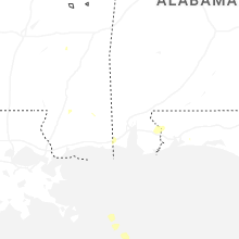
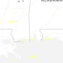

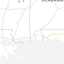


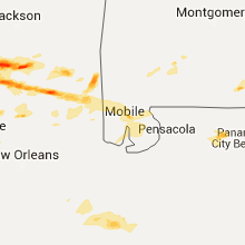
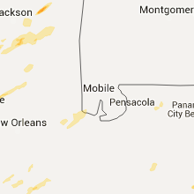


Connect with Interactive Hail Maps