

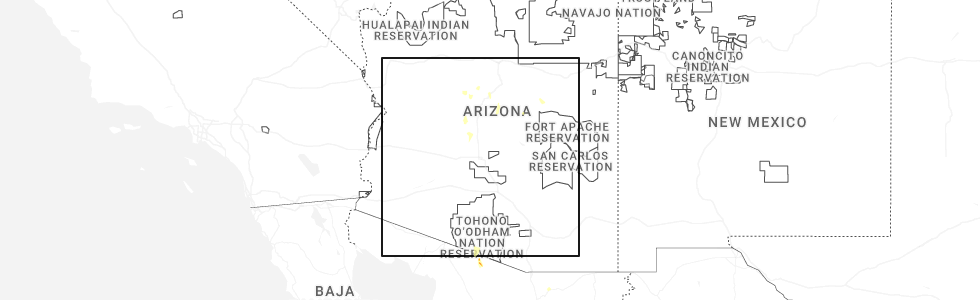
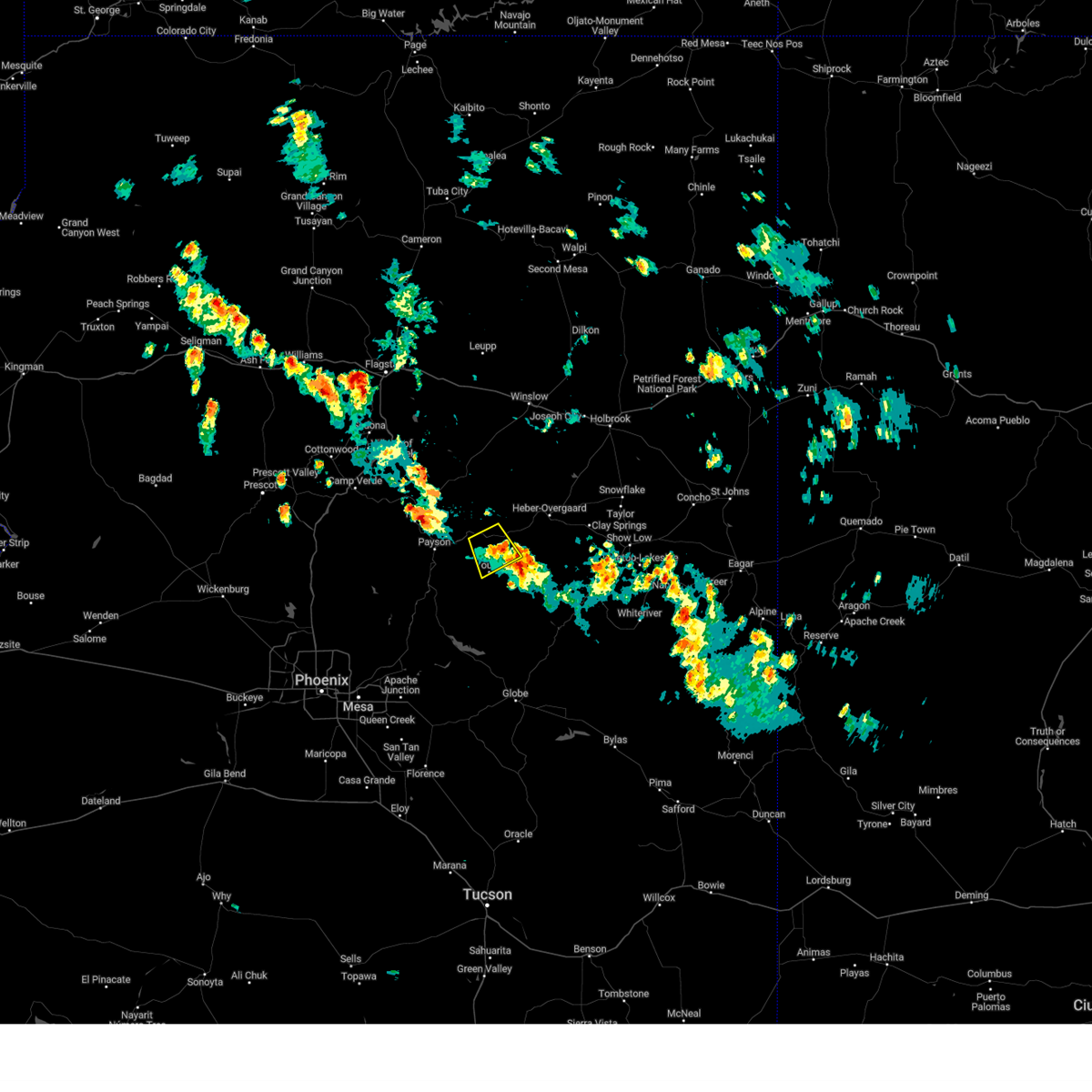
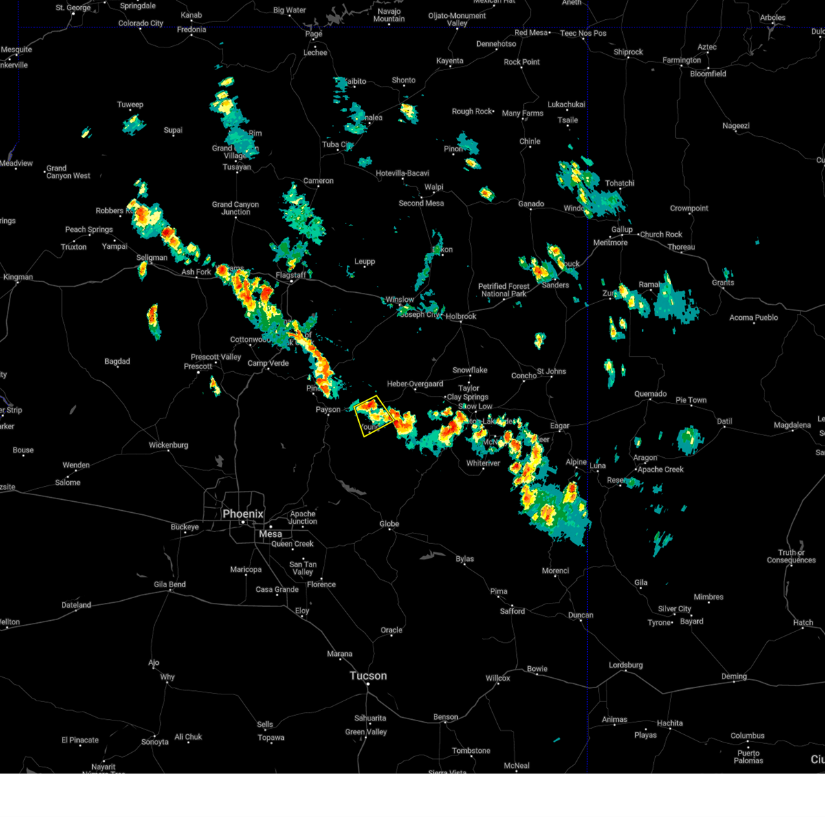
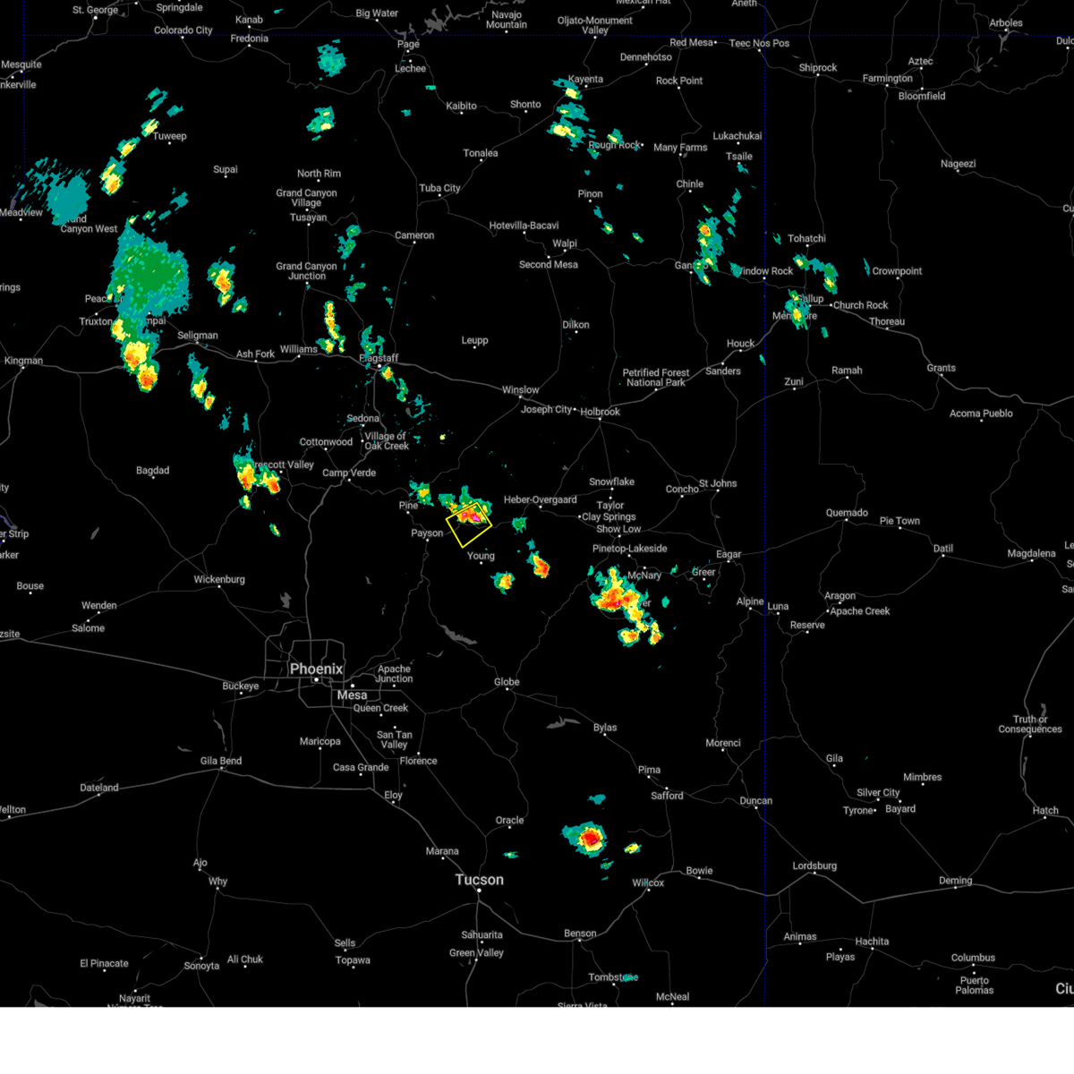
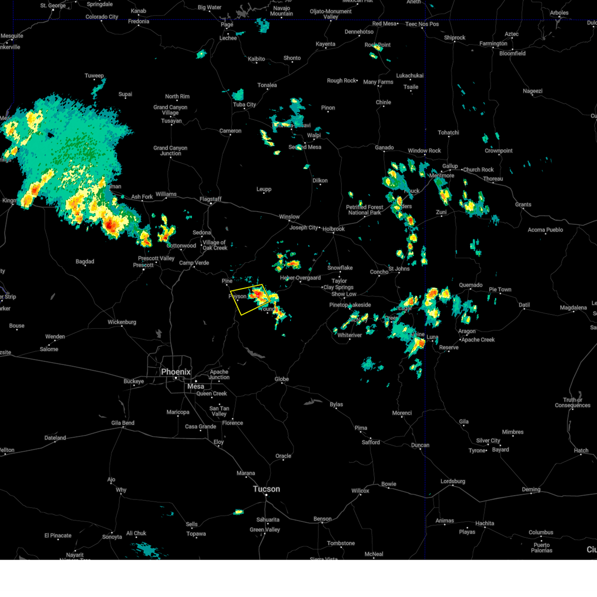
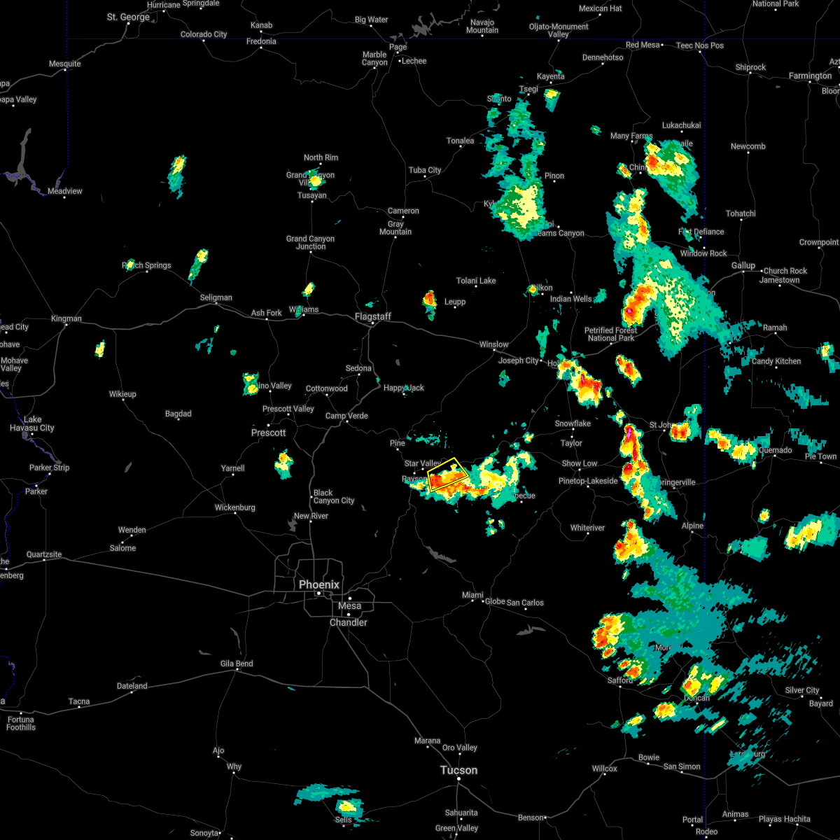
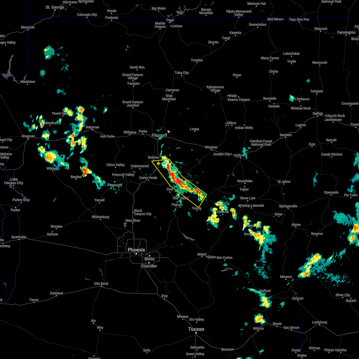
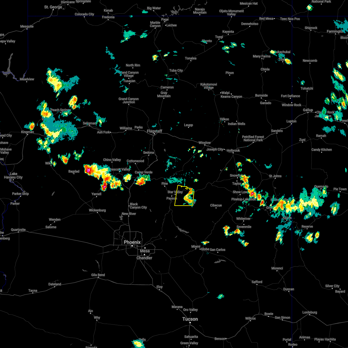
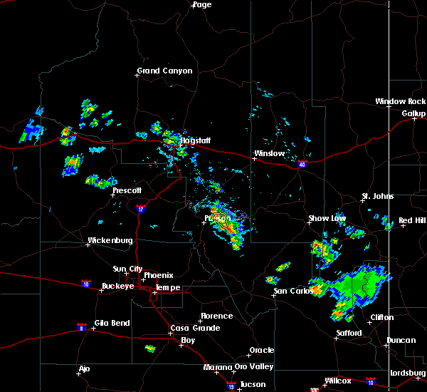
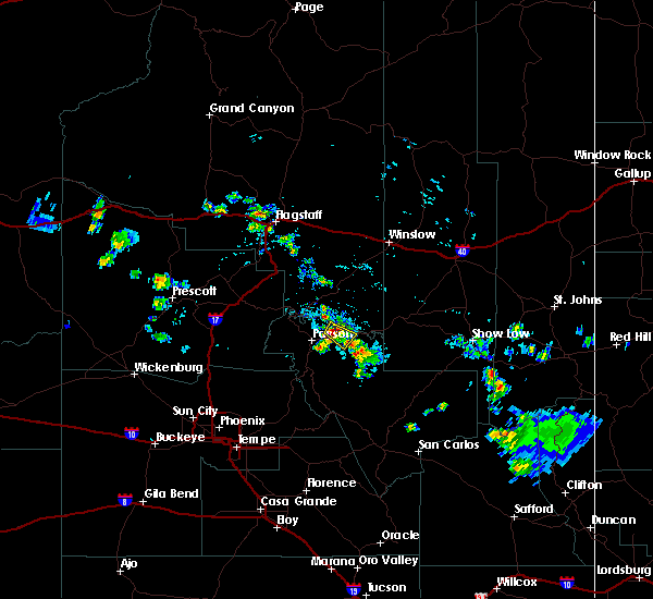
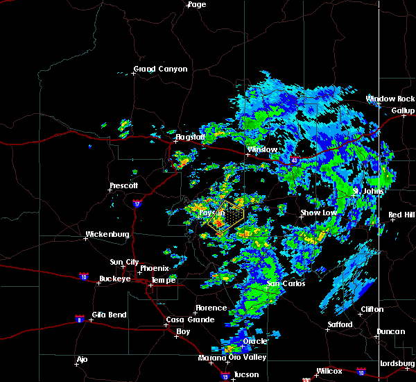
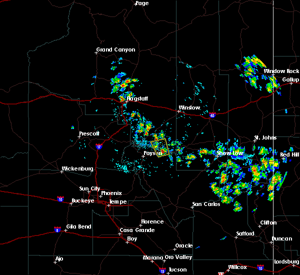
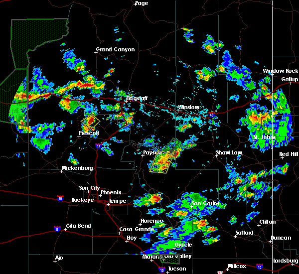
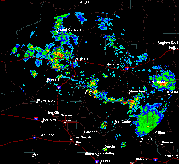
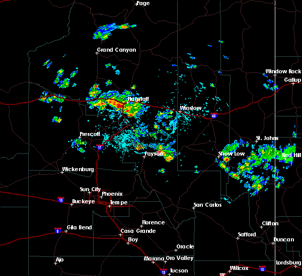
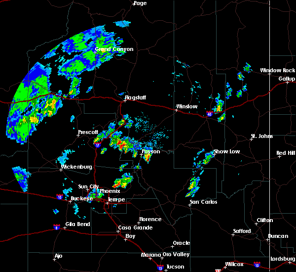
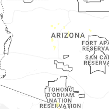
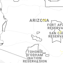
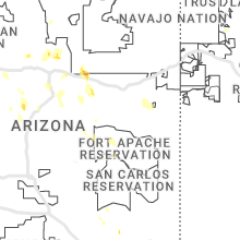
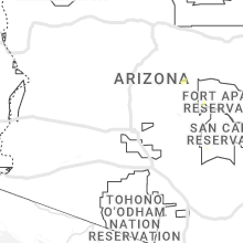
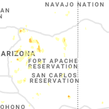
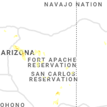
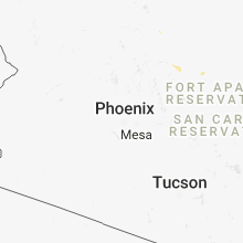
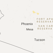
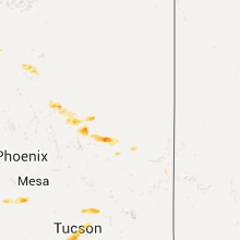
Hail Map for Bear Flat, AZ
The Bear Flat, AZ area has had 0 reports of on-the-ground hail by trained spotters, and has been under severe weather warnings 0 times during the past 12 months. Doppler radar has detected hail at or near Bear Flat, AZ on 63 occasions, including 2 occasions during the past year.
| Name: | Bear Flat, AZ |
| Where Located: | 58.7 miles W of Show Low, AZ |
| Map: | Google Map for Bear Flat, AZ |
| Population: | 18 |
| Housing Units: | 54 |
| More Info: | Search Google for Bear Flat, AZ |
0
The Top Recent Hail Date for Bear Flat, AZ is Thursday, August 14, 2025 (51st out of 63)
Hail and Wind Damage Spotted near Bear Flat, AZ
| Date / Time | Report Details |
|---|---|
| 7/21/2024 12:32 PM MST |
 the severe thunderstorm warning has been cancelled and is no longer in effect the severe thunderstorm warning has been cancelled and is no longer in effect
|
| 7/21/2024 12:13 PM MST |
 Svrfgz the national weather service in flagstaff has issued a * severe thunderstorm warning for, gila county in east central arizona, coconino county in north central arizona, * until 1245 pm mst. * at 1213 pm mst, a severe thunderstorm was located over mogollon rim visitor center, or 8 miles southwest of forest lakes, moving southeast at 15 mph (radar indicated). Hazards include quarter size hail. damage to vehicles is expected Svrfgz the national weather service in flagstaff has issued a * severe thunderstorm warning for, gila county in east central arizona, coconino county in north central arizona, * until 1245 pm mst. * at 1213 pm mst, a severe thunderstorm was located over mogollon rim visitor center, or 8 miles southwest of forest lakes, moving southeast at 15 mph (radar indicated). Hazards include quarter size hail. damage to vehicles is expected
|
| 7/14/2024 2:39 PM MST |
 Svrfgz the national weather service in flagstaff has issued a * severe thunderstorm warning for, gila county in east central arizona, coconino county in north central arizona, * until 300 pm mst. * at 239 pm mst, a severe thunderstorm was located over christopher creek, or 12 miles west of forest lakes, moving west at 25 mph (radar indicated). Hazards include 60 mph wind gusts and quarter size hail. Hail damage to vehicles is expected. Expect wind damage to roofs, siding, and trees. Svrfgz the national weather service in flagstaff has issued a * severe thunderstorm warning for, gila county in east central arizona, coconino county in north central arizona, * until 300 pm mst. * at 239 pm mst, a severe thunderstorm was located over christopher creek, or 12 miles west of forest lakes, moving west at 25 mph (radar indicated). Hazards include 60 mph wind gusts and quarter size hail. Hail damage to vehicles is expected. Expect wind damage to roofs, siding, and trees.
|
| 7/12/2024 5:02 PM MST |
 Svrfgz the national weather service in flagstaff has issued a * severe thunderstorm warning for, gila county in east central arizona, coconino county in north central arizona, * until 545 pm mst. * at 501 pm mst, a severe thunderstorm was located over kohls ranch, or 12 miles east of payson, moving west at 25 mph (radar indicated). Hazards include 60 mph wind gusts and quarter size hail. Hail damage to vehicles is expected. Expect wind damage to roofs, siding, and trees. Svrfgz the national weather service in flagstaff has issued a * severe thunderstorm warning for, gila county in east central arizona, coconino county in north central arizona, * until 545 pm mst. * at 501 pm mst, a severe thunderstorm was located over kohls ranch, or 12 miles east of payson, moving west at 25 mph (radar indicated). Hazards include 60 mph wind gusts and quarter size hail. Hail damage to vehicles is expected. Expect wind damage to roofs, siding, and trees.
|
| 10/11/2021 11:25 PM MST |
 At 1125 pm mst, severe thunderstorms were located along a line extending from near childs power plant to near horseshoe reservoir, moving east at 45 mph (radar indicated). Hazards include 60 mph wind gusts. expect damage to roofs, siding, and trees At 1125 pm mst, severe thunderstorms were located along a line extending from near childs power plant to near horseshoe reservoir, moving east at 45 mph (radar indicated). Hazards include 60 mph wind gusts. expect damage to roofs, siding, and trees
|
| 10/5/2021 2:08 PM MST |
 At 207 pm mst, a severe thunderstorm was located over kohls ranch, or 14 miles east of payson, moving northeast at 25 mph (radar indicated). Hazards include quarter size hail. damage to vehicles is expected At 207 pm mst, a severe thunderstorm was located over kohls ranch, or 14 miles east of payson, moving northeast at 25 mph (radar indicated). Hazards include quarter size hail. damage to vehicles is expected
|
| 8/16/2021 4:12 PM MST |
 The severe thunderstorm warning for gila county will expire at 415 pm mst, the storm which prompted the warning has weakened below severe limits, and no longer poses an immediate threat to life or property. therefore, the warning will be allowed to expire. however small hail and gusty winds are still possible with this thunderstorm. a severe thunderstorm watch remains in effect until midnight mst for east central arizona. The severe thunderstorm warning for gila county will expire at 415 pm mst, the storm which prompted the warning has weakened below severe limits, and no longer poses an immediate threat to life or property. therefore, the warning will be allowed to expire. however small hail and gusty winds are still possible with this thunderstorm. a severe thunderstorm watch remains in effect until midnight mst for east central arizona.
|
| 8/16/2021 3:55 PM MST |
 At 354 pm mst, a severe thunderstorm was located near haigler creek, or 14 miles east of payson, moving southeast at 15 mph (radar indicated). Hazards include 60 mph wind gusts and quarter size hail. Hail damage to vehicles is expected. expect wind damage to roofs, siding, and trees. locations impacted include, haigler creek, hunter creek, christopher creek, bear flat, christopher creek campground, alderwood campground, sharp creek campground and haigler canyon campground. hail threat, radar indicated max hail size, 1. 00 in wind threat, radar indicated max wind gust, 60 mph. At 354 pm mst, a severe thunderstorm was located near haigler creek, or 14 miles east of payson, moving southeast at 15 mph (radar indicated). Hazards include 60 mph wind gusts and quarter size hail. Hail damage to vehicles is expected. expect wind damage to roofs, siding, and trees. locations impacted include, haigler creek, hunter creek, christopher creek, bear flat, christopher creek campground, alderwood campground, sharp creek campground and haigler canyon campground. hail threat, radar indicated max hail size, 1. 00 in wind threat, radar indicated max wind gust, 60 mph.
|
| 8/16/2021 3:39 PM MST |
 At 339 pm mst, a severe thunderstorm was located over tonto village, or 12 miles east of payson, moving southeast at 15 mph (radar indicated). Hazards include 60 mph wind gusts and quarter size hail. Hail damage to vehicles is expected. Expect wind damage to roofs, siding, and trees. At 339 pm mst, a severe thunderstorm was located over tonto village, or 12 miles east of payson, moving southeast at 15 mph (radar indicated). Hazards include 60 mph wind gusts and quarter size hail. Hail damage to vehicles is expected. Expect wind damage to roofs, siding, and trees.
|
| 7/10/2021 5:56 PM MST |
 At 555 pm mst, severe thunderstorms were located along a line extending from 7 miles southeast of rimrock to 7 miles east of gisela to 12 miles northwest of hilltop, moving southwest at 20 mph (radar indicated). Hazards include 60 mph wind gusts. expect damage to roofs, siding, and trees At 555 pm mst, severe thunderstorms were located along a line extending from 7 miles southeast of rimrock to 7 miles east of gisela to 12 miles northwest of hilltop, moving southwest at 20 mph (radar indicated). Hazards include 60 mph wind gusts. expect damage to roofs, siding, and trees
|
| 7/10/2021 5:09 PM MST |
 At 509 pm mst, severe thunderstorms were located along a line extending from 6 miles northwest of stoneman lake to near forest lakes, moving west at 10 mph (radar indicated). Hazards include 70 mph wind gusts and quarter size hail. Hail damage to vehicles is expected. expect considerable tree damage. Wind damage is also likely to mobile homes, roofs, and outbuildings. At 509 pm mst, severe thunderstorms were located along a line extending from 6 miles northwest of stoneman lake to near forest lakes, moving west at 10 mph (radar indicated). Hazards include 70 mph wind gusts and quarter size hail. Hail damage to vehicles is expected. expect considerable tree damage. Wind damage is also likely to mobile homes, roofs, and outbuildings.
|
| 7/9/2021 4:48 PM MST |
 At 448 pm mst, severe thunderstorms were located along a line extending from near christopher creek to just north of young, moving west at 10 mph (radar indicated). Hazards include 60 mph wind gusts and quarter size hail. Hail damage to vehicles is expected. Expect wind damage to roofs, siding, and trees. At 448 pm mst, severe thunderstorms were located along a line extending from near christopher creek to just north of young, moving west at 10 mph (radar indicated). Hazards include 60 mph wind gusts and quarter size hail. Hail damage to vehicles is expected. Expect wind damage to roofs, siding, and trees.
|
| 8/27/2019 4:55 PM MST |
 The severe thunderstorm warning for gila county will expire at 500 pm mst, the storm which prompted the warning has weakened below severe limits, and no longer poses an immediate threat to life or property. therefore, the warning will be allowed to expire. however heavy rain is still occuring with this thunderstorm and there is a threat of flooding. The severe thunderstorm warning for gila county will expire at 500 pm mst, the storm which prompted the warning has weakened below severe limits, and no longer poses an immediate threat to life or property. therefore, the warning will be allowed to expire. however heavy rain is still occuring with this thunderstorm and there is a threat of flooding.
|
| 8/27/2019 4:23 PM MST |
 At 422 pm mst, a severe thunderstorm was located over tonto village, or 9 miles northeast of payson, moving south at 10 mph (radar indicated). Hazards include 60 mph wind gusts and quarter size hail. Hail damage to vehicles is expected. expect wind damage to roofs, siding, and trees. Locations impacted include, tonto village, kohls ranch, mead ranch, bear flat, upper tonto creek campground and ponderosa campground. At 422 pm mst, a severe thunderstorm was located over tonto village, or 9 miles northeast of payson, moving south at 10 mph (radar indicated). Hazards include 60 mph wind gusts and quarter size hail. Hail damage to vehicles is expected. expect wind damage to roofs, siding, and trees. Locations impacted include, tonto village, kohls ranch, mead ranch, bear flat, upper tonto creek campground and ponderosa campground.
|
| 8/27/2019 4:10 PM MST |
 At 409 pm mst, a severe thunderstorm was located near tonto village and kohls ranch, or 12 miles northeast of payson, moving southeast at 15 mph (radar indicated). Hazards include 60 mph wind gusts and quarter size hail. Hail damage to vehicles is expected. Expect wind damage to roofs, siding, and trees. At 409 pm mst, a severe thunderstorm was located near tonto village and kohls ranch, or 12 miles northeast of payson, moving southeast at 15 mph (radar indicated). Hazards include 60 mph wind gusts and quarter size hail. Hail damage to vehicles is expected. Expect wind damage to roofs, siding, and trees.
|
| 5/8/2019 1:08 PM MST |
 At 1246 pm mst, severe thunderstorms were located along a line extending from near montezuma castle national monument to near star valley, moving east at 30 mph (radar indicated). Hazards include quarter size hail. Damage to vehicles is expected. locations impacted include, payson, star valley, mesa del caballo, tonto village, geronimo estates, freedom acres, strawberry, east verde estates, whispering pines, flowing springs, kohls ranch, pine, hunter creek, washington park, mead ranch, bear flat, upper tonto creek campground, geronimo boy scout camp, ponderosa campground and beaver valley. this includes the following highways, state route 260 between mile markers 246 and 273. state route 87 southbound near mile marker 251. State route 87 between mile markers 251 and 284. At 1246 pm mst, severe thunderstorms were located along a line extending from near montezuma castle national monument to near star valley, moving east at 30 mph (radar indicated). Hazards include quarter size hail. Damage to vehicles is expected. locations impacted include, payson, star valley, mesa del caballo, tonto village, geronimo estates, freedom acres, strawberry, east verde estates, whispering pines, flowing springs, kohls ranch, pine, hunter creek, washington park, mead ranch, bear flat, upper tonto creek campground, geronimo boy scout camp, ponderosa campground and beaver valley. this includes the following highways, state route 260 between mile markers 246 and 273. state route 87 southbound near mile marker 251. State route 87 between mile markers 251 and 284.
|
| 5/8/2019 12:46 PM MST |
 At 1246 pm mst, severe thunderstorms were located along a line extending from near montezuma castle national monument to near star valley, moving east at 30 mph (radar indicated). Hazards include quarter size hail. Damage to vehicles is expected. locations impacted include, payson, star valley, mesa del caballo, tonto village, geronimo estates, freedom acres, strawberry, east verde estates, whispering pines, flowing springs, kohls ranch, pine, hunter creek, washington park, mead ranch, bear flat, upper tonto creek campground, geronimo boy scout camp, ponderosa campground and beaver valley. this includes the following highways, state route 260 between mile markers 246 and 273. state route 87 southbound near mile marker 251. State route 87 between mile markers 251 and 284. At 1246 pm mst, severe thunderstorms were located along a line extending from near montezuma castle national monument to near star valley, moving east at 30 mph (radar indicated). Hazards include quarter size hail. Damage to vehicles is expected. locations impacted include, payson, star valley, mesa del caballo, tonto village, geronimo estates, freedom acres, strawberry, east verde estates, whispering pines, flowing springs, kohls ranch, pine, hunter creek, washington park, mead ranch, bear flat, upper tonto creek campground, geronimo boy scout camp, ponderosa campground and beaver valley. this includes the following highways, state route 260 between mile markers 246 and 273. state route 87 southbound near mile marker 251. State route 87 between mile markers 251 and 284.
|
| 5/8/2019 12:36 PM MST |
 The national weather service in flagstaff has issued a * severe thunderstorm warning for. gila county in east central arizona. yavapai county in west central arizona. coconino county in north central arizona. Until 115 pm mst. The national weather service in flagstaff has issued a * severe thunderstorm warning for. gila county in east central arizona. yavapai county in west central arizona. coconino county in north central arizona. Until 115 pm mst.
|
| 10/23/2018 11:05 AM MST |
 At 1104 am mst, severe thunderstorms were located along a line extending from near christopher creek to near young, moving northeast at 20 mph (radar indicated). Hazards include 60 mph wind gusts and quarter size hail. Hail damage to vehicles is expected. expect wind damage to roofs, siding, and trees. locations impacted include, forest lakes, haigler creek, christopher creek, hunter creek, campgrounds east of payson and star valley below the mogollon rim, and canyon creek fish hatchery. this includes the following highways, state route 288 between mile markers 306 and 307, and between mile markers 310 and 311. State route 260 between mile markers 271 and 290. At 1104 am mst, severe thunderstorms were located along a line extending from near christopher creek to near young, moving northeast at 20 mph (radar indicated). Hazards include 60 mph wind gusts and quarter size hail. Hail damage to vehicles is expected. expect wind damage to roofs, siding, and trees. locations impacted include, forest lakes, haigler creek, christopher creek, hunter creek, campgrounds east of payson and star valley below the mogollon rim, and canyon creek fish hatchery. this includes the following highways, state route 288 between mile markers 306 and 307, and between mile markers 310 and 311. State route 260 between mile markers 271 and 290.
|
| 10/23/2018 10:49 AM MST |
 At 1047 am mst, a severe thunderstorm was located near haigler creek, or 16 miles east of payson, moving northeast at 20 mph (radar indicated). Hazards include 60 mph wind gusts and quarter size hail. Hail damage to vehicles is expected. Expect wind damage to roofs, siding, and trees. At 1047 am mst, a severe thunderstorm was located near haigler creek, or 16 miles east of payson, moving northeast at 20 mph (radar indicated). Hazards include 60 mph wind gusts and quarter size hail. Hail damage to vehicles is expected. Expect wind damage to roofs, siding, and trees.
|
| 8/12/2018 7:26 PM MST |
 At 659 pm mst, severe thunderstorms were located along a line extending from 10 miles northeast of tremaine lake to 8 miles northeast of starlight pines to 15 miles north of christopher creek to 10 miles northeast of forest lakes, moving southwest at 30 mph (radar indicated). Hazards include 60 mph wind gusts and half dollar size hail. Hail damage to vehicles is expected. Expect wind damage to roofs, siding, and trees. At 659 pm mst, severe thunderstorms were located along a line extending from 10 miles northeast of tremaine lake to 8 miles northeast of starlight pines to 15 miles north of christopher creek to 10 miles northeast of forest lakes, moving southwest at 30 mph (radar indicated). Hazards include 60 mph wind gusts and half dollar size hail. Hail damage to vehicles is expected. Expect wind damage to roofs, siding, and trees.
|
| 8/12/2018 6:59 PM MST |
 The national weather service in flagstaff has issued a * severe thunderstorm warning for. gila county in east central arizona. navajo county in north central arizona. coconino county in north central arizona. Until 745 pm mst. The national weather service in flagstaff has issued a * severe thunderstorm warning for. gila county in east central arizona. navajo county in north central arizona. coconino county in north central arizona. Until 745 pm mst.
|
| 8/10/2018 1:27 PM MST |
 At 127 pm mst, a severe thunderstorm was located over hunter creek, or 13 miles west of forest lakes, moving west at 15 mph (radar indicated). Hazards include 60 mph wind gusts and quarter size hail. Hail damage to vehicles is expected. Expect wind damage to roofs, siding, and trees. At 127 pm mst, a severe thunderstorm was located over hunter creek, or 13 miles west of forest lakes, moving west at 15 mph (radar indicated). Hazards include 60 mph wind gusts and quarter size hail. Hail damage to vehicles is expected. Expect wind damage to roofs, siding, and trees.
|
| 7/23/2018 1:33 PM MST |
 At 131 pm mst, a severe thunderstorm was located over christopher creek, or 10 miles west of forest lakes, moving north at 20 mph (radar indicated). Hazards include half dollar size hail. damage to vehicles is expected At 131 pm mst, a severe thunderstorm was located over christopher creek, or 10 miles west of forest lakes, moving north at 20 mph (radar indicated). Hazards include half dollar size hail. damage to vehicles is expected
|
| 7/18/2017 2:37 PM MST |
 The severe thunderstorm warning for gila and coconino counties will expire at 245 pm mst, the cluster of thunderstorms near young have weakened and the warning will be allowed to expire. these storms are still producing very heavy rain and small hail. use caution if traveling in this area. The severe thunderstorm warning for gila and coconino counties will expire at 245 pm mst, the cluster of thunderstorms near young have weakened and the warning will be allowed to expire. these storms are still producing very heavy rain and small hail. use caution if traveling in this area.
|
| 7/18/2017 2:17 PM MST |
 The national weather service in flagstaff has issued a * severe thunderstorm warning for. gila county in east central arizona. coconino county in north central arizona. Until 245 pm mst * at 217 pm mst, severe thunderstorms were located along a line. The national weather service in flagstaff has issued a * severe thunderstorm warning for. gila county in east central arizona. coconino county in north central arizona. Until 245 pm mst * at 217 pm mst, severe thunderstorms were located along a line.
|
| 7/29/2016 4:00 PM MST |
 At 358 pm mst, doppler radar indicated a severe thunderstorm capable of producing half dollar size hail and damaging winds in excess of 60 mph. this storm was located over tonto village, or 12 miles east of payson, moving southwest at 10 mph. locations impacted include, tonto village, kohls ranch, mead ranch, ponderosa campground and bear flat. At 358 pm mst, doppler radar indicated a severe thunderstorm capable of producing half dollar size hail and damaging winds in excess of 60 mph. this storm was located over tonto village, or 12 miles east of payson, moving southwest at 10 mph. locations impacted include, tonto village, kohls ranch, mead ranch, ponderosa campground and bear flat.
|
| 7/29/2016 3:49 PM MST |
 At 349 pm mst, doppler radar indicated a severe thunderstorm capable of producing quarter size hail and damaging winds in excess of 60 mph. this storm was located over kohls ranch, or 13 miles east of payson, and moving southwest at 5 mph. At 349 pm mst, doppler radar indicated a severe thunderstorm capable of producing quarter size hail and damaging winds in excess of 60 mph. this storm was located over kohls ranch, or 13 miles east of payson, and moving southwest at 5 mph.
|
| 7/25/2016 1:13 PM MST |
 At 112 pm mst, doppler radar indicated a severe thunderstorm capable of producing quarter size hail. this storm was located over kohls ranch, or 15 miles west of forest lakes, and moving west at 15 mph. At 112 pm mst, doppler radar indicated a severe thunderstorm capable of producing quarter size hail. this storm was located over kohls ranch, or 15 miles west of forest lakes, and moving west at 15 mph.
|
| 10/20/2015 1:56 AM MST |
 At 155 am mst, doppler radar indicated a severe thunderstorm capable of producing half dollar size hail and destructive winds in excess of 65 mph. this storm was located near star valley, or 8 miles east of payson, and moving northeast at 25 mph. At 155 am mst, doppler radar indicated a severe thunderstorm capable of producing half dollar size hail and destructive winds in excess of 65 mph. this storm was located near star valley, or 8 miles east of payson, and moving northeast at 25 mph.
|
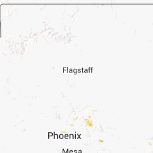
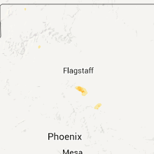
Hail Maps for Bear Flat, AZ


Connect with Interactive Hail Maps