

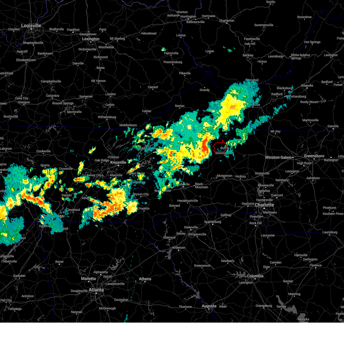
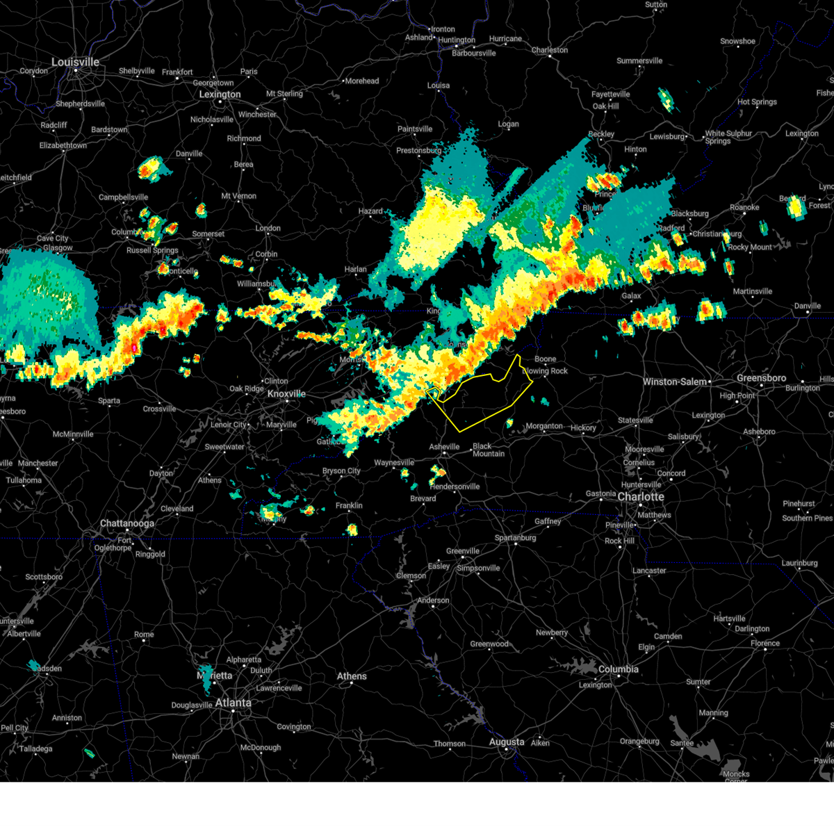
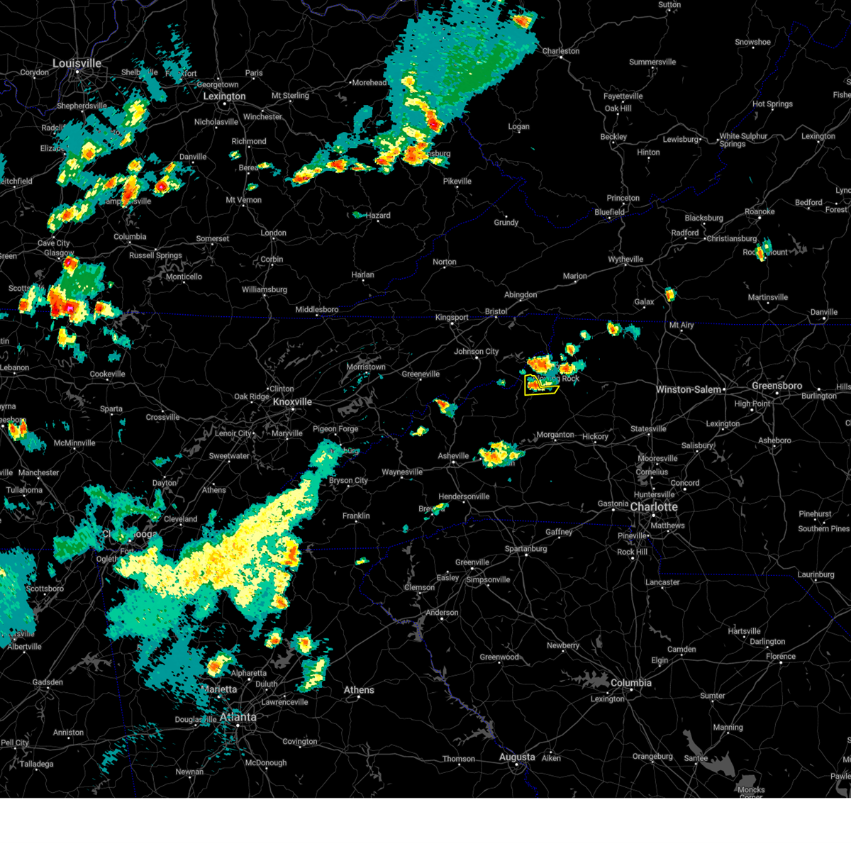
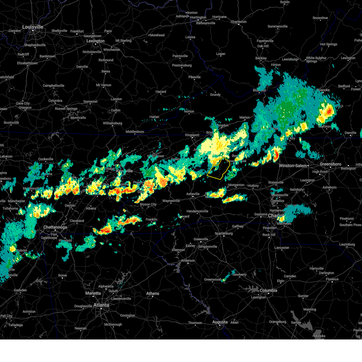
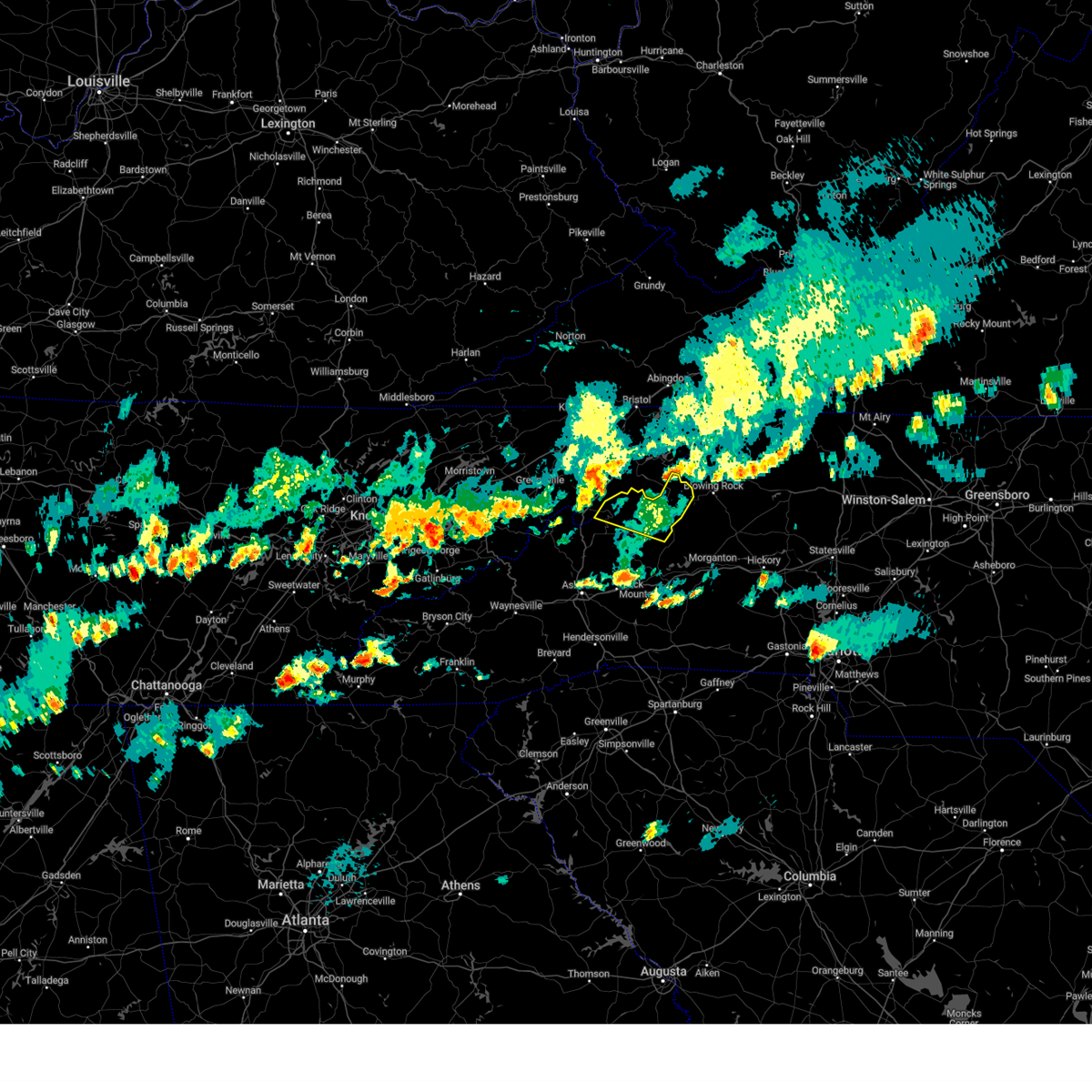
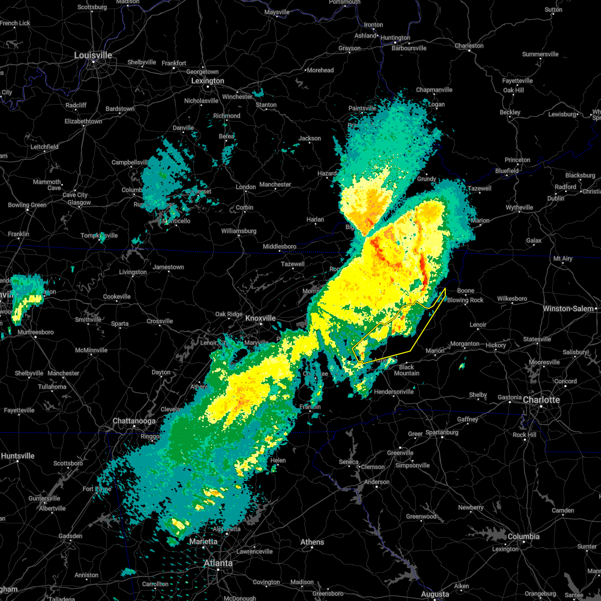
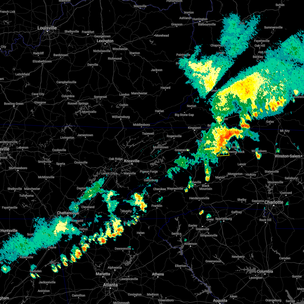
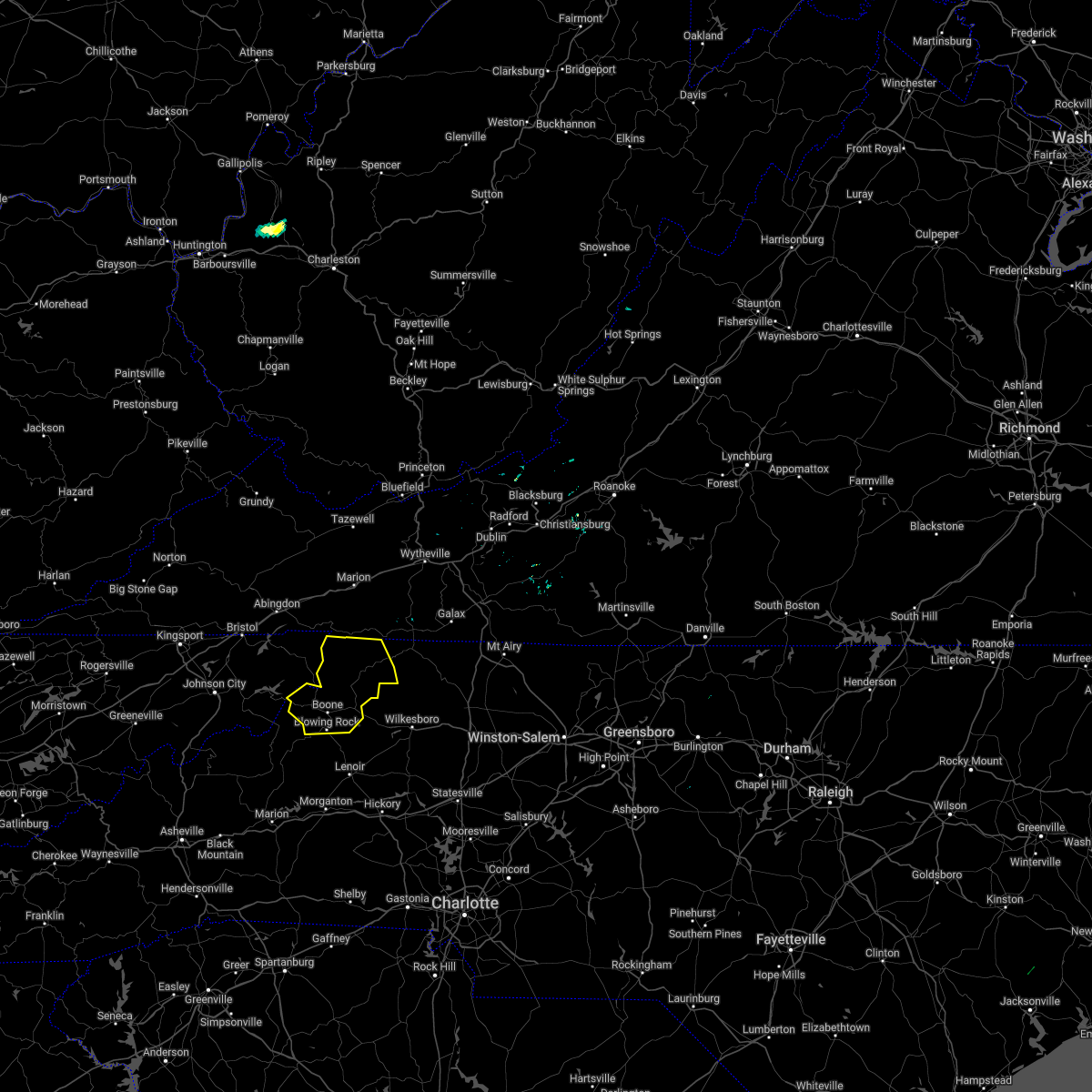
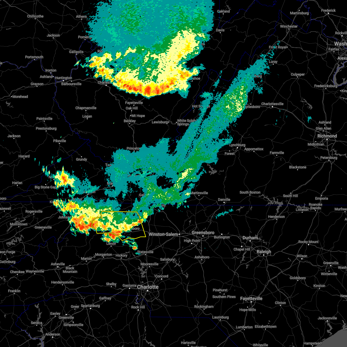
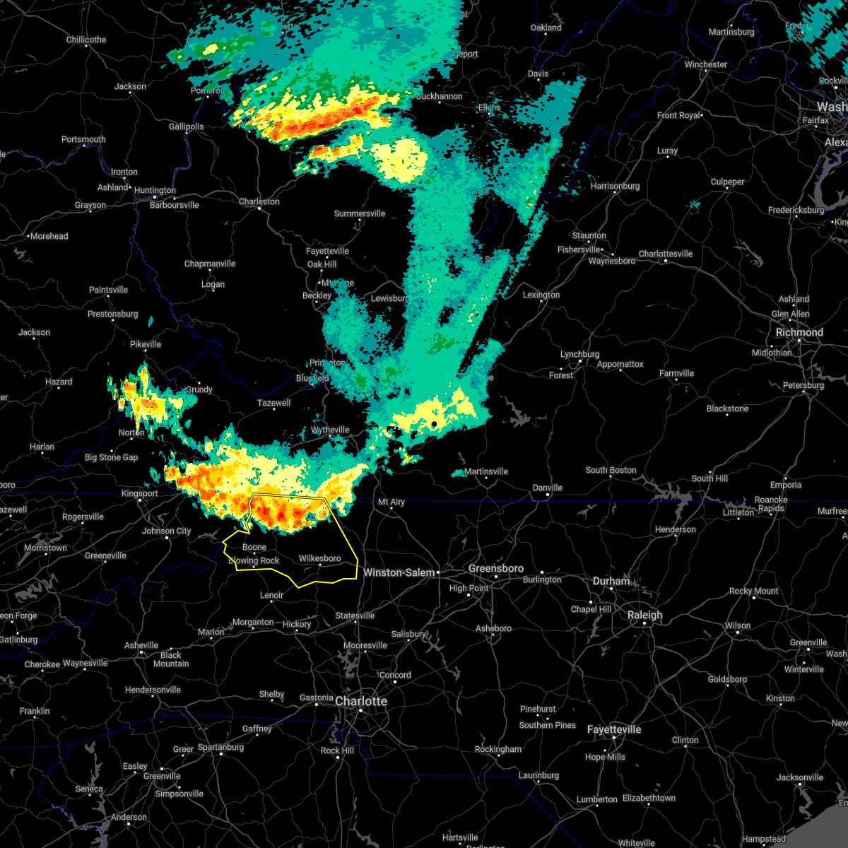
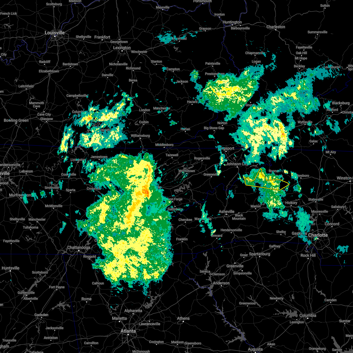
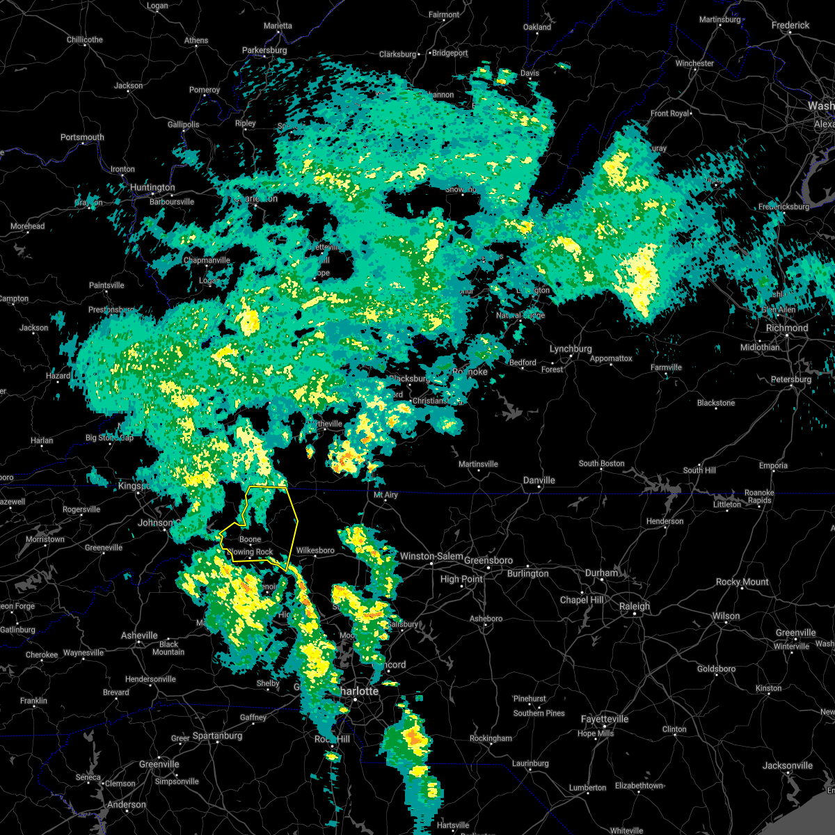
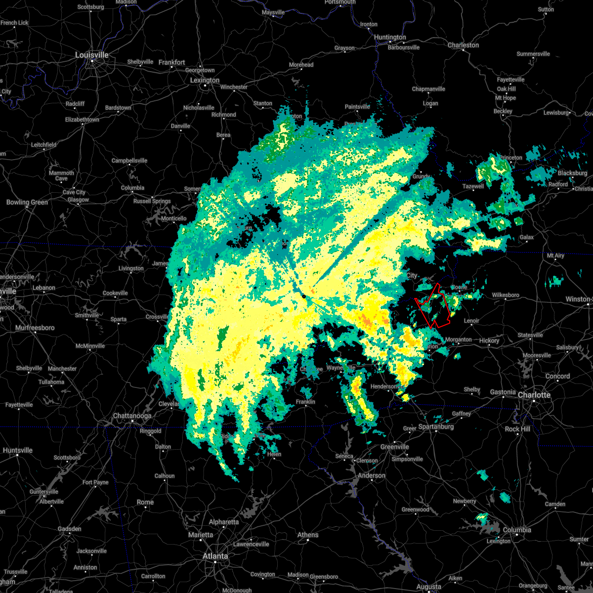
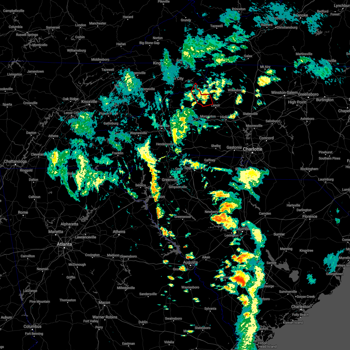
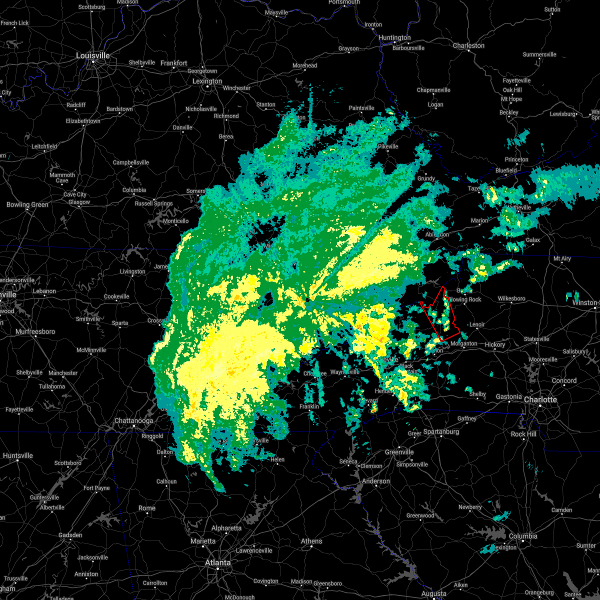
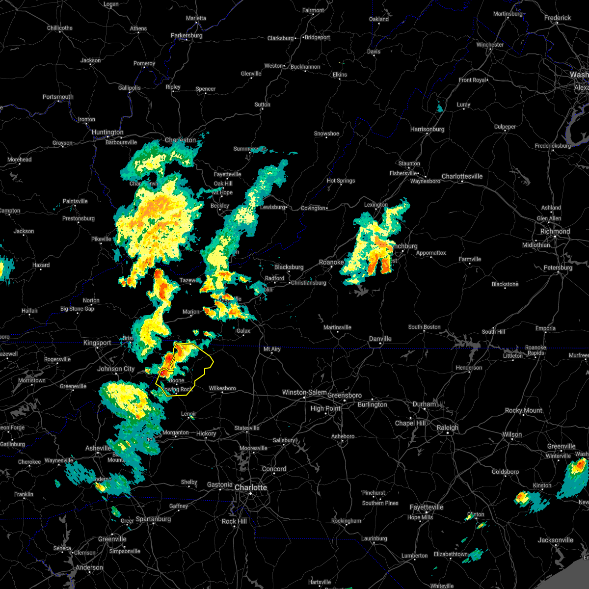
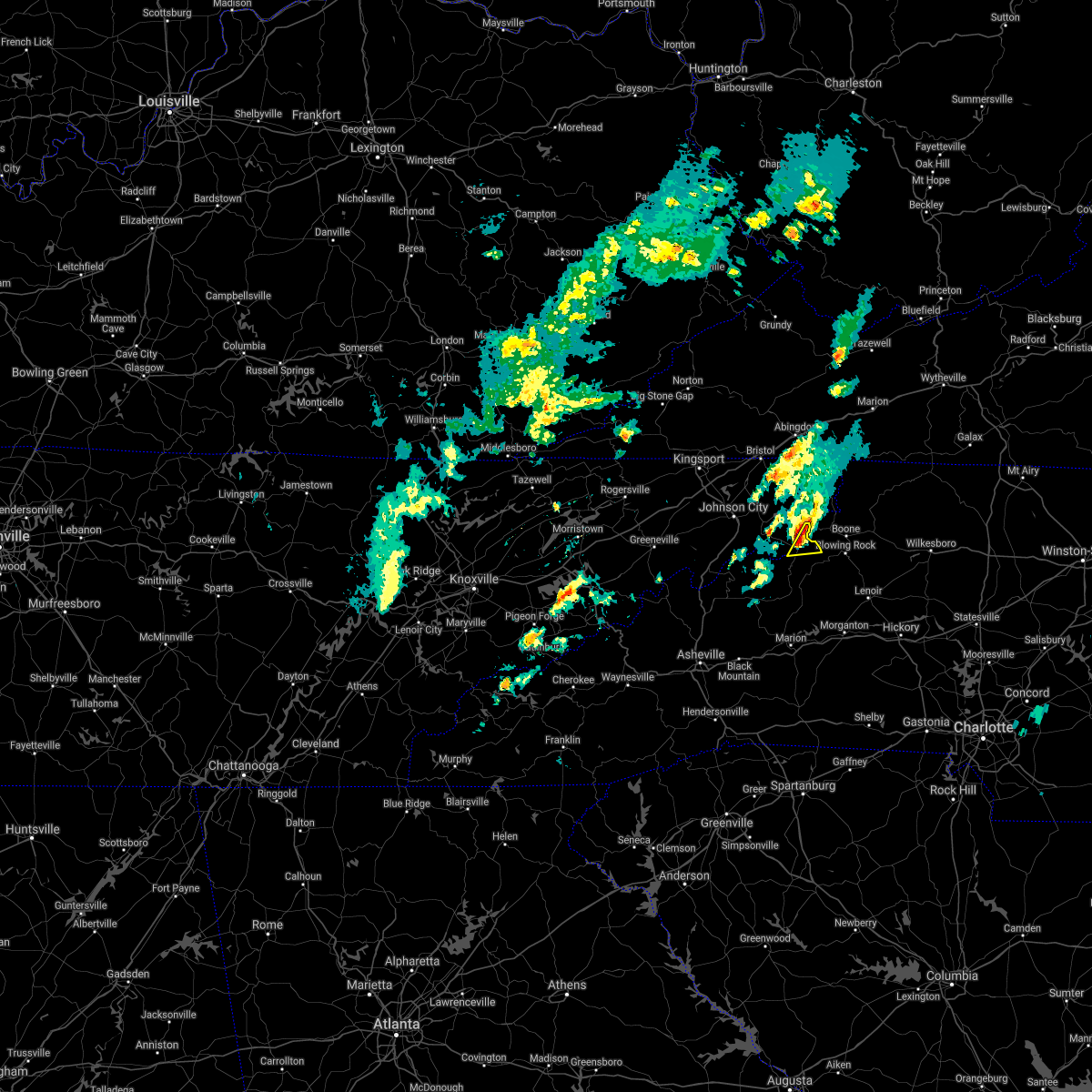
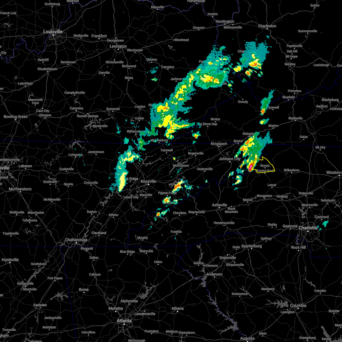
Hail Map for Beech Mountain, NC
The Beech Mountain, NC area has had 2 reports of on-the-ground hail by trained spotters, and has been under severe weather warnings 15 times during the past 12 months. Doppler radar has detected hail at or near Beech Mountain, NC on 17 occasions, including 1 occasion during the past year.
| Name: | Beech Mountain, NC |
| Where Located: | 32.9 miles SE of Bristol, TN |
| Map: | Google Map for Beech Mountain, NC |
| Population: | 320 |
| Housing Units: | 2287 |
| More Info: | Search Google for Beech Mountain, NC |
0
The Top Recent Hail Date for Beech Mountain, NC is Sunday, July 2, 2023 (14th out of 17)

Hail and Wind Damage Spotted near Beech Mountain, NC
| Date / Time | Report Details |
|---|---|
| 8/15/2023 1:09 AM EDT |
 At 109 am edt, a severe thunderstorm was located over silverstone, or over sugar grove, moving east at 40 mph (radar indicated). Hazards include 60 mph wind gusts and quarter size hail. Hail damage to vehicles is expected. expect wind damage to roofs, siding, and trees. locations impacted include, boone, jefferson, west jefferson, blowing rock, beech mountain, lansing, and foscoe. this includes the following location appalachian state university. hail threat, radar indicated max hail size, 1. 00 in wind threat, radar indicated max wind gust, 60 mph. At 109 am edt, a severe thunderstorm was located over silverstone, or over sugar grove, moving east at 40 mph (radar indicated). Hazards include 60 mph wind gusts and quarter size hail. Hail damage to vehicles is expected. expect wind damage to roofs, siding, and trees. locations impacted include, boone, jefferson, west jefferson, blowing rock, beech mountain, lansing, and foscoe. this includes the following location appalachian state university. hail threat, radar indicated max hail size, 1. 00 in wind threat, radar indicated max wind gust, 60 mph.
|
| 8/15/2023 1:03 AM EDT |
 At 102 am edt, severe thunderstorms were located along a line extending from 3 miles southeast of beech mountain to 7 miles northeast of burnsville, moving east at 25 mph (radar indicated). Hazards include 60 mph wind gusts and quarter size hail. Minor hail damage to vehicles is expected. expect wind damage to trees and power lines. locations impacted include, spruce pine, newland, banner elk, elk park, bakersville, beech mountain in avery county, crossnore, sugar mountain, seven devils and grandfather mountain state park. hail threat, radar indicated max hail size, 1. 00 in wind threat, radar indicated max wind gust, 60 mph. At 102 am edt, severe thunderstorms were located along a line extending from 3 miles southeast of beech mountain to 7 miles northeast of burnsville, moving east at 25 mph (radar indicated). Hazards include 60 mph wind gusts and quarter size hail. Minor hail damage to vehicles is expected. expect wind damage to trees and power lines. locations impacted include, spruce pine, newland, banner elk, elk park, bakersville, beech mountain in avery county, crossnore, sugar mountain, seven devils and grandfather mountain state park. hail threat, radar indicated max hail size, 1. 00 in wind threat, radar indicated max wind gust, 60 mph.
|
| 8/15/2023 12:57 AM EDT |
 At 1257 am edt, a severe thunderstorm capable of producing a tornado was located near peoria, or near beech mountain, moving east at 45 mph (radar indicated rotation). Hazards include tornado and quarter size hail. Flying debris will be dangerous to those caught without shelter. mobile homes will be damaged or destroyed. damage to roofs, windows, and vehicles will occur. Tree damage is likely. At 1257 am edt, a severe thunderstorm capable of producing a tornado was located near peoria, or near beech mountain, moving east at 45 mph (radar indicated rotation). Hazards include tornado and quarter size hail. Flying debris will be dangerous to those caught without shelter. mobile homes will be damaged or destroyed. damage to roofs, windows, and vehicles will occur. Tree damage is likely.
|
| 8/15/2023 12:55 AM EDT |
 At 1254 am edt, a severe thunderstorm capable of producing a tornado was located near beech mountain, moving east at 30 mph (radar indicated rotation). Hazards include tornado. Flying debris will be dangerous to those caught without shelter. mobile homes will be damaged or destroyed. damage to roofs, windows, and vehicles will occur. tree damage is likely. This dangerous thunderstorm will remain over mainly rural areas of north central avery county. At 1254 am edt, a severe thunderstorm capable of producing a tornado was located near beech mountain, moving east at 30 mph (radar indicated rotation). Hazards include tornado. Flying debris will be dangerous to those caught without shelter. mobile homes will be damaged or destroyed. damage to roofs, windows, and vehicles will occur. tree damage is likely. This dangerous thunderstorm will remain over mainly rural areas of north central avery county.
|
| 8/15/2023 12:46 AM EDT |
 At 1246 am edt, severe thunderstorms were located along a line extending from 10 miles southeast of bristol tn to 8 miles northeast of hampton to near elk park, moving east at 45 mph (radar indicated). Hazards include 60 mph wind gusts and quarter size hail. Hail damage to vehicles is expected. Expect wind damage to roofs, siding, and trees. At 1246 am edt, severe thunderstorms were located along a line extending from 10 miles southeast of bristol tn to 8 miles northeast of hampton to near elk park, moving east at 45 mph (radar indicated). Hazards include 60 mph wind gusts and quarter size hail. Hail damage to vehicles is expected. Expect wind damage to roofs, siding, and trees.
|
| 8/15/2023 12:30 AM EDT | At 1230 am edt, severe thunderstorms were located along a line extending from 3 miles north of beech mountain to 10 miles west of burnsville, moving east at 25 mph (radar indicated). Hazards include 60 mph wind gusts and quarter size hail. Minor hail damage to vehicles is expected. Expect wind damage to trees and power lines. |
| 8/7/2023 3:56 PM EDT |
 At 356 pm edt, severe thunderstorms were located along a line extending from 6 miles south of blowing rock to 7 miles west of lenoir to 7 miles east of marion, moving east at 45 mph (radar indicated). Hazards include 70 mph wind gusts and quarter size hail. Minor hail damage to vehicles is expected. expect considerable tree damage. wind damage is also likely to mobile homes, roofs, and outbuildings. Locations impacted include, lenoir, spruce pine, burnsville, newland, gamewell, cajah`s mountain, glen alpine, banner elk, elk park and bakersville. At 356 pm edt, severe thunderstorms were located along a line extending from 6 miles south of blowing rock to 7 miles west of lenoir to 7 miles east of marion, moving east at 45 mph (radar indicated). Hazards include 70 mph wind gusts and quarter size hail. Minor hail damage to vehicles is expected. expect considerable tree damage. wind damage is also likely to mobile homes, roofs, and outbuildings. Locations impacted include, lenoir, spruce pine, burnsville, newland, gamewell, cajah`s mountain, glen alpine, banner elk, elk park and bakersville.
|
| 8/7/2023 3:46 PM EDT |
 At 346 pm edt, severe thunderstorms were located along a line extending from 13 miles south of elizabethton to near burnsville, moving east at 65 mph (radar indicated). Hazards include 70 mph wind gusts. Expect considerable tree damage. Damage is likely to mobile homes, roofs, and outbuildings. At 346 pm edt, severe thunderstorms were located along a line extending from 13 miles south of elizabethton to near burnsville, moving east at 65 mph (radar indicated). Hazards include 70 mph wind gusts. Expect considerable tree damage. Damage is likely to mobile homes, roofs, and outbuildings.
|
| 8/7/2023 3:25 PM EDT |
 At 325 pm edt, severe thunderstorms were located along a line extending from 4 miles southwest of foscoe to 4 miles northeast of spruce pine to 8 miles southwest of burnsville, moving east at 40 mph (radar indicated). Hazards include 70 mph wind gusts and quarter size hail. Minor hail damage to vehicles is expected. expect considerable tree damage. Wind damage is also likely to mobile homes, roofs, and outbuildings. At 325 pm edt, severe thunderstorms were located along a line extending from 4 miles southwest of foscoe to 4 miles northeast of spruce pine to 8 miles southwest of burnsville, moving east at 40 mph (radar indicated). Hazards include 70 mph wind gusts and quarter size hail. Minor hail damage to vehicles is expected. expect considerable tree damage. Wind damage is also likely to mobile homes, roofs, and outbuildings.
|
| 8/7/2023 3:00 PM EDT |
 At 300 pm edt, severe thunderstorms were located along a line extending from 11 miles northwest of newland to 6 miles northeast of burnsville to 12 miles east of marshall, moving east at 45 mph (radar indicated). Hazards include 70 mph wind gusts and quarter size hail. Minor hail damage to vehicles is expected. expect considerable tree damage. Wind damage is also likely to mobile homes, roofs, and outbuildings. At 300 pm edt, severe thunderstorms were located along a line extending from 11 miles northwest of newland to 6 miles northeast of burnsville to 12 miles east of marshall, moving east at 45 mph (radar indicated). Hazards include 70 mph wind gusts and quarter size hail. Minor hail damage to vehicles is expected. expect considerable tree damage. Wind damage is also likely to mobile homes, roofs, and outbuildings.
|
| 7/29/2023 5:44 PM EDT |
 At 544 pm edt, severe thunderstorms were located along a line extending from near mountain city to near hampton, moving east at 35 mph (radar indicated). Hazards include 60 mph wind gusts. expect damage to roofs, siding, and trees At 544 pm edt, severe thunderstorms were located along a line extending from near mountain city to near hampton, moving east at 35 mph (radar indicated). Hazards include 60 mph wind gusts. expect damage to roofs, siding, and trees
|
| 7/29/2023 5:39 PM EDT |
 At 539 pm edt, severe thunderstorms were located in east tennessee, along a line extending from 10 miles west of mountain city to 7 miles northeast of erwin to 11 miles southeast of greeneville tn, moving southeast at 25 mph (radar indicated). Hazards include 60 mph wind gusts. expect damage to trees and power lines At 539 pm edt, severe thunderstorms were located in east tennessee, along a line extending from 10 miles west of mountain city to 7 miles northeast of erwin to 11 miles southeast of greeneville tn, moving southeast at 25 mph (radar indicated). Hazards include 60 mph wind gusts. expect damage to trees and power lines
|
| 7/2/2023 6:49 PM EDT |
 At 648 pm edt, a severe thunderstorm was located 5 miles southwest of foscoe, or near grandfather mountain state park, moving east at 20 mph (radar indicated). Hazards include 60 mph wind gusts and quarter size hail. Minor hail damage to vehicles is expected. Expect wind damage to trees and power lines. At 648 pm edt, a severe thunderstorm was located 5 miles southwest of foscoe, or near grandfather mountain state park, moving east at 20 mph (radar indicated). Hazards include 60 mph wind gusts and quarter size hail. Minor hail damage to vehicles is expected. Expect wind damage to trees and power lines.
|
| 5/16/2023 7:59 PM EDT |
 At 759 pm edt, a severe thunderstorm was located 4 miles southwest of newland, or near crossnore, moving east at 50 mph (radar indicated). Hazards include 60 mph wind gusts. Expect damage to trees and power lines. locations impacted include, spruce pine, newland, banner elk, elk park, bakersville, crossnore, sugar mountain, seven devils, grandfather mountain state park and b. r. parkway-linville falls to grandfather. hail threat, radar indicated max hail size, <. 75 in wind threat, radar indicated max wind gust, 60 mph. At 759 pm edt, a severe thunderstorm was located 4 miles southwest of newland, or near crossnore, moving east at 50 mph (radar indicated). Hazards include 60 mph wind gusts. Expect damage to trees and power lines. locations impacted include, spruce pine, newland, banner elk, elk park, bakersville, crossnore, sugar mountain, seven devils, grandfather mountain state park and b. r. parkway-linville falls to grandfather. hail threat, radar indicated max hail size, <. 75 in wind threat, radar indicated max wind gust, 60 mph.
|
| 5/16/2023 7:31 PM EDT |
 At 731 pm edt, a severe thunderstorm was located near erwin, or near banner hill, moving east at 45 mph (radar indicated). Hazards include 60 mph wind gusts. expect damage to trees and power lines At 731 pm edt, a severe thunderstorm was located near erwin, or near banner hill, moving east at 45 mph (radar indicated). Hazards include 60 mph wind gusts. expect damage to trees and power lines
|
| 1/12/2023 2:51 PM EST |
 At 251 pm est, severe thunderstorms were located along a line extending from near abingdon to mountain city to near peoria, moving northeast at 60 mph (radar indicated). Hazards include 60 mph wind gusts. expect damage to roofs, siding, and trees At 251 pm est, severe thunderstorms were located along a line extending from near abingdon to mountain city to near peoria, moving northeast at 60 mph (radar indicated). Hazards include 60 mph wind gusts. expect damage to roofs, siding, and trees
|
| 1/12/2023 2:32 PM EST |
 At 229 pm est, severe thunderstorms were located along a line extending from 3 miles south of bristol tn to 7 miles east of elizabethton to 9 miles north of burnsville to 12 miles southwest of marshall, moving east at 60 mph. wind gusts over 60 mph have been confirmed with this line of storms in east tennessee (radar indicated). Hazards include 60 mph wind gusts. Expect damage to trees and power lines. locations impacted include, burnsville, marshall, weaverville, mars hill, elk park, bakersville, leicester, mount mitchell state park, buladean and bandana. hail threat, radar indicated max hail size, <. 75 in wind threat, observed max wind gust, 60 mph. At 229 pm est, severe thunderstorms were located along a line extending from 3 miles south of bristol tn to 7 miles east of elizabethton to 9 miles north of burnsville to 12 miles southwest of marshall, moving east at 60 mph. wind gusts over 60 mph have been confirmed with this line of storms in east tennessee (radar indicated). Hazards include 60 mph wind gusts. Expect damage to trees and power lines. locations impacted include, burnsville, marshall, weaverville, mars hill, elk park, bakersville, leicester, mount mitchell state park, buladean and bandana. hail threat, radar indicated max hail size, <. 75 in wind threat, observed max wind gust, 60 mph.
|
| 1/12/2023 2:08 PM EST |
 At 208 pm est, severe thunderstorms were located along a line extending from 7 miles south of kingsport to 5 miles northwest of erwin to 10 miles north of marshall to 11 miles north of waynesville, moving east at 60 mph (radar indicated). Hazards include 60 mph wind gusts. Expect damage to trees and power lines. locations impacted include, burnsville, marshall, weaverville, mars hill, hot springs, elk park, bakersville, leicester, mount mitchell state park and buladean. hail threat, radar indicated max hail size, <. 75 in wind threat, radar indicated max wind gust, 60 mph. At 208 pm est, severe thunderstorms were located along a line extending from 7 miles south of kingsport to 5 miles northwest of erwin to 10 miles north of marshall to 11 miles north of waynesville, moving east at 60 mph (radar indicated). Hazards include 60 mph wind gusts. Expect damage to trees and power lines. locations impacted include, burnsville, marshall, weaverville, mars hill, hot springs, elk park, bakersville, leicester, mount mitchell state park and buladean. hail threat, radar indicated max hail size, <. 75 in wind threat, radar indicated max wind gust, 60 mph.
|
| 1/12/2023 1:44 PM EST |
 At 144 pm est, severe thunderstorms were located along a line extending from 10 miles northwest of greeneville to 16 miles east of newport to 8 miles northeast of bryson city, moving east at 60 mph (radar indicated). Hazards include 70 mph wind gusts. Expect considerable tree damage. Damage is likely to mobile homes, roofs, and outbuildings. At 144 pm est, severe thunderstorms were located along a line extending from 10 miles northwest of greeneville to 16 miles east of newport to 8 miles northeast of bryson city, moving east at 60 mph (radar indicated). Hazards include 70 mph wind gusts. Expect considerable tree damage. Damage is likely to mobile homes, roofs, and outbuildings.
|
| 9/25/2022 7:10 PM EDT |
 At 709 pm edt, a severe thunderstorm was located 5 miles west of beech mountain, or near elk park, moving east at 30 mph (radar indicated). Hazards include 60 mph wind gusts and quarter size hail. Minor hail damage to vehicles is expected. Expect wind damage to trees and power lines. At 709 pm edt, a severe thunderstorm was located 5 miles west of beech mountain, or near elk park, moving east at 30 mph (radar indicated). Hazards include 60 mph wind gusts and quarter size hail. Minor hail damage to vehicles is expected. Expect wind damage to trees and power lines.
|
| 6/17/2022 4:46 PM EDT |
 At 443 pm edt, the strongest thunderstorms have moved east into wilkes county. periods of heavy rain will continue across watauga and ashe counties. strong wind gusts and lightning are still possible. the warning will be allowed to expire at 5:00 pm (radar indicated). Hazards include up to 60 mph wind gusts. Expect damage to roofs, siding, and trees. locations impacted include, boone, jefferson, west jefferson, blowing rock, beech mountain, lansing, and foscoe. this includes the following location appalachian state university. hail threat, radar indicated max hail size, <. 75 in wind threat, radar indicated max wind gust, 60 mph. At 443 pm edt, the strongest thunderstorms have moved east into wilkes county. periods of heavy rain will continue across watauga and ashe counties. strong wind gusts and lightning are still possible. the warning will be allowed to expire at 5:00 pm (radar indicated). Hazards include up to 60 mph wind gusts. Expect damage to roofs, siding, and trees. locations impacted include, boone, jefferson, west jefferson, blowing rock, beech mountain, lansing, and foscoe. this includes the following location appalachian state university. hail threat, radar indicated max hail size, <. 75 in wind threat, radar indicated max wind gust, 60 mph.
|
| 6/17/2022 4:05 PM EDT |
 At 404 pm edt, severe thunderstorms were located along a line extending from 7 miles north of beech mountain to 8 miles northwest of newland, moving east at 25 mph (radar indicated). Hazards include 60 mph wind gusts and nickel size hail. expect damage to trees and power lines At 404 pm edt, severe thunderstorms were located along a line extending from 7 miles north of beech mountain to 8 miles northwest of newland, moving east at 25 mph (radar indicated). Hazards include 60 mph wind gusts and nickel size hail. expect damage to trees and power lines
|
| 6/17/2022 3:57 PM EDT |
 At 356 pm edt, severe thunderstorms were located along a line extending from 8 miles north of mountain city to near elk park, moving east at 45 mph (radar indicated). Hazards include 60 mph wind gusts and quarter size hail. Hail damage to vehicles is expected. expect wind damage to roofs, siding, and trees. locations impacted include, boone, jefferson, west jefferson, blowing rock, beech mountain, lansing, and foscoe. this includes the following location appalachian state university. hail threat, radar indicated max hail size, 1. 00 in wind threat, radar indicated max wind gust, 60 mph. At 356 pm edt, severe thunderstorms were located along a line extending from 8 miles north of mountain city to near elk park, moving east at 45 mph (radar indicated). Hazards include 60 mph wind gusts and quarter size hail. Hail damage to vehicles is expected. expect wind damage to roofs, siding, and trees. locations impacted include, boone, jefferson, west jefferson, blowing rock, beech mountain, lansing, and foscoe. this includes the following location appalachian state university. hail threat, radar indicated max hail size, 1. 00 in wind threat, radar indicated max wind gust, 60 mph.
|
| 6/17/2022 3:37 PM EDT |
 At 337 pm edt, severe thunderstorms were located along a line extending from near bristol va to 7 miles south of pine crest, moving east at 45 mph (radar indicated). Hazards include 60 mph wind gusts and quarter size hail. Hail damage to vehicles is expected. Expect wind damage to roofs, siding, and trees. At 337 pm edt, severe thunderstorms were located along a line extending from near bristol va to 7 miles south of pine crest, moving east at 45 mph (radar indicated). Hazards include 60 mph wind gusts and quarter size hail. Hail damage to vehicles is expected. Expect wind damage to roofs, siding, and trees.
|
| 6/14/2022 6:55 AM EDT |
 At 655 am edt, severe thunderstorms were located along a line extending from 6 miles southeast of erwin to 12 miles north of morganton to 4 miles southwest of kannapolis, moving south at 25 mph (radar indicated). Hazards include 60 mph wind gusts. expect damage to trees and power lines At 655 am edt, severe thunderstorms were located along a line extending from 6 miles southeast of erwin to 12 miles north of morganton to 4 miles southwest of kannapolis, moving south at 25 mph (radar indicated). Hazards include 60 mph wind gusts. expect damage to trees and power lines
|
| 6/14/2022 6:37 AM EDT |
 At 637 am edt, severe thunderstorms were located along a line extending from 8 miles southeast of taylorsville to 7 miles west of lenoir to near newland to 9 miles north of burnsville, moving south at 30 mph (radar indicated). Hazards include 60 mph wind gusts. Expect damage to trees and power lines. locations impacted include, hickory, lenoir, morganton, spruce pine, taylorsville, burnsville, newland, st. stephens, longview and sawmills. hail threat, radar indicated max hail size, <. 75 in wind threat, radar indicated max wind gust, 60 mph. At 637 am edt, severe thunderstorms were located along a line extending from 8 miles southeast of taylorsville to 7 miles west of lenoir to near newland to 9 miles north of burnsville, moving south at 30 mph (radar indicated). Hazards include 60 mph wind gusts. Expect damage to trees and power lines. locations impacted include, hickory, lenoir, morganton, spruce pine, taylorsville, burnsville, newland, st. stephens, longview and sawmills. hail threat, radar indicated max hail size, <. 75 in wind threat, radar indicated max wind gust, 60 mph.
|
| 6/14/2022 6:27 AM EDT |
 The severe thunderstorm warning for southwestern alleghany, wilkes, watauga and southern ashe counties in northwestern north carolina will expire at 630 am edt, the storm which prompted the warning has weakened below severe limits, and no longer poses an immediate threat to life or property. therefore, the warning will be allowed to expire. however gusty winds and heavy rain are still possible with this thunderstorm. The severe thunderstorm warning for southwestern alleghany, wilkes, watauga and southern ashe counties in northwestern north carolina will expire at 630 am edt, the storm which prompted the warning has weakened below severe limits, and no longer poses an immediate threat to life or property. therefore, the warning will be allowed to expire. however gusty winds and heavy rain are still possible with this thunderstorm.
|
| 6/14/2022 6:09 AM EDT |
 At 609 am edt, a severe thunderstorm was located over maple springs, or near wilbar, moving south at 40 mph (radar indicated). Hazards include 60 mph wind gusts and penny size hail. Expect damage to roofs, siding, and trees. locations impacted include, boone, north wilkesboro, wilkesboro, jefferson, west jefferson, blowing rock, and ronda. this includes the following location appalachian state university. hail threat, radar indicated max hail size, 0. 75 in wind threat, radar indicated max wind gust, 60 mph. At 609 am edt, a severe thunderstorm was located over maple springs, or near wilbar, moving south at 40 mph (radar indicated). Hazards include 60 mph wind gusts and penny size hail. Expect damage to roofs, siding, and trees. locations impacted include, boone, north wilkesboro, wilkesboro, jefferson, west jefferson, blowing rock, and ronda. this includes the following location appalachian state university. hail threat, radar indicated max hail size, 0. 75 in wind threat, radar indicated max wind gust, 60 mph.
|
| 6/14/2022 6:09 AM EDT |
 At 608 am edt, severe thunderstorms were located along a line extending from 3 miles southeast of traphill to 9 miles southeast of deep gap to 3 miles southwest of beech mountain to 4 miles north of elizabethton, moving south at 35 mph (radar indicated). Hazards include 60 mph wind gusts. expect damage to trees and power lines At 608 am edt, severe thunderstorms were located along a line extending from 3 miles southeast of traphill to 9 miles southeast of deep gap to 3 miles southwest of beech mountain to 4 miles north of elizabethton, moving south at 35 mph (radar indicated). Hazards include 60 mph wind gusts. expect damage to trees and power lines
|
| 6/14/2022 5:49 AM EDT |
 At 548 am edt, a severe thunderstorm was located over jefferson, moving southeast at 55 mph. this storm has a history of causing damage to trees (radar indicated). Hazards include 60 mph wind gusts. expect damage to roofs, siding, and trees At 548 am edt, a severe thunderstorm was located over jefferson, moving southeast at 55 mph. this storm has a history of causing damage to trees (radar indicated). Hazards include 60 mph wind gusts. expect damage to roofs, siding, and trees
|
| 5/6/2022 6:55 PM EDT |
 At 655 pm edt, severe thunderstorms were located along a line extending from near sugar grove to 8 miles west of marion, moving east at 30 mph (radar indicated). Hazards include 60 mph wind gusts. expect damage to trees and power lines At 655 pm edt, severe thunderstorms were located along a line extending from near sugar grove to 8 miles west of marion, moving east at 30 mph (radar indicated). Hazards include 60 mph wind gusts. expect damage to trees and power lines
|
| 5/6/2022 6:41 PM EDT |
 At 639 pm edt, severe thunderstorms were located along a line extending from 7 miles southeast of bristol va to beech mountain nc moving east at 55 mph (public). Hazards include 60 to 70 mph wind gusts. Expect considerable tree damage. Damage is likely to mobile homes, roofs, and outbuildings. At 639 pm edt, severe thunderstorms were located along a line extending from 7 miles southeast of bristol va to beech mountain nc moving east at 55 mph (public). Hazards include 60 to 70 mph wind gusts. Expect considerable tree damage. Damage is likely to mobile homes, roofs, and outbuildings.
|
| 5/6/2022 6:36 PM EDT |
 The severe thunderstorm warning for mitchell, avery and northeastern yancey counties will expire at 645 pm edt, the storms which prompted the warning have weakened below severe limits, and no longer pose an immediate threat to life or property. therefore, the warning will be allowed to expire. however gusty winds are still possible with these thunderstorms. a tornado watch remains in effect until 800 pm edt for western north carolina. to report severe weather to the national weather service greenville-spartanburg, call toll free, 1, 800, 2 6 7, 8 1 0 1, or post on our facebook page, or tweet it using hashtag nwsgsp. your message should describe the event and the specific location where it occurred. The severe thunderstorm warning for mitchell, avery and northeastern yancey counties will expire at 645 pm edt, the storms which prompted the warning have weakened below severe limits, and no longer pose an immediate threat to life or property. therefore, the warning will be allowed to expire. however gusty winds are still possible with these thunderstorms. a tornado watch remains in effect until 800 pm edt for western north carolina. to report severe weather to the national weather service greenville-spartanburg, call toll free, 1, 800, 2 6 7, 8 1 0 1, or post on our facebook page, or tweet it using hashtag nwsgsp. your message should describe the event and the specific location where it occurred.
|
| 5/6/2022 6:27 PM EDT |
 At 626 pm edt, severe thunderstorms were located along a line extending from 8 miles southeast of elizabethton to 9 miles south of burnsville, moving east at 50 mph (radar indicated). Hazards include 60 mph wind gusts and penny size hail. Expect damage to trees and power lines. locations impacted include, spruce pine, burnsville, newland, banner elk, elk park, bakersville, beech mountain in avery county, crossnore, sugar mountain and grandfather mountain state park. hail threat, radar indicated max hail size, 0. 75 in wind threat, radar indicated max wind gust, 60 mph. At 626 pm edt, severe thunderstorms were located along a line extending from 8 miles southeast of elizabethton to 9 miles south of burnsville, moving east at 50 mph (radar indicated). Hazards include 60 mph wind gusts and penny size hail. Expect damage to trees and power lines. locations impacted include, spruce pine, burnsville, newland, banner elk, elk park, bakersville, beech mountain in avery county, crossnore, sugar mountain and grandfather mountain state park. hail threat, radar indicated max hail size, 0. 75 in wind threat, radar indicated max wind gust, 60 mph.
|
| 5/6/2022 6:06 PM EDT |
 At 605 pm edt, a severe thunderstorm was located 6 miles northwest of burnsville, moving east at 45 mph (radar indicated). Hazards include 60 mph wind gusts and penny size hail. expect damage to trees and power lines At 605 pm edt, a severe thunderstorm was located 6 miles northwest of burnsville, moving east at 45 mph (radar indicated). Hazards include 60 mph wind gusts and penny size hail. expect damage to trees and power lines
|
| 8/31/2021 6:36 PM EDT | Tree down in the 8700 block of nc highway 321. time estimated from rada in watauga county NC, 4.1 miles S of Beech Mountain, NC |
| 8/31/2021 6:33 PM EDT |
 At 633 pm edt, severe thunderstorms were located along a line extending from near mountain city to near silverstone to near glendale springs, moving north at 45 mph (radar indicated). Hazards include 60 mph wind gusts. Expect damage to roofs, siding, and trees. locations impacted include, boone, jefferson, west jefferson, blowing rock, lansing, foscoe, and glendale springs. this includes the following location appalachian state university. hail threat, radar indicated max hail size, <. 75 in wind threat, radar indicated max wind gust, 60 mph. At 633 pm edt, severe thunderstorms were located along a line extending from near mountain city to near silverstone to near glendale springs, moving north at 45 mph (radar indicated). Hazards include 60 mph wind gusts. Expect damage to roofs, siding, and trees. locations impacted include, boone, jefferson, west jefferson, blowing rock, lansing, foscoe, and glendale springs. this includes the following location appalachian state university. hail threat, radar indicated max hail size, <. 75 in wind threat, radar indicated max wind gust, 60 mph.
|
| 8/31/2021 6:21 PM EDT |
 At 621 pm edt, severe thunderstorms were located along a line extending from 3 miles northwest of newland to 6 miles southeast of blowing rock, moving north at 50 mph (radar indicated). Hazards include 60 mph wind gusts. Expect damage to trees and power lines. locations impacted include, newland, banner elk, elk park, beech mountain in avery county, crossnore, sugar mountain, seven devils, grandfather mountain state park, b. r. parkway-linville falls to grandfather and edgemont. hail threat, radar indicated max hail size, <. 75 in wind threat, radar indicated max wind gust, 60 mph. At 621 pm edt, severe thunderstorms were located along a line extending from 3 miles northwest of newland to 6 miles southeast of blowing rock, moving north at 50 mph (radar indicated). Hazards include 60 mph wind gusts. Expect damage to trees and power lines. locations impacted include, newland, banner elk, elk park, beech mountain in avery county, crossnore, sugar mountain, seven devils, grandfather mountain state park, b. r. parkway-linville falls to grandfather and edgemont. hail threat, radar indicated max hail size, <. 75 in wind threat, radar indicated max wind gust, 60 mph.
|
| 8/31/2021 6:09 PM EDT |
 At 608 pm edt, severe thunderstorms were located along a line extending from 7 miles north of spruce pine to 5 miles west of lenoir, moving north at 35 mph (radar indicated). Hazards include 60 mph wind gusts. Expect damage to trees and power lines. locations impacted include, lenoir, spruce pine, newland, sawmills, granite falls, gamewell, bethlehem, hudson, cajah`s mountain and banner elk. hail threat, radar indicated max hail size, <. 75 in wind threat, radar indicated max wind gust, 60 mph. At 608 pm edt, severe thunderstorms were located along a line extending from 7 miles north of spruce pine to 5 miles west of lenoir, moving north at 35 mph (radar indicated). Hazards include 60 mph wind gusts. Expect damage to trees and power lines. locations impacted include, lenoir, spruce pine, newland, sawmills, granite falls, gamewell, bethlehem, hudson, cajah`s mountain and banner elk. hail threat, radar indicated max hail size, <. 75 in wind threat, radar indicated max wind gust, 60 mph.
|
| 8/31/2021 6:07 PM EDT |
 At 606 pm edt, severe thunderstorms were located along a line extending from elk park to near b.r. parkway-linville falls to grandfather mountain to near darby, moving north at 50 mph (radar indicated). Hazards include 60 mph wind gusts. expect damage to roofs, siding, and trees At 606 pm edt, severe thunderstorms were located along a line extending from elk park to near b.r. parkway-linville falls to grandfather mountain to near darby, moving north at 50 mph (radar indicated). Hazards include 60 mph wind gusts. expect damage to roofs, siding, and trees
|
| 8/31/2021 5:41 PM EDT |
 At 540 pm edt, severe thunderstorms were located along a line extending from 9 miles southwest of spruce pine to 9 miles east of morganton, moving north at 50 mph (radar indicated). Hazards include 60 mph wind gusts. expect damage to trees and power lines At 540 pm edt, severe thunderstorms were located along a line extending from 9 miles southwest of spruce pine to 9 miles east of morganton, moving north at 50 mph (radar indicated). Hazards include 60 mph wind gusts. expect damage to trees and power lines
|
| 8/17/2021 5:28 PM EDT |
 At 528 pm edt, a severe thunderstorm capable of producing a tornado was located 11 miles southeast of newland, or 7 miles east of linville falls, moving north at 20 mph (radar indicated rotation). Hazards include tornado. Flying debris will be dangerous to those caught without shelter. mobile homes will be damaged or destroyed. damage to roofs, windows, and vehicles will occur. tree damage is likely. this dangerous storm will be near, crossnore and linville falls around 540 pm edt. b. r. parkway-linville falls to grandfather around 550 pm edt. newland, grandfather mountain state park, sugar mountain and seven devils around 600 pm edt. banner elk, beech mountain in avery county and elk park around 610 pm edt. Other locations impacted by this dangerous thunderstorm include edgemont, pineola, minneapolis, linville and globe. At 528 pm edt, a severe thunderstorm capable of producing a tornado was located 11 miles southeast of newland, or 7 miles east of linville falls, moving north at 20 mph (radar indicated rotation). Hazards include tornado. Flying debris will be dangerous to those caught without shelter. mobile homes will be damaged or destroyed. damage to roofs, windows, and vehicles will occur. tree damage is likely. this dangerous storm will be near, crossnore and linville falls around 540 pm edt. b. r. parkway-linville falls to grandfather around 550 pm edt. newland, grandfather mountain state park, sugar mountain and seven devils around 600 pm edt. banner elk, beech mountain in avery county and elk park around 610 pm edt. Other locations impacted by this dangerous thunderstorm include edgemont, pineola, minneapolis, linville and globe.
|
| 8/17/2021 4:48 PM EDT |
 At 448 pm edt, a severe thunderstorm capable of producing a tornado was located 4 miles northeast of newland, or over sugar mountain, moving northwest at 35 mph (radar indicated rotation). Hazards include tornado. Flying debris will be dangerous to those caught without shelter. mobile homes will be damaged or destroyed. damage to roofs, windows, and vehicles will occur. tree damage is likely. this dangerous storm will be near, banner elk around 450 pm edt. beech mountain in avery county and elk park around 500 pm edt. Other locations impacted by this tornadic thunderstorm include linville and pineola. At 448 pm edt, a severe thunderstorm capable of producing a tornado was located 4 miles northeast of newland, or over sugar mountain, moving northwest at 35 mph (radar indicated rotation). Hazards include tornado. Flying debris will be dangerous to those caught without shelter. mobile homes will be damaged or destroyed. damage to roofs, windows, and vehicles will occur. tree damage is likely. this dangerous storm will be near, banner elk around 450 pm edt. beech mountain in avery county and elk park around 500 pm edt. Other locations impacted by this tornadic thunderstorm include linville and pineola.
|
| 8/17/2021 4:30 PM EDT |
 At 429 pm edt, a severe thunderstorm capable of producing a tornado was located 7 miles northeast of spruce pine, or over linville falls, moving northwest at 50 mph (radar indicated rotation). Hazards include tornado. Flying debris will be dangerous to those caught without shelter. mobile homes will be damaged or destroyed. damage to roofs, windows, and vehicles will occur. tree damage is likely. this dangerous storm will be near, crossnore around 430 pm edt. newland around 440 pm edt. elk park around 450 pm edt. Other locations impacted by this tornadic thunderstorm include ingalls, altamont, pineola, minneapolis and linville. At 429 pm edt, a severe thunderstorm capable of producing a tornado was located 7 miles northeast of spruce pine, or over linville falls, moving northwest at 50 mph (radar indicated rotation). Hazards include tornado. Flying debris will be dangerous to those caught without shelter. mobile homes will be damaged or destroyed. damage to roofs, windows, and vehicles will occur. tree damage is likely. this dangerous storm will be near, crossnore around 430 pm edt. newland around 440 pm edt. elk park around 450 pm edt. Other locations impacted by this tornadic thunderstorm include ingalls, altamont, pineola, minneapolis and linville.
|
| 8/17/2021 4:28 PM EDT |
 At 427 pm edt, a severe thunderstorm capable of producing a tornado was located 10 miles south of blowing rock, or 8 miles southeast of b.r. parkway-linville falls to grandfather, moving northwest at 30 mph (radar indicated rotation). Hazards include tornado. Flying debris will be dangerous to those caught without shelter. mobile homes will be damaged or destroyed. damage to roofs, windows, and vehicles will occur. tree damage is likely. this dangerous storm will be near, b. r. parkway-linville falls to grandfather and blowing rock in caldwell county around 440 pm edt. newland, seven devils, grandfather mountain state park, sugar mountain and banner elk around 450 pm edt. beech mountain in avery county and elk park around 500 pm edt. Other locations impacted by this tornadic thunderstorm include edgemont, pineola, upton, linville and globe. At 427 pm edt, a severe thunderstorm capable of producing a tornado was located 10 miles south of blowing rock, or 8 miles southeast of b.r. parkway-linville falls to grandfather, moving northwest at 30 mph (radar indicated rotation). Hazards include tornado. Flying debris will be dangerous to those caught without shelter. mobile homes will be damaged or destroyed. damage to roofs, windows, and vehicles will occur. tree damage is likely. this dangerous storm will be near, b. r. parkway-linville falls to grandfather and blowing rock in caldwell county around 440 pm edt. newland, seven devils, grandfather mountain state park, sugar mountain and banner elk around 450 pm edt. beech mountain in avery county and elk park around 500 pm edt. Other locations impacted by this tornadic thunderstorm include edgemont, pineola, upton, linville and globe.
|
| 8/17/2021 4:17 PM EDT |
 At 417 pm edt, a severe thunderstorm capable of producing a tornado was located 9 miles west of lenoir, or 6 miles northwest of gamewell, moving northwest at 30 mph (radar indicated rotation). Hazards include tornado. Flying debris will be dangerous to those caught without shelter. mobile homes will be damaged or destroyed. damage to roofs, windows, and vehicles will occur. tree damage is likely. this dangerous storm will be near, b. r. parkway-linville falls to grandfather and blowing rock in caldwell county around 440 pm edt. newland, seven devils, grandfather mountain state park and sugar mountain around 450 pm edt. beech mountain in avery county, banner elk and elk park around 500 pm edt. Other locations impacted by this dangerous thunderstorm include edgemont, pineola, collettsville, upton and linville. At 417 pm edt, a severe thunderstorm capable of producing a tornado was located 9 miles west of lenoir, or 6 miles northwest of gamewell, moving northwest at 30 mph (radar indicated rotation). Hazards include tornado. Flying debris will be dangerous to those caught without shelter. mobile homes will be damaged or destroyed. damage to roofs, windows, and vehicles will occur. tree damage is likely. this dangerous storm will be near, b. r. parkway-linville falls to grandfather and blowing rock in caldwell county around 440 pm edt. newland, seven devils, grandfather mountain state park and sugar mountain around 450 pm edt. beech mountain in avery county, banner elk and elk park around 500 pm edt. Other locations impacted by this dangerous thunderstorm include edgemont, pineola, collettsville, upton and linville.
|
| 8/17/2021 4:07 PM EDT |
 At 407 pm edt, a severe thunderstorm capable of producing a tornado was located 10 miles east of spruce pine, or 4 miles southeast of linville falls, moving northwest at 30 mph (radar indicated rotation). Hazards include tornado. Flying debris will be dangerous to those caught without shelter. mobile homes will be damaged or destroyed. damage to roofs, windows, and vehicles will occur. tree damage is likely. this dangerous storm will be near, linville falls and crossnore around 420 pm edt. newland, b. r. parkway-linville falls to grandfather and grandfather mountain state park around 430 pm edt. elk park, sugar mountain, beech mountain in avery county and banner elk around 440 pm edt. Other locations impacted by this dangerous thunderstorm include ingalls, minneapolis, altamont, pineola and ashford. At 407 pm edt, a severe thunderstorm capable of producing a tornado was located 10 miles east of spruce pine, or 4 miles southeast of linville falls, moving northwest at 30 mph (radar indicated rotation). Hazards include tornado. Flying debris will be dangerous to those caught without shelter. mobile homes will be damaged or destroyed. damage to roofs, windows, and vehicles will occur. tree damage is likely. this dangerous storm will be near, linville falls and crossnore around 420 pm edt. newland, b. r. parkway-linville falls to grandfather and grandfather mountain state park around 430 pm edt. elk park, sugar mountain, beech mountain in avery county and banner elk around 440 pm edt. Other locations impacted by this dangerous thunderstorm include ingalls, minneapolis, altamont, pineola and ashford.
|
| 7/10/2021 6:49 PM EDT |
 At 649 pm edt, severe thunderstorms were located along a line extending from near flatwood to valle crucis, moving southeast at 15 mph (radar indicated). Hazards include 60 mph wind gusts and quarter size hail. Hail damage to vehicles is expected. Expect wind damage to roofs, siding, and trees. At 649 pm edt, severe thunderstorms were located along a line extending from near flatwood to valle crucis, moving southeast at 15 mph (radar indicated). Hazards include 60 mph wind gusts and quarter size hail. Hail damage to vehicles is expected. Expect wind damage to roofs, siding, and trees.
|
| 3/27/2021 1:15 PM EDT |
 At 114 pm edt, severe thunderstorms were located along a line extending from glen burke to near bakersville, moving east at 40 mph (radar indicated). Hazards include 60 mph wind gusts and quarter size hail. Hail damage to vehicles is expected. Expect wind damage to roofs, siding, and trees. At 114 pm edt, severe thunderstorms were located along a line extending from glen burke to near bakersville, moving east at 40 mph (radar indicated). Hazards include 60 mph wind gusts and quarter size hail. Hail damage to vehicles is expected. Expect wind damage to roofs, siding, and trees.
|
| 3/18/2021 5:22 PM EDT |
 At 522 pm edt, a severe thunderstorm was located near beech mountain, or near beech mountain in avery county, moving east at 10 mph (radar indicated). Hazards include 60 mph wind gusts and quarter size hail. Minor hail damage to vehicles is expected. Expect wind damage to trees and power lines. At 522 pm edt, a severe thunderstorm was located near beech mountain, or near beech mountain in avery county, moving east at 10 mph (radar indicated). Hazards include 60 mph wind gusts and quarter size hail. Minor hail damage to vehicles is expected. Expect wind damage to trees and power lines.
|
| 3/18/2021 5:19 PM EDT |
 At 519 pm edt, a severe thunderstorm was located near elk park, or near beech mountain, moving east at 30 mph (radar indicated). Hazards include 60 mph wind gusts and quarter size hail. Hail damage to vehicles is expected. Expect wind damage to roofs, siding, and trees. At 519 pm edt, a severe thunderstorm was located near elk park, or near beech mountain, moving east at 30 mph (radar indicated). Hazards include 60 mph wind gusts and quarter size hail. Hail damage to vehicles is expected. Expect wind damage to roofs, siding, and trees.
|
| 7/31/2020 8:28 PM EDT |
 At 827 pm edt, a severe thunderstorm was located 4 miles southeast of beech mountain, or near seven devils, moving east at 45 mph (radar indicated). Hazards include 60 mph wind gusts. Expect damage to trees and power lines. locations impacted include, newland, banner elk, elk park, beech mountain in avery county, crossnore, sugar mountain, seven devils, grandfather mountain state park, linville falls and b. r. Parkway-linville falls to grandfather. At 827 pm edt, a severe thunderstorm was located 4 miles southeast of beech mountain, or near seven devils, moving east at 45 mph (radar indicated). Hazards include 60 mph wind gusts. Expect damage to trees and power lines. locations impacted include, newland, banner elk, elk park, beech mountain in avery county, crossnore, sugar mountain, seven devils, grandfather mountain state park, linville falls and b. r. Parkway-linville falls to grandfather.
|
| 7/31/2020 8:18 PM EDT |
 At 818 pm edt, a severe thunderstorm was located near elk park, or 9 miles west of beech mountain, moving east at 35 mph (radar indicated). Hazards include 60 mph wind gusts. expect damage to roofs, siding, and trees At 818 pm edt, a severe thunderstorm was located near elk park, or 9 miles west of beech mountain, moving east at 35 mph (radar indicated). Hazards include 60 mph wind gusts. expect damage to roofs, siding, and trees
|
| 7/31/2020 7:56 PM EDT |
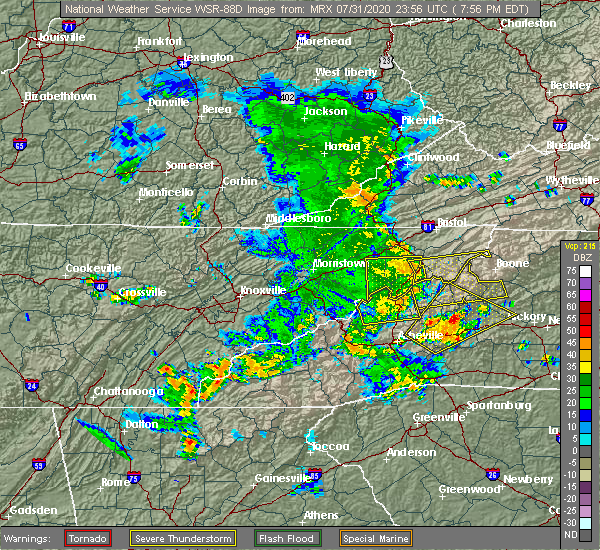 At 756 pm edt, a severe thunderstorm was located 10 miles southeast of erwin, or 6 miles northwest of bakersville, moving east at 40 mph (radar indicated). Hazards include 60 mph wind gusts. expect damage to trees and power lines At 756 pm edt, a severe thunderstorm was located 10 miles southeast of erwin, or 6 miles northwest of bakersville, moving east at 40 mph (radar indicated). Hazards include 60 mph wind gusts. expect damage to trees and power lines
|
| 7/23/2020 6:45 PM EDT |
 At 644 pm edt, a severe thunderstorm was located near newland, or over sugar mountain, moving east at 20 mph (radar indicated). Hazards include 60 mph wind gusts. Expect damage to trees and power lines. locations impacted include, newland, banner elk, elk park, beech mountain in avery county, crossnore, sugar mountain, seven devils, grandfather mountain state park, b. r. Parkway-linville falls to grandfather and minneapolis. At 644 pm edt, a severe thunderstorm was located near newland, or over sugar mountain, moving east at 20 mph (radar indicated). Hazards include 60 mph wind gusts. Expect damage to trees and power lines. locations impacted include, newland, banner elk, elk park, beech mountain in avery county, crossnore, sugar mountain, seven devils, grandfather mountain state park, b. r. Parkway-linville falls to grandfather and minneapolis.
|
| 7/23/2020 6:14 PM EDT |
 At 614 pm edt, a severe thunderstorm was located 10 miles northwest of newland, or 6 miles west of elk park, moving east at 20 mph (radar indicated). Hazards include 60 mph wind gusts. expect damage to trees and power lines At 614 pm edt, a severe thunderstorm was located 10 miles northwest of newland, or 6 miles west of elk park, moving east at 20 mph (radar indicated). Hazards include 60 mph wind gusts. expect damage to trees and power lines
|
| 7/19/2020 6:34 PM EDT |
 At 634 pm edt, a severe thunderstorm was located over sands, or over todd, moving east at 20 mph (radar indicated). Hazards include 60 mph wind gusts. Expect damage to roofs, siding, and trees. locations impacted include, boone, sparta, jefferson, west jefferson, blowing rock, beech mountain, and deep gap. This includes the following location appalachian state university. At 634 pm edt, a severe thunderstorm was located over sands, or over todd, moving east at 20 mph (radar indicated). Hazards include 60 mph wind gusts. Expect damage to roofs, siding, and trees. locations impacted include, boone, sparta, jefferson, west jefferson, blowing rock, beech mountain, and deep gap. This includes the following location appalachian state university.
|
| 7/19/2020 6:22 PM EDT |
 At 622 pm edt, a severe thunderstorm was located over meat camp, or near boone, moving east at 20 mph (radar indicated). Hazards include 60 mph wind gusts and quarter size hail. Hail damage to vehicles is expected. expect wind damage to roofs, siding, and trees. locations impacted include, boone, sparta, jefferson, west jefferson, blowing rock, beech mountain, and lansing. This includes the following location appalachian state university. At 622 pm edt, a severe thunderstorm was located over meat camp, or near boone, moving east at 20 mph (radar indicated). Hazards include 60 mph wind gusts and quarter size hail. Hail damage to vehicles is expected. expect wind damage to roofs, siding, and trees. locations impacted include, boone, sparta, jefferson, west jefferson, blowing rock, beech mountain, and lansing. This includes the following location appalachian state university.
|
| 7/19/2020 5:54 PM EDT |
 At 553 pm edt, a severe thunderstorm was located over peoria, or near beech mountain, moving east at 20 mph (radar indicated). Hazards include 60 mph wind gusts and quarter size hail. Hail damage to vehicles is expected. Expect wind damage to roofs, siding, and trees. At 553 pm edt, a severe thunderstorm was located over peoria, or near beech mountain, moving east at 20 mph (radar indicated). Hazards include 60 mph wind gusts and quarter size hail. Hail damage to vehicles is expected. Expect wind damage to roofs, siding, and trees.
|
| 7/19/2020 5:50 PM EDT |
 At 550 pm edt, a severe thunderstorm was located near beech mountain, or near peoria, moving east at 40 mph (radar indicated). Hazards include 60 mph wind gusts and quarter size hail. Minor hail damage to vehicles is expected. Expect wind damage to trees and power lines. At 550 pm edt, a severe thunderstorm was located near beech mountain, or near peoria, moving east at 40 mph (radar indicated). Hazards include 60 mph wind gusts and quarter size hail. Minor hail damage to vehicles is expected. Expect wind damage to trees and power lines.
|
| 1/11/2020 8:24 PM EST |
 The severe thunderstorm warning for western alleghany, watauga and ashe counties in northwestern north carolina, eastern smyth, southwestern wythe and western grayson counties in southwestern virginia will expire at 830 pm est, the storms which prompted the warning have moved out of the area. therefore, the warning will be allowed to expire. however gusty winds are still possible with these thunderstorms. a severe thunderstorm watch remains in effect until 100 am est for northwestern north carolina, southwestern virginia, and southeastern west virginia. when it is safe to do so, please send your reports of hail of any size, as well as reports of any wind damage, including downed trees or large limbs, to the national weather service by calling toll free at 1, 8 6 6, 2 1 5, 4 3 2 4. reports and pictures can also be shared on the national weather service blacksburg facebook page and on twitter. The severe thunderstorm warning for western alleghany, watauga and ashe counties in northwestern north carolina, eastern smyth, southwestern wythe and western grayson counties in southwestern virginia will expire at 830 pm est, the storms which prompted the warning have moved out of the area. therefore, the warning will be allowed to expire. however gusty winds are still possible with these thunderstorms. a severe thunderstorm watch remains in effect until 100 am est for northwestern north carolina, southwestern virginia, and southeastern west virginia. when it is safe to do so, please send your reports of hail of any size, as well as reports of any wind damage, including downed trees or large limbs, to the national weather service by calling toll free at 1, 8 6 6, 2 1 5, 4 3 2 4. reports and pictures can also be shared on the national weather service blacksburg facebook page and on twitter.
|
| 1/11/2020 8:15 PM EST |
 At 814 pm est, severe thunderstorms were located along a line extending from near clear fork to near comers rock to sands, moving east at 40 mph (radar indicated). Hazards include 60 mph wind gusts. Expect damage to roofs, siding, and trees. locations impacted include, boone, marion, jefferson, rural retreat, west jefferson, blowing rock, and lansing. This includes the following location appalachian state university. At 814 pm est, severe thunderstorms were located along a line extending from near clear fork to near comers rock to sands, moving east at 40 mph (radar indicated). Hazards include 60 mph wind gusts. Expect damage to roofs, siding, and trees. locations impacted include, boone, marion, jefferson, rural retreat, west jefferson, blowing rock, and lansing. This includes the following location appalachian state university.
|
| 1/11/2020 8:02 PM EST |
 At 801 pm est, a severe thunderstorm was located near newland, or near b.r. parkway-linville falls to grandfather, moving east at 15 mph (radar indicated). Hazards include 60 mph wind gusts. expect damage to trees and power lines At 801 pm est, a severe thunderstorm was located near newland, or near b.r. parkway-linville falls to grandfather, moving east at 15 mph (radar indicated). Hazards include 60 mph wind gusts. expect damage to trees and power lines
|
| 1/11/2020 7:57 PM EST |
 At 756 pm est, severe thunderstorms were located along a line extending from gratton to near thomas bridge to rominger, moving east at 50 mph (radar indicated). Hazards include 70 mph wind gusts and quarter size hail. Hail damage to vehicles is expected. expect considerable tree damage. wind damage is also likely to mobile homes, roofs, and outbuildings. locations impacted include, boone, marion, richlands, bluefield, tazewell, saltville, and chilhowie. This includes the following location appalachian state university. At 756 pm est, severe thunderstorms were located along a line extending from gratton to near thomas bridge to rominger, moving east at 50 mph (radar indicated). Hazards include 70 mph wind gusts and quarter size hail. Hail damage to vehicles is expected. expect considerable tree damage. wind damage is also likely to mobile homes, roofs, and outbuildings. locations impacted include, boone, marion, richlands, bluefield, tazewell, saltville, and chilhowie. This includes the following location appalachian state university.
|
| 1/11/2020 7:42 PM EST |
 At 741 pm est, severe thunderstorms were located along a line extending from near raven to near chilhowie to near elk park, moving east at 50 mph (radar indicated). Hazards include 60 mph wind gusts and quarter size hail. Hail damage to vehicles is expected. expect wind damage to roofs, siding, and trees. locations impacted include, boone, marion, richlands, bluefield, tazewell, saltville, and chilhowie. This includes the following location appalachian state university. At 741 pm est, severe thunderstorms were located along a line extending from near raven to near chilhowie to near elk park, moving east at 50 mph (radar indicated). Hazards include 60 mph wind gusts and quarter size hail. Hail damage to vehicles is expected. expect wind damage to roofs, siding, and trees. locations impacted include, boone, marion, richlands, bluefield, tazewell, saltville, and chilhowie. This includes the following location appalachian state university.
|
| 1/11/2020 7:27 PM EST |
 At 726 pm est, severe thunderstorms were located along a line extending from near cleveland va to abingdon to near erwin, moving east at 40 mph (radar indicated). Hazards include 60 mph wind gusts and quarter size hail. Hail damage to vehicles is expected. Expect wind damage to roofs, siding, and trees. At 726 pm est, severe thunderstorms were located along a line extending from near cleveland va to abingdon to near erwin, moving east at 40 mph (radar indicated). Hazards include 60 mph wind gusts and quarter size hail. Hail damage to vehicles is expected. Expect wind damage to roofs, siding, and trees.
|
| 10/31/2019 4:14 PM EDT |
 At 414 pm edt, severe thunderstorms were located along a line extending from near mountain city to near darby, moving northeast at 50 mph (radar indicated). Hazards include 60 mph wind gusts. Expect damage to roofs, siding, and trees. locations impacted include, boone, north wilkesboro, wilkesboro, sparta, jefferson, west jefferson, and blowing rock. this includes the following location appalachian state university. a tornado watch remains in effect until 700 pm edt for northwestern north carolina, and southwestern virginia. A tornado watch also remains in effect until 1100 pm edt for northwestern north carolina, and southwestern virginia. At 414 pm edt, severe thunderstorms were located along a line extending from near mountain city to near darby, moving northeast at 50 mph (radar indicated). Hazards include 60 mph wind gusts. Expect damage to roofs, siding, and trees. locations impacted include, boone, north wilkesboro, wilkesboro, sparta, jefferson, west jefferson, and blowing rock. this includes the following location appalachian state university. a tornado watch remains in effect until 700 pm edt for northwestern north carolina, and southwestern virginia. A tornado watch also remains in effect until 1100 pm edt for northwestern north carolina, and southwestern virginia.
|
| 10/31/2019 3:45 PM EDT |
 At 344 pm edt, severe thunderstorms were located along a line extending from 6 miles northwest of elk park to near table rock, moving northeast at 50 mph (radar indicated). Hazards include 60 mph wind gusts. expect damage to roofs, siding, and trees At 344 pm edt, severe thunderstorms were located along a line extending from 6 miles northwest of elk park to near table rock, moving northeast at 50 mph (radar indicated). Hazards include 60 mph wind gusts. expect damage to roofs, siding, and trees
|
| 10/31/2019 3:33 PM EDT |
 At 332 pm edt, rain showers capable of producing damaging winds were located along a line extending from 11 miles east of erwin to near spruce pine to 12 miles west of marion, moving northeast at 65 mph (radar indicated). Hazards include 60 mph wind gusts. expect damage to trees and power lines At 332 pm edt, rain showers capable of producing damaging winds were located along a line extending from 11 miles east of erwin to near spruce pine to 12 miles west of marion, moving northeast at 65 mph (radar indicated). Hazards include 60 mph wind gusts. expect damage to trees and power lines
|
| 8/13/2019 2:33 PM EDT |
 At 155 pm edt, severe thunderstorms were located along a line extending from near thomas bridge to near mountain city to near hampton, moving southeast at 30 mph (radar indicated). Hazards include 60 mph wind gusts and quarter size hail. Hail damage to vehicles is expected. Expect wind damage to roofs, siding, and trees. At 155 pm edt, severe thunderstorms were located along a line extending from near thomas bridge to near mountain city to near hampton, moving southeast at 30 mph (radar indicated). Hazards include 60 mph wind gusts and quarter size hail. Hail damage to vehicles is expected. Expect wind damage to roofs, siding, and trees.
|
| 8/13/2019 1:56 PM EDT |
 At 155 pm edt, severe thunderstorms were located along a line extending from near thomas bridge to near mountain city to near hampton, moving southeast at 30 mph (radar indicated). Hazards include 60 mph wind gusts and quarter size hail. Hail damage to vehicles is expected. Expect wind damage to roofs, siding, and trees. At 155 pm edt, severe thunderstorms were located along a line extending from near thomas bridge to near mountain city to near hampton, moving southeast at 30 mph (radar indicated). Hazards include 60 mph wind gusts and quarter size hail. Hail damage to vehicles is expected. Expect wind damage to roofs, siding, and trees.
|
| 11/6/2018 7:27 AM EST |
 The severe thunderstorm warning for northwestern alleghany. watauga and ashe counties in northwestern north carolina. southeastern smyth and western grayson counties in southwestern virginia will expire at 730 am est. The storms which prompted the warning have weakened below severe limits, and no longer pose an immediate threat to life or property. The severe thunderstorm warning for northwestern alleghany. watauga and ashe counties in northwestern north carolina. southeastern smyth and western grayson counties in southwestern virginia will expire at 730 am est. The storms which prompted the warning have weakened below severe limits, and no longer pose an immediate threat to life or property.
|
| 11/6/2018 7:04 AM EST |
 At 701 am est, a line of showers was extending from near chilhowie to near mountain city to 6 miles southeast of hampton, moving northeast at 50 mph. trees were reported blown down in washington county tennessee as the line of showers crossed that region (law enforcement). Hazards include 60 mph wind gusts. expect damage to roofs, siding, and trees At 701 am est, a line of showers was extending from near chilhowie to near mountain city to 6 miles southeast of hampton, moving northeast at 50 mph. trees were reported blown down in washington county tennessee as the line of showers crossed that region (law enforcement). Hazards include 60 mph wind gusts. expect damage to roofs, siding, and trees
|
| 7/20/2018 10:51 PM EDT |
 At 1050 pm edt, severe thunderstorms were located along a line extending from near johnson city to 6 miles south of newport, moving southeast at 40 mph (radar indicated). Hazards include 60 mph wind gusts and penny size hail. expect damage to trees and power lines At 1050 pm edt, severe thunderstorms were located along a line extending from near johnson city to 6 miles south of newport, moving southeast at 40 mph (radar indicated). Hazards include 60 mph wind gusts and penny size hail. expect damage to trees and power lines
|
| 7/6/2018 2:36 PM EDT |
 At 236 pm edt, a severe thunderstorm was located over peoria, moving south at 10 mph (radar indicated). Hazards include 60 mph wind gusts. Expect damage to roofs, siding, and trees. Locations impacted include, beech mountain, sugar grove, beech mountain in avery county, rominger, and valle crucis. At 236 pm edt, a severe thunderstorm was located over peoria, moving south at 10 mph (radar indicated). Hazards include 60 mph wind gusts. Expect damage to roofs, siding, and trees. Locations impacted include, beech mountain, sugar grove, beech mountain in avery county, rominger, and valle crucis.
|
| 7/6/2018 2:14 PM EDT |
 At 214 pm edt, a severe thunderstorm was located over silverstone, moving south at 10 mph (radar indicated). Hazards include 60 mph wind gusts and quarter size hail. Hail damage to vehicles is expected. Expect wind damage to roofs, siding, and trees. At 214 pm edt, a severe thunderstorm was located over silverstone, moving south at 10 mph (radar indicated). Hazards include 60 mph wind gusts and quarter size hail. Hail damage to vehicles is expected. Expect wind damage to roofs, siding, and trees.
|
| 6/25/2018 4:26 PM EDT |
 At 426 pm edt, severe thunderstorms were located along a line extending from near todd to 8 miles northeast of marion to 12 miles northeast of downtown asheville, moving east at 35 mph (radar indicated). Hazards include 60 mph wind gusts and quarter size hail. Minor hail damage to vehicles is expected. expect wind damage to trees and power lines. Locations impacted include, downtown asheville, marion, spruce pine, burnsville, newland, east asheville, west asheville, north asheville, black mountain and woodfin. At 426 pm edt, severe thunderstorms were located along a line extending from near todd to 8 miles northeast of marion to 12 miles northeast of downtown asheville, moving east at 35 mph (radar indicated). Hazards include 60 mph wind gusts and quarter size hail. Minor hail damage to vehicles is expected. expect wind damage to trees and power lines. Locations impacted include, downtown asheville, marion, spruce pine, burnsville, newland, east asheville, west asheville, north asheville, black mountain and woodfin.
|
| 6/25/2018 4:13 PM EDT |
 At 413 pm edt, a severe thunderstorm was located over rominger, moving east at 30 mph (radar indicated). Hazards include 60 mph wind gusts and quarter size hail. Hail damage to vehicles is expected. Expect wind damage to roofs, siding, and trees. At 413 pm edt, a severe thunderstorm was located over rominger, moving east at 30 mph (radar indicated). Hazards include 60 mph wind gusts and quarter size hail. Hail damage to vehicles is expected. Expect wind damage to roofs, siding, and trees.
|
| 6/25/2018 4:00 PM EDT |
 At 359 pm edt, severe thunderstorms were located along a line extending from 4 miles north of beech mountain to 11 miles northwest of marion to 6 miles south of marshall, moving east at 35 mph (radar indicated). Hazards include 60 mph wind gusts and quarter size hail. Minor hail damage to vehicles is expected. Expect wind damage to trees and power lines. At 359 pm edt, severe thunderstorms were located along a line extending from 4 miles north of beech mountain to 11 miles northwest of marion to 6 miles south of marshall, moving east at 35 mph (radar indicated). Hazards include 60 mph wind gusts and quarter size hail. Minor hail damage to vehicles is expected. Expect wind damage to trees and power lines.
|
| 3/17/2018 9:24 PM EDT |
 At 924 pm edt, a severe thunderstorm was located near newland, or near crossnore, moving southeast at 45 mph (radar indicated). Hazards include 60 mph wind gusts and penny size hail. Expect damage to trees and power lines. Locations impacted include, spruce pine, newland, banner elk, elk park, bakersville, beech mountain in avery county, crossnore, sugar mountain, seven devils and linville falls. At 924 pm edt, a severe thunderstorm was located near newland, or near crossnore, moving southeast at 45 mph (radar indicated). Hazards include 60 mph wind gusts and penny size hail. Expect damage to trees and power lines. Locations impacted include, spruce pine, newland, banner elk, elk park, bakersville, beech mountain in avery county, crossnore, sugar mountain, seven devils and linville falls.
|
| 3/17/2018 9:04 PM EDT |
 At 904 pm edt, a severe thunderstorm was located 10 miles northwest of newland, or 6 miles west of elk park, moving east at 55 mph (radar indicated). Hazards include 60 mph wind gusts and penny size hail. expect damage to trees and power lines At 904 pm edt, a severe thunderstorm was located 10 miles northwest of newland, or 6 miles west of elk park, moving east at 55 mph (radar indicated). Hazards include 60 mph wind gusts and penny size hail. expect damage to trees and power lines
|
| 5/28/2017 12:49 AM EDT |
 At 1249 am edt, severe thunderstorms were located along a line extending from 8 miles west of beech mountain to 15 miles southwest of marion, moving east at 30 mph (radar indicated). Hazards include 60 mph wind gusts and penny size hail. Expect damage to trees and power lines. Locations impacted include, marion, spruce pine, newland, glen alpine, banner elk, elk park, bakersville, beech mountain in avery county, crossnore and sugar mountain. At 1249 am edt, severe thunderstorms were located along a line extending from 8 miles west of beech mountain to 15 miles southwest of marion, moving east at 30 mph (radar indicated). Hazards include 60 mph wind gusts and penny size hail. Expect damage to trees and power lines. Locations impacted include, marion, spruce pine, newland, glen alpine, banner elk, elk park, bakersville, beech mountain in avery county, crossnore and sugar mountain.
|
| 5/28/2017 12:21 AM EDT |
 At 1221 am edt, severe thunderstorms were located along a line extending from 5 miles south of elizabethton to 5 miles east of downtown asheville, moving east at 45 mph (radar indicated). Hazards include 60 mph wind gusts and penny size hail. expect damage to trees and power lines At 1221 am edt, severe thunderstorms were located along a line extending from 5 miles south of elizabethton to 5 miles east of downtown asheville, moving east at 45 mph (radar indicated). Hazards include 60 mph wind gusts and penny size hail. expect damage to trees and power lines
|
| 5/19/2017 1:38 PM EDT |
 At 138 pm edt, a severe thunderstorm was located over blowing rock, moving east at 20 mph (radar indicated). Hazards include 60 mph wind gusts and quarter size hail. Minor damage to vehicles is possible. expect wind damage to trees and power lines. Locations impacted include, boone, blowing rock, foscoe, sugar grove, and deep gap. At 138 pm edt, a severe thunderstorm was located over blowing rock, moving east at 20 mph (radar indicated). Hazards include 60 mph wind gusts and quarter size hail. Minor damage to vehicles is possible. expect wind damage to trees and power lines. Locations impacted include, boone, blowing rock, foscoe, sugar grove, and deep gap.
|
| 5/19/2017 1:15 PM EDT |
 At 114 pm edt, a severe thunderstorm was located near foscoe, moving northeast at 10 mph (radar indicated). Hazards include 60 mph wind gusts and quarter size hail. Minor damage to vehicles is possible. Expect wind damage to trees and power lines. At 114 pm edt, a severe thunderstorm was located near foscoe, moving northeast at 10 mph (radar indicated). Hazards include 60 mph wind gusts and quarter size hail. Minor damage to vehicles is possible. Expect wind damage to trees and power lines.
|
| 9/29/2016 5:00 PM EDT |
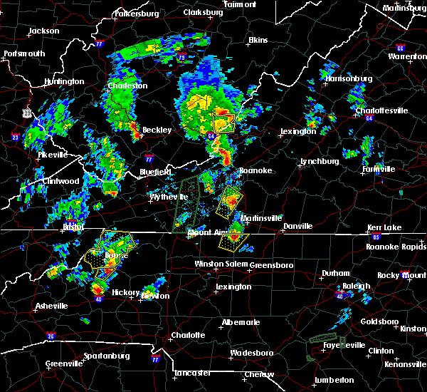 At 458 pm edt, severe thunderstorm were located near boone and beech mountain, moving northeast at 10 mph (radar indicated). Hazards include quarter size hail. Damage to vehicles is expected. locations impacted include, boone, jefferson, west jefferson, blowing rock, and beech mountain. This includes the following location appalachian state university. At 458 pm edt, severe thunderstorm were located near boone and beech mountain, moving northeast at 10 mph (radar indicated). Hazards include quarter size hail. Damage to vehicles is expected. locations impacted include, boone, jefferson, west jefferson, blowing rock, and beech mountain. This includes the following location appalachian state university.
|
| 9/29/2016 4:36 PM EDT |
 At 435 pm edt, severe thunderstorm were located near banner elk and also near boone, moving northeast at 15 mph (radar indicated). Hazards include quarter size hail. damage to vehicles is expected At 435 pm edt, severe thunderstorm were located near banner elk and also near boone, moving northeast at 15 mph (radar indicated). Hazards include quarter size hail. damage to vehicles is expected
|
| 7/8/2016 7:52 PM EDT |
 The severe thunderstorm warning for caldwell, burke, eastern mitchell, northwestern catawba, southern yancey, avery, central mcdowell and alexander counties will expire at 800 pm edt, the storms which prompted the warning have weakened below severe limits, and have exited the warned area. therefore the warning will be allowed to expire. however gusty winds are still possible with these thunderstorms. a severe thunderstorm watch remains in effect until midnight edt for the piedmont of and western north carolina. The severe thunderstorm warning for caldwell, burke, eastern mitchell, northwestern catawba, southern yancey, avery, central mcdowell and alexander counties will expire at 800 pm edt, the storms which prompted the warning have weakened below severe limits, and have exited the warned area. therefore the warning will be allowed to expire. however gusty winds are still possible with these thunderstorms. a severe thunderstorm watch remains in effect until midnight edt for the piedmont of and western north carolina.
|
| 7/8/2016 7:18 PM EDT |
 At 718 pm edt, severe thunderstorms were located along a line extending from 5 miles north of beech mountain to 6 miles north of spruce pine to 3 miles west of burnsville, moving east at 55 mph (radar indicated). Hazards include 70 mph wind gusts. Expect considerable tree damage. Damage is likely to mobile homes, roofs and outbuildings. At 718 pm edt, severe thunderstorms were located along a line extending from 5 miles north of beech mountain to 6 miles north of spruce pine to 3 miles west of burnsville, moving east at 55 mph (radar indicated). Hazards include 70 mph wind gusts. Expect considerable tree damage. Damage is likely to mobile homes, roofs and outbuildings.
|
| 7/8/2016 7:02 PM EDT |
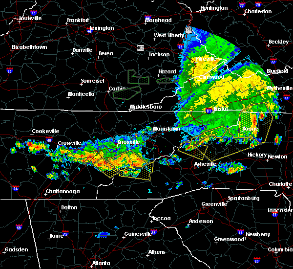 At 701 pm edt, severe thunderstorms were located along a line extending from 12 miles east of erwin to 12 miles northeast of marshall, moving southeast at 30 mph (radar indicated). Hazards include 70 mph wind gusts and penny size hail. Expect considerable tree damage. damage is likely to mobile homes, roofs and outbuildings. Locations impacted include, spruce pine, burnsville, newland, banner elk, elk park, bakersville, beech mountain in avery county, crossnore, sugar mountain and seven devils. At 701 pm edt, severe thunderstorms were located along a line extending from 12 miles east of erwin to 12 miles northeast of marshall, moving southeast at 30 mph (radar indicated). Hazards include 70 mph wind gusts and penny size hail. Expect considerable tree damage. damage is likely to mobile homes, roofs and outbuildings. Locations impacted include, spruce pine, burnsville, newland, banner elk, elk park, bakersville, beech mountain in avery county, crossnore, sugar mountain and seven devils.
|
| 7/8/2016 6:45 PM EDT |
 At 645 pm edt, severe thunderstorms were located along a line extending from mouth of wilson to ashland to 7 miles northwest of peoria, moving east at 45 mph (radar indicated). Hazards include 60 mph wind gusts and quarter size hail. Hail damage to vehicles is expected. expect wind damage to roofs, siding, and trees. locations impacted include, boone, sparta, jefferson, west jefferson, and blowing rock. This includes appalachian state university. At 645 pm edt, severe thunderstorms were located along a line extending from mouth of wilson to ashland to 7 miles northwest of peoria, moving east at 45 mph (radar indicated). Hazards include 60 mph wind gusts and quarter size hail. Hail damage to vehicles is expected. expect wind damage to roofs, siding, and trees. locations impacted include, boone, sparta, jefferson, west jefferson, and blowing rock. This includes appalachian state university.
|
| 7/8/2016 6:30 PM EDT |
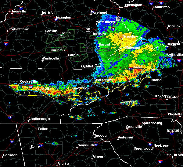 At 629 pm edt, severe thunderstorms were located along a line extending from 9 miles west of mountain city to 6 miles northeast of erwin to 9 miles south of greeneville, moving east at 55 mph (radar indicated). Hazards include 70 mph wind gusts and penny size hail. Expect considerable tree damage. Damage is likely to mobile homes, roofs and outbuildings. At 629 pm edt, severe thunderstorms were located along a line extending from 9 miles west of mountain city to 6 miles northeast of erwin to 9 miles south of greeneville, moving east at 55 mph (radar indicated). Hazards include 70 mph wind gusts and penny size hail. Expect considerable tree damage. Damage is likely to mobile homes, roofs and outbuildings.
|
| 7/8/2016 6:24 PM EDT |
 At 624 pm edt, severe thunderstorms were located along a line extending from near whitetop to 7 miles west of mountain city to near elizabethton, moving east at 45 mph (radar indicated). Hazards include 60 mph wind gusts. Expect damage to roofs. siding. And trees. At 624 pm edt, severe thunderstorms were located along a line extending from near whitetop to 7 miles west of mountain city to near elizabethton, moving east at 45 mph (radar indicated). Hazards include 60 mph wind gusts. Expect damage to roofs. siding. And trees.
|
| 6/23/2016 10:26 PM EDT |
 The severe thunderstorm warning for yadkin, surry, stokes, wilkes, watauga, alleghany, ashe, southwestern patrick, southeastern grayson and carroll counties and the city of galax will expire at 1030 pm edt, the storms which prompted the warning have weakened below severe limits, and no longer pose an immediate threat to life or property. therefore the warning will be allowed to expire. however gusty winds and heavy rain are still possible with these thunderstorms. a severe thunderstorm watch remains in effect until 1100 pm edt for north carolina and virginia. The severe thunderstorm warning for yadkin, surry, stokes, wilkes, watauga, alleghany, ashe, southwestern patrick, southeastern grayson and carroll counties and the city of galax will expire at 1030 pm edt, the storms which prompted the warning have weakened below severe limits, and no longer pose an immediate threat to life or property. therefore the warning will be allowed to expire. however gusty winds and heavy rain are still possible with these thunderstorms. a severe thunderstorm watch remains in effect until 1100 pm edt for north carolina and virginia.
|
| 6/23/2016 9:50 PM EDT |
 At 949 pm edt, severe thunderstorms were located along a line extending from near dugspur to stone mountain state park to 7 miles west of mountain city, moving southeast at 50 mph (radar indicated). Hazards include 60 mph wind gusts. Expect damage to roofs. siding. and trees. locations impacted include, boone, mount airy, galax, north wilkesboro, and elkin. This includes appalachian state university. At 949 pm edt, severe thunderstorms were located along a line extending from near dugspur to stone mountain state park to 7 miles west of mountain city, moving southeast at 50 mph (radar indicated). Hazards include 60 mph wind gusts. Expect damage to roofs. siding. and trees. locations impacted include, boone, mount airy, galax, north wilkesboro, and elkin. This includes appalachian state university.
|
| 6/23/2016 9:29 PM EDT |
 At 929 pm edt, severe thunderstorms were located along a line extending from gunton park to mouth of wilson to bristol va, moving southeast at 55 mph (radar indicated). Hazards include 60 mph wind gusts. Expect damage to roofs. siding. And trees. At 929 pm edt, severe thunderstorms were located along a line extending from gunton park to mouth of wilson to bristol va, moving southeast at 55 mph (radar indicated). Hazards include 60 mph wind gusts. Expect damage to roofs. siding. And trees.
|
| 5/2/2016 2:58 PM EDT |
 At 258 pm edt, a severe thunderstorm was located over rominger, moving northeast at 30 mph (radar indicated). Hazards include 60 mph wind gusts and quarter size hail. Hail damage to vehicles is expected. Expect wind damage to roofs, siding, and trees. At 258 pm edt, a severe thunderstorm was located over rominger, moving northeast at 30 mph (radar indicated). Hazards include 60 mph wind gusts and quarter size hail. Hail damage to vehicles is expected. Expect wind damage to roofs, siding, and trees.
|
| 9/4/2015 5:00 PM EDT |
 At 500 pm edt, a severe thunderstorm was located near todd, moving southwest at 30 mph (radar indicated). Hazards include 60 mph wind gusts and quarter size hail. Hail damage to vehicles is expected. Expect wind damage to roofs, siding and trees. At 500 pm edt, a severe thunderstorm was located near todd, moving southwest at 30 mph (radar indicated). Hazards include 60 mph wind gusts and quarter size hail. Hail damage to vehicles is expected. Expect wind damage to roofs, siding and trees.
|
| 7/13/2015 7:35 PM EDT |
 At 734 pm edt, doppler radar indicated a line of severe thunderstorms with a history of producing damaging winds in excess of 60 mph. these storms were located along a line extending from 4 miles south of deep gap to 3 miles northeast of spruce pine to 6 miles west of marshall, moving southeast at 40 mph. penny size hail may also accompany the damaging winds. locations impacted include, lenoir, spruce pine, burnsville, marshall, newland, beech mountain, gamewell, cajah`s mountain, mars hill and banner elk. At 734 pm edt, doppler radar indicated a line of severe thunderstorms with a history of producing damaging winds in excess of 60 mph. these storms were located along a line extending from 4 miles south of deep gap to 3 miles northeast of spruce pine to 6 miles west of marshall, moving southeast at 40 mph. penny size hail may also accompany the damaging winds. locations impacted include, lenoir, spruce pine, burnsville, marshall, newland, beech mountain, gamewell, cajah`s mountain, mars hill and banner elk.
|
| 7/13/2015 7:25 PM EDT |
 At 724 pm edt, severe thunderstorms were located along a line extending from independence to seven devils, moving east at 30 mph (radar indicated). Hazards include 60 mph wind gusts. Expect damage to roofs. siding and trees. locations impacted include, boone, galax, sparta, jefferson, and west jefferson. This includes appalachian state university. At 724 pm edt, severe thunderstorms were located along a line extending from independence to seven devils, moving east at 30 mph (radar indicated). Hazards include 60 mph wind gusts. Expect damage to roofs. siding and trees. locations impacted include, boone, galax, sparta, jefferson, and west jefferson. This includes appalachian state university.
|
| 7/13/2015 6:59 PM EDT |
 At 657 pm edt, doppler radar indicated a line of severe thunderstorms capable of producing damaging winds in excess of 60 mph. these storms were located along a line extending from near whitetop to 9 miles northwest of beech mountain to 11 miles east of morristown, and moving southeast at 30 mph. nickel size hail may also accompany the damaging winds. At 657 pm edt, doppler radar indicated a line of severe thunderstorms capable of producing damaging winds in excess of 60 mph. these storms were located along a line extending from near whitetop to 9 miles northwest of beech mountain to 11 miles east of morristown, and moving southeast at 30 mph. nickel size hail may also accompany the damaging winds.
|
| 7/13/2015 6:52 PM EDT |
 The national weather service in blacksburg has issued a * severe thunderstorm warning for. ashe county in northwestern north carolina. watauga county in northwestern north carolina. alleghany county in northwestern north carolina. Grayson county in southwestern virginia. The national weather service in blacksburg has issued a * severe thunderstorm warning for. ashe county in northwestern north carolina. watauga county in northwestern north carolina. alleghany county in northwestern north carolina. Grayson county in southwestern virginia.
|
| 5/11/2015 5:15 PM EDT | Quarter sized hail reported 0.7 miles SSE of Beech Mountain, NC |
| 7/2/2012 12:40 AM EDT | Ncdot reports at least 10 large trees were down...along with many other smaller trees and large limbs...in the western part of the county along hwy 321 in the communiti in watauga county NC, 4.1 miles S of Beech Mountain, NC |
| 1/1/0001 12:00 AM | Trees down on beech mtn parkway and on wedling weg rd in beech mt in avery county NC, 1.7 miles ENE of Beech Mountain, NC |
| 1/1/0001 12:00 AM | Quarter sized hail reported 0.7 miles SSE of Beech Mountain, NC |
| 1/1/0001 12:00 AM | Trees down in watauga county NC, 0.7 miles SSE of Beech Mountain, NC |
Hail Maps for Beech Mountain, NC


Connect with Interactive Hail Maps