

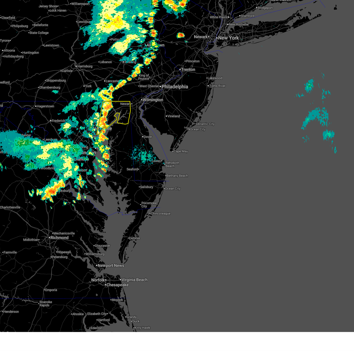
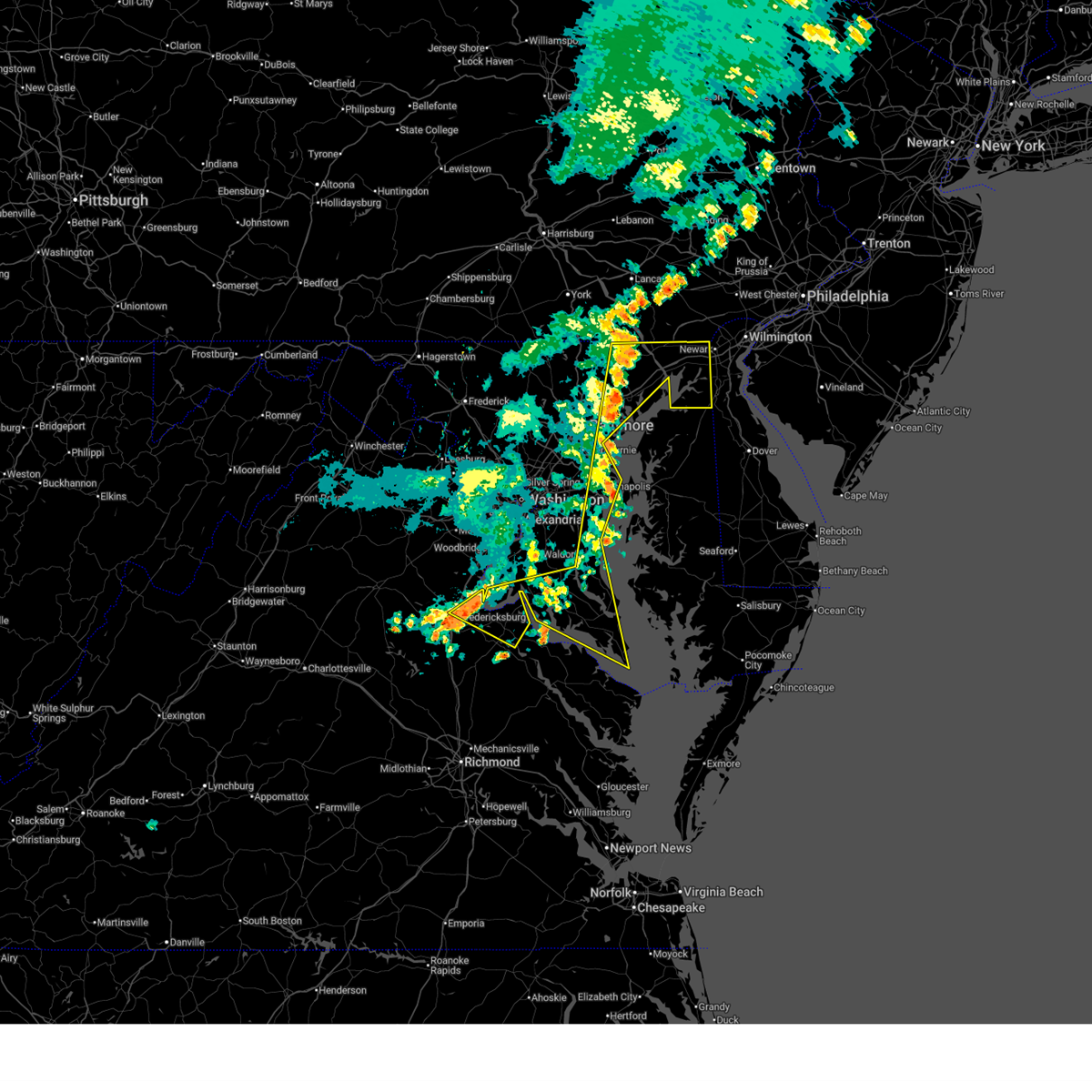
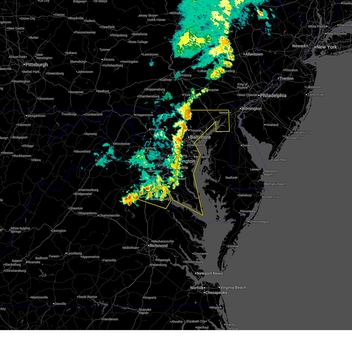
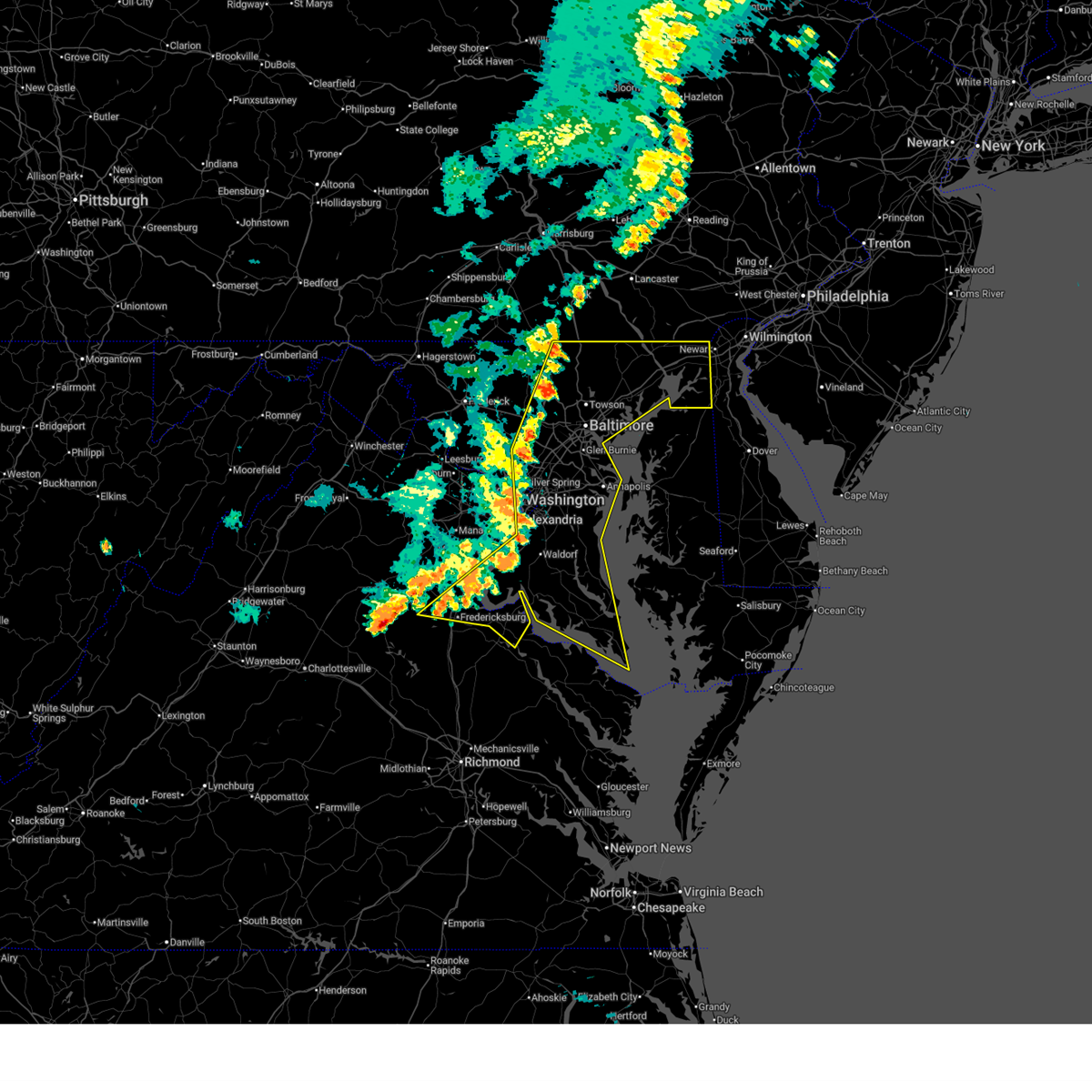
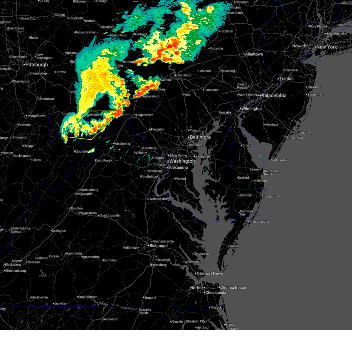
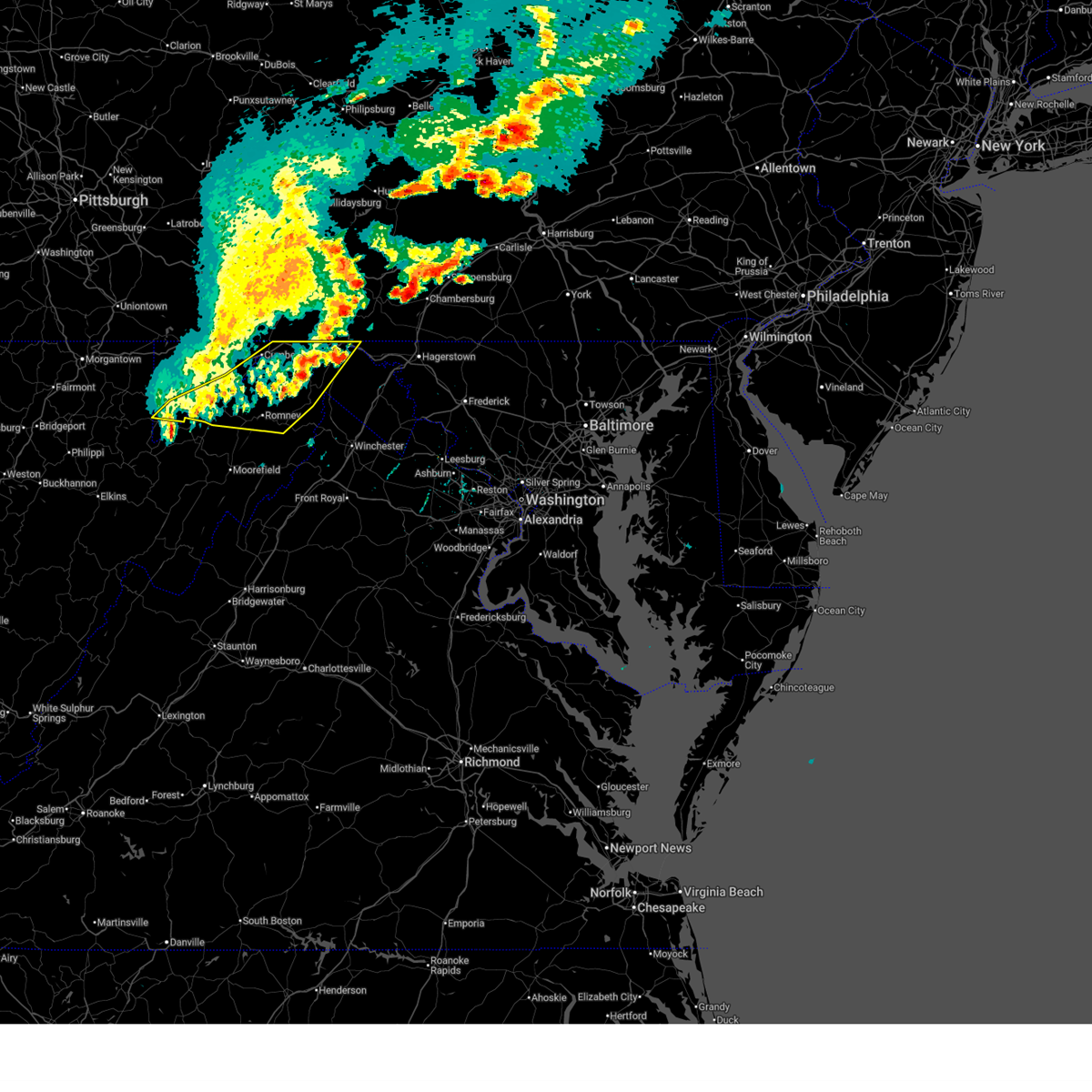
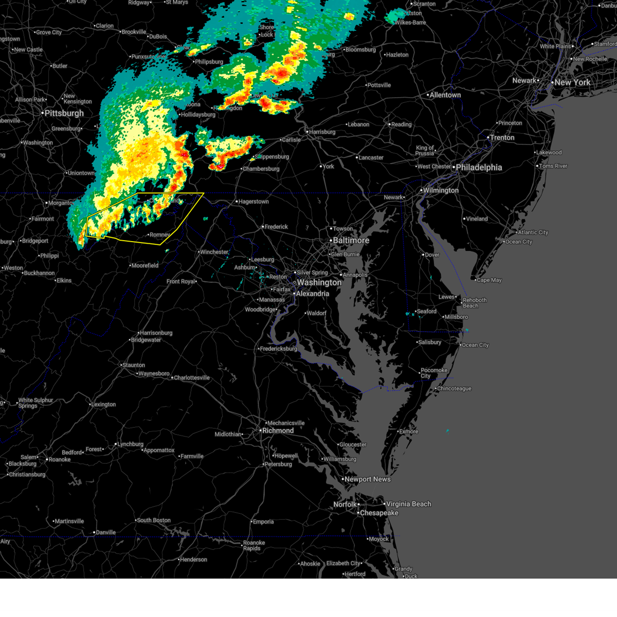
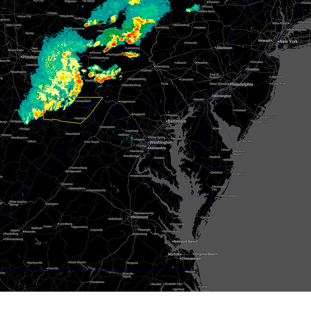
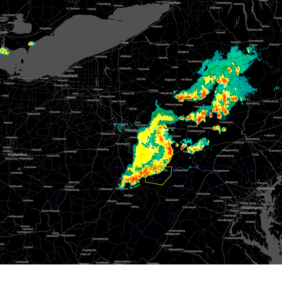
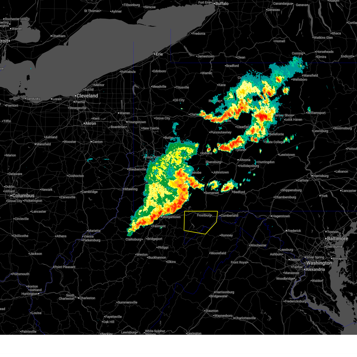
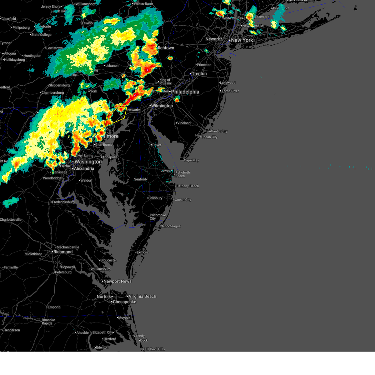
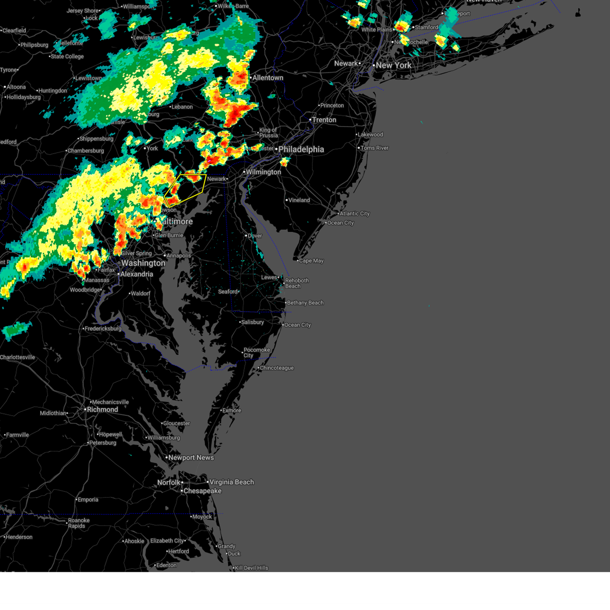
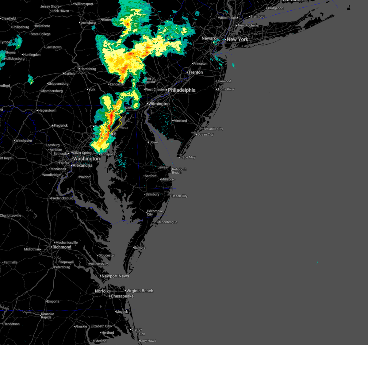
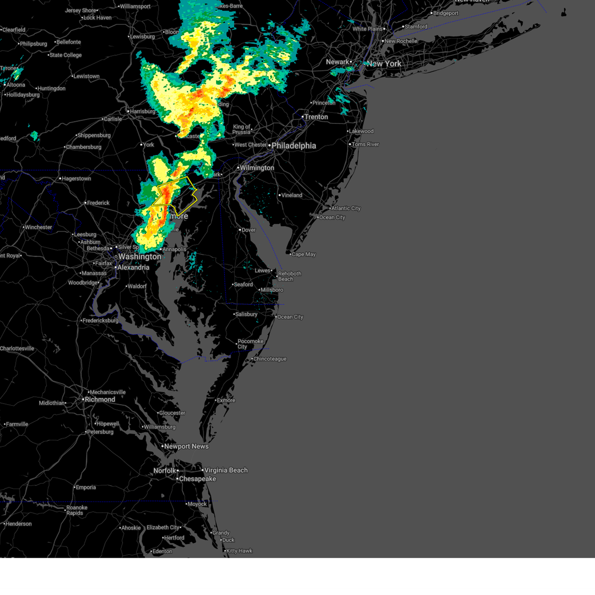
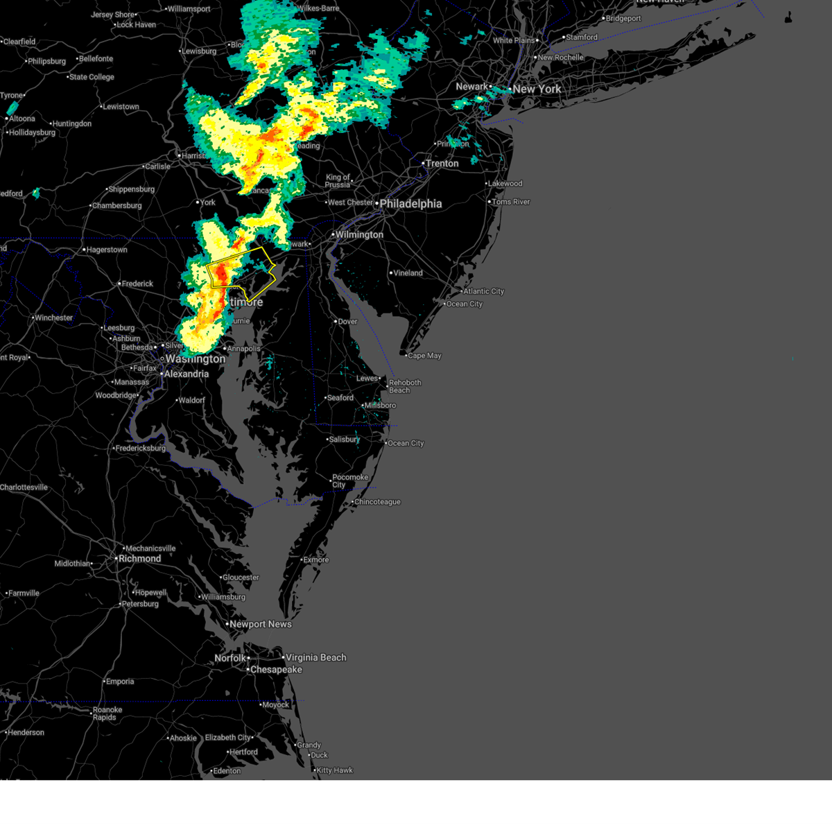
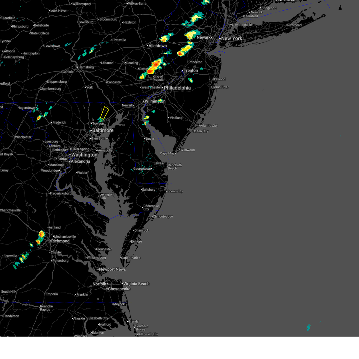
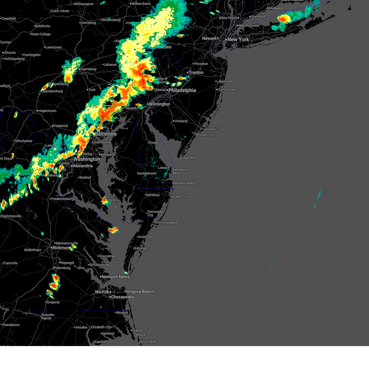
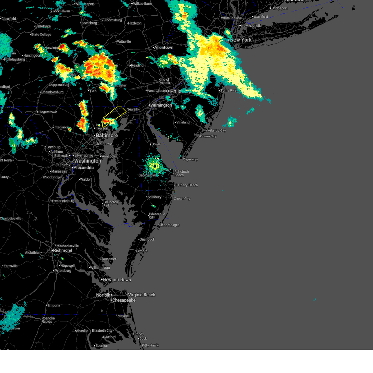
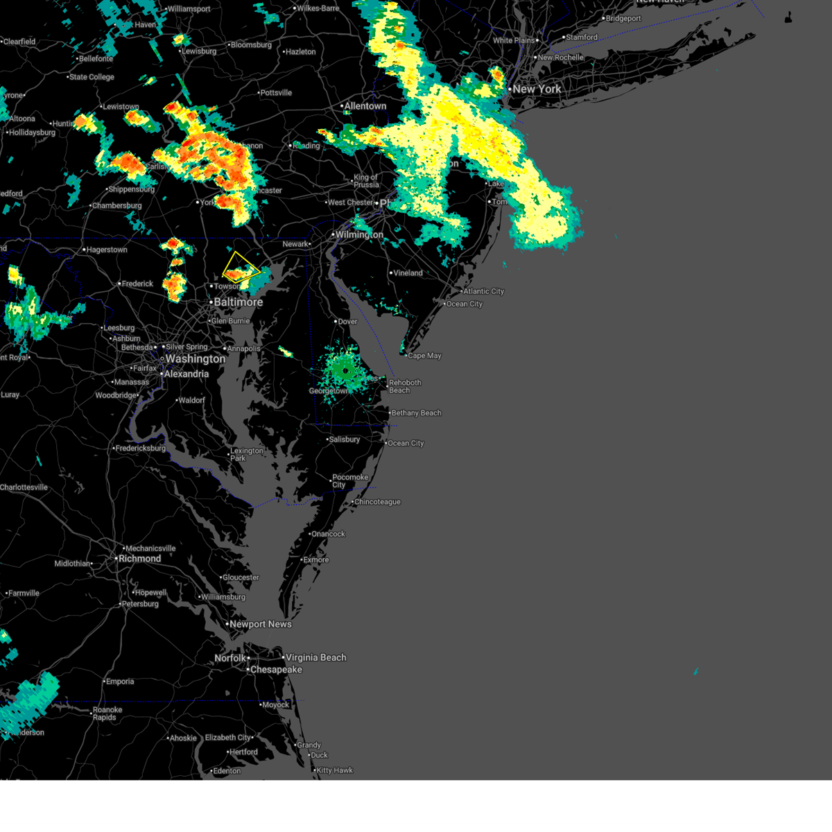
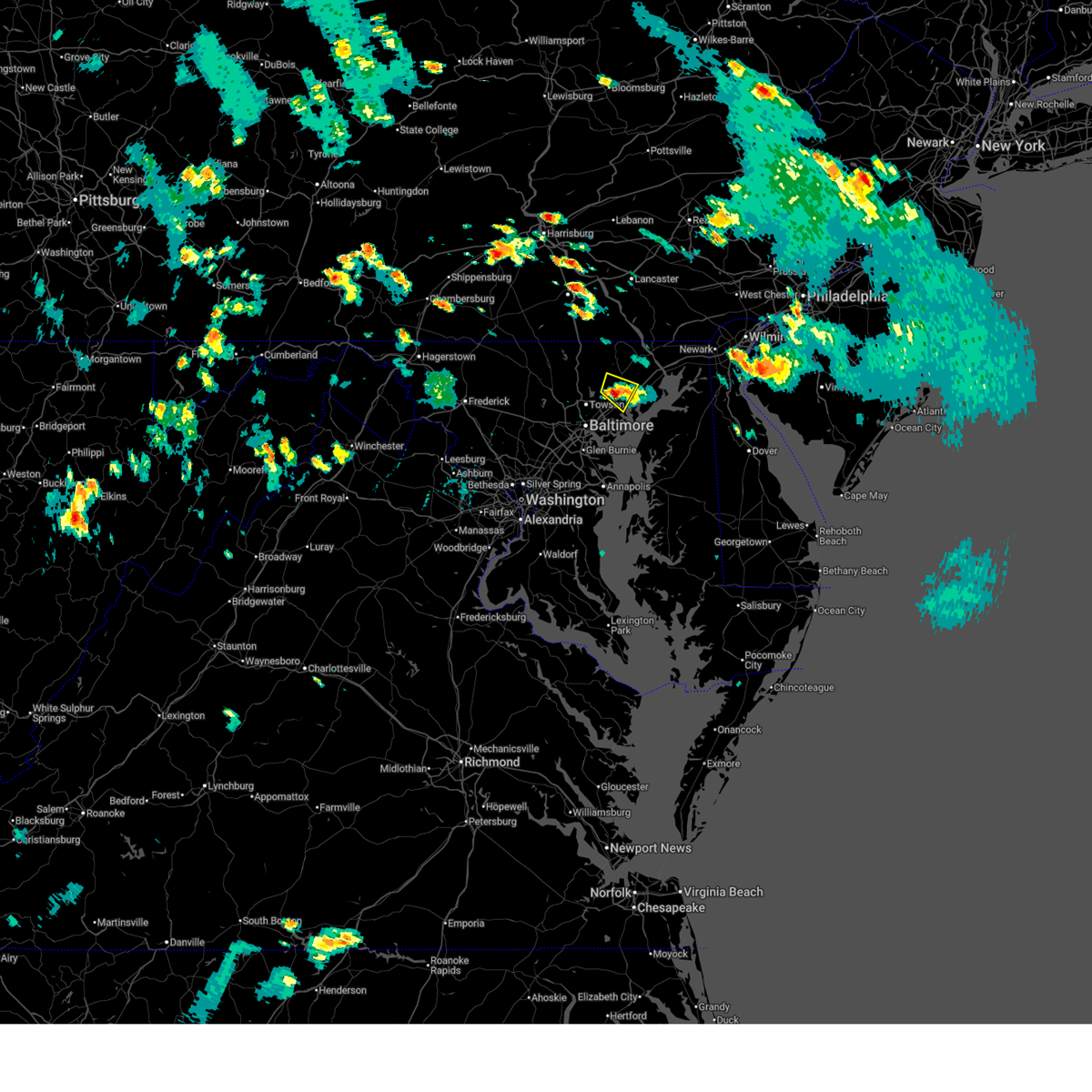
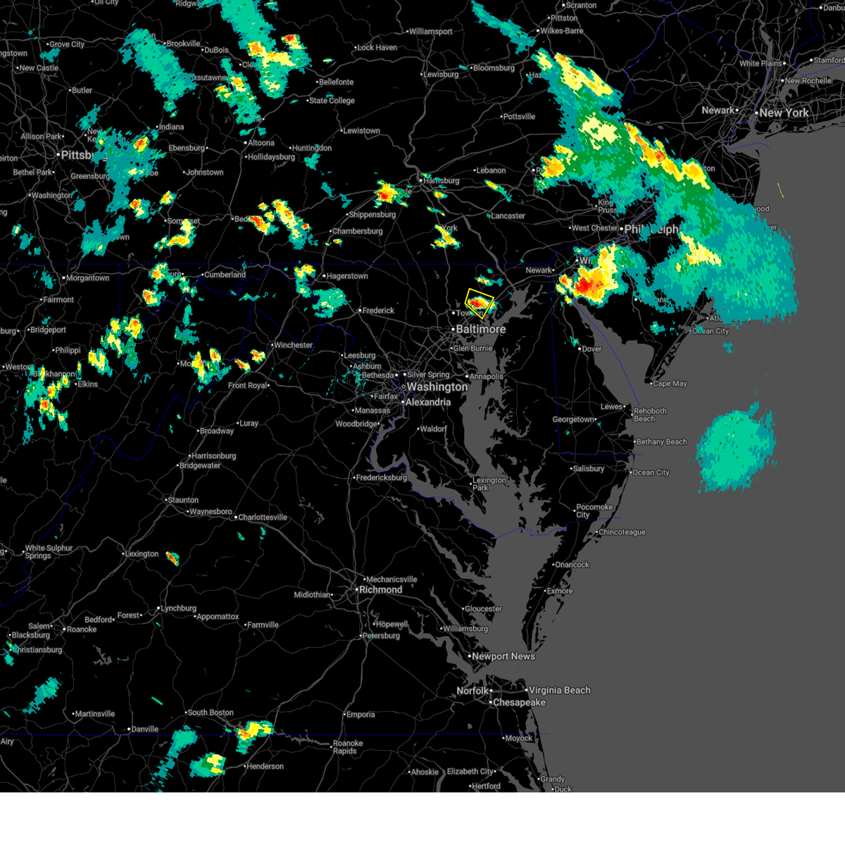
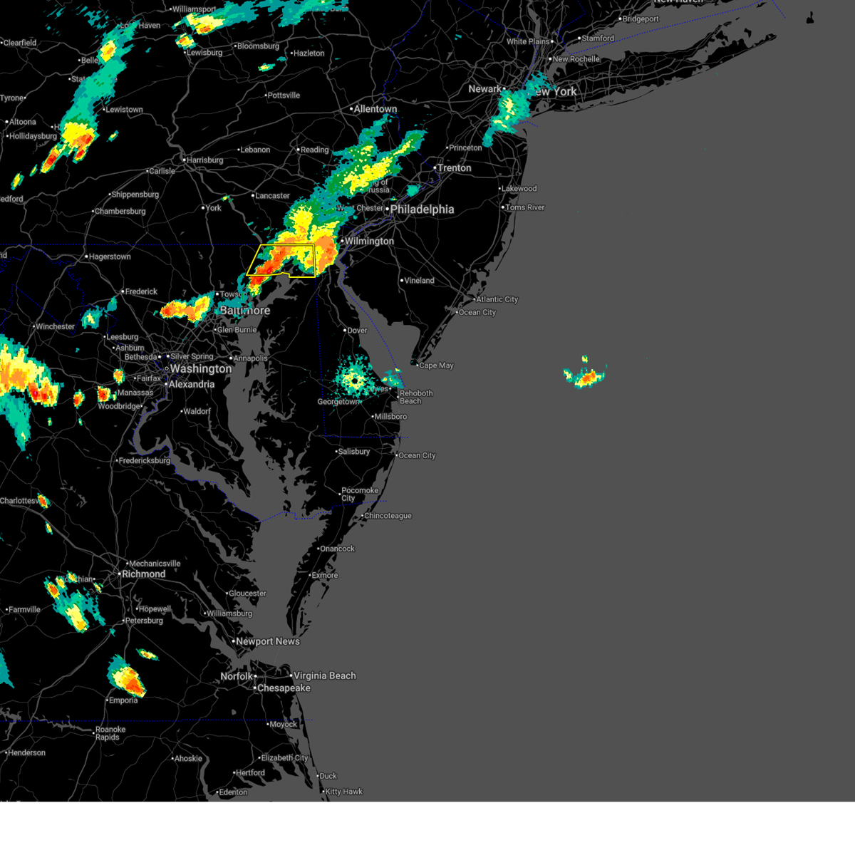
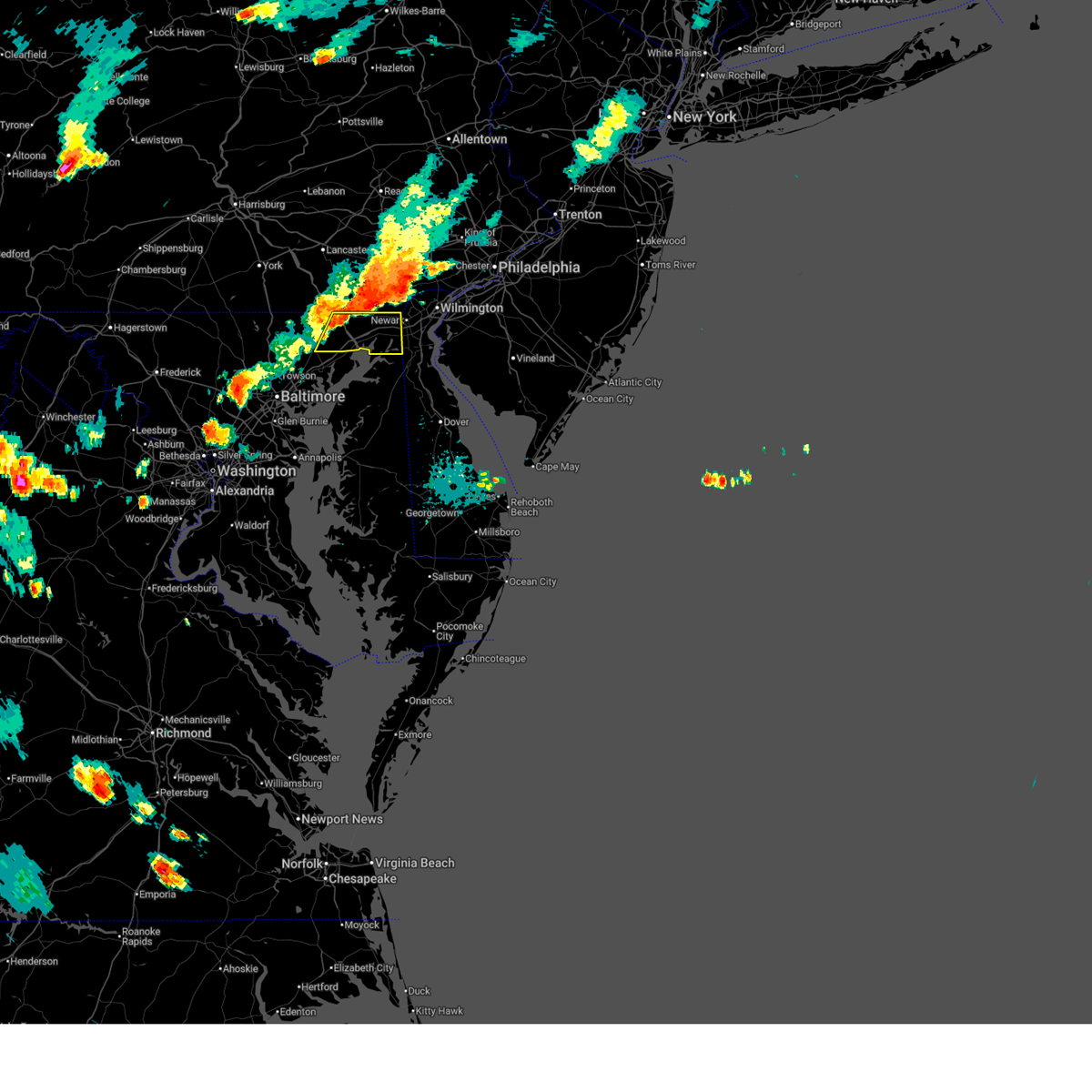
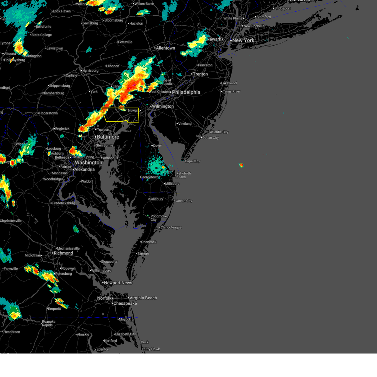
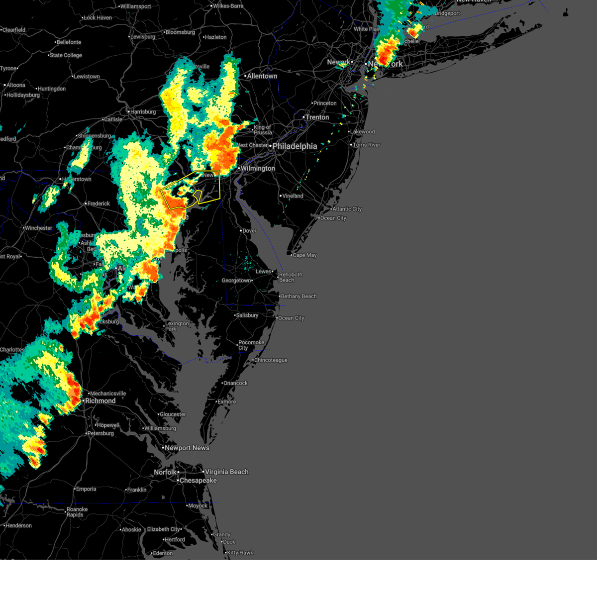
Hail Map for Bel Air, MD
The Bel Air, MD area has had 9 reports of on-the-ground hail by trained spotters, and has been under severe weather warnings 45 times during the past 12 months. Doppler radar has detected hail at or near Bel Air, MD on 86 occasions, including 3 occasions during the past year.
| Name: | Bel Air, MD |
| Where Located: | 21.9 miles NE of Baltimore, MD |
| Map: | Google Map for Bel Air, MD |
| Population: | 10120 |
| Housing Units: | 4744 |
| More Info: | Search Google for Bel Air, MD |
4
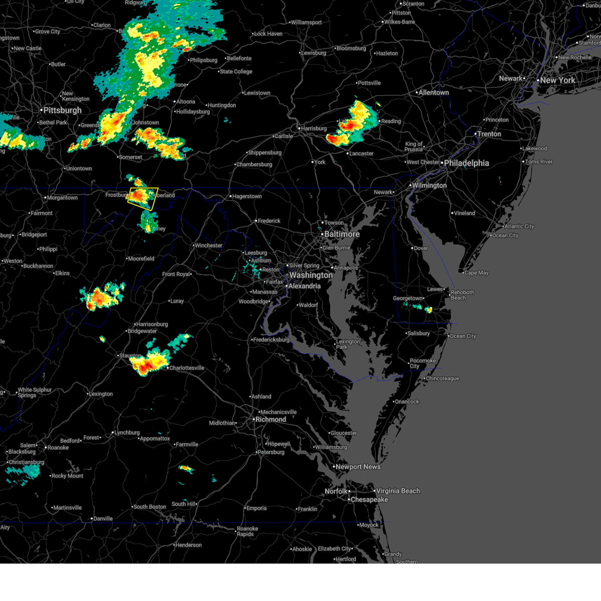
The Top Recent Hail Date for Bel Air, MD is Tuesday, July 8, 2025 (8th out of 86)
Hail and Wind Damage Spotted near Bel Air, MD
| Date / Time | Report Details |
|---|---|
| 6/14/2026 9:56 PM EDT |
 The storms which prompted the warning have weakened below severe limits, and no longer pose an immediate threat to life or property. therefore, the warning will be allowed to expire. however, gusty winds and heavy rain are still possible with these thunderstorms. a severe thunderstorm watch remains in effect until 1100 pm edt for northern and northeastern maryland. The storms which prompted the warning have weakened below severe limits, and no longer pose an immediate threat to life or property. therefore, the warning will be allowed to expire. however, gusty winds and heavy rain are still possible with these thunderstorms. a severe thunderstorm watch remains in effect until 1100 pm edt for northern and northeastern maryland.
|
| 6/14/2026 9:36 PM EDT |
 Svrlwx the national weather service in sterling virginia has issued a * severe thunderstorm warning for, harford county in northern maryland, east central baltimore county in northern maryland, cecil county in northeastern maryland, * until 1000 pm edt. * at 936 pm edt, severe thunderstorms were located along a line extending from near conowingo to baltimore, moving east at 45 mph (radar indicated). Hazards include 60 mph wind gusts. Damaging winds will cause some trees and large branches to fall. this could injure those outdoors, as well as damage homes and vehicles. roadways may become blocked by downed trees. localized power outages are possible. Unsecured light objects may become projectiles. Svrlwx the national weather service in sterling virginia has issued a * severe thunderstorm warning for, harford county in northern maryland, east central baltimore county in northern maryland, cecil county in northeastern maryland, * until 1000 pm edt. * at 936 pm edt, severe thunderstorms were located along a line extending from near conowingo to baltimore, moving east at 45 mph (radar indicated). Hazards include 60 mph wind gusts. Damaging winds will cause some trees and large branches to fall. this could injure those outdoors, as well as damage homes and vehicles. roadways may become blocked by downed trees. localized power outages are possible. Unsecured light objects may become projectiles.
|
| 6/11/2026 9:23 PM EDT |
 The storms which prompted the warning have weakened below severe limits, and no longer pose an immediate threat to life or property. therefore, the warning will be allowed to expire in most of the warned area. an additional warning will be issued for harford and cecil counties. a severe thunderstorm watch remains in effect until 1000 pm edt for central and northern maryland. a severe thunderstorm watch also remains in effect until midnight edt for southern and northeastern maryland, and central and northern virginia. to report severe weather, contact your nearest law enforcement agency. they will relay your report to the national weather service sterling virginia. The storms which prompted the warning have weakened below severe limits, and no longer pose an immediate threat to life or property. therefore, the warning will be allowed to expire in most of the warned area. an additional warning will be issued for harford and cecil counties. a severe thunderstorm watch remains in effect until 1000 pm edt for central and northern maryland. a severe thunderstorm watch also remains in effect until midnight edt for southern and northeastern maryland, and central and northern virginia. to report severe weather, contact your nearest law enforcement agency. they will relay your report to the national weather service sterling virginia.
|
| 6/11/2026 9:22 PM EDT |
 Svrlwx the national weather service in sterling virginia has issued a * severe thunderstorm warning for, harford county in northern maryland, southeastern baltimore county in northern maryland, cecil county in northeastern maryland, * until 1000 pm edt. * at 922 pm edt, severe thunderstorms were located along a line extending from near delta to near bowleys quarters, moving east at 35 mph (radar indicated). Hazards include 60 mph wind gusts. Damaging winds will cause some trees and large branches to fall. this could injure those outdoors, as well as damage homes and vehicles. roadways may become blocked by downed trees. localized power outages are possible. Unsecured light objects may become projectiles. Svrlwx the national weather service in sterling virginia has issued a * severe thunderstorm warning for, harford county in northern maryland, southeastern baltimore county in northern maryland, cecil county in northeastern maryland, * until 1000 pm edt. * at 922 pm edt, severe thunderstorms were located along a line extending from near delta to near bowleys quarters, moving east at 35 mph (radar indicated). Hazards include 60 mph wind gusts. Damaging winds will cause some trees and large branches to fall. this could injure those outdoors, as well as damage homes and vehicles. roadways may become blocked by downed trees. localized power outages are possible. Unsecured light objects may become projectiles.
|
| 6/11/2026 9:12 PM EDT |
 At 911 pm edt, severe thunderstorms were located along a line extending from near havre de grace to near rock hall to near romancoke to near taylors island to coles point, moving east at 40 mph (emergency management). Hazards include 60 mph wind gusts. Damaging winds will cause some trees and large branches to fall. this could injure those outdoors, as well as damage homes and vehicles. roadways may become blocked by downed trees. localized power outages are possible. unsecured light objects may become projectiles. Locations impacted include, baltimore, annapolis, middle river, fredericksburg, elkton, aberdeen, havre de grace, riviera beach, lexington park, chesapeake ranch estates, mayo, shady side, chesapeake beach, deale, naval academy, king george, leonardtown, dahlgren, prince frederick, and aberdeen proving ground. At 911 pm edt, severe thunderstorms were located along a line extending from near havre de grace to near rock hall to near romancoke to near taylors island to coles point, moving east at 40 mph (emergency management). Hazards include 60 mph wind gusts. Damaging winds will cause some trees and large branches to fall. this could injure those outdoors, as well as damage homes and vehicles. roadways may become blocked by downed trees. localized power outages are possible. unsecured light objects may become projectiles. Locations impacted include, baltimore, annapolis, middle river, fredericksburg, elkton, aberdeen, havre de grace, riviera beach, lexington park, chesapeake ranch estates, mayo, shady side, chesapeake beach, deale, naval academy, king george, leonardtown, dahlgren, prince frederick, and aberdeen proving ground.
|
| 6/11/2026 8:45 PM EDT |
 At 844 pm edt, severe thunderstorms were located along a line extending from near jarrettsville to pasadena to crofton to 6 miles northwest of prince frederick to near colonial beach, moving east at 40 mph (emergency management has reported many instances of trees down with this line of storms). Hazards include 60 mph wind gusts. Damaging winds will cause some trees and large branches to fall. this could injure those outdoors, as well as damage homes and vehicles. roadways may become blocked by downed trees. localized power outages are possible. unsecured light objects may become projectiles. Locations impacted include, baltimore, stafford, waldorf, bowie, severn, annapolis, clinton, pikesville, crofton, middle river, fredericksburg, cockeysville, elkridge, elkton, aberdeen, havre de grace, riviera beach, lexington park, largo, and chesapeake ranch estates. At 844 pm edt, severe thunderstorms were located along a line extending from near jarrettsville to pasadena to crofton to 6 miles northwest of prince frederick to near colonial beach, moving east at 40 mph (emergency management has reported many instances of trees down with this line of storms). Hazards include 60 mph wind gusts. Damaging winds will cause some trees and large branches to fall. this could injure those outdoors, as well as damage homes and vehicles. roadways may become blocked by downed trees. localized power outages are possible. unsecured light objects may become projectiles. Locations impacted include, baltimore, stafford, waldorf, bowie, severn, annapolis, clinton, pikesville, crofton, middle river, fredericksburg, cockeysville, elkridge, elkton, aberdeen, havre de grace, riviera beach, lexington park, largo, and chesapeake ranch estates.
|
| 6/11/2026 8:29 PM EDT |
 Svrlwx the national weather service in sterling virginia has issued a * severe thunderstorm warning for, the district of columbia, baltimore city in northern maryland, st. marys county in southern maryland, howard county in central maryland, southeastern montgomery county in central maryland, calvert county in southern maryland, baltimore county in northern maryland, prince georges county in central maryland, eastern carroll county in north central maryland, anne arundel county in central maryland, harford county in northern maryland, cecil county in northeastern maryland, charles county in southern maryland, stafford county in northern virginia, the city of fredericksburg in central virginia, southeastern fairfax county in northern virginia, southeastern culpeper county in northern virginia, southeastern prince william county in northern virginia, king george county in central virginia, southeastern arlington county in northern virginia, the eastern city of alexandria in northern virginia, northeastern spotsylvania county in central virginia, * until 930 pm edt. * at 827 pm edt, severe thunderstorms were located along a line extending from near shrewsbury to elkridge to near beltsville to near waldorf to near dahlgren, moving east at 40 mph (emergency management has reported many instances of trees down with this line of storms). Hazards include 60 mph wind gusts. Damaging winds will cause some trees and large branches to fall. this could injure those outdoors, as well as damage homes and vehicles. roadways may become blocked by downed trees. localized power outages are possible. Unsecured light objects may become projectiles. Svrlwx the national weather service in sterling virginia has issued a * severe thunderstorm warning for, the district of columbia, baltimore city in northern maryland, st. marys county in southern maryland, howard county in central maryland, southeastern montgomery county in central maryland, calvert county in southern maryland, baltimore county in northern maryland, prince georges county in central maryland, eastern carroll county in north central maryland, anne arundel county in central maryland, harford county in northern maryland, cecil county in northeastern maryland, charles county in southern maryland, stafford county in northern virginia, the city of fredericksburg in central virginia, southeastern fairfax county in northern virginia, southeastern culpeper county in northern virginia, southeastern prince william county in northern virginia, king george county in central virginia, southeastern arlington county in northern virginia, the eastern city of alexandria in northern virginia, northeastern spotsylvania county in central virginia, * until 930 pm edt. * at 827 pm edt, severe thunderstorms were located along a line extending from near shrewsbury to elkridge to near beltsville to near waldorf to near dahlgren, moving east at 40 mph (emergency management has reported many instances of trees down with this line of storms). Hazards include 60 mph wind gusts. Damaging winds will cause some trees and large branches to fall. this could injure those outdoors, as well as damage homes and vehicles. roadways may become blocked by downed trees. localized power outages are possible. Unsecured light objects may become projectiles.
|
| 6/11/2026 5:51 PM EDT |
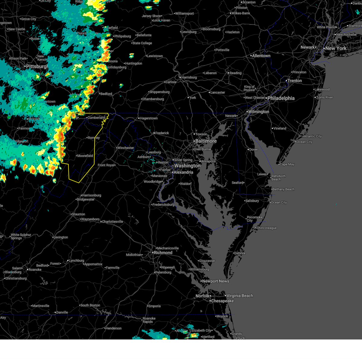
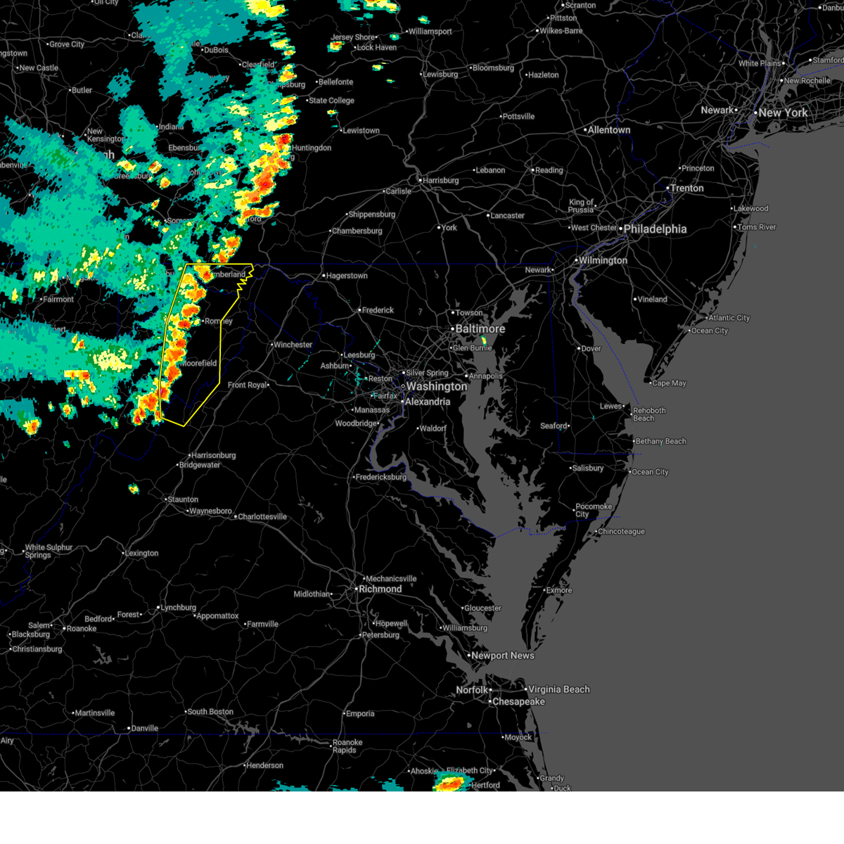 At 551 pm edt, severe thunderstorms were located along a line extending from 6 miles southeast of lake gordon to near keyser to 8 miles north of moorefield to near mathias, moving east at 35 mph (radar indicated). Hazards include 60 mph wind gusts. Damaging winds will cause some trees and large branches to fall. this could injure those outdoors, as well as damage homes and vehicles. roadways may become blocked by downed trees. localized power outages are possible. unsecured light objects may become projectiles. Locations impacted include, cumberland, frostburg, keyser, moorefield, petersburg, romney, bel air, paw paw, rough run, la vale, fort ashby, ridgeley, basye-bryce mountain, mathias, cresaptown, potomac park, basye, wiley ford, eckhart mines, and mount savage. At 551 pm edt, severe thunderstorms were located along a line extending from 6 miles southeast of lake gordon to near keyser to 8 miles north of moorefield to near mathias, moving east at 35 mph (radar indicated). Hazards include 60 mph wind gusts. Damaging winds will cause some trees and large branches to fall. this could injure those outdoors, as well as damage homes and vehicles. roadways may become blocked by downed trees. localized power outages are possible. unsecured light objects may become projectiles. Locations impacted include, cumberland, frostburg, keyser, moorefield, petersburg, romney, bel air, paw paw, rough run, la vale, fort ashby, ridgeley, basye-bryce mountain, mathias, cresaptown, potomac park, basye, wiley ford, eckhart mines, and mount savage.
|
| 6/11/2026 5:26 PM EDT |
 Svrlwx the national weather service in sterling virginia has issued a * severe thunderstorm warning for, allegany county in western maryland, central garrett county in western maryland, west central shenandoah county in northwestern virginia, northwestern rockingham county in western virginia, northeastern pendleton county in eastern west virginia, grant county in eastern west virginia, mineral county in eastern west virginia, hardy county in eastern west virginia, central hampshire county in eastern west virginia, * until 615 pm edt. * at 526 pm edt, severe thunderstorms were located along a line extending from 6 miles north of la vale to kitzmiller to 10 miles east of bayard to near petersburg, moving east at 35 mph (radar indicated). Hazards include 60 mph wind gusts. Damaging winds will cause some trees and large branches to fall. this could injure those outdoors, as well as damage homes and vehicles. roadways may become blocked by downed trees. localized power outages are possible. Unsecured light objects may become projectiles. Svrlwx the national weather service in sterling virginia has issued a * severe thunderstorm warning for, allegany county in western maryland, central garrett county in western maryland, west central shenandoah county in northwestern virginia, northwestern rockingham county in western virginia, northeastern pendleton county in eastern west virginia, grant county in eastern west virginia, mineral county in eastern west virginia, hardy county in eastern west virginia, central hampshire county in eastern west virginia, * until 615 pm edt. * at 526 pm edt, severe thunderstorms were located along a line extending from 6 miles north of la vale to kitzmiller to 10 miles east of bayard to near petersburg, moving east at 35 mph (radar indicated). Hazards include 60 mph wind gusts. Damaging winds will cause some trees and large branches to fall. this could injure those outdoors, as well as damage homes and vehicles. roadways may become blocked by downed trees. localized power outages are possible. Unsecured light objects may become projectiles.
|
| 6/6/2026 6:22 PM EDT |
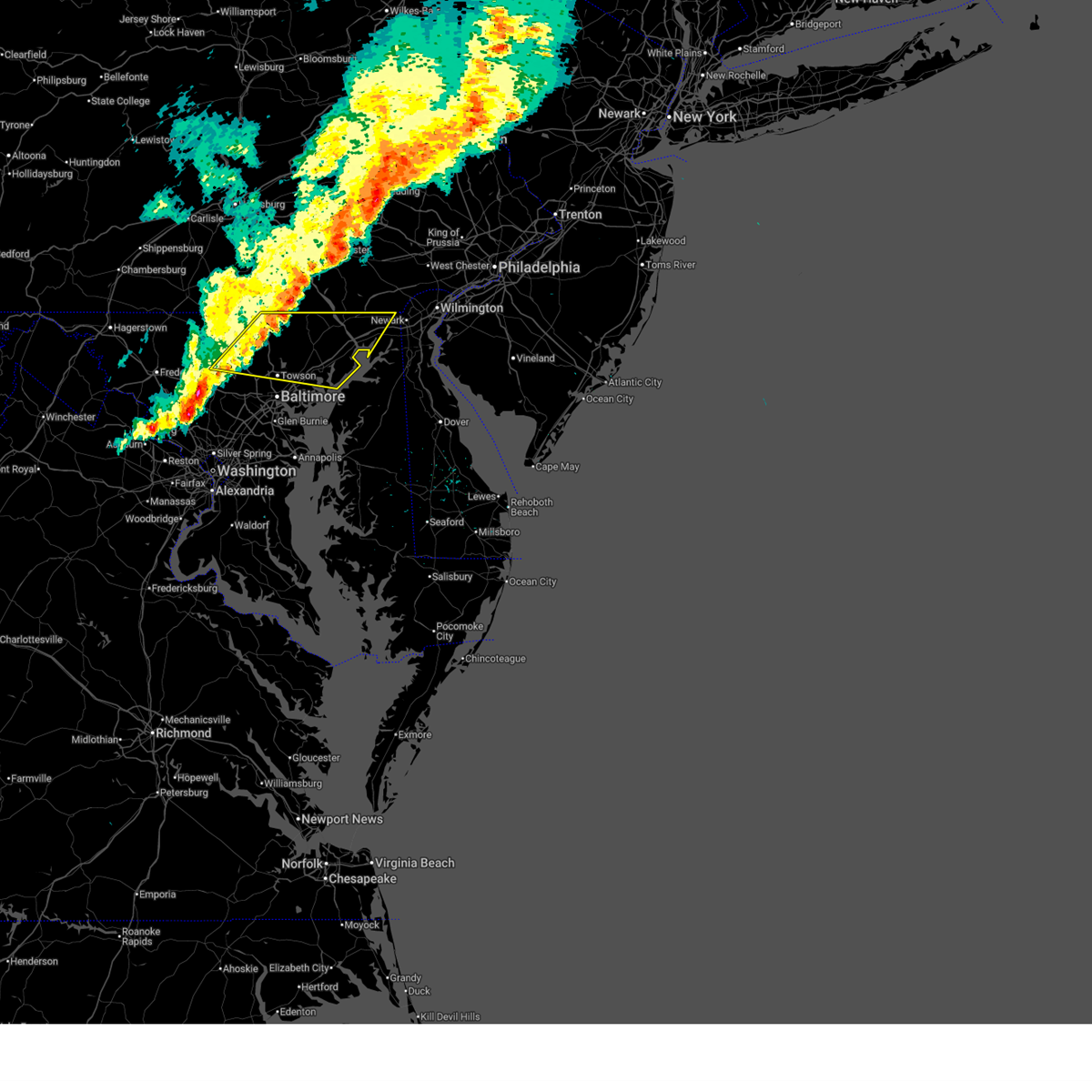 At 622 pm edt, severe thunderstorms were located along a line extending from near delta to near cockeysville to randallstown, moving east at 55 mph (radar indicated). Hazards include 60 mph wind gusts. Damaging winds will cause some trees and large branches to fall. this could injure those outdoors, as well as damage homes and vehicles. roadways may become blocked by downed trees. localized power outages are possible. unsecured light objects may become projectiles. Locations impacted include, pikesville, cockeysville, aberdeen, havre de grace, aberdeen proving ground, calvert, towson, bel air south, parkville, owings mills, bel air north, eldersburg, carney, perry hall, reisterstown, rossville, mays chapel, timonium, white marsh, and fallston. At 622 pm edt, severe thunderstorms were located along a line extending from near delta to near cockeysville to randallstown, moving east at 55 mph (radar indicated). Hazards include 60 mph wind gusts. Damaging winds will cause some trees and large branches to fall. this could injure those outdoors, as well as damage homes and vehicles. roadways may become blocked by downed trees. localized power outages are possible. unsecured light objects may become projectiles. Locations impacted include, pikesville, cockeysville, aberdeen, havre de grace, aberdeen proving ground, calvert, towson, bel air south, parkville, owings mills, bel air north, eldersburg, carney, perry hall, reisterstown, rossville, mays chapel, timonium, white marsh, and fallston.
|
| 6/6/2026 5:51 PM EDT |
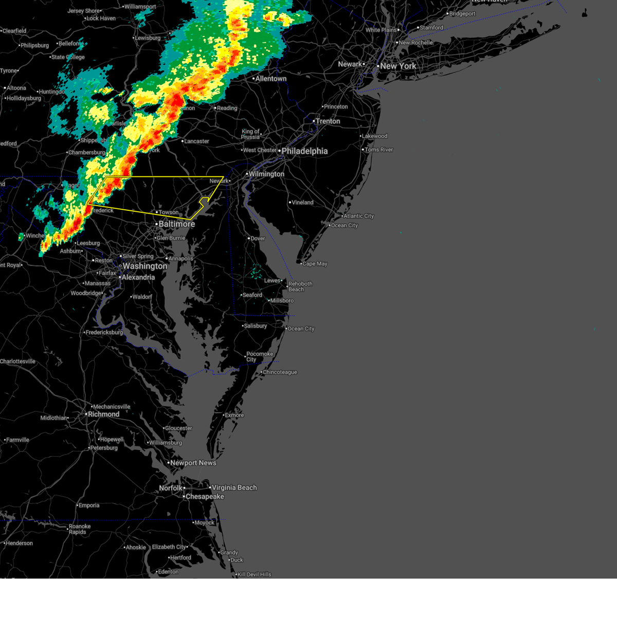 Svrlwx the national weather service in sterling virginia has issued a * severe thunderstorm warning for, carroll county in north central maryland, harford county in northern maryland, northeastern frederick county in north central maryland, baltimore county in northern maryland, northwestern cecil county in northeastern maryland, * until 645 pm edt. * at 551 pm edt, severe thunderstorms were located along a line extending from codorus to near westminster to linganore-bartonsville, moving east at 55 mph (radar indicated). Hazards include 70 mph wind gusts. Damaging winds will cause some trees and large branches to fall. this could injure those outdoors, as well as damage homes and vehicles. roadways may become blocked by downed trees. localized power outages are possible. Unsecured light objects may become projectiles. Svrlwx the national weather service in sterling virginia has issued a * severe thunderstorm warning for, carroll county in north central maryland, harford county in northern maryland, northeastern frederick county in north central maryland, baltimore county in northern maryland, northwestern cecil county in northeastern maryland, * until 645 pm edt. * at 551 pm edt, severe thunderstorms were located along a line extending from codorus to near westminster to linganore-bartonsville, moving east at 55 mph (radar indicated). Hazards include 70 mph wind gusts. Damaging winds will cause some trees and large branches to fall. this could injure those outdoors, as well as damage homes and vehicles. roadways may become blocked by downed trees. localized power outages are possible. Unsecured light objects may become projectiles.
|
| 6/6/2026 4:50 PM EDT |
 At 449 pm edt, severe thunderstorms were located along a line extending from 8 miles west of wilson-conococheague to near greenwood to 13 miles northwest of winchester, moving east at 60 mph (radar indicated). Hazards include 60 mph wind gusts. Damaging winds will cause some trees and large branches to fall. this could injure those outdoors, as well as damage homes and vehicles. roadways may become blocked by downed trees. localized power outages are possible. unsecured light objects may become projectiles. Locations impacted include, cumberland, keyser, romney, hancock, bel air, paw paw, fort ashby, berkeley springs, ridgeley, cresaptown, potomac park, wiley ford, rawlings, springfield, great cacapon, green spring, burlington, flintstone, oldtown, and spring gap. At 449 pm edt, severe thunderstorms were located along a line extending from 8 miles west of wilson-conococheague to near greenwood to 13 miles northwest of winchester, moving east at 60 mph (radar indicated). Hazards include 60 mph wind gusts. Damaging winds will cause some trees and large branches to fall. this could injure those outdoors, as well as damage homes and vehicles. roadways may become blocked by downed trees. localized power outages are possible. unsecured light objects may become projectiles. Locations impacted include, cumberland, keyser, romney, hancock, bel air, paw paw, fort ashby, berkeley springs, ridgeley, cresaptown, potomac park, wiley ford, rawlings, springfield, great cacapon, green spring, burlington, flintstone, oldtown, and spring gap.
|
| 6/6/2026 4:35 PM EDT |
 At 435 pm edt, severe thunderstorms were located along a line extending from near hancock to near greenwood to 11 miles east of romney, moving east at 60 mph (radar indicated). Hazards include 60 mph wind gusts. Damaging winds will cause some trees and large branches to fall. this could injure those outdoors, as well as damage homes and vehicles. roadways may become blocked by downed trees. localized power outages are possible. unsecured light objects may become projectiles. Locations impacted include, cumberland, keyser, mountain lake park, westernport, romney, hancock, bel air, paw paw, la vale, fort ashby, lonaconing, piedmont, berkeley springs, loch lynn heights, deer park, elk garden, kitzmiller, ridgeley, cresaptown, and potomac park. At 435 pm edt, severe thunderstorms were located along a line extending from near hancock to near greenwood to 11 miles east of romney, moving east at 60 mph (radar indicated). Hazards include 60 mph wind gusts. Damaging winds will cause some trees and large branches to fall. this could injure those outdoors, as well as damage homes and vehicles. roadways may become blocked by downed trees. localized power outages are possible. unsecured light objects may become projectiles. Locations impacted include, cumberland, keyser, mountain lake park, westernport, romney, hancock, bel air, paw paw, la vale, fort ashby, lonaconing, piedmont, berkeley springs, loch lynn heights, deer park, elk garden, kitzmiller, ridgeley, cresaptown, and potomac park.
|
| 6/6/2026 4:23 PM EDT |
 At 423 pm edt, severe thunderstorms were located along a line extending from near barnes gap to paw paw to near romney, moving east at 60 mph (radar indicated). Hazards include 60 mph wind gusts. Damaging winds will cause some trees and large branches to fall. this could injure those outdoors, as well as damage homes and vehicles. roadways may become blocked by downed trees. localized power outages are possible. unsecured light objects may become projectiles. Locations impacted include, cumberland, frostburg, keyser, mountain lake park, oakland, westernport, romney, hancock, bel air, paw paw, la vale, fort ashby, lonaconing, piedmont, berkeley springs, loch lynn heights, deer park, elk garden, kitzmiller, and ridgeley. At 423 pm edt, severe thunderstorms were located along a line extending from near barnes gap to paw paw to near romney, moving east at 60 mph (radar indicated). Hazards include 60 mph wind gusts. Damaging winds will cause some trees and large branches to fall. this could injure those outdoors, as well as damage homes and vehicles. roadways may become blocked by downed trees. localized power outages are possible. unsecured light objects may become projectiles. Locations impacted include, cumberland, frostburg, keyser, mountain lake park, oakland, westernport, romney, hancock, bel air, paw paw, la vale, fort ashby, lonaconing, piedmont, berkeley springs, loch lynn heights, deer park, elk garden, kitzmiller, and ridgeley.
|
| 6/6/2026 4:05 PM EDT |
 Svrlwx the national weather service in sterling virginia has issued a * severe thunderstorm warning for, northwestern washington county in north central maryland, allegany county in western maryland, garrett county in western maryland, northern frederick county in northwestern virginia, northwestern morgan county in the panhandle of west virginia, mineral county in eastern west virginia, northern hampshire county in eastern west virginia, * until 500 pm edt. * at 404 pm edt, severe thunderstorms were located along a line extending from near lake gordon to near ridgeley to near keyser, moving east at 60 mph (radar indicated). Hazards include 60 mph wind gusts. Damaging winds will cause some trees and large branches to fall. this could injure those outdoors, as well as damage homes and vehicles. roadways may become blocked by downed trees. localized power outages are possible. Unsecured light objects may become projectiles. Svrlwx the national weather service in sterling virginia has issued a * severe thunderstorm warning for, northwestern washington county in north central maryland, allegany county in western maryland, garrett county in western maryland, northern frederick county in northwestern virginia, northwestern morgan county in the panhandle of west virginia, mineral county in eastern west virginia, northern hampshire county in eastern west virginia, * until 500 pm edt. * at 404 pm edt, severe thunderstorms were located along a line extending from near lake gordon to near ridgeley to near keyser, moving east at 60 mph (radar indicated). Hazards include 60 mph wind gusts. Damaging winds will cause some trees and large branches to fall. this could injure those outdoors, as well as damage homes and vehicles. roadways may become blocked by downed trees. localized power outages are possible. Unsecured light objects may become projectiles.
|
| 6/6/2026 3:54 PM EDT |
 At 353 pm edt, severe thunderstorms were located along a line extending from near berlin to near meyersdale to near bittinger to near oakland, moving east at 50 mph (radar indicated). Hazards include 60 mph wind gusts. Damaging winds will cause some trees and large branches to fall. this could injure those outdoors, as well as damage homes and vehicles. roadways may become blocked by downed trees. localized power outages are possible. unsecured light objects may become projectiles. Locations impacted include, frostburg, keyser, mountain lake park, oakland, westernport, bel air, bittinger, la vale, lonaconing, piedmont, grantsville, friendsville, deer park, accident, elk garden, kitzmiller, cresaptown, eckhart mines, mount savage, and rawlings. At 353 pm edt, severe thunderstorms were located along a line extending from near berlin to near meyersdale to near bittinger to near oakland, moving east at 50 mph (radar indicated). Hazards include 60 mph wind gusts. Damaging winds will cause some trees and large branches to fall. this could injure those outdoors, as well as damage homes and vehicles. roadways may become blocked by downed trees. localized power outages are possible. unsecured light objects may become projectiles. Locations impacted include, frostburg, keyser, mountain lake park, oakland, westernport, bel air, bittinger, la vale, lonaconing, piedmont, grantsville, friendsville, deer park, accident, elk garden, kitzmiller, cresaptown, eckhart mines, mount savage, and rawlings.
|
| 6/6/2026 3:18 PM EDT |
 Svrlwx the national weather service in sterling virginia has issued a * severe thunderstorm warning for, western allegany county in western maryland, garrett county in western maryland, central mineral county in eastern west virginia, * until 415 pm edt. * at 317 pm edt, severe thunderstorms were located along a line extending from 6 miles southwest of seven springs to near farmington to 8 miles northeast of brookhaven to 6 miles south of westover, moving east at 50 mph (radar indicated). Hazards include 60 mph wind gusts. Damaging winds will cause some trees and large branches to fall. this could injure those outdoors, as well as damage homes and vehicles. roadways may become blocked by downed trees. localized power outages are possible. Unsecured light objects may become projectiles. Svrlwx the national weather service in sterling virginia has issued a * severe thunderstorm warning for, western allegany county in western maryland, garrett county in western maryland, central mineral county in eastern west virginia, * until 415 pm edt. * at 317 pm edt, severe thunderstorms were located along a line extending from 6 miles southwest of seven springs to near farmington to 8 miles northeast of brookhaven to 6 miles south of westover, moving east at 50 mph (radar indicated). Hazards include 60 mph wind gusts. Damaging winds will cause some trees and large branches to fall. this could injure those outdoors, as well as damage homes and vehicles. roadways may become blocked by downed trees. localized power outages are possible. Unsecured light objects may become projectiles.
|
| 5/20/2026 5:07 PM EDT |
 At 507 pm edt, a severe thunderstorm was located near bel air south, or near aberdeen, moving northeast at 25 mph (radar indicated). Hazards include 60 mph wind gusts. Damaging winds will cause some trees and large branches to fall. this could injure those outdoors, as well as damage homes and vehicles. roadways may become blocked by downed trees. localized power outages are possible. unsecured light objects may become projectiles. Locations impacted include, aberdeen, havre de grace, bel air south, bel air north, fallston, kingsville, pleasant hills, rising sun, richardsmere, woodlawn, west nottingham, octoraro, conowingo, rock springs, farmington, perryville, port deposit, darlington, benson, and churchville. At 507 pm edt, a severe thunderstorm was located near bel air south, or near aberdeen, moving northeast at 25 mph (radar indicated). Hazards include 60 mph wind gusts. Damaging winds will cause some trees and large branches to fall. this could injure those outdoors, as well as damage homes and vehicles. roadways may become blocked by downed trees. localized power outages are possible. unsecured light objects may become projectiles. Locations impacted include, aberdeen, havre de grace, bel air south, bel air north, fallston, kingsville, pleasant hills, rising sun, richardsmere, woodlawn, west nottingham, octoraro, conowingo, rock springs, farmington, perryville, port deposit, darlington, benson, and churchville.
|
| 5/20/2026 4:54 PM EDT |
 Svrlwx the national weather service in sterling virginia has issued a * severe thunderstorm warning for, northern harford county in northern maryland, northwestern cecil county in northeastern maryland, east central baltimore county in northern maryland, * until 545 pm edt. * at 453 pm edt, a severe thunderstorm was located over pleasant hills, or 10 miles west of aberdeen, moving northeast at 25 mph (radar indicated). Hazards include 60 mph wind gusts. Damaging winds will cause some trees and large branches to fall. this could injure those outdoors, as well as damage homes and vehicles. roadways may become blocked by downed trees. localized power outages are possible. Unsecured light objects may become projectiles. Svrlwx the national weather service in sterling virginia has issued a * severe thunderstorm warning for, northern harford county in northern maryland, northwestern cecil county in northeastern maryland, east central baltimore county in northern maryland, * until 545 pm edt. * at 453 pm edt, a severe thunderstorm was located over pleasant hills, or 10 miles west of aberdeen, moving northeast at 25 mph (radar indicated). Hazards include 60 mph wind gusts. Damaging winds will cause some trees and large branches to fall. this could injure those outdoors, as well as damage homes and vehicles. roadways may become blocked by downed trees. localized power outages are possible. Unsecured light objects may become projectiles.
|
| 3/11/2026 7:52 PM EDT |
 At 752 pm edt, a severe thunderstorm was located over aberdeen, moving east at 60 mph (radar indicated). Hazards include 60 mph wind gusts. Damaging winds will cause some trees and large branches to fall. this could injure those outdoors, as well as damage homes and vehicles. roadways may become blocked by downed trees. localized power outages are possible. unsecured light objects may become projectiles. Locations impacted include, aberdeen, havre de grace, aberdeen proving ground, bel air south, bel air north, riverside, perryman, edgewood, joppatowne, darlington, churchville, carsins, magnolia, harford furnace, abingdon, belcamp, and hickory. At 752 pm edt, a severe thunderstorm was located over aberdeen, moving east at 60 mph (radar indicated). Hazards include 60 mph wind gusts. Damaging winds will cause some trees and large branches to fall. this could injure those outdoors, as well as damage homes and vehicles. roadways may become blocked by downed trees. localized power outages are possible. unsecured light objects may become projectiles. Locations impacted include, aberdeen, havre de grace, aberdeen proving ground, bel air south, bel air north, riverside, perryman, edgewood, joppatowne, darlington, churchville, carsins, magnolia, harford furnace, abingdon, belcamp, and hickory.
|
| 3/11/2026 7:46 PM EDT |
 At 746 pm edt, a severe thunderstorm was located over bel air south, or 8 miles west of aberdeen, moving east at 50 mph (radar indicated). Hazards include 60 mph wind gusts. Damaging winds will cause some trees and large branches to fall. this could injure those outdoors, as well as damage homes and vehicles. roadways may become blocked by downed trees. localized power outages are possible. unsecured light objects may become projectiles. Locations impacted include, aberdeen, havre de grace, aberdeen proving ground, towson, bel air south, parkville, bel air north, carney, perry hall, white marsh, fallston, riverside, hampton, kingsville, pleasant hills, jarrettsville, perryman, edgewood, joppatowne, and darlington. At 746 pm edt, a severe thunderstorm was located over bel air south, or 8 miles west of aberdeen, moving east at 50 mph (radar indicated). Hazards include 60 mph wind gusts. Damaging winds will cause some trees and large branches to fall. this could injure those outdoors, as well as damage homes and vehicles. roadways may become blocked by downed trees. localized power outages are possible. unsecured light objects may become projectiles. Locations impacted include, aberdeen, havre de grace, aberdeen proving ground, towson, bel air south, parkville, bel air north, carney, perry hall, white marsh, fallston, riverside, hampton, kingsville, pleasant hills, jarrettsville, perryman, edgewood, joppatowne, and darlington.
|
| 3/11/2026 7:37 PM EDT |
 Svrlwx the national weather service in sterling virginia has issued a * severe thunderstorm warning for, harford county in northern maryland, east central baltimore county in northern maryland, * until 815 pm edt. * at 737 pm edt, a severe thunderstorm was located near kingsville, or near cockeysville, moving east at 55 mph (radar indicated). Hazards include 60 mph wind gusts. Damaging winds will cause some trees and large branches to fall. this could injure those outdoors, as well as damage homes and vehicles. roadways may become blocked by downed trees. localized power outages are possible. Unsecured light objects may become projectiles. Svrlwx the national weather service in sterling virginia has issued a * severe thunderstorm warning for, harford county in northern maryland, east central baltimore county in northern maryland, * until 815 pm edt. * at 737 pm edt, a severe thunderstorm was located near kingsville, or near cockeysville, moving east at 55 mph (radar indicated). Hazards include 60 mph wind gusts. Damaging winds will cause some trees and large branches to fall. this could injure those outdoors, as well as damage homes and vehicles. roadways may become blocked by downed trees. localized power outages are possible. Unsecured light objects may become projectiles.
|
| 11/5/2025 10:34 PM EST | The storms which prompted the warning have moved out of the area. therefore, the warning has been allowed to expire. to report severe weather, contact your nearest law enforcement agency. they will relay your report to the national weather service sterling virginia. |
| 11/5/2025 10:05 PM EST | The storms which prompted the warning have moved out of the area. therefore, the warning will be allowed to expire. to report severe weather, contact your nearest law enforcement agency. they will relay your report to the national weather service sterling virginia. |
| 11/5/2025 9:50 PM EST | Svrlwx the national weather service in sterling virginia has issued a * severe thunderstorm warning for, baltimore city in northern maryland, central harford county in northern maryland, southern baltimore county in northern maryland, cecil county in northeastern maryland, * until 1030 pm est. * at 950 pm est, severe thunderstorms were located along a line extending from zion to pleasant hills to milford mill, moving east at 70 mph (radar indicated and observed wind). Hazards include 60 mph wind gusts. Damaging winds will cause some trees and large branches to fall. this could injure those outdoors, as well as damage homes and vehicles. roadways may become blocked by downed trees. localized power outages are possible. Unsecured light objects may become projectiles. |
| 11/5/2025 9:41 PM EST | At 941 pm est, severe thunderstorms were located along a line extending from near jarrettsville to near reisterstown to near mount airy, moving east at 55 mph (radar indicated and observed wind gusts). Hazards include 60 mph wind gusts. Damaging winds will cause some trees and large branches to fall. this could injure those outdoors, as well as damage homes and vehicles. roadways may become blocked by downed trees. localized power outages are possible. unsecured light objects may become projectiles. Locations impacted include, frederick, pikesville, cockeysville, westminster, harry grove stadium, randallstown, owings mills, bel air north, eldersburg, reisterstown, ballenger creek, mays chapel, timonium, mount airy, fallston, taneytown, hampstead, walkersville, manchester, and sykesville. |
| 11/5/2025 9:23 PM EST | Svrlwx the national weather service in sterling virginia has issued a * severe thunderstorm warning for, carroll county in north central maryland, northwestern harford county in northern maryland, northeastern frederick county in north central maryland, northern baltimore county in northern maryland, * until 1015 pm est. * at 923 pm est, severe thunderstorms were located along a line extending from near manchester to near westminster to clover hill, moving east at 55 mph (radar indicated and observed wind at hagerstown regional airport and near thurmont). Hazards include 60 mph wind gusts. Damaging winds will cause some trees and large branches to fall. this could injure those outdoors, as well as damage homes and vehicles. roadways may become blocked by downed trees. localized power outages are possible. Unsecured light objects may become projectiles. |
| 9/6/2025 3:11 PM EDT |
 Svrlwx the national weather service in sterling virginia has issued a * severe thunderstorm warning for, northeastern harford county in northern maryland, northwestern cecil county in northeastern maryland, * until 400 pm edt. * at 311 pm edt, a severe thunderstorm was located near aberdeen, moving northeast at 30 mph (radar indicated). Hazards include 60 mph wind gusts and quarter size hail. Damaging winds will cause some trees and large branches to fall. this could injure those outdoors, as well as damage homes and vehicles. roadways may become blocked by downed trees. localized power outages are possible. Unsecured light objects may become projectiles. Svrlwx the national weather service in sterling virginia has issued a * severe thunderstorm warning for, northeastern harford county in northern maryland, northwestern cecil county in northeastern maryland, * until 400 pm edt. * at 311 pm edt, a severe thunderstorm was located near aberdeen, moving northeast at 30 mph (radar indicated). Hazards include 60 mph wind gusts and quarter size hail. Damaging winds will cause some trees and large branches to fall. this could injure those outdoors, as well as damage homes and vehicles. roadways may become blocked by downed trees. localized power outages are possible. Unsecured light objects may become projectiles.
|
| 9/6/2025 3:07 PM EDT | One tree down on powerlines due to thunderstorm winds along the 400 block of shucks roa in harford county MD, 134 miles W of Bel Air, MD |
| 9/6/2025 3:05 PM EDT |
 At 305 pm edt, a severe thunderstorm was located over bel air south, or 9 miles west of aberdeen, moving northeast at 30 mph (radar indicated). Hazards include 60 mph wind gusts and quarter size hail. Damaging winds will cause some trees and large branches to fall. this could injure those outdoors, as well as damage homes and vehicles. roadways may become blocked by downed trees. localized power outages are possible. unsecured light objects may become projectiles. Locations impacted include, bel air south, bel air north, fallston, pleasant hills, benson, bynum, and hickory. At 305 pm edt, a severe thunderstorm was located over bel air south, or 9 miles west of aberdeen, moving northeast at 30 mph (radar indicated). Hazards include 60 mph wind gusts and quarter size hail. Damaging winds will cause some trees and large branches to fall. this could injure those outdoors, as well as damage homes and vehicles. roadways may become blocked by downed trees. localized power outages are possible. unsecured light objects may become projectiles. Locations impacted include, bel air south, bel air north, fallston, pleasant hills, benson, bynum, and hickory.
|
| 9/6/2025 3:05 PM EDT |
 the severe thunderstorm warning has been cancelled and is no longer in effect the severe thunderstorm warning has been cancelled and is no longer in effect
|
| 9/6/2025 3:04 PM EDT |
 the severe thunderstorm warning has been cancelled and is no longer in effect the severe thunderstorm warning has been cancelled and is no longer in effect
|
| 9/6/2025 3:04 PM EDT |
 At 304 pm edt, a severe thunderstorm was located over riverside, or near aberdeen, moving northeast at 25 mph (radar indicated). Hazards include 60 mph wind gusts and quarter size hail. Damaging winds will cause some trees and large branches to fall. this could injure those outdoors, as well as damage homes and vehicles. roadways may become blocked by downed trees. localized power outages are possible. unsecured light objects may become projectiles. Locations impacted include, aberdeen, havre de grace, bel air south, bel air north, riverside, perryman, edgewood, churchville, harford furnace, abingdon, carsins, and belcamp. At 304 pm edt, a severe thunderstorm was located over riverside, or near aberdeen, moving northeast at 25 mph (radar indicated). Hazards include 60 mph wind gusts and quarter size hail. Damaging winds will cause some trees and large branches to fall. this could injure those outdoors, as well as damage homes and vehicles. roadways may become blocked by downed trees. localized power outages are possible. unsecured light objects may become projectiles. Locations impacted include, aberdeen, havre de grace, bel air south, bel air north, riverside, perryman, edgewood, churchville, harford furnace, abingdon, carsins, and belcamp.
|
| 9/6/2025 3:03 PM EDT | Ping Pong Ball sized hail reported 134.6 miles W of Bel Air, MD |
| 9/6/2025 2:59 PM EDT | One tree down on powerlines due to thunderstorm winds at the intersection of west heather road and wakefield driv in harford county MD, 134 miles W of Bel Air, MD |
| 9/6/2025 2:58 PM EDT | Quarter sized hail reported 134.6 miles W of Bel Air, MD |
| 9/6/2025 2:55 PM EDT |
 Svrlwx the national weather service in sterling virginia has issued a * severe thunderstorm warning for, central harford county in northern maryland, east central baltimore county in northern maryland, * until 315 pm edt. * at 255 pm edt, a severe thunderstorm was located over bel air south, or 9 miles west of aberdeen, moving northeast at 35 mph (radar indicated). Hazards include ping pong ball size hail and 60 mph wind gusts. Damaging winds will cause some trees and large branches to fall. this could injure those outdoors, as well as damage homes and vehicles. roadways may become blocked by downed trees. localized power outages are possible. Unsecured light objects may become projectiles. Svrlwx the national weather service in sterling virginia has issued a * severe thunderstorm warning for, central harford county in northern maryland, east central baltimore county in northern maryland, * until 315 pm edt. * at 255 pm edt, a severe thunderstorm was located over bel air south, or 9 miles west of aberdeen, moving northeast at 35 mph (radar indicated). Hazards include ping pong ball size hail and 60 mph wind gusts. Damaging winds will cause some trees and large branches to fall. this could injure those outdoors, as well as damage homes and vehicles. roadways may become blocked by downed trees. localized power outages are possible. Unsecured light objects may become projectiles.
|
| 9/6/2025 2:47 PM EDT |
 Svrlwx the national weather service in sterling virginia has issued a * severe thunderstorm warning for, central harford county in northern maryland, eastern baltimore county in northern maryland, * until 315 pm edt. * at 247 pm edt, a severe thunderstorm was located near bel air south, or 8 miles southwest of aberdeen, moving northeast at 35 mph (radar indicated). Hazards include 60 mph wind gusts and quarter size hail. Damaging winds will cause some trees and large branches to fall. this could injure those outdoors, as well as damage homes and vehicles. roadways may become blocked by downed trees. localized power outages are possible. Unsecured light objects may become projectiles. Svrlwx the national weather service in sterling virginia has issued a * severe thunderstorm warning for, central harford county in northern maryland, eastern baltimore county in northern maryland, * until 315 pm edt. * at 247 pm edt, a severe thunderstorm was located near bel air south, or 8 miles southwest of aberdeen, moving northeast at 35 mph (radar indicated). Hazards include 60 mph wind gusts and quarter size hail. Damaging winds will cause some trees and large branches to fall. this could injure those outdoors, as well as damage homes and vehicles. roadways may become blocked by downed trees. localized power outages are possible. Unsecured light objects may become projectiles.
|
| 8/17/2025 3:57 PM EDT |
 The storms which prompted the warning have weakened below severe limits, and no longer pose an immediate threat to life or property. therefore, the warning will be allowed to expire. however, gusty winds are still possible with these thunderstorms. The storms which prompted the warning have weakened below severe limits, and no longer pose an immediate threat to life or property. therefore, the warning will be allowed to expire. however, gusty winds are still possible with these thunderstorms.
|
| 8/17/2025 3:48 PM EDT |
 At 348 pm edt, severe thunderstorms were located along a line extending from near cumberland to near bel air to westernport, moving southeast at 35 mph (radar indicated). Hazards include 60 mph wind gusts. Damaging winds will cause some trees and large branches to fall. this could injure those outdoors, as well as damage homes and vehicles. roadways may become blocked by downed trees. localized power outages are possible. unsecured light objects may become projectiles. Locations impacted include, cumberland, frostburg, keyser, westernport, bel air, la vale, fort ashby, lonaconing, piedmont, ridgeley, cresaptown, potomac park, wiley ford, eckhart mines, rawlings, barton, corriganville, midland, midlothian, and franklin. At 348 pm edt, severe thunderstorms were located along a line extending from near cumberland to near bel air to westernport, moving southeast at 35 mph (radar indicated). Hazards include 60 mph wind gusts. Damaging winds will cause some trees and large branches to fall. this could injure those outdoors, as well as damage homes and vehicles. roadways may become blocked by downed trees. localized power outages are possible. unsecured light objects may become projectiles. Locations impacted include, cumberland, frostburg, keyser, westernport, bel air, la vale, fort ashby, lonaconing, piedmont, ridgeley, cresaptown, potomac park, wiley ford, eckhart mines, rawlings, barton, corriganville, midland, midlothian, and franklin.
|
| 8/17/2025 3:24 PM EDT |
 Svrlwx the national weather service in sterling virginia has issued a * severe thunderstorm warning for, western allegany county in western maryland, northeastern garrett county in western maryland, central mineral county in eastern west virginia, * until 400 pm edt. * at 323 pm edt, severe thunderstorms were located along a line extending from 7 miles north of la vale to near grantsville to bittinger, moving southeast at 35 mph (radar indicated). Hazards include 60 mph wind gusts. Damaging winds will cause some trees and large branches to fall. this could injure those outdoors, as well as damage homes and vehicles. roadways may become blocked by downed trees. localized power outages are possible. Unsecured light objects may become projectiles. Svrlwx the national weather service in sterling virginia has issued a * severe thunderstorm warning for, western allegany county in western maryland, northeastern garrett county in western maryland, central mineral county in eastern west virginia, * until 400 pm edt. * at 323 pm edt, severe thunderstorms were located along a line extending from 7 miles north of la vale to near grantsville to bittinger, moving southeast at 35 mph (radar indicated). Hazards include 60 mph wind gusts. Damaging winds will cause some trees and large branches to fall. this could injure those outdoors, as well as damage homes and vehicles. roadways may become blocked by downed trees. localized power outages are possible. Unsecured light objects may become projectiles.
|
| 7/26/2025 8:27 PM EDT |
 the severe thunderstorm warning has been cancelled and is no longer in effect the severe thunderstorm warning has been cancelled and is no longer in effect
|
| 7/26/2025 8:10 PM EDT |
 Svrlwx the national weather service in sterling virginia has issued a * severe thunderstorm warning for, northwestern allegany county in western maryland, northeastern mineral county in eastern west virginia, * until 900 pm edt. * at 810 pm edt, a severe thunderstorm was located over la vale, or near bel air, moving east at 10 mph (radar indicated). Hazards include 60 mph wind gusts. Damaging winds will cause some trees and large branches to fall. this could injure those outdoors, as well as damage homes and vehicles. roadways may become blocked by downed trees. localized power outages are possible. Unsecured light objects may become projectiles. Svrlwx the national weather service in sterling virginia has issued a * severe thunderstorm warning for, northwestern allegany county in western maryland, northeastern mineral county in eastern west virginia, * until 900 pm edt. * at 810 pm edt, a severe thunderstorm was located over la vale, or near bel air, moving east at 10 mph (radar indicated). Hazards include 60 mph wind gusts. Damaging winds will cause some trees and large branches to fall. this could injure those outdoors, as well as damage homes and vehicles. roadways may become blocked by downed trees. localized power outages are possible. Unsecured light objects may become projectiles.
|
| 7/11/2025 4:25 PM EDT |
 At 424 pm edt, a severe thunderstorm was located over lonaconing, or near bel air, moving southeast at 5 mph (radar indicated). Hazards include 60 mph wind gusts. Damaging winds will cause some trees and large branches to fall. this could injure those outdoors, as well as damage homes and vehicles. roadways may become blocked by downed trees. localized power outages are possible. unsecured light objects may become projectiles. Locations impacted include, westernport, bel air, lonaconing, cresaptown, rawlings, barton, midland, franklin, dogwood flats, and reynolds. At 424 pm edt, a severe thunderstorm was located over lonaconing, or near bel air, moving southeast at 5 mph (radar indicated). Hazards include 60 mph wind gusts. Damaging winds will cause some trees and large branches to fall. this could injure those outdoors, as well as damage homes and vehicles. roadways may become blocked by downed trees. localized power outages are possible. unsecured light objects may become projectiles. Locations impacted include, westernport, bel air, lonaconing, cresaptown, rawlings, barton, midland, franklin, dogwood flats, and reynolds.
|
| 7/11/2025 4:17 PM EDT |
 Svrlwx the national weather service in sterling virginia has issued a * severe thunderstorm warning for, southwestern allegany county in western maryland, * until 445 pm edt. * at 416 pm edt, a severe thunderstorm was located over lonaconing, or near frostburg, moving east at 5 mph (radar indicated). Hazards include 60 mph wind gusts. Damaging winds will cause some trees and large branches to fall. this could injure those outdoors, as well as damage homes and vehicles. roadways may become blocked by downed trees. localized power outages are possible. Unsecured light objects may become projectiles. Svrlwx the national weather service in sterling virginia has issued a * severe thunderstorm warning for, southwestern allegany county in western maryland, * until 445 pm edt. * at 416 pm edt, a severe thunderstorm was located over lonaconing, or near frostburg, moving east at 5 mph (radar indicated). Hazards include 60 mph wind gusts. Damaging winds will cause some trees and large branches to fall. this could injure those outdoors, as well as damage homes and vehicles. roadways may become blocked by downed trees. localized power outages are possible. Unsecured light objects may become projectiles.
|
| 7/8/2025 5:28 PM EDT |
 Svrlwx the national weather service in sterling virginia has issued a * severe thunderstorm warning for, eastern harford county in northern maryland, southeastern baltimore county in northern maryland, cecil county in northeastern maryland, * until 645 pm edt. * at 527 pm edt, a severe thunderstorm was located over bel air south, or near aberdeen, moving east at 20 mph (radar indicated). Hazards include 60 mph wind gusts. Damaging winds will cause some trees and large branches to fall. this could injure those outdoors, as well as damage homes and vehicles. roadways may become blocked by downed trees. localized power outages are possible. Unsecured light objects may become projectiles. Svrlwx the national weather service in sterling virginia has issued a * severe thunderstorm warning for, eastern harford county in northern maryland, southeastern baltimore county in northern maryland, cecil county in northeastern maryland, * until 645 pm edt. * at 527 pm edt, a severe thunderstorm was located over bel air south, or near aberdeen, moving east at 20 mph (radar indicated). Hazards include 60 mph wind gusts. Damaging winds will cause some trees and large branches to fall. this could injure those outdoors, as well as damage homes and vehicles. roadways may become blocked by downed trees. localized power outages are possible. Unsecured light objects may become projectiles.
|
| 7/8/2025 5:18 PM EDT | Multiple calls for trees down in and around bel ai in harford county MD, 134 miles W of Bel Air, MD |
| 7/8/2025 5:13 PM EDT |
 At 513 pm edt, a severe thunderstorm was located over bel air north, or 12 miles northeast of cockeysville, moving northeast at 20 mph (radar indicated). Hazards include 60 mph wind gusts. Damaging winds will cause some trees and large branches to fall. this could injure those outdoors, as well as damage homes and vehicles. roadways may become blocked by downed trees. localized power outages are possible. unsecured light objects may become projectiles. Locations impacted include, bel air south, bel air north, fallston, kingsville, pleasant hills, jarrettsville, rising sun, richardsmere, west nottingham, octoraro, conowingo, rock springs, pylesville, darlington, cardiff, benson, scarboro, forest hill, chrome hill, and bynum. At 513 pm edt, a severe thunderstorm was located over bel air north, or 12 miles northeast of cockeysville, moving northeast at 20 mph (radar indicated). Hazards include 60 mph wind gusts. Damaging winds will cause some trees and large branches to fall. this could injure those outdoors, as well as damage homes and vehicles. roadways may become blocked by downed trees. localized power outages are possible. unsecured light objects may become projectiles. Locations impacted include, bel air south, bel air north, fallston, kingsville, pleasant hills, jarrettsville, rising sun, richardsmere, west nottingham, octoraro, conowingo, rock springs, pylesville, darlington, cardiff, benson, scarboro, forest hill, chrome hill, and bynum.
|
| 7/8/2025 5:07 PM EDT |
 Svrlwx the national weather service in sterling virginia has issued a * severe thunderstorm warning for, eastern baltimore city in northern maryland, central harford county in northern maryland, east central baltimore county in northern maryland, * until 530 pm edt. * at 507 pm edt, a severe thunderstorm was located over perry hall, or near middle river, moving east at 20 mph (radar indicated). Hazards include 60 mph wind gusts. Damaging winds will cause some trees and large branches to fall. this could injure those outdoors, as well as damage homes and vehicles. roadways may become blocked by downed trees. localized power outages are possible. Unsecured light objects may become projectiles. Svrlwx the national weather service in sterling virginia has issued a * severe thunderstorm warning for, eastern baltimore city in northern maryland, central harford county in northern maryland, east central baltimore county in northern maryland, * until 530 pm edt. * at 507 pm edt, a severe thunderstorm was located over perry hall, or near middle river, moving east at 20 mph (radar indicated). Hazards include 60 mph wind gusts. Damaging winds will cause some trees and large branches to fall. this could injure those outdoors, as well as damage homes and vehicles. roadways may become blocked by downed trees. localized power outages are possible. Unsecured light objects may become projectiles.
|
| 7/8/2025 4:57 PM EDT |
 Svrlwx the national weather service in sterling virginia has issued a * severe thunderstorm warning for, northern harford county in northern maryland, northwestern cecil county in northeastern maryland, east central baltimore county in northern maryland, * until 530 pm edt. * at 456 pm edt, a severe thunderstorm was located near bel air north, or 12 miles northwest of aberdeen, moving northeast at 35 mph (radar indicated). Hazards include 60 mph wind gusts. Damaging winds will cause some trees and large branches to fall. this could injure those outdoors, as well as damage homes and vehicles. roadways may become blocked by downed trees. localized power outages are possible. Unsecured light objects may become projectiles. Svrlwx the national weather service in sterling virginia has issued a * severe thunderstorm warning for, northern harford county in northern maryland, northwestern cecil county in northeastern maryland, east central baltimore county in northern maryland, * until 530 pm edt. * at 456 pm edt, a severe thunderstorm was located near bel air north, or 12 miles northwest of aberdeen, moving northeast at 35 mph (radar indicated). Hazards include 60 mph wind gusts. Damaging winds will cause some trees and large branches to fall. this could injure those outdoors, as well as damage homes and vehicles. roadways may become blocked by downed trees. localized power outages are possible. Unsecured light objects may become projectiles.
|
| 7/1/2025 4:34 PM EDT | Tree damage was reported in bel air... including a tree that blew down onto an unoccupied car in the 100 block of duncannon roa in harford county MD, 135.6 miles W of Bel Air, MD |
| 6/30/2025 8:00 PM EDT |
 At 800 pm edt, a severe thunderstorm capable of producing a tornado was located over pleasant hills, or 9 miles north of middle river, moving east at 10 mph (radar indicated rotation). Hazards include tornado and quarter size hail. For those in the direct path of a tornado touchdown, flying debris will be dangerous to those caught without shelter. damage to roofs, siding, and windows may occur. mobile homes may be damaged or destroyed. tree damage is likely. this dangerous storm will be near, bel air south and pleasant hills around 805 pm edt. Other locations impacted by this tornadic thunderstorm include benson, harford furnace, abingdon, upper falls, belcamp, joppatowne, and edgewood. At 800 pm edt, a severe thunderstorm capable of producing a tornado was located over pleasant hills, or 9 miles north of middle river, moving east at 10 mph (radar indicated rotation). Hazards include tornado and quarter size hail. For those in the direct path of a tornado touchdown, flying debris will be dangerous to those caught without shelter. damage to roofs, siding, and windows may occur. mobile homes may be damaged or destroyed. tree damage is likely. this dangerous storm will be near, bel air south and pleasant hills around 805 pm edt. Other locations impacted by this tornadic thunderstorm include benson, harford furnace, abingdon, upper falls, belcamp, joppatowne, and edgewood.
|
| 6/30/2025 7:51 PM EDT |
 At 751 pm edt, a severe thunderstorm capable of producing a tornado was located over pleasant hills, or 9 miles west of aberdeen, moving east at 15 mph (radar indicated rotation). Hazards include tornado. For those in the direct path of a tornado touchdown, flying debris will be dangerous to those caught without shelter. damage to roofs, siding, and windows may occur. mobile homes may be damaged or destroyed. tree damage is likely. this dangerous storm will be near, bel air south, bel air north, riverside, and perryman around 755 pm edt. Other locations impacted by this tornadic thunderstorm include benson, harford furnace, abingdon, upper falls, belcamp, joppatowne, and edgewood. At 751 pm edt, a severe thunderstorm capable of producing a tornado was located over pleasant hills, or 9 miles west of aberdeen, moving east at 15 mph (radar indicated rotation). Hazards include tornado. For those in the direct path of a tornado touchdown, flying debris will be dangerous to those caught without shelter. damage to roofs, siding, and windows may occur. mobile homes may be damaged or destroyed. tree damage is likely. this dangerous storm will be near, bel air south, bel air north, riverside, and perryman around 755 pm edt. Other locations impacted by this tornadic thunderstorm include benson, harford furnace, abingdon, upper falls, belcamp, joppatowne, and edgewood.
|
| 6/30/2025 7:45 PM EDT |
 At 745 pm edt, a severe thunderstorm was located near bel air south, or near aberdeen, moving east at 20 mph (radar indicated). Hazards include 60 mph wind gusts. Damaging winds will cause some trees and large branches to fall. this could injure those outdoors, as well as damage homes and vehicles. roadways may become blocked by downed trees. localized power outages are possible. unsecured light objects may become projectiles. Locations impacted include, bel air south, bel air north, perry hall, fallston, kingsville, pleasant hills, rising sun, richardsmere, woodlawn, west nottingham, octoraro, conowingo, rock springs, port deposit, darlington, fork, benson, churchville, carsins, and forest hill. At 745 pm edt, a severe thunderstorm was located near bel air south, or near aberdeen, moving east at 20 mph (radar indicated). Hazards include 60 mph wind gusts. Damaging winds will cause some trees and large branches to fall. this could injure those outdoors, as well as damage homes and vehicles. roadways may become blocked by downed trees. localized power outages are possible. unsecured light objects may become projectiles. Locations impacted include, bel air south, bel air north, perry hall, fallston, kingsville, pleasant hills, rising sun, richardsmere, woodlawn, west nottingham, octoraro, conowingo, rock springs, port deposit, darlington, fork, benson, churchville, carsins, and forest hill.
|
| 6/30/2025 7:39 PM EDT |
 Torlwx the national weather service in sterling virginia has issued a * tornado warning for, central harford county in northern maryland, east central baltimore county in northern maryland, * until 815 pm edt. * at 739 pm edt, a severe thunderstorm capable of producing a tornado was located over kingsville, or 8 miles north of middle river, moving east at 15 mph (radar indicated rotation). Hazards include tornado. For those in the direct path of a tornado touchdown, flying debris will be dangerous to those caught without shelter. damage to roofs, siding, and windows may occur. mobile homes may be damaged or destroyed. tree damage is likely. this dangerous storm will be near, bel air south, bel air north, riverside, pleasant hills, and perryman around 745 pm edt. Other locations impacted by this tornadic thunderstorm include fork, benson, joppatowne, harford furnace, abingdon, joppa, upper falls, gunpowder, belcamp, and bradshaw. Torlwx the national weather service in sterling virginia has issued a * tornado warning for, central harford county in northern maryland, east central baltimore county in northern maryland, * until 815 pm edt. * at 739 pm edt, a severe thunderstorm capable of producing a tornado was located over kingsville, or 8 miles north of middle river, moving east at 15 mph (radar indicated rotation). Hazards include tornado. For those in the direct path of a tornado touchdown, flying debris will be dangerous to those caught without shelter. damage to roofs, siding, and windows may occur. mobile homes may be damaged or destroyed. tree damage is likely. this dangerous storm will be near, bel air south, bel air north, riverside, pleasant hills, and perryman around 745 pm edt. Other locations impacted by this tornadic thunderstorm include fork, benson, joppatowne, harford furnace, abingdon, joppa, upper falls, gunpowder, belcamp, and bradshaw.
|
| 6/30/2025 7:28 PM EDT | Tree down near the 400 block of sunny view roa in harford county MD, 135.6 miles W of Bel Air, MD |
| 6/30/2025 7:21 PM EDT |
 Svrlwx the national weather service in sterling virginia has issued a * severe thunderstorm warning for, northern harford county in northern maryland, northwestern cecil county in northeastern maryland, east central baltimore county in northern maryland, * until 800 pm edt. * at 721 pm edt, a severe thunderstorm was located over bel air north, or 11 miles west of aberdeen, moving northeast at 25 mph (radar indicated). Hazards include 60 mph wind gusts. Damaging winds will cause some trees and large branches to fall. this could injure those outdoors, as well as damage homes and vehicles. roadways may become blocked by downed trees. localized power outages are possible. Unsecured light objects may become projectiles. Svrlwx the national weather service in sterling virginia has issued a * severe thunderstorm warning for, northern harford county in northern maryland, northwestern cecil county in northeastern maryland, east central baltimore county in northern maryland, * until 800 pm edt. * at 721 pm edt, a severe thunderstorm was located over bel air north, or 11 miles west of aberdeen, moving northeast at 25 mph (radar indicated). Hazards include 60 mph wind gusts. Damaging winds will cause some trees and large branches to fall. this could injure those outdoors, as well as damage homes and vehicles. roadways may become blocked by downed trees. localized power outages are possible. Unsecured light objects may become projectiles.
|
| 6/30/2025 6:35 PM EDT |
 The storm which prompted the warning has weakened below severe limits, and no longer poses an immediate threat to life or property. therefore, the warning has been allowed to expire. to report severe weather, contact your nearest law enforcement agency. they will relay your report to the national weather service sterling virginia. The storm which prompted the warning has weakened below severe limits, and no longer poses an immediate threat to life or property. therefore, the warning has been allowed to expire. to report severe weather, contact your nearest law enforcement agency. they will relay your report to the national weather service sterling virginia.
|
| 6/30/2025 6:15 PM EDT |
 At 615 pm edt, a severe thunderstorm was located over pleasant hills, or 11 miles north of middle river, moving northeast at 5 mph (radar indicated). Hazards include 60 mph wind gusts. Damaging winds will cause some trees and large branches to fall. this could injure those outdoors, as well as damage homes and vehicles. roadways may become blocked by downed trees. localized power outages are possible. unsecured light objects may become projectiles. Locations impacted include, aberdeen, bel air south, bel air north, fallston, riverside, kingsville, pleasant hills, perryman, edgewood, benson, forest hill, bynum, harford furnace, abingdon, and hickory. At 615 pm edt, a severe thunderstorm was located over pleasant hills, or 11 miles north of middle river, moving northeast at 5 mph (radar indicated). Hazards include 60 mph wind gusts. Damaging winds will cause some trees and large branches to fall. this could injure those outdoors, as well as damage homes and vehicles. roadways may become blocked by downed trees. localized power outages are possible. unsecured light objects may become projectiles. Locations impacted include, aberdeen, bel air south, bel air north, fallston, riverside, kingsville, pleasant hills, perryman, edgewood, benson, forest hill, bynum, harford furnace, abingdon, and hickory.
|
| 6/30/2025 6:00 PM EDT |
 Svrlwx the national weather service in sterling virginia has issued a * severe thunderstorm warning for, central harford county in northern maryland, east central baltimore county in northern maryland, * until 630 pm edt. * at 600 pm edt, a severe thunderstorm was located over pleasant hills, or 10 miles north of middle river, moving northeast at 5 mph (radar indicated). Hazards include 60 mph wind gusts. Damaging winds will cause some trees and large branches to fall. this could injure those outdoors, as well as damage homes and vehicles. roadways may become blocked by downed trees. localized power outages are possible. Unsecured light objects may become projectiles. Svrlwx the national weather service in sterling virginia has issued a * severe thunderstorm warning for, central harford county in northern maryland, east central baltimore county in northern maryland, * until 630 pm edt. * at 600 pm edt, a severe thunderstorm was located over pleasant hills, or 10 miles north of middle river, moving northeast at 5 mph (radar indicated). Hazards include 60 mph wind gusts. Damaging winds will cause some trees and large branches to fall. this could injure those outdoors, as well as damage homes and vehicles. roadways may become blocked by downed trees. localized power outages are possible. Unsecured light objects may become projectiles.
|
| 6/30/2025 4:47 PM EDT |
 At 447 pm edt, a severe thunderstorm was located over kingsville, or 9 miles north of middle river, and is nearly stationary (radar indicated). Hazards include 60 mph wind gusts. Damaging winds will cause some trees and large branches to fall. this could injure those outdoors, as well as damage homes and vehicles. roadways may become blocked by downed trees. localized power outages are possible. unsecured light objects may become projectiles. Locations impacted include, bel air south, bel air north, perry hall, fallston, kingsville, pleasant hills, edgewood, joppatowne, glen arm, fork, benson, baldwin, hydes, bradshaw, joppa, upper falls, and gunpowder. At 447 pm edt, a severe thunderstorm was located over kingsville, or 9 miles north of middle river, and is nearly stationary (radar indicated). Hazards include 60 mph wind gusts. Damaging winds will cause some trees and large branches to fall. this could injure those outdoors, as well as damage homes and vehicles. roadways may become blocked by downed trees. localized power outages are possible. unsecured light objects may become projectiles. Locations impacted include, bel air south, bel air north, perry hall, fallston, kingsville, pleasant hills, edgewood, joppatowne, glen arm, fork, benson, baldwin, hydes, bradshaw, joppa, upper falls, and gunpowder.
|
| 6/30/2025 4:32 PM EDT |
 Svrlwx the national weather service in sterling virginia has issued a * severe thunderstorm warning for, central harford county in northern maryland, east central baltimore county in northern maryland, * until 515 pm edt. * at 432 pm edt, a severe thunderstorm was located over kingsville, or 9 miles north of middle river, moving northeast at 5 mph (radar indicated). Hazards include 60 mph wind gusts. Damaging winds will cause some trees and large branches to fall. this could injure those outdoors, as well as damage homes and vehicles. roadways may become blocked by downed trees. localized power outages are possible. Unsecured light objects may become projectiles. Svrlwx the national weather service in sterling virginia has issued a * severe thunderstorm warning for, central harford county in northern maryland, east central baltimore county in northern maryland, * until 515 pm edt. * at 432 pm edt, a severe thunderstorm was located over kingsville, or 9 miles north of middle river, moving northeast at 5 mph (radar indicated). Hazards include 60 mph wind gusts. Damaging winds will cause some trees and large branches to fall. this could injure those outdoors, as well as damage homes and vehicles. roadways may become blocked by downed trees. localized power outages are possible. Unsecured light objects may become projectiles.
|
| 6/26/2025 7:59 PM EDT |
 The storm which prompted the warning has weakened below severe limits, and no longer poses an immediate threat to life or property. therefore, the warning will be allowed to expire. a severe thunderstorm watch remains in effect until 1000 pm edt for northern and northeastern maryland. to report severe weather, contact your nearest law enforcement agency. they will relay your report to the national weather service sterling virginia. The storm which prompted the warning has weakened below severe limits, and no longer poses an immediate threat to life or property. therefore, the warning will be allowed to expire. a severe thunderstorm watch remains in effect until 1000 pm edt for northern and northeastern maryland. to report severe weather, contact your nearest law enforcement agency. they will relay your report to the national weather service sterling virginia.
|
| 6/26/2025 7:25 PM EDT |
 At 725 pm edt, a severe thunderstorm was located over woodlawn, or 7 miles north of havre de grace, moving southeast at 25 mph (radar indicated). Hazards include 60 mph wind gusts. Damaging winds will cause some trees and large branches to fall. this could injure those outdoors, as well as damage homes and vehicles. roadways may become blocked by downed trees. localized power outages are possible. unsecured light objects may become projectiles. Locations impacted include, elkton, aberdeen, havre de grace, calvert, bel air south, bel air north, north east, rising sun, charlestown, zion, blake, barksdale, west nottingham, octoraro, brantwood, fair hill, glen westover, bay view, lombard, and richardsmere. At 725 pm edt, a severe thunderstorm was located over woodlawn, or 7 miles north of havre de grace, moving southeast at 25 mph (radar indicated). Hazards include 60 mph wind gusts. Damaging winds will cause some trees and large branches to fall. this could injure those outdoors, as well as damage homes and vehicles. roadways may become blocked by downed trees. localized power outages are possible. unsecured light objects may become projectiles. Locations impacted include, elkton, aberdeen, havre de grace, calvert, bel air south, bel air north, north east, rising sun, charlestown, zion, blake, barksdale, west nottingham, octoraro, brantwood, fair hill, glen westover, bay view, lombard, and richardsmere.
|
| 6/26/2025 7:01 PM EDT |
 Svrlwx the national weather service in sterling virginia has issued a * severe thunderstorm warning for, northern harford county in northern maryland, cecil county in northeastern maryland, * until 800 pm edt. * at 700 pm edt, a severe thunderstorm was located over glen roy, or 16 miles north of havre de grace, moving south at 30 mph (radar indicated). Hazards include 60 mph wind gusts. Damaging winds will cause some trees and large branches to fall. this could injure those outdoors, as well as damage homes and vehicles. roadways may become blocked by downed trees. localized power outages are possible. Unsecured light objects may become projectiles. Svrlwx the national weather service in sterling virginia has issued a * severe thunderstorm warning for, northern harford county in northern maryland, cecil county in northeastern maryland, * until 800 pm edt. * at 700 pm edt, a severe thunderstorm was located over glen roy, or 16 miles north of havre de grace, moving south at 30 mph (radar indicated). Hazards include 60 mph wind gusts. Damaging winds will cause some trees and large branches to fall. this could injure those outdoors, as well as damage homes and vehicles. roadways may become blocked by downed trees. localized power outages are possible. Unsecured light objects may become projectiles.
|
| 6/19/2025 5:12 PM EDT |
 the severe thunderstorm warning has been cancelled and is no longer in effect the severe thunderstorm warning has been cancelled and is no longer in effect
|
| 6/19/2025 5:12 PM EDT |
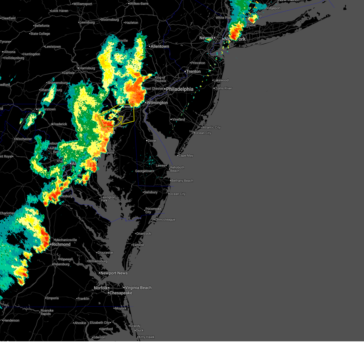 At 512 pm edt, a severe thunderstorm was located near bel air south, or 9 miles southwest of aberdeen, moving east at 40 mph (emergency management reports a history of downed trees with this line of storms). Hazards include 60 mph wind gusts. Damaging winds will cause some trees and large branches to fall. this could injure those outdoors, as well as damage homes and vehicles. roadways may become blocked by downed trees. localized power outages are possible. unsecured light objects may become projectiles. Locations impacted include, elkton, aberdeen, havre de grace, aberdeen proving ground, calvert, bel air south, bel air north, fallston, riverside, kingsville, north east, pleasant hills, rising sun, perryman, charlestown, blake, west nottingham, bay view, lombard, and richardsmere. At 512 pm edt, a severe thunderstorm was located near bel air south, or 9 miles southwest of aberdeen, moving east at 40 mph (emergency management reports a history of downed trees with this line of storms). Hazards include 60 mph wind gusts. Damaging winds will cause some trees and large branches to fall. this could injure those outdoors, as well as damage homes and vehicles. roadways may become blocked by downed trees. localized power outages are possible. unsecured light objects may become projectiles. Locations impacted include, elkton, aberdeen, havre de grace, aberdeen proving ground, calvert, bel air south, bel air north, fallston, riverside, kingsville, north east, pleasant hills, rising sun, perryman, charlestown, blake, west nottingham, bay view, lombard, and richardsmere.
|
| 6/19/2025 4:59 PM EDT |
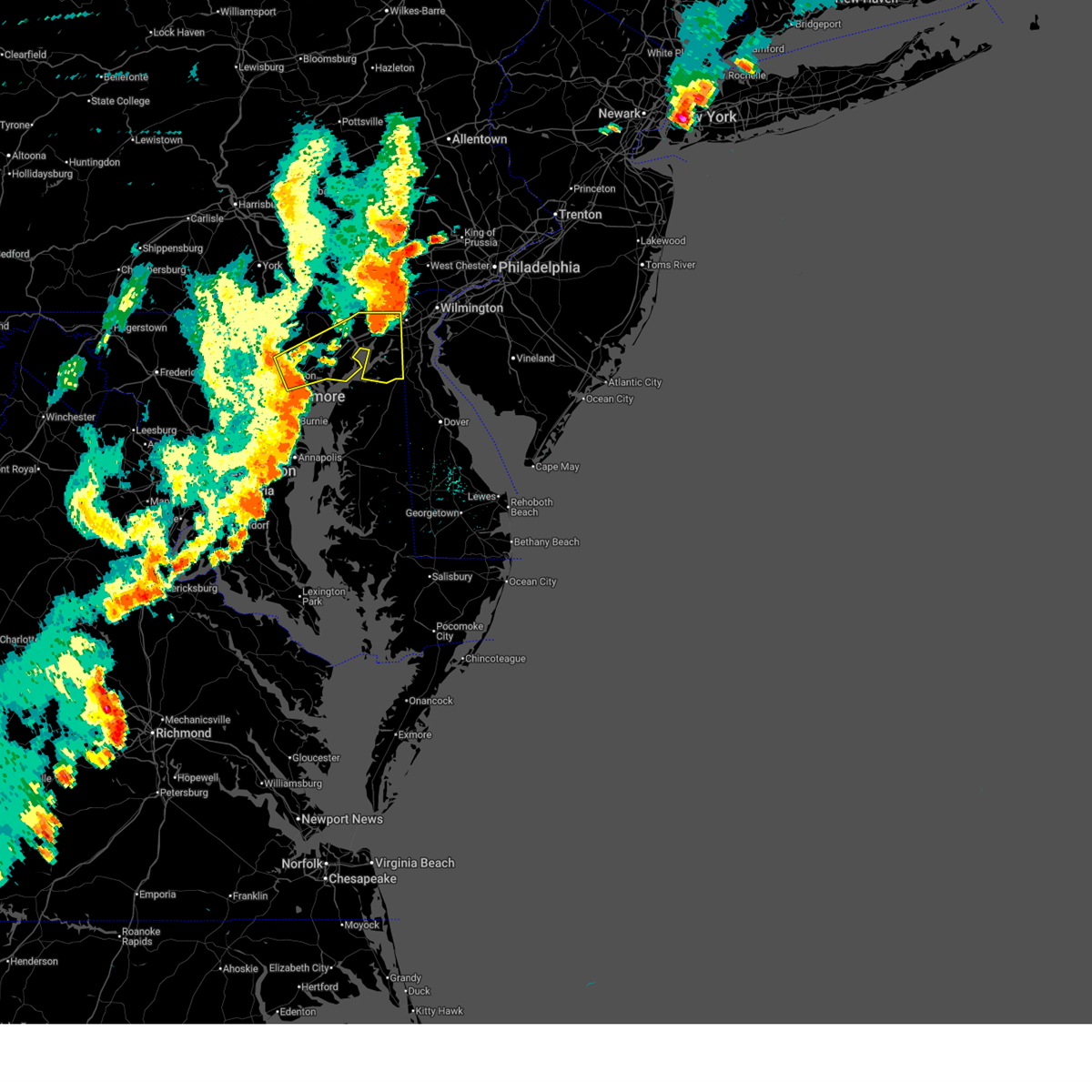 Svrlwx the national weather service in sterling virginia has issued a * severe thunderstorm warning for, northeastern baltimore city in northern maryland, harford county in northern maryland, east central baltimore county in northern maryland, cecil county in northeastern maryland, * until 615 pm edt. * at 459 pm edt, a severe thunderstorm was located over perry hall, or near middle river, moving east at 35 mph (emergency management reports a history of downed trees with this line of storms). Hazards include 60 mph wind gusts. Damaging winds will cause some trees and large branches to fall. this could injure those outdoors, as well as damage homes and vehicles. roadways may become blocked by downed trees. localized power outages are possible. Unsecured light objects may become projectiles. Svrlwx the national weather service in sterling virginia has issued a * severe thunderstorm warning for, northeastern baltimore city in northern maryland, harford county in northern maryland, east central baltimore county in northern maryland, cecil county in northeastern maryland, * until 615 pm edt. * at 459 pm edt, a severe thunderstorm was located over perry hall, or near middle river, moving east at 35 mph (emergency management reports a history of downed trees with this line of storms). Hazards include 60 mph wind gusts. Damaging winds will cause some trees and large branches to fall. this could injure those outdoors, as well as damage homes and vehicles. roadways may become blocked by downed trees. localized power outages are possible. Unsecured light objects may become projectiles.
|
| 6/19/2025 4:20 PM EDT |
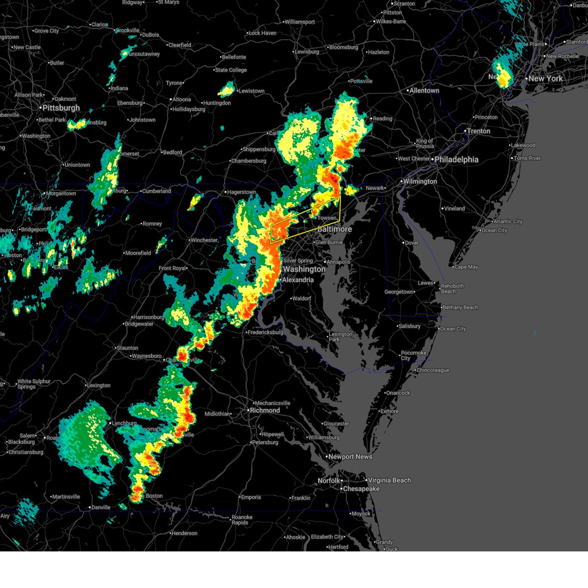 Svrlwx the national weather service in sterling virginia has issued a * severe thunderstorm warning for, south central carroll county in north central maryland, baltimore city in northern maryland, northern howard county in central maryland, northeastern montgomery county in central maryland, central harford county in northern maryland, central baltimore county in northern maryland, * until 500 pm edt. * at 419 pm edt, a severe thunderstorm was located near sykesville, or 7 miles northwest of historic ellicott city, moving east at 55 mph (emergency management reports a history of downed trees with this line of storms). Hazards include 60 mph wind gusts. Damaging winds will cause some trees and large branches to fall. this could injure those outdoors, as well as damage homes and vehicles. roadways may become blocked by downed trees. localized power outages are possible. Unsecured light objects may become projectiles. Svrlwx the national weather service in sterling virginia has issued a * severe thunderstorm warning for, south central carroll county in north central maryland, baltimore city in northern maryland, northern howard county in central maryland, northeastern montgomery county in central maryland, central harford county in northern maryland, central baltimore county in northern maryland, * until 500 pm edt. * at 419 pm edt, a severe thunderstorm was located near sykesville, or 7 miles northwest of historic ellicott city, moving east at 55 mph (emergency management reports a history of downed trees with this line of storms). Hazards include 60 mph wind gusts. Damaging winds will cause some trees and large branches to fall. this could injure those outdoors, as well as damage homes and vehicles. roadways may become blocked by downed trees. localized power outages are possible. Unsecured light objects may become projectiles.
|
| 6/19/2025 4:19 PM EDT | Several small branches... around 2 inches in diameter... down in the area in harford county MD, 134 miles W of Bel Air, MD |
| 5/17/2025 1:59 AM EDT |
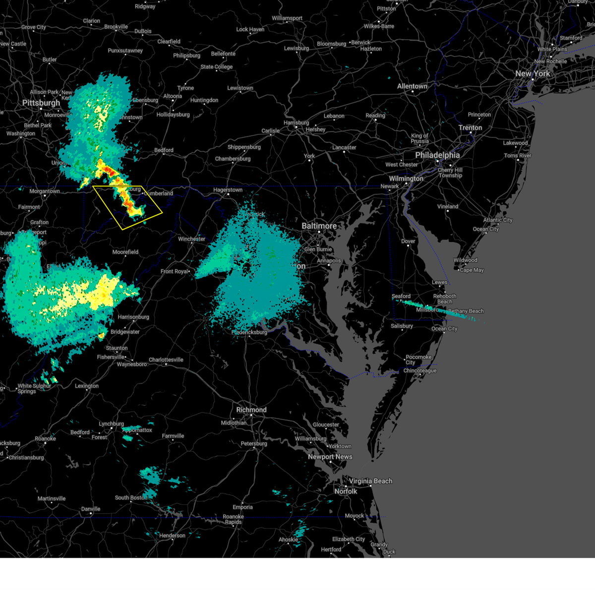 The storms which prompted the warning have weakened below severe limits, and no longer pose an immediate threat to life or property. therefore, the warning will be allowed to expire. The storms which prompted the warning have weakened below severe limits, and no longer pose an immediate threat to life or property. therefore, the warning will be allowed to expire.
|
| 5/17/2025 1:46 AM EDT |
 At 145 am edt, severe thunderstorms were located along a line extending from near ursina to near keyser, moving east at 55 mph (radar indicated). Hazards include 60 mph wind gusts and quarter size hail. Damaging winds will cause some trees and large branches to fall. this could injure those outdoors, as well as damage homes and vehicles. roadways may become blocked by downed trees. localized power outages are possible. unsecured light objects may become projectiles. Locations impacted include, potomac park, franklin, lonaconing, keyser, dogwood flats, fort ashby, bittinger, new creek, short gap, north branch, mccoole, brady, oldtown, big run state park, piney grove, ridgeville, cresaptown, merrill, rawlings, and spring gap. At 145 am edt, severe thunderstorms were located along a line extending from near ursina to near keyser, moving east at 55 mph (radar indicated). Hazards include 60 mph wind gusts and quarter size hail. Damaging winds will cause some trees and large branches to fall. this could injure those outdoors, as well as damage homes and vehicles. roadways may become blocked by downed trees. localized power outages are possible. unsecured light objects may become projectiles. Locations impacted include, potomac park, franklin, lonaconing, keyser, dogwood flats, fort ashby, bittinger, new creek, short gap, north branch, mccoole, brady, oldtown, big run state park, piney grove, ridgeville, cresaptown, merrill, rawlings, and spring gap.
|
| 5/17/2025 1:46 AM EDT |
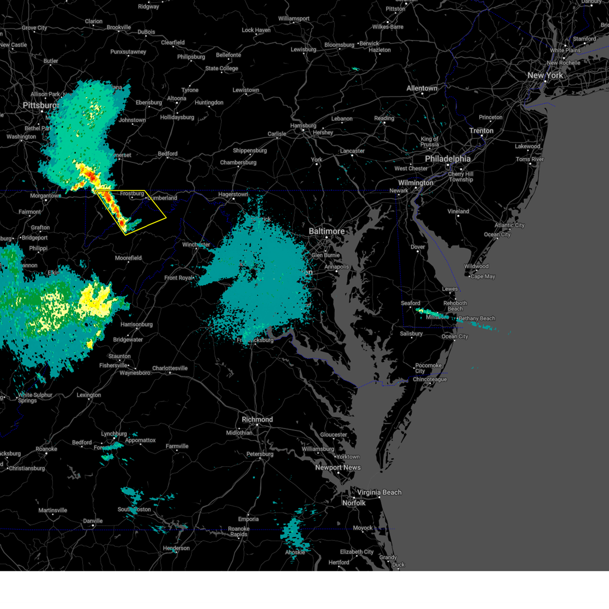 the severe thunderstorm warning has been cancelled and is no longer in effect the severe thunderstorm warning has been cancelled and is no longer in effect
|
| 5/17/2025 1:34 AM EDT |
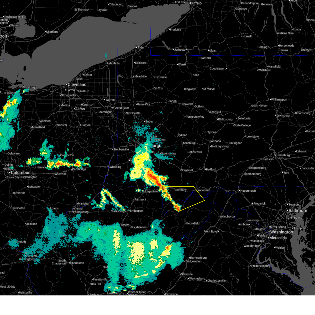 Svrlwx the national weather service in sterling virginia has issued a * severe thunderstorm warning for, western allegany county in western maryland, garrett county in western maryland, north central grant county in eastern west virginia, mineral county in eastern west virginia, north central hampshire county in eastern west virginia, * until 200 am edt. * at 134 am edt, severe thunderstorms were located along a line extending from 6 miles north of friendsville to near keyser, moving east at 55 mph (radar indicated). Hazards include 60 mph wind gusts. Damaging winds will cause some trees and large branches to fall. this could injure those outdoors, as well as damage homes and vehicles. roadways may become blocked by downed trees. localized power outages are possible. Unsecured light objects may become projectiles. Svrlwx the national weather service in sterling virginia has issued a * severe thunderstorm warning for, western allegany county in western maryland, garrett county in western maryland, north central grant county in eastern west virginia, mineral county in eastern west virginia, north central hampshire county in eastern west virginia, * until 200 am edt. * at 134 am edt, severe thunderstorms were located along a line extending from 6 miles north of friendsville to near keyser, moving east at 55 mph (radar indicated). Hazards include 60 mph wind gusts. Damaging winds will cause some trees and large branches to fall. this could injure those outdoors, as well as damage homes and vehicles. roadways may become blocked by downed trees. localized power outages are possible. Unsecured light objects may become projectiles.
|
| 5/16/2025 6:03 PM EDT |
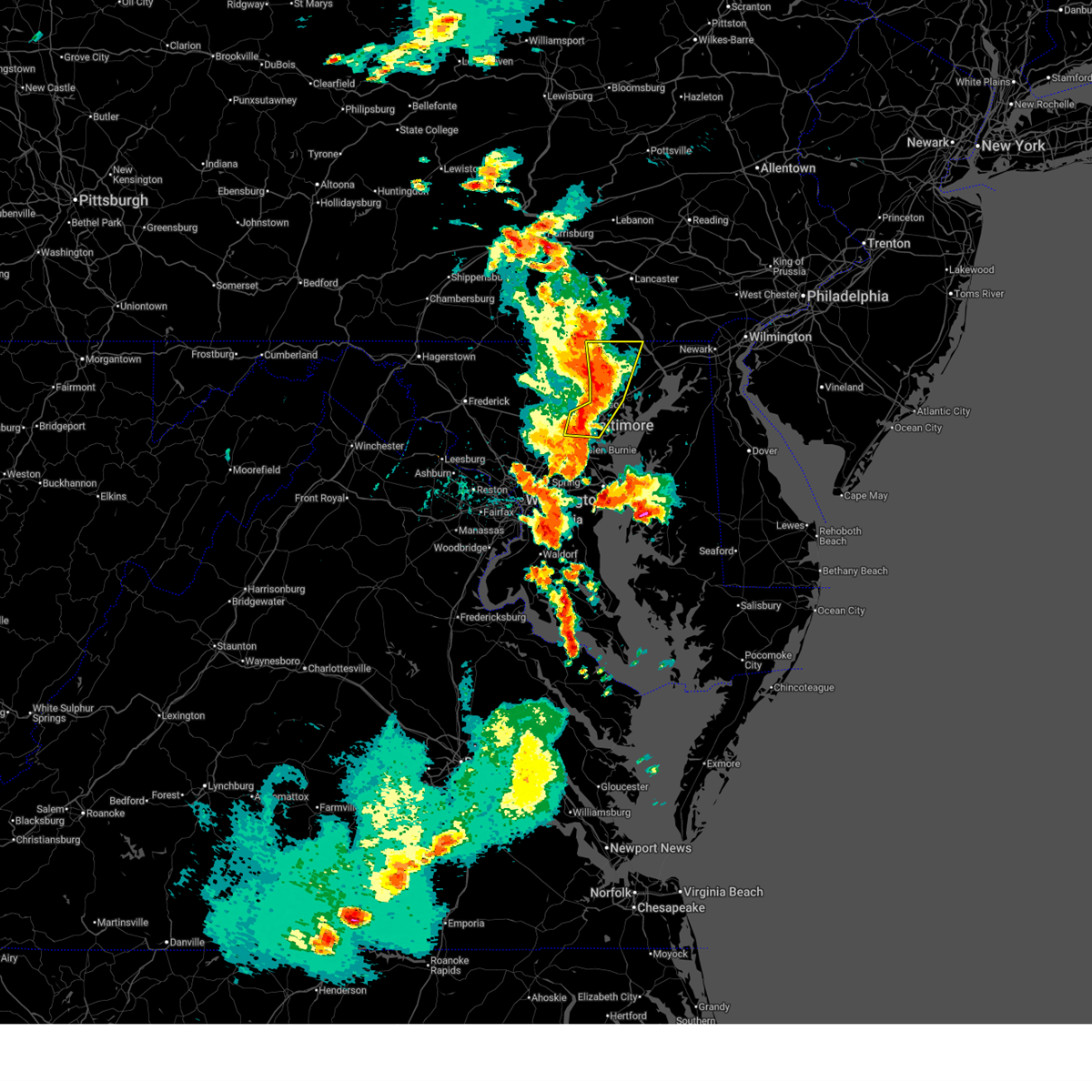 At 603 pm edt, severe thunderstorms were located along a line extending from near stewartstown to near fallston to baltimore, moving east at 35 mph (law enforcement has reported numerous downed trees across northern maryland). Hazards include golf ball size hail and 70 mph wind gusts. Expect wind damage to trees and power lines. hail is large enough to dent and damage vehicles. some hail damage to roofs, siding, and windows is possible. Locations impacted include, nottingham, glen arm, cardiff, parkville, carney, bradshaw, forest hill, dundalk, eastpoint, halethorpe, street, loch raven village, joppa, bel air north, upper falls, jacksonville, rossville, gunpowder, hickory, and whiteford. At 603 pm edt, severe thunderstorms were located along a line extending from near stewartstown to near fallston to baltimore, moving east at 35 mph (law enforcement has reported numerous downed trees across northern maryland). Hazards include golf ball size hail and 70 mph wind gusts. Expect wind damage to trees and power lines. hail is large enough to dent and damage vehicles. some hail damage to roofs, siding, and windows is possible. Locations impacted include, nottingham, glen arm, cardiff, parkville, carney, bradshaw, forest hill, dundalk, eastpoint, halethorpe, street, loch raven village, joppa, bel air north, upper falls, jacksonville, rossville, gunpowder, hickory, and whiteford.
|
| 5/16/2025 6:03 PM EDT |
 the severe thunderstorm warning has been cancelled and is no longer in effect the severe thunderstorm warning has been cancelled and is no longer in effect
|
| 5/16/2025 6:00 PM EDT | Reports of trees down in the bel air are in harford county MD, 134 miles W of Bel Air, MD |
| 5/16/2025 5:51 PM EDT |
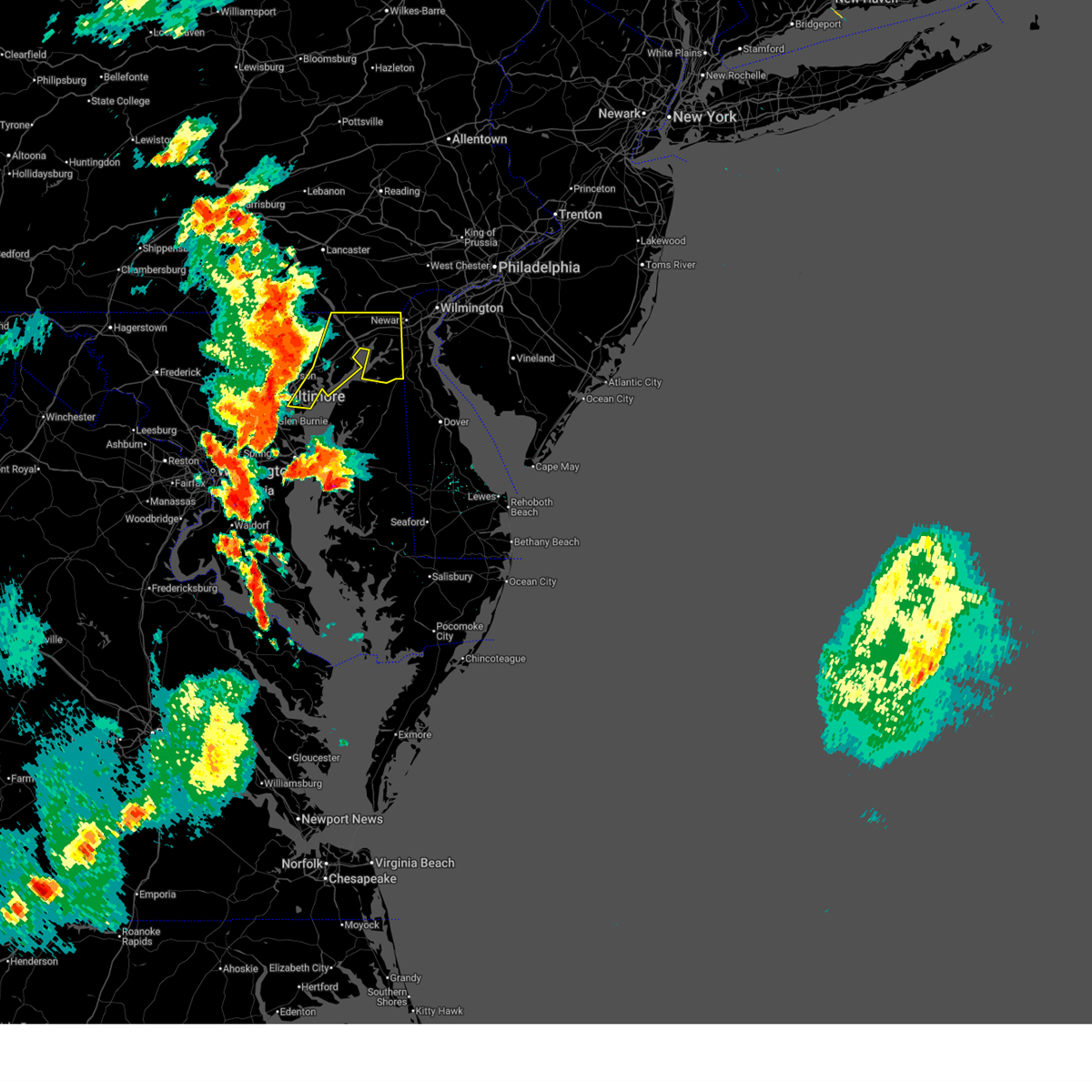 Svrlwx the national weather service in sterling virginia has issued a * severe thunderstorm warning for, southeastern baltimore city in northern maryland, eastern harford county in northern maryland, southeastern baltimore county in northern maryland, cecil county in northeastern maryland, * until 645 pm edt. * at 551 pm edt, severe thunderstorms were located along a line extending from near jarrettsville to near fallston to near baltimore, moving east at 45 mph (radar indicated). Hazards include 70 mph wind gusts and ping pong ball size hail. Damaging winds will cause some trees and large branches to fall. this could injure those outdoors, as well as damage homes and vehicles. roadways may become blocked by downed trees. localized power outages are possible. Unsecured light objects may become projectiles. Svrlwx the national weather service in sterling virginia has issued a * severe thunderstorm warning for, southeastern baltimore city in northern maryland, eastern harford county in northern maryland, southeastern baltimore county in northern maryland, cecil county in northeastern maryland, * until 645 pm edt. * at 551 pm edt, severe thunderstorms were located along a line extending from near jarrettsville to near fallston to near baltimore, moving east at 45 mph (radar indicated). Hazards include 70 mph wind gusts and ping pong ball size hail. Damaging winds will cause some trees and large branches to fall. this could injure those outdoors, as well as damage homes and vehicles. roadways may become blocked by downed trees. localized power outages are possible. Unsecured light objects may become projectiles.
|
| 5/16/2025 5:45 PM EDT |
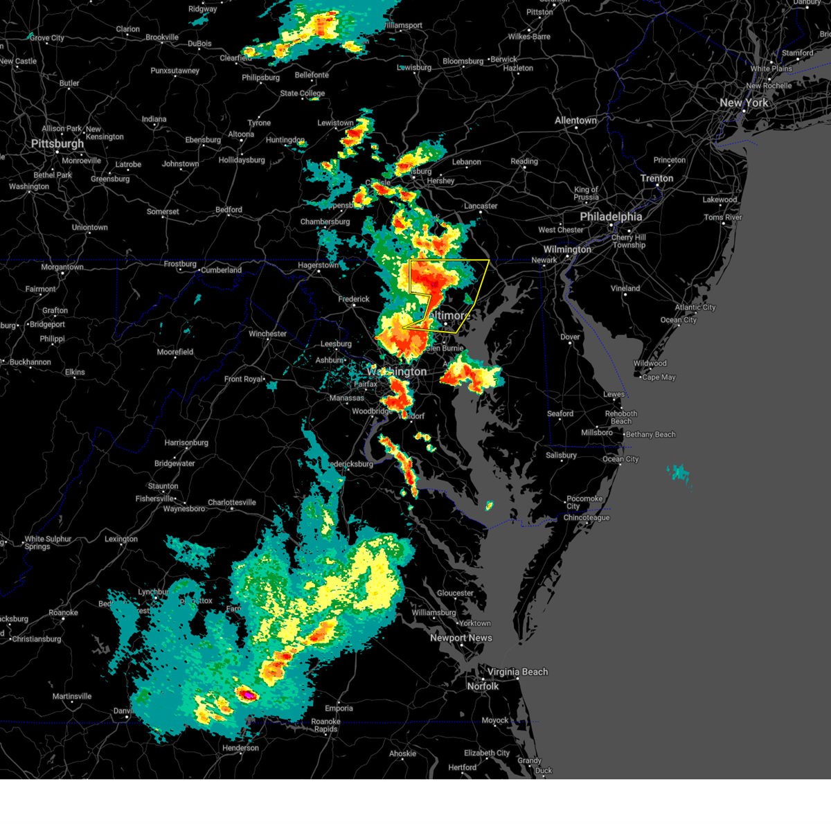 the severe thunderstorm warning has been cancelled and is no longer in effect the severe thunderstorm warning has been cancelled and is no longer in effect
|
| 5/16/2025 5:45 PM EDT |
 At 545 pm edt, severe thunderstorms were located along a line extending from near railroad to cockeysville to woodlawn, moving east at 35 mph (law enforcement has reported numerous trees down in frederick county maryland. a trained spotter has reported golf ball sized hail in westminster). Hazards include golf ball size hail and 70 mph wind gusts. Expect wind damage to trees and power lines. hail is large enough to dent and damage vehicles. some hail damage to roofs, siding, and windows is possible. Locations impacted include, nottingham, glen arm, carrollton, upperco, cardiff, parkville, hampstead, riderwood, mays chapel, carney, bradshaw, forest hill, dundalk, eastpoint, mcdonogh, street, loch raven village, joppa, bel air north, and upper falls. At 545 pm edt, severe thunderstorms were located along a line extending from near railroad to cockeysville to woodlawn, moving east at 35 mph (law enforcement has reported numerous trees down in frederick county maryland. a trained spotter has reported golf ball sized hail in westminster). Hazards include golf ball size hail and 70 mph wind gusts. Expect wind damage to trees and power lines. hail is large enough to dent and damage vehicles. some hail damage to roofs, siding, and windows is possible. Locations impacted include, nottingham, glen arm, carrollton, upperco, cardiff, parkville, hampstead, riderwood, mays chapel, carney, bradshaw, forest hill, dundalk, eastpoint, mcdonogh, street, loch raven village, joppa, bel air north, and upper falls.
|
| 5/16/2025 5:31 PM EDT |
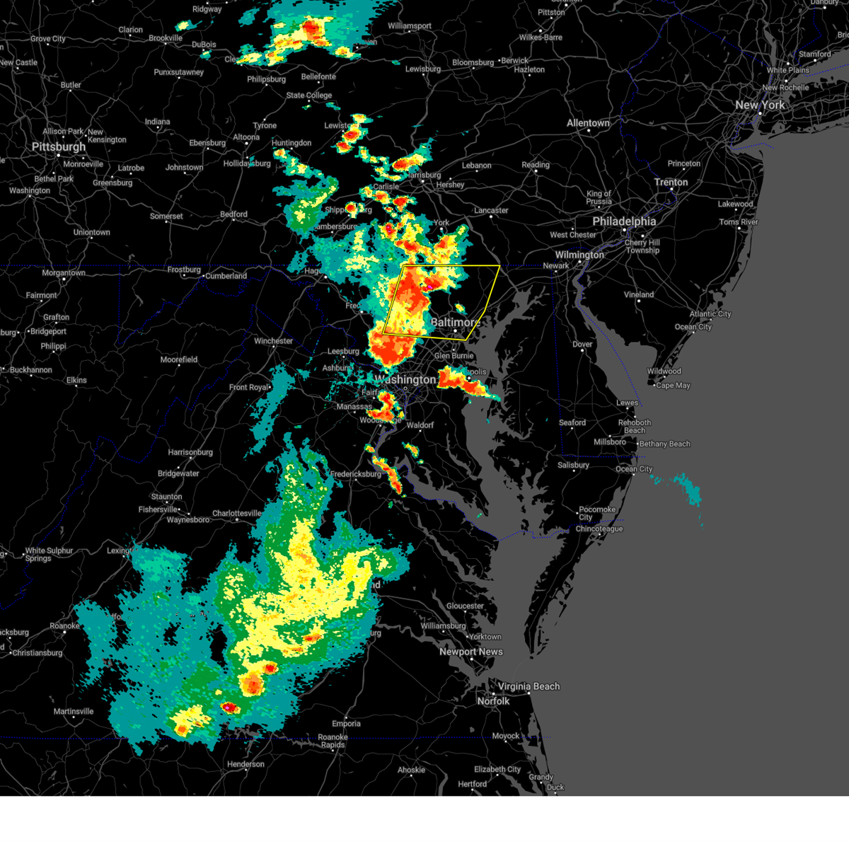 At 530 pm edt, severe thunderstorms were located along a line extending from near manchester to near reisterstown to near ellicott city, moving east at 35 mph (law enforcement reported numerous downed trees. trained spotter reported golf ball sized hail in westminster). Hazards include golf ball size hail and 70 mph wind gusts. Expect wind damage to trees and power lines. hail is large enough to dent and damage vehicles. some hail damage to roofs, siding, and windows is possible. Locations impacted include, nottingham, carrollton, henryton, owings mills, parkville, hampstead, riderwood, gaither, dundalk, eastpoint, halethorpe, mcdonogh, sykesville, street, upper falls, rossville, monkton, ellicott city, benson, and lisbon. At 530 pm edt, severe thunderstorms were located along a line extending from near manchester to near reisterstown to near ellicott city, moving east at 35 mph (law enforcement reported numerous downed trees. trained spotter reported golf ball sized hail in westminster). Hazards include golf ball size hail and 70 mph wind gusts. Expect wind damage to trees and power lines. hail is large enough to dent and damage vehicles. some hail damage to roofs, siding, and windows is possible. Locations impacted include, nottingham, carrollton, henryton, owings mills, parkville, hampstead, riderwood, gaither, dundalk, eastpoint, halethorpe, mcdonogh, sykesville, street, upper falls, rossville, monkton, ellicott city, benson, and lisbon.
|
| 5/16/2025 5:12 PM EDT |
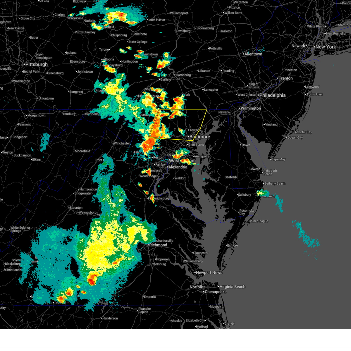 Svrlwx the national weather service in sterling virginia has issued a * severe thunderstorm warning for, carroll county in north central maryland, baltimore city in northern maryland, northern anne arundel county in central maryland, northern howard county in central maryland, north central montgomery county in central maryland, northwestern harford county in northern maryland, eastern frederick county in north central maryland, baltimore county in northern maryland, northwestern cecil county in northeastern maryland, * until 615 pm edt. * at 512 pm edt, severe thunderstorms were located along a line extending from manchester to near gamber to mount airy, moving east at 35 mph (law enforcement has reported significant tree damage in frederick county maryland. a trained spotter reported golf ball sized hail in westminster). Hazards include golf ball size hail and 70 mph wind gusts. Expect wind damage to trees and power lines. hail is large enough to dent and damage vehicles. Some hail damage to roofs, siding, and windows is possible. Svrlwx the national weather service in sterling virginia has issued a * severe thunderstorm warning for, carroll county in north central maryland, baltimore city in northern maryland, northern anne arundel county in central maryland, northern howard county in central maryland, north central montgomery county in central maryland, northwestern harford county in northern maryland, eastern frederick county in north central maryland, baltimore county in northern maryland, northwestern cecil county in northeastern maryland, * until 615 pm edt. * at 512 pm edt, severe thunderstorms were located along a line extending from manchester to near gamber to mount airy, moving east at 35 mph (law enforcement has reported significant tree damage in frederick county maryland. a trained spotter reported golf ball sized hail in westminster). Hazards include golf ball size hail and 70 mph wind gusts. Expect wind damage to trees and power lines. hail is large enough to dent and damage vehicles. Some hail damage to roofs, siding, and windows is possible.
|
| 5/3/2025 5:44 PM EDT |
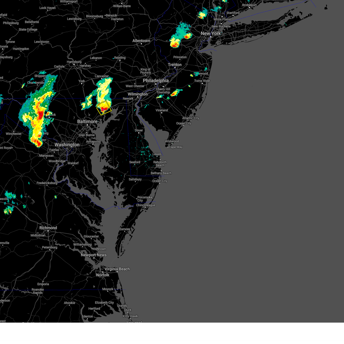 The storm which prompted the warning has moved out of the area. therefore, the warning will be allowed to expire. a severe thunderstorm watch remains in effect until 1000 pm edt for northern maryland. to report severe weather, contact your nearest law enforcement agency. they will relay your report to the national weather service sterling virginia. The storm which prompted the warning has moved out of the area. therefore, the warning will be allowed to expire. a severe thunderstorm watch remains in effect until 1000 pm edt for northern maryland. to report severe weather, contact your nearest law enforcement agency. they will relay your report to the national weather service sterling virginia.
|
| 5/3/2025 5:36 PM EDT | Half Dollar sized hail reported 135.6 miles W of Bel Air, MD |
| 5/3/2025 5:35 PM EDT | Ping Pong Ball sized hail reported 134.5 miles W of Bel Air, MD |
| 5/3/2025 5:34 PM EDT |
 the severe thunderstorm warning has been cancelled and is no longer in effect the severe thunderstorm warning has been cancelled and is no longer in effect
|
| 5/3/2025 5:34 PM EDT |
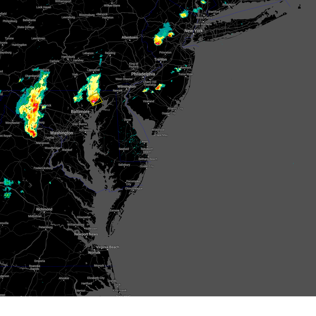 At 533 pm edt, a severe thunderstorm was located near aberdeen, moving northeast at 30 mph (radar indicated). Hazards include two inch hail and 60 mph wind gusts. Expect wind damage to trees and power lines. hail is large enough to dent and damage vehicles. some hail damage to roofs, siding, and windows is possible. Locations impacted include, aberdeen, churchville, bel air south, darlington, carsins, scarboro, forest hill, bynum, harford furnace, bel air north, hickory, riverside, abingdon, havre de grace, perryman, and edgewood. At 533 pm edt, a severe thunderstorm was located near aberdeen, moving northeast at 30 mph (radar indicated). Hazards include two inch hail and 60 mph wind gusts. Expect wind damage to trees and power lines. hail is large enough to dent and damage vehicles. some hail damage to roofs, siding, and windows is possible. Locations impacted include, aberdeen, churchville, bel air south, darlington, carsins, scarboro, forest hill, bynum, harford furnace, bel air north, hickory, riverside, abingdon, havre de grace, perryman, and edgewood.
|
| 5/3/2025 5:33 PM EDT | Tree down at the 1100 block of mcphail rd in harford county MD, 134 miles W of Bel Air, MD |
| 5/3/2025 5:33 PM EDT | Tree down at the 1700 block of south fountain green rd in harford county MD, 137.8 miles W of Bel Air, MD |
| 5/3/2025 5:26 PM EDT | Tree down at the intersection of laurel bush rd and rt 924 in harford county MD, 135.1 miles W of Bel Air, MD |
| 5/3/2025 5:16 PM EDT |
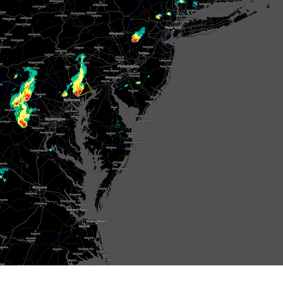 At 516 pm edt, a severe thunderstorm was located over pleasant hills, or 10 miles north of middle river, moving northeast at 30 mph (radar indicated). Hazards include two inch hail and 60 mph wind gusts. Expect wind damage to trees and power lines. hail is large enough to dent and damage vehicles. some hail damage to roofs, siding, and windows is possible. Locations impacted include, glen arm, fork, benson, aberdeen, churchville, baldwin, pleasant hills, long green, bel air south, darlington, carsins, scarboro, hydes, kingsville, forest hill, bynum, harford furnace, fallston, bel air north, and upper falls. At 516 pm edt, a severe thunderstorm was located over pleasant hills, or 10 miles north of middle river, moving northeast at 30 mph (radar indicated). Hazards include two inch hail and 60 mph wind gusts. Expect wind damage to trees and power lines. hail is large enough to dent and damage vehicles. some hail damage to roofs, siding, and windows is possible. Locations impacted include, glen arm, fork, benson, aberdeen, churchville, baldwin, pleasant hills, long green, bel air south, darlington, carsins, scarboro, hydes, kingsville, forest hill, bynum, harford furnace, fallston, bel air north, and upper falls.
|
| 5/3/2025 5:13 PM EDT |
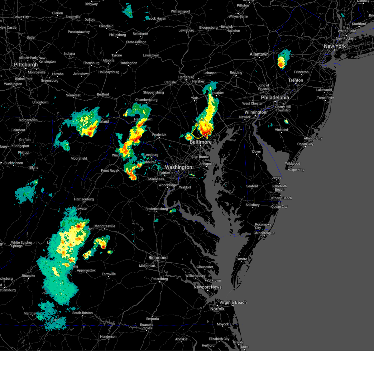 The storm which prompted the warning has moved out of the area. therefore, the warning will be allowed to expire. a severe thunderstorm watch remains in effect until 1000 pm edt for northern maryland. to report severe weather, contact your nearest law enforcement agency. they will relay your report to the national weather service sterling virginia. The storm which prompted the warning has moved out of the area. therefore, the warning will be allowed to expire. a severe thunderstorm watch remains in effect until 1000 pm edt for northern maryland. to report severe weather, contact your nearest law enforcement agency. they will relay your report to the national weather service sterling virginia.
|
| 5/3/2025 5:04 PM EDT |
 Svrlwx the national weather service in sterling virginia has issued a * severe thunderstorm warning for, central harford county in northern maryland, east central baltimore county in northern maryland, * until 545 pm edt. * at 504 pm edt, a severe thunderstorm was located over carney, or near cockeysville, moving northeast at 35 mph (radar indicated). Hazards include 60 mph wind gusts and quarter size hail. Damaging winds will cause some trees and large branches to fall. this could injure those outdoors, as well as damage homes and vehicles. roadways may become blocked by downed trees. localized power outages are possible. Unsecured light objects may become projectiles. Svrlwx the national weather service in sterling virginia has issued a * severe thunderstorm warning for, central harford county in northern maryland, east central baltimore county in northern maryland, * until 545 pm edt. * at 504 pm edt, a severe thunderstorm was located over carney, or near cockeysville, moving northeast at 35 mph (radar indicated). Hazards include 60 mph wind gusts and quarter size hail. Damaging winds will cause some trees and large branches to fall. this could injure those outdoors, as well as damage homes and vehicles. roadways may become blocked by downed trees. localized power outages are possible. Unsecured light objects may become projectiles.
|
| 5/3/2025 4:57 PM EDT |
 the severe thunderstorm warning has been cancelled and is no longer in effect the severe thunderstorm warning has been cancelled and is no longer in effect
|
| 5/3/2025 4:57 PM EDT |
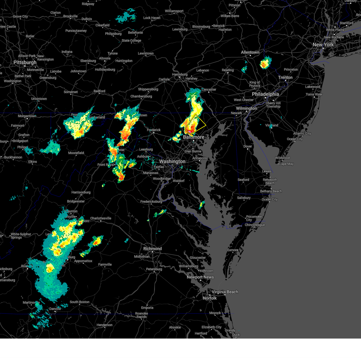 At 457 pm edt, a severe thunderstorm was located over cockeysville, moving northeast at 35 mph (trained weather spotters). Hazards include 60 mph wind gusts and quarter size hail. Damaging winds will cause some trees and large branches to fall. this could injure those outdoors, as well as damage homes and vehicles. roadways may become blocked by downed trees. localized power outages are possible. unsecured light objects may become projectiles. Locations impacted include, lutherville, long green, riderwood, mays chapel, brooklandville, cockeysville, phoenix, fallston, jacksonville, monkton, glencoe, baldwin, ruxton, hunt valley, jarrettsville, timonium, sparks, hydes, hereford, and lutherville-timonium. At 457 pm edt, a severe thunderstorm was located over cockeysville, moving northeast at 35 mph (trained weather spotters). Hazards include 60 mph wind gusts and quarter size hail. Damaging winds will cause some trees and large branches to fall. this could injure those outdoors, as well as damage homes and vehicles. roadways may become blocked by downed trees. localized power outages are possible. unsecured light objects may become projectiles. Locations impacted include, lutherville, long green, riderwood, mays chapel, brooklandville, cockeysville, phoenix, fallston, jacksonville, monkton, glencoe, baldwin, ruxton, hunt valley, jarrettsville, timonium, sparks, hydes, hereford, and lutherville-timonium.
|
| 5/3/2025 4:33 PM EDT |
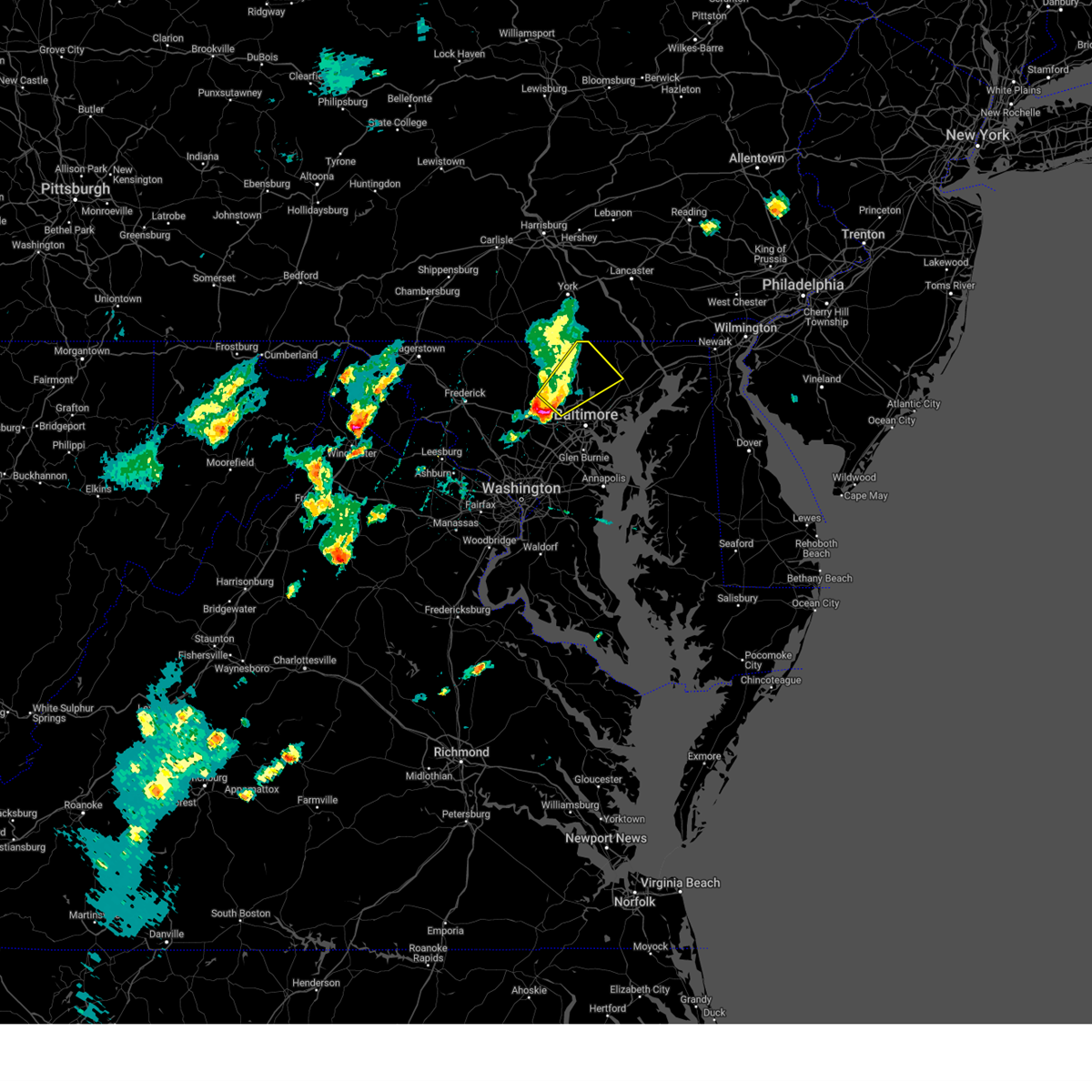 Svrlwx the national weather service in sterling virginia has issued a * severe thunderstorm warning for, east central carroll county in north central maryland, northwestern baltimore city in northern maryland, west central harford county in northern maryland, northern baltimore county in northern maryland, * until 515 pm edt. * at 433 pm edt, a severe thunderstorm was located over randallstown, or 8 miles west of pikesville, moving northeast at 35 mph (radar indicated). Hazards include 60 mph wind gusts and quarter size hail. Damaging winds will cause some trees and large branches to fall. this could injure those outdoors, as well as damage homes and vehicles. roadways may become blocked by downed trees. localized power outages are possible. Unsecured light objects may become projectiles. Svrlwx the national weather service in sterling virginia has issued a * severe thunderstorm warning for, east central carroll county in north central maryland, northwestern baltimore city in northern maryland, west central harford county in northern maryland, northern baltimore county in northern maryland, * until 515 pm edt. * at 433 pm edt, a severe thunderstorm was located over randallstown, or 8 miles west of pikesville, moving northeast at 35 mph (radar indicated). Hazards include 60 mph wind gusts and quarter size hail. Damaging winds will cause some trees and large branches to fall. this could injure those outdoors, as well as damage homes and vehicles. roadways may become blocked by downed trees. localized power outages are possible. Unsecured light objects may become projectiles.
|
| 5/1/2025 4:15 PM EDT |
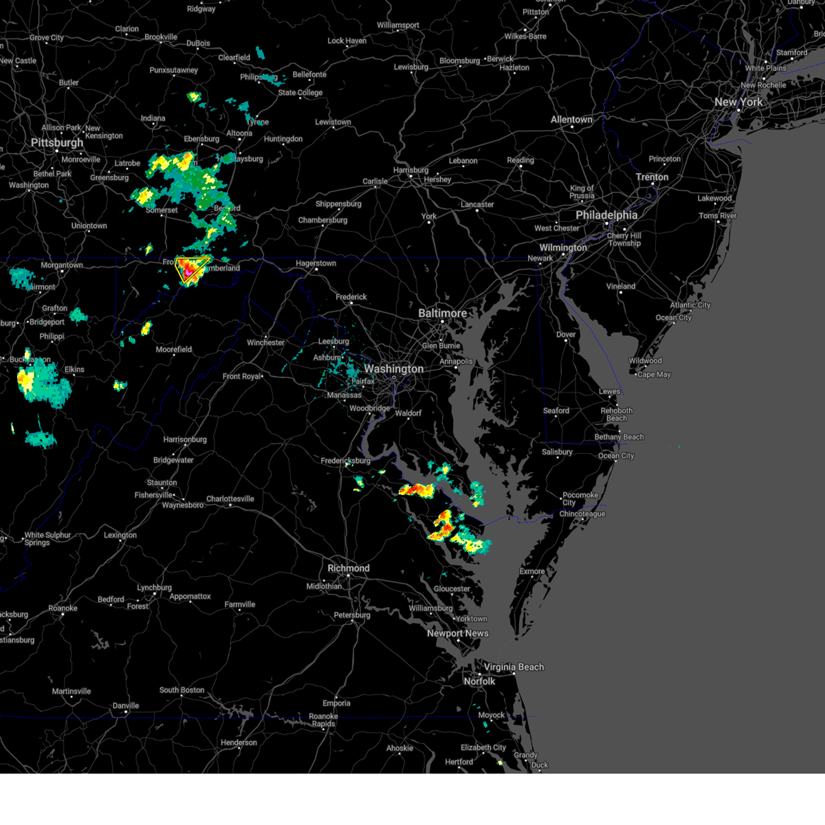 At 415 pm edt, a severe thunderstorm was located over la vale, or near cumberland, moving northeast at 25 mph (radar indicated). Hazards include 60 mph wind gusts and quarter size hail. Damaging winds will cause some trees and large branches to fall. this could injure those outdoors, as well as damage homes and vehicles. roadways may become blocked by downed trees. localized power outages are possible. unsecured light objects may become projectiles. Locations impacted include, potomac park, ellerslie, cresaptown, la vale, bel air, eckhart mines, cumberland, mount savage, corriganville, frostburg, wolfe mill, ridgeley, brady, and wiley ford. At 415 pm edt, a severe thunderstorm was located over la vale, or near cumberland, moving northeast at 25 mph (radar indicated). Hazards include 60 mph wind gusts and quarter size hail. Damaging winds will cause some trees and large branches to fall. this could injure those outdoors, as well as damage homes and vehicles. roadways may become blocked by downed trees. localized power outages are possible. unsecured light objects may become projectiles. Locations impacted include, potomac park, ellerslie, cresaptown, la vale, bel air, eckhart mines, cumberland, mount savage, corriganville, frostburg, wolfe mill, ridgeley, brady, and wiley ford.
|
| 5/1/2025 4:05 PM EDT |
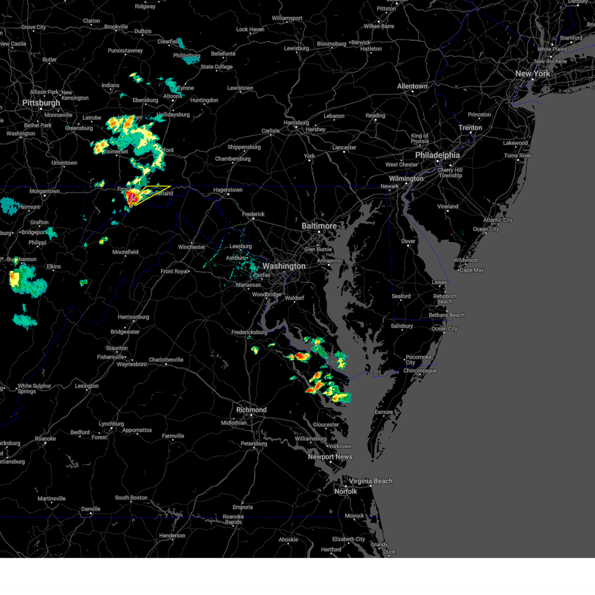 Svrlwx the national weather service in sterling virginia has issued a * severe thunderstorm warning for, northwestern allegany county in western maryland, northeastern mineral county in eastern west virginia, * until 430 pm edt. * at 404 pm edt, a severe thunderstorm was located over bel air, moving northeast at 35 mph (radar indicated). Hazards include 60 mph wind gusts and quarter size hail. Damaging winds will cause some trees and large branches to fall. this could injure those outdoors, as well as damage homes and vehicles. roadways may become blocked by downed trees. localized power outages are possible. Unsecured light objects may become projectiles. Svrlwx the national weather service in sterling virginia has issued a * severe thunderstorm warning for, northwestern allegany county in western maryland, northeastern mineral county in eastern west virginia, * until 430 pm edt. * at 404 pm edt, a severe thunderstorm was located over bel air, moving northeast at 35 mph (radar indicated). Hazards include 60 mph wind gusts and quarter size hail. Damaging winds will cause some trees and large branches to fall. this could injure those outdoors, as well as damage homes and vehicles. roadways may become blocked by downed trees. localized power outages are possible. Unsecured light objects may become projectiles.
|
| 5/1/2025 3:56 PM EDT |
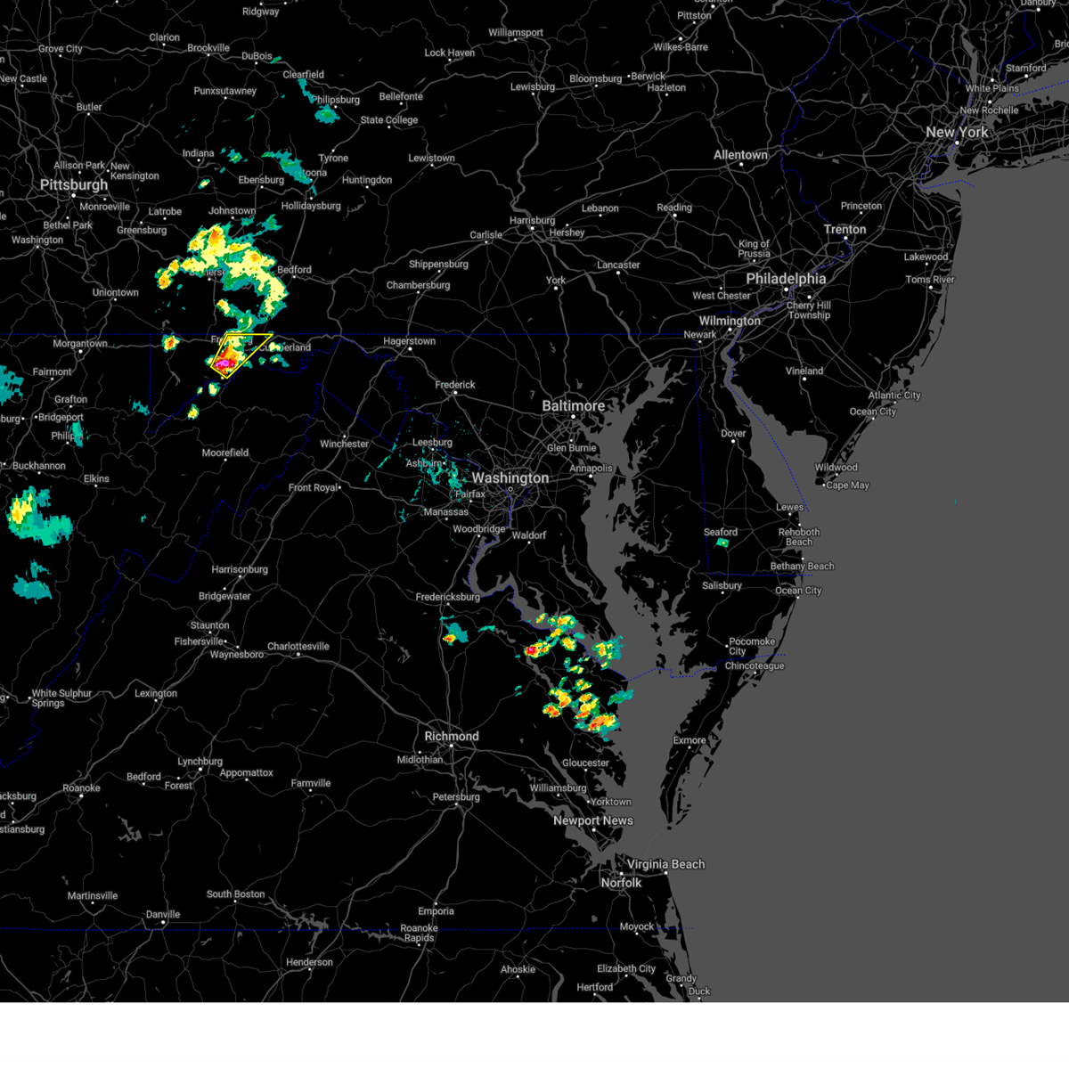 At 356 pm edt, a severe thunderstorm was located over lonaconing, or near frostburg, moving northeast at 25 mph (radar indicated). Hazards include golf ball size hail and 60 mph wind gusts. Expect wind damage to trees and power lines. hail is large enough to dent and damage vehicles. some hail damage to roofs, siding, and windows is possible. Locations impacted include, potomac park, ellerslie, lonaconing, dogwood flats, cresaptown, la vale, bel air, eckhart mines, midlothian, cumberland, barton, mount savage, woodland, corriganville, frostburg, midland, wolfe mill, ridgeley, brady, and rawlings. At 356 pm edt, a severe thunderstorm was located over lonaconing, or near frostburg, moving northeast at 25 mph (radar indicated). Hazards include golf ball size hail and 60 mph wind gusts. Expect wind damage to trees and power lines. hail is large enough to dent and damage vehicles. some hail damage to roofs, siding, and windows is possible. Locations impacted include, potomac park, ellerslie, lonaconing, dogwood flats, cresaptown, la vale, bel air, eckhart mines, midlothian, cumberland, barton, mount savage, woodland, corriganville, frostburg, midland, wolfe mill, ridgeley, brady, and rawlings.
|
| 5/1/2025 3:51 PM EDT |
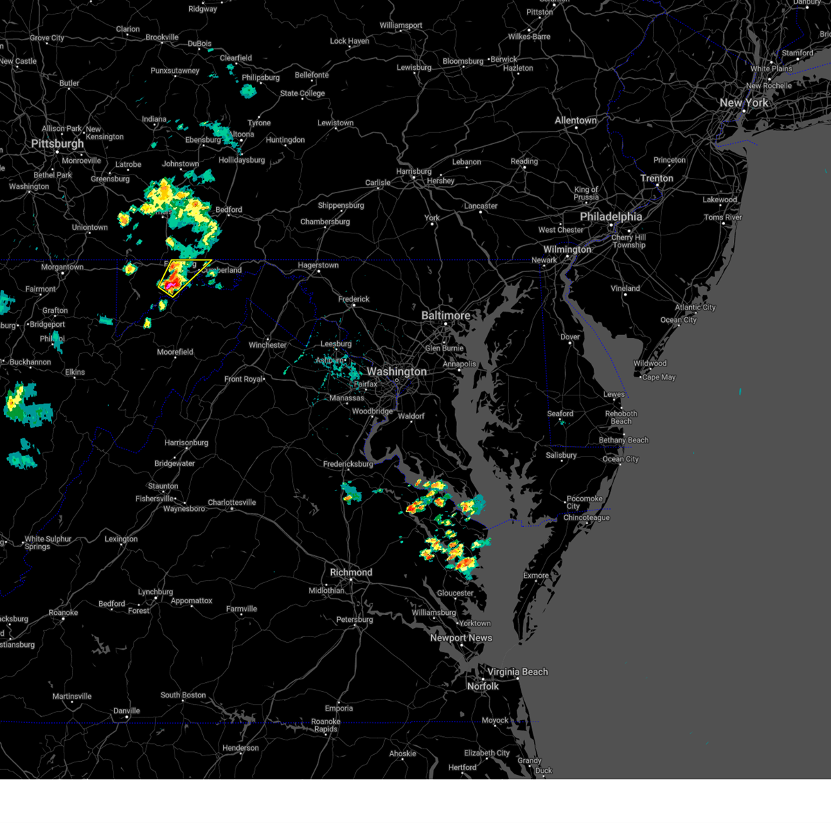 At 351 pm edt, a severe thunderstorm was located over lonaconing, or near frostburg, moving northeast at 25 mph (radar indicated). Hazards include 60 mph wind gusts and half dollar size hail. Damaging winds will cause some trees and large branches to fall. this could injure those outdoors, as well as damage homes and vehicles. roadways may become blocked by downed trees. localized power outages are possible. unsecured light objects may become projectiles. Locations impacted include, potomac park, ellerslie, lonaconing, dogwood flats, cresaptown, la vale, bel air, reynolds, eckhart mines, midlothian, cumberland, barton, mount savage, woodland, corriganville, frostburg, midland, wolfe mill, ridgeley, and brady. At 351 pm edt, a severe thunderstorm was located over lonaconing, or near frostburg, moving northeast at 25 mph (radar indicated). Hazards include 60 mph wind gusts and half dollar size hail. Damaging winds will cause some trees and large branches to fall. this could injure those outdoors, as well as damage homes and vehicles. roadways may become blocked by downed trees. localized power outages are possible. unsecured light objects may become projectiles. Locations impacted include, potomac park, ellerslie, lonaconing, dogwood flats, cresaptown, la vale, bel air, reynolds, eckhart mines, midlothian, cumberland, barton, mount savage, woodland, corriganville, frostburg, midland, wolfe mill, ridgeley, and brady.
|
| 5/1/2025 3:48 PM EDT |
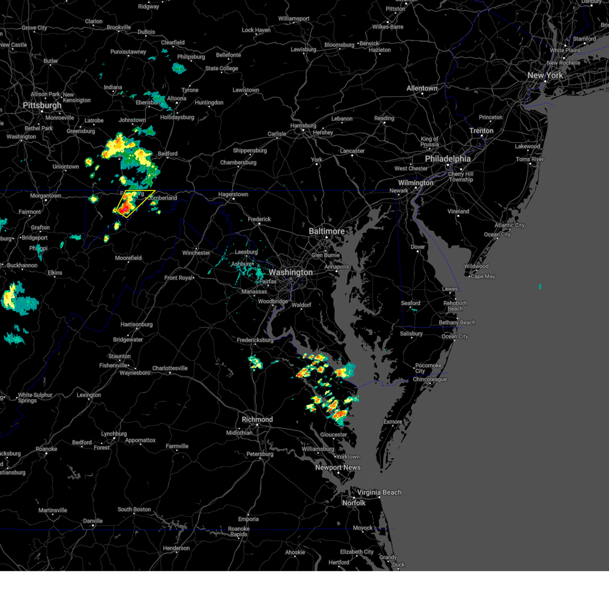 Svrlwx the national weather service in sterling virginia has issued a * severe thunderstorm warning for, northwestern allegany county in western maryland, northeastern garrett county in western maryland, northern mineral county in eastern west virginia, * until 430 pm edt. * at 348 pm edt, a severe thunderstorm was located over lonaconing, or near westernport, moving northeast at 25 mph (radar indicated). Hazards include 60 mph wind gusts and half dollar size hail. Damaging winds will cause some trees and large branches to fall. this could injure those outdoors, as well as damage homes and vehicles. roadways may become blocked by downed trees. localized power outages are possible. Unsecured light objects may become projectiles. Svrlwx the national weather service in sterling virginia has issued a * severe thunderstorm warning for, northwestern allegany county in western maryland, northeastern garrett county in western maryland, northern mineral county in eastern west virginia, * until 430 pm edt. * at 348 pm edt, a severe thunderstorm was located over lonaconing, or near westernport, moving northeast at 25 mph (radar indicated). Hazards include 60 mph wind gusts and half dollar size hail. Damaging winds will cause some trees and large branches to fall. this could injure those outdoors, as well as damage homes and vehicles. roadways may become blocked by downed trees. localized power outages are possible. Unsecured light objects may become projectiles.
|
| 4/30/2025 12:25 AM EDT |
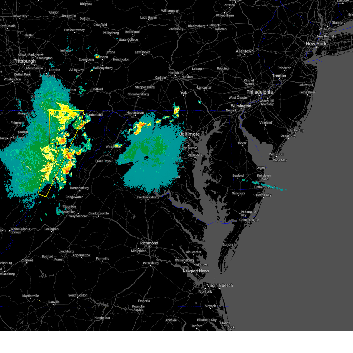 The storms which prompted the warning have weakened below severe limits, and no longer pose an immediate threat to life or property. therefore, the warning will be allowed to expire. however, gusty winds and heavy rain are still possible with these thunderstorms. The storms which prompted the warning have weakened below severe limits, and no longer pose an immediate threat to life or property. therefore, the warning will be allowed to expire. however, gusty winds and heavy rain are still possible with these thunderstorms.
|
| 4/30/2025 12:10 AM EDT |
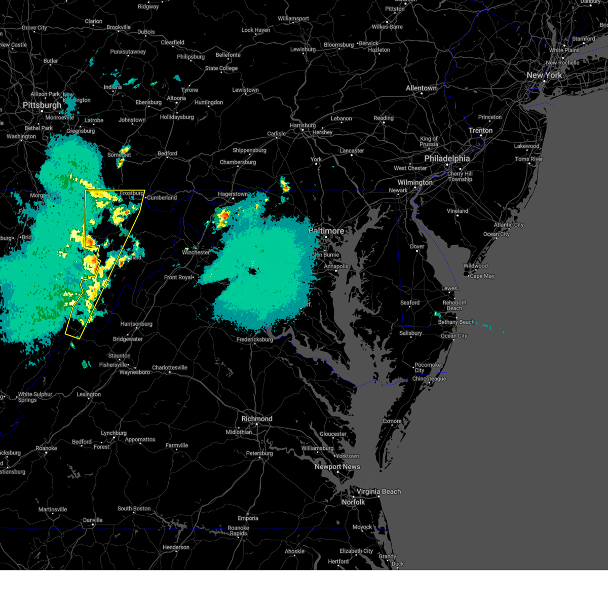 At 1210 am edt, severe thunderstorms were located along a line extending from near kitzmiller to 7 miles south of brandywine, moving east at 60 mph (radar indicated). Hazards include 60 mph wind gusts. Damaging winds will cause some trees and large branches to fall. this could injure those outdoors, as well as damage homes and vehicles. roadways may become blocked by downed trees. localized power outages are possible. unsecured light objects may become projectiles. Locations impacted include, potomac park, franklin, lonaconing, keyser, dogwood flats, arthur, bittinger, hutton, new creek, oakland, lahmansville, mccoole, brady, cabins, deer park, big run state park, kline gap, williamsport, piney grove, and kitzmiller. At 1210 am edt, severe thunderstorms were located along a line extending from near kitzmiller to 7 miles south of brandywine, moving east at 60 mph (radar indicated). Hazards include 60 mph wind gusts. Damaging winds will cause some trees and large branches to fall. this could injure those outdoors, as well as damage homes and vehicles. roadways may become blocked by downed trees. localized power outages are possible. unsecured light objects may become projectiles. Locations impacted include, potomac park, franklin, lonaconing, keyser, dogwood flats, arthur, bittinger, hutton, new creek, oakland, lahmansville, mccoole, brady, cabins, deer park, big run state park, kline gap, williamsport, piney grove, and kitzmiller.
|
| 4/29/2025 11:41 PM EDT |
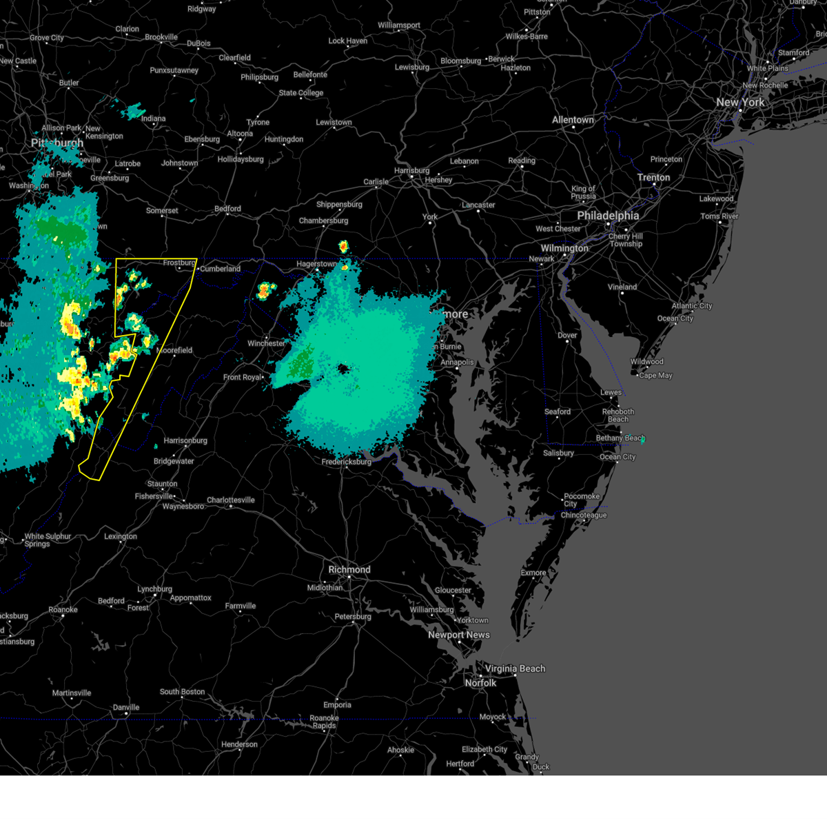 Svrlwx the national weather service in sterling virginia has issued a * severe thunderstorm warning for, western allegany county in western maryland, garrett county in western maryland, western highland county in western virginia, western pendleton county in eastern west virginia, grant county in eastern west virginia, western mineral county in eastern west virginia, * until 1230 am edt. * at 1140 pm edt, severe thunderstorms were located along a line extending from near kingwood to 10 miles northeast of greenbank, moving east at 60 mph (radar indicated). Hazards include 60 mph wind gusts. Damaging winds will cause some trees and large branches to fall. this could injure those outdoors, as well as damage homes and vehicles. roadways may become blocked by downed trees. localized power outages are possible. Unsecured light objects may become projectiles. Svrlwx the national weather service in sterling virginia has issued a * severe thunderstorm warning for, western allegany county in western maryland, garrett county in western maryland, western highland county in western virginia, western pendleton county in eastern west virginia, grant county in eastern west virginia, western mineral county in eastern west virginia, * until 1230 am edt. * at 1140 pm edt, severe thunderstorms were located along a line extending from near kingwood to 10 miles northeast of greenbank, moving east at 60 mph (radar indicated). Hazards include 60 mph wind gusts. Damaging winds will cause some trees and large branches to fall. this could injure those outdoors, as well as damage homes and vehicles. roadways may become blocked by downed trees. localized power outages are possible. Unsecured light objects may become projectiles.
|
| 4/19/2025 10:49 PM EDT |
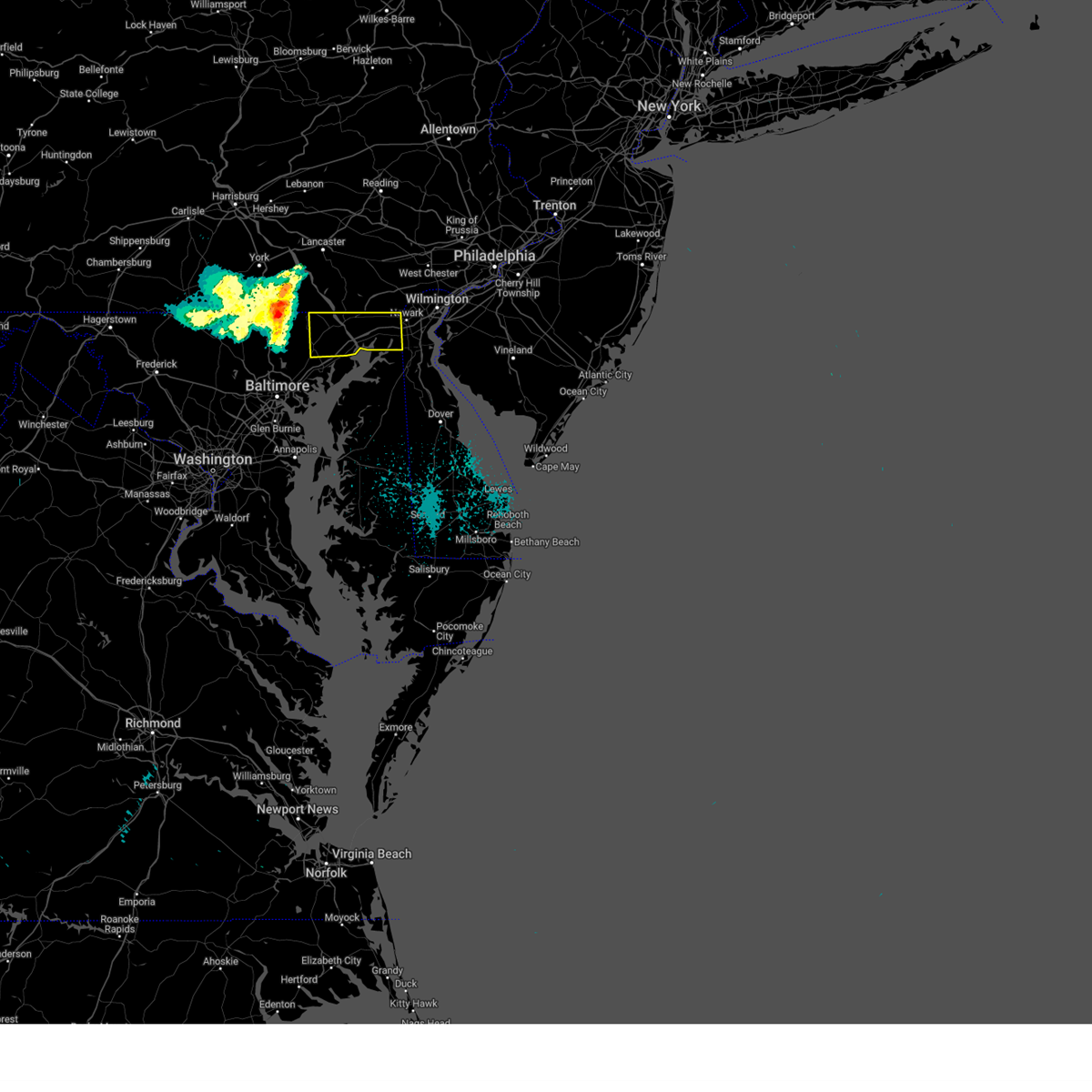 Svrlwx the national weather service in sterling virginia has issued a * severe thunderstorm warning for, northeastern harford county in northern maryland, cecil county in northeastern maryland, * until 1130 pm edt. * at 1049 pm edt, a severe thunderstorm was located near jarrettsville, or 15 miles northeast of cockeysville, moving east at 70 mph (observations at multiple sites to the west of this line). Hazards include 60 mph wind gusts. Damaging winds will cause some trees and large branches to fall. this could injure those outdoors, as well as damage homes and vehicles. roadways may become blocked by downed trees. localized power outages are possible. Unsecured light objects may become projectiles. Svrlwx the national weather service in sterling virginia has issued a * severe thunderstorm warning for, northeastern harford county in northern maryland, cecil county in northeastern maryland, * until 1130 pm edt. * at 1049 pm edt, a severe thunderstorm was located near jarrettsville, or 15 miles northeast of cockeysville, moving east at 70 mph (observations at multiple sites to the west of this line). Hazards include 60 mph wind gusts. Damaging winds will cause some trees and large branches to fall. this could injure those outdoors, as well as damage homes and vehicles. roadways may become blocked by downed trees. localized power outages are possible. Unsecured light objects may become projectiles.
|
| 4/19/2025 9:10 PM EDT |
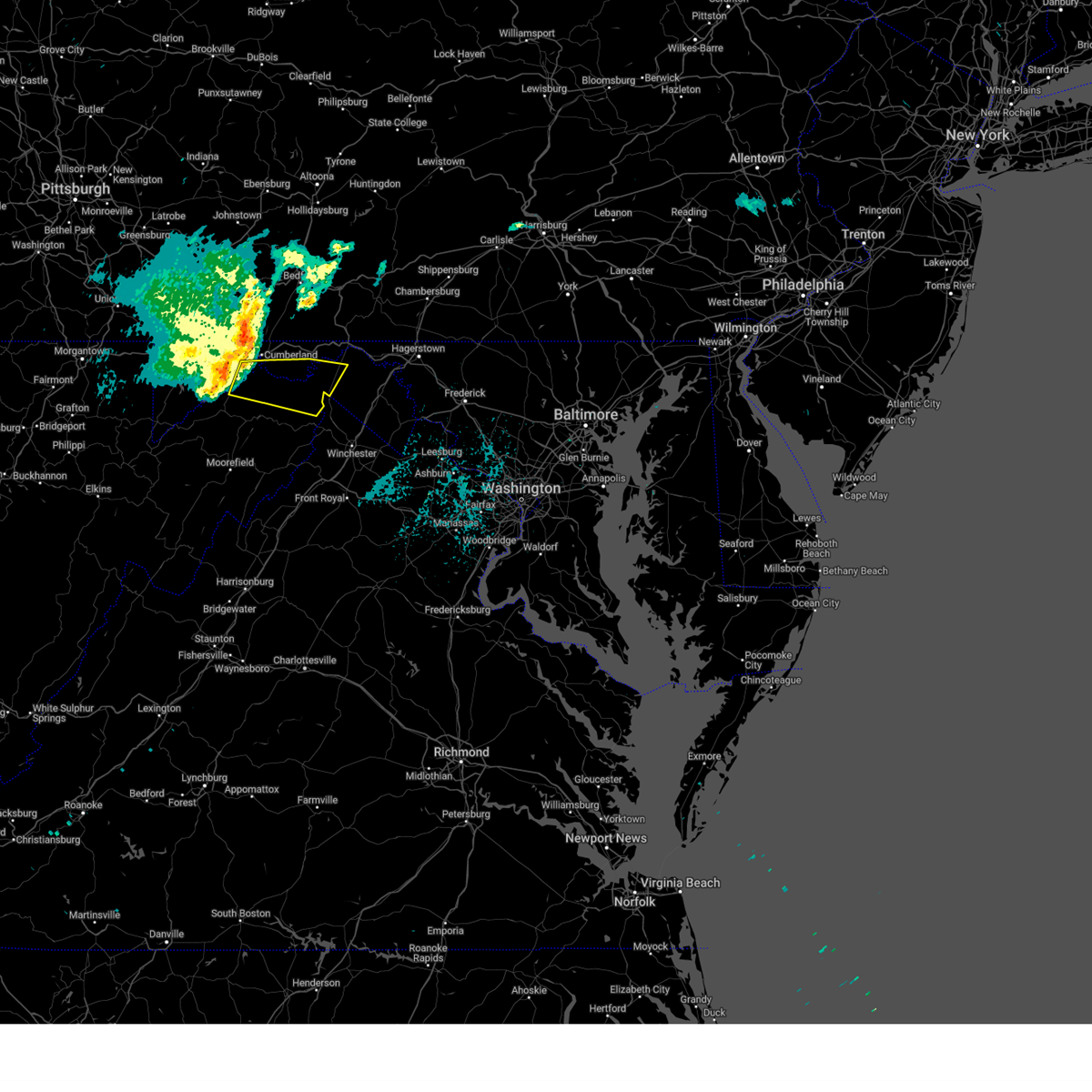 Svrlwx the national weather service in sterling virginia has issued a * severe thunderstorm warning for, central allegany county in western maryland, southwestern morgan county in the panhandle of west virginia, northeastern mineral county in eastern west virginia, northeastern hampshire county in eastern west virginia, * until 945 pm edt. * at 910 pm edt, severe thunderstorms were located along a line extending from near bel air to near westernport to near elk garden, moving east at 75 mph (radar indicated). Hazards include 60 mph wind gusts and quarter size hail. Damaging winds will cause some trees and large branches to fall. this could injure those outdoors, as well as damage homes and vehicles. roadways may become blocked by downed trees. localized power outages are possible. Unsecured light objects may become projectiles. Svrlwx the national weather service in sterling virginia has issued a * severe thunderstorm warning for, central allegany county in western maryland, southwestern morgan county in the panhandle of west virginia, northeastern mineral county in eastern west virginia, northeastern hampshire county in eastern west virginia, * until 945 pm edt. * at 910 pm edt, severe thunderstorms were located along a line extending from near bel air to near westernport to near elk garden, moving east at 75 mph (radar indicated). Hazards include 60 mph wind gusts and quarter size hail. Damaging winds will cause some trees and large branches to fall. this could injure those outdoors, as well as damage homes and vehicles. roadways may become blocked by downed trees. localized power outages are possible. Unsecured light objects may become projectiles.
|
| 4/3/2025 6:50 AM EDT |
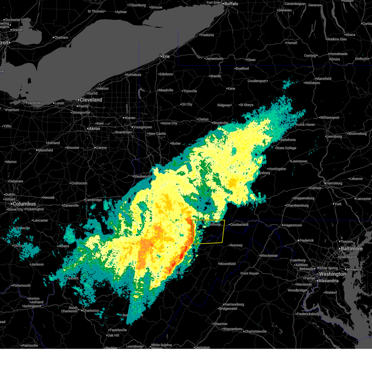 Svrlwx the national weather service in sterling virginia has issued a * severe thunderstorm warning for, western allegany county in western maryland, garrett county in western maryland, central mineral county in eastern west virginia, * until 715 am edt. * at 650 am edt, severe thunderstorms were located along a line extending from near friendsville to near loch lynn heights, moving east at 65 mph (radar indicated). Hazards include 60 mph wind gusts. Damaging winds will cause some trees and large branches to fall. this could injure those outdoors, as well as damage homes and vehicles. roadways may become blocked by downed trees. localized power outages are possible. Unsecured light objects may become projectiles. Svrlwx the national weather service in sterling virginia has issued a * severe thunderstorm warning for, western allegany county in western maryland, garrett county in western maryland, central mineral county in eastern west virginia, * until 715 am edt. * at 650 am edt, severe thunderstorms were located along a line extending from near friendsville to near loch lynn heights, moving east at 65 mph (radar indicated). Hazards include 60 mph wind gusts. Damaging winds will cause some trees and large branches to fall. this could injure those outdoors, as well as damage homes and vehicles. roadways may become blocked by downed trees. localized power outages are possible. Unsecured light objects may become projectiles.
|
| 3/16/2025 2:21 PM EDT |
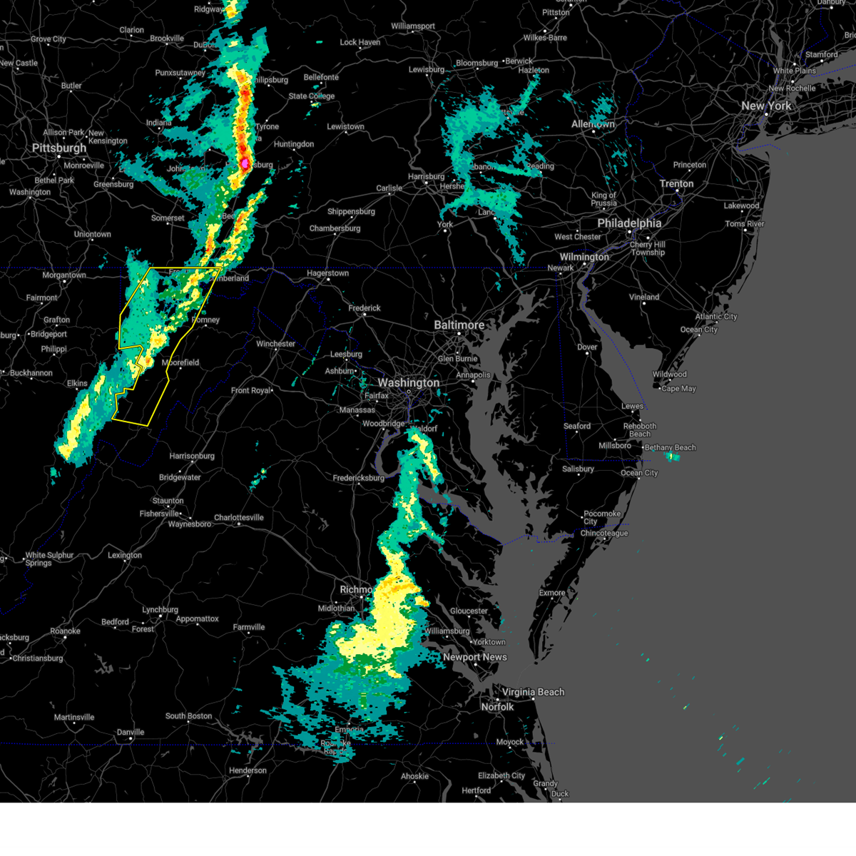 the severe thunderstorm warning has been cancelled and is no longer in effect the severe thunderstorm warning has been cancelled and is no longer in effect
|
| 3/16/2025 1:44 PM EDT |
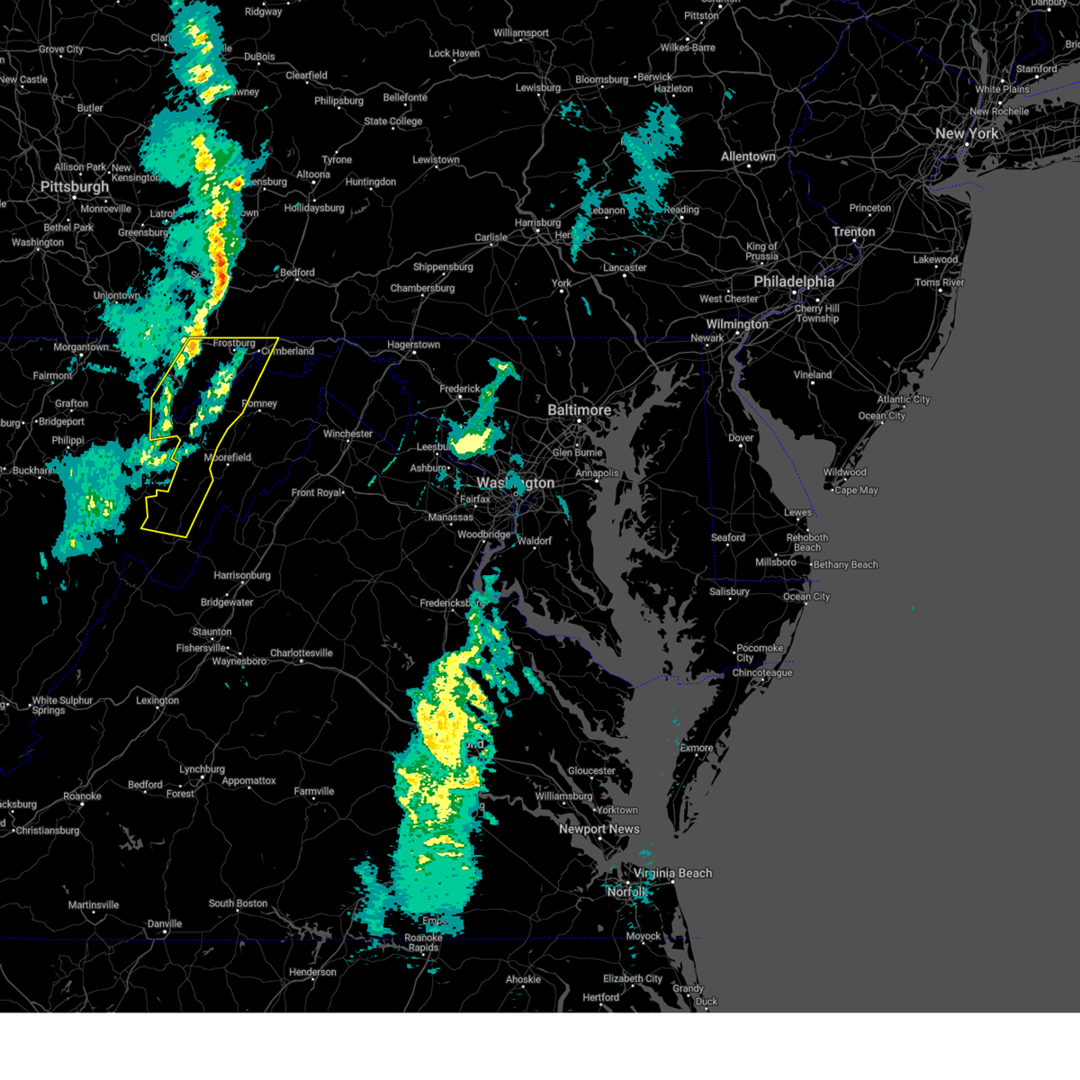 Svrlwx the national weather service in sterling virginia has issued a * severe thunderstorm warning for, western allegany county in western maryland, garrett county in western maryland, northern pendleton county in eastern west virginia, grant county in eastern west virginia, mineral county in eastern west virginia, * until 245 pm edt. * at 144 pm edt, severe thunderstorms were located along a line extending from grantsville to 9 miles south of davis, moving east at 30 mph (radar indicated). Hazards include 60 mph wind gusts. Damaging winds will cause some trees and large branches to fall. this could injure those outdoors, as well as damage homes and vehicles. roadways may become blocked by downed trees. localized power outages are possible. Unsecured light objects may become projectiles. Svrlwx the national weather service in sterling virginia has issued a * severe thunderstorm warning for, western allegany county in western maryland, garrett county in western maryland, northern pendleton county in eastern west virginia, grant county in eastern west virginia, mineral county in eastern west virginia, * until 245 pm edt. * at 144 pm edt, severe thunderstorms were located along a line extending from grantsville to 9 miles south of davis, moving east at 30 mph (radar indicated). Hazards include 60 mph wind gusts. Damaging winds will cause some trees and large branches to fall. this could injure those outdoors, as well as damage homes and vehicles. roadways may become blocked by downed trees. localized power outages are possible. Unsecured light objects may become projectiles.
|
| 8/18/2024 8:39 PM EDT |
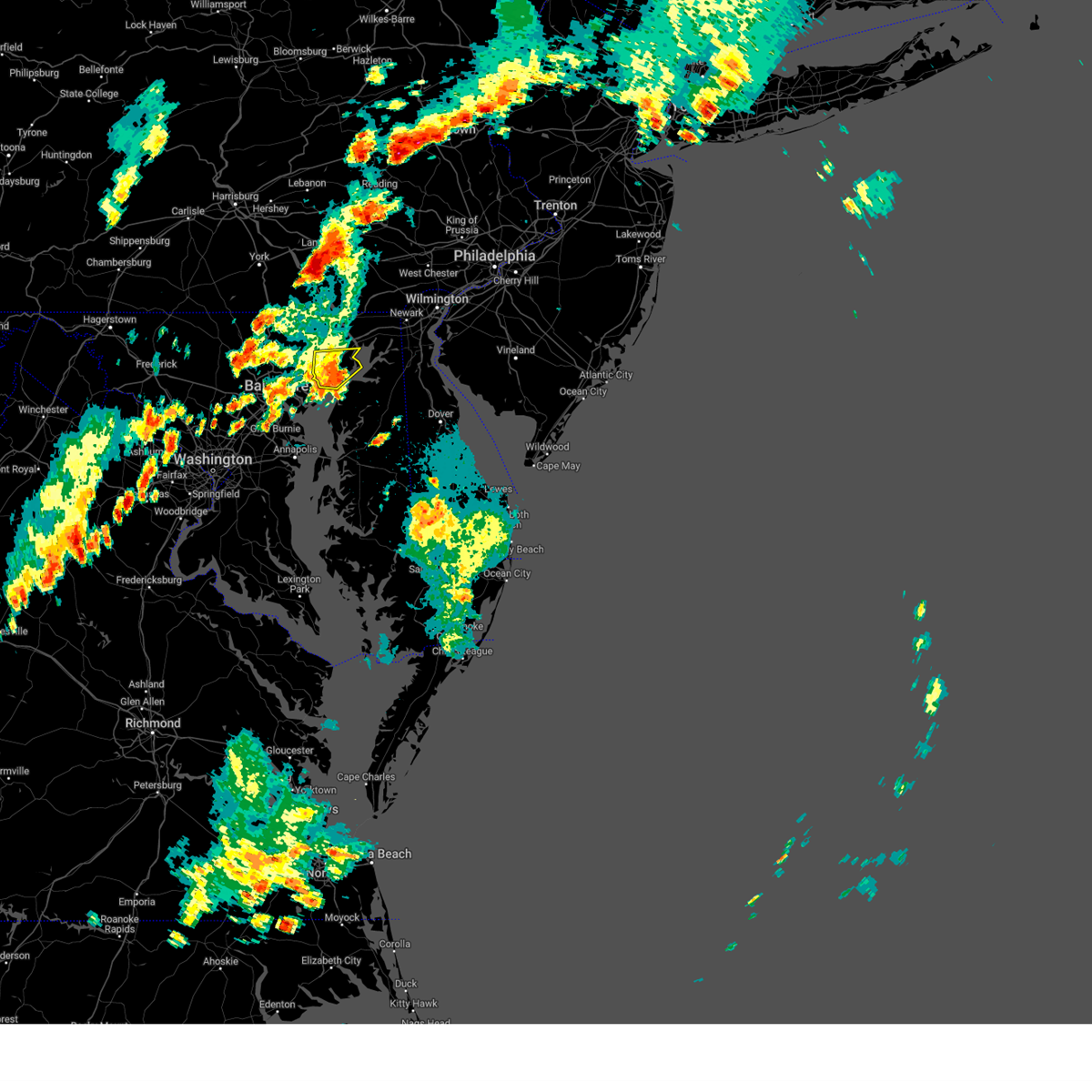 The storm which prompted the warning has weakened below severe limits, and no longer poses an immediate threat to life or property. therefore, the warning will be allowed to expire. however, heavy rain is still possible with this thunderstorm. a severe thunderstorm watch remains in effect until 1000 pm edt for northern maryland. to report severe weather, contact your nearest law enforcement agency. they will relay your report to the national weather service sterling virginia. The storm which prompted the warning has weakened below severe limits, and no longer poses an immediate threat to life or property. therefore, the warning will be allowed to expire. however, heavy rain is still possible with this thunderstorm. a severe thunderstorm watch remains in effect until 1000 pm edt for northern maryland. to report severe weather, contact your nearest law enforcement agency. they will relay your report to the national weather service sterling virginia.
|
| 8/18/2024 8:25 PM EDT |
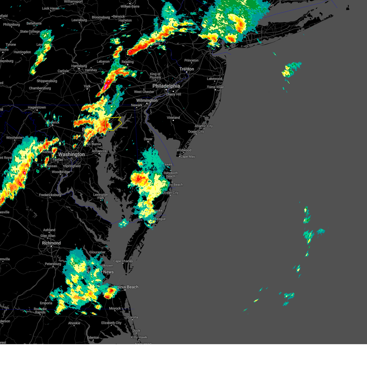 the severe thunderstorm warning has been cancelled and is no longer in effect the severe thunderstorm warning has been cancelled and is no longer in effect
|
| 8/18/2024 8:25 PM EDT |
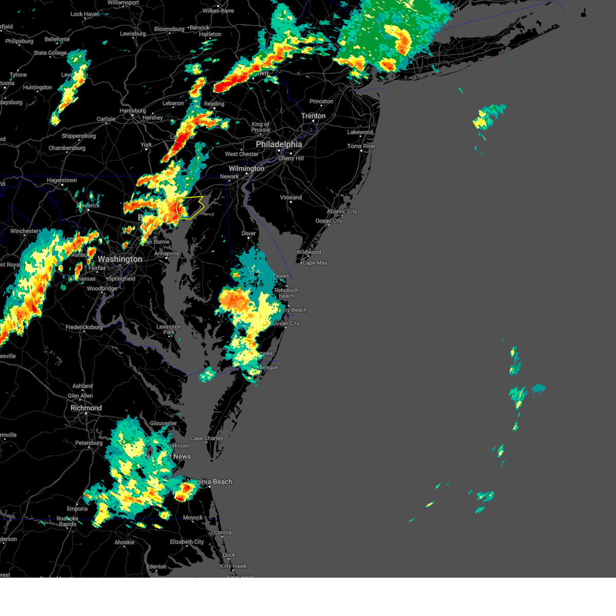 At 824 pm edt, a severe thunderstorm was located near riverside, or 8 miles southwest of aberdeen, moving east at 25 mph (radar indicated). Hazards include 60 mph wind gusts. Damaging winds will cause some trees and large branches to fall. this could injure those outdoors, as well as damage homes and vehicles. roadways may become blocked by downed trees. localized power outages are possible. unsecured light objects may become projectiles. Locations impacted include, aberdeen, havre de grace, aberdeen proving ground, bel air south, riverside, perryman, edgewood, joppatowne, magnolia, harford furnace, abingdon, joppa, and belcamp. At 824 pm edt, a severe thunderstorm was located near riverside, or 8 miles southwest of aberdeen, moving east at 25 mph (radar indicated). Hazards include 60 mph wind gusts. Damaging winds will cause some trees and large branches to fall. this could injure those outdoors, as well as damage homes and vehicles. roadways may become blocked by downed trees. localized power outages are possible. unsecured light objects may become projectiles. Locations impacted include, aberdeen, havre de grace, aberdeen proving ground, bel air south, riverside, perryman, edgewood, joppatowne, magnolia, harford furnace, abingdon, joppa, and belcamp.
|
| 8/18/2024 7:58 PM EDT |
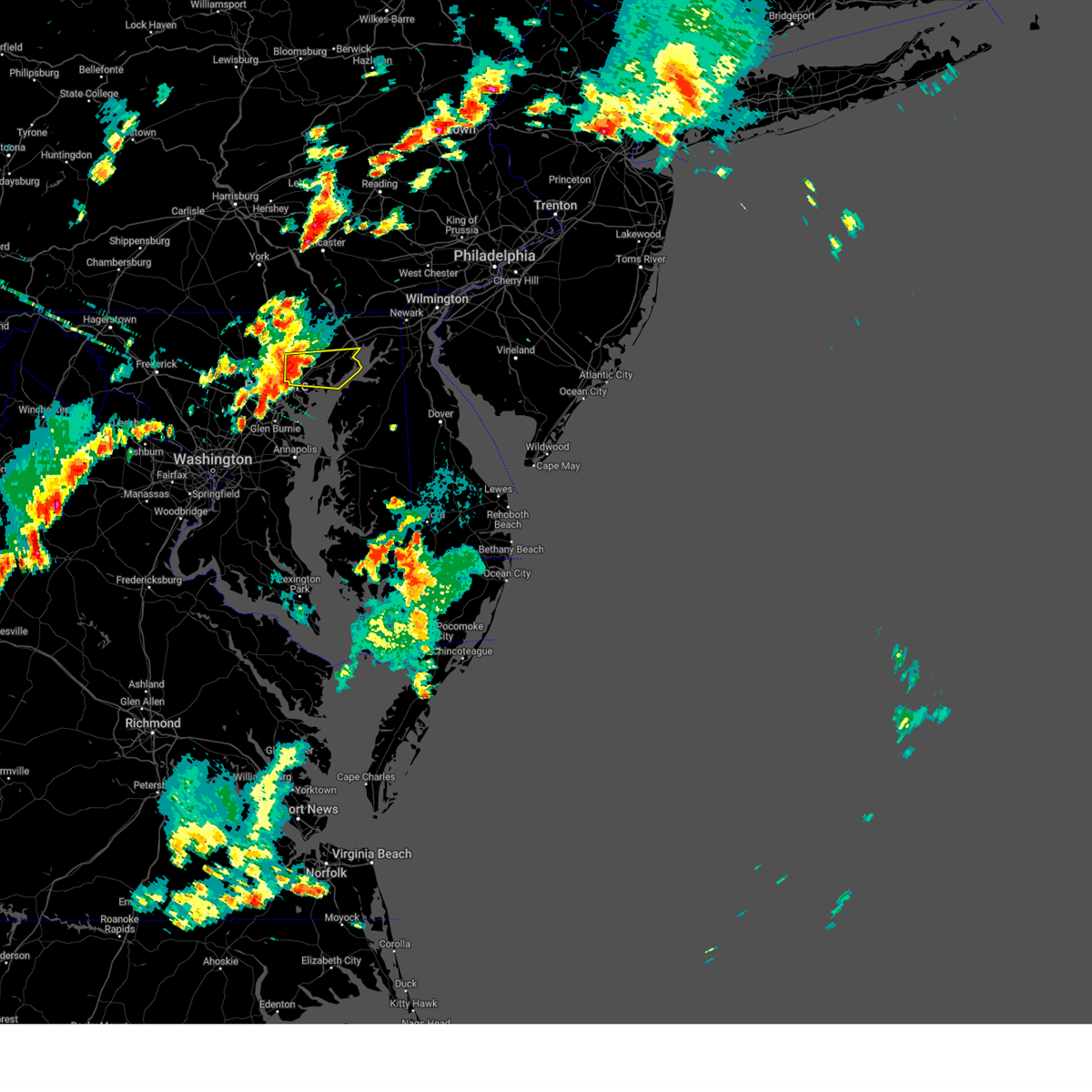 Svrlwx the national weather service in sterling virginia has issued a * severe thunderstorm warning for, southern harford county in northern maryland, east central baltimore county in northern maryland, * until 845 pm edt. * at 758 pm edt, a severe thunderstorm was located over perry hall, or near middle river, moving east at 30 mph (radar indicated). Hazards include 60 mph wind gusts and quarter size hail. Damaging winds will cause some trees and large branches to fall. this could injure those outdoors, as well as damage homes and vehicles. roadways may become blocked by downed trees. localized power outages are possible. Unsecured light objects may become projectiles. Svrlwx the national weather service in sterling virginia has issued a * severe thunderstorm warning for, southern harford county in northern maryland, east central baltimore county in northern maryland, * until 845 pm edt. * at 758 pm edt, a severe thunderstorm was located over perry hall, or near middle river, moving east at 30 mph (radar indicated). Hazards include 60 mph wind gusts and quarter size hail. Damaging winds will cause some trees and large branches to fall. this could injure those outdoors, as well as damage homes and vehicles. roadways may become blocked by downed trees. localized power outages are possible. Unsecured light objects may become projectiles.
|
| 8/6/2024 1:57 PM EDT |
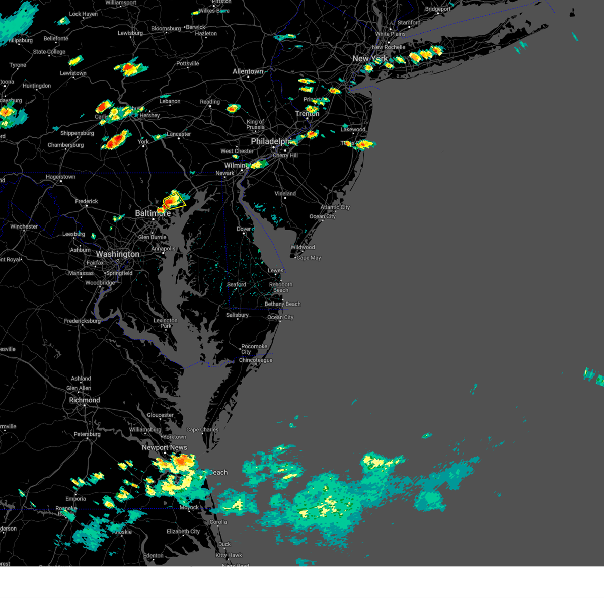 At 157 pm edt, a severe thunderstorm was located over kingsville, or near middle river, and is nearly stationary (radar indicated). Hazards include 60 mph wind gusts. Damaging winds will cause some trees and large branches to fall. this could injure those outdoors, as well as damage homes and vehicles. roadways may become blocked by downed trees. localized power outages are possible. unsecured light objects may become projectiles. Locations impacted include, bel air south, bel air north, perry hall, white marsh, fallston, kingsville, pleasant hills, perryman, edgewood, joppatowne, fork, benson, magnolia, bradshaw, abingdon, joppa, upper falls, and gunpowder. At 157 pm edt, a severe thunderstorm was located over kingsville, or near middle river, and is nearly stationary (radar indicated). Hazards include 60 mph wind gusts. Damaging winds will cause some trees and large branches to fall. this could injure those outdoors, as well as damage homes and vehicles. roadways may become blocked by downed trees. localized power outages are possible. unsecured light objects may become projectiles. Locations impacted include, bel air south, bel air north, perry hall, white marsh, fallston, kingsville, pleasant hills, perryman, edgewood, joppatowne, fork, benson, magnolia, bradshaw, abingdon, joppa, upper falls, and gunpowder.
|
| 8/6/2024 1:46 PM EDT |
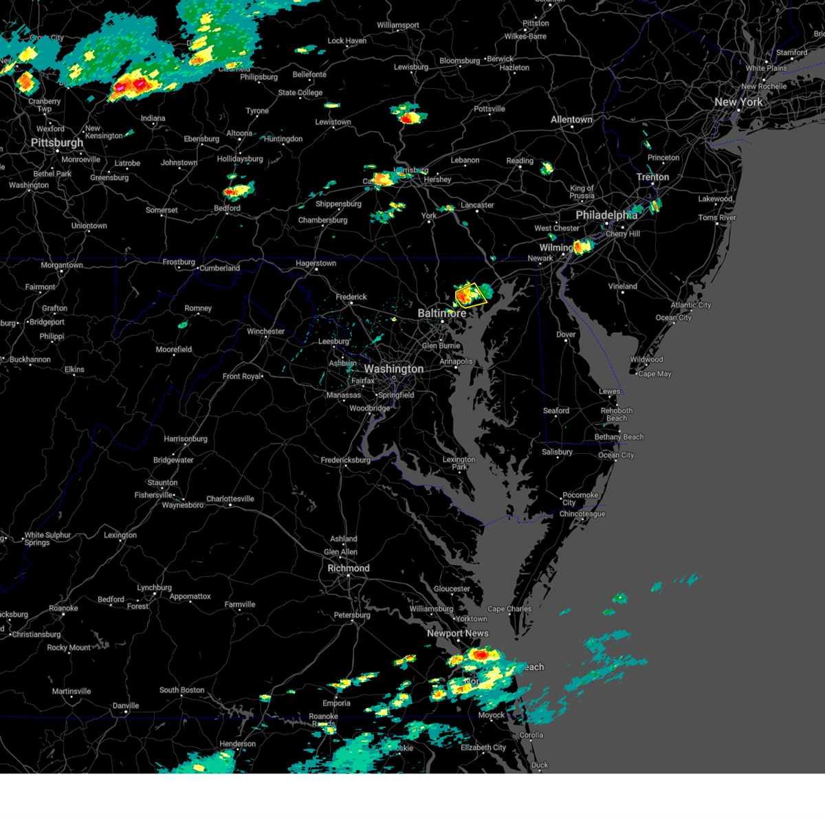 Svrlwx the national weather service in sterling virginia has issued a * severe thunderstorm warning for, central harford county in northern maryland, east central baltimore county in northern maryland, * until 215 pm edt. * at 146 pm edt, a severe thunderstorm was located over kingsville, or 8 miles north of middle river, moving east at 10 mph (radar indicated). Hazards include 60 mph wind gusts. Damaging winds will cause some trees and large branches to fall. this could injure those outdoors, as well as damage homes and vehicles. roadways may become blocked by downed trees. localized power outages are possible. Unsecured light objects may become projectiles. Svrlwx the national weather service in sterling virginia has issued a * severe thunderstorm warning for, central harford county in northern maryland, east central baltimore county in northern maryland, * until 215 pm edt. * at 146 pm edt, a severe thunderstorm was located over kingsville, or 8 miles north of middle river, moving east at 10 mph (radar indicated). Hazards include 60 mph wind gusts. Damaging winds will cause some trees and large branches to fall. this could injure those outdoors, as well as damage homes and vehicles. roadways may become blocked by downed trees. localized power outages are possible. Unsecured light objects may become projectiles.
|
| 8/3/2024 5:27 PM EDT | Numerous reports of trees down in the southeast part of bel air... including trees down on wires and a tree down on a house. a metal sheet roof on a deck was also blown in harford county MD, 136.1 miles W of Bel Air, MD |
| 8/3/2024 5:22 PM EDT |
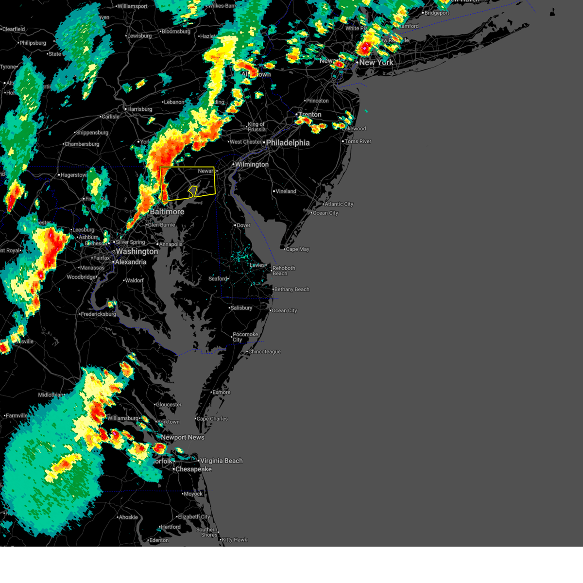 Svrlwx the national weather service in sterling virginia has issued a * severe thunderstorm warning for, harford county in northern maryland, cecil county in northeastern maryland, east central baltimore county in northern maryland, * until 615 pm edt. * at 521 pm edt, severe thunderstorms were located along a line extending from near sunnyburn to near kingsville, moving east at 35 mph (radar indicated). Hazards include 60 mph wind gusts. Damaging winds will cause some trees and large branches to fall. this could injure those outdoors, as well as damage homes and vehicles. roadways may become blocked by downed trees. localized power outages are possible. Unsecured light objects may become projectiles. Svrlwx the national weather service in sterling virginia has issued a * severe thunderstorm warning for, harford county in northern maryland, cecil county in northeastern maryland, east central baltimore county in northern maryland, * until 615 pm edt. * at 521 pm edt, severe thunderstorms were located along a line extending from near sunnyburn to near kingsville, moving east at 35 mph (radar indicated). Hazards include 60 mph wind gusts. Damaging winds will cause some trees and large branches to fall. this could injure those outdoors, as well as damage homes and vehicles. roadways may become blocked by downed trees. localized power outages are possible. Unsecured light objects may become projectiles.
|
| 8/3/2024 5:12 PM EDT |
 At 512 pm edt, severe thunderstorms were located along a line extending from near jarrettsville to near fallston to near lochearn, moving northeast at 30 mph (radar indicated). Hazards include 60 mph wind gusts. Damaging winds will cause some trees and large branches to fall. this could injure those outdoors, as well as damage homes and vehicles. roadways may become blocked by downed trees. localized power outages are possible. unsecured light objects may become projectiles. Locations impacted include, baltimore, pikesville, middle river, cockeysville, towson, catonsville, woodlawn, parkville, bel air north, carney, milford mill, perry hall, lochearn, rosedale, rossville, mays chapel, timonium, white marsh, fallston, and hampton. At 512 pm edt, severe thunderstorms were located along a line extending from near jarrettsville to near fallston to near lochearn, moving northeast at 30 mph (radar indicated). Hazards include 60 mph wind gusts. Damaging winds will cause some trees and large branches to fall. this could injure those outdoors, as well as damage homes and vehicles. roadways may become blocked by downed trees. localized power outages are possible. unsecured light objects may become projectiles. Locations impacted include, baltimore, pikesville, middle river, cockeysville, towson, catonsville, woodlawn, parkville, bel air north, carney, milford mill, perry hall, lochearn, rosedale, rossville, mays chapel, timonium, white marsh, fallston, and hampton.
|
| 8/3/2024 5:12 PM EDT |
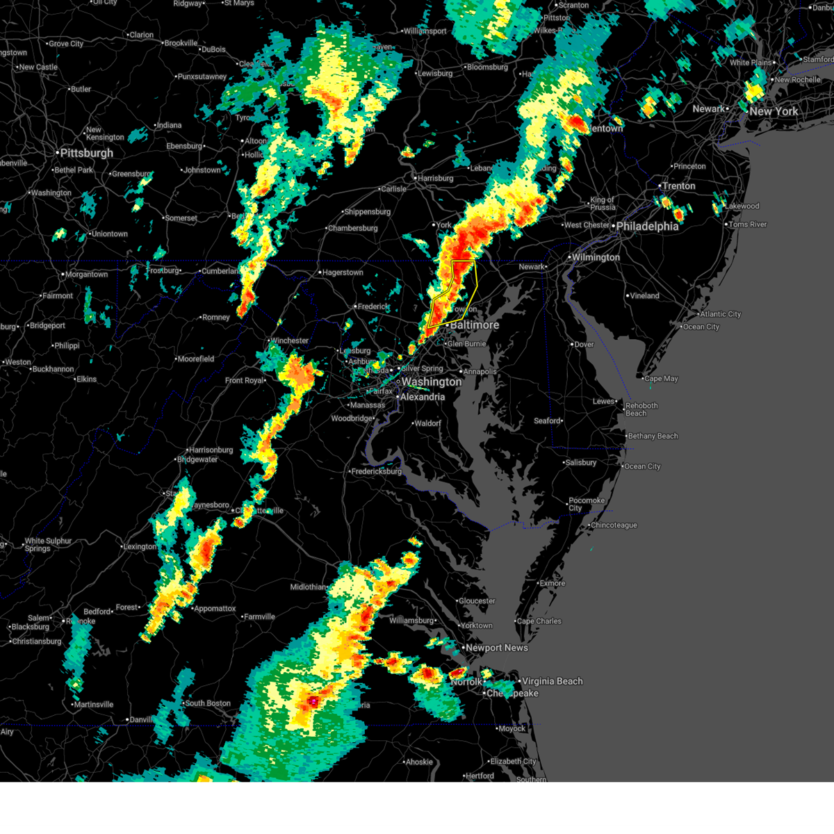 the severe thunderstorm warning has been cancelled and is no longer in effect the severe thunderstorm warning has been cancelled and is no longer in effect
|
| 8/3/2024 4:42 PM EDT |
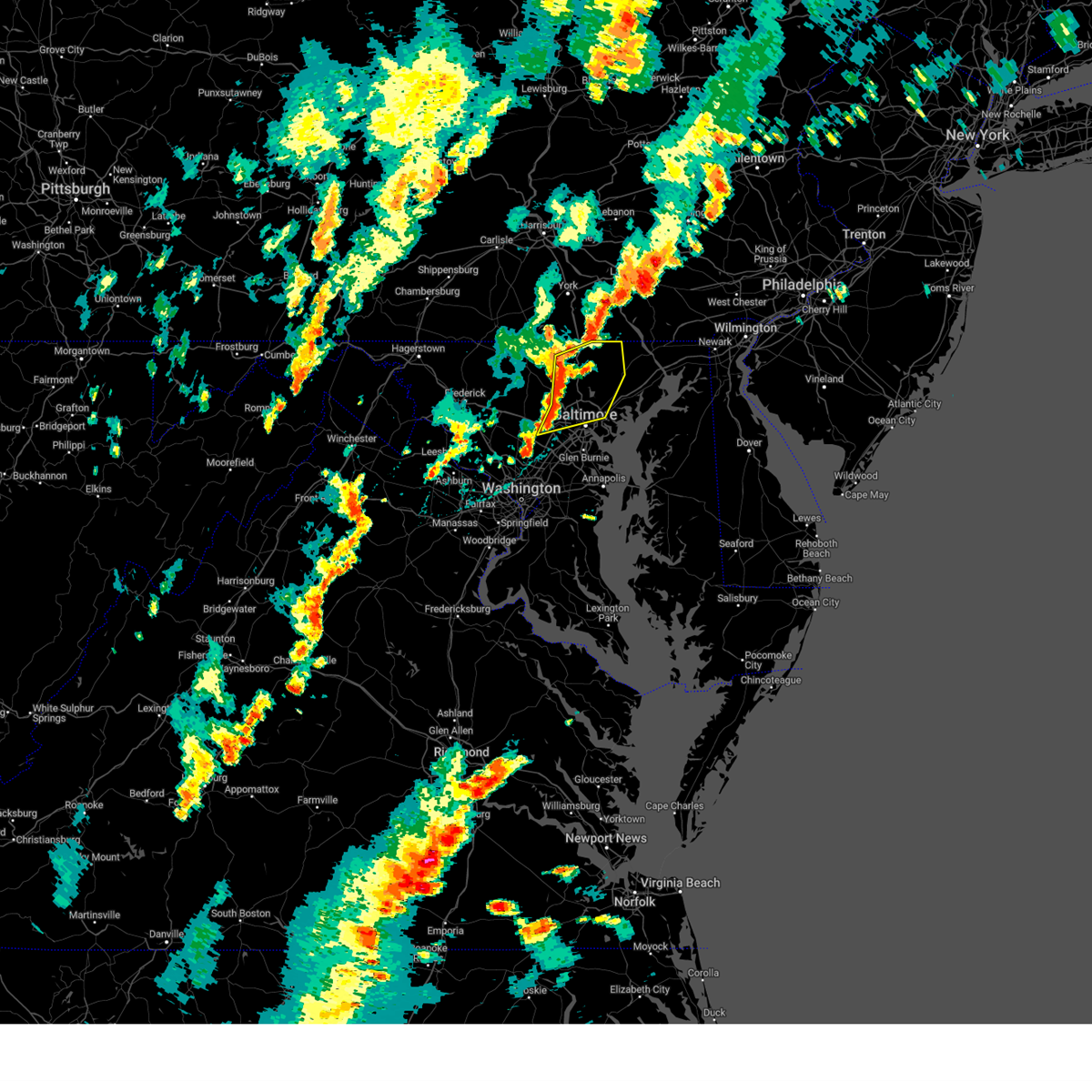 Svrlwx the national weather service in sterling virginia has issued a * severe thunderstorm warning for, northern baltimore city in northern maryland, northeastern howard county in central maryland, northwestern harford county in northern maryland, baltimore county in northern maryland, * until 530 pm edt. * at 442 pm edt, severe thunderstorms were located along a line extending from near hampstead to owings mills to near ellicott city, moving east at 30 mph (radar indicated). Hazards include 60 mph wind gusts. Damaging winds will cause some trees and large branches to fall. this could injure those outdoors, as well as damage homes and vehicles. roadways may become blocked by downed trees. localized power outages are possible. Unsecured light objects may become projectiles. Svrlwx the national weather service in sterling virginia has issued a * severe thunderstorm warning for, northern baltimore city in northern maryland, northeastern howard county in central maryland, northwestern harford county in northern maryland, baltimore county in northern maryland, * until 530 pm edt. * at 442 pm edt, severe thunderstorms were located along a line extending from near hampstead to owings mills to near ellicott city, moving east at 30 mph (radar indicated). Hazards include 60 mph wind gusts. Damaging winds will cause some trees and large branches to fall. this could injure those outdoors, as well as damage homes and vehicles. roadways may become blocked by downed trees. localized power outages are possible. Unsecured light objects may become projectiles.
|
| 8/2/2024 4:10 PM EDT | A couple trees down on priestford road. road close in harford county MD, 138.7 miles W of Bel Air, MD |
| 8/2/2024 4:10 PM EDT | Multiple trees reported down on the 1400 block of gunston roa in harford county MD, 137.6 miles W of Bel Air, MD |
| 7/14/2024 5:10 PM EDT |
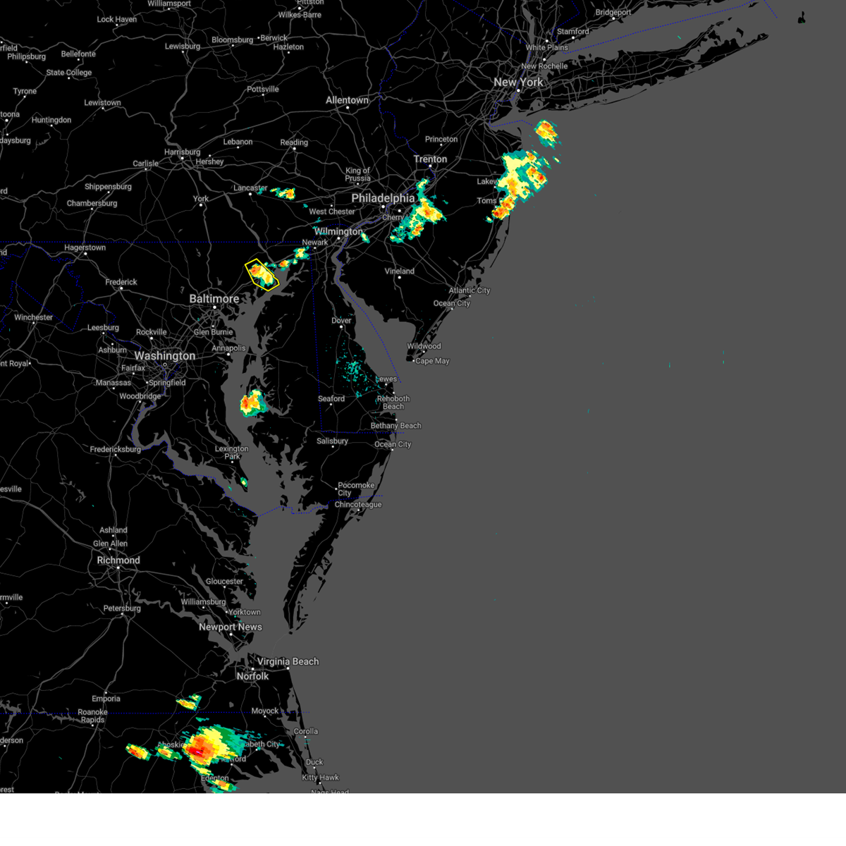 The storm which prompted the warning has weakened below severe limits, and no longer poses an immediate threat to life or property. therefore, the warning will be allowed to expire. however, gusty winds and heavy rain are still possible with this thunderstorm. to report severe weather, contact your nearest law enforcement agency. they will relay your report to the national weather service sterling virginia. The storm which prompted the warning has weakened below severe limits, and no longer poses an immediate threat to life or property. therefore, the warning will be allowed to expire. however, gusty winds and heavy rain are still possible with this thunderstorm. to report severe weather, contact your nearest law enforcement agency. they will relay your report to the national weather service sterling virginia.
|
| 7/14/2024 5:00 PM EDT |
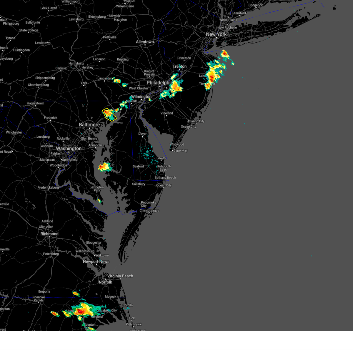 At 500 pm edt, a severe thunderstorm was located over aberdeen, moving southeast at 10 mph (radar indicated). Hazards include 60 mph wind gusts. Damaging winds will cause some trees and large branches to fall. this could injure those outdoors, as well as damage homes and vehicles. roadways may become blocked by downed trees. localized power outages are possible. unsecured light objects may become projectiles. Locations impacted include, aberdeen, aberdeen proving ground, bel air south, bel air north, riverside, perryman, churchville, harford furnace, carsins, belcamp, and abingdon. At 500 pm edt, a severe thunderstorm was located over aberdeen, moving southeast at 10 mph (radar indicated). Hazards include 60 mph wind gusts. Damaging winds will cause some trees and large branches to fall. this could injure those outdoors, as well as damage homes and vehicles. roadways may become blocked by downed trees. localized power outages are possible. unsecured light objects may become projectiles. Locations impacted include, aberdeen, aberdeen proving ground, bel air south, bel air north, riverside, perryman, churchville, harford furnace, carsins, belcamp, and abingdon.
|
| 7/14/2024 4:31 PM EDT |
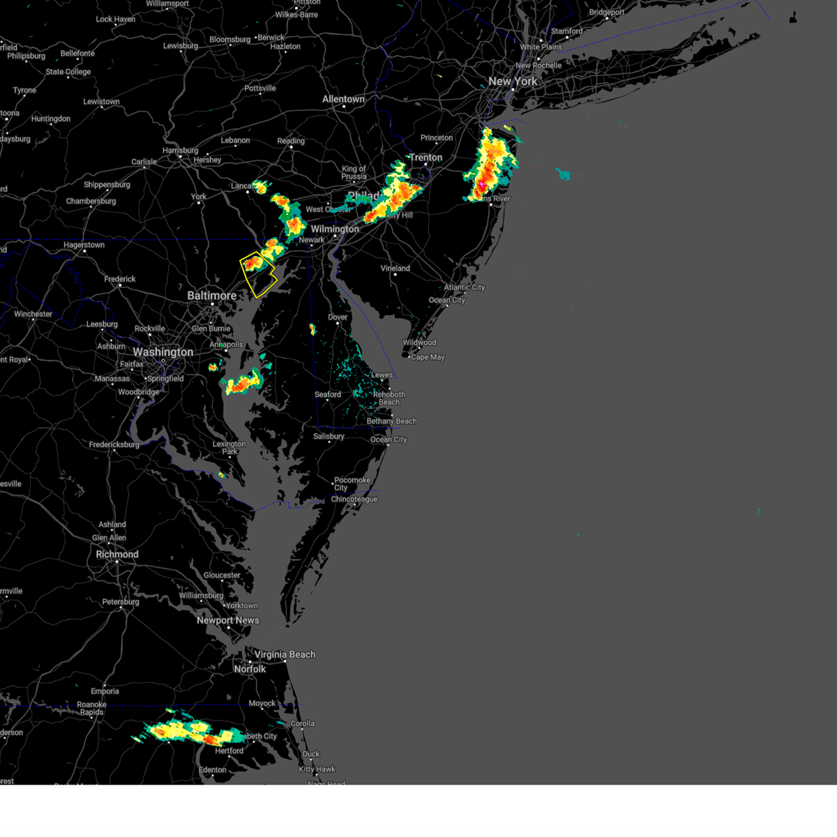 Svrlwx the national weather service in sterling virginia has issued a * severe thunderstorm warning for, eastern harford county in northern maryland, * until 515 pm edt. * at 430 pm edt, a severe thunderstorm was located near bel air south, or near aberdeen, moving southeast at 10 mph (radar indicated). Hazards include 60 mph wind gusts. Damaging winds will cause some trees and large branches to fall. this could injure those outdoors, as well as damage homes and vehicles. roadways may become blocked by downed trees. localized power outages are possible. Unsecured light objects may become projectiles. Svrlwx the national weather service in sterling virginia has issued a * severe thunderstorm warning for, eastern harford county in northern maryland, * until 515 pm edt. * at 430 pm edt, a severe thunderstorm was located near bel air south, or near aberdeen, moving southeast at 10 mph (radar indicated). Hazards include 60 mph wind gusts. Damaging winds will cause some trees and large branches to fall. this could injure those outdoors, as well as damage homes and vehicles. roadways may become blocked by downed trees. localized power outages are possible. Unsecured light objects may become projectiles.
|
| 6/30/2024 7:14 PM EDT |
 Svrlwx the national weather service in sterling virginia has issued a * severe thunderstorm warning for, harford county in northern maryland, northwestern cecil county in northeastern maryland, * until 745 pm edt. * at 714 pm edt, a severe thunderstorm was located near jarrettsville, or 16 miles northwest of aberdeen, moving southeast at 25 mph (radar indicated). Hazards include 60 mph wind gusts. Damaging winds will cause some trees and large branches to fall. this could injure those outdoors, as well as damage homes and vehicles. roadways may become blocked by downed trees. localized power outages are possible. Unsecured light objects may become projectiles. Svrlwx the national weather service in sterling virginia has issued a * severe thunderstorm warning for, harford county in northern maryland, northwestern cecil county in northeastern maryland, * until 745 pm edt. * at 714 pm edt, a severe thunderstorm was located near jarrettsville, or 16 miles northwest of aberdeen, moving southeast at 25 mph (radar indicated). Hazards include 60 mph wind gusts. Damaging winds will cause some trees and large branches to fall. this could injure those outdoors, as well as damage homes and vehicles. roadways may become blocked by downed trees. localized power outages are possible. Unsecured light objects may become projectiles.
|
| 6/26/2024 11:08 PM EDT |
 The storm which prompted the warning has weakened below severe limits, and has exited the warned area. therefore, the warning will be allowed to expire. however, heavy rain is still possible with this thunderstorm. a severe thunderstorm watch remains in effect until midnight edt for northern maryland. The storm which prompted the warning has weakened below severe limits, and has exited the warned area. therefore, the warning will be allowed to expire. however, heavy rain is still possible with this thunderstorm. a severe thunderstorm watch remains in effect until midnight edt for northern maryland.
|
| 6/26/2024 10:59 PM EDT |
 At 1059 pm edt, a severe thunderstorm was located over bel air south, or 9 miles west of aberdeen, moving northeast at 30 mph (radar indicated). Hazards include 60 mph wind gusts. Damaging winds will cause some trees and large branches to fall. this could injure those outdoors, as well as damage homes and vehicles. roadways may become blocked by downed trees. localized power outages are possible. unsecured light objects may become projectiles. Locations impacted include, bel air south, riverside, kingsville, pleasant hills, perryman, edgewood, joppatowne, churchville, bradshaw, harford furnace, abingdon, joppa, upper falls, gunpowder, and belcamp. At 1059 pm edt, a severe thunderstorm was located over bel air south, or 9 miles west of aberdeen, moving northeast at 30 mph (radar indicated). Hazards include 60 mph wind gusts. Damaging winds will cause some trees and large branches to fall. this could injure those outdoors, as well as damage homes and vehicles. roadways may become blocked by downed trees. localized power outages are possible. unsecured light objects may become projectiles. Locations impacted include, bel air south, riverside, kingsville, pleasant hills, perryman, edgewood, joppatowne, churchville, bradshaw, harford furnace, abingdon, joppa, upper falls, gunpowder, and belcamp.
|
| 6/26/2024 10:44 PM EDT |
 Svrlwx the national weather service in sterling virginia has issued a * severe thunderstorm warning for, central harford county in northern maryland, east central baltimore county in northern maryland, * until 1115 pm edt. * at 1044 pm edt, a severe thunderstorm was located over perry hall, or near middle river, moving northeast at 35 mph (radar indicated). Hazards include 60 mph wind gusts. Damaging winds will cause some trees and large branches to fall. this could injure those outdoors, as well as damage homes and vehicles. roadways may become blocked by downed trees. localized power outages are possible. Unsecured light objects may become projectiles. Svrlwx the national weather service in sterling virginia has issued a * severe thunderstorm warning for, central harford county in northern maryland, east central baltimore county in northern maryland, * until 1115 pm edt. * at 1044 pm edt, a severe thunderstorm was located over perry hall, or near middle river, moving northeast at 35 mph (radar indicated). Hazards include 60 mph wind gusts. Damaging winds will cause some trees and large branches to fall. this could injure those outdoors, as well as damage homes and vehicles. roadways may become blocked by downed trees. localized power outages are possible. Unsecured light objects may become projectiles.
|
| 6/5/2024 7:37 PM EDT |
 Torlwx the national weather service in sterling virginia has issued a * tornado warning for, central harford county in northern maryland, east central baltimore county in northern maryland, * until 815 pm edt. * at 737 pm edt, a severe thunderstorm capable of producing a tornado was located over perry hall, or near middle river, moving northeast at 10 mph (radar indicated rotation). Hazards include tornado. For those in the direct path of a tornado touchdown, flying debris will be dangerous to those caught without shelter. damage to roofs, siding, and windows may occur. mobile homes may be damaged or destroyed. tree damage is likely. this dangerous storm will be near, bel air north, perry hall, fallston, kingsville, and pleasant hills around 740 pm edt. Other locations impacted by this tornadic thunderstorm include glen arm, fork, benson, joppa, upper falls, gunpowder, bradshaw, joppatowne, and edgewood. Torlwx the national weather service in sterling virginia has issued a * tornado warning for, central harford county in northern maryland, east central baltimore county in northern maryland, * until 815 pm edt. * at 737 pm edt, a severe thunderstorm capable of producing a tornado was located over perry hall, or near middle river, moving northeast at 10 mph (radar indicated rotation). Hazards include tornado. For those in the direct path of a tornado touchdown, flying debris will be dangerous to those caught without shelter. damage to roofs, siding, and windows may occur. mobile homes may be damaged or destroyed. tree damage is likely. this dangerous storm will be near, bel air north, perry hall, fallston, kingsville, and pleasant hills around 740 pm edt. Other locations impacted by this tornadic thunderstorm include glen arm, fork, benson, joppa, upper falls, gunpowder, bradshaw, joppatowne, and edgewood.
|
| 6/5/2024 7:12 PM EDT |
 At 712 pm edt, a severe thunderstorm capable of producing a tornado was located over perry hall, or 7 miles northwest of middle river, moving northeast at 15 mph (radar indicated rotation). Hazards include tornado. For those in the direct path of a tornado touchdown, flying debris will be dangerous to those caught without shelter. damage to roofs, siding, and windows may occur. mobile homes may be damaged or destroyed. tree damage is likely. this dangerous storm will be near, bel air south, bel air north, perry hall, white marsh, fallston, kingsville, and pleasant hills around 715 pm edt. Other locations impacted by this tornadic thunderstorm include nottingham, glen arm, fork, benson, baldwin, long green, hydes, bradshaw, loch raven, and upper falls. At 712 pm edt, a severe thunderstorm capable of producing a tornado was located over perry hall, or 7 miles northwest of middle river, moving northeast at 15 mph (radar indicated rotation). Hazards include tornado. For those in the direct path of a tornado touchdown, flying debris will be dangerous to those caught without shelter. damage to roofs, siding, and windows may occur. mobile homes may be damaged or destroyed. tree damage is likely. this dangerous storm will be near, bel air south, bel air north, perry hall, white marsh, fallston, kingsville, and pleasant hills around 715 pm edt. Other locations impacted by this tornadic thunderstorm include nottingham, glen arm, fork, benson, baldwin, long green, hydes, bradshaw, loch raven, and upper falls.
|
| 6/5/2024 7:04 PM EDT |
 At 704 pm edt, a severe thunderstorm capable of producing a tornado was located over hampton, or near cockeysville, moving northeast at 10 mph (radar indicated rotation). Hazards include tornado. For those in the direct path of a tornado touchdown, flying debris will be dangerous to those caught without shelter. damage to roofs, siding, and windows may occur. mobile homes may be damaged or destroyed. tree damage is likely. this dangerous storm will be near, cockeysville, carney, perry hall, rossville, timonium, white marsh, hampton, kingsville, and lutherville-timonium around 710 pm edt. Other locations impacted by this tornadic thunderstorm include nottingham, glen arm, fork, benson, baldwin, lutherville, long green, eudowood, hydes, and bradshaw. At 704 pm edt, a severe thunderstorm capable of producing a tornado was located over hampton, or near cockeysville, moving northeast at 10 mph (radar indicated rotation). Hazards include tornado. For those in the direct path of a tornado touchdown, flying debris will be dangerous to those caught without shelter. damage to roofs, siding, and windows may occur. mobile homes may be damaged or destroyed. tree damage is likely. this dangerous storm will be near, cockeysville, carney, perry hall, rossville, timonium, white marsh, hampton, kingsville, and lutherville-timonium around 710 pm edt. Other locations impacted by this tornadic thunderstorm include nottingham, glen arm, fork, benson, baldwin, lutherville, long green, eudowood, hydes, and bradshaw.
|
| 6/5/2024 6:59 PM EDT |
 Torlwx the national weather service in sterling virginia has issued a * tornado warning for, west central harford county in northern maryland, northeastern baltimore county in northern maryland, * until 745 pm edt. * at 659 pm edt, a severe thunderstorm capable of producing a tornado was located over hampton, or near cockeysville, moving northeast at 15 mph (radar indicated rotation). Hazards include tornado. For those in the direct path of a tornado touchdown, flying debris will be dangerous to those caught without shelter. damage to roofs, siding, and windows may occur. mobile homes may be damaged or destroyed. tree damage is likely. this dangerous storm will be near, cockeysville, carney, perry hall, rossville, timonium, white marsh, fallston, hampton, kingsville, and pleasant hills around 705 pm edt. Other locations impacted by this tornadic thunderstorm include nottingham, glen arm, fork, benson, fullerton, baldwin, lutherville, long green, eudowood, and hydes. Torlwx the national weather service in sterling virginia has issued a * tornado warning for, west central harford county in northern maryland, northeastern baltimore county in northern maryland, * until 745 pm edt. * at 659 pm edt, a severe thunderstorm capable of producing a tornado was located over hampton, or near cockeysville, moving northeast at 15 mph (radar indicated rotation). Hazards include tornado. For those in the direct path of a tornado touchdown, flying debris will be dangerous to those caught without shelter. damage to roofs, siding, and windows may occur. mobile homes may be damaged or destroyed. tree damage is likely. this dangerous storm will be near, cockeysville, carney, perry hall, rossville, timonium, white marsh, fallston, hampton, kingsville, and pleasant hills around 705 pm edt. Other locations impacted by this tornadic thunderstorm include nottingham, glen arm, fork, benson, fullerton, baldwin, lutherville, long green, eudowood, and hydes.
|
| 5/26/2024 8:53 PM EDT |
 At 850 pm edt, severe thunderstorms were located along a line extending from mount davis to near westernport to moorefield to 6 miles southwest of mathias to near broadway, moving east at 35 mph. these storms have a history of storm damage including numerous trees reported down (radar indicated. impact...damaging winds will cause some trees and large branches to fall. this could injure those outdoors, as well as damage homes and vehicles. roadways may become blocked by downed trees. localized power outages are possible. unsecured light objects may become projectiles. locations impacted include, cumberland, frostburg, keyser, woodstock, westernport, romney, bel air, luray, la vale, timberville, shenandoah, mount jackson, stanley, fort ashby, lonaconing, piedmont, basye-bryce mountain, mathias, big meadows, and ridgeley). Hazards include 60 mph wind gusts and quarter size hail. At 850 pm edt, severe thunderstorms were located along a line extending from mount davis to near westernport to moorefield to 6 miles southwest of mathias to near broadway, moving east at 35 mph. these storms have a history of storm damage including numerous trees reported down (radar indicated. impact...damaging winds will cause some trees and large branches to fall. this could injure those outdoors, as well as damage homes and vehicles. roadways may become blocked by downed trees. localized power outages are possible. unsecured light objects may become projectiles. locations impacted include, cumberland, frostburg, keyser, woodstock, westernport, romney, bel air, luray, la vale, timberville, shenandoah, mount jackson, stanley, fort ashby, lonaconing, piedmont, basye-bryce mountain, mathias, big meadows, and ridgeley). Hazards include 60 mph wind gusts and quarter size hail.
|
| 5/26/2024 8:53 PM EDT |
 the severe thunderstorm warning has been cancelled and is no longer in effect the severe thunderstorm warning has been cancelled and is no longer in effect
|
| 5/26/2024 8:17 PM EDT |
 Svrlwx the national weather service in sterling virginia has issued a * severe thunderstorm warning for, northeastern garrett county in western maryland, western allegany county in western maryland, shenandoah county in northwestern virginia, southwestern rappahannock county in northwestern virginia, northwestern madison county in northwestern virginia, northeastern rockingham county in western virginia, page county in northwestern virginia, northwestern greene county in central virginia, eastern grant county in eastern west virginia, mineral county in eastern west virginia, east central pendleton county in eastern west virginia, hardy county in eastern west virginia, western hampshire county in eastern west virginia, * until 915 pm edt. * at 817 pm edt, severe thunderstorms were located along a line extending from friendsville to near deer park to 6 miles west of rough run to near brandywine to 13 miles west of dale enterprise, moving northeast at 35 mph (radar indicated). Hazards include 60 mph wind gusts and quarter size hail. Damaging winds will cause some trees and large branches to fall. this could injure those outdoors, as well as damage homes and vehicles. roadways may become blocked by downed trees. localized power outages are possible. Unsecured light objects may become projectiles. Svrlwx the national weather service in sterling virginia has issued a * severe thunderstorm warning for, northeastern garrett county in western maryland, western allegany county in western maryland, shenandoah county in northwestern virginia, southwestern rappahannock county in northwestern virginia, northwestern madison county in northwestern virginia, northeastern rockingham county in western virginia, page county in northwestern virginia, northwestern greene county in central virginia, eastern grant county in eastern west virginia, mineral county in eastern west virginia, east central pendleton county in eastern west virginia, hardy county in eastern west virginia, western hampshire county in eastern west virginia, * until 915 pm edt. * at 817 pm edt, severe thunderstorms were located along a line extending from friendsville to near deer park to 6 miles west of rough run to near brandywine to 13 miles west of dale enterprise, moving northeast at 35 mph (radar indicated). Hazards include 60 mph wind gusts and quarter size hail. Damaging winds will cause some trees and large branches to fall. this could injure those outdoors, as well as damage homes and vehicles. roadways may become blocked by downed trees. localized power outages are possible. Unsecured light objects may become projectiles.
|
| 4/3/2024 2:01 AM EDT |
 the severe thunderstorm warning has been cancelled and is no longer in effect the severe thunderstorm warning has been cancelled and is no longer in effect
|
| 4/3/2024 1:52 AM EDT |
 At 152 am edt, a severe thunderstorm was located over bayard, moving northeast at 40 mph (radar indicated). Hazards include 60 mph wind gusts and quarter size hail. Damaging winds will cause some trees and large branches to fall. this could injure those outdoors, as well as damage homes and vehicles. roadways may become blocked by downed trees. localized power outages are possible. unsecured light objects may become projectiles. Locations impacted include, cumberland, frostburg, keyser, mountain lake park, oakland, westernport, bel air, bayard, bittinger, la vale, fort ashby, lonaconing, piedmont, loch lynn heights, deer park, elk garden, kitzmiller, cresaptown, potomac park, and wiley ford. At 152 am edt, a severe thunderstorm was located over bayard, moving northeast at 40 mph (radar indicated). Hazards include 60 mph wind gusts and quarter size hail. Damaging winds will cause some trees and large branches to fall. this could injure those outdoors, as well as damage homes and vehicles. roadways may become blocked by downed trees. localized power outages are possible. unsecured light objects may become projectiles. Locations impacted include, cumberland, frostburg, keyser, mountain lake park, oakland, westernport, bel air, bayard, bittinger, la vale, fort ashby, lonaconing, piedmont, loch lynn heights, deer park, elk garden, kitzmiller, cresaptown, potomac park, and wiley ford.
|
| 4/3/2024 1:34 AM EDT |
 Svrlwx the national weather service in sterling virginia has issued a * severe thunderstorm warning for, western allegany county in western maryland, garrett county in western maryland, northern grant county in eastern west virginia, mineral county in eastern west virginia, central hampshire county in eastern west virginia, * until 215 am edt. * at 133 am edt, a severe thunderstorm was located near thomas, moving northeast at 40 mph (radar indicated). Hazards include 60 mph wind gusts and quarter size hail. Damaging winds will cause some trees and large branches to fall. this could injure those outdoors, as well as damage homes and vehicles. roadways may become blocked by downed trees. localized power outages are possible. Unsecured light objects may become projectiles. Svrlwx the national weather service in sterling virginia has issued a * severe thunderstorm warning for, western allegany county in western maryland, garrett county in western maryland, northern grant county in eastern west virginia, mineral county in eastern west virginia, central hampshire county in eastern west virginia, * until 215 am edt. * at 133 am edt, a severe thunderstorm was located near thomas, moving northeast at 40 mph (radar indicated). Hazards include 60 mph wind gusts and quarter size hail. Damaging winds will cause some trees and large branches to fall. this could injure those outdoors, as well as damage homes and vehicles. roadways may become blocked by downed trees. localized power outages are possible. Unsecured light objects may become projectiles.
|
| 9/13/2023 12:22 AM EDT |
 The tornado warning for central harford and east central baltimore counties will expire at 1230 am edt, the storm which prompted the warning has weakened below severe limits, and no longer appears capable of producing a tornado. therefore, the warning will be allowed to expire. The tornado warning for central harford and east central baltimore counties will expire at 1230 am edt, the storm which prompted the warning has weakened below severe limits, and no longer appears capable of producing a tornado. therefore, the warning will be allowed to expire.
|
| 9/13/2023 12:21 AM EDT | Tree knocked down onto power pole at 2711 forge hill rd in harford county MD, 136 miles W of Bel Air, MD |
| 9/13/2023 12:12 AM EDT |
 At 1212 am edt, a severe thunderstorm capable of producing a tornado was located over pleasant hills, or 9 miles west of aberdeen, moving northeast at 20 mph (radar indicated rotation). Hazards include tornado. For those in the direct path of a tornado touchdown, flying debris will be dangerous to those caught without shelter. damage to roofs, siding, and windows may occur. mobile homes may be damaged or destroyed. tree damage is likely. this dangerous storm will be near, bel air south, riverside, pleasant hills, and perryman around 1215 am edt. Other locations impacted by this tornadic thunderstorm include harford furnace, abingdon, joppa, belcamp, bradshaw, joppatowne, and edgewood. At 1212 am edt, a severe thunderstorm capable of producing a tornado was located over pleasant hills, or 9 miles west of aberdeen, moving northeast at 20 mph (radar indicated rotation). Hazards include tornado. For those in the direct path of a tornado touchdown, flying debris will be dangerous to those caught without shelter. damage to roofs, siding, and windows may occur. mobile homes may be damaged or destroyed. tree damage is likely. this dangerous storm will be near, bel air south, riverside, pleasant hills, and perryman around 1215 am edt. Other locations impacted by this tornadic thunderstorm include harford furnace, abingdon, joppa, belcamp, bradshaw, joppatowne, and edgewood.
|
| 9/12/2023 11:56 PM EDT |
 At 1155 pm edt, a severe thunderstorm capable of producing a tornado was located over perry hall, or near middle river, moving northeast at 20 mph (radar indicated rotation). Hazards include tornado and quarter size hail. For those in the direct path of a tornado touchdown, flying debris will be dangerous to those caught without shelter. damage to roofs, siding, and windows may occur. mobile homes may be damaged or destroyed. tree damage is likely. this dangerous storm will be near, bel air south, bel air north, fallston, kingsville, and pleasant hills around 1200 am edt. riverside and perryman around 1205 am edt. Other locations impacted by this tornadic thunderstorm include nottingham, edgewood, fork, benson, magnolia, bradshaw, bynum, joppatowne, abingdon, and joppa. At 1155 pm edt, a severe thunderstorm capable of producing a tornado was located over perry hall, or near middle river, moving northeast at 20 mph (radar indicated rotation). Hazards include tornado and quarter size hail. For those in the direct path of a tornado touchdown, flying debris will be dangerous to those caught without shelter. damage to roofs, siding, and windows may occur. mobile homes may be damaged or destroyed. tree damage is likely. this dangerous storm will be near, bel air south, bel air north, fallston, kingsville, and pleasant hills around 1200 am edt. riverside and perryman around 1205 am edt. Other locations impacted by this tornadic thunderstorm include nottingham, edgewood, fork, benson, magnolia, bradshaw, bynum, joppatowne, abingdon, and joppa.
|
| 9/8/2023 8:54 PM EDT |
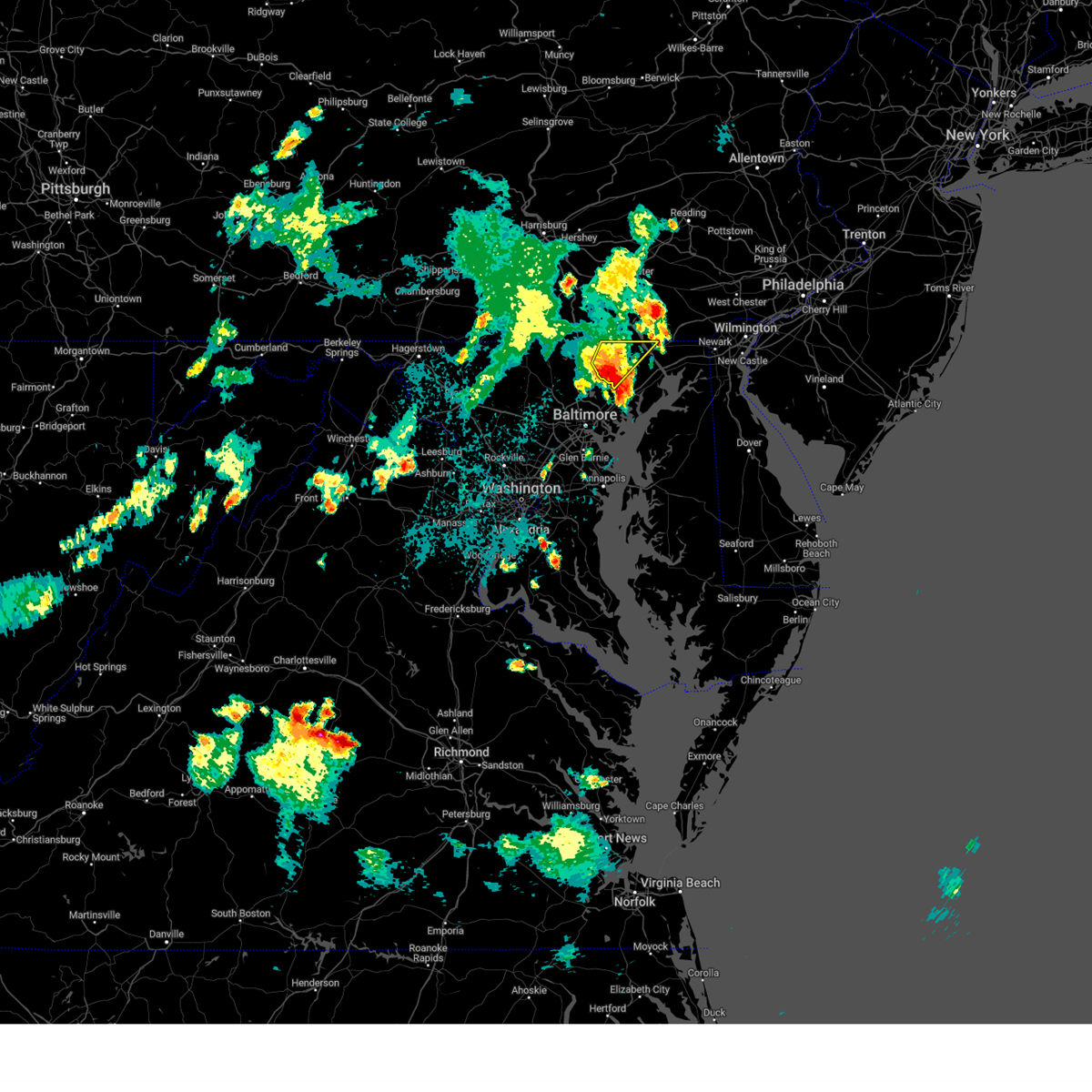 At 854 pm edt, a severe thunderstorm was located over bel air north, or 12 miles west of aberdeen, moving northeast at 20 mph (emergency management has reported wind damage with this storm). Hazards include 60 mph wind gusts and nickel size hail. Damaging winds will cause some trees and large branches to fall. this could injure those outdoors, as well as damage homes and vehicles. roadways may become blocked by downed trees. localized power outages are possible. unsecured light objects may become projectiles. locations impacted include, bel air north, fallston, jarrettsville, rock springs, pylesville, cardiff, scarboro, forest hill, chrome hill, bynum, street, rocks, hickory, and whiteford. hail threat, radar indicated max hail size, 0. 88 in wind threat, observed max wind gust, 60 mph. At 854 pm edt, a severe thunderstorm was located over bel air north, or 12 miles west of aberdeen, moving northeast at 20 mph (emergency management has reported wind damage with this storm). Hazards include 60 mph wind gusts and nickel size hail. Damaging winds will cause some trees and large branches to fall. this could injure those outdoors, as well as damage homes and vehicles. roadways may become blocked by downed trees. localized power outages are possible. unsecured light objects may become projectiles. locations impacted include, bel air north, fallston, jarrettsville, rock springs, pylesville, cardiff, scarboro, forest hill, chrome hill, bynum, street, rocks, hickory, and whiteford. hail threat, radar indicated max hail size, 0. 88 in wind threat, observed max wind gust, 60 mph.
|
| 9/8/2023 8:42 PM EDT |
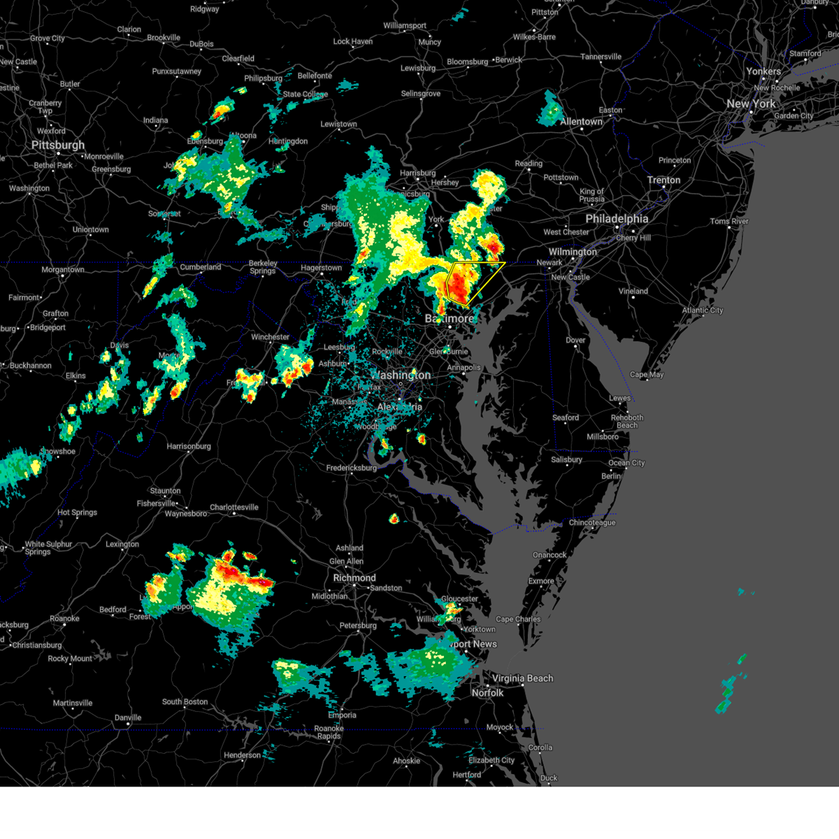 At 842 pm edt, a severe thunderstorm was located over jarrettsville, or 9 miles northeast of cockeysville, moving northeast at 20 mph (emergency management has reported thunderstorm wind damage from randallstown to cockeysville). Hazards include 70 mph wind gusts and quarter size hail. Damaging winds will cause some trees and large branches to fall. this could injure those outdoors, as well as damage homes and vehicles. roadways may become blocked by downed trees. localized power outages are possible. unsecured light objects may become projectiles. locations impacted include, cockeysville, bel air north, fallston, kingsville, pleasant hills, jarrettsville, rock springs, pylesville, glen arm, fork, cardiff, norrisville, long green, forest hill, phoenix, street, jacksonville, monkton, hickory, and whiteford. thunderstorm damage threat, considerable hail threat, radar indicated max hail size, 1. 00 in wind threat, observed max wind gust, 70 mph. At 842 pm edt, a severe thunderstorm was located over jarrettsville, or 9 miles northeast of cockeysville, moving northeast at 20 mph (emergency management has reported thunderstorm wind damage from randallstown to cockeysville). Hazards include 70 mph wind gusts and quarter size hail. Damaging winds will cause some trees and large branches to fall. this could injure those outdoors, as well as damage homes and vehicles. roadways may become blocked by downed trees. localized power outages are possible. unsecured light objects may become projectiles. locations impacted include, cockeysville, bel air north, fallston, kingsville, pleasant hills, jarrettsville, rock springs, pylesville, glen arm, fork, cardiff, norrisville, long green, forest hill, phoenix, street, jacksonville, monkton, hickory, and whiteford. thunderstorm damage threat, considerable hail threat, radar indicated max hail size, 1. 00 in wind threat, observed max wind gust, 70 mph.
|
| 9/8/2023 8:29 PM EDT |
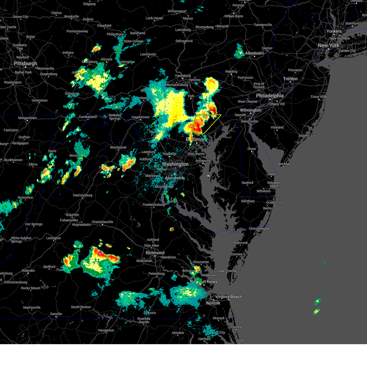 At 827 pm edt, a severe thunderstorm was located near cockeysville, moving northeast at 20 mph (emergency management has reported thunderstorm wind damage from randallstown to cockeysville). Hazards include 70 mph wind gusts and quarter size hail. Damaging winds will cause some trees and large branches to fall. this could injure those outdoors, as well as damage homes and vehicles. roadways may become blocked by downed trees. localized power outages are possible. unsecured light objects may become projectiles. locations impacted include, cockeysville, bel air north, mays chapel, timonium, fallston, hampton, kingsville, pleasant hills, jarrettsville, rock springs, lutherville-timonium, lutherville, pylesville, glen arm, fork, cardiff, norrisville, long green, forest hill, and phoenix. thunderstorm damage threat, considerable hail threat, radar indicated max hail size, 1. 00 in wind threat, observed max wind gust, 70 mph. At 827 pm edt, a severe thunderstorm was located near cockeysville, moving northeast at 20 mph (emergency management has reported thunderstorm wind damage from randallstown to cockeysville). Hazards include 70 mph wind gusts and quarter size hail. Damaging winds will cause some trees and large branches to fall. this could injure those outdoors, as well as damage homes and vehicles. roadways may become blocked by downed trees. localized power outages are possible. unsecured light objects may become projectiles. locations impacted include, cockeysville, bel air north, mays chapel, timonium, fallston, hampton, kingsville, pleasant hills, jarrettsville, rock springs, lutherville-timonium, lutherville, pylesville, glen arm, fork, cardiff, norrisville, long green, forest hill, and phoenix. thunderstorm damage threat, considerable hail threat, radar indicated max hail size, 1. 00 in wind threat, observed max wind gust, 70 mph.
|
| 9/8/2023 8:22 PM EDT |
 At 821 pm edt, a severe thunderstorm was located near cockeysville, moving northeast at 20 mph (emergency management has reported wind damage to trees and power lines with this storm in baltimore county). Hazards include 70 mph wind gusts and quarter size hail. Damaging winds will cause some trees and large branches to fall. this could injure those outdoors, as well as damage homes and vehicles. roadways may become blocked by downed trees. localized power outages are possible. Unsecured light objects may become projectiles. At 821 pm edt, a severe thunderstorm was located near cockeysville, moving northeast at 20 mph (emergency management has reported wind damage to trees and power lines with this storm in baltimore county). Hazards include 70 mph wind gusts and quarter size hail. Damaging winds will cause some trees and large branches to fall. this could injure those outdoors, as well as damage homes and vehicles. roadways may become blocked by downed trees. localized power outages are possible. Unsecured light objects may become projectiles.
|
| 8/7/2023 5:38 PM EDT | Powerline pole down onto roadway near the intersection of md 543 and prospect mill roa in harford county MD, 135 miles W of Bel Air, MD |
| 8/7/2023 5:33 PM EDT | Large tree down on a home on glendale lan in harford county MD, 135 miles W of Bel Air, MD |
| 8/7/2023 5:30 PM EDT |
 At 529 pm edt, severe thunderstorms were located along a line extending from near jarrettsville to rosedale to laurel, moving east at 50 mph (radar indicated). Hazards include 60 mph wind gusts. Damaging winds will cause some trees and large branches to fall. this could injure those outdoors, as well as damage homes and vehicles. roadways may become blocked by downed trees. localized power outages are possible. unsecured light objects may become projectiles. locations impacted include, baltimore, pikesville, middle river, cockeysville, aberdeen, millers island, north point state park, sparrows point, back river, ellicott city, dundalk, towson, bel air south, catonsville, essex, woodlawn, randallstown, parkville, bel air north and carney. hail threat, radar indicated max hail size, <. 75 in wind threat, radar indicated max wind gust, 60 mph. At 529 pm edt, severe thunderstorms were located along a line extending from near jarrettsville to rosedale to laurel, moving east at 50 mph (radar indicated). Hazards include 60 mph wind gusts. Damaging winds will cause some trees and large branches to fall. this could injure those outdoors, as well as damage homes and vehicles. roadways may become blocked by downed trees. localized power outages are possible. unsecured light objects may become projectiles. locations impacted include, baltimore, pikesville, middle river, cockeysville, aberdeen, millers island, north point state park, sparrows point, back river, ellicott city, dundalk, towson, bel air south, catonsville, essex, woodlawn, randallstown, parkville, bel air north and carney. hail threat, radar indicated max hail size, <. 75 in wind threat, radar indicated max wind gust, 60 mph.
|
| 8/7/2023 5:06 PM EDT |
 At 505 pm edt, severe thunderstorms were located along a line extending from hampstead to near ellicott city to near north potomac, moving east at 55 mph (radar indicated). Hazards include 60 mph wind gusts. Damaging winds will cause some trees and large branches to fall. this could injure those outdoors, as well as damage homes and vehicles. roadways may become blocked by downed trees. localized power outages are possible. Unsecured light objects may become projectiles. At 505 pm edt, severe thunderstorms were located along a line extending from hampstead to near ellicott city to near north potomac, moving east at 55 mph (radar indicated). Hazards include 60 mph wind gusts. Damaging winds will cause some trees and large branches to fall. this could injure those outdoors, as well as damage homes and vehicles. roadways may become blocked by downed trees. localized power outages are possible. Unsecured light objects may become projectiles.
|
| 8/7/2023 2:11 PM EDT |
 At 210 pm edt, a severe thunderstorm was located near westernport, moving east at 35 mph. this is a destructive storm for portions of southwestern allegany county, far eastern garrett, and northern mineral counties. (radar indicated). Hazards include 80 mph wind gusts and ping pong ball size hail. Expect considerable damage to trees and power lines. your life is at significant risk if outdoors. In addition to some trees falling into homes, wind damage is possible to roofs, sheds, open garages, and mobile homes. At 210 pm edt, a severe thunderstorm was located near westernport, moving east at 35 mph. this is a destructive storm for portions of southwestern allegany county, far eastern garrett, and northern mineral counties. (radar indicated). Hazards include 80 mph wind gusts and ping pong ball size hail. Expect considerable damage to trees and power lines. your life is at significant risk if outdoors. In addition to some trees falling into homes, wind damage is possible to roofs, sheds, open garages, and mobile homes.
|
| 8/7/2023 1:58 PM EDT |
 At 158 pm edt, a severe thunderstorm was located near bittinger, moving east at 40 mph (radar indicated). Hazards include 70 mph wind gusts and ping pong ball size hail. Damaging winds will cause some trees and large branches to fall. this could injure those outdoors, as well as damage homes and vehicles. roadways may become blocked by downed trees. localized power outages are possible. Unsecured light objects may become projectiles. At 158 pm edt, a severe thunderstorm was located near bittinger, moving east at 40 mph (radar indicated). Hazards include 70 mph wind gusts and ping pong ball size hail. Damaging winds will cause some trees and large branches to fall. this could injure those outdoors, as well as damage homes and vehicles. roadways may become blocked by downed trees. localized power outages are possible. Unsecured light objects may become projectiles.
|
| 7/29/2023 4:52 PM EDT |
 At 451 pm edt, severe thunderstorms were located along a line extending from octoraro to aberdeen proving ground to middle river, moving east at 40 mph (radar indicated). Hazards include 60 mph wind gusts and quarter size hail. Damaging winds will cause some trees and large branches to fall. this could injure those outdoors, as well as damage homes and vehicles. roadways may become blocked by downed trees. localized power outages are possible. unsecured light objects may become projectiles. locations impacted include, baltimore, middle river, elkton, aberdeen, havre de grace, aberdeen proving ground, calvert, dundalk, towson, bel air south, essex, parkville, bel air north, carney, perry hall, rosedale, rossville, timonium, white marsh and bowleys quarters. hail threat, radar indicated max hail size, 1. 00 in wind threat, radar indicated max wind gust, 60 mph. At 451 pm edt, severe thunderstorms were located along a line extending from octoraro to aberdeen proving ground to middle river, moving east at 40 mph (radar indicated). Hazards include 60 mph wind gusts and quarter size hail. Damaging winds will cause some trees and large branches to fall. this could injure those outdoors, as well as damage homes and vehicles. roadways may become blocked by downed trees. localized power outages are possible. unsecured light objects may become projectiles. locations impacted include, baltimore, middle river, elkton, aberdeen, havre de grace, aberdeen proving ground, calvert, dundalk, towson, bel air south, essex, parkville, bel air north, carney, perry hall, rosedale, rossville, timonium, white marsh and bowleys quarters. hail threat, radar indicated max hail size, 1. 00 in wind threat, radar indicated max wind gust, 60 mph.
|
| 7/29/2023 4:30 PM EDT |
 At 430 pm edt, severe thunderstorms were located along a line extending from near jarrettsville to near fallston to milford mill, moving east at 20 mph (radar indicated). Hazards include 60 mph wind gusts and quarter size hail. Damaging winds will cause some trees and large branches to fall. this could injure those outdoors, as well as damage homes and vehicles. roadways may become blocked by downed trees. localized power outages are possible. Unsecured light objects may become projectiles. At 430 pm edt, severe thunderstorms were located along a line extending from near jarrettsville to near fallston to milford mill, moving east at 20 mph (radar indicated). Hazards include 60 mph wind gusts and quarter size hail. Damaging winds will cause some trees and large branches to fall. this could injure those outdoors, as well as damage homes and vehicles. roadways may become blocked by downed trees. localized power outages are possible. Unsecured light objects may become projectiles.
|
| 7/28/2023 8:05 PM EDT |
 At 804 pm edt, severe thunderstorms were located along a line extending from near delta to bel air south to dundalk, moving east at 30 mph (emergency management). Hazards include 70 mph wind gusts and quarter size hail. Damaging winds will cause some trees and large branches to fall. this could injure those outdoors, as well as damage homes and vehicles. roadways may become blocked by downed trees. localized power outages are possible. unsecured light objects may become projectiles. locations impacted include, baltimore, pikesville, middle river, cockeysville, millers island, north point state park, sparrows point, back river, dundalk, towson, bel air south, essex, parkville, bel air north, carney, perry hall, rosedale, rossville, timonium and white marsh. thunderstorm damage threat, considerable hail threat, radar indicated max hail size, 1. 00 in wind threat, observed max wind gust, 70 mph. At 804 pm edt, severe thunderstorms were located along a line extending from near delta to bel air south to dundalk, moving east at 30 mph (emergency management). Hazards include 70 mph wind gusts and quarter size hail. Damaging winds will cause some trees and large branches to fall. this could injure those outdoors, as well as damage homes and vehicles. roadways may become blocked by downed trees. localized power outages are possible. unsecured light objects may become projectiles. locations impacted include, baltimore, pikesville, middle river, cockeysville, millers island, north point state park, sparrows point, back river, dundalk, towson, bel air south, essex, parkville, bel air north, carney, perry hall, rosedale, rossville, timonium and white marsh. thunderstorm damage threat, considerable hail threat, radar indicated max hail size, 1. 00 in wind threat, observed max wind gust, 70 mph.
|
| 7/28/2023 7:50 PM EDT | Dozens of trees... branches and wires blew down around bel ai in harford county MD, 134 miles W of Bel Air, MD |
| 7/28/2023 7:34 PM EDT |
 At 733 pm edt, severe thunderstorms were located along a line extending from near jarrettsville to near carney to elkridge, moving northeast at 45 mph (emergency management). Hazards include 70 mph wind gusts and quarter size hail. Damaging winds will cause some trees and large branches to fall. this could injure those outdoors, as well as damage homes and vehicles. roadways may become blocked by downed trees. localized power outages are possible. unsecured light objects may become projectiles. locations impacted include, baltimore, columbia, bowie, severn, pikesville, college park, crofton, middle river, greenbelt, cockeysville, langley park, beltsville, elkridge, riviera beach, baltimore-washington airport, fort smallwood state park, gibson island, sillery bay, millers island and north point state park. thunderstorm damage threat, considerable hail threat, radar indicated max hail size, 1. 00 in wind threat, observed max wind gust, 70 mph. At 733 pm edt, severe thunderstorms were located along a line extending from near jarrettsville to near carney to elkridge, moving northeast at 45 mph (emergency management). Hazards include 70 mph wind gusts and quarter size hail. Damaging winds will cause some trees and large branches to fall. this could injure those outdoors, as well as damage homes and vehicles. roadways may become blocked by downed trees. localized power outages are possible. unsecured light objects may become projectiles. locations impacted include, baltimore, columbia, bowie, severn, pikesville, college park, crofton, middle river, greenbelt, cockeysville, langley park, beltsville, elkridge, riviera beach, baltimore-washington airport, fort smallwood state park, gibson island, sillery bay, millers island and north point state park. thunderstorm damage threat, considerable hail threat, radar indicated max hail size, 1. 00 in wind threat, observed max wind gust, 70 mph.
|
| 7/28/2023 7:00 PM EDT |
 At 659 pm edt, severe thunderstorms were located along a line extending from near sykesville to near columbia to forest glen, moving east at 30 mph (emergency management has reported numerous instance of damage with these severe thunderstorms as they moved across montogmery county). Hazards include 60 mph wind gusts and quarter size hail. Damaging winds will cause some trees and large branches to fall. this could injure those outdoors, as well as damage homes and vehicles. roadways may become blocked by downed trees. localized power outages are possible. Unsecured light objects may become projectiles. At 659 pm edt, severe thunderstorms were located along a line extending from near sykesville to near columbia to forest glen, moving east at 30 mph (emergency management has reported numerous instance of damage with these severe thunderstorms as they moved across montogmery county). Hazards include 60 mph wind gusts and quarter size hail. Damaging winds will cause some trees and large branches to fall. this could injure those outdoors, as well as damage homes and vehicles. roadways may become blocked by downed trees. localized power outages are possible. Unsecured light objects may become projectiles.
|
| 7/15/2023 8:21 PM EDT |
 At 821 pm edt, severe thunderstorms were located along a line extending from near frostburg to 9 miles southwest of paw paw, moving northeast at 20 mph (radar indicated). Hazards include 60 mph wind gusts. Damaging winds will cause some trees and large branches to fall. this could injure those outdoors, as well as damage homes and vehicles. roadways may become blocked by downed trees. localized power outages are possible. unsecured light objects may become projectiles. locations impacted include, cumberland, frostburg, bel air, paw paw, la vale, fort ashby, ridgeley, cresaptown, potomac park, wiley ford, eckhart mines, mount savage, rawlings, ellerslie, springfield, corriganville, midland, midlothian, green spring and flintstone. hail threat, radar indicated max hail size, <. 75 in wind threat, radar indicated max wind gust, 60 mph. At 821 pm edt, severe thunderstorms were located along a line extending from near frostburg to 9 miles southwest of paw paw, moving northeast at 20 mph (radar indicated). Hazards include 60 mph wind gusts. Damaging winds will cause some trees and large branches to fall. this could injure those outdoors, as well as damage homes and vehicles. roadways may become blocked by downed trees. localized power outages are possible. unsecured light objects may become projectiles. locations impacted include, cumberland, frostburg, bel air, paw paw, la vale, fort ashby, ridgeley, cresaptown, potomac park, wiley ford, eckhart mines, mount savage, rawlings, ellerslie, springfield, corriganville, midland, midlothian, green spring and flintstone. hail threat, radar indicated max hail size, <. 75 in wind threat, radar indicated max wind gust, 60 mph.
|
| 7/15/2023 7:56 PM EDT |
 At 756 pm edt, severe thunderstorms were located along a line extending from near frostburg to near romney, moving northeast at 20 mph (radar indicated). Hazards include 60 mph wind gusts and quarter size hail. Damaging winds will cause some trees and large branches to fall. this could injure those outdoors, as well as damage homes and vehicles. roadways may become blocked by downed trees. localized power outages are possible. Unsecured light objects may become projectiles. At 756 pm edt, severe thunderstorms were located along a line extending from near frostburg to near romney, moving northeast at 20 mph (radar indicated). Hazards include 60 mph wind gusts and quarter size hail. Damaging winds will cause some trees and large branches to fall. this could injure those outdoors, as well as damage homes and vehicles. roadways may become blocked by downed trees. localized power outages are possible. Unsecured light objects may become projectiles.
|
| 7/3/2023 8:07 PM EDT |
 At 807 pm edt, a severe thunderstorm was located over perryman, or near aberdeen, moving east at 25 mph (radar indicated). Hazards include 60 mph wind gusts. Damaging winds will cause some trees and large branches to fall. this could injure those outdoors, as well as damage homes and vehicles. roadways may become blocked by downed trees. localized power outages are possible. Unsecured light objects may become projectiles. At 807 pm edt, a severe thunderstorm was located over perryman, or near aberdeen, moving east at 25 mph (radar indicated). Hazards include 60 mph wind gusts. Damaging winds will cause some trees and large branches to fall. this could injure those outdoors, as well as damage homes and vehicles. roadways may become blocked by downed trees. localized power outages are possible. Unsecured light objects may become projectiles.
|
| 7/3/2023 7:47 PM EDT |
 At 746 pm edt, severe thunderstorms were located along a line extending from near jarrettsville to carney, moving east at 20 mph (radar indicated). Hazards include 60 mph wind gusts. Damaging winds will cause some trees and large branches to fall. this could injure those outdoors, as well as damage homes and vehicles. roadways may become blocked by downed trees. localized power outages are possible. unsecured light objects may become projectiles. locations impacted include, middle river, bel air south, parkville, bel air north, carney, perry hall, rossville, white marsh, fallston, bowleys quarters, kingsville, pleasant hills, jarrettsville, edgewood, joppatowne, pylesville, nottingham, glen arm, fork and bradshaw. hail threat, radar indicated max hail size, <. 75 in wind threat, radar indicated max wind gust, 60 mph. At 746 pm edt, severe thunderstorms were located along a line extending from near jarrettsville to carney, moving east at 20 mph (radar indicated). Hazards include 60 mph wind gusts. Damaging winds will cause some trees and large branches to fall. this could injure those outdoors, as well as damage homes and vehicles. roadways may become blocked by downed trees. localized power outages are possible. unsecured light objects may become projectiles. locations impacted include, middle river, bel air south, parkville, bel air north, carney, perry hall, rossville, white marsh, fallston, bowleys quarters, kingsville, pleasant hills, jarrettsville, edgewood, joppatowne, pylesville, nottingham, glen arm, fork and bradshaw. hail threat, radar indicated max hail size, <. 75 in wind threat, radar indicated max wind gust, 60 mph.
|
| 7/3/2023 7:31 PM EDT |
 At 731 pm edt, severe thunderstorms were located along a line extending from near jarrettsville to hampton, moving east at 20 mph (radar indicated). Hazards include 60 mph wind gusts. Damaging winds will cause some trees and large branches to fall. this could injure those outdoors, as well as damage homes and vehicles. roadways may become blocked by downed trees. localized power outages are possible. Unsecured light objects may become projectiles. At 731 pm edt, severe thunderstorms were located along a line extending from near jarrettsville to hampton, moving east at 20 mph (radar indicated). Hazards include 60 mph wind gusts. Damaging winds will cause some trees and large branches to fall. this could injure those outdoors, as well as damage homes and vehicles. roadways may become blocked by downed trees. localized power outages are possible. Unsecured light objects may become projectiles.
|
| 6/27/2023 4:07 PM EDT |
 The severe thunderstorm warning for central harford and east central baltimore counties and northeastern baltimore city will expire at 415 pm edt, the storms which prompted the warning have weakened below severe limits, and no longer pose an immediate threat to life or property. therefore, the warning will be allowed to expire. however gusty winds and heavy rain are still possible with these thunderstorms. to report severe weather, contact your nearest law enforcement agency. they will relay your report to the national weather service sterling virginia. The severe thunderstorm warning for central harford and east central baltimore counties and northeastern baltimore city will expire at 415 pm edt, the storms which prompted the warning have weakened below severe limits, and no longer pose an immediate threat to life or property. therefore, the warning will be allowed to expire. however gusty winds and heavy rain are still possible with these thunderstorms. to report severe weather, contact your nearest law enforcement agency. they will relay your report to the national weather service sterling virginia.
|
| 6/27/2023 3:45 PM EDT |
 At 344 pm edt, severe thunderstorms were located along a line extending from near fallston to carney, moving east at 10 mph (trained weather spotter reported quarter size fullerton). Hazards include 60 mph wind gusts and quarter size hail. Damaging winds will cause some trees and large branches to fall. this could injure those outdoors, as well as damage homes and vehicles. roadways may become blocked by downed trees. localized power outages are possible. unsecured light objects may become projectiles. locations impacted include, baltimore, aberdeen, towson, bel air south, parkville, bel air north, carney, perry hall, rosedale, rossville, timonium, white marsh, fallston, riverside, hampton, kingsville, pleasant hills, jarrettsville, perryman and lutherville-timonium. hail threat, observed max hail size, 1. 00 in wind threat, radar indicated max wind gust, 60 mph. At 344 pm edt, severe thunderstorms were located along a line extending from near fallston to carney, moving east at 10 mph (trained weather spotter reported quarter size fullerton). Hazards include 60 mph wind gusts and quarter size hail. Damaging winds will cause some trees and large branches to fall. this could injure those outdoors, as well as damage homes and vehicles. roadways may become blocked by downed trees. localized power outages are possible. unsecured light objects may become projectiles. locations impacted include, baltimore, aberdeen, towson, bel air south, parkville, bel air north, carney, perry hall, rosedale, rossville, timonium, white marsh, fallston, riverside, hampton, kingsville, pleasant hills, jarrettsville, perryman and lutherville-timonium. hail threat, observed max hail size, 1. 00 in wind threat, radar indicated max wind gust, 60 mph.
|
| 6/27/2023 3:30 PM EDT |
 At 330 pm edt, severe thunderstorms were located along a line extending from near fallston to parkville, moving east at 10 mph (radar indicated). Hazards include 60 mph wind gusts and quarter size hail. Damaging winds will cause some trees and large branches to fall. this could injure those outdoors, as well as damage homes and vehicles. roadways may become blocked by downed trees. localized power outages are possible. Unsecured light objects may become projectiles. At 330 pm edt, severe thunderstorms were located along a line extending from near fallston to parkville, moving east at 10 mph (radar indicated). Hazards include 60 mph wind gusts and quarter size hail. Damaging winds will cause some trees and large branches to fall. this could injure those outdoors, as well as damage homes and vehicles. roadways may become blocked by downed trees. localized power outages are possible. Unsecured light objects may become projectiles.
|
| 6/27/2023 2:36 PM EDT |
 The severe thunderstorm warning for northeastern harford and northwestern cecil counties will expire at 245 pm edt, the storms which prompted the warning have weakened below severe limits, and no longer pose an immediate threat to life or property. therefore, the warning will be allowed to expire. however gusty winds and heavy rain are still possible with these thunderstorms. to report severe weather, contact your nearest law enforcement agency. they will relay your report to the national weather service sterling virginia. The severe thunderstorm warning for northeastern harford and northwestern cecil counties will expire at 245 pm edt, the storms which prompted the warning have weakened below severe limits, and no longer pose an immediate threat to life or property. therefore, the warning will be allowed to expire. however gusty winds and heavy rain are still possible with these thunderstorms. to report severe weather, contact your nearest law enforcement agency. they will relay your report to the national weather service sterling virginia.
|
| 6/27/2023 2:25 PM EDT |
 At 225 pm edt, severe thunderstorms were located along a line extending from rising sun to 6 miles southwest of octoraro, moving northeast at 15 mph (radar indicated). Hazards include 60 mph wind gusts. Damaging winds will cause some trees and large branches to fall. this could injure those outdoors, as well as damage homes and vehicles. roadways may become blocked by downed trees. localized power outages are possible. unsecured light objects may become projectiles. locations impacted include, bel air south, bel air north, rising sun, richardsmere, octoraro, conowingo, rock springs, darlington, churchville, scarboro, forest hill, bynum and hickory. hail threat, radar indicated max hail size, <. 75 in wind threat, radar indicated max wind gust, 60 mph. At 225 pm edt, severe thunderstorms were located along a line extending from rising sun to 6 miles southwest of octoraro, moving northeast at 15 mph (radar indicated). Hazards include 60 mph wind gusts. Damaging winds will cause some trees and large branches to fall. this could injure those outdoors, as well as damage homes and vehicles. roadways may become blocked by downed trees. localized power outages are possible. unsecured light objects may become projectiles. locations impacted include, bel air south, bel air north, rising sun, richardsmere, octoraro, conowingo, rock springs, darlington, churchville, scarboro, forest hill, bynum and hickory. hail threat, radar indicated max hail size, <. 75 in wind threat, radar indicated max wind gust, 60 mph.
|
| 6/27/2023 2:13 PM EDT |
 At 213 pm edt, severe thunderstorms were located along a line extending from rock springs to near bel air north, moving east at 10 mph (radar indicated). Hazards include 60 mph wind gusts and quarter size hail. Damaging winds will cause some trees and large branches to fall. this could injure those outdoors, as well as damage homes and vehicles. roadways may become blocked by downed trees. localized power outages are possible. unsecured light objects may become projectiles. locations impacted include, bel air south, bel air north, rising sun, richardsmere, octoraro, conowingo, rock springs, darlington, churchville, scarboro, forest hill, bynum and hickory. hail threat, radar indicated max hail size, 1. 00 in wind threat, radar indicated max wind gust, 60 mph. At 213 pm edt, severe thunderstorms were located along a line extending from rock springs to near bel air north, moving east at 10 mph (radar indicated). Hazards include 60 mph wind gusts and quarter size hail. Damaging winds will cause some trees and large branches to fall. this could injure those outdoors, as well as damage homes and vehicles. roadways may become blocked by downed trees. localized power outages are possible. unsecured light objects may become projectiles. locations impacted include, bel air south, bel air north, rising sun, richardsmere, octoraro, conowingo, rock springs, darlington, churchville, scarboro, forest hill, bynum and hickory. hail threat, radar indicated max hail size, 1. 00 in wind threat, radar indicated max wind gust, 60 mph.
|
| 6/27/2023 1:54 PM EDT |
 At 154 pm edt, severe thunderstorms were located along a line extending from near rock springs to near bel air north, moving east at 15 mph (radar indicated). Hazards include 60 mph wind gusts and quarter size hail. Damaging winds will cause some trees and large branches to fall. this could injure those outdoors, as well as damage homes and vehicles. roadways may become blocked by downed trees. localized power outages are possible. Unsecured light objects may become projectiles. At 154 pm edt, severe thunderstorms were located along a line extending from near rock springs to near bel air north, moving east at 15 mph (radar indicated). Hazards include 60 mph wind gusts and quarter size hail. Damaging winds will cause some trees and large branches to fall. this could injure those outdoors, as well as damage homes and vehicles. roadways may become blocked by downed trees. localized power outages are possible. Unsecured light objects may become projectiles.
|
| 6/26/2023 9:27 PM EDT |
 The severe thunderstorm warning for northeastern harford county will expire at 930 pm edt, the storms which prompted the warning have weakened below severe limits, and no longer pose an immediate threat to life or property. therefore, the warning will be allowed to expire. a severe thunderstorm watch remains in effect until 1100 pm edt for northern and northeastern maryland. The severe thunderstorm warning for northeastern harford county will expire at 930 pm edt, the storms which prompted the warning have weakened below severe limits, and no longer pose an immediate threat to life or property. therefore, the warning will be allowed to expire. a severe thunderstorm watch remains in effect until 1100 pm edt for northern and northeastern maryland.
|
| 6/26/2023 9:15 PM EDT |
 At 915 pm edt, severe thunderstorms were located along a line extending from 6 miles northeast of jarrettsville to near delta to near bel air north to bel air south, moving northeast at 25 mph (radar indicated). Hazards include 60 mph wind gusts and quarter size hail. Damaging winds will cause some trees and large branches to fall. this could injure those outdoors, as well as damage homes and vehicles. roadways may become blocked by downed trees. localized power outages are possible. unsecured light objects may become projectiles. locations impacted include, aberdeen, havre de grace, bel air south, bel air north, pylesville, darlington, cardiff, churchville, carsins, scarboro, forest hill, chrome hill, bynum, harford furnace, street, rocks, hickory and whiteford. hail threat, radar indicated max hail size, 1. 00 in wind threat, radar indicated max wind gust, 60 mph. At 915 pm edt, severe thunderstorms were located along a line extending from 6 miles northeast of jarrettsville to near delta to near bel air north to bel air south, moving northeast at 25 mph (radar indicated). Hazards include 60 mph wind gusts and quarter size hail. Damaging winds will cause some trees and large branches to fall. this could injure those outdoors, as well as damage homes and vehicles. roadways may become blocked by downed trees. localized power outages are possible. unsecured light objects may become projectiles. locations impacted include, aberdeen, havre de grace, bel air south, bel air north, pylesville, darlington, cardiff, churchville, carsins, scarboro, forest hill, chrome hill, bynum, harford furnace, street, rocks, hickory and whiteford. hail threat, radar indicated max hail size, 1. 00 in wind threat, radar indicated max wind gust, 60 mph.
|
| 6/26/2023 9:00 PM EDT |
 At 859 pm edt, severe thunderstorms were located along a line extending from near jarrettsville to near bel air north to near pleasant hills to kingsville, moving northeast at 25 mph (radar indicated). Hazards include 60 mph wind gusts and quarter size hail. Damaging winds will cause some trees and large branches to fall. this could injure those outdoors, as well as damage homes and vehicles. roadways may become blocked by downed trees. localized power outages are possible. unsecured light objects may become projectiles. locations impacted include, aberdeen, havre de grace, bel air south, bel air north, fallston, kingsville, pleasant hills, jarrettsville, joppatowne, pylesville, darlington, cardiff, churchville, carsins, forest hill, street, upper falls, hickory, whiteford and benson. hail threat, radar indicated max hail size, 1. 00 in wind threat, radar indicated max wind gust, 60 mph. At 859 pm edt, severe thunderstorms were located along a line extending from near jarrettsville to near bel air north to near pleasant hills to kingsville, moving northeast at 25 mph (radar indicated). Hazards include 60 mph wind gusts and quarter size hail. Damaging winds will cause some trees and large branches to fall. this could injure those outdoors, as well as damage homes and vehicles. roadways may become blocked by downed trees. localized power outages are possible. unsecured light objects may become projectiles. locations impacted include, aberdeen, havre de grace, bel air south, bel air north, fallston, kingsville, pleasant hills, jarrettsville, joppatowne, pylesville, darlington, cardiff, churchville, carsins, forest hill, street, upper falls, hickory, whiteford and benson. hail threat, radar indicated max hail size, 1. 00 in wind threat, radar indicated max wind gust, 60 mph.
|
| 6/26/2023 8:49 PM EDT |
 At 849 pm edt, severe thunderstorms were located along a line extending from 6 miles northwest of fallston to near jarrettsville to kingsville to perry hall, moving northeast at 25 mph (radar indicated). Hazards include 60 mph wind gusts and quarter size hail. Damaging winds will cause some trees and large branches to fall. this could injure those outdoors, as well as damage homes and vehicles. roadways may become blocked by downed trees. localized power outages are possible. Unsecured light objects may become projectiles. At 849 pm edt, severe thunderstorms were located along a line extending from 6 miles northwest of fallston to near jarrettsville to kingsville to perry hall, moving northeast at 25 mph (radar indicated). Hazards include 60 mph wind gusts and quarter size hail. Damaging winds will cause some trees and large branches to fall. this could injure those outdoors, as well as damage homes and vehicles. roadways may become blocked by downed trees. localized power outages are possible. Unsecured light objects may become projectiles.
|
| 6/26/2023 7:04 PM EDT |
 At 704 pm edt, a severe thunderstorm was located over perry hall, or near middle river, moving east at 25 mph (radar indicated). Hazards include 60 mph wind gusts and quarter size hail. Damaging winds will cause some trees and large branches to fall. this could injure those outdoors, as well as damage homes and vehicles. roadways may become blocked by downed trees. localized power outages are possible. Unsecured light objects may become projectiles. At 704 pm edt, a severe thunderstorm was located over perry hall, or near middle river, moving east at 25 mph (radar indicated). Hazards include 60 mph wind gusts and quarter size hail. Damaging winds will cause some trees and large branches to fall. this could injure those outdoors, as well as damage homes and vehicles. roadways may become blocked by downed trees. localized power outages are possible. Unsecured light objects may become projectiles.
|
| 6/26/2023 6:35 PM EDT |
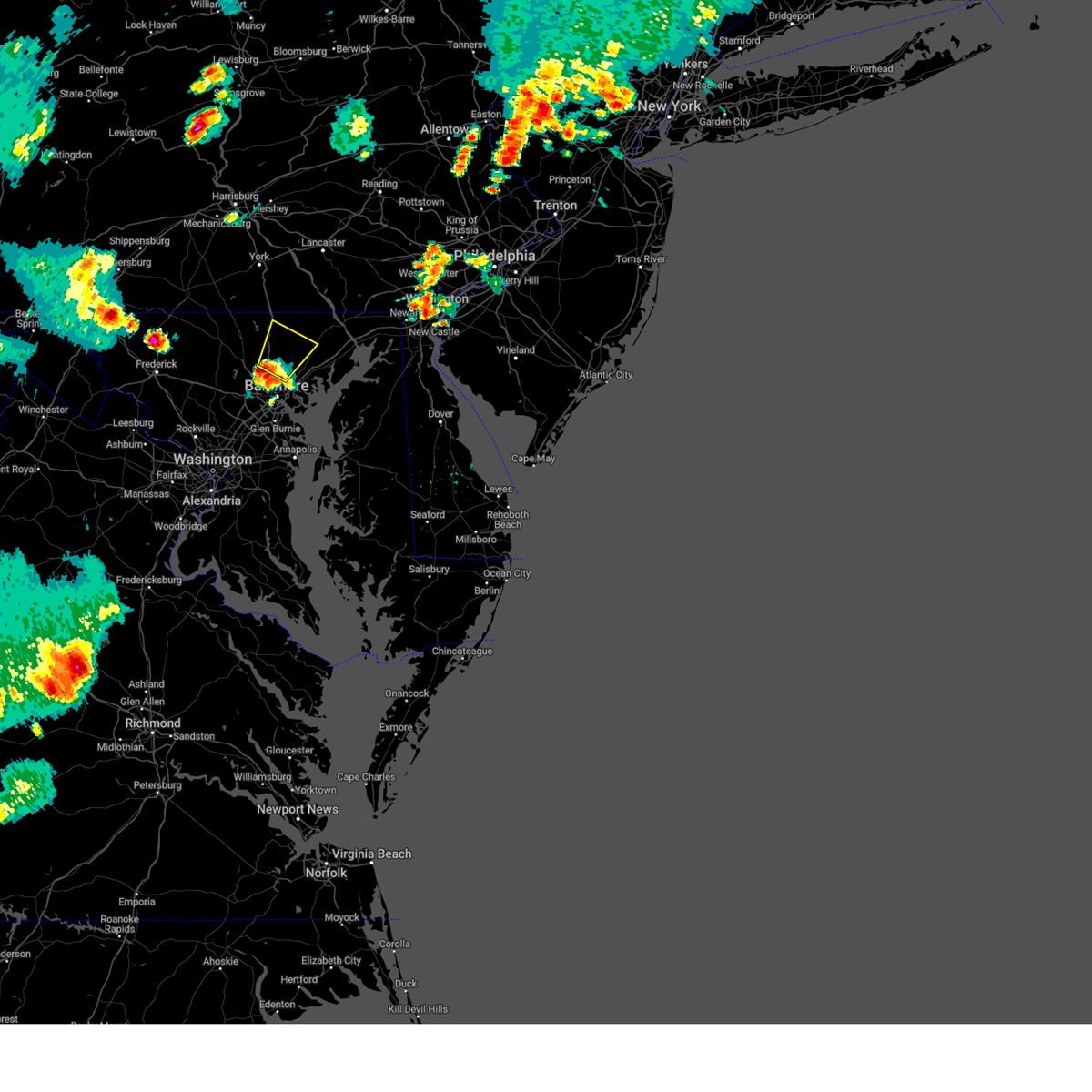 At 635 pm edt, a severe thunderstorm was located over pikesville, moving northeast at 15 mph (emergency management reported wind damage in pikesville, md). Hazards include 60 mph wind gusts and quarter size hail. Damaging winds will cause some trees and large branches to fall. this could injure those outdoors, as well as damage homes and vehicles. roadways may become blocked by downed trees. localized power outages are possible. Unsecured light objects may become projectiles. At 635 pm edt, a severe thunderstorm was located over pikesville, moving northeast at 15 mph (emergency management reported wind damage in pikesville, md). Hazards include 60 mph wind gusts and quarter size hail. Damaging winds will cause some trees and large branches to fall. this could injure those outdoors, as well as damage homes and vehicles. roadways may become blocked by downed trees. localized power outages are possible. Unsecured light objects may become projectiles.
|
| 4/25/2023 3:41 PM EDT | Multiple trees down due to thunderstorm winds along waterford roa in harford county MD, 137.2 miles W of Bel Air, MD |
| 4/22/2023 3:35 PM EDT | A tree down on powerlines was reported near e wheel rd and cedar l in harford county MD, 136.2 miles W of Bel Air, MD |
| 4/22/2023 3:13 PM EDT |
 At 312 pm edt, severe thunderstorms were located along a line extending from 7 miles south of railroad to carney to arnold, moving northeast at 45 mph (radar indicated). Hazards include 60 mph wind gusts. Damaging winds will cause some trees and large branches to fall. this could injure those outdoors, as well as damage homes and vehicles. roadways may become blocked by downed trees. localized power outages are possible. unsecured light objects may become projectiles. locations impacted include, baltimore, pikesville, middle river, cockeysville, millers island, north point state park, sparrows point, back river, dundalk, towson, bel air south, essex, parkville, bel air north, carney, perry hall, rosedale, rossville, mays chapel and timonium. hail threat, radar indicated max hail size, <. 75 in wind threat, radar indicated max wind gust, 60 mph. At 312 pm edt, severe thunderstorms were located along a line extending from 7 miles south of railroad to carney to arnold, moving northeast at 45 mph (radar indicated). Hazards include 60 mph wind gusts. Damaging winds will cause some trees and large branches to fall. this could injure those outdoors, as well as damage homes and vehicles. roadways may become blocked by downed trees. localized power outages are possible. unsecured light objects may become projectiles. locations impacted include, baltimore, pikesville, middle river, cockeysville, millers island, north point state park, sparrows point, back river, dundalk, towson, bel air south, essex, parkville, bel air north, carney, perry hall, rosedale, rossville, mays chapel and timonium. hail threat, radar indicated max hail size, <. 75 in wind threat, radar indicated max wind gust, 60 mph.
|
| 4/22/2023 2:47 PM EDT |
 At 247 pm edt, severe thunderstorms were located along a line extending from near reisterstown to elkridge to near upper marlboro, moving northeast at 45 mph (radar indicated). Hazards include 60 mph wind gusts. Damaging winds will cause some trees and large branches to fall. this could injure those outdoors, as well as damage homes and vehicles. roadways may become blocked by downed trees. localized power outages are possible. Unsecured light objects may become projectiles. At 247 pm edt, severe thunderstorms were located along a line extending from near reisterstown to elkridge to near upper marlboro, moving northeast at 45 mph (radar indicated). Hazards include 60 mph wind gusts. Damaging winds will cause some trees and large branches to fall. this could injure those outdoors, as well as damage homes and vehicles. roadways may become blocked by downed trees. localized power outages are possible. Unsecured light objects may become projectiles.
|
| 4/1/2023 6:46 PM EDT |
 At 645 pm edt, severe thunderstorms were located along a line extending from fair hill to riverside, moving east at 55 mph (radar indicated). Hazards include 60 mph wind gusts and quarter size hail. Damaging winds will cause some trees and large branches to fall. this could injure those outdoors, as well as damage homes and vehicles. roadways may become blocked by downed trees. localized power outages are possible. unsecured light objects may become projectiles. Locations impacted include, newark, elkton, aberdeen, havre de grace, aberdeen proving ground, calvert, bel air south, riverside, north east, pleasant hills, perryman, charlestown, zion, blake, barksdale, bohemias mills, west nottingham, brantwood, fair hill and glen westover. At 645 pm edt, severe thunderstorms were located along a line extending from fair hill to riverside, moving east at 55 mph (radar indicated). Hazards include 60 mph wind gusts and quarter size hail. Damaging winds will cause some trees and large branches to fall. this could injure those outdoors, as well as damage homes and vehicles. roadways may become blocked by downed trees. localized power outages are possible. unsecured light objects may become projectiles. Locations impacted include, newark, elkton, aberdeen, havre de grace, aberdeen proving ground, calvert, bel air south, riverside, north east, pleasant hills, perryman, charlestown, zion, blake, barksdale, bohemias mills, west nottingham, brantwood, fair hill and glen westover.
|
| 4/1/2023 6:27 PM EDT |
 At 626 pm edt, severe thunderstorms were located along a line extending from richardsmere to fallston, moving east at 55 mph (radar indicated). Hazards include 60 mph wind gusts and quarter size hail. Damaging winds will cause some trees and large branches to fall. this could injure those outdoors, as well as damage homes and vehicles. roadways may become blocked by downed trees. localized power outages are possible. Unsecured light objects may become projectiles. At 626 pm edt, severe thunderstorms were located along a line extending from richardsmere to fallston, moving east at 55 mph (radar indicated). Hazards include 60 mph wind gusts and quarter size hail. Damaging winds will cause some trees and large branches to fall. this could injure those outdoors, as well as damage homes and vehicles. roadways may become blocked by downed trees. localized power outages are possible. Unsecured light objects may become projectiles.
|
| 2/21/2023 1:35 PM EST |
 At 135 pm est, a severe thunderstorm was located over randallstown, or near pikesville, moving east at 65 mph (radar indicated). Hazards include 60 mph wind gusts and quarter size hail. Damaging winds will cause some trees and large branches to fall. this could injure those outdoors, as well as damage homes and vehicles. roadways may become blocked by downed trees. localized power outages are possible. Unsecured light objects may become projectiles. At 135 pm est, a severe thunderstorm was located over randallstown, or near pikesville, moving east at 65 mph (radar indicated). Hazards include 60 mph wind gusts and quarter size hail. Damaging winds will cause some trees and large branches to fall. this could injure those outdoors, as well as damage homes and vehicles. roadways may become blocked by downed trees. localized power outages are possible. Unsecured light objects may become projectiles.
|
| 9/25/2022 11:42 AM EDT |
 At 1142 am edt, a severe thunderstorm was located over fort ashby, or near bel air, moving east at 45 mph (radar indicated). Hazards include ping pong ball size hail and 60 mph wind gusts. Damaging winds will cause some trees and large branches to fall. this could injure those outdoors, as well as damage homes and vehicles. roadways may become blocked by downed trees. localized power outages are possible. unsecured light objects may become projectiles. locations impacted include, cumberland, bel air, fort ashby, cresaptown, potomac park, wiley ford, rawlings, springfield, green spring, oldtown, spring gap, patterson creek, three churches, pinto, higginsville, short gap, wagoner, pumpkin center, north branch and brady. hail threat, observed max hail size, 1. 50 in wind threat, radar indicated max wind gust, 60 mph. At 1142 am edt, a severe thunderstorm was located over fort ashby, or near bel air, moving east at 45 mph (radar indicated). Hazards include ping pong ball size hail and 60 mph wind gusts. Damaging winds will cause some trees and large branches to fall. this could injure those outdoors, as well as damage homes and vehicles. roadways may become blocked by downed trees. localized power outages are possible. unsecured light objects may become projectiles. locations impacted include, cumberland, bel air, fort ashby, cresaptown, potomac park, wiley ford, rawlings, springfield, green spring, oldtown, spring gap, patterson creek, three churches, pinto, higginsville, short gap, wagoner, pumpkin center, north branch and brady. hail threat, observed max hail size, 1. 50 in wind threat, radar indicated max wind gust, 60 mph.
|
| 9/25/2022 11:29 AM EDT |
 At 1128 am edt, a severe thunderstorm was located over lonaconing, or near westernport, moving east at 45 mph (radar indicated). Hazards include ping pong ball size hail and 60 mph wind gusts. Damaging winds will cause some trees and large branches to fall. this could injure those outdoors, as well as damage homes and vehicles. roadways may become blocked by downed trees. localized power outages are possible. unsecured light objects may become projectiles. locations impacted include, cumberland, westernport, bel air, fort ashby, lonaconing, piedmont, cresaptown, potomac park, wiley ford, rawlings, springfield, barton, midland, midlothian, franklin, green spring, woodland, oldtown, luke and spring gap. hail threat, observed max hail size, 1. 50 in wind threat, radar indicated max wind gust, 60 mph. At 1128 am edt, a severe thunderstorm was located over lonaconing, or near westernport, moving east at 45 mph (radar indicated). Hazards include ping pong ball size hail and 60 mph wind gusts. Damaging winds will cause some trees and large branches to fall. this could injure those outdoors, as well as damage homes and vehicles. roadways may become blocked by downed trees. localized power outages are possible. unsecured light objects may become projectiles. locations impacted include, cumberland, westernport, bel air, fort ashby, lonaconing, piedmont, cresaptown, potomac park, wiley ford, rawlings, springfield, barton, midland, midlothian, franklin, green spring, woodland, oldtown, luke and spring gap. hail threat, observed max hail size, 1. 50 in wind threat, radar indicated max wind gust, 60 mph.
|
| 9/25/2022 11:20 AM EDT |
 At 1120 am edt, a severe thunderstorm was located near westernport, moving east at 45 mph (radar indicated). Hazards include 60 mph wind gusts and quarter size hail. Damaging winds will cause some trees and large branches to fall. this could injure those outdoors, as well as damage homes and vehicles. roadways may become blocked by downed trees. localized power outages are possible. Unsecured light objects may become projectiles. At 1120 am edt, a severe thunderstorm was located near westernport, moving east at 45 mph (radar indicated). Hazards include 60 mph wind gusts and quarter size hail. Damaging winds will cause some trees and large branches to fall. this could injure those outdoors, as well as damage homes and vehicles. roadways may become blocked by downed trees. localized power outages are possible. Unsecured light objects may become projectiles.
|
| 8/4/2022 6:19 PM EDT |
 At 619 pm edt, a severe thunderstorm was located near owings mills, or near pikesville, moving east at 30 mph (radar indicated). Hazards include 60 mph wind gusts and quarter size hail. Damaging winds will cause some trees and large branches to fall. this could injure those outdoors, as well as damage homes and vehicles. roadways may become blocked by downed trees. localized power outages are possible. Unsecured light objects may become projectiles. At 619 pm edt, a severe thunderstorm was located near owings mills, or near pikesville, moving east at 30 mph (radar indicated). Hazards include 60 mph wind gusts and quarter size hail. Damaging winds will cause some trees and large branches to fall. this could injure those outdoors, as well as damage homes and vehicles. roadways may become blocked by downed trees. localized power outages are possible. Unsecured light objects may become projectiles.
|
| 7/18/2022 5:42 PM EDT |
 The severe thunderstorm warning for eastern harford and central cecil counties will expire at 545 pm edt, the storms which prompted the warning have moved out of the area. therefore, the warning will be allowed to expire. a severe thunderstorm watch remains in effect until 1000 pm edt for northern and northeastern maryland. The severe thunderstorm warning for eastern harford and central cecil counties will expire at 545 pm edt, the storms which prompted the warning have moved out of the area. therefore, the warning will be allowed to expire. a severe thunderstorm watch remains in effect until 1000 pm edt for northern and northeastern maryland.
|
| 7/18/2022 5:17 PM EDT |
 At 517 pm edt, severe thunderstorms were located along a line extending from near aberdeen to near newtown, moving east at 35 mph (radar indicated). Hazards include 60 mph wind gusts. Damaging winds will cause some trees and large branches to fall. this could injure those outdoors, as well as damage homes and vehicles. roadways may become blocked by downed trees. localized power outages are possible. unsecured light objects may become projectiles. locations impacted include, aberdeen, havre de grace, aberdeen proving ground, bel air south, bel air north, riverside, perryman, charlestown, woodlawn, farmington, edgewood, perryville, port deposit, churchville, carsins, harford furnace, abingdon and belcamp. hail threat, radar indicated max hail size, <. 75 in wind threat, radar indicated max wind gust, 60 mph. At 517 pm edt, severe thunderstorms were located along a line extending from near aberdeen to near newtown, moving east at 35 mph (radar indicated). Hazards include 60 mph wind gusts. Damaging winds will cause some trees and large branches to fall. this could injure those outdoors, as well as damage homes and vehicles. roadways may become blocked by downed trees. localized power outages are possible. unsecured light objects may become projectiles. locations impacted include, aberdeen, havre de grace, aberdeen proving ground, bel air south, bel air north, riverside, perryman, charlestown, woodlawn, farmington, edgewood, perryville, port deposit, churchville, carsins, harford furnace, abingdon and belcamp. hail threat, radar indicated max hail size, <. 75 in wind threat, radar indicated max wind gust, 60 mph.
|
| 7/18/2022 4:56 PM EDT |
 At 456 pm edt, severe thunderstorms were located along a line extending from pleasant hills to back river, moving east at 35 mph (radar indicated). Hazards include 60 mph wind gusts. Damaging winds will cause some trees and large branches to fall. this could injure those outdoors, as well as damage homes and vehicles. roadways may become blocked by downed trees. localized power outages are possible. Unsecured light objects may become projectiles. At 456 pm edt, severe thunderstorms were located along a line extending from pleasant hills to back river, moving east at 35 mph (radar indicated). Hazards include 60 mph wind gusts. Damaging winds will cause some trees and large branches to fall. this could injure those outdoors, as well as damage homes and vehicles. roadways may become blocked by downed trees. localized power outages are possible. Unsecured light objects may become projectiles.
|
| 7/18/2022 4:41 PM EDT |
 At 441 pm edt, severe thunderstorms were located along a line extending from 7 miles south of shrewsbury to near fallston to carney, moving northeast at 35 mph (radar indicated). Hazards include 60 mph wind gusts. Damaging winds will cause some trees and large branches to fall. this could injure those outdoors, as well as damage homes and vehicles. roadways may become blocked by downed trees. localized power outages are possible. unsecured light objects may become projectiles. Locations impacted include, baltimore, cockeysville, towson, bel air south, parkville, bel air north, carney, perry hall, mays chapel, timonium, fallston, riverside, hampton, kingsville, pleasant hills, jarrettsville, perryman, lutherville-timonium, edgewood and joppatowne. At 441 pm edt, severe thunderstorms were located along a line extending from 7 miles south of shrewsbury to near fallston to carney, moving northeast at 35 mph (radar indicated). Hazards include 60 mph wind gusts. Damaging winds will cause some trees and large branches to fall. this could injure those outdoors, as well as damage homes and vehicles. roadways may become blocked by downed trees. localized power outages are possible. unsecured light objects may become projectiles. Locations impacted include, baltimore, cockeysville, towson, bel air south, parkville, bel air north, carney, perry hall, mays chapel, timonium, fallston, riverside, hampton, kingsville, pleasant hills, jarrettsville, perryman, lutherville-timonium, edgewood and joppatowne.
|
| 7/18/2022 4:22 PM EDT |
 At 422 pm edt, severe thunderstorms were located along a line extending from hampstead to near reisterstown to near pikesville, moving northeast at 35 mph (radar indicated). Hazards include 60 mph wind gusts. Damaging winds will cause some trees and large branches to fall. this could injure those outdoors, as well as damage homes and vehicles. roadways may become blocked by downed trees. localized power outages are possible. Unsecured light objects may become projectiles. At 422 pm edt, severe thunderstorms were located along a line extending from hampstead to near reisterstown to near pikesville, moving northeast at 35 mph (radar indicated). Hazards include 60 mph wind gusts. Damaging winds will cause some trees and large branches to fall. this could injure those outdoors, as well as damage homes and vehicles. roadways may become blocked by downed trees. localized power outages are possible. Unsecured light objects may become projectiles.
|
| 7/12/2022 5:06 PM EDT |
 At 506 pm edt, a severe thunderstorm was located over bel air south, or 8 miles west of aberdeen, moving east at 45 mph (radar indicated). Hazards include 60 mph wind gusts and quarter size hail. Damaging winds will cause some trees and large branches to fall. this could injure those outdoors, as well as damage homes and vehicles. roadways may become blocked by downed trees. localized power outages are possible. unsecured light objects may become projectiles. locations impacted include, elkton, aberdeen, havre de grace, aberdeen proving ground, calvert, bel air south, bel air north, riverside, north east, rising sun, perryman, charlestown, cecilton, blake, bohemias mills, west nottingham, bay view, lombard, richardsmere and woodlawn. hail threat, radar indicated max hail size, 1. 00 in wind threat, radar indicated max wind gust, 60 mph. At 506 pm edt, a severe thunderstorm was located over bel air south, or 8 miles west of aberdeen, moving east at 45 mph (radar indicated). Hazards include 60 mph wind gusts and quarter size hail. Damaging winds will cause some trees and large branches to fall. this could injure those outdoors, as well as damage homes and vehicles. roadways may become blocked by downed trees. localized power outages are possible. unsecured light objects may become projectiles. locations impacted include, elkton, aberdeen, havre de grace, aberdeen proving ground, calvert, bel air south, bel air north, riverside, north east, rising sun, perryman, charlestown, cecilton, blake, bohemias mills, west nottingham, bay view, lombard, richardsmere and woodlawn. hail threat, radar indicated max hail size, 1. 00 in wind threat, radar indicated max wind gust, 60 mph.
|
| 7/12/2022 4:50 PM EDT |
 At 450 pm edt, a severe thunderstorm was located near cockeysville, moving east at 50 mph (radar indicated). Hazards include 60 mph wind gusts and quarter size hail. Damaging winds will cause some trees and large branches to fall. this could injure those outdoors, as well as damage homes and vehicles. roadways may become blocked by downed trees. localized power outages are possible. Unsecured light objects may become projectiles. At 450 pm edt, a severe thunderstorm was located near cockeysville, moving east at 50 mph (radar indicated). Hazards include 60 mph wind gusts and quarter size hail. Damaging winds will cause some trees and large branches to fall. this could injure those outdoors, as well as damage homes and vehicles. roadways may become blocked by downed trees. localized power outages are possible. Unsecured light objects may become projectiles.
|
| 7/12/2022 4:42 PM EDT | Tree down along md-543 south and foxborough driv in harford county MD, 136.6 miles W of Bel Air, MD |
| 7/12/2022 4:37 PM EDT |
 At 436 pm edt, a severe thunderstorm was located near hampstead, or 10 miles northwest of cockeysville, moving east at 50 mph (radar indicated). Hazards include 60 mph wind gusts and quarter size hail. Damaging winds will cause some trees and large branches to fall. this could injure those outdoors, as well as damage homes and vehicles. roadways may become blocked by downed trees. localized power outages are possible. unsecured light objects may become projectiles. locations impacted include, cockeysville, bel air south, bel air north, timonium, fallston, kingsville, pleasant hills, jarrettsville, lutherville-timonium, edgewood, joppatowne, pylesville, glen arm, fork, freeland, cardiff, norrisville, long green, bentley springs and forest hill. hail threat, radar indicated max hail size, 1. 00 in wind threat, radar indicated max wind gust, 60 mph. At 436 pm edt, a severe thunderstorm was located near hampstead, or 10 miles northwest of cockeysville, moving east at 50 mph (radar indicated). Hazards include 60 mph wind gusts and quarter size hail. Damaging winds will cause some trees and large branches to fall. this could injure those outdoors, as well as damage homes and vehicles. roadways may become blocked by downed trees. localized power outages are possible. unsecured light objects may become projectiles. locations impacted include, cockeysville, bel air south, bel air north, timonium, fallston, kingsville, pleasant hills, jarrettsville, lutherville-timonium, edgewood, joppatowne, pylesville, glen arm, fork, freeland, cardiff, norrisville, long green, bentley springs and forest hill. hail threat, radar indicated max hail size, 1. 00 in wind threat, radar indicated max wind gust, 60 mph.
|
| 7/12/2022 4:20 PM EDT |
 At 420 pm edt, a severe thunderstorm was located near westminster, moving east at 50 mph (radar indicated). Hazards include 60 mph wind gusts and quarter size hail. Damaging winds will cause some trees and large branches to fall. this could injure those outdoors, as well as damage homes and vehicles. roadways may become blocked by downed trees. localized power outages are possible. Unsecured light objects may become projectiles. At 420 pm edt, a severe thunderstorm was located near westminster, moving east at 50 mph (radar indicated). Hazards include 60 mph wind gusts and quarter size hail. Damaging winds will cause some trees and large branches to fall. this could injure those outdoors, as well as damage homes and vehicles. roadways may become blocked by downed trees. localized power outages are possible. Unsecured light objects may become projectiles.
|
| 7/12/2022 3:02 PM EDT |
 At 301 pm edt, severe thunderstorms were located along a line extending from near cumberland to near bayard, moving east at 45 mph (radar indicated). Hazards include 60 mph wind gusts and quarter size hail. Damaging winds will cause some trees and large branches to fall. this could injure those outdoors, as well as damage homes and vehicles. roadways may become blocked by downed trees. localized power outages are possible. unsecured light objects may become projectiles. locations impacted include, cumberland, frostburg, keyser, mountain lake park, oakland, westernport, bel air, bayard, la vale, lonaconing, piedmont, loch lynn heights, deer park, elk garden, kitzmiller, ridgeley, cresaptown, potomac park, wiley ford and eckhart mines. hail threat, radar indicated max hail size, 1. 00 in wind threat, radar indicated max wind gust, 60 mph. At 301 pm edt, severe thunderstorms were located along a line extending from near cumberland to near bayard, moving east at 45 mph (radar indicated). Hazards include 60 mph wind gusts and quarter size hail. Damaging winds will cause some trees and large branches to fall. this could injure those outdoors, as well as damage homes and vehicles. roadways may become blocked by downed trees. localized power outages are possible. unsecured light objects may become projectiles. locations impacted include, cumberland, frostburg, keyser, mountain lake park, oakland, westernport, bel air, bayard, la vale, lonaconing, piedmont, loch lynn heights, deer park, elk garden, kitzmiller, ridgeley, cresaptown, potomac park, wiley ford and eckhart mines. hail threat, radar indicated max hail size, 1. 00 in wind threat, radar indicated max wind gust, 60 mph.
|
| 7/12/2022 2:53 PM EDT |
 At 252 pm edt, severe thunderstorms were located along a line extending from near lake gordon to near rowlesburg, moving east at 50 mph (radar indicated). Hazards include 60 mph wind gusts and quarter size hail. Damaging winds will cause some trees and large branches to fall. this could injure those outdoors, as well as damage homes and vehicles. roadways may become blocked by downed trees. localized power outages are possible. unsecured light objects may become projectiles. locations impacted include, cumberland, frostburg, keyser, mountain lake park, oakland, westernport, bel air, bayard, bittinger, la vale, lonaconing, piedmont, loch lynn heights, deer park, elk garden, kitzmiller, ridgeley, cresaptown, potomac park and wiley ford. hail threat, radar indicated max hail size, 1. 00 in wind threat, radar indicated max wind gust, 60 mph. At 252 pm edt, severe thunderstorms were located along a line extending from near lake gordon to near rowlesburg, moving east at 50 mph (radar indicated). Hazards include 60 mph wind gusts and quarter size hail. Damaging winds will cause some trees and large branches to fall. this could injure those outdoors, as well as damage homes and vehicles. roadways may become blocked by downed trees. localized power outages are possible. unsecured light objects may become projectiles. locations impacted include, cumberland, frostburg, keyser, mountain lake park, oakland, westernport, bel air, bayard, bittinger, la vale, lonaconing, piedmont, loch lynn heights, deer park, elk garden, kitzmiller, ridgeley, cresaptown, potomac park and wiley ford. hail threat, radar indicated max hail size, 1. 00 in wind threat, radar indicated max wind gust, 60 mph.
|
| 7/12/2022 2:25 PM EDT |
 At 224 pm edt, severe thunderstorms were located along a line extending from near grantsville to near grafton, moving east at 45 mph (radar indicated). Hazards include 60 mph wind gusts and quarter size hail. Damaging winds will cause some trees and large branches to fall. this could injure those outdoors, as well as damage homes and vehicles. roadways may become blocked by downed trees. localized power outages are possible. Unsecured light objects may become projectiles. At 224 pm edt, severe thunderstorms were located along a line extending from near grantsville to near grafton, moving east at 45 mph (radar indicated). Hazards include 60 mph wind gusts and quarter size hail. Damaging winds will cause some trees and large branches to fall. this could injure those outdoors, as well as damage homes and vehicles. roadways may become blocked by downed trees. localized power outages are possible. Unsecured light objects may become projectiles.
|
| 6/22/2022 7:21 PM EDT |
 At 721 pm edt, severe thunderstorms were located along a line extending from near bel air to near rowlesburg, moving south at 35 mph (radar indicated). Hazards include 60 mph wind gusts and quarter size hail. Damaging winds will cause some trees and large branches to fall. this could injure those outdoors, as well as damage homes and vehicles. roadways may become blocked by downed trees. localized power outages are possible. unsecured light objects may become projectiles. locations impacted include, keyser, mountain lake park, oakland, westernport, bel air, bayard, lonaconing, piedmont, loch lynn heights, deer park, elk garden, kitzmiller, cresaptown, rawlings, barton, franklin, burlington, luke, redhouse and hutton. hail threat, radar indicated max hail size, 1. 00 in wind threat, radar indicated max wind gust, 60 mph. At 721 pm edt, severe thunderstorms were located along a line extending from near bel air to near rowlesburg, moving south at 35 mph (radar indicated). Hazards include 60 mph wind gusts and quarter size hail. Damaging winds will cause some trees and large branches to fall. this could injure those outdoors, as well as damage homes and vehicles. roadways may become blocked by downed trees. localized power outages are possible. unsecured light objects may become projectiles. locations impacted include, keyser, mountain lake park, oakland, westernport, bel air, bayard, lonaconing, piedmont, loch lynn heights, deer park, elk garden, kitzmiller, cresaptown, rawlings, barton, franklin, burlington, luke, redhouse and hutton. hail threat, radar indicated max hail size, 1. 00 in wind threat, radar indicated max wind gust, 60 mph.
|
| 6/22/2022 7:10 PM EDT |
 The severe thunderstorm warning for western allegany, garrett, northwestern grant and central mineral counties will expire at 715 pm edt, a new severe thunderstorm warning has been issued until 8:00 pm edt. a severe thunderstorm watch remains in effect until 900 pm edt for western maryland, and eastern west virginia. remember, a severe thunderstorm warning still remains in effect for central and southern garrett county and western allegany county until 8:00 pm edt. The severe thunderstorm warning for western allegany, garrett, northwestern grant and central mineral counties will expire at 715 pm edt, a new severe thunderstorm warning has been issued until 8:00 pm edt. a severe thunderstorm watch remains in effect until 900 pm edt for western maryland, and eastern west virginia. remember, a severe thunderstorm warning still remains in effect for central and southern garrett county and western allegany county until 8:00 pm edt.
|
| 6/22/2022 7:07 PM EDT |
 At 707 pm edt, severe thunderstorms were located along a line extending from la vale to near kingwood, moving south at 30 mph (radar indicated). Hazards include 60 mph wind gusts and quarter size hail. Damaging winds will cause some trees and large branches to fall. this could injure those outdoors, as well as damage homes and vehicles. roadways may become blocked by downed trees. localized power outages are possible. Unsecured light objects may become projectiles. At 707 pm edt, severe thunderstorms were located along a line extending from la vale to near kingwood, moving south at 30 mph (radar indicated). Hazards include 60 mph wind gusts and quarter size hail. Damaging winds will cause some trees and large branches to fall. this could injure those outdoors, as well as damage homes and vehicles. roadways may become blocked by downed trees. localized power outages are possible. Unsecured light objects may become projectiles.
|
| 6/22/2022 6:51 PM EDT |
 At 651 pm edt, severe thunderstorms were located along a line extending from near frostburg to near brookhaven, moving southeast at 35 mph (radar indicated). Hazards include 60 mph wind gusts and quarter size hail. Damaging winds will cause some trees and large branches to fall. this could injure those outdoors, as well as damage homes and vehicles. roadways may become blocked by downed trees. localized power outages are possible. unsecured light objects may become projectiles. locations impacted include, frostburg, mountain lake park, oakland, westernport, bel air, bayard, bittinger, la vale, lonaconing, piedmont, grantsville, loch lynn heights, friendsville, deer park, accident, cresaptown, potomac park, eckhart mines, mount savage and rawlings. hail threat, radar indicated max hail size, 1. 00 in wind threat, radar indicated max wind gust, 60 mph. At 651 pm edt, severe thunderstorms were located along a line extending from near frostburg to near brookhaven, moving southeast at 35 mph (radar indicated). Hazards include 60 mph wind gusts and quarter size hail. Damaging winds will cause some trees and large branches to fall. this could injure those outdoors, as well as damage homes and vehicles. roadways may become blocked by downed trees. localized power outages are possible. unsecured light objects may become projectiles. locations impacted include, frostburg, mountain lake park, oakland, westernport, bel air, bayard, bittinger, la vale, lonaconing, piedmont, grantsville, loch lynn heights, friendsville, deer park, accident, cresaptown, potomac park, eckhart mines, mount savage and rawlings. hail threat, radar indicated max hail size, 1. 00 in wind threat, radar indicated max wind gust, 60 mph.
|
| 6/22/2022 6:26 PM EDT |
 At 626 pm edt, severe thunderstorms were located along a line extending from near meyersdale to point marion, moving southeast at 40 mph (radar indicated). Hazards include 60 mph wind gusts and quarter size hail. Damaging winds will cause some trees and large branches to fall. this could injure those outdoors, as well as damage homes and vehicles. roadways may become blocked by downed trees. localized power outages are possible. Unsecured light objects may become projectiles. At 626 pm edt, severe thunderstorms were located along a line extending from near meyersdale to point marion, moving southeast at 40 mph (radar indicated). Hazards include 60 mph wind gusts and quarter size hail. Damaging winds will cause some trees and large branches to fall. this could injure those outdoors, as well as damage homes and vehicles. roadways may become blocked by downed trees. localized power outages are possible. Unsecured light objects may become projectiles.
|
| 6/8/2022 9:23 PM EDT |
 At 923 pm edt, a severe thunderstorm was located over baltimore, moving northeast at 15 mph (radar indicated). Hazards include 60 mph wind gusts and quarter size hail. Damaging winds will cause some trees and large branches to fall. this could injure those outdoors, as well as damage homes and vehicles. roadways may become blocked by downed trees. localized power outages are possible. Unsecured light objects may become projectiles. At 923 pm edt, a severe thunderstorm was located over baltimore, moving northeast at 15 mph (radar indicated). Hazards include 60 mph wind gusts and quarter size hail. Damaging winds will cause some trees and large branches to fall. this could injure those outdoors, as well as damage homes and vehicles. roadways may become blocked by downed trees. localized power outages are possible. Unsecured light objects may become projectiles.
|
| 5/27/2022 1:40 PM EDT |
 At 139 pm edt, a severe thunderstorm capable of producing a tornado was located near bel air north, or 10 miles northwest of aberdeen, moving northeast at 40 mph (radar indicated rotation). Hazards include tornado. For those in the direct path of a tornado touchdown, flying debris will be dangerous to those caught without shelter. damage to roofs, siding, and windows may occur. mobile homes may be damaged or destroyed. tree damage is likely. Locations impacted include, bel air south, bel air north, jarrettsville, pylesville, darlington, cardiff, scarboro, forest hill, chrome hill, bynum, street, rocks, hickory, whiteford and churchville. At 139 pm edt, a severe thunderstorm capable of producing a tornado was located near bel air north, or 10 miles northwest of aberdeen, moving northeast at 40 mph (radar indicated rotation). Hazards include tornado. For those in the direct path of a tornado touchdown, flying debris will be dangerous to those caught without shelter. damage to roofs, siding, and windows may occur. mobile homes may be damaged or destroyed. tree damage is likely. Locations impacted include, bel air south, bel air north, jarrettsville, pylesville, darlington, cardiff, scarboro, forest hill, chrome hill, bynum, street, rocks, hickory, whiteford and churchville.
|
| 5/27/2022 1:35 PM EDT |
 At 135 pm edt, severe thunderstorms were located along a line extending from stewartstown to bel air north to near kingsville, moving northeast at 40 mph (radar indicated). Hazards include 60 mph wind gusts. Damaging winds will cause some trees and large branches to fall. this could injure those outdoors, as well as damage homes and vehicles. roadways may become blocked by downed trees. localized power outages are possible. unsecured light objects may become projectiles. Locations impacted include, aberdeen, havre de grace, aberdeen proving ground, bel air south, bel air north, fallston, riverside, kingsville, pleasant hills, jarrettsville, perryman, edgewood, joppatowne, pylesville, darlington, cardiff, churchville, norrisville, carsins and bradshaw. At 135 pm edt, severe thunderstorms were located along a line extending from stewartstown to bel air north to near kingsville, moving northeast at 40 mph (radar indicated). Hazards include 60 mph wind gusts. Damaging winds will cause some trees and large branches to fall. this could injure those outdoors, as well as damage homes and vehicles. roadways may become blocked by downed trees. localized power outages are possible. unsecured light objects may become projectiles. Locations impacted include, aberdeen, havre de grace, aberdeen proving ground, bel air south, bel air north, fallston, riverside, kingsville, pleasant hills, jarrettsville, perryman, edgewood, joppatowne, pylesville, darlington, cardiff, churchville, norrisville, carsins and bradshaw.
|
| 5/27/2022 1:33 PM EDT |
 At 133 pm edt, a severe thunderstorm capable of producing a tornado was located over bel air north, or 12 miles west of aberdeen, moving northeast at 40 mph (radar indicated rotation). Hazards include tornado. For those in the direct path of a tornado touchdown, flying debris will be dangerous to those caught without shelter. damage to roofs, siding, and windows may occur. mobile homes may be damaged or destroyed. tree damage is likely. This tornadic thunderstorm will remain over mainly rural areas of northern harford county, including the following locations, forest hill, cardiff, chrome hill, bynum, street, rocks, darlington, scarboro, hickory and whiteford. At 133 pm edt, a severe thunderstorm capable of producing a tornado was located over bel air north, or 12 miles west of aberdeen, moving northeast at 40 mph (radar indicated rotation). Hazards include tornado. For those in the direct path of a tornado touchdown, flying debris will be dangerous to those caught without shelter. damage to roofs, siding, and windows may occur. mobile homes may be damaged or destroyed. tree damage is likely. This tornadic thunderstorm will remain over mainly rural areas of northern harford county, including the following locations, forest hill, cardiff, chrome hill, bynum, street, rocks, darlington, scarboro, hickory and whiteford.
|
| 5/27/2022 1:15 PM EDT |
 At 115 pm edt, severe thunderstorms were located along a line extending from near railroad to near cockeysville to rosedale, moving northeast at 35 mph (radar indicated). Hazards include 60 mph wind gusts. Damaging winds will cause some trees and large branches to fall. this could injure those outdoors, as well as damage homes and vehicles. roadways may become blocked by downed trees. localized power outages are possible. Unsecured light objects may become projectiles. At 115 pm edt, severe thunderstorms were located along a line extending from near railroad to near cockeysville to rosedale, moving northeast at 35 mph (radar indicated). Hazards include 60 mph wind gusts. Damaging winds will cause some trees and large branches to fall. this could injure those outdoors, as well as damage homes and vehicles. roadways may become blocked by downed trees. localized power outages are possible. Unsecured light objects may become projectiles.
|
| 5/22/2022 5:52 PM EDT |
 At 552 pm edt, severe thunderstorms were located along a line extending from farmington to pasadena, moving east at 25 mph (radar indicated). Hazards include 60 mph wind gusts. Damaging winds will cause some trees and large branches to fall. this could injure those outdoors, as well as damage homes and vehicles. roadways may become blocked by downed trees. localized power outages are possible. unsecured light objects may become projectiles. locations impacted include, baltimore, newark, middle river, elkton, aberdeen, havre de grace, riviera beach, aberdeen proving ground, fort smallwood state park, millers island, north point state park, sparrows point, back river, calvert, glen burnie, dundalk, bel air south, essex, parkville and bel air north. hail threat, radar indicated max hail size, <. 75 in wind threat, radar indicated max wind gust, 60 mph. At 552 pm edt, severe thunderstorms were located along a line extending from farmington to pasadena, moving east at 25 mph (radar indicated). Hazards include 60 mph wind gusts. Damaging winds will cause some trees and large branches to fall. this could injure those outdoors, as well as damage homes and vehicles. roadways may become blocked by downed trees. localized power outages are possible. unsecured light objects may become projectiles. locations impacted include, baltimore, newark, middle river, elkton, aberdeen, havre de grace, riviera beach, aberdeen proving ground, fort smallwood state park, millers island, north point state park, sparrows point, back river, calvert, glen burnie, dundalk, bel air south, essex, parkville and bel air north. hail threat, radar indicated max hail size, <. 75 in wind threat, radar indicated max wind gust, 60 mph.
|
| 5/22/2022 5:36 PM EDT |
 At 536 pm edt, severe thunderstorms were located along a line extending from richardsmere to baltimore-washington airport, moving east at 25 mph (radar indicated). Hazards include 60 mph wind gusts. Damaging winds will cause some trees and large branches to fall. this could injure those outdoors, as well as damage homes and vehicles. roadways may become blocked by downed trees. localized power outages are possible. Unsecured light objects may become projectiles. At 536 pm edt, severe thunderstorms were located along a line extending from richardsmere to baltimore-washington airport, moving east at 25 mph (radar indicated). Hazards include 60 mph wind gusts. Damaging winds will cause some trees and large branches to fall. this could injure those outdoors, as well as damage homes and vehicles. roadways may become blocked by downed trees. localized power outages are possible. Unsecured light objects may become projectiles.
|
| 5/20/2022 12:12 PM EDT |
 The severe thunderstorm warning for allegany and northeastern mineral counties will expire at 1215 pm edt, the storms which prompted the warning have moved out of the area. therefore, the warning will be allowed to expire. however heavy rain is still possible with these thunderstorms. a tornado watch remains in effect until 700 pm edt for western maryland, and eastern west virginia. The severe thunderstorm warning for allegany and northeastern mineral counties will expire at 1215 pm edt, the storms which prompted the warning have moved out of the area. therefore, the warning will be allowed to expire. however heavy rain is still possible with these thunderstorms. a tornado watch remains in effect until 700 pm edt for western maryland, and eastern west virginia.
|
| 5/20/2022 12:09 PM EDT |
 At 1208 pm edt, severe thunderstorms were located along a line extending from near lake gordon to westernport, moving east at 45 mph (radar indicated). Hazards include 60 mph wind gusts and quarter size hail. Damaging winds will cause some trees and large branches to fall. this could injure those outdoors, as well as damage homes and vehicles. roadways may become blocked by downed trees. localized power outages are possible. Unsecured light objects may become projectiles. At 1208 pm edt, severe thunderstorms were located along a line extending from near lake gordon to westernport, moving east at 45 mph (radar indicated). Hazards include 60 mph wind gusts and quarter size hail. Damaging winds will cause some trees and large branches to fall. this could injure those outdoors, as well as damage homes and vehicles. roadways may become blocked by downed trees. localized power outages are possible. Unsecured light objects may become projectiles.
|
| 5/20/2022 11:50 AM EDT |
 At 1149 am edt, severe thunderstorms were located along a line extending from near la vale to near westernport, moving east at 45 mph (radar indicated). Hazards include 60 mph wind gusts and quarter size hail. Damaging winds will cause some trees and large branches to fall. this could injure those outdoors, as well as damage homes and vehicles. roadways may become blocked by downed trees. localized power outages are possible. unsecured light objects may become projectiles. Locations impacted include, cumberland, frostburg, westernport, bel air, la vale, fort ashby, lonaconing, piedmont, ridgeley, cresaptown, potomac park, wiley ford, eckhart mines, mount savage, rawlings, ellerslie, barton, corriganville, midland and midlothian. At 1149 am edt, severe thunderstorms were located along a line extending from near la vale to near westernport, moving east at 45 mph (radar indicated). Hazards include 60 mph wind gusts and quarter size hail. Damaging winds will cause some trees and large branches to fall. this could injure those outdoors, as well as damage homes and vehicles. roadways may become blocked by downed trees. localized power outages are possible. unsecured light objects may become projectiles. Locations impacted include, cumberland, frostburg, westernport, bel air, la vale, fort ashby, lonaconing, piedmont, ridgeley, cresaptown, potomac park, wiley ford, eckhart mines, mount savage, rawlings, ellerslie, barton, corriganville, midland and midlothian.
|
| 5/20/2022 11:29 AM EDT |
 At 1128 am edt, severe thunderstorms were located along a line extending from near grantsville to 6 miles north of oakland, moving east at 45 mph (radar indicated). Hazards include 60 mph wind gusts and quarter size hail. Damaging winds will cause some trees and large branches to fall. this could injure those outdoors, as well as damage homes and vehicles. roadways may become blocked by downed trees. localized power outages are possible. Unsecured light objects may become projectiles. At 1128 am edt, severe thunderstorms were located along a line extending from near grantsville to 6 miles north of oakland, moving east at 45 mph (radar indicated). Hazards include 60 mph wind gusts and quarter size hail. Damaging winds will cause some trees and large branches to fall. this could injure those outdoors, as well as damage homes and vehicles. roadways may become blocked by downed trees. localized power outages are possible. Unsecured light objects may become projectiles.
|
| 3/31/2022 3:26 PM EDT |
 At 324 pm edt, a severe thunderstorm was located over rawling, moving northeast at 60 mph (trained weather spotters reported quarter-size hail in keyser at 320 pm edt). Hazards include 60 mph wind gusts and quarter size hail. Damaging winds will cause some trees and large branches to fall. this could injure those outdoors, as well as damage homes and vehicles. roadways may become blocked by downed trees. localized power outages are possible. Unsecured light objects may become projectiles. At 324 pm edt, a severe thunderstorm was located over rawling, moving northeast at 60 mph (trained weather spotters reported quarter-size hail in keyser at 320 pm edt). Hazards include 60 mph wind gusts and quarter size hail. Damaging winds will cause some trees and large branches to fall. this could injure those outdoors, as well as damage homes and vehicles. roadways may become blocked by downed trees. localized power outages are possible. Unsecured light objects may become projectiles.
|
| 3/31/2022 3:15 PM EDT |
 At 314 pm edt, severe thunderstorms were located along a line extending from near frostburg to near keyser, moving south at 10 mph (radar indicated). Hazards include 60 mph wind gusts. Damaging winds will cause some trees and large branches to fall. this could injure those outdoors, as well as damage homes and vehicles. roadways may become blocked by downed trees. localized power outages are possible. unsecured light objects may become projectiles. locations impacted include, cumberland, frostburg, keyser, westernport, bel air, la vale, fort ashby, lonaconing, piedmont, ridgeley, cresaptown, potomac park, wiley ford, eckhart mines, rawlings, barton, corriganville, midland, midlothian and woodland. hail threat, radar indicated max hail size, <. 75 in wind threat, radar indicated max wind gust, 60 mph. At 314 pm edt, severe thunderstorms were located along a line extending from near frostburg to near keyser, moving south at 10 mph (radar indicated). Hazards include 60 mph wind gusts. Damaging winds will cause some trees and large branches to fall. this could injure those outdoors, as well as damage homes and vehicles. roadways may become blocked by downed trees. localized power outages are possible. unsecured light objects may become projectiles. locations impacted include, cumberland, frostburg, keyser, westernport, bel air, la vale, fort ashby, lonaconing, piedmont, ridgeley, cresaptown, potomac park, wiley ford, eckhart mines, rawlings, barton, corriganville, midland, midlothian and woodland. hail threat, radar indicated max hail size, <. 75 in wind threat, radar indicated max wind gust, 60 mph.
|
| 3/31/2022 2:50 PM EDT |
 At 250 pm edt, severe thunderstorms were located along a line extending from near frostburg to near elk garden, moving east at 30 mph (radar indicated). Hazards include 60 mph wind gusts. Damaging winds will cause some trees and large branches to fall. this could injure those outdoors, as well as damage homes and vehicles. roadways may become blocked by downed trees. localized power outages are possible. Unsecured light objects may become projectiles. At 250 pm edt, severe thunderstorms were located along a line extending from near frostburg to near elk garden, moving east at 30 mph (radar indicated). Hazards include 60 mph wind gusts. Damaging winds will cause some trees and large branches to fall. this could injure those outdoors, as well as damage homes and vehicles. roadways may become blocked by downed trees. localized power outages are possible. Unsecured light objects may become projectiles.
|
| 10/25/2021 6:43 PM EDT | Tree into a house at fearless c in harford county MD, 134 miles W of Bel Air, MD |
| 10/25/2021 6:42 PM EDT | Tree down on churchville rd. between carsins run rd. and stepney r in harford county MD, 134 miles W of Bel Air, MD |
| 10/25/2021 6:35 PM EDT |
 At 635 pm edt, severe thunderstorms were located along a line extending from perryman to near aberdeen proving ground to warwick, moving north at 40 mph (radar indicated). Hazards include 60 mph wind gusts. Damaging winds will cause some trees and large branches to fall. this could injure those outdoors, as well as damage homes and vehicles. roadways may become blocked by downed trees. localized power outages are possible. Unsecured light objects may become projectiles. At 635 pm edt, severe thunderstorms were located along a line extending from perryman to near aberdeen proving ground to warwick, moving north at 40 mph (radar indicated). Hazards include 60 mph wind gusts. Damaging winds will cause some trees and large branches to fall. this could injure those outdoors, as well as damage homes and vehicles. roadways may become blocked by downed trees. localized power outages are possible. Unsecured light objects may become projectiles.
|
| 9/23/2021 9:27 AM EDT |
 At 927 am edt, severe thunderstorms were located along a line extending from delta to near chestertown, moving northeast at 25 mph (radar indicated). Hazards include 60 mph wind gusts. Damaging winds will cause some trees and large branches to fall. this could injure those outdoors, as well as damage homes and vehicles. roadways may become blocked by downed trees. localized power outages are possible. Unsecured light objects may become projectiles. At 927 am edt, severe thunderstorms were located along a line extending from delta to near chestertown, moving northeast at 25 mph (radar indicated). Hazards include 60 mph wind gusts. Damaging winds will cause some trees and large branches to fall. this could injure those outdoors, as well as damage homes and vehicles. roadways may become blocked by downed trees. localized power outages are possible. Unsecured light objects may become projectiles.
|
| 9/15/2021 10:00 PM EDT |
 At 959 pm edt, severe thunderstorms were located along a line extending from wakefield to near bel air south, moving east at 30 mph (radar indicated). Hazards include 60 mph wind gusts. Damaging winds will cause some trees and large branches to fall. this could injure those outdoors, as well as damage homes and vehicles. roadways may become blocked by downed trees. localized power outages are possible. unsecured light objects may become projectiles. locations impacted include, aberdeen, havre de grace, aberdeen proving ground, calvert, bel air south, bel air north, riverside, kingsville, north east, pleasant hills, rising sun, perryman, charlestown, zion, blake, west nottingham, octoraro, fair hill, bay view and lombard. hail threat, radar indicated max hail size, <. 75 in wind threat, radar indicated max wind gust, 60 mph. At 959 pm edt, severe thunderstorms were located along a line extending from wakefield to near bel air south, moving east at 30 mph (radar indicated). Hazards include 60 mph wind gusts. Damaging winds will cause some trees and large branches to fall. this could injure those outdoors, as well as damage homes and vehicles. roadways may become blocked by downed trees. localized power outages are possible. unsecured light objects may become projectiles. locations impacted include, aberdeen, havre de grace, aberdeen proving ground, calvert, bel air south, bel air north, riverside, kingsville, north east, pleasant hills, rising sun, perryman, charlestown, zion, blake, west nottingham, octoraro, fair hill, bay view and lombard. hail threat, radar indicated max hail size, <. 75 in wind threat, radar indicated max wind gust, 60 mph.
|
| 9/15/2021 9:38 PM EDT |
 At 938 pm edt, severe thunderstorms were located along a line extending from delta to fallston, moving east at 25 mph (radar indicated). Hazards include 60 mph wind gusts. Damaging winds will cause some trees and large branches to fall. this could injure those outdoors, as well as damage homes and vehicles. roadways may become blocked by downed trees. localized power outages are possible. Unsecured light objects may become projectiles. At 938 pm edt, severe thunderstorms were located along a line extending from delta to fallston, moving east at 25 mph (radar indicated). Hazards include 60 mph wind gusts. Damaging winds will cause some trees and large branches to fall. this could injure those outdoors, as well as damage homes and vehicles. roadways may become blocked by downed trees. localized power outages are possible. Unsecured light objects may become projectiles.
|
| 9/9/2021 12:50 AM EDT |
 The severe thunderstorm warning for northeastern harford and northwestern cecil counties will expire at 100 am edt, the storm which prompted the warning has moved out of the area. therefore, the warning will be allowed to expire. The severe thunderstorm warning for northeastern harford and northwestern cecil counties will expire at 100 am edt, the storm which prompted the warning has moved out of the area. therefore, the warning will be allowed to expire.
|
| 9/9/2021 12:30 AM EDT |
 At 1229 am edt, a severe thunderstorm was located near bel air south, or near aberdeen, moving northeast at 30 mph (radar indicated). Hazards include 60 mph wind gusts. Damaging winds will cause some trees and large branches to fall. this could injure those outdoors, as well as damage homes and vehicles. roadways may become blocked by downed trees. localized power outages are possible. unsecured light objects may become projectiles. locations impacted include, aberdeen, havre de grace, aberdeen proving ground, calvert, bel air south, bel air north, riverside, north east, rising sun, perryman, zion, west nottingham, octoraro, bay view, richardsmere, woodlawn, conowingo, rock springs, farmington and edgewood. hail threat, radar indicated max hail size, <. 75 in wind threat, radar indicated max wind gust, 60 mph. At 1229 am edt, a severe thunderstorm was located near bel air south, or near aberdeen, moving northeast at 30 mph (radar indicated). Hazards include 60 mph wind gusts. Damaging winds will cause some trees and large branches to fall. this could injure those outdoors, as well as damage homes and vehicles. roadways may become blocked by downed trees. localized power outages are possible. unsecured light objects may become projectiles. locations impacted include, aberdeen, havre de grace, aberdeen proving ground, calvert, bel air south, bel air north, riverside, north east, rising sun, perryman, zion, west nottingham, octoraro, bay view, richardsmere, woodlawn, conowingo, rock springs, farmington and edgewood. hail threat, radar indicated max hail size, <. 75 in wind threat, radar indicated max wind gust, 60 mph.
|
| 9/9/2021 12:17 AM EDT |
 At 1217 am edt, a severe thunderstorm was located over pleasant hills, or 11 miles west of aberdeen, moving northeast at 25 mph (radar indicated). Hazards include 60 mph wind gusts. Damaging winds will cause some trees and large branches to fall. this could injure those outdoors, as well as damage homes and vehicles. roadways may become blocked by downed trees. localized power outages are possible. Unsecured light objects may become projectiles. At 1217 am edt, a severe thunderstorm was located over pleasant hills, or 11 miles west of aberdeen, moving northeast at 25 mph (radar indicated). Hazards include 60 mph wind gusts. Damaging winds will cause some trees and large branches to fall. this could injure those outdoors, as well as damage homes and vehicles. roadways may become blocked by downed trees. localized power outages are possible. Unsecured light objects may become projectiles.
|
| 8/27/2021 6:17 PM EDT |
 At 616 pm edt, a severe thunderstorm was located near jarrettsville, or 8 miles northeast of cockeysville, moving north at 20 mph (radar indicated). Hazards include 60 mph wind gusts and quarter size hail. Damaging winds will cause some trees and large branches to fall. this could injure those outdoors, as well as damage homes and vehicles. roadways may become blocked by downed trees. localized power outages are possible. Unsecured light objects may become projectiles. At 616 pm edt, a severe thunderstorm was located near jarrettsville, or 8 miles northeast of cockeysville, moving north at 20 mph (radar indicated). Hazards include 60 mph wind gusts and quarter size hail. Damaging winds will cause some trees and large branches to fall. this could injure those outdoors, as well as damage homes and vehicles. roadways may become blocked by downed trees. localized power outages are possible. Unsecured light objects may become projectiles.
|
| 8/13/2021 5:52 PM EDT |
 The severe thunderstorm warning for northern harford county will expire at 600 pm edt, the storms which prompted the warning have weakened below severe limits, and no longer pose an immediate threat to life or property. therefore, the warning will be allowed to expire. a severe thunderstorm watch remains in effect until 800 pm edt for northern and northeastern maryland. The severe thunderstorm warning for northern harford county will expire at 600 pm edt, the storms which prompted the warning have weakened below severe limits, and no longer pose an immediate threat to life or property. therefore, the warning will be allowed to expire. a severe thunderstorm watch remains in effect until 800 pm edt for northern and northeastern maryland.
|
| 8/13/2021 5:40 PM EDT | Power lines down in the 300 block of baltimore pike. tree down near the intersection of jade drive and emerald driv in harford county MD, 134 miles W of Bel Air, MD |
| 8/13/2021 5:22 PM EDT |
 At 522 pm edt, severe thunderstorms were located along a line extending from 6 miles west of delta to near kingsville, moving northeast at 25 mph (radar indicated). Hazards include 60 mph wind gusts. Damaging winds will cause some trees and large branches to fall. this could injure those outdoors, as well as damage homes and vehicles. roadways may become blocked by downed trees. localized power outages are possible. Unsecured light objects may become projectiles. At 522 pm edt, severe thunderstorms were located along a line extending from 6 miles west of delta to near kingsville, moving northeast at 25 mph (radar indicated). Hazards include 60 mph wind gusts. Damaging winds will cause some trees and large branches to fall. this could injure those outdoors, as well as damage homes and vehicles. roadways may become blocked by downed trees. localized power outages are possible. Unsecured light objects may become projectiles.
|
| 8/11/2021 5:57 PM EDT |
 At 556 pm edt, severe thunderstorms were located along a line extending from near pleasant hills to glen burnie, moving southeast at 15 mph (radar indicated). Hazards include 60 mph wind gusts and quarter size hail. Damaging winds will cause some trees and large branches to fall. this could injure those outdoors, as well as damage homes and vehicles. roadways may become blocked by downed trees. localized power outages are possible. unsecured light objects may become projectiles. locations impacted include, baltimore, severn, middle river, aberdeen, havre de grace, riviera beach, aberdeen proving ground, baltimore-washington airport, fort smallwood state park, gibson island, sillery bay, bodkin point, millers island, north point state park, magothy river, sparrows point, dobbins island, pinehurst, back river and glen burnie. hail threat, radar indicated max hail size, 1. 00 in wind threat, radar indicated max wind gust, 60 mph. At 556 pm edt, severe thunderstorms were located along a line extending from near pleasant hills to glen burnie, moving southeast at 15 mph (radar indicated). Hazards include 60 mph wind gusts and quarter size hail. Damaging winds will cause some trees and large branches to fall. this could injure those outdoors, as well as damage homes and vehicles. roadways may become blocked by downed trees. localized power outages are possible. unsecured light objects may become projectiles. locations impacted include, baltimore, severn, middle river, aberdeen, havre de grace, riviera beach, aberdeen proving ground, baltimore-washington airport, fort smallwood state park, gibson island, sillery bay, bodkin point, millers island, north point state park, magothy river, sparrows point, dobbins island, pinehurst, back river and glen burnie. hail threat, radar indicated max hail size, 1. 00 in wind threat, radar indicated max wind gust, 60 mph.
|
| 8/11/2021 5:32 PM EDT |
 At 532 pm edt, severe thunderstorms were located along a line extending from near fallston to near baltimore-washington airport, moving southeast at 15 mph (radar indicated). Hazards include 60 mph wind gusts and quarter size hail. Damaging winds will cause some trees and large branches to fall. this could injure those outdoors, as well as damage homes and vehicles. roadways may become blocked by downed trees. localized power outages are possible. Unsecured light objects may become projectiles. At 532 pm edt, severe thunderstorms were located along a line extending from near fallston to near baltimore-washington airport, moving southeast at 15 mph (radar indicated). Hazards include 60 mph wind gusts and quarter size hail. Damaging winds will cause some trees and large branches to fall. this could injure those outdoors, as well as damage homes and vehicles. roadways may become blocked by downed trees. localized power outages are possible. Unsecured light objects may become projectiles.
|
| 8/10/2021 7:39 PM EDT |
 The severe thunderstorm warning for central harford and eastern baltimore counties will expire at 745 pm edt, the storms which prompted the warning have weakened below severe limits, and have exited the warned area. therefore, the warning will be allowed to expire. The severe thunderstorm warning for central harford and eastern baltimore counties will expire at 745 pm edt, the storms which prompted the warning have weakened below severe limits, and have exited the warned area. therefore, the warning will be allowed to expire.
|
| 8/10/2021 7:13 PM EDT |
 At 713 pm edt, severe thunderstorms were located along a line extending from near jarrettsville to near bel air south, moving east at 20 mph (radar indicated). Hazards include 60 mph wind gusts. Damaging winds will cause some trees and large branches to fall. this could injure those outdoors, as well as damage homes and vehicles. roadways may become blocked by downed trees. localized power outages are possible. unsecured light objects may become projectiles. locations impacted include, aberdeen, havre de grace, bel air south, bel air north, fallston, pleasant hills, benson, bynum, churchville, carsins and hickory. hail threat, radar indicated max hail size, <. 75 in wind threat, radar indicated max wind gust, 60 mph. At 713 pm edt, severe thunderstorms were located along a line extending from near jarrettsville to near bel air south, moving east at 20 mph (radar indicated). Hazards include 60 mph wind gusts. Damaging winds will cause some trees and large branches to fall. this could injure those outdoors, as well as damage homes and vehicles. roadways may become blocked by downed trees. localized power outages are possible. unsecured light objects may become projectiles. locations impacted include, aberdeen, havre de grace, bel air south, bel air north, fallston, pleasant hills, benson, bynum, churchville, carsins and hickory. hail threat, radar indicated max hail size, <. 75 in wind threat, radar indicated max wind gust, 60 mph.
|
| 8/10/2021 6:55 PM EDT |
 At 655 pm edt, severe thunderstorms were located along a line extending from near jarrettsville to kingsville, moving east at 20 mph (radar indicated). Hazards include 60 mph wind gusts. Damaging winds will cause some trees and large branches to fall. this could injure those outdoors, as well as damage homes and vehicles. roadways may become blocked by downed trees. localized power outages are possible. Unsecured light objects may become projectiles. At 655 pm edt, severe thunderstorms were located along a line extending from near jarrettsville to kingsville, moving east at 20 mph (radar indicated). Hazards include 60 mph wind gusts. Damaging winds will cause some trees and large branches to fall. this could injure those outdoors, as well as damage homes and vehicles. roadways may become blocked by downed trees. localized power outages are possible. Unsecured light objects may become projectiles.
|
| 7/17/2021 7:55 PM EDT |
 At 754 pm edt, severe thunderstorms were located along a line extending from near manchester to hampstead to gamber, moving east at 40 mph (radar indicated). Hazards include 60 mph wind gusts. Damaging winds will cause some trees and large branches to fall. this could injure those outdoors, as well as damage homes and vehicles. roadways may become blocked by downed trees. localized power outages are possible. Unsecured light objects may become projectiles. At 754 pm edt, severe thunderstorms were located along a line extending from near manchester to hampstead to gamber, moving east at 40 mph (radar indicated). Hazards include 60 mph wind gusts. Damaging winds will cause some trees and large branches to fall. this could injure those outdoors, as well as damage homes and vehicles. roadways may become blocked by downed trees. localized power outages are possible. Unsecured light objects may become projectiles.
|
| 7/17/2021 2:57 PM EDT |
 At 257 pm edt, severe thunderstorms were located along a line extending from near fallston to near parkville, moving east at 10 mph (radar indicated). Hazards include 60 mph wind gusts and quarter size hail. Damaging winds will cause some trees and large branches to fall. this could injure those outdoors, as well as damage homes and vehicles. roadways may become blocked by downed trees. localized power outages are possible. unsecured light objects may become projectiles. Locations impacted include, baltimore, towson, bel air south, parkville, bel air north, carney, perry hall, white marsh, fallston, riverside, hampton, kingsville, pleasant hills, jarrettsville, perryman, edgewood, joppatowne, darlington, glen arm and fork. At 257 pm edt, severe thunderstorms were located along a line extending from near fallston to near parkville, moving east at 10 mph (radar indicated). Hazards include 60 mph wind gusts and quarter size hail. Damaging winds will cause some trees and large branches to fall. this could injure those outdoors, as well as damage homes and vehicles. roadways may become blocked by downed trees. localized power outages are possible. unsecured light objects may become projectiles. Locations impacted include, baltimore, towson, bel air south, parkville, bel air north, carney, perry hall, white marsh, fallston, riverside, hampton, kingsville, pleasant hills, jarrettsville, perryman, edgewood, joppatowne, darlington, glen arm and fork.
|
| 7/17/2021 2:40 PM EDT |
 At 239 pm edt, severe thunderstorms were located along a line extending from near jarrettsville to carney, moving east at 15 mph (radar indicated). Hazards include 60 mph wind gusts and quarter size hail. Damaging winds will cause some trees and large branches to fall. this could injure those outdoors, as well as damage homes and vehicles. roadways may become blocked by downed trees. localized power outages are possible. Unsecured light objects may become projectiles. At 239 pm edt, severe thunderstorms were located along a line extending from near jarrettsville to carney, moving east at 15 mph (radar indicated). Hazards include 60 mph wind gusts and quarter size hail. Damaging winds will cause some trees and large branches to fall. this could injure those outdoors, as well as damage homes and vehicles. roadways may become blocked by downed trees. localized power outages are possible. Unsecured light objects may become projectiles.
|
| 7/13/2021 4:46 PM EDT |
 At 446 pm edt, a severe thunderstorm was located near westernport, moving northeast at 25 mph (radar indicated). Hazards include 60 mph wind gusts and quarter size hail. Damaging winds will cause some trees and large branches to fall. this could injure those outdoors, as well as damage homes and vehicles. roadways may become blocked by downed trees. localized power outages are possible. unsecured light objects may become projectiles. Locations impacted include, cumberland, frostburg, westernport, bel air, la vale, lonaconing, piedmont, cresaptown, eckhart mines, mount savage, rawlings, barton, midland, midlothian, franklin, woodland, luke, merrill, big run state park and new germany. At 446 pm edt, a severe thunderstorm was located near westernport, moving northeast at 25 mph (radar indicated). Hazards include 60 mph wind gusts and quarter size hail. Damaging winds will cause some trees and large branches to fall. this could injure those outdoors, as well as damage homes and vehicles. roadways may become blocked by downed trees. localized power outages are possible. unsecured light objects may become projectiles. Locations impacted include, cumberland, frostburg, westernport, bel air, la vale, lonaconing, piedmont, cresaptown, eckhart mines, mount savage, rawlings, barton, midland, midlothian, franklin, woodland, luke, merrill, big run state park and new germany.
|
| 7/13/2021 4:40 PM EDT |
 At 440 pm edt, a severe thunderstorm was located over piedmont, or near westernport, moving northeast at 30 mph (radar indicated). Hazards include 60 mph wind gusts and quarter size hail. Damaging winds will cause some trees and large branches to fall. this could injure those outdoors, as well as damage homes and vehicles. roadways may become blocked by downed trees. localized power outages are possible. unsecured light objects may become projectiles. Locations impacted include, cumberland, frostburg, westernport, bel air, la vale, lonaconing, piedmont, grantsville, ridgeley, cresaptown, potomac park, wiley ford, eckhart mines, mount savage, rawlings, barton, midland, midlothian, franklin and woodland. At 440 pm edt, a severe thunderstorm was located over piedmont, or near westernport, moving northeast at 30 mph (radar indicated). Hazards include 60 mph wind gusts and quarter size hail. Damaging winds will cause some trees and large branches to fall. this could injure those outdoors, as well as damage homes and vehicles. roadways may become blocked by downed trees. localized power outages are possible. unsecured light objects may become projectiles. Locations impacted include, cumberland, frostburg, westernport, bel air, la vale, lonaconing, piedmont, grantsville, ridgeley, cresaptown, potomac park, wiley ford, eckhart mines, mount savage, rawlings, barton, midland, midlothian, franklin and woodland.
|
| 7/13/2021 4:40 PM EDT |
 At 446 pm edt, a severe thunderstorm was located near westernport, moving northeast at 25 mph (radar indicated). Hazards include 60 mph wind gusts and quarter size hail. Damaging winds will cause some trees and large branches to fall. this could injure those outdoors, as well as damage homes and vehicles. roadways may become blocked by downed trees. localized power outages are possible. unsecured light objects may become projectiles. Locations impacted include, cumberland, frostburg, westernport, bel air, la vale, lonaconing, piedmont, cresaptown, eckhart mines, mount savage, rawlings, barton, midland, midlothian, franklin, woodland, luke, merrill, big run state park and new germany. At 446 pm edt, a severe thunderstorm was located near westernport, moving northeast at 25 mph (radar indicated). Hazards include 60 mph wind gusts and quarter size hail. Damaging winds will cause some trees and large branches to fall. this could injure those outdoors, as well as damage homes and vehicles. roadways may become blocked by downed trees. localized power outages are possible. unsecured light objects may become projectiles. Locations impacted include, cumberland, frostburg, westernport, bel air, la vale, lonaconing, piedmont, cresaptown, eckhart mines, mount savage, rawlings, barton, midland, midlothian, franklin, woodland, luke, merrill, big run state park and new germany.
|
| 7/13/2021 4:33 PM EDT |
 At 433 pm edt, a severe thunderstorm was located near elk garden, or near westernport, moving northeast at 30 mph (radar indicated). Hazards include 60 mph wind gusts and quarter size hail. Damaging winds will cause some trees and large branches to fall. this could injure those outdoors, as well as damage homes and vehicles. roadways may become blocked by downed trees. localized power outages are possible. Unsecured light objects may become projectiles. At 433 pm edt, a severe thunderstorm was located near elk garden, or near westernport, moving northeast at 30 mph (radar indicated). Hazards include 60 mph wind gusts and quarter size hail. Damaging winds will cause some trees and large branches to fall. this could injure those outdoors, as well as damage homes and vehicles. roadways may become blocked by downed trees. localized power outages are possible. Unsecured light objects may become projectiles.
|
| 7/12/2021 7:56 PM EDT |
 The severe thunderstorm warning for central harford, northwestern cecil and eastern baltimore counties will expire at 800 pm edt, the storms which prompted the warning have moved out of the area. therefore, the warning will be allowed to expire. a severe thunderstorm watch remains in effect until 1100 pm edt for northern and northeastern maryland. The severe thunderstorm warning for central harford, northwestern cecil and eastern baltimore counties will expire at 800 pm edt, the storms which prompted the warning have moved out of the area. therefore, the warning will be allowed to expire. a severe thunderstorm watch remains in effect until 1100 pm edt for northern and northeastern maryland.
|
| 7/12/2021 7:46 PM EDT |
 At 746 pm edt, severe thunderstorms were located along a line extending from calvert to near bel air south to pleasant hills, moving east at 15 mph (radar indicated). Hazards include 60 mph wind gusts and quarter size hail. Damaging winds will cause some trees and large branches to fall. this could injure those outdoors, as well as damage homes and vehicles. roadways may become blocked by downed trees. localized power outages are possible. unsecured light objects may become projectiles. Locations impacted include, aberdeen, bel air south, bel air north, fallston, riverside, kingsville, pleasant hills, rising sun, richardsmere, woodlawn, west nottingham, octoraro, conowingo, rock springs, farmington, port deposit, darlington, benson, churchville and carsins. At 746 pm edt, severe thunderstorms were located along a line extending from calvert to near bel air south to pleasant hills, moving east at 15 mph (radar indicated). Hazards include 60 mph wind gusts and quarter size hail. Damaging winds will cause some trees and large branches to fall. this could injure those outdoors, as well as damage homes and vehicles. roadways may become blocked by downed trees. localized power outages are possible. unsecured light objects may become projectiles. Locations impacted include, aberdeen, bel air south, bel air north, fallston, riverside, kingsville, pleasant hills, rising sun, richardsmere, woodlawn, west nottingham, octoraro, conowingo, rock springs, farmington, port deposit, darlington, benson, churchville and carsins.
|
| 7/12/2021 7:26 PM EDT |
 At 726 pm edt, severe thunderstorms were located along a line extending from richardsmere to bel air north to 8 miles west of jarrettsville, moving northeast at 5 mph (radar indicated). Hazards include 60 mph wind gusts and quarter size hail. Damaging winds will cause some trees and large branches to fall. this could injure those outdoors, as well as damage homes and vehicles. roadways may become blocked by downed trees. localized power outages are possible. unsecured light objects may become projectiles. Locations impacted include, aberdeen, bel air south, bel air north, fallston, riverside, kingsville, pleasant hills, jarrettsville, rising sun, west nottingham, octoraro, richardsmere, woodlawn, conowingo, rock springs, farmington, pylesville, port deposit, darlington and fork. At 726 pm edt, severe thunderstorms were located along a line extending from richardsmere to bel air north to 8 miles west of jarrettsville, moving northeast at 5 mph (radar indicated). Hazards include 60 mph wind gusts and quarter size hail. Damaging winds will cause some trees and large branches to fall. this could injure those outdoors, as well as damage homes and vehicles. roadways may become blocked by downed trees. localized power outages are possible. unsecured light objects may become projectiles. Locations impacted include, aberdeen, bel air south, bel air north, fallston, riverside, kingsville, pleasant hills, jarrettsville, rising sun, west nottingham, octoraro, richardsmere, woodlawn, conowingo, rock springs, farmington, pylesville, port deposit, darlington and fork.
|
| 7/12/2021 7:08 PM EDT |
 At 707 pm edt, severe thunderstorms were located along a line extending from rock springs to fallston to 8 miles north of cockeysville, moving northeast at 5 mph (radar indicated). Hazards include 60 mph wind gusts and quarter size hail. Damaging winds will cause some trees and large branches to fall. this could injure those outdoors, as well as damage homes and vehicles. roadways may become blocked by downed trees. localized power outages are possible. Unsecured light objects may become projectiles. At 707 pm edt, severe thunderstorms were located along a line extending from rock springs to fallston to 8 miles north of cockeysville, moving northeast at 5 mph (radar indicated). Hazards include 60 mph wind gusts and quarter size hail. Damaging winds will cause some trees and large branches to fall. this could injure those outdoors, as well as damage homes and vehicles. roadways may become blocked by downed trees. localized power outages are possible. Unsecured light objects may become projectiles.
|
| 7/12/2021 6:52 PM EDT |
 At 652 pm edt, a severe thunderstorm was located over jarrettsville, or 11 miles northeast of cockeysville, moving northeast at 10 mph (radar indicated). Hazards include 60 mph wind gusts and quarter size hail. Damaging winds will cause some trees and large branches to fall. this could injure those outdoors, as well as damage homes and vehicles. roadways may become blocked by downed trees. localized power outages are possible. unsecured light objects may become projectiles. Locations impacted include, bel air south, bel air north, fallston, pleasant hills, jarrettsville, pylesville, benson, baldwin, hydes, forest hill, chrome hill, bynum, street, rocks, jacksonville, hickory, harford furnace and long green. At 652 pm edt, a severe thunderstorm was located over jarrettsville, or 11 miles northeast of cockeysville, moving northeast at 10 mph (radar indicated). Hazards include 60 mph wind gusts and quarter size hail. Damaging winds will cause some trees and large branches to fall. this could injure those outdoors, as well as damage homes and vehicles. roadways may become blocked by downed trees. localized power outages are possible. unsecured light objects may become projectiles. Locations impacted include, bel air south, bel air north, fallston, pleasant hills, jarrettsville, pylesville, benson, baldwin, hydes, forest hill, chrome hill, bynum, street, rocks, jacksonville, hickory, harford furnace and long green.
|
| 7/12/2021 6:28 PM EDT |
 At 628 pm edt, a severe thunderstorm was located near fallston, or 7 miles northeast of cockeysville, moving northeast at 10 mph (radar indicated). Hazards include 60 mph wind gusts and quarter size hail. Damaging winds will cause some trees and large branches to fall. this could injure those outdoors, as well as damage homes and vehicles. roadways may become blocked by downed trees. localized power outages are possible. Unsecured light objects may become projectiles. At 628 pm edt, a severe thunderstorm was located near fallston, or 7 miles northeast of cockeysville, moving northeast at 10 mph (radar indicated). Hazards include 60 mph wind gusts and quarter size hail. Damaging winds will cause some trees and large branches to fall. this could injure those outdoors, as well as damage homes and vehicles. roadways may become blocked by downed trees. localized power outages are possible. Unsecured light objects may become projectiles.
|
| 7/1/2021 3:50 PM EDT |
 At 349 pm edt, severe thunderstorms were located along a line extending from near bel air south to near perryman to 6 miles east of bowleys quarters, moving east at 30 mph (radar indicated). Hazards include 60 mph wind gusts. Damaging winds will cause some trees and large branches to fall. this could injure those outdoors, as well as damage homes and vehicles. roadways may become blocked by downed trees. localized power outages are possible. unsecured light objects may become projectiles. Locations impacted include, aberdeen, havre de grace, aberdeen proving ground, bel air south, riverside, perryman, edgewood, churchville, harford furnace, abingdon, carsins and belcamp. At 349 pm edt, severe thunderstorms were located along a line extending from near bel air south to near perryman to 6 miles east of bowleys quarters, moving east at 30 mph (radar indicated). Hazards include 60 mph wind gusts. Damaging winds will cause some trees and large branches to fall. this could injure those outdoors, as well as damage homes and vehicles. roadways may become blocked by downed trees. localized power outages are possible. unsecured light objects may become projectiles. Locations impacted include, aberdeen, havre de grace, aberdeen proving ground, bel air south, riverside, perryman, edgewood, churchville, harford furnace, abingdon, carsins and belcamp.
|
| 7/1/2021 3:26 PM EDT |
 At 326 pm edt, severe thunderstorms were located along a line extending from near fallston to near white marsh to essex, moving east at 50 mph (radar indicated). Hazards include 60 mph wind gusts. Damaging winds will cause some trees and large branches to fall. this could injure those outdoors, as well as damage homes and vehicles. roadways may become blocked by downed trees. localized power outages are possible. Unsecured light objects may become projectiles. At 326 pm edt, severe thunderstorms were located along a line extending from near fallston to near white marsh to essex, moving east at 50 mph (radar indicated). Hazards include 60 mph wind gusts. Damaging winds will cause some trees and large branches to fall. this could injure those outdoors, as well as damage homes and vehicles. roadways may become blocked by downed trees. localized power outages are possible. Unsecured light objects may become projectiles.
|
| 6/21/2021 6:36 PM EDT |
 At 636 pm edt, severe thunderstorms were located along a line extending from near delta to fallston, moving east at 25 mph (radar indicated). Hazards include 60 mph wind gusts. Damaging winds will cause some trees and large branches to fall. this could injure those outdoors, as well as damage homes and vehicles. roadways may become blocked by downed trees. localized power outages are possible. unsecured light objects may become projectiles. Locations impacted include, aberdeen, havre de grace, calvert, bel air south, bel air north, fallston, jarrettsville, rising sun, zion, blake, west nottingham, octoraro, lombard, richardsmere, woodlawn, conowingo, rock springs, farmington, bay view and perryville. At 636 pm edt, severe thunderstorms were located along a line extending from near delta to fallston, moving east at 25 mph (radar indicated). Hazards include 60 mph wind gusts. Damaging winds will cause some trees and large branches to fall. this could injure those outdoors, as well as damage homes and vehicles. roadways may become blocked by downed trees. localized power outages are possible. unsecured light objects may become projectiles. Locations impacted include, aberdeen, havre de grace, calvert, bel air south, bel air north, fallston, jarrettsville, rising sun, zion, blake, west nottingham, octoraro, lombard, richardsmere, woodlawn, conowingo, rock springs, farmington, bay view and perryville.
|
| 6/21/2021 6:14 PM EDT |
 At 614 pm edt, severe thunderstorms were located along a line extending from near delta to near cockeysville, moving east at 35 mph (radar indicated). Hazards include 60 mph wind gusts. Damaging winds will cause some trees and large branches to fall. this could injure those outdoors, as well as damage homes and vehicles. roadways may become blocked by downed trees. localized power outages are possible. Unsecured light objects may become projectiles. At 614 pm edt, severe thunderstorms were located along a line extending from near delta to near cockeysville, moving east at 35 mph (radar indicated). Hazards include 60 mph wind gusts. Damaging winds will cause some trees and large branches to fall. this could injure those outdoors, as well as damage homes and vehicles. roadways may become blocked by downed trees. localized power outages are possible. Unsecured light objects may become projectiles.
|
| 6/3/2021 7:04 PM EDT |
 At 704 pm edt, a severe thunderstorm was located near bel air south, or near aberdeen, moving northeast at 20 mph (radar indicated). Hazards include 60 mph wind gusts. Damaging winds will cause some trees and large branches to fall. this could injure those outdoors, as well as damage homes and vehicles. roadways may become blocked by downed trees. localized power outages are possible. unsecured light objects may become projectiles. Locations impacted include, bel air south, bel air north, riverside, harford furnace and churchville. At 704 pm edt, a severe thunderstorm was located near bel air south, or near aberdeen, moving northeast at 20 mph (radar indicated). Hazards include 60 mph wind gusts. Damaging winds will cause some trees and large branches to fall. this could injure those outdoors, as well as damage homes and vehicles. roadways may become blocked by downed trees. localized power outages are possible. unsecured light objects may become projectiles. Locations impacted include, bel air south, bel air north, riverside, harford furnace and churchville.
|
| 6/3/2021 6:54 PM EDT | Concentration of tree damage along prospect mill road and thomas run road. corrected tim in harford county MD, 135.5 miles W of Bel Air, MD |
| 6/3/2021 6:53 PM EDT |
 At 653 pm edt, a severe thunderstorm capable of producing a tornado was located over bel air south, or 8 miles west of aberdeen, moving northeast at 20 mph (radar indicated rotation). Hazards include tornado. For those in the direct path of a tornado touchdown, flying debris will be dangerous to those caught without shelter. damage to roofs, siding, and windows may occur. mobile homes may be damaged or destroyed. tree damage is likely. this dangerous storm will be near, aberdeen around 715 pm edt. Other locations impacted by this tornadic thunderstorm include carsins and churchville. At 653 pm edt, a severe thunderstorm capable of producing a tornado was located over bel air south, or 8 miles west of aberdeen, moving northeast at 20 mph (radar indicated rotation). Hazards include tornado. For those in the direct path of a tornado touchdown, flying debris will be dangerous to those caught without shelter. damage to roofs, siding, and windows may occur. mobile homes may be damaged or destroyed. tree damage is likely. this dangerous storm will be near, aberdeen around 715 pm edt. Other locations impacted by this tornadic thunderstorm include carsins and churchville.
|
| 6/3/2021 6:36 PM EDT |
 At 636 pm edt, a severe thunderstorm was located over kingsville, or 8 miles north of middle river, moving northeast at 20 mph (radar indicated). Hazards include 60 mph wind gusts and quarter size hail. Damaging winds will cause some trees and large branches to fall. this could injure those outdoors, as well as damage homes and vehicles. roadways may become blocked by downed trees. localized power outages are possible. Unsecured light objects may become projectiles. At 636 pm edt, a severe thunderstorm was located over kingsville, or 8 miles north of middle river, moving northeast at 20 mph (radar indicated). Hazards include 60 mph wind gusts and quarter size hail. Damaging winds will cause some trees and large branches to fall. this could injure those outdoors, as well as damage homes and vehicles. roadways may become blocked by downed trees. localized power outages are possible. Unsecured light objects may become projectiles.
|
| 6/3/2021 6:01 PM EDT |
 At 547 pm edt, severe thunderstorms were located along a line extending from near west nottingham to aberdeen to near riverside, moving east at 25 mph (radar indicated). Hazards include 60 mph wind gusts. Damaging winds will cause some trees and large branches to fall. this could injure those outdoors, as well as damage homes and vehicles. roadways may become blocked by downed trees. localized power outages are possible. unsecured light objects may become projectiles. Locations impacted include, aberdeen, havre de grace, aberdeen proving ground, calvert, bel air south, bel air north, white marsh, riverside, kingsville, north east, pleasant hills, rising sun, perryman, charlestown, zion, blake, west nottingham, octoraro, fair hill and bay view. At 547 pm edt, severe thunderstorms were located along a line extending from near west nottingham to aberdeen to near riverside, moving east at 25 mph (radar indicated). Hazards include 60 mph wind gusts. Damaging winds will cause some trees and large branches to fall. this could injure those outdoors, as well as damage homes and vehicles. roadways may become blocked by downed trees. localized power outages are possible. unsecured light objects may become projectiles. Locations impacted include, aberdeen, havre de grace, aberdeen proving ground, calvert, bel air south, bel air north, white marsh, riverside, kingsville, north east, pleasant hills, rising sun, perryman, charlestown, zion, blake, west nottingham, octoraro, fair hill and bay view.
|
| 6/3/2021 5:54 PM EDT | Concentration of tree damage along prospect mill road and thomas run road in harford county MD, 135.5 miles W of Bel Air, MD |
| 6/3/2021 5:47 PM EDT |
 At 547 pm edt, severe thunderstorms were located along a line extending from near west nottingham to aberdeen to near riverside, moving east at 25 mph (radar indicated). Hazards include 60 mph wind gusts. Damaging winds will cause some trees and large branches to fall. this could injure those outdoors, as well as damage homes and vehicles. roadways may become blocked by downed trees. localized power outages are possible. unsecured light objects may become projectiles. Locations impacted include, aberdeen, havre de grace, aberdeen proving ground, calvert, bel air south, bel air north, white marsh, riverside, kingsville, north east, pleasant hills, rising sun, perryman, charlestown, zion, blake, west nottingham, octoraro, fair hill and bay view. At 547 pm edt, severe thunderstorms were located along a line extending from near west nottingham to aberdeen to near riverside, moving east at 25 mph (radar indicated). Hazards include 60 mph wind gusts. Damaging winds will cause some trees and large branches to fall. this could injure those outdoors, as well as damage homes and vehicles. roadways may become blocked by downed trees. localized power outages are possible. unsecured light objects may become projectiles. Locations impacted include, aberdeen, havre de grace, aberdeen proving ground, calvert, bel air south, bel air north, white marsh, riverside, kingsville, north east, pleasant hills, rising sun, perryman, charlestown, zion, blake, west nottingham, octoraro, fair hill and bay view.
|
| 6/3/2021 5:26 PM EDT |
 At 525 pm edt, severe thunderstorms were located along a line extending from near octoraro to near bel air south to kingsville, moving east at 25 mph (radar indicated). Hazards include 60 mph wind gusts and quarter size hail. Damaging winds will cause some trees and large branches to fall. this could injure those outdoors, as well as damage homes and vehicles. roadways may become blocked by downed trees. localized power outages are possible. Unsecured light objects may become projectiles. At 525 pm edt, severe thunderstorms were located along a line extending from near octoraro to near bel air south to kingsville, moving east at 25 mph (radar indicated). Hazards include 60 mph wind gusts and quarter size hail. Damaging winds will cause some trees and large branches to fall. this could injure those outdoors, as well as damage homes and vehicles. roadways may become blocked by downed trees. localized power outages are possible. Unsecured light objects may become projectiles.
|
| 6/3/2021 5:16 PM EDT |
 At 515 pm edt, severe thunderstorms were located along a line extending from near bel air north to near fallston to towson, moving east at 20 mph (law enforcement reported tree and structure damage in the area of jacksonville, md). Hazards include 60 mph wind gusts and quarter size hail. Damaging winds will cause some trees and large branches to fall. this could injure those outdoors, as well as damage homes and vehicles. roadways may become blocked by downed trees. localized power outages are possible. unsecured light objects may become projectiles. Locations impacted include, baltimore, middle river, towson, bel air south, parkville, bel air north, carney, perry hall, rosedale, rossville, timonium, white marsh, fallston, hampton, kingsville, pleasant hills, jarrettsville, lutherville-timonium, joppatowne and lutherville. At 515 pm edt, severe thunderstorms were located along a line extending from near bel air north to near fallston to towson, moving east at 20 mph (law enforcement reported tree and structure damage in the area of jacksonville, md). Hazards include 60 mph wind gusts and quarter size hail. Damaging winds will cause some trees and large branches to fall. this could injure those outdoors, as well as damage homes and vehicles. roadways may become blocked by downed trees. localized power outages are possible. unsecured light objects may become projectiles. Locations impacted include, baltimore, middle river, towson, bel air south, parkville, bel air north, carney, perry hall, rosedale, rossville, timonium, white marsh, fallston, hampton, kingsville, pleasant hills, jarrettsville, lutherville-timonium, joppatowne and lutherville.
|
| 6/3/2021 4:43 PM EDT |
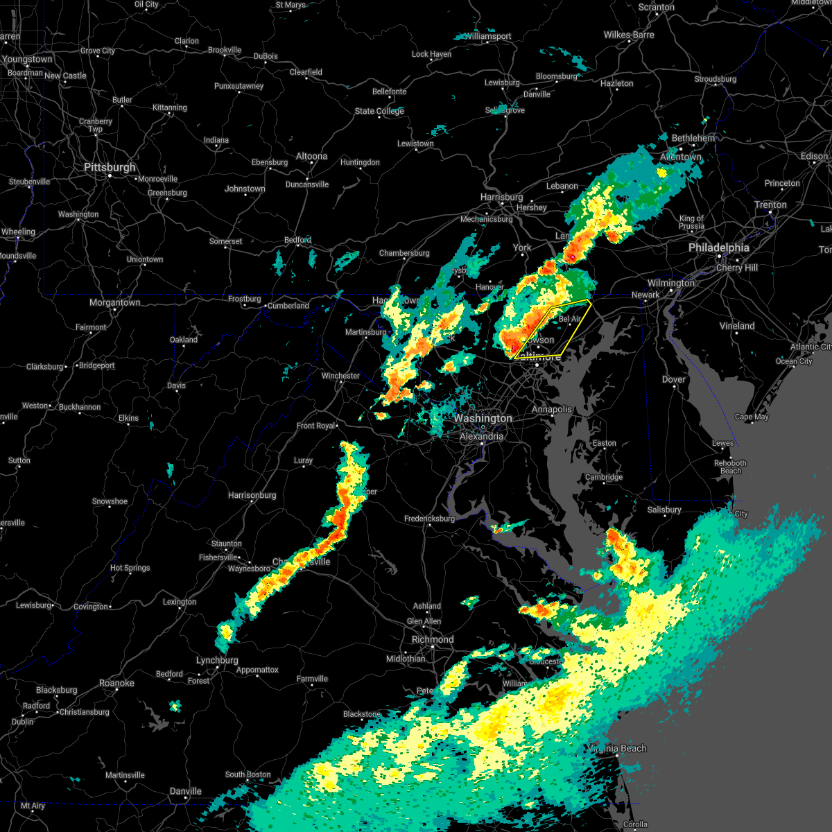 At 443 pm edt, severe thunderstorms were located along a line extending from near jarrettsville to cockeysville to randallstown, moving east at 20 mph (radar indicated). Hazards include 60 mph wind gusts and quarter size hail. Damaging winds will cause some trees and large branches to fall. this could injure those outdoors, as well as damage homes and vehicles. roadways may become blocked by downed trees. localized power outages are possible. Unsecured light objects may become projectiles. At 443 pm edt, severe thunderstorms were located along a line extending from near jarrettsville to cockeysville to randallstown, moving east at 20 mph (radar indicated). Hazards include 60 mph wind gusts and quarter size hail. Damaging winds will cause some trees and large branches to fall. this could injure those outdoors, as well as damage homes and vehicles. roadways may become blocked by downed trees. localized power outages are possible. Unsecured light objects may become projectiles.
|
| 6/2/2021 6:15 PM EDT |
 At 615 pm edt, a severe thunderstorm was located over keyser, moving east at 15 mph (radar indicated). Hazards include 60 mph wind gusts and quarter size hail. Damaging winds will cause some trees and large branches to fall. this could injure those outdoors, as well as damage homes and vehicles. roadways may become blocked by downed trees. localized power outages are possible. unsecured light objects may become projectiles. Locations impacted include, keyser, bel air, cresaptown, rawlings, mccoole and reeses mill. At 615 pm edt, a severe thunderstorm was located over keyser, moving east at 15 mph (radar indicated). Hazards include 60 mph wind gusts and quarter size hail. Damaging winds will cause some trees and large branches to fall. this could injure those outdoors, as well as damage homes and vehicles. roadways may become blocked by downed trees. localized power outages are possible. unsecured light objects may become projectiles. Locations impacted include, keyser, bel air, cresaptown, rawlings, mccoole and reeses mill.
|
| 6/2/2021 6:00 PM EDT |
 At 600 pm edt, a severe thunderstorm was located near keyser, moving east at 15 mph (radar indicated). Hazards include 60 mph wind gusts and quarter size hail. Damaging winds will cause some trees and large branches to fall. this could injure those outdoors, as well as damage homes and vehicles. roadways may become blocked by downed trees. localized power outages are possible. Unsecured light objects may become projectiles. At 600 pm edt, a severe thunderstorm was located near keyser, moving east at 15 mph (radar indicated). Hazards include 60 mph wind gusts and quarter size hail. Damaging winds will cause some trees and large branches to fall. this could injure those outdoors, as well as damage homes and vehicles. roadways may become blocked by downed trees. localized power outages are possible. Unsecured light objects may become projectiles.
|
| 3/28/2021 6:07 PM EDT |
 At 607 pm edt, severe thunderstorms were located along a line extending from near aberdeen to near bowleys quarters, moving east at 55 mph (radar indicated). Hazards include 60 mph wind gusts. Damaging winds will cause some trees and large branches to fall. this could injure those outdoors, as well as damage homes and vehicles. roadways may become blocked by downed trees. localized power outages are possible. unsecured light objects may become projectiles. Locations impacted include, baltimore, middle river, aberdeen, havre de grace, aberdeen proving ground, north point state park, sparrows point, back river, millers island, dundalk, bel air south, essex, bel air north, pasadena, rosedale, white marsh, bowleys quarters, riverside, kingsville and pleasant hills. At 607 pm edt, severe thunderstorms were located along a line extending from near aberdeen to near bowleys quarters, moving east at 55 mph (radar indicated). Hazards include 60 mph wind gusts. Damaging winds will cause some trees and large branches to fall. this could injure those outdoors, as well as damage homes and vehicles. roadways may become blocked by downed trees. localized power outages are possible. unsecured light objects may become projectiles. Locations impacted include, baltimore, middle river, aberdeen, havre de grace, aberdeen proving ground, north point state park, sparrows point, back river, millers island, dundalk, bel air south, essex, bel air north, pasadena, rosedale, white marsh, bowleys quarters, riverside, kingsville and pleasant hills.
|
| 3/28/2021 5:56 PM EDT |
 At 555 pm edt, severe thunderstorms with a history of producing wind damage and measured wind gusts to near 60 mph were located along a line extending from near bel air north to rosedale, moving east at 55 mph (radar indicated and observed wind). Hazards include 60 mph wind gusts. Damaging winds will cause some trees and large branches to fall. this could injure those outdoors, as well as damage homes and vehicles. roadways may become blocked by downed trees. localized power outages are possible. unsecured light objects may become projectiles. Locations impacted include, baltimore, middle river, aberdeen, havre de grace, aberdeen proving ground, millers island, north point state park, sparrows point, back river, dundalk, towson, bel air south, essex, parkville, bel air north, carney, perry hall, pasadena, rosedale and rossville. At 555 pm edt, severe thunderstorms with a history of producing wind damage and measured wind gusts to near 60 mph were located along a line extending from near bel air north to rosedale, moving east at 55 mph (radar indicated and observed wind). Hazards include 60 mph wind gusts. Damaging winds will cause some trees and large branches to fall. this could injure those outdoors, as well as damage homes and vehicles. roadways may become blocked by downed trees. localized power outages are possible. unsecured light objects may become projectiles. Locations impacted include, baltimore, middle river, aberdeen, havre de grace, aberdeen proving ground, millers island, north point state park, sparrows point, back river, dundalk, towson, bel air south, essex, parkville, bel air north, carney, perry hall, pasadena, rosedale and rossville.
|
| 3/28/2021 5:37 PM EDT |
 At 535 pm edt, severe thunderstorms with a history of producing wind damage and measured wind gusts to near 60 mph were located along a line extending from near cockeysville to ellicott city, moving east at 55 mph (radar indicated). Hazards include 60 mph wind gusts. Damaging winds will cause some trees and large branches to fall. this could injure those outdoors, as well as damage homes and vehicles. roadways may become blocked by downed trees. localized power outages are possible. Unsecured light objects may become projectiles. At 535 pm edt, severe thunderstorms with a history of producing wind damage and measured wind gusts to near 60 mph were located along a line extending from near cockeysville to ellicott city, moving east at 55 mph (radar indicated). Hazards include 60 mph wind gusts. Damaging winds will cause some trees and large branches to fall. this could injure those outdoors, as well as damage homes and vehicles. roadways may become blocked by downed trees. localized power outages are possible. Unsecured light objects may become projectiles.
|
| 11/15/2020 7:18 PM EST | Tree down on old orchard road in harford county MD, 133.4 miles W of Bel Air, MD |
| 11/15/2020 7:18 PM EST | Tree down along red pump road in harford county MD, 132.3 miles W of Bel Air, MD |
| 11/15/2020 7:18 PM EST | Tree down on paterson mill road in harford county MD, 2.4 miles NW of Bel Air, MD |
| 11/15/2020 7:17 PM EST |
 At 716 pm est, severe thunderstorms were located along a line extending from rock springs to white marsh to savage-guilford, moving southeast at 40 mph (radar indicated). Hazards include 60 mph wind gusts. Damaging winds will cause some trees and large branches to fall. this could injure those outdoors, as well as damage homes and vehicles. roadways may become blocked by downed trees. localized power outages are possible. unsecured light objects may become projectiles. Locations impacted include, baltimore, columbia, severn, middle river, elkridge, aberdeen, havre de grace, riviera beach, aberdeen proving ground, baltimore-washington airport, fort smallwood state park, millers island, north point state park, sparrows point, back river, glen burnie, dundalk, towson, bel air south and catonsville. At 716 pm est, severe thunderstorms were located along a line extending from rock springs to white marsh to savage-guilford, moving southeast at 40 mph (radar indicated). Hazards include 60 mph wind gusts. Damaging winds will cause some trees and large branches to fall. this could injure those outdoors, as well as damage homes and vehicles. roadways may become blocked by downed trees. localized power outages are possible. unsecured light objects may become projectiles. Locations impacted include, baltimore, columbia, severn, middle river, elkridge, aberdeen, havre de grace, riviera beach, aberdeen proving ground, baltimore-washington airport, fort smallwood state park, millers island, north point state park, sparrows point, back river, glen burnie, dundalk, towson, bel air south and catonsville.
|
| 11/15/2020 7:00 PM EST |
 At 700 pm est, severe thunderstorms were located along a line extending from near delta to cockeysville to near ellicott city, moving east at 40 mph (radar indicated). Hazards include 60 mph wind gusts. Damaging winds will cause some trees and large branches to fall. this could injure those outdoors, as well as damage homes and vehicles. roadways may become blocked by downed trees. localized power outages are possible. unsecured light objects may become projectiles. Locations impacted include, baltimore, columbia, severn, pikesville, middle river, cockeysville, elkridge, aberdeen, havre de grace, riviera beach, aberdeen proving ground, baltimore-washington airport, fort smallwood state park, millers island, north point state park, sparrows point, back river, historic ellicott city, glen burnie and ellicott city. At 700 pm est, severe thunderstorms were located along a line extending from near delta to cockeysville to near ellicott city, moving east at 40 mph (radar indicated). Hazards include 60 mph wind gusts. Damaging winds will cause some trees and large branches to fall. this could injure those outdoors, as well as damage homes and vehicles. roadways may become blocked by downed trees. localized power outages are possible. unsecured light objects may become projectiles. Locations impacted include, baltimore, columbia, severn, pikesville, middle river, cockeysville, elkridge, aberdeen, havre de grace, riviera beach, aberdeen proving ground, baltimore-washington airport, fort smallwood state park, millers island, north point state park, sparrows point, back river, historic ellicott city, glen burnie and ellicott city.
|
| 11/15/2020 6:28 PM EST |
 At 628 pm est, severe thunderstorms were located along a line extending from glen rock to near westminster to green valley, moving east at 30 mph (radar indicated). Hazards include 60 mph wind gusts. Damaging winds will cause some trees and large branches to fall. this could injure those outdoors, as well as damage homes and vehicles. roadways may become blocked by downed trees. localized power outages are possible. Unsecured light objects may become projectiles. At 628 pm est, severe thunderstorms were located along a line extending from glen rock to near westminster to green valley, moving east at 30 mph (radar indicated). Hazards include 60 mph wind gusts. Damaging winds will cause some trees and large branches to fall. this could injure those outdoors, as well as damage homes and vehicles. roadways may become blocked by downed trees. localized power outages are possible. Unsecured light objects may become projectiles.
|
| 11/15/2020 5:21 PM EST |
 At 519 pm est, gradient winds from a passing cold front will continue to produce sporadic gusts around and above 60 mph (radar indicated). Hazards include 60 mph wind gusts. Damaging gradient winds will cause some trees and large branches to fall. this could injure those outdoors, as well as damage homes and vehicles. roadways may become blocked by downed trees. localized power outages are possible. unsecured light objects may become projectiles. Locations impacted include, cumberland, frostburg, keyser, westernport, romney, hancock, bel air, paw paw, bayard, la vale, fort ashby, lonaconing, piedmont, berkeley springs, elk garden, kitzmiller, ridgeley, cresaptown, potomac park and wiley ford. At 519 pm est, gradient winds from a passing cold front will continue to produce sporadic gusts around and above 60 mph (radar indicated). Hazards include 60 mph wind gusts. Damaging gradient winds will cause some trees and large branches to fall. this could injure those outdoors, as well as damage homes and vehicles. roadways may become blocked by downed trees. localized power outages are possible. unsecured light objects may become projectiles. Locations impacted include, cumberland, frostburg, keyser, westernport, romney, hancock, bel air, paw paw, bayard, la vale, fort ashby, lonaconing, piedmont, berkeley springs, elk garden, kitzmiller, ridgeley, cresaptown, potomac park and wiley ford.
|
| 11/15/2020 4:58 PM EST |
 At 456 pm est, gradient winds from a passing cold front were located along a line extending from near frostburg to near thomas, moving east at 35 mph (radar indicated). Hazards include 60 mph wind gusts. Damaging gradint winds from a passing cold front will cause some trees and large branches to fall. this could injure those outdoors, as well as damage homes and vehicles. roadways may become blocked by downed trees. localized power outages are possible. Unsecured light objects may become projectiles. At 456 pm est, gradient winds from a passing cold front were located along a line extending from near frostburg to near thomas, moving east at 35 mph (radar indicated). Hazards include 60 mph wind gusts. Damaging gradint winds from a passing cold front will cause some trees and large branches to fall. this could injure those outdoors, as well as damage homes and vehicles. roadways may become blocked by downed trees. localized power outages are possible. Unsecured light objects may become projectiles.
|
| 11/15/2020 3:57 PM EST |
 At 337 pm est, severe thunderstorms were located along a line extending from near uniontown to 6 miles east of brookhaven to grafton, moving east at 40 mph (radar indicated). Hazards include 60 mph wind gusts. Damaging winds will cause some trees and large branches to fall. this could injure those outdoors, as well as damage homes and vehicles. roadways may become blocked by downed trees. localized power outages are possible. Unsecured light objects may become projectiles. At 337 pm est, severe thunderstorms were located along a line extending from near uniontown to 6 miles east of brookhaven to grafton, moving east at 40 mph (radar indicated). Hazards include 60 mph wind gusts. Damaging winds will cause some trees and large branches to fall. this could injure those outdoors, as well as damage homes and vehicles. roadways may become blocked by downed trees. localized power outages are possible. Unsecured light objects may become projectiles.
|
| 11/15/2020 3:57 PM EST |
 At 356 pm est, severe thunderstorms were located along a line extending from 7 miles northeast of farmington to 9 miles southwest of friendsville to near newburg, moving east at 40 mph. this storm has a history of producing wind damage in monongalia county west virginia (radar indicated). Hazards include 60 mph wind gusts. Damaging winds will cause some trees and large branches to fall. this could injure those outdoors, as well as damage homes and vehicles. roadways may become blocked by downed trees. localized power outages are possible. unsecured light objects may become projectiles. Locations impacted include, cumberland, frostburg, keyser, mountain lake park, oakland, westernport, bel air, bayard, bittinger, la vale, lonaconing, piedmont, grantsville, loch lynn heights, friendsville, deer park, accident, elk garden, kitzmiller and cresaptown. At 356 pm est, severe thunderstorms were located along a line extending from 7 miles northeast of farmington to 9 miles southwest of friendsville to near newburg, moving east at 40 mph. this storm has a history of producing wind damage in monongalia county west virginia (radar indicated). Hazards include 60 mph wind gusts. Damaging winds will cause some trees and large branches to fall. this could injure those outdoors, as well as damage homes and vehicles. roadways may become blocked by downed trees. localized power outages are possible. unsecured light objects may become projectiles. Locations impacted include, cumberland, frostburg, keyser, mountain lake park, oakland, westernport, bel air, bayard, bittinger, la vale, lonaconing, piedmont, grantsville, loch lynn heights, friendsville, deer park, accident, elk garden, kitzmiller and cresaptown.
|
| 11/15/2020 3:38 PM EST |
 At 337 pm est, severe thunderstorms were located along a line extending from near uniontown to 6 miles east of brookhaven to grafton, moving east at 40 mph (radar indicated). Hazards include 60 mph wind gusts. Damaging winds will cause some trees and large branches to fall. this could injure those outdoors, as well as damage homes and vehicles. roadways may become blocked by downed trees. localized power outages are possible. Unsecured light objects may become projectiles. At 337 pm est, severe thunderstorms were located along a line extending from near uniontown to 6 miles east of brookhaven to grafton, moving east at 40 mph (radar indicated). Hazards include 60 mph wind gusts. Damaging winds will cause some trees and large branches to fall. this could injure those outdoors, as well as damage homes and vehicles. roadways may become blocked by downed trees. localized power outages are possible. Unsecured light objects may become projectiles.
|
| 8/28/2020 4:43 PM EDT |
 The severe thunderstorm warning for central harford and east central baltimore counties will expire at 445 pm edt, the storms which prompted the warning have weakened below severe limits, and have exited the warned area. therefore, the warning will be allowed to expire. a severe thunderstorm watch remains in effect until 800 pm edt for northern maryland. The severe thunderstorm warning for central harford and east central baltimore counties will expire at 445 pm edt, the storms which prompted the warning have weakened below severe limits, and have exited the warned area. therefore, the warning will be allowed to expire. a severe thunderstorm watch remains in effect until 800 pm edt for northern maryland.
|
| 8/28/2020 4:23 PM EDT |
 At 423 pm edt, severe thunderstorms were located along a line extending from homeville to near octoraro to pleasant hills, moving east at 35 mph (radar indicated). Hazards include 60 mph wind gusts. Damaging winds will cause some trees and large branches to fall. this could injure those outdoors, as well as damage homes and vehicles. roadways may become blocked by downed trees. localized power outages are possible. unsecured light objects may become projectiles. Locations impacted include, aberdeen, havre de grace, aberdeen proving ground, bel air south, bel air north, fallston, riverside, kingsville, pleasant hills, perryman, edgewood, joppatowne, darlington, fork, churchville, carsins, forest hill, abingdon, hickory and benson. At 423 pm edt, severe thunderstorms were located along a line extending from homeville to near octoraro to pleasant hills, moving east at 35 mph (radar indicated). Hazards include 60 mph wind gusts. Damaging winds will cause some trees and large branches to fall. this could injure those outdoors, as well as damage homes and vehicles. roadways may become blocked by downed trees. localized power outages are possible. unsecured light objects may become projectiles. Locations impacted include, aberdeen, havre de grace, aberdeen proving ground, bel air south, bel air north, fallston, riverside, kingsville, pleasant hills, perryman, edgewood, joppatowne, darlington, fork, churchville, carsins, forest hill, abingdon, hickory and benson.
|
| 8/28/2020 4:02 PM EDT |
 At 402 pm edt, severe thunderstorms were located along a line extending from near quarryville to near jarrettsville to near cockeysville, moving east at 35 mph (radar indicated). Hazards include 60 mph wind gusts. Damaging winds will cause some trees and large branches to fall. this could injure those outdoors, as well as damage homes and vehicles. roadways may become blocked by downed trees. localized power outages are possible. Unsecured light objects may become projectiles. At 402 pm edt, severe thunderstorms were located along a line extending from near quarryville to near jarrettsville to near cockeysville, moving east at 35 mph (radar indicated). Hazards include 60 mph wind gusts. Damaging winds will cause some trees and large branches to fall. this could injure those outdoors, as well as damage homes and vehicles. roadways may become blocked by downed trees. localized power outages are possible. Unsecured light objects may become projectiles.
|
| 8/27/2020 8:30 PM EDT |
 At 829 pm edt, severe thunderstorms were located along a line extending from meyersdale to near mount davis to near grantsville, moving southeast at 35 mph (radar indicated). Hazards include 60 mph wind gusts and quarter size hail. Damaging winds will cause some trees and large branches to fall. this could injure those outdoors, as well as damage homes and vehicles. roadways may become blocked by downed trees. localized power outages are possible. Unsecured light objects may become projectiles. At 829 pm edt, severe thunderstorms were located along a line extending from meyersdale to near mount davis to near grantsville, moving southeast at 35 mph (radar indicated). Hazards include 60 mph wind gusts and quarter size hail. Damaging winds will cause some trees and large branches to fall. this could injure those outdoors, as well as damage homes and vehicles. roadways may become blocked by downed trees. localized power outages are possible. Unsecured light objects may become projectiles.
|
| 8/27/2020 3:25 PM EDT |
 The severe thunderstorm warning for western allegany and northeastern mineral counties will expire at 330 pm edt, the storm which prompted the warning has weakened below severe limits, and no longer poses an immediate threat to life or property. therefore, the warning will be allowed to expire. however gusty winds are still possible with this thunderstorm. The severe thunderstorm warning for western allegany and northeastern mineral counties will expire at 330 pm edt, the storm which prompted the warning has weakened below severe limits, and no longer poses an immediate threat to life or property. therefore, the warning will be allowed to expire. however gusty winds are still possible with this thunderstorm.
|
| 8/27/2020 2:51 PM EDT |
 At 251 pm edt, a severe thunderstorm was located over grantsville, or near bittinger, moving east at 35 mph (radar indicated). Hazards include 60 mph wind gusts. Damaging winds will cause some trees and large branches to fall. this could injure those outdoors, as well as damage homes and vehicles. roadways may become blocked by downed trees. localized power outages are possible. Unsecured light objects may become projectiles. At 251 pm edt, a severe thunderstorm was located over grantsville, or near bittinger, moving east at 35 mph (radar indicated). Hazards include 60 mph wind gusts. Damaging winds will cause some trees and large branches to fall. this could injure those outdoors, as well as damage homes and vehicles. roadways may become blocked by downed trees. localized power outages are possible. Unsecured light objects may become projectiles.
|
| 8/25/2020 5:04 PM EDT |
 At 504 pm edt, a severe thunderstorm was located over piedmont, or over westernport, moving southeast at 30 mph (radar indicated). Hazards include 60 mph wind gusts. Damaging winds will cause some trees and large branches to fall. this could injure those outdoors, as well as damage homes and vehicles. roadways may become blocked by downed trees. localized power outages are possible. unsecured light objects may become projectiles. Locations impacted include, frostburg, keyser, westernport, bel air, fort ashby, lonaconing, piedmont, cresaptown, potomac park, wiley ford, eckhart mines, rawlings, barton, midland, midlothian, franklin, burlington, woodland, luke and spring gap. At 504 pm edt, a severe thunderstorm was located over piedmont, or over westernport, moving southeast at 30 mph (radar indicated). Hazards include 60 mph wind gusts. Damaging winds will cause some trees and large branches to fall. this could injure those outdoors, as well as damage homes and vehicles. roadways may become blocked by downed trees. localized power outages are possible. unsecured light objects may become projectiles. Locations impacted include, frostburg, keyser, westernport, bel air, fort ashby, lonaconing, piedmont, cresaptown, potomac park, wiley ford, eckhart mines, rawlings, barton, midland, midlothian, franklin, burlington, woodland, luke and spring gap.
|
| 8/25/2020 4:52 PM EDT |
 At 451 pm edt, a severe thunderstorm was located near bittinger, moving southeast at 30 mph (radar indicated). Hazards include 60 mph wind gusts. Damaging winds will cause some trees and large branches to fall. this could injure those outdoors, as well as damage homes and vehicles. roadways may become blocked by downed trees. localized power outages are possible. Unsecured light objects may become projectiles. At 451 pm edt, a severe thunderstorm was located near bittinger, moving southeast at 30 mph (radar indicated). Hazards include 60 mph wind gusts. Damaging winds will cause some trees and large branches to fall. this could injure those outdoors, as well as damage homes and vehicles. roadways may become blocked by downed trees. localized power outages are possible. Unsecured light objects may become projectiles.
|
| 8/12/2020 4:40 PM EDT | Tree down on detached garage on the 700 block of prospect mill road in harford county MD, 136 miles W of Bel Air, MD |
| 8/7/2020 6:00 PM EDT |
 At 600 pm edt, severe thunderstorms were located along a line extending from 6 miles southwest of octoraro to fallston, moving east at 15 mph (radar indicated). Hazards include 60 mph wind gusts. Damaging winds will cause some trees and large branches to fall. this could injure those outdoors, as well as damage homes and vehicles. roadways may become blocked by downed trees. localized power outages are possible. unsecured light objects may become projectiles. Locations impacted include, cockeysville, bel air south, bel air north, timonium, fallston, hampton, kingsville, pleasant hills, jarrettsville, lutherville-timonium, darlington, glen arm, fork, churchville, long green, forest hill, street, jacksonville, hickory and benson. At 600 pm edt, severe thunderstorms were located along a line extending from 6 miles southwest of octoraro to fallston, moving east at 15 mph (radar indicated). Hazards include 60 mph wind gusts. Damaging winds will cause some trees and large branches to fall. this could injure those outdoors, as well as damage homes and vehicles. roadways may become blocked by downed trees. localized power outages are possible. unsecured light objects may become projectiles. Locations impacted include, cockeysville, bel air south, bel air north, timonium, fallston, hampton, kingsville, pleasant hills, jarrettsville, lutherville-timonium, darlington, glen arm, fork, churchville, long green, forest hill, street, jacksonville, hickory and benson.
|
| 8/7/2020 5:36 PM EDT |
 At 536 pm edt, severe thunderstorms were located along a line extending from near bel air north to near cockeysville, moving east at 15 mph (radar indicated). Hazards include 60 mph wind gusts. Damaging winds will cause some trees and large branches to fall. this could injure those outdoors, as well as damage homes and vehicles. roadways may become blocked by downed trees. localized power outages are possible. Unsecured light objects may become projectiles. At 536 pm edt, severe thunderstorms were located along a line extending from near bel air north to near cockeysville, moving east at 15 mph (radar indicated). Hazards include 60 mph wind gusts. Damaging winds will cause some trees and large branches to fall. this could injure those outdoors, as well as damage homes and vehicles. roadways may become blocked by downed trees. localized power outages are possible. Unsecured light objects may become projectiles.
|
| 8/7/2020 4:56 PM EDT |
 At 455 pm edt, severe thunderstorms were located along a line extending from 8 miles east of cumberland to near fort ashby, moving east at 15 mph (radar indicated). Hazards include 60 mph wind gusts. Damaging winds will cause some trees and large branches to fall. this could injure those outdoors, as well as damage homes and vehicles. roadways may become blocked by downed trees. localized power outages are possible. unsecured light objects may become projectiles. Locations impacted include, bel air, fort ashby, lonaconing, cresaptown, rawlings, barton, spring gap, patterson creek, pinto, short gap, wagoner and north branch. At 455 pm edt, severe thunderstorms were located along a line extending from 8 miles east of cumberland to near fort ashby, moving east at 15 mph (radar indicated). Hazards include 60 mph wind gusts. Damaging winds will cause some trees and large branches to fall. this could injure those outdoors, as well as damage homes and vehicles. roadways may become blocked by downed trees. localized power outages are possible. unsecured light objects may become projectiles. Locations impacted include, bel air, fort ashby, lonaconing, cresaptown, rawlings, barton, spring gap, patterson creek, pinto, short gap, wagoner and north branch.
|
| 8/7/2020 4:42 PM EDT |
 At 442 pm edt, severe thunderstorms were located along a line extending from near cumberland to bel air, moving east at 15 mph (radar indicated). Hazards include 60 mph wind gusts. Damaging winds will cause some trees and large branches to fall. this could injure those outdoors, as well as damage homes and vehicles. roadways may become blocked by downed trees. localized power outages are possible. unsecured light objects may become projectiles. Locations impacted include, cumberland, bel air, la vale, fort ashby, lonaconing, ridgeley, cresaptown, potomac park, wiley ford, rawlings, barton, midland, woodland, spring gap, patterson creek, pinto, short gap, wagoner, north branch and brady. At 442 pm edt, severe thunderstorms were located along a line extending from near cumberland to bel air, moving east at 15 mph (radar indicated). Hazards include 60 mph wind gusts. Damaging winds will cause some trees and large branches to fall. this could injure those outdoors, as well as damage homes and vehicles. roadways may become blocked by downed trees. localized power outages are possible. unsecured light objects may become projectiles. Locations impacted include, cumberland, bel air, la vale, fort ashby, lonaconing, ridgeley, cresaptown, potomac park, wiley ford, rawlings, barton, midland, woodland, spring gap, patterson creek, pinto, short gap, wagoner, north branch and brady.
|
| 8/7/2020 4:26 PM EDT |
 At 426 pm edt, severe thunderstorms were located along a line extending from ridgeley to near bel air, moving east at 15 mph (radar indicated). Hazards include 60 mph wind gusts. Damaging winds will cause some trees and large branches to fall. this could injure those outdoors, as well as damage homes and vehicles. roadways may become blocked by downed trees. localized power outages are possible. Unsecured light objects may become projectiles. At 426 pm edt, severe thunderstorms were located along a line extending from ridgeley to near bel air, moving east at 15 mph (radar indicated). Hazards include 60 mph wind gusts. Damaging winds will cause some trees and large branches to fall. this could injure those outdoors, as well as damage homes and vehicles. roadways may become blocked by downed trees. localized power outages are possible. Unsecured light objects may become projectiles.
|
| 7/30/2020 9:42 PM EDT | Tree down on thomas run road in harford county MD, 137.1 miles W of Bel Air, MD |
| 7/30/2020 9:42 PM EDT | Tree down on mooores mill road in harford county MD, 133.9 miles W of Bel Air, MD |
| 7/30/2020 9:40 PM EDT | Tree down on blue silver road in harford county MD, 134 miles W of Bel Air, MD |
| 7/30/2020 9:40 PM EDT | Tree down on whitaker mill road at west ring factory road in harford county MD, 134.1 miles W of Bel Air, MD |
| 7/30/2020 9:40 PM EDT | Tree branches down on wires along shelburne road in harford county MD, 136.7 miles W of Bel Air, MD |
| 7/30/2020 9:24 PM EDT |
 At 924 pm edt, severe thunderstorms were located along a line extending from carney to near bowleys quarters, moving northeast at 30 mph (radar indicated). Hazards include 60 mph wind gusts. Damaging winds will cause some trees and large branches to fall. this could injure those outdoors, as well as damage homes and vehicles. roadways may become blocked by downed trees. localized power outages are possible. unsecured light objects may become projectiles. Locations impacted include, middle river, aberdeen, aberdeen proving ground, towson, bel air south, parkville, bel air north, carney, perry hall, rossville, white marsh, fallston, bowleys quarters, riverside, hampton, kingsville, pleasant hills, jarrettsville, perryman and edgewood. At 924 pm edt, severe thunderstorms were located along a line extending from carney to near bowleys quarters, moving northeast at 30 mph (radar indicated). Hazards include 60 mph wind gusts. Damaging winds will cause some trees and large branches to fall. this could injure those outdoors, as well as damage homes and vehicles. roadways may become blocked by downed trees. localized power outages are possible. unsecured light objects may become projectiles. Locations impacted include, middle river, aberdeen, aberdeen proving ground, towson, bel air south, parkville, bel air north, carney, perry hall, rossville, white marsh, fallston, bowleys quarters, riverside, hampton, kingsville, pleasant hills, jarrettsville, perryman and edgewood.
|
| 7/30/2020 9:08 PM EDT |
 At 908 pm edt, severe thunderstorms were located along a line extending from baltimore to millers island, moving northeast at 30 mph (radar indicated). Hazards include 60 mph wind gusts. Damaging winds will cause some trees and large branches to fall. this could injure those outdoors, as well as damage homes and vehicles. roadways may become blocked by downed trees. localized power outages are possible. Unsecured light objects may become projectiles. At 908 pm edt, severe thunderstorms were located along a line extending from baltimore to millers island, moving northeast at 30 mph (radar indicated). Hazards include 60 mph wind gusts. Damaging winds will cause some trees and large branches to fall. this could injure those outdoors, as well as damage homes and vehicles. roadways may become blocked by downed trees. localized power outages are possible. Unsecured light objects may become projectiles.
|
| 7/22/2020 5:21 PM EDT |
 The severe thunderstorm warning for central harford and southeastern baltimore counties and baltimore city will expire at 530 pm edt, the storms which prompted the warning are exiting the warned area. therefore, the warning will be allowed to expire. however heavy rain is still possible with these thunderstorms. a severe thunderstorm watch remains in effect until 700 pm edt for central and northern maryland. to report severe weather, contact your nearest law enforcement agency. they will relay your report to the national weather service sterling virginia. The severe thunderstorm warning for central harford and southeastern baltimore counties and baltimore city will expire at 530 pm edt, the storms which prompted the warning are exiting the warned area. therefore, the warning will be allowed to expire. however heavy rain is still possible with these thunderstorms. a severe thunderstorm watch remains in effect until 700 pm edt for central and northern maryland. to report severe weather, contact your nearest law enforcement agency. they will relay your report to the national weather service sterling virginia.
|
| 7/22/2020 5:10 PM EDT |
 At 510 pm edt, severe thunderstorms were located along a line extending from near bel air south to near baltimore, moving east at 15 mph (radar indicated). Hazards include damaging wind gusts up to 65 mph and isolated large hail up to quarter size. Damaging winds will cause some trees and large branches to fall. this could injure those outdoors, as well as damage homes and vehicles. roadways may become blocked by downed trees. localized power outages are possible. unsecured light objects may become projectiles. Locations impacted include, baltimore, middle river, aberdeen, havre de grace, aberdeen proving ground, millers island, north point state park, sparrows point, back river, dundalk, towson, bel air south, essex, parkville, bel air north, carney, perry hall, rosedale, rossville and brooklyn park. At 510 pm edt, severe thunderstorms were located along a line extending from near bel air south to near baltimore, moving east at 15 mph (radar indicated). Hazards include damaging wind gusts up to 65 mph and isolated large hail up to quarter size. Damaging winds will cause some trees and large branches to fall. this could injure those outdoors, as well as damage homes and vehicles. roadways may become blocked by downed trees. localized power outages are possible. unsecured light objects may become projectiles. Locations impacted include, baltimore, middle river, aberdeen, havre de grace, aberdeen proving ground, millers island, north point state park, sparrows point, back river, dundalk, towson, bel air south, essex, parkville, bel air north, carney, perry hall, rosedale, rossville and brooklyn park.
|
| 7/22/2020 4:52 PM EDT |
 At 451 pm edt, severe thunderstorms were located along a line extending from pleasant hills to baltimore, moving east at 15 mph (radar indicated). Hazards include damaging wind gusts up to 65 mph and isolated hail up to quarter size. Damaging winds will cause some trees and large branches to fall. this could injure those outdoors, as well as damage homes and vehicles. roadways may become blocked by downed trees. localized power outages are possible. Unsecured light objects may become projectiles. At 451 pm edt, severe thunderstorms were located along a line extending from pleasant hills to baltimore, moving east at 15 mph (radar indicated). Hazards include damaging wind gusts up to 65 mph and isolated hail up to quarter size. Damaging winds will cause some trees and large branches to fall. this could injure those outdoors, as well as damage homes and vehicles. roadways may become blocked by downed trees. localized power outages are possible. Unsecured light objects may become projectiles.
|
| 7/22/2020 4:46 PM EDT |
 At 420 pm edt, developing severe thunderstorms were located along a line extending from near bel air north to towson to near elkridge, moving east at 15 mph (radar indicated). Hazards include 60 mph wind gusts. Damaging winds will cause some trees and large branches to fall. this could injure those outdoors, as well as damage homes and vehicles. roadways may become blocked by downed trees. localized power outages are possible. Unsecured light objects may become projectiles. At 420 pm edt, developing severe thunderstorms were located along a line extending from near bel air north to towson to near elkridge, moving east at 15 mph (radar indicated). Hazards include 60 mph wind gusts. Damaging winds will cause some trees and large branches to fall. this could injure those outdoors, as well as damage homes and vehicles. roadways may become blocked by downed trees. localized power outages are possible. Unsecured light objects may become projectiles.
|
| 7/22/2020 4:21 PM EDT |
 At 420 pm edt, developing severe thunderstorms were located along a line extending from near bel air north to towson to near elkridge, moving east at 15 mph (radar indicated). Hazards include 60 mph wind gusts. Damaging winds will cause some trees and large branches to fall. this could injure those outdoors, as well as damage homes and vehicles. roadways may become blocked by downed trees. localized power outages are possible. Unsecured light objects may become projectiles. At 420 pm edt, developing severe thunderstorms were located along a line extending from near bel air north to towson to near elkridge, moving east at 15 mph (radar indicated). Hazards include 60 mph wind gusts. Damaging winds will cause some trees and large branches to fall. this could injure those outdoors, as well as damage homes and vehicles. roadways may become blocked by downed trees. localized power outages are possible. Unsecured light objects may become projectiles.
|
| 7/16/2020 4:11 PM EDT |
 The severe thunderstorm warning for central allegany and northeastern mineral counties will expire at 415 pm edt, the storm which prompted the warning has weakened below severe limits, and no longer poses an immediate threat to life or property. therefore, the warning will be allowed to expire. however gusty winds and heavy rain are still possible with this thunderstorm. The severe thunderstorm warning for central allegany and northeastern mineral counties will expire at 415 pm edt, the storm which prompted the warning has weakened below severe limits, and no longer poses an immediate threat to life or property. therefore, the warning will be allowed to expire. however gusty winds and heavy rain are still possible with this thunderstorm.
|
| 7/16/2020 3:59 PM EDT |
 At 321 pm edt, a severe thunderstorm was located over lonaconing, or near westernport, moving northeast at 20 mph (radar indicated). Hazards include 60 mph wind gusts and quarter size hail. Damaging winds will cause some trees and large branches to fall. this could injure those outdoors, as well as damage homes and vehicles. roadways may become blocked by downed trees. localized power outages are possible. unsecured light objects may become projectiles. Locations impacted include, cumberland, frostburg, westernport, bel air, la vale, lonaconing, ridgeley, cresaptown, potomac park, wiley ford, eckhart mines, mount savage, rawlings, ellerslie, barton, corriganville, midland, midlothian, franklin and flintstone. At 321 pm edt, a severe thunderstorm was located over lonaconing, or near westernport, moving northeast at 20 mph (radar indicated). Hazards include 60 mph wind gusts and quarter size hail. Damaging winds will cause some trees and large branches to fall. this could injure those outdoors, as well as damage homes and vehicles. roadways may become blocked by downed trees. localized power outages are possible. unsecured light objects may become projectiles. Locations impacted include, cumberland, frostburg, westernport, bel air, la vale, lonaconing, ridgeley, cresaptown, potomac park, wiley ford, eckhart mines, mount savage, rawlings, ellerslie, barton, corriganville, midland, midlothian, franklin and flintstone.
|
| 7/16/2020 3:21 PM EDT |
 At 321 pm edt, a severe thunderstorm was located over lonaconing, or near westernport, moving northeast at 20 mph (radar indicated). Hazards include 60 mph wind gusts and quarter size hail. Damaging winds will cause some trees and large branches to fall. this could injure those outdoors, as well as damage homes and vehicles. roadways may become blocked by downed trees. localized power outages are possible. unsecured light objects may become projectiles. Locations impacted include, cumberland, frostburg, westernport, bel air, la vale, lonaconing, ridgeley, cresaptown, potomac park, wiley ford, eckhart mines, mount savage, rawlings, ellerslie, barton, corriganville, midland, midlothian, franklin and flintstone. At 321 pm edt, a severe thunderstorm was located over lonaconing, or near westernport, moving northeast at 20 mph (radar indicated). Hazards include 60 mph wind gusts and quarter size hail. Damaging winds will cause some trees and large branches to fall. this could injure those outdoors, as well as damage homes and vehicles. roadways may become blocked by downed trees. localized power outages are possible. unsecured light objects may become projectiles. Locations impacted include, cumberland, frostburg, westernport, bel air, la vale, lonaconing, ridgeley, cresaptown, potomac park, wiley ford, eckhart mines, mount savage, rawlings, ellerslie, barton, corriganville, midland, midlothian, franklin and flintstone.
|
| 7/16/2020 3:17 PM EDT |
 At 317 pm edt, a severe thunderstorm was located over lonaconing, or near westernport, moving northeast at 20 mph (radar indicated). Hazards include 60 mph wind gusts and quarter size hail. Damaging winds will cause some trees and large branches to fall. this could injure those outdoors, as well as damage homes and vehicles. roadways may become blocked by downed trees. localized power outages are possible. Unsecured light objects may become projectiles. At 317 pm edt, a severe thunderstorm was located over lonaconing, or near westernport, moving northeast at 20 mph (radar indicated). Hazards include 60 mph wind gusts and quarter size hail. Damaging winds will cause some trees and large branches to fall. this could injure those outdoors, as well as damage homes and vehicles. roadways may become blocked by downed trees. localized power outages are possible. Unsecured light objects may become projectiles.
|
| 6/28/2020 5:58 PM EDT |
 At 558 pm edt, a severe thunderstorm was located over bel air south, or near aberdeen, moving southeast at 20 mph (radar indicated). Hazards include 60 mph wind gusts. Damaging winds will cause some trees and large branches to fall. this could injure those outdoors, as well as damage homes and vehicles. roadways may become blocked by downed trees. localized power outages are possible. unsecured light objects may become projectiles. Locations impacted include, aberdeen, aberdeen proving ground, bel air south, bel air north, riverside, perryman, edgewood, bynum, harford furnace, abingdon, carsins and belcamp. At 558 pm edt, a severe thunderstorm was located over bel air south, or near aberdeen, moving southeast at 20 mph (radar indicated). Hazards include 60 mph wind gusts. Damaging winds will cause some trees and large branches to fall. this could injure those outdoors, as well as damage homes and vehicles. roadways may become blocked by downed trees. localized power outages are possible. unsecured light objects may become projectiles. Locations impacted include, aberdeen, aberdeen proving ground, bel air south, bel air north, riverside, perryman, edgewood, bynum, harford furnace, abingdon, carsins and belcamp.
|
| 6/28/2020 5:33 PM EDT |
 At 533 pm edt, a severe thunderstorm was located over bel air north, or 12 miles west of aberdeen, moving southeast at 20 mph (radar indicated). Hazards include 60 mph wind gusts and quarter size hail. Damaging winds will cause some trees and large branches to fall. this could injure those outdoors, as well as damage homes and vehicles. roadways may become blocked by downed trees. localized power outages are possible. Unsecured light objects may become projectiles. At 533 pm edt, a severe thunderstorm was located over bel air north, or 12 miles west of aberdeen, moving southeast at 20 mph (radar indicated). Hazards include 60 mph wind gusts and quarter size hail. Damaging winds will cause some trees and large branches to fall. this could injure those outdoors, as well as damage homes and vehicles. roadways may become blocked by downed trees. localized power outages are possible. Unsecured light objects may become projectiles.
|
| 6/23/2020 7:10 PM EDT |
 At 709 pm edt, a severe thunderstorm was located over hampton, or near cockeysville, moving northeast at 25 mph (radar indicated). Hazards include 60 mph wind gusts and quarter size hail. Damaging winds will cause some trees and large branches to fall. this could injure those outdoors, as well as damage homes and vehicles. roadways may become blocked by downed trees. localized power outages are possible. unsecured light objects may become projectiles. Locations impacted include, cockeysville, bel air south, parkville, bel air north, carney, perry hall, timonium, white marsh, fallston, riverside, hampton, kingsville, pleasant hills, jarrettsville, lutherville-timonium, edgewood, joppatowne, pylesville, glen arm and fork. At 709 pm edt, a severe thunderstorm was located over hampton, or near cockeysville, moving northeast at 25 mph (radar indicated). Hazards include 60 mph wind gusts and quarter size hail. Damaging winds will cause some trees and large branches to fall. this could injure those outdoors, as well as damage homes and vehicles. roadways may become blocked by downed trees. localized power outages are possible. unsecured light objects may become projectiles. Locations impacted include, cockeysville, bel air south, parkville, bel air north, carney, perry hall, timonium, white marsh, fallston, riverside, hampton, kingsville, pleasant hills, jarrettsville, lutherville-timonium, edgewood, joppatowne, pylesville, glen arm and fork.
|
| 6/23/2020 6:59 PM EDT |
 The national weather service in sterling virginia has issued a * severe thunderstorm warning for. northeastern baltimore city in northern maryland. northwestern harford county in northern maryland. central baltimore county in northern maryland. Until 745 pm edt. The national weather service in sterling virginia has issued a * severe thunderstorm warning for. northeastern baltimore city in northern maryland. northwestern harford county in northern maryland. central baltimore county in northern maryland. Until 745 pm edt.
|
| 6/10/2020 9:52 PM EDT | Tree down on power lines in the 200 block of wakefield driv in harford county MD, 134.5 miles W of Bel Air, MD |
| 6/10/2020 9:49 PM EDT |
 At 949 pm edt, severe thunderstorms were located along a line extending from near wakefield to near bel air south, moving northeast at 25 mph (radar indicated). Hazards include 60 mph wind gusts. Damaging winds will cause some trees and large branches to fall. this could injure those outdoors, as well as damage homes and vehicles. roadways may become blocked by downed trees. localized power outages are possible. Unsecured light objects may become projectiles. At 949 pm edt, severe thunderstorms were located along a line extending from near wakefield to near bel air south, moving northeast at 25 mph (radar indicated). Hazards include 60 mph wind gusts. Damaging winds will cause some trees and large branches to fall. this could injure those outdoors, as well as damage homes and vehicles. roadways may become blocked by downed trees. localized power outages are possible. Unsecured light objects may become projectiles.
|
| 6/4/2020 6:02 PM EDT |
 At 602 pm edt, a severe thunderstorm was located near bel air, moving east at 20 mph (radar indicated). Hazards include 60 mph wind gusts and quarter size hail. Damaging winds will cause some trees and large branches to fall. this could injure those outdoors, as well as damage homes and vehicles. roadways may become blocked by downed trees. localized power outages are possible. Unsecured light objects may become projectiles. At 602 pm edt, a severe thunderstorm was located near bel air, moving east at 20 mph (radar indicated). Hazards include 60 mph wind gusts and quarter size hail. Damaging winds will cause some trees and large branches to fall. this could injure those outdoors, as well as damage homes and vehicles. roadways may become blocked by downed trees. localized power outages are possible. Unsecured light objects may become projectiles.
|
| 4/13/2020 2:45 PM EDT | Tree down in the 1400 block of east macphail r in harford county MD, 136.7 miles W of Bel Air, MD |
| 4/13/2020 2:27 PM EDT |
 At 227 pm edt, severe thunderstorms were located along a line extending from near delta to baltimore, moving east at 50 mph (radar indicated). Hazards include 60 mph wind gusts. Damaging winds will cause some trees and large branches to fall. this could injure those outdoors, as well as damage homes and vehicles. roadways may become blocked by downed trees. localized power outages are possible. Unsecured light objects may become projectiles. At 227 pm edt, severe thunderstorms were located along a line extending from near delta to baltimore, moving east at 50 mph (radar indicated). Hazards include 60 mph wind gusts. Damaging winds will cause some trees and large branches to fall. this could injure those outdoors, as well as damage homes and vehicles. roadways may become blocked by downed trees. localized power outages are possible. Unsecured light objects may become projectiles.
|
| 4/9/2020 11:21 PM EDT |
 At 1120 pm edt, severe thunderstorms were located along a line extending from smithville to near sunnyburn to near manchester, moving southeast at 55 mph (radar indicated). Hazards include 60 mph wind gusts. Damaging winds will cause some trees and large branches to fall. this could injure those outdoors, as well as damage homes and vehicles. roadways may become blocked by downed trees. localized power outages are possible. Unsecured light objects may become projectiles. At 1120 pm edt, severe thunderstorms were located along a line extending from smithville to near sunnyburn to near manchester, moving southeast at 55 mph (radar indicated). Hazards include 60 mph wind gusts. Damaging winds will cause some trees and large branches to fall. this could injure those outdoors, as well as damage homes and vehicles. roadways may become blocked by downed trees. localized power outages are possible. Unsecured light objects may become projectiles.
|
| 4/9/2020 12:51 PM EDT |
 At 1251 pm edt, severe thunderstorms were located along a line extending from near conowingo to carney, moving east at 65 mph (radar indicated). Hazards include 60 mph wind gusts. Damaging winds will cause some trees and large branches to fall. this could injure those outdoors, as well as damage homes and vehicles. roadways may become blocked by downed trees. localized power outages are possible. unsecured light objects may become projectiles. Locations impacted include, middle river, aberdeen, havre de grace, aberdeen proving ground, towson, bel air south, parkville, bel air north, carney, perry hall, rossville, white marsh, fallston, riverside, hampton, kingsville, pleasant hills, jarrettsville, perryman and edgewood. At 1251 pm edt, severe thunderstorms were located along a line extending from near conowingo to carney, moving east at 65 mph (radar indicated). Hazards include 60 mph wind gusts. Damaging winds will cause some trees and large branches to fall. this could injure those outdoors, as well as damage homes and vehicles. roadways may become blocked by downed trees. localized power outages are possible. unsecured light objects may become projectiles. Locations impacted include, middle river, aberdeen, havre de grace, aberdeen proving ground, towson, bel air south, parkville, bel air north, carney, perry hall, rossville, white marsh, fallston, riverside, hampton, kingsville, pleasant hills, jarrettsville, perryman and edgewood.
|
| 4/9/2020 12:24 PM EDT |
 At 1224 pm edt, severe thunderstorms were located along a line extending from near railroad to near mount airy, moving east at 65 mph (radar indicated). Hazards include 60 mph wind gusts. Damaging winds will cause some trees and large branches to fall. this could injure those outdoors, as well as damage homes and vehicles. roadways may become blocked by downed trees. localized power outages are possible. Unsecured light objects may become projectiles. At 1224 pm edt, severe thunderstorms were located along a line extending from near railroad to near mount airy, moving east at 65 mph (radar indicated). Hazards include 60 mph wind gusts. Damaging winds will cause some trees and large branches to fall. this could injure those outdoors, as well as damage homes and vehicles. roadways may become blocked by downed trees. localized power outages are possible. Unsecured light objects may become projectiles.
|
| 4/8/2020 12:59 PM EDT | Quarter sized hail reported 134.4 miles W of Bel Air, MD, quarter size hail |
| 4/8/2020 2:29 AM EDT |
 At 229 am edt, severe thunderstorms were located along a line extending from near berlin to near accident to 6 miles east of point marion, moving southeast at 65 mph (radar indicated). Hazards include 60 mph wind gusts. Damaging winds will cause some trees and large branches to fall. this could injure those outdoors, as well as damage homes and vehicles. roadways may become blocked by downed trees. localized power outages are possible. Unsecured light objects may become projectiles. At 229 am edt, severe thunderstorms were located along a line extending from near berlin to near accident to 6 miles east of point marion, moving southeast at 65 mph (radar indicated). Hazards include 60 mph wind gusts. Damaging winds will cause some trees and large branches to fall. this could injure those outdoors, as well as damage homes and vehicles. roadways may become blocked by downed trees. localized power outages are possible. Unsecured light objects may become projectiles.
|
| 4/8/2020 12:59 AM EDT |
 At 1251 am edt, a severe thunderstorm was located near bel air north, or 13 miles northwest of aberdeen, moving east at 35 mph (radar indicated). Hazards include quarter size hail. some hail damage to agriculture is expected At 1251 am edt, a severe thunderstorm was located near bel air north, or 13 miles northwest of aberdeen, moving east at 35 mph (radar indicated). Hazards include quarter size hail. some hail damage to agriculture is expected
|
| 4/8/2020 12:52 AM EDT |
 At 1251 am edt, a severe thunderstorm was located near bel air north, or 13 miles northwest of aberdeen, moving east at 35 mph (radar indicated). Hazards include quarter size hail. some hail damage to agriculture is expected At 1251 am edt, a severe thunderstorm was located near bel air north, or 13 miles northwest of aberdeen, moving east at 35 mph (radar indicated). Hazards include quarter size hail. some hail damage to agriculture is expected
|
| 3/3/2020 10:03 PM EST |
 At 1003 pm est, severe thunderstorms were located along a line extending from 6 miles southwest of inglesmith to near keyser, moving east at 55 mph (trained weather spotters). Hazards include 60 mph wind gusts. Damaging winds will cause some trees and large branches to fall. this could injure those outdoors, as well as damage homes and vehicles. roadways may become blocked by downed trees. localized power outages are possible. Unsecured light objects may become projectiles. At 1003 pm est, severe thunderstorms were located along a line extending from 6 miles southwest of inglesmith to near keyser, moving east at 55 mph (trained weather spotters). Hazards include 60 mph wind gusts. Damaging winds will cause some trees and large branches to fall. this could injure those outdoors, as well as damage homes and vehicles. roadways may become blocked by downed trees. localized power outages are possible. Unsecured light objects may become projectiles.
|
| 10/31/2019 10:31 PM EDT |
 At 1030 pm edt, severe thunderstorms were located along a line extending from near rock springs to near riverside, moving northeast at 50 mph (radar indicated). Hazards include 60 mph wind gusts. Damaging winds will cause some trees and large branches to fall. this could injure those outdoors, as well as damage homes and vehicles. roadways may become blocked by downed trees. localized power outages are possible. unsecured light objects may become projectiles. Locations impacted include, middle river, aberdeen, havre de grace, aberdeen proving ground, bel air south, bel air north, perry hall, rosedale, rossville, white marsh, fallston, bowleys quarters, riverside, kingsville, pleasant hills, jarrettsville, perryman, edgewood, joppatowne and pylesville. At 1030 pm edt, severe thunderstorms were located along a line extending from near rock springs to near riverside, moving northeast at 50 mph (radar indicated). Hazards include 60 mph wind gusts. Damaging winds will cause some trees and large branches to fall. this could injure those outdoors, as well as damage homes and vehicles. roadways may become blocked by downed trees. localized power outages are possible. unsecured light objects may become projectiles. Locations impacted include, middle river, aberdeen, havre de grace, aberdeen proving ground, bel air south, bel air north, perry hall, rosedale, rossville, white marsh, fallston, bowleys quarters, riverside, kingsville, pleasant hills, jarrettsville, perryman, edgewood, joppatowne and pylesville.
|
| 10/31/2019 10:14 PM EDT |
 At 1013 pm edt, severe thunderstorms were located along a line extending from near delta to white marsh, moving northeast at 65 mph (radar indicated). Hazards include 60 mph wind gusts. Damaging winds will cause some trees and large branches to fall. this could injure those outdoors, as well as damage homes and vehicles. roadways may become blocked by downed trees. localized power outages are possible. Unsecured light objects may become projectiles. At 1013 pm edt, severe thunderstorms were located along a line extending from near delta to white marsh, moving northeast at 65 mph (radar indicated). Hazards include 60 mph wind gusts. Damaging winds will cause some trees and large branches to fall. this could injure those outdoors, as well as damage homes and vehicles. roadways may become blocked by downed trees. localized power outages are possible. Unsecured light objects may become projectiles.
|
| 9/2/2019 6:07 PM EDT |
 At 607 pm edt, a severe thunderstorm was located near cockeysville, moving southeast at 25 mph (radar indicated). Hazards include 60 mph wind gusts and quarter size hail. Damaging winds will cause some trees and large branches to fall. this could injure those outdoors, as well as damage homes and vehicles. roadways may become blocked by downed trees. localized power outages are possible. unsecured light objects may become projectiles. Locations impacted include, bel air south, bel air north, fallston, kingsville, pleasant hills, jarrettsville, glencoe, benson, baldwin, sparks, hydes, phoenix, jacksonville and monkton. At 607 pm edt, a severe thunderstorm was located near cockeysville, moving southeast at 25 mph (radar indicated). Hazards include 60 mph wind gusts and quarter size hail. Damaging winds will cause some trees and large branches to fall. this could injure those outdoors, as well as damage homes and vehicles. roadways may become blocked by downed trees. localized power outages are possible. unsecured light objects may become projectiles. Locations impacted include, bel air south, bel air north, fallston, kingsville, pleasant hills, jarrettsville, glencoe, benson, baldwin, sparks, hydes, phoenix, jacksonville and monkton.
|
| 9/2/2019 5:54 PM EDT |
 At 554 pm edt, a severe thunderstorm was located 8 miles east of hampstead, or 9 miles north of cockeysville, moving east at 20 mph (radar indicated). Hazards include 60 mph wind gusts and quarter size hail. Damaging winds will cause some trees and large branches to fall. this could injure those outdoors, as well as damage homes and vehicles. roadways may become blocked by downed trees. localized power outages are possible. Unsecured light objects may become projectiles. At 554 pm edt, a severe thunderstorm was located 8 miles east of hampstead, or 9 miles north of cockeysville, moving east at 20 mph (radar indicated). Hazards include 60 mph wind gusts and quarter size hail. Damaging winds will cause some trees and large branches to fall. this could injure those outdoors, as well as damage homes and vehicles. roadways may become blocked by downed trees. localized power outages are possible. Unsecured light objects may become projectiles.
|
| 8/20/2019 5:18 PM EDT |
 At 518 pm edt, a severe thunderstorm was located near frostburg, moving east at 10 mph (radar indicated). Hazards include 60 mph wind gusts. Damaging winds will cause some trees and large branches to fall. this could injure those outdoors, as well as damage homes and vehicles. roadways may become blocked by downed trees. localized power outages are possible. unsecured light objects may become projectiles. Locations impacted include, frostburg, bel air, la vale, cresaptown, potomac park, eckhart mines, mount savage, corriganville, midlothian and woodland. At 518 pm edt, a severe thunderstorm was located near frostburg, moving east at 10 mph (radar indicated). Hazards include 60 mph wind gusts. Damaging winds will cause some trees and large branches to fall. this could injure those outdoors, as well as damage homes and vehicles. roadways may become blocked by downed trees. localized power outages are possible. unsecured light objects may become projectiles. Locations impacted include, frostburg, bel air, la vale, cresaptown, potomac park, eckhart mines, mount savage, corriganville, midlothian and woodland.
|
| 8/20/2019 5:00 PM EDT |
 At 500 pm edt, a severe thunderstorm was located over frostburg, moving east at 10 mph (radar indicated). Hazards include 60 mph wind gusts. Damaging winds will cause some trees and large branches to fall. this could injure those outdoors, as well as damage homes and vehicles. roadways may become blocked by downed trees. localized power outages are possible. Unsecured light objects may become projectiles. At 500 pm edt, a severe thunderstorm was located over frostburg, moving east at 10 mph (radar indicated). Hazards include 60 mph wind gusts. Damaging winds will cause some trees and large branches to fall. this could injure those outdoors, as well as damage homes and vehicles. roadways may become blocked by downed trees. localized power outages are possible. Unsecured light objects may become projectiles.
|
| 8/18/2019 11:10 PM EDT |
 At 1052 pm edt, a severe thunderstorm was located over kingsville, or 9 miles north of middle river, moving southeast at 15 mph (radar indicated). Hazards include 60 mph wind gusts and quarter size hail. Damaging winds will cause some trees and large branches to fall. this could injure those outdoors, as well as damage homes and vehicles. roadways may become blocked by downed trees. localized power outages are possible. unsecured light objects may become projectiles. Locations impacted include, middle river, dundalk, bel air south, essex, parkville, bel air north, carney, perry hall, rosedale, rossville, white marsh, fallston, bowleys quarters, riverside, kingsville, pleasant hills, jarrettsville, perryman, edgewood and joppatowne. At 1052 pm edt, a severe thunderstorm was located over kingsville, or 9 miles north of middle river, moving southeast at 15 mph (radar indicated). Hazards include 60 mph wind gusts and quarter size hail. Damaging winds will cause some trees and large branches to fall. this could injure those outdoors, as well as damage homes and vehicles. roadways may become blocked by downed trees. localized power outages are possible. unsecured light objects may become projectiles. Locations impacted include, middle river, dundalk, bel air south, essex, parkville, bel air north, carney, perry hall, rosedale, rossville, white marsh, fallston, bowleys quarters, riverside, kingsville, pleasant hills, jarrettsville, perryman, edgewood and joppatowne.
|
| 8/18/2019 10:52 PM EDT |
 At 1052 pm edt, a severe thunderstorm was located over kingsville, or 9 miles north of middle river, moving southeast at 15 mph (radar indicated). Hazards include 60 mph wind gusts and quarter size hail. Damaging winds will cause some trees and large branches to fall. this could injure those outdoors, as well as damage homes and vehicles. roadways may become blocked by downed trees. localized power outages are possible. unsecured light objects may become projectiles. Locations impacted include, middle river, dundalk, bel air south, essex, parkville, bel air north, carney, perry hall, rosedale, rossville, white marsh, fallston, bowleys quarters, riverside, kingsville, pleasant hills, jarrettsville, perryman, edgewood and joppatowne. At 1052 pm edt, a severe thunderstorm was located over kingsville, or 9 miles north of middle river, moving southeast at 15 mph (radar indicated). Hazards include 60 mph wind gusts and quarter size hail. Damaging winds will cause some trees and large branches to fall. this could injure those outdoors, as well as damage homes and vehicles. roadways may become blocked by downed trees. localized power outages are possible. unsecured light objects may become projectiles. Locations impacted include, middle river, dundalk, bel air south, essex, parkville, bel air north, carney, perry hall, rosedale, rossville, white marsh, fallston, bowleys quarters, riverside, kingsville, pleasant hills, jarrettsville, perryman, edgewood and joppatowne.
|
| 8/18/2019 10:22 PM EDT |
 At 1022 pm edt, a severe thunderstorm was located near jarrettsville, or 7 miles northeast of cockeysville, moving southeast at 15 mph (radar indicated). Hazards include 60 mph wind gusts and quarter size hail. Damaging winds will cause some trees and large branches to fall. this could injure those outdoors, as well as damage homes and vehicles. roadways may become blocked by downed trees. localized power outages are possible. Unsecured light objects may become projectiles. At 1022 pm edt, a severe thunderstorm was located near jarrettsville, or 7 miles northeast of cockeysville, moving southeast at 15 mph (radar indicated). Hazards include 60 mph wind gusts and quarter size hail. Damaging winds will cause some trees and large branches to fall. this could injure those outdoors, as well as damage homes and vehicles. roadways may become blocked by downed trees. localized power outages are possible. Unsecured light objects may become projectiles.
|
| 8/17/2019 2:15 PM EDT | Tree reported down on conowingo road near forge hill roa in harford county MD, 136 miles W of Bel Air, MD |
| 8/17/2019 2:08 PM EDT |
 At 207 pm edt, a severe thunderstorm was located near bel air north, or 7 miles northwest of aberdeen, moving southeast at 35 mph (radar indicated). Hazards include 60 mph wind gusts and quarter size hail. Damaging winds will cause some trees and large branches to fall. this could injure those outdoors, as well as damage homes and vehicles. roadways may become blocked by downed trees. localized power outages are possible. Unsecured light objects may become projectiles. At 207 pm edt, a severe thunderstorm was located near bel air north, or 7 miles northwest of aberdeen, moving southeast at 35 mph (radar indicated). Hazards include 60 mph wind gusts and quarter size hail. Damaging winds will cause some trees and large branches to fall. this could injure those outdoors, as well as damage homes and vehicles. roadways may become blocked by downed trees. localized power outages are possible. Unsecured light objects may become projectiles.
|
| 8/15/2019 6:36 PM EDT |
 At 636 pm edt, a severe thunderstorm was located near ridgeley, or near bel air, moving east at 15 mph. another potentially severe thunderstorm was near oldtown, moving north (radar indicated). Hazards include 60 mph wind gusts and quarter size hail. Damaging winds will cause some trees and large branches to fall. this could injure those outdoors, as well as damage homes and vehicles. roadways may become blocked by downed trees. localized power outages are possible. Unsecured light objects may become projectiles. At 636 pm edt, a severe thunderstorm was located near ridgeley, or near bel air, moving east at 15 mph. another potentially severe thunderstorm was near oldtown, moving north (radar indicated). Hazards include 60 mph wind gusts and quarter size hail. Damaging winds will cause some trees and large branches to fall. this could injure those outdoors, as well as damage homes and vehicles. roadways may become blocked by downed trees. localized power outages are possible. Unsecured light objects may become projectiles.
|
| 8/7/2019 3:58 PM EDT |
 The severe thunderstorm warning for central harford and east central baltimore counties will expire at 400 pm edt, the storm which prompted the warning has weakened below severe limits, and no longer poses an immediate threat to life or property. therefore, the warning will be allowed to expire. a severe thunderstorm watch remains in effect until 800 pm edt for northern maryland. The severe thunderstorm warning for central harford and east central baltimore counties will expire at 400 pm edt, the storm which prompted the warning has weakened below severe limits, and no longer poses an immediate threat to life or property. therefore, the warning will be allowed to expire. a severe thunderstorm watch remains in effect until 800 pm edt for northern maryland.
|
| 8/7/2019 3:48 PM EDT |
 At 348 pm edt, a severe thunderstorm was located over bel air north, or 10 miles west of aberdeen, moving northeast at 30 mph (radar indicated). Hazards include 60 mph wind gusts and quarter size hail. Damaging winds will cause some trees and large branches to fall. this could injure those outdoors, as well as damage homes and vehicles. roadways may become blocked by downed trees. localized power outages are possible. unsecured light objects may become projectiles. Locations impacted include, middle river, aberdeen, havre de grace, bel air south, bel air north, fallston, riverside, kingsville, pleasant hills, perryman, edgewood, joppatowne, churchville, carsins, bradshaw, abingdon, joppa, upper falls, gunpowder and hickory. At 348 pm edt, a severe thunderstorm was located over bel air north, or 10 miles west of aberdeen, moving northeast at 30 mph (radar indicated). Hazards include 60 mph wind gusts and quarter size hail. Damaging winds will cause some trees and large branches to fall. this could injure those outdoors, as well as damage homes and vehicles. roadways may become blocked by downed trees. localized power outages are possible. unsecured light objects may become projectiles. Locations impacted include, middle river, aberdeen, havre de grace, bel air south, bel air north, fallston, riverside, kingsville, pleasant hills, perryman, edgewood, joppatowne, churchville, carsins, bradshaw, abingdon, joppa, upper falls, gunpowder and hickory.
|
| 8/7/2019 3:30 PM EDT |
 At 330 pm edt, a severe thunderstorm was located over kingsville, or 9 miles east of cockeysville, moving northeast at 30 mph (radar indicated). Hazards include 60 mph wind gusts and quarter size hail. Damaging winds will cause some trees and large branches to fall. this could injure those outdoors, as well as damage homes and vehicles. roadways may become blocked by downed trees. localized power outages are possible. unsecured light objects may become projectiles. Locations impacted include, middle river, aberdeen, havre de grace, bel air south, bel air north, carney, perry hall, rossville, white marsh, fallston, riverside, hampton, kingsville, pleasant hills, perryman, lutherville-timonium, edgewood, joppatowne, nottingham and glen arm. At 330 pm edt, a severe thunderstorm was located over kingsville, or 9 miles east of cockeysville, moving northeast at 30 mph (radar indicated). Hazards include 60 mph wind gusts and quarter size hail. Damaging winds will cause some trees and large branches to fall. this could injure those outdoors, as well as damage homes and vehicles. roadways may become blocked by downed trees. localized power outages are possible. unsecured light objects may become projectiles. Locations impacted include, middle river, aberdeen, havre de grace, bel air south, bel air north, carney, perry hall, rossville, white marsh, fallston, riverside, hampton, kingsville, pleasant hills, perryman, lutherville-timonium, edgewood, joppatowne, nottingham and glen arm.
|
| 8/7/2019 3:14 PM EDT |
 At 314 pm edt, a severe thunderstorm was located over parkville, or near baltimore, moving northeast at 30 mph (radar indicated). Hazards include 60 mph wind gusts and quarter size hail. Damaging winds will cause some trees and large branches to fall. this could injure those outdoors, as well as damage homes and vehicles. roadways may become blocked by downed trees. localized power outages are possible. Unsecured light objects may become projectiles. At 314 pm edt, a severe thunderstorm was located over parkville, or near baltimore, moving northeast at 30 mph (radar indicated). Hazards include 60 mph wind gusts and quarter size hail. Damaging winds will cause some trees and large branches to fall. this could injure those outdoors, as well as damage homes and vehicles. roadways may become blocked by downed trees. localized power outages are possible. Unsecured light objects may become projectiles.
|
| 8/1/2019 5:04 PM EDT |
 At 504 pm edt, a severe thunderstorm was located near bel air south, or 7 miles west of aberdeen, moving south at 5 mph (radar indicated). Hazards include 60 mph wind gusts. Damaging winds will cause some trees and large branches to fall. this could injure those outdoors, as well as damage homes and vehicles. roadways may become blocked by downed trees. localized power outages are possible. unsecured light objects may become projectiles. Locations impacted include, aberdeen, bel air south, bel air north, fallston, riverside, pleasant hills, jarrettsville, perryman, benson, churchville, carsins, forest hill, chrome hill, bynum, harford furnace, rocks, hickory and belcamp. At 504 pm edt, a severe thunderstorm was located near bel air south, or 7 miles west of aberdeen, moving south at 5 mph (radar indicated). Hazards include 60 mph wind gusts. Damaging winds will cause some trees and large branches to fall. this could injure those outdoors, as well as damage homes and vehicles. roadways may become blocked by downed trees. localized power outages are possible. unsecured light objects may become projectiles. Locations impacted include, aberdeen, bel air south, bel air north, fallston, riverside, pleasant hills, jarrettsville, perryman, benson, churchville, carsins, forest hill, chrome hill, bynum, harford furnace, rocks, hickory and belcamp.
|
| 8/1/2019 4:49 PM EDT | Tree down in the 700 block of md-136 priestford roa in harford county MD, 138.7 miles W of Bel Air, MD |
| 8/1/2019 4:47 PM EDT |
 At 447 pm edt, a severe thunderstorm was located near bel air north, or 8 miles northwest of aberdeen, moving south at 5 mph (radar indicated). Hazards include 60 mph wind gusts. Damaging winds will cause some trees and large branches to fall. this could injure those outdoors, as well as damage homes and vehicles. roadways may become blocked by downed trees. localized power outages are possible. Unsecured light objects may become projectiles. At 447 pm edt, a severe thunderstorm was located near bel air north, or 8 miles northwest of aberdeen, moving south at 5 mph (radar indicated). Hazards include 60 mph wind gusts. Damaging winds will cause some trees and large branches to fall. this could injure those outdoors, as well as damage homes and vehicles. roadways may become blocked by downed trees. localized power outages are possible. Unsecured light objects may become projectiles.
|
| 8/1/2019 4:39 PM EDT |
 The severe thunderstorm warning for northeastern harford county will expire at 445 pm edt, the storm which prompted the warning has weakened below severe limits, and no longer poses an immediate threat to life or property. therefore, the warning will be allowed to expire. however gusty winds and small hail are still possible with this thunderstorm. The severe thunderstorm warning for northeastern harford county will expire at 445 pm edt, the storm which prompted the warning has weakened below severe limits, and no longer poses an immediate threat to life or property. therefore, the warning will be allowed to expire. however gusty winds and small hail are still possible with this thunderstorm.
|
| 8/1/2019 4:25 PM EDT | Tree down near the intersection of md-136 calvary road and schucks roa in harford county MD, 138.3 miles W of Bel Air, MD |
| 8/1/2019 4:24 PM EDT |
 At 422 pm edt, a severe thunderstorm was located near delta, or 11 miles northwest of havre de grace, moving south at 15 mph. new thunderstorm development is also occurring further west toward pylesville and north of scarboro, this storm is moving south at 15 mph and will likely become severe by 430 pm edt (radar indicated). Hazards include 60 mph wind gusts and quarter size hail. Damaging winds will cause some trees and large branches to fall. this could injure those outdoors, as well as damage homes and vehicles. roadways may become blocked by downed trees. localized power outages are possible. unsecured light objects may become projectiles. Locations impacted include, aberdeen, havre de grace, bel air south, bel air north, pylesville, darlington, cardiff, churchville, carsins, scarboro, bynum, harford furnace, street, hickory and whiteford. At 422 pm edt, a severe thunderstorm was located near delta, or 11 miles northwest of havre de grace, moving south at 15 mph. new thunderstorm development is also occurring further west toward pylesville and north of scarboro, this storm is moving south at 15 mph and will likely become severe by 430 pm edt (radar indicated). Hazards include 60 mph wind gusts and quarter size hail. Damaging winds will cause some trees and large branches to fall. this could injure those outdoors, as well as damage homes and vehicles. roadways may become blocked by downed trees. localized power outages are possible. unsecured light objects may become projectiles. Locations impacted include, aberdeen, havre de grace, bel air south, bel air north, pylesville, darlington, cardiff, churchville, carsins, scarboro, bynum, harford furnace, street, hickory and whiteford.
|
| 8/1/2019 4:00 PM EDT |
 At 400 pm edt, a severe thunderstorm was located near wakefield, or 15 miles northwest of havre de grace, moving southeast at 10 mph (radar indicated). Hazards include 60 mph wind gusts and quarter size hail. Damaging winds will cause some trees and large branches to fall. this could injure those outdoors, as well as damage homes and vehicles. roadways may become blocked by downed trees. localized power outages are possible. Unsecured light objects may become projectiles. At 400 pm edt, a severe thunderstorm was located near wakefield, or 15 miles northwest of havre de grace, moving southeast at 10 mph (radar indicated). Hazards include 60 mph wind gusts and quarter size hail. Damaging winds will cause some trees and large branches to fall. this could injure those outdoors, as well as damage homes and vehicles. roadways may become blocked by downed trees. localized power outages are possible. Unsecured light objects may become projectiles.
|
| 7/31/2019 2:30 PM EDT |
 At 230 pm edt, severe thunderstorms were located along a line extending from near frostburg to near lonaconing, moving east at 15 mph (radar indicated). Hazards include 60 mph wind gusts. Damaging winds will cause some trees and large branches to fall. this could injure those outdoors, as well as damage homes and vehicles. roadways may become blocked by downed trees. localized power outages are possible. unsecured light objects may become projectiles. Locations impacted include, cumberland, frostburg, bel air, la vale, lonaconing, ridgeley, cresaptown, potomac park, wiley ford, eckhart mines, mount savage, rawlings, ellerslie, corriganville, midland, midlothian, woodland, patterson creek, pinto and short gap. At 230 pm edt, severe thunderstorms were located along a line extending from near frostburg to near lonaconing, moving east at 15 mph (radar indicated). Hazards include 60 mph wind gusts. Damaging winds will cause some trees and large branches to fall. this could injure those outdoors, as well as damage homes and vehicles. roadways may become blocked by downed trees. localized power outages are possible. unsecured light objects may become projectiles. Locations impacted include, cumberland, frostburg, bel air, la vale, lonaconing, ridgeley, cresaptown, potomac park, wiley ford, eckhart mines, mount savage, rawlings, ellerslie, corriganville, midland, midlothian, woodland, patterson creek, pinto and short gap.
|
| 7/31/2019 2:15 PM EDT |
 The national weather service in sterling virginia has issued a * severe thunderstorm warning for. northwestern allegany county in western maryland. northeastern mineral county in eastern west virginia. until 245 pm edt. At 215 pm edt, a severe thunderstorm was located near frostburg,. The national weather service in sterling virginia has issued a * severe thunderstorm warning for. northwestern allegany county in western maryland. northeastern mineral county in eastern west virginia. until 245 pm edt. At 215 pm edt, a severe thunderstorm was located near frostburg,.
|
| 7/31/2019 2:15 PM EDT |
 At 215 pm edt, a severe thunderstorm was located near frostburg, moving east at 20 mph (radar indicated). Hazards include 60 mph wind gusts and quarter size hail. Damaging winds will cause some trees and large branches to fall. this could injure those outdoors, as well as damage homes and vehicles. roadways may become blocked by downed trees. localized power outages are possible. Unsecured light objects may become projectiles. At 215 pm edt, a severe thunderstorm was located near frostburg, moving east at 20 mph (radar indicated). Hazards include 60 mph wind gusts and quarter size hail. Damaging winds will cause some trees and large branches to fall. this could injure those outdoors, as well as damage homes and vehicles. roadways may become blocked by downed trees. localized power outages are possible. Unsecured light objects may become projectiles.
|
| 7/22/2019 4:23 PM EDT |
 At 422 pm edt, severe thunderstorms with a history of producing wind damage were located along a line extending from near holtwood to near conowingo to 6 miles northeast of bel air north to bel air south, moving northeast at 50 mph (radar indicated). Hazards include 60 mph wind gusts. Damaging winds will cause some trees and large branches to fall. this could injure those outdoors, as well as damage homes and vehicles. roadways may become blocked by downed trees. localized power outages are possible. unsecured light objects may become projectiles. Locations impacted include, aberdeen, havre de grace, bel air south, bel air north, riverside, kingsville, pleasant hills, edgewood, joppatowne, darlington, cardiff, benson, churchville, carsins, scarboro, bradshaw, bynum, harford furnace, abingdon and joppa. At 422 pm edt, severe thunderstorms with a history of producing wind damage were located along a line extending from near holtwood to near conowingo to 6 miles northeast of bel air north to bel air south, moving northeast at 50 mph (radar indicated). Hazards include 60 mph wind gusts. Damaging winds will cause some trees and large branches to fall. this could injure those outdoors, as well as damage homes and vehicles. roadways may become blocked by downed trees. localized power outages are possible. unsecured light objects may become projectiles. Locations impacted include, aberdeen, havre de grace, bel air south, bel air north, riverside, kingsville, pleasant hills, edgewood, joppatowne, darlington, cardiff, benson, churchville, carsins, scarboro, bradshaw, bynum, harford furnace, abingdon and joppa.
|
| 7/22/2019 4:10 PM EDT |
 At 410 pm edt, severe thunderstorms with a history of producing wind damage were located along a line extending from 6 miles east of stewartstown to near bel air north to near fallston to near kingsville, moving northeast at 50 mph (radar indicated). Hazards include 70 mph wind gusts. Damaging winds will cause some trees and large branches to fall. this could injure those outdoors, as well as damage homes and vehicles. roadways may become blocked by downed trees. localized power outages are possible. unsecured light objects may become projectiles. Locations impacted include, aberdeen, havre de grace, bel air south, bel air north, perry hall, white marsh, fallston, riverside, kingsville, pleasant hills, jarrettsville, perryman, edgewood, joppatowne, pylesville, darlington, fork, cardiff, churchville and norrisville. At 410 pm edt, severe thunderstorms with a history of producing wind damage were located along a line extending from 6 miles east of stewartstown to near bel air north to near fallston to near kingsville, moving northeast at 50 mph (radar indicated). Hazards include 70 mph wind gusts. Damaging winds will cause some trees and large branches to fall. this could injure those outdoors, as well as damage homes and vehicles. roadways may become blocked by downed trees. localized power outages are possible. unsecured light objects may become projectiles. Locations impacted include, aberdeen, havre de grace, bel air south, bel air north, perry hall, white marsh, fallston, riverside, kingsville, pleasant hills, jarrettsville, perryman, edgewood, joppatowne, pylesville, darlington, fork, cardiff, churchville and norrisville.
|
| 7/22/2019 4:05 PM EDT |
 At 404 pm edt, severe thunderstorms with a history of producing wind damage were located along a line extending from near stewartstown to near jarrettsville to near fallston to carney, moving northeast at 60 mph (radar indicated). Hazards include 60 to 75 mph wind gusts. Damaging winds will cause some trees and large branches to fall. this could injure those outdoors, as well as damage homes and vehicles. roadways may become blocked by downed trees. localized power outages are possible. unsecured light objects may become projectiles. Locations impacted include, cockeysville, aberdeen, havre de grace, towson, bel air south, parkville, bel air north, carney, perry hall, timonium, white marsh, fallston, riverside, hampton, kingsville, pleasant hills, jarrettsville, perryman, lutherville-timonium and edgewood. At 404 pm edt, severe thunderstorms with a history of producing wind damage were located along a line extending from near stewartstown to near jarrettsville to near fallston to carney, moving northeast at 60 mph (radar indicated). Hazards include 60 to 75 mph wind gusts. Damaging winds will cause some trees and large branches to fall. this could injure those outdoors, as well as damage homes and vehicles. roadways may become blocked by downed trees. localized power outages are possible. unsecured light objects may become projectiles. Locations impacted include, cockeysville, aberdeen, havre de grace, towson, bel air south, parkville, bel air north, carney, perry hall, timonium, white marsh, fallston, riverside, hampton, kingsville, pleasant hills, jarrettsville, perryman, lutherville-timonium and edgewood.
|
| 7/22/2019 3:56 PM EDT |
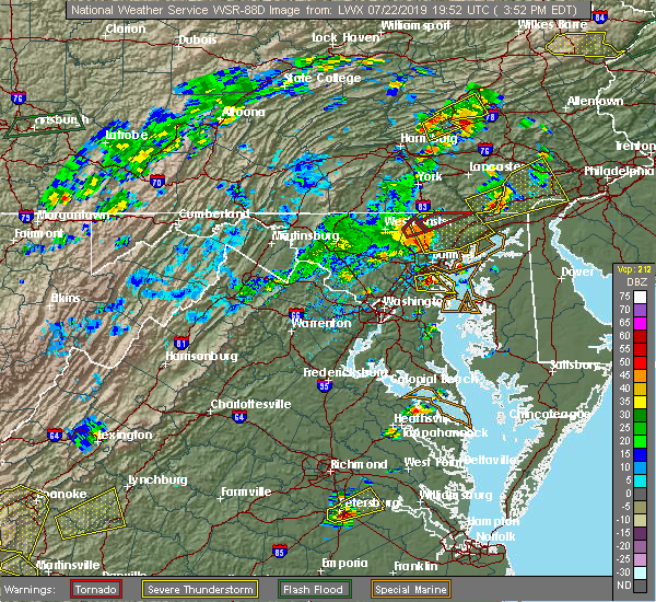 At 356 pm edt, severe thunderstorms with a history of producing wind damage were located along a line extending from hampstead to near reisterstown, moving northeast at 50 mph (radar indicated). Hazards include 60 to 75 mph wind gusts. Damaging winds will cause some trees and large branches to fall. this could injure those outdoors, as well as damage homes and vehicles. roadways may become blocked by downed trees. localized power outages are possible. unsecured light objects may become projectiles. Locations impacted include, pikesville, cockeysville, aberdeen, havre de grace, towson, bel air south, parkville, bel air north, carney, perry hall, mays chapel, timonium, white marsh, fallston, riverside, hampton, kingsville, pleasant hills, jarrettsville and perryman. At 356 pm edt, severe thunderstorms with a history of producing wind damage were located along a line extending from hampstead to near reisterstown, moving northeast at 50 mph (radar indicated). Hazards include 60 to 75 mph wind gusts. Damaging winds will cause some trees and large branches to fall. this could injure those outdoors, as well as damage homes and vehicles. roadways may become blocked by downed trees. localized power outages are possible. unsecured light objects may become projectiles. Locations impacted include, pikesville, cockeysville, aberdeen, havre de grace, towson, bel air south, parkville, bel air north, carney, perry hall, mays chapel, timonium, white marsh, fallston, riverside, hampton, kingsville, pleasant hills, jarrettsville and perryman.
|
| 7/22/2019 3:47 PM EDT |
 At 347 pm edt, severe thunderstorms with a history of producing wind damage and measured wind gusts to nearly 60 mph were located along a line extending from near westminster to near oakland, moving northeast at 50 mph (radar indicated). Hazards include 60 to 75 mph wind gusts. Damaging winds will cause some trees and large branches to fall. this could injure those outdoors, as well as damage homes and vehicles. roadways may become blocked by downed trees. localized power outages are possible. unsecured light objects may become projectiles. Locations impacted include, pikesville, cockeysville, aberdeen, havre de grace, towson, bel air south, randallstown, parkville, owings mills, bel air north, carney, milford mill, perry hall, reisterstown, lochearn, mays chapel, timonium, white marsh, fallston and riverside. At 347 pm edt, severe thunderstorms with a history of producing wind damage and measured wind gusts to nearly 60 mph were located along a line extending from near westminster to near oakland, moving northeast at 50 mph (radar indicated). Hazards include 60 to 75 mph wind gusts. Damaging winds will cause some trees and large branches to fall. this could injure those outdoors, as well as damage homes and vehicles. roadways may become blocked by downed trees. localized power outages are possible. unsecured light objects may become projectiles. Locations impacted include, pikesville, cockeysville, aberdeen, havre de grace, towson, bel air south, randallstown, parkville, owings mills, bel air north, carney, milford mill, perry hall, reisterstown, lochearn, mays chapel, timonium, white marsh, fallston and riverside.
|
| 7/22/2019 3:37 PM EDT |
 At 336 pm edt, severe thunderstorms with a history of producing wind damage and measured wind gusts to near 60 mph were located along a line extending from westminster to sykesville, moving northeast at 50 mph. these are dangerous storms! (radar indicated). Hazards include 60 to 80 mph wind gusts. Damaging winds will cause some trees and large branches to fall. this could injure those outdoors, as well as damage homes and vehicles. roadways may become blocked by downed trees. localized power outages are possible. unsecured light objects may become projectiles. Locations impacted include, pikesville, cockeysville, westminster, aberdeen, havre de grace, towson, bel air south, randallstown, parkville, owings mills, bel air north, eldersburg, carney, milford mill, perry hall, reisterstown, lochearn, mays chapel, timonium and white marsh. At 336 pm edt, severe thunderstorms with a history of producing wind damage and measured wind gusts to near 60 mph were located along a line extending from westminster to sykesville, moving northeast at 50 mph. these are dangerous storms! (radar indicated). Hazards include 60 to 80 mph wind gusts. Damaging winds will cause some trees and large branches to fall. this could injure those outdoors, as well as damage homes and vehicles. roadways may become blocked by downed trees. localized power outages are possible. unsecured light objects may become projectiles. Locations impacted include, pikesville, cockeysville, westminster, aberdeen, havre de grace, towson, bel air south, randallstown, parkville, owings mills, bel air north, eldersburg, carney, milford mill, perry hall, reisterstown, lochearn, mays chapel, timonium and white marsh.
|
| 7/22/2019 3:23 PM EDT |
 At 322 pm edt, severe thunderstorms with a history of producing wind damage and measured wind gusts to nearly 60 mph were located along a line extending from 9 miles northeast of new market to near mount airy, moving northeast at 50 mph (radar indicated). Hazards include 60 to 75 mph wind gusts. Damaging winds will cause some trees and large branches to fall. this could injure those outdoors, as well as damage homes and vehicles. roadways may become blocked by downed trees. localized power outages are possible. Unsecured light objects may become projectiles. At 322 pm edt, severe thunderstorms with a history of producing wind damage and measured wind gusts to nearly 60 mph were located along a line extending from 9 miles northeast of new market to near mount airy, moving northeast at 50 mph (radar indicated). Hazards include 60 to 75 mph wind gusts. Damaging winds will cause some trees and large branches to fall. this could injure those outdoors, as well as damage homes and vehicles. roadways may become blocked by downed trees. localized power outages are possible. Unsecured light objects may become projectiles.
|
| 7/21/2019 9:14 PM EDT |
 At 914 pm edt, severe thunderstorms were located along a line extending from near sunnyburn to near jarrettsville to fallston, moving east at 25 mph (radar indicated). Hazards include 60 mph wind gusts. Damaging winds will cause some trees and large branches to fall. this could injure those outdoors, as well as damage homes and vehicles. roadways may become blocked by downed trees. localized power outages are possible. Unsecured light objects may become projectiles. At 914 pm edt, severe thunderstorms were located along a line extending from near sunnyburn to near jarrettsville to fallston, moving east at 25 mph (radar indicated). Hazards include 60 mph wind gusts. Damaging winds will cause some trees and large branches to fall. this could injure those outdoors, as well as damage homes and vehicles. roadways may become blocked by downed trees. localized power outages are possible. Unsecured light objects may become projectiles.
|
| 7/17/2019 6:36 PM EDT |
 At 636 pm edt, severe thunderstorms were located along a line extending from near sunnyburn to near octoraro to perryman, moving northeast at 35 mph (radar indicated). Hazards include 60 mph wind gusts. Damaging winds will cause some trees and large branches to fall. this could injure those outdoors, as well as damage homes and vehicles. roadways may become blocked by downed trees. localized power outages are possible. unsecured light objects may become projectiles. Locations impacted include, aberdeen, havre de grace, aberdeen proving ground, bel air south, bel air north, riverside, perryman, edgewood, pylesville, darlington, cardiff, churchville, carsins, scarboro, harford furnace, abingdon, belcamp and whiteford. At 636 pm edt, severe thunderstorms were located along a line extending from near sunnyburn to near octoraro to perryman, moving northeast at 35 mph (radar indicated). Hazards include 60 mph wind gusts. Damaging winds will cause some trees and large branches to fall. this could injure those outdoors, as well as damage homes and vehicles. roadways may become blocked by downed trees. localized power outages are possible. unsecured light objects may become projectiles. Locations impacted include, aberdeen, havre de grace, aberdeen proving ground, bel air south, bel air north, riverside, perryman, edgewood, pylesville, darlington, cardiff, churchville, carsins, scarboro, harford furnace, abingdon, belcamp and whiteford.
|
| 7/17/2019 6:20 PM EDT |
 At 620 pm edt, severe thunderstorms were located along a line extending from near stewartstown to near jarrettsville to near kingsville, moving northeast at 40 mph (radar indicated). Hazards include 60 mph wind gusts. Damaging winds will cause some trees and large branches to fall. this could injure those outdoors, as well as damage homes and vehicles. roadways may become blocked by downed trees. localized power outages are possible. unsecured light objects may become projectiles. Locations impacted include, baltimore, cockeysville, aberdeen, havre de grace, aberdeen proving ground, towson, bel air south, parkville, bel air north, carney, perry hall, rossville, timonium, white marsh, fallston, riverside, hampton, kingsville, pleasant hills and jarrettsville. At 620 pm edt, severe thunderstorms were located along a line extending from near stewartstown to near jarrettsville to near kingsville, moving northeast at 40 mph (radar indicated). Hazards include 60 mph wind gusts. Damaging winds will cause some trees and large branches to fall. this could injure those outdoors, as well as damage homes and vehicles. roadways may become blocked by downed trees. localized power outages are possible. unsecured light objects may become projectiles. Locations impacted include, baltimore, cockeysville, aberdeen, havre de grace, aberdeen proving ground, towson, bel air south, parkville, bel air north, carney, perry hall, rossville, timonium, white marsh, fallston, riverside, hampton, kingsville, pleasant hills and jarrettsville.
|
| 7/17/2019 6:19 PM EDT | Tree down onto residence on saddleback way in harford county MD, 134.4 miles W of Bel Air, MD |
| 7/17/2019 5:46 PM EDT |
 At 546 pm edt, severe thunderstorms were located along a line extending from near gamber to owings mills to woodlawn, moving northeast at 35 mph (radar indicated). Hazards include 60 mph wind gusts. Damaging winds will cause some trees and large branches to fall. this could injure those outdoors, as well as damage homes and vehicles. roadways may become blocked by downed trees. localized power outages are possible. Unsecured light objects may become projectiles. At 546 pm edt, severe thunderstorms were located along a line extending from near gamber to owings mills to woodlawn, moving northeast at 35 mph (radar indicated). Hazards include 60 mph wind gusts. Damaging winds will cause some trees and large branches to fall. this could injure those outdoors, as well as damage homes and vehicles. roadways may become blocked by downed trees. localized power outages are possible. Unsecured light objects may become projectiles.
|
| 7/11/2019 5:06 PM EDT | Large tree limbs blocking roadway at 200 block of glenwood rd in harford county MD, 135.6 miles W of Bel Air, MD |
| 7/11/2019 4:47 PM EDT |
 The national weather service in sterling virginia has issued a * severe thunderstorm warning for. central harford county in northern maryland. east central baltimore county in northern maryland. until 530 pm edt. At 447 pm edt, a severe thunderstorm was located over perry hall,. The national weather service in sterling virginia has issued a * severe thunderstorm warning for. central harford county in northern maryland. east central baltimore county in northern maryland. until 530 pm edt. At 447 pm edt, a severe thunderstorm was located over perry hall,.
|
| 7/11/2019 4:44 PM EDT | Tree down blocking roadway at 1335 e macphail rd in harford county MD, 136.1 miles W of Bel Air, MD |
| 7/11/2019 4:44 PM EDT | Tree down onto wires into water near intersection at rt 543 and wheel rd e in harford county MD, 137.2 miles W of Bel Air, MD |
| 7/11/2019 4:26 PM EDT |
 At 425 pm edt, a severe thunderstorm was located near bel air south, or 8 miles southwest of aberdeen, moving northeast at 15 mph (radar indicated). Hazards include 60 mph wind gusts. Damaging winds will cause some trees and large branches to fall. this could injure those outdoors, as well as damage homes and vehicles. roadways may become blocked by downed trees. localized power outages are possible. unsecured light objects may become projectiles. Locations impacted include, aberdeen, bel air south, riverside, pleasant hills, perryman, edgewood, joppatowne, churchville, magnolia, harford furnace, abingdon, joppa and belcamp. At 425 pm edt, a severe thunderstorm was located near bel air south, or 8 miles southwest of aberdeen, moving northeast at 15 mph (radar indicated). Hazards include 60 mph wind gusts. Damaging winds will cause some trees and large branches to fall. this could injure those outdoors, as well as damage homes and vehicles. roadways may become blocked by downed trees. localized power outages are possible. unsecured light objects may become projectiles. Locations impacted include, aberdeen, bel air south, riverside, pleasant hills, perryman, edgewood, joppatowne, churchville, magnolia, harford furnace, abingdon, joppa and belcamp.
|
| 7/11/2019 3:57 PM EDT |
 At 356 pm edt, a severe thunderstorm was located over kingsville, or near middle river, moving northeast at 15 mph (radar indicated). Hazards include 60 mph wind gusts. Damaging winds will cause some trees and large branches to fall. this could injure those outdoors, as well as damage homes and vehicles. roadways may become blocked by downed trees. localized power outages are possible. Unsecured light objects may become projectiles. At 356 pm edt, a severe thunderstorm was located over kingsville, or near middle river, moving northeast at 15 mph (radar indicated). Hazards include 60 mph wind gusts. Damaging winds will cause some trees and large branches to fall. this could injure those outdoors, as well as damage homes and vehicles. roadways may become blocked by downed trees. localized power outages are possible. Unsecured light objects may become projectiles.
|
| 7/11/2019 2:30 PM EDT |
 At 230 pm edt, a severe thunderstorm was located near cumberland, moving east at 35 mph (radar indicated). Hazards include 60 mph wind gusts. Damaging winds will cause some trees and large branches to fall. this could injure those outdoors, as well as damage homes and vehicles. roadways may become blocked by downed trees. localized power outages are possible. unsecured light objects may become projectiles. Locations impacted include, cumberland, bel air, la vale, ridgeley, cresaptown, potomac park, wiley ford, ellerslie, corriganville, green spring, flintstone, oldtown, spring gap, patterson creek, pleasant valley, pinto, short gap, wagoner, pumpkin center and north branch. At 230 pm edt, a severe thunderstorm was located near cumberland, moving east at 35 mph (radar indicated). Hazards include 60 mph wind gusts. Damaging winds will cause some trees and large branches to fall. this could injure those outdoors, as well as damage homes and vehicles. roadways may become blocked by downed trees. localized power outages are possible. unsecured light objects may become projectiles. Locations impacted include, cumberland, bel air, la vale, ridgeley, cresaptown, potomac park, wiley ford, ellerslie, corriganville, green spring, flintstone, oldtown, spring gap, patterson creek, pleasant valley, pinto, short gap, wagoner, pumpkin center and north branch.
|
| 7/11/2019 2:11 PM EDT |
 At 211 pm edt, a severe thunderstorm was located over frostburg, moving east at 35 mph (radar indicated). Hazards include 60 mph wind gusts. Damaging winds will cause some trees and large branches to fall. this could injure those outdoors, as well as damage homes and vehicles. roadways may become blocked by downed trees. localized power outages are possible. Unsecured light objects may become projectiles. At 211 pm edt, a severe thunderstorm was located over frostburg, moving east at 35 mph (radar indicated). Hazards include 60 mph wind gusts. Damaging winds will cause some trees and large branches to fall. this could injure those outdoors, as well as damage homes and vehicles. roadways may become blocked by downed trees. localized power outages are possible. Unsecured light objects may become projectiles.
|
| 7/2/2019 7:56 PM EDT |
 At 755 pm edt, severe thunderstorms were located along a line extending from near delta to bel air north to fallston, moving east at 35 mph (radar indicated). Hazards include 60 mph wind gusts. Damaging winds will cause some trees and large branches to fall. this could injure those outdoors, as well as damage homes and vehicles. roadways may become blocked by downed trees. localized power outages are possible. unsecured light objects may become projectiles. Locations impacted include, aberdeen, havre de grace, aberdeen proving ground, bel air south, bel air north, fallston, riverside, pleasant hills, jarrettsville, perryman, pylesville, darlington, cardiff, churchville, carsins, forest hill, street, hickory, whiteford and benson. At 755 pm edt, severe thunderstorms were located along a line extending from near delta to bel air north to fallston, moving east at 35 mph (radar indicated). Hazards include 60 mph wind gusts. Damaging winds will cause some trees and large branches to fall. this could injure those outdoors, as well as damage homes and vehicles. roadways may become blocked by downed trees. localized power outages are possible. unsecured light objects may become projectiles. Locations impacted include, aberdeen, havre de grace, aberdeen proving ground, bel air south, bel air north, fallston, riverside, pleasant hills, jarrettsville, perryman, pylesville, darlington, cardiff, churchville, carsins, forest hill, street, hickory, whiteford and benson.
|
| 7/2/2019 7:45 PM EDT |
 At 745 pm edt, severe thunderstorms were located along a line extending from near stewartstown to near fallston to near cockeysville, moving east at 35 mph (radar indicated). Hazards include 60 mph wind gusts and quarter size hail. Damaging winds will cause some trees and large branches to fall. this could injure those outdoors, as well as damage homes and vehicles. roadways may become blocked by downed trees. localized power outages are possible. Unsecured light objects may become projectiles. At 745 pm edt, severe thunderstorms were located along a line extending from near stewartstown to near fallston to near cockeysville, moving east at 35 mph (radar indicated). Hazards include 60 mph wind gusts and quarter size hail. Damaging winds will cause some trees and large branches to fall. this could injure those outdoors, as well as damage homes and vehicles. roadways may become blocked by downed trees. localized power outages are possible. Unsecured light objects may become projectiles.
|
| 6/29/2019 11:56 PM EDT |
 At 1156 pm edt, severe thunderstorms were located along a line extending from near bel air south to near bowleys quarters, moving east at 35 mph (radar indicated). Hazards include 60 mph wind gusts. Damaging winds will cause some trees and large branches to fall. this could injure those outdoors, as well as damage homes and vehicles. roadways may become blocked by downed trees. localized power outages are possible. unsecured light objects may become projectiles. Locations impacted include, aberdeen, havre de grace, aberdeen proving ground, bel air south, bel air north, riverside, kingsville, pleasant hills, perryman, edgewood, joppatowne, churchville, carsins, magnolia, harford furnace, abingdon, joppa and belcamp. At 1156 pm edt, severe thunderstorms were located along a line extending from near bel air south to near bowleys quarters, moving east at 35 mph (radar indicated). Hazards include 60 mph wind gusts. Damaging winds will cause some trees and large branches to fall. this could injure those outdoors, as well as damage homes and vehicles. roadways may become blocked by downed trees. localized power outages are possible. unsecured light objects may become projectiles. Locations impacted include, aberdeen, havre de grace, aberdeen proving ground, bel air south, bel air north, riverside, kingsville, pleasant hills, perryman, edgewood, joppatowne, churchville, carsins, magnolia, harford furnace, abingdon, joppa and belcamp.
|
| 6/29/2019 11:40 PM EDT |
 At 1139 pm edt, severe thunderstorms were located along a line extending from fallston to rosedale, moving east at 35 mph (radar indicated). Hazards include 60 mph wind gusts. Damaging winds will cause some trees and large branches to fall. this could injure those outdoors, as well as damage homes and vehicles. roadways may become blocked by downed trees. localized power outages are possible. Unsecured light objects may become projectiles. At 1139 pm edt, severe thunderstorms were located along a line extending from fallston to rosedale, moving east at 35 mph (radar indicated). Hazards include 60 mph wind gusts. Damaging winds will cause some trees and large branches to fall. this could injure those outdoors, as well as damage homes and vehicles. roadways may become blocked by downed trees. localized power outages are possible. Unsecured light objects may become projectiles.
|
| 6/29/2019 4:02 PM EDT |
 At 402 pm edt, severe thunderstorms were located along a line extending from conowingo to near riverside, moving east at 30 mph (radar indicated). Hazards include 60 mph wind gusts. Damaging winds will cause some trees and large branches to fall. this could injure those outdoors, as well as damage homes and vehicles. roadways may become blocked by downed trees. localized power outages are possible. unsecured light objects may become projectiles. Locations impacted include, aberdeen, havre de grace, aberdeen proving ground, bel air south, bel air north, fallston, riverside, pleasant hills, perryman, edgewood, darlington, benson, churchville, carsins, scarboro, bynum, harford furnace, abingdon, hickory and belcamp. At 402 pm edt, severe thunderstorms were located along a line extending from conowingo to near riverside, moving east at 30 mph (radar indicated). Hazards include 60 mph wind gusts. Damaging winds will cause some trees and large branches to fall. this could injure those outdoors, as well as damage homes and vehicles. roadways may become blocked by downed trees. localized power outages are possible. unsecured light objects may become projectiles. Locations impacted include, aberdeen, havre de grace, aberdeen proving ground, bel air south, bel air north, fallston, riverside, pleasant hills, perryman, edgewood, darlington, benson, churchville, carsins, scarboro, bynum, harford furnace, abingdon, hickory and belcamp.
|
| 6/29/2019 3:52 PM EDT | Tree down on us-1 conowingo road near forge hill road... blocking all lane in harford county MD, 136 miles W of Bel Air, MD |
| 6/29/2019 3:48 PM EDT |
 At 348 pm edt, severe thunderstorms were located along a line extending from near delta to bel air north, moving east at 30 mph (radar indicated). Hazards include 60 mph wind gusts. Damaging winds will cause some trees and large branches to fall. this could injure those outdoors, as well as damage homes and vehicles. roadways may become blocked by downed trees. localized power outages are possible. Unsecured light objects may become projectiles. At 348 pm edt, severe thunderstorms were located along a line extending from near delta to bel air north, moving east at 30 mph (radar indicated). Hazards include 60 mph wind gusts. Damaging winds will cause some trees and large branches to fall. this could injure those outdoors, as well as damage homes and vehicles. roadways may become blocked by downed trees. localized power outages are possible. Unsecured light objects may become projectiles.
|
| 6/13/2019 6:48 PM EDT |
 At 648 pm edt, severe thunderstorms were located along a line extending from near wakefield to near aberdeen to near riverside, moving east at 35 mph (radar indicated). Hazards include 60 mph wind gusts. Damaging winds will cause some trees and large branches to fall. this could injure those outdoors, as well as damage homes and vehicles. roadways may become blocked by downed trees. localized power outages are possible. unsecured light objects may become projectiles. Locations impacted include, baltimore, aberdeen, havre de grace, aberdeen proving ground, towson, bel air south, parkville, bel air north, carney, perry hall, rosedale, rossville, timonium, white marsh, fallston, riverside, hampton, kingsville, pleasant hills and perryman. At 648 pm edt, severe thunderstorms were located along a line extending from near wakefield to near aberdeen to near riverside, moving east at 35 mph (radar indicated). Hazards include 60 mph wind gusts. Damaging winds will cause some trees and large branches to fall. this could injure those outdoors, as well as damage homes and vehicles. roadways may become blocked by downed trees. localized power outages are possible. unsecured light objects may become projectiles. Locations impacted include, baltimore, aberdeen, havre de grace, aberdeen proving ground, towson, bel air south, parkville, bel air north, carney, perry hall, rosedale, rossville, timonium, white marsh, fallston, riverside, hampton, kingsville, pleasant hills and perryman.
|
| 6/13/2019 6:28 PM EDT | Numerous trees down along hunters run drive in harford county MD, 135.7 miles W of Bel Air, MD |
| 6/13/2019 6:28 PM EDT | Tree down at intersection of laurel bush and point to point roads in harford county MD, 135.7 miles W of Bel Air, MD |
| 6/13/2019 6:22 PM EDT |
 The severe thunderstorm warning for northwestern harford and northeastern baltimore counties will expire at 630 pm edt, the storm which prompted the warning has moved out of the area. therefore, the warning will be allowed to expire. remember, a severe thunderstorm warning still remains in effect for portions of eastern baltimore and harford counties. The severe thunderstorm warning for northwestern harford and northeastern baltimore counties will expire at 630 pm edt, the storm which prompted the warning has moved out of the area. therefore, the warning will be allowed to expire. remember, a severe thunderstorm warning still remains in effect for portions of eastern baltimore and harford counties.
|
| 6/13/2019 6:21 PM EDT |
 At 621 pm edt, severe thunderstorms were located along a line extending from near stewartstown to near perry hall to near parkville, moving east at 35 mph (radar indicated). Hazards include 60 mph wind gusts. Damaging winds will cause some trees and large branches to fall. this could injure those outdoors, as well as damage homes and vehicles. roadways may become blocked by downed trees. localized power outages are possible. Unsecured light objects may become projectiles. At 621 pm edt, severe thunderstorms were located along a line extending from near stewartstown to near perry hall to near parkville, moving east at 35 mph (radar indicated). Hazards include 60 mph wind gusts. Damaging winds will cause some trees and large branches to fall. this could injure those outdoors, as well as damage homes and vehicles. roadways may become blocked by downed trees. localized power outages are possible. Unsecured light objects may become projectiles.
|
| 6/13/2019 6:11 PM EDT |
 At 610 pm edt, a severe thunderstorm was located over jarrettsville, or 12 miles northeast of cockeysville, moving east at 40 mph (radar indicated). Hazards include 60 mph wind gusts. Damaging winds will cause some trees and large branches to fall. this could injure those outdoors, as well as damage homes and vehicles. roadways may become blocked by downed trees. localized power outages are possible. unsecured light objects may become projectiles. Locations impacted include, cockeysville, bel air south, bel air north, fallston, pleasant hills, jarrettsville, pylesville, cardiff, norrisville, bentley springs, forest hill, phoenix, street, jacksonville, monkton, hickory, whiteford, glencoe, benson and baldwin. At 610 pm edt, a severe thunderstorm was located over jarrettsville, or 12 miles northeast of cockeysville, moving east at 40 mph (radar indicated). Hazards include 60 mph wind gusts. Damaging winds will cause some trees and large branches to fall. this could injure those outdoors, as well as damage homes and vehicles. roadways may become blocked by downed trees. localized power outages are possible. unsecured light objects may become projectiles. Locations impacted include, cockeysville, bel air south, bel air north, fallston, pleasant hills, jarrettsville, pylesville, cardiff, norrisville, bentley springs, forest hill, phoenix, street, jacksonville, monkton, hickory, whiteford, glencoe, benson and baldwin.
|
| 6/13/2019 5:44 PM EDT |
 At 543 pm edt, a severe thunderstorm was located near hampstead, or 10 miles east of westminster, moving east at 40 mph (radar indicated). Hazards include 60 mph wind gusts. Damaging winds will cause some trees and large branches to fall. this could injure those outdoors, as well as damage homes and vehicles. roadways may become blocked by downed trees. localized power outages are possible. Unsecured light objects may become projectiles. At 543 pm edt, a severe thunderstorm was located near hampstead, or 10 miles east of westminster, moving east at 40 mph (radar indicated). Hazards include 60 mph wind gusts. Damaging winds will cause some trees and large branches to fall. this could injure those outdoors, as well as damage homes and vehicles. roadways may become blocked by downed trees. localized power outages are possible. Unsecured light objects may become projectiles.
|
| 6/2/2019 5:39 PM EDT |
 The national weather service in sterling virginia has issued a * severe thunderstorm warning for. southeastern harford county in northern maryland. until 630 pm edt. At 539 pm edt, a severe thunderstorm was located near bel air south, or near aberdeen, moving east at 25 mph. The national weather service in sterling virginia has issued a * severe thunderstorm warning for. southeastern harford county in northern maryland. until 630 pm edt. At 539 pm edt, a severe thunderstorm was located near bel air south, or near aberdeen, moving east at 25 mph.
|
| 5/29/2019 6:51 PM EDT |
 The severe thunderstorm warning for northeastern harford county will expire at 700 pm edt, the storm which prompted the warning has weakened below severe limits, and has exited the warned area. therefore, the warning will be allowed to expire. The severe thunderstorm warning for northeastern harford county will expire at 700 pm edt, the storm which prompted the warning has weakened below severe limits, and has exited the warned area. therefore, the warning will be allowed to expire.
|
| 5/29/2019 6:41 PM EDT |
 At 618 pm edt, a severe thunderstorm was located near jarrettsville, or 15 miles south of red lion, moving east at 45 mph (radar indicated). Hazards include 60 mph wind gusts and quarter size hail. Damaging winds will cause some trees and large branches to fall. this could injure those outdoors, as well as damage homes and vehicles. roadways may become blocked by downed trees. localized power outages are possible. Unsecured light objects may become projectiles. At 618 pm edt, a severe thunderstorm was located near jarrettsville, or 15 miles south of red lion, moving east at 45 mph (radar indicated). Hazards include 60 mph wind gusts and quarter size hail. Damaging winds will cause some trees and large branches to fall. this could injure those outdoors, as well as damage homes and vehicles. roadways may become blocked by downed trees. localized power outages are possible. Unsecured light objects may become projectiles.
|
| 5/29/2019 6:22 PM EDT |
 The severe thunderstorm warning for harford and northeastern baltimore counties and northeastern baltimore city will expire at 630 pm edt, the storm which prompted the warning has moved out of the area. therefore, the warning will be allowed to expire. The severe thunderstorm warning for harford and northeastern baltimore counties and northeastern baltimore city will expire at 630 pm edt, the storm which prompted the warning has moved out of the area. therefore, the warning will be allowed to expire.
|
| 5/29/2019 6:18 PM EDT |
 At 618 pm edt, a severe thunderstorm was located near jarrettsville, or 15 miles south of red lion, moving east at 45 mph (radar indicated). Hazards include 60 mph wind gusts and quarter size hail. Damaging winds will cause some trees and large branches to fall. this could injure those outdoors, as well as damage homes and vehicles. roadways may become blocked by downed trees. localized power outages are possible. Unsecured light objects may become projectiles. At 618 pm edt, a severe thunderstorm was located near jarrettsville, or 15 miles south of red lion, moving east at 45 mph (radar indicated). Hazards include 60 mph wind gusts and quarter size hail. Damaging winds will cause some trees and large branches to fall. this could injure those outdoors, as well as damage homes and vehicles. roadways may become blocked by downed trees. localized power outages are possible. Unsecured light objects may become projectiles.
|
| 5/29/2019 5:55 PM EDT |
 At 555 pm edt, a severe thunderstorm was located over rossville, or near middle river, moving east at 40 mph (radar indicated). Hazards include two inch hail and 70 mph wind gusts. Expect wind damage to trees and power lines. hail is large enough to dent and damage vehicles. some hail damage to roofs, siding, and windows is possible. Locations impacted include, middle river, aberdeen, havre de grace, aberdeen proving ground, bel air south, parkville, bel air north, carney, perry hall, rosedale, rossville, white marsh, fallston, riverside, hampton, kingsville, pleasant hills, jarrettsville, perryman and edgewood. At 555 pm edt, a severe thunderstorm was located over rossville, or near middle river, moving east at 40 mph (radar indicated). Hazards include two inch hail and 70 mph wind gusts. Expect wind damage to trees and power lines. hail is large enough to dent and damage vehicles. some hail damage to roofs, siding, and windows is possible. Locations impacted include, middle river, aberdeen, havre de grace, aberdeen proving ground, bel air south, parkville, bel air north, carney, perry hall, rosedale, rossville, white marsh, fallston, riverside, hampton, kingsville, pleasant hills, jarrettsville, perryman and edgewood.
|
| 5/29/2019 5:38 PM EDT |
 At 538 pm edt, a severe thunderstorm was located over lochearn, or over pikesville, moving east at 40 mph (radar indicated). Hazards include 60 mph wind gusts and half dollar size hail. Damaging winds will cause some trees and large branches to fall. this could injure those outdoors, as well as damage homes and vehicles. roadways may become blocked by downed trees. localized power outages are possible. Unsecured light objects may become projectiles. At 538 pm edt, a severe thunderstorm was located over lochearn, or over pikesville, moving east at 40 mph (radar indicated). Hazards include 60 mph wind gusts and half dollar size hail. Damaging winds will cause some trees and large branches to fall. this could injure those outdoors, as well as damage homes and vehicles. roadways may become blocked by downed trees. localized power outages are possible. Unsecured light objects may become projectiles.
|
| 5/29/2019 3:44 PM EDT |
 At 343 pm edt, a severe thunderstorm was located over lonaconing, or near frostburg, moving east at 40 mph (radar indicated). Hazards include 60 mph wind gusts and quarter size hail. Damaging winds will cause some trees and large branches to fall. this could injure those outdoors, as well as damage homes and vehicles. roadways may become blocked by downed trees. localized power outages are possible. Unsecured light objects may become projectiles. At 343 pm edt, a severe thunderstorm was located over lonaconing, or near frostburg, moving east at 40 mph (radar indicated). Hazards include 60 mph wind gusts and quarter size hail. Damaging winds will cause some trees and large branches to fall. this could injure those outdoors, as well as damage homes and vehicles. roadways may become blocked by downed trees. localized power outages are possible. Unsecured light objects may become projectiles.
|
| 5/26/2019 8:46 PM EDT |
 At 846 pm edt, a severe thunderstorm was located near pleasant hills, or 8 miles northeast of middle river, moving east at 40 mph (radar indicated). Hazards include 60 mph wind gusts and quarter size hail. Damaging winds will cause some trees and large branches to fall. this could injure those outdoors, as well as damage homes and vehicles. roadways may become blocked by downed trees. localized power outages are possible. Unsecured light objects may become projectiles. At 846 pm edt, a severe thunderstorm was located near pleasant hills, or 8 miles northeast of middle river, moving east at 40 mph (radar indicated). Hazards include 60 mph wind gusts and quarter size hail. Damaging winds will cause some trees and large branches to fall. this could injure those outdoors, as well as damage homes and vehicles. roadways may become blocked by downed trees. localized power outages are possible. Unsecured light objects may become projectiles.
|
| 5/26/2019 8:35 PM EDT |
 At 832 pm edt, a severe thunderstorm was located near fallston, or 7 miles east of cockeysville, moving southeast at 30 mph (radar indicated). Hazards include 60 mph wind gusts and quarter size hail. Damaging winds will cause some trees and large branches to fall. this could injure those outdoors, as well as damage homes and vehicles. roadways may become blocked by downed trees. localized power outages are possible. unsecured light objects may become projectiles. Locations impacted include, bel air south, bel air north, fallston, pleasant hills, edgewood and benson. At 832 pm edt, a severe thunderstorm was located near fallston, or 7 miles east of cockeysville, moving southeast at 30 mph (radar indicated). Hazards include 60 mph wind gusts and quarter size hail. Damaging winds will cause some trees and large branches to fall. this could injure those outdoors, as well as damage homes and vehicles. roadways may become blocked by downed trees. localized power outages are possible. unsecured light objects may become projectiles. Locations impacted include, bel air south, bel air north, fallston, pleasant hills, edgewood and benson.
|
| 5/26/2019 8:32 PM EDT |
 At 832 pm edt, a severe thunderstorm was located near fallston, or 7 miles east of cockeysville, moving southeast at 30 mph (radar indicated). Hazards include 60 mph wind gusts and quarter size hail. Damaging winds will cause some trees and large branches to fall. this could injure those outdoors, as well as damage homes and vehicles. roadways may become blocked by downed trees. localized power outages are possible. unsecured light objects may become projectiles. Locations impacted include, bel air south, bel air north, fallston, pleasant hills, edgewood and benson. At 832 pm edt, a severe thunderstorm was located near fallston, or 7 miles east of cockeysville, moving southeast at 30 mph (radar indicated). Hazards include 60 mph wind gusts and quarter size hail. Damaging winds will cause some trees and large branches to fall. this could injure those outdoors, as well as damage homes and vehicles. roadways may become blocked by downed trees. localized power outages are possible. unsecured light objects may become projectiles. Locations impacted include, bel air south, bel air north, fallston, pleasant hills, edgewood and benson.
|
| 5/26/2019 8:07 PM EDT |
 At 807 pm edt, a severe thunderstorm was located near jarrettsville, or 12 miles north of cockeysville, moving east at 30 mph (radar indicated). Hazards include 60 mph wind gusts and quarter size hail. Damaging winds will cause some trees and large branches to fall. this could injure those outdoors, as well as damage homes and vehicles. roadways may become blocked by downed trees. localized power outages are possible. Unsecured light objects may become projectiles. At 807 pm edt, a severe thunderstorm was located near jarrettsville, or 12 miles north of cockeysville, moving east at 30 mph (radar indicated). Hazards include 60 mph wind gusts and quarter size hail. Damaging winds will cause some trees and large branches to fall. this could injure those outdoors, as well as damage homes and vehicles. roadways may become blocked by downed trees. localized power outages are possible. Unsecured light objects may become projectiles.
|
| 4/26/2019 4:06 PM EDT |
 At 406 pm edt, severe thunderstorms were located along a line extending from wakefield to riverside, moving northeast at 40 mph (radar indicated). Hazards include 60 mph wind gusts. Damaging winds will cause some trees and large branches to fall. this could injure those outdoors, as well as damage homes and vehicles. roadways may become blocked by downed trees. localized power outages are possible. unsecured light objects may become projectiles. Locations impacted include, aberdeen, havre de grace, aberdeen proving ground, bel air south, bel air north, riverside, perryman, edgewood, joppatowne, darlington, cardiff, churchville, carsins, magnolia, scarboro, harford furnace, abingdon, joppa, hickory and belcamp. At 406 pm edt, severe thunderstorms were located along a line extending from wakefield to riverside, moving northeast at 40 mph (radar indicated). Hazards include 60 mph wind gusts. Damaging winds will cause some trees and large branches to fall. this could injure those outdoors, as well as damage homes and vehicles. roadways may become blocked by downed trees. localized power outages are possible. unsecured light objects may become projectiles. Locations impacted include, aberdeen, havre de grace, aberdeen proving ground, bel air south, bel air north, riverside, perryman, edgewood, joppatowne, darlington, cardiff, churchville, carsins, magnolia, scarboro, harford furnace, abingdon, joppa, hickory and belcamp.
|
| 4/26/2019 3:50 PM EDT |
 At 350 pm edt, severe thunderstorms were located along a line extending from delta to near white marsh, moving east at 30 mph (radar indicated). Hazards include 60 mph wind gusts. Damaging winds will cause some trees and large branches to fall. this could injure those outdoors, as well as damage homes and vehicles. roadways may become blocked by downed trees. localized power outages are possible. unsecured light objects may become projectiles. Locations impacted include, aberdeen, havre de grace, aberdeen proving ground, bel air south, parkville, bel air north, carney, perry hall, rossville, white marsh, fallston, riverside, hampton, kingsville, pleasant hills, jarrettsville, perryman, edgewood, joppatowne and pylesville. At 350 pm edt, severe thunderstorms were located along a line extending from delta to near white marsh, moving east at 30 mph (radar indicated). Hazards include 60 mph wind gusts. Damaging winds will cause some trees and large branches to fall. this could injure those outdoors, as well as damage homes and vehicles. roadways may become blocked by downed trees. localized power outages are possible. unsecured light objects may become projectiles. Locations impacted include, aberdeen, havre de grace, aberdeen proving ground, bel air south, parkville, bel air north, carney, perry hall, rossville, white marsh, fallston, riverside, hampton, kingsville, pleasant hills, jarrettsville, perryman, edgewood, joppatowne and pylesville.
|
| 4/26/2019 3:08 PM EDT |
 At 308 pm edt, severe thunderstorms were located along a line extending from near railroad to pikesville, moving northeast at 40 mph (radar indicated). Hazards include 60 mph wind gusts. Damaging winds will cause some trees and large branches to fall. this could injure those outdoors, as well as damage homes and vehicles. roadways may become blocked by downed trees. localized power outages are possible. Unsecured light objects may become projectiles. At 308 pm edt, severe thunderstorms were located along a line extending from near railroad to pikesville, moving northeast at 40 mph (radar indicated). Hazards include 60 mph wind gusts. Damaging winds will cause some trees and large branches to fall. this could injure those outdoors, as well as damage homes and vehicles. roadways may become blocked by downed trees. localized power outages are possible. Unsecured light objects may become projectiles.
|
| 4/15/2019 2:52 AM EDT |
 At 252 am edt, severe thunderstorms were located along a line extending from fallston to kingsville, moving northeast at 65 mph (radar indicated). Hazards include 60 mph wind gusts. Damaging winds will cause some trees and large branches to fall. this could injure those outdoors, as well as damage homes and vehicles. roadways may become blocked by downed trees. localized power outages are possible. Unsecured light objects may become projectiles. At 252 am edt, severe thunderstorms were located along a line extending from fallston to kingsville, moving northeast at 65 mph (radar indicated). Hazards include 60 mph wind gusts. Damaging winds will cause some trees and large branches to fall. this could injure those outdoors, as well as damage homes and vehicles. roadways may become blocked by downed trees. localized power outages are possible. Unsecured light objects may become projectiles.
|
| 4/15/2019 2:33 AM EDT |
 At 233 am edt, severe thunderstorms were located along a line extending from near gamber to randallstown, moving east at 70 mph (radar indicated). Hazards include 60 mph wind gusts. Damaging winds will cause some trees and large branches to fall. this could injure those outdoors, as well as damage homes and vehicles. roadways may become blocked by downed trees. localized power outages are possible. unsecured light objects may become projectiles. Locations impacted include, baltimore, pikesville, cockeysville, aberdeen, havre de grace, aberdeen proving ground, towson, bel air south, parkville, bel air north, carney, perry hall, rossville, mays chapel, timonium, white marsh, fallston, riverside, hampton and kingsville. At 233 am edt, severe thunderstorms were located along a line extending from near gamber to randallstown, moving east at 70 mph (radar indicated). Hazards include 60 mph wind gusts. Damaging winds will cause some trees and large branches to fall. this could injure those outdoors, as well as damage homes and vehicles. roadways may become blocked by downed trees. localized power outages are possible. unsecured light objects may become projectiles. Locations impacted include, baltimore, pikesville, cockeysville, aberdeen, havre de grace, aberdeen proving ground, towson, bel air south, parkville, bel air north, carney, perry hall, rossville, mays chapel, timonium, white marsh, fallston, riverside, hampton and kingsville.
|
| 4/15/2019 2:01 AM EDT |
 At 200 am edt, severe thunderstorms were located along a line extending from 6 miles east of stewartstown to mays chapel, moving northeast at 55 mph (radar indicated). Hazards include 60 mph wind gusts. Damaging winds will cause some trees and large branches to fall. this could injure those outdoors, as well as damage homes and vehicles. roadways may become blocked by downed trees. localized power outages are possible. Unsecured light objects may become projectiles. At 200 am edt, severe thunderstorms were located along a line extending from 6 miles east of stewartstown to mays chapel, moving northeast at 55 mph (radar indicated). Hazards include 60 mph wind gusts. Damaging winds will cause some trees and large branches to fall. this could injure those outdoors, as well as damage homes and vehicles. roadways may become blocked by downed trees. localized power outages are possible. Unsecured light objects may become projectiles.
|
| 4/14/2019 10:38 PM EDT |
 At 1037 pm edt, severe thunderstorms were located along a line extending from near lake gordon to near ridgeley to 10 miles southeast of elk garden, moving east at 35 mph (radar indicated). Hazards include 60 mph wind gusts. Damaging winds will cause some trees and large branches to fall. this could injure those outdoors, as well as damage homes and vehicles. roadways may become blocked by downed trees. localized power outages are possible. unsecured light objects may become projectiles. Locations impacted include, cumberland, frostburg, keyser, westernport, romney, bel air, la vale, fort ashby, lonaconing, piedmont, ridgeley, cresaptown, potomac park, wiley ford, eckhart mines, mount savage, rawlings, ellerslie, springfield and barton. At 1037 pm edt, severe thunderstorms were located along a line extending from near lake gordon to near ridgeley to 10 miles southeast of elk garden, moving east at 35 mph (radar indicated). Hazards include 60 mph wind gusts. Damaging winds will cause some trees and large branches to fall. this could injure those outdoors, as well as damage homes and vehicles. roadways may become blocked by downed trees. localized power outages are possible. unsecured light objects may become projectiles. Locations impacted include, cumberland, frostburg, keyser, westernport, romney, bel air, la vale, fort ashby, lonaconing, piedmont, ridgeley, cresaptown, potomac park, wiley ford, eckhart mines, mount savage, rawlings, ellerslie, springfield and barton.
|
| 4/14/2019 10:11 PM EDT |
 At 1011 pm edt, severe thunderstorms were located along a line extending from 6 miles east of grantsville to piedmont to near bayard, moving east at 40 mph (radar indicated). Hazards include 60 mph wind gusts. Damaging winds will cause some trees and large branches to fall. this could injure those outdoors, as well as damage homes and vehicles. roadways may become blocked by downed trees. localized power outages are possible. unsecured light objects may become projectiles. Locations impacted include, cumberland, frostburg, keyser, westernport, romney, bel air, bayard, la vale, fort ashby, lonaconing, piedmont, elk garden, kitzmiller, ridgeley, cresaptown, potomac park, wiley ford, eckhart mines, mount savage and rawlings. At 1011 pm edt, severe thunderstorms were located along a line extending from 6 miles east of grantsville to piedmont to near bayard, moving east at 40 mph (radar indicated). Hazards include 60 mph wind gusts. Damaging winds will cause some trees and large branches to fall. this could injure those outdoors, as well as damage homes and vehicles. roadways may become blocked by downed trees. localized power outages are possible. unsecured light objects may become projectiles. Locations impacted include, cumberland, frostburg, keyser, westernport, romney, bel air, bayard, la vale, fort ashby, lonaconing, piedmont, elk garden, kitzmiller, ridgeley, cresaptown, potomac park, wiley ford, eckhart mines, mount savage and rawlings.
|
| 4/14/2019 9:55 PM EDT |
 At 955 pm edt, severe thunderstorms were located along a line extending from near accident to near davis, moving east at 40 mph (radar indicated). Hazards include 60 mph wind gusts. Damaging winds will cause some trees and large branches to fall. this could injure those outdoors, as well as damage homes and vehicles. roadways may become blocked by downed trees. localized power outages are possible. Unsecured light objects may become projectiles. At 955 pm edt, severe thunderstorms were located along a line extending from near accident to near davis, moving east at 40 mph (radar indicated). Hazards include 60 mph wind gusts. Damaging winds will cause some trees and large branches to fall. this could injure those outdoors, as well as damage homes and vehicles. roadways may become blocked by downed trees. localized power outages are possible. Unsecured light objects may become projectiles.
|
| 4/12/2019 5:16 PM EDT |
 At 516 pm edt, a severe thunderstorm was located over fort ashby, or near bel air, moving northeast at 60 mph (radar indicated). Hazards include 60 mph wind gusts. Damaging winds will cause some trees and large branches to fall. this could injure those outdoors, as well as damage homes and vehicles. roadways may become blocked by downed trees. localized power outages are possible. Unsecured light objects may become projectiles. At 516 pm edt, a severe thunderstorm was located over fort ashby, or near bel air, moving northeast at 60 mph (radar indicated). Hazards include 60 mph wind gusts. Damaging winds will cause some trees and large branches to fall. this could injure those outdoors, as well as damage homes and vehicles. roadways may become blocked by downed trees. localized power outages are possible. Unsecured light objects may become projectiles.
|
| 11/2/2018 10:51 PM EDT | Trees and wires dow in harford county MD, 134.4 miles W of Bel Air, MD |
| 11/2/2018 10:17 PM EDT |
 At 1017 pm edt, severe thunderstorms were located along a line extending from wakefield to near octoraro to near perryman, moving northeast at 45 mph (radar indicated). Hazards include 60 mph wind gusts. Damaging winds will cause some trees and large branches to fall. this could injure those outdoors, as well as damage homes and vehicles. roadways may become blocked by downed trees. localized power outages are possible. unsecured light objects may become projectiles. Locations impacted include, aberdeen, havre de grace, aberdeen proving ground, bel air south, bel air north, riverside, perryman, edgewood, darlington, cardiff, churchville, carsins, scarboro, harford furnace, abingdon and belcamp. At 1017 pm edt, severe thunderstorms were located along a line extending from wakefield to near octoraro to near perryman, moving northeast at 45 mph (radar indicated). Hazards include 60 mph wind gusts. Damaging winds will cause some trees and large branches to fall. this could injure those outdoors, as well as damage homes and vehicles. roadways may become blocked by downed trees. localized power outages are possible. unsecured light objects may become projectiles. Locations impacted include, aberdeen, havre de grace, aberdeen proving ground, bel air south, bel air north, riverside, perryman, edgewood, darlington, cardiff, churchville, carsins, scarboro, harford furnace, abingdon and belcamp.
|
| 11/2/2018 10:04 PM EDT |
 At 1003 pm edt, a severe thunderstorm was located near riverside, or 8 miles southwest of aberdeen, moving northeast at 50 mph (radar indicated). Hazards include 60 mph wind gusts. Damaging winds will cause some trees and large branches to fall. this could injure those outdoors, as well as damage homes and vehicles. roadways may become blocked by downed trees. localized power outages are possible. unsecured light objects may become projectiles. Locations impacted include, aberdeen, aberdeen proving ground, bel air south, bel air north, fallston, riverside, kingsville, pleasant hills, perryman, edgewood, joppatowne, benson, magnolia, chase, bradshaw, harford furnace, abingdon, joppa, upper falls and gunpowder. At 1003 pm edt, a severe thunderstorm was located near riverside, or 8 miles southwest of aberdeen, moving northeast at 50 mph (radar indicated). Hazards include 60 mph wind gusts. Damaging winds will cause some trees and large branches to fall. this could injure those outdoors, as well as damage homes and vehicles. roadways may become blocked by downed trees. localized power outages are possible. unsecured light objects may become projectiles. Locations impacted include, aberdeen, aberdeen proving ground, bel air south, bel air north, fallston, riverside, kingsville, pleasant hills, perryman, edgewood, joppatowne, benson, magnolia, chase, bradshaw, harford furnace, abingdon, joppa, upper falls and gunpowder.
|
| 11/2/2018 10:03 PM EDT | Trees and wires down. corrected for event tim in harford county MD, 134.4 miles W of Bel Air, MD |
| 11/2/2018 10:03 PM EDT |
 At 1002 pm edt, severe thunderstorms were located along a line extending from delta to bel air north to near kingsville, moving northeast at 40 mph (radar indicated). Hazards include 60 mph wind gusts. Damaging winds will cause some trees and large branches to fall. this could injure those outdoors, as well as damage homes and vehicles. roadways may become blocked by downed trees. localized power outages are possible. Unsecured light objects may become projectiles. At 1002 pm edt, severe thunderstorms were located along a line extending from delta to bel air north to near kingsville, moving northeast at 40 mph (radar indicated). Hazards include 60 mph wind gusts. Damaging winds will cause some trees and large branches to fall. this could injure those outdoors, as well as damage homes and vehicles. roadways may become blocked by downed trees. localized power outages are possible. Unsecured light objects may become projectiles.
|
| 11/2/2018 9:53 PM EDT |
 At 952 pm edt, a severe thunderstorm was located over middle river, moving northeast at 50 mph (radar indicated). Hazards include 60 mph wind gusts. Damaging winds will cause some trees and large branches to fall. this could injure those outdoors, as well as damage homes and vehicles. roadways may become blocked by downed trees. localized power outages are possible. unsecured light objects may become projectiles. Locations impacted include, baltimore, middle river, aberdeen, aberdeen proving ground, back river, sparrows point, dundalk, towson, bel air south, essex, parkville, bel air north, carney, perry hall, rosedale, rossville, white marsh, fallston, bowleys quarters and riverside. At 952 pm edt, a severe thunderstorm was located over middle river, moving northeast at 50 mph (radar indicated). Hazards include 60 mph wind gusts. Damaging winds will cause some trees and large branches to fall. this could injure those outdoors, as well as damage homes and vehicles. roadways may become blocked by downed trees. localized power outages are possible. unsecured light objects may become projectiles. Locations impacted include, baltimore, middle river, aberdeen, aberdeen proving ground, back river, sparrows point, dundalk, towson, bel air south, essex, parkville, bel air north, carney, perry hall, rosedale, rossville, white marsh, fallston, bowleys quarters and riverside.
|
| 11/2/2018 9:44 PM EDT |
 At 943 pm edt, a severe thunderstorm was located near dundalk, or near baltimore, moving northeast at 50 mph (radar indicated). Hazards include 60 mph wind gusts. Damaging winds will cause some trees and large branches to fall. this could injure those outdoors, as well as damage homes and vehicles. roadways may become blocked by downed trees. localized power outages are possible. Unsecured light objects may become projectiles. At 943 pm edt, a severe thunderstorm was located near dundalk, or near baltimore, moving northeast at 50 mph (radar indicated). Hazards include 60 mph wind gusts. Damaging winds will cause some trees and large branches to fall. this could injure those outdoors, as well as damage homes and vehicles. roadways may become blocked by downed trees. localized power outages are possible. Unsecured light objects may become projectiles.
|
| 9/26/2018 7:29 PM EDT |
 At 729 pm edt, severe thunderstorms were located along a line extending from rock springs to near bel air south, moving east at 25 mph (radar indicated). Hazards include 60 mph wind gusts. Damaging winds will cause some trees and large branches to fall. this could injure those outdoors, as well as damage homes and vehicles. roadways may become blocked by downed trees. localized power outages are possible. unsecured light objects may become projectiles. Locations impacted include, aberdeen, havre de grace, aberdeen proving ground, bel air south, bel air north, riverside, pleasant hills, perryman, edgewood, joppatowne, darlington, churchville, carsins, magnolia, scarboro, harford furnace, abingdon, joppa, belcamp and hickory. At 729 pm edt, severe thunderstorms were located along a line extending from rock springs to near bel air south, moving east at 25 mph (radar indicated). Hazards include 60 mph wind gusts. Damaging winds will cause some trees and large branches to fall. this could injure those outdoors, as well as damage homes and vehicles. roadways may become blocked by downed trees. localized power outages are possible. unsecured light objects may become projectiles. Locations impacted include, aberdeen, havre de grace, aberdeen proving ground, bel air south, bel air north, riverside, pleasant hills, perryman, edgewood, joppatowne, darlington, churchville, carsins, magnolia, scarboro, harford furnace, abingdon, joppa, belcamp and hickory.
|
| 9/26/2018 7:04 PM EDT |
 At 704 pm edt, severe thunderstorms were located along a line extending from delta to near kingsville, moving east at 25 mph (radar indicated). Hazards include 60 mph wind gusts. Damaging winds will cause some trees and large branches to fall. this could injure those outdoors, as well as damage homes and vehicles. roadways may become blocked by downed trees. localized power outages are possible. unsecured light objects may become projectiles. Locations impacted include, cockeysville, aberdeen, havre de grace, aberdeen proving ground, bel air south, bel air north, perry hall, mays chapel, timonium, fallston, riverside, hampton, kingsville, pleasant hills, jarrettsville, perryman, lutherville-timonium, edgewood, joppatowne and lutherville. At 704 pm edt, severe thunderstorms were located along a line extending from delta to near kingsville, moving east at 25 mph (radar indicated). Hazards include 60 mph wind gusts. Damaging winds will cause some trees and large branches to fall. this could injure those outdoors, as well as damage homes and vehicles. roadways may become blocked by downed trees. localized power outages are possible. unsecured light objects may become projectiles. Locations impacted include, cockeysville, aberdeen, havre de grace, aberdeen proving ground, bel air south, bel air north, perry hall, mays chapel, timonium, fallston, riverside, hampton, kingsville, pleasant hills, jarrettsville, perryman, lutherville-timonium, edgewood, joppatowne and lutherville.
|
| 9/26/2018 6:55 PM EDT |
 At 655 pm edt, severe thunderstorms were located along a line extending from near delta to near timonium, moving east at 25 mph (radar indicated). Hazards include 60 mph wind gusts. Damaging winds will cause some trees and large branches to fall. this could injure those outdoors, as well as damage homes and vehicles. roadways may become blocked by downed trees. localized power outages are possible. Unsecured light objects may become projectiles. At 655 pm edt, severe thunderstorms were located along a line extending from near delta to near timonium, moving east at 25 mph (radar indicated). Hazards include 60 mph wind gusts. Damaging winds will cause some trees and large branches to fall. this could injure those outdoors, as well as damage homes and vehicles. roadways may become blocked by downed trees. localized power outages are possible. Unsecured light objects may become projectiles.
|
| 9/6/2018 7:30 PM EDT |
 At 729 pm edt, a severe thunderstorm was located over bel air south, moving south at 10 mph (radar indicated). Hazards include 60 mph wind gusts. Damaging winds will cause some trees and large branches to fall. this could injure those outdoors, as well as damage homes and vehicles. roadways may become blocked by downed trees. localized power outages are possible. unsecured light objects may become projectiles. Locations impacted include, bel air south, bel air north, carsins, churchville and hickory. At 729 pm edt, a severe thunderstorm was located over bel air south, moving south at 10 mph (radar indicated). Hazards include 60 mph wind gusts. Damaging winds will cause some trees and large branches to fall. this could injure those outdoors, as well as damage homes and vehicles. roadways may become blocked by downed trees. localized power outages are possible. unsecured light objects may become projectiles. Locations impacted include, bel air south, bel air north, carsins, churchville and hickory.
|
| 9/6/2018 7:20 PM EDT | Wires down in the 700 block of churchville roa in harford county MD, 135 miles W of Bel Air, MD |
| 9/6/2018 7:20 PM EDT | Tree on wires and pole down on md-22 in bel ai in harford county MD, 134.5 miles W of Bel Air, MD |
| 9/6/2018 7:08 PM EDT |
 At 708 pm edt, a severe thunderstorm was located near bel air north, or 9 miles northwest of aberdeen, moving southeast at 10 mph (radar indicated). Hazards include 60 mph wind gusts. Damaging winds will cause some trees and large branches to fall. this could injure those outdoors, as well as damage homes and vehicles. roadways may become blocked by downed trees. localized power outages are possible. Unsecured light objects may become projectiles. At 708 pm edt, a severe thunderstorm was located near bel air north, or 9 miles northwest of aberdeen, moving southeast at 10 mph (radar indicated). Hazards include 60 mph wind gusts. Damaging winds will cause some trees and large branches to fall. this could injure those outdoors, as well as damage homes and vehicles. roadways may become blocked by downed trees. localized power outages are possible. Unsecured light objects may become projectiles.
|
| 8/21/2018 3:13 PM EDT |
 At 313 pm edt, severe thunderstorms were located along a line extending from lonaconing to near elk garden, moving northeast at 35 mph (radar indicated). Hazards include 60 mph wind gusts and quarter size hail. Damaging winds will cause some trees and large branches to fall. this could injure those outdoors, as well as damage homes and vehicles. roadways may become blocked by downed trees. localized power outages are possible. Unsecured light objects may become projectiles. At 313 pm edt, severe thunderstorms were located along a line extending from lonaconing to near elk garden, moving northeast at 35 mph (radar indicated). Hazards include 60 mph wind gusts and quarter size hail. Damaging winds will cause some trees and large branches to fall. this could injure those outdoors, as well as damage homes and vehicles. roadways may become blocked by downed trees. localized power outages are possible. Unsecured light objects may become projectiles.
|
| 8/21/2018 2:56 PM EDT |
 At 255 pm edt, a severe thunderstorm was located near lonaconing, or near westernport, moving northeast at 35 mph (radar indicated). Hazards include 60 mph wind gusts and quarter size hail. Damaging winds will cause some trees and large branches to fall. this could injure those outdoors, as well as damage homes and vehicles. roadways may become blocked by downed trees. localized power outages are possible. unsecured light objects may become projectiles. Locations impacted include, cumberland, frostburg, keyser, westernport, bel air, la vale, fort ashby, lonaconing, piedmont, ridgeley, cresaptown, potomac park, wiley ford, eckhart mines, rawlings, barton, corriganville, midland, midlothian and franklin. At 255 pm edt, a severe thunderstorm was located near lonaconing, or near westernport, moving northeast at 35 mph (radar indicated). Hazards include 60 mph wind gusts and quarter size hail. Damaging winds will cause some trees and large branches to fall. this could injure those outdoors, as well as damage homes and vehicles. roadways may become blocked by downed trees. localized power outages are possible. unsecured light objects may become projectiles. Locations impacted include, cumberland, frostburg, keyser, westernport, bel air, la vale, fort ashby, lonaconing, piedmont, ridgeley, cresaptown, potomac park, wiley ford, eckhart mines, rawlings, barton, corriganville, midland, midlothian and franklin.
|
| 8/21/2018 2:34 PM EDT |
 At 234 pm edt, a severe thunderstorm was located near kitzmiller, or 9 miles southwest of westernport, moving northeast at 35 mph (radar indicated). Hazards include 60 mph wind gusts and quarter size hail. Damaging winds will cause some trees and large branches to fall. this could injure those outdoors, as well as damage homes and vehicles. roadways may become blocked by downed trees. localized power outages are possible. Unsecured light objects may become projectiles. At 234 pm edt, a severe thunderstorm was located near kitzmiller, or 9 miles southwest of westernport, moving northeast at 35 mph (radar indicated). Hazards include 60 mph wind gusts and quarter size hail. Damaging winds will cause some trees and large branches to fall. this could injure those outdoors, as well as damage homes and vehicles. roadways may become blocked by downed trees. localized power outages are possible. Unsecured light objects may become projectiles.
|
| 8/13/2018 7:05 PM EDT | Tree and wires down in roadway in the 2900 block of sandy hook roa in harford county MD, 136 miles W of Bel Air, MD |
| 8/13/2018 6:58 PM EDT | Tree limbs down on power lines near the intersection of east macphail road and glenangus roa in harford county MD, 136.1 miles W of Bel Air, MD |
| 8/13/2018 6:55 PM EDT |
 The national weather service in sterling virginia has issued a * severe thunderstorm warning for. northern harford county in northern maryland. until 745 pm edt. At 655 pm edt, a severe thunderstorm was located over bel air north, or 10 miles northwest of aberdeen, moving northeast at 15. The national weather service in sterling virginia has issued a * severe thunderstorm warning for. northern harford county in northern maryland. until 745 pm edt. At 655 pm edt, a severe thunderstorm was located over bel air north, or 10 miles northwest of aberdeen, moving northeast at 15.
|
| 8/13/2018 6:49 PM EDT |
 At 649 pm edt, severe thunderstorms were located along a line extending from bel air south to near newtown, moving northeast at 30 mph (radar indicated). Hazards include 60 mph wind gusts. Damaging winds will cause some trees and large branches to fall. this could injure those outdoors, as well as damage homes and vehicles. roadways may become blocked by downed trees. localized power outages are possible. unsecured light objects may become projectiles. Locations impacted include, aberdeen, havre de grace, aberdeen proving ground, bel air south, bel air north, riverside, kingsville, pleasant hills, perryman, edgewood, joppatowne, benson, churchville, carsins, magnolia, harford furnace, abingdon, joppa and belcamp. At 649 pm edt, severe thunderstorms were located along a line extending from bel air south to near newtown, moving northeast at 30 mph (radar indicated). Hazards include 60 mph wind gusts. Damaging winds will cause some trees and large branches to fall. this could injure those outdoors, as well as damage homes and vehicles. roadways may become blocked by downed trees. localized power outages are possible. unsecured light objects may become projectiles. Locations impacted include, aberdeen, havre de grace, aberdeen proving ground, bel air south, bel air north, riverside, kingsville, pleasant hills, perryman, edgewood, joppatowne, benson, churchville, carsins, magnolia, harford furnace, abingdon, joppa and belcamp.
|
| 8/13/2018 6:20 PM EDT |
 At 620 pm edt, severe thunderstorms were located along a line extending from perry hall to back river, moving northeast at 30 mph (radar indicated). Hazards include 60 mph wind gusts. Damaging winds will cause some trees and large branches to fall. this could injure those outdoors, as well as damage homes and vehicles. roadways may become blocked by downed trees. localized power outages are possible. Unsecured light objects may become projectiles. At 620 pm edt, severe thunderstorms were located along a line extending from perry hall to back river, moving northeast at 30 mph (radar indicated). Hazards include 60 mph wind gusts. Damaging winds will cause some trees and large branches to fall. this could injure those outdoors, as well as damage homes and vehicles. roadways may become blocked by downed trees. localized power outages are possible. Unsecured light objects may become projectiles.
|
| 8/8/2018 10:49 PM EDT |
 At 1049 pm edt, severe thunderstorms were located along a line extending from near sunnyburn to near jarrettsville to near perry hall, moving east at 40 mph (radar indicated). Hazards include 60 mph wind gusts. Damaging winds will cause some trees and large branches to fall. this could injure those outdoors, as well as damage homes and vehicles. roadways may become blocked by downed trees. localized power outages are possible. unsecured light objects may become projectiles. Locations impacted include, bel air south, bel air north, carney, perry hall, fallston, hampton, kingsville, pleasant hills, jarrettsville, joppatowne, pylesville, glen arm, fork, cardiff, long green, bradshaw, forest hill, street, joppa and upper falls. At 1049 pm edt, severe thunderstorms were located along a line extending from near sunnyburn to near jarrettsville to near perry hall, moving east at 40 mph (radar indicated). Hazards include 60 mph wind gusts. Damaging winds will cause some trees and large branches to fall. this could injure those outdoors, as well as damage homes and vehicles. roadways may become blocked by downed trees. localized power outages are possible. unsecured light objects may become projectiles. Locations impacted include, bel air south, bel air north, carney, perry hall, fallston, hampton, kingsville, pleasant hills, jarrettsville, joppatowne, pylesville, glen arm, fork, cardiff, long green, bradshaw, forest hill, street, joppa and upper falls.
|
| 8/8/2018 10:46 PM EDT |
 At 1046 pm edt, a severe thunderstorm was located over bel air north, or 10 miles west of aberdeen, moving east at 40 mph (radar indicated). Hazards include 60 mph wind gusts. Damaging winds will cause some trees and large branches to fall. this could injure those outdoors, as well as damage homes and vehicles. roadways may become blocked by downed trees. localized power outages are possible. Unsecured light objects may become projectiles. At 1046 pm edt, a severe thunderstorm was located over bel air north, or 10 miles west of aberdeen, moving east at 40 mph (radar indicated). Hazards include 60 mph wind gusts. Damaging winds will cause some trees and large branches to fall. this could injure those outdoors, as well as damage homes and vehicles. roadways may become blocked by downed trees. localized power outages are possible. Unsecured light objects may become projectiles.
|
| 8/8/2018 10:21 PM EDT |
 At 1020 pm edt, severe thunderstorms were located along a line extending from railroad to 7 miles northwest of cockeysville to owings mills, moving east at 35 mph (radar indicated). Hazards include 60 mph wind gusts. Damaging winds will cause some trees and large branches to fall. this could injure those outdoors, as well as damage homes and vehicles. roadways may become blocked by downed trees. localized power outages are possible. Unsecured light objects may become projectiles. At 1020 pm edt, severe thunderstorms were located along a line extending from railroad to 7 miles northwest of cockeysville to owings mills, moving east at 35 mph (radar indicated). Hazards include 60 mph wind gusts. Damaging winds will cause some trees and large branches to fall. this could injure those outdoors, as well as damage homes and vehicles. roadways may become blocked by downed trees. localized power outages are possible. Unsecured light objects may become projectiles.
|
| 8/6/2018 1:02 PM EDT |
 At 102 pm edt, a severe thunderstorm was located near keyser, and is nearly stationary (radar indicated). Hazards include 60 mph wind gusts and quarter size hail. Damaging winds will cause some trees and large branches to fall. this could injure those outdoors, as well as damage homes and vehicles. roadways may become blocked by downed trees. localized power outages are possible. unsecured light objects may become projectiles. Locations impacted include, keyser, bel air, fort ashby, cresaptown, rawlings, burlington, mccoole, reeses mill, pinto, headsville and short gap. At 102 pm edt, a severe thunderstorm was located near keyser, and is nearly stationary (radar indicated). Hazards include 60 mph wind gusts and quarter size hail. Damaging winds will cause some trees and large branches to fall. this could injure those outdoors, as well as damage homes and vehicles. roadways may become blocked by downed trees. localized power outages are possible. unsecured light objects may become projectiles. Locations impacted include, keyser, bel air, fort ashby, cresaptown, rawlings, burlington, mccoole, reeses mill, pinto, headsville and short gap.
|
| 8/6/2018 12:40 PM EDT |
 At 1240 pm edt, a severe thunderstorm was located near lonaconing, or near keyser, and is nearly stationary (radar indicated). Hazards include 60 mph wind gusts and quarter size hail. Damaging winds will cause some trees and large branches to fall. this could injure those outdoors, as well as damage homes and vehicles. roadways may become blocked by downed trees. localized power outages are possible. Unsecured light objects may become projectiles. At 1240 pm edt, a severe thunderstorm was located near lonaconing, or near keyser, and is nearly stationary (radar indicated). Hazards include 60 mph wind gusts and quarter size hail. Damaging winds will cause some trees and large branches to fall. this could injure those outdoors, as well as damage homes and vehicles. roadways may become blocked by downed trees. localized power outages are possible. Unsecured light objects may become projectiles.
|
| 8/1/2018 10:42 PM EDT |
 At 1041 pm edt, severe thunderstorms were located along a line extending from delta to white marsh, moving east at 25 mph (radar indicated). Hazards include 60 mph wind gusts. Damaging winds will cause some trees and large branches to fall. this could injure those outdoors, as well as damage homes and vehicles. roadways may become blocked by downed trees. localized power outages are possible. unsecured light objects may become projectiles. Locations impacted include, baltimore, middle river, cockeysville, aberdeen, havre de grace, aberdeen proving ground, towson, bel air south, parkville, bel air north, carney, perry hall, rosedale, rossville, timonium, white marsh, fallston, bowleys quarters, riverside and hampton. At 1041 pm edt, severe thunderstorms were located along a line extending from delta to white marsh, moving east at 25 mph (radar indicated). Hazards include 60 mph wind gusts. Damaging winds will cause some trees and large branches to fall. this could injure those outdoors, as well as damage homes and vehicles. roadways may become blocked by downed trees. localized power outages are possible. unsecured light objects may become projectiles. Locations impacted include, baltimore, middle river, cockeysville, aberdeen, havre de grace, aberdeen proving ground, towson, bel air south, parkville, bel air north, carney, perry hall, rosedale, rossville, timonium, white marsh, fallston, bowleys quarters, riverside and hampton.
|
| 8/1/2018 10:19 PM EDT |
 At 1018 pm edt, severe thunderstorms were located along a line extending from 6 miles southeast of stewartstown to towson, moving east at 25 mph (radar indicated). Hazards include 60 mph wind gusts. Damaging winds will cause some trees and large branches to fall. this could injure those outdoors, as well as damage homes and vehicles. roadways may become blocked by downed trees. localized power outages are possible. Unsecured light objects may become projectiles. At 1018 pm edt, severe thunderstorms were located along a line extending from 6 miles southeast of stewartstown to towson, moving east at 25 mph (radar indicated). Hazards include 60 mph wind gusts. Damaging winds will cause some trees and large branches to fall. this could injure those outdoors, as well as damage homes and vehicles. roadways may become blocked by downed trees. localized power outages are possible. Unsecured light objects may become projectiles.
|
| 7/27/2018 6:07 PM EDT | Tree down blocking the roadway in the 1700 block of south fountain green roa in harford county MD, 137.8 miles W of Bel Air, MD |
| 7/27/2018 6:07 PM EDT |
 At 605 pm edt, a severe thunderstorm was located near aberdeen, moving northeast at 35 mph. additional thunderstorms over baltimore city were also headed northeast into baltimore county (radar indicated). Hazards include 60 mph wind gusts. Damaging winds will cause some trees and large branches to fall. this could injure those outdoors, as well as damage homes and vehicles. roadways may become blocked by downed trees. localized power outages are possible. unsecured light objects may become projectiles. Locations impacted include, baltimore, middle river, cockeysville, aberdeen, havre de grace, aberdeen proving ground, towson, bel air south, essex, parkville, bel air north, carney, perry hall, rosedale, rossville, mays chapel, timonium, white marsh, fallston and bowleys quarters. At 605 pm edt, a severe thunderstorm was located near aberdeen, moving northeast at 35 mph. additional thunderstorms over baltimore city were also headed northeast into baltimore county (radar indicated). Hazards include 60 mph wind gusts. Damaging winds will cause some trees and large branches to fall. this could injure those outdoors, as well as damage homes and vehicles. roadways may become blocked by downed trees. localized power outages are possible. unsecured light objects may become projectiles. Locations impacted include, baltimore, middle river, cockeysville, aberdeen, havre de grace, aberdeen proving ground, towson, bel air south, essex, parkville, bel air north, carney, perry hall, rosedale, rossville, mays chapel, timonium, white marsh, fallston and bowleys quarters.
|
| 7/27/2018 6:04 PM EDT | Tree down near intersection of westwood drive and bonnie avenu in harford county MD, 135.1 miles W of Bel Air, MD |
| 7/27/2018 6:02 PM EDT | Wires down in the 600 block of lee wa in harford county MD, 134.5 miles W of Bel Air, MD |
| 7/27/2018 6:00 PM EDT | Large tree across the roadway near the intersection of barnes street and powell avenu in harford county MD, 134.5 miles W of Bel Air, MD |
| 7/27/2018 6:00 PM EDT | Tree limb down blocking roadway near the intersection of north tollgate road and boulton stree in harford county MD, 133.5 miles W of Bel Air, MD |
| 7/27/2018 6:00 PM EDT | Tree down near the intersection of east wheel road and cedar lan in harford county MD, 136.2 miles W of Bel Air, MD |
| 7/27/2018 5:52 PM EDT |
 At 550 pm edt, a severe thunderstorm was located over kingsville, or 8 miles north of middle river, moving northeast at 30 mph (radar indicated). Hazards include 60 mph wind gusts and quarter size hail. Damaging winds will cause some trees and large branches to fall. this could injure those outdoors, as well as damage homes and vehicles. roadways may become blocked by downed trees. localized power outages are possible. unsecured light objects may become projectiles. Locations impacted include, baltimore, middle river, cockeysville, aberdeen, havre de grace, aberdeen proving ground, towson, bel air south, essex, parkville, bel air north, carney, perry hall, rosedale, rossville, mays chapel, timonium, white marsh, fallston and bowleys quarters. At 550 pm edt, a severe thunderstorm was located over kingsville, or 8 miles north of middle river, moving northeast at 30 mph (radar indicated). Hazards include 60 mph wind gusts and quarter size hail. Damaging winds will cause some trees and large branches to fall. this could injure those outdoors, as well as damage homes and vehicles. roadways may become blocked by downed trees. localized power outages are possible. unsecured light objects may become projectiles. Locations impacted include, baltimore, middle river, cockeysville, aberdeen, havre de grace, aberdeen proving ground, towson, bel air south, essex, parkville, bel air north, carney, perry hall, rosedale, rossville, mays chapel, timonium, white marsh, fallston and bowleys quarters.
|
| 7/27/2018 5:38 PM EDT |
 At 538 pm edt, a severe thunderstorm was located over carney, or 7 miles southeast of cockeysville, moving northeast at 25 mph (radar indicated). Hazards include 70 mph wind gusts and half dollar size hail. Damaging winds will cause some trees and large branches to fall. this could injure those outdoors, as well as damage homes and vehicles. roadways may become blocked by downed trees. localized power outages are possible. Unsecured light objects may become projectiles. At 538 pm edt, a severe thunderstorm was located over carney, or 7 miles southeast of cockeysville, moving northeast at 25 mph (radar indicated). Hazards include 70 mph wind gusts and half dollar size hail. Damaging winds will cause some trees and large branches to fall. this could injure those outdoors, as well as damage homes and vehicles. roadways may become blocked by downed trees. localized power outages are possible. Unsecured light objects may become projectiles.
|
| 7/22/2018 3:11 PM EDT |
 At 311 pm edt, severe thunderstorms were located along a line extending from baltimore to rosedale to millers island, moving northeast at 30 mph (radar indicated). Hazards include 60 mph wind gusts. Damaging winds will cause some trees and large branches to fall. this could injure those outdoors, as well as damage homes and vehicles. roadways may become blocked by downed trees. localized power outages are possible. unsecured light objects may become projectiles. Locations impacted include, baltimore, pikesville, middle river, cockeysville, millers island, north point state park, back river, dundalk, towson, bel air south, catonsville, essex, woodlawn, parkville, bel air north, carney, perry hall, rosedale, rossville and mays chapel. At 311 pm edt, severe thunderstorms were located along a line extending from baltimore to rosedale to millers island, moving northeast at 30 mph (radar indicated). Hazards include 60 mph wind gusts. Damaging winds will cause some trees and large branches to fall. this could injure those outdoors, as well as damage homes and vehicles. roadways may become blocked by downed trees. localized power outages are possible. unsecured light objects may become projectiles. Locations impacted include, baltimore, pikesville, middle river, cockeysville, millers island, north point state park, back river, dundalk, towson, bel air south, catonsville, essex, woodlawn, parkville, bel air north, carney, perry hall, rosedale, rossville and mays chapel.
|
| 7/22/2018 2:53 PM EDT |
 At 252 pm edt, severe thunderstorms were located along a line extending from near savage-guilford to ferndale to bodkin point, moving north at 40 mph (radar indicated). Hazards include 60 mph wind gusts. Damaging winds will cause some trees and large branches to fall. this could injure those outdoors, as well as damage homes and vehicles. roadways may become blocked by downed trees. localized power outages are possible. Unsecured light objects may become projectiles. At 252 pm edt, severe thunderstorms were located along a line extending from near savage-guilford to ferndale to bodkin point, moving north at 40 mph (radar indicated). Hazards include 60 mph wind gusts. Damaging winds will cause some trees and large branches to fall. this could injure those outdoors, as well as damage homes and vehicles. roadways may become blocked by downed trees. localized power outages are possible. Unsecured light objects may become projectiles.
|
| 7/17/2018 3:06 PM EDT | Tree down on wires along sr 136 in harford county MD, 138.7 miles W of Bel Air, MD |
| 7/17/2018 2:55 PM EDT |
 At 254 pm edt, a severe thunderstorm was located near bel air south, or near aberdeen, moving northeast at 20 mph (radar indicated). Hazards include 60 mph wind gusts. Damaging winds will cause some trees and large branches to fall. this could injure those outdoors, as well as damage homes and vehicles. roadways may become blocked by downed trees. localized power outages are possible. Unsecured light objects may become projectiles. At 254 pm edt, a severe thunderstorm was located near bel air south, or near aberdeen, moving northeast at 20 mph (radar indicated). Hazards include 60 mph wind gusts. Damaging winds will cause some trees and large branches to fall. this could injure those outdoors, as well as damage homes and vehicles. roadways may become blocked by downed trees. localized power outages are possible. Unsecured light objects may become projectiles.
|
| 7/17/2018 2:52 PM EDT | Tree down blocking whispering ridge lane. corrected tim in harford county MD, 136.1 miles W of Bel Air, MD |
| 7/17/2018 1:52 PM EDT | Tree down blocking whispering ridge lane in harford county MD, 136.1 miles W of Bel Air, MD |
| 7/3/2018 9:07 PM EDT |
 The severe thunderstorm warning for west central harford and north central baltimore counties will expire at 915 pm edt, the storms which prompted the warning have weakened therefore the warning will be allowed to expire. however heavy rain is still possible with thunderstorms over the area. The severe thunderstorm warning for west central harford and north central baltimore counties will expire at 915 pm edt, the storms which prompted the warning have weakened therefore the warning will be allowed to expire. however heavy rain is still possible with thunderstorms over the area.
|
| 7/3/2018 8:59 PM EDT |
 At 859 pm edt, a severe thunderstorm was located over bel air north, or 12 miles northwest of aberdeen, moving southeast at 15 mph (radar indicated). Hazards include 60 mph wind gusts and quarter size hail. Damaging winds will cause some trees and large branches to fall. this could injure those outdoors, as well as damage homes and vehicles. roadways may become blocked by downed trees. localized power outages are possible. unsecured light objects may become projectiles. Locations impacted include, bel air north, fallston, jarrettsville, forest hill, chrome hill, bynum and monkton. At 859 pm edt, a severe thunderstorm was located over bel air north, or 12 miles northwest of aberdeen, moving southeast at 15 mph (radar indicated). Hazards include 60 mph wind gusts and quarter size hail. Damaging winds will cause some trees and large branches to fall. this could injure those outdoors, as well as damage homes and vehicles. roadways may become blocked by downed trees. localized power outages are possible. unsecured light objects may become projectiles. Locations impacted include, bel air north, fallston, jarrettsville, forest hill, chrome hill, bynum and monkton.
|
| 7/3/2018 8:55 PM EDT |
 The national weather service in sterling virginia has issued a * severe thunderstorm warning for. southeastern harford county in northern maryland. until 1000 pm edt. At 854 pm edt, a severe thunderstorm was located near riverside, or near aberdeen, moving south at 15 mph. The national weather service in sterling virginia has issued a * severe thunderstorm warning for. southeastern harford county in northern maryland. until 1000 pm edt. At 854 pm edt, a severe thunderstorm was located near riverside, or near aberdeen, moving south at 15 mph.
|
| 7/3/2018 8:31 PM EDT |
 At 830 pm edt, a severe thunderstorm was located near jarrettsville, or 13 miles northeast of cockeysville, moving southeast at 15 mph (radar indicated. at 805 trees were downed by the storms west of pylesville). Hazards include 60 mph wind gusts and quarter size hail. Damaging winds will cause some trees and large branches to fall. this could injure those outdoors, as well as damage homes and vehicles. roadways may become blocked by downed trees. localized power outages are possible. Unsecured light objects may become projectiles. At 830 pm edt, a severe thunderstorm was located near jarrettsville, or 13 miles northeast of cockeysville, moving southeast at 15 mph (radar indicated. at 805 trees were downed by the storms west of pylesville). Hazards include 60 mph wind gusts and quarter size hail. Damaging winds will cause some trees and large branches to fall. this could injure those outdoors, as well as damage homes and vehicles. roadways may become blocked by downed trees. localized power outages are possible. Unsecured light objects may become projectiles.
|
| 7/3/2018 8:28 PM EDT | Tree down near the 3900 block of street rd in harford county MD, 134 miles W of Bel Air, MD |
| 5/15/2018 7:25 PM EDT |
 At 725 pm edt, severe thunderstorms were located along a line extending from near havre de grace to discovery-spring garden, moving south at 10 mph (radar indicated). Hazards include quarter size hail. Some hail damage to agriculture is expected. Locations impacted include, frederick, westminster, havre de grace, thurmont, bel air north, fallston, hampstead, walkersville, manchester, jarrettsville, discovery-spring garden, linganore-bartonsville, new windsor, woodsboro, union bridge, libertytown, darlington, carrollton, upperco and churchville. At 725 pm edt, severe thunderstorms were located along a line extending from near havre de grace to discovery-spring garden, moving south at 10 mph (radar indicated). Hazards include quarter size hail. Some hail damage to agriculture is expected. Locations impacted include, frederick, westminster, havre de grace, thurmont, bel air north, fallston, hampstead, walkersville, manchester, jarrettsville, discovery-spring garden, linganore-bartonsville, new windsor, woodsboro, union bridge, libertytown, darlington, carrollton, upperco and churchville.
|
| 5/15/2018 7:25 PM EDT |
 At 724 pm edt, severe thunderstorms were located along a line extending from near aberdeen proving ground to near point of rocks, moving south at 20 mph (radar indicated). Hazards include 60 mph wind gusts and quarter size hail. Damaging winds will cause some trees and large branches to fall. this could injure those outdoors, as well as damage homes and vehicles. roadways may become blocked by downed trees. localized power outages are possible. unsecured light objects may become projectiles. Locations impacted include, baltimore, columbia, germantown, frederick, pikesville, middle river, cockeysville, damascus, aberdeen, havre de grace, aberdeen proving ground, harry grove stadium, back river, ellicott city, dundalk, towson, bel air south, catonsville, essex and woodlawn. At 724 pm edt, severe thunderstorms were located along a line extending from near aberdeen proving ground to near point of rocks, moving south at 20 mph (radar indicated). Hazards include 60 mph wind gusts and quarter size hail. Damaging winds will cause some trees and large branches to fall. this could injure those outdoors, as well as damage homes and vehicles. roadways may become blocked by downed trees. localized power outages are possible. unsecured light objects may become projectiles. Locations impacted include, baltimore, columbia, germantown, frederick, pikesville, middle river, cockeysville, damascus, aberdeen, havre de grace, aberdeen proving ground, harry grove stadium, back river, ellicott city, dundalk, towson, bel air south, catonsville, essex and woodlawn.
|
| 5/15/2018 7:16 PM EDT |
 At 716 pm edt, severe thunderstorms were located along a line extending from near havre de grace to discovery-spring garden, moving south at 10 mph (radar indicated). Hazards include quarter size hail. some hail damage to agriculture is expected At 716 pm edt, severe thunderstorms were located along a line extending from near havre de grace to discovery-spring garden, moving south at 10 mph (radar indicated). Hazards include quarter size hail. some hail damage to agriculture is expected
|
| 5/15/2018 7:04 PM EDT |
 At 633 pm edt, severe thunderstorms were located along a line extending from rock springs to near manchester, moving south at 15 mph (radar indicated). Hazards include 60 mph wind gusts and quarter size hail. nickel size hail was reported in whiteford. Damaging winds will cause some trees and large branches to fall. this could injure those outdoors, as well as damage homes and vehicles. roadways may become blocked by downed trees. localized power outages are possible. Unsecured light objects may become projectiles. At 633 pm edt, severe thunderstorms were located along a line extending from rock springs to near manchester, moving south at 15 mph (radar indicated). Hazards include 60 mph wind gusts and quarter size hail. nickel size hail was reported in whiteford. Damaging winds will cause some trees and large branches to fall. this could injure those outdoors, as well as damage homes and vehicles. roadways may become blocked by downed trees. localized power outages are possible. Unsecured light objects may become projectiles.
|
| 5/15/2018 6:55 PM EDT |
 At 655 pm edt, severe thunderstorms were located along a line extending from havre de grace to near brunswick, moving south at 20 mph (radar indicated). Hazards include 60 mph wind gusts and quarter size hail. Damaging winds will cause some trees and large branches to fall. this could injure those outdoors, as well as damage homes and vehicles. roadways may become blocked by downed trees. localized power outages are possible. Unsecured light objects may become projectiles. At 655 pm edt, severe thunderstorms were located along a line extending from havre de grace to near brunswick, moving south at 20 mph (radar indicated). Hazards include 60 mph wind gusts and quarter size hail. Damaging winds will cause some trees and large branches to fall. this could injure those outdoors, as well as damage homes and vehicles. roadways may become blocked by downed trees. localized power outages are possible. Unsecured light objects may become projectiles.
|
| 5/15/2018 6:33 PM EDT |
 At 633 pm edt, severe thunderstorms were located along a line extending from rock springs to near manchester, moving south at 15 mph (radar indicated). Hazards include 60 mph wind gusts and quarter size hail. nickel size hail was reported in whiteford. Damaging winds will cause some trees and large branches to fall. this could injure those outdoors, as well as damage homes and vehicles. roadways may become blocked by downed trees. localized power outages are possible. Unsecured light objects may become projectiles. At 633 pm edt, severe thunderstorms were located along a line extending from rock springs to near manchester, moving south at 15 mph (radar indicated). Hazards include 60 mph wind gusts and quarter size hail. nickel size hail was reported in whiteford. Damaging winds will cause some trees and large branches to fall. this could injure those outdoors, as well as damage homes and vehicles. roadways may become blocked by downed trees. localized power outages are possible. Unsecured light objects may become projectiles.
|
| 5/14/2018 4:12 PM EDT |
 At 412 pm edt, severe thunderstorms were located along a line extending from near ridgeley to near bayard, moving east at 45 mph (radar indicated). Hazards include 60 mph wind gusts and quarter size hail. Damaging winds will cause some trees and large branches to fall. this could injure those outdoors, as well as damage homes and vehicles. roadways may become blocked by downed trees. localized power outages are possible. Unsecured light objects may become projectiles. At 412 pm edt, severe thunderstorms were located along a line extending from near ridgeley to near bayard, moving east at 45 mph (radar indicated). Hazards include 60 mph wind gusts and quarter size hail. Damaging winds will cause some trees and large branches to fall. this could injure those outdoors, as well as damage homes and vehicles. roadways may become blocked by downed trees. localized power outages are possible. Unsecured light objects may become projectiles.
|
| 5/12/2018 8:14 PM EDT |
 At 814 pm edt, severe thunderstorms were located along a line extending from near octoraro to pumphrey, moving southeast at 30 mph (radar indicated). Hazards include 60 mph wind gusts and quarter size hail. Damaging winds will cause some trees and large branches to fall. this could injure those outdoors, as well as damage homes and vehicles. roadways may become blocked by downed trees. localized power outages are possible. unsecured light objects may become projectiles. locations impacted include, baltimore, middle river, aberdeen, havre de grace, aberdeen proving ground, north point state park, sparrows point, back river, millers island, dundalk, bel air south, essex, parkville, bel air north, carney, perry hall, rosedale, rossville, brooklyn park and white marsh. A tornado watch remains in effect until 100 am edt for central and northern maryland. At 814 pm edt, severe thunderstorms were located along a line extending from near octoraro to pumphrey, moving southeast at 30 mph (radar indicated). Hazards include 60 mph wind gusts and quarter size hail. Damaging winds will cause some trees and large branches to fall. this could injure those outdoors, as well as damage homes and vehicles. roadways may become blocked by downed trees. localized power outages are possible. unsecured light objects may become projectiles. locations impacted include, baltimore, middle river, aberdeen, havre de grace, aberdeen proving ground, north point state park, sparrows point, back river, millers island, dundalk, bel air south, essex, parkville, bel air north, carney, perry hall, rosedale, rossville, brooklyn park and white marsh. A tornado watch remains in effect until 100 am edt for central and northern maryland.
|
| 5/12/2018 8:07 PM EDT |
 At 806 pm edt, severe thunderstorms were located along a line extending from near octoraro to pumphrey, moving southeast at 30 mph (radar indicated). Hazards include 60 mph wind gusts and quarter size hail. Damaging winds will cause some trees and large branches to fall. this could injure those outdoors, as well as damage homes and vehicles. roadways may become blocked by downed trees. localized power outages are possible. unsecured light objects may become projectiles. locations impacted include, baltimore, pikesville, middle river, cockeysville, aberdeen, havre de grace, aberdeen proving ground, millers island, north point state park, sparrows point, back river, dundalk, towson, bel air south, catonsville, essex, woodlawn, parkville, bel air north and carney. A tornado watch remains in effect until 100 am edt for central and northern maryland. At 806 pm edt, severe thunderstorms were located along a line extending from near octoraro to pumphrey, moving southeast at 30 mph (radar indicated). Hazards include 60 mph wind gusts and quarter size hail. Damaging winds will cause some trees and large branches to fall. this could injure those outdoors, as well as damage homes and vehicles. roadways may become blocked by downed trees. localized power outages are possible. unsecured light objects may become projectiles. locations impacted include, baltimore, pikesville, middle river, cockeysville, aberdeen, havre de grace, aberdeen proving ground, millers island, north point state park, sparrows point, back river, dundalk, towson, bel air south, catonsville, essex, woodlawn, parkville, bel air north and carney. A tornado watch remains in effect until 100 am edt for central and northern maryland.
|
| 5/12/2018 7:57 PM EDT |
 At 756 pm edt, severe thunderstorms were located along a line extending from near delta to catonsville, moving southeast at 30 mph (radar indicated. this storm has a history of producing large hail. the most intense portion of the storm is heading into downtown baltimore city). Hazards include damaging wind gusts of 60 to 75 mph wind gusts and quarter to golf ball size hail. Damaging winds will cause some trees and large branches to fall. this could injure those outdoors, as well as damage homes and vehicles. roadways may become blocked by downed trees. localized power outages are possible. unsecured light objects may become projectiles. locations impacted include, baltimore, pikesville, middle river, cockeysville, aberdeen, havre de grace, aberdeen proving ground, millers island, north point state park, sparrows point, back river, ellicott city, dundalk, towson, bel air south, catonsville, essex, woodlawn, randallstown and parkville. A tornado watch remains in effect until 100 am edt for central and northern maryland. At 756 pm edt, severe thunderstorms were located along a line extending from near delta to catonsville, moving southeast at 30 mph (radar indicated. this storm has a history of producing large hail. the most intense portion of the storm is heading into downtown baltimore city). Hazards include damaging wind gusts of 60 to 75 mph wind gusts and quarter to golf ball size hail. Damaging winds will cause some trees and large branches to fall. this could injure those outdoors, as well as damage homes and vehicles. roadways may become blocked by downed trees. localized power outages are possible. unsecured light objects may become projectiles. locations impacted include, baltimore, pikesville, middle river, cockeysville, aberdeen, havre de grace, aberdeen proving ground, millers island, north point state park, sparrows point, back river, ellicott city, dundalk, towson, bel air south, catonsville, essex, woodlawn, randallstown and parkville. A tornado watch remains in effect until 100 am edt for central and northern maryland.
|
| 5/12/2018 7:51 PM EDT |
 At 750 pm edt, a line of severe thunderstorms was located along a line extending from near sunnyburn to near manchester, moving east at 35 mph (radar and trained spotters). Hazards include 60 mph wind gusts and quarter size hail. Damaging winds will cause some trees and large branches to fall. this could injure those outdoors, as well as damage homes and vehicles. roadways may become blocked by downed trees. localized power outages are possible. unsecured light objects may become projectiles. locations impacted include, cockeysville, bel air south, bel air north, carney, perry hall, timonium, fallston, hampstead, hampton, kingsville, pleasant hills, jarrettsville, lutherville-timonium, pylesville, darlington, glen arm, fork, freeland, upperco and cardiff. A tornado watch remains in effect until 100 am edt for northern and north central maryland. At 750 pm edt, a line of severe thunderstorms was located along a line extending from near sunnyburn to near manchester, moving east at 35 mph (radar and trained spotters). Hazards include 60 mph wind gusts and quarter size hail. Damaging winds will cause some trees and large branches to fall. this could injure those outdoors, as well as damage homes and vehicles. roadways may become blocked by downed trees. localized power outages are possible. unsecured light objects may become projectiles. locations impacted include, cockeysville, bel air south, bel air north, carney, perry hall, timonium, fallston, hampstead, hampton, kingsville, pleasant hills, jarrettsville, lutherville-timonium, pylesville, darlington, glen arm, fork, freeland, upperco and cardiff. A tornado watch remains in effect until 100 am edt for northern and north central maryland.
|
| 5/12/2018 7:44 PM EDT |
 At 743 pm edt, severe thunderstorms were located along a line extending from near delta to near ellicott city, moving southeast at 30 mph (radar indicated. these storms have a history of producing large hail). Hazards include quarter to golf ball size hail and 60 mph wind gusts. Damaging winds will cause some trees and large branches to fall. this could injure those outdoors, as well as damage homes and vehicles. roadways may become blocked by downed trees. localized power outages are possible. Unsecured light objects may become projectiles. At 743 pm edt, severe thunderstorms were located along a line extending from near delta to near ellicott city, moving southeast at 30 mph (radar indicated. these storms have a history of producing large hail). Hazards include quarter to golf ball size hail and 60 mph wind gusts. Damaging winds will cause some trees and large branches to fall. this could injure those outdoors, as well as damage homes and vehicles. roadways may become blocked by downed trees. localized power outages are possible. Unsecured light objects may become projectiles.
|
| 5/12/2018 7:34 PM EDT |
 At 733 pm edt, severe thunderstorms were located along a line extending from near brogue to manchester, moving east at 35 mph (trained spotters reported quarter size hail in northeastern carroll county). Hazards include quarter to golf ball size hail and wind gusts to around 60 mph. Damaging winds will cause some trees and large branches to fall. this could injure those outdoors, as well as damage homes and vehicles. roadways may become blocked by downed trees. localized power outages are possible. unsecured light objects may become projectiles. locations impacted include, cockeysville, bel air south, bel air north, carney, perry hall, timonium, fallston, hampstead, hampton, manchester, kingsville, pleasant hills, jarrettsville, lutherville-timonium, pylesville, darlington, glen arm, upperco, cardiff and forest hill. A tornado watch remains in effect until 100 am edt for northern and north central maryland. At 733 pm edt, severe thunderstorms were located along a line extending from near brogue to manchester, moving east at 35 mph (trained spotters reported quarter size hail in northeastern carroll county). Hazards include quarter to golf ball size hail and wind gusts to around 60 mph. Damaging winds will cause some trees and large branches to fall. this could injure those outdoors, as well as damage homes and vehicles. roadways may become blocked by downed trees. localized power outages are possible. unsecured light objects may become projectiles. locations impacted include, cockeysville, bel air south, bel air north, carney, perry hall, timonium, fallston, hampstead, hampton, manchester, kingsville, pleasant hills, jarrettsville, lutherville-timonium, pylesville, darlington, glen arm, upperco, cardiff and forest hill. A tornado watch remains in effect until 100 am edt for northern and north central maryland.
|
| 5/12/2018 7:04 PM EDT |
 At 703 pm edt, severe thunderstorms were located along a line extending from near york airport to near lake heritage, moving east at 35 mph (radar indicated). Hazards include 60 mph wind gusts and quarter size hail. Damaging winds will cause some trees and large branches to fall. this could injure those outdoors, as well as damage homes and vehicles. roadways may become blocked by downed trees. localized power outages are possible. unsecured light objects may become projectiles. locations impacted include, cockeysville, westminster, bel air south, bel air north, carney, perry hall, mays chapel, timonium, fallston, taneytown, hampstead, hampton, manchester, kingsville, pleasant hills, jarrettsville, lutherville-timonium, lutherville, pylesville and darlington. A tornado watch remains in effect until 100 am edt for northern and north central maryland. At 703 pm edt, severe thunderstorms were located along a line extending from near york airport to near lake heritage, moving east at 35 mph (radar indicated). Hazards include 60 mph wind gusts and quarter size hail. Damaging winds will cause some trees and large branches to fall. this could injure those outdoors, as well as damage homes and vehicles. roadways may become blocked by downed trees. localized power outages are possible. unsecured light objects may become projectiles. locations impacted include, cockeysville, westminster, bel air south, bel air north, carney, perry hall, mays chapel, timonium, fallston, taneytown, hampstead, hampton, manchester, kingsville, pleasant hills, jarrettsville, lutherville-timonium, lutherville, pylesville and darlington. A tornado watch remains in effect until 100 am edt for northern and north central maryland.
|
| 5/12/2018 6:55 PM EDT |
 At 655 pm edt, severe thunderstorms were located along a line extending from york airport to near gettysburg, moving east at 35 mph (radar indicated). Hazards include 60 mph wind gusts and quarter size hail. Damaging winds will cause some trees and large branches to fall. this could injure those outdoors, as well as damage homes and vehicles. roadways may become blocked by downed trees. localized power outages are possible. Unsecured light objects may become projectiles. At 655 pm edt, severe thunderstorms were located along a line extending from york airport to near gettysburg, moving east at 35 mph (radar indicated). Hazards include 60 mph wind gusts and quarter size hail. Damaging winds will cause some trees and large branches to fall. this could injure those outdoors, as well as damage homes and vehicles. roadways may become blocked by downed trees. localized power outages are possible. Unsecured light objects may become projectiles.
|
| 8/22/2017 10:21 PM EDT |
 At 1021 pm edt, a severe thunderstorm was located near bel air north, or 7 miles northwest of aberdeen, moving east at 30 mph (radar indicated). Hazards include 60 mph wind gusts. Damaging winds will cause some trees and large branches to fall. this could injure those outdoors, as well as damage homes and vehicles. roadways may become blocked by downed trees. localized power outages are possible. unsecured light objects may become projectiles. Locations impacted include, aberdeen, havre de grace, bel air south, bel air north, darlington, churchville, carsins and scarboro. At 1021 pm edt, a severe thunderstorm was located near bel air north, or 7 miles northwest of aberdeen, moving east at 30 mph (radar indicated). Hazards include 60 mph wind gusts. Damaging winds will cause some trees and large branches to fall. this could injure those outdoors, as well as damage homes and vehicles. roadways may become blocked by downed trees. localized power outages are possible. unsecured light objects may become projectiles. Locations impacted include, aberdeen, havre de grace, bel air south, bel air north, darlington, churchville, carsins and scarboro.
|
| 8/22/2017 10:18 PM EDT | Tree down on priestford road south of cool spring roa in harford county MD, 134 miles W of Bel Air, MD |
| 8/22/2017 10:14 PM EDT |
 At 1021 pm edt, a severe thunderstorm was located near bel air north, or 7 miles northwest of aberdeen, moving east at 30 mph (radar indicated). Hazards include 60 mph wind gusts. Damaging winds will cause some trees and large branches to fall. this could injure those outdoors, as well as damage homes and vehicles. roadways may become blocked by downed trees. localized power outages are possible. unsecured light objects may become projectiles. Locations impacted include, aberdeen, havre de grace, bel air south, bel air north, darlington, churchville, carsins and scarboro. At 1021 pm edt, a severe thunderstorm was located near bel air north, or 7 miles northwest of aberdeen, moving east at 30 mph (radar indicated). Hazards include 60 mph wind gusts. Damaging winds will cause some trees and large branches to fall. this could injure those outdoors, as well as damage homes and vehicles. roadways may become blocked by downed trees. localized power outages are possible. unsecured light objects may become projectiles. Locations impacted include, aberdeen, havre de grace, bel air south, bel air north, darlington, churchville, carsins and scarboro.
|
| 8/18/2017 5:47 PM EDT |
 At 546 pm edt, severe thunderstorms were located along a line extending from near aberdeen to near middle river to arbutus, moving east at 25 mph (radar indicated). Hazards include 60 mph wind gusts and quarter size hail. Damaging winds will cause some trees and large branches to fall. this could injure those outdoors, as well as damage homes and vehicles. roadways may become blocked by downed trees. localized power outages are possible. unsecured light objects may become projectiles. Locations impacted include, baltimore, middle river, aberdeen, havre de grace, aberdeen proving ground, north point state park, sparrows point, back river, millers island, glen burnie, dundalk, bel air south, essex, bel air north, pasadena, rosedale, ferndale, brooklyn park, white marsh and bowleys quarters. At 546 pm edt, severe thunderstorms were located along a line extending from near aberdeen to near middle river to arbutus, moving east at 25 mph (radar indicated). Hazards include 60 mph wind gusts and quarter size hail. Damaging winds will cause some trees and large branches to fall. this could injure those outdoors, as well as damage homes and vehicles. roadways may become blocked by downed trees. localized power outages are possible. unsecured light objects may become projectiles. Locations impacted include, baltimore, middle river, aberdeen, havre de grace, aberdeen proving ground, north point state park, sparrows point, back river, millers island, glen burnie, dundalk, bel air south, essex, bel air north, pasadena, rosedale, ferndale, brooklyn park, white marsh and bowleys quarters.
|
| 8/18/2017 5:34 PM EDT |
 At 534 pm edt, severe thunderstorms were located along a line extending from near bel air north to arbutus, moving east at 25 mph (radar indicated). Hazards include 60 mph wind gusts and quarter size hail. Damaging winds will cause some trees and large branches to fall. this could injure those outdoors, as well as damage homes and vehicles. roadways may become blocked by downed trees. localized power outages are possible. unsecured light objects may become projectiles. Locations impacted include, baltimore, columbia, middle river, elkridge, aberdeen, havre de grace, aberdeen proving ground, millers island, north point state park, sparrows point, back river, glen burnie, dundalk, towson, bel air south, catonsville, essex, parkville, bel air north and carney. At 534 pm edt, severe thunderstorms were located along a line extending from near bel air north to arbutus, moving east at 25 mph (radar indicated). Hazards include 60 mph wind gusts and quarter size hail. Damaging winds will cause some trees and large branches to fall. this could injure those outdoors, as well as damage homes and vehicles. roadways may become blocked by downed trees. localized power outages are possible. unsecured light objects may become projectiles. Locations impacted include, baltimore, columbia, middle river, elkridge, aberdeen, havre de grace, aberdeen proving ground, millers island, north point state park, sparrows point, back river, glen burnie, dundalk, towson, bel air south, catonsville, essex, parkville, bel air north and carney.
|
| 8/18/2017 5:29 PM EDT | Tree limbs down near the arena club in churchvill in harford county MD, 137.6 miles W of Bel Air, MD |
| 8/18/2017 5:23 PM EDT |
 At 523 pm edt, a severe thunderstorm was located near bel air north, or 9 miles northwest of aberdeen, moving east at 25 mph (radar indicated). Hazards include 60 mph wind gusts and quarter size hail. Damaging winds will cause some trees and large branches to fall. this could injure those outdoors, as well as damage homes and vehicles. roadways may become blocked by downed trees. localized power outages are possible. unsecured light objects may become projectiles. Locations impacted include, aberdeen, havre de grace, aberdeen proving ground, bel air south, bel air north, fallston, riverside, pleasant hills, jarrettsville, perryman, darlington, benson, churchville, baldwin, carsins, scarboro, forest hill, bynum, harford furnace and jacksonville. At 523 pm edt, a severe thunderstorm was located near bel air north, or 9 miles northwest of aberdeen, moving east at 25 mph (radar indicated). Hazards include 60 mph wind gusts and quarter size hail. Damaging winds will cause some trees and large branches to fall. this could injure those outdoors, as well as damage homes and vehicles. roadways may become blocked by downed trees. localized power outages are possible. unsecured light objects may become projectiles. Locations impacted include, aberdeen, havre de grace, aberdeen proving ground, bel air south, bel air north, fallston, riverside, pleasant hills, jarrettsville, perryman, darlington, benson, churchville, baldwin, carsins, scarboro, forest hill, bynum, harford furnace and jacksonville.
|
| 8/18/2017 5:15 PM EDT |
 At 514 pm edt, severe thunderstorms were located along a line extending from mount vernon to near cockeysville, moving east at 20 mph (radar indicated). Hazards include 60 mph wind gusts. Damaging winds will cause some trees and large branches to fall. this could injure those outdoors, as well as damage homes and vehicles. roadways may become blocked by downed trees. localized power outages are possible. unsecured light objects may become projectiles. Locations impacted include, aberdeen, havre de grace, aberdeen proving ground, bel air south, bel air north, fallston, riverside, pleasant hills, jarrettsville, perryman, pylesville, darlington, cardiff, churchville, carsins, forest hill, street, jacksonville, hickory and whiteford. At 514 pm edt, severe thunderstorms were located along a line extending from mount vernon to near cockeysville, moving east at 20 mph (radar indicated). Hazards include 60 mph wind gusts. Damaging winds will cause some trees and large branches to fall. this could injure those outdoors, as well as damage homes and vehicles. roadways may become blocked by downed trees. localized power outages are possible. unsecured light objects may become projectiles. Locations impacted include, aberdeen, havre de grace, aberdeen proving ground, bel air south, bel air north, fallston, riverside, pleasant hills, jarrettsville, perryman, pylesville, darlington, cardiff, churchville, carsins, forest hill, street, jacksonville, hickory and whiteford.
|
| 8/18/2017 5:14 PM EDT |
 At 513 pm edt, severe thunderstorms were located along a line extending from cockeysville to catonsville, moving east at 20 mph (radar indicated). Hazards include 60 mph wind gusts. Damaging winds will cause some trees and large branches to fall. this could injure those outdoors, as well as damage homes and vehicles. roadways may become blocked by downed trees. localized power outages are possible. Unsecured light objects may become projectiles. At 513 pm edt, severe thunderstorms were located along a line extending from cockeysville to catonsville, moving east at 20 mph (radar indicated). Hazards include 60 mph wind gusts. Damaging winds will cause some trees and large branches to fall. this could injure those outdoors, as well as damage homes and vehicles. roadways may become blocked by downed trees. localized power outages are possible. Unsecured light objects may become projectiles.
|
| 8/18/2017 4:49 PM EDT |
 At 448 pm edt, severe thunderstorms were located along a line extending from near holtwood to near cockeysville, moving east at 35 mph (radar indicated). Hazards include 60 mph wind gusts. Damaging winds will cause some trees and large branches to fall. this could injure those outdoors, as well as damage homes and vehicles. roadways may become blocked by downed trees. localized power outages are possible. unsecured light objects may become projectiles. Locations impacted include, aberdeen, havre de grace, aberdeen proving ground, bel air south, bel air north, fallston, riverside, pleasant hills, jarrettsville, perryman, pylesville, darlington, cardiff, churchville, carsins, forest hill, phoenix, street, jacksonville and butler. At 448 pm edt, severe thunderstorms were located along a line extending from near holtwood to near cockeysville, moving east at 35 mph (radar indicated). Hazards include 60 mph wind gusts. Damaging winds will cause some trees and large branches to fall. this could injure those outdoors, as well as damage homes and vehicles. roadways may become blocked by downed trees. localized power outages are possible. unsecured light objects may become projectiles. Locations impacted include, aberdeen, havre de grace, aberdeen proving ground, bel air south, bel air north, fallston, riverside, pleasant hills, jarrettsville, perryman, pylesville, darlington, cardiff, churchville, carsins, forest hill, phoenix, street, jacksonville and butler.
|
| 8/18/2017 4:35 PM EDT |
 At 435 pm edt, severe thunderstorms were located along a line extending from near sunnyburn to 7 miles northwest of cockeysville, moving east at 35 mph (radar indicated). Hazards include 60 mph wind gusts. Damaging winds will cause some trees and large branches to fall. this could injure those outdoors, as well as damage homes and vehicles. roadways may become blocked by downed trees. localized power outages are possible. Unsecured light objects may become projectiles. At 435 pm edt, severe thunderstorms were located along a line extending from near sunnyburn to 7 miles northwest of cockeysville, moving east at 35 mph (radar indicated). Hazards include 60 mph wind gusts. Damaging winds will cause some trees and large branches to fall. this could injure those outdoors, as well as damage homes and vehicles. roadways may become blocked by downed trees. localized power outages are possible. Unsecured light objects may become projectiles.
|
| 8/4/2017 5:03 PM EDT |
 At 503 pm edt, a severe thunderstorm was located near ridgeley, or near cumberland, moving northeast at 30 mph (radar indicated). Hazards include 60 mph wind gusts. Damaging winds will cause some trees and large branches to fall. this could injure those outdoors, as well as damage homes and vehicles. roadways may become blocked by downed trees. localized power outages are possible. Unsecured light objects may become projectiles. At 503 pm edt, a severe thunderstorm was located near ridgeley, or near cumberland, moving northeast at 30 mph (radar indicated). Hazards include 60 mph wind gusts. Damaging winds will cause some trees and large branches to fall. this could injure those outdoors, as well as damage homes and vehicles. roadways may become blocked by downed trees. localized power outages are possible. Unsecured light objects may become projectiles.
|
| 8/3/2017 5:57 PM EDT |
 At 557 pm edt, a severe thunderstorm was located near fallston, or 7 miles east of cockeysville, moving northeast at 20 mph (trained weather spotters). Hazards include 60 mph wind gusts and quarter size hail. Damaging winds will cause some trees and large branches to fall. this could injure those outdoors, as well as damage homes and vehicles. roadways may become blocked by downed trees. localized power outages are possible. unsecured light objects may become projectiles. Locations impacted include, bel air north, fallston, pleasant hills, benson, hydes and baldwin. At 557 pm edt, a severe thunderstorm was located near fallston, or 7 miles east of cockeysville, moving northeast at 20 mph (trained weather spotters). Hazards include 60 mph wind gusts and quarter size hail. Damaging winds will cause some trees and large branches to fall. this could injure those outdoors, as well as damage homes and vehicles. roadways may become blocked by downed trees. localized power outages are possible. unsecured light objects may become projectiles. Locations impacted include, bel air north, fallston, pleasant hills, benson, hydes and baldwin.
|
| 8/3/2017 5:53 PM EDT |
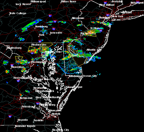 At 552 pm edt, severe thunderstorms were located along a line extending from near jarrettsville to fallston, moving northeast at 30 mph (trained weather spotters reported multiple trees down and large hail). Hazards include 60 mph wind gusts and quarter size hail. Damaging winds will cause some trees and large branches to fall. this could injure those outdoors, as well as damage homes and vehicles. roadways may become blocked by downed trees. localized power outages are possible. Unsecured light objects may become projectiles. At 552 pm edt, severe thunderstorms were located along a line extending from near jarrettsville to fallston, moving northeast at 30 mph (trained weather spotters reported multiple trees down and large hail). Hazards include 60 mph wind gusts and quarter size hail. Damaging winds will cause some trees and large branches to fall. this could injure those outdoors, as well as damage homes and vehicles. roadways may become blocked by downed trees. localized power outages are possible. Unsecured light objects may become projectiles.
|
| 8/3/2017 5:37 PM EDT |
 At 537 pm edt, a severe thunderstorm was located over hampton, or near cockeysville, moving northeast at 20 mph (radar indicated). Hazards include 70 mph wind gusts and quarter size hail. Damaging winds will cause some trees and large branches to fall. this could injure those outdoors, as well as damage homes and vehicles. roadways may become blocked by downed trees. localized power outages are possible. Unsecured light objects may become projectiles. At 537 pm edt, a severe thunderstorm was located over hampton, or near cockeysville, moving northeast at 20 mph (radar indicated). Hazards include 70 mph wind gusts and quarter size hail. Damaging winds will cause some trees and large branches to fall. this could injure those outdoors, as well as damage homes and vehicles. roadways may become blocked by downed trees. localized power outages are possible. Unsecured light objects may become projectiles.
|
| 8/2/2017 1:23 PM EDT |
 At 122 pm edt, a severe thunderstorm was located over bel air south, or 8 miles west of aberdeen, moving northeast at 10 mph (radar indicated). Hazards include 60 mph wind gusts and quarter size hail. Damaging winds will cause some trees and large branches to fall. this could injure those outdoors, as well as damage homes and vehicles. roadways may become blocked by downed trees. localized power outages are possible. unsecured light objects may become projectiles. Locations impacted include, bel air south, bel air north, perry hall, fallston, riverside, kingsville, pleasant hills, edgewood, joppatowne, glen arm, fork, benson, baldwin, hydes, bradshaw, abingdon, joppa, upper falls and gunpowder. At 122 pm edt, a severe thunderstorm was located over bel air south, or 8 miles west of aberdeen, moving northeast at 10 mph (radar indicated). Hazards include 60 mph wind gusts and quarter size hail. Damaging winds will cause some trees and large branches to fall. this could injure those outdoors, as well as damage homes and vehicles. roadways may become blocked by downed trees. localized power outages are possible. unsecured light objects may become projectiles. Locations impacted include, bel air south, bel air north, perry hall, fallston, riverside, kingsville, pleasant hills, edgewood, joppatowne, glen arm, fork, benson, baldwin, hydes, bradshaw, abingdon, joppa, upper falls and gunpowder.
|
| 8/2/2017 12:55 PM EDT |
 At 1255 pm edt, a severe thunderstorm was located over kingsville, or 8 miles north of middle river, moving northeast at 10 mph (radar indicated). Hazards include 60 mph wind gusts and quarter size hail. Damaging winds will cause some trees and large branches to fall. this could injure those outdoors, as well as damage homes and vehicles. roadways may become blocked by downed trees. localized power outages are possible. Unsecured light objects may become projectiles. At 1255 pm edt, a severe thunderstorm was located over kingsville, or 8 miles north of middle river, moving northeast at 10 mph (radar indicated). Hazards include 60 mph wind gusts and quarter size hail. Damaging winds will cause some trees and large branches to fall. this could injure those outdoors, as well as damage homes and vehicles. roadways may become blocked by downed trees. localized power outages are possible. Unsecured light objects may become projectiles.
|
| 8/2/2017 12:48 PM EDT | Tree with 6 inch diameter trunk dow in harford county MD, 135.5 miles W of Bel Air, MD |
| 7/24/2017 7:58 PM EDT | Tree on power lines. tree on fire. glenwood road between balmoral drive and vermont roa in harford county MD, 135.1 miles W of Bel Air, MD |
| 7/24/2017 7:56 PM EDT | Tree down in roadway near the intersection of saint andrews way and east macphail roa in harford county MD, 135.6 miles W of Bel Air, MD |
| 7/24/2017 7:54 PM EDT |
 At 754 pm edt, a severe thunderstorm was located near bel air north, or 7 miles west of aberdeen, moving east at 30 mph (radar indicated). Hazards include 60 mph wind gusts and quarter size hail. Damaging winds will cause some trees and large branches to fall. this could injure those outdoors, as well as damage homes and vehicles. roadways may become blocked by downed trees. localized power outages are possible. unsecured light objects may become projectiles. Locations impacted include, aberdeen, havre de grace, aberdeen proving ground, bel air south, bel air north, fallston, riverside, pleasant hills, jarrettsville, perryman, pylesville, darlington, benson, churchville, carsins, scarboro, forest hill, bynum, chrome hill and harford furnace. At 754 pm edt, a severe thunderstorm was located near bel air north, or 7 miles west of aberdeen, moving east at 30 mph (radar indicated). Hazards include 60 mph wind gusts and quarter size hail. Damaging winds will cause some trees and large branches to fall. this could injure those outdoors, as well as damage homes and vehicles. roadways may become blocked by downed trees. localized power outages are possible. unsecured light objects may become projectiles. Locations impacted include, aberdeen, havre de grace, aberdeen proving ground, bel air south, bel air north, fallston, riverside, pleasant hills, jarrettsville, perryman, pylesville, darlington, benson, churchville, carsins, scarboro, forest hill, bynum, chrome hill and harford furnace.
|
| 7/24/2017 7:51 PM EDT | Tree and wires down in the 600 block of prospect mill roa in harford county MD, 136.6 miles W of Bel Air, MD |
| 7/24/2017 7:50 PM EDT | Wires down blocking roadway in the 1000 block of prospect mill roa in harford county MD, 136 miles W of Bel Air, MD |
| 7/24/2017 7:43 PM EDT |
 At 743 pm edt, a severe thunderstorm was located near bel air north, or 12 miles northwest of aberdeen, moving east at 30 mph (radar indicated). Hazards include 60 mph wind gusts and quarter size hail. Damaging winds will cause some trees and large branches to fall. this could injure those outdoors, as well as damage homes and vehicles. roadways may become blocked by downed trees. localized power outages are possible. unsecured light objects may become projectiles. Locations impacted include, aberdeen, havre de grace, aberdeen proving ground, bel air south, bel air north, fallston, riverside, pleasant hills, jarrettsville, perryman, pylesville, darlington, cardiff, churchville, norrisville, carsins, forest hill, street, whiteford and hickory. At 743 pm edt, a severe thunderstorm was located near bel air north, or 12 miles northwest of aberdeen, moving east at 30 mph (radar indicated). Hazards include 60 mph wind gusts and quarter size hail. Damaging winds will cause some trees and large branches to fall. this could injure those outdoors, as well as damage homes and vehicles. roadways may become blocked by downed trees. localized power outages are possible. unsecured light objects may become projectiles. Locations impacted include, aberdeen, havre de grace, aberdeen proving ground, bel air south, bel air north, fallston, riverside, pleasant hills, jarrettsville, perryman, pylesville, darlington, cardiff, churchville, norrisville, carsins, forest hill, street, whiteford and hickory.
|
| 7/24/2017 7:27 PM EDT |
 At 727 pm edt, a severe thunderstorm was located over jarrettsville, or 11 miles northeast of cockeysville, moving east at 35 mph (radar indicated). Hazards include 60 mph wind gusts. Damaging winds will cause some trees and large branches to fall. this could injure those outdoors, as well as damage homes and vehicles. roadways may become blocked by downed trees. localized power outages are possible. Unsecured light objects may become projectiles. At 727 pm edt, a severe thunderstorm was located over jarrettsville, or 11 miles northeast of cockeysville, moving east at 35 mph (radar indicated). Hazards include 60 mph wind gusts. Damaging winds will cause some trees and large branches to fall. this could injure those outdoors, as well as damage homes and vehicles. roadways may become blocked by downed trees. localized power outages are possible. Unsecured light objects may become projectiles.
|
| 7/4/2017 4:50 PM EDT | Tree down on md 136 near harmony church road in harford county MD, 138.7 miles W of Bel Air, MD |
| 7/1/2017 4:49 PM EDT |
 At 449 pm edt, a severe thunderstorm was located over octoraro, or 8 miles north of havre de grace, moving east at 35 mph (radar indicated. maryland state highways reported a tree down near the intersection of fallston road and oakton road). Hazards include 60 mph wind gusts. Damaging winds will cause some trees and large branches to fall. this could injure those outdoors, as well as damage homes and vehicles. roadways may become blocked by downed trees. localized power outages are possible. unsecured light objects may become projectiles. Locations impacted include, aberdeen, havre de grace, bel air south, bel air north, darlington, cardiff, churchville, carsins, scarboro and hickory. At 449 pm edt, a severe thunderstorm was located over octoraro, or 8 miles north of havre de grace, moving east at 35 mph (radar indicated. maryland state highways reported a tree down near the intersection of fallston road and oakton road). Hazards include 60 mph wind gusts. Damaging winds will cause some trees and large branches to fall. this could injure those outdoors, as well as damage homes and vehicles. roadways may become blocked by downed trees. localized power outages are possible. unsecured light objects may become projectiles. Locations impacted include, aberdeen, havre de grace, bel air south, bel air north, darlington, cardiff, churchville, carsins, scarboro and hickory.
|
| 7/1/2017 4:40 PM EDT |
 At 440 pm edt, a severe thunderstorm was located near octoraro, or 9 miles northwest of havre de grace, moving east at 35 mph (radar indicated). Hazards include 60 mph wind gusts. Damaging winds will cause some trees and large branches to fall. this could injure those outdoors, as well as damage homes and vehicles. roadways may become blocked by downed trees. localized power outages are possible. unsecured light objects may become projectiles. Locations impacted include, aberdeen, havre de grace, bel air south, bel air north, fallston, pleasant hills, pylesville, darlington, cardiff, benson, churchville, carsins, scarboro, forest hill, bynum, street, rocks, whiteford, hickory and chrome hill. At 440 pm edt, a severe thunderstorm was located near octoraro, or 9 miles northwest of havre de grace, moving east at 35 mph (radar indicated). Hazards include 60 mph wind gusts. Damaging winds will cause some trees and large branches to fall. this could injure those outdoors, as well as damage homes and vehicles. roadways may become blocked by downed trees. localized power outages are possible. unsecured light objects may become projectiles. Locations impacted include, aberdeen, havre de grace, bel air south, bel air north, fallston, pleasant hills, pylesville, darlington, cardiff, benson, churchville, carsins, scarboro, forest hill, bynum, street, rocks, whiteford, hickory and chrome hill.
|
| 7/1/2017 4:30 PM EDT |
 At 430 pm edt, a severe thunderstorm was located near bel air north, or 11 miles northwest of aberdeen, moving east at 35 mph (radar indicated). Hazards include 60 mph wind gusts. Damaging winds will cause some trees and large branches to fall. this could injure those outdoors, as well as damage homes and vehicles. roadways may become blocked by downed trees. localized power outages are possible. unsecured light objects may become projectiles. Locations impacted include, aberdeen, havre de grace, bel air south, bel air north, fallston, pleasant hills, jarrettsville, pylesville, darlington, cardiff, benson, churchville, carsins, scarboro, forest hill, bynum, chrome hill, street, rocks and whiteford. At 430 pm edt, a severe thunderstorm was located near bel air north, or 11 miles northwest of aberdeen, moving east at 35 mph (radar indicated). Hazards include 60 mph wind gusts. Damaging winds will cause some trees and large branches to fall. this could injure those outdoors, as well as damage homes and vehicles. roadways may become blocked by downed trees. localized power outages are possible. unsecured light objects may become projectiles. Locations impacted include, aberdeen, havre de grace, bel air south, bel air north, fallston, pleasant hills, jarrettsville, pylesville, darlington, cardiff, benson, churchville, carsins, scarboro, forest hill, bynum, chrome hill, street, rocks and whiteford.
|
| 7/1/2017 4:11 PM EDT |
 At 410 pm edt, a severe thunderstorm was located near cockeysville, moving east at 35 mph (radar indicated). Hazards include 60 mph wind gusts. Damaging winds will cause some trees and large branches to fall. this could injure those outdoors, as well as damage homes and vehicles. roadways may become blocked by downed trees. localized power outages are possible. unsecured light objects may become projectiles. Locations impacted include, cockeysville, aberdeen, havre de grace, bel air south, bel air north, mays chapel, timonium, fallston, kingsville, pleasant hills, jarrettsville, lutherville-timonium, pylesville, darlington, cardiff, churchville, long green, carsins, forest hill and street. At 410 pm edt, a severe thunderstorm was located near cockeysville, moving east at 35 mph (radar indicated). Hazards include 60 mph wind gusts. Damaging winds will cause some trees and large branches to fall. this could injure those outdoors, as well as damage homes and vehicles. roadways may become blocked by downed trees. localized power outages are possible. unsecured light objects may become projectiles. Locations impacted include, cockeysville, aberdeen, havre de grace, bel air south, bel air north, mays chapel, timonium, fallston, kingsville, pleasant hills, jarrettsville, lutherville-timonium, pylesville, darlington, cardiff, churchville, long green, carsins, forest hill and street.
|
| 7/1/2017 3:56 PM EDT |
 At 356 pm edt, a severe thunderstorm was located near cockeysville, moving east at 35 mph (radar indicated). Hazards include 60 mph wind gusts. Damaging winds will cause some trees and large branches to fall. this could injure those outdoors, as well as damage homes and vehicles. roadways may become blocked by downed trees. localized power outages are possible. Unsecured light objects may become projectiles. At 356 pm edt, a severe thunderstorm was located near cockeysville, moving east at 35 mph (radar indicated). Hazards include 60 mph wind gusts. Damaging winds will cause some trees and large branches to fall. this could injure those outdoors, as well as damage homes and vehicles. roadways may become blocked by downed trees. localized power outages are possible. Unsecured light objects may become projectiles.
|
| 5/1/2017 5:37 PM EDT |
 At 536 pm edt, severe thunderstorms were located along a line extending from 6 miles east of berlin to near kitzmiller, moving northeast at 60 mph (radar indicated). Hazards include 60 mph wind gusts. Damaging winds will cause some trees and large branches to fall. this could injure those outdoors, as well as damage homes and vehicles. roadways may become blocked by downed trees. localized power outages are possible. unsecured light objects may become projectiles. Locations impacted include, cumberland, frostburg, westernport, bel air, la vale, lonaconing, ridgeley, cresaptown, potomac park, wiley ford, eckhart mines, mount savage, rawlings, ellerslie, barton, corriganville, midland, midlothian, franklin and flintstone. At 536 pm edt, severe thunderstorms were located along a line extending from 6 miles east of berlin to near kitzmiller, moving northeast at 60 mph (radar indicated). Hazards include 60 mph wind gusts. Damaging winds will cause some trees and large branches to fall. this could injure those outdoors, as well as damage homes and vehicles. roadways may become blocked by downed trees. localized power outages are possible. unsecured light objects may become projectiles. Locations impacted include, cumberland, frostburg, westernport, bel air, la vale, lonaconing, ridgeley, cresaptown, potomac park, wiley ford, eckhart mines, mount savage, rawlings, ellerslie, barton, corriganville, midland, midlothian, franklin and flintstone.
|
| 5/1/2017 5:25 PM EDT |
 At 524 pm edt, severe thunderstorms were located along a line extending from near meyersdale to near loch lynn heights, moving northeast at 60 mph (radar indicated). Hazards include 60 mph wind gusts. Damaging winds will cause some trees and large branches to fall. this could injure those outdoors, as well as damage homes and vehicles. roadways may become blocked by downed trees. localized power outages are possible. Unsecured light objects may become projectiles. At 524 pm edt, severe thunderstorms were located along a line extending from near meyersdale to near loch lynn heights, moving northeast at 60 mph (radar indicated). Hazards include 60 mph wind gusts. Damaging winds will cause some trees and large branches to fall. this could injure those outdoors, as well as damage homes and vehicles. roadways may become blocked by downed trees. localized power outages are possible. Unsecured light objects may become projectiles.
|
| 4/6/2017 2:48 PM EDT |
 At 247 pm edt, severe thunderstorms were located along a line extending from near cockeysville to near riverside to near langford, moving northeast at 50 mph (radar indicated). Hazards include 60 mph wind gusts. Damaging winds will cause some trees and large branches to fall. this could injure those outdoors, as well as damage homes and vehicles. roadways may become blocked by downed trees. localized power outages are possible. Unsecured light objects may become projectiles. At 247 pm edt, severe thunderstorms were located along a line extending from near cockeysville to near riverside to near langford, moving northeast at 50 mph (radar indicated). Hazards include 60 mph wind gusts. Damaging winds will cause some trees and large branches to fall. this could injure those outdoors, as well as damage homes and vehicles. roadways may become blocked by downed trees. localized power outages are possible. Unsecured light objects may become projectiles.
|
| 3/1/2017 2:25 PM EST |
 At 225 pm est, severe thunderstorms were located along a line extending from near wakefield to aberdeen to rock hall, moving east at 60 mph (radar indicated). Hazards include 60 mph wind gusts. Damaging winds will cause some trees and large branches to fall. this could injure those outdoors, as well as damage homes and vehicles. roadways may become blocked by downed trees. localized power outages are possible. unsecured light objects may become projectiles. Locations impacted include, aberdeen, havre de grace, aberdeen proving ground, bel air south, bel air north, fallston, riverside, kingsville, pleasant hills, perryman, edgewood, joppatowne, darlington, churchville, carsins, forest hill, abingdon, joppa, hickory and benson. At 225 pm est, severe thunderstorms were located along a line extending from near wakefield to aberdeen to rock hall, moving east at 60 mph (radar indicated). Hazards include 60 mph wind gusts. Damaging winds will cause some trees and large branches to fall. this could injure those outdoors, as well as damage homes and vehicles. roadways may become blocked by downed trees. localized power outages are possible. unsecured light objects may become projectiles. Locations impacted include, aberdeen, havre de grace, aberdeen proving ground, bel air south, bel air north, fallston, riverside, kingsville, pleasant hills, perryman, edgewood, joppatowne, darlington, churchville, carsins, forest hill, abingdon, joppa, hickory and benson.
|
| 3/1/2017 2:19 PM EST |
 At 219 pm est, severe thunderstorms were located along a line extending from holtwood to near riverside to near rock hall, moving east at 60 mph (radar indicated). Hazards include 60 mph wind gusts. Damaging winds will cause some trees and large branches to fall. this could injure those outdoors, as well as damage homes and vehicles. roadways may become blocked by downed trees. localized power outages are possible. unsecured light objects may become projectiles. Locations impacted include, aberdeen, havre de grace, aberdeen proving ground, bel air south, bel air north, perry hall, white marsh, fallston, riverside, kingsville, pleasant hills, jarrettsville, perryman, edgewood, joppatowne, pylesville, darlington, glen arm, fork and cardiff. At 219 pm est, severe thunderstorms were located along a line extending from holtwood to near riverside to near rock hall, moving east at 60 mph (radar indicated). Hazards include 60 mph wind gusts. Damaging winds will cause some trees and large branches to fall. this could injure those outdoors, as well as damage homes and vehicles. roadways may become blocked by downed trees. localized power outages are possible. unsecured light objects may become projectiles. Locations impacted include, aberdeen, havre de grace, aberdeen proving ground, bel air south, bel air north, perry hall, white marsh, fallston, riverside, kingsville, pleasant hills, jarrettsville, perryman, edgewood, joppatowne, pylesville, darlington, glen arm, fork and cardiff.
|
| 3/1/2017 2:12 PM EST |
 At 211 pm est, severe thunderstorms were located along a line extending from near sunnyburn to pleasant hills to bodkin point, moving east at 55 mph (radar indicated). Hazards include 60 mph wind gusts. Damaging winds will cause some trees and large branches to fall. this could injure those outdoors, as well as damage homes and vehicles. roadways may become blocked by downed trees. localized power outages are possible. unsecured light objects may become projectiles. Locations impacted include, middle river, cockeysville, aberdeen, havre de grace, aberdeen proving ground, fort smallwood state park, gibson island, bodkin point, sillery bay, millers island, north point state park, sparrows point, pinehurst, back river, dundalk, bel air south, essex, parkville, bel air north and carney. At 211 pm est, severe thunderstorms were located along a line extending from near sunnyburn to pleasant hills to bodkin point, moving east at 55 mph (radar indicated). Hazards include 60 mph wind gusts. Damaging winds will cause some trees and large branches to fall. this could injure those outdoors, as well as damage homes and vehicles. roadways may become blocked by downed trees. localized power outages are possible. unsecured light objects may become projectiles. Locations impacted include, middle river, cockeysville, aberdeen, havre de grace, aberdeen proving ground, fort smallwood state park, gibson island, bodkin point, sillery bay, millers island, north point state park, sparrows point, pinehurst, back river, dundalk, bel air south, essex, parkville, bel air north and carney.
|
| 3/1/2017 2:05 PM EST |
 At 204 pm est, severe thunderstorms were located along a line extending from near delta to near kingsville to lake shore, moving east at 60 mph (radar indicated). Hazards include 60 mph wind gusts. Damaging winds will cause some trees and large branches to fall. this could injure those outdoors, as well as damage homes and vehicles. roadways may become blocked by downed trees. localized power outages are possible. unsecured light objects may become projectiles. Locations impacted include, baltimore, severn, pikesville, middle river, cockeysville, aberdeen, havre de grace, riviera beach, aberdeen proving ground, baltimore-washington airport, fort smallwood state park, gibson island, sillery bay, millers island, north point state park, sparrows point, pinehurst, bodkin point, back river and glen burnie. At 204 pm est, severe thunderstorms were located along a line extending from near delta to near kingsville to lake shore, moving east at 60 mph (radar indicated). Hazards include 60 mph wind gusts. Damaging winds will cause some trees and large branches to fall. this could injure those outdoors, as well as damage homes and vehicles. roadways may become blocked by downed trees. localized power outages are possible. unsecured light objects may become projectiles. Locations impacted include, baltimore, severn, pikesville, middle river, cockeysville, aberdeen, havre de grace, riviera beach, aberdeen proving ground, baltimore-washington airport, fort smallwood state park, gibson island, sillery bay, millers island, north point state park, sparrows point, pinehurst, bodkin point, back river and glen burnie.
|
| 3/1/2017 1:47 PM EST |
 At 147 pm est, severe thunderstorms were located along a line extending from near stewartstown to towson to near fort meade, moving east at 60 mph (radar indicated). Hazards include 60 mph wind gusts. Damaging winds will cause some trees and large branches to fall. this could injure those outdoors, as well as damage homes and vehicles. roadways may become blocked by downed trees. localized power outages are possible. Unsecured light objects may become projectiles. At 147 pm est, severe thunderstorms were located along a line extending from near stewartstown to towson to near fort meade, moving east at 60 mph (radar indicated). Hazards include 60 mph wind gusts. Damaging winds will cause some trees and large branches to fall. this could injure those outdoors, as well as damage homes and vehicles. roadways may become blocked by downed trees. localized power outages are possible. Unsecured light objects may become projectiles.
|
| 2/25/2017 3:43 PM EST |
 At 342 pm est, a severe thunderstorm was located near bel air north, or 7 miles northwest of aberdeen, moving northeast at 55 mph (radar indicated). Hazards include 60 mph wind gusts and half dollar size hail. Damaging winds will cause some trees and large branches to fall. this could injure those outdoors, as well as damage homes and vehicles. roadways may become blocked by downed trees. localized power outages are possible. unsecured light objects may become projectiles. Locations impacted include, aberdeen, havre de grace, aberdeen proving ground, bel air south, bel air north, fallston, riverside, kingsville, pleasant hills, perryman, edgewood, joppatowne, pylesville, darlington, cardiff, churchville, carsins, forest hill, abingdon and street. At 342 pm est, a severe thunderstorm was located near bel air north, or 7 miles northwest of aberdeen, moving northeast at 55 mph (radar indicated). Hazards include 60 mph wind gusts and half dollar size hail. Damaging winds will cause some trees and large branches to fall. this could injure those outdoors, as well as damage homes and vehicles. roadways may become blocked by downed trees. localized power outages are possible. unsecured light objects may become projectiles. Locations impacted include, aberdeen, havre de grace, aberdeen proving ground, bel air south, bel air north, fallston, riverside, kingsville, pleasant hills, perryman, edgewood, joppatowne, pylesville, darlington, cardiff, churchville, carsins, forest hill, abingdon and street.
|
| 2/25/2017 3:24 PM EST |
 At 324 pm est, a severe thunderstorm was located over rossville, or near middle river, moving northeast at 55 mph (radar indicated). Hazards include 60 mph wind gusts and half dollar size hail. Damaging winds will cause some trees and large branches to fall. this could injure those outdoors, as well as damage homes and vehicles. roadways may become blocked by downed trees. localized power outages are possible. Unsecured light objects may become projectiles. At 324 pm est, a severe thunderstorm was located over rossville, or near middle river, moving northeast at 55 mph (radar indicated). Hazards include 60 mph wind gusts and half dollar size hail. Damaging winds will cause some trees and large branches to fall. this could injure those outdoors, as well as damage homes and vehicles. roadways may become blocked by downed trees. localized power outages are possible. Unsecured light objects may become projectiles.
|
| 2/12/2017 11:24 PM EST |
 The severe thunderstorm warning for northern anne arundel, southeastern howard, harford and southeastern baltimore counties and baltimore city will expire at 1130 pm est, the storms which prompted the warning have moved out of the area. therefore the warning will be allowed to expire. to report severe weather, contact your nearest law enforcement agency. they will relay your report to the national weather service sterling virginia. remember, a severe thunderstorm warning still remains in effect for southern anne arundel county until 11:45 pm. The severe thunderstorm warning for northern anne arundel, southeastern howard, harford and southeastern baltimore counties and baltimore city will expire at 1130 pm est, the storms which prompted the warning have moved out of the area. therefore the warning will be allowed to expire. to report severe weather, contact your nearest law enforcement agency. they will relay your report to the national weather service sterling virginia. remember, a severe thunderstorm warning still remains in effect for southern anne arundel county until 11:45 pm.
|
| 2/12/2017 11:08 PM EST |
 At 1108 pm est, severe thunderstorms were located along a line extending from near bel air north to near columbia, moving east at 55 mph (radar indicated). Hazards include 60 mph wind gusts. Damaging winds will cause some trees and large branches to fall. this could injure those outdoors, as well as damage homes and vehicles. roadways may become blocked by downed trees. localized power outages are possible. unsecured light objects may become projectiles. Locations impacted include, baltimore, columbia, severn, pikesville, middle river, cockeysville, elkridge, aberdeen, havre de grace, riviera beach, aberdeen proving ground, baltimore-washington airport, fort smallwood state park, gibson island, sillery bay, millers island, north point state park, sparrows point, pinehurst and bodkin point. At 1108 pm est, severe thunderstorms were located along a line extending from near bel air north to near columbia, moving east at 55 mph (radar indicated). Hazards include 60 mph wind gusts. Damaging winds will cause some trees and large branches to fall. this could injure those outdoors, as well as damage homes and vehicles. roadways may become blocked by downed trees. localized power outages are possible. unsecured light objects may become projectiles. Locations impacted include, baltimore, columbia, severn, pikesville, middle river, cockeysville, elkridge, aberdeen, havre de grace, riviera beach, aberdeen proving ground, baltimore-washington airport, fort smallwood state park, gibson island, sillery bay, millers island, north point state park, sparrows point, pinehurst and bodkin point.
|
| 2/12/2017 10:47 PM EST |
 At 1046 pm est, severe thunderstorms were located along a line extending from near hampstead to near damascus, moving east at 55 mph (radar indicated). Hazards include 60 mph wind gusts. Damaging winds will cause some trees and large branches to fall. this could injure those outdoors, as well as damage homes and vehicles. roadways may become blocked by downed trees. localized power outages are possible. unsecured light objects may become projectiles. Locations impacted include, baltimore, columbia, germantown, severn, olney, pikesville, middle river, cockeysville, elkridge, damascus, aberdeen, havre de grace, riviera beach, aberdeen proving ground, baltimore-washington airport, fort smallwood state park, gibson island, sillery bay, millers island and north point state park. At 1046 pm est, severe thunderstorms were located along a line extending from near hampstead to near damascus, moving east at 55 mph (radar indicated). Hazards include 60 mph wind gusts. Damaging winds will cause some trees and large branches to fall. this could injure those outdoors, as well as damage homes and vehicles. roadways may become blocked by downed trees. localized power outages are possible. unsecured light objects may become projectiles. Locations impacted include, baltimore, columbia, germantown, severn, olney, pikesville, middle river, cockeysville, elkridge, damascus, aberdeen, havre de grace, riviera beach, aberdeen proving ground, baltimore-washington airport, fort smallwood state park, gibson island, sillery bay, millers island and north point state park.
|
| 2/12/2017 10:29 PM EST |
 At 1029 pm est, severe thunderstorms were located along a line extending from near littlestown to near point of rocks, moving east at 55 mph (radar indicated). Hazards include 60 mph wind gusts. Damaging winds will cause some trees and large branches to fall. this could injure those outdoors, as well as damage homes and vehicles. roadways may become blocked by downed trees. localized power outages are possible. Unsecured light objects may become projectiles. At 1029 pm est, severe thunderstorms were located along a line extending from near littlestown to near point of rocks, moving east at 55 mph (radar indicated). Hazards include 60 mph wind gusts. Damaging winds will cause some trees and large branches to fall. this could injure those outdoors, as well as damage homes and vehicles. roadways may become blocked by downed trees. localized power outages are possible. Unsecured light objects may become projectiles.
|
| 2/12/2017 9:26 PM EST |
 At 925 pm est, severe thunderstorms were located along a line extending from 6 miles southwest of clearville to westernport to near grafton, moving east at 45 mph (radar indicated). Hazards include 60 mph wind gusts. Damaging winds will cause some trees and large branches to fall. this could injure those outdoors, as well as damage homes and vehicles. roadways may become blocked by downed trees. localized power outages are possible. unsecured light objects may become projectiles. Locations impacted include, cumberland, frostburg, keyser, westernport, romney, hancock, bel air, paw paw, bayard, la vale, fort ashby, lonaconing, piedmont, berkeley springs, elk garden, kitzmiller, ridgeley, cresaptown, potomac park and wiley ford. At 925 pm est, severe thunderstorms were located along a line extending from 6 miles southwest of clearville to westernport to near grafton, moving east at 45 mph (radar indicated). Hazards include 60 mph wind gusts. Damaging winds will cause some trees and large branches to fall. this could injure those outdoors, as well as damage homes and vehicles. roadways may become blocked by downed trees. localized power outages are possible. unsecured light objects may become projectiles. Locations impacted include, cumberland, frostburg, keyser, westernport, romney, hancock, bel air, paw paw, bayard, la vale, fort ashby, lonaconing, piedmont, berkeley springs, elk garden, kitzmiller, ridgeley, cresaptown, potomac park and wiley ford.
|
| 2/12/2017 9:00 PM EST |
 At 900 pm est, severe thunderstorms were located along a line extending from near buffalo mills to near bittinger to near enterprise, moving southeast at 45 mph (radar indicated). Hazards include 60 mph wind gusts. Damaging winds will cause some trees and large branches to fall. this could injure those outdoors, as well as damage homes and vehicles. roadways may become blocked by downed trees. localized power outages are possible. Unsecured light objects may become projectiles. At 900 pm est, severe thunderstorms were located along a line extending from near buffalo mills to near bittinger to near enterprise, moving southeast at 45 mph (radar indicated). Hazards include 60 mph wind gusts. Damaging winds will cause some trees and large branches to fall. this could injure those outdoors, as well as damage homes and vehicles. roadways may become blocked by downed trees. localized power outages are possible. Unsecured light objects may become projectiles.
|
| 8/31/2016 11:46 PM EDT |
 At 1145 pm edt, a severe thunderstorm was located over bel air north, or 10 miles west of aberdeen, moving southeast at 15 mph (radar indicated). Hazards include 60 mph wind gusts. Damaging winds will cause some trees and large branches to fall. this could injure those outdoors, as well as damage homes and vehicles. roadways may become blocked by downed trees. localized power outages are possible. unsecured light objects may become projectiles. Locations impacted include, aberdeen, havre de grace, aberdeen proving ground, bel air south, bel air north, fallston, riverside, pleasant hills, perryman, edgewood, joppatowne, abingdon, harford furnace, benson, carsins, bynum, belcamp, hickory and churchville. At 1145 pm edt, a severe thunderstorm was located over bel air north, or 10 miles west of aberdeen, moving southeast at 15 mph (radar indicated). Hazards include 60 mph wind gusts. Damaging winds will cause some trees and large branches to fall. this could injure those outdoors, as well as damage homes and vehicles. roadways may become blocked by downed trees. localized power outages are possible. unsecured light objects may become projectiles. Locations impacted include, aberdeen, havre de grace, aberdeen proving ground, bel air south, bel air north, fallston, riverside, pleasant hills, perryman, edgewood, joppatowne, abingdon, harford furnace, benson, carsins, bynum, belcamp, hickory and churchville.
|
| 8/31/2016 11:27 PM EDT |
 At 1127 pm edt, a severe thunderstorm was located over fallston, or 11 miles northeast of cockeysville, moving southeast at 15 mph (radar indicated). Hazards include 60 mph wind gusts. Damaging winds will cause some trees and large branches to fall. this could injure those outdoors, as well as damage homes and vehicles. roadways may become blocked by downed trees. localized power outages are possible. Unsecured light objects may become projectiles. At 1127 pm edt, a severe thunderstorm was located over fallston, or 11 miles northeast of cockeysville, moving southeast at 15 mph (radar indicated). Hazards include 60 mph wind gusts. Damaging winds will cause some trees and large branches to fall. this could injure those outdoors, as well as damage homes and vehicles. roadways may become blocked by downed trees. localized power outages are possible. Unsecured light objects may become projectiles.
|
| 8/16/2016 5:42 PM EDT |
 At 542 pm edt, a severe thunderstorm was located over bel air south, or near aberdeen, moving east at 20 mph (radar indicated). Hazards include 60 mph wind gusts and quarter size hail. Damaging winds will cause some trees and large branches to fall. this could injure those outdoors, as well as damage homes and vehicles. roadways may become blocked by downed trees. localized power outages are possible. unsecured light objects may become projectiles. Locations impacted include, aberdeen, havre de grace, aberdeen proving ground, bel air south, bel air north, riverside, pleasant hills, perryman, carsins, harford furnace, churchville and benson. At 542 pm edt, a severe thunderstorm was located over bel air south, or near aberdeen, moving east at 20 mph (radar indicated). Hazards include 60 mph wind gusts and quarter size hail. Damaging winds will cause some trees and large branches to fall. this could injure those outdoors, as well as damage homes and vehicles. roadways may become blocked by downed trees. localized power outages are possible. unsecured light objects may become projectiles. Locations impacted include, aberdeen, havre de grace, aberdeen proving ground, bel air south, bel air north, riverside, pleasant hills, perryman, carsins, harford furnace, churchville and benson.
|
| 8/16/2016 5:14 PM EDT |
 At 514 pm edt, a severe thunderstorm was located over bel air north, or 9 miles west of aberdeen, moving east at 25 mph (radar indicated). Hazards include 60 mph wind gusts and quarter size hail. Damaging winds will cause some trees and large branches to fall. this could injure those outdoors, as well as damage homes and vehicles. roadways may become blocked by downed trees. localized power outages are possible. Unsecured light objects may become projectiles. At 514 pm edt, a severe thunderstorm was located over bel air north, or 9 miles west of aberdeen, moving east at 25 mph (radar indicated). Hazards include 60 mph wind gusts and quarter size hail. Damaging winds will cause some trees and large branches to fall. this could injure those outdoors, as well as damage homes and vehicles. roadways may become blocked by downed trees. localized power outages are possible. Unsecured light objects may become projectiles.
|
| 8/14/2016 9:17 PM EDT |
 At 916 pm edt, severe thunderstorms were located along a line extending from near aberdeen to rock hall to rhode river, moving east at 50 mph (radar indicated). Hazards include 60 mph wind gusts. Damaging winds will cause some trees and large branches to fall. this could injure those outdoors, as well as damage homes and vehicles. roadways may become blocked by downed trees. localized power outages are possible. unsecured light objects may become projectiles. Locations impacted include, aberdeen, havre de grace, aberdeen proving ground, bel air south, bel air north, fallston, riverside, kingsville, pleasant hills, perryman, edgewood, joppatowne, abingdon, magnolia, harford furnace, benson, joppa, carsins and belcamp. At 916 pm edt, severe thunderstorms were located along a line extending from near aberdeen to rock hall to rhode river, moving east at 50 mph (radar indicated). Hazards include 60 mph wind gusts. Damaging winds will cause some trees and large branches to fall. this could injure those outdoors, as well as damage homes and vehicles. roadways may become blocked by downed trees. localized power outages are possible. unsecured light objects may become projectiles. Locations impacted include, aberdeen, havre de grace, aberdeen proving ground, bel air south, bel air north, fallston, riverside, kingsville, pleasant hills, perryman, edgewood, joppatowne, abingdon, magnolia, harford furnace, benson, joppa, carsins and belcamp.
|
| 8/14/2016 9:03 PM EDT |
 At 903 pm edt, severe thunderstorms were located along a line extending from pleasant hills to near bowleys quarters, moving east at 45 mph (observed wind gust). Hazards include 60 mph wind gusts. Damaging winds will cause some trees and large branches to fall. this could injure those outdoors, as well as damage homes and vehicles. roadways may become blocked by downed trees. localized power outages are possible. Unsecured light objects may become projectiles. At 903 pm edt, severe thunderstorms were located along a line extending from pleasant hills to near bowleys quarters, moving east at 45 mph (observed wind gust). Hazards include 60 mph wind gusts. Damaging winds will cause some trees and large branches to fall. this could injure those outdoors, as well as damage homes and vehicles. roadways may become blocked by downed trees. localized power outages are possible. Unsecured light objects may become projectiles.
|
| 7/23/2016 6:58 PM EDT | Trees down at red pump rd and ennis way in harford county MD, 132.3 miles W of Bel Air, MD |
| 7/23/2016 6:54 PM EDT | Trees down near 1205 grafton shop rd in harford county MD, 131.8 miles W of Bel Air, MD |
| 7/23/2016 6:35 PM EDT | Trees down along n tollgate rd near ma and pa hertiage trail in harford county MD, 132.9 miles W of Bel Air, MD |
| 7/23/2016 6:35 PM EDT |
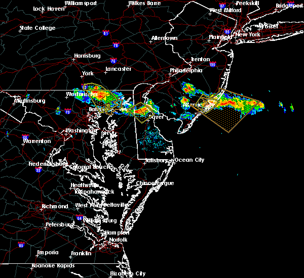 The severe thunderstorm warning for northeastern baltimore and harford counties will expire at 645 pm edt, the storms which prompted the warning have weakened below severe limits, and no longer poses a threat to life or property. therefore the warning will be allowed to expire. however gusty winds are still possible with these thunderstorms. The severe thunderstorm warning for northeastern baltimore and harford counties will expire at 645 pm edt, the storms which prompted the warning have weakened below severe limits, and no longer poses a threat to life or property. therefore the warning will be allowed to expire. however gusty winds are still possible with these thunderstorms.
|
| 7/23/2016 6:28 PM EDT |
 At 626 pm edt, severe thunderstorms were located along a line extending from near jarrettsville to near bel air north to 6 miles west of octoraro, moving southeast at 30 mph. winds estimated to gust between 50 and 60 mph were reported near norrisville around 615 pm (radar indicated). Hazards include 60 mph wind gusts and quarter size hail. Damaging winds will cause some trees and large branches to fall. this could injure those outdoors, as well as damage homes and vehicles. roadways may become blocked by downed trees. localized power outages are possible. Locations impacted include, middle river, aberdeen, havre de grace, bel air south, bel air north, white marsh, fallston, riverside, kingsville, pleasant hills, jarrettsville, joppatowne, pylesville, and darlington. At 626 pm edt, severe thunderstorms were located along a line extending from near jarrettsville to near bel air north to 6 miles west of octoraro, moving southeast at 30 mph. winds estimated to gust between 50 and 60 mph were reported near norrisville around 615 pm (radar indicated). Hazards include 60 mph wind gusts and quarter size hail. Damaging winds will cause some trees and large branches to fall. this could injure those outdoors, as well as damage homes and vehicles. roadways may become blocked by downed trees. localized power outages are possible. Locations impacted include, middle river, aberdeen, havre de grace, bel air south, bel air north, white marsh, fallston, riverside, kingsville, pleasant hills, jarrettsville, joppatowne, pylesville, and darlington.
|
| 7/23/2016 6:05 PM EDT |
 At 603 pm edt, severe thunderstorms were located along a line extending from stewartstown to near delta, moving southeast at 25 mph. winds of 35 to 45 mph are in an outflow gust front moving 10 miles ahead of the main thunderstorms (radar indicated). Hazards include 60 mph wind gusts and quarter size hail. Damaging winds will cause some trees and large branches to fall. this could injure those outdoors, as well as damage homes and vehicles. roadways may become blocked by downed trees. localized power outages are possible. Locations impacted include, middle river, aberdeen, havre de grace, bel air south, bel air north, fallston, riverside, kingsville, pleasant hills, jarrettsville, edgewood, joppatowne, pylesville, and darlington. At 603 pm edt, severe thunderstorms were located along a line extending from stewartstown to near delta, moving southeast at 25 mph. winds of 35 to 45 mph are in an outflow gust front moving 10 miles ahead of the main thunderstorms (radar indicated). Hazards include 60 mph wind gusts and quarter size hail. Damaging winds will cause some trees and large branches to fall. this could injure those outdoors, as well as damage homes and vehicles. roadways may become blocked by downed trees. localized power outages are possible. Locations impacted include, middle river, aberdeen, havre de grace, bel air south, bel air north, fallston, riverside, kingsville, pleasant hills, jarrettsville, edgewood, joppatowne, pylesville, and darlington.
|
| 7/23/2016 5:42 PM EDT |
 At 542 pm edt, severe thunderstorms were located along a line extending from near glen rock to near brogue, moving southeast at 25 mph (radar indicated). Hazards include 60 mph wind gusts and quarter size hail. Damaging winds will cause some trees and large branches to fall. this could injure those outdoors, as well as damage homes and vehicles. roadways may become blocked by downed trees. Localized power outages are possible. At 542 pm edt, severe thunderstorms were located along a line extending from near glen rock to near brogue, moving southeast at 25 mph (radar indicated). Hazards include 60 mph wind gusts and quarter size hail. Damaging winds will cause some trees and large branches to fall. this could injure those outdoors, as well as damage homes and vehicles. roadways may become blocked by downed trees. Localized power outages are possible.
|
| 7/18/2016 4:22 PM EDT |
 At 421 pm edt, severe thunderstorms were located along a line extending from near bel air north to kingsville to white marsh, moving east at 35 mph (radar indicated). Hazards include thunderstorms has weakened and will expire at 430 pm. Damaging winds are easing. Locations impacted include, pikesville, cockeysville, towson, bel air south, parkville, bel air north, carney, perry hall, rossville, mays chapel, timonium, white marsh, fallston, hampton, kingsville, pleasant hills, jarrettsville, lutherville-timonium, garrison and lutherville. At 421 pm edt, severe thunderstorms were located along a line extending from near bel air north to kingsville to white marsh, moving east at 35 mph (radar indicated). Hazards include thunderstorms has weakened and will expire at 430 pm. Damaging winds are easing. Locations impacted include, pikesville, cockeysville, towson, bel air south, parkville, bel air north, carney, perry hall, rossville, mays chapel, timonium, white marsh, fallston, hampton, kingsville, pleasant hills, jarrettsville, lutherville-timonium, garrison and lutherville.
|
| 7/18/2016 4:00 PM EDT |
 At 400 pm edt, severe thunderstorms were located along a line extending from 6 miles northwest of jarrettsville to cockeysville to mays chapel, moving east at 35 mph (radar indicated). Hazards include 60 mph wind gusts. Damaging winds will cause some trees and large branches to fall. this could injure those outdoors, as well as damage homes and vehicles. roadways may become blocked by downed trees. localized power outages are possible. unsecured light objects may become projectiles. Locations impacted include, pikesville, cockeysville, towson, bel air south, parkville, bel air north, carney, perry hall, rossville, mays chapel, timonium, white marsh, fallston, hampton, kingsville, pleasant hills, jarrettsville, lutherville-timonium, garrison and lutherville. At 400 pm edt, severe thunderstorms were located along a line extending from 6 miles northwest of jarrettsville to cockeysville to mays chapel, moving east at 35 mph (radar indicated). Hazards include 60 mph wind gusts. Damaging winds will cause some trees and large branches to fall. this could injure those outdoors, as well as damage homes and vehicles. roadways may become blocked by downed trees. localized power outages are possible. unsecured light objects may become projectiles. Locations impacted include, pikesville, cockeysville, towson, bel air south, parkville, bel air north, carney, perry hall, rossville, mays chapel, timonium, white marsh, fallston, hampton, kingsville, pleasant hills, jarrettsville, lutherville-timonium, garrison and lutherville.
|
| 7/18/2016 3:38 PM EDT |
 At 338 pm edt, severe thunderstorms were located along a line extending from near manchester to near hampstead to near gamber, moving east at 35 mph (radar indicated). Hazards include 60 mph wind gusts. Damaging winds will cause some trees and large branches to fall. this could injure those outdoors, as well as damage homes and vehicles. roadways may become blocked by downed trees. localized power outages are possible. Unsecured light objects may become projectiles. At 338 pm edt, severe thunderstorms were located along a line extending from near manchester to near hampstead to near gamber, moving east at 35 mph (radar indicated). Hazards include 60 mph wind gusts. Damaging winds will cause some trees and large branches to fall. this could injure those outdoors, as well as damage homes and vehicles. roadways may become blocked by downed trees. localized power outages are possible. Unsecured light objects may become projectiles.
|
| 6/28/2016 6:02 PM EDT |
 At 602 pm edt, a severe thunderstorm was located 7 miles south of stewartstown, or 11 miles north of cockeysville, moving southeast at 20 mph (radar indicated). Hazards include 60 mph wind gusts and quarter size hail. Damaging winds will cause some trees and large branches to fall. this could injure those outdoors, as well as damage homes and vehicles. roadways may become blocked by downed trees. Locations impacted include, middle river, aberdeen, havre de grace, aberdeen proving ground, bel air south, essex, bel air north, carney, perry hall, rossville, white marsh, fallston, bowleys quarters, riverside, kingsville, pleasant hills, jarrettsville, perryman, edgewood and joppatowne. At 602 pm edt, a severe thunderstorm was located 7 miles south of stewartstown, or 11 miles north of cockeysville, moving southeast at 20 mph (radar indicated). Hazards include 60 mph wind gusts and quarter size hail. Damaging winds will cause some trees and large branches to fall. this could injure those outdoors, as well as damage homes and vehicles. roadways may become blocked by downed trees. Locations impacted include, middle river, aberdeen, havre de grace, aberdeen proving ground, bel air south, essex, bel air north, carney, perry hall, rossville, white marsh, fallston, bowleys quarters, riverside, kingsville, pleasant hills, jarrettsville, perryman, edgewood and joppatowne.
|
| 6/28/2016 5:49 PM EDT |
 At 549 pm edt, a severe thunderstorm was located near railroad, or 13 miles north of cockeysville, moving southeast at 20 mph (radar indicated). Hazards include 60 mph wind gusts and quarter size hail. Damaging winds will cause some trees and large branches to fall. this could injure those outdoors, as well as damage homes and vehicles. roadways may become blocked by downed trees. localized power outages are possible. Unsecured light objects may become projectiles. At 549 pm edt, a severe thunderstorm was located near railroad, or 13 miles north of cockeysville, moving southeast at 20 mph (radar indicated). Hazards include 60 mph wind gusts and quarter size hail. Damaging winds will cause some trees and large branches to fall. this could injure those outdoors, as well as damage homes and vehicles. roadways may become blocked by downed trees. localized power outages are possible. Unsecured light objects may become projectiles.
|
| 6/21/2016 1:23 PM EDT |
 At 123 pm edt, a severe thunderstorm was located near fort ashby, or near bel air, moving southeast at 30 mph (radar indicated). Hazards include 60 mph wind gusts and quarter size hail. Damaging winds will cause some trees and large branches to fall. this could injure those outdoors, as well as damage homes and vehicles. roadways may become blocked by downed trees. localized power outages are possible. Unsecured light objects may become projectiles. At 123 pm edt, a severe thunderstorm was located near fort ashby, or near bel air, moving southeast at 30 mph (radar indicated). Hazards include 60 mph wind gusts and quarter size hail. Damaging winds will cause some trees and large branches to fall. this could injure those outdoors, as well as damage homes and vehicles. roadways may become blocked by downed trees. localized power outages are possible. Unsecured light objects may become projectiles.
|
| 6/21/2016 1:09 PM EDT |
 At 109 pm edt, a severe thunderstorm was located near ridgeley, or near bel air, moving southeast at 25 mph (radar indicated). Hazards include 60 mph wind gusts and quarter size hail. Damaging winds will cause some trees and large branches to fall. this could injure those outdoors, as well as damage homes and vehicles. roadways may become blocked by downed trees. localized power outages are possible. unsecured light objects may become projectiles. Locations impacted include, cumberland, frostburg, hancock, bel air, paw paw, greenwood, la vale, fort ashby, lonaconing, berkeley springs, ridgeley, cresaptown, potomac park, wiley ford, eckhart mines, rawlings, midland, great cacapon, midlothian and green spring. At 109 pm edt, a severe thunderstorm was located near ridgeley, or near bel air, moving southeast at 25 mph (radar indicated). Hazards include 60 mph wind gusts and quarter size hail. Damaging winds will cause some trees and large branches to fall. this could injure those outdoors, as well as damage homes and vehicles. roadways may become blocked by downed trees. localized power outages are possible. unsecured light objects may become projectiles. Locations impacted include, cumberland, frostburg, hancock, bel air, paw paw, greenwood, la vale, fort ashby, lonaconing, berkeley springs, ridgeley, cresaptown, potomac park, wiley ford, eckhart mines, rawlings, midland, great cacapon, midlothian and green spring.
|
| 6/21/2016 12:50 PM EDT |
 At 1249 pm edt, a severe thunderstorm was located over frostburg, moving southeast at 25 mph (radar indicated). Hazards include 60 mph wind gusts. Damaging winds will cause some trees and large branches to fall. this could injure those outdoors, as well as damage homes and vehicles. roadways may become blocked by downed trees. localized power outages are possible. Unsecured light objects may become projectiles. At 1249 pm edt, a severe thunderstorm was located over frostburg, moving southeast at 25 mph (radar indicated). Hazards include 60 mph wind gusts. Damaging winds will cause some trees and large branches to fall. this could injure those outdoors, as well as damage homes and vehicles. roadways may become blocked by downed trees. localized power outages are possible. Unsecured light objects may become projectiles.
|
| 6/16/2016 6:01 PM EDT |
 At 600 pm edt, severe thunderstorms were located along a line extending from near frostburg to westernport to near bayard to near dailey, moving southeast at 45 mph (radar indicated). Hazards include 60 mph wind gusts and quarter size hail. Damaging winds will cause some trees and large branches to fall. this could injure those outdoors, as well as damage homes and vehicles. roadways may become blocked by downed trees. localized power outages are possible. Unsecured light objects may become projectiles. At 600 pm edt, severe thunderstorms were located along a line extending from near frostburg to westernport to near bayard to near dailey, moving southeast at 45 mph (radar indicated). Hazards include 60 mph wind gusts and quarter size hail. Damaging winds will cause some trees and large branches to fall. this could injure those outdoors, as well as damage homes and vehicles. roadways may become blocked by downed trees. localized power outages are possible. Unsecured light objects may become projectiles.
|
| 6/8/2016 11:10 AM EDT |
 At 1109 am edt, showers with damaging winds were located along a line extending from near rock springs to near kingsville to near dundalk, moving east at 55 mph (radar indicated). Hazards include 60 mph wind gusts. Damaging winds will cause some trees and large branches to fall. this could injure those outdoors, as well as damage homes and vehicles. roadways may become blocked by downed trees. localized power outages are possible. unsecured light objects may become projectiles. Locations impacted include, baltimore, middle river, aberdeen, havre de grace, aberdeen proving ground, back river, north point state park, millers island, sparrows point, dundalk, towson, bel air south, essex, parkville, bel air north, carney, perry hall, arbutus, rosedale and rossville. At 1109 am edt, showers with damaging winds were located along a line extending from near rock springs to near kingsville to near dundalk, moving east at 55 mph (radar indicated). Hazards include 60 mph wind gusts. Damaging winds will cause some trees and large branches to fall. this could injure those outdoors, as well as damage homes and vehicles. roadways may become blocked by downed trees. localized power outages are possible. unsecured light objects may become projectiles. Locations impacted include, baltimore, middle river, aberdeen, havre de grace, aberdeen proving ground, back river, north point state park, millers island, sparrows point, dundalk, towson, bel air south, essex, parkville, bel air north, carney, perry hall, arbutus, rosedale and rossville.
|
| 6/8/2016 11:02 AM EDT | Several reports of trees and branches downed in the bel air area in harford county MD, 134 miles W of Bel Air, MD |
| 6/8/2016 10:50 AM EDT |
 At 1048 am edt, showers with damaging wind gusts were located along a line extending from near delta to near mays chapel to near sykesville, moving east at 60 mph (radar indicated). Hazards include 60 mph wind gusts. Damaging winds will cause some trees and large branches to fall. this could injure those outdoors, as well as damage homes and vehicles. roadways may become blocked by downed trees. localized power outages are possible. unsecured light objects may become projectiles. Locations impacted include, baltimore, pikesville, middle river, cockeysville, aberdeen, havre de grace, aberdeen proving ground, back river, millers island, north point state park, sparrows point, ellicott city, dundalk, towson, bel air south, catonsville, essex, woodlawn, randallstown and parkville. At 1048 am edt, showers with damaging wind gusts were located along a line extending from near delta to near mays chapel to near sykesville, moving east at 60 mph (radar indicated). Hazards include 60 mph wind gusts. Damaging winds will cause some trees and large branches to fall. this could injure those outdoors, as well as damage homes and vehicles. roadways may become blocked by downed trees. localized power outages are possible. unsecured light objects may become projectiles. Locations impacted include, baltimore, pikesville, middle river, cockeysville, aberdeen, havre de grace, aberdeen proving ground, back river, millers island, north point state park, sparrows point, ellicott city, dundalk, towson, bel air south, catonsville, essex, woodlawn, randallstown and parkville.
|
| 6/8/2016 10:28 AM EDT |
 At 1027 am edt, strong showers with damaging winds were located along a line extending from near manchester to near westminster to near new market, moving southeast at 35 mph (radar indicated). Hazards include 60 mph wind gusts. Damaging winds will cause some trees and large branches to fall. this could injure those outdoors, as well as damage homes and vehicles. roadways may become blocked by downed trees. localized power outages are possible. Unsecured light objects may become projectiles. At 1027 am edt, strong showers with damaging winds were located along a line extending from near manchester to near westminster to near new market, moving southeast at 35 mph (radar indicated). Hazards include 60 mph wind gusts. Damaging winds will cause some trees and large branches to fall. this could injure those outdoors, as well as damage homes and vehicles. roadways may become blocked by downed trees. localized power outages are possible. Unsecured light objects may become projectiles.
|
| 6/5/2016 5:08 PM EDT |
 The severe thunderstorm warning for baltimore, northwestern anne arundel, southeastern howard and southern harford counties and baltimore city will expire at 515 pm edt, the storms which prompted the warning have weakened, and no longer pose an immediate threat to life or property. therefore the warning will be allowed to expire. however gusty winds and heavy rain are still possible with these thunderstorms. a severe thunderstorm watch remains in effect until 1000 pm edt for northern maryland. The severe thunderstorm warning for baltimore, northwestern anne arundel, southeastern howard and southern harford counties and baltimore city will expire at 515 pm edt, the storms which prompted the warning have weakened, and no longer pose an immediate threat to life or property. therefore the warning will be allowed to expire. however gusty winds and heavy rain are still possible with these thunderstorms. a severe thunderstorm watch remains in effect until 1000 pm edt for northern maryland.
|
| 6/5/2016 5:00 PM EDT |
 At 500 pm edt, severe thunderstorms were located along a line extending from rising sun to riverside to arbutus, moving east at 40 mph (radar indicated). Hazards include 60 mph wind gusts. Damaging winds will cause some trees and large branches to fall. this could injure those outdoors, as well as damage homes and vehicles. roadways may become blocked by downed trees. localized power outages are possible. unsecured light objects may become projectiles. Locations impacted include, baltimore, columbia, severn, middle river, elkridge, aberdeen, havre de grace, riviera beach, aberdeen proving ground, fort smallwood state park, baltimore-washington airport, sparrows point, back river, north point state park, millers island, glen burnie, ellicott city, dundalk, towson and bel air south. At 500 pm edt, severe thunderstorms were located along a line extending from rising sun to riverside to arbutus, moving east at 40 mph (radar indicated). Hazards include 60 mph wind gusts. Damaging winds will cause some trees and large branches to fall. this could injure those outdoors, as well as damage homes and vehicles. roadways may become blocked by downed trees. localized power outages are possible. unsecured light objects may become projectiles. Locations impacted include, baltimore, columbia, severn, middle river, elkridge, aberdeen, havre de grace, riviera beach, aberdeen proving ground, fort smallwood state park, baltimore-washington airport, sparrows point, back river, north point state park, millers island, glen burnie, ellicott city, dundalk, towson and bel air south.
|
| 6/5/2016 4:43 PM EDT |
 At 442 pm edt, severe thunderstorms were located along a line extending from delta to near hampton to 6 miles west of columbia, moving east at 35 mph (radar indicated). Hazards include 60 mph wind gusts. Damaging winds will cause some trees and large branches to fall. this could injure those outdoors, as well as damage homes and vehicles. roadways may become blocked by downed trees. localized power outages are possible. unsecured light objects may become projectiles. Locations impacted include, baltimore, columbia, severn, pikesville, middle river, cockeysville, elkridge, aberdeen, havre de grace, riviera beach, aberdeen proving ground, fort smallwood state park, back river, millers island, baltimore-washington airport, sparrows point, north point state park, glen burnie, ellicott city and dundalk. At 442 pm edt, severe thunderstorms were located along a line extending from delta to near hampton to 6 miles west of columbia, moving east at 35 mph (radar indicated). Hazards include 60 mph wind gusts. Damaging winds will cause some trees and large branches to fall. this could injure those outdoors, as well as damage homes and vehicles. roadways may become blocked by downed trees. localized power outages are possible. unsecured light objects may become projectiles. Locations impacted include, baltimore, columbia, severn, pikesville, middle river, cockeysville, elkridge, aberdeen, havre de grace, riviera beach, aberdeen proving ground, fort smallwood state park, back river, millers island, baltimore-washington airport, sparrows point, north point state park, glen burnie, ellicott city and dundalk.
|
| 6/5/2016 4:42 PM EDT | Two 3 to 4 inch tree limbs snapped off maple tree near intersection of east broadway and bucket post ct in harford county MD, 134.5 miles W of Bel Air, MD |
| 6/5/2016 4:22 PM EDT |
 At 422 pm edt, severe thunderstorms were located along a line extending from near stewartstown to near cockeysville to near montgomery village, moving east at 50 mph (radar indicated). Hazards include 60 mph wind gusts. Damaging winds will cause some trees and large branches to fall. this could injure those outdoors, as well as damage homes and vehicles. roadways may become blocked by downed trees. localized power outages are possible. Unsecured light objects may become projectiles. At 422 pm edt, severe thunderstorms were located along a line extending from near stewartstown to near cockeysville to near montgomery village, moving east at 50 mph (radar indicated). Hazards include 60 mph wind gusts. Damaging winds will cause some trees and large branches to fall. this could injure those outdoors, as well as damage homes and vehicles. roadways may become blocked by downed trees. localized power outages are possible. Unsecured light objects may become projectiles.
|
| 4/7/2016 5:32 PM EDT |
 At 532 pm edt, doppler radar indicated a severe thunderstorm capable of producing quarter size hail and damaging winds in excess of 60 mph. this storm was located over jarrettsville, or 12 miles northeast of cockeysville, moving northeast at 45 mph. locations impacted include, bel air north, fallston, jarrettsville, pylesville, darlington, parkton, street, long green, hydes, cardiff, jacksonville, norrisville, chrome hill, baldwin, monkton, rocks, bynum, scarboro, hereford and whiteford. At 532 pm edt, doppler radar indicated a severe thunderstorm capable of producing quarter size hail and damaging winds in excess of 60 mph. this storm was located over jarrettsville, or 12 miles northeast of cockeysville, moving northeast at 45 mph. locations impacted include, bel air north, fallston, jarrettsville, pylesville, darlington, parkton, street, long green, hydes, cardiff, jacksonville, norrisville, chrome hill, baldwin, monkton, rocks, bynum, scarboro, hereford and whiteford.
|
| 4/7/2016 5:17 PM EDT |
 At 516 pm edt, doppler radar indicated a severe thunderstorm capable of producing quarter size hail and damaging winds in excess of 60 mph. this storm was located over cockeysville, moving northeast at 45 mph. locations impacted include, pikesville, cockeysville, towson, bel air north, mays chapel, timonium, fallston, jarrettsville, lutherville-timonium, lutherville, pylesville, darlington, street, long green, hydes, phoenix, chrome hill, bynum, scarboro and hereford. At 516 pm edt, doppler radar indicated a severe thunderstorm capable of producing quarter size hail and damaging winds in excess of 60 mph. this storm was located over cockeysville, moving northeast at 45 mph. locations impacted include, pikesville, cockeysville, towson, bel air north, mays chapel, timonium, fallston, jarrettsville, lutherville-timonium, lutherville, pylesville, darlington, street, long green, hydes, phoenix, chrome hill, bynum, scarboro and hereford.
|
| 4/7/2016 5:04 PM EDT |
 At 504 pm edt, doppler radar indicated a severe thunderstorm capable of producing damaging winds in excess of 60 mph. this storm was located over reisterstown, or 7 miles northwest of pikesville, and moving northeast at 45 mph. At 504 pm edt, doppler radar indicated a severe thunderstorm capable of producing damaging winds in excess of 60 mph. this storm was located over reisterstown, or 7 miles northwest of pikesville, and moving northeast at 45 mph.
|
| 2/24/2016 6:39 PM EST |
 At 638 pm est, trained weather spotters reported a line of severe thunderstorms producing damaging winds in excess of 60 mph. these storms were located along a line extending from near stewartstown to fells point, and moving east at 55 mph. At 638 pm est, trained weather spotters reported a line of severe thunderstorms producing damaging winds in excess of 60 mph. these storms were located along a line extending from near stewartstown to fells point, and moving east at 55 mph.
|
| 2/24/2016 6:24 PM EST |
 At 623 pm est, doppler radar indicated a line of severe thunderstorms capable of producing damaging winds in excess of 60 mph. these storms were located along a line extending from 6 miles northeast of manchester to near catonsville, moving east at 45 mph. locations impacted include, baltimore, aberdeen, bel air, union square, guilford, howard park, baltimore inner harbor, locust point, camden yards, roland park, fallstaff, cockeysville, pikesville, gwynns falls, middle river, clifton park, columbia, hampstead, manchester and oakland. a tornado watch remains in effect until 1100 pm est for northern maryland. At 623 pm est, doppler radar indicated a line of severe thunderstorms capable of producing damaging winds in excess of 60 mph. these storms were located along a line extending from 6 miles northeast of manchester to near catonsville, moving east at 45 mph. locations impacted include, baltimore, aberdeen, bel air, union square, guilford, howard park, baltimore inner harbor, locust point, camden yards, roland park, fallstaff, cockeysville, pikesville, gwynns falls, middle river, clifton park, columbia, hampstead, manchester and oakland. a tornado watch remains in effect until 1100 pm est for northern maryland.
|
| 2/24/2016 5:54 PM EST |
 At 554 pm est, doppler radar indicated a line of severe thunderstorms capable of producing damaging winds in excess of 60 mph. these storms were located along a line extending from near littlestown to montgomery village, moving east at 50 mph. locations impacted include, baltimore, rockville, gaithersburg, westminster, aberdeen, bel air, union square, guilford, howard park, olney, baltimore inner harbor, damascus, locust point, camden yards, germantown, gwynns falls, clifton park, roland park, fallstaff and cockeysville. a tornado watch remains in effect until 1100 pm est for northern maryland. At 554 pm est, doppler radar indicated a line of severe thunderstorms capable of producing damaging winds in excess of 60 mph. these storms were located along a line extending from near littlestown to montgomery village, moving east at 50 mph. locations impacted include, baltimore, rockville, gaithersburg, westminster, aberdeen, bel air, union square, guilford, howard park, olney, baltimore inner harbor, damascus, locust point, camden yards, germantown, gwynns falls, clifton park, roland park, fallstaff and cockeysville. a tornado watch remains in effect until 1100 pm est for northern maryland.
|
| 2/24/2016 5:46 PM EST |
 At 545 pm est, doppler radar indicated a line of severe thunderstorms capable of producing damaging winds in excess of 60 mph. these storms were located along a line extending from near littlestown to near damascus, and moving northeast at 50 mph. At 545 pm est, doppler radar indicated a line of severe thunderstorms capable of producing damaging winds in excess of 60 mph. these storms were located along a line extending from near littlestown to near damascus, and moving northeast at 50 mph.
|
| 9/4/2015 2:36 PM EDT |
 At 236 pm edt, doppler radar indicated a severe thunderstorm capable of producing quarter size hail and damaging winds in excess of 60 mph. this storm was located 7 miles east of cumberland, and moving southwest at 15 mph. At 236 pm edt, doppler radar indicated a severe thunderstorm capable of producing quarter size hail and damaging winds in excess of 60 mph. this storm was located 7 miles east of cumberland, and moving southwest at 15 mph.
|
| 8/24/2015 7:38 PM EDT |
 At 738 pm edt, doppler radar indicated a severe thunderstorm capable of producing damaging winds in excess of 60 mph. this storm was located over rossville, or near clifton park, and moving east at 20 mph. At 738 pm edt, doppler radar indicated a severe thunderstorm capable of producing damaging winds in excess of 60 mph. this storm was located over rossville, or near clifton park, and moving east at 20 mph.
|
| 8/4/2015 3:21 AM EDT |
 At 320 am edt, doppler radar indicated a severe thunderstorm capable of producing quarter size hail and damaging winds in excess of 60 mph. this storm was located near lonaconing, or 7 miles northeast of keyser, moving northeast at 45 mph. locations impacted include, cumberland, frostburg, la vale, ridgeley, corriganville, wolfe mill, pinto, cresaptown, brady, potomac park, spring gap, wiley ford, eckhart mines, short gap, north branch, patterson creek, rawlings, ellerslie and midland. At 320 am edt, doppler radar indicated a severe thunderstorm capable of producing quarter size hail and damaging winds in excess of 60 mph. this storm was located near lonaconing, or 7 miles northeast of keyser, moving northeast at 45 mph. locations impacted include, cumberland, frostburg, la vale, ridgeley, corriganville, wolfe mill, pinto, cresaptown, brady, potomac park, spring gap, wiley ford, eckhart mines, short gap, north branch, patterson creek, rawlings, ellerslie and midland.
|
| 8/4/2015 2:55 AM EDT |
 At 255 am edt, doppler radar indicated a severe thunderstorm capable of producing quarter size hail and damaging winds in excess of 60 mph. this storm was located over keyser, and moving northeast at 35 mph. At 255 am edt, doppler radar indicated a severe thunderstorm capable of producing quarter size hail and damaging winds in excess of 60 mph. this storm was located over keyser, and moving northeast at 35 mph.
|
| 7/9/2015 7:05 PM EDT |
 At 705 pm edt, doppler radar indicated a line of severe thunderstorms capable of producing damaging winds in excess of 60 mph. these storms were located along a line extending from conowingo to near bel air south, moving east at 40 mph. locations impacted include, aberdeen, bel air, perryman, riverside, bel air south, bel air north, abingdon, harford furnace, darlington, carsins, belcamp, churchville and edgewood. a tornado watch remains in effect until 900 pm edt for northern maryland. At 705 pm edt, doppler radar indicated a line of severe thunderstorms capable of producing damaging winds in excess of 60 mph. these storms were located along a line extending from conowingo to near bel air south, moving east at 40 mph. locations impacted include, aberdeen, bel air, perryman, riverside, bel air south, bel air north, abingdon, harford furnace, darlington, carsins, belcamp, churchville and edgewood. a tornado watch remains in effect until 900 pm edt for northern maryland.
|
| 7/9/2015 6:55 PM EDT |
 At 654 pm edt, doppler radar indicated a line of severe thunderstorms capable of producing damaging winds in excess of 60 mph. these storms were located along a line extending from delta to kingsville, and moving east at 40 mph. At 654 pm edt, doppler radar indicated a line of severe thunderstorms capable of producing damaging winds in excess of 60 mph. these storms were located along a line extending from delta to kingsville, and moving east at 40 mph.
|
| 7/9/2015 6:44 PM EDT |
 At 642 pm edt, doppler radar indicated a line of severe thunderstorms capable of producing damaging winds in excess of 60 mph. these storms were located along a line extending from near jarrettsville to cockeysville, moving east at 35 mph. locations impacted include, aberdeen, bel air, cockeysville, riverside, fallston, perryman, bel air south, jarrettsville, kingsville, bel air north, pleasant hills, perry hall, lutherville-timonium, hampton, carney, edgewood, long green, harford furnace, hydes and phoenix. a tornado watch remains in effect until 900 pm edt for northern maryland. At 642 pm edt, doppler radar indicated a line of severe thunderstorms capable of producing damaging winds in excess of 60 mph. these storms were located along a line extending from near jarrettsville to cockeysville, moving east at 35 mph. locations impacted include, aberdeen, bel air, cockeysville, riverside, fallston, perryman, bel air south, jarrettsville, kingsville, bel air north, pleasant hills, perry hall, lutherville-timonium, hampton, carney, edgewood, long green, harford furnace, hydes and phoenix. a tornado watch remains in effect until 900 pm edt for northern maryland.
|
| 7/9/2015 6:24 PM EDT |
 The national weather service in sterling virginia has issued a * severe thunderstorm warning for. northern baltimore county in northern maryland. harford county in northern maryland. until 700 pm edt * at 624 pm edt. Doppler radar indicated a severe thunderstorm. The national weather service in sterling virginia has issued a * severe thunderstorm warning for. northern baltimore county in northern maryland. harford county in northern maryland. until 700 pm edt * at 624 pm edt. Doppler radar indicated a severe thunderstorm.
|
| 7/1/2015 1:45 AM EDT |
 At 145 am edt, doppler radar indicated a severe thunderstorm capable of producing quarter size hail and damaging winds in excess of 60 mph. this storm was located over aberdeen, moving north at 35 mph. locations impacted include, aberdeen, bel air, riverside, fallston, perryman, bel air south, kingsville, bel air north, pleasant hills, jarrettsville, perry hall, edgewood, street, glen arm, harford furnace, hydes, chrome hill, fork, bynum and scarboro. At 145 am edt, doppler radar indicated a severe thunderstorm capable of producing quarter size hail and damaging winds in excess of 60 mph. this storm was located over aberdeen, moving north at 35 mph. locations impacted include, aberdeen, bel air, riverside, fallston, perryman, bel air south, kingsville, bel air north, pleasant hills, jarrettsville, perry hall, edgewood, street, glen arm, harford furnace, hydes, chrome hill, fork, bynum and scarboro.
|
| 7/1/2015 1:37 AM EDT |
 At 137 am edt, doppler radar indicated a severe thunderstorm capable of producing quarter size hail and damaging winds in excess of 60 mph. this storm was located over perryman, or over aberdeen, and moving north at 35 mph. At 137 am edt, doppler radar indicated a severe thunderstorm capable of producing quarter size hail and damaging winds in excess of 60 mph. this storm was located over perryman, or over aberdeen, and moving north at 35 mph.
|
| 6/30/2015 1:18 PM EDT |
 At 118 pm edt, doppler radar indicated a severe thunderstorm capable of producing damaging winds in excess of 60 mph. this storm was located near delta, or 12 miles northeast of bel air, moving northeast at 20 mph. locations impacted include, bel air, bel air north, jarrettsville, bel air south, street, darlington, cardiff, pylesville, chrome hill, rocks, bynum, scarboro, whiteford, hickory and forest hill. At 118 pm edt, doppler radar indicated a severe thunderstorm capable of producing damaging winds in excess of 60 mph. this storm was located near delta, or 12 miles northeast of bel air, moving northeast at 20 mph. locations impacted include, bel air, bel air north, jarrettsville, bel air south, street, darlington, cardiff, pylesville, chrome hill, rocks, bynum, scarboro, whiteford, hickory and forest hill.
|
| 6/30/2015 12:57 PM EDT |
 At 1256 pm edt, doppler radar indicated a severe thunderstorm capable of producing damaging winds in excess of 60 mph. this storm was located near bel air north, or near bel air, and moving northeast at 20 mph. At 1256 pm edt, doppler radar indicated a severe thunderstorm capable of producing damaging winds in excess of 60 mph. this storm was located near bel air north, or near bel air, and moving northeast at 20 mph.
|
| 6/23/2015 6:32 PM EDT |
 At 632 pm edt, doppler radar indicated a line of severe thunderstorms capable of producing half dollar size hail and destructive winds in excess of 60 mph. these storms were located along a line extending from near hollywood beach to clifton park, moving southeast at 20 mph. locations impacted include, baltimore, aberdeen, bel air, union square, guilford, howard park, baltimore inner harbor, back river, locust point, camden yards, roland park, fallstaff, fells point, pikesville, gwynns falls, middle river, baltimore-washington airport, clifton park, north point state park and sparrows point. At 632 pm edt, doppler radar indicated a line of severe thunderstorms capable of producing half dollar size hail and destructive winds in excess of 60 mph. these storms were located along a line extending from near hollywood beach to clifton park, moving southeast at 20 mph. locations impacted include, baltimore, aberdeen, bel air, union square, guilford, howard park, baltimore inner harbor, back river, locust point, camden yards, roland park, fallstaff, fells point, pikesville, gwynns falls, middle river, baltimore-washington airport, clifton park, north point state park and sparrows point.
|
| 6/23/2015 6:14 PM EDT |
 At 613 pm edt, doppler radar indicated a line of severe thunderstorms capable of producing half dollar size hail and destructive winds in excess of 70 mph. these storms were located along a line extending from near charlestown to howard park, and moving southeast at 20 mph. At 613 pm edt, doppler radar indicated a line of severe thunderstorms capable of producing half dollar size hail and destructive winds in excess of 70 mph. these storms were located along a line extending from near charlestown to howard park, and moving southeast at 20 mph.
|
| 6/23/2015 6:08 PM EDT |
 The tornado warning for east central baltimore and central harford counties will expire at 615 pm edt, the tornado warning has been cancelled. however, large hail and damaging winds remain likely and a severe thunderstorm warning remains in effect for the area. however gusty winds are still possible with this thunderstorm. The tornado warning for east central baltimore and central harford counties will expire at 615 pm edt, the tornado warning has been cancelled. however, large hail and damaging winds remain likely and a severe thunderstorm warning remains in effect for the area. however gusty winds are still possible with this thunderstorm.
|
| 6/23/2015 6:05 PM EDT |
 At 605 pm edt, doppler radar indicated a line of severe thunderstorms capable of producing large damaging hail up to golf ball size and destructive winds in excess of 70 mph. these storms were located along a line extending from near north east to howard park, moving southeast at 30 mph. locations impacted include, baltimore, aberdeen, bel air, union square, guilford, howard park, baltimore inner harbor, back river, locust point, camden yards, roland park, fallstaff, cockeysville, fells point, pikesville, gwynns falls, middle river, clifton park, sparrows point and north point state park. At 605 pm edt, doppler radar indicated a line of severe thunderstorms capable of producing large damaging hail up to golf ball size and destructive winds in excess of 70 mph. these storms were located along a line extending from near north east to howard park, moving southeast at 30 mph. locations impacted include, baltimore, aberdeen, bel air, union square, guilford, howard park, baltimore inner harbor, back river, locust point, camden yards, roland park, fallstaff, cockeysville, fells point, pikesville, gwynns falls, middle river, clifton park, sparrows point and north point state park.
|
| 6/23/2015 6:02 PM EDT |
 At 602 pm edt, this tornadic storm was located near perryman, or near aberdeen. this tornadic storm was nearly stationary. locations impacted include, bel air, pleasant hills, kingsville, bel air south, bel air north, benson, joppa and upper falls. At 602 pm edt, this tornadic storm was located near perryman, or near aberdeen. this tornadic storm was nearly stationary. locations impacted include, bel air, pleasant hills, kingsville, bel air south, bel air north, benson, joppa and upper falls.
|
| 6/23/2015 5:45 PM EDT |
 At 544 pm edt, doppler radar indicated a line of severe thunderstorms capable of producing large damaging hail up to golf ball size and destructive winds in excess of 70 mph. these storms were located along a line extending from woodlawn to randallstown, and moving southeast at 30 mph. At 544 pm edt, doppler radar indicated a line of severe thunderstorms capable of producing large damaging hail up to golf ball size and destructive winds in excess of 70 mph. these storms were located along a line extending from woodlawn to randallstown, and moving southeast at 30 mph.
|
| 6/23/2015 5:45 PM EDT |
 At 544 pm edt, doppler radar indicated a severe thunderstorm capable of producing a tornado. this dangerous storm was located near carney, or near cockeysville, and moving east at 30 mph. At 544 pm edt, doppler radar indicated a severe thunderstorm capable of producing a tornado. this dangerous storm was located near carney, or near cockeysville, and moving east at 30 mph.
|
| 6/23/2015 5:30 PM EDT |
 At 529 pm edt, doppler radar indicated a line of severe thunderstorms capable of producing half dollar size hail and destructive winds in excess of 70 mph. these storms were located along a line extending from delta to hampton, moving east at 40 mph. locations impacted include, aberdeen, bel air, cockeysville, riverside, reisterstown, fallston, carney, perryman, bel air south, hampton, jarrettsville, white marsh, perry hall, mays chapel, kingsville, bel air north, lutherville-timonium, pleasant hills, timonium and owings mills. At 529 pm edt, doppler radar indicated a line of severe thunderstorms capable of producing half dollar size hail and destructive winds in excess of 70 mph. these storms were located along a line extending from delta to hampton, moving east at 40 mph. locations impacted include, aberdeen, bel air, cockeysville, riverside, reisterstown, fallston, carney, perryman, bel air south, hampton, jarrettsville, white marsh, perry hall, mays chapel, kingsville, bel air north, lutherville-timonium, pleasant hills, timonium and owings mills.
|
| 6/23/2015 5:11 PM EDT |
 At 511 pm edt, doppler radar indicated a line of severe thunderstorms capable of producing quarter size hail and damaging winds in excess of 60 mph. these storms were located along a line extending from near stewartstown to near reisterstown, and moving east at 40 mph. At 511 pm edt, doppler radar indicated a line of severe thunderstorms capable of producing quarter size hail and damaging winds in excess of 60 mph. these storms were located along a line extending from near stewartstown to near reisterstown, and moving east at 40 mph.
|
| 6/20/2015 9:37 PM EDT |
 At 936 pm edt, doppler radar indicated a line of severe thunderstorms capable of producing damaging winds in excess of 60 mph. these storms were located along a line extending from fallston to near bel air south to near middle river, and moving east at 45 mph. At 936 pm edt, doppler radar indicated a line of severe thunderstorms capable of producing damaging winds in excess of 60 mph. these storms were located along a line extending from fallston to near bel air south to near middle river, and moving east at 45 mph.
|
| 6/20/2015 9:29 PM EDT |
 At 928 pm edt, emergency management reported a line of severe thunderstorms producing damaging winds in excess of 60 mph. these storms were located along a line extending from fallston to near kingsville to millers island, moving northeast at 30 mph. locations impacted include, aberdeen, bel air, back river, north point state park, middle river, millers island, rossville, white marsh, essex, riverside, bowleys quarters, perry hall, fallston, carney, perryman, bel air south, kingsville, bel air north, pleasant hills and hampton. At 928 pm edt, emergency management reported a line of severe thunderstorms producing damaging winds in excess of 60 mph. these storms were located along a line extending from fallston to near kingsville to millers island, moving northeast at 30 mph. locations impacted include, aberdeen, bel air, back river, north point state park, middle river, millers island, rossville, white marsh, essex, riverside, bowleys quarters, perry hall, fallston, carney, perryman, bel air south, kingsville, bel air north, pleasant hills and hampton.
|
| 6/20/2015 9:08 PM EDT |
 At 908 pm edt, doppler radar indicated a line of severe thunderstorms capable of producing damaging winds in excess of 60 mph. these storms were located along a line extending from roland park to near locust point to millersville, and moving northeast at 40 mph. At 908 pm edt, doppler radar indicated a line of severe thunderstorms capable of producing damaging winds in excess of 60 mph. these storms were located along a line extending from roland park to near locust point to millersville, and moving northeast at 40 mph.
|
| 6/8/2015 8:47 PM EDT | At 847 pm edt, doppler radar indicated a line of severe thunderstorms capable of producing damaging winds in excess of 60 mph. these storms were located along a line extending from woodlawn to near newtown to fells point, moving east at 25 mph. locations impacted include, aberdeen, bel air, middle river, back river, north point state park, millers island, essex, riverside, fallston, carney, perryman, bel air south, rosedale, rossville, white marsh, bowleys quarters, perry hall, dundalk, kingsville and bel air north. |
| 6/8/2015 8:21 PM EDT | The severe thunderstorm warning for northwestern baltimore, northwestern harford and northeastern howard counties and the baltimore city will expire at 830 pm edt, the storms which prompted the warning have moved out of the area. therefore the warning will be allowed to expire. however heavy rain is still possible with these thunderstorms. remember, a severe thunderstorm warning still remains in effect for eastern portions of baltimore county, baltimore city and much of harford county until 900 pm. |
| 6/8/2015 8:07 PM EDT | At 807 pm edt, doppler radar indicated a line of severe thunderstorms capable of producing damaging winds in excess of 60 mph. these storms were located along a line extending from near delta to carney to ellicott city, and moving east at 25 mph. |
| 6/8/2015 8:02 PM EDT | At 802 pm edt, doppler radar indicated a line of severe thunderstorms capable of producing damaging winds in excess of 60 mph. these storms were located along a line extending from near delta to parkville to near ellicott city, moving east at 25 mph. locations impacted include, baltimore, bel air, cockeysville, fells point, union square, pikesville, guilford, gwynns falls, howard park, clifton park, baltimore inner harbor, locust point, camden yards, roland park, fallstaff, columbia, ellicott city, lochearn, fallston and woodlawn. |
| 6/8/2015 7:51 PM EDT | At 751 pm edt, doppler radar indicated a line of severe thunderstorms capable of producing damaging winds in excess of 60 mph. these storms were located along a line extending from near delta to perry hall, and moving east at 45 mph. |
| 6/8/2015 7:28 PM EDT | At 728 pm edt, doppler radar indicated a line of severe thunderstorms capable of producing quarter size hail and damaging winds in excess of 60 mph. these storms were located along a line extending from near new freedom to owings mills to 7 miles south of sykesville, and moving east at 25 mph. |
| 5/30/2015 1:54 PM EDT | At 154 pm edt, doppler radar indicated a severe thunderstorm capable of producing damaging winds in excess of 60 mph. this storm was located near keyser, moving northeast at 35 mph. locations impacted include, cumberland, keyser, westernport, piedmont, fort ashby, ridgeley, la vale, luke, springfield, wolfe mill, reeses mill, new creek, reynolds, wiley ford, short gap, wapocomo, headsville, patterson creek, rawlings and three churches. lightning is one of natures number one killers. remember, if you can hear thunder, you are close enough to be struck by lightning. |
| 5/30/2015 1:54 PM EDT | At 154 pm edt, doppler radar indicated a severe thunderstorm capable of producing damaging winds in excess of 60 mph. this storm was located near keyser, moving northeast at 35 mph. locations impacted include, cumberland, keyser, westernport, piedmont, fort ashby, ridgeley, la vale, luke, springfield, wolfe mill, reeses mill, new creek, reynolds, wiley ford, short gap, wapocomo, headsville, patterson creek, rawlings and three churches. lightning is one of natures number one killers. remember, if you can hear thunder, you are close enough to be struck by lightning. |
| 5/30/2015 1:43 PM EDT | At 142 pm edt, doppler radar indicated a severe thunderstorm capable of producing damaging winds in excess of 60 mph. this storm was located over keyser, and moving northeast at 35 mph. penny size hail, frequent lightning and very heavy rain are also possible with this storm. |
| 5/30/2015 1:43 PM EDT | At 142 pm edt, doppler radar indicated a severe thunderstorm capable of producing damaging winds in excess of 60 mph. this storm was located over keyser, and moving northeast at 35 mph. penny size hail, frequent lightning and very heavy rain are also possible with this storm. |
| 4/20/2015 9:24 PM EDT | At 923 pm edt, doppler radar indicated a line of severe thunderstorms capable of producing damaging winds in excess of 60 mph. these storms were located along a line extending from rosedale to near rock hall, moving northeast at 40 mph. locations impacted include, baltimore, aberdeen, bel air, severn, fells point, turners station, m and t stadium, fort smallwood state park, armistead gardens, john hopkins university, middle river, baltimore-washington airport, baltimore inner harbor, riviera beach, josephine lee, sparrows point, back river, eastpoint, camden yards and north point state park. a tornado watch remains in effect until 1000 pm edt for northern maryland. |
| 4/20/2015 9:06 PM EDT | At 905 pm edt, doppler radar indicated a line of severe thunderstorms capable of producing damaging winds in excess of 60 mph. these storms were located along a line extending from beechfield to arnold, moving northeast at 30 mph. locations impacted include, baltimore, aberdeen, bel air, morgan state university, severn, fells point, woodring, turners station, m and t stadium, fort smallwood state park, armistead gardens, john hopkins university, middle river, baltimore-washington airport, clifton park, baltimore inner harbor, riviera beach, josephine lee, sparrows point and back river. a tornado watch remains in effect until 1000 pm edt for northern maryland. |
| 4/20/2015 8:52 PM EDT | At 851 pm edt, doppler radar indicated a line of severe thunderstorms capable of producing damaging winds in excess of 60 mph. these storms were located along a line extending from mays chapel to baltimore inner harbor to near severn, and moving northeast at 85 mph. |
| 7/2/2014 5:50 PM EDT | Quarter sized hail reported 132.3 miles W of Bel Air, MD |
| 7/2/2014 5:48 PM EDT | Half Dollar sized hail reported 132.3 miles W of Bel Air, MD, half dollar size hail reported. |
| 7/28/2013 11:34 PM EDT | Tree down across road 1400 block of boggs road in harford county MD, 0.4 miles N of Bel Air, MD |
| 8/18/2011 5:36 PM EDT | Tree down at md-543 and calvary road in harford county MD, 138.3 miles W of Bel Air, MD |
| 1/1/0001 12:00 AM | Quarter sized hail reported 136.6 miles W of Bel Air, MD, at md-543 and redfield road |
| 8/18/2011 5:34 PM EDT | Golf Ball sized hail reported 136.7 miles W of Bel Air, MD, some hail up to golf ball size |
| 8/18/2011 5:26 PM EDT | Tree down blocking roadway near patterson mill road and route 92 in harford county MD, 135.1 miles W of Bel Air, MD |
| 1/1/0001 12:00 AM | Many large trees downed and snapped between vale road and williams street. 5 cars damaged by falling tree in harford county MD, 0.6 miles ESE of Bel Air, MD |
Hail Maps for Bel Air, MD
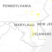


Connect with Interactive Hail Maps