

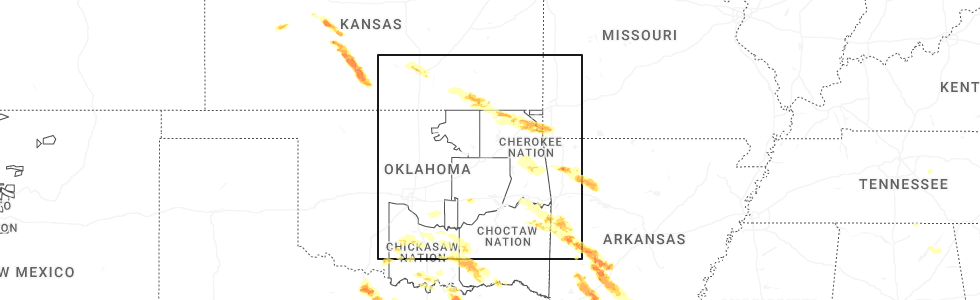
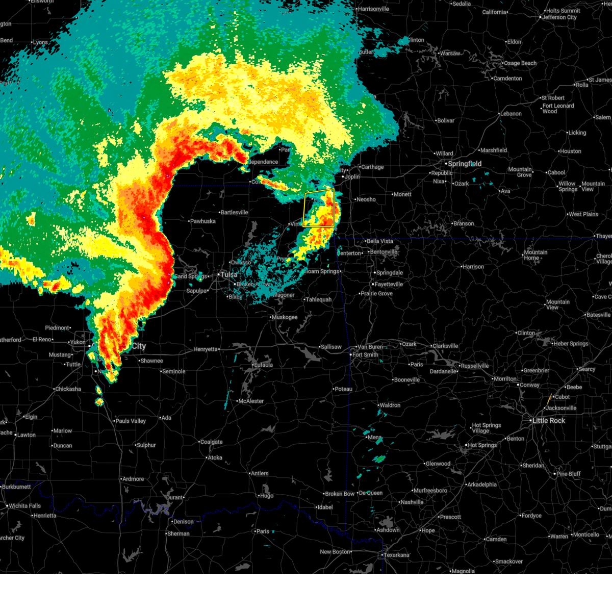
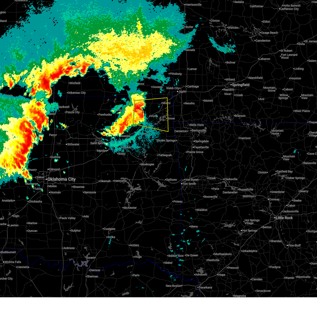
Hail Map for Bernice, OK
The Bernice, OK area has had 0 reports of on-the-ground hail by trained spotters, and has been under severe weather warnings 42 times during the past 12 months. Doppler radar has detected hail at or near Bernice, OK on 79 occasions, including 9 occasions during the past year.
| Name: | Bernice, OK |
| Where Located: | 69.1 miles ENE of Tulsa, OK |
| Map: | Google Map for Bernice, OK |
| Population: | 562 |
| Housing Units: | 432 |
| More Info: | Search Google for Bernice, OK |
2
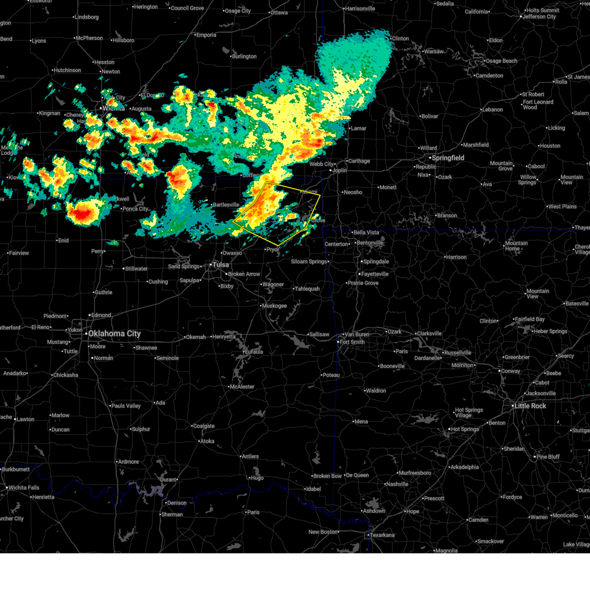
The Top Recent Hail Date for Bernice, OK is Saturday, April 25, 2026 (13th out of 79)
Hail and Wind Damage Spotted near Bernice, OK
| Date / Time | Report Details |
|---|---|
| 7/4/2026 9:41 PM CDT |
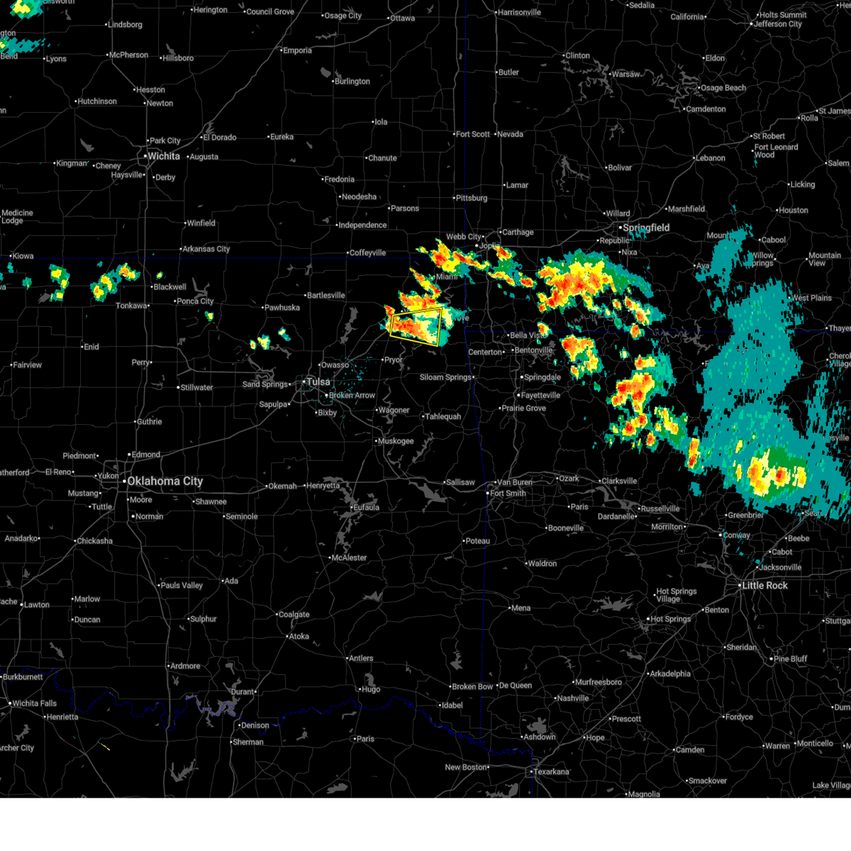
 Svrtsa the national weather service in tulsa has issued a * severe thunderstorm warning for, southwestern benton county in northwestern arkansas, northwestern crawford county in northwestern arkansas, western washington county in northwestern arkansas, delaware county in northeastern oklahoma, sequoyah county in east central oklahoma, adair county in northeastern oklahoma, cherokee county in east central oklahoma, northeastern muskogee county in east central oklahoma, * until 1030 pm cdt. * at 941 pm cdt, severe thunderstorms were located along a line extending from 6 miles northwest of colcord to proctor to 2 miles east of pumpkin center, moving southeast at 45 mph (radar indicated). Hazards include 60 mph wind gusts and penny size hail. Expect damage to roofs, siding, and trees. locations in or near the path include, fayetteville, springdale, rogers, bentonville, tahlequah, siloam springs, sallisaw, stilwell, jay, cedarville, natural dam, grove, farmington, prairie grove, fort gibson, muldrow, gentry, tontitown, gravette, lincoln, this includes the following highways, interstate 40 in oklahoma between mile markers 300 and 319. Interstate 49 between mile markers 62 and 64. Svrtsa the national weather service in tulsa has issued a * severe thunderstorm warning for, southwestern benton county in northwestern arkansas, northwestern crawford county in northwestern arkansas, western washington county in northwestern arkansas, delaware county in northeastern oklahoma, sequoyah county in east central oklahoma, adair county in northeastern oklahoma, cherokee county in east central oklahoma, northeastern muskogee county in east central oklahoma, * until 1030 pm cdt. * at 941 pm cdt, severe thunderstorms were located along a line extending from 6 miles northwest of colcord to proctor to 2 miles east of pumpkin center, moving southeast at 45 mph (radar indicated). Hazards include 60 mph wind gusts and penny size hail. Expect damage to roofs, siding, and trees. locations in or near the path include, fayetteville, springdale, rogers, bentonville, tahlequah, siloam springs, sallisaw, stilwell, jay, cedarville, natural dam, grove, farmington, prairie grove, fort gibson, muldrow, gentry, tontitown, gravette, lincoln, this includes the following highways, interstate 40 in oklahoma between mile markers 300 and 319. Interstate 49 between mile markers 62 and 64.
|
| 7/4/2026 9:17 PM CDT |
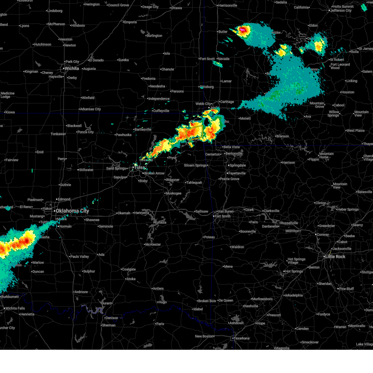
 At 916 pm cdt, severe thunderstorms were located along a line extending from 4 miles southwest of honey creek state park to near leach to hulbert, moving southeast at 45 mph (radar indicated. at 9:12 pm, a wind gust to 59 mph was reported at hulbert by the cherokee county em). Hazards include 60 mph wind gusts and quarter size hail. Hail damage to vehicles is expected. expect wind damage to roofs, siding, and trees. Locations in or near the path include, tahlequah, wagoner, vinita, jay, pryor, pryor creek, grove, fort gibson, chouteau, westville, locust grove, salina, west siloam springs, langley, colcord, kansas, adair, okay, hulbert, bernice, this includes interstate 44 between mile markers 270 and 290. At 916 pm cdt, severe thunderstorms were located along a line extending from 4 miles southwest of honey creek state park to near leach to hulbert, moving southeast at 45 mph (radar indicated. at 9:12 pm, a wind gust to 59 mph was reported at hulbert by the cherokee county em). Hazards include 60 mph wind gusts and quarter size hail. Hail damage to vehicles is expected. expect wind damage to roofs, siding, and trees. Locations in or near the path include, tahlequah, wagoner, vinita, jay, pryor, pryor creek, grove, fort gibson, chouteau, westville, locust grove, salina, west siloam springs, langley, colcord, kansas, adair, okay, hulbert, bernice, this includes interstate 44 between mile markers 270 and 290.
|
| 7/4/2026 8:58 PM CDT |
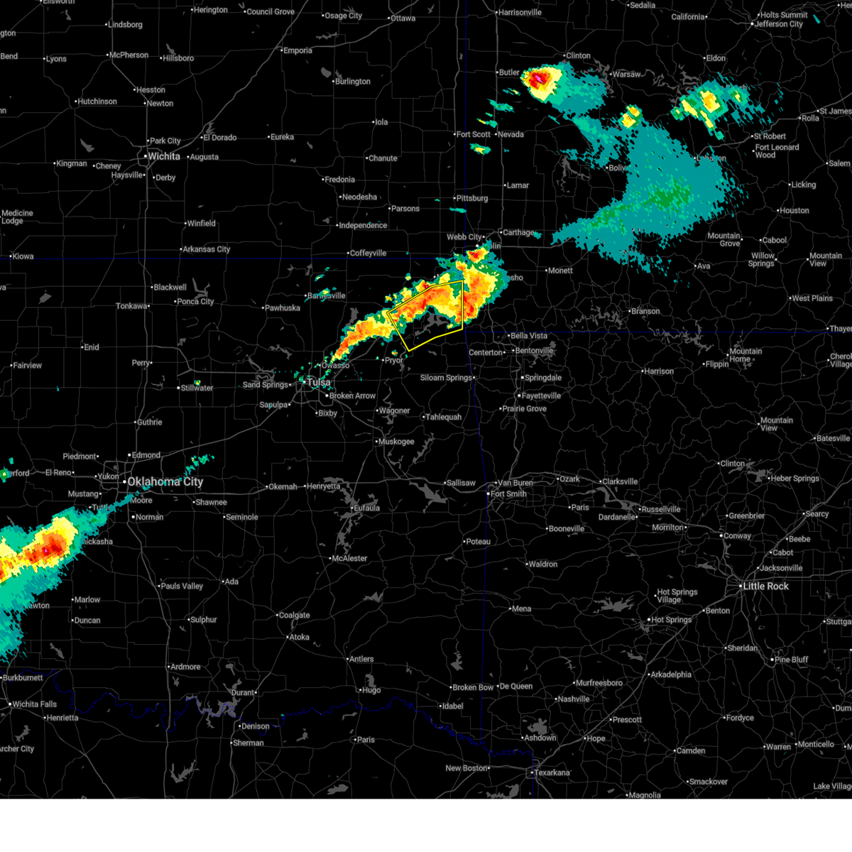
 Svrtsa the national weather service in tulsa has issued a * severe thunderstorm warning for, southeastern craig county in northeastern oklahoma, south central rogers county in northeastern oklahoma, delaware county in northeastern oklahoma, mayes county in northeastern oklahoma, northwestern adair county in northeastern oklahoma, northeastern wagoner county in northeastern oklahoma, cherokee county in east central oklahoma, * until 945 pm cdt. * at 858 pm cdt, severe thunderstorms were located along a line extending from 3 miles northwest of cleora to 2 miles north of salina to 6 miles northwest of wagoner, moving southeast at 45 mph (radar indicated). Hazards include 70 mph wind gusts and quarter size hail. Hail damage to vehicles is expected. expect considerable tree damage. wind damage is also likely to mobile homes, roofs, and outbuildings. Locations in or near the path include, tahlequah, wagoner, vinita, jay, pryor, pryor creek, grove, fort gibson, chouteau, westville, locust grove, salina, west siloam springs, langley, colcord, kansas, adair, okay, hulbert, bernice, this includes interstate 44 between mile markers 270 and 290. Svrtsa the national weather service in tulsa has issued a * severe thunderstorm warning for, southeastern craig county in northeastern oklahoma, south central rogers county in northeastern oklahoma, delaware county in northeastern oklahoma, mayes county in northeastern oklahoma, northwestern adair county in northeastern oklahoma, northeastern wagoner county in northeastern oklahoma, cherokee county in east central oklahoma, * until 945 pm cdt. * at 858 pm cdt, severe thunderstorms were located along a line extending from 3 miles northwest of cleora to 2 miles north of salina to 6 miles northwest of wagoner, moving southeast at 45 mph (radar indicated). Hazards include 70 mph wind gusts and quarter size hail. Hail damage to vehicles is expected. expect considerable tree damage. wind damage is also likely to mobile homes, roofs, and outbuildings. Locations in or near the path include, tahlequah, wagoner, vinita, jay, pryor, pryor creek, grove, fort gibson, chouteau, westville, locust grove, salina, west siloam springs, langley, colcord, kansas, adair, okay, hulbert, bernice, this includes interstate 44 between mile markers 270 and 290.
|
| 6/18/2026 9:28 AM CDT |
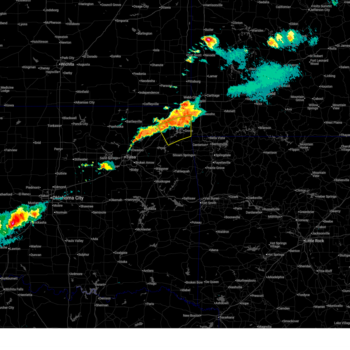
 At 928 am cdt, severe thunderstorms were located along a line extending from 2 miles northeast of welch to 4 miles southwest of bluejacket to 4 miles southwest of white oak to 2 miles northwest of foyil, moving southeast at 40 mph (radar indicated). Hazards include 60 mph wind gusts. Expect damage to roofs, siding, and trees. Locations in or near the path include, miami, vinita, grove, chelsea, fairland, afton, langley, adair, welch, bernice, ketchum, bluejacket, wyandotte, disney, big cabin, pensacola, new alluwe, hoot owl, cherokee state park, bernice state park, this includes interstate 44 between mile markers 265 and 309. At 928 am cdt, severe thunderstorms were located along a line extending from 2 miles northeast of welch to 4 miles southwest of bluejacket to 4 miles southwest of white oak to 2 miles northwest of foyil, moving southeast at 40 mph (radar indicated). Hazards include 60 mph wind gusts. Expect damage to roofs, siding, and trees. Locations in or near the path include, miami, vinita, grove, chelsea, fairland, afton, langley, adair, welch, bernice, ketchum, bluejacket, wyandotte, disney, big cabin, pensacola, new alluwe, hoot owl, cherokee state park, bernice state park, this includes interstate 44 between mile markers 265 and 309.
|
| 6/18/2026 9:15 AM CDT |
 Svrtsa the national weather service in tulsa has issued a * severe thunderstorm warning for, craig county in northeastern oklahoma, northeastern rogers county in northeastern oklahoma, northwestern delaware county in northeastern oklahoma, southern ottawa county in northeastern oklahoma, northern mayes county in northeastern oklahoma, southeastern nowata county in northeastern oklahoma, * until 1000 am cdt. * at 915 am cdt, severe thunderstorms were located along a line extending from 6 miles west of welch to 6 miles northeast of new alluwe to 4 miles east of talala, moving east at 40 mph (radar indicated). Hazards include 60 mph wind gusts. Expect damage to roofs, siding, and trees. Locations in or near the path include, miami, vinita, grove, chelsea, fairland, afton, langley, adair, welch, bernice, ketchum, spavinaw, bluejacket, wyandotte, disney, big cabin, pensacola, new alluwe, hoot owl, honey creek state park, this includes interstate 44 between mile markers 265 and 309. Svrtsa the national weather service in tulsa has issued a * severe thunderstorm warning for, craig county in northeastern oklahoma, northeastern rogers county in northeastern oklahoma, northwestern delaware county in northeastern oklahoma, southern ottawa county in northeastern oklahoma, northern mayes county in northeastern oklahoma, southeastern nowata county in northeastern oklahoma, * until 1000 am cdt. * at 915 am cdt, severe thunderstorms were located along a line extending from 6 miles west of welch to 6 miles northeast of new alluwe to 4 miles east of talala, moving east at 40 mph (radar indicated). Hazards include 60 mph wind gusts. Expect damage to roofs, siding, and trees. Locations in or near the path include, miami, vinita, grove, chelsea, fairland, afton, langley, adair, welch, bernice, ketchum, spavinaw, bluejacket, wyandotte, disney, big cabin, pensacola, new alluwe, hoot owl, honey creek state park, this includes interstate 44 between mile markers 265 and 309.
|
| 6/13/2026 11:52 PM CDT |
 Svrtsa the national weather service in tulsa has issued a * severe thunderstorm warning for, benton county in northwestern arkansas, northwestern madison county in northwestern arkansas, washington county in northwestern arkansas, southern craig county in northeastern oklahoma, rogers county in northeastern oklahoma, delaware county in northeastern oklahoma, mayes county in northeastern oklahoma, adair county in northeastern oklahoma, southern nowata county in northeastern oklahoma, northeastern wagoner county in northeastern oklahoma, cherokee county in east central oklahoma, * until 1230 am cdt. * at 1151 pm cdt, severe thunderstorms were located along a line extending from 8 miles north of pea ridge to 4 miles south of jay to near talala, moving southeast at 50 mph (radar indicated). Hazards include 60 mph wind gusts. Expect damage to roofs, siding, and trees. locations in or near the path include, fayetteville, springdale, rogers, bentonville, claremore, tahlequah, siloam springs, wagoner, vinita, stilwell, nowata, jay, huntsville, pryor, bella vista, pryor creek, lowell, grove, farmington, pea ridge, this includes the following highways, interstate 44 between mile markers 246 and 288. Interstate 49 between mile markers 48 and 93. Svrtsa the national weather service in tulsa has issued a * severe thunderstorm warning for, benton county in northwestern arkansas, northwestern madison county in northwestern arkansas, washington county in northwestern arkansas, southern craig county in northeastern oklahoma, rogers county in northeastern oklahoma, delaware county in northeastern oklahoma, mayes county in northeastern oklahoma, adair county in northeastern oklahoma, southern nowata county in northeastern oklahoma, northeastern wagoner county in northeastern oklahoma, cherokee county in east central oklahoma, * until 1230 am cdt. * at 1151 pm cdt, severe thunderstorms were located along a line extending from 8 miles north of pea ridge to 4 miles south of jay to near talala, moving southeast at 50 mph (radar indicated). Hazards include 60 mph wind gusts. Expect damage to roofs, siding, and trees. locations in or near the path include, fayetteville, springdale, rogers, bentonville, claremore, tahlequah, siloam springs, wagoner, vinita, stilwell, nowata, jay, huntsville, pryor, bella vista, pryor creek, lowell, grove, farmington, pea ridge, this includes the following highways, interstate 44 between mile markers 246 and 288. Interstate 49 between mile markers 48 and 93.
|
| 6/13/2026 11:26 PM CDT |
 At 1126 pm cdt, severe thunderstorms were located along a line extending from 5 miles west of neosho to near bernice to 4 miles northwest of new alluwe, moving southeast at 55 mph (radar indicated). Hazards include 60 mph wind gusts. Expect damage to roofs, siding, and trees. Locations in or near the path include, claremore, miami, vinita, nowata, jay, pryor, pryor creek, grove, verdigris, gravette, chelsea, decatur, salina, oologah, fairland, afton, langley, colcord, kansas, adair, this includes interstate 44 between mile markers 242 and 323. At 1126 pm cdt, severe thunderstorms were located along a line extending from 5 miles west of neosho to near bernice to 4 miles northwest of new alluwe, moving southeast at 55 mph (radar indicated). Hazards include 60 mph wind gusts. Expect damage to roofs, siding, and trees. Locations in or near the path include, claremore, miami, vinita, nowata, jay, pryor, pryor creek, grove, verdigris, gravette, chelsea, decatur, salina, oologah, fairland, afton, langley, colcord, kansas, adair, this includes interstate 44 between mile markers 242 and 323.
|
| 6/13/2026 11:12 PM CDT |
 Svrtsa the national weather service in tulsa has issued a * severe thunderstorm warning for, northwestern benton county in northwestern arkansas, craig county in northeastern oklahoma, rogers county in northeastern oklahoma, delaware county in northeastern oklahoma, ottawa county in northeastern oklahoma, mayes county in northeastern oklahoma, southeastern nowata county in northeastern oklahoma, * until midnight cdt. * at 1112 pm cdt, severe thunderstorms were located along a line extending from 7 miles south of shoal creek drive to 3 miles southeast of bluejacket to delaware, moving southeast at 60 mph (radar indicated). Hazards include 60 mph wind gusts. Expect damage to roofs, siding, and trees. Locations in or near the path include, claremore, miami, vinita, nowata, jay, pryor, pryor creek, grove, verdigris, gravette, chelsea, decatur, salina, oologah, fairland, afton, langley, colcord, kansas, adair, this includes interstate 44 between mile markers 242 and 323. Svrtsa the national weather service in tulsa has issued a * severe thunderstorm warning for, northwestern benton county in northwestern arkansas, craig county in northeastern oklahoma, rogers county in northeastern oklahoma, delaware county in northeastern oklahoma, ottawa county in northeastern oklahoma, mayes county in northeastern oklahoma, southeastern nowata county in northeastern oklahoma, * until midnight cdt. * at 1112 pm cdt, severe thunderstorms were located along a line extending from 7 miles south of shoal creek drive to 3 miles southeast of bluejacket to delaware, moving southeast at 60 mph (radar indicated). Hazards include 60 mph wind gusts. Expect damage to roofs, siding, and trees. Locations in or near the path include, claremore, miami, vinita, nowata, jay, pryor, pryor creek, grove, verdigris, gravette, chelsea, decatur, salina, oologah, fairland, afton, langley, colcord, kansas, adair, this includes interstate 44 between mile markers 242 and 323.
|
| 6/13/2026 6:49 PM CDT |
 At 648 pm cdt, a severe thunderstorm was located near honey creek state park, moving east at 35 mph (radar indicated). Hazards include ping pong ball size hail and 60 mph wind gusts. People and animals outdoors will be injured. expect hail damage to roofs, siding, windows, and vehicles. expect wind damage to roofs, siding, and trees. Locations in or near the path include, grove, afton, bernice, bernice state park, cleora, honey creek state park, this includes interstate 44 between mile markers 294 and 295. At 648 pm cdt, a severe thunderstorm was located near honey creek state park, moving east at 35 mph (radar indicated). Hazards include ping pong ball size hail and 60 mph wind gusts. People and animals outdoors will be injured. expect hail damage to roofs, siding, windows, and vehicles. expect wind damage to roofs, siding, and trees. Locations in or near the path include, grove, afton, bernice, bernice state park, cleora, honey creek state park, this includes interstate 44 between mile markers 294 and 295.
|
| 6/13/2026 6:32 PM CDT |
 At 631 pm cdt, severe thunderstorms were located along a line extending from 4 miles northeast of vinita to near cleora, moving northeast at 20 mph (radar indicated). Hazards include 60 mph wind gusts and half dollar size hail. Hail damage to vehicles is expected. expect wind damage to roofs, siding, and trees. Locations in or near the path include, grove, afton, bernice, bernice state park, cleora, honey creek state park, this includes interstate 44 between mile markers 287 and 300. At 631 pm cdt, severe thunderstorms were located along a line extending from 4 miles northeast of vinita to near cleora, moving northeast at 20 mph (radar indicated). Hazards include 60 mph wind gusts and half dollar size hail. Hail damage to vehicles is expected. expect wind damage to roofs, siding, and trees. Locations in or near the path include, grove, afton, bernice, bernice state park, cleora, honey creek state park, this includes interstate 44 between mile markers 287 and 300.
|
| 6/13/2026 6:22 PM CDT |
 Svrtsa the national weather service in tulsa has issued a * severe thunderstorm warning for, southeastern craig county in northeastern oklahoma, northwestern delaware county in northeastern oklahoma, southwestern ottawa county in northeastern oklahoma, * until 700 pm cdt. * at 621 pm cdt, severe thunderstorms were located along a line extending from 2 miles north of vinita to cleora, moving northeast at 20 mph (radar indicated). Hazards include 60 mph wind gusts and quarter size hail. Hail damage to vehicles is expected. expect wind damage to roofs, siding, and trees. Locations in or near the path include, vinita, grove, afton, bernice, cleora, honey creek state park, bernice state park, this includes interstate 44 between mile markers 284 and 300. Svrtsa the national weather service in tulsa has issued a * severe thunderstorm warning for, southeastern craig county in northeastern oklahoma, northwestern delaware county in northeastern oklahoma, southwestern ottawa county in northeastern oklahoma, * until 700 pm cdt. * at 621 pm cdt, severe thunderstorms were located along a line extending from 2 miles north of vinita to cleora, moving northeast at 20 mph (radar indicated). Hazards include 60 mph wind gusts and quarter size hail. Hail damage to vehicles is expected. expect wind damage to roofs, siding, and trees. Locations in or near the path include, vinita, grove, afton, bernice, cleora, honey creek state park, bernice state park, this includes interstate 44 between mile markers 284 and 300.
|
| 6/13/2026 5:56 PM CDT |
 At 555 pm cdt, a severe thunderstorm was located 5 miles east of big cabin, moving east at 35 mph (radar indicated). Hazards include 60 mph wind gusts and quarter size hail. Hail damage to vehicles is expected. expect wind damage to roofs, siding, and trees. Locations in or near the path include, langley, bernice, ketchum, disney, big cabin, pensacola, cleora, chloeta, cherokee state park, bernice state park, zena, disney little blue state park, this includes interstate 44 between mile markers 276 and 282. At 555 pm cdt, a severe thunderstorm was located 5 miles east of big cabin, moving east at 35 mph (radar indicated). Hazards include 60 mph wind gusts and quarter size hail. Hail damage to vehicles is expected. expect wind damage to roofs, siding, and trees. Locations in or near the path include, langley, bernice, ketchum, disney, big cabin, pensacola, cleora, chloeta, cherokee state park, bernice state park, zena, disney little blue state park, this includes interstate 44 between mile markers 276 and 282.
|
| 6/13/2026 5:29 PM CDT |
 Svrtsa the national weather service in tulsa has issued a * severe thunderstorm warning for, southeastern craig county in northeastern oklahoma, northwestern delaware county in northeastern oklahoma, northeastern mayes county in northeastern oklahoma, * until 615 pm cdt. * at 529 pm cdt, a severe thunderstorm was located 4 miles northwest of cherokee state park, moving east at 20 mph (radar indicated). Hazards include 60 mph wind gusts and quarter size hail. Hail damage to vehicles is expected. expect wind damage to roofs, siding, and trees. Locations in or near the path include, langley, bernice, ketchum, disney, big cabin, pensacola, cleora, chloeta, cherokee state park, bernice state park, zena, disney little blue state park, this includes interstate 44 between mile markers 276 and 282. Svrtsa the national weather service in tulsa has issued a * severe thunderstorm warning for, southeastern craig county in northeastern oklahoma, northwestern delaware county in northeastern oklahoma, northeastern mayes county in northeastern oklahoma, * until 615 pm cdt. * at 529 pm cdt, a severe thunderstorm was located 4 miles northwest of cherokee state park, moving east at 20 mph (radar indicated). Hazards include 60 mph wind gusts and quarter size hail. Hail damage to vehicles is expected. expect wind damage to roofs, siding, and trees. Locations in or near the path include, langley, bernice, ketchum, disney, big cabin, pensacola, cleora, chloeta, cherokee state park, bernice state park, zena, disney little blue state park, this includes interstate 44 between mile markers 276 and 282.
|
| 6/11/2026 8:34 PM CDT |
 At 834 pm cdt, a severe thunderstorm was located 4 miles south of fairland, moving east at 30 mph (radar indicated). Hazards include 60 mph wind gusts. Expect damage to roofs, siding, and trees. Locations in or near the path include, grove, fairland, afton, bernice, wyandotte, bernice state park, this includes interstate 44 between mile markers 296 and 299. At 834 pm cdt, a severe thunderstorm was located 4 miles south of fairland, moving east at 30 mph (radar indicated). Hazards include 60 mph wind gusts. Expect damage to roofs, siding, and trees. Locations in or near the path include, grove, fairland, afton, bernice, wyandotte, bernice state park, this includes interstate 44 between mile markers 296 and 299.
|
| 6/11/2026 8:17 PM CDT |
 At 816 pm cdt, severe thunderstorms were located along a line extending from 7 miles northwest of noel to 3 miles west of south west city to 2 miles northwest of bernice to 2 miles east of big cabin, moving southeast at 20 mph (radar indicated). Hazards include 60 mph wind gusts. Expect damage to roofs, siding, and trees. Locations in or near the path include, vinita, grove, fairland, afton, langley, bernice, ketchum, spavinaw, wyandotte, disney, big cabin, pensacola, honey creek state park, cherokee state park, bernice state park, spavinaw state park, cleora, chloeta, white oak, narcissa, this includes interstate 44 between mile markers 277 and 304. At 816 pm cdt, severe thunderstorms were located along a line extending from 7 miles northwest of noel to 3 miles west of south west city to 2 miles northwest of bernice to 2 miles east of big cabin, moving southeast at 20 mph (radar indicated). Hazards include 60 mph wind gusts. Expect damage to roofs, siding, and trees. Locations in or near the path include, vinita, grove, fairland, afton, langley, bernice, ketchum, spavinaw, wyandotte, disney, big cabin, pensacola, honey creek state park, cherokee state park, bernice state park, spavinaw state park, cleora, chloeta, white oak, narcissa, this includes interstate 44 between mile markers 277 and 304.
|
| 6/11/2026 7:59 PM CDT |
 Svrtsa the national weather service in tulsa has issued a * severe thunderstorm warning for, southeastern craig county in northeastern oklahoma, northern delaware county in northeastern oklahoma, southern ottawa county in northeastern oklahoma, northeastern mayes county in northeastern oklahoma, * until 845 pm cdt. * at 759 pm cdt, severe thunderstorms were located along a line extending from 6 miles south of seneca to 3 miles northeast of grove to 3 miles northeast of big cabin, moving southeast at 35 mph (radar indicated). Hazards include 60 mph wind gusts and nickel size hail. Expect damage to roofs, siding, and trees. Locations in or near the path include, vinita, grove, fairland, afton, langley, bernice, ketchum, spavinaw, wyandotte, disney, big cabin, pensacola, honey creek state park, cherokee state park, bernice state park, spavinaw state park, cleora, chloeta, white oak, narcissa, this includes interstate 44 between mile markers 277 and 304. Svrtsa the national weather service in tulsa has issued a * severe thunderstorm warning for, southeastern craig county in northeastern oklahoma, northern delaware county in northeastern oklahoma, southern ottawa county in northeastern oklahoma, northeastern mayes county in northeastern oklahoma, * until 845 pm cdt. * at 759 pm cdt, severe thunderstorms were located along a line extending from 6 miles south of seneca to 3 miles northeast of grove to 3 miles northeast of big cabin, moving southeast at 35 mph (radar indicated). Hazards include 60 mph wind gusts and nickel size hail. Expect damage to roofs, siding, and trees. Locations in or near the path include, vinita, grove, fairland, afton, langley, bernice, ketchum, spavinaw, wyandotte, disney, big cabin, pensacola, honey creek state park, cherokee state park, bernice state park, spavinaw state park, cleora, chloeta, white oak, narcissa, this includes interstate 44 between mile markers 277 and 304.
|
| 6/11/2026 7:45 PM CDT |
 Svrtsa the national weather service in tulsa has issued a * severe thunderstorm warning for, northern delaware county in northeastern oklahoma, southeastern ottawa county in northeastern oklahoma, * until 800 pm cdt. * at 745 pm cdt, severe thunderstorms were located along a line extending from 2 miles south of seneca to 5 miles southeast of wyandotte to 3 miles east of bernice state park, moving southeast at 25 mph (radar indicated). Hazards include 60 mph wind gusts. Expect damage to roofs, siding, and trees. Locations in or near the path include, grove, bernice, bernice state park, honey creek state park,. Svrtsa the national weather service in tulsa has issued a * severe thunderstorm warning for, northern delaware county in northeastern oklahoma, southeastern ottawa county in northeastern oklahoma, * until 800 pm cdt. * at 745 pm cdt, severe thunderstorms were located along a line extending from 2 miles south of seneca to 5 miles southeast of wyandotte to 3 miles east of bernice state park, moving southeast at 25 mph (radar indicated). Hazards include 60 mph wind gusts. Expect damage to roofs, siding, and trees. Locations in or near the path include, grove, bernice, bernice state park, honey creek state park,.
|
| 6/11/2026 7:40 PM CDT |
 At 740 pm cdt, severe thunderstorms were located along a line extending from 2 miles southeast of afton to 4 miles south of bluejacket to 4 miles west of white oak, moving southeast at 20 mph (radar indicated). Hazards include 60 mph wind gusts and quarter size hail. Hail damage to vehicles is expected. expect wind damage to roofs, siding, and trees. Locations in or near the path include, vinita, afton, bernice, bluejacket, big cabin, white oak, pyramid corners, this includes interstate 44 between mile markers 273 and 296. At 740 pm cdt, severe thunderstorms were located along a line extending from 2 miles southeast of afton to 4 miles south of bluejacket to 4 miles west of white oak, moving southeast at 20 mph (radar indicated). Hazards include 60 mph wind gusts and quarter size hail. Hail damage to vehicles is expected. expect wind damage to roofs, siding, and trees. Locations in or near the path include, vinita, afton, bernice, bluejacket, big cabin, white oak, pyramid corners, this includes interstate 44 between mile markers 273 and 296.
|
| 6/11/2026 7:23 PM CDT |
 Svrtsa the national weather service in tulsa has issued a * severe thunderstorm warning for, southern craig county in northeastern oklahoma, northwestern delaware county in northeastern oklahoma, southwestern ottawa county in northeastern oklahoma, * until 800 pm cdt. * at 723 pm cdt, severe thunderstorms were located along a line extending from 3 miles west of narcissa to 3 miles southwest of bluejacket to 8 miles northwest of white oak, moving southeast at 20 mph (radar indicated). Hazards include 60 mph wind gusts and quarter size hail. Hail damage to vehicles is expected. expect wind damage to roofs, siding, and trees. Locations in or near the path include, vinita, afton, bernice, bluejacket, big cabin, white oak, pyramid corners, this includes interstate 44 between mile markers 273 and 296. Svrtsa the national weather service in tulsa has issued a * severe thunderstorm warning for, southern craig county in northeastern oklahoma, northwestern delaware county in northeastern oklahoma, southwestern ottawa county in northeastern oklahoma, * until 800 pm cdt. * at 723 pm cdt, severe thunderstorms were located along a line extending from 3 miles west of narcissa to 3 miles southwest of bluejacket to 8 miles northwest of white oak, moving southeast at 20 mph (radar indicated). Hazards include 60 mph wind gusts and quarter size hail. Hail damage to vehicles is expected. expect wind damage to roofs, siding, and trees. Locations in or near the path include, vinita, afton, bernice, bluejacket, big cabin, white oak, pyramid corners, this includes interstate 44 between mile markers 273 and 296.
|
| 6/8/2026 6:57 AM CDT |
 The storm which prompted the warning has weakened below severe limits, and no longer poses an immediate threat to life or property. therefore, the warning will be allowed to expire. however, gusty winds and heavy rain are still possible with this thunderstorm. a severe thunderstorm watch remains in effect until 800 am cdt for northeastern oklahoma. The storm which prompted the warning has weakened below severe limits, and no longer poses an immediate threat to life or property. therefore, the warning will be allowed to expire. however, gusty winds and heavy rain are still possible with this thunderstorm. a severe thunderstorm watch remains in effect until 800 am cdt for northeastern oklahoma.
|
| 6/8/2026 6:44 AM CDT |
 the severe thunderstorm warning has been cancelled and is no longer in effect the severe thunderstorm warning has been cancelled and is no longer in effect
|
| 6/8/2026 6:44 AM CDT |
 At 643 am cdt, a severe thunderstorm was located over honey creek state park, moving southeast at 45 mph (radar indicated). Hazards include 60 mph wind gusts. Expect damage to roofs, siding, and trees. Locations in or near the path include, jay, grove, fairland, bernice, honey creek state park, bernice state park, cleora, zena,. At 643 am cdt, a severe thunderstorm was located over honey creek state park, moving southeast at 45 mph (radar indicated). Hazards include 60 mph wind gusts. Expect damage to roofs, siding, and trees. Locations in or near the path include, jay, grove, fairland, bernice, honey creek state park, bernice state park, cleora, zena,.
|
| 6/8/2026 6:31 AM CDT |
 At 631 am cdt, a severe thunderstorm was located over bernice state park, moving southeast at 30 mph (trained weather spotters). Hazards include 70 mph wind gusts and nickel size hail. Expect considerable tree damage. damage is likely to mobile homes, roofs, and outbuildings. Locations in or near the path include, jay, grove, fairland, afton, bernice, cleora, honey creek state park, bernice state park, zena, this includes interstate 44 between mile markers 289 and 304. At 631 am cdt, a severe thunderstorm was located over bernice state park, moving southeast at 30 mph (trained weather spotters). Hazards include 70 mph wind gusts and nickel size hail. Expect considerable tree damage. damage is likely to mobile homes, roofs, and outbuildings. Locations in or near the path include, jay, grove, fairland, afton, bernice, cleora, honey creek state park, bernice state park, zena, this includes interstate 44 between mile markers 289 and 304.
|
| 6/8/2026 6:20 AM CDT |
 Svrtsa the national weather service in tulsa has issued a * severe thunderstorm warning for, southeastern craig county in northeastern oklahoma, northern delaware county in northeastern oklahoma, southern ottawa county in northeastern oklahoma, * until 700 am cdt. * at 620 am cdt, a severe thunderstorm was located over afton, moving southeast at 35 mph (radar indicated). Hazards include 60 mph wind gusts and quarter size hail. Hail damage to vehicles is expected. expect wind damage to roofs, siding, and trees. Locations in or near the path include, miami, jay, grove, fairland, afton, bernice, ketchum, honey creek state park, bernice state park, cleora, chloeta, narcissa, zena, this includes interstate 44 between mile markers 286 and 305. Svrtsa the national weather service in tulsa has issued a * severe thunderstorm warning for, southeastern craig county in northeastern oklahoma, northern delaware county in northeastern oklahoma, southern ottawa county in northeastern oklahoma, * until 700 am cdt. * at 620 am cdt, a severe thunderstorm was located over afton, moving southeast at 35 mph (radar indicated). Hazards include 60 mph wind gusts and quarter size hail. Hail damage to vehicles is expected. expect wind damage to roofs, siding, and trees. Locations in or near the path include, miami, jay, grove, fairland, afton, bernice, ketchum, honey creek state park, bernice state park, cleora, chloeta, narcissa, zena, this includes interstate 44 between mile markers 286 and 305.
|
| 4/28/2026 12:40 PM CDT |
 At 1240 pm cdt, a severe thunderstorm was located 4 miles northeast of grove, moving northeast at 45 mph (radar indicated). Hazards include ping pong ball size hail. People and animals outdoors will be injured. expect damage to roofs, siding, windows, and vehicles. Locations in or near the path include, grove, wyandotte, bernice state park, honey creek state park,. At 1240 pm cdt, a severe thunderstorm was located 4 miles northeast of grove, moving northeast at 45 mph (radar indicated). Hazards include ping pong ball size hail. People and animals outdoors will be injured. expect damage to roofs, siding, windows, and vehicles. Locations in or near the path include, grove, wyandotte, bernice state park, honey creek state park,.
|
| 4/28/2026 12:34 PM CDT |
 At 1232 pm cdt, a severe thunderstorm was located 3 miles northwest of grove, moving northeast at 50 mph. other storms producing hail are also moving through the warned area (radar indicated). Hazards include quarter size hail. Damage to vehicles is expected. Locations in or near the path include, grove, fairland, afton, bernice, wyandotte, honey creek state park, bernice state park, ottawa, peoria, twin bridges state park, this includes interstate 44 between mile markers 295 and 306, and between mile markers 317 and 323. At 1232 pm cdt, a severe thunderstorm was located 3 miles northwest of grove, moving northeast at 50 mph. other storms producing hail are also moving through the warned area (radar indicated). Hazards include quarter size hail. Damage to vehicles is expected. Locations in or near the path include, grove, fairland, afton, bernice, wyandotte, honey creek state park, bernice state park, ottawa, peoria, twin bridges state park, this includes interstate 44 between mile markers 295 and 306, and between mile markers 317 and 323.
|
| 4/28/2026 12:23 PM CDT |
 Svrtsa the national weather service in tulsa has issued a * severe thunderstorm warning for, northern delaware county in northeastern oklahoma, southeastern ottawa county in northeastern oklahoma, * until 100 pm cdt. * at 1222 pm cdt, a severe thunderstorm was located over cleora, moving northeast at 50 mph (radar indicated). Hazards include quarter size hail. Damage to vehicles is expected. Locations in or near the path include, grove, fairland, afton, bernice, wyandotte, cleora, honey creek state park, bernice state park, ottawa, peoria, zena, twin bridges state park, this includes interstate 44 between mile markers 294 and 306, and between mile markers 317 and 323. Svrtsa the national weather service in tulsa has issued a * severe thunderstorm warning for, northern delaware county in northeastern oklahoma, southeastern ottawa county in northeastern oklahoma, * until 100 pm cdt. * at 1222 pm cdt, a severe thunderstorm was located over cleora, moving northeast at 50 mph (radar indicated). Hazards include quarter size hail. Damage to vehicles is expected. Locations in or near the path include, grove, fairland, afton, bernice, wyandotte, cleora, honey creek state park, bernice state park, ottawa, peoria, zena, twin bridges state park, this includes interstate 44 between mile markers 294 and 306, and between mile markers 317 and 323.
|
| 4/25/2026 7:10 PM CDT |
 Svrtsa the national weather service in tulsa has issued a * severe thunderstorm warning for, northern delaware county in northeastern oklahoma, southern ottawa county in northeastern oklahoma, * until 800 pm cdt. * at 710 pm cdt, severe thunderstorms were located along a line extending from near fairland to 3 miles east of afton to 2 miles northwest of cleora, moving east at 25 mph. dime sized hail was reported in afton with this line of storms (radar indicated). Hazards include 60 mph wind gusts and quarter size hail. Hail damage to vehicles is expected. expect wind damage to roofs, siding, and trees. Locations in or near the path include, grove, fairland, afton, bernice, wyandotte, honey creek state park, narcissa, bernice state park, this includes interstate 44 between mile markers 294 and 303. Svrtsa the national weather service in tulsa has issued a * severe thunderstorm warning for, northern delaware county in northeastern oklahoma, southern ottawa county in northeastern oklahoma, * until 800 pm cdt. * at 710 pm cdt, severe thunderstorms were located along a line extending from near fairland to 3 miles east of afton to 2 miles northwest of cleora, moving east at 25 mph. dime sized hail was reported in afton with this line of storms (radar indicated). Hazards include 60 mph wind gusts and quarter size hail. Hail damage to vehicles is expected. expect wind damage to roofs, siding, and trees. Locations in or near the path include, grove, fairland, afton, bernice, wyandotte, honey creek state park, narcissa, bernice state park, this includes interstate 44 between mile markers 294 and 303.
|
| 4/25/2026 7:07 PM CDT |
 At 707 pm cdt, severe thunderstorms were located along a line extending from 2 miles northwest of fairland to near afton to 3 miles east of vinita, moving east at 25 mph (public). Hazards include 60 mph wind gusts and half dollar size hail. Hail damage to vehicles is expected. expect wind damage to roofs, siding, and trees. Locations in or near the path include, miami, vinita, fairland, afton, bernice, ketchum, bluejacket, cleora, narcissa, bernice state park, this includes interstate 44 between mile markers 282 and 306. At 707 pm cdt, severe thunderstorms were located along a line extending from 2 miles northwest of fairland to near afton to 3 miles east of vinita, moving east at 25 mph (public). Hazards include 60 mph wind gusts and half dollar size hail. Hail damage to vehicles is expected. expect wind damage to roofs, siding, and trees. Locations in or near the path include, miami, vinita, fairland, afton, bernice, ketchum, bluejacket, cleora, narcissa, bernice state park, this includes interstate 44 between mile markers 282 and 306.
|
| 4/25/2026 6:44 PM CDT |
 Svrtsa the national weather service in tulsa has issued a * severe thunderstorm warning for, central craig county in northeastern oklahoma, northwestern delaware county in northeastern oklahoma, southwestern ottawa county in northeastern oklahoma, * until 730 pm cdt. * at 644 pm cdt, a severe thunderstorm was located 5 miles southwest of bluejacket, moving east at 20 mph (radar indicated). Hazards include 60 mph wind gusts and half dollar size hail. Hail damage to vehicles is expected. expect wind damage to roofs, siding, and trees. Locations in or near the path include, miami, vinita, fairland, afton, bernice, ketchum, bluejacket, cleora, white oak, narcissa, bernice state park, pyramid corners, this includes interstate 44 between mile markers 280 and 306. Svrtsa the national weather service in tulsa has issued a * severe thunderstorm warning for, central craig county in northeastern oklahoma, northwestern delaware county in northeastern oklahoma, southwestern ottawa county in northeastern oklahoma, * until 730 pm cdt. * at 644 pm cdt, a severe thunderstorm was located 5 miles southwest of bluejacket, moving east at 20 mph (radar indicated). Hazards include 60 mph wind gusts and half dollar size hail. Hail damage to vehicles is expected. expect wind damage to roofs, siding, and trees. Locations in or near the path include, miami, vinita, fairland, afton, bernice, ketchum, bluejacket, cleora, white oak, narcissa, bernice state park, pyramid corners, this includes interstate 44 between mile markers 280 and 306.
|
| 4/14/2026 11:13 PM CDT |
 At 1113 pm cdt, severe thunderstorms were located along a line extending from 2 miles west of white oak to 5 miles northeast of rose to 3 miles north of hulbert, moving northeast at 50 mph (radar indicated). Hazards include 60 mph wind gusts. Expect damage to roofs, siding, and trees. Locations in or near the path include, pensacola, jay, vinita, honey creek state park, peggs, cherokee state park, rose, bernice state park, langley, lake eucha state park, snowdale state park, locust grove, disney little blue state park, lost city, big cabin, strang, leach, zena, hoot owl, cleora, this includes interstate 44 between mile markers 267 and 292. At 1113 pm cdt, severe thunderstorms were located along a line extending from 2 miles west of white oak to 5 miles northeast of rose to 3 miles north of hulbert, moving northeast at 50 mph (radar indicated). Hazards include 60 mph wind gusts. Expect damage to roofs, siding, and trees. Locations in or near the path include, pensacola, jay, vinita, honey creek state park, peggs, cherokee state park, rose, bernice state park, langley, lake eucha state park, snowdale state park, locust grove, disney little blue state park, lost city, big cabin, strang, leach, zena, hoot owl, cleora, this includes interstate 44 between mile markers 267 and 292.
|
| 4/14/2026 10:43 PM CDT |
 Svrtsa the national weather service in tulsa has issued a * severe thunderstorm warning for, southern craig county in northeastern oklahoma, northeastern rogers county in northeastern oklahoma, delaware county in northeastern oklahoma, mayes county in northeastern oklahoma, eastern wagoner county in northeastern oklahoma, northern cherokee county in east central oklahoma, * until 1130 pm cdt. * at 1043 pm cdt, severe thunderstorms were located along a line extending from 4 miles northwest of foyil to 7 miles south of chouteau to taft, moving northeast at 50 mph (radar indicated). Hazards include 60 mph wind gusts. Expect damage to roofs, siding, and trees. Locations in or near the path include, pensacola, jay, vinita, honey creek state park, peggs, cherokee state park, rose, mazie, bernice state park, langley, lake eucha state park, snowdale state park, locust grove, disney little blue state park, lost city, big cabin, strang, leach, zena, hoot owl, this includes interstate 44 between mile markers 254 and 292. Svrtsa the national weather service in tulsa has issued a * severe thunderstorm warning for, southern craig county in northeastern oklahoma, northeastern rogers county in northeastern oklahoma, delaware county in northeastern oklahoma, mayes county in northeastern oklahoma, eastern wagoner county in northeastern oklahoma, northern cherokee county in east central oklahoma, * until 1130 pm cdt. * at 1043 pm cdt, severe thunderstorms were located along a line extending from 4 miles northwest of foyil to 7 miles south of chouteau to taft, moving northeast at 50 mph (radar indicated). Hazards include 60 mph wind gusts. Expect damage to roofs, siding, and trees. Locations in or near the path include, pensacola, jay, vinita, honey creek state park, peggs, cherokee state park, rose, mazie, bernice state park, langley, lake eucha state park, snowdale state park, locust grove, disney little blue state park, lost city, big cabin, strang, leach, zena, hoot owl, this includes interstate 44 between mile markers 254 and 292.
|
| 3/11/2026 12:11 AM CDT |
 the severe thunderstorm warning has been cancelled and is no longer in effect the severe thunderstorm warning has been cancelled and is no longer in effect
|
| 3/10/2026 11:53 PM CDT |
 Svrtsa the national weather service in tulsa has issued a * severe thunderstorm warning for, southeastern craig county in northeastern oklahoma, delaware county in northeastern oklahoma, southeastern ottawa county in northeastern oklahoma, northeastern mayes county in northeastern oklahoma, northwestern adair county in northeastern oklahoma, northeastern cherokee county in east central oklahoma, * until 1230 am cdt. * at 1153 pm cdt, severe thunderstorms were located along a line extending from 2 miles northwest of ketchum to 2 miles northeast of rose to 5 miles northeast of hulbert, moving east at 60 mph (radar indicated). Hazards include 60 mph wind gusts. Expect damage to roofs, siding, and trees. Locations in or near the path include, jay, honey creek state park, cherokee state park, rose, bernice state park, langley, lake eucha state park, disney little blue state park, ballard, leach, zena, cleora, chloeta, scraper, twin oaks, natural falls state park, tahlequah, bernice, ketchum, kansas,. Svrtsa the national weather service in tulsa has issued a * severe thunderstorm warning for, southeastern craig county in northeastern oklahoma, delaware county in northeastern oklahoma, southeastern ottawa county in northeastern oklahoma, northeastern mayes county in northeastern oklahoma, northwestern adair county in northeastern oklahoma, northeastern cherokee county in east central oklahoma, * until 1230 am cdt. * at 1153 pm cdt, severe thunderstorms were located along a line extending from 2 miles northwest of ketchum to 2 miles northeast of rose to 5 miles northeast of hulbert, moving east at 60 mph (radar indicated). Hazards include 60 mph wind gusts. Expect damage to roofs, siding, and trees. Locations in or near the path include, jay, honey creek state park, cherokee state park, rose, bernice state park, langley, lake eucha state park, disney little blue state park, ballard, leach, zena, cleora, chloeta, scraper, twin oaks, natural falls state park, tahlequah, bernice, ketchum, kansas,.
|
| 3/6/2026 10:32 PM CST |
 the severe thunderstorm warning has been cancelled and is no longer in effect the severe thunderstorm warning has been cancelled and is no longer in effect
|
| 3/6/2026 10:32 PM CST |
 At 1032 pm cst, severe thunderstorms were located along a line extending from 5 miles west of lanagan to 6 miles northeast of chloeta to 2 miles east of locust grove, moving east at 35 mph (radar indicated). Hazards include 60 mph wind gusts and nickel size hail. Expect damage to roofs, siding, and trees. Locations in or near the path include, bernice, jay, honey creek state park, rose, bernice state park, lake eucha state park, grove, locust grove, disney little blue state park, spavinaw state park, disney, leach, zena, chloeta, spavinaw, oaks, langley,. At 1032 pm cst, severe thunderstorms were located along a line extending from 5 miles west of lanagan to 6 miles northeast of chloeta to 2 miles east of locust grove, moving east at 35 mph (radar indicated). Hazards include 60 mph wind gusts and nickel size hail. Expect damage to roofs, siding, and trees. Locations in or near the path include, bernice, jay, honey creek state park, rose, bernice state park, lake eucha state park, grove, locust grove, disney little blue state park, spavinaw state park, disney, leach, zena, chloeta, spavinaw, oaks, langley,.
|
| 3/6/2026 10:16 PM CST |
 Svrtsa the national weather service in tulsa has issued a * severe thunderstorm warning for, southeastern craig county in northeastern oklahoma, delaware county in northeastern oklahoma, southeastern ottawa county in northeastern oklahoma, eastern mayes county in northeastern oklahoma, north central cherokee county in east central oklahoma, * until 1100 pm cst. * at 1016 pm cst, severe thunderstorms were located along a line extending from 7 miles north of south west city to near ketchum to 4 miles southwest of locust grove, moving east at 25 mph (radar indicated). Hazards include 60 mph wind gusts and nickel size hail. Expect damage to roofs, siding, and trees. Locations in or near the path include, bernice, jay, honey creek state park, ketchum, cherokee state park, rose, bernice state park, langley, lake eucha state park, grove, snowdale state park, locust grove, disney little blue state park, spavinaw state park, strang, disney, leach, zena, hoot owl, cleora,. Svrtsa the national weather service in tulsa has issued a * severe thunderstorm warning for, southeastern craig county in northeastern oklahoma, delaware county in northeastern oklahoma, southeastern ottawa county in northeastern oklahoma, eastern mayes county in northeastern oklahoma, north central cherokee county in east central oklahoma, * until 1100 pm cst. * at 1016 pm cst, severe thunderstorms were located along a line extending from 7 miles north of south west city to near ketchum to 4 miles southwest of locust grove, moving east at 25 mph (radar indicated). Hazards include 60 mph wind gusts and nickel size hail. Expect damage to roofs, siding, and trees. Locations in or near the path include, bernice, jay, honey creek state park, ketchum, cherokee state park, rose, bernice state park, langley, lake eucha state park, grove, snowdale state park, locust grove, disney little blue state park, spavinaw state park, strang, disney, leach, zena, hoot owl, cleora,.
|
| 1/8/2026 10:34 AM CST |
 At 1033 am cst, severe thunderstorms were located along a line extending from 4 miles north of treece to 3 miles north of afton to 4 miles west of cleora, moving northeast at 45 mph (radar indicated). Hazards include 60 mph wind gusts and nickel size hail. Expect damage to roofs, siding, and trees. Locations in or near the path include, picher, bernice, cardin, commerce, narcissa, afton, fairland, bernice state park, quapaw, miami, this includes interstate 44 between mile markers 286 and 312. At 1033 am cst, severe thunderstorms were located along a line extending from 4 miles north of treece to 3 miles north of afton to 4 miles west of cleora, moving northeast at 45 mph (radar indicated). Hazards include 60 mph wind gusts and nickel size hail. Expect damage to roofs, siding, and trees. Locations in or near the path include, picher, bernice, cardin, commerce, narcissa, afton, fairland, bernice state park, quapaw, miami, this includes interstate 44 between mile markers 286 and 312.
|
| 1/8/2026 10:34 AM CST |
 the severe thunderstorm warning has been cancelled and is no longer in effect the severe thunderstorm warning has been cancelled and is no longer in effect
|
| 1/8/2026 10:24 AM CST |
 At 1024 am cst, severe thunderstorms were located along a line extending from 5 miles west of treece to 3 miles southwest of afton to 3 miles southeast of big cabin, moving northeast at 55 mph (radar indicated). Hazards include 60 mph wind gusts and nickel size hail. Expect damage to roofs, siding, and trees. Locations in or near the path include, pensacola, vinita, commerce, cherokee state park, bernice state park, langley, disney little blue state park, picher, big cabin, strang, cleora, chloeta, white oak, welch, fairland, bernice, adair, ketchum, afton, miami, this includes interstate 44 between mile markers 269 and 312. At 1024 am cst, severe thunderstorms were located along a line extending from 5 miles west of treece to 3 miles southwest of afton to 3 miles southeast of big cabin, moving northeast at 55 mph (radar indicated). Hazards include 60 mph wind gusts and nickel size hail. Expect damage to roofs, siding, and trees. Locations in or near the path include, pensacola, vinita, commerce, cherokee state park, bernice state park, langley, disney little blue state park, picher, big cabin, strang, cleora, chloeta, white oak, welch, fairland, bernice, adair, ketchum, afton, miami, this includes interstate 44 between mile markers 269 and 312.
|
| 1/8/2026 10:24 AM CST |
 the severe thunderstorm warning has been cancelled and is no longer in effect the severe thunderstorm warning has been cancelled and is no longer in effect
|
| 1/8/2026 10:01 AM CST |
 Svrtsa the national weather service in tulsa has issued a * severe thunderstorm warning for, craig county in northeastern oklahoma, eastern rogers county in northeastern oklahoma, northwestern delaware county in northeastern oklahoma, western ottawa county in northeastern oklahoma, northern mayes county in northeastern oklahoma, * until 1045 am cst. * at 1001 am cst, severe thunderstorms were located along a line extending from 6 miles west of welch to 5 miles west of adair to near tiawah, moving northeast at 45 mph (radar indicated). Hazards include 60 mph wind gusts and nickel size hail. Expect damage to roofs, siding, and trees. Locations in or near the path include, pensacola, vinita, commerce, cherokee state park, bernice state park, langley, snowdale state park, disney little blue state park, picher, big cabin, strang, hoot owl, cleora, chloeta, pryor creek, white oak, welch, fairland, bernice, adair, this includes interstate 44 between mile markers 264 and 312. Svrtsa the national weather service in tulsa has issued a * severe thunderstorm warning for, craig county in northeastern oklahoma, eastern rogers county in northeastern oklahoma, northwestern delaware county in northeastern oklahoma, western ottawa county in northeastern oklahoma, northern mayes county in northeastern oklahoma, * until 1045 am cst. * at 1001 am cst, severe thunderstorms were located along a line extending from 6 miles west of welch to 5 miles west of adair to near tiawah, moving northeast at 45 mph (radar indicated). Hazards include 60 mph wind gusts and nickel size hail. Expect damage to roofs, siding, and trees. Locations in or near the path include, pensacola, vinita, commerce, cherokee state park, bernice state park, langley, snowdale state park, disney little blue state park, picher, big cabin, strang, hoot owl, cleora, chloeta, pryor creek, white oak, welch, fairland, bernice, adair, this includes interstate 44 between mile markers 264 and 312.
|
| 6/18/2025 1:19 AM CDT |
 At 119 am cdt, severe thunderstorms were located along a line extending from 3 miles west of chetopa to miami to 3 miles northeast of grove, moving east at 55 mph (radar indicated). Hazards include 60 mph wind gusts and nickel size hail. Expect damage to roofs, siding, and trees. Locations in or near the path include, hollow, vinita, commerce, afton, bernice state park, miami, picher, cardin, peoria, narcissa, welch, fairland, ottawa, bluejacket, wyandotte, pyramid corners, centralia, quapaw, twin bridges state park, bernice, this includes interstate 44 between mile markers 285 and 324. At 119 am cdt, severe thunderstorms were located along a line extending from 3 miles west of chetopa to miami to 3 miles northeast of grove, moving east at 55 mph (radar indicated). Hazards include 60 mph wind gusts and nickel size hail. Expect damage to roofs, siding, and trees. Locations in or near the path include, hollow, vinita, commerce, afton, bernice state park, miami, picher, cardin, peoria, narcissa, welch, fairland, ottawa, bluejacket, wyandotte, pyramid corners, centralia, quapaw, twin bridges state park, bernice, this includes interstate 44 between mile markers 285 and 324.
|
| 6/18/2025 1:05 AM CDT |
 Svrtsa the national weather service in tulsa has issued a * severe thunderstorm warning for, benton county in northwestern arkansas, washington county in northwestern arkansas, southeastern craig county in northeastern oklahoma, delaware county in northeastern oklahoma, southern ottawa county in northeastern oklahoma, adair county in northeastern oklahoma, eastern cherokee county in east central oklahoma, * until 145 am cdt. * at 104 am cdt, severe thunderstorms were located along a line extending from 3 miles southwest of afton to 3 miles southwest of colcord to 5 miles west of cherokee landing state park, moving east at 65 mph (radar indicated). Hazards include 60 mph wind gusts. expect damage to roofs, siding, and trees Svrtsa the national weather service in tulsa has issued a * severe thunderstorm warning for, benton county in northwestern arkansas, washington county in northwestern arkansas, southeastern craig county in northeastern oklahoma, delaware county in northeastern oklahoma, southern ottawa county in northeastern oklahoma, adair county in northeastern oklahoma, eastern cherokee county in east central oklahoma, * until 145 am cdt. * at 104 am cdt, severe thunderstorms were located along a line extending from 3 miles southwest of afton to 3 miles southwest of colcord to 5 miles west of cherokee landing state park, moving east at 65 mph (radar indicated). Hazards include 60 mph wind gusts. expect damage to roofs, siding, and trees
|
| 6/18/2025 1:02 AM CDT |
 Svrtsa the national weather service in tulsa has issued a * severe thunderstorm warning for, craig county in northeastern oklahoma, northwestern delaware county in northeastern oklahoma, ottawa county in northeastern oklahoma, northeastern nowata county in northeastern oklahoma, * until 145 am cdt. * at 102 am cdt, severe thunderstorms were located along a line extending from 4 miles southwest of edna to 2 miles southwest of welch to 3 miles northwest of cleora, moving east at 55 mph (radar indicated). Hazards include 60 mph wind gusts and nickel size hail. Expect damage to roofs, siding, and trees. Locations in or near the path include, hollow, vinita, south coffeyville, commerce, afton, miami, picher, cardin, peoria, white oak, narcissa, welch, fairland, ottawa, bluejacket, wyandotte, pyramid corners, centralia, quapaw, twin bridges state park, this includes interstate 44 between mile markers 282 and 324. Svrtsa the national weather service in tulsa has issued a * severe thunderstorm warning for, craig county in northeastern oklahoma, northwestern delaware county in northeastern oklahoma, ottawa county in northeastern oklahoma, northeastern nowata county in northeastern oklahoma, * until 145 am cdt. * at 102 am cdt, severe thunderstorms were located along a line extending from 4 miles southwest of edna to 2 miles southwest of welch to 3 miles northwest of cleora, moving east at 55 mph (radar indicated). Hazards include 60 mph wind gusts and nickel size hail. Expect damage to roofs, siding, and trees. Locations in or near the path include, hollow, vinita, south coffeyville, commerce, afton, miami, picher, cardin, peoria, white oak, narcissa, welch, fairland, ottawa, bluejacket, wyandotte, pyramid corners, centralia, quapaw, twin bridges state park, this includes interstate 44 between mile markers 282 and 324.
|
| 6/18/2025 12:36 AM CDT |
 Svrtsa the national weather service in tulsa has issued a * severe thunderstorm warning for, southwestern benton county in northwestern arkansas, southeastern craig county in northeastern oklahoma, central rogers county in northeastern oklahoma, delaware county in northeastern oklahoma, mayes county in northeastern oklahoma, adair county in northeastern oklahoma, wagoner county in northeastern oklahoma, cherokee county in east central oklahoma, northern muskogee county in east central oklahoma, * until 115 am cdt. * at 1236 am cdt, severe thunderstorms were located along a line extending from near chelsea to 5 miles southeast of chouteau to 4 miles south of tullahassee, moving east at 65 mph (radar indicated). Hazards include 60 mph wind gusts and penny size hail. expect damage to roofs, siding, and trees Svrtsa the national weather service in tulsa has issued a * severe thunderstorm warning for, southwestern benton county in northwestern arkansas, southeastern craig county in northeastern oklahoma, central rogers county in northeastern oklahoma, delaware county in northeastern oklahoma, mayes county in northeastern oklahoma, adair county in northeastern oklahoma, wagoner county in northeastern oklahoma, cherokee county in east central oklahoma, northern muskogee county in east central oklahoma, * until 115 am cdt. * at 1236 am cdt, severe thunderstorms were located along a line extending from near chelsea to 5 miles southeast of chouteau to 4 miles south of tullahassee, moving east at 65 mph (radar indicated). Hazards include 60 mph wind gusts and penny size hail. expect damage to roofs, siding, and trees
|
| 6/17/2025 11:32 PM CDT |
 The storms which prompted the warning have moved out of the area. therefore, the warning has been allowed to expire. however, gusty winds to 50 mph are still possible with these thunderstorms. a severe thunderstorm watch remains in effect until 400 am cdt for northeastern oklahoma. The storms which prompted the warning have moved out of the area. therefore, the warning has been allowed to expire. however, gusty winds to 50 mph are still possible with these thunderstorms. a severe thunderstorm watch remains in effect until 400 am cdt for northeastern oklahoma.
|
| 6/17/2025 11:10 PM CDT |
 the severe thunderstorm warning has been cancelled and is no longer in effect the severe thunderstorm warning has been cancelled and is no longer in effect
|
| 6/17/2025 11:10 PM CDT |
 At 1109 pm cdt, severe thunderstorms were located along a line extending from near commerce to 3 miles northeast of fairland to near grove, moving east at 30 mph (radar indicated). Hazards include 60 mph wind gusts and nickel size hail. Expect damage to roofs, siding, and trees. Locations in or near the path include, bernice, peoria, commerce, narcissa, afton, fairland, ottawa, bernice state park, wyandotte, miami, twin bridges state park, grove, this includes interstate 44 between mile markers 295 and 321. At 1109 pm cdt, severe thunderstorms were located along a line extending from near commerce to 3 miles northeast of fairland to near grove, moving east at 30 mph (radar indicated). Hazards include 60 mph wind gusts and nickel size hail. Expect damage to roofs, siding, and trees. Locations in or near the path include, bernice, peoria, commerce, narcissa, afton, fairland, ottawa, bernice state park, wyandotte, miami, twin bridges state park, grove, this includes interstate 44 between mile markers 295 and 321.
|
| 6/17/2025 11:03 PM CDT |
 At 1103 pm cdt, severe thunderstorms were located along a line extending from 3 miles southwest of commerce to near fairland to 3 miles northwest of grove, moving east at 40 mph (radar indicated). Hazards include 60 mph wind gusts and nickel size hail. Expect damage to roofs, siding, and trees. Locations in or near the path include, bernice, commerce, afton, bernice state park, miami, peoria, narcissa, welch, fairland, ottawa, bluejacket, wyandotte, twin bridges state park, grove, this includes interstate 44 between mile markers 289 and 321. At 1103 pm cdt, severe thunderstorms were located along a line extending from 3 miles southwest of commerce to near fairland to 3 miles northwest of grove, moving east at 40 mph (radar indicated). Hazards include 60 mph wind gusts and nickel size hail. Expect damage to roofs, siding, and trees. Locations in or near the path include, bernice, commerce, afton, bernice state park, miami, peoria, narcissa, welch, fairland, ottawa, bluejacket, wyandotte, twin bridges state park, grove, this includes interstate 44 between mile markers 289 and 321.
|
| 6/17/2025 10:51 PM CDT |
 Svrtsa the national weather service in tulsa has issued a * severe thunderstorm warning for, eastern craig county in northeastern oklahoma, northwestern delaware county in northeastern oklahoma, ottawa county in northeastern oklahoma, * until 1130 pm cdt. * at 1051 pm cdt, a severe thunderstorm was located near bluejacket, moving east at 30 mph (radar indicated). Hazards include 60 mph wind gusts and nickel size hail. expect damage to roofs, siding, and trees Svrtsa the national weather service in tulsa has issued a * severe thunderstorm warning for, eastern craig county in northeastern oklahoma, northwestern delaware county in northeastern oklahoma, ottawa county in northeastern oklahoma, * until 1130 pm cdt. * at 1051 pm cdt, a severe thunderstorm was located near bluejacket, moving east at 30 mph (radar indicated). Hazards include 60 mph wind gusts and nickel size hail. expect damage to roofs, siding, and trees
|
| 6/17/2025 10:42 PM CDT |
 At 1042 pm cdt, severe thunderstorms were located along a line extending from 3 miles northwest of bluejacket to 5 miles west of ketchum, moving east at 60 mph (radar indicated). Hazards include 60 mph wind gusts and quarter size hail. Hail damage to vehicles is expected. expect wind damage to roofs, siding, and trees. Locations impacted include, miami, vinita, jay, grove, commerce, fairland, afton, quapaw, langley, adair, welch, bernice, ketchum, bluejacket, disney, big cabin, pensacola, honey creek state park, cherokee state park, and bernice state park. At 1042 pm cdt, severe thunderstorms were located along a line extending from 3 miles northwest of bluejacket to 5 miles west of ketchum, moving east at 60 mph (radar indicated). Hazards include 60 mph wind gusts and quarter size hail. Hail damage to vehicles is expected. expect wind damage to roofs, siding, and trees. Locations impacted include, miami, vinita, jay, grove, commerce, fairland, afton, quapaw, langley, adair, welch, bernice, ketchum, bluejacket, disney, big cabin, pensacola, honey creek state park, cherokee state park, and bernice state park.
|
| 6/17/2025 10:42 PM CDT |
 the severe thunderstorm warning has been cancelled and is no longer in effect the severe thunderstorm warning has been cancelled and is no longer in effect
|
| 6/17/2025 10:25 PM CDT |
 At 1024 pm cdt, severe thunderstorms were located along a line extending from 14 miles east of lenapah to 4 miles northeast of chelsea, moving east at 35 mph (radar indicated). Hazards include 60 mph wind gusts and quarter size hail. Hail damage to vehicles is expected. expect wind damage to roofs, siding, and trees. Locations impacted include, miami, vinita, jay, grove, commerce, chelsea, fairland, afton, quapaw, langley, adair, welch, bernice, ketchum, bluejacket, disney, big cabin, pensacola, new alluwe, and honey creek state park. At 1024 pm cdt, severe thunderstorms were located along a line extending from 14 miles east of lenapah to 4 miles northeast of chelsea, moving east at 35 mph (radar indicated). Hazards include 60 mph wind gusts and quarter size hail. Hail damage to vehicles is expected. expect wind damage to roofs, siding, and trees. Locations impacted include, miami, vinita, jay, grove, commerce, chelsea, fairland, afton, quapaw, langley, adair, welch, bernice, ketchum, bluejacket, disney, big cabin, pensacola, new alluwe, and honey creek state park.
|
| 6/17/2025 10:07 PM CDT |
 Svrtsa the national weather service in tulsa has issued a * severe thunderstorm warning for, craig county in northeastern oklahoma, northern rogers county in northeastern oklahoma, northwestern delaware county in northeastern oklahoma, ottawa county in northeastern oklahoma, northern mayes county in northeastern oklahoma, nowata county in northeastern oklahoma, * until 1100 pm cdt. * at 1007 pm cdt, severe thunderstorms were located along a line extending from 5 miles east of lenapah to near new alluwe, moving east at 60 mph (radar indicated). Hazards include 60 mph wind gusts and quarter size hail. Hail damage to vehicles is expected. Expect wind damage to roofs, siding, and trees. Svrtsa the national weather service in tulsa has issued a * severe thunderstorm warning for, craig county in northeastern oklahoma, northern rogers county in northeastern oklahoma, northwestern delaware county in northeastern oklahoma, ottawa county in northeastern oklahoma, northern mayes county in northeastern oklahoma, nowata county in northeastern oklahoma, * until 1100 pm cdt. * at 1007 pm cdt, severe thunderstorms were located along a line extending from 5 miles east of lenapah to near new alluwe, moving east at 60 mph (radar indicated). Hazards include 60 mph wind gusts and quarter size hail. Hail damage to vehicles is expected. Expect wind damage to roofs, siding, and trees.
|
| 5/24/2025 6:14 AM CDT |
 the severe thunderstorm warning has been cancelled and is no longer in effect the severe thunderstorm warning has been cancelled and is no longer in effect
|
| 5/24/2025 6:14 AM CDT |
 At 614 am cdt, severe thunderstorms were located along a line extending from 2 miles east of vinita to near sportsmen acres community to 4 miles southeast of coweta, moving southeast at 60 mph (radar indicated). Hazards include 70 mph wind gusts and nickel size hail. Expect considerable tree damage. damage is likely to mobile homes, roofs, and outbuildings. Locations in or near the path include, pensacola, jay, vinita, honey creek state park, inola, commerce, cherokee state park, mazie, locust grove, fort gibson, disney little blue state park, okay, picher, big cabin, strang, leach, hoot owl, zena, cleora, chloeta, this includes interstate 44 between mile markers 226 and 324. At 614 am cdt, severe thunderstorms were located along a line extending from 2 miles east of vinita to near sportsmen acres community to 4 miles southeast of coweta, moving southeast at 60 mph (radar indicated). Hazards include 70 mph wind gusts and nickel size hail. Expect considerable tree damage. damage is likely to mobile homes, roofs, and outbuildings. Locations in or near the path include, pensacola, jay, vinita, honey creek state park, inola, commerce, cherokee state park, mazie, locust grove, fort gibson, disney little blue state park, okay, picher, big cabin, strang, leach, hoot owl, zena, cleora, chloeta, this includes interstate 44 between mile markers 226 and 324.
|
| 5/24/2025 5:53 AM CDT |
 Svrtsa the national weather service in tulsa has issued a * severe thunderstorm warning for, craig county in northeastern oklahoma, rogers county in northeastern oklahoma, delaware county in northeastern oklahoma, ottawa county in northeastern oklahoma, mayes county in northeastern oklahoma, southern washington county in northeastern oklahoma, nowata county in northeastern oklahoma, wagoner county in northeastern oklahoma, northwestern cherokee county in east central oklahoma, north central muskogee county in east central oklahoma, northeastern tulsa county in northeastern oklahoma, * until 645 am cdt. * at 552 am cdt, severe thunderstorms were located along a line extending from 13 miles northeast of new alluwe to 5 miles west of foyil to tulsa, moving southeast at 60 mph (trained weather spotters). Hazards include 70 mph wind gusts and nickel size hail. Expect considerable tree damage. damage is likely to mobile homes, roofs, and outbuildings. Locations in or near the path include, pensacola, jay, vinita, honey creek state park, inola, collinsville, commerce, cherokee state park, mazie, locust grove, fort gibson, disney little blue state park, okay, picher, big cabin, strang, leach, hoot owl, zena, cleora, this includes interstate 44 between mile markers 226 and 324. Svrtsa the national weather service in tulsa has issued a * severe thunderstorm warning for, craig county in northeastern oklahoma, rogers county in northeastern oklahoma, delaware county in northeastern oklahoma, ottawa county in northeastern oklahoma, mayes county in northeastern oklahoma, southern washington county in northeastern oklahoma, nowata county in northeastern oklahoma, wagoner county in northeastern oklahoma, northwestern cherokee county in east central oklahoma, north central muskogee county in east central oklahoma, northeastern tulsa county in northeastern oklahoma, * until 645 am cdt. * at 552 am cdt, severe thunderstorms were located along a line extending from 13 miles northeast of new alluwe to 5 miles west of foyil to tulsa, moving southeast at 60 mph (trained weather spotters). Hazards include 70 mph wind gusts and nickel size hail. Expect considerable tree damage. damage is likely to mobile homes, roofs, and outbuildings. Locations in or near the path include, pensacola, jay, vinita, honey creek state park, inola, collinsville, commerce, cherokee state park, mazie, locust grove, fort gibson, disney little blue state park, okay, picher, big cabin, strang, leach, hoot owl, zena, cleora, this includes interstate 44 between mile markers 226 and 324.
|
| 5/19/2025 2:25 PM CDT |
 the severe thunderstorm warning has been cancelled and is no longer in effect the severe thunderstorm warning has been cancelled and is no longer in effect
|
| 5/19/2025 2:25 PM CDT |
 At 224 pm cdt, a severe thunderstorm was located 4 miles west of cleora, moving northeast at 60 mph (radar indicated). Hazards include 60 mph wind gusts and quarter size hail. Hail damage to vehicles is expected. expect wind damage to roofs, siding, and trees. Locations in or near the path include, bernice, vinita, commerce, ketchum, afton, bernice state park, miami, picher, cleora, cardin, peoria, narcissa, welch, fairland, ottawa, bluejacket, pyramid corners, wyandotte, quapaw, twin bridges state park, this includes interstate 44 between mile markers 280 and 324. At 224 pm cdt, a severe thunderstorm was located 4 miles west of cleora, moving northeast at 60 mph (radar indicated). Hazards include 60 mph wind gusts and quarter size hail. Hail damage to vehicles is expected. expect wind damage to roofs, siding, and trees. Locations in or near the path include, bernice, vinita, commerce, ketchum, afton, bernice state park, miami, picher, cleora, cardin, peoria, narcissa, welch, fairland, ottawa, bluejacket, pyramid corners, wyandotte, quapaw, twin bridges state park, this includes interstate 44 between mile markers 280 and 324.
|
| 5/19/2025 2:11 PM CDT |
 At 210 pm cdt, a severe thunderstorm was located over pensacola, moving northeast at 65 mph (radar indicated). Hazards include 60 mph wind gusts and quarter size hail. Hail damage to vehicles is expected. expect wind damage to roofs, siding, and trees. Locations in or near the path include, pensacola, vinita, commerce, cherokee state park, bernice state park, langley, disney little blue state park, picher, big cabin, strang, hoot owl, cleora, chloeta, peoria, white oak, welch, fairland, ottawa, bernice, ketchum, this includes interstate 44 between mile markers 270 and 324. At 210 pm cdt, a severe thunderstorm was located over pensacola, moving northeast at 65 mph (radar indicated). Hazards include 60 mph wind gusts and quarter size hail. Hail damage to vehicles is expected. expect wind damage to roofs, siding, and trees. Locations in or near the path include, pensacola, vinita, commerce, cherokee state park, bernice state park, langley, disney little blue state park, picher, big cabin, strang, hoot owl, cleora, chloeta, peoria, white oak, welch, fairland, ottawa, bernice, ketchum, this includes interstate 44 between mile markers 270 and 324.
|
| 5/19/2025 1:43 PM CDT |
 Svrtsa the national weather service in tulsa has issued a * severe thunderstorm warning for, craig county in northeastern oklahoma, northwestern delaware county in northeastern oklahoma, ottawa county in northeastern oklahoma, northern mayes county in northeastern oklahoma, * until 245 pm cdt. * at 143 pm cdt, a severe thunderstorm was located 3 miles east of sportsmen acres community, moving northeast at 60 mph (radar indicated). Hazards include 60 mph wind gusts and quarter size hail. Hail damage to vehicles is expected. expect wind damage to roofs, siding, and trees. Locations in or near the path include, pensacola, vinita, honey creek state park, commerce, cherokee state park, rose, bernice state park, langley, snowdale state park, disney little blue state park, picher, big cabin, strang, zena, hoot owl, cleora, chloeta, peoria, white oak, welch, this includes interstate 44 between mile markers 260 and 324. Svrtsa the national weather service in tulsa has issued a * severe thunderstorm warning for, craig county in northeastern oklahoma, northwestern delaware county in northeastern oklahoma, ottawa county in northeastern oklahoma, northern mayes county in northeastern oklahoma, * until 245 pm cdt. * at 143 pm cdt, a severe thunderstorm was located 3 miles east of sportsmen acres community, moving northeast at 60 mph (radar indicated). Hazards include 60 mph wind gusts and quarter size hail. Hail damage to vehicles is expected. expect wind damage to roofs, siding, and trees. Locations in or near the path include, pensacola, vinita, honey creek state park, commerce, cherokee state park, rose, bernice state park, langley, snowdale state park, disney little blue state park, picher, big cabin, strang, zena, hoot owl, cleora, chloeta, peoria, white oak, welch, this includes interstate 44 between mile markers 260 and 324.
|
| 5/18/2025 2:21 PM CDT |
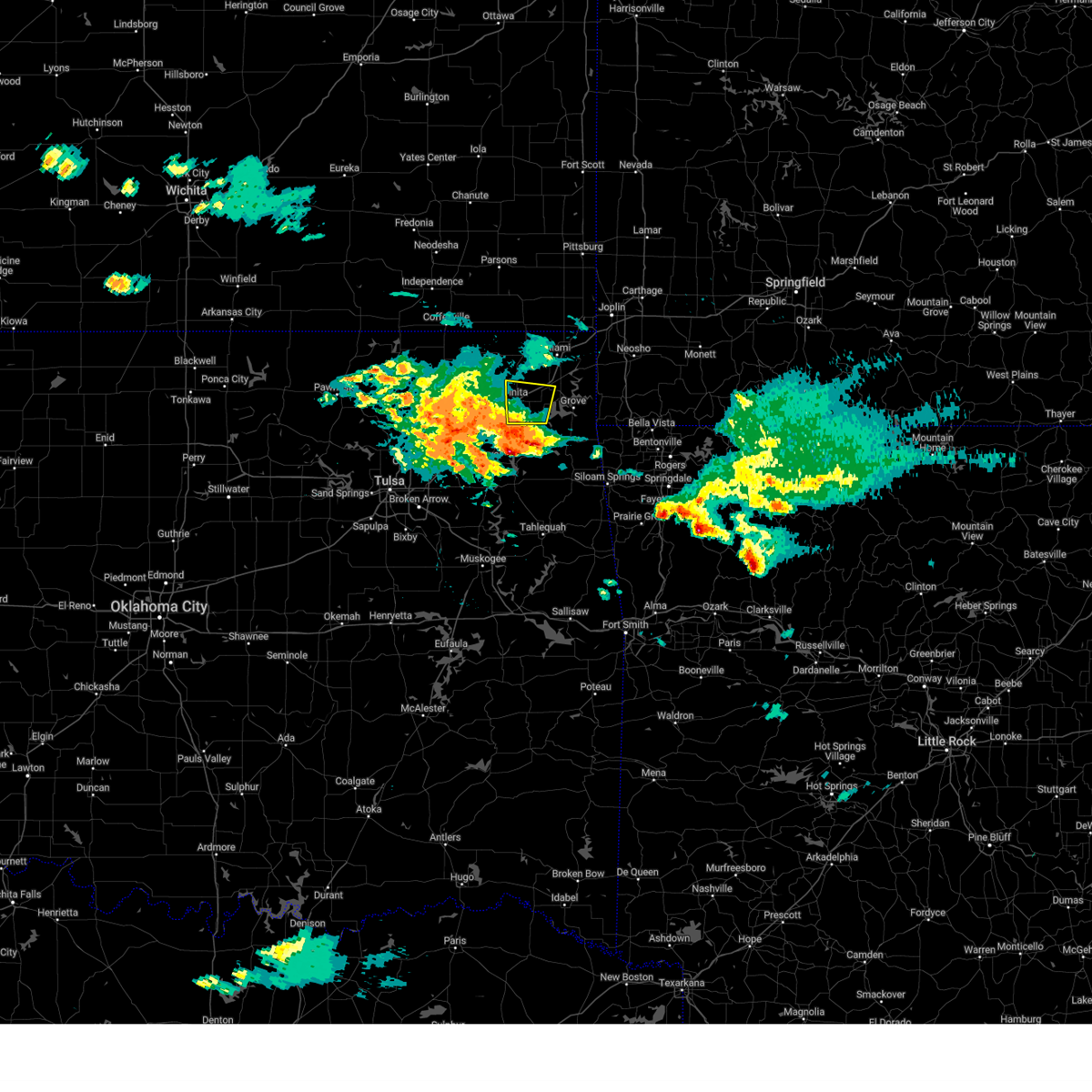 Svrtsa the national weather service in tulsa has issued a * severe thunderstorm warning for, southeastern craig county in northeastern oklahoma, northwestern delaware county in northeastern oklahoma, southwestern ottawa county in northeastern oklahoma, * until 300 pm cdt. * at 221 pm cdt, a severe thunderstorm was located over pensacola, moving north at 20 mph (radar indicated). Hazards include half dollar size hail. Damage to vehicles is expected. Locations in or near the path include, ketchum, afton, cleora, vinita, bernice, this includes interstate 44 between mile markers 278 and 295. Svrtsa the national weather service in tulsa has issued a * severe thunderstorm warning for, southeastern craig county in northeastern oklahoma, northwestern delaware county in northeastern oklahoma, southwestern ottawa county in northeastern oklahoma, * until 300 pm cdt. * at 221 pm cdt, a severe thunderstorm was located over pensacola, moving north at 20 mph (radar indicated). Hazards include half dollar size hail. Damage to vehicles is expected. Locations in or near the path include, ketchum, afton, cleora, vinita, bernice, this includes interstate 44 between mile markers 278 and 295.
|
| 4/30/2025 1:20 AM CDT |
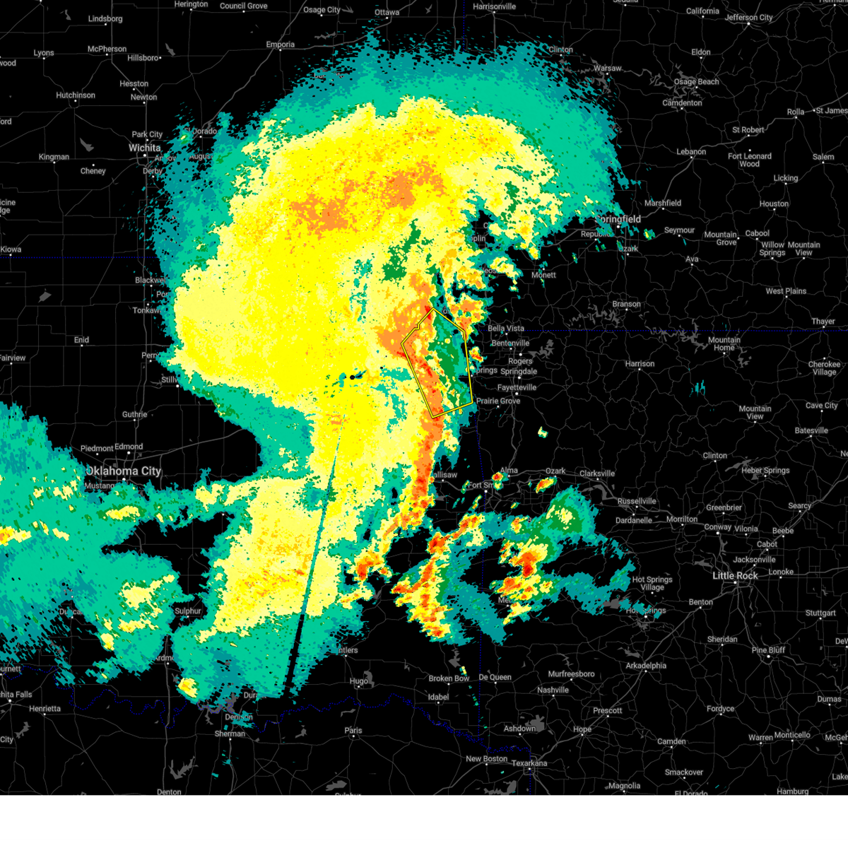 At 120 am cdt, severe thunderstorms were located along a line extending from 2 miles southeast of spavinaw to kansas to near proctor, moving northeast at 65 mph (radar indicated). Hazards include 70 mph wind gusts. Expect considerable tree damage. damage is likely to mobile homes, roofs, and outbuildings. Locations in or near the path include, jay, westville, christie, honey creek state park, cherokee state park, rose, bernice state park, langley, lake eucha state park, disney little blue state park, ballard, strang, leach, zena, chloeta, scraper, twin oaks, natural falls state park, eldon, maysville,. At 120 am cdt, severe thunderstorms were located along a line extending from 2 miles southeast of spavinaw to kansas to near proctor, moving northeast at 65 mph (radar indicated). Hazards include 70 mph wind gusts. Expect considerable tree damage. damage is likely to mobile homes, roofs, and outbuildings. Locations in or near the path include, jay, westville, christie, honey creek state park, cherokee state park, rose, bernice state park, langley, lake eucha state park, disney little blue state park, ballard, strang, leach, zena, chloeta, scraper, twin oaks, natural falls state park, eldon, maysville,.
|
| 4/30/2025 1:03 AM CDT |
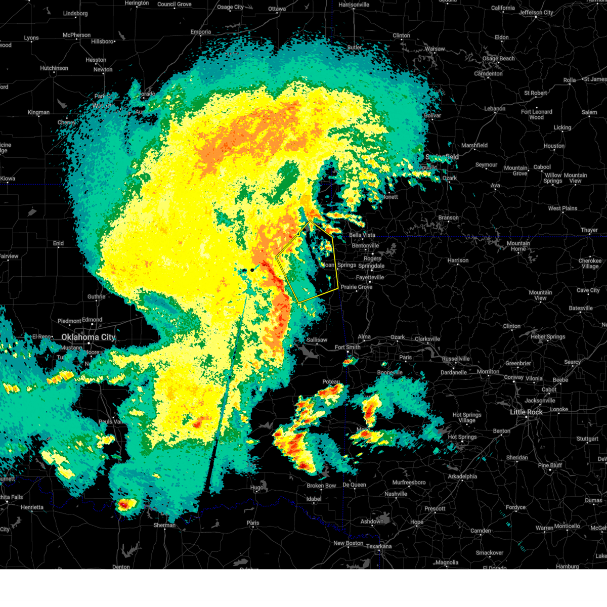 Svrtsa the national weather service in tulsa has issued a * severe thunderstorm warning for, delaware county in northeastern oklahoma, eastern mayes county in northeastern oklahoma, northern adair county in northeastern oklahoma, northeastern cherokee county in east central oklahoma, * until 200 am cdt. * at 102 am cdt, severe thunderstorms were located along a line extending from 2 miles north of sportsmen acres community to 2 miles southwest of tahlequah, moving northeast at 35 mph (radar indicated). Hazards include 60 mph wind gusts. Expect damage to roofs, siding, and trees. Locations in or near the path include, jay, westville, christie, honey creek state park, peggs, cherokee state park, rose, bernice state park, langley, lake eucha state park, snowdale state park, locust grove, disney little blue state park, ballard, strang, leach, zena, hoot owl, chloeta, scraper,. Svrtsa the national weather service in tulsa has issued a * severe thunderstorm warning for, delaware county in northeastern oklahoma, eastern mayes county in northeastern oklahoma, northern adair county in northeastern oklahoma, northeastern cherokee county in east central oklahoma, * until 200 am cdt. * at 102 am cdt, severe thunderstorms were located along a line extending from 2 miles north of sportsmen acres community to 2 miles southwest of tahlequah, moving northeast at 35 mph (radar indicated). Hazards include 60 mph wind gusts. Expect damage to roofs, siding, and trees. Locations in or near the path include, jay, westville, christie, honey creek state park, peggs, cherokee state park, rose, bernice state park, langley, lake eucha state park, snowdale state park, locust grove, disney little blue state park, ballard, strang, leach, zena, hoot owl, chloeta, scraper,.
|
| 4/29/2025 8:03 AM CDT |
 At 803 am cdt, severe thunderstorms were located along a line extending from 6 miles southeast of baxter springs to 4 miles southwest of jay, moving east at 60 mph (radar indicated). Hazards include 60 mph wind gusts and nickel size hail. Expect damage to roofs, siding, and trees. Locations in or near the path include, gentry, maysville, bernice, jay, honey creek state park, bernice state park, lake eucha state park, grove, gravette, decatur, picher, zena, chloeta, peoria, fairland, ottawa, cherokee city, wyandotte, quapaw, twin bridges state park, this includes interstate 44 between mile markers 301 and 324. At 803 am cdt, severe thunderstorms were located along a line extending from 6 miles southeast of baxter springs to 4 miles southwest of jay, moving east at 60 mph (radar indicated). Hazards include 60 mph wind gusts and nickel size hail. Expect damage to roofs, siding, and trees. Locations in or near the path include, gentry, maysville, bernice, jay, honey creek state park, bernice state park, lake eucha state park, grove, gravette, decatur, picher, zena, chloeta, peoria, fairland, ottawa, cherokee city, wyandotte, quapaw, twin bridges state park, this includes interstate 44 between mile markers 301 and 324.
|
| 4/29/2025 8:03 AM CDT |
 the severe thunderstorm warning has been cancelled and is no longer in effect the severe thunderstorm warning has been cancelled and is no longer in effect
|
| 4/29/2025 7:57 AM CDT |
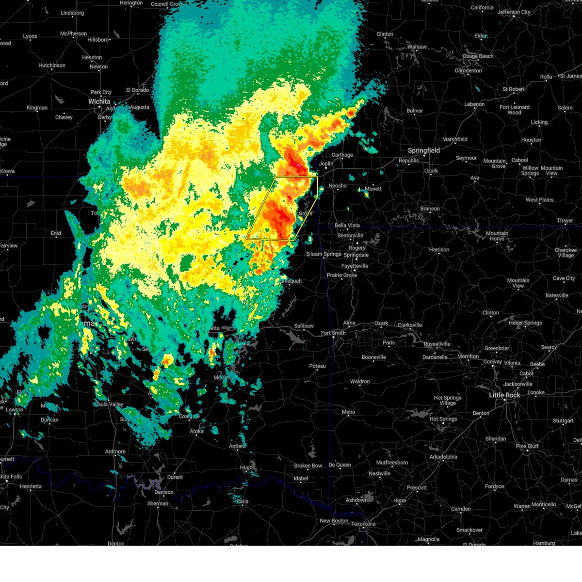 The storms which prompted the warning have moved out of the area. therefore, the warning will be allowed to expire. a severe thunderstorm watch remains in effect until 1000 am cdt for northeastern oklahoma. The storms which prompted the warning have moved out of the area. therefore, the warning will be allowed to expire. a severe thunderstorm watch remains in effect until 1000 am cdt for northeastern oklahoma.
|
| 4/29/2025 7:55 AM CDT |
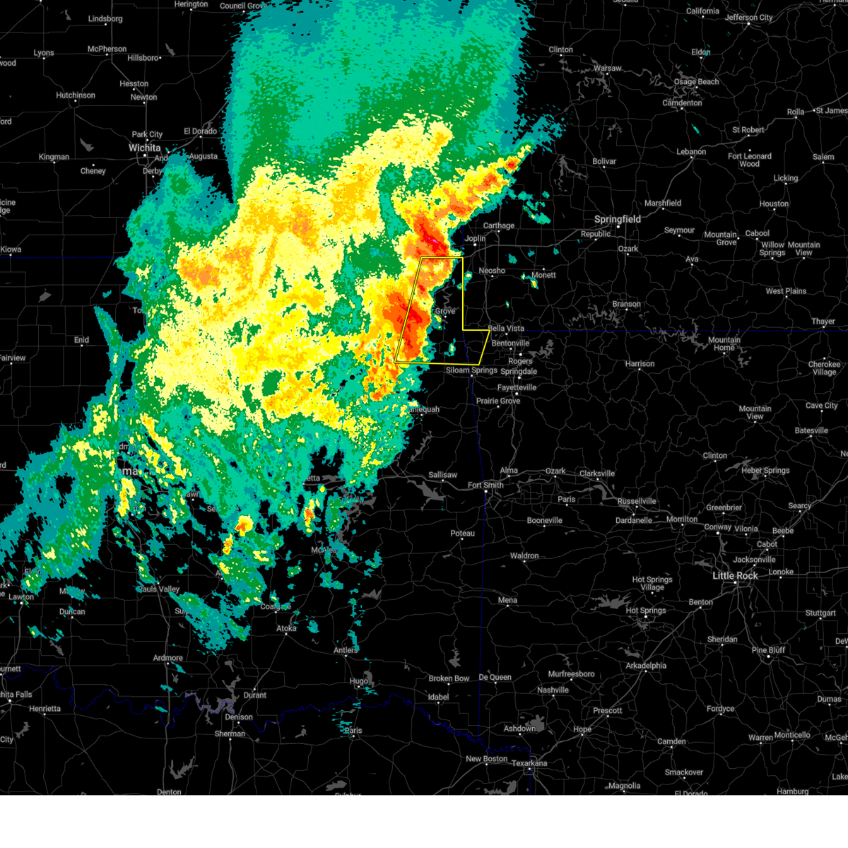 Svrtsa the national weather service in tulsa has issued a * severe thunderstorm warning for, northwestern benton county in northwestern arkansas, southeastern craig county in northeastern oklahoma, delaware county in northeastern oklahoma, ottawa county in northeastern oklahoma, northeastern mayes county in northeastern oklahoma, * until 830 am cdt. * at 755 am cdt, severe thunderstorms were located along a line extending from near quapaw to 3 miles south of chloeta, moving east at 60 mph (radar indicated). Hazards include 60 mph wind gusts and nickel size hail. Expect damage to roofs, siding, and trees. Locations in or near the path include, pensacola, jay, honey creek state park, commerce, cherokee state park, bernice state park, langley, lake eucha state park, snowdale state park, gravette, disney little blue state park, decatur, picher, strang, hoot owl, cleora, zena, chloeta, peoria, fairland, this includes interstate 44 between mile markers 289 and 324. Svrtsa the national weather service in tulsa has issued a * severe thunderstorm warning for, northwestern benton county in northwestern arkansas, southeastern craig county in northeastern oklahoma, delaware county in northeastern oklahoma, ottawa county in northeastern oklahoma, northeastern mayes county in northeastern oklahoma, * until 830 am cdt. * at 755 am cdt, severe thunderstorms were located along a line extending from near quapaw to 3 miles south of chloeta, moving east at 60 mph (radar indicated). Hazards include 60 mph wind gusts and nickel size hail. Expect damage to roofs, siding, and trees. Locations in or near the path include, pensacola, jay, honey creek state park, commerce, cherokee state park, bernice state park, langley, lake eucha state park, snowdale state park, gravette, disney little blue state park, decatur, picher, strang, hoot owl, cleora, zena, chloeta, peoria, fairland, this includes interstate 44 between mile markers 289 and 324.
|
| 4/29/2025 7:39 AM CDT |
 At 738 am cdt, severe thunderstorms were located along a line extending from 5 miles northeast of welch to 4 miles west of adair, moving east at 55 mph (radar indicated). Hazards include 60 mph wind gusts and quarter size hail. Hail damage to vehicles is expected. expect wind damage to roofs, siding, and trees. Locations in or near the path include, pensacola, vinita, honey creek state park, commerce, cherokee state park, bernice state park, langley, disney little blue state park, picher, big cabin, strang, zena, cleora, chloeta, peoria, white oak, welch, fairland, ottawa, bernice, this includes interstate 44 between mile markers 260 and 324. At 738 am cdt, severe thunderstorms were located along a line extending from 5 miles northeast of welch to 4 miles west of adair, moving east at 55 mph (radar indicated). Hazards include 60 mph wind gusts and quarter size hail. Hail damage to vehicles is expected. expect wind damage to roofs, siding, and trees. Locations in or near the path include, pensacola, vinita, honey creek state park, commerce, cherokee state park, bernice state park, langley, disney little blue state park, picher, big cabin, strang, zena, cleora, chloeta, peoria, white oak, welch, fairland, ottawa, bernice, this includes interstate 44 between mile markers 260 and 324.
|
| 4/29/2025 7:39 AM CDT |
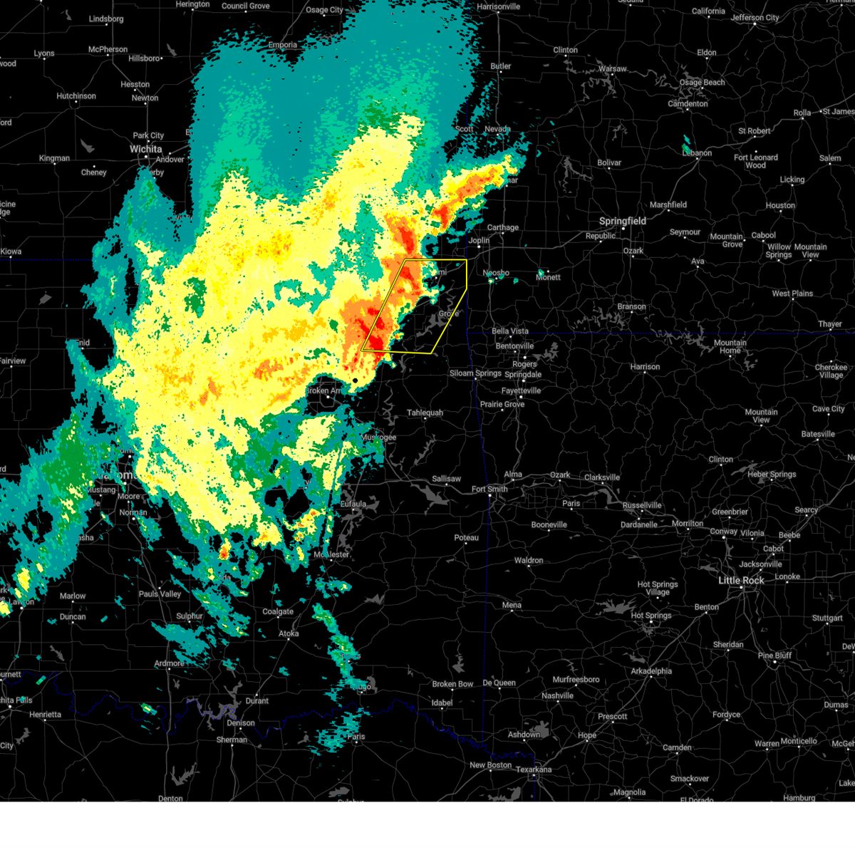 the severe thunderstorm warning has been cancelled and is no longer in effect the severe thunderstorm warning has been cancelled and is no longer in effect
|
| 4/29/2025 7:31 AM CDT |
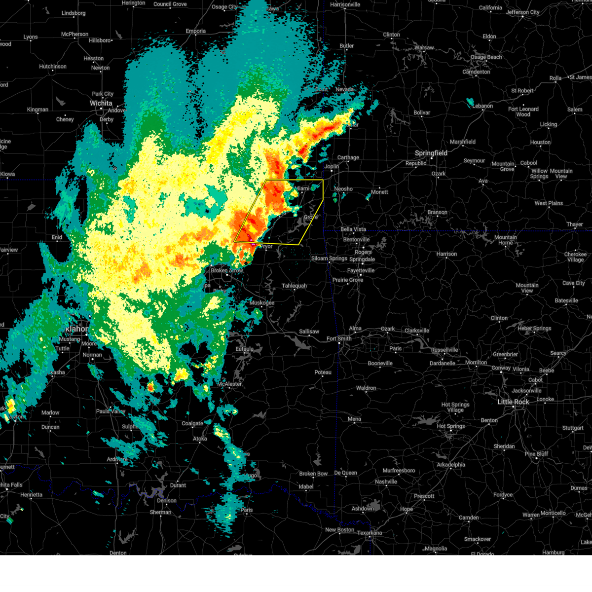 At 730 am cdt, severe thunderstorms were located along a line extending from 5 miles northwest of welch to foyil, moving east at 55 mph (radar indicated). Hazards include 60 mph wind gusts and quarter size hail. Hail damage to vehicles is expected. expect wind damage to roofs, siding, and trees. Locations in or near the path include, pensacola, vinita, honey creek state park, commerce, cherokee state park, bernice state park, langley, disney little blue state park, picher, big cabin, strang, zena, cleora, chloeta, peoria, chelsea, white oak, welch, fairland, ottawa, this includes interstate 44 between mile markers 260 and 324. At 730 am cdt, severe thunderstorms were located along a line extending from 5 miles northwest of welch to foyil, moving east at 55 mph (radar indicated). Hazards include 60 mph wind gusts and quarter size hail. Hail damage to vehicles is expected. expect wind damage to roofs, siding, and trees. Locations in or near the path include, pensacola, vinita, honey creek state park, commerce, cherokee state park, bernice state park, langley, disney little blue state park, picher, big cabin, strang, zena, cleora, chloeta, peoria, chelsea, white oak, welch, fairland, ottawa, this includes interstate 44 between mile markers 260 and 324.
|
| 4/29/2025 7:16 AM CDT |
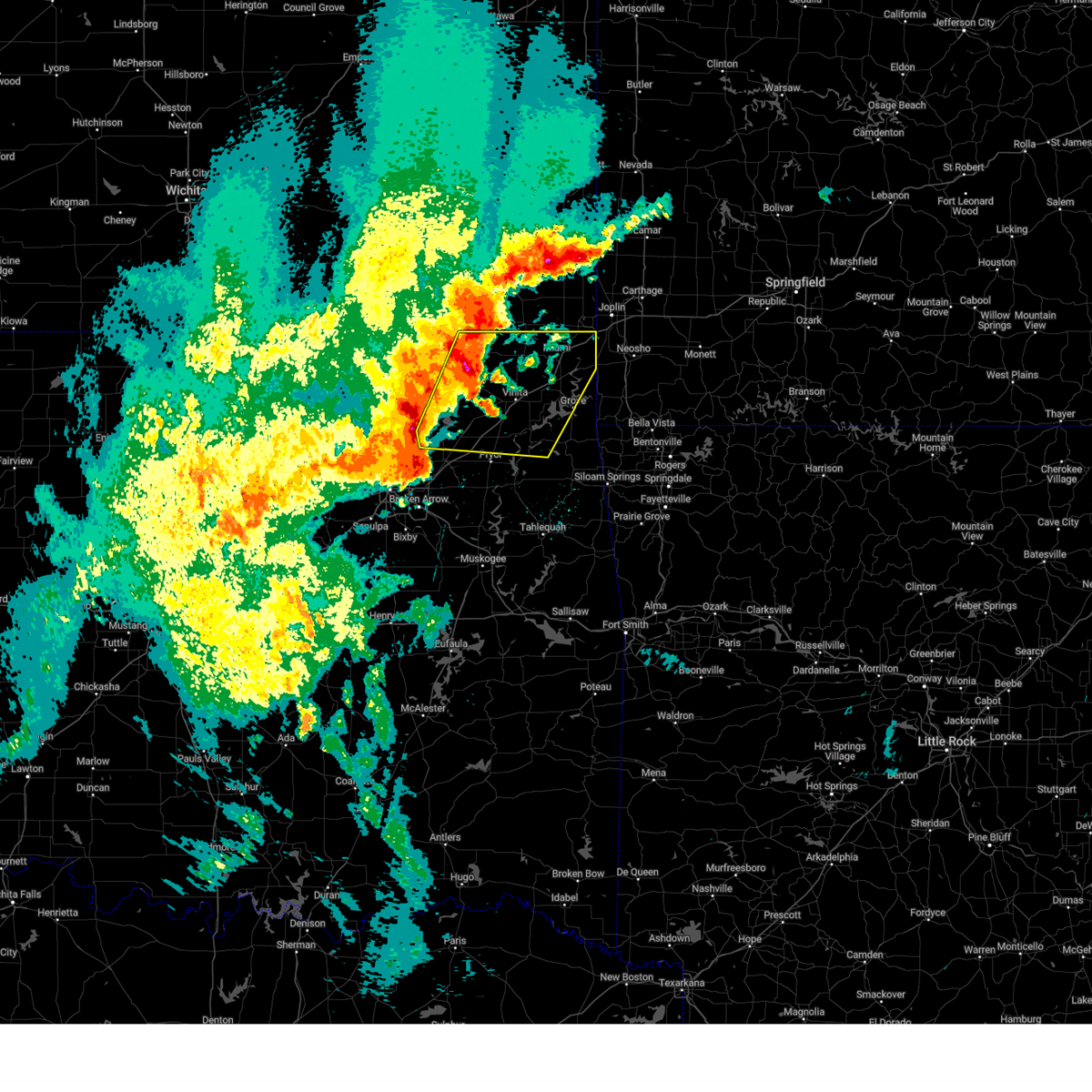 Svrtsa the national weather service in tulsa has issued a * severe thunderstorm warning for, craig county in northeastern oklahoma, northern rogers county in northeastern oklahoma, northwestern delaware county in northeastern oklahoma, ottawa county in northeastern oklahoma, northern mayes county in northeastern oklahoma, eastern nowata county in northeastern oklahoma, * until 800 am cdt. * at 716 am cdt, severe thunderstorms were located along a line extending from 6 miles south of edna to near oologah, moving east at 55 mph (radar indicated). Hazards include 60 mph wind gusts and quarter size hail. Hail damage to vehicles is expected. expect wind damage to roofs, siding, and trees. Locations in or near the path include, pensacola, vinita, honey creek state park, commerce, cherokee state park, bernice state park, langley, disney little blue state park, watova, picher, big cabin, strang, zena, hoot owl, cleora, chloeta, talala, peoria, chelsea, white oak, this includes interstate 44 between mile markers 259 and 324. Svrtsa the national weather service in tulsa has issued a * severe thunderstorm warning for, craig county in northeastern oklahoma, northern rogers county in northeastern oklahoma, northwestern delaware county in northeastern oklahoma, ottawa county in northeastern oklahoma, northern mayes county in northeastern oklahoma, eastern nowata county in northeastern oklahoma, * until 800 am cdt. * at 716 am cdt, severe thunderstorms were located along a line extending from 6 miles south of edna to near oologah, moving east at 55 mph (radar indicated). Hazards include 60 mph wind gusts and quarter size hail. Hail damage to vehicles is expected. expect wind damage to roofs, siding, and trees. Locations in or near the path include, pensacola, vinita, honey creek state park, commerce, cherokee state park, bernice state park, langley, disney little blue state park, watova, picher, big cabin, strang, zena, hoot owl, cleora, chloeta, talala, peoria, chelsea, white oak, this includes interstate 44 between mile markers 259 and 324.
|
| 4/20/2025 2:14 AM CDT |
 the severe thunderstorm warning has been cancelled and is no longer in effect the severe thunderstorm warning has been cancelled and is no longer in effect
|
| 4/20/2025 2:14 AM CDT |
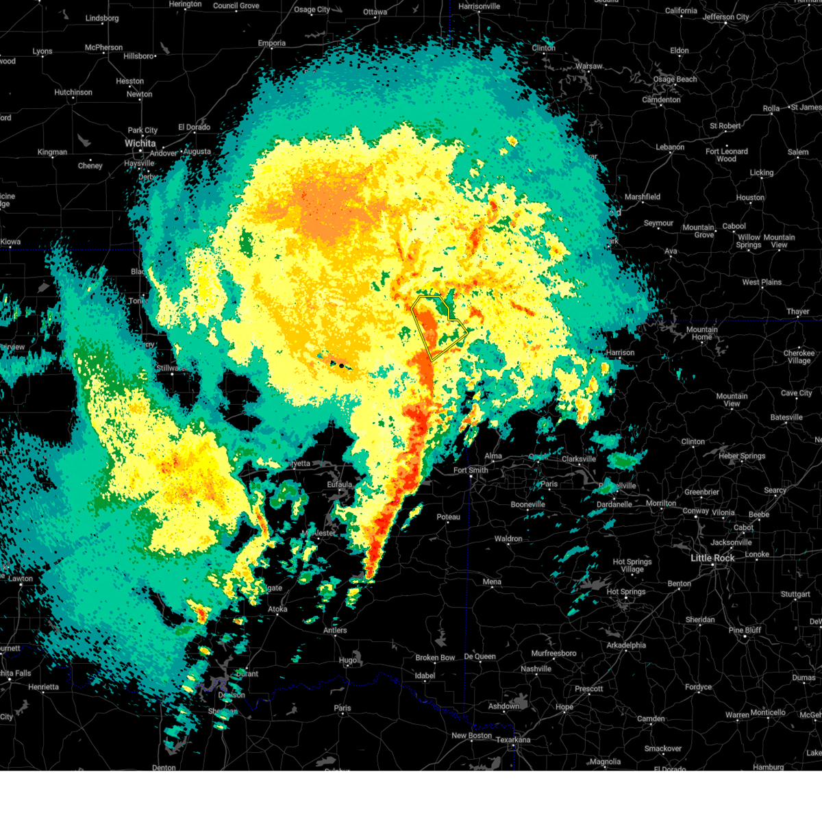 At 213 am cdt, severe thunderstorms were located along a line extending from 2 miles south of bernice to 3 miles east of jay, moving northeast at 45 mph (radar indicated). Hazards include 60 mph wind gusts. Expect damage to roofs, siding, and trees. Locations in or near the path include, bernice, maysville, colcord, jay, zena, honey creek state park, bernice state park, lake eucha state park, grove, gravette,. At 213 am cdt, severe thunderstorms were located along a line extending from 2 miles south of bernice to 3 miles east of jay, moving northeast at 45 mph (radar indicated). Hazards include 60 mph wind gusts. Expect damage to roofs, siding, and trees. Locations in or near the path include, bernice, maysville, colcord, jay, zena, honey creek state park, bernice state park, lake eucha state park, grove, gravette,.
|
| 4/20/2025 1:56 AM CDT |
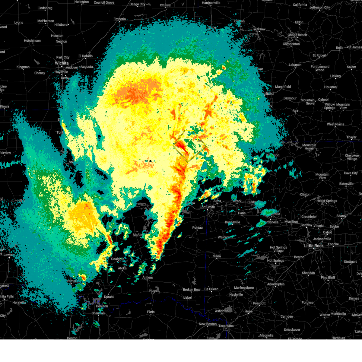 Svrtsa the national weather service in tulsa has issued a * severe thunderstorm warning for, northwestern benton county in northwestern arkansas, delaware county in northeastern oklahoma, northeastern mayes county in northeastern oklahoma, * until 230 am cdt. * at 156 am cdt, severe thunderstorms were located along a line extending from 2 miles west of chloeta to 5 miles northwest of kansas, moving northeast at 45 mph (radar indicated). Hazards include 70 mph wind gusts. Expect considerable tree damage. damage is likely to mobile homes, roofs, and outbuildings. Locations in or near the path include, bernice, maysville, jay, honey creek state park, bernice state park, kansas, langley, lake eucha state park, grove, disney little blue state park, colcord, disney, zena, chloeta, twin oaks, spavinaw, spavinaw state park, gravette,. Svrtsa the national weather service in tulsa has issued a * severe thunderstorm warning for, northwestern benton county in northwestern arkansas, delaware county in northeastern oklahoma, northeastern mayes county in northeastern oklahoma, * until 230 am cdt. * at 156 am cdt, severe thunderstorms were located along a line extending from 2 miles west of chloeta to 5 miles northwest of kansas, moving northeast at 45 mph (radar indicated). Hazards include 70 mph wind gusts. Expect considerable tree damage. damage is likely to mobile homes, roofs, and outbuildings. Locations in or near the path include, bernice, maysville, jay, honey creek state park, bernice state park, kansas, langley, lake eucha state park, grove, disney little blue state park, colcord, disney, zena, chloeta, twin oaks, spavinaw, spavinaw state park, gravette,.
|
| 4/2/2025 8:25 AM CDT |
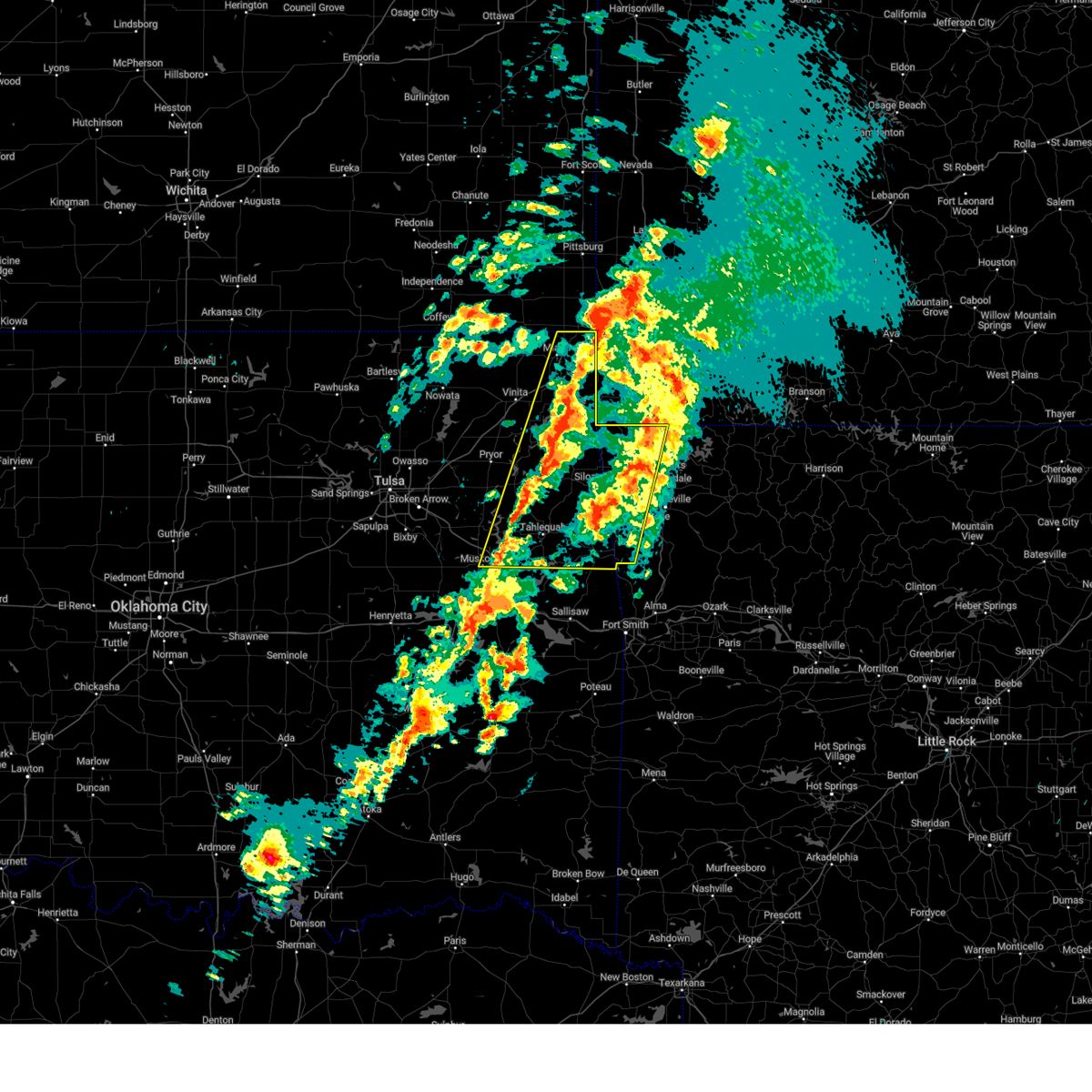 At 825 am cdt, severe thunderstorms were located along a line extending from 9 miles north of pea ridge to 2 miles north of maryetta, moving northeast at 65 mph (radar indicated). Hazards include 60 mph wind gusts and nickel size hail. Expect damage to roofs, siding, and trees. locations in or near the path include, adair state park, jay, honey creek state park, commerce, cincinnati, savoy, fort gibson, disney little blue state park, okay, cave springs, picher, leach, zena, cleora, chloeta, scraper, odell, ottawa, lincoln, tahlequah, this includes the following highways, interstate 44 between mile markers 293 and 324. Interstate 49 between mile markers 88 and 93. At 825 am cdt, severe thunderstorms were located along a line extending from 9 miles north of pea ridge to 2 miles north of maryetta, moving northeast at 65 mph (radar indicated). Hazards include 60 mph wind gusts and nickel size hail. Expect damage to roofs, siding, and trees. locations in or near the path include, adair state park, jay, honey creek state park, commerce, cincinnati, savoy, fort gibson, disney little blue state park, okay, cave springs, picher, leach, zena, cleora, chloeta, scraper, odell, ottawa, lincoln, tahlequah, this includes the following highways, interstate 44 between mile markers 293 and 324. Interstate 49 between mile markers 88 and 93.
|
| 4/2/2025 7:58 AM CDT |
 Svrtsa the national weather service in tulsa has issued a * severe thunderstorm warning for, benton county in northwestern arkansas, western washington county in northwestern arkansas, eastern craig county in northeastern oklahoma, delaware county in northeastern oklahoma, ottawa county in northeastern oklahoma, mayes county in northeastern oklahoma, adair county in northeastern oklahoma, eastern wagoner county in northeastern oklahoma, cherokee county in east central oklahoma, northeastern muskogee county in east central oklahoma, * until 845 am cdt. * at 758 am cdt, severe thunderstorms were located along a line extending from 6 miles northeast of grove to 5 miles east of pumpkin center, moving east at 55 mph (radar indicated). Hazards include 60 mph wind gusts and nickel size hail. Expect damage to roofs, siding, and trees. locations in or near the path include, adair state park, jay, vinita, honey creek state park, commerce, cincinnati, savoy, fort gibson, disney little blue state park, okay, cave springs, picher, strang, leach, zena, cleora, chloeta, scraper, odell, ottawa, this includes the following highways, interstate 44 between mile markers 274 and 324. Interstate 49 between mile markers 88 and 93. Svrtsa the national weather service in tulsa has issued a * severe thunderstorm warning for, benton county in northwestern arkansas, western washington county in northwestern arkansas, eastern craig county in northeastern oklahoma, delaware county in northeastern oklahoma, ottawa county in northeastern oklahoma, mayes county in northeastern oklahoma, adair county in northeastern oklahoma, eastern wagoner county in northeastern oklahoma, cherokee county in east central oklahoma, northeastern muskogee county in east central oklahoma, * until 845 am cdt. * at 758 am cdt, severe thunderstorms were located along a line extending from 6 miles northeast of grove to 5 miles east of pumpkin center, moving east at 55 mph (radar indicated). Hazards include 60 mph wind gusts and nickel size hail. Expect damage to roofs, siding, and trees. locations in or near the path include, adair state park, jay, vinita, honey creek state park, commerce, cincinnati, savoy, fort gibson, disney little blue state park, okay, cave springs, picher, strang, leach, zena, cleora, chloeta, scraper, odell, ottawa, this includes the following highways, interstate 44 between mile markers 274 and 324. Interstate 49 between mile markers 88 and 93.
|
| 4/2/2025 7:56 AM CDT |
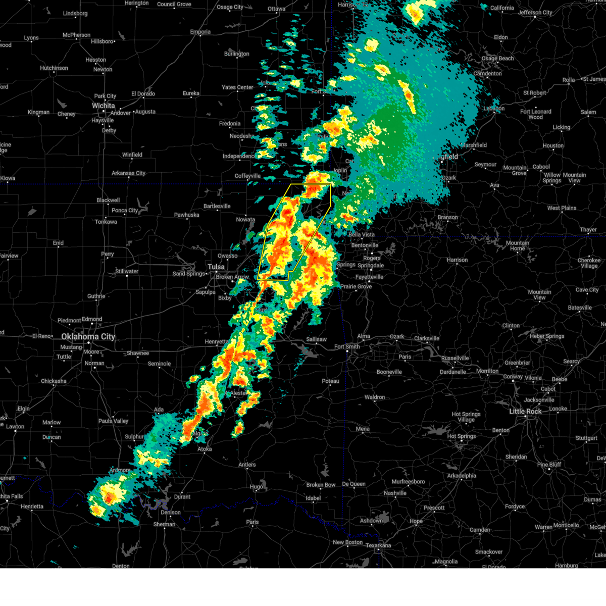 At 756 am cdt, severe thunderstorms were located along a line extending from miami to near chouteau, moving east at 40 mph (radar indicated). Hazards include 60 mph wind gusts and nickel size hail. Expect damage to roofs, siding, and trees. Locations in or near the path include, pensacola, vinita, honey creek state park, commerce, cherokee state park, rose, mazie, bernice state park, langley, snowdale state park, locust grove, disney little blue state park, picher, big cabin, strang, hoot owl, zena, cleora, chloeta, chouteau, this includes interstate 44 between mile markers 261 and 324. At 756 am cdt, severe thunderstorms were located along a line extending from miami to near chouteau, moving east at 40 mph (radar indicated). Hazards include 60 mph wind gusts and nickel size hail. Expect damage to roofs, siding, and trees. Locations in or near the path include, pensacola, vinita, honey creek state park, commerce, cherokee state park, rose, mazie, bernice state park, langley, snowdale state park, locust grove, disney little blue state park, picher, big cabin, strang, hoot owl, zena, cleora, chloeta, chouteau, this includes interstate 44 between mile markers 261 and 324.
|
| 4/2/2025 7:56 AM CDT |
 the severe thunderstorm warning has been cancelled and is no longer in effect the severe thunderstorm warning has been cancelled and is no longer in effect
|
| 4/2/2025 7:35 AM CDT |
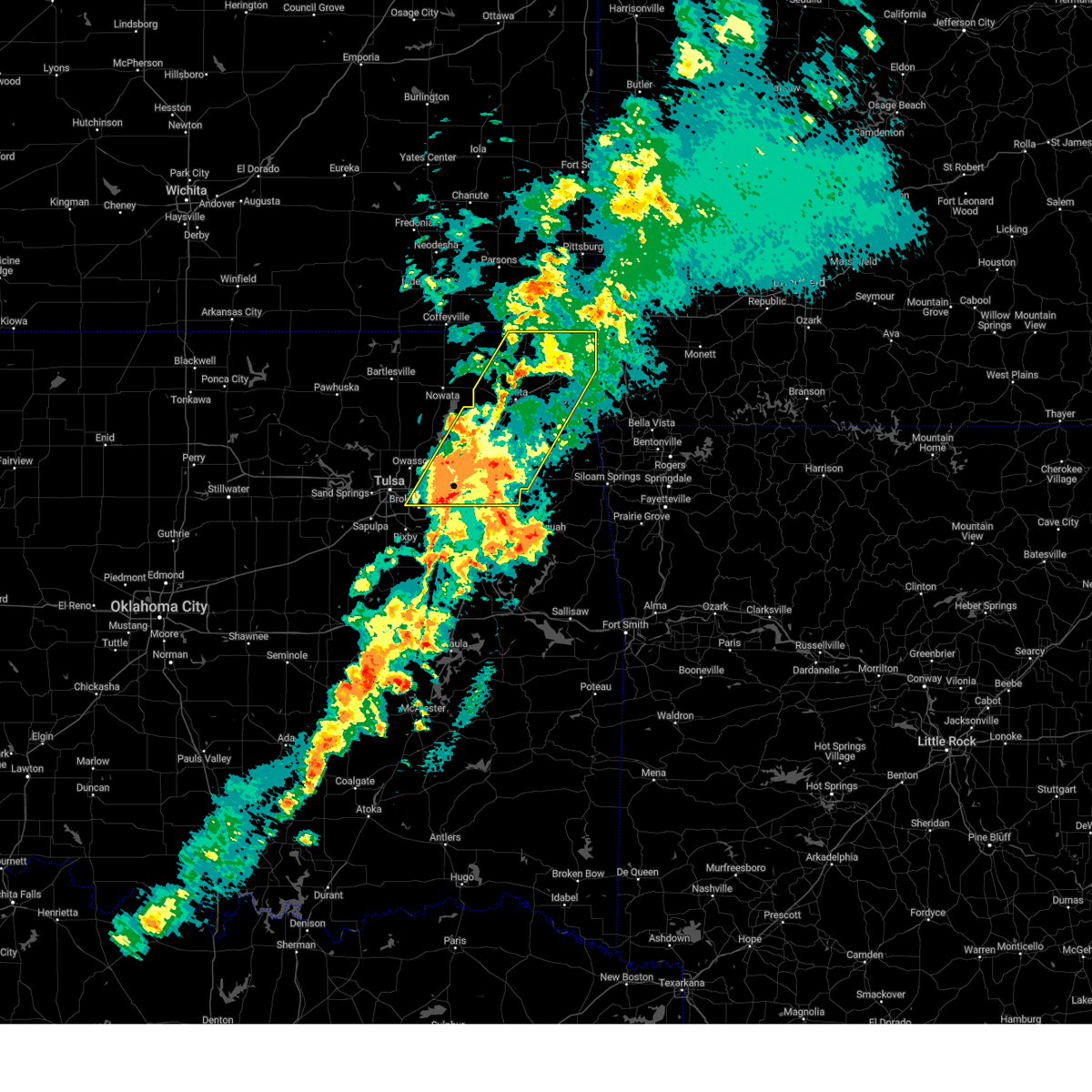 At 735 am cdt, severe thunderstorms were located along a line extending from near bluejacket to inola, moving northeast at 45 mph (radar indicated). Hazards include 60 mph wind gusts and nickel size hail. Expect damage to roofs, siding, and trees. Locations in or near the path include, pensacola, vinita, honey creek state park, inola, commerce, cherokee state park, mazie, locust grove, disney little blue state park, picher, big cabin, strang, hoot owl, zena, cleora, chloeta, chouteau, peoria, chelsea, white oak, this includes interstate 44 between mile markers 233 and 324. At 735 am cdt, severe thunderstorms were located along a line extending from near bluejacket to inola, moving northeast at 45 mph (radar indicated). Hazards include 60 mph wind gusts and nickel size hail. Expect damage to roofs, siding, and trees. Locations in or near the path include, pensacola, vinita, honey creek state park, inola, commerce, cherokee state park, mazie, locust grove, disney little blue state park, picher, big cabin, strang, hoot owl, zena, cleora, chloeta, chouteau, peoria, chelsea, white oak, this includes interstate 44 between mile markers 233 and 324.
|
| 4/2/2025 7:12 AM CDT |
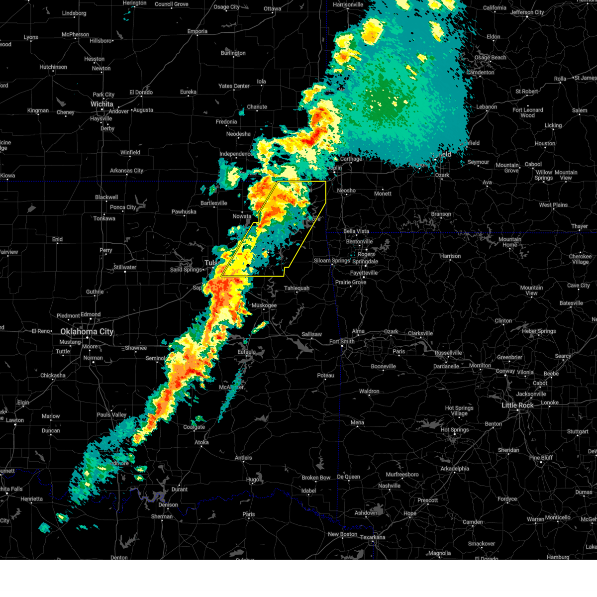 Svrtsa the national weather service in tulsa has issued a * severe thunderstorm warning for, craig county in northeastern oklahoma, rogers county in northeastern oklahoma, northwestern delaware county in northeastern oklahoma, ottawa county in northeastern oklahoma, mayes county in northeastern oklahoma, northern wagoner county in northeastern oklahoma, east central tulsa county in northeastern oklahoma, * until 815 am cdt. * at 712 am cdt, severe thunderstorms were located along a line extending from 3 miles south of chetopa to 5 miles north of broken arrow, moving northeast at 35 mph (radar indicated). Hazards include 60 mph wind gusts and nickel size hail. Expect damage to roofs, siding, and trees. Locations in or near the path include, pensacola, vinita, honey creek state park, inola, commerce, cherokee state park, mazie, locust grove, disney little blue state park, picher, big cabin, strang, hoot owl, zena, cleora, chloeta, chouteau, peoria, chelsea, white oak, this includes interstate 44 between mile markers 233 and 324. Svrtsa the national weather service in tulsa has issued a * severe thunderstorm warning for, craig county in northeastern oklahoma, rogers county in northeastern oklahoma, northwestern delaware county in northeastern oklahoma, ottawa county in northeastern oklahoma, mayes county in northeastern oklahoma, northern wagoner county in northeastern oklahoma, east central tulsa county in northeastern oklahoma, * until 815 am cdt. * at 712 am cdt, severe thunderstorms were located along a line extending from 3 miles south of chetopa to 5 miles north of broken arrow, moving northeast at 35 mph (radar indicated). Hazards include 60 mph wind gusts and nickel size hail. Expect damage to roofs, siding, and trees. Locations in or near the path include, pensacola, vinita, honey creek state park, inola, commerce, cherokee state park, mazie, locust grove, disney little blue state park, picher, big cabin, strang, hoot owl, zena, cleora, chloeta, chouteau, peoria, chelsea, white oak, this includes interstate 44 between mile markers 233 and 324.
|
| 3/30/2025 1:39 AM CDT |
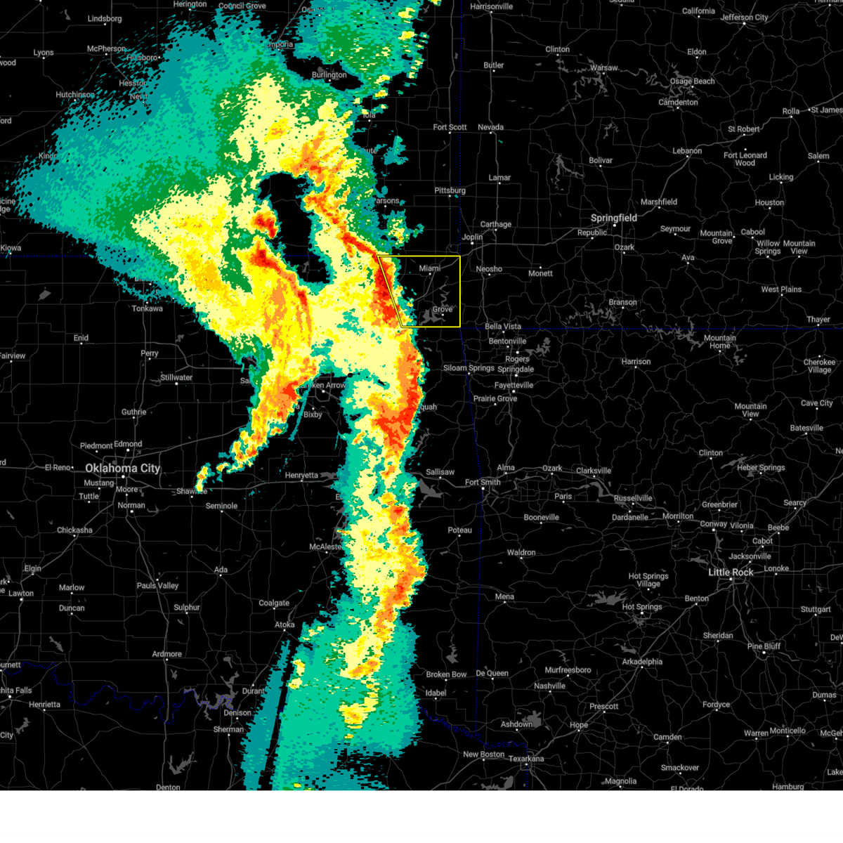 Svrtsa the national weather service in tulsa has issued a * severe thunderstorm warning for, eastern craig county in northeastern oklahoma, northern delaware county in northeastern oklahoma, ottawa county in northeastern oklahoma, * until 230 am cdt. * at 139 am cdt, severe thunderstorms were located along a line extending from 9 miles southeast of edna to 5 miles northwest of ketchum, moving east at 55 mph (radar indicated). Hazards include 60 mph wind gusts and nickel size hail. Expect damage to roofs, siding, and trees. Locations in or near the path include, bernice, hollow, vinita, honey creek state park, commerce, ketchum, afton, bernice state park, grove, miami, picher, cleora, cardin, peoria, narcissa, welch, fairland, ottawa, bluejacket, pyramid corners, this includes interstate 44 between mile markers 283 and 324. Svrtsa the national weather service in tulsa has issued a * severe thunderstorm warning for, eastern craig county in northeastern oklahoma, northern delaware county in northeastern oklahoma, ottawa county in northeastern oklahoma, * until 230 am cdt. * at 139 am cdt, severe thunderstorms were located along a line extending from 9 miles southeast of edna to 5 miles northwest of ketchum, moving east at 55 mph (radar indicated). Hazards include 60 mph wind gusts and nickel size hail. Expect damage to roofs, siding, and trees. Locations in or near the path include, bernice, hollow, vinita, honey creek state park, commerce, ketchum, afton, bernice state park, grove, miami, picher, cleora, cardin, peoria, narcissa, welch, fairland, ottawa, bluejacket, pyramid corners, this includes interstate 44 between mile markers 283 and 324.
|
| 3/30/2025 1:09 AM CDT |
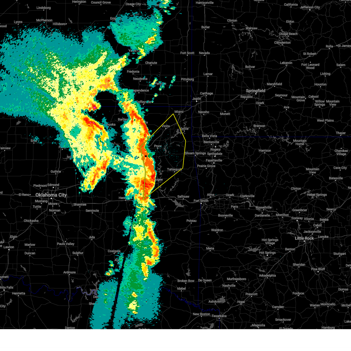 Svrtsa the national weather service in tulsa has issued a * severe thunderstorm warning for, southeastern craig county in northeastern oklahoma, central rogers county in northeastern oklahoma, western delaware county in northeastern oklahoma, southwestern ottawa county in northeastern oklahoma, north central mcintosh county in southeastern oklahoma, mayes county in northeastern oklahoma, wagoner county in northeastern oklahoma, cherokee county in east central oklahoma, northern muskogee county in east central oklahoma, * until 145 am cdt. * at 108 am cdt, severe thunderstorms were located along a line extending from 3 miles south of foyil to 4 miles northwest of sequoyah state park to 2 miles north of oktaha, moving northeast at 60 mph (radar indicated). Hazards include 60 mph wind gusts and penny size hail. Expect damage to roofs, siding, and trees. locations in or near the path include, pensacola, jay, vinita, inola, cherokee state park, mazie, summit, locust grove, fort gibson, disney little blue state park, okay, big cabin, strang, leach, hoot owl, zena, cleora, chloeta, chouteau, scraper, this includes the following highways, interstate 40 in oklahoma near mile marker 259. Interstate 44 between mile markers 244 and 298. Svrtsa the national weather service in tulsa has issued a * severe thunderstorm warning for, southeastern craig county in northeastern oklahoma, central rogers county in northeastern oklahoma, western delaware county in northeastern oklahoma, southwestern ottawa county in northeastern oklahoma, north central mcintosh county in southeastern oklahoma, mayes county in northeastern oklahoma, wagoner county in northeastern oklahoma, cherokee county in east central oklahoma, northern muskogee county in east central oklahoma, * until 145 am cdt. * at 108 am cdt, severe thunderstorms were located along a line extending from 3 miles south of foyil to 4 miles northwest of sequoyah state park to 2 miles north of oktaha, moving northeast at 60 mph (radar indicated). Hazards include 60 mph wind gusts and penny size hail. Expect damage to roofs, siding, and trees. locations in or near the path include, pensacola, jay, vinita, inola, cherokee state park, mazie, summit, locust grove, fort gibson, disney little blue state park, okay, big cabin, strang, leach, hoot owl, zena, cleora, chloeta, chouteau, scraper, this includes the following highways, interstate 40 in oklahoma near mile marker 259. Interstate 44 between mile markers 244 and 298.
|
| 11/4/2024 3:00 PM CST |
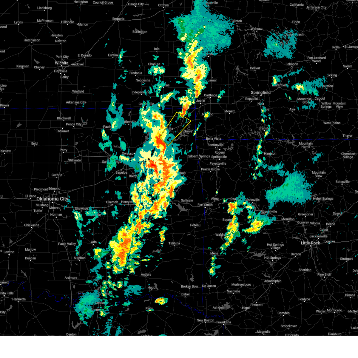 Svrtsa the national weather service in tulsa has issued a * severe thunderstorm warning for, southeastern craig county in northeastern oklahoma, northwestern delaware county in northeastern oklahoma, southwestern ottawa county in northeastern oklahoma, north central mayes county in northeastern oklahoma, * until 345 pm cst. * at 300 pm cst, a severe thunderstorm was located over big cabin, moving northeast at 60 mph (radar indicated). Hazards include 60 mph wind gusts. Expect damage to roofs, siding, and trees. Locations in or near the path include, miami, vinita, fairland, afton, bernice, ketchum, bluejacket, wyandotte, big cabin, pensacola, cleora, white oak, narcissa, twin bridges state park, this includes interstate 44 between mile markers 271 and 308. Svrtsa the national weather service in tulsa has issued a * severe thunderstorm warning for, southeastern craig county in northeastern oklahoma, northwestern delaware county in northeastern oklahoma, southwestern ottawa county in northeastern oklahoma, north central mayes county in northeastern oklahoma, * until 345 pm cst. * at 300 pm cst, a severe thunderstorm was located over big cabin, moving northeast at 60 mph (radar indicated). Hazards include 60 mph wind gusts. Expect damage to roofs, siding, and trees. Locations in or near the path include, miami, vinita, fairland, afton, bernice, ketchum, bluejacket, wyandotte, big cabin, pensacola, cleora, white oak, narcissa, twin bridges state park, this includes interstate 44 between mile markers 271 and 308.
|
| 11/3/2024 5:22 AM CST |
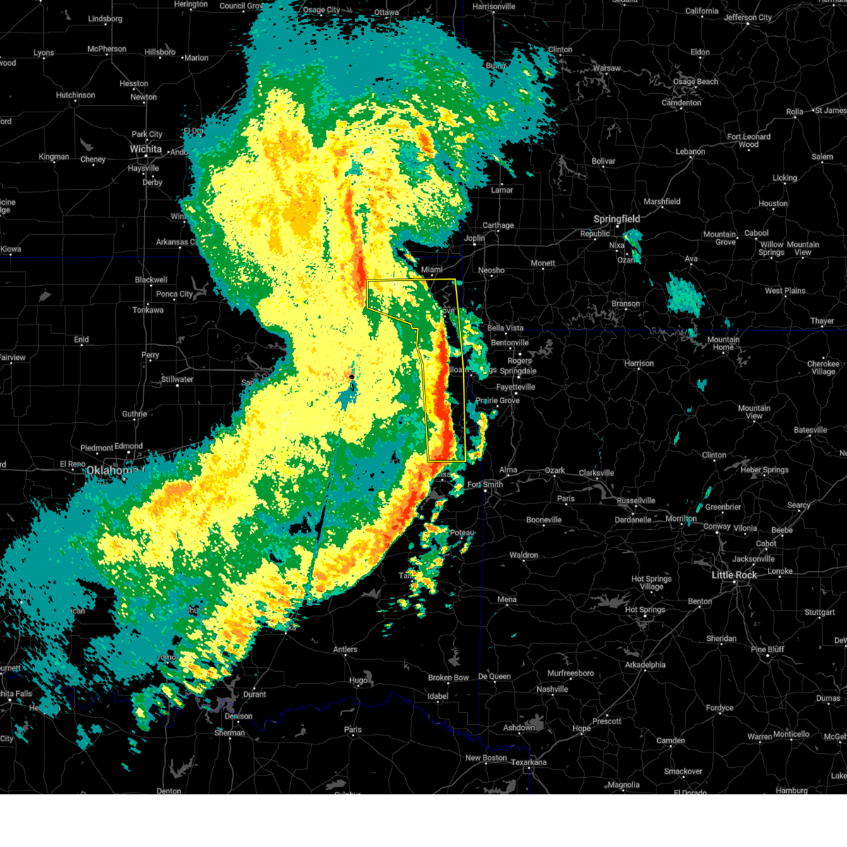 the severe thunderstorm warning has been cancelled and is no longer in effect the severe thunderstorm warning has been cancelled and is no longer in effect
|
| 11/3/2024 5:22 AM CST |
 At 522 am cst, severe thunderstorms were located along a line extending from 3 miles west of narcissa to 5 miles east of jay to 4 miles northeast of brushy, moving east at 50 mph (radar indicated). Hazards include 70 mph wind gusts. Expect considerable tree damage. damage is likely to mobile homes, roofs, and outbuildings. Locations in or near the path include, miami, vinita, stilwell, jay, grove, fairland, afton, west siloam springs, colcord, kansas, bernice, ketchum, bluejacket, wyandotte, oaks, adair state park, christie, honey creek state park, bernice state park, maryetta, this includes interstate 44 between mile markers 279 and 306. At 522 am cst, severe thunderstorms were located along a line extending from 3 miles west of narcissa to 5 miles east of jay to 4 miles northeast of brushy, moving east at 50 mph (radar indicated). Hazards include 70 mph wind gusts. Expect considerable tree damage. damage is likely to mobile homes, roofs, and outbuildings. Locations in or near the path include, miami, vinita, stilwell, jay, grove, fairland, afton, west siloam springs, colcord, kansas, bernice, ketchum, bluejacket, wyandotte, oaks, adair state park, christie, honey creek state park, bernice state park, maryetta, this includes interstate 44 between mile markers 279 and 306.
|
| 11/3/2024 5:14 AM CST |
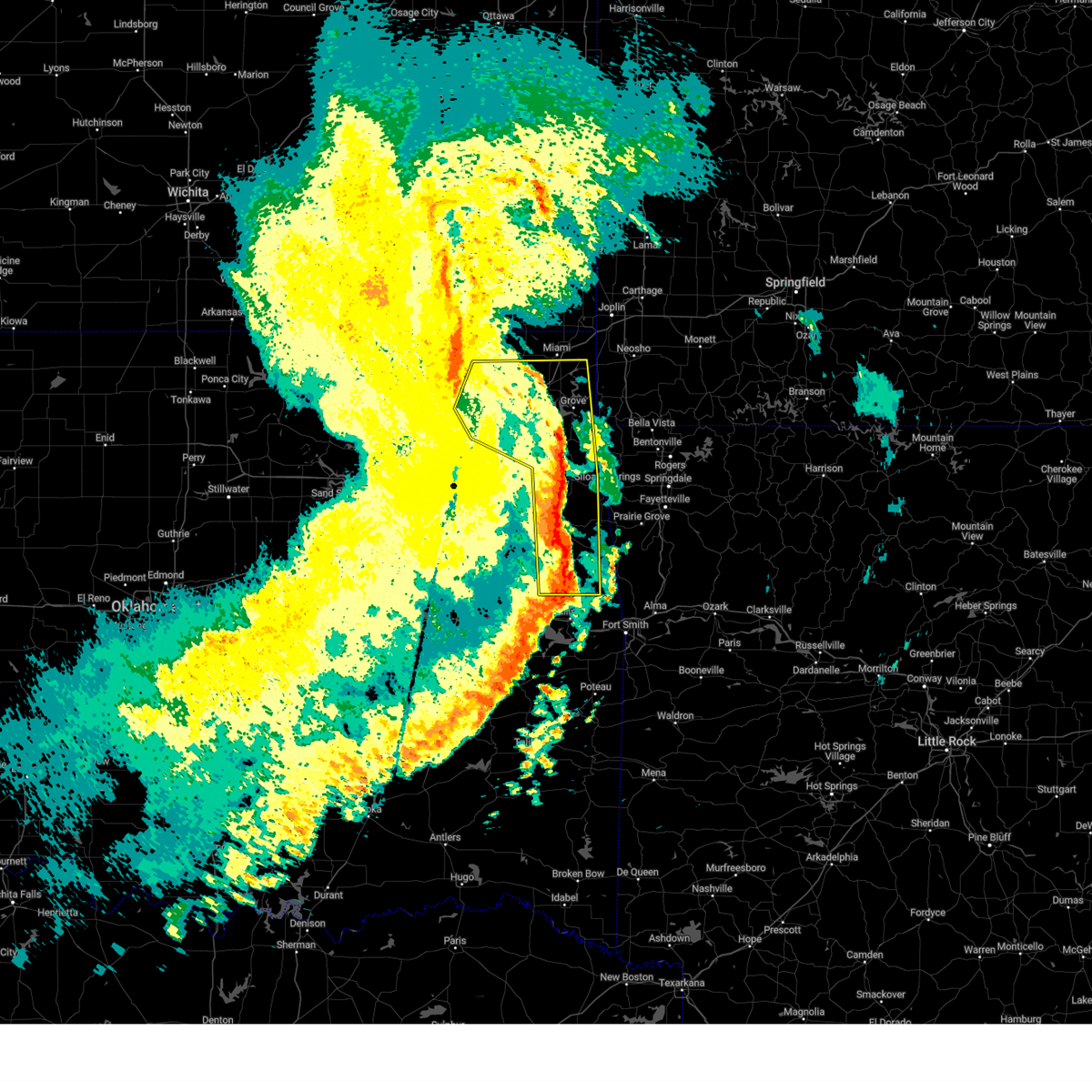 At 514 am cst, severe thunderstorms were located along a line extending from 2 miles west of bluejacket to 2 miles southwest of jay to near marble city, moving east at 50 mph (radar indicated). Hazards include 70 mph wind gusts. Expect considerable tree damage. damage is likely to mobile homes, roofs, and outbuildings. Locations in or near the path include, tahlequah, miami, vinita, stilwell, jay, grove, chelsea, fairland, afton, west siloam springs, langley, colcord, kansas, adair, bernice, ketchum, spavinaw, bluejacket, wyandotte, disney, this includes interstate 44 between mile markers 263 and 306. At 514 am cst, severe thunderstorms were located along a line extending from 2 miles west of bluejacket to 2 miles southwest of jay to near marble city, moving east at 50 mph (radar indicated). Hazards include 70 mph wind gusts. Expect considerable tree damage. damage is likely to mobile homes, roofs, and outbuildings. Locations in or near the path include, tahlequah, miami, vinita, stilwell, jay, grove, chelsea, fairland, afton, west siloam springs, langley, colcord, kansas, adair, bernice, ketchum, spavinaw, bluejacket, wyandotte, disney, this includes interstate 44 between mile markers 263 and 306.
|
| 11/3/2024 5:09 AM CST |
 the severe thunderstorm warning has been cancelled and is no longer in effect the severe thunderstorm warning has been cancelled and is no longer in effect
|
| 11/3/2024 5:09 AM CST |
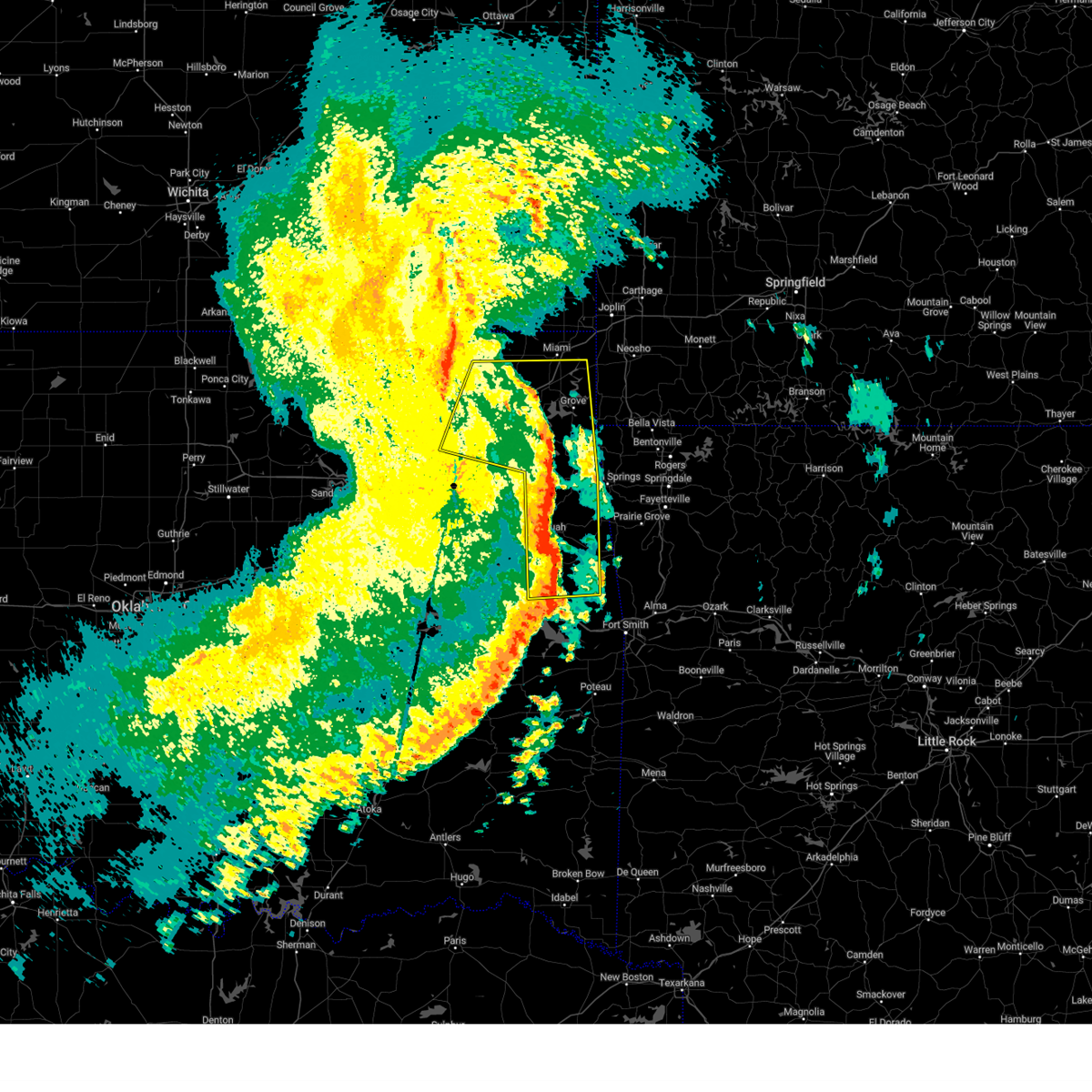 At 508 am cst, severe thunderstorms were located along a line extending from 7 miles west of bluejacket to 3 miles southeast of chloeta to 4 miles west of marble city, moving northeast at 55 mph (radar indicated). Hazards include 70 mph wind gusts. Expect considerable tree damage. damage is likely to mobile homes, roofs, and outbuildings. Locations in or near the path include, tahlequah, miami, vinita, stilwell, jay, pryor, pryor creek, grove, chelsea, salina, fairland, afton, west siloam springs, langley, colcord, kansas, adair, bernice, ketchum, spavinaw, this includes interstate 44 between mile markers 255 and 306. At 508 am cst, severe thunderstorms were located along a line extending from 7 miles west of bluejacket to 3 miles southeast of chloeta to 4 miles west of marble city, moving northeast at 55 mph (radar indicated). Hazards include 70 mph wind gusts. Expect considerable tree damage. damage is likely to mobile homes, roofs, and outbuildings. Locations in or near the path include, tahlequah, miami, vinita, stilwell, jay, pryor, pryor creek, grove, chelsea, salina, fairland, afton, west siloam springs, langley, colcord, kansas, adair, bernice, ketchum, spavinaw, this includes interstate 44 between mile markers 255 and 306.
|
| 11/3/2024 4:57 AM CST |
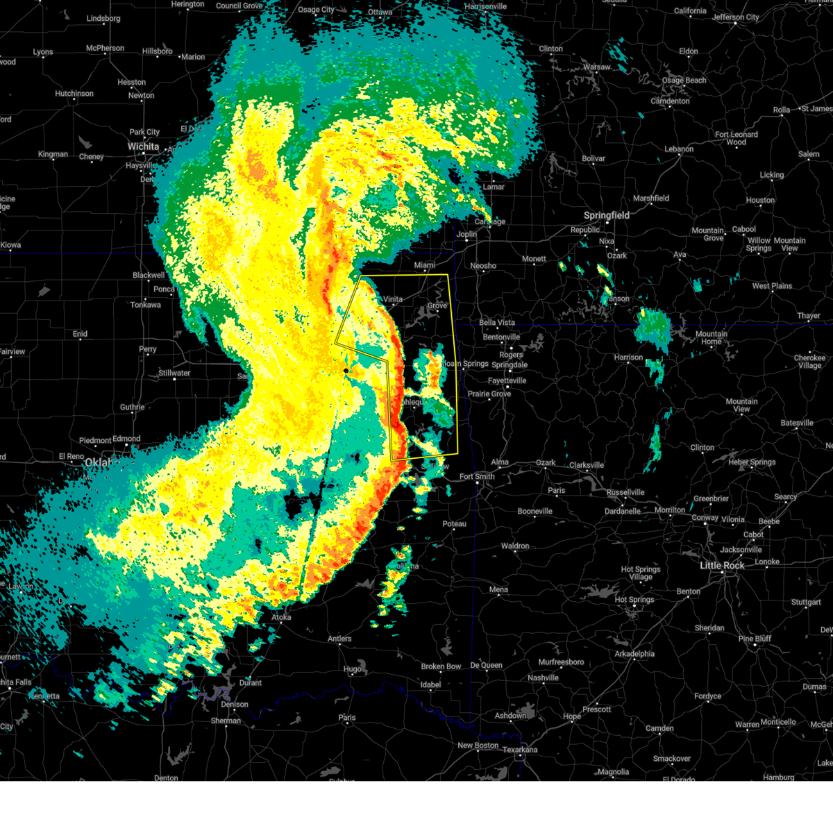 At 457 am cst, severe thunderstorms were located along a line extending from 11 miles northwest of white oak to 4 miles east of salina to near lake tenkiller state park, moving east at 55 mph (radar indicated). Hazards include 70 mph wind gusts. Expect considerable tree damage. damage is likely to mobile homes, roofs, and outbuildings. Locations in or near the path include, tahlequah, miami, vinita, stilwell, jay, pryor, pryor creek, grove, chelsea, locust grove, salina, fairland, afton, west siloam springs, langley, colcord, kansas, adair, hulbert, bernice, this includes interstate 44 between mile markers 254 and 306. At 457 am cst, severe thunderstorms were located along a line extending from 11 miles northwest of white oak to 4 miles east of salina to near lake tenkiller state park, moving east at 55 mph (radar indicated). Hazards include 70 mph wind gusts. Expect considerable tree damage. damage is likely to mobile homes, roofs, and outbuildings. Locations in or near the path include, tahlequah, miami, vinita, stilwell, jay, pryor, pryor creek, grove, chelsea, locust grove, salina, fairland, afton, west siloam springs, langley, colcord, kansas, adair, hulbert, bernice, this includes interstate 44 between mile markers 254 and 306.
|
| 11/3/2024 4:51 AM CST |
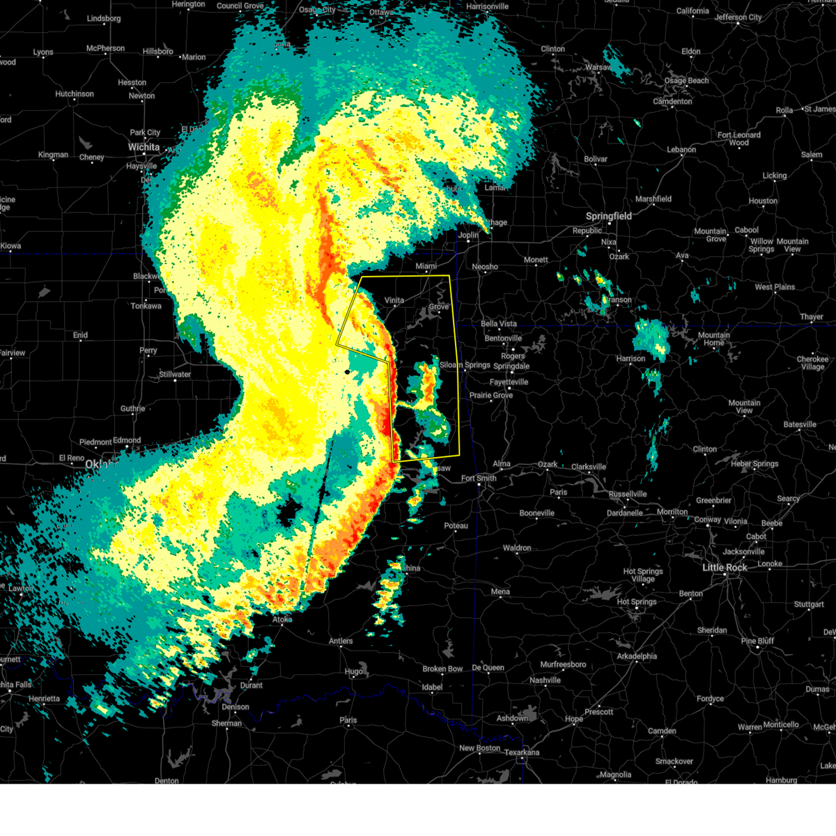 Svrtsa the national weather service in tulsa has issued a * severe thunderstorm warning for, craig county in northeastern oklahoma, northeastern rogers county in northeastern oklahoma, delaware county in northeastern oklahoma, southern ottawa county in northeastern oklahoma, northwestern sequoyah county in east central oklahoma, mayes county in northeastern oklahoma, adair county in northeastern oklahoma, southeastern nowata county in northeastern oklahoma, cherokee county in east central oklahoma, northeastern muskogee county in east central oklahoma, * until 530 am cst. * at 451 am cst, severe thunderstorms were located along a line extending from 7 miles east of nowata to 3 miles south of salina to greenleaf state park, moving east at 50 mph (radar indicated). Hazards include 60 mph wind gusts. Expect damage to roofs, siding, and trees. Locations in or near the path include, tahlequah, miami, vinita, stilwell, jay, pryor, pryor creek, grove, chelsea, locust grove, salina, fairland, afton, west siloam springs, langley, colcord, kansas, adair, hulbert, bernice, this includes interstate 44 between mile markers 254 and 306. Svrtsa the national weather service in tulsa has issued a * severe thunderstorm warning for, craig county in northeastern oklahoma, northeastern rogers county in northeastern oklahoma, delaware county in northeastern oklahoma, southern ottawa county in northeastern oklahoma, northwestern sequoyah county in east central oklahoma, mayes county in northeastern oklahoma, adair county in northeastern oklahoma, southeastern nowata county in northeastern oklahoma, cherokee county in east central oklahoma, northeastern muskogee county in east central oklahoma, * until 530 am cst. * at 451 am cst, severe thunderstorms were located along a line extending from 7 miles east of nowata to 3 miles south of salina to greenleaf state park, moving east at 50 mph (radar indicated). Hazards include 60 mph wind gusts. Expect damage to roofs, siding, and trees. Locations in or near the path include, tahlequah, miami, vinita, stilwell, jay, pryor, pryor creek, grove, chelsea, locust grove, salina, fairland, afton, west siloam springs, langley, colcord, kansas, adair, hulbert, bernice, this includes interstate 44 between mile markers 254 and 306.
|
| 10/30/2024 10:26 PM CDT |
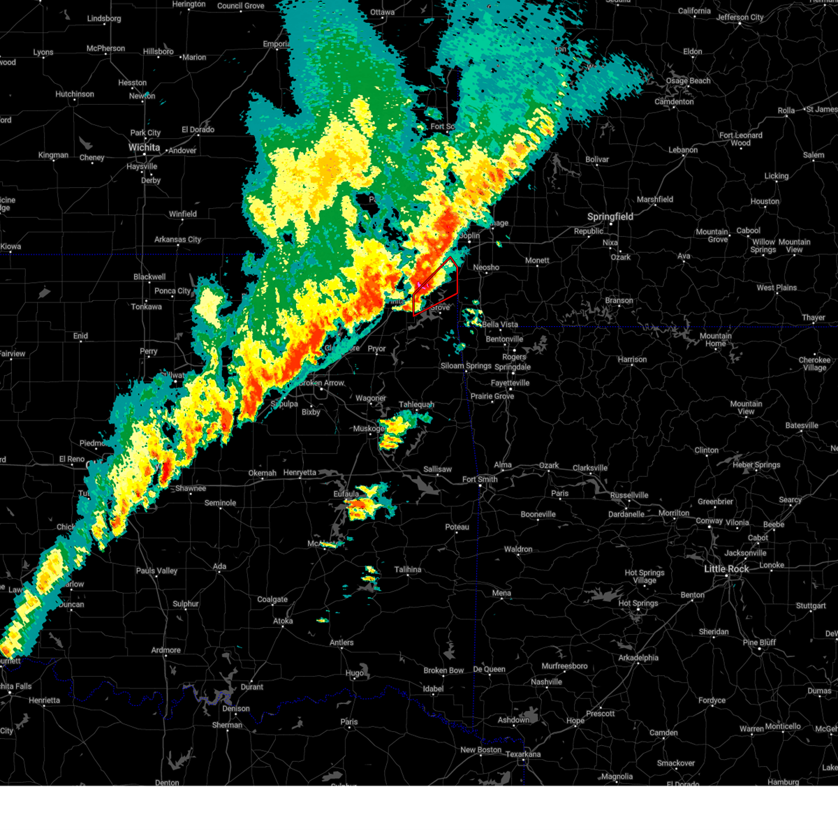 Tortsa the national weather service in tulsa has issued a * tornado warning for, northwestern delaware county in northeastern oklahoma, southeastern ottawa county in northeastern oklahoma, * until 1115 pm cdt. * at 1026 pm cdt, a severe thunderstorm capable of producing a tornado was located over afton, moving northeast at 30 mph (radar indicated rotation). Hazards include tornado and half dollar size hail. Flying debris will be dangerous to those caught without shelter. mobile homes will be damaged or destroyed. damage to roofs, windows, and vehicles will occur. tree damage is likely. Locations in or near the path include, fairland, afton, bernice, wyandotte, bernice state park, cleora, ottawa, peoria, twin bridges state park, this includes interstate 44 between mile markers 294 and 305, and between mile markers 316 and 321. Tortsa the national weather service in tulsa has issued a * tornado warning for, northwestern delaware county in northeastern oklahoma, southeastern ottawa county in northeastern oklahoma, * until 1115 pm cdt. * at 1026 pm cdt, a severe thunderstorm capable of producing a tornado was located over afton, moving northeast at 30 mph (radar indicated rotation). Hazards include tornado and half dollar size hail. Flying debris will be dangerous to those caught without shelter. mobile homes will be damaged or destroyed. damage to roofs, windows, and vehicles will occur. tree damage is likely. Locations in or near the path include, fairland, afton, bernice, wyandotte, bernice state park, cleora, ottawa, peoria, twin bridges state park, this includes interstate 44 between mile markers 294 and 305, and between mile markers 316 and 321.
|
| 10/30/2024 10:24 PM CDT |
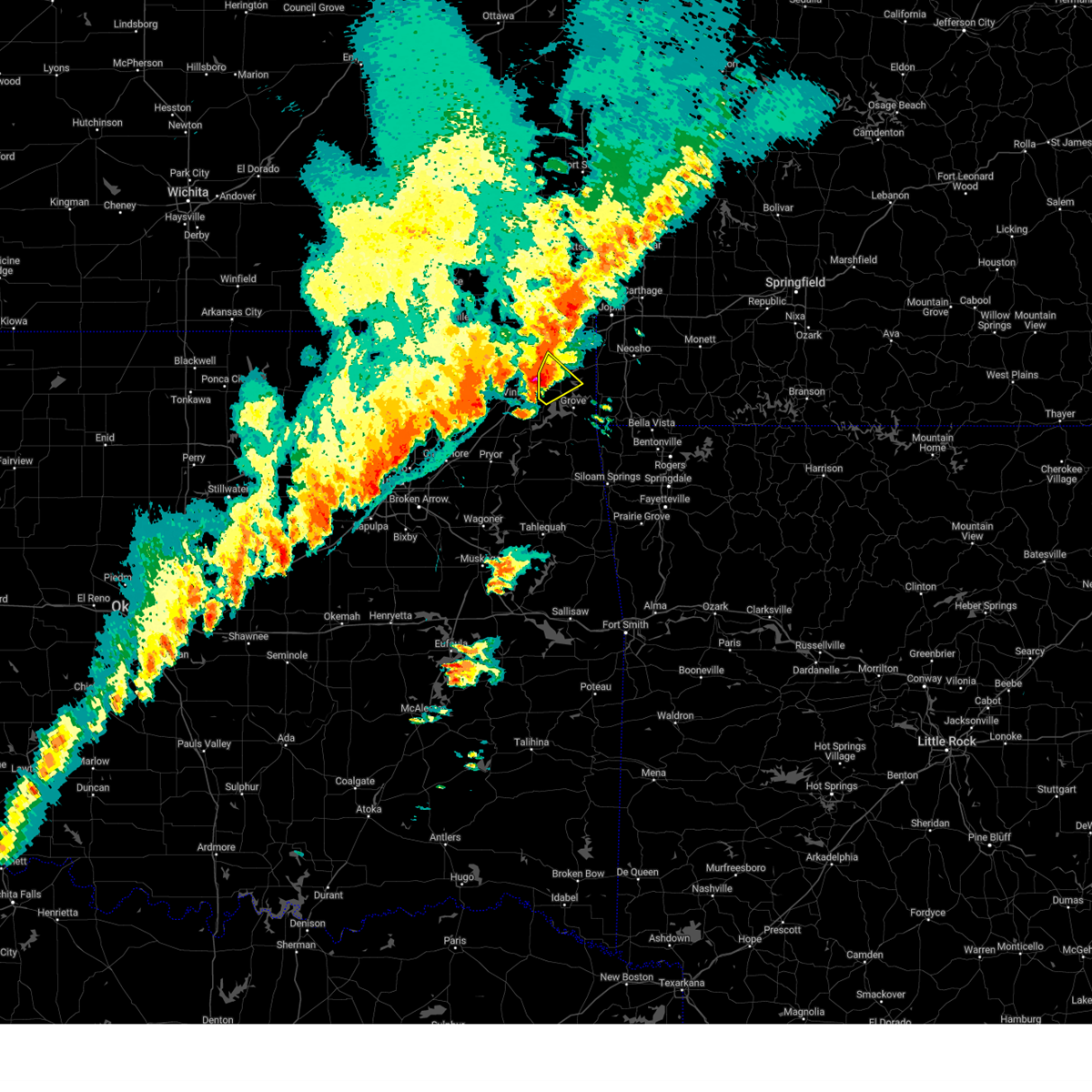 the severe thunderstorm warning has been cancelled and is no longer in effect the severe thunderstorm warning has been cancelled and is no longer in effect
|
| 10/30/2024 10:24 PM CDT |
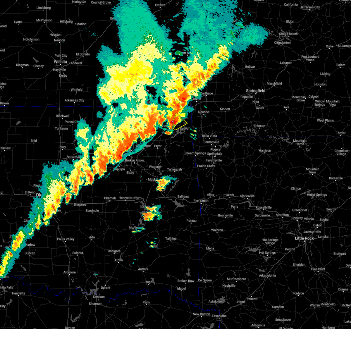 At 1024 pm cdt, a severe thunderstorm was located near afton, moving northeast at 40 mph (radar indicated). Hazards include 60 mph wind gusts and half dollar size hail. Hail damage to vehicles is expected. expect wind damage to roofs, siding, and trees. Locations in or near the path include, miami, fairland, afton, bernice, narcissa, this includes interstate 44 between mile markers 294 and 305. At 1024 pm cdt, a severe thunderstorm was located near afton, moving northeast at 40 mph (radar indicated). Hazards include 60 mph wind gusts and half dollar size hail. Hail damage to vehicles is expected. expect wind damage to roofs, siding, and trees. Locations in or near the path include, miami, fairland, afton, bernice, narcissa, this includes interstate 44 between mile markers 294 and 305.
|
| 10/30/2024 10:18 PM CDT |
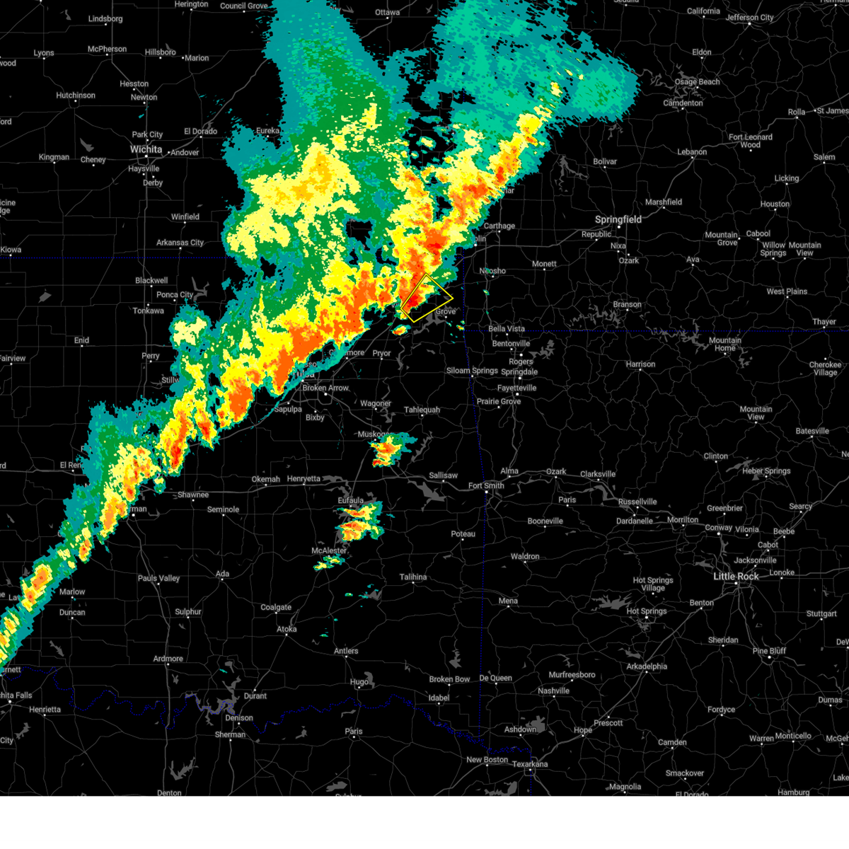 At 1018 pm cdt, a severe thunderstorm was located near afton, moving northeast at 45 mph (radar indicated). Hazards include 60 mph wind gusts and half dollar size hail. Hail damage to vehicles is expected. expect wind damage to roofs, siding, and trees. Locations in or near the path include, miami, vinita, fairland, afton, bernice, narcissa, this includes interstate 44 between mile markers 285 and 305. At 1018 pm cdt, a severe thunderstorm was located near afton, moving northeast at 45 mph (radar indicated). Hazards include 60 mph wind gusts and half dollar size hail. Hail damage to vehicles is expected. expect wind damage to roofs, siding, and trees. Locations in or near the path include, miami, vinita, fairland, afton, bernice, narcissa, this includes interstate 44 between mile markers 285 and 305.
|
| 10/30/2024 10:12 PM CDT |
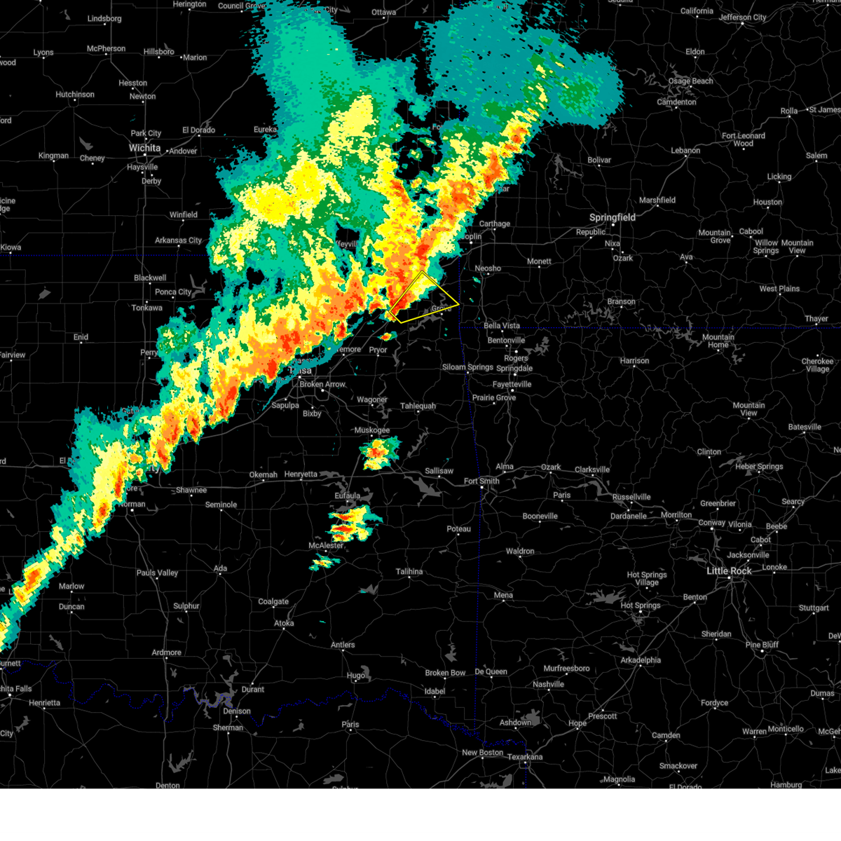 Svrtsa the national weather service in tulsa has issued a * severe thunderstorm warning for, southeastern craig county in northeastern oklahoma, northwestern delaware county in northeastern oklahoma, southwestern ottawa county in northeastern oklahoma, * until 1100 pm cdt. * at 1012 pm cdt, a severe thunderstorm was located 3 miles southeast of vinita, moving northeast at 40 mph (radar indicated). Hazards include 60 mph wind gusts and penny size hail. Expect damage to roofs, siding, and trees. Locations in or near the path include, miami, vinita, grove, fairland, afton, bernice, cleora, narcissa, bernice state park, this includes interstate 44 between mile markers 280 and 306. Svrtsa the national weather service in tulsa has issued a * severe thunderstorm warning for, southeastern craig county in northeastern oklahoma, northwestern delaware county in northeastern oklahoma, southwestern ottawa county in northeastern oklahoma, * until 1100 pm cdt. * at 1012 pm cdt, a severe thunderstorm was located 3 miles southeast of vinita, moving northeast at 40 mph (radar indicated). Hazards include 60 mph wind gusts and penny size hail. Expect damage to roofs, siding, and trees. Locations in or near the path include, miami, vinita, grove, fairland, afton, bernice, cleora, narcissa, bernice state park, this includes interstate 44 between mile markers 280 and 306.
|
| 8/16/2024 9:35 PM CDT |
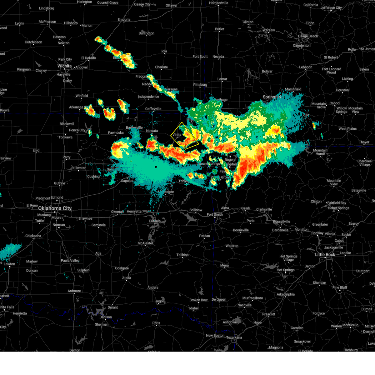 The storm which prompted the warning has weakened below severe limits, and no longer poses an immediate threat to life or property. therefore, the warning will be allowed to expire. however, small hail and gusty winds are still possible with this thunderstorm. a severe thunderstorm watch remains in effect until 1100 pm cdt for northeastern oklahoma. The storm which prompted the warning has weakened below severe limits, and no longer poses an immediate threat to life or property. therefore, the warning will be allowed to expire. however, small hail and gusty winds are still possible with this thunderstorm. a severe thunderstorm watch remains in effect until 1100 pm cdt for northeastern oklahoma.
|
| 8/16/2024 9:18 PM CDT |
 At 917 pm cdt, a severe thunderstorm was located 5 miles west of afton, moving southeast at 45 mph (radar indicated). Hazards include golf ball size hail and 70 mph wind gusts. People and animals outdoors will be injured. expect hail damage to roofs, siding, windows, and vehicles. expect considerable tree damage. wind damage is also likely to mobile homes, roofs, and outbuildings. Locations in or near the path include, vinita, grove, afton, bernice, ketchum, bluejacket, cleora, honey creek state park, bernice state park, zena, this includes interstate 44 between mile markers 280 and 297. At 917 pm cdt, a severe thunderstorm was located 5 miles west of afton, moving southeast at 45 mph (radar indicated). Hazards include golf ball size hail and 70 mph wind gusts. People and animals outdoors will be injured. expect hail damage to roofs, siding, windows, and vehicles. expect considerable tree damage. wind damage is also likely to mobile homes, roofs, and outbuildings. Locations in or near the path include, vinita, grove, afton, bernice, ketchum, bluejacket, cleora, honey creek state park, bernice state park, zena, this includes interstate 44 between mile markers 280 and 297.
|
| 8/16/2024 9:13 PM CDT |
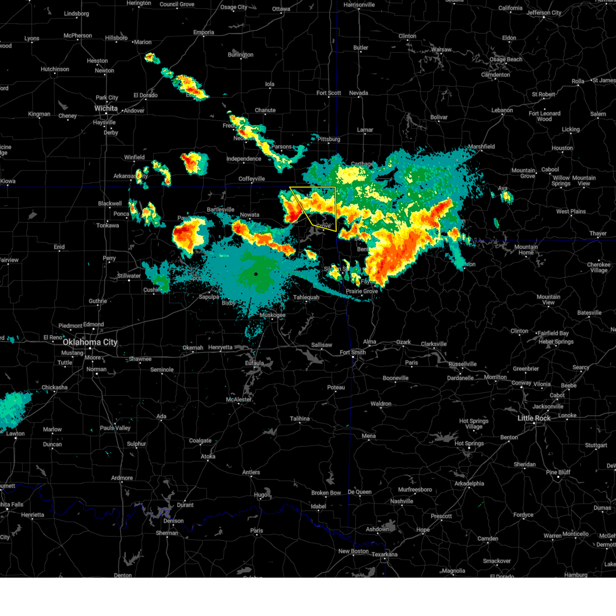 the severe thunderstorm warning has been cancelled and is no longer in effect the severe thunderstorm warning has been cancelled and is no longer in effect
|
| 8/16/2024 8:58 PM CDT |
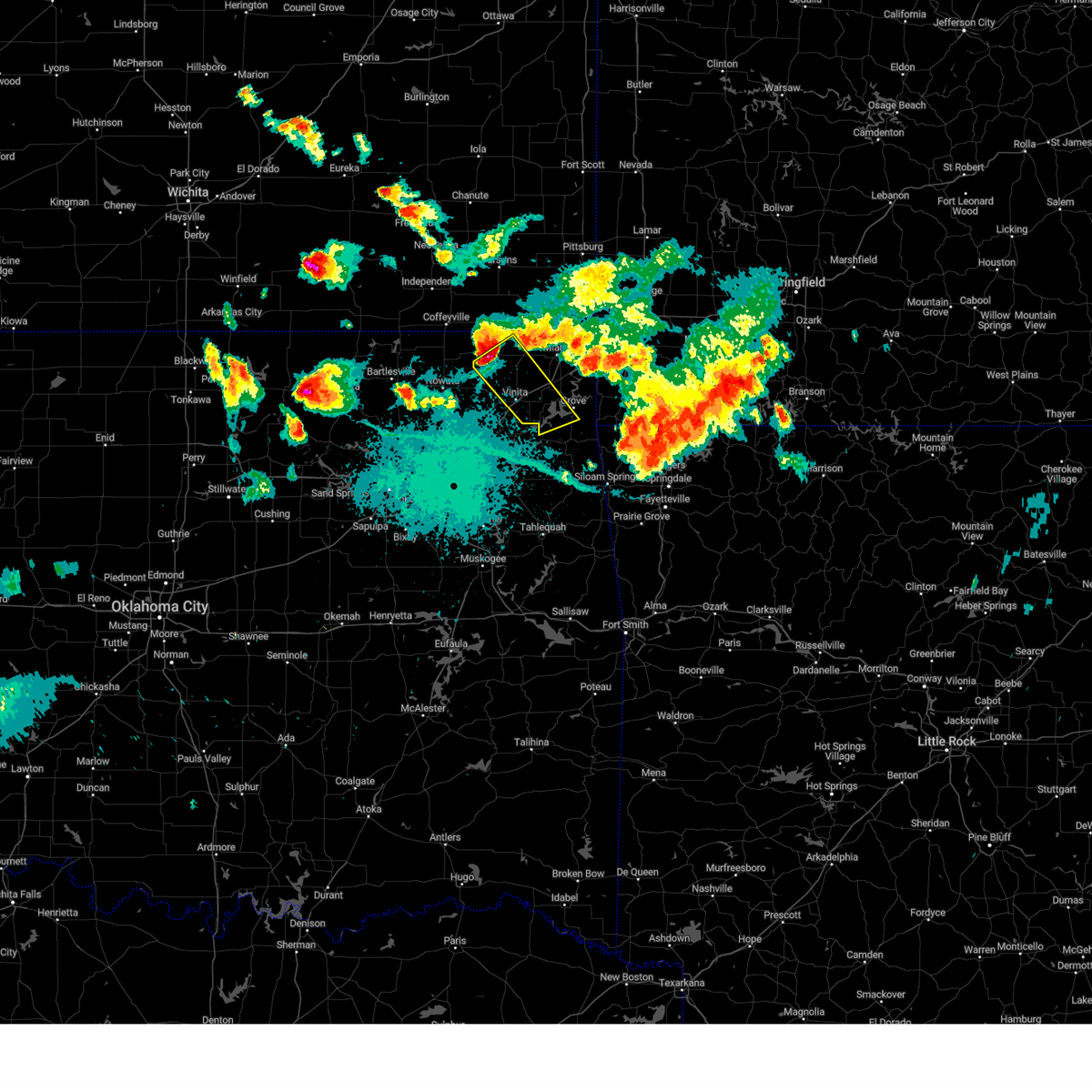 Svrtsa the national weather service in tulsa has issued a * severe thunderstorm warning for, craig county in northeastern oklahoma, northwestern delaware county in northeastern oklahoma, southwestern ottawa county in northeastern oklahoma, * until 945 pm cdt. * at 857 pm cdt, a severe thunderstorm was located 9 miles west of welch, moving southeast at 45 mph (radar indicated). Hazards include golf ball size hail and 70 mph wind gusts. People and animals outdoors will be injured. expect hail damage to roofs, siding, windows, and vehicles. expect considerable tree damage. wind damage is also likely to mobile homes, roofs, and outbuildings. Locations in or near the path include, vinita, grove, afton, welch, bernice, ketchum, bluejacket, honey creek state park, bernice state park, cleora, hollow, centrailia, zena, pyramid corners, centralia, this includes interstate 44 between mile markers 280 and 297. Svrtsa the national weather service in tulsa has issued a * severe thunderstorm warning for, craig county in northeastern oklahoma, northwestern delaware county in northeastern oklahoma, southwestern ottawa county in northeastern oklahoma, * until 945 pm cdt. * at 857 pm cdt, a severe thunderstorm was located 9 miles west of welch, moving southeast at 45 mph (radar indicated). Hazards include golf ball size hail and 70 mph wind gusts. People and animals outdoors will be injured. expect hail damage to roofs, siding, windows, and vehicles. expect considerable tree damage. wind damage is also likely to mobile homes, roofs, and outbuildings. Locations in or near the path include, vinita, grove, afton, welch, bernice, ketchum, bluejacket, honey creek state park, bernice state park, cleora, hollow, centrailia, zena, pyramid corners, centralia, this includes interstate 44 between mile markers 280 and 297.
|
| 8/16/2024 8:56 PM CDT |
 Svrtsa the national weather service in tulsa has issued a * severe thunderstorm warning for, northeastern craig county in northeastern oklahoma, northeastern delaware county in northeastern oklahoma, ottawa county in northeastern oklahoma, * until 945 pm cdt. * at 856 pm cdt, severe thunderstorms were located along a line extending from 4 miles northeast of welch to 2 miles west of seneca, moving southeast at 40 mph (radar indicated). Hazards include 70 mph wind gusts and ping pong ball size hail. People and animals outdoors will be injured. expect hail damage to roofs, siding, windows, and vehicles. expect considerable tree damage. wind damage is also likely to mobile homes, roofs, and outbuildings. Locations in or near the path include, miami, grove, commerce, fairland, quapaw, wyandotte, picher, narcissa, ottawa, peoria, cardin, twin bridges state park, this includes interstate 44 between mile markers 296 and 323. Svrtsa the national weather service in tulsa has issued a * severe thunderstorm warning for, northeastern craig county in northeastern oklahoma, northeastern delaware county in northeastern oklahoma, ottawa county in northeastern oklahoma, * until 945 pm cdt. * at 856 pm cdt, severe thunderstorms were located along a line extending from 4 miles northeast of welch to 2 miles west of seneca, moving southeast at 40 mph (radar indicated). Hazards include 70 mph wind gusts and ping pong ball size hail. People and animals outdoors will be injured. expect hail damage to roofs, siding, windows, and vehicles. expect considerable tree damage. wind damage is also likely to mobile homes, roofs, and outbuildings. Locations in or near the path include, miami, grove, commerce, fairland, quapaw, wyandotte, picher, narcissa, ottawa, peoria, cardin, twin bridges state park, this includes interstate 44 between mile markers 296 and 323.
|
| 6/29/2024 7:49 PM CDT |
 the severe thunderstorm warning has been cancelled and is no longer in effect the severe thunderstorm warning has been cancelled and is no longer in effect
|
| 6/29/2024 7:32 PM CDT |
 Svrtsa the national weather service in tulsa has issued a * severe thunderstorm warning for, southern craig county in northeastern oklahoma, northwestern delaware county in northeastern oklahoma, southwestern ottawa county in northeastern oklahoma, northeastern mayes county in northeastern oklahoma, * until 815 pm cdt. * at 732 pm cdt, a severe thunderstorm was located 5 miles north of white oak, moving southeast at 25 mph (radar indicated). Hazards include 60 mph wind gusts and nickel size hail. Expect damage to roofs, siding, and trees. Locations in or near the path include, vinita, grove, fairland, afton, langley, bernice, ketchum, bluejacket, disney, big cabin, cherokee state park, bernice state park, cleora, white oak, disney little blue state park, zena, pyramid corners, this includes interstate 44 between mile markers 275 and 301. Svrtsa the national weather service in tulsa has issued a * severe thunderstorm warning for, southern craig county in northeastern oklahoma, northwestern delaware county in northeastern oklahoma, southwestern ottawa county in northeastern oklahoma, northeastern mayes county in northeastern oklahoma, * until 815 pm cdt. * at 732 pm cdt, a severe thunderstorm was located 5 miles north of white oak, moving southeast at 25 mph (radar indicated). Hazards include 60 mph wind gusts and nickel size hail. Expect damage to roofs, siding, and trees. Locations in or near the path include, vinita, grove, fairland, afton, langley, bernice, ketchum, bluejacket, disney, big cabin, cherokee state park, bernice state park, cleora, white oak, disney little blue state park, zena, pyramid corners, this includes interstate 44 between mile markers 275 and 301.
|
| 6/26/2024 5:59 AM CDT |
 the severe thunderstorm warning has been cancelled and is no longer in effect the severe thunderstorm warning has been cancelled and is no longer in effect
|
| 6/26/2024 5:59 AM CDT |
 At 558 am cdt, severe thunderstorms were located along a line extending from 5 miles north of seneca to 8 miles northeast of new alluwe, moving south at 55 mph (radar indicated). Hazards include 70 mph wind gusts. Expect considerable tree damage. damage is likely to mobile homes, roofs, and outbuildings. Locations in or near the path include, miami, vinita, pryor, pryor creek, grove, chelsea, fairland, afton, langley, adair, bernice, ketchum, spavinaw, bluejacket, wyandotte, disney, big cabin, pensacola, new alluwe, hoot owl, this includes interstate 44 between mile markers 255 and 311. At 558 am cdt, severe thunderstorms were located along a line extending from 5 miles north of seneca to 8 miles northeast of new alluwe, moving south at 55 mph (radar indicated). Hazards include 70 mph wind gusts. Expect considerable tree damage. damage is likely to mobile homes, roofs, and outbuildings. Locations in or near the path include, miami, vinita, pryor, pryor creek, grove, chelsea, fairland, afton, langley, adair, bernice, ketchum, spavinaw, bluejacket, wyandotte, disney, big cabin, pensacola, new alluwe, hoot owl, this includes interstate 44 between mile markers 255 and 311.
|
| 6/26/2024 5:36 AM CDT |
 Svrtsa the national weather service in tulsa has issued a * severe thunderstorm warning for, northwestern benton county in northwestern arkansas, craig county in northeastern oklahoma, eastern rogers county in northeastern oklahoma, delaware county in northeastern oklahoma, ottawa county in northeastern oklahoma, mayes county in northeastern oklahoma, eastern nowata county in northeastern oklahoma, * until 615 am cdt. * at 536 am cdt, severe thunderstorms were located along a line extending from 4 miles west of carl junction to near edna, moving south at 70 mph (radar indicated). Hazards include 70 mph wind gusts. Expect considerable tree damage. damage is likely to mobile homes, roofs, and outbuildings. Locations in or near the path include, claremore, miami, vinita, jay, pryor, pryor creek, grove, commerce, chouteau, chelsea, inola, locust grove, salina, fairland, afton, quapaw, langley, colcord, adair, welch, this includes interstate 44 between mile markers 249 and 324. Svrtsa the national weather service in tulsa has issued a * severe thunderstorm warning for, northwestern benton county in northwestern arkansas, craig county in northeastern oklahoma, eastern rogers county in northeastern oklahoma, delaware county in northeastern oklahoma, ottawa county in northeastern oklahoma, mayes county in northeastern oklahoma, eastern nowata county in northeastern oklahoma, * until 615 am cdt. * at 536 am cdt, severe thunderstorms were located along a line extending from 4 miles west of carl junction to near edna, moving south at 70 mph (radar indicated). Hazards include 70 mph wind gusts. Expect considerable tree damage. damage is likely to mobile homes, roofs, and outbuildings. Locations in or near the path include, claremore, miami, vinita, jay, pryor, pryor creek, grove, commerce, chouteau, chelsea, inola, locust grove, salina, fairland, afton, quapaw, langley, colcord, adair, welch, this includes interstate 44 between mile markers 249 and 324.
|
| 5/26/2024 4:09 PM CDT |
 the severe thunderstorm warning has been cancelled and is no longer in effect the severe thunderstorm warning has been cancelled and is no longer in effect
|
| 5/26/2024 4:09 PM CDT |
 At 408 pm cdt, a severe thunderstorm was located over bernice state park, moving east at 30 mph (radar indicated). Hazards include 60 mph wind gusts and half dollar size hail. Hail damage to vehicles is expected. expect wind damage to roofs, siding, and trees. Locations in or near the path include, grove, fairland, afton, bernice, cleora, honey creek state park, bernice state park, this includes interstate 44 between mile markers 294 and 301. At 408 pm cdt, a severe thunderstorm was located over bernice state park, moving east at 30 mph (radar indicated). Hazards include 60 mph wind gusts and half dollar size hail. Hail damage to vehicles is expected. expect wind damage to roofs, siding, and trees. Locations in or near the path include, grove, fairland, afton, bernice, cleora, honey creek state park, bernice state park, this includes interstate 44 between mile markers 294 and 301.
|
| 5/26/2024 3:57 PM CDT |
 Svrtsa the national weather service in tulsa has issued a * severe thunderstorm warning for, southeastern craig county in northeastern oklahoma, northern delaware county in northeastern oklahoma, southern ottawa county in northeastern oklahoma, * until 445 pm cdt. * at 356 pm cdt, a severe thunderstorm was located 4 miles southwest of afton, moving east at 30 mph (radar indicated). Hazards include 60 mph wind gusts and half dollar size hail. Hail damage to vehicles is expected. expect wind damage to roofs, siding, and trees. Locations in or near the path include, grove, fairland, afton, bernice, cleora, honey creek state park, bernice state park, this includes interstate 44 between mile markers 287 and 302. Svrtsa the national weather service in tulsa has issued a * severe thunderstorm warning for, southeastern craig county in northeastern oklahoma, northern delaware county in northeastern oklahoma, southern ottawa county in northeastern oklahoma, * until 445 pm cdt. * at 356 pm cdt, a severe thunderstorm was located 4 miles southwest of afton, moving east at 30 mph (radar indicated). Hazards include 60 mph wind gusts and half dollar size hail. Hail damage to vehicles is expected. expect wind damage to roofs, siding, and trees. Locations in or near the path include, grove, fairland, afton, bernice, cleora, honey creek state park, bernice state park, this includes interstate 44 between mile markers 287 and 302.
|
| 5/26/2024 2:50 AM CDT |
 At 249 am cdt, severe thunderstorms were located along a line extending from 4 miles north of seneca to 5 miles north of grove, moving east at 45 mph (radar indicated. at 226 am, golfball sized hail was reported 1 mile north of miami. at 242 am, golfball size hail was reported in fairland). Hazards include two inch hail and 70 mph wind gusts. People and animals outdoors will be injured. expect hail damage to roofs, siding, windows, and vehicles. expect considerable tree damage. wind damage is also likely to mobile homes, roofs, and outbuildings. Locations in or near the path include, miami, grove, fairland, afton, quapaw, bernice, wyandotte, bernice state park, ottawa, peoria, twin bridges state park, this includes interstate 44 between mile markers 296 and 324. At 249 am cdt, severe thunderstorms were located along a line extending from 4 miles north of seneca to 5 miles north of grove, moving east at 45 mph (radar indicated. at 226 am, golfball sized hail was reported 1 mile north of miami. at 242 am, golfball size hail was reported in fairland). Hazards include two inch hail and 70 mph wind gusts. People and animals outdoors will be injured. expect hail damage to roofs, siding, windows, and vehicles. expect considerable tree damage. wind damage is also likely to mobile homes, roofs, and outbuildings. Locations in or near the path include, miami, grove, fairland, afton, quapaw, bernice, wyandotte, bernice state park, ottawa, peoria, twin bridges state park, this includes interstate 44 between mile markers 296 and 324.
|
| 5/26/2024 2:38 AM CDT |
 At 237 am cdt, severe thunderstorms were located along a line extending from 2 miles south of quapaw to 2 miles east of afton, moving east at 45 mph (radar indicated). Hazards include two inch hail and 70 mph wind gusts. People and animals outdoors will be injured. expect hail damage to roofs, siding, windows, and vehicles. expect considerable tree damage. wind damage is also likely to mobile homes, roofs, and outbuildings. Locations in or near the path include, miami, grove, commerce, fairland, afton, quapaw, bernice, wyandotte, picher, bernice state park, narcissa, ottawa, peoria, cardin, twin bridges state park, this includes interstate 44 between mile markers 294 and 324. At 237 am cdt, severe thunderstorms were located along a line extending from 2 miles south of quapaw to 2 miles east of afton, moving east at 45 mph (radar indicated). Hazards include two inch hail and 70 mph wind gusts. People and animals outdoors will be injured. expect hail damage to roofs, siding, windows, and vehicles. expect considerable tree damage. wind damage is also likely to mobile homes, roofs, and outbuildings. Locations in or near the path include, miami, grove, commerce, fairland, afton, quapaw, bernice, wyandotte, picher, bernice state park, narcissa, ottawa, peoria, cardin, twin bridges state park, this includes interstate 44 between mile markers 294 and 324.
|
| 5/26/2024 2:38 AM CDT |
 the severe thunderstorm warning has been cancelled and is no longer in effect the severe thunderstorm warning has been cancelled and is no longer in effect
|
| 5/26/2024 2:10 AM CDT |
 Svrtsa the national weather service in tulsa has issued a * severe thunderstorm warning for, northern craig county in northeastern oklahoma, northern delaware county in northeastern oklahoma, ottawa county in northeastern oklahoma, * until 300 am cdt. * at 210 am cdt, severe thunderstorms were located along a line extending from 5 miles southwest of chetopa to 9 miles west of bluejacket, moving east at 45 mph (radar indicated). Hazards include two inch hail and 70 mph wind gusts. People and animals outdoors will be injured. expect hail damage to roofs, siding, windows, and vehicles. expect considerable tree damage. wind damage is also likely to mobile homes, roofs, and outbuildings. Locations in or near the path include, miami, grove, commerce, fairland, afton, quapaw, welch, bernice, bluejacket, wyandotte, picher, bernice state park, narcissa, ottawa, peoria, cardin, hollow, centrailia, pyramid corners, twin bridges state park, this includes interstate 44 between mile markers 289 and 324. Svrtsa the national weather service in tulsa has issued a * severe thunderstorm warning for, northern craig county in northeastern oklahoma, northern delaware county in northeastern oklahoma, ottawa county in northeastern oklahoma, * until 300 am cdt. * at 210 am cdt, severe thunderstorms were located along a line extending from 5 miles southwest of chetopa to 9 miles west of bluejacket, moving east at 45 mph (radar indicated). Hazards include two inch hail and 70 mph wind gusts. People and animals outdoors will be injured. expect hail damage to roofs, siding, windows, and vehicles. expect considerable tree damage. wind damage is also likely to mobile homes, roofs, and outbuildings. Locations in or near the path include, miami, grove, commerce, fairland, afton, quapaw, welch, bernice, bluejacket, wyandotte, picher, bernice state park, narcissa, ottawa, peoria, cardin, hollow, centrailia, pyramid corners, twin bridges state park, this includes interstate 44 between mile markers 289 and 324.
|
| 5/24/2024 5:48 PM CDT |
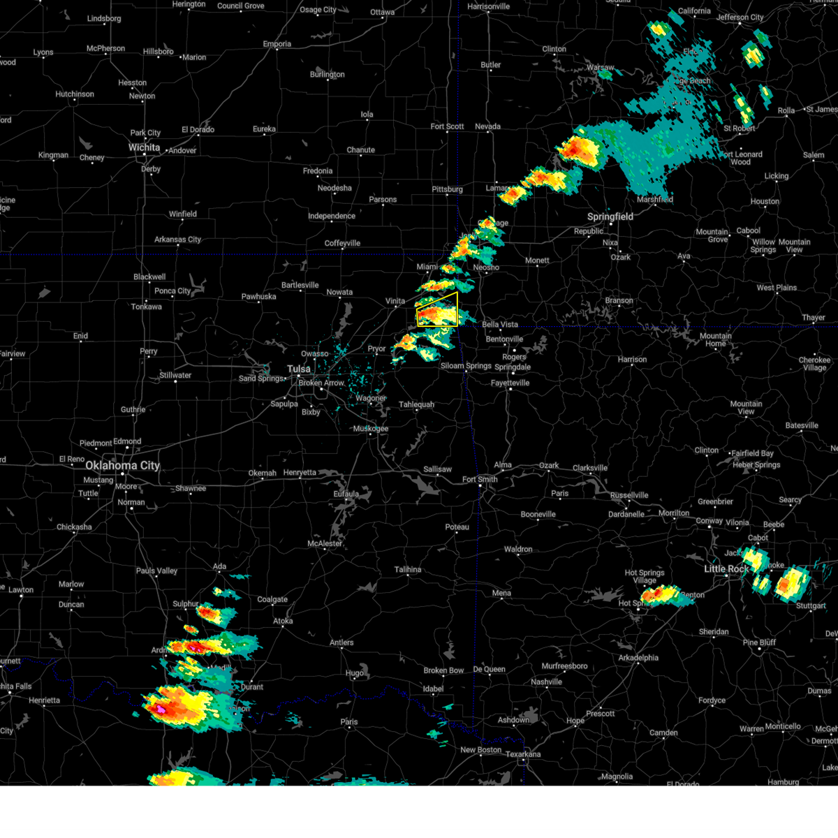 Svrtsa the national weather service in tulsa has issued a * severe thunderstorm warning for, northern delaware county in northeastern oklahoma, southeastern ottawa county in northeastern oklahoma, * until 645 pm cdt. * at 548 pm cdt, a severe thunderstorm was located near bernice, moving east at 20 mph (radar indicated). Hazards include 60 mph wind gusts and quarter size hail. Hail damage to vehicles is expected. expect wind damage to roofs, siding, and trees. Locations in or near the path include, grove, bernice, bernice state park, cleora, honey creek state park, zena,. Svrtsa the national weather service in tulsa has issued a * severe thunderstorm warning for, northern delaware county in northeastern oklahoma, southeastern ottawa county in northeastern oklahoma, * until 645 pm cdt. * at 548 pm cdt, a severe thunderstorm was located near bernice, moving east at 20 mph (radar indicated). Hazards include 60 mph wind gusts and quarter size hail. Hail damage to vehicles is expected. expect wind damage to roofs, siding, and trees. Locations in or near the path include, grove, bernice, bernice state park, cleora, honey creek state park, zena,.
|
| 5/8/2024 4:36 PM CDT |
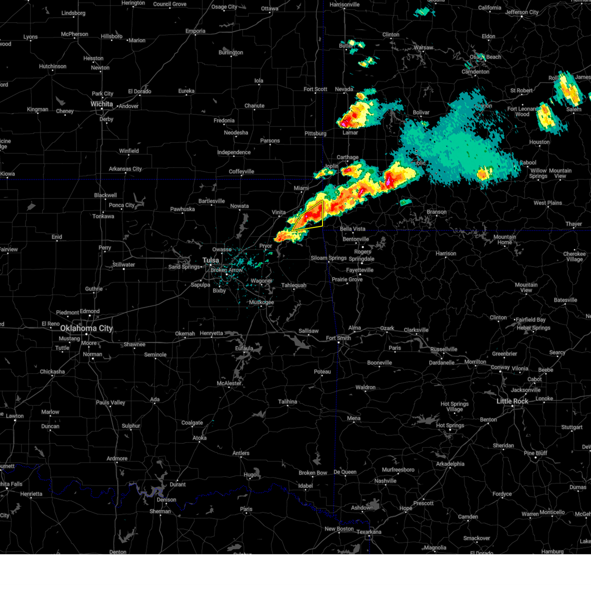 At 436 pm cdt, a severe thunderstorm was located 5 miles northeast of grove, moving east at 40 mph (radar indicated). Hazards include 60 mph wind gusts and quarter size hail. Hail damage to vehicles is expected. expect wind damage to roofs, siding, and trees. Locations in or near the path include, grove, bernice, honey creek state park,. At 436 pm cdt, a severe thunderstorm was located 5 miles northeast of grove, moving east at 40 mph (radar indicated). Hazards include 60 mph wind gusts and quarter size hail. Hail damage to vehicles is expected. expect wind damage to roofs, siding, and trees. Locations in or near the path include, grove, bernice, honey creek state park,.
|
| 5/8/2024 4:36 PM CDT |
 the severe thunderstorm warning has been cancelled and is no longer in effect the severe thunderstorm warning has been cancelled and is no longer in effect
|
| 5/8/2024 4:26 PM CDT |
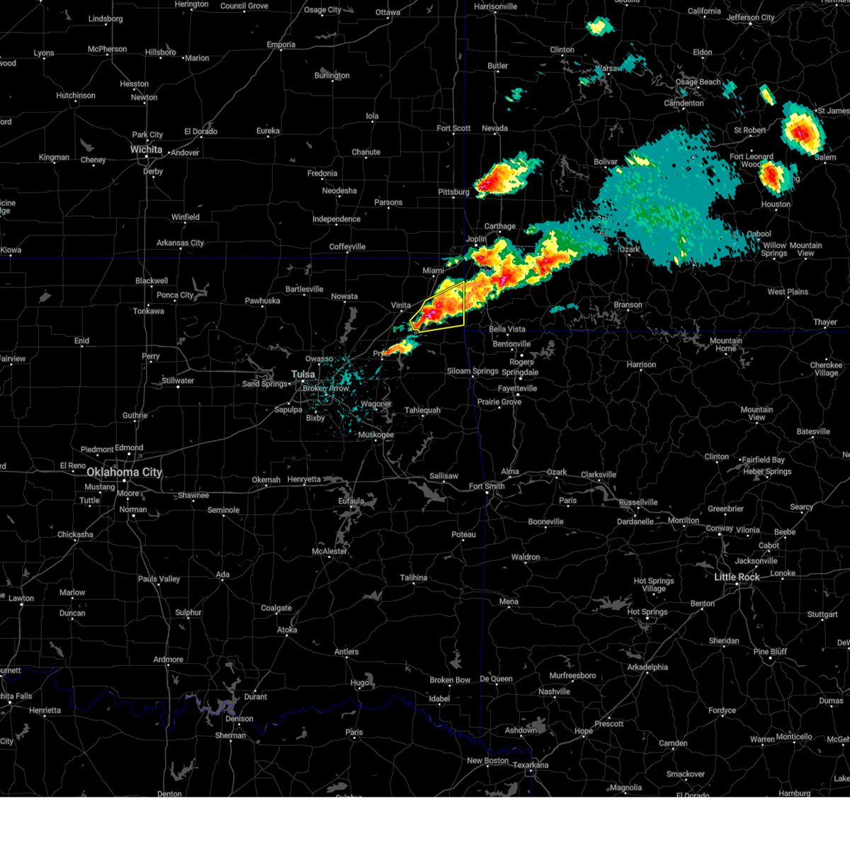 At 426 pm cdt, a severe thunderstorm was located near bernice state park, moving east at 35 mph (radar indicated). Hazards include 60 mph wind gusts and half dollar size hail. Hail damage to vehicles is expected. expect wind damage to roofs, siding, and trees. Locations in or near the path include, grove, fairland, afton, bernice, ketchum, wyandotte, cleora, honey creek state park, bernice state park,. At 426 pm cdt, a severe thunderstorm was located near bernice state park, moving east at 35 mph (radar indicated). Hazards include 60 mph wind gusts and half dollar size hail. Hail damage to vehicles is expected. expect wind damage to roofs, siding, and trees. Locations in or near the path include, grove, fairland, afton, bernice, ketchum, wyandotte, cleora, honey creek state park, bernice state park,.
|
| 5/8/2024 4:08 PM CDT |
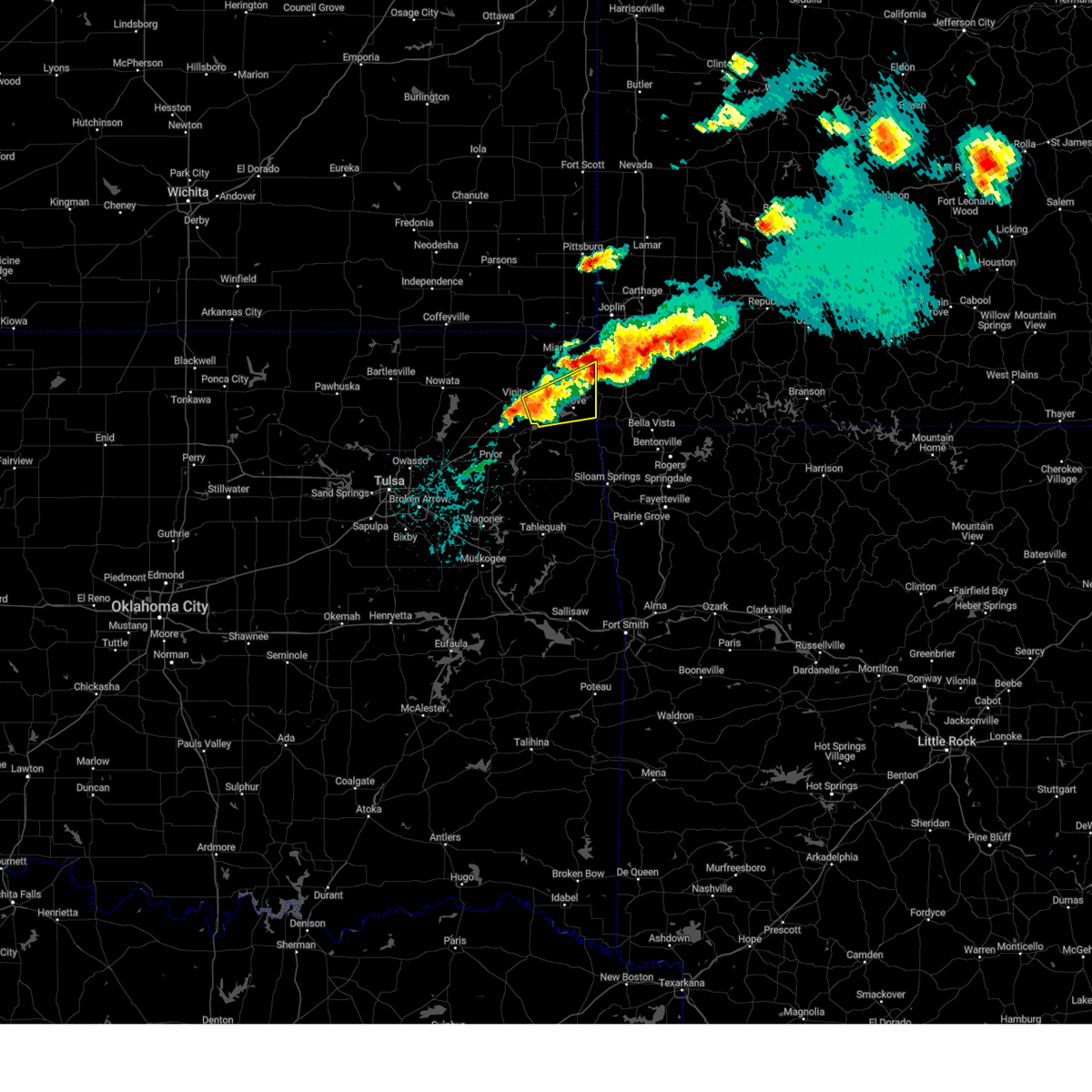 Svrtsa the national weather service in tulsa has issued a * severe thunderstorm warning for, southeastern craig county in northeastern oklahoma, northern delaware county in northeastern oklahoma, southeastern ottawa county in northeastern oklahoma, * until 500 pm cdt. * at 408 pm cdt, a severe thunderstorm was located 3 miles west of cleora, moving east at 35 mph (radar indicated). Hazards include 60 mph wind gusts and half dollar size hail. Hail damage to vehicles is expected. expect wind damage to roofs, siding, and trees. Locations in or near the path include, grove, fairland, afton, bernice, ketchum, wyandotte, cleora, honey creek state park, bernice state park,. Svrtsa the national weather service in tulsa has issued a * severe thunderstorm warning for, southeastern craig county in northeastern oklahoma, northern delaware county in northeastern oklahoma, southeastern ottawa county in northeastern oklahoma, * until 500 pm cdt. * at 408 pm cdt, a severe thunderstorm was located 3 miles west of cleora, moving east at 35 mph (radar indicated). Hazards include 60 mph wind gusts and half dollar size hail. Hail damage to vehicles is expected. expect wind damage to roofs, siding, and trees. Locations in or near the path include, grove, fairland, afton, bernice, ketchum, wyandotte, cleora, honey creek state park, bernice state park,.
|
| 5/8/2024 3:21 PM CDT |
 the severe thunderstorm warning has been cancelled and is no longer in effect the severe thunderstorm warning has been cancelled and is no longer in effect
|
| 5/8/2024 3:21 PM CDT |
 At 321 pm cdt, a severe thunderstorm was located near afton, moving east at 45 mph (radar indicated). Hazards include golf ball size hail and 60 mph wind gusts. People and animals outdoors will be injured. expect hail damage to roofs, siding, windows, and vehicles. expect wind damage to roofs, siding, and trees. Locations in or near the path include, fairland, afton, wyandotte, narcissa, twin bridges state park, this includes interstate 44 between mile markers 294 and 304. At 321 pm cdt, a severe thunderstorm was located near afton, moving east at 45 mph (radar indicated). Hazards include golf ball size hail and 60 mph wind gusts. People and animals outdoors will be injured. expect hail damage to roofs, siding, windows, and vehicles. expect wind damage to roofs, siding, and trees. Locations in or near the path include, fairland, afton, wyandotte, narcissa, twin bridges state park, this includes interstate 44 between mile markers 294 and 304.
|
| 5/8/2024 3:18 PM CDT |
 At 317 pm cdt, a severe thunderstorm was located over afton, moving east at 45 mph (radar indicated). Hazards include 60 mph wind gusts and quarter size hail. Hail damage to vehicles is expected. expect wind damage to roofs, siding, and trees. Locations in or near the path include, fairland, afton, bernice, wyandotte, narcissa, twin bridges state park, this includes interstate 44 between mile markers 288 and 305. At 317 pm cdt, a severe thunderstorm was located over afton, moving east at 45 mph (radar indicated). Hazards include 60 mph wind gusts and quarter size hail. Hail damage to vehicles is expected. expect wind damage to roofs, siding, and trees. Locations in or near the path include, fairland, afton, bernice, wyandotte, narcissa, twin bridges state park, this includes interstate 44 between mile markers 288 and 305.
|
| 5/8/2024 3:14 PM CDT |
 Svrtsa the national weather service in tulsa has issued a * severe thunderstorm warning for, southeastern craig county in northeastern oklahoma, northwestern delaware county in northeastern oklahoma, southern ottawa county in northeastern oklahoma, * until 400 pm cdt. * at 314 pm cdt, a severe thunderstorm was located 3 miles west of afton, moving east at 45 mph (radar indicated). Hazards include 60 mph wind gusts and quarter size hail. Hail damage to vehicles is expected. expect wind damage to roofs, siding, and trees. Locations in or near the path include, fairland, afton, bernice, wyandotte, narcissa, twin bridges state park, this includes interstate 44 between mile markers 286 and 305. Svrtsa the national weather service in tulsa has issued a * severe thunderstorm warning for, southeastern craig county in northeastern oklahoma, northwestern delaware county in northeastern oklahoma, southern ottawa county in northeastern oklahoma, * until 400 pm cdt. * at 314 pm cdt, a severe thunderstorm was located 3 miles west of afton, moving east at 45 mph (radar indicated). Hazards include 60 mph wind gusts and quarter size hail. Hail damage to vehicles is expected. expect wind damage to roofs, siding, and trees. Locations in or near the path include, fairland, afton, bernice, wyandotte, narcissa, twin bridges state park, this includes interstate 44 between mile markers 286 and 305.
|
| 5/8/2024 2:43 PM CDT |
 At 243 pm cdt, severe thunderstorms were located along a line extending from 4 miles northeast of vinita to near narcissa, moving east at 25 mph (radar indicated). Hazards include two inch hail and 60 mph wind gusts. People and animals outdoors will be injured. expect hail damage to roofs, siding, windows, and vehicles. expect wind damage to roofs, siding, and trees. Locations in or near the path include, vinita, fairland, afton, wyandotte, narcissa, twin bridges state park, this includes interstate 44 between mile markers 286 and 305. At 243 pm cdt, severe thunderstorms were located along a line extending from 4 miles northeast of vinita to near narcissa, moving east at 25 mph (radar indicated). Hazards include two inch hail and 60 mph wind gusts. People and animals outdoors will be injured. expect hail damage to roofs, siding, windows, and vehicles. expect wind damage to roofs, siding, and trees. Locations in or near the path include, vinita, fairland, afton, wyandotte, narcissa, twin bridges state park, this includes interstate 44 between mile markers 286 and 305.
|
| 5/8/2024 2:37 PM CDT |
 At 237 pm cdt, severe thunderstorms were located along a line extending from 2 miles north of vinita to 2 miles southwest of narcissa, moving east at 15 mph (radar indicated). Hazards include 60 mph wind gusts and quarter size hail. Hail damage to vehicles is expected. expect wind damage to roofs, siding, and trees. Locations in or near the path include, vinita, fairland, afton, wyandotte, narcissa, twin bridges state park, this includes interstate 44 between mile markers 285 and 305. At 237 pm cdt, severe thunderstorms were located along a line extending from 2 miles north of vinita to 2 miles southwest of narcissa, moving east at 15 mph (radar indicated). Hazards include 60 mph wind gusts and quarter size hail. Hail damage to vehicles is expected. expect wind damage to roofs, siding, and trees. Locations in or near the path include, vinita, fairland, afton, wyandotte, narcissa, twin bridges state park, this includes interstate 44 between mile markers 285 and 305.
|
| 5/8/2024 2:27 PM CDT |
 Svrtsa the national weather service in tulsa has issued a * severe thunderstorm warning for, southern craig county in northeastern oklahoma, northwestern delaware county in northeastern oklahoma, southern ottawa county in northeastern oklahoma, * until 330 pm cdt. * at 227 pm cdt, severe thunderstorms were located along a line extending from near white oak to 4 miles southwest of narcissa, moving east at 15 mph (radar indicated). Hazards include 60 mph wind gusts and quarter size hail. Hail damage to vehicles is expected. expect wind damage to roofs, siding, and trees. Locations in or near the path include, vinita, fairland, afton, bernice, wyandotte, white oak, narcissa, bernice state park, twin bridges state park, this includes interstate 44 between mile markers 282 and 305. Svrtsa the national weather service in tulsa has issued a * severe thunderstorm warning for, southern craig county in northeastern oklahoma, northwestern delaware county in northeastern oklahoma, southern ottawa county in northeastern oklahoma, * until 330 pm cdt. * at 227 pm cdt, severe thunderstorms were located along a line extending from near white oak to 4 miles southwest of narcissa, moving east at 15 mph (radar indicated). Hazards include 60 mph wind gusts and quarter size hail. Hail damage to vehicles is expected. expect wind damage to roofs, siding, and trees. Locations in or near the path include, vinita, fairland, afton, bernice, wyandotte, white oak, narcissa, bernice state park, twin bridges state park, this includes interstate 44 between mile markers 282 and 305.
|
| 5/6/2024 11:47 PM CDT |
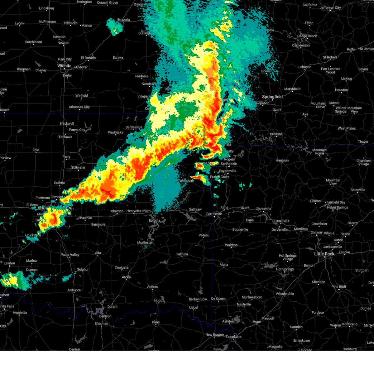 the severe thunderstorm warning has been cancelled and is no longer in effect the severe thunderstorm warning has been cancelled and is no longer in effect
|
| 5/6/2024 11:47 PM CDT |
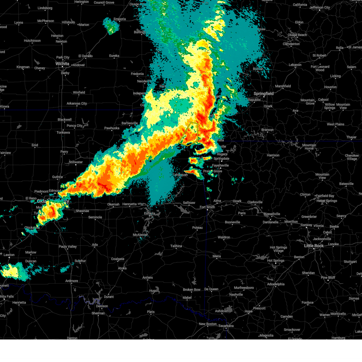 At 1147 pm cdt, a severe thunderstorm was located 3 miles north of south west city, moving northeast at 55 mph (radar indicated). Hazards include 60 mph wind gusts and quarter size hail. Hail damage to vehicles is expected. expect wind damage to roofs, siding, and trees. Locations in or near the path include, jay, grove, wyandotte, honey creek state park, zena,. At 1147 pm cdt, a severe thunderstorm was located 3 miles north of south west city, moving northeast at 55 mph (radar indicated). Hazards include 60 mph wind gusts and quarter size hail. Hail damage to vehicles is expected. expect wind damage to roofs, siding, and trees. Locations in or near the path include, jay, grove, wyandotte, honey creek state park, zena,.
|
| 5/6/2024 11:27 PM CDT |
 At 1125 pm cdt, severe thunderstorms were located along a line extending from 4 miles east of baxter springs to 3 miles southwest of seneca to 5 miles southeast of cleora, moving east at 45 mph (radar indicated. at 10:54 pm, wind damage was reported in welch with this line of storms). Hazards include 60 mph wind gusts and penny size hail. Expect damage to roofs, siding, and trees. Locations in or near the path include, miami, grove, commerce, fairland, afton, quapaw, bernice, wyandotte, picher, honey creek state park, bernice state park, cleora, narcissa, ottawa, peoria, cardin, twin bridges state park, zena, this includes interstate 44 between mile markers 293 and 324. At 1125 pm cdt, severe thunderstorms were located along a line extending from 4 miles east of baxter springs to 3 miles southwest of seneca to 5 miles southeast of cleora, moving east at 45 mph (radar indicated. at 10:54 pm, wind damage was reported in welch with this line of storms). Hazards include 60 mph wind gusts and penny size hail. Expect damage to roofs, siding, and trees. Locations in or near the path include, miami, grove, commerce, fairland, afton, quapaw, bernice, wyandotte, picher, honey creek state park, bernice state park, cleora, narcissa, ottawa, peoria, cardin, twin bridges state park, zena, this includes interstate 44 between mile markers 293 and 324.
|
| 5/6/2024 11:27 PM CDT |
 the severe thunderstorm warning has been cancelled and is no longer in effect the severe thunderstorm warning has been cancelled and is no longer in effect
|
| 5/6/2024 11:23 PM CDT |
 the severe thunderstorm warning has been cancelled and is no longer in effect the severe thunderstorm warning has been cancelled and is no longer in effect
|
| 5/6/2024 11:23 PM CDT |
 At 1123 pm cdt, a severe thunderstorm was located 4 miles southeast of chloeta, moving northeast at 50 mph (radar indicated). Hazards include 60 mph wind gusts and quarter size hail. Hail damage to vehicles is expected. expect wind damage to roofs, siding, and trees. Locations in or near the path include, jay, grove, gravette, colcord, wyandotte, maysville, chloeta, honey creek state park, zena, lake eucha state park,. At 1123 pm cdt, a severe thunderstorm was located 4 miles southeast of chloeta, moving northeast at 50 mph (radar indicated). Hazards include 60 mph wind gusts and quarter size hail. Hail damage to vehicles is expected. expect wind damage to roofs, siding, and trees. Locations in or near the path include, jay, grove, gravette, colcord, wyandotte, maysville, chloeta, honey creek state park, zena, lake eucha state park,.
|
| 5/6/2024 11:09 PM CDT |
 Svrtsa the national weather service in tulsa has issued a * severe thunderstorm warning for, northwestern benton county in northwestern arkansas, delaware county in northeastern oklahoma, southeastern ottawa county in northeastern oklahoma, east central mayes county in northeastern oklahoma, * until 1215 am cdt. * at 1108 pm cdt, a severe thunderstorm was located near jay, moving northeast at 55 mph (radar indicated). Hazards include 60 mph wind gusts and quarter size hail. Hail damage to vehicles is expected. expect wind damage to roofs, siding, and trees. Locations in or near the path include, jay, grove, gravette, salina, colcord, kansas, spavinaw, wyandotte, maysville, honey creek state park, chloeta, lake eucha state park, zena,. Svrtsa the national weather service in tulsa has issued a * severe thunderstorm warning for, northwestern benton county in northwestern arkansas, delaware county in northeastern oklahoma, southeastern ottawa county in northeastern oklahoma, east central mayes county in northeastern oklahoma, * until 1215 am cdt. * at 1108 pm cdt, a severe thunderstorm was located near jay, moving northeast at 55 mph (radar indicated). Hazards include 60 mph wind gusts and quarter size hail. Hail damage to vehicles is expected. expect wind damage to roofs, siding, and trees. Locations in or near the path include, jay, grove, gravette, salina, colcord, kansas, spavinaw, wyandotte, maysville, honey creek state park, chloeta, lake eucha state park, zena,.
|
| 5/6/2024 11:06 PM CDT |
 Svrtsa the national weather service in tulsa has issued a * severe thunderstorm warning for, southeastern craig county in northeastern oklahoma, northern delaware county in northeastern oklahoma, ottawa county in northeastern oklahoma, * until 1145 pm cdt. * at 1106 pm cdt, severe thunderstorms were located along a line extending from 2 miles west of treece to 3 miles east of narcissa to 4 miles north of pensacola, moving east at 55 mph (radar indicated). Hazards include 60 mph wind gusts and penny size hail. Expect damage to roofs, siding, and trees. Locations in or near the path include, miami, vinita, grove, commerce, fairland, afton, quapaw, bernice, ketchum, wyandotte, big cabin, picher, honey creek state park, bernice state park, cleora, narcissa, ottawa, peoria, cardin, twin bridges state park, this includes interstate 44 between mile markers 276 and 277, and between mile markers 282 and 324. Svrtsa the national weather service in tulsa has issued a * severe thunderstorm warning for, southeastern craig county in northeastern oklahoma, northern delaware county in northeastern oklahoma, ottawa county in northeastern oklahoma, * until 1145 pm cdt. * at 1106 pm cdt, severe thunderstorms were located along a line extending from 2 miles west of treece to 3 miles east of narcissa to 4 miles north of pensacola, moving east at 55 mph (radar indicated). Hazards include 60 mph wind gusts and penny size hail. Expect damage to roofs, siding, and trees. Locations in or near the path include, miami, vinita, grove, commerce, fairland, afton, quapaw, bernice, ketchum, wyandotte, big cabin, picher, honey creek state park, bernice state park, cleora, narcissa, ottawa, peoria, cardin, twin bridges state park, this includes interstate 44 between mile markers 276 and 277, and between mile markers 282 and 324.
|
| 5/6/2024 11:00 PM CDT |
 At 1059 pm cdt, severe thunderstorms were located along a line extending from near chetopa to 4 miles southeast of bluejacket to 6 miles northwest of pryor, moving east at 55 mph (radar indicated. at 10:50 pm, a 65 mph wind gust was reported 7 miles east of centralia at the vinita mesonet station). Hazards include 60 mph wind gusts and penny size hail. Expect damage to roofs, siding, and trees. Locations in or near the path include, miami, vinita, commerce, chelsea, fairland, afton, quapaw, langley, adair, welch, bernice, ketchum, spavinaw, bluejacket, disney, big cabin, pensacola, picher, hoot owl, cherokee state park, this includes interstate 44 between mile markers 261 and 314. At 1059 pm cdt, severe thunderstorms were located along a line extending from near chetopa to 4 miles southeast of bluejacket to 6 miles northwest of pryor, moving east at 55 mph (radar indicated. at 10:50 pm, a 65 mph wind gust was reported 7 miles east of centralia at the vinita mesonet station). Hazards include 60 mph wind gusts and penny size hail. Expect damage to roofs, siding, and trees. Locations in or near the path include, miami, vinita, commerce, chelsea, fairland, afton, quapaw, langley, adair, welch, bernice, ketchum, spavinaw, bluejacket, disney, big cabin, pensacola, picher, hoot owl, cherokee state park, this includes interstate 44 between mile markers 261 and 314.
|
| 5/6/2024 10:46 PM CDT |
 At 1046 pm cdt, severe thunderstorms were located along a line extending from 5 miles southeast of edna to 6 miles north of white oak to 5 miles south of foyil, moving east at 50 mph (radar indicated). Hazards include 60 mph wind gusts and nickel size hail. Expect damage to roofs, siding, and trees. Locations in or near the path include, claremore, miami, vinita, pryor creek, commerce, chelsea, fairland, afton, quapaw, langley, adair, welch, bernice, ketchum, spavinaw, foyil, bluejacket, disney, big cabin, pensacola, this includes interstate 44 between mile markers 252 and 314. At 1046 pm cdt, severe thunderstorms were located along a line extending from 5 miles southeast of edna to 6 miles north of white oak to 5 miles south of foyil, moving east at 50 mph (radar indicated). Hazards include 60 mph wind gusts and nickel size hail. Expect damage to roofs, siding, and trees. Locations in or near the path include, claremore, miami, vinita, pryor creek, commerce, chelsea, fairland, afton, quapaw, langley, adair, welch, bernice, ketchum, spavinaw, foyil, bluejacket, disney, big cabin, pensacola, this includes interstate 44 between mile markers 252 and 314.
|
| 5/6/2024 10:46 PM CDT |
 the severe thunderstorm warning has been cancelled and is no longer in effect the severe thunderstorm warning has been cancelled and is no longer in effect
|
| 5/6/2024 10:30 PM CDT |
 Svrtsa the national weather service in tulsa has issued a * severe thunderstorm warning for, craig county in northeastern oklahoma, northern rogers county in northeastern oklahoma, northwestern delaware county in northeastern oklahoma, western ottawa county in northeastern oklahoma, northern mayes county in northeastern oklahoma, nowata county in northeastern oklahoma, * until 1115 pm cdt. * at 1030 pm cdt, severe thunderstorms were located along a line extending from 5 miles east of south coffeyville to 7 miles north of new alluwe to 5 miles northwest of claremore, moving east at 45 mph (radar indicated). Hazards include 60 mph wind gusts and nickel size hail. Expect damage to roofs, siding, and trees. Locations in or near the path include, claremore, miami, vinita, nowata, pryor creek, commerce, chelsea, oologah, fairland, afton, quapaw, langley, adair, welch, bernice, ketchum, spavinaw, delaware, foyil, bluejacket, this includes interstate 44 between mile markers 252 and 314. Svrtsa the national weather service in tulsa has issued a * severe thunderstorm warning for, craig county in northeastern oklahoma, northern rogers county in northeastern oklahoma, northwestern delaware county in northeastern oklahoma, western ottawa county in northeastern oklahoma, northern mayes county in northeastern oklahoma, nowata county in northeastern oklahoma, * until 1115 pm cdt. * at 1030 pm cdt, severe thunderstorms were located along a line extending from 5 miles east of south coffeyville to 7 miles north of new alluwe to 5 miles northwest of claremore, moving east at 45 mph (radar indicated). Hazards include 60 mph wind gusts and nickel size hail. Expect damage to roofs, siding, and trees. Locations in or near the path include, claremore, miami, vinita, nowata, pryor creek, commerce, chelsea, oologah, fairland, afton, quapaw, langley, adair, welch, bernice, ketchum, spavinaw, delaware, foyil, bluejacket, this includes interstate 44 between mile markers 252 and 314.
|
| 4/28/2024 1:22 AM CDT |
 At 122 am cdt, severe thunderstorms were located along a line extending from 6 miles east of chetopa to 2 miles south of narcissa to 2 miles south of cleora, moving east at 30 mph (radar indicated). Hazards include 60 mph wind gusts and penny size hail. Expect damage to roofs, siding, and trees. Locations in or near the path include, miami, grove, commerce, fairland, afton, quapaw, welch, bernice, ketchum, bluejacket, wyandotte, picher, honey creek state park, bernice state park, cleora, narcissa, ottawa, peoria, cardin, twin bridges state park, this includes interstate 44 between mile markers 286 and 324. At 122 am cdt, severe thunderstorms were located along a line extending from 6 miles east of chetopa to 2 miles south of narcissa to 2 miles south of cleora, moving east at 30 mph (radar indicated). Hazards include 60 mph wind gusts and penny size hail. Expect damage to roofs, siding, and trees. Locations in or near the path include, miami, grove, commerce, fairland, afton, quapaw, welch, bernice, ketchum, bluejacket, wyandotte, picher, honey creek state park, bernice state park, cleora, narcissa, ottawa, peoria, cardin, twin bridges state park, this includes interstate 44 between mile markers 286 and 324.
|
| 4/28/2024 12:43 AM CDT |
 Svrtsa the national weather service in tulsa has issued a * severe thunderstorm warning for, craig county in northeastern oklahoma, northern delaware county in northeastern oklahoma, ottawa county in northeastern oklahoma, * until 145 am cdt. * at 1243 am cdt, severe thunderstorms were located along a line extending from 4 miles southwest of edna to 9 miles north of white oak to 5 miles west of big cabin, moving east at 40 mph (radar indicated). Hazards include 70 mph wind gusts and penny size hail. Expect considerable tree damage. damage is likely to mobile homes, roofs, and outbuildings. Locations in or near the path include, miami, vinita, grove, commerce, fairland, afton, quapaw, welch, bernice, ketchum, bluejacket, wyandotte, big cabin, picher, honey creek state park, bernice state park, cleora, white oak, narcissa, ottawa, this includes interstate 44 between mile markers 275 and 324. Svrtsa the national weather service in tulsa has issued a * severe thunderstorm warning for, craig county in northeastern oklahoma, northern delaware county in northeastern oklahoma, ottawa county in northeastern oklahoma, * until 145 am cdt. * at 1243 am cdt, severe thunderstorms were located along a line extending from 4 miles southwest of edna to 9 miles north of white oak to 5 miles west of big cabin, moving east at 40 mph (radar indicated). Hazards include 70 mph wind gusts and penny size hail. Expect considerable tree damage. damage is likely to mobile homes, roofs, and outbuildings. Locations in or near the path include, miami, vinita, grove, commerce, fairland, afton, quapaw, welch, bernice, ketchum, bluejacket, wyandotte, big cabin, picher, honey creek state park, bernice state park, cleora, white oak, narcissa, ottawa, this includes interstate 44 between mile markers 275 and 324.
|
| 9/5/2023 9:19 PM CDT |
 At 919 pm cdt, severe thunderstorms were located along a line extending from fairland to 3 miles east of chloeta, moving east at 45 mph (radar indicated). Hazards include 60 mph wind gusts. Expect damage to roofs, siding, and trees. locations in or near the path include, miami, jay, grove, fairland, afton, langley, bernice, ketchum, spavinaw, wyandotte, disney, honey creek state park, cherokee state park, bernice state park, spavinaw state park, cleora, chloeta, narcissa, disney little blue state park, zena, this includes interstate 44 between mile markers 286 and 307. hail threat, radar indicated max hail size, <. 75 in wind threat, radar indicated max wind gust, 60 mph. At 919 pm cdt, severe thunderstorms were located along a line extending from fairland to 3 miles east of chloeta, moving east at 45 mph (radar indicated). Hazards include 60 mph wind gusts. Expect damage to roofs, siding, and trees. locations in or near the path include, miami, jay, grove, fairland, afton, langley, bernice, ketchum, spavinaw, wyandotte, disney, honey creek state park, cherokee state park, bernice state park, spavinaw state park, cleora, chloeta, narcissa, disney little blue state park, zena, this includes interstate 44 between mile markers 286 and 307. hail threat, radar indicated max hail size, <. 75 in wind threat, radar indicated max wind gust, 60 mph.
|
| 9/5/2023 9:05 PM CDT |
 At 905 pm cdt, severe thunderstorms were located along a line extending from 4 miles west of afton to near spavinaw state park, moving northeast at 45 mph (radar indicated). Hazards include 60 mph wind gusts. Expect damage to roofs, siding, and trees. locations in or near the path include, miami, vinita, jay, grove, salina, fairland, afton, langley, bernice, ketchum, spavinaw, wyandotte, disney, pensacola, hoot owl, honey creek state park, cherokee state park, bernice state park, cleora, chloeta, this includes interstate 44 between mile markers 283 and 307. hail threat, radar indicated max hail size, <. 75 in wind threat, radar indicated max wind gust, 60 mph. At 905 pm cdt, severe thunderstorms were located along a line extending from 4 miles west of afton to near spavinaw state park, moving northeast at 45 mph (radar indicated). Hazards include 60 mph wind gusts. Expect damage to roofs, siding, and trees. locations in or near the path include, miami, vinita, jay, grove, salina, fairland, afton, langley, bernice, ketchum, spavinaw, wyandotte, disney, pensacola, hoot owl, honey creek state park, cherokee state park, bernice state park, cleora, chloeta, this includes interstate 44 between mile markers 283 and 307. hail threat, radar indicated max hail size, <. 75 in wind threat, radar indicated max wind gust, 60 mph.
|
| 8/13/2023 10:41 PM CDT |
 The severe thunderstorm warning for southern craig, northeastern rogers, northwestern delaware and southern ottawa counties will expire at 1045 pm cdt, the storms which prompted the warning have weakened below severe limits, and no longer pose an immediate threat to life or property. therefore, the warning will be allowed to expire. however gusty winds and heavy rain are still possible with these thunderstorms. a severe thunderstorm watch remains in effect until 300 am cdt for northeastern oklahoma. to report severe weather, contact your nearest law enforcement agency. they will relay your report to the national weather service tulsa. The severe thunderstorm warning for southern craig, northeastern rogers, northwestern delaware and southern ottawa counties will expire at 1045 pm cdt, the storms which prompted the warning have weakened below severe limits, and no longer pose an immediate threat to life or property. therefore, the warning will be allowed to expire. however gusty winds and heavy rain are still possible with these thunderstorms. a severe thunderstorm watch remains in effect until 300 am cdt for northeastern oklahoma. to report severe weather, contact your nearest law enforcement agency. they will relay your report to the national weather service tulsa.
|
| 8/13/2023 10:23 PM CDT |
 At 1022 pm cdt, severe thunderstorms were located along a line extending from 2 miles northwest of chelsea to 2 miles west of afton to near seneca, moving east at 10 mph (radar indicated). Hazards include 60 mph wind gusts. Expect damage to roofs, siding, and trees. locations in or near the path include, vinita, grove, chelsea, fairland, afton, bernice, wyandotte, white oak, bernice state park, narcissa, twin bridges state park, this includes interstate 44 between mile markers 277 and 304. hail threat, radar indicated max hail size, <. 75 in wind threat, radar indicated max wind gust, 60 mph. At 1022 pm cdt, severe thunderstorms were located along a line extending from 2 miles northwest of chelsea to 2 miles west of afton to near seneca, moving east at 10 mph (radar indicated). Hazards include 60 mph wind gusts. Expect damage to roofs, siding, and trees. locations in or near the path include, vinita, grove, chelsea, fairland, afton, bernice, wyandotte, white oak, bernice state park, narcissa, twin bridges state park, this includes interstate 44 between mile markers 277 and 304. hail threat, radar indicated max hail size, <. 75 in wind threat, radar indicated max wind gust, 60 mph.
|
| 8/13/2023 10:02 PM CDT |
 At 1002 pm cdt, severe thunderstorms were located along a line extending from near new alluwe to 4 miles northwest of afton to near seneca, moving south at 10 mph (radar indicated). Hazards include 60 mph wind gusts and quarter size hail. Hail damage to vehicles is expected. expect wind damage to roofs, siding, and trees. locations in or near the path include, miami, vinita, grove, chelsea, fairland, afton, bernice, bluejacket, wyandotte, new alluwe, bernice state park, white oak, narcissa, ottawa, peoria, pyramid corners, twin bridges state park, this includes interstate 44 between mile markers 277 and 310. hail threat, radar indicated max hail size, 1. 00 in wind threat, radar indicated max wind gust, 60 mph. At 1002 pm cdt, severe thunderstorms were located along a line extending from near new alluwe to 4 miles northwest of afton to near seneca, moving south at 10 mph (radar indicated). Hazards include 60 mph wind gusts and quarter size hail. Hail damage to vehicles is expected. expect wind damage to roofs, siding, and trees. locations in or near the path include, miami, vinita, grove, chelsea, fairland, afton, bernice, bluejacket, wyandotte, new alluwe, bernice state park, white oak, narcissa, ottawa, peoria, pyramid corners, twin bridges state park, this includes interstate 44 between mile markers 277 and 310. hail threat, radar indicated max hail size, 1. 00 in wind threat, radar indicated max wind gust, 60 mph.
|
| 8/9/2023 6:55 PM CDT |
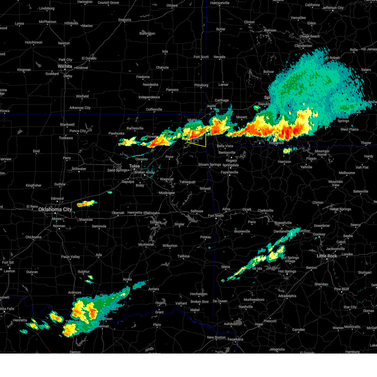 At 655 pm cdt, a severe thunderstorm was located 3 miles northeast of bernice state park, moving east at 30 mph (radar indicated). Hazards include 60 mph wind gusts and quarter size hail. Hail damage to vehicles is expected. expect wind damage to roofs, siding, and trees. locations in or near the path include, grove, fairland, bernice, bernice state park, cleora, honey creek state park, this includes interstate 44 between mile markers 298 and 300. hail threat, radar indicated max hail size, 1. 00 in wind threat, radar indicated max wind gust, 60 mph. At 655 pm cdt, a severe thunderstorm was located 3 miles northeast of bernice state park, moving east at 30 mph (radar indicated). Hazards include 60 mph wind gusts and quarter size hail. Hail damage to vehicles is expected. expect wind damage to roofs, siding, and trees. locations in or near the path include, grove, fairland, bernice, bernice state park, cleora, honey creek state park, this includes interstate 44 between mile markers 298 and 300. hail threat, radar indicated max hail size, 1. 00 in wind threat, radar indicated max wind gust, 60 mph.
|
| 7/14/2023 7:45 PM CDT |
 At 745 pm cdt, severe thunderstorms were located along a line extending from 4 miles west of washburn to near noel to near jay, moving east at 45 mph (radar indicated). Hazards include 60 mph wind gusts and penny size hail. Expect damage to roofs, siding, and trees. locations in or near the path include, jay, bella vista, grove, pea ridge, gravette, langley, bernice, spavinaw, gateway, disney, pensacola, maysville, honey creek state park, cherokee state park, bernice state park, spavinaw state park, hiwasse, cleora, chloeta, miller, this includes interstate 49 near mile marker 93. hail threat, radar indicated max hail size, 0. 75 in wind threat, radar indicated max wind gust, 60 mph. At 745 pm cdt, severe thunderstorms were located along a line extending from 4 miles west of washburn to near noel to near jay, moving east at 45 mph (radar indicated). Hazards include 60 mph wind gusts and penny size hail. Expect damage to roofs, siding, and trees. locations in or near the path include, jay, bella vista, grove, pea ridge, gravette, langley, bernice, spavinaw, gateway, disney, pensacola, maysville, honey creek state park, cherokee state park, bernice state park, spavinaw state park, hiwasse, cleora, chloeta, miller, this includes interstate 49 near mile marker 93. hail threat, radar indicated max hail size, 0. 75 in wind threat, radar indicated max wind gust, 60 mph.
|
| 7/14/2023 7:19 PM CDT |
 At 718 pm cdt, severe thunderstorms were located along a line extending from 4 miles east of goodman to 6 miles southeast of fairland to 4 miles southeast of vinita, moving southeast at 45 mph (radar indicated). Hazards include 60 mph wind gusts and penny size hail. Expect damage to roofs, siding, and trees. locations in or near the path include, vinita, jay, bella vista, grove, pea ridge, gravette, fairland, afton, langley, bernice, ketchum, spavinaw, gateway, wyandotte, disney, pensacola, honey creek state park, cherokee state park, bernice state park, hiwasse, this includes the following highways, interstate 44 between mile markers 277 and 305. interstate 49 near mile marker 93. hail threat, radar indicated max hail size, 0. 75 in wind threat, radar indicated max wind gust, 60 mph. At 718 pm cdt, severe thunderstorms were located along a line extending from 4 miles east of goodman to 6 miles southeast of fairland to 4 miles southeast of vinita, moving southeast at 45 mph (radar indicated). Hazards include 60 mph wind gusts and penny size hail. Expect damage to roofs, siding, and trees. locations in or near the path include, vinita, jay, bella vista, grove, pea ridge, gravette, fairland, afton, langley, bernice, ketchum, spavinaw, gateway, wyandotte, disney, pensacola, honey creek state park, cherokee state park, bernice state park, hiwasse, this includes the following highways, interstate 44 between mile markers 277 and 305. interstate 49 near mile marker 93. hail threat, radar indicated max hail size, 0. 75 in wind threat, radar indicated max wind gust, 60 mph.
|
| 7/14/2023 7:01 PM CDT |
 At 701 pm cdt, severe thunderstorms were located along a line extending from 3 miles northeast of seneca to 10 miles north of white oak to 8 miles east of bartlesville, moving southeast at 35 mph (radar indicated). Hazards include 60 mph wind gusts and penny size hail. Expect damage to roofs, siding, and trees. locations in or near the path include, bartlesville, miami, vinita, nowata, grove, dewey, commerce, fairland, afton, quapaw, welch, bernice, delaware, bluejacket, wyandotte, lenapah, new alluwe, bernice state park, watova, white oak, this includes interstate 44 between mile markers 280 and 323. hail threat, radar indicated max hail size, 0. 75 in wind threat, radar indicated max wind gust, 60 mph. At 701 pm cdt, severe thunderstorms were located along a line extending from 3 miles northeast of seneca to 10 miles north of white oak to 8 miles east of bartlesville, moving southeast at 35 mph (radar indicated). Hazards include 60 mph wind gusts and penny size hail. Expect damage to roofs, siding, and trees. locations in or near the path include, bartlesville, miami, vinita, nowata, grove, dewey, commerce, fairland, afton, quapaw, welch, bernice, delaware, bluejacket, wyandotte, lenapah, new alluwe, bernice state park, watova, white oak, this includes interstate 44 between mile markers 280 and 323. hail threat, radar indicated max hail size, 0. 75 in wind threat, radar indicated max wind gust, 60 mph.
|
| 7/14/2023 6:42 PM CDT |
 At 642 pm cdt, severe thunderstorms were located along a line extending from near quapaw to 9 miles west of welch to 3 miles north of dewey, moving southeast at 40 mph (radar indicated). Hazards include 60 mph wind gusts and penny size hail. Expect damage to roofs, siding, and trees. locations in or near the path include, bartlesville, miami, vinita, nowata, grove, dewey, commerce, fairland, afton, quapaw, copan, welch, bernice, delaware, bluejacket, wyandotte, lenapah, wann, new alluwe, picher, this includes interstate 44 between mile markers 280 and 323. hail threat, radar indicated max hail size, 0. 75 in wind threat, radar indicated max wind gust, 60 mph. At 642 pm cdt, severe thunderstorms were located along a line extending from near quapaw to 9 miles west of welch to 3 miles north of dewey, moving southeast at 40 mph (radar indicated). Hazards include 60 mph wind gusts and penny size hail. Expect damage to roofs, siding, and trees. locations in or near the path include, bartlesville, miami, vinita, nowata, grove, dewey, commerce, fairland, afton, quapaw, copan, welch, bernice, delaware, bluejacket, wyandotte, lenapah, wann, new alluwe, picher, this includes interstate 44 between mile markers 280 and 323. hail threat, radar indicated max hail size, 0. 75 in wind threat, radar indicated max wind gust, 60 mph.
|
| 6/18/2023 1:54 AM CDT |
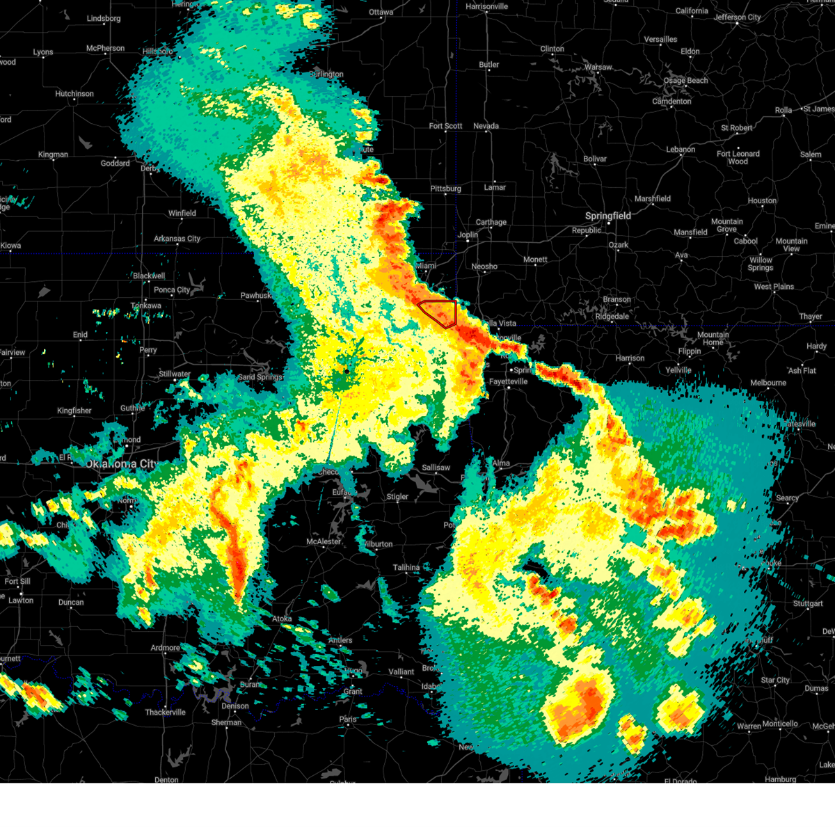 The tornado warning for northeastern delaware county will expire at 200 am cdt, the tornado threat has diminished and the tornado warning has been cancelled. however, damaging winds remain likely and a severe thunderstorm warning remains in effect for the area. a severe thunderstorm watch remains in effect until 400 am cdt for northeastern oklahoma. The tornado warning for northeastern delaware county will expire at 200 am cdt, the tornado threat has diminished and the tornado warning has been cancelled. however, damaging winds remain likely and a severe thunderstorm warning remains in effect for the area. a severe thunderstorm watch remains in effect until 400 am cdt for northeastern oklahoma.
|
| 6/18/2023 1:48 AM CDT |
 At 148 am cdt, severe thunderstorms were located along a line extending from near chetopa to 4 miles north of grove, moving northeast at 45 mph (radar indicated). Hazards include 70 mph wind gusts and penny size hail. Expect considerable tree damage. damage is likely to mobile homes, roofs, and outbuildings. locations in or near the path include, miami, grove, commerce, fairland, afton, quapaw, welch, bernice, bluejacket, wyandotte, picher, bernice state park, cleora, narcissa, ottawa, peoria, cardin, pyramid corners, twin bridges state park, this includes interstate 44 between mile markers 290 and 324. thunderstorm damage threat, considerable hail threat, radar indicated max hail size, 0. 75 in wind threat, radar indicated max wind gust, 70 mph. At 148 am cdt, severe thunderstorms were located along a line extending from near chetopa to 4 miles north of grove, moving northeast at 45 mph (radar indicated). Hazards include 70 mph wind gusts and penny size hail. Expect considerable tree damage. damage is likely to mobile homes, roofs, and outbuildings. locations in or near the path include, miami, grove, commerce, fairland, afton, quapaw, welch, bernice, bluejacket, wyandotte, picher, bernice state park, cleora, narcissa, ottawa, peoria, cardin, pyramid corners, twin bridges state park, this includes interstate 44 between mile markers 290 and 324. thunderstorm damage threat, considerable hail threat, radar indicated max hail size, 0. 75 in wind threat, radar indicated max wind gust, 70 mph.
|
| 6/18/2023 1:45 AM CDT |
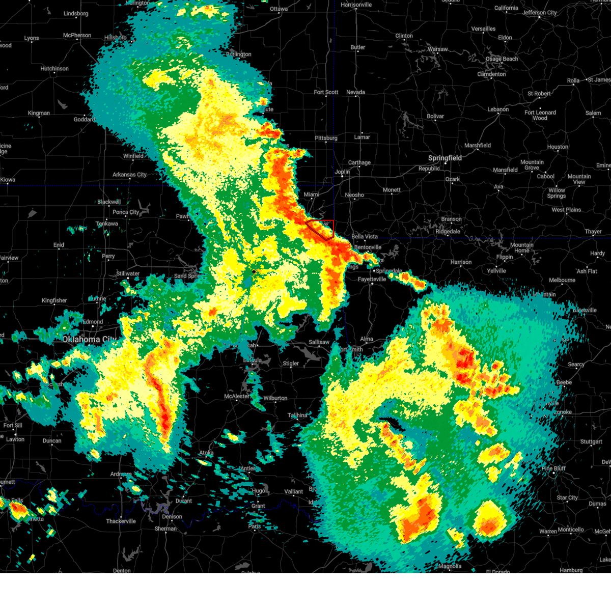 At 145 am cdt, a severe thunderstorm capable of producing a tornado was located 5 miles north of south west city, moving northeast at 65 mph (radar indicated rotation). Hazards include tornado. Flying debris will be dangerous to those caught without shelter. mobile homes will be damaged or destroyed. damage to roofs, windows, and vehicles will occur. tree damage is likely. Locations in or near the path include, grove, bernice, bernice state park, honey creek state park,. At 145 am cdt, a severe thunderstorm capable of producing a tornado was located 5 miles north of south west city, moving northeast at 65 mph (radar indicated rotation). Hazards include tornado. Flying debris will be dangerous to those caught without shelter. mobile homes will be damaged or destroyed. damage to roofs, windows, and vehicles will occur. tree damage is likely. Locations in or near the path include, grove, bernice, bernice state park, honey creek state park,.
|
| 6/18/2023 1:29 AM CDT |
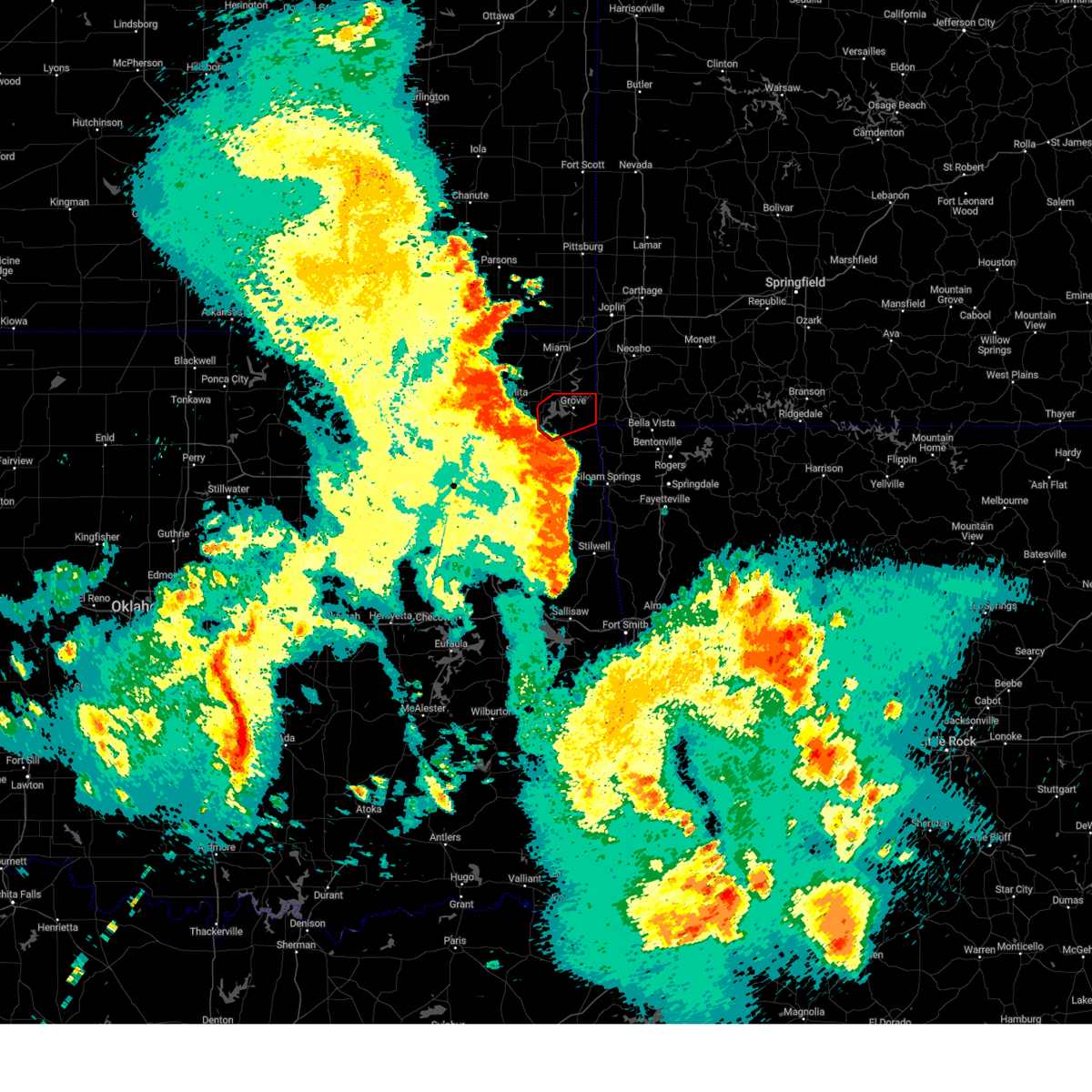 At 128 am cdt, a severe thunderstorm capable of producing a tornado was located 4 miles east of disney, moving northeast at 50 mph (radar indicated rotation). Hazards include tornado. Flying debris will be dangerous to those caught without shelter. mobile homes will be damaged or destroyed. damage to roofs, windows, and vehicles will occur. tree damage is likely. Locations in or near the path include, grove, bernice, bernice state park, cleora, honey creek state park, zena,. At 128 am cdt, a severe thunderstorm capable of producing a tornado was located 4 miles east of disney, moving northeast at 50 mph (radar indicated rotation). Hazards include tornado. Flying debris will be dangerous to those caught without shelter. mobile homes will be damaged or destroyed. damage to roofs, windows, and vehicles will occur. tree damage is likely. Locations in or near the path include, grove, bernice, bernice state park, cleora, honey creek state park, zena,.
|
| 6/18/2023 1:25 AM CDT |
 At 124 am cdt, severe thunderstorms were located along a line extending from 13 miles south of edna to near ketchum, moving northeast at 40 mph (radar indicated). Hazards include 70 mph wind gusts and penny size hail. Expect considerable tree damage. damage is likely to mobile homes, roofs, and outbuildings. locations in or near the path include, miami, vinita, commerce, fairland, afton, quapaw, welch, bernice, ketchum, bluejacket, wyandotte, picher, bernice state park, cleora, narcissa, ottawa, peoria, cardin, hollow, pyramid corners, this includes interstate 44 between mile markers 283 and 324. thunderstorm damage threat, considerable hail threat, radar indicated max hail size, 0. 75 in wind threat, radar indicated max wind gust, 70 mph. At 124 am cdt, severe thunderstorms were located along a line extending from 13 miles south of edna to near ketchum, moving northeast at 40 mph (radar indicated). Hazards include 70 mph wind gusts and penny size hail. Expect considerable tree damage. damage is likely to mobile homes, roofs, and outbuildings. locations in or near the path include, miami, vinita, commerce, fairland, afton, quapaw, welch, bernice, ketchum, bluejacket, wyandotte, picher, bernice state park, cleora, narcissa, ottawa, peoria, cardin, hollow, pyramid corners, this includes interstate 44 between mile markers 283 and 324. thunderstorm damage threat, considerable hail threat, radar indicated max hail size, 0. 75 in wind threat, radar indicated max wind gust, 70 mph.
|
| 6/18/2023 1:09 AM CDT |
 At 109 am cdt, a severe thunderstorm capable of producing a tornado was located near pensacola, moving northeast at 65 mph (radar indicated rotation). Hazards include tornado. Flying debris will be dangerous to those caught without shelter. mobile homes will be damaged or destroyed. damage to roofs, windows, and vehicles will occur. tree damage is likely. Locations in or near the path include, grove, langley, adair, bernice, ketchum, spavinaw, disney, pensacola, hoot owl, honey creek state park, cherokee state park, bernice state park, spavinaw state park, cleora, chloeta, strang, disney little blue state park, zena,. At 109 am cdt, a severe thunderstorm capable of producing a tornado was located near pensacola, moving northeast at 65 mph (radar indicated rotation). Hazards include tornado. Flying debris will be dangerous to those caught without shelter. mobile homes will be damaged or destroyed. damage to roofs, windows, and vehicles will occur. tree damage is likely. Locations in or near the path include, grove, langley, adair, bernice, ketchum, spavinaw, disney, pensacola, hoot owl, honey creek state park, cherokee state park, bernice state park, spavinaw state park, cleora, chloeta, strang, disney little blue state park, zena,.
|
| 6/18/2023 12:52 AM CDT |
 At 1251 am cdt, severe thunderstorms were located along a line extending from 2 miles north of watova to 2 miles south of foyil, moving east at 55 mph (radar indicated). Hazards include 70 mph wind gusts and nickel size hail. Expect considerable tree damage. damage is likely to mobile homes, roofs, and outbuildings. locations in or near the path include, miami, vinita, grove, chelsea, fairland, afton, welch, bernice, ketchum, foyil, bluejacket, big cabin, new alluwe, honey creek state park, bernice state park, watova, cleora, white oak, narcissa, centrailia, this includes interstate 44 between mile markers 266 and 304. thunderstorm damage threat, considerable hail threat, radar indicated max hail size, 0. 88 in wind threat, radar indicated max wind gust, 70 mph. At 1251 am cdt, severe thunderstorms were located along a line extending from 2 miles north of watova to 2 miles south of foyil, moving east at 55 mph (radar indicated). Hazards include 70 mph wind gusts and nickel size hail. Expect considerable tree damage. damage is likely to mobile homes, roofs, and outbuildings. locations in or near the path include, miami, vinita, grove, chelsea, fairland, afton, welch, bernice, ketchum, foyil, bluejacket, big cabin, new alluwe, honey creek state park, bernice state park, watova, cleora, white oak, narcissa, centrailia, this includes interstate 44 between mile markers 266 and 304. thunderstorm damage threat, considerable hail threat, radar indicated max hail size, 0. 88 in wind threat, radar indicated max wind gust, 70 mph.
|
| 4/5/2023 4:24 AM CDT |
 The severe thunderstorm warning for southeastern craig, northwestern delaware and southwestern ottawa counties will expire at 430 am cdt, the storm which prompted the warning has moved out of the area. therefore, the warning will be allowed to expire. a severe thunderstorm watch remains in effect until 1000 am cdt for northeastern oklahoma. to report severe weather, contact your nearest law enforcement agency. they will relay your report to the national weather service tulsa. The severe thunderstorm warning for southeastern craig, northwestern delaware and southwestern ottawa counties will expire at 430 am cdt, the storm which prompted the warning has moved out of the area. therefore, the warning will be allowed to expire. a severe thunderstorm watch remains in effect until 1000 am cdt for northeastern oklahoma. to report severe weather, contact your nearest law enforcement agency. they will relay your report to the national weather service tulsa.
|
| 4/5/2023 4:04 AM CDT |
 At 403 am cdt, a severe thunderstorm was located over vinita, moving northeast at 50 mph (radar indicated). Hazards include ping pong ball size hail and 60 mph wind gusts. People and animals outdoors will be injured. expect hail damage to roofs, siding, windows, and vehicles. expect wind damage to roofs, siding, and trees. locations in or near the path include, vinita, grove, afton, bernice, ketchum, bluejacket, big cabin, cleora, honey creek state park, white oak, bernice state park, this includes interstate 44 between mile markers 275 and 300. hail threat, radar indicated max hail size, 1. 50 in wind threat, radar indicated max wind gust, 60 mph. At 403 am cdt, a severe thunderstorm was located over vinita, moving northeast at 50 mph (radar indicated). Hazards include ping pong ball size hail and 60 mph wind gusts. People and animals outdoors will be injured. expect hail damage to roofs, siding, windows, and vehicles. expect wind damage to roofs, siding, and trees. locations in or near the path include, vinita, grove, afton, bernice, ketchum, bluejacket, big cabin, cleora, honey creek state park, white oak, bernice state park, this includes interstate 44 between mile markers 275 and 300. hail threat, radar indicated max hail size, 1. 50 in wind threat, radar indicated max wind gust, 60 mph.
|
| 4/5/2023 3:54 AM CDT |
 At 354 am cdt, a severe thunderstorm was located near big cabin, moving northeast at 55 mph (radar indicated). Hazards include ping pong ball size hail and 60 mph wind gusts. People and animals outdoors will be injured. expect hail damage to roofs, siding, windows, and vehicles. expect wind damage to roofs, siding, and trees. locations in or near the path include, vinita, grove, afton, adair, bernice, ketchum, bluejacket, disney, big cabin, pensacola, honey creek state park, cherokee state park, bernice state park, cleora, white oak, this includes interstate 44 between mile markers 266 and 300. hail threat, radar indicated max hail size, 1. 50 in wind threat, radar indicated max wind gust, 60 mph. At 354 am cdt, a severe thunderstorm was located near big cabin, moving northeast at 55 mph (radar indicated). Hazards include ping pong ball size hail and 60 mph wind gusts. People and animals outdoors will be injured. expect hail damage to roofs, siding, windows, and vehicles. expect wind damage to roofs, siding, and trees. locations in or near the path include, vinita, grove, afton, adair, bernice, ketchum, bluejacket, disney, big cabin, pensacola, honey creek state park, cherokee state park, bernice state park, cleora, white oak, this includes interstate 44 between mile markers 266 and 300. hail threat, radar indicated max hail size, 1. 50 in wind threat, radar indicated max wind gust, 60 mph.
|
| 4/5/2023 3:45 AM CDT |
 At 345 am cdt, a severe thunderstorm was located 6 miles west of adair, moving northeast at 50 mph (radar indicated). Hazards include ping pong ball size hail and 60 mph wind gusts. People and animals outdoors will be injured. expect hail damage to roofs, siding, windows, and vehicles. expect wind damage to roofs, siding, and trees. locations in or near the path include, vinita, grove, afton, langley, adair, bernice, ketchum, bluejacket, disney, big cabin, pensacola, honey creek state park, cherokee state park, bernice state park, cleora, white oak, strang, disney little blue state park, zena, this includes interstate 44 between mile markers 260 and 300. hail threat, radar indicated max hail size, 1. 50 in wind threat, radar indicated max wind gust, 60 mph. At 345 am cdt, a severe thunderstorm was located 6 miles west of adair, moving northeast at 50 mph (radar indicated). Hazards include ping pong ball size hail and 60 mph wind gusts. People and animals outdoors will be injured. expect hail damage to roofs, siding, windows, and vehicles. expect wind damage to roofs, siding, and trees. locations in or near the path include, vinita, grove, afton, langley, adair, bernice, ketchum, bluejacket, disney, big cabin, pensacola, honey creek state park, cherokee state park, bernice state park, cleora, white oak, strang, disney little blue state park, zena, this includes interstate 44 between mile markers 260 and 300. hail threat, radar indicated max hail size, 1. 50 in wind threat, radar indicated max wind gust, 60 mph.
|
| 3/2/2023 12:17 PM CST |
 At 1217 pm cst, a severe thunderstorm was located 3 miles south of afton, moving northeast at 50 mph (radar indicated). Hazards include 60 mph wind gusts and quarter size hail. Hail damage to vehicles is expected. expect wind damage to roofs, siding, and trees. locations in or near the path include, miami, grove, commerce, fairland, afton, quapaw, bernice, wyandotte, picher, bernice state park, cleora, narcissa, ottawa, peoria, cardin, twin bridges state park, this includes interstate 44 between mile markers 287 and 324. hail threat, radar indicated max hail size, 1. 00 in wind threat, radar indicated max wind gust, 60 mph. At 1217 pm cst, a severe thunderstorm was located 3 miles south of afton, moving northeast at 50 mph (radar indicated). Hazards include 60 mph wind gusts and quarter size hail. Hail damage to vehicles is expected. expect wind damage to roofs, siding, and trees. locations in or near the path include, miami, grove, commerce, fairland, afton, quapaw, bernice, wyandotte, picher, bernice state park, cleora, narcissa, ottawa, peoria, cardin, twin bridges state park, this includes interstate 44 between mile markers 287 and 324. hail threat, radar indicated max hail size, 1. 00 in wind threat, radar indicated max wind gust, 60 mph.
|
| 2/27/2023 12:26 AM CST |
 At 1224 am cst, severe thunderstorms were located along a line extending from 2 miles northwest of south west city to 3 miles northwest of siloam springs to 3 miles northeast of christie to 4 miles west of gans, moving northeast at 65 mph (observed). Hazards include 70 mph wind gusts. Expect considerable tree damage. damage is likely to mobile homes, roofs, and outbuildings. this storm has a history of producing 70mph winds. locations in or near the path include, fort smith, fayetteville, springdale, rogers, bentonville, van buren, siloam springs, miami, sallisaw, stilwell, jay, cedarville, mountainburg, natural dam, bella vista, lowell, grove, farmington, alma, pea ridge, this includes the following highways, interstate 40 in arkansas between mile markers 0 and 23. interstate 40 in oklahoma between mile markers 302 and 328. interstate 44 between mile markers 297 and 308. interstate 540 between mile markers 1 and 14. interstate 49 between mile markers 22 and 93. thunderstorm damage threat, considerable hail threat, radar indicated max hail size, <. 75 in wind threat, observed max wind gust, 70 mph. At 1224 am cst, severe thunderstorms were located along a line extending from 2 miles northwest of south west city to 3 miles northwest of siloam springs to 3 miles northeast of christie to 4 miles west of gans, moving northeast at 65 mph (observed). Hazards include 70 mph wind gusts. Expect considerable tree damage. damage is likely to mobile homes, roofs, and outbuildings. this storm has a history of producing 70mph winds. locations in or near the path include, fort smith, fayetteville, springdale, rogers, bentonville, van buren, siloam springs, miami, sallisaw, stilwell, jay, cedarville, mountainburg, natural dam, bella vista, lowell, grove, farmington, alma, pea ridge, this includes the following highways, interstate 40 in arkansas between mile markers 0 and 23. interstate 40 in oklahoma between mile markers 302 and 328. interstate 44 between mile markers 297 and 308. interstate 540 between mile markers 1 and 14. interstate 49 between mile markers 22 and 93. thunderstorm damage threat, considerable hail threat, radar indicated max hail size, <. 75 in wind threat, observed max wind gust, 70 mph.
|
| 2/27/2023 12:10 AM CST |
 At 1209 am cst, severe thunderstorms were located along a line extending from 3 miles north of afton to 4 miles north of kansas to 4 miles southeast of pumpkin center, moving northeast at 70 mph. winds gusts of 70+ mph have been observed near hulbert with this line of storms (radar indicated). Hazards include 70 mph wind gusts. Expect considerable tree damage. damage is likely to mobile homes, roofs, and outbuildings. locations in or near the path include, rogers, bentonville, tahlequah, siloam springs, vinita, stilwell, jay, bella vista, grove, prairie grove, gentry, tontitown, gravette, lincoln, cave springs, decatur, westville, fairland, afton, gore, this includes the following highways, interstate 44 between mile markers 283 and 302. interstate 49 between mile markers 89 and 93. thunderstorm damage threat, considerable hail threat, radar indicated max hail size, <. 75 in wind threat, observed max wind gust, 70 mph. At 1209 am cst, severe thunderstorms were located along a line extending from 3 miles north of afton to 4 miles north of kansas to 4 miles southeast of pumpkin center, moving northeast at 70 mph. winds gusts of 70+ mph have been observed near hulbert with this line of storms (radar indicated). Hazards include 70 mph wind gusts. Expect considerable tree damage. damage is likely to mobile homes, roofs, and outbuildings. locations in or near the path include, rogers, bentonville, tahlequah, siloam springs, vinita, stilwell, jay, bella vista, grove, prairie grove, gentry, tontitown, gravette, lincoln, cave springs, decatur, westville, fairland, afton, gore, this includes the following highways, interstate 44 between mile markers 283 and 302. interstate 49 between mile markers 89 and 93. thunderstorm damage threat, considerable hail threat, radar indicated max hail size, <. 75 in wind threat, observed max wind gust, 70 mph.
|
| 2/26/2023 11:51 PM CST |
 At 1150 pm cst, severe thunderstorms were located along a line extending from near white oak to 3 miles north of peggs to 3 miles southwest of keefeton, moving northeast at 60 mph (radar indicated). Hazards include 70 mph wind gusts. Expect considerable tree damage. damage is likely to mobile homes, roofs, and outbuildings. locations in or near the path include, rogers, muskogee, bentonville, tahlequah, siloam springs, miami, vinita, stilwell, jay, bella vista, grove, prairie grove, fort gibson, gentry, tontitown, gravette, lincoln, cave springs, decatur, warner, this includes the following highways, interstate 44 between mile markers 270 and 324. interstate 49 between mile markers 89 and 93. thunderstorm damage threat, considerable hail threat, radar indicated max hail size, <. 75 in wind threat, radar indicated max wind gust, 70 mph. At 1150 pm cst, severe thunderstorms were located along a line extending from near white oak to 3 miles north of peggs to 3 miles southwest of keefeton, moving northeast at 60 mph (radar indicated). Hazards include 70 mph wind gusts. Expect considerable tree damage. damage is likely to mobile homes, roofs, and outbuildings. locations in or near the path include, rogers, muskogee, bentonville, tahlequah, siloam springs, miami, vinita, stilwell, jay, bella vista, grove, prairie grove, fort gibson, gentry, tontitown, gravette, lincoln, cave springs, decatur, warner, this includes the following highways, interstate 44 between mile markers 270 and 324. interstate 49 between mile markers 89 and 93. thunderstorm damage threat, considerable hail threat, radar indicated max hail size, <. 75 in wind threat, radar indicated max wind gust, 70 mph.
|
| 1/2/2023 6:22 PM CST |
 At 622 pm cst, a severe thunderstorm was located near narcissa, moving northeast at 55 mph (radar indicated). Hazards include 60 mph wind gusts and nickel size hail. Expect damage to roofs, siding, and trees. Locations in or near the path include, miami, commerce, fairland, afton, quapaw, bernice, wyandotte, picher, bernice state park, cleora, narcissa, ottawa, peoria, cardin, twin bridges state park, this includes interstate 44 between mile markers 294 and 324. At 622 pm cst, a severe thunderstorm was located near narcissa, moving northeast at 55 mph (radar indicated). Hazards include 60 mph wind gusts and nickel size hail. Expect damage to roofs, siding, and trees. Locations in or near the path include, miami, commerce, fairland, afton, quapaw, bernice, wyandotte, picher, bernice state park, cleora, narcissa, ottawa, peoria, cardin, twin bridges state park, this includes interstate 44 between mile markers 294 and 324.
|
| 1/2/2023 6:09 PM CST |
 At 609 pm cst, a severe thunderstorm was located over afton, moving northeast at 45 mph (radar indicated). Hazards include 60 mph wind gusts and quarter size hail. Hail damage to vehicles is expected. expect wind damage to roofs, siding, and trees. Locations in or near the path include, miami, vinita, commerce, fairland, afton, quapaw, bernice, ketchum, wyandotte, picher, bernice state park, cleora, narcissa, ottawa, peoria, cardin, twin bridges state park, this includes interstate 44 between mile markers 284 and 324. At 609 pm cst, a severe thunderstorm was located over afton, moving northeast at 45 mph (radar indicated). Hazards include 60 mph wind gusts and quarter size hail. Hail damage to vehicles is expected. expect wind damage to roofs, siding, and trees. Locations in or near the path include, miami, vinita, commerce, fairland, afton, quapaw, bernice, ketchum, wyandotte, picher, bernice state park, cleora, narcissa, ottawa, peoria, cardin, twin bridges state park, this includes interstate 44 between mile markers 284 and 324.
|
| 7/27/2022 4:58 PM CDT |
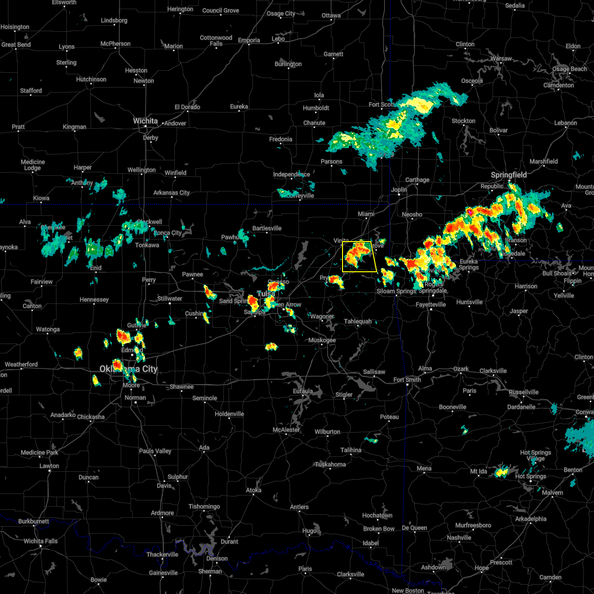 At 458 pm cdt, a severe thunderstorm was located over ketchum, moving east at 15 mph (radar indicated). Hazards include 60 mph wind gusts and nickel size hail. Expect damage to roofs, siding, and trees. locations in or near the path include, vinita, jay, grove, langley, bernice, ketchum, disney, pensacola, cherokee state park, bernice state park, cleora, chloeta, strang, disney little blue state park, zena, this includes interstate 44 between mile markers 284 and 288. hail threat, radar indicated max hail size, 0. 88 in wind threat, radar indicated max wind gust, 60 mph. At 458 pm cdt, a severe thunderstorm was located over ketchum, moving east at 15 mph (radar indicated). Hazards include 60 mph wind gusts and nickel size hail. Expect damage to roofs, siding, and trees. locations in or near the path include, vinita, jay, grove, langley, bernice, ketchum, disney, pensacola, cherokee state park, bernice state park, cleora, chloeta, strang, disney little blue state park, zena, this includes interstate 44 between mile markers 284 and 288. hail threat, radar indicated max hail size, 0. 88 in wind threat, radar indicated max wind gust, 60 mph.
|
| 7/27/2022 4:43 PM CDT |
 At 443 pm cdt, a severe thunderstorm was located 3 miles north of ketchum, moving east at 15 mph (radar indicated). Hazards include 60 mph wind gusts. Expect damage to roofs, siding, and trees. locations in or near the path include, afton, bernice, bernice state park, cleora, this includes interstate 44 between mile markers 290 and 298. hail threat, radar indicated max hail size, <. 75 in wind threat, radar indicated max wind gust, 60 mph. At 443 pm cdt, a severe thunderstorm was located 3 miles north of ketchum, moving east at 15 mph (radar indicated). Hazards include 60 mph wind gusts. Expect damage to roofs, siding, and trees. locations in or near the path include, afton, bernice, bernice state park, cleora, this includes interstate 44 between mile markers 290 and 298. hail threat, radar indicated max hail size, <. 75 in wind threat, radar indicated max wind gust, 60 mph.
|
| 7/27/2022 4:19 PM CDT |
 At 419 pm cdt, a severe thunderstorm was located 4 miles south of vinita, moving northeast at 15 mph (radar indicated). Hazards include 60 mph wind gusts. Expect damage to roofs, siding, and trees. locations in or near the path include, vinita, afton, bernice, bluejacket, bernice state park, cleora, this includes interstate 44 between mile markers 277 and 298. hail threat, radar indicated max hail size, <. 75 in wind threat, radar indicated max wind gust, 60 mph. At 419 pm cdt, a severe thunderstorm was located 4 miles south of vinita, moving northeast at 15 mph (radar indicated). Hazards include 60 mph wind gusts. Expect damage to roofs, siding, and trees. locations in or near the path include, vinita, afton, bernice, bluejacket, bernice state park, cleora, this includes interstate 44 between mile markers 277 and 298. hail threat, radar indicated max hail size, <. 75 in wind threat, radar indicated max wind gust, 60 mph.
|
| 5/15/2022 2:14 AM CDT |
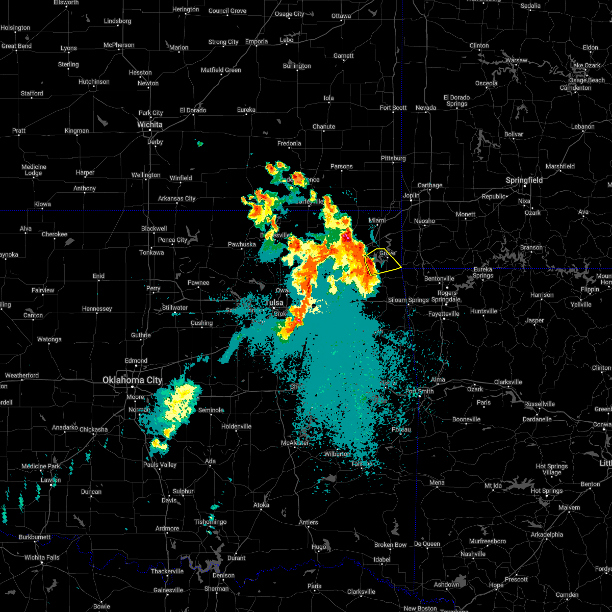 At 214 am cdt, a severe thunderstorm was located 3 miles southeast of cleora, moving east at 25 mph (radar indicated). Hazards include 60 mph wind gusts and half dollar size hail. Hail damage to vehicles is expected. expect wind damage to roofs, siding, and trees. locations in or near the path include, grove, bernice, bernice state park, cleora, honey creek state park, zena, hail threat, radar indicated max hail size, 1. 25 in wind threat, radar indicated max wind gust, 60 mph. At 214 am cdt, a severe thunderstorm was located 3 miles southeast of cleora, moving east at 25 mph (radar indicated). Hazards include 60 mph wind gusts and half dollar size hail. Hail damage to vehicles is expected. expect wind damage to roofs, siding, and trees. locations in or near the path include, grove, bernice, bernice state park, cleora, honey creek state park, zena, hail threat, radar indicated max hail size, 1. 25 in wind threat, radar indicated max wind gust, 60 mph.
|
| 5/15/2022 1:43 AM CDT |
 At 142 am cdt, a severe thunderstorm was located over pensacola, moving northeast at 25 mph (radar indicated). Hazards include 60 mph wind gusts and half dollar size hail. Hail damage to vehicles is expected. expect wind damage to roofs, siding, and trees. locations in or near the path include, grove, langley, bernice, ketchum, spavinaw, disney, big cabin, pensacola, hoot owl, honey creek state park, cherokee state park, bernice state park, spavinaw state park, cleora, chloeta, strang, disney little blue state park, zena, hail threat, radar indicated max hail size, 1. 25 in wind threat, radar indicated max wind gust, 60 mph. At 142 am cdt, a severe thunderstorm was located over pensacola, moving northeast at 25 mph (radar indicated). Hazards include 60 mph wind gusts and half dollar size hail. Hail damage to vehicles is expected. expect wind damage to roofs, siding, and trees. locations in or near the path include, grove, langley, bernice, ketchum, spavinaw, disney, big cabin, pensacola, hoot owl, honey creek state park, cherokee state park, bernice state park, spavinaw state park, cleora, chloeta, strang, disney little blue state park, zena, hail threat, radar indicated max hail size, 1. 25 in wind threat, radar indicated max wind gust, 60 mph.
|
| 4/11/2022 1:14 AM CDT |
 At 113 am cdt, a severe thunderstorm was located near fairland, moving east at 45 mph (radar indicated). Hazards include 60 mph wind gusts. Expect damage to roofs, siding, and trees. locations in or near the path include, miami, grove, commerce, fairland, afton, quapaw, bernice, wyandotte, picher, honey creek state park, bernice state park, cleora, narcissa, ottawa, peoria, cardin, twin bridges state park, this includes interstate 44 between mile markers 294 and 324. hail threat, radar indicated max hail size, <. 75 in wind threat, radar indicated max wind gust, 60 mph. At 113 am cdt, a severe thunderstorm was located near fairland, moving east at 45 mph (radar indicated). Hazards include 60 mph wind gusts. Expect damage to roofs, siding, and trees. locations in or near the path include, miami, grove, commerce, fairland, afton, quapaw, bernice, wyandotte, picher, honey creek state park, bernice state park, cleora, narcissa, ottawa, peoria, cardin, twin bridges state park, this includes interstate 44 between mile markers 294 and 324. hail threat, radar indicated max hail size, <. 75 in wind threat, radar indicated max wind gust, 60 mph.
|
| 4/11/2022 12:54 AM CDT |
 At 1253 am cdt, a severe thunderstorm was located 4 miles southwest of bluejacket, moving east at 45 mph (radar indicated). Hazards include 60 mph wind gusts. Expect damage to roofs, siding, and trees. locations in or near the path include, miami, vinita, grove, commerce, fairland, afton, quapaw, welch, bernice, bluejacket, wyandotte, picher, honey creek state park, bernice state park, cleora, narcissa, ottawa, peoria, cardin, pyramid corners, this includes interstate 44 between mile markers 282 and 324. hail threat, radar indicated max hail size, <. 75 in wind threat, radar indicated max wind gust, 60 mph. At 1253 am cdt, a severe thunderstorm was located 4 miles southwest of bluejacket, moving east at 45 mph (radar indicated). Hazards include 60 mph wind gusts. Expect damage to roofs, siding, and trees. locations in or near the path include, miami, vinita, grove, commerce, fairland, afton, quapaw, welch, bernice, bluejacket, wyandotte, picher, honey creek state park, bernice state park, cleora, narcissa, ottawa, peoria, cardin, pyramid corners, this includes interstate 44 between mile markers 282 and 324. hail threat, radar indicated max hail size, <. 75 in wind threat, radar indicated max wind gust, 60 mph.
|
| 3/30/2022 3:14 AM CDT |
 At 314 am cdt, severe thunderstorms were located along a line extending from 5 miles southeast of fairland to 4 miles east of grove to 6 miles northeast of jay, moving northeast at 60 mph (radar indicated). Hazards include 60 mph wind gusts. Expect damage to roofs, siding, and trees. locations in or near the path include, jay, grove, fairland, afton, bernice, wyandotte, cleora, chloeta, honey creek state park, bernice state park, zena, twin bridges state park, hail threat, radar indicated max hail size, <. 75 in wind threat, radar indicated max wind gust, 60 mph. At 314 am cdt, severe thunderstorms were located along a line extending from 5 miles southeast of fairland to 4 miles east of grove to 6 miles northeast of jay, moving northeast at 60 mph (radar indicated). Hazards include 60 mph wind gusts. Expect damage to roofs, siding, and trees. locations in or near the path include, jay, grove, fairland, afton, bernice, wyandotte, cleora, chloeta, honey creek state park, bernice state park, zena, twin bridges state park, hail threat, radar indicated max hail size, <. 75 in wind threat, radar indicated max wind gust, 60 mph.
|
| 3/30/2022 3:03 AM CDT |
 At 302 am cdt, severe thunderstorms were located along a line extending from 2 miles east of cleora to 4 miles northwest of jay to 5 miles southeast of chloeta, moving northeast at 50 mph (radar indicated). Hazards include 60 mph wind gusts. Expect damage to roofs, siding, and trees. locations in or near the path include, jay, grove, fairland, afton, bernice, wyandotte, cleora, chloeta, honey creek state park, bernice state park, zena, twin bridges state park, hail threat, radar indicated max hail size, <. 75 in wind threat, radar indicated max wind gust, 60 mph. At 302 am cdt, severe thunderstorms were located along a line extending from 2 miles east of cleora to 4 miles northwest of jay to 5 miles southeast of chloeta, moving northeast at 50 mph (radar indicated). Hazards include 60 mph wind gusts. Expect damage to roofs, siding, and trees. locations in or near the path include, jay, grove, fairland, afton, bernice, wyandotte, cleora, chloeta, honey creek state park, bernice state park, zena, twin bridges state park, hail threat, radar indicated max hail size, <. 75 in wind threat, radar indicated max wind gust, 60 mph.
|
| 10/11/2021 12:24 AM CDT |
 At 1224 am cdt, severe thunderstorms were located along a line extending from 2 miles south of fairland to 4 miles west of south west city to near colcord, moving northeast at 55 mph (radar indicated). Hazards include 60 mph wind gusts and quarter size hail. Hail damage to vehicles is expected. expect wind damage to roofs, siding, and trees. locations in or near the path include, jay, grove, fairland, colcord, bernice, wyandotte, cleora, honey creek state park, bernice state park, zena, lake eucha state park, twin bridges state park, hail threat, radar indicated max hail size, 1. 00 in wind threat, radar indicated max wind gust, 60 mph. At 1224 am cdt, severe thunderstorms were located along a line extending from 2 miles south of fairland to 4 miles west of south west city to near colcord, moving northeast at 55 mph (radar indicated). Hazards include 60 mph wind gusts and quarter size hail. Hail damage to vehicles is expected. expect wind damage to roofs, siding, and trees. locations in or near the path include, jay, grove, fairland, colcord, bernice, wyandotte, cleora, honey creek state park, bernice state park, zena, lake eucha state park, twin bridges state park, hail threat, radar indicated max hail size, 1. 00 in wind threat, radar indicated max wind gust, 60 mph.
|
| 10/10/2021 11:55 PM CDT |
 At 1155 pm cdt, severe thunderstorms were located along a line extending from 2 miles southeast of pensacola to 2 miles west of leach to 5 miles southwest of scraper, moving northeast at 40 mph (radar indicated). Hazards include 60 mph wind gusts and quarter size hail. Hail damage to vehicles is expected. expect wind damage to roofs, siding, and trees. locations in or near the path include, jay, grove, fairland, west siloam springs, langley, colcord, kansas, bernice, spavinaw, wyandotte, disney, oaks, honey creek state park, cherokee state park, rose, bernice state park, leach, cleora, chloeta, scraper, hail threat, radar indicated max hail size, 1. 00 in wind threat, radar indicated max wind gust, 60 mph. At 1155 pm cdt, severe thunderstorms were located along a line extending from 2 miles southeast of pensacola to 2 miles west of leach to 5 miles southwest of scraper, moving northeast at 40 mph (radar indicated). Hazards include 60 mph wind gusts and quarter size hail. Hail damage to vehicles is expected. expect wind damage to roofs, siding, and trees. locations in or near the path include, jay, grove, fairland, west siloam springs, langley, colcord, kansas, bernice, spavinaw, wyandotte, disney, oaks, honey creek state park, cherokee state park, rose, bernice state park, leach, cleora, chloeta, scraper, hail threat, radar indicated max hail size, 1. 00 in wind threat, radar indicated max wind gust, 60 mph.
|
| 5/27/2021 4:58 PM CDT |
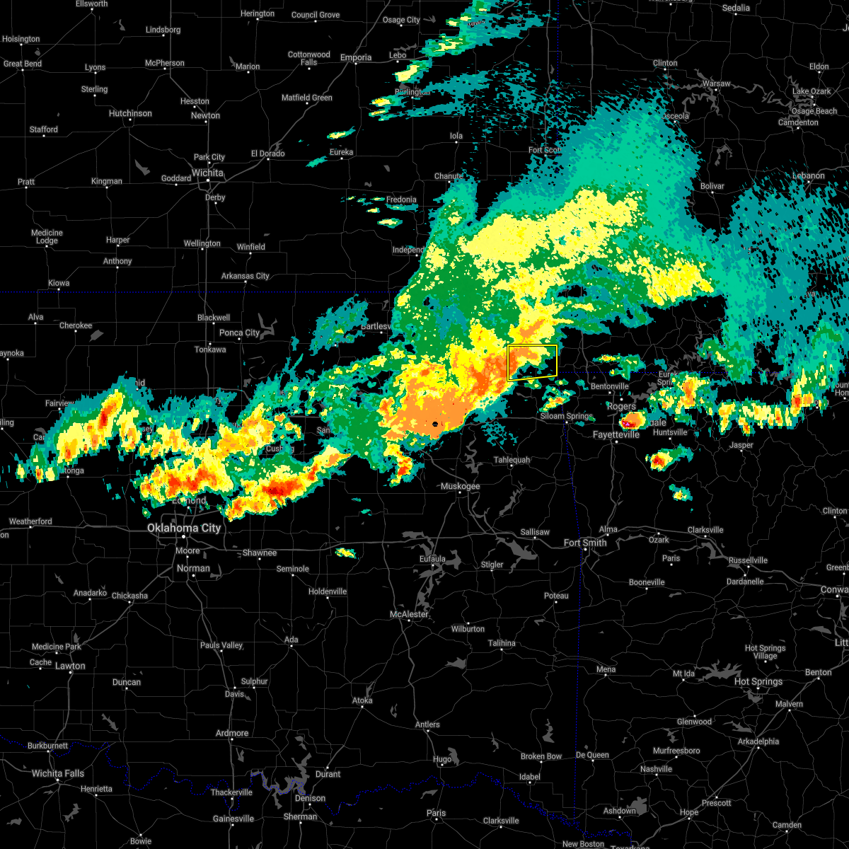 At 458 pm cdt, a severe thunderstorm was located 3 miles southeast of bernice state park, moving east at 30 mph (radar indicated). Hazards include 60 mph wind gusts and quarter size hail. Hail damage to vehicles is expected. expect wind damage to roofs, siding, and trees. Locations in or near the path include, grove, bernice, bernice state park, cleora, honey creek state park, zena, a tornado watch remains in effect until 700 pm cdt for northeastern oklahoma. At 458 pm cdt, a severe thunderstorm was located 3 miles southeast of bernice state park, moving east at 30 mph (radar indicated). Hazards include 60 mph wind gusts and quarter size hail. Hail damage to vehicles is expected. expect wind damage to roofs, siding, and trees. Locations in or near the path include, grove, bernice, bernice state park, cleora, honey creek state park, zena, a tornado watch remains in effect until 700 pm cdt for northeastern oklahoma.
|
| 5/27/2021 4:34 PM CDT |
 At 434 pm cdt, a severe thunderstorm was located 4 miles northwest of ketchum, moving east at 30 mph (radar indicated). Hazards include 60 mph wind gusts and quarter size hail. Hail damage to vehicles is expected. expect wind damage to roofs, siding, and trees. locations in or near the path include, vinita, grove, afton, langley, bernice, ketchum, disney, pensacola, honey creek state park, cherokee state park, bernice state park, cleora, disney little blue state park, zena, this includes interstate 44 between mile markers 284 and 292. A tornado watch remains in effect until 700 pm cdt for northeastern oklahoma. At 434 pm cdt, a severe thunderstorm was located 4 miles northwest of ketchum, moving east at 30 mph (radar indicated). Hazards include 60 mph wind gusts and quarter size hail. Hail damage to vehicles is expected. expect wind damage to roofs, siding, and trees. locations in or near the path include, vinita, grove, afton, langley, bernice, ketchum, disney, pensacola, honey creek state park, cherokee state park, bernice state park, cleora, disney little blue state park, zena, this includes interstate 44 between mile markers 284 and 292. A tornado watch remains in effect until 700 pm cdt for northeastern oklahoma.
|
| 5/27/2021 1:05 PM CDT |
 At 104 pm cdt, a severe thunderstorm was located over afton, moving east at 30 mph (radar indicated). Hazards include 60 mph wind gusts and quarter size hail. Hail damage to vehicles is expected. expect wind damage to roofs, siding, and trees. locations in or near the path include, fairland, afton, wyandotte, narcissa, ottawa, twin bridges state park, this includes interstate 44 between mile markers 294 and 305. A tornado watch remains in effect until 700 pm cdt for northeastern oklahoma. At 104 pm cdt, a severe thunderstorm was located over afton, moving east at 30 mph (radar indicated). Hazards include 60 mph wind gusts and quarter size hail. Hail damage to vehicles is expected. expect wind damage to roofs, siding, and trees. locations in or near the path include, fairland, afton, wyandotte, narcissa, ottawa, twin bridges state park, this includes interstate 44 between mile markers 294 and 305. A tornado watch remains in effect until 700 pm cdt for northeastern oklahoma.
|
| 5/27/2021 12:46 PM CDT |
 At 1246 pm cdt, a severe thunderstorm was located over vinita, moving northeast at 30 mph (radar indicated). Hazards include 60 mph wind gusts and quarter size hail. Hail damage to vehicles is expected. expect wind damage to roofs, siding, and trees. locations in or near the path include, miami, vinita, fairland, afton, bernice, wyandotte, narcissa, ottawa, twin bridges state park, this includes interstate 44 between mile markers 282 and 314. A tornado watch remains in effect until 700 pm cdt for northeastern oklahoma. At 1246 pm cdt, a severe thunderstorm was located over vinita, moving northeast at 30 mph (radar indicated). Hazards include 60 mph wind gusts and quarter size hail. Hail damage to vehicles is expected. expect wind damage to roofs, siding, and trees. locations in or near the path include, miami, vinita, fairland, afton, bernice, wyandotte, narcissa, ottawa, twin bridges state park, this includes interstate 44 between mile markers 282 and 314. A tornado watch remains in effect until 700 pm cdt for northeastern oklahoma.
|
| 1/30/2021 3:45 PM CST |
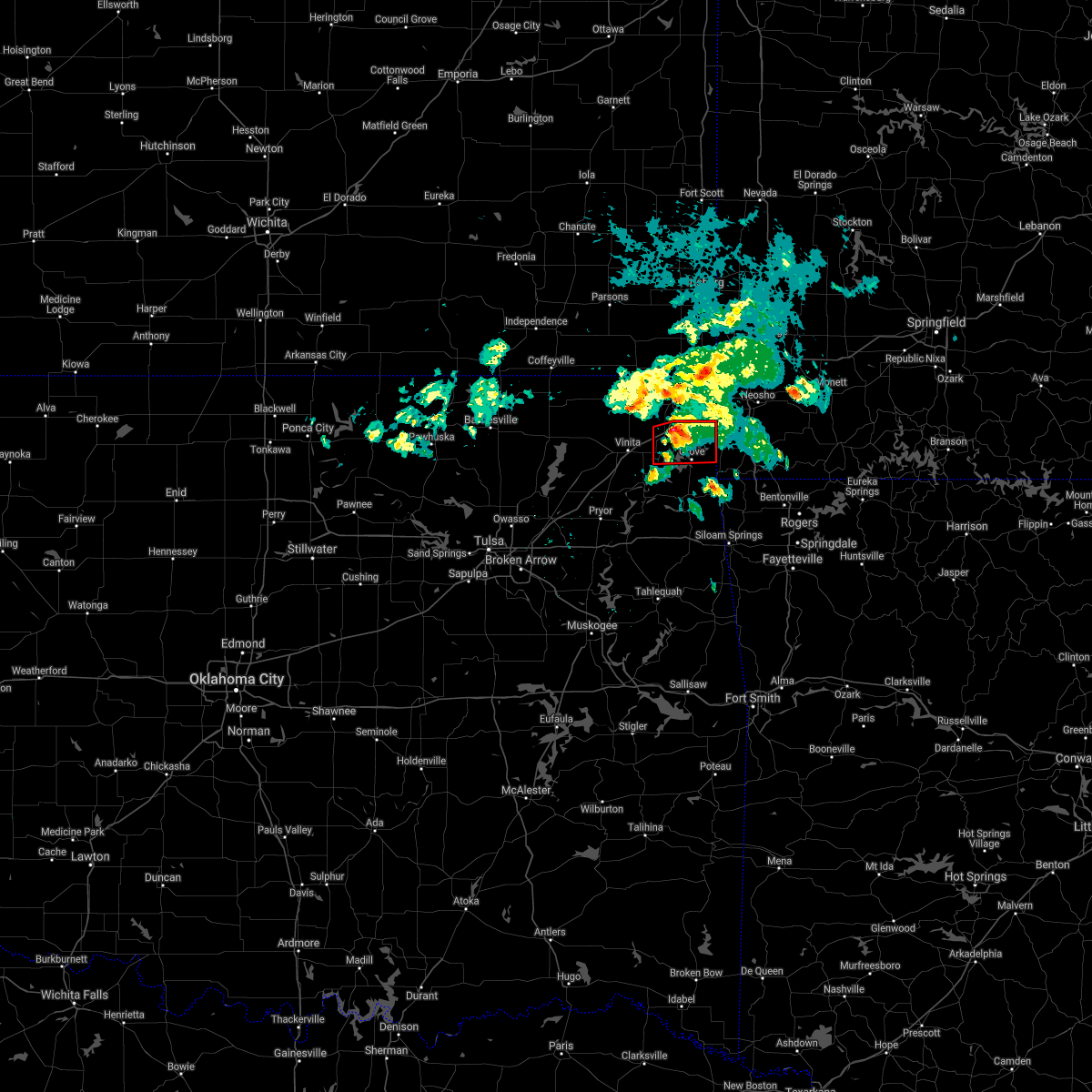 At 345 pm cst, a severe thunderstorm capable of producing a tornado was located near afton, moving east at 35 mph (radar indicated rotation). Hazards include tornado. Flying debris will be dangerous to those caught without shelter. mobile homes will be damaged or destroyed. damage to roofs, windows, and vehicles will occur. tree damage is likely. Locations in or near the path include, grove, fairland, afton, bernice, cleora, bernice state park, honey creek state park, this includes interstate 44 between mile markers 294 and 301. At 345 pm cst, a severe thunderstorm capable of producing a tornado was located near afton, moving east at 35 mph (radar indicated rotation). Hazards include tornado. Flying debris will be dangerous to those caught without shelter. mobile homes will be damaged or destroyed. damage to roofs, windows, and vehicles will occur. tree damage is likely. Locations in or near the path include, grove, fairland, afton, bernice, cleora, bernice state park, honey creek state park, this includes interstate 44 between mile markers 294 and 301.
|
| 1/30/2021 3:24 PM CST |
 At 324 pm cst, a severe thunderstorm capable of producing a tornado was located over vinita, moving east at 30 mph (radar indicated rotation). Hazards include tornado. Flying debris will be dangerous to those caught without shelter. mobile homes will be damaged or destroyed. damage to roofs, windows, and vehicles will occur. tree damage is likely. Locations in or near the path include, vinita, grove, fairland, afton, bernice, cleora, honey creek state park, bernice state park, this includes interstate 44 between mile markers 278 and 301. At 324 pm cst, a severe thunderstorm capable of producing a tornado was located over vinita, moving east at 30 mph (radar indicated rotation). Hazards include tornado. Flying debris will be dangerous to those caught without shelter. mobile homes will be damaged or destroyed. damage to roofs, windows, and vehicles will occur. tree damage is likely. Locations in or near the path include, vinita, grove, fairland, afton, bernice, cleora, honey creek state park, bernice state park, this includes interstate 44 between mile markers 278 and 301.
|
| 11/24/2020 9:22 PM CST |
 The severe thunderstorm warning for northwestern benton, eastern craig, delaware, ottawa and northeastern mayes counties will expire at 930 pm cst, the storms which prompted the warning have weakened below severe limits, and were exiting the warned area. therefore the warning will be allowed to expire. however gusty winds are still possible with these thunderstorms. The severe thunderstorm warning for northwestern benton, eastern craig, delaware, ottawa and northeastern mayes counties will expire at 930 pm cst, the storms which prompted the warning have weakened below severe limits, and were exiting the warned area. therefore the warning will be allowed to expire. however gusty winds are still possible with these thunderstorms.
|
| 11/24/2020 8:39 PM CST |
 At 839 pm cst, severe thunderstorms were located along a line extending from 4 miles west of treece to 2 miles northeast of afton to 3 miles southeast of hoot owl, moving east at 50 mph (radar indicated). Hazards include 60 mph wind gusts and quarter size hail. Hail damage to vehicles is expected. expect wind damage to roofs, siding, and trees. Locations in or near the path include, miami, jay, grove, commerce, gravette, salina, fairland, afton, quapaw, langley, bernice, ketchum, spavinaw, wyandotte, disney, picher, hoot owl, honey creek state park, cherokee state park, bernice state park, this includes interstate 44 between mile markers 292 and 324. At 839 pm cst, severe thunderstorms were located along a line extending from 4 miles west of treece to 2 miles northeast of afton to 3 miles southeast of hoot owl, moving east at 50 mph (radar indicated). Hazards include 60 mph wind gusts and quarter size hail. Hail damage to vehicles is expected. expect wind damage to roofs, siding, and trees. Locations in or near the path include, miami, jay, grove, commerce, gravette, salina, fairland, afton, quapaw, langley, bernice, ketchum, spavinaw, wyandotte, disney, picher, hoot owl, honey creek state park, cherokee state park, bernice state park, this includes interstate 44 between mile markers 292 and 324.
|
| 11/24/2020 8:19 PM CST |
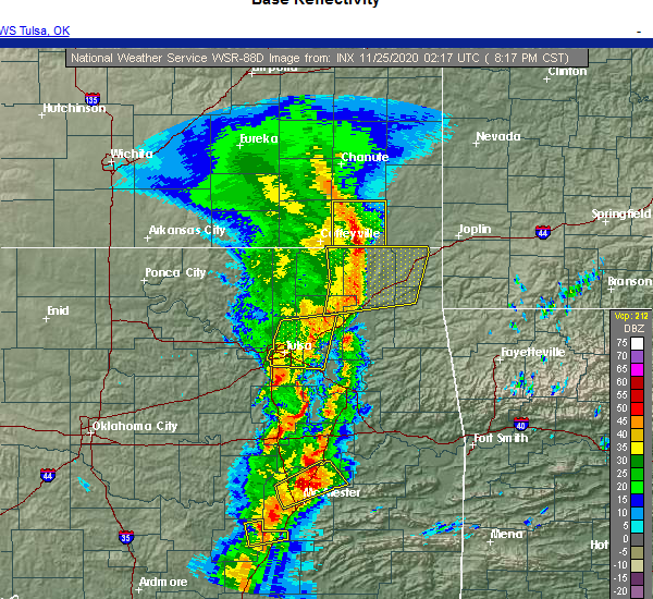 At 819 pm cst, severe thunderstorms were located along a line extending from 2 miles east of edna to 8 miles southwest of welch to 3 miles west of big cabin, moving east at 55 mph (radar indicated). Hazards include 60 mph wind gusts and quarter size hail. Hail damage to vehicles is expected. expect wind damage to roofs, siding, and trees. Locations in or near the path include, miami, vinita, grove, commerce, fairland, afton, quapaw, welch, bernice, ketchum, bluejacket, big cabin, picher, bernice state park, cleora, white oak, narcissa, ottawa, cardin, hollow, this includes interstate 44 between mile markers 273 and 316. At 819 pm cst, severe thunderstorms were located along a line extending from 2 miles east of edna to 8 miles southwest of welch to 3 miles west of big cabin, moving east at 55 mph (radar indicated). Hazards include 60 mph wind gusts and quarter size hail. Hail damage to vehicles is expected. expect wind damage to roofs, siding, and trees. Locations in or near the path include, miami, vinita, grove, commerce, fairland, afton, quapaw, welch, bernice, ketchum, bluejacket, big cabin, picher, bernice state park, cleora, white oak, narcissa, ottawa, cardin, hollow, this includes interstate 44 between mile markers 273 and 316.
|
| 11/24/2020 8:02 PM CST |
 At 802 pm cst, severe thunderstorms were located along a line extending from 6 miles east of south coffeyville to 9 miles east of delaware to near foyil, moving east at 50 mph (radar indicated). Hazards include 60 mph wind gusts and quarter size hail. Hail damage to vehicles is expected. expect wind damage to roofs, siding, and trees. Locations in or near the path include, miami, vinita, grove, commerce, chelsea, fairland, afton, quapaw, welch, bernice, ketchum, bluejacket, big cabin, new alluwe, picher, bernice state park, cleora, white oak, narcissa, ottawa, this includes interstate 44 between mile markers 269 and 316. At 802 pm cst, severe thunderstorms were located along a line extending from 6 miles east of south coffeyville to 9 miles east of delaware to near foyil, moving east at 50 mph (radar indicated). Hazards include 60 mph wind gusts and quarter size hail. Hail damage to vehicles is expected. expect wind damage to roofs, siding, and trees. Locations in or near the path include, miami, vinita, grove, commerce, chelsea, fairland, afton, quapaw, welch, bernice, ketchum, bluejacket, big cabin, new alluwe, picher, bernice state park, cleora, white oak, narcissa, ottawa, this includes interstate 44 between mile markers 269 and 316.
|
| 8/15/2020 6:47 PM CDT |
 At 646 pm cdt, a severe thunderstorm was located near afton, moving south at 20 mph (radar indicated). Hazards include 60 mph wind gusts and half dollar size hail. Hail damage to vehicles is expected. expect wind damage to roofs, siding, and trees. Locations in or near the path include, vinita, afton, langley, bernice, ketchum, disney, big cabin, cherokee state park, bernice state park, cleora, white oak, disney little blue state park, zena, this includes interstate 44 between mile markers 274 and 299. At 646 pm cdt, a severe thunderstorm was located near afton, moving south at 20 mph (radar indicated). Hazards include 60 mph wind gusts and half dollar size hail. Hail damage to vehicles is expected. expect wind damage to roofs, siding, and trees. Locations in or near the path include, vinita, afton, langley, bernice, ketchum, disney, big cabin, cherokee state park, bernice state park, cleora, white oak, disney little blue state park, zena, this includes interstate 44 between mile markers 274 and 299.
|
| 7/11/2020 8:06 PM CDT |
 At 805 pm cdt, severe thunderstorms were located along a line extending from 4 miles west of honey creek state park to near cherokee state park to 4 miles northwest of adair, moving southeast at 40 mph (radar indicated). Hazards include golf ball size hail and 70 mph wind gusts. People and animals outdoors will be injured. expect hail damage to roofs, siding, windows, and vehicles. expect considerable tree damage. wind damage is also likely to mobile homes, roofs, and outbuildings. Locations in or near the path include, vinita, ketchum, big cabin, white oak, cleora, this includes interstate 44 between mile markers 273 and 290. At 805 pm cdt, severe thunderstorms were located along a line extending from 4 miles west of honey creek state park to near cherokee state park to 4 miles northwest of adair, moving southeast at 40 mph (radar indicated). Hazards include golf ball size hail and 70 mph wind gusts. People and animals outdoors will be injured. expect hail damage to roofs, siding, windows, and vehicles. expect considerable tree damage. wind damage is also likely to mobile homes, roofs, and outbuildings. Locations in or near the path include, vinita, ketchum, big cabin, white oak, cleora, this includes interstate 44 between mile markers 273 and 290.
|
| 7/11/2020 7:48 PM CDT |
 At 747 pm cdt, severe thunderstorms were located along a line extending from near afton to vinita to 5 miles east of new alluwe, moving southeast at 40 mph (radar indicated. wind to 66 mph was reported in vinita). Hazards include golf ball size hail and 70 mph wind gusts. People and animals outdoors will be injured. expect hail damage to roofs, siding, windows, and vehicles. expect considerable tree damage. wind damage is also likely to mobile homes, roofs, and outbuildings. Locations in or near the path include, vinita, afton, bernice, ketchum, bluejacket, big cabin, cleora, white oak, narcissa, bernice state park, pyramid corners, this includes interstate 44 between mile markers 273 and 301. At 747 pm cdt, severe thunderstorms were located along a line extending from near afton to vinita to 5 miles east of new alluwe, moving southeast at 40 mph (radar indicated. wind to 66 mph was reported in vinita). Hazards include golf ball size hail and 70 mph wind gusts. People and animals outdoors will be injured. expect hail damage to roofs, siding, windows, and vehicles. expect considerable tree damage. wind damage is also likely to mobile homes, roofs, and outbuildings. Locations in or near the path include, vinita, afton, bernice, ketchum, bluejacket, big cabin, cleora, white oak, narcissa, bernice state park, pyramid corners, this includes interstate 44 between mile markers 273 and 301.
|
| 7/11/2020 7:38 PM CDT |
 At 737 pm cdt, severe thunderstorms were located along a line extending from 3 miles southwest of narcissa to 4 miles northwest of vinita to 7 miles northeast of new alluwe, moving southeast at 40 mph (radar indicated). Hazards include golf ball size hail and 70 mph wind gusts. People and animals outdoors will be injured. expect hail damage to roofs, siding, windows, and vehicles. expect considerable tree damage. wind damage is also likely to mobile homes, roofs, and outbuildings. Locations in or near the path include, vinita, afton, bernice, ketchum, bluejacket, big cabin, cleora, white oak, narcissa, bernice state park, pyramid corners, this includes interstate 44 between mile markers 273 and 301. At 737 pm cdt, severe thunderstorms were located along a line extending from 3 miles southwest of narcissa to 4 miles northwest of vinita to 7 miles northeast of new alluwe, moving southeast at 40 mph (radar indicated). Hazards include golf ball size hail and 70 mph wind gusts. People and animals outdoors will be injured. expect hail damage to roofs, siding, windows, and vehicles. expect considerable tree damage. wind damage is also likely to mobile homes, roofs, and outbuildings. Locations in or near the path include, vinita, afton, bernice, ketchum, bluejacket, big cabin, cleora, white oak, narcissa, bernice state park, pyramid corners, this includes interstate 44 between mile markers 273 and 301.
|
| 7/11/2020 7:30 PM CDT |
 At 729 pm cdt, a severe thunderstorm was located 4 miles northwest of grove, moving southeast at 30 mph (radar indicated. golfball size hail was reported 4 miles south of fairland). Hazards include golf ball size hail and 70 mph wind gusts. People and animals outdoors will be injured. expect hail damage to roofs, siding, windows, and vehicles. expect considerable tree damage. wind damage is also likely to mobile homes, roofs, and outbuildings. Locations in or near the path include, grove, fairland, afton, bernice, honey creek state park, bernice state park, zena, this includes interstate 44 between mile markers 296 and 300. At 729 pm cdt, a severe thunderstorm was located 4 miles northwest of grove, moving southeast at 30 mph (radar indicated. golfball size hail was reported 4 miles south of fairland). Hazards include golf ball size hail and 70 mph wind gusts. People and animals outdoors will be injured. expect hail damage to roofs, siding, windows, and vehicles. expect considerable tree damage. wind damage is also likely to mobile homes, roofs, and outbuildings. Locations in or near the path include, grove, fairland, afton, bernice, honey creek state park, bernice state park, zena, this includes interstate 44 between mile markers 296 and 300.
|
| 7/11/2020 7:18 PM CDT |
 At 717 pm cdt, a severe thunderstorm was located 3 miles southeast of fairland, moving southeast at 35 mph (radar indicated. quarter size hail was reported near narcissa and near fairland). Hazards include golf ball size hail and 70 mph wind gusts. People and animals outdoors will be injured. expect hail damage to roofs, siding, windows, and vehicles. expect considerable tree damage. wind damage is also likely to mobile homes, roofs, and outbuildings. Locations in or near the path include, miami, grove, fairland, afton, bernice, wyandotte, honey creek state park, narcissa, bernice state park, ottawa, zena, twin bridges state park, this includes interstate 44 between mile markers 296 and 307. At 717 pm cdt, a severe thunderstorm was located 3 miles southeast of fairland, moving southeast at 35 mph (radar indicated. quarter size hail was reported near narcissa and near fairland). Hazards include golf ball size hail and 70 mph wind gusts. People and animals outdoors will be injured. expect hail damage to roofs, siding, windows, and vehicles. expect considerable tree damage. wind damage is also likely to mobile homes, roofs, and outbuildings. Locations in or near the path include, miami, grove, fairland, afton, bernice, wyandotte, honey creek state park, narcissa, bernice state park, ottawa, zena, twin bridges state park, this includes interstate 44 between mile markers 296 and 307.
|
| 7/11/2020 6:57 PM CDT |
 At 656 pm cdt, a severe thunderstorm was located 3 miles north of narcissa, moving southeast at 35 mph (radar indicated). Hazards include golf ball size hail and 70 mph wind gusts. People and animals outdoors will be injured. expect hail damage to roofs, siding, windows, and vehicles. expect considerable tree damage. wind damage is also likely to mobile homes, roofs, and outbuildings. Locations in or near the path include, miami, grove, commerce, fairland, afton, quapaw, bernice, wyandotte, honey creek state park, bernice state park, narcissa, ottawa, peoria, cardin, zena, twin bridges state park, this includes interstate 44 between mile markers 296 and 320. At 656 pm cdt, a severe thunderstorm was located 3 miles north of narcissa, moving southeast at 35 mph (radar indicated). Hazards include golf ball size hail and 70 mph wind gusts. People and animals outdoors will be injured. expect hail damage to roofs, siding, windows, and vehicles. expect considerable tree damage. wind damage is also likely to mobile homes, roofs, and outbuildings. Locations in or near the path include, miami, grove, commerce, fairland, afton, quapaw, bernice, wyandotte, honey creek state park, bernice state park, narcissa, ottawa, peoria, cardin, zena, twin bridges state park, this includes interstate 44 between mile markers 296 and 320.
|
| 5/25/2020 9:02 PM CDT |
 At 902 pm cdt, severe thunderstorms were located along a line extending from 3 miles west of narcissa to 6 miles southeast of seneca to near bentonville, moving north at 40 mph (radar indicated). Hazards include 60 mph wind gusts and quarter size hail. Hail damage to vehicles is expected. expect wind damage to roofs, siding, and trees. locations in or near the path include, rogers, bentonville, miami, bella vista, lowell, grove, pea ridge, commerce, gravette, fairland, afton, quapaw, bernice, wyandotte, picher, honey creek state park, bernice state park, hiwasse, cleora, narcissa, this includes the following highways, interstate 44 between mile markers 292 and 323. interstate 49 between mile markers 80 and 93. A tornado watch remains in effect until midnight cdt for northwestern arkansas, and northeastern oklahoma. At 902 pm cdt, severe thunderstorms were located along a line extending from 3 miles west of narcissa to 6 miles southeast of seneca to near bentonville, moving north at 40 mph (radar indicated). Hazards include 60 mph wind gusts and quarter size hail. Hail damage to vehicles is expected. expect wind damage to roofs, siding, and trees. locations in or near the path include, rogers, bentonville, miami, bella vista, lowell, grove, pea ridge, commerce, gravette, fairland, afton, quapaw, bernice, wyandotte, picher, honey creek state park, bernice state park, hiwasse, cleora, narcissa, this includes the following highways, interstate 44 between mile markers 292 and 323. interstate 49 between mile markers 80 and 93. A tornado watch remains in effect until midnight cdt for northwestern arkansas, and northeastern oklahoma.
|
| 5/25/2020 8:38 PM CDT |
 At 837 pm cdt, severe thunderstorms were located along a line extending from near ketchum to 5 miles northwest of noel to 2 miles southwest of bentonville, moving north at 35 mph (radar indicated). Hazards include 60 mph wind gusts and quarter size hail. Hail damage to vehicles is expected. expect wind damage to roofs, siding, and trees. locations in or near the path include, rogers, bentonville, miami, jay, bella vista, lowell, grove, pea ridge, commerce, gravette, fairland, afton, quapaw, bernice, wyandotte, picher, honey creek state park, bernice state park, hiwasse, cleora, this includes the following highways, interstate 44 between mile markers 292 and 323. interstate 49 between mile markers 80 and 93. A tornado watch remains in effect until midnight cdt for northwestern arkansas, and northeastern oklahoma. At 837 pm cdt, severe thunderstorms were located along a line extending from near ketchum to 5 miles northwest of noel to 2 miles southwest of bentonville, moving north at 35 mph (radar indicated). Hazards include 60 mph wind gusts and quarter size hail. Hail damage to vehicles is expected. expect wind damage to roofs, siding, and trees. locations in or near the path include, rogers, bentonville, miami, jay, bella vista, lowell, grove, pea ridge, commerce, gravette, fairland, afton, quapaw, bernice, wyandotte, picher, honey creek state park, bernice state park, hiwasse, cleora, this includes the following highways, interstate 44 between mile markers 292 and 323. interstate 49 between mile markers 80 and 93. A tornado watch remains in effect until midnight cdt for northwestern arkansas, and northeastern oklahoma.
|
| 5/25/2020 8:31 PM CDT |
 At 830 pm cdt, severe thunderstorms were located along a line extending from 3 miles northeast of disney to near south west city to 4 miles southeast of hiwasse to 3 miles northeast of fayetteville, moving north at 30 mph (radar indicated). Hazards include 60 mph wind gusts and nickel size hail. Expect damage to roofs, siding, and trees. locations in or near the path include, fayetteville, springdale, rogers, bentonville, jay, bella vista, lowell, grove, farmington, elkins, tontitown, bethel heights, gravette, cave springs, decatur, greenland, afton, highfill, bernice, springtown, this includes the following highways, interstate 44 between mile markers 293 and 298. interstate 49 between mile markers 58 and 93. A tornado watch remains in effect until midnight cdt for northwestern arkansas, and northeastern oklahoma. At 830 pm cdt, severe thunderstorms were located along a line extending from 3 miles northeast of disney to near south west city to 4 miles southeast of hiwasse to 3 miles northeast of fayetteville, moving north at 30 mph (radar indicated). Hazards include 60 mph wind gusts and nickel size hail. Expect damage to roofs, siding, and trees. locations in or near the path include, fayetteville, springdale, rogers, bentonville, jay, bella vista, lowell, grove, farmington, elkins, tontitown, bethel heights, gravette, cave springs, decatur, greenland, afton, highfill, bernice, springtown, this includes the following highways, interstate 44 between mile markers 293 and 298. interstate 49 between mile markers 58 and 93. A tornado watch remains in effect until midnight cdt for northwestern arkansas, and northeastern oklahoma.
|
| 5/25/2020 8:16 PM CDT |
 At 816 pm cdt, severe thunderstorms were located along a line extending from near chloeta to maysville to northwest arkansas regional airport to 2 miles east of brentwood, moving north at 30 mph (radar indicated). Hazards include 60 mph wind gusts and nickel size hail. Expect damage to roofs, siding, and trees. locations in or near the path include, fayetteville, springdale, rogers, bentonville, siloam springs, jay, bella vista, lowell, grove, farmington, prairie grove, gentry, elkins, tontitown, bethel heights, gravette, west fork, cave springs, decatur, greenland, this includes the following highways, interstate 44 between mile markers 293 and 298. interstate 49 between mile markers 48 and 93. A tornado watch remains in effect until midnight cdt for northwestern arkansas, and northeastern oklahoma. At 816 pm cdt, severe thunderstorms were located along a line extending from near chloeta to maysville to northwest arkansas regional airport to 2 miles east of brentwood, moving north at 30 mph (radar indicated). Hazards include 60 mph wind gusts and nickel size hail. Expect damage to roofs, siding, and trees. locations in or near the path include, fayetteville, springdale, rogers, bentonville, siloam springs, jay, bella vista, lowell, grove, farmington, prairie grove, gentry, elkins, tontitown, bethel heights, gravette, west fork, cave springs, decatur, greenland, this includes the following highways, interstate 44 between mile markers 293 and 298. interstate 49 between mile markers 48 and 93. A tornado watch remains in effect until midnight cdt for northwestern arkansas, and northeastern oklahoma.
|
| 5/25/2020 7:45 PM CDT |
 At 745 pm cdt, severe thunderstorms were located along a line extending from near leach to 6 miles east of cincinnati to 4 miles northeast of lake fort smith, moving north at 30 mph (radar indicated). Hazards include 60 mph wind gusts and nickel size hail. Expect damage to roofs, siding, and trees. locations in or near the path include, fayetteville, springdale, rogers, bentonville, siloam springs, jay, bella vista, lowell, grove, farmington, prairie grove, gentry, elkins, tontitown, bethel heights, gravette, west fork, cave springs, decatur, greenland, this includes the following highways, interstate 44 between mile markers 293 and 298. interstate 49 between mile markers 42 and 93. A tornado watch remains in effect until midnight cdt for northwestern arkansas, and northeastern oklahoma. At 745 pm cdt, severe thunderstorms were located along a line extending from near leach to 6 miles east of cincinnati to 4 miles northeast of lake fort smith, moving north at 30 mph (radar indicated). Hazards include 60 mph wind gusts and nickel size hail. Expect damage to roofs, siding, and trees. locations in or near the path include, fayetteville, springdale, rogers, bentonville, siloam springs, jay, bella vista, lowell, grove, farmington, prairie grove, gentry, elkins, tontitown, bethel heights, gravette, west fork, cave springs, decatur, greenland, this includes the following highways, interstate 44 between mile markers 293 and 298. interstate 49 between mile markers 42 and 93. A tornado watch remains in effect until midnight cdt for northwestern arkansas, and northeastern oklahoma.
|
| 5/4/2020 9:35 AM CDT |
 At 935 am cdt, a severe thunderstorm was located near fairland, moving east at 25 mph (radar indicated). Hazards include golf ball size hail. People and animals outdoors will be injured. expect damage to roofs, siding, windows, and vehicles. Locations in or near the path include, grove, fairland, afton, bernice, wyandotte, bernice state park, twin bridges state park, this includes interstate 44 between mile markers 295 and 303. At 935 am cdt, a severe thunderstorm was located near fairland, moving east at 25 mph (radar indicated). Hazards include golf ball size hail. People and animals outdoors will be injured. expect damage to roofs, siding, windows, and vehicles. Locations in or near the path include, grove, fairland, afton, bernice, wyandotte, bernice state park, twin bridges state park, this includes interstate 44 between mile markers 295 and 303.
|
| 5/4/2020 9:30 AM CDT |
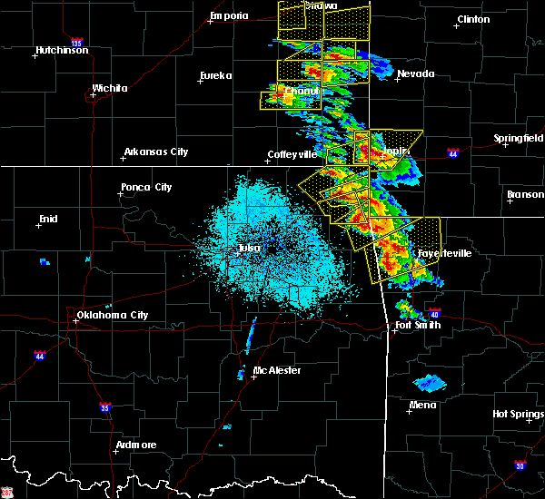 At 930 am cdt, a severe thunderstorm was located 3 miles north of bernice state park, moving east at 30 mph (radar indicated). Hazards include golf ball size hail. People and animals outdoors will be injured. expect damage to roofs, siding, windows, and vehicles. Locations in or near the path include, afton,. At 930 am cdt, a severe thunderstorm was located 3 miles north of bernice state park, moving east at 30 mph (radar indicated). Hazards include golf ball size hail. People and animals outdoors will be injured. expect damage to roofs, siding, windows, and vehicles. Locations in or near the path include, afton,.
|
| 5/4/2020 9:26 AM CDT |
 At 926 am cdt, a severe thunderstorm was located near afton, moving east at 25 mph (radar indicated). Hazards include ping pong ball size hail. People and animals outdoors will be injured. expect damage to roofs, siding, windows, and vehicles. Locations in or near the path include, grove, fairland, afton, bernice, wyandotte, narcissa, bernice state park, twin bridges state park, this includes interstate 44 between mile markers 290 and 305. At 926 am cdt, a severe thunderstorm was located near afton, moving east at 25 mph (radar indicated). Hazards include ping pong ball size hail. People and animals outdoors will be injured. expect damage to roofs, siding, windows, and vehicles. Locations in or near the path include, grove, fairland, afton, bernice, wyandotte, narcissa, bernice state park, twin bridges state park, this includes interstate 44 between mile markers 290 and 305.
|
| 5/4/2020 9:12 AM CDT |
 At 911 am cdt, a severe thunderstorm was located 5 miles northeast of chloeta, moving east at 30 mph (radar indicated). Hazards include golf ball size hail. People and animals outdoors will be injured. expect damage to roofs, siding, windows, and vehicles. Locations in or near the path include, jay, grove, afton, bernice, ketchum, cleora, honey creek state park, bernice state park, zena, this includes interstate 44 near mile marker 285. At 911 am cdt, a severe thunderstorm was located 5 miles northeast of chloeta, moving east at 30 mph (radar indicated). Hazards include golf ball size hail. People and animals outdoors will be injured. expect damage to roofs, siding, windows, and vehicles. Locations in or near the path include, jay, grove, afton, bernice, ketchum, cleora, honey creek state park, bernice state park, zena, this includes interstate 44 near mile marker 285.
|
| 5/4/2020 9:01 AM CDT |
 At 901 am cdt, a severe thunderstorm was located over ketchum, moving east at 25 mph (radar indicated). Hazards include two inch hail. People and animals outdoors will be injured. expect damage to roofs, siding, windows, and vehicles. Locations in or near the path include, vinita, jay, grove, afton, langley, bernice, ketchum, disney, honey creek state park, cherokee state park, bernice state park, cleora, disney little blue state park, zena, this includes interstate 44 between mile markers 283 and 285. At 901 am cdt, a severe thunderstorm was located over ketchum, moving east at 25 mph (radar indicated). Hazards include two inch hail. People and animals outdoors will be injured. expect damage to roofs, siding, windows, and vehicles. Locations in or near the path include, vinita, jay, grove, afton, langley, bernice, ketchum, disney, honey creek state park, cherokee state park, bernice state park, cleora, disney little blue state park, zena, this includes interstate 44 between mile markers 283 and 285.
|
| 5/4/2020 8:41 AM CDT |
 At 841 am cdt, a severe thunderstorm was located 3 miles east of big cabin, moving east at 30 mph (radar indicated). Hazards include golf ball size hail. People and animals outdoors will be injured. expect damage to roofs, siding, windows, and vehicles. Locations in or near the path include, vinita, jay, grove, afton, langley, bernice, ketchum, disney, big cabin, pensacola, honey creek state park, cherokee state park, bernice state park, cleora, disney little blue state park, zena, this includes interstate 44 between mile markers 275 and 286. At 841 am cdt, a severe thunderstorm was located 3 miles east of big cabin, moving east at 30 mph (radar indicated). Hazards include golf ball size hail. People and animals outdoors will be injured. expect damage to roofs, siding, windows, and vehicles. Locations in or near the path include, vinita, jay, grove, afton, langley, bernice, ketchum, disney, big cabin, pensacola, honey creek state park, cherokee state park, bernice state park, cleora, disney little blue state park, zena, this includes interstate 44 between mile markers 275 and 286.
|
| 4/28/2020 7:15 PM CDT |
 At 715 pm cdt, severe thunderstorms were located along a line extending from 4 miles northeast of jay to near oaks to 8 miles west of peggs, moving southeast at 45 mph (radar indicated). Hazards include 60 mph wind gusts and quarter size hail. Hail damage to vehicles is expected. expect wind damage to roofs, siding, and trees. Locations in or near the path include, jay, grove, chouteau, locust grove, salina, langley, colcord, kansas, bernice, spavinaw, disney, oaks, hoot owl, honey creek state park, peggs, cherokee state park, rose, leach, chloeta, twin oaks, a tornado watch remains in effect until 1100 pm cdt for northwestern arkansas, and northeastern and east central oklahoma. At 715 pm cdt, severe thunderstorms were located along a line extending from 4 miles northeast of jay to near oaks to 8 miles west of peggs, moving southeast at 45 mph (radar indicated). Hazards include 60 mph wind gusts and quarter size hail. Hail damage to vehicles is expected. expect wind damage to roofs, siding, and trees. Locations in or near the path include, jay, grove, chouteau, locust grove, salina, langley, colcord, kansas, bernice, spavinaw, disney, oaks, hoot owl, honey creek state park, peggs, cherokee state park, rose, leach, chloeta, twin oaks, a tornado watch remains in effect until 1100 pm cdt for northwestern arkansas, and northeastern and east central oklahoma.
|
| 4/28/2020 6:37 PM CDT |
 At 637 pm cdt, severe thunderstorms were located along a line extending from 2 miles northwest of bernice to 3 miles southeast of adair to 4 miles southeast of taiwah, moving southeast at 30 mph (radar indicated). Hazards include 60 mph wind gusts and quarter size hail. Hail damage to vehicles is expected. expect wind damage to roofs, siding, and trees. locations in or near the path include, jay, pryor, pryor creek, grove, chouteau, inola, locust grove, salina, afton, langley, colcord, kansas, adair, bernice, ketchum, spavinaw, disney, oaks, pensacola, hoot owl, this includes interstate 44 between mile markers 293 and 298. A tornado watch remains in effect until 1100 pm cdt for northwestern arkansas, and northeastern and east central oklahoma. At 637 pm cdt, severe thunderstorms were located along a line extending from 2 miles northwest of bernice to 3 miles southeast of adair to 4 miles southeast of taiwah, moving southeast at 30 mph (radar indicated). Hazards include 60 mph wind gusts and quarter size hail. Hail damage to vehicles is expected. expect wind damage to roofs, siding, and trees. locations in or near the path include, jay, pryor, pryor creek, grove, chouteau, inola, locust grove, salina, afton, langley, colcord, kansas, adair, bernice, ketchum, spavinaw, disney, oaks, pensacola, hoot owl, this includes interstate 44 between mile markers 293 and 298. A tornado watch remains in effect until 1100 pm cdt for northwestern arkansas, and northeastern and east central oklahoma.
|
| 4/28/2020 5:44 PM CDT |
 At 544 pm cdt, severe thunderstorms were located along a line extending from 3 miles southeast of chetopa to 11 miles west of welch to 3 miles southeast of nowata, moving east at 55 mph (radar indicated). Hazards include 60 mph wind gusts and quarter size hail. Hail damage to vehicles is expected. expect wind damage to roofs, siding, and trees. locations in or near the path include, miami, vinita, grove, commerce, chelsea, fairland, afton, quapaw, welch, bernice, ketchum, bluejacket, wyandotte, big cabin, picher, honey creek state park, bernice state park, cleora, white oak, narcissa, this includes interstate 44 between mile markers 273 and 324. A tornado watch remains in effect until 1100 pm cdt for northeastern oklahoma. At 544 pm cdt, severe thunderstorms were located along a line extending from 3 miles southeast of chetopa to 11 miles west of welch to 3 miles southeast of nowata, moving east at 55 mph (radar indicated). Hazards include 60 mph wind gusts and quarter size hail. Hail damage to vehicles is expected. expect wind damage to roofs, siding, and trees. locations in or near the path include, miami, vinita, grove, commerce, chelsea, fairland, afton, quapaw, welch, bernice, ketchum, bluejacket, wyandotte, big cabin, picher, honey creek state park, bernice state park, cleora, white oak, narcissa, this includes interstate 44 between mile markers 273 and 324. A tornado watch remains in effect until 1100 pm cdt for northeastern oklahoma.
|
| 4/20/2020 4:32 PM CDT |
 At 432 pm cdt, a severe thunderstorm was located 3 miles southwest of narcissa, moving southeast at 30 mph (radar indicated). Hazards include 60 mph wind gusts and quarter size hail. Hail damage to vehicles is expected. expect wind damage to roofs, siding, and trees. Locations in or near the path include, grove, fairland, afton, narcissa, honey creek state park, this includes interstate 44 between mile markers 294 and 304. At 432 pm cdt, a severe thunderstorm was located 3 miles southwest of narcissa, moving southeast at 30 mph (radar indicated). Hazards include 60 mph wind gusts and quarter size hail. Hail damage to vehicles is expected. expect wind damage to roofs, siding, and trees. Locations in or near the path include, grove, fairland, afton, narcissa, honey creek state park, this includes interstate 44 between mile markers 294 and 304.
|
| 3/27/2020 4:13 PM CDT |
 At 413 pm cdt, severe thunderstorms were located along a line extending from near bernice state park to 2 miles southwest of honey creek state park to 5 miles northwest of jay, moving northeast at 65 mph (radar indicated). Hazards include two inch hail. People and animals outdoors will be injured. expect damage to roofs, siding, windows, and vehicles. Locations in or near the path include, jay, grove, bernice, bernice state park, honey creek state park, zena,. At 413 pm cdt, severe thunderstorms were located along a line extending from near bernice state park to 2 miles southwest of honey creek state park to 5 miles northwest of jay, moving northeast at 65 mph (radar indicated). Hazards include two inch hail. People and animals outdoors will be injured. expect damage to roofs, siding, windows, and vehicles. Locations in or near the path include, jay, grove, bernice, bernice state park, honey creek state park, zena,.
|
| 3/27/2020 4:08 PM CDT |
 At 408 pm cdt, severe thunderstorms were located along a line extending from near cleora to 6 miles south of bernice to 3 miles northeast of chloeta, moving northeast at 65 mph. these are very dangerous storms (radar indicated). Hazards include baseball size hail. People and animals outdoors will be severely injured. expect shattered windows, extensive damage to roofs, siding, and vehicles. Locations in or near the path include, jay, grove, bernice, cleora, chloeta, honey creek state park, bernice state park, zena,. At 408 pm cdt, severe thunderstorms were located along a line extending from near cleora to 6 miles south of bernice to 3 miles northeast of chloeta, moving northeast at 65 mph. these are very dangerous storms (radar indicated). Hazards include baseball size hail. People and animals outdoors will be severely injured. expect shattered windows, extensive damage to roofs, siding, and vehicles. Locations in or near the path include, jay, grove, bernice, cleora, chloeta, honey creek state park, bernice state park, zena,.
|
| 3/27/2020 4:06 PM CDT |
 At 406 pm cdt, severe thunderstorms were located along a line extending from 2 miles west of cleora to 4 miles east of ketchum to near chloeta, moving east at 90 mph. these are very dangerous storms (radar indicated). Hazards include baseball size hail. People and animals outdoors will be severely injured. expect shattered windows, extensive damage to roofs, siding, and vehicles. Locations in or near the path include, jay, grove, langley, bernice, ketchum, spavinaw, disney, honey creek state park, cherokee state park, bernice state park, cleora, chloeta, disney little blue state park, zena,. At 406 pm cdt, severe thunderstorms were located along a line extending from 2 miles west of cleora to 4 miles east of ketchum to near chloeta, moving east at 90 mph. these are very dangerous storms (radar indicated). Hazards include baseball size hail. People and animals outdoors will be severely injured. expect shattered windows, extensive damage to roofs, siding, and vehicles. Locations in or near the path include, jay, grove, langley, bernice, ketchum, spavinaw, disney, honey creek state park, cherokee state park, bernice state park, cleora, chloeta, disney little blue state park, zena,.
|
| 3/27/2020 4:04 PM CDT |
 At 404 pm cdt, severe thunderstorms were located along a line extending from 3 miles north of ketchum to 2 miles north of chloeta, moving northeast at 70 mph (radar indicated). Hazards include tennis ball size hail. People and animals outdoors will be injured. expect damage to roofs, siding, windows, and vehicles. Locations in or near the path include, jay, grove, langley, bernice, ketchum, spavinaw, disney, honey creek state park, cherokee state park, bernice state park, cleora, chloeta, disney little blue state park, zena,. At 404 pm cdt, severe thunderstorms were located along a line extending from 3 miles north of ketchum to 2 miles north of chloeta, moving northeast at 70 mph (radar indicated). Hazards include tennis ball size hail. People and animals outdoors will be injured. expect damage to roofs, siding, windows, and vehicles. Locations in or near the path include, jay, grove, langley, bernice, ketchum, spavinaw, disney, honey creek state park, cherokee state park, bernice state park, cleora, chloeta, disney little blue state park, zena,.
|
| 3/27/2020 4:03 PM CDT |
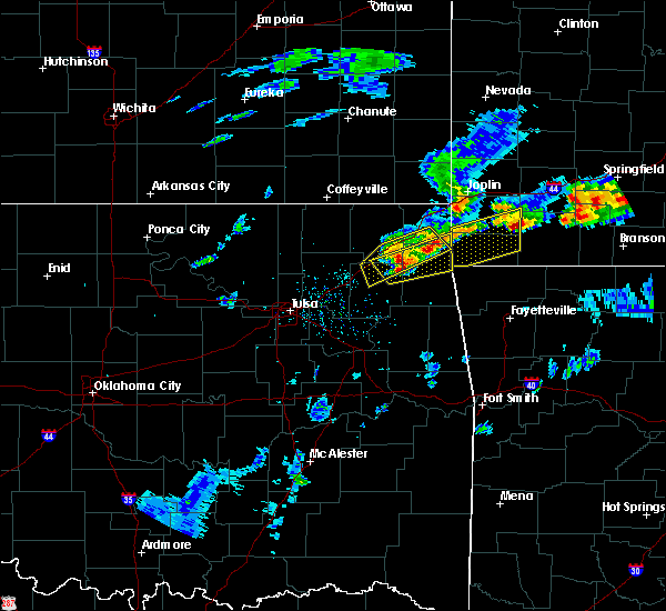 At 403 pm cdt, a severe thunderstorm was located 3 miles north of grove, moving east at 55 mph (radar indicated). Hazards include half dollar size hail. Damage to vehicles is expected. Locations in or near the path include, grove, bernice, bernice state park, honey creek state park,. At 403 pm cdt, a severe thunderstorm was located 3 miles north of grove, moving east at 55 mph (radar indicated). Hazards include half dollar size hail. Damage to vehicles is expected. Locations in or near the path include, grove, bernice, bernice state park, honey creek state park,.
|
| 3/27/2020 3:57 PM CDT |
 At 357 pm cdt, a severe thunderstorm was located over cherokee state park, moving northeast at 80 mph (radar indicated). Hazards include tennis ball size hail. People and animals outdoors will be injured. expect damage to roofs, siding, windows, and vehicles. Locations in or near the path include, jay, grove, langley, bernice, ketchum, spavinaw, disney, big cabin, pensacola, hoot owl, honey creek state park, cherokee state park, bernice state park, spavinaw state park, cleora, chloeta, strang, disney little blue state park, zena, this includes interstate 44 between mile markers 274 and 276. At 357 pm cdt, a severe thunderstorm was located over cherokee state park, moving northeast at 80 mph (radar indicated). Hazards include tennis ball size hail. People and animals outdoors will be injured. expect damage to roofs, siding, windows, and vehicles. Locations in or near the path include, jay, grove, langley, bernice, ketchum, spavinaw, disney, big cabin, pensacola, hoot owl, honey creek state park, cherokee state park, bernice state park, spavinaw state park, cleora, chloeta, strang, disney little blue state park, zena, this includes interstate 44 between mile markers 274 and 276.
|
| 3/27/2020 3:54 PM CDT |
 At 353 pm cdt, severe thunderstorms were located along a line extending from 2 miles west of big cabin to near pensacola to 3 miles west of hoot owl, moving northeast at 80 mph (radar indicated). Hazards include golf ball size hail. People and animals outdoors will be injured. expect damage to roofs, siding, windows, and vehicles. Locations in or near the path include, vinita, grove, fairland, afton, langley, adair, bernice, ketchum, disney, big cabin, pensacola, honey creek state park, cherokee state park, bernice state park, cleora, strang, disney little blue state park, this includes interstate 44 between mile markers 269 and 301. At 353 pm cdt, severe thunderstorms were located along a line extending from 2 miles west of big cabin to near pensacola to 3 miles west of hoot owl, moving northeast at 80 mph (radar indicated). Hazards include golf ball size hail. People and animals outdoors will be injured. expect damage to roofs, siding, windows, and vehicles. Locations in or near the path include, vinita, grove, fairland, afton, langley, adair, bernice, ketchum, disney, big cabin, pensacola, honey creek state park, cherokee state park, bernice state park, cleora, strang, disney little blue state park, this includes interstate 44 between mile markers 269 and 301.
|
| 3/27/2020 3:46 PM CDT |
 At 345 pm cdt, severe thunderstorms were located along a line extending from 3 miles south of chelsea to 4 miles north of pryor, moving northeast at 65 mph (radar indicated). Hazards include ping pong ball size hail. People and animals outdoors will be injured. expect damage to roofs, siding, windows, and vehicles. Locations in or near the path include, vinita, pryor creek, grove, chelsea, fairland, afton, langley, adair, bernice, ketchum, disney, big cabin, pensacola, honey creek state park, cherokee state park, bernice state park, cleora, white oak, strang, disney little blue state park, this includes interstate 44 between mile markers 261 and 301. At 345 pm cdt, severe thunderstorms were located along a line extending from 3 miles south of chelsea to 4 miles north of pryor, moving northeast at 65 mph (radar indicated). Hazards include ping pong ball size hail. People and animals outdoors will be injured. expect damage to roofs, siding, windows, and vehicles. Locations in or near the path include, vinita, pryor creek, grove, chelsea, fairland, afton, langley, adair, bernice, ketchum, disney, big cabin, pensacola, honey creek state park, cherokee state park, bernice state park, cleora, white oak, strang, disney little blue state park, this includes interstate 44 between mile markers 261 and 301.
|
| 3/27/2020 3:38 PM CDT |
 At 338 pm cdt, a severe thunderstorm was located 4 miles southeast of foyil, moving northeast at 65 mph (radar indicated). Hazards include golf ball size hail. People and animals outdoors will be injured. expect damage to roofs, siding, windows, and vehicles. Locations in or near the path include, vinita, pryor, pryor creek, grove, chelsea, fairland, afton, langley, adair, bernice, ketchum, foyil, disney, big cabin, pensacola, honey creek state park, cherokee state park, bernice state park, cleora, white oak, this includes interstate 44 between mile markers 253 and 301. At 338 pm cdt, a severe thunderstorm was located 4 miles southeast of foyil, moving northeast at 65 mph (radar indicated). Hazards include golf ball size hail. People and animals outdoors will be injured. expect damage to roofs, siding, windows, and vehicles. Locations in or near the path include, vinita, pryor, pryor creek, grove, chelsea, fairland, afton, langley, adair, bernice, ketchum, foyil, disney, big cabin, pensacola, honey creek state park, cherokee state park, bernice state park, cleora, white oak, this includes interstate 44 between mile markers 253 and 301.
|
| 3/27/2020 3:20 PM CDT |
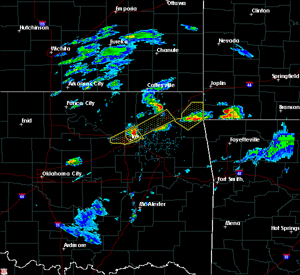 At 320 pm cdt, a severe thunderstorm was located 3 miles south of honey creek state park, moving northeast at 55 mph (radar indicated). Hazards include quarter size hail. Damage to vehicles is expected. Locations in or near the path include, jay, grove, fairland, bernice, wyandotte, cleora, honey creek state park, bernice state park, zena, twin bridges state park,. At 320 pm cdt, a severe thunderstorm was located 3 miles south of honey creek state park, moving northeast at 55 mph (radar indicated). Hazards include quarter size hail. Damage to vehicles is expected. Locations in or near the path include, jay, grove, fairland, bernice, wyandotte, cleora, honey creek state park, bernice state park, zena, twin bridges state park,.
|
| 3/27/2020 3:11 PM CDT |
 At 311 pm cdt, a severe thunderstorm was located 4 miles east of chloeta, moving northeast at 55 mph (radar indicated). Hazards include quarter size hail. Damage to vehicles is expected. Locations in or near the path include, jay, grove, fairland, langley, bernice, wyandotte, disney, honey creek state park, cherokee state park, bernice state park, cleora, chloeta, disney little blue state park, zena, twin bridges state park,. At 311 pm cdt, a severe thunderstorm was located 4 miles east of chloeta, moving northeast at 55 mph (radar indicated). Hazards include quarter size hail. Damage to vehicles is expected. Locations in or near the path include, jay, grove, fairland, langley, bernice, wyandotte, disney, honey creek state park, cherokee state park, bernice state park, cleora, chloeta, disney little blue state park, zena, twin bridges state park,.
|
| 3/11/2020 5:28 AM CDT |
 At 507 am cdt, severe thunderstorms were located along a line extending from 3 miles southwest of welch to 2 miles south of baxter springs, moving southeast at 50 mph (radar indicated). Hazards include 60 mph wind gusts and quarter size hail. Hail damage to vehicles is expected. expect wind damage to roofs, siding, and trees. Locations in or near the path include, miami, jay, grove, commerce, fairland, afton, quapaw, welch, bernice, bluejacket, wyandotte, picher, honey creek state park, bernice state park, narcissa, ottawa, peoria, cardin, twin bridges state park, this includes interstate 44 between mile markers 293 and 324. At 507 am cdt, severe thunderstorms were located along a line extending from 3 miles southwest of welch to 2 miles south of baxter springs, moving southeast at 50 mph (radar indicated). Hazards include 60 mph wind gusts and quarter size hail. Hail damage to vehicles is expected. expect wind damage to roofs, siding, and trees. Locations in or near the path include, miami, jay, grove, commerce, fairland, afton, quapaw, welch, bernice, bluejacket, wyandotte, picher, honey creek state park, bernice state park, narcissa, ottawa, peoria, cardin, twin bridges state park, this includes interstate 44 between mile markers 293 and 324.
|
| 3/11/2020 5:07 AM CDT |
 At 507 am cdt, severe thunderstorms were located along a line extending from 3 miles southwest of welch to 2 miles south of baxter springs, moving southeast at 50 mph (radar indicated). Hazards include 60 mph wind gusts and quarter size hail. Hail damage to vehicles is expected. expect wind damage to roofs, siding, and trees. Locations in or near the path include, miami, jay, grove, commerce, fairland, afton, quapaw, welch, bernice, bluejacket, wyandotte, picher, honey creek state park, bernice state park, narcissa, ottawa, peoria, cardin, twin bridges state park, this includes interstate 44 between mile markers 293 and 324. At 507 am cdt, severe thunderstorms were located along a line extending from 3 miles southwest of welch to 2 miles south of baxter springs, moving southeast at 50 mph (radar indicated). Hazards include 60 mph wind gusts and quarter size hail. Hail damage to vehicles is expected. expect wind damage to roofs, siding, and trees. Locations in or near the path include, miami, jay, grove, commerce, fairland, afton, quapaw, welch, bernice, bluejacket, wyandotte, picher, honey creek state park, bernice state park, narcissa, ottawa, peoria, cardin, twin bridges state park, this includes interstate 44 between mile markers 293 and 324.
|
| 1/10/2020 12:42 PM CST |
 The severe thunderstorm warning for northwestern delaware and southeastern ottawa counties will expire at 1245 pm cst, the storms which prompted the warning have weakened below severe limits, and no longer pose an immediate threat to life or property. therefore the warning will be allowed to expire. however, gusty winds are still possible with these thunderstorms. a tornado watch remains in effect until 600 pm cst for northeastern oklahoma. to report severe weather, contact your nearest law enforcement agency. they will relay your report to the national weather service tulsa. The severe thunderstorm warning for northwestern delaware and southeastern ottawa counties will expire at 1245 pm cst, the storms which prompted the warning have weakened below severe limits, and no longer pose an immediate threat to life or property. therefore the warning will be allowed to expire. however, gusty winds are still possible with these thunderstorms. a tornado watch remains in effect until 600 pm cst for northeastern oklahoma. to report severe weather, contact your nearest law enforcement agency. they will relay your report to the national weather service tulsa.
|
| 1/10/2020 12:36 PM CST |
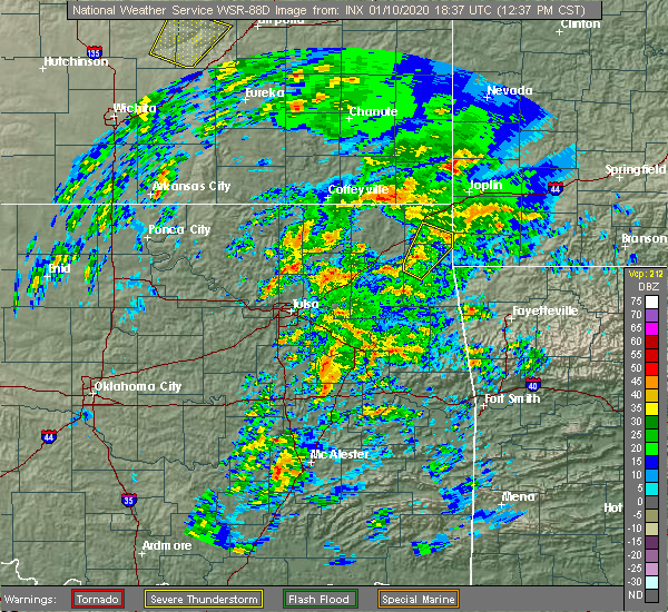 At 1235 pm cst, severe thunderstorms were located along a line extending from 3 miles southeast of cleora to 4 miles east of fairland to 3 miles southwest of wyandotte, moving northeast at 50 mph (radar indicated). Hazards include 60 mph wind gusts and penny size hail. Expect damage to roofs, siding, and trees. locations in or near the path include, grove, fairland, bernice, wyandotte, disney, cleora, honey creek state park, bernice state park, zena, twin bridges state park, this includes interstate 44 between mile markers 299 and 307. A tornado watch remains in effect until 600 pm cst for northeastern oklahoma. At 1235 pm cst, severe thunderstorms were located along a line extending from 3 miles southeast of cleora to 4 miles east of fairland to 3 miles southwest of wyandotte, moving northeast at 50 mph (radar indicated). Hazards include 60 mph wind gusts and penny size hail. Expect damage to roofs, siding, and trees. locations in or near the path include, grove, fairland, bernice, wyandotte, disney, cleora, honey creek state park, bernice state park, zena, twin bridges state park, this includes interstate 44 between mile markers 299 and 307. A tornado watch remains in effect until 600 pm cst for northeastern oklahoma.
|
| 1/10/2020 12:23 PM CST |
 At 1223 pm cst, severe thunderstorms were located along a line extending from 3 miles south of spavinaw to 5 miles southeast of bernice and from 2 miles northwest of fairland to 8 miles west of welch, moving northeast at 55 mph (radar indicated). Hazards include 60 mph wind gusts and penny size hail. Expect damage to roofs, siding, and trees. locations in or near the path include, miami, grove, salina, fairland, afton, langley, welch, bernice, ketchum, spavinaw, bluejacket, wyandotte, disney, hoot owl, honey creek state park, cherokee state park, bernice state park, cleora, chloeta, spavinaw state park, this includes interstate 44 between mile markers 290 and 306. A tornado watch remains in effect until 600 pm cst for northeastern oklahoma. At 1223 pm cst, severe thunderstorms were located along a line extending from 3 miles south of spavinaw to 5 miles southeast of bernice and from 2 miles northwest of fairland to 8 miles west of welch, moving northeast at 55 mph (radar indicated). Hazards include 60 mph wind gusts and penny size hail. Expect damage to roofs, siding, and trees. locations in or near the path include, miami, grove, salina, fairland, afton, langley, welch, bernice, ketchum, spavinaw, bluejacket, wyandotte, disney, hoot owl, honey creek state park, cherokee state park, bernice state park, cleora, chloeta, spavinaw state park, this includes interstate 44 between mile markers 290 and 306. A tornado watch remains in effect until 600 pm cst for northeastern oklahoma.
|
| 1/10/2020 12:08 PM CST |
 At 1207 pm cst, severe thunderstorms were located along a line extending from near locust grove to 2 miles east of spavinaw and also from 2 miles northwest of cleora to 2 miles southwest of white oak, moving northeast at 55 mph (radar indicated). Hazards include 60 mph wind gusts and nickel size hail. Expect damage to roofs, siding, and trees. locations in or near the path include, miami, vinita, grove, locust grove, salina, fairland, afton, langley, welch, bernice, ketchum, spavinaw, bluejacket, wyandotte, disney, big cabin, pensacola, hoot owl, honey creek state park, cherokee state park, this includes interstate 44 between mile markers 274 and 306. A tornado watch remains in effect until 600 pm cst for northeastern and east central oklahoma. At 1207 pm cst, severe thunderstorms were located along a line extending from near locust grove to 2 miles east of spavinaw and also from 2 miles northwest of cleora to 2 miles southwest of white oak, moving northeast at 55 mph (radar indicated). Hazards include 60 mph wind gusts and nickel size hail. Expect damage to roofs, siding, and trees. locations in or near the path include, miami, vinita, grove, locust grove, salina, fairland, afton, langley, welch, bernice, ketchum, spavinaw, bluejacket, wyandotte, disney, big cabin, pensacola, hoot owl, honey creek state park, cherokee state park, this includes interstate 44 between mile markers 274 and 306. A tornado watch remains in effect until 600 pm cst for northeastern and east central oklahoma.
|
| 1/10/2020 11:54 AM CST |
 At 1154 am cst, severe thunderstorms were located along a line extending from 2 miles southeast of locust grove to pensacola to 7 miles east of foyil, moving northeast at 55 mph (radar indicated). Hazards include 60 mph wind gusts and nickel size hail. Expect damage to roofs, siding, and trees. locations in or near the path include, miami, vinita, pryor, pryor creek, grove, locust grove, salina, fairland, afton, langley, adair, welch, bernice, ketchum, spavinaw, bluejacket, wyandotte, disney, big cabin, pensacola, this includes interstate 44 between mile markers 261 and 306. A tornado watch remains in effect until 600 pm cst for northeastern and east central oklahoma. At 1154 am cst, severe thunderstorms were located along a line extending from 2 miles southeast of locust grove to pensacola to 7 miles east of foyil, moving northeast at 55 mph (radar indicated). Hazards include 60 mph wind gusts and nickel size hail. Expect damage to roofs, siding, and trees. locations in or near the path include, miami, vinita, pryor, pryor creek, grove, locust grove, salina, fairland, afton, langley, adair, welch, bernice, ketchum, spavinaw, bluejacket, wyandotte, disney, big cabin, pensacola, this includes interstate 44 between mile markers 261 and 306. A tornado watch remains in effect until 600 pm cst for northeastern and east central oklahoma.
|
| 10/20/2019 11:23 PM CDT |
 At 1122 pm cdt, severe thunderstorms were located along a line extending from near quapaw to 3 miles northeast of grove, moving east at 50 mph (radar indicated). Hazards include 60 mph wind gusts and penny size hail. Expect damage to roofs, siding, and trees. locations in or near the path include, miami, grove, commerce, fairland, afton, quapaw, bernice, wyandotte, picher, honey creek state park, bernice state park, cleora, narcissa, ottawa, peoria, cardin, twin bridges state park, this includes interstate 44 between mile markers 295 and 324. A tornado watch remains in effect until 300 am cdt for northeastern oklahoma. At 1122 pm cdt, severe thunderstorms were located along a line extending from near quapaw to 3 miles northeast of grove, moving east at 50 mph (radar indicated). Hazards include 60 mph wind gusts and penny size hail. Expect damage to roofs, siding, and trees. locations in or near the path include, miami, grove, commerce, fairland, afton, quapaw, bernice, wyandotte, picher, honey creek state park, bernice state park, cleora, narcissa, ottawa, peoria, cardin, twin bridges state park, this includes interstate 44 between mile markers 295 and 324. A tornado watch remains in effect until 300 am cdt for northeastern oklahoma.
|
| 10/20/2019 10:58 PM CDT |
 At 1057 pm cdt, severe thunderstorms were located along a line extending from 2 miles west of welch to 4 miles west of ketchum, moving northeast at 60 mph (radar indicated). Hazards include 60 mph wind gusts and penny size hail. Expect damage to roofs, siding, and trees. locations in or near the path include, miami, vinita, grove, commerce, fairland, afton, quapaw, welch, bernice, ketchum, bluejacket, wyandotte, picher, honey creek state park, bernice state park, cleora, narcissa, ottawa, peoria, cardin, this includes interstate 44 between mile markers 283 and 324. A tornado watch remains in effect until 300 am cdt for northeastern oklahoma. At 1057 pm cdt, severe thunderstorms were located along a line extending from 2 miles west of welch to 4 miles west of ketchum, moving northeast at 60 mph (radar indicated). Hazards include 60 mph wind gusts and penny size hail. Expect damage to roofs, siding, and trees. locations in or near the path include, miami, vinita, grove, commerce, fairland, afton, quapaw, welch, bernice, ketchum, bluejacket, wyandotte, picher, honey creek state park, bernice state park, cleora, narcissa, ottawa, peoria, cardin, this includes interstate 44 between mile markers 283 and 324. A tornado watch remains in effect until 300 am cdt for northeastern oklahoma.
|
| 9/25/2019 11:58 PM CDT |
 At 1158 pm cdt, a severe thunderstorm was located 4 miles northwest of ketchum, moving east at 25 mph (radar indicated). Hazards include 60 mph wind gusts and quarter size hail. Hail damage to vehicles is expected. expect wind damage to roofs, siding, and trees. Locations in or near the path include, vinita, afton, langley, bernice, ketchum, disney, big cabin, pensacola, cherokee state park, bernice state park, cleora, chloeta, white oak, disney little blue state park, this includes interstate 44 between mile markers 270 and 294. At 1158 pm cdt, a severe thunderstorm was located 4 miles northwest of ketchum, moving east at 25 mph (radar indicated). Hazards include 60 mph wind gusts and quarter size hail. Hail damage to vehicles is expected. expect wind damage to roofs, siding, and trees. Locations in or near the path include, vinita, afton, langley, bernice, ketchum, disney, big cabin, pensacola, cherokee state park, bernice state park, cleora, chloeta, white oak, disney little blue state park, this includes interstate 44 between mile markers 270 and 294.
|
| 9/25/2019 11:41 PM CDT |
 At 1140 pm cdt, a severe thunderstorm was located near white oak, moving east at 25 mph (radar indicated). Hazards include 60 mph wind gusts and quarter size hail. Hail damage to vehicles is expected. expect wind damage to roofs, siding, and trees. Locations in or near the path include, vinita, afton, langley, bernice, ketchum, disney, big cabin, pensacola, cherokee state park, bernice state park, cleora, chloeta, white oak, disney little blue state park, this includes interstate 44 between mile markers 270 and 294. At 1140 pm cdt, a severe thunderstorm was located near white oak, moving east at 25 mph (radar indicated). Hazards include 60 mph wind gusts and quarter size hail. Hail damage to vehicles is expected. expect wind damage to roofs, siding, and trees. Locations in or near the path include, vinita, afton, langley, bernice, ketchum, disney, big cabin, pensacola, cherokee state park, bernice state park, cleora, chloeta, white oak, disney little blue state park, this includes interstate 44 between mile markers 270 and 294.
|
| 9/25/2019 11:04 PM CDT |
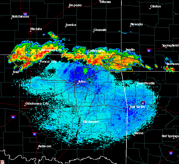 At 1103 pm cdt, severe thunderstorms were located along a line extending from 3 miles northeast of goodman to 3 miles northeast of bernice state park, moving southeast at 25 mph (radar indicated). Hazards include 60 mph wind gusts and quarter size hail. Hail damage to vehicles is expected. expect wind damage to roofs, siding, and trees. Locations in or near the path include, grove, fairland, afton, bernice, wyandotte, honey creek state park, bernice state park, zena, this includes interstate 44 between mile markers 295 and 298. At 1103 pm cdt, severe thunderstorms were located along a line extending from 3 miles northeast of goodman to 3 miles northeast of bernice state park, moving southeast at 25 mph (radar indicated). Hazards include 60 mph wind gusts and quarter size hail. Hail damage to vehicles is expected. expect wind damage to roofs, siding, and trees. Locations in or near the path include, grove, fairland, afton, bernice, wyandotte, honey creek state park, bernice state park, zena, this includes interstate 44 between mile markers 295 and 298.
|
| 9/25/2019 10:36 PM CDT |
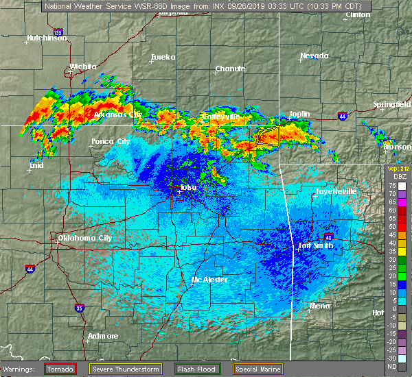 At 1036 pm cdt, severe thunderstorms were located along a line extending from 3 miles east of seneca to 5 miles south of bluejacket, moving southeast at 25 mph (radar indicated). Hazards include 60 mph wind gusts and quarter size hail. Hail damage to vehicles is expected. expect wind damage to roofs, siding, and trees. Locations in or near the path include, vinita, grove, fairland, afton, bernice, wyandotte, cleora, honey creek state park, bernice state park, zena, twin bridges state park, this includes interstate 44 between mile markers 286 and 302. At 1036 pm cdt, severe thunderstorms were located along a line extending from 3 miles east of seneca to 5 miles south of bluejacket, moving southeast at 25 mph (radar indicated). Hazards include 60 mph wind gusts and quarter size hail. Hail damage to vehicles is expected. expect wind damage to roofs, siding, and trees. Locations in or near the path include, vinita, grove, fairland, afton, bernice, wyandotte, cleora, honey creek state park, bernice state park, zena, twin bridges state park, this includes interstate 44 between mile markers 286 and 302.
|
| 8/26/2019 10:19 PM CDT |
 At 1019 pm cdt, severe thunderstorms were located along a line extending from 6 miles west of goodman to 7 miles northeast of grove to near cleora, moving southeast at 25 mph (radar indicated). Hazards include 60 mph wind gusts and nickel size hail. Expect damage to roofs, siding, and trees. Locations in or near the path include, miami, grove, commerce, fairland, afton, quapaw, welch, bernice, bluejacket, wyandotte, picher, honey creek state park, bernice state park, cleora, narcissa, ottawa, peoria, cardin, pyramid corners, twin bridges state park, this includes interstate 44 between mile markers 290 and 324. At 1019 pm cdt, severe thunderstorms were located along a line extending from 6 miles west of goodman to 7 miles northeast of grove to near cleora, moving southeast at 25 mph (radar indicated). Hazards include 60 mph wind gusts and nickel size hail. Expect damage to roofs, siding, and trees. Locations in or near the path include, miami, grove, commerce, fairland, afton, quapaw, welch, bernice, bluejacket, wyandotte, picher, honey creek state park, bernice state park, cleora, narcissa, ottawa, peoria, cardin, pyramid corners, twin bridges state park, this includes interstate 44 between mile markers 290 and 324.
|
| 8/26/2019 9:59 PM CDT |
 At 957 pm cdt, severe thunderstorms were located along a line extending from near seneca to 4 miles southwest of wyandotte to 5 miles west of afton, moving southeast at 30 mph (radar indicated). Hazards include 70 mph wind gusts and quarter size hail. Hail damage to vehicles is expected. expect considerable tree damage. wind damage is also likely to mobile homes, roofs, and outbuildings. Locations in or near the path include, miami, grove, commerce, fairland, afton, quapaw, welch, bernice, bluejacket, wyandotte, picher, honey creek state park, bernice state park, cleora, narcissa, ottawa, peoria, cardin, pyramid corners, twin bridges state park, this includes interstate 44 between mile markers 290 and 324. At 957 pm cdt, severe thunderstorms were located along a line extending from near seneca to 4 miles southwest of wyandotte to 5 miles west of afton, moving southeast at 30 mph (radar indicated). Hazards include 70 mph wind gusts and quarter size hail. Hail damage to vehicles is expected. expect considerable tree damage. wind damage is also likely to mobile homes, roofs, and outbuildings. Locations in or near the path include, miami, grove, commerce, fairland, afton, quapaw, welch, bernice, bluejacket, wyandotte, picher, honey creek state park, bernice state park, cleora, narcissa, ottawa, peoria, cardin, pyramid corners, twin bridges state park, this includes interstate 44 between mile markers 290 and 324.
|
| 8/26/2019 9:37 PM CDT |
 At 937 pm cdt, a severe thunderstorm was located near wyandotte, moving southeast at 15 mph (radar indicated). Hazards include 60 mph wind gusts and quarter size hail. Hail damage to vehicles is expected. expect wind damage to roofs, siding, and trees. Locations in or near the path include, miami, grove, commerce, fairland, afton, quapaw, welch, bernice, bluejacket, wyandotte, picher, honey creek state park, bernice state park, cleora, narcissa, ottawa, peoria, cardin, pyramid corners, twin bridges state park, this includes interstate 44 between mile markers 290 and 324. At 937 pm cdt, a severe thunderstorm was located near wyandotte, moving southeast at 15 mph (radar indicated). Hazards include 60 mph wind gusts and quarter size hail. Hail damage to vehicles is expected. expect wind damage to roofs, siding, and trees. Locations in or near the path include, miami, grove, commerce, fairland, afton, quapaw, welch, bernice, bluejacket, wyandotte, picher, honey creek state park, bernice state park, cleora, narcissa, ottawa, peoria, cardin, pyramid corners, twin bridges state park, this includes interstate 44 between mile markers 290 and 324.
|
| 7/29/2019 5:26 PM CDT |
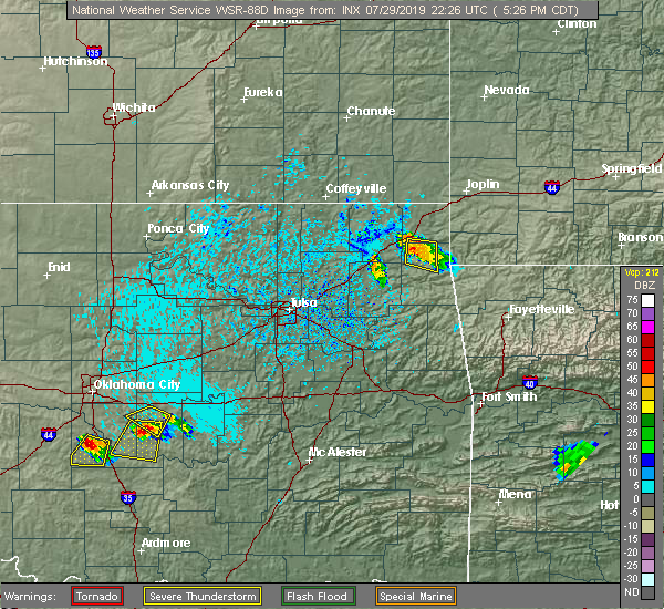 At 526 pm cdt, a severe thunderstorm was located near bernice state park, moving south at 15 mph (radar indicated). Hazards include 60 mph wind gusts and penny size hail. Expect damage to roofs, siding, and trees. Locations in or near the path include, grove, afton, bernice, cleora, honey creek state park, bernice state park, zena,. At 526 pm cdt, a severe thunderstorm was located near bernice state park, moving south at 15 mph (radar indicated). Hazards include 60 mph wind gusts and penny size hail. Expect damage to roofs, siding, and trees. Locations in or near the path include, grove, afton, bernice, cleora, honey creek state park, bernice state park, zena,.
|
| 7/29/2019 5:09 PM CDT |
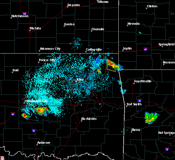 At 509 pm cdt, a severe thunderstorm was located near bernice state park, moving south at 15 mph (radar indicated). Hazards include 60 mph wind gusts and quarter size hail. Hail damage to vehicles is expected. expect wind damage to roofs, siding, and trees. Locations in or near the path include, grove, afton, bernice, cleora, honey creek state park, bernice state park, zena,. At 509 pm cdt, a severe thunderstorm was located near bernice state park, moving south at 15 mph (radar indicated). Hazards include 60 mph wind gusts and quarter size hail. Hail damage to vehicles is expected. expect wind damage to roofs, siding, and trees. Locations in or near the path include, grove, afton, bernice, cleora, honey creek state park, bernice state park, zena,.
|
| 7/21/2019 10:22 PM CDT |
 The severe thunderstorm warning for craig, northwestern delaware and ottawa counties will expire at 1030 pm cdt, the storms which prompted the warning have weakened below severe limits, and no longer pose an immediate threat to life or property. therefore the warning will be allowed to expire. however gusty winds are still possible with these thunderstorms. The severe thunderstorm warning for craig, northwestern delaware and ottawa counties will expire at 1030 pm cdt, the storms which prompted the warning have weakened below severe limits, and no longer pose an immediate threat to life or property. therefore the warning will be allowed to expire. however gusty winds are still possible with these thunderstorms.
|
| 7/21/2019 10:13 PM CDT |
 At 1012 pm cdt, severe thunderstorms were located along a line extending from joplin to 4 miles northwest of narcissa, moving southeast at 45 mph (radar indicated). Hazards include 60 mph wind gusts. Expect damage to roofs, siding, and trees. Locations in or near the path include, miami, vinita, baxter springs, grove, commerce, fairland, afton, quapaw, welch, bernice, bluejacket, wyandotte, treece, picher, bernice state park, white oak, narcissa, ottawa, cayuga, peoria, this includes interstate 44 between mile markers 282 and 324. At 1012 pm cdt, severe thunderstorms were located along a line extending from joplin to 4 miles northwest of narcissa, moving southeast at 45 mph (radar indicated). Hazards include 60 mph wind gusts. Expect damage to roofs, siding, and trees. Locations in or near the path include, miami, vinita, baxter springs, grove, commerce, fairland, afton, quapaw, welch, bernice, bluejacket, wyandotte, treece, picher, bernice state park, white oak, narcissa, ottawa, cayuga, peoria, this includes interstate 44 between mile markers 282 and 324.
|
| 7/21/2019 9:52 PM CDT |
 At 952 pm cdt, severe thunderstorms were located along a line extending from 6 miles west of carl junction to 3 miles south of chetopa, moving southeast at 40 mph (radar indicated). Hazards include 60 mph wind gusts. Expect damage to roofs, siding, and trees. Locations in or near the path include, miami, vinita, baxter springs, grove, commerce, fairland, afton, quapaw, welch, bernice, bluejacket, wyandotte, treece, picher, bernice state park, white oak, narcissa, ottawa, cayuga, peoria, this includes interstate 44 between mile markers 282 and 324. At 952 pm cdt, severe thunderstorms were located along a line extending from 6 miles west of carl junction to 3 miles south of chetopa, moving southeast at 40 mph (radar indicated). Hazards include 60 mph wind gusts. Expect damage to roofs, siding, and trees. Locations in or near the path include, miami, vinita, baxter springs, grove, commerce, fairland, afton, quapaw, welch, bernice, bluejacket, wyandotte, treece, picher, bernice state park, white oak, narcissa, ottawa, cayuga, peoria, this includes interstate 44 between mile markers 282 and 324.
|
| 5/26/2019 2:15 AM CDT |
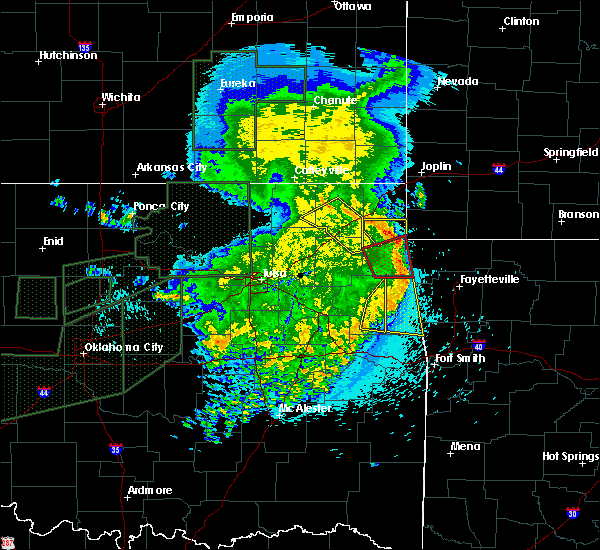 At 215 am cdt, severe thunderstorms were located along a line extending from 2 miles northeast of bernice state park to 3 miles west of south west city, moving northeast at 55 mph (radar indicated). Hazards include 60 mph wind gusts. Expect damage to roofs, siding, and trees. Locations in or near the path include, grove, bernice, bernice state park, honey creek state park, dodge, cayuga,. At 215 am cdt, severe thunderstorms were located along a line extending from 2 miles northeast of bernice state park to 3 miles west of south west city, moving northeast at 55 mph (radar indicated). Hazards include 60 mph wind gusts. Expect damage to roofs, siding, and trees. Locations in or near the path include, grove, bernice, bernice state park, honey creek state park, dodge, cayuga,.
|
| 5/26/2019 2:01 AM CDT |
 At 201 am cdt, severe thunderstorms were located along a line extending from 2 miles northeast of ketchum to 5 miles northeast of chloeta, moving east at 50 mph (radar indicated). Hazards include 60 mph wind gusts. Expect damage to roofs, siding, and trees. Locations in or near the path include, grove, bernice, cleora, honey creek state park, bernice state park, dodge, cayuga, zena,. At 201 am cdt, severe thunderstorms were located along a line extending from 2 miles northeast of ketchum to 5 miles northeast of chloeta, moving east at 50 mph (radar indicated). Hazards include 60 mph wind gusts. Expect damage to roofs, siding, and trees. Locations in or near the path include, grove, bernice, cleora, honey creek state park, bernice state park, dodge, cayuga, zena,.
|
| 5/23/2019 1:48 AM CDT |
 At 148 am cdt, a severe thunderstorm was located 3 miles east of afton, moving east at 40 mph (radar indicated). Hazards include 60 mph wind gusts and quarter size hail. Hail damage to vehicles is expected. expect wind damage to roofs, siding, and trees. locations in or near the path include, grove, fairland, bernice, wyandotte, narcissa, bernice state park, cayuga, twin bridges state park, this includes interstate 44 between mile markers 297 and 304. A tornado watch remains in effect until 400 am cdt for northeastern oklahoma. At 148 am cdt, a severe thunderstorm was located 3 miles east of afton, moving east at 40 mph (radar indicated). Hazards include 60 mph wind gusts and quarter size hail. Hail damage to vehicles is expected. expect wind damage to roofs, siding, and trees. locations in or near the path include, grove, fairland, bernice, wyandotte, narcissa, bernice state park, cayuga, twin bridges state park, this includes interstate 44 between mile markers 297 and 304. A tornado watch remains in effect until 400 am cdt for northeastern oklahoma.
|
| 5/23/2019 1:45 AM CDT |
 At 145 am cdt, a severe thunderstorm was located near afton, moving east at 40 mph (radar indicated). Hazards include 60 mph wind gusts and quarter size hail. Hail damage to vehicles is expected. expect wind damage to roofs, siding, and trees. locations in or near the path include, miami, grove, fairland, afton, bernice, narcissa, bernice state park, this includes interstate 44 between mile markers 294 and 308. A tornado watch remains in effect until 400 am cdt for northeastern oklahoma. At 145 am cdt, a severe thunderstorm was located near afton, moving east at 40 mph (radar indicated). Hazards include 60 mph wind gusts and quarter size hail. Hail damage to vehicles is expected. expect wind damage to roofs, siding, and trees. locations in or near the path include, miami, grove, fairland, afton, bernice, narcissa, bernice state park, this includes interstate 44 between mile markers 294 and 308. A tornado watch remains in effect until 400 am cdt for northeastern oklahoma.
|
| 5/23/2019 1:22 AM CDT |
 At 122 am cdt, a severe thunderstorm was located 3 miles northwest of vinita, moving east at 40 mph (radar indicated). Hazards include 60 mph wind gusts and quarter size hail. Hail damage to vehicles is expected. expect wind damage to roofs, siding, and trees. locations in or near the path include, miami, vinita, grove, fairland, afton, bernice, bluejacket, narcissa, bernice state park, this includes interstate 44 between mile markers 279 and 308. A tornado watch remains in effect until 400 am cdt for northeastern oklahoma. At 122 am cdt, a severe thunderstorm was located 3 miles northwest of vinita, moving east at 40 mph (radar indicated). Hazards include 60 mph wind gusts and quarter size hail. Hail damage to vehicles is expected. expect wind damage to roofs, siding, and trees. locations in or near the path include, miami, vinita, grove, fairland, afton, bernice, bluejacket, narcissa, bernice state park, this includes interstate 44 between mile markers 279 and 308. A tornado watch remains in effect until 400 am cdt for northeastern oklahoma.
|
| 5/23/2019 1:07 AM CDT |
 At 107 am cdt, a confirmed tornado was located 4 miles northeast of bernice state park, moving northeast at 30 mph (weather spotters confirmed tornado). Hazards include damaging tornado and half dollar size hail. Flying debris will be dangerous to those caught without shelter. mobile homes will be damaged or destroyed. damage to roofs, windows, and vehicles will occur. tree damage is likely. Locations in or near the path include, grove, fairland, afton, bernice, wyandotte, bernice state park, cayuga, twin bridges state park, this includes interstate 44 between mile markers 294 and 302. At 107 am cdt, a confirmed tornado was located 4 miles northeast of bernice state park, moving northeast at 30 mph (weather spotters confirmed tornado). Hazards include damaging tornado and half dollar size hail. Flying debris will be dangerous to those caught without shelter. mobile homes will be damaged or destroyed. damage to roofs, windows, and vehicles will occur. tree damage is likely. Locations in or near the path include, grove, fairland, afton, bernice, wyandotte, bernice state park, cayuga, twin bridges state park, this includes interstate 44 between mile markers 294 and 302.
|
| 5/23/2019 1:00 AM CDT |
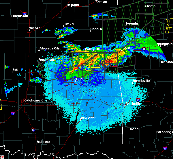 At 1259 am cdt, a confirmed tornado was located near bernice state park, moving east at 30 mph (weather spotters confirmed tornado). Hazards include damaging tornado and half dollar size hail. Flying debris will be dangerous to those caught without shelter. mobile homes will be damaged or destroyed. damage to roofs, windows, and vehicles will occur. tree damage is likely. Locations in or near the path include, bernice, cleora, bernice state park,. At 1259 am cdt, a confirmed tornado was located near bernice state park, moving east at 30 mph (weather spotters confirmed tornado). Hazards include damaging tornado and half dollar size hail. Flying debris will be dangerous to those caught without shelter. mobile homes will be damaged or destroyed. damage to roofs, windows, and vehicles will occur. tree damage is likely. Locations in or near the path include, bernice, cleora, bernice state park,.
|
| 5/23/2019 12:57 AM CDT |
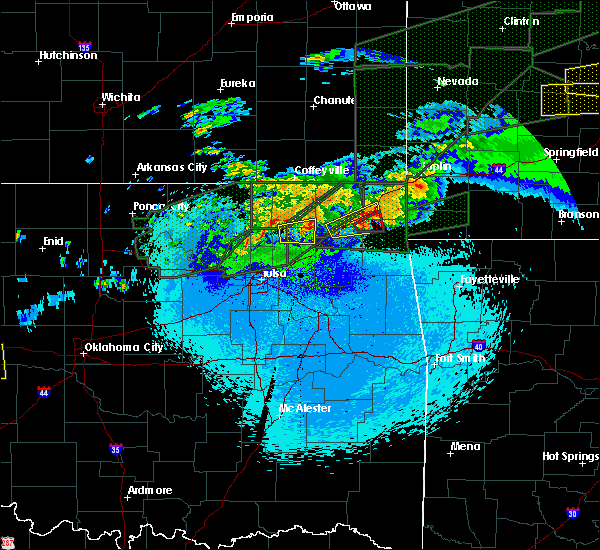 At 1256 am cdt, a confirmed tornado was located just west of bernice, moving east at 40 mph (weather spotters confirmed tornado). Hazards include damaging tornado and half dollar size hail. Flying debris will be dangerous to those caught without shelter. mobile homes will be damaged or destroyed. damage to roofs, windows, and vehicles will occur. tree damage is likely. Locations in or near the path include, grove, fairland, afton, bernice, wyandotte, cleora, honey creek state park, bernice state park, dodge, cayuga, twin bridges state park, this includes interstate 44 between mile markers 294 and 302. At 1256 am cdt, a confirmed tornado was located just west of bernice, moving east at 40 mph (weather spotters confirmed tornado). Hazards include damaging tornado and half dollar size hail. Flying debris will be dangerous to those caught without shelter. mobile homes will be damaged or destroyed. damage to roofs, windows, and vehicles will occur. tree damage is likely. Locations in or near the path include, grove, fairland, afton, bernice, wyandotte, cleora, honey creek state park, bernice state park, dodge, cayuga, twin bridges state park, this includes interstate 44 between mile markers 294 and 302.
|
| 5/23/2019 12:54 AM CDT |
 At 1254 am cdt, a severe thunderstorm was located over afton, moving east at 35 mph (radar indicated). Hazards include 60 mph wind gusts and half dollar size hail. Hail damage to vehicles is expected. expect wind damage to roofs, siding, and trees. locations in or near the path include, afton, bernice, narcissa, bernice state park, cleora, this includes interstate 44 between mile markers 289 and 304. A tornado watch remains in effect until 400 am cdt for northeastern oklahoma. At 1254 am cdt, a severe thunderstorm was located over afton, moving east at 35 mph (radar indicated). Hazards include 60 mph wind gusts and half dollar size hail. Hail damage to vehicles is expected. expect wind damage to roofs, siding, and trees. locations in or near the path include, afton, bernice, narcissa, bernice state park, cleora, this includes interstate 44 between mile markers 289 and 304. A tornado watch remains in effect until 400 am cdt for northeastern oklahoma.
|
| 5/23/2019 12:51 AM CDT |
 At 1250 am cdt, a severe thunderstorm with strong low level rotation that could produce a tornado at any time was located 3 miles northwest of cleora, moving east at 25 mph (radar indicated rotation). Hazards include tornado and quarter size hail. Flying debris will be dangerous to those caught without shelter. mobile homes will be damaged or destroyed. damage to roofs, windows, and vehicles will occur. tree damage is likely. Locations in or near the path include, afton, bernice, bernice state park, cleora,. At 1250 am cdt, a severe thunderstorm with strong low level rotation that could produce a tornado at any time was located 3 miles northwest of cleora, moving east at 25 mph (radar indicated rotation). Hazards include tornado and quarter size hail. Flying debris will be dangerous to those caught without shelter. mobile homes will be damaged or destroyed. damage to roofs, windows, and vehicles will occur. tree damage is likely. Locations in or near the path include, afton, bernice, bernice state park, cleora,.
|
| 5/23/2019 12:40 AM CDT |
 At 1240 am cdt, a confirmed tornado was located 4 miles southeast of vinita, moving east at 30 mph (weather spotters confirmed tornado). Hazards include damaging tornado and quarter size hail. Flying debris will be dangerous to those caught without shelter. mobile homes will be damaged or destroyed. damage to roofs, windows, and vehicles will occur. tree damage is likely. Locations in or near the path include, afton, bernice, bernice state park, cleora, this includes interstate 44 between mile markers 280 and 284. At 1240 am cdt, a confirmed tornado was located 4 miles southeast of vinita, moving east at 30 mph (weather spotters confirmed tornado). Hazards include damaging tornado and quarter size hail. Flying debris will be dangerous to those caught without shelter. mobile homes will be damaged or destroyed. damage to roofs, windows, and vehicles will occur. tree damage is likely. Locations in or near the path include, afton, bernice, bernice state park, cleora, this includes interstate 44 between mile markers 280 and 284.
|
| 5/23/2019 12:30 AM CDT |
 At 1230 am cdt, a severe thunderstorm capable of producing a tornado was located over big cabin, moving east at 25 mph (radar indicated rotation). Hazards include tornado and quarter size hail. Flying debris will be dangerous to those caught without shelter. mobile homes will be damaged or destroyed. damage to roofs, windows, and vehicles will occur. tree damage is likely. Locations in or near the path include, afton, bernice, big cabin, bernice state park, cleora, this includes interstate 44 between mile markers 275 and 285. At 1230 am cdt, a severe thunderstorm capable of producing a tornado was located over big cabin, moving east at 25 mph (radar indicated rotation). Hazards include tornado and quarter size hail. Flying debris will be dangerous to those caught without shelter. mobile homes will be damaged or destroyed. damage to roofs, windows, and vehicles will occur. tree damage is likely. Locations in or near the path include, afton, bernice, big cabin, bernice state park, cleora, this includes interstate 44 between mile markers 275 and 285.
|
| 5/23/2019 12:29 AM CDT |
 The national weather service in tulsa has issued a * severe thunderstorm warning for. southern craig county in northeastern oklahoma. northwestern delaware county in northeastern oklahoma. southwestern ottawa county in northeastern oklahoma. Until 115 am cdt. The national weather service in tulsa has issued a * severe thunderstorm warning for. southern craig county in northeastern oklahoma. northwestern delaware county in northeastern oklahoma. southwestern ottawa county in northeastern oklahoma. Until 115 am cdt.
|
| 5/22/2019 8:49 PM CDT |
 At 849 pm cdt, a severe thunderstorm capable of producing a tornado was located near disney, moving northeast at 35 mph (radar indicated rotation). Hazards include tornado and quarter size hail. Flying debris will be dangerous to those caught without shelter. mobile homes will be damaged or destroyed. damage to roofs, windows, and vehicles will occur. tree damage is likely. Locations in or near the path include, grove, bernice, cleora, chloeta, honey creek state park, bernice state park, dodge, cayuga, zena,. At 849 pm cdt, a severe thunderstorm capable of producing a tornado was located near disney, moving northeast at 35 mph (radar indicated rotation). Hazards include tornado and quarter size hail. Flying debris will be dangerous to those caught without shelter. mobile homes will be damaged or destroyed. damage to roofs, windows, and vehicles will occur. tree damage is likely. Locations in or near the path include, grove, bernice, cleora, chloeta, honey creek state park, bernice state park, dodge, cayuga, zena,.
|
| 5/21/2019 8:05 AM CDT |
 At 805 am cdt, severe thunderstorms were located along a line extending from 4 miles south of columbus to 5 miles north of grove to 2 miles east of rose, moving northeast at 50 mph (radar indicated). Hazards include 60 mph wind gusts and quarter size hail. Hail damage to vehicles is expected. expect wind damage to roofs, siding, and trees. locations in or near the path include, miami, baxter springs, jay, grove, commerce, fairland, afton, quapaw, colcord, kansas, bernice, spavinaw, wyandotte, disney, treece, picher, honey creek state park, rose, bernice state park, leach, this includes interstate 44 between mile markers 294 and 324. A tornado watch remains in effect until noon cdt for northwestern arkansas, and northeastern and east central oklahoma. At 805 am cdt, severe thunderstorms were located along a line extending from 4 miles south of columbus to 5 miles north of grove to 2 miles east of rose, moving northeast at 50 mph (radar indicated). Hazards include 60 mph wind gusts and quarter size hail. Hail damage to vehicles is expected. expect wind damage to roofs, siding, and trees. locations in or near the path include, miami, baxter springs, jay, grove, commerce, fairland, afton, quapaw, colcord, kansas, bernice, spavinaw, wyandotte, disney, treece, picher, honey creek state park, rose, bernice state park, leach, this includes interstate 44 between mile markers 294 and 324. A tornado watch remains in effect until noon cdt for northwestern arkansas, and northeastern and east central oklahoma.
|
| 5/21/2019 7:33 AM CDT |
 At 733 am cdt, severe thunderstorms were located along a line extending from 6 miles southwest of edna to near vinita to 7 miles west of peggs, moving northeast at 60 mph (radar indicated). Hazards include 60 mph wind gusts and quarter size hail. Hail damage to vehicles is expected. expect wind damage to roofs, siding, and trees. locations in or near the path include, miami, vinita, baxter springs, jay, grove, commerce, locust grove, salina, fairland, afton, quapaw, langley, colcord, kansas, welch, bernice, ketchum, spavinaw, bluejacket, wyandotte, this includes interstate 44 between mile markers 284 and 324. A tornado watch remains in effect until noon cdt for northwestern arkansas, and northeastern and east central oklahoma. At 733 am cdt, severe thunderstorms were located along a line extending from 6 miles southwest of edna to near vinita to 7 miles west of peggs, moving northeast at 60 mph (radar indicated). Hazards include 60 mph wind gusts and quarter size hail. Hail damage to vehicles is expected. expect wind damage to roofs, siding, and trees. locations in or near the path include, miami, vinita, baxter springs, jay, grove, commerce, locust grove, salina, fairland, afton, quapaw, langley, colcord, kansas, welch, bernice, ketchum, spavinaw, bluejacket, wyandotte, this includes interstate 44 between mile markers 284 and 324. A tornado watch remains in effect until noon cdt for northwestern arkansas, and northeastern and east central oklahoma.
|
| 5/20/2019 9:58 PM CDT |
 At 958 pm cdt, a severe thunderstorm was located 5 miles north of grove, moving east at 30 mph (radar indicated). Hazards include 60 mph wind gusts and quarter size hail. Hail damage to vehicles is expected. expect wind damage to roofs, siding, and trees. locations in or near the path include, miami, grove, fairland, wyandotte, honey creek state park, dodge, cayuga, twin bridges state park, this includes interstate 44 between mile markers 303 and 306. A tornado watch remains in effect until 100 am cdt for northeastern oklahoma. At 958 pm cdt, a severe thunderstorm was located 5 miles north of grove, moving east at 30 mph (radar indicated). Hazards include 60 mph wind gusts and quarter size hail. Hail damage to vehicles is expected. expect wind damage to roofs, siding, and trees. locations in or near the path include, miami, grove, fairland, wyandotte, honey creek state park, dodge, cayuga, twin bridges state park, this includes interstate 44 between mile markers 303 and 306. A tornado watch remains in effect until 100 am cdt for northeastern oklahoma.
|
| 5/20/2019 9:39 PM CDT |
 At 939 pm cdt, a severe thunderstorm was located near afton, moving east at 30 mph (radar indicated). Hazards include 60 mph wind gusts and quarter size hail. Hail damage to vehicles is expected. expect wind damage to roofs, siding, and trees. locations in or near the path include, grove, fairland, afton, bernice, ketchum, bluejacket, wyandotte, honey creek state park, bernice state park, cleora, narcissa, dodge, cayuga, twin bridges state park, this includes interstate 44 between mile markers 287 and 306. A tornado watch remains in effect until 100 am cdt for northeastern oklahoma. At 939 pm cdt, a severe thunderstorm was located near afton, moving east at 30 mph (radar indicated). Hazards include 60 mph wind gusts and quarter size hail. Hail damage to vehicles is expected. expect wind damage to roofs, siding, and trees. locations in or near the path include, grove, fairland, afton, bernice, ketchum, bluejacket, wyandotte, honey creek state park, bernice state park, cleora, narcissa, dodge, cayuga, twin bridges state park, this includes interstate 44 between mile markers 287 and 306. A tornado watch remains in effect until 100 am cdt for northeastern oklahoma.
|
| 5/20/2019 9:17 PM CDT |
 At 916 pm cdt, severe thunderstorms were located along a line extending from near shoal creek drive to 5 miles west of ketchum, moving east at 20 mph (radar indicated). Hazards include 60 mph wind gusts. Expect damage to roofs, siding, and trees. locations in or near the path include, miami, vinita, baxter springs, grove, commerce, fairland, afton, quapaw, bernice, ketchum, bluejacket, wyandotte, big cabin, treece, picher, bernice state park, cleora, white oak, narcissa, ottawa, this includes interstate 44 between mile markers 273 and 324. A tornado watch remains in effect until 100 am cdt for northeastern oklahoma. At 916 pm cdt, severe thunderstorms were located along a line extending from near shoal creek drive to 5 miles west of ketchum, moving east at 20 mph (radar indicated). Hazards include 60 mph wind gusts. Expect damage to roofs, siding, and trees. locations in or near the path include, miami, vinita, baxter springs, grove, commerce, fairland, afton, quapaw, bernice, ketchum, bluejacket, wyandotte, big cabin, treece, picher, bernice state park, cleora, white oak, narcissa, ottawa, this includes interstate 44 between mile markers 273 and 324. A tornado watch remains in effect until 100 am cdt for northeastern oklahoma.
|
| 5/20/2019 8:39 PM CDT |
 At 838 pm cdt, severe thunderstorms were located along a line extending from 2 miles north of quapaw to 4 miles east of chelsea, moving east at 20 mph (radar indicated). Hazards include 60 mph wind gusts. Expect damage to roofs, siding, and trees. locations in or near the path include, miami, vinita, baxter springs, grove, commerce, chelsea, fairland, afton, quapaw, welch, bernice, ketchum, bluejacket, wyandotte, big cabin, treece, picher, bernice state park, cleora, white oak, this includes interstate 44 between mile markers 273 and 324. A tornado watch remains in effect until 100 am cdt for northeastern oklahoma. At 838 pm cdt, severe thunderstorms were located along a line extending from 2 miles north of quapaw to 4 miles east of chelsea, moving east at 20 mph (radar indicated). Hazards include 60 mph wind gusts. Expect damage to roofs, siding, and trees. locations in or near the path include, miami, vinita, baxter springs, grove, commerce, chelsea, fairland, afton, quapaw, welch, bernice, ketchum, bluejacket, wyandotte, big cabin, treece, picher, bernice state park, cleora, white oak, this includes interstate 44 between mile markers 273 and 324. A tornado watch remains in effect until 100 am cdt for northeastern oklahoma.
|
| 5/20/2019 1:17 PM CDT |
 At 117 pm cdt, a severe thunderstorm was located 4 miles south of fairland, moving northeast at 45 mph (radar indicated). Hazards include 60 mph wind gusts and half dollar size hail. Hail damage to vehicles is expected. expect wind damage to roofs, siding, and trees. Locations in or near the path include, miami, grove, commerce, fairland, afton, quapaw, bernice, wyandotte, bernice state park, narcissa, honey creek state park, ottawa, dodge, cayuga, peoria, twin bridges state park, this includes interstate 44 between mile markers 294 and 324. At 117 pm cdt, a severe thunderstorm was located 4 miles south of fairland, moving northeast at 45 mph (radar indicated). Hazards include 60 mph wind gusts and half dollar size hail. Hail damage to vehicles is expected. expect wind damage to roofs, siding, and trees. Locations in or near the path include, miami, grove, commerce, fairland, afton, quapaw, bernice, wyandotte, bernice state park, narcissa, honey creek state park, ottawa, dodge, cayuga, peoria, twin bridges state park, this includes interstate 44 between mile markers 294 and 324.
|
| 5/20/2019 1:05 PM CDT |
 At 104 pm cdt, a severe thunderstorm was located 5 miles northwest of cleora, moving east at 45 mph (radar indicated). Hazards include ping pong ball size hail and 60 mph wind gusts. People and animals outdoors will be injured. expect hail damage to roofs, siding, windows, and vehicles. expect wind damage to roofs, siding, and trees. Locations in or near the path include, miami, vinita, grove, commerce, fairland, afton, quapaw, bernice, ketchum, bluejacket, wyandotte, honey creek state park, bernice state park, cleora, narcissa, ottawa, dodge, cayuga, peoria, zena, this includes interstate 44 between mile markers 283 and 324. At 104 pm cdt, a severe thunderstorm was located 5 miles northwest of cleora, moving east at 45 mph (radar indicated). Hazards include ping pong ball size hail and 60 mph wind gusts. People and animals outdoors will be injured. expect hail damage to roofs, siding, windows, and vehicles. expect wind damage to roofs, siding, and trees. Locations in or near the path include, miami, vinita, grove, commerce, fairland, afton, quapaw, bernice, ketchum, bluejacket, wyandotte, honey creek state park, bernice state park, cleora, narcissa, ottawa, dodge, cayuga, peoria, zena, this includes interstate 44 between mile markers 283 and 324.
|
| 5/20/2019 12:55 PM CDT |
 At 1255 pm cdt, a severe thunderstorm was located near vinita, moving east at 45 mph (radar indicated). Hazards include ping pong ball size hail and 60 mph wind gusts. People and animals outdoors will be injured. expect hail damage to roofs, siding, windows, and vehicles. expect wind damage to roofs, siding, and trees. Locations in or near the path include, miami, vinita, jay, grove, commerce, fairland, afton, quapaw, langley, bernice, ketchum, bluejacket, wyandotte, disney, big cabin, honey creek state park, cherokee state park, bernice state park, cleora, white oak, this includes interstate 44 between mile markers 271 and 324. At 1255 pm cdt, a severe thunderstorm was located near vinita, moving east at 45 mph (radar indicated). Hazards include ping pong ball size hail and 60 mph wind gusts. People and animals outdoors will be injured. expect hail damage to roofs, siding, windows, and vehicles. expect wind damage to roofs, siding, and trees. Locations in or near the path include, miami, vinita, jay, grove, commerce, fairland, afton, quapaw, langley, bernice, ketchum, bluejacket, wyandotte, disney, big cabin, honey creek state park, cherokee state park, bernice state park, cleora, white oak, this includes interstate 44 between mile markers 271 and 324.
|
| 5/20/2019 12:43 PM CDT |
 The national weather service in tulsa has issued a * severe thunderstorm warning for. southern craig county in northeastern oklahoma. northeastern rogers county in northeastern oklahoma. northern delaware county in northeastern oklahoma. Ottawa county in northeastern oklahoma. The national weather service in tulsa has issued a * severe thunderstorm warning for. southern craig county in northeastern oklahoma. northeastern rogers county in northeastern oklahoma. northern delaware county in northeastern oklahoma. Ottawa county in northeastern oklahoma.
|
| 5/19/2019 12:49 AM CDT |
 At 1249 am cdt, severe thunderstorms were located along a line extending from 3 miles east of welch to 3 miles northwest of afton to 4 miles east of vinita, moving east at 55 mph (radar indicated). Hazards include 60 mph wind gusts. Expect damage to roofs, siding, and trees. Locations in or near the path include, miami, vinita, grove, commerce, fairland, afton, quapaw, welch, bernice, bluejacket, wyandotte, bernice state park, narcissa, ottawa, cayuga, peoria, pyramid corners, twin bridges state park, this includes interstate 44 between mile markers 283 and 324. At 1249 am cdt, severe thunderstorms were located along a line extending from 3 miles east of welch to 3 miles northwest of afton to 4 miles east of vinita, moving east at 55 mph (radar indicated). Hazards include 60 mph wind gusts. Expect damage to roofs, siding, and trees. Locations in or near the path include, miami, vinita, grove, commerce, fairland, afton, quapaw, welch, bernice, bluejacket, wyandotte, bernice state park, narcissa, ottawa, cayuga, peoria, pyramid corners, twin bridges state park, this includes interstate 44 between mile markers 283 and 324.
|
| 5/19/2019 12:41 AM CDT |
 At 1240 am cdt, severe thunderstorms were located along a line extending from 5 miles southwest of welch to 4 miles north of vinita to 3 miles southeast of white oak, moving east at 55 mph (radar indicated). Hazards include 60 mph wind gusts. Expect damage to roofs, siding, and trees. Locations in or near the path include, miami, vinita, grove, commerce, fairland, afton, quapaw, welch, bernice, bluejacket, wyandotte, bernice state park, white oak, narcissa, cleora, ottawa, cayuga, peoria, picher, cardin, this includes interstate 44 between mile markers 278 and 324. At 1240 am cdt, severe thunderstorms were located along a line extending from 5 miles southwest of welch to 4 miles north of vinita to 3 miles southeast of white oak, moving east at 55 mph (radar indicated). Hazards include 60 mph wind gusts. Expect damage to roofs, siding, and trees. Locations in or near the path include, miami, vinita, grove, commerce, fairland, afton, quapaw, welch, bernice, bluejacket, wyandotte, bernice state park, white oak, narcissa, cleora, ottawa, cayuga, peoria, picher, cardin, this includes interstate 44 between mile markers 278 and 324.
|
| 5/19/2019 12:32 AM CDT |
 At 1232 am cdt, severe thunderstorms were located along a line extending from 9 miles west of bluejacket to 6 miles northwest of vinita to 4 miles west of white oak, moving east at 65 mph (radar indicated). Hazards include 60 mph wind gusts. Expect damage to roofs, siding, and trees. Locations in or near the path include, miami, vinita, baxter springs, grove, commerce, fairland, afton, quapaw, welch, bernice, bluejacket, wyandotte, treece, picher, bernice state park, white oak, narcissa, cleora, ottawa, cayuga, this includes interstate 44 between mile markers 278 and 324. At 1232 am cdt, severe thunderstorms were located along a line extending from 9 miles west of bluejacket to 6 miles northwest of vinita to 4 miles west of white oak, moving east at 65 mph (radar indicated). Hazards include 60 mph wind gusts. Expect damage to roofs, siding, and trees. Locations in or near the path include, miami, vinita, baxter springs, grove, commerce, fairland, afton, quapaw, welch, bernice, bluejacket, wyandotte, treece, picher, bernice state park, white oak, narcissa, cleora, ottawa, cayuga, this includes interstate 44 between mile markers 278 and 324.
|
| 5/18/2019 1:08 PM CDT |
 At 108 pm cdt, severe thunderstorms were located along a line extending from 5 miles south of wyandotte to 4 miles south of eldon, moving east at 30 mph (radar indicated). Hazards include 60 mph wind gusts. Expect damage to roofs, siding, and trees. locations in or near the path include, fayetteville, springdale, rogers, bentonville, siloam springs, jay, bella vista, lowell, grove, farmington, pea ridge, prairie grove, gentry, tontitown, bethel heights, gravette, west fork, lincoln, cave springs, decatur, this includes interstate 49 between mile markers 51 and 93. A tornado watch remains in effect until 500 pm cdt for northwestern arkansas, and northeastern and east central oklahoma. At 108 pm cdt, severe thunderstorms were located along a line extending from 5 miles south of wyandotte to 4 miles south of eldon, moving east at 30 mph (radar indicated). Hazards include 60 mph wind gusts. Expect damage to roofs, siding, and trees. locations in or near the path include, fayetteville, springdale, rogers, bentonville, siloam springs, jay, bella vista, lowell, grove, farmington, pea ridge, prairie grove, gentry, tontitown, bethel heights, gravette, west fork, lincoln, cave springs, decatur, this includes interstate 49 between mile markers 51 and 93. A tornado watch remains in effect until 500 pm cdt for northwestern arkansas, and northeastern and east central oklahoma.
|
| 5/18/2019 12:30 PM CDT |
 The national weather service in tulsa has issued a * severe thunderstorm warning for. southeastern craig county in northeastern oklahoma. delaware county in northeastern oklahoma. southeastern ottawa county in northeastern oklahoma. Eastern mayes county in northeastern oklahoma. The national weather service in tulsa has issued a * severe thunderstorm warning for. southeastern craig county in northeastern oklahoma. delaware county in northeastern oklahoma. southeastern ottawa county in northeastern oklahoma. Eastern mayes county in northeastern oklahoma.
|
| 11/30/2018 11:42 PM CST |
 The severe thunderstorm warning for delaware, ottawa and northeastern cherokee counties will expire at 1145 pm cst, the storms which prompted the warning have moved out of the area. therefore the warning will be allowed to expire. a tornado watch remains in effect until midnight cst for northeastern and east central oklahoma. The severe thunderstorm warning for delaware, ottawa and northeastern cherokee counties will expire at 1145 pm cst, the storms which prompted the warning have moved out of the area. therefore the warning will be allowed to expire. a tornado watch remains in effect until midnight cst for northeastern and east central oklahoma.
|
| 11/30/2018 11:19 PM CST |
 At 1118 pm cst, severe thunderstorms were located along a line extending from 4 miles southeast of miami to near oaks, moving northeast at 60 mph (radar indicated). Hazards include 60 mph wind gusts. Expect damage to roofs, siding, and trees. locations in or near the path include, miami, jay, grove, fairland, afton, colcord, kansas, bernice, wyandotte, oaks, honey creek state park, bernice state park, leach, cleora, chloeta, twin oaks, narcissa, ottawa, dodge, cayuga, this includes interstate 44 between mile markers 293 and 308. A tornado watch remains in effect until midnight cst for northeastern and east central oklahoma. At 1118 pm cst, severe thunderstorms were located along a line extending from 4 miles southeast of miami to near oaks, moving northeast at 60 mph (radar indicated). Hazards include 60 mph wind gusts. Expect damage to roofs, siding, and trees. locations in or near the path include, miami, jay, grove, fairland, afton, colcord, kansas, bernice, wyandotte, oaks, honey creek state park, bernice state park, leach, cleora, chloeta, twin oaks, narcissa, ottawa, dodge, cayuga, this includes interstate 44 between mile markers 293 and 308. A tornado watch remains in effect until midnight cst for northeastern and east central oklahoma.
|
| 11/30/2018 10:52 PM CST |
 At 1051 pm cst, severe thunderstorms were located along a line extending from 5 miles north of welch to 6 miles west of peggs, moving east at 35 mph (radar indicated). Hazards include 70 mph wind gusts. Expect considerable tree damage. damage is likely to mobile homes, roofs, and outbuildings. locations in or near the path include, miami, wagoner, vinita, baxter springs, jay, pryor, pryor creek, grove, commerce, chouteau, locust grove, salina, fairland, afton, quapaw, langley, colcord, kansas, adair, welch, this includes interstate 44 between mile markers 266 and 324. A tornado watch remains in effect until midnight cst for northeastern and east central oklahoma. At 1051 pm cst, severe thunderstorms were located along a line extending from 5 miles north of welch to 6 miles west of peggs, moving east at 35 mph (radar indicated). Hazards include 70 mph wind gusts. Expect considerable tree damage. damage is likely to mobile homes, roofs, and outbuildings. locations in or near the path include, miami, wagoner, vinita, baxter springs, jay, pryor, pryor creek, grove, commerce, chouteau, locust grove, salina, fairland, afton, quapaw, langley, colcord, kansas, adair, welch, this includes interstate 44 between mile markers 266 and 324. A tornado watch remains in effect until midnight cst for northeastern and east central oklahoma.
|
| 10/9/2018 1:38 PM CDT |
 At 137 pm cdt, severe thunderstorms were located along a line extending from 5 miles east of chetopa to near grove, moving northeast at 30 mph (radar indicated). Hazards include 60 mph wind gusts. Expect damage to roofs, siding, and trees. locations in or near the path include, miami, baxter springs, grove, commerce, fairland, afton, quapaw, bernice, wyandotte, treece, picher, honey creek state park, bernice state park, narcissa, cleora, ottawa, dodge, cayuga, peoria, cardin, this includes interstate 44 between mile markers 294 and 324. A tornado watch remains in effect until 200 pm cdt for northeastern oklahoma. At 137 pm cdt, severe thunderstorms were located along a line extending from 5 miles east of chetopa to near grove, moving northeast at 30 mph (radar indicated). Hazards include 60 mph wind gusts. Expect damage to roofs, siding, and trees. locations in or near the path include, miami, baxter springs, grove, commerce, fairland, afton, quapaw, bernice, wyandotte, treece, picher, honey creek state park, bernice state park, narcissa, cleora, ottawa, dodge, cayuga, peoria, cardin, this includes interstate 44 between mile markers 294 and 324. A tornado watch remains in effect until 200 pm cdt for northeastern oklahoma.
|
| 10/9/2018 1:24 PM CDT |
 At 123 pm cdt, severe thunderstorms were located along a line extending from 3 miles south of chetopa to 3 miles southwest of honey creek state park, moving northeast at 35 mph (radar indicated). Hazards include 60 mph wind gusts. Expect damage to roofs, siding, and trees. locations in or near the path include, miami, baxter springs, jay, grove, commerce, fairland, afton, quapaw, welch, bernice, bluejacket, wyandotte, treece, picher, honey creek state park, bernice state park, cleora, narcissa, ottawa, dodge, this includes interstate 44 between mile markers 289 and 324. A tornado watch remains in effect until 200 pm cdt for northeastern oklahoma. At 123 pm cdt, severe thunderstorms were located along a line extending from 3 miles south of chetopa to 3 miles southwest of honey creek state park, moving northeast at 35 mph (radar indicated). Hazards include 60 mph wind gusts. Expect damage to roofs, siding, and trees. locations in or near the path include, miami, baxter springs, jay, grove, commerce, fairland, afton, quapaw, welch, bernice, bluejacket, wyandotte, treece, picher, honey creek state park, bernice state park, cleora, narcissa, ottawa, dodge, this includes interstate 44 between mile markers 289 and 324. A tornado watch remains in effect until 200 pm cdt for northeastern oklahoma.
|
| 10/9/2018 12:54 PM CDT |
 At 1253 pm cdt, severe thunderstorms were located along a line extending from 4 miles south of edna to 3 miles northeast of rose, moving northeast at 35 mph (radar indicated). Hazards include 60 mph wind gusts. Expect damage to roofs, siding, and trees. locations in or near the path include, miami, vinita, baxter springs, jay, grove, commerce, gravette, fairland, afton, quapaw, langley, colcord, kansas, welch, bernice, ketchum, spavinaw, bluejacket, wyandotte, disney, this includes interstate 44 between mile markers 281 and 324. a tornado watch remains in effect until 200 pm cdt for northeastern and east central oklahoma. A tornado watch also remains in effect until 800 pm cdt for northwestern arkansas. At 1253 pm cdt, severe thunderstorms were located along a line extending from 4 miles south of edna to 3 miles northeast of rose, moving northeast at 35 mph (radar indicated). Hazards include 60 mph wind gusts. Expect damage to roofs, siding, and trees. locations in or near the path include, miami, vinita, baxter springs, jay, grove, commerce, gravette, fairland, afton, quapaw, langley, colcord, kansas, welch, bernice, ketchum, spavinaw, bluejacket, wyandotte, disney, this includes interstate 44 between mile markers 281 and 324. a tornado watch remains in effect until 200 pm cdt for northeastern and east central oklahoma. A tornado watch also remains in effect until 800 pm cdt for northwestern arkansas.
|
| 10/6/2018 6:30 PM CDT |
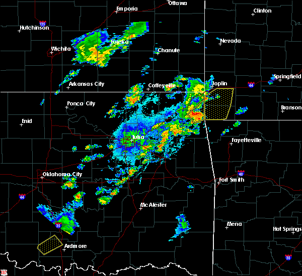 At 630 pm cdt, a severe thunderstorm was located 3 miles northeast of grove, moving northeast at 35 mph (radar indicated). Hazards include 70 mph wind gusts and quarter size hail. Hail damage to vehicles is expected. expect considerable tree damage. wind damage is also likely to mobile homes, roofs, and outbuildings. Locations in or near the path include, jay, grove, south west city, bernice, honey creek state park, dodge, cayuga, tiff city,. At 630 pm cdt, a severe thunderstorm was located 3 miles northeast of grove, moving northeast at 35 mph (radar indicated). Hazards include 70 mph wind gusts and quarter size hail. Hail damage to vehicles is expected. expect considerable tree damage. wind damage is also likely to mobile homes, roofs, and outbuildings. Locations in or near the path include, jay, grove, south west city, bernice, honey creek state park, dodge, cayuga, tiff city,.
|
| 10/6/2018 6:14 PM CDT |
 At 613 pm cdt, a severe thunderstorm was located 5 miles south of honey creek state park, moving northeast at 35 mph (radar indicated). Hazards include 70 mph wind gusts and quarter size hail. Hail damage to vehicles is expected. expect considerable tree damage. wind damage is also likely to mobile homes, roofs, and outbuildings. Locations in or near the path include, jay, grove, south west city, honey creek state park, dodge, cayuga, zena, tiff city,. At 613 pm cdt, a severe thunderstorm was located 5 miles south of honey creek state park, moving northeast at 35 mph (radar indicated). Hazards include 70 mph wind gusts and quarter size hail. Hail damage to vehicles is expected. expect considerable tree damage. wind damage is also likely to mobile homes, roofs, and outbuildings. Locations in or near the path include, jay, grove, south west city, honey creek state park, dodge, cayuga, zena, tiff city,.
|
| 8/30/2018 3:45 PM CDT |
 At 345 pm cdt, severe thunderstorms were located along a line extending from 3 miles southwest of afton to near big cabin, moving southeast at 25 mph (radar indicated). Hazards include 60 mph wind gusts and nickel size hail. Expect damage to roofs, siding, and trees. Locations in or near the path include, vinita, grove, salina, afton, langley, adair, bernice, ketchum, spavinaw, disney, big cabin, pensacola, hoot owl, honey creek state park, cherokee state park, bernice state park, cleora, chloeta, white oak, spavinaw state park, this includes interstate 44 between mile markers 269 and 298. At 345 pm cdt, severe thunderstorms were located along a line extending from 3 miles southwest of afton to near big cabin, moving southeast at 25 mph (radar indicated). Hazards include 60 mph wind gusts and nickel size hail. Expect damage to roofs, siding, and trees. Locations in or near the path include, vinita, grove, salina, afton, langley, adair, bernice, ketchum, spavinaw, disney, big cabin, pensacola, hoot owl, honey creek state park, cherokee state park, bernice state park, cleora, chloeta, white oak, spavinaw state park, this includes interstate 44 between mile markers 269 and 298.
|
| 8/30/2018 3:28 PM CDT |
 At 327 pm cdt, severe thunderstorms were located along a line extending from 4 miles southwest of bluejacket to 2 miles southwest of white oak, moving southeast at 30 mph (radar indicated). Hazards include 60 mph wind gusts and quarter size hail. Hail damage to vehicles is expected. expect wind damage to roofs, siding, and trees. Locations in or near the path include, vinita, grove, salina, afton, langley, adair, bernice, ketchum, spavinaw, bluejacket, disney, big cabin, pensacola, hoot owl, honey creek state park, cherokee state park, bernice state park, cleora, chloeta, white oak, this includes interstate 44 between mile markers 269 and 298. At 327 pm cdt, severe thunderstorms were located along a line extending from 4 miles southwest of bluejacket to 2 miles southwest of white oak, moving southeast at 30 mph (radar indicated). Hazards include 60 mph wind gusts and quarter size hail. Hail damage to vehicles is expected. expect wind damage to roofs, siding, and trees. Locations in or near the path include, vinita, grove, salina, afton, langley, adair, bernice, ketchum, spavinaw, bluejacket, disney, big cabin, pensacola, hoot owl, honey creek state park, cherokee state park, bernice state park, cleora, chloeta, white oak, this includes interstate 44 between mile markers 269 and 298.
|
| 8/19/2018 4:29 PM CDT |
 At 429 pm cdt, severe thunderstorms were located along a line extending from near picher to 3 miles northwest of cherokee state park, moving east at 25 mph (radar indicated). Hazards include 60 mph wind gusts. Expect damage to roofs, siding, and trees. locations in or near the path include, miami, baxter springs, grove, commerce, fairland, afton, quapaw, bernice, ketchum, wyandotte, treece, picher, honey creek state park, bernice state park, cleora, narcissa, ottawa, dodge, cayuga, peoria, this includes interstate 44 between mile markers 289 and 324. A tornado watch remains in effect until 900 pm cdt for northeastern oklahoma. At 429 pm cdt, severe thunderstorms were located along a line extending from near picher to 3 miles northwest of cherokee state park, moving east at 25 mph (radar indicated). Hazards include 60 mph wind gusts. Expect damage to roofs, siding, and trees. locations in or near the path include, miami, baxter springs, grove, commerce, fairland, afton, quapaw, bernice, ketchum, wyandotte, treece, picher, honey creek state park, bernice state park, cleora, narcissa, ottawa, dodge, cayuga, peoria, this includes interstate 44 between mile markers 289 and 324. A tornado watch remains in effect until 900 pm cdt for northeastern oklahoma.
|
| 7/21/2018 2:09 AM CDT |
 The national weather service in tulsa has issued a * severe thunderstorm warning for. benton county in northwestern arkansas. northeastern washington county in northwestern arkansas. northeastern delaware county in northeastern oklahoma. Until 300 am cdt. The national weather service in tulsa has issued a * severe thunderstorm warning for. benton county in northwestern arkansas. northeastern washington county in northwestern arkansas. northeastern delaware county in northeastern oklahoma. Until 300 am cdt.
|
| 7/21/2018 2:09 AM CDT |
 At 209 am cdt, severe thunderstorms were located along a line extending from 3 miles southwest of south west city to 2 miles north of highfill, moving southeast at 30 mph (radar indicated). Hazards include 60 mph wind gusts and quarter size hail. Hail damage to vehicles is expected. expect wind damage to roofs, siding, and trees. Locations in or near the path include, fayetteville, springdale, rogers, bentonville, siloam springs, jay, bella vista, lowell, grove, gentry, elkins, tontitown, bethel heights, gravette, cave springs, decatur, highfill, bernice, springtown, northwest arkansas regional air, this includes interstate 49 between mile markers 62 and 93. At 209 am cdt, severe thunderstorms were located along a line extending from 3 miles southwest of south west city to 2 miles north of highfill, moving southeast at 30 mph (radar indicated). Hazards include 60 mph wind gusts and quarter size hail. Hail damage to vehicles is expected. expect wind damage to roofs, siding, and trees. Locations in or near the path include, fayetteville, springdale, rogers, bentonville, siloam springs, jay, bella vista, lowell, grove, gentry, elkins, tontitown, bethel heights, gravette, cave springs, decatur, highfill, bernice, springtown, northwest arkansas regional air, this includes interstate 49 between mile markers 62 and 93.
|
| 7/17/2018 12:54 PM CDT |
 At 1253 pm cdt, severe thunderstorms were located along a line extending from 2 miles southwest of treece to 3 miles north of pensacola, moving east at 25 mph (radar indicated). Hazards include 60 mph wind gusts. Expect damage to roofs, siding, and trees. Locations in or near the path include, miami, baxter springs, commerce, fairland, afton, quapaw, bernice, ketchum, treece, picher, bernice state park, cleora, narcissa, ottawa, cardin, twin bridges state park, this includes interstate 44 between mile markers 284 and 322. At 1253 pm cdt, severe thunderstorms were located along a line extending from 2 miles southwest of treece to 3 miles north of pensacola, moving east at 25 mph (radar indicated). Hazards include 60 mph wind gusts. Expect damage to roofs, siding, and trees. Locations in or near the path include, miami, baxter springs, commerce, fairland, afton, quapaw, bernice, ketchum, treece, picher, bernice state park, cleora, narcissa, ottawa, cardin, twin bridges state park, this includes interstate 44 between mile markers 284 and 322.
|
| 7/17/2018 12:35 PM CDT |
 At 1233 pm cdt, severe thunderstorms were located along a line extending from 5 miles southeast of chetopa to 3 miles west of big cabin, moving east at 25 mph (radar indicated). Hazards include 60 mph wind gusts. Expect damage to roofs, siding, and trees. Locations in or near the path include, miami, vinita, baxter springs, commerce, fairland, afton, quapaw, welch, bernice, ketchum, bluejacket, big cabin, treece, picher, bernice state park, cleora, white oak, narcissa, ottawa, cardin, this includes interstate 44 between mile markers 274 and 322. At 1233 pm cdt, severe thunderstorms were located along a line extending from 5 miles southeast of chetopa to 3 miles west of big cabin, moving east at 25 mph (radar indicated). Hazards include 60 mph wind gusts. Expect damage to roofs, siding, and trees. Locations in or near the path include, miami, vinita, baxter springs, commerce, fairland, afton, quapaw, welch, bernice, ketchum, bluejacket, big cabin, treece, picher, bernice state park, cleora, white oak, narcissa, ottawa, cardin, this includes interstate 44 between mile markers 274 and 322.
|
| 6/26/2018 4:03 PM CDT |
 At 403 pm cdt, severe thunderstorms were located along a line extending from near bernice state park to 2 miles north of chloeta to 3 miles northwest of adair, moving southeast at 40 mph (radar indicated). Hazards include 60 mph wind gusts. Expect damage to roofs, siding, and trees. Locations in or near the path include, vinita, jay, grove, langley, adair, bernice, ketchum, spavinaw, disney, big cabin, pensacola, honey creek state park, cherokee state park, bernice state park, spavinaw state park, cleora, chloeta, dodge, cayuga, strang, this includes interstate 44 between mile markers 269 and 288. At 403 pm cdt, severe thunderstorms were located along a line extending from near bernice state park to 2 miles north of chloeta to 3 miles northwest of adair, moving southeast at 40 mph (radar indicated). Hazards include 60 mph wind gusts. Expect damage to roofs, siding, and trees. Locations in or near the path include, vinita, jay, grove, langley, adair, bernice, ketchum, spavinaw, disney, big cabin, pensacola, honey creek state park, cherokee state park, bernice state park, spavinaw state park, cleora, chloeta, dodge, cayuga, strang, this includes interstate 44 between mile markers 269 and 288.
|
| 6/26/2018 3:58 PM CDT |
 A severe thunderstorm warning remains in effect until 415 pm cdt for southern craig. northern delaware and northern mayes counties. at 358 pm cdt, severe thunderstorms were located along a line extending from near bernice to 2 miles north of adair, moving east at 55 mph. hazard. 60 mph wind gusts. A severe thunderstorm warning remains in effect until 415 pm cdt for southern craig. northern delaware and northern mayes counties. at 358 pm cdt, severe thunderstorms were located along a line extending from near bernice to 2 miles north of adair, moving east at 55 mph. hazard. 60 mph wind gusts.
|
| 6/26/2018 3:47 PM CDT |
 At 347 pm cdt, severe thunderstorms were located along a line extending from 4 miles northeast of vinita to near chelsea, moving east at 45 mph (radar indicated). Hazards include 60 mph wind gusts. Expect damage to roofs, siding, and trees. Locations in or near the path include, vinita, jay, grove, chelsea, langley, adair, bernice, ketchum, spavinaw, disney, big cabin, pensacola, new alluwe, hoot owl, honey creek state park, cherokee state park, bernice state park, cleora, chloeta, white oak, this includes interstate 44 between mile markers 265 and 293. At 347 pm cdt, severe thunderstorms were located along a line extending from 4 miles northeast of vinita to near chelsea, moving east at 45 mph (radar indicated). Hazards include 60 mph wind gusts. Expect damage to roofs, siding, and trees. Locations in or near the path include, vinita, jay, grove, chelsea, langley, adair, bernice, ketchum, spavinaw, disney, big cabin, pensacola, new alluwe, hoot owl, honey creek state park, cherokee state park, bernice state park, cleora, chloeta, white oak, this includes interstate 44 between mile markers 265 and 293.
|
| 6/26/2018 3:30 PM CDT |
 At 330 pm cdt, severe thunderstorms were located along a line extending from 7 miles north of white oak to 4 miles south of watova, moving east at 55 mph (radar indicated). Hazards include 60 mph wind gusts. Expect damage to roofs, siding, and trees. Locations in or near the path include, vinita, jay, grove, chelsea, salina, langley, adair, bernice, ketchum, spavinaw, foyil, disney, talala, big cabin, pensacola, new alluwe, hoot owl, honey creek state park, cherokee state park, bernice state park, this includes interstate 44 between mile markers 261 and 293. At 330 pm cdt, severe thunderstorms were located along a line extending from 7 miles north of white oak to 4 miles south of watova, moving east at 55 mph (radar indicated). Hazards include 60 mph wind gusts. Expect damage to roofs, siding, and trees. Locations in or near the path include, vinita, jay, grove, chelsea, salina, langley, adair, bernice, ketchum, spavinaw, foyil, disney, talala, big cabin, pensacola, new alluwe, hoot owl, honey creek state park, cherokee state park, bernice state park, this includes interstate 44 between mile markers 261 and 293.
|
| 6/12/2018 4:48 AM CDT |
 At 446 am cdt, severe thunderstorms were located along a line extending from near cleora to 2 miles west of vera, moving south at 45 mph (radar indicated). Hazards include 70 mph wind gusts and nickel size hail. Expect considerable tree damage. damage is likely to mobile homes, roofs, and outbuildings. Locations in or near the path include, tulsa, broken arrow, claremore, pryor, owasso, bixby, jenks, coweta, pryor creek, skiatook, catoosa, collinsville, verdigris, chouteau, chelsea, inola, locust grove, salina, sperry, oologah, this includes interstate 44 between mile markers 222 and 283. At 446 am cdt, severe thunderstorms were located along a line extending from near cleora to 2 miles west of vera, moving south at 45 mph (radar indicated). Hazards include 70 mph wind gusts and nickel size hail. Expect considerable tree damage. damage is likely to mobile homes, roofs, and outbuildings. Locations in or near the path include, tulsa, broken arrow, claremore, pryor, owasso, bixby, jenks, coweta, pryor creek, skiatook, catoosa, collinsville, verdigris, chouteau, chelsea, inola, locust grove, salina, sperry, oologah, this includes interstate 44 between mile markers 222 and 283.
|
| 5/20/2018 4:54 AM CDT |
 At 454 am cdt, a severe thunderstorm was located 3 miles southeast of vinita, moving northeast at 40 mph (radar indicated). Hazards include 60 mph wind gusts and half dollar size hail. Hail damage to vehicles is expected. expect wind damage to roofs, siding, and trees. Locations in or near the path include, miami, vinita, baxter springs, grove, commerce, fairland, afton, quapaw, bernice, ketchum, bluejacket, wyandotte, treece, picher, bernice state park, cleora, narcissa, ottawa, peoria, cardin, this includes interstate 44 between mile markers 280 and 324. At 454 am cdt, a severe thunderstorm was located 3 miles southeast of vinita, moving northeast at 40 mph (radar indicated). Hazards include 60 mph wind gusts and half dollar size hail. Hail damage to vehicles is expected. expect wind damage to roofs, siding, and trees. Locations in or near the path include, miami, vinita, baxter springs, grove, commerce, fairland, afton, quapaw, bernice, ketchum, bluejacket, wyandotte, treece, picher, bernice state park, cleora, narcissa, ottawa, peoria, cardin, this includes interstate 44 between mile markers 280 and 324.
|
| 10/9/2017 9:06 PM CDT |
 At 905 pm cdt, a severe thunderstorm was located 4 miles northwest of afton, moving east at 35 mph (radar indicated). Hazards include 60 mph wind gusts. Expect damage to roofs, siding, and trees. Locations in or near the path include, miami, vinita, grove, commerce, fairland, afton, quapaw, welch, bernice, ketchum, bluejacket, wyandotte, big cabin, treece, picher, honey creek state park, bernice state park, cleora, white oak, narcissa, this includes interstate 44 between mile markers 273 and 324. At 905 pm cdt, a severe thunderstorm was located 4 miles northwest of afton, moving east at 35 mph (radar indicated). Hazards include 60 mph wind gusts. Expect damage to roofs, siding, and trees. Locations in or near the path include, miami, vinita, grove, commerce, fairland, afton, quapaw, welch, bernice, ketchum, bluejacket, wyandotte, big cabin, treece, picher, honey creek state park, bernice state park, cleora, white oak, narcissa, this includes interstate 44 between mile markers 273 and 324.
|
| 10/9/2017 8:44 PM CDT |
 At 844 pm cdt, a severe thunderstorm was located 3 miles northeast of white oak, moving east at 35 mph (radar indicated). Hazards include 60 mph wind gusts and nickel size hail. Expect damage to roofs, siding, and trees. Locations in or near the path include, miami, vinita, grove, commerce, fairland, afton, quapaw, welch, bernice, ketchum, bluejacket, wyandotte, big cabin, treece, picher, honey creek state park, bernice state park, cleora, white oak, narcissa, this includes interstate 44 between mile markers 273 and 324. At 844 pm cdt, a severe thunderstorm was located 3 miles northeast of white oak, moving east at 35 mph (radar indicated). Hazards include 60 mph wind gusts and nickel size hail. Expect damage to roofs, siding, and trees. Locations in or near the path include, miami, vinita, grove, commerce, fairland, afton, quapaw, welch, bernice, ketchum, bluejacket, wyandotte, big cabin, treece, picher, honey creek state park, bernice state park, cleora, white oak, narcissa, this includes interstate 44 between mile markers 273 and 324.
|
| 8/16/2017 9:38 PM CDT |
 The severe thunderstorm warning for craig, northern rogers, northern delaware, ottawa, central washington and nowata counties will expire at 945 pm cdt, the storms which prompted the warning have weakened below severe limits, and no longer pose an immediate threat to life or property. therefore the warning will be allowed to expire. however gusty winds of up to 45 mph are still possible with these thunderstorms. a severe thunderstorm watch remains in effect until midnight cdt for northeastern oklahoma. The severe thunderstorm warning for craig, northern rogers, northern delaware, ottawa, central washington and nowata counties will expire at 945 pm cdt, the storms which prompted the warning have weakened below severe limits, and no longer pose an immediate threat to life or property. therefore the warning will be allowed to expire. however gusty winds of up to 45 mph are still possible with these thunderstorms. a severe thunderstorm watch remains in effect until midnight cdt for northeastern oklahoma.
|
| 8/16/2017 9:07 PM CDT |
 At 906 pm cdt, severe thunderstorms were located along a line extending from 5 miles southeast of chetopa to 10 miles west of bluejacket to near nowata, moving east at 30 mph (radar indicated). Hazards include 60 mph wind gusts. Expect damage to roofs, siding, and trees. Locations in or near the path include, bartlesville, miami, vinita, nowata, grove, commerce, chelsea, fairland, afton, quapaw, welch, bernice, ketchum, delaware, bluejacket, wyandotte, lenapah, big cabin, treece, new alluwe, this includes interstate 44 between mile markers 273 and 324. At 906 pm cdt, severe thunderstorms were located along a line extending from 5 miles southeast of chetopa to 10 miles west of bluejacket to near nowata, moving east at 30 mph (radar indicated). Hazards include 60 mph wind gusts. Expect damage to roofs, siding, and trees. Locations in or near the path include, bartlesville, miami, vinita, nowata, grove, commerce, chelsea, fairland, afton, quapaw, welch, bernice, ketchum, delaware, bluejacket, wyandotte, lenapah, big cabin, treece, new alluwe, this includes interstate 44 between mile markers 273 and 324.
|
| 8/16/2017 8:45 PM CDT |
 At 845 pm cdt, severe thunderstorms were located along a line extending from 6 miles southeast of edna to 6 miles east of nowata to 6 miles east of ochelata, moving east at 45 mph (radar indicated). Hazards include 60 mph wind gusts. Expect damage to roofs, siding, and trees. Locations in or near the path include, bartlesville, miami, vinita, nowata, grove, commerce, chelsea, fairland, afton, quapaw, welch, bernice, ketchum, delaware, bluejacket, wyandotte, lenapah, big cabin, treece, new alluwe, this includes interstate 44 between mile markers 273 and 324. At 845 pm cdt, severe thunderstorms were located along a line extending from 6 miles southeast of edna to 6 miles east of nowata to 6 miles east of ochelata, moving east at 45 mph (radar indicated). Hazards include 60 mph wind gusts. Expect damage to roofs, siding, and trees. Locations in or near the path include, bartlesville, miami, vinita, nowata, grove, commerce, chelsea, fairland, afton, quapaw, welch, bernice, ketchum, delaware, bluejacket, wyandotte, lenapah, big cabin, treece, new alluwe, this includes interstate 44 between mile markers 273 and 324.
|
| 7/8/2017 2:02 AM CDT |
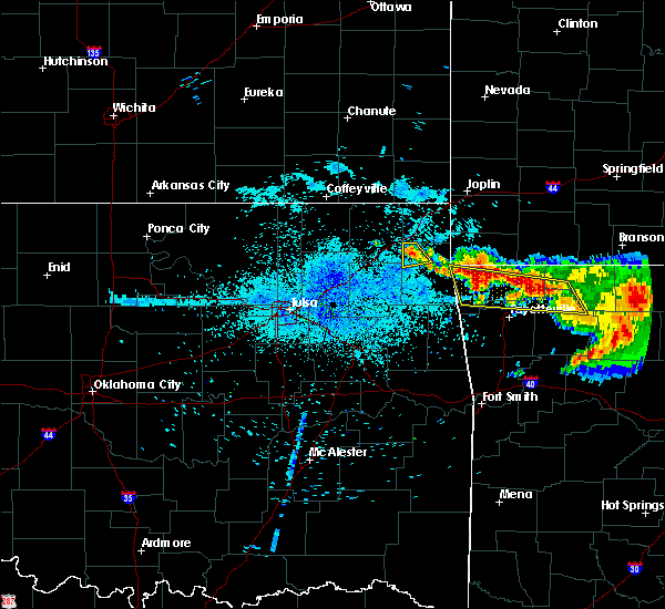 At 201 am cdt, a severe thunderstorm was located over cleora, moving southeast at 15 mph (radar indicated). Hazards include 60 mph wind gusts and quarter size hail. Hail damage to vehicles is expected. expect wind damage to roofs, siding, and trees. Locations in or near the path include, bernice, bernice state park, cleora, zena,. At 201 am cdt, a severe thunderstorm was located over cleora, moving southeast at 15 mph (radar indicated). Hazards include 60 mph wind gusts and quarter size hail. Hail damage to vehicles is expected. expect wind damage to roofs, siding, and trees. Locations in or near the path include, bernice, bernice state park, cleora, zena,.
|
| 7/8/2017 1:43 AM CDT |
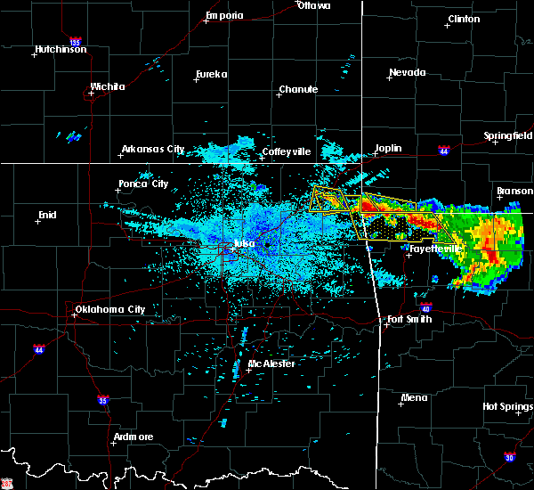 At 143 am cdt, a severe thunderstorm was located near afton, moving southeast at 15 mph (radar indicated). Hazards include 60 mph wind gusts and quarter size hail. Hail damage to vehicles is expected. expect wind damage to roofs, siding, and trees. Locations in or near the path include, bernice, ketchum, bernice state park, cleora, zena, this includes interstate 44 between mile markers 289 and 293. At 143 am cdt, a severe thunderstorm was located near afton, moving southeast at 15 mph (radar indicated). Hazards include 60 mph wind gusts and quarter size hail. Hail damage to vehicles is expected. expect wind damage to roofs, siding, and trees. Locations in or near the path include, bernice, ketchum, bernice state park, cleora, zena, this includes interstate 44 between mile markers 289 and 293.
|
| 7/8/2017 1:17 AM CDT |
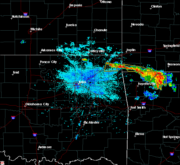 At 117 am cdt, a severe thunderstorm was located over afton, moving south at 15 mph (radar indicated). Hazards include 60 mph wind gusts and quarter size hail. Hail damage to vehicles is expected. expect wind damage to roofs, siding, and trees. Locations in or near the path include, grove, afton, bernice, ketchum, cleora, honey creek state park, bernice state park, this includes interstate 44 between mile markers 286 and 298. At 117 am cdt, a severe thunderstorm was located over afton, moving south at 15 mph (radar indicated). Hazards include 60 mph wind gusts and quarter size hail. Hail damage to vehicles is expected. expect wind damage to roofs, siding, and trees. Locations in or near the path include, grove, afton, bernice, ketchum, cleora, honey creek state park, bernice state park, this includes interstate 44 between mile markers 286 and 298.
|
| 7/8/2017 12:57 AM CDT |
 At 1257 am cdt, a severe thunderstorm was located 4 miles north of afton, moving south at 20 mph (radar indicated). Hazards include 60 mph wind gusts and quarter size hail. Hail damage to vehicles is expected. expect wind damage to roofs, siding, and trees. Locations in or near the path include, miami, grove, fairland, afton, bernice, ketchum, bluejacket, cleora, honey creek state park, narcissa, bernice state park, this includes interstate 44 between mile markers 286 and 304. At 1257 am cdt, a severe thunderstorm was located 4 miles north of afton, moving south at 20 mph (radar indicated). Hazards include 60 mph wind gusts and quarter size hail. Hail damage to vehicles is expected. expect wind damage to roofs, siding, and trees. Locations in or near the path include, miami, grove, fairland, afton, bernice, ketchum, bluejacket, cleora, honey creek state park, narcissa, bernice state park, this includes interstate 44 between mile markers 286 and 304.
|
| 6/17/2017 7:56 AM CDT |
 The severe thunderstorm warning for southeastern craig, northwestern delaware and ottawa counties will expire at 800 am cdt, the storms which prompted the warning have weakened below severe limits, and have exited the warned area. therefore the warning will be allowed to expire. however heavy rain is still possible with these thunderstorms. The severe thunderstorm warning for southeastern craig, northwestern delaware and ottawa counties will expire at 800 am cdt, the storms which prompted the warning have weakened below severe limits, and have exited the warned area. therefore the warning will be allowed to expire. however heavy rain is still possible with these thunderstorms.
|
| 6/17/2017 7:41 AM CDT |
 At 740 am cdt, severe thunderstorms were located along a line extending from 3 miles north of wyandotte to 5 miles northeast of vinita, moving south at 30 mph (radar indicated). Hazards include 60 mph wind gusts and quarter size hail. Hail damage to vehicles is expected. expect wind damage to roofs, siding, and trees. Locations in or near the path include, miami, grove, fairland, afton, bernice, wyandotte, narcissa, bernice state park, ottawa, peoria, twin bridges state park, this includes interstate 44 between mile markers 285 and 322. At 740 am cdt, severe thunderstorms were located along a line extending from 3 miles north of wyandotte to 5 miles northeast of vinita, moving south at 30 mph (radar indicated). Hazards include 60 mph wind gusts and quarter size hail. Hail damage to vehicles is expected. expect wind damage to roofs, siding, and trees. Locations in or near the path include, miami, grove, fairland, afton, bernice, wyandotte, narcissa, bernice state park, ottawa, peoria, twin bridges state park, this includes interstate 44 between mile markers 285 and 322.
|
| 6/17/2017 7:27 AM CDT |
 At 727 am cdt, severe thunderstorms were located along a line extending from 4 miles east of quapaw to 2 miles south of bluejacket, moving south at 30 mph (radar indicated). Hazards include 60 mph wind gusts and quarter size hail. Hail damage to vehicles is expected. expect wind damage to roofs, siding, and trees. Locations in or near the path include, miami, grove, commerce, fairland, afton, quapaw, welch, bernice, bluejacket, wyandotte, bernice state park, narcissa, ottawa, peoria, twin bridges state park, this includes interstate 44 between mile markers 285 and 322. At 727 am cdt, severe thunderstorms were located along a line extending from 4 miles east of quapaw to 2 miles south of bluejacket, moving south at 30 mph (radar indicated). Hazards include 60 mph wind gusts and quarter size hail. Hail damage to vehicles is expected. expect wind damage to roofs, siding, and trees. Locations in or near the path include, miami, grove, commerce, fairland, afton, quapaw, welch, bernice, bluejacket, wyandotte, bernice state park, narcissa, ottawa, peoria, twin bridges state park, this includes interstate 44 between mile markers 285 and 322.
|
| 6/17/2017 7:16 AM CDT |
 At 716 am cdt, a severe thunderstorm was located near ketchum, moving southeast at 40 mph (radar indicated). Hazards include 60 mph wind gusts and quarter size hail. Hail damage to vehicles is expected. expect wind damage to roofs, siding, and trees. Locations in or near the path include, siloam springs, jay, west siloam springs, langley, colcord, kansas, bernice, ketchum, spavinaw, disney, oaks, pensacola, cherokee state park, spavinaw state park, leach, cleora, chloeta, twin oaks, lake eucha state park, zena,. At 716 am cdt, a severe thunderstorm was located near ketchum, moving southeast at 40 mph (radar indicated). Hazards include 60 mph wind gusts and quarter size hail. Hail damage to vehicles is expected. expect wind damage to roofs, siding, and trees. Locations in or near the path include, siloam springs, jay, west siloam springs, langley, colcord, kansas, bernice, ketchum, spavinaw, disney, oaks, pensacola, cherokee state park, spavinaw state park, leach, cleora, chloeta, twin oaks, lake eucha state park, zena,.
|
| 6/15/2017 11:11 PM CDT |
 The severe thunderstorm warning for northern delaware and ottawa counties will expire at 1115 pm cdt, the storms which prompted the warning have weakened below severe limits, and no longer pose an immediate threat to life or property. therefore the warning will be allowed to expire. however heavy rain is still possible with these thunderstorms. a severe thunderstorm watch remains in effect until 200 am cdt for northeastern oklahoma. The severe thunderstorm warning for northern delaware and ottawa counties will expire at 1115 pm cdt, the storms which prompted the warning have weakened below severe limits, and no longer pose an immediate threat to life or property. therefore the warning will be allowed to expire. however heavy rain is still possible with these thunderstorms. a severe thunderstorm watch remains in effect until 200 am cdt for northeastern oklahoma.
|
| 6/15/2017 10:33 PM CDT |
 At 1033 pm cdt, severe thunderstorms were located along a line extending from 3 miles south of baxter springs to near ketchum, moving east at 45 mph (radar indicated). Hazards include 60 mph wind gusts. Expect damage to roofs, siding, and trees. Locations in or near the path include, miami, grove, commerce, fairland, afton, quapaw, bernice, wyandotte, treece, picher, honey creek state park, bernice state park, cleora, narcissa, ottawa, peoria, cardin, zena, twin bridges state park, this includes interstate 44 between mile markers 293 and 324. At 1033 pm cdt, severe thunderstorms were located along a line extending from 3 miles south of baxter springs to near ketchum, moving east at 45 mph (radar indicated). Hazards include 60 mph wind gusts. Expect damage to roofs, siding, and trees. Locations in or near the path include, miami, grove, commerce, fairland, afton, quapaw, bernice, wyandotte, treece, picher, honey creek state park, bernice state park, cleora, narcissa, ottawa, peoria, cardin, zena, twin bridges state park, this includes interstate 44 between mile markers 293 and 324.
|
| 6/15/2017 10:09 PM CDT |
 At 1009 pm cdt, severe thunderstorms were located along a line extending from 5 miles northwest of treece to near foyil, moving southeast at 40 mph (radar indicated). Hazards include 60 mph wind gusts. Expect damage to roofs, siding, and trees. Locations in or near the path include, miami, grove, commerce, fairland, afton, quapaw, bernice, wyandotte, treece, picher, honey creek state park, bernice state park, cleora, narcissa, ottawa, peoria, cardin, zena, twin bridges state park, this includes interstate 44 between mile markers 293 and 324. At 1009 pm cdt, severe thunderstorms were located along a line extending from 5 miles northwest of treece to near foyil, moving southeast at 40 mph (radar indicated). Hazards include 60 mph wind gusts. Expect damage to roofs, siding, and trees. Locations in or near the path include, miami, grove, commerce, fairland, afton, quapaw, bernice, wyandotte, treece, picher, honey creek state park, bernice state park, cleora, narcissa, ottawa, peoria, cardin, zena, twin bridges state park, this includes interstate 44 between mile markers 293 and 324.
|
| 5/27/2017 11:20 PM CDT |
 At 1120 pm cdt, a severe thunderstorm was located 5 miles northeast of vinita, moving northeast at 40 mph. another severe thunderstorm was located near afton, moving northeast at 40 mph (radar indicated). Hazards include tennis ball size hail and 60 mph wind gusts. People and animals outdoors will be injured. expect hail damage to roofs, siding, windows, and vehicles. expect wind damage to roofs, siding, and trees. locations in or near the path include, vinita, grove, fairland, afton, wyandotte, this includes interstate 44 between mile markers 283 and 301. A tornado watch remains in effect until midnight cdt for northeastern oklahoma. At 1120 pm cdt, a severe thunderstorm was located 5 miles northeast of vinita, moving northeast at 40 mph. another severe thunderstorm was located near afton, moving northeast at 40 mph (radar indicated). Hazards include tennis ball size hail and 60 mph wind gusts. People and animals outdoors will be injured. expect hail damage to roofs, siding, windows, and vehicles. expect wind damage to roofs, siding, and trees. locations in or near the path include, vinita, grove, fairland, afton, wyandotte, this includes interstate 44 between mile markers 283 and 301. A tornado watch remains in effect until midnight cdt for northeastern oklahoma.
|
| 5/27/2017 11:05 PM CDT |
 At 1105 pm cdt, a severe thunderstorm was located 3 miles north of white oak, moving northeast at 40 mph (radar indicated). Hazards include tennis ball size hail and 60 mph wind gusts. People and animals outdoors will be injured. expect hail damage to roofs, siding, windows, and vehicles. expect wind damage to roofs, siding, and trees. locations in or near the path include, vinita, grove, fairland, afton, bernice, ketchum, wyandotte, big cabin, cleora, honey creek state park, white oak, bernice state park, this includes interstate 44 between mile markers 273 and 301. A tornado watch remains in effect until midnight cdt for northeastern oklahoma. At 1105 pm cdt, a severe thunderstorm was located 3 miles north of white oak, moving northeast at 40 mph (radar indicated). Hazards include tennis ball size hail and 60 mph wind gusts. People and animals outdoors will be injured. expect hail damage to roofs, siding, windows, and vehicles. expect wind damage to roofs, siding, and trees. locations in or near the path include, vinita, grove, fairland, afton, bernice, ketchum, wyandotte, big cabin, cleora, honey creek state park, white oak, bernice state park, this includes interstate 44 between mile markers 273 and 301. A tornado watch remains in effect until midnight cdt for northeastern oklahoma.
|
| 5/27/2017 10:56 PM CDT |
 At 1056 pm cdt, a severe thunderstorm was located 3 miles southwest of white oak, moving east at 40 mph (radar indicated). Hazards include tennis ball size hail and 60 mph wind gusts. People and animals outdoors will be injured. expect hail damage to roofs, siding, windows, and vehicles. expect wind damage to roofs, siding, and trees. locations in or near the path include, vinita, grove, chelsea, fairland, afton, langley, adair, bernice, ketchum, wyandotte, disney, big cabin, pensacola, honey creek state park, cherokee state park, bernice state park, cleora, white oak, zena, this includes interstate 44 between mile markers 262 and 301. A tornado watch remains in effect until midnight cdt for northwestern arkansas, and northeastern oklahoma. At 1056 pm cdt, a severe thunderstorm was located 3 miles southwest of white oak, moving east at 40 mph (radar indicated). Hazards include tennis ball size hail and 60 mph wind gusts. People and animals outdoors will be injured. expect hail damage to roofs, siding, windows, and vehicles. expect wind damage to roofs, siding, and trees. locations in or near the path include, vinita, grove, chelsea, fairland, afton, langley, adair, bernice, ketchum, wyandotte, disney, big cabin, pensacola, honey creek state park, cherokee state park, bernice state park, cleora, white oak, zena, this includes interstate 44 between mile markers 262 and 301. A tornado watch remains in effect until midnight cdt for northwestern arkansas, and northeastern oklahoma.
|
| 5/27/2017 10:44 PM CDT |
 At 1044 pm cdt, a severe thunderstorm was located over chelsea, moving east at 40 mph (radar indicated). Hazards include 60 mph wind gusts and quarter size hail. Hail damage to vehicles is expected. expect wind damage to roofs, siding, and trees. locations in or near the path include, vinita, grove, chelsea, fairland, afton, langley, adair, bernice, ketchum, foyil, wyandotte, disney, big cabin, pensacola, new alluwe, honey creek state park, cherokee state park, bernice state park, cleora, white oak, this includes interstate 44 between mile markers 262 and 301. A tornado watch remains in effect until midnight cdt for northwestern arkansas, and northeastern oklahoma. At 1044 pm cdt, a severe thunderstorm was located over chelsea, moving east at 40 mph (radar indicated). Hazards include 60 mph wind gusts and quarter size hail. Hail damage to vehicles is expected. expect wind damage to roofs, siding, and trees. locations in or near the path include, vinita, grove, chelsea, fairland, afton, langley, adair, bernice, ketchum, foyil, wyandotte, disney, big cabin, pensacola, new alluwe, honey creek state park, cherokee state park, bernice state park, cleora, white oak, this includes interstate 44 between mile markers 262 and 301. A tornado watch remains in effect until midnight cdt for northwestern arkansas, and northeastern oklahoma.
|
| 5/27/2017 9:11 PM CDT |
 At 910 pm cdt, a severe thunderstorm was located 3 miles south of pensacola, moving east at 35 mph (radar indicated). Hazards include 60 mph wind gusts and half dollar size hail. Hail damage to vehicles is expected. expect wind damage to roofs, siding, and trees. Locations in or near the path include, jay, pryor, pryor creek, grove, salina, langley, colcord, adair, bernice, ketchum, spavinaw, disney, big cabin, pensacola, hoot owl, honey creek state park, cherokee state park, spavinaw state park, cleora, chloeta, a tornado watch remains in effect until midnight cdt for northeastern oklahoma. At 910 pm cdt, a severe thunderstorm was located 3 miles south of pensacola, moving east at 35 mph (radar indicated). Hazards include 60 mph wind gusts and half dollar size hail. Hail damage to vehicles is expected. expect wind damage to roofs, siding, and trees. Locations in or near the path include, jay, pryor, pryor creek, grove, salina, langley, colcord, adair, bernice, ketchum, spavinaw, disney, big cabin, pensacola, hoot owl, honey creek state park, cherokee state park, spavinaw state park, cleora, chloeta, a tornado watch remains in effect until midnight cdt for northeastern oklahoma.
|
| 5/27/2017 8:52 PM CDT |
 At 851 pm cdt, a severe thunderstorm was located 3 miles north of adair, moving east at 45 mph (radar indicated). Hazards include 60 mph wind gusts and quarter size hail. Hail damage to vehicles is expected. expect wind damage to roofs, siding, and trees. locations in or near the path include, jay, pryor, pryor creek, grove, salina, langley, colcord, adair, bernice, ketchum, spavinaw, disney, big cabin, pensacola, hoot owl, honey creek state park, cherokee state park, spavinaw state park, cleora, chloeta, those attending rocklahoma are in the path of this storm and should prepare for imminent dangerous weather conditions. seek shelter now! this includes interstate 44 between mile markers 261 and 281. A tornado watch remains in effect until midnight cdt for northeastern oklahoma. At 851 pm cdt, a severe thunderstorm was located 3 miles north of adair, moving east at 45 mph (radar indicated). Hazards include 60 mph wind gusts and quarter size hail. Hail damage to vehicles is expected. expect wind damage to roofs, siding, and trees. locations in or near the path include, jay, pryor, pryor creek, grove, salina, langley, colcord, adair, bernice, ketchum, spavinaw, disney, big cabin, pensacola, hoot owl, honey creek state park, cherokee state park, spavinaw state park, cleora, chloeta, those attending rocklahoma are in the path of this storm and should prepare for imminent dangerous weather conditions. seek shelter now! this includes interstate 44 between mile markers 261 and 281. A tornado watch remains in effect until midnight cdt for northeastern oklahoma.
|
| 5/27/2017 8:31 PM CDT |
 At 830 pm cdt, a severe thunderstorm was located over jay, moving east at 40 mph (radar indicated). Hazards include 70 mph wind gusts and half dollar size hail. Hail damage to vehicles is expected. expect considerable tree damage. wind damage is also likely to mobile homes, roofs, and outbuildings. Locations in or near the path include, jay, grove, colcord, bernice, cleora, chloeta, honey creek state park, bernice state park, zena, lake eucha state park, a tornado watch remains in effect until midnight cdt for northeastern oklahoma. At 830 pm cdt, a severe thunderstorm was located over jay, moving east at 40 mph (radar indicated). Hazards include 70 mph wind gusts and half dollar size hail. Hail damage to vehicles is expected. expect considerable tree damage. wind damage is also likely to mobile homes, roofs, and outbuildings. Locations in or near the path include, jay, grove, colcord, bernice, cleora, chloeta, honey creek state park, bernice state park, zena, lake eucha state park, a tornado watch remains in effect until midnight cdt for northeastern oklahoma.
|
| 5/27/2017 8:10 PM CDT |
 At 809 pm cdt, a severe thunderstorm was located over cherokee state park, moving east at 40 mph (radar indicated). Hazards include 70 mph wind gusts and half dollar size hail. Hail damage to vehicles is expected. expect considerable tree damage. wind damage is also likely to mobile homes, roofs, and outbuildings. locations in or near the path include, vinita, jay, grove, west siloam springs, langley, colcord, bernice, ketchum, spavinaw, disney, pensacola, honey creek state park, cherokee state park, bernice state park, spavinaw state park, cleora, chloeta, strang, lake eucha state park, zena, this includes interstate 44 between mile markers 283 and 288. A tornado watch remains in effect until midnight cdt for northeastern oklahoma. At 809 pm cdt, a severe thunderstorm was located over cherokee state park, moving east at 40 mph (radar indicated). Hazards include 70 mph wind gusts and half dollar size hail. Hail damage to vehicles is expected. expect considerable tree damage. wind damage is also likely to mobile homes, roofs, and outbuildings. locations in or near the path include, vinita, jay, grove, west siloam springs, langley, colcord, bernice, ketchum, spavinaw, disney, pensacola, honey creek state park, cherokee state park, bernice state park, spavinaw state park, cleora, chloeta, strang, lake eucha state park, zena, this includes interstate 44 between mile markers 283 and 288. A tornado watch remains in effect until midnight cdt for northeastern oklahoma.
|
| 5/19/2017 8:51 PM CDT |
 At 851 pm cdt, severe thunderstorms were located along a line extending from 2 miles northeast of afton to 5 miles northeast of jay to 3 miles north of colcord to 2 miles south of scraper, moving northeast at 50 mph (radar indicated). Hazards include 70 mph wind gusts and nickel size hail. Expect considerable tree damage. damage is likely to mobile homes, roofs, and outbuildings. locations in or near the path include, vinita, jay, grove, fairland, afton, west siloam springs, langley, colcord, kansas, bernice, ketchum, spavinaw, disney, oaks, honey creek state park, cherokee state park, rose, bernice state park, leach, cleora, this includes interstate 44 between mile markers 278 and 302. A tornado watch remains in effect until 1100 pm cdt for northeastern and east central oklahoma. At 851 pm cdt, severe thunderstorms were located along a line extending from 2 miles northeast of afton to 5 miles northeast of jay to 3 miles north of colcord to 2 miles south of scraper, moving northeast at 50 mph (radar indicated). Hazards include 70 mph wind gusts and nickel size hail. Expect considerable tree damage. damage is likely to mobile homes, roofs, and outbuildings. locations in or near the path include, vinita, jay, grove, fairland, afton, west siloam springs, langley, colcord, kansas, bernice, ketchum, spavinaw, disney, oaks, honey creek state park, cherokee state park, rose, bernice state park, leach, cleora, this includes interstate 44 between mile markers 278 and 302. A tornado watch remains in effect until 1100 pm cdt for northeastern and east central oklahoma.
|
| 5/19/2017 8:36 PM CDT |
 At 836 pm cdt, severe thunderstorms were located along a line extending from near vinita to near chloeta to 3 miles northeast of leach to 6 miles northwest of tahlequah, moving northeast at 50 mph (radar indicated). Hazards include 70 mph wind gusts and quarter size hail. Hail damage to vehicles is expected. expect considerable tree damage. wind damage is also likely to mobile homes, roofs, and outbuildings. locations in or near the path include, vinita, jay, grove, locust grove, salina, fairland, afton, west siloam springs, langley, colcord, kansas, adair, hulbert, bernice, ketchum, spavinaw, disney, oaks, big cabin, pensacola, this includes interstate 44 between mile markers 270 and 302. A tornado watch remains in effect until 1100 pm cdt for northeastern and east central oklahoma. At 836 pm cdt, severe thunderstorms were located along a line extending from near vinita to near chloeta to 3 miles northeast of leach to 6 miles northwest of tahlequah, moving northeast at 50 mph (radar indicated). Hazards include 70 mph wind gusts and quarter size hail. Hail damage to vehicles is expected. expect considerable tree damage. wind damage is also likely to mobile homes, roofs, and outbuildings. locations in or near the path include, vinita, jay, grove, locust grove, salina, fairland, afton, west siloam springs, langley, colcord, kansas, adair, hulbert, bernice, ketchum, spavinaw, disney, oaks, big cabin, pensacola, this includes interstate 44 between mile markers 270 and 302. A tornado watch remains in effect until 1100 pm cdt for northeastern and east central oklahoma.
|
| 5/19/2017 8:14 PM CDT |
 At 813 pm cdt, severe thunderstorms were located along a line extending from near chelsea to 3 miles east of pryor creek to 5 miles south of locust grove to near okay, moving northeast at 50 mph (radar indicated). Hazards include 60 mph wind gusts and quarter size hail. Hail damage to vehicles is expected. expect wind damage to roofs, siding, and trees. locations in or near the path include, vinita, jay, grove, locust grove, salina, fairland, afton, west siloam springs, langley, colcord, kansas, adair, hulbert, bernice, ketchum, spavinaw, disney, oaks, big cabin, pensacola, this includes interstate 44 between mile markers 266 and 302. A tornado watch remains in effect until 1100 pm cdt for northeastern and east central oklahoma. At 813 pm cdt, severe thunderstorms were located along a line extending from near chelsea to 3 miles east of pryor creek to 5 miles south of locust grove to near okay, moving northeast at 50 mph (radar indicated). Hazards include 60 mph wind gusts and quarter size hail. Hail damage to vehicles is expected. expect wind damage to roofs, siding, and trees. locations in or near the path include, vinita, jay, grove, locust grove, salina, fairland, afton, west siloam springs, langley, colcord, kansas, adair, hulbert, bernice, ketchum, spavinaw, disney, oaks, big cabin, pensacola, this includes interstate 44 between mile markers 266 and 302. A tornado watch remains in effect until 1100 pm cdt for northeastern and east central oklahoma.
|
| 5/18/2017 11:52 PM CDT |
 The severe thunderstorm warning for southeastern craig, northern delaware and northeastern mayes counties will expire at midnight cdt, the storms which prompted the warning have weakened below severe limits, and have exited the warned area. therefore the warning will be allowed to expire. however gusty winds are still possible with these thunderstorms. a tornado watch remains in effect until midnight cdt for northeastern oklahoma. The severe thunderstorm warning for southeastern craig, northern delaware and northeastern mayes counties will expire at midnight cdt, the storms which prompted the warning have weakened below severe limits, and have exited the warned area. therefore the warning will be allowed to expire. however gusty winds are still possible with these thunderstorms. a tornado watch remains in effect until midnight cdt for northeastern oklahoma.
|
| 5/18/2017 11:42 PM CDT |
 At 1142 pm cdt, severe thunderstorms were located along a line extending from near ketchum to 6 miles southwest of jay, moving east at 60 mph (radar indicated). Hazards include 60 mph wind gusts. Expect damage to roofs, siding, and trees. locations in or near the path include, vinita, jay, grove, langley, adair, bernice, ketchum, spavinaw, disney, big cabin, pensacola, hoot owl, cherokee state park, bernice state park, spavinaw state park, cleora, chloeta, honey creek state park, strang, zena, this includes interstate 44 between mile markers 268 and 293. A tornado watch remains in effect until midnight cdt for northeastern oklahoma. At 1142 pm cdt, severe thunderstorms were located along a line extending from near ketchum to 6 miles southwest of jay, moving east at 60 mph (radar indicated). Hazards include 60 mph wind gusts. Expect damage to roofs, siding, and trees. locations in or near the path include, vinita, jay, grove, langley, adair, bernice, ketchum, spavinaw, disney, big cabin, pensacola, hoot owl, cherokee state park, bernice state park, spavinaw state park, cleora, chloeta, honey creek state park, strang, zena, this includes interstate 44 between mile markers 268 and 293. A tornado watch remains in effect until midnight cdt for northeastern oklahoma.
|
| 5/18/2017 11:12 PM CDT |
 At 1111 pm cdt, severe thunderstorms were located along a line extending from 3 miles southeast of foyil to 2 miles northeast of chouteau, moving northeast at 50 mph (radar indicated). Hazards include 60 mph wind gusts. Expect damage to roofs, siding, and trees. locations in or near the path include, vinita, jay, pryor, pryor creek, grove, chouteau, chelsea, salina, afton, langley, adair, bernice, ketchum, spavinaw, foyil, bluejacket, disney, big cabin, pensacola, hoot owl, this includes interstate 44 between mile markers 254 and 295. A tornado watch remains in effect until midnight cdt for northeastern oklahoma. At 1111 pm cdt, severe thunderstorms were located along a line extending from 3 miles southeast of foyil to 2 miles northeast of chouteau, moving northeast at 50 mph (radar indicated). Hazards include 60 mph wind gusts. Expect damage to roofs, siding, and trees. locations in or near the path include, vinita, jay, pryor, pryor creek, grove, chouteau, chelsea, salina, afton, langley, adair, bernice, ketchum, spavinaw, foyil, bluejacket, disney, big cabin, pensacola, hoot owl, this includes interstate 44 between mile markers 254 and 295. A tornado watch remains in effect until midnight cdt for northeastern oklahoma.
|
| 5/11/2017 7:30 PM CDT |
 At 730 pm cdt, severe thunderstorms were located along a line extending from 4 miles northeast of bernice state park to near grove to 5 miles south of honey creek state park, moving east at 35 mph (radar indicated). Hazards include 60 mph wind gusts. Expect damage to roofs, siding, and trees. Locations in or near the path include, grove, honey creek state park,. At 730 pm cdt, severe thunderstorms were located along a line extending from 4 miles northeast of bernice state park to near grove to 5 miles south of honey creek state park, moving east at 35 mph (radar indicated). Hazards include 60 mph wind gusts. Expect damage to roofs, siding, and trees. Locations in or near the path include, grove, honey creek state park,.
|
| 5/11/2017 7:19 PM CDT |
 At 718 pm cdt, severe thunderstorms were located along a line extending from near bernice state park to 3 miles west of honey creek state park to 5 miles northwest of jay, moving east at 35 mph (radar indicated. at 712 pm wind damage was reported 3 miles east of disney). Hazards include 60 mph wind gusts and nickel size hail. Expect damage to roofs, siding, and trees. Locations in or near the path include, grove, bernice, bernice state park, honey creek state park, zena,. At 718 pm cdt, severe thunderstorms were located along a line extending from near bernice state park to 3 miles west of honey creek state park to 5 miles northwest of jay, moving east at 35 mph (radar indicated. at 712 pm wind damage was reported 3 miles east of disney). Hazards include 60 mph wind gusts and nickel size hail. Expect damage to roofs, siding, and trees. Locations in or near the path include, grove, bernice, bernice state park, honey creek state park, zena,.
|
| 5/11/2017 7:09 PM CDT |
 At 709 pm cdt, severe thunderstorms were located along a line extending from 3 miles west of bernice to 2 miles southeast of cleora to 2 miles northeast of chloeta, moving east at 35 mph (radar indicated). Hazards include 60 mph wind gusts and nickel size hail. Expect damage to roofs, siding, and trees. Locations in or near the path include, grove, bernice, bernice state park, cleora, honey creek state park, zena,. At 709 pm cdt, severe thunderstorms were located along a line extending from 3 miles west of bernice to 2 miles southeast of cleora to 2 miles northeast of chloeta, moving east at 35 mph (radar indicated). Hazards include 60 mph wind gusts and nickel size hail. Expect damage to roofs, siding, and trees. Locations in or near the path include, grove, bernice, bernice state park, cleora, honey creek state park, zena,.
|
| 5/11/2017 6:53 PM CDT |
 At 653 pm cdt, severe thunderstorms were located along a line extending from near vinita to 3 miles northwest of cherokee state park to 4 miles west of hoot owl, moving east at 35 mph (radar indicated). Hazards include 60 mph wind gusts and nickel size hail. Expect damage to roofs, siding, and trees. Locations in or near the path include, vinita, jay, grove, fairland, afton, langley, bernice, ketchum, spavinaw, disney, pensacola, honey creek state park, cherokee state park, bernice state park, cleora, chloeta, white oak, spavinaw state park, strang, zena, this includes interstate 44 between mile markers 278 and 300. At 653 pm cdt, severe thunderstorms were located along a line extending from near vinita to 3 miles northwest of cherokee state park to 4 miles west of hoot owl, moving east at 35 mph (radar indicated). Hazards include 60 mph wind gusts and nickel size hail. Expect damage to roofs, siding, and trees. Locations in or near the path include, vinita, jay, grove, fairland, afton, langley, bernice, ketchum, spavinaw, disney, pensacola, honey creek state park, cherokee state park, bernice state park, cleora, chloeta, white oak, spavinaw state park, strang, zena, this includes interstate 44 between mile markers 278 and 300.
|
| 5/11/2017 2:52 PM CDT |
 At 252 pm cdt, a severe thunderstorm was located near afton, moving northeast at 15 mph (radar indicated). Hazards include 60 mph wind gusts and quarter size hail. Hail damage to vehicles is expected. expect wind damage to roofs, siding, and trees. Locations in or near the path include, miami, commerce, fairland, afton, bernice, wyandotte, narcissa, bernice state park, ottawa, twin bridges state park, this includes interstate 44 between mile markers 288 and 314. At 252 pm cdt, a severe thunderstorm was located near afton, moving northeast at 15 mph (radar indicated). Hazards include 60 mph wind gusts and quarter size hail. Hail damage to vehicles is expected. expect wind damage to roofs, siding, and trees. Locations in or near the path include, miami, commerce, fairland, afton, bernice, wyandotte, narcissa, bernice state park, ottawa, twin bridges state park, this includes interstate 44 between mile markers 288 and 314.
|
| 5/11/2017 8:47 AM CDT |
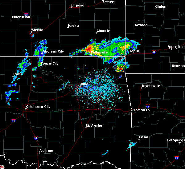 At 847 am cdt, a severe thunderstorm was located over grove, moving east at 40 mph (radar indicated). Hazards include 60 mph wind gusts and half dollar size hail. Hail damage to vehicles is expected. expect wind damage to roofs, siding, and trees. Locations in or near the path include, grove, honey creek state park,. At 847 am cdt, a severe thunderstorm was located over grove, moving east at 40 mph (radar indicated). Hazards include 60 mph wind gusts and half dollar size hail. Hail damage to vehicles is expected. expect wind damage to roofs, siding, and trees. Locations in or near the path include, grove, honey creek state park,.
|
| 5/11/2017 8:38 AM CDT |
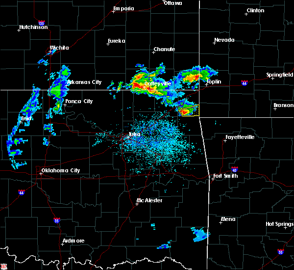 At 837 am cdt, a severe thunderstorm was located 4 miles west of honey creek state park, moving east at 40 mph (radar indicated). Hazards include 60 mph wind gusts and quarter size hail. Hail damage to vehicles is expected. expect wind damage to roofs, siding, and trees. Locations in or near the path include, grove, bernice, bernice state park, honey creek state park,. At 837 am cdt, a severe thunderstorm was located 4 miles west of honey creek state park, moving east at 40 mph (radar indicated). Hazards include 60 mph wind gusts and quarter size hail. Hail damage to vehicles is expected. expect wind damage to roofs, siding, and trees. Locations in or near the path include, grove, bernice, bernice state park, honey creek state park,.
|
| 5/11/2017 8:27 AM CDT |
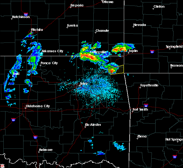 At 827 am cdt, a severe thunderstorm was located near cleora, moving east at 40 mph (radar indicated). Hazards include quarter size hail. Damage to vehicles is expected. Locations in or near the path include, grove, bernice, ketchum, cleora, honey creek state park, bernice state park, zena,. At 827 am cdt, a severe thunderstorm was located near cleora, moving east at 40 mph (radar indicated). Hazards include quarter size hail. Damage to vehicles is expected. Locations in or near the path include, grove, bernice, ketchum, cleora, honey creek state park, bernice state park, zena,.
|
| 4/29/2017 6:38 PM CDT |
 At 637 pm cdt, a severe thunderstorm was located near ketchum, moving north at 50 mph (radar indicated). Hazards include 60 mph wind gusts and half dollar size hail. Hail damage to vehicles is expected. expect wind damage to roofs, siding, and trees. Locations in or near the path include, miami, vinita, fairland, afton, welch, bernice, ketchum, bluejacket, wyandotte, bernice state park, cleora, narcissa, twin bridges state park, this includes interstate 44 between mile markers 283 and 306. At 637 pm cdt, a severe thunderstorm was located near ketchum, moving north at 50 mph (radar indicated). Hazards include 60 mph wind gusts and half dollar size hail. Hail damage to vehicles is expected. expect wind damage to roofs, siding, and trees. Locations in or near the path include, miami, vinita, fairland, afton, welch, bernice, ketchum, bluejacket, wyandotte, bernice state park, cleora, narcissa, twin bridges state park, this includes interstate 44 between mile markers 283 and 306.
|
| 4/29/2017 6:26 PM CDT |
 At 625 pm cdt, a severe thunderstorm was located near hoot owl, moving northeast at 50 mph (radar indicated). Hazards include 60 mph wind gusts and quarter size hail. Hail damage to vehicles is expected. expect wind damage to roofs, siding, and trees. Locations in or near the path include, miami, vinita, fairland, afton, langley, welch, bernice, ketchum, spavinaw, bluejacket, wyandotte, disney, big cabin, pensacola, hoot owl, cherokee state park, bernice state park, spavinaw state park, cleora, narcissa, this includes interstate 44 between mile markers 278 and 306. At 625 pm cdt, a severe thunderstorm was located near hoot owl, moving northeast at 50 mph (radar indicated). Hazards include 60 mph wind gusts and quarter size hail. Hail damage to vehicles is expected. expect wind damage to roofs, siding, and trees. Locations in or near the path include, miami, vinita, fairland, afton, langley, welch, bernice, ketchum, spavinaw, bluejacket, wyandotte, disney, big cabin, pensacola, hoot owl, cherokee state park, bernice state park, spavinaw state park, cleora, narcissa, this includes interstate 44 between mile markers 278 and 306.
|
| 4/29/2017 6:45 AM CDT |
 At 644 am cdt, severe thunderstorms were located along a line extending from 2 miles west of treece to 3 miles northeast of bernice state park, moving northeast at 50 mph (radar indicated. at 617 am...wind gusts to 76 mph were reported 5 miles east of vinita). Hazards include 70 mph wind gusts and quarter size hail. Hail damage to vehicles is expected. expect considerable tree damage. wind damage is also likely to mobile homes, roofs, and outbuildings. Locations in or near the path include, miami, grove, commerce, fairland, quapaw, bernice, wyandotte, treece, picher, honey creek state park, bernice state park, narcissa, ottawa, peoria, cardin, twin bridges state park, this includes interstate 44 between mile markers 298 and 324. At 644 am cdt, severe thunderstorms were located along a line extending from 2 miles west of treece to 3 miles northeast of bernice state park, moving northeast at 50 mph (radar indicated. at 617 am...wind gusts to 76 mph were reported 5 miles east of vinita). Hazards include 70 mph wind gusts and quarter size hail. Hail damage to vehicles is expected. expect considerable tree damage. wind damage is also likely to mobile homes, roofs, and outbuildings. Locations in or near the path include, miami, grove, commerce, fairland, quapaw, bernice, wyandotte, treece, picher, honey creek state park, bernice state park, narcissa, ottawa, peoria, cardin, twin bridges state park, this includes interstate 44 between mile markers 298 and 324.
|
| 4/29/2017 6:39 AM CDT |
 At 639 am cdt, severe thunderstorms were located along a line extending from 5 miles southeast of chetopa to near bernice, moving northeast at 45 mph (trained weather spotters). Hazards include 70 mph wind gusts and quarter size hail. Hail damage to vehicles is expected. expect considerable tree damage. wind damage is also likely to mobile homes, roofs, and outbuildings. Locations in or near the path include, miami, commerce, fairland, afton, bernice, wyandotte, cleora, narcissa, bernice state park, ottawa, twin bridges state park, this includes interstate 44 between mile markers 294 and 312. At 639 am cdt, severe thunderstorms were located along a line extending from 5 miles southeast of chetopa to near bernice, moving northeast at 45 mph (trained weather spotters). Hazards include 70 mph wind gusts and quarter size hail. Hail damage to vehicles is expected. expect considerable tree damage. wind damage is also likely to mobile homes, roofs, and outbuildings. Locations in or near the path include, miami, commerce, fairland, afton, bernice, wyandotte, cleora, narcissa, bernice state park, ottawa, twin bridges state park, this includes interstate 44 between mile markers 294 and 312.
|
| 4/29/2017 6:31 AM CDT |
 At 631 am cdt, severe thunderstorms were located along a line extending from 5 miles north of welch to 2 miles south of fairland, moving northeast at 55 mph (trained weather spotters. at 617 am, wind gusts to 76 mph were reported 5 miles east of vinita). Hazards include 70 mph wind gusts and quarter size hail. Hail damage to vehicles is expected. expect considerable tree damage. wind damage is also likely to mobile homes, roofs, and outbuildings. Locations in or near the path include, miami, vinita, commerce, fairland, afton, welch, bernice, ketchum, bluejacket, wyandotte, bernice state park, cleora, narcissa, ottawa, pyramid corners, twin bridges state park, this includes interstate 44 between mile markers 283 and 312. At 631 am cdt, severe thunderstorms were located along a line extending from 5 miles north of welch to 2 miles south of fairland, moving northeast at 55 mph (trained weather spotters. at 617 am, wind gusts to 76 mph were reported 5 miles east of vinita). Hazards include 70 mph wind gusts and quarter size hail. Hail damage to vehicles is expected. expect considerable tree damage. wind damage is also likely to mobile homes, roofs, and outbuildings. Locations in or near the path include, miami, vinita, commerce, fairland, afton, welch, bernice, ketchum, bluejacket, wyandotte, bernice state park, cleora, narcissa, ottawa, pyramid corners, twin bridges state park, this includes interstate 44 between mile markers 283 and 312.
|
| 4/29/2017 6:14 AM CDT |
 At 614 am cdt, severe thunderstorms were located along a line extending from 6 miles west of bluejacket to near ketchum, moving northeast at 45 mph (radar indicated). Hazards include 60 mph wind gusts and quarter size hail. Hail damage to vehicles is expected. expect wind damage to roofs, siding, and trees. Locations in or near the path include, miami, vinita, commerce, fairland, afton, welch, bernice, ketchum, bluejacket, wyandotte, bernice state park, cleora, narcissa, ottawa, pyramid corners, twin bridges state park, this includes interstate 44 between mile markers 283 and 312. At 614 am cdt, severe thunderstorms were located along a line extending from 6 miles west of bluejacket to near ketchum, moving northeast at 45 mph (radar indicated). Hazards include 60 mph wind gusts and quarter size hail. Hail damage to vehicles is expected. expect wind damage to roofs, siding, and trees. Locations in or near the path include, miami, vinita, commerce, fairland, afton, welch, bernice, ketchum, bluejacket, wyandotte, bernice state park, cleora, narcissa, ottawa, pyramid corners, twin bridges state park, this includes interstate 44 between mile markers 283 and 312.
|
| 4/29/2017 6:07 AM CDT |
 At 606 am cdt, severe thunderstorms were located along a line extending from 8 miles north of white oak to 3 miles south of vinita to pensacola, moving north at 70 mph (at 545 am, 65 mph winds were reported 4 miles north of pryor!). Hazards include 60 mph wind gusts and quarter size hail. Hail damage to vehicles is expected. expect wind damage to roofs, siding, and trees. Locations in or near the path include, vinita, pryor, pryor creek, afton, langley, adair, welch, bernice, ketchum, bluejacket, big cabin, pensacola, cherokee state park, bernice state park, cleora, white oak, strang, hollow, pyramid corners, this includes interstate 44 between mile markers 268 and 299. At 606 am cdt, severe thunderstorms were located along a line extending from 8 miles north of white oak to 3 miles south of vinita to pensacola, moving north at 70 mph (at 545 am, 65 mph winds were reported 4 miles north of pryor!). Hazards include 60 mph wind gusts and quarter size hail. Hail damage to vehicles is expected. expect wind damage to roofs, siding, and trees. Locations in or near the path include, vinita, pryor, pryor creek, afton, langley, adair, welch, bernice, ketchum, bluejacket, big cabin, pensacola, cherokee state park, bernice state park, cleora, white oak, strang, hollow, pyramid corners, this includes interstate 44 between mile markers 268 and 299.
|
| 4/29/2017 5:54 AM CDT |
 At 554 am cdt, severe thunderstorms were located along a line extending from 14 miles northeast of new alluwe to near white oak to adair, moving northeast at 40 mph (radar indicated). Hazards include 60 mph wind gusts and quarter size hail. Hail damage to vehicles is expected. expect wind damage to roofs, siding, and trees. Locations in or near the path include, vinita, pryor, pryor creek, chelsea, afton, langley, adair, welch, bernice, ketchum, bluejacket, big cabin, pensacola, cherokee state park, bernice state park, cleora, white oak, strang, hollow, centrailia, this includes interstate 44 between mile markers 257 and 299. At 554 am cdt, severe thunderstorms were located along a line extending from 14 miles northeast of new alluwe to near white oak to adair, moving northeast at 40 mph (radar indicated). Hazards include 60 mph wind gusts and quarter size hail. Hail damage to vehicles is expected. expect wind damage to roofs, siding, and trees. Locations in or near the path include, vinita, pryor, pryor creek, chelsea, afton, langley, adair, welch, bernice, ketchum, bluejacket, big cabin, pensacola, cherokee state park, bernice state park, cleora, white oak, strang, hollow, centrailia, this includes interstate 44 between mile markers 257 and 299.
|
| 4/29/2017 5:42 AM CDT |
 At 542 am cdt, severe thunderstorms were located along a line extending from 5 miles north of new alluwe to 3 miles east of chelsea to 4 miles west of pryor creek, moving northeast at 65 mph (radar indicated). Hazards include 60 mph wind gusts and quarter size hail. Hail damage to vehicles is expected. expect wind damage to roofs, siding, and trees. Locations in or near the path include, vinita, pryor, pryor creek, chelsea, afton, langley, adair, welch, bernice, ketchum, bluejacket, big cabin, pensacola, new alluwe, cherokee state park, bernice state park, cleora, white oak, strang, hollow, this includes interstate 44 between mile markers 257 and 299. At 542 am cdt, severe thunderstorms were located along a line extending from 5 miles north of new alluwe to 3 miles east of chelsea to 4 miles west of pryor creek, moving northeast at 65 mph (radar indicated). Hazards include 60 mph wind gusts and quarter size hail. Hail damage to vehicles is expected. expect wind damage to roofs, siding, and trees. Locations in or near the path include, vinita, pryor, pryor creek, chelsea, afton, langley, adair, welch, bernice, ketchum, bluejacket, big cabin, pensacola, new alluwe, cherokee state park, bernice state park, cleora, white oak, strang, hollow, this includes interstate 44 between mile markers 257 and 299.
|
| 4/26/2017 12:15 AM CDT |
 At 1215 am cdt, severe thunderstorms were located along a line extending from 2 miles northwest of bernice to 2 miles southwest of honey creek state park to 2 miles east of jay to 2 miles southwest of leach, moving east at 50 mph (radar indicated). Hazards include 70 mph wind gusts and penny size hail. Expect considerable tree damage. damage is likely to mobile homes, roofs, and outbuildings. Locations in or near the path include, rogers, bentonville, siloam springs, jay, bella vista, grove, pea ridge, gentry, gravette, cave springs, decatur, colcord, kansas, highfill, bernice, oaks, springtown, honey creek state park, bernice state park, hiwasse, this includes interstate 49 between mile markers 82 and 84, and between mile markers 86 and 93. At 1215 am cdt, severe thunderstorms were located along a line extending from 2 miles northwest of bernice to 2 miles southwest of honey creek state park to 2 miles east of jay to 2 miles southwest of leach, moving east at 50 mph (radar indicated). Hazards include 70 mph wind gusts and penny size hail. Expect considerable tree damage. damage is likely to mobile homes, roofs, and outbuildings. Locations in or near the path include, rogers, bentonville, siloam springs, jay, bella vista, grove, pea ridge, gentry, gravette, cave springs, decatur, colcord, kansas, highfill, bernice, oaks, springtown, honey creek state park, bernice state park, hiwasse, this includes interstate 49 between mile markers 82 and 84, and between mile markers 86 and 93.
|
| 4/26/2017 12:01 AM CDT |
 At 1200 am cdt, a severe thunderstorm capable of producing a tornado was located over cherokee state park, moving northeast at 30 mph (radar indicated rotation). Hazards include tornado. Flying debris will be dangerous to those caught without shelter. mobile homes will be damaged or destroyed. damage to roofs, windows, and vehicles will occur. tree damage is likely. Locations in or near the path include, langley, bernice, ketchum, disney, cleora, cherokee state park, bernice state park, this includes interstate 44 between mile markers 289 and 293. At 1200 am cdt, a severe thunderstorm capable of producing a tornado was located over cherokee state park, moving northeast at 30 mph (radar indicated rotation). Hazards include tornado. Flying debris will be dangerous to those caught without shelter. mobile homes will be damaged or destroyed. damage to roofs, windows, and vehicles will occur. tree damage is likely. Locations in or near the path include, langley, bernice, ketchum, disney, cleora, cherokee state park, bernice state park, this includes interstate 44 between mile markers 289 and 293.
|
| 4/16/2017 11:27 PM CDT |
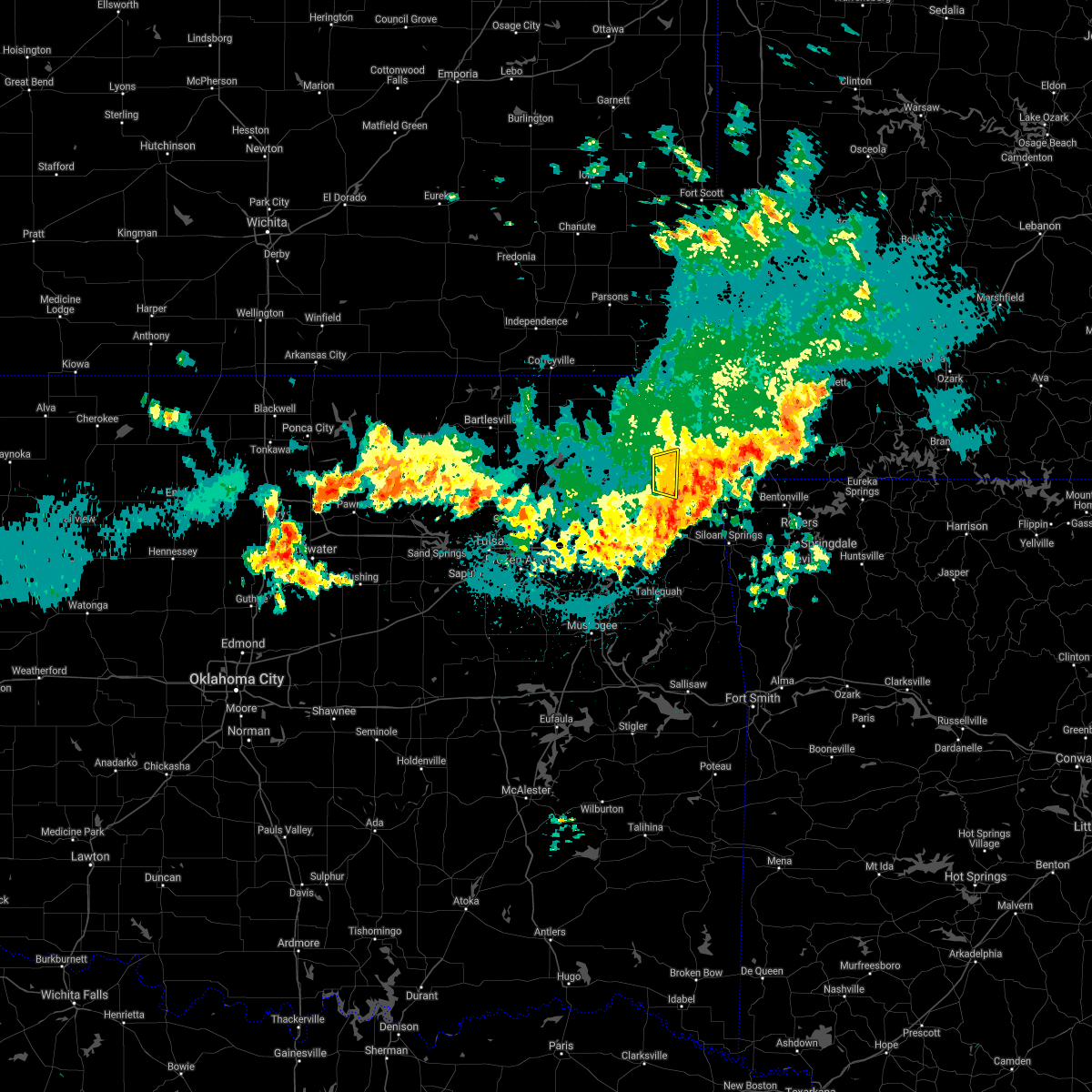 The severe thunderstorm warning for northwestern delaware county will expire at 1130 pm cdt, the storm which prompted the warning has weakened below severe limits, and has exited the warned area. therefore the warning will be allowed to expire. however gusty winds and heavy rain are still possible with this thunderstorm. The severe thunderstorm warning for northwestern delaware county will expire at 1130 pm cdt, the storm which prompted the warning has weakened below severe limits, and has exited the warned area. therefore the warning will be allowed to expire. however gusty winds and heavy rain are still possible with this thunderstorm.
|
| 4/16/2017 11:21 PM CDT |
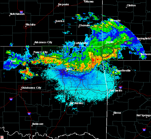 At 1121 pm cdt, a severe thunderstorm was located 3 miles east of disney, moving east at 20 mph (radar indicated). Hazards include 60 mph wind gusts and quarter size hail. Hail damage to vehicles is expected. expect wind damage to roofs, siding, and trees. Locations in or near the path include, bernice, cleora, bernice state park,. At 1121 pm cdt, a severe thunderstorm was located 3 miles east of disney, moving east at 20 mph (radar indicated). Hazards include 60 mph wind gusts and quarter size hail. Hail damage to vehicles is expected. expect wind damage to roofs, siding, and trees. Locations in or near the path include, bernice, cleora, bernice state park,.
|
| 4/16/2017 11:11 PM CDT |
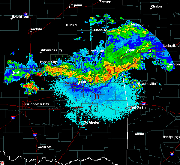 At 1111 pm cdt, a severe thunderstorm was located over ketchum, moving east at 20 mph (radar indicated). Hazards include 60 mph wind gusts and half dollar size hail. Hail damage to vehicles is expected. expect wind damage to roofs, siding, and trees. Locations in or near the path include, vinita, afton, langley, bernice, ketchum, disney, cleora, cherokee state park, bernice state park, this includes interstate 44 between mile markers 281 and 295. At 1111 pm cdt, a severe thunderstorm was located over ketchum, moving east at 20 mph (radar indicated). Hazards include 60 mph wind gusts and half dollar size hail. Hail damage to vehicles is expected. expect wind damage to roofs, siding, and trees. Locations in or near the path include, vinita, afton, langley, bernice, ketchum, disney, cleora, cherokee state park, bernice state park, this includes interstate 44 between mile markers 281 and 295.
|
| 4/16/2017 10:56 PM CDT |
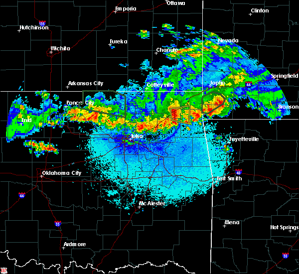 At 1056 pm cdt, a severe thunderstorm was located 4 miles southeast of vinita, moving east at 20 mph (radar indicated). Hazards include 60 mph wind gusts and half dollar size hail. Hail damage to vehicles is expected. expect wind damage to roofs, siding, and trees. Locations in or near the path include, vinita, afton, langley, bernice, ketchum, disney, cleora, cherokee state park, bernice state park, this includes interstate 44 between mile markers 281 and 295. At 1056 pm cdt, a severe thunderstorm was located 4 miles southeast of vinita, moving east at 20 mph (radar indicated). Hazards include 60 mph wind gusts and half dollar size hail. Hail damage to vehicles is expected. expect wind damage to roofs, siding, and trees. Locations in or near the path include, vinita, afton, langley, bernice, ketchum, disney, cleora, cherokee state park, bernice state park, this includes interstate 44 between mile markers 281 and 295.
|
| 4/16/2017 10:08 PM CDT |
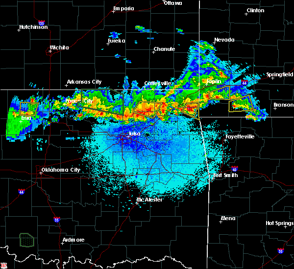 At 1008 pm cdt, a severe thunderstorm was located near grove, moving east at 15 mph (radar indicated). Hazards include golf ball size hail and 60 mph wind gusts. People and animals outdoors will be injured. expect hail damage to roofs, siding, windows, and vehicles. expect wind damage to roofs, siding, and trees. Locations in or near the path include, grove, bernice, bernice state park, honey creek state park,. At 1008 pm cdt, a severe thunderstorm was located near grove, moving east at 15 mph (radar indicated). Hazards include golf ball size hail and 60 mph wind gusts. People and animals outdoors will be injured. expect hail damage to roofs, siding, windows, and vehicles. expect wind damage to roofs, siding, and trees. Locations in or near the path include, grove, bernice, bernice state park, honey creek state park,.
|
| 4/16/2017 10:00 PM CDT |
 At 1000 pm cdt, a severe thunderstorm was located 3 miles north of grove, moving east at 20 mph (radar indicated). Hazards include golf ball size hail and 60 mph wind gusts. People and animals outdoors will be injured. expect hail damage to roofs, siding, windows, and vehicles. expect wind damage to roofs, siding, and trees. Locations in or near the path include, grove, bernice, bernice state park, honey creek state park,. At 1000 pm cdt, a severe thunderstorm was located 3 miles north of grove, moving east at 20 mph (radar indicated). Hazards include golf ball size hail and 60 mph wind gusts. People and animals outdoors will be injured. expect hail damage to roofs, siding, windows, and vehicles. expect wind damage to roofs, siding, and trees. Locations in or near the path include, grove, bernice, bernice state park, honey creek state park,.
|
| 4/16/2017 9:55 PM CDT |
 At 955 pm cdt, a severe thunderstorm was located 3 miles northwest of grove, moving southeast at 25 mph (radar indicated). Hazards include golf ball size hail and 60 mph wind gusts. People and animals outdoors will be injured. expect hail damage to roofs, siding, windows, and vehicles. expect wind damage to roofs, siding, and trees. Locations in or near the path include, grove, bernice, bernice state park, honey creek state park,. At 955 pm cdt, a severe thunderstorm was located 3 miles northwest of grove, moving southeast at 25 mph (radar indicated). Hazards include golf ball size hail and 60 mph wind gusts. People and animals outdoors will be injured. expect hail damage to roofs, siding, windows, and vehicles. expect wind damage to roofs, siding, and trees. Locations in or near the path include, grove, bernice, bernice state park, honey creek state park,.
|
| 4/16/2017 9:42 PM CDT |
 At 942 pm cdt, a severe thunderstorm was located near bernice state park, moving east at 20 mph (radar indicated). Hazards include golf ball size hail and 60 mph wind gusts. People and animals outdoors will be injured. expect hail damage to roofs, siding, windows, and vehicles. expect wind damage to roofs, siding, and trees. Locations in or near the path include, grove, fairland, afton, bernice, honey creek state park, bernice state park, cleora, this includes interstate 44 between mile markers 291 and 302. At 942 pm cdt, a severe thunderstorm was located near bernice state park, moving east at 20 mph (radar indicated). Hazards include golf ball size hail and 60 mph wind gusts. People and animals outdoors will be injured. expect hail damage to roofs, siding, windows, and vehicles. expect wind damage to roofs, siding, and trees. Locations in or near the path include, grove, fairland, afton, bernice, honey creek state park, bernice state park, cleora, this includes interstate 44 between mile markers 291 and 302.
|
| 4/16/2017 9:31 PM CDT |
 At 931 pm cdt, a severe thunderstorm was located over afton, moving east at 20 mph (radar indicated). Hazards include 60 mph wind gusts and quarter size hail. Hail damage to vehicles is expected. expect wind damage to roofs, siding, and trees. Locations in or near the path include, grove, fairland, afton, bernice, honey creek state park, bernice state park, cleora, this includes interstate 44 between mile markers 291 and 302. At 931 pm cdt, a severe thunderstorm was located over afton, moving east at 20 mph (radar indicated). Hazards include 60 mph wind gusts and quarter size hail. Hail damage to vehicles is expected. expect wind damage to roofs, siding, and trees. Locations in or near the path include, grove, fairland, afton, bernice, honey creek state park, bernice state park, cleora, this includes interstate 44 between mile markers 291 and 302.
|
| 3/9/2017 7:06 PM CST |
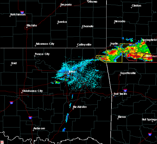 At 705 pm cst, a severe thunderstorm was located 3 miles northwest of grove, moving southeast at 25 mph (radar indicated). Hazards include golf ball size hail and 60 mph wind gusts. People and animals outdoors will be injured. expect hail damage to roofs, siding, windows, and vehicles. expect wind damage to roofs, siding, and trees. Locations in or near the path include, grove, fairland, bernice, bernice state park, honey creek state park,. At 705 pm cst, a severe thunderstorm was located 3 miles northwest of grove, moving southeast at 25 mph (radar indicated). Hazards include golf ball size hail and 60 mph wind gusts. People and animals outdoors will be injured. expect hail damage to roofs, siding, windows, and vehicles. expect wind damage to roofs, siding, and trees. Locations in or near the path include, grove, fairland, bernice, bernice state park, honey creek state park,.
|
| 3/9/2017 6:57 PM CST |
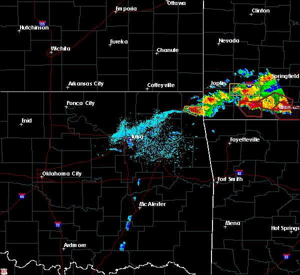 At 656 pm cst, a severe thunderstorm was located 4 miles northeast of bernice state park, moving east at 30 mph (broadcast media). Hazards include golf ball size hail. People and animals outdoors will be injured. expect hail damage to roofs, siding, windows, and vehicles. expect wind damage to roofs, siding, and trees. Locations in or near the path include, grove, afton, this includes interstate 44 between mile markers 296 and 298. At 656 pm cst, a severe thunderstorm was located 4 miles northeast of bernice state park, moving east at 30 mph (broadcast media). Hazards include golf ball size hail. People and animals outdoors will be injured. expect hail damage to roofs, siding, windows, and vehicles. expect wind damage to roofs, siding, and trees. Locations in or near the path include, grove, afton, this includes interstate 44 between mile markers 296 and 298.
|
| 3/9/2017 6:52 PM CST |
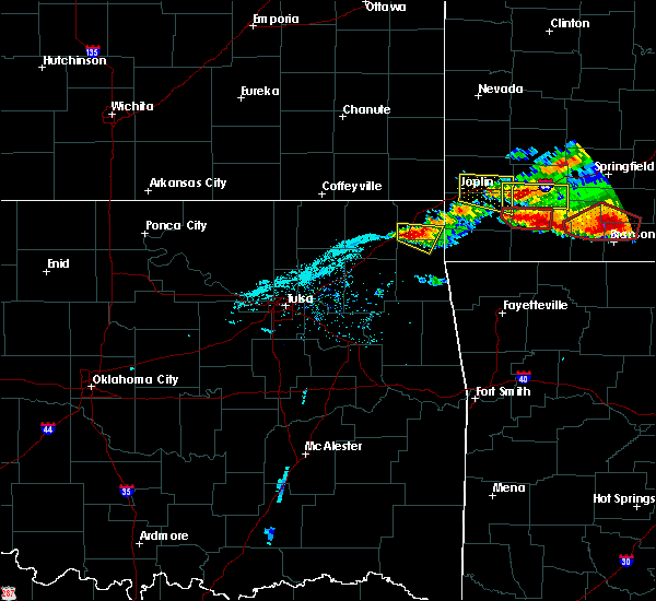 At 651 pm cst, a severe thunderstorm was located 3 miles northeast of bernice state park, moving southeast at 30 mph (broadcast media). Hazards include quarter size hail reported near afton. Hail damage to vehicles is expected. expect wind damage to roofs, siding, and trees. Locations in or near the path include, grove, fairland, afton, this includes interstate 44 between mile markers 295 and 300. At 651 pm cst, a severe thunderstorm was located 3 miles northeast of bernice state park, moving southeast at 30 mph (broadcast media). Hazards include quarter size hail reported near afton. Hail damage to vehicles is expected. expect wind damage to roofs, siding, and trees. Locations in or near the path include, grove, fairland, afton, this includes interstate 44 between mile markers 295 and 300.
|
| 3/9/2017 6:40 PM CST |
 At 639 pm cst, a severe thunderstorm was located 3 miles northeast of afton, moving east at 35 mph (radar indicated). Hazards include 60 mph wind gusts and quarter size hail. Hail damage to vehicles is expected. expect wind damage to roofs, siding, and trees. Locations in or near the path include, grove, fairland, afton, wyandotte, narcissa, this includes interstate 44 between mile markers 294 and 303. At 639 pm cst, a severe thunderstorm was located 3 miles northeast of afton, moving east at 35 mph (radar indicated). Hazards include 60 mph wind gusts and quarter size hail. Hail damage to vehicles is expected. expect wind damage to roofs, siding, and trees. Locations in or near the path include, grove, fairland, afton, wyandotte, narcissa, this includes interstate 44 between mile markers 294 and 303.
|
| 3/9/2017 6:28 PM CST |
 At 628 pm cst, a severe thunderstorm was located 4 miles southeast of bluejacket, moving east at 30 mph (radar indicated). Hazards include 60 mph wind gusts and half dollar size hail. Hail damage to vehicles is expected. expect wind damage to roofs, siding, and trees. Locations in or near the path include, grove, fairland, afton, bluejacket, wyandotte, narcissa, bernice state park, this includes interstate 44 between mile markers 291 and 303. At 628 pm cst, a severe thunderstorm was located 4 miles southeast of bluejacket, moving east at 30 mph (radar indicated). Hazards include 60 mph wind gusts and half dollar size hail. Hail damage to vehicles is expected. expect wind damage to roofs, siding, and trees. Locations in or near the path include, grove, fairland, afton, bluejacket, wyandotte, narcissa, bernice state park, this includes interstate 44 between mile markers 291 and 303.
|
| 3/6/2017 10:54 PM CST |
 At 1054 pm cst, severe thunderstorms were located along a line extending from 5 miles northwest of pierce city to 3 miles northwest of noel to 6 miles north of twin oaks, moving east at 60 mph (radar indicated). Hazards include 60 mph wind gusts and quarter size hail. Hail damage to vehicles is expected. expect wind damage to roofs, siding, and trees. locations in or near the path include, jay, pryor, pryor creek, grove, salina, fairland, afton, langley, adair, bernice, ketchum, spavinaw, wyandotte, disney, big cabin, pensacola, hoot owl, honey creek state park, cherokee state park, bernice state park, this includes interstate 44 between mile markers 257 and 259, between mile markers 292 and 303, and between mile markers 319 and 324. A tornado watch remains in effect until 300 am cst for northwestern arkansas, and northeastern oklahoma. At 1054 pm cst, severe thunderstorms were located along a line extending from 5 miles northwest of pierce city to 3 miles northwest of noel to 6 miles north of twin oaks, moving east at 60 mph (radar indicated). Hazards include 60 mph wind gusts and quarter size hail. Hail damage to vehicles is expected. expect wind damage to roofs, siding, and trees. locations in or near the path include, jay, pryor, pryor creek, grove, salina, fairland, afton, langley, adair, bernice, ketchum, spavinaw, wyandotte, disney, big cabin, pensacola, hoot owl, honey creek state park, cherokee state park, bernice state park, this includes interstate 44 between mile markers 257 and 259, between mile markers 292 and 303, and between mile markers 319 and 324. A tornado watch remains in effect until 300 am cst for northwestern arkansas, and northeastern oklahoma.
|
| 3/6/2017 10:08 PM CST |
 At 1008 pm cst, severe thunderstorms were located along a line extending from near treece to 5 miles southwest of white oak to 3 miles southwest of claremore, moving east at 60 mph (radar indicated). Hazards include 60 mph wind gusts and quarter size hail. Hail damage to vehicles is expected. expect wind damage to roofs, siding, and trees. locations in or near the path include, claremore, miami, vinita, jay, pryor, pryor creek, grove, verdigris, commerce, chelsea, salina, fairland, afton, quapaw, langley, adair, bernice, ketchum, spavinaw, foyil, this includes interstate 44 between mile markers 242 and 324. A tornado watch remains in effect until 300 am cst for northwestern arkansas, and northeastern oklahoma. At 1008 pm cst, severe thunderstorms were located along a line extending from near treece to 5 miles southwest of white oak to 3 miles southwest of claremore, moving east at 60 mph (radar indicated). Hazards include 60 mph wind gusts and quarter size hail. Hail damage to vehicles is expected. expect wind damage to roofs, siding, and trees. locations in or near the path include, claremore, miami, vinita, jay, pryor, pryor creek, grove, verdigris, commerce, chelsea, salina, fairland, afton, quapaw, langley, adair, bernice, ketchum, spavinaw, foyil, this includes interstate 44 between mile markers 242 and 324. A tornado watch remains in effect until 300 am cst for northwestern arkansas, and northeastern oklahoma.
|
| 4/27/2016 12:18 AM CDT |
 At 1218 am cdt, severe thunderstorms were located along a line extending from 2 miles west of loma linda to 9 miles southeast of wyandotte to 4 miles northwest of south west city, moving east at 60 mph (radar indicated). Hazards include 70 mph wind gusts and nickel size hail. Expect considerable tree damage. damage is likely to mobile homes, roofs, and outbuildings. Locations in or near the path include, miami, grove, commerce, fairland, quapaw, bernice, wyandotte, treece, picher, honey creek state park, bernice state park, ottawa, peoria, cardin, twin bridges state park, this includes interstate 44 between mile markers 300 and 324. At 1218 am cdt, severe thunderstorms were located along a line extending from 2 miles west of loma linda to 9 miles southeast of wyandotte to 4 miles northwest of south west city, moving east at 60 mph (radar indicated). Hazards include 70 mph wind gusts and nickel size hail. Expect considerable tree damage. damage is likely to mobile homes, roofs, and outbuildings. Locations in or near the path include, miami, grove, commerce, fairland, quapaw, bernice, wyandotte, treece, picher, honey creek state park, bernice state park, ottawa, peoria, cardin, twin bridges state park, this includes interstate 44 between mile markers 300 and 324.
|
| 4/26/2016 11:43 PM CDT |
 At 1143 pm cdt, severe thunderstorms were located along a line extending from 5 miles west of treece to 2 miles west of bernice to near rose, moving east at 40 mph (radar indicated). Hazards include 70 mph wind gusts and penny size hail. Expect considerable tree damage. damage is likely to mobile homes, roofs, and outbuildings. Locations in or near the path include, miami, vinita, jay, pryor, pryor creek, grove, commerce, chouteau, locust grove, salina, fairland, afton, quapaw, west siloam springs, langley, colcord, kansas, adair, welch, bernice, this includes interstate 44 between mile markers 270 and 324. At 1143 pm cdt, severe thunderstorms were located along a line extending from 5 miles west of treece to 2 miles west of bernice to near rose, moving east at 40 mph (radar indicated). Hazards include 70 mph wind gusts and penny size hail. Expect considerable tree damage. damage is likely to mobile homes, roofs, and outbuildings. Locations in or near the path include, miami, vinita, jay, pryor, pryor creek, grove, commerce, chouteau, locust grove, salina, fairland, afton, quapaw, west siloam springs, langley, colcord, kansas, adair, welch, bernice, this includes interstate 44 between mile markers 270 and 324.
|
| 4/26/2016 11:24 PM CDT |
 At 1124 pm cdt, severe thunderstorms were located along a line extending from 6 miles southwest of chetopa to 4 miles north of vinita to 3 miles northwest of salina, moving east at 45 mph (radar indicated). Hazards include 70 mph wind gusts and penny size hail. Expect considerable tree damage. damage is likely to mobile homes, roofs, and outbuildings. Locations in or near the path include, miami, vinita, jay, pryor, pryor creek, grove, commerce, chouteau, chelsea, inola, locust grove, salina, fairland, afton, quapaw, west siloam springs, langley, colcord, kansas, adair, this includes interstate 44 between mile markers 253 and 324. At 1124 pm cdt, severe thunderstorms were located along a line extending from 6 miles southwest of chetopa to 4 miles north of vinita to 3 miles northwest of salina, moving east at 45 mph (radar indicated). Hazards include 70 mph wind gusts and penny size hail. Expect considerable tree damage. damage is likely to mobile homes, roofs, and outbuildings. Locations in or near the path include, miami, vinita, jay, pryor, pryor creek, grove, commerce, chouteau, chelsea, inola, locust grove, salina, fairland, afton, quapaw, west siloam springs, langley, colcord, kansas, adair, this includes interstate 44 between mile markers 253 and 324.
|
| 3/23/2016 9:07 PM CDT |
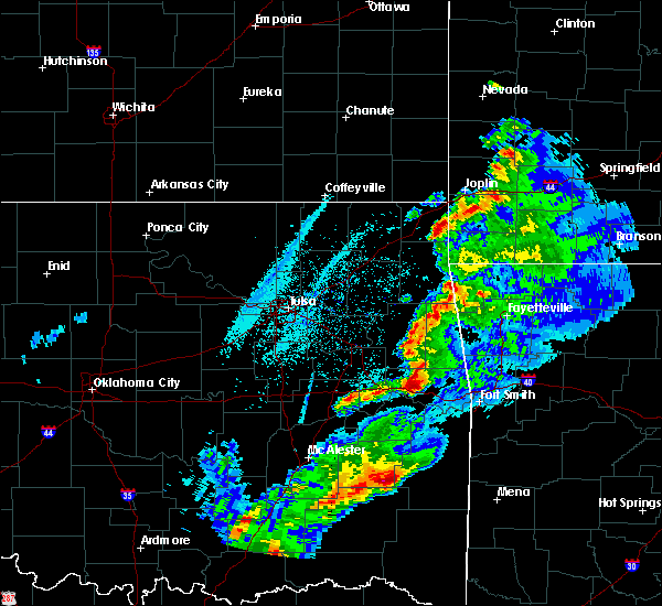 The severe thunderstorm warning for northwestern delaware county will expire at 915 pm cdt, the storm which prompted the warning has weakened below severe limits, and no longer poses an immediate threat to life or property. therefore the warning will be allowed to expire. a severe thunderstorm watch remains in effect until midnight cdt for northeastern oklahoma. The severe thunderstorm warning for northwestern delaware county will expire at 915 pm cdt, the storm which prompted the warning has weakened below severe limits, and no longer poses an immediate threat to life or property. therefore the warning will be allowed to expire. a severe thunderstorm watch remains in effect until midnight cdt for northeastern oklahoma.
|
| 3/23/2016 8:57 PM CDT |
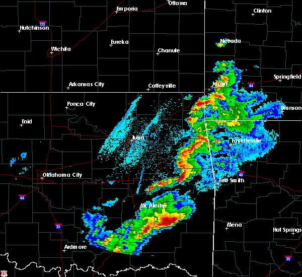 At 856 pm cdt, a severe thunderstorm was located 6 miles east of disney, moving northeast at 65 mph (radar indicated). Hazards include quarter size hail. Damage to vehicles is expected. Locations in or near the path include, grove, bernice, chloeta, honey creek state park, cleora, bernice state park, zena,. At 856 pm cdt, a severe thunderstorm was located 6 miles east of disney, moving northeast at 65 mph (radar indicated). Hazards include quarter size hail. Damage to vehicles is expected. Locations in or near the path include, grove, bernice, chloeta, honey creek state park, cleora, bernice state park, zena,.
|
| 3/23/2016 8:47 PM CDT |
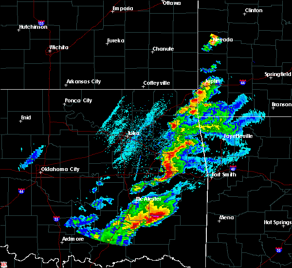 At 847 pm cdt, a severe thunderstorm was located 3 miles southeast of spavinaw, moving northeast at 65 mph (radar indicated). Hazards include quarter size hail. Damage to vehicles is expected. Locations in or near the path include, jay, grove, langley, bernice, spavinaw, disney, hoot owl, cleora, cherokee state park, spavinaw state park, chloeta, honey creek state park, bernice state park, zena,. At 847 pm cdt, a severe thunderstorm was located 3 miles southeast of spavinaw, moving northeast at 65 mph (radar indicated). Hazards include quarter size hail. Damage to vehicles is expected. Locations in or near the path include, jay, grove, langley, bernice, spavinaw, disney, hoot owl, cleora, cherokee state park, spavinaw state park, chloeta, honey creek state park, bernice state park, zena,.
|
| 3/23/2016 8:36 PM CDT |
 At 835 pm cdt, a severe thunderstorm was located 3 miles northwest of locust grove, moving northeast at 65 mph (radar indicated). Hazards include quarter size hail. Damage to vehicles is expected. Locations in or near the path include, jay, grove, locust grove, salina, langley, bernice, spavinaw, disney, hoot owl, cleora, cherokee state park, spavinaw state park, chloeta, honey creek state park, sportsmen acres community, bernice state park, strang, snowdale state park, zena,. At 835 pm cdt, a severe thunderstorm was located 3 miles northwest of locust grove, moving northeast at 65 mph (radar indicated). Hazards include quarter size hail. Damage to vehicles is expected. Locations in or near the path include, jay, grove, locust grove, salina, langley, bernice, spavinaw, disney, hoot owl, cleora, cherokee state park, spavinaw state park, chloeta, honey creek state park, sportsmen acres community, bernice state park, strang, snowdale state park, zena,.
|
| 3/23/2016 8:31 PM CDT |
 At 831 pm cdt, a severe thunderstorm was located 4 miles northwest of jay, moving northeast at 65 mph (radar indicated). Hazards include quarter size hail. Damage to vehicles is expected. Locations in or near the path include, jay, grove, bernice, chloeta, honey creek state park, bernice state park, zena,. At 831 pm cdt, a severe thunderstorm was located 4 miles northwest of jay, moving northeast at 65 mph (radar indicated). Hazards include quarter size hail. Damage to vehicles is expected. Locations in or near the path include, jay, grove, bernice, chloeta, honey creek state park, bernice state park, zena,.
|
| 3/23/2016 8:19 PM CDT |
 At 818 pm cdt, a severe thunderstorm was located 4 miles northeast of rose, moving northeast at 70 mph (radar indicated). Hazards include half dollar size hail. Damage to vehicles is expected. Locations in or near the path include, jay, grove, bernice, spavinaw, disney, leach, chloeta, honey creek state park, bernice state park, rose, spavinaw state park, cleora, cherokee state park, zena, lake eucha state park,. At 818 pm cdt, a severe thunderstorm was located 4 miles northeast of rose, moving northeast at 70 mph (radar indicated). Hazards include half dollar size hail. Damage to vehicles is expected. Locations in or near the path include, jay, grove, bernice, spavinaw, disney, leach, chloeta, honey creek state park, bernice state park, rose, spavinaw state park, cleora, cherokee state park, zena, lake eucha state park,.
|
| 11/5/2015 3:52 PM CST |
 At 352 pm cst, severe thunderstorms were located along a line extending from 3 miles northeast of pryor to 3 miles southeast of locust grove, moving northeast at 55 mph (radar indicated). Hazards include 60 mph wind gusts and penny size hail. Expect damage to roofs. siding and trees. Locations in or near the path include, jay, pryor, pryor creek, grove, locust grove, salina, langley, bernice, ketchum, spavinaw, disney, pensacola, hoot owl, cleora, cherokee state park, spavinaw state park, chloeta, honey creek state park, sportsmen acres community, rose, a tornado watch remains in effect until 800 pm cst for northeastern oklahoma. At 352 pm cst, severe thunderstorms were located along a line extending from 3 miles northeast of pryor to 3 miles southeast of locust grove, moving northeast at 55 mph (radar indicated). Hazards include 60 mph wind gusts and penny size hail. Expect damage to roofs. siding and trees. Locations in or near the path include, jay, pryor, pryor creek, grove, locust grove, salina, langley, bernice, ketchum, spavinaw, disney, pensacola, hoot owl, cleora, cherokee state park, spavinaw state park, chloeta, honey creek state park, sportsmen acres community, rose, a tornado watch remains in effect until 800 pm cst for northeastern oklahoma.
|
| 5/29/2015 3:09 PM CDT | At 307 pm cdt, a severe thunderstorm capable of producing a tornado was located near honey creek state park, and moving northeast at 30 mph (radar indicated rotation). Hazards include tornado. Flying debris will be dangerous to those caught without shelter. mobile homes will be damaged or destroyed. damage to roofs, windows and vehicles will occur. tree damage is likely. Locations in or near the path include, honey creek state park, grove and fairland. |
| 5/29/2015 3:03 PM CDT | At 301 pm cdt, a severe thunderstorm capable of producing a tornado was located 6 miles south of bernice, and moving northeast at 25 mph (radar indicated rotation). Hazards include tornado. Flying debris will be dangerous to those caught without shelter. mobile homes will be damaged or destroyed. damage to roofs, windows and vehicles will occur. tree damage is likely. Locations in or near the path include, bernice, bernice state park, honey creek state park, grove and fairland this includes interstate 44 between mile markers 301 and 302. |
| 5/29/2015 2:54 PM CDT | At 253 pm cdt, a severe thunderstorm capable of producing a tornado was located 6 miles east of disney, and moving northeast at 30 mph (radar indicated rotation). Hazards include tornado. Flying debris will be dangerous to those caught without shelter. mobile homes will be damaged or destroyed. damage to roofs, windows and vehicles will occur. tree damage is likely. locations in or near the path include, zena, bernice, bernice state park, honey creek state park, grove and fairland. This includes interstate 44 between mile markers 300 and 302. |
| 5/29/2015 2:43 PM CDT | At 241 pm cdt, severe thunderstorms were located along a line extending from cherokee state park to chloeta, and moving northeast at 30 mph (radar indicated). Hazards include 70 mph wind gusts. Expect considerable tree damage. damage is likely to mobile homes, roofs and outbuildings. Locations in or near the path include, cleora, zena, jay and bernice. |
| 5/29/2015 2:31 PM CDT | At 217 pm cdt, a severe thunderstorm was located near salina, and moving northeast at 30 mph (radar indicated). Hazards include 60 mph wind gusts. Expect damage to roofs. siding and trees. Locations in or near the path include, strang, spavinaw state park, pensacola, spavinaw, langley, cherokee state park, chloeta, disney little blue state park, disney, lake eucha state park, cleora, jay, zena and bernice. |
| 5/29/2015 2:18 PM CDT | At 217 pm cdt, a severe thunderstorm was located near salina, and moving northeast at 30 mph (radar indicated). Hazards include 60 mph wind gusts. Expect damage to roofs. siding and trees. Locations in or near the path include, strang, spavinaw state park, pensacola, spavinaw, langley, cherokee state park, chloeta, disney little blue state park, disney, lake eucha state park, cleora, jay, zena and bernice. |
| 5/17/2015 12:50 AM CDT | At 1248 am cdt, severe thunderstorms were located along a line extending from wyandotte to 9 miles southeast of wyandotte to colcord, and moving northeast at 55 mph (radar indicated). Hazards include 70 mph wind gusts and penny size hail. Expect considerable tree damage. damage is likely to mobile homes, roofs and outbuildings. locations in or near the path include, peoria this includes interstate 44 between mile markers 297 and 324. 0. 75in. |
| 5/17/2015 12:44 AM CDT | At 1242 am cdt, a severe thunderstorm with strong low level rotation that could produce a tornado at any time was located near fairland, and moving northeast at 55 mph (radar indicated rotation). Hazards include tornado. Flying debris will be dangerous to those caught without shelter. mobile homes will be damaged or destroyed. damage to roofs, windows and vehicles will occur. tree damage is likely. locations in or near the path include, miami, twin bridges state park, wyandotte, ottawa, commerce, cardin, quapaw, picher and peoria this includes interstate 44 between mile markers 294 and 324. Radar indicated. |
| 5/17/2015 12:40 AM CDT | At 1238 am cdt, severe thunderstorms were located along a line extending from 8 miles north of treece to bluejacket to fairland, and moving northeast at 55 mph (radar indicated). Hazards include 70 mph wind gusts and penny size hail. Expect considerable tree damage. damage is likely to mobile homes, roofs and outbuildings. locations in or near the path include, twin bridges state park, miami, ottawa, commerce, cardin, quapaw and picher this includes interstate 44 between mile markers 283 and 320. 0. 75in. |
| 5/17/2015 12:35 AM CDT | At 1234 am cdt, a severe thunderstorm with strong low level rotation that could produce a tornado at any time was located near bernice state park, and moving northeast at 55 mph (radar indicated rotation). Hazards include tornado. Flying debris will be dangerous to those caught without shelter. mobile homes will be damaged or destroyed. damage to roofs, windows and vehicles will occur. tree damage is likely. the storm will otherwise remain over mainly rural areas of the indicated counties. this includes interstate 44 between mile markers 294 and 297. Radar indicated. |
| 5/17/2015 12:34 AM CDT | At 1232 am cdt, a severe thunderstorm with strong low level rotation that could produce a tornado at any time was located near bernice, and moving northeast at 55 mph (radar indicated rotation). Hazards include tornado. Flying debris will be dangerous to those caught without shelter. mobile homes will be damaged or destroyed. damage to roofs, windows and vehicles will occur. tree damage is likely. locations in or near the path include, narcissa, fairland, miami, twin bridges state park, wyandotte, ottawa, commerce, cardin, quapaw, picher and peoria. this includes interstate 44 between mile markers 294 and 324. Radar indicated. |
| 5/17/2015 12:32 AM CDT | At 1230 am cdt, severe thunderstorms were located along a line extending from afton to 5 miles southwest of honey creek state park to leach, and moving northeast at 50 mph (radar indicated). Hazards include 70 mph wind gusts and penny size hail. Expect considerable tree damage. damage is likely to mobile homes, roofs and outbuildings. locations in or near the path include, bernice state park, afton, honey creek state park, jay, grove, fairland, lake eucha state park, twin bridges state park, ottawa, wyandotte and peoria this includes interstate 44 between mile markers 282 and 324. 0. 75in. |
| 5/17/2015 12:30 AM CDT | At 1229 am cdt, severe thunderstorms were located along a line extending from 7 miles northwest of cardin to vinita to bernice, moving northeast at 65 mph. storm hazards include, quarter size hail, damaging wind gusts to 70 mph, some locations in or near the path of this storm include, bernice state park, bernice, afton, narcissa, fairland, twin bridges state park, miami, ottawa, commerce, cardin, picher and quapaw. this includes interstate 44 between mile markers 273 and 320. |
| 5/17/2015 12:29 AM CDT | At 1227 am cdt, a severe thunderstorm with strong low level rotation that could produce a tornado at any time was located near cleora, and moving northeast at 50 mph (radar indicated rotation). Hazards include tornado. Flying debris will be dangerous to those caught without shelter. mobile homes will be damaged or destroyed. damage to roofs, windows and vehicles will occur. tree damage is likely. locations in or near the path include, bernice, bernice state park and afton this includes interstate 44 between mile markers 289 and 297. Radar indicated. |
| 5/17/2015 12:23 AM CDT | At 1221 am cdt, a severe thunderstorm capable of producing a tornado was located 5 miles east of big cabin, and moving northeast at 45 mph (radar indicated rotation). Hazards include tornado. Flying debris will be dangerous to those caught without shelter. mobile homes will be damaged or destroyed. damage to roofs, windows and vehicles will occur. tree damage is likely. locations in or near the path include, vinita, cleora, bernice, bernice state park and afton this includes interstate 44 between mile markers 282 and 297. Radar indicated. |
| 5/17/2015 12:16 AM CDT | At 1215 am cdt, a severe thunderstorm capable of producing a tornado was located near big cabin, and moving northeast at 45 mph (radar indicated rotation). Hazards include tornado. Flying debris will be dangerous to those caught without shelter. mobile homes will be damaged or destroyed. damage to roofs, windows and vehicles will occur. tree damage is likely. locations in or near the path include, big cabin, vinita, cleora, bernice, pyramid corners, bernice state park, afton and bluejacket. this includes interstate 44 between mile markers 273 and 297. Radar indicated. |
| 5/17/2015 12:05 AM CDT | At 1204 am cdt, severe thunderstorms were located along a line extending from chelsea to pryor to 6 miles southeast of chouteau, and moving northeast at 50 mph (radar indicated). Hazards include 70 mph wind gusts and penny size hail. Expect considerable tree damage. damage is likely to mobile homes, roofs and outbuildings. locations in or near the path include, murphy, adair, snowdale state park, locust grove, salina, big cabin, strang, pensacola, spavinaw state park, rose, vinita, cherokee state park, langley, spavinaw, disney little blue state park, disney, ketchum, leach, chloeta, cleora, afton, bernice state park, bernice, zena, honey creek state park, jay, grove, lake eucha state park, fairland, ottawa, twin bridges state park, wyandotte, tiff city and peoria. this includes interstate 44 between mile markers 264 and 324. 0. 75in. |
| 5/16/2015 11:55 PM CDT | At 1154 pm cdt, severe thunderstorms were located along a line extending from chetopa to chelsea, and moving northeast at 70 mph (radar indicated). Hazards include 70 mph wind gusts and quarter size hail. Hail damage to vehicles is expected. expect considerable tree damage. wind damage is also likely to mobile homes, roofs and outbuildings. locations in or near the path include, big cabin, white oak, pyramid corners, welch, vinita, bluejacket, bernice, bernice state park, afton, narcissa, fairland, commerce, cardin, twin bridges state park, miami, picher, ottawa and quapaw. this includes interstate 44 between mile markers 268 and 320. Possible. |
| 4/2/2015 10:54 PM CDT | A severe thunderstorm warning remains in effect for northern delaware county until 1130 pm cdt. at 1052 pm cdt. a severe thunderstorm was located near cleora. and moving east at 30 mph. hazard. 60 mph wind gusts and quarter size hail. source. Radar indicated. |
| 4/2/2015 10:42 PM CDT | The national weather service in tulsa has issued a * severe thunderstorm warning for. southeastern craig county in northeast oklahoma. northern delaware county in northeast oklahoma. southwestern ottawa county in northeast oklahoma. Until 1130 pm cdt. |
| 4/2/2015 10:41 PM CDT | The tornado warning for southern ottawa and north central delaware counties will expire at 1045 pm cdt. the storm which prompted the warning has weakened and moved out of the warned area. however. hail is still possible with this thunderstorm. in addition. severe thunderstorms may redevelop. And a tornado. |
| 4/2/2015 10:22 PM CDT | A tornado warning remains in effect for southern ottawa and north central delaware counties until 1045 pm cdt. at 1020 pm cdt. a severe thunderstorm capable of producing a tornado was located near bernice state park. and moving east at 35 mph. hazard. tornado and golf ball size hail. source. Radar indicated rotation. |
| 4/2/2015 10:17 PM CDT | A tornado warning remains in effect for southern ottawa and northwestern delaware counties until 1045 pm cdt. at 1015 pm cdt. a severe thunderstorm with strong low level rotation that could produce an extremely dangerous tornado was located near afton. and moving east at 35 mph. This is a particularly dangerous situation. |
| 4/2/2015 10:07 PM CDT | A tornado warning remains in effect for southern ottawa. northwestern delaware and east central craig counties until 1045 pm cdt. at 1004 pm cdt. a severe thunderstorm with strong low level rotation that could produce an extremely dangerous tornado was located near afton. And moving east at 30 mph. |
| 4/2/2015 10:02 PM CDT | The national weather service in tulsa has issued a * tornado warning for. east central craig county in northeast oklahoma. northwestern delaware county in northeast oklahoma. southern ottawa county in northeast oklahoma. Until 1045 pm cdt. |
| 4/2/2015 9:52 PM CDT | A severe thunderstorm warning remains in effect for southern ottawa. northern delaware and craig counties until 1045 pm cdt. at 951 pm cdt. a severe thunderstorm was located 5 miles southwest of bluejacket. and moving east at 35 mph. hazard. golf ball size hail and 60 mph wind gusts. source. Radar indicated. |
| 4/2/2015 9:44 PM CDT | The national weather service in tulsa has issued a * severe thunderstorm warning for. craig county in northeast oklahoma. northern delaware county in northeast oklahoma. ottawa county in northeast oklahoma. Until 1045 pm cdt. |
| 4/2/2015 9:32 PM CDT | A severe thunderstorm warning remains in effect for northern delaware county until 945 pm cdt. at 931 pm cdt. a severe thunderstorm was located near ketchum. and moving east at 30 mph. hazard. 60 mph wind gusts and quarter size hail. source. Radar indicated. |
| 4/2/2015 9:03 PM CDT | The national weather service in tulsa has issued a * severe thunderstorm warning for. southeastern craig county in northeast oklahoma. northern delaware county in northeast oklahoma. northeastern mayes county in northeast oklahoma. Southwestern ottawa county in northeast oklahoma. |
| 3/25/2015 6:16 PM CDT | The national weather service in tulsa has issued a * severe thunderstorm warning for. northern delaware county in northeast oklahoma. southeastern ottawa county in northeast oklahoma. until 700 pm cdt * at 614 pm cdt. A severe thunderstorm was located 5 miles northeast. |
| 7/8/2012 7:40 PM CDT | 8 inch diameter tree limbs broken in delaware county OK, 1.1 miles ENE of Bernice, OK |
| 1/1/0001 12:00 AM | Windows blown out in bernice. boats out of water at duck creek marin in delaware county OK, 1.1 miles ENE of Bernice, OK |
Hail Maps for Bernice, OK
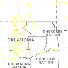
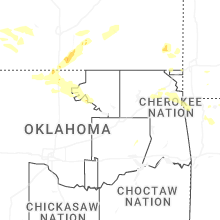
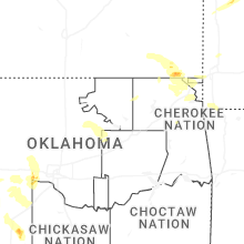
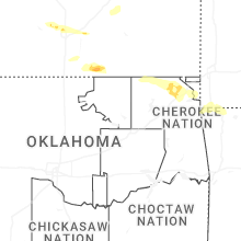

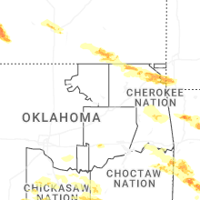
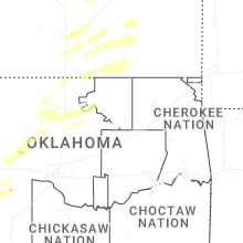
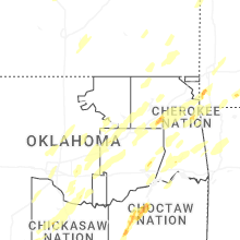
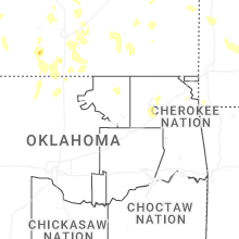
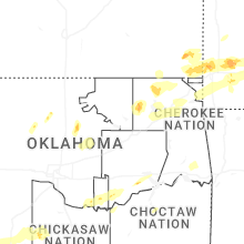
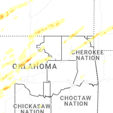


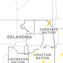

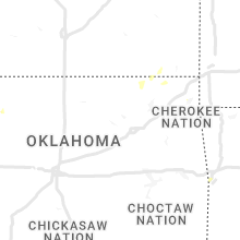


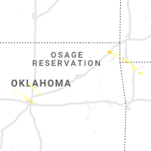

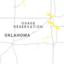


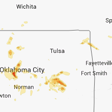


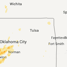


Connect with Interactive Hail Maps