

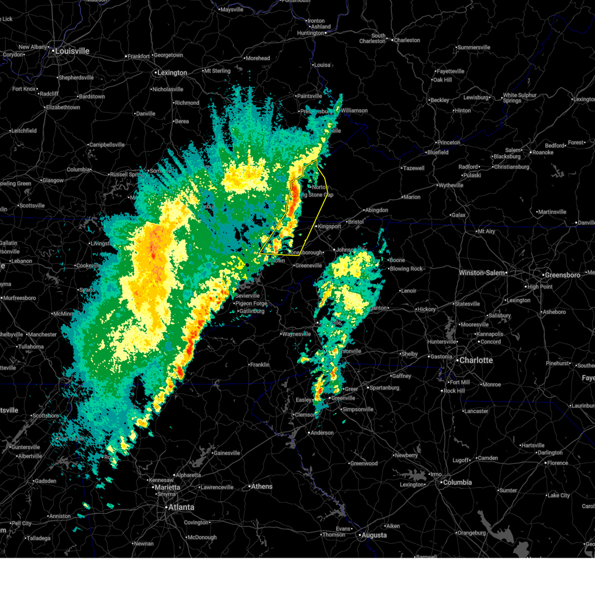
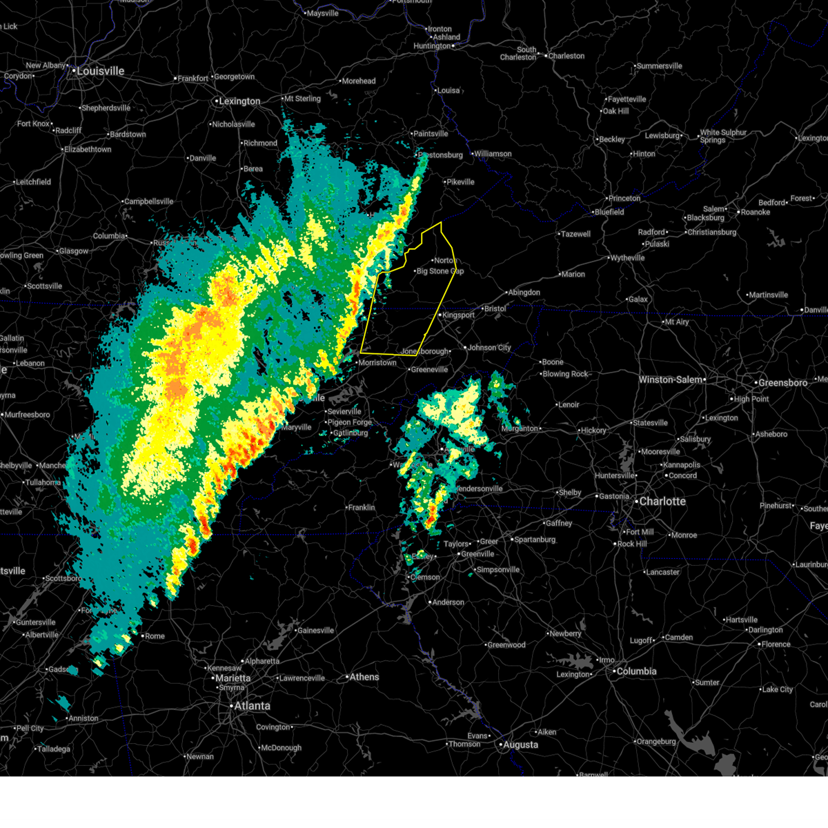
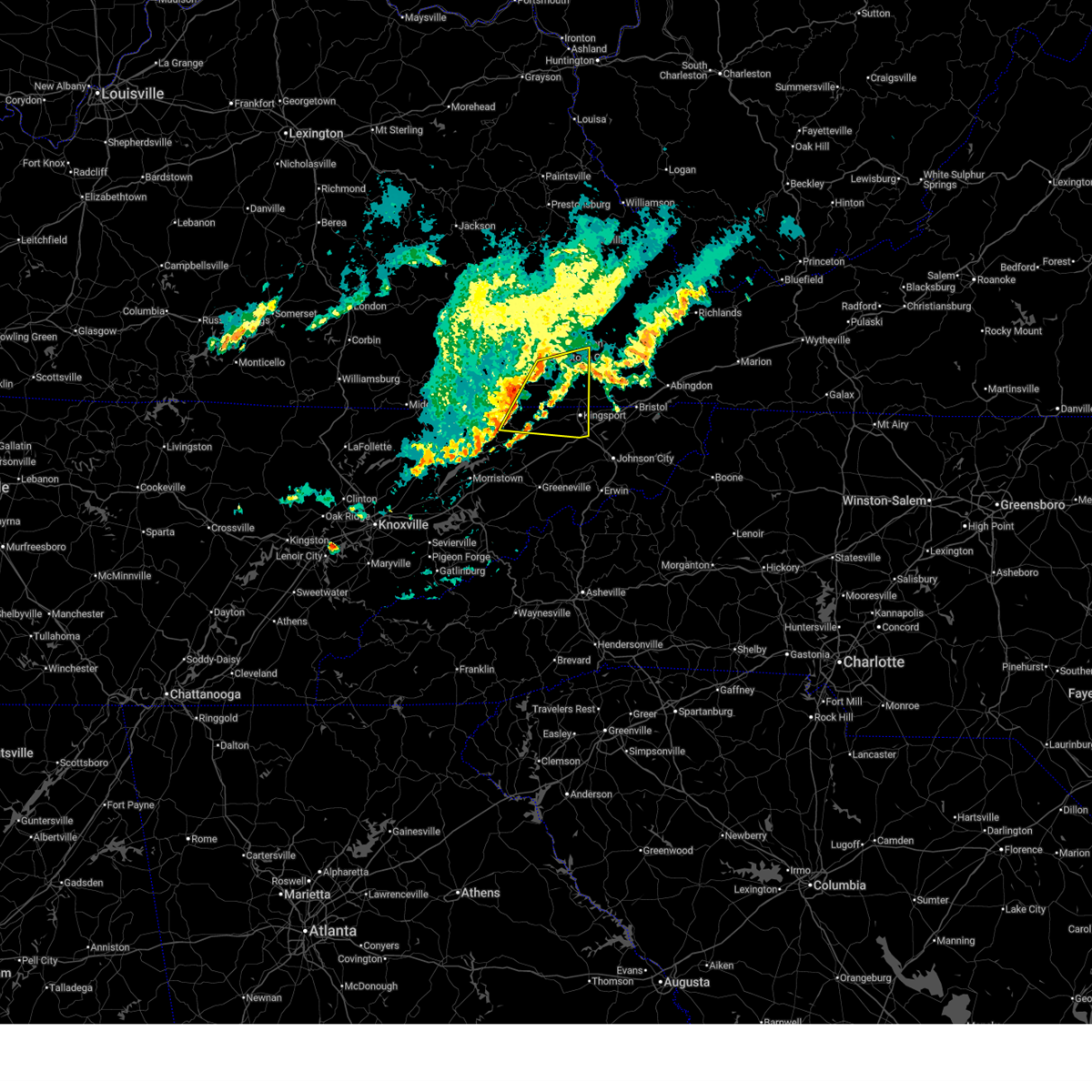
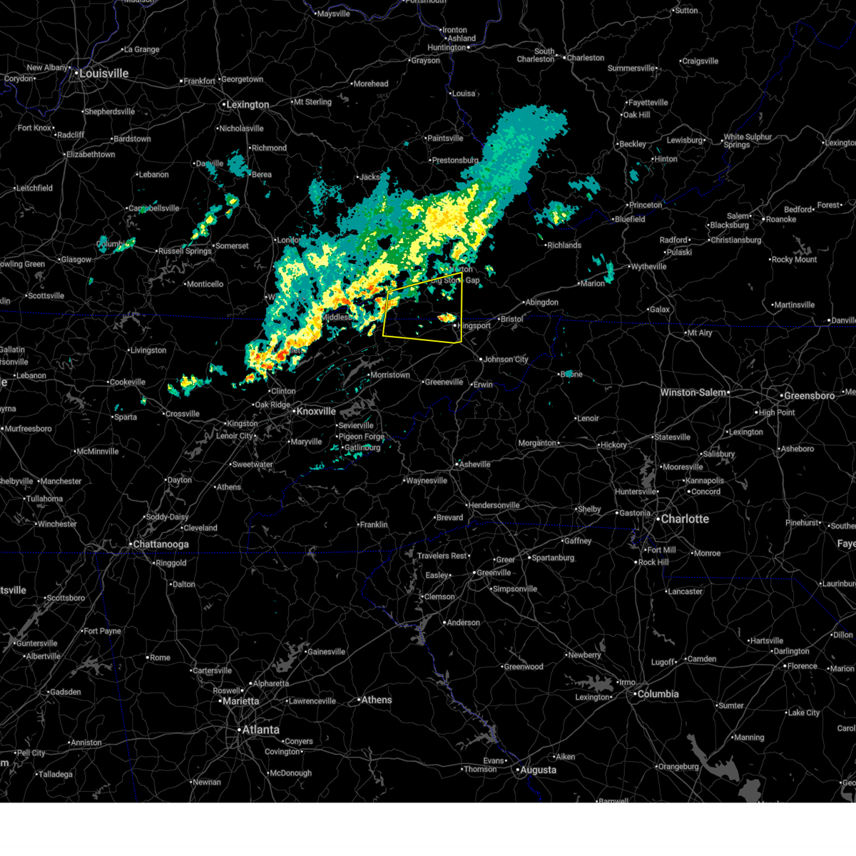
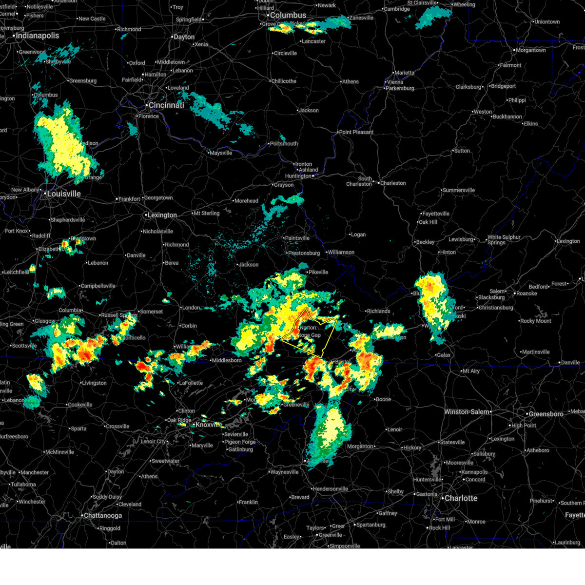
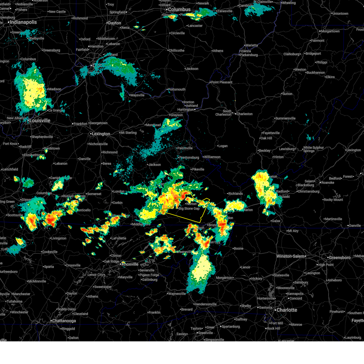
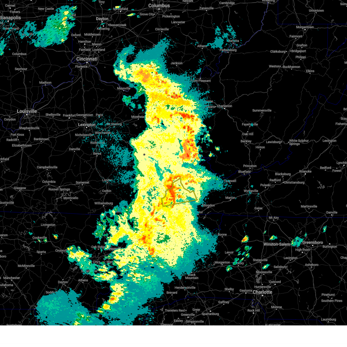
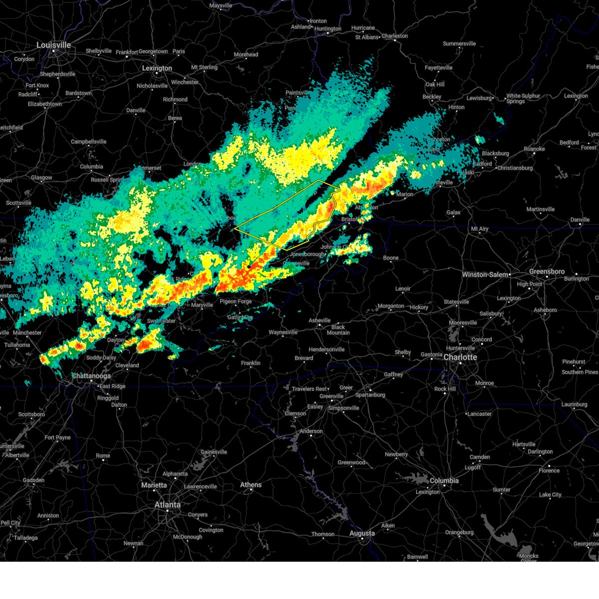
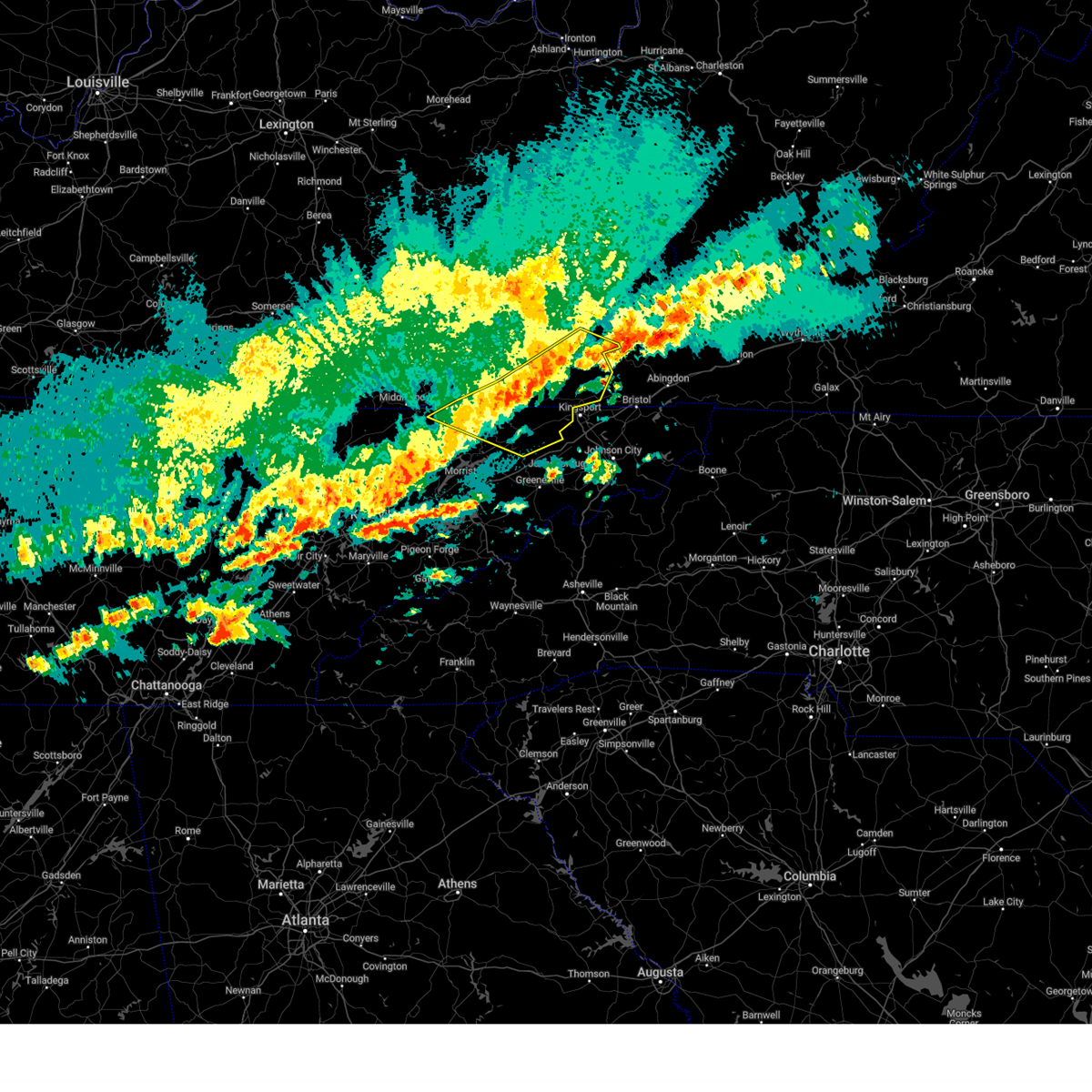
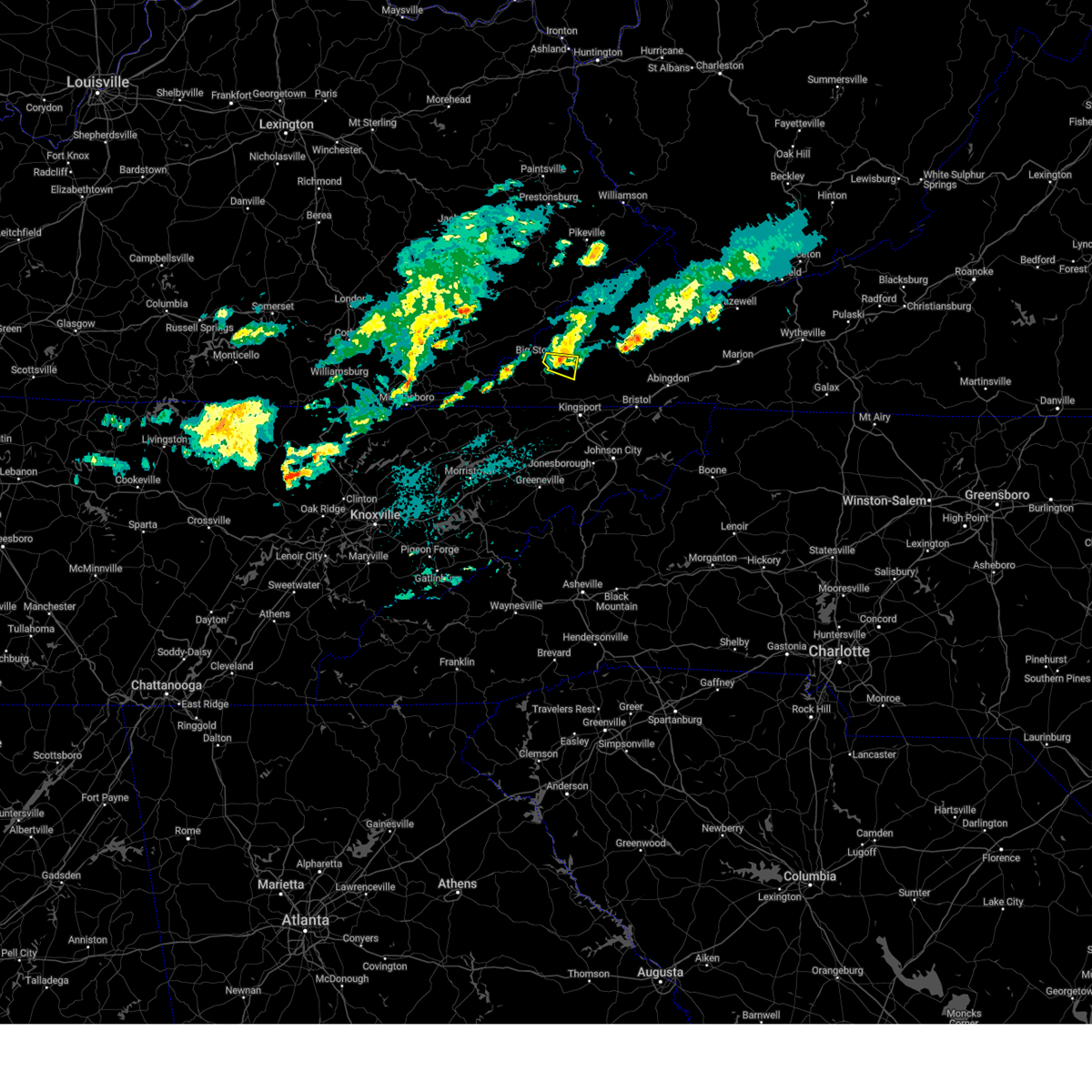
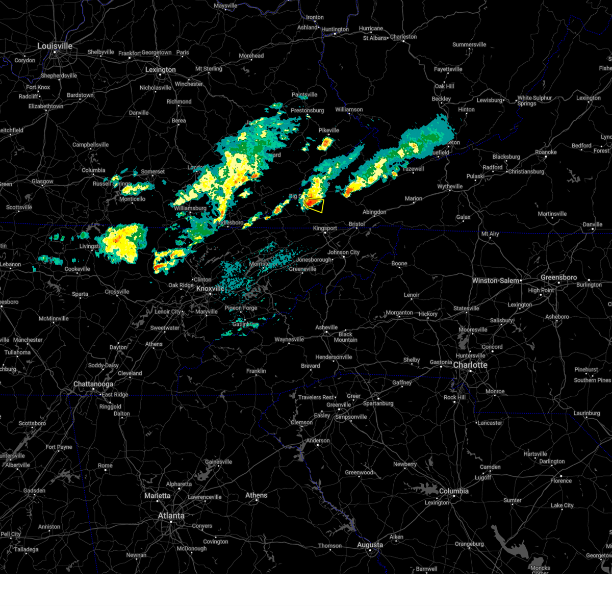
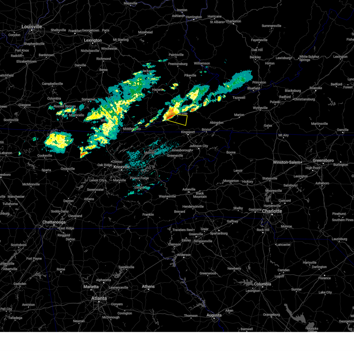
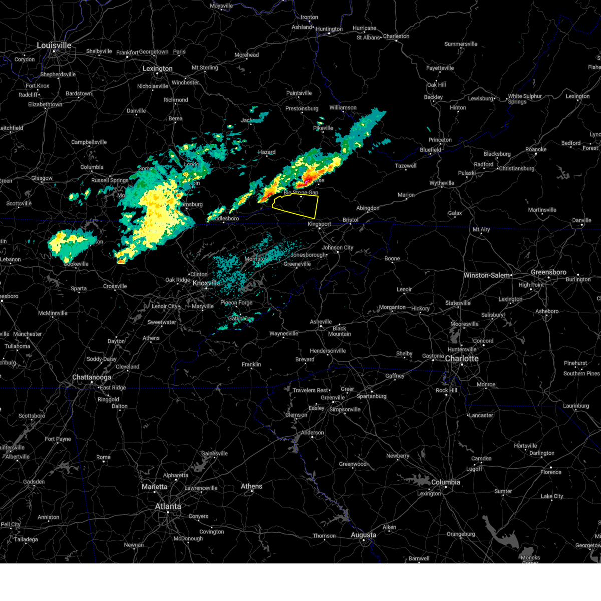
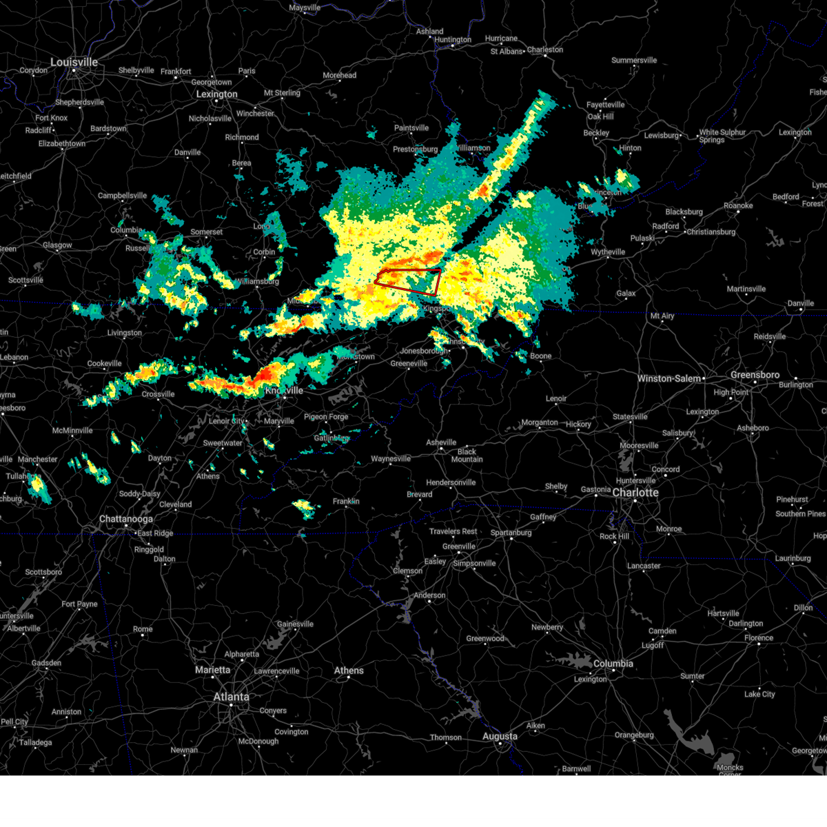
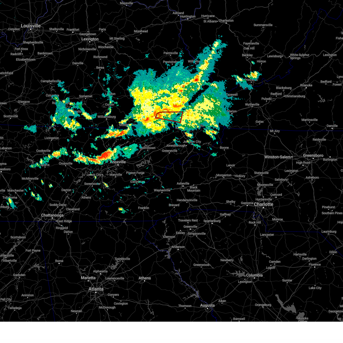
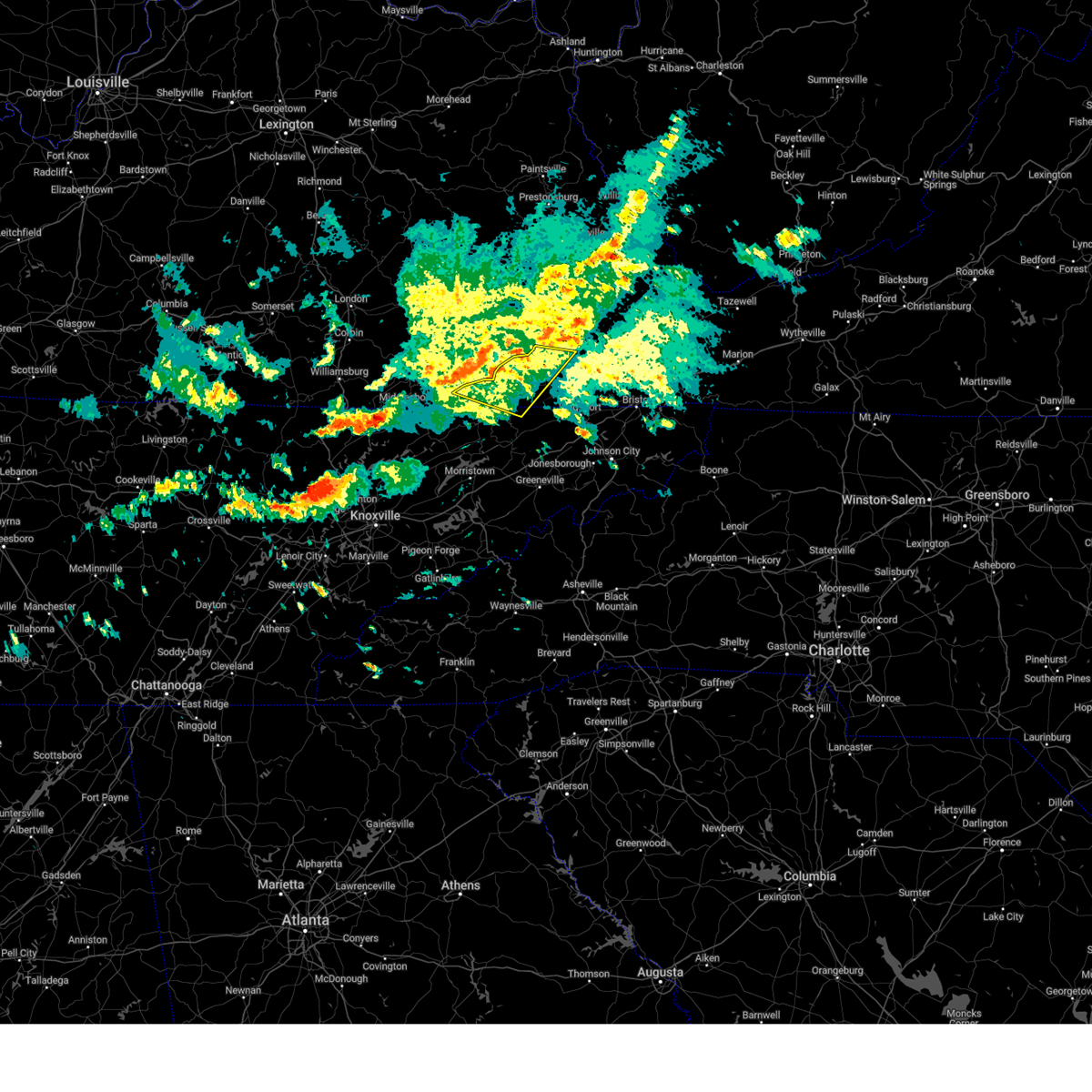
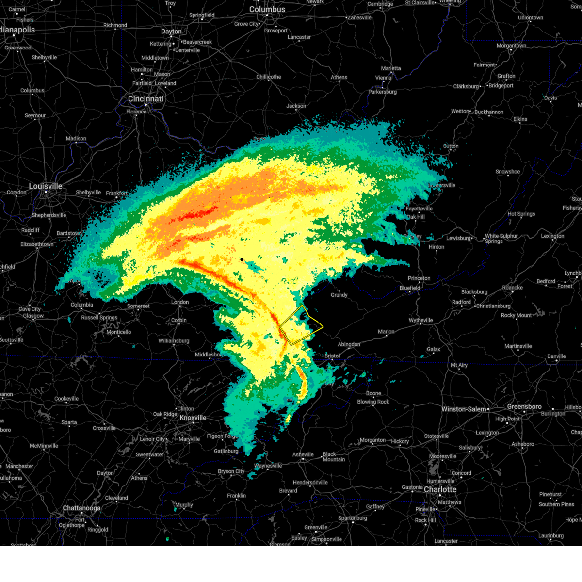
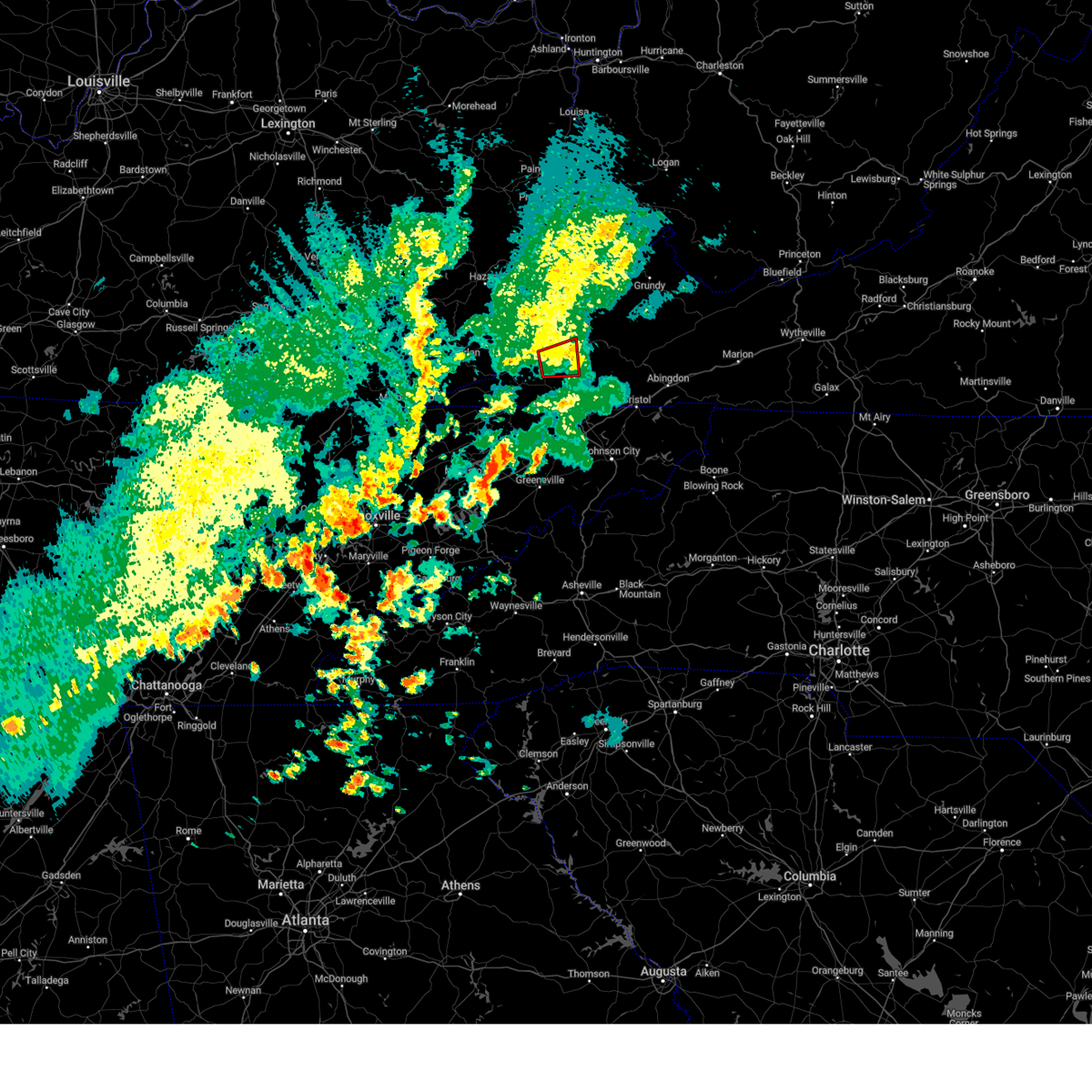
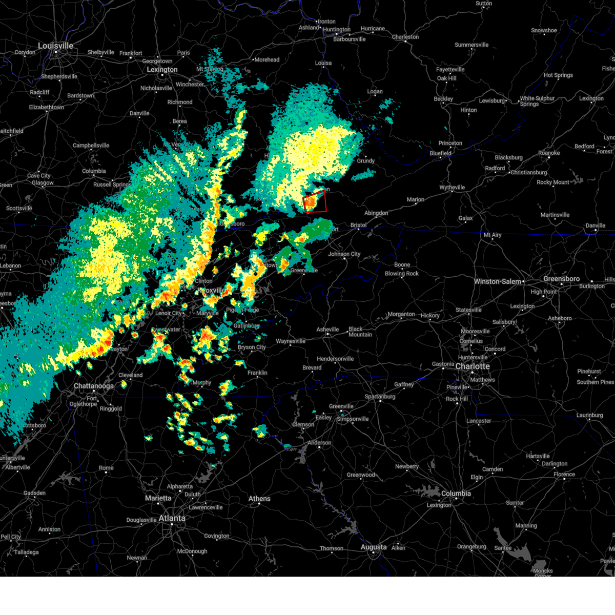
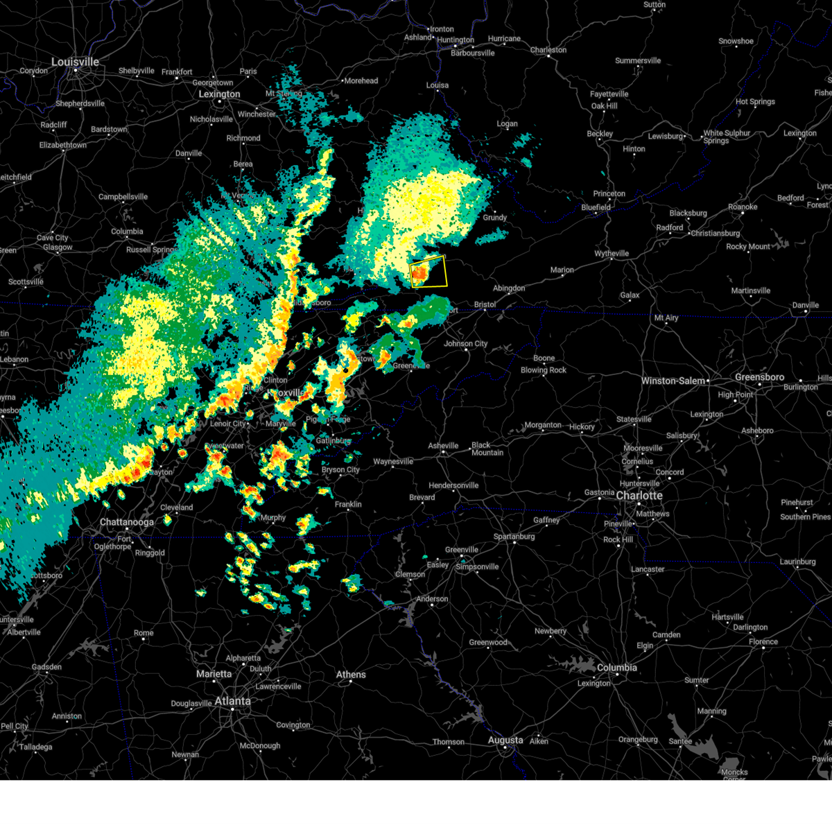
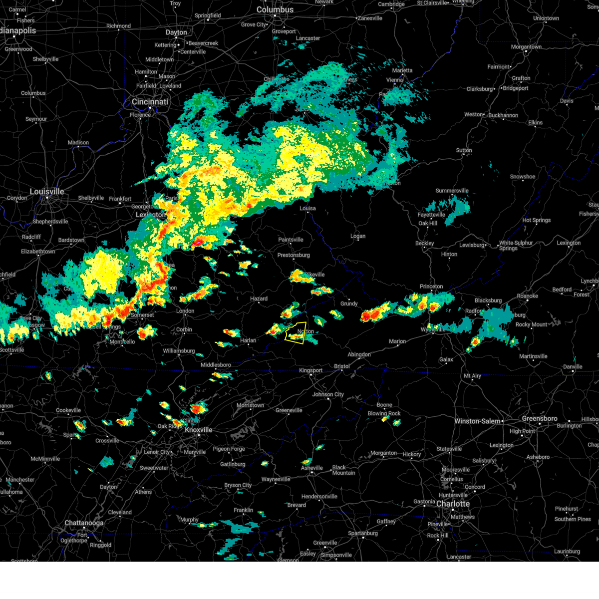
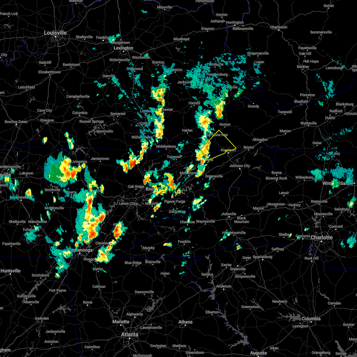
Hail Map for Big Stone Gap, VA
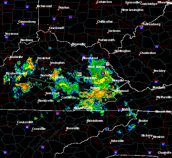
The Big Stone Gap, VA area has had 3 reports of on-the-ground hail by trained spotters, and has been under severe weather warnings 4 times during the past 12 months. Doppler radar has detected hail at or near Big Stone Gap, VA on 23 occasions.
| Name: | Big Stone Gap, VA |
| Where Located: | 35.7 miles WNW of Bristol, TN |
| Map: | Google Map for Big Stone Gap, VA |
| Population: | 5614 |
| Housing Units: | 2052 |
| More Info: | Search Google for Big Stone Gap, VA |
0
The Top Recent Hail Date for Big Stone Gap, VA is Monday, April 14, 2025 (9th out of 23)

Hail and Wind Damage Spotted near Big Stone Gap, VA
| Date / Time | Report Details |
|---|---|
| 3/16/2026 4:47 AM EDT |
 At 447 am edt, a severe thunderstorm was located 8 miles southeast of norton, moving northeast at 40 mph (radar indicated). Hazards include 60 mph wind gusts. Expect damage to roofs, siding, and trees. locations impacted include, kingsport, rogersville, norton, wise, gate city, big stone gap, surgoinsville, weber city, church hill, and mount carmel. This includes interstate 81 in tennessee between mile markers 30 and 43. At 447 am edt, a severe thunderstorm was located 8 miles southeast of norton, moving northeast at 40 mph (radar indicated). Hazards include 60 mph wind gusts. Expect damage to roofs, siding, and trees. locations impacted include, kingsport, rogersville, norton, wise, gate city, big stone gap, surgoinsville, weber city, church hill, and mount carmel. This includes interstate 81 in tennessee between mile markers 30 and 43.
|
| 3/16/2026 4:13 AM EDT |
 Svrmrx the national weather service in morristown has issued a * severe thunderstorm warning for, west central sullivan county in east tennessee, hawkins county in east tennessee, eastern hancock county in east tennessee, north central greene county in east tennessee, northeastern hamblen county in east tennessee, eastern lee county in southwestern virginia, the city of norton in southwestern virginia, scott county in southwestern virginia, wise county in southwestern virginia, * until 515 am edt. * at 412 am edt, a severe thunderstorm was located over sneedville, moving northeast at 40 mph (radar indicated). Hazards include 60 mph wind gusts. expect damage to roofs, siding, and trees Svrmrx the national weather service in morristown has issued a * severe thunderstorm warning for, west central sullivan county in east tennessee, hawkins county in east tennessee, eastern hancock county in east tennessee, north central greene county in east tennessee, northeastern hamblen county in east tennessee, eastern lee county in southwestern virginia, the city of norton in southwestern virginia, scott county in southwestern virginia, wise county in southwestern virginia, * until 515 am edt. * at 412 am edt, a severe thunderstorm was located over sneedville, moving northeast at 40 mph (radar indicated). Hazards include 60 mph wind gusts. expect damage to roofs, siding, and trees
|
| 9/4/2025 11:39 AM EDT |
 At 1139 am edt, a severe thunderstorm was located 10 miles north of surgoinsville, or 13 miles east of jonesville, moving east at 45 mph (radar indicated). Hazards include 60 mph wind gusts and penny size hail. Expect damage to roofs, siding, and trees. locations impacted include, kingsport, rogersville, gate city, big stone gap, surgoinsville, weber city, colonial heights, church hill, mount carmel, and duffield. this includes the following highways, interstate 26 in tennessee between mile markers 1 and 9. Interstate 81 in tennessee between mile markers 54 and 57. At 1139 am edt, a severe thunderstorm was located 10 miles north of surgoinsville, or 13 miles east of jonesville, moving east at 45 mph (radar indicated). Hazards include 60 mph wind gusts and penny size hail. Expect damage to roofs, siding, and trees. locations impacted include, kingsport, rogersville, gate city, big stone gap, surgoinsville, weber city, colonial heights, church hill, mount carmel, and duffield. this includes the following highways, interstate 26 in tennessee between mile markers 1 and 9. Interstate 81 in tennessee between mile markers 54 and 57.
|
| 9/4/2025 11:29 AM EDT |
 Svrmrx the national weather service in morristown has issued a * severe thunderstorm warning for, western sullivan county in east tennessee, northern hawkins county in east tennessee, northeastern hancock county in east tennessee, southeastern lee county in southwestern virginia, scott county in southwestern virginia, southwestern wise county in southwestern virginia, * until 1215 pm edt. * at 1128 am edt, a severe thunderstorm was located near jonesville, moving east at 45 mph (radar indicated). Hazards include 60 mph wind gusts and penny size hail. expect damage to roofs, siding, and trees Svrmrx the national weather service in morristown has issued a * severe thunderstorm warning for, western sullivan county in east tennessee, northern hawkins county in east tennessee, northeastern hancock county in east tennessee, southeastern lee county in southwestern virginia, scott county in southwestern virginia, southwestern wise county in southwestern virginia, * until 1215 pm edt. * at 1128 am edt, a severe thunderstorm was located near jonesville, moving east at 45 mph (radar indicated). Hazards include 60 mph wind gusts and penny size hail. expect damage to roofs, siding, and trees
|
| 7/17/2025 11:25 PM EDT |
 the severe thunderstorm warning has been cancelled and is no longer in effect the severe thunderstorm warning has been cancelled and is no longer in effect
|
| 7/17/2025 11:09 PM EDT |
 At 1108 pm edt, a severe thunderstorm was located near norton, moving east at 25 mph (radar indicated). Hazards include 60 mph wind gusts. Expect damage to roofs, siding, and trees. locations impacted include, norton, wise, big stone gap, coeburn, st. Paul, nickelsville, dungannon, collingwood, castlewood, and fort blackmore. At 1108 pm edt, a severe thunderstorm was located near norton, moving east at 25 mph (radar indicated). Hazards include 60 mph wind gusts. Expect damage to roofs, siding, and trees. locations impacted include, norton, wise, big stone gap, coeburn, st. Paul, nickelsville, dungannon, collingwood, castlewood, and fort blackmore.
|
| 7/17/2025 10:50 PM EDT | Several trees dow in wise county VA, 4.1 miles WSW of Big Stone Gap, VA |
| 7/17/2025 10:42 PM EDT |
 Svrmrx the national weather service in morristown has issued a * severe thunderstorm warning for, southwestern russell county in southwestern virginia, northeastern lee county in southwestern virginia, the city of norton in southwestern virginia, northeastern scott county in southwestern virginia, wise county in southwestern virginia, * until 1145 pm edt. * at 1042 pm edt, a severe thunderstorm was located near big stone gap, or near norton, moving east at 30 mph (radar indicated). Hazards include 60 mph wind gusts. expect damage to roofs, siding, and trees Svrmrx the national weather service in morristown has issued a * severe thunderstorm warning for, southwestern russell county in southwestern virginia, northeastern lee county in southwestern virginia, the city of norton in southwestern virginia, northeastern scott county in southwestern virginia, wise county in southwestern virginia, * until 1145 pm edt. * at 1042 pm edt, a severe thunderstorm was located near big stone gap, or near norton, moving east at 30 mph (radar indicated). Hazards include 60 mph wind gusts. expect damage to roofs, siding, and trees
|
| 5/20/2025 11:28 PM EDT |
 Svrmrx the national weather service in morristown has issued a * severe thunderstorm warning for, west central russell county in southwestern virginia, northeastern lee county in southwestern virginia, the city of norton in southwestern virginia, northeastern scott county in southwestern virginia, wise county in southwestern virginia, * until 1215 am edt. * at 1127 pm edt, a severe thunderstorm was located near norton, moving northeast at 45 mph (trained weather spotters). Hazards include 60 mph wind gusts. expect damage to roofs, siding, and trees Svrmrx the national weather service in morristown has issued a * severe thunderstorm warning for, west central russell county in southwestern virginia, northeastern lee county in southwestern virginia, the city of norton in southwestern virginia, northeastern scott county in southwestern virginia, wise county in southwestern virginia, * until 1215 am edt. * at 1127 pm edt, a severe thunderstorm was located near norton, moving northeast at 45 mph (trained weather spotters). Hazards include 60 mph wind gusts. expect damage to roofs, siding, and trees
|
| 5/20/2025 5:18 PM EDT | Trees down. time estimated by radar. time estimated by rada in wise county VA, 1.8 miles W of Big Stone Gap, VA |
| 5/17/2025 2:37 AM EDT |
 The storms which prompted the warning have moved out of the area. therefore, the warning will be allowed to expire. a tornado watch remains in effect until 400 am edt for east tennessee, and southwestern virginia. The storms which prompted the warning have moved out of the area. therefore, the warning will be allowed to expire. a tornado watch remains in effect until 400 am edt for east tennessee, and southwestern virginia.
|
| 5/17/2025 2:24 AM EDT |
 At 224 am edt, severe thunderstorms were located along a line extending from 8 miles west of gate city to 7 miles north of rogersville to near bean station, moving east at 50 mph (radar indicated). Hazards include 60 mph wind gusts and penny size hail. Expect damage to roofs, siding, and trees. Locations impacted include, coeburn, weber city, dungannon, pennington gap, mccloud, surgoinsville, okolona, kepler, pattonsville, and duffield. At 224 am edt, severe thunderstorms were located along a line extending from 8 miles west of gate city to 7 miles north of rogersville to near bean station, moving east at 50 mph (radar indicated). Hazards include 60 mph wind gusts and penny size hail. Expect damage to roofs, siding, and trees. Locations impacted include, coeburn, weber city, dungannon, pennington gap, mccloud, surgoinsville, okolona, kepler, pattonsville, and duffield.
|
| 5/17/2025 2:20 AM EDT | Trees dow in lee county VA, 4.9 miles NNE of Big Stone Gap, VA |
| 5/17/2025 2:03 AM EDT |
 At 203 am edt, severe thunderstorms were located along a line extending from near pennington gap to near sneedville to near tazewell, moving east at 50 mph (radar indicated). Hazards include 70 mph wind gusts and nickel size hail. Expect considerable tree damage. damage is likely to mobile homes, roofs, and outbuildings. Locations impacted include, coeburn, weber city, dungannon, pennington gap, rose hill, mccloud, surgoinsville, ewing, appalachia, and okolona. At 203 am edt, severe thunderstorms were located along a line extending from near pennington gap to near sneedville to near tazewell, moving east at 50 mph (radar indicated). Hazards include 70 mph wind gusts and nickel size hail. Expect considerable tree damage. damage is likely to mobile homes, roofs, and outbuildings. Locations impacted include, coeburn, weber city, dungannon, pennington gap, rose hill, mccloud, surgoinsville, ewing, appalachia, and okolona.
|
| 5/17/2025 1:41 AM EDT |
 Svrmrx the national weather service in morristown has issued a * severe thunderstorm warning for, northeastern claiborne county in east tennessee, hawkins county in east tennessee, hancock county in east tennessee, lee county in southwestern virginia, the city of norton in southwestern virginia, scott county in southwestern virginia, wise county in southwestern virginia, * until 245 am edt. * at 141 am edt, severe thunderstorms were located along a line extending from ages to near cubage to near noetown, moving east at 50 mph (radar indicated). Hazards include 60 mph wind gusts and nickel size hail. expect damage to roofs, siding, and trees Svrmrx the national weather service in morristown has issued a * severe thunderstorm warning for, northeastern claiborne county in east tennessee, hawkins county in east tennessee, hancock county in east tennessee, lee county in southwestern virginia, the city of norton in southwestern virginia, scott county in southwestern virginia, wise county in southwestern virginia, * until 245 am edt. * at 141 am edt, severe thunderstorms were located along a line extending from ages to near cubage to near noetown, moving east at 50 mph (radar indicated). Hazards include 60 mph wind gusts and nickel size hail. expect damage to roofs, siding, and trees
|
| 5/16/2025 2:37 PM EDT |
 Svrmrx the national weather service in morristown has issued a * severe thunderstorm warning for, russell county in southwestern virginia, the southeastern city of norton in southwestern virginia, northeastern scott county in southwestern virginia, southeastern wise county in southwestern virginia, central washington county in southwestern virginia, * until 315 pm edt. * at 236 pm edt, severe thunderstorms were located along a line extending from near clintwood to near wise to near norton, moving east at 50 mph (radar indicated). Hazards include 60 mph wind gusts and quarter size hail. Hail damage to vehicles is expected. Expect wind damage to roofs, siding, and trees. Svrmrx the national weather service in morristown has issued a * severe thunderstorm warning for, russell county in southwestern virginia, the southeastern city of norton in southwestern virginia, northeastern scott county in southwestern virginia, southeastern wise county in southwestern virginia, central washington county in southwestern virginia, * until 315 pm edt. * at 236 pm edt, severe thunderstorms were located along a line extending from near clintwood to near wise to near norton, moving east at 50 mph (radar indicated). Hazards include 60 mph wind gusts and quarter size hail. Hail damage to vehicles is expected. Expect wind damage to roofs, siding, and trees.
|
| 4/15/2025 1:37 AM EDT |
 The storm which prompted the warning has weakened below severe limits, and no longer poses an immediate threat to life or property. therefore, the warning will be allowed to expire. The storm which prompted the warning has weakened below severe limits, and no longer poses an immediate threat to life or property. therefore, the warning will be allowed to expire.
|
| 4/15/2025 1:28 AM EDT |
 At 128 am edt, a severe thunderstorm was located near big stone gap, or 11 miles southwest of norton, moving east at 45 mph (radar indicated). Hazards include 60 mph wind gusts and quarter size hail. Hail damage to vehicles is expected. expect wind damage to roofs, siding, and trees. Locations impacted include, big stone gap. At 128 am edt, a severe thunderstorm was located near big stone gap, or 11 miles southwest of norton, moving east at 45 mph (radar indicated). Hazards include 60 mph wind gusts and quarter size hail. Hail damage to vehicles is expected. expect wind damage to roofs, siding, and trees. Locations impacted include, big stone gap.
|
| 4/15/2025 1:28 AM EDT |
 the severe thunderstorm warning has been cancelled and is no longer in effect the severe thunderstorm warning has been cancelled and is no longer in effect
|
| 4/15/2025 1:14 AM EDT |
 At 114 am edt, a severe thunderstorm was located near clover fork, or 14 miles northeast of jonesville, moving east at 45 mph (radar indicated). Hazards include 60 mph wind gusts and quarter size hail. Hail damage to vehicles is expected. expect wind damage to roofs, siding, and trees. Locations impacted include, big stone gap, jasper, and dryden. At 114 am edt, a severe thunderstorm was located near clover fork, or 14 miles northeast of jonesville, moving east at 45 mph (radar indicated). Hazards include 60 mph wind gusts and quarter size hail. Hail damage to vehicles is expected. expect wind damage to roofs, siding, and trees. Locations impacted include, big stone gap, jasper, and dryden.
|
| 4/15/2025 12:55 AM EDT |
 Svrmrx the national weather service in morristown has issued a * severe thunderstorm warning for, northeastern lee county in southwestern virginia, central scott county in southwestern virginia, southwestern wise county in southwestern virginia, * until 145 am edt. * at 1254 am edt, a severe thunderstorm was located over black mountain, or 9 miles east of harlan, moving east at 45 mph (radar indicated). Hazards include 60 mph wind gusts and quarter size hail. Hail damage to vehicles is expected. Expect wind damage to roofs, siding, and trees. Svrmrx the national weather service in morristown has issued a * severe thunderstorm warning for, northeastern lee county in southwestern virginia, central scott county in southwestern virginia, southwestern wise county in southwestern virginia, * until 145 am edt. * at 1254 am edt, a severe thunderstorm was located over black mountain, or 9 miles east of harlan, moving east at 45 mph (radar indicated). Hazards include 60 mph wind gusts and quarter size hail. Hail damage to vehicles is expected. Expect wind damage to roofs, siding, and trees.
|
| 2/6/2025 9:08 PM EST |
 the tornado warning has been cancelled and is no longer in effect the tornado warning has been cancelled and is no longer in effect
|
| 2/6/2025 8:56 PM EST |
 Tormrx the national weather service in morristown has issued a * tornado warning for, northeastern lee county in southwestern virginia, central scott county in southwestern virginia, southwestern wise county in southwestern virginia, * until 945 pm est. * at 856 pm est, a severe thunderstorm capable of producing a tornado was located over dizney, or 8 miles north of jonesville, moving east at 40 mph (radar indicated rotation). Hazards include tornado. Flying debris will be dangerous to those caught without shelter. mobile homes will be damaged or destroyed. damage to roofs, windows, and vehicles will occur. tree damage is likely. this dangerous storm will be near, pennington gap around 900 pm est. big stone gap around 915 pm est. other locations impacted by this tornadic thunderstorm include duffield, fort blackmore, jasper, dryden, and st. Charles. Tormrx the national weather service in morristown has issued a * tornado warning for, northeastern lee county in southwestern virginia, central scott county in southwestern virginia, southwestern wise county in southwestern virginia, * until 945 pm est. * at 856 pm est, a severe thunderstorm capable of producing a tornado was located over dizney, or 8 miles north of jonesville, moving east at 40 mph (radar indicated rotation). Hazards include tornado. Flying debris will be dangerous to those caught without shelter. mobile homes will be damaged or destroyed. damage to roofs, windows, and vehicles will occur. tree damage is likely. this dangerous storm will be near, pennington gap around 900 pm est. big stone gap around 915 pm est. other locations impacted by this tornadic thunderstorm include duffield, fort blackmore, jasper, dryden, and st. Charles.
|
| 2/6/2025 8:43 PM EST |
 Svrmrx the national weather service in morristown has issued a * severe thunderstorm warning for, northeastern hancock county in east tennessee, lee county in southwestern virginia, western scott county in southwestern virginia, southwestern wise county in southwestern virginia, * until 930 pm est. * at 842 pm est, a severe thunderstorm was located over bobs creek, or near harlan, moving east at 40 mph (radar indicated). Hazards include 60 mph wind gusts and penny size hail. expect damage to roofs, siding, and trees Svrmrx the national weather service in morristown has issued a * severe thunderstorm warning for, northeastern hancock county in east tennessee, lee county in southwestern virginia, western scott county in southwestern virginia, southwestern wise county in southwestern virginia, * until 930 pm est. * at 842 pm est, a severe thunderstorm was located over bobs creek, or near harlan, moving east at 40 mph (radar indicated). Hazards include 60 mph wind gusts and penny size hail. expect damage to roofs, siding, and trees
|
| 2/6/2025 5:20 PM EST | Half Dollar sized hail reported 1.8 miles SSE of Big Stone Gap, VA |
| 8/2/2024 4:54 PM EDT |
 the severe thunderstorm warning has been cancelled and is no longer in effect the severe thunderstorm warning has been cancelled and is no longer in effect
|
| 8/2/2024 4:41 PM EDT |
 At 440 pm edt, a severe thunderstorm was located 8 miles southeast of pennington gap, or 12 miles east of jonesville, moving east at 30 mph (local dispatch reported nearly one dozen calls of trees downed across the jonesville area). Hazards include 60 mph wind gusts. Expect damage to roofs, siding, and trees. Locations impacted include, norton, gate city, big stone gap, mount carmel, appalachia, duffield, clinchport, jasper, fort blackmore, and dryden. At 440 pm edt, a severe thunderstorm was located 8 miles southeast of pennington gap, or 12 miles east of jonesville, moving east at 30 mph (local dispatch reported nearly one dozen calls of trees downed across the jonesville area). Hazards include 60 mph wind gusts. Expect damage to roofs, siding, and trees. Locations impacted include, norton, gate city, big stone gap, mount carmel, appalachia, duffield, clinchport, jasper, fort blackmore, and dryden.
|
| 8/2/2024 4:16 PM EDT |
 Svrmrx the national weather service in morristown has issued a * severe thunderstorm warning for, northeastern hawkins county in east tennessee, lee county in southwestern virginia, the south central city of norton in southwestern virginia, western scott county in southwestern virginia, southwestern wise county in southwestern virginia, * until 515 pm edt. * at 415 pm edt, a severe thunderstorm was located over jonesville, moving east at 30 mph (radar indicated). Hazards include 60 mph wind gusts and penny size hail. expect damage to roofs, siding, and trees Svrmrx the national weather service in morristown has issued a * severe thunderstorm warning for, northeastern hawkins county in east tennessee, lee county in southwestern virginia, the south central city of norton in southwestern virginia, western scott county in southwestern virginia, southwestern wise county in southwestern virginia, * until 515 pm edt. * at 415 pm edt, a severe thunderstorm was located over jonesville, moving east at 30 mph (radar indicated). Hazards include 60 mph wind gusts and penny size hail. expect damage to roofs, siding, and trees
|
| 8/2/2024 12:10 PM EDT |
 The storm which prompted the warning has weakened below severe limits, and no longer poses an immediate threat to life or property. therefore, the warning will be allowed to expire. however, gusty winds are still possible with this thunderstorm. The storm which prompted the warning has weakened below severe limits, and no longer poses an immediate threat to life or property. therefore, the warning will be allowed to expire. however, gusty winds are still possible with this thunderstorm.
|
| 8/2/2024 11:49 AM EDT |
 At 1149 am edt, a severe thunderstorm was located over big stone gap, or 11 miles west of norton, moving east at 35 mph (radar indicated). Hazards include 60 mph wind gusts. Expect damage to roofs, siding, and trees. locations impacted include, norton, wise, big stone gap, pennington gap, coeburn, appalachia, nickelsville, dungannon, st. Charles, and duffield. At 1149 am edt, a severe thunderstorm was located over big stone gap, or 11 miles west of norton, moving east at 35 mph (radar indicated). Hazards include 60 mph wind gusts. Expect damage to roofs, siding, and trees. locations impacted include, norton, wise, big stone gap, pennington gap, coeburn, appalachia, nickelsville, dungannon, st. Charles, and duffield.
|
| 8/2/2024 11:32 AM EDT |
 Svrmrx the national weather service in morristown has issued a * severe thunderstorm warning for, northeastern lee county in southwestern virginia, the city of norton in southwestern virginia, scott county in southwestern virginia, wise county in southwestern virginia, * until 1215 pm edt. * at 1131 am edt, a severe thunderstorm was located over clover fork, or 14 miles northeast of jonesville, moving east at 45 mph (radar indicated). Hazards include 60 mph wind gusts and penny size hail. expect damage to roofs, siding, and trees Svrmrx the national weather service in morristown has issued a * severe thunderstorm warning for, northeastern lee county in southwestern virginia, the city of norton in southwestern virginia, scott county in southwestern virginia, wise county in southwestern virginia, * until 1215 pm edt. * at 1131 am edt, a severe thunderstorm was located over clover fork, or 14 miles northeast of jonesville, moving east at 45 mph (radar indicated). Hazards include 60 mph wind gusts and penny size hail. expect damage to roofs, siding, and trees
|
| 8/1/2024 9:47 PM EDT |
 At 945 pm edt, severe thunderstorms were located along a line extending from pennington gap to near rutledge, moving east at 25 mph (county dispatch reported numerous trees down in the maynardville area). Hazards include 60 mph wind gusts. Expect damage to roofs, siding, and trees. Locations impacted include, sneedville, rutledge, jonesville, big stone gap, bean station, pennington gap, new market, blaine, thorn hill, and evanston. At 945 pm edt, severe thunderstorms were located along a line extending from pennington gap to near rutledge, moving east at 25 mph (county dispatch reported numerous trees down in the maynardville area). Hazards include 60 mph wind gusts. Expect damage to roofs, siding, and trees. Locations impacted include, sneedville, rutledge, jonesville, big stone gap, bean station, pennington gap, new market, blaine, thorn hill, and evanston.
|
| 8/1/2024 9:47 PM EDT |
 the severe thunderstorm warning has been cancelled and is no longer in effect the severe thunderstorm warning has been cancelled and is no longer in effect
|
| 8/1/2024 9:08 PM EDT |
 Svrmrx the national weather service in morristown has issued a * severe thunderstorm warning for, eastern claiborne county in east tennessee, hancock county in east tennessee, north central jefferson county in east tennessee, southeastern union county in east tennessee, grainger county in east tennessee, lee county in southwestern virginia, southwestern wise county in southwestern virginia, * until 1000 pm edt. * at 908 pm edt, severe thunderstorms were located along a line extending from three point to maynardville, moving east at 25 mph (radar indicated). Hazards include 60 mph wind gusts. expect damage to roofs, siding, and trees Svrmrx the national weather service in morristown has issued a * severe thunderstorm warning for, eastern claiborne county in east tennessee, hancock county in east tennessee, north central jefferson county in east tennessee, southeastern union county in east tennessee, grainger county in east tennessee, lee county in southwestern virginia, southwestern wise county in southwestern virginia, * until 1000 pm edt. * at 908 pm edt, severe thunderstorms were located along a line extending from three point to maynardville, moving east at 25 mph (radar indicated). Hazards include 60 mph wind gusts. expect damage to roofs, siding, and trees
|
| 5/26/2024 3:21 PM EDT | Tree down on w. 2nd street north in big stone gap. reported by big stone gap police dep in wise county VA, 0.4 miles ESE of Big Stone Gap, VA |
| 5/26/2024 3:17 PM EDT |
 Svrmrx the national weather service in morristown has issued a * severe thunderstorm warning for, western russell county in southwestern virginia, east central lee county in southwestern virginia, the city of norton in southwestern virginia, scott county in southwestern virginia, wise county in southwestern virginia, * until 400 pm edt. * at 317 pm edt, severe thunderstorms were located along a line extending from 6 miles south of payne gap to 10 miles southeast of pennington gap, moving east at 45 mph (radar indicated). Hazards include 60 mph wind gusts. expect damage to roofs, siding, and trees Svrmrx the national weather service in morristown has issued a * severe thunderstorm warning for, western russell county in southwestern virginia, east central lee county in southwestern virginia, the city of norton in southwestern virginia, scott county in southwestern virginia, wise county in southwestern virginia, * until 400 pm edt. * at 317 pm edt, severe thunderstorms were located along a line extending from 6 miles south of payne gap to 10 miles southeast of pennington gap, moving east at 45 mph (radar indicated). Hazards include 60 mph wind gusts. expect damage to roofs, siding, and trees
|
| 5/26/2024 3:07 PM EDT |
 At 307 pm edt, severe thunderstorms were located along a line extending from near eolia to near jonesville, moving east at 45 mph (radar indicated). Hazards include 60 mph wind gusts and penny size hail. Expect damage to roofs, siding, and trees. locations impacted include, jonesville, big stone gap, pennington gap, appalachia, pound, st. Charles, jasper, dryden, pardee, and pattonsville. At 307 pm edt, severe thunderstorms were located along a line extending from near eolia to near jonesville, moving east at 45 mph (radar indicated). Hazards include 60 mph wind gusts and penny size hail. Expect damage to roofs, siding, and trees. locations impacted include, jonesville, big stone gap, pennington gap, appalachia, pound, st. Charles, jasper, dryden, pardee, and pattonsville.
|
| 5/26/2024 2:41 PM EDT |
 Svrmrx the national weather service in morristown has issued a * severe thunderstorm warning for, lee county in southwestern virginia, southwestern scott county in southwestern virginia, western wise county in southwestern virginia, * until 330 pm edt. * at 241 pm edt, severe thunderstorms were located along a line extending from arthur to 7 miles south of hensley store, moving east at 45 mph (radar indicated). Hazards include 60 mph wind gusts and penny size hail. expect damage to roofs, siding, and trees Svrmrx the national weather service in morristown has issued a * severe thunderstorm warning for, lee county in southwestern virginia, southwestern scott county in southwestern virginia, western wise county in southwestern virginia, * until 330 pm edt. * at 241 pm edt, severe thunderstorms were located along a line extending from arthur to 7 miles south of hensley store, moving east at 45 mph (radar indicated). Hazards include 60 mph wind gusts and penny size hail. expect damage to roofs, siding, and trees
|
| 2/12/2024 10:03 PM EST |
 At 1002 pm est, a severe thunderstorm was located near norton, moving northeast at 55 mph (radar indicated). Hazards include 60 mph wind gusts. Expect damage to roofs, siding, and trees. locations impacted include, norton, wise, big stone gap, coeburn, appalachia, and pound. hail threat, radar indicated max hail size, <. 75 in wind threat, radar indicated max wind gust, 60 mph. At 1002 pm est, a severe thunderstorm was located near norton, moving northeast at 55 mph (radar indicated). Hazards include 60 mph wind gusts. Expect damage to roofs, siding, and trees. locations impacted include, norton, wise, big stone gap, coeburn, appalachia, and pound. hail threat, radar indicated max hail size, <. 75 in wind threat, radar indicated max wind gust, 60 mph.
|
| 2/12/2024 9:53 PM EST |
 At 953 pm est, a severe thunderstorm was located over big stone gap, or 11 miles southwest of norton, moving northeast at 55 mph (radar indicated). Hazards include 60 mph wind gusts. expect damage to roofs, siding, and trees At 953 pm est, a severe thunderstorm was located over big stone gap, or 11 miles southwest of norton, moving northeast at 55 mph (radar indicated). Hazards include 60 mph wind gusts. expect damage to roofs, siding, and trees
|
| 7/29/2023 4:06 PM EDT |
 At 406 pm edt, a severe thunderstorm was located over mayking, or near whitesburg, moving southeast at 35 mph (radar indicated). Hazards include 60 mph wind gusts and quarter size hail. Hail damage to vehicles is expected. Expect wind damage to roofs, siding, and trees. At 406 pm edt, a severe thunderstorm was located over mayking, or near whitesburg, moving southeast at 35 mph (radar indicated). Hazards include 60 mph wind gusts and quarter size hail. Hail damage to vehicles is expected. Expect wind damage to roofs, siding, and trees.
|
| 6/11/2023 10:11 PM EDT |
 The tornado warning for east central lee, north central scott and southwestern wise counties and the city of norton will expire at 1015 pm edt, the storm which prompted the warning has weakened below severe limits, and no longer appears capable of producing a tornado. therefore, the warning will be allowed to expire. however gusty winds are still possible with this thunderstorm. a severe thunderstorm watch remains in effect until 1100 pm edt for southwestern virginia. The tornado warning for east central lee, north central scott and southwestern wise counties and the city of norton will expire at 1015 pm edt, the storm which prompted the warning has weakened below severe limits, and no longer appears capable of producing a tornado. therefore, the warning will be allowed to expire. however gusty winds are still possible with this thunderstorm. a severe thunderstorm watch remains in effect until 1100 pm edt for southwestern virginia.
|
| 6/11/2023 10:10 PM EDT |
 The severe thunderstorm warning for east central lee, north central scott and southwestern wise counties and the city of norton will expire at 1015 pm edt, the storm which prompted the warning has weakened below severe limits, and no longer poses an immediate threat to life or property. therefore, the warning will be allowed to expire. however gusty winds are still possible with this thunderstorm. a severe thunderstorm watch remains in effect until 1100 pm edt for southwestern virginia. The severe thunderstorm warning for east central lee, north central scott and southwestern wise counties and the city of norton will expire at 1015 pm edt, the storm which prompted the warning has weakened below severe limits, and no longer poses an immediate threat to life or property. therefore, the warning will be allowed to expire. however gusty winds are still possible with this thunderstorm. a severe thunderstorm watch remains in effect until 1100 pm edt for southwestern virginia.
|
| 6/11/2023 9:47 PM EDT |
 At 947 pm edt, a severe thunderstorm capable of producing a tornado was located over big stone gap, or 10 miles southwest of norton, moving east at 25 mph (radar indicated rotation). Hazards include tornado and quarter size hail. Flying debris will be dangerous to those caught without shelter. mobile homes will be damaged or destroyed. damage to roofs, windows, and vehicles will occur. tree damage is likely. this dangerous storm will be near, norton around 1015 pm edt. Other locations impacted by this tornadic thunderstorm include fort blackmore and appalachia. At 947 pm edt, a severe thunderstorm capable of producing a tornado was located over big stone gap, or 10 miles southwest of norton, moving east at 25 mph (radar indicated rotation). Hazards include tornado and quarter size hail. Flying debris will be dangerous to those caught without shelter. mobile homes will be damaged or destroyed. damage to roofs, windows, and vehicles will occur. tree damage is likely. this dangerous storm will be near, norton around 1015 pm edt. Other locations impacted by this tornadic thunderstorm include fort blackmore and appalachia.
|
| 6/11/2023 9:46 PM EDT |
 At 946 pm edt, a severe thunderstorm was located near big stone gap, or 8 miles southwest of norton, moving east at 30 mph (radar indicated). Hazards include 60 mph wind gusts and quarter size hail. Hail damage to vehicles is expected. expect wind damage to roofs, siding, and trees. Locations impacted include, norton, wise, big stone gap, appalachia and fort blackmore. At 946 pm edt, a severe thunderstorm was located near big stone gap, or 8 miles southwest of norton, moving east at 30 mph (radar indicated). Hazards include 60 mph wind gusts and quarter size hail. Hail damage to vehicles is expected. expect wind damage to roofs, siding, and trees. Locations impacted include, norton, wise, big stone gap, appalachia and fort blackmore.
|
| 6/11/2023 9:25 PM EDT |
 At 925 pm edt, a severe thunderstorm capable of producing a tornado was located near pennington gap, or 12 miles northeast of jonesville, moving east at 25 mph (radar indicated rotation). Hazards include tornado and quarter size hail. Flying debris will be dangerous to those caught without shelter. mobile homes will be damaged or destroyed. damage to roofs, windows, and vehicles will occur. tree damage is likely. this dangerous storm will be near, big stone gap around 950 pm edt. norton around 1015 pm edt. Other locations impacted by this tornadic thunderstorm include duffield, fort blackmore, jasper, dryden and appalachia. At 925 pm edt, a severe thunderstorm capable of producing a tornado was located near pennington gap, or 12 miles northeast of jonesville, moving east at 25 mph (radar indicated rotation). Hazards include tornado and quarter size hail. Flying debris will be dangerous to those caught without shelter. mobile homes will be damaged or destroyed. damage to roofs, windows, and vehicles will occur. tree damage is likely. this dangerous storm will be near, big stone gap around 950 pm edt. norton around 1015 pm edt. Other locations impacted by this tornadic thunderstorm include duffield, fort blackmore, jasper, dryden and appalachia.
|
| 6/11/2023 9:20 PM EDT |
 At 920 pm edt, a severe thunderstorm was located near pennington gap, or 10 miles northeast of jonesville, moving east at 30 mph (radar indicated). Hazards include 60 mph wind gusts and quarter size hail. Hail damage to vehicles is expected. Expect wind damage to roofs, siding, and trees. At 920 pm edt, a severe thunderstorm was located near pennington gap, or 10 miles northeast of jonesville, moving east at 30 mph (radar indicated). Hazards include 60 mph wind gusts and quarter size hail. Hail damage to vehicles is expected. Expect wind damage to roofs, siding, and trees.
|
| 5/16/2023 5:09 PM EDT |
 At 509 pm edt, a severe thunderstorm was located over cranks, or near jonesville, moving east at 55 mph (radar indicated). Hazards include 60 mph wind gusts and quarter size hail. Hail damage to vehicles is expected. Expect wind damage to roofs, siding, and trees. At 509 pm edt, a severe thunderstorm was located over cranks, or near jonesville, moving east at 55 mph (radar indicated). Hazards include 60 mph wind gusts and quarter size hail. Hail damage to vehicles is expected. Expect wind damage to roofs, siding, and trees.
|
| 5/16/2023 3:20 PM EDT |
 At 320 pm edt, a severe thunderstorm was located over benham, or 13 miles southwest of whitesburg, moving east at 40 mph (radar indicated). Hazards include 60 mph wind gusts and quarter size hail. Hail damage to vehicles is expected. Expect wind damage to roofs, siding, and trees. At 320 pm edt, a severe thunderstorm was located over benham, or 13 miles southwest of whitesburg, moving east at 40 mph (radar indicated). Hazards include 60 mph wind gusts and quarter size hail. Hail damage to vehicles is expected. Expect wind damage to roofs, siding, and trees.
|
| 8/5/2022 5:48 PM EDT |
 At 547 pm edt, severe thunderstorms were located along a line extending from near eolia to near gate city, moving northeast at 30 mph (radar indicated). Hazards include 60 mph wind gusts and nickel size hail. Expect damage to roofs, siding, and trees. locations impacted include, norton, wise, gate city, big stone gap, weber city, mount carmel, coeburn, appalachia, pound and nickelsville. hail threat, radar indicated max hail size, 0. 88 in wind threat, radar indicated max wind gust, 60 mph. At 547 pm edt, severe thunderstorms were located along a line extending from near eolia to near gate city, moving northeast at 30 mph (radar indicated). Hazards include 60 mph wind gusts and nickel size hail. Expect damage to roofs, siding, and trees. locations impacted include, norton, wise, gate city, big stone gap, weber city, mount carmel, coeburn, appalachia, pound and nickelsville. hail threat, radar indicated max hail size, 0. 88 in wind threat, radar indicated max wind gust, 60 mph.
|
| 8/5/2022 5:16 PM EDT |
 At 516 pm edt, severe thunderstorms were located along a line extending from near holmes mill to near surgoinsville, moving northeast at 25 mph (radar indicated). Hazards include 60 mph wind gusts and nickel size hail. expect damage to roofs, siding, and trees At 516 pm edt, severe thunderstorms were located along a line extending from near holmes mill to near surgoinsville, moving northeast at 25 mph (radar indicated). Hazards include 60 mph wind gusts and nickel size hail. expect damage to roofs, siding, and trees
|
| 7/21/2022 2:32 AM EDT |
 At 232 am edt, severe thunderstorms were located along a line extending from near big rock to 6 miles south of haysi to near wise to near big stone gap, moving southeast at 40 mph (radar indicated). Hazards include 60 mph wind gusts. expect damage to roofs, siding, and trees At 232 am edt, severe thunderstorms were located along a line extending from near big rock to 6 miles south of haysi to near wise to near big stone gap, moving southeast at 40 mph (radar indicated). Hazards include 60 mph wind gusts. expect damage to roofs, siding, and trees
|
| 5/6/2022 6:14 PM EDT |
 At 613 pm edt, severe thunderstorms were located along a line extending from near jonesville to 8 miles southwest of gate city to gray, moving northeast at 45 mph. this line of storm has a history of producing damaging winds (radar indicated). Hazards include 60 mph wind gusts and quarter size hail. Hail damage to vehicles is expected. Expect wind damage to roofs, siding, and trees. At 613 pm edt, severe thunderstorms were located along a line extending from near jonesville to 8 miles southwest of gate city to gray, moving northeast at 45 mph. this line of storm has a history of producing damaging winds (radar indicated). Hazards include 60 mph wind gusts and quarter size hail. Hail damage to vehicles is expected. Expect wind damage to roofs, siding, and trees.
|
| 5/6/2022 3:16 PM EDT |
 At 316 pm edt, a severe thunderstorm was located 7 miles northwest of surgoinsville, or 11 miles north of rogersville, moving northeast at 40 mph (radar indicated). Hazards include 60 mph wind gusts and quarter size hail. Hail damage to vehicles is expected. Expect wind damage to roofs, siding, and trees. At 316 pm edt, a severe thunderstorm was located 7 miles northwest of surgoinsville, or 11 miles north of rogersville, moving northeast at 40 mph (radar indicated). Hazards include 60 mph wind gusts and quarter size hail. Hail damage to vehicles is expected. Expect wind damage to roofs, siding, and trees.
|
| 8/14/2021 9:56 PM EDT |
 At 956 pm edt, a severe thunderstorm was located near big stone gap, or 13 miles southwest of norton, moving northwest at 10 mph (radar indicated). Hazards include 60 mph wind gusts and penny size hail. Expect damage to roofs, siding, and trees. locations impacted include, big stone gap and appalachia. hail threat, radar indicated max hail size, 0. 75 in wind threat, radar indicated max wind gust, 60 mph. At 956 pm edt, a severe thunderstorm was located near big stone gap, or 13 miles southwest of norton, moving northwest at 10 mph (radar indicated). Hazards include 60 mph wind gusts and penny size hail. Expect damage to roofs, siding, and trees. locations impacted include, big stone gap and appalachia. hail threat, radar indicated max hail size, 0. 75 in wind threat, radar indicated max wind gust, 60 mph.
|
| 8/14/2021 9:31 PM EDT |
 At 931 pm edt, a severe thunderstorm was located near big stone gap, or 14 miles southwest of norton, moving northwest at 10 mph (radar indicated). Hazards include 60 mph wind gusts and penny size hail. expect damage to roofs, siding, and trees At 931 pm edt, a severe thunderstorm was located near big stone gap, or 14 miles southwest of norton, moving northwest at 10 mph (radar indicated). Hazards include 60 mph wind gusts and penny size hail. expect damage to roofs, siding, and trees
|
| 7/24/2020 5:36 PM EDT |
 At 536 pm edt, severe thunderstorms were located along a line extending from 8 miles east of lebanon to 7 miles north of gate city, moving southeast at 15 mph (radar indicated). Hazards include 60 mph wind gusts and penny size hail. Expect damage to roofs, siding, and trees. locations impacted include, bristol va, abingdon, lebanon, gate city, big stone gap, weber city, cleveland va, mount carmel, glade spring and st. paul. This includes interstate 81 in virginia between mile markers 13 and 34. At 536 pm edt, severe thunderstorms were located along a line extending from 8 miles east of lebanon to 7 miles north of gate city, moving southeast at 15 mph (radar indicated). Hazards include 60 mph wind gusts and penny size hail. Expect damage to roofs, siding, and trees. locations impacted include, bristol va, abingdon, lebanon, gate city, big stone gap, weber city, cleveland va, mount carmel, glade spring and st. paul. This includes interstate 81 in virginia between mile markers 13 and 34.
|
| 7/24/2020 5:16 PM EDT |
 At 516 pm edt, severe thunderstorms were located along a line extending from 8 miles northeast of lebanon to 7 miles southeast of big stone gap, moving southeast at 15 mph (radar indicated). Hazards include 60 mph wind gusts and penny size hail. expect damage to roofs, siding, and trees At 516 pm edt, severe thunderstorms were located along a line extending from 8 miles northeast of lebanon to 7 miles southeast of big stone gap, moving southeast at 15 mph (radar indicated). Hazards include 60 mph wind gusts and penny size hail. expect damage to roofs, siding, and trees
|
| 4/9/2020 2:50 AM EDT |
 The severe thunderstorm warning for central russell, northeastern lee, northeastern scott and wise counties and the city of norton will expire at 300 am edt, the storms which prompted the warning have weakened below severe limits, and no longer pose an immediate threat to life or property. therefore, the warning will be allowed to expire. however gusty winds are still possible with these thunderstorms. a severe thunderstorm watch remains in effect until 600 am edt for southwestern virginia. The severe thunderstorm warning for central russell, northeastern lee, northeastern scott and wise counties and the city of norton will expire at 300 am edt, the storms which prompted the warning have weakened below severe limits, and no longer pose an immediate threat to life or property. therefore, the warning will be allowed to expire. however gusty winds are still possible with these thunderstorms. a severe thunderstorm watch remains in effect until 600 am edt for southwestern virginia.
|
| 4/9/2020 2:28 AM EDT |
 At 228 am edt, severe thunderstorms were located along a line extending from breaks interstate to near clintwood to holmes mill, moving southeast at 45 mph (radar indicated). Hazards include 60 mph wind gusts and penny size hail. Expect damage to roofs, siding, and trees. locations impacted include, norton, wise, big stone gap, cleveland va, coeburn, appalachia, honaker, pound, st. Paul and dungannon. At 228 am edt, severe thunderstorms were located along a line extending from breaks interstate to near clintwood to holmes mill, moving southeast at 45 mph (radar indicated). Hazards include 60 mph wind gusts and penny size hail. Expect damage to roofs, siding, and trees. locations impacted include, norton, wise, big stone gap, cleveland va, coeburn, appalachia, honaker, pound, st. Paul and dungannon.
|
| 4/9/2020 2:11 AM EDT |
 At 210 am edt, severe thunderstorms were located along a line extending from paw paw to dunham to arthur, moving southeast at 45 mph (radar indicated). Hazards include 60 mph wind gusts and penny size hail. expect damage to roofs, siding, and trees At 210 am edt, severe thunderstorms were located along a line extending from paw paw to dunham to arthur, moving southeast at 45 mph (radar indicated). Hazards include 60 mph wind gusts and penny size hail. expect damage to roofs, siding, and trees
|
| 1/11/2020 6:48 PM EST |
 At 648 pm est, a severe thunderstorm was located near gate city, moving east at 65 mph (radar indicated). Hazards include 70 mph wind gusts. Expect considerable tree damage. Damage is likely to mobile homes, roofs, and outbuildings. At 648 pm est, a severe thunderstorm was located near gate city, moving east at 65 mph (radar indicated). Hazards include 70 mph wind gusts. Expect considerable tree damage. Damage is likely to mobile homes, roofs, and outbuildings.
|
| 1/11/2020 6:42 PM EST |
 At 642 pm est, a severe thunderstorm was located near clover fork, or 13 miles northeast of jonesville, moving northeast at 55 mph (radar indicated). Hazards include 60 mph wind gusts. Expect damage to roofs, siding, and trees. locations impacted include, gate city, jonesville, big stone gap, pennington gap, weber city, mount carmel, appalachia, st. Charles, duffield and clinchport. At 642 pm est, a severe thunderstorm was located near clover fork, or 13 miles northeast of jonesville, moving northeast at 55 mph (radar indicated). Hazards include 60 mph wind gusts. Expect damage to roofs, siding, and trees. locations impacted include, gate city, jonesville, big stone gap, pennington gap, weber city, mount carmel, appalachia, st. Charles, duffield and clinchport.
|
| 1/11/2020 6:20 PM EST |
 At 620 pm est, a severe thunderstorm was located near sneedville, moving northeast at 55 mph (radar indicated). Hazards include 60 mph wind gusts. expect damage to roofs, siding, and trees At 620 pm est, a severe thunderstorm was located near sneedville, moving northeast at 55 mph (radar indicated). Hazards include 60 mph wind gusts. expect damage to roofs, siding, and trees
|
| 10/31/2019 1:08 PM EDT |
 The severe thunderstorm warning for eastern lee, northwestern scott and wise counties and the city of norton will expire at 115 pm edt, the storms which prompted the warning have moved out of the area. therefore, the warning will be allowed to expire. however gusty winds are still possible as a strong cold front crosses the area. a tornado watch remains in effect until 700 pm edt for southwestern virginia. The severe thunderstorm warning for eastern lee, northwestern scott and wise counties and the city of norton will expire at 115 pm edt, the storms which prompted the warning have moved out of the area. therefore, the warning will be allowed to expire. however gusty winds are still possible as a strong cold front crosses the area. a tornado watch remains in effect until 700 pm edt for southwestern virginia.
|
| 10/31/2019 12:30 PM EDT | Tree dow in wise county VA, 0.9 miles S of Big Stone Gap, VA |
| 10/31/2019 12:26 PM EDT |
 At 1226 pm edt, severe thunderstorms were located along a line extending from lewis creek to 9 miles southeast of jonesville, moving northeast at 60 mph (radar indicated). Hazards include 60 mph wind gusts. expect damage to roofs, siding, and trees At 1226 pm edt, severe thunderstorms were located along a line extending from lewis creek to 9 miles southeast of jonesville, moving northeast at 60 mph (radar indicated). Hazards include 60 mph wind gusts. expect damage to roofs, siding, and trees
|
| 8/20/2019 6:40 PM EDT | Multiple trees down at bullitt par in wise county VA, 0.9 miles SSE of Big Stone Gap, VA |
| 6/22/2019 12:55 AM EDT |
 At 1254 am edt, severe thunderstorms were located along a line extending from near norton to near gate city to near colonial heights, moving northeast at 45 mph (radar indicated). Hazards include 60 mph wind gusts. Expect damage to roofs, siding, and trees. Locations impacted include, johnson city, kingsport, norton, wise, gate city, big stone gap, weber city, spurgeon, colonial heights, oak grove, gray, church hill, mount carmel, coeburn, appalachia, pound, nickelsville, dungannon, clinchport and sullivan gardens. At 1254 am edt, severe thunderstorms were located along a line extending from near norton to near gate city to near colonial heights, moving northeast at 45 mph (radar indicated). Hazards include 60 mph wind gusts. Expect damage to roofs, siding, and trees. Locations impacted include, johnson city, kingsport, norton, wise, gate city, big stone gap, weber city, spurgeon, colonial heights, oak grove, gray, church hill, mount carmel, coeburn, appalachia, pound, nickelsville, dungannon, clinchport and sullivan gardens.
|
| 6/22/2019 12:35 AM EDT |
 At 1234 am edt, severe thunderstorms were located along a line extending from near clover fork to near surgoinsville to 7 miles southeast of rogersville, moving east at 45 mph (radar indicated). Hazards include 60 mph wind gusts. expect damage to roofs, siding, and trees At 1234 am edt, severe thunderstorms were located along a line extending from near clover fork to near surgoinsville to 7 miles southeast of rogersville, moving east at 45 mph (radar indicated). Hazards include 60 mph wind gusts. expect damage to roofs, siding, and trees
|
| 6/26/2018 11:26 AM EDT |
 At 1125 am edt, severe thunderstorms were located along a line extending from near clintwood to near wise to near big stone gap, moving southeast at 35 mph (radar indicated). Hazards include 60 mph wind gusts. Expect damage to roofs, siding, and trees. Locations impacted include, norton, wise, big stone gap, coeburn and appalachia. At 1125 am edt, severe thunderstorms were located along a line extending from near clintwood to near wise to near big stone gap, moving southeast at 35 mph (radar indicated). Hazards include 60 mph wind gusts. Expect damage to roofs, siding, and trees. Locations impacted include, norton, wise, big stone gap, coeburn and appalachia.
|
| 6/26/2018 10:58 AM EDT |
 At 1057 am edt, severe thunderstorms were located along a line extending from mcroberts to eolia to cumberland, moving southeast at 35 mph (radar indicated). Hazards include 60 mph or higher wind gusts. expect damage to roofs, siding, and trees At 1057 am edt, severe thunderstorms were located along a line extending from mcroberts to eolia to cumberland, moving southeast at 35 mph (radar indicated). Hazards include 60 mph or higher wind gusts. expect damage to roofs, siding, and trees
|
| 5/5/2018 5:02 PM EDT |
 At 502 pm edt, a severe thunderstorm was located near big stone gap, or near norton, moving northeast at 35 mph (radar indicated). Hazards include 60 mph wind gusts and quarter size hail. Hail damage to vehicles is expected. Expect wind damage to roofs, siding, and trees. At 502 pm edt, a severe thunderstorm was located near big stone gap, or near norton, moving northeast at 35 mph (radar indicated). Hazards include 60 mph wind gusts and quarter size hail. Hail damage to vehicles is expected. Expect wind damage to roofs, siding, and trees.
|
| 4/4/2018 2:26 AM EDT |
 The severe thunderstorm warning for southwestern russell, northeastern lee, central scott and wise counties and the city of norton will expire at 230 am edt, the storms which prompted the warning have moved out of the area. therefore the warning will be allowed to expire. a severe thunderstorm watch remains in effect until 300 am edt for southwestern virginia. The severe thunderstorm warning for southwestern russell, northeastern lee, central scott and wise counties and the city of norton will expire at 230 am edt, the storms which prompted the warning have moved out of the area. therefore the warning will be allowed to expire. a severe thunderstorm watch remains in effect until 300 am edt for southwestern virginia.
|
| 4/4/2018 1:47 AM EDT |
 At 146 am edt, severe thunderstorms were located along a line extending from near clover fork to 8 miles southeast of jonesville, moving northeast at 65 mph (radar indicated). Hazards include 60 mph wind gusts. expect damage to roofs, siding, and trees At 146 am edt, severe thunderstorms were located along a line extending from near clover fork to 8 miles southeast of jonesville, moving northeast at 65 mph (radar indicated). Hazards include 60 mph wind gusts. expect damage to roofs, siding, and trees
|
| 12/23/2017 9:26 AM EST |
 At 925 am est, a severe thunderstorm was located near clintwood, moving east at 40 mph (radar indicated). Hazards include 60 mph wind gusts. Expect damage to roofs, siding, and trees. locations impacted include, norton, wise, big stone gap, coeburn, appalachia, pound, st. Paul and pardee. At 925 am est, a severe thunderstorm was located near clintwood, moving east at 40 mph (radar indicated). Hazards include 60 mph wind gusts. Expect damage to roofs, siding, and trees. locations impacted include, norton, wise, big stone gap, coeburn, appalachia, pound, st. Paul and pardee.
|
| 12/23/2017 9:04 AM EST |
 At 903 am est, a severe thunderstorm was located over clintwood, moving east at 45 mph (radar indicated). Hazards include 60 mph wind gusts. expect damage to roofs, siding, and trees At 903 am est, a severe thunderstorm was located over clintwood, moving east at 45 mph (radar indicated). Hazards include 60 mph wind gusts. expect damage to roofs, siding, and trees
|
| 7/6/2017 7:53 PM EDT |
 At 752 pm edt, severe thunderstorms were located along a line extending from near clintwood to 8 miles south of norton to near sneedville, moving east at 45 mph (radar indicated). Hazards include 60 mph wind gusts. Expect possible damage to roofs, siding, and trees. locations impacted include, norton, wise, gate city, jonesville, big stone gap, pennington gap, weber city, cleveland va, coeburn, appalachia, pound, st. Paul, nickelsville, dungannon, duffield, clinchport, dryden, rose hill, jasper and collingwood. At 752 pm edt, severe thunderstorms were located along a line extending from near clintwood to 8 miles south of norton to near sneedville, moving east at 45 mph (radar indicated). Hazards include 60 mph wind gusts. Expect possible damage to roofs, siding, and trees. locations impacted include, norton, wise, gate city, jonesville, big stone gap, pennington gap, weber city, cleveland va, coeburn, appalachia, pound, st. Paul, nickelsville, dungannon, duffield, clinchport, dryden, rose hill, jasper and collingwood.
|
| 7/6/2017 7:19 PM EDT |
 At 718 pm edt, severe thunderstorms were located along a line extending from jeremiah to near holmes mill to near harrogate, moving east at 45 mph (radar indicated). Hazards include 60 mph wind gusts. expect damage to roofs, siding, and trees At 718 pm edt, severe thunderstorms were located along a line extending from jeremiah to near holmes mill to near harrogate, moving east at 45 mph (radar indicated). Hazards include 60 mph wind gusts. expect damage to roofs, siding, and trees
|
| 5/24/2017 1:46 PM EDT |
 At 145 pm edt, severe thunderstorms were located along a line extending from wise to 7 miles east of weber city to near walnut hill to near pine crest, moving east at 40 mph (radar indicated). Hazards include 60 mph wind gusts and quarter size hail. Hail damage to vehicles is expected. expect wind damage to roofs, siding, and trees. locations impacted include, johnson city, kingsport, bristol tn, elizabethton, norton, wise, gate city, big stone gap, weber city, central, spurgeon, pine crest, colonial heights, oak grove, gray, walnut hill, coeburn, appalachia, bluff city and pound. A tornado watch remains in effect until 800 pm edt for eastern tennessee, and southwestern virginia. At 145 pm edt, severe thunderstorms were located along a line extending from wise to 7 miles east of weber city to near walnut hill to near pine crest, moving east at 40 mph (radar indicated). Hazards include 60 mph wind gusts and quarter size hail. Hail damage to vehicles is expected. expect wind damage to roofs, siding, and trees. locations impacted include, johnson city, kingsport, bristol tn, elizabethton, norton, wise, gate city, big stone gap, weber city, central, spurgeon, pine crest, colonial heights, oak grove, gray, walnut hill, coeburn, appalachia, bluff city and pound. A tornado watch remains in effect until 800 pm edt for eastern tennessee, and southwestern virginia.
|
| 5/24/2017 1:31 PM EDT |
 At 131 pm edt, severe thunderstorms were located along a line extending from near big stone gap to weber city to spurgeon to near erwin, moving northeast at 40 mph (radar indicated). Hazards include 60 mph wind gusts and quarter size hail. Hail damage to vehicles is expected. expect wind damage to roofs, siding, and trees. locations impacted include, johnson city, kingsport, bristol tn, elizabethton, norton, wise, gate city, big stone gap, jonesborough, weber city, central, midway, pine crest, colonial heights, gray, oak grove, spurgeon, walnut hill, church hill and mount carmel. A tornado watch remains in effect until 800 pm edt for eastern tennessee, and southwestern virginia. At 131 pm edt, severe thunderstorms were located along a line extending from near big stone gap to weber city to spurgeon to near erwin, moving northeast at 40 mph (radar indicated). Hazards include 60 mph wind gusts and quarter size hail. Hail damage to vehicles is expected. expect wind damage to roofs, siding, and trees. locations impacted include, johnson city, kingsport, bristol tn, elizabethton, norton, wise, gate city, big stone gap, jonesborough, weber city, central, midway, pine crest, colonial heights, gray, oak grove, spurgeon, walnut hill, church hill and mount carmel. A tornado watch remains in effect until 800 pm edt for eastern tennessee, and southwestern virginia.
|
| 5/24/2017 1:01 PM EDT |
 At 100 pm edt, severe thunderstorms were located along a line extending from near pennington gap to 6 miles southeast of surgoinsville to 6 miles northeast of tusculum to 10 miles northeast of hot springs, moving east at 40 mph (radar indicated). Hazards include 60 mph wind gusts and quarter size hail. Hail damage to vehicles is expected. Expect wind damage to roofs, siding, and trees. At 100 pm edt, severe thunderstorms were located along a line extending from near pennington gap to 6 miles southeast of surgoinsville to 6 miles northeast of tusculum to 10 miles northeast of hot springs, moving east at 40 mph (radar indicated). Hazards include 60 mph wind gusts and quarter size hail. Hail damage to vehicles is expected. Expect wind damage to roofs, siding, and trees.
|
| 5/24/2017 1:01 PM EDT |
 The national weather service in morristown has issued a * severe thunderstorm warning for. sullivan county in eastern tennessee. northeastern hawkins county in eastern tennessee. washington county in eastern tennessee. Northeastern hancock county in eastern tennessee. The national weather service in morristown has issued a * severe thunderstorm warning for. sullivan county in eastern tennessee. northeastern hawkins county in eastern tennessee. washington county in eastern tennessee. Northeastern hancock county in eastern tennessee.
|
| 5/20/2017 9:37 PM EDT |
 The severe thunderstorm warning for northeastern lee and southwestern wise counties will expire at 945 pm edt, the storm which prompted the warning has weakened below severe limits, and no longer poses an immediate threat to life or property. therefore the warning will be allowed to expire. however gusty winds and heavy rain are still possible with this thunderstorm. The severe thunderstorm warning for northeastern lee and southwestern wise counties will expire at 945 pm edt, the storm which prompted the warning has weakened below severe limits, and no longer poses an immediate threat to life or property. therefore the warning will be allowed to expire. however gusty winds and heavy rain are still possible with this thunderstorm.
|
| 5/20/2017 9:23 PM EDT |
 At 922 pm edt, a severe thunderstorm was located near big stone gap, or 13 miles southwest of norton, moving northeast at 15 mph (radar indicated). Hazards include 60 mph wind gusts and nickel size hail. Expect damage to roofs, siding, and trees. Locations impacted include, big stone gap, appalachia, jasper and dryden. At 922 pm edt, a severe thunderstorm was located near big stone gap, or 13 miles southwest of norton, moving northeast at 15 mph (radar indicated). Hazards include 60 mph wind gusts and nickel size hail. Expect damage to roofs, siding, and trees. Locations impacted include, big stone gap, appalachia, jasper and dryden.
|
| 5/20/2017 9:08 PM EDT |
 At 908 pm edt, a severe thunderstorm was located near clover fork, or 15 miles northeast of jonesville, moving north at 15 mph (radar indicated). Hazards include 60 mph wind gusts and quarter size hail. Hail damage to vehicles is expected. Expect wind damage to roofs, siding, and trees. At 908 pm edt, a severe thunderstorm was located near clover fork, or 15 miles northeast of jonesville, moving north at 15 mph (radar indicated). Hazards include 60 mph wind gusts and quarter size hail. Hail damage to vehicles is expected. Expect wind damage to roofs, siding, and trees.
|
| 3/1/2017 11:10 AM EST |
 At 1109 am est, severe thunderstorms were located along a line extending from 8 miles east of wise to near jonesville, moving southeast at 50 mph (radar indicated). Hazards include 60 mph wind gusts and penny size hail. expect damage to roofs, siding, and trees At 1109 am est, severe thunderstorms were located along a line extending from 8 miles east of wise to near jonesville, moving southeast at 50 mph (radar indicated). Hazards include 60 mph wind gusts and penny size hail. expect damage to roofs, siding, and trees
|
| 8/15/2016 3:49 PM EDT |
 At 349 pm edt, severe thunderstorms were located along a line extending from near big black mountain to near bristol tn, moving northeast at 25 mph (radar indicated). Hazards include 60 mph wind gusts and nickel size hail. Expect damage to roofs. siding. and trees. locations impacted include, bristol tn, bristol va, abingdon, norton, lebanon, wise, big stone gap, cleveland va, walnut hill, coeburn, appalachia, bluff city, glade spring, pound, st. Paul, damascus, nickelsville, dungannon, south holston dam and pardee. At 349 pm edt, severe thunderstorms were located along a line extending from near big black mountain to near bristol tn, moving northeast at 25 mph (radar indicated). Hazards include 60 mph wind gusts and nickel size hail. Expect damage to roofs. siding. and trees. locations impacted include, bristol tn, bristol va, abingdon, norton, lebanon, wise, big stone gap, cleveland va, walnut hill, coeburn, appalachia, bluff city, glade spring, pound, st. Paul, damascus, nickelsville, dungannon, south holston dam and pardee.
|
| 8/15/2016 3:23 PM EDT |
 At 323 pm edt, severe thunderstorms were located along a line extending from holmes mill to 6 miles south of walnut hill, moving northeast at 25 mph (radar indicated). Hazards include 60 mph wind gusts and nickel size hail. Expect damage to roofs. siding. And trees. At 323 pm edt, severe thunderstorms were located along a line extending from holmes mill to 6 miles south of walnut hill, moving northeast at 25 mph (radar indicated). Hazards include 60 mph wind gusts and nickel size hail. Expect damage to roofs. siding. And trees.
|
| 6/23/2016 9:00 PM EDT |
 At 859 pm edt, a severe thunderstorm was located near payne gap, or 8 miles northwest of wise, moving southeast at 25 mph (radar indicated). Hazards include 60 mph wind gusts and quarter size hail. Hail damage to vehicles is expected. Expect wind damage to roofs, siding, and trees. At 859 pm edt, a severe thunderstorm was located near payne gap, or 8 miles northwest of wise, moving southeast at 25 mph (radar indicated). Hazards include 60 mph wind gusts and quarter size hail. Hail damage to vehicles is expected. Expect wind damage to roofs, siding, and trees.
|
| 5/12/2016 5:15 PM EDT | A few trees down in big stone gap area and elsewhere in count in wise county VA, 0.4 miles ESE of Big Stone Gap, VA |
| 3/14/2016 3:25 PM EDT | Quarter sized hail reported 0.4 miles ESE of Big Stone Gap, VA |
| 3/14/2016 3:22 PM EDT |
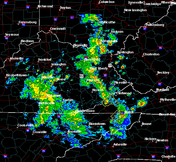 At 321 pm edt, a severe thunderstorm was located over big stone gap, or 8 miles southwest of norton, moving northeast at 25 mph (radar indicated). Hazards include 60 mph wind gusts and quarter size hail. Hail damage to vehicles is expected. expect wind damage to roofs, siding, and trees. Locations impacted include, norton, wise, big stone gap, coeburn, appalachia, pound and pardee. At 321 pm edt, a severe thunderstorm was located over big stone gap, or 8 miles southwest of norton, moving northeast at 25 mph (radar indicated). Hazards include 60 mph wind gusts and quarter size hail. Hail damage to vehicles is expected. expect wind damage to roofs, siding, and trees. Locations impacted include, norton, wise, big stone gap, coeburn, appalachia, pound and pardee.
|
| 3/14/2016 3:10 PM EDT |
 At 309 pm edt, a severe thunderstorm was located near big stone gap, or 13 miles southwest of norton, moving northeast at 25 mph (radar indicated). Hazards include 60 mph wind gusts and quarter size hail. Hail damage to vehicles is expected. Expect wind damage to roofs, siding, and trees. At 309 pm edt, a severe thunderstorm was located near big stone gap, or 13 miles southwest of norton, moving northeast at 25 mph (radar indicated). Hazards include 60 mph wind gusts and quarter size hail. Hail damage to vehicles is expected. Expect wind damage to roofs, siding, and trees.
|
| 7/14/2015 8:46 PM EDT |
 At 846 pm edt, severe thunderstorms were located along a line extending from 7 miles east of wise to near big stone gap to 13 miles north of pennington gap, moving southeast at 40 mph (radar indicated). Hazards include 60 mph wind gusts and nickel size hail. Expect damage to roofs. siding and trees. Locations impacted include, norton, wise, big stone gap, coeburn, appalachia, dungannon, fort blackmore and pardee. At 846 pm edt, severe thunderstorms were located along a line extending from 7 miles east of wise to near big stone gap to 13 miles north of pennington gap, moving southeast at 40 mph (radar indicated). Hazards include 60 mph wind gusts and nickel size hail. Expect damage to roofs. siding and trees. Locations impacted include, norton, wise, big stone gap, coeburn, appalachia, dungannon, fort blackmore and pardee.
|
| 7/14/2015 8:16 PM EDT |
 At 816 pm edt, severe thunderstorms were located along a line extending from 15 miles north of wise to 18 miles north of big stone gap to 30 miles north of pennington gap, moving southeast at 35 mph (radar indicated). Hazards include 60 mph wind gusts and nickel size hail. Expect damage to roofs. Siding and trees. At 816 pm edt, severe thunderstorms were located along a line extending from 15 miles north of wise to 18 miles north of big stone gap to 30 miles north of pennington gap, moving southeast at 35 mph (radar indicated). Hazards include 60 mph wind gusts and nickel size hail. Expect damage to roofs. Siding and trees.
|
| 7/13/2015 6:05 PM EDT |
 At 517 pm edt, severe thunderstorms were located along a line extending from 19 miles north of wise to 21 miles northwest of jonesville, moving southeast at 45 mph (radar indicated). Hazards include 60 mph wind gusts and quarter size hail. Hail damage to vehicles is possible. Expect wind damage to roofs, siding and trees. At 517 pm edt, severe thunderstorms were located along a line extending from 19 miles north of wise to 21 miles northwest of jonesville, moving southeast at 45 mph (radar indicated). Hazards include 60 mph wind gusts and quarter size hail. Hail damage to vehicles is possible. Expect wind damage to roofs, siding and trees.
|
| 7/13/2015 5:39 PM EDT |
 At 539 pm edt, severe thunderstorms were located along a line extending from 13 miles northwest of cleveland to 7 miles north of jonesville, moving southeast at 45 mph (radar indicated). Hazards include 60 mph wind gusts and quarter size hail. Hail damage to vehicles is expected. expect wind damage to roofs, siding and trees. locations impacted include, norton, lebanon, wise, gate city, jonesville, big stone gap, pennington gap, weber city, cleveland, coeburn, appalachia, honaker, pound, st. paul, nickelsville, dungannon, st. Charles, duffield, clinchport and dryden. At 539 pm edt, severe thunderstorms were located along a line extending from 13 miles northwest of cleveland to 7 miles north of jonesville, moving southeast at 45 mph (radar indicated). Hazards include 60 mph wind gusts and quarter size hail. Hail damage to vehicles is expected. expect wind damage to roofs, siding and trees. locations impacted include, norton, lebanon, wise, gate city, jonesville, big stone gap, pennington gap, weber city, cleveland, coeburn, appalachia, honaker, pound, st. paul, nickelsville, dungannon, st. Charles, duffield, clinchport and dryden.
|
| 7/13/2015 5:19 PM EDT |
 At 517 pm edt, severe thunderstorms were located along a line extending from 19 miles north of wise to 21 miles northwest of jonesville, moving southeast at 45 mph (radar indicated). Hazards include 60 mph wind gusts and quarter size hail. Hail damage to vehicles is possible. Expect wind damage to roofs, siding and trees. At 517 pm edt, severe thunderstorms were located along a line extending from 19 miles north of wise to 21 miles northwest of jonesville, moving southeast at 45 mph (radar indicated). Hazards include 60 mph wind gusts and quarter size hail. Hail damage to vehicles is possible. Expect wind damage to roofs, siding and trees.
|
| 6/21/2015 6:12 PM EDT | The severe thunderstorm warning for east central lee and central scott counties will expire at 615 pm edt, the storm which prompted the warning has weakened below severe limits, and no longer pose an immediate threat to life or property. therefore the warning will be allowed to expire. however heavy rain is still possible with this thunderstorm. a severe thunderstorm watch remains in effect until 800 pm edt for southwestern virginia. |
| 6/21/2015 5:50 PM EDT |
 At 550 pm edt, a severe thunderstorm was located 9 miles south of big stone gap, or 15 miles northwest of gate city, moving southeast at 20 mph (radar indicated). Hazards include 60 mph wind gusts and quarter size hail. Hail damage to vehicles is expected. expect wind damage to roofs, siding and trees. Locations impacted include, gate city, big stone gap, weber city, mount carmel, duffield, clinchport, jasper, pattonsville, fort blackmore and dryden. At 550 pm edt, a severe thunderstorm was located 9 miles south of big stone gap, or 15 miles northwest of gate city, moving southeast at 20 mph (radar indicated). Hazards include 60 mph wind gusts and quarter size hail. Hail damage to vehicles is expected. expect wind damage to roofs, siding and trees. Locations impacted include, gate city, big stone gap, weber city, mount carmel, duffield, clinchport, jasper, pattonsville, fort blackmore and dryden.
|
| 6/21/2015 5:35 PM EDT |
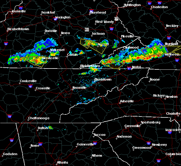 At 535 pm edt, a severe thunderstorm was located 7 miles southeast of clover fork, or 14 miles northeast of jonesville, moving southeast at 30 mph (radar indicated). Hazards include 60 mph wind gusts and quarter size hail. Hail damage to vehicles is expected. Expect wind damage to roofs, siding and trees. At 535 pm edt, a severe thunderstorm was located 7 miles southeast of clover fork, or 14 miles northeast of jonesville, moving southeast at 30 mph (radar indicated). Hazards include 60 mph wind gusts and quarter size hail. Hail damage to vehicles is expected. Expect wind damage to roofs, siding and trees.
|
| 6/21/2015 4:34 PM EDT |
 At 433 pm edt, a severe thunderstorm was located over kingdom come s.p, .or 11 miles southwest of whitesburg, moving southeast at 25 mph (radar indicated). Hazards include 60 mph wind gusts and quarter size hail. Hail damage to vehicles is expected. Expect wind damage to roofs, siding and trees. At 433 pm edt, a severe thunderstorm was located over kingdom come s.p, .or 11 miles southwest of whitesburg, moving southeast at 25 mph (radar indicated). Hazards include 60 mph wind gusts and quarter size hail. Hail damage to vehicles is expected. Expect wind damage to roofs, siding and trees.
|
| 4/25/2015 11:29 PM EDT | At 1129 pm edt, a severe thunderstorm was located near norton, moving southeast at 35 mph (radar indicated). Hazards include quarter size hail and 60 mph wind gusts. Hail damage to vehicles is expected. expect wind damage to roofs, siding and trees. locations impacted include, norton, wise, gate city, big stone gap, coeburn, appalachia, dungannon, fort blackmore and pardee. 1. 00in. |
| 4/25/2015 11:12 PM EDT | At 1111 pm edt, a severe thunderstorm was located 13 miles north of big stone gap, or 15 miles northwest of norton, moving southeast at 35 mph (radar indicated). Hazards include quarter size hail and 60 mph wind gusts. Hail damage to vehicles is expected. Expect wind damage to roofs, siding and trees. |
| 4/19/2015 10:51 PM EDT | At 1050 pm edt, severe thunderstorms were located along a line extending from near norton to 10 miles north of weber city to gate city, moving east at 50 mph (radar indicated). Hazards include 60 mph wind gusts. Expect damage to roofs. siding and trees. locations impacted include, norton, lebanon, wise, gate city, bristol va, bristol, big stone gap, weber city, cleveland, coeburn, appalachia, pound, st. paul, nickelsville, dungannon, hansonville, fort blackmore, pardee, hiltons and benhams. 75in. |
| 4/19/2015 10:30 PM EDT | At 1028 pm edt, severe thunderstorms were located along a line extending from 14 miles north of pennington gap to 10 miles south of big stone gap to 6 miles north of surgoinsville, moving east at 50 mph (radar indicated). Hazards include 60 mph wind gusts. Expect damage to roofs. Siding and trees. |
| 7/24/2012 3:56 PM EDT | Several trees down in big stone ga in wise county VA, 0.4 miles ESE of Big Stone Gap, VA |
| 5/18/2012 2:35 PM EDT | Quarter sized hail reported 0.4 miles ESE of Big Stone Gap, VA |
| 1/1/0001 12:00 AM | Several trees dow in wise county VA, 0.4 miles ESE of Big Stone Gap, VA |
| 1/1/0001 12:00 AM | Several trees dow in wise county VA, 0.4 miles ESE of Big Stone Gap, VA |
Hail Maps for Big Stone Gap, VA


Connect with Interactive Hail Maps