

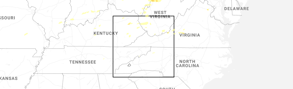
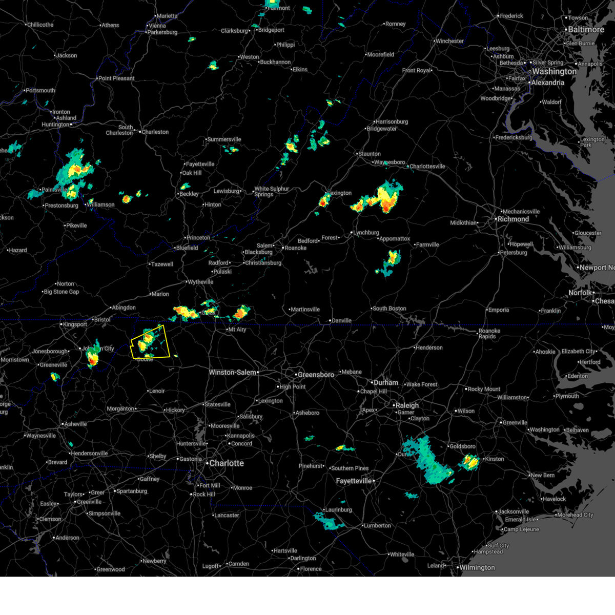
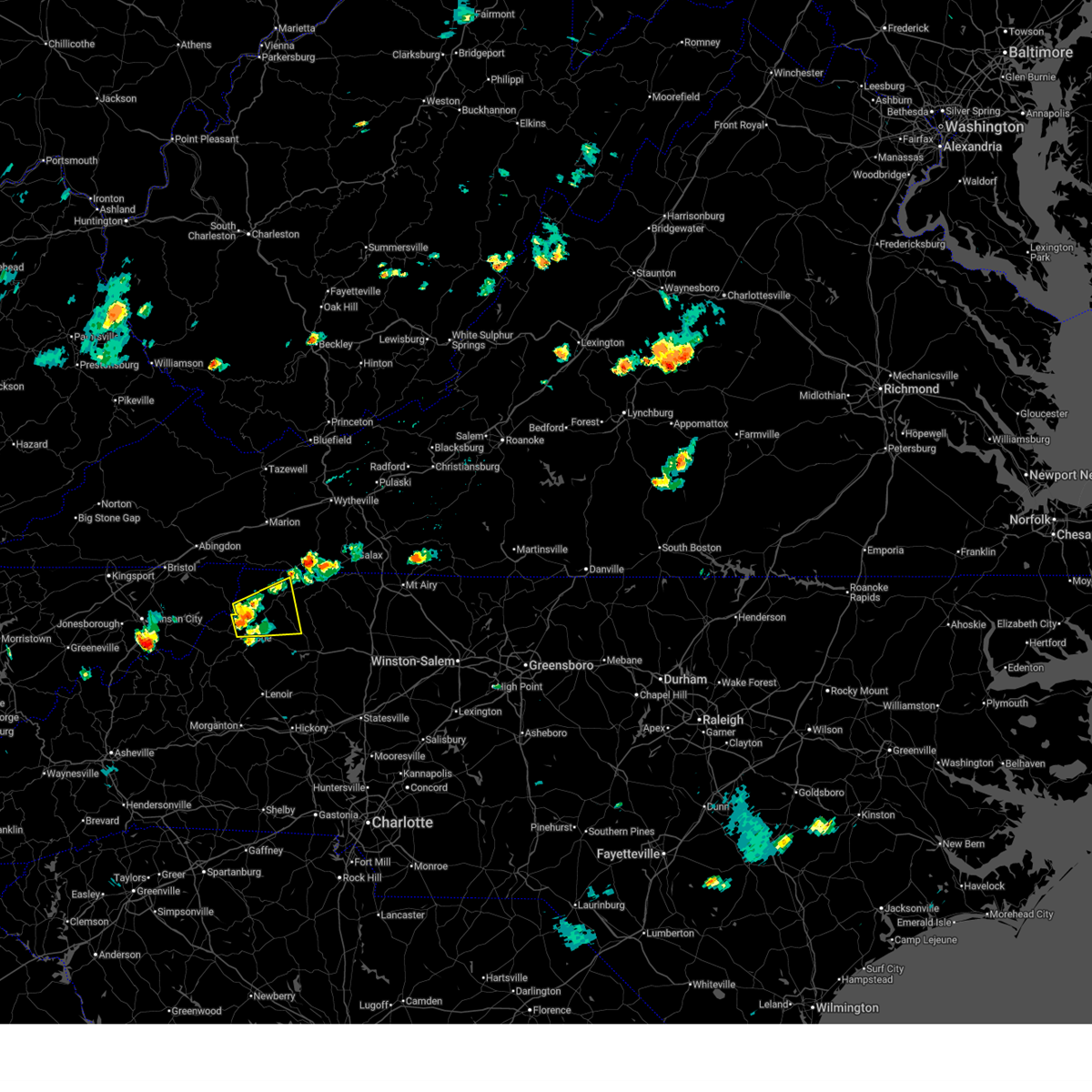
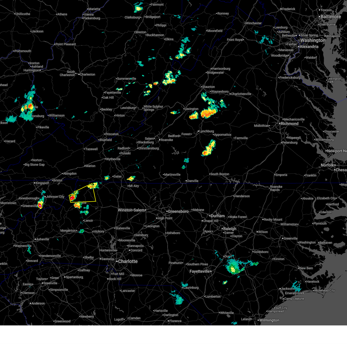
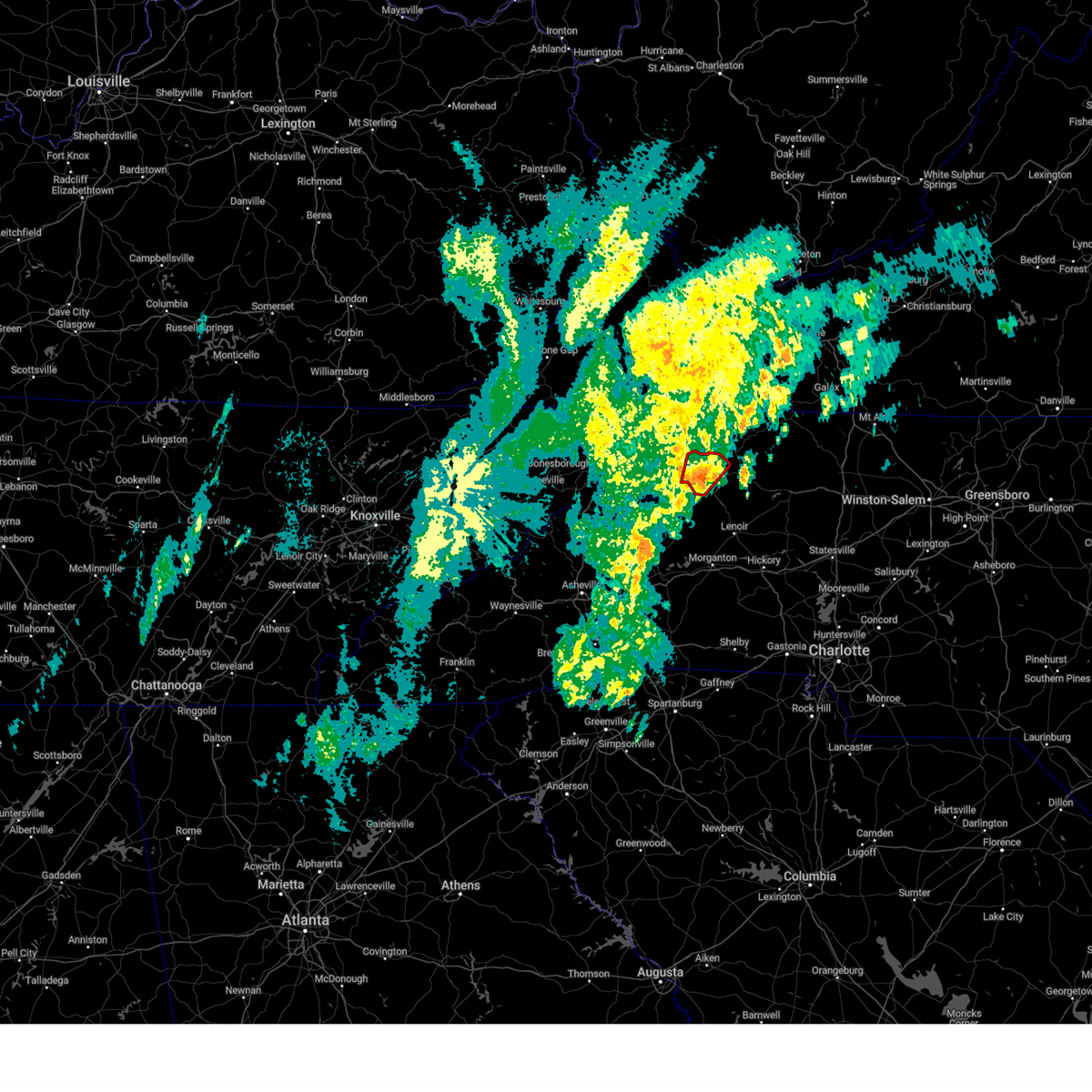
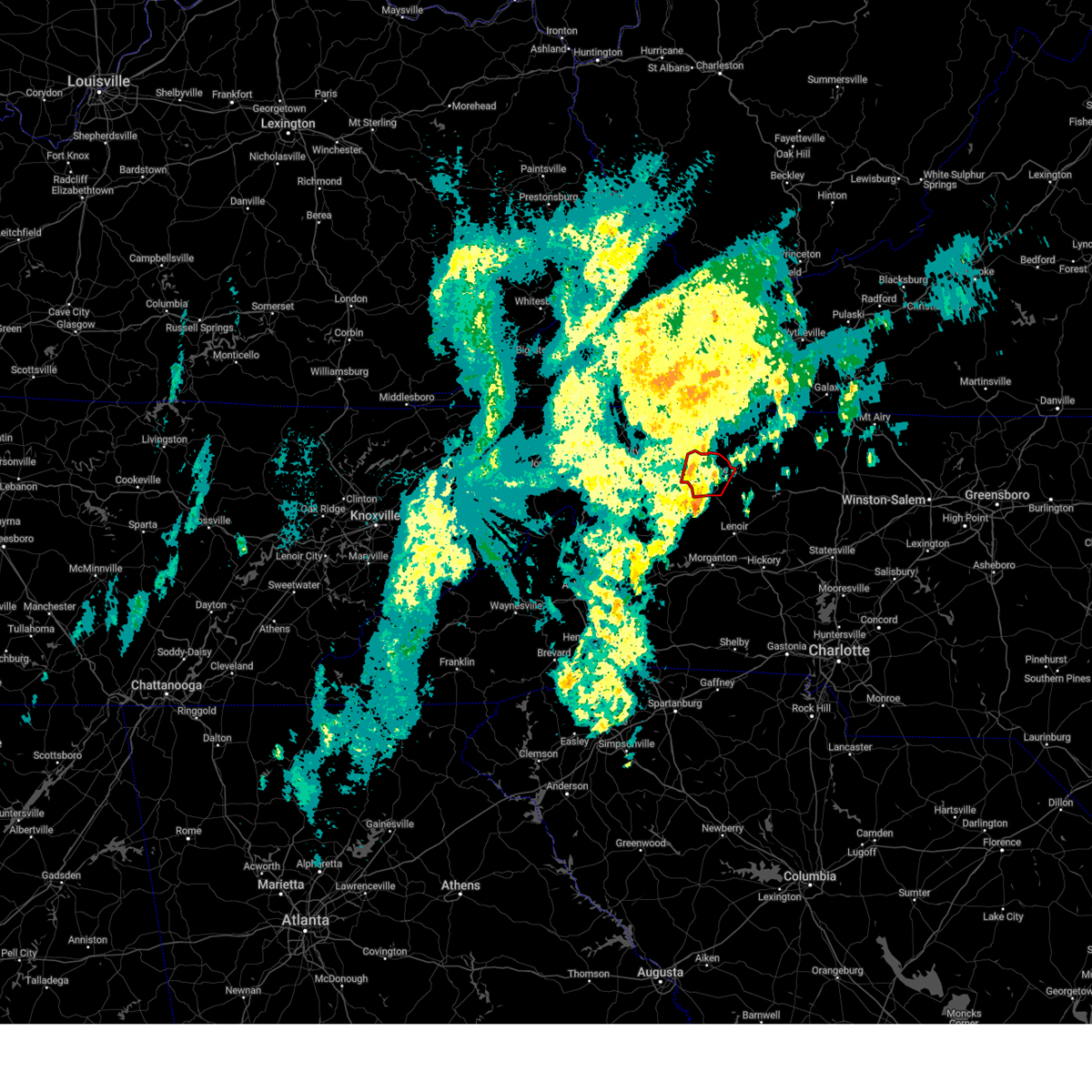
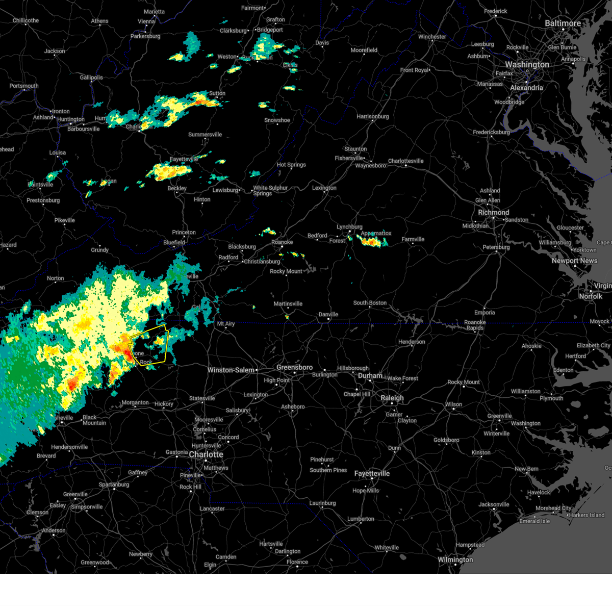
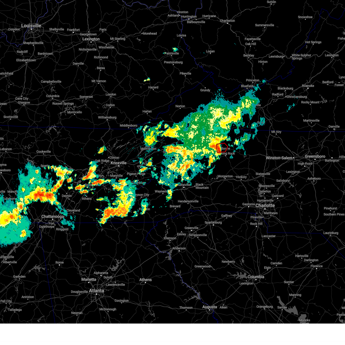
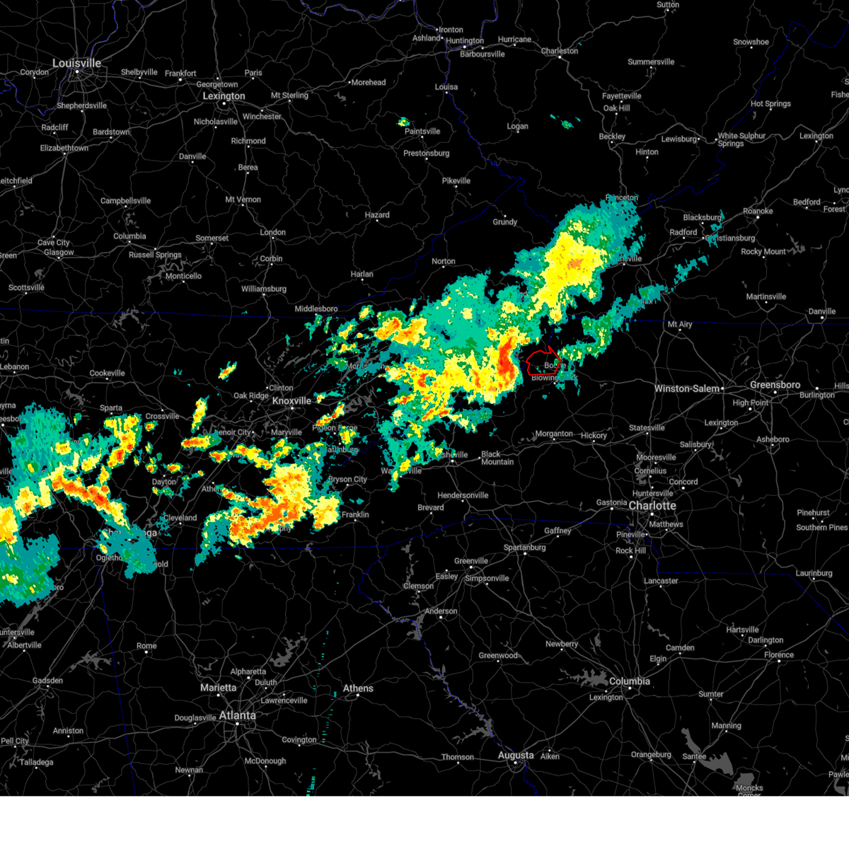
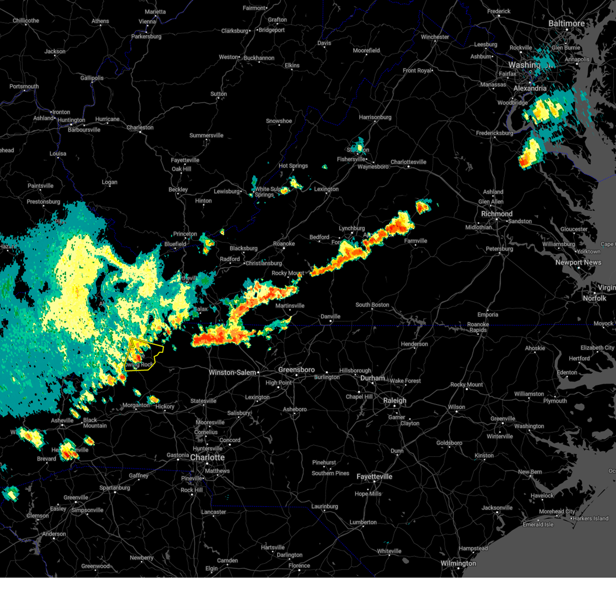
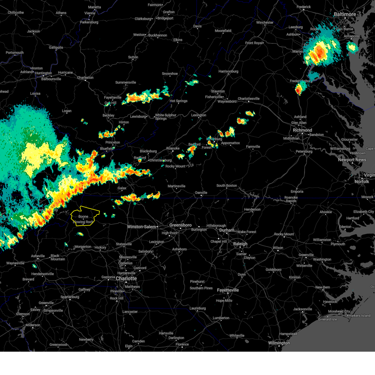
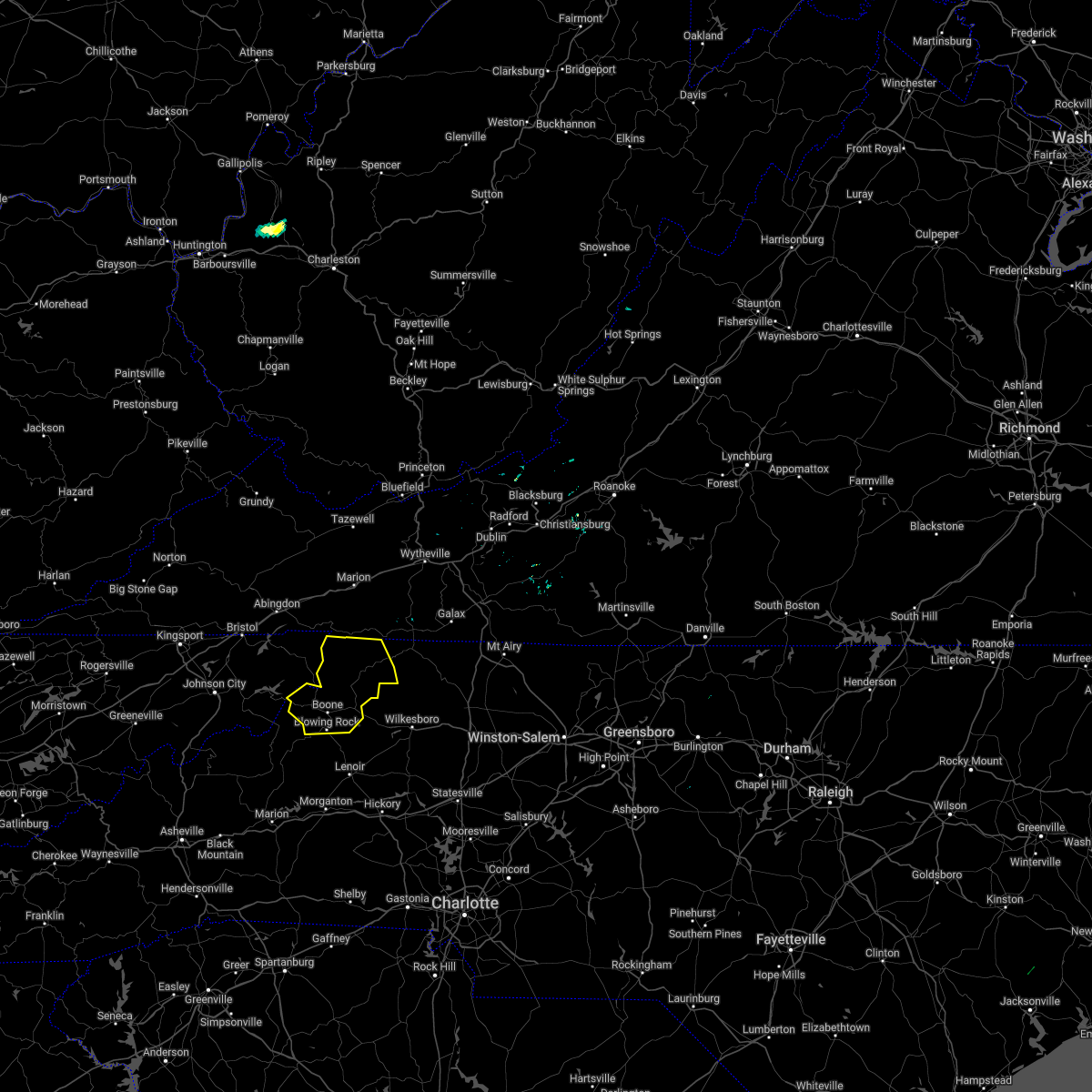
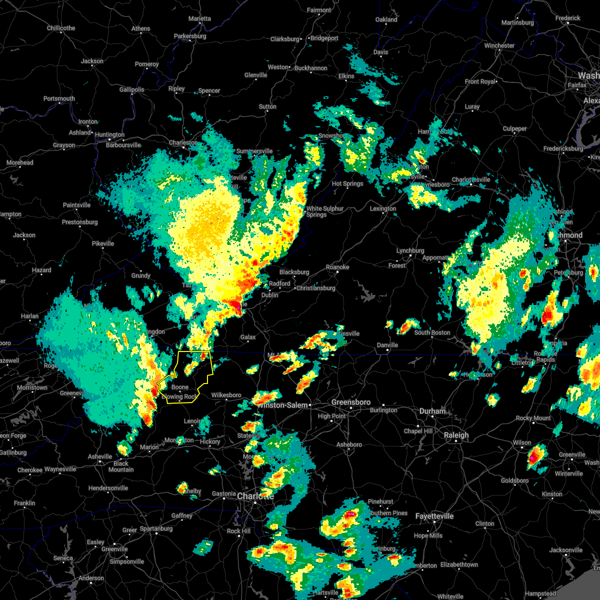
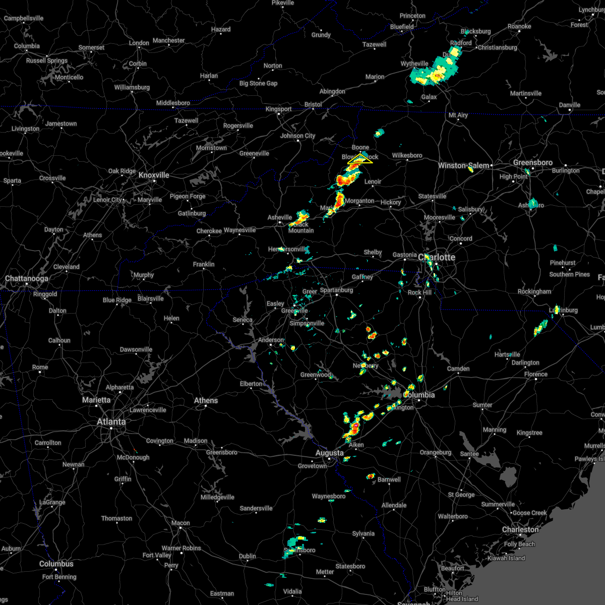
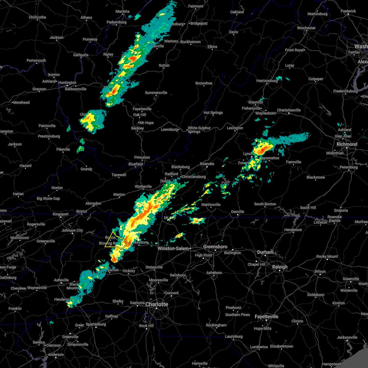
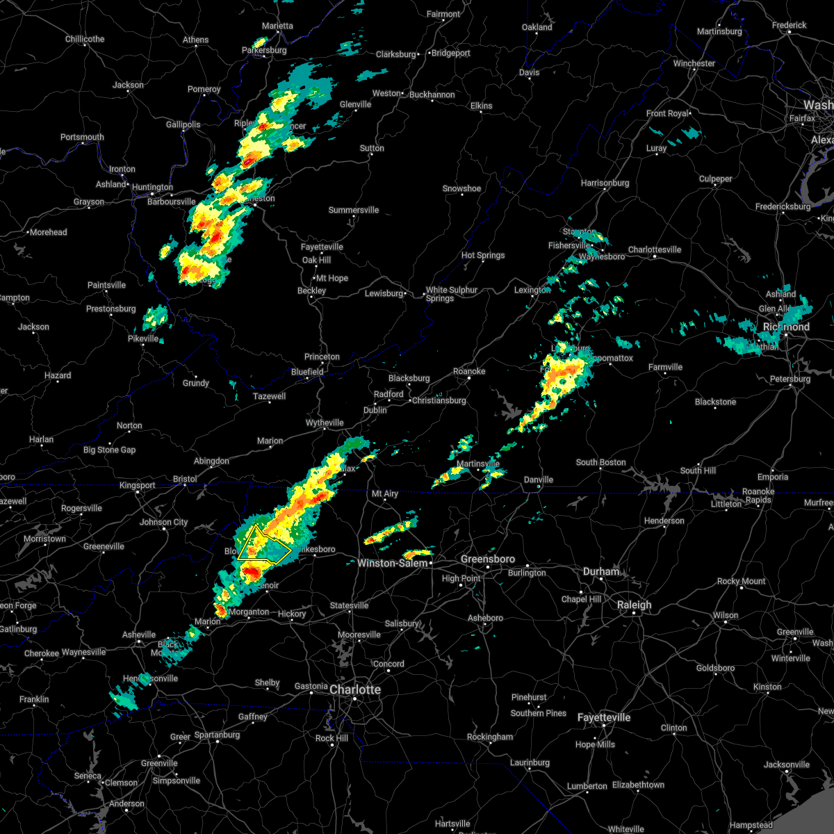
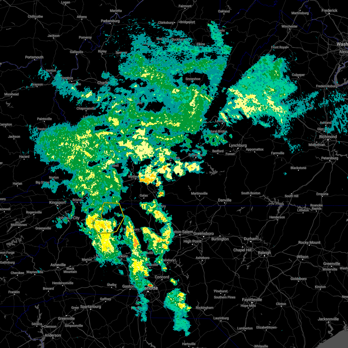
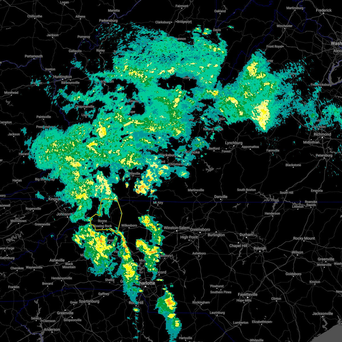
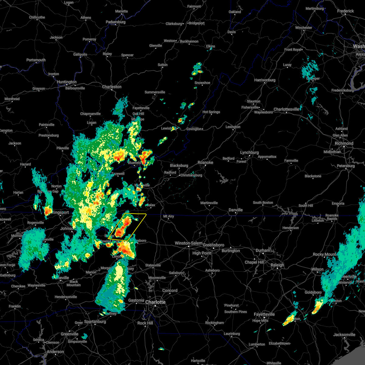
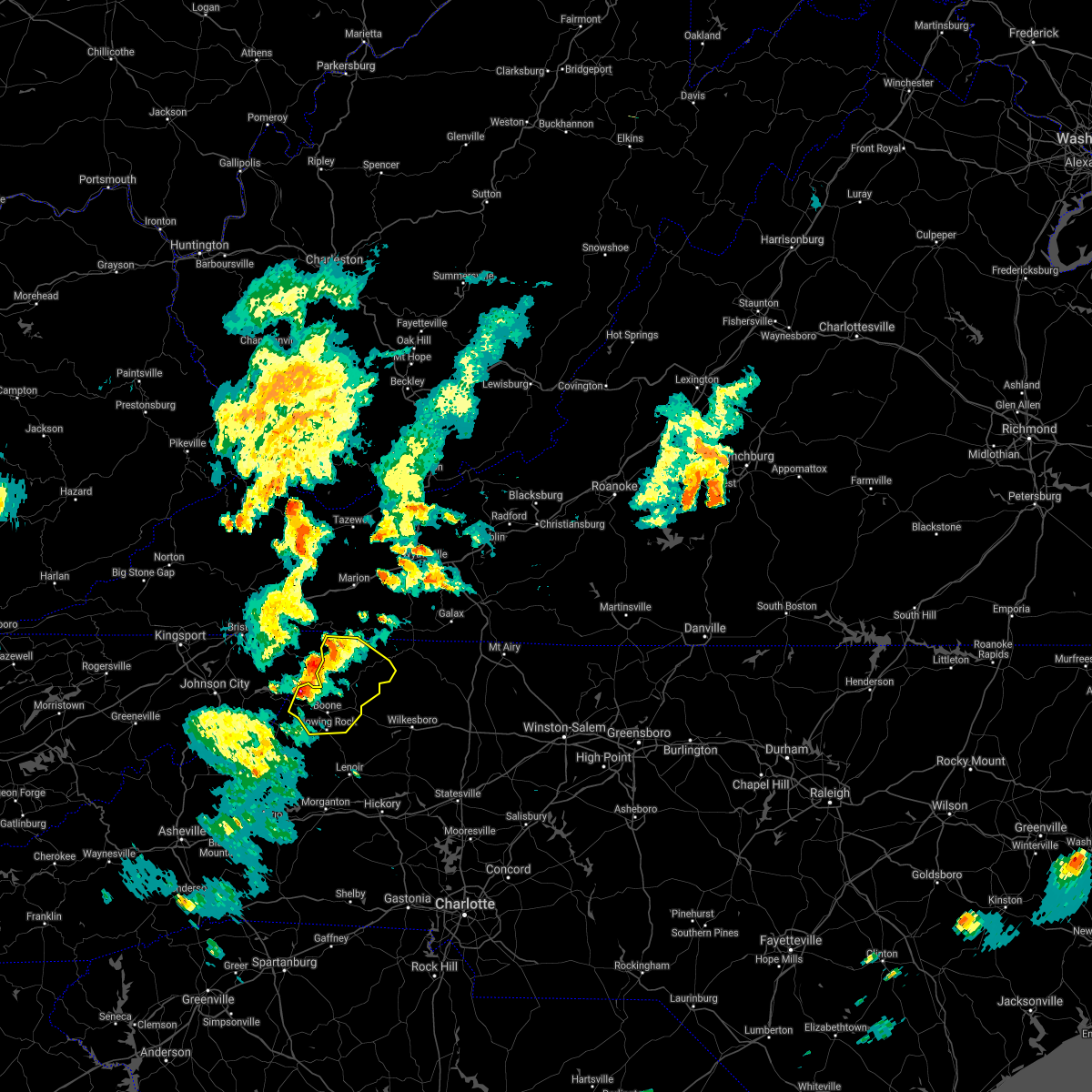
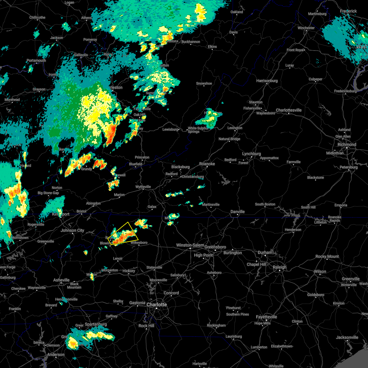
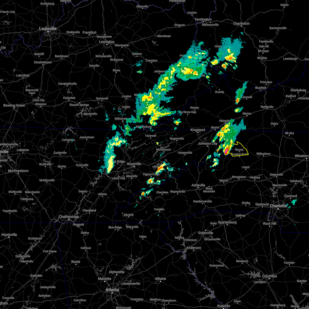
Hail Map for Boone, NC
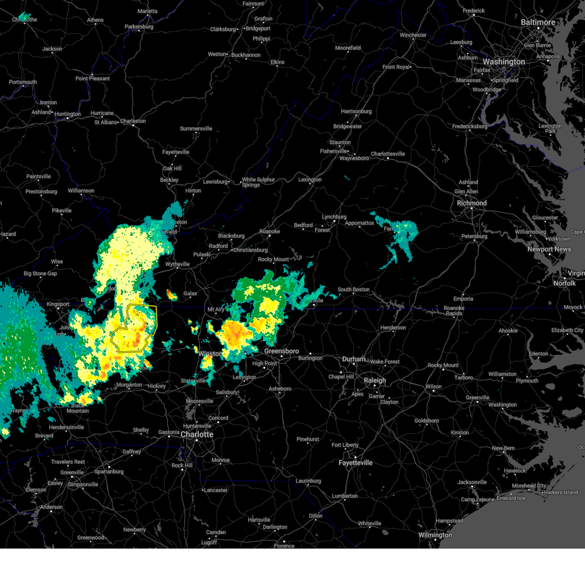
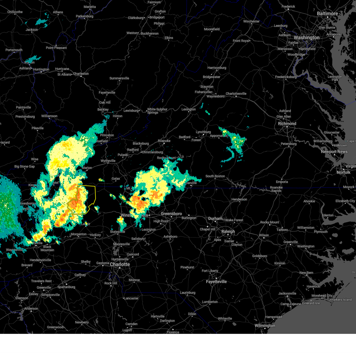
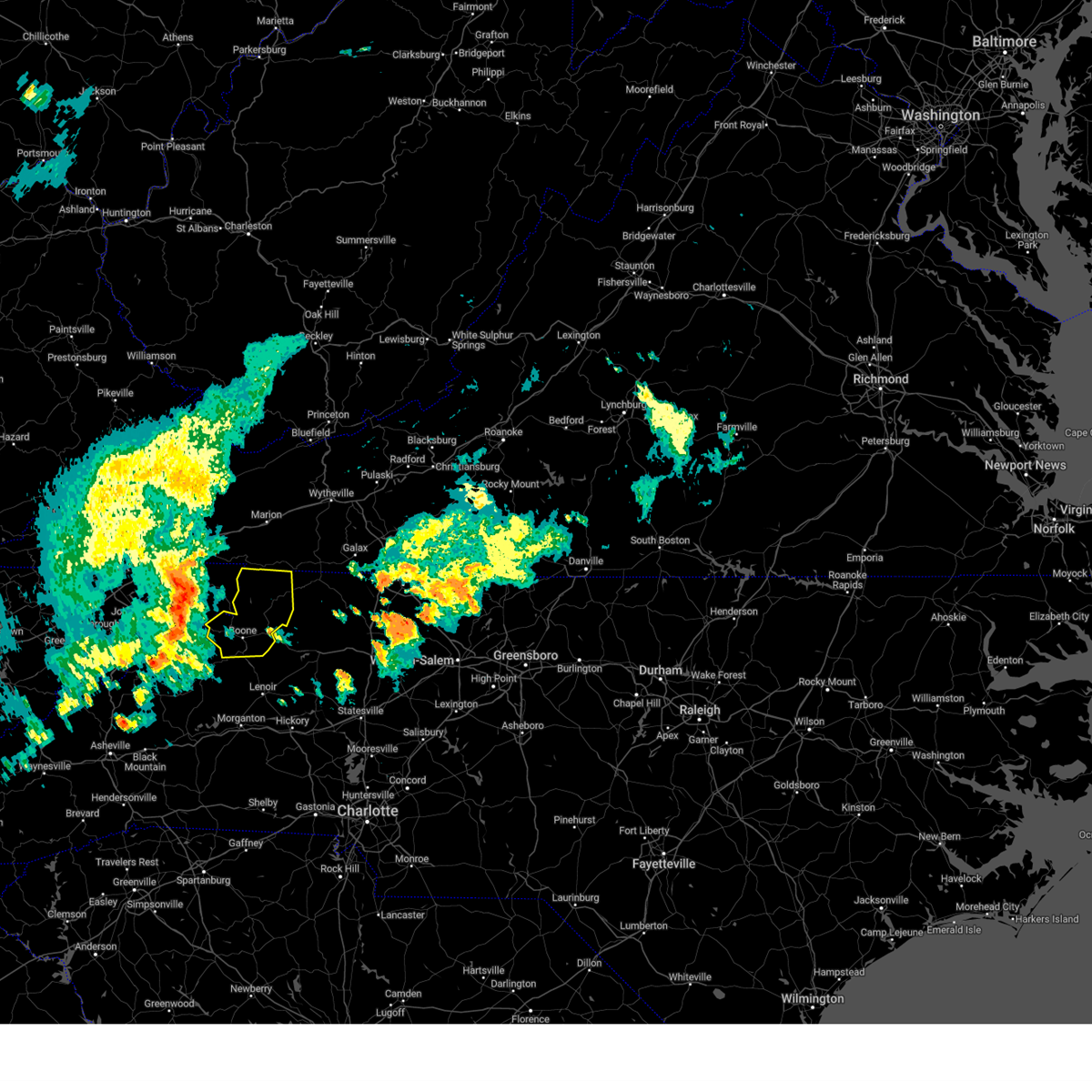
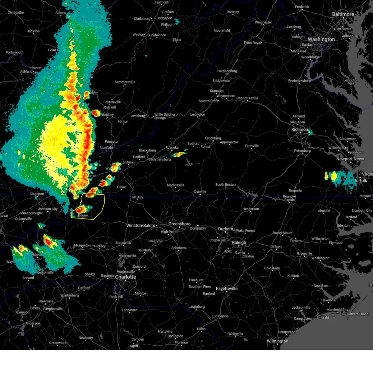
The Boone, NC area has had 15 reports of on-the-ground hail by trained spotters, and has been under severe weather warnings 4 times during the past 12 months. Doppler radar has detected hail at or near Boone, NC on 27 occasions, including 1 occasion during the past year.
| Name: | Boone, NC |
| Where Located: | 40.8 miles SE of Bristol, TN |
| Map: | Google Map for Boone, NC |
| Population: | 17122 |
| Housing Units: | 6253 |
| More Info: | Search Google for Boone, NC |
0
The Top Recent Hail Date for Boone, NC is Wednesday, April 1, 2026 (20th out of 27)
Hail and Wind Damage Spotted near Boone, NC
| Date / Time | Report Details |
|---|---|
| 6/30/2026 6:55 PM EDT |
 Svrrnk the national weather service in blacksburg has issued a * severe thunderstorm warning for, central watauga county in northwestern north carolina, * until 745 pm edt. * at 655 pm edt, a severe thunderstorm was located over lovill, or near sugar grove, and is nearly stationary (radar indicated). Hazards include 60 mph wind gusts. expect damage to roofs, siding, and trees Svrrnk the national weather service in blacksburg has issued a * severe thunderstorm warning for, central watauga county in northwestern north carolina, * until 745 pm edt. * at 655 pm edt, a severe thunderstorm was located over lovill, or near sugar grove, and is nearly stationary (radar indicated). Hazards include 60 mph wind gusts. expect damage to roofs, siding, and trees
|
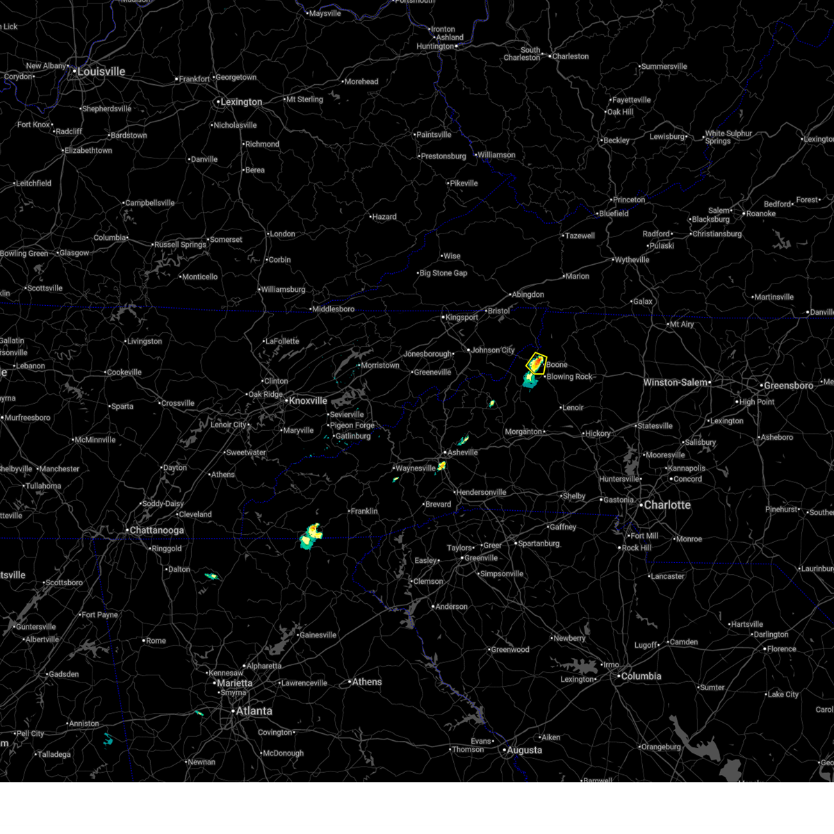
| 4/1/2026 2:14 PM EDT | Quarter sized hail reported 9.3 miles W of Boone, NC |
| 3/16/2026 8:45 AM EDT |
 The storm which prompted the warning has moved out of the area. therefore, the warning will be allowed to expire. however, gusty winds and heavy rain are forecasted to continue through this morning. a severe thunderstorm watch remains in effect until 1100 am edt for northwestern north carolina, and southwestern virginia. The storm which prompted the warning has moved out of the area. therefore, the warning will be allowed to expire. however, gusty winds and heavy rain are forecasted to continue through this morning. a severe thunderstorm watch remains in effect until 1100 am edt for northwestern north carolina, and southwestern virginia.
|
| 3/16/2026 8:26 AM EDT | Corrects previous tstm wnd dmg report from 1 s deep gap. 911 call center reported 1 tree down off wildcat road in watauga county north carolin in watauga county NC, 8 miles W of Boone, NC |
| 3/16/2026 8:24 AM EDT |
 At 824 am edt, a severe thunderstorm was located over aho, or over boone, moving east at 30 mph (radar indicated). Hazards include 60 mph wind gusts. Expect damage to roofs, siding, and trees. Locations impacted include, boone, blowing rock, deep gap, todd, blowing rock in caldwell county, sands, and rutherwood. At 824 am edt, a severe thunderstorm was located over aho, or over boone, moving east at 30 mph (radar indicated). Hazards include 60 mph wind gusts. Expect damage to roofs, siding, and trees. Locations impacted include, boone, blowing rock, deep gap, todd, blowing rock in caldwell county, sands, and rutherwood.
|
| 3/16/2026 8:02 AM EDT | Svrrnk the national weather service in blacksburg has issued a * severe thunderstorm warning for, watauga county in northwestern north carolina, * until 845 am edt. * at 801 am edt, a severe thunderstorm was located over sugar mountain, or near newland, moving east at 35 mph (radar indicated). Hazards include 60 mph wind gusts. expect damage to roofs, siding, and trees |
| 6/17/2025 4:24 PM EDT |
 the severe thunderstorm warning has been cancelled and is no longer in effect the severe thunderstorm warning has been cancelled and is no longer in effect
|
| 6/17/2025 4:14 PM EDT |
 At 414 pm edt, a severe thunderstorm was located over meat camp, or near todd, moving east at 20 mph (radar indicated). Hazards include 60 mph wind gusts. Expect damage to roofs, siding, and trees. Locations impacted include, boone, jefferson, west jefferson, glendale springs, wilbar, deep gap, and todd. At 414 pm edt, a severe thunderstorm was located over meat camp, or near todd, moving east at 20 mph (radar indicated). Hazards include 60 mph wind gusts. Expect damage to roofs, siding, and trees. Locations impacted include, boone, jefferson, west jefferson, glendale springs, wilbar, deep gap, and todd.
|
| 6/17/2025 3:55 PM EDT |
 Svrrnk the national weather service in blacksburg has issued a * severe thunderstorm warning for, northwestern wilkes county in northwestern north carolina, central watauga county in northwestern north carolina, central ashe county in northwestern north carolina, * until 500 pm edt. * at 354 pm edt, a severe thunderstorm was located over silverstone, or over sugar grove, moving east at 20 mph (radar indicated). Hazards include 60 mph wind gusts and quarter size hail. Hail damage to vehicles is expected. Expect wind damage to roofs, siding, and trees. Svrrnk the national weather service in blacksburg has issued a * severe thunderstorm warning for, northwestern wilkes county in northwestern north carolina, central watauga county in northwestern north carolina, central ashe county in northwestern north carolina, * until 500 pm edt. * at 354 pm edt, a severe thunderstorm was located over silverstone, or over sugar grove, moving east at 20 mph (radar indicated). Hazards include 60 mph wind gusts and quarter size hail. Hail damage to vehicles is expected. Expect wind damage to roofs, siding, and trees.
|
| 9/25/2024 10:23 PM EDT |
 The storm which prompted the warning has weakened below severe limits, and no longer appears capable of producing a tornado. therefore, the warning will be allowed to expire. The storm which prompted the warning has weakened below severe limits, and no longer appears capable of producing a tornado. therefore, the warning will be allowed to expire.
|
| 9/25/2024 10:15 PM EDT |
 At 1015 pm edt, a severe thunderstorm capable of producing a tornado was located over lovill, or near sugar grove, moving north at 30 mph (radar indicated rotation). Hazards include tornado. Flying debris will be dangerous to those caught without shelter. mobile homes will be damaged or destroyed. damage to roofs, windows, and vehicles will occur. tree damage is likely. locations impacted include, boone, beech mountain, foscoe, sugar grove, todd, beech mountain in avery county, and seven devils. This includes the following location appalachian state university. At 1015 pm edt, a severe thunderstorm capable of producing a tornado was located over lovill, or near sugar grove, moving north at 30 mph (radar indicated rotation). Hazards include tornado. Flying debris will be dangerous to those caught without shelter. mobile homes will be damaged or destroyed. damage to roofs, windows, and vehicles will occur. tree damage is likely. locations impacted include, boone, beech mountain, foscoe, sugar grove, todd, beech mountain in avery county, and seven devils. This includes the following location appalachian state university.
|
| 9/25/2024 9:58 PM EDT |
 Torrnk the national weather service in blacksburg has issued a * tornado warning for, watauga county in northwestern north carolina, * until 1030 pm edt. * at 957 pm edt, a severe thunderstorm capable of producing a tornado was located over grandfather mountain state park, or near foscoe, moving north at 20 mph (radar indicated rotation). Hazards include tornado. Flying debris will be dangerous to those caught without shelter. mobile homes will be damaged or destroyed. damage to roofs, windows, and vehicles will occur. Tree damage is likely. Torrnk the national weather service in blacksburg has issued a * tornado warning for, watauga county in northwestern north carolina, * until 1030 pm edt. * at 957 pm edt, a severe thunderstorm capable of producing a tornado was located over grandfather mountain state park, or near foscoe, moving north at 20 mph (radar indicated rotation). Hazards include tornado. Flying debris will be dangerous to those caught without shelter. mobile homes will be damaged or destroyed. damage to roofs, windows, and vehicles will occur. Tree damage is likely.
|
| 9/25/2024 6:45 PM EDT |
 At 644 pm edt, a severe thunderstorm was located over moses cone memorial park, or over blowing rock, moving northeast at 20 mph (radar indicated). Hazards include 60 mph wind gusts and quarter size hail. Hail damage to vehicles is expected. expect wind damage to roofs, siding, and trees. locations impacted include, boone, blowing rock, foscoe, todd, blowing rock in caldwell county, seven devils, and rutherwood. This includes the following location appalachian state university. At 644 pm edt, a severe thunderstorm was located over moses cone memorial park, or over blowing rock, moving northeast at 20 mph (radar indicated). Hazards include 60 mph wind gusts and quarter size hail. Hail damage to vehicles is expected. expect wind damage to roofs, siding, and trees. locations impacted include, boone, blowing rock, foscoe, todd, blowing rock in caldwell county, seven devils, and rutherwood. This includes the following location appalachian state university.
|
| 9/25/2024 6:28 PM EDT |
 Svrrnk the national weather service in blacksburg has issued a * severe thunderstorm warning for, central watauga county in northwestern north carolina, * until 730 pm edt. * at 627 pm edt, a severe thunderstorm was located near grandfather mountain state park, or near foscoe, moving northeast at 25 mph (radar indicated). Hazards include 60 mph wind gusts and quarter size hail. Hail damage to vehicles is expected. Expect wind damage to roofs, siding, and trees. Svrrnk the national weather service in blacksburg has issued a * severe thunderstorm warning for, central watauga county in northwestern north carolina, * until 730 pm edt. * at 627 pm edt, a severe thunderstorm was located near grandfather mountain state park, or near foscoe, moving northeast at 25 mph (radar indicated). Hazards include 60 mph wind gusts and quarter size hail. Hail damage to vehicles is expected. Expect wind damage to roofs, siding, and trees.
|
| 8/16/2024 7:42 PM EDT |
 The storms which prompted the warning have weakened below severe limits and no longer pose an immediate threat to life or property. therefore, the warning will be allowed to expire. The storms which prompted the warning have weakened below severe limits and no longer pose an immediate threat to life or property. therefore, the warning will be allowed to expire.
|
| 8/16/2024 7:21 PM EDT |
 At 718 pm edt, severe thunderstorms were located along a line extending from near flatwood to valle crucis, moving east at 30 mph. a wind gust of 59 mph was reported at tri-city airport south of bristol almost an hour ago with this line of storms (radar indicated). Hazards include 60 mph wind gusts. Expect damage to roofs, siding, and trees. locations impacted include, boone, jefferson, west jefferson, blowing rock, beech mountain, lansing, and foscoe. This includes the following location appalachian state university. At 718 pm edt, severe thunderstorms were located along a line extending from near flatwood to valle crucis, moving east at 30 mph. a wind gust of 59 mph was reported at tri-city airport south of bristol almost an hour ago with this line of storms (radar indicated). Hazards include 60 mph wind gusts. Expect damage to roofs, siding, and trees. locations impacted include, boone, jefferson, west jefferson, blowing rock, beech mountain, lansing, and foscoe. This includes the following location appalachian state university.
|
| 8/16/2024 6:44 PM EDT |
 Svrrnk the national weather service in blacksburg has issued a * severe thunderstorm warning for, watauga county in northwestern north carolina, ashe county in northwestern north carolina, * until 745 pm edt. * at 641 pm edt, severe thunderstorms were located along a line extending from 9 miles southeast of bristol va to 6 miles west of elk park, moving east at 35 mph. a wind gust of 59 mph was observed at the tri-city airport south of bristol (radar indicated). Hazards include 60 mph wind gusts. expect damage to roofs, siding, and trees Svrrnk the national weather service in blacksburg has issued a * severe thunderstorm warning for, watauga county in northwestern north carolina, ashe county in northwestern north carolina, * until 745 pm edt. * at 641 pm edt, severe thunderstorms were located along a line extending from 9 miles southeast of bristol va to 6 miles west of elk park, moving east at 35 mph. a wind gust of 59 mph was observed at the tri-city airport south of bristol (radar indicated). Hazards include 60 mph wind gusts. expect damage to roofs, siding, and trees
|
| 5/26/2024 4:40 PM EDT |
 Svrrnk the national weather service in blacksburg has issued a * severe thunderstorm warning for, northwestern alleghany county in northwestern north carolina, northwestern wilkes county in northwestern north carolina, watauga county in northwestern north carolina, ashe county in northwestern north carolina, southwestern grayson county in southwestern virginia, * until 545 pm edt. * at 439 pm edt, severe thunderstorms were located along a line extending from nella to near trout to silverstone, moving east at 15 mph (radar indicated). Hazards include 60 mph wind gusts and quarter size hail. Hail damage to vehicles is expected. Expect wind damage to roofs, siding, and trees. Svrrnk the national weather service in blacksburg has issued a * severe thunderstorm warning for, northwestern alleghany county in northwestern north carolina, northwestern wilkes county in northwestern north carolina, watauga county in northwestern north carolina, ashe county in northwestern north carolina, southwestern grayson county in southwestern virginia, * until 545 pm edt. * at 439 pm edt, severe thunderstorms were located along a line extending from nella to near trout to silverstone, moving east at 15 mph (radar indicated). Hazards include 60 mph wind gusts and quarter size hail. Hail damage to vehicles is expected. Expect wind damage to roofs, siding, and trees.
|
| 9/7/2023 9:44 PM EDT | Tree downed by thunderstorm winds along us 421 near the wilkes/watauga county lin in wilkes county NC, 11.4 miles W of Boone, NC |
| 8/15/2023 1:34 AM EDT |
 At 134 am edt, a severe thunderstorm capable of producing a tornado was located over deep gap, moving east at 40 mph (radar indicated rotation). Hazards include tornado. Flying debris will be dangerous to those caught without shelter. mobile homes will be damaged or destroyed. damage to roofs, windows, and vehicles will occur. tree damage is likely. Locations impacted include, glendale springs, deep gap, todd, rutherwood, cascade falls, fleetwood, and idlewild. At 134 am edt, a severe thunderstorm capable of producing a tornado was located over deep gap, moving east at 40 mph (radar indicated rotation). Hazards include tornado. Flying debris will be dangerous to those caught without shelter. mobile homes will be damaged or destroyed. damage to roofs, windows, and vehicles will occur. tree damage is likely. Locations impacted include, glendale springs, deep gap, todd, rutherwood, cascade falls, fleetwood, and idlewild.
|
| 8/15/2023 1:26 AM EDT |
 At 126 am edt, a severe thunderstorm was located over fleetwood, or near deep gap, moving east at 45 mph (radar indicated). Hazards include 60 mph wind gusts and quarter size hail. Hail damage to vehicles is expected. expect wind damage to roofs, siding, and trees. locations impacted include, boone, jefferson, west jefferson, glendale springs, deep gap, todd, and ashland. this includes the following location appalachian state university. hail threat, radar indicated max hail size, 1. 00 in wind threat, radar indicated max wind gust, 60 mph. At 126 am edt, a severe thunderstorm was located over fleetwood, or near deep gap, moving east at 45 mph (radar indicated). Hazards include 60 mph wind gusts and quarter size hail. Hail damage to vehicles is expected. expect wind damage to roofs, siding, and trees. locations impacted include, boone, jefferson, west jefferson, glendale springs, deep gap, todd, and ashland. this includes the following location appalachian state university. hail threat, radar indicated max hail size, 1. 00 in wind threat, radar indicated max wind gust, 60 mph.
|
| 8/15/2023 1:23 AM EDT |
 At 123 am edt, a severe thunderstorm capable of producing a tornado was located over sands, or near boone, moving east at 50 mph (radar indicated rotation). Hazards include tornado and quarter size hail. Flying debris will be dangerous to those caught without shelter. mobile homes will be damaged or destroyed. damage to roofs, windows, and vehicles will occur. Tree damage is likely. At 123 am edt, a severe thunderstorm capable of producing a tornado was located over sands, or near boone, moving east at 50 mph (radar indicated rotation). Hazards include tornado and quarter size hail. Flying debris will be dangerous to those caught without shelter. mobile homes will be damaged or destroyed. damage to roofs, windows, and vehicles will occur. Tree damage is likely.
|
| 8/15/2023 1:11 AM EDT |
 At 111 am edt, a severe thunderstorm capable of producing a tornado was located over sugar grove, moving east at 40 mph (radar indicated rotation). Hazards include tornado and quarter size hail. Flying debris will be dangerous to those caught without shelter. mobile homes will be damaged or destroyed. damage to roofs, windows, and vehicles will occur. tree damage is likely. locations impacted include, boone, sugar grove, rominger, valle crucis, lovill, reese, and meat camp. This includes the following location appalachian state university. At 111 am edt, a severe thunderstorm capable of producing a tornado was located over sugar grove, moving east at 40 mph (radar indicated rotation). Hazards include tornado and quarter size hail. Flying debris will be dangerous to those caught without shelter. mobile homes will be damaged or destroyed. damage to roofs, windows, and vehicles will occur. tree damage is likely. locations impacted include, boone, sugar grove, rominger, valle crucis, lovill, reese, and meat camp. This includes the following location appalachian state university.
|
| 8/15/2023 1:09 AM EDT |
 At 109 am edt, a severe thunderstorm was located over silverstone, or over sugar grove, moving east at 40 mph (radar indicated). Hazards include 60 mph wind gusts and quarter size hail. Hail damage to vehicles is expected. expect wind damage to roofs, siding, and trees. locations impacted include, boone, jefferson, west jefferson, blowing rock, beech mountain, lansing, and foscoe. this includes the following location appalachian state university. hail threat, radar indicated max hail size, 1. 00 in wind threat, radar indicated max wind gust, 60 mph. At 109 am edt, a severe thunderstorm was located over silverstone, or over sugar grove, moving east at 40 mph (radar indicated). Hazards include 60 mph wind gusts and quarter size hail. Hail damage to vehicles is expected. expect wind damage to roofs, siding, and trees. locations impacted include, boone, jefferson, west jefferson, blowing rock, beech mountain, lansing, and foscoe. this includes the following location appalachian state university. hail threat, radar indicated max hail size, 1. 00 in wind threat, radar indicated max wind gust, 60 mph.
|
| 8/15/2023 12:57 AM EDT |
 At 1257 am edt, a severe thunderstorm capable of producing a tornado was located near peoria, or near beech mountain, moving east at 45 mph (radar indicated rotation). Hazards include tornado and quarter size hail. Flying debris will be dangerous to those caught without shelter. mobile homes will be damaged or destroyed. damage to roofs, windows, and vehicles will occur. Tree damage is likely. At 1257 am edt, a severe thunderstorm capable of producing a tornado was located near peoria, or near beech mountain, moving east at 45 mph (radar indicated rotation). Hazards include tornado and quarter size hail. Flying debris will be dangerous to those caught without shelter. mobile homes will be damaged or destroyed. damage to roofs, windows, and vehicles will occur. Tree damage is likely.
|
| 8/15/2023 12:46 AM EDT |
 At 1246 am edt, severe thunderstorms were located along a line extending from 10 miles southeast of bristol tn to 8 miles northeast of hampton to near elk park, moving east at 45 mph (radar indicated). Hazards include 60 mph wind gusts and quarter size hail. Hail damage to vehicles is expected. Expect wind damage to roofs, siding, and trees. At 1246 am edt, severe thunderstorms were located along a line extending from 10 miles southeast of bristol tn to 8 miles northeast of hampton to near elk park, moving east at 45 mph (radar indicated). Hazards include 60 mph wind gusts and quarter size hail. Hail damage to vehicles is expected. Expect wind damage to roofs, siding, and trees.
|
| 7/29/2023 6:40 PM EDT |
 The severe thunderstorm warning for southeastern watauga county will expire at 645 pm edt, the storm which prompted the warning has moved out of the area. therefore, the warning will be allowed to expire. a severe thunderstorm watch remains in effect until 1000 pm edt for northwestern north carolina, and southwestern virginia. The severe thunderstorm warning for southeastern watauga county will expire at 645 pm edt, the storm which prompted the warning has moved out of the area. therefore, the warning will be allowed to expire. a severe thunderstorm watch remains in effect until 1000 pm edt for northwestern north carolina, and southwestern virginia.
|
| 7/29/2023 6:32 PM EDT |
 At 631 pm edt, a severe thunderstorm was located near deep gap, moving southeast at 30 mph (radar indicated). Hazards include 60 mph wind gusts. Expect damage to roofs, siding, and trees. locations impacted include, boone, deep gap, aho, rutherwood, and sands. hail threat, radar indicated max hail size, <. 75 in wind threat, radar indicated max wind gust, 60 mph. At 631 pm edt, a severe thunderstorm was located near deep gap, moving southeast at 30 mph (radar indicated). Hazards include 60 mph wind gusts. Expect damage to roofs, siding, and trees. locations impacted include, boone, deep gap, aho, rutherwood, and sands. hail threat, radar indicated max hail size, <. 75 in wind threat, radar indicated max wind gust, 60 mph.
|
| 7/29/2023 6:21 PM EDT |
 At 621 pm edt, severe thunderstorms were located along a line extending from near othello to near grandfather mountain state park, moving east at 40 mph (radar indicated). Hazards include 60 mph wind gusts. Expect damage to roofs, siding, and trees. locations impacted include, boone, blowing rock, foscoe, deep gap, todd, sugar grove, and glendale springs. this includes the following location appalachian state university. hail threat, radar indicated max hail size, <. 75 in wind threat, radar indicated max wind gust, 60 mph. At 621 pm edt, severe thunderstorms were located along a line extending from near othello to near grandfather mountain state park, moving east at 40 mph (radar indicated). Hazards include 60 mph wind gusts. Expect damage to roofs, siding, and trees. locations impacted include, boone, blowing rock, foscoe, deep gap, todd, sugar grove, and glendale springs. this includes the following location appalachian state university. hail threat, radar indicated max hail size, <. 75 in wind threat, radar indicated max wind gust, 60 mph.
|
| 7/29/2023 5:44 PM EDT |
 At 544 pm edt, severe thunderstorms were located along a line extending from near mountain city to near hampton, moving east at 35 mph (radar indicated). Hazards include 60 mph wind gusts. expect damage to roofs, siding, and trees At 544 pm edt, severe thunderstorms were located along a line extending from near mountain city to near hampton, moving east at 35 mph (radar indicated). Hazards include 60 mph wind gusts. expect damage to roofs, siding, and trees
|
| 4/1/2023 4:50 PM EDT | Storm damage reported in watauga county NC, 4.2 miles NW of Boone, NC |
| 1/3/2023 6:00 PM EST | Tree down in the area of 233 university circle in boone... n in watauga county NC, 0.2 miles WSW of Boone, NC |
| 1/3/2023 5:15 PM EST | Tree down in the area of elk creek road and old 421 sout in watauga county NC, 4.7 miles W of Boone, NC |
| 1/3/2023 5:15 PM EST | Tree down in the area of old highway 421 and parkway schoo in watauga county NC, 6 miles WSW of Boone, NC |
| 1/3/2023 5:10 PM EST | Tree down in the area of howards creek road and joe j miller roa in watauga county NC, 3 miles SSE of Boone, NC |
| 9/25/2022 7:30 PM EDT | Awos station ktn in watauga county NC, 1 miles NW of Boone, NC |
| 7/23/2022 8:06 PM EDT |
 The severe thunderstorm warning for northeastern watauga and southern ashe counties will expire at 815 pm edt, the storm which prompted the warning has weakened below severe limits, and no longer poses an immediate threat to life or property. therefore, the warning will be allowed to expire. The severe thunderstorm warning for northeastern watauga and southern ashe counties will expire at 815 pm edt, the storm which prompted the warning has weakened below severe limits, and no longer poses an immediate threat to life or property. therefore, the warning will be allowed to expire.
|
| 7/23/2022 7:44 PM EDT |
 At 744 pm edt, a severe thunderstorm was located over west jefferson, moving south at 20 mph (radar indicated). Hazards include 60 mph wind gusts and quarter size hail. Hail damage to vehicles is expected. expect wind damage to roofs, siding, and trees. locations impacted include, jefferson, west jefferson, glendale springs, deep gap, todd, rutherwood, and fleetwood. hail threat, radar indicated max hail size, 1. 00 in wind threat, radar indicated max wind gust, 60 mph. At 744 pm edt, a severe thunderstorm was located over west jefferson, moving south at 20 mph (radar indicated). Hazards include 60 mph wind gusts and quarter size hail. Hail damage to vehicles is expected. expect wind damage to roofs, siding, and trees. locations impacted include, jefferson, west jefferson, glendale springs, deep gap, todd, rutherwood, and fleetwood. hail threat, radar indicated max hail size, 1. 00 in wind threat, radar indicated max wind gust, 60 mph.
|
| 7/23/2022 7:18 PM EDT |
 At 718 pm edt, a severe thunderstorm was located near todd, moving east at 15 mph (radar indicated). Hazards include 60 mph wind gusts and quarter size hail. Hail damage to vehicles is expected. Expect wind damage to roofs, siding, and trees. At 718 pm edt, a severe thunderstorm was located near todd, moving east at 15 mph (radar indicated). Hazards include 60 mph wind gusts and quarter size hail. Hail damage to vehicles is expected. Expect wind damage to roofs, siding, and trees.
|
| 7/5/2022 5:13 PM EDT |
 At 513 pm edt, severe thunderstorms were located along a line extending from bottom to deep gap, moving southeast at 15 mph (radar indicated). Hazards include 60 mph wind gusts and quarter size hail. Hail damage to vehicles is expected. Expect wind damage to roofs, siding, and trees. At 513 pm edt, severe thunderstorms were located along a line extending from bottom to deep gap, moving southeast at 15 mph (radar indicated). Hazards include 60 mph wind gusts and quarter size hail. Hail damage to vehicles is expected. Expect wind damage to roofs, siding, and trees.
|
| 6/17/2022 4:46 PM EDT |
 At 443 pm edt, the strongest thunderstorms have moved east into wilkes county. periods of heavy rain will continue across watauga and ashe counties. strong wind gusts and lightning are still possible. the warning will be allowed to expire at 5:00 pm (radar indicated). Hazards include up to 60 mph wind gusts. Expect damage to roofs, siding, and trees. locations impacted include, boone, jefferson, west jefferson, blowing rock, beech mountain, lansing, and foscoe. this includes the following location appalachian state university. hail threat, radar indicated max hail size, <. 75 in wind threat, radar indicated max wind gust, 60 mph. At 443 pm edt, the strongest thunderstorms have moved east into wilkes county. periods of heavy rain will continue across watauga and ashe counties. strong wind gusts and lightning are still possible. the warning will be allowed to expire at 5:00 pm (radar indicated). Hazards include up to 60 mph wind gusts. Expect damage to roofs, siding, and trees. locations impacted include, boone, jefferson, west jefferson, blowing rock, beech mountain, lansing, and foscoe. this includes the following location appalachian state university. hail threat, radar indicated max hail size, <. 75 in wind threat, radar indicated max wind gust, 60 mph.
|
| 6/17/2022 4:19 PM EDT | Multiple trees down in watauga count in watauga county NC, 1.2 miles SE of Boone, NC |
| 6/17/2022 3:57 PM EDT |
 At 356 pm edt, severe thunderstorms were located along a line extending from 8 miles north of mountain city to near elk park, moving east at 45 mph (radar indicated). Hazards include 60 mph wind gusts and quarter size hail. Hail damage to vehicles is expected. expect wind damage to roofs, siding, and trees. locations impacted include, boone, jefferson, west jefferson, blowing rock, beech mountain, lansing, and foscoe. this includes the following location appalachian state university. hail threat, radar indicated max hail size, 1. 00 in wind threat, radar indicated max wind gust, 60 mph. At 356 pm edt, severe thunderstorms were located along a line extending from 8 miles north of mountain city to near elk park, moving east at 45 mph (radar indicated). Hazards include 60 mph wind gusts and quarter size hail. Hail damage to vehicles is expected. expect wind damage to roofs, siding, and trees. locations impacted include, boone, jefferson, west jefferson, blowing rock, beech mountain, lansing, and foscoe. this includes the following location appalachian state university. hail threat, radar indicated max hail size, 1. 00 in wind threat, radar indicated max wind gust, 60 mph.
|
| 6/17/2022 3:37 PM EDT |
 At 337 pm edt, severe thunderstorms were located along a line extending from near bristol va to 7 miles south of pine crest, moving east at 45 mph (radar indicated). Hazards include 60 mph wind gusts and quarter size hail. Hail damage to vehicles is expected. Expect wind damage to roofs, siding, and trees. At 337 pm edt, severe thunderstorms were located along a line extending from near bristol va to 7 miles south of pine crest, moving east at 45 mph (radar indicated). Hazards include 60 mph wind gusts and quarter size hail. Hail damage to vehicles is expected. Expect wind damage to roofs, siding, and trees.
|
| 6/14/2022 6:27 AM EDT |
 The severe thunderstorm warning for southwestern alleghany, wilkes, watauga and southern ashe counties in northwestern north carolina will expire at 630 am edt, the storm which prompted the warning has weakened below severe limits, and no longer poses an immediate threat to life or property. therefore, the warning will be allowed to expire. however gusty winds and heavy rain are still possible with this thunderstorm. The severe thunderstorm warning for southwestern alleghany, wilkes, watauga and southern ashe counties in northwestern north carolina will expire at 630 am edt, the storm which prompted the warning has weakened below severe limits, and no longer poses an immediate threat to life or property. therefore, the warning will be allowed to expire. however gusty winds and heavy rain are still possible with this thunderstorm.
|
| 6/14/2022 6:21 AM EDT | Tree down completely blocking friendship church roa in watauga county NC, 3.2 miles NW of Boone, NC |
| 6/14/2022 6:09 AM EDT |
 At 609 am edt, a severe thunderstorm was located over maple springs, or near wilbar, moving south at 40 mph (radar indicated). Hazards include 60 mph wind gusts and penny size hail. Expect damage to roofs, siding, and trees. locations impacted include, boone, north wilkesboro, wilkesboro, jefferson, west jefferson, blowing rock, and ronda. this includes the following location appalachian state university. hail threat, radar indicated max hail size, 0. 75 in wind threat, radar indicated max wind gust, 60 mph. At 609 am edt, a severe thunderstorm was located over maple springs, or near wilbar, moving south at 40 mph (radar indicated). Hazards include 60 mph wind gusts and penny size hail. Expect damage to roofs, siding, and trees. locations impacted include, boone, north wilkesboro, wilkesboro, jefferson, west jefferson, blowing rock, and ronda. this includes the following location appalachian state university. hail threat, radar indicated max hail size, 0. 75 in wind threat, radar indicated max wind gust, 60 mph.
|
| 6/14/2022 5:49 AM EDT |
 At 548 am edt, a severe thunderstorm was located over jefferson, moving southeast at 55 mph. this storm has a history of causing damage to trees (radar indicated). Hazards include 60 mph wind gusts. expect damage to roofs, siding, and trees At 548 am edt, a severe thunderstorm was located over jefferson, moving southeast at 55 mph. this storm has a history of causing damage to trees (radar indicated). Hazards include 60 mph wind gusts. expect damage to roofs, siding, and trees
|
| 5/6/2022 7:09 PM EDT |
 At 707 pm edt, severe thunderstorms were located along a line extending from creston to beech mountain, moving northeast at 55 mph (radar indicated). Hazards include 60 mph wind gusts and quarter size hail. Hail damage to vehicles is expected. expect wind damage to roofs, siding, and trees. locations impacted include, boone, jefferson, west jefferson, blowing rock, lansing, foscoe, and glendale springs. this includes the following location appalachian state university. hail threat, observed max hail size, 1. 00 in wind threat, radar indicated max wind gust, 60 mph. At 707 pm edt, severe thunderstorms were located along a line extending from creston to beech mountain, moving northeast at 55 mph (radar indicated). Hazards include 60 mph wind gusts and quarter size hail. Hail damage to vehicles is expected. expect wind damage to roofs, siding, and trees. locations impacted include, boone, jefferson, west jefferson, blowing rock, lansing, foscoe, and glendale springs. this includes the following location appalachian state university. hail threat, observed max hail size, 1. 00 in wind threat, radar indicated max wind gust, 60 mph.
|
| 5/6/2022 6:41 PM EDT |
 At 639 pm edt, severe thunderstorms were located along a line extending from 7 miles southeast of bristol va to beech mountain nc moving east at 55 mph (public). Hazards include 60 to 70 mph wind gusts. Expect considerable tree damage. Damage is likely to mobile homes, roofs, and outbuildings. At 639 pm edt, severe thunderstorms were located along a line extending from 7 miles southeast of bristol va to beech mountain nc moving east at 55 mph (public). Hazards include 60 to 70 mph wind gusts. Expect considerable tree damage. Damage is likely to mobile homes, roofs, and outbuildings.
|
| 5/3/2022 1:51 PM EDT |
 At 151 pm edt, a severe thunderstorm was located over blowing rock in caldwell county, or near blowing rock, moving east at 15 mph (radar indicated). Hazards include 60 mph wind gusts and quarter size hail. Hail damage to vehicles is expected. Expect wind damage to roofs, siding, and trees. At 151 pm edt, a severe thunderstorm was located over blowing rock in caldwell county, or near blowing rock, moving east at 15 mph (radar indicated). Hazards include 60 mph wind gusts and quarter size hail. Hail damage to vehicles is expected. Expect wind damage to roofs, siding, and trees.
|
| 3/23/2022 8:24 PM EDT |
 The severe thunderstorm warning for west central wilkes and eastern watauga counties will expire at 830 pm edt, the storm which prompted the warning has moved out of the area. therefore, the warning will be allowed to expire. The severe thunderstorm warning for west central wilkes and eastern watauga counties will expire at 830 pm edt, the storm which prompted the warning has moved out of the area. therefore, the warning will be allowed to expire.
|
| 3/23/2022 7:48 PM EDT |
 At 746 pm edt, a severe thunderstorm was located near blowing rock. or just south of boone moving northeast at 40 mph (radar indicated). Hazards include 60 mph wind gusts and quarter size hail. Hail damage to vehicles is expected. Expect wind damage to roofs, siding, and trees. At 746 pm edt, a severe thunderstorm was located near blowing rock. or just south of boone moving northeast at 40 mph (radar indicated). Hazards include 60 mph wind gusts and quarter size hail. Hail damage to vehicles is expected. Expect wind damage to roofs, siding, and trees.
|
| 8/31/2021 6:41 PM EDT | Tree down along blue ridge parkway near milepost 281. time estimated from rada in watauga county NC, 4.7 miles W of Boone, NC |
| 8/31/2021 6:33 PM EDT |
 At 633 pm edt, severe thunderstorms were located along a line extending from near mountain city to near silverstone to near glendale springs, moving north at 45 mph (radar indicated). Hazards include 60 mph wind gusts. Expect damage to roofs, siding, and trees. locations impacted include, boone, jefferson, west jefferson, blowing rock, lansing, foscoe, and glendale springs. this includes the following location appalachian state university. hail threat, radar indicated max hail size, <. 75 in wind threat, radar indicated max wind gust, 60 mph. At 633 pm edt, severe thunderstorms were located along a line extending from near mountain city to near silverstone to near glendale springs, moving north at 45 mph (radar indicated). Hazards include 60 mph wind gusts. Expect damage to roofs, siding, and trees. locations impacted include, boone, jefferson, west jefferson, blowing rock, lansing, foscoe, and glendale springs. this includes the following location appalachian state university. hail threat, radar indicated max hail size, <. 75 in wind threat, radar indicated max wind gust, 60 mph.
|
| 8/31/2021 6:32 PM EDT | Tree down on bamboo road. time estimated from rada in watauga county NC, 3.3 miles WNW of Boone, NC |
| 8/31/2021 6:07 PM EDT |
 At 606 pm edt, severe thunderstorms were located along a line extending from elk park to near b.r. parkway-linville falls to grandfather mountain to near darby, moving north at 50 mph (radar indicated). Hazards include 60 mph wind gusts. expect damage to roofs, siding, and trees At 606 pm edt, severe thunderstorms were located along a line extending from elk park to near b.r. parkway-linville falls to grandfather mountain to near darby, moving north at 50 mph (radar indicated). Hazards include 60 mph wind gusts. expect damage to roofs, siding, and trees
|
| 8/12/2021 3:06 PM EDT |
 The severe thunderstorm warning for central alleghany, western surry, wilkes, southeastern watauga, southeastern ashe and northwestern yadkin counties in northwestern north carolina will expire at 315 pm edt, the storm which prompted the warning has weakened below severe limits, and no longer poses an immediate threat to life or property. therefore, the warning will be allowed to expire. however small hail, gusty winds and heavy rain are still possible with this thunderstorm. The severe thunderstorm warning for central alleghany, western surry, wilkes, southeastern watauga, southeastern ashe and northwestern yadkin counties in northwestern north carolina will expire at 315 pm edt, the storm which prompted the warning has weakened below severe limits, and no longer poses an immediate threat to life or property. therefore, the warning will be allowed to expire. however small hail, gusty winds and heavy rain are still possible with this thunderstorm.
|
| 8/12/2021 2:48 PM EDT |
 At 248 pm edt, a severe thunderstorm was located over mulberry, or near mc grady, moving east at 15 mph (radar indicated). Hazards include 60 mph wind gusts and quarter size hail. Hail damage to vehicles is expected. expect wind damage to roofs, siding, and trees. locations impacted include, boone, north wilkesboro, elkin, wilkesboro, fairview, jonesville, and sparta. this includes the following location appalachian state university. hail threat, radar indicated max hail size, 1. 00 in wind threat, radar indicated max wind gust, 60 mph. At 248 pm edt, a severe thunderstorm was located over mulberry, or near mc grady, moving east at 15 mph (radar indicated). Hazards include 60 mph wind gusts and quarter size hail. Hail damage to vehicles is expected. expect wind damage to roofs, siding, and trees. locations impacted include, boone, north wilkesboro, elkin, wilkesboro, fairview, jonesville, and sparta. this includes the following location appalachian state university. hail threat, radar indicated max hail size, 1. 00 in wind threat, radar indicated max wind gust, 60 mph.
|
| 8/12/2021 2:18 PM EDT |
 At 217 pm edt, a severe thunderstorm was located over wilbar, moving east at 15 mph (radar indicated). Hazards include 60 mph wind gusts and quarter size hail. Hail damage to vehicles is expected. Expect wind damage to roofs, siding, and trees. At 217 pm edt, a severe thunderstorm was located over wilbar, moving east at 15 mph (radar indicated). Hazards include 60 mph wind gusts and quarter size hail. Hail damage to vehicles is expected. Expect wind damage to roofs, siding, and trees.
|
| 8/7/2021 4:47 PM EDT |
 At 447 pm edt, severe thunderstorms were located along a line extending from near piney creek to near todd, moving east at 10 mph (radar indicated). Hazards include 60 mph wind gusts and quarter size hail. Hail damage to vehicles is expected. Expect wind damage to roofs, siding, and trees. At 447 pm edt, severe thunderstorms were located along a line extending from near piney creek to near todd, moving east at 10 mph (radar indicated). Hazards include 60 mph wind gusts and quarter size hail. Hail damage to vehicles is expected. Expect wind damage to roofs, siding, and trees.
|
| 7/10/2021 6:49 PM EDT |
 At 649 pm edt, severe thunderstorms were located along a line extending from near flatwood to valle crucis, moving southeast at 15 mph (radar indicated). Hazards include 60 mph wind gusts and quarter size hail. Hail damage to vehicles is expected. Expect wind damage to roofs, siding, and trees. At 649 pm edt, severe thunderstorms were located along a line extending from near flatwood to valle crucis, moving southeast at 15 mph (radar indicated). Hazards include 60 mph wind gusts and quarter size hail. Hail damage to vehicles is expected. Expect wind damage to roofs, siding, and trees.
|
| 6/21/2021 6:12 PM EDT |
 At 611 pm edt, a severe thunderstorm was located over deep gap, moving northeast at 20 mph. another strong storm was located near boone (radar indicated). Hazards include 60 mph wind gusts and quarter size hail. Hail damage to vehicles is expected. expect wind damage to roofs, siding, and trees. locations impacted include, boone, west jefferson, glendale springs, wilbar, deep gap, todd, and rutherwood. This includes the following location appalachian state university. At 611 pm edt, a severe thunderstorm was located over deep gap, moving northeast at 20 mph. another strong storm was located near boone (radar indicated). Hazards include 60 mph wind gusts and quarter size hail. Hail damage to vehicles is expected. expect wind damage to roofs, siding, and trees. locations impacted include, boone, west jefferson, glendale springs, wilbar, deep gap, todd, and rutherwood. This includes the following location appalachian state university.
|
| 6/21/2021 5:43 PM EDT |
 At 543 pm edt, a severe thunderstorm was located over sands, or over boone, moving northeast at 30 mph (radar indicated). Hazards include 60 mph wind gusts and quarter size hail. Hail damage to vehicles is expected. Expect wind damage to roofs, siding, and trees. At 543 pm edt, a severe thunderstorm was located over sands, or over boone, moving northeast at 30 mph (radar indicated). Hazards include 60 mph wind gusts and quarter size hail. Hail damage to vehicles is expected. Expect wind damage to roofs, siding, and trees.
|
| 3/27/2021 2:08 PM EDT |
 At 208 pm edt, severe thunderstorms were located along a line extending from clear fork to near darby, moving east at 40 mph (radar indicated). Hazards include 60 mph wind gusts and quarter size hail. Hail damage to vehicles is expected. expect wind damage to roofs, siding, and trees. Locations impacted include, jefferson, rural retreat, west jefferson, blowing rock, ceres, mouth of wilson, and mount rogers national recreation area. At 208 pm edt, severe thunderstorms were located along a line extending from clear fork to near darby, moving east at 40 mph (radar indicated). Hazards include 60 mph wind gusts and quarter size hail. Hail damage to vehicles is expected. expect wind damage to roofs, siding, and trees. Locations impacted include, jefferson, rural retreat, west jefferson, blowing rock, ceres, mouth of wilson, and mount rogers national recreation area.
|
| 3/27/2021 1:58 PM EDT |
 At 158 pm edt, severe thunderstorms were located along a line extending from near bluefield to blowing rock, moving east at 40 mph (radar indicated). Hazards include 60 mph wind gusts and quarter size hail. Hail damage to vehicles is expected. expect wind damage to roofs, siding, and trees. locations impacted include, boone, marion, bluefield, tazewell, jefferson, rural retreat, and west jefferson. This includes the following location appalachian state university. At 158 pm edt, severe thunderstorms were located along a line extending from near bluefield to blowing rock, moving east at 40 mph (radar indicated). Hazards include 60 mph wind gusts and quarter size hail. Hail damage to vehicles is expected. expect wind damage to roofs, siding, and trees. locations impacted include, boone, marion, bluefield, tazewell, jefferson, rural retreat, and west jefferson. This includes the following location appalachian state university.
|
| 3/27/2021 1:15 PM EDT |
 At 114 pm edt, severe thunderstorms were located along a line extending from glen burke to near bakersville, moving east at 40 mph (radar indicated). Hazards include 60 mph wind gusts and quarter size hail. Hail damage to vehicles is expected. Expect wind damage to roofs, siding, and trees. At 114 pm edt, severe thunderstorms were located along a line extending from glen burke to near bakersville, moving east at 40 mph (radar indicated). Hazards include 60 mph wind gusts and quarter size hail. Hail damage to vehicles is expected. Expect wind damage to roofs, siding, and trees.
|
| 3/18/2021 5:49 PM EDT |
 At 549 pm edt, a severe thunderstorm was located over meat camp, or near todd, moving east at 30 mph (radar indicated). Hazards include 60 mph wind gusts and quarter size hail. Hail damage to vehicles is expected. expect wind damage to roofs, siding, and trees. Locations impacted include, boone, jefferson, west jefferson, deep gap, todd, rutherwood, and trout. At 549 pm edt, a severe thunderstorm was located over meat camp, or near todd, moving east at 30 mph (radar indicated). Hazards include 60 mph wind gusts and quarter size hail. Hail damage to vehicles is expected. expect wind damage to roofs, siding, and trees. Locations impacted include, boone, jefferson, west jefferson, deep gap, todd, rutherwood, and trout.
|
| 3/18/2021 5:42 PM EDT |
 At 541 pm edt, a severe thunderstorm was located over silverstone, or over sugar grove, moving east at 30 mph (radar indicated). Hazards include 60 mph wind gusts and quarter size hail. Hail damage to vehicles is expected. Expect wind damage to roofs, siding, and trees. At 541 pm edt, a severe thunderstorm was located over silverstone, or over sugar grove, moving east at 30 mph (radar indicated). Hazards include 60 mph wind gusts and quarter size hail. Hail damage to vehicles is expected. Expect wind damage to roofs, siding, and trees.
|
| 3/18/2021 5:19 PM EDT |
 At 519 pm edt, a severe thunderstorm was located near elk park, or near beech mountain, moving east at 30 mph (radar indicated). Hazards include 60 mph wind gusts and quarter size hail. Hail damage to vehicles is expected. Expect wind damage to roofs, siding, and trees. At 519 pm edt, a severe thunderstorm was located near elk park, or near beech mountain, moving east at 30 mph (radar indicated). Hazards include 60 mph wind gusts and quarter size hail. Hail damage to vehicles is expected. Expect wind damage to roofs, siding, and trees.
|
| 7/31/2020 9:10 PM EDT |
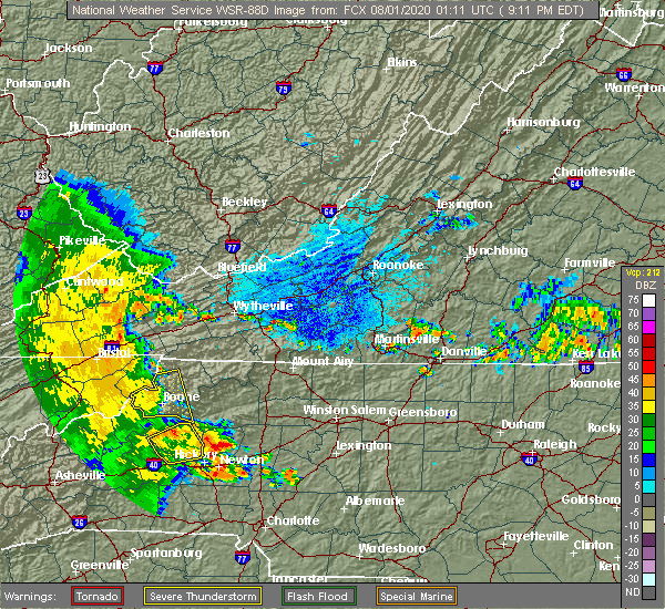 The severe thunderstorm warning for southwestern wilkes, eastern watauga and southwestern ashe counties will expire at 915 pm edt, the storm which prompted the warning has weakened below severe limits, and no longer poses an immediate threat to life or property. therefore, the warning will be allowed to expire. however gusty winds are still possible with this thunderstorm. when it is safe to do so, please send your reports of hail of any size, as well as reports of any wind damage, including downed trees or large limbs, to the national weather service by calling toll free at 1, 8 6 6, 2 1 5, 4 3 2 4. reports and pictures can also be shared on the national weather service blacksburg facebook page and on twitter. The severe thunderstorm warning for southwestern wilkes, eastern watauga and southwestern ashe counties will expire at 915 pm edt, the storm which prompted the warning has weakened below severe limits, and no longer poses an immediate threat to life or property. therefore, the warning will be allowed to expire. however gusty winds are still possible with this thunderstorm. when it is safe to do so, please send your reports of hail of any size, as well as reports of any wind damage, including downed trees or large limbs, to the national weather service by calling toll free at 1, 8 6 6, 2 1 5, 4 3 2 4. reports and pictures can also be shared on the national weather service blacksburg facebook page and on twitter.
|
| 7/31/2020 9:09 PM EDT |
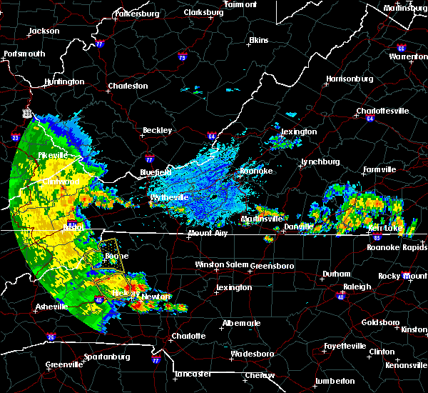 At 907 pm edt, a severe thunderstorm was located over todd, moving east at 30 mph. at 843 pm, a mesonet site near silverstone measured a wind gust of 63 mph (instrument measured). Hazards include 60 mph wind gusts. Expect damage to roofs, siding, and trees. locations impacted include, boone, west jefferson, blowing rock, deep gap, todd, ashland, and blowing rock in caldwell county. This includes the following location appalachian state university. At 907 pm edt, a severe thunderstorm was located over todd, moving east at 30 mph. at 843 pm, a mesonet site near silverstone measured a wind gust of 63 mph (instrument measured). Hazards include 60 mph wind gusts. Expect damage to roofs, siding, and trees. locations impacted include, boone, west jefferson, blowing rock, deep gap, todd, ashland, and blowing rock in caldwell county. This includes the following location appalachian state university.
|
| 7/31/2020 8:43 PM EDT | Storm damage reported in watauga county NC, 7 miles SSE of Boone, NC |
| 7/31/2020 8:18 PM EDT |
 At 818 pm edt, a severe thunderstorm was located near elk park, or 9 miles west of beech mountain, moving east at 35 mph (radar indicated). Hazards include 60 mph wind gusts. expect damage to roofs, siding, and trees At 818 pm edt, a severe thunderstorm was located near elk park, or 9 miles west of beech mountain, moving east at 35 mph (radar indicated). Hazards include 60 mph wind gusts. expect damage to roofs, siding, and trees
|
| 7/19/2020 6:34 PM EDT |
 At 634 pm edt, a severe thunderstorm was located over sands, or over todd, moving east at 20 mph (radar indicated). Hazards include 60 mph wind gusts. Expect damage to roofs, siding, and trees. locations impacted include, boone, sparta, jefferson, west jefferson, blowing rock, beech mountain, and deep gap. This includes the following location appalachian state university. At 634 pm edt, a severe thunderstorm was located over sands, or over todd, moving east at 20 mph (radar indicated). Hazards include 60 mph wind gusts. Expect damage to roofs, siding, and trees. locations impacted include, boone, sparta, jefferson, west jefferson, blowing rock, beech mountain, and deep gap. This includes the following location appalachian state university.
|
| 7/19/2020 6:22 PM EDT |
 At 622 pm edt, a severe thunderstorm was located over meat camp, or near boone, moving east at 20 mph (radar indicated). Hazards include 60 mph wind gusts and quarter size hail. Hail damage to vehicles is expected. expect wind damage to roofs, siding, and trees. locations impacted include, boone, sparta, jefferson, west jefferson, blowing rock, beech mountain, and lansing. This includes the following location appalachian state university. At 622 pm edt, a severe thunderstorm was located over meat camp, or near boone, moving east at 20 mph (radar indicated). Hazards include 60 mph wind gusts and quarter size hail. Hail damage to vehicles is expected. expect wind damage to roofs, siding, and trees. locations impacted include, boone, sparta, jefferson, west jefferson, blowing rock, beech mountain, and lansing. This includes the following location appalachian state university.
|
| 7/19/2020 5:54 PM EDT |
 At 553 pm edt, a severe thunderstorm was located over peoria, or near beech mountain, moving east at 20 mph (radar indicated). Hazards include 60 mph wind gusts and quarter size hail. Hail damage to vehicles is expected. Expect wind damage to roofs, siding, and trees. At 553 pm edt, a severe thunderstorm was located over peoria, or near beech mountain, moving east at 20 mph (radar indicated). Hazards include 60 mph wind gusts and quarter size hail. Hail damage to vehicles is expected. Expect wind damage to roofs, siding, and trees.
|
| 1/11/2020 8:24 PM EST |
 The severe thunderstorm warning for western alleghany, watauga and ashe counties in northwestern north carolina, eastern smyth, southwestern wythe and western grayson counties in southwestern virginia will expire at 830 pm est, the storms which prompted the warning have moved out of the area. therefore, the warning will be allowed to expire. however gusty winds are still possible with these thunderstorms. a severe thunderstorm watch remains in effect until 100 am est for northwestern north carolina, southwestern virginia, and southeastern west virginia. when it is safe to do so, please send your reports of hail of any size, as well as reports of any wind damage, including downed trees or large limbs, to the national weather service by calling toll free at 1, 8 6 6, 2 1 5, 4 3 2 4. reports and pictures can also be shared on the national weather service blacksburg facebook page and on twitter. The severe thunderstorm warning for western alleghany, watauga and ashe counties in northwestern north carolina, eastern smyth, southwestern wythe and western grayson counties in southwestern virginia will expire at 830 pm est, the storms which prompted the warning have moved out of the area. therefore, the warning will be allowed to expire. however gusty winds are still possible with these thunderstorms. a severe thunderstorm watch remains in effect until 100 am est for northwestern north carolina, southwestern virginia, and southeastern west virginia. when it is safe to do so, please send your reports of hail of any size, as well as reports of any wind damage, including downed trees or large limbs, to the national weather service by calling toll free at 1, 8 6 6, 2 1 5, 4 3 2 4. reports and pictures can also be shared on the national weather service blacksburg facebook page and on twitter.
|
| 1/11/2020 8:15 PM EST |
 At 814 pm est, severe thunderstorms were located along a line extending from near clear fork to near comers rock to sands, moving east at 40 mph (radar indicated). Hazards include 60 mph wind gusts. Expect damage to roofs, siding, and trees. locations impacted include, boone, marion, jefferson, rural retreat, west jefferson, blowing rock, and lansing. This includes the following location appalachian state university. At 814 pm est, severe thunderstorms were located along a line extending from near clear fork to near comers rock to sands, moving east at 40 mph (radar indicated). Hazards include 60 mph wind gusts. Expect damage to roofs, siding, and trees. locations impacted include, boone, marion, jefferson, rural retreat, west jefferson, blowing rock, and lansing. This includes the following location appalachian state university.
|
| 1/11/2020 7:57 PM EST |
 At 756 pm est, severe thunderstorms were located along a line extending from gratton to near thomas bridge to rominger, moving east at 50 mph (radar indicated). Hazards include 70 mph wind gusts and quarter size hail. Hail damage to vehicles is expected. expect considerable tree damage. wind damage is also likely to mobile homes, roofs, and outbuildings. locations impacted include, boone, marion, richlands, bluefield, tazewell, saltville, and chilhowie. This includes the following location appalachian state university. At 756 pm est, severe thunderstorms were located along a line extending from gratton to near thomas bridge to rominger, moving east at 50 mph (radar indicated). Hazards include 70 mph wind gusts and quarter size hail. Hail damage to vehicles is expected. expect considerable tree damage. wind damage is also likely to mobile homes, roofs, and outbuildings. locations impacted include, boone, marion, richlands, bluefield, tazewell, saltville, and chilhowie. This includes the following location appalachian state university.
|
| 1/11/2020 7:42 PM EST |
 At 741 pm est, severe thunderstorms were located along a line extending from near raven to near chilhowie to near elk park, moving east at 50 mph (radar indicated). Hazards include 60 mph wind gusts and quarter size hail. Hail damage to vehicles is expected. expect wind damage to roofs, siding, and trees. locations impacted include, boone, marion, richlands, bluefield, tazewell, saltville, and chilhowie. This includes the following location appalachian state university. At 741 pm est, severe thunderstorms were located along a line extending from near raven to near chilhowie to near elk park, moving east at 50 mph (radar indicated). Hazards include 60 mph wind gusts and quarter size hail. Hail damage to vehicles is expected. expect wind damage to roofs, siding, and trees. locations impacted include, boone, marion, richlands, bluefield, tazewell, saltville, and chilhowie. This includes the following location appalachian state university.
|
| 1/11/2020 7:27 PM EST |
 At 726 pm est, severe thunderstorms were located along a line extending from near cleveland va to abingdon to near erwin, moving east at 40 mph (radar indicated). Hazards include 60 mph wind gusts and quarter size hail. Hail damage to vehicles is expected. Expect wind damage to roofs, siding, and trees. At 726 pm est, severe thunderstorms were located along a line extending from near cleveland va to abingdon to near erwin, moving east at 40 mph (radar indicated). Hazards include 60 mph wind gusts and quarter size hail. Hail damage to vehicles is expected. Expect wind damage to roofs, siding, and trees.
|
| 10/31/2019 4:53 PM EDT |
 The severe thunderstorm warning for alleghany, central wilkes, eastern watauga and ashe counties in northwestern north carolina will expire at 500 pm edt, the storms which prompted the warning have moved out of the area. therefore, the warning will be allowed to expire. a tornado watch remains in effect until 700 pm edt for northwestern north carolina, and southwestern virginia. a tornado watch also remains in effect until 1100 pm edt for northwestern north carolina, and southwestern virginia. when it is safe to do so, please send your reports of hail of any size, as well as reports of any wind damage, including downed trees or large limbs, to the national weather service by calling toll free at 1, 8 6 6, 2 1 5, 4 3 2 4. reports and pictures can also be shared on the national weather service blacksburg facebook page and on twitter. remember, a severe thunderstorm warning is now in effect for allgehany and wilkes counties until 6 pm edt. The severe thunderstorm warning for alleghany, central wilkes, eastern watauga and ashe counties in northwestern north carolina will expire at 500 pm edt, the storms which prompted the warning have moved out of the area. therefore, the warning will be allowed to expire. a tornado watch remains in effect until 700 pm edt for northwestern north carolina, and southwestern virginia. a tornado watch also remains in effect until 1100 pm edt for northwestern north carolina, and southwestern virginia. when it is safe to do so, please send your reports of hail of any size, as well as reports of any wind damage, including downed trees or large limbs, to the national weather service by calling toll free at 1, 8 6 6, 2 1 5, 4 3 2 4. reports and pictures can also be shared on the national weather service blacksburg facebook page and on twitter. remember, a severe thunderstorm warning is now in effect for allgehany and wilkes counties until 6 pm edt.
|
| 10/31/2019 4:25 PM EDT |
 At 425 pm edt, severe thunderstorms were located along a line extending from fleetwood to 6 miles southeast of blowing rock in caldwell county, moving northeast at 40 mph (radar indicated). Hazards include 60 mph wind gusts. Expect damage to roofs, siding, and trees. locations impacted include, boone, north wilkesboro, wilkesboro, sparta, jefferson, west jefferson, and blowing rock. this includes the following location appalachian state university. a tornado watch remains in effect until 700 pm edt for northwestern north carolina, and southwestern virginia. A tornado watch also remains in effect until 1100 pm edt for northwestern north carolina, and southwestern virginia. At 425 pm edt, severe thunderstorms were located along a line extending from fleetwood to 6 miles southeast of blowing rock in caldwell county, moving northeast at 40 mph (radar indicated). Hazards include 60 mph wind gusts. Expect damage to roofs, siding, and trees. locations impacted include, boone, north wilkesboro, wilkesboro, sparta, jefferson, west jefferson, and blowing rock. this includes the following location appalachian state university. a tornado watch remains in effect until 700 pm edt for northwestern north carolina, and southwestern virginia. A tornado watch also remains in effect until 1100 pm edt for northwestern north carolina, and southwestern virginia.
|
| 10/31/2019 4:14 PM EDT |
 At 414 pm edt, severe thunderstorms were located along a line extending from near mountain city to near darby, moving northeast at 50 mph (radar indicated). Hazards include 60 mph wind gusts. Expect damage to roofs, siding, and trees. locations impacted include, boone, north wilkesboro, wilkesboro, sparta, jefferson, west jefferson, and blowing rock. this includes the following location appalachian state university. a tornado watch remains in effect until 700 pm edt for northwestern north carolina, and southwestern virginia. A tornado watch also remains in effect until 1100 pm edt for northwestern north carolina, and southwestern virginia. At 414 pm edt, severe thunderstorms were located along a line extending from near mountain city to near darby, moving northeast at 50 mph (radar indicated). Hazards include 60 mph wind gusts. Expect damage to roofs, siding, and trees. locations impacted include, boone, north wilkesboro, wilkesboro, sparta, jefferson, west jefferson, and blowing rock. this includes the following location appalachian state university. a tornado watch remains in effect until 700 pm edt for northwestern north carolina, and southwestern virginia. A tornado watch also remains in effect until 1100 pm edt for northwestern north carolina, and southwestern virginia.
|
| 10/31/2019 4:10 PM EDT | Tree down along highway 1094 in tod in watauga county NC, 7.2 miles SSW of Boone, NC |
| 10/31/2019 3:45 PM EDT |
 At 344 pm edt, severe thunderstorms were located along a line extending from 6 miles northwest of elk park to near table rock, moving northeast at 50 mph (radar indicated). Hazards include 60 mph wind gusts. expect damage to roofs, siding, and trees At 344 pm edt, severe thunderstorms were located along a line extending from 6 miles northwest of elk park to near table rock, moving northeast at 50 mph (radar indicated). Hazards include 60 mph wind gusts. expect damage to roofs, siding, and trees
|
| 8/13/2019 2:33 PM EDT |
 At 155 pm edt, severe thunderstorms were located along a line extending from near thomas bridge to near mountain city to near hampton, moving southeast at 30 mph (radar indicated). Hazards include 60 mph wind gusts and quarter size hail. Hail damage to vehicles is expected. Expect wind damage to roofs, siding, and trees. At 155 pm edt, severe thunderstorms were located along a line extending from near thomas bridge to near mountain city to near hampton, moving southeast at 30 mph (radar indicated). Hazards include 60 mph wind gusts and quarter size hail. Hail damage to vehicles is expected. Expect wind damage to roofs, siding, and trees.
|
| 8/13/2019 1:56 PM EDT |
 At 155 pm edt, severe thunderstorms were located along a line extending from near thomas bridge to near mountain city to near hampton, moving southeast at 30 mph (radar indicated). Hazards include 60 mph wind gusts and quarter size hail. Hail damage to vehicles is expected. Expect wind damage to roofs, siding, and trees. At 155 pm edt, severe thunderstorms were located along a line extending from near thomas bridge to near mountain city to near hampton, moving southeast at 30 mph (radar indicated). Hazards include 60 mph wind gusts and quarter size hail. Hail damage to vehicles is expected. Expect wind damage to roofs, siding, and trees.
|
| 11/6/2018 7:27 AM EST |
 The severe thunderstorm warning for northwestern alleghany. watauga and ashe counties in northwestern north carolina. southeastern smyth and western grayson counties in southwestern virginia will expire at 730 am est. The storms which prompted the warning have weakened below severe limits, and no longer pose an immediate threat to life or property. The severe thunderstorm warning for northwestern alleghany. watauga and ashe counties in northwestern north carolina. southeastern smyth and western grayson counties in southwestern virginia will expire at 730 am est. The storms which prompted the warning have weakened below severe limits, and no longer pose an immediate threat to life or property.
|
| 11/6/2018 7:04 AM EST |
 At 701 am est, a line of showers was extending from near chilhowie to near mountain city to 6 miles southeast of hampton, moving northeast at 50 mph. trees were reported blown down in washington county tennessee as the line of showers crossed that region (law enforcement). Hazards include 60 mph wind gusts. expect damage to roofs, siding, and trees At 701 am est, a line of showers was extending from near chilhowie to near mountain city to 6 miles southeast of hampton, moving northeast at 50 mph. trees were reported blown down in washington county tennessee as the line of showers crossed that region (law enforcement). Hazards include 60 mph wind gusts. expect damage to roofs, siding, and trees
|
| 7/6/2018 2:14 PM EDT |
 At 214 pm edt, a severe thunderstorm was located over silverstone, moving south at 10 mph (radar indicated). Hazards include 60 mph wind gusts and quarter size hail. Hail damage to vehicles is expected. Expect wind damage to roofs, siding, and trees. At 214 pm edt, a severe thunderstorm was located over silverstone, moving south at 10 mph (radar indicated). Hazards include 60 mph wind gusts and quarter size hail. Hail damage to vehicles is expected. Expect wind damage to roofs, siding, and trees.
|
| 6/25/2018 4:33 PM EDT |
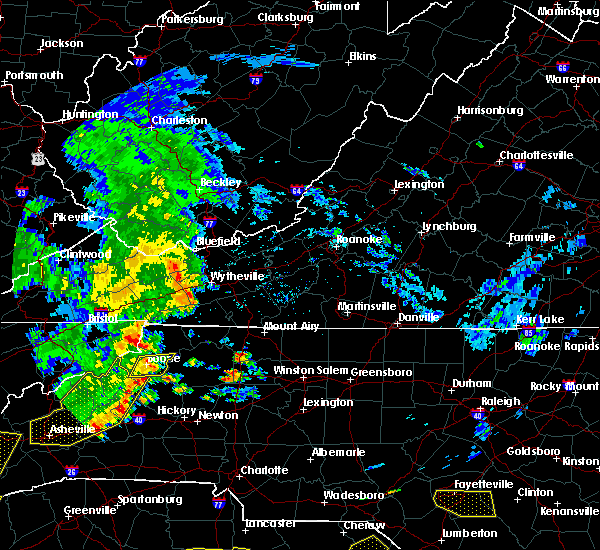 At 433 pm edt, a severe thunderstorm was located over rutherwood, moving southeast at 35 mph (radar indicated). Hazards include 60 mph wind gusts and quarter size hail. Hail damage to vehicles is expected. expect wind damage to roofs, siding, and trees. locations impacted include, boone, blowing rock, foscoe, deep gap, and todd. This includes the following location appalachian state university. At 433 pm edt, a severe thunderstorm was located over rutherwood, moving southeast at 35 mph (radar indicated). Hazards include 60 mph wind gusts and quarter size hail. Hail damage to vehicles is expected. expect wind damage to roofs, siding, and trees. locations impacted include, boone, blowing rock, foscoe, deep gap, and todd. This includes the following location appalachian state university.
|
| 6/25/2018 4:13 PM EDT |
 At 413 pm edt, a severe thunderstorm was located over rominger, moving east at 30 mph (radar indicated). Hazards include 60 mph wind gusts and quarter size hail. Hail damage to vehicles is expected. Expect wind damage to roofs, siding, and trees. At 413 pm edt, a severe thunderstorm was located over rominger, moving east at 30 mph (radar indicated). Hazards include 60 mph wind gusts and quarter size hail. Hail damage to vehicles is expected. Expect wind damage to roofs, siding, and trees.
|
| 5/19/2017 1:38 PM EDT |
 At 138 pm edt, a severe thunderstorm was located over blowing rock, moving east at 20 mph (radar indicated). Hazards include 60 mph wind gusts and quarter size hail. Minor damage to vehicles is possible. expect wind damage to trees and power lines. Locations impacted include, boone, blowing rock, foscoe, sugar grove, and deep gap. At 138 pm edt, a severe thunderstorm was located over blowing rock, moving east at 20 mph (radar indicated). Hazards include 60 mph wind gusts and quarter size hail. Minor damage to vehicles is possible. expect wind damage to trees and power lines. Locations impacted include, boone, blowing rock, foscoe, sugar grove, and deep gap.
|
| 5/19/2017 1:15 PM EDT |
 At 114 pm edt, a severe thunderstorm was located near foscoe, moving northeast at 10 mph (radar indicated). Hazards include 60 mph wind gusts and quarter size hail. Minor damage to vehicles is possible. Expect wind damage to trees and power lines. At 114 pm edt, a severe thunderstorm was located near foscoe, moving northeast at 10 mph (radar indicated). Hazards include 60 mph wind gusts and quarter size hail. Minor damage to vehicles is possible. Expect wind damage to trees and power lines.
|
| 5/18/2017 8:09 PM EDT |
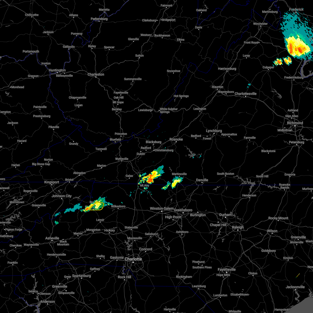 At 807 pm edt, severe thunderstorms were located along a line extending from rutherwood to aho to moses cone memorial park, moving east at 10 mph (radar indicated). Hazards include 60 mph wind gusts and quarter size hail. Minor damage to vehicles is possible. expect wind damage to trees and power lines. Locations impacted include, boone, blowing rock, deep gap, blowing rock in caldwell county, and rutherwood. At 807 pm edt, severe thunderstorms were located along a line extending from rutherwood to aho to moses cone memorial park, moving east at 10 mph (radar indicated). Hazards include 60 mph wind gusts and quarter size hail. Minor damage to vehicles is possible. expect wind damage to trees and power lines. Locations impacted include, boone, blowing rock, deep gap, blowing rock in caldwell county, and rutherwood.
|
| 5/18/2017 7:48 PM EDT |
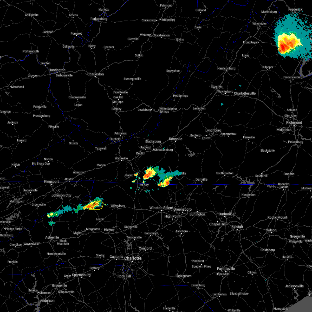 At 748 pm edt, severe thunderstorms were located along a line extending from rutherwood to blowing rock to seven devils, moving east at 5 mph (radar indicated). Hazards include 60 mph wind gusts and quarter size hail. Minor damage to vehicles is possible. Expect wind damage to trees and power lines. At 748 pm edt, severe thunderstorms were located along a line extending from rutherwood to blowing rock to seven devils, moving east at 5 mph (radar indicated). Hazards include 60 mph wind gusts and quarter size hail. Minor damage to vehicles is possible. Expect wind damage to trees and power lines.
|
| 9/29/2016 5:30 PM EDT |
 At 529 pm edt, severe thunderstorms extended from just east of aho to west jefferson, moving northeast at 15 mph (radar indicated). Hazards include quarter size hail. Damage to vehicles is expected. Locations impacted include, jefferson, west jefferson, lansing, deep gap, and glendale springs. At 529 pm edt, severe thunderstorms extended from just east of aho to west jefferson, moving northeast at 15 mph (radar indicated). Hazards include quarter size hail. Damage to vehicles is expected. Locations impacted include, jefferson, west jefferson, lansing, deep gap, and glendale springs.
|
| 9/29/2016 5:00 PM EDT |
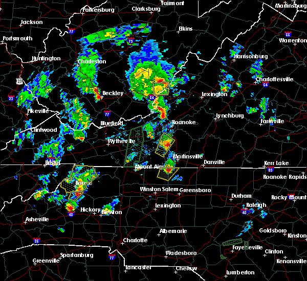 At 458 pm edt, severe thunderstorm were located near boone and beech mountain, moving northeast at 10 mph (radar indicated). Hazards include quarter size hail. Damage to vehicles is expected. locations impacted include, boone, jefferson, west jefferson, blowing rock, and beech mountain. This includes the following location appalachian state university. At 458 pm edt, severe thunderstorm were located near boone and beech mountain, moving northeast at 10 mph (radar indicated). Hazards include quarter size hail. Damage to vehicles is expected. locations impacted include, boone, jefferson, west jefferson, blowing rock, and beech mountain. This includes the following location appalachian state university.
|
| 9/29/2016 4:36 PM EDT |
 At 435 pm edt, severe thunderstorm were located near banner elk and also near boone, moving northeast at 15 mph (radar indicated). Hazards include quarter size hail. damage to vehicles is expected At 435 pm edt, severe thunderstorm were located near banner elk and also near boone, moving northeast at 15 mph (radar indicated). Hazards include quarter size hail. damage to vehicles is expected
|
| 7/8/2016 6:59 PM EDT |
 At 658 pm edt, severe thunderstorms were located along a line extending from near bridle creek to near grassy creek to near west jefferson to deep gap, moving east at 45 mph (trained weather spotters reports extensive tree damage in portions of watauga county). Hazards include 60 mph wind gusts and quarter size hail. Hail damage to vehicles is expected. expect wind damage to roofs, siding, and trees. locations impacted include, boone, sparta, jefferson, west jefferson, and blowing rock. This includes appalachian state university. At 658 pm edt, severe thunderstorms were located along a line extending from near bridle creek to near grassy creek to near west jefferson to deep gap, moving east at 45 mph (trained weather spotters reports extensive tree damage in portions of watauga county). Hazards include 60 mph wind gusts and quarter size hail. Hail damage to vehicles is expected. expect wind damage to roofs, siding, and trees. locations impacted include, boone, sparta, jefferson, west jefferson, and blowing rock. This includes appalachian state university.
|
| 7/8/2016 6:55 PM EDT | Measured wind gust of 63 mph at ktnb located in boone north carolina in watauga county NC, 1 miles NW of Boone, NC |
| 7/8/2016 6:55 PM EDT | Nunerous trees and power lines down. wind gusts estimated at 60 mph or greater by trained spotte in watauga county NC, 0.4 miles E of Boone, NC |
| 7/8/2016 6:48 PM EDT | Multiple trees down along bamboo road and deerfield road in watauga county NC, 3.3 miles WNW of Boone, NC |
| 7/8/2016 6:45 PM EDT | Multiple trees down along route 194 near meat camp road in watauga county NC, 4.2 miles S of Boone, NC |
| 7/8/2016 6:45 PM EDT | *** 3 inj *** extensive damage reported across the entire county between about 630 and 700 pm. several injuries have been reported but exact numbers are not availabl in watauga county NC, 0.4 miles E of Boone, NC |
| 7/8/2016 6:45 PM EDT |
 At 645 pm edt, severe thunderstorms were located along a line extending from mouth of wilson to ashland to 7 miles northwest of peoria, moving east at 45 mph (radar indicated). Hazards include 60 mph wind gusts and quarter size hail. Hail damage to vehicles is expected. expect wind damage to roofs, siding, and trees. locations impacted include, boone, sparta, jefferson, west jefferson, and blowing rock. This includes appalachian state university. At 645 pm edt, severe thunderstorms were located along a line extending from mouth of wilson to ashland to 7 miles northwest of peoria, moving east at 45 mph (radar indicated). Hazards include 60 mph wind gusts and quarter size hail. Hail damage to vehicles is expected. expect wind damage to roofs, siding, and trees. locations impacted include, boone, sparta, jefferson, west jefferson, and blowing rock. This includes appalachian state university.
|
| 7/8/2016 6:24 PM EDT |
 At 624 pm edt, severe thunderstorms were located along a line extending from near whitetop to 7 miles west of mountain city to near elizabethton, moving east at 45 mph (radar indicated). Hazards include 60 mph wind gusts. Expect damage to roofs. siding. And trees. At 624 pm edt, severe thunderstorms were located along a line extending from near whitetop to 7 miles west of mountain city to near elizabethton, moving east at 45 mph (radar indicated). Hazards include 60 mph wind gusts. Expect damage to roofs. siding. And trees.
|
| 6/23/2016 10:26 PM EDT |
 The severe thunderstorm warning for yadkin, surry, stokes, wilkes, watauga, alleghany, ashe, southwestern patrick, southeastern grayson and carroll counties and the city of galax will expire at 1030 pm edt, the storms which prompted the warning have weakened below severe limits, and no longer pose an immediate threat to life or property. therefore the warning will be allowed to expire. however gusty winds and heavy rain are still possible with these thunderstorms. a severe thunderstorm watch remains in effect until 1100 pm edt for north carolina and virginia. The severe thunderstorm warning for yadkin, surry, stokes, wilkes, watauga, alleghany, ashe, southwestern patrick, southeastern grayson and carroll counties and the city of galax will expire at 1030 pm edt, the storms which prompted the warning have weakened below severe limits, and no longer pose an immediate threat to life or property. therefore the warning will be allowed to expire. however gusty winds and heavy rain are still possible with these thunderstorms. a severe thunderstorm watch remains in effect until 1100 pm edt for north carolina and virginia.
|
| 6/23/2016 9:50 PM EDT |
 At 949 pm edt, severe thunderstorms were located along a line extending from near dugspur to stone mountain state park to 7 miles west of mountain city, moving southeast at 50 mph (radar indicated). Hazards include 60 mph wind gusts. Expect damage to roofs. siding. and trees. locations impacted include, boone, mount airy, galax, north wilkesboro, and elkin. This includes appalachian state university. At 949 pm edt, severe thunderstorms were located along a line extending from near dugspur to stone mountain state park to 7 miles west of mountain city, moving southeast at 50 mph (radar indicated). Hazards include 60 mph wind gusts. Expect damage to roofs. siding. and trees. locations impacted include, boone, mount airy, galax, north wilkesboro, and elkin. This includes appalachian state university.
|
| 6/23/2016 9:29 PM EDT |
 At 929 pm edt, severe thunderstorms were located along a line extending from gunton park to mouth of wilson to bristol va, moving southeast at 55 mph (radar indicated). Hazards include 60 mph wind gusts. Expect damage to roofs. siding. And trees. At 929 pm edt, severe thunderstorms were located along a line extending from gunton park to mouth of wilson to bristol va, moving southeast at 55 mph (radar indicated). Hazards include 60 mph wind gusts. Expect damage to roofs. siding. And trees.
|
| 6/17/2016 1:07 AM EDT |
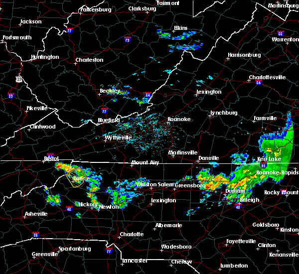 The severe thunderstorm warning for watauga and ashe counties will expire at 115 am edt, the storms which prompted the warning have weakened therefore the warning will be allowed to expire. moderate rainfall and occasional cloud-to-ground lightning can be expected to continue in this area for another 30 minutes to an hour. when it is safe to do so, please send your reports of hail of any size, as well as any reports of wind damage, including downed trees or large limbs, to the national weather service by calling toll free at 1, 8 6 6, 2 1 5, 4 3 2 4. reports and pictures can also be shared on the national weather service blacksburg facebook page and on twitter. The severe thunderstorm warning for watauga and ashe counties will expire at 115 am edt, the storms which prompted the warning have weakened therefore the warning will be allowed to expire. moderate rainfall and occasional cloud-to-ground lightning can be expected to continue in this area for another 30 minutes to an hour. when it is safe to do so, please send your reports of hail of any size, as well as any reports of wind damage, including downed trees or large limbs, to the national weather service by calling toll free at 1, 8 6 6, 2 1 5, 4 3 2 4. reports and pictures can also be shared on the national weather service blacksburg facebook page and on twitter.
|
| 6/17/2016 12:34 AM EDT |
 At 1233 am edt, severe thunderstorms were located along a line extending from mount jefferson to fleetwood to todd, moving southeast at 45 mph (radar indicated). Hazards include 60 mph wind gusts. Expect damage to roofs. siding. and trees. locations impacted include, boone, west jefferson, deep gap, todd, and idlewild. This includes appalachian state university. At 1233 am edt, severe thunderstorms were located along a line extending from mount jefferson to fleetwood to todd, moving southeast at 45 mph (radar indicated). Hazards include 60 mph wind gusts. Expect damage to roofs. siding. and trees. locations impacted include, boone, west jefferson, deep gap, todd, and idlewild. This includes appalachian state university.
|
| 6/17/2016 12:14 AM EDT |
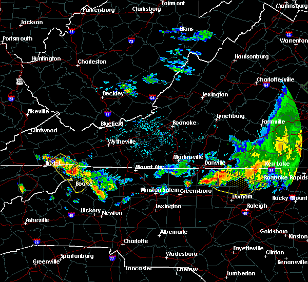 At 1213 am edt, severe thunderstorms were located along a line extending from near flatwood to near ashland to mountain city, moving southeast at 70 mph (radar indicated). Hazards include 60 mph wind gusts. Expect damage to roofs. siding. And trees. At 1213 am edt, severe thunderstorms were located along a line extending from near flatwood to near ashland to mountain city, moving southeast at 70 mph (radar indicated). Hazards include 60 mph wind gusts. Expect damage to roofs. siding. And trees.
|
| 9/4/2015 5:00 PM EDT |
 At 500 pm edt, a severe thunderstorm was located near todd, moving southwest at 30 mph (radar indicated). Hazards include 60 mph wind gusts and quarter size hail. Hail damage to vehicles is expected. Expect wind damage to roofs, siding and trees. At 500 pm edt, a severe thunderstorm was located near todd, moving southwest at 30 mph (radar indicated). Hazards include 60 mph wind gusts and quarter size hail. Hail damage to vehicles is expected. Expect wind damage to roofs, siding and trees.
|
| 8/5/2015 6:38 PM EDT | One tree down along highway 105 near earl lyons roa in watauga county NC, 2.7 miles ESE of Boone, NC |
| 7/13/2015 7:25 PM EDT | Trees down on elk creek road via social medi in watauga county NC, 5.2 miles W of Boone, NC |
| 7/13/2015 7:25 PM EDT |
 At 724 pm edt, severe thunderstorms were located along a line extending from independence to seven devils, moving east at 30 mph (radar indicated). Hazards include 60 mph wind gusts. Expect damage to roofs. siding and trees. locations impacted include, boone, galax, sparta, jefferson, and west jefferson. This includes appalachian state university. At 724 pm edt, severe thunderstorms were located along a line extending from independence to seven devils, moving east at 30 mph (radar indicated). Hazards include 60 mph wind gusts. Expect damage to roofs. siding and trees. locations impacted include, boone, galax, sparta, jefferson, and west jefferson. This includes appalachian state university.
|
| 7/13/2015 6:52 PM EDT |
 The national weather service in blacksburg has issued a * severe thunderstorm warning for. ashe county in northwestern north carolina. watauga county in northwestern north carolina. alleghany county in northwestern north carolina. Grayson county in southwestern virginia. The national weather service in blacksburg has issued a * severe thunderstorm warning for. ashe county in northwestern north carolina. watauga county in northwestern north carolina. alleghany county in northwestern north carolina. Grayson county in southwestern virginia.
|
| 6/26/2015 9:15 PM EDT | At 913 pm edt, severe thunderstorms were located along a line extending from baldwin to glendale springs, moving north at 15 mph. quarter size hail was reported with these storms in baldwin (radar indicated). Hazards include 60 mph wind gusts and quarter size hail. Hail damage to vehicles is expected. expect wind damage to roofs, siding and trees. Locations impacted include, jefferson, west jefferson, lansing, laurel springs, and wilbar. |
| 6/26/2015 8:51 PM EDT | At 851 pm edt, a severe thunderstorm was located over summit, moving north at 20 mph (radar indicated). Hazards include 60 mph wind gusts and quarter size hail. Hail damage to vehicles is expected. Expect wind damage to roofs, siding and trees. |
| 7/8/2014 5:45 PM EDT | Tree down on king street in boone in watauga county NC, 0.4 miles E of Boone, NC |
| 7/17/2013 8:17 PM EDT | Tree down on white laurel road and elk creek road in watauga county NC, 0.4 miles E of Boone, NC |
| 7/17/2013 8:17 PM EDT | Tree down on wires in wilsons ridge area in watauga county NC, 0.4 miles E of Boone, NC |
| 7/17/2013 8:15 PM EDT | Hail up to dime size fel in watauga county NC, 3.6 miles WSW of Boone, NC |
| 7/17/2013 8:00 PM EDT | Few trees down in watauga county NC, 3.6 miles WSW of Boone, NC |
| 7/17/2013 8:00 AM EDT | Few trees down in watauga county NC, 3.6 miles WSW of Boone, NC |
| 6/13/2013 3:55 PM EDT | Trees down in boon in watauga county NC, 1 miles NW of Boone, NC |
| 5/21/2013 7:45 PM EDT | Quarter sized hail reported 6.8 miles NE of Boone, NC, bennett way |
| 8/1/2012 11:48 PM EDT | Trees down on bamboo road near boon in watauga county NC, 2.4 miles W of Boone, NC |
| 8/1/2012 11:42 PM EDT | Tree down on house on blue ridge avenue in boon in watauga county NC, 0.8 miles SSE of Boone, NC |
| 1/1/0001 12:00 AM | Quarter sized hail reported 0.4 miles E of Boone, NC |
| 1/1/0001 12:00 AM | Quarter sized hail reported 0.4 miles E of Boone, NC |
| 1/1/0001 12:00 AM | Quarter sized hail reported 8.6 miles W of Boone, NC, hail fell on owl rest lane. |
| 1/1/0001 12:00 AM | Tree down on elledge mill road in watauga county NC, 6.7 miles WSW of Boone, NC |
| 1/1/0001 12:00 AM | Half Dollar sized hail reported 3 miles W of Boone, NC, hail fell on carterville heights road. |
| 1/1/0001 12:00 AM | Quarter sized hail reported 4.5 miles NNW of Boone, NC, hail reported on blackberry road through watauga county facebook page. |
| 1/1/0001 12:00 AM | Quarter sized hail reported 4.5 miles NW of Boone, NC |
| 1/1/0001 12:00 AM | Quarter sized hail reported 0.8 miles SSE of Boone, NC, fell for several minutes. |
| 1/1/0001 12:00 AM | Quarter sized hail reported 0.4 miles E of Boone, NC, dime to quarter size hail just north of boone. |
| 1/1/0001 12:00 AM | Quarter sized hail reported 2 miles E of Boone, NC |
| 1/1/0001 12:00 AM | Quarter sized hail reported 7.8 miles SSW of Boone, NC |
| 1/1/0001 12:00 AM | Golf Ball sized hail reported 7.8 miles SSW of Boone, NC |
| 1/1/0001 12:00 AM | Golf Ball sized hail reported 5.9 miles SSW of Boone, NC, golf ball size hail |
| 1/1/0001 12:00 AM | Quarter sized hail reported 1.2 miles SE of Boone, NC |
Hail Maps for Boone, NC


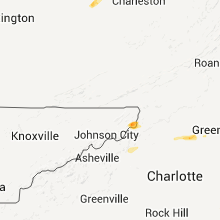


Connect with Interactive Hail Maps