

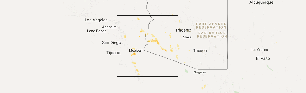
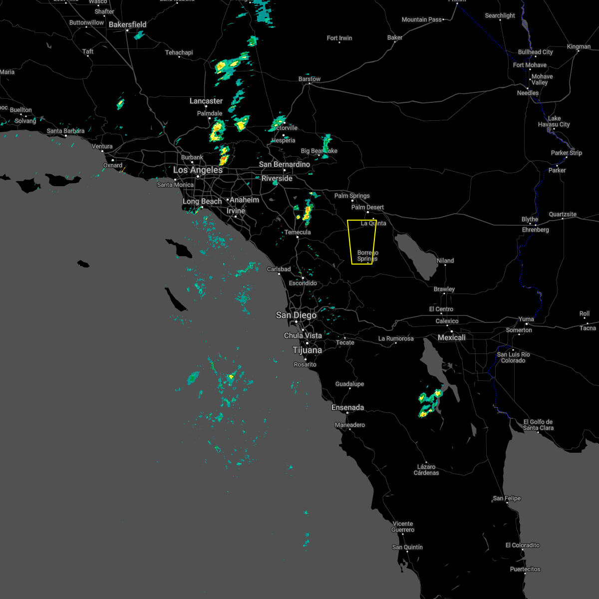
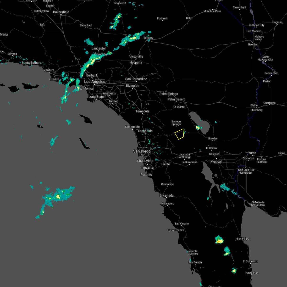
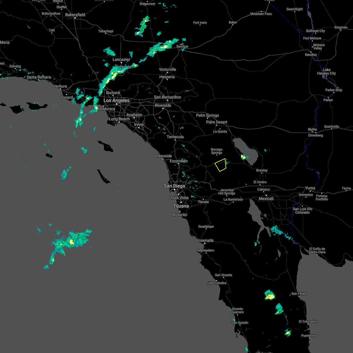
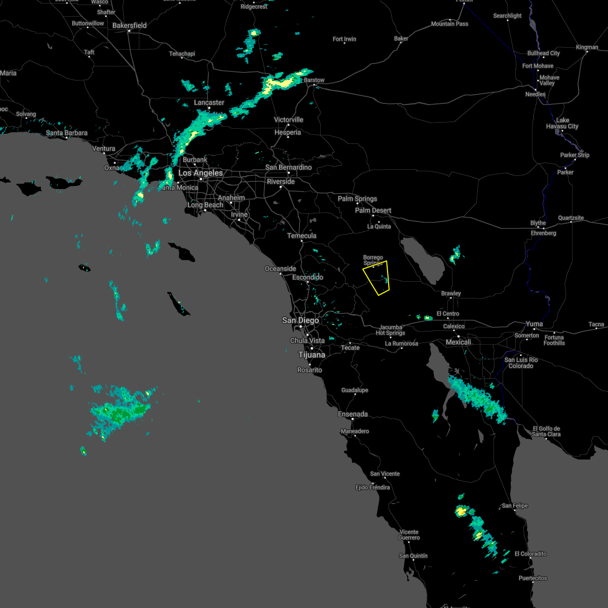
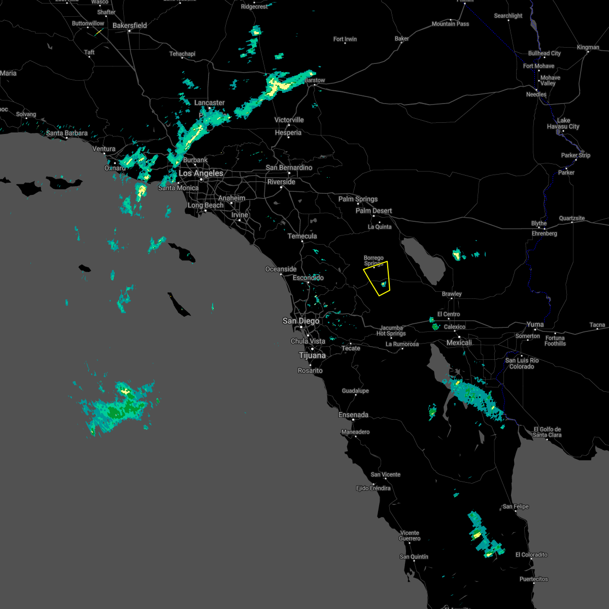
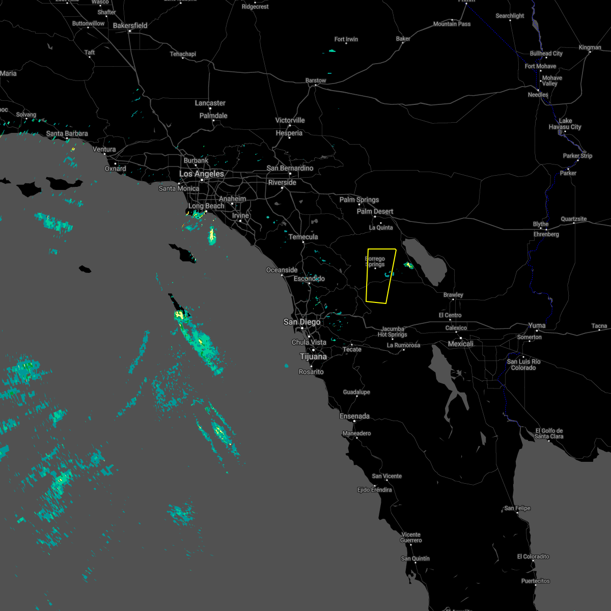
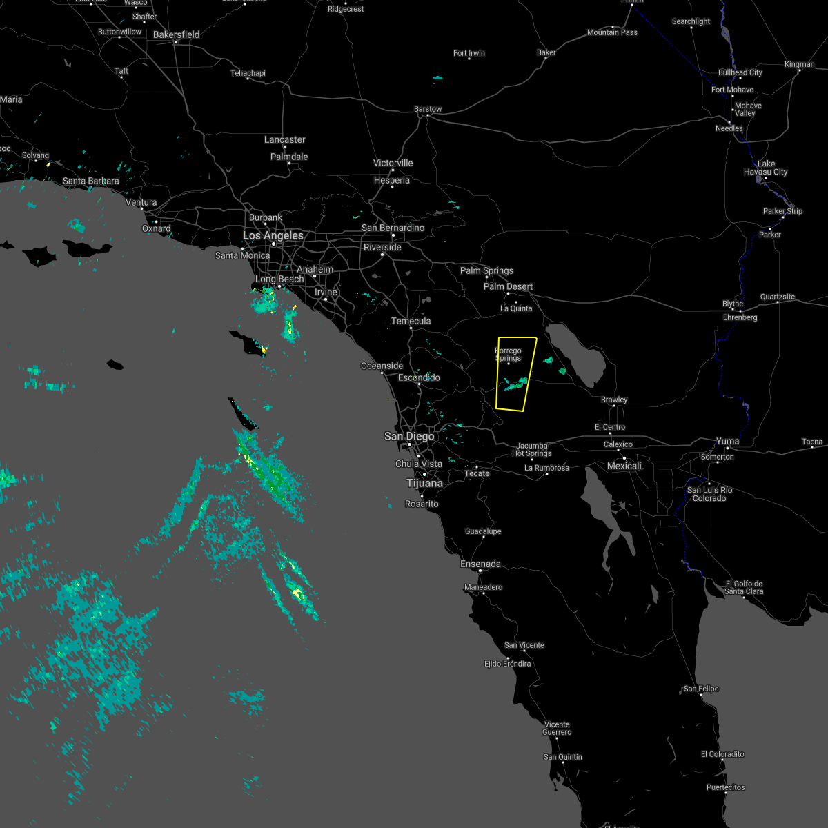
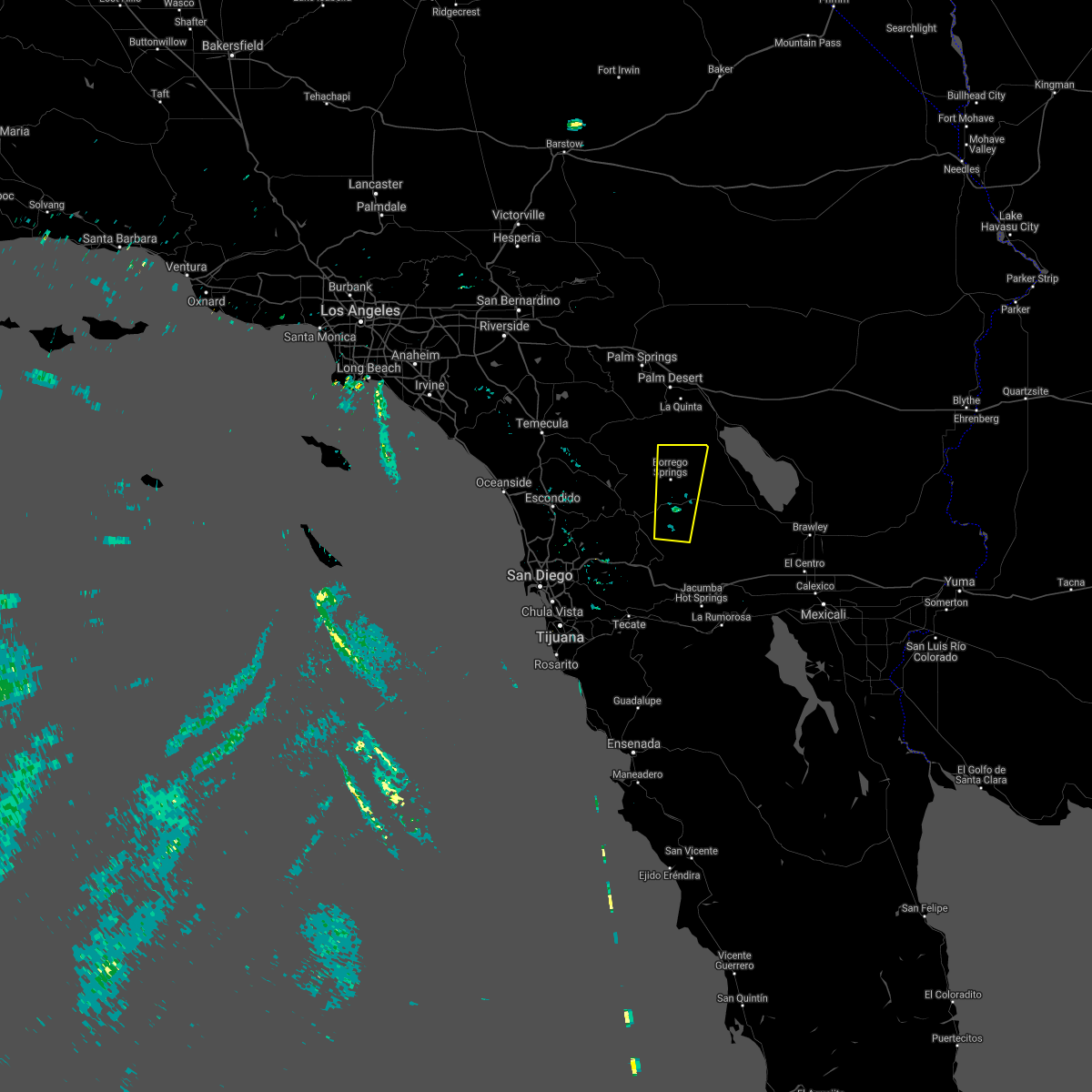
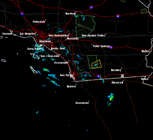
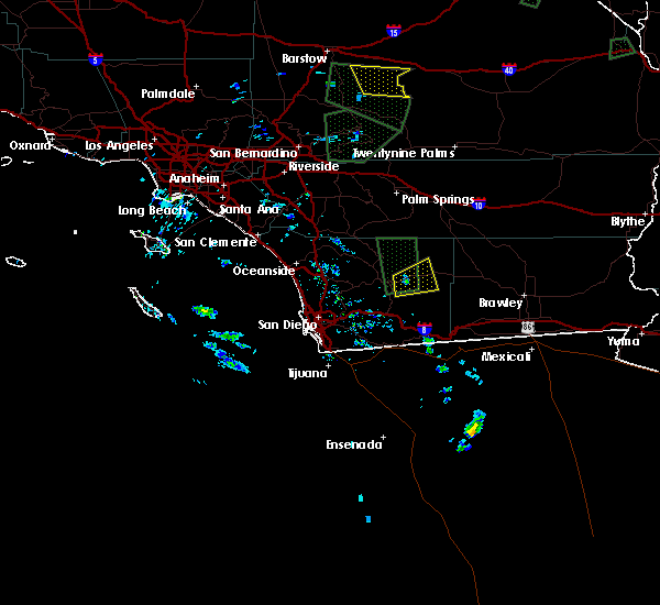
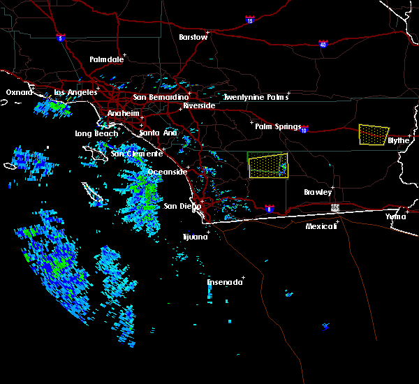
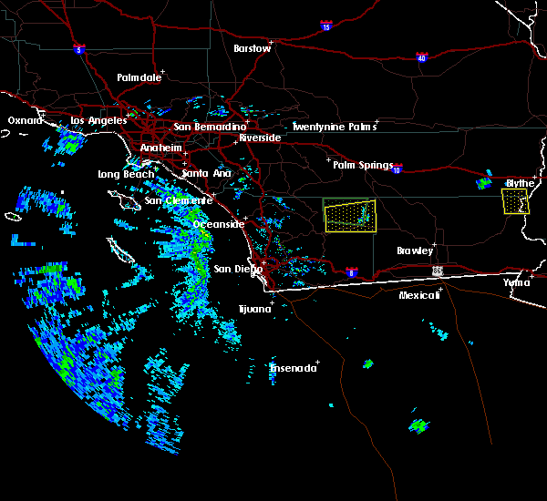
Hail Map for Borrego Springs, CA
The Borrego Springs, CA area has had 1 report of on-the-ground hail by trained spotters, and has been under severe weather warnings 0 times during the past 12 months. Doppler radar has detected hail at or near Borrego Springs, CA on 5 occasions.
| Name: | Borrego Springs, CA |
| Where Located: | 60 miles S of Yucca Valley, CA |
| Map: | Google Map for Borrego Springs, CA |
| Population: | 3429 |
| Housing Units: | 2611 |
| More Info: | Search Google for Borrego Springs, CA |
0
The Top Recent Hail Date for Borrego Springs, CA is Thursday, September 7, 2017 (5th out of 5)
Hail and Wind Damage Spotted near Borrego Springs, CA
| Date / Time | Report Details |
|---|---|
| 9/29/2022 1:58 PM PDT |
 At 158 pm pdt, a severe thunderstorm was located over hwy s22 between ranchita and borrego springs, or 7 miles southwest of borrego springs, moving south at 5 mph (radar indicated). Hazards include 60 mph wind gusts and nickel size hail. expect damage to roofs, siding, and trees At 158 pm pdt, a severe thunderstorm was located over hwy s22 between ranchita and borrego springs, or 7 miles southwest of borrego springs, moving south at 5 mph (radar indicated). Hazards include 60 mph wind gusts and nickel size hail. expect damage to roofs, siding, and trees
|
| 6/22/2022 5:56 PM PDT |
 The severe thunderstorm warning for riverside and northeastern san diego counties will expire at 600 pm pdt, the storm which prompted the warning has weakened below severe limits, and no longer poses an immediate threat to life or property. therefore, the warning will be allowed to expire. periods of moderate rain, lightning, and gusty winds are possible as the thunderstorm continues to weaken. The severe thunderstorm warning for riverside and northeastern san diego counties will expire at 600 pm pdt, the storm which prompted the warning has weakened below severe limits, and no longer poses an immediate threat to life or property. therefore, the warning will be allowed to expire. periods of moderate rain, lightning, and gusty winds are possible as the thunderstorm continues to weaken.
|
| 6/22/2022 5:00 PM PDT |
 At 459 pm pdt, a severe thunderstorm was located over hwy 78 between borrego springs rd and ocotillo wells, moving north at 25 mph (radar indicated). Hazards include 60 mph wind gusts and frequent lightning strikes. expect damage to roofs, siding, and trees At 459 pm pdt, a severe thunderstorm was located over hwy 78 between borrego springs rd and ocotillo wells, moving north at 25 mph (radar indicated). Hazards include 60 mph wind gusts and frequent lightning strikes. expect damage to roofs, siding, and trees
|
| 6/22/2022 4:25 PM PDT |
 At 425 pm pdt, a severe thunderstorm was located over borrego palm canyon, or 7 miles northwest of borrego springs, moving north at 25 mph (radar indicated). Hazards include 60 mph wind gusts and quarter size hail. Hail damage to vehicles is expected. Expect wind damage to roofs, siding, and trees. At 425 pm pdt, a severe thunderstorm was located over borrego palm canyon, or 7 miles northwest of borrego springs, moving north at 25 mph (radar indicated). Hazards include 60 mph wind gusts and quarter size hail. Hail damage to vehicles is expected. Expect wind damage to roofs, siding, and trees.
|
| 9/10/2021 3:20 PM PDT | Mesonet station nrwsd narrows sub (sdge). temperature dropped from 101 to 74f. this is along highway 7 in san diego county CA, 8.7 miles NNW of Borrego Springs, CA |
| 8/31/2021 4:53 PM PDT |
 At 452 pm pdt, a severe thunderstorm was located 11 miles southeast of borrego springs. this thunderstorms was nearly stationary and is no longer a risk for borrego springs proper (radar indicated). Hazards include 60 mph wind gusts. Expect damage to roofs, siding, and trees. locations impacted include, hwy 78 between borrego springs rd and ocotillo wells and fish creek wash. hail threat, radar indicated max hail size, <. 75 in wind threat, radar indicated max wind gust, 60 mph. At 452 pm pdt, a severe thunderstorm was located 11 miles southeast of borrego springs. this thunderstorms was nearly stationary and is no longer a risk for borrego springs proper (radar indicated). Hazards include 60 mph wind gusts. Expect damage to roofs, siding, and trees. locations impacted include, hwy 78 between borrego springs rd and ocotillo wells and fish creek wash. hail threat, radar indicated max hail size, <. 75 in wind threat, radar indicated max wind gust, 60 mph.
|
| 8/31/2021 4:51 PM PDT |
 At 448 pm pdt, a severe thunderstorm was located 11 miles southeast of borrego springs. this thunderstorms was nearly stationary and is no longer a risk for borrego springs (radar indicated). Hazards include 60 mph wind gusts. Expect damage to roofs, siding, and trees. locations impacted include, hwy 78 between borrego springs rd and ocotillo wells, borrego springs and fish creek wash. hail threat, radar indicated max hail size, <. 75 in wind threat, radar indicated max wind gust, 60 mph. At 448 pm pdt, a severe thunderstorm was located 11 miles southeast of borrego springs. this thunderstorms was nearly stationary and is no longer a risk for borrego springs (radar indicated). Hazards include 60 mph wind gusts. Expect damage to roofs, siding, and trees. locations impacted include, hwy 78 between borrego springs rd and ocotillo wells, borrego springs and fish creek wash. hail threat, radar indicated max hail size, <. 75 in wind threat, radar indicated max wind gust, 60 mph.
|
| 8/31/2021 4:28 PM PDT |
 At 428 pm pdt, a severe thunderstorm was located 7 miles southeast of borrego springs, moving northwest at 5 mph (radar indicated). Hazards include 60 mph wind gusts. Expect damage to roofs, siding, and trees. locations impacted include, borrego springs, hwy 78 between s2 and borrego springs rd, hwy 78 between borrego springs rd and ocotillo wells, hwy s22 between ranchita and borrego springs and fish creek wash. hail threat, radar indicated max hail size, <. 75 in wind threat, radar indicated max wind gust, 60 mph. At 428 pm pdt, a severe thunderstorm was located 7 miles southeast of borrego springs, moving northwest at 5 mph (radar indicated). Hazards include 60 mph wind gusts. Expect damage to roofs, siding, and trees. locations impacted include, borrego springs, hwy 78 between s2 and borrego springs rd, hwy 78 between borrego springs rd and ocotillo wells, hwy s22 between ranchita and borrego springs and fish creek wash. hail threat, radar indicated max hail size, <. 75 in wind threat, radar indicated max wind gust, 60 mph.
|
| 8/31/2021 4:13 PM PDT |
 At 413 pm pdt, a severe thunderstorm was located near hwy 78 between s2 and borrego springs rd, moving northwest at 5 mph (radar indicated). Hazards include 60 mph wind gusts. expect damage to roofs, siding, and trees At 413 pm pdt, a severe thunderstorm was located near hwy 78 between s2 and borrego springs rd, moving northwest at 5 mph (radar indicated). Hazards include 60 mph wind gusts. expect damage to roofs, siding, and trees
|
| 7/22/2021 5:11 PM PDT |
 The severe thunderstorm warning for northeastern san diego county will expire at 515 pm pdt, the storm which prompted the warning has weakened below severe limits, and has exited the warned area. therefore, the warning will be allowed to expire. The severe thunderstorm warning for northeastern san diego county will expire at 515 pm pdt, the storm which prompted the warning has weakened below severe limits, and has exited the warned area. therefore, the warning will be allowed to expire.
|
| 7/22/2021 4:55 PM PDT |
 At 454 pm pdt, a severe thunderstorm was located near hwy 78 between borrego springs rd and ocotillo wells, moving northeast at 20 mph (radar indicated). Hazards include 60 mph wind gusts and penny size hail. Expect damage to roofs, siding, and trees. Locations impacted include, borrego springs, hwy 78 between s2 and borrego springs rd, hwy 78 between borrego springs rd and ocotillo wells, hwy s2 between shelter valley and agua caliente, hwy s22 between ranchita and borrego springs, hwy s2 between agua caliente and canebrake, borrego palm canyon, hwy s22 between borrego springs and imperial county line, fish creek wash and agua caliente. At 454 pm pdt, a severe thunderstorm was located near hwy 78 between borrego springs rd and ocotillo wells, moving northeast at 20 mph (radar indicated). Hazards include 60 mph wind gusts and penny size hail. Expect damage to roofs, siding, and trees. Locations impacted include, borrego springs, hwy 78 between s2 and borrego springs rd, hwy 78 between borrego springs rd and ocotillo wells, hwy s2 between shelter valley and agua caliente, hwy s22 between ranchita and borrego springs, hwy s2 between agua caliente and canebrake, borrego palm canyon, hwy s22 between borrego springs and imperial county line, fish creek wash and agua caliente.
|
| 7/22/2021 4:22 PM PDT |
 At 422 pm pdt, a severe thunderstorm was located near hwy s2 between shelter valley and agua caliente, or 7 miles south of hwy 78 between s2 and borrego springs rd, moving north at 35 mph (radar indicated). Hazards include 60 mph wind gusts and quarter size hail. Hail damage to vehicles is expected. Expect wind damage to roofs, siding, and trees. At 422 pm pdt, a severe thunderstorm was located near hwy s2 between shelter valley and agua caliente, or 7 miles south of hwy 78 between s2 and borrego springs rd, moving north at 35 mph (radar indicated). Hazards include 60 mph wind gusts and quarter size hail. Hail damage to vehicles is expected. Expect wind damage to roofs, siding, and trees.
|
| 7/23/2019 3:56 PM PDT |
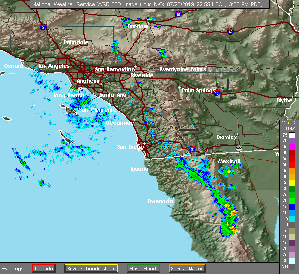 The national weather service in san diego has issued a * severe thunderstorm warning for. northeastern san diego county in southwestern california. until 500 pm pdt. At 355 pm pdt, a severe thunderstorm was located over hwy s22 between ranchita and borrego springs, or 7 miles west of borrego. The national weather service in san diego has issued a * severe thunderstorm warning for. northeastern san diego county in southwestern california. until 500 pm pdt. At 355 pm pdt, a severe thunderstorm was located over hwy s22 between ranchita and borrego springs, or 7 miles west of borrego.
|
| 7/12/2018 2:25 PM PDT |
 At 225 pm pdt, a severe thunderstorm was located near hwy 78 between banner and s2, moving east at 5 mph (radar indicated). Hazards include 70 mph wind gusts and penny size hail. Expect considerable tree damage. damage is likely to mobile homes, roofs, and outbuildings. Locations impacted include, hwy 78 between banner and s2, hwy 78 between s2 and borrego springs rd, borrego springs, hwy 78 between borrego springs rd and ocotillo wells, hwy s2 between shelter valley and agua caliente, fish creek wash, hwy s1 between lake cuyamaca and mount laguna, hwy s2 between hwy 79 and hwy 78 and shelter valley. At 225 pm pdt, a severe thunderstorm was located near hwy 78 between banner and s2, moving east at 5 mph (radar indicated). Hazards include 70 mph wind gusts and penny size hail. Expect considerable tree damage. damage is likely to mobile homes, roofs, and outbuildings. Locations impacted include, hwy 78 between banner and s2, hwy 78 between s2 and borrego springs rd, borrego springs, hwy 78 between borrego springs rd and ocotillo wells, hwy s2 between shelter valley and agua caliente, fish creek wash, hwy s1 between lake cuyamaca and mount laguna, hwy s2 between hwy 79 and hwy 78 and shelter valley.
|
| 7/12/2018 1:53 PM PDT |
 At 153 pm pdt, a severe thunderstorm was located over hwy 78 between banner and s2, moving northeast at 10 mph (radar indicated). Hazards include 70 mph wind gusts and nickel size hail. Expect considerable tree damage. Damage is likely to mobile homes, roofs, and outbuildings. At 153 pm pdt, a severe thunderstorm was located over hwy 78 between banner and s2, moving northeast at 10 mph (radar indicated). Hazards include 70 mph wind gusts and nickel size hail. Expect considerable tree damage. Damage is likely to mobile homes, roofs, and outbuildings.
|
| 9/7/2017 5:58 PM PDT |
 At 544 pm pdt, a severe thunderstorm was located over hwy s22 between borrego springs and imperial county line, or 9 miles north of hwy 78 between borrego springs rd and ocotillo wells, moving northeast at 5 mph. a spotter at the edge of the thunderstorm reported blowing dust obscuring visibility, heavy rainfall, and winds estimated at around 20 to 30 mph (radar indicated). Hazards include 60 mph wind gusts and penny size hail. Expect damage to roofs, siding, and trees, as well as reduced visibilities and erratic winds that could affect travel through the area. Locations impacted include, borrego springs, hwy 78 between borrego springs rd and ocotillo wells, hwy 78 between s2 and borrego springs rd, hwy s22 between borrego springs and imperial county line, hwy s22 between ranchita and borrego springs, ranchita, borrego palm canyon, ocotillo wells, hwy s2 between hwy 79 and hwy 78, los coyotes indian reservation and ocotillo wells vehicular rec area. At 544 pm pdt, a severe thunderstorm was located over hwy s22 between borrego springs and imperial county line, or 9 miles north of hwy 78 between borrego springs rd and ocotillo wells, moving northeast at 5 mph. a spotter at the edge of the thunderstorm reported blowing dust obscuring visibility, heavy rainfall, and winds estimated at around 20 to 30 mph (radar indicated). Hazards include 60 mph wind gusts and penny size hail. Expect damage to roofs, siding, and trees, as well as reduced visibilities and erratic winds that could affect travel through the area. Locations impacted include, borrego springs, hwy 78 between borrego springs rd and ocotillo wells, hwy 78 between s2 and borrego springs rd, hwy s22 between borrego springs and imperial county line, hwy s22 between ranchita and borrego springs, ranchita, borrego palm canyon, ocotillo wells, hwy s2 between hwy 79 and hwy 78, los coyotes indian reservation and ocotillo wells vehicular rec area.
|
| 9/7/2017 5:22 PM PDT |
 At 520 pm pdt, a severe thunderstorm was located over hwy s22 between borrego springs and imperial county line, or 8 miles north of hwy 78 between borrego springs rd and ocotillo wells, moving northeast at 5 mph (radar indicated). Hazards include 60 mph wind gusts and penny size hail. expect damage to roofs, siding, and trees At 520 pm pdt, a severe thunderstorm was located over hwy s22 between borrego springs and imperial county line, or 8 miles north of hwy 78 between borrego springs rd and ocotillo wells, moving northeast at 5 mph (radar indicated). Hazards include 60 mph wind gusts and penny size hail. expect damage to roofs, siding, and trees
|
| 1/31/2016 4:40 PM PST |
 The severe thunderstorm warning for eastern san diego county will expire at 445 pm pst, the line of storms which prompted the warning have weakened below severe limits, and exited the warned area. therefore the warning will be allowed to expire. however gusty winds are still possible with these thunderstorms. The severe thunderstorm warning for eastern san diego county will expire at 445 pm pst, the line of storms which prompted the warning have weakened below severe limits, and exited the warned area. therefore the warning will be allowed to expire. however gusty winds are still possible with these thunderstorms.
|
| 1/31/2016 4:14 PM PST |
 At 411 pm pst, doppler radar indicated a line of severe thunderstorms capable of producing damaging winds in excess of 60 mph. these storms have moved east of the mountain ridge. in addition, several cases of wind damage have been reported. locations impacted include, ramona, alpine, san diego country, jamul, harbison canyon, borrego springs, julian and pine valley. At 411 pm pst, doppler radar indicated a line of severe thunderstorms capable of producing damaging winds in excess of 60 mph. these storms have moved east of the mountain ridge. in addition, several cases of wind damage have been reported. locations impacted include, ramona, alpine, san diego country, jamul, harbison canyon, borrego springs, julian and pine valley.
|
| 1/31/2016 3:22 PM PST |
 At 321 pm pst, doppler radar indicated a line of severe thunderstorms capable of producing damaging winds in excess of 60 mph. these storms were located along a line extending from 18 miles northeast of ramona to 12 miles southeast of bonita, and moving east at 40 mph. At 321 pm pst, doppler radar indicated a line of severe thunderstorms capable of producing damaging winds in excess of 60 mph. these storms were located along a line extending from 18 miles northeast of ramona to 12 miles southeast of bonita, and moving east at 40 mph.
|
| 7/17/2015 5:51 PM PDT | Thunderstorms produced a 60 mph wind gust at borrego springs air ranc in san diego county CA, 6.2 miles NW of Borrego Springs, CA |
| 9/6/2013 2:41 PM PDT | Mesonet station borrego springs /dw1021/ in san diego county CA, 6.2 miles NW of Borrego Springs, CA |
| 9/6/2013 2:29 PM PDT | California highway patrol reported power lines down on borrego valley road and rango way blocking both directions of traffi in san diego county CA, 2.3 miles N of Borrego Springs, CA |
| 9/6/2013 1:58 PM PDT | Quarter sized hail reported 10 miles ENE of Borrego Springs, CA, publice report of quarter sized hail |
| 9/9/2012 8:30 PM PDT | At 830 pm pdt...borrego springs sdge station measured sustained 34 mph gusting to 60 mp in san diego county CA, 0.5 miles SW of Borrego Springs, CA |
| 9/9/2012 8:23 PM PDT | 3300 borrego valley road. power pole down...wires at car leve in san diego county CA, 1 miles NNW of Borrego Springs, CA |
| 1/1/0001 12:00 AM | 3 power poles reported down by wind. anza borrego state park ranger in san diego county CA, 12.8 miles NW of Borrego Springs, CA |
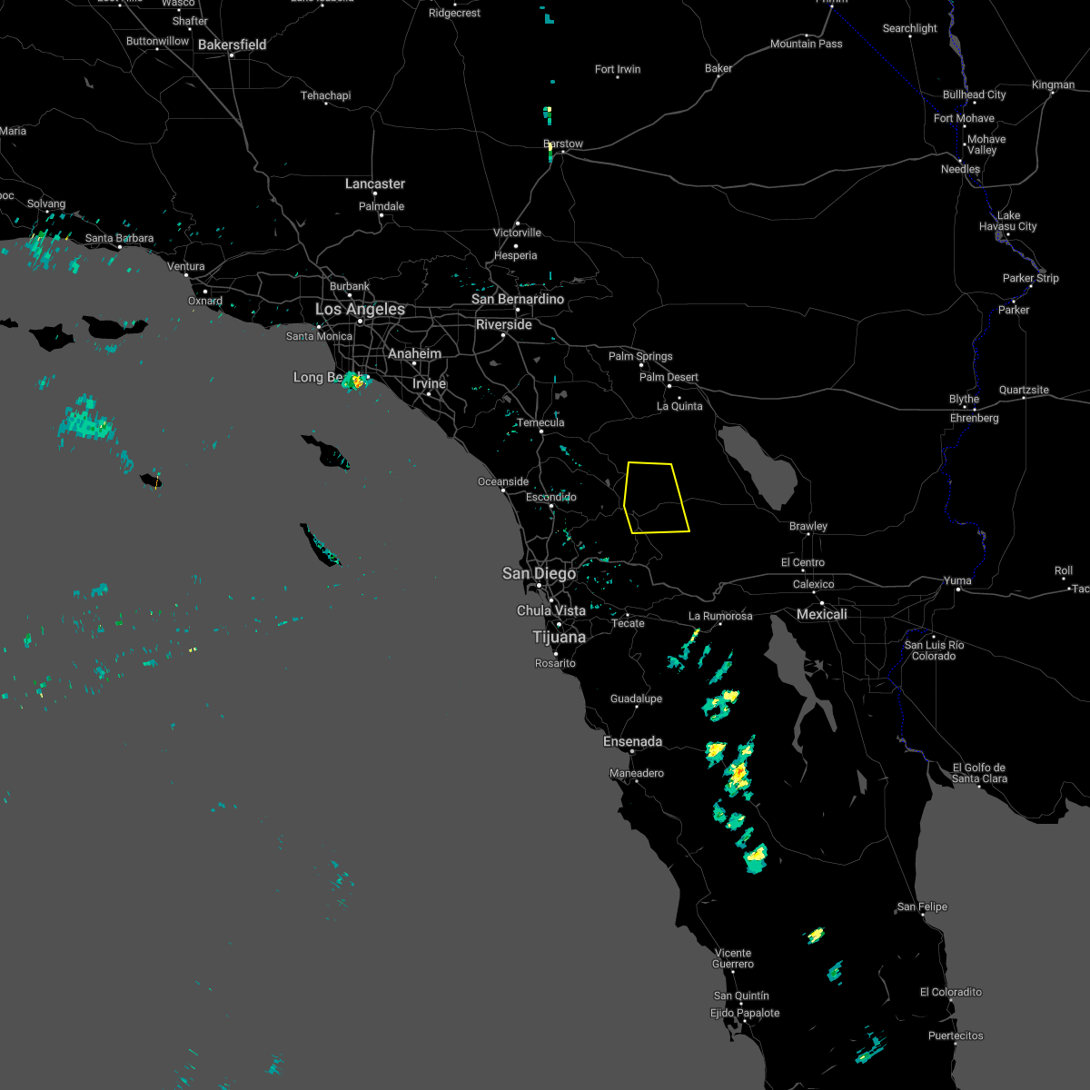
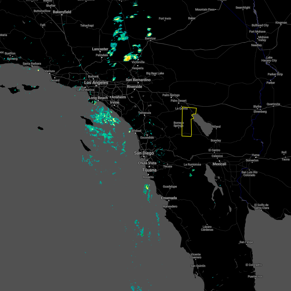
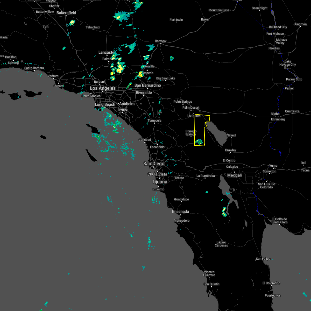
Hail Maps for Borrego Springs, CA


Connect with Interactive Hail Maps