

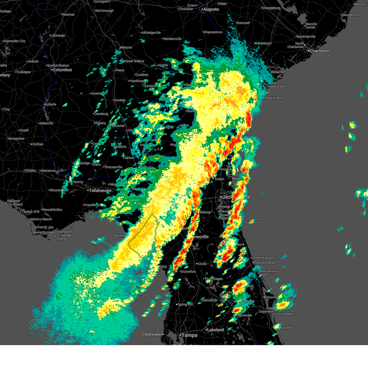
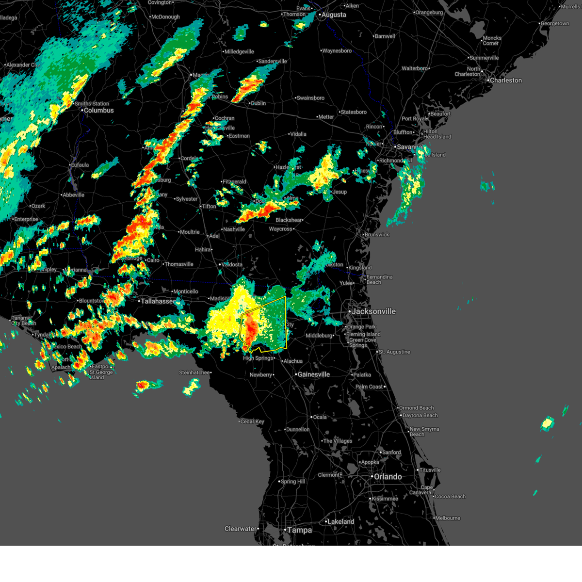
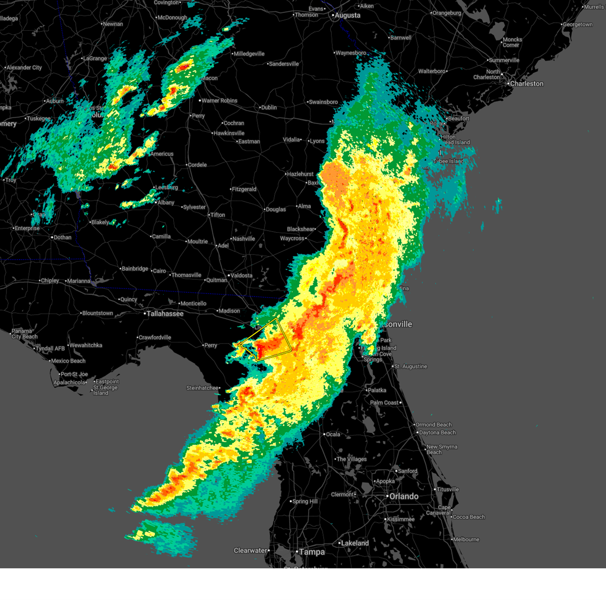
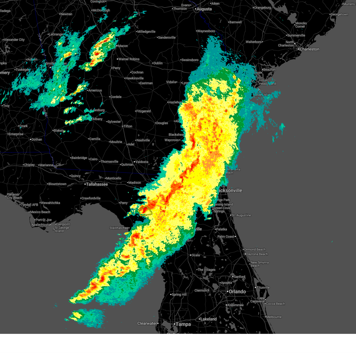
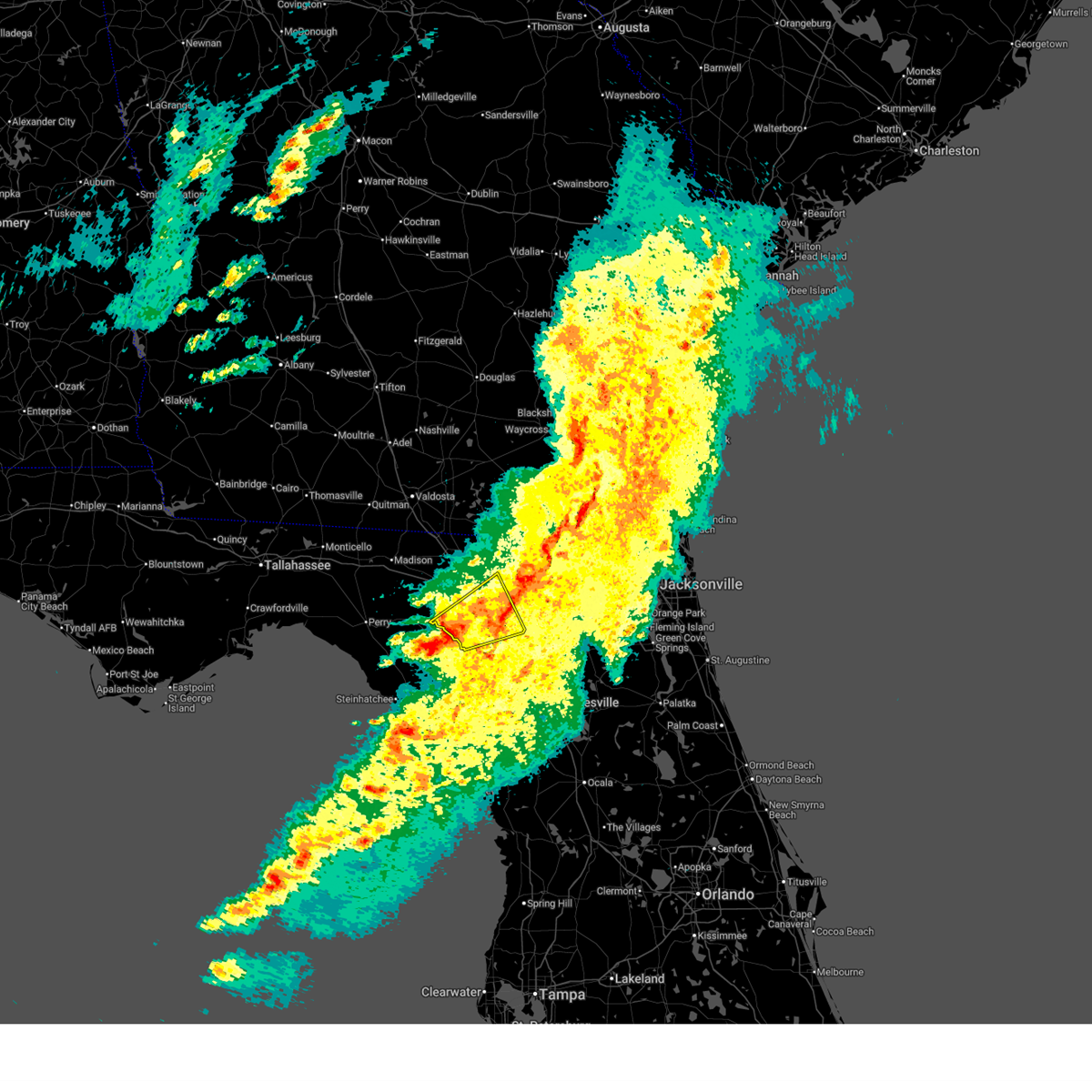
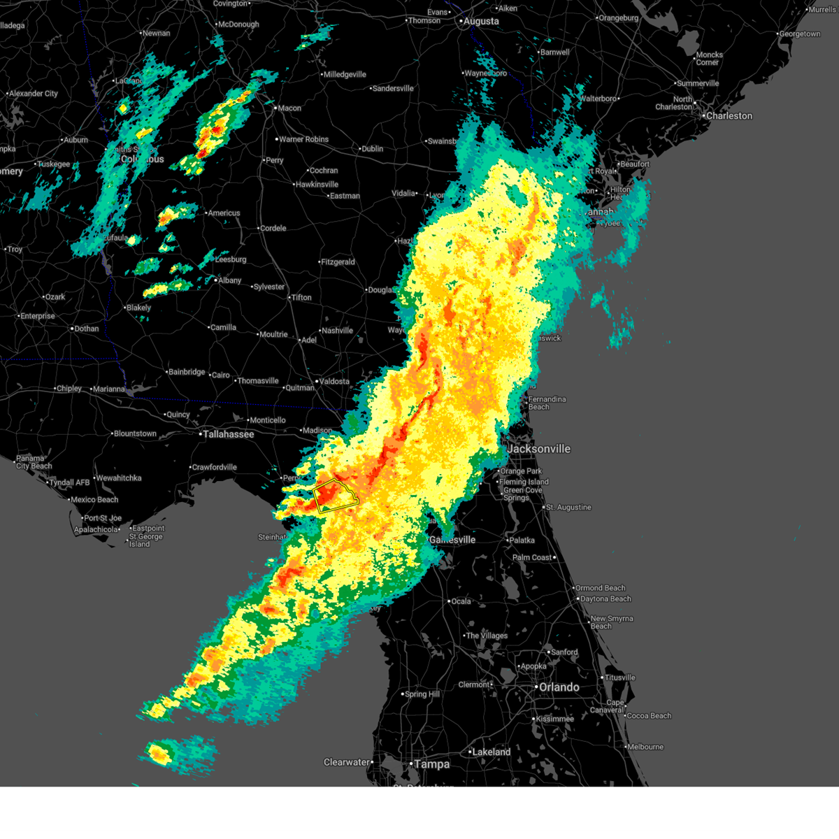
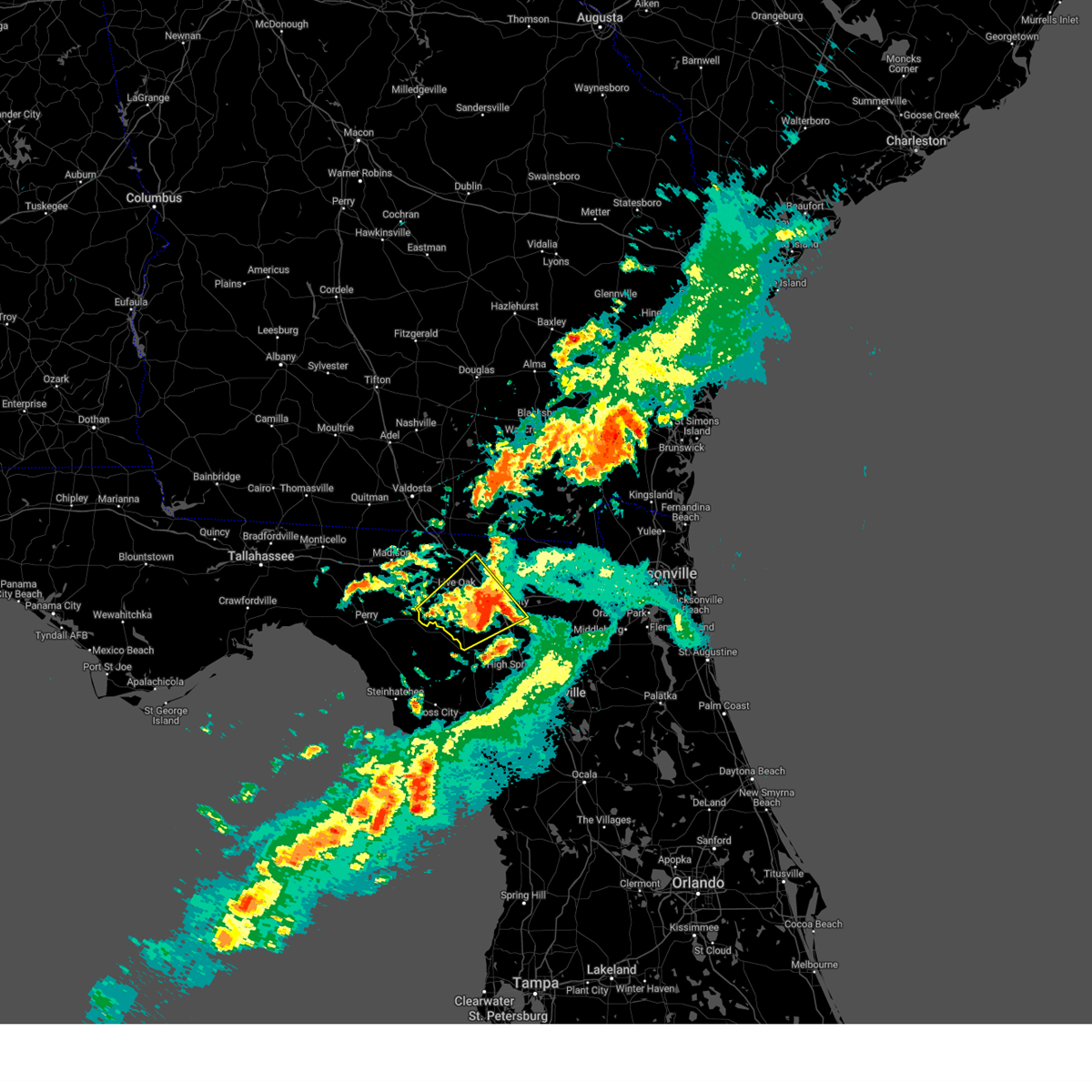
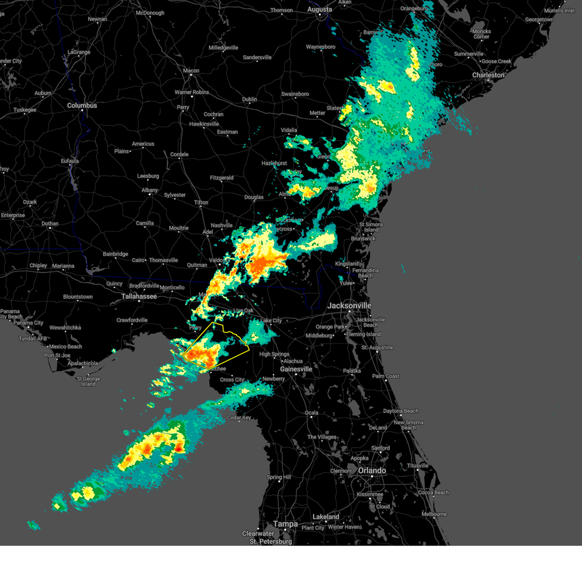
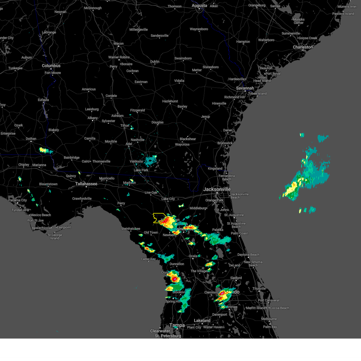
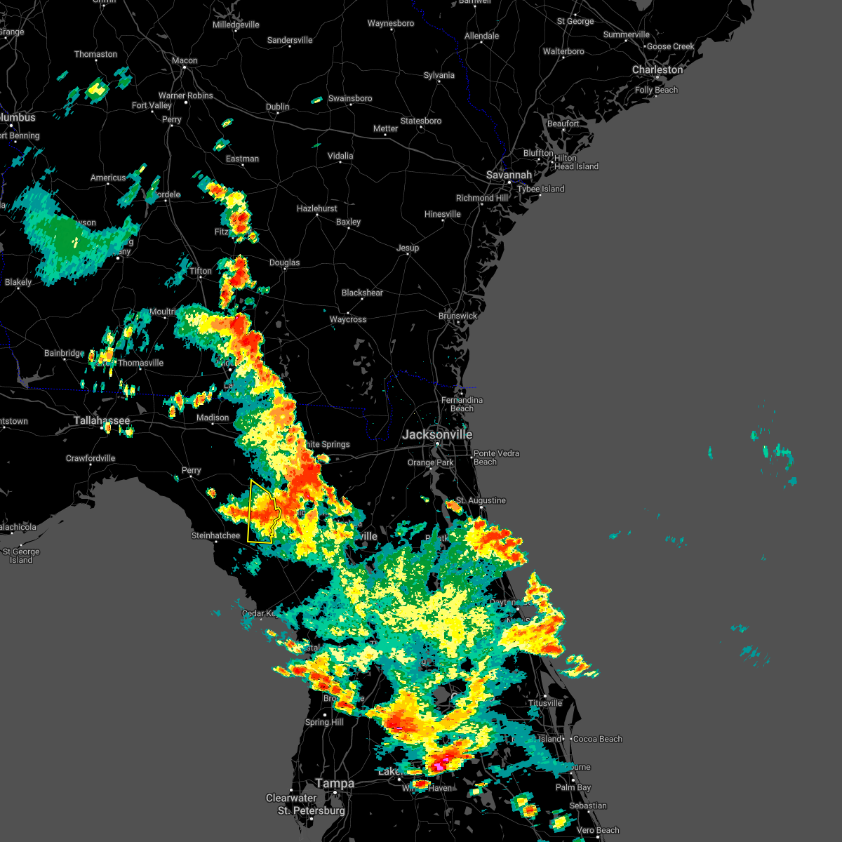
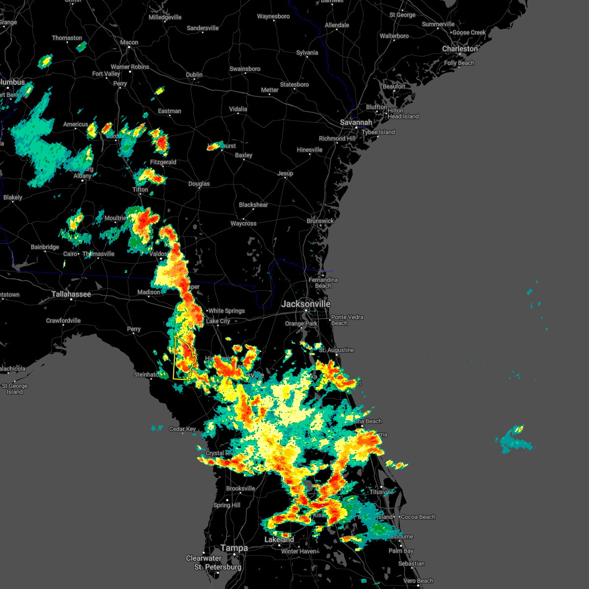
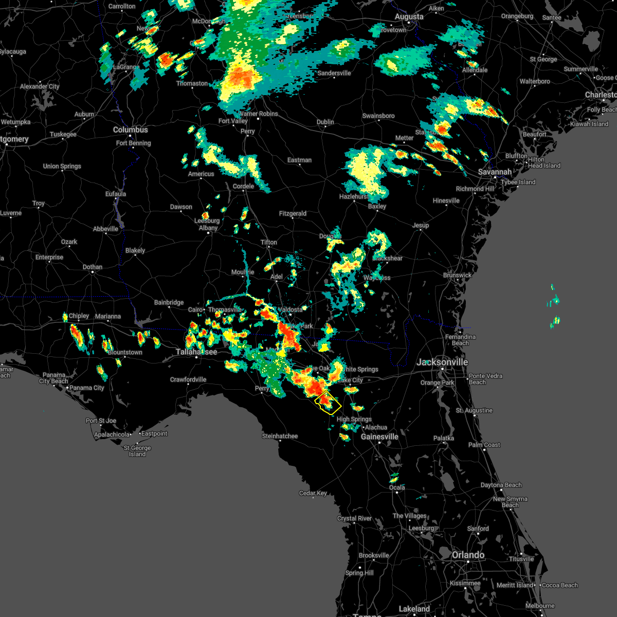
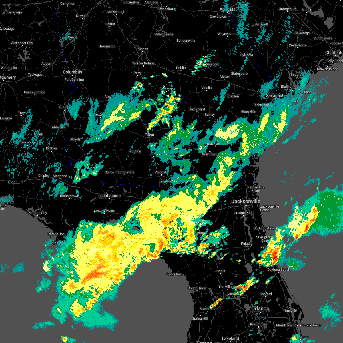
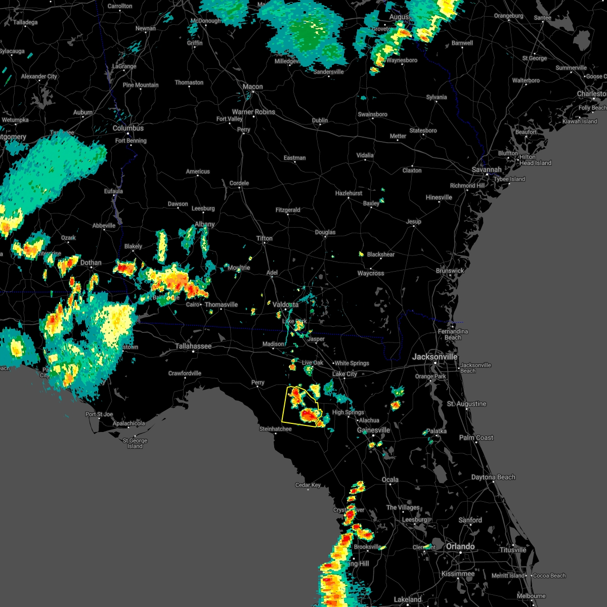
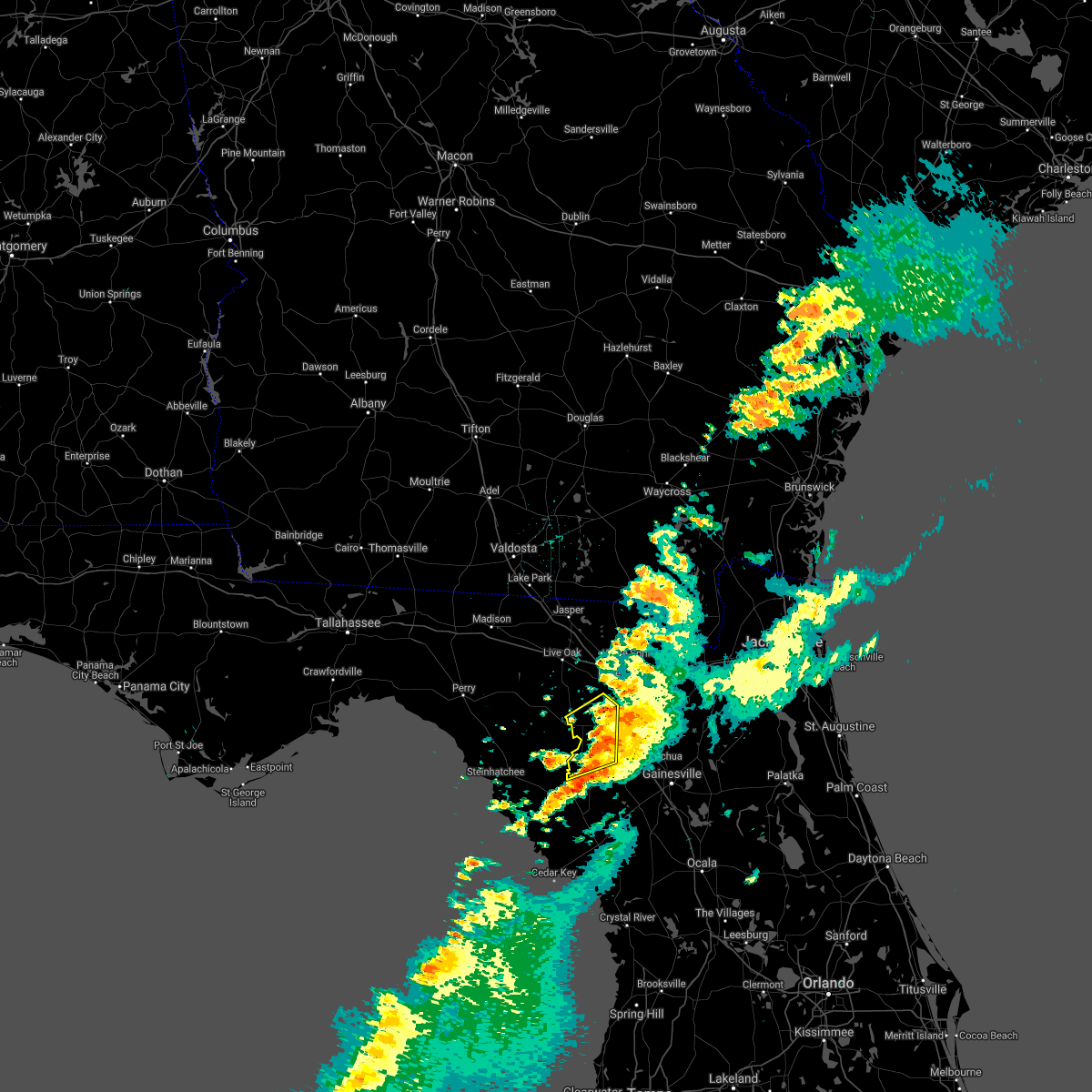
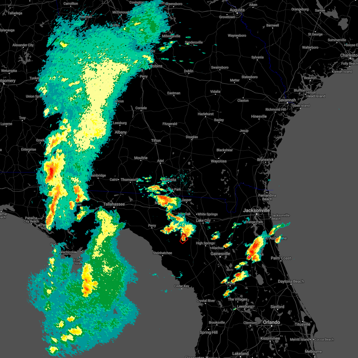
Hail Map for Branford, FL
The Branford, FL area has had 0 reports of on-the-ground hail by trained spotters, and has been under severe weather warnings 11 times during the past 12 months. Doppler radar has detected hail at or near Branford, FL on 39 occasions, including 3 occasions during the past year.
| Name: | Branford, FL |
| Where Located: | 80.2 miles WSW of Jacksonville, FL |
| Map: | Google Map for Branford, FL |
| Population: | 712 |
| Housing Units: | 347 |
| More Info: | Search Google for Branford, FL |
0
The Top Recent Hail Date for Branford, FL is Saturday, May 16, 2026 (14th out of 39)

Hail and Wind Damage Spotted near Branford, FL
| Date / Time | Report Details |
|---|---|
| 3/16/2026 2:17 PM EDT |
 the severe thunderstorm warning has been cancelled and is no longer in effect the severe thunderstorm warning has been cancelled and is no longer in effect
|
| 3/16/2026 1:26 PM EDT |
 The storms which prompted the warning have moved out of the area. therefore, the warning will be allowed to expire. however, gusty winds are still possible with these thunderstorms. a tornado watch remains in effect until 200 pm edt for big bend florida. remember, a severe thunderstorm warning still remains in effect for southern lafayette and all of dixie county until 2:30 pm edt. The storms which prompted the warning have moved out of the area. therefore, the warning will be allowed to expire. however, gusty winds are still possible with these thunderstorms. a tornado watch remains in effect until 200 pm edt for big bend florida. remember, a severe thunderstorm warning still remains in effect for southern lafayette and all of dixie county until 2:30 pm edt.
|
| 3/16/2026 1:25 PM EDT |
 Svrtae the national weather service in tallahassee has issued a * severe thunderstorm warning for, southeastern lafayette county in big bend florida, dixie county in big bend florida, * until 230 pm edt. * at 125 pm edt, severe thunderstorms were located along a line extending from near ichetucknee spring to near cross city to 14 miles west of horseshoe point to 38 miles southwest of fowlers bluff, moving east at 35 mph (radar indicated). Hazards include 60 mph wind gusts and quarter size hail. Hail damage to vehicles is expected. Expect wind damage to roofs, siding, and trees. Svrtae the national weather service in tallahassee has issued a * severe thunderstorm warning for, southeastern lafayette county in big bend florida, dixie county in big bend florida, * until 230 pm edt. * at 125 pm edt, severe thunderstorms were located along a line extending from near ichetucknee spring to near cross city to 14 miles west of horseshoe point to 38 miles southwest of fowlers bluff, moving east at 35 mph (radar indicated). Hazards include 60 mph wind gusts and quarter size hail. Hail damage to vehicles is expected. Expect wind damage to roofs, siding, and trees.
|
| 3/16/2026 12:47 PM EDT |
 Svrtae the national weather service in tallahassee has issued a * severe thunderstorm warning for, lafayette county in big bend florida, dixie county in big bend florida, southeastern taylor county in big bend florida, * until 130 pm edt. * at 1246 pm edt, severe thunderstorms were located along a line extending from near luraville to 8 miles north of steinhatchee to 43 miles west of horseshoe point, moving east at 45 mph (radar indicated). Hazards include 60 mph wind gusts and quarter size hail. Hail damage to vehicles is expected. Expect wind damage to roofs, siding, and trees. Svrtae the national weather service in tallahassee has issued a * severe thunderstorm warning for, lafayette county in big bend florida, dixie county in big bend florida, southeastern taylor county in big bend florida, * until 130 pm edt. * at 1246 pm edt, severe thunderstorms were located along a line extending from near luraville to 8 miles north of steinhatchee to 43 miles west of horseshoe point, moving east at 45 mph (radar indicated). Hazards include 60 mph wind gusts and quarter size hail. Hail damage to vehicles is expected. Expect wind damage to roofs, siding, and trees.
|
| 3/16/2026 6:42 AM EDT |
 The storms which prompted the warning have weakened below severe limits, and no longer pose an immediate threat to life or property. therefore, the warning will be allowed to expire. however, small hail, gusty winds and heavy rain are still possible with these thunderstorms. The storms which prompted the warning have weakened below severe limits, and no longer pose an immediate threat to life or property. therefore, the warning will be allowed to expire. however, small hail, gusty winds and heavy rain are still possible with these thunderstorms.
|
| 3/16/2026 6:17 AM EDT |
 Svrjax the national weather service in jacksonville has issued a * severe thunderstorm warning for, western union county in northern florida, columbia county in northern florida, eastern suwannee county in northern florida, southeastern hamilton county in northern florida, * until 645 am edt. * at 617 am edt, severe thunderstorms were located along a line extending from near live oak to near obrien, moving northeast at 35 mph (radar indicated). Hazards include 60 mph wind gusts and penny size hail. expect damage to roofs, siding, and trees Svrjax the national weather service in jacksonville has issued a * severe thunderstorm warning for, western union county in northern florida, columbia county in northern florida, eastern suwannee county in northern florida, southeastern hamilton county in northern florida, * until 645 am edt. * at 617 am edt, severe thunderstorms were located along a line extending from near live oak to near obrien, moving northeast at 35 mph (radar indicated). Hazards include 60 mph wind gusts and penny size hail. expect damage to roofs, siding, and trees
|
| 2/15/2026 4:13 PM EST |
 The storm which prompted the warning has moved out of the area. therefore, the warning will be allowed to expire. a tornado watch remains in effect until 500 pm est for big bend florida. The storm which prompted the warning has moved out of the area. therefore, the warning will be allowed to expire. a tornado watch remains in effect until 500 pm est for big bend florida.
|
| 2/15/2026 4:10 PM EST |
 The storm which prompted the warning has weakened below severe limits, and no longer poses an immediate threat to life or property. therefore, the warning will be allowed to expire. however, gusty winds are still possible with this thunderstorm. a tornado watch remains in effect until 800 pm est for northern florida. The storm which prompted the warning has weakened below severe limits, and no longer poses an immediate threat to life or property. therefore, the warning will be allowed to expire. however, gusty winds are still possible with this thunderstorm. a tornado watch remains in effect until 800 pm est for northern florida.
|
| 2/15/2026 3:56 PM EST |
 Svrtae the national weather service in tallahassee has issued a * severe thunderstorm warning for, southeastern lafayette county in big bend florida, * until 415 pm est. * at 356 pm est, a severe thunderstorm was located 8 miles southwest of obrien, or 11 miles southeast of mayo, moving east at 30 mph (radar indicated). Hazards include 60 mph wind gusts. expect damage to roofs, siding, and trees Svrtae the national weather service in tallahassee has issued a * severe thunderstorm warning for, southeastern lafayette county in big bend florida, * until 415 pm est. * at 356 pm est, a severe thunderstorm was located 8 miles southwest of obrien, or 11 miles southeast of mayo, moving east at 30 mph (radar indicated). Hazards include 60 mph wind gusts. expect damage to roofs, siding, and trees
|
| 2/15/2026 3:47 PM EST |
 Svrjax the national weather service in jacksonville has issued a * severe thunderstorm warning for, central columbia county in northern florida, southern suwannee county in northern florida, southeastern hamilton county in northern florida, * until 415 pm est. * at 347 pm est, a severe thunderstorm was located near obrien, or 8 miles east of mayo, moving northeast at 50 mph (radar indicated). Hazards include 60 mph wind gusts. expect damage to roofs, siding, and trees Svrjax the national weather service in jacksonville has issued a * severe thunderstorm warning for, central columbia county in northern florida, southern suwannee county in northern florida, southeastern hamilton county in northern florida, * until 415 pm est. * at 347 pm est, a severe thunderstorm was located near obrien, or 8 miles east of mayo, moving northeast at 50 mph (radar indicated). Hazards include 60 mph wind gusts. expect damage to roofs, siding, and trees
|
| 2/15/2026 3:37 PM EST |
 Svrtae the national weather service in tallahassee has issued a * severe thunderstorm warning for, southern lafayette county in big bend florida, * until 400 pm est. * at 337 pm est, a severe thunderstorm was located near mayo, moving east at 55 mph (radar indicated). Hazards include 60 mph wind gusts. expect damage to roofs, siding, and trees Svrtae the national weather service in tallahassee has issued a * severe thunderstorm warning for, southern lafayette county in big bend florida, * until 400 pm est. * at 337 pm est, a severe thunderstorm was located near mayo, moving east at 55 mph (radar indicated). Hazards include 60 mph wind gusts. expect damage to roofs, siding, and trees
|
| 3/16/2025 11:12 AM EDT |
 The storm which prompted the warning has moved out of the area. therefore, the warning will be allowed to expire. a tornado watch remains in effect until 300 pm edt for northern florida. The storm which prompted the warning has moved out of the area. therefore, the warning will be allowed to expire. a tornado watch remains in effect until 300 pm edt for northern florida.
|
| 3/16/2025 10:38 AM EDT |
 Svrjax the national weather service in jacksonville has issued a * severe thunderstorm warning for, central columbia county in northern florida, suwannee county in northern florida, southeastern hamilton county in northern florida, * until 1115 am edt. * at 1037 am edt, a severe thunderstorm was located over mayo, moving east at 40 mph (radar indicated). Hazards include 60 mph wind gusts and quarter size hail. Hail damage to vehicles is expected. Expect wind damage to roofs, siding, and trees. Svrjax the national weather service in jacksonville has issued a * severe thunderstorm warning for, central columbia county in northern florida, suwannee county in northern florida, southeastern hamilton county in northern florida, * until 1115 am edt. * at 1037 am edt, a severe thunderstorm was located over mayo, moving east at 40 mph (radar indicated). Hazards include 60 mph wind gusts and quarter size hail. Hail damage to vehicles is expected. Expect wind damage to roofs, siding, and trees.
|
| 3/16/2025 10:35 AM EDT |
 At 1035 am edt, severe thunderstorms were located along a line extending from near mayo to 10 miles east of perry, moving east at 50 mph (radar indicated). Hazards include 60 mph wind gusts and penny size hail. Expect damage to roofs, siding, and trees. Locations impacted include, san pedro junction, grady, alton, and mayo. At 1035 am edt, severe thunderstorms were located along a line extending from near mayo to 10 miles east of perry, moving east at 50 mph (radar indicated). Hazards include 60 mph wind gusts and penny size hail. Expect damage to roofs, siding, and trees. Locations impacted include, san pedro junction, grady, alton, and mayo.
|
| 3/16/2025 10:35 AM EDT |
 the severe thunderstorm warning has been cancelled and is no longer in effect the severe thunderstorm warning has been cancelled and is no longer in effect
|
| 3/16/2025 10:20 AM EDT |
 At 1019 am edt, severe thunderstorms were located along a line extending from 12 miles southwest of mayo to 9 miles south of perry, moving northeast at 50 mph (radar indicated). Hazards include 60 mph wind gusts and penny size hail. Expect damage to roofs, siding, and trees. Locations impacted include, pinland, cooks hammock, smith, buckville, carbur, alton, mayo, townsend, grady, salem, athena, san pedro junction, and fenholloway. At 1019 am edt, severe thunderstorms were located along a line extending from 12 miles southwest of mayo to 9 miles south of perry, moving northeast at 50 mph (radar indicated). Hazards include 60 mph wind gusts and penny size hail. Expect damage to roofs, siding, and trees. Locations impacted include, pinland, cooks hammock, smith, buckville, carbur, alton, mayo, townsend, grady, salem, athena, san pedro junction, and fenholloway.
|
| 3/16/2025 10:20 AM EDT |
 the severe thunderstorm warning has been cancelled and is no longer in effect the severe thunderstorm warning has been cancelled and is no longer in effect
|
| 3/16/2025 10:10 AM EDT |
 At 1009 am edt, severe thunderstorms were located along a line extending from 11 miles north of steinhatchee to 14 miles south of perry, and are nearly stationary (radar indicated). Hazards include 60 mph wind gusts and penny size hail. Expect damage to roofs, siding, and trees. Locations impacted include, pinland, tennille, jug island, clara, buckville, dekle beach, jack lee island, grady, salem, san pedro junction, cedar island, fish creek, cooks hammock, howell place, smith, carbur, alton, mayo, adams beach, and townsend. At 1009 am edt, severe thunderstorms were located along a line extending from 11 miles north of steinhatchee to 14 miles south of perry, and are nearly stationary (radar indicated). Hazards include 60 mph wind gusts and penny size hail. Expect damage to roofs, siding, and trees. Locations impacted include, pinland, tennille, jug island, clara, buckville, dekle beach, jack lee island, grady, salem, san pedro junction, cedar island, fish creek, cooks hammock, howell place, smith, carbur, alton, mayo, adams beach, and townsend.
|
| 3/16/2025 9:58 AM EDT |
 Svrtae the national weather service in tallahassee has issued a * severe thunderstorm warning for, lafayette county in big bend florida, northwestern dixie county in big bend florida, southeastern taylor county in big bend florida, * until 1045 am edt. * at 958 am edt, severe thunderstorms were located along a line extending from 11 miles north of steinhatchee to 14 miles south of perry, moving northeast at 50 mph (radar indicated). Hazards include 60 mph wind gusts and penny size hail. expect damage to roofs, siding, and trees Svrtae the national weather service in tallahassee has issued a * severe thunderstorm warning for, lafayette county in big bend florida, northwestern dixie county in big bend florida, southeastern taylor county in big bend florida, * until 1045 am edt. * at 958 am edt, severe thunderstorms were located along a line extending from 11 miles north of steinhatchee to 14 miles south of perry, moving northeast at 50 mph (radar indicated). Hazards include 60 mph wind gusts and penny size hail. expect damage to roofs, siding, and trees
|
| 5/10/2024 8:09 AM EDT | the tornado warning has been cancelled and is no longer in effect |
| 5/10/2024 8:00 AM EDT |
 At 800 am edt, severe thunderstorms were located along a line extending from moody air force base to 7 miles southwest of dowling park to near steinhatchee, moving east at 45 mph (radar indicated). Hazards include 70 mph wind gusts and quarter size hail. possible tornadoes. Hail damage to vehicles is expected. expect considerable tree damage. wind damage is also likely to mobile homes, roofs, and outbuildings. Locations impacted include, lake city, live oak, jasper, homerville, trenton, jennings, white springs, bell, fargo, and statenville. At 800 am edt, severe thunderstorms were located along a line extending from moody air force base to 7 miles southwest of dowling park to near steinhatchee, moving east at 45 mph (radar indicated). Hazards include 70 mph wind gusts and quarter size hail. possible tornadoes. Hail damage to vehicles is expected. expect considerable tree damage. wind damage is also likely to mobile homes, roofs, and outbuildings. Locations impacted include, lake city, live oak, jasper, homerville, trenton, jennings, white springs, bell, fargo, and statenville.
|
| 5/10/2024 7:50 AM EDT |
 Svrjax the national weather service in jacksonville has issued a * severe thunderstorm warning for, gilchrist county in northern florida, suwannee county in northern florida, western columbia county in northern florida, hamilton county in northern florida, echols county in southeastern georgia, west central ware county in southeastern georgia, clinch county in southeastern georgia, * until 830 am edt. * at 750 am edt, severe thunderstorms were located along a line extending from near hahira to 7 miles west of dowling park to 18 miles northwest of steinhatchee, moving east at 55 mph (radar indicated). Hazards include 70 mph wind gusts and quarter size hail. Hail damage to vehicles is expected. expect considerable tree damage. Wind damage is also likely to mobile homes, roofs, and outbuildings. Svrjax the national weather service in jacksonville has issued a * severe thunderstorm warning for, gilchrist county in northern florida, suwannee county in northern florida, western columbia county in northern florida, hamilton county in northern florida, echols county in southeastern georgia, west central ware county in southeastern georgia, clinch county in southeastern georgia, * until 830 am edt. * at 750 am edt, severe thunderstorms were located along a line extending from near hahira to 7 miles west of dowling park to 18 miles northwest of steinhatchee, moving east at 55 mph (radar indicated). Hazards include 70 mph wind gusts and quarter size hail. Hail damage to vehicles is expected. expect considerable tree damage. Wind damage is also likely to mobile homes, roofs, and outbuildings.
|
| 5/10/2024 7:41 AM EDT | Tortae the national weather service in tallahassee has issued a * tornado warning for, lafayette county in big bend florida, taylor county in big bend florida, * until 845 am edt. * at 740 am edt, severe thunderstorms capable of producing a tornado were located along a line extending from 12 miles north of perry to 30 miles northwest of steinhatchee, moving east at 70 mph (radar indicated rotation). Hazards include tornado. Flying debris will be dangerous to those caught without shelter. mobile homes will be damaged or destroyed. damage to roofs, windows, and vehicles will occur. tree damage is likely. these dangerous storms will be near, perry around 745 am edt. mayo around 805 am edt. Other locations impacted by these tornadic storms include pinland, jug island, buckville, dekle beach, jack lee island, grady, hatch bend, foley, salem, and perry-foley airport. |
| 4/11/2024 8:28 AM EDT |
 The storms which prompted the warning have weakened below severe limits, and no longer pose an immediate threat to life or property. therefore, the warning will be allowed to expire. however, gusty winds and heavy rain are still possible with these thunderstorms. a tornado watch remains in effect until 300 pm edt for northern and northeastern florida. The storms which prompted the warning have weakened below severe limits, and no longer pose an immediate threat to life or property. therefore, the warning will be allowed to expire. however, gusty winds and heavy rain are still possible with these thunderstorms. a tornado watch remains in effect until 300 pm edt for northern and northeastern florida.
|
| 4/11/2024 8:26 AM EDT |
 The storm which prompted the warning has weakened below severe limits, and no longer poses an immediate threat to life or property. therefore, the warning will be allowed to expire. a tornado watch remains in effect until 300 pm edt for big bend florida. The storm which prompted the warning has weakened below severe limits, and no longer poses an immediate threat to life or property. therefore, the warning will be allowed to expire. a tornado watch remains in effect until 300 pm edt for big bend florida.
|
| 4/11/2024 8:24 AM EDT |
 At 824 am edt, severe thunderstorms were located along a line extending from 7 miles south of fargo to 6 miles east of luraville, moving east at 35 mph (radar indicated). Hazards include 60 mph wind gusts. Expect damage to roofs, siding, and trees. Locations impacted include, lake city, white springs, ichetucknee spring, columbia, fort white, winfield, suwannee valley, mcalpin, wellborn, and five points. At 824 am edt, severe thunderstorms were located along a line extending from 7 miles south of fargo to 6 miles east of luraville, moving east at 35 mph (radar indicated). Hazards include 60 mph wind gusts. Expect damage to roofs, siding, and trees. Locations impacted include, lake city, white springs, ichetucknee spring, columbia, fort white, winfield, suwannee valley, mcalpin, wellborn, and five points.
|
| 4/11/2024 8:22 AM EDT |
 At 822 am edt, severe thunderstorms were located along a line extending from 7 miles south of fargo to near mcalpin, moving east at 35 mph (radar indicated). Hazards include 60 mph wind gusts. Expect damage to roofs, siding, and trees. Locations impacted include, lake city, white springs, ichetucknee spring, columbia, fort white, winfield, suwannee valley, mcalpin, wellborn, and five points. At 822 am edt, severe thunderstorms were located along a line extending from 7 miles south of fargo to near mcalpin, moving east at 35 mph (radar indicated). Hazards include 60 mph wind gusts. Expect damage to roofs, siding, and trees. Locations impacted include, lake city, white springs, ichetucknee spring, columbia, fort white, winfield, suwannee valley, mcalpin, wellborn, and five points.
|
| 4/11/2024 8:18 AM EDT |
 At 817 am edt, severe thunderstorms were located along a line extending from 7 miles south of fargo to 6 miles southwest of mcalpin, moving east at 25 mph (radar indicated). Hazards include 60 mph wind gusts. Expect damage to roofs, siding, and trees. Locations impacted include, lake city, white springs, ichetucknee spring, columbia, fort white, winfield, suwannee valley, belmont, mcalpin, and wellborn. At 817 am edt, severe thunderstorms were located along a line extending from 7 miles south of fargo to 6 miles southwest of mcalpin, moving east at 25 mph (radar indicated). Hazards include 60 mph wind gusts. Expect damage to roofs, siding, and trees. Locations impacted include, lake city, white springs, ichetucknee spring, columbia, fort white, winfield, suwannee valley, belmont, mcalpin, and wellborn.
|
| 4/11/2024 8:12 AM EDT |
 At 812 am edt, severe thunderstorms were located along a line extending from 7 miles south of fargo to near obrien, moving east at 40 mph (radar indicated). Hazards include 60 mph wind gusts. Expect damage to roofs, siding, and trees. Locations impacted include, lake city, live oak, white springs, ichetucknee spring, columbia, fort white, winfield, suwannee valley, belmont, and mcalpin. At 812 am edt, severe thunderstorms were located along a line extending from 7 miles south of fargo to near obrien, moving east at 40 mph (radar indicated). Hazards include 60 mph wind gusts. Expect damage to roofs, siding, and trees. Locations impacted include, lake city, live oak, white springs, ichetucknee spring, columbia, fort white, winfield, suwannee valley, belmont, and mcalpin.
|
| 4/11/2024 7:58 AM EDT |
 Svrjax the national weather service in jacksonville has issued a * severe thunderstorm warning for, eastern suwannee county in northern florida, columbia county in northern florida, eastern hamilton county in northern florida, * until 830 am edt. * at 758 am edt, severe thunderstorms were located along a line extending from 9 miles northwest of belmont to near ichetucknee spring, moving east at 35 mph (radar indicated). Hazards include 60 mph wind gusts. expect damage to roofs, siding, and trees Svrjax the national weather service in jacksonville has issued a * severe thunderstorm warning for, eastern suwannee county in northern florida, columbia county in northern florida, eastern hamilton county in northern florida, * until 830 am edt. * at 758 am edt, severe thunderstorms were located along a line extending from 9 miles northwest of belmont to near ichetucknee spring, moving east at 35 mph (radar indicated). Hazards include 60 mph wind gusts. expect damage to roofs, siding, and trees
|
| 4/11/2024 7:39 AM EDT |
 Svrtae the national weather service in tallahassee has issued a * severe thunderstorm warning for, lafayette county in big bend florida, northwestern dixie county in big bend florida, southeastern taylor county in big bend florida, * until 830 am edt. * at 739 am edt, a severe thunderstorm was located 15 miles northwest of steinhatchee, moving northeast at 50 mph (radar indicated). Hazards include 60 mph wind gusts. expect damage to roofs, siding, and trees Svrtae the national weather service in tallahassee has issued a * severe thunderstorm warning for, lafayette county in big bend florida, northwestern dixie county in big bend florida, southeastern taylor county in big bend florida, * until 830 am edt. * at 739 am edt, a severe thunderstorm was located 15 miles northwest of steinhatchee, moving northeast at 50 mph (radar indicated). Hazards include 60 mph wind gusts. expect damage to roofs, siding, and trees
|
| 4/3/2024 10:12 AM EDT |
 Svrjax the national weather service in jacksonville has issued a * severe thunderstorm warning for, central gilchrist county in northern florida, central bradford county in northern florida, northwestern alachua county in northern florida, southern baker county in northeastern florida, union county in northern florida, southeastern suwannee county in northern florida, southern columbia county in northern florida, * until 1115 am edt. * at 1012 am edt, severe thunderstorms were located along a line extending from near wellborn to 6 miles north of bell, moving east at 35 mph (radar indicated). Hazards include 60 mph wind gusts and penny size hail. expect damage to roofs, siding, and trees Svrjax the national weather service in jacksonville has issued a * severe thunderstorm warning for, central gilchrist county in northern florida, central bradford county in northern florida, northwestern alachua county in northern florida, southern baker county in northeastern florida, union county in northern florida, southeastern suwannee county in northern florida, southern columbia county in northern florida, * until 1115 am edt. * at 1012 am edt, severe thunderstorms were located along a line extending from near wellborn to 6 miles north of bell, moving east at 35 mph (radar indicated). Hazards include 60 mph wind gusts and penny size hail. expect damage to roofs, siding, and trees
|
| 1/9/2024 1:27 PM EST |
 At 126 pm est, severe thunderstorms were located along a line extending from 9 miles northwest of belmont to near obrien, moving east at 40 mph (radar indicated). Hazards include 60 mph wind gusts. expect damage to roofs, siding, and trees At 126 pm est, severe thunderstorms were located along a line extending from 9 miles northwest of belmont to near obrien, moving east at 40 mph (radar indicated). Hazards include 60 mph wind gusts. expect damage to roofs, siding, and trees
|
| 1/6/2024 5:23 AM EST |
 At 523 am est, severe thunderstorms were located along a line extending from 7 miles west of luraville to 19 miles west of steinhatchee, moving east at 40 mph. there are reports of trees and power lines down in the perry area with these storms (radar indicated). Hazards include 60 mph wind gusts. expect damage to roofs, siding, and trees At 523 am est, severe thunderstorms were located along a line extending from 7 miles west of luraville to 19 miles west of steinhatchee, moving east at 40 mph. there are reports of trees and power lines down in the perry area with these storms (radar indicated). Hazards include 60 mph wind gusts. expect damage to roofs, siding, and trees
|
| 8/4/2023 7:43 PM EDT |
 At 742 pm edt, severe thunderstorms were located along a line extending from near bell to 16 miles northwest of steinhatchee, moving southeast at 40 mph (radar indicated). Hazards include 60 mph wind gusts. expect damage to roofs, siding, and trees At 742 pm edt, severe thunderstorms were located along a line extending from near bell to 16 miles northwest of steinhatchee, moving southeast at 40 mph (radar indicated). Hazards include 60 mph wind gusts. expect damage to roofs, siding, and trees
|
| 8/4/2023 6:53 PM EDT |
 At 653 pm edt, severe thunderstorms were located along a line extending from near live oak to near luraville to 11 miles east of perry, moving southeast at 15 mph (radar indicated). Hazards include 60 mph wind gusts. expect damage to roofs, siding, and trees At 653 pm edt, severe thunderstorms were located along a line extending from near live oak to near luraville to 11 miles east of perry, moving southeast at 15 mph (radar indicated). Hazards include 60 mph wind gusts. expect damage to roofs, siding, and trees
|
| 7/10/2023 11:56 AM EDT |
 At 1156 am edt, severe thunderstorms were located along a line extending from near obrien to 30 miles west of horseshoe point, moving east at 25 mph (radar indicated). Hazards include 60 mph wind gusts. Expect damage to roofs, siding, and trees. locations impacted include, cross city, steinhatchee, horseshoe point, suwannee, horseshoe beach, tennille, shamrock, clara, cross city airport, shired island, old town, jena, alton, hines, jonesboro, grady, hatch bend, eugene, fletcher and yellow jacket. hail threat, radar indicated max hail size, <. 75 in wind threat, radar indicated max wind gust, 60 mph. At 1156 am edt, severe thunderstorms were located along a line extending from near obrien to 30 miles west of horseshoe point, moving east at 25 mph (radar indicated). Hazards include 60 mph wind gusts. Expect damage to roofs, siding, and trees. locations impacted include, cross city, steinhatchee, horseshoe point, suwannee, horseshoe beach, tennille, shamrock, clara, cross city airport, shired island, old town, jena, alton, hines, jonesboro, grady, hatch bend, eugene, fletcher and yellow jacket. hail threat, radar indicated max hail size, <. 75 in wind threat, radar indicated max wind gust, 60 mph.
|
| 7/10/2023 11:36 AM EDT |
 At 1135 am edt, severe thunderstorms were located along a line extending from luraville to 7 miles northwest of steinhatchee, moving east at 35 mph (radar indicated). Hazards include 60 mph wind gusts. expect damage to roofs, siding, and trees At 1135 am edt, severe thunderstorms were located along a line extending from luraville to 7 miles northwest of steinhatchee, moving east at 35 mph (radar indicated). Hazards include 60 mph wind gusts. expect damage to roofs, siding, and trees
|
| 6/17/2023 6:55 PM EDT |
 The severe thunderstorm warning for suwannee county will expire at 700 pm edt, the storm which prompted the warning has weakened below severe limits, and no longer poses an immediate threat to life or property. therefore, the warning will be allowed to expire. however small hail, gusty winds and heavy rain are still possible with this thunderstorm. The severe thunderstorm warning for suwannee county will expire at 700 pm edt, the storm which prompted the warning has weakened below severe limits, and no longer poses an immediate threat to life or property. therefore, the warning will be allowed to expire. however small hail, gusty winds and heavy rain are still possible with this thunderstorm.
|
| 6/17/2023 6:30 PM EDT |
 At 630 pm edt, a severe thunderstorm was located near live oak, moving southeast at 30 mph (radar indicated). Hazards include 60 mph wind gusts and quarter size hail. Hail damage to vehicles is expected. Expect wind damage to roofs, siding, and trees. At 630 pm edt, a severe thunderstorm was located near live oak, moving southeast at 30 mph (radar indicated). Hazards include 60 mph wind gusts and quarter size hail. Hail damage to vehicles is expected. Expect wind damage to roofs, siding, and trees.
|
| 6/16/2023 2:12 PM EDT |
 The severe thunderstorm warning for lafayette and dixie counties will expire at 215 pm edt, the storms which prompted the warning have weakened below severe limits, and have exited the warned area. therefore, the warning will be allowed to expire. however residual wind gusts of 40 to 50 mph will continue through about 4 pm edt. a severe thunderstorm watch remains in effect until 300 pm edt for big bend of florida. The severe thunderstorm warning for lafayette and dixie counties will expire at 215 pm edt, the storms which prompted the warning have weakened below severe limits, and have exited the warned area. therefore, the warning will be allowed to expire. however residual wind gusts of 40 to 50 mph will continue through about 4 pm edt. a severe thunderstorm watch remains in effect until 300 pm edt for big bend of florida.
|
| 6/16/2023 1:22 PM EDT |
 At 122 pm edt, severe thunderstorms were located along a line extending from 12 miles south of madison to 16 miles southwest of mayo to near steinhatchee to 17 miles west of horseshoe point, moving east at 65 mph (radar indicated). Hazards include 60 mph wind gusts. expect damage to roofs, siding, and trees At 122 pm edt, severe thunderstorms were located along a line extending from 12 miles south of madison to 16 miles southwest of mayo to near steinhatchee to 17 miles west of horseshoe point, moving east at 65 mph (radar indicated). Hazards include 60 mph wind gusts. expect damage to roofs, siding, and trees
|
| 6/16/2023 5:13 AM EDT |
 At 513 am edt, a severe thunderstorm was located near mayo, moving southeast at 15 mph (radar indicated). Hazards include 60 mph wind gusts. expect damage to roofs, siding, and trees At 513 am edt, a severe thunderstorm was located near mayo, moving southeast at 15 mph (radar indicated). Hazards include 60 mph wind gusts. expect damage to roofs, siding, and trees
|
| 6/15/2023 4:44 PM EDT |
 At 444 pm edt, a severe thunderstorm was located 16 miles west of perry, moving east at 30 mph (radar indicated). Hazards include 60 mph wind gusts. expect damage to roofs, siding, and trees At 444 pm edt, a severe thunderstorm was located 16 miles west of perry, moving east at 30 mph (radar indicated). Hazards include 60 mph wind gusts. expect damage to roofs, siding, and trees
|
| 6/14/2023 11:02 PM EDT |
 At 1102 pm edt, severe thunderstorms were located along a line extending from 6 miles northwest of olustee to near providence to 7 miles east of bell, moving southeast at 45 mph (radar indicated). Hazards include 60 mph wind gusts. Expect damage to roofs, siding, and trees. locations impacted include, bell, ichetucknee spring, columbia, fort white, branford and hildreth. hail threat, radar indicated max hail size, <. 75 in wind threat, radar indicated max wind gust, 60 mph. At 1102 pm edt, severe thunderstorms were located along a line extending from 6 miles northwest of olustee to near providence to 7 miles east of bell, moving southeast at 45 mph (radar indicated). Hazards include 60 mph wind gusts. Expect damage to roofs, siding, and trees. locations impacted include, bell, ichetucknee spring, columbia, fort white, branford and hildreth. hail threat, radar indicated max hail size, <. 75 in wind threat, radar indicated max wind gust, 60 mph.
|
| 6/14/2023 10:41 PM EDT |
 At 1041 pm edt, severe thunderstorms were located along a line extending from near belmont to 6 miles southeast of wellborn to 6 miles south of obrien, moving southeast at 45 mph (radar indicated). Hazards include 60 mph wind gusts. Expect damage to roofs, siding, and trees. locations impacted include, lake city, white springs, bell, ichetucknee spring, columbia, fort white, winfield, suwannee valley, belmont and mcalpin. hail threat, radar indicated max hail size, <. 75 in wind threat, radar indicated max wind gust, 60 mph. At 1041 pm edt, severe thunderstorms were located along a line extending from near belmont to 6 miles southeast of wellborn to 6 miles south of obrien, moving southeast at 45 mph (radar indicated). Hazards include 60 mph wind gusts. Expect damage to roofs, siding, and trees. locations impacted include, lake city, white springs, bell, ichetucknee spring, columbia, fort white, winfield, suwannee valley, belmont and mcalpin. hail threat, radar indicated max hail size, <. 75 in wind threat, radar indicated max wind gust, 60 mph.
|
| 6/14/2023 10:26 PM EDT |
 At 1026 pm edt, severe thunderstorms were located along a line extending from near belmont to near mcalpin to near mayo, moving southeast at 40 mph (radar indicated). Hazards include 60 mph wind gusts. expect damage to roofs, siding, and trees At 1026 pm edt, severe thunderstorms were located along a line extending from near belmont to near mcalpin to near mayo, moving southeast at 40 mph (radar indicated). Hazards include 60 mph wind gusts. expect damage to roofs, siding, and trees
|
| 6/14/2023 9:46 PM EDT |
 At 946 pm edt, severe thunderstorms were located along a line extending from 6 miles west of madison to 18 miles east of st. marks to 12 miles south of crawfordville, moving southeast at 60 mph (radar indicated). Hazards include 60 mph wind gusts and quarter size hail. Hail damage to vehicles is expected. Expect wind damage to roofs, siding, and trees. At 946 pm edt, severe thunderstorms were located along a line extending from 6 miles west of madison to 18 miles east of st. marks to 12 miles south of crawfordville, moving southeast at 60 mph (radar indicated). Hazards include 60 mph wind gusts and quarter size hail. Hail damage to vehicles is expected. Expect wind damage to roofs, siding, and trees.
|
| 5/12/2023 7:38 PM EDT |
 At 738 pm edt, a severe thunderstorm was located near ichetucknee spring, moving south at 10 mph (radar indicated). Hazards include ping pong ball size hail and 60 mph wind gusts. People and animals outdoors will be injured. expect hail damage to roofs, siding, windows, and vehicles. expect wind damage to roofs, siding, and trees. locations impacted include, branford and hildreth. hail threat, radar indicated max hail size, 1. 50 in wind threat, radar indicated max wind gust, 60 mph. At 738 pm edt, a severe thunderstorm was located near ichetucknee spring, moving south at 10 mph (radar indicated). Hazards include ping pong ball size hail and 60 mph wind gusts. People and animals outdoors will be injured. expect hail damage to roofs, siding, windows, and vehicles. expect wind damage to roofs, siding, and trees. locations impacted include, branford and hildreth. hail threat, radar indicated max hail size, 1. 50 in wind threat, radar indicated max wind gust, 60 mph.
|
| 5/12/2023 7:34 PM EDT |
 At 733 pm edt, a severe thunderstorm was located near ichetucknee spring, moving south at 25 mph (radar indicated). Hazards include 60 mph wind gusts and half dollar size hail. Hail damage to vehicles is expected. Expect wind damage to roofs, siding, and trees. At 733 pm edt, a severe thunderstorm was located near ichetucknee spring, moving south at 25 mph (radar indicated). Hazards include 60 mph wind gusts and half dollar size hail. Hail damage to vehicles is expected. Expect wind damage to roofs, siding, and trees.
|
| 5/12/2023 7:26 PM EDT |
 At 725 pm edt, a severe thunderstorm was located 7 miles northwest of ichetucknee spring, moving south at 10 mph (radar indicated). Hazards include ping pong ball size hail and 60 mph wind gusts. People and animals outdoors will be injured. expect hail damage to roofs, siding, windows, and vehicles. Expect wind damage to roofs, siding, and trees. At 725 pm edt, a severe thunderstorm was located 7 miles northwest of ichetucknee spring, moving south at 10 mph (radar indicated). Hazards include ping pong ball size hail and 60 mph wind gusts. People and animals outdoors will be injured. expect hail damage to roofs, siding, windows, and vehicles. Expect wind damage to roofs, siding, and trees.
|
| 5/11/2023 5:40 PM EDT |
 At 540 pm edt, a severe thunderstorm was located near ichetucknee spring, moving northwest at 5 mph (radar indicated). Hazards include two inch hail and 60 mph wind gusts. People and animals outdoors will be injured. expect hail damage to roofs, siding, windows, and vehicles. Expect wind damage to roofs, siding, and trees. At 540 pm edt, a severe thunderstorm was located near ichetucknee spring, moving northwest at 5 mph (radar indicated). Hazards include two inch hail and 60 mph wind gusts. People and animals outdoors will be injured. expect hail damage to roofs, siding, windows, and vehicles. Expect wind damage to roofs, siding, and trees.
|
| 4/15/2023 11:15 PM EDT | Tree down on cr 34 in lafayette county FL, 5 miles NNE of Branford, FL |
| 1/4/2023 2:17 PM EST |
 At 217 pm est, severe thunderstorms were located along a line extending from 11 miles northwest of taylor to 6 miles west of ichetucknee spring, moving east at 25 mph (radar indicated). Hazards include 60 mph wind gusts and penny size hail. expect damage to roofs, siding, and trees At 217 pm est, severe thunderstorms were located along a line extending from 11 miles northwest of taylor to 6 miles west of ichetucknee spring, moving east at 25 mph (radar indicated). Hazards include 60 mph wind gusts and penny size hail. expect damage to roofs, siding, and trees
|
| 11/30/2022 12:00 PM EST | Duke energy utility company reported damage to utility equipment from trees and debris blown down onto powerlines. the time of damage was based on rada in suwannee county FL, 0.3 miles E of Branford, FL |
| 8/8/2022 5:30 PM EDT | Big tree down reported to the 911 call cente in lafayette county FL, 4.1 miles ESE of Branford, FL |
| 8/8/2022 5:28 PM EDT | Tree down on holly roa in lafayette county FL, 1.1 miles NE of Branford, FL |
| 8/8/2022 5:28 PM EDT | Power line down on jasmine roa in lafayette county FL, 2.1 miles E of Branford, FL |
| 8/8/2022 5:16 PM EDT |
 At 516 pm edt, a severe thunderstorm was located near manattee road, or 8 miles southeast of cross city, moving northwest at 15 mph (radar indicated). Hazards include 60 mph wind gusts. expect damage to roofs, siding, and trees At 516 pm edt, a severe thunderstorm was located near manattee road, or 8 miles southeast of cross city, moving northwest at 15 mph (radar indicated). Hazards include 60 mph wind gusts. expect damage to roofs, siding, and trees
|
| 6/24/2022 4:51 PM EDT |
 The severe thunderstorm warning for southeastern lafayette and northeastern dixie counties will expire at 500 pm edt, the storm which prompted the warning has weakened below severe limits, and no longer poses an immediate threat to life or property. therefore, the warning will be allowed to expire. however gusty winds are still possible with this thunderstorm. The severe thunderstorm warning for southeastern lafayette and northeastern dixie counties will expire at 500 pm edt, the storm which prompted the warning has weakened below severe limits, and no longer poses an immediate threat to life or property. therefore, the warning will be allowed to expire. however gusty winds are still possible with this thunderstorm.
|
| 6/24/2022 4:31 PM EDT |
 At 431 pm edt, a severe thunderstorm was located near obrien, or near ichetucknee spring, moving east at 10 mph (radar indicated). Hazards include 60 mph wind gusts and quarter size hail. Hail damage to vehicles is expected. Expect wind damage to roofs, siding, and trees. At 431 pm edt, a severe thunderstorm was located near obrien, or near ichetucknee spring, moving east at 10 mph (radar indicated). Hazards include 60 mph wind gusts and quarter size hail. Hail damage to vehicles is expected. Expect wind damage to roofs, siding, and trees.
|
| 6/24/2022 4:30 PM EDT | Report of many trees down in lafayette count in lafayette county FL, 7.5 miles N of Branford, FL |
| 6/24/2022 4:25 PM EDT | Power lines down in the are in lafayette county FL, 1.6 miles ENE of Branford, FL |
| 6/24/2022 4:18 PM EDT |
 At 418 pm edt, severe thunderstorms were located along a line extending from near lakeland to near white springs to 7 miles south of obrien, moving east at 10 mph (radar indicated). Hazards include 60 mph wind gusts and quarter size hail. Hail damage to vehicles is expected. expect wind damage to roofs, siding, and trees. locations impacted include, lake city, live oak, jasper, homerville, white springs, ichetucknee spring, statenville, suwannee springs, columbia and du pont. hail threat, radar indicated max hail size, 1. 00 in wind threat, radar indicated max wind gust, 60 mph. At 418 pm edt, severe thunderstorms were located along a line extending from near lakeland to near white springs to 7 miles south of obrien, moving east at 10 mph (radar indicated). Hazards include 60 mph wind gusts and quarter size hail. Hail damage to vehicles is expected. expect wind damage to roofs, siding, and trees. locations impacted include, lake city, live oak, jasper, homerville, white springs, ichetucknee spring, statenville, suwannee springs, columbia and du pont. hail threat, radar indicated max hail size, 1. 00 in wind threat, radar indicated max wind gust, 60 mph.
|
| 6/24/2022 4:14 PM EDT |
 At 414 pm edt, a severe thunderstorm was located 8 miles south of obrien, or 12 miles west of ichetucknee spring, moving southeast at 30 mph (radar indicated). Hazards include 60 mph wind gusts. expect damage to roofs, siding, and trees At 414 pm edt, a severe thunderstorm was located 8 miles south of obrien, or 12 miles west of ichetucknee spring, moving southeast at 30 mph (radar indicated). Hazards include 60 mph wind gusts. expect damage to roofs, siding, and trees
|
| 6/24/2022 4:06 PM EDT |
 At 406 pm edt, severe thunderstorms were located along a line extending from 6 miles northeast of mayday to near obrien, moving east at 10 mph (radar indicated). Hazards include 60 mph wind gusts and quarter size hail. Hail damage to vehicles is expected. Expect wind damage to roofs, siding, and trees. At 406 pm edt, severe thunderstorms were located along a line extending from 6 miles northeast of mayday to near obrien, moving east at 10 mph (radar indicated). Hazards include 60 mph wind gusts and quarter size hail. Hail damage to vehicles is expected. Expect wind damage to roofs, siding, and trees.
|
| 5/30/2022 6:41 PM EDT | Florida highway patrol reports tree across roadway on highway 129... near 254th terrac in suwannee county FL, 1.4 miles S of Branford, FL |
| 5/30/2022 6:09 PM EDT |
 At 609 pm edt, a severe thunderstorm was located over obrien, or 9 miles northwest of ichetucknee spring, moving southeast at 10 mph (radar indicated). Hazards include 60 mph wind gusts and half dollar size hail. Hail damage to vehicles is expected. Expect wind damage to roofs, siding, and trees. At 609 pm edt, a severe thunderstorm was located over obrien, or 9 miles northwest of ichetucknee spring, moving southeast at 10 mph (radar indicated). Hazards include 60 mph wind gusts and half dollar size hail. Hail damage to vehicles is expected. Expect wind damage to roofs, siding, and trees.
|
| 3/12/2022 4:35 AM EST |
 At 435 am est, severe thunderstorms were located along a line extending from 8 miles west of luraville to 68 miles south of st george island, moving northeast at 60 mph (radar indicated). Hazards include 60 mph wind gusts. expect damage to roofs, siding, and trees At 435 am est, severe thunderstorms were located along a line extending from 8 miles west of luraville to 68 miles south of st george island, moving northeast at 60 mph (radar indicated). Hazards include 60 mph wind gusts. expect damage to roofs, siding, and trees
|
| 3/9/2022 4:39 PM EST |
 At 439 pm est, a severe thunderstorm was located 12 miles south of mayo, moving northeast at 55 mph (radar indicated). Hazards include 60 mph wind gusts. expect damage to roofs, siding, and trees At 439 pm est, a severe thunderstorm was located 12 miles south of mayo, moving northeast at 55 mph (radar indicated). Hazards include 60 mph wind gusts. expect damage to roofs, siding, and trees
|
| 8/10/2021 6:46 PM EDT |
 At 645 pm edt, a severe thunderstorm was located over mayo, moving south at 5 mph (radar indicated). Hazards include 60 mph wind gusts. expect damage to roofs, siding, and trees At 645 pm edt, a severe thunderstorm was located over mayo, moving south at 5 mph (radar indicated). Hazards include 60 mph wind gusts. expect damage to roofs, siding, and trees
|
| 6/15/2021 6:55 PM EDT |
 At 655 pm edt, a severe thunderstorm was located 7 miles south of obrien, or 12 miles west of ichetucknee spring, moving southeast at 30 mph (radar indicated). Hazards include 60 mph wind gusts. Expect damage to roofs, siding, and trees. Locations impacted include, hatch bend, grady and fletcher springs. At 655 pm edt, a severe thunderstorm was located 7 miles south of obrien, or 12 miles west of ichetucknee spring, moving southeast at 30 mph (radar indicated). Hazards include 60 mph wind gusts. Expect damage to roofs, siding, and trees. Locations impacted include, hatch bend, grady and fletcher springs.
|
| 6/15/2021 6:34 PM EDT |
 At 634 pm edt, a severe thunderstorm was located near mayo, moving south at 35 mph (radar indicated). Hazards include 60 mph wind gusts. expect damage to roofs, siding, and trees At 634 pm edt, a severe thunderstorm was located near mayo, moving south at 35 mph (radar indicated). Hazards include 60 mph wind gusts. expect damage to roofs, siding, and trees
|
| 6/15/2021 3:25 PM EDT | 911 call center reported a tree down near the intersection of 256th st & 41st rd. time estimate based on rada in suwannee county FL, 6.1 miles WSW of Branford, FL |
| 6/15/2021 3:15 PM EDT | 911 call center reported a tree down near the intersection of 180th st and 89th rd. time estimate based on rada in suwannee county FL, 11.1 miles S of Branford, FL |
| 3/18/2021 2:26 PM EDT |
 The severe thunderstorm warning for central gilchrist, southwestern columbia and southeastern suwannee counties will expire at 230 pm edt, the storm which prompted the warning has weakened below severe limits, and no longer poses an immediate threat to life or property. therefore, the warning will be allowed to expire. however heavy rain is still possible with this thunderstorm. a tornado watch remains in effect until 600 pm edt for northern florida. The severe thunderstorm warning for central gilchrist, southwestern columbia and southeastern suwannee counties will expire at 230 pm edt, the storm which prompted the warning has weakened below severe limits, and no longer poses an immediate threat to life or property. therefore, the warning will be allowed to expire. however heavy rain is still possible with this thunderstorm. a tornado watch remains in effect until 600 pm edt for northern florida.
|
| 3/18/2021 2:12 PM EDT |
 At 212 pm edt, a severe thunderstorm was located 8 miles north of bell, moving northeast at 45 mph (radar indicated). Hazards include 60 mph wind gusts. Expect damage to roofs, siding, and trees. Locations impacted include, bell, ichetucknee spring, columbia, fort white, branford and hildreth. At 212 pm edt, a severe thunderstorm was located 8 miles north of bell, moving northeast at 45 mph (radar indicated). Hazards include 60 mph wind gusts. Expect damage to roofs, siding, and trees. Locations impacted include, bell, ichetucknee spring, columbia, fort white, branford and hildreth.
|
| 3/18/2021 2:02 PM EDT |
 At 202 pm edt, a severe thunderstorm was located 9 miles northwest of bell, moving northeast at 35 mph (radar indicated). Hazards include 60 mph wind gusts. Expect damage to roofs, siding, and trees. Locations impacted include, cross city, shamrock, cross city airport, grady, hatch bend, fletcher, guaranto springs and fletcher springs. At 202 pm edt, a severe thunderstorm was located 9 miles northwest of bell, moving northeast at 35 mph (radar indicated). Hazards include 60 mph wind gusts. Expect damage to roofs, siding, and trees. Locations impacted include, cross city, shamrock, cross city airport, grady, hatch bend, fletcher, guaranto springs and fletcher springs.
|
| 3/18/2021 1:55 PM EDT |
 At 155 pm edt, a severe thunderstorm was located 10 miles north of cross city, moving northeast at 55 mph (radar indicated). Hazards include 60 mph wind gusts. Expect damage to roofs, siding, and trees. Locations impacted include, bell, ichetucknee spring, columbia, fort white, obrien, mcalpin, branford and hildreth. At 155 pm edt, a severe thunderstorm was located 10 miles north of cross city, moving northeast at 55 mph (radar indicated). Hazards include 60 mph wind gusts. Expect damage to roofs, siding, and trees. Locations impacted include, bell, ichetucknee spring, columbia, fort white, obrien, mcalpin, branford and hildreth.
|
| 3/18/2021 1:44 PM EDT |
 At 144 pm edt, a severe thunderstorm was located 8 miles north of cross city, moving northeast at 35 mph (radar indicated). Hazards include 60 mph wind gusts. expect damage to roofs, siding, and trees At 144 pm edt, a severe thunderstorm was located 8 miles north of cross city, moving northeast at 35 mph (radar indicated). Hazards include 60 mph wind gusts. expect damage to roofs, siding, and trees
|
| 3/18/2021 1:41 PM EDT |
 At 141 pm edt, a severe thunderstorm was located 8 miles northwest of cross city, moving northeast at 50 mph (radar indicated). Hazards include 60 mph wind gusts. expect damage to roofs, siding, and trees At 141 pm edt, a severe thunderstorm was located 8 miles northwest of cross city, moving northeast at 50 mph (radar indicated). Hazards include 60 mph wind gusts. expect damage to roofs, siding, and trees
|
| 2/15/2021 3:52 PM EST |
 The tornado warning for southeastern lafayette county will expire at 400 pm est, the storm which prompted the warning has moved out of the area. therefore, the warning will be allowed to expire. a tornado watch remains in effect until 1000 pm est for big bend of florida. The tornado warning for southeastern lafayette county will expire at 400 pm est, the storm which prompted the warning has moved out of the area. therefore, the warning will be allowed to expire. a tornado watch remains in effect until 1000 pm est for big bend of florida.
|
| 2/15/2021 3:51 PM EST |
 At 351 pm est, a severe thunderstorm capable of producing a tornado was located near obrien, or near ichetucknee spring, moving northeast at 30 mph (radar indicated rotation). Hazards include tornado and golf ball size hail. Flying debris will be dangerous to those caught without shelter. mobile homes will be damaged or destroyed. damage to roofs, windows, and vehicles will occur. tree damage is likely. this dangerous storm will be near, columbia around 410 pm est. lake city around 430 pm est. Other locations impacted by this tornadic thunderstorm include branford and hildreth. At 351 pm est, a severe thunderstorm capable of producing a tornado was located near obrien, or near ichetucknee spring, moving northeast at 30 mph (radar indicated rotation). Hazards include tornado and golf ball size hail. Flying debris will be dangerous to those caught without shelter. mobile homes will be damaged or destroyed. damage to roofs, windows, and vehicles will occur. tree damage is likely. this dangerous storm will be near, columbia around 410 pm est. lake city around 430 pm est. Other locations impacted by this tornadic thunderstorm include branford and hildreth.
|
| 2/15/2021 3:47 PM EST |
 At 347 pm est, a severe thunderstorm capable of producing a tornado was located near obrien, or 7 miles northwest of ichetucknee spring, moving northeast at 35 mph (radar indicated rotation). Hazards include tornado and golf ball size hail. Flying debris will be dangerous to those caught without shelter. mobile homes will be damaged or destroyed. damage to roofs, windows, and vehicles will occur. tree damage is likely. this dangerous storm will be near, columbia around 410 pm est. lake city around 425 pm est. Other locations impacted by this tornadic thunderstorm include branford and hildreth. At 347 pm est, a severe thunderstorm capable of producing a tornado was located near obrien, or 7 miles northwest of ichetucknee spring, moving northeast at 35 mph (radar indicated rotation). Hazards include tornado and golf ball size hail. Flying debris will be dangerous to those caught without shelter. mobile homes will be damaged or destroyed. damage to roofs, windows, and vehicles will occur. tree damage is likely. this dangerous storm will be near, columbia around 410 pm est. lake city around 425 pm est. Other locations impacted by this tornadic thunderstorm include branford and hildreth.
|
| 2/15/2021 3:39 PM EST |
 At 339 pm est, a severe thunderstorm capable of producing a tornado was located 7 miles south of obrien, or 12 miles west of ichetucknee spring, moving northeast at 40 mph (radar indicated rotation). Hazards include tornado. Flying debris will be dangerous to those caught without shelter. mobile homes will be damaged or destroyed. damage to roofs, windows, and vehicles will occur. tree damage is likely. This tornadic thunderstorm will remain over mainly rural areas of southeastern lafayette county, including the following locations, grady. At 339 pm est, a severe thunderstorm capable of producing a tornado was located 7 miles south of obrien, or 12 miles west of ichetucknee spring, moving northeast at 40 mph (radar indicated rotation). Hazards include tornado. Flying debris will be dangerous to those caught without shelter. mobile homes will be damaged or destroyed. damage to roofs, windows, and vehicles will occur. tree damage is likely. This tornadic thunderstorm will remain over mainly rural areas of southeastern lafayette county, including the following locations, grady.
|
| 2/15/2021 3:36 PM EST |
 At 336 pm est, a severe thunderstorm capable of producing a tornado was located 9 miles south of obrien, or 13 miles northwest of bell, moving northeast at 30 mph (radar indicated rotation). Hazards include tornado and quarter size hail. Flying debris will be dangerous to those caught without shelter. mobile homes will be damaged or destroyed. damage to roofs, windows, and vehicles will occur. tree damage is likely. this dangerous storm will be near, obrien around 355 pm est. ichetucknee spring around 405 pm est. columbia around 415 pm est. Other locations impacted by this tornadic thunderstorm include branford and hildreth. At 336 pm est, a severe thunderstorm capable of producing a tornado was located 9 miles south of obrien, or 13 miles northwest of bell, moving northeast at 30 mph (radar indicated rotation). Hazards include tornado and quarter size hail. Flying debris will be dangerous to those caught without shelter. mobile homes will be damaged or destroyed. damage to roofs, windows, and vehicles will occur. tree damage is likely. this dangerous storm will be near, obrien around 355 pm est. ichetucknee spring around 405 pm est. columbia around 415 pm est. Other locations impacted by this tornadic thunderstorm include branford and hildreth.
|
| 12/24/2020 5:26 PM EST |
 At 526 pm est, severe thunderstorms were located along a line extending from near waycross to 7 miles west of stephen foster state park to near mcalpin, moving east at 45 mph (radar indicated). Hazards include 60 mph wind gusts. Expect damage to roofs, siding, and trees. Locations impacted include, waycross, lake city, live oak, white springs, fargo, ichetucknee spring, suwannee springs, stephen foster state park, columbia and boggy bay. At 526 pm est, severe thunderstorms were located along a line extending from near waycross to 7 miles west of stephen foster state park to near mcalpin, moving east at 45 mph (radar indicated). Hazards include 60 mph wind gusts. Expect damage to roofs, siding, and trees. Locations impacted include, waycross, lake city, live oak, white springs, fargo, ichetucknee spring, suwannee springs, stephen foster state park, columbia and boggy bay.
|
| 12/24/2020 5:01 PM EST |
 At 501 pm est, severe thunderstorms were located along a line extending from 7 miles northeast of manor to 6 miles north of needmore to near mayo, moving east at 45 mph (radar indicated). Hazards include 60 mph wind gusts. Expect damage to roofs, siding, and trees. Locations impacted include, waycross, lake city, live oak, jasper, homerville, white springs, fargo, argyle, stephen foster state park and ichetucknee spring. At 501 pm est, severe thunderstorms were located along a line extending from 7 miles northeast of manor to 6 miles north of needmore to near mayo, moving east at 45 mph (radar indicated). Hazards include 60 mph wind gusts. Expect damage to roofs, siding, and trees. Locations impacted include, waycross, lake city, live oak, jasper, homerville, white springs, fargo, argyle, stephen foster state park and ichetucknee spring.
|
| 12/24/2020 4:41 PM EST |
 At 440 pm est, severe thunderstorms were located along a line extending from near suwannee river state park to 23 miles southwest of steinhatchee, moving east at 45 mph (radar indicated). Hazards include 60 mph wind gusts. Expect damage to roofs, siding, and trees. Locations impacted include, mayo, steinhatchee, cooks hammock, howell place, chancey, smith, buckville, carbur, alton, mayo junction, townsend, grady, hatch bend, salem, san pedro junction and day. At 440 pm est, severe thunderstorms were located along a line extending from near suwannee river state park to 23 miles southwest of steinhatchee, moving east at 45 mph (radar indicated). Hazards include 60 mph wind gusts. Expect damage to roofs, siding, and trees. Locations impacted include, mayo, steinhatchee, cooks hammock, howell place, chancey, smith, buckville, carbur, alton, mayo junction, townsend, grady, hatch bend, salem, san pedro junction and day.
|
| 12/24/2020 4:39 PM EST |
 At 439 pm est, severe thunderstorms were located along a line extending from near homerville to 7 miles east of statenville to 13 miles southeast of perry, moving east at 45 mph (radar indicated). Hazards include 60 mph wind gusts. expect damage to roofs, siding, and trees At 439 pm est, severe thunderstorms were located along a line extending from near homerville to 7 miles east of statenville to 13 miles southeast of perry, moving east at 45 mph (radar indicated). Hazards include 60 mph wind gusts. expect damage to roofs, siding, and trees
|
| 12/24/2020 4:10 PM EST |
 At 409 pm est, severe thunderstorms were located along a line extending from 12 miles south of madison to 46 miles southwest of steinhatchee, moving east at 45 mph (radar indicated). Hazards include 60 mph wind gusts. expect damage to roofs, siding, and trees At 409 pm est, severe thunderstorms were located along a line extending from 12 miles south of madison to 46 miles southwest of steinhatchee, moving east at 45 mph (radar indicated). Hazards include 60 mph wind gusts. expect damage to roofs, siding, and trees
|
| 8/22/2020 2:25 PM EDT |
 At 225 pm edt, a severe thunderstorm capable of producing a tornado was located near bell, moving northeast at 15 mph (radar indicated rotation). Hazards include tornado. Flying debris will be dangerous to those caught without shelter. mobile homes will be damaged or destroyed. damage to roofs, windows, and vehicles will occur. tree damage is likely. This tornadic thunderstorm will remain over mainly rural areas of northwestern gilchrist and southeastern suwannee counties, including the following locations, branford and hildreth. At 225 pm edt, a severe thunderstorm capable of producing a tornado was located near bell, moving northeast at 15 mph (radar indicated rotation). Hazards include tornado. Flying debris will be dangerous to those caught without shelter. mobile homes will be damaged or destroyed. damage to roofs, windows, and vehicles will occur. tree damage is likely. This tornadic thunderstorm will remain over mainly rural areas of northwestern gilchrist and southeastern suwannee counties, including the following locations, branford and hildreth.
|
| 8/22/2020 2:22 PM EDT |
 At 221 pm edt, a severe thunderstorm was located 7 miles northwest of bell, moving northeast at 20 mph (radar indicated). Hazards include 60 mph wind gusts and nickel size hail. possible tornado. expect damage to roofs, siding, and trees At 221 pm edt, a severe thunderstorm was located 7 miles northwest of bell, moving northeast at 20 mph (radar indicated). Hazards include 60 mph wind gusts and nickel size hail. possible tornado. expect damage to roofs, siding, and trees
|
| 6/30/2020 7:50 PM EDT |
 The severe thunderstorm warning for southwestern columbia, suwannee and southwestern hamilton counties will expire at 800 pm edt, the storms which prompted the warning have weakened below severe limits, and no longer pose an immediate threat to life or property. therefore, the warning will be allowed to expire. however gusty winds and heavy rain are still possible with these thunderstorms. The severe thunderstorm warning for southwestern columbia, suwannee and southwestern hamilton counties will expire at 800 pm edt, the storms which prompted the warning have weakened below severe limits, and no longer pose an immediate threat to life or property. therefore, the warning will be allowed to expire. however gusty winds and heavy rain are still possible with these thunderstorms.
|
| 6/30/2020 7:31 PM EDT |
 At 731 pm edt, severe thunderstorms were located along a line extending from near suwannee river state park to near suwannee springs, moving south at 25 mph (radar indicated). Hazards include 60 mph wind gusts and quarter size hail. Hail damage to vehicles is expected. expect wind damage to roofs, siding, and trees. Locations impacted include, live oak, ichetucknee spring, suwannee river state park, suwannee springs, columbia, mcalpin, luraville, wellborn, dowling park and obrien. At 731 pm edt, severe thunderstorms were located along a line extending from near suwannee river state park to near suwannee springs, moving south at 25 mph (radar indicated). Hazards include 60 mph wind gusts and quarter size hail. Hail damage to vehicles is expected. expect wind damage to roofs, siding, and trees. Locations impacted include, live oak, ichetucknee spring, suwannee river state park, suwannee springs, columbia, mcalpin, luraville, wellborn, dowling park and obrien.
|
| 6/30/2020 7:12 PM EDT |
 At 712 pm edt, severe thunderstorms were located along a line extending from blue springs to near jasper, moving south at 25 mph (radar indicated). Hazards include 60 mph wind gusts and quarter size hail. Hail damage to vehicles is expected. Expect wind damage to roofs, siding, and trees. At 712 pm edt, severe thunderstorms were located along a line extending from blue springs to near jasper, moving south at 25 mph (radar indicated). Hazards include 60 mph wind gusts and quarter size hail. Hail damage to vehicles is expected. Expect wind damage to roofs, siding, and trees.
|
| 4/23/2020 9:40 PM EDT |
 The severe thunderstorm warning for southeastern lafayette and dixie counties will expire at 945 pm edt, the storms which prompted the warning have moved out of the area. therefore, the warning will be allowed to expire. a tornado watch remains in effect until 1000 pm edt for big bend of florida. to report severe weather, contact your nearest law enforcement agency. they will relay your report to the national weather service tallahassee. The severe thunderstorm warning for southeastern lafayette and dixie counties will expire at 945 pm edt, the storms which prompted the warning have moved out of the area. therefore, the warning will be allowed to expire. a tornado watch remains in effect until 1000 pm edt for big bend of florida. to report severe weather, contact your nearest law enforcement agency. they will relay your report to the national weather service tallahassee.
|
| 4/23/2020 9:19 PM EDT |
 At 918 pm edt, severe thunderstorms were located along a line extending from near homeland to 9 miles north of taylor to near columbia, moving east at 45 mph (radar indicated). Hazards include 60 mph wind gusts and penny size hail. Expect damage to roofs, siding, and trees. Locations impacted include, lake city, folkston, columbia, taylor, homeland, winfield, suwannee valley, mcalpin, wellborn and five points. At 918 pm edt, severe thunderstorms were located along a line extending from near homeland to 9 miles north of taylor to near columbia, moving east at 45 mph (radar indicated). Hazards include 60 mph wind gusts and penny size hail. Expect damage to roofs, siding, and trees. Locations impacted include, lake city, folkston, columbia, taylor, homeland, winfield, suwannee valley, mcalpin, wellborn and five points.
|
| 4/23/2020 9:12 PM EDT |
 At 912 pm edt, a confirmed tornado was located near ichetucknee spring, moving east at 35 mph (weather spotters confirmed tornado). Hazards include damaging tornado and quarter size hail. Flying debris will be dangerous to those caught without shelter. mobile homes will be damaged or destroyed. damage to roofs, windows, and vehicles will occur. tree damage is likely. this tornado will be near, ichetucknee spring around 915 pm edt. fort white around 920 pm edt. high springs around 930 pm edt. Other locations impacted by this tornadic thunderstorm include branford and hildreth. At 912 pm edt, a confirmed tornado was located near ichetucknee spring, moving east at 35 mph (weather spotters confirmed tornado). Hazards include damaging tornado and quarter size hail. Flying debris will be dangerous to those caught without shelter. mobile homes will be damaged or destroyed. damage to roofs, windows, and vehicles will occur. tree damage is likely. this tornado will be near, ichetucknee spring around 915 pm edt. fort white around 920 pm edt. high springs around 930 pm edt. Other locations impacted by this tornadic thunderstorm include branford and hildreth.
|
| 4/23/2020 9:10 PM EDT |
 At 910 pm edt, severe thunderstorms were located along a line extending from near obrien to near horseshoe point, moving southeast at 30 mph (radar indicated). Hazards include 60 mph wind gusts. Expect damage to roofs, siding, and trees. Locations impacted include, cross city, shamrock, cross city airport, old town, grady, hatch bend, eugene, fletcher, guaranto springs, yellow jacket and fanning springs. At 910 pm edt, severe thunderstorms were located along a line extending from near obrien to near horseshoe point, moving southeast at 30 mph (radar indicated). Hazards include 60 mph wind gusts. Expect damage to roofs, siding, and trees. Locations impacted include, cross city, shamrock, cross city airport, old town, grady, hatch bend, eugene, fletcher, guaranto springs, yellow jacket and fanning springs.
|
| 4/23/2020 9:02 PM EDT |
 At 902 pm edt, a severe thunderstorm capable of producing a tornado was located 8 miles southwest of ichetucknee spring, moving east at 45 mph (radar indicated rotation). Hazards include tornado. Flying debris will be dangerous to those caught without shelter. mobile homes will be damaged or destroyed. damage to roofs, windows, and vehicles will occur. tree damage is likely. this dangerous storm will be near, ichetucknee spring around 915 pm edt. fort white around 920 pm edt. high springs around 925 pm edt. Other locations impacted by this tornadic thunderstorm include branford and hildreth. At 902 pm edt, a severe thunderstorm capable of producing a tornado was located 8 miles southwest of ichetucknee spring, moving east at 45 mph (radar indicated rotation). Hazards include tornado. Flying debris will be dangerous to those caught without shelter. mobile homes will be damaged or destroyed. damage to roofs, windows, and vehicles will occur. tree damage is likely. this dangerous storm will be near, ichetucknee spring around 915 pm edt. fort white around 920 pm edt. high springs around 925 pm edt. Other locations impacted by this tornadic thunderstorm include branford and hildreth.
|
| 4/23/2020 9:01 PM EDT |
 At 901 pm edt, a severe thunderstorm capable of producing a tornado was located near obrien, or 12 miles west of ichetucknee spring, moving east at 35 mph (radar indicated rotation). Hazards include tornado. Flying debris will be dangerous to those caught without shelter. mobile homes will be damaged or destroyed. damage to roofs, windows, and vehicles will occur. tree damage is likely. Locations impacted include, grady. At 901 pm edt, a severe thunderstorm capable of producing a tornado was located near obrien, or 12 miles west of ichetucknee spring, moving east at 35 mph (radar indicated rotation). Hazards include tornado. Flying debris will be dangerous to those caught without shelter. mobile homes will be damaged or destroyed. damage to roofs, windows, and vehicles will occur. tree damage is likely. Locations impacted include, grady.
|
| 4/23/2020 8:54 PM EDT |
 At 854 pm edt, severe thunderstorms were located along a line extending from 8 miles north of stephen foster state park to near fargo to near luraville, moving east at 35 mph (radar indicated). Hazards include 60 mph wind gusts and penny size hail. Expect damage to roofs, siding, and trees. Locations impacted include, lake city, live oak, folkston, white springs, fargo, suwannee springs, stephen foster state park, columbia, taylor and homeland. At 854 pm edt, severe thunderstorms were located along a line extending from 8 miles north of stephen foster state park to near fargo to near luraville, moving east at 35 mph (radar indicated). Hazards include 60 mph wind gusts and penny size hail. Expect damage to roofs, siding, and trees. Locations impacted include, lake city, live oak, folkston, white springs, fargo, suwannee springs, stephen foster state park, columbia, taylor and homeland.
|
| 4/23/2020 8:50 PM EDT |
 At 849 pm edt, a severe thunderstorm capable of producing a tornado was located 13 miles northwest of bell, moving east at 45 mph (radar indicated rotation). Hazards include tornado. Flying debris will be dangerous to those caught without shelter. mobile homes will be damaged or destroyed. damage to roofs, windows, and vehicles will occur. tree damage is likely. this dangerous storm will be near, ichetucknee spring around 915 pm edt. fort white around 920 pm edt. high springs around 925 pm edt. Other locations impacted by this tornadic thunderstorm include branford and hildreth. At 849 pm edt, a severe thunderstorm capable of producing a tornado was located 13 miles northwest of bell, moving east at 45 mph (radar indicated rotation). Hazards include tornado. Flying debris will be dangerous to those caught without shelter. mobile homes will be damaged or destroyed. damage to roofs, windows, and vehicles will occur. tree damage is likely. this dangerous storm will be near, ichetucknee spring around 915 pm edt. fort white around 920 pm edt. high springs around 925 pm edt. Other locations impacted by this tornadic thunderstorm include branford and hildreth.
|
| 4/23/2020 8:48 PM EDT |
 At 848 pm edt, a severe thunderstorm capable of producing a tornado was located 8 miles southeast of mayo, moving east at 35 mph (radar indicated rotation). Hazards include tornado. Flying debris will be dangerous to those caught without shelter. mobile homes will be damaged or destroyed. damage to roofs, windows, and vehicles will occur. tree damage is likely. This tornadic thunderstorm will remain over mainly rural areas of southeastern lafayette county, including the following locations, san pedro junction, alton and grady. At 848 pm edt, a severe thunderstorm capable of producing a tornado was located 8 miles southeast of mayo, moving east at 35 mph (radar indicated rotation). Hazards include tornado. Flying debris will be dangerous to those caught without shelter. mobile homes will be damaged or destroyed. damage to roofs, windows, and vehicles will occur. tree damage is likely. This tornadic thunderstorm will remain over mainly rural areas of southeastern lafayette county, including the following locations, san pedro junction, alton and grady.
|
| 4/23/2020 8:45 PM EDT |
 At 845 pm edt, severe thunderstorms were located along a line extending from near live oak to 8 miles north of horseshoe point, moving east at 35 mph (radar indicated). Hazards include 60 mph wind gusts. Expect damage to roofs, siding, and trees. Locations impacted include, mayo, cross city, cooks hammock, shamrock, clara, cross city airport, old town, guaranto springs, alton, hines, jonesboro, grady, hatch bend, eugene, fletcher, yellow jacket, san pedro junction and fanning springs. At 845 pm edt, severe thunderstorms were located along a line extending from near live oak to 8 miles north of horseshoe point, moving east at 35 mph (radar indicated). Hazards include 60 mph wind gusts. Expect damage to roofs, siding, and trees. Locations impacted include, mayo, cross city, cooks hammock, shamrock, clara, cross city airport, old town, guaranto springs, alton, hines, jonesboro, grady, hatch bend, eugene, fletcher, yellow jacket, san pedro junction and fanning springs.
|
| 4/23/2020 8:31 PM EDT |
 At 831 pm edt, severe thunderstorms were located along a line extending from near suwannee river state park to near steinhatchee, moving east at 35 mph (radar indicated). Hazards include 60 mph wind gusts. Expect damage to roofs, siding, and trees. Locations impacted include, mayo, cross city, steinhatchee, lee, tennille, shamrock, clara, cross city airport, old town, buckville, jonesboro, grady, hatch bend, salem, san pedro junction, cooks hammock, chancey, guaranto springs, carbur and jena. At 831 pm edt, severe thunderstorms were located along a line extending from near suwannee river state park to near steinhatchee, moving east at 35 mph (radar indicated). Hazards include 60 mph wind gusts. Expect damage to roofs, siding, and trees. Locations impacted include, mayo, cross city, steinhatchee, lee, tennille, shamrock, clara, cross city airport, old town, buckville, jonesboro, grady, hatch bend, salem, san pedro junction, cooks hammock, chancey, guaranto springs, carbur and jena.
|
| 4/23/2020 8:27 PM EDT |
 At 827 pm edt, a severe thunderstorm capable of producing a tornado was located 12 miles southwest of mayo, moving east at 35 mph (radar indicated rotation). Hazards include tornado. Flying debris will be dangerous to those caught without shelter. mobile homes will be damaged or destroyed. damage to roofs, windows, and vehicles will occur. tree damage is likely. this dangerous storm will be near, mayo around 845 pm edt. Other locations impacted by this tornadic thunderstorm include cooks hammock, san pedro junction, alton and grady. At 827 pm edt, a severe thunderstorm capable of producing a tornado was located 12 miles southwest of mayo, moving east at 35 mph (radar indicated rotation). Hazards include tornado. Flying debris will be dangerous to those caught without shelter. mobile homes will be damaged or destroyed. damage to roofs, windows, and vehicles will occur. tree damage is likely. this dangerous storm will be near, mayo around 845 pm edt. Other locations impacted by this tornadic thunderstorm include cooks hammock, san pedro junction, alton and grady.
|
| 4/23/2020 8:26 PM EDT |
 At 826 pm edt, severe thunderstorms were located along a line extending from 10 miles southeast of homerville to 6 miles north of belmont to 6 miles west of luraville, moving east at 35 mph (radar indicated). Hazards include 60 mph wind gusts and penny size hail. expect damage to roofs, siding, and trees At 826 pm edt, severe thunderstorms were located along a line extending from 10 miles southeast of homerville to 6 miles north of belmont to 6 miles west of luraville, moving east at 35 mph (radar indicated). Hazards include 60 mph wind gusts and penny size hail. expect damage to roofs, siding, and trees
|
| 4/23/2020 8:21 PM EDT |
 At 821 pm edt, a severe thunderstorm capable of producing a tornado was located 15 miles southwest of mayo, moving east at 35 mph (radar indicated rotation). Hazards include tornado. Flying debris will be dangerous to those caught without shelter. mobile homes will be damaged or destroyed. damage to roofs, windows, and vehicles will occur. tree damage is likely. this dangerous storm will be near, mayo around 845 pm edt. Other locations impacted by this tornadic thunderstorm include salem, carbur, cooks hammock, san pedro junction, alton and grady. At 821 pm edt, a severe thunderstorm capable of producing a tornado was located 15 miles southwest of mayo, moving east at 35 mph (radar indicated rotation). Hazards include tornado. Flying debris will be dangerous to those caught without shelter. mobile homes will be damaged or destroyed. damage to roofs, windows, and vehicles will occur. tree damage is likely. this dangerous storm will be near, mayo around 845 pm edt. Other locations impacted by this tornadic thunderstorm include salem, carbur, cooks hammock, san pedro junction, alton and grady.
|
| 4/23/2020 8:08 PM EDT |
 At 808 pm edt, severe thunderstorms were located along a line extending from 11 miles south of madison to 18 miles west of steinhatchee, moving east at 30 mph (radar indicated). Hazards include 60 mph wind gusts. expect damage to roofs, siding, and trees At 808 pm edt, severe thunderstorms were located along a line extending from 11 miles south of madison to 18 miles west of steinhatchee, moving east at 30 mph (radar indicated). Hazards include 60 mph wind gusts. expect damage to roofs, siding, and trees
|
| 4/20/2020 7:09 AM EDT |
 At 642 am edt, a severe thunderstorm was located near mayo, moving east at 60 mph (radar indicated). Hazards include 60 mph wind gusts and penny size hail. Expect damage to roofs, siding, and trees. Locations impacted include, mayo, steinhatchee, tennille, jug island, clara, buckville, dekle beach, jonesboro, jack lee island, grady, hatch bend, salem, san pedro junction, cedar island, fish creek, cooks hammock, howell place, guaranto springs, carbur and jena. At 642 am edt, a severe thunderstorm was located near mayo, moving east at 60 mph (radar indicated). Hazards include 60 mph wind gusts and penny size hail. Expect damage to roofs, siding, and trees. Locations impacted include, mayo, steinhatchee, tennille, jug island, clara, buckville, dekle beach, jonesboro, jack lee island, grady, hatch bend, salem, san pedro junction, cedar island, fish creek, cooks hammock, howell place, guaranto springs, carbur and jena.
|
| 4/20/2020 7:02 AM EDT |
 At 701 am edt, a severe thunderstorm was located near ichetucknee spring, moving east at 60 mph (radar indicated). Hazards include 60 mph wind gusts and penny size hail. Expect damage to roofs, siding, and trees. Locations impacted include, lake butler, ichetucknee spring, columbia, palestine community, upland pines, groves, providence, lulu, olustee and branford. At 701 am edt, a severe thunderstorm was located near ichetucknee spring, moving east at 60 mph (radar indicated). Hazards include 60 mph wind gusts and penny size hail. Expect damage to roofs, siding, and trees. Locations impacted include, lake butler, ichetucknee spring, columbia, palestine community, upland pines, groves, providence, lulu, olustee and branford.
|
| 4/20/2020 6:54 AM EDT |
 At 653 am edt, a severe thunderstorm was located near obrien, or 8 miles northwest of ichetucknee spring, moving east at 60 mph (radar indicated). Hazards include 60 mph wind gusts and penny size hail. expect damage to roofs, siding, and trees At 653 am edt, a severe thunderstorm was located near obrien, or 8 miles northwest of ichetucknee spring, moving east at 60 mph (radar indicated). Hazards include 60 mph wind gusts and penny size hail. expect damage to roofs, siding, and trees
|
| 4/20/2020 6:42 AM EDT |
 At 642 am edt, a severe thunderstorm was located near mayo, moving east at 60 mph (radar indicated). Hazards include 60 mph wind gusts and penny size hail. Expect damage to roofs, siding, and trees. Locations impacted include, mayo, steinhatchee, tennille, jug island, clara, buckville, dekle beach, jonesboro, jack lee island, grady, hatch bend, salem, san pedro junction, cedar island, fish creek, cooks hammock, howell place, guaranto springs, carbur and jena. At 642 am edt, a severe thunderstorm was located near mayo, moving east at 60 mph (radar indicated). Hazards include 60 mph wind gusts and penny size hail. Expect damage to roofs, siding, and trees. Locations impacted include, mayo, steinhatchee, tennille, jug island, clara, buckville, dekle beach, jonesboro, jack lee island, grady, hatch bend, salem, san pedro junction, cedar island, fish creek, cooks hammock, howell place, guaranto springs, carbur and jena.
|
| 4/20/2020 6:34 AM EDT |
 At 633 am edt, a severe thunderstorm was located 7 miles southeast of mayo, moving east at 65 mph (radar indicated). Hazards include 60 mph wind gusts and penny size hail. expect damage to roofs, siding, and trees At 633 am edt, a severe thunderstorm was located 7 miles southeast of mayo, moving east at 65 mph (radar indicated). Hazards include 60 mph wind gusts and penny size hail. expect damage to roofs, siding, and trees
|
| 4/20/2020 6:13 AM EDT |
 At 613 am edt, a severe thunderstorm was located 9 miles south of perry, moving east at 60 mph (radar indicated). Hazards include 60 mph wind gusts and penny size hail. expect damage to roofs, siding, and trees At 613 am edt, a severe thunderstorm was located 9 miles south of perry, moving east at 60 mph (radar indicated). Hazards include 60 mph wind gusts and penny size hail. expect damage to roofs, siding, and trees
|
| 4/15/2020 2:13 AM EDT |
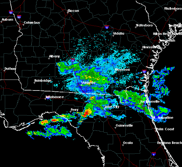 At 213 am edt, a severe thunderstorm was located near mayo, moving east at 40 mph (radar indicated). Hazards include 60 mph wind gusts and nickel size hail. expect damage to roofs, siding, and trees At 213 am edt, a severe thunderstorm was located near mayo, moving east at 40 mph (radar indicated). Hazards include 60 mph wind gusts and nickel size hail. expect damage to roofs, siding, and trees
|
| 2/6/2020 8:41 PM EST |
 At 841 pm est, severe thunderstorms were located along a line extending from 8 miles southwest of needmore to 10 miles south of obrien, moving east at 40 mph (radar indicated). Hazards include 60 mph wind gusts. expect damage to roofs, siding, and trees At 841 pm est, severe thunderstorms were located along a line extending from 8 miles southwest of needmore to 10 miles south of obrien, moving east at 40 mph (radar indicated). Hazards include 60 mph wind gusts. expect damage to roofs, siding, and trees
|
| 2/6/2020 8:36 PM EST |
 At 836 pm est, severe thunderstorms were located along a line extending from 6 miles southwest of obrien to 6 miles northwest of manattee road to 19 miles south of horseshoe point, moving northeast at 75 mph (radar indicated). Hazards include 60 mph wind gusts. expect damage to roofs, siding, and trees At 836 pm est, severe thunderstorms were located along a line extending from 6 miles southwest of obrien to 6 miles northwest of manattee road to 19 miles south of horseshoe point, moving northeast at 75 mph (radar indicated). Hazards include 60 mph wind gusts. expect damage to roofs, siding, and trees
|
| 9/18/2019 6:51 PM EDT |
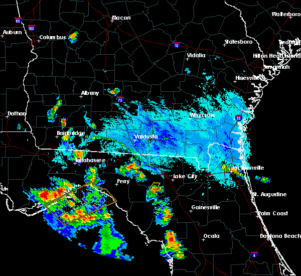 The severe thunderstorm warning for southeastern suwannee county will expire at 700 pm edt, the storm which prompted the warning has weakened below severe limits, and no longer poses an immediate threat to life or property. therefore, the warning will be allowed to expire. however small hail and gusty winds are still possible with this thunderstorm. The severe thunderstorm warning for southeastern suwannee county will expire at 700 pm edt, the storm which prompted the warning has weakened below severe limits, and no longer poses an immediate threat to life or property. therefore, the warning will be allowed to expire. however small hail and gusty winds are still possible with this thunderstorm.
|
| 9/18/2019 6:42 PM EDT |
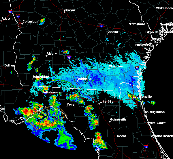 At 642 pm edt, a severe thunderstorm was located over obrien, or 12 miles northwest of ichetucknee spring, moving south at 10 mph (radar indicated). Hazards include 60 mph wind gusts and penny size hail. Expect damage to roofs, siding, and trees. Locations impacted include, mcalpin and obrien. At 642 pm edt, a severe thunderstorm was located over obrien, or 12 miles northwest of ichetucknee spring, moving south at 10 mph (radar indicated). Hazards include 60 mph wind gusts and penny size hail. Expect damage to roofs, siding, and trees. Locations impacted include, mcalpin and obrien.
|
| 9/18/2019 6:17 PM EDT |
 At 617 pm edt, a severe thunderstorm was located over mcalpin, or 11 miles south of live oak, moving south at 10 mph (radar indicated). Hazards include 60 mph wind gusts. expect damage to roofs, siding, and trees At 617 pm edt, a severe thunderstorm was located over mcalpin, or 11 miles south of live oak, moving south at 10 mph (radar indicated). Hazards include 60 mph wind gusts. expect damage to roofs, siding, and trees
|
| 4/19/2019 10:48 AM EDT |
 At 1048 am edt, severe thunderstorms were located along a line extending from near belmont to 8 miles east of trenton, moving northeast at 55 mph (radar indicated). Hazards include 70 mph wind gusts. Expect considerable tree damage. damage is likely to mobile homes, roofs, and outbuildings. Locations impacted include, lake city, trenton, white springs, bell, ichetucknee spring, columbia, fort white, winfield, suwannee valley and wellborn. At 1048 am edt, severe thunderstorms were located along a line extending from near belmont to 8 miles east of trenton, moving northeast at 55 mph (radar indicated). Hazards include 70 mph wind gusts. Expect considerable tree damage. damage is likely to mobile homes, roofs, and outbuildings. Locations impacted include, lake city, trenton, white springs, bell, ichetucknee spring, columbia, fort white, winfield, suwannee valley and wellborn.
|
| 4/19/2019 10:19 AM EDT |
 At 1019 am edt, severe thunderstorms were located along a line extending from near live oak to 6 miles east of fowlers bluff, moving northeast at 55 mph (radar indicated). Hazards include 60 mph wind gusts. expect damage to roofs, siding, and trees At 1019 am edt, severe thunderstorms were located along a line extending from near live oak to 6 miles east of fowlers bluff, moving northeast at 55 mph (radar indicated). Hazards include 60 mph wind gusts. expect damage to roofs, siding, and trees
|
| 4/19/2019 10:19 AM EDT |
 At 1019 am edt, severe thunderstorms were located along a line extending from 6 miles west of obrien to 17 miles south of horseshoe point, moving northeast at 45 mph (radar indicated). Hazards include 60 mph wind gusts. Expect damage to roofs, siding, and trees. locations impacted include, mayo, cross city, horseshoe point, suwannee, horseshoe beach, shamrock, cross city airport, shired island, old town, guaranto springs, alton, hines, grady, hatch bend, eugene, fletcher, yellow jacket, san pedro junction and fanning springs. A tornado watch remains in effect until 1100 am edt for big bend of florida. At 1019 am edt, severe thunderstorms were located along a line extending from 6 miles west of obrien to 17 miles south of horseshoe point, moving northeast at 45 mph (radar indicated). Hazards include 60 mph wind gusts. Expect damage to roofs, siding, and trees. locations impacted include, mayo, cross city, horseshoe point, suwannee, horseshoe beach, shamrock, cross city airport, shired island, old town, guaranto springs, alton, hines, grady, hatch bend, eugene, fletcher, yellow jacket, san pedro junction and fanning springs. A tornado watch remains in effect until 1100 am edt for big bend of florida.
|
| 4/19/2019 9:47 AM EDT |
 At 947 am edt, severe thunderstorms were located along a line extending from 11 miles north of steinhatchee to 39 miles southwest of horseshoe point, moving northeast at 45 mph (radar indicated). Hazards include 60 mph wind gusts. expect damage to roofs, siding, and trees At 947 am edt, severe thunderstorms were located along a line extending from 11 miles north of steinhatchee to 39 miles southwest of horseshoe point, moving northeast at 45 mph (radar indicated). Hazards include 60 mph wind gusts. expect damage to roofs, siding, and trees
|
| 12/3/2018 8:10 AM EST |
 The severe thunderstorm warning for northeastern gilchrist, columbia and suwannee counties will expire at 815 am est, the storm which prompted the warning has weakened below severe limits, and no longer poses an immediate threat to life or property. therefore, the warning will be allowed to expire. however gusty winds are still possible with this thunderstorm. The severe thunderstorm warning for northeastern gilchrist, columbia and suwannee counties will expire at 815 am est, the storm which prompted the warning has weakened below severe limits, and no longer poses an immediate threat to life or property. therefore, the warning will be allowed to expire. however gusty winds are still possible with this thunderstorm.
|
| 12/3/2018 7:28 AM EST |
 At 728 am est, severe thunderstorms were located along a line extending from near luraville to near ichetucknee spring to 6 miles southwest of high springs, moving northeast at 55 mph (radar indicated). Hazards include 60 mph wind gusts. Expect damage to roofs, siding, and trees. Locations impacted include, lake city, live oak, ichetucknee spring, columbia, fort white, winfield, suwannee valley, luraville, mcalpin and wellborn. At 728 am est, severe thunderstorms were located along a line extending from near luraville to near ichetucknee spring to 6 miles southwest of high springs, moving northeast at 55 mph (radar indicated). Hazards include 60 mph wind gusts. Expect damage to roofs, siding, and trees. Locations impacted include, lake city, live oak, ichetucknee spring, columbia, fort white, winfield, suwannee valley, luraville, mcalpin and wellborn.
|
| 12/3/2018 7:24 AM EST |
 At 724 am est, severe thunderstorms were located along a line extending from near luraville to 6 miles southeast of obrien to 8 miles east of bell, moving northeast at 50 mph (radar indicated). Hazards include 60 mph wind gusts. expect damage to roofs, siding, and trees At 724 am est, severe thunderstorms were located along a line extending from near luraville to 6 miles southeast of obrien to 8 miles east of bell, moving northeast at 50 mph (radar indicated). Hazards include 60 mph wind gusts. expect damage to roofs, siding, and trees
|
| 12/3/2018 5:46 AM EST |
 At 546 am est, a severe thunderstorm capable of producing a tornado was located near obrien, or 11 miles southeast of mayo, moving northeast at 25 mph (radar indicated rotation). Hazards include tornado. Flying debris will be dangerous to those caught without shelter. mobile homes will be damaged or destroyed. damage to roofs, windows, and vehicles will occur. tree damage is likely. This tornadic thunderstorm will remain over mainly rural areas of east central lafayette county, including the following locations, grady. At 546 am est, a severe thunderstorm capable of producing a tornado was located near obrien, or 11 miles southeast of mayo, moving northeast at 25 mph (radar indicated rotation). Hazards include tornado. Flying debris will be dangerous to those caught without shelter. mobile homes will be damaged or destroyed. damage to roofs, windows, and vehicles will occur. tree damage is likely. This tornadic thunderstorm will remain over mainly rural areas of east central lafayette county, including the following locations, grady.
|
| 12/3/2018 5:46 AM EST |
 At 546 am est, a severe thunderstorm capable of producing a tornado was located near obrien, or 10 miles southeast of mayo, moving northeast at 30 mph (radar indicated rotation). Hazards include tornado. Flying debris will be dangerous to those caught without shelter. mobile homes will be damaged or destroyed. damage to roofs, windows, and vehicles will occur. tree damage is likely. this dangerous storm will be near, obrien around 600 am est. columbia around 615 am est. Other locations impacted by this tornadic thunderstorm include branford. At 546 am est, a severe thunderstorm capable of producing a tornado was located near obrien, or 10 miles southeast of mayo, moving northeast at 30 mph (radar indicated rotation). Hazards include tornado. Flying debris will be dangerous to those caught without shelter. mobile homes will be damaged or destroyed. damage to roofs, windows, and vehicles will occur. tree damage is likely. this dangerous storm will be near, obrien around 600 am est. columbia around 615 am est. Other locations impacted by this tornadic thunderstorm include branford.
|
| 9/28/2018 4:56 PM EDT |
 The severe thunderstorm warning for north central gilchrist and southeastern suwannee counties will expire at 500 pm edt, the severe thunderstorm which prompted the warning has weakened. therefore, the warning will be allowed to expire. however heavy rain is still possible with this thunderstorm along with dangerous lightning. to report severe weather, contact your nearest law enforcement agency. they will relay your report to the national weather service jacksonville. The severe thunderstorm warning for north central gilchrist and southeastern suwannee counties will expire at 500 pm edt, the severe thunderstorm which prompted the warning has weakened. therefore, the warning will be allowed to expire. however heavy rain is still possible with this thunderstorm along with dangerous lightning. to report severe weather, contact your nearest law enforcement agency. they will relay your report to the national weather service jacksonville.
|
| 9/28/2018 4:36 PM EDT |
 At 436 pm edt, a severe thunderstorm was located near ichetucknee spring, moving northwest at 15 mph (radar indicated). Hazards include 60 mph wind gusts and pea size hail. expect damage to roofs, siding, and trees At 436 pm edt, a severe thunderstorm was located near ichetucknee spring, moving northwest at 15 mph (radar indicated). Hazards include 60 mph wind gusts and pea size hail. expect damage to roofs, siding, and trees
|
| 8/16/2018 4:57 PM EDT |
 At 457 pm edt, severe thunderstorms were located along a line extending from 6 miles east of mayo to near bell, and are nearly stationary (radar indicated). Hazards include 60 mph wind gusts. Expect damage to roofs, siding, and trees. Locations impacted include, obrien, luraville, mcalpin and branford. At 457 pm edt, severe thunderstorms were located along a line extending from 6 miles east of mayo to near bell, and are nearly stationary (radar indicated). Hazards include 60 mph wind gusts. Expect damage to roofs, siding, and trees. Locations impacted include, obrien, luraville, mcalpin and branford.
|
| 8/16/2018 4:45 PM EDT |
 At 445 pm edt, severe thunderstorms were located along a line extending from 6 miles east of mayo to near bell, and are nearly stationary (radar indicated). Hazards include 60 mph wind gusts. expect damage to roofs, siding, and trees At 445 pm edt, severe thunderstorms were located along a line extending from 6 miles east of mayo to near bell, and are nearly stationary (radar indicated). Hazards include 60 mph wind gusts. expect damage to roofs, siding, and trees
|
| 7/22/2018 7:29 PM EDT |
 At 729 pm edt, a severe thunderstorm was located near mayo, moving east at 50 mph (radar indicated). Hazards include 60 mph wind gusts and penny size hail. expect damage to roofs, siding, and trees At 729 pm edt, a severe thunderstorm was located near mayo, moving east at 50 mph (radar indicated). Hazards include 60 mph wind gusts and penny size hail. expect damage to roofs, siding, and trees
|
| 7/22/2018 6:15 PM EDT |
 At 615 pm edt, severe thunderstorms were located along a line extending from 8 miles southwest of ichetucknee spring to 10 miles southeast of perry, moving east at 20 mph (radar indicated). Hazards include 60 mph wind gusts and penny size hail. Expect damage to roofs, siding, and trees. Locations impacted include, mayo, cross city, perry, pinland, tennille, clara, old town, buckville, grady, hatch bend, foley, salem, perry-foley airport, san pedro junction, cooks hammock, smith, guaranto springs, carbur, alton and townsend. At 615 pm edt, severe thunderstorms were located along a line extending from 8 miles southwest of ichetucknee spring to 10 miles southeast of perry, moving east at 20 mph (radar indicated). Hazards include 60 mph wind gusts and penny size hail. Expect damage to roofs, siding, and trees. Locations impacted include, mayo, cross city, perry, pinland, tennille, clara, old town, buckville, grady, hatch bend, foley, salem, perry-foley airport, san pedro junction, cooks hammock, smith, guaranto springs, carbur, alton and townsend.
|
| 7/22/2018 5:26 PM EDT |
 At 525 pm edt, severe thunderstorms were located along a line extending from 7 miles southwest of obrien to 12 miles west of perry, moving southeast at 10 mph (radar indicated). Hazards include 60 mph wind gusts and penny size hail. expect damage to roofs, siding, and trees At 525 pm edt, severe thunderstorms were located along a line extending from 7 miles southwest of obrien to 12 miles west of perry, moving southeast at 10 mph (radar indicated). Hazards include 60 mph wind gusts and penny size hail. expect damage to roofs, siding, and trees
|
| 7/22/2018 5:25 PM EDT |
 At 501 pm edt, a severe thunderstorm was located near mayo, moving east at 20 mph (radar indicated). Hazards include 60 mph wind gusts and quarter size hail. Hail damage to vehicles is expected. Expect wind damage to roofs, siding, and trees. At 501 pm edt, a severe thunderstorm was located near mayo, moving east at 20 mph (radar indicated). Hazards include 60 mph wind gusts and quarter size hail. Hail damage to vehicles is expected. Expect wind damage to roofs, siding, and trees.
|
| 7/22/2018 5:01 PM EDT |
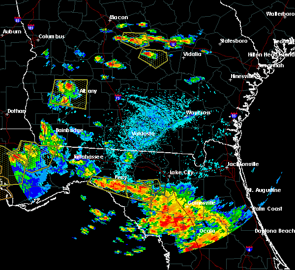 At 501 pm edt, a severe thunderstorm was located near mayo, moving east at 20 mph (radar indicated). Hazards include 60 mph wind gusts and quarter size hail. Hail damage to vehicles is expected. Expect wind damage to roofs, siding, and trees. At 501 pm edt, a severe thunderstorm was located near mayo, moving east at 20 mph (radar indicated). Hazards include 60 mph wind gusts and quarter size hail. Hail damage to vehicles is expected. Expect wind damage to roofs, siding, and trees.
|
| 7/22/2018 4:30 PM EDT |
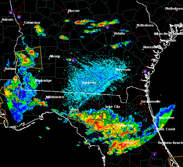 At 430 pm edt, a severe thunderstorm was located 11 miles southeast of mayo, moving east at 40 mph (radar indicated). Hazards include 60 mph wind gusts and penny size hail. expect damage to roofs, siding, and trees At 430 pm edt, a severe thunderstorm was located 11 miles southeast of mayo, moving east at 40 mph (radar indicated). Hazards include 60 mph wind gusts and penny size hail. expect damage to roofs, siding, and trees
|
| 7/22/2018 4:07 PM EDT |
 At 407 pm edt, a severe thunderstorm was located near obrien, or 11 miles west of ichetucknee spring, moving east at 15 mph (radar indicated). Hazards include 60 mph wind gusts and quarter size hail. Hail damage to vehicles is expected. Expect wind damage to roofs, siding, and trees. At 407 pm edt, a severe thunderstorm was located near obrien, or 11 miles west of ichetucknee spring, moving east at 15 mph (radar indicated). Hazards include 60 mph wind gusts and quarter size hail. Hail damage to vehicles is expected. Expect wind damage to roofs, siding, and trees.
|
| 7/22/2018 3:42 PM EDT |
 At 340 pm edt, a severe thunderstorm was located near mayo, moving east at 35 mph (emergency management. 911 call center reported numerous downed trees and powerlines). Hazards include 60 mph wind gusts and quarter size hail. Hail damage to vehicles is expected. Expect wind damage to roofs, siding, and trees. At 340 pm edt, a severe thunderstorm was located near mayo, moving east at 35 mph (emergency management. 911 call center reported numerous downed trees and powerlines). Hazards include 60 mph wind gusts and quarter size hail. Hail damage to vehicles is expected. Expect wind damage to roofs, siding, and trees.
|
| 7/22/2018 3:12 PM EDT |
 At 312 pm edt, a severe thunderstorm was located near obrien, or near ichetucknee spring, moving east at 20 mph (radar indicated). Hazards include 60 mph wind gusts and quarter size hail. Hail damage to vehicles is expected. Expect wind damage to roofs, siding, and trees. At 312 pm edt, a severe thunderstorm was located near obrien, or near ichetucknee spring, moving east at 20 mph (radar indicated). Hazards include 60 mph wind gusts and quarter size hail. Hail damage to vehicles is expected. Expect wind damage to roofs, siding, and trees.
|
| 7/22/2018 3:01 PM EDT |
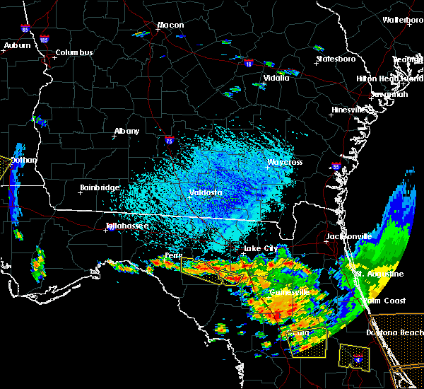 At 300 pm edt, a severe thunderstorm was located near fort white, or 7 miles south of ichetucknee spring, moving southeast at 25 mph (radar indicated). Hazards include 60 mph wind gusts and quarter size hail. Hail damage to vehicles is expected. expect wind damage to roofs, siding, and trees. Locations impacted include, ichetucknee spring, fort white, branford and hildreth. At 300 pm edt, a severe thunderstorm was located near fort white, or 7 miles south of ichetucknee spring, moving southeast at 25 mph (radar indicated). Hazards include 60 mph wind gusts and quarter size hail. Hail damage to vehicles is expected. expect wind damage to roofs, siding, and trees. Locations impacted include, ichetucknee spring, fort white, branford and hildreth.
|
| 7/22/2018 2:54 PM EDT |
 At 254 pm edt, a severe thunderstorm was located over mayo, moving east at 20 mph (radar indicated). Hazards include 60 mph wind gusts and quarter size hail. Hail damage to vehicles is expected. Expect wind damage to roofs, siding, and trees. At 254 pm edt, a severe thunderstorm was located over mayo, moving east at 20 mph (radar indicated). Hazards include 60 mph wind gusts and quarter size hail. Hail damage to vehicles is expected. Expect wind damage to roofs, siding, and trees.
|
| 7/22/2018 2:24 PM EDT |
 At 224 pm edt, a severe thunderstorm was located near ichetucknee spring, moving southeast at 30 mph (radar indicated). Hazards include 60 mph wind gusts and quarter size hail. Hail damage to vehicles is expected. Expect wind damage to roofs, siding, and trees. At 224 pm edt, a severe thunderstorm was located near ichetucknee spring, moving southeast at 30 mph (radar indicated). Hazards include 60 mph wind gusts and quarter size hail. Hail damage to vehicles is expected. Expect wind damage to roofs, siding, and trees.
|
| 7/22/2018 2:04 PM EDT |
 At 203 pm edt, a severe thunderstorm was located near fort white, or near ichetucknee spring, moving southeast at 25 mph (radar indicated). Hazards include 60 mph wind gusts and quarter size hail. Hail damage to vehicles is expected. expect wind damage to roofs, siding, and trees. Locations impacted include, lake butler, worthington spring, ichetucknee spring, columbia, alachua, high springs, fort white, worthington springs, groves and providence. At 203 pm edt, a severe thunderstorm was located near fort white, or near ichetucknee spring, moving southeast at 25 mph (radar indicated). Hazards include 60 mph wind gusts and quarter size hail. Hail damage to vehicles is expected. expect wind damage to roofs, siding, and trees. Locations impacted include, lake butler, worthington spring, ichetucknee spring, columbia, alachua, high springs, fort white, worthington springs, groves and providence.
|
| 7/22/2018 1:38 PM EDT |
 At 138 pm edt, a severe thunderstorm was located near ichetucknee spring, moving southeast at 25 mph (radar indicated). Hazards include 60 mph wind gusts and quarter size hail. Hail damage to vehicles is expected. Expect wind damage to roofs, siding, and trees. At 138 pm edt, a severe thunderstorm was located near ichetucknee spring, moving southeast at 25 mph (radar indicated). Hazards include 60 mph wind gusts and quarter size hail. Hail damage to vehicles is expected. Expect wind damage to roofs, siding, and trees.
|
| 7/21/2018 3:33 PM EDT |
 At 332 pm edt, a severe thunderstorm was located near manattee road, or 10 miles west of chiefland, moving southeast at 40 mph (radar indicated). Hazards include 60 mph wind gusts and nickel size hail. Expect damage to roofs, siding, and trees. Locations impacted include, cross city, horseshoe point, suwannee, horseshoe beach, shamrock, cross city airport, shired island, old town, guaranto springs, jena, hines, jonesboro, grady, hatch bend, eugene, fletcher, yellow jacket and fanning springs. At 332 pm edt, a severe thunderstorm was located near manattee road, or 10 miles west of chiefland, moving southeast at 40 mph (radar indicated). Hazards include 60 mph wind gusts and nickel size hail. Expect damage to roofs, siding, and trees. Locations impacted include, cross city, horseshoe point, suwannee, horseshoe beach, shamrock, cross city airport, shired island, old town, guaranto springs, jena, hines, jonesboro, grady, hatch bend, eugene, fletcher, yellow jacket and fanning springs.
|
| 7/21/2018 2:39 PM EDT |
 At 238 pm edt, a severe thunderstorm was located 15 miles north of steinhatchee, moving southeast at 40 mph (radar indicated). Hazards include 60 mph wind gusts and nickel size hail. expect damage to roofs, siding, and trees At 238 pm edt, a severe thunderstorm was located 15 miles north of steinhatchee, moving southeast at 40 mph (radar indicated). Hazards include 60 mph wind gusts and nickel size hail. expect damage to roofs, siding, and trees
|
| 7/21/2018 2:38 PM EDT |
 At 237 pm edt, severe thunderstorms were located along a line extending from near luraville to near columbia, moving south at 30 mph (radar indicated). Hazards include 60 mph wind gusts. expect damage to roofs, siding, and trees At 237 pm edt, severe thunderstorms were located along a line extending from near luraville to near columbia, moving south at 30 mph (radar indicated). Hazards include 60 mph wind gusts. expect damage to roofs, siding, and trees
|
| 6/25/2018 10:06 PM EDT |
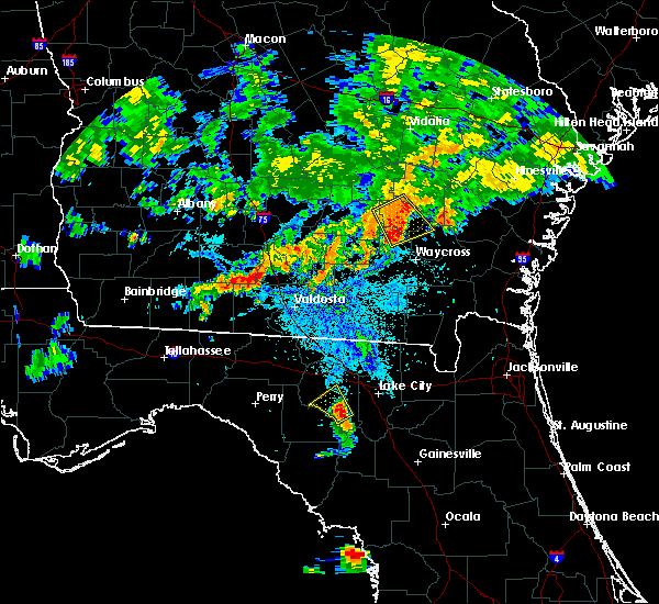 At 1006 pm edt, a severe thunderstorm was located over obrien, or 11 miles northwest of ichetucknee spring, moving northwest at 15 mph (radar indicated). Hazards include 60 mph wind gusts and quarter size hail. Hail damage to vehicles is expected. expect wind damage to roofs, siding, and trees. Locations impacted include, mcalpin, obrien and branford. At 1006 pm edt, a severe thunderstorm was located over obrien, or 11 miles northwest of ichetucknee spring, moving northwest at 15 mph (radar indicated). Hazards include 60 mph wind gusts and quarter size hail. Hail damage to vehicles is expected. expect wind damage to roofs, siding, and trees. Locations impacted include, mcalpin, obrien and branford.
|
| 6/25/2018 9:58 PM EDT |
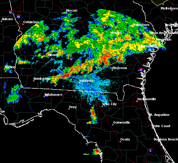 At 958 pm edt, a severe thunderstorm was located over obrien, or 10 miles northwest of ichetucknee spring, moving northwest at 15 mph (radar indicated). Hazards include 60 mph wind gusts and quarter size hail. Hail damage to vehicles is expected. Expect wind damage to roofs, siding, and trees. At 958 pm edt, a severe thunderstorm was located over obrien, or 10 miles northwest of ichetucknee spring, moving northwest at 15 mph (radar indicated). Hazards include 60 mph wind gusts and quarter size hail. Hail damage to vehicles is expected. Expect wind damage to roofs, siding, and trees.
|
| 6/20/2018 8:23 PM EDT |
 At 823 pm edt, a severe thunderstorm was located 7 miles southwest of obrien, or 8 miles southeast of mayo, moving south at 20 mph (radar indicated). Hazards include 60 mph wind gusts. Expect damage to roofs, siding, and trees. Locations impacted include, mayo, cooks hammock, grady, hatch bend, san pedro junction, alton and fletcher springs. At 823 pm edt, a severe thunderstorm was located 7 miles southwest of obrien, or 8 miles southeast of mayo, moving south at 20 mph (radar indicated). Hazards include 60 mph wind gusts. Expect damage to roofs, siding, and trees. Locations impacted include, mayo, cooks hammock, grady, hatch bend, san pedro junction, alton and fletcher springs.
|
| 6/20/2018 7:59 PM EDT |
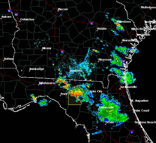 The national weather service in tallahassee has issued a * severe thunderstorm warning for. lafayette county in big bend of florida. until 845 pm edt. At 758 pm edt, a severe thunderstorm was located near luraville, or 7 miles northeast of mayo, moving south at 20 mph. The national weather service in tallahassee has issued a * severe thunderstorm warning for. lafayette county in big bend of florida. until 845 pm edt. At 758 pm edt, a severe thunderstorm was located near luraville, or 7 miles northeast of mayo, moving south at 20 mph.
|
| 4/15/2018 12:39 PM EDT |
 The severe thunderstorm warning for western baker, columbia, eastern suwannee, southeastern hamilton, western brantley, ware, southeastern clinch and northwestern charlton counties will expire at 1245 pm edt, the storms which prompted the warning have weakened below severe limits, and no longer pose an immediate threat to life or property. therefore, the warning will be allowed to expire. however gusty winds and heavy rain are still possible with these thunderstorms. a tornado watch remains in effect until 600 pm edt for northern and northeastern florida, and southeastern georgia. The severe thunderstorm warning for western baker, columbia, eastern suwannee, southeastern hamilton, western brantley, ware, southeastern clinch and northwestern charlton counties will expire at 1245 pm edt, the storms which prompted the warning have weakened below severe limits, and no longer pose an immediate threat to life or property. therefore, the warning will be allowed to expire. however gusty winds and heavy rain are still possible with these thunderstorms. a tornado watch remains in effect until 600 pm edt for northern and northeastern florida, and southeastern georgia.
|
| 4/15/2018 12:01 PM EDT |
 At 1201 pm edt, severe thunderstorms were located along a line extending from near waycross to near fargo to 12 miles south of mayo, moving northeast at 45 mph (radar indicated). Hazards include 60 mph wind gusts. expect damage to roofs, siding, and trees At 1201 pm edt, severe thunderstorms were located along a line extending from near waycross to near fargo to 12 miles south of mayo, moving northeast at 45 mph (radar indicated). Hazards include 60 mph wind gusts. expect damage to roofs, siding, and trees
|
| 4/15/2018 11:43 AM EDT |
 At 1142 am edt, severe thunderstorms were located along a line extending from near manor to 13 miles south of argyle to near belmont to near obrien, moving northeast at 55 mph (radar indicated). Hazards include 60 mph wind gusts. Expect damage to roofs, siding, and trees. locations impacted include, white springs, fargo, argyle, ichetucknee spring, pebble hill, winfield, suwannee valley, belmont, mcalpin and wellborn. A tornado watch remains in effect until 600 pm edt for northern florida, and southeastern georgia. At 1142 am edt, severe thunderstorms were located along a line extending from near manor to 13 miles south of argyle to near belmont to near obrien, moving northeast at 55 mph (radar indicated). Hazards include 60 mph wind gusts. Expect damage to roofs, siding, and trees. locations impacted include, white springs, fargo, argyle, ichetucknee spring, pebble hill, winfield, suwannee valley, belmont, mcalpin and wellborn. A tornado watch remains in effect until 600 pm edt for northern florida, and southeastern georgia.
|
| 4/15/2018 11:40 AM EDT | Tree and power lines down mainly on the eastern side of lafayette count in lafayette county FL, 4.5 miles E of Branford, FL |
| 4/15/2018 11:30 AM EDT | Law rnforcement received reports of trees and powerlines down near 208th street and fletcher. a top of a barn was blown off along 234th. time given was based on rada in suwannee county FL, 4.7 miles SSE of Branford, FL |
| 4/15/2018 11:13 AM EDT |
 At 1112 am edt, severe thunderstorms were located along a line extending from near homerville to near jasper to 13 miles south of mayo, moving northeast at 40 mph (radar indicated). Hazards include 60 mph wind gusts. expect damage to roofs, siding, and trees At 1112 am edt, severe thunderstorms were located along a line extending from near homerville to near jasper to 13 miles south of mayo, moving northeast at 40 mph (radar indicated). Hazards include 60 mph wind gusts. expect damage to roofs, siding, and trees
|
| 4/15/2018 10:59 AM EDT |
 At 1033 am edt, severe thunderstorms were located along a line extending from near lakeland to mayday to 6 miles southwest of mayo, moving northeast at 55 mph (radar indicated). Hazards include 60 mph wind gusts. Expect damage to roofs, siding, and trees. locations impacted include, live oak, jasper, homerville, jennings, statenville, suwannee river state park, suwannee springs, du pont, mayday and crossroads. A tornado watch remains in effect until 600 pm edt for northern florida, and southeastern georgia. At 1033 am edt, severe thunderstorms were located along a line extending from near lakeland to mayday to 6 miles southwest of mayo, moving northeast at 55 mph (radar indicated). Hazards include 60 mph wind gusts. Expect damage to roofs, siding, and trees. locations impacted include, live oak, jasper, homerville, jennings, statenville, suwannee river state park, suwannee springs, du pont, mayday and crossroads. A tornado watch remains in effect until 600 pm edt for northern florida, and southeastern georgia.
|
| 4/15/2018 10:33 AM EDT |
 At 1033 am edt, severe thunderstorms were located along a line extending from near lakeland to mayday to 6 miles southwest of mayo, moving northeast at 55 mph (radar indicated). Hazards include 60 mph wind gusts. Expect damage to roofs, siding, and trees. locations impacted include, live oak, jasper, homerville, jennings, statenville, suwannee river state park, suwannee springs, du pont, mayday and crossroads. A tornado watch remains in effect until 600 pm edt for northern florida, and southeastern georgia. At 1033 am edt, severe thunderstorms were located along a line extending from near lakeland to mayday to 6 miles southwest of mayo, moving northeast at 55 mph (radar indicated). Hazards include 60 mph wind gusts. Expect damage to roofs, siding, and trees. locations impacted include, live oak, jasper, homerville, jennings, statenville, suwannee river state park, suwannee springs, du pont, mayday and crossroads. A tornado watch remains in effect until 600 pm edt for northern florida, and southeastern georgia.
|
| 4/15/2018 10:09 AM EDT |
 At 1009 am edt, severe thunderstorms were located along a line extending from near valdosta to 7 miles northwest of blue springs to 7 miles east of perry, moving northeast at 40 mph (radar indicated). Hazards include 60 mph wind gusts. expect damage to roofs, siding, and trees At 1009 am edt, severe thunderstorms were located along a line extending from near valdosta to 7 miles northwest of blue springs to 7 miles east of perry, moving northeast at 40 mph (radar indicated). Hazards include 60 mph wind gusts. expect damage to roofs, siding, and trees
|
| 3/20/2018 2:23 PM EDT |
 At 223 pm edt, severe thunderstorms were located along a line extending from 8 miles north of bell to near manattee road, moving northeast at 55 mph (radar indicated). Hazards include ping pong ball size hail and 60 mph wind gusts. People and animals outdoors will be injured. expect hail damage to roofs, siding, windows, and vehicles. Expect wind damage to roofs, siding, and trees. At 223 pm edt, severe thunderstorms were located along a line extending from 8 miles north of bell to near manattee road, moving northeast at 55 mph (radar indicated). Hazards include ping pong ball size hail and 60 mph wind gusts. People and animals outdoors will be injured. expect hail damage to roofs, siding, windows, and vehicles. Expect wind damage to roofs, siding, and trees.
|
| 5/24/2017 10:47 AM EDT |
 At 1047 am edt, severe thunderstorms were located along a line extending from near dowling park to near ichetucknee spring, moving northeast at 35 mph (radar indicated). Hazards include 60 mph wind gusts. expect damage to roofs, siding, and trees At 1047 am edt, severe thunderstorms were located along a line extending from near dowling park to near ichetucknee spring, moving northeast at 35 mph (radar indicated). Hazards include 60 mph wind gusts. expect damage to roofs, siding, and trees
|
| 4/4/2017 6:52 AM EDT |
 At 652 am edt, severe thunderstorms were located along a line extending from 6 miles south of mayo to luraville, moving east at 35 mph (radar indicated). Hazards include 60 mph wind gusts. expect damage to roofs, siding, and trees At 652 am edt, severe thunderstorms were located along a line extending from 6 miles south of mayo to luraville, moving east at 35 mph (radar indicated). Hazards include 60 mph wind gusts. expect damage to roofs, siding, and trees
|
| 4/4/2017 12:59 AM EDT |
 At 1259 am edt, a severe thunderstorm was located near obrien, or 10 miles east of mayo, moving east at 45 mph (radar indicated). Hazards include 60 mph wind gusts and quarter size hail. Hail damage to vehicles is expected. Expect wind damage to roofs, siding, and trees. At 1259 am edt, a severe thunderstorm was located near obrien, or 10 miles east of mayo, moving east at 45 mph (radar indicated). Hazards include 60 mph wind gusts and quarter size hail. Hail damage to vehicles is expected. Expect wind damage to roofs, siding, and trees.
|
| 2/7/2017 8:43 PM EST | Roof blown off of house on hwy 27 in lafayette county FL, 5.1 miles E of Branford, FL |
| 1/22/2017 5:28 PM EST |
 At 528 pm est, severe thunderstorms were located along a line extending from near obrien to near manattee road, moving northeast at 90 mph (radar indicated). Hazards include 60 mph wind gusts and quarter size hail. Hail damage to vehicles is expected. Expect wind damage to roofs, siding, and trees. At 528 pm est, severe thunderstorms were located along a line extending from near obrien to near manattee road, moving northeast at 90 mph (radar indicated). Hazards include 60 mph wind gusts and quarter size hail. Hail damage to vehicles is expected. Expect wind damage to roofs, siding, and trees.
|
| 1/3/2017 4:50 AM EST |
 At 449 am est, a severe thunderstorm capable of producing a tornado was located near obrien, or near ichetucknee spring, moving east at 15 mph (radar indicated rotation). Hazards include tornado. Flying debris will be dangerous to those caught without shelter. mobile homes will be damaged or destroyed. damage to roofs, windows, and vehicles will occur. tree damage is likely. this dangerous storm will be near, ichetucknee spring and fort white around 515 am est. Other locations impacted by this tornadic thunderstorm include hildreth. At 449 am est, a severe thunderstorm capable of producing a tornado was located near obrien, or near ichetucknee spring, moving east at 15 mph (radar indicated rotation). Hazards include tornado. Flying debris will be dangerous to those caught without shelter. mobile homes will be damaged or destroyed. damage to roofs, windows, and vehicles will occur. tree damage is likely. this dangerous storm will be near, ichetucknee spring and fort white around 515 am est. Other locations impacted by this tornadic thunderstorm include hildreth.
|
| 9/1/2016 11:33 PM EDT |
 At 1133 pm edt, a severe thunderstorm capable of producing a tornado was located near jasper, moving north at 80 mph (radar indicated rotation). Hazards include tornado. Flying debris will be dangerous to those caught without shelter. mobile homes will be damaged or destroyed. damage to roofs, windows, and vehicles will occur. tree damage is likely. Locations impacted include, mayo, branford, san pedro junction, alton and grady. At 1133 pm edt, a severe thunderstorm capable of producing a tornado was located near jasper, moving north at 80 mph (radar indicated rotation). Hazards include tornado. Flying debris will be dangerous to those caught without shelter. mobile homes will be damaged or destroyed. damage to roofs, windows, and vehicles will occur. tree damage is likely. Locations impacted include, mayo, branford, san pedro junction, alton and grady.
|
| 9/1/2016 11:23 PM EDT |
 At 1123 pm edt, a severe thunderstorm capable of producing a tornado was located near live oak, moving north at 80 mph (radar indicated rotation). Hazards include tornado. Flying debris will be dangerous to those caught without shelter. mobile homes will be damaged or destroyed. damage to roofs, windows, and vehicles will occur. tree damage is likely. Locations impacted include, mayo, branford, alton, fletcher, san pedro junction, hines and grady. At 1123 pm edt, a severe thunderstorm capable of producing a tornado was located near live oak, moving north at 80 mph (radar indicated rotation). Hazards include tornado. Flying debris will be dangerous to those caught without shelter. mobile homes will be damaged or destroyed. damage to roofs, windows, and vehicles will occur. tree damage is likely. Locations impacted include, mayo, branford, alton, fletcher, san pedro junction, hines and grady.
|
| 9/1/2016 11:16 PM EDT |
 At 1116 pm edt, a severe thunderstorm capable of producing a tornado was located near cross city, moving north at 50 mph (radar indicated rotation). Hazards include tornado. Flying debris will be dangerous to those caught without shelter. mobile homes will be damaged or destroyed. damage to roofs, windows, and vehicles will occur. tree damage is likely. Locations impacted include, mayo, cross city, branford, alton, fletcher, cross city airport, san pedro junction, eugene, hines, shamrock and grady. At 1116 pm edt, a severe thunderstorm capable of producing a tornado was located near cross city, moving north at 50 mph (radar indicated rotation). Hazards include tornado. Flying debris will be dangerous to those caught without shelter. mobile homes will be damaged or destroyed. damage to roofs, windows, and vehicles will occur. tree damage is likely. Locations impacted include, mayo, cross city, branford, alton, fletcher, cross city airport, san pedro junction, eugene, hines, shamrock and grady.
|
| 9/1/2016 11:12 PM EDT |
 At 1112 pm edt, a severe thunderstorm capable of producing a tornado was located over cross city, moving north at 80 mph (radar indicated rotation). Hazards include tornado. Flying debris will be dangerous to those caught without shelter. mobile homes will be damaged or destroyed. damage to roofs, windows, and vehicles will occur. tree damage is likely. This tornadic thunderstorm will remain over mainly rural areas of northeastern dixie and southeastern lafayette counties, including the following locations: alton, fletcher, cross city airport, san pedro junction, eugene, hines, shamrock, grady and branford. At 1112 pm edt, a severe thunderstorm capable of producing a tornado was located over cross city, moving north at 80 mph (radar indicated rotation). Hazards include tornado. Flying debris will be dangerous to those caught without shelter. mobile homes will be damaged or destroyed. damage to roofs, windows, and vehicles will occur. tree damage is likely. This tornadic thunderstorm will remain over mainly rural areas of northeastern dixie and southeastern lafayette counties, including the following locations: alton, fletcher, cross city airport, san pedro junction, eugene, hines, shamrock, grady and branford.
|
| 8/14/2016 6:21 PM EDT |
 At 621 pm edt, a severe thunderstorm was located near mayo, moving northwest at 35 mph (radar indicated). Hazards include 60 mph wind gusts. Expect damage to roofs. siding. and trees. Locations impacted include, mayo, branford, alton, townsend, chancey, buckville, san pedro junction, cooks hammock, day, mayo junction and grady. At 621 pm edt, a severe thunderstorm was located near mayo, moving northwest at 35 mph (radar indicated). Hazards include 60 mph wind gusts. Expect damage to roofs. siding. and trees. Locations impacted include, mayo, branford, alton, townsend, chancey, buckville, san pedro junction, cooks hammock, day, mayo junction and grady.
|
| 8/14/2016 6:00 PM EDT |
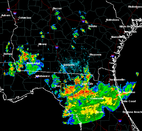 At 600 pm edt, a severe thunderstorm was located 7 miles southeast of mayo, moving northwest at 35 mph (radar indicated). Hazards include 60 mph wind gusts. Expect damage to roofs. siding. And trees. At 600 pm edt, a severe thunderstorm was located 7 miles southeast of mayo, moving northwest at 35 mph (radar indicated). Hazards include 60 mph wind gusts. Expect damage to roofs. siding. And trees.
|
| 7/12/2016 5:38 PM EDT |
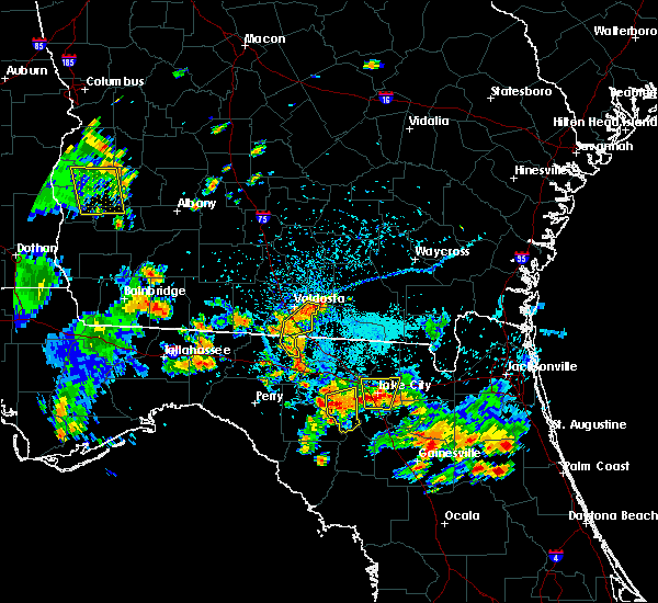 The severe thunderstorm warning for southeastern suwannee county will expire at 545 pm edt, the storm which prompted the warning has weakened below severe limits, and no longer pose an immediate threat to life or property. therefore, the warning will be allowed to expire. however small. The severe thunderstorm warning for southeastern suwannee county will expire at 545 pm edt, the storm which prompted the warning has weakened below severe limits, and no longer pose an immediate threat to life or property. therefore, the warning will be allowed to expire. however small.
|
| 7/12/2016 5:28 PM EDT | Trees dow in suwannee county FL, 6.9 miles S of Branford, FL |
| 7/12/2016 5:11 PM EDT |
 At 511 pm edt, a severe thunderstorm was located over obrien, or 9 miles northwest of ichetucknee spring, and is nearly stationary (radar indicated). Hazards include two inch hail and 60 mph wind gusts. People and animals outdoors will be injured. expect hail damage to roofs, siding, windows, and vehicles. expect wind damage to roofs, siding, and trees. Locations impacted include, ichetucknee spring, wellborn, obrien, mcalpin, branford and hildreth. At 511 pm edt, a severe thunderstorm was located over obrien, or 9 miles northwest of ichetucknee spring, and is nearly stationary (radar indicated). Hazards include two inch hail and 60 mph wind gusts. People and animals outdoors will be injured. expect hail damage to roofs, siding, windows, and vehicles. expect wind damage to roofs, siding, and trees. Locations impacted include, ichetucknee spring, wellborn, obrien, mcalpin, branford and hildreth.
|
| 7/12/2016 5:07 PM EDT |
 At 507 pm edt, a severe thunderstorm was located over obrien, or 9 miles northwest of ichetucknee spring, and is nearly stationary (radar indicated). Hazards include 60 mph wind gusts and half dollar size hail. Hail damage to vehicles is expected. Expect wind damage to roofs, siding, and trees. At 507 pm edt, a severe thunderstorm was located over obrien, or 9 miles northwest of ichetucknee spring, and is nearly stationary (radar indicated). Hazards include 60 mph wind gusts and half dollar size hail. Hail damage to vehicles is expected. Expect wind damage to roofs, siding, and trees.
|
| 5/20/2016 9:39 AM EDT |
 At 939 am edt, severe thunderstorms were located along a line extending from 9 miles north of perry to 19 miles west of steinhatchee, moving southeast at 25 mph (radar indicated). Hazards include 60 mph wind gusts. Expect damage to roofs. siding. And trees. At 939 am edt, severe thunderstorms were located along a line extending from 9 miles north of perry to 19 miles west of steinhatchee, moving southeast at 25 mph (radar indicated). Hazards include 60 mph wind gusts. Expect damage to roofs. siding. And trees.
|
| 8/23/2015 12:35 AM EDT |
 The severe thunderstorm warning for northeastern dixie and southeastern lafayette counties will expire at 1245 am edt, the storm which prompted the warning has weakened below severe limits, and no longer poses an immediate threat to life or property. therefore the warning will be allowed to expire. The severe thunderstorm warning for northeastern dixie and southeastern lafayette counties will expire at 1245 am edt, the storm which prompted the warning has weakened below severe limits, and no longer poses an immediate threat to life or property. therefore the warning will be allowed to expire.
|
| 8/23/2015 12:21 AM EDT |
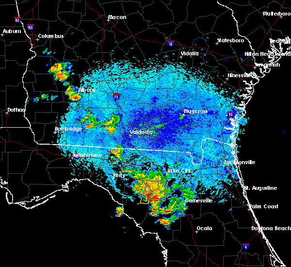 The severe thunderstorm warning for southeastern suwannee, northern gilchrist and southwestern columbia counties will expire at 1230 am edt, the storms which prompted the warning have weakened below severe limits, and no longer poses an immediate threat to life or property. therefore the warning will be allowed to expire. however gusty winds and heavy rain are still possible with these thunderstorms. The severe thunderstorm warning for southeastern suwannee, northern gilchrist and southwestern columbia counties will expire at 1230 am edt, the storms which prompted the warning have weakened below severe limits, and no longer poses an immediate threat to life or property. therefore the warning will be allowed to expire. however gusty winds and heavy rain are still possible with these thunderstorms.
|
| 8/23/2015 12:12 AM EDT |
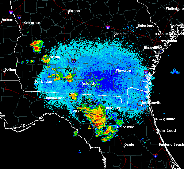 At 1212 am edt, doppler radar indicated a line of severe thunderstorms capable of producing damaging winds in excess of 60 mph. these storms were located along a line extending from near mayo to near columbia, moving south at 25 mph. locations impacted include, bell, ichetucknee spring, fort white, obrien, branford and hildreth. At 1212 am edt, doppler radar indicated a line of severe thunderstorms capable of producing damaging winds in excess of 60 mph. these storms were located along a line extending from near mayo to near columbia, moving south at 25 mph. locations impacted include, bell, ichetucknee spring, fort white, obrien, branford and hildreth.
|
| 8/23/2015 12:05 AM EDT |
 At 1205 am edt, doppler radar indicated a line of severe thunderstorms capable of producing damaging winds in excess of 60 mph. these storms were located along a line extending from near luraville to near columbia, moving south at 15 mph. locations impacted include, lake city, bell, ichetucknee spring, columbia, fort white, obrien, mcalpin, branford and hildreth. At 1205 am edt, doppler radar indicated a line of severe thunderstorms capable of producing damaging winds in excess of 60 mph. these storms were located along a line extending from near luraville to near columbia, moving south at 15 mph. locations impacted include, lake city, bell, ichetucknee spring, columbia, fort white, obrien, mcalpin, branford and hildreth.
|
| 8/23/2015 12:03 AM EDT |
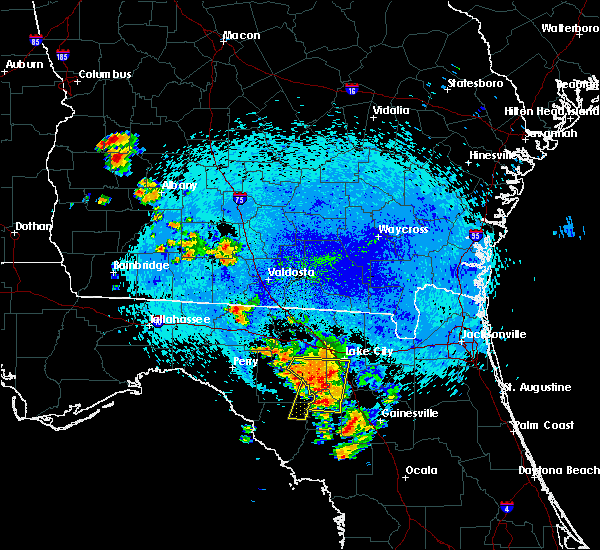 At 1203 am edt, the national weather service has detected a severe thunderstorm capable of producing damaging winds in excess of 60 mph. this storm was located near obrien, or near ichetucknee spring, and moving south at 30 mph. At 1203 am edt, the national weather service has detected a severe thunderstorm capable of producing damaging winds in excess of 60 mph. this storm was located near obrien, or near ichetucknee spring, and moving south at 30 mph.
|
| 8/22/2015 11:53 PM EDT |
 At 1153 pm edt, doppler radar indicated a line of severe thunderstorms capable of producing damaging winds in excess of 60 mph. these storms were located along a line extending from 6 miles east of dowling park to winfield. these storms were nearly stationary. locations impacted include, lake city, bell, ichetucknee spring, columbia, fort white, wellborn, obrien, luraville, dowling park, five points, watertown, mcalpin, branford and hildreth. At 1153 pm edt, doppler radar indicated a line of severe thunderstorms capable of producing damaging winds in excess of 60 mph. these storms were located along a line extending from 6 miles east of dowling park to winfield. these storms were nearly stationary. locations impacted include, lake city, bell, ichetucknee spring, columbia, fort white, wellborn, obrien, luraville, dowling park, five points, watertown, mcalpin, branford and hildreth.
|
| 8/22/2015 11:27 PM EDT |
 At 1127 pm edt, doppler radar indicated a line of severe thunderstorms capable of producing damaging winds in excess of 60 mph. these storms were located along a line extending from 7 miles east of dowling park to winfield, and moving south at 10 mph. At 1127 pm edt, doppler radar indicated a line of severe thunderstorms capable of producing damaging winds in excess of 60 mph. these storms were located along a line extending from 7 miles east of dowling park to winfield, and moving south at 10 mph.
|
| 8/7/2015 8:26 PM EDT |
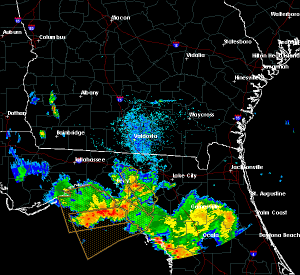 At 826 pm edt, the national weather service has detected a severe thunderstorm capable of producing damaging winds in excess of 60 mph. this storm was located near mayo, and moving southeast at 35 mph. At 826 pm edt, the national weather service has detected a severe thunderstorm capable of producing damaging winds in excess of 60 mph. this storm was located near mayo, and moving southeast at 35 mph.
|
| 8/7/2015 6:30 PM EDT |
 At 630 pm edt, doppler radar indicated a line of severe thunderstorms capable of producing damaging winds in excess of 60 mph. these storms were located along a line extending from 7 miles northwest of bell to near upland pines, moving southeast at 30 mph. locations impacted include, ichetucknee spring, columbia, fort white, obrien, providence, branford, hildreth and grady. At 630 pm edt, doppler radar indicated a line of severe thunderstorms capable of producing damaging winds in excess of 60 mph. these storms were located along a line extending from 7 miles northwest of bell to near upland pines, moving southeast at 30 mph. locations impacted include, ichetucknee spring, columbia, fort white, obrien, providence, branford, hildreth and grady.
|
| 8/7/2015 6:08 PM EDT |
 At 608 pm edt, doppler radar indicated a line of severe thunderstorms capable of producing damaging winds in excess of 60 mph. these storms were located along a line extending from upland pines to 11 miles northeast of steinhatchee, and moving southeast at 35 mph. At 608 pm edt, doppler radar indicated a line of severe thunderstorms capable of producing damaging winds in excess of 60 mph. these storms were located along a line extending from upland pines to 11 miles northeast of steinhatchee, and moving southeast at 35 mph.
|
| 8/7/2015 5:41 PM EDT |
 At 540 pm edt, doppler radar indicated a line of severe thunderstorms capable of producing damaging winds in excess of 60 mph. these storms were located along a line extending from 7 miles east of dowling park to near obrien, and moving southeast at 20 mph. At 540 pm edt, doppler radar indicated a line of severe thunderstorms capable of producing damaging winds in excess of 60 mph. these storms were located along a line extending from 7 miles east of dowling park to near obrien, and moving southeast at 20 mph.
|
| 8/7/2015 5:21 PM EDT |
 At 521 pm edt, doppler radar indicated a severe thunderstorm capable of producing damaging winds in excess of 60 mph. this storm was located 7 miles northeast of luraville, or 9 miles southwest of live oak, and moving southeast at 30 mph. At 521 pm edt, doppler radar indicated a severe thunderstorm capable of producing damaging winds in excess of 60 mph. this storm was located 7 miles northeast of luraville, or 9 miles southwest of live oak, and moving southeast at 30 mph.
|
| 8/7/2015 4:50 PM EDT |
 At 450 pm edt, doppler radar indicated a severe thunderstorm capable of producing damaging winds in excess of 60 mph. this storm was located near mcalpin, or 9 miles northeast of mayo, and moving east at 15 mph. At 450 pm edt, doppler radar indicated a severe thunderstorm capable of producing damaging winds in excess of 60 mph. this storm was located near mcalpin, or 9 miles northeast of mayo, and moving east at 15 mph.
|
| 6/30/2015 7:29 PM EDT |
 At 728 pm edt, doppler radar indicated a line of severe thunderstorms capable of producing damaging winds in excess of 60 mph. these storms were located along a line extending from 8 miles southwest of lake park to 14 miles southwest of mayo, moving east at 55 mph. locations impacted include, mayo, madison, lake park, branford, lee, smith, townsend, i-75 at exit 5, pinetta, hatch bend, salem, day, carbur, grady, hopewell, hanson, alton, cherry lake, chancey and buckville. At 728 pm edt, doppler radar indicated a line of severe thunderstorms capable of producing damaging winds in excess of 60 mph. these storms were located along a line extending from 8 miles southwest of lake park to 14 miles southwest of mayo, moving east at 55 mph. locations impacted include, mayo, madison, lake park, branford, lee, smith, townsend, i-75 at exit 5, pinetta, hatch bend, salem, day, carbur, grady, hopewell, hanson, alton, cherry lake, chancey and buckville.
|
| 6/30/2015 6:50 PM EDT |
 At 649 pm edt, the national weather service has detected a line of severe thunderstorms capable of producing damaging winds in excess of 60 mph. these storms were located along a line extending from near boston to 16 miles west of perry, and moving east at 60 mph. these storms have a history of producing widespread wind damage. At 649 pm edt, the national weather service has detected a line of severe thunderstorms capable of producing damaging winds in excess of 60 mph. these storms were located along a line extending from near boston to 16 miles west of perry, and moving east at 60 mph. these storms have a history of producing widespread wind damage.
|
| 6/22/2015 5:05 PM EDT | Trees were blown down along highway 13 in lafayette county FL, 5.5 miles N of Branford, FL |
| 6/22/2015 4:52 PM EDT |
 At 452 pm edt, doppler radar indicated a severe thunderstorm capable of producing quarter size hail and damaging winds in excess of 60 mph. this storm was located near ichetucknee spring, and moving north at 5 mph. At 452 pm edt, doppler radar indicated a severe thunderstorm capable of producing quarter size hail and damaging winds in excess of 60 mph. this storm was located near ichetucknee spring, and moving north at 5 mph.
|
| 5/26/2015 4:12 PM EDT | At 412 pm edt, the national weather service has detected a severe thunderstorm capable of producing quarter size hail and damaging winds near 60 mph. this storm was located 7 miles northwest of bell, and moving northwest at 15 mph. |
| 4/20/2015 1:18 PM EDT | Tree down on highway 349 in lafayette county FL, 7 miles NNE of Branford, FL |
| 4/20/2015 1:14 PM EDT | At 114 pm edt, doppler radar indicated a severe thunderstorm capable of producing damaging winds in excess of 60 mph. this storm was located 9 miles southwest of obrien, or 13 miles southeast of mayo. this storm was nearly stationary. locations impacted include, branford, fletcher springs, hatch bend, grady and guaranto springs. |
| 4/20/2015 12:58 PM EDT | At 1258 pm edt, the national weather service has detected a severe thunderstorm capable of producing damaging winds in excess of 60 mph. this storm was located 14 miles south of mayo, and moving northeast at 35 mph. |
| 4/19/2015 3:16 PM EDT | At 316 pm edt, doppler radar indicated a line of severe thunderstorms capable of producing destructive winds in excess of 70 mph. these storms were located along a line extending from 9 miles southwest of dowling park to near mayo to 15 miles south of luraville, and moving northeast at 65 mph. |
| 11/17/2014 12:18 PM EST | Emergency management reported trees down on power lines in the southwest part of the obrien are in suwannee county FL, 5.6 miles S of Branford, FL |
| 3/19/2013 6:10 AM EDT | Emergency manager reports power lines down along u.s. highway 27 in branford and highway is temporarily close in suwannee county FL, 0.3 miles E of Branford, FL |
| 2/26/2013 7:46 AM EST | The 911 call center reported trees down near south highway 129 and also highway 252. time based on radar imager in suwannee county FL, 4.3 miles NW of Branford, FL |
| 12/20/2012 6:35 PM EST | A couple of trees were reported dow in suwannee county FL, 4.9 miles S of Branford, FL |
| 1/1/0001 12:00 AM | Emergency manager reported 6 to 7 trees down near county road 49 and 208th street. damage also to a fence. time estimated by radar imager in suwannee county FL, 8.1 miles SSW of Branford, FL |
| 1/1/0001 12:00 AM | Law enforcement reported trees and powerlines down at sandy poin in suwannee county FL, 4.8 miles NW of Branford, FL |
| 1/1/0001 12:00 AM | Emergency manager reported trees down and a pole barn damaged near state road 129 and 240th street in the obrien vicinity. time is estimated based on rada in suwannee county FL, 3.6 miles SSE of Branford, FL |
Hail Maps for Branford, FL
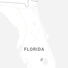
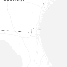
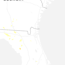


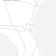


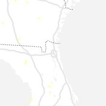


Connect with Interactive Hail Maps