

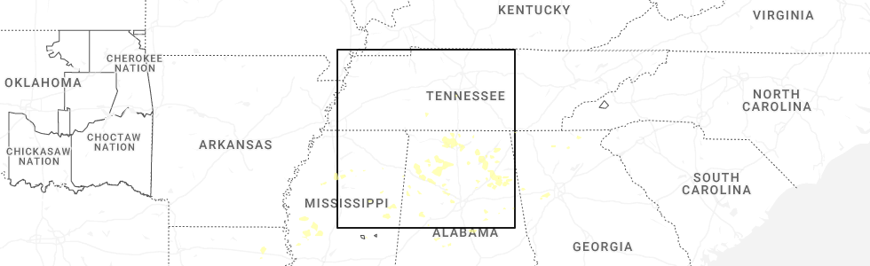
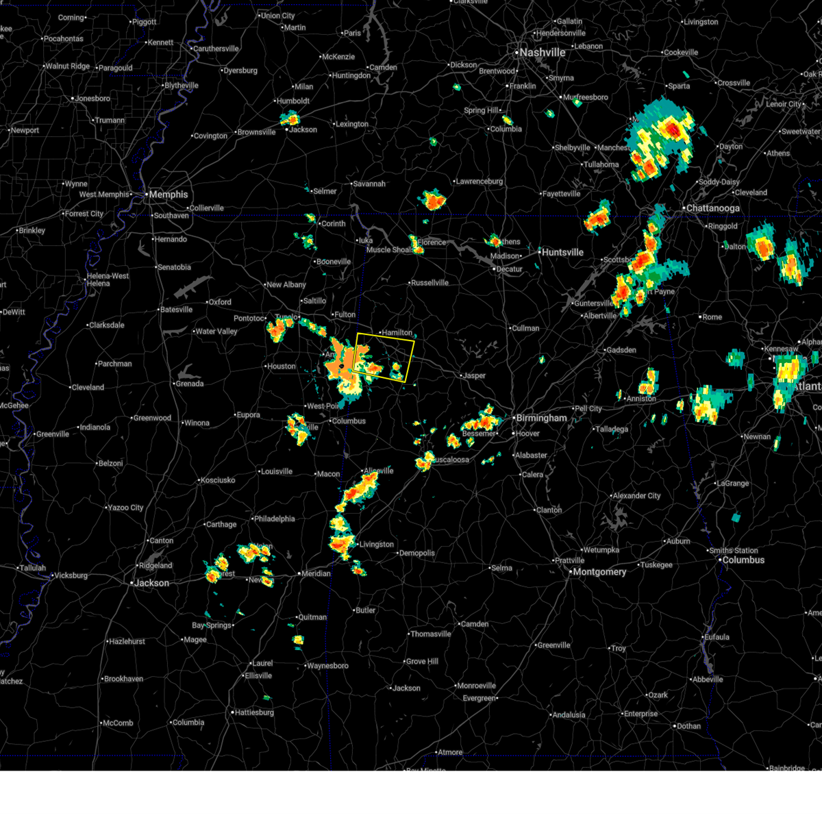
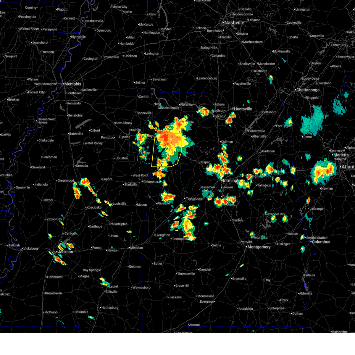
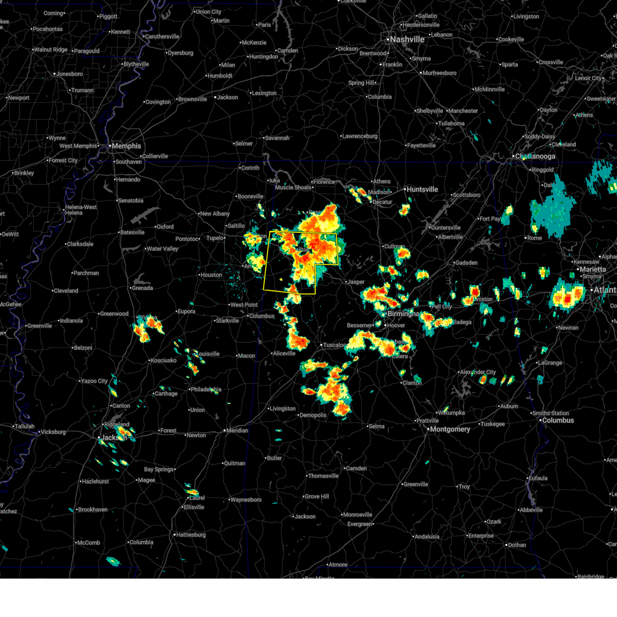
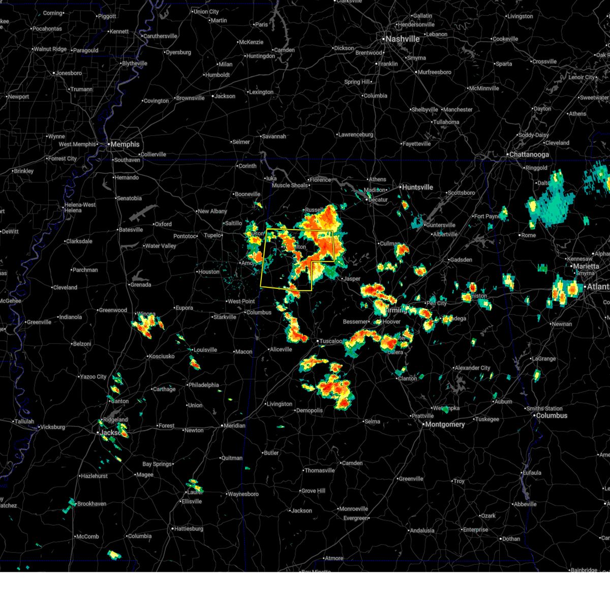
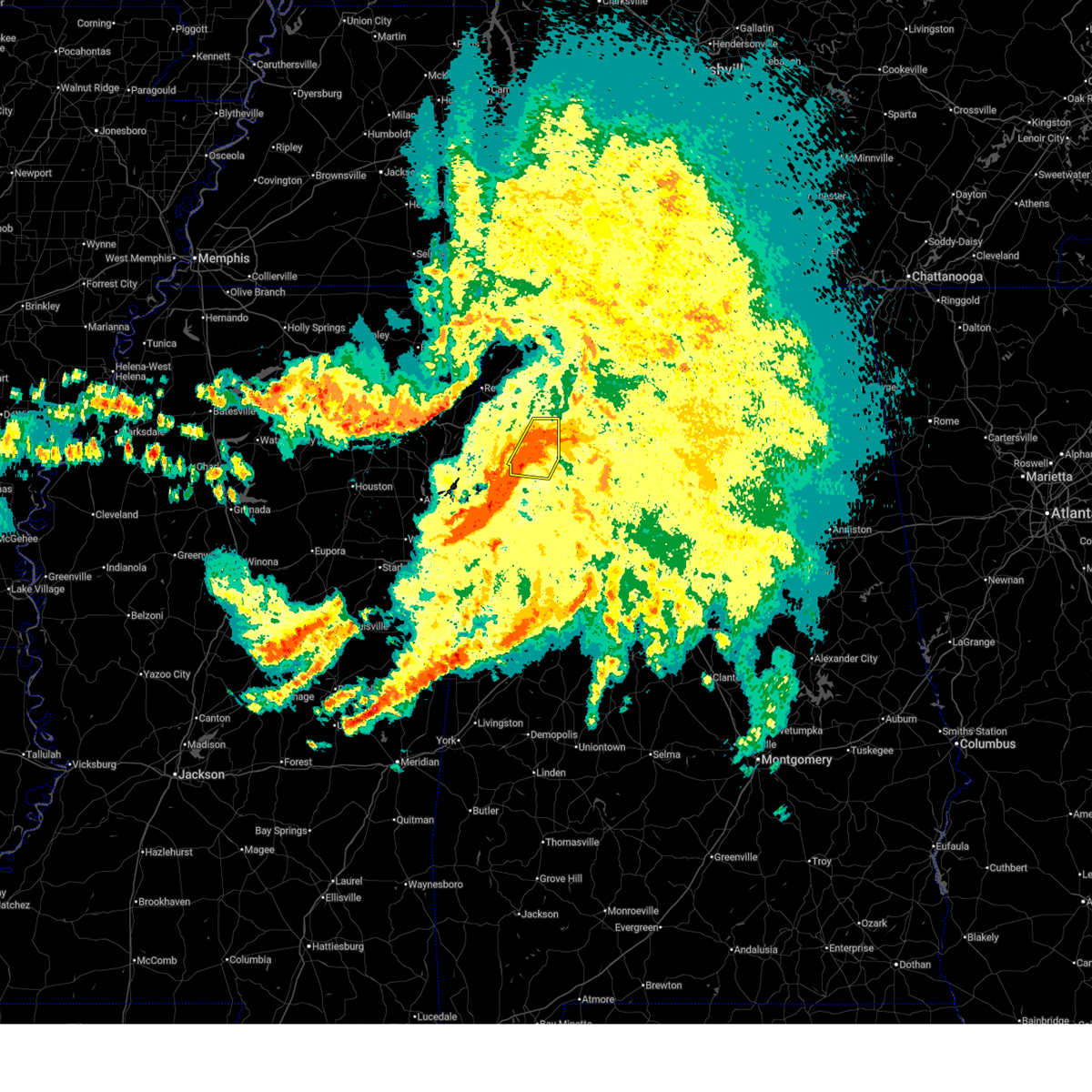
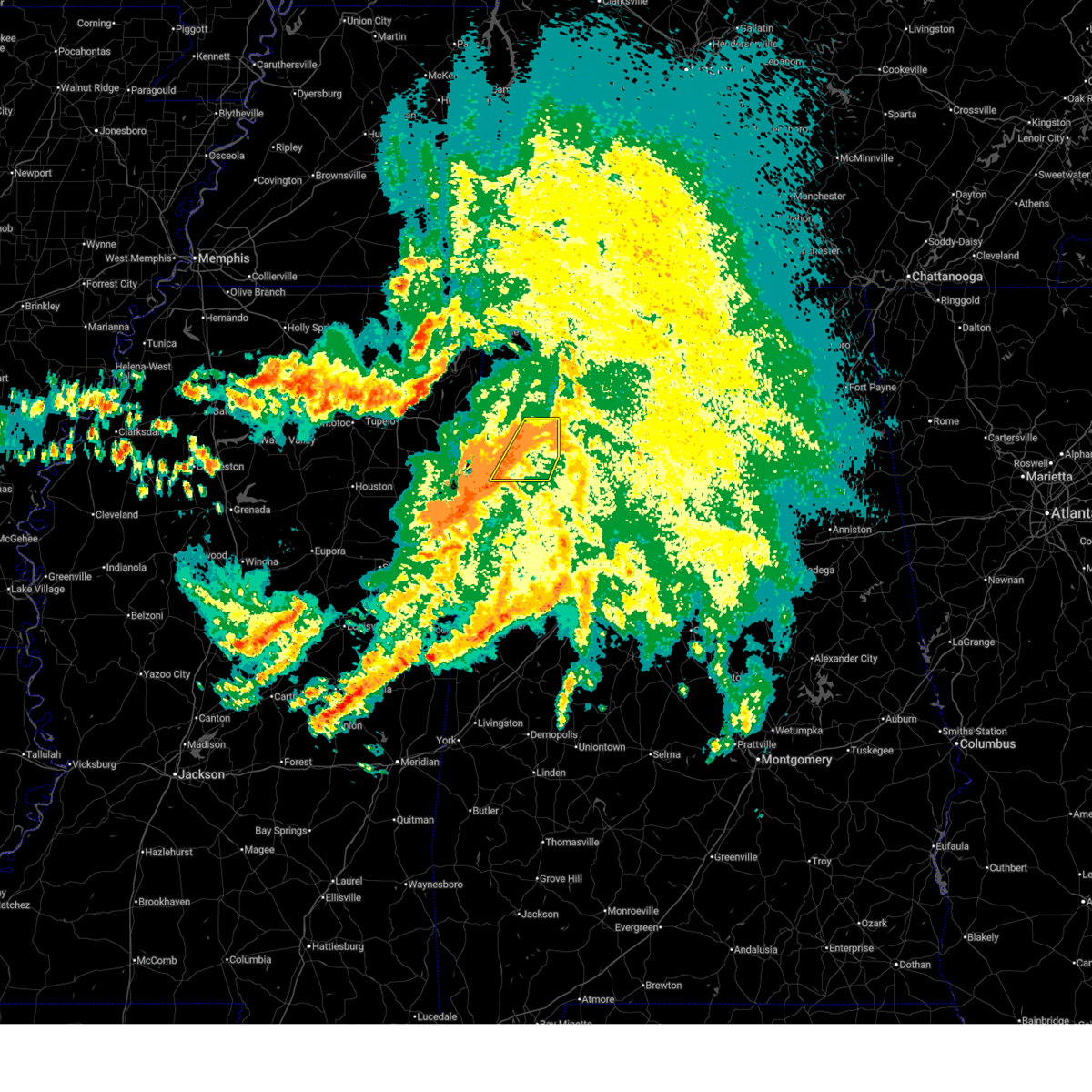
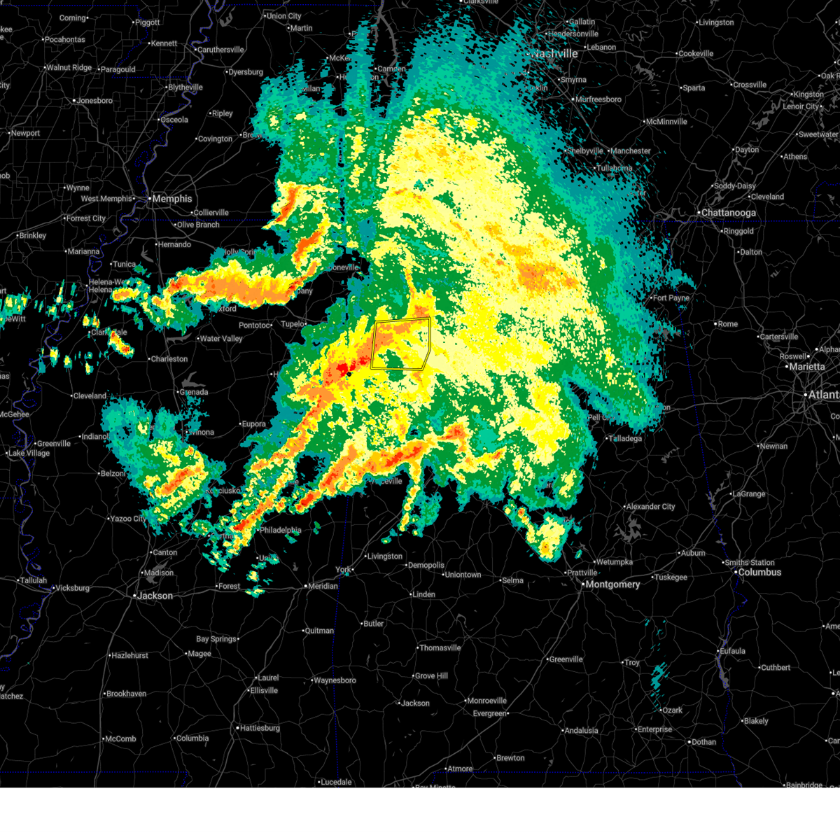
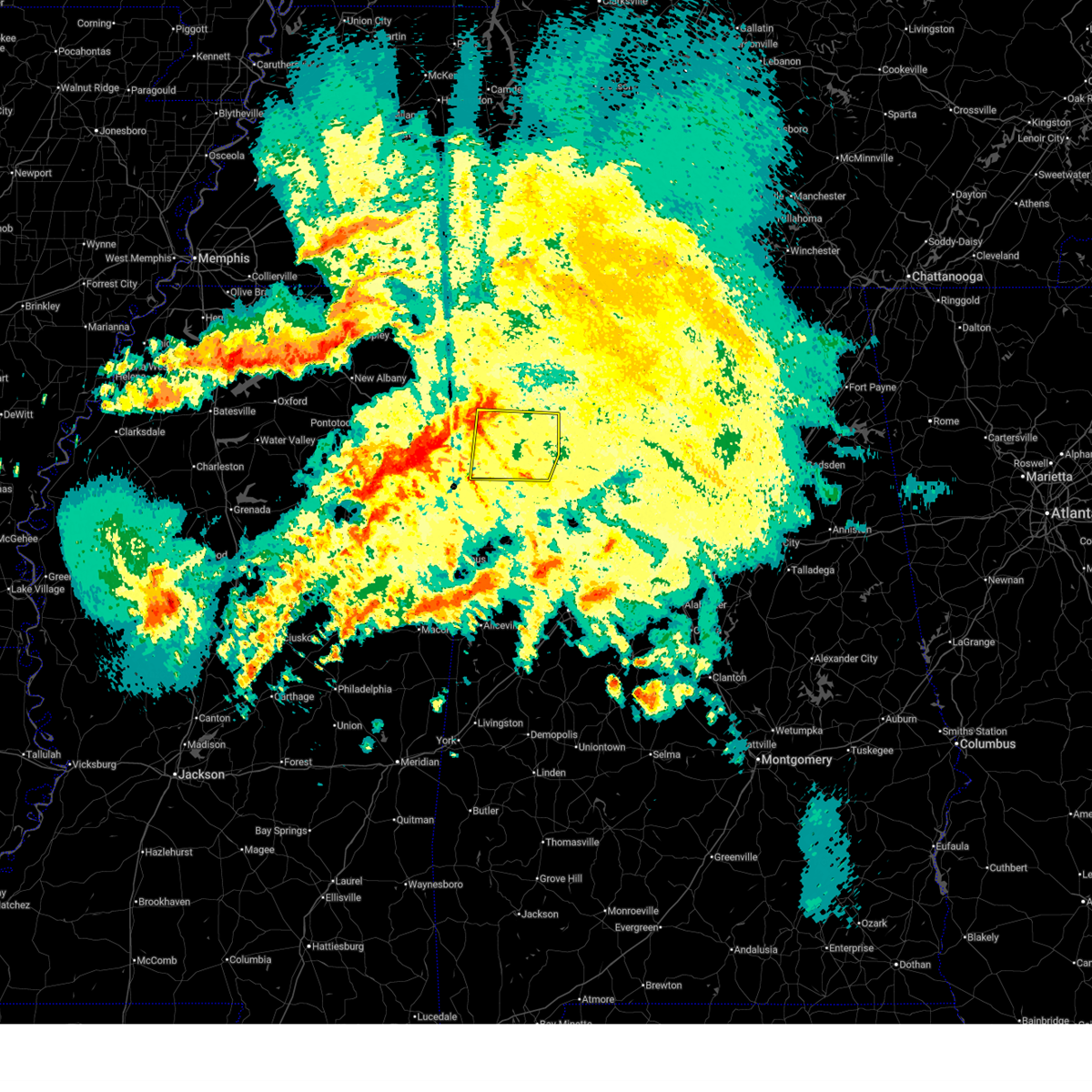
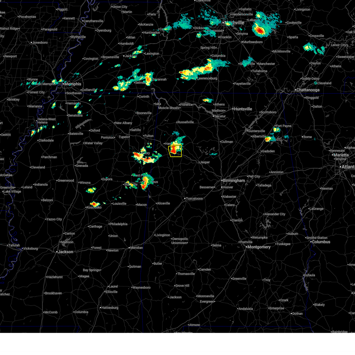
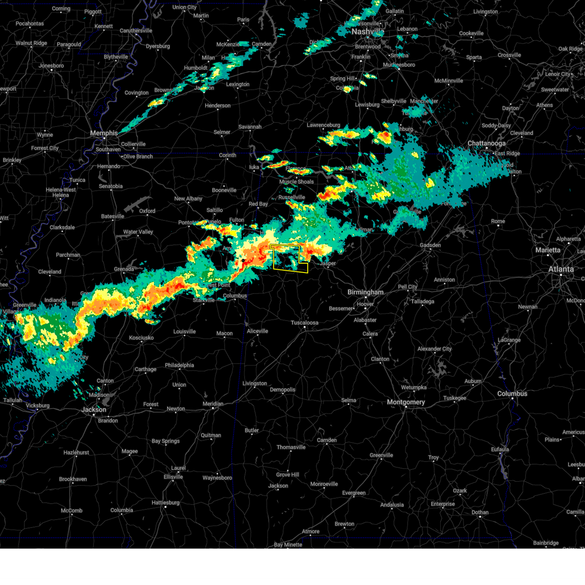
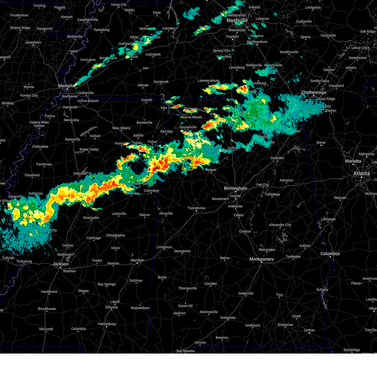
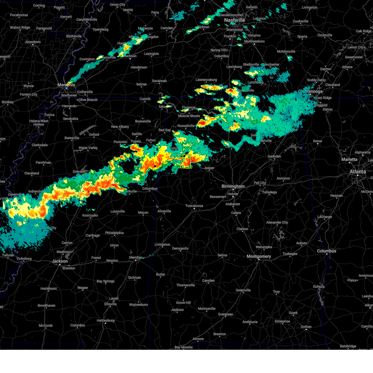
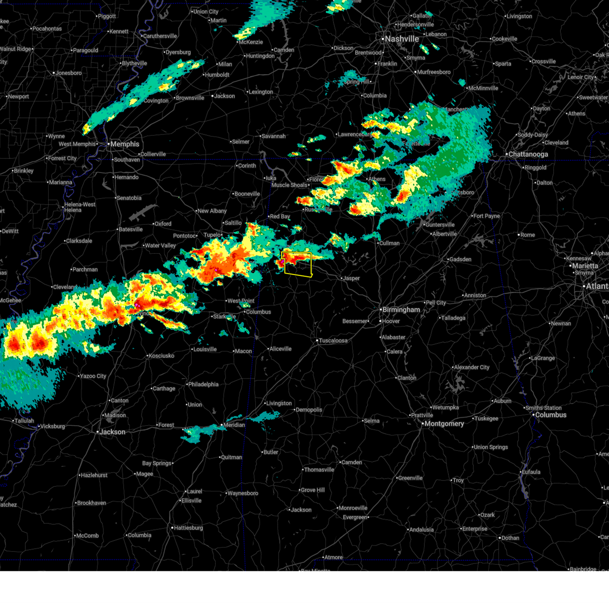
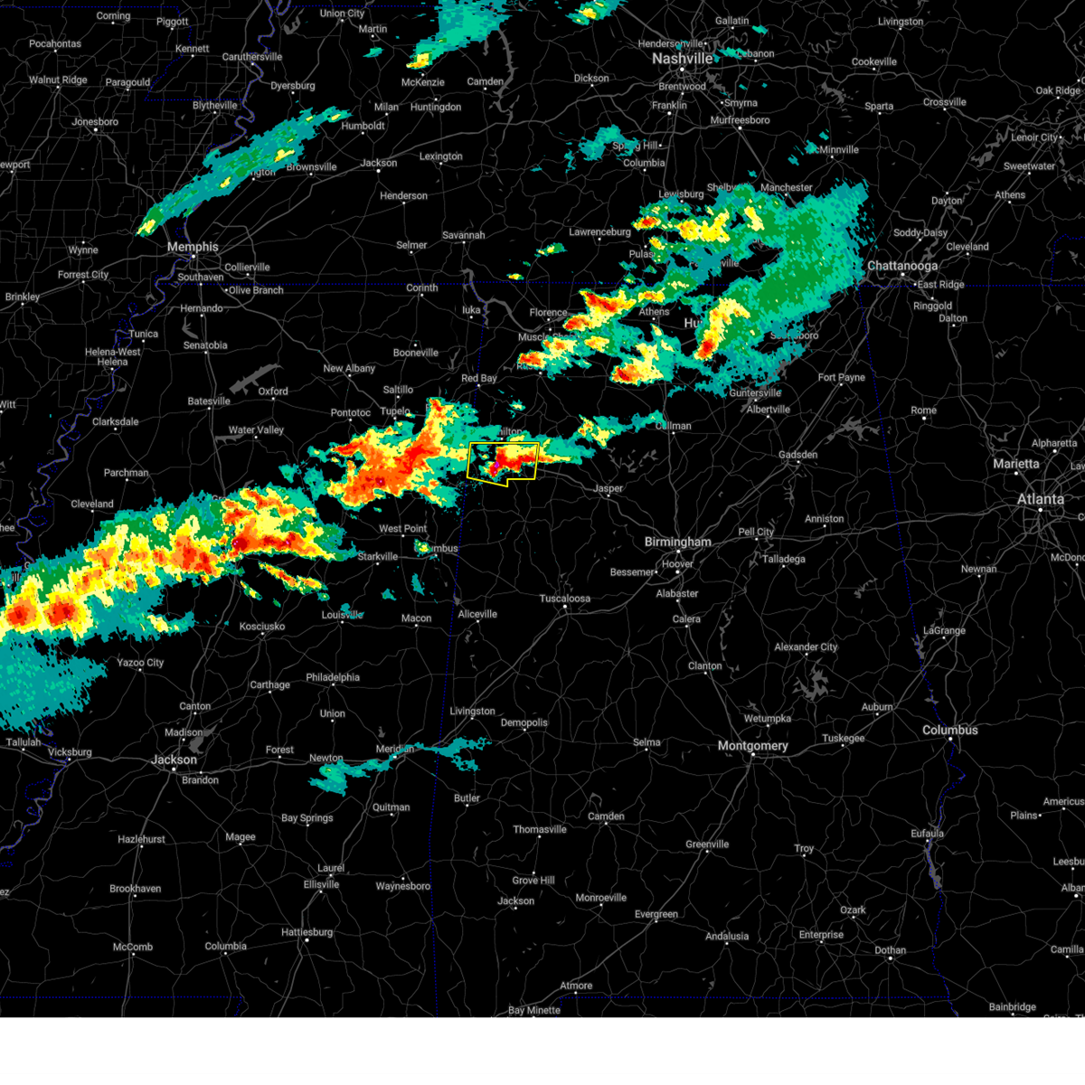
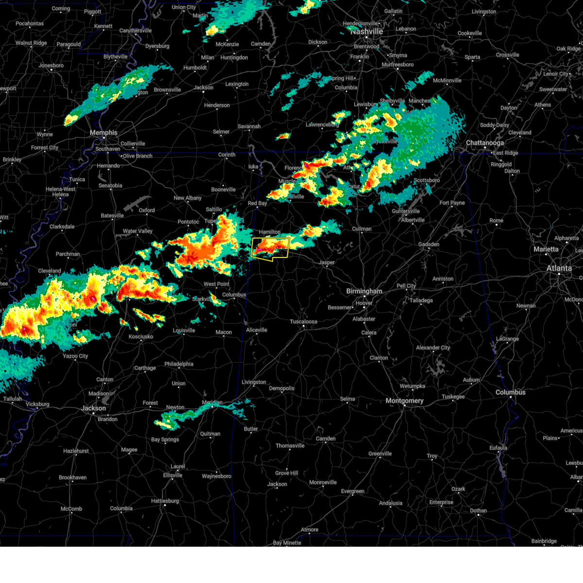
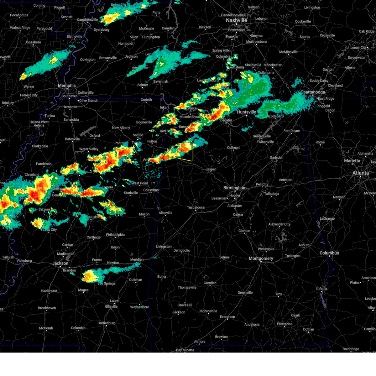
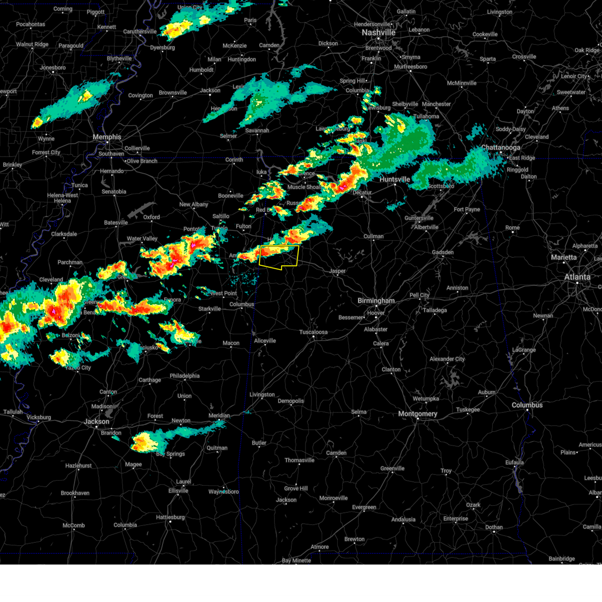
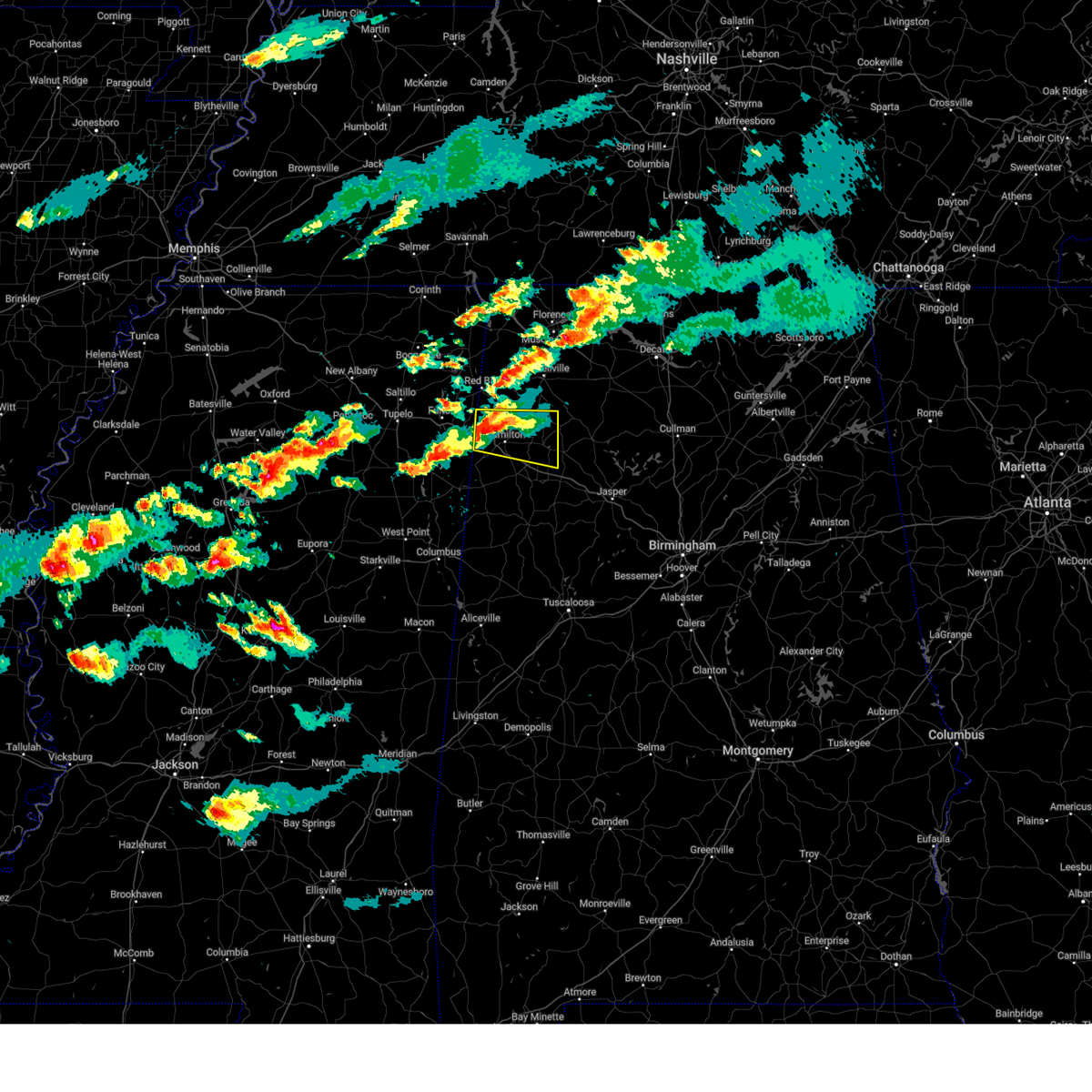
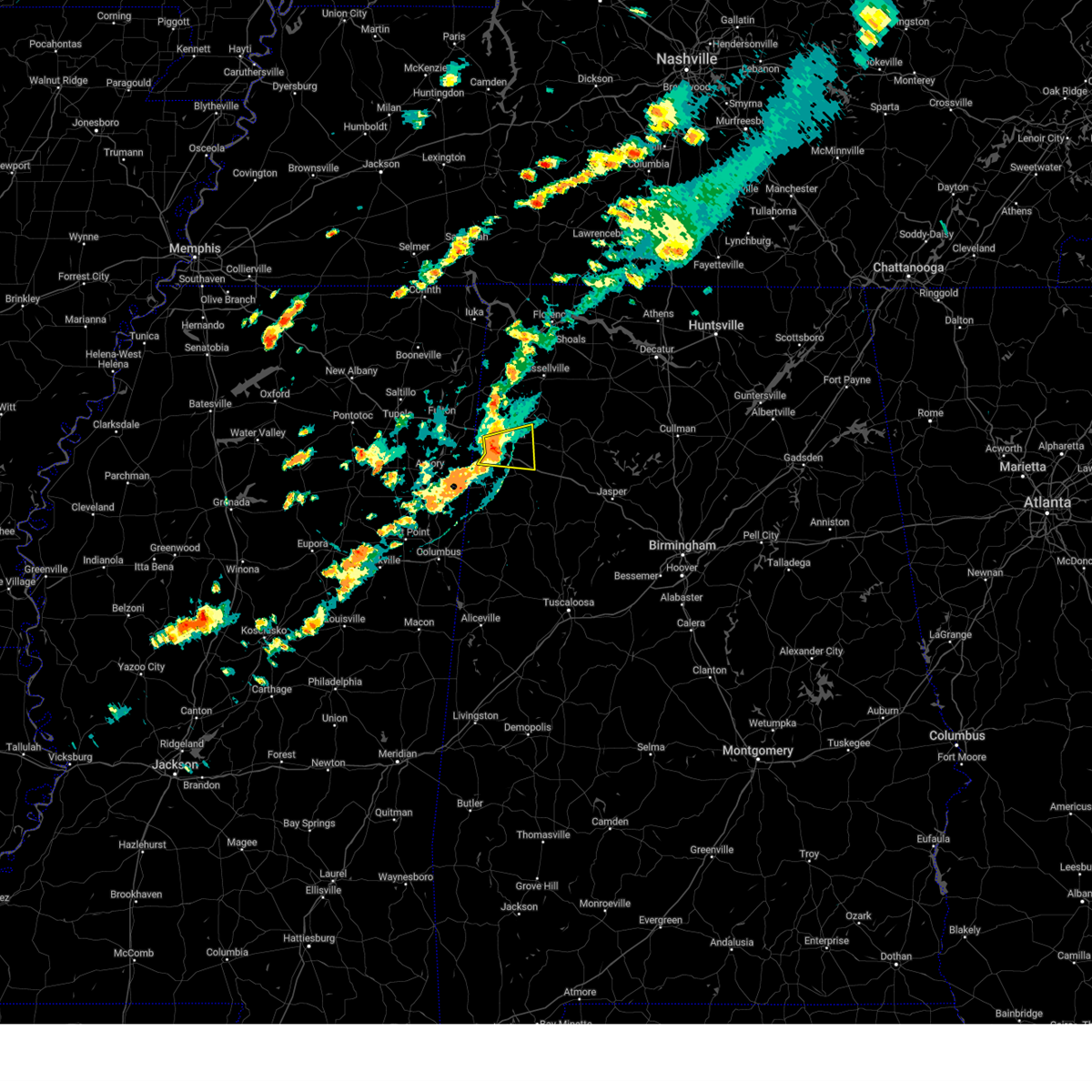
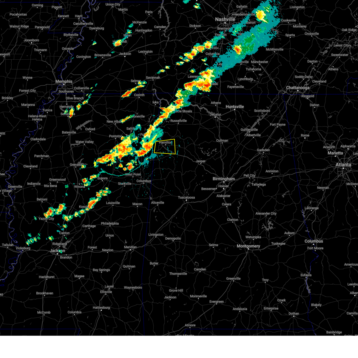
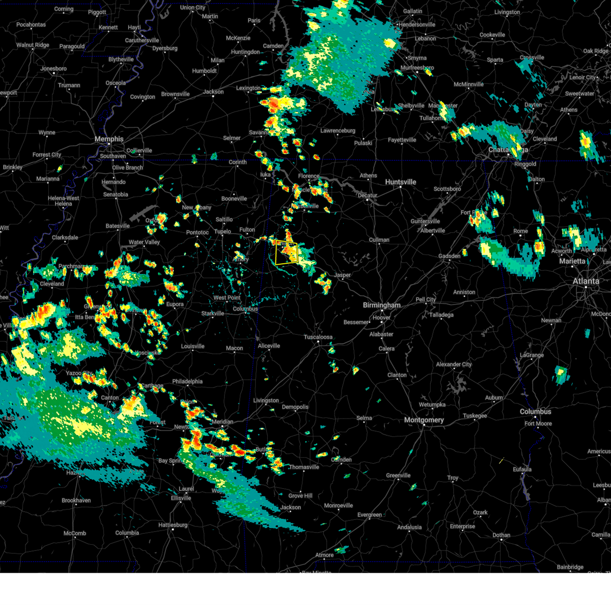
Hail Map for Brilliant, AL
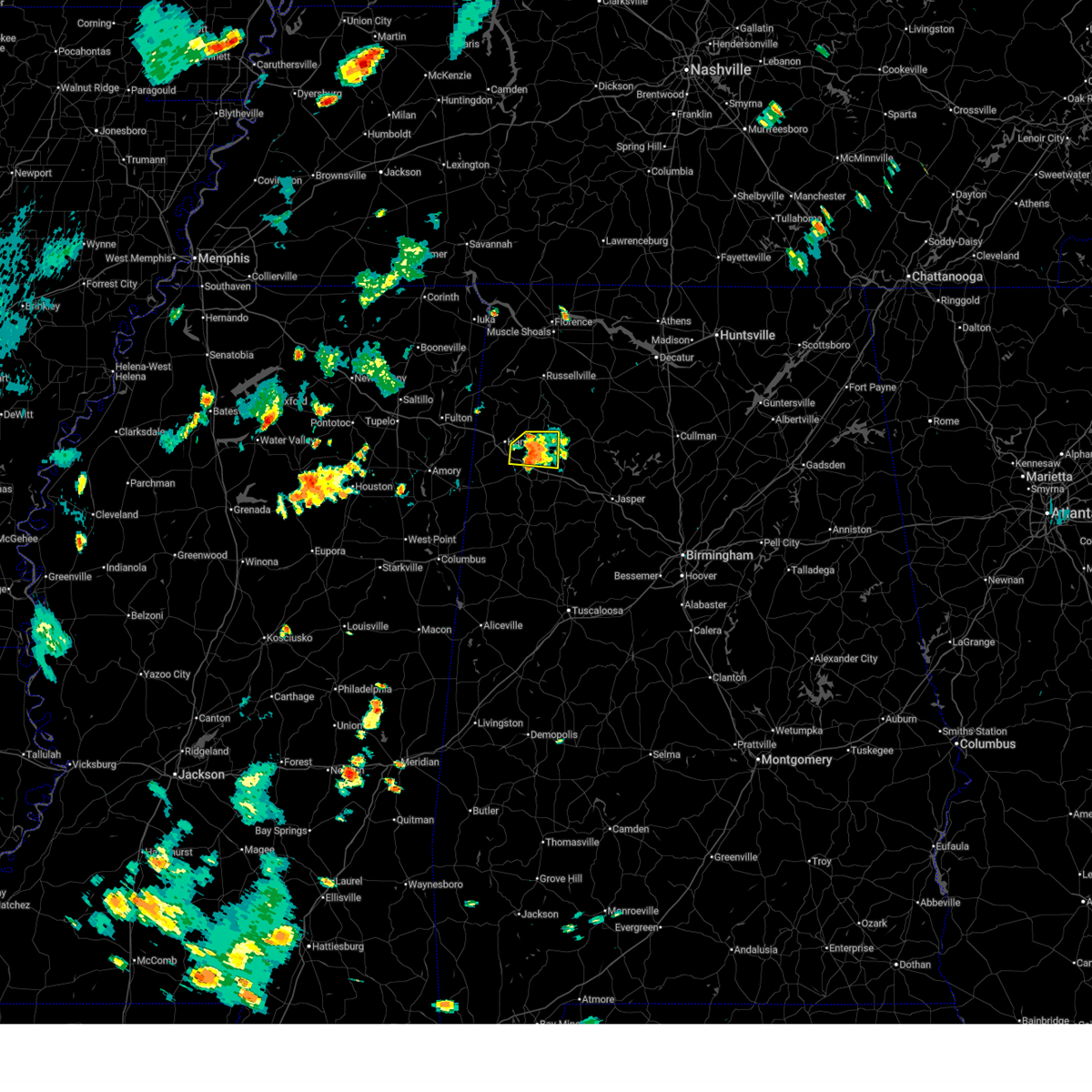
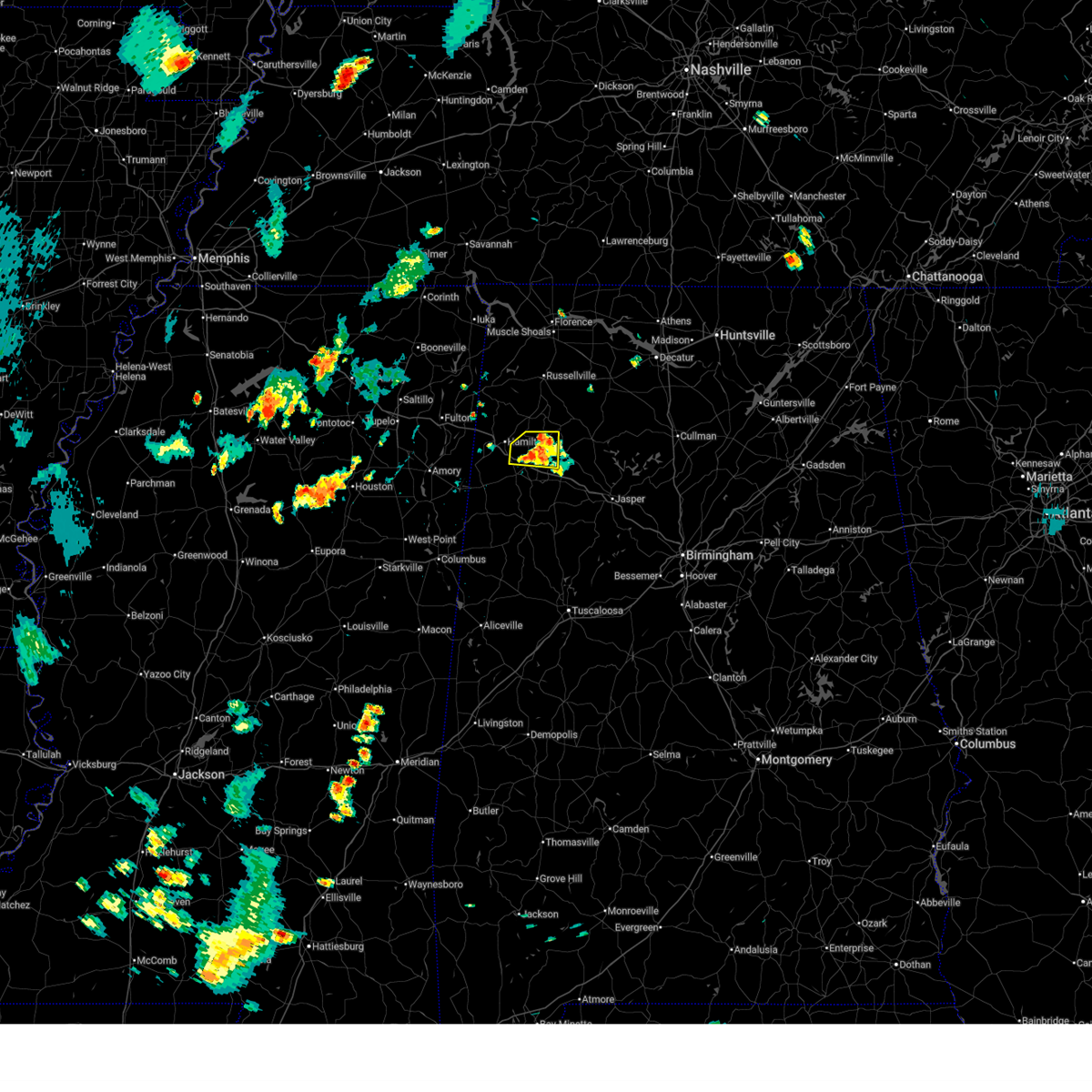
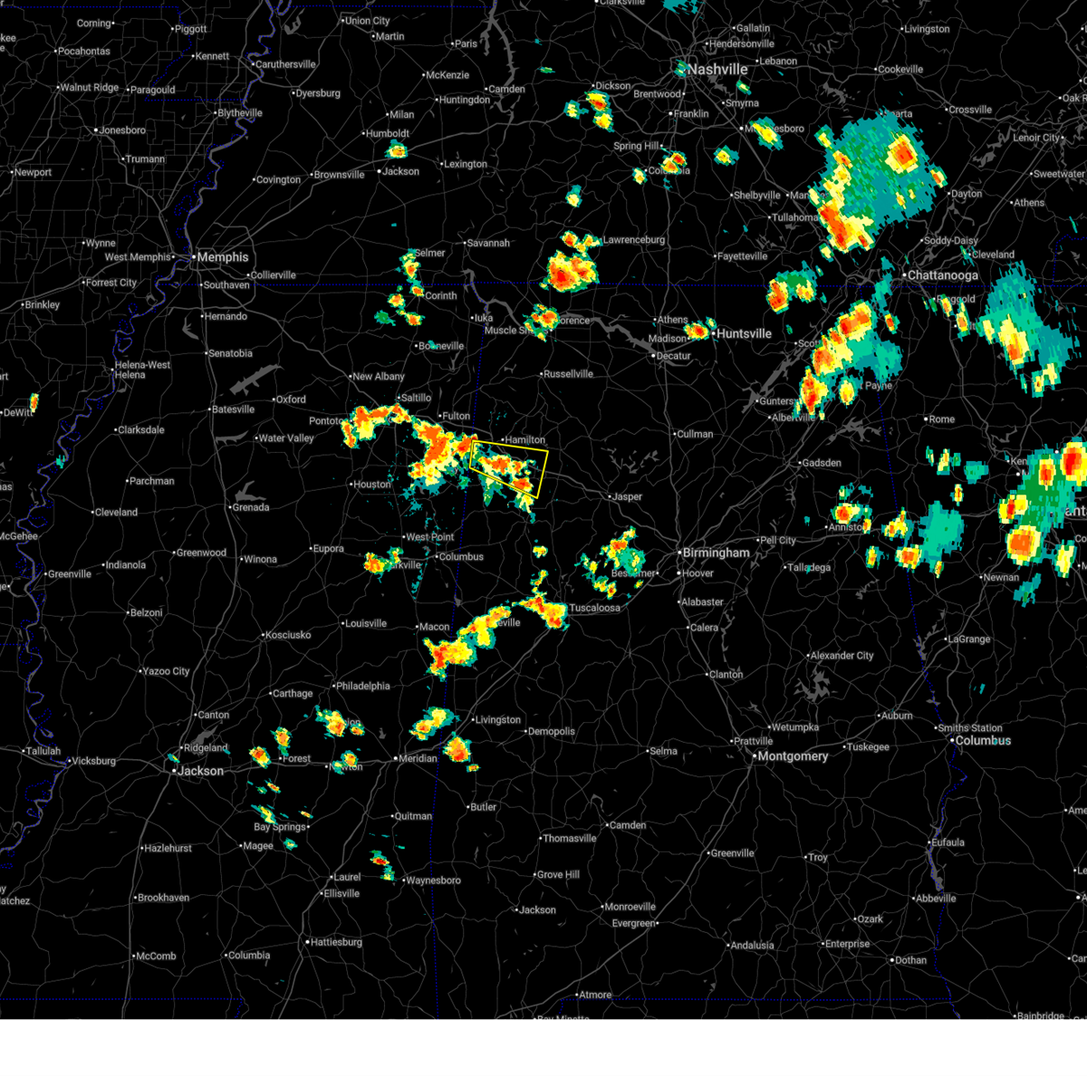
The Brilliant, AL area has had 0 reports of on-the-ground hail by trained spotters, and has been under severe weather warnings 31 times during the past 12 months. Doppler radar has detected hail at or near Brilliant, AL on 90 occasions, including 3 occasions during the past year.
| Name: | Brilliant, AL |
| Where Located: | 54.1 miles S of Florence, AL |
| Map: | Google Map for Brilliant, AL |
| Population: | 900 |
| Housing Units: | 512 |
| More Info: | Search Google for Brilliant, AL |
1
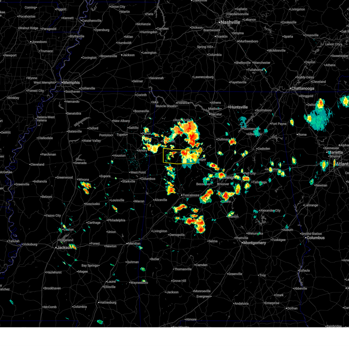
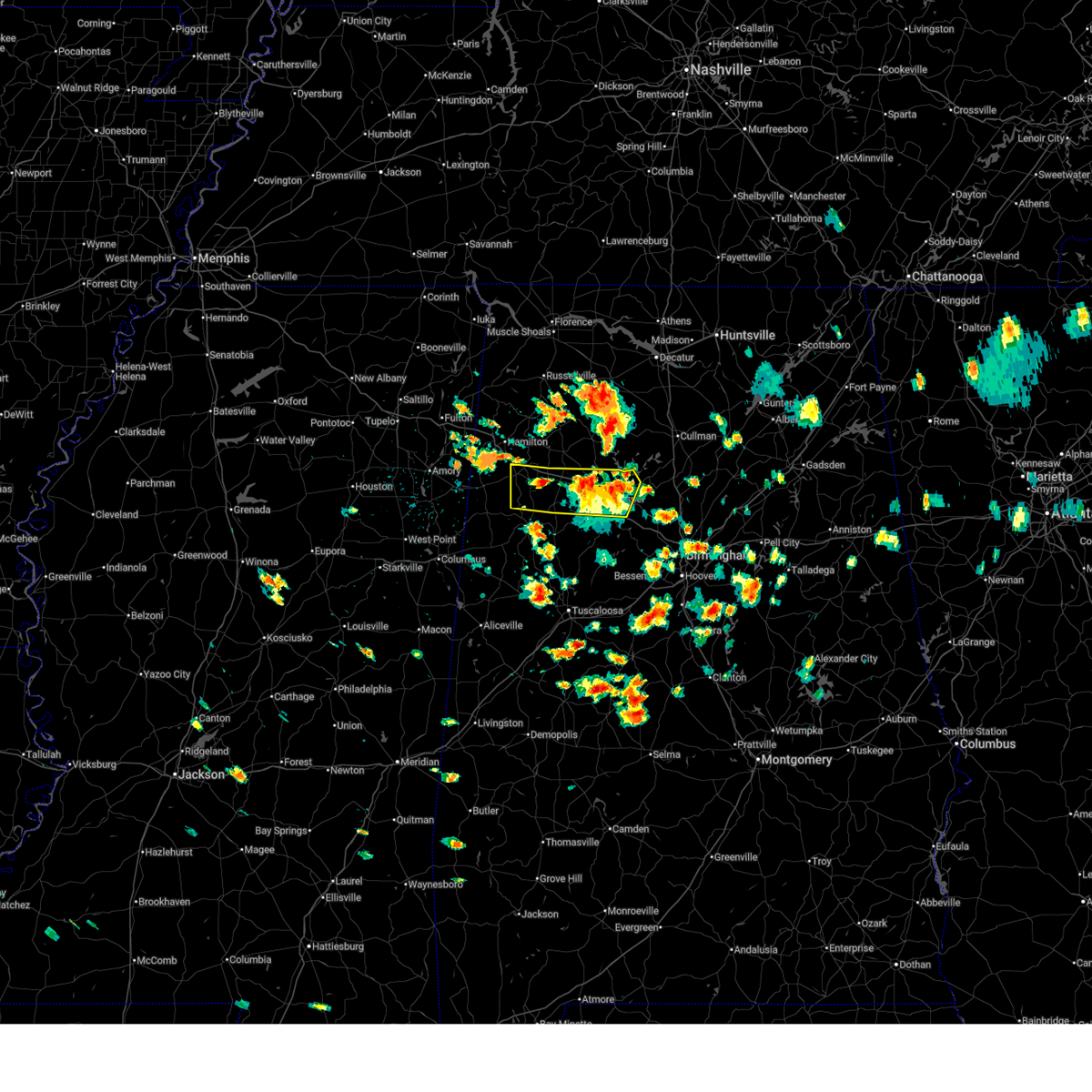
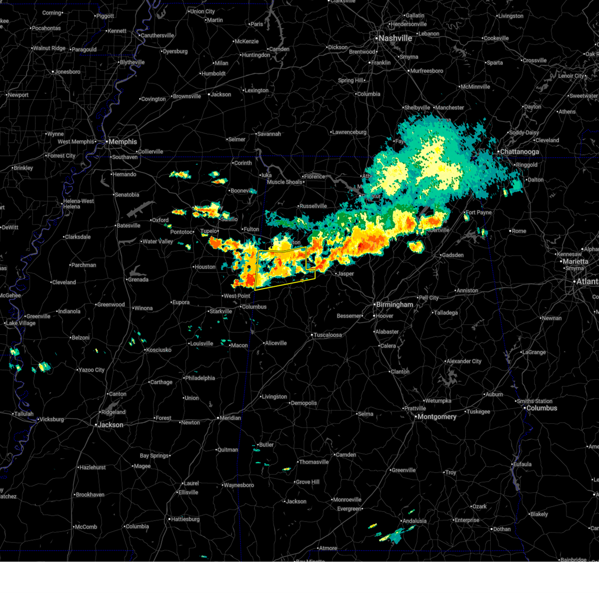
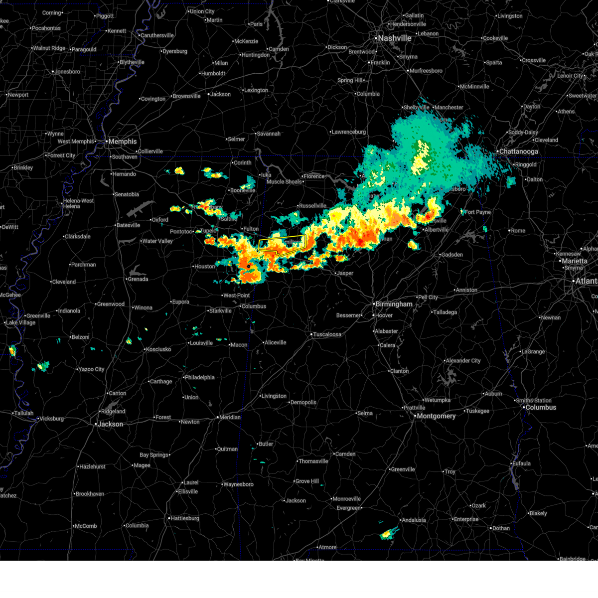
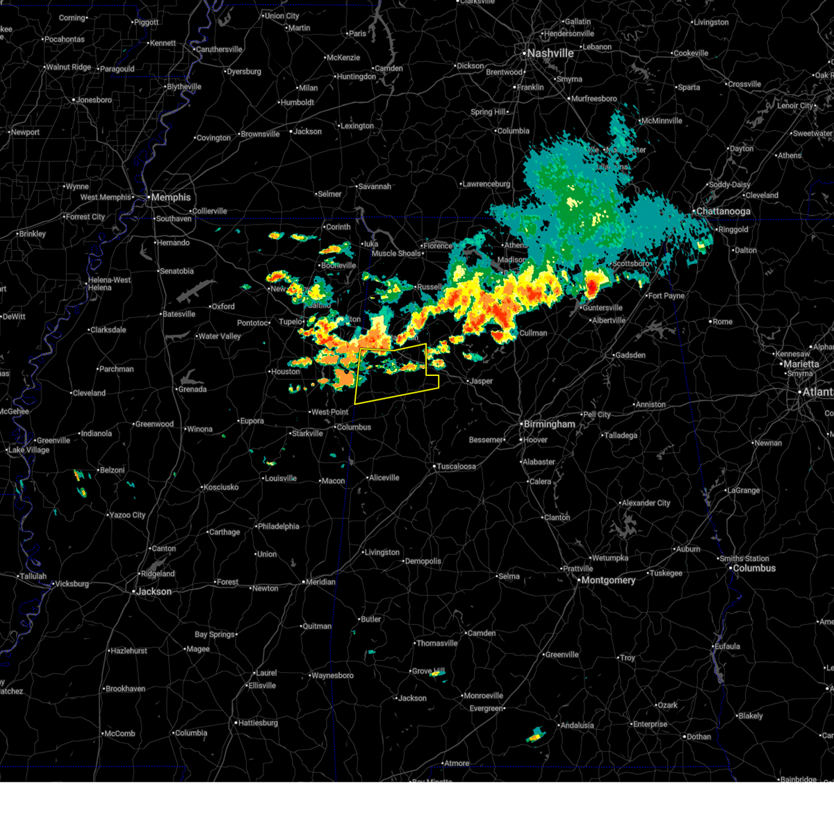
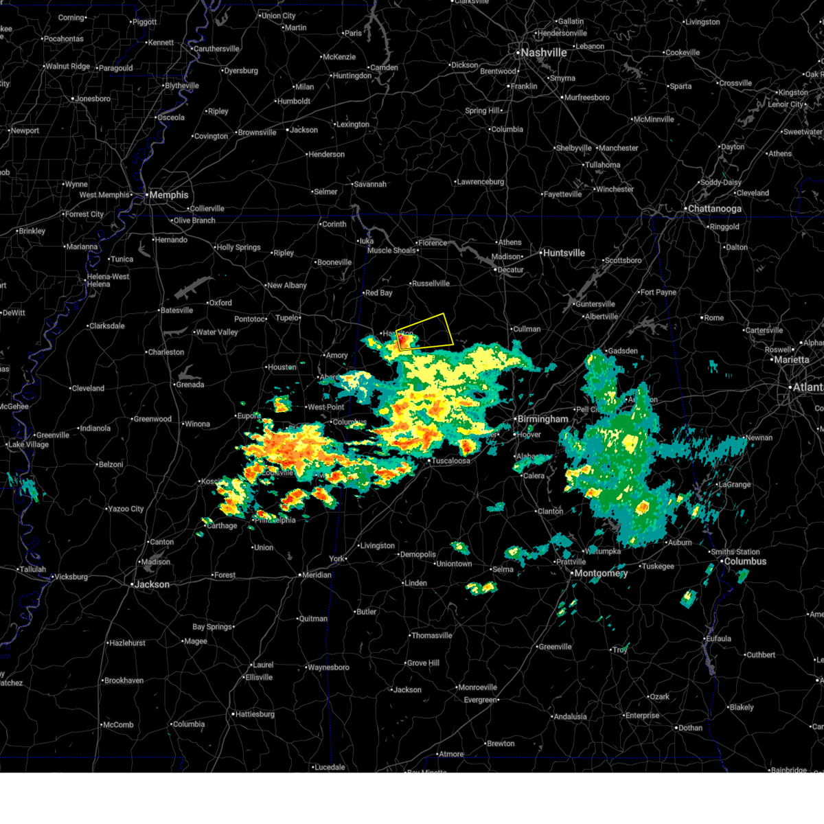
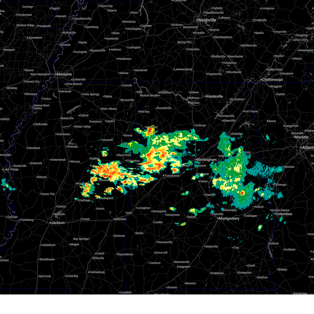
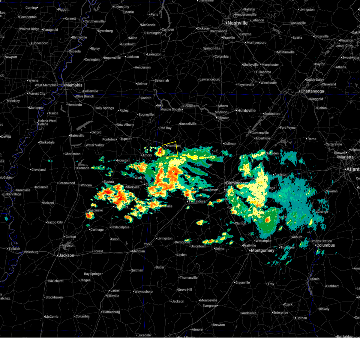
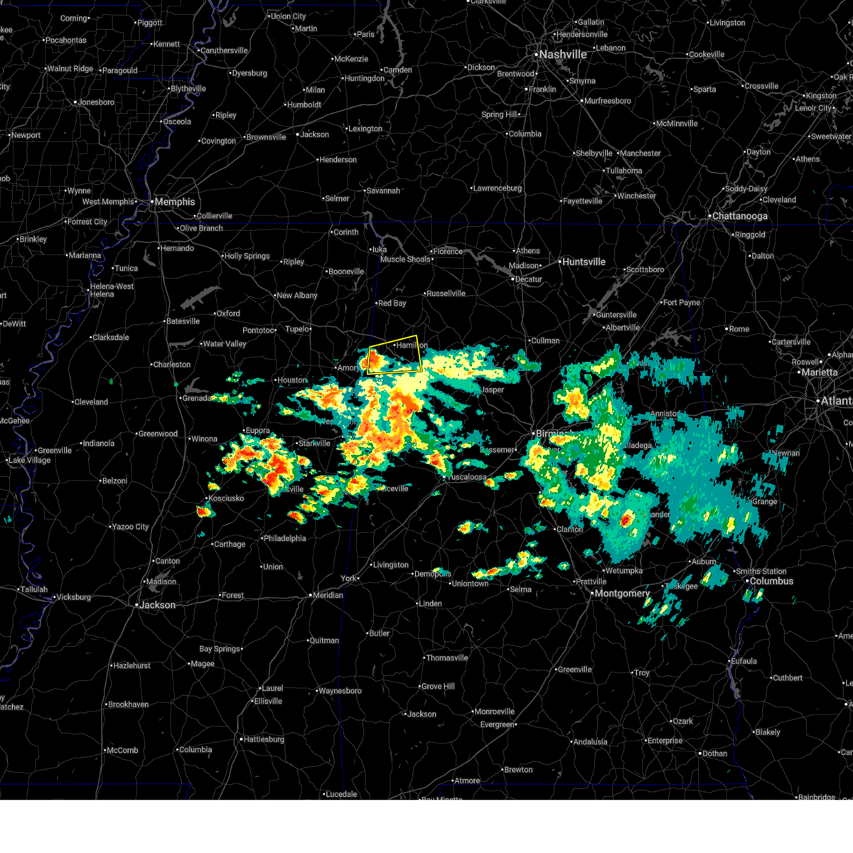
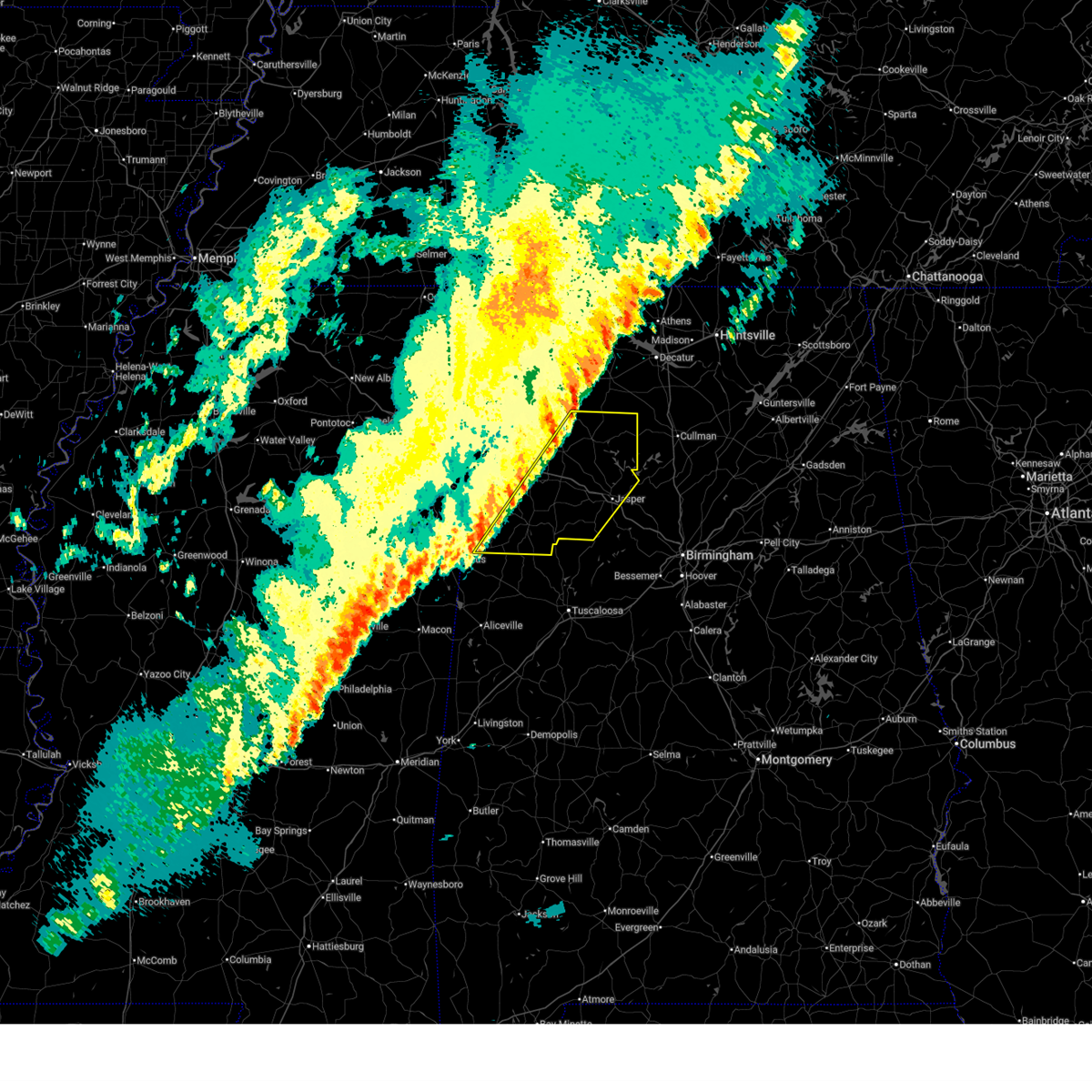
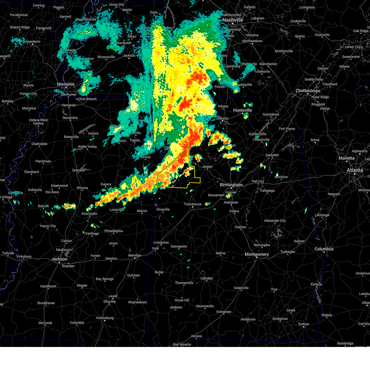
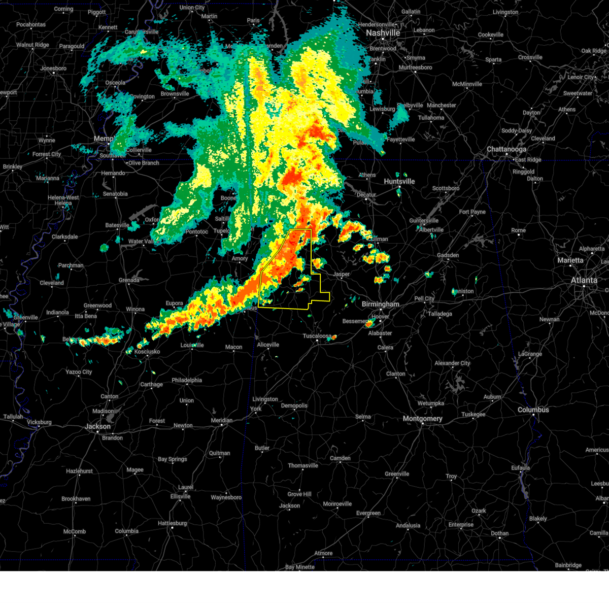
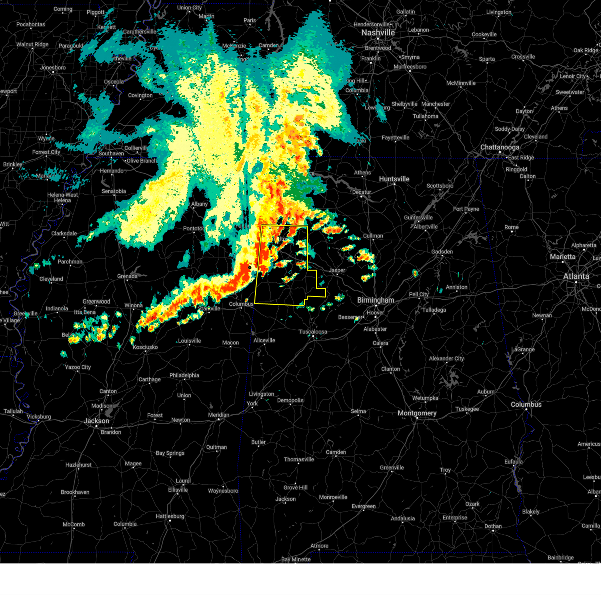
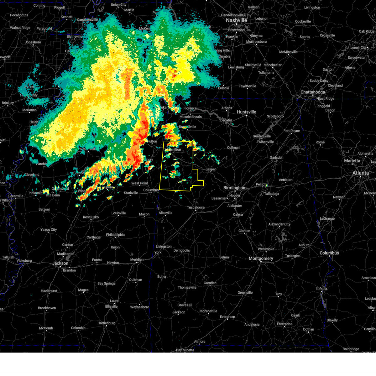
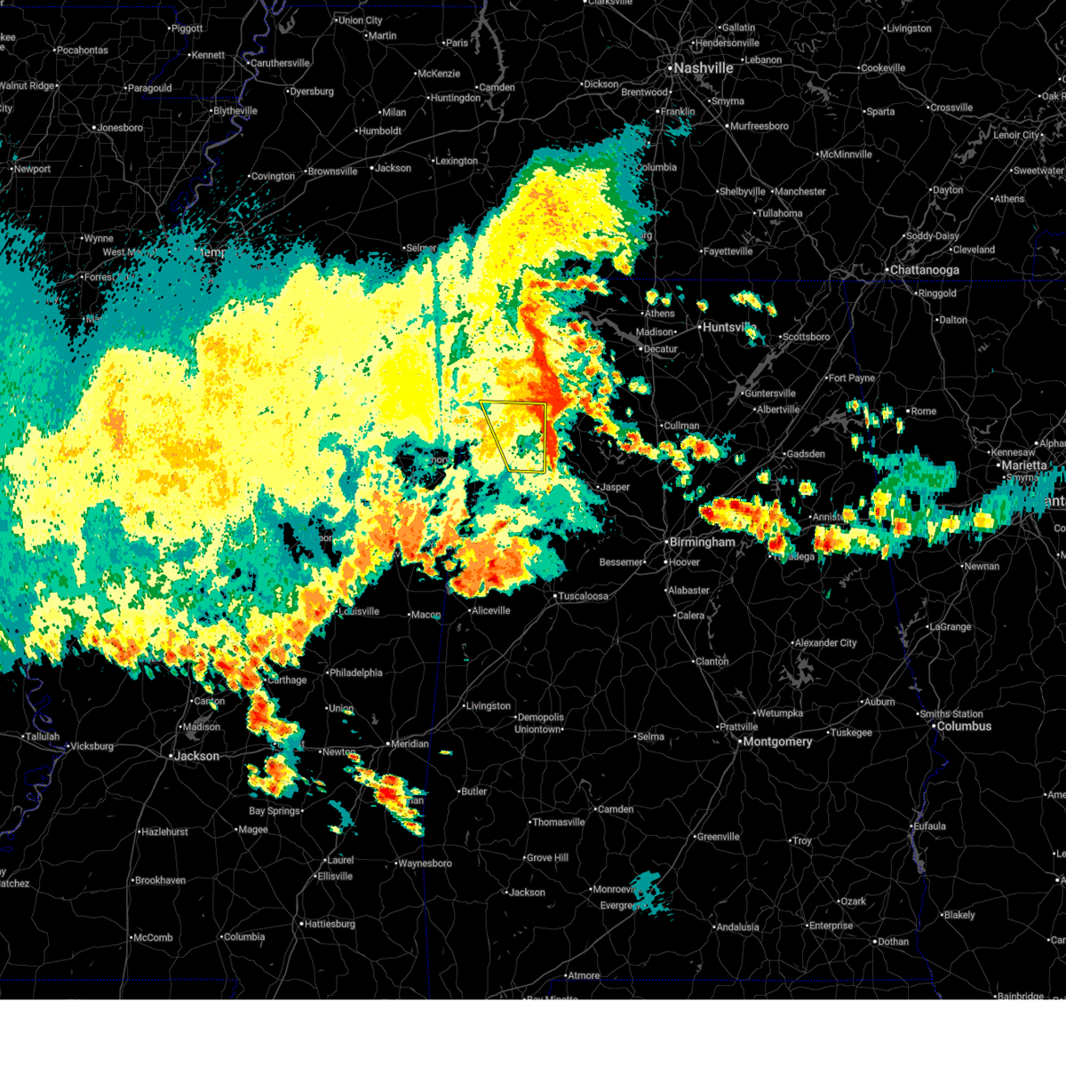
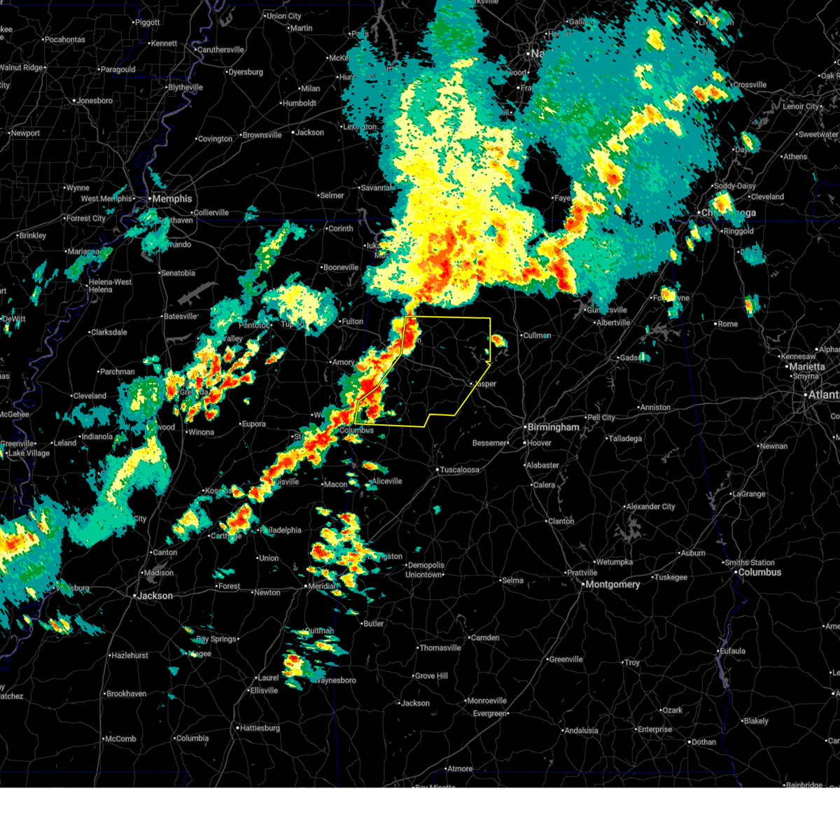
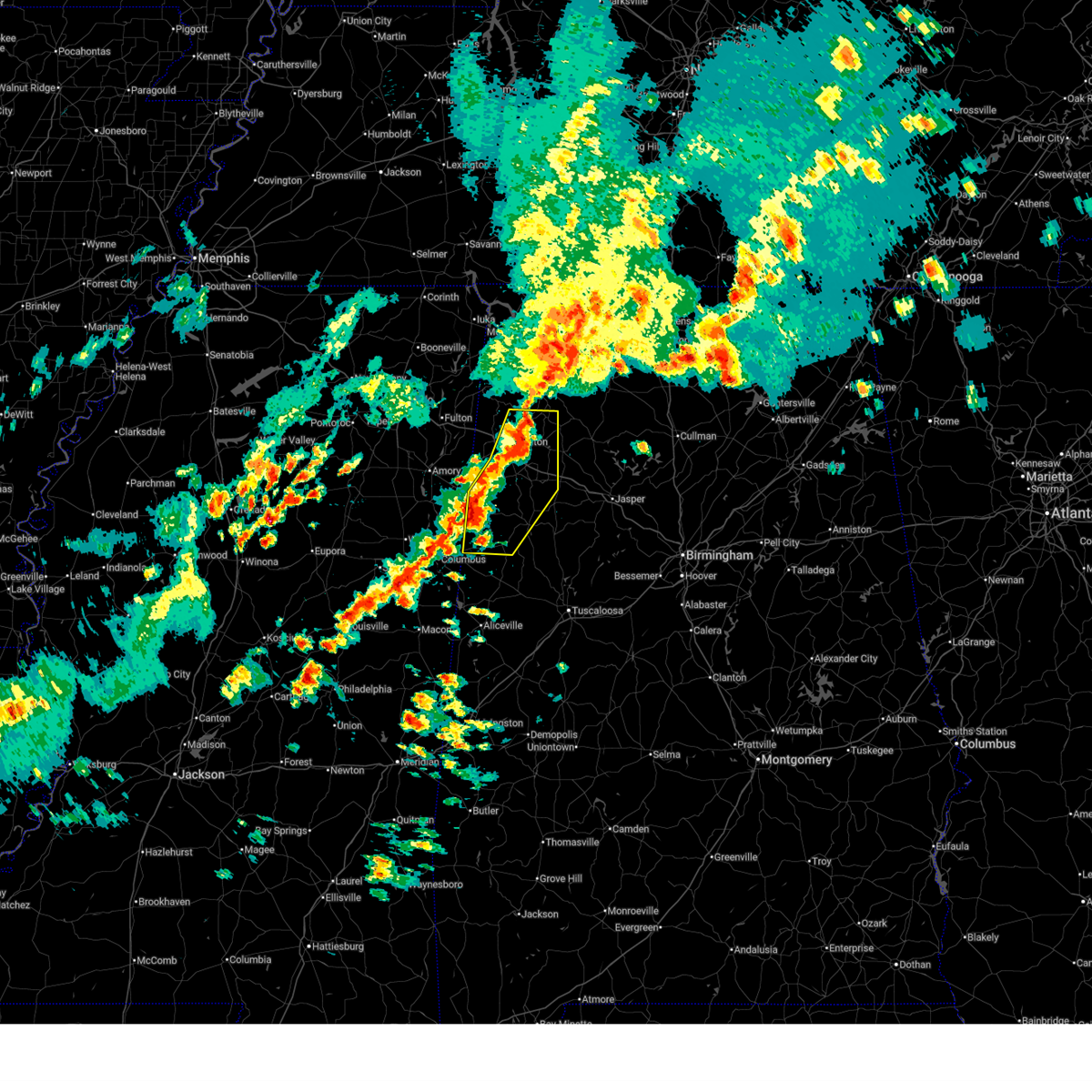
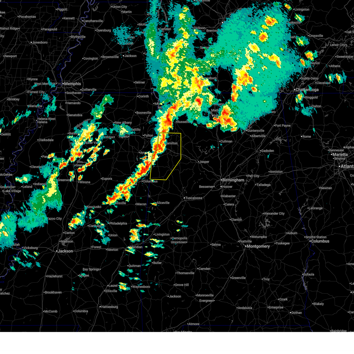
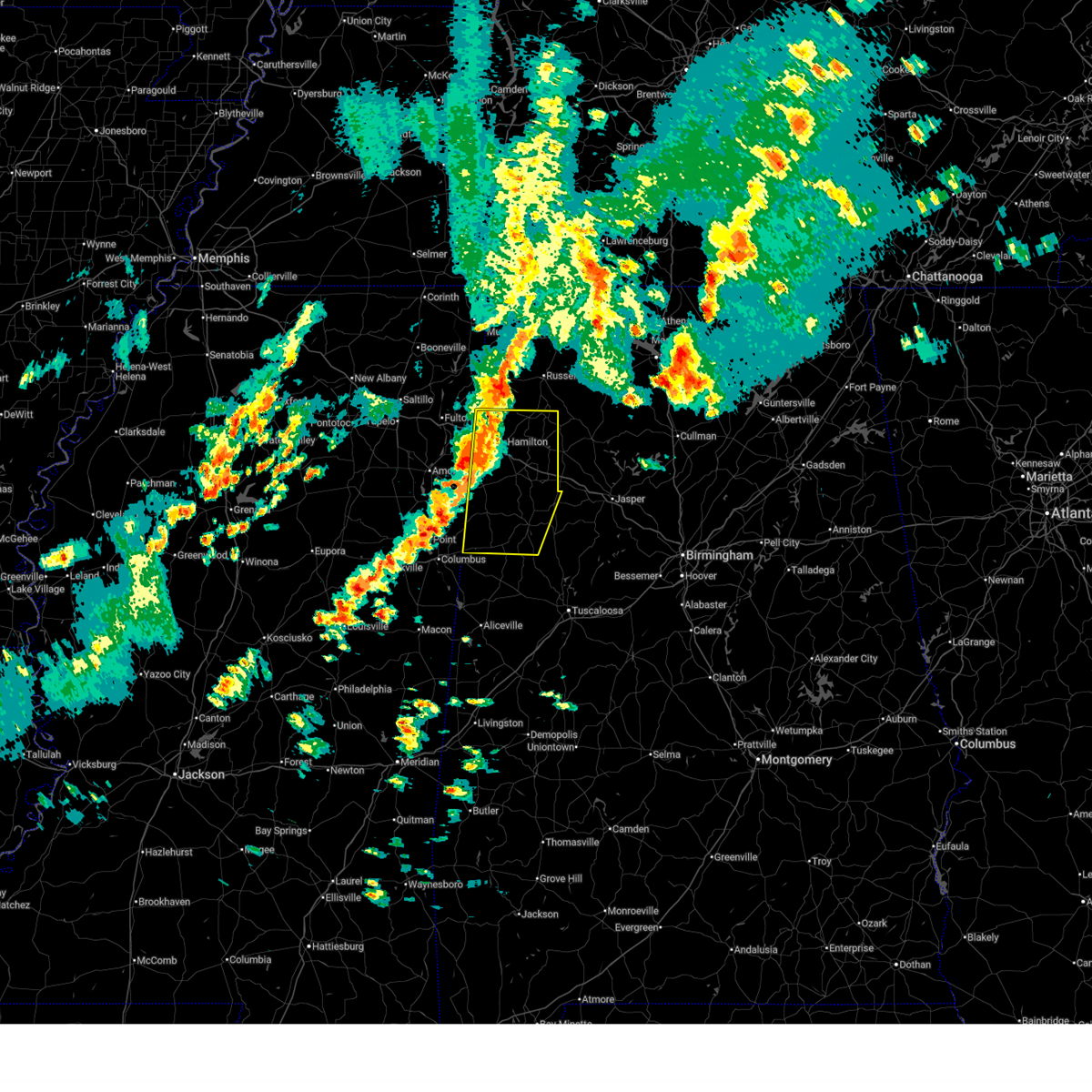
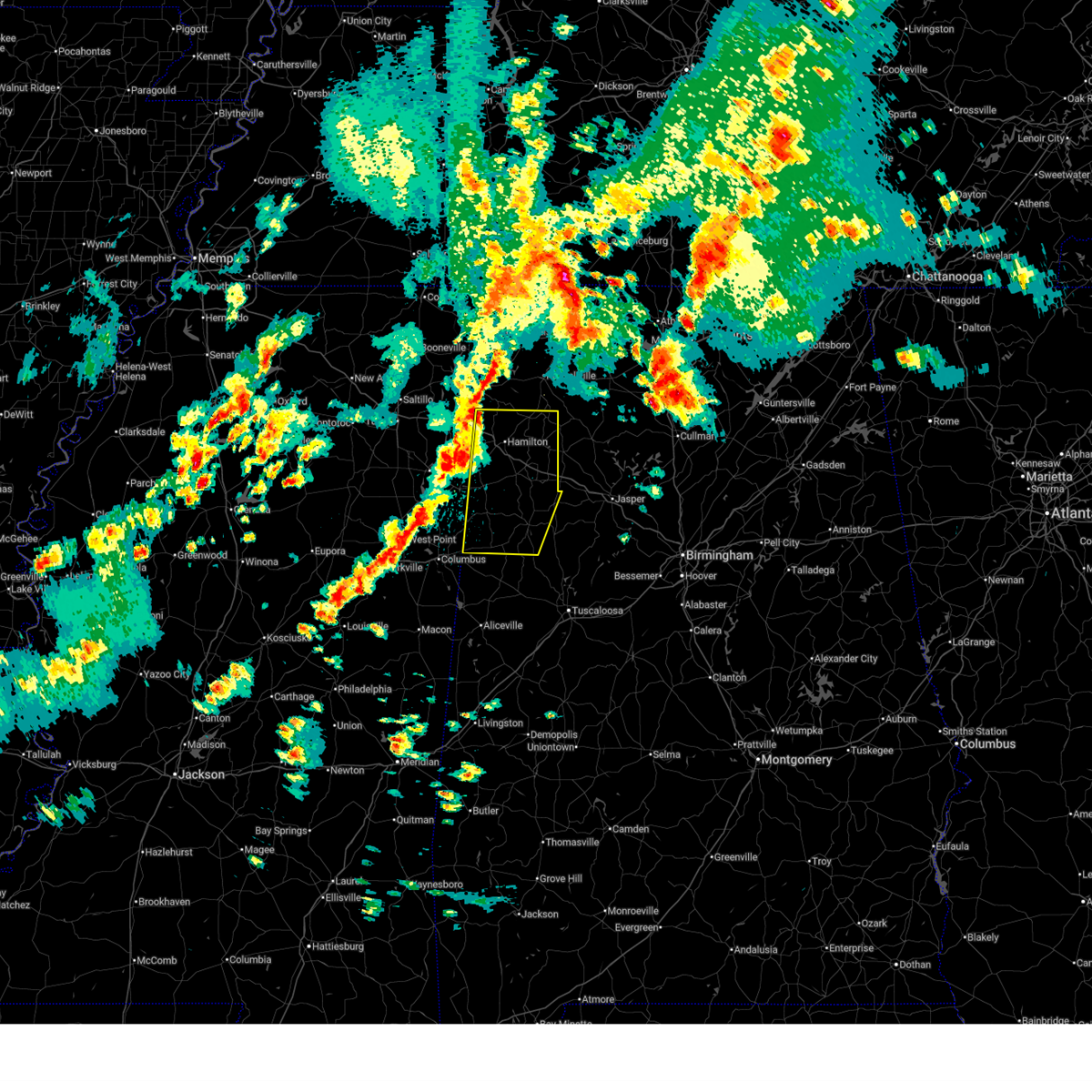
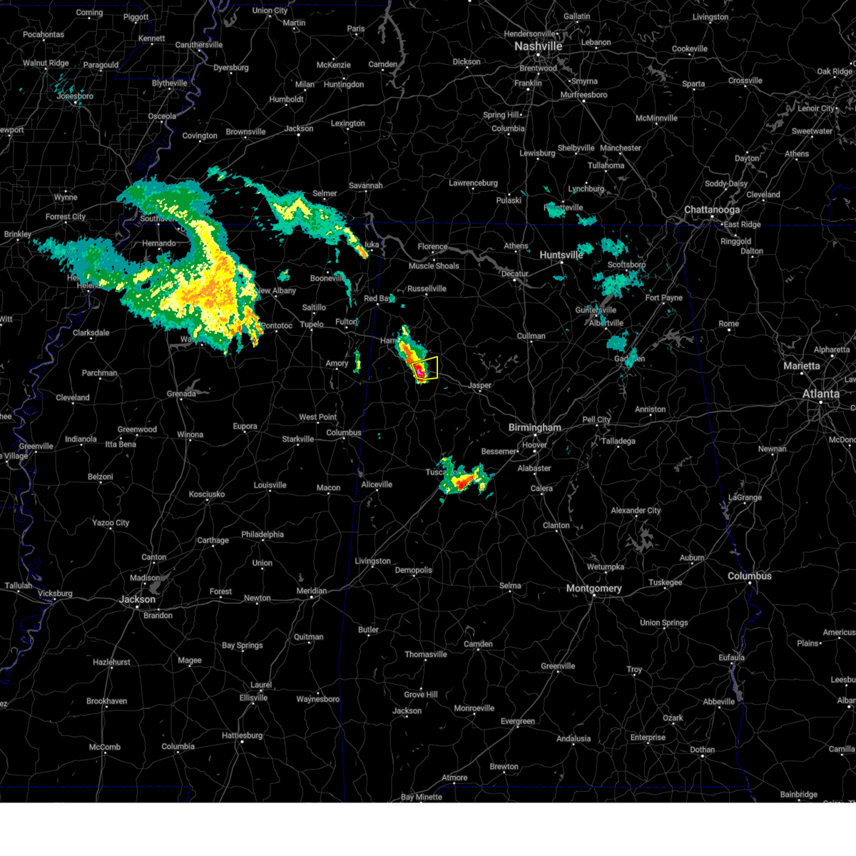
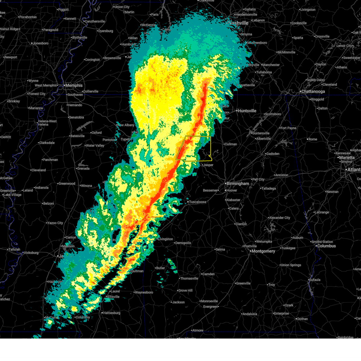
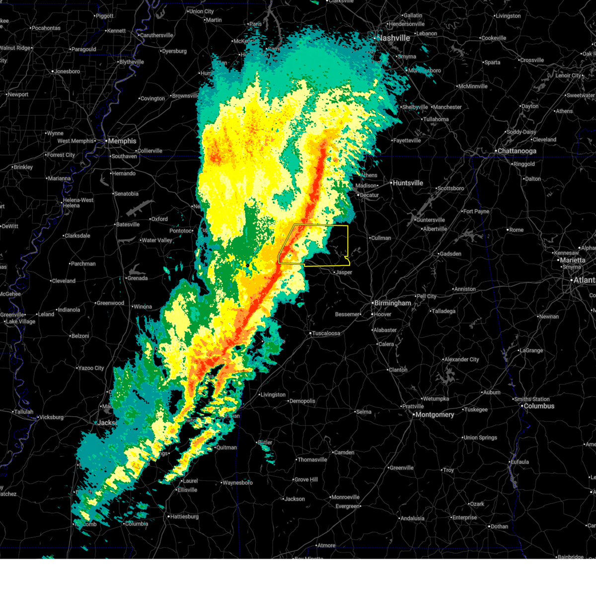
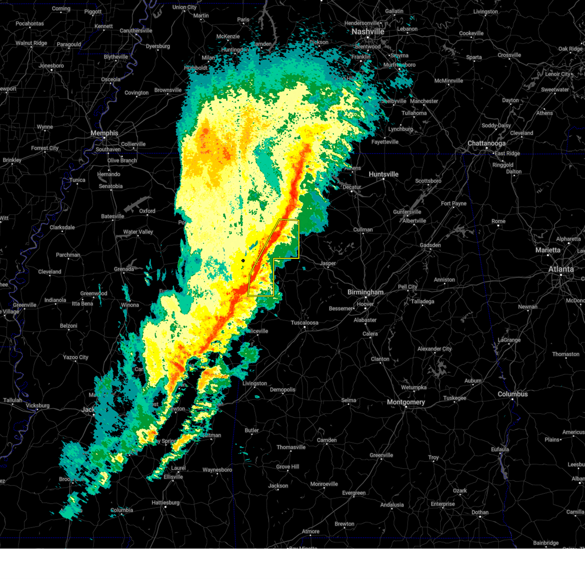
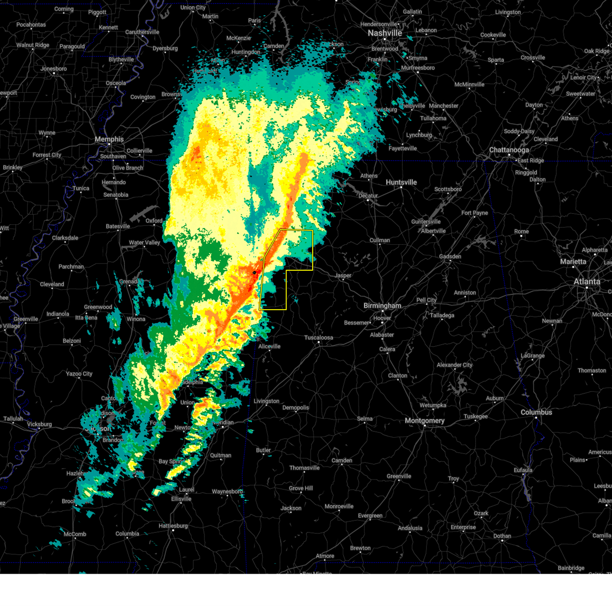
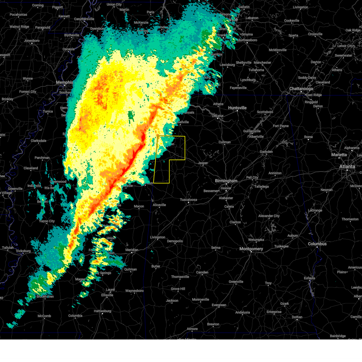
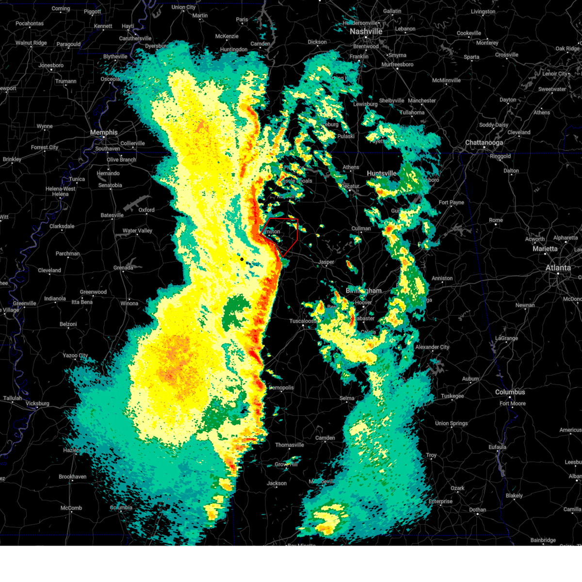
The Top Recent Hail Date for Brilliant, AL is Wednesday, July 1, 2026 (11th out of 90)
Hail and Wind Damage Spotted near Brilliant, AL
| Date / Time | Report Details |
|---|---|
| 7/4/2026 6:29 PM CDT |
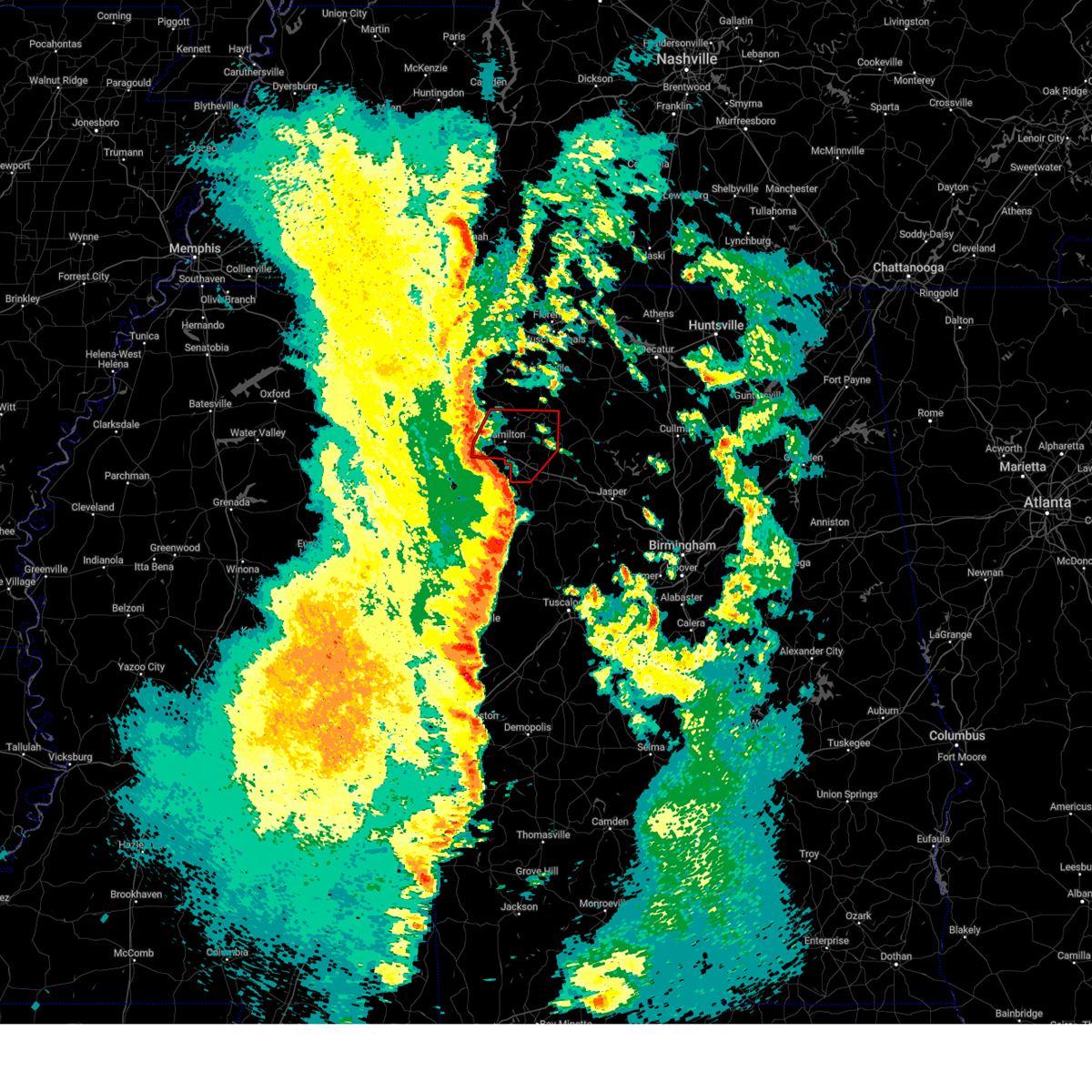
 At 629 pm cdt, a severe thunderstorm was located near brilliant, or 9 miles north of winfield, and is nearly stationary (radar indicated). Hazards include 60 mph wind gusts. Expect damage to roofs, siding, and trees. Locations impacted include, hamilton, brilliant, lake buttahatchee, brinn, pearces mill, piney grove, and pikeville. At 629 pm cdt, a severe thunderstorm was located near brilliant, or 9 miles north of winfield, and is nearly stationary (radar indicated). Hazards include 60 mph wind gusts. Expect damage to roofs, siding, and trees. Locations impacted include, hamilton, brilliant, lake buttahatchee, brinn, pearces mill, piney grove, and pikeville.
|
| 7/4/2026 6:17 PM CDT |
 At 617 pm cdt, a severe thunderstorm was located near brilliant, or 9 miles north of winfield, and is nearly stationary (radar indicated). Hazards include 60 mph wind gusts. Expect damage to roofs, siding, and trees. Locations impacted include, hamilton, brilliant, lake buttahatchee, brinn, pearces mill, piney grove, and pikeville. At 617 pm cdt, a severe thunderstorm was located near brilliant, or 9 miles north of winfield, and is nearly stationary (radar indicated). Hazards include 60 mph wind gusts. Expect damage to roofs, siding, and trees. Locations impacted include, hamilton, brilliant, lake buttahatchee, brinn, pearces mill, piney grove, and pikeville.
|
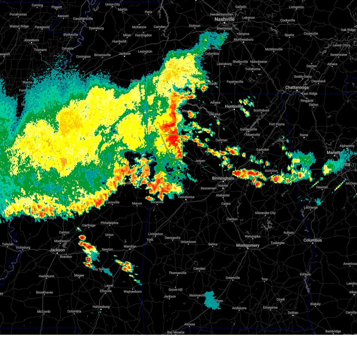
| 7/4/2026 6:10 PM CDT |
 Svrbmx the national weather service in birmingham has issued a * severe thunderstorm warning for, east central marion county in northwestern alabama, * until 645 pm cdt. * at 610 pm cdt, a severe thunderstorm was located near brilliant, or 9 miles north of winfield, and is nearly stationary (radar indicated). Hazards include 60 mph wind gusts. expect damage to roofs, siding, and trees Svrbmx the national weather service in birmingham has issued a * severe thunderstorm warning for, east central marion county in northwestern alabama, * until 645 pm cdt. * at 610 pm cdt, a severe thunderstorm was located near brilliant, or 9 miles north of winfield, and is nearly stationary (radar indicated). Hazards include 60 mph wind gusts. expect damage to roofs, siding, and trees
|
| 7/3/2026 1:30 PM CDT |
 At 130 pm cdt, a severe thunderstorm was located over beaverton, or 7 miles northeast of sulligent, moving north at 10 mph (radar indicated). Hazards include 60 mph wind gusts and quarter size hail. Hail damage to vehicles is expected. expect wind damage to roofs, siding, and trees. Locations impacted include, hamilton, winfield, guin, brilliant, glen allen, detroit, beaverton, gu- win, twin, tucker, henson springs, wayside, byrd, marion county public lake, piney grove, and pikeville. At 130 pm cdt, a severe thunderstorm was located over beaverton, or 7 miles northeast of sulligent, moving north at 10 mph (radar indicated). Hazards include 60 mph wind gusts and quarter size hail. Hail damage to vehicles is expected. expect wind damage to roofs, siding, and trees. Locations impacted include, hamilton, winfield, guin, brilliant, glen allen, detroit, beaverton, gu- win, twin, tucker, henson springs, wayside, byrd, marion county public lake, piney grove, and pikeville.
|
| 7/3/2026 1:04 PM CDT |
 Svrbmx the national weather service in birmingham has issued a * severe thunderstorm warning for, southern marion county in northwestern alabama, northwestern fayette county in west central alabama, northern lamar county in west central alabama, * until 145 pm cdt. * at 104 pm cdt, a severe thunderstorm was located over beaverton, or near sulligent, moving north at 10 mph (radar indicated). Hazards include 60 mph wind gusts and quarter size hail. Hail damage to vehicles is expected. Expect wind damage to roofs, siding, and trees. Svrbmx the national weather service in birmingham has issued a * severe thunderstorm warning for, southern marion county in northwestern alabama, northwestern fayette county in west central alabama, northern lamar county in west central alabama, * until 145 pm cdt. * at 104 pm cdt, a severe thunderstorm was located over beaverton, or near sulligent, moving north at 10 mph (radar indicated). Hazards include 60 mph wind gusts and quarter size hail. Hail damage to vehicles is expected. Expect wind damage to roofs, siding, and trees.
|
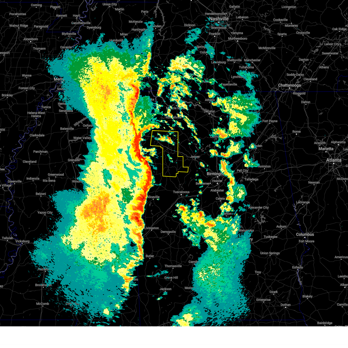
| 7/1/2026 3:40 PM CDT |
 At 340 pm cdt, a severe thunderstorm was located near brilliant, or 8 miles north of winfield, moving northwest at 20 mph (radar indicated). Hazards include 70 mph wind gusts and quarter size hail. Hail damage to vehicles is expected. expect considerable tree damage. wind damage is also likely to mobile homes, roofs, and outbuildings. Locations impacted include, hamilton, winfield, haleyville, vernon, sulligent, guin, hackleburg, brilliant, glen allen, detroit, beaverton, gu- win, weston, bluff, blooming grove, lamar county airport, brinn, lake buttahatchee, crews, and bedford. At 340 pm cdt, a severe thunderstorm was located near brilliant, or 8 miles north of winfield, moving northwest at 20 mph (radar indicated). Hazards include 70 mph wind gusts and quarter size hail. Hail damage to vehicles is expected. expect considerable tree damage. wind damage is also likely to mobile homes, roofs, and outbuildings. Locations impacted include, hamilton, winfield, haleyville, vernon, sulligent, guin, hackleburg, brilliant, glen allen, detroit, beaverton, gu- win, weston, bluff, blooming grove, lamar county airport, brinn, lake buttahatchee, crews, and bedford.
|
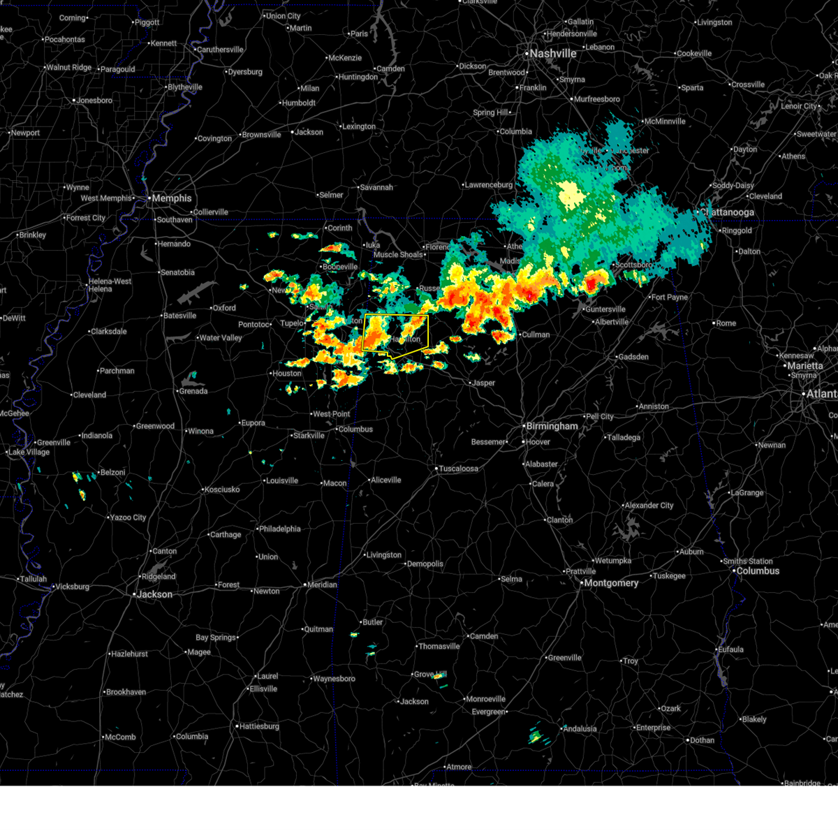
| 7/1/2026 3:19 PM CDT |
 At 319 pm cdt, a severe thunderstorm was located near brilliant, or 7 miles northeast of winfield, moving northwest at 20 mph (radar indicated). Hazards include 70 mph wind gusts and quarter size hail. Hail damage to vehicles is expected. expect considerable tree damage. wind damage is also likely to mobile homes, roofs, and outbuildings. Locations impacted include, hamilton, winfield, fayette, haleyville, vernon, sulligent, lynn, guin, hackleburg, double springs, brilliant, glen allen, detroit, beaverton, gu- win, houston recreational area, ashbank, poplar springs, ashridge, and bluff. At 319 pm cdt, a severe thunderstorm was located near brilliant, or 7 miles northeast of winfield, moving northwest at 20 mph (radar indicated). Hazards include 70 mph wind gusts and quarter size hail. Hail damage to vehicles is expected. expect considerable tree damage. wind damage is also likely to mobile homes, roofs, and outbuildings. Locations impacted include, hamilton, winfield, fayette, haleyville, vernon, sulligent, lynn, guin, hackleburg, double springs, brilliant, glen allen, detroit, beaverton, gu- win, houston recreational area, ashbank, poplar springs, ashridge, and bluff.
|
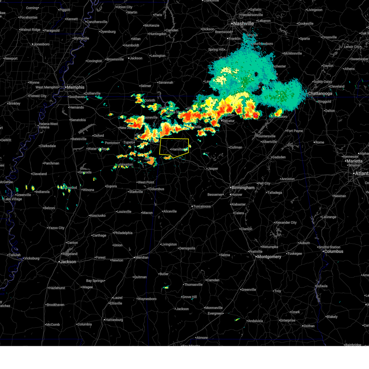
| 7/1/2026 3:18 PM CDT |
 At 317 pm cdt, a severe thunderstorm was located near brilliant, or near winfield, moving west at 30 mph (radar indicated). Hazards include 60 mph wind gusts and quarter size hail. Hail damage to vehicles is expected. expect wind damage to roofs, siding, and trees. Locations impacted include, winfield, guin, brilliant, glen allen, gu- win, bluff, twin, tucker, bazemore, wayside, hubbertville, fowlers crossroads, and texas. At 317 pm cdt, a severe thunderstorm was located near brilliant, or near winfield, moving west at 30 mph (radar indicated). Hazards include 60 mph wind gusts and quarter size hail. Hail damage to vehicles is expected. expect wind damage to roofs, siding, and trees. Locations impacted include, winfield, guin, brilliant, glen allen, gu- win, bluff, twin, tucker, bazemore, wayside, hubbertville, fowlers crossroads, and texas.
|
| 7/1/2026 3:09 PM CDT |
 Svrbmx the national weather service in birmingham has issued a * severe thunderstorm warning for, marion county in northwestern alabama, western winston county in northwestern alabama, northwestern fayette county in west central alabama, northern lamar county in west central alabama, * until 415 pm cdt. * at 307 pm cdt, a severe thunderstorm was located near brilliant, or 8 miles southwest of lynn, moving northwest at 20 mph (radar indicated). Hazards include 60 mph wind gusts and quarter size hail. Hail damage to vehicles is expected. Expect wind damage to roofs, siding, and trees. Svrbmx the national weather service in birmingham has issued a * severe thunderstorm warning for, marion county in northwestern alabama, western winston county in northwestern alabama, northwestern fayette county in west central alabama, northern lamar county in west central alabama, * until 415 pm cdt. * at 307 pm cdt, a severe thunderstorm was located near brilliant, or 8 miles southwest of lynn, moving northwest at 20 mph (radar indicated). Hazards include 60 mph wind gusts and quarter size hail. Hail damage to vehicles is expected. Expect wind damage to roofs, siding, and trees.
|
| 7/1/2026 2:56 PM CDT |
 At 256 pm cdt, a severe thunderstorm was located over kansas, or over carbon hill, moving west at 30 mph (radar indicated). Hazards include 60 mph wind gusts and quarter size hail. Hail damage to vehicles is expected. expect wind damage to roofs, siding, and trees. Locations impacted include, jasper, winfield, carbon hill, guin, brilliant, glen allen, kansas, nauvoo, gu- win, eldridge, curry, bluff, smith lake, twin, tucker, wayside, cedrum area, holly grove, lupton, and townley. At 256 pm cdt, a severe thunderstorm was located over kansas, or over carbon hill, moving west at 30 mph (radar indicated). Hazards include 60 mph wind gusts and quarter size hail. Hail damage to vehicles is expected. expect wind damage to roofs, siding, and trees. Locations impacted include, jasper, winfield, carbon hill, guin, brilliant, glen allen, kansas, nauvoo, gu- win, eldridge, curry, bluff, smith lake, twin, tucker, wayside, cedrum area, holly grove, lupton, and townley.
|
| 7/1/2026 2:42 PM CDT |
 Svrbmx the national weather service in birmingham has issued a * severe thunderstorm warning for, northern walker county in central alabama, southeastern marion county in northwestern alabama, northern fayette county in west central alabama, * until 330 pm cdt. * at 242 pm cdt, a severe thunderstorm was located near carbon hill, moving west at 30 mph (radar indicated). Hazards include 60 mph wind gusts and quarter size hail. Hail damage to vehicles is expected. Expect wind damage to roofs, siding, and trees. Svrbmx the national weather service in birmingham has issued a * severe thunderstorm warning for, northern walker county in central alabama, southeastern marion county in northwestern alabama, northern fayette county in west central alabama, * until 330 pm cdt. * at 242 pm cdt, a severe thunderstorm was located near carbon hill, moving west at 30 mph (radar indicated). Hazards include 60 mph wind gusts and quarter size hail. Hail damage to vehicles is expected. Expect wind damage to roofs, siding, and trees.
|
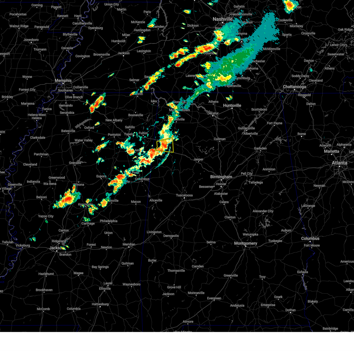
| 6/1/2026 1:51 PM CDT |
 At 151 pm cdt, severe thunderstorms were located along a line extending from near eldridge to bedford, moving southeast at 30 mph (radar indicated). Hazards include 60 mph wind gusts and quarter size hail. Hail damage to vehicles is expected. expect wind damage to roofs, siding, and trees. Locations impacted include, winfield, vernon, sulligent, guin, brilliant, glen allen, detroit, beaverton, gu- win, bluff, blooming grove, lamar county airport, crews, bedford, crossville, twin, gattman, tucker, henson springs, and wayside. At 151 pm cdt, severe thunderstorms were located along a line extending from near eldridge to bedford, moving southeast at 30 mph (radar indicated). Hazards include 60 mph wind gusts and quarter size hail. Hail damage to vehicles is expected. expect wind damage to roofs, siding, and trees. Locations impacted include, winfield, vernon, sulligent, guin, brilliant, glen allen, detroit, beaverton, gu- win, bluff, blooming grove, lamar county airport, crews, bedford, crossville, twin, gattman, tucker, henson springs, and wayside.
|
| 6/1/2026 1:41 PM CDT |
 The storms which prompted the warning have moved out of the area. therefore, the warning will be allowed to expire. a severe thunderstorm watch remains in effect until 700 pm cdt for northwestern and west central alabama. remember, a severe thunderstorm warning still remains in effect for the southern portions of marion county until 2:30 pm cdt. The storms which prompted the warning have moved out of the area. therefore, the warning will be allowed to expire. a severe thunderstorm watch remains in effect until 700 pm cdt for northwestern and west central alabama. remember, a severe thunderstorm warning still remains in effect for the southern portions of marion county until 2:30 pm cdt.
|
| 6/1/2026 1:39 PM CDT |
 At 139 pm cdt, severe thunderstorms were located along a line extending from near brilliant to 6 miles west of sulligent, moving south at 30 mph (radar indicated). Hazards include 60 mph wind gusts and quarter size hail. Hail damage to vehicles is expected. expect wind damage to roofs, siding, and trees. Locations impacted include, winfield, vernon, sulligent, guin, brilliant, glen allen, detroit, beaverton, gu- win, bluff, blooming grove, lamar county airport, crews, bedford, crossville, twin, gattman, tucker, henson springs, and wayside. At 139 pm cdt, severe thunderstorms were located along a line extending from near brilliant to 6 miles west of sulligent, moving south at 30 mph (radar indicated). Hazards include 60 mph wind gusts and quarter size hail. Hail damage to vehicles is expected. expect wind damage to roofs, siding, and trees. Locations impacted include, winfield, vernon, sulligent, guin, brilliant, glen allen, detroit, beaverton, gu- win, bluff, blooming grove, lamar county airport, crews, bedford, crossville, twin, gattman, tucker, henson springs, and wayside.
|
| 6/1/2026 1:25 PM CDT |
 Svrbmx the national weather service in birmingham has issued a * severe thunderstorm warning for, southern marion county in northwestern alabama, northern fayette county in west central alabama, lamar county in west central alabama, * until 230 pm cdt. * at 125 pm cdt, severe thunderstorms were located along a line extending from near hackleburg to new salem, moving southeast at 40 mph (radar indicated). Hazards include 60 mph wind gusts and quarter size hail. Hail damage to vehicles is expected. Expect wind damage to roofs, siding, and trees. Svrbmx the national weather service in birmingham has issued a * severe thunderstorm warning for, southern marion county in northwestern alabama, northern fayette county in west central alabama, lamar county in west central alabama, * until 230 pm cdt. * at 125 pm cdt, severe thunderstorms were located along a line extending from near hackleburg to new salem, moving southeast at 40 mph (radar indicated). Hazards include 60 mph wind gusts and quarter size hail. Hail damage to vehicles is expected. Expect wind damage to roofs, siding, and trees.
|
| 6/1/2026 1:21 PM CDT |
 At 121 pm cdt, severe thunderstorms were located along a line extending from near haleyville to near detroit, moving southeast at 35 mph (radar indicated). Hazards include 60 mph wind gusts and penny size hail. Expect damage to roofs, siding, and trees. Locations impacted include, hamilton, hackleburg, brinn, weston, lake buttahatchee, bear creek, tessner, shottsville, pearces mill, rankin fite airport, upper bear creek reservoir, byrd, bexar, pigeye, marion county public lake, piney grove, and pikeville. At 121 pm cdt, severe thunderstorms were located along a line extending from near haleyville to near detroit, moving southeast at 35 mph (radar indicated). Hazards include 60 mph wind gusts and penny size hail. Expect damage to roofs, siding, and trees. Locations impacted include, hamilton, hackleburg, brinn, weston, lake buttahatchee, bear creek, tessner, shottsville, pearces mill, rankin fite airport, upper bear creek reservoir, byrd, bexar, pigeye, marion county public lake, piney grove, and pikeville.
|
| 6/1/2026 12:45 PM CDT |
 Svrbmx the national weather service in birmingham has issued a * severe thunderstorm warning for, marion county in northwestern alabama, * until 145 pm cdt. * at 1243 pm cdt, severe thunderstorms were located along a line extending from near russellville to mantachie, moving southeast at 35 mph (radar indicated). Hazards include 60 mph wind gusts and quarter size hail. Hail damage to vehicles is expected. Expect wind damage to roofs, siding, and trees. Svrbmx the national weather service in birmingham has issued a * severe thunderstorm warning for, marion county in northwestern alabama, * until 145 pm cdt. * at 1243 pm cdt, severe thunderstorms were located along a line extending from near russellville to mantachie, moving southeast at 35 mph (radar indicated). Hazards include 60 mph wind gusts and quarter size hail. Hail damage to vehicles is expected. Expect wind damage to roofs, siding, and trees.
|
| 4/29/2026 12:12 AM CDT |
 Svrbmx the national weather service in birmingham has issued a * severe thunderstorm warning for, walker county in central alabama, northwestern tuscaloosa county in west central alabama, southeastern marion county in northwestern alabama, northeastern pickens county in west central alabama, fayette county in west central alabama, southeastern lamar county in west central alabama, * until 100 am cdt. * at 1212 am cdt, severe thunderstorms were located along a line extending from near brilliant to near glen allen to near fayette to near belk to near millport, moving east at 40 mph (radar indicated). Hazards include 60 mph wind gusts. expect damage to roofs, siding, and trees Svrbmx the national weather service in birmingham has issued a * severe thunderstorm warning for, walker county in central alabama, northwestern tuscaloosa county in west central alabama, southeastern marion county in northwestern alabama, northeastern pickens county in west central alabama, fayette county in west central alabama, southeastern lamar county in west central alabama, * until 100 am cdt. * at 1212 am cdt, severe thunderstorms were located along a line extending from near brilliant to near glen allen to near fayette to near belk to near millport, moving east at 40 mph (radar indicated). Hazards include 60 mph wind gusts. expect damage to roofs, siding, and trees
|
| 4/28/2026 11:54 PM CDT |
 At 1154 pm cdt, severe thunderstorms were located along a line extending from near needmore to near haleyville to near lake buttahatchee, moving east at 50 mph (radar indicated). Hazards include 60 mph wind gusts. Expect damage to roofs, siding, and trees. Locations impacted include, winfield, haleyville, guin, brilliant, gu- win, brinn, lake buttahatchee, bear creek, twin, tucker, tessner, pearces mill, piney grove, and pikeville. At 1154 pm cdt, severe thunderstorms were located along a line extending from near needmore to near haleyville to near lake buttahatchee, moving east at 50 mph (radar indicated). Hazards include 60 mph wind gusts. Expect damage to roofs, siding, and trees. Locations impacted include, winfield, haleyville, guin, brilliant, gu- win, brinn, lake buttahatchee, bear creek, twin, tucker, tessner, pearces mill, piney grove, and pikeville.
|
| 4/28/2026 11:39 PM CDT |
 Svrbmx the national weather service in birmingham has issued a * severe thunderstorm warning for, eastern marion county in northwestern alabama, northeastern lamar county in west central alabama, * until 1230 am cdt. * at 1139 pm cdt, severe thunderstorms were located along a line extending from near phil campbell to near lake buttahatchee to near brilliant, moving east at 50 mph (radar indicated). Hazards include 60 mph wind gusts. expect damage to roofs, siding, and trees Svrbmx the national weather service in birmingham has issued a * severe thunderstorm warning for, eastern marion county in northwestern alabama, northeastern lamar county in west central alabama, * until 1230 am cdt. * at 1139 pm cdt, severe thunderstorms were located along a line extending from near phil campbell to near lake buttahatchee to near brilliant, moving east at 50 mph (radar indicated). Hazards include 60 mph wind gusts. expect damage to roofs, siding, and trees
|
| 4/28/2026 11:24 PM CDT |
 At 1124 pm cdt, severe thunderstorms were located along a line extending from near hackleburg to near hamilton to 7 miles south of weston, moving east at 50 mph (radar indicated). Hazards include 60 mph wind gusts. Expect damage to roofs, siding, and trees. Locations impacted include, hamilton, winfield, haleyville, guin, hackleburg, brilliant, glen allen, beaverton, gu- win, brinn, weston, lake buttahatchee, bear creek, twin, tucker, henson springs, tessner, pearces mill, rankin fite airport, and upper bear creek reservoir. At 1124 pm cdt, severe thunderstorms were located along a line extending from near hackleburg to near hamilton to 7 miles south of weston, moving east at 50 mph (radar indicated). Hazards include 60 mph wind gusts. Expect damage to roofs, siding, and trees. Locations impacted include, hamilton, winfield, haleyville, guin, hackleburg, brilliant, glen allen, beaverton, gu- win, brinn, weston, lake buttahatchee, bear creek, twin, tucker, henson springs, tessner, pearces mill, rankin fite airport, and upper bear creek reservoir.
|
| 4/28/2026 10:55 PM CDT |
 Svrbmx the national weather service in birmingham has issued a * severe thunderstorm warning for, marion county in northwestern alabama, northern lamar county in west central alabama, * until 1145 pm cdt. * at 1055 pm cdt, severe thunderstorms were located along a line extending from near fairview to near new salem to smithville, moving east at 50 mph (radar indicated). Hazards include 60 mph wind gusts. expect damage to roofs, siding, and trees Svrbmx the national weather service in birmingham has issued a * severe thunderstorm warning for, marion county in northwestern alabama, northern lamar county in west central alabama, * until 1145 pm cdt. * at 1055 pm cdt, severe thunderstorms were located along a line extending from near fairview to near new salem to smithville, moving east at 50 mph (radar indicated). Hazards include 60 mph wind gusts. expect damage to roofs, siding, and trees
|
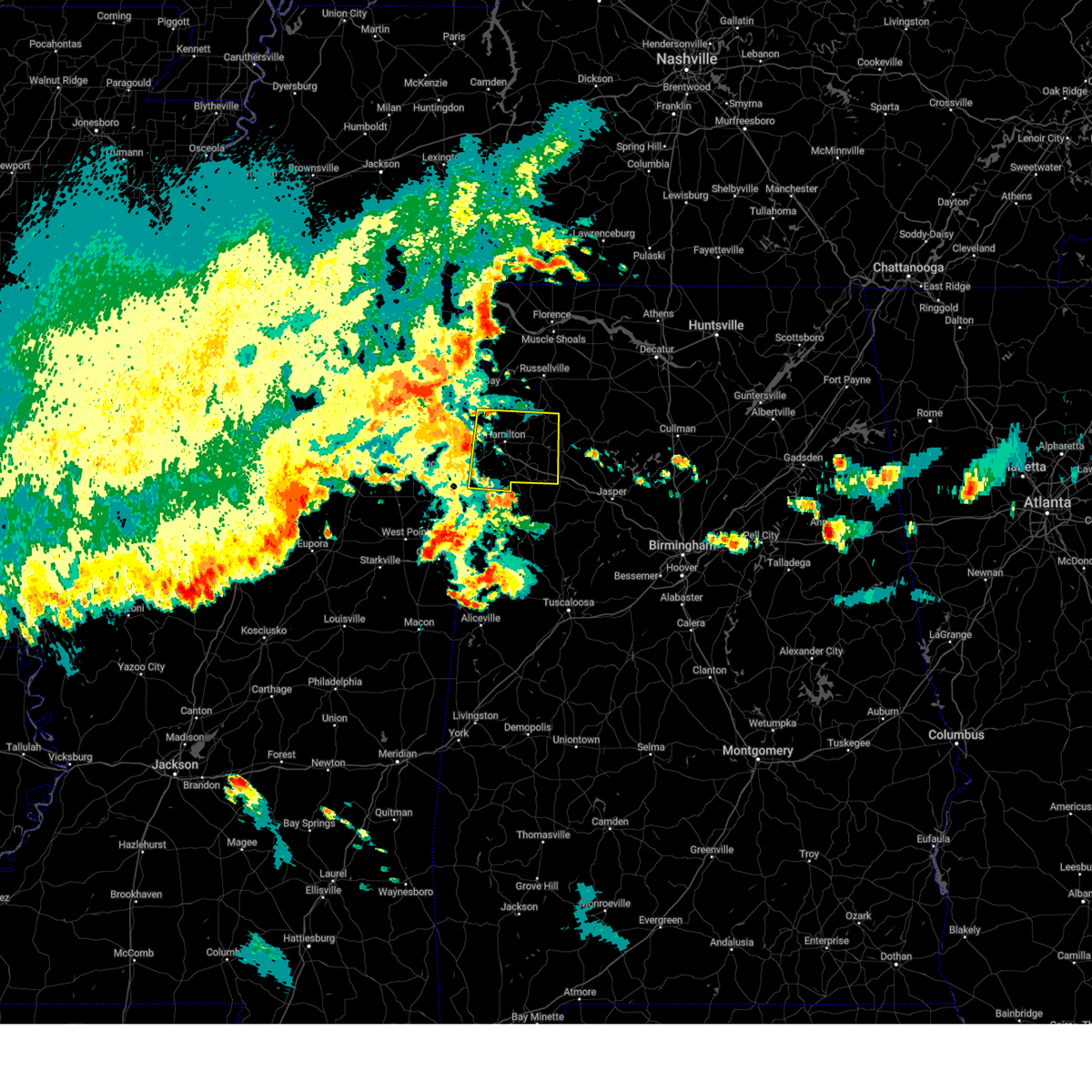
| 4/28/2026 11:22 AM CDT |
 Svrbmx the national weather service in birmingham has issued a * severe thunderstorm warning for, east central marion county in northwestern alabama, western winston county in northwestern alabama, * until 1215 pm cdt. * at 1122 am cdt, a severe thunderstorm was located near brinn, or 10 miles east of hamilton, moving east at 35 mph (radar indicated). Hazards include half dollar size hail. damage to vehicles is expected Svrbmx the national weather service in birmingham has issued a * severe thunderstorm warning for, east central marion county in northwestern alabama, western winston county in northwestern alabama, * until 1215 pm cdt. * at 1122 am cdt, a severe thunderstorm was located near brinn, or 10 miles east of hamilton, moving east at 35 mph (radar indicated). Hazards include half dollar size hail. damage to vehicles is expected
|
| 4/28/2026 11:18 AM CDT |
 the severe thunderstorm warning has been cancelled and is no longer in effect the severe thunderstorm warning has been cancelled and is no longer in effect
|
| 4/28/2026 11:18 AM CDT |
 At 1117 am cdt, a severe thunderstorm was located 7 miles southwest of brinn, or 7 miles southeast of hamilton, moving east at 35 mph (radar indicated). Hazards include half dollar size hail. Damage to vehicles is expected. Locations impacted include, hamilton, guin, brilliant, brinn, and pearces mill. At 1117 am cdt, a severe thunderstorm was located 7 miles southwest of brinn, or 7 miles southeast of hamilton, moving east at 35 mph (radar indicated). Hazards include half dollar size hail. Damage to vehicles is expected. Locations impacted include, hamilton, guin, brilliant, brinn, and pearces mill.
|
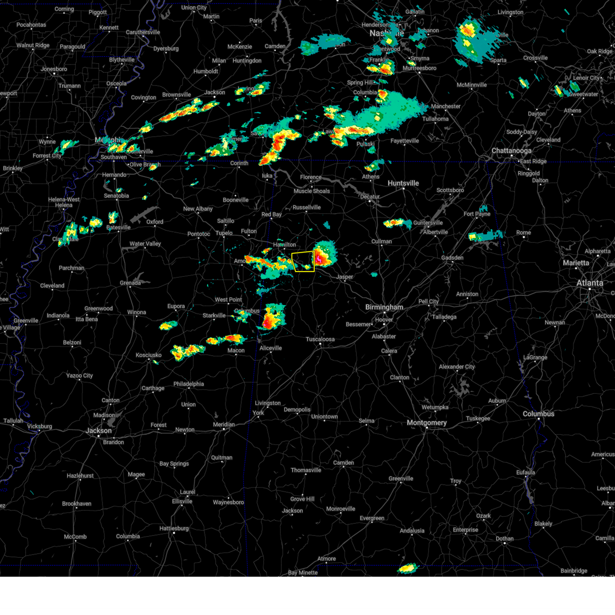
| 4/28/2026 11:06 AM CDT |
 At 1106 am cdt, a severe thunderstorm was located near hamilton, moving east at 35 mph (radar indicated). Hazards include quarter size hail. Damage to vehicles is expected. Locations impacted include, hamilton, winfield, guin, brilliant, gu- win, brinn, twin, tucker, henson springs, pearces mill, rankin fite airport, marion county public lake, and pikeville. At 1106 am cdt, a severe thunderstorm was located near hamilton, moving east at 35 mph (radar indicated). Hazards include quarter size hail. Damage to vehicles is expected. Locations impacted include, hamilton, winfield, guin, brilliant, gu- win, brinn, twin, tucker, henson springs, pearces mill, rankin fite airport, marion county public lake, and pikeville.
|
| 4/28/2026 10:51 AM CDT |
 Svrbmx the national weather service in birmingham has issued a * severe thunderstorm warning for, central marion county in northwestern alabama, northern lamar county in west central alabama, * until 1130 am cdt. * at 1051 am cdt, a severe thunderstorm was located over detroit, or 11 miles north of sulligent, moving east at 35 mph (radar indicated). Hazards include quarter size hail. damage to vehicles is expected Svrbmx the national weather service in birmingham has issued a * severe thunderstorm warning for, central marion county in northwestern alabama, northern lamar county in west central alabama, * until 1130 am cdt. * at 1051 am cdt, a severe thunderstorm was located over detroit, or 11 miles north of sulligent, moving east at 35 mph (radar indicated). Hazards include quarter size hail. damage to vehicles is expected
|
| 3/15/2026 11:38 PM CDT |
 Svrbmx the national weather service in birmingham has issued a * severe thunderstorm warning for, walker county in central alabama, southeastern marion county in northwestern alabama, winston county in northwestern alabama, fayette county in west central alabama, southeastern lamar county in west central alabama, * until 1230 am cdt. * at 1138 pm cdt, severe thunderstorms were located along a line extending from near needmore to near bluff to 6 miles north of ethelsville, moving east at 45 mph (radar indicated). Hazards include 60 mph wind gusts. expect damage to roofs, siding, and trees Svrbmx the national weather service in birmingham has issued a * severe thunderstorm warning for, walker county in central alabama, southeastern marion county in northwestern alabama, winston county in northwestern alabama, fayette county in west central alabama, southeastern lamar county in west central alabama, * until 1230 am cdt. * at 1138 pm cdt, severe thunderstorms were located along a line extending from near needmore to near bluff to 6 miles north of ethelsville, moving east at 45 mph (radar indicated). Hazards include 60 mph wind gusts. expect damage to roofs, siding, and trees
|
| 3/15/2026 11:32 PM CDT |
 At 1132 pm cdt, severe thunderstorms were located along a line extending from near needmore to winfield to near millport, moving east at 45 mph (radar indicated). Hazards include 60 mph wind gusts. Expect damage to roofs, siding, and trees. Locations impacted include, winfield, fayette, haleyville, vernon, millport, lynn, guin, brilliant, glen allen, kennedy, belk, gu- win, ashridge, bluff, blooming grove, lake buttahatchee, needmore, crossville, bear creek, and twin. At 1132 pm cdt, severe thunderstorms were located along a line extending from near needmore to winfield to near millport, moving east at 45 mph (radar indicated). Hazards include 60 mph wind gusts. Expect damage to roofs, siding, and trees. Locations impacted include, winfield, fayette, haleyville, vernon, millport, lynn, guin, brilliant, glen allen, kennedy, belk, gu- win, ashridge, bluff, blooming grove, lake buttahatchee, needmore, crossville, bear creek, and twin.
|
| 3/15/2026 11:19 PM CDT |
 At 1119 pm cdt, severe thunderstorms were located along a line extending from near phil campbell to near guin to near steens, moving east at 55 mph (radar indicated). Hazards include 60 mph wind gusts. Expect damage to roofs, siding, and trees. Locations impacted include, hamilton, winfield, fayette, haleyville, vernon, sulligent, millport, lynn, guin, hackleburg, brilliant, glen allen, kennedy, detroit, belk, beaverton, gu-win, ashridge, bluff, and blooming grove. At 1119 pm cdt, severe thunderstorms were located along a line extending from near phil campbell to near guin to near steens, moving east at 55 mph (radar indicated). Hazards include 60 mph wind gusts. Expect damage to roofs, siding, and trees. Locations impacted include, hamilton, winfield, fayette, haleyville, vernon, sulligent, millport, lynn, guin, hackleburg, brilliant, glen allen, kennedy, detroit, belk, beaverton, gu-win, ashridge, bluff, and blooming grove.
|
| 3/15/2026 11:06 PM CDT |
 Svrbmx the national weather service in birmingham has issued a * severe thunderstorm warning for, marion county in northwestern alabama, western winston county in northwestern alabama, western fayette county in west central alabama, lamar county in west central alabama, * until 1145 pm cdt. * at 1106 pm cdt, severe thunderstorms were located along a line extending from near hackleburg to near beaverton to columbus afb, moving east at 55 mph (radar indicated). Hazards include 60 mph wind gusts. expect damage to roofs, siding, and trees Svrbmx the national weather service in birmingham has issued a * severe thunderstorm warning for, marion county in northwestern alabama, western winston county in northwestern alabama, western fayette county in west central alabama, lamar county in west central alabama, * until 1145 pm cdt. * at 1106 pm cdt, severe thunderstorms were located along a line extending from near hackleburg to near beaverton to columbus afb, moving east at 55 mph (radar indicated). Hazards include 60 mph wind gusts. expect damage to roofs, siding, and trees
|
| 6/7/2025 1:21 PM CDT |
 At 120 pm cdt, severe thunderstorms were located along a line extending from near needmore to near glen allen to 6 miles southwest of millport, moving east at 50 mph (radar indicated). Hazards include 70 mph wind gusts and quarter size hail. Hail damage to vehicles is expected. expect considerable tree damage. wind damage is also likely to mobile homes, roofs, and outbuildings. Locations impacted include, winfield, fayette, vernon, millport, guin, berry, brilliant, glen allen, kennedy, belk, gu-win, bankston, bluff, boley springs, blooming grove, lake buttahatchee, ashcraft corner, crossville, twin, and tucker. At 120 pm cdt, severe thunderstorms were located along a line extending from near needmore to near glen allen to 6 miles southwest of millport, moving east at 50 mph (radar indicated). Hazards include 70 mph wind gusts and quarter size hail. Hail damage to vehicles is expected. expect considerable tree damage. wind damage is also likely to mobile homes, roofs, and outbuildings. Locations impacted include, winfield, fayette, vernon, millport, guin, berry, brilliant, glen allen, kennedy, belk, gu-win, bankston, bluff, boley springs, blooming grove, lake buttahatchee, ashcraft corner, crossville, twin, and tucker.
|
| 6/7/2025 1:09 PM CDT | Trees and power lines down in the brilliant are in marion county AL, 0.1 miles N of Brilliant, AL |
| 6/7/2025 1:09 PM CDT |
 At 107 pm cdt, severe thunderstorms were located along a line extending from near phil campbell to near bluff to near columbus, moving east at 50 mph (radar indicated). Hazards include 70 mph wind gusts and quarter size hail. Hail damage to vehicles is expected. expect considerable tree damage. wind damage is also likely to mobile homes, roofs, and outbuildings. Locations impacted include, hamilton, winfield, fayette, vernon, sulligent, millport, guin, hackleburg, berry, brilliant, glen allen, kennedy, belk, beaverton, gu-win, bluff, boley springs, blooming grove, brinn, and lake buttahatchee. At 107 pm cdt, severe thunderstorms were located along a line extending from near phil campbell to near bluff to near columbus, moving east at 50 mph (radar indicated). Hazards include 70 mph wind gusts and quarter size hail. Hail damage to vehicles is expected. expect considerable tree damage. wind damage is also likely to mobile homes, roofs, and outbuildings. Locations impacted include, hamilton, winfield, fayette, vernon, sulligent, millport, guin, hackleburg, berry, brilliant, glen allen, kennedy, belk, beaverton, gu-win, bluff, boley springs, blooming grove, brinn, and lake buttahatchee.
|
| 6/7/2025 12:51 PM CDT |
 At 1250 pm cdt, severe thunderstorms were located along a line extending from 7 miles east of red bay to near detroit to near west point, moving east at 55 mph (radar indicated). Hazards include 70 mph wind gusts and quarter size hail. Hail damage to vehicles is expected. expect considerable tree damage. wind damage is also likely to mobile homes, roofs, and outbuildings. Locations impacted include, hamilton, winfield, fayette, vernon, sulligent, millport, guin, hackleburg, berry, brilliant, glen allen, kennedy, detroit, belk, beaverton, gu-win, bluff, boley springs, blooming grove, and brinn. At 1250 pm cdt, severe thunderstorms were located along a line extending from 7 miles east of red bay to near detroit to near west point, moving east at 55 mph (radar indicated). Hazards include 70 mph wind gusts and quarter size hail. Hail damage to vehicles is expected. expect considerable tree damage. wind damage is also likely to mobile homes, roofs, and outbuildings. Locations impacted include, hamilton, winfield, fayette, vernon, sulligent, millport, guin, hackleburg, berry, brilliant, glen allen, kennedy, detroit, belk, beaverton, gu-win, bluff, boley springs, blooming grove, and brinn.
|
| 6/7/2025 12:21 PM CDT |
 Svrbmx the national weather service in birmingham has issued a * severe thunderstorm warning for, marion county in northwestern alabama, fayette county in west central alabama, lamar county in west central alabama, * until 130 pm cdt. * at 1220 pm cdt, severe thunderstorms were located along a line extending from near thrashers to tombigbee state park to pyland, moving east at 50 mph (radar indicated). Hazards include 70 mph wind gusts and quarter size hail. Hail damage to vehicles is expected. expect considerable tree damage. Wind damage is also likely to mobile homes, roofs, and outbuildings. Svrbmx the national weather service in birmingham has issued a * severe thunderstorm warning for, marion county in northwestern alabama, fayette county in west central alabama, lamar county in west central alabama, * until 130 pm cdt. * at 1220 pm cdt, severe thunderstorms were located along a line extending from near thrashers to tombigbee state park to pyland, moving east at 50 mph (radar indicated). Hazards include 70 mph wind gusts and quarter size hail. Hail damage to vehicles is expected. expect considerable tree damage. Wind damage is also likely to mobile homes, roofs, and outbuildings.
|
| 5/25/2025 8:53 PM CDT |
 The storms which prompted the warning have moved out of the area. therefore, the warning will be allowed to expire. a severe thunderstorm watch remains in effect until 1100 pm cdt for northwestern and west central alabama. The storms which prompted the warning have moved out of the area. therefore, the warning will be allowed to expire. a severe thunderstorm watch remains in effect until 1100 pm cdt for northwestern and west central alabama.
|
| 5/25/2025 8:34 PM CDT |
 At 834 pm cdt, severe thunderstorms were located along a line extending from near belgreen to 6 miles southeast of new salem, moving southeast at 35 mph (radar indicated). Hazards include 60 mph wind gusts and quarter size hail. Hail damage to vehicles is expected. expect wind damage to roofs, siding, and trees. Locations impacted include, hamilton, winfield, haleyville, guin, hackleburg, brilliant, glen allen, gu- win, brinn, lake buttahatchee, bear creek, twin, tucker, tessner, pearces mill, upper bear creek reservoir, texas, pigeye, and piney grove. At 834 pm cdt, severe thunderstorms were located along a line extending from near belgreen to 6 miles southeast of new salem, moving southeast at 35 mph (radar indicated). Hazards include 60 mph wind gusts and quarter size hail. Hail damage to vehicles is expected. expect wind damage to roofs, siding, and trees. Locations impacted include, hamilton, winfield, haleyville, guin, hackleburg, brilliant, glen allen, gu- win, brinn, lake buttahatchee, bear creek, twin, tucker, tessner, pearces mill, upper bear creek reservoir, texas, pigeye, and piney grove.
|
| 5/25/2025 8:34 PM CDT |
 the severe thunderstorm warning has been cancelled and is no longer in effect the severe thunderstorm warning has been cancelled and is no longer in effect
|
| 5/25/2025 7:57 PM CDT |
 Svrbmx the national weather service in birmingham has issued a * severe thunderstorm warning for, marion county in northwestern alabama, northern lamar county in west central alabama, * until 900 pm cdt. * at 756 pm cdt, severe thunderstorms were located along a line extending from 7 miles northeast of tishomingo state park to near mantachie, moving southeast at 35 mph (radar indicated). Hazards include 60 mph wind gusts and quarter size hail. Hail damage to vehicles is expected. Expect wind damage to roofs, siding, and trees. Svrbmx the national weather service in birmingham has issued a * severe thunderstorm warning for, marion county in northwestern alabama, northern lamar county in west central alabama, * until 900 pm cdt. * at 756 pm cdt, severe thunderstorms were located along a line extending from 7 miles northeast of tishomingo state park to near mantachie, moving southeast at 35 mph (radar indicated). Hazards include 60 mph wind gusts and quarter size hail. Hail damage to vehicles is expected. Expect wind damage to roofs, siding, and trees.
|
| 5/8/2025 5:20 PM CDT |
 The storm which prompted the warning has moved out of the area. therefore, the warning will be allowed to expire. a severe thunderstorm watch remains in effect until 1000 pm cdt for northwestern alabama. The storm which prompted the warning has moved out of the area. therefore, the warning will be allowed to expire. a severe thunderstorm watch remains in effect until 1000 pm cdt for northwestern alabama.
|
| 5/8/2025 4:57 PM CDT |
 At 456 pm cdt, a severe thunderstorm was located near brilliant, or 7 miles northeast of winfield, moving east at 35 mph (radar indicated). Hazards include 60 mph wind gusts and quarter size hail. Hail damage to vehicles is expected. expect wind damage to roofs, siding, and trees. Locations impacted include, brilliant, tucker, texas, winfield, piney grove, twin, gu- win, and glen allen. At 456 pm cdt, a severe thunderstorm was located near brilliant, or 7 miles northeast of winfield, moving east at 35 mph (radar indicated). Hazards include 60 mph wind gusts and quarter size hail. Hail damage to vehicles is expected. expect wind damage to roofs, siding, and trees. Locations impacted include, brilliant, tucker, texas, winfield, piney grove, twin, gu- win, and glen allen.
|
| 5/8/2025 4:40 PM CDT |
 Svrbmx the national weather service in birmingham has issued a * severe thunderstorm warning for, southeastern marion county in northwestern alabama, * until 530 pm cdt. * at 440 pm cdt, a severe thunderstorm was located near guin, or 8 miles northwest of winfield, moving east at 35 mph (radar indicated). Hazards include 60 mph wind gusts and quarter size hail. Hail damage to vehicles is expected. Expect wind damage to roofs, siding, and trees. Svrbmx the national weather service in birmingham has issued a * severe thunderstorm warning for, southeastern marion county in northwestern alabama, * until 530 pm cdt. * at 440 pm cdt, a severe thunderstorm was located near guin, or 8 miles northwest of winfield, moving east at 35 mph (radar indicated). Hazards include 60 mph wind gusts and quarter size hail. Hail damage to vehicles is expected. Expect wind damage to roofs, siding, and trees.
|
| 5/2/2025 3:46 PM CDT |
 At 346 pm cdt, severe thunderstorms were located along a line extending from near brushy lake to near houston recreational area to bankston to near millport, moving east at 50 mph (radar indicated). Hazards include 60 mph wind gusts and quarter size hail. Hail damage to vehicles is expected. expect wind damage to roofs, siding, and trees. Locations impacted include, cody, camp mcdowell, wayside, clear creek, lynn, ashbank, fayette, pebble, bull branch, coon creek, hightogy, piney grove, natural bridge, black pond, weiss, bazemore, addison town hall, blooming grove, berry, and millport. At 346 pm cdt, severe thunderstorms were located along a line extending from near brushy lake to near houston recreational area to bankston to near millport, moving east at 50 mph (radar indicated). Hazards include 60 mph wind gusts and quarter size hail. Hail damage to vehicles is expected. expect wind damage to roofs, siding, and trees. Locations impacted include, cody, camp mcdowell, wayside, clear creek, lynn, ashbank, fayette, pebble, bull branch, coon creek, hightogy, piney grove, natural bridge, black pond, weiss, bazemore, addison town hall, blooming grove, berry, and millport.
|
| 5/2/2025 3:29 PM CDT |
 At 329 pm cdt, severe thunderstorms were located along a line extending from near needmore to 6 miles north of lynn to near belk to 6 miles southwest of millport, moving east at 45 mph (radar indicated). Hazards include 60 mph wind gusts and quarter size hail. Hail damage to vehicles is expected. expect wind damage to roofs, siding, and trees. Locations impacted include, cody, camp mcdowell, wayside, clear creek, lynn, ashbank, fayette, pebble, bull branch, coon creek, hightogy, piney grove, natural bridge, black pond, weiss, bazemore, addison town hall, blooming grove, tessner, and berry. At 329 pm cdt, severe thunderstorms were located along a line extending from near needmore to 6 miles north of lynn to near belk to 6 miles southwest of millport, moving east at 45 mph (radar indicated). Hazards include 60 mph wind gusts and quarter size hail. Hail damage to vehicles is expected. expect wind damage to roofs, siding, and trees. Locations impacted include, cody, camp mcdowell, wayside, clear creek, lynn, ashbank, fayette, pebble, bull branch, coon creek, hightogy, piney grove, natural bridge, black pond, weiss, bazemore, addison town hall, blooming grove, tessner, and berry.
|
| 5/2/2025 3:16 PM CDT |
 Svrbmx the national weather service in birmingham has issued a * severe thunderstorm warning for, western walker county in central alabama, eastern marion county in northwestern alabama, winston county in northwestern alabama, fayette county in west central alabama, southern lamar county in west central alabama, * until 430 pm cdt. * at 316 pm cdt, severe thunderstorms were located along a line extending from near hackleburg to near brilliant to near vernon to near steens, moving east at 35 mph (radar indicated). Hazards include 60 mph wind gusts and quarter size hail. Hail damage to vehicles is expected. Expect wind damage to roofs, siding, and trees. Svrbmx the national weather service in birmingham has issued a * severe thunderstorm warning for, western walker county in central alabama, eastern marion county in northwestern alabama, winston county in northwestern alabama, fayette county in west central alabama, southern lamar county in west central alabama, * until 430 pm cdt. * at 316 pm cdt, severe thunderstorms were located along a line extending from near hackleburg to near brilliant to near vernon to near steens, moving east at 35 mph (radar indicated). Hazards include 60 mph wind gusts and quarter size hail. Hail damage to vehicles is expected. Expect wind damage to roofs, siding, and trees.
|
| 5/2/2025 3:11 PM CDT |
 At 311 pm cdt, severe thunderstorms were located along a line extending from near phil campbell to near brilliant to 6 miles northwest of millport, moving east at 35 mph (radar indicated). Hazards include 60 mph wind gusts and nickel size hail. Expect damage to roofs, siding, and trees. Locations impacted include, tucker, cody, henson springs, wayside, richard arthur field, winfield, rankin fite airport, fayette, kennedy, upper bear creek reservoir, brilliant, guin, gu- win, weston, star, pine springs, bear creek, hamilton, marion county public lake, and hightogy. At 311 pm cdt, severe thunderstorms were located along a line extending from near phil campbell to near brilliant to 6 miles northwest of millport, moving east at 35 mph (radar indicated). Hazards include 60 mph wind gusts and nickel size hail. Expect damage to roofs, siding, and trees. Locations impacted include, tucker, cody, henson springs, wayside, richard arthur field, winfield, rankin fite airport, fayette, kennedy, upper bear creek reservoir, brilliant, guin, gu- win, weston, star, pine springs, bear creek, hamilton, marion county public lake, and hightogy.
|
| 5/2/2025 2:58 PM CDT |
 At 258 pm cdt, severe thunderstorms were located along a line extending from near hackleburg to near guin to near steens, moving east at 30 mph (radar indicated). Hazards include 60 mph wind gusts and nickel size hail. Expect damage to roofs, siding, and trees. Locations impacted include, tucker, cody, henson springs, wayside, richard arthur field, winfield, rankin fite airport, fayette, kennedy, upper bear creek reservoir, brilliant, guin, gu- win, weston, star, pine springs, bear creek, hamilton, marion county public lake, and hightogy. At 258 pm cdt, severe thunderstorms were located along a line extending from near hackleburg to near guin to near steens, moving east at 30 mph (radar indicated). Hazards include 60 mph wind gusts and nickel size hail. Expect damage to roofs, siding, and trees. Locations impacted include, tucker, cody, henson springs, wayside, richard arthur field, winfield, rankin fite airport, fayette, kennedy, upper bear creek reservoir, brilliant, guin, gu- win, weston, star, pine springs, bear creek, hamilton, marion county public lake, and hightogy.
|
| 5/2/2025 2:45 PM CDT |
 At 245 pm cdt, severe thunderstorms were located along a line extending from 10 miles southeast of red bay to 6 miles east of detroit to near caledonia, moving east at 35 mph (radar indicated). Hazards include 60 mph wind gusts and nickel size hail. Expect damage to roofs, siding, and trees. Locations impacted include, cody, detroit, henson springs, wayside, richard arthur field, rankin fite airport, fayette, upper bear creek reservoir, guin, pine springs, marion county public lake, hightogy, piney grove, crossville, bluff, bazemore, blooming grove, tessner, millport, and shottsville. At 245 pm cdt, severe thunderstorms were located along a line extending from 10 miles southeast of red bay to 6 miles east of detroit to near caledonia, moving east at 35 mph (radar indicated). Hazards include 60 mph wind gusts and nickel size hail. Expect damage to roofs, siding, and trees. Locations impacted include, cody, detroit, henson springs, wayside, richard arthur field, rankin fite airport, fayette, upper bear creek reservoir, guin, pine springs, marion county public lake, hightogy, piney grove, crossville, bluff, bazemore, blooming grove, tessner, millport, and shottsville.
|
| 5/2/2025 2:31 PM CDT |
 At 231 pm cdt, severe thunderstorms were located along a line extending from 7 miles south of red bay to detroit to columbus afb, moving east at 35 mph (radar indicated). Hazards include 60 mph wind gusts and nickel size hail. Expect damage to roofs, siding, and trees. Locations impacted include, cody, detroit, henson springs, wayside, richard arthur field, rankin fite airport, fayette, upper bear creek reservoir, guin, pine springs, marion county public lake, hightogy, piney grove, crossville, bluff, bazemore, blooming grove, tessner, millport, and shottsville. At 231 pm cdt, severe thunderstorms were located along a line extending from 7 miles south of red bay to detroit to columbus afb, moving east at 35 mph (radar indicated). Hazards include 60 mph wind gusts and nickel size hail. Expect damage to roofs, siding, and trees. Locations impacted include, cody, detroit, henson springs, wayside, richard arthur field, rankin fite airport, fayette, upper bear creek reservoir, guin, pine springs, marion county public lake, hightogy, piney grove, crossville, bluff, bazemore, blooming grove, tessner, millport, and shottsville.
|
| 5/2/2025 2:16 PM CDT |
 Svrbmx the national weather service in birmingham has issued a * severe thunderstorm warning for, marion county in northwestern alabama, fayette county in west central alabama, lamar county in west central alabama, * until 330 pm cdt. * at 216 pm cdt, severe thunderstorms were located along a line extending from near fairview to 7 miles southeast of amory to near waverly, moving east at 35 mph (radar indicated). Hazards include 60 mph wind gusts and nickel size hail. expect damage to roofs, siding, and trees Svrbmx the national weather service in birmingham has issued a * severe thunderstorm warning for, marion county in northwestern alabama, fayette county in west central alabama, lamar county in west central alabama, * until 330 pm cdt. * at 216 pm cdt, severe thunderstorms were located along a line extending from near fairview to 7 miles southeast of amory to near waverly, moving east at 35 mph (radar indicated). Hazards include 60 mph wind gusts and nickel size hail. expect damage to roofs, siding, and trees
|
| 3/31/2025 6:27 AM CDT |
 Svrbmx the national weather service in birmingham has issued a * severe thunderstorm warning for, marion county in northwestern alabama, fayette county in west central alabama, * until 730 am cdt. * at 627 am cdt, severe thunderstorms were located along a line extending from 6 miles southeast of tremont to near sulligent to near steens, moving east at 40 mph (radar indicated). Hazards include 60 mph wind gusts and nickel size hail. expect damage to roofs, siding, and trees Svrbmx the national weather service in birmingham has issued a * severe thunderstorm warning for, marion county in northwestern alabama, fayette county in west central alabama, * until 730 am cdt. * at 627 am cdt, severe thunderstorms were located along a line extending from 6 miles southeast of tremont to near sulligent to near steens, moving east at 40 mph (radar indicated). Hazards include 60 mph wind gusts and nickel size hail. expect damage to roofs, siding, and trees
|
| 3/23/2025 9:55 PM CDT |
 At 955 pm cdt, severe thunderstorms were located along a line extending from near brilliant to near gu- win to near blooming grove, moving east at 45 mph (radar indicated). Hazards include 60 mph wind gusts and quarter size hail. Hail damage to vehicles is expected. expect wind damage to roofs, siding, and trees. Locations impacted include, tucker, bazemore, wayside, winfield, twin, brilliant, guin, gu- win, hubbertville, fowlers crossroads, texas, glen allen, and bluff. At 955 pm cdt, severe thunderstorms were located along a line extending from near brilliant to near gu- win to near blooming grove, moving east at 45 mph (radar indicated). Hazards include 60 mph wind gusts and quarter size hail. Hail damage to vehicles is expected. expect wind damage to roofs, siding, and trees. Locations impacted include, tucker, bazemore, wayside, winfield, twin, brilliant, guin, gu- win, hubbertville, fowlers crossroads, texas, glen allen, and bluff.
|
| 3/23/2025 9:37 PM CDT |
 Svrbmx the national weather service in birmingham has issued a * severe thunderstorm warning for, southeastern marion county in northwestern alabama, northern fayette county in west central alabama, * until 1030 pm cdt. * at 937 pm cdt, a severe thunderstorm was located over beaverton, or near sulligent, moving east at 35 mph (radar indicated). Hazards include 60 mph wind gusts and quarter size hail. Hail damage to vehicles is expected. Expect wind damage to roofs, siding, and trees. Svrbmx the national weather service in birmingham has issued a * severe thunderstorm warning for, southeastern marion county in northwestern alabama, northern fayette county in west central alabama, * until 1030 pm cdt. * at 937 pm cdt, a severe thunderstorm was located over beaverton, or near sulligent, moving east at 35 mph (radar indicated). Hazards include 60 mph wind gusts and quarter size hail. Hail damage to vehicles is expected. Expect wind damage to roofs, siding, and trees.
|
| 3/23/2025 9:33 PM CDT |
 the severe thunderstorm warning has been cancelled and is no longer in effect the severe thunderstorm warning has been cancelled and is no longer in effect
|
| 3/23/2025 9:24 PM CDT |
 At 924 pm cdt, a severe thunderstorm was located near glen allen, or near winfield, moving east at 25 mph (radar indicated). Hazards include 60 mph wind gusts and half dollar size hail. Hail damage to vehicles is expected. expect wind damage to roofs, siding, and trees. Locations impacted include, brilliant, tucker, glen allen, bazemore, texas, and winfield. At 924 pm cdt, a severe thunderstorm was located near glen allen, or near winfield, moving east at 25 mph (radar indicated). Hazards include 60 mph wind gusts and half dollar size hail. Hail damage to vehicles is expected. expect wind damage to roofs, siding, and trees. Locations impacted include, brilliant, tucker, glen allen, bazemore, texas, and winfield.
|
| 3/23/2025 8:52 PM CDT |
 Svrbmx the national weather service in birmingham has issued a * severe thunderstorm warning for, southeastern marion county in northwestern alabama, northwestern fayette county in west central alabama, * until 945 pm cdt. * at 851 pm cdt, a severe thunderstorm was located over guin, or 9 miles northwest of winfield, moving east at 25 mph (radar indicated). Hazards include two inch hail and 60 mph wind gusts. People and animals outdoors will be injured. expect hail damage to roofs, siding, windows, and vehicles. Expect wind damage to roofs, siding, and trees. Svrbmx the national weather service in birmingham has issued a * severe thunderstorm warning for, southeastern marion county in northwestern alabama, northwestern fayette county in west central alabama, * until 945 pm cdt. * at 851 pm cdt, a severe thunderstorm was located over guin, or 9 miles northwest of winfield, moving east at 25 mph (radar indicated). Hazards include two inch hail and 60 mph wind gusts. People and animals outdoors will be injured. expect hail damage to roofs, siding, windows, and vehicles. Expect wind damage to roofs, siding, and trees.
|
| 3/23/2025 8:47 PM CDT |
 At 847 pm cdt, a severe thunderstorm was located near brilliant, or near winfield, moving east at 25 mph (radar indicated). Hazards include golf ball size hail and 60 mph wind gusts. People and animals outdoors will be injured. expect hail damage to roofs, siding, windows, and vehicles. expect wind damage to roofs, siding, and trees. Locations impacted include, tucker, detroit, henson springs, winfield, rankin fite airport, twin, brilliant, guin, gu- win, byrd, beaverton, pine springs, crews, marion county public lake, piney grove, pikeville, pearces mill, sulligent, and hamilton. At 847 pm cdt, a severe thunderstorm was located near brilliant, or near winfield, moving east at 25 mph (radar indicated). Hazards include golf ball size hail and 60 mph wind gusts. People and animals outdoors will be injured. expect hail damage to roofs, siding, windows, and vehicles. expect wind damage to roofs, siding, and trees. Locations impacted include, tucker, detroit, henson springs, winfield, rankin fite airport, twin, brilliant, guin, gu- win, byrd, beaverton, pine springs, crews, marion county public lake, piney grove, pikeville, pearces mill, sulligent, and hamilton.
|
| 3/23/2025 8:36 PM CDT |
 At 836 pm cdt, a severe thunderstorm was located over guin, or 8 miles northwest of winfield, moving east at 25 mph (radar indicated). Hazards include ping pong ball size hail and 60 mph wind gusts. People and animals outdoors will be injured. expect hail damage to roofs, siding, windows, and vehicles. expect wind damage to roofs, siding, and trees. Locations impacted include, tucker, detroit, henson springs, winfield, rankin fite airport, twin, brilliant, guin, gu- win, byrd, beaverton, pine springs, crews, marion county public lake, piney grove, pikeville, pearces mill, sulligent, and hamilton. At 836 pm cdt, a severe thunderstorm was located over guin, or 8 miles northwest of winfield, moving east at 25 mph (radar indicated). Hazards include ping pong ball size hail and 60 mph wind gusts. People and animals outdoors will be injured. expect hail damage to roofs, siding, windows, and vehicles. expect wind damage to roofs, siding, and trees. Locations impacted include, tucker, detroit, henson springs, winfield, rankin fite airport, twin, brilliant, guin, gu- win, byrd, beaverton, pine springs, crews, marion county public lake, piney grove, pikeville, pearces mill, sulligent, and hamilton.
|
| 3/23/2025 8:02 PM CDT |
 At 802 pm cdt, a severe thunderstorm was located over lake buttahatchee, or 9 miles southwest of haleyville, moving east at 40 mph (radar indicated). Hazards include 60 mph wind gusts and quarter size hail. Hail damage to vehicles is expected. expect wind damage to roofs, siding, and trees. Locations impacted include, weston, lake buttahatchee, tessner, bear creek, hamilton, pearces mill, rankin fite airport, piney grove, brinn, hackleburg, upper bear creek reservoir, and brilliant. At 802 pm cdt, a severe thunderstorm was located over lake buttahatchee, or 9 miles southwest of haleyville, moving east at 40 mph (radar indicated). Hazards include 60 mph wind gusts and quarter size hail. Hail damage to vehicles is expected. expect wind damage to roofs, siding, and trees. Locations impacted include, weston, lake buttahatchee, tessner, bear creek, hamilton, pearces mill, rankin fite airport, piney grove, brinn, hackleburg, upper bear creek reservoir, and brilliant.
|
| 3/23/2025 7:56 PM CDT |
 Svrbmx the national weather service in birmingham has issued a * severe thunderstorm warning for, southern marion county in northwestern alabama, northern lamar county in west central alabama, * until 900 pm cdt. * at 756 pm cdt, a severe thunderstorm was located over detroit, or 10 miles north of sulligent, moving east at 25 mph (radar indicated). Hazards include 60 mph wind gusts and quarter size hail. Hail damage to vehicles is expected. Expect wind damage to roofs, siding, and trees. Svrbmx the national weather service in birmingham has issued a * severe thunderstorm warning for, southern marion county in northwestern alabama, northern lamar county in west central alabama, * until 900 pm cdt. * at 756 pm cdt, a severe thunderstorm was located over detroit, or 10 miles north of sulligent, moving east at 25 mph (radar indicated). Hazards include 60 mph wind gusts and quarter size hail. Hail damage to vehicles is expected. Expect wind damage to roofs, siding, and trees.
|
| 3/23/2025 7:30 PM CDT |
 At 729 pm cdt, a severe thunderstorm was located over weston, or near hamilton, moving east at 40 mph (radar indicated). Hazards include 60 mph wind gusts and quarter size hail. Hail damage to vehicles is expected. expect wind damage to roofs, siding, and trees. Locations impacted include, tessner, shottsville, pearces mill, rankin fite airport, brinn, hackleburg, upper bear creek reservoir, weston, lake buttahatchee, bear creek, hamilton, bexar, pigeye, piney grove, and brilliant. At 729 pm cdt, a severe thunderstorm was located over weston, or near hamilton, moving east at 40 mph (radar indicated). Hazards include 60 mph wind gusts and quarter size hail. Hail damage to vehicles is expected. expect wind damage to roofs, siding, and trees. Locations impacted include, tessner, shottsville, pearces mill, rankin fite airport, brinn, hackleburg, upper bear creek reservoir, weston, lake buttahatchee, bear creek, hamilton, bexar, pigeye, piney grove, and brilliant.
|
| 3/23/2025 7:16 PM CDT |
 Svrbmx the national weather service in birmingham has issued a * severe thunderstorm warning for, marion county in northwestern alabama, * until 815 pm cdt. * at 716 pm cdt, a severe thunderstorm was located over tremont, or 11 miles east of fulton, moving east at 40 mph (radar indicated). Hazards include 60 mph wind gusts and half dollar size hail. Hail damage to vehicles is expected. Expect wind damage to roofs, siding, and trees. Svrbmx the national weather service in birmingham has issued a * severe thunderstorm warning for, marion county in northwestern alabama, * until 815 pm cdt. * at 716 pm cdt, a severe thunderstorm was located over tremont, or 11 miles east of fulton, moving east at 40 mph (radar indicated). Hazards include 60 mph wind gusts and half dollar size hail. Hail damage to vehicles is expected. Expect wind damage to roofs, siding, and trees.
|
| 3/15/2025 3:17 AM CDT |
 Svrbmx the national weather service in birmingham has issued a * severe thunderstorm warning for, marion county in northwestern alabama, * until 400 am cdt. * at 316 am cdt, a severe thunderstorm was located over tremont, or near fulton, moving northeast at 55 mph (radar indicated). Hazards include ping pong ball size hail and 60 mph wind gusts. People and animals outdoors will be injured. expect hail damage to roofs, siding, windows, and vehicles. Expect wind damage to roofs, siding, and trees. Svrbmx the national weather service in birmingham has issued a * severe thunderstorm warning for, marion county in northwestern alabama, * until 400 am cdt. * at 316 am cdt, a severe thunderstorm was located over tremont, or near fulton, moving northeast at 55 mph (radar indicated). Hazards include ping pong ball size hail and 60 mph wind gusts. People and animals outdoors will be injured. expect hail damage to roofs, siding, windows, and vehicles. Expect wind damage to roofs, siding, and trees.
|
| 3/13/2025 8:33 AM CDT |
 At 833 am cdt, a severe thunderstorm was located near glen allen, or near winfield, moving east at 25 mph (radar indicated). Hazards include quarter size hail. Damage to vehicles is expected. Locations impacted include, brilliant, tucker, texas, glen allen, and winfield. At 833 am cdt, a severe thunderstorm was located near glen allen, or near winfield, moving east at 25 mph (radar indicated). Hazards include quarter size hail. Damage to vehicles is expected. Locations impacted include, brilliant, tucker, texas, glen allen, and winfield.
|
| 3/13/2025 8:22 AM CDT |
 Svrbmx the national weather service in birmingham has issued a * severe thunderstorm warning for, southeastern marion county in northwestern alabama, * until 845 am cdt. * at 822 am cdt, a severe thunderstorm was located over winfield, moving east at 25 mph (radar indicated). Hazards include quarter size hail. damage to vehicles is expected Svrbmx the national weather service in birmingham has issued a * severe thunderstorm warning for, southeastern marion county in northwestern alabama, * until 845 am cdt. * at 822 am cdt, a severe thunderstorm was located over winfield, moving east at 25 mph (radar indicated). Hazards include quarter size hail. damage to vehicles is expected
|
| 2/15/2025 11:48 PM CST |
 At 1148 pm cst, severe thunderstorms were located along a line extending from near ashridge to near eldridge, moving east at 50 mph (radar indicated). Hazards include 60 mph wind gusts. Expect damage to roofs, siding, and trees. Locations impacted include, jasper, winfield, haleyville, carbon hill, lynn, arley, double springs, brilliant, addison, glen allen, kansas, nauvoo, eldridge, curry, houston recreational area, camp mcdowell, smith dam, nesmith, ashbank, and brushy lake. At 1148 pm cst, severe thunderstorms were located along a line extending from near ashridge to near eldridge, moving east at 50 mph (radar indicated). Hazards include 60 mph wind gusts. Expect damage to roofs, siding, and trees. Locations impacted include, jasper, winfield, haleyville, carbon hill, lynn, arley, double springs, brilliant, addison, glen allen, kansas, nauvoo, eldridge, curry, houston recreational area, camp mcdowell, smith dam, nesmith, ashbank, and brushy lake.
|
| 2/15/2025 11:38 PM CST |
 Svrbmx the national weather service in birmingham has issued a * severe thunderstorm warning for, northern walker county in central alabama, eastern marion county in northwestern alabama, winston county in northwestern alabama, * until 1245 am cst. * at 1138 pm cst, severe thunderstorms were located along a line extending from near needmore to gu-win, moving east at 45 mph (radar indicated). Hazards include 60 mph wind gusts. expect damage to roofs, siding, and trees Svrbmx the national weather service in birmingham has issued a * severe thunderstorm warning for, northern walker county in central alabama, eastern marion county in northwestern alabama, winston county in northwestern alabama, * until 1245 am cst. * at 1138 pm cst, severe thunderstorms were located along a line extending from near needmore to gu-win, moving east at 45 mph (radar indicated). Hazards include 60 mph wind gusts. expect damage to roofs, siding, and trees
|
| 2/15/2025 11:21 PM CST |
 At 1121 pm cst, severe thunderstorms were located along a line extending from near killen to near littleville to near phil campbell to near beaverton, moving northeast at 65 mph (radar indicated). Hazards include 60 mph wind gusts. Expect damage to roofs, siding, and trees. Locations impacted include, hamilton, winfield, vernon, sulligent, millport, guin, hackleburg, brilliant, glen allen, kennedy, beaverton, gu- win, blooming grove, lamar county airport, brinn, lake buttahatchee, crews, bedford, crossville, and bear creek. At 1121 pm cst, severe thunderstorms were located along a line extending from near killen to near littleville to near phil campbell to near beaverton, moving northeast at 65 mph (radar indicated). Hazards include 60 mph wind gusts. Expect damage to roofs, siding, and trees. Locations impacted include, hamilton, winfield, vernon, sulligent, millport, guin, hackleburg, brilliant, glen allen, kennedy, beaverton, gu- win, blooming grove, lamar county airport, brinn, lake buttahatchee, crews, bedford, crossville, and bear creek.
|
| 2/15/2025 11:12 PM CST |
 At 1111 pm cst, severe thunderstorms were located along a line extending from 6 miles southwest of tuscumbia to near belgreen to near hamilton to near bedford, moving northeast at 65 mph (radar indicated). Hazards include 60 mph wind gusts. Expect damage to roofs, siding, and trees. Locations impacted include, hamilton, winfield, vernon, sulligent, millport, guin, hackleburg, brilliant, glen allen, kennedy, detroit, beaverton, gu- win, weston, blooming grove, lamar county airport, brinn, lake buttahatchee, crews, and bedford. At 1111 pm cst, severe thunderstorms were located along a line extending from 6 miles southwest of tuscumbia to near belgreen to near hamilton to near bedford, moving northeast at 65 mph (radar indicated). Hazards include 60 mph wind gusts. Expect damage to roofs, siding, and trees. Locations impacted include, hamilton, winfield, vernon, sulligent, millport, guin, hackleburg, brilliant, glen allen, kennedy, detroit, beaverton, gu- win, weston, blooming grove, lamar county airport, brinn, lake buttahatchee, crews, and bedford.
|
| 2/15/2025 10:36 PM CST |
 Svrbmx the national weather service in birmingham has issued a * severe thunderstorm warning for, marion county in northwestern alabama, lamar county in west central alabama, * until 1130 pm cst. * at 1035 pm cst, severe thunderstorms were located along a line extending from near mantachie to near evergreen to near new wren to near pala alto, moving northeast at 65 mph (radar indicated). Hazards include 60 mph wind gusts. expect damage to roofs, siding, and trees Svrbmx the national weather service in birmingham has issued a * severe thunderstorm warning for, marion county in northwestern alabama, lamar county in west central alabama, * until 1130 pm cst. * at 1035 pm cst, severe thunderstorms were located along a line extending from near mantachie to near evergreen to near new wren to near pala alto, moving northeast at 65 mph (radar indicated). Hazards include 60 mph wind gusts. expect damage to roofs, siding, and trees
|
| 12/28/2024 10:15 PM CST |
 At 1015 pm cst, severe thunderstorms were located along a line extending from near cherokee to near kansas, moving northeast at 55 mph (emergency management). Hazards include 70 mph wind gusts. Expect considerable tree damage. damage is likely to mobile homes, roofs, and outbuildings. Locations impacted include, winfield, fayette, haleyville, hackleburg, berry, brilliant, glen allen, boley springs, bankston, lake buttahatchee, bear creek, stone wall, bazemore, richard arthur field, tessner, fayette county public lake, upper bear creek reservoir, hubbertville, fowlers crossroads, and texas. At 1015 pm cst, severe thunderstorms were located along a line extending from near cherokee to near kansas, moving northeast at 55 mph (emergency management). Hazards include 70 mph wind gusts. Expect considerable tree damage. damage is likely to mobile homes, roofs, and outbuildings. Locations impacted include, winfield, fayette, haleyville, hackleburg, berry, brilliant, glen allen, boley springs, bankston, lake buttahatchee, bear creek, stone wall, bazemore, richard arthur field, tessner, fayette county public lake, upper bear creek reservoir, hubbertville, fowlers crossroads, and texas.
|
| 12/28/2024 10:08 PM CST |
 At 1008 pm cst, severe thunderstorms were located along a line extending from 8 miles south of cherokee to near eldridge, moving northeast at 55 mph (emergency management). Hazards include 70 mph wind gusts. Expect considerable tree damage. damage is likely to mobile homes, roofs, and outbuildings. Locations impacted include, hamilton, winfield, fayette, haleyville, guin, hackleburg, berry, brilliant, glen allen, gu- win, bankston, boley springs, brinn, lake buttahatchee, bear creek, twin, tucker, stone wall, wayside, and richard arthur field. At 1008 pm cst, severe thunderstorms were located along a line extending from 8 miles south of cherokee to near eldridge, moving northeast at 55 mph (emergency management). Hazards include 70 mph wind gusts. Expect considerable tree damage. damage is likely to mobile homes, roofs, and outbuildings. Locations impacted include, hamilton, winfield, fayette, haleyville, guin, hackleburg, berry, brilliant, glen allen, gu- win, bankston, boley springs, brinn, lake buttahatchee, bear creek, twin, tucker, stone wall, wayside, and richard arthur field.
|
| 12/28/2024 10:05 PM CST | Tree on house in brilliant. time estimated by rada in marion county AL, 1.2 miles W of Brilliant, AL |
| 12/28/2024 10:01 PM CST |
 At 1001 pm cst, severe thunderstorms capable of producing tornadoes were located along a line extending from near weston to brilliant, moving northeast at 60 mph (radar indicated rotation). Hazards include tornado. Flying debris will be dangerous to those caught without shelter. mobile homes will be damaged or destroyed. damage to roofs, windows, and vehicles will occur. tree damage is likely. Locations impacted include, hamilton, winfield, haleyville, hackleburg, brilliant, brinn, weston, lake buttahatchee, bear creek, twin, tucker, tessner, pearces mill, rankin fite airport, upper bear creek reservoir, pigeye, and piney grove. At 1001 pm cst, severe thunderstorms capable of producing tornadoes were located along a line extending from near weston to brilliant, moving northeast at 60 mph (radar indicated rotation). Hazards include tornado. Flying debris will be dangerous to those caught without shelter. mobile homes will be damaged or destroyed. damage to roofs, windows, and vehicles will occur. tree damage is likely. Locations impacted include, hamilton, winfield, haleyville, hackleburg, brilliant, brinn, weston, lake buttahatchee, bear creek, twin, tucker, tessner, pearces mill, rankin fite airport, upper bear creek reservoir, pigeye, and piney grove.
|
| 12/28/2024 9:48 PM CST |
 Torbmx the national weather service in birmingham has issued a * tornado warning for, marion county in northwestern alabama, * until 1030 pm cst. * at 948 pm cst, severe thunderstorms capable of producing a tornado were located along a line extending from near detroit to near gu-win, moving northeast at 60 mph (radar indicated rotation). Hazards include tornado. Flying debris will be dangerous to those caught without shelter. mobile homes will be damaged or destroyed. damage to roofs, windows, and vehicles will occur. Tree damage is likely. Torbmx the national weather service in birmingham has issued a * tornado warning for, marion county in northwestern alabama, * until 1030 pm cst. * at 948 pm cst, severe thunderstorms capable of producing a tornado were located along a line extending from near detroit to near gu-win, moving northeast at 60 mph (radar indicated rotation). Hazards include tornado. Flying debris will be dangerous to those caught without shelter. mobile homes will be damaged or destroyed. damage to roofs, windows, and vehicles will occur. Tree damage is likely.
|
| 12/28/2024 9:29 PM CST |
 Svrbmx the national weather service in birmingham has issued a * severe thunderstorm warning for, marion county in northwestern alabama, fayette county in west central alabama, * until 1045 pm cst. * at 928 pm cst, severe thunderstorms were located along a line extending from near mantachie to near millport, moving northeast at 55 mph (radar indicated). Hazards include 70 mph wind gusts. Expect considerable tree damage. Damage is likely to mobile homes, roofs, and outbuildings. Svrbmx the national weather service in birmingham has issued a * severe thunderstorm warning for, marion county in northwestern alabama, fayette county in west central alabama, * until 1045 pm cst. * at 928 pm cst, severe thunderstorms were located along a line extending from near mantachie to near millport, moving northeast at 55 mph (radar indicated). Hazards include 70 mph wind gusts. Expect considerable tree damage. Damage is likely to mobile homes, roofs, and outbuildings.
|
| 9/24/2024 4:51 PM CDT |
 The storm which prompted the warning has weakened below severe limits, and no longer poses an immediate threat to life or property. therefore, the warning will be allowed to expire. however, heavy rain is still possible with this thunderstorm. to report severe weather, contact your nearest law enforcement agency. they will relay your report to the national weather service birmingham. The storm which prompted the warning has weakened below severe limits, and no longer poses an immediate threat to life or property. therefore, the warning will be allowed to expire. however, heavy rain is still possible with this thunderstorm. to report severe weather, contact your nearest law enforcement agency. they will relay your report to the national weather service birmingham.
|
| 9/24/2024 4:40 PM CDT |
 At 440 pm cdt, a severe thunderstorm was located near hamilton, moving east at 25 mph (radar indicated). Hazards include 60 mph wind gusts and nickel size hail. Expect damage to roofs, siding, and trees. Locations impacted include, hamilton, guin, brilliant, detroit, weston, twin, henson springs, marion county public lake, pearces mill, rankin fite airport, and pikeville. At 440 pm cdt, a severe thunderstorm was located near hamilton, moving east at 25 mph (radar indicated). Hazards include 60 mph wind gusts and nickel size hail. Expect damage to roofs, siding, and trees. Locations impacted include, hamilton, guin, brilliant, detroit, weston, twin, henson springs, marion county public lake, pearces mill, rankin fite airport, and pikeville.
|
| 9/24/2024 4:09 PM CDT |
 Svrbmx the national weather service in birmingham has issued a * severe thunderstorm warning for, central marion county in northwestern alabama, northeastern lamar county in west central alabama, * until 500 pm cdt. * at 408 pm cdt, a severe thunderstorm was located near detroit, or 12 miles west of hamilton, moving east at 35 mph (radar indicated. at 3:52 pm cdt, quarter-size hail was reported near smithville, mississippi). Hazards include 60 mph wind gusts and quarter size hail. Hail damage to vehicles is expected. Expect wind damage to roofs, siding, and trees. Svrbmx the national weather service in birmingham has issued a * severe thunderstorm warning for, central marion county in northwestern alabama, northeastern lamar county in west central alabama, * until 500 pm cdt. * at 408 pm cdt, a severe thunderstorm was located near detroit, or 12 miles west of hamilton, moving east at 35 mph (radar indicated. at 3:52 pm cdt, quarter-size hail was reported near smithville, mississippi). Hazards include 60 mph wind gusts and quarter size hail. Hail damage to vehicles is expected. Expect wind damage to roofs, siding, and trees.
|
| 8/30/2024 3:22 PM CDT |
 the severe thunderstorm warning has been cancelled and is no longer in effect the severe thunderstorm warning has been cancelled and is no longer in effect
|
| 8/30/2024 3:07 PM CDT |
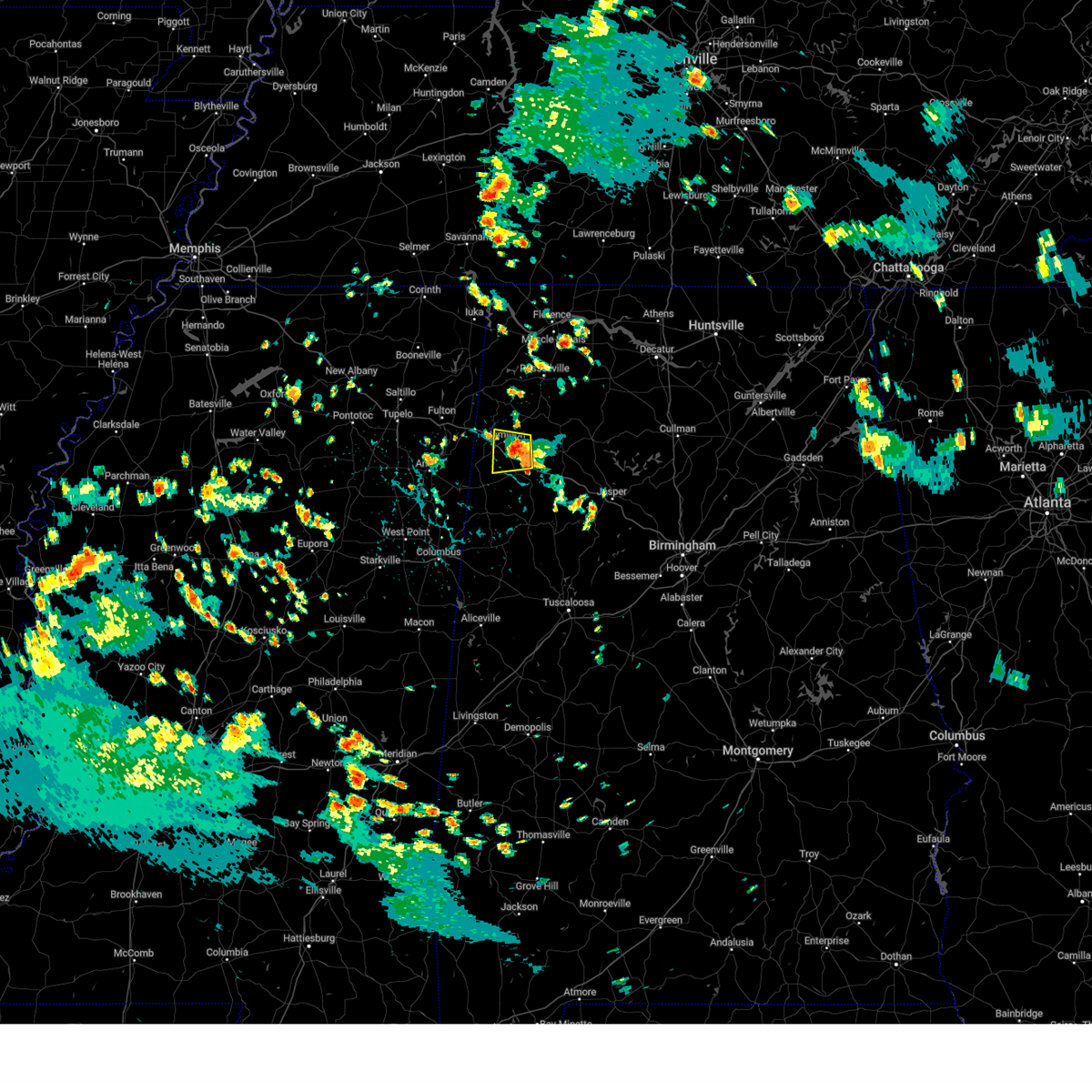 Svrbmx the national weather service in birmingham has issued a * severe thunderstorm warning for, central marion county in northwestern alabama, northeastern lamar county in west central alabama, * until 345 pm cdt. * at 306 pm cdt, a severe thunderstorm was located near hamilton, moving west at 5 mph (radar indicated). Hazards include 60 mph wind gusts and penny size hail. expect damage to roofs, siding, and trees Svrbmx the national weather service in birmingham has issued a * severe thunderstorm warning for, central marion county in northwestern alabama, northeastern lamar county in west central alabama, * until 345 pm cdt. * at 306 pm cdt, a severe thunderstorm was located near hamilton, moving west at 5 mph (radar indicated). Hazards include 60 mph wind gusts and penny size hail. expect damage to roofs, siding, and trees
|
| 8/2/2024 3:41 PM CDT |
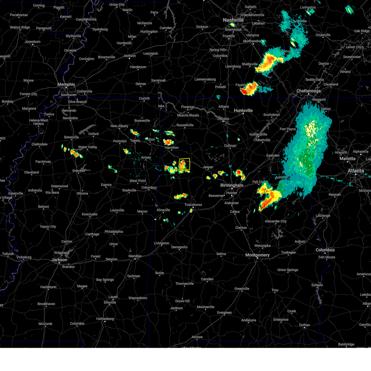 At 341 pm cdt, a severe thunderstorm was located over glen allen, or near winfield, moving east at 25 mph (radar indicated). Hazards include 60 mph wind gusts. Expect damage to roofs, siding, and trees. Locations impacted include, winfield, brilliant, glen allen, tucker, bazemore, and texas. At 341 pm cdt, a severe thunderstorm was located over glen allen, or near winfield, moving east at 25 mph (radar indicated). Hazards include 60 mph wind gusts. Expect damage to roofs, siding, and trees. Locations impacted include, winfield, brilliant, glen allen, tucker, bazemore, and texas.
|
| 8/2/2024 3:29 PM CDT |
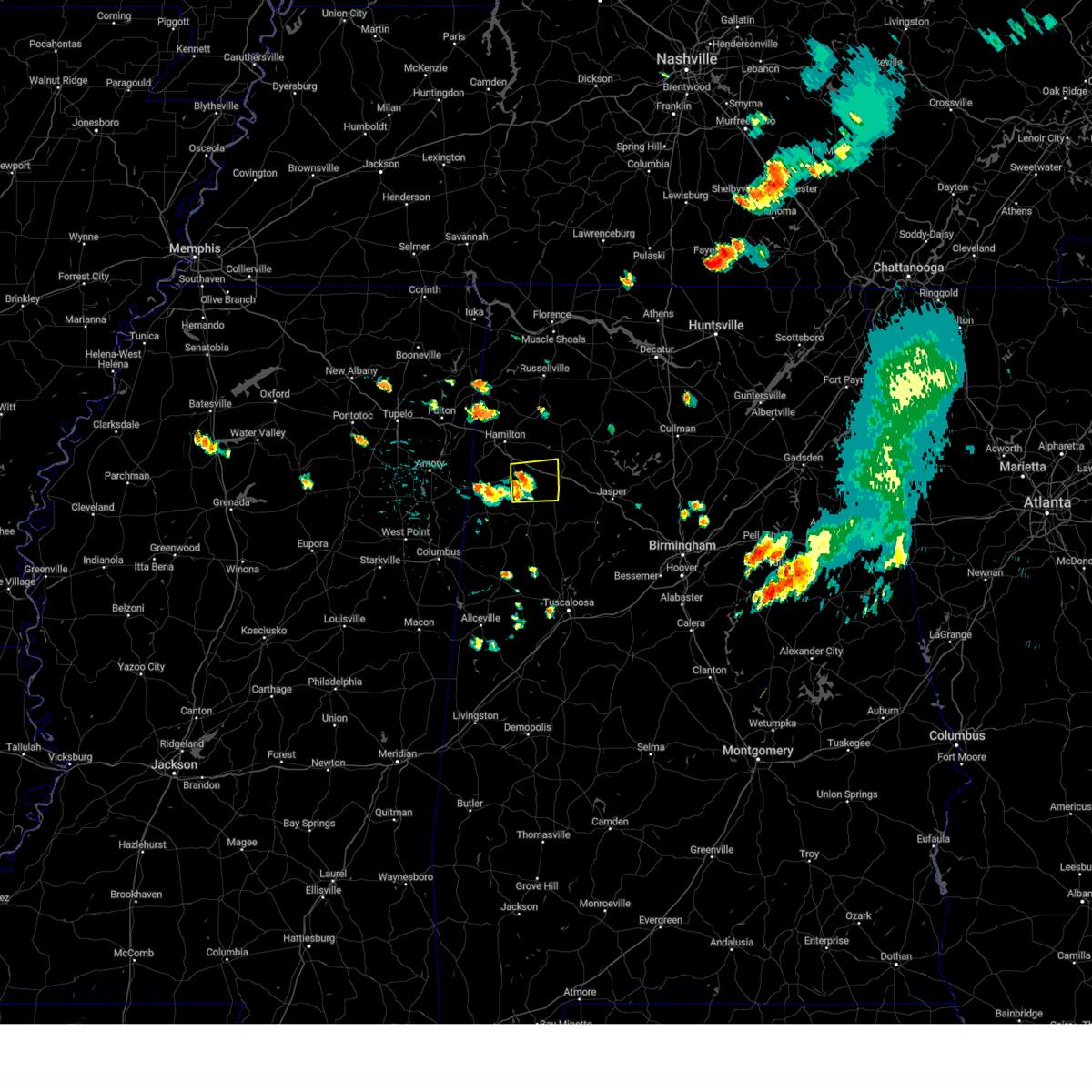 Svrbmx the national weather service in birmingham has issued a * severe thunderstorm warning for, southeastern marion county in northwestern alabama, northwestern fayette county in west central alabama, * until 400 pm cdt. * at 329 pm cdt, a severe thunderstorm was located over winfield, moving east at 25 mph (radar indicated). Hazards include 60 mph wind gusts. expect damage to roofs, siding, and trees Svrbmx the national weather service in birmingham has issued a * severe thunderstorm warning for, southeastern marion county in northwestern alabama, northwestern fayette county in west central alabama, * until 400 pm cdt. * at 329 pm cdt, a severe thunderstorm was located over winfield, moving east at 25 mph (radar indicated). Hazards include 60 mph wind gusts. expect damage to roofs, siding, and trees
|
| 6/9/2024 6:55 PM CDT |
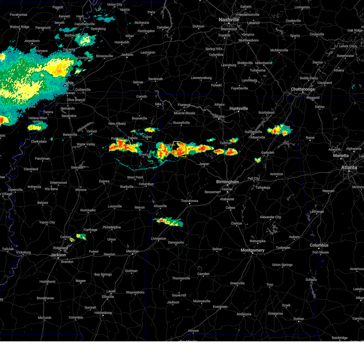 the severe thunderstorm warning has been cancelled and is no longer in effect the severe thunderstorm warning has been cancelled and is no longer in effect
|
| 6/9/2024 6:45 PM CDT |
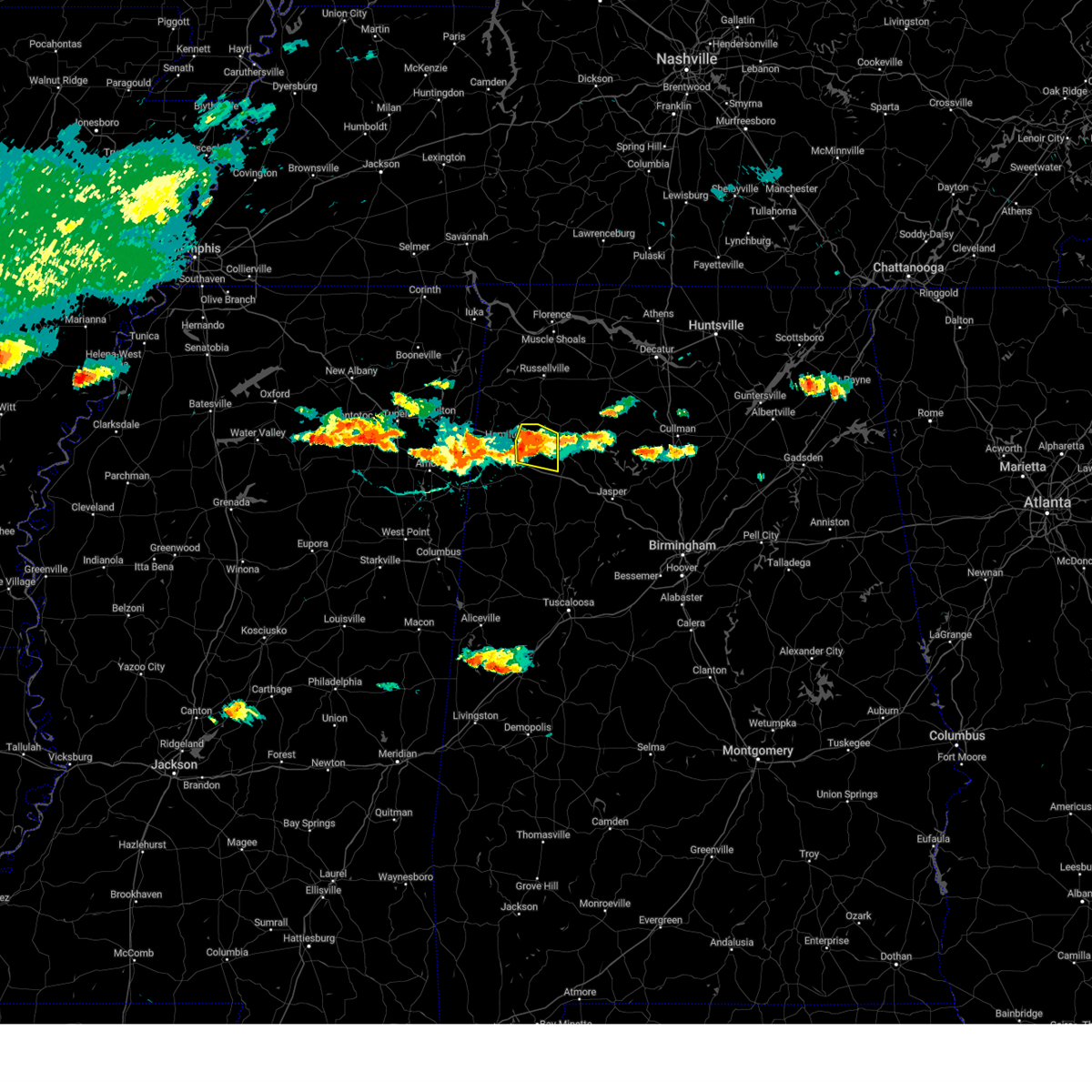 At 645 pm cdt, a severe thunderstorm was located near brinn, or 9 miles east of hamilton, moving east at 15 mph (radar indicated). Hazards include 60 mph wind gusts. Expect damage to roofs, siding, and trees. Locations impacted include, brilliant, lake buttahatchee, brinn, pearces mill, and piney grove. At 645 pm cdt, a severe thunderstorm was located near brinn, or 9 miles east of hamilton, moving east at 15 mph (radar indicated). Hazards include 60 mph wind gusts. Expect damage to roofs, siding, and trees. Locations impacted include, brilliant, lake buttahatchee, brinn, pearces mill, and piney grove.
|
| 6/9/2024 6:33 PM CDT |
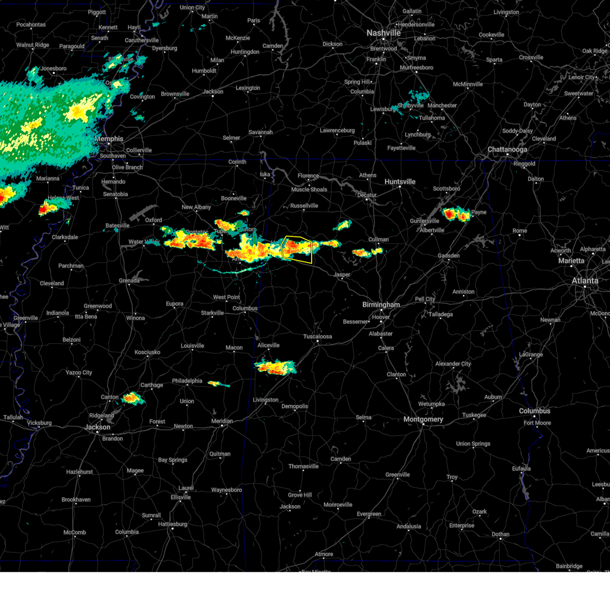 Svrbmx the national weather service in birmingham has issued a * severe thunderstorm warning for, eastern marion county in northwestern alabama, * until 715 pm cdt. * at 633 pm cdt, a severe thunderstorm was located near brinn, or near hamilton, moving east at 15 mph (radar indicated). Hazards include 60 mph wind gusts and quarter size hail. Hail damage to vehicles is expected. Expect wind damage to roofs, siding, and trees. Svrbmx the national weather service in birmingham has issued a * severe thunderstorm warning for, eastern marion county in northwestern alabama, * until 715 pm cdt. * at 633 pm cdt, a severe thunderstorm was located near brinn, or near hamilton, moving east at 15 mph (radar indicated). Hazards include 60 mph wind gusts and quarter size hail. Hail damage to vehicles is expected. Expect wind damage to roofs, siding, and trees.
|
| 6/5/2024 7:20 PM CDT |
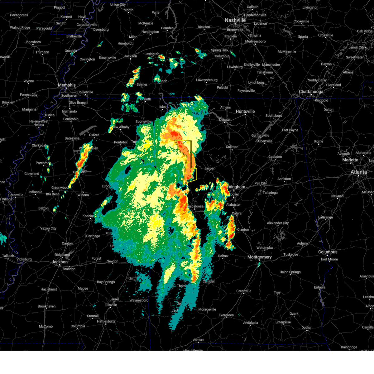 At 719 pm cdt, severe thunderstorms were located along a line extending from near hackleburg to near lake buttahatchee to near carbon hill, moving northeast at 50 mph (radar indicated). Hazards include 60 mph wind gusts and penny size hail. Expect damage to roofs, siding, and trees. Locations impacted include, hackleburg, berry, glen allen, bankston, brinn, lake buttahatchee, bear creek, bazemore, tessner, fayette county public lake, upper bear creek reservoir, hubbertville, fowlers crossroads, texas, pigeye, and piney grove. At 719 pm cdt, severe thunderstorms were located along a line extending from near hackleburg to near lake buttahatchee to near carbon hill, moving northeast at 50 mph (radar indicated). Hazards include 60 mph wind gusts and penny size hail. Expect damage to roofs, siding, and trees. Locations impacted include, hackleburg, berry, glen allen, bankston, brinn, lake buttahatchee, bear creek, bazemore, tessner, fayette county public lake, upper bear creek reservoir, hubbertville, fowlers crossroads, texas, pigeye, and piney grove.
|
| 6/5/2024 7:04 PM CDT |
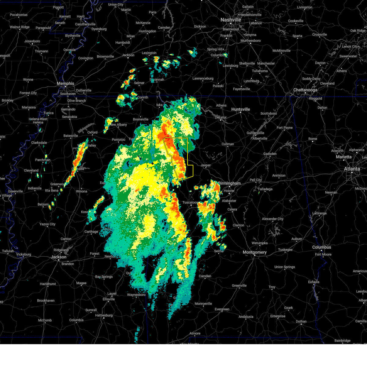 the severe thunderstorm warning has been cancelled and is no longer in effect the severe thunderstorm warning has been cancelled and is no longer in effect
|
| 6/5/2024 7:04 PM CDT |
 At 703 pm cdt, severe thunderstorms were located along a line extending from 6 miles northeast of weston to winfield to near bankston, moving northeast at 50 mph (radar indicated). Hazards include 60 mph wind gusts and penny size hail. Expect damage to roofs, siding, and trees. Locations impacted include, hamilton, winfield, fayette, guin, hackleburg, berry, brilliant, glen allen, gu- win, bankston, weston, brinn, lake buttahatchee, bluff, bear creek, twin, tucker, wayside, richard arthur field, and rankin fite airport. At 703 pm cdt, severe thunderstorms were located along a line extending from 6 miles northeast of weston to winfield to near bankston, moving northeast at 50 mph (radar indicated). Hazards include 60 mph wind gusts and penny size hail. Expect damage to roofs, siding, and trees. Locations impacted include, hamilton, winfield, fayette, guin, hackleburg, berry, brilliant, glen allen, gu- win, bankston, weston, brinn, lake buttahatchee, bluff, bear creek, twin, tucker, wayside, richard arthur field, and rankin fite airport.
|
| 6/5/2024 6:30 PM CDT |
 Svrbmx the national weather service in birmingham has issued a * severe thunderstorm warning for, marion county in northwestern alabama, northeastern pickens county in west central alabama, fayette county in west central alabama, lamar county in west central alabama, * until 730 pm cdt. * at 630 pm cdt, severe thunderstorms were located along a line extending from near smithville to near vernon to near millport, moving northeast at 50 mph (radar indicated). Hazards include 60 mph wind gusts and penny size hail. expect damage to roofs, siding, and trees Svrbmx the national weather service in birmingham has issued a * severe thunderstorm warning for, marion county in northwestern alabama, northeastern pickens county in west central alabama, fayette county in west central alabama, lamar county in west central alabama, * until 730 pm cdt. * at 630 pm cdt, severe thunderstorms were located along a line extending from near smithville to near vernon to near millport, moving northeast at 50 mph (radar indicated). Hazards include 60 mph wind gusts and penny size hail. expect damage to roofs, siding, and trees
|
| 8/9/2023 7:00 PM CDT |
 At 700 pm cdt, a severe thunderstorm was located near brilliant, or 7 miles west of lynn, moving east at 35 mph (radar indicated). Hazards include 60 mph wind gusts and quarter size hail. Hail damage to vehicles is expected. expect wind damage to roofs, siding, and trees. locations impacted include, lynn, brilliant, lake buttahatchee, twin, natural bridge, marion county public lake, piney grove and pikeville. hail threat, radar indicated max hail size, 1. 00 in wind threat, radar indicated max wind gust, 60 mph. At 700 pm cdt, a severe thunderstorm was located near brilliant, or 7 miles west of lynn, moving east at 35 mph (radar indicated). Hazards include 60 mph wind gusts and quarter size hail. Hail damage to vehicles is expected. expect wind damage to roofs, siding, and trees. locations impacted include, lynn, brilliant, lake buttahatchee, twin, natural bridge, marion county public lake, piney grove and pikeville. hail threat, radar indicated max hail size, 1. 00 in wind threat, radar indicated max wind gust, 60 mph.
|
| 8/9/2023 6:29 PM CDT |
 At 629 pm cdt, a severe thunderstorm was located near hamilton, moving east at 35 mph (radar indicated). Hazards include golf ball size hail and 60 mph wind gusts. People and animals outdoors will be injured. expect hail damage to roofs, siding, windows, and vehicles. expect wind damage to roofs, siding, and trees. locations impacted include, hamilton, lynn, brilliant, weston, lake buttahatchee, twin, natural bridge, pearces mill, rankin fite airport, byrd, marion county public lake, piney grove and pikeville. thunderstorm damage threat, considerable hail threat, radar indicated max hail size, 1. 75 in wind threat, radar indicated max wind gust, 60 mph. At 629 pm cdt, a severe thunderstorm was located near hamilton, moving east at 35 mph (radar indicated). Hazards include golf ball size hail and 60 mph wind gusts. People and animals outdoors will be injured. expect hail damage to roofs, siding, windows, and vehicles. expect wind damage to roofs, siding, and trees. locations impacted include, hamilton, lynn, brilliant, weston, lake buttahatchee, twin, natural bridge, pearces mill, rankin fite airport, byrd, marion county public lake, piney grove and pikeville. thunderstorm damage threat, considerable hail threat, radar indicated max hail size, 1. 75 in wind threat, radar indicated max wind gust, 60 mph.
|
| 8/9/2023 6:20 PM CDT |
 At 620 pm cdt, a severe thunderstorm was located near weston, or near hamilton, moving east at 35 mph (radar indicated). Hazards include 60 mph wind gusts and quarter size hail. Hail damage to vehicles is expected. Expect wind damage to roofs, siding, and trees. At 620 pm cdt, a severe thunderstorm was located near weston, or near hamilton, moving east at 35 mph (radar indicated). Hazards include 60 mph wind gusts and quarter size hail. Hail damage to vehicles is expected. Expect wind damage to roofs, siding, and trees.
|
| 8/9/2023 5:13 PM CDT |
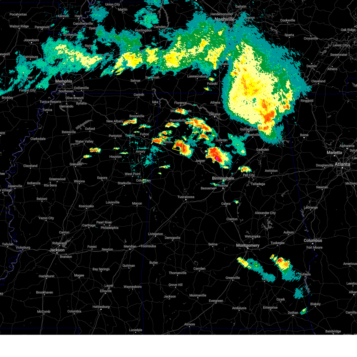 At 513 pm cdt, a severe thunderstorm was located over brinn, or 10 miles west of haleyville, moving east at 25 mph (radar indicated). Hazards include 60 mph wind gusts and quarter size hail. Hail damage to vehicles is expected. expect wind damage to roofs, siding, and trees. locations impacted include, lake buttahatchee and piney grove. hail threat, radar indicated max hail size, 1. 00 in wind threat, radar indicated max wind gust, 60 mph. At 513 pm cdt, a severe thunderstorm was located over brinn, or 10 miles west of haleyville, moving east at 25 mph (radar indicated). Hazards include 60 mph wind gusts and quarter size hail. Hail damage to vehicles is expected. expect wind damage to roofs, siding, and trees. locations impacted include, lake buttahatchee and piney grove. hail threat, radar indicated max hail size, 1. 00 in wind threat, radar indicated max wind gust, 60 mph.
|
| 8/9/2023 4:56 PM CDT |
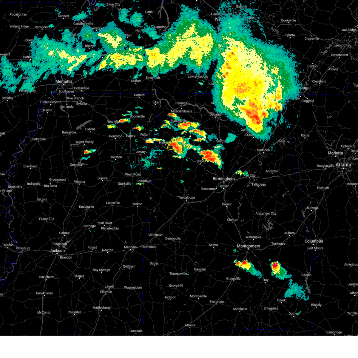 At 456 pm cdt, a severe thunderstorm was located near hamilton, moving east at 25 mph (radar indicated). Hazards include 60 mph wind gusts and quarter size hail. Hail damage to vehicles is expected. expect wind damage to roofs, siding, and trees. Locations impacted include, hamilton, haleyville, lake buttahatchee, brinn, bear creek, pearces mill and piney grove. At 456 pm cdt, a severe thunderstorm was located near hamilton, moving east at 25 mph (radar indicated). Hazards include 60 mph wind gusts and quarter size hail. Hail damage to vehicles is expected. expect wind damage to roofs, siding, and trees. Locations impacted include, hamilton, haleyville, lake buttahatchee, brinn, bear creek, pearces mill and piney grove.
|
| 8/9/2023 4:47 PM CDT |
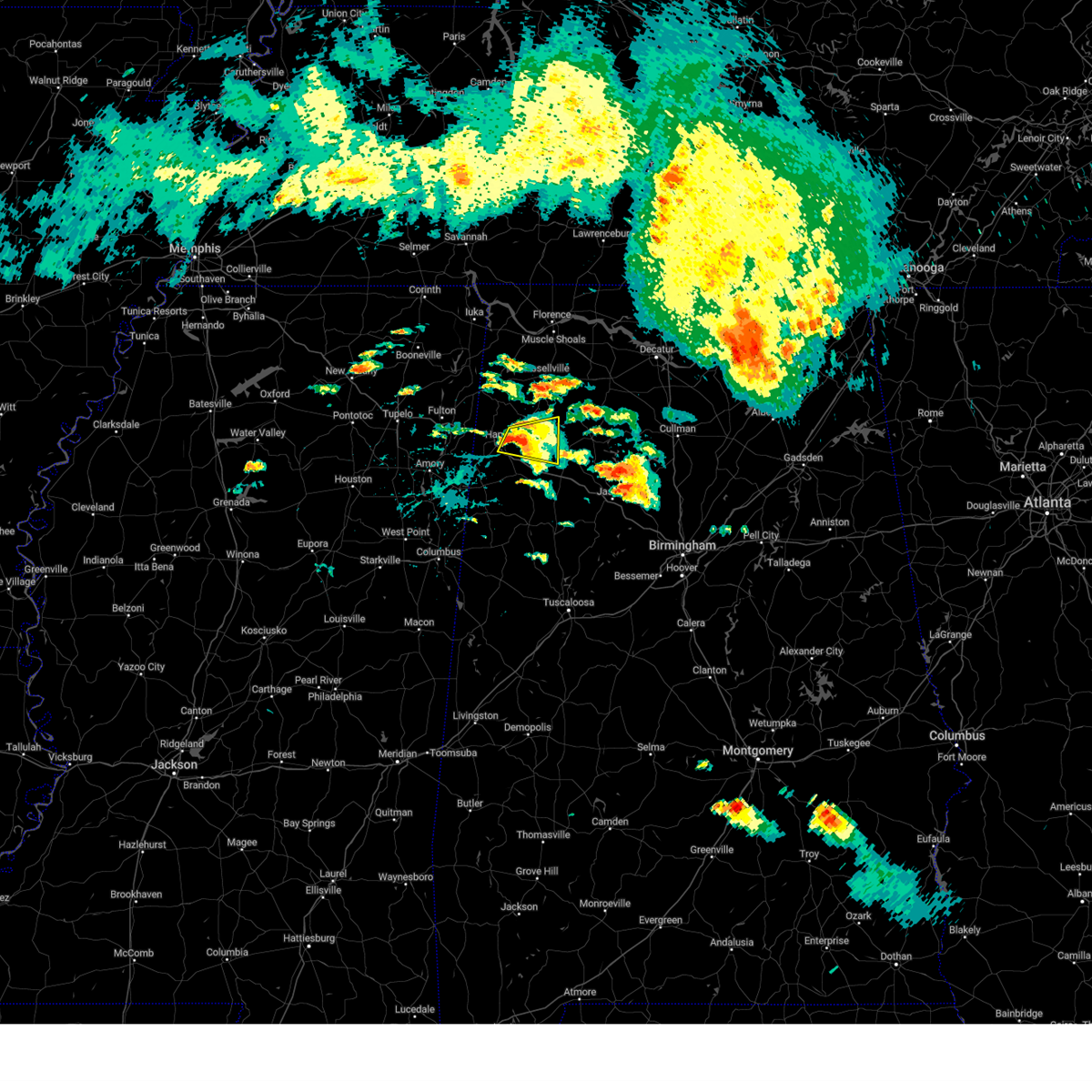 At 447 pm cdt, a severe thunderstorm was located over hamilton, moving east at 25 mph (radar indicated). Hazards include 60 mph wind gusts and quarter size hail. Hail damage to vehicles is expected. expect wind damage to roofs, siding, and trees. locations impacted include, hamilton, haleyville, lake buttahatchee, brinn, bear creek, pearces mill, rankin fite airport and piney grove. hail threat, radar indicated max hail size, 1. 00 in wind threat, radar indicated max wind gust, 60 mph. At 447 pm cdt, a severe thunderstorm was located over hamilton, moving east at 25 mph (radar indicated). Hazards include 60 mph wind gusts and quarter size hail. Hail damage to vehicles is expected. expect wind damage to roofs, siding, and trees. locations impacted include, hamilton, haleyville, lake buttahatchee, brinn, bear creek, pearces mill, rankin fite airport and piney grove. hail threat, radar indicated max hail size, 1. 00 in wind threat, radar indicated max wind gust, 60 mph.
|
| 8/9/2023 4:30 PM CDT |
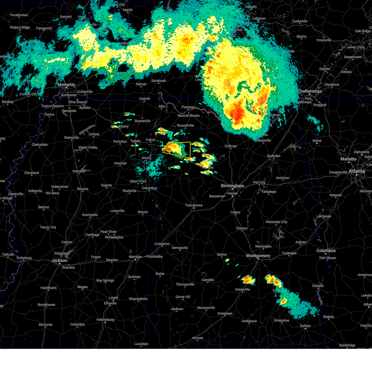 At 429 pm cdt, a severe thunderstorm was located near weston, or near hamilton, moving east at 25 mph (radar indicated). Hazards include 60 mph wind gusts and quarter size hail. Hail damage to vehicles is expected. Expect wind damage to roofs, siding, and trees. At 429 pm cdt, a severe thunderstorm was located near weston, or near hamilton, moving east at 25 mph (radar indicated). Hazards include 60 mph wind gusts and quarter size hail. Hail damage to vehicles is expected. Expect wind damage to roofs, siding, and trees.
|
| 8/7/2023 2:21 PM CDT |
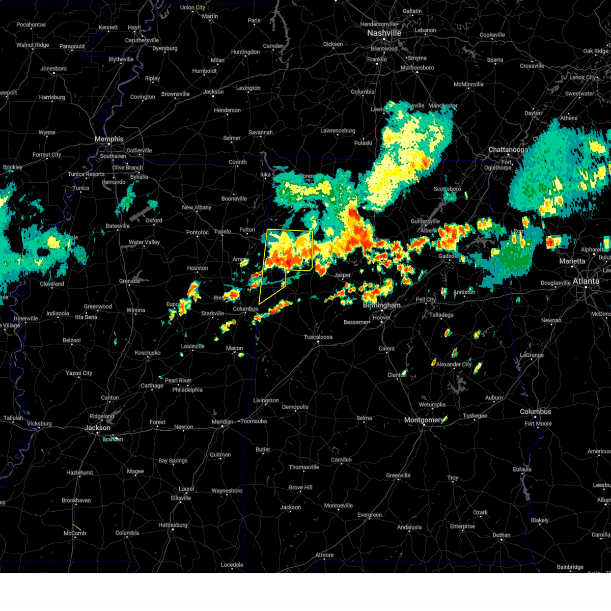 The severe thunderstorm warning for marion and lamar counties will expire at 230 pm cdt, the storms which prompted the warning have weakened below severe limits, and have exited the warned area. therefore, the warning will be allowed to expire. however gusty winds are still possible with these thunderstorms. a severe thunderstorm watch remains in effect until 700 pm cdt for northwestern and west central alabama. The severe thunderstorm warning for marion and lamar counties will expire at 230 pm cdt, the storms which prompted the warning have weakened below severe limits, and have exited the warned area. therefore, the warning will be allowed to expire. however gusty winds are still possible with these thunderstorms. a severe thunderstorm watch remains in effect until 700 pm cdt for northwestern and west central alabama.
|
| 8/7/2023 1:47 PM CDT |
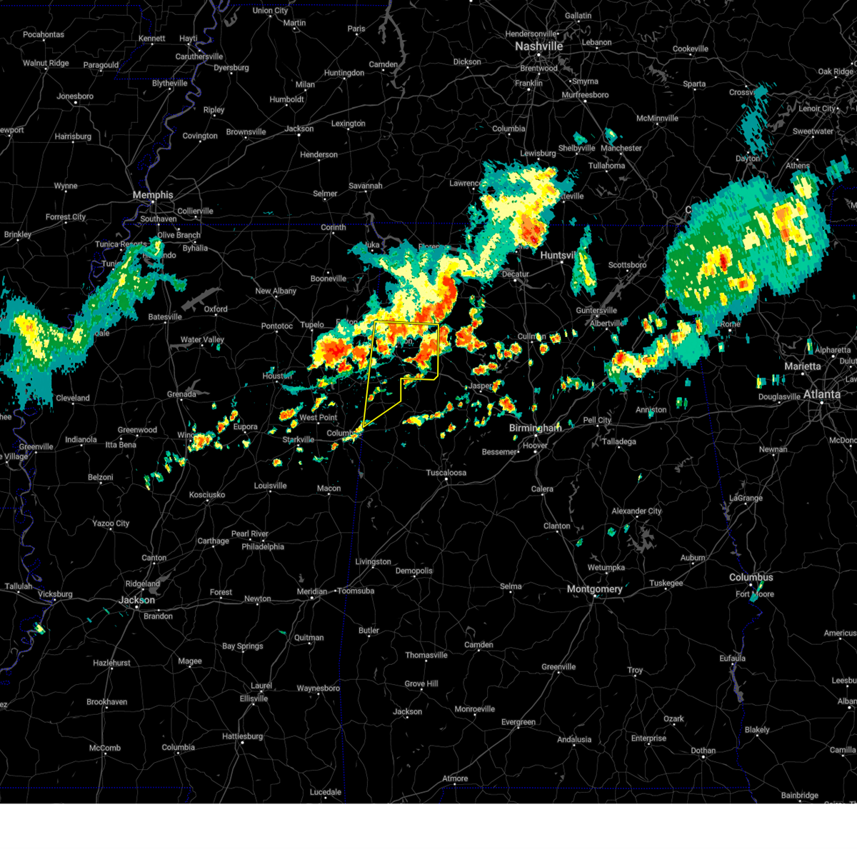 At 147 pm cdt, severe thunderstorms were located along a line extending from near hackleburg to 8 miles southeast of smithville, moving east at 45 mph (radar indicated). Hazards include 60 mph wind gusts and quarter size hail. Hail damage to vehicles is expected. expect wind damage to roofs, siding, and trees. locations impacted include, hamilton, winfield, haleyville, vernon, sulligent, guin, hackleburg, brilliant, glen allen, detroit, beaverton, gu- win, weston, blooming grove, lamar county airport, brinn, lake buttahatchee, crews, bedford and crossville. hail threat, radar indicated max hail size, 1. 00 in wind threat, radar indicated max wind gust, 60 mph. At 147 pm cdt, severe thunderstorms were located along a line extending from near hackleburg to 8 miles southeast of smithville, moving east at 45 mph (radar indicated). Hazards include 60 mph wind gusts and quarter size hail. Hail damage to vehicles is expected. expect wind damage to roofs, siding, and trees. locations impacted include, hamilton, winfield, haleyville, vernon, sulligent, guin, hackleburg, brilliant, glen allen, detroit, beaverton, gu- win, weston, blooming grove, lamar county airport, brinn, lake buttahatchee, crews, bedford and crossville. hail threat, radar indicated max hail size, 1. 00 in wind threat, radar indicated max wind gust, 60 mph.
|
| 8/7/2023 1:31 PM CDT |
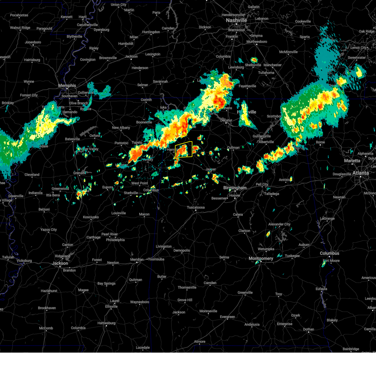 At 131 pm cdt, a severe thunderstorm was located near hamilton, moving east at 25 mph (radar indicated). Hazards include 60 mph wind gusts. Expect damage to roofs, siding, and trees. locations impacted include, hamilton, hackleburg, lake buttahatchee, brinn, bear creek, tessner, pearces mill, piney grove and upper bear creek reservoir. hail threat, radar indicated max hail size, <. 75 in wind threat, radar indicated max wind gust, 60 mph. At 131 pm cdt, a severe thunderstorm was located near hamilton, moving east at 25 mph (radar indicated). Hazards include 60 mph wind gusts. Expect damage to roofs, siding, and trees. locations impacted include, hamilton, hackleburg, lake buttahatchee, brinn, bear creek, tessner, pearces mill, piney grove and upper bear creek reservoir. hail threat, radar indicated max hail size, <. 75 in wind threat, radar indicated max wind gust, 60 mph.
|
| 8/7/2023 1:17 PM CDT |
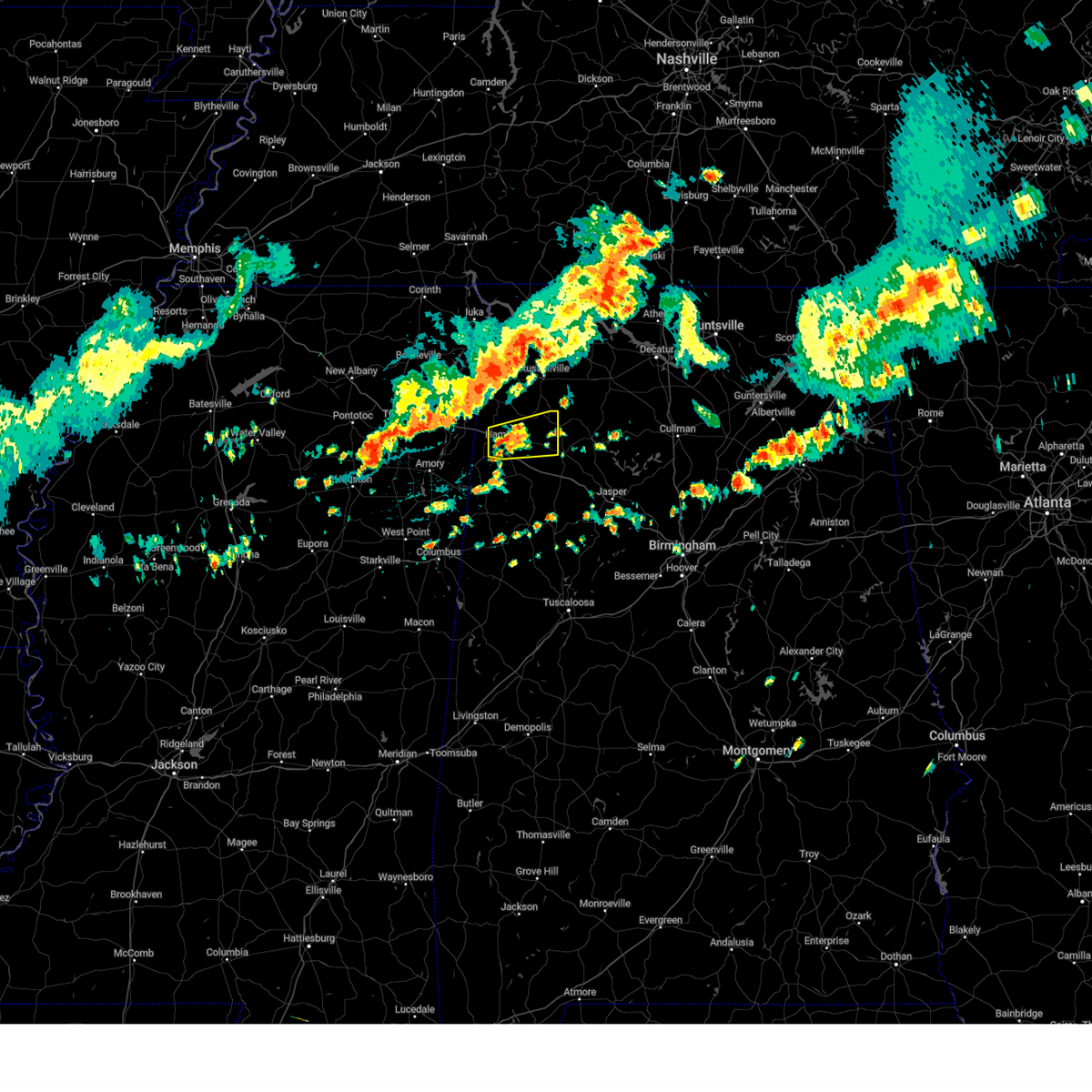 At 116 pm cdt, a severe thunderstorm was located over hamilton, moving east at 25 mph (radar indicated). Hazards include 60 mph wind gusts. Expect damage to roofs, siding, and trees. locations impacted include, hamilton, hackleburg, weston, lake buttahatchee, brinn, bear creek, tessner, pearces mill, rankin fite airport, piney grove and upper bear creek reservoir. hail threat, radar indicated max hail size, <. 75 in wind threat, radar indicated max wind gust, 60 mph. At 116 pm cdt, a severe thunderstorm was located over hamilton, moving east at 25 mph (radar indicated). Hazards include 60 mph wind gusts. Expect damage to roofs, siding, and trees. locations impacted include, hamilton, hackleburg, weston, lake buttahatchee, brinn, bear creek, tessner, pearces mill, rankin fite airport, piney grove and upper bear creek reservoir. hail threat, radar indicated max hail size, <. 75 in wind threat, radar indicated max wind gust, 60 mph.
|
| 8/7/2023 1:15 PM CDT |
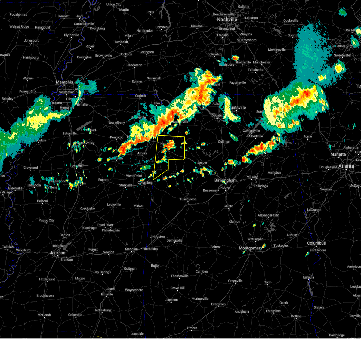 At 115 pm cdt, severe thunderstorms were located along a line extending from 6 miles northwest of russellville to 6 miles north of trebloc, moving east at 40 mph (radar indicated). Hazards include 60 mph wind gusts. expect damage to roofs, siding, and trees At 115 pm cdt, severe thunderstorms were located along a line extending from 6 miles northwest of russellville to 6 miles north of trebloc, moving east at 40 mph (radar indicated). Hazards include 60 mph wind gusts. expect damage to roofs, siding, and trees
|
| 8/7/2023 1:03 PM CDT |
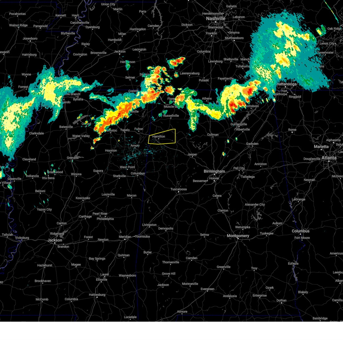 At 103 pm cdt, a severe thunderstorm was located near weston, or near hamilton, moving east at 25 mph (radar indicated). Hazards include 60 mph wind gusts. expect damage to roofs, siding, and trees At 103 pm cdt, a severe thunderstorm was located near weston, or near hamilton, moving east at 25 mph (radar indicated). Hazards include 60 mph wind gusts. expect damage to roofs, siding, and trees
|
| 8/6/2023 2:15 PM CDT |
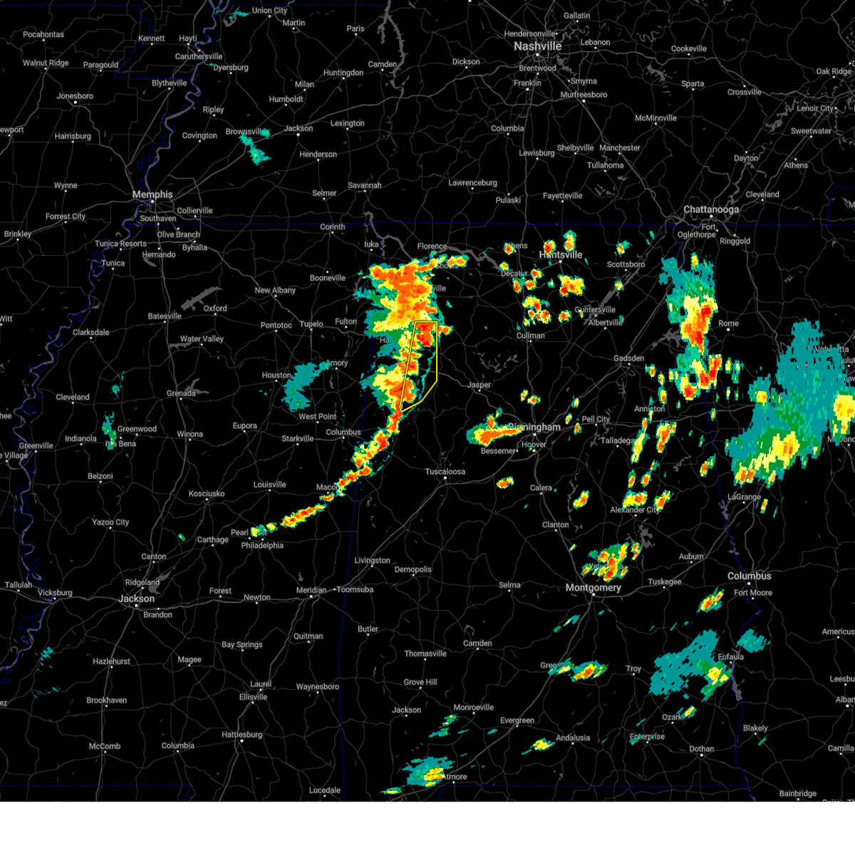 At 214 pm cdt, severe thunderstorms were located along a line extending from near belgreen to near fayette, moving east at 30 mph (emergency management). Hazards include 70 mph wind gusts and quarter size hail. Hail damage to vehicles is expected. expect considerable tree damage. wind damage is also likely to mobile homes, roofs, and outbuildings. locations impacted include, winfield, guin, brilliant, glen allen, gu- win, brinn, lake buttahatchee, bluff, bear creek, twin, tucker, bazemore, wayside, tessner, pearces mill, upper bear creek reservoir, hubbertville, texas and piney grove. thunderstorm damage threat, considerable hail threat, radar indicated max hail size, 1. 00 in wind threat, radar indicated max wind gust, 70 mph. At 214 pm cdt, severe thunderstorms were located along a line extending from near belgreen to near fayette, moving east at 30 mph (emergency management). Hazards include 70 mph wind gusts and quarter size hail. Hail damage to vehicles is expected. expect considerable tree damage. wind damage is also likely to mobile homes, roofs, and outbuildings. locations impacted include, winfield, guin, brilliant, glen allen, gu- win, brinn, lake buttahatchee, bluff, bear creek, twin, tucker, bazemore, wayside, tessner, pearces mill, upper bear creek reservoir, hubbertville, texas and piney grove. thunderstorm damage threat, considerable hail threat, radar indicated max hail size, 1. 00 in wind threat, radar indicated max wind gust, 70 mph.
|
| 8/6/2023 2:03 PM CDT | Multiple trees down near brillian in marion county AL, 1.8 miles WSW of Brilliant, AL |
| 8/6/2023 1:55 PM CDT |
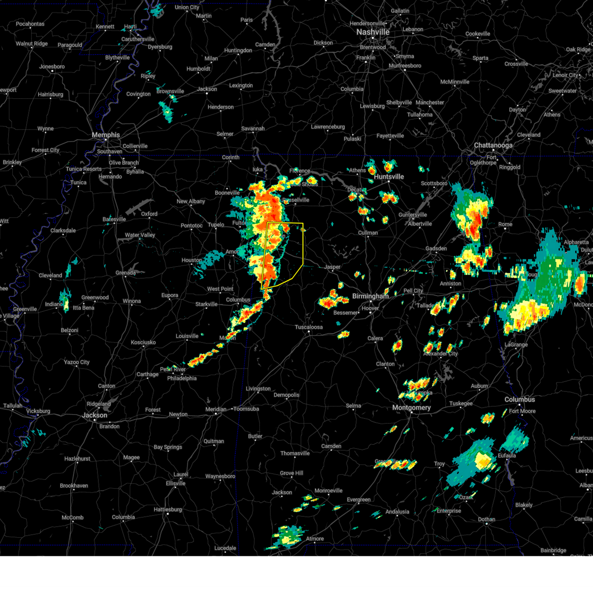 At 155 pm cdt, severe thunderstorms were located along a line extending from 8 miles southwest of belgreen to near belk, moving east at 30 mph (radar indicated). Hazards include 70 mph wind gusts and quarter size hail. Hail damage to vehicles is expected. expect considerable tree damage. wind damage is also likely to mobile homes, roofs, and outbuildings. locations impacted include, hamilton, winfield, vernon, sulligent, guin, hackleburg, brilliant, glen allen, beaverton, gu- win, weston, bluff, blooming grove, lamar county airport, brinn, lake buttahatchee, crews, crossville, bear creek and twin. thunderstorm damage threat, considerable hail threat, radar indicated max hail size, 1. 00 in wind threat, radar indicated max wind gust, 70 mph. At 155 pm cdt, severe thunderstorms were located along a line extending from 8 miles southwest of belgreen to near belk, moving east at 30 mph (radar indicated). Hazards include 70 mph wind gusts and quarter size hail. Hail damage to vehicles is expected. expect considerable tree damage. wind damage is also likely to mobile homes, roofs, and outbuildings. locations impacted include, hamilton, winfield, vernon, sulligent, guin, hackleburg, brilliant, glen allen, beaverton, gu- win, weston, bluff, blooming grove, lamar county airport, brinn, lake buttahatchee, crews, crossville, bear creek and twin. thunderstorm damage threat, considerable hail threat, radar indicated max hail size, 1. 00 in wind threat, radar indicated max wind gust, 70 mph.
|
| 8/6/2023 1:44 PM CDT |
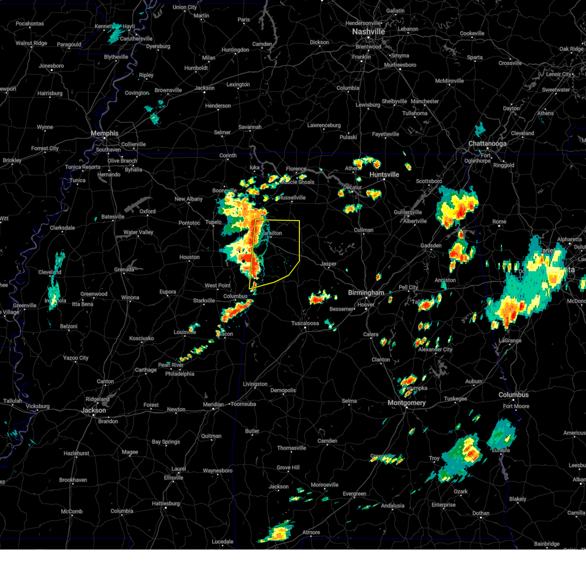 At 144 pm cdt, severe thunderstorms were located along a line extending from 7 miles southeast of red bay to near vernon, moving east at 40 mph (radar indicated). Hazards include 70 mph wind gusts and quarter size hail. Hail damage to vehicles is expected. expect considerable tree damage. wind damage is also likely to mobile homes, roofs, and outbuildings. locations impacted include, hamilton, winfield, vernon, sulligent, guin, hackleburg, brilliant, glen allen, detroit, beaverton, gu- win, weston, bluff, blooming grove, lamar county airport, brinn, lake buttahatchee, crews, bedford and crossville. thunderstorm damage threat, considerable hail threat, radar indicated max hail size, 1. 00 in wind threat, radar indicated max wind gust, 70 mph. At 144 pm cdt, severe thunderstorms were located along a line extending from 7 miles southeast of red bay to near vernon, moving east at 40 mph (radar indicated). Hazards include 70 mph wind gusts and quarter size hail. Hail damage to vehicles is expected. expect considerable tree damage. wind damage is also likely to mobile homes, roofs, and outbuildings. locations impacted include, hamilton, winfield, vernon, sulligent, guin, hackleburg, brilliant, glen allen, detroit, beaverton, gu- win, weston, bluff, blooming grove, lamar county airport, brinn, lake buttahatchee, crews, bedford and crossville. thunderstorm damage threat, considerable hail threat, radar indicated max hail size, 1. 00 in wind threat, radar indicated max wind gust, 70 mph.
|
| 8/6/2023 1:27 PM CDT |
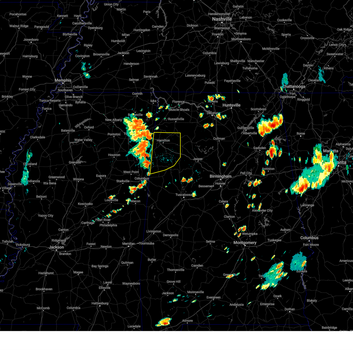 At 126 pm cdt, severe thunderstorms were located along a line extending from near pratts friendship to near bedford in mississippi, moving east at 30 mph (radar indicated). Hazards include 70 mph wind gusts and quarter size hail. Hail damage to vehicles is expected. expect considerable tree damage. wind damage is also likely to mobile homes, roofs, and outbuildings. locations impacted include, hamilton, winfield, vernon, sulligent, guin, hackleburg, brilliant, glen allen, detroit, beaverton, gu- win, weston, bluff, blooming grove, lamar county airport, brinn, lake buttahatchee, crews, bedford and crossville. thunderstorm damage threat, considerable hail threat, radar indicated max hail size, 1. 00 in wind threat, radar indicated max wind gust, 70 mph. At 126 pm cdt, severe thunderstorms were located along a line extending from near pratts friendship to near bedford in mississippi, moving east at 30 mph (radar indicated). Hazards include 70 mph wind gusts and quarter size hail. Hail damage to vehicles is expected. expect considerable tree damage. wind damage is also likely to mobile homes, roofs, and outbuildings. locations impacted include, hamilton, winfield, vernon, sulligent, guin, hackleburg, brilliant, glen allen, detroit, beaverton, gu- win, weston, bluff, blooming grove, lamar county airport, brinn, lake buttahatchee, crews, bedford and crossville. thunderstorm damage threat, considerable hail threat, radar indicated max hail size, 1. 00 in wind threat, radar indicated max wind gust, 70 mph.
|
| 8/6/2023 1:14 PM CDT |
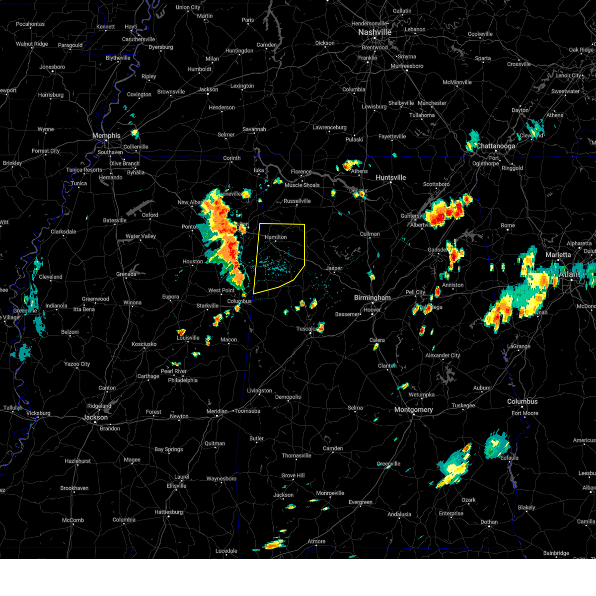 At 113 pm cdt, severe thunderstorms were located along a line extending from pratts friendship to near caledonia in mississippi, moving east at 30 mph (radar indicated). Hazards include 60 mph wind gusts and quarter size hail. Hail damage to vehicles is expected. Expect wind damage to roofs, siding, and trees. At 113 pm cdt, severe thunderstorms were located along a line extending from pratts friendship to near caledonia in mississippi, moving east at 30 mph (radar indicated). Hazards include 60 mph wind gusts and quarter size hail. Hail damage to vehicles is expected. Expect wind damage to roofs, siding, and trees.
|
| 8/5/2023 7:50 PM CDT |
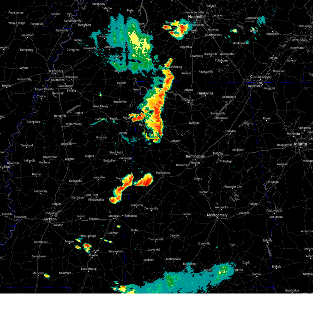 The severe thunderstorm warning for southeastern marion county will expire at 800 pm cdt, the storm which prompted the warning has moved out of the area. therefore, the warning will be allowed to expire. however gusty winds are still possible with this thunderstorm. The severe thunderstorm warning for southeastern marion county will expire at 800 pm cdt, the storm which prompted the warning has moved out of the area. therefore, the warning will be allowed to expire. however gusty winds are still possible with this thunderstorm.
|
| 8/5/2023 7:22 PM CDT | Trees and power lines down along highways 44 and 129 on the southwest side of brillian in marion county AL, 0.6 miles W of Brilliant, AL |
| 8/5/2023 7:20 PM CDT |
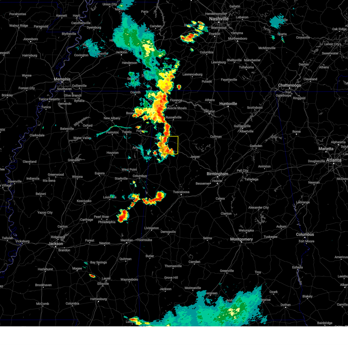 At 720 pm cdt, a severe thunderstorm was located near hamilton, moving east at 10 mph (radar indicated). Hazards include 70 mph wind gusts and half dollar size hail. Hail damage to vehicles is expected. expect considerable tree damage. wind damage is also likely to mobile homes, roofs, and outbuildings. locations impacted include, hamilton, winfield, haleyville, guin, brilliant, glen allen, gu- win, brinn, lake buttahatchee, twin, tucker, pearces mill, texas, marion county public lake, piney grove and pikeville. thunderstorm damage threat, considerable hail threat, radar indicated max hail size, 1. 25 in wind threat, radar indicated max wind gust, 70 mph. At 720 pm cdt, a severe thunderstorm was located near hamilton, moving east at 10 mph (radar indicated). Hazards include 70 mph wind gusts and half dollar size hail. Hail damage to vehicles is expected. expect considerable tree damage. wind damage is also likely to mobile homes, roofs, and outbuildings. locations impacted include, hamilton, winfield, haleyville, guin, brilliant, glen allen, gu- win, brinn, lake buttahatchee, twin, tucker, pearces mill, texas, marion county public lake, piney grove and pikeville. thunderstorm damage threat, considerable hail threat, radar indicated max hail size, 1. 25 in wind threat, radar indicated max wind gust, 70 mph.
|
| 8/5/2023 7:07 PM CDT |
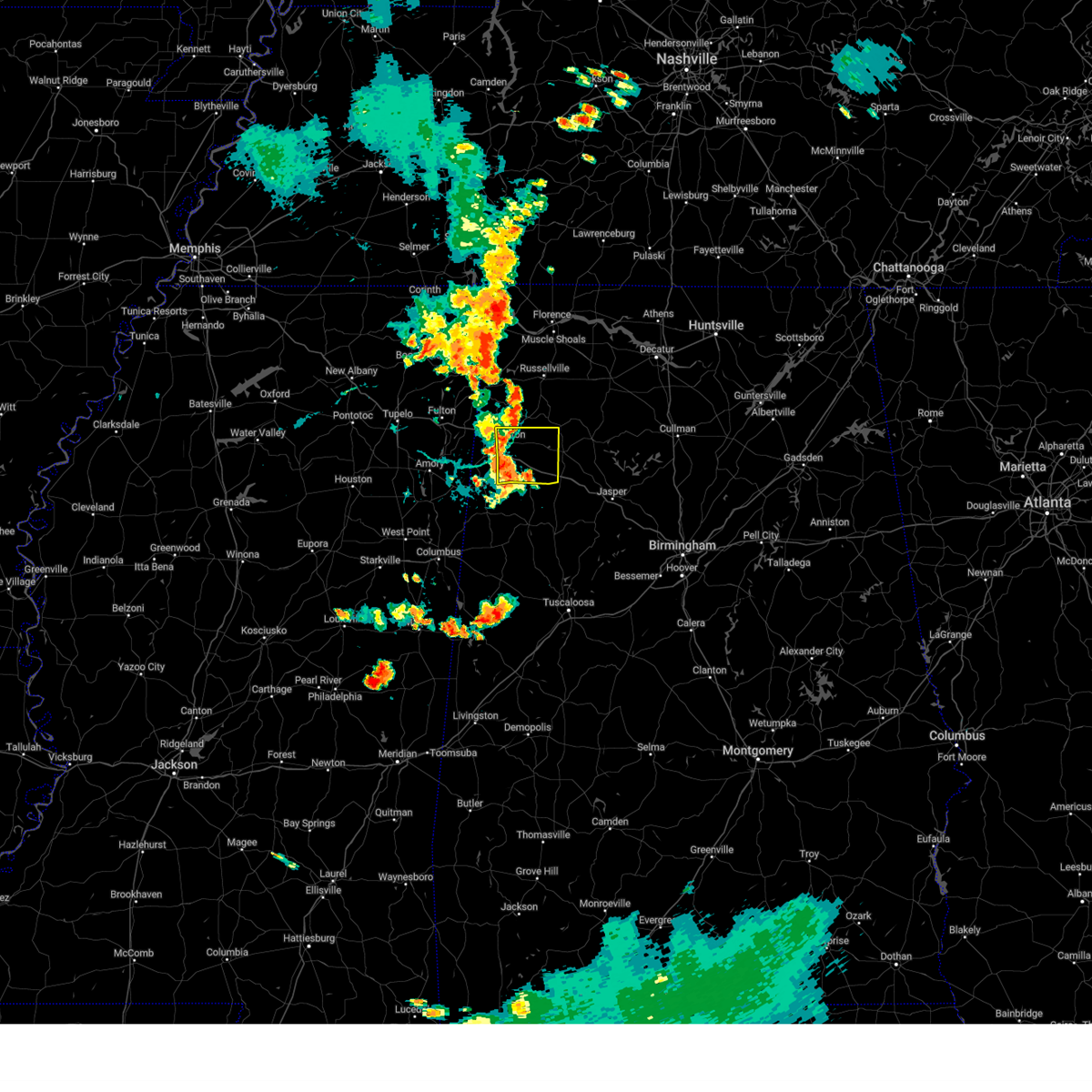 At 706 pm cdt, a severe thunderstorm was located near hamilton, moving east at 10 mph (radar indicated). Hazards include 60 mph wind gusts. expect damage to roofs, siding, and trees At 706 pm cdt, a severe thunderstorm was located near hamilton, moving east at 10 mph (radar indicated). Hazards include 60 mph wind gusts. expect damage to roofs, siding, and trees
|
| 8/3/2023 2:24 PM CDT |
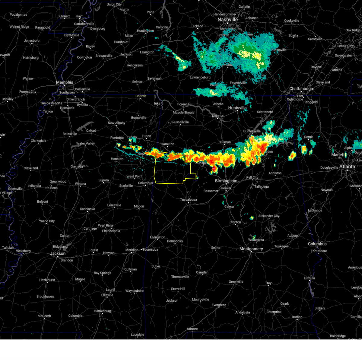 At 224 pm cdt, severe thunderstorms were located along a line extending from 9 miles southwest of detroit to near eldridge, moving southeast at 25 mph (radar indicated). Hazards include 60 mph wind gusts. expect damage to roofs, siding, and trees At 224 pm cdt, severe thunderstorms were located along a line extending from 9 miles southwest of detroit to near eldridge, moving southeast at 25 mph (radar indicated). Hazards include 60 mph wind gusts. expect damage to roofs, siding, and trees
|
| 7/18/2023 8:41 PM CDT |
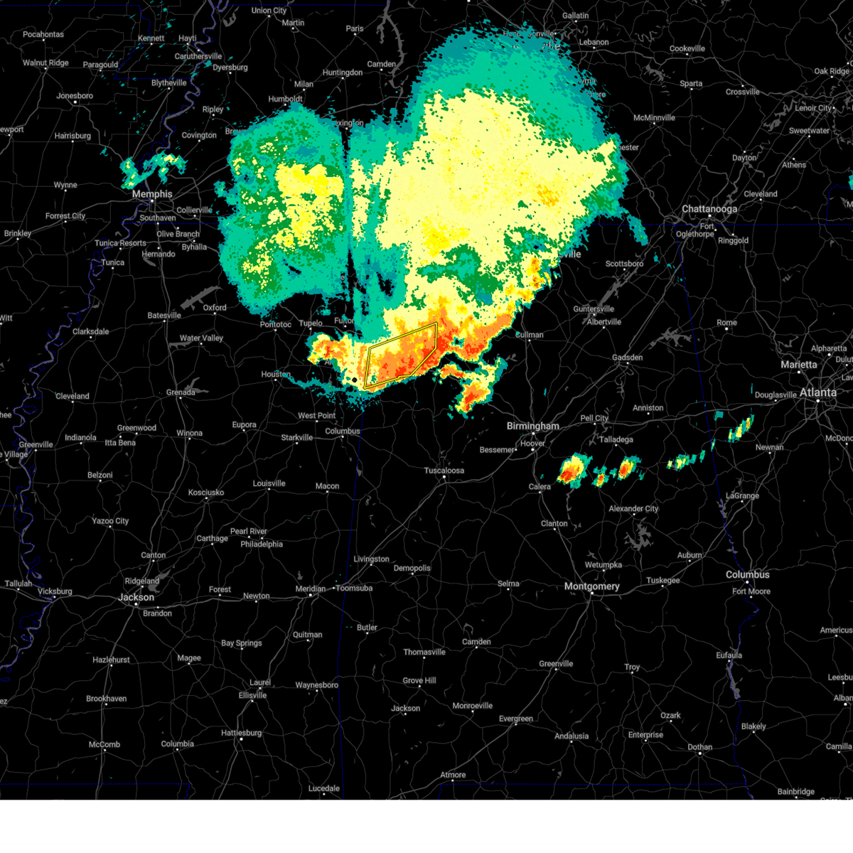 The severe thunderstorm warning for central marion and northern lamar counties will expire at 845 pm cdt, the storms which prompted the warning have weakened below severe limits, and have exited the warned area. therefore, the warning will be allowed to expire. a severe thunderstorm watch remains in effect until 1000 pm cdt for northwestern and west central alabama. The severe thunderstorm warning for central marion and northern lamar counties will expire at 845 pm cdt, the storms which prompted the warning have weakened below severe limits, and have exited the warned area. therefore, the warning will be allowed to expire. a severe thunderstorm watch remains in effect until 1000 pm cdt for northwestern and west central alabama.
|
| 7/18/2023 8:37 PM CDT |
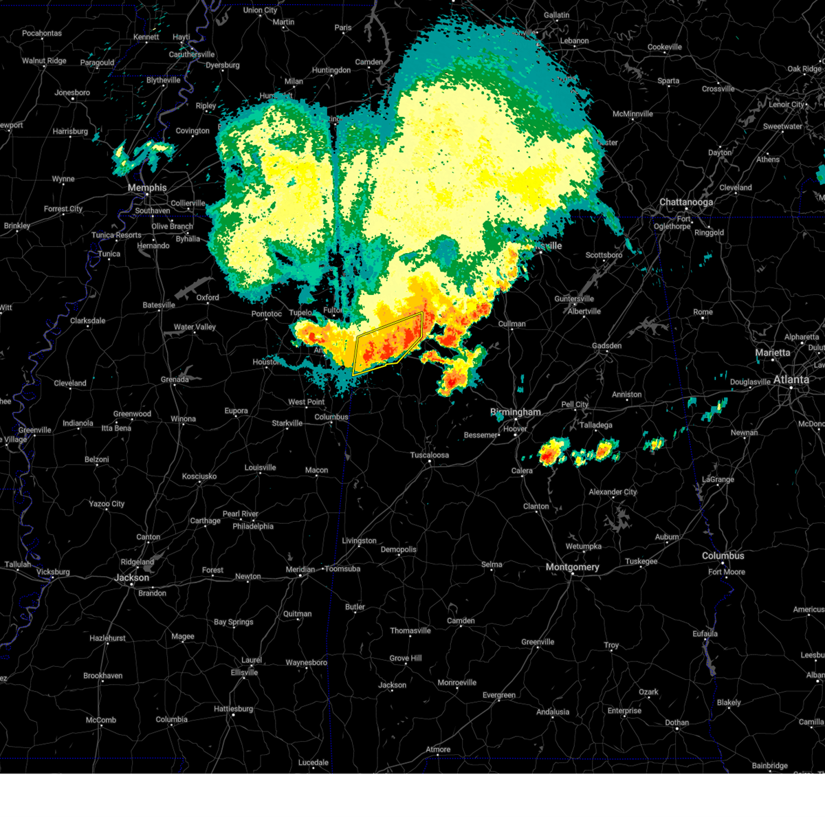 At 837 pm cdt, severe thunderstorms were located along a line extending from 6 miles north of lynn to guin to 9 miles west of sulligent, moving southeast at 50 mph (radar indicated). Hazards include 60 mph wind gusts. Expect damage to roofs, siding, and trees. locations impacted include, hamilton, winfield, haleyville, sulligent, guin, brilliant, detroit, beaverton, gu- win, weston, brinn, lake buttahatchee, crews, bear creek, twin, gattman, henson springs, rankin fite airport, pine springs and marion county public lake. hail threat, radar indicated max hail size, <. 75 in wind threat, radar indicated max wind gust, 60 mph. At 837 pm cdt, severe thunderstorms were located along a line extending from 6 miles north of lynn to guin to 9 miles west of sulligent, moving southeast at 50 mph (radar indicated). Hazards include 60 mph wind gusts. Expect damage to roofs, siding, and trees. locations impacted include, hamilton, winfield, haleyville, sulligent, guin, brilliant, detroit, beaverton, gu- win, weston, brinn, lake buttahatchee, crews, bear creek, twin, gattman, henson springs, rankin fite airport, pine springs and marion county public lake. hail threat, radar indicated max hail size, <. 75 in wind threat, radar indicated max wind gust, 60 mph.
|
| 7/18/2023 8:29 PM CDT |
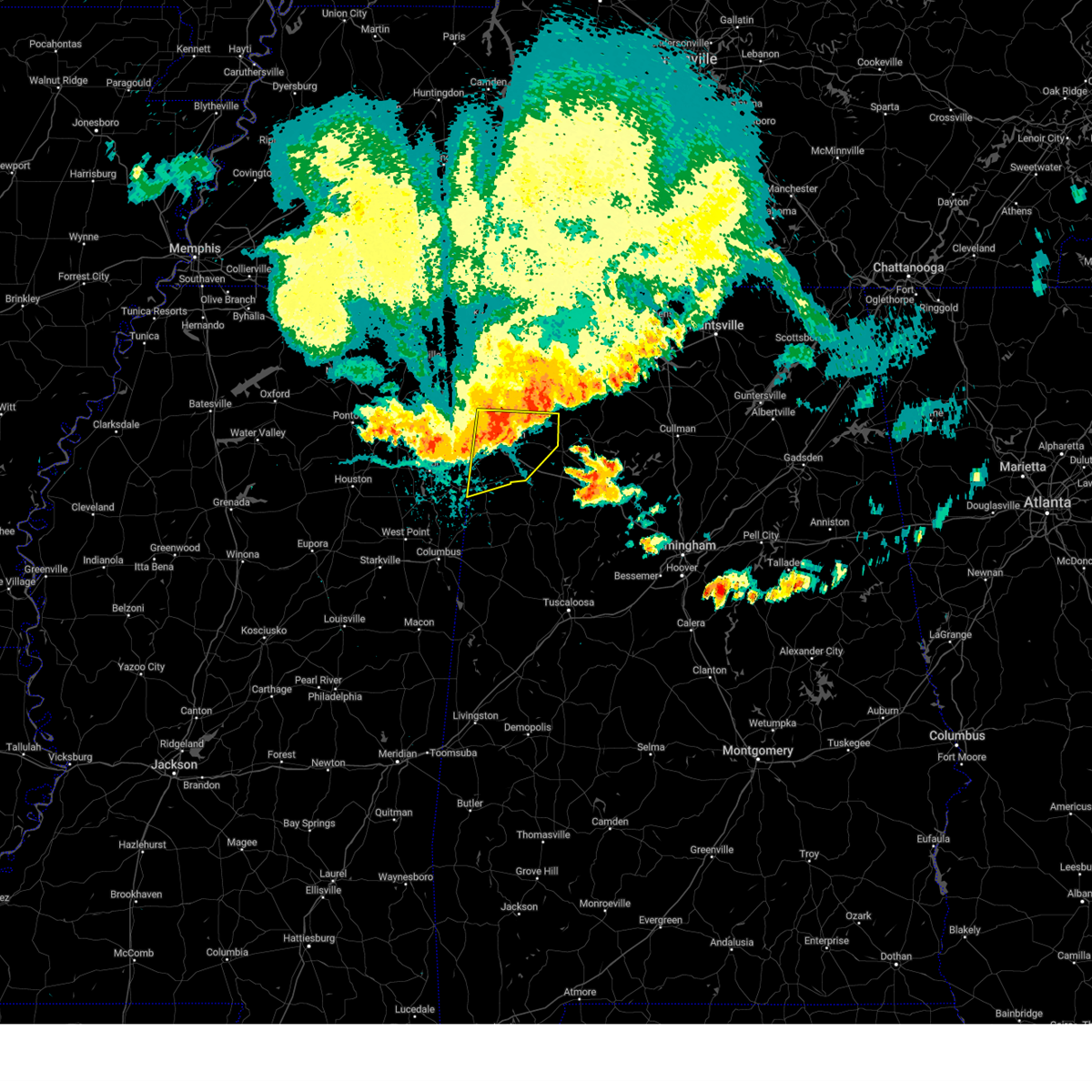 At 828 pm cdt, severe thunderstorms were located along a line extending from haleyville to 7 miles south of hamilton to 6 miles east of amory, moving southeast at 50 mph (radar indicated). Hazards include 60 mph wind gusts and penny size hail. Expect damage to roofs, siding, and trees. locations impacted include, hamilton, winfield, haleyville, sulligent, guin, hackleburg, brilliant, detroit, beaverton, gu- win, weston, brinn, lake buttahatchee, crews, bear creek, twin, gattman, henson springs, rankin fite airport and upper bear creek reservoir. hail threat, radar indicated max hail size, 0. 75 in wind threat, radar indicated max wind gust, 60 mph. At 828 pm cdt, severe thunderstorms were located along a line extending from haleyville to 7 miles south of hamilton to 6 miles east of amory, moving southeast at 50 mph (radar indicated). Hazards include 60 mph wind gusts and penny size hail. Expect damage to roofs, siding, and trees. locations impacted include, hamilton, winfield, haleyville, sulligent, guin, hackleburg, brilliant, detroit, beaverton, gu- win, weston, brinn, lake buttahatchee, crews, bear creek, twin, gattman, henson springs, rankin fite airport and upper bear creek reservoir. hail threat, radar indicated max hail size, 0. 75 in wind threat, radar indicated max wind gust, 60 mph.
|
| 7/18/2023 8:13 PM CDT |
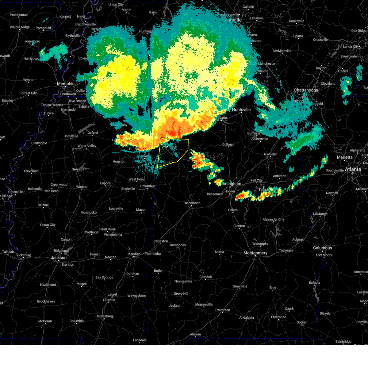 At 812 pm cdt, severe thunderstorms were located along a line extending from near belgreen to near tremont to near evergreen, moving southeast at 50 mph (radar indicated). Hazards include 60 mph wind gusts and penny size hail. Expect damage to roofs, siding, and trees. locations impacted include, hamilton, winfield, haleyville, sulligent, guin, hackleburg, brilliant, detroit, beaverton, gu- win, weston, brinn, lake buttahatchee, crews, bear creek, twin, gattman, henson springs, rankin fite airport and upper bear creek reservoir. hail threat, radar indicated max hail size, 0. 75 in wind threat, radar indicated max wind gust, 60 mph. At 812 pm cdt, severe thunderstorms were located along a line extending from near belgreen to near tremont to near evergreen, moving southeast at 50 mph (radar indicated). Hazards include 60 mph wind gusts and penny size hail. Expect damage to roofs, siding, and trees. locations impacted include, hamilton, winfield, haleyville, sulligent, guin, hackleburg, brilliant, detroit, beaverton, gu- win, weston, brinn, lake buttahatchee, crews, bear creek, twin, gattman, henson springs, rankin fite airport and upper bear creek reservoir. hail threat, radar indicated max hail size, 0. 75 in wind threat, radar indicated max wind gust, 60 mph.
|
| 7/18/2023 7:58 PM CDT |
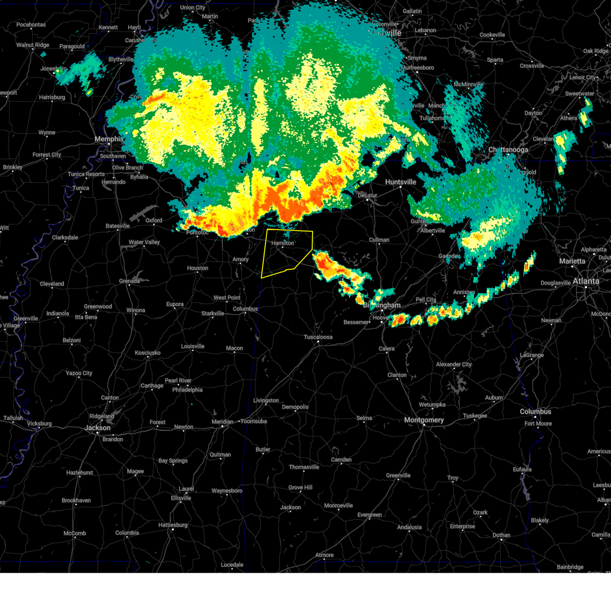 At 758 pm cdt, severe thunderstorms were located along a line extending from 6 miles northeast of red bay to near fulton to plantersville, moving southeast at 50 mph (radar indicated). Hazards include 60 mph wind gusts and penny size hail. expect damage to roofs, siding, and trees At 758 pm cdt, severe thunderstorms were located along a line extending from 6 miles northeast of red bay to near fulton to plantersville, moving southeast at 50 mph (radar indicated). Hazards include 60 mph wind gusts and penny size hail. expect damage to roofs, siding, and trees
|
| 7/2/2023 1:14 PM CDT |
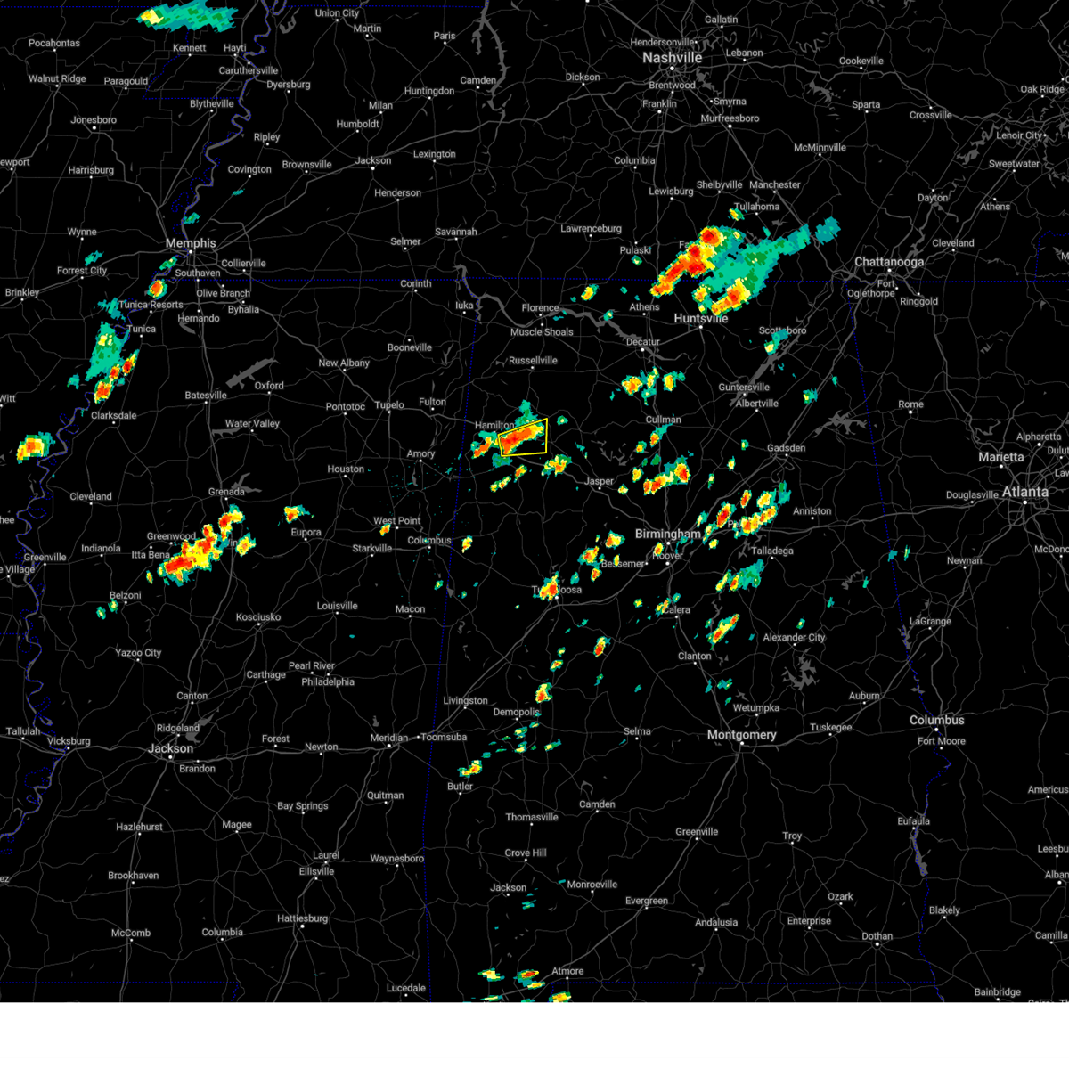 At 113 pm cdt, a severe thunderstorm was located near brinn, or 11 miles east of hamilton, moving east at 25 mph (radar indicated). Hazards include 60 mph wind gusts and quarter size hail. Hail damage to vehicles is expected. expect wind damage to roofs, siding, and trees. locations impacted include, hamilton, haleyville, brilliant, lake buttahatchee, brinn, pearces mill and piney grove. hail threat, radar indicated max hail size, 1. 00 in wind threat, radar indicated max wind gust, 60 mph. At 113 pm cdt, a severe thunderstorm was located near brinn, or 11 miles east of hamilton, moving east at 25 mph (radar indicated). Hazards include 60 mph wind gusts and quarter size hail. Hail damage to vehicles is expected. expect wind damage to roofs, siding, and trees. locations impacted include, hamilton, haleyville, brilliant, lake buttahatchee, brinn, pearces mill and piney grove. hail threat, radar indicated max hail size, 1. 00 in wind threat, radar indicated max wind gust, 60 mph.
|
| 7/2/2023 12:51 PM CDT |
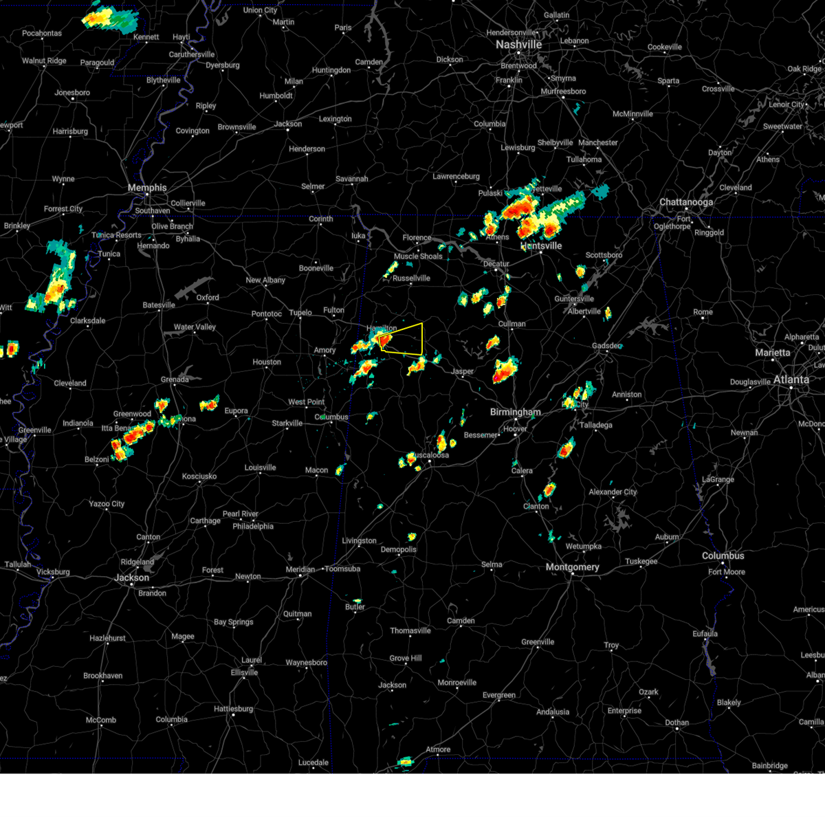 At 1251 pm cdt, a severe thunderstorm was located near hamilton, moving east at 25 mph (radar indicated). Hazards include 60 mph wind gusts and quarter size hail. Hail damage to vehicles is expected. Expect wind damage to roofs, siding, and trees. At 1251 pm cdt, a severe thunderstorm was located near hamilton, moving east at 25 mph (radar indicated). Hazards include 60 mph wind gusts and quarter size hail. Hail damage to vehicles is expected. Expect wind damage to roofs, siding, and trees.
|
| 6/25/2023 9:47 PM CDT |
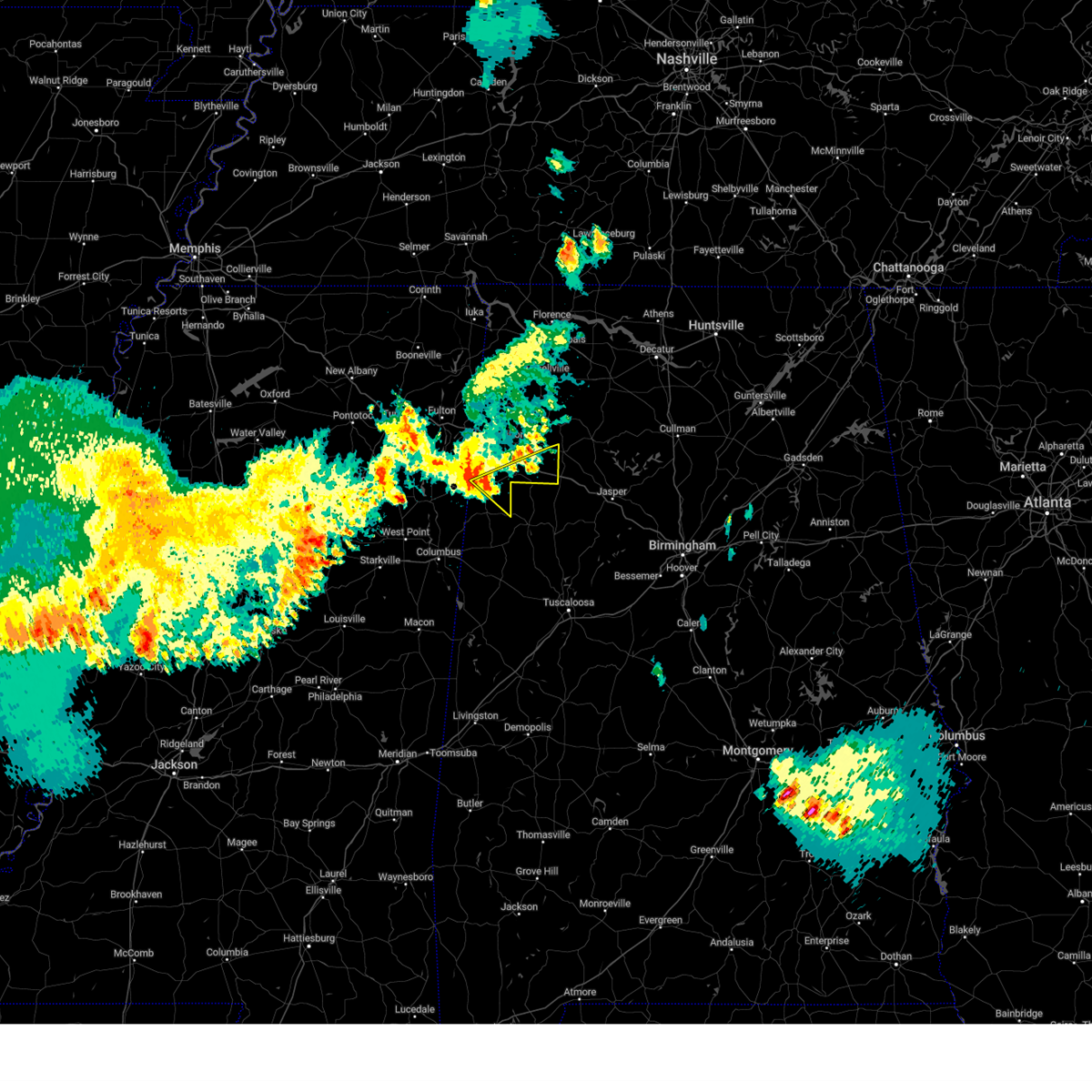 At 947 pm cdt, severe thunderstorms were located along a line extending from near lake buttahatchee to near brilliant to near blooming grove, moving southeast at 45 mph (radar indicated). Hazards include 60 mph wind gusts and penny size hail. Expect damage to roofs, siding, and trees. locations impacted include, winfield, sulligent, guin, brilliant, glen allen, beaverton, gu- win, blooming grove, crews, twin, tucker, texas, pine springs and piney grove. hail threat, radar indicated max hail size, 0. 75 in wind threat, radar indicated max wind gust, 60 mph. At 947 pm cdt, severe thunderstorms were located along a line extending from near lake buttahatchee to near brilliant to near blooming grove, moving southeast at 45 mph (radar indicated). Hazards include 60 mph wind gusts and penny size hail. Expect damage to roofs, siding, and trees. locations impacted include, winfield, sulligent, guin, brilliant, glen allen, beaverton, gu- win, blooming grove, crews, twin, tucker, texas, pine springs and piney grove. hail threat, radar indicated max hail size, 0. 75 in wind threat, radar indicated max wind gust, 60 mph.
|
| 6/25/2023 9:33 PM CDT |
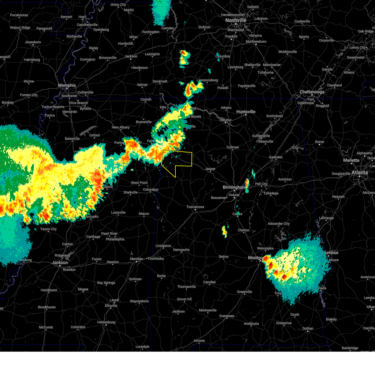 At 933 pm cdt, a severe thunderstorm was located over detroit, or 8 miles northwest of sulligent, moving southeast at 30 mph (radar indicated). Hazards include 60 mph wind gusts. Expect damage to roofs, siding, and trees. locations impacted include, hamilton, winfield, sulligent, guin, brilliant, glen allen, detroit, beaverton, gu- win, blooming grove, lake buttahatchee, crews, twin, tucker, henson springs, pearces mill, rankin fite airport, byrd, texas and pine springs. hail threat, radar indicated max hail size, <. 75 in wind threat, radar indicated max wind gust, 60 mph. At 933 pm cdt, a severe thunderstorm was located over detroit, or 8 miles northwest of sulligent, moving southeast at 30 mph (radar indicated). Hazards include 60 mph wind gusts. Expect damage to roofs, siding, and trees. locations impacted include, hamilton, winfield, sulligent, guin, brilliant, glen allen, detroit, beaverton, gu- win, blooming grove, lake buttahatchee, crews, twin, tucker, henson springs, pearces mill, rankin fite airport, byrd, texas and pine springs. hail threat, radar indicated max hail size, <. 75 in wind threat, radar indicated max wind gust, 60 mph.
|
| 6/25/2023 9:16 PM CDT |
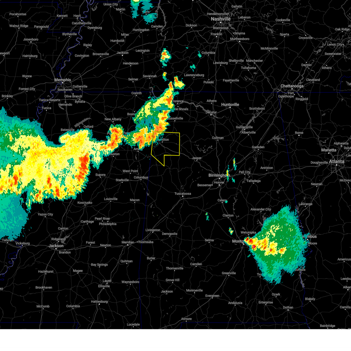 At 916 pm cdt, severe thunderstorms were located along a line extending from 6 miles west of hackleburg to near detroit to 6 miles south of smithville, moving southeast at 45 mph (radar indicated). Hazards include 60 mph wind gusts and penny size hail. Expect damage to roofs, siding, and trees. locations impacted include, hamilton, winfield, haleyville, sulligent, guin, hackleburg, brilliant, glen allen, detroit, beaverton, gu- win, weston, blooming grove, brinn, lake buttahatchee, crews, bear creek, twin, tucker and henson springs. hail threat, radar indicated max hail size, 0. 75 in wind threat, radar indicated max wind gust, 60 mph. At 916 pm cdt, severe thunderstorms were located along a line extending from 6 miles west of hackleburg to near detroit to 6 miles south of smithville, moving southeast at 45 mph (radar indicated). Hazards include 60 mph wind gusts and penny size hail. Expect damage to roofs, siding, and trees. locations impacted include, hamilton, winfield, haleyville, sulligent, guin, hackleburg, brilliant, glen allen, detroit, beaverton, gu- win, weston, blooming grove, brinn, lake buttahatchee, crews, bear creek, twin, tucker and henson springs. hail threat, radar indicated max hail size, 0. 75 in wind threat, radar indicated max wind gust, 60 mph.
|
| 6/25/2023 9:00 PM CDT |
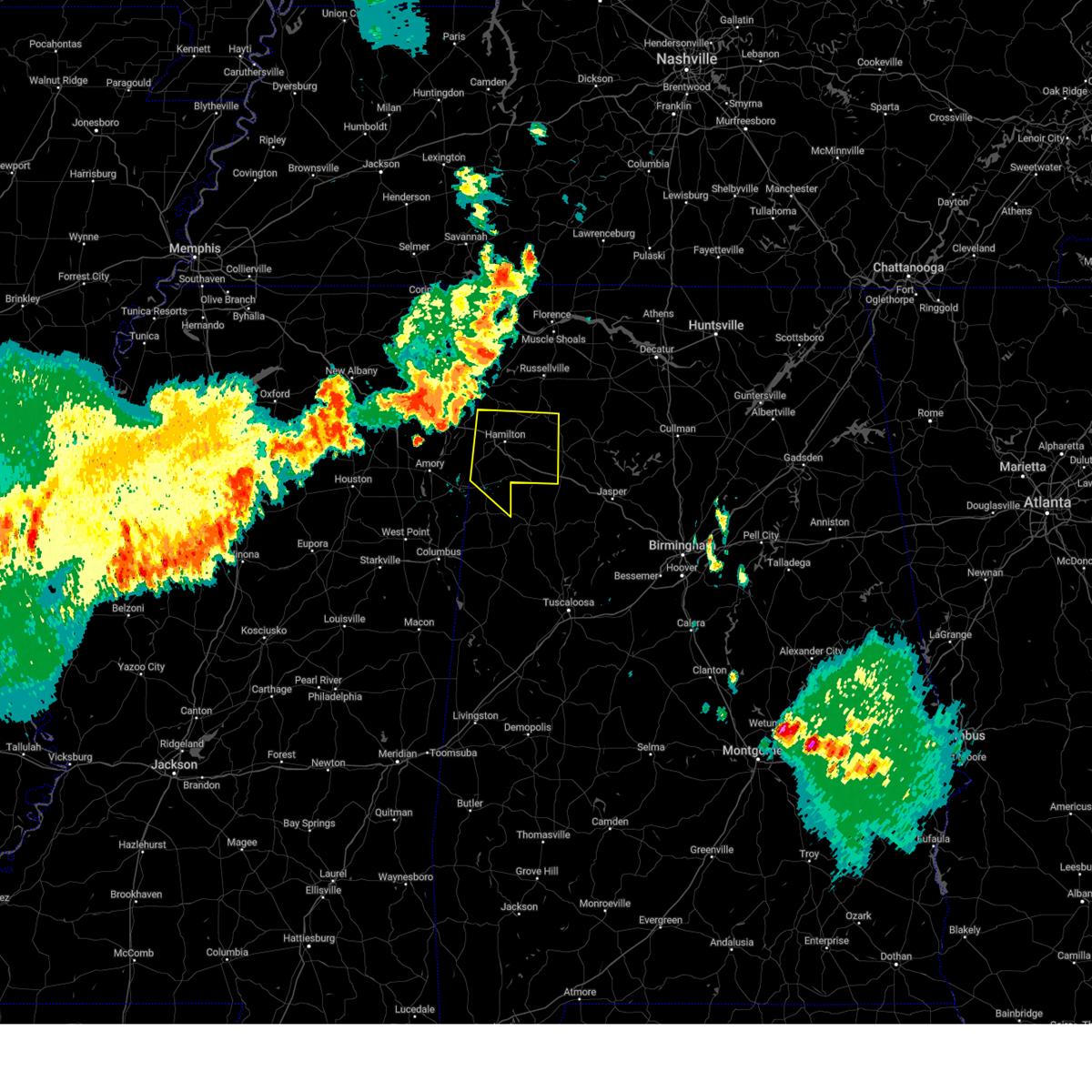 At 859 pm cdt, severe thunderstorms were located along a line extending from 6 miles south of red bay to near tremont to near evergreen, moving southeast at 50 mph (radar indicated). Hazards include 70 mph wind gusts and penny size hail. Expect considerable tree damage. damage is likely to mobile homes, roofs, and outbuildings. locations impacted include, hamilton, winfield, haleyville, sulligent, guin, hackleburg, brilliant, glen allen, detroit, beaverton, gu- win, weston, blooming grove, brinn, lake buttahatchee, crews, bear creek, twin, tucker and henson springs. thunderstorm damage threat, considerable hail threat, radar indicated max hail size, 0. 75 in wind threat, radar indicated max wind gust, 70 mph. At 859 pm cdt, severe thunderstorms were located along a line extending from 6 miles south of red bay to near tremont to near evergreen, moving southeast at 50 mph (radar indicated). Hazards include 70 mph wind gusts and penny size hail. Expect considerable tree damage. damage is likely to mobile homes, roofs, and outbuildings. locations impacted include, hamilton, winfield, haleyville, sulligent, guin, hackleburg, brilliant, glen allen, detroit, beaverton, gu- win, weston, blooming grove, brinn, lake buttahatchee, crews, bear creek, twin, tucker and henson springs. thunderstorm damage threat, considerable hail threat, radar indicated max hail size, 0. 75 in wind threat, radar indicated max wind gust, 70 mph.
|
| 6/25/2023 8:42 PM CDT |
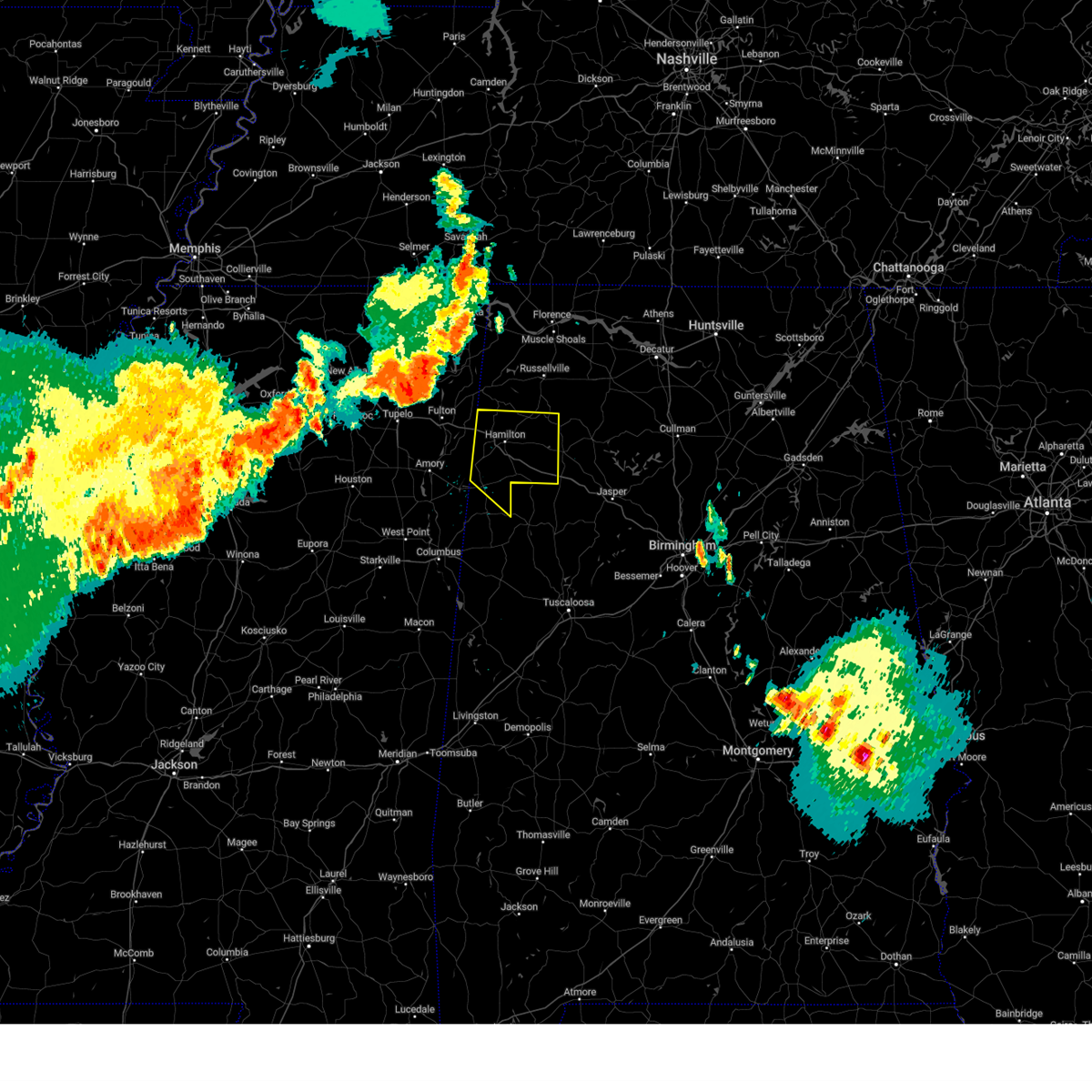 At 841 pm cdt, severe thunderstorms were located along a line extending from near belmont to near fulton to tombigbee state park, moving southeast at 50 mph (radar indicated). Hazards include 70 mph wind gusts and penny size hail. Expect considerable tree damage. Damage is likely to mobile homes, roofs, and outbuildings. At 841 pm cdt, severe thunderstorms were located along a line extending from near belmont to near fulton to tombigbee state park, moving southeast at 50 mph (radar indicated). Hazards include 70 mph wind gusts and penny size hail. Expect considerable tree damage. Damage is likely to mobile homes, roofs, and outbuildings.
|
| 6/14/2023 12:51 PM CDT |
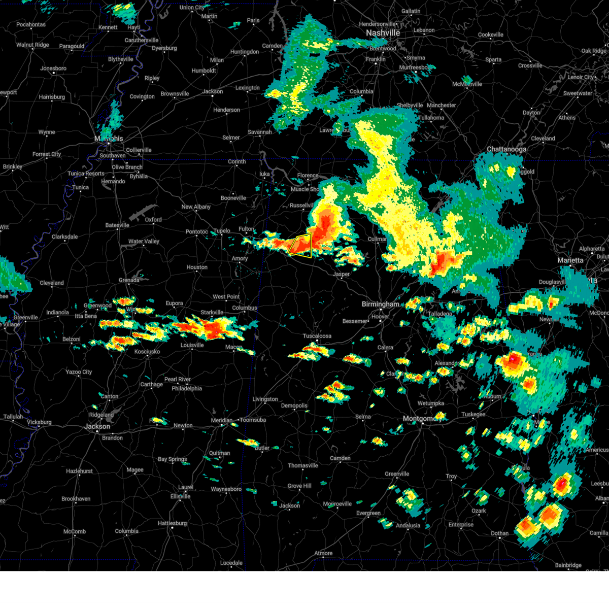 At 1250 pm cdt, a severe thunderstorm was located over lake buttahatchee, or 8 miles northwest of lynn, moving southeast at 35 mph (radar indicated). Hazards include 60 mph wind gusts. Expect damage to roofs, siding, and trees. locations impacted include, lake buttahatchee, brinn, bear creek, pearces mill and piney grove. hail threat, radar indicated max hail size, <. 75 in wind threat, radar indicated max wind gust, 60 mph. At 1250 pm cdt, a severe thunderstorm was located over lake buttahatchee, or 8 miles northwest of lynn, moving southeast at 35 mph (radar indicated). Hazards include 60 mph wind gusts. Expect damage to roofs, siding, and trees. locations impacted include, lake buttahatchee, brinn, bear creek, pearces mill and piney grove. hail threat, radar indicated max hail size, <. 75 in wind threat, radar indicated max wind gust, 60 mph.
|
| 6/14/2023 12:44 PM CDT |
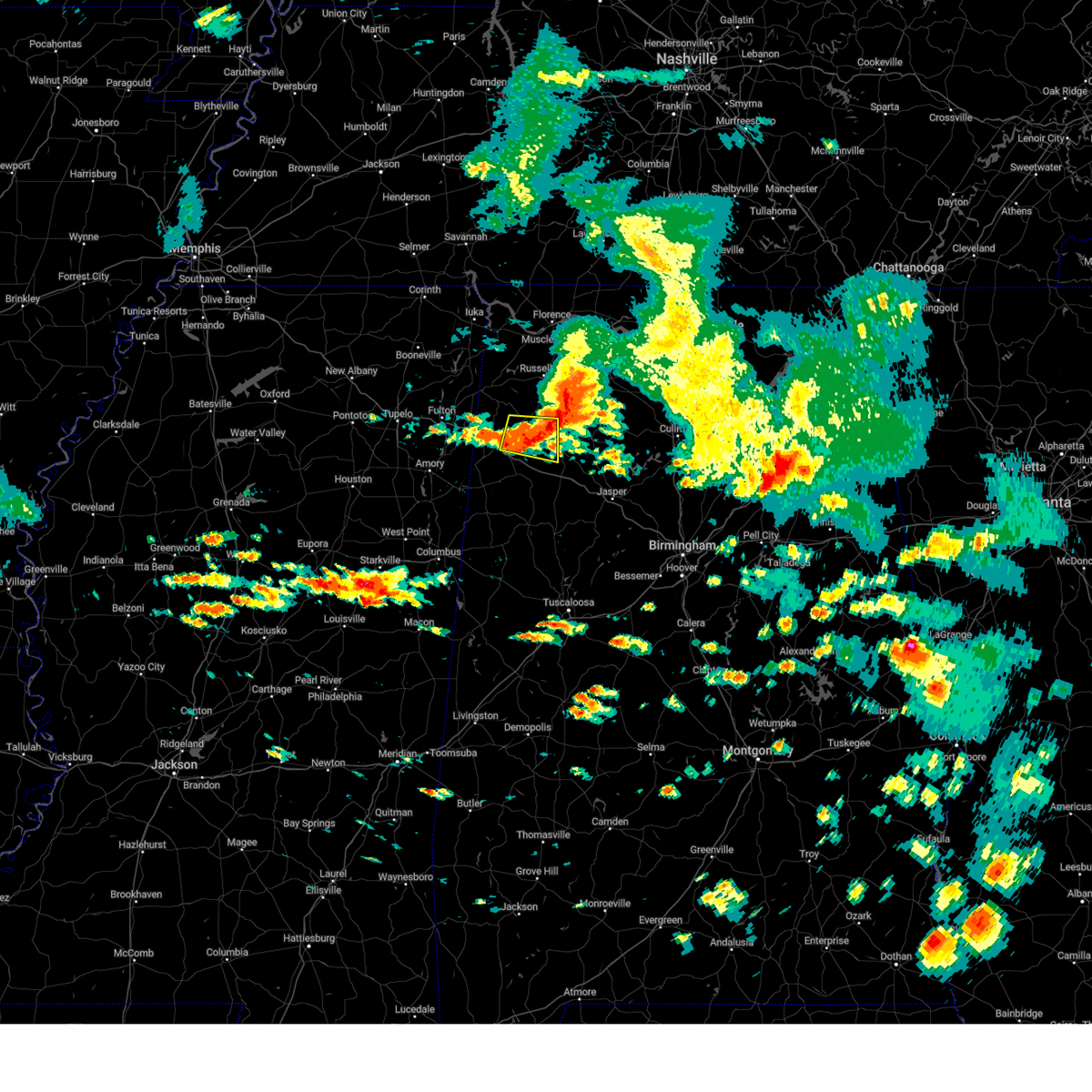 At 1244 pm cdt, a severe thunderstorm was located over brinn, or 9 miles west of haleyville, moving east at 45 mph (radar indicated). Hazards include 60 mph wind gusts. Expect damage to roofs, siding, and trees. locations impacted include, hamilton, hackleburg, lake buttahatchee, brinn, bear creek, tessner, pearces mill, rankin fite airport, piney grove and upper bear creek reservoir. hail threat, radar indicated max hail size, <. 75 in wind threat, radar indicated max wind gust, 60 mph. At 1244 pm cdt, a severe thunderstorm was located over brinn, or 9 miles west of haleyville, moving east at 45 mph (radar indicated). Hazards include 60 mph wind gusts. Expect damage to roofs, siding, and trees. locations impacted include, hamilton, hackleburg, lake buttahatchee, brinn, bear creek, tessner, pearces mill, rankin fite airport, piney grove and upper bear creek reservoir. hail threat, radar indicated max hail size, <. 75 in wind threat, radar indicated max wind gust, 60 mph.
|
| 6/14/2023 12:27 PM CDT |
 At 1227 pm cdt, a severe thunderstorm was located near hamilton, moving east at 45 mph (radar indicated). Hazards include 60 mph wind gusts. Expect damage to roofs, siding, and trees. locations impacted include, hamilton, hackleburg, brilliant, brinn, weston, lake buttahatchee, bear creek, tessner, shottsville, pearces mill, rankin fite airport, upper bear creek reservoir, bexar, pigeye, marion county public lake, piney grove and pikeville. hail threat, radar indicated max hail size, <. 75 in wind threat, radar indicated max wind gust, 60 mph. At 1227 pm cdt, a severe thunderstorm was located near hamilton, moving east at 45 mph (radar indicated). Hazards include 60 mph wind gusts. Expect damage to roofs, siding, and trees. locations impacted include, hamilton, hackleburg, brilliant, brinn, weston, lake buttahatchee, bear creek, tessner, shottsville, pearces mill, rankin fite airport, upper bear creek reservoir, bexar, pigeye, marion county public lake, piney grove and pikeville. hail threat, radar indicated max hail size, <. 75 in wind threat, radar indicated max wind gust, 60 mph.
|
| 6/14/2023 12:12 PM CDT |
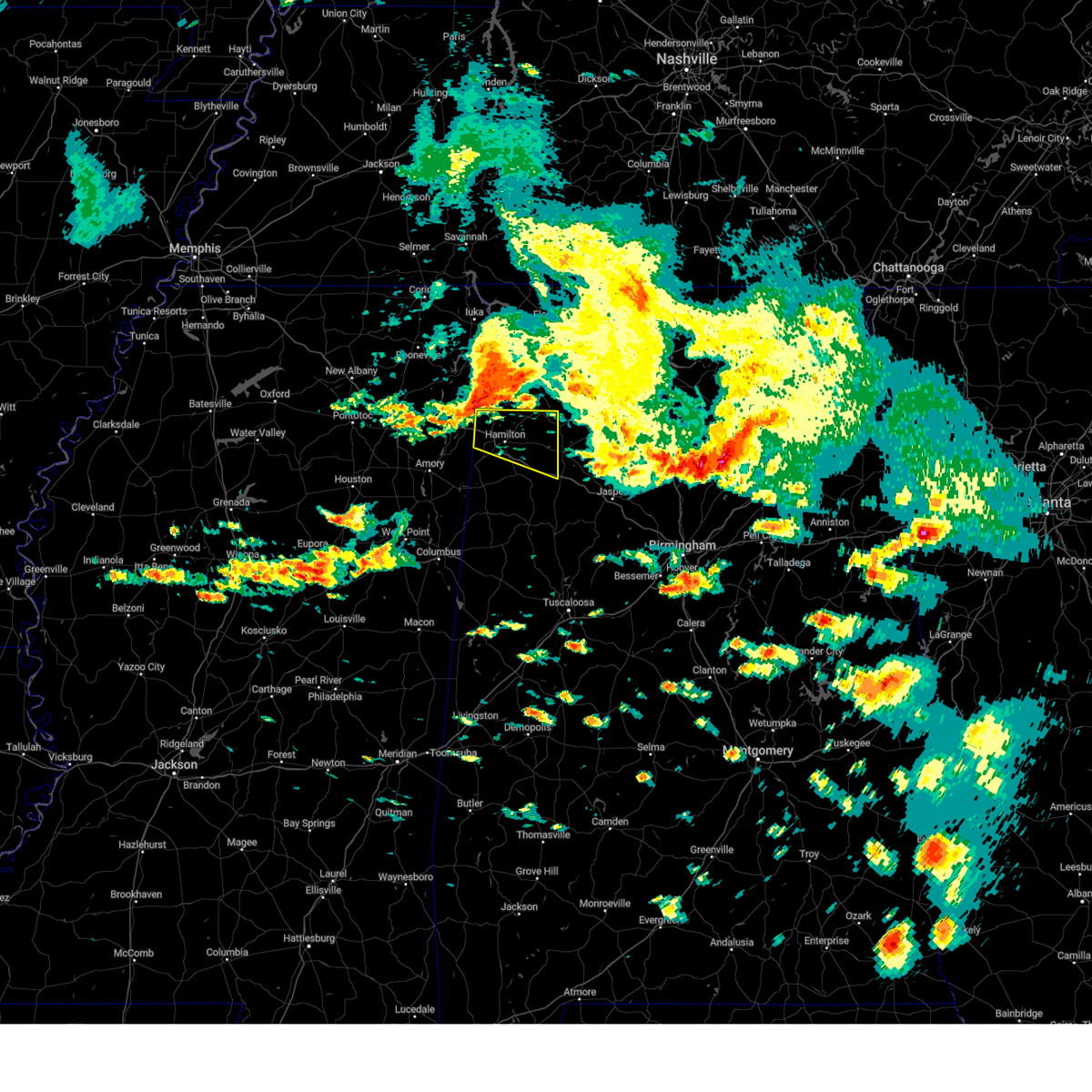 At 1211 pm cdt, a severe thunderstorm was located near tremont, or 12 miles east of fulton, moving east at 40 mph (radar indicated). Hazards include 60 mph wind gusts. expect damage to roofs, siding, and trees At 1211 pm cdt, a severe thunderstorm was located near tremont, or 12 miles east of fulton, moving east at 40 mph (radar indicated). Hazards include 60 mph wind gusts. expect damage to roofs, siding, and trees
|
| 6/11/2023 9:39 PM CDT |
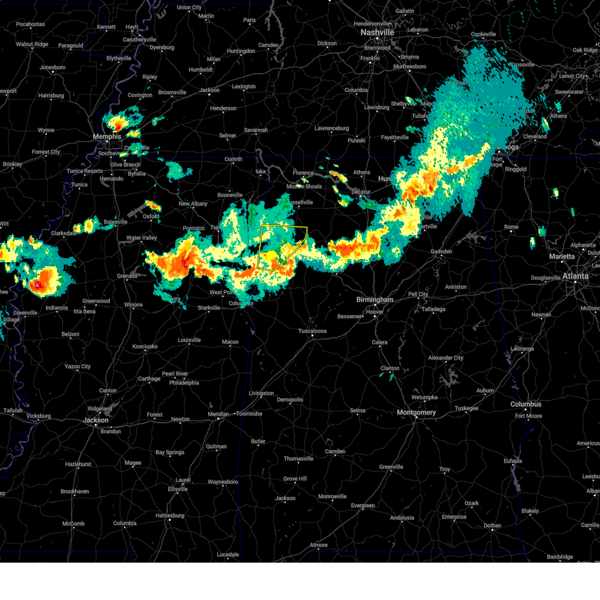 The severe thunderstorm warning for marion and northern lamar counties will expire at 945 pm cdt, the storms which prompted the warning have moved out of the area. therefore, the warning will be allowed to expire. however gusty winds are still possible with these thunderstorms. a severe thunderstorm watch remains in effect until 200 am cdt for northwestern and west central alabama. The severe thunderstorm warning for marion and northern lamar counties will expire at 945 pm cdt, the storms which prompted the warning have moved out of the area. therefore, the warning will be allowed to expire. however gusty winds are still possible with these thunderstorms. a severe thunderstorm watch remains in effect until 200 am cdt for northwestern and west central alabama.
|
| 6/11/2023 8:57 PM CDT |
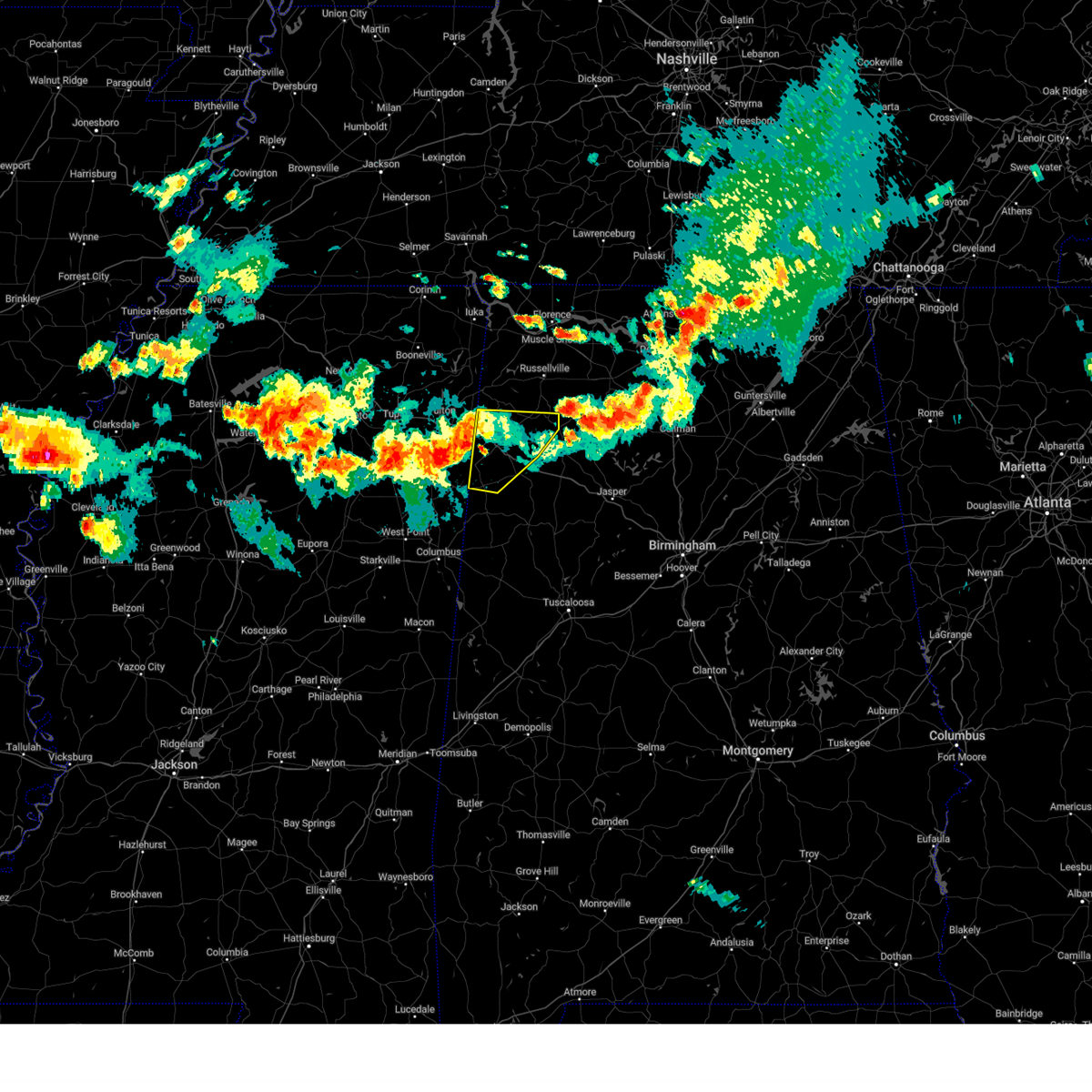 At 857 pm cdt, severe thunderstorms were located along a line extending from near tremont to near new salem to near amory, moving east at 45 mph (radar indicated). Hazards include 60 mph wind gusts and nickel size hail. Expect damage to roofs, siding, and trees. locations impacted include, hamilton, haleyville, sulligent, guin, hackleburg, detroit, beaverton, weston, brinn, crews, bear creek, twin, henson springs, rankin fite airport, upper bear creek reservoir, pine springs, marion county public lake, piney grove, tessner and shottsville. hail threat, radar indicated max hail size, 0. 88 in wind threat, radar indicated max wind gust, 60 mph. At 857 pm cdt, severe thunderstorms were located along a line extending from near tremont to near new salem to near amory, moving east at 45 mph (radar indicated). Hazards include 60 mph wind gusts and nickel size hail. Expect damage to roofs, siding, and trees. locations impacted include, hamilton, haleyville, sulligent, guin, hackleburg, detroit, beaverton, weston, brinn, crews, bear creek, twin, henson springs, rankin fite airport, upper bear creek reservoir, pine springs, marion county public lake, piney grove, tessner and shottsville. hail threat, radar indicated max hail size, 0. 88 in wind threat, radar indicated max wind gust, 60 mph.
|
| 6/11/2023 8:45 PM CDT |
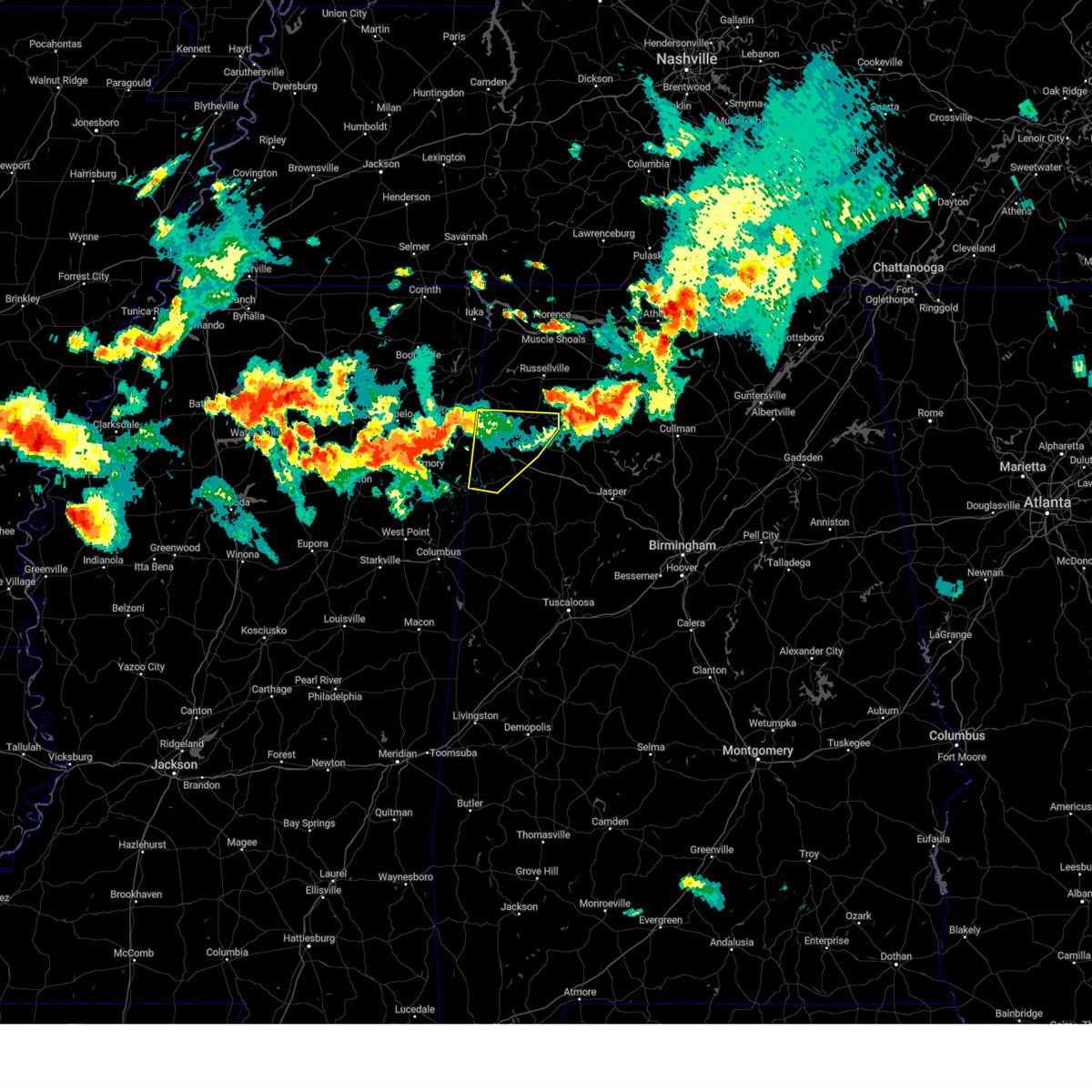 At 845 pm cdt, severe thunderstorms were located along a line extending from near tremont to near new salem to near new wren, moving east at 45 mph (radar indicated). Hazards include 60 mph wind gusts and quarter size hail. Hail damage to vehicles is expected. Expect wind damage to roofs, siding, and trees. At 845 pm cdt, severe thunderstorms were located along a line extending from near tremont to near new salem to near new wren, moving east at 45 mph (radar indicated). Hazards include 60 mph wind gusts and quarter size hail. Hail damage to vehicles is expected. Expect wind damage to roofs, siding, and trees.
|
| 3/24/2023 11:39 PM CDT |
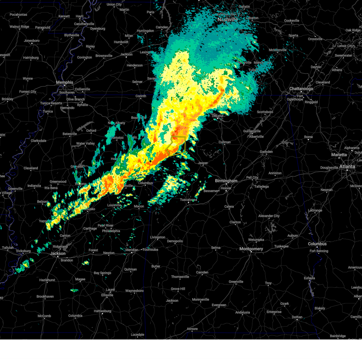 At 1139 pm cdt, severe thunderstorms were located along a line extending from near hackleburg to near brinn, moving east at 60 mph (radar indicated). Hazards include 70 mph wind gusts. Expect considerable tree damage. damage is likely to mobile homes, roofs, and outbuildings. locations impacted include, hamilton, haleyville, guin, hackleburg, brilliant, brinn, lake buttahatchee, bear creek, twin, tessner, pearces mill, upper bear creek reservoir, piney grove and pikeville. thunderstorm damage threat, considerable hail threat, radar indicated max hail size, <. 75 in wind threat, radar indicated max wind gust, 70 mph. At 1139 pm cdt, severe thunderstorms were located along a line extending from near hackleburg to near brinn, moving east at 60 mph (radar indicated). Hazards include 70 mph wind gusts. Expect considerable tree damage. damage is likely to mobile homes, roofs, and outbuildings. locations impacted include, hamilton, haleyville, guin, hackleburg, brilliant, brinn, lake buttahatchee, bear creek, twin, tessner, pearces mill, upper bear creek reservoir, piney grove and pikeville. thunderstorm damage threat, considerable hail threat, radar indicated max hail size, <. 75 in wind threat, radar indicated max wind gust, 70 mph.
|
| 3/24/2023 11:24 PM CDT |
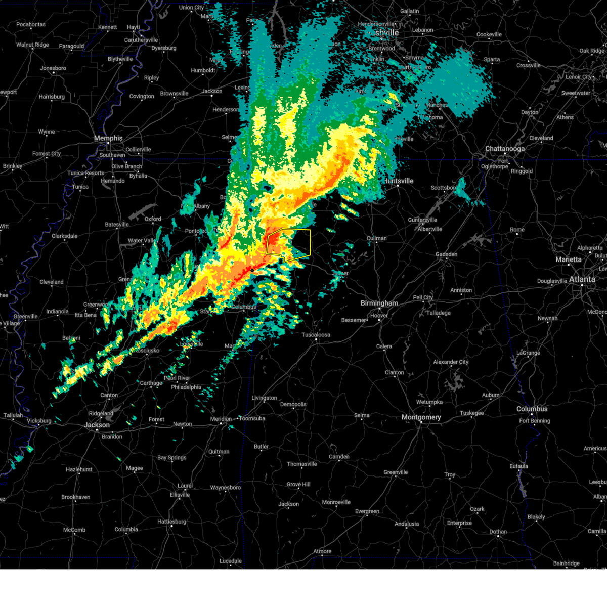 At 1123 pm cdt, severe thunderstorms were located along a line extending from near weston to 6 miles east of detroit, moving east at 60 mph. these are destructive storms for hamilton (radar indicated). Hazards include 80 mph wind gusts. Flying debris will be dangerous to those caught without shelter. mobile homes will be heavily damaged. expect considerable damage to roofs, windows, and vehicles. extensive tree damage and power outages are likely. locations impacted include, hamilton, haleyville, guin, hackleburg, brilliant, brinn, weston, lake buttahatchee, bear creek, twin, tessner, pearces mill, rankin fite airport, upper bear creek reservoir, byrd, pigeye, marion county public lake, piney grove and pikeville. thunderstorm damage threat, destructive hail threat, radar indicated max hail size, <. 75 in wind threat, radar indicated max wind gust, 80 mph. At 1123 pm cdt, severe thunderstorms were located along a line extending from near weston to 6 miles east of detroit, moving east at 60 mph. these are destructive storms for hamilton (radar indicated). Hazards include 80 mph wind gusts. Flying debris will be dangerous to those caught without shelter. mobile homes will be heavily damaged. expect considerable damage to roofs, windows, and vehicles. extensive tree damage and power outages are likely. locations impacted include, hamilton, haleyville, guin, hackleburg, brilliant, brinn, weston, lake buttahatchee, bear creek, twin, tessner, pearces mill, rankin fite airport, upper bear creek reservoir, byrd, pigeye, marion county public lake, piney grove and pikeville. thunderstorm damage threat, destructive hail threat, radar indicated max hail size, <. 75 in wind threat, radar indicated max wind gust, 80 mph.
|
| 3/24/2023 11:15 PM CDT |
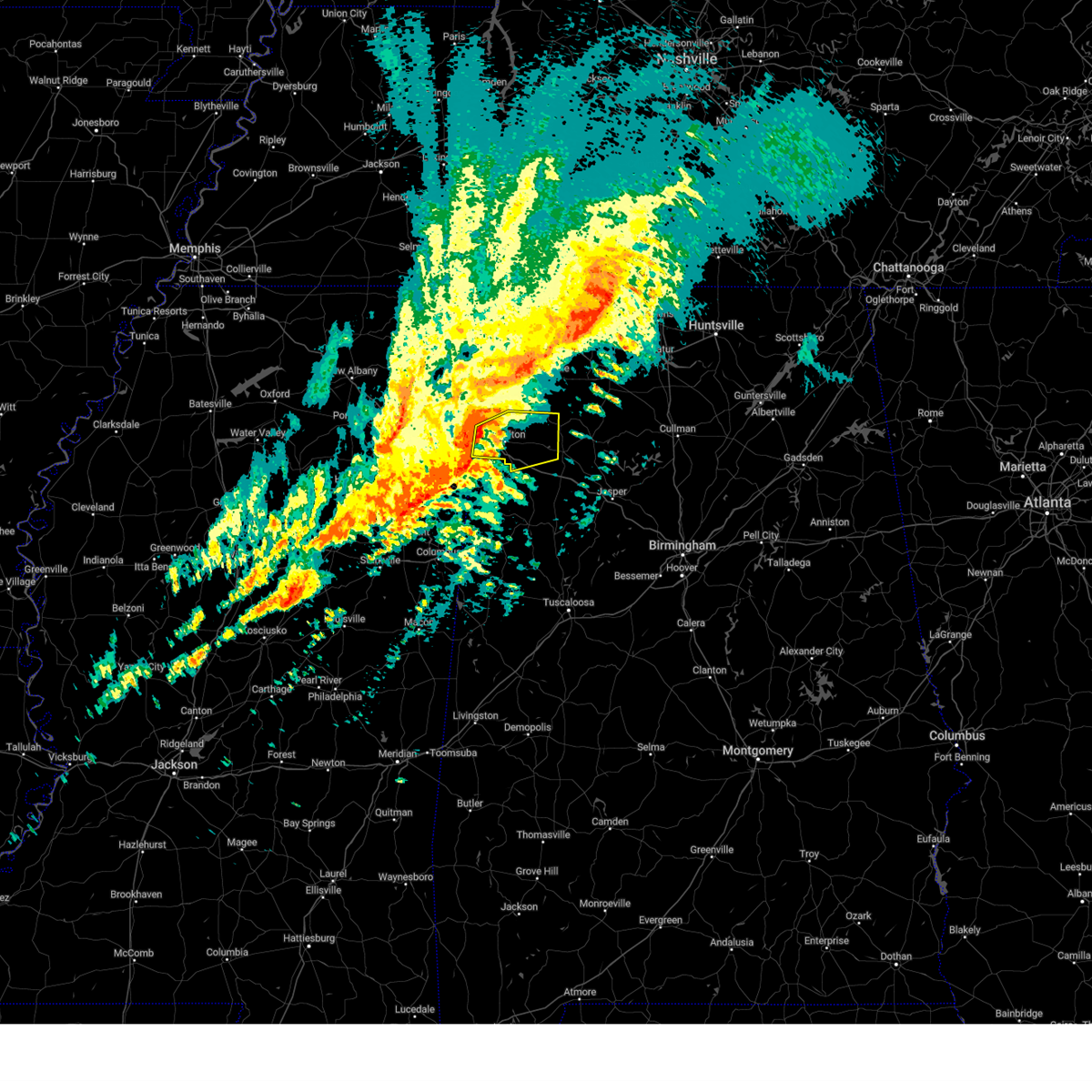 At 1115 pm cdt, severe thunderstorms were located along a line extending from 6 miles southeast of tremont to detroit, moving east at 60 mph (radar indicated). Hazards include 70 mph wind gusts. Expect considerable tree damage. Damage is likely to mobile homes, roofs, and outbuildings. At 1115 pm cdt, severe thunderstorms were located along a line extending from 6 miles southeast of tremont to detroit, moving east at 60 mph (radar indicated). Hazards include 70 mph wind gusts. Expect considerable tree damage. Damage is likely to mobile homes, roofs, and outbuildings.
|
| 3/3/2023 10:32 AM CST |
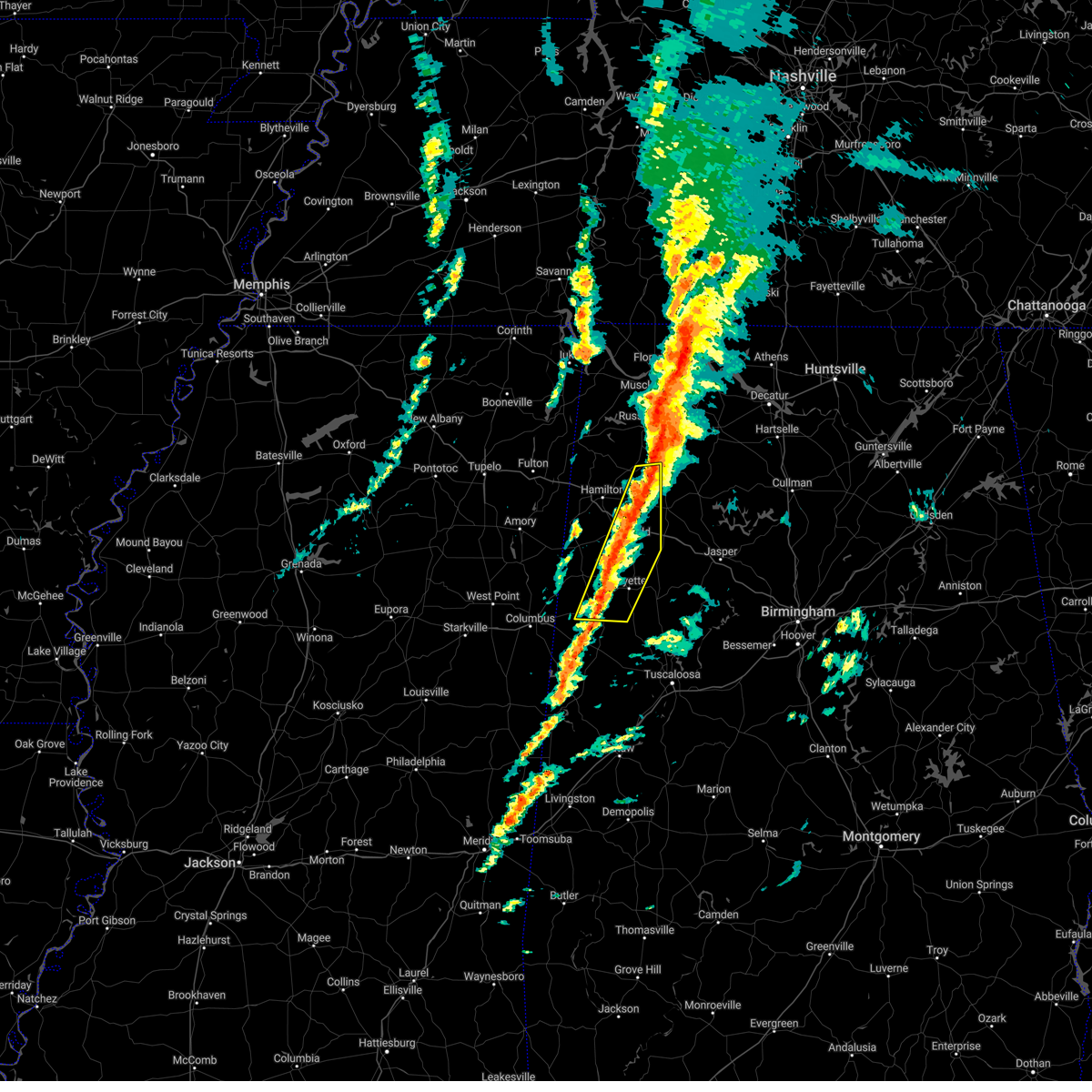 At 1032 am cst, severe thunderstorms were located along a line extending from 6 miles southeast of killen to near belk, moving northeast at 45 mph (radar indicated). Hazards include 60 mph wind gusts. Expect damage to roofs, siding, and trees. locations impacted include, winfield, fayette, millport, guin, brilliant, glen allen, kennedy, belk, gu- win, bluff, ashcraft corner, blooming grove, brinn, lake buttahatchee, crossville, bear creek, twin, tucker, cody and wayside. hail threat, radar indicated max hail size, <. 75 in wind threat, radar indicated max wind gust, 60 mph. At 1032 am cst, severe thunderstorms were located along a line extending from 6 miles southeast of killen to near belk, moving northeast at 45 mph (radar indicated). Hazards include 60 mph wind gusts. Expect damage to roofs, siding, and trees. locations impacted include, winfield, fayette, millport, guin, brilliant, glen allen, kennedy, belk, gu- win, bluff, ashcraft corner, blooming grove, brinn, lake buttahatchee, crossville, bear creek, twin, tucker, cody and wayside. hail threat, radar indicated max hail size, <. 75 in wind threat, radar indicated max wind gust, 60 mph.
|
| 3/3/2023 10:18 AM CST |
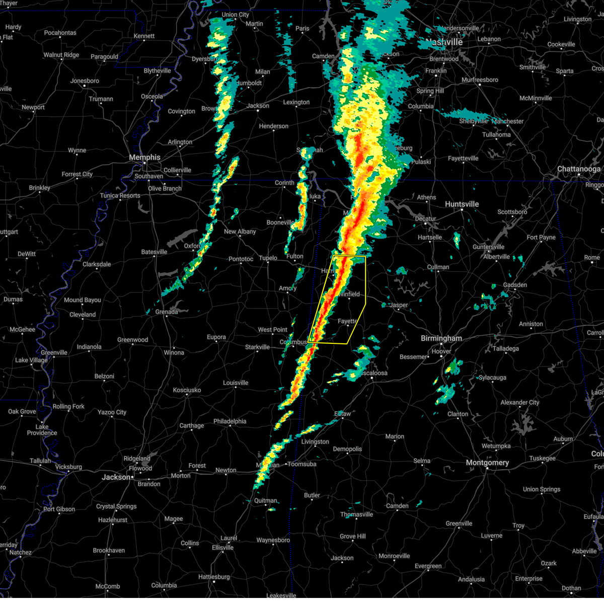 At 1018 am cst, severe thunderstorms were located along a line extending from near muscle shoals to near millport, moving east at 45 mph (radar indicated). Hazards include 60 mph wind gusts. Expect damage to roofs, siding, and trees. locations impacted include, hamilton, winfield, fayette, vernon, sulligent, millport, guin, hackleburg, brilliant, glen allen, kennedy, belk, beaverton, gu- win, weston, bluff, ashcraft corner, blooming grove, lamar county airport and brinn. hail threat, radar indicated max hail size, <. 75 in wind threat, radar indicated max wind gust, 60 mph. At 1018 am cst, severe thunderstorms were located along a line extending from near muscle shoals to near millport, moving east at 45 mph (radar indicated). Hazards include 60 mph wind gusts. Expect damage to roofs, siding, and trees. locations impacted include, hamilton, winfield, fayette, vernon, sulligent, millport, guin, hackleburg, brilliant, glen allen, kennedy, belk, beaverton, gu- win, weston, bluff, ashcraft corner, blooming grove, lamar county airport and brinn. hail threat, radar indicated max hail size, <. 75 in wind threat, radar indicated max wind gust, 60 mph.
|
| 3/3/2023 10:05 AM CST |
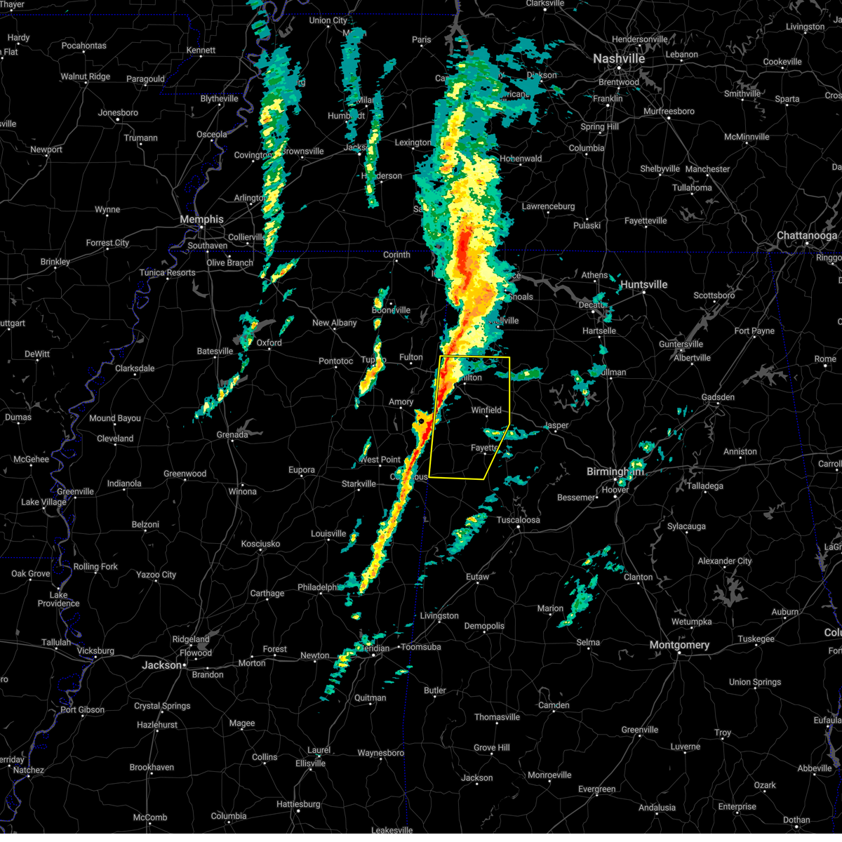 At 1005 am cst, severe thunderstorms were located along a line extending from near tuscumbia to near caledonia, moving east at 45 mph (radar indicated). Hazards include 60 mph wind gusts. Expect damage to roofs, siding, and trees. locations impacted include, hamilton, winfield, fayette, vernon, sulligent, millport, guin, hackleburg, brilliant, glen allen, kennedy, detroit, belk, beaverton, gu-win, bluff, blooming grove, brinn, lake buttahatchee and weston. hail threat, radar indicated max hail size, <. 75 in wind threat, radar indicated max wind gust, 60 mph. At 1005 am cst, severe thunderstorms were located along a line extending from near tuscumbia to near caledonia, moving east at 45 mph (radar indicated). Hazards include 60 mph wind gusts. Expect damage to roofs, siding, and trees. locations impacted include, hamilton, winfield, fayette, vernon, sulligent, millport, guin, hackleburg, brilliant, glen allen, kennedy, detroit, belk, beaverton, gu-win, bluff, blooming grove, brinn, lake buttahatchee and weston. hail threat, radar indicated max hail size, <. 75 in wind threat, radar indicated max wind gust, 60 mph.
|
| 3/3/2023 9:45 AM CST |
 At 944 am cst, severe thunderstorms were located along a line extending from 8 miles east of tishomingo state park to near columbus afb, moving northeast at 55 mph (radar indicated). Hazards include 60 mph wind gusts. Expect damage to roofs, siding, and trees. locations impacted include, hamilton, winfield, fayette, vernon, sulligent, millport, guin, hackleburg, brilliant, glen allen, kennedy, detroit, belk, beaverton, gu-win, bluff, blooming grove, brinn, lake buttahatchee and weston. hail threat, radar indicated max hail size, <. 75 in wind threat, radar indicated max wind gust, 60 mph. At 944 am cst, severe thunderstorms were located along a line extending from 8 miles east of tishomingo state park to near columbus afb, moving northeast at 55 mph (radar indicated). Hazards include 60 mph wind gusts. Expect damage to roofs, siding, and trees. locations impacted include, hamilton, winfield, fayette, vernon, sulligent, millport, guin, hackleburg, brilliant, glen allen, kennedy, detroit, belk, beaverton, gu-win, bluff, blooming grove, brinn, lake buttahatchee and weston. hail threat, radar indicated max hail size, <. 75 in wind threat, radar indicated max wind gust, 60 mph.
|
| 3/3/2023 9:29 AM CST |
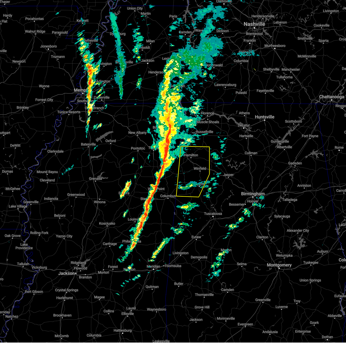 At 928 am cst, severe thunderstorms were located along a line extending from near tishomingo to near tibbee, moving northeast at 55 mph (radar indicated). Hazards include 60 mph wind gusts. expect damage to roofs, siding, and trees At 928 am cst, severe thunderstorms were located along a line extending from near tishomingo to near tibbee, moving northeast at 55 mph (radar indicated). Hazards include 60 mph wind gusts. expect damage to roofs, siding, and trees
|
| 10/12/2022 8:01 PM CDT |
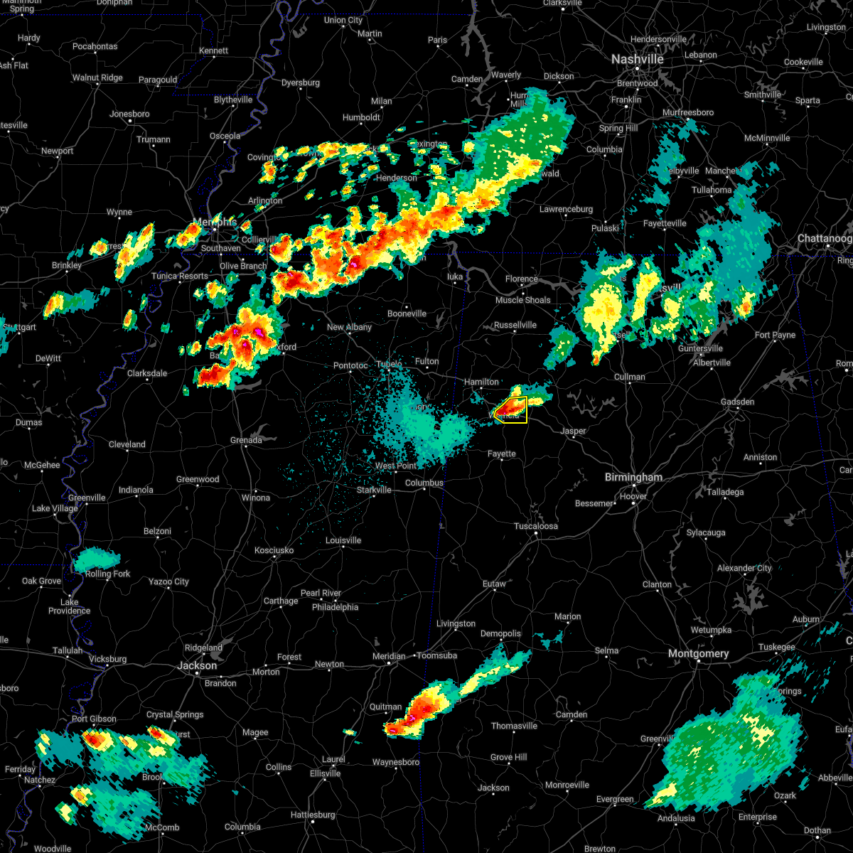 At 801 pm cdt, a severe thunderstorm was located over brilliant, or 7 miles north of winfield, moving east at 30 mph (radar indicated). Hazards include golf ball size hail and 60 mph wind gusts. People and animals outdoors will be injured. expect hail damage to roofs, siding, windows, and vehicles. expect wind damage to roofs, siding, and trees. locations impacted include, winfield, guin, brilliant, glen allen, gu- win, twin, tucker and texas. thunderstorm damage threat, considerable hail threat, radar indicated max hail size, 1. 75 in wind threat, radar indicated max wind gust, 60 mph. At 801 pm cdt, a severe thunderstorm was located over brilliant, or 7 miles north of winfield, moving east at 30 mph (radar indicated). Hazards include golf ball size hail and 60 mph wind gusts. People and animals outdoors will be injured. expect hail damage to roofs, siding, windows, and vehicles. expect wind damage to roofs, siding, and trees. locations impacted include, winfield, guin, brilliant, glen allen, gu- win, twin, tucker and texas. thunderstorm damage threat, considerable hail threat, radar indicated max hail size, 1. 75 in wind threat, radar indicated max wind gust, 60 mph.
|
| 10/12/2022 7:42 PM CDT |
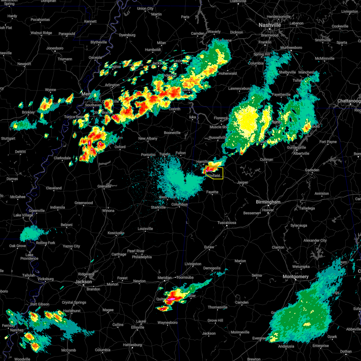 At 741 pm cdt, a severe thunderstorm was located near hamilton, moving east at 30 mph (radar indicated). Hazards include golf ball size hail and 60 mph wind gusts. People and animals outdoors will be injured. expect hail damage to roofs, siding, windows, and vehicles. expect wind damage to roofs, siding, and trees. locations impacted include, hamilton, winfield, guin, brilliant, glen allen, gu- win, twin, tucker, texas, piney grove and pikeville. thunderstorm damage threat, considerable hail threat, radar indicated max hail size, 1. 75 in wind threat, radar indicated max wind gust, 60 mph. At 741 pm cdt, a severe thunderstorm was located near hamilton, moving east at 30 mph (radar indicated). Hazards include golf ball size hail and 60 mph wind gusts. People and animals outdoors will be injured. expect hail damage to roofs, siding, windows, and vehicles. expect wind damage to roofs, siding, and trees. locations impacted include, hamilton, winfield, guin, brilliant, glen allen, gu- win, twin, tucker, texas, piney grove and pikeville. thunderstorm damage threat, considerable hail threat, radar indicated max hail size, 1. 75 in wind threat, radar indicated max wind gust, 60 mph.
|
| 10/12/2022 7:25 PM CDT |
 At 724 pm cdt, a severe thunderstorm was located near weston, or 7 miles west of hamilton, moving east at 30 mph (radar indicated). Hazards include ping pong ball size hail and 60 mph wind gusts. People and animals outdoors will be injured. expect hail damage to roofs, siding, windows, and vehicles. Expect wind damage to roofs, siding, and trees. At 724 pm cdt, a severe thunderstorm was located near weston, or 7 miles west of hamilton, moving east at 30 mph (radar indicated). Hazards include ping pong ball size hail and 60 mph wind gusts. People and animals outdoors will be injured. expect hail damage to roofs, siding, windows, and vehicles. Expect wind damage to roofs, siding, and trees.
|
| 7/21/2022 10:51 PM CDT |
 At 1051 pm cdt, a severe thunderstorm was located over haleyville, moving south at 20 mph (radar indicated). Hazards include 60 mph wind gusts and nickel size hail. Expect damage to roofs, siding, and trees. locations impacted include, haleyville, double springs, lake buttahatchee, needmore, ashridge, bear creek, natural bridge, weiss, posey field airport, pebble, delmar, piney grove and upper bear creek reservoir. hail threat, radar indicated max hail size, 0. 88 in wind threat, radar indicated max wind gust, 60 mph. At 1051 pm cdt, a severe thunderstorm was located over haleyville, moving south at 20 mph (radar indicated). Hazards include 60 mph wind gusts and nickel size hail. Expect damage to roofs, siding, and trees. locations impacted include, haleyville, double springs, lake buttahatchee, needmore, ashridge, bear creek, natural bridge, weiss, posey field airport, pebble, delmar, piney grove and upper bear creek reservoir. hail threat, radar indicated max hail size, 0. 88 in wind threat, radar indicated max wind gust, 60 mph.
|
| 7/21/2022 10:35 PM CDT |
 At 1035 pm cdt, severe thunderstorms were located along a line extending from 9 miles northwest of brushy lake to near needmore to near brinn, moving south at 15 mph (radar indicated). Hazards include 60 mph wind gusts and nickel size hail. expect damage to roofs, siding, and trees At 1035 pm cdt, severe thunderstorms were located along a line extending from 9 miles northwest of brushy lake to near needmore to near brinn, moving south at 15 mph (radar indicated). Hazards include 60 mph wind gusts and nickel size hail. expect damage to roofs, siding, and trees
|
| 7/9/2022 5:09 PM CDT |
 At 509 pm cdt, severe thunderstorms were located along a line extending from near corinth rec area to near amory, moving east at 25 mph (radar indicated). Hazards include 60 mph wind gusts. Expect damage to roofs, siding, and trees. locations impacted include, hamilton, winfield, vernon, sulligent, guin, brilliant, glen allen, detroit, beaverton, gu- win, blooming grove, lamar county airport, lake buttahatchee, crews, bedford, twin, tucker, henson springs, pine springs and marion county public lake. hail threat, radar indicated max hail size, <. 75 in wind threat, radar indicated max wind gust, 60 mph. At 509 pm cdt, severe thunderstorms were located along a line extending from near corinth rec area to near amory, moving east at 25 mph (radar indicated). Hazards include 60 mph wind gusts. Expect damage to roofs, siding, and trees. locations impacted include, hamilton, winfield, vernon, sulligent, guin, brilliant, glen allen, detroit, beaverton, gu- win, blooming grove, lamar county airport, lake buttahatchee, crews, bedford, twin, tucker, henson springs, pine springs and marion county public lake. hail threat, radar indicated max hail size, <. 75 in wind threat, radar indicated max wind gust, 60 mph.
|
| 7/9/2022 4:20 PM CDT |
 At 420 pm cdt, severe thunderstorms were located along a line extending from near haleyville to near okolona, moving southeast at 25 mph (radar indicated). Hazards include 60 mph wind gusts. expect damage to roofs, siding, and trees At 420 pm cdt, severe thunderstorms were located along a line extending from near haleyville to near okolona, moving southeast at 25 mph (radar indicated). Hazards include 60 mph wind gusts. expect damage to roofs, siding, and trees
|
| 6/17/2022 3:08 PM CDT |
 At 306 pm cdt, a severe thunderstorm was located over brinn, or 9 miles east of hamilton, moving southeast at 20 mph (broadcast media). Hazards include golf ball size hail and 60 mph wind gusts. People and animals outdoors will be injured. expect hail damage to roofs, siding, windows, and vehicles. expect wind damage to roofs, siding, and trees. locations impacted include, hamilton, winfield, haleyville, guin, hackleburg, brilliant, glen allen, brinn, lake buttahatchee, bear creek, twin, tucker, tessner, pearces mill, texas, marion county public lake, piney grove and pikeville. thunderstorm damage threat, considerable hail threat, radar indicated max hail size, 1. 75 in wind threat, observed max wind gust, 60 mph. At 306 pm cdt, a severe thunderstorm was located over brinn, or 9 miles east of hamilton, moving southeast at 20 mph (broadcast media). Hazards include golf ball size hail and 60 mph wind gusts. People and animals outdoors will be injured. expect hail damage to roofs, siding, windows, and vehicles. expect wind damage to roofs, siding, and trees. locations impacted include, hamilton, winfield, haleyville, guin, hackleburg, brilliant, glen allen, brinn, lake buttahatchee, bear creek, twin, tucker, tessner, pearces mill, texas, marion county public lake, piney grove and pikeville. thunderstorm damage threat, considerable hail threat, radar indicated max hail size, 1. 75 in wind threat, observed max wind gust, 60 mph.
|
| 6/17/2022 3:02 PM CDT |
 At 301 pm cdt, severe thunderstorms were located along a line extending from near lake buttahatchee to gu-win to near vernon, moving southeast at 20 mph (radar indicated). Hazards include 60 mph wind gusts and half dollar size hail. Hail damage to vehicles is expected. Expect wind damage to roofs, siding, and trees. At 301 pm cdt, severe thunderstorms were located along a line extending from near lake buttahatchee to gu-win to near vernon, moving southeast at 20 mph (radar indicated). Hazards include 60 mph wind gusts and half dollar size hail. Hail damage to vehicles is expected. Expect wind damage to roofs, siding, and trees.
|
| 6/17/2022 2:43 PM CDT |
 At 242 pm cdt, a severe thunderstorm was located near hamilton, moving southeast at 20 mph (broadcast media). Hazards include golf ball size hail and 60 mph wind gusts. People and animals outdoors will be injured. expect hail damage to roofs, siding, windows, and vehicles. expect wind damage to roofs, siding, and trees. locations impacted include, hamilton, winfield, haleyville, guin, hackleburg, brilliant, glen allen, brinn, weston, lake buttahatchee, bear creek, twin, tucker, tessner, pearces mill, rankin fite airport, byrd, texas, pigeye and marion county public lake. thunderstorm damage threat, considerable hail threat, radar indicated max hail size, 1. 75 in wind threat, observed max wind gust, 60 mph. At 242 pm cdt, a severe thunderstorm was located near hamilton, moving southeast at 20 mph (broadcast media). Hazards include golf ball size hail and 60 mph wind gusts. People and animals outdoors will be injured. expect hail damage to roofs, siding, windows, and vehicles. expect wind damage to roofs, siding, and trees. locations impacted include, hamilton, winfield, haleyville, guin, hackleburg, brilliant, glen allen, brinn, weston, lake buttahatchee, bear creek, twin, tucker, tessner, pearces mill, rankin fite airport, byrd, texas, pigeye and marion county public lake. thunderstorm damage threat, considerable hail threat, radar indicated max hail size, 1. 75 in wind threat, observed max wind gust, 60 mph.
|
| 6/17/2022 2:29 PM CDT |
 At 228 pm cdt, a severe thunderstorm was located near weston, or near hamilton, moving southeast at 20 mph (radar indicated). Hazards include ping pong ball size hail and 60 mph wind gusts. People and animals outdoors will be injured. expect hail damage to roofs, siding, windows, and vehicles. Expect wind damage to roofs, siding, and trees. At 228 pm cdt, a severe thunderstorm was located near weston, or near hamilton, moving southeast at 20 mph (radar indicated). Hazards include ping pong ball size hail and 60 mph wind gusts. People and animals outdoors will be injured. expect hail damage to roofs, siding, windows, and vehicles. Expect wind damage to roofs, siding, and trees.
|
| 6/8/2022 5:50 PM CDT |
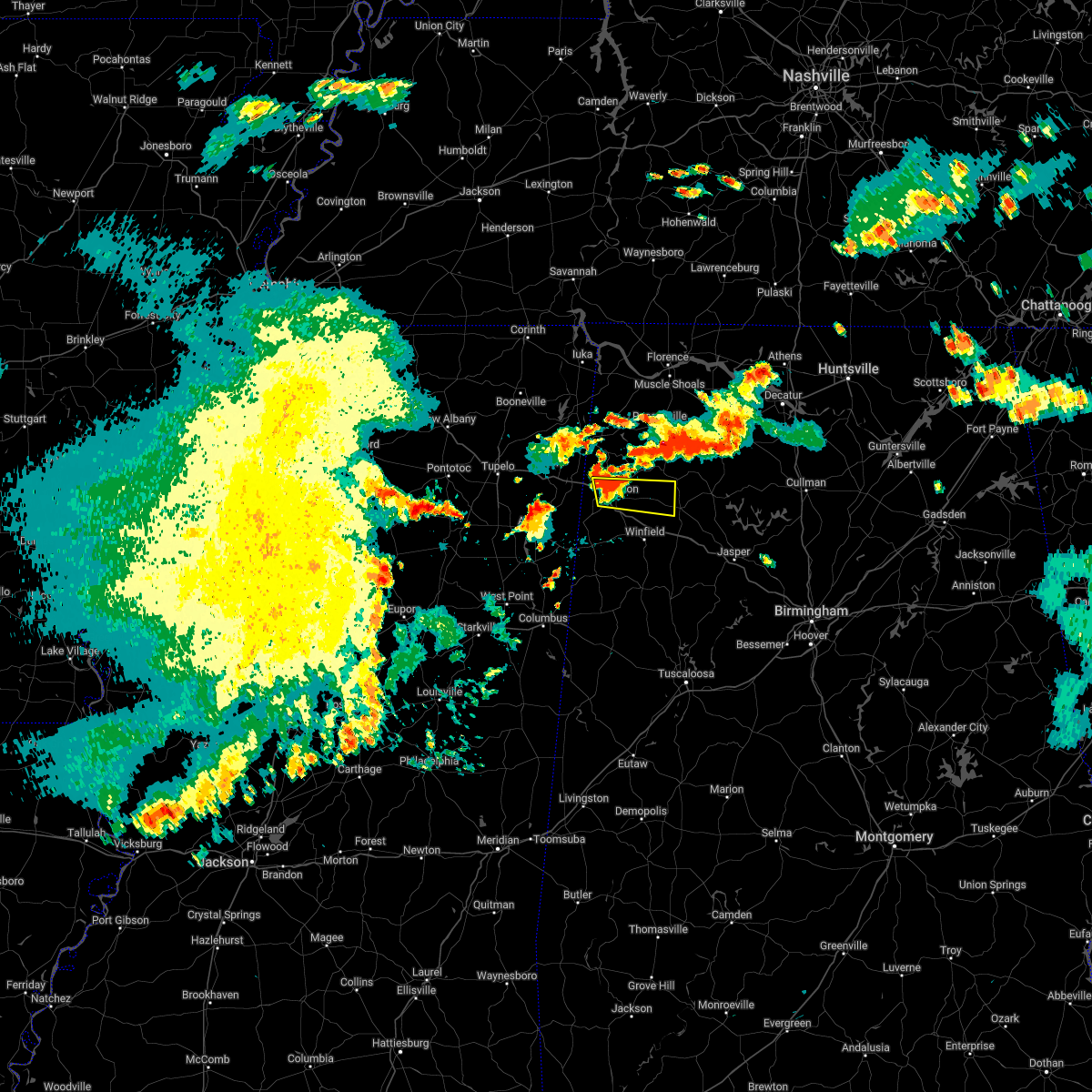 At 550 pm cdt, a severe thunderstorm was located near hamilton, moving east at 40 mph (radar indicated). Hazards include 60 mph wind gusts and quarter size hail. Hail damage to vehicles is expected. expect wind damage to roofs, siding, and trees. locations impacted include, hamilton, haleyville, weston, lake buttahatchee, brinn, pearces mill, rankin fite airport and piney grove. hail threat, radar indicated max hail size, 1. 00 in wind threat, radar indicated max wind gust, 60 mph. At 550 pm cdt, a severe thunderstorm was located near hamilton, moving east at 40 mph (radar indicated). Hazards include 60 mph wind gusts and quarter size hail. Hail damage to vehicles is expected. expect wind damage to roofs, siding, and trees. locations impacted include, hamilton, haleyville, weston, lake buttahatchee, brinn, pearces mill, rankin fite airport and piney grove. hail threat, radar indicated max hail size, 1. 00 in wind threat, radar indicated max wind gust, 60 mph.
|
| 6/8/2022 5:32 PM CDT |
 At 531 pm cdt, a severe thunderstorm was located near weston, or 8 miles west of hamilton, moving east at 40 mph (radar indicated). Hazards include 60 mph wind gusts and quarter size hail. Hail damage to vehicles is expected. Expect wind damage to roofs, siding, and trees. At 531 pm cdt, a severe thunderstorm was located near weston, or 8 miles west of hamilton, moving east at 40 mph (radar indicated). Hazards include 60 mph wind gusts and quarter size hail. Hail damage to vehicles is expected. Expect wind damage to roofs, siding, and trees.
|
| 6/8/2022 1:07 PM CDT |
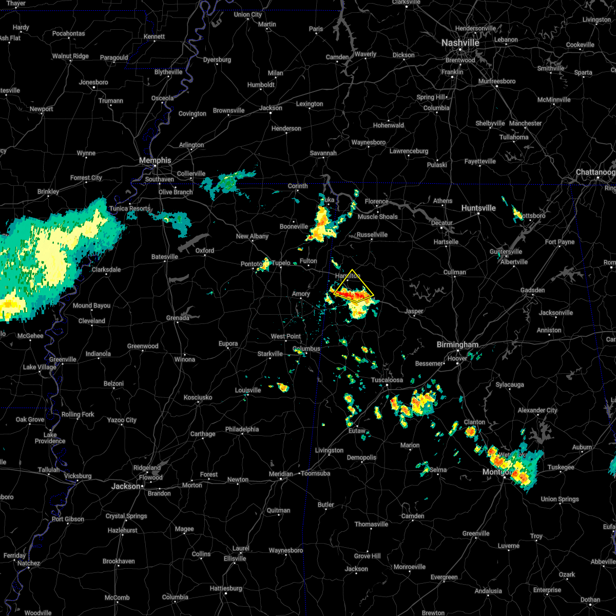 At 107 pm cdt, severe thunderstorms were located along a line extending from near detroit to brilliant, moving northeast at 10 mph (radar indicated). Hazards include 60 mph wind gusts. Expect damage to roofs, siding, and trees. locations impacted include, hamilton, guin, brilliant, gu- win, twin, henson springs, marion county public lake, pearces mill, rankin fite airport and pikeville. hail threat, radar indicated max hail size, <. 75 in wind threat, radar indicated max wind gust, 60 mph. At 107 pm cdt, severe thunderstorms were located along a line extending from near detroit to brilliant, moving northeast at 10 mph (radar indicated). Hazards include 60 mph wind gusts. Expect damage to roofs, siding, and trees. locations impacted include, hamilton, guin, brilliant, gu- win, twin, henson springs, marion county public lake, pearces mill, rankin fite airport and pikeville. hail threat, radar indicated max hail size, <. 75 in wind threat, radar indicated max wind gust, 60 mph.
|
| 6/8/2022 12:49 PM CDT |
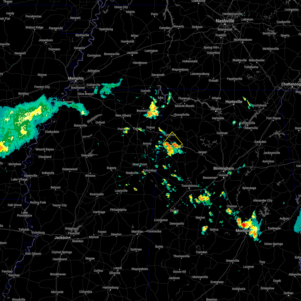 At 1248 pm cdt, a severe thunderstorm was located near beaverton, or 9 miles south of hamilton, moving northeast at 20 mph (radar indicated). Hazards include 60 mph wind gusts and quarter size hail. Hail damage to vehicles is expected. Expect wind damage to roofs, siding, and trees. At 1248 pm cdt, a severe thunderstorm was located near beaverton, or 9 miles south of hamilton, moving northeast at 20 mph (radar indicated). Hazards include 60 mph wind gusts and quarter size hail. Hail damage to vehicles is expected. Expect wind damage to roofs, siding, and trees.
|
| 6/2/2022 12:26 PM CDT |
 At 1226 pm cdt, a severe thunderstorm was located over eldridge, or 7 miles west of carbon hill, moving east at 15 mph (radar indicated). Hazards include 60 mph wind gusts and quarter size hail. Hail damage to vehicles is expected. expect wind damage to roofs, siding, and trees. locations impacted include, winfield, carbon hill, lynn, brilliant, glen allen, kansas, nauvoo, eldridge, ashbank, natural bridge, tucker, bazemore, hubbertville, cedrum area, texas, holly grove and lupton. hail threat, radar indicated max hail size, 1. 00 in wind threat, radar indicated max wind gust, 60 mph. At 1226 pm cdt, a severe thunderstorm was located over eldridge, or 7 miles west of carbon hill, moving east at 15 mph (radar indicated). Hazards include 60 mph wind gusts and quarter size hail. Hail damage to vehicles is expected. expect wind damage to roofs, siding, and trees. locations impacted include, winfield, carbon hill, lynn, brilliant, glen allen, kansas, nauvoo, eldridge, ashbank, natural bridge, tucker, bazemore, hubbertville, cedrum area, texas, holly grove and lupton. hail threat, radar indicated max hail size, 1. 00 in wind threat, radar indicated max wind gust, 60 mph.
|
| 6/2/2022 12:11 PM CDT |
 At 1210 pm cdt, a severe thunderstorm was located over glen allen, or near winfield, moving east at 15 mph (radar indicated). Hazards include 60 mph wind gusts and quarter size hail. Hail damage to vehicles is expected. Expect wind damage to roofs, siding, and trees. At 1210 pm cdt, a severe thunderstorm was located over glen allen, or near winfield, moving east at 15 mph (radar indicated). Hazards include 60 mph wind gusts and quarter size hail. Hail damage to vehicles is expected. Expect wind damage to roofs, siding, and trees.
|
| 6/2/2022 11:44 AM CDT |
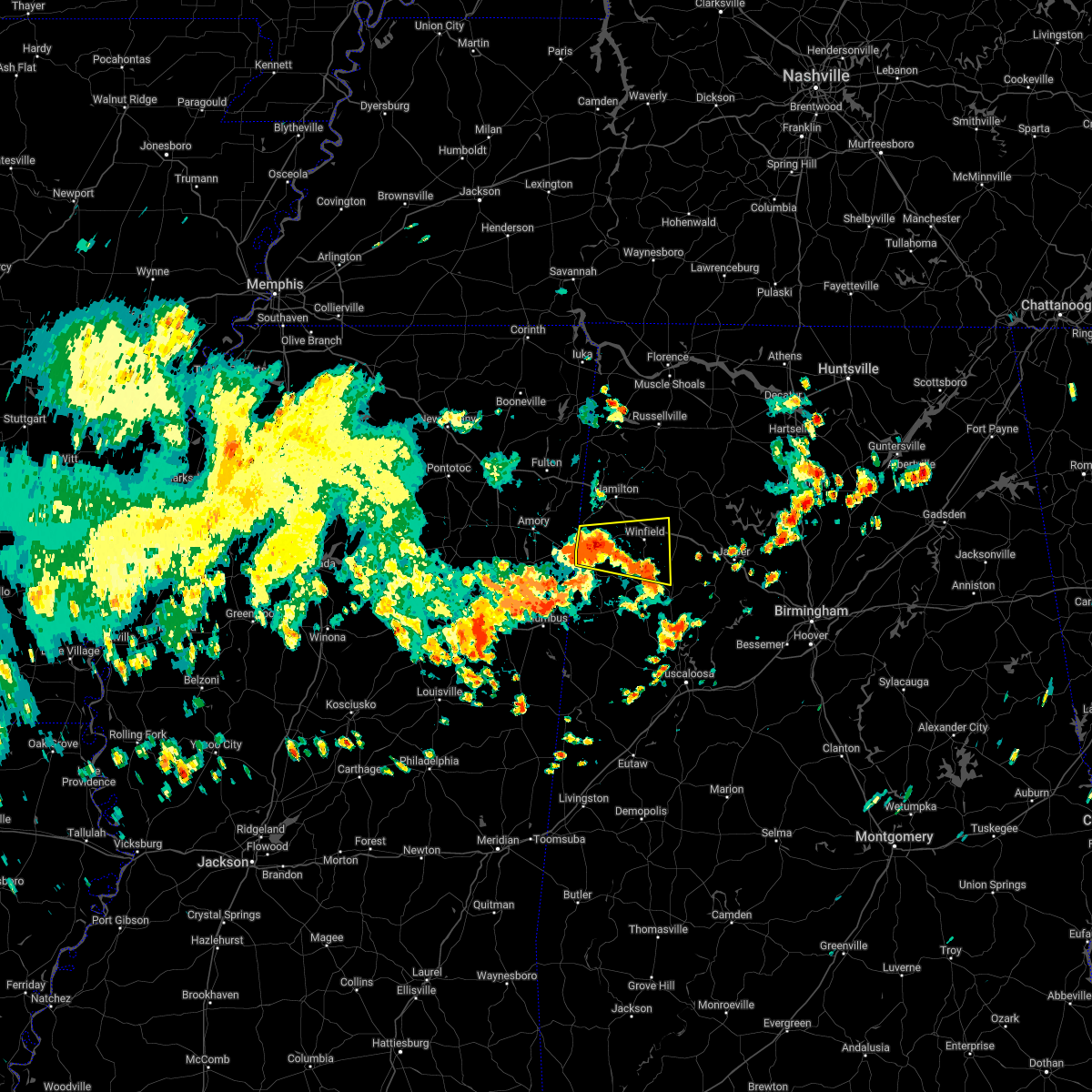 At 1143 am cdt, a severe thunderstorm was located near winfield, moving east at 40 mph (radar indicated). Hazards include 60 mph wind gusts and quarter size hail. Hail damage to vehicles is expected. expect wind damage to roofs, siding, and trees. locations impacted include, winfield, fayette, vernon, sulligent, guin, brilliant, glen allen, beaverton, gu- win, blooming grove, lamar county airport, crews, bluff, bedford, twin, tucker, bazemore, wayside, hubbertville and fowlers crossroads. hail threat, radar indicated max hail size, 1. 00 in wind threat, radar indicated max wind gust, 60 mph. At 1143 am cdt, a severe thunderstorm was located near winfield, moving east at 40 mph (radar indicated). Hazards include 60 mph wind gusts and quarter size hail. Hail damage to vehicles is expected. expect wind damage to roofs, siding, and trees. locations impacted include, winfield, fayette, vernon, sulligent, guin, brilliant, glen allen, beaverton, gu- win, blooming grove, lamar county airport, crews, bluff, bedford, twin, tucker, bazemore, wayside, hubbertville and fowlers crossroads. hail threat, radar indicated max hail size, 1. 00 in wind threat, radar indicated max wind gust, 60 mph.
|
| 6/2/2022 11:23 AM CDT |
 At 1122 am cdt, a severe thunderstorm was located over crews, or over sulligent, moving east at 40 mph (radar indicated). Hazards include 60 mph wind gusts and quarter size hail. Hail damage to vehicles is expected. Expect wind damage to roofs, siding, and trees. At 1122 am cdt, a severe thunderstorm was located over crews, or over sulligent, moving east at 40 mph (radar indicated). Hazards include 60 mph wind gusts and quarter size hail. Hail damage to vehicles is expected. Expect wind damage to roofs, siding, and trees.
|
| 4/13/2022 9:47 PM CDT |
 At 946 pm cdt, severe thunderstorms were located along a line extending from near haleyville to near millport, moving east at 45 mph (radar indicated). Hazards include 60 mph wind gusts. expect damage to roofs, siding, and trees At 946 pm cdt, severe thunderstorms were located along a line extending from near haleyville to near millport, moving east at 45 mph (radar indicated). Hazards include 60 mph wind gusts. expect damage to roofs, siding, and trees
|
| 3/30/2022 8:08 PM CDT |
 At 808 pm cdt, severe thunderstorms were located along a line extending from 7 miles southwest of belgreen to near ethelsville, moving northeast at 40 mph (radar indicated). Hazards include 60 mph wind gusts. Expect damage to roofs, siding, and trees. locations impacted include, hamilton, winfield, vernon, sulligent, millport, guin, hackleburg, kennedy, detroit, belk, beaverton, gu- win, weston, bluff, blooming grove, lamar county airport, brinn, crews, bedford and bear creek. hail threat, radar indicated max hail size, <. 75 in wind threat, radar indicated max wind gust, 60 mph. At 808 pm cdt, severe thunderstorms were located along a line extending from 7 miles southwest of belgreen to near ethelsville, moving northeast at 40 mph (radar indicated). Hazards include 60 mph wind gusts. Expect damage to roofs, siding, and trees. locations impacted include, hamilton, winfield, vernon, sulligent, millport, guin, hackleburg, kennedy, detroit, belk, beaverton, gu- win, weston, bluff, blooming grove, lamar county airport, brinn, crews, bedford and bear creek. hail threat, radar indicated max hail size, <. 75 in wind threat, radar indicated max wind gust, 60 mph.
|
| 3/30/2022 7:37 PM CDT |
 At 737 pm cdt, severe thunderstorms were located along a line extending from 6 miles northeast of tremont to near bent oak, moving northeast at 55 mph (radar indicated). Hazards include 60 mph wind gusts. Expect damage to roofs, siding, and trees. locations impacted include, hamilton, winfield, vernon, sulligent, millport, guin, hackleburg, kennedy, detroit, belk, beaverton, gu- win, weston, bluff, blooming grove, lamar county airport, brinn, crews, bedford and bear creek. hail threat, radar indicated max hail size, <. 75 in wind threat, radar indicated max wind gust, 60 mph. At 737 pm cdt, severe thunderstorms were located along a line extending from 6 miles northeast of tremont to near bent oak, moving northeast at 55 mph (radar indicated). Hazards include 60 mph wind gusts. Expect damage to roofs, siding, and trees. locations impacted include, hamilton, winfield, vernon, sulligent, millport, guin, hackleburg, kennedy, detroit, belk, beaverton, gu- win, weston, bluff, blooming grove, lamar county airport, brinn, crews, bedford and bear creek. hail threat, radar indicated max hail size, <. 75 in wind threat, radar indicated max wind gust, 60 mph.
|
| 3/30/2022 7:18 PM CDT |
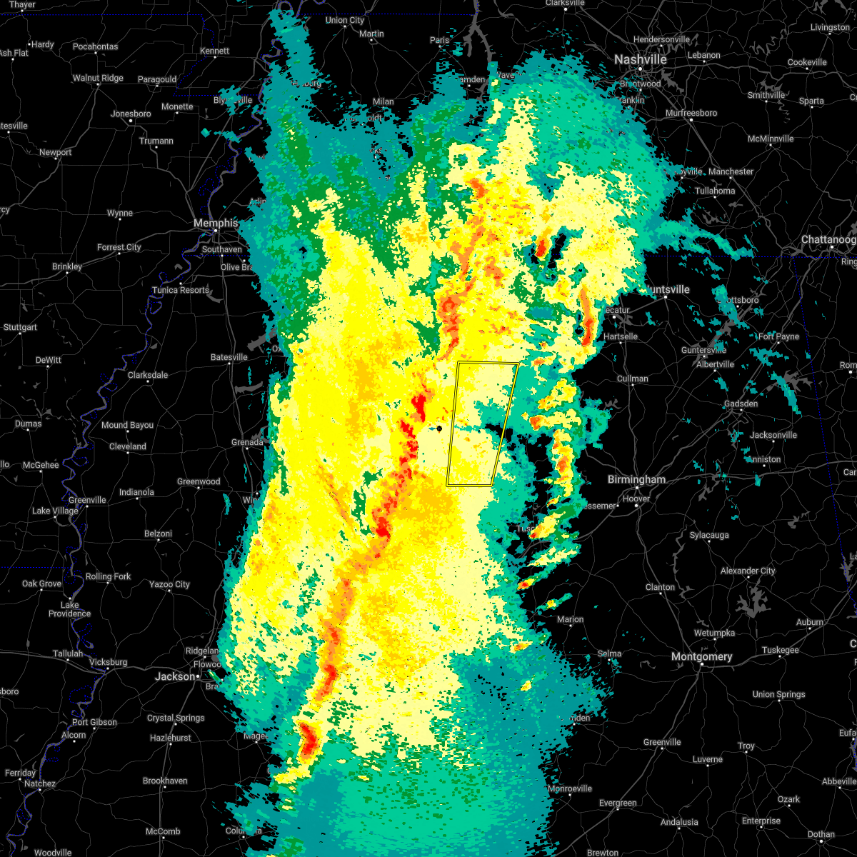 At 718 pm cdt, severe thunderstorms were located along a line extending from near smithville to 6 miles southwest of brooksville, moving northeast at 55 mph (radar indicated). Hazards include 60 mph wind gusts. expect damage to roofs, siding, and trees At 718 pm cdt, severe thunderstorms were located along a line extending from near smithville to 6 miles southwest of brooksville, moving northeast at 55 mph (radar indicated). Hazards include 60 mph wind gusts. expect damage to roofs, siding, and trees
|
| 2/17/2022 3:29 PM CST |
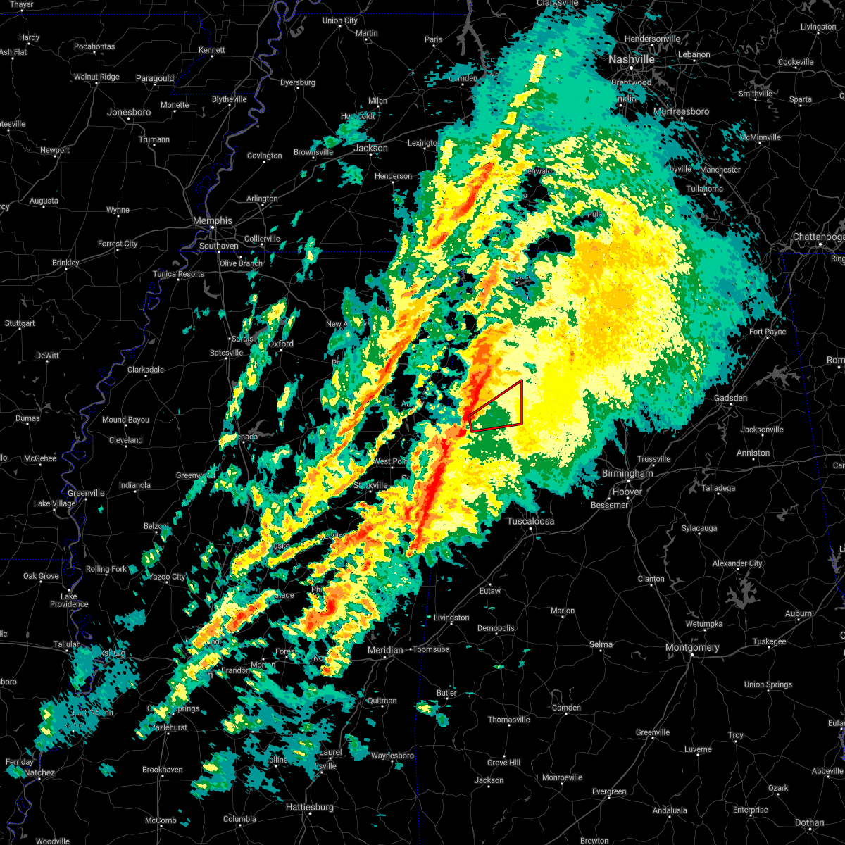 At 329 pm cst, a severe thunderstorm capable of producing a tornado was located near beaverton, or 9 miles east of sulligent, moving northeast at 50 mph (radar indicated rotation). Hazards include tornado. Flying debris will be dangerous to those caught without shelter. mobile homes will be damaged or destroyed. damage to roofs, windows, and vehicles will occur. tree damage is likely. Locations impacted include, winfield, guin, brilliant, glen allen, beaverton, gu- win, lake buttahatchee, twin, tucker, bazemore, wayside, texas and piney grove. At 329 pm cst, a severe thunderstorm capable of producing a tornado was located near beaverton, or 9 miles east of sulligent, moving northeast at 50 mph (radar indicated rotation). Hazards include tornado. Flying debris will be dangerous to those caught without shelter. mobile homes will be damaged or destroyed. damage to roofs, windows, and vehicles will occur. tree damage is likely. Locations impacted include, winfield, guin, brilliant, glen allen, beaverton, gu- win, lake buttahatchee, twin, tucker, bazemore, wayside, texas and piney grove.
|
| 2/17/2022 3:20 PM CST |
 At 320 pm cst, a severe thunderstorm capable of producing a tornado was located over lamar county airport, or near sulligent, moving northeast at 55 mph (radar indicated rotation). Hazards include tornado. Flying debris will be dangerous to those caught without shelter. mobile homes will be damaged or destroyed. damage to roofs, windows, and vehicles will occur. Tree damage is likely. At 320 pm cst, a severe thunderstorm capable of producing a tornado was located over lamar county airport, or near sulligent, moving northeast at 55 mph (radar indicated rotation). Hazards include tornado. Flying debris will be dangerous to those caught without shelter. mobile homes will be damaged or destroyed. damage to roofs, windows, and vehicles will occur. Tree damage is likely.
|
| 12/29/2021 6:47 PM CST |
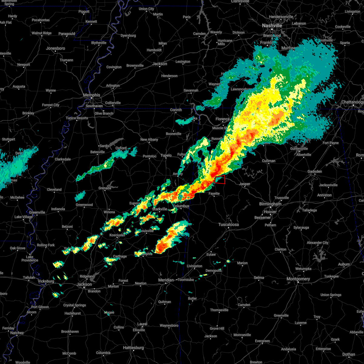 At 646 pm cst, a severe thunderstorm capable of producing a tornado was located over winfield, moving east at 45 mph (radar indicated rotation). Hazards include tornado. Flying debris will be dangerous to those caught without shelter. mobile homes will be damaged or destroyed. damage to roofs, windows, and vehicles will occur. tree damage is likely. Locations impacted include, winfield, glen allen, tucker, bazemore and texas. At 646 pm cst, a severe thunderstorm capable of producing a tornado was located over winfield, moving east at 45 mph (radar indicated rotation). Hazards include tornado. Flying debris will be dangerous to those caught without shelter. mobile homes will be damaged or destroyed. damage to roofs, windows, and vehicles will occur. tree damage is likely. Locations impacted include, winfield, glen allen, tucker, bazemore and texas.
|
| 12/29/2021 6:36 PM CST |
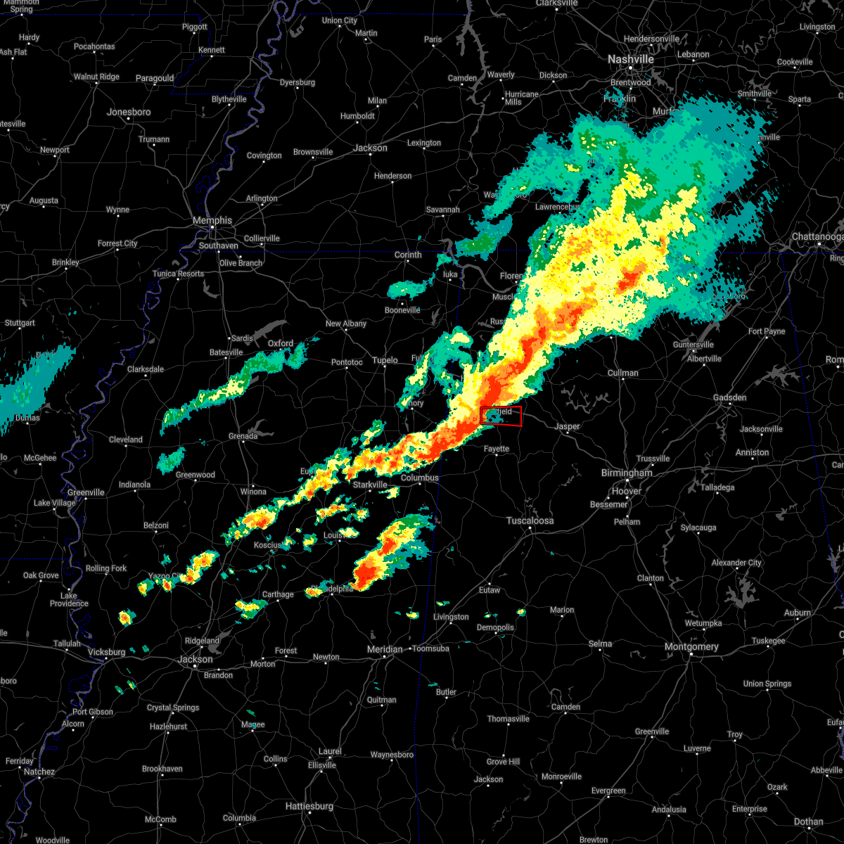 At 636 pm cst, a severe thunderstorm capable of producing a tornado was located near guin, or near winfield, moving east at 45 mph (radar indicated rotation). Hazards include tornado. Flying debris will be dangerous to those caught without shelter. mobile homes will be damaged or destroyed. damage to roofs, windows, and vehicles will occur. tree damage is likely. Locations impacted include, winfield, guin, brilliant, glen allen, gu- win, tucker, bazemore and texas. At 636 pm cst, a severe thunderstorm capable of producing a tornado was located near guin, or near winfield, moving east at 45 mph (radar indicated rotation). Hazards include tornado. Flying debris will be dangerous to those caught without shelter. mobile homes will be damaged or destroyed. damage to roofs, windows, and vehicles will occur. tree damage is likely. Locations impacted include, winfield, guin, brilliant, glen allen, gu- win, tucker, bazemore and texas.
|
| 12/29/2021 6:27 PM CST |
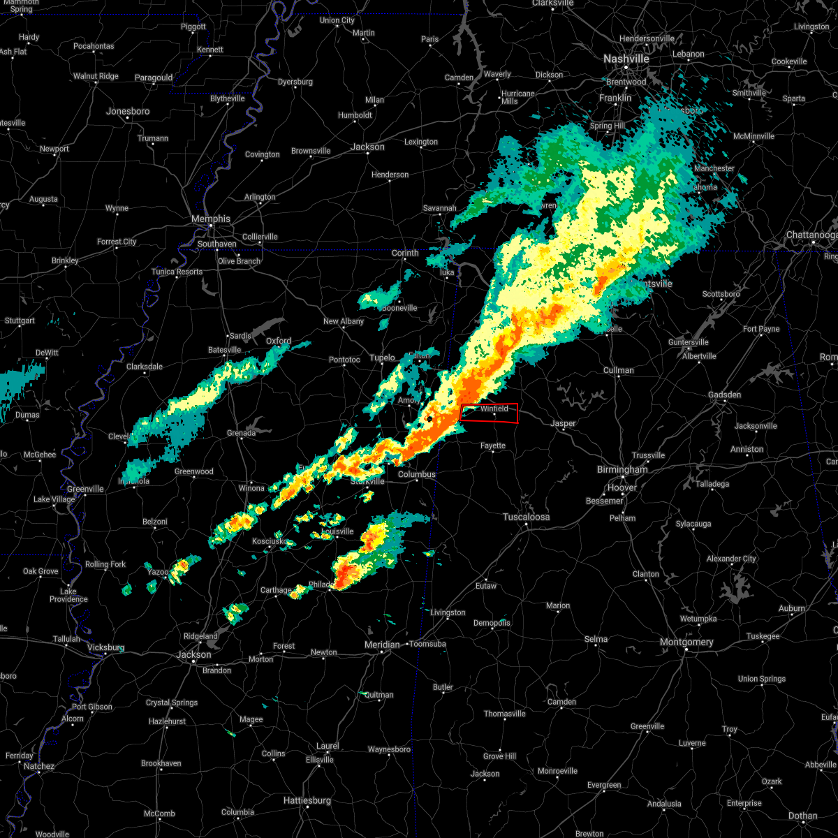 At 627 pm cst, a severe thunderstorm capable of producing a tornado was located over beaverton, or near sulligent, moving east at 45 mph (radar indicated rotation). Hazards include tornado. Flying debris will be dangerous to those caught without shelter. mobile homes will be damaged or destroyed. damage to roofs, windows, and vehicles will occur. Tree damage is likely. At 627 pm cst, a severe thunderstorm capable of producing a tornado was located over beaverton, or near sulligent, moving east at 45 mph (radar indicated rotation). Hazards include tornado. Flying debris will be dangerous to those caught without shelter. mobile homes will be damaged or destroyed. damage to roofs, windows, and vehicles will occur. Tree damage is likely.
|
| 5/6/2021 5:46 PM CDT |
 At 546 pm cdt, severe thunderstorms were located along a line extending from near belgreen to near red bay to near mantachie, moving southeast at 40 mph (radar indicated). Hazards include 60 mph wind gusts. expect damage to roofs, siding, and trees At 546 pm cdt, severe thunderstorms were located along a line extending from near belgreen to near red bay to near mantachie, moving southeast at 40 mph (radar indicated). Hazards include 60 mph wind gusts. expect damage to roofs, siding, and trees
|
| 3/28/2021 4:43 AM CDT |
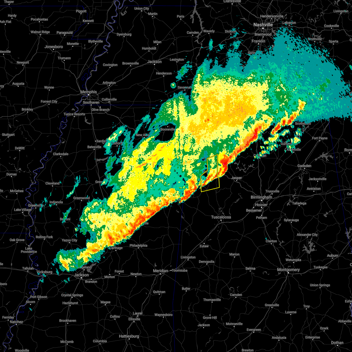 The severe thunderstorm warning for southeastern marion and northwestern fayette counties will expire at 445 am cdt, the storm which prompted the warning has moved out of the area. therefore, the warning will be allowed to expire. a tornado watch remains in effect until 600 am cdt for northwestern and west central alabama. The severe thunderstorm warning for southeastern marion and northwestern fayette counties will expire at 445 am cdt, the storm which prompted the warning has moved out of the area. therefore, the warning will be allowed to expire. a tornado watch remains in effect until 600 am cdt for northwestern and west central alabama.
|
| 3/28/2021 4:36 AM CDT |
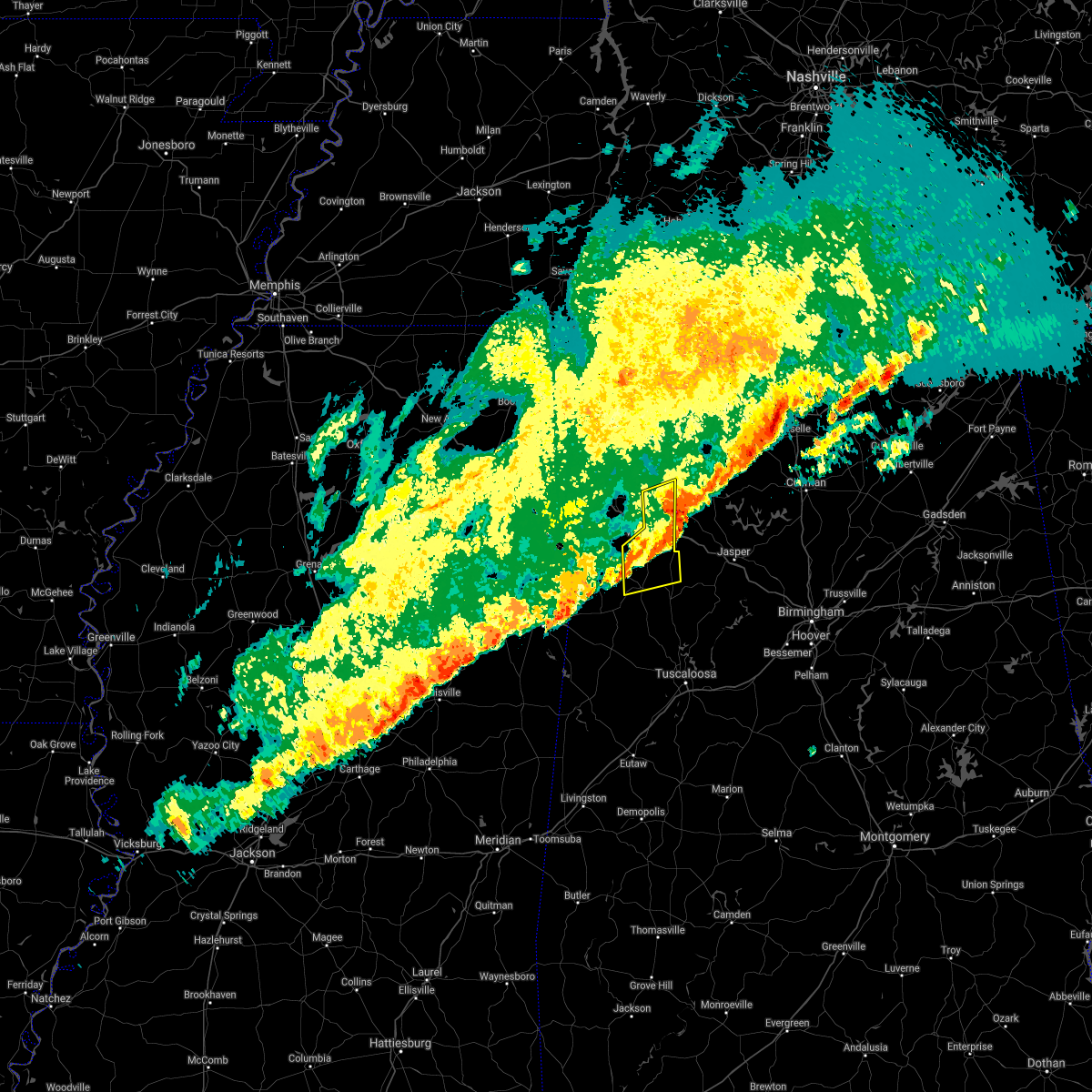 At 435 am cdt, a severe thunderstorm was located near eldridge, or 7 miles southeast of winfield, moving east at 65 mph (radar indicated). Hazards include 70 mph wind gusts and quarter size hail. Hail damage to vehicles is expected. expect considerable tree damage. wind damage is also likely to mobile homes, roofs, and outbuildings. Locations impacted include, winfield, fayette, haleyville, brilliant, glen allen, belk, gu- win, brinn, lake buttahatchee, bluff, tucker, bazemore, wayside, richard arthur field, bevill state college fayette, hubbertville, fowlers crossroads, texas and piney grove. At 435 am cdt, a severe thunderstorm was located near eldridge, or 7 miles southeast of winfield, moving east at 65 mph (radar indicated). Hazards include 70 mph wind gusts and quarter size hail. Hail damage to vehicles is expected. expect considerable tree damage. wind damage is also likely to mobile homes, roofs, and outbuildings. Locations impacted include, winfield, fayette, haleyville, brilliant, glen allen, belk, gu- win, brinn, lake buttahatchee, bluff, tucker, bazemore, wayside, richard arthur field, bevill state college fayette, hubbertville, fowlers crossroads, texas and piney grove.
|
| 3/28/2021 4:25 AM CDT |
 At 425 am cdt, a severe thunderstorm was located over bluff, or 7 miles southwest of winfield, moving east at 65 mph (radar indicated). Hazards include 70 mph wind gusts and quarter size hail. Hail damage to vehicles is expected. expect considerable tree damage. wind damage is also likely to mobile homes, roofs, and outbuildings. Locations impacted include, hamilton, winfield, fayette, haleyville, vernon, sulligent, guin, brilliant, glen allen, belk, beaverton, gu- win, bluff, blooming grove, lamar county airport, brinn, lake buttahatchee, crews, bedford and twin. At 425 am cdt, a severe thunderstorm was located over bluff, or 7 miles southwest of winfield, moving east at 65 mph (radar indicated). Hazards include 70 mph wind gusts and quarter size hail. Hail damage to vehicles is expected. expect considerable tree damage. wind damage is also likely to mobile homes, roofs, and outbuildings. Locations impacted include, hamilton, winfield, fayette, haleyville, vernon, sulligent, guin, brilliant, glen allen, belk, beaverton, gu- win, bluff, blooming grove, lamar county airport, brinn, lake buttahatchee, crews, bedford and twin.
|
| 3/28/2021 4:10 AM CDT |
 At 410 am cdt, a severe thunderstorm was located over bedford, or near vernon, moving east at 65 mph (radar indicated). Hazards include 70 mph wind gusts and quarter size hail. Hail damage to vehicles is expected. expect considerable tree damage. wind damage is also likely to mobile homes, roofs, and outbuildings. Locations impacted include, hamilton, winfield, fayette, haleyville, vernon, sulligent, guin, brilliant, glen allen, detroit, belk, beaverton, gu- win, bluff, blooming grove, lamar county airport, brinn, lake buttahatchee, crews and bedford. At 410 am cdt, a severe thunderstorm was located over bedford, or near vernon, moving east at 65 mph (radar indicated). Hazards include 70 mph wind gusts and quarter size hail. Hail damage to vehicles is expected. expect considerable tree damage. wind damage is also likely to mobile homes, roofs, and outbuildings. Locations impacted include, hamilton, winfield, fayette, haleyville, vernon, sulligent, guin, brilliant, glen allen, detroit, belk, beaverton, gu- win, bluff, blooming grove, lamar county airport, brinn, lake buttahatchee, crews and bedford.
|
| 3/28/2021 3:47 AM CDT |
 At 347 am cdt, a severe thunderstorm was located near west point, moving east at 65 mph (radar indicated). Hazards include 60 mph wind gusts and quarter size hail. Hail damage to vehicles is expected. Expect wind damage to roofs, siding, and trees. At 347 am cdt, a severe thunderstorm was located near west point, moving east at 65 mph (radar indicated). Hazards include 60 mph wind gusts and quarter size hail. Hail damage to vehicles is expected. Expect wind damage to roofs, siding, and trees.
|
| 3/17/2021 8:35 PM CDT |
 The severe thunderstorm warning for marion county will expire at 845 pm cdt, the storms which prompted the warning have moved out of the area. therefore, the warning will be allowed to expire. a tornado watch remains in effect until 300 am cdt for northwestern and west central alabama. The severe thunderstorm warning for marion county will expire at 845 pm cdt, the storms which prompted the warning have moved out of the area. therefore, the warning will be allowed to expire. a tornado watch remains in effect until 300 am cdt for northwestern and west central alabama.
|
| 3/17/2021 8:28 PM CDT |
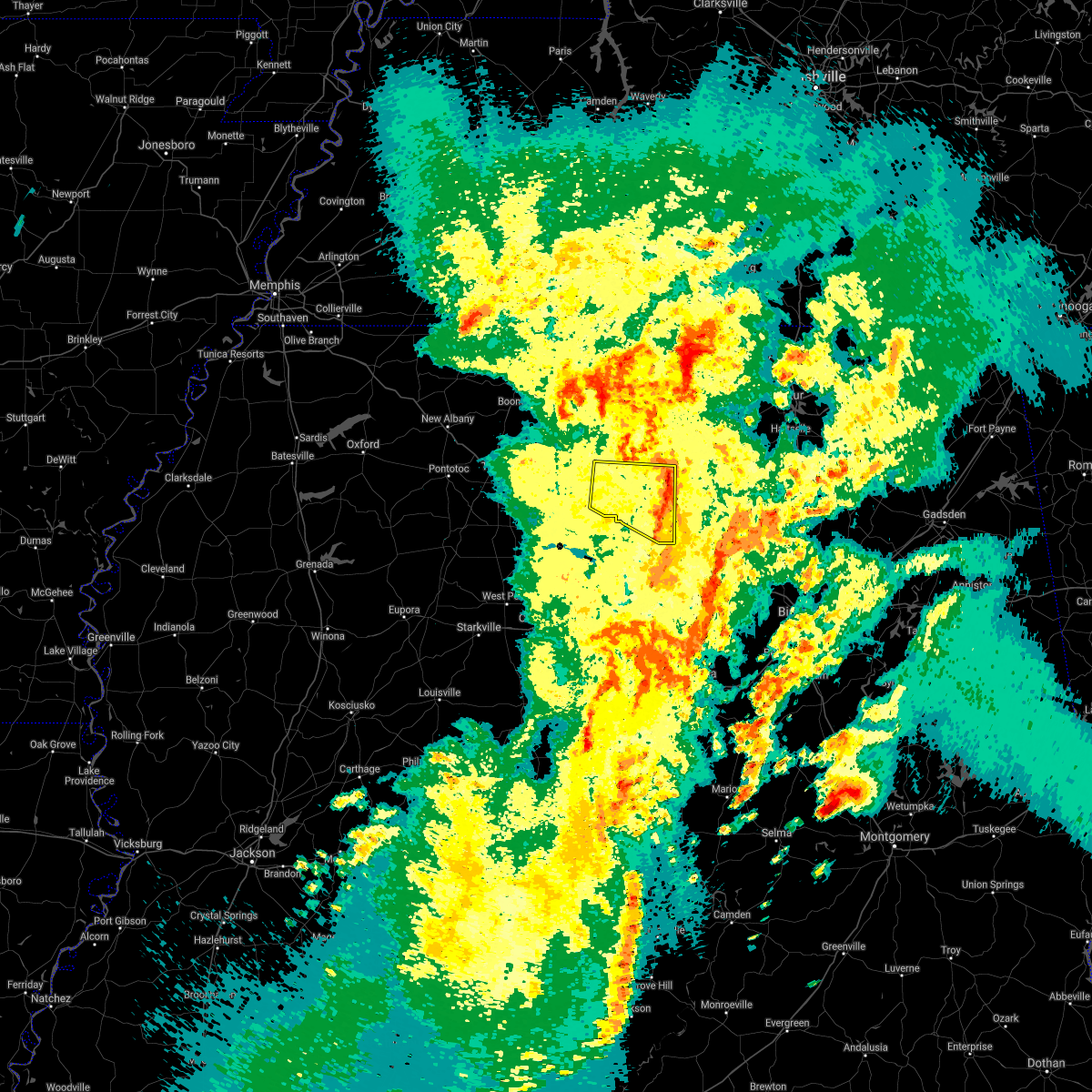 At 825 pm cdt, severe thunderstorms were located along a line extending from near weston to near brilliant to near fayette, moving east at 45 mph (radar indicated). Hazards include 60 mph wind gusts. Expect damage to roofs, siding, and trees. Locations impacted include, hamilton, winfield, haleyville, guin, hackleburg, brilliant, glen allen, brinn, weston, lake buttahatchee, bear creek, twin, tucker, tessner, shottsville, pearces mill, rankin fite airport, upper bear creek reservoir, texas and pigeye. At 825 pm cdt, severe thunderstorms were located along a line extending from near weston to near brilliant to near fayette, moving east at 45 mph (radar indicated). Hazards include 60 mph wind gusts. Expect damage to roofs, siding, and trees. Locations impacted include, hamilton, winfield, haleyville, guin, hackleburg, brilliant, glen allen, brinn, weston, lake buttahatchee, bear creek, twin, tucker, tessner, shottsville, pearces mill, rankin fite airport, upper bear creek reservoir, texas and pigeye.
|
| 3/17/2021 8:18 PM CDT |
 At 818 pm cdt, severe thunderstorms were located along a line extending from 6 miles east of tremont to 6 miles north of guin to near fayette, moving east at 45 mph (radar indicated). Hazards include 60 mph wind gusts. Expect damage to roofs, siding, and trees. Locations impacted include, hamilton, winfield, haleyville, guin, hackleburg, brilliant, glen allen, detroit, beaverton, gu- win, weston, brinn, lake buttahatchee, bear creek, twin, tucker, henson springs, wayside, rankin fite airport and upper bear creek reservoir. At 818 pm cdt, severe thunderstorms were located along a line extending from 6 miles east of tremont to 6 miles north of guin to near fayette, moving east at 45 mph (radar indicated). Hazards include 60 mph wind gusts. Expect damage to roofs, siding, and trees. Locations impacted include, hamilton, winfield, haleyville, guin, hackleburg, brilliant, glen allen, detroit, beaverton, gu- win, weston, brinn, lake buttahatchee, bear creek, twin, tucker, henson springs, wayside, rankin fite airport and upper bear creek reservoir.
|
| 3/17/2021 8:08 PM CDT |
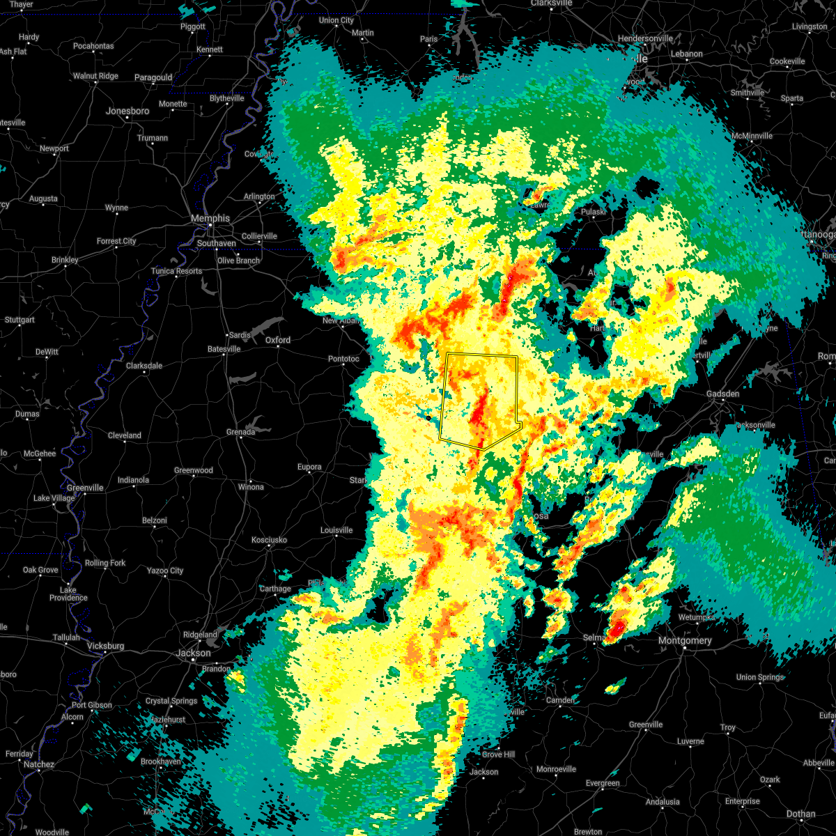 At 807 pm cdt, severe thunderstorms were located along a line extending from near tremont to near beaverton to near belk, moving northeast at 45 mph (radar indicated). Hazards include 60 mph wind gusts. Expect damage to roofs, siding, and trees. Locations impacted include, hamilton, winfield, fayette, haleyville, vernon, sulligent, guin, hackleburg, brilliant, glen allen, detroit, beaverton, gu- win, weston, bluff, blooming grove, lamar county airport, brinn, lake buttahatchee and crews. At 807 pm cdt, severe thunderstorms were located along a line extending from near tremont to near beaverton to near belk, moving northeast at 45 mph (radar indicated). Hazards include 60 mph wind gusts. Expect damage to roofs, siding, and trees. Locations impacted include, hamilton, winfield, fayette, haleyville, vernon, sulligent, guin, hackleburg, brilliant, glen allen, detroit, beaverton, gu- win, weston, bluff, blooming grove, lamar county airport, brinn, lake buttahatchee and crews.
|
| 3/17/2021 7:47 PM CDT |
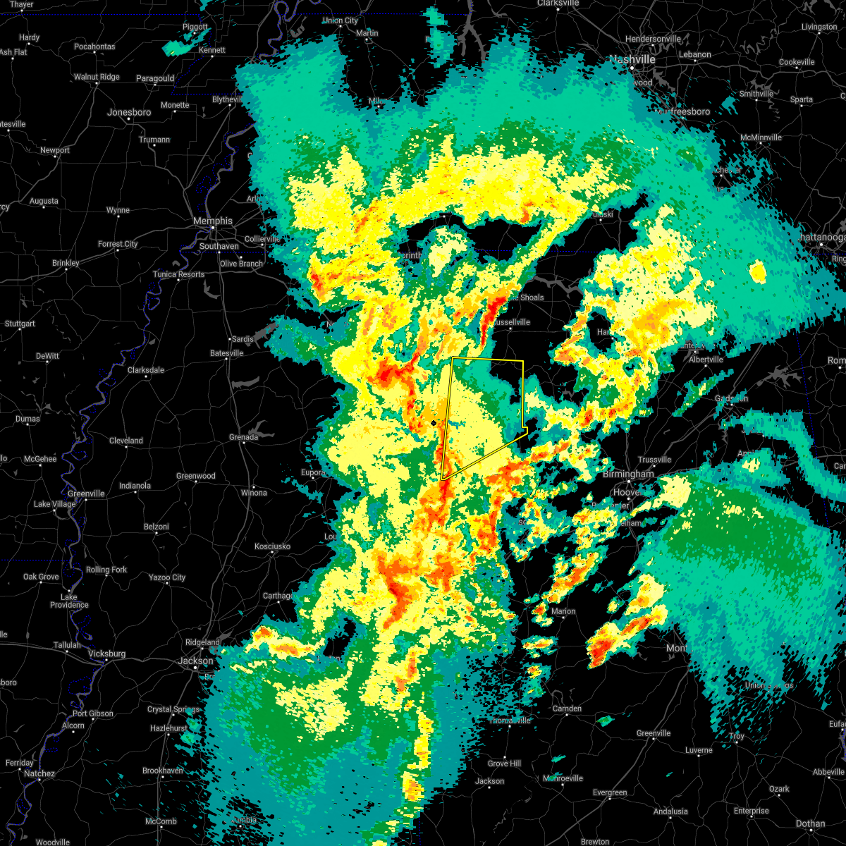 At 746 pm cdt, severe thunderstorms were located along a line extending from near amory to 7 miles northwest of bedford to near steens, moving northeast at 45 mph (radar indicated). Hazards include 60 mph wind gusts. expect damage to roofs, siding, and trees At 746 pm cdt, severe thunderstorms were located along a line extending from near amory to 7 miles northwest of bedford to near steens, moving northeast at 45 mph (radar indicated). Hazards include 60 mph wind gusts. expect damage to roofs, siding, and trees
|
| 3/17/2021 12:44 PM CDT |
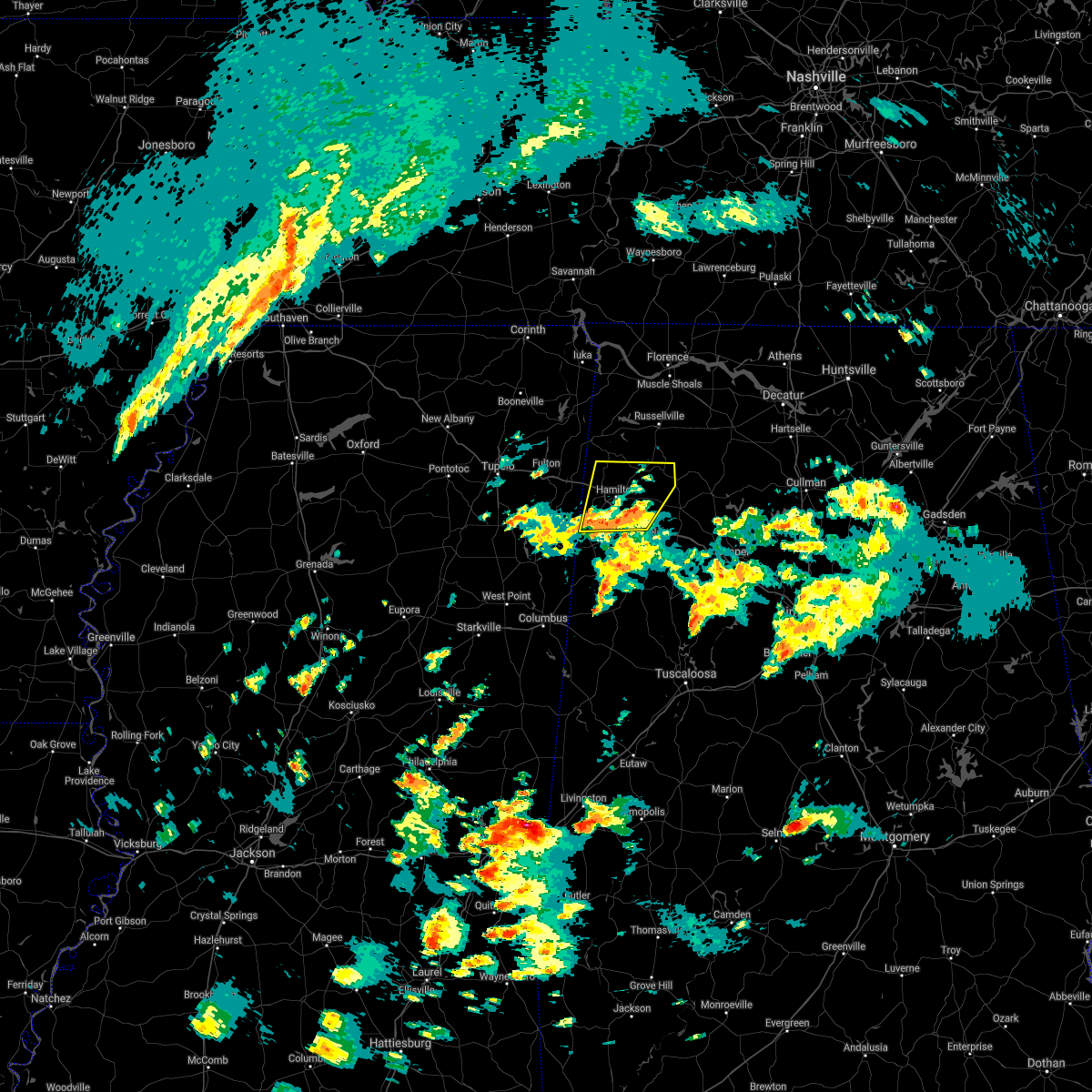 At 1243 pm cdt, a severe thunderstorm was located near hamilton, moving northeast at 50 mph (public). Hazards include 60 mph wind gusts and quarter size hail. Hail damage to vehicles is expected. expect wind damage to roofs, siding, and trees. Locations impacted include, hamilton, haleyville, guin, hackleburg, brilliant, detroit, brinn, weston, lake buttahatchee, bear creek, twin, henson springs, tessner, pearces mill, rankin fite airport, upper bear creek reservoir, byrd, bexar, pigeye and marion county public lake. At 1243 pm cdt, a severe thunderstorm was located near hamilton, moving northeast at 50 mph (public). Hazards include 60 mph wind gusts and quarter size hail. Hail damage to vehicles is expected. expect wind damage to roofs, siding, and trees. Locations impacted include, hamilton, haleyville, guin, hackleburg, brilliant, detroit, brinn, weston, lake buttahatchee, bear creek, twin, henson springs, tessner, pearces mill, rankin fite airport, upper bear creek reservoir, byrd, bexar, pigeye and marion county public lake.
|
| 3/17/2021 12:31 PM CDT |
 At 1231 pm cdt, a severe thunderstorm was located over beaverton, or near sulligent, moving northeast at 50 mph (public). Hazards include 60 mph wind gusts and quarter size hail. Hail damage to vehicles is expected. expect wind damage to roofs, siding, and trees. Locations impacted include, hamilton, winfield, haleyville, sulligent, guin, hackleburg, brilliant, detroit, beaverton, gu- win, weston, brinn, lake buttahatchee, crews, bear creek, twin, henson springs, wayside, rankin fite airport and upper bear creek reservoir. At 1231 pm cdt, a severe thunderstorm was located over beaverton, or near sulligent, moving northeast at 50 mph (public). Hazards include 60 mph wind gusts and quarter size hail. Hail damage to vehicles is expected. expect wind damage to roofs, siding, and trees. Locations impacted include, hamilton, winfield, haleyville, sulligent, guin, hackleburg, brilliant, detroit, beaverton, gu- win, weston, brinn, lake buttahatchee, crews, bear creek, twin, henson springs, wayside, rankin fite airport and upper bear creek reservoir.
|
| 3/17/2021 12:21 PM CDT |
 At 1221 pm cdt, a severe thunderstorm was located over lamar county airport, or near sulligent, moving northeast at 50 mph (radar indicated). Hazards include 60 mph wind gusts and half dollar size hail. Hail damage to vehicles is expected. Expect wind damage to roofs, siding, and trees. At 1221 pm cdt, a severe thunderstorm was located over lamar county airport, or near sulligent, moving northeast at 50 mph (radar indicated). Hazards include 60 mph wind gusts and half dollar size hail. Hail damage to vehicles is expected. Expect wind damage to roofs, siding, and trees.
|
| 8/28/2020 4:48 PM CDT |
 At 448 pm cdt, a severe thunderstorm was located near guin, or 9 miles west of winfield, moving east at 50 mph (radar indicated). Hazards include 60 mph wind gusts and penny size hail. Expect damage to roofs, siding, and trees. Locations impacted include, hamilton, winfield, sulligent, guin, brilliant, glen allen, detroit, beaverton, gu- win, lamar county airport, crews, bluff, twin, tucker, henson springs, bazemore, wayside, pearces mill, hubbertville and texas. At 448 pm cdt, a severe thunderstorm was located near guin, or 9 miles west of winfield, moving east at 50 mph (radar indicated). Hazards include 60 mph wind gusts and penny size hail. Expect damage to roofs, siding, and trees. Locations impacted include, hamilton, winfield, sulligent, guin, brilliant, glen allen, detroit, beaverton, gu- win, lamar county airport, crews, bluff, twin, tucker, henson springs, bazemore, wayside, pearces mill, hubbertville and texas.
|
| 8/28/2020 4:32 PM CDT |
 At 431 pm cdt, a severe thunderstorm was located near sulligent, moving east at 45 mph (radar indicated). Hazards include 60 mph wind gusts and penny size hail. expect damage to roofs, siding, and trees At 431 pm cdt, a severe thunderstorm was located near sulligent, moving east at 45 mph (radar indicated). Hazards include 60 mph wind gusts and penny size hail. expect damage to roofs, siding, and trees
|
| 7/12/2020 11:18 AM CDT |
 At 1117 am cdt, severe thunderstorms were located along a line extending from russellville to 7 miles southwest of belgreen to near fairview, moving southeast at 40 mph (radar indicated). Hazards include 60 mph wind gusts. expect damage to roofs, siding, and trees At 1117 am cdt, severe thunderstorms were located along a line extending from russellville to 7 miles southwest of belgreen to near fairview, moving southeast at 40 mph (radar indicated). Hazards include 60 mph wind gusts. expect damage to roofs, siding, and trees
|
| 6/5/2020 5:12 PM CDT |
 The severe thunderstorm warning for southeastern marion county will expire at 515 pm cdt, the storm which prompted the warning has weakened below severe limits, and no longer poses an immediate threat to life or property. therefore, the warning will be allowed to expire. however heavy rain is still possible with this thunderstorm. to report severe weather, contact your nearest law enforcement agency. they will relay your report to the national weather service birmingham. The severe thunderstorm warning for southeastern marion county will expire at 515 pm cdt, the storm which prompted the warning has weakened below severe limits, and no longer poses an immediate threat to life or property. therefore, the warning will be allowed to expire. however heavy rain is still possible with this thunderstorm. to report severe weather, contact your nearest law enforcement agency. they will relay your report to the national weather service birmingham.
|
| 6/5/2020 5:00 PM CDT |
 At 500 pm cdt, a severe thunderstorm was located near lake buttahatchee, or 8 miles west of lynn, moving southeast at 15 mph (radar indicated). Hazards include 60 mph wind gusts and nickel size hail. Expect damage to roofs, siding, and trees. Locations impacted include, brilliant, lake buttahatchee, piney grove and tucker. At 500 pm cdt, a severe thunderstorm was located near lake buttahatchee, or 8 miles west of lynn, moving southeast at 15 mph (radar indicated). Hazards include 60 mph wind gusts and nickel size hail. Expect damage to roofs, siding, and trees. Locations impacted include, brilliant, lake buttahatchee, piney grove and tucker.
|
| 6/5/2020 4:47 PM CDT |
 At 447 pm cdt, a severe thunderstorm was located over lake buttahatchee, or 11 miles west of lynn, moving southeast at 15 mph (radar indicated). Hazards include 60 mph wind gusts and nickel size hail. Expect damage to roofs, siding, and trees. Locations impacted include, brilliant, lake buttahatchee, brinn, tucker, pearces mill and piney grove. At 447 pm cdt, a severe thunderstorm was located over lake buttahatchee, or 11 miles west of lynn, moving southeast at 15 mph (radar indicated). Hazards include 60 mph wind gusts and nickel size hail. Expect damage to roofs, siding, and trees. Locations impacted include, brilliant, lake buttahatchee, brinn, tucker, pearces mill and piney grove.
|
| 6/5/2020 4:25 PM CDT |
 At 425 pm cdt, a severe thunderstorm was located over brinn, or 10 miles east of hamilton, moving southeast at 15 mph (radar indicated). Hazards include 60 mph wind gusts and quarter size hail. Hail damage to vehicles is expected. Expect wind damage to roofs, siding, and trees. At 425 pm cdt, a severe thunderstorm was located over brinn, or 10 miles east of hamilton, moving southeast at 15 mph (radar indicated). Hazards include 60 mph wind gusts and quarter size hail. Hail damage to vehicles is expected. Expect wind damage to roofs, siding, and trees.
|
| 4/12/2020 4:02 PM CDT |
 At 401 pm cdt, severe thunderstorms were located along a line extending from near hackleburg to near hamilton, moving east at 50 mph (radar indicated). Hazards include 60 mph wind gusts. Expect damage to roofs, siding, and trees. Locations impacted include, hamilton, haleyville, hackleburg, brilliant, brinn, weston, lake buttahatchee, bear creek, tessner, pearces mill, rankin fite airport, upper bear creek reservoir, pigeye, marion county public lake, piney grove and pikeville. At 401 pm cdt, severe thunderstorms were located along a line extending from near hackleburg to near hamilton, moving east at 50 mph (radar indicated). Hazards include 60 mph wind gusts. Expect damage to roofs, siding, and trees. Locations impacted include, hamilton, haleyville, hackleburg, brilliant, brinn, weston, lake buttahatchee, bear creek, tessner, pearces mill, rankin fite airport, upper bear creek reservoir, pigeye, marion county public lake, piney grove and pikeville.
|
| 4/12/2020 3:45 PM CDT |
 At 345 pm cdt, severe thunderstorms were located along a line extending from 8 miles northeast of tremont to near detroit, moving east at 50 mph (radar indicated). Hazards include 60 mph wind gusts. Expect damage to roofs, siding, and trees. Locations impacted include, hamilton, winfield, haleyville, guin, hackleburg, brilliant, glen allen, detroit, beaverton, gu- win, weston, brinn, lake buttahatchee, bear creek, twin, tucker, henson springs, rankin fite airport, upper bear creek reservoir and pine springs. At 345 pm cdt, severe thunderstorms were located along a line extending from 8 miles northeast of tremont to near detroit, moving east at 50 mph (radar indicated). Hazards include 60 mph wind gusts. Expect damage to roofs, siding, and trees. Locations impacted include, hamilton, winfield, haleyville, guin, hackleburg, brilliant, glen allen, detroit, beaverton, gu- win, weston, brinn, lake buttahatchee, bear creek, twin, tucker, henson springs, rankin fite airport, upper bear creek reservoir and pine springs.
|
| 4/12/2020 3:33 PM CDT |
 At 333 pm cdt, severe thunderstorms were located along a line extending from near tremont to near amory, moving east at 50 mph (radar indicated). Hazards include 60 mph wind gusts. expect damage to roofs, siding, and trees At 333 pm cdt, severe thunderstorms were located along a line extending from near tremont to near amory, moving east at 50 mph (radar indicated). Hazards include 60 mph wind gusts. expect damage to roofs, siding, and trees
|
| 3/29/2020 2:37 AM CDT |
 At 237 am cdt, severe thunderstorms were located along a line extending from lake buttahatchee to near lynn to eldridge, moving northeast at 75 mph (trained weather spotters). Hazards include 60 mph wind gusts and quarter size hail. Hail damage to vehicles is expected. expect wind damage to roofs, siding, and trees. Locations impacted include, glen allen, lake buttahatchee, bazemore, fowlers crossroads and texas. At 237 am cdt, severe thunderstorms were located along a line extending from lake buttahatchee to near lynn to eldridge, moving northeast at 75 mph (trained weather spotters). Hazards include 60 mph wind gusts and quarter size hail. Hail damage to vehicles is expected. expect wind damage to roofs, siding, and trees. Locations impacted include, glen allen, lake buttahatchee, bazemore, fowlers crossroads and texas.
|
| 3/29/2020 2:30 AM CDT |
 At 230 am cdt, severe thunderstorms were located along a line extending from near brilliant to near glen allen to 7 miles south of winfield, moving northeast at 75 mph (trained weather spotters). Hazards include golf ball size hail and 70 mph wind gusts. People and animals outdoors will be injured. expect hail damage to roofs, siding, windows, and vehicles. expect considerable tree damage. wind damage is also likely to mobile homes, roofs, and outbuildings. Locations impacted include, winfield, fayette, guin, brilliant, glen allen, gu- win, lake buttahatchee, twin, tucker, bazemore, richard arthur field, bevill state college fayette, hubbertville, fowlers crossroads, texas, piney grove and wayside. At 230 am cdt, severe thunderstorms were located along a line extending from near brilliant to near glen allen to 7 miles south of winfield, moving northeast at 75 mph (trained weather spotters). Hazards include golf ball size hail and 70 mph wind gusts. People and animals outdoors will be injured. expect hail damage to roofs, siding, windows, and vehicles. expect considerable tree damage. wind damage is also likely to mobile homes, roofs, and outbuildings. Locations impacted include, winfield, fayette, guin, brilliant, glen allen, gu- win, lake buttahatchee, twin, tucker, bazemore, richard arthur field, bevill state college fayette, hubbertville, fowlers crossroads, texas, piney grove and wayside.
|
| 3/29/2020 2:15 AM CDT |
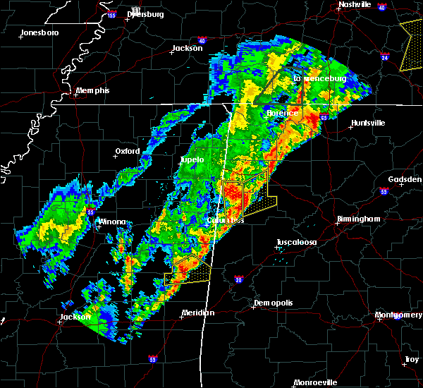 At 215 am cdt, severe thunderstorms were located along a line extending from crews to blooming grove to near belk, moving northeast at 75 mph. these are very dangerous storms (trained weather spotters). Hazards include baseball size hail and 70 mph wind gusts. People and animals outdoors will be severely injured. expect shattered windows, extensive damage to roofs, siding, and vehicles. Locations impacted include, winfield, fayette, guin, brilliant, glen allen, belk, gu- win, lake buttahatchee, bluff, twin, tucker, bazemore, wayside, richard arthur field, bevill state college fayette, hubbertville, fowlers crossroads, texas and piney grove. At 215 am cdt, severe thunderstorms were located along a line extending from crews to blooming grove to near belk, moving northeast at 75 mph. these are very dangerous storms (trained weather spotters). Hazards include baseball size hail and 70 mph wind gusts. People and animals outdoors will be severely injured. expect shattered windows, extensive damage to roofs, siding, and vehicles. Locations impacted include, winfield, fayette, guin, brilliant, glen allen, belk, gu- win, lake buttahatchee, bluff, twin, tucker, bazemore, wayside, richard arthur field, bevill state college fayette, hubbertville, fowlers crossroads, texas and piney grove.
|
| 3/29/2020 2:08 AM CDT |
 The national weather service in birmingham has issued a * severe thunderstorm warning for. southeastern marion county in northwestern alabama. northern fayette county in west central alabama. until 300 am cdt. At 208 am cdt, severe thunderstorms were located along a line. The national weather service in birmingham has issued a * severe thunderstorm warning for. southeastern marion county in northwestern alabama. northern fayette county in west central alabama. until 300 am cdt. At 208 am cdt, severe thunderstorms were located along a line.
|
| 2/12/2020 5:33 PM CST |
 At 533 pm cst, severe thunderstorms were located along a line extending from near hackleburg to beaverton, moving east at 65 mph (radar indicated). Hazards include 60 mph wind gusts. Expect damage to roofs, siding, and trees. Locations impacted include, hamilton, winfield, haleyville, guin, hackleburg, brilliant, glen allen, gu- win, brinn, lake buttahatchee, bear creek, twin, tucker, tessner, pearces mill, rankin fite airport, upper bear creek reservoir, texas, marion county public lake and piney grove. At 533 pm cst, severe thunderstorms were located along a line extending from near hackleburg to beaverton, moving east at 65 mph (radar indicated). Hazards include 60 mph wind gusts. Expect damage to roofs, siding, and trees. Locations impacted include, hamilton, winfield, haleyville, guin, hackleburg, brilliant, glen allen, gu- win, brinn, lake buttahatchee, bear creek, twin, tucker, tessner, pearces mill, rankin fite airport, upper bear creek reservoir, texas, marion county public lake and piney grove.
|
| 2/12/2020 5:26 PM CST |
 At 526 pm cst, severe thunderstorms were located along a line extending from near hackleburg to sulligent, moving east at 55 mph (radar indicated). Hazards include 60 mph wind gusts. expect damage to roofs, siding, and trees At 526 pm cst, severe thunderstorms were located along a line extending from near hackleburg to sulligent, moving east at 55 mph (radar indicated). Hazards include 60 mph wind gusts. expect damage to roofs, siding, and trees
|
| 10/26/2019 1:11 PM CDT |
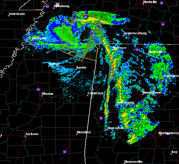 The severe thunderstorm warning for eastern marion county will expire at 115 pm cdt, the activity which prompted the warning have weakened below severe limits. therefore, the warning will be allowed to expire. however strong sub-severe winds are still possible with this activity. The severe thunderstorm warning for eastern marion county will expire at 115 pm cdt, the activity which prompted the warning have weakened below severe limits. therefore, the warning will be allowed to expire. however strong sub-severe winds are still possible with this activity.
|
| 10/26/2019 1:06 PM CDT |
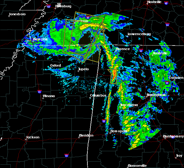 At 105 pm cdt, heavy rain with strong winds were located along a line extending from 9 miles east of j p coleman state park to 8 miles north of belgreen to near haleyville to brilliant, moving north at 60 mph (radar indicated). Hazards include 60 mph wind gusts. Expect damage to roofs, siding, and trees. Locations impacted include, brilliant, lake buttahatchee, bear creek, piney grove and upper bear creek reservoir. At 105 pm cdt, heavy rain with strong winds were located along a line extending from 9 miles east of j p coleman state park to 8 miles north of belgreen to near haleyville to brilliant, moving north at 60 mph (radar indicated). Hazards include 60 mph wind gusts. Expect damage to roofs, siding, and trees. Locations impacted include, brilliant, lake buttahatchee, bear creek, piney grove and upper bear creek reservoir.
|
| 10/26/2019 1:01 PM CDT |
 At 100 pm cdt, heavy rain with strong winds were located along a line extending from 6 miles northwest of cherokee to near belgreen to near brinn to near winfield, moving north at 60 mph (radar indicated). Hazards include 60 mph wind gusts. Expect damage to roofs, siding, and trees. Locations impacted include, winfield, hackleburg, brilliant, glen allen, lake buttahatchee, bear creek, tucker, tessner, texas, piney grove and upper bear creek reservoir. At 100 pm cdt, heavy rain with strong winds were located along a line extending from 6 miles northwest of cherokee to near belgreen to near brinn to near winfield, moving north at 60 mph (radar indicated). Hazards include 60 mph wind gusts. Expect damage to roofs, siding, and trees. Locations impacted include, winfield, hackleburg, brilliant, glen allen, lake buttahatchee, bear creek, tucker, tessner, texas, piney grove and upper bear creek reservoir.
|
| 10/26/2019 12:54 PM CDT |
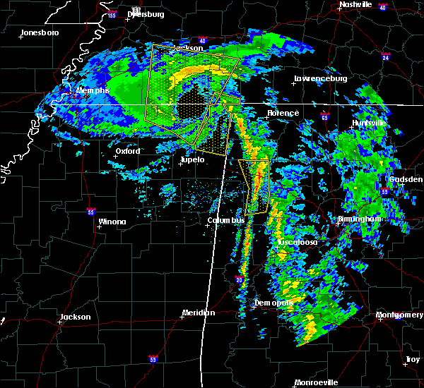 At 1253 pm cdt, heavy rain with strong winds were located along a line extending from near cherokee to near belgreen to near brinn to near bluff, moving north at 60 mph (radar indicated). Hazards include 60 mph wind gusts. Expect damage to roofs, siding, and trees. Locations impacted include, winfield, hackleburg, brilliant, glen allen, brinn, lake buttahatchee, bear creek, tucker, bazemore, tessner, pearces mill, upper bear creek reservoir, texas and piney grove. At 1253 pm cdt, heavy rain with strong winds were located along a line extending from near cherokee to near belgreen to near brinn to near bluff, moving north at 60 mph (radar indicated). Hazards include 60 mph wind gusts. Expect damage to roofs, siding, and trees. Locations impacted include, winfield, hackleburg, brilliant, glen allen, brinn, lake buttahatchee, bear creek, tucker, bazemore, tessner, pearces mill, upper bear creek reservoir, texas and piney grove.
|
| 10/26/2019 12:43 PM CDT |
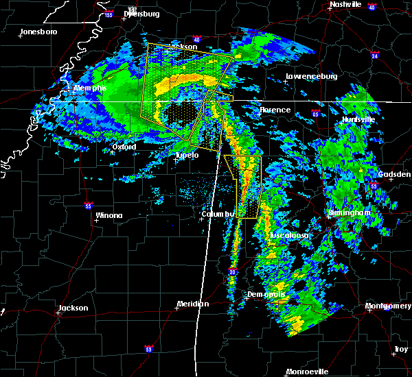 At 1242 pm cdt, heavy rain and strong winds were located along a line extending from near tishomingo state park to near hackleburg to near gu-win to near fayette, moving northeast at 55 mph (radar indicated). Hazards include 60 mph wind gusts. Expect damage to roofs, siding, and trees. Locations impacted include, hamilton, winfield, fayette, guin, hackleburg, brilliant, glen allen, belk, gu-win, brinn, lake buttahatchee, bear creek, twin, tucker, wayside, richard arthur field, upper bear creek reservoir, piney grove, bazemore and tessner. At 1242 pm cdt, heavy rain and strong winds were located along a line extending from near tishomingo state park to near hackleburg to near gu-win to near fayette, moving northeast at 55 mph (radar indicated). Hazards include 60 mph wind gusts. Expect damage to roofs, siding, and trees. Locations impacted include, hamilton, winfield, fayette, guin, hackleburg, brilliant, glen allen, belk, gu-win, brinn, lake buttahatchee, bear creek, twin, tucker, wayside, richard arthur field, upper bear creek reservoir, piney grove, bazemore and tessner.
|
| 10/26/2019 12:33 PM CDT |
 At 1232 pm cdt, heavy rain showers and strong winds were located along a line extending from near red bay to hamilton to near belk, moving north at 50 mph (radar indicated). Hazards include 60 mph wind gusts. Expect damage to roofs, siding, and trees. Locations impacted include, hamilton, winfield, fayette, guin, hackleburg, brilliant, glen allen, belk, gu-win, bankston, weston, bluff, brinn, lake buttahatchee, bear creek, twin, tucker, stone wall, wayside and richard arthur field. At 1232 pm cdt, heavy rain showers and strong winds were located along a line extending from near red bay to hamilton to near belk, moving north at 50 mph (radar indicated). Hazards include 60 mph wind gusts. Expect damage to roofs, siding, and trees. Locations impacted include, hamilton, winfield, fayette, guin, hackleburg, brilliant, glen allen, belk, gu-win, bankston, weston, bluff, brinn, lake buttahatchee, bear creek, twin, tucker, stone wall, wayside and richard arthur field.
|
| 10/26/2019 12:25 PM CDT |
 At 1225 pm cdt, heavy rain showers with strong winds were located along a line extending from near red bay to near hamilton to blooming grove, moving north at 60 mph (radar indicated). Hazards include 60 mph wind gusts. Expect damage to roofs, siding, and trees. Locations impacted include, hamilton, winfield, fayette, guin, hackleburg, brilliant, glen allen, kennedy, belk, beaverton, gu- win, bankston, weston, bluff, blooming grove, brinn, lake buttahatchee, ashcraft corner, bear creek and twin. At 1225 pm cdt, heavy rain showers with strong winds were located along a line extending from near red bay to near hamilton to blooming grove, moving north at 60 mph (radar indicated). Hazards include 60 mph wind gusts. Expect damage to roofs, siding, and trees. Locations impacted include, hamilton, winfield, fayette, guin, hackleburg, brilliant, glen allen, kennedy, belk, beaverton, gu- win, bankston, weston, bluff, blooming grove, brinn, lake buttahatchee, ashcraft corner, bear creek and twin.
|
| 10/26/2019 12:08 PM CDT |
 At 1207 pm cdt, rain showers with strong winds were located along a line extending from near tremont to near lamar county airport to near millport, moving north at 55 mph (emergency management). Hazards include 60 mph wind gusts. expect damage to roofs, siding, and trees At 1207 pm cdt, rain showers with strong winds were located along a line extending from near tremont to near lamar county airport to near millport, moving north at 55 mph (emergency management). Hazards include 60 mph wind gusts. expect damage to roofs, siding, and trees
|
| 8/7/2019 7:09 PM CDT |
 At 651 pm cdt, severe thunderstorms were located along a line extending from near detroit to near haleyville, moving southeast at 35 mph (radar indicated). Hazards include 60 mph wind gusts. expect damage to roofs, siding, and trees At 651 pm cdt, severe thunderstorms were located along a line extending from near detroit to near haleyville, moving southeast at 35 mph (radar indicated). Hazards include 60 mph wind gusts. expect damage to roofs, siding, and trees
|
| 8/7/2019 6:51 PM CDT |
 At 651 pm cdt, severe thunderstorms were located along a line extending from near detroit to near haleyville, moving southeast at 35 mph (radar indicated). Hazards include 60 mph wind gusts. expect damage to roofs, siding, and trees At 651 pm cdt, severe thunderstorms were located along a line extending from near detroit to near haleyville, moving southeast at 35 mph (radar indicated). Hazards include 60 mph wind gusts. expect damage to roofs, siding, and trees
|
| 8/7/2019 6:44 PM CDT |
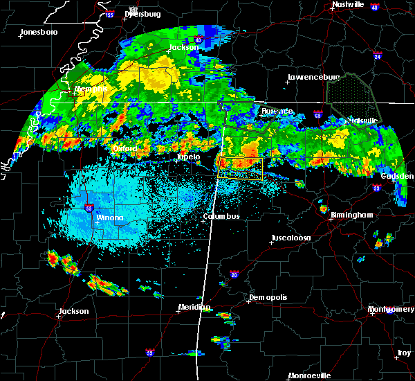 At 644 pm cdt, severe thunderstorms were located along a line extending from near weston to near haleyville, moving southeast at 40 mph (radar indicated). Hazards include 60 mph wind gusts. severe winds could occur with and ahead of these storms. Expect damage to roofs, siding, and trees. Locations impacted include, hamilton, hackleburg, brinn, weston, lake buttahatchee, bear creek, tessner, shottsville, pearces mill, rankin fite airport, upper bear creek reservoir, byrd, bexar, pigeye, piney grove and marion county public lake. At 644 pm cdt, severe thunderstorms were located along a line extending from near weston to near haleyville, moving southeast at 40 mph (radar indicated). Hazards include 60 mph wind gusts. severe winds could occur with and ahead of these storms. Expect damage to roofs, siding, and trees. Locations impacted include, hamilton, hackleburg, brinn, weston, lake buttahatchee, bear creek, tessner, shottsville, pearces mill, rankin fite airport, upper bear creek reservoir, byrd, bexar, pigeye, piney grove and marion county public lake.
|
| 8/7/2019 6:31 PM CDT |
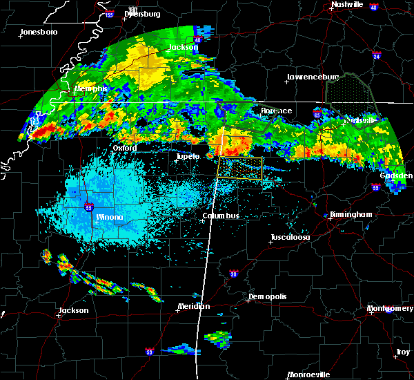 At 631 pm cdt, severe thunderstorms were located along a line extending from 6 miles northeast of tremont to near phil campbell, moving southeast at 40 mph (radar indicated). Hazards include 60 mph wind gusts. Expect damage to roofs, siding, and trees. Locations impacted include, hamilton, hackleburg, brinn, weston, lake buttahatchee, bear creek, tessner, shottsville, pearces mill, rankin fite airport, upper bear creek reservoir, byrd, bexar, pigeye, piney grove and marion county public lake. At 631 pm cdt, severe thunderstorms were located along a line extending from 6 miles northeast of tremont to near phil campbell, moving southeast at 40 mph (radar indicated). Hazards include 60 mph wind gusts. Expect damage to roofs, siding, and trees. Locations impacted include, hamilton, hackleburg, brinn, weston, lake buttahatchee, bear creek, tessner, shottsville, pearces mill, rankin fite airport, upper bear creek reservoir, byrd, bexar, pigeye, piney grove and marion county public lake.
|
| 8/7/2019 6:16 PM CDT |
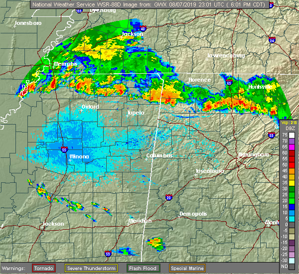 At 616 pm cdt, severe thunderstorms were located along a line extending from near fairview to 6 miles west of phil campbell, moving southeast at 40 mph (radar indicated). Hazards include 60 mph wind gusts. expect damage to roofs, siding, and trees At 616 pm cdt, severe thunderstorms were located along a line extending from near fairview to 6 miles west of phil campbell, moving southeast at 40 mph (radar indicated). Hazards include 60 mph wind gusts. expect damage to roofs, siding, and trees
|
| 6/20/2019 1:52 AM CDT |
 The national weather service in birmingham has issued a * severe thunderstorm warning for. walker county in central alabama. tuscaloosa county in west central alabama. eastern marion county in northwestern alabama. Winston county in northwestern alabama. The national weather service in birmingham has issued a * severe thunderstorm warning for. walker county in central alabama. tuscaloosa county in west central alabama. eastern marion county in northwestern alabama. Winston county in northwestern alabama.
|
| 6/20/2019 1:48 AM CDT |
 At 148 am cdt, severe thunderstorms were located along a line extending from belgreen to near brilliant, moving east at 50 mph (radar indicated). Hazards include 60 mph wind gusts and penny size hail. Expect damage to roofs, siding, and trees. Locations impacted include, hamilton, winfield, guin, hackleburg, brilliant, glen allen, gu- win, brinn, weston, lake buttahatchee, bear creek, twin, tucker, tessner, pearces mill, rankin fite airport, upper bear creek reservoir, texas, pigeye and marion county public lake. At 148 am cdt, severe thunderstorms were located along a line extending from belgreen to near brilliant, moving east at 50 mph (radar indicated). Hazards include 60 mph wind gusts and penny size hail. Expect damage to roofs, siding, and trees. Locations impacted include, hamilton, winfield, guin, hackleburg, brilliant, glen allen, gu- win, brinn, weston, lake buttahatchee, bear creek, twin, tucker, tessner, pearces mill, rankin fite airport, upper bear creek reservoir, texas, pigeye and marion county public lake.
|
| 6/20/2019 1:36 AM CDT |
 At 135 am cdt, severe thunderstorms were located along a line extending from near red bay to near hamilton, moving east at 50 mph (radar indicated). Hazards include 60 mph wind gusts and penny size hail. expect damage to roofs, siding, and trees At 135 am cdt, severe thunderstorms were located along a line extending from near red bay to near hamilton, moving east at 50 mph (radar indicated). Hazards include 60 mph wind gusts and penny size hail. expect damage to roofs, siding, and trees
|
| 5/11/2019 4:14 PM CDT | Tree down south of brilliant... along highway 129. winds estimated at 40 mp in marion county AL, 0.8 miles N of Brilliant, AL |
| 5/9/2019 10:37 AM CDT | Multiple trees down in various spots of marion county ... brilliant... hamilton... twi in marion county AL, 2.2 miles SW of Brilliant, AL |
| 4/6/2019 7:54 PM CDT |
 At 754 pm cdt, a severe thunderstorm was located near lynn, moving northeast at 30 mph (radar indicated). Hazards include 60 mph wind gusts and half dollar size hail. Hail damage to vehicles is expected. expect wind damage to roofs, siding, and trees. Locations impacted include, haleyville, lake buttahatchee, needmore, ashridge, natural bridge, weiss, posey field airport, delmar and upper bear creek reservoir. At 754 pm cdt, a severe thunderstorm was located near lynn, moving northeast at 30 mph (radar indicated). Hazards include 60 mph wind gusts and half dollar size hail. Hail damage to vehicles is expected. expect wind damage to roofs, siding, and trees. Locations impacted include, haleyville, lake buttahatchee, needmore, ashridge, natural bridge, weiss, posey field airport, delmar and upper bear creek reservoir.
|
| 4/6/2019 7:44 PM CDT |
 At 744 pm cdt, a severe thunderstorm was located near brilliant, or 7 miles west of lynn, moving northeast at 30 mph (radar indicated). Hazards include 60 mph wind gusts and quarter size hail. Hail damage to vehicles is expected. Expect wind damage to roofs, siding, and trees. At 744 pm cdt, a severe thunderstorm was located near brilliant, or 7 miles west of lynn, moving northeast at 30 mph (radar indicated). Hazards include 60 mph wind gusts and quarter size hail. Hail damage to vehicles is expected. Expect wind damage to roofs, siding, and trees.
|
| 3/14/2019 1:49 PM CDT |
 At 148 pm cdt, a severe thunderstorm was located near hamilton, moving northeast at 45 mph (radar indicated). Hazards include 60 mph wind gusts and quarter size hail. Hail damage to vehicles is expected. expect wind damage to roofs, siding, and trees. locations impacted include, hamilton, guin, brilliant, brinn, lake buttahatchee, bear creek, twin, tessner, pearces mill, rankin fite airport, upper bear creek reservoir, marion county public lake, piney grove and pikeville. A tornado watch remains in effect until 700 pm cdt for northwestern and west central alabama. At 148 pm cdt, a severe thunderstorm was located near hamilton, moving northeast at 45 mph (radar indicated). Hazards include 60 mph wind gusts and quarter size hail. Hail damage to vehicles is expected. expect wind damage to roofs, siding, and trees. locations impacted include, hamilton, guin, brilliant, brinn, lake buttahatchee, bear creek, twin, tessner, pearces mill, rankin fite airport, upper bear creek reservoir, marion county public lake, piney grove and pikeville. A tornado watch remains in effect until 700 pm cdt for northwestern and west central alabama.
|
| 3/14/2019 1:35 PM CDT |
 At 135 pm cdt, a severe thunderstorm was located near detroit, or 8 miles north of sulligent, moving northeast at 45 mph (radar indicated). Hazards include 60 mph wind gusts and quarter size hail. Hail damage to vehicles is expected. expect wind damage to roofs, siding, and trees. locations impacted include, hamilton, haleyville, guin, brilliant, detroit, beaverton, brinn, lake buttahatchee, bear creek, twin, henson springs, tessner, pearces mill, rankin fite airport, upper bear creek reservoir, marion county public lake, piney grove and pikeville. A tornado watch remains in effect until 700 pm cdt for northwestern and west central alabama. At 135 pm cdt, a severe thunderstorm was located near detroit, or 8 miles north of sulligent, moving northeast at 45 mph (radar indicated). Hazards include 60 mph wind gusts and quarter size hail. Hail damage to vehicles is expected. expect wind damage to roofs, siding, and trees. locations impacted include, hamilton, haleyville, guin, brilliant, detroit, beaverton, brinn, lake buttahatchee, bear creek, twin, henson springs, tessner, pearces mill, rankin fite airport, upper bear creek reservoir, marion county public lake, piney grove and pikeville. A tornado watch remains in effect until 700 pm cdt for northwestern and west central alabama.
|
| 3/14/2019 1:21 PM CDT |
 At 121 pm cdt, a severe thunderstorm was located 7 miles west of sulligent, moving northeast at 40 mph (radar indicated). Hazards include 60 mph wind gusts and quarter size hail. Hail damage to vehicles is expected. Expect wind damage to roofs, siding, and trees. At 121 pm cdt, a severe thunderstorm was located 7 miles west of sulligent, moving northeast at 40 mph (radar indicated). Hazards include 60 mph wind gusts and quarter size hail. Hail damage to vehicles is expected. Expect wind damage to roofs, siding, and trees.
|
| 6/28/2018 4:31 PM CDT |
 At 431 pm cdt, a severe thunderstorm was located near weston, or near hamilton, moving east at 10 mph (radar indicated). Hazards include 60 mph wind gusts. expect damage to roofs, siding, and trees At 431 pm cdt, a severe thunderstorm was located near weston, or near hamilton, moving east at 10 mph (radar indicated). Hazards include 60 mph wind gusts. expect damage to roofs, siding, and trees
|
| 4/14/2018 11:53 AM CDT |
 At 1153 am cdt, severe thunderstorms were located along a line extending from 6 miles northwest of brilliant to near gordo, moving northeast at 55 mph (radar indicated). Hazards include 60 mph wind gusts. expect damage to roofs, siding, and trees At 1153 am cdt, severe thunderstorms were located along a line extending from 6 miles northwest of brilliant to near gordo, moving northeast at 55 mph (radar indicated). Hazards include 60 mph wind gusts. expect damage to roofs, siding, and trees
|
| 4/3/2018 10:20 PM CDT |
 At 1019 pm cdt, severe thunderstorms were located along a line extending from millport to near glen allen to near brushy lake, moving east at 45 mph (radar indicated). Hazards include 70 mph wind gusts and penny size hail. Expect considerable tree damage. damage is likely to mobile homes, roofs, and outbuildings. Locations impacted include, winfield, vernon, millport, guin, brilliant, glen allen, kennedy, gu- win, blooming grove, lake buttahatchee, twin, tucker, cody, star, texas, hightogy, melborne and piney grove. At 1019 pm cdt, severe thunderstorms were located along a line extending from millport to near glen allen to near brushy lake, moving east at 45 mph (radar indicated). Hazards include 70 mph wind gusts and penny size hail. Expect considerable tree damage. damage is likely to mobile homes, roofs, and outbuildings. Locations impacted include, winfield, vernon, millport, guin, brilliant, glen allen, kennedy, gu- win, blooming grove, lake buttahatchee, twin, tucker, cody, star, texas, hightogy, melborne and piney grove.
|
| 4/3/2018 10:04 PM CDT |
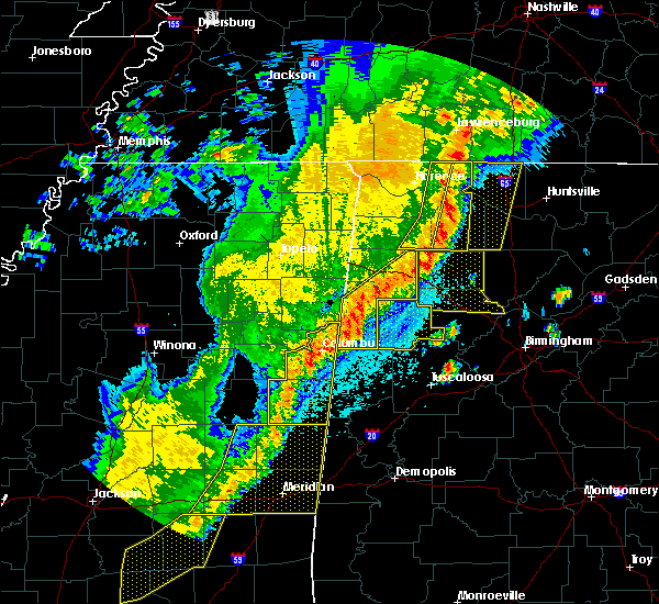 At 1003 pm cdt, severe thunderstorms were located along a line extending from 6 miles east of ethelsville to near gu- win to 6 miles north of ashridge, moving east at 60 mph (radar indicated). Hazards include 70 mph wind gusts and penny size hail. Expect considerable tree damage. damage is likely to mobile homes, roofs, and outbuildings. Locations impacted include, hamilton, winfield, vernon, sulligent, millport, guin, brilliant, glen allen, kennedy, beaverton, gu- win, blooming grove, lamar county airport, brinn, lake buttahatchee, crews, bedford, bear creek, twin and gattman. At 1003 pm cdt, severe thunderstorms were located along a line extending from 6 miles east of ethelsville to near gu- win to 6 miles north of ashridge, moving east at 60 mph (radar indicated). Hazards include 70 mph wind gusts and penny size hail. Expect considerable tree damage. damage is likely to mobile homes, roofs, and outbuildings. Locations impacted include, hamilton, winfield, vernon, sulligent, millport, guin, brilliant, glen allen, kennedy, beaverton, gu- win, blooming grove, lamar county airport, brinn, lake buttahatchee, crews, bedford, bear creek, twin and gattman.
|
| 4/3/2018 9:46 PM CDT |
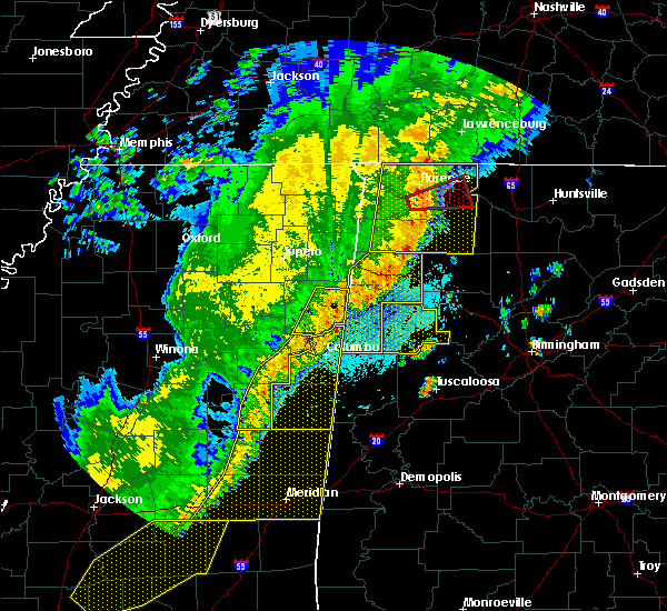 At 946 pm cdt, severe thunderstorms were located along a line extending from near columbus to near detroit to phil campbell, moving east at 60 mph (radar indicated). Hazards include 70 mph wind gusts. Expect considerable tree damage. damage is likely to mobile homes, roofs, and outbuildings. Locations impacted include, hamilton, winfield, vernon, sulligent, millport, guin, hackleburg, brilliant, glen allen, kennedy, detroit, beaverton, gu- win, weston, blooming grove, lamar county airport, brinn, lake buttahatchee, crews and bedford. At 946 pm cdt, severe thunderstorms were located along a line extending from near columbus to near detroit to phil campbell, moving east at 60 mph (radar indicated). Hazards include 70 mph wind gusts. Expect considerable tree damage. damage is likely to mobile homes, roofs, and outbuildings. Locations impacted include, hamilton, winfield, vernon, sulligent, millport, guin, hackleburg, brilliant, glen allen, kennedy, detroit, beaverton, gu- win, weston, blooming grove, lamar county airport, brinn, lake buttahatchee, crews and bedford.
|
| 4/3/2018 9:10 PM CDT |
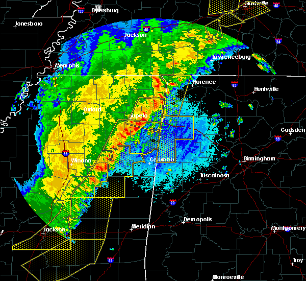 At 910 pm cdt, severe thunderstorms were located along a line extending from near longview to near okolona to fairview, moving east at 55 mph (radar indicated). Hazards include 70 mph wind gusts. Expect considerable tree damage. Damage is likely to mobile homes, roofs, and outbuildings. At 910 pm cdt, severe thunderstorms were located along a line extending from near longview to near okolona to fairview, moving east at 55 mph (radar indicated). Hazards include 70 mph wind gusts. Expect considerable tree damage. Damage is likely to mobile homes, roofs, and outbuildings.
|
| 8/31/2017 4:55 PM CDT |
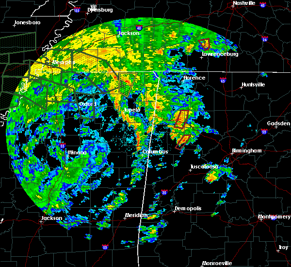 At 455 pm cdt, a severe thunderstorm capable of producing a tornado was located near lake buttahatchee, or 9 miles west of lynn, moving northeast at 35 mph (radar indicated rotation). Hazards include tornado. Flying debris will be dangerous to those caught without shelter. mobile homes will be damaged or destroyed. damage to roofs, windows, and vehicles will occur. tree damage is likely. Locations impacted include, haleyville, brilliant, lake buttahatchee, needmore, bear creek, posey field airport, delmar, piney grove and upper bear creek reservoir. At 455 pm cdt, a severe thunderstorm capable of producing a tornado was located near lake buttahatchee, or 9 miles west of lynn, moving northeast at 35 mph (radar indicated rotation). Hazards include tornado. Flying debris will be dangerous to those caught without shelter. mobile homes will be damaged or destroyed. damage to roofs, windows, and vehicles will occur. tree damage is likely. Locations impacted include, haleyville, brilliant, lake buttahatchee, needmore, bear creek, posey field airport, delmar, piney grove and upper bear creek reservoir.
|
| 8/31/2017 4:43 PM CDT |
 At 443 pm cdt, a severe thunderstorm capable of producing a tornado was located near brilliant, or near winfield, moving north at 40 mph (radar indicated rotation). Hazards include tornado. Flying debris will be dangerous to those caught without shelter. mobile homes will be damaged or destroyed. damage to roofs, windows, and vehicles will occur. tree damage is likely. Locations impacted include, winfield, haleyville, brilliant, glen allen, lake buttahatchee, needmore, bear creek, tucker, posey field airport, delmar, piney grove and upper bear creek reservoir. At 443 pm cdt, a severe thunderstorm capable of producing a tornado was located near brilliant, or near winfield, moving north at 40 mph (radar indicated rotation). Hazards include tornado. Flying debris will be dangerous to those caught without shelter. mobile homes will be damaged or destroyed. damage to roofs, windows, and vehicles will occur. tree damage is likely. Locations impacted include, winfield, haleyville, brilliant, glen allen, lake buttahatchee, needmore, bear creek, tucker, posey field airport, delmar, piney grove and upper bear creek reservoir.
|
| 8/31/2017 4:26 PM CDT |
 At 426 pm cdt, a confirmed large and extremely dangerous tornado was located near bluff, or 7 miles north of fayette, moving northeast at 35 mph. this is a particularly dangerous situation. take cover now! (radar confirmed tornado). Hazards include damaging tornado. You are in a life-threatening situation. flying debris may be deadly to those caught without shelter. mobile homes will be destroyed. Considerable damage to homes, businesses, and vehicles is likely and complete destruction is possible. At 426 pm cdt, a confirmed large and extremely dangerous tornado was located near bluff, or 7 miles north of fayette, moving northeast at 35 mph. this is a particularly dangerous situation. take cover now! (radar confirmed tornado). Hazards include damaging tornado. You are in a life-threatening situation. flying debris may be deadly to those caught without shelter. mobile homes will be destroyed. Considerable damage to homes, businesses, and vehicles is likely and complete destruction is possible.
|
| 6/23/2017 1:37 PM CDT |
 The severe thunderstorm warning for southeastern marion and northern fayette counties will expire at 145 pm cdt, the storms which prompted the warning have moved out of the area. therefore the warning will be allowed to expire. a tornado watch remains in effect until 800 pm cdt for northwestern, west central alabama. The severe thunderstorm warning for southeastern marion and northern fayette counties will expire at 145 pm cdt, the storms which prompted the warning have moved out of the area. therefore the warning will be allowed to expire. a tornado watch remains in effect until 800 pm cdt for northwestern, west central alabama.
|
| 6/23/2017 1:28 PM CDT |
 At 128 pm cdt, severe thunderstorms were located along a line extending from near haleyville to near lynn to near eldridge to near glen allen, moving northeast at 45 mph (radar indicated). Hazards include 60 mph wind gusts. Expect damage to roofs, siding, and trees. locations impacted include, winfield, fayette, guin, brilliant, glen allen, belk, gu- win, bluff, twin, tucker, bazemore, wayside, richard arthur field, bevill state college fayette, hubbertville, fowlers crossroads, texas and piney grove. A tornado watch remains in effect until 800 pm cdt for northwestern, west central alabama. At 128 pm cdt, severe thunderstorms were located along a line extending from near haleyville to near lynn to near eldridge to near glen allen, moving northeast at 45 mph (radar indicated). Hazards include 60 mph wind gusts. Expect damage to roofs, siding, and trees. locations impacted include, winfield, fayette, guin, brilliant, glen allen, belk, gu- win, bluff, twin, tucker, bazemore, wayside, richard arthur field, bevill state college fayette, hubbertville, fowlers crossroads, texas and piney grove. A tornado watch remains in effect until 800 pm cdt for northwestern, west central alabama.
|
| 6/23/2017 1:22 PM CDT |
 At 122 pm cdt, severe thunderstorms were located along a line extending from near hackleburg to near lake buttahatchee to near glen allen to near bluff, moving northeast at 50 mph (radar indicated). Hazards include 60 mph wind gusts. Expect damage to roofs, siding, and trees. locations impacted include, winfield, fayette, haleyville, guin, hackleburg, brilliant, glen allen, belk, gu- win, bluff, brinn, lake buttahatchee, bear creek, twin, tucker, wayside, richard arthur field, piney grove, bazemore and tessner. A tornado watch remains in effect until 800 pm cdt for northwestern, west central alabama. At 122 pm cdt, severe thunderstorms were located along a line extending from near hackleburg to near lake buttahatchee to near glen allen to near bluff, moving northeast at 50 mph (radar indicated). Hazards include 60 mph wind gusts. Expect damage to roofs, siding, and trees. locations impacted include, winfield, fayette, haleyville, guin, hackleburg, brilliant, glen allen, belk, gu- win, bluff, brinn, lake buttahatchee, bear creek, twin, tucker, wayside, richard arthur field, piney grove, bazemore and tessner. A tornado watch remains in effect until 800 pm cdt for northwestern, west central alabama.
|
| 6/23/2017 1:22 PM CDT |
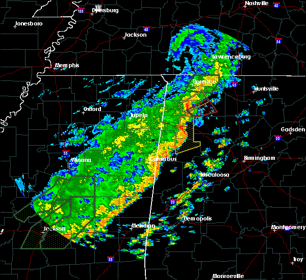 At 122 pm cdt, severe thunderstorms were located along a line extending from near hackleburg to near lake buttahatchee to near glen allen to near bluff, moving northeast at 50 mph (radar indicated). Hazards include 60 mph wind gusts. Expect damage to roofs, siding, and trees. locations impacted include, winfield, fayette, haleyville, guin, hackleburg, brilliant, glen allen, belk, gu- win, bluff, brinn, lake buttahatchee, bear creek, twin, tucker, wayside, richard arthur field, piney grove, bazemore and tessner. A tornado watch remains in effect until 800 pm cdt for northwestern, west central alabama. At 122 pm cdt, severe thunderstorms were located along a line extending from near hackleburg to near lake buttahatchee to near glen allen to near bluff, moving northeast at 50 mph (radar indicated). Hazards include 60 mph wind gusts. Expect damage to roofs, siding, and trees. locations impacted include, winfield, fayette, haleyville, guin, hackleburg, brilliant, glen allen, belk, gu- win, bluff, brinn, lake buttahatchee, bear creek, twin, tucker, wayside, richard arthur field, piney grove, bazemore and tessner. A tornado watch remains in effect until 800 pm cdt for northwestern, west central alabama.
|
| 6/23/2017 1:22 PM CDT |
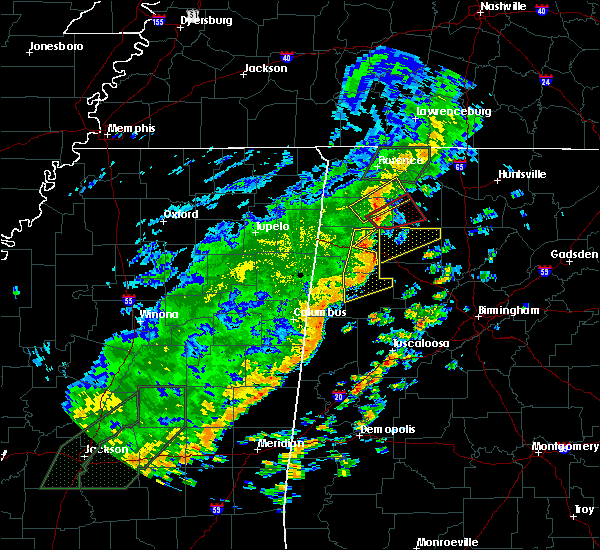 At 122 pm cdt, severe thunderstorms were located along a line extending from near hackleburg to near lake buttahatchee to near glen allen to near bluff, moving northeast at 50 mph (radar indicated). Hazards include 60 mph wind gusts. Expect damage to roofs, siding, and trees. locations impacted include, winfield, fayette, haleyville, guin, hackleburg, brilliant, glen allen, belk, gu- win, bluff, brinn, lake buttahatchee, bear creek, twin, tucker, wayside, richard arthur field, piney grove, bazemore and tessner. A tornado watch remains in effect until 800 pm cdt for northwestern, west central alabama. At 122 pm cdt, severe thunderstorms were located along a line extending from near hackleburg to near lake buttahatchee to near glen allen to near bluff, moving northeast at 50 mph (radar indicated). Hazards include 60 mph wind gusts. Expect damage to roofs, siding, and trees. locations impacted include, winfield, fayette, haleyville, guin, hackleburg, brilliant, glen allen, belk, gu- win, bluff, brinn, lake buttahatchee, bear creek, twin, tucker, wayside, richard arthur field, piney grove, bazemore and tessner. A tornado watch remains in effect until 800 pm cdt for northwestern, west central alabama.
|
| 6/23/2017 1:16 PM CDT |
 At 115 pm cdt, severe thunderstorms were located along a line extending from near brinn to near brilliant to near bluff to near blooming grove, moving east at 40 mph (radar indicated). Hazards include 60 mph wind gusts. Expect damage to roofs, siding, and trees. locations impacted include, hamilton, winfield, fayette, haleyville, guin, hackleburg, brilliant, glen allen, belk, gu- win, bluff, brinn, lake buttahatchee, bear creek, twin, tucker, wayside, richard arthur field, piney grove and bazemore. A tornado watch remains in effect until 800 pm cdt for northwestern, west central alabama. At 115 pm cdt, severe thunderstorms were located along a line extending from near brinn to near brilliant to near bluff to near blooming grove, moving east at 40 mph (radar indicated). Hazards include 60 mph wind gusts. Expect damage to roofs, siding, and trees. locations impacted include, hamilton, winfield, fayette, haleyville, guin, hackleburg, brilliant, glen allen, belk, gu- win, bluff, brinn, lake buttahatchee, bear creek, twin, tucker, wayside, richard arthur field, piney grove and bazemore. A tornado watch remains in effect until 800 pm cdt for northwestern, west central alabama.
|
| 6/23/2017 12:52 PM CDT |
 At 1251 pm cdt, severe thunderstorms were located along a line extending from 6 miles north of weston to near hamilton to near beaverton to 6 miles east of caledonia, moving northeast at 45 mph (radar indicated). Hazards include 60 mph wind gusts. expect damage to roofs, siding, and trees At 1251 pm cdt, severe thunderstorms were located along a line extending from 6 miles north of weston to near hamilton to near beaverton to 6 miles east of caledonia, moving northeast at 45 mph (radar indicated). Hazards include 60 mph wind gusts. expect damage to roofs, siding, and trees
|
| 5/28/2017 1:46 AM CDT |
 At 146 am cdt, severe thunderstorms were located along a line extending from near bluff to near lynn, moving southeast at 50 mph (trained weather spotters). Hazards include 70 mph wind gusts. Expect considerable tree damage. damage is likely to mobile homes, roofs, and outbuildings. Locations impacted include, hamilton, winfield, haleyville, guin, brilliant, glen allen, gu- win, brinn, weston, lake buttahatchee, bear creek, twin, tucker, pearces mill, rankin fite airport, texas, byrd, marion county public lake, piney grove and pikeville. At 146 am cdt, severe thunderstorms were located along a line extending from near bluff to near lynn, moving southeast at 50 mph (trained weather spotters). Hazards include 70 mph wind gusts. Expect considerable tree damage. damage is likely to mobile homes, roofs, and outbuildings. Locations impacted include, hamilton, winfield, haleyville, guin, brilliant, glen allen, gu- win, brinn, weston, lake buttahatchee, bear creek, twin, tucker, pearces mill, rankin fite airport, texas, byrd, marion county public lake, piney grove and pikeville.
|
| 5/28/2017 1:30 AM CDT |
 At 130 am cdt, severe thunderstorms were located along a line extending from near crews to near haleyville, moving southeast at 50 mph (radar indicated). Hazards include 70 mph wind gusts. Expect considerable tree damage. damage is likely to mobile homes, roofs, and outbuildings. Locations impacted include, hamilton, winfield, haleyville, guin, hackleburg, brilliant, glen allen, gu-win, weston, brinn, lake buttahatchee, bear creek, twin, tucker, rankin fite airport, marion county public lake, piney grove, tessner, shottsville and pearces mill. At 130 am cdt, severe thunderstorms were located along a line extending from near crews to near haleyville, moving southeast at 50 mph (radar indicated). Hazards include 70 mph wind gusts. Expect considerable tree damage. damage is likely to mobile homes, roofs, and outbuildings. Locations impacted include, hamilton, winfield, haleyville, guin, hackleburg, brilliant, glen allen, gu-win, weston, brinn, lake buttahatchee, bear creek, twin, tucker, rankin fite airport, marion county public lake, piney grove, tessner, shottsville and pearces mill.
|
| 5/28/2017 1:11 AM CDT |
 At 111 am cdt, severe thunderstorms were located along a line extending from near new salem to near hackleburg, moving southeast at 55 mph (radar indicated). Hazards include 70 mph wind gusts. Expect considerable tree damage. damage is likely to mobile homes, roofs, and outbuildings. Locations impacted include, hamilton, winfield, haleyville, guin, hackleburg, brilliant, glen allen, gu- win, weston, brinn, lake buttahatchee, bear creek, twin, tucker, rankin fite airport, marion county public lake, piney grove, tessner, shottsville and pearces mill. At 111 am cdt, severe thunderstorms were located along a line extending from near new salem to near hackleburg, moving southeast at 55 mph (radar indicated). Hazards include 70 mph wind gusts. Expect considerable tree damage. damage is likely to mobile homes, roofs, and outbuildings. Locations impacted include, hamilton, winfield, haleyville, guin, hackleburg, brilliant, glen allen, gu- win, weston, brinn, lake buttahatchee, bear creek, twin, tucker, rankin fite airport, marion county public lake, piney grove, tessner, shottsville and pearces mill.
|
| 5/28/2017 12:50 AM CDT |
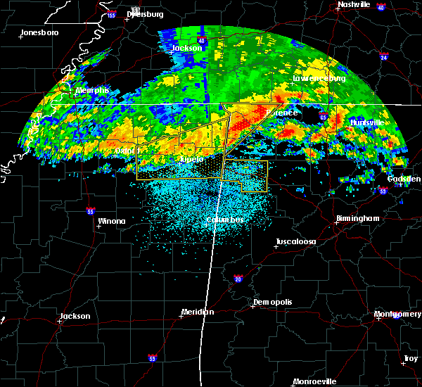 At 1249 am cdt, severe thunderstorms were located along a line extending from near tombigbee state park to 7 miles northeast of red bay, moving southeast at 50 mph (radar indicated). Hazards include 70 mph wind gusts. Expect considerable tree damage. Damage is likely to mobile homes, roofs, and outbuildings. At 1249 am cdt, severe thunderstorms were located along a line extending from near tombigbee state park to 7 miles northeast of red bay, moving southeast at 50 mph (radar indicated). Hazards include 70 mph wind gusts. Expect considerable tree damage. Damage is likely to mobile homes, roofs, and outbuildings.
|
| 4/30/2017 12:54 PM CDT |
 At 1254 pm cdt, severe thunderstorms were located along a line extending from near hackleburg to near haleyville to boley springs, moving northeast at 50 mph (radar indicated). Hazards include 70 mph wind gusts. Expect considerable tree damage. Damage is likely to mobile homes, roofs, and outbuildings. At 1254 pm cdt, severe thunderstorms were located along a line extending from near hackleburg to near haleyville to boley springs, moving northeast at 50 mph (radar indicated). Hazards include 70 mph wind gusts. Expect considerable tree damage. Damage is likely to mobile homes, roofs, and outbuildings.
|
| 4/30/2017 12:40 PM CDT | Trees were blown down along brookside road in brillian in marion county AL, 1.7 miles W of Brilliant, AL |
| 4/30/2017 12:37 PM CDT |
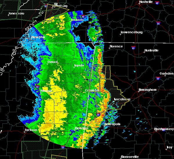 At 1236 pm cdt, severe thunderstorms were located along a line extending from near hackleburg to winfield, moving east at 35 mph (radar indicated). Hazards include 70 mph wind gusts. Expect considerable tree damage. Damage is likely to mobile homes, roofs, and outbuildings. At 1236 pm cdt, severe thunderstorms were located along a line extending from near hackleburg to winfield, moving east at 35 mph (radar indicated). Hazards include 70 mph wind gusts. Expect considerable tree damage. Damage is likely to mobile homes, roofs, and outbuildings.
|
| 4/30/2017 12:19 PM CDT |
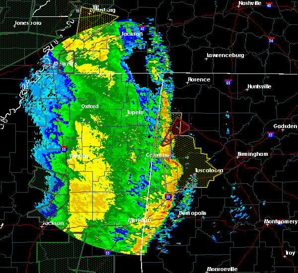 At 1219 pm cdt, a severe thunderstorm capable of producing a tornado was located near blooming grove, or 7 miles southeast of sulligent, moving northeast at 40 mph (radar indicated rotation). Hazards include tornado. Flying debris will be dangerous to those caught without shelter. mobile homes will be damaged or destroyed. damage to roofs, windows, and vehicles will occur. Tree damage is likely. At 1219 pm cdt, a severe thunderstorm capable of producing a tornado was located near blooming grove, or 7 miles southeast of sulligent, moving northeast at 40 mph (radar indicated rotation). Hazards include tornado. Flying debris will be dangerous to those caught without shelter. mobile homes will be damaged or destroyed. damage to roofs, windows, and vehicles will occur. Tree damage is likely.
|
| 4/30/2017 11:53 AM CDT |
 At 1153 am cdt, severe thunderstorms were located along a line extending from near new salem to near steens, moving northeast at 70 mph (radar indicated). Hazards include 60 mph wind gusts. expect damage to roofs, siding, and trees At 1153 am cdt, severe thunderstorms were located along a line extending from near new salem to near steens, moving northeast at 70 mph (radar indicated). Hazards include 60 mph wind gusts. expect damage to roofs, siding, and trees
|
| 3/10/2017 12:12 AM CST |
 At 1212 am cst, a severe thunderstorm was located over lake buttahatchee, or 9 miles southwest of haleyville, moving east at 45 mph (radar indicated). Hazards include 60 mph wind gusts and half dollar size hail. Hail damage to vehicles is expected. expect wind damage to roofs, siding, and trees. Locations impacted include, haleyville, lake buttahatchee, brinn, bear creek and piney grove. At 1212 am cst, a severe thunderstorm was located over lake buttahatchee, or 9 miles southwest of haleyville, moving east at 45 mph (radar indicated). Hazards include 60 mph wind gusts and half dollar size hail. Hail damage to vehicles is expected. expect wind damage to roofs, siding, and trees. Locations impacted include, haleyville, lake buttahatchee, brinn, bear creek and piney grove.
|
| 3/9/2017 11:58 PM CST |
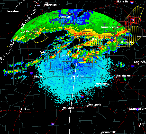 At 1158 pm cst, a severe thunderstorm was located near hamilton, moving east at 45 mph (radar indicated). Hazards include ping pong ball size hail and 60 mph wind gusts. People and animals outdoors will be injured. expect hail damage to roofs, siding, windows, and vehicles. expect wind damage to roofs, siding, and trees. Locations impacted include, hamilton, haleyville, weston, lake buttahatchee, brinn, bear creek, rankin fite airport, pearces mill and piney grove. At 1158 pm cst, a severe thunderstorm was located near hamilton, moving east at 45 mph (radar indicated). Hazards include ping pong ball size hail and 60 mph wind gusts. People and animals outdoors will be injured. expect hail damage to roofs, siding, windows, and vehicles. expect wind damage to roofs, siding, and trees. Locations impacted include, hamilton, haleyville, weston, lake buttahatchee, brinn, bear creek, rankin fite airport, pearces mill and piney grove.
|
| 3/9/2017 11:49 PM CST |
 At 1148 pm cst, a severe thunderstorm was located over weston, or near hamilton, moving east at 45 mph (radar indicated). Hazards include 60 mph wind gusts and half dollar size hail. Hail damage to vehicles is expected. Expect wind damage to roofs, siding, and trees. At 1148 pm cst, a severe thunderstorm was located over weston, or near hamilton, moving east at 45 mph (radar indicated). Hazards include 60 mph wind gusts and half dollar size hail. Hail damage to vehicles is expected. Expect wind damage to roofs, siding, and trees.
|
| 3/9/2017 6:49 PM CST |
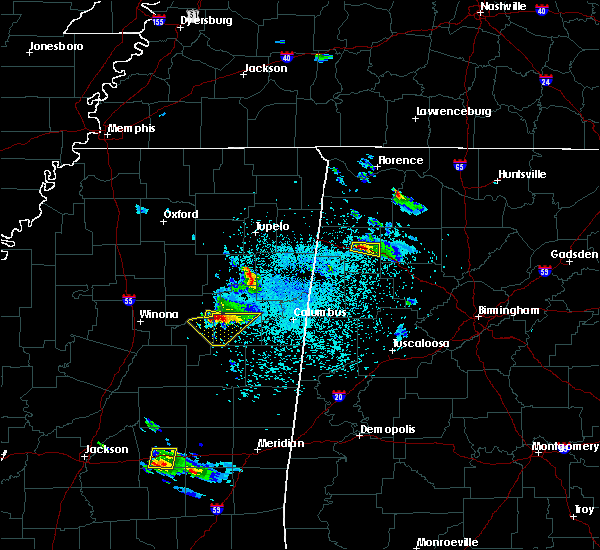 At 648 pm cst, a severe thunderstorm was located over brinn, or 9 miles east of hamilton, moving east at 25 mph. this storm has a history of producing nickel to quarter sized hail (radar indicated). Hazards include 60 mph wind gusts and quarter size hail. Hail damage to vehicles is expected. expect wind damage to roofs, siding, and trees. Locations impacted include, lake buttahatchee, brinn, pearces mill and piney grove. At 648 pm cst, a severe thunderstorm was located over brinn, or 9 miles east of hamilton, moving east at 25 mph. this storm has a history of producing nickel to quarter sized hail (radar indicated). Hazards include 60 mph wind gusts and quarter size hail. Hail damage to vehicles is expected. expect wind damage to roofs, siding, and trees. Locations impacted include, lake buttahatchee, brinn, pearces mill and piney grove.
|
| 3/9/2017 6:44 PM CST |
 At 644 pm cst, a severe thunderstorm was located near brinn, or near hamilton, moving east at 25 mph. this storm has a history of producing nickle to quarter-sized hail (radar indicated). Hazards include 60 mph wind gusts and quarter size hail. Hail damage to vehicles is expected. Expect wind damage to roofs, siding, and trees. At 644 pm cst, a severe thunderstorm was located near brinn, or near hamilton, moving east at 25 mph. this storm has a history of producing nickle to quarter-sized hail (radar indicated). Hazards include 60 mph wind gusts and quarter size hail. Hail damage to vehicles is expected. Expect wind damage to roofs, siding, and trees.
|
| 3/9/2017 6:31 PM CST |
 At 630 pm cst, a severe thunderstorm was located near brinn, or near hamilton, moving east at 30 mph (radar indicated). Hazards include 60 mph wind gusts and quarter size hail. this storm has produced hail from nickle to quarter size. Hail damage to vehicles is expected. expect wind damage to roofs, siding, and trees. Locations impacted include, hamilton, lake buttahatchee, brinn, rankin fite airport, pearces mill and piney grove. At 630 pm cst, a severe thunderstorm was located near brinn, or near hamilton, moving east at 30 mph (radar indicated). Hazards include 60 mph wind gusts and quarter size hail. this storm has produced hail from nickle to quarter size. Hail damage to vehicles is expected. expect wind damage to roofs, siding, and trees. Locations impacted include, hamilton, lake buttahatchee, brinn, rankin fite airport, pearces mill and piney grove.
|
| 3/9/2017 6:20 PM CST |
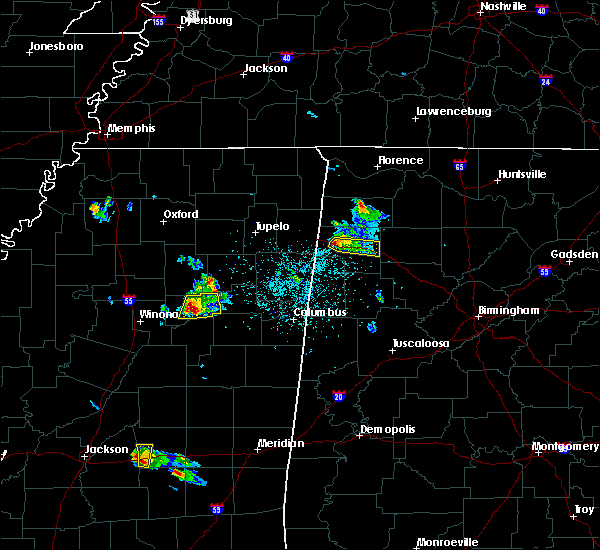 At 620 pm cst, a severe thunderstorm was located over hamilton, moving east at 30 mph (radar indicated). Hazards include 60 mph wind gusts and quarter size hail. Hail damage to vehicles is expected. expect wind damage to roofs, siding, and trees. Locations impacted include, hamilton, weston, lake buttahatchee, brinn, rankin fite airport, pearces mill and piney grove. At 620 pm cst, a severe thunderstorm was located over hamilton, moving east at 30 mph (radar indicated). Hazards include 60 mph wind gusts and quarter size hail. Hail damage to vehicles is expected. expect wind damage to roofs, siding, and trees. Locations impacted include, hamilton, weston, lake buttahatchee, brinn, rankin fite airport, pearces mill and piney grove.
|
| 3/9/2017 6:06 PM CST |
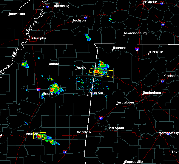 At 606 pm cst, a severe thunderstorm was located near weston, or 7 miles northwest of hamilton, moving east at 30 mph (radar indicated). Hazards include 60 mph wind gusts and half dollar size hail. Hail damage to vehicles is expected. expect wind damage to roofs, siding, and trees. Locations impacted include, hamilton, weston, lake buttahatchee, brinn, bexar, pearces mill, rankin fite airport and piney grove. At 606 pm cst, a severe thunderstorm was located near weston, or 7 miles northwest of hamilton, moving east at 30 mph (radar indicated). Hazards include 60 mph wind gusts and half dollar size hail. Hail damage to vehicles is expected. expect wind damage to roofs, siding, and trees. Locations impacted include, hamilton, weston, lake buttahatchee, brinn, bexar, pearces mill, rankin fite airport and piney grove.
|
| 3/9/2017 5:54 PM CST |
 At 553 pm cst, a severe thunderstorm was located near tremont, or 11 miles southeast of fulton, moving east at 30 mph (radar indicated). Hazards include 60 mph wind gusts and half dollar size hail. Hail damage to vehicles is expected. expect wind damage to roofs, siding, and trees. Locations impacted include, hamilton, weston, lake buttahatchee, brinn, bear creek, tessner, bexar, shottsville, pearces mill, rankin fite airport and piney grove. At 553 pm cst, a severe thunderstorm was located near tremont, or 11 miles southeast of fulton, moving east at 30 mph (radar indicated). Hazards include 60 mph wind gusts and half dollar size hail. Hail damage to vehicles is expected. expect wind damage to roofs, siding, and trees. Locations impacted include, hamilton, weston, lake buttahatchee, brinn, bear creek, tessner, bexar, shottsville, pearces mill, rankin fite airport and piney grove.
|
| 3/9/2017 5:50 PM CST |
 At 550 pm cst, a severe thunderstorm was located over tremont, or 9 miles southeast of fulton, moving east at 30 mph (radar indicated). Hazards include 60 mph wind gusts and half dollar size hail. Hail damage to vehicles is expected. Expect wind damage to roofs, siding, and trees. At 550 pm cst, a severe thunderstorm was located over tremont, or 9 miles southeast of fulton, moving east at 30 mph (radar indicated). Hazards include 60 mph wind gusts and half dollar size hail. Hail damage to vehicles is expected. Expect wind damage to roofs, siding, and trees.
|
| 2/8/2017 6:37 PM CST |
 At 637 pm cst, a severe thunderstorm was located near brilliant, or near winfield, moving east at 40 mph (radar indicated). Hazards include 60 mph wind gusts. Expect damage to roofs, siding, and trees. Locations impacted include, winfield, brilliant, glen allen, gu-win, twin, tucker and texas. At 637 pm cst, a severe thunderstorm was located near brilliant, or near winfield, moving east at 40 mph (radar indicated). Hazards include 60 mph wind gusts. Expect damage to roofs, siding, and trees. Locations impacted include, winfield, brilliant, glen allen, gu-win, twin, tucker and texas.
|
| 2/8/2017 6:26 PM CST |
 At 626 pm cst, a severe thunderstorm was located over guin, or 8 miles northwest of winfield, moving east at 45 mph (radar indicated). Hazards include 60 mph wind gusts and nickel size hail. Expect damage to roofs, siding, and trees. Locations impacted include, winfield, guin, brilliant, glen allen, beaverton, gu- win, twin, tucker, pikeville, texas and marion county public lake. At 626 pm cst, a severe thunderstorm was located over guin, or 8 miles northwest of winfield, moving east at 45 mph (radar indicated). Hazards include 60 mph wind gusts and nickel size hail. Expect damage to roofs, siding, and trees. Locations impacted include, winfield, guin, brilliant, glen allen, beaverton, gu- win, twin, tucker, pikeville, texas and marion county public lake.
|
| 2/8/2017 6:15 PM CST |
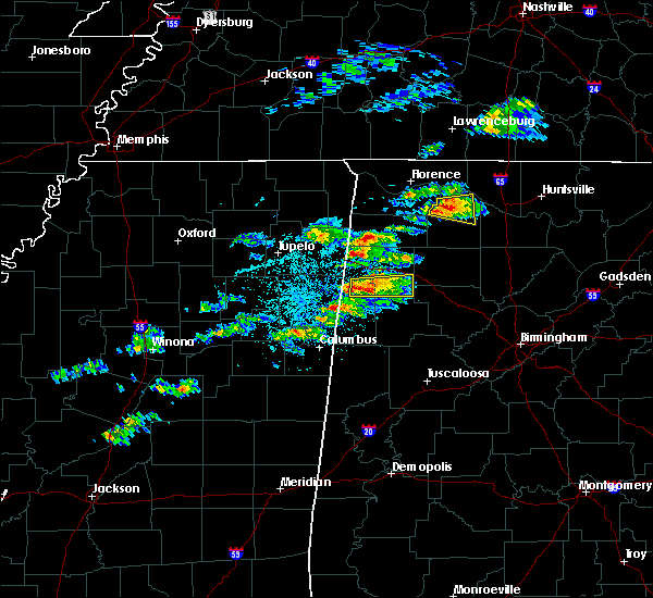 At 615 pm cst, a severe thunderstorm was located near beaverton, or 8 miles northeast of sulligent, moving east at 40 mph (radar indicated). Hazards include 60 mph wind gusts and quarter size hail. Hail damage to vehicles is expected. Expect wind damage to roofs, siding, and trees. At 615 pm cst, a severe thunderstorm was located near beaverton, or 8 miles northeast of sulligent, moving east at 40 mph (radar indicated). Hazards include 60 mph wind gusts and quarter size hail. Hail damage to vehicles is expected. Expect wind damage to roofs, siding, and trees.
|
| 11/30/2016 12:19 AM CST |
 At 1219 am cst, a confirmed tornado was located near lake buttahatchee, or 9 miles west of lynn, moving northeast at 40 mph (radar confirmed tornado). Hazards include damaging tornado. Flying debris will be dangerous to those caught without shelter. mobile homes will be damaged or destroyed. damage to roofs, windows, and vehicles will occur. tree damage is likely. Locations impacted include, brilliant, lake buttahatchee and piney grove. At 1219 am cst, a confirmed tornado was located near lake buttahatchee, or 9 miles west of lynn, moving northeast at 40 mph (radar confirmed tornado). Hazards include damaging tornado. Flying debris will be dangerous to those caught without shelter. mobile homes will be damaged or destroyed. damage to roofs, windows, and vehicles will occur. tree damage is likely. Locations impacted include, brilliant, lake buttahatchee and piney grove.
|
| 11/30/2016 12:08 AM CST |
 At 1208 am cst, a confirmed large and extremely dangerous tornado was located over brilliant, or near winfield, moving northeast at 60 mph. this is a particularly dangerous situation. take cover now! (radar confirmed tornado). Hazards include damaging tornado. You are in a life-threatening situation. flying debris may be deadly to those caught without shelter. mobile homes will be destroyed. considerable damage to homes, businesses, and vehicles is likely and complete destruction is possible. Locations impacted include, winfield, guin, brilliant, gu-win, lake buttahatchee, twin, tucker and piney grove. At 1208 am cst, a confirmed large and extremely dangerous tornado was located over brilliant, or near winfield, moving northeast at 60 mph. this is a particularly dangerous situation. take cover now! (radar confirmed tornado). Hazards include damaging tornado. You are in a life-threatening situation. flying debris may be deadly to those caught without shelter. mobile homes will be destroyed. considerable damage to homes, businesses, and vehicles is likely and complete destruction is possible. Locations impacted include, winfield, guin, brilliant, gu-win, lake buttahatchee, twin, tucker and piney grove.
|
| 11/30/2016 12:01 AM CST |
 At 1201 am cst, a confirmed tornado was located over guin, or near winfield, moving northeast at 40 mph (radar confirmed tornado). Hazards include damaging tornado. Flying debris will be dangerous to those caught without shelter. mobile homes will be damaged or destroyed. damage to roofs, windows, and vehicles will occur. tree damage is likely. Locations impacted include, winfield, guin, brilliant, glen allen, gu-win, lake buttahatchee, twin, tucker, piney grove and texas. At 1201 am cst, a confirmed tornado was located over guin, or near winfield, moving northeast at 40 mph (radar confirmed tornado). Hazards include damaging tornado. Flying debris will be dangerous to those caught without shelter. mobile homes will be damaged or destroyed. damage to roofs, windows, and vehicles will occur. tree damage is likely. Locations impacted include, winfield, guin, brilliant, glen allen, gu-win, lake buttahatchee, twin, tucker, piney grove and texas.
|
| 11/29/2016 11:55 PM CST |
 At 1155 pm cst, a confirmed tornado was located near beaverton, or 8 miles east of sulligent, moving northeast at 40 mph (radar confirmed tornado). Hazards include damaging tornado. Flying debris will be dangerous to those caught without shelter. mobile homes will be damaged or destroyed. damage to roofs, windows, and vehicles will occur. tree damage is likely. Locations impacted include, winfield, guin, brilliant, glen allen, beaverton, gu-win, lake buttahatchee, twin, tucker, wayside, piney grove and texas. At 1155 pm cst, a confirmed tornado was located near beaverton, or 8 miles east of sulligent, moving northeast at 40 mph (radar confirmed tornado). Hazards include damaging tornado. Flying debris will be dangerous to those caught without shelter. mobile homes will be damaged or destroyed. damage to roofs, windows, and vehicles will occur. tree damage is likely. Locations impacted include, winfield, guin, brilliant, glen allen, beaverton, gu-win, lake buttahatchee, twin, tucker, wayside, piney grove and texas.
|
| 11/29/2016 11:45 PM CST |
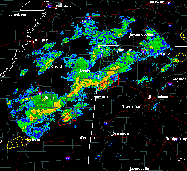 At 1145 pm cst, a confirmed large and extremely dangerous tornado was located over crews, or near sulligent, moving northeast at 55 mph. this is a particularly dangerous situation. take cover now! (radar confirmed tornado). Hazards include damaging tornado. You are in a life-threatening situation. flying debris may be deadly to those caught without shelter. mobile homes will be destroyed. considerable damage to homes, businesses, and vehicles is likely and complete destruction is possible. Locations impacted include, winfield, sulligent, guin, brilliant, glen allen, beaverton, gu-win, crews, lake buttahatchee, lamar county airport, twin, piney grove, texas, tucker, wayside and bazemore. At 1145 pm cst, a confirmed large and extremely dangerous tornado was located over crews, or near sulligent, moving northeast at 55 mph. this is a particularly dangerous situation. take cover now! (radar confirmed tornado). Hazards include damaging tornado. You are in a life-threatening situation. flying debris may be deadly to those caught without shelter. mobile homes will be destroyed. considerable damage to homes, businesses, and vehicles is likely and complete destruction is possible. Locations impacted include, winfield, sulligent, guin, brilliant, glen allen, beaverton, gu-win, crews, lake buttahatchee, lamar county airport, twin, piney grove, texas, tucker, wayside and bazemore.
|
| 11/29/2016 11:43 PM CST |
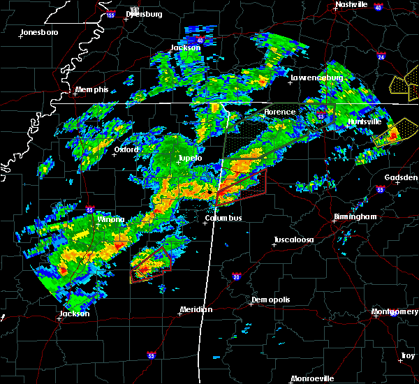 At 1143 pm cst, a confirmed tornado was located over lamar county airport, or near sulligent, moving northeast at 55 mph (radar confirmed tornado). Hazards include damaging tornado. Flying debris will be dangerous to those caught without shelter. mobile homes will be damaged or destroyed. damage to roofs, windows, and vehicles will occur. tree damage is likely. Locations impacted include, winfield, vernon, sulligent, guin, brilliant, glen allen, beaverton, gu-win, lamar county airport, crews, lake buttahatchee, twin, piney grove, texas, tucker, wayside and bazemore. At 1143 pm cst, a confirmed tornado was located over lamar county airport, or near sulligent, moving northeast at 55 mph (radar confirmed tornado). Hazards include damaging tornado. Flying debris will be dangerous to those caught without shelter. mobile homes will be damaged or destroyed. damage to roofs, windows, and vehicles will occur. tree damage is likely. Locations impacted include, winfield, vernon, sulligent, guin, brilliant, glen allen, beaverton, gu-win, lamar county airport, crews, lake buttahatchee, twin, piney grove, texas, tucker, wayside and bazemore.
|
| 11/29/2016 11:35 PM CST |
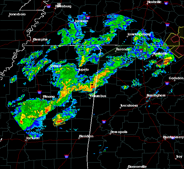 At 1135 pm cst, a severe thunderstorm capable of producing a tornado was located over bedford, or near vernon, moving northeast at 50 mph (radar indicated rotation). Hazards include tornado. Flying debris will be dangerous to those caught without shelter. mobile homes will be damaged or destroyed. damage to roofs, windows, and vehicles will occur. Tree damage is likely. At 1135 pm cst, a severe thunderstorm capable of producing a tornado was located over bedford, or near vernon, moving northeast at 50 mph (radar indicated rotation). Hazards include tornado. Flying debris will be dangerous to those caught without shelter. mobile homes will be damaged or destroyed. damage to roofs, windows, and vehicles will occur. Tree damage is likely.
|
| 11/29/2016 8:04 PM CST | Several trees and powerlines down in brilliant. possible tornad in marion county AL, 0.1 miles N of Brilliant, AL |
| 11/29/2016 7:55 PM CST |
 The severe thunderstorm warning for northeastern lamar and marion counties will expire at 800 pm cst, the storm which prompted the warning has moved out of the area. therefore the warning will be allowed to expire. a tornado watch remains in effect until 1000 pm cst for west central and northwestern alabama. The severe thunderstorm warning for northeastern lamar and marion counties will expire at 800 pm cst, the storm which prompted the warning has moved out of the area. therefore the warning will be allowed to expire. a tornado watch remains in effect until 1000 pm cst for west central and northwestern alabama.
|
| 11/29/2016 7:50 PM CST |
 At 750 pm cst, a confirmed tornado was located over lake buttahatchee, or 7 miles southwest of haleyville, moving northeast at 40 mph (radar confirmed tornado). Hazards include damaging tornado. Flying debris will be dangerous to those caught without shelter. mobile homes will be damaged or destroyed. damage to roofs, windows, and vehicles will occur. tree damage is likely. Locations impacted include, haleyville, double springs, ashridge, houston recreational area, needmore, brinn, winston free state barn, lake buttahatchee, bear creek, natural bridge, sipsey river rec area, piney grove, mill creek, upper bear creek reservoir, cane creek, delmar, weiss, pebble, posey field airport and winston county airport. At 750 pm cst, a confirmed tornado was located over lake buttahatchee, or 7 miles southwest of haleyville, moving northeast at 40 mph (radar confirmed tornado). Hazards include damaging tornado. Flying debris will be dangerous to those caught without shelter. mobile homes will be damaged or destroyed. damage to roofs, windows, and vehicles will occur. tree damage is likely. Locations impacted include, haleyville, double springs, ashridge, houston recreational area, needmore, brinn, winston free state barn, lake buttahatchee, bear creek, natural bridge, sipsey river rec area, piney grove, mill creek, upper bear creek reservoir, cane creek, delmar, weiss, pebble, posey field airport and winston county airport.
|
| 11/29/2016 7:41 PM CST |
 At 740 pm cst, a confirmed tornado was located near lake buttahatchee, or 11 miles north of winfield, moving northeast at 40 mph (radar confirmed tornado). Hazards include damaging tornado. Flying debris will be dangerous to those caught without shelter. mobile homes will be damaged or destroyed. damage to roofs, windows, and vehicles will occur. tree damage is likely. Locations impacted include, haleyville, lynn, double springs, brilliant, ashridge, corinth rec area, houston recreational area, needmore, brinn, winston free state barn, lake buttahatchee, smith lake, bear creek, natural bridge, hullett branch, sipsey river rec area, piney grove, cane creek, rockhouse creek and pearces mill. At 740 pm cst, a confirmed tornado was located near lake buttahatchee, or 11 miles north of winfield, moving northeast at 40 mph (radar confirmed tornado). Hazards include damaging tornado. Flying debris will be dangerous to those caught without shelter. mobile homes will be damaged or destroyed. damage to roofs, windows, and vehicles will occur. tree damage is likely. Locations impacted include, haleyville, lynn, double springs, brilliant, ashridge, corinth rec area, houston recreational area, needmore, brinn, winston free state barn, lake buttahatchee, smith lake, bear creek, natural bridge, hullett branch, sipsey river rec area, piney grove, cane creek, rockhouse creek and pearces mill.
|
| 11/29/2016 7:38 PM CST | Barn damage(unknown how much) and tree across road near state hwy 129 and sawmill road. possible tornado. time based on rada in marion county AL, 5.7 miles SSW of Brilliant, AL |
| 11/29/2016 7:35 PM CST |
 At 734 pm cst, a severe thunderstorm capable of producing a tornado was located over brilliant, or 8 miles north of winfield, moving northeast at 45 mph (radar indicated rotation). Hazards include tornado. Flying debris will be dangerous to those caught without shelter. mobile homes will be damaged or destroyed. damage to roofs, windows, and vehicles will occur. tree damage is likely. Locations impacted include, winfield, haleyville, lynn, arley, double springs, brilliant, falls city, ashridge, corinth rec area, ashbank, houston recreational area, needmore, brinn, winston free state barn, poplar springs, lake buttahatchee, smith lake, bear creek, twin and natural bridge. At 734 pm cst, a severe thunderstorm capable of producing a tornado was located over brilliant, or 8 miles north of winfield, moving northeast at 45 mph (radar indicated rotation). Hazards include tornado. Flying debris will be dangerous to those caught without shelter. mobile homes will be damaged or destroyed. damage to roofs, windows, and vehicles will occur. tree damage is likely. Locations impacted include, winfield, haleyville, lynn, arley, double springs, brilliant, falls city, ashridge, corinth rec area, ashbank, houston recreational area, needmore, brinn, winston free state barn, poplar springs, lake buttahatchee, smith lake, bear creek, twin and natural bridge.
|
| 11/29/2016 7:28 PM CST |
 At 727 pm cst, a severe thunderstorm capable of producing a tornado was located near gu-win, or near winfield, moving northeast at 45 mph (radar indicated rotation). Hazards include tornado. Flying debris will be dangerous to those caught without shelter. mobile homes will be damaged or destroyed. damage to roofs, windows, and vehicles will occur. Tree damage is likely. At 727 pm cst, a severe thunderstorm capable of producing a tornado was located near gu-win, or near winfield, moving northeast at 45 mph (radar indicated rotation). Hazards include tornado. Flying debris will be dangerous to those caught without shelter. mobile homes will be damaged or destroyed. damage to roofs, windows, and vehicles will occur. Tree damage is likely.
|
| 11/29/2016 7:24 PM CST |
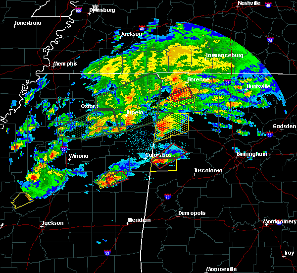 At 723 pm cst, a severe thunderstorm was located near hamilton, moving northeast at 50 mph (radar indicated). Hazards include 60 mph wind gusts and quarter size hail. Hail damage to vehicles is expected. expect wind damage to roofs, siding, and trees. locations impacted include, hamilton, winfield, haleyville, guin, hackleburg, brilliant, beaverton, gu-win, brinn, lake buttahatchee, weston, bear creek, twin, piney grove, upper bear creek reservoir, marion county public lake, tessner, tucker, pigeye and pikeville. A tornado watch remains in effect until 1000 pm cst for west central and northwestern alabama. At 723 pm cst, a severe thunderstorm was located near hamilton, moving northeast at 50 mph (radar indicated). Hazards include 60 mph wind gusts and quarter size hail. Hail damage to vehicles is expected. expect wind damage to roofs, siding, and trees. locations impacted include, hamilton, winfield, haleyville, guin, hackleburg, brilliant, beaverton, gu-win, brinn, lake buttahatchee, weston, bear creek, twin, piney grove, upper bear creek reservoir, marion county public lake, tessner, tucker, pigeye and pikeville. A tornado watch remains in effect until 1000 pm cst for west central and northwestern alabama.
|
| 11/29/2016 6:53 PM CST |
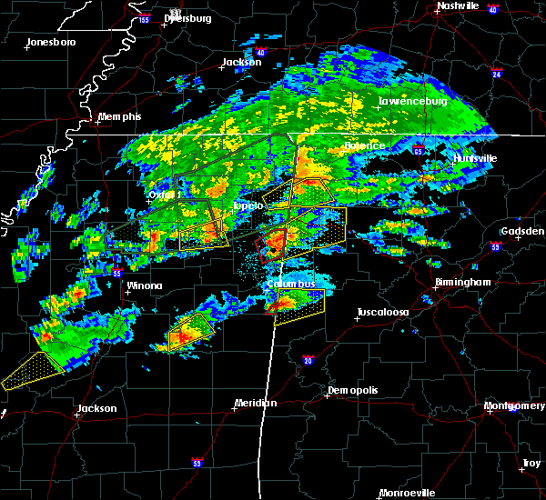 At 653 pm cst, a severe thunderstorm was located 8 miles southwest of detroit, or 9 miles northwest of sulligent, moving northeast at 50 mph (radar indicated). Hazards include 60 mph wind gusts and quarter size hail. Hail damage to vehicles is expected. Expect wind damage to roofs, siding, and trees. At 653 pm cst, a severe thunderstorm was located 8 miles southwest of detroit, or 9 miles northwest of sulligent, moving northeast at 50 mph (radar indicated). Hazards include 60 mph wind gusts and quarter size hail. Hail damage to vehicles is expected. Expect wind damage to roofs, siding, and trees.
|
| 6/17/2016 2:05 PM CDT |
 At 205 pm cdt, severe thunderstorms were located along a line extending from near guin to near smith dam, moving southeast at 30 mph (radar indicated). Hazards include 60 mph wind gusts and quarter size hail. Hail damage to vehicles is expected. expect wind damage to roofs, siding, and trees. Locations impacted include, jasper, hamilton, winfield, fayette, sumiton, cordova, dora, carbon hill, lynn, arley, guin, berry, double springs, parrish, brilliant, oakman, glen allen, sipsey, west jefferson and kansas. At 205 pm cdt, severe thunderstorms were located along a line extending from near guin to near smith dam, moving southeast at 30 mph (radar indicated). Hazards include 60 mph wind gusts and quarter size hail. Hail damage to vehicles is expected. expect wind damage to roofs, siding, and trees. Locations impacted include, jasper, hamilton, winfield, fayette, sumiton, cordova, dora, carbon hill, lynn, arley, guin, berry, double springs, parrish, brilliant, oakman, glen allen, sipsey, west jefferson and kansas.
|
| 6/17/2016 1:44 PM CDT |
 At 144 pm cdt, severe thunderstorms were located along a line extending from near beaverton to near smith lake, moving south at 25 mph (radar indicated). Hazards include 60 mph wind gusts and quarter size hail. Hail damage to vehicles is expected. Expect wind damage to roofs, siding, and trees. At 144 pm cdt, severe thunderstorms were located along a line extending from near beaverton to near smith lake, moving south at 25 mph (radar indicated). Hazards include 60 mph wind gusts and quarter size hail. Hail damage to vehicles is expected. Expect wind damage to roofs, siding, and trees.
|
| 6/17/2016 1:34 PM CDT |
 At 134 pm cdt, severe thunderstorms were located along a line extending from near helicon to hackleburg to near tremont, moving southeast at 30 mph (radar indicated). Hazards include ping pong ball size hail and 60 mph wind gusts. People and animals outdoors will be injured. expect hail damage to roofs, siding, windows, and vehicles. expect wind damage to roofs, siding, and trees. Locations impacted include, hamilton, winfield, haleyville, lynn, arley, guin, hackleburg, double springs, brilliant, addison, glen allen, nauvoo, gu-win, sardis, camp mcdowell, helicon, brushy lake, smith lake, ashbank and inmanfield. At 134 pm cdt, severe thunderstorms were located along a line extending from near helicon to hackleburg to near tremont, moving southeast at 30 mph (radar indicated). Hazards include ping pong ball size hail and 60 mph wind gusts. People and animals outdoors will be injured. expect hail damage to roofs, siding, windows, and vehicles. expect wind damage to roofs, siding, and trees. Locations impacted include, hamilton, winfield, haleyville, lynn, arley, guin, hackleburg, double springs, brilliant, addison, glen allen, nauvoo, gu-win, sardis, camp mcdowell, helicon, brushy lake, smith lake, ashbank and inmanfield.
|
| 6/17/2016 12:48 PM CDT |
 At 1246 pm cdt, severe thunderstorms were located along a line extending from near sardis to near red bay, moving south at 20 mph (radar indicated). Hazards include ping pong ball size hail and 60 mph wind gusts. People and animals outdoors will be injured. expect hail damage to roofs, siding, windows, and vehicles. Expect wind damage to roofs, siding, and trees. At 1246 pm cdt, severe thunderstorms were located along a line extending from near sardis to near red bay, moving south at 20 mph (radar indicated). Hazards include ping pong ball size hail and 60 mph wind gusts. People and animals outdoors will be injured. expect hail damage to roofs, siding, windows, and vehicles. Expect wind damage to roofs, siding, and trees.
|
| 3/14/2016 6:22 AM CDT |
 At 622 am cdt, severe thunderstorms were located along a line extending from 6 miles northeast of hamilton to near brinn to near beaverton, moving east at 35 mph (radar indicated). Hazards include 60 mph wind gusts. Expect damage to roofs. siding and trees. Locations impacted include, hamilton, winfield, guin, brilliant, gu-win, brinn, lake buttahatchee, weston, bear creek, twin, piney grove, upper bear creek reservoir, marion county public lake, tessner, tucker, pikeville, pearces mill and rankin fite airport. At 622 am cdt, severe thunderstorms were located along a line extending from 6 miles northeast of hamilton to near brinn to near beaverton, moving east at 35 mph (radar indicated). Hazards include 60 mph wind gusts. Expect damage to roofs. siding and trees. Locations impacted include, hamilton, winfield, guin, brilliant, gu-win, brinn, lake buttahatchee, weston, bear creek, twin, piney grove, upper bear creek reservoir, marion county public lake, tessner, tucker, pikeville, pearces mill and rankin fite airport.
|
| 3/14/2016 6:10 AM CDT |
 At 610 am cdt, a severe thunderstorm was located near beaverton, or 9 miles south of hamilton, moving east northeast at 60 mph (radar indicated). Hazards include 60 mph wind gusts. Expect damage to roofs. Siding and trees. At 610 am cdt, a severe thunderstorm was located near beaverton, or 9 miles south of hamilton, moving east northeast at 60 mph (radar indicated). Hazards include 60 mph wind gusts. Expect damage to roofs. Siding and trees.
|
| 2/2/2016 8:13 PM CST |
 At 813 pm cst, a severe thunderstorm capable of producing a tornado was located over beaverton, or 7 miles east of sulligent, moving northeast at 45 mph (radar indicated rotation). Hazards include tornado. Flying debris will be dangerous to those caught without shelter. mobile homes will be damaged or destroyed. damage to roofs, windows and vehicles will occur. tree damage is likely. this dangerous storm will be near, guin and gu-win around 825 pm cst. hamilton around 830 pm cst. brinn and lake buttahatchee around 845 pm cst. hackleburg around 850 pm cst. Other locations impacted by this tornadic thunderstorm include twin, piney grove, pikeville, upper bear creek reservoir, marion county public lake, bear creek, pearces mill and tessner. At 813 pm cst, a severe thunderstorm capable of producing a tornado was located over beaverton, or 7 miles east of sulligent, moving northeast at 45 mph (radar indicated rotation). Hazards include tornado. Flying debris will be dangerous to those caught without shelter. mobile homes will be damaged or destroyed. damage to roofs, windows and vehicles will occur. tree damage is likely. this dangerous storm will be near, guin and gu-win around 825 pm cst. hamilton around 830 pm cst. brinn and lake buttahatchee around 845 pm cst. hackleburg around 850 pm cst. Other locations impacted by this tornadic thunderstorm include twin, piney grove, pikeville, upper bear creek reservoir, marion county public lake, bear creek, pearces mill and tessner.
|
| 7/14/2015 7:17 PM CDT |
 At 716 pm cdt, severe thunderstorms were located along a line extending from 6 miles east of nesmith to near nauvoo to near winfield to near crews, moving south at 50 mph (radar indicated). Hazards include 70 mph wind gusts and quarter size hail. Hail damage to vehicles is expected. expect considerable tree damage. wind damage is also likely to mobile homes, roofs and outbuildings. Locations impacted include, hamilton, winfield, lynn, arley, guin, double springs, brilliant, addison, glen allen, nauvoo, gu-win, camp mcdowell, helicon, smith lake, ashbank, poplar springs, falls city, corinth rec area, houston recreational area and brinn. At 716 pm cdt, severe thunderstorms were located along a line extending from 6 miles east of nesmith to near nauvoo to near winfield to near crews, moving south at 50 mph (radar indicated). Hazards include 70 mph wind gusts and quarter size hail. Hail damage to vehicles is expected. expect considerable tree damage. wind damage is also likely to mobile homes, roofs and outbuildings. Locations impacted include, hamilton, winfield, lynn, arley, guin, double springs, brilliant, addison, glen allen, nauvoo, gu-win, camp mcdowell, helicon, smith lake, ashbank, poplar springs, falls city, corinth rec area, houston recreational area and brinn.
|
| 7/14/2015 6:59 PM CDT |
 At 659 pm cdt, severe thunderstorms were located along a line extending from near sardis to near lynn to near brinn to 6 miles north of detroit, moving southeast at 45 mph (radar indicated). Hazards include 70 mph wind gusts and quarter size hail. Hail damage to vehicles is expected. expect considerable tree damage. wind damage is also likely to mobile homes, roofs and outbuildings. Locations impacted include, hamilton, winfield, haleyville, lynn, arley, guin, hackleburg, double springs, brilliant, addison, glen allen, nauvoo, gu-win, sardis, camp mcdowell, helicon, smith lake, ashbank, inmanfield and needmore. At 659 pm cdt, severe thunderstorms were located along a line extending from near sardis to near lynn to near brinn to 6 miles north of detroit, moving southeast at 45 mph (radar indicated). Hazards include 70 mph wind gusts and quarter size hail. Hail damage to vehicles is expected. expect considerable tree damage. wind damage is also likely to mobile homes, roofs and outbuildings. Locations impacted include, hamilton, winfield, haleyville, lynn, arley, guin, hackleburg, double springs, brilliant, addison, glen allen, nauvoo, gu-win, sardis, camp mcdowell, helicon, smith lake, ashbank, inmanfield and needmore.
|
| 7/14/2015 6:42 PM CDT |
 At 642 pm cdt, severe thunderstorms were located along a line extending from near trinity to 6 miles northeast of phil campbell to near belgreen to near red bay, moving south at 40 mph (radar indicated). Hazards include 70 mph wind gusts and quarter size hail. Hail damage to vehicles is expected. expect considerable tree damage. Wind damage is also likely to mobile homes, roofs and outbuildings. At 642 pm cdt, severe thunderstorms were located along a line extending from near trinity to 6 miles northeast of phil campbell to near belgreen to near red bay, moving south at 40 mph (radar indicated). Hazards include 70 mph wind gusts and quarter size hail. Hail damage to vehicles is expected. expect considerable tree damage. Wind damage is also likely to mobile homes, roofs and outbuildings.
|
| 6/24/2015 7:16 PM CDT |
 At 716 pm cdt, a severe thunderstorm was located near bluff, or 8 miles southwest of winfield, moving east at 15 mph (radar indicated). Hazards include 60 mph wind gusts and quarter size hail. Hail damage to vehicles is expected. expect wind damage to roofs, siding and trees. Locations impacted include, winfield, sulligent, guin, glen allen, beaverton, gu-win, blooming grove, bluff, crews, texas, wayside, fowlers crossroads, bazemore, hubbertville and tucker. At 716 pm cdt, a severe thunderstorm was located near bluff, or 8 miles southwest of winfield, moving east at 15 mph (radar indicated). Hazards include 60 mph wind gusts and quarter size hail. Hail damage to vehicles is expected. expect wind damage to roofs, siding and trees. Locations impacted include, winfield, sulligent, guin, glen allen, beaverton, gu-win, blooming grove, bluff, crews, texas, wayside, fowlers crossroads, bazemore, hubbertville and tucker.
|
| 6/24/2015 6:57 PM CDT |
 At 657 pm cdt, a severe thunderstorm was located near beaverton, or 8 miles east of sulligent, moving east at 10 mph (radar indicated). Hazards include 60 mph wind gusts and quarter size hail. Hail damage to vehicles is expected. Expect wind damage to roofs, siding and trees. At 657 pm cdt, a severe thunderstorm was located near beaverton, or 8 miles east of sulligent, moving east at 10 mph (radar indicated). Hazards include 60 mph wind gusts and quarter size hail. Hail damage to vehicles is expected. Expect wind damage to roofs, siding and trees.
|
| 4/20/2015 1:18 AM CDT | At 118 am cdt, severe thunderstorms were located along a line extending from near lake buttahatchee to near brilliant to near bluff, moving east at 45 mph (radar indicated). Hazards include 60 mph wind gusts and quarter size hail. Minor tree damage is possible. locations impacted include, winfield, guin, brilliant, glen allen, gu-win, blooming grove, bluff, lake buttahatchee, twin, piney grove, texas, tucker, wayside, fowlers crossroads, bazemore and hubbertville. 1. 00in. |
| 4/20/2015 12:48 AM CDT | At 1247 am cdt, severe thunderstorms were located along a line extending from 9 miles northwest of hackleburg to near weston to near vernon, moving northeast at 50 mph (radar indicated). Hazards include 60 mph wind gusts and quarter size hail. Expect wind damage to roofs. Siding and trees. |
| 3/31/2015 3:30 PM CDT | The national weather service in birmingham has issued a * severe thunderstorm warning for. southeastern marion county in northwestern alabama. northern walker county in central alabama. southern winston county in northwestern alabama. Northeastern fayette county in west central alabama. |
| 3/31/2015 3:14 PM CDT | A severe thunderstorm warning remains in effect until 330 pm cdt for southeastern marion and northwestern fayette counties. at 312 pm cdt. a severe thunderstorm was located near guin. or 7 miles west of winfield. moving east at 25 mph. hazard. 60 mph wind gusts and half dollar size hail. source. Trained weather spotters. |
| 3/31/2015 2:56 PM CDT | The national weather service in birmingham has issued a * severe thunderstorm warning for. east central lamar county in west central alabama. southeastern marion county in northwestern alabama. northwestern fayette county in west central alabama. Until 330 pm cdt. |
| 7/5/2012 11:17 PM CDT | Several small trees down along hwy 129 between hwy 278 and downtown brilliant. roadway was covered in tree debris...including numerous small tree limbs. time estimated in marion county AL, 3.8 miles SSW of Brilliant, AL |
| 6/4/2012 5:40 AM CDT | Tree down across st hwy 44 between brilliant and gui in marion county AL, 1.9 miles ENE of Brilliant, AL |
| 6/4/2012 5:40 AM CDT | Tree down across st hwy 44 between brilliant and gui in marion county AL, 4.6 miles WNW of Brilliant, AL |
Hail Maps for Brilliant, AL
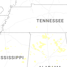
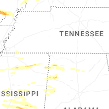


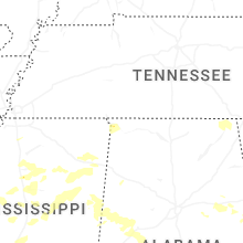
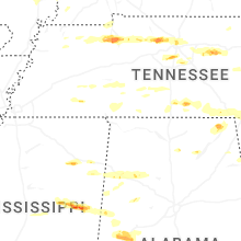

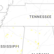
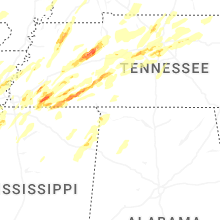
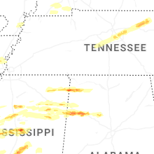

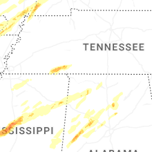
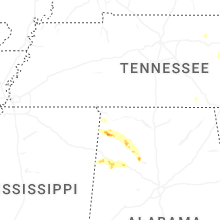


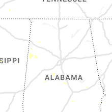


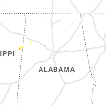


Connect with Interactive Hail Maps