

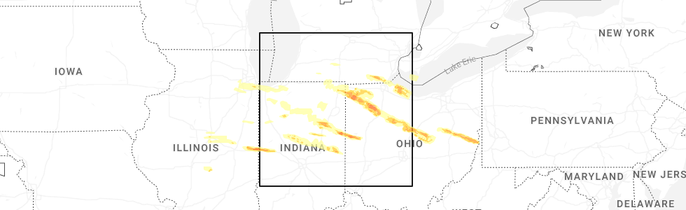
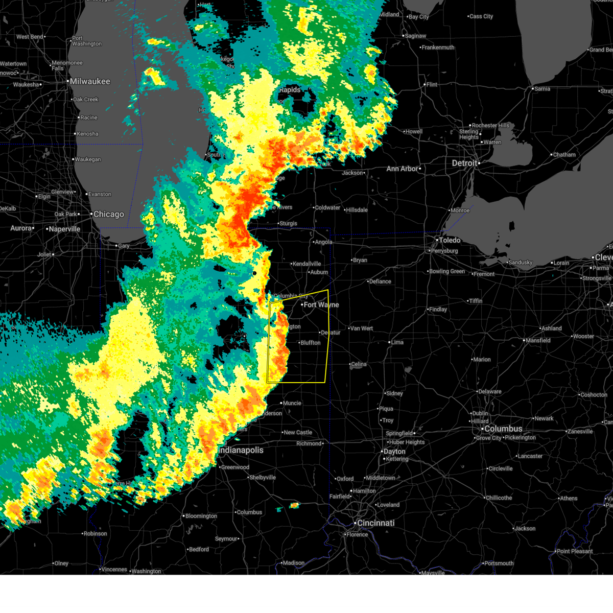
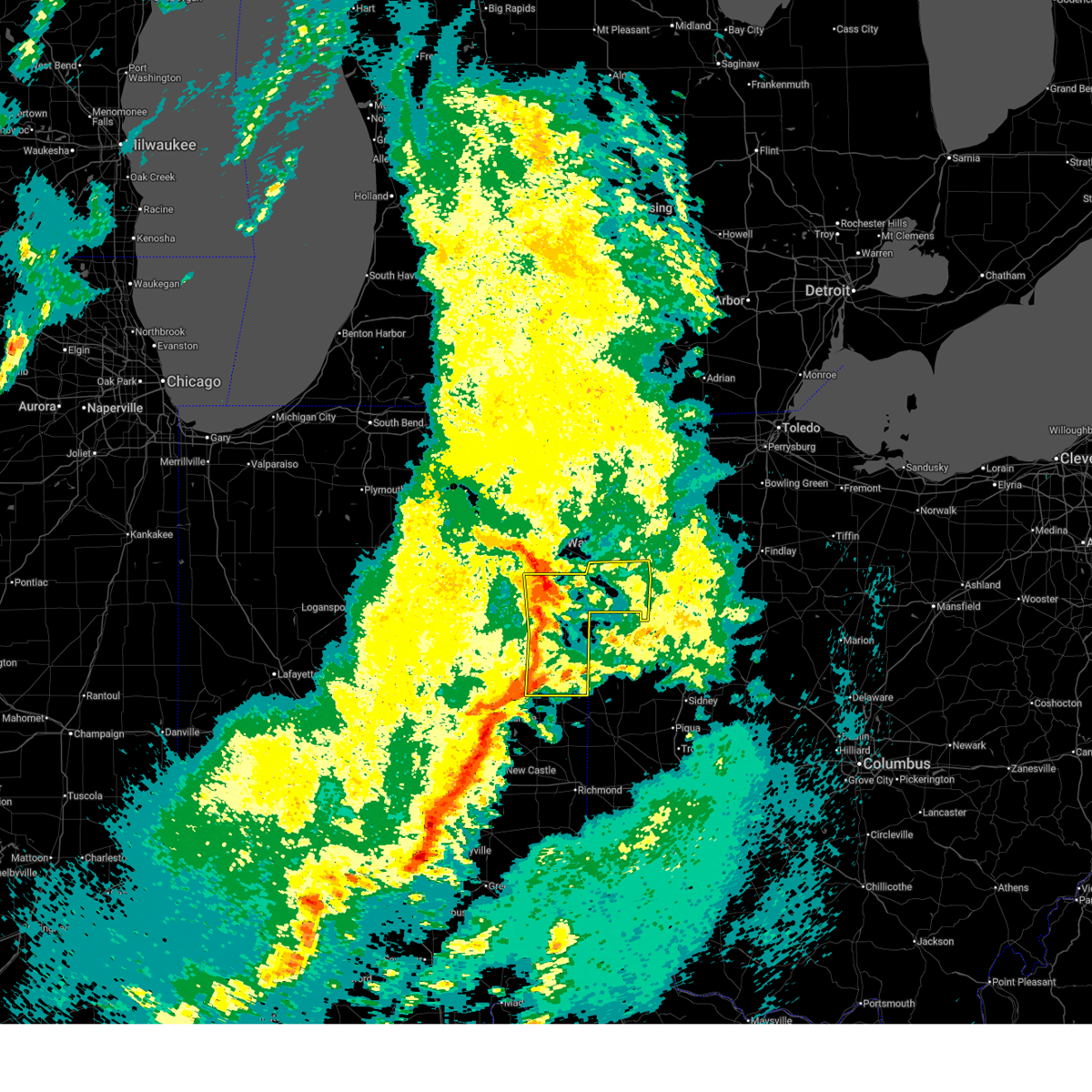
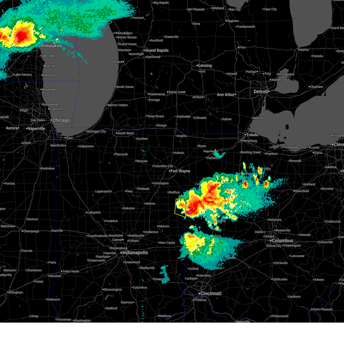
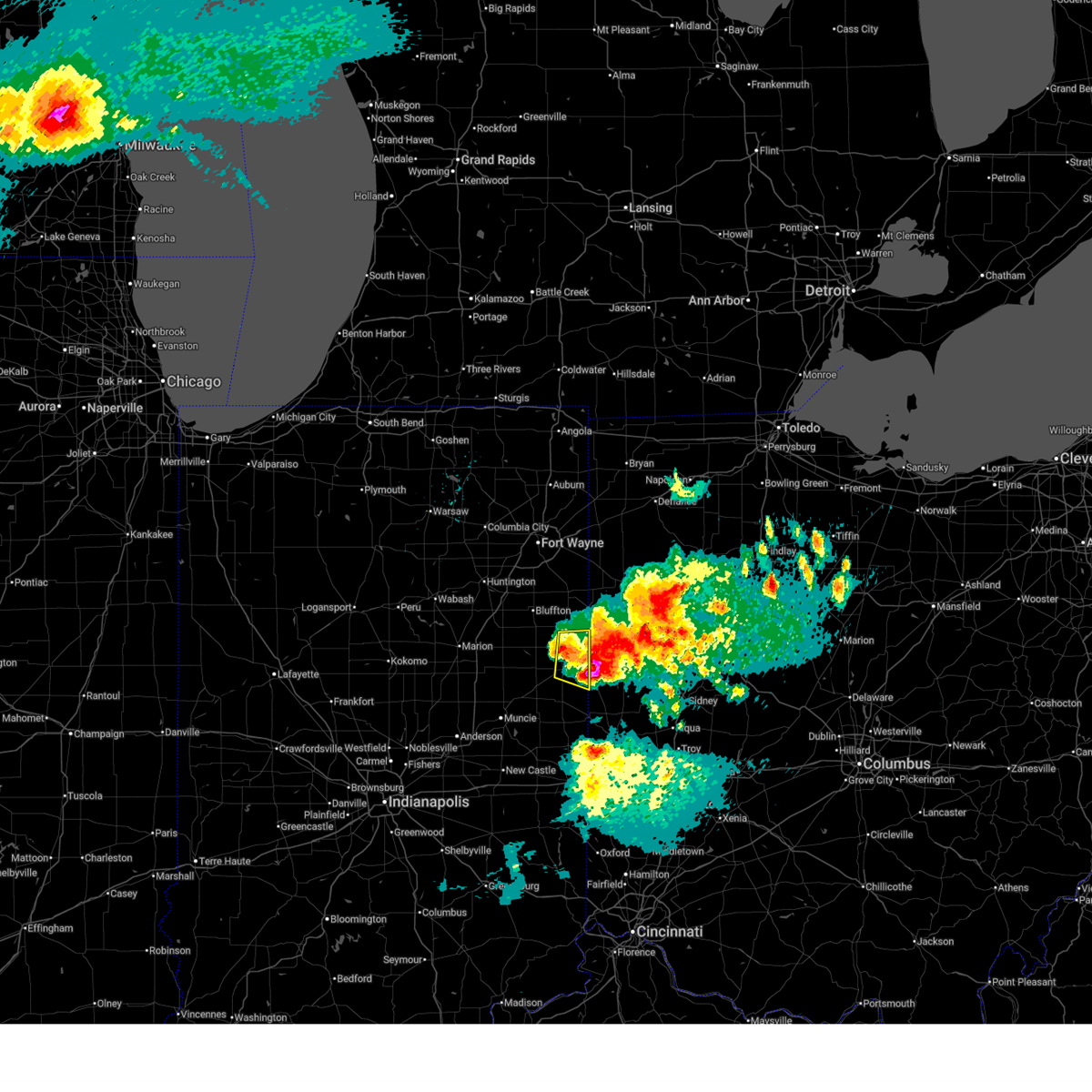
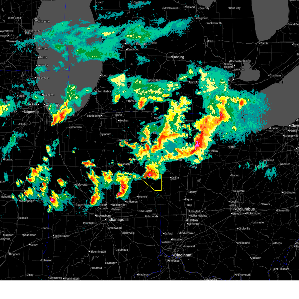
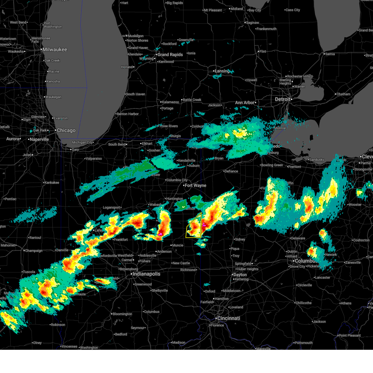
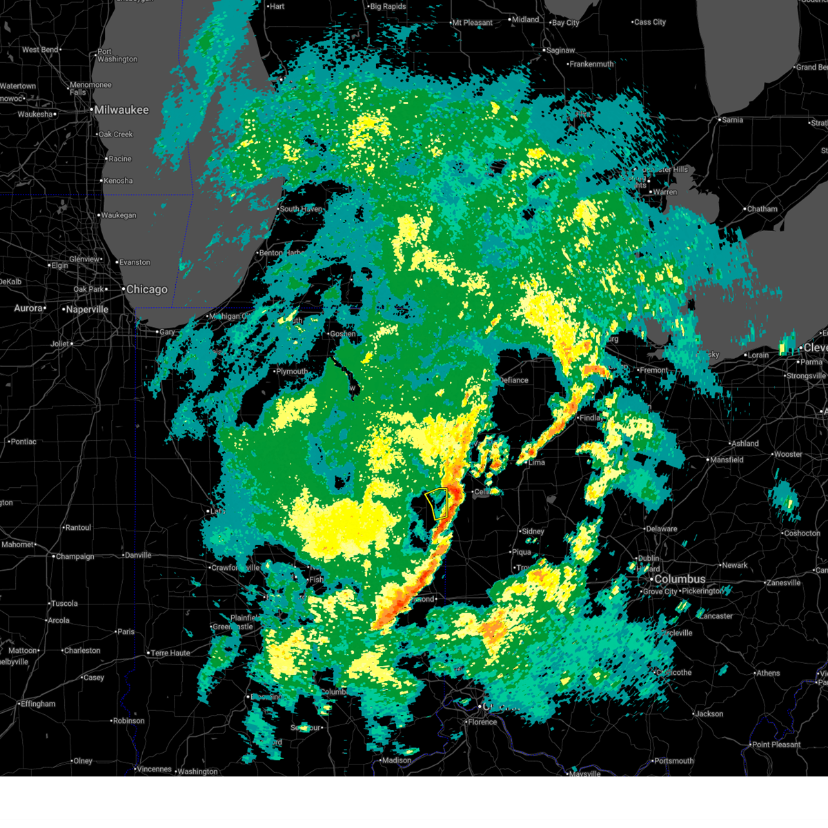
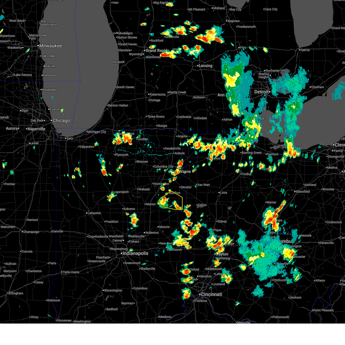
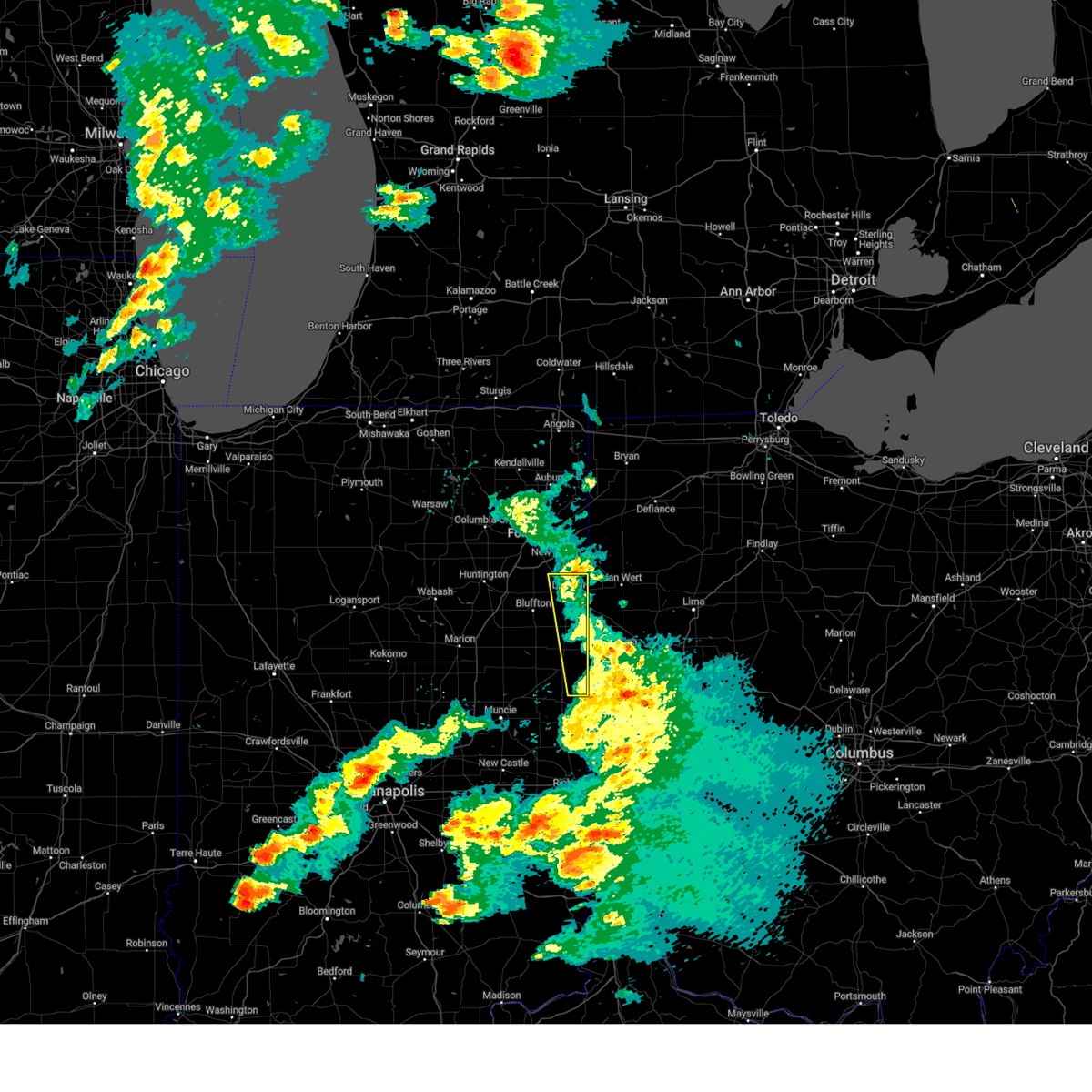
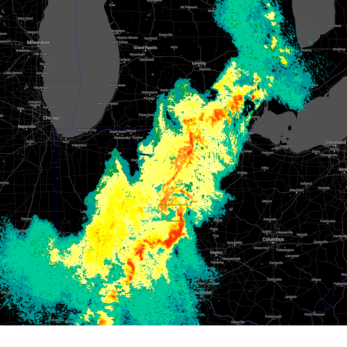
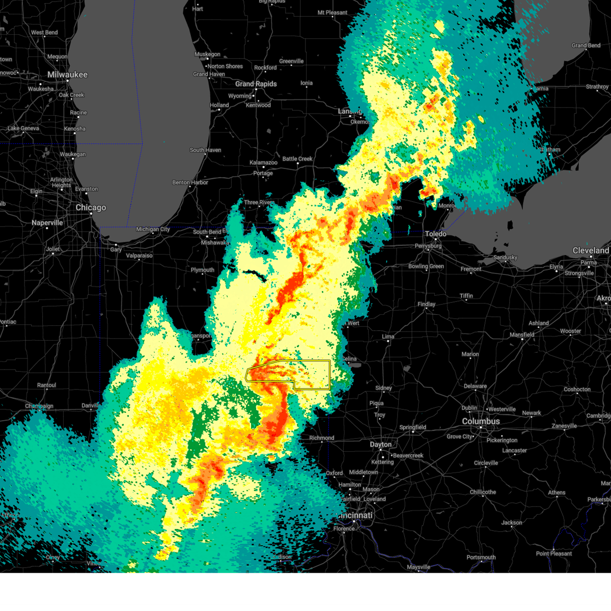
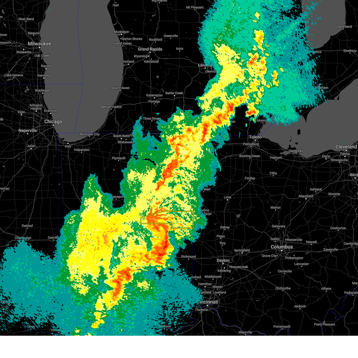
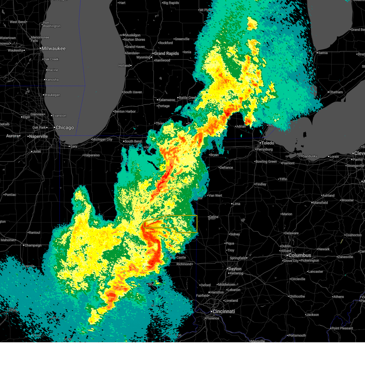
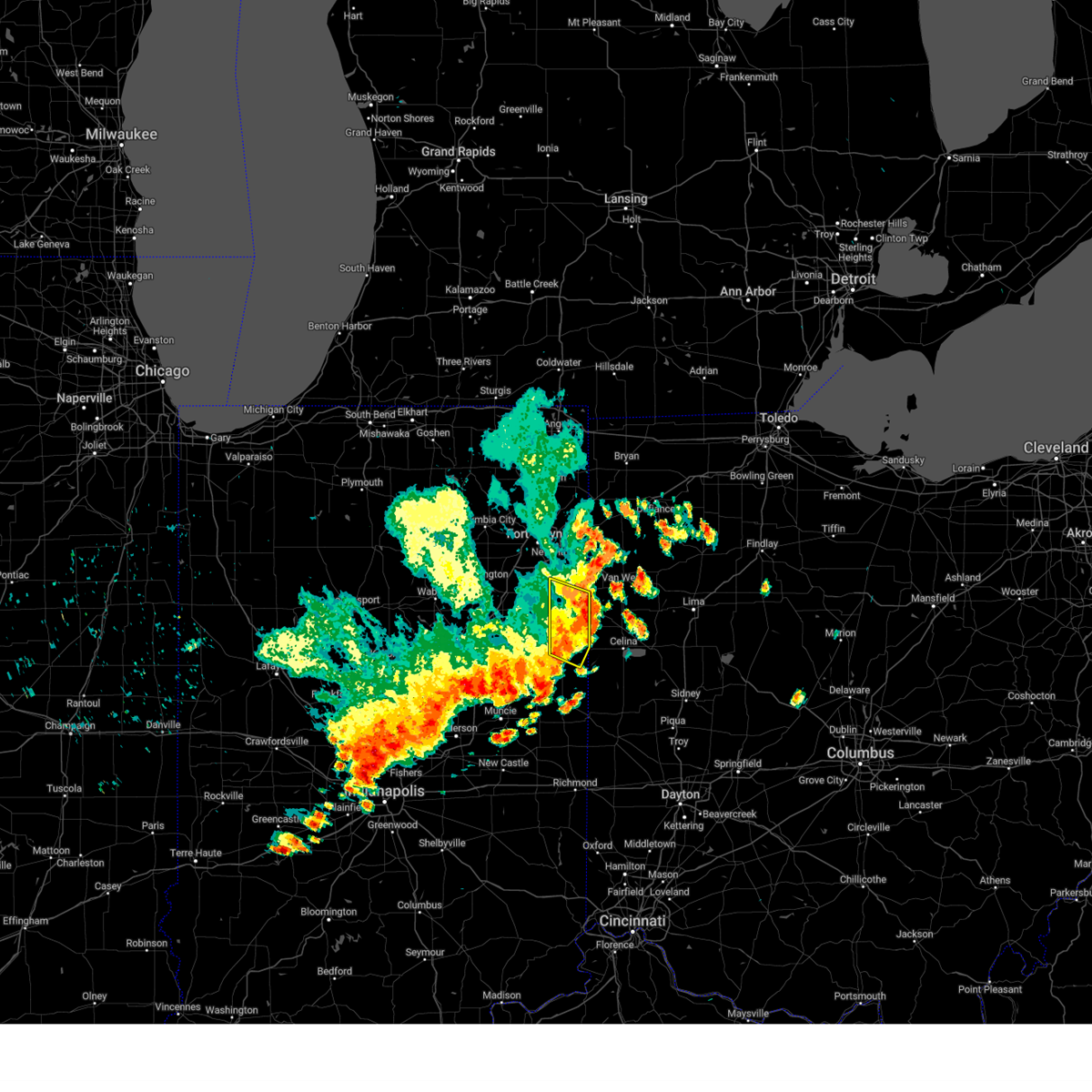
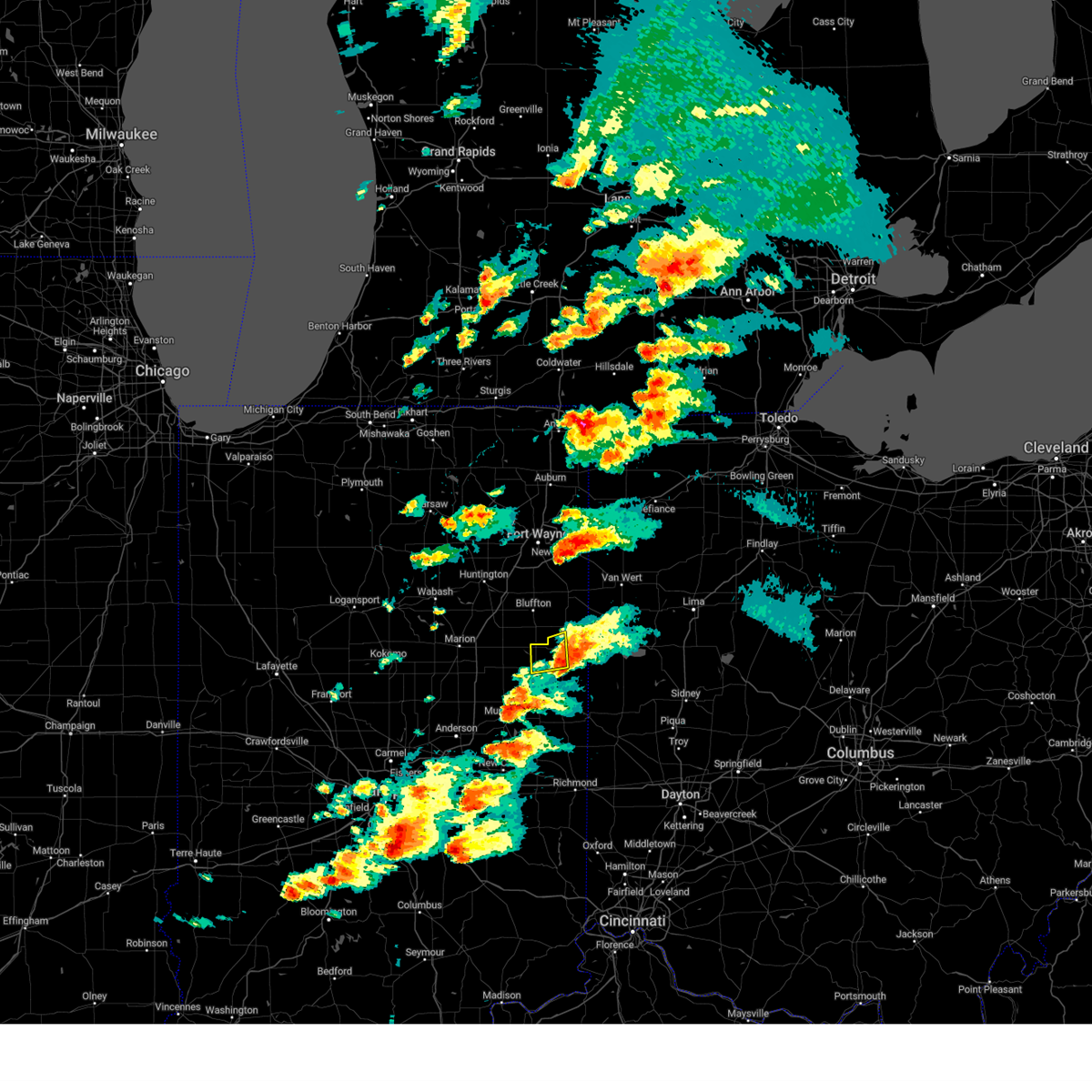
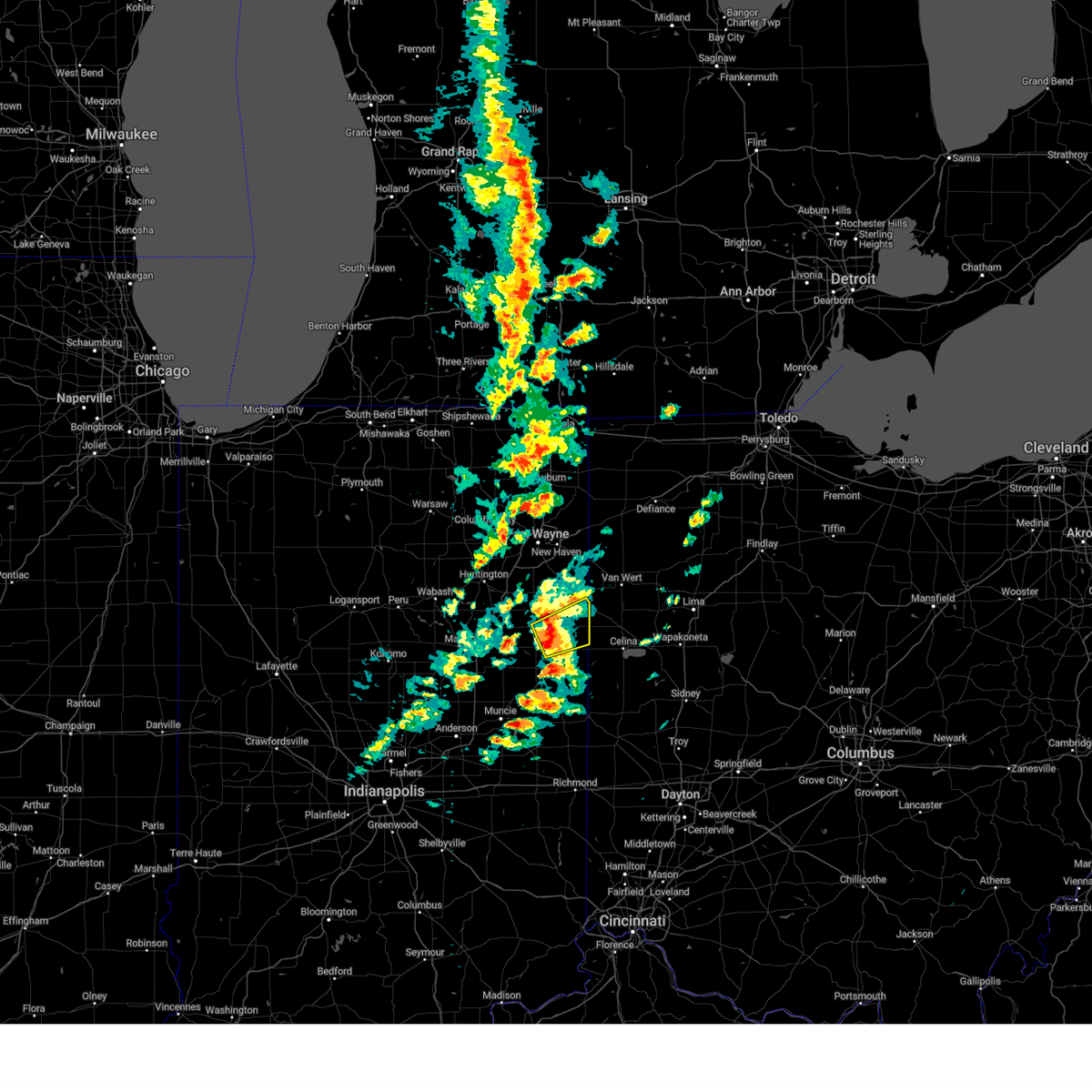
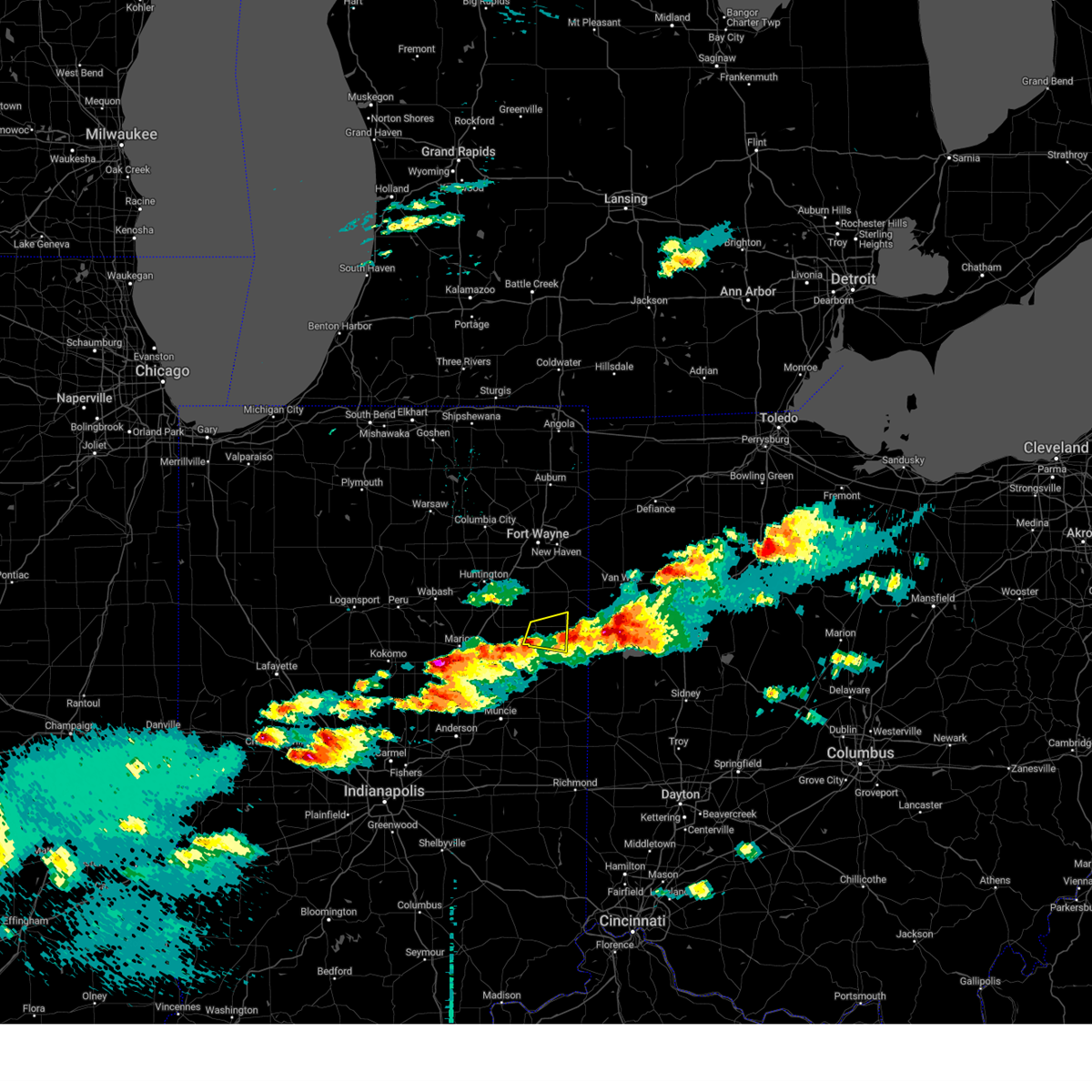
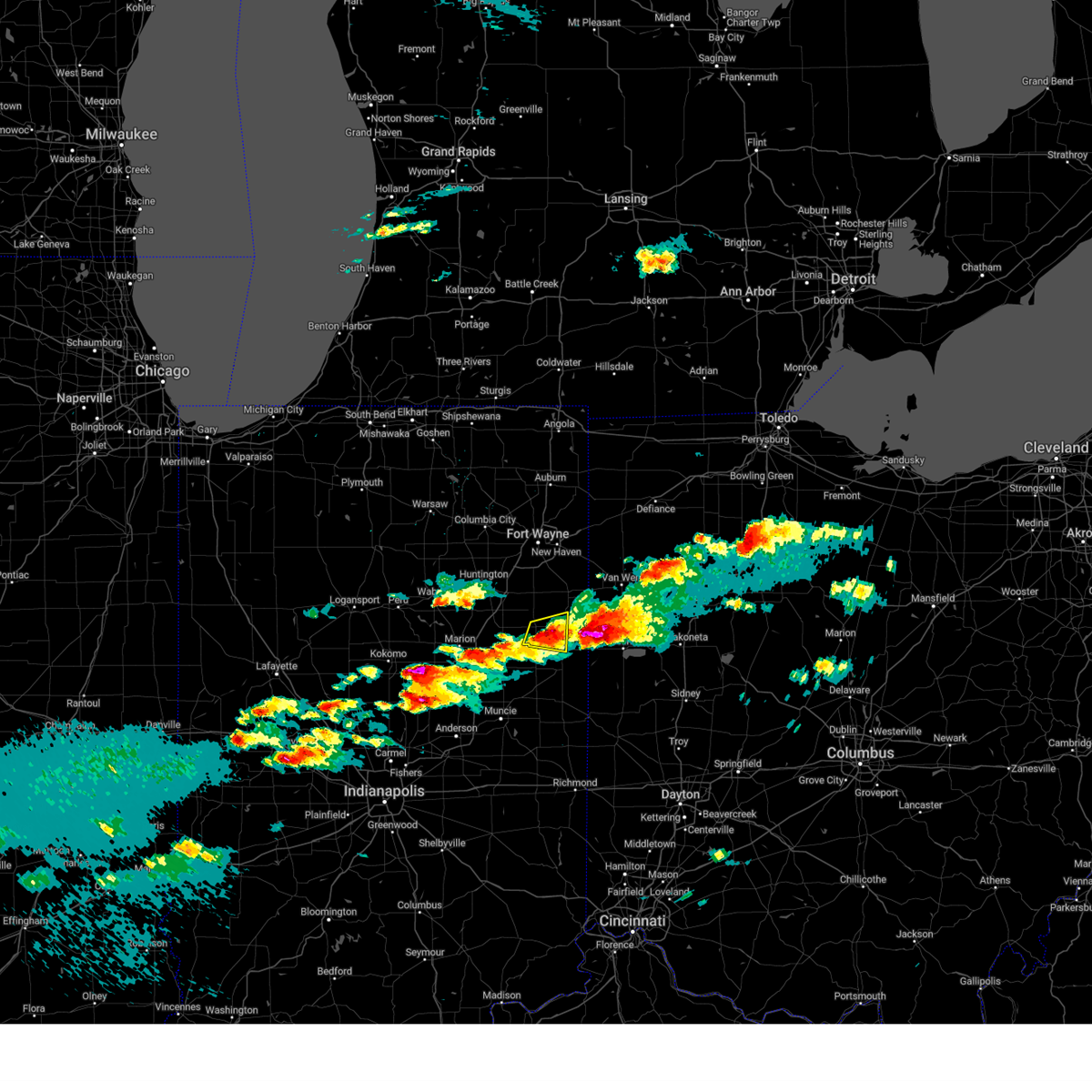
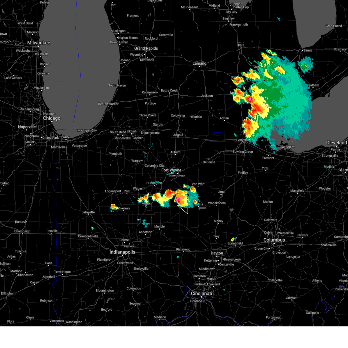
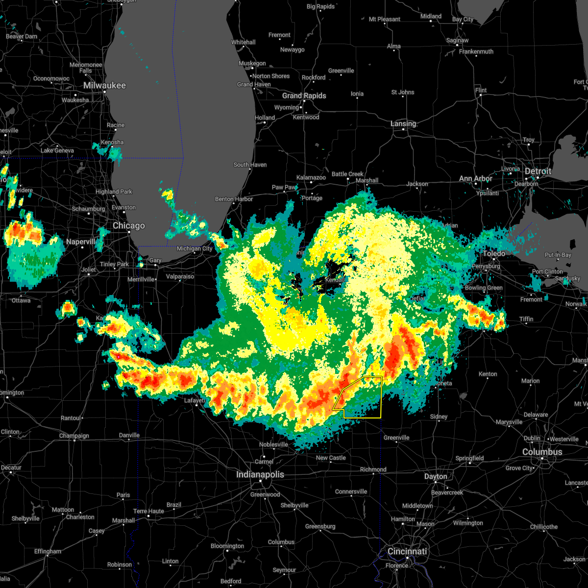
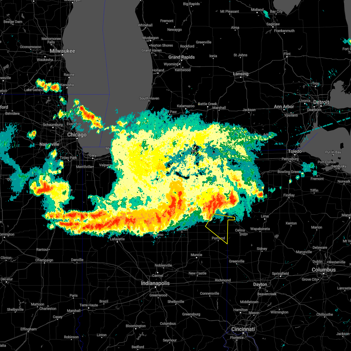
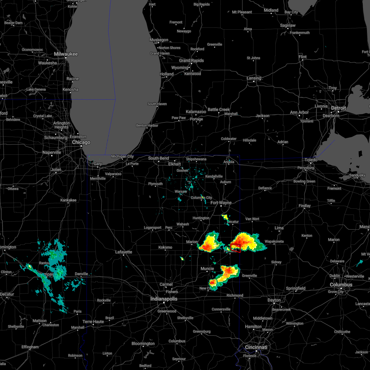
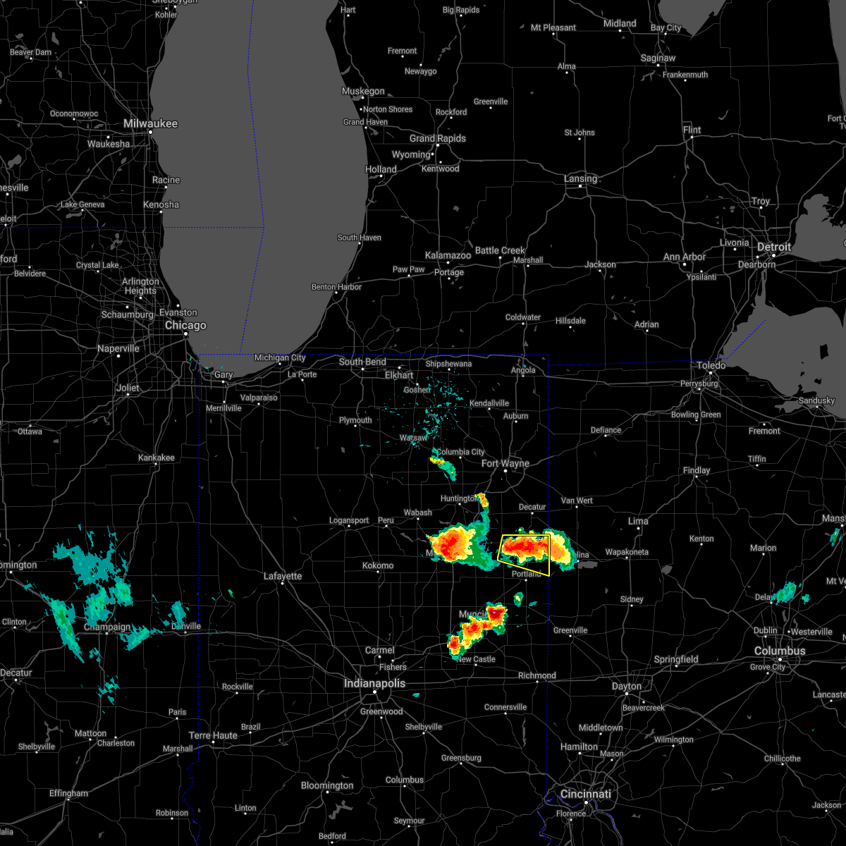
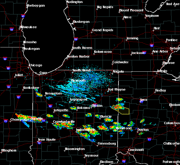
Hail Map for Bryant, IN
The Bryant, IN area has had 9 reports of on-the-ground hail by trained spotters, and has been under severe weather warnings 37 times during the past 12 months. Doppler radar has detected hail at or near Bryant, IN on 32 occasions, including 3 occasions during the past year.
| Name: | Bryant, IN |
| Where Located: | 37.8 miles S of Fort Wayne, IN |
| Map: | Google Map for Bryant, IN |
| Population: | 252 |
| Housing Units: | 116 |
| More Info: | Search Google for Bryant, IN |
5
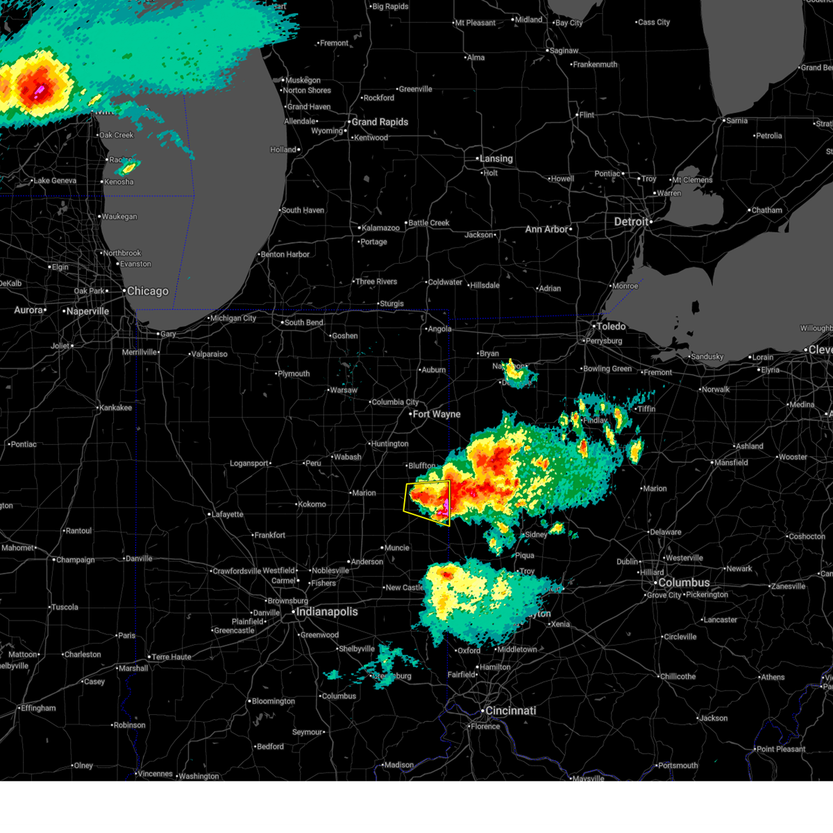
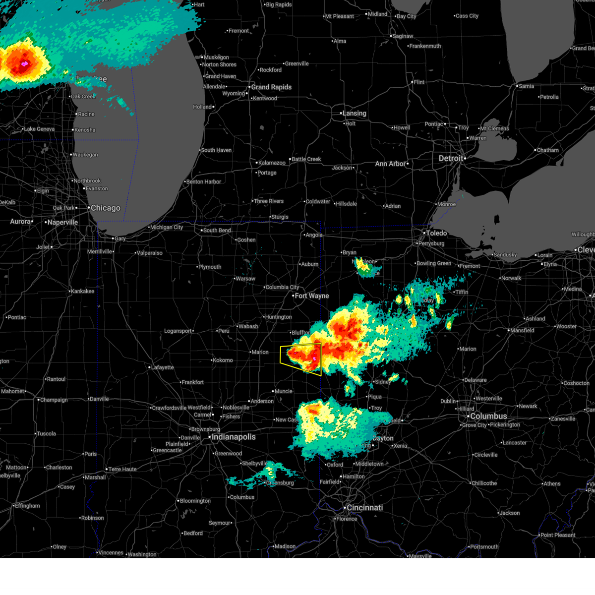
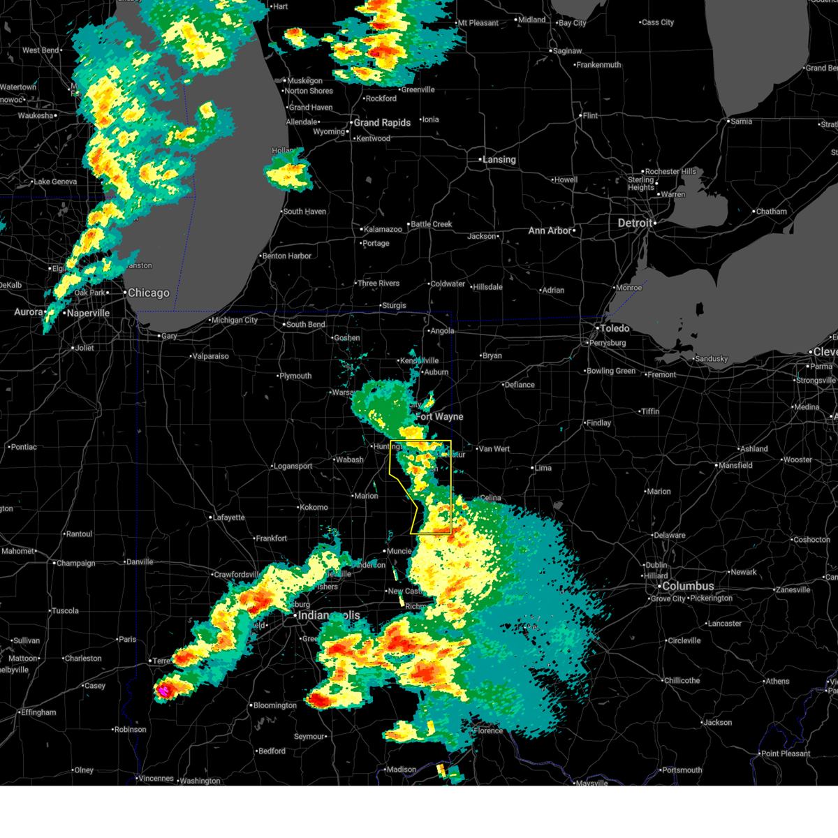
The Top Recent Hail Date for Bryant, IN is Thursday, March 26, 2026 (1st out of 32)
Hail and Wind Damage Spotted near Bryant, IN
| Date / Time | Report Details |
|---|---|
| 6/11/2026 11:25 PM EDT |
 The storm which prompted the warning has moved out of the area. therefore, the warning will be allowed to expire. a tornado watch remains in effect until 200 am edt for northeastern and east central indiana. to report severe weather, contact your nearest law enforcement agency. they will relay your report to the national weather service northern indiana. The storm which prompted the warning has moved out of the area. therefore, the warning will be allowed to expire. a tornado watch remains in effect until 200 am edt for northeastern and east central indiana. to report severe weather, contact your nearest law enforcement agency. they will relay your report to the national weather service northern indiana.
|
| 6/11/2026 11:19 PM EDT |
 Svriwx the national weather service in northern indiana has issued a * severe thunderstorm warning for, southeastern allen county in northeastern indiana, adams county in northeastern indiana, jay county in east central indiana, southeastern defiance county in northwestern ohio, western putnam county in west central ohio, paulding county in west central ohio, van wert county in west central ohio, southwestern allen county in west central ohio, * until midnight edt. * at 1119 pm edt, severe thunderstorms were located along a line extending from near grabill to monroeville to near monroe to near redkey, moving east at 60 mph (surface observations). Hazards include 70 mph wind gusts. Expect considerable tree damage. Damage is likely to mobile homes, roofs, and outbuildings. Svriwx the national weather service in northern indiana has issued a * severe thunderstorm warning for, southeastern allen county in northeastern indiana, adams county in northeastern indiana, jay county in east central indiana, southeastern defiance county in northwestern ohio, western putnam county in west central ohio, paulding county in west central ohio, van wert county in west central ohio, southwestern allen county in west central ohio, * until midnight edt. * at 1119 pm edt, severe thunderstorms were located along a line extending from near grabill to monroeville to near monroe to near redkey, moving east at 60 mph (surface observations). Hazards include 70 mph wind gusts. Expect considerable tree damage. Damage is likely to mobile homes, roofs, and outbuildings.
|
| 6/11/2026 11:15 PM EDT |
 At 1114 pm edt, a severe squall line capable of producing both tornadoes and extensive straight line wind damage was located near geneva, or near berne, moving east at 60 mph (radar indicated rotation). Hazards include tornado. Flying debris will be dangerous to those caught without shelter. mobile homes will be damaged or destroyed. damage to roofs, windows, and vehicles will occur. tree damage is likely. This tornadic thunderstorm will remain over mainly rural areas of southern adams and northeastern jay counties, including the following locations, bryant, ceylon, trinity, and new corydon. At 1114 pm edt, a severe squall line capable of producing both tornadoes and extensive straight line wind damage was located near geneva, or near berne, moving east at 60 mph (radar indicated rotation). Hazards include tornado. Flying debris will be dangerous to those caught without shelter. mobile homes will be damaged or destroyed. damage to roofs, windows, and vehicles will occur. tree damage is likely. This tornadic thunderstorm will remain over mainly rural areas of southern adams and northeastern jay counties, including the following locations, bryant, ceylon, trinity, and new corydon.
|
| 6/11/2026 11:08 PM EDT |
 At 1107 pm edt, severe thunderstorms were located along a line extending from fort wayne to near bluffton to pennville, moving east at 55 mph (surface observations). Hazards include 70 mph wind gusts. Expect considerable tree damage. damage is likely to mobile homes, roofs, and outbuildings. locations impacted include, fort wayne, new haven, bluffton, decatur, portland, berne, ossian, dunkirk, montpelier, woodburn, geneva, monroeville, monroe, pennville, westchester, center, middletown, preble, nottingham, and zanesville. this includes the following highways, interstate 469 between mile markers 0 and 29. Interstate 69 in indiana between mile markers 294 and 314. At 1107 pm edt, severe thunderstorms were located along a line extending from fort wayne to near bluffton to pennville, moving east at 55 mph (surface observations). Hazards include 70 mph wind gusts. Expect considerable tree damage. damage is likely to mobile homes, roofs, and outbuildings. locations impacted include, fort wayne, new haven, bluffton, decatur, portland, berne, ossian, dunkirk, montpelier, woodburn, geneva, monroeville, monroe, pennville, westchester, center, middletown, preble, nottingham, and zanesville. this includes the following highways, interstate 469 between mile markers 0 and 29. Interstate 69 in indiana between mile markers 294 and 314.
|
| 6/11/2026 11:03 PM EDT |
 Toriwx the national weather service in northern indiana has issued a * tornado warning for, southeastern wells county in northeastern indiana, southern adams county in northeastern indiana, northern jay county in east central indiana, southwestern van wert county in west central ohio, * until 1130 pm edt. * at 1102 pm edt, severe thunderstorms capable of producing both tornadoes and extensive straight line wind damage were located near pennville, or 10 miles northwest of portland, moving east at 65 mph (radar indicated rotation). Hazards include tornado. Flying debris will be dangerous to those caught without shelter. mobile homes will be damaged or destroyed. damage to roofs, windows, and vehicles will occur. tree damage is likely. these dangerous storms will be near, berne and geneva around 1110 pm edt. Other locations impacted by this tornadic thunderstorm include nottingham, bryant, trinity, ceylon, glenmore, abanaka, linn grove, domestic, fiat, and new corydon. Toriwx the national weather service in northern indiana has issued a * tornado warning for, southeastern wells county in northeastern indiana, southern adams county in northeastern indiana, northern jay county in east central indiana, southwestern van wert county in west central ohio, * until 1130 pm edt. * at 1102 pm edt, severe thunderstorms capable of producing both tornadoes and extensive straight line wind damage were located near pennville, or 10 miles northwest of portland, moving east at 65 mph (radar indicated rotation). Hazards include tornado. Flying debris will be dangerous to those caught without shelter. mobile homes will be damaged or destroyed. damage to roofs, windows, and vehicles will occur. tree damage is likely. these dangerous storms will be near, berne and geneva around 1110 pm edt. Other locations impacted by this tornadic thunderstorm include nottingham, bryant, trinity, ceylon, glenmore, abanaka, linn grove, domestic, fiat, and new corydon.
|
| 6/11/2026 10:50 PM EDT |
 Svriwx the national weather service in northern indiana has issued a * severe thunderstorm warning for, allen county in northeastern indiana, eastern grant county in central indiana, southeastern whitley county in northeastern indiana, huntington county in northeastern indiana, blackford county in east central indiana, wells county in northeastern indiana, adams county in northeastern indiana, jay county in east central indiana, * until 1130 pm edt. * at 1050 pm edt, severe thunderstorms were located along a line extending from 6 miles south of columbia city to near markle to near hartford city, moving east at 55 mph (radar indicated). Hazards include 70 mph wind gusts. Expect considerable tree damage. Damage is likely to mobile homes, roofs, and outbuildings. Svriwx the national weather service in northern indiana has issued a * severe thunderstorm warning for, allen county in northeastern indiana, eastern grant county in central indiana, southeastern whitley county in northeastern indiana, huntington county in northeastern indiana, blackford county in east central indiana, wells county in northeastern indiana, adams county in northeastern indiana, jay county in east central indiana, * until 1130 pm edt. * at 1050 pm edt, severe thunderstorms were located along a line extending from 6 miles south of columbia city to near markle to near hartford city, moving east at 55 mph (radar indicated). Hazards include 70 mph wind gusts. Expect considerable tree damage. Damage is likely to mobile homes, roofs, and outbuildings.
|
| 4/27/2026 11:22 PM EDT |
 Svriwx the national weather service in northern indiana has issued a * severe thunderstorm warning for, eastern wells county in northeastern indiana, adams county in northeastern indiana, jay county in east central indiana, van wert county in west central ohio, * until midnight edt. * at 1122 pm edt, severe thunderstorms were located along a line extending from near new haven to near berne to near dunkirk, moving east at 70 mph (radar indicated). Hazards include 60 mph wind gusts. expect damage to roofs, siding, and trees Svriwx the national weather service in northern indiana has issued a * severe thunderstorm warning for, eastern wells county in northeastern indiana, adams county in northeastern indiana, jay county in east central indiana, van wert county in west central ohio, * until midnight edt. * at 1122 pm edt, severe thunderstorms were located along a line extending from near new haven to near berne to near dunkirk, moving east at 70 mph (radar indicated). Hazards include 60 mph wind gusts. expect damage to roofs, siding, and trees
|
| 4/14/2026 7:32 PM EDT |
 the severe thunderstorm warning has been cancelled and is no longer in effect the severe thunderstorm warning has been cancelled and is no longer in effect
|
| 4/14/2026 7:27 PM EDT |
 At 727 pm edt, a severe thunderstorm was located near geneva, or 8 miles northeast of portland, moving east at 40 mph (radar indicated). Hazards include 60 mph wind gusts and quarter size hail. Hail damage to vehicles is expected. expect wind damage to roofs, siding, and trees. Locations impacted include, portland, geneva, westchester, bryant, salamonia, college corner, liber, trinity, new corydon, ceylon, brice, and bellfountain. At 727 pm edt, a severe thunderstorm was located near geneva, or 8 miles northeast of portland, moving east at 40 mph (radar indicated). Hazards include 60 mph wind gusts and quarter size hail. Hail damage to vehicles is expected. expect wind damage to roofs, siding, and trees. Locations impacted include, portland, geneva, westchester, bryant, salamonia, college corner, liber, trinity, new corydon, ceylon, brice, and bellfountain.
|
| 4/14/2026 7:27 PM EDT |
 the severe thunderstorm warning has been cancelled and is no longer in effect the severe thunderstorm warning has been cancelled and is no longer in effect
|
| 4/14/2026 7:19 PM EDT |
 the severe thunderstorm warning has been cancelled and is no longer in effect the severe thunderstorm warning has been cancelled and is no longer in effect
|
| 4/14/2026 7:19 PM EDT |
 At 718 pm edt, a severe thunderstorm was located near geneva, or 7 miles north of portland, moving east at 40 mph (radar indicated). Hazards include 60 mph wind gusts and quarter size hail. Hail damage to vehicles is expected. expect wind damage to roofs, siding, and trees. Locations impacted include, portland, geneva, pennville, westchester, center, nottingham, bryant, salamonia, trinity, ceylon, brice, petroleum, bellfountain, college corner, liber, domestic, fiat, new corydon, balbec, and blaine. At 718 pm edt, a severe thunderstorm was located near geneva, or 7 miles north of portland, moving east at 40 mph (radar indicated). Hazards include 60 mph wind gusts and quarter size hail. Hail damage to vehicles is expected. expect wind damage to roofs, siding, and trees. Locations impacted include, portland, geneva, pennville, westchester, center, nottingham, bryant, salamonia, trinity, ceylon, brice, petroleum, bellfountain, college corner, liber, domestic, fiat, new corydon, balbec, and blaine.
|
| 4/14/2026 7:11 PM EDT |
 Svriwx the national weather service in northern indiana has issued a * severe thunderstorm warning for, northeastern blackford county in east central indiana, southeastern wells county in northeastern indiana, southern adams county in northeastern indiana, jay county in east central indiana, * until 800 pm edt. * at 711 pm edt, a severe thunderstorm was located near pennville, or 9 miles northwest of portland, moving east at 40 mph (radar indicated). Hazards include 60 mph wind gusts and quarter size hail. Hail damage to vehicles is expected. Expect wind damage to roofs, siding, and trees. Svriwx the national weather service in northern indiana has issued a * severe thunderstorm warning for, northeastern blackford county in east central indiana, southeastern wells county in northeastern indiana, southern adams county in northeastern indiana, jay county in east central indiana, * until 800 pm edt. * at 711 pm edt, a severe thunderstorm was located near pennville, or 9 miles northwest of portland, moving east at 40 mph (radar indicated). Hazards include 60 mph wind gusts and quarter size hail. Hail damage to vehicles is expected. Expect wind damage to roofs, siding, and trees.
|
| 4/14/2026 6:52 PM EDT |
 Svriwx the national weather service in northern indiana has issued a * severe thunderstorm warning for, jay county in east central indiana, * until 715 pm edt. * at 652 pm edt, a severe thunderstorm was located near portland, moving east at 40 mph (radar indicated). Hazards include 60 mph wind gusts and quarter size hail. Hail damage to vehicles is expected. Expect wind damage to roofs, siding, and trees. Svriwx the national weather service in northern indiana has issued a * severe thunderstorm warning for, jay county in east central indiana, * until 715 pm edt. * at 652 pm edt, a severe thunderstorm was located near portland, moving east at 40 mph (radar indicated). Hazards include 60 mph wind gusts and quarter size hail. Hail damage to vehicles is expected. Expect wind damage to roofs, siding, and trees.
|
| 3/26/2026 8:07 PM EDT | Golf Ball sized hail reported 1.3 miles WNW of Bryant, IN, report from mping: golf ball (1.75 in.). |
| 3/26/2026 8:00 PM EDT | Hen Egg sized hail reported 0.5 miles NNW of Bryant, IN |
| 3/26/2026 8:00 PM EDT | Golf Ball sized hail reported 0.6 miles NE of Bryant, IN, report from mping: golf ball (1.75 in.). |
| 3/26/2026 7:59 PM EDT |
 The threat for severe weather has ended across blackford, wells and adams county, as well as most of jay county. a new severe thunderstorm warning is in effect until 830 pm edt for northeastern jay county. a severe thunderstorm watch remains in effect until midnight edt for northeastern and east central indiana. The threat for severe weather has ended across blackford, wells and adams county, as well as most of jay county. a new severe thunderstorm warning is in effect until 830 pm edt for northeastern jay county. a severe thunderstorm watch remains in effect until midnight edt for northeastern and east central indiana.
|
| 3/26/2026 7:42 PM EDT | Quarter sized hail reported 1.5 miles ENE of Bryant, IN, photo from emergency manager of hail estimated to be quarter size in west liberty. time estimated via radar. |
| 3/26/2026 7:42 PM EDT | Ping Pong Ball sized hail reported 0.5 miles NNW of Bryant, IN, photo on facebook showing large hailstones estimated to be up to ping pong ball size. time estimated via radar. |
| 3/26/2026 7:39 PM EDT |
 The storms which prompted the warning have moved out of the area. therefore, the warning will be allowed to expire. however, hail and gusty winds are still possible with these thunderstorms. a severe thunderstorm watch remains in effect until midnight edt for northeastern and east central indiana. remember, a severe thunderstorm warning still remains in effect. The storms which prompted the warning have moved out of the area. therefore, the warning will be allowed to expire. however, hail and gusty winds are still possible with these thunderstorms. a severe thunderstorm watch remains in effect until midnight edt for northeastern and east central indiana. remember, a severe thunderstorm warning still remains in effect.
|
| 3/26/2026 7:37 PM EDT |
 Svriwx the national weather service in northern indiana has issued a * severe thunderstorm warning for, northeastern blackford county in east central indiana, southeastern wells county in northeastern indiana, southern adams county in northeastern indiana, jay county in east central indiana, * until 800 pm edt. * at 737 pm edt, a severe thunderstorm was located near geneva, or 7 miles southwest of berne, moving southeast at 65 mph (radar indicated). Hazards include ping pong ball size hail and 60 mph wind gusts. People and animals outdoors will be injured. expect hail damage to roofs, siding, windows, and vehicles. Expect wind damage to roofs, siding, and trees. Svriwx the national weather service in northern indiana has issued a * severe thunderstorm warning for, northeastern blackford county in east central indiana, southeastern wells county in northeastern indiana, southern adams county in northeastern indiana, jay county in east central indiana, * until 800 pm edt. * at 737 pm edt, a severe thunderstorm was located near geneva, or 7 miles southwest of berne, moving southeast at 65 mph (radar indicated). Hazards include ping pong ball size hail and 60 mph wind gusts. People and animals outdoors will be injured. expect hail damage to roofs, siding, windows, and vehicles. Expect wind damage to roofs, siding, and trees.
|
| 3/26/2026 7:34 PM EDT |
 At 733 pm edt, severe thunderstorms were located along a line extending from 6 miles northwest of monroe to pennville, moving east at 65 mph (radar indicated). Hazards include ping pong ball size hail and 60 mph wind gusts. People and animals outdoors will be injured. expect hail damage to roofs, siding, windows, and vehicles. expect wind damage to roofs, siding, and trees. Locations impacted include, bluffton, portland, berne, montpelier, geneva, monroe, pennville, westchester, center, nottingham, bryant, poneto, salamonia, vera cruz, trinity, wellsburg, brice, bellfountain, keystone, and collett. At 733 pm edt, severe thunderstorms were located along a line extending from 6 miles northwest of monroe to pennville, moving east at 65 mph (radar indicated). Hazards include ping pong ball size hail and 60 mph wind gusts. People and animals outdoors will be injured. expect hail damage to roofs, siding, windows, and vehicles. expect wind damage to roofs, siding, and trees. Locations impacted include, bluffton, portland, berne, montpelier, geneva, monroe, pennville, westchester, center, nottingham, bryant, poneto, salamonia, vera cruz, trinity, wellsburg, brice, bellfountain, keystone, and collett.
|
| 3/26/2026 7:34 PM EDT |
 the severe thunderstorm warning has been cancelled and is no longer in effect the severe thunderstorm warning has been cancelled and is no longer in effect
|
| 3/26/2026 7:14 PM EDT |
 At 713 pm edt, severe thunderstorms were located along a line extending from near huntington to near van buren, moving east at 65 mph (radar indicated). Hazards include 60 mph wind gusts and quarter size hail. Hail damage to vehicles is expected. expect wind damage to roofs, siding, and trees. locations impacted include, huntington, bluffton, decatur, portland, berne, ossian, montpelier, geneva, andrews, markle, van buren, monroe, pennville, westchester, center, warren, lancaster, preble, nottingham, and zanesville. This includes interstate 69 in indiana between mile markers 265 and 293. At 713 pm edt, severe thunderstorms were located along a line extending from near huntington to near van buren, moving east at 65 mph (radar indicated). Hazards include 60 mph wind gusts and quarter size hail. Hail damage to vehicles is expected. expect wind damage to roofs, siding, and trees. locations impacted include, huntington, bluffton, decatur, portland, berne, ossian, montpelier, geneva, andrews, markle, van buren, monroe, pennville, westchester, center, warren, lancaster, preble, nottingham, and zanesville. This includes interstate 69 in indiana between mile markers 265 and 293.
|
| 3/26/2026 6:59 PM EDT |
 Svriwx the national weather service in northern indiana has issued a * severe thunderstorm warning for, eastern wabash county in north central indiana, northeastern grant county in central indiana, huntington county in northeastern indiana, northern blackford county in east central indiana, wells county in northeastern indiana, adams county in northeastern indiana, jay county in east central indiana, * until 745 pm edt. * at 659 pm edt, severe thunderstorms were located along a line extending from near north manchester to near la fontaine, moving east at 65 mph (radar indicated). Hazards include 60 mph wind gusts and quarter size hail. Hail damage to vehicles is expected. Expect wind damage to roofs, siding, and trees. Svriwx the national weather service in northern indiana has issued a * severe thunderstorm warning for, eastern wabash county in north central indiana, northeastern grant county in central indiana, huntington county in northeastern indiana, northern blackford county in east central indiana, wells county in northeastern indiana, adams county in northeastern indiana, jay county in east central indiana, * until 745 pm edt. * at 659 pm edt, severe thunderstorms were located along a line extending from near north manchester to near la fontaine, moving east at 65 mph (radar indicated). Hazards include 60 mph wind gusts and quarter size hail. Hail damage to vehicles is expected. Expect wind damage to roofs, siding, and trees.
|
| 3/22/2026 8:39 PM EDT |
 The storms which prompted the warning have weakened below severe limits, and no longer pose an immediate threat to life or property. therefore, the warning will be allowed to expire. however, small hail is still possible with these thunderstorms. The storms which prompted the warning have weakened below severe limits, and no longer pose an immediate threat to life or property. therefore, the warning will be allowed to expire. however, small hail is still possible with these thunderstorms.
|
| 3/22/2026 8:35 PM EDT |
 At 834 pm edt, severe thunderstorms were located along a line extending from near rockford to near portland, moving east at 60 mph (radar indicated). Hazards include quarter size hail. Damage to vehicles is expected. Locations impacted include, portland, westchester, center, bryant, salamonia, trinity, brice, como, bellfountain, college corner, boundary city, liber, blaine, collett, new corydon, bluff point, powers, and new mount pleasant. At 834 pm edt, severe thunderstorms were located along a line extending from near rockford to near portland, moving east at 60 mph (radar indicated). Hazards include quarter size hail. Damage to vehicles is expected. Locations impacted include, portland, westchester, center, bryant, salamonia, trinity, brice, como, bellfountain, college corner, boundary city, liber, blaine, collett, new corydon, bluff point, powers, and new mount pleasant.
|
| 3/22/2026 8:35 PM EDT |
 the severe thunderstorm warning has been cancelled and is no longer in effect the severe thunderstorm warning has been cancelled and is no longer in effect
|
| 3/22/2026 8:22 PM EDT |
 The storms which prompted the warning have moved out of the area. therefore, the warning will be allowed to expire. however, small hail is still possible with these thunderstorms. remember, a severe thunderstorm warning still remains in effect until 8:45 pm edt for portions of grant, adams, and jay counties. The storms which prompted the warning have moved out of the area. therefore, the warning will be allowed to expire. however, small hail is still possible with these thunderstorms. remember, a severe thunderstorm warning still remains in effect until 8:45 pm edt for portions of grant, adams, and jay counties.
|
| 3/22/2026 8:21 PM EDT |
 Svriwx the national weather service in northern indiana has issued a * severe thunderstorm warning for, eastern blackford county in east central indiana, southeastern wells county in northeastern indiana, southern adams county in northeastern indiana, jay county in east central indiana, southern allen county in west central ohio, * until 845 pm edt. * at 820 pm edt, severe thunderstorms were located along a line extending from near monroe to near dunkirk, moving east at 60 mph (radar indicated). Hazards include quarter size hail. damage to vehicles is expected Svriwx the national weather service in northern indiana has issued a * severe thunderstorm warning for, eastern blackford county in east central indiana, southeastern wells county in northeastern indiana, southern adams county in northeastern indiana, jay county in east central indiana, southern allen county in west central ohio, * until 845 pm edt. * at 820 pm edt, severe thunderstorms were located along a line extending from near monroe to near dunkirk, moving east at 60 mph (radar indicated). Hazards include quarter size hail. damage to vehicles is expected
|
| 3/22/2026 8:13 PM EDT |
 At 813 pm edt, severe thunderstorms were located along a line extending from 8 miles west of geneva to matthews, moving east at 50 mph (trained weather spotters). Hazards include quarter size hail. Damage to vehicles is expected. Locations impacted include, hartford city, berne, dunkirk, montpelier, redkey, geneva, pennville, matthews, center, nottingham, bryant, shamrock lakes, ceylon, reiffsburg, dillman, petroleum, mill grove, keystone, linn grove, and domestic. At 813 pm edt, severe thunderstorms were located along a line extending from 8 miles west of geneva to matthews, moving east at 50 mph (trained weather spotters). Hazards include quarter size hail. Damage to vehicles is expected. Locations impacted include, hartford city, berne, dunkirk, montpelier, redkey, geneva, pennville, matthews, center, nottingham, bryant, shamrock lakes, ceylon, reiffsburg, dillman, petroleum, mill grove, keystone, linn grove, and domestic.
|
| 3/22/2026 8:02 PM EDT |
 At 802 pm edt, severe thunderstorms were located along a line extending from near montpelier to near fairmount, moving east at 50 mph (radar indicated). Hazards include quarter size hail. Damage to vehicles is expected. locations impacted include, hartford city, gas city, berne, upland, fairmount, dunkirk, montpelier, redkey, geneva, pennville, matthews, center, nottingham, fowlerton, bryant, shamrock lakes, poneto, wellsburg, mount zion, and mill grove. This includes interstate 69 in indiana between mile markers 252 and 261. At 802 pm edt, severe thunderstorms were located along a line extending from near montpelier to near fairmount, moving east at 50 mph (radar indicated). Hazards include quarter size hail. Damage to vehicles is expected. locations impacted include, hartford city, gas city, berne, upland, fairmount, dunkirk, montpelier, redkey, geneva, pennville, matthews, center, nottingham, fowlerton, bryant, shamrock lakes, poneto, wellsburg, mount zion, and mill grove. This includes interstate 69 in indiana between mile markers 252 and 261.
|
| 3/22/2026 7:55 PM EDT |
 Svriwx the national weather service in northern indiana has issued a * severe thunderstorm warning for, grant county in central indiana, blackford county in east central indiana, southern wells county in northeastern indiana, southern adams county in northeastern indiana, western jay county in east central indiana, * until 830 pm edt. * at 755 pm edt, severe thunderstorms were located along a line extending from 6 miles east of van buren to 6 miles west of fairmount, moving east at 50 mph (radar indicated). Hazards include quarter size hail. damage to vehicles is expected Svriwx the national weather service in northern indiana has issued a * severe thunderstorm warning for, grant county in central indiana, blackford county in east central indiana, southern wells county in northeastern indiana, southern adams county in northeastern indiana, western jay county in east central indiana, * until 830 pm edt. * at 755 pm edt, severe thunderstorms were located along a line extending from 6 miles east of van buren to 6 miles west of fairmount, moving east at 50 mph (radar indicated). Hazards include quarter size hail. damage to vehicles is expected
|
| 3/11/2026 9:41 AM EDT |
 The storm which prompted the warning has moved out of the area. therefore, the warning will be allowed to expire. a tornado watch remains in effect until noon edt for east central indiana. The storm which prompted the warning has moved out of the area. therefore, the warning will be allowed to expire. a tornado watch remains in effect until noon edt for east central indiana.
|
| 3/11/2026 9:31 AM EDT |
 Svriwx the national weather service in northern indiana has issued a * severe thunderstorm warning for, eastern jay county in east central indiana, * until 945 am edt. * at 931 am edt, a severe thunderstorm was located near fort recovery, or 7 miles northeast of portland, moving northeast at 70 mph (radar indicated). Hazards include 60 mph wind gusts. expect damage to roofs, siding, and trees Svriwx the national weather service in northern indiana has issued a * severe thunderstorm warning for, eastern jay county in east central indiana, * until 945 am edt. * at 931 am edt, a severe thunderstorm was located near fort recovery, or 7 miles northeast of portland, moving northeast at 70 mph (radar indicated). Hazards include 60 mph wind gusts. expect damage to roofs, siding, and trees
|
| 3/11/2026 9:20 AM EDT |
 the severe thunderstorm warning has been cancelled and is no longer in effect the severe thunderstorm warning has been cancelled and is no longer in effect
|
| 3/11/2026 9:20 AM EDT |
 At 920 am edt, severe thunderstorms were located along a line extending from near pennville to near redkey, moving east at 70 mph (radar indicated). Hazards include 60 mph wind gusts. Expect damage to roofs, siding, and trees. Locations impacted include, portland, dunkirk, redkey, pennville, westchester, center, bryant, salamonia, trinity, brice, como, bellfountain, college corner, boundary city, liber, blaine, collett, bluff point, powers, and balbec. At 920 am edt, severe thunderstorms were located along a line extending from near pennville to near redkey, moving east at 70 mph (radar indicated). Hazards include 60 mph wind gusts. Expect damage to roofs, siding, and trees. Locations impacted include, portland, dunkirk, redkey, pennville, westchester, center, bryant, salamonia, trinity, brice, como, bellfountain, college corner, boundary city, liber, blaine, collett, bluff point, powers, and balbec.
|
| 3/11/2026 9:01 AM EDT |
 Svriwx the national weather service in northern indiana has issued a * severe thunderstorm warning for, blackford county in east central indiana, jay county in east central indiana, * until 930 am edt. * at 901 am edt, severe thunderstorms were located along a line extending from near hartford city to near muncie, moving east at 60 mph (radar indicated). Hazards include 60 mph wind gusts. expect damage to roofs, siding, and trees Svriwx the national weather service in northern indiana has issued a * severe thunderstorm warning for, blackford county in east central indiana, jay county in east central indiana, * until 930 am edt. * at 901 am edt, severe thunderstorms were located along a line extending from near hartford city to near muncie, moving east at 60 mph (radar indicated). Hazards include 60 mph wind gusts. expect damage to roofs, siding, and trees
|
| 6/26/2025 3:20 PM EDT |
 The storms which prompted the warning have weakened below severe limits, and no longer pose an immediate threat to life or property. therefore, the warning will be allowed to expire. however, gusty winds are still possible with these thunderstorms. to report severe weather, contact your nearest law enforcement agency. they will relay your report to the national weather service northern indiana. The storms which prompted the warning have weakened below severe limits, and no longer pose an immediate threat to life or property. therefore, the warning will be allowed to expire. however, gusty winds are still possible with these thunderstorms. to report severe weather, contact your nearest law enforcement agency. they will relay your report to the national weather service northern indiana.
|
| 6/26/2025 3:13 PM EDT |
 At 313 pm edt, severe thunderstorms were located along a line extending from 7 miles north of montpelier to near portland, moving east at 25 mph (radar indicated). Hazards include 60 mph wind gusts. Expect damage to roofs, siding, and trees. Locations impacted include, bluffton, berne, montpelier, geneva, pennville, westchester, nottingham, bryant, poneto, vera cruz, travisville, ceylon, wellsburg, reiffsburg, dillman, petroleum, keystone, linn grove, domestic, and fiat. At 313 pm edt, severe thunderstorms were located along a line extending from 7 miles north of montpelier to near portland, moving east at 25 mph (radar indicated). Hazards include 60 mph wind gusts. Expect damage to roofs, siding, and trees. Locations impacted include, bluffton, berne, montpelier, geneva, pennville, westchester, nottingham, bryant, poneto, vera cruz, travisville, ceylon, wellsburg, reiffsburg, dillman, petroleum, keystone, linn grove, domestic, and fiat.
|
| 6/26/2025 2:55 PM EDT |
 Svriwx the national weather service in northern indiana has issued a * severe thunderstorm warning for, northern blackford county in east central indiana, southern wells county in northeastern indiana, southwestern adams county in northeastern indiana, northern jay county in east central indiana, * until 330 pm edt. * at 255 pm edt, a severe thunderstorm was located over montpelier, or 7 miles northeast of hartford city, moving northeast at 20 mph (radar indicated). Hazards include 60 mph wind gusts and quarter size hail. Hail damage to vehicles is expected. Expect wind damage to roofs, siding, and trees. Svriwx the national weather service in northern indiana has issued a * severe thunderstorm warning for, northern blackford county in east central indiana, southern wells county in northeastern indiana, southwestern adams county in northeastern indiana, northern jay county in east central indiana, * until 330 pm edt. * at 255 pm edt, a severe thunderstorm was located over montpelier, or 7 miles northeast of hartford city, moving northeast at 20 mph (radar indicated). Hazards include 60 mph wind gusts and quarter size hail. Hail damage to vehicles is expected. Expect wind damage to roofs, siding, and trees.
|
| 6/18/2025 5:52 PM EDT |
 Svriwx the national weather service in northern indiana has issued a * severe thunderstorm warning for, southeastern allen county in northeastern indiana, eastern wells county in northeastern indiana, adams county in northeastern indiana, jay county in east central indiana, southwestern paulding county in west central ohio, van wert county in west central ohio, * until 630 pm edt. * at 552 pm edt, severe thunderstorms were located along a line extending from ossian to near monroe to near portland, moving northeast at 60 mph (radar indicated). Hazards include 60 mph wind gusts and penny size hail. expect damage to roofs, siding, and trees Svriwx the national weather service in northern indiana has issued a * severe thunderstorm warning for, southeastern allen county in northeastern indiana, eastern wells county in northeastern indiana, adams county in northeastern indiana, jay county in east central indiana, southwestern paulding county in west central ohio, van wert county in west central ohio, * until 630 pm edt. * at 552 pm edt, severe thunderstorms were located along a line extending from ossian to near monroe to near portland, moving northeast at 60 mph (radar indicated). Hazards include 60 mph wind gusts and penny size hail. expect damage to roofs, siding, and trees
|
| 5/16/2025 8:42 PM EDT |
 The storms which prompted the warning have moved out of the area. therefore, the warning will be allowed to expire. however, gusty winds are still possible with these thunderstorms. a severe thunderstorm watch remains in effect until midnight edt for northeastern and east central indiana. to report severe weather, contact your nearest law enforcement agency. they will relay your report to the national weather service northern indiana. The storms which prompted the warning have moved out of the area. therefore, the warning will be allowed to expire. however, gusty winds are still possible with these thunderstorms. a severe thunderstorm watch remains in effect until midnight edt for northeastern and east central indiana. to report severe weather, contact your nearest law enforcement agency. they will relay your report to the national weather service northern indiana.
|
| 5/16/2025 8:27 PM EDT |
 At 826 pm edt, severe thunderstorms were located along a line extending from monroeville to st. henry, moving northeast at 55 mph (radar indicated). Hazards include 70 mph wind gusts. Expect considerable tree damage. damage is likely to mobile homes, roofs, and outbuildings. Locations impacted include, decatur, portland, berne, geneva, monroe, westchester, preble, bryant, salamonia, trinity, ceylon, brice, peterson, monmouth, bellfountain, boundary city, new corydon, rivare, and pleasant mills. At 826 pm edt, severe thunderstorms were located along a line extending from monroeville to st. henry, moving northeast at 55 mph (radar indicated). Hazards include 70 mph wind gusts. Expect considerable tree damage. damage is likely to mobile homes, roofs, and outbuildings. Locations impacted include, decatur, portland, berne, geneva, monroe, westchester, preble, bryant, salamonia, trinity, ceylon, brice, peterson, monmouth, bellfountain, boundary city, new corydon, rivare, and pleasant mills.
|
| 5/16/2025 8:27 PM EDT |
 the severe thunderstorm warning has been cancelled and is no longer in effect the severe thunderstorm warning has been cancelled and is no longer in effect
|
| 5/16/2025 8:13 PM EDT |
 At 813 pm edt, severe thunderstorms were located along a line extending from 6 miles east of ossian to near fort recovery, moving northeast at 70 mph (radar indicated). Hazards include 60 mph wind gusts. Expect damage to roofs, siding, and trees. locations impacted include, bluffton, decatur, portland, berne, ossian, redkey, geneva, markle, monroe, westchester, center, preble, nottingham, zanesville, uniondale, bryant, poneto, salamonia, vera cruz, and trinity. This includes interstate 69 in indiana near mile marker 293. At 813 pm edt, severe thunderstorms were located along a line extending from 6 miles east of ossian to near fort recovery, moving northeast at 70 mph (radar indicated). Hazards include 60 mph wind gusts. Expect damage to roofs, siding, and trees. locations impacted include, bluffton, decatur, portland, berne, ossian, redkey, geneva, markle, monroe, westchester, center, preble, nottingham, zanesville, uniondale, bryant, poneto, salamonia, vera cruz, and trinity. This includes interstate 69 in indiana near mile marker 293.
|
| 5/16/2025 8:13 PM EDT |
 the severe thunderstorm warning has been cancelled and is no longer in effect the severe thunderstorm warning has been cancelled and is no longer in effect
|
| 5/16/2025 7:41 PM EDT |
 Svriwx the national weather service in northern indiana has issued a * severe thunderstorm warning for, grant county in central indiana, huntington county in northeastern indiana, blackford county in east central indiana, wells county in northeastern indiana, adams county in northeastern indiana, jay county in east central indiana, * until 845 pm edt. * at 741 pm edt, severe thunderstorms were located along a line extending from la fontaine to near muncie, moving northeast at 55 mph (radar indicated). Hazards include 60 mph wind gusts. expect damage to roofs, siding, and trees Svriwx the national weather service in northern indiana has issued a * severe thunderstorm warning for, grant county in central indiana, huntington county in northeastern indiana, blackford county in east central indiana, wells county in northeastern indiana, adams county in northeastern indiana, jay county in east central indiana, * until 845 pm edt. * at 741 pm edt, severe thunderstorms were located along a line extending from la fontaine to near muncie, moving northeast at 55 mph (radar indicated). Hazards include 60 mph wind gusts. expect damage to roofs, siding, and trees
|
| 4/2/2025 10:47 PM EDT |
 the severe thunderstorm warning has been cancelled and is no longer in effect the severe thunderstorm warning has been cancelled and is no longer in effect
|
| 4/2/2025 10:29 PM EDT |
 the severe thunderstorm warning has been cancelled and is no longer in effect the severe thunderstorm warning has been cancelled and is no longer in effect
|
| 4/2/2025 10:29 PM EDT |
 At 1027 pm edt, severe thunderstorms were located along a line extending from near montpelier to near pennville to near union city, moving east at 65 mph. these are destructive storms for locations that include portland, westchester, and boundary city (radar indicated). Hazards include 80 mph wind gusts and quarter size hail. Flying debris will be dangerous to those caught without shelter. mobile homes will be heavily damaged. expect considerable damage to roofs, windows, and vehicles. extensive tree damage and power outages are likely. Locations impacted include, westchester, portland, trinity, brice, como, bellfountain, pennville, collett, balbec, new mount pleasant, montpelier, bryant, center, redkey, college corner, boundary city, liber, blaine, new corydon, and fiat. At 1027 pm edt, severe thunderstorms were located along a line extending from near montpelier to near pennville to near union city, moving east at 65 mph. these are destructive storms for locations that include portland, westchester, and boundary city (radar indicated). Hazards include 80 mph wind gusts and quarter size hail. Flying debris will be dangerous to those caught without shelter. mobile homes will be heavily damaged. expect considerable damage to roofs, windows, and vehicles. extensive tree damage and power outages are likely. Locations impacted include, westchester, portland, trinity, brice, como, bellfountain, pennville, collett, balbec, new mount pleasant, montpelier, bryant, center, redkey, college corner, boundary city, liber, blaine, new corydon, and fiat.
|
| 4/2/2025 10:07 PM EDT |
 At 1005 pm edt, severe thunderstorms were located along a line extending from near jonesboro to matthews to 6 miles southeast of muncie, moving east at 65 mph. these are destructive storms for hartford city, pennville, and portland (radar indicated). Hazards include 80 mph wind gusts and quarter size hail. Flying debris will be dangerous to those caught without shelter. mobile homes will be heavily damaged. expect considerable damage to roofs, windows, and vehicles. extensive tree damage and power outages are likely. locations impacted include, westchester, gas city, portland, trinity, brice, upland, mill grove, como, bellfountain, pennville, jonesboro, collett, balbec, new mount pleasant, montpelier, bryant, center, redkey, michaelsville, and fowlerton. This includes interstate 69 in indiana between mile markers 252 and 262. At 1005 pm edt, severe thunderstorms were located along a line extending from near jonesboro to matthews to 6 miles southeast of muncie, moving east at 65 mph. these are destructive storms for hartford city, pennville, and portland (radar indicated). Hazards include 80 mph wind gusts and quarter size hail. Flying debris will be dangerous to those caught without shelter. mobile homes will be heavily damaged. expect considerable damage to roofs, windows, and vehicles. extensive tree damage and power outages are likely. locations impacted include, westchester, gas city, portland, trinity, brice, upland, mill grove, como, bellfountain, pennville, jonesboro, collett, balbec, new mount pleasant, montpelier, bryant, center, redkey, michaelsville, and fowlerton. This includes interstate 69 in indiana between mile markers 252 and 262.
|
| 4/2/2025 10:03 PM EDT |
 At 1000 pm edt, severe thunderstorms were located along a line extending from near swayzee to near matthews to 9 miles southwest of muncie, moving east at 65 mph (radar indicated). Hazards include 70 mph wind gusts and quarter size hail. Hail damage to vehicles is expected. expect considerable tree damage. wind damage is also likely to mobile homes, roofs, and outbuildings. locations impacted include, westchester, gas city, portland, trinity, brice, upland, mill grove, como, bellfountain, pennville, point isabel, jonesboro, collett, balbec, new mount pleasant, montpelier, bryant, center, redkey, and michaelsville. This includes interstate 69 in indiana between mile markers 252 and 262. At 1000 pm edt, severe thunderstorms were located along a line extending from near swayzee to near matthews to 9 miles southwest of muncie, moving east at 65 mph (radar indicated). Hazards include 70 mph wind gusts and quarter size hail. Hail damage to vehicles is expected. expect considerable tree damage. wind damage is also likely to mobile homes, roofs, and outbuildings. locations impacted include, westchester, gas city, portland, trinity, brice, upland, mill grove, como, bellfountain, pennville, point isabel, jonesboro, collett, balbec, new mount pleasant, montpelier, bryant, center, redkey, and michaelsville. This includes interstate 69 in indiana between mile markers 252 and 262.
|
| 4/2/2025 9:57 PM EDT |
 Svriwx the national weather service in northern indiana has issued a * severe thunderstorm warning for, southern grant county in central indiana, blackford county in east central indiana, jay county in east central indiana, * until 1100 pm edt. * at 957 pm edt, severe thunderstorms were located along a line extending from near swayzee to near fairmount to 9 miles east of anderson, moving east at 65 mph (radar indicated). Hazards include 70 mph wind gusts and quarter size hail. Hail damage to vehicles is expected. expect considerable tree damage. Wind damage is also likely to mobile homes, roofs, and outbuildings. Svriwx the national weather service in northern indiana has issued a * severe thunderstorm warning for, southern grant county in central indiana, blackford county in east central indiana, jay county in east central indiana, * until 1100 pm edt. * at 957 pm edt, severe thunderstorms were located along a line extending from near swayzee to near fairmount to 9 miles east of anderson, moving east at 65 mph (radar indicated). Hazards include 70 mph wind gusts and quarter size hail. Hail damage to vehicles is expected. expect considerable tree damage. Wind damage is also likely to mobile homes, roofs, and outbuildings.
|
| 7/14/2024 1:42 PM EDT |
 The storm which prompted the warning has moved out of the area. therefore, the warning will be allowed to expire. however, heavy rain is still possible with this thunderstorm. a severe thunderstorm watch remains in effect until 700 pm edt for northeastern and east central indiana, and west central ohio. The storm which prompted the warning has moved out of the area. therefore, the warning will be allowed to expire. however, heavy rain is still possible with this thunderstorm. a severe thunderstorm watch remains in effect until 700 pm edt for northeastern and east central indiana, and west central ohio.
|
| 7/14/2024 1:32 PM EDT |
 At 132 pm edt, a severe thunderstorm was located over geneva, or over berne, moving southeast at 40 mph (radar indicated). Hazards include 70 mph wind gusts. Expect considerable tree damage. damage is likely to mobile homes, roofs, and outbuildings. Locations impacted include, decatur, berne, geneva, monroe, westchester, preble, bryant, magley, trinity, ceylon, peterson, monmouth, linn grove, new corydon, rivare, and pleasant mills. At 132 pm edt, a severe thunderstorm was located over geneva, or over berne, moving southeast at 40 mph (radar indicated). Hazards include 70 mph wind gusts. Expect considerable tree damage. damage is likely to mobile homes, roofs, and outbuildings. Locations impacted include, decatur, berne, geneva, monroe, westchester, preble, bryant, magley, trinity, ceylon, peterson, monmouth, linn grove, new corydon, rivare, and pleasant mills.
|
| 7/14/2024 1:32 PM EDT |
 the severe thunderstorm warning has been cancelled and is no longer in effect the severe thunderstorm warning has been cancelled and is no longer in effect
|
| 7/14/2024 1:26 PM EDT |
 At 126 pm edt, a severe thunderstorm was located near berne, moving southeast at 40 mph (radar indicated). Hazards include 70 mph wind gusts. Expect considerable tree damage. damage is likely to mobile homes, roofs, and outbuildings. Locations impacted include, decatur, berne, geneva, monroe, westchester, preble, bryant, vera cruz, magley, trinity, craigville, ceylon, peterson, monmouth, linn grove, domestic, new corydon, rivare, curryville, and pleasant mills. At 126 pm edt, a severe thunderstorm was located near berne, moving southeast at 40 mph (radar indicated). Hazards include 70 mph wind gusts. Expect considerable tree damage. damage is likely to mobile homes, roofs, and outbuildings. Locations impacted include, decatur, berne, geneva, monroe, westchester, preble, bryant, vera cruz, magley, trinity, craigville, ceylon, peterson, monmouth, linn grove, domestic, new corydon, rivare, curryville, and pleasant mills.
|
| 7/14/2024 1:11 PM EDT |
 Svriwx the national weather service in northern indiana has issued a * severe thunderstorm warning for, eastern wells county in northeastern indiana, adams county in northeastern indiana, northeastern jay county in east central indiana, * until 145 pm edt. * at 111 pm edt, a severe thunderstorm was located over bluffton, moving southeast at 40 mph (radar indicated). Hazards include 70 mph wind gusts. Expect considerable tree damage. Damage is likely to mobile homes, roofs, and outbuildings. Svriwx the national weather service in northern indiana has issued a * severe thunderstorm warning for, eastern wells county in northeastern indiana, adams county in northeastern indiana, northeastern jay county in east central indiana, * until 145 pm edt. * at 111 pm edt, a severe thunderstorm was located over bluffton, moving southeast at 40 mph (radar indicated). Hazards include 70 mph wind gusts. Expect considerable tree damage. Damage is likely to mobile homes, roofs, and outbuildings.
|
| 5/28/2024 9:57 PM EDT | Quarter sized hail reported 0.3 miles SW of Bryant, IN, hail covering the ground... some roads slippery. |
| 5/7/2024 7:25 PM EDT |
 The severe thunderstorm which prompted the warning has weakened. therefore, the warning will be allowed to expire. a tornado watch remains in effect until 1100 pm edt for northeastern and east central indiana. The severe thunderstorm which prompted the warning has weakened. therefore, the warning will be allowed to expire. a tornado watch remains in effect until 1100 pm edt for northeastern and east central indiana.
|
| 5/7/2024 7:14 PM EDT |
 the severe thunderstorm warning has been cancelled and is no longer in effect the severe thunderstorm warning has been cancelled and is no longer in effect
|
| 5/7/2024 7:14 PM EDT |
 At 714 pm edt, a severe thunderstorm was located near pennville, or 7 miles northwest of portland, moving east at 35 mph (radar indicated). Hazards include 60 mph wind gusts and quarter size hail. Hail damage to vehicles is expected. expect wind damage to roofs, siding, and trees. Locations impacted include, portland, geneva, pennville, center, bryant, fiat, and balbec. At 714 pm edt, a severe thunderstorm was located near pennville, or 7 miles northwest of portland, moving east at 35 mph (radar indicated). Hazards include 60 mph wind gusts and quarter size hail. Hail damage to vehicles is expected. expect wind damage to roofs, siding, and trees. Locations impacted include, portland, geneva, pennville, center, bryant, fiat, and balbec.
|
| 5/7/2024 6:53 PM EDT |
 Svriwx the national weather service in northern indiana has issued a * severe thunderstorm warning for, blackford county in east central indiana, southeastern wells county in northeastern indiana, southwestern adams county in northeastern indiana, northwestern jay county in east central indiana, * until 730 pm edt. * at 653 pm edt, a severe thunderstorm was located near montpelier, or near hartford city, moving east at 35 mph (radar indicated). Hazards include 60 mph wind gusts and quarter size hail. Hail damage to vehicles is expected. Expect wind damage to roofs, siding, and trees. Svriwx the national weather service in northern indiana has issued a * severe thunderstorm warning for, blackford county in east central indiana, southeastern wells county in northeastern indiana, southwestern adams county in northeastern indiana, northwestern jay county in east central indiana, * until 730 pm edt. * at 653 pm edt, a severe thunderstorm was located near montpelier, or near hartford city, moving east at 35 mph (radar indicated). Hazards include 60 mph wind gusts and quarter size hail. Hail damage to vehicles is expected. Expect wind damage to roofs, siding, and trees.
|
| 4/17/2024 1:31 PM EDT |
 the severe thunderstorm warning has been cancelled and is no longer in effect the severe thunderstorm warning has been cancelled and is no longer in effect
|
| 4/17/2024 1:03 PM EDT |
 Svriwx the national weather service in northern indiana has issued a * severe thunderstorm warning for, southeastern wells county in northeastern indiana, southern adams county in northeastern indiana, northeastern jay county in east central indiana, * until 145 pm edt. * at 102 pm edt, a severe thunderstorm was located near pennville, or 9 miles southwest of berne, moving northeast at 40 mph (radar indicated). Hazards include 60 mph wind gusts and quarter size hail. Hail damage to vehicles is expected. Expect wind damage to roofs, siding, and trees. Svriwx the national weather service in northern indiana has issued a * severe thunderstorm warning for, southeastern wells county in northeastern indiana, southern adams county in northeastern indiana, northeastern jay county in east central indiana, * until 145 pm edt. * at 102 pm edt, a severe thunderstorm was located near pennville, or 9 miles southwest of berne, moving northeast at 40 mph (radar indicated). Hazards include 60 mph wind gusts and quarter size hail. Hail damage to vehicles is expected. Expect wind damage to roofs, siding, and trees.
|
| 3/14/2024 7:44 PM EDT |
 the severe thunderstorm warning has been cancelled and is no longer in effect the severe thunderstorm warning has been cancelled and is no longer in effect
|
| 3/14/2024 7:36 PM EDT |
 At 735 pm edt, a severe thunderstorm was located near pennville, or near dunkirk, moving east at 60 mph (trained weather spotters reported quarter size hail at 730 pm edt north of mill grove). Hazards include ping pong ball size hail and 60 mph wind gusts. People and animals outdoors will be injured. expect hail damage to roofs, siding, windows, and vehicles. expect wind damage to roofs, siding, and trees. Locations impacted include, portland, dunkirk, pennville, westchester, center, bryant, trinity, brice, mill grove, como, bellfountain, college corner, liber, blaine, new corydon, and trenton. At 735 pm edt, a severe thunderstorm was located near pennville, or near dunkirk, moving east at 60 mph (trained weather spotters reported quarter size hail at 730 pm edt north of mill grove). Hazards include ping pong ball size hail and 60 mph wind gusts. People and animals outdoors will be injured. expect hail damage to roofs, siding, windows, and vehicles. expect wind damage to roofs, siding, and trees. Locations impacted include, portland, dunkirk, pennville, westchester, center, bryant, trinity, brice, mill grove, como, bellfountain, college corner, liber, blaine, new corydon, and trenton.
|
| 3/14/2024 7:28 PM EDT |
 Svriwx the national weather service in northern indiana has issued a * severe thunderstorm warning for, southeastern blackford county in east central indiana, jay county in east central indiana, * until 800 pm edt. * at 728 pm edt, a severe thunderstorm was located near dunkirk, moving east at 60 mph (radar indicated). Hazards include ping pong ball size hail and 60 mph wind gusts. People and animals outdoors will be injured. expect hail damage to roofs, siding, windows, and vehicles. Expect wind damage to roofs, siding, and trees. Svriwx the national weather service in northern indiana has issued a * severe thunderstorm warning for, southeastern blackford county in east central indiana, jay county in east central indiana, * until 800 pm edt. * at 728 pm edt, a severe thunderstorm was located near dunkirk, moving east at 60 mph (radar indicated). Hazards include ping pong ball size hail and 60 mph wind gusts. People and animals outdoors will be injured. expect hail damage to roofs, siding, windows, and vehicles. Expect wind damage to roofs, siding, and trees.
|
| 3/14/2024 6:52 PM EDT |
 The severe thunderstorm which prompted the warning has weakened and moved out of the warned area. therefore, the warning will be allowed to expire. a tornado watch remains in effect until midnight edt for northeastern and east central indiana. The severe thunderstorm which prompted the warning has weakened and moved out of the warned area. therefore, the warning will be allowed to expire. a tornado watch remains in effect until midnight edt for northeastern and east central indiana.
|
| 3/14/2024 6:40 PM EDT | Ping Pong Ball sized hail reported 10 miles E of Bryant, IN |
| 3/14/2024 6:40 PM EDT |
 Svriwx the national weather service in northern indiana has issued a * severe thunderstorm warning for, southeastern wells county in northeastern indiana, southwestern adams county in northeastern indiana, northwestern jay county in east central indiana, * until 700 pm edt. * at 640 pm edt, a severe thunderstorm was located 7 miles west of geneva, or 7 miles west of berne, moving east at 65 mph (radar indicated). Hazards include 60 mph wind gusts and half dollar size hail. Hail damage to vehicles is expected. Expect wind damage to roofs, siding, and trees. Svriwx the national weather service in northern indiana has issued a * severe thunderstorm warning for, southeastern wells county in northeastern indiana, southwestern adams county in northeastern indiana, northwestern jay county in east central indiana, * until 700 pm edt. * at 640 pm edt, a severe thunderstorm was located 7 miles west of geneva, or 7 miles west of berne, moving east at 65 mph (radar indicated). Hazards include 60 mph wind gusts and half dollar size hail. Hail damage to vehicles is expected. Expect wind damage to roofs, siding, and trees.
|
| 6/15/2023 6:00 PM EDT |
 At 600 pm edt, a severe thunderstorm was located over geneva, or near berne, moving southeast at 25 mph (radar indicated). Hazards include 60 mph wind gusts and quarter size hail. Hail damage to vehicles is expected. Expect wind damage to roofs, siding, and trees. At 600 pm edt, a severe thunderstorm was located over geneva, or near berne, moving southeast at 25 mph (radar indicated). Hazards include 60 mph wind gusts and quarter size hail. Hail damage to vehicles is expected. Expect wind damage to roofs, siding, and trees.
|
| 4/5/2023 1:36 PM EDT |
 The severe thunderstorm warning for southern allen, southeastern grant, blackford, southeastern huntington, wells, adams and jay counties will expire at 145 pm edt, the storms which prompted the warning have moved out of the area. therefore, the warning will be allowed to expire. a tornado watch remains in effect until 400 pm edt for northeastern and east central indiana, and west central ohio. The severe thunderstorm warning for southern allen, southeastern grant, blackford, southeastern huntington, wells, adams and jay counties will expire at 145 pm edt, the storms which prompted the warning have moved out of the area. therefore, the warning will be allowed to expire. a tornado watch remains in effect until 400 pm edt for northeastern and east central indiana, and west central ohio.
|
| 4/5/2023 1:13 PM EDT |
 At 113 pm edt, severe thunderstorms were located along a line extending from near new haven to near hartford city, moving northeast at 80 mph (radar indicated). Hazards include 60 mph wind gusts. Expect damage to roofs, siding, and trees. locations impacted include, fort wayne, new haven, bluffton, decatur, portland, hartford city, berne, ossian, dunkirk, montpelier, woodburn, redkey, geneva, monroeville, markle, monroe, pennville, matthews, westchester and center. this includes the following highways, interstate 469 between mile markers 0 and 7, and between mile markers 9 and 23. Interstate 69 in indiana between mile markers 299 and 302, and between mile markers 304 and 306. At 113 pm edt, severe thunderstorms were located along a line extending from near new haven to near hartford city, moving northeast at 80 mph (radar indicated). Hazards include 60 mph wind gusts. Expect damage to roofs, siding, and trees. locations impacted include, fort wayne, new haven, bluffton, decatur, portland, hartford city, berne, ossian, dunkirk, montpelier, woodburn, redkey, geneva, monroeville, markle, monroe, pennville, matthews, westchester and center. this includes the following highways, interstate 469 between mile markers 0 and 7, and between mile markers 9 and 23. Interstate 69 in indiana between mile markers 299 and 302, and between mile markers 304 and 306.
|
| 4/5/2023 12:54 PM EDT |
 At 1254 pm edt, severe thunderstorms were located along a line extending from near markle to alexandria, moving northeast at 80 mph (radar indicated). Hazards include 60 mph wind gusts. expect damage to roofs, siding, and trees At 1254 pm edt, severe thunderstorms were located along a line extending from near markle to alexandria, moving northeast at 80 mph (radar indicated). Hazards include 60 mph wind gusts. expect damage to roofs, siding, and trees
|
| 7/23/2022 9:44 AM EDT |
 At 944 am edt, severe thunderstorms were located along a line extending from near pennville to near albany, moving southeast at 60 mph (radar indicated). Hazards include 70 mph wind gusts. Expect considerable tree damage. Damage is likely to mobile homes, roofs, and outbuildings. At 944 am edt, severe thunderstorms were located along a line extending from near pennville to near albany, moving southeast at 60 mph (radar indicated). Hazards include 70 mph wind gusts. Expect considerable tree damage. Damage is likely to mobile homes, roofs, and outbuildings.
|
| 7/23/2022 9:06 AM EDT |
 At 906 am edt, severe thunderstorms were located along a line extending from near decatur to near bluffton, moving southeast at 45 mph (radar indicated). Hazards include 70 mph wind gusts. Expect considerable tree damage. Damage is likely to mobile homes, roofs, and outbuildings. At 906 am edt, severe thunderstorms were located along a line extending from near decatur to near bluffton, moving southeast at 45 mph (radar indicated). Hazards include 70 mph wind gusts. Expect considerable tree damage. Damage is likely to mobile homes, roofs, and outbuildings.
|
| 3/6/2022 3:53 AM EST |
 At 352 am est, severe thunderstorms were located along a line extending from wauseon to near kalida to near fort recovery, moving east at 65 mph (radar indicated). Hazards include 70 mph wind gusts. Expect considerable tree damage. damage is likely to mobile homes, roofs, and outbuildings. locations impacted include, lima, defiance, van wert, napoleon, bryan, wauseon, delphos, portland, ottawa, archbold, fort shawnee, paulding, delta, spencerville, columbus grove, elida, kalida, stryker, geneva and payne. This includes interstate 75 between mile markers 119 and 132. At 352 am est, severe thunderstorms were located along a line extending from wauseon to near kalida to near fort recovery, moving east at 65 mph (radar indicated). Hazards include 70 mph wind gusts. Expect considerable tree damage. damage is likely to mobile homes, roofs, and outbuildings. locations impacted include, lima, defiance, van wert, napoleon, bryan, wauseon, delphos, portland, ottawa, archbold, fort shawnee, paulding, delta, spencerville, columbus grove, elida, kalida, stryker, geneva and payne. This includes interstate 75 between mile markers 119 and 132.
|
| 3/6/2022 3:21 AM EST |
 At 321 am est, severe thunderstorms were located along a line extending from near auburn to near monroeville to near matthews, moving east at 80 mph (radar indicated). Hazards include 70 mph wind gusts. Expect considerable tree damage. Damage is likely to mobile homes, roofs, and outbuildings. At 321 am est, severe thunderstorms were located along a line extending from near auburn to near monroeville to near matthews, moving east at 80 mph (radar indicated). Hazards include 70 mph wind gusts. Expect considerable tree damage. Damage is likely to mobile homes, roofs, and outbuildings.
|
| 8/11/2021 2:53 PM EDT |
 At 253 pm edt, severe thunderstorms were located along a line extending from near holgate to near elida to celina, moving east at 45 mph (radar indicated). Hazards include 60 mph wind gusts and penny size hail. Expect damage to roofs, siding, and trees. locations impacted include, defiance, van wert, berne, geneva, convoy, monroe, ohio city, westchester, oakwood, middlebury, nottingham, middle point, grover hill, willshire, scott, melrose, bryant, wren, venedocia and vera cruz. hail threat, radar indicated max hail size, 0. 75 in wind threat, radar indicated max wind gust, 60 mph. At 253 pm edt, severe thunderstorms were located along a line extending from near holgate to near elida to celina, moving east at 45 mph (radar indicated). Hazards include 60 mph wind gusts and penny size hail. Expect damage to roofs, siding, and trees. locations impacted include, defiance, van wert, berne, geneva, convoy, monroe, ohio city, westchester, oakwood, middlebury, nottingham, middle point, grover hill, willshire, scott, melrose, bryant, wren, venedocia and vera cruz. hail threat, radar indicated max hail size, 0. 75 in wind threat, radar indicated max wind gust, 60 mph.
|
| 8/11/2021 2:36 PM EDT |
 At 236 pm edt, severe thunderstorms were located along a line extending from 6 miles northeast of antwerp to near ohio city to near geneva, moving southeast at 40 mph (radar indicated). Hazards include 60 mph wind gusts and penny size hail. Expect damage to roofs, siding, and trees. locations impacted include, fort wayne, defiance, new haven, van wert, bluffton, decatur, berne, hicksville, ossian, paulding, antwerp, woodburn, geneva, monroeville, payne, markle, convoy, monroe, ohio city and westchester. this includes the following highways, interstate 469 near mile marker 6, and between mile markers 9 and 23. interstate 69 in indiana between mile markers 276 and 282. hail threat, radar indicated max hail size, 0. 75 in wind threat, radar indicated max wind gust, 60 mph. At 236 pm edt, severe thunderstorms were located along a line extending from 6 miles northeast of antwerp to near ohio city to near geneva, moving southeast at 40 mph (radar indicated). Hazards include 60 mph wind gusts and penny size hail. Expect damage to roofs, siding, and trees. locations impacted include, fort wayne, defiance, new haven, van wert, bluffton, decatur, berne, hicksville, ossian, paulding, antwerp, woodburn, geneva, monroeville, payne, markle, convoy, monroe, ohio city and westchester. this includes the following highways, interstate 469 near mile marker 6, and between mile markers 9 and 23. interstate 69 in indiana between mile markers 276 and 282. hail threat, radar indicated max hail size, 0. 75 in wind threat, radar indicated max wind gust, 60 mph.
|
| 8/11/2021 2:14 PM EDT |
 At 214 pm edt, severe thunderstorms were located along a line extending from st. joe to near decatur to 7 miles north of montpelier, moving southeast at 40 mph (radar indicated). Hazards include 60 mph wind gusts and penny size hail. expect damage to roofs, siding, and trees At 214 pm edt, severe thunderstorms were located along a line extending from st. joe to near decatur to 7 miles north of montpelier, moving southeast at 40 mph (radar indicated). Hazards include 60 mph wind gusts and penny size hail. expect damage to roofs, siding, and trees
|
| 6/18/2021 3:54 PM EDT |
 At 353 pm edt, a severe thunderstorm capable of producing a tornado was located near geneva, or 8 miles northeast of portland, moving east at 30 mph (radar indicated rotation). Hazards include tornado and half dollar size hail. Flying debris will be dangerous to those caught without shelter. mobile homes will be damaged or destroyed. damage to roofs, windows, and vehicles will occur. tree damage is likely. This tornadic thunderstorm will remain over mainly rural areas of northeastern jay county, including the following locations, bryant, trinity and westchester. At 353 pm edt, a severe thunderstorm capable of producing a tornado was located near geneva, or 8 miles northeast of portland, moving east at 30 mph (radar indicated rotation). Hazards include tornado and half dollar size hail. Flying debris will be dangerous to those caught without shelter. mobile homes will be damaged or destroyed. damage to roofs, windows, and vehicles will occur. tree damage is likely. This tornadic thunderstorm will remain over mainly rural areas of northeastern jay county, including the following locations, bryant, trinity and westchester.
|
| 6/18/2021 3:46 PM EDT |
 At 344 pm edt, a severe thunderstorm was located over geneva, or near berne, moving east at 30 mph (radar indicated). Hazards include 60 mph wind gusts and half dollar size hail. Hail damage to vehicles is expected. expect wind damage to roofs, siding, and trees. Locations impacted include, berne, geneva, westchester, bryant, trinity, linn grove, new corydon and ceylon. At 344 pm edt, a severe thunderstorm was located over geneva, or near berne, moving east at 30 mph (radar indicated). Hazards include 60 mph wind gusts and half dollar size hail. Hail damage to vehicles is expected. expect wind damage to roofs, siding, and trees. Locations impacted include, berne, geneva, westchester, bryant, trinity, linn grove, new corydon and ceylon.
|
| 6/18/2021 3:34 PM EDT |
 At 333 pm edt, a severe thunderstorm was located near berne, moving east at 35 mph (radar indicated). Hazards include 60 mph wind gusts and half dollar size hail. Hail damage to vehicles is expected. Expect wind damage to roofs, siding, and trees. At 333 pm edt, a severe thunderstorm was located near berne, moving east at 35 mph (radar indicated). Hazards include 60 mph wind gusts and half dollar size hail. Hail damage to vehicles is expected. Expect wind damage to roofs, siding, and trees.
|
| 8/8/2019 4:46 PM EDT |
 A severe thunderstorm warning remains in effect until 515 pm edt for southeastern adams and northeastern jay counties. at 444 pm edt, a severe thunderstorm was located over geneva, or near berne, moving southeast at 35 mph. At 438 pm edt, a trained spotter reported nickel sized hail and a thunderstorm wind gust of 62 mph approximately 2 miles south of. A severe thunderstorm warning remains in effect until 515 pm edt for southeastern adams and northeastern jay counties. at 444 pm edt, a severe thunderstorm was located over geneva, or near berne, moving southeast at 35 mph. At 438 pm edt, a trained spotter reported nickel sized hail and a thunderstorm wind gust of 62 mph approximately 2 miles south of.
|
| 8/8/2019 4:33 PM EDT |
 At 433 pm edt, a severe thunderstorm was located near geneva, or near berne, moving southeast at 35 mph (radar indicated). Hazards include 60 mph wind gusts and penny size hail. expect damage to roofs, siding, and trees At 433 pm edt, a severe thunderstorm was located near geneva, or near berne, moving southeast at 35 mph (radar indicated). Hazards include 60 mph wind gusts and penny size hail. expect damage to roofs, siding, and trees
|
| 5/28/2019 5:35 PM EDT |
 At 534 pm edt, a severe thunderstorm was located over geneva, or near berne, moving east at 45 mph (radar indicated). Hazards include 60 mph wind gusts and half dollar size hail. Hail damage to vehicles is expected. Expect wind damage to roofs, siding, and trees. At 534 pm edt, a severe thunderstorm was located over geneva, or near berne, moving east at 45 mph (radar indicated). Hazards include 60 mph wind gusts and half dollar size hail. Hail damage to vehicles is expected. Expect wind damage to roofs, siding, and trees.
|
| 5/27/2019 9:38 PM EDT |
 The tornado warning for southeastern wells, southwestern adams and northwestern jay counties will expire at 945 pm edt, the tornado threat has diminished and the tornado warning has been cancelled. however, damaging winds remain likely and a severe thunderstorm warning remains in effect for the area. a tornado watch remains in effect until 1000 pm edt for northeastern and east central indiana. The tornado warning for southeastern wells, southwestern adams and northwestern jay counties will expire at 945 pm edt, the tornado threat has diminished and the tornado warning has been cancelled. however, damaging winds remain likely and a severe thunderstorm warning remains in effect for the area. a tornado watch remains in effect until 1000 pm edt for northeastern and east central indiana.
|
| 5/27/2019 9:37 PM EDT |
 At 937 pm edt, a severe thunderstorm was located over geneva, or near berne, moving east at 40 mph (radar indicated). Hazards include 60 mph wind gusts and nickel size hail. expect damage to roofs, siding, and trees At 937 pm edt, a severe thunderstorm was located over geneva, or near berne, moving east at 40 mph (radar indicated). Hazards include 60 mph wind gusts and nickel size hail. expect damage to roofs, siding, and trees
|
| 5/27/2019 9:30 PM EDT |
 At 930 pm edt, a severe thunderstorm capable of producing a tornado was located near pennville, or 9 miles southwest of berne, moving east at 30 mph (radar indicated rotation). Hazards include tornado. Flying debris will be dangerous to those caught without shelter. mobile homes will be damaged or destroyed. damage to roofs, windows, and vehicles will occur. tree damage is likely. this dangerous storm will be near, geneva around 940 pm edt. portland around 945 pm edt. Other locations impacted by this tornadic thunderstorm include bryant, ceylon, domestic and balbec. At 930 pm edt, a severe thunderstorm capable of producing a tornado was located near pennville, or 9 miles southwest of berne, moving east at 30 mph (radar indicated rotation). Hazards include tornado. Flying debris will be dangerous to those caught without shelter. mobile homes will be damaged or destroyed. damage to roofs, windows, and vehicles will occur. tree damage is likely. this dangerous storm will be near, geneva around 940 pm edt. portland around 945 pm edt. Other locations impacted by this tornadic thunderstorm include bryant, ceylon, domestic and balbec.
|
| 5/27/2019 9:18 PM EDT |
 At 918 pm edt, a severe thunderstorm capable of producing a tornado was located near montpelier, or 11 miles northeast of hartford city, moving east at 35 mph (radar indicated rotation). Hazards include tornado. Flying debris will be dangerous to those caught without shelter. mobile homes will be damaged or destroyed. damage to roofs, windows, and vehicles will occur. tree damage is likely. this dangerous storm will be near, geneva around 940 pm edt. portland around 945 pm edt. Other locations impacted by this tornadic thunderstorm include bryant, nottingham, domestic, fiat, ceylon, balbec, dillman and petroleum. At 918 pm edt, a severe thunderstorm capable of producing a tornado was located near montpelier, or 11 miles northeast of hartford city, moving east at 35 mph (radar indicated rotation). Hazards include tornado. Flying debris will be dangerous to those caught without shelter. mobile homes will be damaged or destroyed. damage to roofs, windows, and vehicles will occur. tree damage is likely. this dangerous storm will be near, geneva around 940 pm edt. portland around 945 pm edt. Other locations impacted by this tornadic thunderstorm include bryant, nottingham, domestic, fiat, ceylon, balbec, dillman and petroleum.
|
| 5/23/2019 5:52 AM EDT |
 At 551 am edt, severe thunderstorms were located along a line extending from near payne to 7 miles west of ohio city to portland, moving east at 65 mph (radar indicated). Hazards include 70 mph wind gusts and penny size hail. Expect considerable tree damage. damage is likely to mobile homes, roofs, and outbuildings. Locations impacted include, decatur, berne, dunkirk, redkey, geneva, monroeville, monroe, pennville, center, preble, dixon, bryant, vera cruz, ceylon, peterson, monmouth, hoagland, linn grove, domestic and rivare. At 551 am edt, severe thunderstorms were located along a line extending from near payne to 7 miles west of ohio city to portland, moving east at 65 mph (radar indicated). Hazards include 70 mph wind gusts and penny size hail. Expect considerable tree damage. damage is likely to mobile homes, roofs, and outbuildings. Locations impacted include, decatur, berne, dunkirk, redkey, geneva, monroeville, monroe, pennville, center, preble, dixon, bryant, vera cruz, ceylon, peterson, monmouth, hoagland, linn grove, domestic and rivare.
|
| 5/23/2019 5:44 AM EDT |
 At 544 am edt, severe thunderstorms were located along a line extending from near hicksville to decatur to dunkirk, moving east at 55 mph (radar indicated). Hazards include 70 mph wind gusts. Expect considerable tree damage. Damage is likely to mobile homes, roofs, and outbuildings. At 544 am edt, severe thunderstorms were located along a line extending from near hicksville to decatur to dunkirk, moving east at 55 mph (radar indicated). Hazards include 70 mph wind gusts. Expect considerable tree damage. Damage is likely to mobile homes, roofs, and outbuildings.
|
| 5/23/2019 5:44 AM EDT |
 The national weather service in northern indiana has issued a * severe thunderstorm warning for. eastern adams county in northeastern indiana. jay county in east central indiana. western putnam county in west central ohio. Southern defiance county in northwestern ohio. The national weather service in northern indiana has issued a * severe thunderstorm warning for. eastern adams county in northeastern indiana. jay county in east central indiana. western putnam county in west central ohio. Southern defiance county in northwestern ohio.
|
| 5/23/2019 5:32 AM EDT |
 A severe thunderstorm warning remains in effect until 600 am edt for southern allen. eastern grant. blackford. southeastern huntington. wells. adams and western jay counties. At 531 am edt, severe thunderstorms were located along a line extending from near new haven to bluffton to near hartford city, moving east at 50 mph. A severe thunderstorm warning remains in effect until 600 am edt for southern allen. eastern grant. blackford. southeastern huntington. wells. adams and western jay counties. At 531 am edt, severe thunderstorms were located along a line extending from near new haven to bluffton to near hartford city, moving east at 50 mph.
|
| 5/23/2019 5:03 AM EDT |
 At 503 am edt, severe thunderstorms were located along a line extending from 9 miles south of columbia city to 7 miles south of andrews to near windfall city, moving east at 65 mph (radar indicated). Hazards include 70 mph wind gusts and penny size hail. Expect considerable tree damage. Damage is likely to mobile homes, roofs, and outbuildings. At 503 am edt, severe thunderstorms were located along a line extending from 9 miles south of columbia city to 7 miles south of andrews to near windfall city, moving east at 65 mph (radar indicated). Hazards include 70 mph wind gusts and penny size hail. Expect considerable tree damage. Damage is likely to mobile homes, roofs, and outbuildings.
|
| 5/19/2019 7:25 PM EDT |
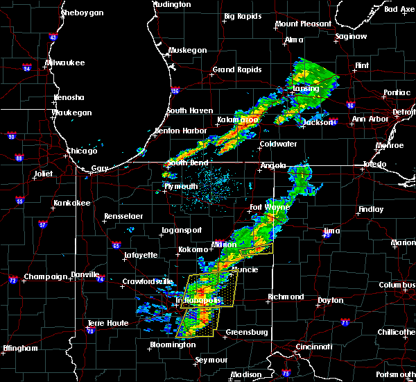 A severe thunderstorm warning remains in effect until 800 pm edt for southern adams and northeastern jay counties. at 725 pm edt, a severe thunderstorm was located near geneva, or near portland, moving east at 40 mph. hazard. 60 mph wind gusts and penny size hail. source. Radar indicated. A severe thunderstorm warning remains in effect until 800 pm edt for southern adams and northeastern jay counties. at 725 pm edt, a severe thunderstorm was located near geneva, or near portland, moving east at 40 mph. hazard. 60 mph wind gusts and penny size hail. source. Radar indicated.
|
| 5/19/2019 7:12 PM EDT |
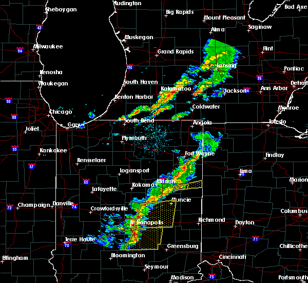 At 712 pm edt, a severe thunderstorm was located over pennville, or 9 miles north of dunkirk, moving east at 40 mph (radar indicated). Hazards include 60 mph wind gusts and penny size hail. expect damage to roofs, siding, and trees At 712 pm edt, a severe thunderstorm was located over pennville, or 9 miles north of dunkirk, moving east at 40 mph (radar indicated). Hazards include 60 mph wind gusts and penny size hail. expect damage to roofs, siding, and trees
|
| 7/20/2018 4:00 PM EDT |
 At 359 pm edt, a severe thunderstorm was located near berne, moving northeast at 45 mph (radar indicated). Hazards include 60 mph wind gusts and penny size hail. Expect damage to roofs, siding, and trees. locations impacted include, bluffton, hartford city, berne, ossian, montpelier, geneva, monroe, pennville, preble, nottingham, uniondale, bryant, shamrock lakes, poneto, vera cruz, mcnatts, trinity, wellsburg, murray and liberty center. A tornado watch remains in effect until 600 pm edt for central, northeastern and east central indiana. At 359 pm edt, a severe thunderstorm was located near berne, moving northeast at 45 mph (radar indicated). Hazards include 60 mph wind gusts and penny size hail. Expect damage to roofs, siding, and trees. locations impacted include, bluffton, hartford city, berne, ossian, montpelier, geneva, monroe, pennville, preble, nottingham, uniondale, bryant, shamrock lakes, poneto, vera cruz, mcnatts, trinity, wellsburg, murray and liberty center. A tornado watch remains in effect until 600 pm edt for central, northeastern and east central indiana.
|
| 7/20/2018 3:40 PM EDT |
 At 339 pm edt, a line of severe thunderstorms were located from near pleasant plain to just south of hartford city, moving northeast at 45 mph (radar indicated). Hazards include 60 mph wind gusts and penny size hail. expect damage to roofs, siding, and trees At 339 pm edt, a line of severe thunderstorms were located from near pleasant plain to just south of hartford city, moving northeast at 45 mph (radar indicated). Hazards include 60 mph wind gusts and penny size hail. expect damage to roofs, siding, and trees
|
| 6/9/2018 2:48 PM EDT | Quarter sized hail reported 7.8 miles E of Bryant, IN, the duration of the hail event was 5 minutes. |
| 6/9/2018 2:40 PM EDT | 10" diameter tree blown down and numerous limbs to 6" in diameter blown dow in jay county IN, 7.8 miles E of Bryant, IN |
| 5/31/2018 4:54 PM EDT |
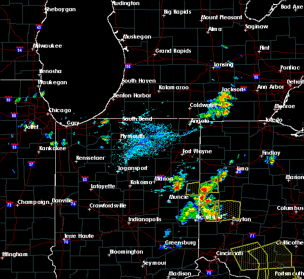 The severe thunderstorm warning for eastern jay county will expire at 500 pm edt, the storm which prompted the warning has moved out of the area. therefore, the warning will be allowed to expire. The severe thunderstorm warning for eastern jay county will expire at 500 pm edt, the storm which prompted the warning has moved out of the area. therefore, the warning will be allowed to expire.
|
| 5/31/2018 4:26 PM EDT |
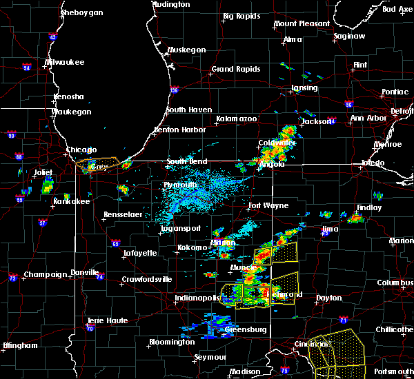 At 426 pm edt, a severe thunderstorm was located over portland, moving east at 25 mph (radar indicated). Hazards include 60 mph wind gusts and quarter size hail. Hail damage to vehicles is expected. Expect wind damage to roofs, siding, and trees. At 426 pm edt, a severe thunderstorm was located over portland, moving east at 25 mph (radar indicated). Hazards include 60 mph wind gusts and quarter size hail. Hail damage to vehicles is expected. Expect wind damage to roofs, siding, and trees.
|
| 5/30/2018 3:20 PM EDT | Report of a tree down on sr 18 just east of the sr 1 intersection. blocking part of sr 1 in jay county IN, 9.9 miles E of Bryant, IN |
| 11/5/2017 4:18 PM EDT |
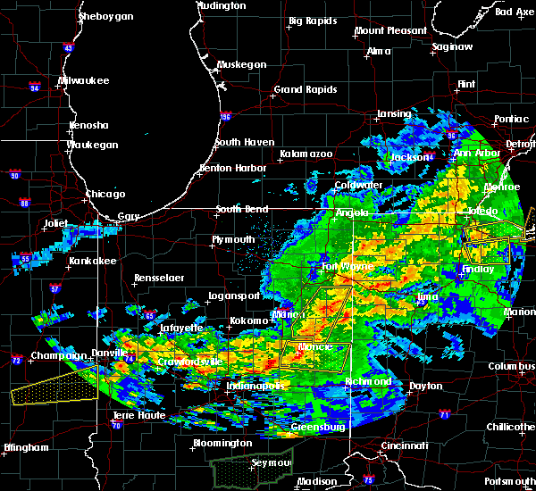 At 318 pm est, severe thunderstorms were located along a line extending from near monroe to near redkey, moving east at 50 mph (radar indicated). Hazards include 60 mph wind gusts. expect damage to roofs, siding, and trees At 318 pm est, severe thunderstorms were located along a line extending from near monroe to near redkey, moving east at 50 mph (radar indicated). Hazards include 60 mph wind gusts. expect damage to roofs, siding, and trees
|
| 11/5/2017 3:21 PM EDT |
 The tornado warning for northeastern jay county will expire at 230 pm est, the storm which prompted the warning has moved out of the area. therefore the warning will be allowed to expire. damage has been reported along a line from dunkirk to north of portland/ a tornado watch remains in effect until 700 pm est for east central indiana. The tornado warning for northeastern jay county will expire at 230 pm est, the storm which prompted the warning has moved out of the area. therefore the warning will be allowed to expire. damage has been reported along a line from dunkirk to north of portland/ a tornado watch remains in effect until 700 pm est for east central indiana.
|
| 11/5/2017 3:04 PM EDT |
 At 204 pm est, a confirmed large and extremely dangerous tornado was located just north of portland, moving northeast at 40 mph. trained spotters are reporting damage from dunkirk to north of portland. this is a particularly dangerous situation. take cover now! (radar confirmed tornado). Hazards include damaging tornado. You are in a life-threatening situation. flying debris may be deadly to those caught without shelter. mobile homes will be destroyed. considerable damage to homes, businesses, and vehicles is likely and complete destruction is possible. This tornadic thunderstorm will remain over mainly rural areas of northeastern jay county, including the following locations: bryant, westchester, trinity and new corydon. At 204 pm est, a confirmed large and extremely dangerous tornado was located just north of portland, moving northeast at 40 mph. trained spotters are reporting damage from dunkirk to north of portland. this is a particularly dangerous situation. take cover now! (radar confirmed tornado). Hazards include damaging tornado. You are in a life-threatening situation. flying debris may be deadly to those caught without shelter. mobile homes will be destroyed. considerable damage to homes, businesses, and vehicles is likely and complete destruction is possible. This tornadic thunderstorm will remain over mainly rural areas of northeastern jay county, including the following locations: bryant, westchester, trinity and new corydon.
|
| 11/5/2017 2:55 PM EDT |
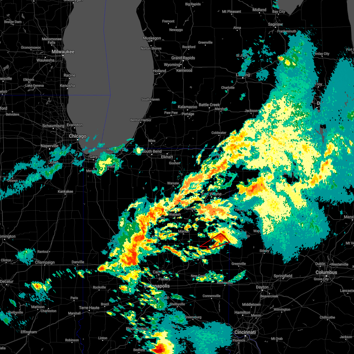 The tornado warning for southeastern blackford and central jay counties will expire at 200 pm est, the tornado warning that was previously in effect has been reissued for central jay county and is in effect until 230 pm est. please refer to that bulletin for the latest severe weather information. a tornado watch remains in effect until 700 pm est for northeastern and east central indiana. remember, a tornado warning still remains in effect for central jay county with reports of damage in dunkirk. The tornado warning for southeastern blackford and central jay counties will expire at 200 pm est, the tornado warning that was previously in effect has been reissued for central jay county and is in effect until 230 pm est. please refer to that bulletin for the latest severe weather information. a tornado watch remains in effect until 700 pm est for northeastern and east central indiana. remember, a tornado warning still remains in effect for central jay county with reports of damage in dunkirk.
|
| 11/5/2017 2:54 PM EDT |
 At 152 pm est, a confirmed large and extremely dangerous tornado was located near center, west northwest of portland, moving east at 40 mph. reports of some tree damage in the dunkirk area. this is a particularly dangerous situation. take cover now! (radar confirmed tornado). Hazards include damaging tornado. You are in a life-threatening situation. flying debris may be deadly to those caught without shelter. mobile homes will be destroyed. considerable damage to homes, businesses, and vehicles is likely and complete destruction is possible. the tornado will be near, portland around 200 pm est. Other locations impacted by this tornadic thunderstorm include bryant, westchester, college corner, center, liber, trinity, blaine, new corydon, brice and bellfountain. At 152 pm est, a confirmed large and extremely dangerous tornado was located near center, west northwest of portland, moving east at 40 mph. reports of some tree damage in the dunkirk area. this is a particularly dangerous situation. take cover now! (radar confirmed tornado). Hazards include damaging tornado. You are in a life-threatening situation. flying debris may be deadly to those caught without shelter. mobile homes will be destroyed. considerable damage to homes, businesses, and vehicles is likely and complete destruction is possible. the tornado will be near, portland around 200 pm est. Other locations impacted by this tornadic thunderstorm include bryant, westchester, college corner, center, liber, trinity, blaine, new corydon, brice and bellfountain.
|
| 11/5/2017 2:37 PM EDT |
 At 137 pm est, a severe thunderstorm capable of producing a tornado was located over dunkirk, moving northeast at 45 mph (radar indicated rotation). Hazards include tornado. Flying debris will be dangerous to those caught without shelter. mobile homes will be damaged or destroyed. damage to roofs, windows, and vehicles will occur. tree damage is likely. this dangerous storm will be near, dunkirk and redkey around 140 pm est. portland around 200 pm est. Other locations impacted by this tornadic thunderstorm include bryant, westchester, college corner, center, liber, blaine, brice, mill grove, como and bellfountain. At 137 pm est, a severe thunderstorm capable of producing a tornado was located over dunkirk, moving northeast at 45 mph (radar indicated rotation). Hazards include tornado. Flying debris will be dangerous to those caught without shelter. mobile homes will be damaged or destroyed. damage to roofs, windows, and vehicles will occur. tree damage is likely. this dangerous storm will be near, dunkirk and redkey around 140 pm est. portland around 200 pm est. Other locations impacted by this tornadic thunderstorm include bryant, westchester, college corner, center, liber, blaine, brice, mill grove, como and bellfountain.
|
| 7/7/2017 11:46 AM EDT |
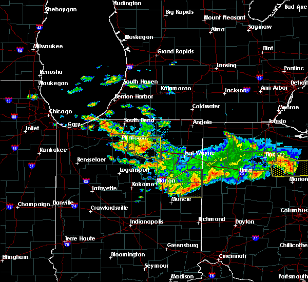 At 1145 am edt, a severe thunderstorm was located over berne, moving southeast at 25 mph (radar indicated). Hazards include 60 mph wind gusts and nickel size hail. Expect damage to roofs, siding, and trees. Locations impacted include, portland, hartford city, berne, dunkirk, redkey, geneva, pennville, westchester, center, bryant, shamrock lakes, salamonia, trinity, brice, mill grove, como, bellfountain, collett, balbec and new mount pleasant. At 1145 am edt, a severe thunderstorm was located over berne, moving southeast at 25 mph (radar indicated). Hazards include 60 mph wind gusts and nickel size hail. Expect damage to roofs, siding, and trees. Locations impacted include, portland, hartford city, berne, dunkirk, redkey, geneva, pennville, westchester, center, bryant, shamrock lakes, salamonia, trinity, brice, mill grove, como, bellfountain, collett, balbec and new mount pleasant.
|
| 7/7/2017 11:15 AM EDT |
 At 1115 am edt, a severe thunderstorm was located over bluffton, moving southeast at 25 mph (radar indicated). Hazards include 60 mph wind gusts and nickel size hail. expect damage to roofs, siding, and trees At 1115 am edt, a severe thunderstorm was located over bluffton, moving southeast at 25 mph (radar indicated). Hazards include 60 mph wind gusts and nickel size hail. expect damage to roofs, siding, and trees
|
| 6/18/2017 2:00 AM EDT |
 At 159 am edt, severe thunderstorms were located along a line extending from near van buren to near montpelier to near matthews, moving east at 45 mph (radar indicated). Hazards include 60 mph wind gusts. Expect damage to roofs, siding, and trees. Locations impacted include, portland, hartford city, berne, dunkirk, montpelier, redkey, geneva, pennville, westchester, center, nottingham, bryant, shamrock lakes, poneto, salamonia, vera cruz, mcnatts, trinity, wellsburg and brice. At 159 am edt, severe thunderstorms were located along a line extending from near van buren to near montpelier to near matthews, moving east at 45 mph (radar indicated). Hazards include 60 mph wind gusts. Expect damage to roofs, siding, and trees. Locations impacted include, portland, hartford city, berne, dunkirk, montpelier, redkey, geneva, pennville, westchester, center, nottingham, bryant, shamrock lakes, poneto, salamonia, vera cruz, mcnatts, trinity, wellsburg and brice.
|
| 6/18/2017 1:39 AM EDT |
 At 139 am edt, severe thunderstorms were located along a line extending from 7 miles northeast of la fontaine to near gas city to near fairmount, moving east at 45 mph (radar indicated). Hazards include 60 mph wind gusts. expect damage to roofs, siding, and trees At 139 am edt, severe thunderstorms were located along a line extending from 7 miles northeast of la fontaine to near gas city to near fairmount, moving east at 45 mph (radar indicated). Hazards include 60 mph wind gusts. expect damage to roofs, siding, and trees
|
| 3/30/2017 6:17 PM EDT | Quarter sized hail reported 10 miles E of Bryant, IN, . |
| 3/30/2017 6:07 PM EDT |
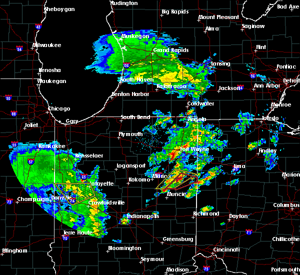 At 606 pm edt, a tornado was reported earlier by storm chasers near the delaware and blackford county line with this storm. the storm is moving northeast at 40 mph (weather spotters confirmed tornado). Hazards include damaging tornado and quarter size hail. Flying debris will be dangerous to those caught without shelter. mobile homes will be damaged or destroyed. damage to roofs, windows, and vehicles will occur. tree damage is likely. this tornado will be near, geneva around 620 pm edt. Other locations impacted by this tornadic thunderstorm include bryant, nottingham, westchester, center, trinity, linn grove, domestic, new corydon, fiat and ceylon. At 606 pm edt, a tornado was reported earlier by storm chasers near the delaware and blackford county line with this storm. the storm is moving northeast at 40 mph (weather spotters confirmed tornado). Hazards include damaging tornado and quarter size hail. Flying debris will be dangerous to those caught without shelter. mobile homes will be damaged or destroyed. damage to roofs, windows, and vehicles will occur. tree damage is likely. this tornado will be near, geneva around 620 pm edt. Other locations impacted by this tornadic thunderstorm include bryant, nottingham, westchester, center, trinity, linn grove, domestic, new corydon, fiat and ceylon.
|
| 3/30/2017 5:45 PM EDT |
 At 544 pm edt, a tornado was reported in delaware county, moving northeast at 40 mph (weather spotters confirmed tornado). Hazards include damaging tornado and ping pong ball size hail. Flying debris will be dangerous to those caught without shelter. mobile homes will be damaged or destroyed. damage to roofs, windows, and vehicles will occur. tree damage is likely. the tornado will be near, dunkirk around 550 pm edt. pennville around 600 pm edt. geneva around 620 pm edt. Other locations impacted by this tornadic thunderstorm include bryant, nottingham, westchester, center, trinity, ceylon, mill grove, petroleum, linn grove and domestic. At 544 pm edt, a tornado was reported in delaware county, moving northeast at 40 mph (weather spotters confirmed tornado). Hazards include damaging tornado and ping pong ball size hail. Flying debris will be dangerous to those caught without shelter. mobile homes will be damaged or destroyed. damage to roofs, windows, and vehicles will occur. tree damage is likely. the tornado will be near, dunkirk around 550 pm edt. pennville around 600 pm edt. geneva around 620 pm edt. Other locations impacted by this tornadic thunderstorm include bryant, nottingham, westchester, center, trinity, ceylon, mill grove, petroleum, linn grove and domestic.
|
| 7/21/2016 6:24 PM EDT | The severe thunderstorm warning for jay, southern adams and southeastern wells counties will expire at 630 pm edt, the storms which prompted the warning have weakened below severe limits, and no longer pose an immediate threat to life or property. therefore the warning will be allowed to expire at 630 pm edt. |
| 7/21/2016 5:38 PM EDT |
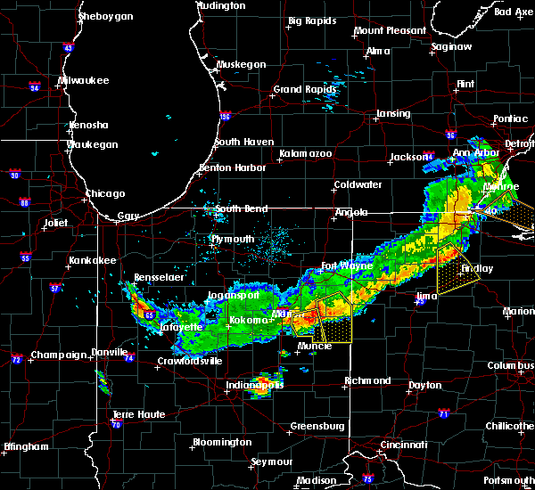 At 538 pm edt, severe thunderstorms were located along a line extending from 6 miles east of geneva to near pennville, moving south at 30 mph (radar indicated). Hazards include 60 mph wind gusts and penny size hail. Expect damage to roofs. siding and trees. these severe storms will be near, portland around 555 pm edt. Other locations impacted by these severe thunderstorms include liber, bryant, collett, powers, vera cruz, trinity, linn grove, bellfountain, domestic and bluff point. At 538 pm edt, severe thunderstorms were located along a line extending from 6 miles east of geneva to near pennville, moving south at 30 mph (radar indicated). Hazards include 60 mph wind gusts and penny size hail. Expect damage to roofs. siding and trees. these severe storms will be near, portland around 555 pm edt. Other locations impacted by these severe thunderstorms include liber, bryant, collett, powers, vera cruz, trinity, linn grove, bellfountain, domestic and bluff point.
|
| 7/21/2016 5:12 PM EDT |
 At 512 pm edt, a severe thunderstorm was located near monroe, or 7 miles northwest of berne, moving southeast at 30 mph (radar indicated). Hazards include 60 mph wind gusts and nickel size hail. Expect damage to roofs. siding and trees. this severe thunderstorm will be near, monroe around 515 pm edt. berne around 525 pm edt. geneva around 535 pm edt. portland around 550 pm edt. Other locations impacted by this severe thunderstorm include liber, bryant, vera cruz, trinity, domestic, brice, reiffsburg, westchester, petroleum and new mount pleasant. At 512 pm edt, a severe thunderstorm was located near monroe, or 7 miles northwest of berne, moving southeast at 30 mph (radar indicated). Hazards include 60 mph wind gusts and nickel size hail. Expect damage to roofs. siding and trees. this severe thunderstorm will be near, monroe around 515 pm edt. berne around 525 pm edt. geneva around 535 pm edt. portland around 550 pm edt. Other locations impacted by this severe thunderstorm include liber, bryant, vera cruz, trinity, domestic, brice, reiffsburg, westchester, petroleum and new mount pleasant.
|
| 7/13/2016 6:14 PM EDT |
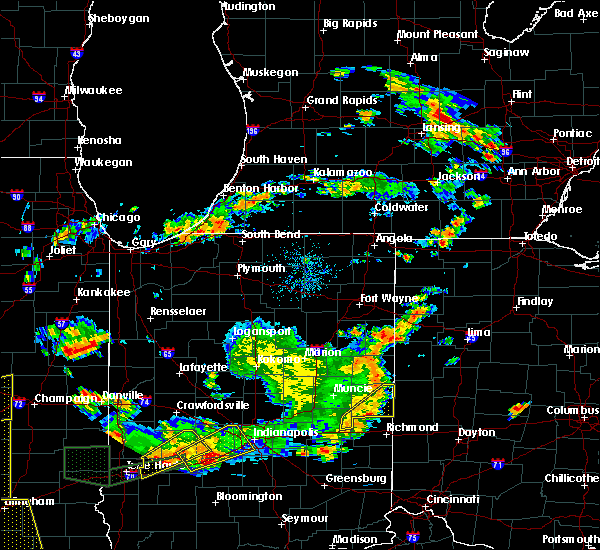 At 614 pm edt, severe thunderstorms were located along a line extending from 7 miles west of geneva to near portland to 9 miles southwest of fort recovery, moving northeast at 35 mph (radar indicated). Hazards include 60 mph wind gusts and quarter size hail. Hail damage to vehicles is expected. Expect wind damage to roofs, siding and trees. At 614 pm edt, severe thunderstorms were located along a line extending from 7 miles west of geneva to near portland to 9 miles southwest of fort recovery, moving northeast at 35 mph (radar indicated). Hazards include 60 mph wind gusts and quarter size hail. Hail damage to vehicles is expected. Expect wind damage to roofs, siding and trees.
|
| 6/23/2016 1:55 AM EDT |
 At 154 am edt, a severe thunderstorm was located near pennville, or 9 miles northwest of portland, moving east at 35 mph (radar indicated). Hazards include 60 mph wind gusts and penny size hail. Expect damage to roofs. siding and trees. this severe storm will be near, geneva around 205 am edt. portland around 210 am edt. other locations impacted by this severe thunderstorm include liber, bryant, collett, trinity, linn grove, bellfountain, domestic, balbec, brice and reiffsburg. A tornado watch remains in effect until 500 am edt for northeastern indiana. At 154 am edt, a severe thunderstorm was located near pennville, or 9 miles northwest of portland, moving east at 35 mph (radar indicated). Hazards include 60 mph wind gusts and penny size hail. Expect damage to roofs. siding and trees. this severe storm will be near, geneva around 205 am edt. portland around 210 am edt. other locations impacted by this severe thunderstorm include liber, bryant, collett, trinity, linn grove, bellfountain, domestic, balbec, brice and reiffsburg. A tornado watch remains in effect until 500 am edt for northeastern indiana.
|
| 6/23/2016 1:30 AM EDT |
 At 130 am edt, a severe thunderstorm was located near montpelier, or 9 miles north of hartford city, moving east at 25 mph (radar indicated). Hazards include 60 mph wind gusts. Expect damage to roofs. siding and trees. this severe thunderstorm will be near, montpelier around 140 am edt. pennville around 200 am edt. geneva around 215 am edt. portland around 225 am edt. other locations impacted by this severe thunderstorm include liber, bryant, trinity, domestic, brice, dillman, reiffsburg, nottingham, westchester and petroleum. A tornado watch remains in effect until 500 am edt for northeastern indiana. At 130 am edt, a severe thunderstorm was located near montpelier, or 9 miles north of hartford city, moving east at 25 mph (radar indicated). Hazards include 60 mph wind gusts. Expect damage to roofs. siding and trees. this severe thunderstorm will be near, montpelier around 140 am edt. pennville around 200 am edt. geneva around 215 am edt. portland around 225 am edt. other locations impacted by this severe thunderstorm include liber, bryant, trinity, domestic, brice, dillman, reiffsburg, nottingham, westchester and petroleum. A tornado watch remains in effect until 500 am edt for northeastern indiana.
|
| 7/13/2015 9:52 PM EDT |
 At 952 pm edt, a severe thunderstorm was located near portland, moving east at 40 mph (radar indicated). Hazards include 60 mph wind gusts and quarter size hail. Hail damage to vehicles is expected. expect wind damage to roofs, siding and trees. locations impacted include, portland, dunkirk, montpelier, redkey, pennville, westchester, center, bryant, salamonia, fiat, powers, balbec, bellfountain, collett, brice, liber, como, new mount pleasant, boundary city and college corner. A tornado watch remains in effect until 300 am edt for east central indiana. At 952 pm edt, a severe thunderstorm was located near portland, moving east at 40 mph (radar indicated). Hazards include 60 mph wind gusts and quarter size hail. Hail damage to vehicles is expected. expect wind damage to roofs, siding and trees. locations impacted include, portland, dunkirk, montpelier, redkey, pennville, westchester, center, bryant, salamonia, fiat, powers, balbec, bellfountain, collett, brice, liber, como, new mount pleasant, boundary city and college corner. A tornado watch remains in effect until 300 am edt for east central indiana.
|
| 7/13/2015 9:23 PM EDT |
 At 923 pm edt, a severe thunderstorm was located near pennville, or near portland, moving east at 40 mph (radar indicated). Hazards include 60 mph wind gusts and quarter size hail. Hail damage to vehicles is expected. Expect wind damage to roofs, siding and trees. At 923 pm edt, a severe thunderstorm was located near pennville, or near portland, moving east at 40 mph (radar indicated). Hazards include 60 mph wind gusts and quarter size hail. Hail damage to vehicles is expected. Expect wind damage to roofs, siding and trees.
|
| 5/30/2015 7:06 PM EDT | At 704 pm edt, severe thunderstorms were located along a line extending from geneva to 5 miles south of geneva to 8 miles southeast of portland, and moving northeast at 30 mph (radar indicated). Hazards include 60 mph wind gusts and penny size hail. Expect damage to roofs. siding and trees. Locations impacted include, berne, geneva, brice, westchester, salamonia, ceylon, bellfountain, trinity and new corydon. |
| 5/30/2015 6:58 PM EDT | At 657 pm edt, severe thunderstorms were located along a line extending from 6 miles northeast of pennville to portland to 8 miles south of portland, and moving northeast at 30 mph (radar indicated). Hazards include 60 mph wind gusts and penny size hail. Expect damage to roofs. siding and trees. Locations impacted include, berne, geneva, boundary city, bryant, brice, salamonia, westchester, bellfountain, ceylon, trinity and new corydon. |
| 5/30/2015 6:43 PM EDT | At 642 pm edt, severe thunderstorms were located along a line extending from pennville to 5 miles north of redkey to 8 miles southeast of redkey, and moving northeast at 30 mph (radar indicated). Hazards include 60 mph wind gusts. Expect damage to roofs. Siding and trees. |
| 5/26/2015 4:21 PM EDT | At 420 pm edt, a severe thunderstorm was located near portland, and moving northeast at 40 mph (radar indicated). Hazards include 60 mph wind gusts. Expect damage to roofs. siding and trees. The severe thunderstorm will affect mainly rural areas of northeastern jay and southeastern adams counties, including the following locations, trinity, geneva and new corydon. |
| 5/26/2015 4:04 PM EDT | At 403 pm edt, a severe thunderstorm was located 5 miles east of redkey, and moving northeast at 40 mph (radar indicated). Hazards include 60 mph wind gusts. Expect damage to roofs. Siding and trees. |
| 1/1/0001 12:00 AM | 3 power poles snapped. us 27 closed between 400 n and 500 n. power flashes were reporte in jay county IN, 1.9 miles N of Bryant, IN |
Hail Maps for Bryant, IN
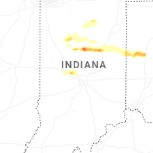


Connect with Interactive Hail Maps