

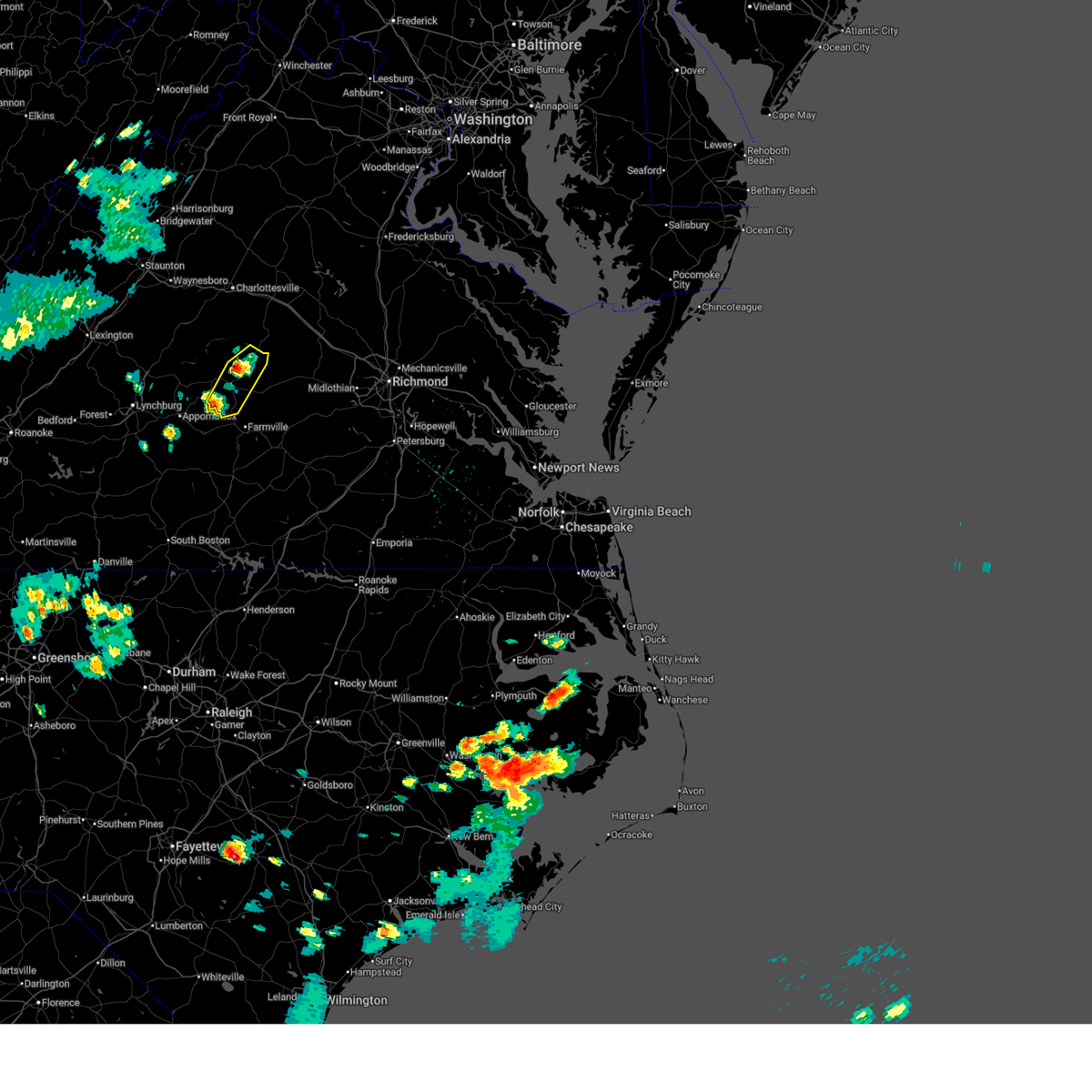
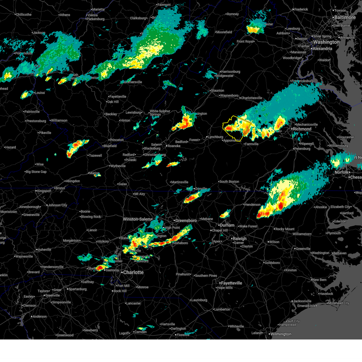
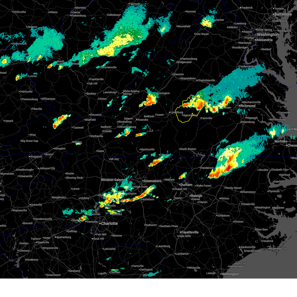
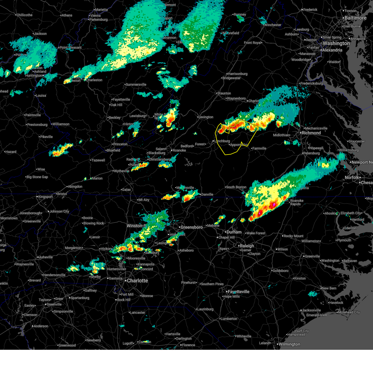
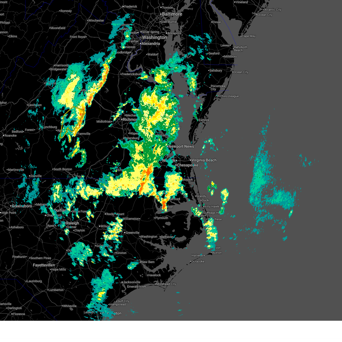
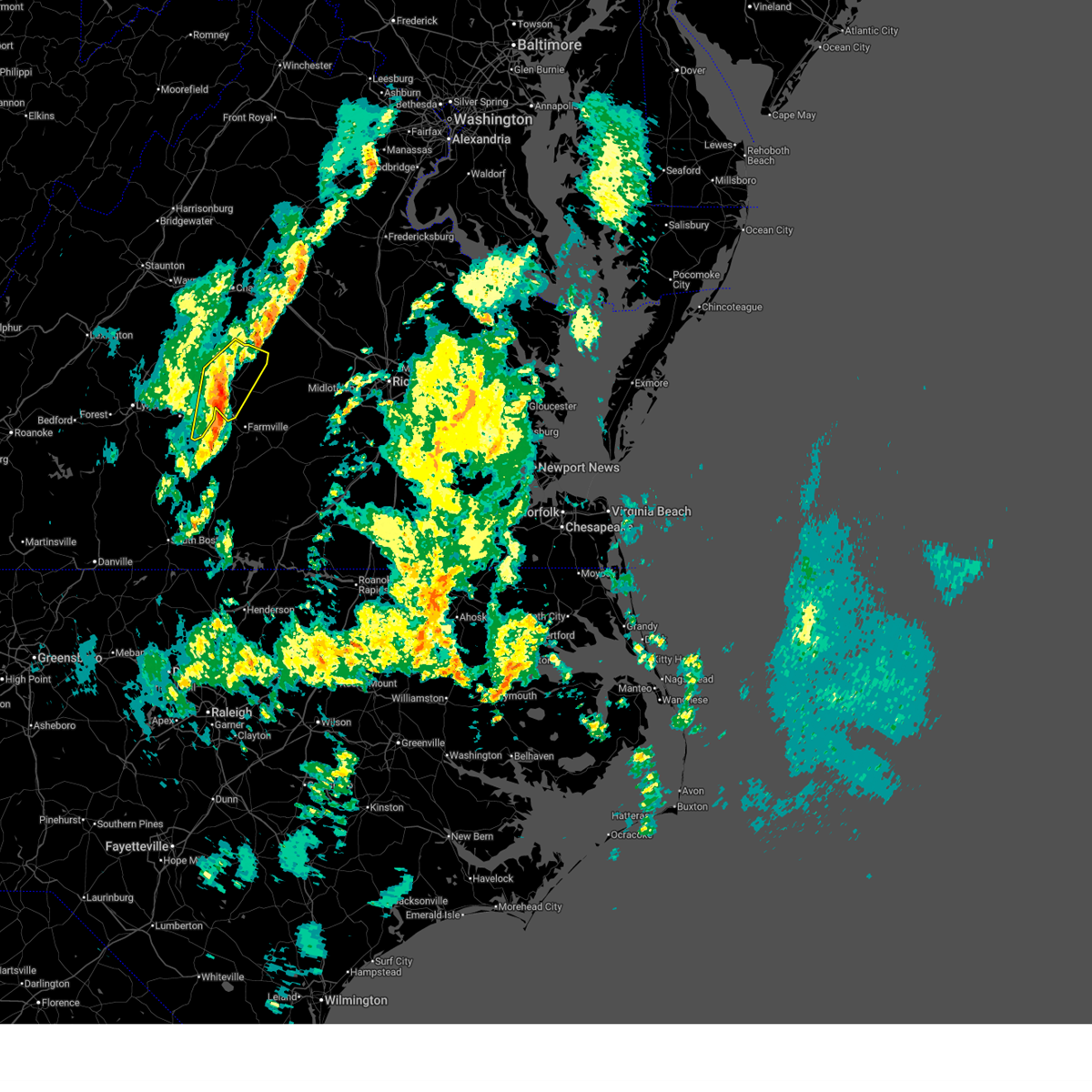
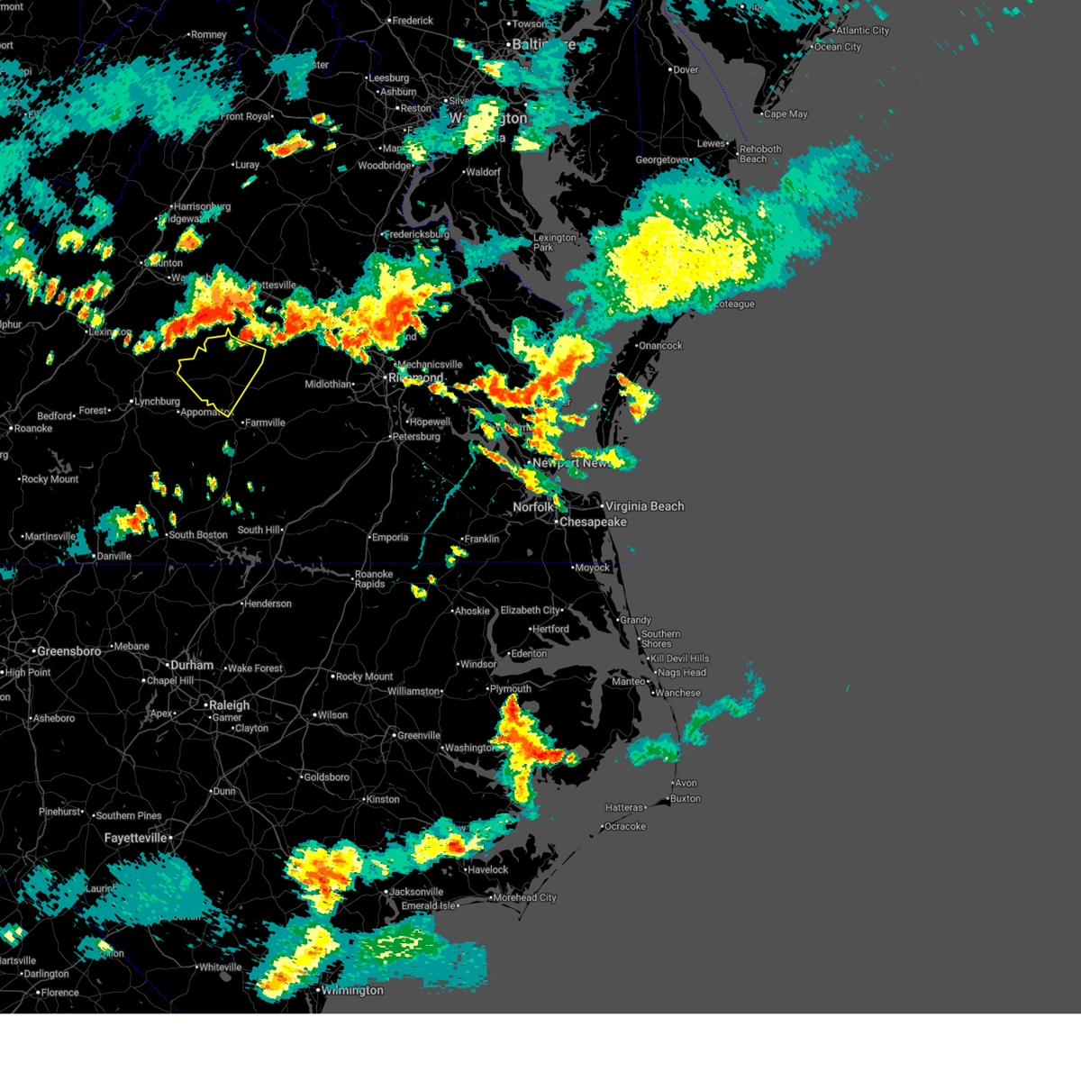
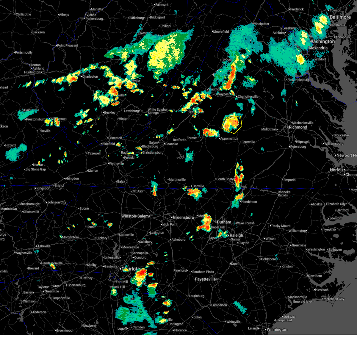
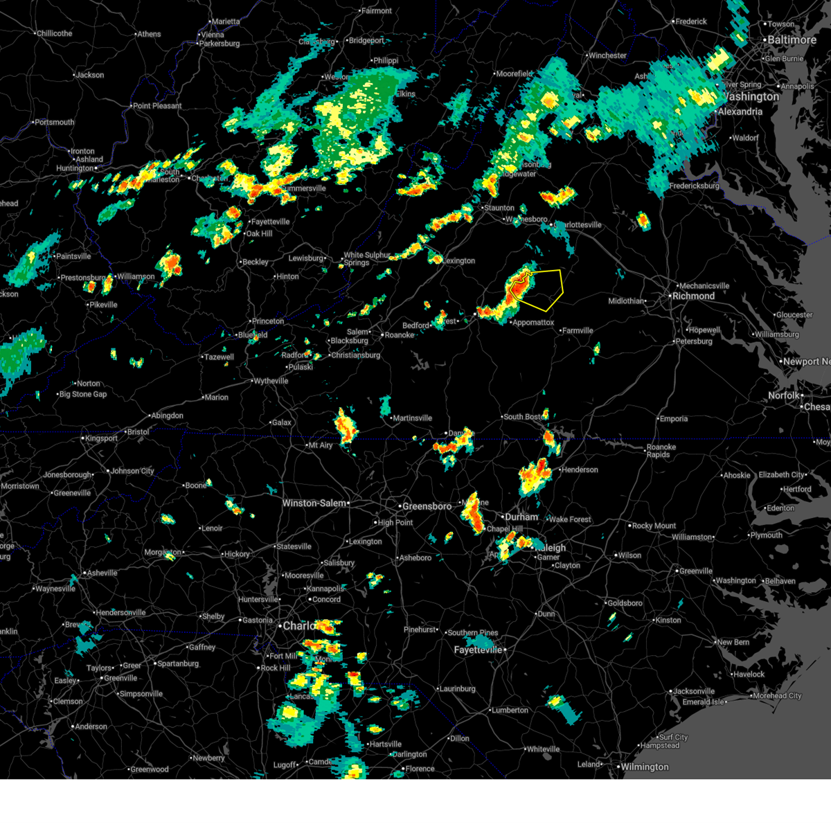
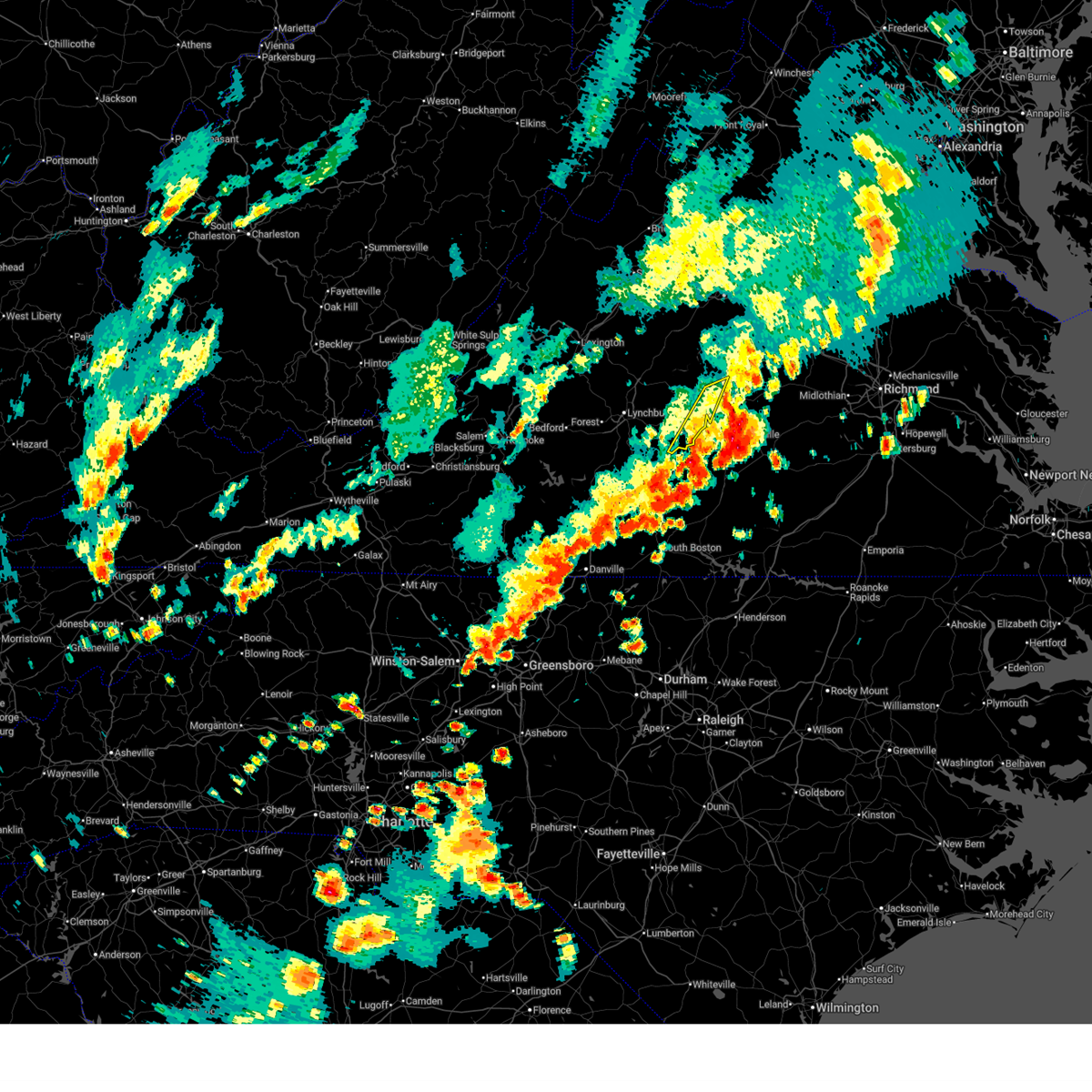
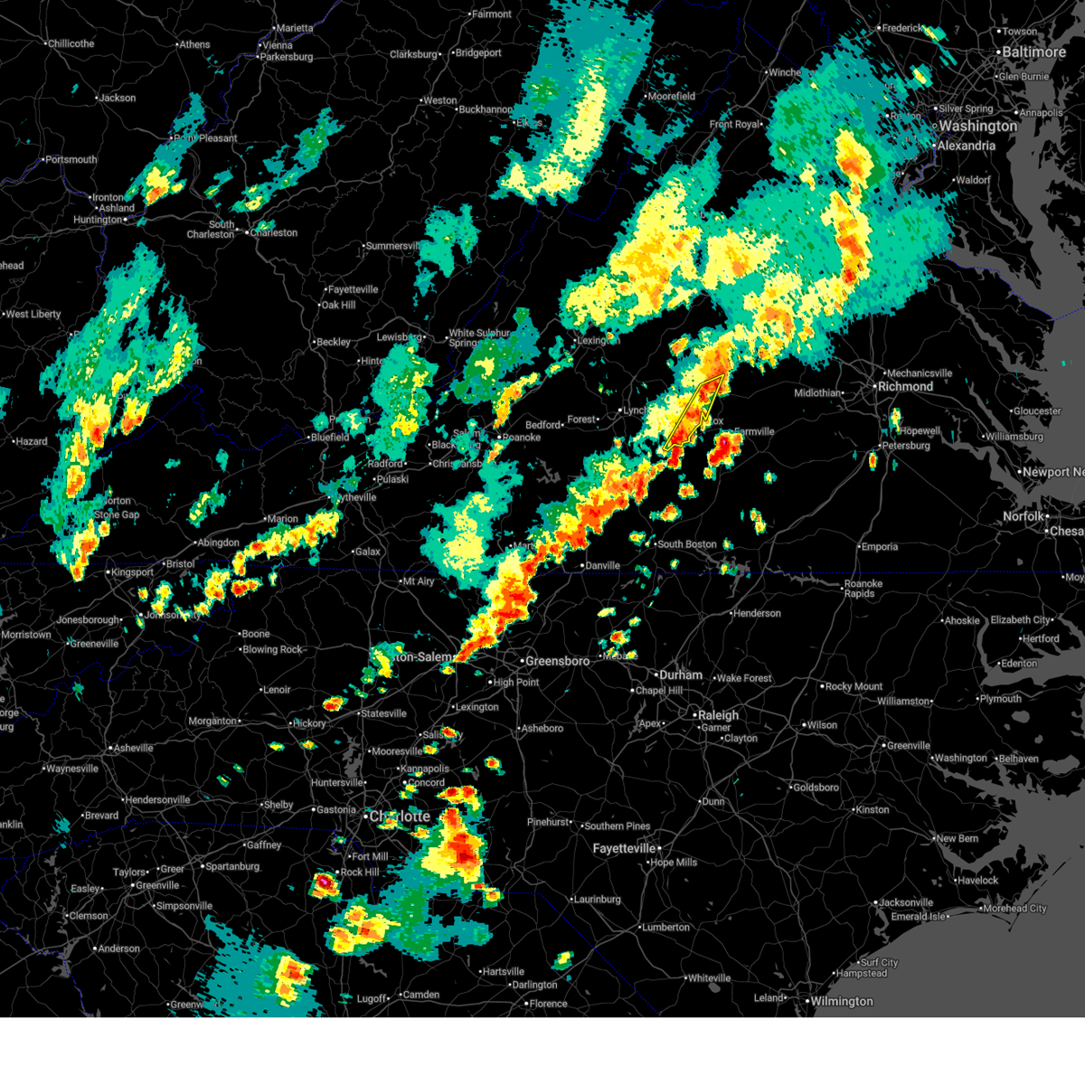
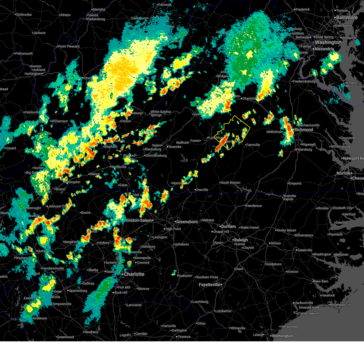
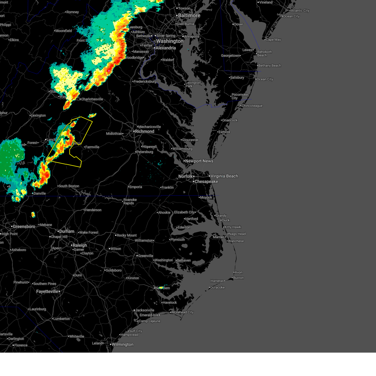
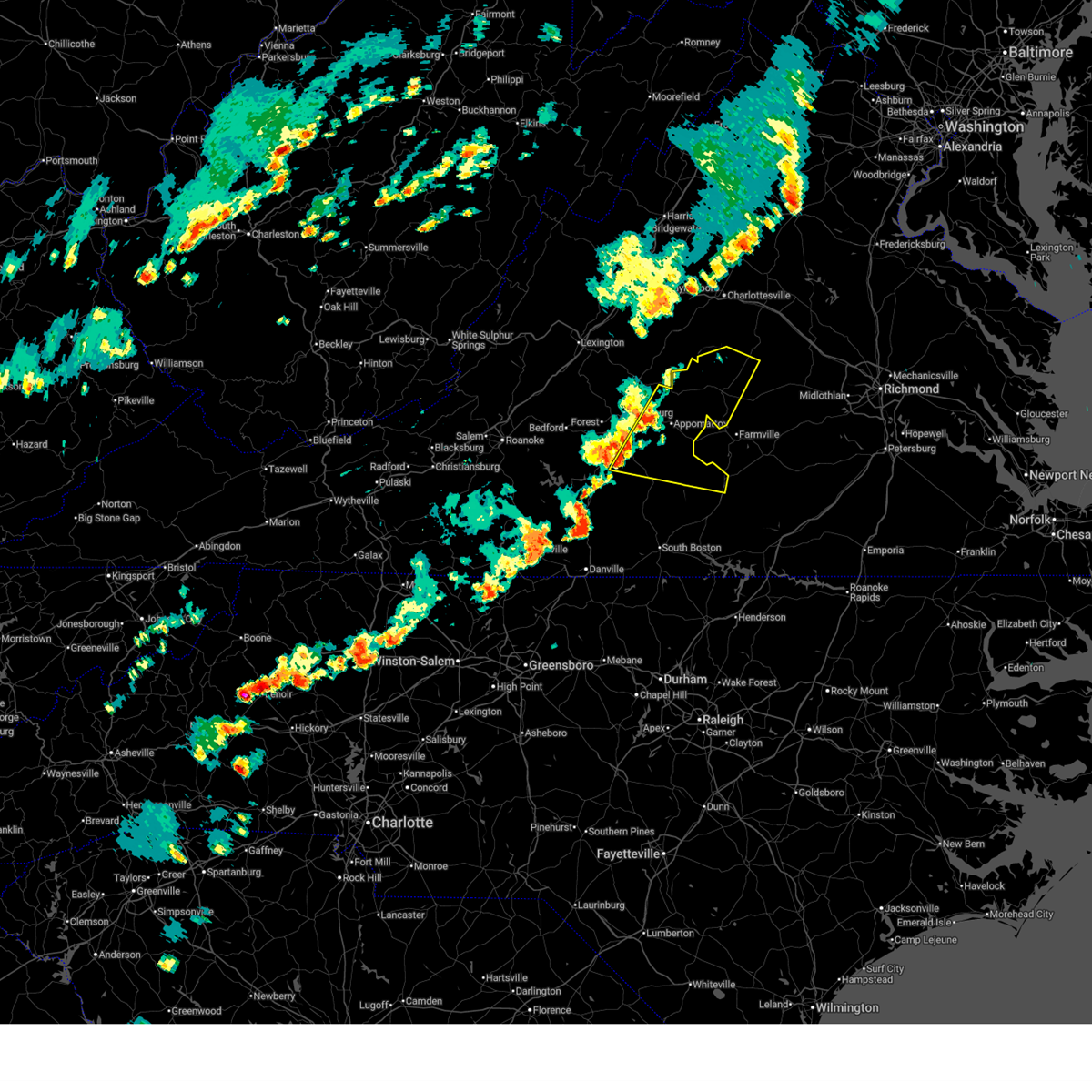
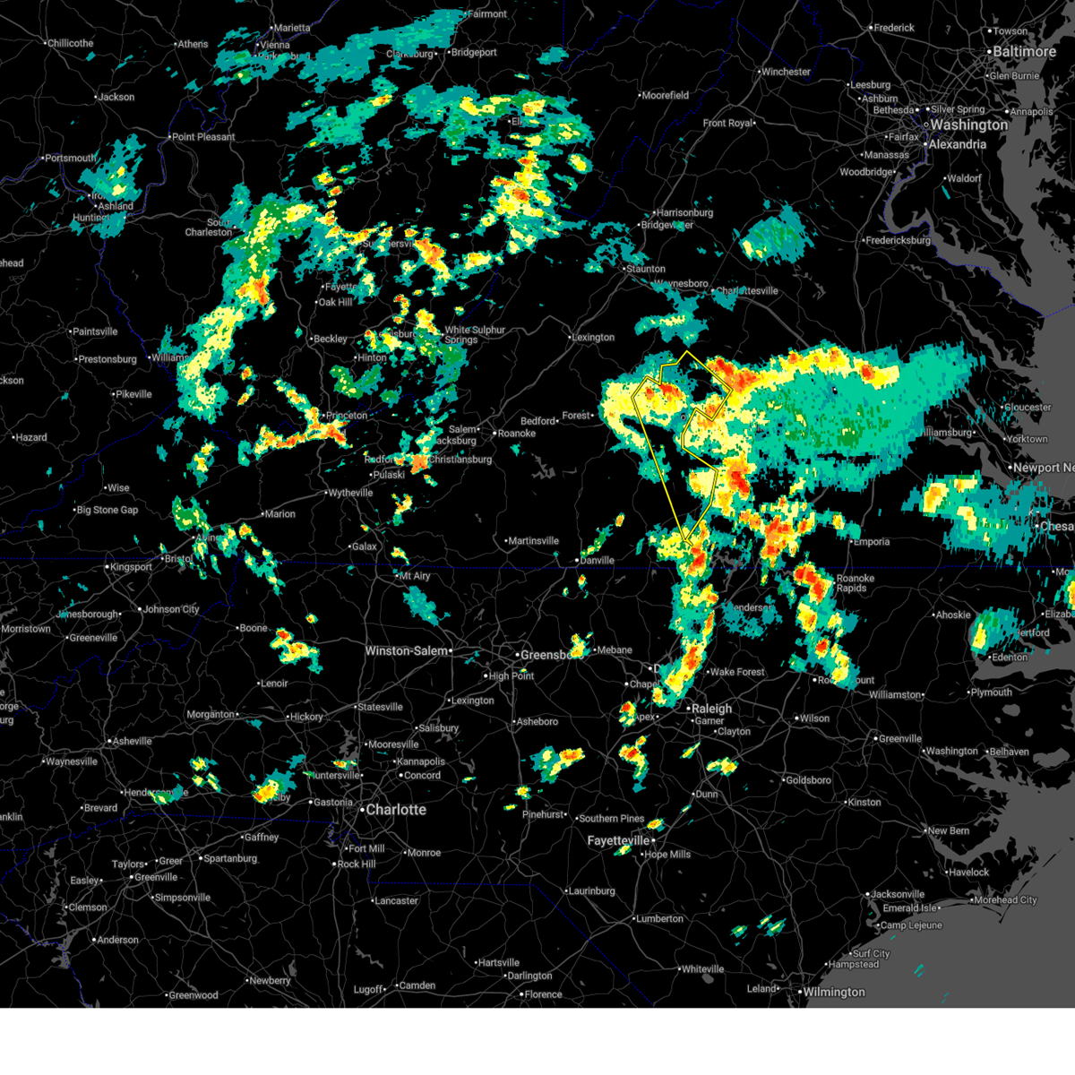
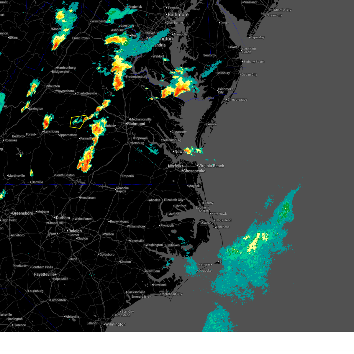
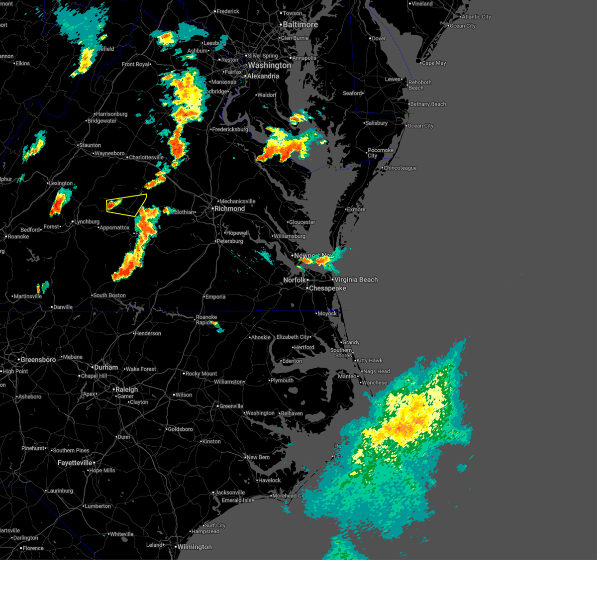
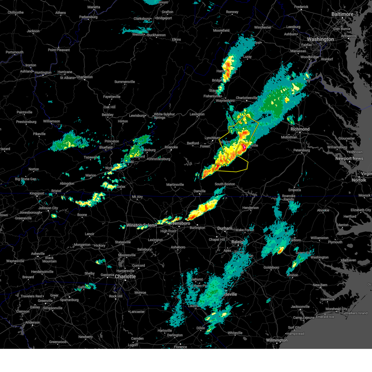
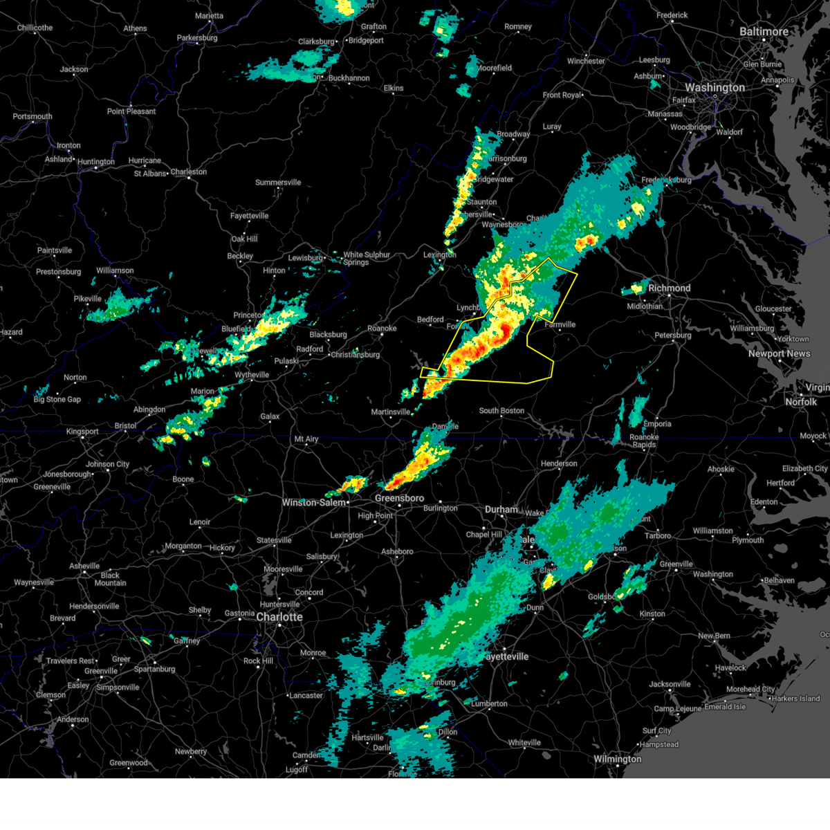
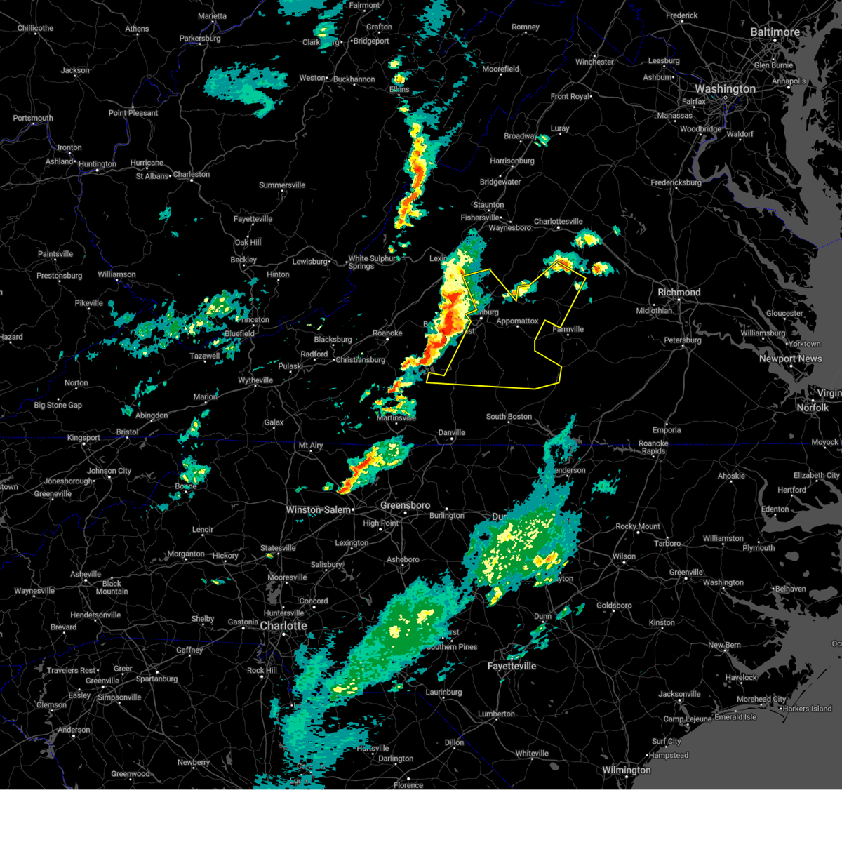
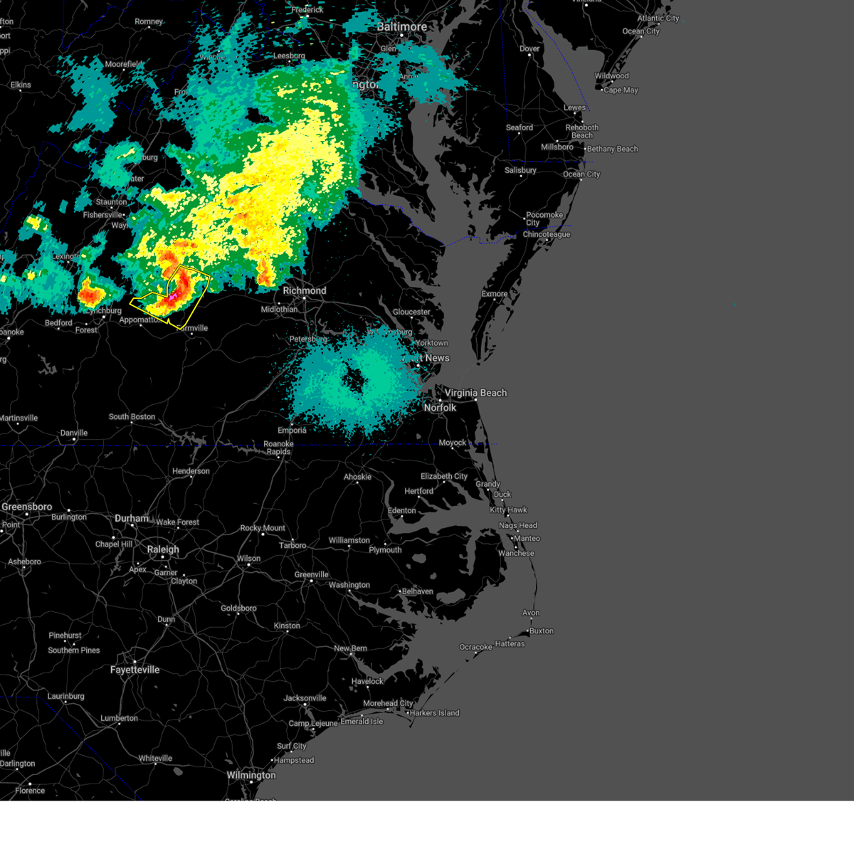
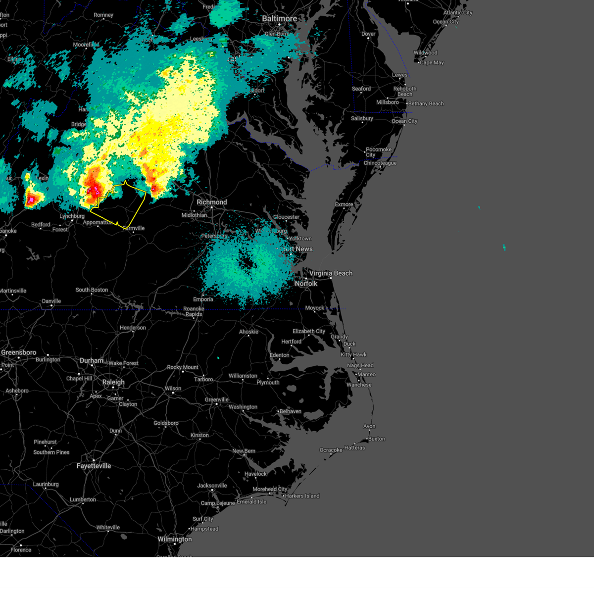
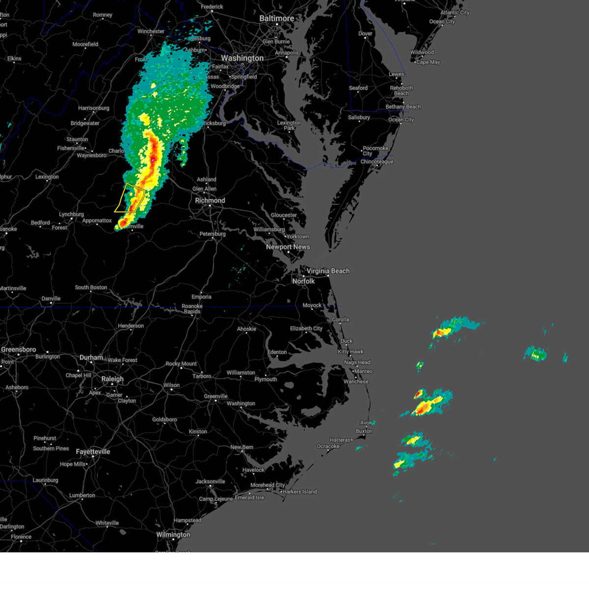
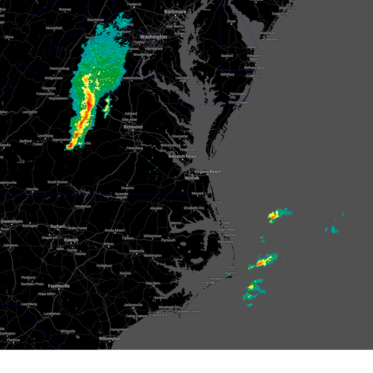
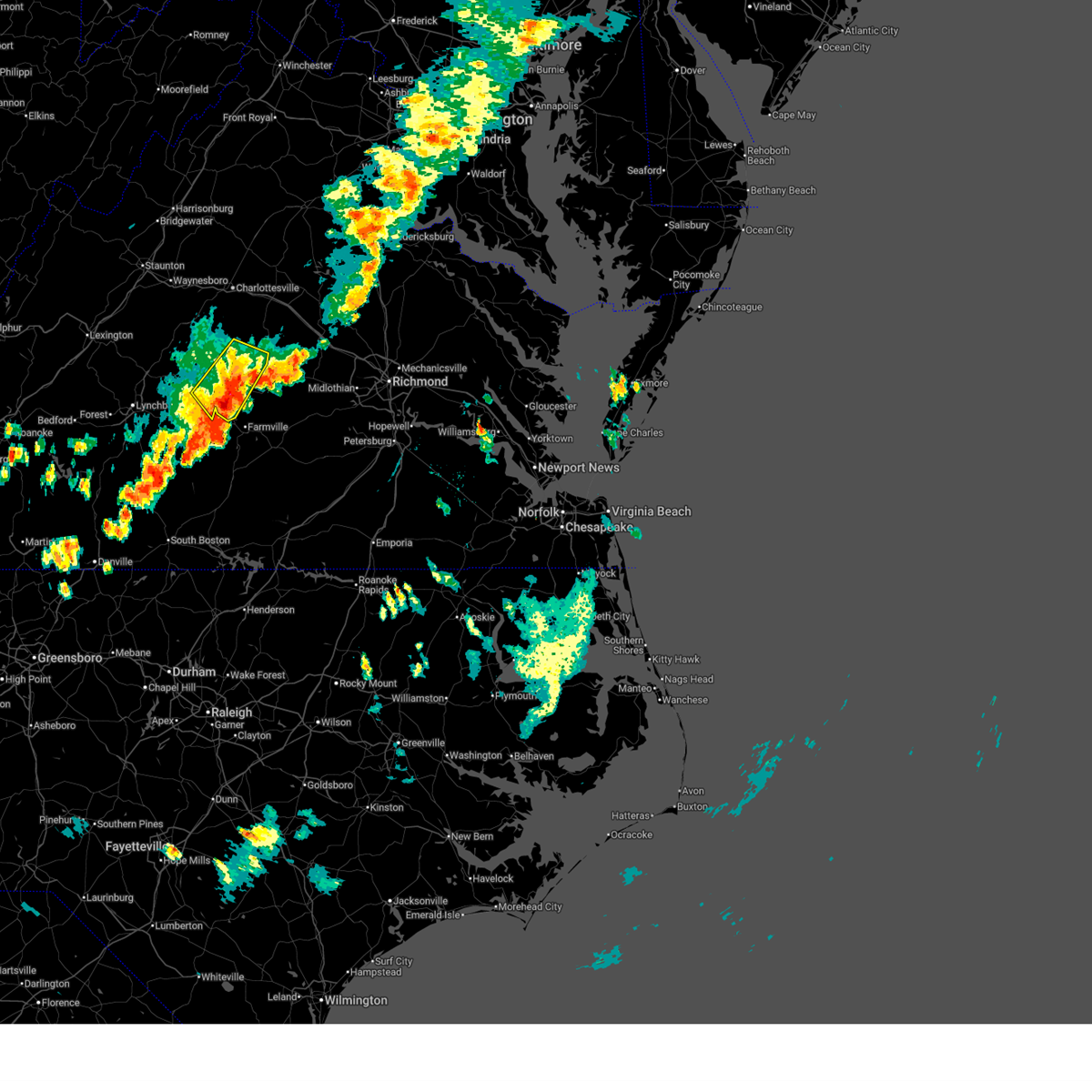
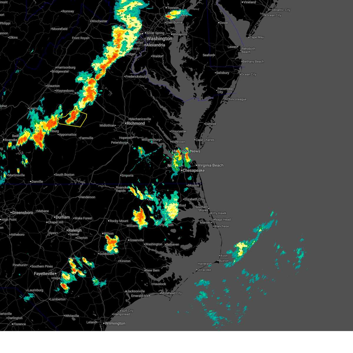
Hail Map for Buckingham Courthouse, VA
The Buckingham Courthouse, VA area has had 7 reports of on-the-ground hail by trained spotters, and has been under severe weather warnings 22 times during the past 12 months. Doppler radar has detected hail at or near Buckingham Courthouse, VA on 43 occasions, including 3 occasions during the past year.
| Name: | Buckingham Courthouse, VA |
| Where Located: | 49.5 miles W of Richmond, VA |
| Map: | Google Map for Buckingham Courthouse, VA |
| Population: | 133 |
| Housing Units: | 72 |
| More Info: | Search Google for Buckingham Courthouse, VA |
2
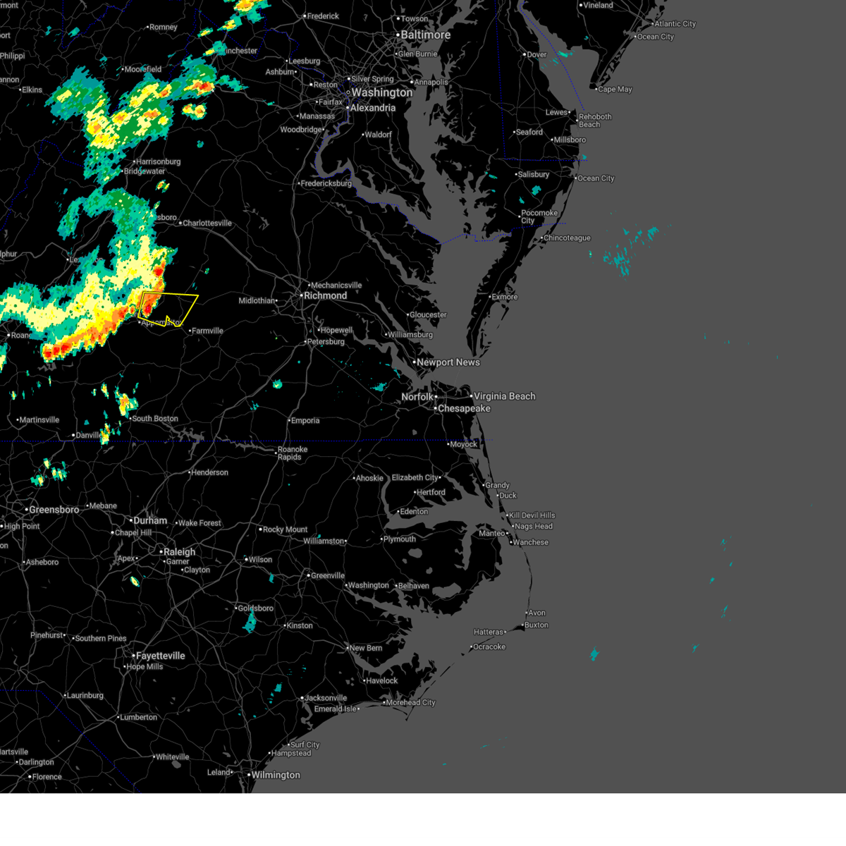
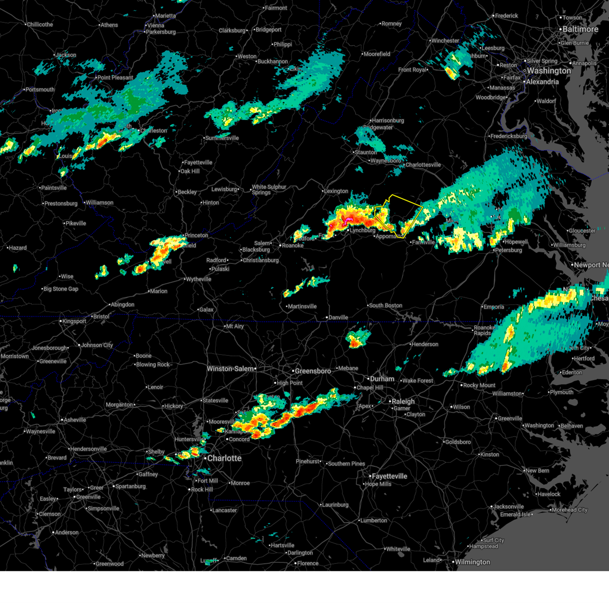
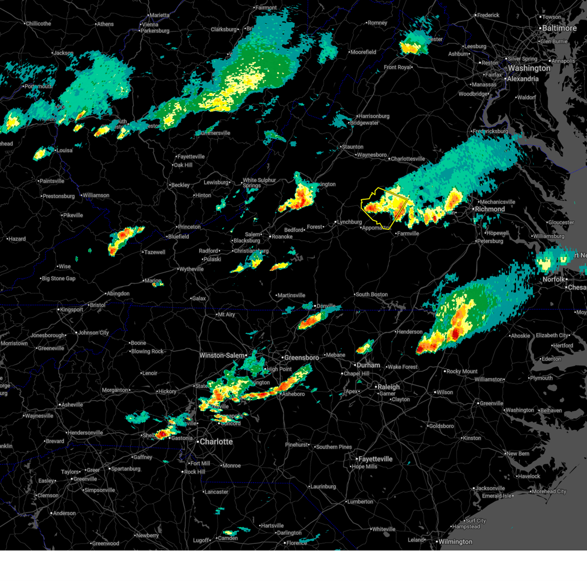
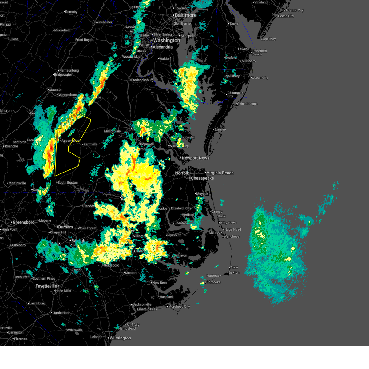
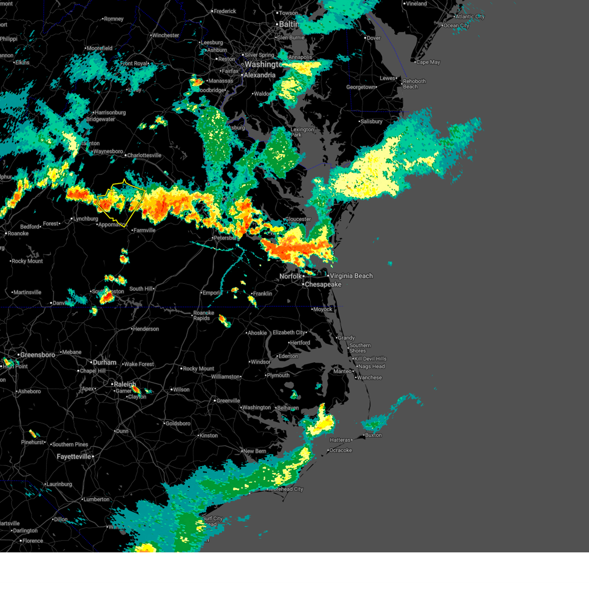
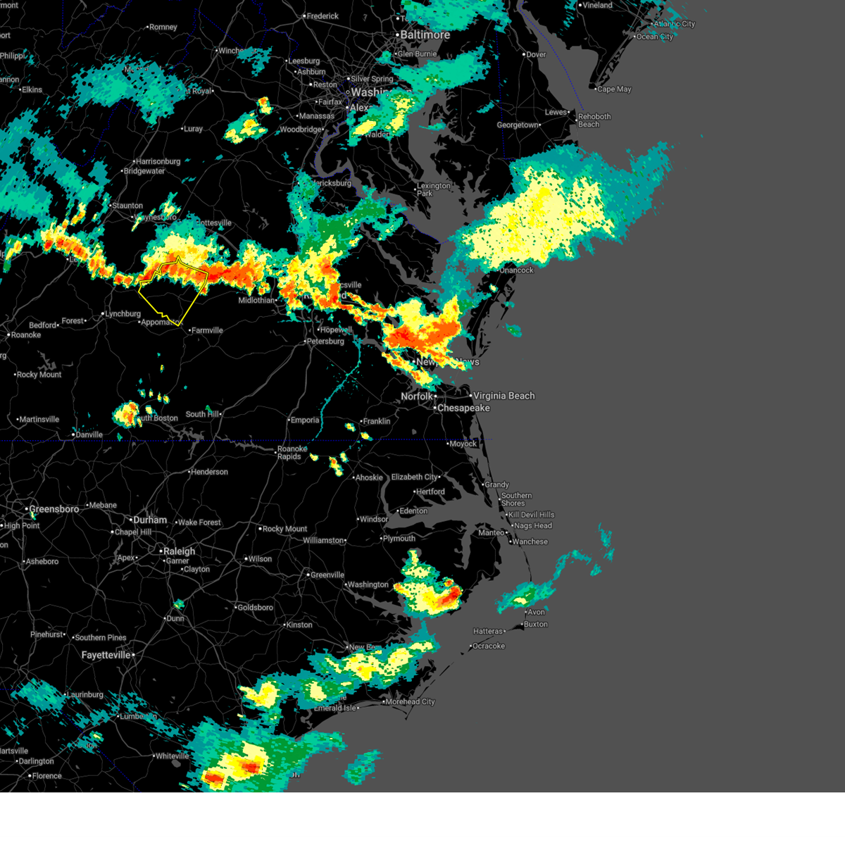
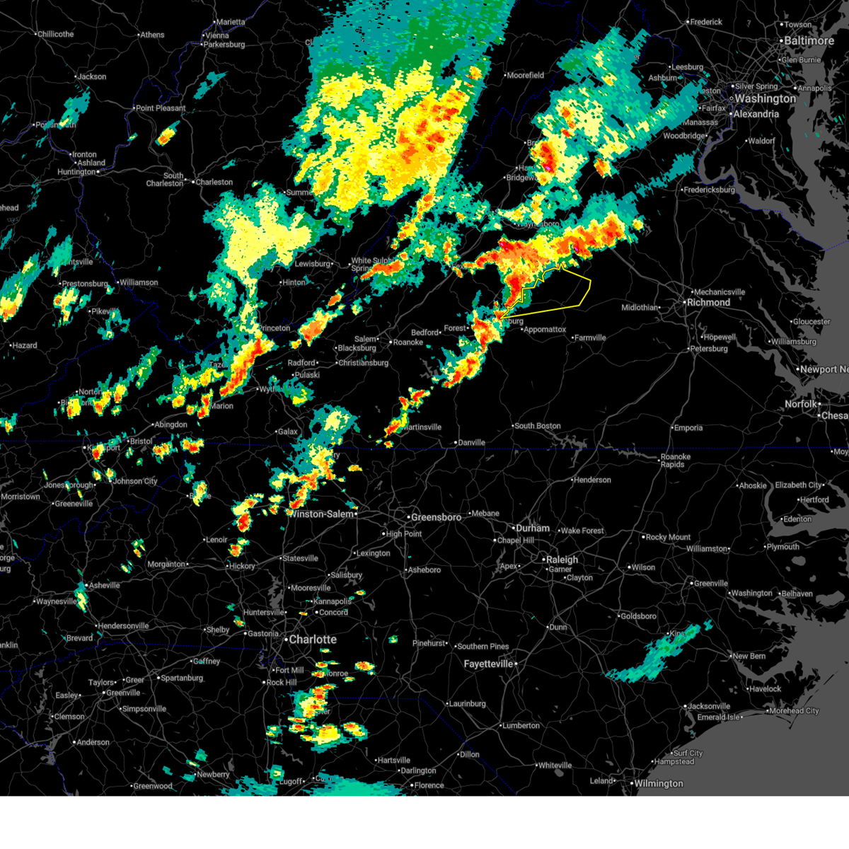
The Top Recent Hail Date for Buckingham Courthouse, VA is Sunday, June 14, 2026 (13th out of 43)

Hail and Wind Damage Spotted near Buckingham Courthouse, VA
| Date / Time | Report Details |
|---|---|
| 7/4/2026 6:52 PM EDT | Tree down on dixie hill roa in buckingham county VA, 3.3 miles NNE of Buckingham Courthouse, VA |
| 7/4/2026 6:50 PM EDT | Tree down on bridge roa in buckingham county VA, 3.3 miles NE of Buckingham Courthouse, VA |
| 7/4/2026 6:43 PM EDT |
 Svrrnk the national weather service in blacksburg has issued a * severe thunderstorm warning for, east central appomattox county in central virginia, buckingham county in central virginia, * until 745 pm edt. * at 642 pm edt, a severe thunderstorm was located over andersonville, or 8 miles south of buckingham, moving northeast at 25 mph (radar indicated). Hazards include 60 mph wind gusts. expect damage to roofs, siding, and trees Svrrnk the national weather service in blacksburg has issued a * severe thunderstorm warning for, east central appomattox county in central virginia, buckingham county in central virginia, * until 745 pm edt. * at 642 pm edt, a severe thunderstorm was located over andersonville, or 8 miles south of buckingham, moving northeast at 25 mph (radar indicated). Hazards include 60 mph wind gusts. expect damage to roofs, siding, and trees
|
| 6/14/2026 6:54 PM EDT |
 The storm which prompted the warning has weakened below severe limits, and has exited the warned area. therefore, the warning will be allowed to expire. a severe thunderstorm watch remains in effect until 1100 pm edt for central and south central virginia. The storm which prompted the warning has weakened below severe limits, and has exited the warned area. therefore, the warning will be allowed to expire. a severe thunderstorm watch remains in effect until 1100 pm edt for central and south central virginia.
|
| 6/14/2026 6:20 PM EDT |
 the severe thunderstorm warning has been cancelled and is no longer in effect the severe thunderstorm warning has been cancelled and is no longer in effect
|
| 6/14/2026 6:20 PM EDT |
 At 620 pm edt, a severe thunderstorm was located over dillwyn, moving northeast at 35 mph (radar indicated). Hazards include 60 mph wind gusts and quarter size hail. Hail damage to vehicles is expected. expect wind damage to roofs, siding, and trees. Locations impacted include, buckingham, dillwyn, gold hill, new canton, sheppards, and andersonville. At 620 pm edt, a severe thunderstorm was located over dillwyn, moving northeast at 35 mph (radar indicated). Hazards include 60 mph wind gusts and quarter size hail. Hail damage to vehicles is expected. expect wind damage to roofs, siding, and trees. Locations impacted include, buckingham, dillwyn, gold hill, new canton, sheppards, and andersonville.
|
| 6/14/2026 6:11 PM EDT | Thunderstorm winds blew down several trees and trees branches in buckingha in buckingham county VA, 0.6 miles NE of Buckingham Courthouse, VA |
| 6/14/2026 6:04 PM EDT | Thunderstorm winds blew down one tree that fell on to a power line along the 400 block of bridge roa in buckingham county VA, 3.7 miles ENE of Buckingham Courthouse, VA |
| 6/14/2026 5:59 PM EDT |
 Svrrnk the national weather service in blacksburg has issued a * severe thunderstorm warning for, northeastern appomattox county in central virginia, buckingham county in central virginia, * until 700 pm edt. * at 559 pm edt, a severe thunderstorm was located over toga, or 7 miles southwest of buckingham, moving east at 25 mph (radar indicated). Hazards include 60 mph wind gusts and quarter size hail. Hail damage to vehicles is expected. Expect wind damage to roofs, siding, and trees. Svrrnk the national weather service in blacksburg has issued a * severe thunderstorm warning for, northeastern appomattox county in central virginia, buckingham county in central virginia, * until 700 pm edt. * at 559 pm edt, a severe thunderstorm was located over toga, or 7 miles southwest of buckingham, moving east at 25 mph (radar indicated). Hazards include 60 mph wind gusts and quarter size hail. Hail damage to vehicles is expected. Expect wind damage to roofs, siding, and trees.
|
| 6/14/2026 4:09 PM EDT |
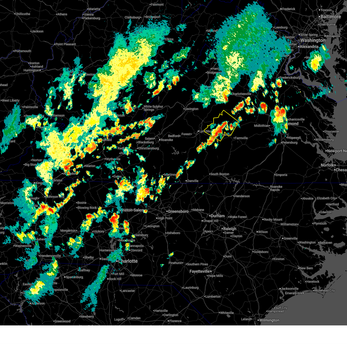
 Svrrnk the national weather service in blacksburg has issued a * severe thunderstorm warning for, eastern buckingham county in central virginia, * until 515 pm edt. * at 409 pm edt, a severe thunderstorm was located over gold hill, or near dillwyn, moving east at 25 mph (radar indicated). Hazards include 60 mph wind gusts and quarter size hail. Hail damage to vehicles is expected. Expect wind damage to roofs, siding, and trees. Svrrnk the national weather service in blacksburg has issued a * severe thunderstorm warning for, eastern buckingham county in central virginia, * until 515 pm edt. * at 409 pm edt, a severe thunderstorm was located over gold hill, or near dillwyn, moving east at 25 mph (radar indicated). Hazards include 60 mph wind gusts and quarter size hail. Hail damage to vehicles is expected. Expect wind damage to roofs, siding, and trees.
|
| 6/10/2026 1:11 PM EDT |
 Svrrnk the national weather service in blacksburg has issued a * severe thunderstorm warning for, northeastern appomattox county in central virginia, southern buckingham county in central virginia, * until 215 pm edt. * at 111 pm edt, a severe thunderstorm was located near tower hill, or 7 miles southeast of bent creek, moving east at 25 mph (radar indicated). Hazards include 60 mph wind gusts and quarter size hail. Hail damage to vehicles is expected. Expect wind damage to roofs, siding, and trees. Svrrnk the national weather service in blacksburg has issued a * severe thunderstorm warning for, northeastern appomattox county in central virginia, southern buckingham county in central virginia, * until 215 pm edt. * at 111 pm edt, a severe thunderstorm was located near tower hill, or 7 miles southeast of bent creek, moving east at 25 mph (radar indicated). Hazards include 60 mph wind gusts and quarter size hail. Hail damage to vehicles is expected. Expect wind damage to roofs, siding, and trees.
|
| 5/27/2026 7:36 PM EDT |
 The storms which prompted the warning have weakened below severe limits, and have exited the warned area. therefore, the warning will be allowed to expire. however, gusty winds are still possible with these thunderstorms. a severe thunderstorm watch remains in effect until 900 pm edt for central and south central virginia. The storms which prompted the warning have weakened below severe limits, and have exited the warned area. therefore, the warning will be allowed to expire. however, gusty winds are still possible with these thunderstorms. a severe thunderstorm watch remains in effect until 900 pm edt for central and south central virginia.
|
| 5/27/2026 6:54 PM EDT |
 At 653 pm edt, severe thunderstorms were located along a line extending from near gold hill to toga to oakville, moving southeast at 20 mph (radar indicated). Hazards include 60 mph wind gusts. Expect damage to roofs, siding, and trees. Locations impacted include, buckingham, dillwyn, toga, centenary, sheppards, andersonville, and wingina. At 653 pm edt, severe thunderstorms were located along a line extending from near gold hill to toga to oakville, moving southeast at 20 mph (radar indicated). Hazards include 60 mph wind gusts. Expect damage to roofs, siding, and trees. Locations impacted include, buckingham, dillwyn, toga, centenary, sheppards, andersonville, and wingina.
|
| 5/27/2026 6:54 PM EDT |
 the severe thunderstorm warning has been cancelled and is no longer in effect the severe thunderstorm warning has been cancelled and is no longer in effect
|
| 5/27/2026 6:42 PM EDT |
 At 642 pm edt, severe thunderstorms were located along a line extending from near gold hill to near toga to near oakville, moving southeast at 20 mph (radar indicated). Hazards include 60 mph wind gusts. Expect damage to roofs, siding, and trees. Locations impacted include, buckingham, appomattox, dillwyn, bent creek, pamplin city, appomattox national historic park, and sheppards. At 642 pm edt, severe thunderstorms were located along a line extending from near gold hill to near toga to near oakville, moving southeast at 20 mph (radar indicated). Hazards include 60 mph wind gusts. Expect damage to roofs, siding, and trees. Locations impacted include, buckingham, appomattox, dillwyn, bent creek, pamplin city, appomattox national historic park, and sheppards.
|
| 5/27/2026 6:12 PM EDT |
 Svrrnk the national weather service in blacksburg has issued a * severe thunderstorm warning for, appomattox county in central virginia, northeastern campbell county in central virginia, buckingham county in central virginia, southeastern amherst county in central virginia, * until 745 pm edt. * at 612 pm edt, severe thunderstorms were located along a line extending from near centenary to near bent creek to near falconerville, moving southeast at 20 mph (radar indicated). Hazards include 60 mph wind gusts. expect damage to roofs, siding, and trees Svrrnk the national weather service in blacksburg has issued a * severe thunderstorm warning for, appomattox county in central virginia, northeastern campbell county in central virginia, buckingham county in central virginia, southeastern amherst county in central virginia, * until 745 pm edt. * at 612 pm edt, severe thunderstorms were located along a line extending from near centenary to near bent creek to near falconerville, moving southeast at 20 mph (radar indicated). Hazards include 60 mph wind gusts. expect damage to roofs, siding, and trees
|
| 3/16/2026 12:55 PM EDT |
 The storms which prompted the warning have moved out of the area. therefore, the warning will be allowed to expire. however, gusty winds are still possible with these thunderstorms. a tornado watch remains in effect until 200 pm edt for central and south central virginia. The storms which prompted the warning have moved out of the area. therefore, the warning will be allowed to expire. however, gusty winds are still possible with these thunderstorms. a tornado watch remains in effect until 200 pm edt for central and south central virginia.
|
| 3/16/2026 12:32 PM EDT |
 the severe thunderstorm warning has been cancelled and is no longer in effect the severe thunderstorm warning has been cancelled and is no longer in effect
|
| 3/16/2026 12:32 PM EDT |
 At 1231 pm edt, severe thunderstorms were located along a line extending from near fork union to saxe, moving northeast at 45 mph (radar indicated). Hazards include 60 mph wind gusts. Expect damage to roofs, siding, and trees. Locations impacted include, buckingham, dillwyn, pamplin city, new canton, toga, centenary, and andersonville. At 1231 pm edt, severe thunderstorms were located along a line extending from near fork union to saxe, moving northeast at 45 mph (radar indicated). Hazards include 60 mph wind gusts. Expect damage to roofs, siding, and trees. Locations impacted include, buckingham, dillwyn, pamplin city, new canton, toga, centenary, and andersonville.
|
| 3/16/2026 11:56 AM EDT |
 Svrrnk the national weather service in blacksburg has issued a * severe thunderstorm warning for, appomattox county in central virginia, charlotte county in south central virginia, southeastern campbell county in central virginia, northeastern halifax county in south central virginia, buckingham county in central virginia, * until 100 pm edt. * at 1156 am edt, severe thunderstorms were located along a line extending from near wingina to near ingram, moving northeast at 40 mph (radar indicated). Hazards include 60 mph wind gusts. expect damage to roofs, siding, and trees Svrrnk the national weather service in blacksburg has issued a * severe thunderstorm warning for, appomattox county in central virginia, charlotte county in south central virginia, southeastern campbell county in central virginia, northeastern halifax county in south central virginia, buckingham county in central virginia, * until 100 pm edt. * at 1156 am edt, severe thunderstorms were located along a line extending from near wingina to near ingram, moving northeast at 40 mph (radar indicated). Hazards include 60 mph wind gusts. expect damage to roofs, siding, and trees
|
| 7/27/2025 6:29 PM EDT |
 The storms which prompted the warning have weakened below severe limits, and no longer pose an immediate threat to life or property. therefore, the warning will be allowed to expire. however, gusty winds and heavy rain are still possible with these thunderstorms. The storms which prompted the warning have weakened below severe limits, and no longer pose an immediate threat to life or property. therefore, the warning will be allowed to expire. however, gusty winds and heavy rain are still possible with these thunderstorms.
|
| 7/27/2025 6:00 PM EDT |
 At 600 pm edt, severe thunderstorms were located along a line extending from near kents store to near wingina, moving southeast at 25 mph (radar indicated). Hazards include 60 mph wind gusts and quarter size hail. Hail damage to vehicles is expected. expect wind damage to roofs, siding, and trees. Locations impacted include, buckingham, dillwyn, new canton, toga, centenary, andersonville, and sheppards. At 600 pm edt, severe thunderstorms were located along a line extending from near kents store to near wingina, moving southeast at 25 mph (radar indicated). Hazards include 60 mph wind gusts and quarter size hail. Hail damage to vehicles is expected. expect wind damage to roofs, siding, and trees. Locations impacted include, buckingham, dillwyn, new canton, toga, centenary, andersonville, and sheppards.
|
| 7/27/2025 5:31 PM EDT |
 Svrrnk the national weather service in blacksburg has issued a * severe thunderstorm warning for, buckingham county in central virginia, * until 630 pm edt. * at 531 pm edt, severe thunderstorms were located along a line extending from near lake monticello to near shipman, moving southeast at 25 mph (radar indicated). Hazards include 60 mph wind gusts and quarter size hail. Hail damage to vehicles is expected. Expect wind damage to roofs, siding, and trees. Svrrnk the national weather service in blacksburg has issued a * severe thunderstorm warning for, buckingham county in central virginia, * until 630 pm edt. * at 531 pm edt, severe thunderstorms were located along a line extending from near lake monticello to near shipman, moving southeast at 25 mph (radar indicated). Hazards include 60 mph wind gusts and quarter size hail. Hail damage to vehicles is expected. Expect wind damage to roofs, siding, and trees.
|
| 7/14/2025 6:23 PM EDT |
 the severe thunderstorm warning has been cancelled and is no longer in effect the severe thunderstorm warning has been cancelled and is no longer in effect
|
| 7/14/2025 6:10 PM EDT |
 At 610 pm edt, a severe thunderstorm was located near buckingham, moving east at 10 mph (radar indicated). Hazards include 60 mph wind gusts. Expect damage to roofs, siding, and trees. Locations impacted include, buckingham, dillwyn, wingina, toga, centenary, and andersonville. At 610 pm edt, a severe thunderstorm was located near buckingham, moving east at 10 mph (radar indicated). Hazards include 60 mph wind gusts. Expect damage to roofs, siding, and trees. Locations impacted include, buckingham, dillwyn, wingina, toga, centenary, and andersonville.
|
| 7/14/2025 6:08 PM EDT | Tree downed by thunderstorm winds at the intersection of howardsville road and mulberry grove roa in buckingham county VA, 3.6 miles SE of Buckingham Courthouse, VA |
| 7/14/2025 5:47 PM EDT |
 Svrrnk the national weather service in blacksburg has issued a * severe thunderstorm warning for, central buckingham county in central virginia, * until 645 pm edt. * at 547 pm edt, a severe thunderstorm was located over wingina, or 7 miles northwest of buckingham, moving east at 10 mph (radar indicated). Hazards include 60 mph wind gusts. expect damage to roofs, siding, and trees Svrrnk the national weather service in blacksburg has issued a * severe thunderstorm warning for, central buckingham county in central virginia, * until 645 pm edt. * at 547 pm edt, a severe thunderstorm was located over wingina, or 7 miles northwest of buckingham, moving east at 10 mph (radar indicated). Hazards include 60 mph wind gusts. expect damage to roofs, siding, and trees
|
| 7/9/2025 5:54 PM EDT |
 The storms which prompted the warning have moved out of the area. therefore, the warning has been allowed to expire. a severe thunderstorm watch remains in effect until 1000 pm edt for central and south central virginia. remember, a severe thunderstorm warning still remains in effect for eastern parts of buckingham county until 615 pm edt. The storms which prompted the warning have moved out of the area. therefore, the warning has been allowed to expire. a severe thunderstorm watch remains in effect until 1000 pm edt for central and south central virginia. remember, a severe thunderstorm warning still remains in effect for eastern parts of buckingham county until 615 pm edt.
|
| 7/9/2025 5:34 PM EDT |
 the severe thunderstorm warning has been cancelled and is no longer in effect the severe thunderstorm warning has been cancelled and is no longer in effect
|
| 7/9/2025 5:34 PM EDT |
 At 534 pm edt, severe thunderstorms were located along a line extending from near buckingham to near pamplin city, moving east at 25 mph (radar indicated). Hazards include 60 mph wind gusts and quarter size hail. Hail damage to vehicles is expected. expect wind damage to roofs, siding, and trees. Locations impacted include, buckingham, pamplin city, hixburg, toga, andersonville, and evergreen. At 534 pm edt, severe thunderstorms were located along a line extending from near buckingham to near pamplin city, moving east at 25 mph (radar indicated). Hazards include 60 mph wind gusts and quarter size hail. Hail damage to vehicles is expected. expect wind damage to roofs, siding, and trees. Locations impacted include, buckingham, pamplin city, hixburg, toga, andersonville, and evergreen.
|
| 7/9/2025 5:09 PM EDT |
 At 509 pm edt, severe thunderstorms were located along a line extending from near tower hill to near mike, moving northeast at 30 mph (radar indicated). Hazards include 60 mph wind gusts and half dollar size hail. Hail damage to vehicles is expected. expect wind damage to roofs, siding, and trees. Locations impacted include, buckingham, appomattox, pamplin city, toga, mike, appomattox national historic park, and andersonville. At 509 pm edt, severe thunderstorms were located along a line extending from near tower hill to near mike, moving northeast at 30 mph (radar indicated). Hazards include 60 mph wind gusts and half dollar size hail. Hail damage to vehicles is expected. expect wind damage to roofs, siding, and trees. Locations impacted include, buckingham, appomattox, pamplin city, toga, mike, appomattox national historic park, and andersonville.
|
| 7/9/2025 4:47 PM EDT |
 At 447 pm edt, severe thunderstorms were located along a line extending from 6 miles north of centenary to near oakville, moving east at 20 mph (radar indicated). Hazards include 60 mph wind gusts. Expect damage to roofs, siding, and trees. Locations impacted include, buckingham, dillwyn, bent creek, new canton, toga, centenary, and wingina. At 447 pm edt, severe thunderstorms were located along a line extending from 6 miles north of centenary to near oakville, moving east at 20 mph (radar indicated). Hazards include 60 mph wind gusts. Expect damage to roofs, siding, and trees. Locations impacted include, buckingham, dillwyn, bent creek, new canton, toga, centenary, and wingina.
|
| 7/9/2025 4:40 PM EDT |
 Svrrnk the national weather service in blacksburg has issued a * severe thunderstorm warning for, appomattox county in central virginia, eastern campbell county in central virginia, southwestern buckingham county in central virginia, * until 545 pm edt. * at 440 pm edt, severe thunderstorms were located along a line extending from stonewall to gladys, moving northeast at 30 mph (radar indicated). Hazards include 60 mph wind gusts. expect damage to roofs, siding, and trees Svrrnk the national weather service in blacksburg has issued a * severe thunderstorm warning for, appomattox county in central virginia, eastern campbell county in central virginia, southwestern buckingham county in central virginia, * until 545 pm edt. * at 440 pm edt, severe thunderstorms were located along a line extending from stonewall to gladys, moving northeast at 30 mph (radar indicated). Hazards include 60 mph wind gusts. expect damage to roofs, siding, and trees
|
| 7/9/2025 4:14 PM EDT |
 Svrrnk the national weather service in blacksburg has issued a * severe thunderstorm warning for, northwestern appomattox county in central virginia, buckingham county in central virginia, * until 515 pm edt. * at 414 pm edt, severe thunderstorms were located along a line extending from shipman to near wingina to riverville, moving east at 30 mph (radar indicated). Hazards include 60 mph wind gusts and quarter size hail. Hail damage to vehicles is expected. Expect wind damage to roofs, siding, and trees. Svrrnk the national weather service in blacksburg has issued a * severe thunderstorm warning for, northwestern appomattox county in central virginia, buckingham county in central virginia, * until 515 pm edt. * at 414 pm edt, severe thunderstorms were located along a line extending from shipman to near wingina to riverville, moving east at 30 mph (radar indicated). Hazards include 60 mph wind gusts and quarter size hail. Hail damage to vehicles is expected. Expect wind damage to roofs, siding, and trees.
|
| 7/8/2025 7:51 PM EDT |
 The storm which prompted the warning has moved out of the area. therefore, the warning will be allowed to expire. however, gusty winds are still possible with this thunderstorm. a severe thunderstorm watch remains in effect until 900 pm edt for central and south central virginia. The storm which prompted the warning has moved out of the area. therefore, the warning will be allowed to expire. however, gusty winds are still possible with this thunderstorm. a severe thunderstorm watch remains in effect until 900 pm edt for central and south central virginia.
|
| 7/8/2025 7:06 PM EDT |
 Svrrnk the national weather service in blacksburg has issued a * severe thunderstorm warning for, buckingham county in central virginia, * until 800 pm edt. * at 706 pm edt, a severe thunderstorm was located near buckingham, moving east at 25 mph (radar indicated). Hazards include 60 mph wind gusts. expect damage to roofs, siding, and trees Svrrnk the national weather service in blacksburg has issued a * severe thunderstorm warning for, buckingham county in central virginia, * until 800 pm edt. * at 706 pm edt, a severe thunderstorm was located near buckingham, moving east at 25 mph (radar indicated). Hazards include 60 mph wind gusts. expect damage to roofs, siding, and trees
|
| 7/1/2025 7:09 PM EDT |
 The storm which prompted the warning has weakened below severe limits, and has exited the warned area. therefore, the warning will be allowed to expire. a severe thunderstorm watch remains in effect until 900 pm edt for central and south central virginia. The storm which prompted the warning has weakened below severe limits, and has exited the warned area. therefore, the warning will be allowed to expire. a severe thunderstorm watch remains in effect until 900 pm edt for central and south central virginia.
|
| 7/1/2025 6:31 PM EDT |
 At 631 pm edt, a severe thunderstorm was located near toga, or 9 miles northeast of appomattox, moving northeast at 25 mph (radar indicated). Hazards include 60 mph wind gusts. Expect damage to roofs, siding, and trees. Locations impacted include, buckingham, appomattox, dillwyn, bent creek, pamplin city, appomattox national historic park, and andersonville. At 631 pm edt, a severe thunderstorm was located near toga, or 9 miles northeast of appomattox, moving northeast at 25 mph (radar indicated). Hazards include 60 mph wind gusts. Expect damage to roofs, siding, and trees. Locations impacted include, buckingham, appomattox, dillwyn, bent creek, pamplin city, appomattox national historic park, and andersonville.
|
| 7/1/2025 6:08 PM EDT |
 Svrrnk the national weather service in blacksburg has issued a * severe thunderstorm warning for, appomattox county in central virginia, buckingham county in central virginia, * until 715 pm edt. * at 608 pm edt, a severe thunderstorm was located over appomattox, moving northeast at 30 mph (radar indicated). Hazards include 60 mph wind gusts. expect damage to roofs, siding, and trees Svrrnk the national weather service in blacksburg has issued a * severe thunderstorm warning for, appomattox county in central virginia, buckingham county in central virginia, * until 715 pm edt. * at 608 pm edt, a severe thunderstorm was located over appomattox, moving northeast at 30 mph (radar indicated). Hazards include 60 mph wind gusts. expect damage to roofs, siding, and trees
|
| 6/19/2025 3:38 PM EDT |
 At 337 pm edt, severe thunderstorms were located along a line extending from centenary to near hixburg to near mike, moving east at 55 mph (radar indicated). Hazards include 60 mph wind gusts. Expect damage to roofs, siding, and trees. Locations impacted include, buckingham, appomattox, keysville, charlotte court house, dillwyn, phenix, and red house. At 337 pm edt, severe thunderstorms were located along a line extending from centenary to near hixburg to near mike, moving east at 55 mph (radar indicated). Hazards include 60 mph wind gusts. Expect damage to roofs, siding, and trees. Locations impacted include, buckingham, appomattox, keysville, charlotte court house, dillwyn, phenix, and red house.
|
| 6/19/2025 3:38 PM EDT |
 the severe thunderstorm warning has been cancelled and is no longer in effect the severe thunderstorm warning has been cancelled and is no longer in effect
|
| 6/19/2025 3:14 PM EDT |
 Svrrnk the national weather service in blacksburg has issued a * severe thunderstorm warning for, appomattox county in central virginia, northern charlotte county in south central virginia, eastern campbell county in central virginia, buckingham county in central virginia, east central amherst county in central virginia, * until 415 pm edt. * at 314 pm edt, severe thunderstorms were located along a line extending from near wingina to near stonewall to hodges, moving east at 50 mph (radar indicated). Hazards include 60 mph wind gusts. expect damage to roofs, siding, and trees Svrrnk the national weather service in blacksburg has issued a * severe thunderstorm warning for, appomattox county in central virginia, northern charlotte county in south central virginia, eastern campbell county in central virginia, buckingham county in central virginia, east central amherst county in central virginia, * until 415 pm edt. * at 314 pm edt, severe thunderstorms were located along a line extending from near wingina to near stonewall to hodges, moving east at 50 mph (radar indicated). Hazards include 60 mph wind gusts. expect damage to roofs, siding, and trees
|
| 6/15/2025 5:22 PM EDT |
 The storms which prompted the warning have weakened below severe limits, and no longer pose an immediate threat to life or property. therefore, the warning will be allowed to expire. however, heavy rain is still possible with these thunderstorms. The storms which prompted the warning have weakened below severe limits, and no longer pose an immediate threat to life or property. therefore, the warning will be allowed to expire. however, heavy rain is still possible with these thunderstorms.
|
| 6/15/2025 5:02 PM EDT |
 At 501 pm edt, severe thunderstorms were located along a line extending from near riverville to near drakes branch, moving northeast at 20 mph (radar indicated). Hazards include 60 mph wind gusts. Expect damage to roofs, siding, and trees. Locations impacted include, buckingham, appomattox, keysville, charlotte court house, dillwyn, phenix, and redoak. At 501 pm edt, severe thunderstorms were located along a line extending from near riverville to near drakes branch, moving northeast at 20 mph (radar indicated). Hazards include 60 mph wind gusts. Expect damage to roofs, siding, and trees. Locations impacted include, buckingham, appomattox, keysville, charlotte court house, dillwyn, phenix, and redoak.
|
| 6/15/2025 4:40 PM EDT |
 At 439 pm edt, severe thunderstorms were located along a line extending from stonewall to clover, moving northeast at 30 mph (radar indicated). Hazards include 60 mph wind gusts and quarter size hail. Hail damage to vehicles is expected. expect wind damage to roofs, siding, and trees. Locations impacted include, buckingham, south boston, appomattox, halifax, brookneal, keysville, and charlotte court house. At 439 pm edt, severe thunderstorms were located along a line extending from stonewall to clover, moving northeast at 30 mph (radar indicated). Hazards include 60 mph wind gusts and quarter size hail. Hail damage to vehicles is expected. expect wind damage to roofs, siding, and trees. Locations impacted include, buckingham, south boston, appomattox, halifax, brookneal, keysville, and charlotte court house.
|
| 6/15/2025 4:21 PM EDT |
 Svrrnk the national weather service in blacksburg has issued a * severe thunderstorm warning for, appomattox county in central virginia, charlotte county in south central virginia, eastern campbell county in central virginia, central halifax county in south central virginia, buckingham county in central virginia, southeastern amherst county in central virginia, * until 530 pm edt. * at 420 pm edt, severe thunderstorms were located along a line extending from near concord to near dryburg, moving northeast at 30 mph (radar indicated). Hazards include 60 mph wind gusts and quarter size hail. Hail damage to vehicles is expected. Expect wind damage to roofs, siding, and trees. Svrrnk the national weather service in blacksburg has issued a * severe thunderstorm warning for, appomattox county in central virginia, charlotte county in south central virginia, eastern campbell county in central virginia, central halifax county in south central virginia, buckingham county in central virginia, southeastern amherst county in central virginia, * until 530 pm edt. * at 420 pm edt, severe thunderstorms were located along a line extending from near concord to near dryburg, moving northeast at 30 mph (radar indicated). Hazards include 60 mph wind gusts and quarter size hail. Hail damage to vehicles is expected. Expect wind damage to roofs, siding, and trees.
|
| 6/8/2025 7:18 PM EDT |
 the severe thunderstorm warning has been cancelled and is no longer in effect the severe thunderstorm warning has been cancelled and is no longer in effect
|
| 6/8/2025 7:11 PM EDT |
 At 710 pm edt, a severe thunderstorm was located near gold hill, or near dillwyn, moving east at 25 mph (radar indicated). Hazards include 60 mph wind gusts and quarter size hail. Hail damage to vehicles is expected. expect wind damage to roofs, siding, and trees. Locations impacted include, buckingham, dillwyn, and gold hill. At 710 pm edt, a severe thunderstorm was located near gold hill, or near dillwyn, moving east at 25 mph (radar indicated). Hazards include 60 mph wind gusts and quarter size hail. Hail damage to vehicles is expected. expect wind damage to roofs, siding, and trees. Locations impacted include, buckingham, dillwyn, and gold hill.
|
| 6/8/2025 6:38 PM EDT |
 Svrrnk the national weather service in blacksburg has issued a * severe thunderstorm warning for, central buckingham county in central virginia, * until 745 pm edt. * at 637 pm edt, a severe thunderstorm was located near toga, or near buckingham, moving east at 25 mph (radar indicated). Hazards include 60 mph wind gusts and quarter size hail. Hail damage to vehicles is expected. Expect wind damage to roofs, siding, and trees. Svrrnk the national weather service in blacksburg has issued a * severe thunderstorm warning for, central buckingham county in central virginia, * until 745 pm edt. * at 637 pm edt, a severe thunderstorm was located near toga, or near buckingham, moving east at 25 mph (radar indicated). Hazards include 60 mph wind gusts and quarter size hail. Hail damage to vehicles is expected. Expect wind damage to roofs, siding, and trees.
|
| 5/30/2025 5:39 PM EDT |
 the severe thunderstorm warning has been cancelled and is no longer in effect the severe thunderstorm warning has been cancelled and is no longer in effect
|
| 5/30/2025 5:39 PM EDT |
 At 538 pm edt, severe thunderstorms were located along a line extending from columbia to cumberland to near farmville to near hampden sydney, moving east at 50 mph (radar indicated). Hazards include 60 mph wind gusts. Expect damage to roofs, siding, and trees. Locations impacted include, buckingham, appomattox, keysville, charlotte court house, dillwyn, phenix, and red house. At 538 pm edt, severe thunderstorms were located along a line extending from columbia to cumberland to near farmville to near hampden sydney, moving east at 50 mph (radar indicated). Hazards include 60 mph wind gusts. Expect damage to roofs, siding, and trees. Locations impacted include, buckingham, appomattox, keysville, charlotte court house, dillwyn, phenix, and red house.
|
| 5/30/2025 5:08 PM EDT |
 At 507 pm edt, severe thunderstorms were located along a line extending from near wingina to 6 miles north of hixburg to near evergreen to near hat creek, moving east at 50 mph (radar indicated). Hazards include 60 mph wind gusts. Expect damage to roofs, siding, and trees. Locations impacted include, lynchburg, buckingham, altavista, appomattox, hurt, gretna, and brookneal. At 507 pm edt, severe thunderstorms were located along a line extending from near wingina to 6 miles north of hixburg to near evergreen to near hat creek, moving east at 50 mph (radar indicated). Hazards include 60 mph wind gusts. Expect damage to roofs, siding, and trees. Locations impacted include, lynchburg, buckingham, altavista, appomattox, hurt, gretna, and brookneal.
|
| 5/30/2025 5:08 PM EDT |
 the severe thunderstorm warning has been cancelled and is no longer in effect the severe thunderstorm warning has been cancelled and is no longer in effect
|
| 5/30/2025 4:22 PM EDT |
 Svrrnk the national weather service in blacksburg has issued a * severe thunderstorm warning for, appomattox county in central virginia, charlotte county in south central virginia, campbell county in central virginia, northern pittsylvania county in south central virginia, northwestern halifax county in south central virginia, buckingham county in central virginia, amherst county in central virginia, the city of lynchburg in central virginia, * until 545 pm edt. * at 421 pm edt, severe thunderstorms were located along a line extending from near pleasant view to near goode to near huddleston to smith mountain lake state park, moving east at 50 mph (radar indicated). Hazards include 60 mph wind gusts. expect damage to roofs, siding, and trees Svrrnk the national weather service in blacksburg has issued a * severe thunderstorm warning for, appomattox county in central virginia, charlotte county in south central virginia, campbell county in central virginia, northern pittsylvania county in south central virginia, northwestern halifax county in south central virginia, buckingham county in central virginia, amherst county in central virginia, the city of lynchburg in central virginia, * until 545 pm edt. * at 421 pm edt, severe thunderstorms were located along a line extending from near pleasant view to near goode to near huddleston to smith mountain lake state park, moving east at 50 mph (radar indicated). Hazards include 60 mph wind gusts. expect damage to roofs, siding, and trees
|
| 5/16/2025 4:34 PM EDT |
 the severe thunderstorm warning has been cancelled and is no longer in effect the severe thunderstorm warning has been cancelled and is no longer in effect
|
| 5/16/2025 4:21 PM EDT |
 the severe thunderstorm warning has been cancelled and is no longer in effect the severe thunderstorm warning has been cancelled and is no longer in effect
|
| 5/16/2025 4:21 PM EDT |
 At 420 pm edt, a severe thunderstorm was located over sheppards, or 9 miles south of dillwyn, moving east at 45 mph (radar indicated). Hazards include 60 mph wind gusts and quarter size hail. Hail damage to vehicles is expected. expect wind damage to roofs, siding, and trees. Locations impacted include, buckingham, dillwyn, toga, andersonville, and sheppards. At 420 pm edt, a severe thunderstorm was located over sheppards, or 9 miles south of dillwyn, moving east at 45 mph (radar indicated). Hazards include 60 mph wind gusts and quarter size hail. Hail damage to vehicles is expected. expect wind damage to roofs, siding, and trees. Locations impacted include, buckingham, dillwyn, toga, andersonville, and sheppards.
|
| 5/16/2025 4:01 PM EDT |
 Svrrnk the national weather service in blacksburg has issued a * severe thunderstorm warning for, appomattox county in central virginia, southern buckingham county in central virginia, * until 500 pm edt. * at 400 pm edt, a severe thunderstorm was located near appomattox national historic park, or near appomattox, moving east at 45 mph (radar indicated). Hazards include 60 mph wind gusts and quarter size hail. Hail damage to vehicles is expected. Expect wind damage to roofs, siding, and trees. Svrrnk the national weather service in blacksburg has issued a * severe thunderstorm warning for, appomattox county in central virginia, southern buckingham county in central virginia, * until 500 pm edt. * at 400 pm edt, a severe thunderstorm was located near appomattox national historic park, or near appomattox, moving east at 45 mph (radar indicated). Hazards include 60 mph wind gusts and quarter size hail. Hail damage to vehicles is expected. Expect wind damage to roofs, siding, and trees.
|
| 4/14/2025 9:48 PM EDT |
 At 947 pm edt, a severe thunderstorm was located near dillwyn, moving southeast at 45 mph (radar indicated). Hazards include 60 mph wind gusts. Expect damage to roofs, siding, and trees. Locations impacted include, buckingham, dillwyn, bent creek, new canton, toga, centenary, and sheppards. At 947 pm edt, a severe thunderstorm was located near dillwyn, moving southeast at 45 mph (radar indicated). Hazards include 60 mph wind gusts. Expect damage to roofs, siding, and trees. Locations impacted include, buckingham, dillwyn, bent creek, new canton, toga, centenary, and sheppards.
|
| 4/14/2025 9:24 PM EDT |
 Svrrnk the national weather service in blacksburg has issued a * severe thunderstorm warning for, northeastern appomattox county in central virginia, buckingham county in central virginia, * until 1030 pm edt. * at 924 pm edt, a severe thunderstorm was located over wingina, or near bent creek, moving southeast at 45 mph (radar indicated). Hazards include 60 mph wind gusts. expect damage to roofs, siding, and trees Svrrnk the national weather service in blacksburg has issued a * severe thunderstorm warning for, northeastern appomattox county in central virginia, buckingham county in central virginia, * until 1030 pm edt. * at 924 pm edt, a severe thunderstorm was located over wingina, or near bent creek, moving southeast at 45 mph (radar indicated). Hazards include 60 mph wind gusts. expect damage to roofs, siding, and trees
|
| 12/31/2024 4:09 PM EST |
 the severe thunderstorm warning has been cancelled and is no longer in effect the severe thunderstorm warning has been cancelled and is no longer in effect
|
| 12/31/2024 4:02 PM EST |
 At 401 pm est, severe thunderstorms were located along a line extending from 6 miles northwest of new canton to near gold hill to near dillwyn, moving northeast at 55 mph (radar indicated). Hazards include 60 mph wind gusts and quarter size hail. Hail damage to vehicles is expected. expect wind damage to roofs, siding, and trees. Locations impacted include, buckingham, dillwyn, new canton, and gold hill. At 401 pm est, severe thunderstorms were located along a line extending from 6 miles northwest of new canton to near gold hill to near dillwyn, moving northeast at 55 mph (radar indicated). Hazards include 60 mph wind gusts and quarter size hail. Hail damage to vehicles is expected. expect wind damage to roofs, siding, and trees. Locations impacted include, buckingham, dillwyn, new canton, and gold hill.
|
| 12/31/2024 3:39 PM EST |
 Svrrnk the national weather service in blacksburg has issued a * severe thunderstorm warning for, buckingham county in central virginia, * until 430 pm est. * at 338 pm est, severe thunderstorms were located along a line extending from near wingina to buckingham to near toga, moving northeast at 55 mph (radar indicated). Hazards include 60 mph wind gusts and quarter size hail. Hail damage to vehicles is expected. Expect wind damage to roofs, siding, and trees. Svrrnk the national weather service in blacksburg has issued a * severe thunderstorm warning for, buckingham county in central virginia, * until 430 pm est. * at 338 pm est, severe thunderstorms were located along a line extending from near wingina to buckingham to near toga, moving northeast at 55 mph (radar indicated). Hazards include 60 mph wind gusts and quarter size hail. Hail damage to vehicles is expected. Expect wind damage to roofs, siding, and trees.
|
| 7/17/2024 6:13 PM EDT |
 At 613 pm edt, a severe thunderstorm was located over cartersville, moving east at 25 mph (radar indicated). Hazards include 60 mph wind gusts. Expect damage to roofs, siding, and trees. Locations impacted include, buckingham, dillwyn, new canton, toga, centenary, sheppards, and andersonville. At 613 pm edt, a severe thunderstorm was located over cartersville, moving east at 25 mph (radar indicated). Hazards include 60 mph wind gusts. Expect damage to roofs, siding, and trees. Locations impacted include, buckingham, dillwyn, new canton, toga, centenary, sheppards, and andersonville.
|
| 7/17/2024 5:58 PM EDT |
 The severe thunderstorm which prompted the warning was crossing east through buckingham county. a severe thunderstorm watch remains in effect until 1000 pm edt for central and south central virginia. remember, a severe thunderstorm warning still remains in effect for buckingham county until 645 pm. The severe thunderstorm which prompted the warning was crossing east through buckingham county. a severe thunderstorm watch remains in effect until 1000 pm edt for central and south central virginia. remember, a severe thunderstorm warning still remains in effect for buckingham county until 645 pm.
|
| 7/17/2024 5:47 PM EDT |
 Svrrnk the national weather service in blacksburg has issued a * severe thunderstorm warning for, northeastern appomattox county in central virginia, buckingham county in central virginia, * until 645 pm edt. * at 547 pm edt, a severe thunderstorm was located over new canton, or near fork union, moving east at 25 mph (radar indicated). Hazards include 60 mph wind gusts. expect damage to roofs, siding, and trees Svrrnk the national weather service in blacksburg has issued a * severe thunderstorm warning for, northeastern appomattox county in central virginia, buckingham county in central virginia, * until 645 pm edt. * at 547 pm edt, a severe thunderstorm was located over new canton, or near fork union, moving east at 25 mph (radar indicated). Hazards include 60 mph wind gusts. expect damage to roofs, siding, and trees
|
| 7/17/2024 5:16 PM EDT |
 At 516 pm edt, a severe thunderstorm was located near centenary, or 8 miles north of dillwyn, moving east at 25 mph (radar indicated). Hazards include 60 mph wind gusts. Expect damage to roofs, siding, and trees. Locations impacted include, buckingham, dillwyn, new canton, centenary, wingina, and gold hill. At 516 pm edt, a severe thunderstorm was located near centenary, or 8 miles north of dillwyn, moving east at 25 mph (radar indicated). Hazards include 60 mph wind gusts. Expect damage to roofs, siding, and trees. Locations impacted include, buckingham, dillwyn, new canton, centenary, wingina, and gold hill.
|
| 7/17/2024 5:00 PM EDT |
 Svrrnk the national weather service in blacksburg has issued a * severe thunderstorm warning for, buckingham county in central virginia, * until 600 pm edt. * at 500 pm edt, a severe thunderstorm was located near centenary, or 7 miles north of buckingham, moving east at 25 mph (radar indicated). Hazards include 60 mph wind gusts. expect damage to roofs, siding, and trees Svrrnk the national weather service in blacksburg has issued a * severe thunderstorm warning for, buckingham county in central virginia, * until 600 pm edt. * at 500 pm edt, a severe thunderstorm was located near centenary, or 7 miles north of buckingham, moving east at 25 mph (radar indicated). Hazards include 60 mph wind gusts. expect damage to roofs, siding, and trees
|
| 5/26/2024 8:50 PM EDT |
 The storms which prompted the warning have moved out of the area. therefore, the warning will be allowed to expire. a severe thunderstorm watch remains in effect until 1100 pm edt for central and south central virginia. The storms which prompted the warning have moved out of the area. therefore, the warning will be allowed to expire. a severe thunderstorm watch remains in effect until 1100 pm edt for central and south central virginia.
|
| 5/26/2024 8:14 PM EDT |
 At 814 pm edt, severe thunderstorms were located along a line extending from near afton to near toga to near phenix, moving east at 40 mph (radar indicated). Hazards include 60 mph wind gusts. Expect damage to roofs, siding, and trees. Locations impacted include, buckingham, appomattox, brookneal, keysville, charlotte court house, dillwyn, and phenix. At 814 pm edt, severe thunderstorms were located along a line extending from near afton to near toga to near phenix, moving east at 40 mph (radar indicated). Hazards include 60 mph wind gusts. Expect damage to roofs, siding, and trees. Locations impacted include, buckingham, appomattox, brookneal, keysville, charlotte court house, dillwyn, and phenix.
|
| 5/26/2024 8:14 PM EDT |
 the severe thunderstorm warning has been cancelled and is no longer in effect the severe thunderstorm warning has been cancelled and is no longer in effect
|
| 5/26/2024 7:54 PM EDT |
 At 753 pm edt, severe thunderstorms were located along a line extending from amherst to oakville to near brookneal, moving east at 40 mph (radar indicated). Hazards include 60 mph wind gusts. Expect damage to roofs, siding, and trees. Locations impacted include, lynchburg, buckingham, altavista, amherst, appomattox, hurt, and brookneal. At 753 pm edt, severe thunderstorms were located along a line extending from amherst to oakville to near brookneal, moving east at 40 mph (radar indicated). Hazards include 60 mph wind gusts. Expect damage to roofs, siding, and trees. Locations impacted include, lynchburg, buckingham, altavista, amherst, appomattox, hurt, and brookneal.
|
| 5/26/2024 7:54 PM EDT |
 the severe thunderstorm warning has been cancelled and is no longer in effect the severe thunderstorm warning has been cancelled and is no longer in effect
|
| 5/26/2024 7:24 PM EDT |
 Svrrnk the national weather service in blacksburg has issued a * severe thunderstorm warning for, appomattox county in central virginia, northern charlotte county in south central virginia, northeastern rockbridge county in west central virginia, campbell county in central virginia, northeastern pittsylvania county in south central virginia, north central halifax county in south central virginia, buckingham county in central virginia, amherst county in central virginia, the city of lynchburg in central virginia, * until 900 pm edt. * at 723 pm edt, severe thunderstorms were located along a line extending from rockbridge baths to lynchburg to near hurt, moving east at 40 mph (radar indicated). Hazards include 60 mph wind gusts. expect damage to roofs, siding, and trees Svrrnk the national weather service in blacksburg has issued a * severe thunderstorm warning for, appomattox county in central virginia, northern charlotte county in south central virginia, northeastern rockbridge county in west central virginia, campbell county in central virginia, northeastern pittsylvania county in south central virginia, north central halifax county in south central virginia, buckingham county in central virginia, amherst county in central virginia, the city of lynchburg in central virginia, * until 900 pm edt. * at 723 pm edt, severe thunderstorms were located along a line extending from rockbridge baths to lynchburg to near hurt, moving east at 40 mph (radar indicated). Hazards include 60 mph wind gusts. expect damage to roofs, siding, and trees
|
| 4/11/2024 11:18 PM EDT | The storms which prompted the warning have weakened. therefore, the warning has been allowed to expire. however, heavy rain is still possible with showers lingering. |
| 4/11/2024 10:58 PM EDT | At 1057 pm edt, severe thunderstorms were located along a line extending from near wingina to charlotte court house, moving northeast at 45 mph (radar indicated). Hazards include 60 mph wind gusts. Expect damage to roofs, siding, and trees. Locations impacted include, buckingham, south boston, halifax, keysville, charlotte court house, dillwyn, and phenix. |
| 4/11/2024 10:21 PM EDT |
 Svrrnk the national weather service in blacksburg has issued a * severe thunderstorm warning for, appomattox county in central virginia, charlotte county in south central virginia, central halifax county in south central virginia, buckingham county in central virginia, * until 1115 pm edt. * at 1020 pm edt, severe thunderstorms were located along a line extending from near madison heights to near crystal hill, moving northeast at 45 mph (radar indicated). Hazards include 60 mph wind gusts. expect damage to roofs, siding, and trees Svrrnk the national weather service in blacksburg has issued a * severe thunderstorm warning for, appomattox county in central virginia, charlotte county in south central virginia, central halifax county in south central virginia, buckingham county in central virginia, * until 1115 pm edt. * at 1020 pm edt, severe thunderstorms were located along a line extending from near madison heights to near crystal hill, moving northeast at 45 mph (radar indicated). Hazards include 60 mph wind gusts. expect damage to roofs, siding, and trees
|
| 9/8/2023 8:24 PM EDT |
 At 822 pm edt, severe thunderstorms were located along a line extending from near wingina to near cumberland, moving north at 25 mph. these storms produced nickle to quarter size hail near the community of toga, and radar indicates that they remain capable of producing large hail (trained weather spotters). Hazards include 60 mph wind gusts and quarter size hail. Hail damage to vehicles is expected. expect wind damage to roofs, siding, and trees. locations impacted include, buckingham, dillwyn, new canton, toga, centenary, andersonville, and wingina. hail threat, observed max hail size, 1. 00 in wind threat, radar indicated max wind gust, 60 mph. At 822 pm edt, severe thunderstorms were located along a line extending from near wingina to near cumberland, moving north at 25 mph. these storms produced nickle to quarter size hail near the community of toga, and radar indicates that they remain capable of producing large hail (trained weather spotters). Hazards include 60 mph wind gusts and quarter size hail. Hail damage to vehicles is expected. expect wind damage to roofs, siding, and trees. locations impacted include, buckingham, dillwyn, new canton, toga, centenary, andersonville, and wingina. hail threat, observed max hail size, 1. 00 in wind threat, radar indicated max wind gust, 60 mph.
|
| 9/8/2023 8:15 PM EDT | Tree downed by thunderstorm winds near the intersection of woods road and texas school roa in buckingham county VA, 6.1 miles E of Buckingham Courthouse, VA |
| 9/8/2023 8:06 PM EDT |
 At 805 pm edt, severe thunderstorms were located along a line extending from near toga to near guinea mills, moving north at 25 mph (radar indicated). Hazards include 60 mph wind gusts. Expect damage to roofs, siding, and trees. locations impacted include, buckingham, dillwyn, new canton, toga, centenary, sheppards, and andersonville. hail threat, radar indicated max hail size, <. 75 in wind threat, radar indicated max wind gust, 60 mph. At 805 pm edt, severe thunderstorms were located along a line extending from near toga to near guinea mills, moving north at 25 mph (radar indicated). Hazards include 60 mph wind gusts. Expect damage to roofs, siding, and trees. locations impacted include, buckingham, dillwyn, new canton, toga, centenary, sheppards, and andersonville. hail threat, radar indicated max hail size, <. 75 in wind threat, radar indicated max wind gust, 60 mph.
|
| 9/8/2023 8:03 PM EDT | Two trees downed by thunderstorm winds near the intersection of mount rush highway and toga roa in buckingham county VA, 5.8 miles NE of Buckingham Courthouse, VA |
| 9/8/2023 7:53 PM EDT |
 At 753 pm edt, severe thunderstorms were located along a line extending from 6 miles southwest of toga to near rice, moving north at 25 mph (radar indicated). Hazards include 60 mph wind gusts. expect damage to roofs, siding, and trees At 753 pm edt, severe thunderstorms were located along a line extending from 6 miles southwest of toga to near rice, moving north at 25 mph (radar indicated). Hazards include 60 mph wind gusts. expect damage to roofs, siding, and trees
|
| 7/29/2023 6:42 PM EDT |
 The severe thunderstorm warning for northeastern appomattox and southwestern buckingham counties will expire at 645 pm edt, the storm which prompted the warning will move out of the area by 645pm. therefore, the warning will be allowed to expire. a severe thunderstorm watch remains in effect until 1000 pm edt for central and south central virginia. The severe thunderstorm warning for northeastern appomattox and southwestern buckingham counties will expire at 645 pm edt, the storm which prompted the warning will move out of the area by 645pm. therefore, the warning will be allowed to expire. a severe thunderstorm watch remains in effect until 1000 pm edt for central and south central virginia.
|
| 7/29/2023 5:49 PM EDT |
 At 548 pm edt, a severe thunderstorm was located near toga, or 8 miles east of bent creek, moving east at 25 mph (radar indicated). Hazards include 60 mph wind gusts. Expect damage to roofs, siding, and trees. locations impacted include, buckingham, dillwyn, bent creek, toga, sheppards, andersonville, and tower hill. hail threat, radar indicated max hail size, <. 75 in wind threat, radar indicated max wind gust, 60 mph. At 548 pm edt, a severe thunderstorm was located near toga, or 8 miles east of bent creek, moving east at 25 mph (radar indicated). Hazards include 60 mph wind gusts. Expect damage to roofs, siding, and trees. locations impacted include, buckingham, dillwyn, bent creek, toga, sheppards, andersonville, and tower hill. hail threat, radar indicated max hail size, <. 75 in wind threat, radar indicated max wind gust, 60 mph.
|
| 7/29/2023 5:39 PM EDT |
 At 539 pm edt, a severe thunderstorm was located over bent creek, moving east at 20 mph (radar indicated). Hazards include 60 mph wind gusts. expect damage to roofs, siding, and trees At 539 pm edt, a severe thunderstorm was located over bent creek, moving east at 20 mph (radar indicated). Hazards include 60 mph wind gusts. expect damage to roofs, siding, and trees
|
| 7/28/2023 7:46 PM EDT |
 At 746 pm edt, severe thunderstorms were located along a line extending from near toga to andersonville to pamplin city, moving east at 30 mph (radar indicated). Hazards include 60 mph wind gusts. Expect damage to roofs, siding, and trees. locations impacted include, buckingham, dillwyn, red house, pamplin city, sheppards, andersonville, and gold hill. hail threat, radar indicated max hail size, <. 75 in wind threat, radar indicated max wind gust, 60 mph. At 746 pm edt, severe thunderstorms were located along a line extending from near toga to andersonville to pamplin city, moving east at 30 mph (radar indicated). Hazards include 60 mph wind gusts. Expect damage to roofs, siding, and trees. locations impacted include, buckingham, dillwyn, red house, pamplin city, sheppards, andersonville, and gold hill. hail threat, radar indicated max hail size, <. 75 in wind threat, radar indicated max wind gust, 60 mph.
|
| 7/28/2023 7:20 PM EDT |
 At 719 pm edt, severe thunderstorms were located along a line extending from near bent creek to near tower hill to spring mills, moving east at 30 mph (radar indicated). Hazards include 60 mph wind gusts. expect damage to roofs, siding, and trees At 719 pm edt, severe thunderstorms were located along a line extending from near bent creek to near tower hill to spring mills, moving east at 30 mph (radar indicated). Hazards include 60 mph wind gusts. expect damage to roofs, siding, and trees
|
| 6/26/2023 8:21 PM EDT |
 The severe thunderstorm warning for northeastern appomattox and southern buckingham counties will expire at 830 pm edt, the storm which prompted the warning has weakened below severe limits, and no longer poses an immediate threat to life or property. therefore, the warning will be allowed to expire. a severe thunderstorm watch remains in effect until 1000 pm edt for central and south central virginia. The severe thunderstorm warning for northeastern appomattox and southern buckingham counties will expire at 830 pm edt, the storm which prompted the warning has weakened below severe limits, and no longer poses an immediate threat to life or property. therefore, the warning will be allowed to expire. a severe thunderstorm watch remains in effect until 1000 pm edt for central and south central virginia.
|
| 6/26/2023 7:52 PM EDT |
 At 752 pm edt, a severe thunderstorm was located near hixburg, or 10 miles northwest of hampden sydney, moving northeast at 25 mph (radar indicated). Hazards include 60 mph wind gusts and quarter size hail. Hail damage to vehicles is expected. expect wind damage to roofs, siding, and trees. locations impacted include, buckingham, dillwyn, hixburg, toga, sheppards, and andersonville. hail threat, radar indicated max hail size, 1. 00 in wind threat, radar indicated max wind gust, 60 mph. At 752 pm edt, a severe thunderstorm was located near hixburg, or 10 miles northwest of hampden sydney, moving northeast at 25 mph (radar indicated). Hazards include 60 mph wind gusts and quarter size hail. Hail damage to vehicles is expected. expect wind damage to roofs, siding, and trees. locations impacted include, buckingham, dillwyn, hixburg, toga, sheppards, and andersonville. hail threat, radar indicated max hail size, 1. 00 in wind threat, radar indicated max wind gust, 60 mph.
|
| 6/26/2023 7:36 PM EDT |
 At 736 pm edt, a severe thunderstorm was located over pamplin city, or 7 miles southeast of appomattox, moving northeast at 25 mph (radar indicated). Hazards include 60 mph wind gusts and quarter size hail. Hail damage to vehicles is expected. expect wind damage to roofs, siding, and trees. locations impacted include, buckingham, appomattox, dillwyn, pamplin city, toga, appomattox national historic park, and sheppards. hail threat, radar indicated max hail size, 1. 00 in wind threat, radar indicated max wind gust, 60 mph. At 736 pm edt, a severe thunderstorm was located over pamplin city, or 7 miles southeast of appomattox, moving northeast at 25 mph (radar indicated). Hazards include 60 mph wind gusts and quarter size hail. Hail damage to vehicles is expected. expect wind damage to roofs, siding, and trees. locations impacted include, buckingham, appomattox, dillwyn, pamplin city, toga, appomattox national historic park, and sheppards. hail threat, radar indicated max hail size, 1. 00 in wind threat, radar indicated max wind gust, 60 mph.
|
| 6/26/2023 7:12 PM EDT |
 At 712 pm edt, a severe thunderstorm was located over mike, or near red house, moving northeast at 25 mph (radar indicated). Hazards include 60 mph wind gusts and quarter size hail. Hail damage to vehicles is expected. Expect wind damage to roofs, siding, and trees. At 712 pm edt, a severe thunderstorm was located over mike, or near red house, moving northeast at 25 mph (radar indicated). Hazards include 60 mph wind gusts and quarter size hail. Hail damage to vehicles is expected. Expect wind damage to roofs, siding, and trees.
|
| 6/26/2023 6:16 PM EDT |
 At 616 pm edt, a severe thunderstorm was located near wingina, or 7 miles north of bent creek, moving east at 30 mph (radar indicated). Hazards include 60 mph wind gusts and quarter size hail. Hail damage to vehicles is expected. Expect wind damage to roofs, siding, and trees. At 616 pm edt, a severe thunderstorm was located near wingina, or 7 miles north of bent creek, moving east at 30 mph (radar indicated). Hazards include 60 mph wind gusts and quarter size hail. Hail damage to vehicles is expected. Expect wind damage to roofs, siding, and trees.
|
| 6/26/2023 6:04 PM EDT |
 At 604 pm edt, severe thunderstorms were located along a line extending from 6 miles southwest of palmyra to near centenary, moving east at 20 mph (radar indicated). Hazards include 60 mph wind gusts and quarter size hail. Hail damage to vehicles is expected. expect wind damage to roofs, siding, and trees. locations impacted include, buckingham, dillwyn, new canton, centenary, wingina, gold hill, and toga. hail threat, radar indicated max hail size, 1. 00 in wind threat, radar indicated max wind gust, 60 mph. At 604 pm edt, severe thunderstorms were located along a line extending from 6 miles southwest of palmyra to near centenary, moving east at 20 mph (radar indicated). Hazards include 60 mph wind gusts and quarter size hail. Hail damage to vehicles is expected. expect wind damage to roofs, siding, and trees. locations impacted include, buckingham, dillwyn, new canton, centenary, wingina, gold hill, and toga. hail threat, radar indicated max hail size, 1. 00 in wind threat, radar indicated max wind gust, 60 mph.
|
| 6/26/2023 5:11 PM EDT |
 At 510 pm edt, severe thunderstorms were located along a line extending from schuyler to 6 miles north of bent creek, moving east at 40 mph (radar indicated). Hazards include 60 mph wind gusts and quarter size hail. Hail damage to vehicles is expected. Expect wind damage to roofs, siding, and trees. At 510 pm edt, severe thunderstorms were located along a line extending from schuyler to 6 miles north of bent creek, moving east at 40 mph (radar indicated). Hazards include 60 mph wind gusts and quarter size hail. Hail damage to vehicles is expected. Expect wind damage to roofs, siding, and trees.
|
| 6/16/2023 3:38 PM EDT |
 The severe thunderstorm warning for western buckingham county will expire at 345 pm edt, the storms which prompted the warning have moved out of the area. therefore, the warning will be allowed to expire. The severe thunderstorm warning for western buckingham county will expire at 345 pm edt, the storms which prompted the warning have moved out of the area. therefore, the warning will be allowed to expire.
|
| 6/16/2023 3:13 PM EDT |
 At 313 pm edt, severe thunderstorms were located along a line extending from near gold hill to near toga, moving southeast at 25 mph (radar indicated). Hazards include 60 mph wind gusts and quarter size hail. Hail damage to vehicles is expected. Expect wind damage to roofs, siding, and trees. At 313 pm edt, severe thunderstorms were located along a line extending from near gold hill to near toga, moving southeast at 25 mph (radar indicated). Hazards include 60 mph wind gusts and quarter size hail. Hail damage to vehicles is expected. Expect wind damage to roofs, siding, and trees.
|
| 6/16/2023 3:08 PM EDT | Quarter sized hail reported 2.2 miles E of Buckingham Courthouse, VA |
| 6/16/2023 3:08 PM EDT | Quarter sized hail reported 0.6 miles NE of Buckingham Courthouse, VA, hail up to the size of quarters fell at the courthouse in buckingham. |
| 6/16/2023 3:08 PM EDT | Hail up to the size of quarters fell at the courthouse in buckingha in buckingham county VA, 0.6 miles NE of Buckingham Courthouse, VA |
| 6/16/2023 3:06 PM EDT | Tree down along oak hill roa in buckingham county VA, 0.4 miles N of Buckingham Courthouse, VA |
| 6/16/2023 2:46 PM EDT |
 At 245 pm edt, severe thunderstorms were located along a line extending from near schuyler to near bent creek, moving east at 30 mph (radar indicated. dime-sized hail observed in rockbridge county). Hazards include 60 mph wind gusts and quarter size hail. Hail damage to vehicles is expected. Expect wind damage to roofs, siding, and trees. At 245 pm edt, severe thunderstorms were located along a line extending from near schuyler to near bent creek, moving east at 30 mph (radar indicated. dime-sized hail observed in rockbridge county). Hazards include 60 mph wind gusts and quarter size hail. Hail damage to vehicles is expected. Expect wind damage to roofs, siding, and trees.
|
| 9/12/2022 11:38 PM EDT |
 At 1138 pm edt, a severe thunderstorm was located near wingina, or 7 miles northwest of buckingham, moving northeast at 30 mph (radar indicated). Hazards include 60 mph wind gusts and quarter size hail. Hail damage to vehicles is expected. Expect wind damage to roofs, siding, and trees. At 1138 pm edt, a severe thunderstorm was located near wingina, or 7 miles northwest of buckingham, moving northeast at 30 mph (radar indicated). Hazards include 60 mph wind gusts and quarter size hail. Hail damage to vehicles is expected. Expect wind damage to roofs, siding, and trees.
|
| 7/16/2022 2:01 PM EDT |
 At 201 pm edt, a severe thunderstorm was located over andersonville, or 7 miles south of buckingham, moving north at 5 mph (radar indicated). Hazards include 60 mph wind gusts. Expect damage to roofs, siding, and trees. locations impacted include, buckingham, dillwyn, toga, sheppards, and andersonville. hail threat, radar indicated max hail size, <. 75 in wind threat, radar indicated max wind gust, 60 mph. At 201 pm edt, a severe thunderstorm was located over andersonville, or 7 miles south of buckingham, moving north at 5 mph (radar indicated). Hazards include 60 mph wind gusts. Expect damage to roofs, siding, and trees. locations impacted include, buckingham, dillwyn, toga, sheppards, and andersonville. hail threat, radar indicated max hail size, <. 75 in wind threat, radar indicated max wind gust, 60 mph.
|
| 7/16/2022 1:37 PM EDT |
 At 137 pm edt, a severe thunderstorm was located near andersonville, or 10 miles south of buckingham, moving north at 10 mph (radar indicated). Hazards include 60 mph wind gusts. expect damage to roofs, siding, and trees At 137 pm edt, a severe thunderstorm was located near andersonville, or 10 miles south of buckingham, moving north at 10 mph (radar indicated). Hazards include 60 mph wind gusts. expect damage to roofs, siding, and trees
|
| 7/6/2022 6:08 PM EDT |
 The severe thunderstorm warning for central appomattox and buckingham counties will expire at 615 pm edt, the storms which prompted the warning have moved out of the area. therefore, the warning will be allowed to expire. a severe thunderstorm watch remains in effect until 1100 pm edt for central and south central virginia. The severe thunderstorm warning for central appomattox and buckingham counties will expire at 615 pm edt, the storms which prompted the warning have moved out of the area. therefore, the warning will be allowed to expire. a severe thunderstorm watch remains in effect until 1100 pm edt for central and south central virginia.
|
| 7/6/2022 5:57 PM EDT |
 At 556 pm edt, severe thunderstorms were located along a line extending from near lakeside village to near gold hill to sheppards to near pamplin city, moving east at 35 mph (radar indicated). Hazards include 60 mph wind gusts. Expect damage to roofs, siding, and trees. locations impacted include, buckingham, appomattox, dillwyn, pamplin city, toga, appomattox national historic park, and sheppards. hail threat, radar indicated max hail size, <. 75 in wind threat, radar indicated max wind gust, 60 mph. At 556 pm edt, severe thunderstorms were located along a line extending from near lakeside village to near gold hill to sheppards to near pamplin city, moving east at 35 mph (radar indicated). Hazards include 60 mph wind gusts. Expect damage to roofs, siding, and trees. locations impacted include, buckingham, appomattox, dillwyn, pamplin city, toga, appomattox national historic park, and sheppards. hail threat, radar indicated max hail size, <. 75 in wind threat, radar indicated max wind gust, 60 mph.
|
| 7/6/2022 5:39 PM EDT |
 At 539 pm edt, severe thunderstorms were located along a line extending from near new canton to near buckingham to near hixburg to near spring mills, moving east at 35 mph (radar indicated). Hazards include 60 mph wind gusts and penny size hail. Expect damage to roofs, siding, and trees. locations impacted include, buckingham, appomattox, dillwyn, bent creek, pamplin city, appomattox national historic park, and sheppards. hail threat, radar indicated max hail size, 0. 75 in wind threat, radar indicated max wind gust, 60 mph. At 539 pm edt, severe thunderstorms were located along a line extending from near new canton to near buckingham to near hixburg to near spring mills, moving east at 35 mph (radar indicated). Hazards include 60 mph wind gusts and penny size hail. Expect damage to roofs, siding, and trees. locations impacted include, buckingham, appomattox, dillwyn, bent creek, pamplin city, appomattox national historic park, and sheppards. hail threat, radar indicated max hail size, 0. 75 in wind threat, radar indicated max wind gust, 60 mph.
|
| 7/6/2022 5:11 PM EDT |
 At 511 pm edt, severe thunderstorms were located along a line extending from near schuyler to near wingina to near riverville to bocock, moving east at 35 mph (radar indicated). Hazards include 60 mph wind gusts and quarter size hail. Hail damage to vehicles is expected. Expect wind damage to roofs, siding, and trees. At 511 pm edt, severe thunderstorms were located along a line extending from near schuyler to near wingina to near riverville to bocock, moving east at 35 mph (radar indicated). Hazards include 60 mph wind gusts and quarter size hail. Hail damage to vehicles is expected. Expect wind damage to roofs, siding, and trees.
|
| 7/2/2022 3:21 PM EDT |
 At 320 pm edt, severe thunderstorms were located along a line extending from near buckingham to stonewall to near coleman falls, moving east at 20 mph (radar indicated). Hazards include 60 mph wind gusts and quarter size hail. Hail damage to vehicles is expected. Expect wind damage to roofs, siding, and trees. At 320 pm edt, severe thunderstorms were located along a line extending from near buckingham to stonewall to near coleman falls, moving east at 20 mph (radar indicated). Hazards include 60 mph wind gusts and quarter size hail. Hail damage to vehicles is expected. Expect wind damage to roofs, siding, and trees.
|
| 6/22/2022 7:11 PM EDT |
 At 711 pm edt, a severe thunderstorm was located near wingina, or near buckingham, moving south at 45 mph (radar indicated). Hazards include 60 mph wind gusts and quarter size hail. Hail damage to vehicles is expected. expect wind damage to roofs, siding, and trees. locations impacted include, buckingham, appomattox, dillwyn, phenix, bent creek, pamplin city, and madisonville. hail threat, radar indicated max hail size, 1. 00 in wind threat, radar indicated max wind gust, 60 mph. At 711 pm edt, a severe thunderstorm was located near wingina, or near buckingham, moving south at 45 mph (radar indicated). Hazards include 60 mph wind gusts and quarter size hail. Hail damage to vehicles is expected. expect wind damage to roofs, siding, and trees. locations impacted include, buckingham, appomattox, dillwyn, phenix, bent creek, pamplin city, and madisonville. hail threat, radar indicated max hail size, 1. 00 in wind threat, radar indicated max wind gust, 60 mph.
|
| 6/22/2022 7:04 PM EDT | Tree down along w james anderson hw in buckingham county VA, 4.7 miles ENE of Buckingham Courthouse, VA |
| 6/22/2022 7:02 PM EDT | One tree down on us-60 east in the county of buckingham... in the vicinity of alcoma r in buckingham county VA, 3.4 miles ENE of Buckingham Courthouse, VA |
| 6/22/2022 6:39 PM EDT |
 At 639 pm edt, a severe thunderstorm was located over centenary, or 10 miles north of buckingham, moving south at 65 mph (radar indicated). Hazards include 60 mph wind gusts and quarter size hail. Hail damage to vehicles is expected. Expect wind damage to roofs, siding, and trees. At 639 pm edt, a severe thunderstorm was located over centenary, or 10 miles north of buckingham, moving south at 65 mph (radar indicated). Hazards include 60 mph wind gusts and quarter size hail. Hail damage to vehicles is expected. Expect wind damage to roofs, siding, and trees.
|
| 6/17/2022 5:41 PM EDT |
 The severe thunderstorm warning for appomattox, northern campbell, buckingham, amherst counties and the city of lynchburg will expire at 545 pm edt, the storms which prompted the warning have weakened below severe limits, and no longer pose an immediate threat to life or property. therefore, the warning will be allowed to expire. however heavy rain is still possible with these thunderstorms. a severe thunderstorm watch remains in effect until 800 pm edt for central and south central virginia. The severe thunderstorm warning for appomattox, northern campbell, buckingham, amherst counties and the city of lynchburg will expire at 545 pm edt, the storms which prompted the warning have weakened below severe limits, and no longer pose an immediate threat to life or property. therefore, the warning will be allowed to expire. however heavy rain is still possible with these thunderstorms. a severe thunderstorm watch remains in effect until 800 pm edt for central and south central virginia.
|
| 6/17/2022 5:32 PM EDT |
 At 529 pm edt, severe thunderstorms were located along a line extending from 6 miles north of schuyler to appomattox national historic park, moving east at 45 mph (radar indicated). Hazards include 60 mph wind gusts. Expect damage to roofs, siding, and trees. locations impacted include, lynchburg, buckingham, appomattox, dillwyn, bent creek, concord, and pamplin city. hail threat, radar indicated max hail size, <. 75 in wind threat, radar indicated max wind gust, 60 mph. At 529 pm edt, severe thunderstorms were located along a line extending from 6 miles north of schuyler to appomattox national historic park, moving east at 45 mph (radar indicated). Hazards include 60 mph wind gusts. Expect damage to roofs, siding, and trees. locations impacted include, lynchburg, buckingham, appomattox, dillwyn, bent creek, concord, and pamplin city. hail threat, radar indicated max hail size, <. 75 in wind threat, radar indicated max wind gust, 60 mph.
|
| 6/17/2022 4:53 PM EDT |
 At 451 pm edt, severe thunderstorms were located along a line extending from stuarts draft to buena vista, to elon and boonsvoro, moving east at 45 mph (radar indicated). Hazards include 70 mph wind gusts. Expect considerable tree damage. Damage is likely to mobile homes, roofs, and outbuildings. At 451 pm edt, severe thunderstorms were located along a line extending from stuarts draft to buena vista, to elon and boonsvoro, moving east at 45 mph (radar indicated). Hazards include 70 mph wind gusts. Expect considerable tree damage. Damage is likely to mobile homes, roofs, and outbuildings.
|
| 6/2/2022 5:00 PM EDT |
 At 459 pm edt, severe thunderstorms were located along a line extending from near fork union to near appomattox national historic park, moving east at 35 mph (radar indicated). Hazards include 60 mph wind gusts and quarter size hail. Hail damage to vehicles is expected. expect wind damage to roofs, siding, and trees. locations impacted include, buckingham, appomattox, dillwyn, new canton, toga, appomattox national historic park, and centenary. hail threat, radar indicated max hail size, 1. 00 in wind threat, radar indicated max wind gust, 60 mph. At 459 pm edt, severe thunderstorms were located along a line extending from near fork union to near appomattox national historic park, moving east at 35 mph (radar indicated). Hazards include 60 mph wind gusts and quarter size hail. Hail damage to vehicles is expected. expect wind damage to roofs, siding, and trees. locations impacted include, buckingham, appomattox, dillwyn, new canton, toga, appomattox national historic park, and centenary. hail threat, radar indicated max hail size, 1. 00 in wind threat, radar indicated max wind gust, 60 mph.
|
| 6/2/2022 4:33 PM EDT |
 At 432 pm edt, severe thunderstorms were located along a line extending from 7 miles north of centenary to near riverville, moving southeast at 35 mph (radar indicated). Hazards include 60 mph wind gusts. expect damage to roofs, siding, and trees At 432 pm edt, severe thunderstorms were located along a line extending from 7 miles north of centenary to near riverville, moving southeast at 35 mph (radar indicated). Hazards include 60 mph wind gusts. expect damage to roofs, siding, and trees
|
| 5/27/2022 9:37 AM EDT |
 The severe thunderstorm warning for central appomattox and buckingham counties will expire at 945 am edt, the storm which prompted the warning has weakened below severe limits, and no longer poses an immediate threat to life or property. therefore, the warning will be allowed to expire. however gusty winds and heavy rain are still possible with this thunderstorm. a tornado watch remains in effect until 200 pm edt for central and south central virginia. The severe thunderstorm warning for central appomattox and buckingham counties will expire at 945 am edt, the storm which prompted the warning has weakened below severe limits, and no longer poses an immediate threat to life or property. therefore, the warning will be allowed to expire. however gusty winds and heavy rain are still possible with this thunderstorm. a tornado watch remains in effect until 200 pm edt for central and south central virginia.
|
| 5/27/2022 9:29 AM EDT |
 At 928 am edt, a severe thunderstorm was located near hixburg, or 10 miles northeast of appomattox, moving northeast at 60 mph (radar indicated). Hazards include 60 mph wind gusts. Expect damage to roofs, siding, and trees. Locations impacted include, buckingham, dillwyn, bent creek, appomattox national historic park, andersonville, gold hill, and hixburg. At 928 am edt, a severe thunderstorm was located near hixburg, or 10 miles northeast of appomattox, moving northeast at 60 mph (radar indicated). Hazards include 60 mph wind gusts. Expect damage to roofs, siding, and trees. Locations impacted include, buckingham, dillwyn, bent creek, appomattox national historic park, andersonville, gold hill, and hixburg.
|
| 5/27/2022 9:12 AM EDT |
 At 912 am edt, a severe thunderstorm was located over mike, or near red house, moving northeast at 30 mph (radar indicated). Hazards include 60 mph wind gusts. Expect damage to roofs, siding, and trees. Locations impacted include, buckingham, appomattox, dillwyn, red house, bent creek, concord, and pamplin city. At 912 am edt, a severe thunderstorm was located over mike, or near red house, moving northeast at 30 mph (radar indicated). Hazards include 60 mph wind gusts. Expect damage to roofs, siding, and trees. Locations impacted include, buckingham, appomattox, dillwyn, red house, bent creek, concord, and pamplin city.
|
| 5/27/2022 9:00 AM EDT |
 At 900 am edt, a severe thunderstorm was located over mike, or 7 miles west of red house, moving northeast at 50 mph (radar indicated). Hazards include 60 mph wind gusts. expect damage to roofs, siding, and trees At 900 am edt, a severe thunderstorm was located over mike, or 7 miles west of red house, moving northeast at 50 mph (radar indicated). Hazards include 60 mph wind gusts. expect damage to roofs, siding, and trees
|
| 5/22/2022 5:12 PM EDT |
 The severe thunderstorm warning for northeastern appomattox and southwestern buckingham counties will expire at 515 pm edt, the storm which prompted the warning has weakened below severe limits, and no longer poses an immediate threat to life or property. therefore, the warning will be allowed to expire. however heavy rain is still possible with this thunderstorm between tower hill and andersonville. The severe thunderstorm warning for northeastern appomattox and southwestern buckingham counties will expire at 515 pm edt, the storm which prompted the warning has weakened below severe limits, and no longer poses an immediate threat to life or property. therefore, the warning will be allowed to expire. however heavy rain is still possible with this thunderstorm between tower hill and andersonville.
|
| 5/22/2022 4:49 PM EDT |
 At 449 pm edt, a severe thunderstorm was located near tower hill, or near bent creek, moving east at 25 mph (radar indicated). Hazards include 60 mph wind gusts. Expect damage to roofs, siding, and trees. locations impacted include, buckingham, bent creek, oakville, toga, tower hill, and andersonville. hail threat, radar indicated max hail size, <. 75 in wind threat, radar indicated max wind gust, 60 mph. At 449 pm edt, a severe thunderstorm was located near tower hill, or near bent creek, moving east at 25 mph (radar indicated). Hazards include 60 mph wind gusts. Expect damage to roofs, siding, and trees. locations impacted include, buckingham, bent creek, oakville, toga, tower hill, and andersonville. hail threat, radar indicated max hail size, <. 75 in wind threat, radar indicated max wind gust, 60 mph.
|
| 5/22/2022 4:25 PM EDT |
 At 425 pm edt, a severe thunderstorm was located over tower hill, or near bent creek, moving east at 30 mph (radar indicated). Hazards include 60 mph wind gusts. expect damage to roofs, siding, and trees At 425 pm edt, a severe thunderstorm was located over tower hill, or near bent creek, moving east at 30 mph (radar indicated). Hazards include 60 mph wind gusts. expect damage to roofs, siding, and trees
|
| 5/3/2022 6:29 PM EDT |
 At 629 pm edt, a severe thunderstorm was located near guinea mills, or near dillwyn, moving east at 25 mph (radar indicated). Hazards include 60 mph wind gusts and quarter size hail. Hail damage to vehicles is expected. expect wind damage to roofs, siding, and trees. locations impacted include, buckingham, dillwyn, and gold hill. hail threat, radar indicated max hail size, 1. 00 in wind threat, radar indicated max wind gust, 60 mph. At 629 pm edt, a severe thunderstorm was located near guinea mills, or near dillwyn, moving east at 25 mph (radar indicated). Hazards include 60 mph wind gusts and quarter size hail. Hail damage to vehicles is expected. expect wind damage to roofs, siding, and trees. locations impacted include, buckingham, dillwyn, and gold hill. hail threat, radar indicated max hail size, 1. 00 in wind threat, radar indicated max wind gust, 60 mph.
|
| 5/3/2022 6:16 PM EDT |
 At 616 pm edt, a severe thunderstorm was located near andersonville, or near buckingham, moving east at 25 mph (radar indicated). Hazards include 60 mph wind gusts and quarter size hail. Hail damage to vehicles is expected. Expect wind damage to roofs, siding, and trees. At 616 pm edt, a severe thunderstorm was located near andersonville, or near buckingham, moving east at 25 mph (radar indicated). Hazards include 60 mph wind gusts and quarter size hail. Hail damage to vehicles is expected. Expect wind damage to roofs, siding, and trees.
|
| 4/26/2022 2:47 PM EDT |
 At 246 pm edt, a severe thunderstorm was located near new canton, or 7 miles southwest of fork union, moving east at 20 mph (radar indicated). Hazards include 60 mph wind gusts and quarter size hail. Hail damage to vehicles is expected. expect wind damage to roofs, siding, and trees. locations impacted include, buckingham, dillwyn, new canton, and gold hill. hail threat, radar indicated max hail size, 1. 00 in wind threat, radar indicated max wind gust, 60 mph. At 246 pm edt, a severe thunderstorm was located near new canton, or 7 miles southwest of fork union, moving east at 20 mph (radar indicated). Hazards include 60 mph wind gusts and quarter size hail. Hail damage to vehicles is expected. expect wind damage to roofs, siding, and trees. locations impacted include, buckingham, dillwyn, new canton, and gold hill. hail threat, radar indicated max hail size, 1. 00 in wind threat, radar indicated max wind gust, 60 mph.
|
| 4/26/2022 2:37 PM EDT |
 At 237 pm edt, a severe thunderstorm was located near centenary, or 10 miles southwest of fork union, moving east at 25 mph (radar indicated). Hazards include 60 mph wind gusts and quarter size hail. Hail damage to vehicles is expected. expect wind damage to roofs, siding, and trees. locations impacted include, buckingham, dillwyn, new canton, gold hill, and centenary. hail threat, radar indicated max hail size, 1. 00 in wind threat, radar indicated max wind gust, 60 mph. At 237 pm edt, a severe thunderstorm was located near centenary, or 10 miles southwest of fork union, moving east at 25 mph (radar indicated). Hazards include 60 mph wind gusts and quarter size hail. Hail damage to vehicles is expected. expect wind damage to roofs, siding, and trees. locations impacted include, buckingham, dillwyn, new canton, gold hill, and centenary. hail threat, radar indicated max hail size, 1. 00 in wind threat, radar indicated max wind gust, 60 mph.
|
| 4/26/2022 2:23 PM EDT |
 At 222 pm edt, a severe thunderstorm was located over centenary, or 8 miles north of buckingham, moving east at 20 mph (radar indicated). Hazards include 60 mph wind gusts and quarter size hail. Hail damage to vehicles is expected. Expect wind damage to roofs, siding, and trees. At 222 pm edt, a severe thunderstorm was located over centenary, or 8 miles north of buckingham, moving east at 20 mph (radar indicated). Hazards include 60 mph wind gusts and quarter size hail. Hail damage to vehicles is expected. Expect wind damage to roofs, siding, and trees.
|
| 10/25/2021 8:12 PM EDT |
 The severe thunderstorm warning for appomattox, northern charlotte, southeastern campbell and buckingham counties will expire at 815 pm edt, the storms which prompted the warning have moved out of the area. therefore, the warning will be allowed to expire. a severe thunderstorm watch remains in effect until 100 am edt for central and south central virginia. The severe thunderstorm warning for appomattox, northern charlotte, southeastern campbell and buckingham counties will expire at 815 pm edt, the storms which prompted the warning have moved out of the area. therefore, the warning will be allowed to expire. a severe thunderstorm watch remains in effect until 100 am edt for central and south central virginia.
|
| 10/25/2021 7:54 PM EDT |
 At 753 pm edt, severe thunderstorms were located along a line extending from near palmyra to near dillwyn to hixburg, moving northeast at 40 mph (radar indicated). Hazards include 60 mph wind gusts and quarter size hail. Hail damage to vehicles is expected. expect wind damage to roofs, siding, and trees. locations impacted include, buckingham, appomattox, dillwyn, red house, pamplin city, madisonville, and cullen. hail threat, radar indicated max hail size, 1. 00 in wind threat, radar indicated max wind gust, 60 mph. At 753 pm edt, severe thunderstorms were located along a line extending from near palmyra to near dillwyn to hixburg, moving northeast at 40 mph (radar indicated). Hazards include 60 mph wind gusts and quarter size hail. Hail damage to vehicles is expected. expect wind damage to roofs, siding, and trees. locations impacted include, buckingham, appomattox, dillwyn, red house, pamplin city, madisonville, and cullen. hail threat, radar indicated max hail size, 1. 00 in wind threat, radar indicated max wind gust, 60 mph.
|
| 10/25/2021 7:37 PM EDT | One tree down across south james river hwy near woods corne in buckingham county VA, 5.7 miles ESE of Buckingham Courthouse, VA |
| 10/25/2021 7:33 PM EDT | One tree down on a powerline on union church r in buckingham county VA, 7.5 miles NE of Buckingham Courthouse, VA |
| 10/25/2021 7:22 PM EDT |
 At 721 pm edt, severe thunderstorms were located along a line extending from wingina to near oakville to near gladys, moving northeast at 50 mph (radar indicated). Hazards include 60 mph wind gusts and quarter size hail. Hail damage to vehicles is expected. Expect wind damage to roofs, siding, and trees. At 721 pm edt, severe thunderstorms were located along a line extending from wingina to near oakville to near gladys, moving northeast at 50 mph (radar indicated). Hazards include 60 mph wind gusts and quarter size hail. Hail damage to vehicles is expected. Expect wind damage to roofs, siding, and trees.
|
| 8/29/2021 12:48 AM EDT |
 At 1247 am edt, severe thunderstorms were located along a line extending from falconerville to near appomattox national historic park, moving southeast at 10 mph (radar indicated). Hazards include 60 mph wind gusts and quarter size hail. Hail damage to vehicles is expected. expect wind damage to roofs, siding, and trees. locations impacted include, buckingham, amherst, appomattox, dillwyn, clifford, bent creek, and appomattox national historic park. hail threat, radar indicated max hail size, 1. 00 in wind threat, radar indicated max wind gust, 60 mph. At 1247 am edt, severe thunderstorms were located along a line extending from falconerville to near appomattox national historic park, moving southeast at 10 mph (radar indicated). Hazards include 60 mph wind gusts and quarter size hail. Hail damage to vehicles is expected. expect wind damage to roofs, siding, and trees. locations impacted include, buckingham, amherst, appomattox, dillwyn, clifford, bent creek, and appomattox national historic park. hail threat, radar indicated max hail size, 1. 00 in wind threat, radar indicated max wind gust, 60 mph.
|
| 8/29/2021 12:07 AM EDT |
 At 1207 am edt, severe thunderstorms were located along a line extending from near forks of buffalo to near appomattox national historic park, moving northeast at 25 mph (radar indicated). Hazards include 60 mph wind gusts and quarter size hail. Hail damage to vehicles is expected. Expect wind damage to roofs, siding, and trees. At 1207 am edt, severe thunderstorms were located along a line extending from near forks of buffalo to near appomattox national historic park, moving northeast at 25 mph (radar indicated). Hazards include 60 mph wind gusts and quarter size hail. Hail damage to vehicles is expected. Expect wind damage to roofs, siding, and trees.
|
| 8/14/2021 3:15 PM EDT |
 At 314 pm edt, a severe thunderstorm was located near gold hill, or near dillwyn, moving east at 15 mph (radar indicated). Hazards include 60 mph wind gusts and quarter size hail. Hail damage to vehicles is expected. expect wind damage to roofs, siding, and trees. locations impacted include, buckingham, dillwyn, new canton, toga, centenary, sheppards, and andersonville. hail threat, radar indicated max hail size, 1. 00 in wind threat, radar indicated max wind gust, 60 mph. At 314 pm edt, a severe thunderstorm was located near gold hill, or near dillwyn, moving east at 15 mph (radar indicated). Hazards include 60 mph wind gusts and quarter size hail. Hail damage to vehicles is expected. expect wind damage to roofs, siding, and trees. locations impacted include, buckingham, dillwyn, new canton, toga, centenary, sheppards, and andersonville. hail threat, radar indicated max hail size, 1. 00 in wind threat, radar indicated max wind gust, 60 mph.
|
| 8/14/2021 2:40 PM EDT | Multiple reports of trees dow in buckingham county VA, 0.6 miles NE of Buckingham Courthouse, VA |
| 8/14/2021 2:40 PM EDT | Trees dow in buckingham county VA, 2.2 miles E of Buckingham Courthouse, VA |
| 8/14/2021 2:39 PM EDT |
 At 239 pm edt, a severe thunderstorm was located over buckingham, moving east at 15 mph (radar indicated). Hazards include 60 mph wind gusts and quarter size hail. Hail damage to vehicles is expected. Expect wind damage to roofs, siding, and trees. At 239 pm edt, a severe thunderstorm was located over buckingham, moving east at 15 mph (radar indicated). Hazards include 60 mph wind gusts and quarter size hail. Hail damage to vehicles is expected. Expect wind damage to roofs, siding, and trees.
|
| 8/13/2021 4:55 PM EDT |
 At 454 pm edt, severe thunderstorms were located along a line extending from fife to near buckingham, moving east at 25 mph (radar indicated). Hazards include 60 mph wind gusts and quarter size hail. Hail damage to vehicles is expected. Expect wind damage to roofs, siding, and trees. At 454 pm edt, severe thunderstorms were located along a line extending from fife to near buckingham, moving east at 25 mph (radar indicated). Hazards include 60 mph wind gusts and quarter size hail. Hail damage to vehicles is expected. Expect wind damage to roofs, siding, and trees.
|
| 8/13/2021 3:59 PM EDT |
 At 359 pm edt, severe thunderstorms were located along a line extending from near schuyler to near stonewall, moving east at 35 mph (radar indicated). Hazards include 60 mph wind gusts and quarter size hail. Hail damage to vehicles is expected. Expect wind damage to roofs, siding, and trees. At 359 pm edt, severe thunderstorms were located along a line extending from near schuyler to near stonewall, moving east at 35 mph (radar indicated). Hazards include 60 mph wind gusts and quarter size hail. Hail damage to vehicles is expected. Expect wind damage to roofs, siding, and trees.
|
| 8/10/2021 5:00 PM EDT |
 At 459 pm edt, severe thunderstorms were located along a line extending from near columbia to buckingham, moving east at 10 mph (radar indicated). Hazards include 60 mph wind gusts and quarter size hail. Hail damage to vehicles is expected. expect wind damage to roofs, siding, and trees. locations impacted include, buckingham, dillwyn, new canton, and gold hill. hail threat, radar indicated max hail size, 1. 00 in wind threat, radar indicated max wind gust, 60 mph. At 459 pm edt, severe thunderstorms were located along a line extending from near columbia to buckingham, moving east at 10 mph (radar indicated). Hazards include 60 mph wind gusts and quarter size hail. Hail damage to vehicles is expected. expect wind damage to roofs, siding, and trees. locations impacted include, buckingham, dillwyn, new canton, and gold hill. hail threat, radar indicated max hail size, 1. 00 in wind threat, radar indicated max wind gust, 60 mph.
|
| 8/10/2021 4:37 PM EDT |
 At 437 pm edt, severe thunderstorms were located along a line extending from near columbia to near toga, moving east at 10 mph (radar indicated). Hazards include 60 mph wind gusts and quarter size hail. Hail damage to vehicles is expected. expect wind damage to roofs, siding, and trees. locations impacted include, buckingham, dillwyn, new canton, and gold hill. hail threat, radar indicated max hail size, 1. 00 in wind threat, radar indicated max wind gust, 60 mph. At 437 pm edt, severe thunderstorms were located along a line extending from near columbia to near toga, moving east at 10 mph (radar indicated). Hazards include 60 mph wind gusts and quarter size hail. Hail damage to vehicles is expected. expect wind damage to roofs, siding, and trees. locations impacted include, buckingham, dillwyn, new canton, and gold hill. hail threat, radar indicated max hail size, 1. 00 in wind threat, radar indicated max wind gust, 60 mph.
|
| 8/10/2021 4:19 PM EDT |
 At 419 pm edt, severe thunderstorms were located along a line extending from fork union to near toga, moving east at 10 mph (radar indicated). Hazards include 60 mph wind gusts and quarter size hail. Hail damage to vehicles is expected. Expect wind damage to roofs, siding, and trees. At 419 pm edt, severe thunderstorms were located along a line extending from fork union to near toga, moving east at 10 mph (radar indicated). Hazards include 60 mph wind gusts and quarter size hail. Hail damage to vehicles is expected. Expect wind damage to roofs, siding, and trees.
|
| 7/24/2021 7:36 PM EDT |
 At 735 pm edt, a severe thunderstorm was located over centenary, or 8 miles north of buckingham, drifting very slowly south (radar indicated). Hazards include 60 mph wind gusts. Expect damage to roofs, siding, and trees. Locations impacted include, buckingham, and centenary. At 735 pm edt, a severe thunderstorm was located over centenary, or 8 miles north of buckingham, drifting very slowly south (radar indicated). Hazards include 60 mph wind gusts. Expect damage to roofs, siding, and trees. Locations impacted include, buckingham, and centenary.
|
| 7/24/2021 7:05 PM EDT |
 At 705 pm edt, a severe thunderstorm was located near centenary, or 10 miles north of buckingham, moving southeast at 10 mph (radar indicated). Hazards include 60 mph wind gusts. expect damage to roofs, siding, and trees At 705 pm edt, a severe thunderstorm was located near centenary, or 10 miles north of buckingham, moving southeast at 10 mph (radar indicated). Hazards include 60 mph wind gusts. expect damage to roofs, siding, and trees
|
| 7/23/2020 7:57 PM EDT |
 The severe thunderstorm warning for buckingham county will expire at 800 pm edt, the storms which prompted the warning have weakened below severe limits, and no longer pose an immediate threat to life or property. therefore, the warning will be allowed to expire. however heavy rain is still possible with these thunderstorms. when it is safe to do so, please send your reports of hail of any size, as well as reports of any wind damage, including downed trees or large limbs, to the national weather service by calling toll free at 1, 8 6 6, 2 1 5, 4 3 2 4. reports and pictures can also be shared on the national weather service blacksburg facebook page and on twitter. The severe thunderstorm warning for buckingham county will expire at 800 pm edt, the storms which prompted the warning have weakened below severe limits, and no longer pose an immediate threat to life or property. therefore, the warning will be allowed to expire. however heavy rain is still possible with these thunderstorms. when it is safe to do so, please send your reports of hail of any size, as well as reports of any wind damage, including downed trees or large limbs, to the national weather service by calling toll free at 1, 8 6 6, 2 1 5, 4 3 2 4. reports and pictures can also be shared on the national weather service blacksburg facebook page and on twitter.
|
| 7/23/2020 7:31 PM EDT |
 At 731 pm edt, severe thunderstorms were located along a line extending from near lakeside village to near guinea mills to near toga, moving southeast at 25 mph (radar indicated). Hazards include 60 mph wind gusts. Expect damage to roofs, siding, and trees. Locations impacted include, buckingham, dillwyn, new canton, toga, centenary, andersonville, and wingina. At 731 pm edt, severe thunderstorms were located along a line extending from near lakeside village to near guinea mills to near toga, moving southeast at 25 mph (radar indicated). Hazards include 60 mph wind gusts. Expect damage to roofs, siding, and trees. Locations impacted include, buckingham, dillwyn, new canton, toga, centenary, andersonville, and wingina.
|
| 7/23/2020 6:57 PM EDT |
 At 656 pm edt, severe thunderstorms were located along a line extending from 9 miles northwest of new canton to near centenary to 6 miles south of shipman, moving southeast at 25 mph (radar indicated). Hazards include 60 mph wind gusts and quarter size hail. Hail damage to vehicles is expected. Expect wind damage to roofs, siding, and trees. At 656 pm edt, severe thunderstorms were located along a line extending from 9 miles northwest of new canton to near centenary to 6 miles south of shipman, moving southeast at 25 mph (radar indicated). Hazards include 60 mph wind gusts and quarter size hail. Hail damage to vehicles is expected. Expect wind damage to roofs, siding, and trees.
|
| 7/22/2020 5:20 PM EDT |
 At 519 pm edt, severe thunderstorms were located along a line extending from near columbia to near hixburg, moving east at 20 mph (radar indicated). Hazards include 60 mph wind gusts and quarter size hail. Hail damage to vehicles is expected. expect wind damage to roofs, siding, and trees. Locations impacted include, buckingham, dillwyn, new canton, toga, centenary, andersonville, and gold hill. At 519 pm edt, severe thunderstorms were located along a line extending from near columbia to near hixburg, moving east at 20 mph (radar indicated). Hazards include 60 mph wind gusts and quarter size hail. Hail damage to vehicles is expected. expect wind damage to roofs, siding, and trees. Locations impacted include, buckingham, dillwyn, new canton, toga, centenary, andersonville, and gold hill.
|
| 7/22/2020 5:15 PM EDT | Several trees down near dillwy in buckingham county VA, 2.5 miles WNW of Buckingham Courthouse, VA |
| 7/22/2020 5:10 PM EDT |
 At 510 pm edt, severe thunderstorms were located along a line extending from near columbia to near hixburg, moving east at 20 mph (radar indicated). Hazards include 60 mph wind gusts and quarter size hail. Hail damage to vehicles is expected. expect wind damage to roofs, siding, and trees. Locations impacted include, buckingham, dillwyn, new canton, toga, centenary, andersonville, and gold hill. At 510 pm edt, severe thunderstorms were located along a line extending from near columbia to near hixburg, moving east at 20 mph (radar indicated). Hazards include 60 mph wind gusts and quarter size hail. Hail damage to vehicles is expected. expect wind damage to roofs, siding, and trees. Locations impacted include, buckingham, dillwyn, new canton, toga, centenary, andersonville, and gold hill.
|
| 7/22/2020 4:44 PM EDT |
 At 444 pm edt, severe thunderstorms were located along a line extending from near palmyra to appomattox national historic park, moving east at 20 mph (radar indicated). Hazards include 60 mph wind gusts and quarter size hail. Hail damage to vehicles is expected. Expect wind damage to roofs, siding, and trees. At 444 pm edt, severe thunderstorms were located along a line extending from near palmyra to appomattox national historic park, moving east at 20 mph (radar indicated). Hazards include 60 mph wind gusts and quarter size hail. Hail damage to vehicles is expected. Expect wind damage to roofs, siding, and trees.
|
| 4/13/2020 6:32 AM EDT |
 At 631 am edt, severe thunderstorms were located along a line extending from near boswells tavern to near dillwyn, moving northeast at 45 mph (radar indicated). Hazards include 60 mph wind gusts. Expect damage to roofs, siding, and trees. locations impacted include, buckingham, dillwyn, new canton, gold hill, sheppards, and andersonville. A tornado watch remains in effect until noon edt for central and south central virginia. At 631 am edt, severe thunderstorms were located along a line extending from near boswells tavern to near dillwyn, moving northeast at 45 mph (radar indicated). Hazards include 60 mph wind gusts. Expect damage to roofs, siding, and trees. locations impacted include, buckingham, dillwyn, new canton, gold hill, sheppards, and andersonville. A tornado watch remains in effect until noon edt for central and south central virginia.
|
| 4/13/2020 5:48 AM EDT |
 At 548 am edt, severe thunderstorms were located along a line extending from near schuyler to near spring mills, moving northeast at 50 mph (radar indicated). Hazards include 60 mph wind gusts. expect damage to roofs, siding, and trees At 548 am edt, severe thunderstorms were located along a line extending from near schuyler to near spring mills, moving northeast at 50 mph (radar indicated). Hazards include 60 mph wind gusts. expect damage to roofs, siding, and trees
|
| 4/8/2020 6:36 AM EDT |
 At 635 am edt, severe thunderstorms were located along a line extending from 6 miles north of centenary to near peaks of otter summit, moving east at 60 mph (radar indicated). Hazards include 60 mph wind gusts. expect damage to roofs, siding, and trees At 635 am edt, severe thunderstorms were located along a line extending from 6 miles north of centenary to near peaks of otter summit, moving east at 60 mph (radar indicated). Hazards include 60 mph wind gusts. expect damage to roofs, siding, and trees
|
| 1/12/2020 12:49 AM EST |
 At 1249 am est, severe thunderstorms were located along a line extending from near charlottesville to 6 miles west of south hill, moving northeast at 60 mph (radar indicated). Hazards include 60 mph wind gusts. Expect damage to roofs, siding, and trees. Locations impacted include, buckingham, keysville, charlotte court house, dillwyn, phenix, redoak, and clover. At 1249 am est, severe thunderstorms were located along a line extending from near charlottesville to 6 miles west of south hill, moving northeast at 60 mph (radar indicated). Hazards include 60 mph wind gusts. Expect damage to roofs, siding, and trees. Locations impacted include, buckingham, keysville, charlotte court house, dillwyn, phenix, redoak, and clover.
|
| 1/12/2020 12:28 AM EST |
 At 1227 am est, severe thunderstorms were located along a line extending from near schuyler to 9 miles southeast of clarksville, moving northeast at 55 mph (radar indicated). Hazards include 60 mph wind gusts. expect damage to roofs, siding, and trees At 1227 am est, severe thunderstorms were located along a line extending from near schuyler to 9 miles southeast of clarksville, moving northeast at 55 mph (radar indicated). Hazards include 60 mph wind gusts. expect damage to roofs, siding, and trees
|
| 1/12/2020 12:10 AM EST |
 At 1209 am est, severe thunderstorms were located along a line extending from near hadensville to virgilina, moving east at 60 mph (radar indicated). Hazards include 60 mph wind gusts. Expect damage to roofs, siding, and trees. Locations impacted include, buckingham, south boston, appomattox, halifax, brookneal, keysville, and charlotte court house. At 1209 am est, severe thunderstorms were located along a line extending from near hadensville to virgilina, moving east at 60 mph (radar indicated). Hazards include 60 mph wind gusts. Expect damage to roofs, siding, and trees. Locations impacted include, buckingham, south boston, appomattox, halifax, brookneal, keysville, and charlotte court house.
|
| 1/11/2020 11:53 PM EST |
 At 1152 pm est, severe thunderstorms were located along a line extending from near palmyra to near roxboro, moving northeast at 70 mph (radar indicated). Hazards include 70 mph wind gusts. Expect considerable tree damage. damage is likely to mobile homes, roofs, and outbuildings. a power pole was snapped near the lynchburg airport from these storms. Locations impacted include, buckingham, south boston, appomattox, halifax, brookneal, keysville, and charlotte court house. At 1152 pm est, severe thunderstorms were located along a line extending from near palmyra to near roxboro, moving northeast at 70 mph (radar indicated). Hazards include 70 mph wind gusts. Expect considerable tree damage. damage is likely to mobile homes, roofs, and outbuildings. a power pole was snapped near the lynchburg airport from these storms. Locations impacted include, buckingham, south boston, appomattox, halifax, brookneal, keysville, and charlotte court house.
|
| 1/11/2020 11:27 PM EST |
 At 1127 pm est, severe thunderstorms were located along a line extending from near crozet to near turbeville, moving east at 60 mph (radar indicated). Hazards include 70 mph wind gusts. Expect considerable tree damage. Damage is likely to mobile homes, roofs, and outbuildings. At 1127 pm est, severe thunderstorms were located along a line extending from near crozet to near turbeville, moving east at 60 mph (radar indicated). Hazards include 70 mph wind gusts. Expect considerable tree damage. Damage is likely to mobile homes, roofs, and outbuildings.
|
| 10/31/2019 7:56 PM EDT |
 The severe thunderstorm warning for southeastern appomattox, charlotte, central halifax and buckingham counties will expire at 800 pm edt, the storms which prompted the warning have moved out of the area. therefore, the warning will be allowed to expire. a tornado watch remains in effect until 1100 pm edt for central and south central virginia. when it is safe to do so, please send your reports of hail of any size, as well as reports of any wind damage, including downed trees or large limbs, to the national weather service by calling toll free at 1, 8 6 6, 2 1 5, 4 3 2 4. reports and pictures can also be shared on the national weather service blacksburg facebook page and on twitter. The severe thunderstorm warning for southeastern appomattox, charlotte, central halifax and buckingham counties will expire at 800 pm edt, the storms which prompted the warning have moved out of the area. therefore, the warning will be allowed to expire. a tornado watch remains in effect until 1100 pm edt for central and south central virginia. when it is safe to do so, please send your reports of hail of any size, as well as reports of any wind damage, including downed trees or large limbs, to the national weather service by calling toll free at 1, 8 6 6, 2 1 5, 4 3 2 4. reports and pictures can also be shared on the national weather service blacksburg facebook page and on twitter.
|
| 10/31/2019 7:49 PM EDT |
 At 749 pm edt, severe thunderstorms were located along a line extending from near ferncliff to drakes branch, moving northeast at 70 mph (radar indicated). Hazards include 60 mph wind gusts. Expect damage to roofs, siding, and trees. locations impacted include, buckingham, south boston, halifax, keysville, charlotte court house, dillwyn, and phenix. A tornado watch remains in effect until 1100 pm edt for central and south central virginia. At 749 pm edt, severe thunderstorms were located along a line extending from near ferncliff to drakes branch, moving northeast at 70 mph (radar indicated). Hazards include 60 mph wind gusts. Expect damage to roofs, siding, and trees. locations impacted include, buckingham, south boston, halifax, keysville, charlotte court house, dillwyn, and phenix. A tornado watch remains in effect until 1100 pm edt for central and south central virginia.
|
| 10/31/2019 7:06 PM EDT |
 At 705 pm edt, severe thunderstorms were located along a line extending from near riverville to near blanch, moving northeast at 70 mph (radar indicated). Hazards include 60 mph wind gusts. expect damage to roofs, siding, and trees At 705 pm edt, severe thunderstorms were located along a line extending from near riverville to near blanch, moving northeast at 70 mph (radar indicated). Hazards include 60 mph wind gusts. expect damage to roofs, siding, and trees
|
| 8/22/2019 4:16 PM EDT |
 At 414 pm edt, severe thunderstorms were located along a line extending from near montpelier to near darlington heights, moving east at 75 mph (radar indicated). Hazards include 60 mph wind gusts. Expect damage to roofs, siding, and trees. locations impacted include, lynchburg, danville, buckingham, altavista, and appomattox. This includes the following locations liberty university, danville airport, and lynchburg airport. At 414 pm edt, severe thunderstorms were located along a line extending from near montpelier to near darlington heights, moving east at 75 mph (radar indicated). Hazards include 60 mph wind gusts. Expect damage to roofs, siding, and trees. locations impacted include, lynchburg, danville, buckingham, altavista, and appomattox. This includes the following locations liberty university, danville airport, and lynchburg airport.
|
| 8/22/2019 3:31 PM EDT |
 At 331 pm edt, severe thunderstorms were located along a line extending from near centenary to near leesville, moving east at 75 mph (radar indicated). Hazards include 60 mph wind gusts. expect damage to roofs, siding, and trees At 331 pm edt, severe thunderstorms were located along a line extending from near centenary to near leesville, moving east at 75 mph (radar indicated). Hazards include 60 mph wind gusts. expect damage to roofs, siding, and trees
|
| 8/9/2019 5:47 PM EDT |
 At 547 pm edt, a severe thunderstorm was located near buckingham, moving southeast at 30 mph (radar indicated). Hazards include 60 mph wind gusts and quarter size hail. Hail damage to vehicles is expected. Expect wind damage to roofs, siding, and trees. At 547 pm edt, a severe thunderstorm was located near buckingham, moving southeast at 30 mph (radar indicated). Hazards include 60 mph wind gusts and quarter size hail. Hail damage to vehicles is expected. Expect wind damage to roofs, siding, and trees.
|
| 7/22/2019 6:08 PM EDT |
 At 606 pm edt, severe thunderstorms were located along a line extending from near centenary to near hixburg, moving northeast at 35 mph (radar indicated). Hazards include 60 mph wind gusts and quarter size hail. Hail damage to vehicles is expected. expect wind damage to roofs, siding, and trees. Locations impacted include, buckingham, dillwyn, new canton, toga, and centenary. At 606 pm edt, severe thunderstorms were located along a line extending from near centenary to near hixburg, moving northeast at 35 mph (radar indicated). Hazards include 60 mph wind gusts and quarter size hail. Hail damage to vehicles is expected. expect wind damage to roofs, siding, and trees. Locations impacted include, buckingham, dillwyn, new canton, toga, and centenary.
|
| 7/22/2019 5:39 PM EDT |
 The national weather service in blacksburg has issued a * severe thunderstorm warning for. appomattox county in central virginia. buckingham county in central virginia. northeastern amherst county in central virginia. Until 645 pm edt. The national weather service in blacksburg has issued a * severe thunderstorm warning for. appomattox county in central virginia. buckingham county in central virginia. northeastern amherst county in central virginia. Until 645 pm edt.
|
| 7/21/2019 4:03 PM EDT |
 At 403 pm edt, severe thunderstorms were located along a line extending from near schuyler to near gold hill, moving northeast at 15 mph (radar indicated). Hazards include 60 mph wind gusts and quarter size hail. Hail damage to vehicles is expected. expect wind damage to roofs, siding, and trees. Locations impacted include, buckingham, dillwyn, new canton, toga, and centenary. At 403 pm edt, severe thunderstorms were located along a line extending from near schuyler to near gold hill, moving northeast at 15 mph (radar indicated). Hazards include 60 mph wind gusts and quarter size hail. Hail damage to vehicles is expected. expect wind damage to roofs, siding, and trees. Locations impacted include, buckingham, dillwyn, new canton, toga, and centenary.
|
| 7/21/2019 3:48 PM EDT |
 At 347 pm edt, severe thunderstorms were located along a line extending from oronoco to near dillwyn, moving northeast at 20 mph (radar indicated). Hazards include 60 mph wind gusts and quarter size hail. Hail damage to vehicles is expected. expect wind damage to roofs, siding, and trees. Locations impacted include, buckingham, amherst, dillwyn, forks of buffalo, and clifford. At 347 pm edt, severe thunderstorms were located along a line extending from oronoco to near dillwyn, moving northeast at 20 mph (radar indicated). Hazards include 60 mph wind gusts and quarter size hail. Hail damage to vehicles is expected. expect wind damage to roofs, siding, and trees. Locations impacted include, buckingham, amherst, dillwyn, forks of buffalo, and clifford.
|
| 7/21/2019 3:29 PM EDT |
 At 328 pm edt, severe thunderstorms were located along a line extending from near buena vista to near sheppards, moving northeast at 20 mph (radar indicated). Hazards include 60 mph wind gusts and quarter size hail. Hail damage to vehicles is expected. Expect wind damage to roofs, siding, and trees. At 328 pm edt, severe thunderstorms were located along a line extending from near buena vista to near sheppards, moving northeast at 20 mph (radar indicated). Hazards include 60 mph wind gusts and quarter size hail. Hail damage to vehicles is expected. Expect wind damage to roofs, siding, and trees.
|
| 7/21/2019 3:22 PM EDT |
 At 321 pm edt, severe thunderstorms were located along a line extending from near snowden to near tower hill, moving northeast at 20 mph (the public reported multiple trees and power lines down along with quarter sized hail in the city of lynchburg). Hazards include 60 mph wind gusts and quarter size hail. Hail damage to vehicles is expected. expect wind damage to roofs, siding, and trees. Locations impacted include, buckingham, amherst, forks of buffalo, bent creek, and clifford. At 321 pm edt, severe thunderstorms were located along a line extending from near snowden to near tower hill, moving northeast at 20 mph (the public reported multiple trees and power lines down along with quarter sized hail in the city of lynchburg). Hazards include 60 mph wind gusts and quarter size hail. Hail damage to vehicles is expected. expect wind damage to roofs, siding, and trees. Locations impacted include, buckingham, amherst, forks of buffalo, bent creek, and clifford.
|
| 7/21/2019 2:59 PM EDT |
 At 257 pm edt, severe thunderstorms were located along a line extending from near big island to near appomattox national historic park, moving northeast at 20 mph (the public reported quarter sized hail along with multiple trees and power lines down in the city of lynchburg). Hazards include 60 mph wind gusts and quarter size hail. Hail damage to vehicles is expected. expect wind damage to roofs, siding, and trees. locations impacted include, lynchburg, buckingham, amherst, appomattox, and forks of buffalo. This includes the following location liberty university. At 257 pm edt, severe thunderstorms were located along a line extending from near big island to near appomattox national historic park, moving northeast at 20 mph (the public reported quarter sized hail along with multiple trees and power lines down in the city of lynchburg). Hazards include 60 mph wind gusts and quarter size hail. Hail damage to vehicles is expected. expect wind damage to roofs, siding, and trees. locations impacted include, lynchburg, buckingham, amherst, appomattox, and forks of buffalo. This includes the following location liberty university.
|
| 7/21/2019 2:35 PM EDT |
 At 234 pm edt, severe thunderstorms were located along a line extending from sedalia to near appomattox, moving northeast at 30 mph (radar indicated). Hazards include 60 mph wind gusts and quarter size hail. Hail damage to vehicles is expected. Expect wind damage to roofs, siding, and trees. At 234 pm edt, severe thunderstorms were located along a line extending from sedalia to near appomattox, moving northeast at 30 mph (radar indicated). Hazards include 60 mph wind gusts and quarter size hail. Hail damage to vehicles is expected. Expect wind damage to roofs, siding, and trees.
|
| 7/4/2019 3:27 PM EDT |
 At 326 pm edt, a severe thunderstorm was located near buckingham, moving north at 25 mph (radar indicated). Hazards include 60 mph wind gusts and quarter size hail. Hail damage to vehicles is expected. expect wind damage to roofs, siding, and trees. Locations impacted include, buckingham, dillwyn, toga, centenary, and andersonville. At 326 pm edt, a severe thunderstorm was located near buckingham, moving north at 25 mph (radar indicated). Hazards include 60 mph wind gusts and quarter size hail. Hail damage to vehicles is expected. expect wind damage to roofs, siding, and trees. Locations impacted include, buckingham, dillwyn, toga, centenary, and andersonville.
|
| 7/4/2019 3:15 PM EDT |
 At 315 pm edt, a severe thunderstorm was located over buckingham, moving north at 25 mph (radar indicated). Hazards include 60 mph wind gusts and quarter size hail. Hail damage to vehicles is expected. Expect wind damage to roofs, siding, and trees. At 315 pm edt, a severe thunderstorm was located over buckingham, moving north at 25 mph (radar indicated). Hazards include 60 mph wind gusts and quarter size hail. Hail damage to vehicles is expected. Expect wind damage to roofs, siding, and trees.
|
| 5/25/2019 8:53 PM EDT |
 At 853 pm edt, a severe thunderstorm was located near gold hill, moving southeast at 30 mph (radar indicated). Hazards include 60 mph wind gusts and half dollar size hail. Hail damage to vehicles is expected. expect wind damage to roofs, siding, and trees. Locations impacted include, buckingham, dillwyn, new canton, gold hill, and centenary. At 853 pm edt, a severe thunderstorm was located near gold hill, moving southeast at 30 mph (radar indicated). Hazards include 60 mph wind gusts and half dollar size hail. Hail damage to vehicles is expected. expect wind damage to roofs, siding, and trees. Locations impacted include, buckingham, dillwyn, new canton, gold hill, and centenary.
|
| 5/25/2019 8:37 PM EDT |
 At 836 pm edt, a severe thunderstorm was located near centenary, moving southeast at 30 mph (radar indicated). Hazards include 60 mph wind gusts and half dollar size hail. Hail damage to vehicles is expected. Expect wind damage to roofs, siding, and trees. At 836 pm edt, a severe thunderstorm was located near centenary, moving southeast at 30 mph (radar indicated). Hazards include 60 mph wind gusts and half dollar size hail. Hail damage to vehicles is expected. Expect wind damage to roofs, siding, and trees.
|
| 4/26/2019 1:24 PM EDT | Multiple large trees blown down along james anderson highway in the saint joy area. time estimated from rada in buckingham county VA, 5.2 miles ENE of Buckingham Courthouse, VA |
| 4/15/2019 12:32 AM EDT |
 At 1232 am edt, a severe thunderstorm was located over gold hill, moving northeast at 70 mph (radar indicated). Hazards include 60 mph wind gusts and quarter size hail. Hail damage to vehicles is expected. expect wind damage to roofs, siding, and trees. locations impacted include, buckingham, dillwyn, toga, centenary, and sheppards. A tornado watch remains in effect until 500 am edt for central and south central virginia. At 1232 am edt, a severe thunderstorm was located over gold hill, moving northeast at 70 mph (radar indicated). Hazards include 60 mph wind gusts and quarter size hail. Hail damage to vehicles is expected. expect wind damage to roofs, siding, and trees. locations impacted include, buckingham, dillwyn, toga, centenary, and sheppards. A tornado watch remains in effect until 500 am edt for central and south central virginia.
|
| 4/15/2019 12:28 AM EDT |
 The severe thunderstorm warning for central appomattox and buckingham counties will expire at 1230 am edt, the storm which prompted the warning has moved out of appomattox county. therefore, the warning will be allowed to expire. a tornado watch remains in effect until 500 am edt for central and south central virginia. when it is safe to do so, please send your reports of hail of any size, as well as reports of any wind damage, including downed trees or large limbs, to the national weather service by calling toll free at 1, 8 6 6, 2 1 5, 4 3 2 4. reports and pictures can also be shared on the national weather service blacksburg facebook page and on twitter. remember, a severe thunderstorm warning still remains in effect for buckingham county until 1:15am. The severe thunderstorm warning for central appomattox and buckingham counties will expire at 1230 am edt, the storm which prompted the warning has moved out of appomattox county. therefore, the warning will be allowed to expire. a tornado watch remains in effect until 500 am edt for central and south central virginia. when it is safe to do so, please send your reports of hail of any size, as well as reports of any wind damage, including downed trees or large limbs, to the national weather service by calling toll free at 1, 8 6 6, 2 1 5, 4 3 2 4. reports and pictures can also be shared on the national weather service blacksburg facebook page and on twitter. remember, a severe thunderstorm warning still remains in effect for buckingham county until 1:15am.
|
| 4/15/2019 12:23 AM EDT |
 At 1222 am edt, a severe thunderstorm was located over andersonville, moving northeast at 50 mph (radar indicated). Hazards include 60 mph wind gusts and quarter size hail. Hail damage to vehicles is expected. Expect wind damage to roofs, siding, and trees. At 1222 am edt, a severe thunderstorm was located over andersonville, moving northeast at 50 mph (radar indicated). Hazards include 60 mph wind gusts and quarter size hail. Hail damage to vehicles is expected. Expect wind damage to roofs, siding, and trees.
|
| 4/15/2019 12:13 AM EDT |
 At 1212 am edt, a severe thunderstorm was located near hixburg, moving northeast at 50 mph (radar indicated). Hazards include 60 mph wind gusts. Expect damage to roofs, siding, and trees. locations impacted include, buckingham, appomattox, dillwyn, bent creek, and appomattox national historic park. A tornado watch remains in effect until 500 am edt for central and south central virginia. At 1212 am edt, a severe thunderstorm was located near hixburg, moving northeast at 50 mph (radar indicated). Hazards include 60 mph wind gusts. Expect damage to roofs, siding, and trees. locations impacted include, buckingham, appomattox, dillwyn, bent creek, and appomattox national historic park. A tornado watch remains in effect until 500 am edt for central and south central virginia.
|
| 4/15/2019 12:00 AM EDT |
 At 1200 am edt, a severe thunderstorm was located near tower hill, moving northeast at 55 mph (radar indicated). Hazards include 60 mph wind gusts. Expect damage to roofs, siding, and trees. locations impacted include, buckingham, appomattox, brookneal, dillwyn, and bent creek. A tornado watch remains in effect until 500 am edt for central and south central virginia. At 1200 am edt, a severe thunderstorm was located near tower hill, moving northeast at 55 mph (radar indicated). Hazards include 60 mph wind gusts. Expect damage to roofs, siding, and trees. locations impacted include, buckingham, appomattox, brookneal, dillwyn, and bent creek. A tornado watch remains in effect until 500 am edt for central and south central virginia.
|
| 4/14/2019 11:41 PM EDT |
 At 1141 pm edt, a severe thunderstorm was located over spring mills, moving northeast at 55 mph (radar indicated). Hazards include 60 mph wind gusts. expect damage to roofs, siding, and trees At 1141 pm edt, a severe thunderstorm was located over spring mills, moving northeast at 55 mph (radar indicated). Hazards include 60 mph wind gusts. expect damage to roofs, siding, and trees
|
| 4/8/2019 5:38 PM EDT |
 At 538 pm edt, severe thunderstorms were located along a line extending from dillwyn to appomattox national historic park to straightstone, moving east at 30 mph (radar indicated). Hazards include 60 mph wind gusts and quarter size hail. Hail damage to vehicles is expected. expect wind damage to roofs, siding, and trees. Locations impacted include, buckingham, dillwyn, new canton, centenary, and sheppards. At 538 pm edt, severe thunderstorms were located along a line extending from dillwyn to appomattox national historic park to straightstone, moving east at 30 mph (radar indicated). Hazards include 60 mph wind gusts and quarter size hail. Hail damage to vehicles is expected. expect wind damage to roofs, siding, and trees. Locations impacted include, buckingham, dillwyn, new canton, centenary, and sheppards.
|
| 4/8/2019 5:28 PM EDT |
 At 528 pm edt, severe thunderstorms were located along a line extending from buckingham to spout spring to near straightstone, moving east at 30 mph (radar indicated). Hazards include 60 mph wind gusts and quarter size hail. Hail damage to vehicles is expected. expect wind damage to roofs, siding, and trees. Locations impacted include, buckingham, appomattox, dillwyn, bent creek, and pamplin city. At 528 pm edt, severe thunderstorms were located along a line extending from buckingham to spout spring to near straightstone, moving east at 30 mph (radar indicated). Hazards include 60 mph wind gusts and quarter size hail. Hail damage to vehicles is expected. expect wind damage to roofs, siding, and trees. Locations impacted include, buckingham, appomattox, dillwyn, bent creek, and pamplin city.
|
| 4/8/2019 5:15 PM EDT | Caller reported tree damage/large limbs down and dime size hail. time estimated by rada in buckingham county VA, 1.6 miles E of Buckingham Courthouse, VA |
| 4/8/2019 5:10 PM EDT | Tree down rt. 24 near perkins mill rd. time estimated by rada in buckingham county VA, 4.9 miles NE of Buckingham Courthouse, VA |
| 4/8/2019 5:08 PM EDT |
 At 508 pm edt, severe thunderstorms were located along a line extending from near wingina to near bocock to near leesville, moving east at 30 mph (radar indicated). Hazards include 60 mph wind gusts and quarter size hail. Hail damage to vehicles is expected. expect wind damage to roofs, siding, and trees. Locations impacted include, buckingham, appomattox, dillwyn, concord, and rustburg. At 508 pm edt, severe thunderstorms were located along a line extending from near wingina to near bocock to near leesville, moving east at 30 mph (radar indicated). Hazards include 60 mph wind gusts and quarter size hail. Hail damage to vehicles is expected. expect wind damage to roofs, siding, and trees. Locations impacted include, buckingham, appomattox, dillwyn, concord, and rustburg.
|
| 4/8/2019 4:41 PM EDT |
 At 439 pm edt, severe thunderstorms were located along a line extending from near amherst to near goode to north shore, moving east at 30 mph (radar indicated). Hazards include 60 mph wind gusts and quarter size hail. Hail damage to vehicles is expected. Expect wind damage to roofs, siding, and trees. At 439 pm edt, severe thunderstorms were located along a line extending from near amherst to near goode to north shore, moving east at 30 mph (radar indicated). Hazards include 60 mph wind gusts and quarter size hail. Hail damage to vehicles is expected. Expect wind damage to roofs, siding, and trees.
|
| 10/11/2018 5:28 PM EDT |
 At 524 pm edt, severe thunderstorms were located along a line extending from near new canton to near andersonville, moving west at 15 mph (radar indicated). Hazards include 70 mph wind gusts. Expect considerable tree damage. damage is likely to mobile homes, roofs, and outbuildings. locations impacted include, buckingham, dillwyn, new canton, toga, and centenary. A tornado watch remains in effect until 900 pm edt for central and south central virginia. At 524 pm edt, severe thunderstorms were located along a line extending from near new canton to near andersonville, moving west at 15 mph (radar indicated). Hazards include 70 mph wind gusts. Expect considerable tree damage. damage is likely to mobile homes, roofs, and outbuildings. locations impacted include, buckingham, dillwyn, new canton, toga, and centenary. A tornado watch remains in effect until 900 pm edt for central and south central virginia.
|
| 10/11/2018 4:52 PM EDT |
 At 451 pm edt, severe thunderstorms were located along a line extending from near new canton to andersonville, moving northwest at 15 mph (radar indicated). Hazards include 70 mph wind gusts. Expect considerable tree damage. Damage is likely to mobile homes, roofs, and outbuildings. At 451 pm edt, severe thunderstorms were located along a line extending from near new canton to andersonville, moving northwest at 15 mph (radar indicated). Hazards include 70 mph wind gusts. Expect considerable tree damage. Damage is likely to mobile homes, roofs, and outbuildings.
|
| 9/17/2018 11:01 PM EDT |
 At 1100 pm edt, a severe thunderstorm was located near buckingham, moving northeast at 30 mph (radar indicated). Hazards include 60 mph wind gusts. expect damage to roofs, siding, and trees At 1100 pm edt, a severe thunderstorm was located near buckingham, moving northeast at 30 mph (radar indicated). Hazards include 60 mph wind gusts. expect damage to roofs, siding, and trees
|
| 8/30/2018 7:42 PM EDT |
 The severe thunderstorm warning for eastern appomattox and western buckingham counties will expire at 745 pm edt, the storms which prompted the warning have weakened below severe limits, and no longer pose an immediate threat to life or property. therefore, the warning will be allowed to expire. however heavy rain is still possible with these thunderstorms. when it is safe to do so, please send your reports of hail of any size, as well as reports of any wind damage, including downed trees or large limbs, to the national weather service by calling toll free at 1, 8 6 6, 2 1 5, 4 3 2 4. reports and pictures can also be shared on the national weather service blacksburg facebook page and on twitter. The severe thunderstorm warning for eastern appomattox and western buckingham counties will expire at 745 pm edt, the storms which prompted the warning have weakened below severe limits, and no longer pose an immediate threat to life or property. therefore, the warning will be allowed to expire. however heavy rain is still possible with these thunderstorms. when it is safe to do so, please send your reports of hail of any size, as well as reports of any wind damage, including downed trees or large limbs, to the national weather service by calling toll free at 1, 8 6 6, 2 1 5, 4 3 2 4. reports and pictures can also be shared on the national weather service blacksburg facebook page and on twitter.
|
| 8/30/2018 7:10 PM EDT |
 At 644 pm edt, severe thunderstorms were located along a line extending from bent creek to pamplin city, moving northeast at 10 mph (radar indicated). Hazards include 60 mph wind gusts and quarter size hail. Hail damage to vehicles is expected. Expect wind damage to roofs, siding, and trees. At 644 pm edt, severe thunderstorms were located along a line extending from bent creek to pamplin city, moving northeast at 10 mph (radar indicated). Hazards include 60 mph wind gusts and quarter size hail. Hail damage to vehicles is expected. Expect wind damage to roofs, siding, and trees.
|
| 8/30/2018 6:44 PM EDT |
 At 644 pm edt, severe thunderstorms were located along a line extending from bent creek to pamplin city, moving northeast at 10 mph (radar indicated). Hazards include 60 mph wind gusts and quarter size hail. Hail damage to vehicles is expected. Expect wind damage to roofs, siding, and trees. At 644 pm edt, severe thunderstorms were located along a line extending from bent creek to pamplin city, moving northeast at 10 mph (radar indicated). Hazards include 60 mph wind gusts and quarter size hail. Hail damage to vehicles is expected. Expect wind damage to roofs, siding, and trees.
|
| 8/13/2018 7:05 PM EDT |
 The severe thunderstorm warning for appomattox and central buckingham counties will expire at 715 pm edt, the storms which prompted the warning have weakened below severe limits, and have exited the warned area. therefore, the warning will be allowed to expire. when it is safe to do so, please send your reports of hail of any size, as well as reports of any wind damage, including downed trees or large limbs, to the national weather service by calling toll free at 1, 8 6 6, 2 1 5, 4 3 2 4. reports and pictures can also be shared on the national weather service blacksburg facebook page and on twitter. The severe thunderstorm warning for appomattox and central buckingham counties will expire at 715 pm edt, the storms which prompted the warning have weakened below severe limits, and have exited the warned area. therefore, the warning will be allowed to expire. when it is safe to do so, please send your reports of hail of any size, as well as reports of any wind damage, including downed trees or large limbs, to the national weather service by calling toll free at 1, 8 6 6, 2 1 5, 4 3 2 4. reports and pictures can also be shared on the national weather service blacksburg facebook page and on twitter.
|
| 8/13/2018 6:50 PM EDT |
 At 650 pm edt, severe thunderstorms were located along a line extending from near lakeside village to near hixburg, moving east at 20 mph (radar indicated). Hazards include 60 mph wind gusts and quarter size hail. Hail damage to vehicles is expected. expect wind damage to roofs, siding, and trees. Locations impacted include, buckingham, appomattox, dillwyn, pamplin city, and appomattox national historic park. At 650 pm edt, severe thunderstorms were located along a line extending from near lakeside village to near hixburg, moving east at 20 mph (radar indicated). Hazards include 60 mph wind gusts and quarter size hail. Hail damage to vehicles is expected. expect wind damage to roofs, siding, and trees. Locations impacted include, buckingham, appomattox, dillwyn, pamplin city, and appomattox national historic park.
|
| 8/13/2018 6:32 PM EDT |
 At 631 pm edt, severe thunderstorms were located along a line extending from near new canton to near hixburg, moving east at 20 mph (radar indicated). Hazards include 60 mph wind gusts and quarter size hail. Hail damage to vehicles is expected. expect wind damage to roofs, siding, and trees. Locations impacted include, buckingham, appomattox, dillwyn, pamplin city, and appomattox national historic park. At 631 pm edt, severe thunderstorms were located along a line extending from near new canton to near hixburg, moving east at 20 mph (radar indicated). Hazards include 60 mph wind gusts and quarter size hail. Hail damage to vehicles is expected. expect wind damage to roofs, siding, and trees. Locations impacted include, buckingham, appomattox, dillwyn, pamplin city, and appomattox national historic park.
|
| 8/13/2018 6:08 PM EDT |
 At 608 pm edt, severe thunderstorms were located along a line extending from near gold hill to appomattox, moving east at 20 mph (radar indicated). Hazards include 60 mph wind gusts and quarter size hail. Hail damage to vehicles is expected. Expect wind damage to roofs, siding, and trees. At 608 pm edt, severe thunderstorms were located along a line extending from near gold hill to appomattox, moving east at 20 mph (radar indicated). Hazards include 60 mph wind gusts and quarter size hail. Hail damage to vehicles is expected. Expect wind damage to roofs, siding, and trees.
|
| 8/8/2018 7:57 PM EDT |
 At 756 pm edt, severe thunderstorms were located along a line extending from near hadensville to near new canton to near wingina, moving east at 25 mph (radar indicated). Hazards include 60 mph wind gusts and quarter size hail. Hail damage to vehicles is expected. expect wind damage to roofs, siding, and trees. Locations impacted include, buckingham, dillwyn, new canton, toga, and centenary. At 756 pm edt, severe thunderstorms were located along a line extending from near hadensville to near new canton to near wingina, moving east at 25 mph (radar indicated). Hazards include 60 mph wind gusts and quarter size hail. Hail damage to vehicles is expected. expect wind damage to roofs, siding, and trees. Locations impacted include, buckingham, dillwyn, new canton, toga, and centenary.
|
| 8/8/2018 7:22 PM EDT |
 At 721 pm edt, severe thunderstorms were located along a line extending from near kents store to centenary to clifford, moving east at 25 mph (radar indicated. damage was reported just to the north with this same line of thunderstorms in albemarle county). Hazards include 60 mph wind gusts and quarter size hail. Hail damage to vehicles is expected. Expect wind damage to roofs, siding, and trees. At 721 pm edt, severe thunderstorms were located along a line extending from near kents store to centenary to clifford, moving east at 25 mph (radar indicated. damage was reported just to the north with this same line of thunderstorms in albemarle county). Hazards include 60 mph wind gusts and quarter size hail. Hail damage to vehicles is expected. Expect wind damage to roofs, siding, and trees.
|
| 8/1/2018 9:16 PM EDT |
 At 916 pm edt, severe thunderstorms were located along a line extending from near gold hill to near appomattox national historic park, moving northeast at 30 mph (radar indicated). Hazards include 60 mph wind gusts. Expect damage to roofs, siding, and trees. Locations impacted include, buckingham, dillwyn, new canton, toga, and centenary. At 916 pm edt, severe thunderstorms were located along a line extending from near gold hill to near appomattox national historic park, moving northeast at 30 mph (radar indicated). Hazards include 60 mph wind gusts. Expect damage to roofs, siding, and trees. Locations impacted include, buckingham, dillwyn, new canton, toga, and centenary.
|
| 8/1/2018 9:02 PM EDT |
 At 902 pm edt, severe thunderstorms were located along a line extending from near guinea mills to appomattox, moving northeast at 30 mph (radar indicated). Hazards include 60 mph wind gusts. Expect damage to roofs, siding, and trees. Locations impacted include, buckingham, appomattox, dillwyn, bent creek, and pamplin city. At 902 pm edt, severe thunderstorms were located along a line extending from near guinea mills to appomattox, moving northeast at 30 mph (radar indicated). Hazards include 60 mph wind gusts. Expect damage to roofs, siding, and trees. Locations impacted include, buckingham, appomattox, dillwyn, bent creek, and pamplin city.
|
| 8/1/2018 8:26 PM EDT |
 At 825 pm edt, severe thunderstorms were located along a line extending from near prospect to near hat creek, moving northeast at 30 mph (radar indicated). Hazards include 60 mph wind gusts. expect damage to roofs, siding, and trees At 825 pm edt, severe thunderstorms were located along a line extending from near prospect to near hat creek, moving northeast at 30 mph (radar indicated). Hazards include 60 mph wind gusts. expect damage to roofs, siding, and trees
|
| 7/27/2018 11:42 PM EDT |
 At 1141 pm edt, severe thunderstorms were located near hixburg and dillwyn, moving east at 25 mph (radar indicated). Hazards include 60 mph wind gusts and quarter size hail. Hail damage to vehicles is expected. expect wind damage to roofs, siding, and trees. Locations impacted include, buckingham, appomattox, dillwyn, phenix, and red house. At 1141 pm edt, severe thunderstorms were located near hixburg and dillwyn, moving east at 25 mph (radar indicated). Hazards include 60 mph wind gusts and quarter size hail. Hail damage to vehicles is expected. expect wind damage to roofs, siding, and trees. Locations impacted include, buckingham, appomattox, dillwyn, phenix, and red house.
|
| 7/27/2018 11:28 PM EDT |
 At 1126 pm edt, severe thunderstorms were located over cullen and near spring mills, moving east at 20 mph (radar indicated). Hazards include 60 mph wind gusts and quarter size hail. Hail damage to vehicles is expected. expect wind damage to roofs, siding, and trees. Locations impacted include, buckingham, appomattox, dillwyn, phenix, and red house. At 1126 pm edt, severe thunderstorms were located over cullen and near spring mills, moving east at 20 mph (radar indicated). Hazards include 60 mph wind gusts and quarter size hail. Hail damage to vehicles is expected. expect wind damage to roofs, siding, and trees. Locations impacted include, buckingham, appomattox, dillwyn, phenix, and red house.
|
| 7/27/2018 11:19 PM EDT |
 At 1114 pm edt, severe thunderstorms were located near evergreen, moving east at 25 mph (radar indicated). Hazards include 60 mph wind gusts and quarter size hail. Hail damage to vehicles is expected. Expect wind damage to roofs, siding, and trees. At 1114 pm edt, severe thunderstorms were located near evergreen, moving east at 25 mph (radar indicated). Hazards include 60 mph wind gusts and quarter size hail. Hail damage to vehicles is expected. Expect wind damage to roofs, siding, and trees.
|
| 6/24/2018 5:10 PM EDT |
 The severe thunderstorm warning for southeastern buckingham county will expire at 515 pm edt, the storm which prompted the warning has moved out of the area. therefore, the warning will be allowed to expire. when it is safe to do so, please send your reports of hail of any size, as well as reports of any wind damage, including downed trees or large limbs, to the national weather service by calling toll free at 1, 8 6 6, 2 1 5, 4 3 2 4. reports and pictures can also be shared on the national weather service blacksburg facebook page and on twitter. The severe thunderstorm warning for southeastern buckingham county will expire at 515 pm edt, the storm which prompted the warning has moved out of the area. therefore, the warning will be allowed to expire. when it is safe to do so, please send your reports of hail of any size, as well as reports of any wind damage, including downed trees or large limbs, to the national weather service by calling toll free at 1, 8 6 6, 2 1 5, 4 3 2 4. reports and pictures can also be shared on the national weather service blacksburg facebook page and on twitter.
|
| 6/24/2018 4:47 PM EDT |
 At 446 pm edt, a severe thunderstorm was located near dillwyn, moving east at 40 mph (radar indicated). Hazards include 60 mph wind gusts and quarter size hail. Hail damage to vehicles is expected. expect wind damage to roofs, siding, and trees. Locations impacted include, buckingham, dillwyn, sheppards, and andersonville. At 446 pm edt, a severe thunderstorm was located near dillwyn, moving east at 40 mph (radar indicated). Hazards include 60 mph wind gusts and quarter size hail. Hail damage to vehicles is expected. expect wind damage to roofs, siding, and trees. Locations impacted include, buckingham, dillwyn, sheppards, and andersonville.
|
| 6/24/2018 4:43 PM EDT | One tree blown down on to dixie hill road near the intersection of bridge road in buckingham county VA, 2.7 miles NNE of Buckingham Courthouse, VA |
| 6/24/2018 4:34 PM EDT | Quarter sized hail reported 4.5 miles ESE of Buckingham Courthouse, VA |
| 6/24/2018 4:31 PM EDT | Quarter sized hail reported 4.5 miles ESE of Buckingham Courthouse, VA, quarter sized hail from 431 pm to 436 pm along the south james river highway |
| 6/24/2018 4:30 PM EDT |
 At 429 pm edt, a severe thunderstorm was located near toga, moving east at 35 mph (radar indicated). Hazards include golf ball size hail and 70 mph wind gusts. People and animals outdoors will be injured. expect hail damage to roofs, siding, windows, and vehicles. expect considerable tree damage. wind damage is also likely to mobile homes, roofs, and outbuildings. Locations impacted include, buckingham, dillwyn, toga, sheppards, and andersonville. At 429 pm edt, a severe thunderstorm was located near toga, moving east at 35 mph (radar indicated). Hazards include golf ball size hail and 70 mph wind gusts. People and animals outdoors will be injured. expect hail damage to roofs, siding, windows, and vehicles. expect considerable tree damage. wind damage is also likely to mobile homes, roofs, and outbuildings. Locations impacted include, buckingham, dillwyn, toga, sheppards, and andersonville.
|
| 6/24/2018 4:15 PM EDT |
 At 415 pm edt, a severe thunderstorm was located near wingina, moving east at 35 mph (radar indicated). Hazards include 60 mph wind gusts and half dollar size hail. Hail damage to vehicles is expected. Expect wind damage to roofs, siding, and trees. At 415 pm edt, a severe thunderstorm was located near wingina, moving east at 35 mph (radar indicated). Hazards include 60 mph wind gusts and half dollar size hail. Hail damage to vehicles is expected. Expect wind damage to roofs, siding, and trees.
|
| 6/10/2018 4:52 PM EDT |
 At 451 pm edt, severe thunderstorms were developing from near centenary to near toga, moving east at 20 mph (radar indicated). Hazards include 60 mph wind gusts and quarter size hail. Hail damage to vehicles is expected. Expect wind damage to roofs, siding, and trees. At 451 pm edt, severe thunderstorms were developing from near centenary to near toga, moving east at 20 mph (radar indicated). Hazards include 60 mph wind gusts and quarter size hail. Hail damage to vehicles is expected. Expect wind damage to roofs, siding, and trees.
|
| 6/9/2018 6:36 PM EDT |
 The severe thunderstorm warning for northern appomattox and western buckingham counties will expire at 645 pm edt, the storm which prompted the warning has weakened below severe limits, and no longer poses an immediate threat to life or property. therefore, the warning will be allowed to expire. however heavy rain is still possible with this thunderstorm. when it is safe to do so, please send your reports of hail of any size, as well as reports of any wind damage, including downed trees or large limbs, to the national weather service by calling toll free at 1, 8 6 6, 2 1 5, 4 3 2 4. reports and pictures can also be shared on the national weather service blacksburg facebook page and on twitter. The severe thunderstorm warning for northern appomattox and western buckingham counties will expire at 645 pm edt, the storm which prompted the warning has weakened below severe limits, and no longer poses an immediate threat to life or property. therefore, the warning will be allowed to expire. however heavy rain is still possible with this thunderstorm. when it is safe to do so, please send your reports of hail of any size, as well as reports of any wind damage, including downed trees or large limbs, to the national weather service by calling toll free at 1, 8 6 6, 2 1 5, 4 3 2 4. reports and pictures can also be shared on the national weather service blacksburg facebook page and on twitter.
|
| 6/9/2018 6:01 PM EDT |
 At 600 pm edt, a severe thunderstorm was located near bent creek, and is nearly stationary (radar indicated). Hazards include 60 mph wind gusts and quarter size hail. Hail damage to vehicles is expected. expect wind damage to roofs, siding, and trees. Locations impacted include, buckingham, bent creek, toga, sheppards, and andersonville. At 600 pm edt, a severe thunderstorm was located near bent creek, and is nearly stationary (radar indicated). Hazards include 60 mph wind gusts and quarter size hail. Hail damage to vehicles is expected. expect wind damage to roofs, siding, and trees. Locations impacted include, buckingham, bent creek, toga, sheppards, and andersonville.
|
| 6/9/2018 5:41 PM EDT |
 The national weather service in blacksburg has issued a * severe thunderstorm warning for. northern appomattox county in central virginia. western buckingham county in central virginia. Until 645 pm edt * at 541 pm edt, a severe thunderstorm was located near bent creek,. The national weather service in blacksburg has issued a * severe thunderstorm warning for. northern appomattox county in central virginia. western buckingham county in central virginia. Until 645 pm edt * at 541 pm edt, a severe thunderstorm was located near bent creek,.
|
| 5/20/2018 7:57 PM EDT |
 At 737 pm edt, severe thunderstorms were located along a line extending from near shipman to near centenary to near trenholm, moving southeast at 20 mph (radar indicated). Hazards include 60 mph wind gusts and quarter size hail. Hail damage to vehicles is expected. expect wind damage to roofs, siding, and trees. Locations impacted include, buckingham, dillwyn, wingina, gold hill, and centenary. At 737 pm edt, severe thunderstorms were located along a line extending from near shipman to near centenary to near trenholm, moving southeast at 20 mph (radar indicated). Hazards include 60 mph wind gusts and quarter size hail. Hail damage to vehicles is expected. expect wind damage to roofs, siding, and trees. Locations impacted include, buckingham, dillwyn, wingina, gold hill, and centenary.
|
| 5/20/2018 7:37 PM EDT |
 At 737 pm edt, severe thunderstorms were located along a line extending from near shipman to near centenary to near trenholm, moving southeast at 20 mph (radar indicated). Hazards include 60 mph wind gusts and quarter size hail. Hail damage to vehicles is expected. expect wind damage to roofs, siding, and trees. Locations impacted include, buckingham, dillwyn, wingina, gold hill, and centenary. At 737 pm edt, severe thunderstorms were located along a line extending from near shipman to near centenary to near trenholm, moving southeast at 20 mph (radar indicated). Hazards include 60 mph wind gusts and quarter size hail. Hail damage to vehicles is expected. expect wind damage to roofs, siding, and trees. Locations impacted include, buckingham, dillwyn, wingina, gold hill, and centenary.
|
| 5/20/2018 7:06 PM EDT |
 At 706 pm edt, severe thunderstorms were located along a line extending from 6 miles north of shipman to near centenary to near fife, moving southeast at 15 mph (radar indicated). Hazards include 60 mph wind gusts and quarter size hail. Hail damage to vehicles is expected. Expect wind damage to roofs, siding, and trees. At 706 pm edt, severe thunderstorms were located along a line extending from 6 miles north of shipman to near centenary to near fife, moving southeast at 15 mph (radar indicated). Hazards include 60 mph wind gusts and quarter size hail. Hail damage to vehicles is expected. Expect wind damage to roofs, siding, and trees.
|
| 5/10/2018 3:38 PM EDT |
 At 337 pm edt, severe thunderstorms were located along a line extending from toga to near tower hill to concord, moving east at 35 mph (radar indicated. this storm has a history of producing hail the size of quarters). Hazards include 60 mph wind gusts and quarter size hail. Hail damage to vehicles is expected. Expect wind damage to roofs, siding, and trees. At 337 pm edt, severe thunderstorms were located along a line extending from toga to near tower hill to concord, moving east at 35 mph (radar indicated. this storm has a history of producing hail the size of quarters). Hazards include 60 mph wind gusts and quarter size hail. Hail damage to vehicles is expected. Expect wind damage to roofs, siding, and trees.
|
| 5/10/2018 3:28 PM EDT |
 At 327 pm edt, a severe thunderstorm was located over new canton, moving east at 50 mph (radar indicated). Hazards include 60 mph wind gusts and quarter size hail. Hail damage to vehicles is expected. expect wind damage to roofs, siding, and trees. Locations impacted include, buckingham, dillwyn, new canton, centenary, and wingina. At 327 pm edt, a severe thunderstorm was located over new canton, moving east at 50 mph (radar indicated). Hazards include 60 mph wind gusts and quarter size hail. Hail damage to vehicles is expected. expect wind damage to roofs, siding, and trees. Locations impacted include, buckingham, dillwyn, new canton, centenary, and wingina.
|
| 5/10/2018 3:19 PM EDT |
 At 318 pm edt, a severe thunderstorm was located near centenary, moving east at 35 mph (radar indicated. at 307 pm, a trained spotter reported hail the size of quarters in madison heights). Hazards include 60 mph wind gusts and quarter size hail. Hail damage to vehicles is expected. expect wind damage to roofs, siding, and trees. Locations impacted include, buckingham, dillwyn, new canton, centenary, and riverville. At 318 pm edt, a severe thunderstorm was located near centenary, moving east at 35 mph (radar indicated. at 307 pm, a trained spotter reported hail the size of quarters in madison heights). Hazards include 60 mph wind gusts and quarter size hail. Hail damage to vehicles is expected. expect wind damage to roofs, siding, and trees. Locations impacted include, buckingham, dillwyn, new canton, centenary, and riverville.
|
| 5/10/2018 2:40 PM EDT |
 At 239 pm edt, a severe thunderstorm was located near falconerville, moving east at 35 mph (radar indicated). Hazards include 60 mph wind gusts and half dollar size hail. Hail damage to vehicles is expected. Expect wind damage to roofs, siding, and trees. At 239 pm edt, a severe thunderstorm was located near falconerville, moving east at 35 mph (radar indicated). Hazards include 60 mph wind gusts and half dollar size hail. Hail damage to vehicles is expected. Expect wind damage to roofs, siding, and trees.
|
| 4/15/2018 7:50 PM EDT |
 At 750 pm edt, severe thunderstorms were located along a line extending from 6 miles east of schuyler to near guinea mills, moving east at 45 mph (radar indicated). Hazards include 60 mph wind gusts and quarter size hail. Hail damage to vehicles is expected. expect wind damage to roofs, siding, and trees. locations impacted include, buckingham, dillwyn, new canton, toga, and centenary. A tornado watch remains in effect until 1100 pm edt for central and south central virginia. At 750 pm edt, severe thunderstorms were located along a line extending from 6 miles east of schuyler to near guinea mills, moving east at 45 mph (radar indicated). Hazards include 60 mph wind gusts and quarter size hail. Hail damage to vehicles is expected. expect wind damage to roofs, siding, and trees. locations impacted include, buckingham, dillwyn, new canton, toga, and centenary. A tornado watch remains in effect until 1100 pm edt for central and south central virginia.
|
| 4/15/2018 7:22 PM EDT |
 At 722 pm edt, severe thunderstorms were located along a line extending from near riverville to madisonville, moving northeast at 50 mph (radar indicated). Hazards include 60 mph wind gusts and quarter size hail. Hail damage to vehicles is expected. expect wind damage to roofs, siding, and trees. locations impacted include, lynchburg, buckingham, amherst, appomattox, and dillwyn. A tornado watch remains in effect until 1100 pm edt for central, south central and west central virginia. At 722 pm edt, severe thunderstorms were located along a line extending from near riverville to madisonville, moving northeast at 50 mph (radar indicated). Hazards include 60 mph wind gusts and quarter size hail. Hail damage to vehicles is expected. expect wind damage to roofs, siding, and trees. locations impacted include, lynchburg, buckingham, amherst, appomattox, and dillwyn. A tornado watch remains in effect until 1100 pm edt for central, south central and west central virginia.
|
| 4/15/2018 7:02 PM EDT |
 At 702 pm edt, severe thunderstorms were located along a line extending from near stonewall to near mt laurel, moving northeast at 55 mph (radar indicated). Hazards include 60 mph wind gusts and quarter size hail. Hail damage to vehicles is expected. expect wind damage to roofs, siding, and trees. locations impacted include, lynchburg, buckingham, amherst, appomattox, and brookneal. this includes the following locations liberty university and lynchburg airport. A tornado watch remains in effect until 1100 pm edt for central, south central and west central virginia. At 702 pm edt, severe thunderstorms were located along a line extending from near stonewall to near mt laurel, moving northeast at 55 mph (radar indicated). Hazards include 60 mph wind gusts and quarter size hail. Hail damage to vehicles is expected. expect wind damage to roofs, siding, and trees. locations impacted include, lynchburg, buckingham, amherst, appomattox, and brookneal. this includes the following locations liberty university and lynchburg airport. A tornado watch remains in effect until 1100 pm edt for central, south central and west central virginia.
|
| 4/15/2018 6:47 PM EDT |
 At 647 pm edt, severe thunderstorms were located along a line extending from near timberlake to mt laurel, moving northeast at 70 mph (radar indicated). Hazards include 60 mph wind gusts and quarter size hail. Hail damage to vehicles is expected. Expect wind damage to roofs, siding, and trees. At 647 pm edt, severe thunderstorms were located along a line extending from near timberlake to mt laurel, moving northeast at 70 mph (radar indicated). Hazards include 60 mph wind gusts and quarter size hail. Hail damage to vehicles is expected. Expect wind damage to roofs, siding, and trees.
|
| 7/18/2017 4:22 PM EDT |
 The severe thunderstorm warning for central appomattox and central buckingham counties will expire at 430 pm edt, the storm which prompted the warning has weakened below severe limits, and has exited the warned area. therefore, the warning will be allowed to expire. when it is safe to do so, please send your reports of hail of any size, as well as reports of any wind damage, including downed trees or large limbs, to the national weather service by calling toll free at 1, 8 6 6, 2 1 5, 4 3 2 4. reports and pictures can also be shared on the national weather service blacksburg facebook page and on twitter. The severe thunderstorm warning for central appomattox and central buckingham counties will expire at 430 pm edt, the storm which prompted the warning has weakened below severe limits, and has exited the warned area. therefore, the warning will be allowed to expire. when it is safe to do so, please send your reports of hail of any size, as well as reports of any wind damage, including downed trees or large limbs, to the national weather service by calling toll free at 1, 8 6 6, 2 1 5, 4 3 2 4. reports and pictures can also be shared on the national weather service blacksburg facebook page and on twitter.
|
| 7/18/2017 4:01 PM EDT |
 At 339 pm edt, a severe thunderstorm was located over toga, moving southwest at 15 mph. a strong thunderstorm was located near evergreen moving south at 10 mph (radar indicated). Hazards include 60 mph wind gusts and quarter size hail. Hail damage to vehicles is expected. expect wind damage to roofs, siding, and trees. Locations impacted include, buckingham, appomattox, dillwyn, pamplin city, and toga. At 339 pm edt, a severe thunderstorm was located over toga, moving southwest at 15 mph. a strong thunderstorm was located near evergreen moving south at 10 mph (radar indicated). Hazards include 60 mph wind gusts and quarter size hail. Hail damage to vehicles is expected. expect wind damage to roofs, siding, and trees. Locations impacted include, buckingham, appomattox, dillwyn, pamplin city, and toga.
|
| 7/18/2017 3:40 PM EDT |
 At 339 pm edt, a severe thunderstorm was located over toga, moving southwest at 15 mph. a strong thunderstorm was located near evergreen moving south at 10 mph (radar indicated). Hazards include 60 mph wind gusts and quarter size hail. Hail damage to vehicles is expected. expect wind damage to roofs, siding, and trees. Locations impacted include, buckingham, appomattox, dillwyn, pamplin city, and toga. At 339 pm edt, a severe thunderstorm was located over toga, moving southwest at 15 mph. a strong thunderstorm was located near evergreen moving south at 10 mph (radar indicated). Hazards include 60 mph wind gusts and quarter size hail. Hail damage to vehicles is expected. expect wind damage to roofs, siding, and trees. Locations impacted include, buckingham, appomattox, dillwyn, pamplin city, and toga.
|
| 7/18/2017 3:22 PM EDT |
 At 322 pm edt, a severe thunderstorm was located over toga, moving southwest at 15 mph (radar indicated). Hazards include 60 mph wind gusts and quarter size hail. Hail damage to vehicles is expected. Expect wind damage to roofs, siding, and trees. At 322 pm edt, a severe thunderstorm was located over toga, moving southwest at 15 mph (radar indicated). Hazards include 60 mph wind gusts and quarter size hail. Hail damage to vehicles is expected. Expect wind damage to roofs, siding, and trees.
|
| 6/19/2017 3:12 PM EDT |
 At 311 pm edt, a severe thunderstorm was located over tower hill, moving northeast at 25 mph (radar indicated). Hazards include 60 mph wind gusts and quarter size hail. Hail damage to vehicles is expected. expect wind damage to roofs, siding, and trees. Locations impacted include, buckingham, bent creek, wingina, oakville, and tower hill. At 311 pm edt, a severe thunderstorm was located over tower hill, moving northeast at 25 mph (radar indicated). Hazards include 60 mph wind gusts and quarter size hail. Hail damage to vehicles is expected. expect wind damage to roofs, siding, and trees. Locations impacted include, buckingham, bent creek, wingina, oakville, and tower hill.
|
| 6/19/2017 3:00 PM EDT |
 At 259 pm edt, a severe thunderstorm was located over bent creek, moving northeast at 25 mph (radar indicated). Hazards include 60 mph wind gusts and quarter size hail. Hail damage to vehicles is expected. Expect wind damage to roofs, siding, and trees. At 259 pm edt, a severe thunderstorm was located over bent creek, moving northeast at 25 mph (radar indicated). Hazards include 60 mph wind gusts and quarter size hail. Hail damage to vehicles is expected. Expect wind damage to roofs, siding, and trees.
|
| 5/27/2017 4:48 PM EDT |
 At 448 pm edt, a severe thunderstorm was located near sheppards, moving east at 30 mph (radar indicated). Hazards include 60 mph wind gusts and quarter size hail. Hail damage to vehicles is expected. expect wind damage to roofs, siding, and trees. Locations impacted include, buckingham, dillwyn, toga, sheppards, and andersonville. At 448 pm edt, a severe thunderstorm was located near sheppards, moving east at 30 mph (radar indicated). Hazards include 60 mph wind gusts and quarter size hail. Hail damage to vehicles is expected. expect wind damage to roofs, siding, and trees. Locations impacted include, buckingham, dillwyn, toga, sheppards, and andersonville.
|
| 5/27/2017 4:33 PM EDT |
 At 433 pm edt, a severe thunderstorm was located near toga, moving southeast at 30 mph (radar indicated). Hazards include 60 mph wind gusts and quarter size hail. Hail damage to vehicles is expected. Expect wind damage to roofs, siding, and trees. At 433 pm edt, a severe thunderstorm was located near toga, moving southeast at 30 mph (radar indicated). Hazards include 60 mph wind gusts and quarter size hail. Hail damage to vehicles is expected. Expect wind damage to roofs, siding, and trees.
|
| 5/5/2017 6:03 AM EDT |
 At 602 am edt, severe thunderstorms were located along a line extending from near centenary to near guinea mills, moving northeast at 40 mph (radar indicated). Hazards include 60 mph wind gusts. Expect damage to trees and power lines. Locations impacted include, buckingham, dillwyn, new canton, gold hill, and centenary. At 602 am edt, severe thunderstorms were located along a line extending from near centenary to near guinea mills, moving northeast at 40 mph (radar indicated). Hazards include 60 mph wind gusts. Expect damage to trees and power lines. Locations impacted include, buckingham, dillwyn, new canton, gold hill, and centenary.
|
| 5/5/2017 5:32 AM EDT |
 At 531 am edt, severe thunderstorms were located along a line extending from near shipman to evergreen, moving northeast at 40 mph (radar indicated). Hazards include 60 mph wind gusts. Expect damage to trees and power lines. Locations impacted include, buckingham, appomattox, dillwyn, bent creek, and pamplin city. At 531 am edt, severe thunderstorms were located along a line extending from near shipman to evergreen, moving northeast at 40 mph (radar indicated). Hazards include 60 mph wind gusts. Expect damage to trees and power lines. Locations impacted include, buckingham, appomattox, dillwyn, bent creek, and pamplin city.
|
| 5/5/2017 5:14 AM EDT |
 At 514 am edt, severe thunderstorms were located along a line extending from amherst to near spring mills, moving northeast at 40 mph (radar indicated). Hazards include 60 mph wind gusts. expect damage to trees and power lines At 514 am edt, severe thunderstorms were located along a line extending from amherst to near spring mills, moving northeast at 40 mph (radar indicated). Hazards include 60 mph wind gusts. expect damage to trees and power lines
|
| 5/1/2017 8:01 PM EDT |
 At 800 pm edt, severe thunderstorms were located along a line extending from near centenary to near virgilina, moving northeast at 40 mph (radar indicated). Hazards include 60 mph wind gusts and quarter size hail. Minor damage to vehicles is possible. expect wind damage to trees and power lines. Locations impacted include, buckingham, south boston, halifax, keysville, and charlotte court house. At 800 pm edt, severe thunderstorms were located along a line extending from near centenary to near virgilina, moving northeast at 40 mph (radar indicated). Hazards include 60 mph wind gusts and quarter size hail. Minor damage to vehicles is possible. expect wind damage to trees and power lines. Locations impacted include, buckingham, south boston, halifax, keysville, and charlotte court house.
|
| 5/1/2017 7:35 PM EDT |
 At 734 pm edt, severe thunderstorms were located along a line extending from tower hill to near alton, moving northeast at 30 mph (radar indicated). Hazards include 60 mph wind gusts and quarter size hail. Minor damage to vehicles is possible. expect wind damage to trees and power lines. Locations impacted include, buckingham, south boston, appomattox, halifax, and brookneal. At 734 pm edt, severe thunderstorms were located along a line extending from tower hill to near alton, moving northeast at 30 mph (radar indicated). Hazards include 60 mph wind gusts and quarter size hail. Minor damage to vehicles is possible. expect wind damage to trees and power lines. Locations impacted include, buckingham, south boston, appomattox, halifax, and brookneal.
|
| 5/1/2017 6:58 PM EDT |
 At 658 pm edt, severe thunderstorms were located along a line extending from lynchburg to near hamer, moving east at 35 mph (radar indicated). Hazards include 60 mph wind gusts and quarter size hail. Minor damage to vehicles is possible. Expect wind damage to trees and power lines. At 658 pm edt, severe thunderstorms were located along a line extending from lynchburg to near hamer, moving east at 35 mph (radar indicated). Hazards include 60 mph wind gusts and quarter size hail. Minor damage to vehicles is possible. Expect wind damage to trees and power lines.
|
| 5/1/2017 6:21 PM EDT |
 The severe thunderstorm warning for buckingham county will expire at 630 pm edt, the storm which prompted the warning has weakened below severe limits, and has exited the warned area. therefore, the warning will be allowed to expire. a severe thunderstorm watch remains in effect until 1100 pm edt for central and south central virginia. when it is safe to do so, please send your reports of hail of any size, as well as reports of any wind damage, including downed trees or large limbs, to the national weather service by calling toll free at 1, 8 6 6, 2 1 5, 4 3 2 4. reports and pictures can also be shared on the national weather service blacksburg facebook page and on twitter. The severe thunderstorm warning for buckingham county will expire at 630 pm edt, the storm which prompted the warning has weakened below severe limits, and has exited the warned area. therefore, the warning will be allowed to expire. a severe thunderstorm watch remains in effect until 1100 pm edt for central and south central virginia. when it is safe to do so, please send your reports of hail of any size, as well as reports of any wind damage, including downed trees or large limbs, to the national weather service by calling toll free at 1, 8 6 6, 2 1 5, 4 3 2 4. reports and pictures can also be shared on the national weather service blacksburg facebook page and on twitter.
|
| 5/1/2017 6:17 PM EDT |
 At 616 pm edt, a severe thunderstorm was located near buckingham, moving northeast at 25 mph (radar indicated). Hazards include 60 mph wind gusts and quarter size hail. Minor damage to vehicles is possible. expect wind damage to trees and power lines. Locations impacted include, buckingham, dillwyn, toga, centenary, and andersonville. At 616 pm edt, a severe thunderstorm was located near buckingham, moving northeast at 25 mph (radar indicated). Hazards include 60 mph wind gusts and quarter size hail. Minor damage to vehicles is possible. expect wind damage to trees and power lines. Locations impacted include, buckingham, dillwyn, toga, centenary, and andersonville.
|
| 5/1/2017 6:01 PM EDT |
 At 600 pm edt, a severe thunderstorm was located near wingina, moving northeast at 45 mph (radar indicated). Hazards include 60 mph wind gusts and quarter size hail. Minor damage to vehicles is possible. expect wind damage to trees and power lines. Locations impacted include, buckingham, appomattox, dillwyn, bent creek, and toga. At 600 pm edt, a severe thunderstorm was located near wingina, moving northeast at 45 mph (radar indicated). Hazards include 60 mph wind gusts and quarter size hail. Minor damage to vehicles is possible. expect wind damage to trees and power lines. Locations impacted include, buckingham, appomattox, dillwyn, bent creek, and toga.
|
| 5/1/2017 5:35 PM EDT |
 At 534 pm edt, a severe thunderstorm was located near wingina, moving northeast at 35 mph. a second strong thunderstorm was located just east of concord moving northeast at 40 mph (radar indicated). Hazards include 60 mph wind gusts and quarter size hail. Minor damage to vehicles is possible. expect wind damage to trees and power lines. Locations impacted include, buckingham, appomattox, dillwyn, bent creek, and appomattox national historic park. At 534 pm edt, a severe thunderstorm was located near wingina, moving northeast at 35 mph. a second strong thunderstorm was located just east of concord moving northeast at 40 mph (radar indicated). Hazards include 60 mph wind gusts and quarter size hail. Minor damage to vehicles is possible. expect wind damage to trees and power lines. Locations impacted include, buckingham, appomattox, dillwyn, bent creek, and appomattox national historic park.
|
| 5/1/2017 5:16 PM EDT |
 At 515 pm edt, a severe thunderstorm was located over oakville, moving northeast at 25 mph (radar indicated). Hazards include 60 mph wind gusts and quarter size hail. Minor damage to vehicles is possible. Expect wind damage to trees and power lines. At 515 pm edt, a severe thunderstorm was located over oakville, moving northeast at 25 mph (radar indicated). Hazards include 60 mph wind gusts and quarter size hail. Minor damage to vehicles is possible. Expect wind damage to trees and power lines.
|
| 3/1/2017 1:14 PM EST |
 At 114 pm est, severe thunderstorms with a history of producing wind damage were located along a line extending from near centenary to near toga to near appomattox, moving east at 55 mph (radar indicated). Hazards include 60 mph wind gusts. Expect damage to roofs, siding, and trees. Locations impacted include, buckingham, appomattox, dillwyn, bent creek, and appomattox national historic park. At 114 pm est, severe thunderstorms with a history of producing wind damage were located along a line extending from near centenary to near toga to near appomattox, moving east at 55 mph (radar indicated). Hazards include 60 mph wind gusts. Expect damage to roofs, siding, and trees. Locations impacted include, buckingham, appomattox, dillwyn, bent creek, and appomattox national historic park.
|
| 3/1/2017 1:10 PM EST | At least seven trees reported down scattered across buckingham county. time estimated on rada in buckingham county VA, 0.4 miles N of Buckingham Courthouse, VA |
| 3/1/2017 12:33 PM EST |
 At 1231 pm est, severe thunderstorms with a history of producing wind damage weas located along a line extending from 7 miles north of lowesville to near forks of buffalo to coleman falls, moving east at 70 mph (radar indicated). Hazards include 60 mph wind gusts. expect damage to roofs, siding, and trees At 1231 pm est, severe thunderstorms with a history of producing wind damage weas located along a line extending from 7 miles north of lowesville to near forks of buffalo to coleman falls, moving east at 70 mph (radar indicated). Hazards include 60 mph wind gusts. expect damage to roofs, siding, and trees
|
| 9/28/2016 7:55 PM EDT |
 At 754 pm edt, severe thunderstorms were located along a line extending from near centenary to near gold hill to near dillwyn, moving east at 30 mph (radar indicated). Hazards include 60 mph wind gusts and quarter size hail. Hail damage to vehicles is expected. expect wind damage to roofs, siding, and trees. Locations impacted include, buckingham, dillwyn, new canton, centenary, and gold hill. At 754 pm edt, severe thunderstorms were located along a line extending from near centenary to near gold hill to near dillwyn, moving east at 30 mph (radar indicated). Hazards include 60 mph wind gusts and quarter size hail. Hail damage to vehicles is expected. expect wind damage to roofs, siding, and trees. Locations impacted include, buckingham, dillwyn, new canton, centenary, and gold hill.
|
| 9/28/2016 7:21 PM EDT |
 At 721 pm edt, severe thunderstorms were located along a line extending from near wingina to near buckingham to near toga, moving east at 35 mph (radar indicated). Hazards include 60 mph wind gusts and quarter size hail. Hail damage to vehicles is expected. expect wind damage to roofs, siding, and trees. Locations impacted include, buckingham, dillwyn, new canton, centenary, and gold hill. At 721 pm edt, severe thunderstorms were located along a line extending from near wingina to near buckingham to near toga, moving east at 35 mph (radar indicated). Hazards include 60 mph wind gusts and quarter size hail. Hail damage to vehicles is expected. expect wind damage to roofs, siding, and trees. Locations impacted include, buckingham, dillwyn, new canton, centenary, and gold hill.
|
| 9/28/2016 7:07 PM EDT |
 At 706 pm edt, severe thunderstorms were located along a line extending from near wingina to near bent creek to tower hill, moving east at 35 mph (radar indicated). Hazards include 60 mph wind gusts and quarter size hail. Hail damage to vehicles is expected. Expect wind damage to roofs, siding, and trees. At 706 pm edt, severe thunderstorms were located along a line extending from near wingina to near bent creek to tower hill, moving east at 35 mph (radar indicated). Hazards include 60 mph wind gusts and quarter size hail. Hail damage to vehicles is expected. Expect wind damage to roofs, siding, and trees.
|
| 8/15/2016 7:03 PM EDT |
 At 703 pm edt, severe thunderstorms were located along a line extending from 8 miles east of schuyler to centenary to near toga, moving northeast at 30 mph (radar indicated). Hazards include 60 mph wind gusts. Expect damage to roofs. siding. and trees. Locations impacted include, buckingham, dillwyn, new canton, centenary, and andersonville. At 703 pm edt, severe thunderstorms were located along a line extending from 8 miles east of schuyler to centenary to near toga, moving northeast at 30 mph (radar indicated). Hazards include 60 mph wind gusts. Expect damage to roofs. siding. and trees. Locations impacted include, buckingham, dillwyn, new canton, centenary, and andersonville.
|
| 8/15/2016 6:41 PM EDT |
 At 640 pm edt, severe thunderstorms were located along a line extending from 7 miles south of schuyler to wingina to near toga, moving northeast at 25 mph (radar indicated). Hazards include 60 mph wind gusts. Expect damage to roofs. siding. And trees. At 640 pm edt, severe thunderstorms were located along a line extending from 7 miles south of schuyler to wingina to near toga, moving northeast at 25 mph (radar indicated). Hazards include 60 mph wind gusts. Expect damage to roofs. siding. And trees.
|
| 7/31/2016 7:24 PM EDT |
 The severe thunderstorm warning for buckingham county will expire at 730 pm edt, the storm which prompted the warning has weakened below severe limits, and no longer poses an immediate threat to life or property. therefore the warning will be allowed to expire. however gusty winds and heavy rain are still possible with this thunderstorm. when it is safe to do so, please send your reports of hail of any size, as well as any reports of wind damage, including downed trees or large limbs, to the national weather service by calling toll free at 1, 8 6 6, 2 1 5, 4 3 2 4. reports and pictures can also be shared on the national weather service blacksburg facebook page and on twitter. The severe thunderstorm warning for buckingham county will expire at 730 pm edt, the storm which prompted the warning has weakened below severe limits, and no longer poses an immediate threat to life or property. therefore the warning will be allowed to expire. however gusty winds and heavy rain are still possible with this thunderstorm. when it is safe to do so, please send your reports of hail of any size, as well as any reports of wind damage, including downed trees or large limbs, to the national weather service by calling toll free at 1, 8 6 6, 2 1 5, 4 3 2 4. reports and pictures can also be shared on the national weather service blacksburg facebook page and on twitter.
|
| 7/31/2016 6:47 PM EDT |
 At 646 pm edt, a severe thunderstorm was located near buckingham, and is nearly stationary (radar indicated). Hazards include 60 mph wind gusts. Expect damage to roofs. siding. and trees. Locations impacted include, buckingham, dillwyn, andersonville, toga, and sheppards. At 646 pm edt, a severe thunderstorm was located near buckingham, and is nearly stationary (radar indicated). Hazards include 60 mph wind gusts. Expect damage to roofs. siding. and trees. Locations impacted include, buckingham, dillwyn, andersonville, toga, and sheppards.
|
| 7/31/2016 6:33 PM EDT | Two trees down on route 60 in buckingham county VA, 4.9 miles SSE of Buckingham Courthouse, VA |
| 7/31/2016 6:25 PM EDT |
 At 625 pm edt, a severe thunderstorm was located near wingina, moving southeast at 25 mph (radar indicated). Hazards include 60 mph wind gusts. Expect damage to roofs. siding. And trees. At 625 pm edt, a severe thunderstorm was located near wingina, moving southeast at 25 mph (radar indicated). Hazards include 60 mph wind gusts. Expect damage to roofs. siding. And trees.
|
| 7/30/2016 8:05 PM EDT |
 At 804 pm edt, a severe thunderstorm was located near tower hill, moving southeast at 20 mph (radar indicated). Hazards include 60 mph wind gusts and quarter size hail. Hail damage to vehicles is expected. expect wind damage to roofs, siding, and trees. nearly continuous lightning can be expected with this storm. Locations impacted include, buckingham, dillwyn, bent creek, oakville, and andersonville. At 804 pm edt, a severe thunderstorm was located near tower hill, moving southeast at 20 mph (radar indicated). Hazards include 60 mph wind gusts and quarter size hail. Hail damage to vehicles is expected. expect wind damage to roofs, siding, and trees. nearly continuous lightning can be expected with this storm. Locations impacted include, buckingham, dillwyn, bent creek, oakville, and andersonville.
|
| 7/30/2016 7:53 PM EDT |
 At 753 pm edt, a severe thunderstorm was located over tower hill, moving southeast at 10 mph (radar indicated). Hazards include 60 mph wind gusts and quarter size hail. Hail damage to vehicles is expected. expect wind damage to roofs, siding, and trees. Locations impacted include, buckingham, dillwyn, bent creek, oakville, and andersonville. At 753 pm edt, a severe thunderstorm was located over tower hill, moving southeast at 10 mph (radar indicated). Hazards include 60 mph wind gusts and quarter size hail. Hail damage to vehicles is expected. expect wind damage to roofs, siding, and trees. Locations impacted include, buckingham, dillwyn, bent creek, oakville, and andersonville.
|
| 7/30/2016 7:41 PM EDT |
 At 741 pm edt, a severe thunderstorm was located over bent creek, moving east at 25 mph (radar indicated). Hazards include 60 mph wind gusts. Expect damage to roofs. siding. And trees. At 741 pm edt, a severe thunderstorm was located over bent creek, moving east at 25 mph (radar indicated). Hazards include 60 mph wind gusts. Expect damage to roofs. siding. And trees.
|
| 7/30/2016 5:40 PM EDT |
 The severe thunderstorm warning for central buckingham county will expire at 545 pm edt, the storm which prompted the warning has weakened below severe limits, and no longer poses an immediate threat to life or property. therefore the warning will be allowed to expire. however gusty winds are still possible with this thunderstorm. when it is safe to do so, please send your reports of hail of any size, as well as any reports of wind damage, including downed trees or large limbs, to the national weather service by calling toll free at 1, 8 6 6, 2 1 5, 4 3 2 4. reports and pictures can also be shared on the national weather service blacksburg facebook page and on twitter. The severe thunderstorm warning for central buckingham county will expire at 545 pm edt, the storm which prompted the warning has weakened below severe limits, and no longer poses an immediate threat to life or property. therefore the warning will be allowed to expire. however gusty winds are still possible with this thunderstorm. when it is safe to do so, please send your reports of hail of any size, as well as any reports of wind damage, including downed trees or large limbs, to the national weather service by calling toll free at 1, 8 6 6, 2 1 5, 4 3 2 4. reports and pictures can also be shared on the national weather service blacksburg facebook page and on twitter.
|
| 7/30/2016 5:24 PM EDT |
 At 524 pm edt, a severe thunderstorm was located over buckingham, moving southeast at 15 mph (radar indicated). Hazards include 60 mph wind gusts. Expect damage to roofs. siding. and trees. Locations impacted include, buckingham, dillwyn, new canton, centenary, and gold hill. At 524 pm edt, a severe thunderstorm was located over buckingham, moving southeast at 15 mph (radar indicated). Hazards include 60 mph wind gusts. Expect damage to roofs. siding. and trees. Locations impacted include, buckingham, dillwyn, new canton, centenary, and gold hill.
|
| 7/30/2016 5:02 PM EDT |
 At 501 pm edt, a severe thunderstorm was located just east of wingina, moving southeast at 15 mph (radar indicated). Hazards include 60 mph wind gusts. Expect damage to roofs. siding. and trees. Locations impacted include, buckingham, dillwyn, new canton, centenary, and wingina. At 501 pm edt, a severe thunderstorm was located just east of wingina, moving southeast at 15 mph (radar indicated). Hazards include 60 mph wind gusts. Expect damage to roofs. siding. and trees. Locations impacted include, buckingham, dillwyn, new canton, centenary, and wingina.
|
| 7/30/2016 4:44 PM EDT |
 At 443 pm edt, a severe thunderstorm was located over wingina, moving east at 25 mph (radar indicated). Hazards include 60 mph wind gusts and quarter size hail. Hail damage to vehicles is expected. Expect wind damage to roofs, siding, and trees. At 443 pm edt, a severe thunderstorm was located over wingina, moving east at 25 mph (radar indicated). Hazards include 60 mph wind gusts and quarter size hail. Hail damage to vehicles is expected. Expect wind damage to roofs, siding, and trees.
|
| 7/29/2016 12:03 AM EDT |
 At 1203 am edt, a severe thunderstorm was located near andersonville, moving east at 40 mph (radar indicated). Hazards include 60 mph wind gusts. Expect damage to roofs. siding. and trees. Locations impacted include, buckingham, dillwyn, gold hill, andersonville, and sheppards. At 1203 am edt, a severe thunderstorm was located near andersonville, moving east at 40 mph (radar indicated). Hazards include 60 mph wind gusts. Expect damage to roofs. siding. and trees. Locations impacted include, buckingham, dillwyn, gold hill, andersonville, and sheppards.
|
| 7/28/2016 11:49 PM EDT |
 At 1149 pm edt, a severe thunderstorm was located near hixburg, moving east at 40 mph (radar indicated). Hazards include 60 mph wind gusts. Expect damage to roofs. siding. And trees. At 1149 pm edt, a severe thunderstorm was located near hixburg, moving east at 40 mph (radar indicated). Hazards include 60 mph wind gusts. Expect damage to roofs. siding. And trees.
|
| 7/28/2016 7:33 PM EDT |
 At 732 pm edt, severe thunderstorms were located along a line extending from dillwyn to andersonville to hixburg, moving east at 40 mph (radar indicated). Hazards include 60 mph wind gusts. Expect damage to roofs. siding. and trees. Locations impacted include, buckingham, dillwyn, hixburg, andersonville, and toga. At 732 pm edt, severe thunderstorms were located along a line extending from dillwyn to andersonville to hixburg, moving east at 40 mph (radar indicated). Hazards include 60 mph wind gusts. Expect damage to roofs. siding. and trees. Locations impacted include, buckingham, dillwyn, hixburg, andersonville, and toga.
|
| 7/28/2016 7:10 PM EDT |
 At 709 pm edt, severe thunderstorms were located along a line extending from wingina to near toga to appomattox national historic park, moving east at 30 mph (radar indicated). Hazards include 60 mph wind gusts. Expect damage to roofs. siding. And trees. At 709 pm edt, severe thunderstorms were located along a line extending from wingina to near toga to appomattox national historic park, moving east at 30 mph (radar indicated). Hazards include 60 mph wind gusts. Expect damage to roofs. siding. And trees.
|
| 7/28/2016 6:55 PM EDT |
 At 655 pm edt, severe thunderstorms were located along a line extending from riverville to near spout spring, moving east at 30 mph (radar indicated). Hazards include 60 mph wind gusts. Expect damage to roofs. siding. and trees. Locations impacted include, buckingham, appomattox, bent creek, oakville, and andersonville. At 655 pm edt, severe thunderstorms were located along a line extending from riverville to near spout spring, moving east at 30 mph (radar indicated). Hazards include 60 mph wind gusts. Expect damage to roofs. siding. and trees. Locations impacted include, buckingham, appomattox, bent creek, oakville, and andersonville.
|
| 7/28/2016 6:43 PM EDT |
 At 643 pm edt, a severe thunderstorm was located over stonewall, moving east at 35 mph (radar indicated). Hazards include 60 mph wind gusts. Expect damage to roofs. siding. and trees. Locations impacted include, buckingham, appomattox, bent creek, concord, and andersonville. At 643 pm edt, a severe thunderstorm was located over stonewall, moving east at 35 mph (radar indicated). Hazards include 60 mph wind gusts. Expect damage to roofs. siding. and trees. Locations impacted include, buckingham, appomattox, bent creek, concord, and andersonville.
|
| 7/28/2016 6:17 PM EDT |
 At 616 pm edt, a severe thunderstorm was located over lynchburg, moving east at 35 mph (radar indicated). Hazards include 70 mph wind gusts and quarter size hail. Hail damage to vehicles is expected. expect considerable tree damage. Wind damage is also likely to mobile homes, roofs, and outbuildings. At 616 pm edt, a severe thunderstorm was located over lynchburg, moving east at 35 mph (radar indicated). Hazards include 70 mph wind gusts and quarter size hail. Hail damage to vehicles is expected. expect considerable tree damage. Wind damage is also likely to mobile homes, roofs, and outbuildings.
|
| 6/23/2016 5:45 AM EDT |
 At 544 am edt, severe thunderstorms were located along a line extending from near centenary to near dillwyn, moving east at 40 mph (radar indicated). Hazards include 60 mph wind gusts and quarter size hail. Hail damage to vehicles is expected. expect wind damage to roofs, siding, and trees. Locations impacted include, buckingham, dillwyn, new canton, centenary, and wingina. At 544 am edt, severe thunderstorms were located along a line extending from near centenary to near dillwyn, moving east at 40 mph (radar indicated). Hazards include 60 mph wind gusts and quarter size hail. Hail damage to vehicles is expected. expect wind damage to roofs, siding, and trees. Locations impacted include, buckingham, dillwyn, new canton, centenary, and wingina.
|
| 6/23/2016 5:29 AM EDT |
 At 528 am edt, a severe thunderstorm was located over wingina, moving east at 40 mph (radar indicated). Hazards include 60 mph wind gusts and quarter size hail. Hail damage to vehicles is expected. Expect wind damage to roofs, siding, and trees. At 528 am edt, a severe thunderstorm was located over wingina, moving east at 40 mph (radar indicated). Hazards include 60 mph wind gusts and quarter size hail. Hail damage to vehicles is expected. Expect wind damage to roofs, siding, and trees.
|
| 6/16/2016 9:42 PM EDT | The severe thunderstorm warning for central appomattox. southeastern amherst and buckingham counties will expire at 945 pm edt. the storms which prompted the warning have moved out of the area. therefore the warning will be allowed to expire. however. Gusty winds and heavy rain from an additional line are still possible with. |
| 6/16/2016 9:26 PM EDT |
 At 926 pm edt, severe thunderstorms producing very heavy wind gusts were located along a line extending from near lakeside village through dillwyn to near tower hill, moving southeast at 30 mph (radar indicated). Hazards include 60 mph wind gusts and quarter size hail. Hail damage to vehicles is expected. expect wind damage to roofs, siding, and trees. Locations impacted include, buckingham, amherst, appomattox, dillwyn, and bent creek. At 926 pm edt, severe thunderstorms producing very heavy wind gusts were located along a line extending from near lakeside village through dillwyn to near tower hill, moving southeast at 30 mph (radar indicated). Hazards include 60 mph wind gusts and quarter size hail. Hail damage to vehicles is expected. expect wind damage to roofs, siding, and trees. Locations impacted include, buckingham, amherst, appomattox, dillwyn, and bent creek.
|
| 6/16/2016 9:02 PM EDT |
 At 902 pm edt, severe thunderstorms were located along a line extending from 6 miles east of centenary to near wingina to near shipman, moving southeast at 30 mph (radar indicated). Hazards include 60 mph wind gusts and quarter size hail. Hail damage to vehicles is expected. expect wind damage to roofs, siding, and trees. Locations impacted include, buckingham, amherst, appomattox, dillwyn, and clifford. At 902 pm edt, severe thunderstorms were located along a line extending from 6 miles east of centenary to near wingina to near shipman, moving southeast at 30 mph (radar indicated). Hazards include 60 mph wind gusts and quarter size hail. Hail damage to vehicles is expected. expect wind damage to roofs, siding, and trees. Locations impacted include, buckingham, amherst, appomattox, dillwyn, and clifford.
|
| 6/16/2016 8:47 PM EDT |
 At 846 pm edt, severe thunderstorms were located along a line extending from 7 miles north of centenary through shipman to near lowesville, moving southeast at 30 mph (radar indicated). Hazards include 60 mph wind gusts and quarter size hail. Hail damage to vehicles is expected. Expect wind damage to roofs, siding, and trees. At 846 pm edt, severe thunderstorms were located along a line extending from 7 miles north of centenary through shipman to near lowesville, moving southeast at 30 mph (radar indicated). Hazards include 60 mph wind gusts and quarter size hail. Hail damage to vehicles is expected. Expect wind damage to roofs, siding, and trees.
|
| 6/2/2016 6:57 PM EDT |
 At 656 pm edt, severe thunderstorms were located along a line extending from near centenary to near riverville, moving southeast at 30 mph (radar indicated). Hazards include 60 mph wind gusts. Expect damage to roofs. siding. And trees. At 656 pm edt, severe thunderstorms were located along a line extending from near centenary to near riverville, moving southeast at 30 mph (radar indicated). Hazards include 60 mph wind gusts. Expect damage to roofs. siding. And trees.
|
| 2/24/2016 4:38 PM EST |
 The severe thunderstorm warning for buckingham county will expire at 445 pm est, the storms which prompted the warning have moved out of the area. therefore the warning will be allowed to expire. however heavy rain is still possible with these thunderstorms. a tornado watch remains in effect until 900 pm est for south central virginia. when it is safe to do so, please send your reports of hail of any size, as well as any reports of wind damage, including downed trees or large limbs, to the national weather service by calling toll free at 1, 8 6 6, 2 1 5, 4 3 2 4. reports and pictures can also be shared on the national weather service blacksburg facebook page and on twitter. The severe thunderstorm warning for buckingham county will expire at 445 pm est, the storms which prompted the warning have moved out of the area. therefore the warning will be allowed to expire. however heavy rain is still possible with these thunderstorms. a tornado watch remains in effect until 900 pm est for south central virginia. when it is safe to do so, please send your reports of hail of any size, as well as any reports of wind damage, including downed trees or large limbs, to the national weather service by calling toll free at 1, 8 6 6, 2 1 5, 4 3 2 4. reports and pictures can also be shared on the national weather service blacksburg facebook page and on twitter.
|
| 2/24/2016 4:23 PM EST |
 At 423 pm est, severe thunderstorms were located along a line extending from near new canton to near guinea mills, moving northeast at 50 mph (radar indicated). Hazards include 60 mph wind gusts. Expect damage to roofs. siding. and trees. locations impacted include, buckingham, dillwyn, new canton, andersonville, and gold hill. A tornado watch remains in effect until 900 pm est for south central virginia. At 423 pm est, severe thunderstorms were located along a line extending from near new canton to near guinea mills, moving northeast at 50 mph (radar indicated). Hazards include 60 mph wind gusts. Expect damage to roofs. siding. and trees. locations impacted include, buckingham, dillwyn, new canton, andersonville, and gold hill. A tornado watch remains in effect until 900 pm est for south central virginia.
|
| 2/24/2016 4:10 PM EST | Tree down on fanny white rd in buckingham county VA, 2.5 miles WNW of Buckingham Courthouse, VA |
| 2/24/2016 3:54 PM EST |
 At 354 pm est, a severe thunderstorm capable of producing a tornado was located over buckingham, moving northeast at 60 mph (radar indicated rotation). Hazards include tornado. Flying debris will be dangerous to those caught without shelter. mobile homes will be damaged or destroyed. damage to roofs, windows, and vehicles will occur. tree damage is likely. this dangerous storm will be near, gold hill around 405 pm est. New canton around 410 pm est. At 354 pm est, a severe thunderstorm capable of producing a tornado was located over buckingham, moving northeast at 60 mph (radar indicated rotation). Hazards include tornado. Flying debris will be dangerous to those caught without shelter. mobile homes will be damaged or destroyed. damage to roofs, windows, and vehicles will occur. tree damage is likely. this dangerous storm will be near, gold hill around 405 pm est. New canton around 410 pm est.
|
| 2/24/2016 3:45 PM EST |
 At 345 pm est, a severe thunderstorm capable of producing a tornado was located near andersonville, moving northeast at 55 mph (radar indicated rotation). Hazards include tornado. Flying debris will be dangerous to those caught without shelter. mobile homes will be damaged or destroyed. damage to roofs, windows, and vehicles will occur. tree damage is likely. this dangerous storm will be near, andersonville and sheppards around 350 pm est. buckingham around 355 pm est. Dillwyn around 400 pm est. At 345 pm est, a severe thunderstorm capable of producing a tornado was located near andersonville, moving northeast at 55 mph (radar indicated rotation). Hazards include tornado. Flying debris will be dangerous to those caught without shelter. mobile homes will be damaged or destroyed. damage to roofs, windows, and vehicles will occur. tree damage is likely. this dangerous storm will be near, andersonville and sheppards around 350 pm est. buckingham around 355 pm est. Dillwyn around 400 pm est.
|
| 2/24/2016 3:39 PM EST |
 At 338 pm est, severe thunderstorms were located along a line extending from near wingina to near appomattox national historic park, moving northeast at 60 mph (radar indicated). Hazards include 60 mph wind gusts. Expect damage to roofs. siding. And trees. At 338 pm est, severe thunderstorms were located along a line extending from near wingina to near appomattox national historic park, moving northeast at 60 mph (radar indicated). Hazards include 60 mph wind gusts. Expect damage to roofs. siding. And trees.
|
| 7/14/2015 8:51 PM EDT |
 At 850 pm edt, a severe thunderstorm was located near sheppards, moving east at 25 mph (radar indicated). Hazards include 60 mph wind gusts and quarter size hail. Hail damage to vehicles is expected. expect wind damage to roofs, siding and trees. Locations impacted include, buckingham, appomattox, dillwyn, bent creek, and oakville. At 850 pm edt, a severe thunderstorm was located near sheppards, moving east at 25 mph (radar indicated). Hazards include 60 mph wind gusts and quarter size hail. Hail damage to vehicles is expected. expect wind damage to roofs, siding and trees. Locations impacted include, buckingham, appomattox, dillwyn, bent creek, and oakville.
|
| 7/14/2015 8:20 PM EDT |
 At 819 pm edt, a severe thunderstorm was located near appomattox national historic park, moving east at 25 mph (radar indicated). Hazards include 60 mph wind gusts and quarter size hail. Hail damage to vehicles is expected. expect wind damage to roofs, siding and trees. Locations impacted include, buckingham, appomattox, dillwyn, bent creek, and oakville. At 819 pm edt, a severe thunderstorm was located near appomattox national historic park, moving east at 25 mph (radar indicated). Hazards include 60 mph wind gusts and quarter size hail. Hail damage to vehicles is expected. expect wind damage to roofs, siding and trees. Locations impacted include, buckingham, appomattox, dillwyn, bent creek, and oakville.
|
| 7/14/2015 8:07 PM EDT |
 At 806 pm edt, a severe thunderstorm was located over oakville, moving east at 30 mph (radar indicated). Hazards include 60 mph wind gusts and quarter size hail. Hail damage to vehicles is expected. expect wind damage to roofs, siding and trees. Locations impacted include, buckingham, appomattox, dillwyn, bent creek, and oakville. At 806 pm edt, a severe thunderstorm was located over oakville, moving east at 30 mph (radar indicated). Hazards include 60 mph wind gusts and quarter size hail. Hail damage to vehicles is expected. expect wind damage to roofs, siding and trees. Locations impacted include, buckingham, appomattox, dillwyn, bent creek, and oakville.
|
| 7/14/2015 7:55 PM EDT |
 At 755 pm edt, a severe thunderstorm was located over oakville, moving east at 30 mph (radar indicated). Hazards include 60 mph wind gusts and quarter size hail. Hail damage to vehicles is expected. Expect wind damage to roofs, siding and trees. At 755 pm edt, a severe thunderstorm was located over oakville, moving east at 30 mph (radar indicated). Hazards include 60 mph wind gusts and quarter size hail. Hail damage to vehicles is expected. Expect wind damage to roofs, siding and trees.
|
| 7/13/2015 9:18 PM EDT |
 At 917 pm edt, a severe thunderstorm was located near sheppards, moving southeast at 30 mph (radar indicated). Hazards include 60 mph wind gusts. Expect damage to roofs. siding and trees. Locations impacted include, buckingham, dillwyn, toga, andersonville, and sheppards. At 917 pm edt, a severe thunderstorm was located near sheppards, moving southeast at 30 mph (radar indicated). Hazards include 60 mph wind gusts. Expect damage to roofs. siding and trees. Locations impacted include, buckingham, dillwyn, toga, andersonville, and sheppards.
|
| 7/13/2015 9:02 PM EDT |
 At 902 pm edt, a severe thunderstorm was located over andersonville, moving southeast at 30 mph (radar indicated). Hazards include 60 mph wind gusts and quarter size hail. Hail damage to vehicles is expected. expect wind damage to roofs, siding and trees. Locations impacted include, buckingham, dillwyn, gold hill, toga, and sheppards. At 902 pm edt, a severe thunderstorm was located over andersonville, moving southeast at 30 mph (radar indicated). Hazards include 60 mph wind gusts and quarter size hail. Hail damage to vehicles is expected. expect wind damage to roofs, siding and trees. Locations impacted include, buckingham, dillwyn, gold hill, toga, and sheppards.
|
| 7/13/2015 8:31 PM EDT |
 At 830 pm edt, a severe thunderstorm was located near wingina, moving southeast at 30 mph. another severe thunderstorm was located near centenary, almost moving southeast at 30 mph (radar indicated). Hazards include 60 mph wind gusts and quarter size hail. Hail damage to vehicles is expected. Expect wind damage to roofs, siding and trees. At 830 pm edt, a severe thunderstorm was located near wingina, moving southeast at 30 mph. another severe thunderstorm was located near centenary, almost moving southeast at 30 mph (radar indicated). Hazards include 60 mph wind gusts and quarter size hail. Hail damage to vehicles is expected. Expect wind damage to roofs, siding and trees.
|
| 6/27/2015 8:25 PM EDT |
 At 821 pm edt, severe thunderstorms were located along a line extending from near bent creek to stonewall, moving east at 20 mph (radar indicated). Hazards include 60 mph wind gusts and quarter size hail. Hail damage to vehicles is expected. expect wind damage to roofs, siding and trees. Locations impacted include, buckingham, appomattox, dillwyn, concord, and bent creek. At 821 pm edt, severe thunderstorms were located along a line extending from near bent creek to stonewall, moving east at 20 mph (radar indicated). Hazards include 60 mph wind gusts and quarter size hail. Hail damage to vehicles is expected. expect wind damage to roofs, siding and trees. Locations impacted include, buckingham, appomattox, dillwyn, concord, and bent creek.
|
| 6/27/2015 7:59 PM EDT |
 At 758 pm edt, severe thunderstorms extended from madison heights to oakville, and were moving east at 25 mph (radar indicated). Hazards include 60 mph wind gusts. Expect damage to roofs. siding and trees. Locations impacted include, lynchburg, buckingham, appomattox, dillwyn, and concord. At 758 pm edt, severe thunderstorms extended from madison heights to oakville, and were moving east at 25 mph (radar indicated). Hazards include 60 mph wind gusts. Expect damage to roofs. siding and trees. Locations impacted include, lynchburg, buckingham, appomattox, dillwyn, and concord.
|
| 6/27/2015 7:31 PM EDT |
 At 730 pm edt, a severe thunderstorm was located near madison heights, moving east at 20 mph (radar indicated). Hazards include 60 mph wind gusts. Expect damage to roofs. Siding and trees. At 730 pm edt, a severe thunderstorm was located near madison heights, moving east at 20 mph (radar indicated). Hazards include 60 mph wind gusts. Expect damage to roofs. Siding and trees.
|
| 6/20/2015 7:54 PM EDT |
 The severe thunderstorm warning for buckingham county will expire at 800 pm edt, the storm which prompted the warning has moved out of the area. therefore the warning will be allowed to expire. a severe thunderstorm watch remains in effect until 1100 pm edt for south central virginia. when it is safe to do so, please send your reports of hail of any size, as well as any reports of wind damage, including downed trees or large limbs, to the national weather service by calling toll free at 1, 8 6 6, 2 1 5, 4 3 2 4. reports and pictures can also be shared on the national weather service blacksburg facebook page and on twitter. The severe thunderstorm warning for buckingham county will expire at 800 pm edt, the storm which prompted the warning has moved out of the area. therefore the warning will be allowed to expire. a severe thunderstorm watch remains in effect until 1100 pm edt for south central virginia. when it is safe to do so, please send your reports of hail of any size, as well as any reports of wind damage, including downed trees or large limbs, to the national weather service by calling toll free at 1, 8 6 6, 2 1 5, 4 3 2 4. reports and pictures can also be shared on the national weather service blacksburg facebook page and on twitter.
|
| 6/20/2015 7:35 PM EDT |
 At 735 pm edt, a severe thunderstorm was located over gold hill, moving northeast at 35 mph (radar indicated). Hazards include 60 mph wind gusts. Expect damage to roofs. siding and trees. Locations impacted include, buckingham, dillwyn, new canton, centenary, and gold hill. At 735 pm edt, a severe thunderstorm was located over gold hill, moving northeast at 35 mph (radar indicated). Hazards include 60 mph wind gusts. Expect damage to roofs. siding and trees. Locations impacted include, buckingham, dillwyn, new canton, centenary, and gold hill.
|
| 6/20/2015 7:14 PM EDT | Tree down at routes 56 and 602 in buckingham county VA, 3.2 miles ESE of Buckingham Courthouse, VA |
| 6/20/2015 7:05 PM EDT |
 At 705 pm edt, a severe thunderstorm was located over andersonville, moving northeast at 35 mph (radar indicated). Hazards include 60 mph wind gusts. Expect damage to roofs. Siding and trees. At 705 pm edt, a severe thunderstorm was located over andersonville, moving northeast at 35 mph (radar indicated). Hazards include 60 mph wind gusts. Expect damage to roofs. Siding and trees.
|
| 6/20/2015 5:30 PM EDT | Multiple trees down in the pattie rd and howardsville turnpike are in buckingham county VA, 4.1 miles SE of Buckingham Courthouse, VA |
| 6/18/2015 4:21 PM EDT | At 421 pm edt, severe thunderstorms were located along a line extending from near centenary to near riverville, moving east at 15 mph (radar indicated). Hazards include 60 mph wind gusts. Expect damage to roofs. Siding and trees. |
| 7/14/2014 6:04 PM EDT | One tree down on lee wayside road in buckingham county VA, 1.7 miles WNW of Buckingham Courthouse, VA |
| 7/14/2014 6:03 PM EDT | Tree down on troublesome creek road just east of buckingham courthous in buckingham county VA, 0.7 miles NW of Buckingham Courthouse, VA |
| 7/14/2014 6:00 PM EDT | Two trees down on andersonville road near the intersection with oak hill road in buckingham county VA, 4.2 miles NNW of Buckingham Courthouse, VA |
| 7/14/2014 6:00 PM EDT | Two trees down along oak hill road in buckingham county VA, 2.1 miles NNW of Buckingham Courthouse, VA |
| 7/14/2014 6:00 PM EDT | One tree down at the buckingham courthouse in buckingham county VA, 0.6 miles NE of Buckingham Courthouse, VA |
| 5/27/2014 5:45 PM EDT | Trees down on rt 60 in buckingham county VA, 2.9 miles ESE of Buckingham Courthouse, VA |
| 6/13/2013 3:00 PM EDT | Golf Ball sized hail reported 4.7 miles ESE of Buckingham Courthouse, VA, golf ball hail reported near state highway 56 and mulberry grive road. |
| 6/13/2013 2:15 PM EDT | Several trees down at boggs and vago roads. power outages in buckingham county VA, 10 miles NE of Buckingham Courthouse, VA |
| 5/10/2013 9:00 PM EDT | Trees down on dixie hill rd... time estimated by radar in buckingham county VA, 2.1 miles NNE of Buckingham Courthouse, VA |
| 4/19/2013 5:41 PM EDT | Two trees down along fanny white in buckingham county VA, 2.5 miles WNW of Buckingham Courthouse, VA |
| 7/18/2012 4:53 PM EDT | Trees down near dixie hill roa in buckingham county VA, 0.6 miles NE of Buckingham Courthouse, VA |
| 7/15/2012 5:22 PM EDT | Tree down on self road in buckingham county VA, 8.2 miles SSW of Buckingham Courthouse, VA |
| 6/22/2012 3:00 PM EDT | Tree down on banton shop road near route 2 in buckingham county VA, 5 miles SW of Buckingham Courthouse, VA |
| 6/22/2012 2:58 PM EDT | Tree down on slate river mill road in buckingham county VA, 3 miles S of Buckingham Courthouse, VA |
| 6/22/2012 2:45 PM EDT | Tree down blocking the road at the intersection of state route 648 and 649 in buckingham county VA, 2.3 miles SE of Buckingham Courthouse, VA |
| 1/1/0001 12:00 AM | Thunderstorm winds blew one tree dow in buckingham county VA, 4.7 miles NNE of Buckingham Courthouse, VA |
| 1/1/0001 12:00 AM | Trees down on woods rd in buckingham county VA, 5.5 miles E of Buckingham Courthouse, VA |
| 1/1/0001 12:00 AM | Thunderstorm winds blew three trees dow in buckingham county VA, 6.5 miles ENE of Buckingham Courthouse, VA |
| 1/1/0001 12:00 AM | Several trees down in buckingham county VA, 0.6 miles NE of Buckingham Courthouse, VA |
| 1/1/0001 12:00 AM | The buckingham county sheriffs office reported a tree blown down on dixie hill road near the community of andersonvill in buckingham county VA, 6 miles N of Buckingham Courthouse, VA |
| 1/1/0001 12:00 AM | Large tree down across andersonville roa in buckingham county VA, 4.7 miles NNW of Buckingham Courthouse, VA |
| 1/1/0001 12:00 AM | Large tree limb down on state route 790...plantation roa in buckingham county VA, 2.1 miles NNE of Buckingham Courthouse, VA |
| 1/1/0001 12:00 AM | Several trees down in alcom in buckingham county VA, 2.2 miles E of Buckingham Courthouse, VA |
| 1/1/0001 12:00 AM | The buckingham county sheriffs office reports that a tree was blown down along oak hill road near the courthouse area of buckingha in buckingham county VA, 0.6 miles NE of Buckingham Courthouse, VA |
| 1/1/0001 12:00 AM | A tree was blown down along state route 64 in buckingham county VA, 1.4 miles SE of Buckingham Courthouse, VA |
| 1/1/0001 12:00 AM | Golf Ball sized hail reported 7.5 miles NE of Buckingham Courthouse, VA, occurred on union church road |
| 1/1/0001 12:00 AM | Tree down on route 24 in buckingham county VA, 4 miles ENE of Buckingham Courthouse, VA |
| 1/1/0001 12:00 AM | Golf Ball sized hail reported 7.5 miles NE of Buckingham Courthouse, VA, occurred on union church road |
| 1/1/0001 12:00 AM | Tree down on route 24 near the county line in buckingham county VA, 9.7 miles NE of Buckingham Courthouse, VA |
Hail Maps for Buckingham Courthouse, VA
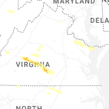


Connect with Interactive Hail Maps