

Hail Map for Canyon, TX
The Canyon, TX area has had 99 reports of on-the-ground hail by trained spotters, and has been under severe weather warnings 86 times during the past 12 months. Doppler radar has detected hail at or near Canyon, TX on 126 occasions, including 8 occasions during the past year.
| Name: | Canyon, TX |
| Where Located: | 15.7 miles SSW of Amarillo, TX |
| Map: | Google Map for Canyon, TX |
| Population: | 13303 |
| Housing Units: | 5611 |
| More Info: | Search Google for Canyon, TX |
3
The Top Recent Hail Date for Canyon, TX is Tuesday, June 23, 2026 (7th out of 126)
Hail and Wind Damage Spotted near Canyon, TX
| Date / Time | Report Details |
|---|---|
| 6/30/2026 7:01 PM CDT |
 Svrama the national weather service in amarillo has issued a * severe thunderstorm warning for, southwestern armstrong county in the panhandle of texas, southeastern randall county in the panhandle of texas, * until 730 pm cdt. * at 700 pm cdt, severe thunderstorms were located along a line extending from 7 miles northwest of happy to 8 miles southeast of canyon to near palo duro canyon, moving north at 40 mph (automated weather equipment). Hazards include 60 mph wind gusts. minor damage to roofs, siding, and trees is possible Svrama the national weather service in amarillo has issued a * severe thunderstorm warning for, southwestern armstrong county in the panhandle of texas, southeastern randall county in the panhandle of texas, * until 730 pm cdt. * at 700 pm cdt, severe thunderstorms were located along a line extending from 7 miles northwest of happy to 8 miles southeast of canyon to near palo duro canyon, moving north at 40 mph (automated weather equipment). Hazards include 60 mph wind gusts. minor damage to roofs, siding, and trees is possible
|
| 6/29/2026 4:00 PM CDT | Excel mesonet 11 miles se of canyon recorded 60 mph wind gust at 4:00 p in randall county TX, 11.4 miles NW of Canyon, TX |
| 6/29/2026 3:49 PM CDT |
 Svrama the national weather service in amarillo has issued a * severe thunderstorm warning for, northwestern armstrong county in the panhandle of texas, eastern randall county in the panhandle of texas, * until 445 pm cdt. * at 349 pm cdt, a severe thunderstorm was located 8 miles north of happy, or 10 miles southeast of canyon, moving northeast at 25 mph (radar indicated). Hazards include 60 mph wind gusts and penny size hail. minor damage to roofs, siding, and trees is possible Svrama the national weather service in amarillo has issued a * severe thunderstorm warning for, northwestern armstrong county in the panhandle of texas, eastern randall county in the panhandle of texas, * until 445 pm cdt. * at 349 pm cdt, a severe thunderstorm was located 8 miles north of happy, or 10 miles southeast of canyon, moving northeast at 25 mph (radar indicated). Hazards include 60 mph wind gusts and penny size hail. minor damage to roofs, siding, and trees is possible
|
| 6/26/2026 10:05 PM CDT |
 The storms which prompted the warning have moved out of the area. therefore, the warning will be allowed to expire. however, gusty winds are still possible with these thunderstorms. a severe thunderstorm watch remains in effect until 100 am cdt for the panhandle of texas. The storms which prompted the warning have moved out of the area. therefore, the warning will be allowed to expire. however, gusty winds are still possible with these thunderstorms. a severe thunderstorm watch remains in effect until 100 am cdt for the panhandle of texas.
|
| 6/26/2026 9:45 PM CDT |
 At 944 pm cdt, severe thunderstorms were located along a line extending from 8 miles northeast of channing to 7 miles south of valley de oro to 12 miles southwest of wildorado, moving east at 35 mph (radar indicated). Hazards include 60 mph wind gusts and penny size hail. Minor damage to roofs, siding, and trees is possible. Locations impacted include, amarillo, dumas, canyon, vega, channing, bushland, four way, valley de oro, boys ranch, masterson, umbarger, and wildorado. At 944 pm cdt, severe thunderstorms were located along a line extending from 8 miles northeast of channing to 7 miles south of valley de oro to 12 miles southwest of wildorado, moving east at 35 mph (radar indicated). Hazards include 60 mph wind gusts and penny size hail. Minor damage to roofs, siding, and trees is possible. Locations impacted include, amarillo, dumas, canyon, vega, channing, bushland, four way, valley de oro, boys ranch, masterson, umbarger, and wildorado.
|
| 6/26/2026 9:10 PM CDT |
 Svrama the national weather service in amarillo has issued a * severe thunderstorm warning for, northwestern randall county in the panhandle of texas, oldham county in the panhandle of texas, deaf smith county in the panhandle of texas, western potter county in the panhandle of texas, western moore county in the panhandle of texas, southeastern hartley county in the panhandle of texas, * until 1015 pm cdt. * at 910 pm cdt, severe thunderstorms were located along a line extending from 15 miles southeast of romero to 4 miles northwest of vega to 3 miles southeast of simms, moving east at 25 mph (radar indicated). Hazards include 70 mph wind gusts and penny size hail. Expect some tree damage. Damage is likely to mobile homes, roofs, and outbuildings. Svrama the national weather service in amarillo has issued a * severe thunderstorm warning for, northwestern randall county in the panhandle of texas, oldham county in the panhandle of texas, deaf smith county in the panhandle of texas, western potter county in the panhandle of texas, western moore county in the panhandle of texas, southeastern hartley county in the panhandle of texas, * until 1015 pm cdt. * at 910 pm cdt, severe thunderstorms were located along a line extending from 15 miles southeast of romero to 4 miles northwest of vega to 3 miles southeast of simms, moving east at 25 mph (radar indicated). Hazards include 70 mph wind gusts and penny size hail. Expect some tree damage. Damage is likely to mobile homes, roofs, and outbuildings.
|
| 6/25/2026 8:37 PM CDT |
 At 837 pm cdt, automated weather equipment reported severe thunderstorms were located along a line extending from 12 miles south of lake meredith to 8 miles east of amarillo to near canyon, moving east at 40 mph (automated weather equipment). Hazards include 60 mph wind gusts and penny size hail. Minor damage to roofs, siding, and trees is possible. Locations impacted include, amarillo, canyon, panhandle, lake tanglewood, mescalero park, bushland, washburn, umbarger, palo duro canyon, timbercreek canyon, and pantex. At 837 pm cdt, automated weather equipment reported severe thunderstorms were located along a line extending from 12 miles south of lake meredith to 8 miles east of amarillo to near canyon, moving east at 40 mph (automated weather equipment). Hazards include 60 mph wind gusts and penny size hail. Minor damage to roofs, siding, and trees is possible. Locations impacted include, amarillo, canyon, panhandle, lake tanglewood, mescalero park, bushland, washburn, umbarger, palo duro canyon, timbercreek canyon, and pantex.
|
| 6/25/2026 8:09 PM CDT |
 Svrama the national weather service in amarillo has issued a * severe thunderstorm warning for, northwestern armstrong county in the panhandle of texas, randall county in the panhandle of texas, western carson county in the panhandle of texas, potter county in the panhandle of texas, * until 915 pm cdt. * at 809 pm cdt, severe thunderstorms were located along a line extending from 4 miles east of valley de oro to umbarger, moving east at 35 mph (radar indicated). Hazards include 60 mph wind gusts and penny size hail. minor damage to roofs, siding, and trees is possible Svrama the national weather service in amarillo has issued a * severe thunderstorm warning for, northwestern armstrong county in the panhandle of texas, randall county in the panhandle of texas, western carson county in the panhandle of texas, potter county in the panhandle of texas, * until 915 pm cdt. * at 809 pm cdt, severe thunderstorms were located along a line extending from 4 miles east of valley de oro to umbarger, moving east at 35 mph (radar indicated). Hazards include 60 mph wind gusts and penny size hail. minor damage to roofs, siding, and trees is possible
|
| 6/25/2026 8:04 PM CDT |
 At 804 pm cdt, automated weather equipment reported severe thunderstorms were located along a line extending from 5 miles northeast of wildorado to 5 miles east of hereford, moving east at 40 mph (automated weather equipment). Hazards include 60 mph wind gusts and penny size hail. Minor damage to roofs, siding, and trees is possible. Locations impacted include, amarillo, hereford, bushland, buffalo lake, dawn, umbarger, and wildorado. At 804 pm cdt, automated weather equipment reported severe thunderstorms were located along a line extending from 5 miles northeast of wildorado to 5 miles east of hereford, moving east at 40 mph (automated weather equipment). Hazards include 60 mph wind gusts and penny size hail. Minor damage to roofs, siding, and trees is possible. Locations impacted include, amarillo, hereford, bushland, buffalo lake, dawn, umbarger, and wildorado.
|
| 6/25/2026 7:55 PM CDT |
 At 755 pm cdt, severe thunderstorms were located along a line extending from 5 miles northwest of wildorado to near hereford, moving east at 35 mph (radar indicated). Hazards include 60 mph wind gusts and penny size hail. Minor damage to roofs, siding, and trees is possible. Locations impacted include, amarillo, hereford, vega, bushland, buffalo lake, dawn, umbarger, and wildorado. At 755 pm cdt, severe thunderstorms were located along a line extending from 5 miles northwest of wildorado to near hereford, moving east at 35 mph (radar indicated). Hazards include 60 mph wind gusts and penny size hail. Minor damage to roofs, siding, and trees is possible. Locations impacted include, amarillo, hereford, vega, bushland, buffalo lake, dawn, umbarger, and wildorado.
|
| 6/25/2026 7:41 PM CDT |
 Svrama the national weather service in amarillo has issued a * severe thunderstorm warning for, western randall county in the panhandle of texas, southeastern oldham county in the panhandle of texas, deaf smith county in the panhandle of texas, southwestern potter county in the panhandle of texas, * until 845 pm cdt. * at 741 pm cdt, severe thunderstorms were located along a line extending from 8 miles north of vega to 5 miles northwest of summerfield, moving east at 35 mph (radar indicated). Hazards include 60 mph wind gusts and penny size hail. minor damage to roofs, siding, and trees is possible Svrama the national weather service in amarillo has issued a * severe thunderstorm warning for, western randall county in the panhandle of texas, southeastern oldham county in the panhandle of texas, deaf smith county in the panhandle of texas, southwestern potter county in the panhandle of texas, * until 845 pm cdt. * at 741 pm cdt, severe thunderstorms were located along a line extending from 8 miles north of vega to 5 miles northwest of summerfield, moving east at 35 mph (radar indicated). Hazards include 60 mph wind gusts and penny size hail. minor damage to roofs, siding, and trees is possible
|
| 6/25/2026 12:54 AM CDT |
 At 1254 am cdt, automated weather equipment reported severe thunderstorms were located along a line extending from 9 miles northwest of amarillo to 7 miles southwest of canyon, moving east at 25 mph (automated weather equipment). Hazards include 60 mph wind gusts and penny size hail. Minor damage to roofs, siding, and trees is possible. Locations impacted include, amarillo, canyon, lake tanglewood, mescalero park, palo duro canyon, and timbercreek canyon. At 1254 am cdt, automated weather equipment reported severe thunderstorms were located along a line extending from 9 miles northwest of amarillo to 7 miles southwest of canyon, moving east at 25 mph (automated weather equipment). Hazards include 60 mph wind gusts and penny size hail. Minor damage to roofs, siding, and trees is possible. Locations impacted include, amarillo, canyon, lake tanglewood, mescalero park, palo duro canyon, and timbercreek canyon.
|
| 6/25/2026 12:45 AM CDT |
 At 1245 am cdt, severe thunderstorms were located along a line extending from 9 miles northeast of bushland to 6 miles east of buffalo lake, moving east at 25 mph (radar indicated). Hazards include 60 mph wind gusts and penny size hail. Minor damage to roofs, siding, and trees is possible. Locations impacted include, amarillo, canyon, lake tanglewood, mescalero park, bushland, umbarger, palo duro canyon, and timbercreek canyon. At 1245 am cdt, severe thunderstorms were located along a line extending from 9 miles northeast of bushland to 6 miles east of buffalo lake, moving east at 25 mph (radar indicated). Hazards include 60 mph wind gusts and penny size hail. Minor damage to roofs, siding, and trees is possible. Locations impacted include, amarillo, canyon, lake tanglewood, mescalero park, bushland, umbarger, palo duro canyon, and timbercreek canyon.
|
| 6/25/2026 12:33 AM CDT |
 At 1232 am cdt, severe thunderstorms were located along a line extending from 8 miles north of hereford to 5 miles north of happy, moving northeast at 25 mph (radar indicated). Hazards include 70 mph wind gusts and penny size hail. Expect some tree damage. damage is likely to mobile homes, roofs, and outbuildings. Locations impacted include, canyon, lake tanglewood, mescalero park, buffalo lake, umbarger, palo duro canyon, and timbercreek canyon. At 1232 am cdt, severe thunderstorms were located along a line extending from 8 miles north of hereford to 5 miles north of happy, moving northeast at 25 mph (radar indicated). Hazards include 70 mph wind gusts and penny size hail. Expect some tree damage. damage is likely to mobile homes, roofs, and outbuildings. Locations impacted include, canyon, lake tanglewood, mescalero park, buffalo lake, umbarger, palo duro canyon, and timbercreek canyon.
|
| 6/25/2026 12:33 AM CDT |
 the severe thunderstorm warning has been cancelled and is no longer in effect the severe thunderstorm warning has been cancelled and is no longer in effect
|
| 6/25/2026 12:30 AM CDT |
 At 1230 am cdt, severe thunderstorms were located along a line extending from 8 miles north of bushland to buffalo lake, moving east at 25 mph (radar indicated). Hazards include 70 mph wind gusts and penny size hail. Expect some tree damage. damage is likely to mobile homes, roofs, and outbuildings. Locations impacted include, amarillo, canyon, lake tanglewood, mescalero park, bushland, buffalo lake, dawn, umbarger, wildorado, palo duro canyon, and timbercreek canyon. At 1230 am cdt, severe thunderstorms were located along a line extending from 8 miles north of bushland to buffalo lake, moving east at 25 mph (radar indicated). Hazards include 70 mph wind gusts and penny size hail. Expect some tree damage. damage is likely to mobile homes, roofs, and outbuildings. Locations impacted include, amarillo, canyon, lake tanglewood, mescalero park, bushland, buffalo lake, dawn, umbarger, wildorado, palo duro canyon, and timbercreek canyon.
|
| 6/25/2026 12:18 AM CDT |
 At 1218 am cdt, severe thunderstorms were located along a line extending from 6 miles north of hereford to 3 miles northwest of happy, moving northeast at 25 mph (radar indicated). Hazards include 70 mph wind gusts and quarter size hail. Expect some tree damage. damage is likely to mobile homes, roofs, and outbuildings. hail damage to vehicles is expected. Locations impacted include, hereford, canyon, lake tanglewood, mescalero park, buffalo lake, dawn, umbarger, palo duro canyon, and timbercreek canyon. At 1218 am cdt, severe thunderstorms were located along a line extending from 6 miles north of hereford to 3 miles northwest of happy, moving northeast at 25 mph (radar indicated). Hazards include 70 mph wind gusts and quarter size hail. Expect some tree damage. damage is likely to mobile homes, roofs, and outbuildings. hail damage to vehicles is expected. Locations impacted include, hereford, canyon, lake tanglewood, mescalero park, buffalo lake, dawn, umbarger, palo duro canyon, and timbercreek canyon.
|
| 6/25/2026 12:12 AM CDT |
 Svrama the national weather service in amarillo has issued a * severe thunderstorm warning for, western armstrong county in the panhandle of texas, randall county in the panhandle of texas, southeastern oldham county in the panhandle of texas, northeastern deaf smith county in the panhandle of texas, southern potter county in the panhandle of texas, * until 115 am cdt. * at 1211 am cdt, severe thunderstorms were located along a line extending from 7 miles north of wildorado to dawn, moving east at 25 mph (radar indicated). Hazards include 60 mph wind gusts and quarter size hail. Minor damage to roofs, siding, and trees is possible. Hail damage to vehicles is expected. Svrama the national weather service in amarillo has issued a * severe thunderstorm warning for, western armstrong county in the panhandle of texas, randall county in the panhandle of texas, southeastern oldham county in the panhandle of texas, northeastern deaf smith county in the panhandle of texas, southern potter county in the panhandle of texas, * until 115 am cdt. * at 1211 am cdt, severe thunderstorms were located along a line extending from 7 miles north of wildorado to dawn, moving east at 25 mph (radar indicated). Hazards include 60 mph wind gusts and quarter size hail. Minor damage to roofs, siding, and trees is possible. Hail damage to vehicles is expected.
|
| 6/25/2026 12:10 AM CDT |
 At 1209 am cdt, automated weather equipment reported severe thunderstorms were located along a line extending from 5 miles northwest of hereford to 3 miles northwest of happy, moving east at 25 mph (automated weather equipment). Hazards include 60 mph wind gusts and penny size hail. Minor damage to roofs, siding, and trees is possible. Locations impacted include, hereford, canyon, lake tanglewood, mescalero park, buffalo lake, dawn, umbarger, palo duro canyon, and timbercreek canyon. At 1209 am cdt, automated weather equipment reported severe thunderstorms were located along a line extending from 5 miles northwest of hereford to 3 miles northwest of happy, moving east at 25 mph (automated weather equipment). Hazards include 60 mph wind gusts and penny size hail. Minor damage to roofs, siding, and trees is possible. Locations impacted include, hereford, canyon, lake tanglewood, mescalero park, buffalo lake, dawn, umbarger, palo duro canyon, and timbercreek canyon.
|
| 6/24/2026 11:49 PM CDT |
 Svrama the national weather service in amarillo has issued a * severe thunderstorm warning for, west central armstrong county in the panhandle of texas, randall county in the panhandle of texas, southeastern deaf smith county in the panhandle of texas, * until 1245 am cdt. * at 1148 pm cdt, severe thunderstorms were located along a line extending from 5 miles north of summerfield to 9 miles southwest of happy, moving northeast at 25 mph (radar indicated). Hazards include 60 mph wind gusts and penny size hail. minor damage to roofs, siding, and trees is possible Svrama the national weather service in amarillo has issued a * severe thunderstorm warning for, west central armstrong county in the panhandle of texas, randall county in the panhandle of texas, southeastern deaf smith county in the panhandle of texas, * until 1245 am cdt. * at 1148 pm cdt, severe thunderstorms were located along a line extending from 5 miles north of summerfield to 9 miles southwest of happy, moving northeast at 25 mph (radar indicated). Hazards include 60 mph wind gusts and penny size hail. minor damage to roofs, siding, and trees is possible
|
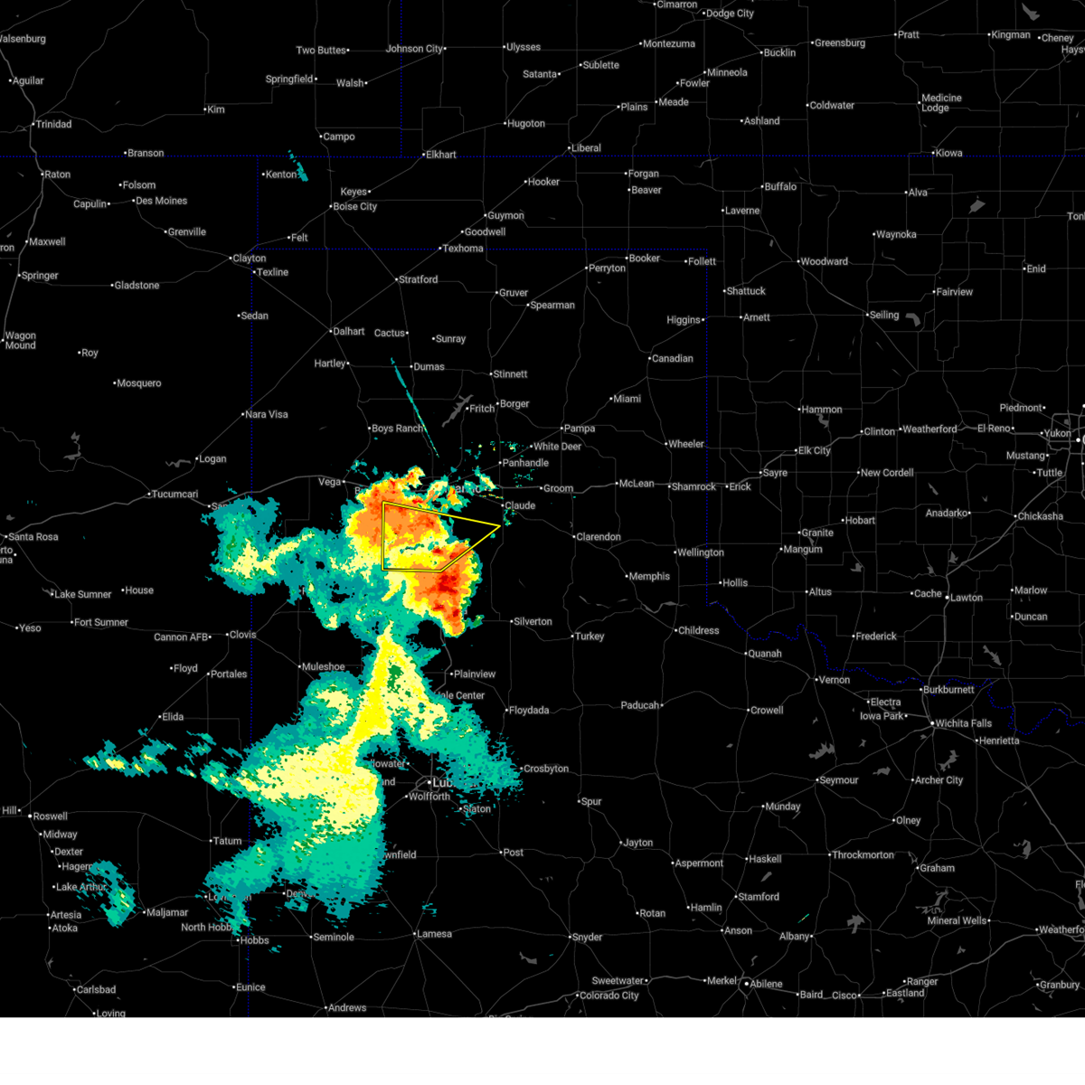
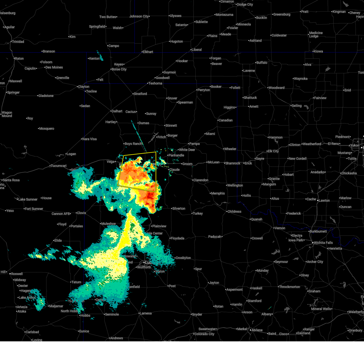
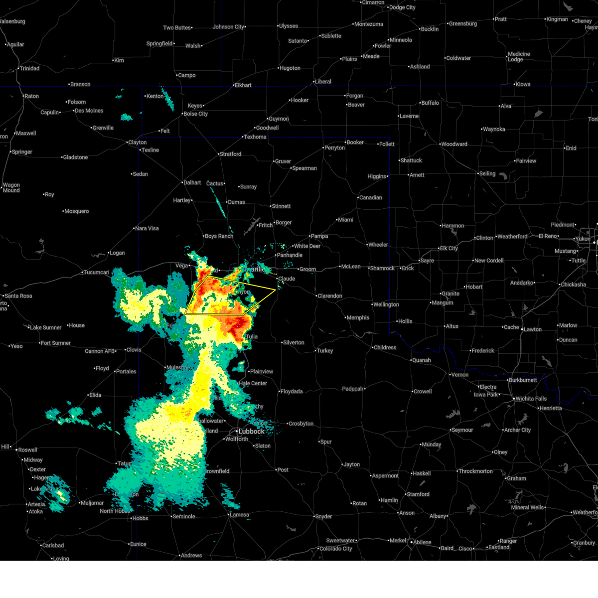
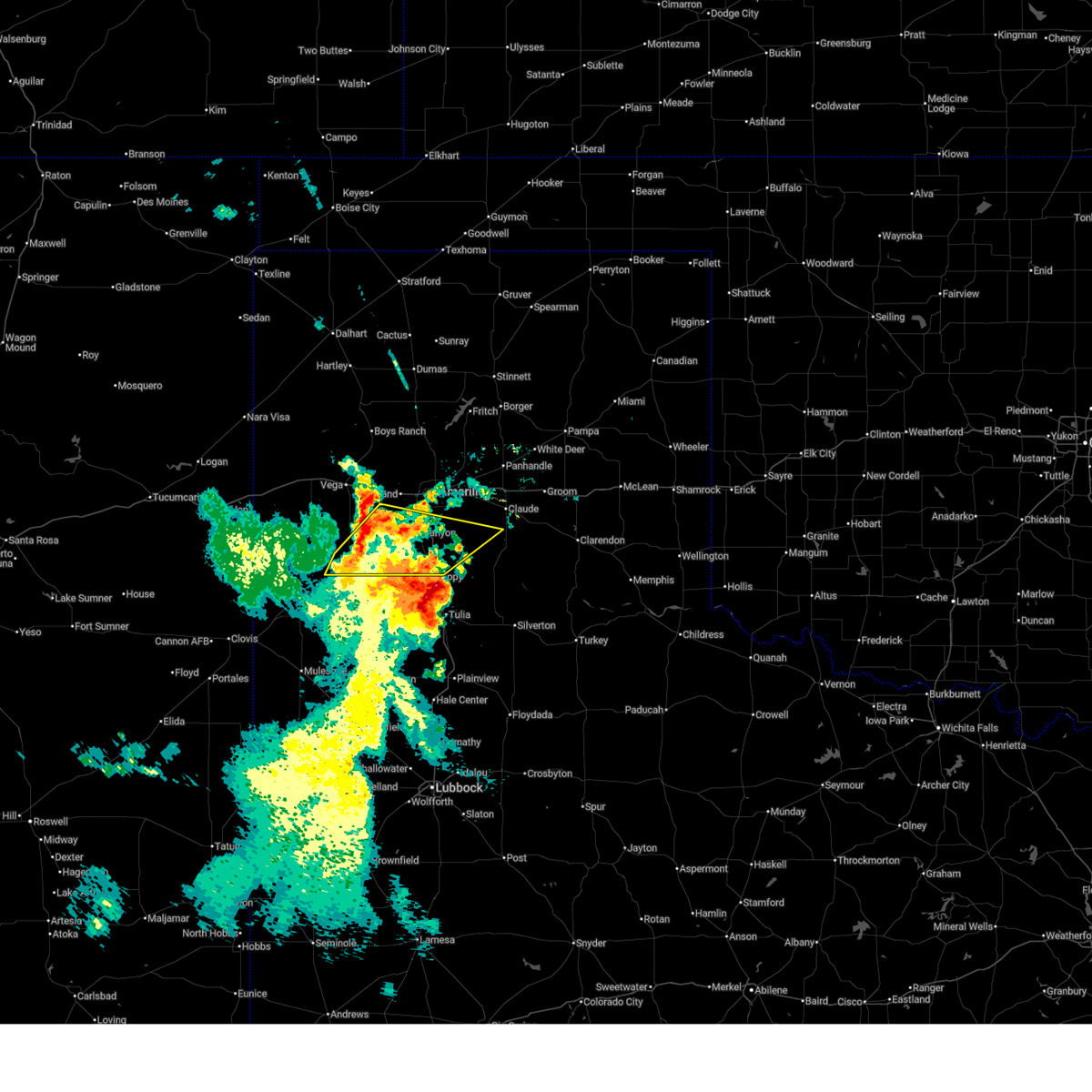
| 6/23/2026 7:04 PM CDT |
 At 703 pm cdt, a severe thunderstorm was located 5 miles north of happy, or 11 miles south of canyon, moving southeast at 25 mph (radar indicated). Hazards include tennis ball size hail and 60 mph wind gusts. Minor damage to roofs, siding, and trees is possible. people and animals outdoors will be injured. expect hail damage to roofs, siding, windows, and vehicles. Locations impacted include, canyon. At 703 pm cdt, a severe thunderstorm was located 5 miles north of happy, or 11 miles south of canyon, moving southeast at 25 mph (radar indicated). Hazards include tennis ball size hail and 60 mph wind gusts. Minor damage to roofs, siding, and trees is possible. people and animals outdoors will be injured. expect hail damage to roofs, siding, windows, and vehicles. Locations impacted include, canyon.
|
| 6/23/2026 6:50 PM CDT | Hen Egg sized hail reported 1.5 miles SSE of Canyon, TX, social media comment with a photo of measured 2.5 inch hail. photo was sent at 6:50 pm and verified with radar. |
| 6/23/2026 6:50 PM CDT | Tennis Ball sized hail reported 1.5 miles SSE of Canyon, TX, social media comment with a photo of measured 2.5 inch hail. photo was sent at 6:50 pm and verified with radar. |
| 6/23/2026 6:43 PM CDT | Baseball sized hail reported 4.7 miles E of Canyon, TX, storm chaser also reported that hail broke windshield of their car. |
| 6/23/2026 6:43 PM CDT |
 Svrama the national weather service in amarillo has issued a * severe thunderstorm warning for, southwestern armstrong county in the panhandle of texas, southern randall county in the panhandle of texas, * until 745 pm cdt. * at 642 pm cdt, a severe thunderstorm was located 4 miles southwest of canyon, moving southeast at 20 mph. this is a destructive storm for canyon, highway 60 west of canyon, and interstate 27 (trained weather spotters). Hazards include baseball size hail and 60 mph wind gusts. People and animals outdoors will be severely injured. Expect shattered windows, extensive damage to roofs, siding, and vehicles. Svrama the national weather service in amarillo has issued a * severe thunderstorm warning for, southwestern armstrong county in the panhandle of texas, southern randall county in the panhandle of texas, * until 745 pm cdt. * at 642 pm cdt, a severe thunderstorm was located 4 miles southwest of canyon, moving southeast at 20 mph. this is a destructive storm for canyon, highway 60 west of canyon, and interstate 27 (trained weather spotters). Hazards include baseball size hail and 60 mph wind gusts. People and animals outdoors will be severely injured. Expect shattered windows, extensive damage to roofs, siding, and vehicles.
|
| 6/23/2026 6:42 PM CDT | Tea Cup sized hail reported 2.4 miles ENE of Canyon, TX, report from storm chaser on social media... with timing based off of radar. |
| 6/23/2026 6:40 PM CDT | Tennis Ball sized hail reported 8.7 miles E of Canyon, TX, image taken by local media. |
| 6/23/2026 6:40 PM CDT | Baseball sized hail reported 5.4 miles ENE of Canyon, TX, public report of baseball sized hail at the intersection of arnott and gordon cummings rd. west of canyon... tx. |
| 6/23/2026 6:39 PM CDT | Ping Pong Ball sized hail reported 1.9 miles ENE of Canyon, TX |
| 6/23/2026 6:30 PM CDT |
 At 630 pm cdt, a severe thunderstorm was located 4 miles northeast of umbarger, or 6 miles west of canyon, moving south at 20 mph (radar indicated). Hazards include two inch hail and 60 mph wind gusts. Minor damage to roofs, siding, and trees is possible. people and animals outdoors will be injured. expect hail damage to roofs, siding, windows, and vehicles. Locations impacted include, canyon and umbarger. At 630 pm cdt, a severe thunderstorm was located 4 miles northeast of umbarger, or 6 miles west of canyon, moving south at 20 mph (radar indicated). Hazards include two inch hail and 60 mph wind gusts. Minor damage to roofs, siding, and trees is possible. people and animals outdoors will be injured. expect hail damage to roofs, siding, windows, and vehicles. Locations impacted include, canyon and umbarger.
|
| 6/23/2026 6:16 PM CDT |
 At 616 pm cdt, a severe thunderstorm was located 7 miles south of bushland, or 10 miles northwest of canyon, moving southeast at 20 mph (radar indicated). Hazards include golf ball size hail and 60 mph wind gusts. Minor damage to roofs, siding, and trees is possible. people and animals outdoors will be injured. expect hail damage to roofs, siding, windows, and vehicles. Locations impacted include, canyon, umbarger, and bushland. At 616 pm cdt, a severe thunderstorm was located 7 miles south of bushland, or 10 miles northwest of canyon, moving southeast at 20 mph (radar indicated). Hazards include golf ball size hail and 60 mph wind gusts. Minor damage to roofs, siding, and trees is possible. people and animals outdoors will be injured. expect hail damage to roofs, siding, windows, and vehicles. Locations impacted include, canyon, umbarger, and bushland.
|
| 6/23/2026 5:55 PM CDT |
 Svrama the national weather service in amarillo has issued a * severe thunderstorm warning for, northwestern randall county in the panhandle of texas, southeastern oldham county in the panhandle of texas, northeastern deaf smith county in the panhandle of texas, southwestern potter county in the panhandle of texas, * until 700 pm cdt. * at 555 pm cdt, a severe thunderstorm was located 5 miles southwest of bushland, or 16 miles northwest of canyon, moving south at 15 mph (radar indicated). Hazards include tennis ball size hail and 60 mph wind gusts. Minor damage to roofs, siding, and trees is possible. people and animals outdoors will be injured. Expect hail damage to roofs, siding, windows, and vehicles. Svrama the national weather service in amarillo has issued a * severe thunderstorm warning for, northwestern randall county in the panhandle of texas, southeastern oldham county in the panhandle of texas, northeastern deaf smith county in the panhandle of texas, southwestern potter county in the panhandle of texas, * until 700 pm cdt. * at 555 pm cdt, a severe thunderstorm was located 5 miles southwest of bushland, or 16 miles northwest of canyon, moving south at 15 mph (radar indicated). Hazards include tennis ball size hail and 60 mph wind gusts. Minor damage to roofs, siding, and trees is possible. people and animals outdoors will be injured. Expect hail damage to roofs, siding, windows, and vehicles.
|
| 5/29/2026 7:05 PM CDT |
 The storm which prompted the warning has moved out of the area. therefore, the warning will be allowed to expire. however, gusty winds are still possible with this thunderstorm. a severe thunderstorm watch remains in effect until 1000 pm cdt for the panhandle of texas. The storm which prompted the warning has moved out of the area. therefore, the warning will be allowed to expire. however, gusty winds are still possible with this thunderstorm. a severe thunderstorm watch remains in effect until 1000 pm cdt for the panhandle of texas.
|
| 5/29/2026 6:55 PM CDT |
 Svrama the national weather service in amarillo has issued a * severe thunderstorm warning for, northwestern armstrong county in the panhandle of texas, eastern randall county in the panhandle of texas, southwestern carson county in the panhandle of texas, southeastern potter county in the panhandle of texas, * until 800 pm cdt. * at 654 pm cdt, a severe thunderstorm was located 4 miles west of palo duro canyon, or 9 miles east of canyon, moving northeast at 30 mph. this is a destructive storm for portions of the amarillo area and palo duro canyon (radar indicated). Hazards include 80 mph wind gusts and two inch hail. Flying debris will be dangerous to those caught without shelter. mobile homes will be heavily damaged. expect considerable damage to roofs, windows, and vehicles. tree damage and power outages are likely. people and animals outdoors will be injured. Expect hail damage to roofs, siding, windows, and vehicles. Svrama the national weather service in amarillo has issued a * severe thunderstorm warning for, northwestern armstrong county in the panhandle of texas, eastern randall county in the panhandle of texas, southwestern carson county in the panhandle of texas, southeastern potter county in the panhandle of texas, * until 800 pm cdt. * at 654 pm cdt, a severe thunderstorm was located 4 miles west of palo duro canyon, or 9 miles east of canyon, moving northeast at 30 mph. this is a destructive storm for portions of the amarillo area and palo duro canyon (radar indicated). Hazards include 80 mph wind gusts and two inch hail. Flying debris will be dangerous to those caught without shelter. mobile homes will be heavily damaged. expect considerable damage to roofs, windows, and vehicles. tree damage and power outages are likely. people and animals outdoors will be injured. Expect hail damage to roofs, siding, windows, and vehicles.
|
| 5/29/2026 6:53 PM CDT | A pantex weather station measured a 58 mph gust at this location. the anemometer height was reported to be 25 feet above ground leve in randall county TX, 5.2 miles NW of Canyon, TX |
| 5/29/2026 6:44 PM CDT |
 At 643 pm cdt, a severe thunderstorm was located 7 miles north of happy, or 9 miles south of canyon, moving north at 30 mph (radar indicated). Hazards include two inch hail and 70 mph wind gusts. Expect some tree damage. damage is likely to mobile homes, roofs, and outbuildings. people and animals outdoors will be injured. expect hail damage to roofs, siding, windows, and vehicles. Locations impacted include, canyon and timbercreek canyon. At 643 pm cdt, a severe thunderstorm was located 7 miles north of happy, or 9 miles south of canyon, moving north at 30 mph (radar indicated). Hazards include two inch hail and 70 mph wind gusts. Expect some tree damage. damage is likely to mobile homes, roofs, and outbuildings. people and animals outdoors will be injured. expect hail damage to roofs, siding, windows, and vehicles. Locations impacted include, canyon and timbercreek canyon.
|
| 5/29/2026 6:35 PM CDT |
 At 634 pm cdt, a severe thunderstorm was located near happy, or 14 miles south of canyon, moving north at 35 mph (radar indicated). Hazards include two inch hail and 60 mph wind gusts. Minor damage to roofs, siding, and trees is possible. people and animals outdoors will be injured. expect hail damage to roofs, siding, windows, and vehicles. Locations impacted include, canyon and timbercreek canyon. At 634 pm cdt, a severe thunderstorm was located near happy, or 14 miles south of canyon, moving north at 35 mph (radar indicated). Hazards include two inch hail and 60 mph wind gusts. Minor damage to roofs, siding, and trees is possible. people and animals outdoors will be injured. expect hail damage to roofs, siding, windows, and vehicles. Locations impacted include, canyon and timbercreek canyon.
|
| 5/29/2026 6:35 PM CDT |
 the severe thunderstorm warning has been cancelled and is no longer in effect the severe thunderstorm warning has been cancelled and is no longer in effect
|
| 5/29/2026 6:25 PM CDT |
 At 625 pm cdt, a severe thunderstorm was located 8 miles south of buffalo lake, or 12 miles east of hereford, moving east at 20 mph (radar indicated). Hazards include 60 mph wind gusts and quarter size hail. Minor damage to roofs, siding, and trees is possible. hail damage to vehicles is expected. Locations impacted include, canyon, buffalo lake, and timbercreek canyon. At 625 pm cdt, a severe thunderstorm was located 8 miles south of buffalo lake, or 12 miles east of hereford, moving east at 20 mph (radar indicated). Hazards include 60 mph wind gusts and quarter size hail. Minor damage to roofs, siding, and trees is possible. hail damage to vehicles is expected. Locations impacted include, canyon, buffalo lake, and timbercreek canyon.
|
| 5/29/2026 6:15 PM CDT |
 Svrama the national weather service in amarillo has issued a * severe thunderstorm warning for, southern randall county in the panhandle of texas, southeastern deaf smith county in the panhandle of texas, * until 715 pm cdt. * at 615 pm cdt, a severe thunderstorm was located 9 miles southeast of hereford, moving northeast at 20 mph (radar indicated). Hazards include quarter size hail. damage to vehicles is expected Svrama the national weather service in amarillo has issued a * severe thunderstorm warning for, southern randall county in the panhandle of texas, southeastern deaf smith county in the panhandle of texas, * until 715 pm cdt. * at 615 pm cdt, a severe thunderstorm was located 9 miles southeast of hereford, moving northeast at 20 mph (radar indicated). Hazards include quarter size hail. damage to vehicles is expected
|
| 5/23/2026 9:33 PM CDT |
 At 932 pm cdt, severe thunderstorms were located along a line extending from 3 miles south of canyon to 11 miles east of easter to 3 miles southeast of black, moving southeast at 30 mph (radar indicated). Hazards include 60 mph wind gusts and quarter size hail. Minor damage to roofs, siding, and trees is possible. hail damage to vehicles is expected. Locations impacted include, hereford, canyon, buffalo lake, dawn, wayside, umbarger, palo duro canyon, mescalero park, and timbercreek canyon. At 932 pm cdt, severe thunderstorms were located along a line extending from 3 miles south of canyon to 11 miles east of easter to 3 miles southeast of black, moving southeast at 30 mph (radar indicated). Hazards include 60 mph wind gusts and quarter size hail. Minor damage to roofs, siding, and trees is possible. hail damage to vehicles is expected. Locations impacted include, hereford, canyon, buffalo lake, dawn, wayside, umbarger, palo duro canyon, mescalero park, and timbercreek canyon.
|
| 5/23/2026 9:09 PM CDT |
 Svrama the national weather service in amarillo has issued a * severe thunderstorm warning for, southwestern armstrong county in the panhandle of texas, randall county in the panhandle of texas, southeastern deaf smith county in the panhandle of texas, * until 1015 pm cdt. * at 909 pm cdt, a severe thunderstorm was located 5 miles northeast of hereford, moving southeast at 25 mph (radar indicated). Hazards include ping pong ball size hail and 60 mph wind gusts. Minor damage to roofs, siding, and trees is possible. people and animals outdoors will be injured. Expect hail damage to roofs, siding, windows, and vehicles. Svrama the national weather service in amarillo has issued a * severe thunderstorm warning for, southwestern armstrong county in the panhandle of texas, randall county in the panhandle of texas, southeastern deaf smith county in the panhandle of texas, * until 1015 pm cdt. * at 909 pm cdt, a severe thunderstorm was located 5 miles northeast of hereford, moving southeast at 25 mph (radar indicated). Hazards include ping pong ball size hail and 60 mph wind gusts. Minor damage to roofs, siding, and trees is possible. people and animals outdoors will be injured. Expect hail damage to roofs, siding, windows, and vehicles.
|
| 5/23/2026 8:43 PM CDT |
 At 843 pm cdt, severe thunderstorms were located along a line extending from near mescalero park to 8 miles north of hereford to 8 miles west of bootleg, moving southeast at 30 mph (radar indicated). Hazards include 60 mph wind gusts and quarter size hail. Minor damage to roofs, siding, and trees is possible. hail damage to vehicles is expected. Locations impacted include, amarillo, hereford, canyon, lake tanglewood, bushland, buffalo lake, wayside, bootleg, umbarger, palo duro canyon, mescalero park, dawn, simms, and timbercreek canyon. At 843 pm cdt, severe thunderstorms were located along a line extending from near mescalero park to 8 miles north of hereford to 8 miles west of bootleg, moving southeast at 30 mph (radar indicated). Hazards include 60 mph wind gusts and quarter size hail. Minor damage to roofs, siding, and trees is possible. hail damage to vehicles is expected. Locations impacted include, amarillo, hereford, canyon, lake tanglewood, bushland, buffalo lake, wayside, bootleg, umbarger, palo duro canyon, mescalero park, dawn, simms, and timbercreek canyon.
|
| 5/23/2026 8:14 PM CDT |
 Svrama the national weather service in amarillo has issued a * severe thunderstorm warning for, southwestern armstrong county in the panhandle of texas, randall county in the panhandle of texas, southeastern oldham county in the panhandle of texas, deaf smith county in the panhandle of texas, southwestern potter county in the panhandle of texas, * until 915 pm cdt. * at 813 pm cdt, severe thunderstorms were located along a line extending from 6 miles northeast of wildorado to 6 miles north of bellview, moving southeast at 25 mph (radar indicated). Hazards include 70 mph wind gusts and quarter size hail. Expect some tree damage. damage is likely to mobile homes, roofs, and outbuildings. Hail damage to vehicles is expected. Svrama the national weather service in amarillo has issued a * severe thunderstorm warning for, southwestern armstrong county in the panhandle of texas, randall county in the panhandle of texas, southeastern oldham county in the panhandle of texas, deaf smith county in the panhandle of texas, southwestern potter county in the panhandle of texas, * until 915 pm cdt. * at 813 pm cdt, severe thunderstorms were located along a line extending from 6 miles northeast of wildorado to 6 miles north of bellview, moving southeast at 25 mph (radar indicated). Hazards include 70 mph wind gusts and quarter size hail. Expect some tree damage. damage is likely to mobile homes, roofs, and outbuildings. Hail damage to vehicles is expected.
|
| 5/23/2026 8:02 PM CDT |
 At 802 pm cdt, severe thunderstorms were located along a line extending from 11 miles east of stinnett to 9 miles northeast of amarillo to 5 miles northwest of simms, moving southeast at 30 mph (radar indicated). Hazards include 70 mph wind gusts and quarter size hail. Expect some tree damage. damage is likely to mobile homes, roofs, and outbuildings. hail damage to vehicles is expected. Locations impacted include, amarillo, canyon, borger, panhandle, vega, fritch, stinnett, lake tanglewood, skellytown, sanford, bushland, valley de oro, washburn, umbarger, wildorado, mescalero park, lake meredith, timbercreek canyon, and pantex. At 802 pm cdt, severe thunderstorms were located along a line extending from 11 miles east of stinnett to 9 miles northeast of amarillo to 5 miles northwest of simms, moving southeast at 30 mph (radar indicated). Hazards include 70 mph wind gusts and quarter size hail. Expect some tree damage. damage is likely to mobile homes, roofs, and outbuildings. hail damage to vehicles is expected. Locations impacted include, amarillo, canyon, borger, panhandle, vega, fritch, stinnett, lake tanglewood, skellytown, sanford, bushland, valley de oro, washburn, umbarger, wildorado, mescalero park, lake meredith, timbercreek canyon, and pantex.
|
| 5/23/2026 7:22 PM CDT |
 Svrama the national weather service in amarillo has issued a * severe thunderstorm warning for, northwestern armstrong county in the panhandle of texas, northern randall county in the panhandle of texas, southeastern oldham county in the panhandle of texas, carson county in the panhandle of texas, southern hutchinson county in the panhandle of texas, northern deaf smith county in the panhandle of texas, potter county in the panhandle of texas, southeastern moore county in the panhandle of texas, * until 815 pm cdt. * at 722 pm cdt, severe thunderstorms were located along a line extending from 11 miles southeast of sunray to 9 miles east of valley de oro to 6 miles south of adrian, moving east at 40 mph (radar indicated). Hazards include 70 mph wind gusts and ping pong ball size hail. Expect some tree damage. damage is likely to mobile homes, roofs, and outbuildings. people and animals outdoors will be injured. Expect hail damage to roofs, siding, windows, and vehicles. Svrama the national weather service in amarillo has issued a * severe thunderstorm warning for, northwestern armstrong county in the panhandle of texas, northern randall county in the panhandle of texas, southeastern oldham county in the panhandle of texas, carson county in the panhandle of texas, southern hutchinson county in the panhandle of texas, northern deaf smith county in the panhandle of texas, potter county in the panhandle of texas, southeastern moore county in the panhandle of texas, * until 815 pm cdt. * at 722 pm cdt, severe thunderstorms were located along a line extending from 11 miles southeast of sunray to 9 miles east of valley de oro to 6 miles south of adrian, moving east at 40 mph (radar indicated). Hazards include 70 mph wind gusts and ping pong ball size hail. Expect some tree damage. damage is likely to mobile homes, roofs, and outbuildings. people and animals outdoors will be injured. Expect hail damage to roofs, siding, windows, and vehicles.
|
| 5/22/2026 8:28 PM CDT |
 the severe thunderstorm warning has been cancelled and is no longer in effect the severe thunderstorm warning has been cancelled and is no longer in effect
|
| 5/22/2026 8:05 PM CDT | Quarter sized hail reported 1.8 miles NE of Canyon, TX, hail started around 8 and would continue for about 15 minutes. accumulating hail occurred as well. hail started small but would eventually peak at the size of quarters. |
| 5/22/2026 8:05 PM CDT |
 Svrama the national weather service in amarillo has issued a * severe thunderstorm warning for, west central armstrong county in the panhandle of texas, central randall county in the panhandle of texas, * until 900 pm cdt. * at 804 pm cdt, a severe thunderstorm was located over canyon, moving east at 25 mph (radar indicated). Hazards include 60 mph wind gusts and quarter size hail. Minor damage to roofs, siding, and trees is possible. Hail damage to vehicles is expected. Svrama the national weather service in amarillo has issued a * severe thunderstorm warning for, west central armstrong county in the panhandle of texas, central randall county in the panhandle of texas, * until 900 pm cdt. * at 804 pm cdt, a severe thunderstorm was located over canyon, moving east at 25 mph (radar indicated). Hazards include 60 mph wind gusts and quarter size hail. Minor damage to roofs, siding, and trees is possible. Hail damage to vehicles is expected.
|
| 5/22/2026 7:46 PM CDT |
 Svrama the national weather service in amarillo has issued a * severe thunderstorm warning for, northwestern randall county in the panhandle of texas, east central deaf smith county in the panhandle of texas, * until 845 pm cdt. * at 746 pm cdt, a severe thunderstorm was located 8 miles south of bushland, or 12 miles northwest of canyon, moving east at 5 mph (radar indicated). Hazards include 60 mph wind gusts and quarter size hail. Minor damage to roofs, siding, and trees is possible. Hail damage to vehicles is expected. Svrama the national weather service in amarillo has issued a * severe thunderstorm warning for, northwestern randall county in the panhandle of texas, east central deaf smith county in the panhandle of texas, * until 845 pm cdt. * at 746 pm cdt, a severe thunderstorm was located 8 miles south of bushland, or 12 miles northwest of canyon, moving east at 5 mph (radar indicated). Hazards include 60 mph wind gusts and quarter size hail. Minor damage to roofs, siding, and trees is possible. Hail damage to vehicles is expected.
|
| 5/14/2026 4:33 PM CDT |
 At 433 pm cdt, a severe thunderstorm was located over lake tanglewood, or 6 miles northeast of canyon, moving northeast at 30 mph (radar indicated). Hazards include 60 mph wind gusts. Minor damage to roofs, siding, and trees is possible. Locations impacted include, amarillo, canyon, lake tanglewood, mescalero park, and timbercreek canyon. At 433 pm cdt, a severe thunderstorm was located over lake tanglewood, or 6 miles northeast of canyon, moving northeast at 30 mph (radar indicated). Hazards include 60 mph wind gusts. Minor damage to roofs, siding, and trees is possible. Locations impacted include, amarillo, canyon, lake tanglewood, mescalero park, and timbercreek canyon.
|
| 5/14/2026 4:10 PM CDT |
 At 410 pm cdt, a severe thunderstorm was located 5 miles east of umbarger, or 5 miles west of canyon, moving northeast at 30 mph (radar indicated). Hazards include 60 mph wind gusts. Minor damage to roofs, siding, and trees is possible. Locations impacted include, amarillo, canyon, lake tanglewood, umbarger, mescalero park, and timbercreek canyon. At 410 pm cdt, a severe thunderstorm was located 5 miles east of umbarger, or 5 miles west of canyon, moving northeast at 30 mph (radar indicated). Hazards include 60 mph wind gusts. Minor damage to roofs, siding, and trees is possible. Locations impacted include, amarillo, canyon, lake tanglewood, umbarger, mescalero park, and timbercreek canyon.
|
| 5/14/2026 3:52 PM CDT |
 Svrama the national weather service in amarillo has issued a * severe thunderstorm warning for, central randall county in the panhandle of texas, east central deaf smith county in the panhandle of texas, * until 500 pm cdt. * at 352 pm cdt, a severe thunderstorm was located over dawn, or 14 miles northeast of hereford, moving northeast at 30 mph (radar indicated). Hazards include 60 mph wind gusts. minor damage to roofs, siding, and trees is possible Svrama the national weather service in amarillo has issued a * severe thunderstorm warning for, central randall county in the panhandle of texas, east central deaf smith county in the panhandle of texas, * until 500 pm cdt. * at 352 pm cdt, a severe thunderstorm was located over dawn, or 14 miles northeast of hereford, moving northeast at 30 mph (radar indicated). Hazards include 60 mph wind gusts. minor damage to roofs, siding, and trees is possible
|
| 3/4/2026 12:26 AM CST |
 At 1225 am cst, a severe thunderstorm was located over amarillo, moving northeast at 30 mph (radar indicated). Hazards include ping pong ball size hail. People and animals outdoors will be injured. expect damage to roofs, siding, windows, and vehicles. Locations impacted include, amarillo, canyon, lake tanglewood, mescalero park, bushland, timbercreek canyon, and pantex. At 1225 am cst, a severe thunderstorm was located over amarillo, moving northeast at 30 mph (radar indicated). Hazards include ping pong ball size hail. People and animals outdoors will be injured. expect damage to roofs, siding, windows, and vehicles. Locations impacted include, amarillo, canyon, lake tanglewood, mescalero park, bushland, timbercreek canyon, and pantex.
|
| 3/4/2026 12:19 AM CST |
 Svrama the national weather service in amarillo has issued a * severe thunderstorm warning for, northern randall county in the panhandle of texas, southwestern carson county in the panhandle of texas, potter county in the panhandle of texas, * until 100 am cst. * at 1219 am cst, a severe thunderstorm was located near amarillo, moving northeast at 30 mph (radar indicated). Hazards include quarter size hail. damage to vehicles is expected Svrama the national weather service in amarillo has issued a * severe thunderstorm warning for, northern randall county in the panhandle of texas, southwestern carson county in the panhandle of texas, potter county in the panhandle of texas, * until 100 am cst. * at 1219 am cst, a severe thunderstorm was located near amarillo, moving northeast at 30 mph (radar indicated). Hazards include quarter size hail. damage to vehicles is expected
|
| 10/24/2025 7:44 PM CDT | At 744 pm cdt, a severe thunderstorm was located near canyon, moving southeast at 15 mph (trained weather spotters). Hazards include quarter size hail. Damage to vehicles is expected. Locations impacted include, canyon, lake tanglewood, palo duro canyon, and timbercreek canyon. |
| 10/24/2025 7:40 PM CDT | Quarter sized hail reported 3.6 miles WSW of Canyon, TX, mostly peas with a few nickels to quarter size hailstones. |
| 10/24/2025 7:13 PM CDT | Svrama the national weather service in amarillo has issued a * severe thunderstorm warning for, eastern randall county in the panhandle of texas, * until 815 pm cdt. * at 712 pm cdt, a severe thunderstorm was located near lake tanglewood, or 5 miles northeast of canyon, moving southeast at 15 mph (radar indicated). Hazards include 60 mph wind gusts and quarter size hail. Minor damage to roofs, siding, and trees is possible. Hail damage to vehicles is expected. |
| 10/24/2025 6:57 PM CDT | At 656 pm cdt, severe thunderstorms were located along a line extending from 5 miles east of amarillo to mescalero park, moving south at 10 mph (trained weather spotters). Hazards include 60 mph wind gusts and quarter size hail. Minor damage to roofs, siding, and trees is possible. hail damage to vehicles is expected. Locations impacted include, amarillo, canyon, lake tanglewood, mescalero park, and timbercreek canyon. |
| 10/24/2025 6:33 PM CDT | At 632 pm cdt, severe thunderstorms were located along a line extending from 8 miles northwest of washburn to 3 miles north of mescalero park, and are nearly stationary (radar indicated). Hazards include 60 mph wind gusts and quarter size hail. Minor damage to roofs, siding, and trees is possible. hail damage to vehicles is expected. Locations impacted include, amarillo, canyon, lake tanglewood, mescalero park, and timbercreek canyon. |
| 10/24/2025 6:08 PM CDT | Svrama the national weather service in amarillo has issued a * severe thunderstorm warning for, northeastern randall county in the panhandle of texas, southeastern potter county in the panhandle of texas, * until 715 pm cdt. * at 608 pm cdt, severe thunderstorms were located along a line extending from 7 miles east of amarillo to 4 miles north of mescalero park, moving southeast at 15 mph (radar indicated). Hazards include 60 mph wind gusts and quarter size hail. Minor damage to roofs, siding, and trees is possible. Hail damage to vehicles is expected. |
| 9/22/2025 10:25 PM CDT | The storms which prompted the warning have weakened below severe limits, and no longer pose an immediate threat to life or property. therefore, the warning will be allowed to expire. however, gusty winds and heavy rain are still possible with these thunderstorms. |
| 9/22/2025 10:03 PM CDT | At 1002 pm cdt, severe thunderstorms were located along a line extending from 9 miles north of amarillo to 3 miles west of lake tanglewood, moving east at 45 mph (radar indicated). Hazards include 60 mph wind gusts. Minor damage to roofs, siding, and trees is possible. Locations impacted include, amarillo, canyon, lake tanglewood, mescalero park, bushland, palo duro canyon, and timbercreek canyon. |
| 9/22/2025 10:03 PM CDT | the severe thunderstorm warning has been cancelled and is no longer in effect |
| 9/22/2025 9:48 PM CDT | At 947 pm cdt, automated weather equipment reported severe thunderstorms were located along a line extending from 6 miles northwest of bushland to 4 miles southeast of umbarger, moving east at 40 mph (automated weather equipment). Hazards include 60 mph wind gusts. Minor damage to roofs, siding, and trees is possible. Locations impacted include, amarillo, canyon, lake tanglewood, mescalero park, buffalo lake, bushland, dawn, umbarger, palo duro canyon, and timbercreek canyon. |
| 9/22/2025 9:27 PM CDT | Svrama the national weather service in amarillo has issued a * severe thunderstorm warning for, randall county in the panhandle of texas, southeastern oldham county in the panhandle of texas, eastern deaf smith county in the panhandle of texas, southern potter county in the panhandle of texas, * until 1030 pm cdt. * at 927 pm cdt, severe thunderstorms were located along a line extending from 4 miles northeast of vega to 5 miles west of dawn, moving east at 40 mph (radar indicated). Hazards include 60 mph wind gusts. minor damage to roofs, siding, and trees is possible |
| 8/11/2025 9:02 PM CDT |
 the severe thunderstorm warning has been cancelled and is no longer in effect the severe thunderstorm warning has been cancelled and is no longer in effect
|
| 8/11/2025 8:18 PM CDT |
 At 818 pm cdt, a severe thunderstorm was located over mescalero park, or 6 miles north of canyon, moving southeast at 15 mph (radar indicated). Hazards include 60 mph wind gusts and quarter size hail. Minor damage to roofs, siding, and trees is possible. hail damage to vehicles is expected. Locations impacted include, canyon and mescalero park. At 818 pm cdt, a severe thunderstorm was located over mescalero park, or 6 miles north of canyon, moving southeast at 15 mph (radar indicated). Hazards include 60 mph wind gusts and quarter size hail. Minor damage to roofs, siding, and trees is possible. hail damage to vehicles is expected. Locations impacted include, canyon and mescalero park.
|
| 8/11/2025 8:16 PM CDT |
 Svrama the national weather service in amarillo has issued a * severe thunderstorm warning for, central randall county in the panhandle of texas, * until 915 pm cdt. * at 816 pm cdt, a severe thunderstorm was located 5 miles northeast of umbarger, or 5 miles west of canyon, moving southeast at 15 mph (radar indicated). Hazards include 60 mph wind gusts and half dollar size hail. Minor damage to roofs, siding, and trees is possible. Hail damage to vehicles is expected. Svrama the national weather service in amarillo has issued a * severe thunderstorm warning for, central randall county in the panhandle of texas, * until 915 pm cdt. * at 816 pm cdt, a severe thunderstorm was located 5 miles northeast of umbarger, or 5 miles west of canyon, moving southeast at 15 mph (radar indicated). Hazards include 60 mph wind gusts and half dollar size hail. Minor damage to roofs, siding, and trees is possible. Hail damage to vehicles is expected.
|
| 8/11/2025 7:43 PM CDT |
 the severe thunderstorm warning has been cancelled and is no longer in effect the severe thunderstorm warning has been cancelled and is no longer in effect
|
| 8/11/2025 7:43 PM CDT |
 At 743 pm cdt, a severe thunderstorm was located 4 miles south of bushland, or 13 miles northwest of canyon, moving southeast at 15 mph (radar indicated). Hazards include 60 mph wind gusts and quarter size hail. Minor damage to roofs, siding, and trees is possible. hail damage to vehicles is expected. Locations impacted include, amarillo, canyon, and mescalero park. At 743 pm cdt, a severe thunderstorm was located 4 miles south of bushland, or 13 miles northwest of canyon, moving southeast at 15 mph (radar indicated). Hazards include 60 mph wind gusts and quarter size hail. Minor damage to roofs, siding, and trees is possible. hail damage to vehicles is expected. Locations impacted include, amarillo, canyon, and mescalero park.
|
| 8/11/2025 7:31 PM CDT |
 Svrama the national weather service in amarillo has issued a * severe thunderstorm warning for, northwestern randall county in the panhandle of texas, southwestern potter county in the panhandle of texas, * until 830 pm cdt. * at 730 pm cdt, a severe thunderstorm was located 5 miles southwest of bushland, or 16 miles west of amarillo, moving southeast at 15 mph (radar indicated). Hazards include golf ball size hail and 60 mph wind gusts. Minor damage to roofs, siding, and trees is possible. people and animals outdoors will be injured. Expect hail damage to roofs, siding, windows, and vehicles. Svrama the national weather service in amarillo has issued a * severe thunderstorm warning for, northwestern randall county in the panhandle of texas, southwestern potter county in the panhandle of texas, * until 830 pm cdt. * at 730 pm cdt, a severe thunderstorm was located 5 miles southwest of bushland, or 16 miles west of amarillo, moving southeast at 15 mph (radar indicated). Hazards include golf ball size hail and 60 mph wind gusts. Minor damage to roofs, siding, and trees is possible. people and animals outdoors will be injured. Expect hail damage to roofs, siding, windows, and vehicles.
|
| 8/11/2025 7:30 PM CDT | Ping Pong Ball sized hail reported 3.5 miles S of Canyon, TX, report from mping: ping pong ball (1.50 in.). |
| 8/11/2025 7:27 PM CDT |
 At 727 pm cdt, a severe thunderstorm was located over mescalero park, or near canyon, moving east at 10 mph (radar indicated). Hazards include ping pong ball size hail and 60 mph wind gusts. Minor damage to roofs, siding, and trees is possible. people and animals outdoors will be injured. expect hail damage to roofs, siding, windows, and vehicles. Locations impacted include, amarillo, canyon, and mescalero park. At 727 pm cdt, a severe thunderstorm was located over mescalero park, or near canyon, moving east at 10 mph (radar indicated). Hazards include ping pong ball size hail and 60 mph wind gusts. Minor damage to roofs, siding, and trees is possible. people and animals outdoors will be injured. expect hail damage to roofs, siding, windows, and vehicles. Locations impacted include, amarillo, canyon, and mescalero park.
|
| 8/11/2025 7:13 PM CDT |
 At 713 pm cdt, a severe thunderstorm was located over mescalero park, or 4 miles north of canyon, moving east at 10 mph (radar indicated). Hazards include ping pong ball size hail and 60 mph wind gusts. Minor damage to roofs, siding, and trees is possible. people and animals outdoors will be injured. expect hail damage to roofs, siding, windows, and vehicles. Locations impacted include, amarillo, canyon, and mescalero park. At 713 pm cdt, a severe thunderstorm was located over mescalero park, or 4 miles north of canyon, moving east at 10 mph (radar indicated). Hazards include ping pong ball size hail and 60 mph wind gusts. Minor damage to roofs, siding, and trees is possible. people and animals outdoors will be injured. expect hail damage to roofs, siding, windows, and vehicles. Locations impacted include, amarillo, canyon, and mescalero park.
|
| 8/11/2025 7:13 PM CDT |
 the severe thunderstorm warning has been cancelled and is no longer in effect the severe thunderstorm warning has been cancelled and is no longer in effect
|
| 8/11/2025 7:12 PM CDT | Golf Ball sized hail reported 4.1 miles SE of Canyon, TX, report from mping: golf ball (1.75 in.). |
| 8/11/2025 6:55 PM CDT |
 Svrama the national weather service in amarillo has issued a * severe thunderstorm warning for, northwestern randall county in the panhandle of texas, south central potter county in the panhandle of texas, * until 800 pm cdt. * at 654 pm cdt, a severe thunderstorm was located 5 miles west of mescalero park, or 6 miles northwest of canyon, moving north at 15 mph (radar indicated). Hazards include ping pong ball size hail and 60 mph wind gusts. Minor damage to roofs, siding, and trees is possible. people and animals outdoors will be injured. Expect hail damage to roofs, siding, windows, and vehicles. Svrama the national weather service in amarillo has issued a * severe thunderstorm warning for, northwestern randall county in the panhandle of texas, south central potter county in the panhandle of texas, * until 800 pm cdt. * at 654 pm cdt, a severe thunderstorm was located 5 miles west of mescalero park, or 6 miles northwest of canyon, moving north at 15 mph (radar indicated). Hazards include ping pong ball size hail and 60 mph wind gusts. Minor damage to roofs, siding, and trees is possible. people and animals outdoors will be injured. Expect hail damage to roofs, siding, windows, and vehicles.
|
| 7/30/2025 6:16 PM CDT |
 the severe thunderstorm warning has been cancelled and is no longer in effect the severe thunderstorm warning has been cancelled and is no longer in effect
|
| 7/30/2025 6:02 PM CDT |
 At 602 pm cdt, a severe thunderstorm was located over canyon, moving north at 15 mph (radar indicated). Hazards include 60 mph wind gusts. Minor damage to roofs, siding, and trees is possible. Locations impacted include, canyon, lake tanglewood, mescalero park, and timbercreek canyon. At 602 pm cdt, a severe thunderstorm was located over canyon, moving north at 15 mph (radar indicated). Hazards include 60 mph wind gusts. Minor damage to roofs, siding, and trees is possible. Locations impacted include, canyon, lake tanglewood, mescalero park, and timbercreek canyon.
|
| 7/30/2025 5:47 PM CDT |
 Svrama the national weather service in amarillo has issued a * severe thunderstorm warning for, central randall county in the panhandle of texas, * until 630 pm cdt. * at 547 pm cdt, a severe thunderstorm was located 6 miles south of canyon, moving north at 15 mph (radar indicated). Hazards include 60 mph wind gusts and quarter size hail. Minor damage to roofs, siding, and trees is possible. Hail damage to vehicles is expected. Svrama the national weather service in amarillo has issued a * severe thunderstorm warning for, central randall county in the panhandle of texas, * until 630 pm cdt. * at 547 pm cdt, a severe thunderstorm was located 6 miles south of canyon, moving north at 15 mph (radar indicated). Hazards include 60 mph wind gusts and quarter size hail. Minor damage to roofs, siding, and trees is possible. Hail damage to vehicles is expected.
|
| 7/24/2025 11:21 PM CDT |
 The storm which prompted the warning has weakened below severe limits, and no longer poses an immediate threat to life or property. therefore, the warning will be allowed to expire. however, heavy rain is still possible with this thunderstorm. The storm which prompted the warning has weakened below severe limits, and no longer poses an immediate threat to life or property. therefore, the warning will be allowed to expire. however, heavy rain is still possible with this thunderstorm.
|
| 7/24/2025 11:04 PM CDT |
 At 1103 pm cdt, a severe thunderstorm was located 8 miles northwest of washburn, or 11 miles northeast of amarillo, moving northeast at 20 mph (radar indicated). Hazards include 60 mph wind gusts. Minor damage to roofs, siding, and trees is possible. Locations impacted include, amarillo, canyon, lake tanglewood, mescalero park, washburn, timbercreek canyon, and pantex. At 1103 pm cdt, a severe thunderstorm was located 8 miles northwest of washburn, or 11 miles northeast of amarillo, moving northeast at 20 mph (radar indicated). Hazards include 60 mph wind gusts. Minor damage to roofs, siding, and trees is possible. Locations impacted include, amarillo, canyon, lake tanglewood, mescalero park, washburn, timbercreek canyon, and pantex.
|
| 7/24/2025 10:51 PM CDT |
 At 1050 pm cdt, severe thunderstorms were located along a line extending from 4 miles northwest of dawn to 8 miles northwest of happy, moving east at 30 mph (radar indicated). Hazards include 60 mph wind gusts. Minor damage to roofs, siding, and trees is possible. Locations impacted include, canyon, umbarger, and buffalo lake. At 1050 pm cdt, severe thunderstorms were located along a line extending from 4 miles northwest of dawn to 8 miles northwest of happy, moving east at 30 mph (radar indicated). Hazards include 60 mph wind gusts. Minor damage to roofs, siding, and trees is possible. Locations impacted include, canyon, umbarger, and buffalo lake.
|
| 7/24/2025 10:51 PM CDT |
 the severe thunderstorm warning has been cancelled and is no longer in effect the severe thunderstorm warning has been cancelled and is no longer in effect
|
| 7/24/2025 10:43 PM CDT |
 Svrama the national weather service in amarillo has issued a * severe thunderstorm warning for, northwestern armstrong county in the panhandle of texas, northern randall county in the panhandle of texas, southwestern carson county in the panhandle of texas, southeastern potter county in the panhandle of texas, * until 1130 pm cdt. * at 1043 pm cdt, a severe thunderstorm was located 7 miles east of amarillo, moving northeast at 20 mph (radar indicated). Hazards include 70 mph wind gusts. Expect some tree damage. Damage is likely to mobile homes, roofs, and outbuildings. Svrama the national weather service in amarillo has issued a * severe thunderstorm warning for, northwestern armstrong county in the panhandle of texas, northern randall county in the panhandle of texas, southwestern carson county in the panhandle of texas, southeastern potter county in the panhandle of texas, * until 1130 pm cdt. * at 1043 pm cdt, a severe thunderstorm was located 7 miles east of amarillo, moving northeast at 20 mph (radar indicated). Hazards include 70 mph wind gusts. Expect some tree damage. Damage is likely to mobile homes, roofs, and outbuildings.
|
| 7/24/2025 10:39 PM CDT |
 At 1038 pm cdt, severe thunderstorms were located along a line extending from 7 miles west of dawn to 8 miles southeast of buffalo lake, moving east at 30 mph (radar indicated). Hazards include 60 mph wind gusts. Minor damage to roofs, siding, and trees is possible. Locations impacted include, canyon, umbarger, buffalo lake, and dawn. At 1038 pm cdt, severe thunderstorms were located along a line extending from 7 miles west of dawn to 8 miles southeast of buffalo lake, moving east at 30 mph (radar indicated). Hazards include 60 mph wind gusts. Minor damage to roofs, siding, and trees is possible. Locations impacted include, canyon, umbarger, buffalo lake, and dawn.
|
| 7/24/2025 10:22 PM CDT |
 Svrama the national weather service in amarillo has issued a * severe thunderstorm warning for, southern randall county in the panhandle of texas, southeastern deaf smith county in the panhandle of texas, * until 1100 pm cdt. * at 1022 pm cdt, severe thunderstorms were located along a line extending from 6 miles north of hereford to 6 miles south of buffalo lake, moving east at 30 mph (radar indicated). Hazards include 60 mph wind gusts and penny size hail. minor damage to roofs, siding, and trees is possible Svrama the national weather service in amarillo has issued a * severe thunderstorm warning for, southern randall county in the panhandle of texas, southeastern deaf smith county in the panhandle of texas, * until 1100 pm cdt. * at 1022 pm cdt, severe thunderstorms were located along a line extending from 6 miles north of hereford to 6 miles south of buffalo lake, moving east at 30 mph (radar indicated). Hazards include 60 mph wind gusts and penny size hail. minor damage to roofs, siding, and trees is possible
|
| 7/24/2025 5:53 PM CDT |
 the severe thunderstorm warning has been cancelled and is no longer in effect the severe thunderstorm warning has been cancelled and is no longer in effect
|
| 7/24/2025 5:44 PM CDT |
 At 543 pm cdt, severe thunderstorms were located along a line extending from 4 miles west of palo duro canyon to canyon to 4 miles southeast of umbarger, moving north at 10 mph (radar indicated). Hazards include 60 mph wind gusts. Minor damage to roofs, siding, and trees is possible. Locations impacted include, canyon, lake tanglewood, mescalero park, buffalo lake, umbarger, palo duro canyon, and timbercreek canyon. At 543 pm cdt, severe thunderstorms were located along a line extending from 4 miles west of palo duro canyon to canyon to 4 miles southeast of umbarger, moving north at 10 mph (radar indicated). Hazards include 60 mph wind gusts. Minor damage to roofs, siding, and trees is possible. Locations impacted include, canyon, lake tanglewood, mescalero park, buffalo lake, umbarger, palo duro canyon, and timbercreek canyon.
|
| 7/24/2025 5:27 PM CDT |
 Svrama the national weather service in amarillo has issued a * severe thunderstorm warning for, southwestern armstrong county in the panhandle of texas, randall county in the panhandle of texas, * until 615 pm cdt. * at 527 pm cdt, severe thunderstorms were located along a line extending from 3 miles west of palo duro canyon to canyon to 5 miles southeast of buffalo lake, and are nearly stationary (radar indicated). Hazards include 60 mph wind gusts and quarter size hail. Minor damage to roofs, siding, and trees is possible. Hail damage to vehicles is expected. Svrama the national weather service in amarillo has issued a * severe thunderstorm warning for, southwestern armstrong county in the panhandle of texas, randall county in the panhandle of texas, * until 615 pm cdt. * at 527 pm cdt, severe thunderstorms were located along a line extending from 3 miles west of palo duro canyon to canyon to 5 miles southeast of buffalo lake, and are nearly stationary (radar indicated). Hazards include 60 mph wind gusts and quarter size hail. Minor damage to roofs, siding, and trees is possible. Hail damage to vehicles is expected.
|
| 7/24/2025 5:11 PM CDT |
 At 511 pm cdt, a severe thunderstorm was located 6 miles west of palo duro canyon, or 7 miles east of canyon, moving north at 5 mph (radar indicated). Hazards include 70 mph wind gusts and quarter size hail. Expect some tree damage. damage is likely to mobile homes, roofs, and outbuildings. hail damage to vehicles is expected. Locations impacted include, canyon. At 511 pm cdt, a severe thunderstorm was located 6 miles west of palo duro canyon, or 7 miles east of canyon, moving north at 5 mph (radar indicated). Hazards include 70 mph wind gusts and quarter size hail. Expect some tree damage. damage is likely to mobile homes, roofs, and outbuildings. hail damage to vehicles is expected. Locations impacted include, canyon.
|
| 7/24/2025 4:51 PM CDT |
 Svrama the national weather service in amarillo has issued a * severe thunderstorm warning for, southeastern randall county in the panhandle of texas, * until 530 pm cdt. * at 450 pm cdt, a severe thunderstorm was located 7 miles southeast of canyon, moving north at 5 mph (radar indicated). Hazards include 70 mph wind gusts and nickel size hail. Expect some tree damage. Damage is likely to mobile homes, roofs, and outbuildings. Svrama the national weather service in amarillo has issued a * severe thunderstorm warning for, southeastern randall county in the panhandle of texas, * until 530 pm cdt. * at 450 pm cdt, a severe thunderstorm was located 7 miles southeast of canyon, moving north at 5 mph (radar indicated). Hazards include 70 mph wind gusts and nickel size hail. Expect some tree damage. Damage is likely to mobile homes, roofs, and outbuildings.
|
| 7/12/2025 12:10 AM CDT |
 The storms which prompted the warning have weakened below severe limits, and no longer pose an immediate threat to life or property. therefore, the warning will be allowed to expire. however, gusty winds and heavy rain are still possible with these thunderstorms. a severe thunderstorm watch remains in effect until 100 am cdt for the panhandle of texas. The storms which prompted the warning have weakened below severe limits, and no longer pose an immediate threat to life or property. therefore, the warning will be allowed to expire. however, gusty winds and heavy rain are still possible with these thunderstorms. a severe thunderstorm watch remains in effect until 100 am cdt for the panhandle of texas.
|
| 7/11/2025 11:57 PM CDT |
 At 1156 pm cdt, severe thunderstorms were located along a line extending from 16 miles northwest of washburn to amarillo to 4 miles west of mescalero park to 5 miles south of hereford, moving southeast at 35 mph (radar indicated). Hazards include 60 mph wind gusts. Minor damage to roofs, siding, and trees is possible. Locations impacted include, amarillo, hereford, canyon, lake tanglewood, buffalo lake, bushland, valley de oro, umbarger, bootleg, wildorado, mescalero park, dawn, simms, timbercreek canyon, and pantex. At 1156 pm cdt, severe thunderstorms were located along a line extending from 16 miles northwest of washburn to amarillo to 4 miles west of mescalero park to 5 miles south of hereford, moving southeast at 35 mph (radar indicated). Hazards include 60 mph wind gusts. Minor damage to roofs, siding, and trees is possible. Locations impacted include, amarillo, hereford, canyon, lake tanglewood, buffalo lake, bushland, valley de oro, umbarger, bootleg, wildorado, mescalero park, dawn, simms, timbercreek canyon, and pantex.
|
| 7/11/2025 11:25 PM CDT |
 Svrama the national weather service in amarillo has issued a * severe thunderstorm warning for, randall county in the panhandle of texas, eastern oldham county in the panhandle of texas, west central carson county in the panhandle of texas, deaf smith county in the panhandle of texas, potter county in the panhandle of texas, * until 1215 am cdt. * at 1125 pm cdt, severe thunderstorms were located along a line extending from near valley de oro to 7 miles northwest of bushland to near wildorado to 8 miles east of bootleg, moving southeast at 35 mph (radar indicated). Hazards include 60 mph wind gusts and penny size hail. minor damage to roofs, siding, and trees is possible Svrama the national weather service in amarillo has issued a * severe thunderstorm warning for, randall county in the panhandle of texas, eastern oldham county in the panhandle of texas, west central carson county in the panhandle of texas, deaf smith county in the panhandle of texas, potter county in the panhandle of texas, * until 1215 am cdt. * at 1125 pm cdt, severe thunderstorms were located along a line extending from near valley de oro to 7 miles northwest of bushland to near wildorado to 8 miles east of bootleg, moving southeast at 35 mph (radar indicated). Hazards include 60 mph wind gusts and penny size hail. minor damage to roofs, siding, and trees is possible
|
| 7/5/2025 9:48 PM CDT |
 the severe thunderstorm warning has been cancelled and is no longer in effect the severe thunderstorm warning has been cancelled and is no longer in effect
|
| 7/5/2025 9:38 PM CDT |
 At 938 pm cdt, severe thunderstorms were located along a line extending from 5 miles south of valley de oro to 8 miles northwest of summerfield, moving east at 35 mph (radar indicated). Hazards include 60 mph wind gusts. Minor damage to roofs, siding, and trees is possible. Locations impacted include, amarillo, hereford, canyon, vega, adrian, glenrio, buffalo lake, bushland, valley de oro, boys ranch, umbarger, bootleg, wildorado, mescalero park, dawn, and simms. At 938 pm cdt, severe thunderstorms were located along a line extending from 5 miles south of valley de oro to 8 miles northwest of summerfield, moving east at 35 mph (radar indicated). Hazards include 60 mph wind gusts. Minor damage to roofs, siding, and trees is possible. Locations impacted include, amarillo, hereford, canyon, vega, adrian, glenrio, buffalo lake, bushland, valley de oro, boys ranch, umbarger, bootleg, wildorado, mescalero park, dawn, and simms.
|
| 7/5/2025 9:17 PM CDT |
 Svrama the national weather service in amarillo has issued a * severe thunderstorm warning for, northwestern randall county in the panhandle of texas, oldham county in the panhandle of texas, deaf smith county in the panhandle of texas, southern potter county in the panhandle of texas, south central hartley county in the panhandle of texas, * until 1015 pm cdt. * at 917 pm cdt, severe thunderstorms were located along a line extending from boys ranch to 7 miles southwest of simms, moving southeast at 35 mph (radar indicated). Hazards include 70 mph wind gusts. Expect some tree damage. Damage is likely to mobile homes, roofs, and outbuildings. Svrama the national weather service in amarillo has issued a * severe thunderstorm warning for, northwestern randall county in the panhandle of texas, oldham county in the panhandle of texas, deaf smith county in the panhandle of texas, southern potter county in the panhandle of texas, south central hartley county in the panhandle of texas, * until 1015 pm cdt. * at 917 pm cdt, severe thunderstorms were located along a line extending from boys ranch to 7 miles southwest of simms, moving southeast at 35 mph (radar indicated). Hazards include 70 mph wind gusts. Expect some tree damage. Damage is likely to mobile homes, roofs, and outbuildings.
|
| 6/22/2025 10:29 PM CDT |
 The storms which prompted the warning have weakened below severe limits, and no longer pose an immediate threat to life or property. therefore, the warning will be allowed to expire. a severe thunderstorm watch remains in effect until 1100 pm cdt for the panhandle of texas. The storms which prompted the warning have weakened below severe limits, and no longer pose an immediate threat to life or property. therefore, the warning will be allowed to expire. a severe thunderstorm watch remains in effect until 1100 pm cdt for the panhandle of texas.
|
| 6/22/2025 10:19 PM CDT |
 At 1018 pm cdt, severe thunderstorms were located along a line extending from 14 miles south of lake meredith to 6 miles northeast of lake tanglewood, moving east at 30 mph (radar indicated). Hazards include 60 mph wind gusts. Minor damage to roofs, siding, and trees is possible. Locations impacted include, amarillo, canyon, lake tanglewood, mescalero park, and timbercreek canyon. At 1018 pm cdt, severe thunderstorms were located along a line extending from 14 miles south of lake meredith to 6 miles northeast of lake tanglewood, moving east at 30 mph (radar indicated). Hazards include 60 mph wind gusts. Minor damage to roofs, siding, and trees is possible. Locations impacted include, amarillo, canyon, lake tanglewood, mescalero park, and timbercreek canyon.
|
| 6/22/2025 10:19 PM CDT |
 the severe thunderstorm warning has been cancelled and is no longer in effect the severe thunderstorm warning has been cancelled and is no longer in effect
|
| 6/22/2025 9:54 PM CDT |
 At 954 pm cdt, severe thunderstorms were located along a line extending from 13 miles north of amarillo to near mescalero park, moving east at 60 mph (radar indicated). Hazards include 60 mph wind gusts and penny size hail. Minor damage to roofs, siding, and trees is possible. Locations impacted include, amarillo, canyon, lake tanglewood, mescalero park, bushland, and timbercreek canyon. At 954 pm cdt, severe thunderstorms were located along a line extending from 13 miles north of amarillo to near mescalero park, moving east at 60 mph (radar indicated). Hazards include 60 mph wind gusts and penny size hail. Minor damage to roofs, siding, and trees is possible. Locations impacted include, amarillo, canyon, lake tanglewood, mescalero park, bushland, and timbercreek canyon.
|
| 6/22/2025 9:30 PM CDT |
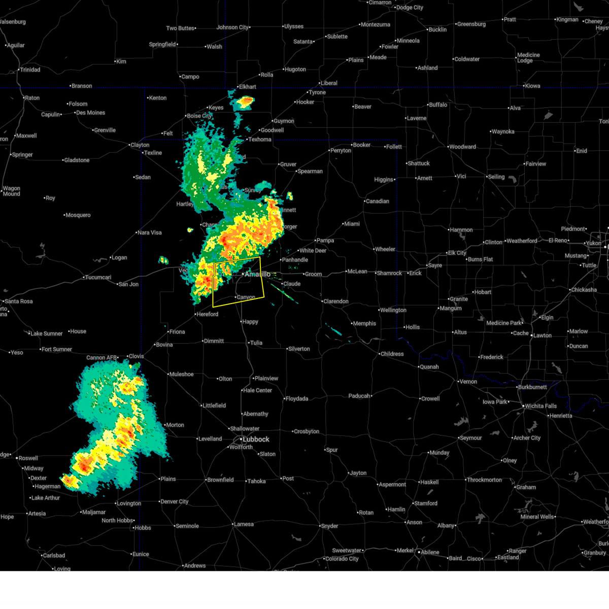 Svrama the national weather service in amarillo has issued a * severe thunderstorm warning for, northwestern armstrong county in the panhandle of texas, northern randall county in the panhandle of texas, east central deaf smith county in the panhandle of texas, southern potter county in the panhandle of texas, * until 1030 pm cdt. * at 930 pm cdt, severe thunderstorms were located along a line extending from 8 miles northeast of wildorado to near umbarger, moving east at 30 mph (radar indicated). Hazards include 60 mph wind gusts and nickel size hail. minor damage to roofs, siding, and trees is possible Svrama the national weather service in amarillo has issued a * severe thunderstorm warning for, northwestern armstrong county in the panhandle of texas, northern randall county in the panhandle of texas, east central deaf smith county in the panhandle of texas, southern potter county in the panhandle of texas, * until 1030 pm cdt. * at 930 pm cdt, severe thunderstorms were located along a line extending from 8 miles northeast of wildorado to near umbarger, moving east at 30 mph (radar indicated). Hazards include 60 mph wind gusts and nickel size hail. minor damage to roofs, siding, and trees is possible
|
| 6/8/2025 2:50 AM CDT |
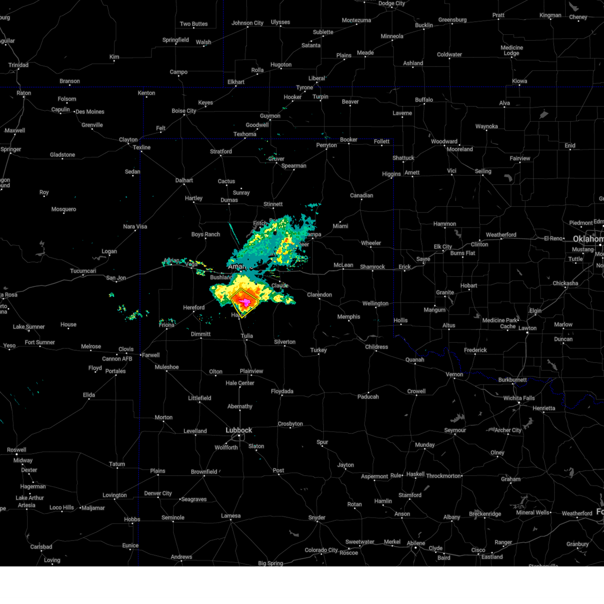 the severe thunderstorm warning has been cancelled and is no longer in effect the severe thunderstorm warning has been cancelled and is no longer in effect
|
| 6/8/2025 2:50 AM CDT |
 At 249 am cdt, a severe thunderstorm was located 5 miles south of palo duro canyon, or 14 miles southeast of canyon, moving southeast at 45 mph. this is a destructive storm for palo duro canyon (public). Hazards include baseball size hail and 70 mph wind gusts. People and animals outdoors will be severely injured. expect shattered windows, extensive damage to roofs, siding, and vehicles. Locations impacted include, palo duro canyon and canyon. At 249 am cdt, a severe thunderstorm was located 5 miles south of palo duro canyon, or 14 miles southeast of canyon, moving southeast at 45 mph. this is a destructive storm for palo duro canyon (public). Hazards include baseball size hail and 70 mph wind gusts. People and animals outdoors will be severely injured. expect shattered windows, extensive damage to roofs, siding, and vehicles. Locations impacted include, palo duro canyon and canyon.
|
| 6/8/2025 2:48 AM CDT |
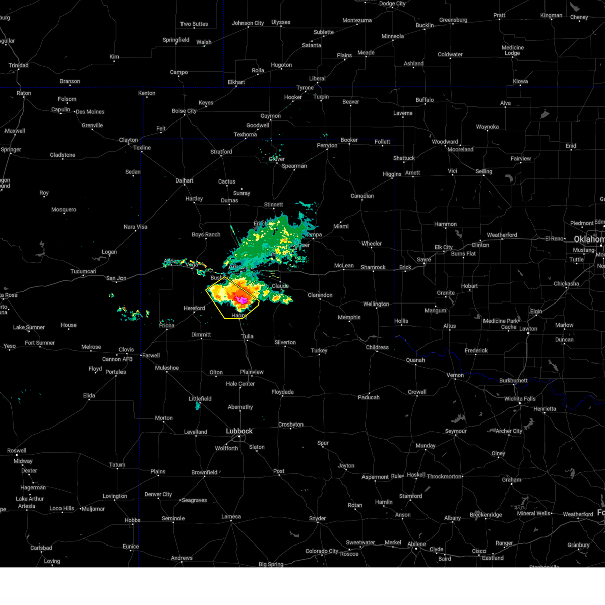 At 247 am cdt, a severe thunderstorm was located 5 miles southwest of palo duro canyon, or 13 miles southeast of canyon, moving southeast at 45 mph. this is a destructive storm for palo duro canyon (public). Hazards include baseball size hail and 70 mph wind gusts. People and animals outdoors will be severely injured. expect shattered windows, extensive damage to roofs, siding, and vehicles. Locations impacted include, umbarger, mescalero park, buffalo lake, palo duro canyon, and canyon. At 247 am cdt, a severe thunderstorm was located 5 miles southwest of palo duro canyon, or 13 miles southeast of canyon, moving southeast at 45 mph. this is a destructive storm for palo duro canyon (public). Hazards include baseball size hail and 70 mph wind gusts. People and animals outdoors will be severely injured. expect shattered windows, extensive damage to roofs, siding, and vehicles. Locations impacted include, umbarger, mescalero park, buffalo lake, palo duro canyon, and canyon.
|
| 6/8/2025 2:40 AM CDT | Hen Egg sized hail reported 1.3 miles NW of Canyon, TX |
| 6/8/2025 2:37 AM CDT |
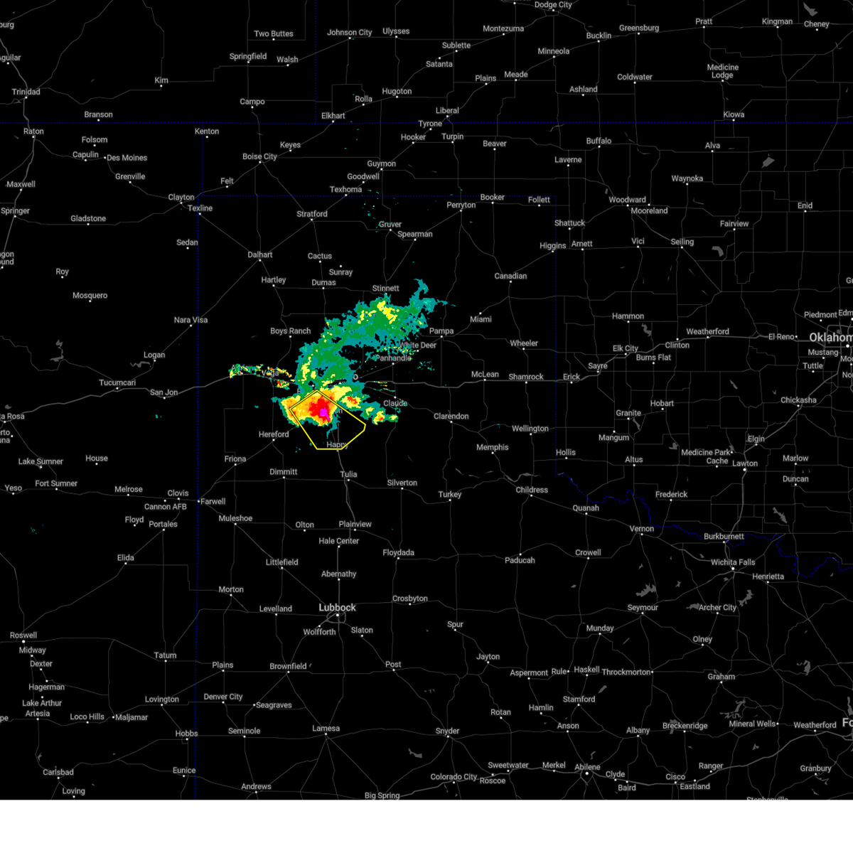 At 236 am cdt, automated weather equipment reported a severe thunderstorm was located near canyon, moving southeast at 40 mph. this is a destructive storm for canyon (automated weather equipment observed 84 mph wind gusts in canyon). Hazards include 80 mph wind gusts and three inch hail. People and animals outdoors will be severely injured. expect shattered windows, extensive damage to roofs, siding, and vehicles. Locations impacted include, umbarger, mescalero park, buffalo lake, palo duro canyon, and canyon. At 236 am cdt, automated weather equipment reported a severe thunderstorm was located near canyon, moving southeast at 40 mph. this is a destructive storm for canyon (automated weather equipment observed 84 mph wind gusts in canyon). Hazards include 80 mph wind gusts and three inch hail. People and animals outdoors will be severely injured. expect shattered windows, extensive damage to roofs, siding, and vehicles. Locations impacted include, umbarger, mescalero park, buffalo lake, palo duro canyon, and canyon.
|
| 6/8/2025 2:35 AM CDT | Numerous reports of broken windows... broken tree limbs up to 4 inches in diameter... and wind/hail damage across the city of canyo in randall county TX, 0.7 miles N of Canyon, TX |
| 6/8/2025 2:30 AM CDT | West texas mesone in randall county TX, 1.4 miles ENE of Canyon, TX |
| 6/8/2025 2:29 AM CDT |
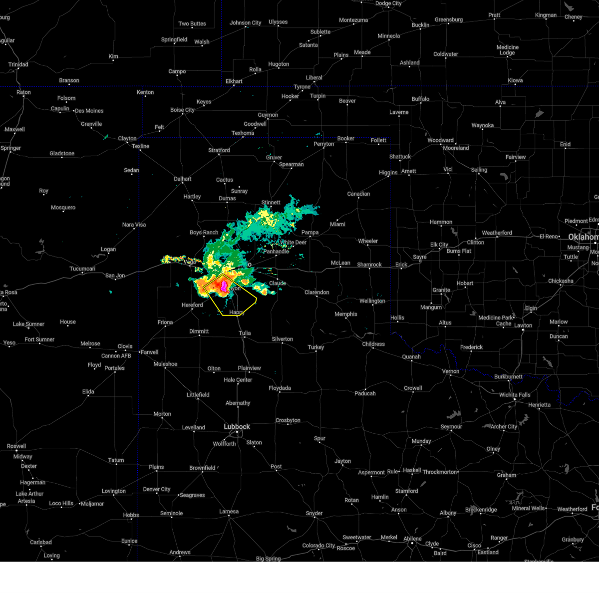 At 229 am cdt, automated weather equipment reported a severe thunderstorm was located over canyon, moving southeast at 40 mph (automated weather equipment in umbarger recorded 72 mph wind gust). Hazards include tennis ball size hail and 70 mph wind gusts. Expect some tree damage. damage is likely to mobile homes, roofs, and outbuildings. people and animals outdoors will be injured. expect hail damage to roofs, siding, windows, and vehicles. Locations impacted include, umbarger, mescalero park, buffalo lake, palo duro canyon, and canyon. At 229 am cdt, automated weather equipment reported a severe thunderstorm was located over canyon, moving southeast at 40 mph (automated weather equipment in umbarger recorded 72 mph wind gust). Hazards include tennis ball size hail and 70 mph wind gusts. Expect some tree damage. damage is likely to mobile homes, roofs, and outbuildings. people and animals outdoors will be injured. expect hail damage to roofs, siding, windows, and vehicles. Locations impacted include, umbarger, mescalero park, buffalo lake, palo duro canyon, and canyon.
|
| 6/8/2025 2:25 AM CDT | Mesonet station 76 umbarger 3nn in randall county TX, 9.1 miles E of Canyon, TX |
| 6/8/2025 2:22 AM CDT |
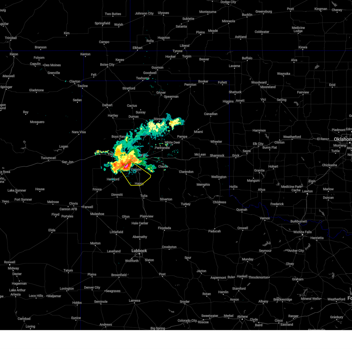 Svrama the national weather service in amarillo has issued a * severe thunderstorm warning for, randall county in the panhandle of texas, east central deaf smith county in the panhandle of texas, * until 300 am cdt. * at 222 am cdt, a severe thunderstorm was located 5 miles north of umbarger, or 9 miles northwest of canyon, moving southeast at 35 mph (radar indicated). Hazards include golf ball size hail and 60 mph wind gusts. Minor damage to roofs, siding, and trees is possible. people and animals outdoors will be injured. Expect hail damage to roofs, siding, windows, and vehicles. Svrama the national weather service in amarillo has issued a * severe thunderstorm warning for, randall county in the panhandle of texas, east central deaf smith county in the panhandle of texas, * until 300 am cdt. * at 222 am cdt, a severe thunderstorm was located 5 miles north of umbarger, or 9 miles northwest of canyon, moving southeast at 35 mph (radar indicated). Hazards include golf ball size hail and 60 mph wind gusts. Minor damage to roofs, siding, and trees is possible. people and animals outdoors will be injured. Expect hail damage to roofs, siding, windows, and vehicles.
|
| 6/7/2025 4:44 AM CDT |
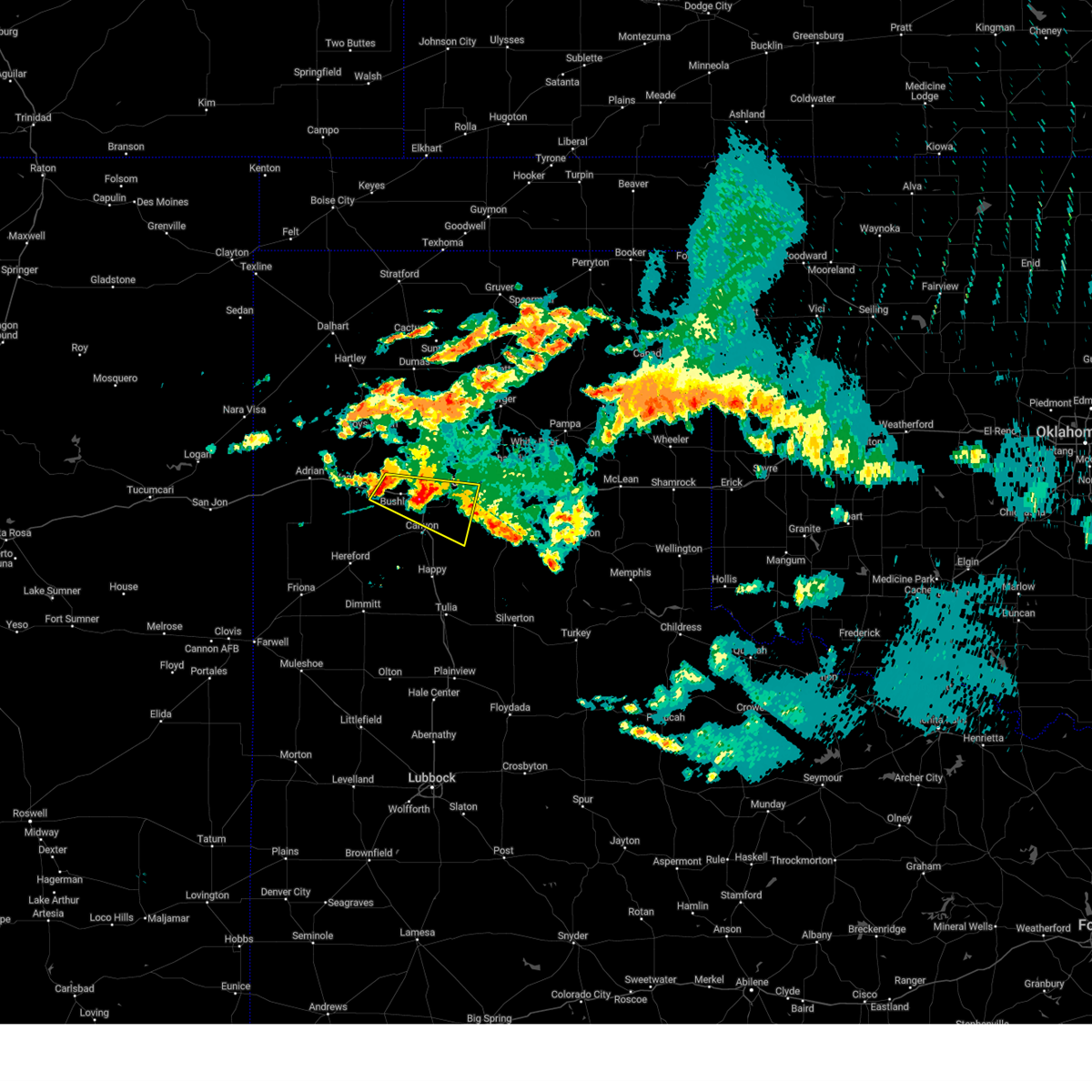 At 443 am cdt, a severe thunderstorm was located near amarillo, moving east at 35 mph (radar indicated). Hazards include 60 mph wind gusts and quarter size hail. Minor damage to roofs, siding, and trees is possible. hail damage to vehicles is expected. Locations impacted include, amarillo, mescalero park, bushland, lake tanglewood, timbercreek canyon, washburn, palo duro canyon, and canyon. At 443 am cdt, a severe thunderstorm was located near amarillo, moving east at 35 mph (radar indicated). Hazards include 60 mph wind gusts and quarter size hail. Minor damage to roofs, siding, and trees is possible. hail damage to vehicles is expected. Locations impacted include, amarillo, mescalero park, bushland, lake tanglewood, timbercreek canyon, washburn, palo duro canyon, and canyon.
|
| 6/7/2025 4:25 AM CDT |
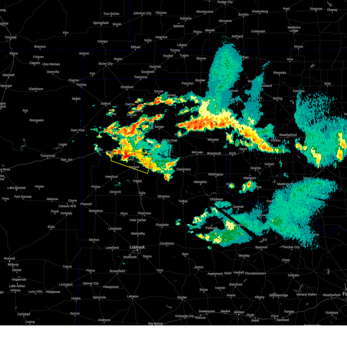 Svrama the national weather service in amarillo has issued a * severe thunderstorm warning for, northwestern armstrong county in the panhandle of texas, northern randall county in the panhandle of texas, southeastern oldham county in the panhandle of texas, southwestern carson county in the panhandle of texas, northeastern deaf smith county in the panhandle of texas, southern potter county in the panhandle of texas, * until 515 am cdt. * at 424 am cdt, a severe thunderstorm was located over bushland, or 10 miles west of amarillo, moving east at 40 mph (radar indicated). Hazards include 60 mph wind gusts and quarter size hail. Minor damage to roofs, siding, and trees is possible. Hail damage to vehicles is expected. Svrama the national weather service in amarillo has issued a * severe thunderstorm warning for, northwestern armstrong county in the panhandle of texas, northern randall county in the panhandle of texas, southeastern oldham county in the panhandle of texas, southwestern carson county in the panhandle of texas, northeastern deaf smith county in the panhandle of texas, southern potter county in the panhandle of texas, * until 515 am cdt. * at 424 am cdt, a severe thunderstorm was located over bushland, or 10 miles west of amarillo, moving east at 40 mph (radar indicated). Hazards include 60 mph wind gusts and quarter size hail. Minor damage to roofs, siding, and trees is possible. Hail damage to vehicles is expected.
|
| 6/4/2025 11:08 PM CDT |
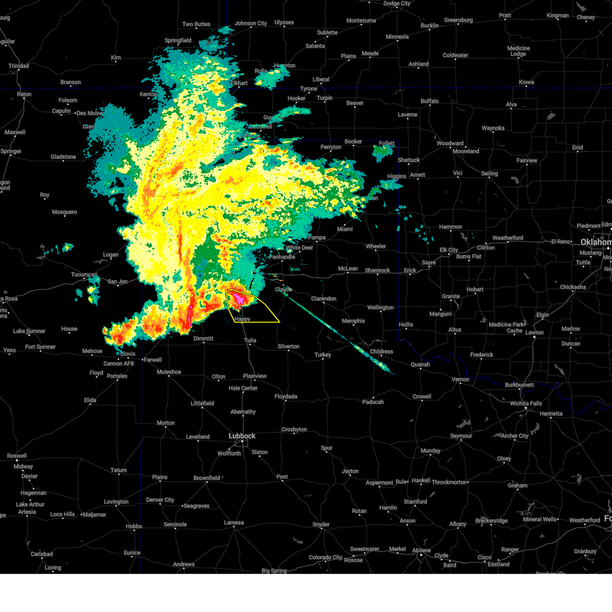 At 1108 pm cdt, a severe thunderstorm was located 5 miles southeast of canyon, moving east at 35 mph (emergency management). Hazards include golf ball size hail and 60 mph wind gusts. Minor damage to roofs, siding, and trees is possible. people and animals outdoors will be injured. expect hail damage to roofs, siding, windows, and vehicles. Locations impacted include, wayside, palo duro canyon, canyon, and mescalero park. At 1108 pm cdt, a severe thunderstorm was located 5 miles southeast of canyon, moving east at 35 mph (emergency management). Hazards include golf ball size hail and 60 mph wind gusts. Minor damage to roofs, siding, and trees is possible. people and animals outdoors will be injured. expect hail damage to roofs, siding, windows, and vehicles. Locations impacted include, wayside, palo duro canyon, canyon, and mescalero park.
|
| 6/4/2025 11:05 PM CDT | Hen Egg sized hail reported 1.2 miles E of Canyon, TX, pictures of several hail stones of 1.5 to 1.75 inches with at least one stone just over 2 inches in diameter measured with a ruler on the west side of canyon. |
| 6/4/2025 10:53 PM CDT |
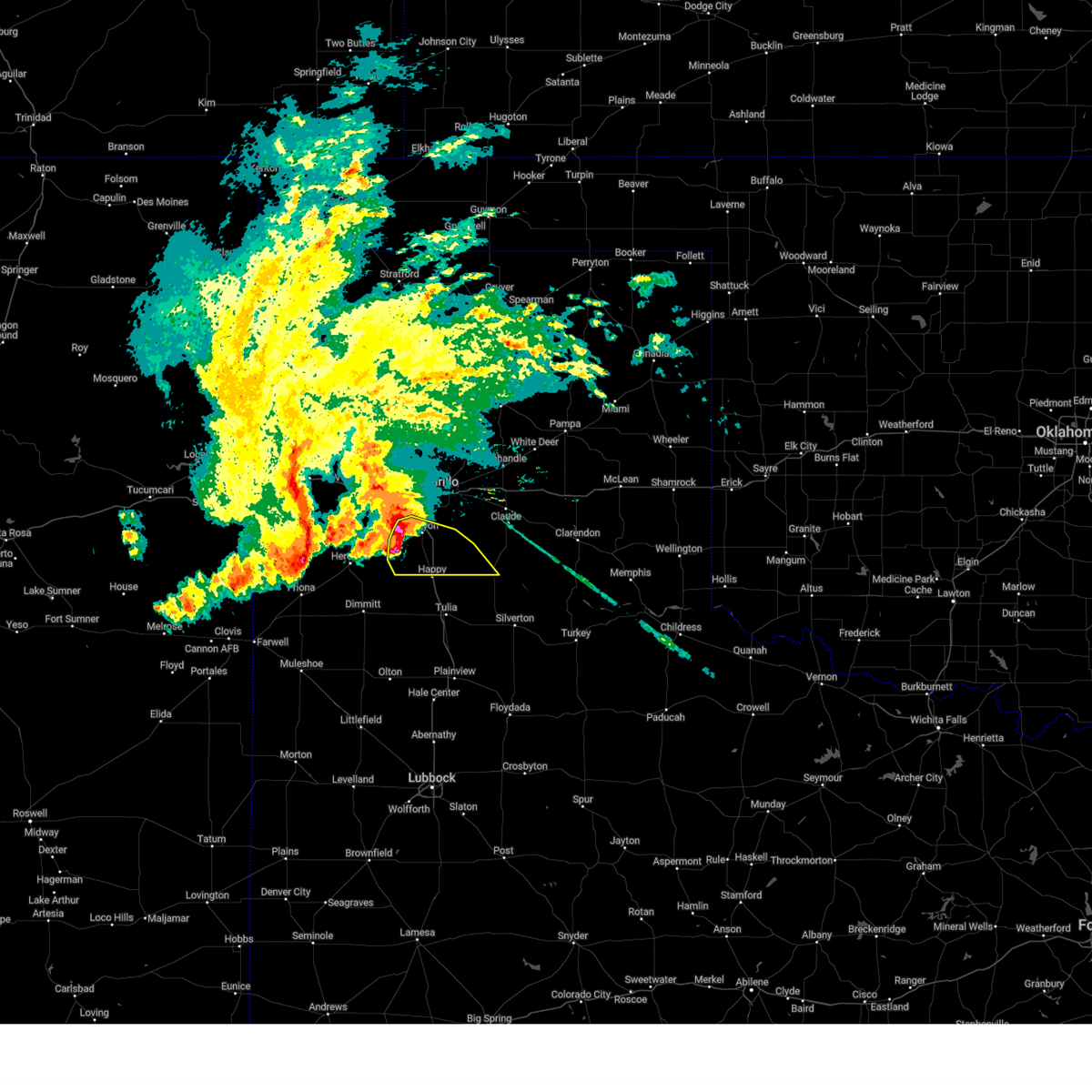 At 1052 pm cdt, a severe thunderstorm was located 7 miles east of buffalo lake, or 8 miles southwest of canyon, moving southeast at 30 mph (emergency management). Hazards include golf ball size hail and 60 mph wind gusts. Minor damage to roofs, siding, and trees is possible. people and animals outdoors will be injured. expect hail damage to roofs, siding, windows, and vehicles. Locations impacted include, umbarger, buffalo lake, wayside, palo duro canyon, canyon, and mescalero park. At 1052 pm cdt, a severe thunderstorm was located 7 miles east of buffalo lake, or 8 miles southwest of canyon, moving southeast at 30 mph (emergency management). Hazards include golf ball size hail and 60 mph wind gusts. Minor damage to roofs, siding, and trees is possible. people and animals outdoors will be injured. expect hail damage to roofs, siding, windows, and vehicles. Locations impacted include, umbarger, buffalo lake, wayside, palo duro canyon, canyon, and mescalero park.
|
| 6/4/2025 10:49 PM CDT |
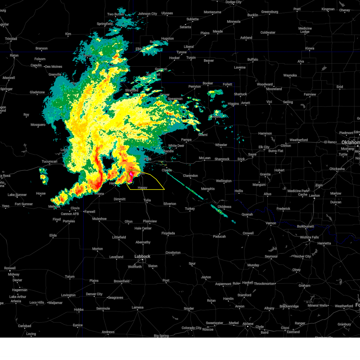 Svrama the national weather service in amarillo has issued a * severe thunderstorm warning for, southwestern armstrong county in the panhandle of texas, randall county in the panhandle of texas, * until 1145 pm cdt. * at 1049 pm cdt, a severe thunderstorm was located 5 miles east of buffalo lake, or 8 miles southwest of canyon, moving southeast at 30 mph (radar indicated). Hazards include 60 mph wind gusts and half dollar size hail. Minor damage to roofs, siding, and trees is possible. Hail damage to vehicles is expected. Svrama the national weather service in amarillo has issued a * severe thunderstorm warning for, southwestern armstrong county in the panhandle of texas, randall county in the panhandle of texas, * until 1145 pm cdt. * at 1049 pm cdt, a severe thunderstorm was located 5 miles east of buffalo lake, or 8 miles southwest of canyon, moving southeast at 30 mph (radar indicated). Hazards include 60 mph wind gusts and half dollar size hail. Minor damage to roofs, siding, and trees is possible. Hail damage to vehicles is expected.
|
| 6/4/2025 10:48 PM CDT | Golf Ball sized hail reported 7 miles ENE of Canyon, TX, canyon fire department report of windshield broken by golf ball size hail along hwy 60 between umbarger and canyon. also received public reports with pictures of golf b |
| 6/2/2025 3:54 PM CDT |
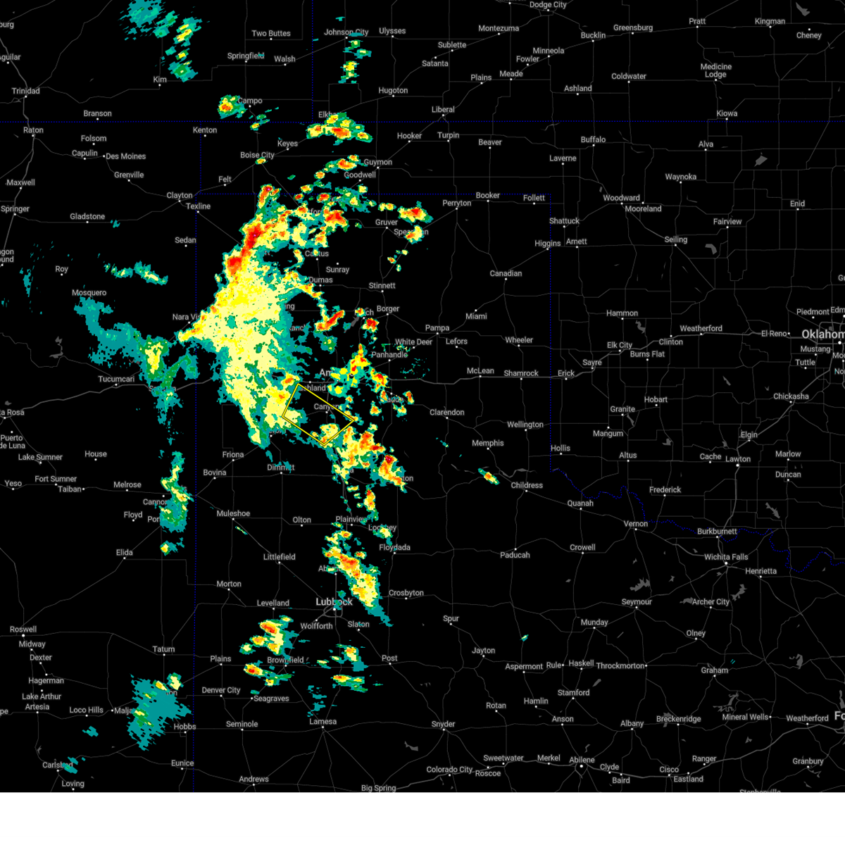 The storm which prompted the warning has moved out of the area. therefore, the warning will be allowed to expire. however, gusty winds are still possible with this thunderstorm. a severe thunderstorm watch remains in effect until 900 pm cdt for the panhandle of texas. The storm which prompted the warning has moved out of the area. therefore, the warning will be allowed to expire. however, gusty winds are still possible with this thunderstorm. a severe thunderstorm watch remains in effect until 900 pm cdt for the panhandle of texas.
|
| 6/2/2025 3:41 PM CDT | Storm damage reported in randall county TX, 9.1 miles E of Canyon, TX |
| 6/2/2025 3:36 PM CDT |
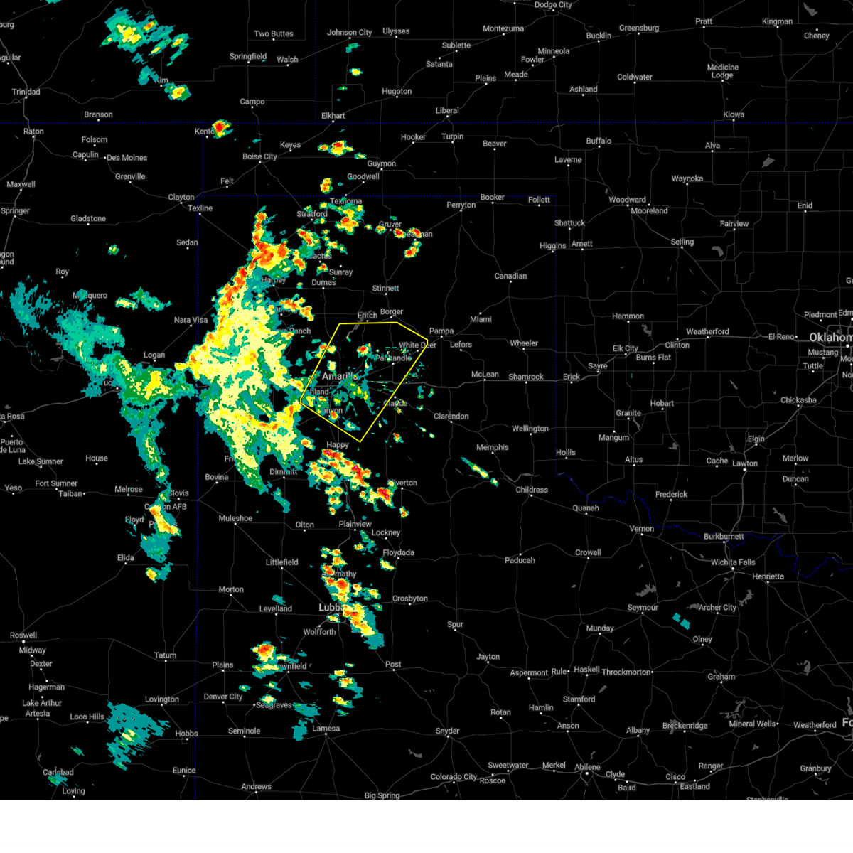 Svrama the national weather service in amarillo has issued a * severe thunderstorm warning for, northwestern armstrong county in the panhandle of texas, northeastern randall county in the panhandle of texas, carson county in the panhandle of texas, potter county in the panhandle of texas, * until 415 pm cdt. * at 336 pm cdt, severe thunderstorms were located along a line extending from 7 miles northeast of bushland to 8 miles south of washburn, moving northeast at 55 mph (automated weather equipment). Hazards include 60 mph wind gusts. minor damage to roofs, siding, and trees is possible Svrama the national weather service in amarillo has issued a * severe thunderstorm warning for, northwestern armstrong county in the panhandle of texas, northeastern randall county in the panhandle of texas, carson county in the panhandle of texas, potter county in the panhandle of texas, * until 415 pm cdt. * at 336 pm cdt, severe thunderstorms were located along a line extending from 7 miles northeast of bushland to 8 miles south of washburn, moving northeast at 55 mph (automated weather equipment). Hazards include 60 mph wind gusts. minor damage to roofs, siding, and trees is possible
|
| 6/2/2025 3:32 PM CDT |
 At 331 pm cdt, automated weather equipment reported a severe thunderstorm was located 4 miles east of umbarger, or 6 miles west of canyon, moving northeast at 45 mph (automated weather equipment). Hazards include 60 mph wind gusts. Minor damage to roofs, siding, and trees is possible. Locations impacted include, umbarger, buffalo lake, dawn, canyon, and mescalero park. At 331 pm cdt, automated weather equipment reported a severe thunderstorm was located 4 miles east of umbarger, or 6 miles west of canyon, moving northeast at 45 mph (automated weather equipment). Hazards include 60 mph wind gusts. Minor damage to roofs, siding, and trees is possible. Locations impacted include, umbarger, buffalo lake, dawn, canyon, and mescalero park.
|
| 6/2/2025 3:26 PM CDT | Storm damage reported in randall county TX, 1.4 miles ENE of Canyon, TX |
| 6/2/2025 2:53 PM CDT |
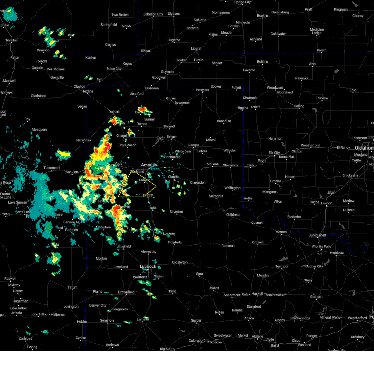 Svrama the national weather service in amarillo has issued a * severe thunderstorm warning for, southwestern randall county in the panhandle of texas, southeastern deaf smith county in the panhandle of texas, * until 400 pm cdt. * at 253 pm cdt, a severe thunderstorm was located near easter, or 6 miles north of dimmitt, moving northeast at 45 mph (automated weather equipment). Hazards include 70 mph wind gusts. Expect some tree damage. Damage is likely to mobile homes, roofs, and outbuildings. Svrama the national weather service in amarillo has issued a * severe thunderstorm warning for, southwestern randall county in the panhandle of texas, southeastern deaf smith county in the panhandle of texas, * until 400 pm cdt. * at 253 pm cdt, a severe thunderstorm was located near easter, or 6 miles north of dimmitt, moving northeast at 45 mph (automated weather equipment). Hazards include 70 mph wind gusts. Expect some tree damage. Damage is likely to mobile homes, roofs, and outbuildings.
|
| 5/26/2025 9:53 PM CDT |
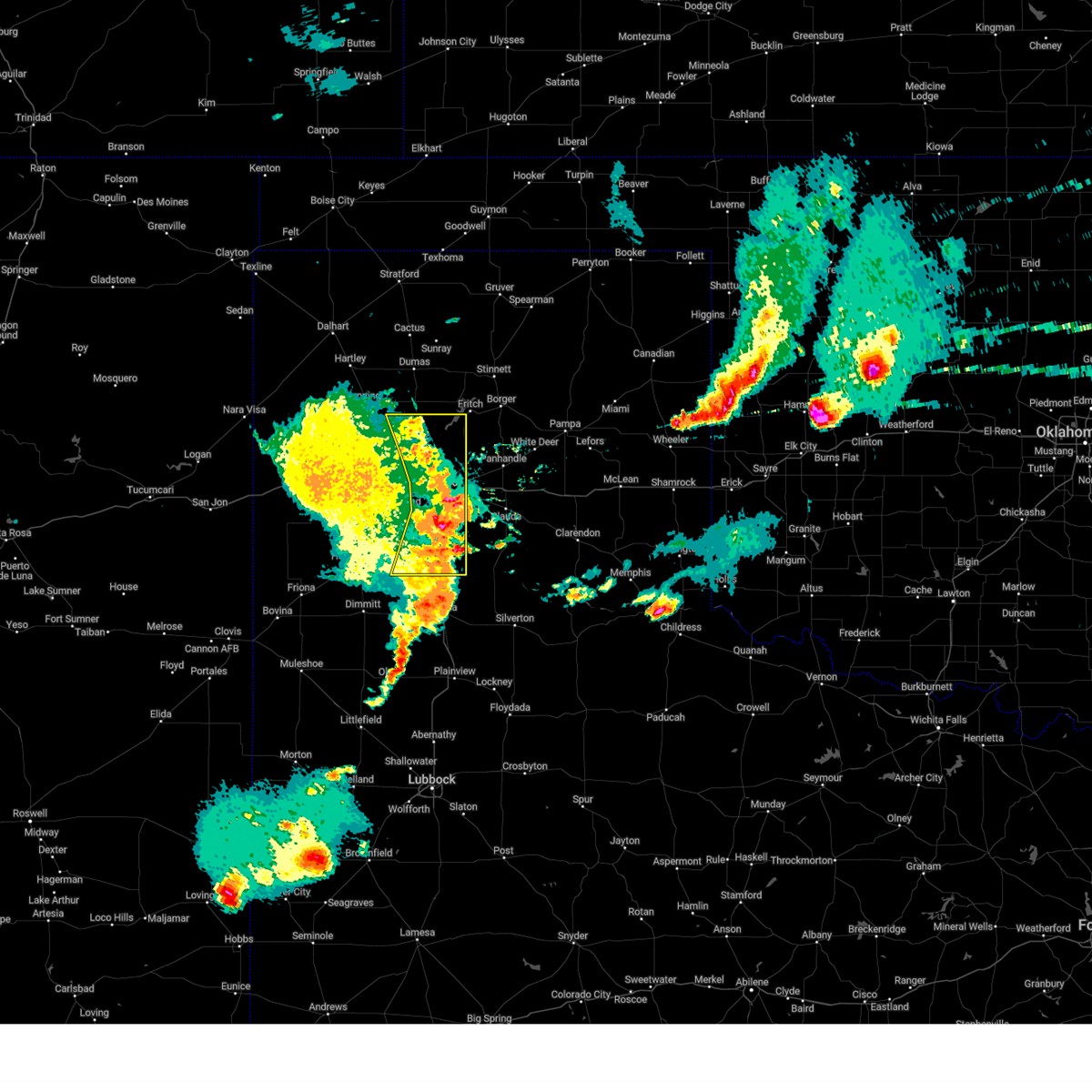 At 952 pm cdt, severe thunderstorms were located along a line extending from 3 miles northeast of boys ranch to 5 miles south of valley de oro to 8 miles northwest of amarillo to 4 miles east of bushland to near umbarger to 9 miles southeast of hereford, moving east at 20 mph (radar indicated). Hazards include 70 mph wind gusts and quarter size hail. Expect some tree damage. damage is likely to mobile homes, roofs, and outbuildings. hail damage to vehicles is expected. Locations impacted include, amarillo, mescalero park, lake tanglewood, timbercreek canyon, palo duro canyon, and canyon. At 952 pm cdt, severe thunderstorms were located along a line extending from 3 miles northeast of boys ranch to 5 miles south of valley de oro to 8 miles northwest of amarillo to 4 miles east of bushland to near umbarger to 9 miles southeast of hereford, moving east at 20 mph (radar indicated). Hazards include 70 mph wind gusts and quarter size hail. Expect some tree damage. damage is likely to mobile homes, roofs, and outbuildings. hail damage to vehicles is expected. Locations impacted include, amarillo, mescalero park, lake tanglewood, timbercreek canyon, palo duro canyon, and canyon.
|
| 5/26/2025 9:45 PM CDT |
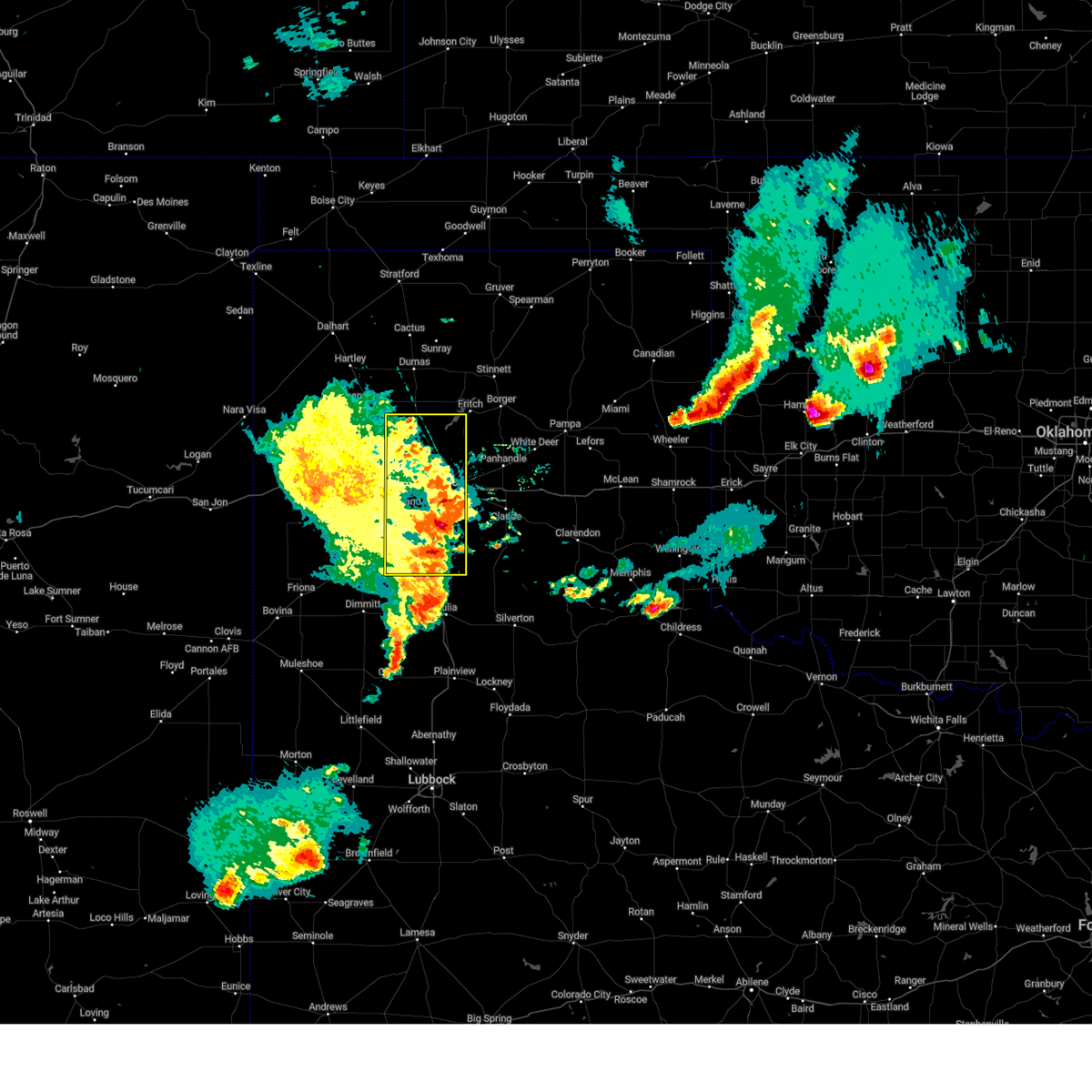 At 945 pm cdt, severe thunderstorms were located along a line extending from 4 miles northeast of boys ranch to 5 miles south of valley de oro to 7 miles northwest of amarillo to 5 miles east of bushland to umbarger to 9 miles south of dawn, and are nearly stationary (trained weather spotters reported quarter sized hail on the southeast 335 loop). Hazards include 70 mph wind gusts and quarter size hail. Expect some tree damage. damage is likely to mobile homes, roofs, and outbuildings. hail damage to vehicles is expected. Locations impacted include, amarillo, mescalero park, bushland, buffalo lake, lake tanglewood, timbercreek canyon, valley de oro, canyon, umbarger, and palo duro canyon. At 945 pm cdt, severe thunderstorms were located along a line extending from 4 miles northeast of boys ranch to 5 miles south of valley de oro to 7 miles northwest of amarillo to 5 miles east of bushland to umbarger to 9 miles south of dawn, and are nearly stationary (trained weather spotters reported quarter sized hail on the southeast 335 loop). Hazards include 70 mph wind gusts and quarter size hail. Expect some tree damage. damage is likely to mobile homes, roofs, and outbuildings. hail damage to vehicles is expected. Locations impacted include, amarillo, mescalero park, bushland, buffalo lake, lake tanglewood, timbercreek canyon, valley de oro, canyon, umbarger, and palo duro canyon.
|
| 5/26/2025 9:43 PM CDT |
 At 942 pm cdt, severe thunderstorms were located along a line extending from 4 miles northeast of boys ranch to 6 miles south of valley de oro to 7 miles northwest of amarillo to 5 miles east of bushland to umbarger to 9 miles southwest of buffalo lake, moving east at 20 mph (trained weather spotters). Hazards include 70 mph wind gusts and quarter size hail. Expect some tree damage. damage is likely to mobile homes, roofs, and outbuildings. hail damage to vehicles is expected. Locations impacted include, amarillo, mescalero park, bushland, buffalo lake, lake tanglewood, timbercreek canyon, valley de oro, canyon, umbarger, and palo duro canyon. At 942 pm cdt, severe thunderstorms were located along a line extending from 4 miles northeast of boys ranch to 6 miles south of valley de oro to 7 miles northwest of amarillo to 5 miles east of bushland to umbarger to 9 miles southwest of buffalo lake, moving east at 20 mph (trained weather spotters). Hazards include 70 mph wind gusts and quarter size hail. Expect some tree damage. damage is likely to mobile homes, roofs, and outbuildings. hail damage to vehicles is expected. Locations impacted include, amarillo, mescalero park, bushland, buffalo lake, lake tanglewood, timbercreek canyon, valley de oro, canyon, umbarger, and palo duro canyon.
|
| 5/26/2025 9:40 PM CDT |
 the severe thunderstorm warning has been cancelled and is no longer in effect the severe thunderstorm warning has been cancelled and is no longer in effect
|
| 5/26/2025 9:40 PM CDT |
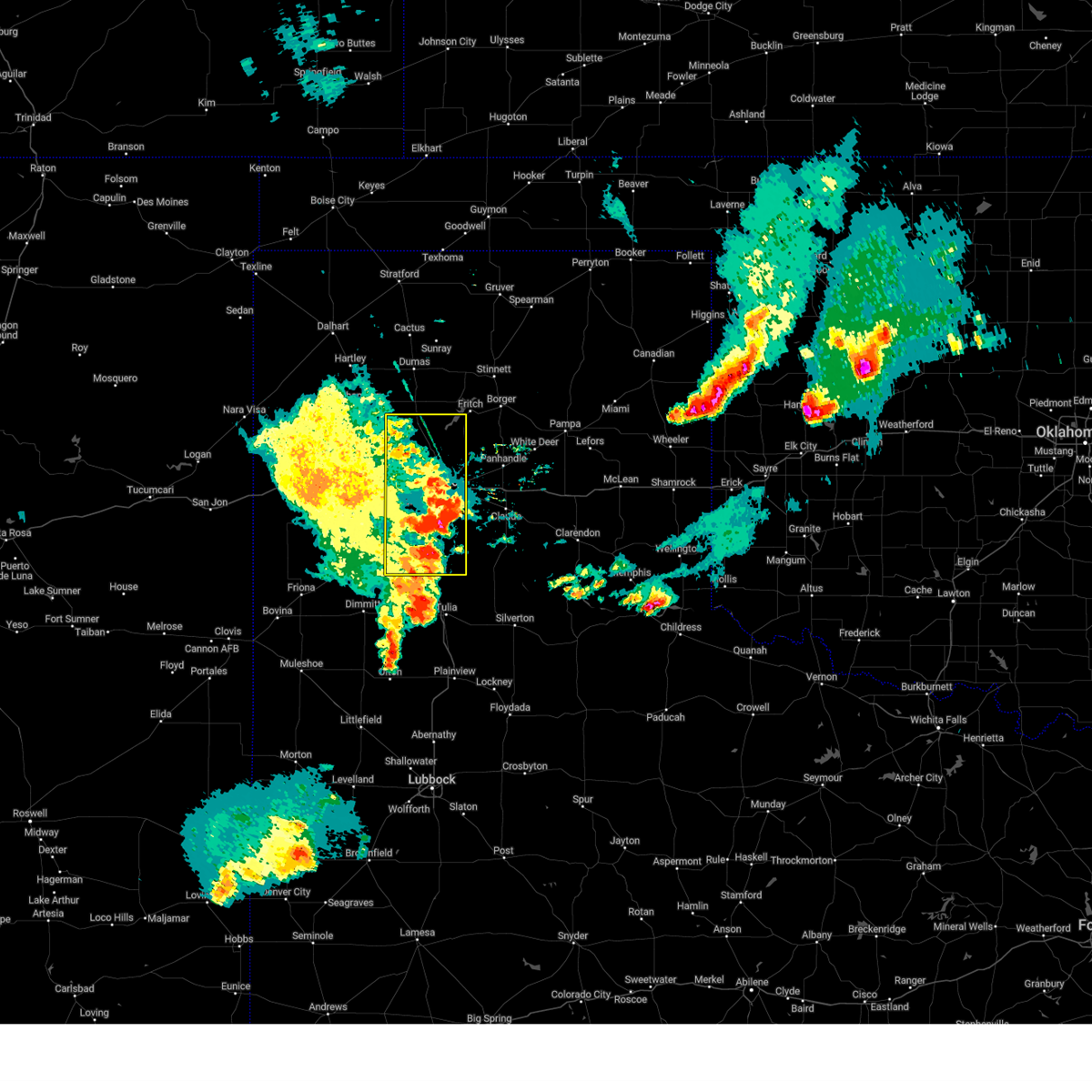 At 939 pm cdt, severe thunderstorms were located along a line extending from 5 miles northeast of boys ranch to 6 miles southeast of valley de oro to 8 miles northeast of bushland to 5 miles west of amarillo to umbarger to 9 miles southwest of buffalo lake, moving east at 20 mph (radar indicated). Hazards include 70 mph wind gusts and penny size hail. Expect some tree damage. damage is likely to mobile homes, roofs, and outbuildings. Locations impacted include, amarillo, mescalero park, bushland, buffalo lake, lake tanglewood, timbercreek canyon, valley de oro, canyon, umbarger, and palo duro canyon. At 939 pm cdt, severe thunderstorms were located along a line extending from 5 miles northeast of boys ranch to 6 miles southeast of valley de oro to 8 miles northeast of bushland to 5 miles west of amarillo to umbarger to 9 miles southwest of buffalo lake, moving east at 20 mph (radar indicated). Hazards include 70 mph wind gusts and penny size hail. Expect some tree damage. damage is likely to mobile homes, roofs, and outbuildings. Locations impacted include, amarillo, mescalero park, bushland, buffalo lake, lake tanglewood, timbercreek canyon, valley de oro, canyon, umbarger, and palo duro canyon.
|
| 5/26/2025 8:54 PM CDT |
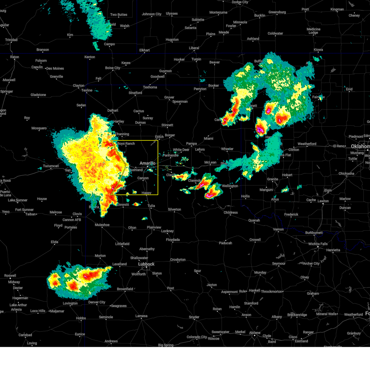 Svrama the national weather service in amarillo has issued a * severe thunderstorm warning for, randall county in the panhandle of texas, eastern oldham county in the panhandle of texas, eastern deaf smith county in the panhandle of texas, potter county in the panhandle of texas, * until 1030 pm cdt. * at 853 pm cdt, severe thunderstorms were located along a line extending from 9 miles southwest of channing to 10 miles south of boys ranch to 8 miles northwest of bushland to 3 miles southeast of wildorado to 7 miles west of dawn to 4 miles northeast of summerfield, moving east at 20 mph (automated weather equipment). Hazards include 70 mph wind gusts and penny size hail. Expect some tree damage. Damage is likely to mobile homes, roofs, and outbuildings. Svrama the national weather service in amarillo has issued a * severe thunderstorm warning for, randall county in the panhandle of texas, eastern oldham county in the panhandle of texas, eastern deaf smith county in the panhandle of texas, potter county in the panhandle of texas, * until 1030 pm cdt. * at 853 pm cdt, severe thunderstorms were located along a line extending from 9 miles southwest of channing to 10 miles south of boys ranch to 8 miles northwest of bushland to 3 miles southeast of wildorado to 7 miles west of dawn to 4 miles northeast of summerfield, moving east at 20 mph (automated weather equipment). Hazards include 70 mph wind gusts and penny size hail. Expect some tree damage. Damage is likely to mobile homes, roofs, and outbuildings.
|
| 5/25/2025 4:59 PM CDT |
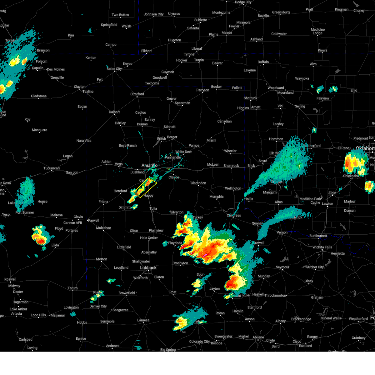 At 459 pm cdt, a severe thunderstorm was located 4 miles east of canyon, moving northeast at 15 mph (radar indicated). Hazards include 60 mph wind gusts and quarter size hail. Minor damage to roofs, siding, and trees is possible. hail damage to vehicles is expected. Locations impacted include, canyon. At 459 pm cdt, a severe thunderstorm was located 4 miles east of canyon, moving northeast at 15 mph (radar indicated). Hazards include 60 mph wind gusts and quarter size hail. Minor damage to roofs, siding, and trees is possible. hail damage to vehicles is expected. Locations impacted include, canyon.
|
| 5/25/2025 4:45 PM CDT |
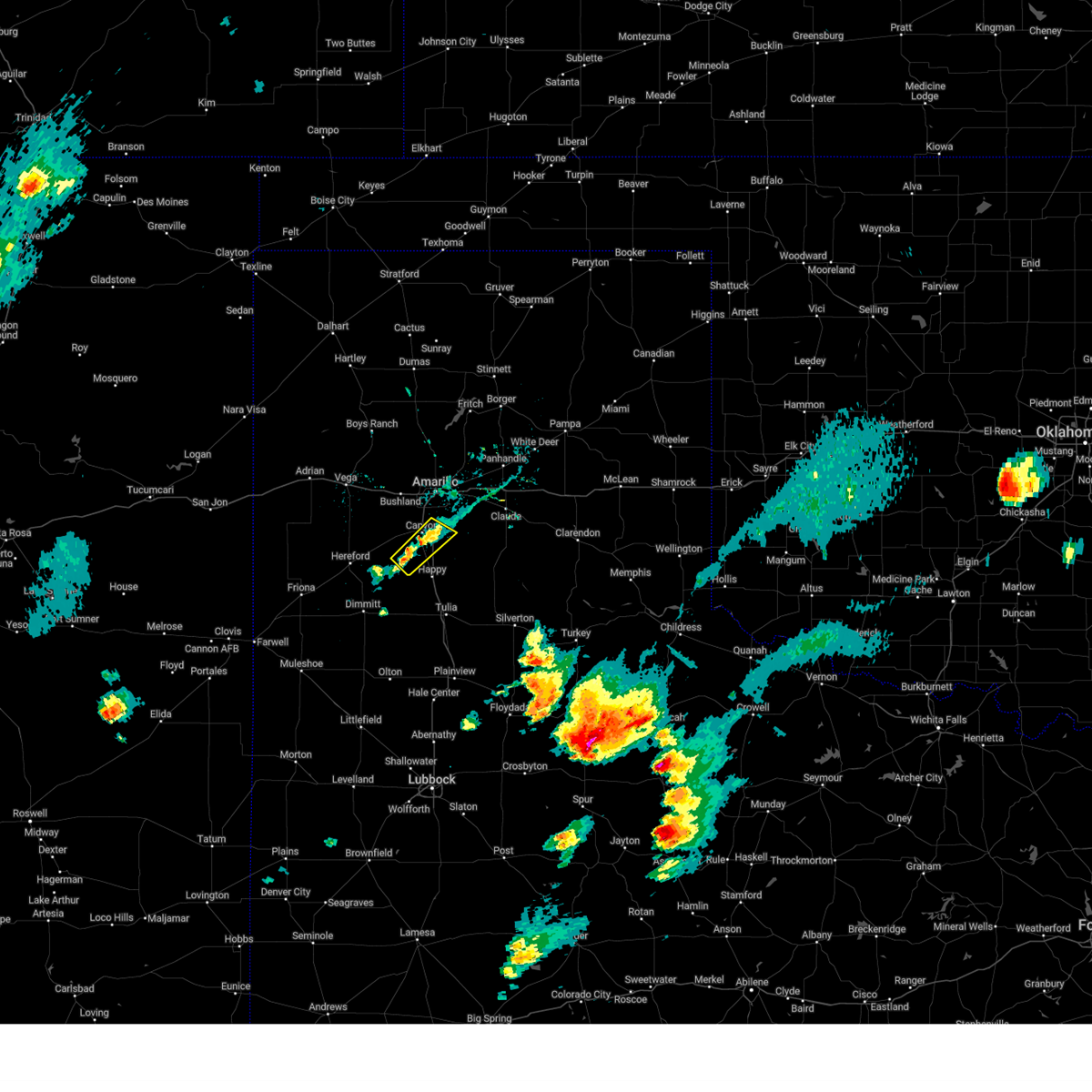 Svrama the national weather service in amarillo has issued a * severe thunderstorm warning for, southern randall county in the panhandle of texas, * until 545 pm cdt. * at 445 pm cdt, a severe thunderstorm was located near canyon, moving northeast at 10 mph (radar indicated). Hazards include 60 mph wind gusts and half dollar size hail. Minor damage to roofs, siding, and trees is possible. Hail damage to vehicles is expected. Svrama the national weather service in amarillo has issued a * severe thunderstorm warning for, southern randall county in the panhandle of texas, * until 545 pm cdt. * at 445 pm cdt, a severe thunderstorm was located near canyon, moving northeast at 10 mph (radar indicated). Hazards include 60 mph wind gusts and half dollar size hail. Minor damage to roofs, siding, and trees is possible. Hail damage to vehicles is expected.
|
| 5/1/2025 10:02 PM CDT |
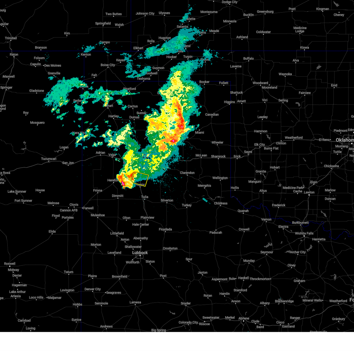 At 1001 pm cdt, a severe thunderstorm was located 6 miles south of canyon, moving east at 35 mph (radar indicated). Hazards include 60 mph wind gusts and nickel size hail. Minor damage to roofs, siding, and trees is possible. Locations impacted include, canyon. At 1001 pm cdt, a severe thunderstorm was located 6 miles south of canyon, moving east at 35 mph (radar indicated). Hazards include 60 mph wind gusts and nickel size hail. Minor damage to roofs, siding, and trees is possible. Locations impacted include, canyon.
|
| 5/1/2025 9:43 PM CDT |
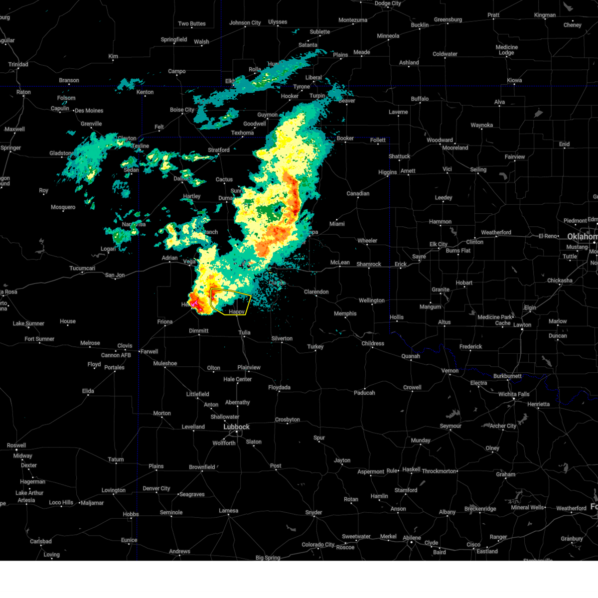 Svrama the national weather service in amarillo has issued a * severe thunderstorm warning for, southern randall county in the panhandle of texas, * until 1030 pm cdt. * at 942 pm cdt, a severe thunderstorm was located over buffalo lake, or 11 miles southwest of canyon, moving southeast at 35 mph (radar indicated). Hazards include 60 mph wind gusts and half dollar size hail. Minor damage to roofs, siding, and trees is possible. Hail damage to vehicles is expected. Svrama the national weather service in amarillo has issued a * severe thunderstorm warning for, southern randall county in the panhandle of texas, * until 1030 pm cdt. * at 942 pm cdt, a severe thunderstorm was located over buffalo lake, or 11 miles southwest of canyon, moving southeast at 35 mph (radar indicated). Hazards include 60 mph wind gusts and half dollar size hail. Minor damage to roofs, siding, and trees is possible. Hail damage to vehicles is expected.
|
| 4/26/2025 1:38 AM CDT |
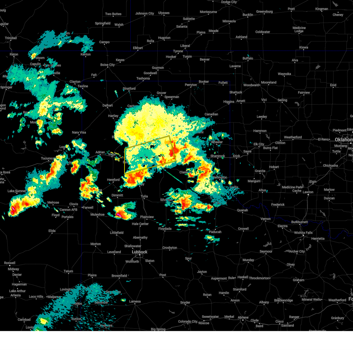 The storms which prompted the warning have moved out of the area. therefore, the warning will be allowed to expire. however, gusty winds are still possible with these thunderstorms. a severe thunderstorm watch remains in effect until 400 am cdt for the panhandle of texas. The storms which prompted the warning have moved out of the area. therefore, the warning will be allowed to expire. however, gusty winds are still possible with these thunderstorms. a severe thunderstorm watch remains in effect until 400 am cdt for the panhandle of texas.
|
| 4/26/2025 1:23 AM CDT |
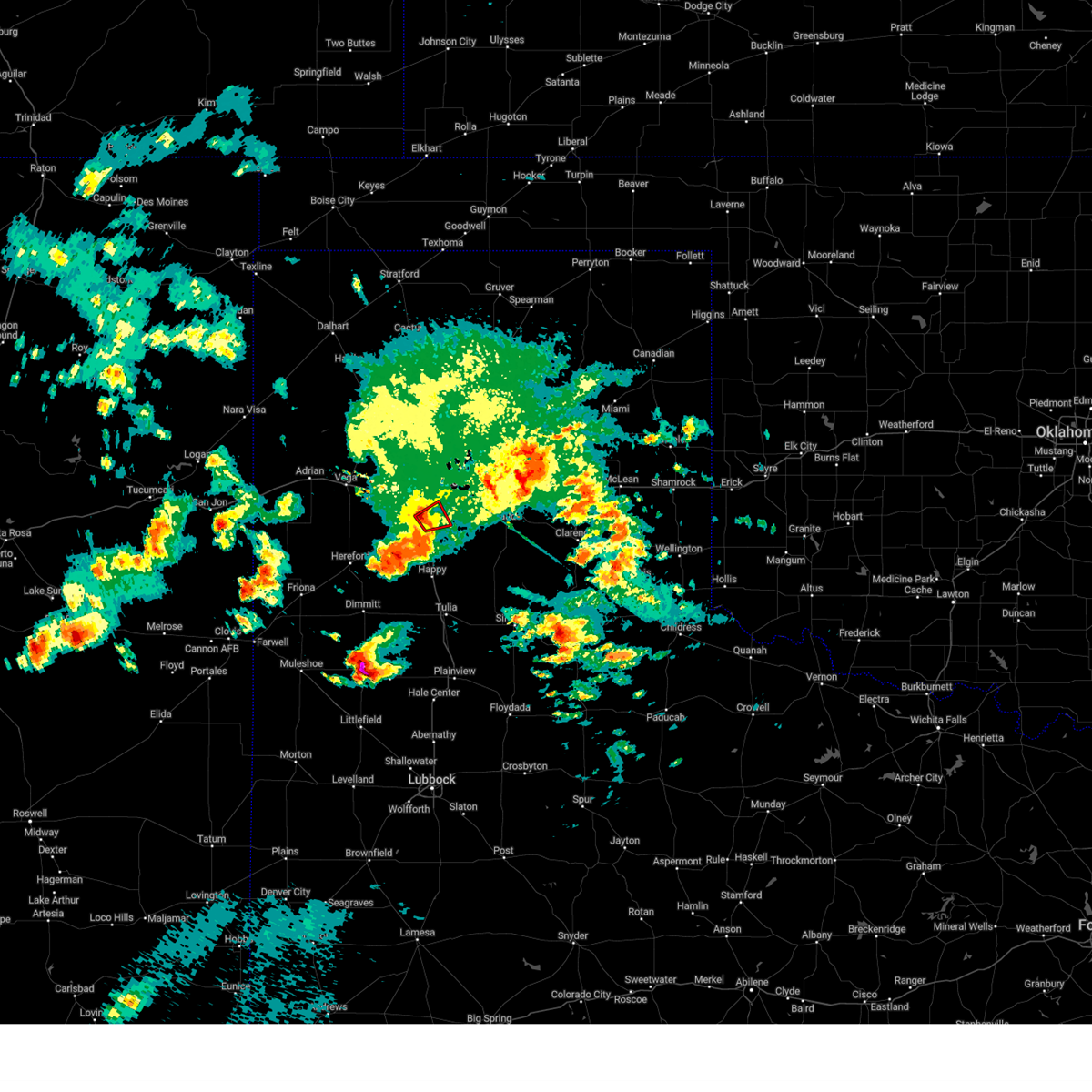 The storm which prompted the warning has weakened below severe limits, and no longer appears capable of producing a tornado. therefore, the warning will be allowed to expire. however, gusty winds are still possible with this thunderstorm. a severe thunderstorm watch remains in effect until 400 am cdt for the panhandle of texas. The storm which prompted the warning has weakened below severe limits, and no longer appears capable of producing a tornado. therefore, the warning will be allowed to expire. however, gusty winds are still possible with this thunderstorm. a severe thunderstorm watch remains in effect until 400 am cdt for the panhandle of texas.
|
| 4/26/2025 1:10 AM CDT |
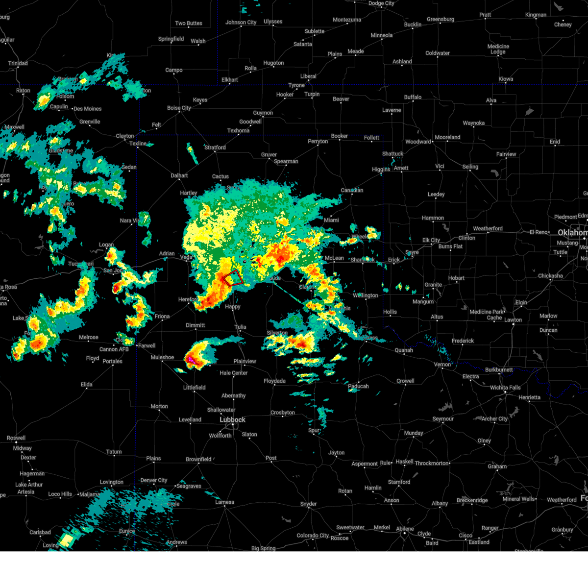 At 109 am cdt, a severe thunderstorm capable of producing a tornado was located over mescalero park, or 5 miles north of canyon, moving northeast at 15 mph (radar indicated rotation). Hazards include tornado. Flying debris will be dangerous to those caught without shelter. mobile homes will be damaged or destroyed. damage to roofs, windows, and vehicles will occur. tree damage is likely. Locations impacted include, mescalero park, lake tanglewood, timbercreek canyon, canyon, and amarillo. At 109 am cdt, a severe thunderstorm capable of producing a tornado was located over mescalero park, or 5 miles north of canyon, moving northeast at 15 mph (radar indicated rotation). Hazards include tornado. Flying debris will be dangerous to those caught without shelter. mobile homes will be damaged or destroyed. damage to roofs, windows, and vehicles will occur. tree damage is likely. Locations impacted include, mescalero park, lake tanglewood, timbercreek canyon, canyon, and amarillo.
|
| 4/26/2025 1:01 AM CDT |
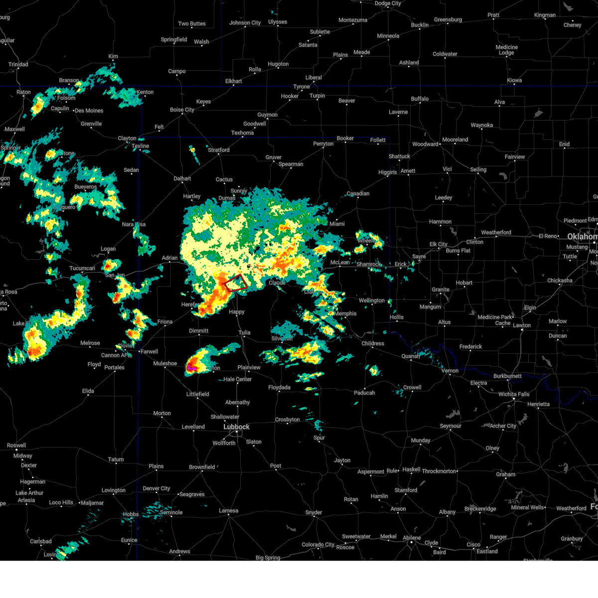 Torama the national weather service in amarillo has issued a * tornado warning for, northeastern randall county in the panhandle of texas, * until 130 am cdt. * at 101 am cdt, a severe thunderstorm capable of producing a tornado was located over mescalero park, or near canyon, moving northeast at 20 mph (radar indicated rotation). Hazards include tornado. Flying debris will be dangerous to those caught without shelter. mobile homes will be damaged or destroyed. damage to roofs, windows, and vehicles will occur. Tree damage is likely. Torama the national weather service in amarillo has issued a * tornado warning for, northeastern randall county in the panhandle of texas, * until 130 am cdt. * at 101 am cdt, a severe thunderstorm capable of producing a tornado was located over mescalero park, or near canyon, moving northeast at 20 mph (radar indicated rotation). Hazards include tornado. Flying debris will be dangerous to those caught without shelter. mobile homes will be damaged or destroyed. damage to roofs, windows, and vehicles will occur. Tree damage is likely.
|
| 4/26/2025 12:40 AM CDT |
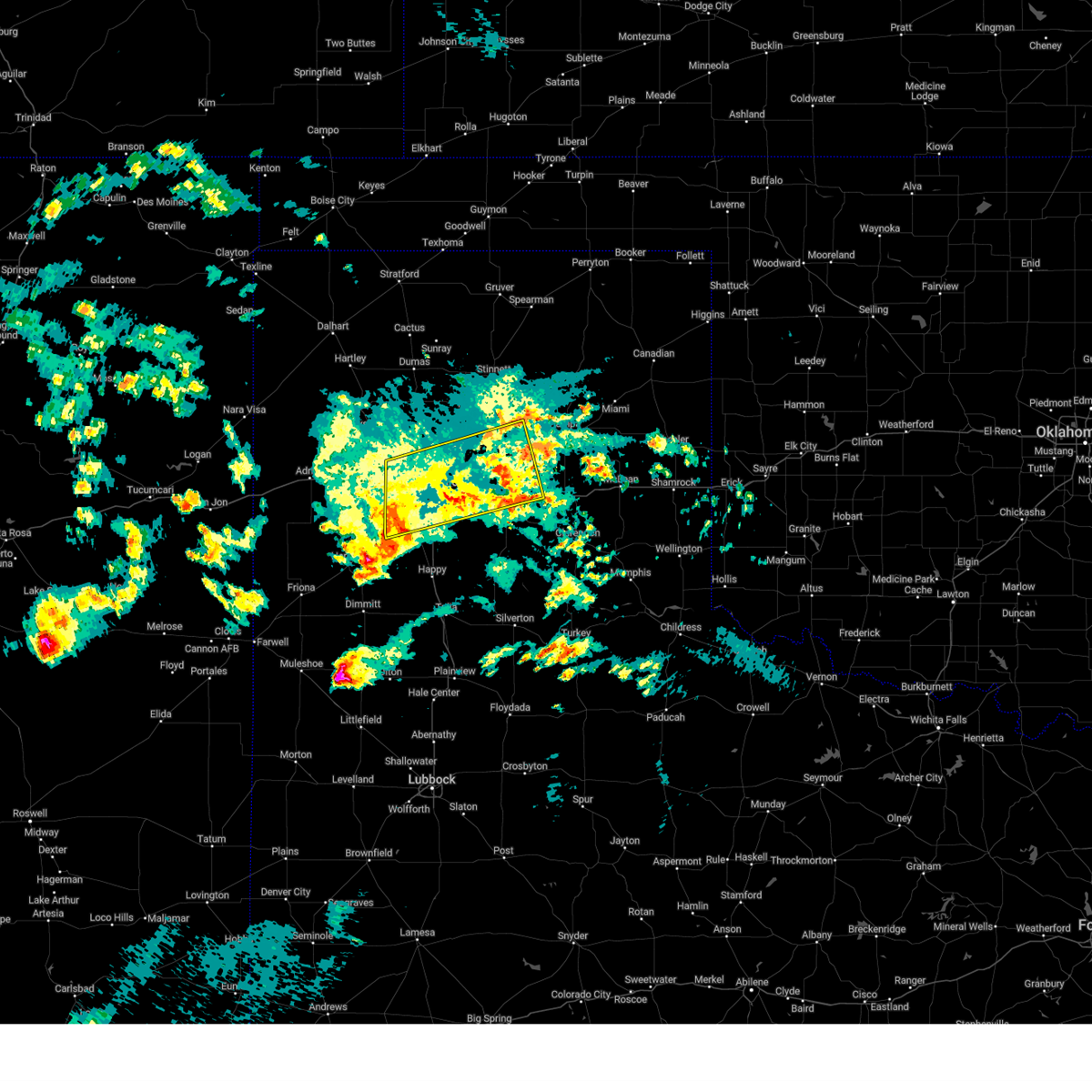 Svrama the national weather service in amarillo has issued a * severe thunderstorm warning for, northwestern armstrong county in the panhandle of texas, northern randall county in the panhandle of texas, carson county in the panhandle of texas, southern potter county in the panhandle of texas, * until 145 am cdt. * at 1240 am cdt, severe thunderstorms were located along a line extending from 3 miles north of claude to 4 miles north of umbarger, moving northwest at 25 mph (radar indicated). Hazards include 60 mph wind gusts. minor damage to roofs, siding, and trees is possible Svrama the national weather service in amarillo has issued a * severe thunderstorm warning for, northwestern armstrong county in the panhandle of texas, northern randall county in the panhandle of texas, carson county in the panhandle of texas, southern potter county in the panhandle of texas, * until 145 am cdt. * at 1240 am cdt, severe thunderstorms were located along a line extending from 3 miles north of claude to 4 miles north of umbarger, moving northwest at 25 mph (radar indicated). Hazards include 60 mph wind gusts. minor damage to roofs, siding, and trees is possible
|
| 4/25/2025 11:51 PM CDT |
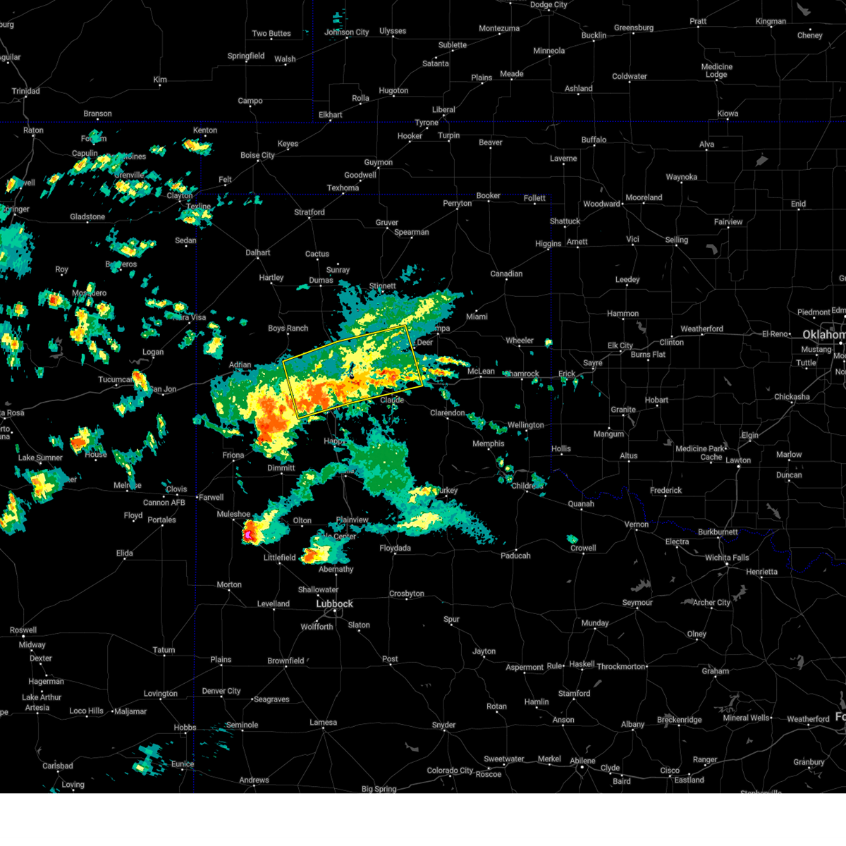 Svrama the national weather service in amarillo has issued a * severe thunderstorm warning for, northern armstrong county in the panhandle of texas, northern randall county in the panhandle of texas, southeastern oldham county in the panhandle of texas, carson county in the panhandle of texas, northeastern deaf smith county in the panhandle of texas, potter county in the panhandle of texas, * until 1245 am cdt. * at 1151 pm cdt, severe thunderstorms were located along a line extending from 5 miles west of groom to 5 miles north of lake tanglewood to 5 miles north of umbarger, moving north at 25 mph (radar indicated). Hazards include 60 mph wind gusts and quarter size hail. Minor damage to roofs, siding, and trees is possible. Hail damage to vehicles is expected. Svrama the national weather service in amarillo has issued a * severe thunderstorm warning for, northern armstrong county in the panhandle of texas, northern randall county in the panhandle of texas, southeastern oldham county in the panhandle of texas, carson county in the panhandle of texas, northeastern deaf smith county in the panhandle of texas, potter county in the panhandle of texas, * until 1245 am cdt. * at 1151 pm cdt, severe thunderstorms were located along a line extending from 5 miles west of groom to 5 miles north of lake tanglewood to 5 miles north of umbarger, moving north at 25 mph (radar indicated). Hazards include 60 mph wind gusts and quarter size hail. Minor damage to roofs, siding, and trees is possible. Hail damage to vehicles is expected.
|
| 4/25/2025 11:46 PM CDT |
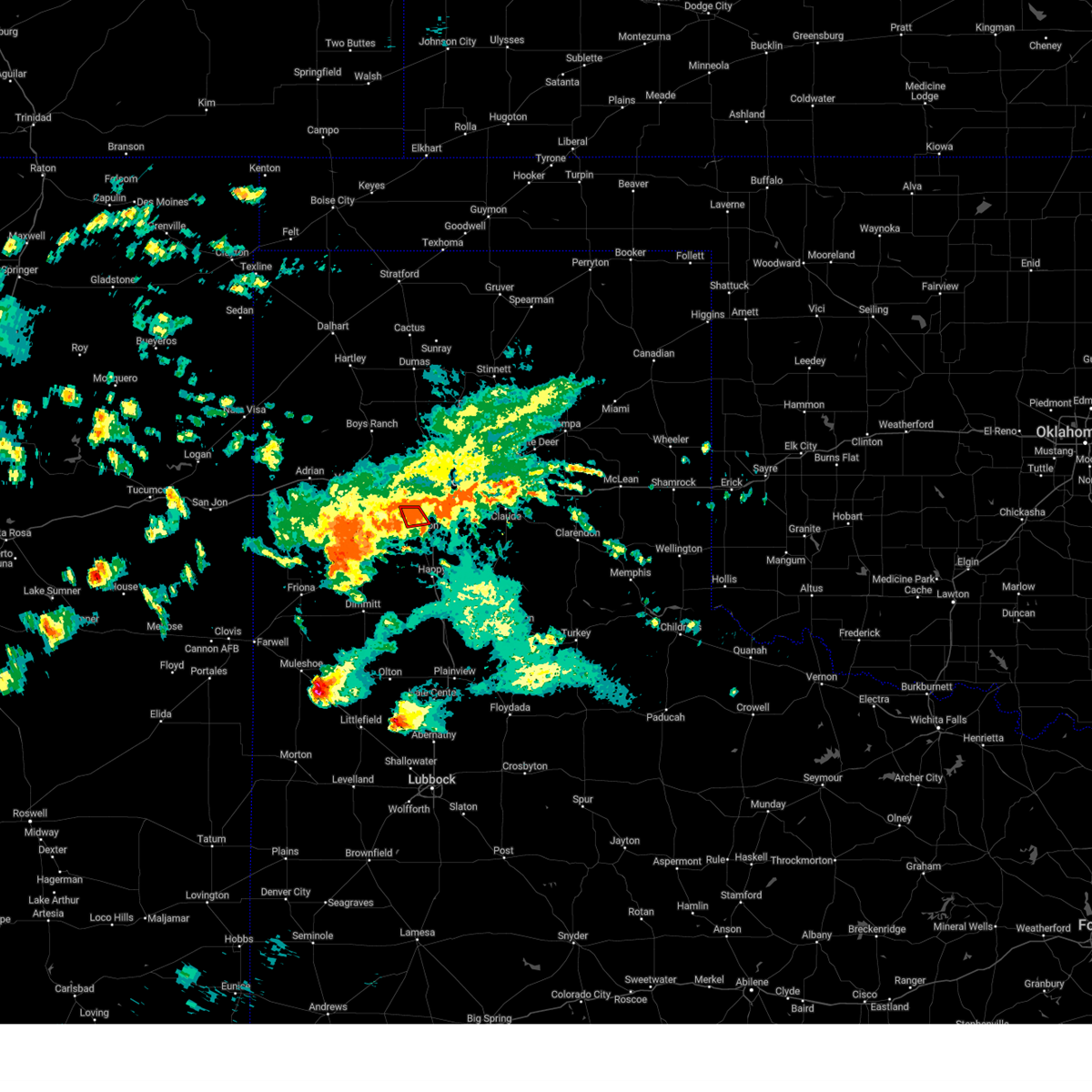 At 1146 pm cdt, a severe thunderstorm capable of producing a tornado was located over mescalero park, or 4 miles northwest of canyon, moving northwest at 10 mph (radar indicated rotation). Hazards include tornado. Flying debris will be dangerous to those caught without shelter. mobile homes will be damaged or destroyed. damage to roofs, windows, and vehicles will occur. tree damage is likely. Locations impacted include, mescalero park, canyon, and amarillo. At 1146 pm cdt, a severe thunderstorm capable of producing a tornado was located over mescalero park, or 4 miles northwest of canyon, moving northwest at 10 mph (radar indicated rotation). Hazards include tornado. Flying debris will be dangerous to those caught without shelter. mobile homes will be damaged or destroyed. damage to roofs, windows, and vehicles will occur. tree damage is likely. Locations impacted include, mescalero park, canyon, and amarillo.
|
| 4/25/2025 11:40 PM CDT |
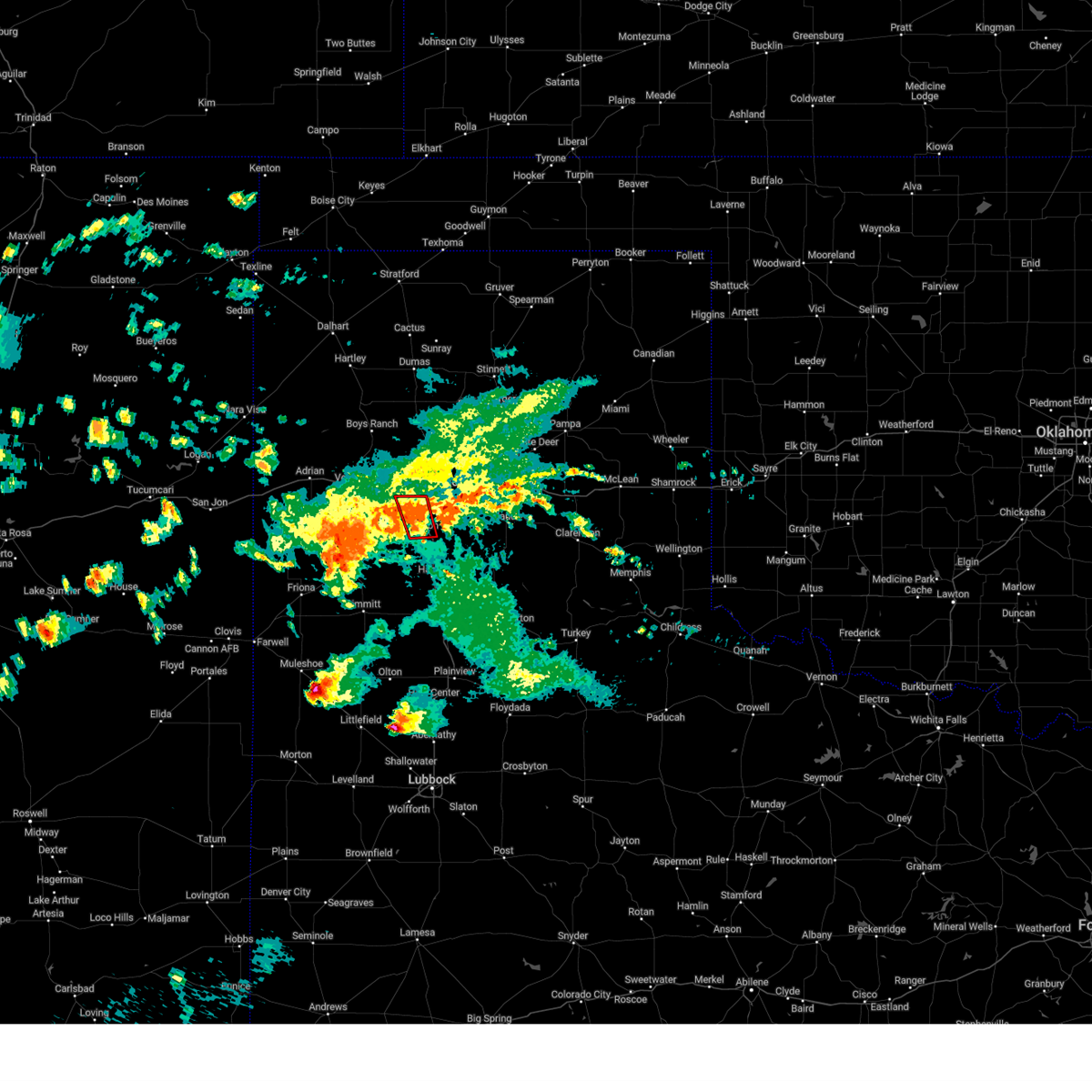 At 1139 pm cdt, a severe thunderstorm capable of producing a tornado was located over canyon, moving northwest at 10 mph (radar indicated rotation). Hazards include tornado. Flying debris will be dangerous to those caught without shelter. mobile homes will be damaged or destroyed. damage to roofs, windows, and vehicles will occur. tree damage is likely. Locations impacted include, mescalero park, canyon, and amarillo. At 1139 pm cdt, a severe thunderstorm capable of producing a tornado was located over canyon, moving northwest at 10 mph (radar indicated rotation). Hazards include tornado. Flying debris will be dangerous to those caught without shelter. mobile homes will be damaged or destroyed. damage to roofs, windows, and vehicles will occur. tree damage is likely. Locations impacted include, mescalero park, canyon, and amarillo.
|
| 4/25/2025 11:34 PM CDT |
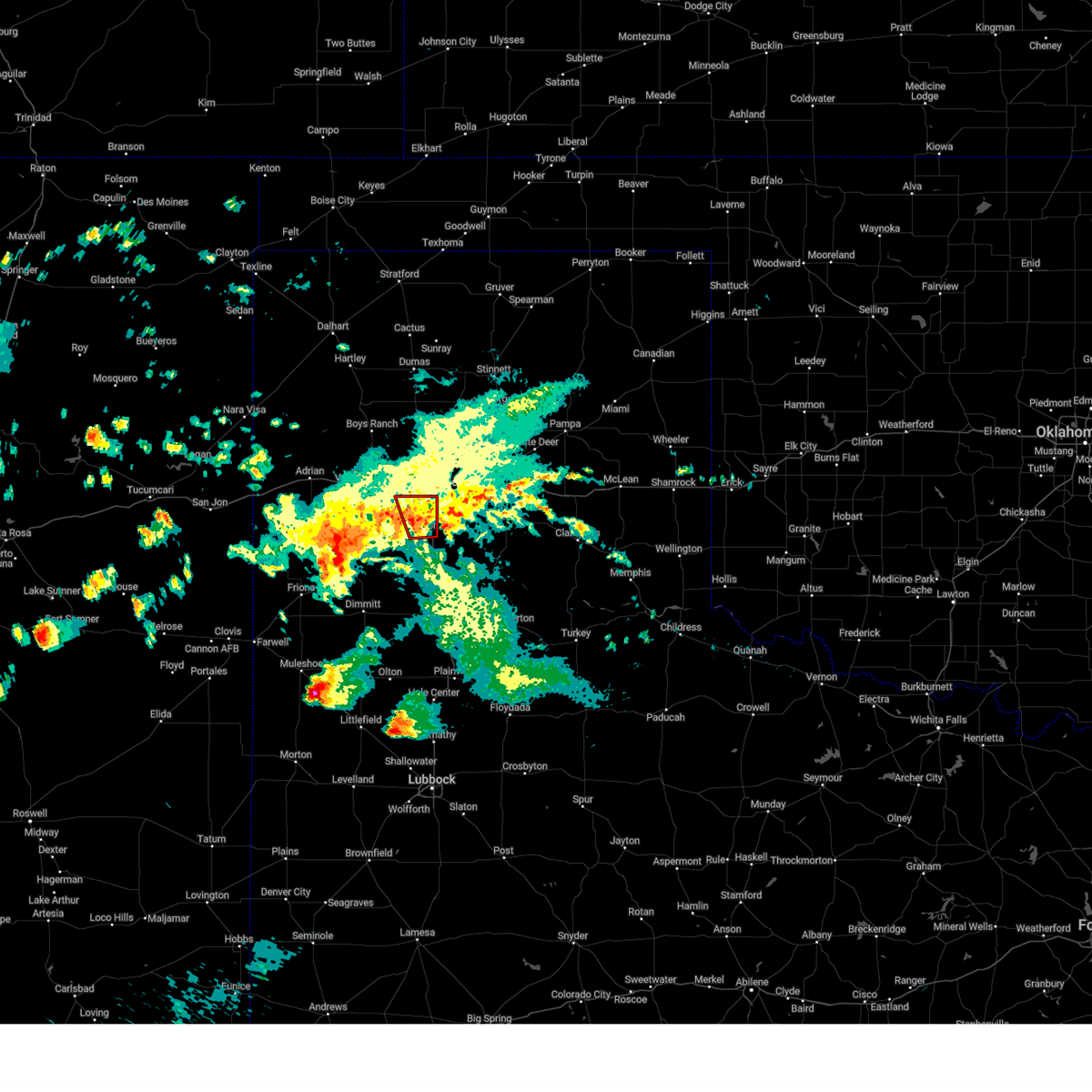 Torama the national weather service in amarillo has issued a * tornado warning for, northwestern randall county in the panhandle of texas, * until midnight cdt. * at 1134 pm cdt, a severe thunderstorm capable of producing a tornado was located over canyon, moving north at 15 mph (radar indicated rotation). Hazards include tornado and quarter size hail. Flying debris will be dangerous to those caught without shelter. mobile homes will be damaged or destroyed. damage to roofs, windows, and vehicles will occur. Tree damage is likely. Torama the national weather service in amarillo has issued a * tornado warning for, northwestern randall county in the panhandle of texas, * until midnight cdt. * at 1134 pm cdt, a severe thunderstorm capable of producing a tornado was located over canyon, moving north at 15 mph (radar indicated rotation). Hazards include tornado and quarter size hail. Flying debris will be dangerous to those caught without shelter. mobile homes will be damaged or destroyed. damage to roofs, windows, and vehicles will occur. Tree damage is likely.
|
| 4/23/2025 7:18 PM CDT |
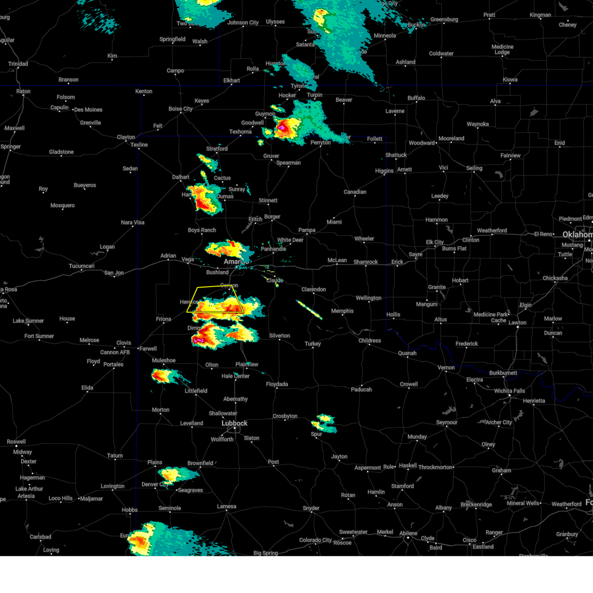 At 718 pm cdt, a severe thunderstorm was located near happy, or 15 miles southeast of canyon, moving north at 10 mph (radar indicated). Hazards include ping pong ball size hail and 60 mph wind gusts. Minor damage to roofs, siding, and trees is possible. people and animals outdoors will be injured. expect hail damage to roofs, siding, windows, and vehicles. Locations impacted include, hereford, umbarger, buffalo lake, dawn, and canyon. At 718 pm cdt, a severe thunderstorm was located near happy, or 15 miles southeast of canyon, moving north at 10 mph (radar indicated). Hazards include ping pong ball size hail and 60 mph wind gusts. Minor damage to roofs, siding, and trees is possible. people and animals outdoors will be injured. expect hail damage to roofs, siding, windows, and vehicles. Locations impacted include, hereford, umbarger, buffalo lake, dawn, and canyon.
|
| 4/23/2025 6:48 PM CDT |
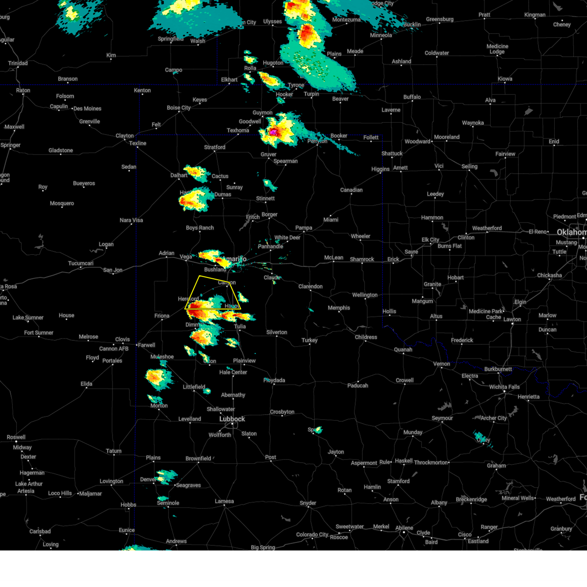 At 648 pm cdt, a severe thunderstorm was located 5 miles southeast of hereford, moving northeast at 10 mph (radar indicated). Hazards include ping pong ball size hail and 60 mph wind gusts. Minor damage to roofs, siding, and trees is possible. people and animals outdoors will be injured. expect hail damage to roofs, siding, windows, and vehicles. Locations impacted include, hereford, umbarger, buffalo lake, dawn, and canyon. At 648 pm cdt, a severe thunderstorm was located 5 miles southeast of hereford, moving northeast at 10 mph (radar indicated). Hazards include ping pong ball size hail and 60 mph wind gusts. Minor damage to roofs, siding, and trees is possible. people and animals outdoors will be injured. expect hail damage to roofs, siding, windows, and vehicles. Locations impacted include, hereford, umbarger, buffalo lake, dawn, and canyon.
|
| 4/23/2025 6:36 PM CDT |
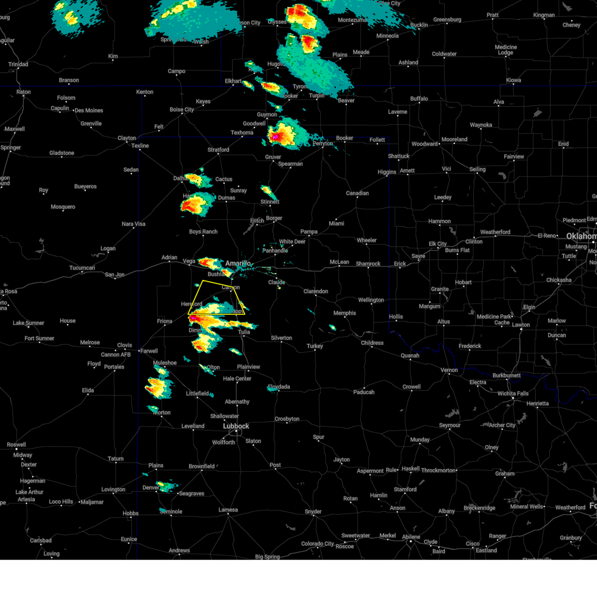 At 636 pm cdt, a severe thunderstorm was located 5 miles north of easter, or 7 miles south of hereford, moving north at 10 mph (radar indicated). Hazards include ping pong ball size hail and 60 mph wind gusts. Minor damage to roofs, siding, and trees is possible. people and animals outdoors will be injured. expect hail damage to roofs, siding, windows, and vehicles. Locations impacted include, hereford, umbarger, buffalo lake, dawn, and canyon. At 636 pm cdt, a severe thunderstorm was located 5 miles north of easter, or 7 miles south of hereford, moving north at 10 mph (radar indicated). Hazards include ping pong ball size hail and 60 mph wind gusts. Minor damage to roofs, siding, and trees is possible. people and animals outdoors will be injured. expect hail damage to roofs, siding, windows, and vehicles. Locations impacted include, hereford, umbarger, buffalo lake, dawn, and canyon.
|
| 4/23/2025 6:09 PM CDT |
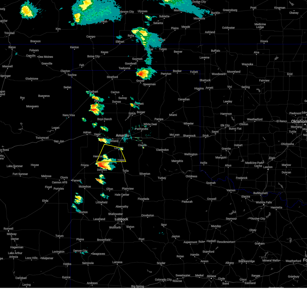 Svrama the national weather service in amarillo has issued a * severe thunderstorm warning for, southwestern randall county in the panhandle of texas, southeastern deaf smith county in the panhandle of texas, * until 745 pm cdt. * at 609 pm cdt, a severe thunderstorm was located near easter, or 8 miles north of dimmitt, moving northeast at 10 mph (radar indicated). Hazards include 60 mph wind gusts and half dollar size hail. Minor damage to roofs, siding, and trees is possible. Hail damage to vehicles is expected. Svrama the national weather service in amarillo has issued a * severe thunderstorm warning for, southwestern randall county in the panhandle of texas, southeastern deaf smith county in the panhandle of texas, * until 745 pm cdt. * at 609 pm cdt, a severe thunderstorm was located near easter, or 8 miles north of dimmitt, moving northeast at 10 mph (radar indicated). Hazards include 60 mph wind gusts and half dollar size hail. Minor damage to roofs, siding, and trees is possible. Hail damage to vehicles is expected.
|
| 9/21/2024 7:00 PM CDT |
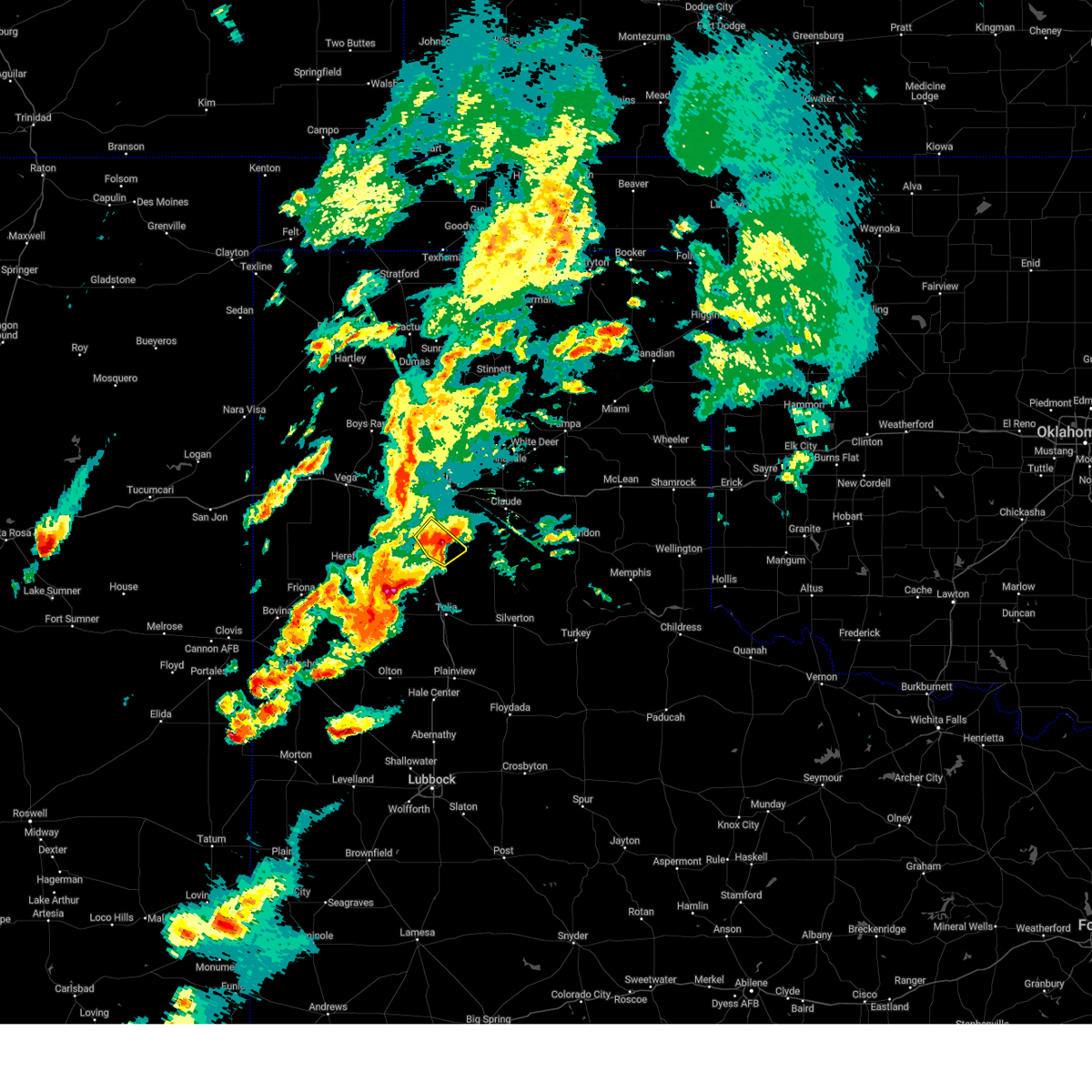 At 700 pm cdt, a severe thunderstorm was located 6 miles west of palo duro canyon, or 7 miles east of canyon, moving northeast at 25 mph (radar indicated). Hazards include 60 mph wind gusts and quarter size hail. Minor damage to roofs, siding, and trees is possible. hail damage to vehicles is expected. Locations impacted include, canyon. At 700 pm cdt, a severe thunderstorm was located 6 miles west of palo duro canyon, or 7 miles east of canyon, moving northeast at 25 mph (radar indicated). Hazards include 60 mph wind gusts and quarter size hail. Minor damage to roofs, siding, and trees is possible. hail damage to vehicles is expected. Locations impacted include, canyon.
|
| 9/21/2024 6:48 PM CDT |
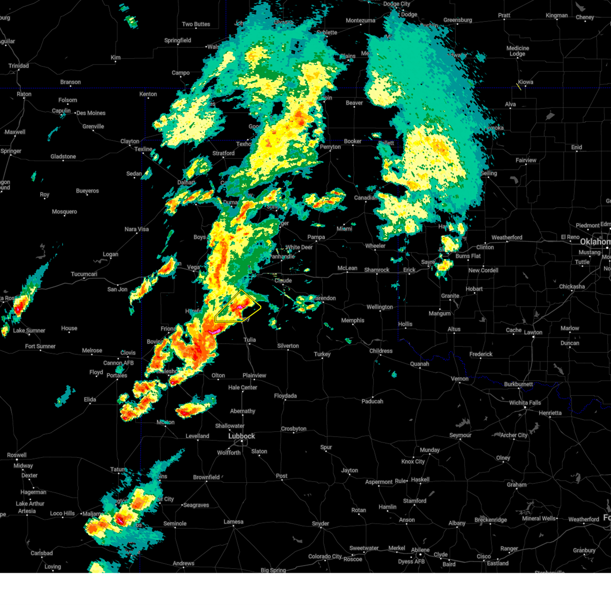 At 648 pm cdt, a severe thunderstorm was located 6 miles southeast of canyon, moving northeast at 30 mph (radar indicated). Hazards include ping pong ball size hail and 60 mph wind gusts. Minor damage to roofs, siding, and trees is possible. people and animals outdoors will be injured. expect hail damage to roofs, siding, windows, and vehicles. Locations impacted include, canyon. At 648 pm cdt, a severe thunderstorm was located 6 miles southeast of canyon, moving northeast at 30 mph (radar indicated). Hazards include ping pong ball size hail and 60 mph wind gusts. Minor damage to roofs, siding, and trees is possible. people and animals outdoors will be injured. expect hail damage to roofs, siding, windows, and vehicles. Locations impacted include, canyon.
|
| 9/21/2024 6:43 PM CDT | Ping Pong Ball sized hail reported 7.9 miles NNW of Canyon, TX, picture sent through social media of accumulating hail along i-27 between canyon and happy. biggest hail stones measured were ping pong ball size. |
| 9/21/2024 6:25 PM CDT |
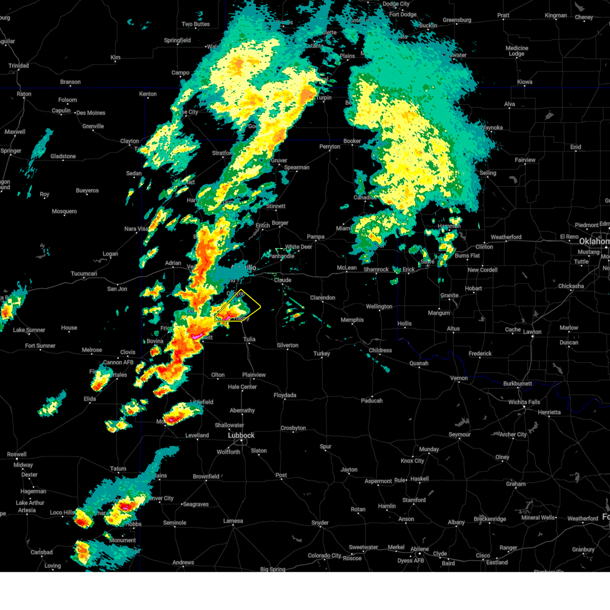 At 625 pm cdt, a severe thunderstorm was located 8 miles northwest of happy, or 13 miles south of canyon, moving northeast at 30 mph (radar indicated). Hazards include tennis ball size hail and 60 mph wind gusts. Minor damage to roofs, siding, and trees is possible. people and animals outdoors will be injured. expect hail damage to roofs, siding, windows, and vehicles. Locations impacted include, canyon. At 625 pm cdt, a severe thunderstorm was located 8 miles northwest of happy, or 13 miles south of canyon, moving northeast at 30 mph (radar indicated). Hazards include tennis ball size hail and 60 mph wind gusts. Minor damage to roofs, siding, and trees is possible. people and animals outdoors will be injured. expect hail damage to roofs, siding, windows, and vehicles. Locations impacted include, canyon.
|
| 9/21/2024 6:12 PM CDT |
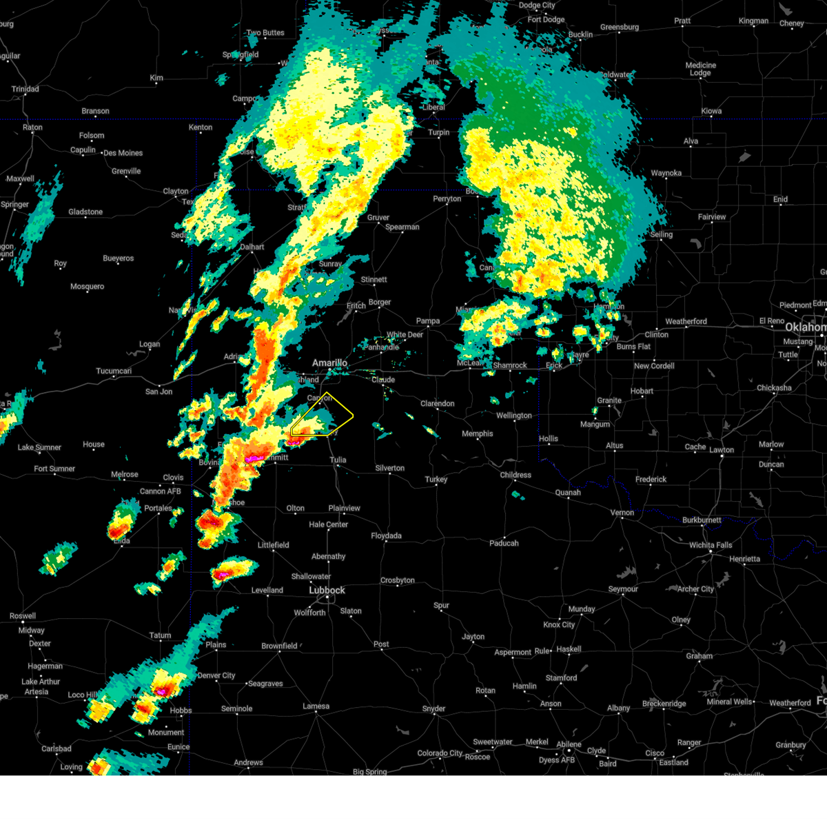 Svrama the national weather service in amarillo has issued a * severe thunderstorm warning for, southern randall county in the panhandle of texas, * until 715 pm cdt. * at 611 pm cdt, a severe thunderstorm was located 11 miles south of buffalo lake, or 17 miles northeast of dimmitt, moving northeast at 25 mph (radar indicated). Hazards include ping pong ball size hail and 60 mph wind gusts. Minor damage to roofs, siding, and trees is possible. people and animals outdoors will be injured. Expect hail damage to roofs, siding, windows, and vehicles. Svrama the national weather service in amarillo has issued a * severe thunderstorm warning for, southern randall county in the panhandle of texas, * until 715 pm cdt. * at 611 pm cdt, a severe thunderstorm was located 11 miles south of buffalo lake, or 17 miles northeast of dimmitt, moving northeast at 25 mph (radar indicated). Hazards include ping pong ball size hail and 60 mph wind gusts. Minor damage to roofs, siding, and trees is possible. people and animals outdoors will be injured. Expect hail damage to roofs, siding, windows, and vehicles.
|
| 8/25/2024 6:40 PM CDT | About five power poles were snapped by thunderstorms winds along fm 154 in randall county TX, 4 miles W of Canyon, TX |
| 8/1/2024 9:43 PM CDT |
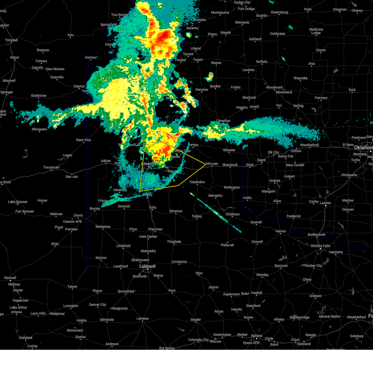 At 942 pm cdt, a severe thunderstorm was located 6 miles southwest of panhandle, moving southeast at 20 mph (radar indicated). Hazards include 60 mph wind gusts. Minor damage to roofs, siding, and trees is possible. Locations impacted include, amarillo, canyon, panhandle, claude, fritch, white deer, lake tanglewood, groom, lake mcclellan, washburn, palo duro canyon, goodnight, mescalero park, timbercreek canyon, and pantex. At 942 pm cdt, a severe thunderstorm was located 6 miles southwest of panhandle, moving southeast at 20 mph (radar indicated). Hazards include 60 mph wind gusts. Minor damage to roofs, siding, and trees is possible. Locations impacted include, amarillo, canyon, panhandle, claude, fritch, white deer, lake tanglewood, groom, lake mcclellan, washburn, palo duro canyon, goodnight, mescalero park, timbercreek canyon, and pantex.
|
| 8/1/2024 9:15 PM CDT |
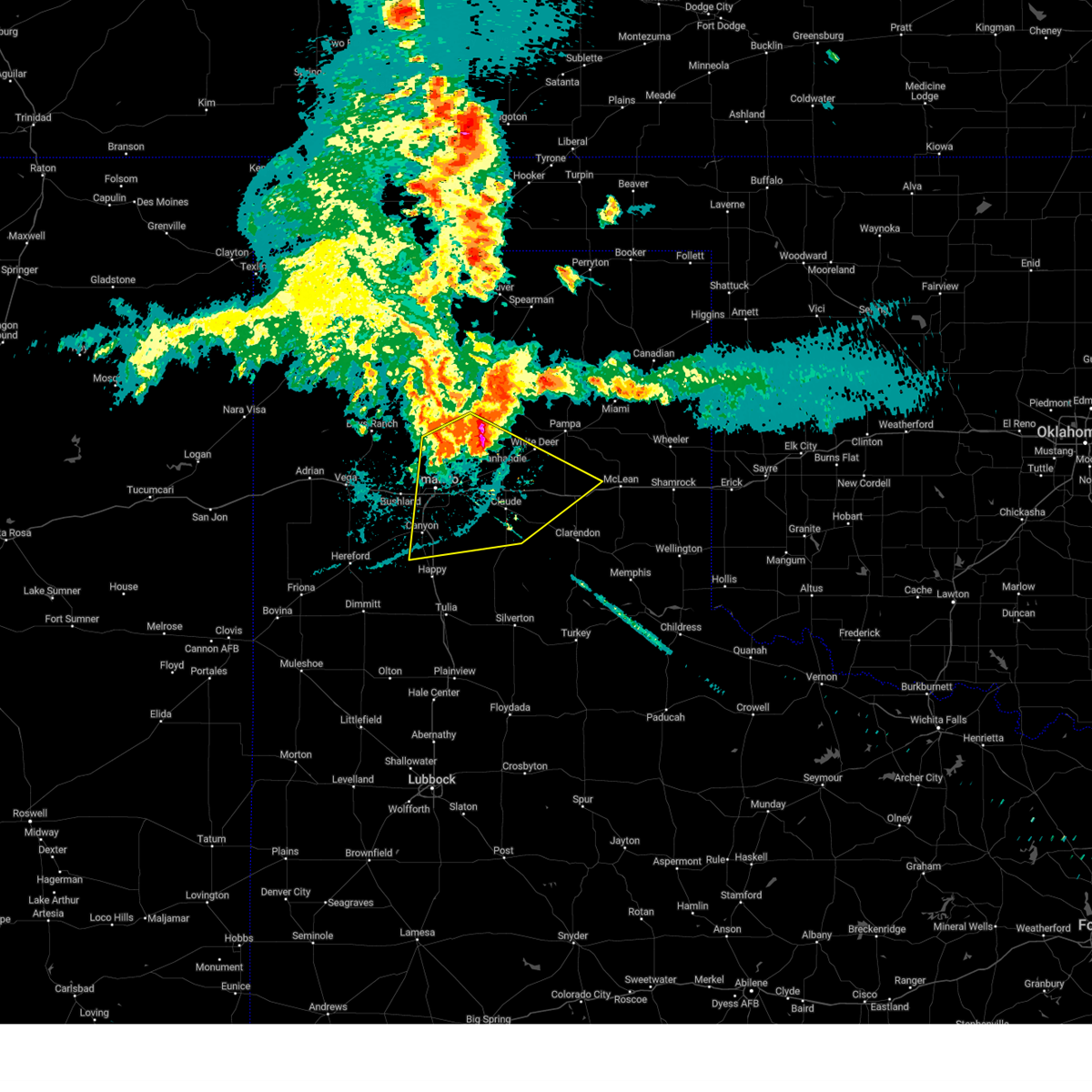 Svrama the national weather service in amarillo has issued a * severe thunderstorm warning for, northern armstrong county in the panhandle of texas, eastern randall county in the panhandle of texas, carson county in the panhandle of texas, southwestern gray county in the panhandle of texas, eastern potter county in the panhandle of texas, northwestern donley county in the panhandle of texas, * until 1045 pm cdt. * at 915 pm cdt, a severe thunderstorm was located 10 miles northwest of panhandle, moving south at 20 mph (radar indicated). Hazards include 70 mph wind gusts. Expect some tree damage. Damage is likely to mobile homes, roofs, and outbuildings. Svrama the national weather service in amarillo has issued a * severe thunderstorm warning for, northern armstrong county in the panhandle of texas, eastern randall county in the panhandle of texas, carson county in the panhandle of texas, southwestern gray county in the panhandle of texas, eastern potter county in the panhandle of texas, northwestern donley county in the panhandle of texas, * until 1045 pm cdt. * at 915 pm cdt, a severe thunderstorm was located 10 miles northwest of panhandle, moving south at 20 mph (radar indicated). Hazards include 70 mph wind gusts. Expect some tree damage. Damage is likely to mobile homes, roofs, and outbuildings.
|
| 7/6/2024 8:32 PM CDT |
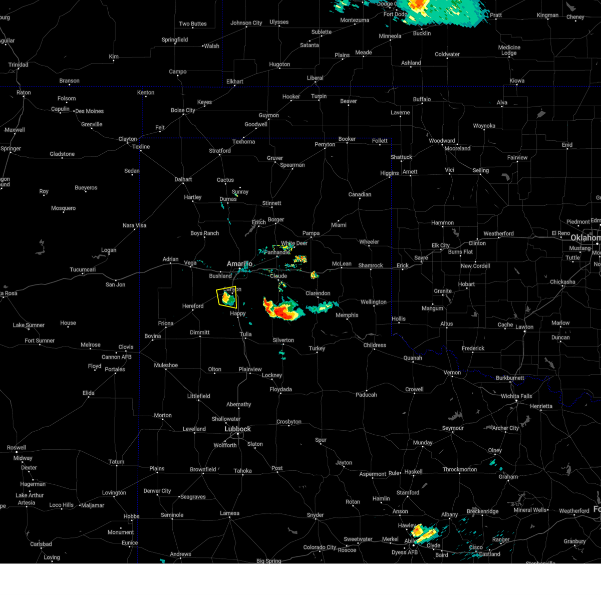 the severe thunderstorm warning has been cancelled and is no longer in effect the severe thunderstorm warning has been cancelled and is no longer in effect
|
| 7/6/2024 8:16 PM CDT |
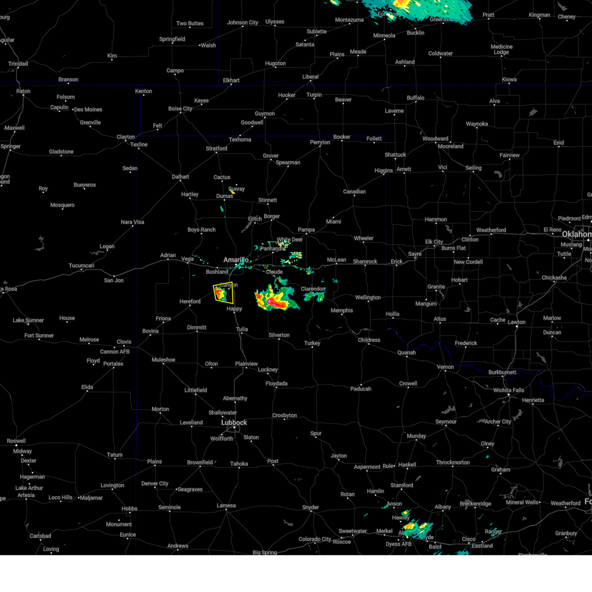 At 816 pm cdt, a severe thunderstorm was located near umbarger, or 7 miles west of canyon, moving east at 10 mph (radar indicated). Hazards include 60 mph wind gusts and penny size hail. Minor damage to roofs, siding, and trees is possible. Locations impacted include, canyon and mescalero park. At 816 pm cdt, a severe thunderstorm was located near umbarger, or 7 miles west of canyon, moving east at 10 mph (radar indicated). Hazards include 60 mph wind gusts and penny size hail. Minor damage to roofs, siding, and trees is possible. Locations impacted include, canyon and mescalero park.
|
| 7/6/2024 7:56 PM CDT |
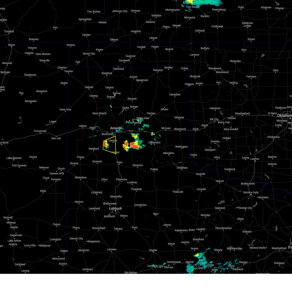 Svrama the national weather service in amarillo has issued a * severe thunderstorm warning for, western randall county in the panhandle of texas, * until 900 pm cdt. * at 755 pm cdt, a severe thunderstorm was located over umbarger, or 10 miles west of canyon, moving east at 10 mph (radar indicated). Hazards include 60 mph wind gusts and quarter size hail. Minor damage to roofs, siding, and trees is possible. Hail damage to vehicles is expected. Svrama the national weather service in amarillo has issued a * severe thunderstorm warning for, western randall county in the panhandle of texas, * until 900 pm cdt. * at 755 pm cdt, a severe thunderstorm was located over umbarger, or 10 miles west of canyon, moving east at 10 mph (radar indicated). Hazards include 60 mph wind gusts and quarter size hail. Minor damage to roofs, siding, and trees is possible. Hail damage to vehicles is expected.
|
| 7/2/2024 8:06 PM CDT |
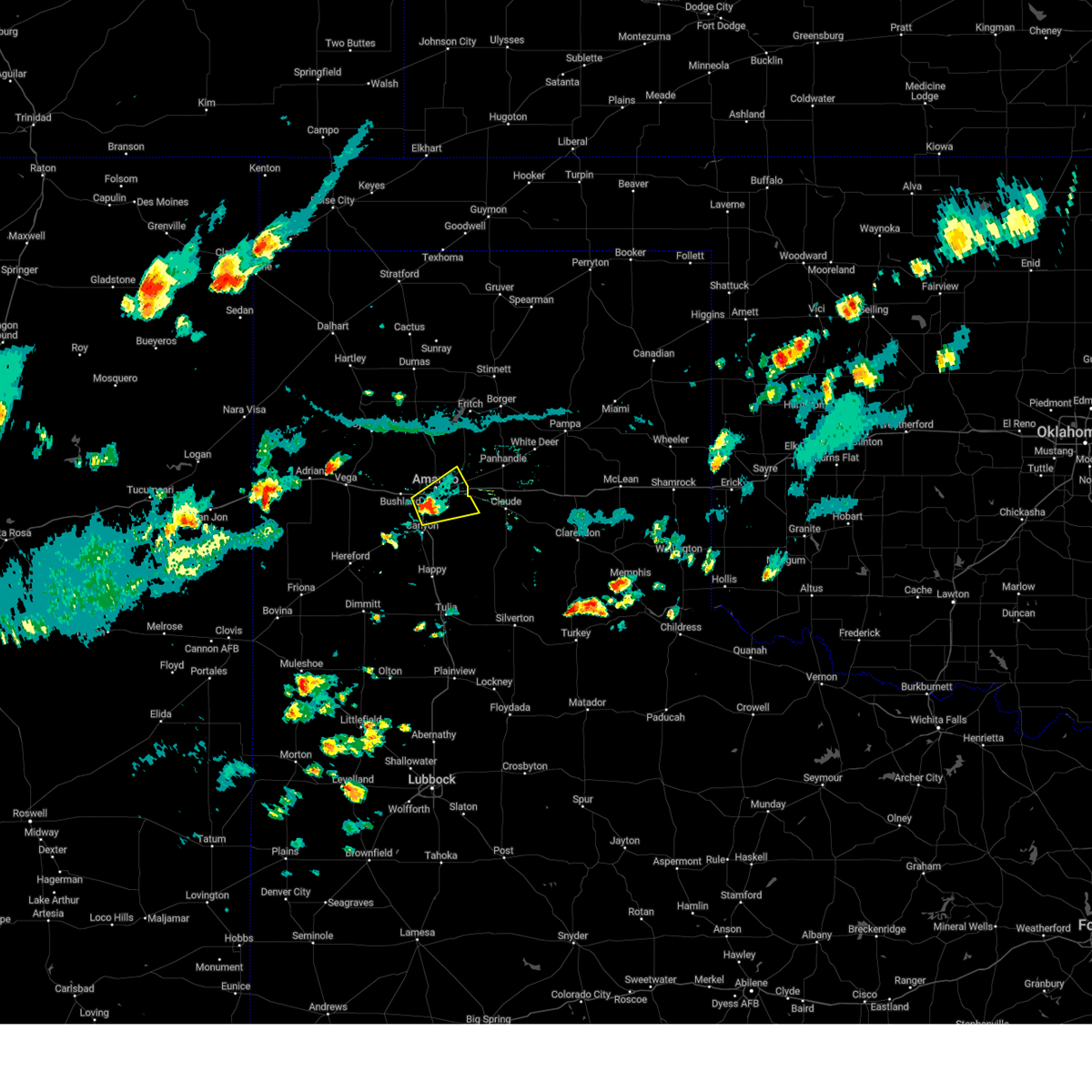 Svrama the national weather service in amarillo has issued a * severe thunderstorm warning for, northwestern armstrong county in the panhandle of texas, northeastern randall county in the panhandle of texas, southeastern potter county in the panhandle of texas, * until 845 pm cdt. * at 805 pm cdt, a severe thunderstorm was located 4 miles south of amarillo, moving northeast at 15 mph (radar indicated). Hazards include 60 mph wind gusts and penny size hail. minor damage to roofs, siding, and trees is possible Svrama the national weather service in amarillo has issued a * severe thunderstorm warning for, northwestern armstrong county in the panhandle of texas, northeastern randall county in the panhandle of texas, southeastern potter county in the panhandle of texas, * until 845 pm cdt. * at 805 pm cdt, a severe thunderstorm was located 4 miles south of amarillo, moving northeast at 15 mph (radar indicated). Hazards include 60 mph wind gusts and penny size hail. minor damage to roofs, siding, and trees is possible
|
| 6/25/2024 7:46 PM CDT |
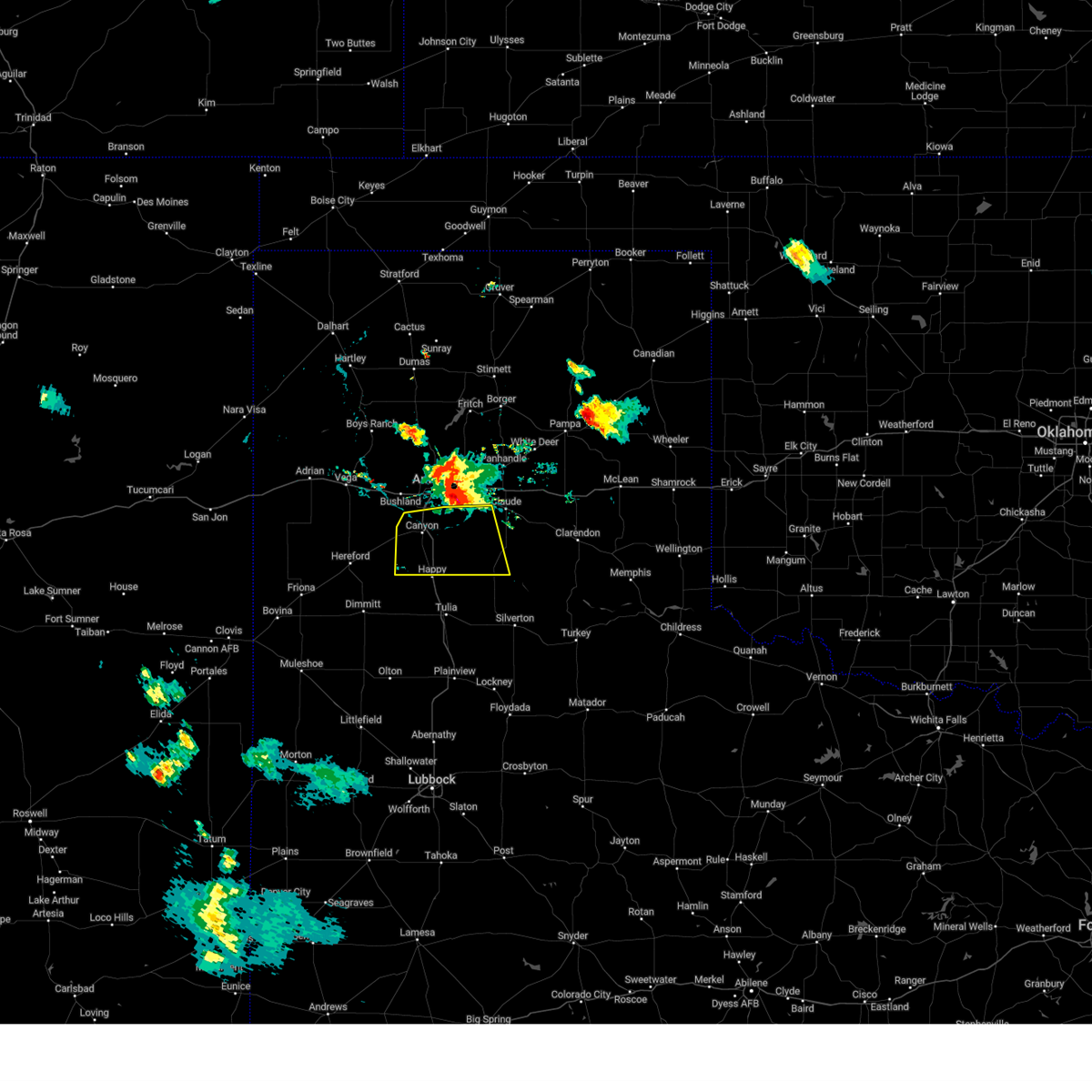 Svrama the national weather service in amarillo has issued a * severe thunderstorm warning for, western armstrong county in the panhandle of texas, randall county in the panhandle of texas, * until 845 pm cdt. * at 745 pm cdt, a severe thunderstorm was located along an outflow line extending from 5 miles southwest of bushland to 5 miles east of canyon to 5 miles south of washburn, moving south at 25 mph (radar indicated). Hazards include 70 mph wind gusts and nickel size hail. Expect some tree damage. Damage is likely to mobile homes, roofs, and outbuildings. Svrama the national weather service in amarillo has issued a * severe thunderstorm warning for, western armstrong county in the panhandle of texas, randall county in the panhandle of texas, * until 845 pm cdt. * at 745 pm cdt, a severe thunderstorm was located along an outflow line extending from 5 miles southwest of bushland to 5 miles east of canyon to 5 miles south of washburn, moving south at 25 mph (radar indicated). Hazards include 70 mph wind gusts and nickel size hail. Expect some tree damage. Damage is likely to mobile homes, roofs, and outbuildings.
|
| 6/6/2024 8:38 PM CDT |
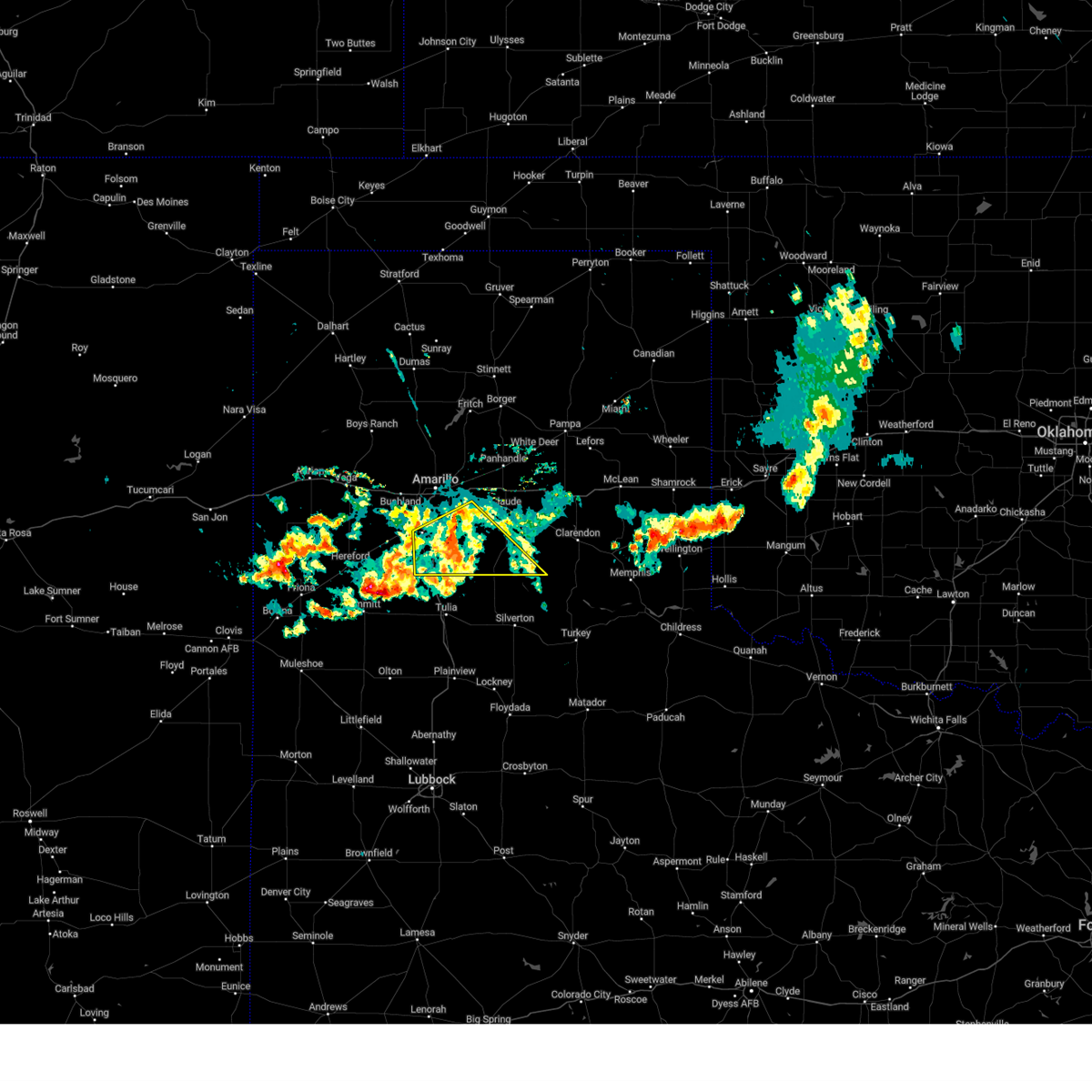 At 837 pm cdt, a severe thunderstorm was located near happy, or 14 miles north of tulia, moving southeast at 25 mph (radar indicated). Hazards include 60 mph wind gusts. Minor damage to roofs, siding, and trees is possible. Locations impacted include, canyon, lake tanglewood, wayside, palo duro canyon, and timbercreek canyon. At 837 pm cdt, a severe thunderstorm was located near happy, or 14 miles north of tulia, moving southeast at 25 mph (radar indicated). Hazards include 60 mph wind gusts. Minor damage to roofs, siding, and trees is possible. Locations impacted include, canyon, lake tanglewood, wayside, palo duro canyon, and timbercreek canyon.
|
| 6/6/2024 8:12 PM CDT |
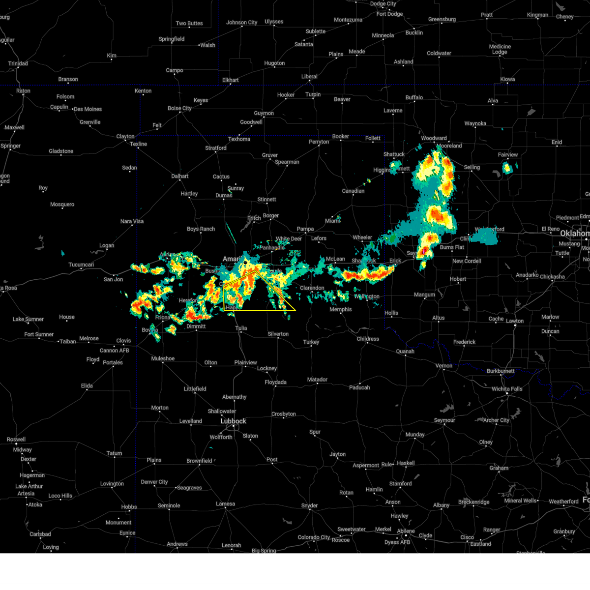 At 812 pm cdt, a severe thunderstorm was located over happy, or 15 miles south of canyon, moving south at 30 mph (radar indicated). Hazards include 70 mph wind gusts. Expect some tree damage. damage is likely to mobile homes, roofs, and outbuildings. Locations impacted include, canyon, lake tanglewood, wayside, palo duro canyon, and timbercreek canyon. At 812 pm cdt, a severe thunderstorm was located over happy, or 15 miles south of canyon, moving south at 30 mph (radar indicated). Hazards include 70 mph wind gusts. Expect some tree damage. damage is likely to mobile homes, roofs, and outbuildings. Locations impacted include, canyon, lake tanglewood, wayside, palo duro canyon, and timbercreek canyon.
|
| 6/6/2024 7:49 PM CDT |
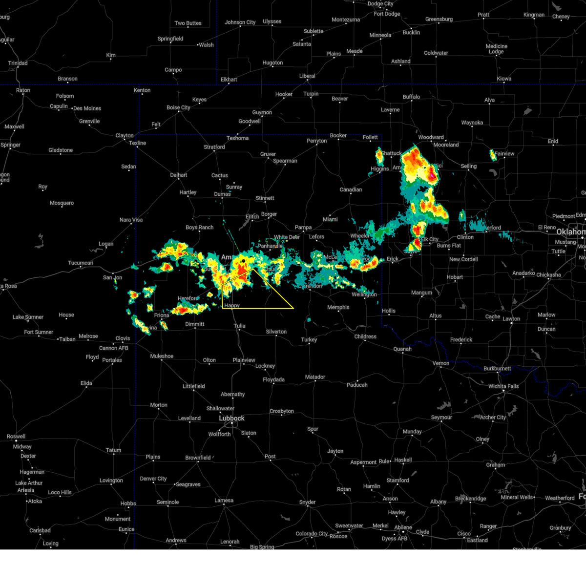 At 749 pm cdt, a severe thunderstorm was located over palo duro canyon, or 16 miles east of canyon, moving southeast at 20 mph (radar indicated). Hazards include 70 mph wind gusts. Expect some tree damage. damage is likely to mobile homes, roofs, and outbuildings. Locations impacted include, canyon, lake tanglewood, wayside, palo duro canyon, and timbercreek canyon. At 749 pm cdt, a severe thunderstorm was located over palo duro canyon, or 16 miles east of canyon, moving southeast at 20 mph (radar indicated). Hazards include 70 mph wind gusts. Expect some tree damage. damage is likely to mobile homes, roofs, and outbuildings. Locations impacted include, canyon, lake tanglewood, wayside, palo duro canyon, and timbercreek canyon.
|
| 6/6/2024 7:47 PM CDT | Picture sent to us of 8-12 inch tree branches snapped and blocking roa in randall county TX, 8.7 miles WSW of Canyon, TX |
| 6/6/2024 7:40 PM CDT | Storm damage reported in randall county TX, 13 miles W of Canyon, TX |
| 6/6/2024 7:28 PM CDT |
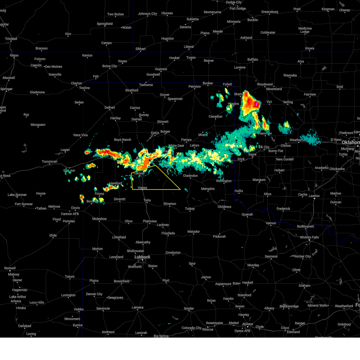 Svrama the national weather service in amarillo has issued a * severe thunderstorm warning for, southern armstrong county in the panhandle of texas, randall county in the panhandle of texas, * until 900 pm cdt. * at 728 pm cdt, a severe thunderstorm was located 4 miles southeast of lake tanglewood, or 11 miles east of canyon, moving southeast at 40 mph (radar indicated). Hazards include 70 mph wind gusts. Expect some tree damage. Damage is likely to mobile homes, roofs, and outbuildings. Svrama the national weather service in amarillo has issued a * severe thunderstorm warning for, southern armstrong county in the panhandle of texas, randall county in the panhandle of texas, * until 900 pm cdt. * at 728 pm cdt, a severe thunderstorm was located 4 miles southeast of lake tanglewood, or 11 miles east of canyon, moving southeast at 40 mph (radar indicated). Hazards include 70 mph wind gusts. Expect some tree damage. Damage is likely to mobile homes, roofs, and outbuildings.
|
| 6/2/2024 6:18 PM CDT |
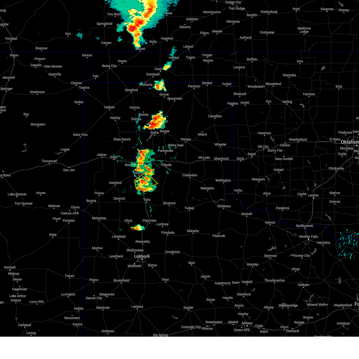 At 617 pm cdt, a severe thunderstorm was located 9 miles southwest of palo duro canyon, or 9 miles southeast of canyon, moving northeast at 45 mph (radar indicated). Hazards include 60 mph wind gusts and quarter size hail. Minor damage to roofs, siding, and trees is possible. hail damage to vehicles is expected. Locations impacted include, palo duro canyon. At 617 pm cdt, a severe thunderstorm was located 9 miles southwest of palo duro canyon, or 9 miles southeast of canyon, moving northeast at 45 mph (radar indicated). Hazards include 60 mph wind gusts and quarter size hail. Minor damage to roofs, siding, and trees is possible. hail damage to vehicles is expected. Locations impacted include, palo duro canyon.
|
| 6/2/2024 6:10 PM CDT |
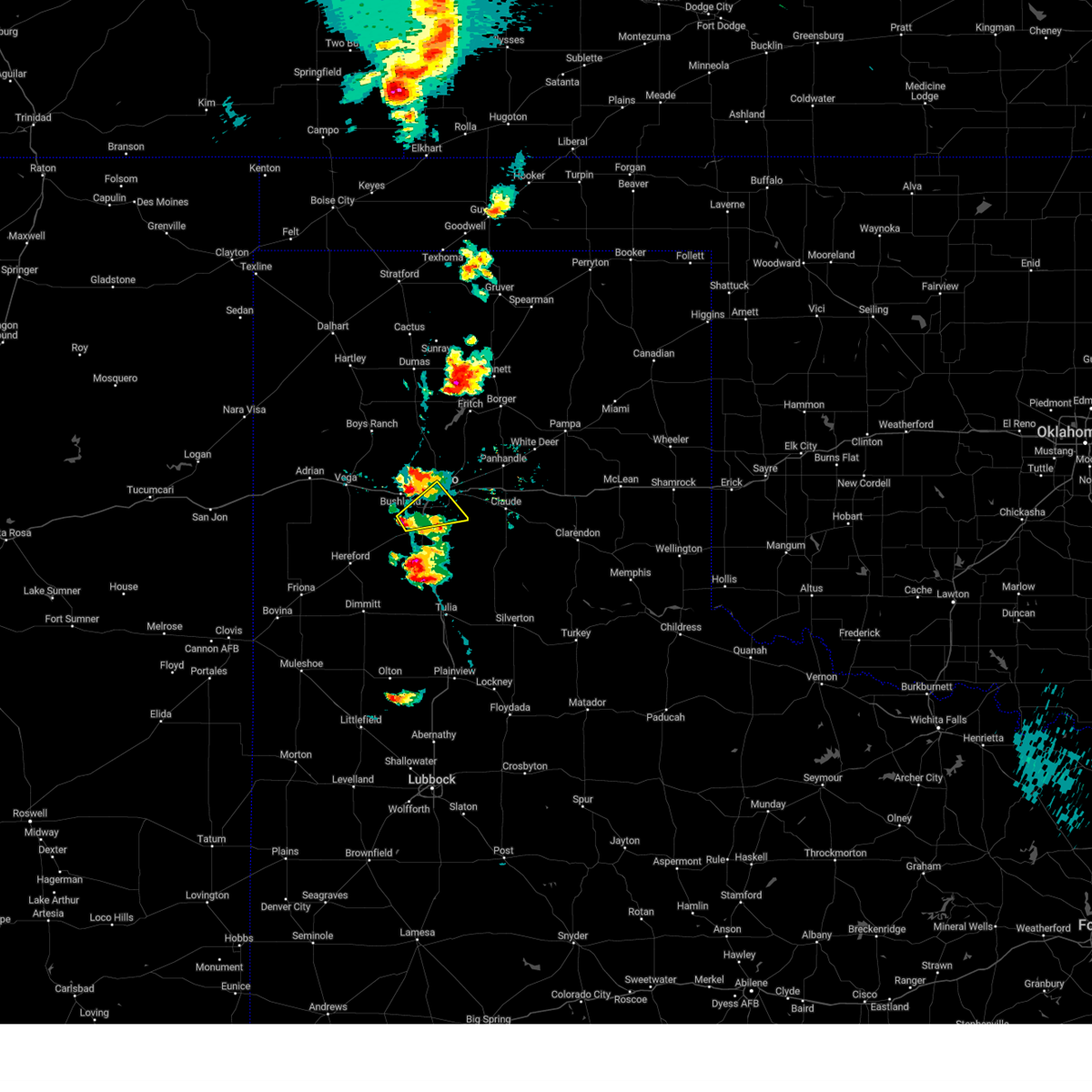 At 610 pm cdt, a severe thunderstorm was located 4 miles west of mescalero park, or 6 miles northwest of canyon, moving northeast at 45 mph (radar indicated). Hazards include 60 mph wind gusts and half dollar size hail. Minor damage to roofs, siding, and trees is possible. hail damage to vehicles is expected. Locations impacted include, amarillo, canyon, lake tanglewood, mescalero park, and timbercreek canyon. At 610 pm cdt, a severe thunderstorm was located 4 miles west of mescalero park, or 6 miles northwest of canyon, moving northeast at 45 mph (radar indicated). Hazards include 60 mph wind gusts and half dollar size hail. Minor damage to roofs, siding, and trees is possible. hail damage to vehicles is expected. Locations impacted include, amarillo, canyon, lake tanglewood, mescalero park, and timbercreek canyon.
|
| 6/2/2024 6:02 PM CDT |
 Svrama the national weather service in amarillo has issued a * severe thunderstorm warning for, northern randall county in the panhandle of texas, south central potter county in the panhandle of texas, * until 700 pm cdt. * at 602 pm cdt, a severe thunderstorm was located 5 miles north of umbarger, or 9 miles west of canyon, moving northeast at 20 mph (radar indicated). Hazards include ping pong ball size hail and 60 mph wind gusts. Minor damage to roofs, siding, and trees is possible. people and animals outdoors will be injured. Expect hail damage to roofs, siding, windows, and vehicles. Svrama the national weather service in amarillo has issued a * severe thunderstorm warning for, northern randall county in the panhandle of texas, south central potter county in the panhandle of texas, * until 700 pm cdt. * at 602 pm cdt, a severe thunderstorm was located 5 miles north of umbarger, or 9 miles west of canyon, moving northeast at 20 mph (radar indicated). Hazards include ping pong ball size hail and 60 mph wind gusts. Minor damage to roofs, siding, and trees is possible. people and animals outdoors will be injured. Expect hail damage to roofs, siding, windows, and vehicles.
|
| 6/2/2024 5:55 PM CDT |
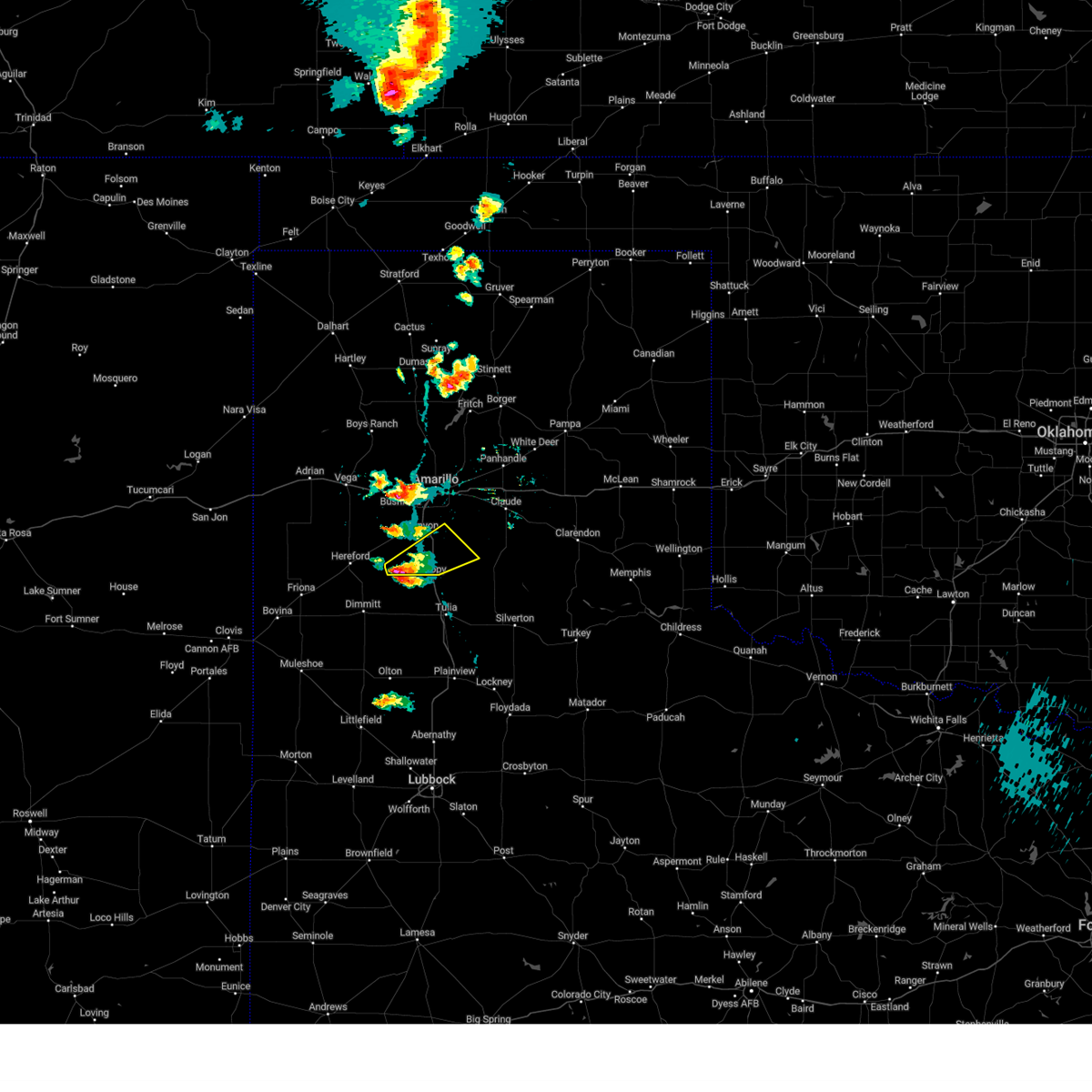 Svrama the national weather service in amarillo has issued a * severe thunderstorm warning for, southwestern armstrong county in the panhandle of texas, southern randall county in the panhandle of texas, * until 700 pm cdt. * at 555 pm cdt, a severe thunderstorm was located 8 miles south of buffalo lake, or 17 miles southwest of canyon, moving northeast at 25 mph (radar indicated). Hazards include ping pong ball size hail and 60 mph wind gusts. Minor damage to roofs, siding, and trees is possible. people and animals outdoors will be injured. Expect hail damage to roofs, siding, windows, and vehicles. Svrama the national weather service in amarillo has issued a * severe thunderstorm warning for, southwestern armstrong county in the panhandle of texas, southern randall county in the panhandle of texas, * until 700 pm cdt. * at 555 pm cdt, a severe thunderstorm was located 8 miles south of buffalo lake, or 17 miles southwest of canyon, moving northeast at 25 mph (radar indicated). Hazards include ping pong ball size hail and 60 mph wind gusts. Minor damage to roofs, siding, and trees is possible. people and animals outdoors will be injured. Expect hail damage to roofs, siding, windows, and vehicles.
|
| 5/31/2024 10:05 PM CDT |
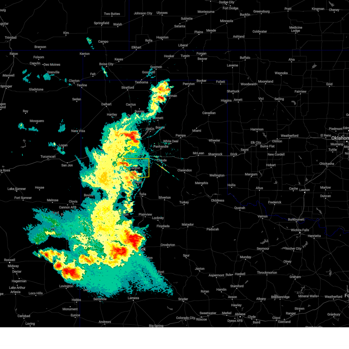 At 1005 pm cdt, a severe thunderstorm was located over lake tanglewood, or 7 miles northeast of canyon, moving east at 35 mph (radar indicated). Hazards include 60 mph wind gusts and penny size hail. Minor damage to roofs, siding, and trees is possible. Locations impacted include, amarillo, canyon, lake tanglewood, mescalero park, palo duro canyon, and timbercreek canyon. At 1005 pm cdt, a severe thunderstorm was located over lake tanglewood, or 7 miles northeast of canyon, moving east at 35 mph (radar indicated). Hazards include 60 mph wind gusts and penny size hail. Minor damage to roofs, siding, and trees is possible. Locations impacted include, amarillo, canyon, lake tanglewood, mescalero park, palo duro canyon, and timbercreek canyon.
|
| 5/31/2024 9:52 PM CDT |
 At 951 pm cdt, a severe thunderstorm was located near mescalero park, or 4 miles northwest of canyon, moving northeast at 45 mph (radar indicated). Hazards include 70 mph wind gusts and penny size hail. Expect some tree damage. damage is likely to mobile homes, roofs, and outbuildings. Locations impacted include, amarillo, canyon, lake tanglewood, mescalero park, buffalo lake, umbarger, palo duro canyon, and timbercreek canyon. At 951 pm cdt, a severe thunderstorm was located near mescalero park, or 4 miles northwest of canyon, moving northeast at 45 mph (radar indicated). Hazards include 70 mph wind gusts and penny size hail. Expect some tree damage. damage is likely to mobile homes, roofs, and outbuildings. Locations impacted include, amarillo, canyon, lake tanglewood, mescalero park, buffalo lake, umbarger, palo duro canyon, and timbercreek canyon.
|
| 5/31/2024 9:52 PM CDT |
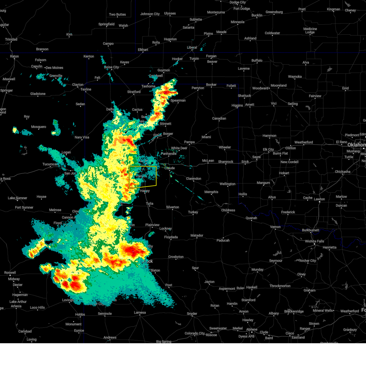 the severe thunderstorm warning has been cancelled and is no longer in effect the severe thunderstorm warning has been cancelled and is no longer in effect
|
| 5/31/2024 9:42 PM CDT | Storm damage reported in randall county TX, 9.1 miles E of Canyon, TX |
| 5/31/2024 9:27 PM CDT |
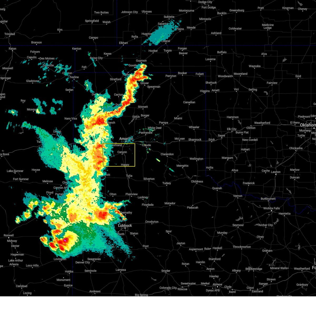 Svrama the national weather service in amarillo has issued a * severe thunderstorm warning for, randall county in the panhandle of texas, eastern deaf smith county in the panhandle of texas, * until 1030 pm cdt. * at 926 pm cdt, a severe thunderstorm was located near dawn, or 9 miles northeast of hereford, moving east at 35 mph (radar indicated). Hazards include 70 mph wind gusts and penny size hail. Expect some tree damage. Damage is likely to mobile homes, roofs, and outbuildings. Svrama the national weather service in amarillo has issued a * severe thunderstorm warning for, randall county in the panhandle of texas, eastern deaf smith county in the panhandle of texas, * until 1030 pm cdt. * at 926 pm cdt, a severe thunderstorm was located near dawn, or 9 miles northeast of hereford, moving east at 35 mph (radar indicated). Hazards include 70 mph wind gusts and penny size hail. Expect some tree damage. Damage is likely to mobile homes, roofs, and outbuildings.
|
| 5/30/2024 7:06 PM CDT |
 At 706 pm cdt, severe thunderstorms were located along a line extending from 18 miles southwest of wolf creek park to 6 miles southwest of codman to 7 miles south of white deer to 4 miles southwest of washburn, moving east at 40 mph (radar indicated). Hazards include 70 mph wind gusts and nickel size hail. Expect some tree damage. damage is likely to mobile homes, roofs, and outbuildings. Locations impacted include, amarillo, pampa, canyon, canadian, panhandle, clarendon, claude, miami, briscoe, white deer, lake tanglewood, mclean, groom, lefors, skellytown, howardwick, bushland, lake mcclellan, wayside, and goodnight. At 706 pm cdt, severe thunderstorms were located along a line extending from 18 miles southwest of wolf creek park to 6 miles southwest of codman to 7 miles south of white deer to 4 miles southwest of washburn, moving east at 40 mph (radar indicated). Hazards include 70 mph wind gusts and nickel size hail. Expect some tree damage. damage is likely to mobile homes, roofs, and outbuildings. Locations impacted include, amarillo, pampa, canyon, canadian, panhandle, clarendon, claude, miami, briscoe, white deer, lake tanglewood, mclean, groom, lefors, skellytown, howardwick, bushland, lake mcclellan, wayside, and goodnight.
|
| 5/30/2024 6:44 PM CDT |
 Svrama the national weather service in amarillo has issued a * severe thunderstorm warning for, armstrong county in the panhandle of texas, randall county in the panhandle of texas, western wheeler county in the panhandle of texas, carson county in the panhandle of texas, eastern hutchinson county in the panhandle of texas, gray county in the panhandle of texas, southern potter county in the panhandle of texas, roberts county in the panhandle of texas, western hemphill county in the panhandle of texas, northwestern donley county in the panhandle of texas, * until 800 pm cdt. * at 643 pm cdt, severe thunderstorms were located along a line extending from 14 miles southeast of spearman to 6 miles northeast of skellytown to near panhandle to 4 miles north of amarillo, moving east at 40 mph (radar indicated). Hazards include 70 mph wind gusts and penny size hail. Expect some tree damage. Damage is likely to mobile homes, roofs, and outbuildings. Svrama the national weather service in amarillo has issued a * severe thunderstorm warning for, armstrong county in the panhandle of texas, randall county in the panhandle of texas, western wheeler county in the panhandle of texas, carson county in the panhandle of texas, eastern hutchinson county in the panhandle of texas, gray county in the panhandle of texas, southern potter county in the panhandle of texas, roberts county in the panhandle of texas, western hemphill county in the panhandle of texas, northwestern donley county in the panhandle of texas, * until 800 pm cdt. * at 643 pm cdt, severe thunderstorms were located along a line extending from 14 miles southeast of spearman to 6 miles northeast of skellytown to near panhandle to 4 miles north of amarillo, moving east at 40 mph (radar indicated). Hazards include 70 mph wind gusts and penny size hail. Expect some tree damage. Damage is likely to mobile homes, roofs, and outbuildings.
|
| 5/30/2024 5:49 PM CDT |
 Svrama the national weather service in amarillo has issued a * severe thunderstorm warning for, northern armstrong county in the panhandle of texas, northern randall county in the panhandle of texas, southeastern oldham county in the panhandle of texas, carson county in the panhandle of texas, hutchinson county in the panhandle of texas, western gray county in the panhandle of texas, potter county in the panhandle of texas, roberts county in the panhandle of texas, southeastern moore county in the panhandle of texas, * until 645 pm cdt. * at 546 pm cdt, severe thunderstorms were located along a line extending from 9 miles east of morse to near sanford to 9 miles southwest of lake meredith to 4 miles east of valley de oro to 7 miles southwest of boys ranch, moving southeast at 40 mph (automated weather equipment). Hazards include 70 mph wind gusts. Expect some tree damage. Damage is likely to mobile homes, roofs, and outbuildings. Svrama the national weather service in amarillo has issued a * severe thunderstorm warning for, northern armstrong county in the panhandle of texas, northern randall county in the panhandle of texas, southeastern oldham county in the panhandle of texas, carson county in the panhandle of texas, hutchinson county in the panhandle of texas, western gray county in the panhandle of texas, potter county in the panhandle of texas, roberts county in the panhandle of texas, southeastern moore county in the panhandle of texas, * until 645 pm cdt. * at 546 pm cdt, severe thunderstorms were located along a line extending from 9 miles east of morse to near sanford to 9 miles southwest of lake meredith to 4 miles east of valley de oro to 7 miles southwest of boys ranch, moving southeast at 40 mph (automated weather equipment). Hazards include 70 mph wind gusts. Expect some tree damage. Damage is likely to mobile homes, roofs, and outbuildings.
|
| 5/28/2024 5:03 PM CDT |
 the severe thunderstorm warning has been cancelled and is no longer in effect the severe thunderstorm warning has been cancelled and is no longer in effect
|
| 5/28/2024 5:03 PM CDT |
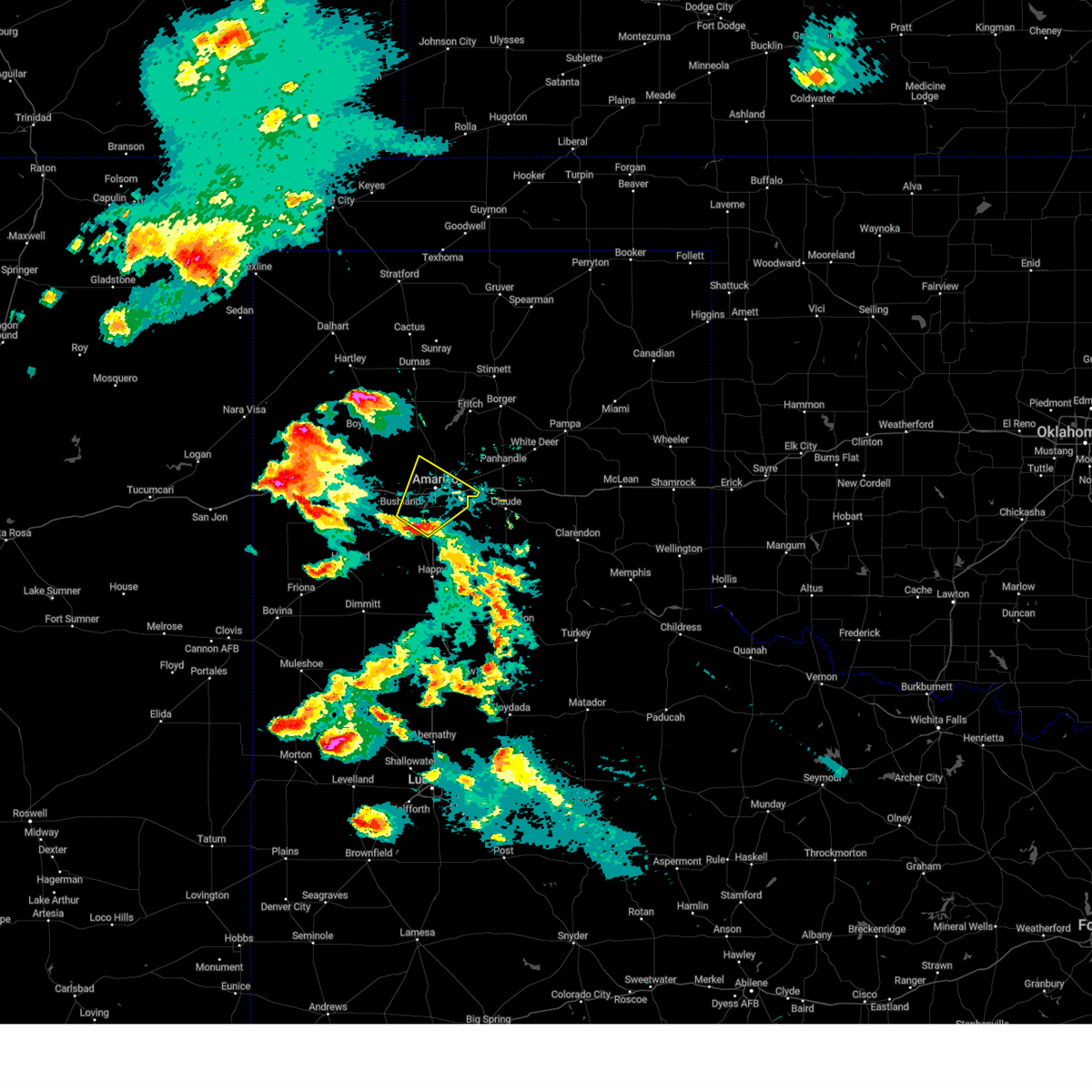 At 503 pm cdt, a severe thunderstorm was located near mescalero park, or 6 miles southwest of amarillo, moving northeast at 25 mph (law enforcement). Hazards include 60 mph wind gusts and quarter size hail. Minor damage to roofs, siding, and trees is possible. hail damage to vehicles is expected. Locations impacted include, amarillo, canyon, lake tanglewood, mescalero park, and timbercreek canyon. At 503 pm cdt, a severe thunderstorm was located near mescalero park, or 6 miles southwest of amarillo, moving northeast at 25 mph (law enforcement). Hazards include 60 mph wind gusts and quarter size hail. Minor damage to roofs, siding, and trees is possible. hail damage to vehicles is expected. Locations impacted include, amarillo, canyon, lake tanglewood, mescalero park, and timbercreek canyon.
|
| 5/28/2024 4:47 PM CDT |
 At 446 pm cdt, a severe thunderstorm was located 4 miles northwest of canyon, moving northeast at 25 mph (law enforcement confirmed golf ball size hail in canyon). Hazards include golf ball size hail and 70 mph wind gusts. Expect some tree damage. damage is likely to mobile homes, roofs, and outbuildings. people and animals outdoors will be injured. expect hail damage to roofs, siding, windows, and vehicles. Locations impacted include, amarillo, canyon, lake tanglewood, mescalero park, bushland, umbarger, and timbercreek canyon. At 446 pm cdt, a severe thunderstorm was located 4 miles northwest of canyon, moving northeast at 25 mph (law enforcement confirmed golf ball size hail in canyon). Hazards include golf ball size hail and 70 mph wind gusts. Expect some tree damage. damage is likely to mobile homes, roofs, and outbuildings. people and animals outdoors will be injured. expect hail damage to roofs, siding, windows, and vehicles. Locations impacted include, amarillo, canyon, lake tanglewood, mescalero park, bushland, umbarger, and timbercreek canyon.
|
| 5/28/2024 4:43 PM CDT | Golf Ball sized hail reported 4.5 miles W of Canyon, TX |
| 5/28/2024 4:38 PM CDT |
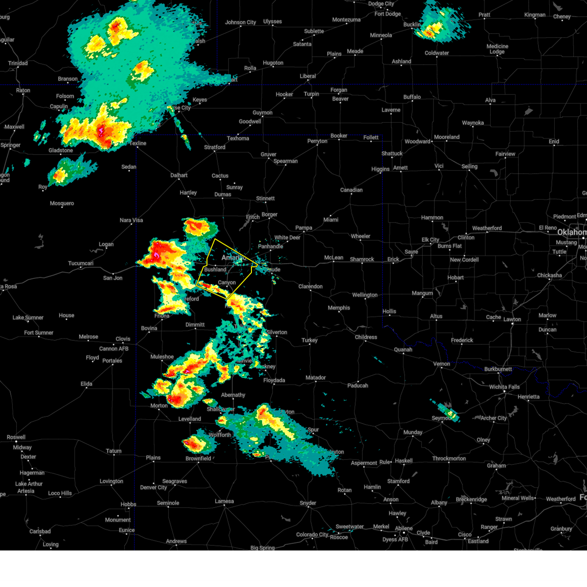 Svrama the national weather service in amarillo has issued a * severe thunderstorm warning for, northern randall county in the panhandle of texas, southwestern carson county in the panhandle of texas, northeastern deaf smith county in the panhandle of texas, southern potter county in the panhandle of texas, * until 545 pm cdt. * at 438 pm cdt, a severe thunderstorm was located 5 miles east of umbarger, or 5 miles west of canyon, moving northeast at 25 mph (radar indicated). Hazards include 70 mph wind gusts and ping pong ball size hail. Expect some tree damage. damage is likely to mobile homes, roofs, and outbuildings. people and animals outdoors will be injured. Expect hail damage to roofs, siding, windows, and vehicles. Svrama the national weather service in amarillo has issued a * severe thunderstorm warning for, northern randall county in the panhandle of texas, southwestern carson county in the panhandle of texas, northeastern deaf smith county in the panhandle of texas, southern potter county in the panhandle of texas, * until 545 pm cdt. * at 438 pm cdt, a severe thunderstorm was located 5 miles east of umbarger, or 5 miles west of canyon, moving northeast at 25 mph (radar indicated). Hazards include 70 mph wind gusts and ping pong ball size hail. Expect some tree damage. damage is likely to mobile homes, roofs, and outbuildings. people and animals outdoors will be injured. Expect hail damage to roofs, siding, windows, and vehicles.
|
| 5/12/2024 12:52 AM CDT |
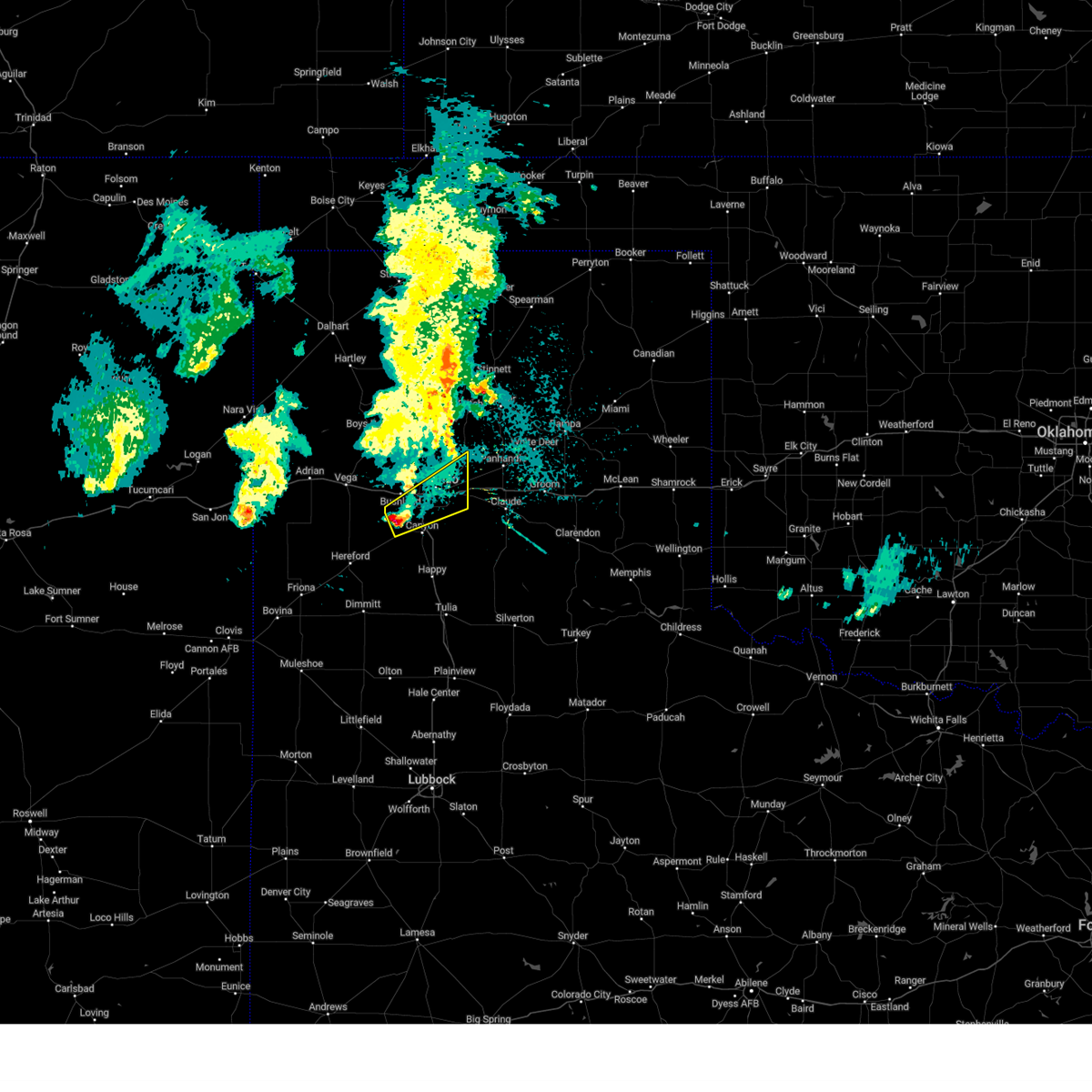 Svrama the national weather service in amarillo has issued a * severe thunderstorm warning for, northern randall county in the panhandle of texas, southeastern potter county in the panhandle of texas, * until 145 am cdt. * at 1252 am cdt, a severe thunderstorm was located 8 miles west of mescalero park, or 9 miles northwest of canyon, moving northeast at 40 mph (radar indicated). Hazards include quarter size hail. damage to vehicles is expected Svrama the national weather service in amarillo has issued a * severe thunderstorm warning for, northern randall county in the panhandle of texas, southeastern potter county in the panhandle of texas, * until 145 am cdt. * at 1252 am cdt, a severe thunderstorm was located 8 miles west of mescalero park, or 9 miles northwest of canyon, moving northeast at 40 mph (radar indicated). Hazards include quarter size hail. damage to vehicles is expected
|
| 12/23/2023 4:42 PM CST |
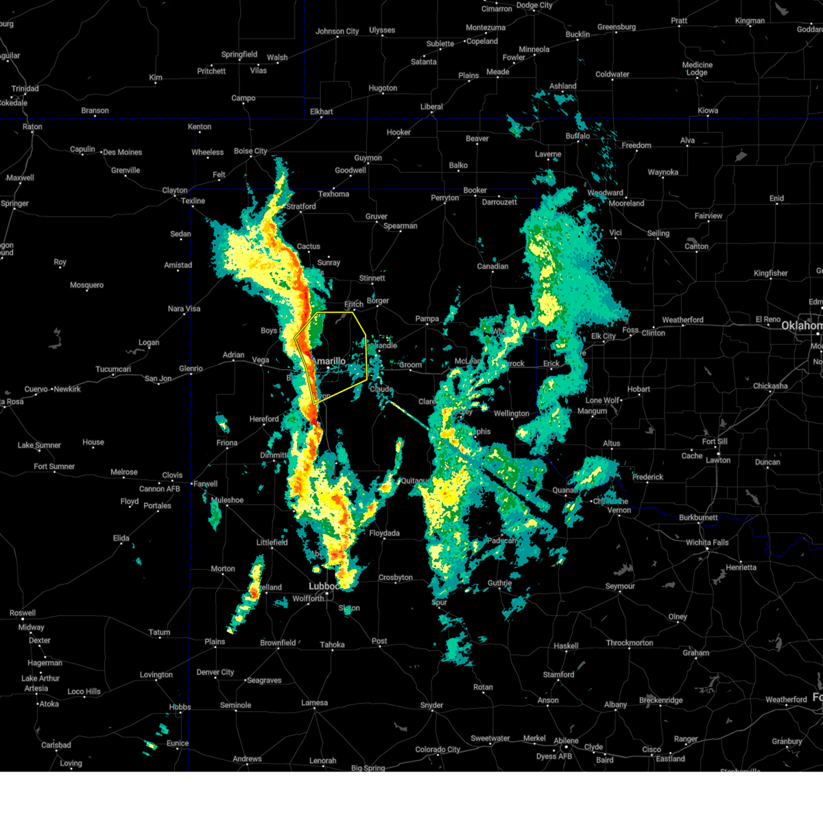 At 441 pm cst, severe thunderstorms were located along a line extending from 8 miles east of valley de oro to 3 miles northwest of amarillo to near mescalero park, moving northeast at 45 mph (radar indicated). Hazards include 60 mph wind gusts and penny size hail. Minor damage to roofs, siding, and trees is possible. locations impacted include, amarillo, canyon, lake tanglewood, mescalero park, valley de oro, washburn, timbercreek canyon, and pantex. hail threat, radar indicated max hail size, 0. 75in wind threat, radar indicated max wind gust, 60 mph. At 441 pm cst, severe thunderstorms were located along a line extending from 8 miles east of valley de oro to 3 miles northwest of amarillo to near mescalero park, moving northeast at 45 mph (radar indicated). Hazards include 60 mph wind gusts and penny size hail. Minor damage to roofs, siding, and trees is possible. locations impacted include, amarillo, canyon, lake tanglewood, mescalero park, valley de oro, washburn, timbercreek canyon, and pantex. hail threat, radar indicated max hail size, 0. 75in wind threat, radar indicated max wind gust, 60 mph.
|
| 12/23/2023 4:28 PM CST |
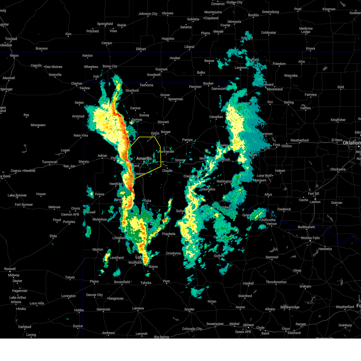 At 427 pm cst, severe thunderstorms were located along a line extending from 8 miles south of valley de oro to near bushland to 5 miles west of canyon, moving northeast at 45 mph (radar indicated). Hazards include 60 mph wind gusts and quarter size hail. Minor damage to roofs, siding, and trees is possible. Hail damage to vehicles is expected. At 427 pm cst, severe thunderstorms were located along a line extending from 8 miles south of valley de oro to near bushland to 5 miles west of canyon, moving northeast at 45 mph (radar indicated). Hazards include 60 mph wind gusts and quarter size hail. Minor damage to roofs, siding, and trees is possible. Hail damage to vehicles is expected.
|
| 9/10/2023 10:33 PM CDT |
 At 1033 pm cdt, severe thunderstorms were located along a line extending from 9 miles south of fritch to 7 miles southwest of palo duro canyon, moving east at 25 mph (radar indicated). Hazards include 60 mph wind gusts and quarter size hail. Minor damage to roofs, siding, and trees is possible. hail damage to vehicles is expected. locations impacted include, amarillo, canyon, panhandle, claude, lake tanglewood, mescalero park, wayside, washburn, palo duro canyon, timbercreek canyon, and pantex. hail threat, radar indicated max hail size, 1. 00in wind threat, radar indicated max wind gust, 60 mph. At 1033 pm cdt, severe thunderstorms were located along a line extending from 9 miles south of fritch to 7 miles southwest of palo duro canyon, moving east at 25 mph (radar indicated). Hazards include 60 mph wind gusts and quarter size hail. Minor damage to roofs, siding, and trees is possible. hail damage to vehicles is expected. locations impacted include, amarillo, canyon, panhandle, claude, lake tanglewood, mescalero park, wayside, washburn, palo duro canyon, timbercreek canyon, and pantex. hail threat, radar indicated max hail size, 1. 00in wind threat, radar indicated max wind gust, 60 mph.
|
| 9/10/2023 10:20 PM CDT |
 At 1019 pm cdt, automated weather equipment reported severe thunderstorms were located along a line extending from 13 miles southwest of lake meredith to 8 miles northwest of happy, moving east at 35 mph (automated weather equipment. at 957 pm cdt, automated weather equipment recorded a 63 mph wind gust 15 miles north northwest of amarillo). Hazards include 60 mph wind gusts. Minor damage to roofs, siding, and trees is possible. locations impacted include, amarillo, canyon, panhandle, claude, lake tanglewood, mescalero park, wayside, washburn, palo duro canyon, timbercreek canyon, and pantex. hail threat, radar indicated max hail size, <. 75 in wind threat, observed max wind gust, 60 mph. At 1019 pm cdt, automated weather equipment reported severe thunderstorms were located along a line extending from 13 miles southwest of lake meredith to 8 miles northwest of happy, moving east at 35 mph (automated weather equipment. at 957 pm cdt, automated weather equipment recorded a 63 mph wind gust 15 miles north northwest of amarillo). Hazards include 60 mph wind gusts. Minor damage to roofs, siding, and trees is possible. locations impacted include, amarillo, canyon, panhandle, claude, lake tanglewood, mescalero park, wayside, washburn, palo duro canyon, timbercreek canyon, and pantex. hail threat, radar indicated max hail size, <. 75 in wind threat, observed max wind gust, 60 mph.
|
| 9/10/2023 10:10 PM CDT |
 At 1010 pm cdt, automated weather equipment reported severe thunderstorms were located along a line extending from 14 miles southeast of masterson to 8 miles southeast of buffalo lake, moving east at 35 mph (automated weather equipment. at 957 pm cdt, automated weather equipment recorded a 63 mph wind gust 15 miles north northwest of amarillo). Hazards include 60 mph wind gusts. Minor damage to roofs, siding, and trees is possible. locations impacted include, amarillo, hereford, canyon, panhandle, claude, lake tanglewood, buffalo lake, bushland, wayside, washburn, umbarger, palo duro canyon, mescalero park, dawn, timbercreek canyon, and pantex. hail threat, radar indicated max hail size, <. 75 in wind threat, observed max wind gust, 60 mph. At 1010 pm cdt, automated weather equipment reported severe thunderstorms were located along a line extending from 14 miles southeast of masterson to 8 miles southeast of buffalo lake, moving east at 35 mph (automated weather equipment. at 957 pm cdt, automated weather equipment recorded a 63 mph wind gust 15 miles north northwest of amarillo). Hazards include 60 mph wind gusts. Minor damage to roofs, siding, and trees is possible. locations impacted include, amarillo, hereford, canyon, panhandle, claude, lake tanglewood, buffalo lake, bushland, wayside, washburn, umbarger, palo duro canyon, mescalero park, dawn, timbercreek canyon, and pantex. hail threat, radar indicated max hail size, <. 75 in wind threat, observed max wind gust, 60 mph.
|
| 9/10/2023 10:00 PM CDT |
 At 1000 pm cdt, severe thunderstorms were located along a line extending from 12 miles east of valley de oro to 6 miles southeast of buffalo lake, moving east at 35 mph (radar indicated). Hazards include 60 mph wind gusts. minor damage to roofs, siding, and trees is possible At 1000 pm cdt, severe thunderstorms were located along a line extending from 12 miles east of valley de oro to 6 miles southeast of buffalo lake, moving east at 35 mph (radar indicated). Hazards include 60 mph wind gusts. minor damage to roofs, siding, and trees is possible
|
| 9/10/2023 5:55 PM CDT | Ping Pong Ball sized hail reported 13.6 miles W of Canyon, TX, photo submitted to the office email. |
| 8/8/2023 8:20 PM CDT | Peak wind gust of 68 mph measured by mesonet at 8:20 pm... followed by a 58 mph gust at 8:21 pm... then dropped below severe level in randall county TX, 9.1 miles E of Canyon, TX |
| 8/8/2023 7:39 PM CDT |
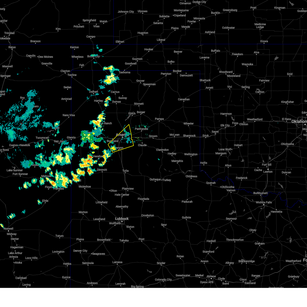 At 738 pm cdt, a severe thunderstorm was located 7 miles west of mescalero park, or 8 miles northwest of canyon, moving northeast at 30 mph (radar indicated). Hazards include 60 mph wind gusts. minor damage to roofs, siding, and trees is possible At 738 pm cdt, a severe thunderstorm was located 7 miles west of mescalero park, or 8 miles northwest of canyon, moving northeast at 30 mph (radar indicated). Hazards include 60 mph wind gusts. minor damage to roofs, siding, and trees is possible
|
| 7/16/2023 12:15 AM CDT |
 At 1215 am cdt, a severe thunderstorm was located 9 miles southeast of buffalo lake, or 15 miles southwest of canyon, moving southeast at 35 mph (radar indicated). Hazards include 60 mph wind gusts. Minor damage to roofs, siding, and trees is possible. locations impacted include, hereford, canyon, buffalo lake, dawn, wayside, umbarger and palo duro canyon. hail threat, radar indicated max hail size, <. 75 in wind threat, radar indicated max wind gust, 60 mph. At 1215 am cdt, a severe thunderstorm was located 9 miles southeast of buffalo lake, or 15 miles southwest of canyon, moving southeast at 35 mph (radar indicated). Hazards include 60 mph wind gusts. Minor damage to roofs, siding, and trees is possible. locations impacted include, hereford, canyon, buffalo lake, dawn, wayside, umbarger and palo duro canyon. hail threat, radar indicated max hail size, <. 75 in wind threat, radar indicated max wind gust, 60 mph.
|
| 7/16/2023 12:01 AM CDT |
 At 1200 am cdt, a severe thunderstorm was located 6 miles south of canyon, moving southeast at 35 mph (radar indicated). Hazards include 70 mph wind gusts. Expect some tree damage. damage is likely to mobile homes, roofs, and outbuildings. locations impacted include, amarillo, hereford, canyon, lake tanglewood, mescalero park, buffalo lake, dawn, wayside, umbarger, palo duro canyon and timbercreek canyon. thunderstorm damage threat, considerable hail threat, radar indicated max hail size, <. 75 in wind threat, radar indicated max wind gust, 70 mph. At 1200 am cdt, a severe thunderstorm was located 6 miles south of canyon, moving southeast at 35 mph (radar indicated). Hazards include 70 mph wind gusts. Expect some tree damage. damage is likely to mobile homes, roofs, and outbuildings. locations impacted include, amarillo, hereford, canyon, lake tanglewood, mescalero park, buffalo lake, dawn, wayside, umbarger, palo duro canyon and timbercreek canyon. thunderstorm damage threat, considerable hail threat, radar indicated max hail size, <. 75 in wind threat, radar indicated max wind gust, 70 mph.
|
| 7/15/2023 11:54 PM CDT |
 At 1153 pm cdt, a severe thunderstorm was located over buffalo lake, or 12 miles southwest of canyon, moving southeast at 20 mph (radar indicated). Hazards include 70 mph wind gusts. Expect some tree damage. damage is likely to mobile homes, roofs, and outbuildings. locations impacted include, amarillo, hereford, canyon, claude, lake tanglewood, buffalo lake, wayside, washburn, umbarger, palo duro canyon, mescalero park, dawn and timbercreek canyon. thunderstorm damage threat, considerable hail threat, radar indicated max hail size, <. 75 in wind threat, radar indicated max wind gust, 70 mph. At 1153 pm cdt, a severe thunderstorm was located over buffalo lake, or 12 miles southwest of canyon, moving southeast at 20 mph (radar indicated). Hazards include 70 mph wind gusts. Expect some tree damage. damage is likely to mobile homes, roofs, and outbuildings. locations impacted include, amarillo, hereford, canyon, claude, lake tanglewood, buffalo lake, wayside, washburn, umbarger, palo duro canyon, mescalero park, dawn and timbercreek canyon. thunderstorm damage threat, considerable hail threat, radar indicated max hail size, <. 75 in wind threat, radar indicated max wind gust, 70 mph.
|
| 7/15/2023 11:43 PM CDT | At 1143 pm cdt, a severe thunderstorm was located near canyon, moving east at 25 mph (radar indicated). Hazards include 70 mph wind gusts. Expect some tree damage. damage is likely to mobile homes, roofs, and outbuildings. locations impacted include, amarillo, hereford, canyon, claude, lake tanglewood, buffalo lake, wayside, washburn, umbarger, palo duro canyon, mescalero park, dawn and timbercreek canyon. thunderstorm damage threat, considerable hail threat, radar indicated max hail size, <. 75 in wind threat, radar indicated max wind gust, 70 mph. |
| 7/15/2023 11:32 PM CDT |
 At 1132 pm cdt, a severe thunderstorm was located over lake tanglewood, or 8 miles southeast of amarillo, moving southeast at 35 mph (radar indicated). Hazards include 70 mph wind gusts and quarter size hail. Expect some tree damage. damage is likely to mobile homes, roofs, and outbuildings. hail damage to vehicles is expected. locations impacted include, amarillo, hereford, canyon, claude, lake tanglewood, buffalo lake, wayside, washburn, umbarger, palo duro canyon, mescalero park, dawn and timbercreek canyon. thunderstorm damage threat, considerable hail threat, radar indicated max hail size, 1. 00in wind threat, radar indicated max wind gust, 70 mph. At 1132 pm cdt, a severe thunderstorm was located over lake tanglewood, or 8 miles southeast of amarillo, moving southeast at 35 mph (radar indicated). Hazards include 70 mph wind gusts and quarter size hail. Expect some tree damage. damage is likely to mobile homes, roofs, and outbuildings. hail damage to vehicles is expected. locations impacted include, amarillo, hereford, canyon, claude, lake tanglewood, buffalo lake, wayside, washburn, umbarger, palo duro canyon, mescalero park, dawn and timbercreek canyon. thunderstorm damage threat, considerable hail threat, radar indicated max hail size, 1. 00in wind threat, radar indicated max wind gust, 70 mph.
|
| 7/15/2023 11:14 PM CDT |
 At 1114 pm cdt, a severe thunderstorm was located 4 miles southeast of amarillo, moving southeast at 25 mph (radar indicated). Hazards include 70 mph wind gusts and quarter size hail. Expect some tree damage. damage is likely to mobile homes, roofs, and outbuildings. Hail damage to vehicles is expected. At 1114 pm cdt, a severe thunderstorm was located 4 miles southeast of amarillo, moving southeast at 25 mph (radar indicated). Hazards include 70 mph wind gusts and quarter size hail. Expect some tree damage. damage is likely to mobile homes, roofs, and outbuildings. Hail damage to vehicles is expected.
|
| 7/15/2023 2:45 AM CDT |
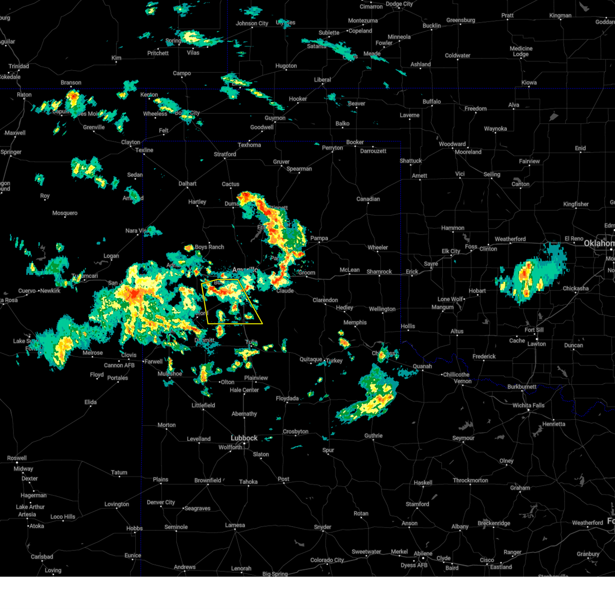 At 244 am cdt, a severe thunderstorm was located 9 miles northwest of umbarger, or 16 miles west of canyon, moving southeast at 10 mph (radar indicated). Hazards include 60 mph wind gusts. Minor damage to roofs, siding, and trees is possible. locations impacted include, amarillo, canyon, umbarger, mescalero park, buffalo lake and dawn. hail threat, radar indicated max hail size, <. 75 in wind threat, radar indicated max wind gust, 60 mph. At 244 am cdt, a severe thunderstorm was located 9 miles northwest of umbarger, or 16 miles west of canyon, moving southeast at 10 mph (radar indicated). Hazards include 60 mph wind gusts. Minor damage to roofs, siding, and trees is possible. locations impacted include, amarillo, canyon, umbarger, mescalero park, buffalo lake and dawn. hail threat, radar indicated max hail size, <. 75 in wind threat, radar indicated max wind gust, 60 mph.
|
| 7/15/2023 2:27 AM CDT |
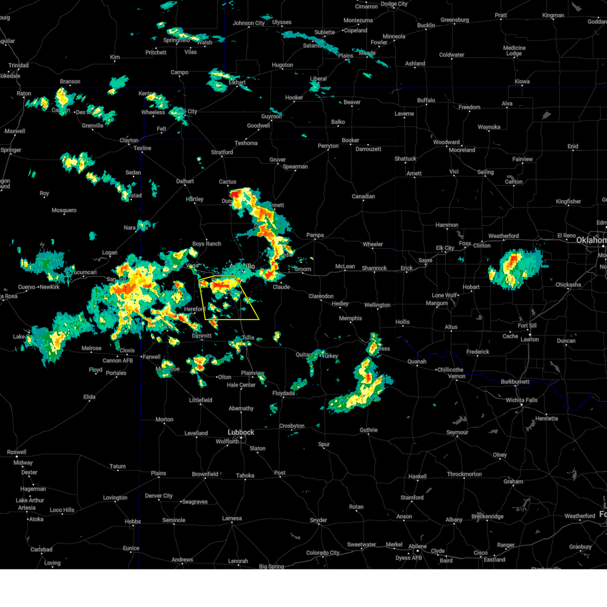 At 227 am cdt, a severe thunderstorm was located 4 miles northwest of umbarger, or 13 miles west of canyon, moving southeast at 20 mph (radar indicated). Hazards include 60 mph wind gusts and penny size hail. Minor damage to roofs, siding, and trees is possible. locations impacted include, amarillo, canyon, umbarger, mescalero park, buffalo lake and dawn. hail threat, radar indicated max hail size, 0. 75in wind threat, radar indicated max wind gust, 60 mph. At 227 am cdt, a severe thunderstorm was located 4 miles northwest of umbarger, or 13 miles west of canyon, moving southeast at 20 mph (radar indicated). Hazards include 60 mph wind gusts and penny size hail. Minor damage to roofs, siding, and trees is possible. locations impacted include, amarillo, canyon, umbarger, mescalero park, buffalo lake and dawn. hail threat, radar indicated max hail size, 0. 75in wind threat, radar indicated max wind gust, 60 mph.
|
| 7/15/2023 2:15 AM CDT |
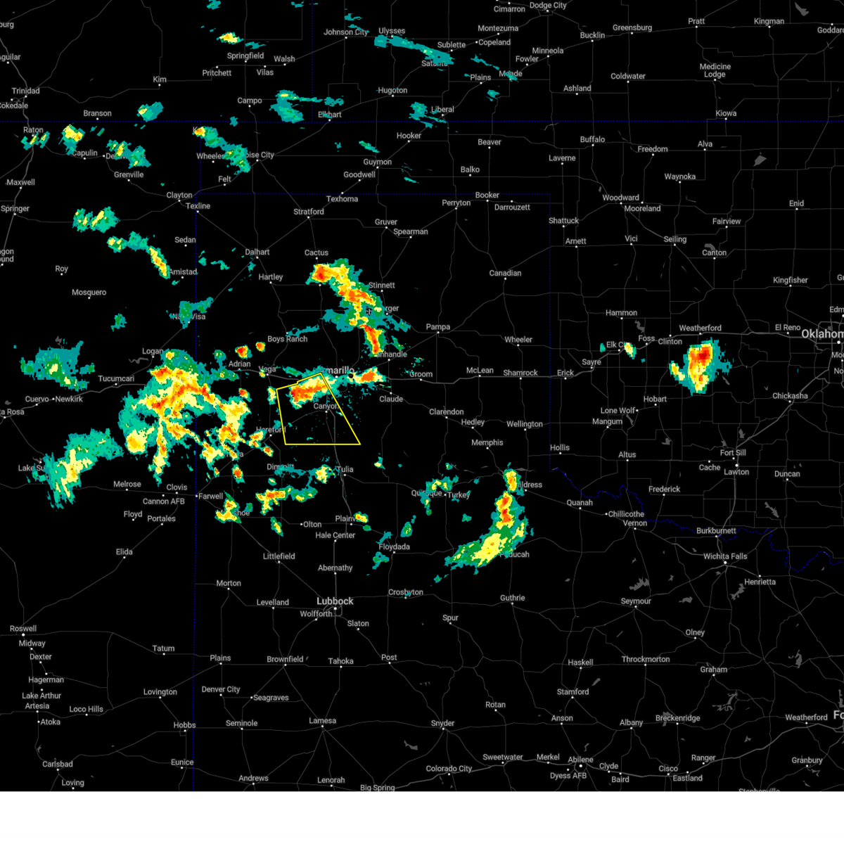 At 214 am cdt, a severe thunderstorm was located 5 miles northwest of umbarger, or 13 miles west of canyon, moving southeast at 20 mph (radar indicated). Hazards include 60 mph wind gusts and quarter size hail. Minor damage to roofs, siding, and trees is possible. hail damage to vehicles is expected. locations impacted include, amarillo, canyon, mescalero park, buffalo lake, bushland, dawn and umbarger. hail threat, radar indicated max hail size, 1. 00in wind threat, radar indicated max wind gust, 60 mph. At 214 am cdt, a severe thunderstorm was located 5 miles northwest of umbarger, or 13 miles west of canyon, moving southeast at 20 mph (radar indicated). Hazards include 60 mph wind gusts and quarter size hail. Minor damage to roofs, siding, and trees is possible. hail damage to vehicles is expected. locations impacted include, amarillo, canyon, mescalero park, buffalo lake, bushland, dawn and umbarger. hail threat, radar indicated max hail size, 1. 00in wind threat, radar indicated max wind gust, 60 mph.
|
| 7/15/2023 2:03 AM CDT |
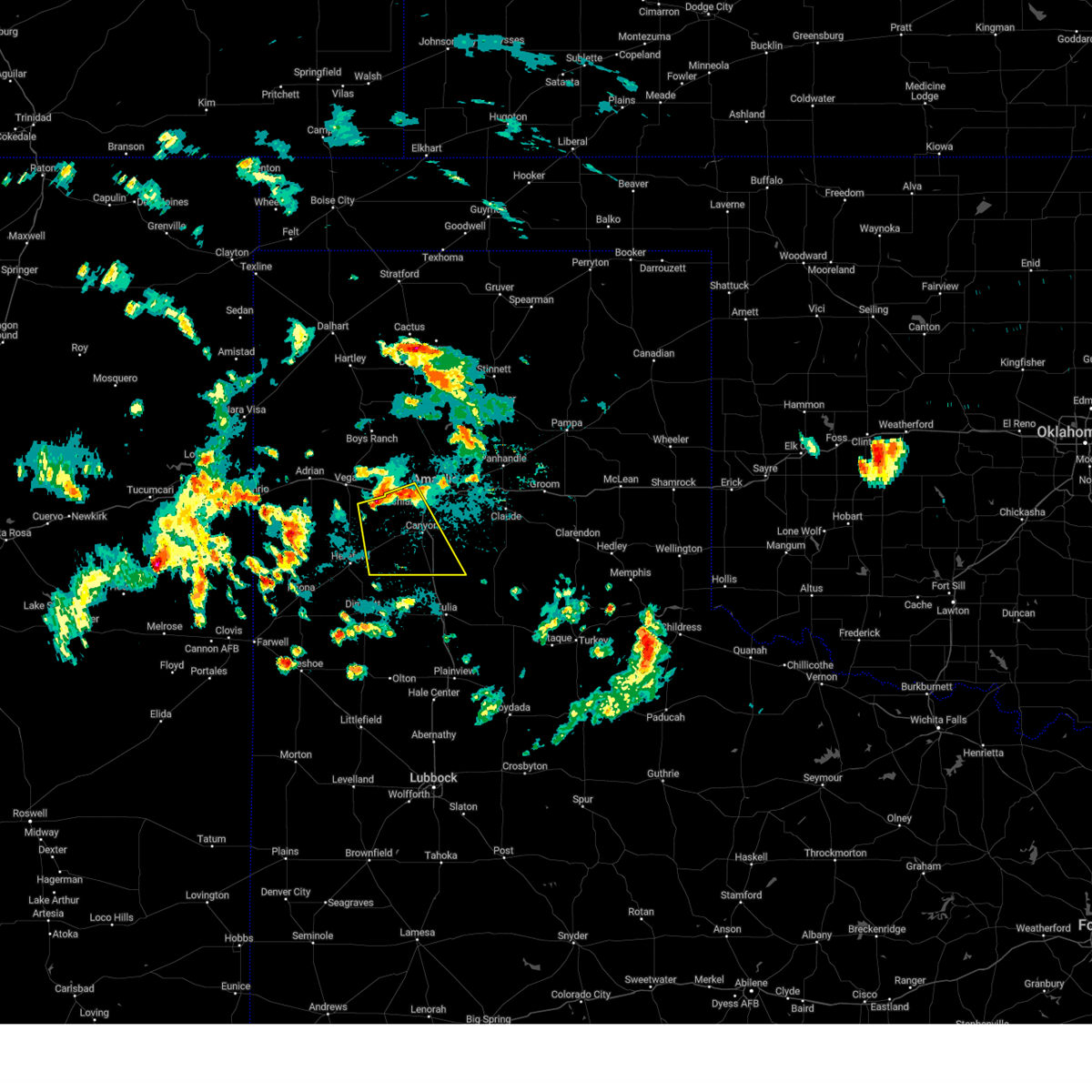 At 203 am cdt, a severe thunderstorm was located 9 miles south of wildorado, or 16 miles northwest of canyon, moving southeast at 20 mph (radar indicated). Hazards include 60 mph wind gusts and quarter size hail. Minor damage to roofs, siding, and trees is possible. Hail damage to vehicles is expected. At 203 am cdt, a severe thunderstorm was located 9 miles south of wildorado, or 16 miles northwest of canyon, moving southeast at 20 mph (radar indicated). Hazards include 60 mph wind gusts and quarter size hail. Minor damage to roofs, siding, and trees is possible. Hail damage to vehicles is expected.
|
| 7/8/2023 10:21 PM CDT |
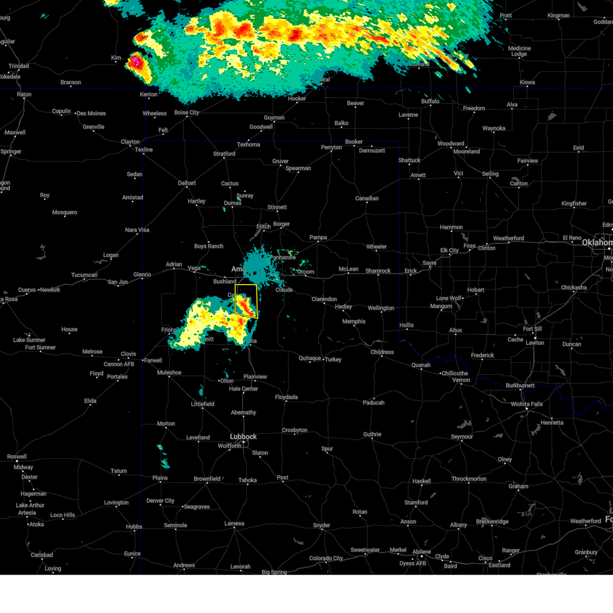 At 1021 pm cdt, a severe thunderstorm was located 7 miles southwest of palo duro canyon, or 9 miles southeast of canyon, moving east at 30 mph (radar indicated). Hazards include 60 mph wind gusts. Minor damage to roofs, siding, and trees is possible. locations impacted include, amarillo, canyon, lake tanglewood, mescalero park and timbercreek canyon. hail threat, radar indicated max hail size, <. 75 in wind threat, radar indicated max wind gust, 60 mph. At 1021 pm cdt, a severe thunderstorm was located 7 miles southwest of palo duro canyon, or 9 miles southeast of canyon, moving east at 30 mph (radar indicated). Hazards include 60 mph wind gusts. Minor damage to roofs, siding, and trees is possible. locations impacted include, amarillo, canyon, lake tanglewood, mescalero park and timbercreek canyon. hail threat, radar indicated max hail size, <. 75 in wind threat, radar indicated max wind gust, 60 mph.
|
| 7/8/2023 9:58 PM CDT | Wtm station gusted to 61 mph at 9:58 pm... then dropped before hitting 58 mph at 10:03 p in randall county TX, 1.9 miles ENE of Canyon, TX |
| 7/8/2023 9:58 PM CDT |
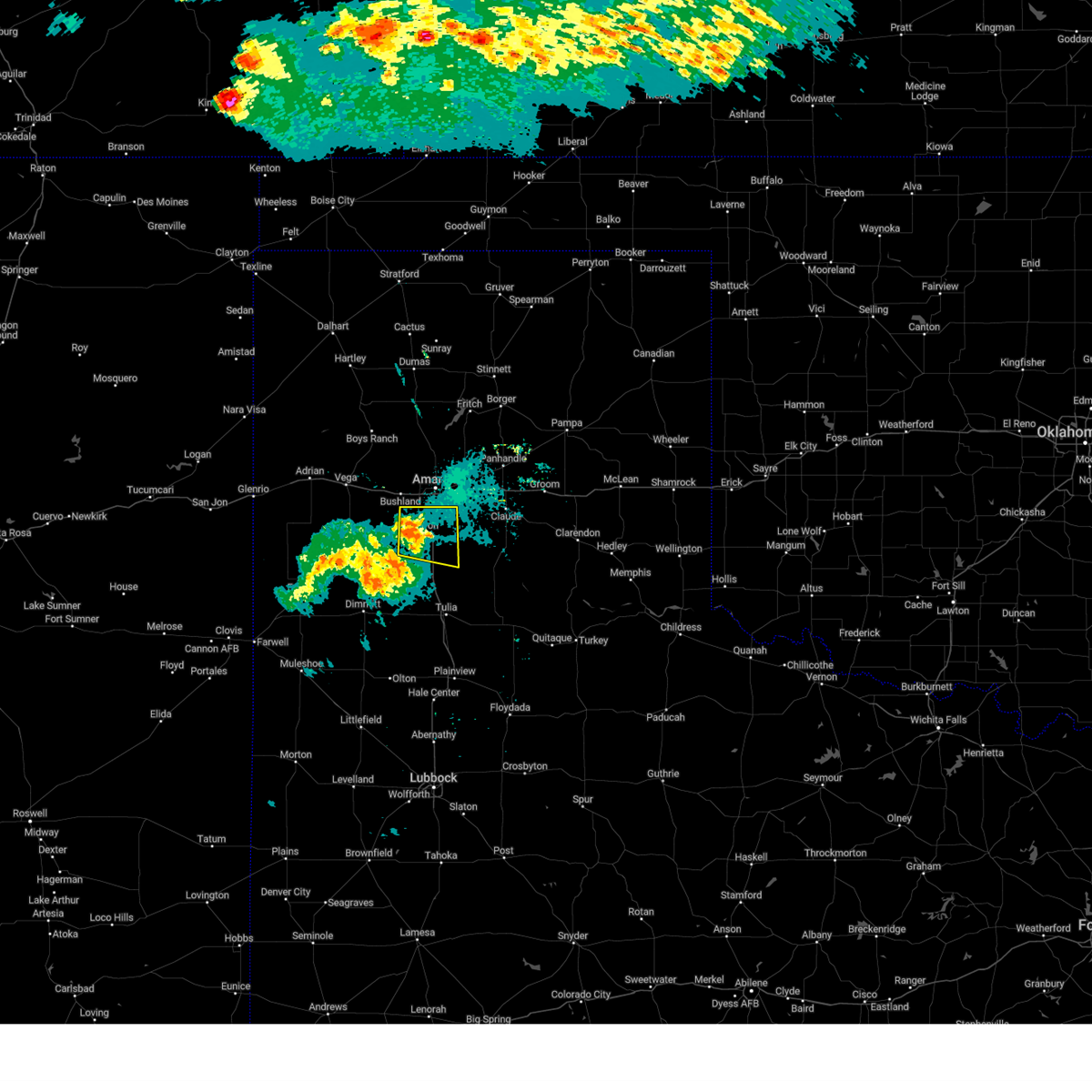 At 957 pm cdt, a severe thunderstorm was located 4 miles west of canyon, moving east at 25 mph (radar indicated). Hazards include 60 mph wind gusts. minor damage to roofs, siding, and trees is possible At 957 pm cdt, a severe thunderstorm was located 4 miles west of canyon, moving east at 25 mph (radar indicated). Hazards include 60 mph wind gusts. minor damage to roofs, siding, and trees is possible
|
| 7/8/2023 9:47 PM CDT | Storm damage reported in randall county TX, 9.1 miles E of Canyon, TX |
| 7/6/2023 1:25 AM CDT |
 At 125 am cdt, a severe thunderstorm was located 5 miles west of washburn, or 10 miles east of amarillo, moving south at 15 mph (radar indicated). Hazards include 60 mph wind gusts. Minor damage to roofs, siding, and trees is possible. locations impacted include, amarillo, canyon, claude, lake tanglewood, mescalero park, washburn, palo duro canyon, goodnight and timbercreek canyon. hail threat, radar indicated max hail size, <. 75 in wind threat, radar indicated max wind gust, 60 mph. At 125 am cdt, a severe thunderstorm was located 5 miles west of washburn, or 10 miles east of amarillo, moving south at 15 mph (radar indicated). Hazards include 60 mph wind gusts. Minor damage to roofs, siding, and trees is possible. locations impacted include, amarillo, canyon, claude, lake tanglewood, mescalero park, washburn, palo duro canyon, goodnight and timbercreek canyon. hail threat, radar indicated max hail size, <. 75 in wind threat, radar indicated max wind gust, 60 mph.
|
| 7/6/2023 1:02 AM CDT |
 At 101 am cdt, automated weather equipment reported a severe thunderstorm was located 8 miles east of amarillo, moving south at 15 mph (automated weather equipment. at 101 am cdt, a 59 mph wind gust was recorded at the amarillo airport). Hazards include 60 mph wind gusts. Minor damage to roofs, siding, and trees is possible. locations impacted include, amarillo, canyon, panhandle, claude, lake tanglewood, mescalero park, washburn, palo duro canyon, goodnight, timbercreek canyon and pantex. hail threat, radar indicated max hail size, <. 75 in wind threat, radar indicated max wind gust, 60 mph. At 101 am cdt, automated weather equipment reported a severe thunderstorm was located 8 miles east of amarillo, moving south at 15 mph (automated weather equipment. at 101 am cdt, a 59 mph wind gust was recorded at the amarillo airport). Hazards include 60 mph wind gusts. Minor damage to roofs, siding, and trees is possible. locations impacted include, amarillo, canyon, panhandle, claude, lake tanglewood, mescalero park, washburn, palo duro canyon, goodnight, timbercreek canyon and pantex. hail threat, radar indicated max hail size, <. 75 in wind threat, radar indicated max wind gust, 60 mph.
|
| 7/6/2023 12:46 AM CDT |
 At 1245 am cdt, severe thunderstorms were located along a line extending from 4 miles northwest of panhandle to 7 miles north of amarillo, moving south at 15 mph (automated weather equipment. at 1239 am cdt, a 61 mph gust was recorded 1 mile east southeast of pantex). Hazards include 60 mph wind gusts. minor damage to roofs, siding, and trees is possible At 1245 am cdt, severe thunderstorms were located along a line extending from 4 miles northwest of panhandle to 7 miles north of amarillo, moving south at 15 mph (automated weather equipment. at 1239 am cdt, a 61 mph gust was recorded 1 mile east southeast of pantex). Hazards include 60 mph wind gusts. minor damage to roofs, siding, and trees is possible
|
| 7/5/2023 11:17 PM CDT |
 At 1117 pm cdt, severe thunderstorms were located along a line extending from bushland to 5 miles north of umbarger to 8 miles south of simms, moving east at 30 mph (radar indicated). Hazards include 70 mph wind gusts and quarter size hail. Expect some tree damage. damage is likely to mobile homes, roofs, and outbuildings. hail damage to vehicles is expected. locations impacted include, amarillo, hereford, canyon, mescalero park, buffalo lake, bushland, dawn, umbarger, bootleg, wildorado and simms. thunderstorm damage threat, considerable hail threat, radar indicated max hail size, 1. 00in wind threat, radar indicated max wind gust, 70 mph. At 1117 pm cdt, severe thunderstorms were located along a line extending from bushland to 5 miles north of umbarger to 8 miles south of simms, moving east at 30 mph (radar indicated). Hazards include 70 mph wind gusts and quarter size hail. Expect some tree damage. damage is likely to mobile homes, roofs, and outbuildings. hail damage to vehicles is expected. locations impacted include, amarillo, hereford, canyon, mescalero park, buffalo lake, bushland, dawn, umbarger, bootleg, wildorado and simms. thunderstorm damage threat, considerable hail threat, radar indicated max hail size, 1. 00in wind threat, radar indicated max wind gust, 70 mph.
|
| 7/5/2023 10:59 PM CDT |
 At 1059 pm cdt, severe thunderstorms were located along a line extending from 7 miles northeast of wildorado to 12 miles southeast of vega to 4 miles southwest of simms, moving southeast at 15 mph (radar indicated). Hazards include 60 mph wind gusts and quarter size hail. Minor damage to roofs, siding, and trees is possible. Hail damage to vehicles is expected. At 1059 pm cdt, severe thunderstorms were located along a line extending from 7 miles northeast of wildorado to 12 miles southeast of vega to 4 miles southwest of simms, moving southeast at 15 mph (radar indicated). Hazards include 60 mph wind gusts and quarter size hail. Minor damage to roofs, siding, and trees is possible. Hail damage to vehicles is expected.
|
| 7/2/2023 7:53 PM CDT |
 At 752 pm cdt, severe thunderstorms were located along a line extending from 9 miles southeast of fritch to near washburn to near mescalero park, moving east at 25 mph (radar indicated). Hazards include 60 mph wind gusts. minor damage to roofs, siding, and trees is possible At 752 pm cdt, severe thunderstorms were located along a line extending from 9 miles southeast of fritch to near washburn to near mescalero park, moving east at 25 mph (radar indicated). Hazards include 60 mph wind gusts. minor damage to roofs, siding, and trees is possible
|
| 7/2/2023 7:41 PM CDT |
 At 740 pm cdt, severe thunderstorms were located along a line extending from 10 miles southeast of fritch to 6 miles northwest of washburn to mescalero park to 6 miles north of dawn, moving east at 35 mph (radar indicated). Hazards include 60 mph wind gusts. Minor damage to roofs, siding, and trees is possible. locations impacted include, amarillo, canyon, panhandle, fritch, white deer, lake tanglewood, buffalo lake, bushland, washburn, umbarger, palo duro canyon, mescalero park, timbercreek canyon and pantex. hail threat, radar indicated max hail size, <. 75 in wind threat, radar indicated max wind gust, 60 mph. At 740 pm cdt, severe thunderstorms were located along a line extending from 10 miles southeast of fritch to 6 miles northwest of washburn to mescalero park to 6 miles north of dawn, moving east at 35 mph (radar indicated). Hazards include 60 mph wind gusts. Minor damage to roofs, siding, and trees is possible. locations impacted include, amarillo, canyon, panhandle, fritch, white deer, lake tanglewood, buffalo lake, bushland, washburn, umbarger, palo duro canyon, mescalero park, timbercreek canyon and pantex. hail threat, radar indicated max hail size, <. 75 in wind threat, radar indicated max wind gust, 60 mph.
|
| 7/2/2023 7:04 PM CDT |
 At 704 pm cdt, severe thunderstorms were located along a line extending from 4 miles northwest of lake meredith to 12 miles east of valley de oro to 6 miles northwest of bushland to 4 miles southwest of vega, moving southeast at 35 mph (radar indicated). Hazards include 70 mph wind gusts and nickel size hail. Expect some tree damage. damage is likely to mobile homes, roofs, and outbuildings. locations impacted include, amarillo, canyon, panhandle, vega, fritch, white deer, lake tanglewood, buffalo lake, bushland, washburn, umbarger, wildorado, palo duro canyon, mescalero park, dawn, lake meredith, timbercreek canyon and pantex. thunderstorm damage threat, considerable hail threat, radar indicated max hail size, 0. 88in wind threat, radar indicated max wind gust, 70 mph. At 704 pm cdt, severe thunderstorms were located along a line extending from 4 miles northwest of lake meredith to 12 miles east of valley de oro to 6 miles northwest of bushland to 4 miles southwest of vega, moving southeast at 35 mph (radar indicated). Hazards include 70 mph wind gusts and nickel size hail. Expect some tree damage. damage is likely to mobile homes, roofs, and outbuildings. locations impacted include, amarillo, canyon, panhandle, vega, fritch, white deer, lake tanglewood, buffalo lake, bushland, washburn, umbarger, wildorado, palo duro canyon, mescalero park, dawn, lake meredith, timbercreek canyon and pantex. thunderstorm damage threat, considerable hail threat, radar indicated max hail size, 0. 88in wind threat, radar indicated max wind gust, 70 mph.
|
| 7/2/2023 6:59 PM CDT |
 At 658 pm cdt, severe thunderstorms were located along a line extending from 6 miles northwest of lake meredith to 11 miles east of valley de oro to 6 miles northeast of wildorado to 4 miles southwest of vega, moving southeast at 35 mph (radar indicated). Hazards include 60 mph wind gusts and nickel size hail. minor damage to roofs, siding, and trees is possible At 658 pm cdt, severe thunderstorms were located along a line extending from 6 miles northwest of lake meredith to 11 miles east of valley de oro to 6 miles northeast of wildorado to 4 miles southwest of vega, moving southeast at 35 mph (radar indicated). Hazards include 60 mph wind gusts and nickel size hail. minor damage to roofs, siding, and trees is possible
|
| 6/30/2023 2:45 PM CDT |
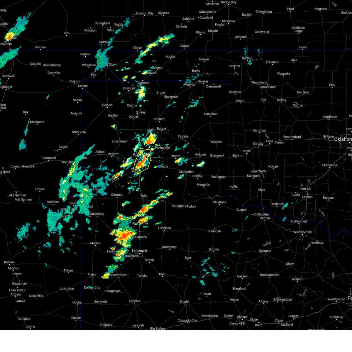 At 244 pm cdt, a severe thunderstorm was located 4 miles south of amarillo, moving north at 20 mph (radar indicated). Hazards include 60 mph wind gusts and quarter size hail. Minor damage to roofs, siding, and trees is possible. hail damage to vehicles is expected. locations impacted include, amarillo, canyon, lake tanglewood, mescalero park and timbercreek canyon. hail threat, radar indicated max hail size, 1. 00in wind threat, radar indicated max wind gust, 60 mph. At 244 pm cdt, a severe thunderstorm was located 4 miles south of amarillo, moving north at 20 mph (radar indicated). Hazards include 60 mph wind gusts and quarter size hail. Minor damage to roofs, siding, and trees is possible. hail damage to vehicles is expected. locations impacted include, amarillo, canyon, lake tanglewood, mescalero park and timbercreek canyon. hail threat, radar indicated max hail size, 1. 00in wind threat, radar indicated max wind gust, 60 mph.
|
| 6/30/2023 2:33 PM CDT |
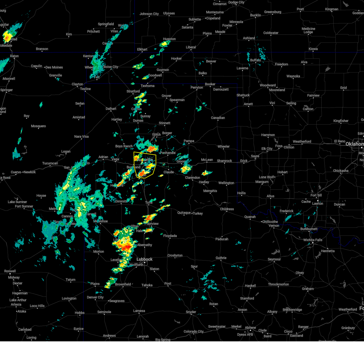 At 233 pm cdt, a severe thunderstorm was located over mescalero park, or 6 miles north of canyon, moving north at 20 mph (radar indicated). Hazards include 60 mph wind gusts and quarter size hail. Minor damage to roofs, siding, and trees is possible. hail damage to vehicles is expected. locations impacted include, amarillo, canyon, lake tanglewood, mescalero park and timbercreek canyon. hail threat, radar indicated max hail size, 1. 00in wind threat, radar indicated max wind gust, 60 mph. At 233 pm cdt, a severe thunderstorm was located over mescalero park, or 6 miles north of canyon, moving north at 20 mph (radar indicated). Hazards include 60 mph wind gusts and quarter size hail. Minor damage to roofs, siding, and trees is possible. hail damage to vehicles is expected. locations impacted include, amarillo, canyon, lake tanglewood, mescalero park and timbercreek canyon. hail threat, radar indicated max hail size, 1. 00in wind threat, radar indicated max wind gust, 60 mph.
|
| 6/30/2023 2:24 PM CDT |
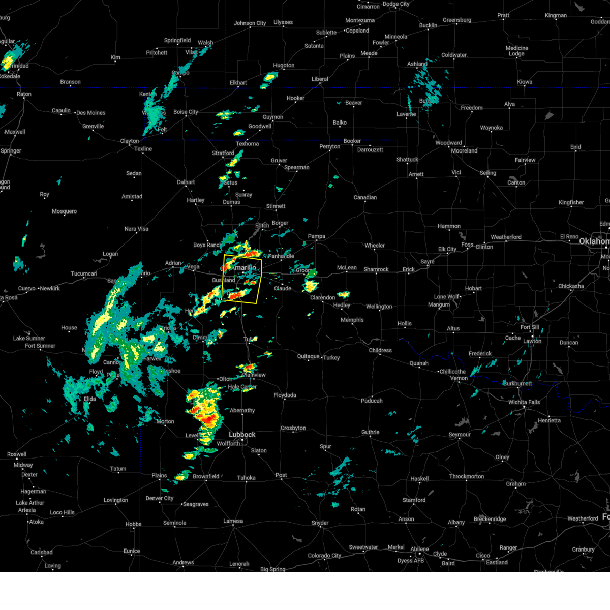 At 224 pm cdt, a severe thunderstorm was located over mescalero park, or near canyon, moving north at 20 mph (radar indicated). Hazards include 60 mph wind gusts and quarter size hail. Minor damage to roofs, siding, and trees is possible. Hail damage to vehicles is expected. At 224 pm cdt, a severe thunderstorm was located over mescalero park, or near canyon, moving north at 20 mph (radar indicated). Hazards include 60 mph wind gusts and quarter size hail. Minor damage to roofs, siding, and trees is possible. Hail damage to vehicles is expected.
|
| 6/23/2023 6:02 PM CDT |
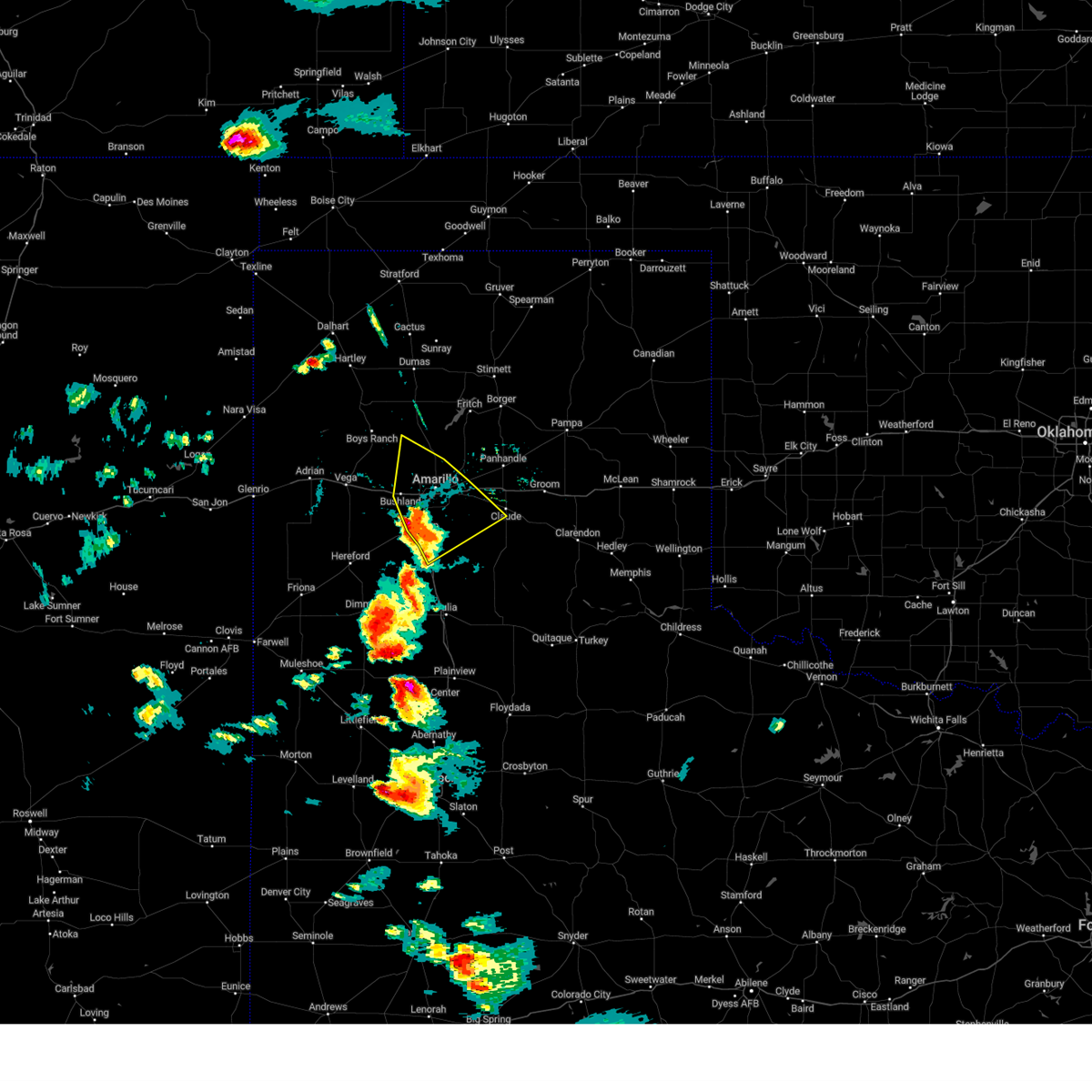 At 601 pm cdt, a severe thunderstorm was located over amarillo, moving northeast at 60 mph (radar indicated). Hazards include 60 mph wind gusts and quarter size hail. Minor damage to roofs, siding, and trees is possible. hail damage to vehicles is expected. locations impacted include, amarillo, canyon, lake tanglewood, mescalero park, bushland, washburn, palo duro canyon and timbercreek canyon. hail threat, radar indicated max hail size, 1. 00in wind threat, radar indicated max wind gust, 60 mph. At 601 pm cdt, a severe thunderstorm was located over amarillo, moving northeast at 60 mph (radar indicated). Hazards include 60 mph wind gusts and quarter size hail. Minor damage to roofs, siding, and trees is possible. hail damage to vehicles is expected. locations impacted include, amarillo, canyon, lake tanglewood, mescalero park, bushland, washburn, palo duro canyon and timbercreek canyon. hail threat, radar indicated max hail size, 1. 00in wind threat, radar indicated max wind gust, 60 mph.
|
| 6/23/2023 6:00 PM CDT | Half Dollar sized hail reported 1.4 miles S of Canyon, TX |
| 6/23/2023 5:50 PM CDT |
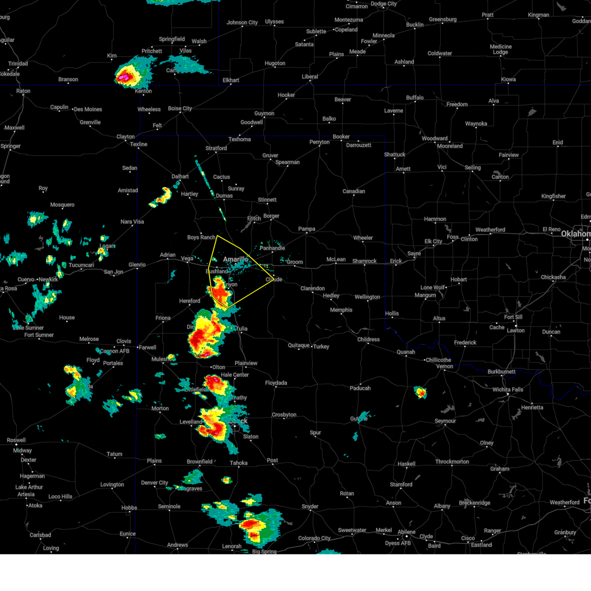 At 550 pm cdt, a severe thunderstorm was located over mescalero park, or 5 miles north of canyon, moving northeast at 60 mph (radar indicated). Hazards include 60 mph wind gusts and quarter size hail. Minor damage to roofs, siding, and trees is possible. hail damage to vehicles is expected. locations impacted include, amarillo, canyon, lake tanglewood, mescalero park, bushland, washburn, umbarger, palo duro canyon and timbercreek canyon. hail threat, radar indicated max hail size, 1. 00in wind threat, radar indicated max wind gust, 60 mph. At 550 pm cdt, a severe thunderstorm was located over mescalero park, or 5 miles north of canyon, moving northeast at 60 mph (radar indicated). Hazards include 60 mph wind gusts and quarter size hail. Minor damage to roofs, siding, and trees is possible. hail damage to vehicles is expected. locations impacted include, amarillo, canyon, lake tanglewood, mescalero park, bushland, washburn, umbarger, palo duro canyon and timbercreek canyon. hail threat, radar indicated max hail size, 1. 00in wind threat, radar indicated max wind gust, 60 mph.
|
| 6/23/2023 5:40 PM CDT |
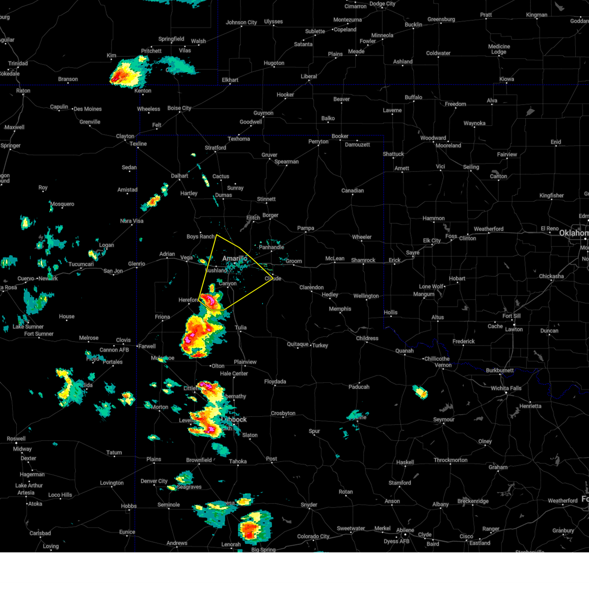 At 539 pm cdt, a severe thunderstorm was located near umbarger, or 7 miles west of canyon, moving northeast at 60 mph (radar indicated). Hazards include 60 mph wind gusts and quarter size hail. Minor damage to roofs, siding, and trees is possible. Hail damage to vehicles is expected. At 539 pm cdt, a severe thunderstorm was located near umbarger, or 7 miles west of canyon, moving northeast at 60 mph (radar indicated). Hazards include 60 mph wind gusts and quarter size hail. Minor damage to roofs, siding, and trees is possible. Hail damage to vehicles is expected.
|
| 6/11/2023 8:56 PM CDT |
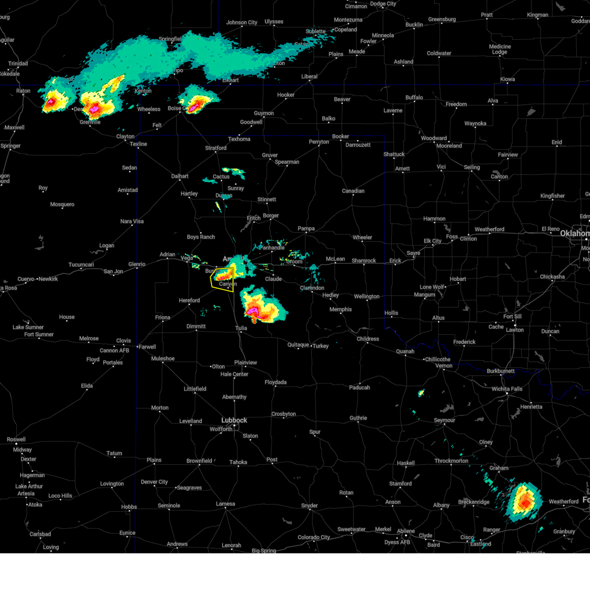 The severe thunderstorm warning for northwestern randall county will expire at 900 pm cdt, the storm which prompted the warning has weakened below severe limits, and no longer poses an immediate threat to life or property. therefore, the warning will be allowed to expire. a severe thunderstorm watch remains in effect until 1000 pm cdt for the panhandle of texas. The severe thunderstorm warning for northwestern randall county will expire at 900 pm cdt, the storm which prompted the warning has weakened below severe limits, and no longer poses an immediate threat to life or property. therefore, the warning will be allowed to expire. a severe thunderstorm watch remains in effect until 1000 pm cdt for the panhandle of texas.
|
| 6/11/2023 8:49 PM CDT |
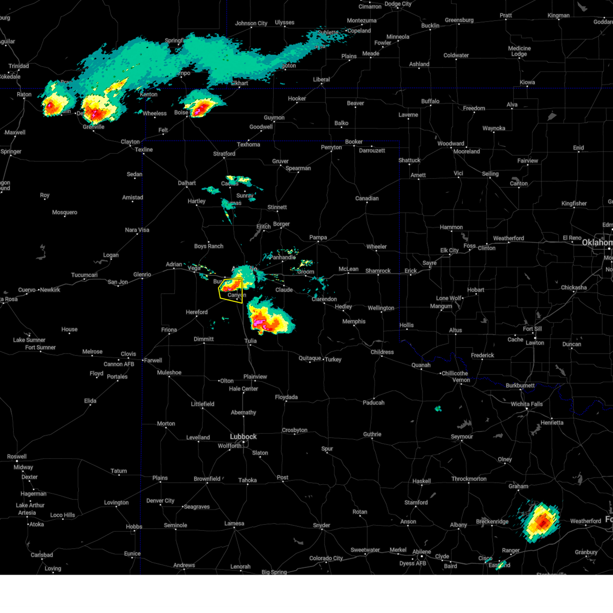 At 848 pm cdt, a severe thunderstorm was located over mescalero park, or 5 miles north of canyon, moving east at 20 mph (radar indicated). Hazards include 60 mph wind gusts and half dollar size hail. Minor damage to roofs, siding, and trees is possible. hail damage to vehicles is expected. locations impacted include, amarillo, canyon and mescalero park. hail threat, radar indicated max hail size, 1. 25 in wind threat, radar indicated max wind gust, 60 mph. At 848 pm cdt, a severe thunderstorm was located over mescalero park, or 5 miles north of canyon, moving east at 20 mph (radar indicated). Hazards include 60 mph wind gusts and half dollar size hail. Minor damage to roofs, siding, and trees is possible. hail damage to vehicles is expected. locations impacted include, amarillo, canyon and mescalero park. hail threat, radar indicated max hail size, 1. 25 in wind threat, radar indicated max wind gust, 60 mph.
|
| 6/11/2023 8:34 PM CDT |
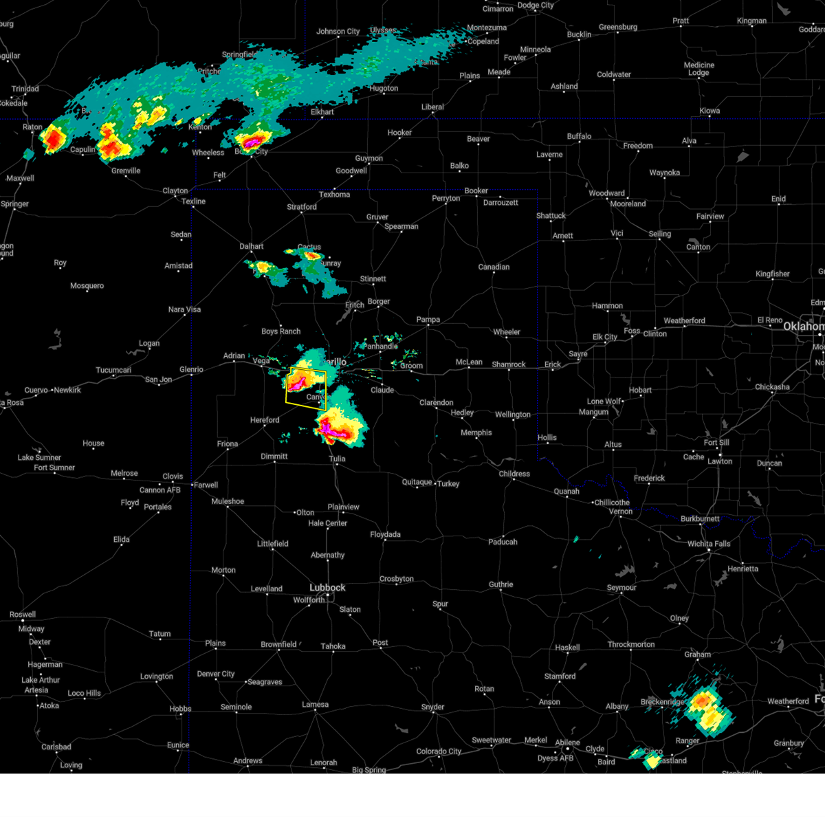 At 834 pm cdt, a severe thunderstorm was located 6 miles west of mescalero park, or 8 miles northwest of canyon, moving east at 25 mph (radar indicated). Hazards include ping pong ball size hail and 60 mph wind gusts. Minor damage to roofs, siding, and trees is possible. people and animals outdoors will be injured. expect hail damage to roofs, siding, windows, and vehicles. locations impacted include, amarillo, canyon, mescalero park and bushland. hail threat, radar indicated max hail size, 1. 50 in wind threat, radar indicated max wind gust, 60 mph. At 834 pm cdt, a severe thunderstorm was located 6 miles west of mescalero park, or 8 miles northwest of canyon, moving east at 25 mph (radar indicated). Hazards include ping pong ball size hail and 60 mph wind gusts. Minor damage to roofs, siding, and trees is possible. people and animals outdoors will be injured. expect hail damage to roofs, siding, windows, and vehicles. locations impacted include, amarillo, canyon, mescalero park and bushland. hail threat, radar indicated max hail size, 1. 50 in wind threat, radar indicated max wind gust, 60 mph.
|
| 6/11/2023 8:25 PM CDT |
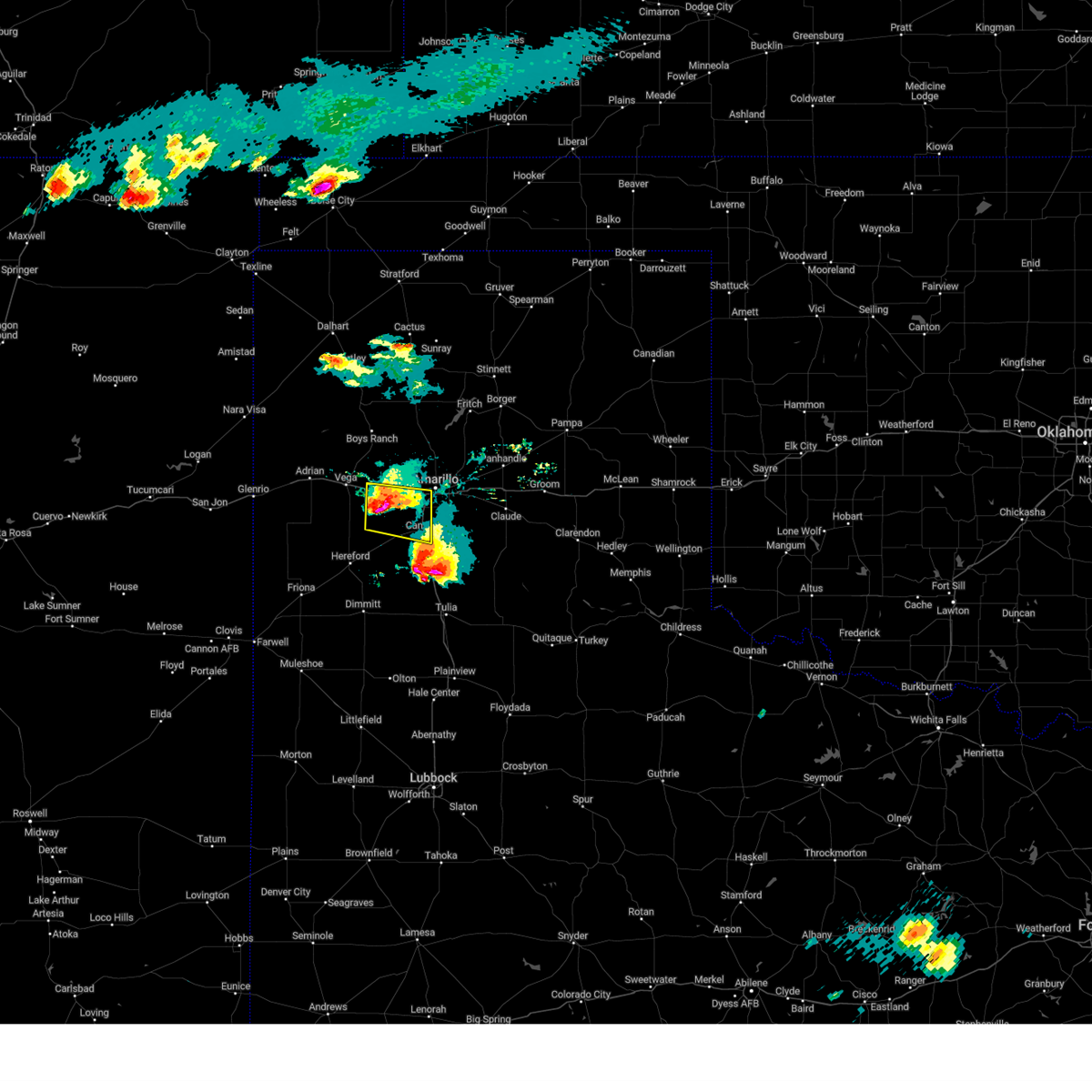 At 825 pm cdt, a severe thunderstorm was located 7 miles south of bushland, or 11 miles northwest of canyon, moving east at 25 mph (radar indicated). Hazards include tennis ball size hail and 60 mph wind gusts. Minor damage to roofs, siding, and trees is possible. people and animals outdoors will be injured. expect hail damage to roofs, siding, windows, and vehicles. locations impacted include, amarillo, canyon, mescalero park, bushland and wildorado. thunderstorm damage threat, considerable hail threat, radar indicated max hail size, 2. 50 in wind threat, radar indicated max wind gust, 60 mph. At 825 pm cdt, a severe thunderstorm was located 7 miles south of bushland, or 11 miles northwest of canyon, moving east at 25 mph (radar indicated). Hazards include tennis ball size hail and 60 mph wind gusts. Minor damage to roofs, siding, and trees is possible. people and animals outdoors will be injured. expect hail damage to roofs, siding, windows, and vehicles. locations impacted include, amarillo, canyon, mescalero park, bushland and wildorado. thunderstorm damage threat, considerable hail threat, radar indicated max hail size, 2. 50 in wind threat, radar indicated max wind gust, 60 mph.
|
| 6/11/2023 8:09 PM CDT |
 At 809 pm cdt, a severe thunderstorm was located 6 miles south of wildorado, or 14 miles southeast of vega, moving east at 25 mph (radar indicated). Hazards include tennis ball size hail and 60 mph wind gusts. Minor damage to roofs, siding, and trees is possible. people and animals outdoors will be injured. expect hail damage to roofs, siding, windows, and vehicles. locations impacted include, amarillo, canyon, mescalero park, bushland and wildorado. thunderstorm damage threat, considerable hail threat, radar indicated max hail size, 2. 50 in wind threat, radar indicated max wind gust, 60 mph. At 809 pm cdt, a severe thunderstorm was located 6 miles south of wildorado, or 14 miles southeast of vega, moving east at 25 mph (radar indicated). Hazards include tennis ball size hail and 60 mph wind gusts. Minor damage to roofs, siding, and trees is possible. people and animals outdoors will be injured. expect hail damage to roofs, siding, windows, and vehicles. locations impacted include, amarillo, canyon, mescalero park, bushland and wildorado. thunderstorm damage threat, considerable hail threat, radar indicated max hail size, 2. 50 in wind threat, radar indicated max wind gust, 60 mph.
|
| 6/11/2023 7:57 PM CDT |
 At 757 pm cdt, a severe thunderstorm was located 5 miles southwest of wildorado, or 10 miles southeast of vega, moving east at 25 mph (radar indicated). Hazards include ping pong ball size hail and 60 mph wind gusts. Minor damage to roofs, siding, and trees is possible. people and animals outdoors will be injured. Expect hail damage to roofs, siding, windows, and vehicles. At 757 pm cdt, a severe thunderstorm was located 5 miles southwest of wildorado, or 10 miles southeast of vega, moving east at 25 mph (radar indicated). Hazards include ping pong ball size hail and 60 mph wind gusts. Minor damage to roofs, siding, and trees is possible. people and animals outdoors will be injured. Expect hail damage to roofs, siding, windows, and vehicles.
|
| 6/3/2023 9:54 PM CDT |
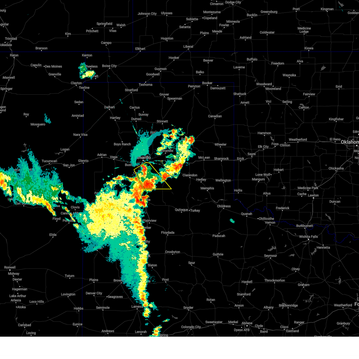 At 954 pm cdt, a severe thunderstorm was located over lake tanglewood, or 9 miles southeast of amarillo, moving southeast at 20 mph (radar indicated). Hazards include 60 mph wind gusts and quarter size hail. Minor damage to roofs, siding, and trees is possible. hail damage to vehicles is expected. locations impacted include, amarillo, canyon, lake tanglewood, mescalero park, wayside, palo duro canyon and timbercreek canyon. hail threat, radar indicated max hail size, 1. 00in wind threat, radar indicated max wind gust, 60 mph. At 954 pm cdt, a severe thunderstorm was located over lake tanglewood, or 9 miles southeast of amarillo, moving southeast at 20 mph (radar indicated). Hazards include 60 mph wind gusts and quarter size hail. Minor damage to roofs, siding, and trees is possible. hail damage to vehicles is expected. locations impacted include, amarillo, canyon, lake tanglewood, mescalero park, wayside, palo duro canyon and timbercreek canyon. hail threat, radar indicated max hail size, 1. 00in wind threat, radar indicated max wind gust, 60 mph.
|
| 6/3/2023 9:05 PM CDT |
 At 905 pm cdt, severe thunderstorms were located along a line extending from 3 miles southwest of mescalero park to 7 miles northwest of black, moving southeast at 25 mph (radar indicated). Hazards include ping pong ball size hail and 60 mph wind gusts. Minor damage to roofs, siding, and trees is possible. people and animals outdoors will be injured. expect hail damage to roofs, siding, windows, and vehicles. locations impacted include, amarillo, hereford, canyon, lake tanglewood, mescalero park, buffalo lake, dawn, wayside, umbarger, bootleg, palo duro canyon and timbercreek canyon. hail threat, radar indicated max hail size, 1. 50 in wind threat, radar indicated max wind gust, 60 mph. At 905 pm cdt, severe thunderstorms were located along a line extending from 3 miles southwest of mescalero park to 7 miles northwest of black, moving southeast at 25 mph (radar indicated). Hazards include ping pong ball size hail and 60 mph wind gusts. Minor damage to roofs, siding, and trees is possible. people and animals outdoors will be injured. expect hail damage to roofs, siding, windows, and vehicles. locations impacted include, amarillo, hereford, canyon, lake tanglewood, mescalero park, buffalo lake, dawn, wayside, umbarger, bootleg, palo duro canyon and timbercreek canyon. hail threat, radar indicated max hail size, 1. 50 in wind threat, radar indicated max wind gust, 60 mph.
|
| 6/3/2023 8:58 PM CDT | Gas station canopy partially destroyed. time estimated from rada in randall county TX, 0.7 miles N of Canyon, TX |
| 6/3/2023 8:47 PM CDT |
 At 847 pm cdt, severe thunderstorms were located along a line extending from 6 miles south of bushland to 6 miles southeast of bootleg, moving southeast at 10 mph (radar indicated). Hazards include 60 mph wind gusts and half dollar size hail. Minor damage to roofs, siding, and trees is possible. hail damage to vehicles is expected. locations impacted include, amarillo, hereford, canyon, lake tanglewood, buffalo lake, bushland, wayside, umbarger, bootleg, palo duro canyon, mescalero park, dawn and timbercreek canyon. hail threat, radar indicated max hail size, 1. 25 in wind threat, radar indicated max wind gust, 60 mph. At 847 pm cdt, severe thunderstorms were located along a line extending from 6 miles south of bushland to 6 miles southeast of bootleg, moving southeast at 10 mph (radar indicated). Hazards include 60 mph wind gusts and half dollar size hail. Minor damage to roofs, siding, and trees is possible. hail damage to vehicles is expected. locations impacted include, amarillo, hereford, canyon, lake tanglewood, buffalo lake, bushland, wayside, umbarger, bootleg, palo duro canyon, mescalero park, dawn and timbercreek canyon. hail threat, radar indicated max hail size, 1. 25 in wind threat, radar indicated max wind gust, 60 mph.
|
| 6/3/2023 8:29 PM CDT |
 At 829 pm cdt, a severe thunderstorm was located 6 miles west of panhandle, moving south at 20 mph (radar indicated). Hazards include ping pong ball size hail and 60 mph wind gusts. Minor damage to roofs, siding, and trees is possible. people and animals outdoors will be injured. expect hail damage to roofs, siding, windows, and vehicles. locations impacted include, amarillo, canyon, panhandle, claude, white deer, lake tanglewood, groom, skellytown, wayside, washburn, palo duro canyon, goodnight, mescalero park, timbercreek canyon and pantex. hail threat, radar indicated max hail size, 1. 50 in wind threat, radar indicated max wind gust, 60 mph. At 829 pm cdt, a severe thunderstorm was located 6 miles west of panhandle, moving south at 20 mph (radar indicated). Hazards include ping pong ball size hail and 60 mph wind gusts. Minor damage to roofs, siding, and trees is possible. people and animals outdoors will be injured. expect hail damage to roofs, siding, windows, and vehicles. locations impacted include, amarillo, canyon, panhandle, claude, white deer, lake tanglewood, groom, skellytown, wayside, washburn, palo duro canyon, goodnight, mescalero park, timbercreek canyon and pantex. hail threat, radar indicated max hail size, 1. 50 in wind threat, radar indicated max wind gust, 60 mph.
|
| 6/3/2023 8:24 PM CDT |
 At 824 pm cdt, severe thunderstorms were located along a line extending from 3 miles south of bushland to 3 miles east of bootleg, moving southeast at 10 mph (radar indicated). Hazards include 60 mph wind gusts and half dollar size hail. Minor damage to roofs, siding, and trees is possible. Hail damage to vehicles is expected. At 824 pm cdt, severe thunderstorms were located along a line extending from 3 miles south of bushland to 3 miles east of bootleg, moving southeast at 10 mph (radar indicated). Hazards include 60 mph wind gusts and half dollar size hail. Minor damage to roofs, siding, and trees is possible. Hail damage to vehicles is expected.
|
| 6/3/2023 8:13 PM CDT |
 At 813 pm cdt, a severe thunderstorm was located 8 miles east of bootleg, or 14 miles north of friona, moving south at 15 mph (radar indicated). Hazards include 60 mph wind gusts and quarter size hail. Minor damage to roofs, siding, and trees is possible. hail damage to vehicles is expected. locations impacted include, amarillo, hereford, canyon, mescalero park, buffalo lake, dawn, umbarger, bootleg and simms. hail threat, radar indicated max hail size, 1. 00in wind threat, radar indicated max wind gust, 60 mph. At 813 pm cdt, a severe thunderstorm was located 8 miles east of bootleg, or 14 miles north of friona, moving south at 15 mph (radar indicated). Hazards include 60 mph wind gusts and quarter size hail. Minor damage to roofs, siding, and trees is possible. hail damage to vehicles is expected. locations impacted include, amarillo, hereford, canyon, mescalero park, buffalo lake, dawn, umbarger, bootleg and simms. hail threat, radar indicated max hail size, 1. 00in wind threat, radar indicated max wind gust, 60 mph.
|
| 6/3/2023 8:00 PM CDT |
 At 800 pm cdt, a severe thunderstorm was located 7 miles south of panhandle, moving south at 5 mph (radar indicated). Hazards include 60 mph wind gusts and half dollar size hail. Minor damage to roofs, siding, and trees is possible. hail damage to vehicles is expected. locations impacted include, amarillo, canyon, panhandle, claude, white deer, lake tanglewood, groom, skellytown, wayside, washburn, palo duro canyon, goodnight, mescalero park, timbercreek canyon and pantex. hail threat, radar indicated max hail size, 1. 25 in wind threat, radar indicated max wind gust, 60 mph. At 800 pm cdt, a severe thunderstorm was located 7 miles south of panhandle, moving south at 5 mph (radar indicated). Hazards include 60 mph wind gusts and half dollar size hail. Minor damage to roofs, siding, and trees is possible. hail damage to vehicles is expected. locations impacted include, amarillo, canyon, panhandle, claude, white deer, lake tanglewood, groom, skellytown, wayside, washburn, palo duro canyon, goodnight, mescalero park, timbercreek canyon and pantex. hail threat, radar indicated max hail size, 1. 25 in wind threat, radar indicated max wind gust, 60 mph.
|
| 6/3/2023 7:55 PM CDT |
 At 755 pm cdt, a severe thunderstorm was located 11 miles northwest of dawn, or 14 miles north of hereford, moving south at 20 mph (radar indicated). Hazards include 60 mph wind gusts and quarter size hail. Minor damage to roofs, siding, and trees is possible. hail damage to vehicles is expected. locations impacted include, amarillo, hereford, canyon, mescalero park, buffalo lake, dawn, umbarger, bootleg and simms. hail threat, radar indicated max hail size, 1. 00in wind threat, radar indicated max wind gust, 60 mph. At 755 pm cdt, a severe thunderstorm was located 11 miles northwest of dawn, or 14 miles north of hereford, moving south at 20 mph (radar indicated). Hazards include 60 mph wind gusts and quarter size hail. Minor damage to roofs, siding, and trees is possible. hail damage to vehicles is expected. locations impacted include, amarillo, hereford, canyon, mescalero park, buffalo lake, dawn, umbarger, bootleg and simms. hail threat, radar indicated max hail size, 1. 00in wind threat, radar indicated max wind gust, 60 mph.
|
| 6/3/2023 7:42 PM CDT |
 At 742 pm cdt, a severe thunderstorm was located 9 miles north of hereford, moving south at 20 mph (radar indicated). Hazards include 60 mph wind gusts and quarter size hail. Minor damage to roofs, siding, and trees is possible. hail damage to vehicles is expected. locations impacted include, amarillo, hereford, canyon, mescalero park, buffalo lake, dawn, umbarger, bootleg and simms. hail threat, radar indicated max hail size, 1. 00in wind threat, radar indicated max wind gust, 60 mph. At 742 pm cdt, a severe thunderstorm was located 9 miles north of hereford, moving south at 20 mph (radar indicated). Hazards include 60 mph wind gusts and quarter size hail. Minor damage to roofs, siding, and trees is possible. hail damage to vehicles is expected. locations impacted include, amarillo, hereford, canyon, mescalero park, buffalo lake, dawn, umbarger, bootleg and simms. hail threat, radar indicated max hail size, 1. 00in wind threat, radar indicated max wind gust, 60 mph.
|
| 6/3/2023 7:39 PM CDT |
 At 738 pm cdt, a severe thunderstorm was located 5 miles southwest of panhandle, moving south at 5 mph (radar indicated). Hazards include 60 mph wind gusts and half dollar size hail. Minor damage to roofs, siding, and trees is possible. hail damage to vehicles is expected. locations impacted include, amarillo, canyon, panhandle, claude, white deer, lake tanglewood, groom, skellytown, wayside, washburn, palo duro canyon, goodnight, mescalero park, timbercreek canyon and pantex. hail threat, radar indicated max hail size, 1. 25 in wind threat, radar indicated max wind gust, 60 mph. At 738 pm cdt, a severe thunderstorm was located 5 miles southwest of panhandle, moving south at 5 mph (radar indicated). Hazards include 60 mph wind gusts and half dollar size hail. Minor damage to roofs, siding, and trees is possible. hail damage to vehicles is expected. locations impacted include, amarillo, canyon, panhandle, claude, white deer, lake tanglewood, groom, skellytown, wayside, washburn, palo duro canyon, goodnight, mescalero park, timbercreek canyon and pantex. hail threat, radar indicated max hail size, 1. 25 in wind threat, radar indicated max wind gust, 60 mph.
|
| 6/3/2023 7:33 PM CDT |
 At 732 pm cdt, a severe thunderstorm was located 4 miles south of panhandle, moving southeast at 5 mph (radar indicated). Hazards include 60 mph wind gusts and half dollar size hail. Minor damage to roofs, siding, and trees is possible. hail damage to vehicles is expected. locations impacted include, amarillo, canyon, panhandle, claude, white deer, lake tanglewood, groom, skellytown, wayside, washburn, palo duro canyon, goodnight, mescalero park, timbercreek canyon and pantex. hail threat, radar indicated max hail size, 1. 25 in wind threat, radar indicated max wind gust, 60 mph. At 732 pm cdt, a severe thunderstorm was located 4 miles south of panhandle, moving southeast at 5 mph (radar indicated). Hazards include 60 mph wind gusts and half dollar size hail. Minor damage to roofs, siding, and trees is possible. hail damage to vehicles is expected. locations impacted include, amarillo, canyon, panhandle, claude, white deer, lake tanglewood, groom, skellytown, wayside, washburn, palo duro canyon, goodnight, mescalero park, timbercreek canyon and pantex. hail threat, radar indicated max hail size, 1. 25 in wind threat, radar indicated max wind gust, 60 mph.
|
| 6/3/2023 7:25 PM CDT |
 At 724 pm cdt, a severe thunderstorm was located 10 miles northwest of dawn, or 11 miles north of hereford, moving southeast at 10 mph (radar indicated). Hazards include 60 mph wind gusts and half dollar size hail. Minor damage to roofs, siding, and trees is possible. hail damage to vehicles is expected. locations impacted include, amarillo, hereford, canyon, mescalero park, buffalo lake, dawn, umbarger, bootleg and simms. hail threat, radar indicated max hail size, 1. 25 in wind threat, radar indicated max wind gust, 60 mph. At 724 pm cdt, a severe thunderstorm was located 10 miles northwest of dawn, or 11 miles north of hereford, moving southeast at 10 mph (radar indicated). Hazards include 60 mph wind gusts and half dollar size hail. Minor damage to roofs, siding, and trees is possible. hail damage to vehicles is expected. locations impacted include, amarillo, hereford, canyon, mescalero park, buffalo lake, dawn, umbarger, bootleg and simms. hail threat, radar indicated max hail size, 1. 25 in wind threat, radar indicated max wind gust, 60 mph.
|
| 6/3/2023 7:21 PM CDT |
 At 721 pm cdt, a severe thunderstorm was located 7 miles west of panhandle, moving south at 10 mph (radar indicated). Hazards include 60 mph wind gusts and half dollar size hail. Minor damage to roofs, siding, and trees is possible. Hail damage to vehicles is expected. At 721 pm cdt, a severe thunderstorm was located 7 miles west of panhandle, moving south at 10 mph (radar indicated). Hazards include 60 mph wind gusts and half dollar size hail. Minor damage to roofs, siding, and trees is possible. Hail damage to vehicles is expected.
|
| 6/3/2023 7:04 PM CDT |
 At 704 pm cdt, severe thunderstorms were located along a line extending from 5 miles northwest of dawn to 4 miles east of summerfield to 3 miles south of bootleg, moving south at 10 mph (radar indicated). Hazards include 60 mph wind gusts and half dollar size hail. Minor damage to roofs, siding, and trees is possible. hail damage to vehicles is expected. locations impacted include, amarillo, hereford, canyon, mescalero park, buffalo lake, dawn, umbarger, bootleg and simms. hail threat, radar indicated max hail size, 1. 25 in wind threat, radar indicated max wind gust, 60 mph. At 704 pm cdt, severe thunderstorms were located along a line extending from 5 miles northwest of dawn to 4 miles east of summerfield to 3 miles south of bootleg, moving south at 10 mph (radar indicated). Hazards include 60 mph wind gusts and half dollar size hail. Minor damage to roofs, siding, and trees is possible. hail damage to vehicles is expected. locations impacted include, amarillo, hereford, canyon, mescalero park, buffalo lake, dawn, umbarger, bootleg and simms. hail threat, radar indicated max hail size, 1. 25 in wind threat, radar indicated max wind gust, 60 mph.
|
| 6/3/2023 6:52 PM CDT |
 At 652 pm cdt, severe thunderstorms were located along a line extending from 6 miles north of dawn to 4 miles southwest of hereford to near bootleg, moving south at 10 mph (radar indicated). Hazards include 60 mph wind gusts and half dollar size hail. Minor damage to roofs, siding, and trees is possible. Hail damage to vehicles is expected. At 652 pm cdt, severe thunderstorms were located along a line extending from 6 miles north of dawn to 4 miles southwest of hereford to near bootleg, moving south at 10 mph (radar indicated). Hazards include 60 mph wind gusts and half dollar size hail. Minor damage to roofs, siding, and trees is possible. Hail damage to vehicles is expected.
|
| 5/31/2023 9:34 PM CDT |
 At 934 pm cdt, automated weather equipment reported severe thunderstorms were located along a line extending from 5 miles north of lake meredith to 5 miles north of washburn to 6 miles south of canyon, moving northeast at 45 mph (automated weather equipment. at 923 pm cdt, automated weather equipment recorded a 60 mph wind gust 1 mile west northwest of fritch). Hazards include 60 mph wind gusts. Minor damage to roofs, siding, and trees is possible. locations impacted include, amarillo, dumas, canyon, borger, panhandle, claude, fritch, sunray, stinnett, lake tanglewood, sanford, buffalo lake, bushland, valley de oro, washburn, umbarger, palo duro canyon, mescalero park, four way and masterson. hail threat, radar indicated max hail size, <. 75 in wind threat, radar indicated max wind gust, 60 mph. At 934 pm cdt, automated weather equipment reported severe thunderstorms were located along a line extending from 5 miles north of lake meredith to 5 miles north of washburn to 6 miles south of canyon, moving northeast at 45 mph (automated weather equipment. at 923 pm cdt, automated weather equipment recorded a 60 mph wind gust 1 mile west northwest of fritch). Hazards include 60 mph wind gusts. Minor damage to roofs, siding, and trees is possible. locations impacted include, amarillo, dumas, canyon, borger, panhandle, claude, fritch, sunray, stinnett, lake tanglewood, sanford, buffalo lake, bushland, valley de oro, washburn, umbarger, palo duro canyon, mescalero park, four way and masterson. hail threat, radar indicated max hail size, <. 75 in wind threat, radar indicated max wind gust, 60 mph.
|
| 5/31/2023 9:00 PM CDT |
 At 900 pm cdt, automated weather equipment reported severe thunderstorms were located along a line extending from 3 miles south of masterson to 11 miles north of amarillo to near canyon, moving northeast at 30 mph (automated weather equipment. at 854 pm cdt, automated weather equipment measured a 58 mph wind gust 15 miles north northwest of amarillo). Hazards include 60 mph wind gusts and nickel size hail. Minor damage to roofs, siding, and trees is possible. locations impacted include, amarillo, dumas, canyon, borger, panhandle, claude, fritch, sunray, stinnett, lake tanglewood, sanford, buffalo lake, bushland, valley de oro, washburn, umbarger, palo duro canyon, mescalero park, four way and masterson. hail threat, radar indicated max hail size, 0. 88in wind threat, radar indicated max wind gust, 60 mph. At 900 pm cdt, automated weather equipment reported severe thunderstorms were located along a line extending from 3 miles south of masterson to 11 miles north of amarillo to near canyon, moving northeast at 30 mph (automated weather equipment. at 854 pm cdt, automated weather equipment measured a 58 mph wind gust 15 miles north northwest of amarillo). Hazards include 60 mph wind gusts and nickel size hail. Minor damage to roofs, siding, and trees is possible. locations impacted include, amarillo, dumas, canyon, borger, panhandle, claude, fritch, sunray, stinnett, lake tanglewood, sanford, buffalo lake, bushland, valley de oro, washburn, umbarger, palo duro canyon, mescalero park, four way and masterson. hail threat, radar indicated max hail size, 0. 88in wind threat, radar indicated max wind gust, 60 mph.
|
| 5/31/2023 8:32 PM CDT |
 At 831 pm cdt, severe thunderstorms were located along a line extending from 9 miles west of masterson to 10 miles southeast of valley de oro to 7 miles south of canyon, moving northeast at 35 mph (radar indicated). Hazards include 60 mph wind gusts and nickel size hail. minor damage to roofs, siding, and trees is possible At 831 pm cdt, severe thunderstorms were located along a line extending from 9 miles west of masterson to 10 miles southeast of valley de oro to 7 miles south of canyon, moving northeast at 35 mph (radar indicated). Hazards include 60 mph wind gusts and nickel size hail. minor damage to roofs, siding, and trees is possible
|
| 5/31/2023 8:20 PM CDT | Observed at wt mesone in randall county TX, 9.1 miles E of Canyon, TX |
| 5/31/2023 5:29 AM CDT |
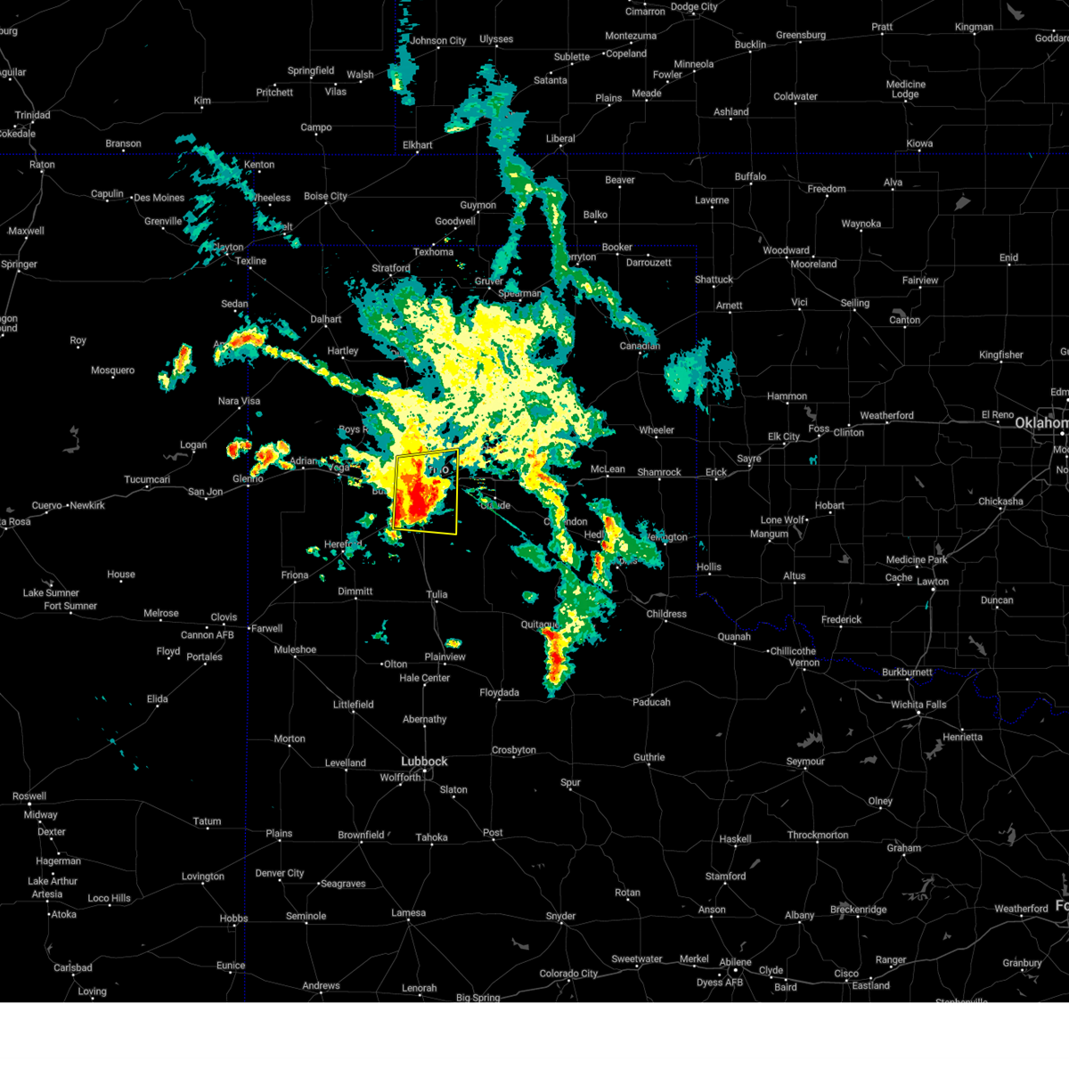 At 529 am cdt, a severe thunderstorm was located 4 miles east of amarillo, moving east at 30 mph (radar indicated). Hazards include 60 mph wind gusts and nickel size hail. Minor damage to roofs, siding, and trees is possible. locations impacted include, amarillo, canyon, lake tanglewood, mescalero park, palo duro canyon and timbercreek canyon. hail threat, radar indicated max hail size, 0. 88in wind threat, radar indicated max wind gust, 60 mph. At 529 am cdt, a severe thunderstorm was located 4 miles east of amarillo, moving east at 30 mph (radar indicated). Hazards include 60 mph wind gusts and nickel size hail. Minor damage to roofs, siding, and trees is possible. locations impacted include, amarillo, canyon, lake tanglewood, mescalero park, palo duro canyon and timbercreek canyon. hail threat, radar indicated max hail size, 0. 88in wind threat, radar indicated max wind gust, 60 mph.
|
| 5/31/2023 4:54 AM CDT |
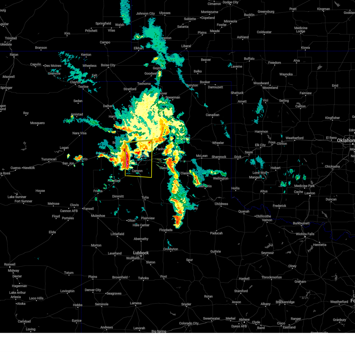 At 453 am cdt, a severe thunderstorm was located near bushland, or 12 miles west of amarillo, moving east at 30 mph (radar indicated). Hazards include 60 mph wind gusts and nickel size hail. minor damage to roofs, siding, and trees is possible At 453 am cdt, a severe thunderstorm was located near bushland, or 12 miles west of amarillo, moving east at 30 mph (radar indicated). Hazards include 60 mph wind gusts and nickel size hail. minor damage to roofs, siding, and trees is possible
|
| 5/27/2023 12:40 AM CDT |
 At 1240 am cdt, a severe thunderstorm was located near bootleg, or 17 miles north of friona, moving east at 15 mph (radar indicated). Hazards include ping pong ball size hail and 60 mph wind gusts. Minor damage to roofs, siding, and trees is possible. people and animals outdoors will be injured. expect hail damage to roofs, siding, windows, and vehicles. locations impacted include, hereford, canyon, mescalero park, buffalo lake, dawn, umbarger and bootleg. hail threat, radar indicated max hail size, 1. 50 in wind threat, radar indicated max wind gust, 60 mph. At 1240 am cdt, a severe thunderstorm was located near bootleg, or 17 miles north of friona, moving east at 15 mph (radar indicated). Hazards include ping pong ball size hail and 60 mph wind gusts. Minor damage to roofs, siding, and trees is possible. people and animals outdoors will be injured. expect hail damage to roofs, siding, windows, and vehicles. locations impacted include, hereford, canyon, mescalero park, buffalo lake, dawn, umbarger and bootleg. hail threat, radar indicated max hail size, 1. 50 in wind threat, radar indicated max wind gust, 60 mph.
|
| 5/27/2023 12:29 AM CDT |
 At 1228 am cdt, a severe thunderstorm was located near bootleg, or 17 miles north of friona, moving east at 10 mph. another severe thunderstorm was located near hereford, moving northeast at 10 mph (radar indicated). Hazards include two inch hail and 60 mph wind gusts. Minor damage to roofs, siding, and trees is possible. people and animals outdoors will be injured. expect hail damage to roofs, siding, windows, and vehicles. locations impacted include, hereford, canyon, mescalero park, buffalo lake, dawn, umbarger and bootleg. thunderstorm damage threat, considerable hail threat, radar indicated max hail size, 2. 00 in wind threat, radar indicated max wind gust, 60 mph. At 1228 am cdt, a severe thunderstorm was located near bootleg, or 17 miles north of friona, moving east at 10 mph. another severe thunderstorm was located near hereford, moving northeast at 10 mph (radar indicated). Hazards include two inch hail and 60 mph wind gusts. Minor damage to roofs, siding, and trees is possible. people and animals outdoors will be injured. expect hail damage to roofs, siding, windows, and vehicles. locations impacted include, hereford, canyon, mescalero park, buffalo lake, dawn, umbarger and bootleg. thunderstorm damage threat, considerable hail threat, radar indicated max hail size, 2. 00 in wind threat, radar indicated max wind gust, 60 mph.
|
| 5/27/2023 12:22 AM CDT |
 At 1222 am cdt, a severe thunderstorm was located near bootleg, or 17 miles north of friona, moving east at 5 mph (radar indicated). Hazards include two inch hail and 60 mph wind gusts. Minor damage to roofs, siding, and trees is possible. people and animals outdoors will be injured. expect hail damage to roofs, siding, windows, and vehicles. locations impacted include, hereford, canyon, mescalero park, buffalo lake, dawn, umbarger and bootleg. thunderstorm damage threat, considerable hail threat, radar indicated max hail size, 2. 00 in wind threat, radar indicated max wind gust, 60 mph. At 1222 am cdt, a severe thunderstorm was located near bootleg, or 17 miles north of friona, moving east at 5 mph (radar indicated). Hazards include two inch hail and 60 mph wind gusts. Minor damage to roofs, siding, and trees is possible. people and animals outdoors will be injured. expect hail damage to roofs, siding, windows, and vehicles. locations impacted include, hereford, canyon, mescalero park, buffalo lake, dawn, umbarger and bootleg. thunderstorm damage threat, considerable hail threat, radar indicated max hail size, 2. 00 in wind threat, radar indicated max wind gust, 60 mph.
|
| 5/27/2023 12:06 AM CDT |
 At 1206 am cdt, a severe thunderstorm was located over bootleg, or 16 miles north of friona, moving east at 10 mph (radar indicated). Hazards include ping pong ball size hail and 60 mph wind gusts. Minor damage to roofs, siding, and trees is possible. people and animals outdoors will be injured. Expect hail damage to roofs, siding, windows, and vehicles. At 1206 am cdt, a severe thunderstorm was located over bootleg, or 16 miles north of friona, moving east at 10 mph (radar indicated). Hazards include ping pong ball size hail and 60 mph wind gusts. Minor damage to roofs, siding, and trees is possible. people and animals outdoors will be injured. Expect hail damage to roofs, siding, windows, and vehicles.
|
| 5/23/2023 7:12 PM CDT |
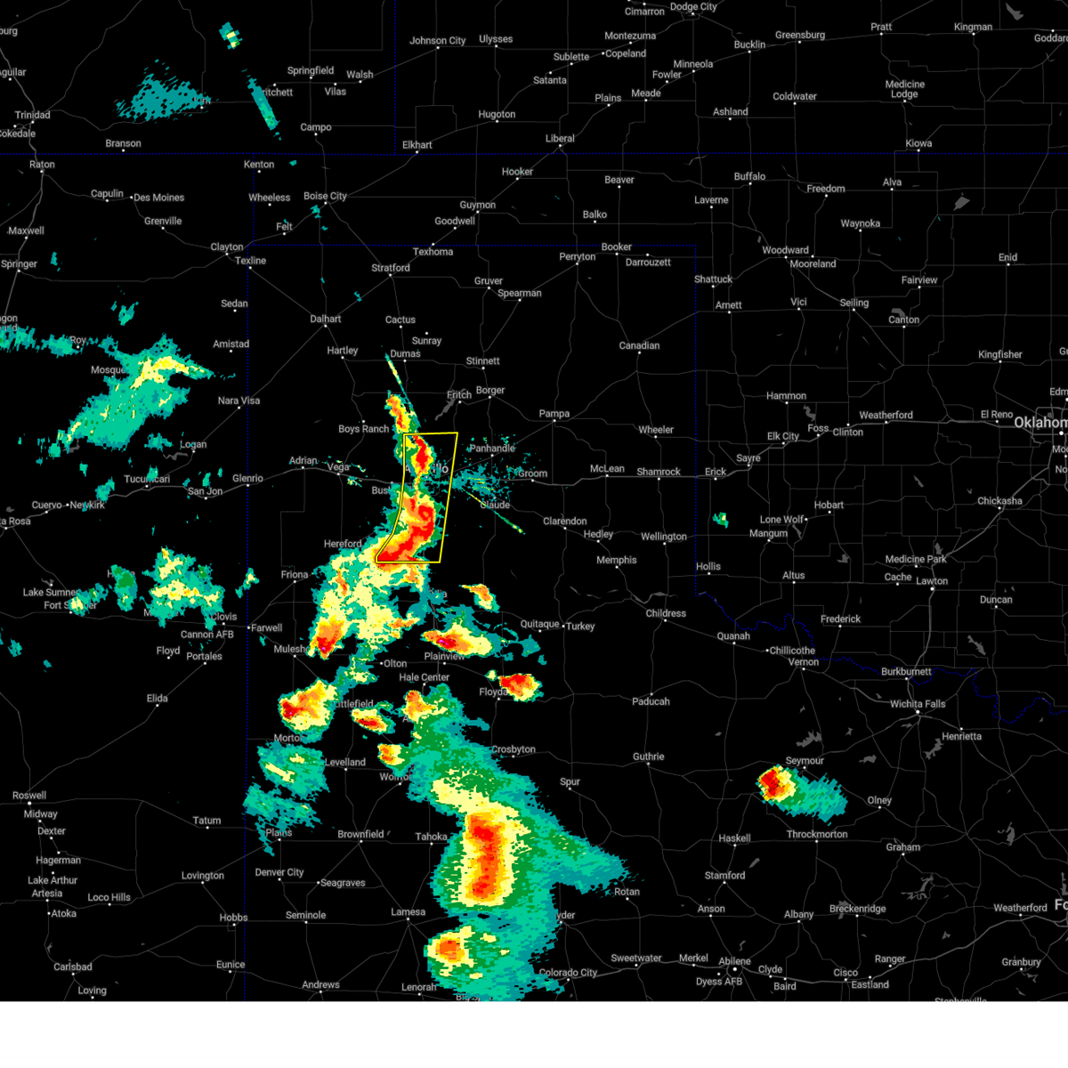 At 711 pm cdt, severe thunderstorms were located along a line extending from 15 miles north of amarillo to near lake tanglewood to 6 miles northwest of happy, moving east at 35 mph (radar indicated). Hazards include 60 mph wind gusts and nickel size hail. Minor damage to roofs, siding, and trees is possible. locations impacted include, amarillo, canyon, lake tanglewood, mescalero park and timbercreek canyon. hail threat, radar indicated max hail size, 0. 88in wind threat, radar indicated max wind gust, 60 mph. At 711 pm cdt, severe thunderstorms were located along a line extending from 15 miles north of amarillo to near lake tanglewood to 6 miles northwest of happy, moving east at 35 mph (radar indicated). Hazards include 60 mph wind gusts and nickel size hail. Minor damage to roofs, siding, and trees is possible. locations impacted include, amarillo, canyon, lake tanglewood, mescalero park and timbercreek canyon. hail threat, radar indicated max hail size, 0. 88in wind threat, radar indicated max wind gust, 60 mph.
|
| 5/23/2023 6:57 PM CDT |
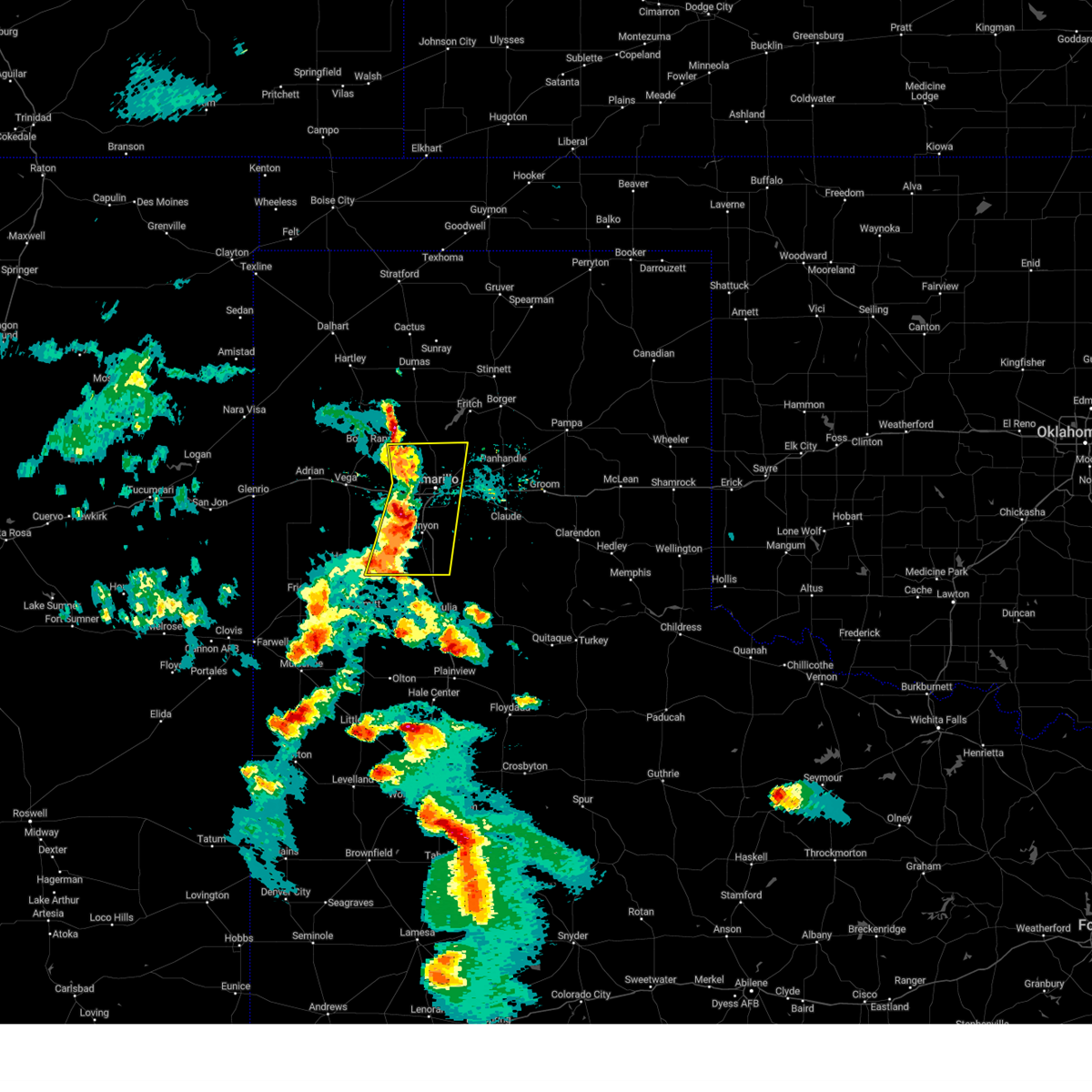 At 656 pm cdt, severe thunderstorms were located along a line extending from 10 miles east of valley de oro to near mescalero park to 6 miles southeast of buffalo lake, moving east at 35 mph (radar indicated). Hazards include 60 mph wind gusts and quarter size hail. Minor damage to roofs, siding, and trees is possible. hail damage to vehicles is expected. locations impacted include, amarillo, canyon, lake tanglewood, mescalero park, buffalo lake, bushland, dawn, valley de oro, umbarger and timbercreek canyon. hail threat, radar indicated max hail size, 1. 00in wind threat, radar indicated max wind gust, 60 mph. At 656 pm cdt, severe thunderstorms were located along a line extending from 10 miles east of valley de oro to near mescalero park to 6 miles southeast of buffalo lake, moving east at 35 mph (radar indicated). Hazards include 60 mph wind gusts and quarter size hail. Minor damage to roofs, siding, and trees is possible. hail damage to vehicles is expected. locations impacted include, amarillo, canyon, lake tanglewood, mescalero park, buffalo lake, bushland, dawn, valley de oro, umbarger and timbercreek canyon. hail threat, radar indicated max hail size, 1. 00in wind threat, radar indicated max wind gust, 60 mph.
|
| 5/23/2023 6:45 PM CDT |
 At 645 pm cdt, severe thunderstorms were located along a line extending from 4 miles southeast of valley de oro to 5 miles northeast of umbarger to 6 miles southwest of buffalo lake, moving east at 40 mph (radar indicated). Hazards include 60 mph wind gusts and half dollar size hail. Minor damage to roofs, siding, and trees is possible. hail damage to vehicles is expected. locations impacted include, amarillo, hereford, canyon, lake tanglewood, mescalero park, buffalo lake, bushland, dawn, valley de oro, umbarger and timbercreek canyon. hail threat, radar indicated max hail size, 1. 25 in wind threat, radar indicated max wind gust, 60 mph. At 645 pm cdt, severe thunderstorms were located along a line extending from 4 miles southeast of valley de oro to 5 miles northeast of umbarger to 6 miles southwest of buffalo lake, moving east at 40 mph (radar indicated). Hazards include 60 mph wind gusts and half dollar size hail. Minor damage to roofs, siding, and trees is possible. hail damage to vehicles is expected. locations impacted include, amarillo, hereford, canyon, lake tanglewood, mescalero park, buffalo lake, bushland, dawn, valley de oro, umbarger and timbercreek canyon. hail threat, radar indicated max hail size, 1. 25 in wind threat, radar indicated max wind gust, 60 mph.
|
| 5/23/2023 6:35 PM CDT |
 At 635 pm cdt, severe thunderstorms were located along a line extending from 3 miles southwest of valley de oro to 7 miles northwest of umbarger to 6 miles east of hereford, moving east at 35 mph (radar indicated). Hazards include 60 mph wind gusts and quarter size hail. Minor damage to roofs, siding, and trees is possible. Hail damage to vehicles is expected. At 635 pm cdt, severe thunderstorms were located along a line extending from 3 miles southwest of valley de oro to 7 miles northwest of umbarger to 6 miles east of hereford, moving east at 35 mph (radar indicated). Hazards include 60 mph wind gusts and quarter size hail. Minor damage to roofs, siding, and trees is possible. Hail damage to vehicles is expected.
|
| 5/18/2023 9:51 PM CDT |
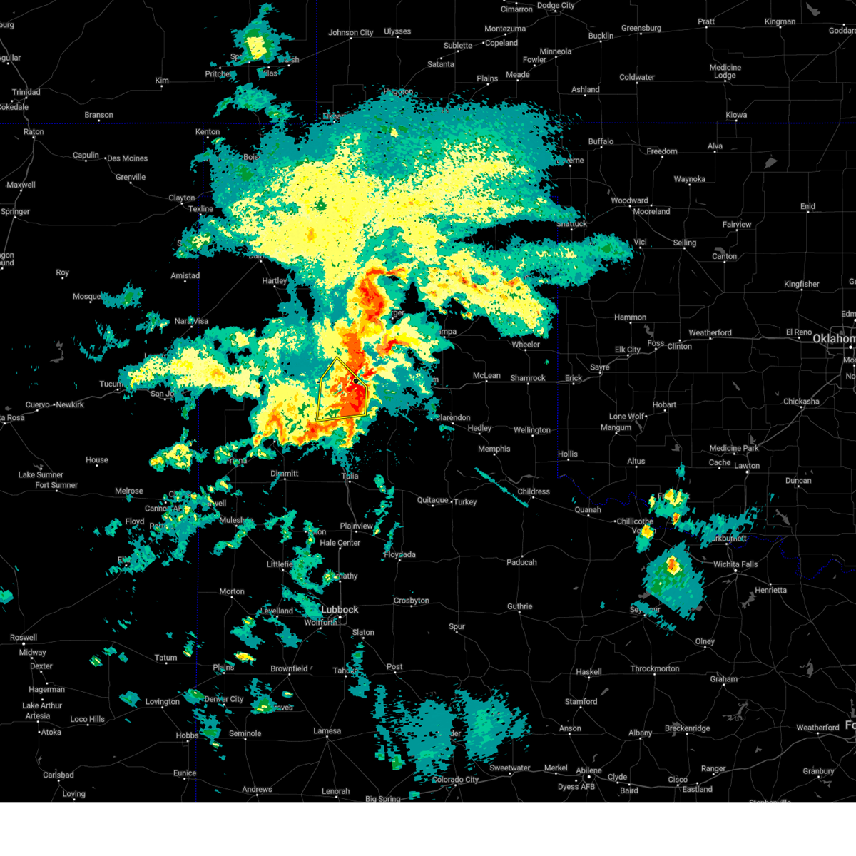 The severe thunderstorm warning for northeastern randall and southeastern potter counties will expire at 1000 pm cdt, the storm which prompted the warning has weakened below severe limits, and no longer poses an immediate threat to life or property. therefore, the warning will be allowed to expire. however, heavy rain and flooding are still possible with this storm and a flash flood warning is in effect for southeastern potter and northwestern randall counties, including the cities of amarillo and canyon, until midnight cdt. The severe thunderstorm warning for northeastern randall and southeastern potter counties will expire at 1000 pm cdt, the storm which prompted the warning has weakened below severe limits, and no longer poses an immediate threat to life or property. therefore, the warning will be allowed to expire. however, heavy rain and flooding are still possible with this storm and a flash flood warning is in effect for southeastern potter and northwestern randall counties, including the cities of amarillo and canyon, until midnight cdt.
|
| 5/18/2023 9:23 PM CDT |
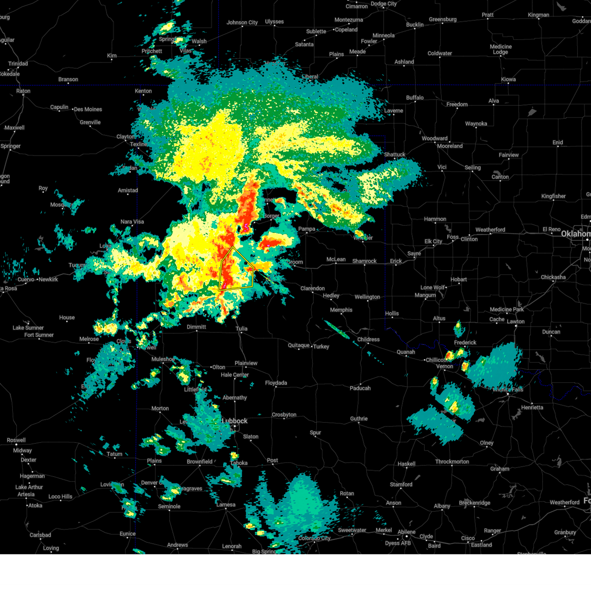 At 923 pm cdt, a severe thunderstorm was located over mescalero park, or near canyon, moving east at 30 mph (radar indicated). Hazards include 70 mph wind gusts and quarter size hail. Expect some tree damage. damage is likely to mobile homes, roofs, and outbuildings. hail damage to vehicles is expected. locations impacted include, amarillo, canyon, lake tanglewood, mescalero park and timbercreek canyon. thunderstorm damage threat, considerable hail threat, radar indicated max hail size, 1. 00in wind threat, radar indicated max wind gust, 70 mph. At 923 pm cdt, a severe thunderstorm was located over mescalero park, or near canyon, moving east at 30 mph (radar indicated). Hazards include 70 mph wind gusts and quarter size hail. Expect some tree damage. damage is likely to mobile homes, roofs, and outbuildings. hail damage to vehicles is expected. locations impacted include, amarillo, canyon, lake tanglewood, mescalero park and timbercreek canyon. thunderstorm damage threat, considerable hail threat, radar indicated max hail size, 1. 00in wind threat, radar indicated max wind gust, 70 mph.
|
| 5/18/2023 9:22 PM CDT | Storm damage reported in randall county TX, 1.9 miles ENE of Canyon, TX |
| 5/18/2023 8:56 PM CDT |
 At 856 pm cdt, two severe thunderstorms, the first located 6 miles west of mescalero park and the second located 7 miles east of lake tanglewood, were moving northeast at 15 mph (radar indicated). Hazards include 60 mph wind gusts and quarter size hail. Minor damage to roofs, siding, and trees is possible. hail damage to vehicles is expected. locations impacted include, amarillo, canyon, lake tanglewood, mescalero park and timbercreek canyon. hail threat, radar indicated max hail size, 1. 00in wind threat, radar indicated max wind gust, 60 mph. At 856 pm cdt, two severe thunderstorms, the first located 6 miles west of mescalero park and the second located 7 miles east of lake tanglewood, were moving northeast at 15 mph (radar indicated). Hazards include 60 mph wind gusts and quarter size hail. Minor damage to roofs, siding, and trees is possible. hail damage to vehicles is expected. locations impacted include, amarillo, canyon, lake tanglewood, mescalero park and timbercreek canyon. hail threat, radar indicated max hail size, 1. 00in wind threat, radar indicated max wind gust, 60 mph.
|
| 5/18/2023 8:31 PM CDT |
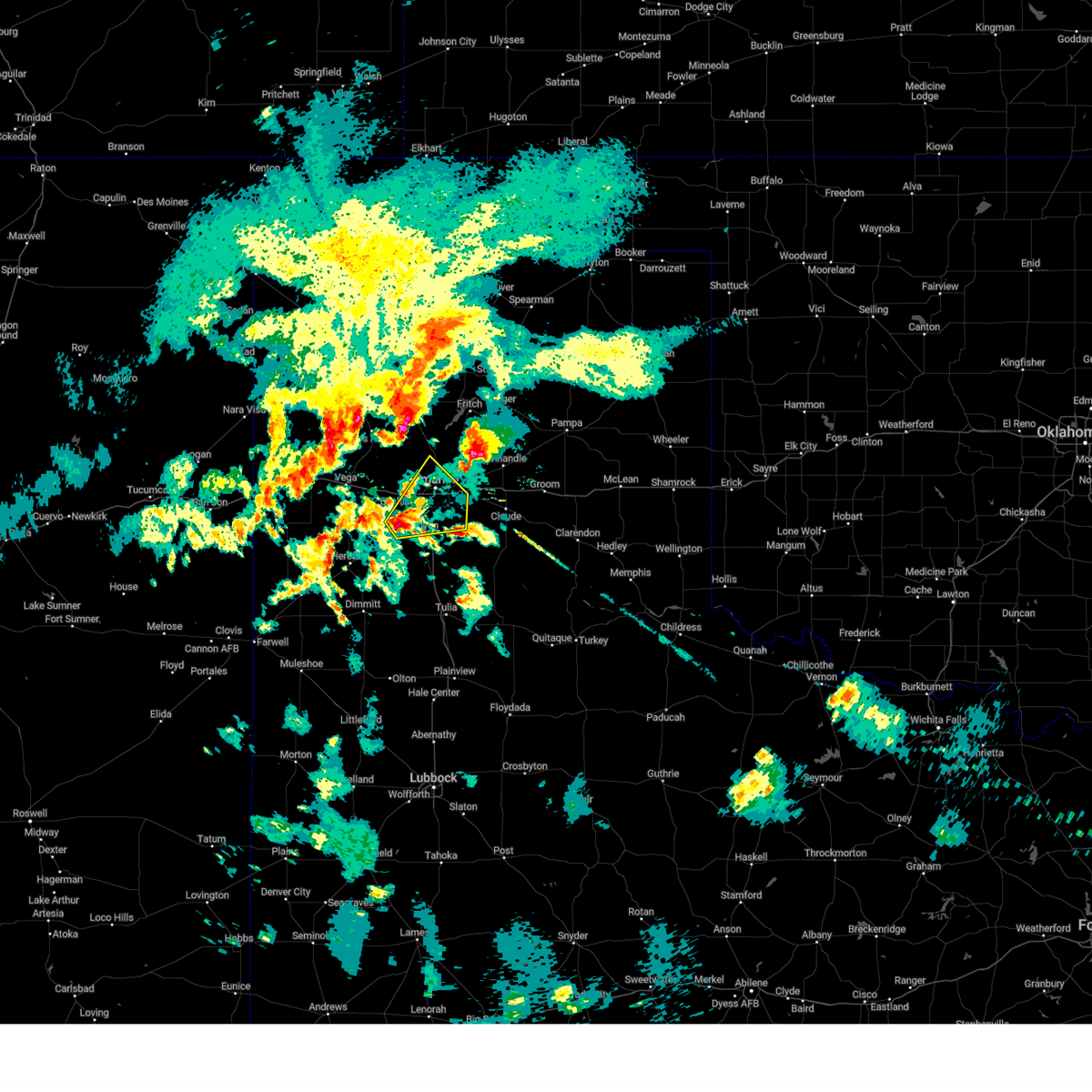 At 831 pm cdt, a severe thunderstorm was located 6 miles northeast of umbarger, or 8 miles northwest of canyon, moving northeast at 15 mph (radar indicated). Hazards include ping pong ball size hail and 60 mph wind gusts. Minor damage to roofs, siding, and trees is possible. people and animals outdoors will be injured. Expect hail damage to roofs, siding, windows, and vehicles. At 831 pm cdt, a severe thunderstorm was located 6 miles northeast of umbarger, or 8 miles northwest of canyon, moving northeast at 15 mph (radar indicated). Hazards include ping pong ball size hail and 60 mph wind gusts. Minor damage to roofs, siding, and trees is possible. people and animals outdoors will be injured. Expect hail damage to roofs, siding, windows, and vehicles.
|
| 4/25/2023 5:46 PM CDT |
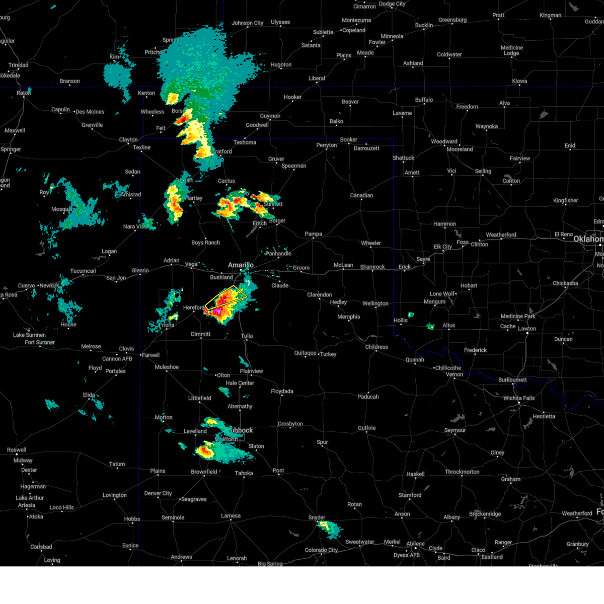 At 546 pm cdt, a severe thunderstorm was located 4 miles south of canyon, moving east at 20 mph (radar indicated). Hazards include 60 mph wind gusts and quarter size hail. Minor damage to roofs, siding, and trees is possible. hail damage to vehicles is expected. locations impacted include, canyon, umbarger, mescalero park, buffalo lake and dawn. hail threat, radar indicated max hail size, 1. 00in wind threat, radar indicated max wind gust, 60 mph. At 546 pm cdt, a severe thunderstorm was located 4 miles south of canyon, moving east at 20 mph (radar indicated). Hazards include 60 mph wind gusts and quarter size hail. Minor damage to roofs, siding, and trees is possible. hail damage to vehicles is expected. locations impacted include, canyon, umbarger, mescalero park, buffalo lake and dawn. hail threat, radar indicated max hail size, 1. 00in wind threat, radar indicated max wind gust, 60 mph.
|
| 4/25/2023 5:29 PM CDT |
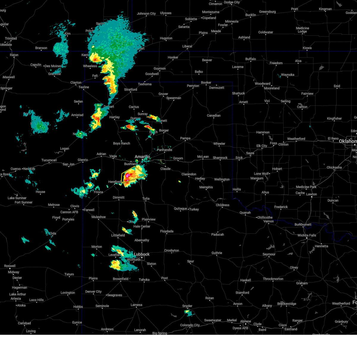 At 529 pm cdt, a severe thunderstorm was located near umbarger, or 8 miles southwest of canyon, moving east at 15 mph (radar indicated). Hazards include 60 mph wind gusts and half dollar size hail. Minor damage to roofs, siding, and trees is possible. hail damage to vehicles is expected. locations impacted include, canyon, umbarger, buffalo lake, dawn and mescalero park. hail threat, radar indicated max hail size, 1. 25 in wind threat, radar indicated max wind gust, 60 mph. At 529 pm cdt, a severe thunderstorm was located near umbarger, or 8 miles southwest of canyon, moving east at 15 mph (radar indicated). Hazards include 60 mph wind gusts and half dollar size hail. Minor damage to roofs, siding, and trees is possible. hail damage to vehicles is expected. locations impacted include, canyon, umbarger, buffalo lake, dawn and mescalero park. hail threat, radar indicated max hail size, 1. 25 in wind threat, radar indicated max wind gust, 60 mph.
|
| 4/25/2023 5:10 PM CDT |
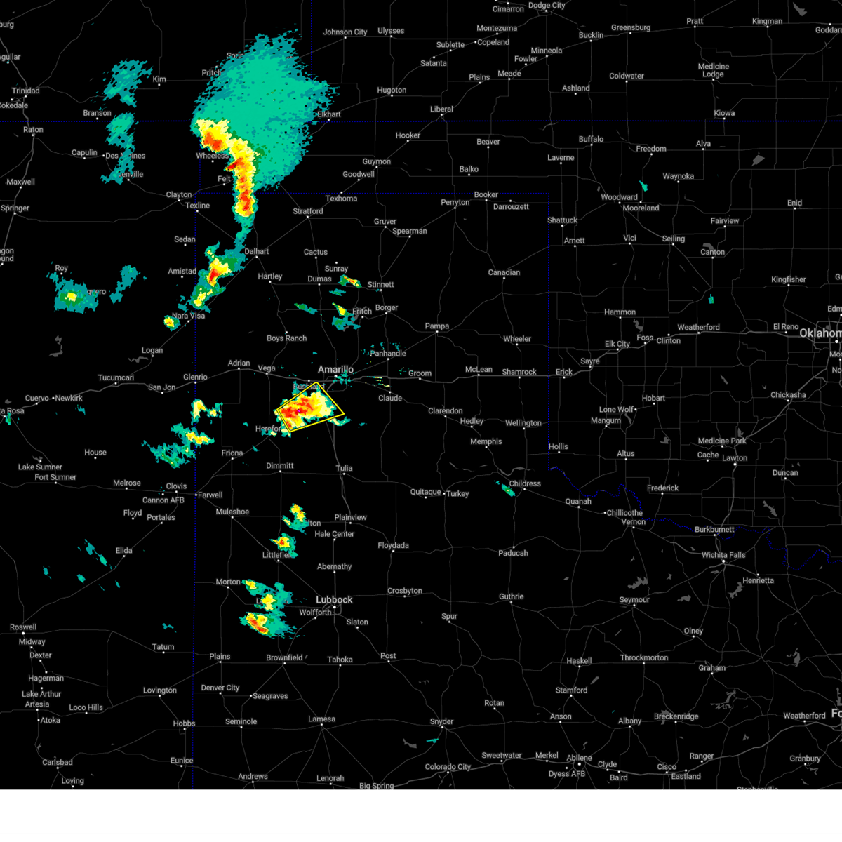 At 509 pm cdt, a severe thunderstorm was located over umbarger, or 10 miles west of canyon, moving northeast at 20 mph (radar indicated). Hazards include 60 mph wind gusts and quarter size hail. Minor damage to roofs, siding, and trees is possible. Hail damage to vehicles is expected. At 509 pm cdt, a severe thunderstorm was located over umbarger, or 10 miles west of canyon, moving northeast at 20 mph (radar indicated). Hazards include 60 mph wind gusts and quarter size hail. Minor damage to roofs, siding, and trees is possible. Hail damage to vehicles is expected.
|
| 8/29/2022 4:13 PM CDT |
 The severe thunderstorm warning for northwestern armstrong. northern randall. southwestern carson and southeastern potter counties will expire at 415 pm cdt. the storms which prompted the warning have moved out of the area. therefore, the warning will be allowed to expire. However gusty winds and heavy rain are still possible with these thunderstorms. The severe thunderstorm warning for northwestern armstrong. northern randall. southwestern carson and southeastern potter counties will expire at 415 pm cdt. the storms which prompted the warning have moved out of the area. therefore, the warning will be allowed to expire. However gusty winds and heavy rain are still possible with these thunderstorms.
|
| 8/29/2022 4:01 PM CDT |
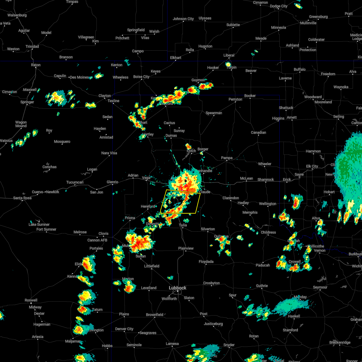 At 401 pm cdt, a severe thunderstorm was located 5 miles south of lake tanglewood, or 6 miles east of canyon, moving south at 10 mph (radar indicated). Hazards include 70 mph wind gusts and quarter size hail. Expect some tree damage. damage is likely to mobile homes, roofs, and outbuildings. hail damage to vehicles is expected. locations impacted include, canyon, lake tanglewood, mescalero park, buffalo lake, wayside, umbarger, palo duro canyon and timbercreek canyon. thunderstorm damage threat, considerable hail threat, radar indicated max hail size, 1. 00in wind threat, radar indicated max wind gust, 70 mph. At 401 pm cdt, a severe thunderstorm was located 5 miles south of lake tanglewood, or 6 miles east of canyon, moving south at 10 mph (radar indicated). Hazards include 70 mph wind gusts and quarter size hail. Expect some tree damage. damage is likely to mobile homes, roofs, and outbuildings. hail damage to vehicles is expected. locations impacted include, canyon, lake tanglewood, mescalero park, buffalo lake, wayside, umbarger, palo duro canyon and timbercreek canyon. thunderstorm damage threat, considerable hail threat, radar indicated max hail size, 1. 00in wind threat, radar indicated max wind gust, 70 mph.
|
| 8/29/2022 3:56 PM CDT |
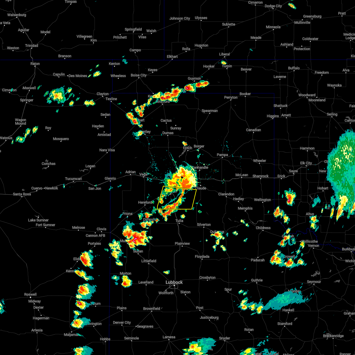 At 356 pm cdt, a severe thunderstorm was located over lake tanglewood, or 8 miles northeast of canyon, moving south at 10 mph (radar indicated). Hazards include 60 mph wind gusts and quarter size hail. Minor damage to roofs, siding, and trees is possible. Hail damage to vehicles is expected. At 356 pm cdt, a severe thunderstorm was located over lake tanglewood, or 8 miles northeast of canyon, moving south at 10 mph (radar indicated). Hazards include 60 mph wind gusts and quarter size hail. Minor damage to roofs, siding, and trees is possible. Hail damage to vehicles is expected.
|
| 8/29/2022 3:45 PM CDT |
 At 345 pm cdt, severe thunderstorms were located along a line extending from washburn to 3 miles northeast of mescalero park, moving east at 10 mph (radar indicated). Hazards include 60 mph wind gusts and quarter size hail. Minor damage to roofs, siding, and trees is possible. hail damage to vehicles is expected. locations impacted include, amarillo, canyon, panhandle, lake tanglewood, mescalero park, washburn, timbercreek canyon and pantex. hail threat, radar indicated max hail size, 1. 00in wind threat, radar indicated max wind gust, 60 mph. At 345 pm cdt, severe thunderstorms were located along a line extending from washburn to 3 miles northeast of mescalero park, moving east at 10 mph (radar indicated). Hazards include 60 mph wind gusts and quarter size hail. Minor damage to roofs, siding, and trees is possible. hail damage to vehicles is expected. locations impacted include, amarillo, canyon, panhandle, lake tanglewood, mescalero park, washburn, timbercreek canyon and pantex. hail threat, radar indicated max hail size, 1. 00in wind threat, radar indicated max wind gust, 60 mph.
|
| 8/29/2022 3:21 PM CDT |
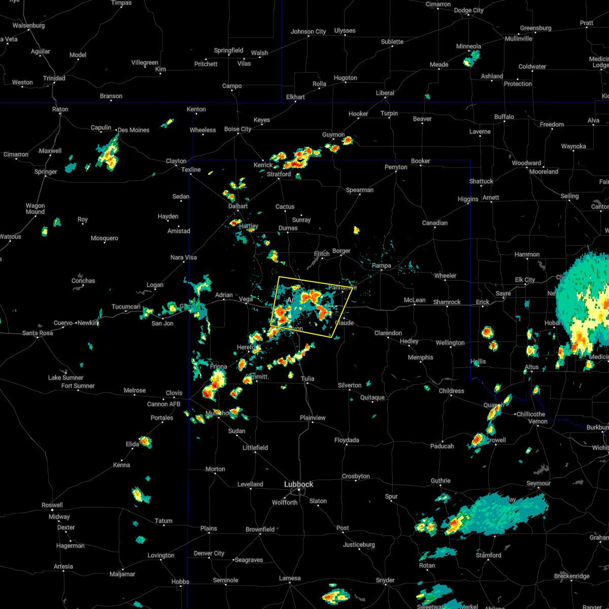 At 321 pm cdt, severe thunderstorms were located along a line extending from 6 miles northwest of washburn to 5 miles west of mescalero park, moving east at 10 mph (radar indicated). Hazards include 60 mph wind gusts and quarter size hail. Minor damage to roofs, siding, and trees is possible. Hail damage to vehicles is expected. At 321 pm cdt, severe thunderstorms were located along a line extending from 6 miles northwest of washburn to 5 miles west of mescalero park, moving east at 10 mph (radar indicated). Hazards include 60 mph wind gusts and quarter size hail. Minor damage to roofs, siding, and trees is possible. Hail damage to vehicles is expected.
|
| 7/29/2022 6:18 PM CDT |
 At 618 pm cdt, severe thunderstorms were located along a line extending from 5 miles southwest of bushland to mescalero park to 4 miles north of palo duro canyon, moving northeast at 20 mph (radar indicated). Hazards include 60 mph wind gusts and penny size hail. minor damage to roofs, siding, and trees is possible At 618 pm cdt, severe thunderstorms were located along a line extending from 5 miles southwest of bushland to mescalero park to 4 miles north of palo duro canyon, moving northeast at 20 mph (radar indicated). Hazards include 60 mph wind gusts and penny size hail. minor damage to roofs, siding, and trees is possible
|
| 7/28/2022 6:56 PM CDT |
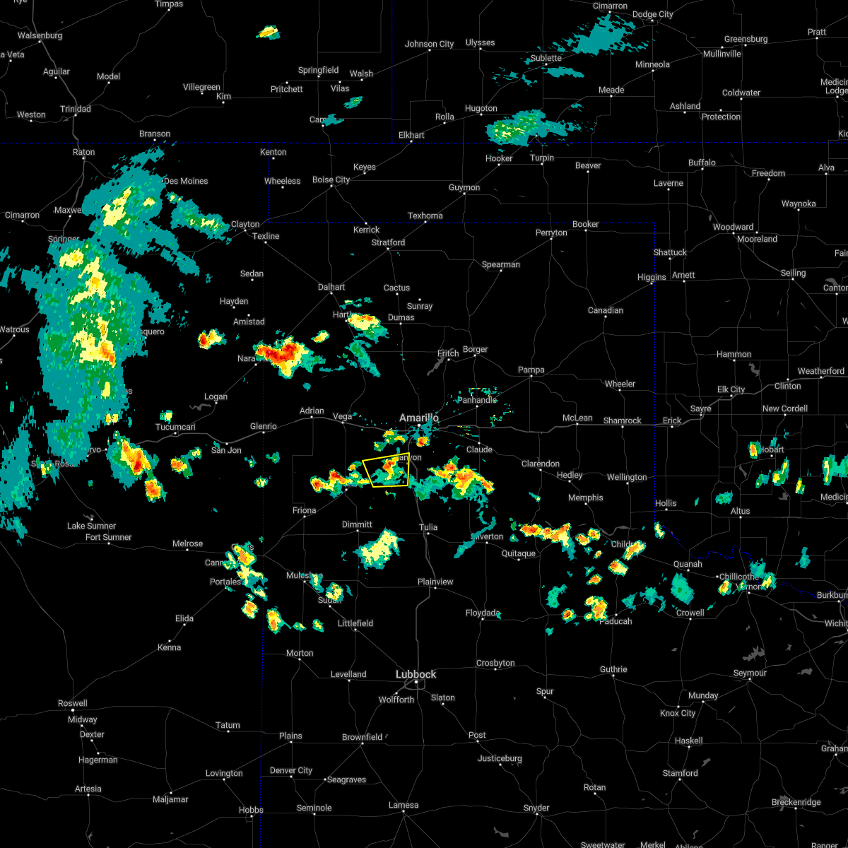 The severe thunderstorm warning for southwestern randall and east central deaf smith counties will expire at 700 pm cdt, the storm which prompted the warning has weakened below severe limits, and no longer poses an immediate threat to life or property. therefore, the warning will be allowed to expire. however gusty winds are still possible with this thunderstorm. The severe thunderstorm warning for southwestern randall and east central deaf smith counties will expire at 700 pm cdt, the storm which prompted the warning has weakened below severe limits, and no longer poses an immediate threat to life or property. therefore, the warning will be allowed to expire. however gusty winds are still possible with this thunderstorm.
|
| 7/28/2022 6:46 PM CDT |
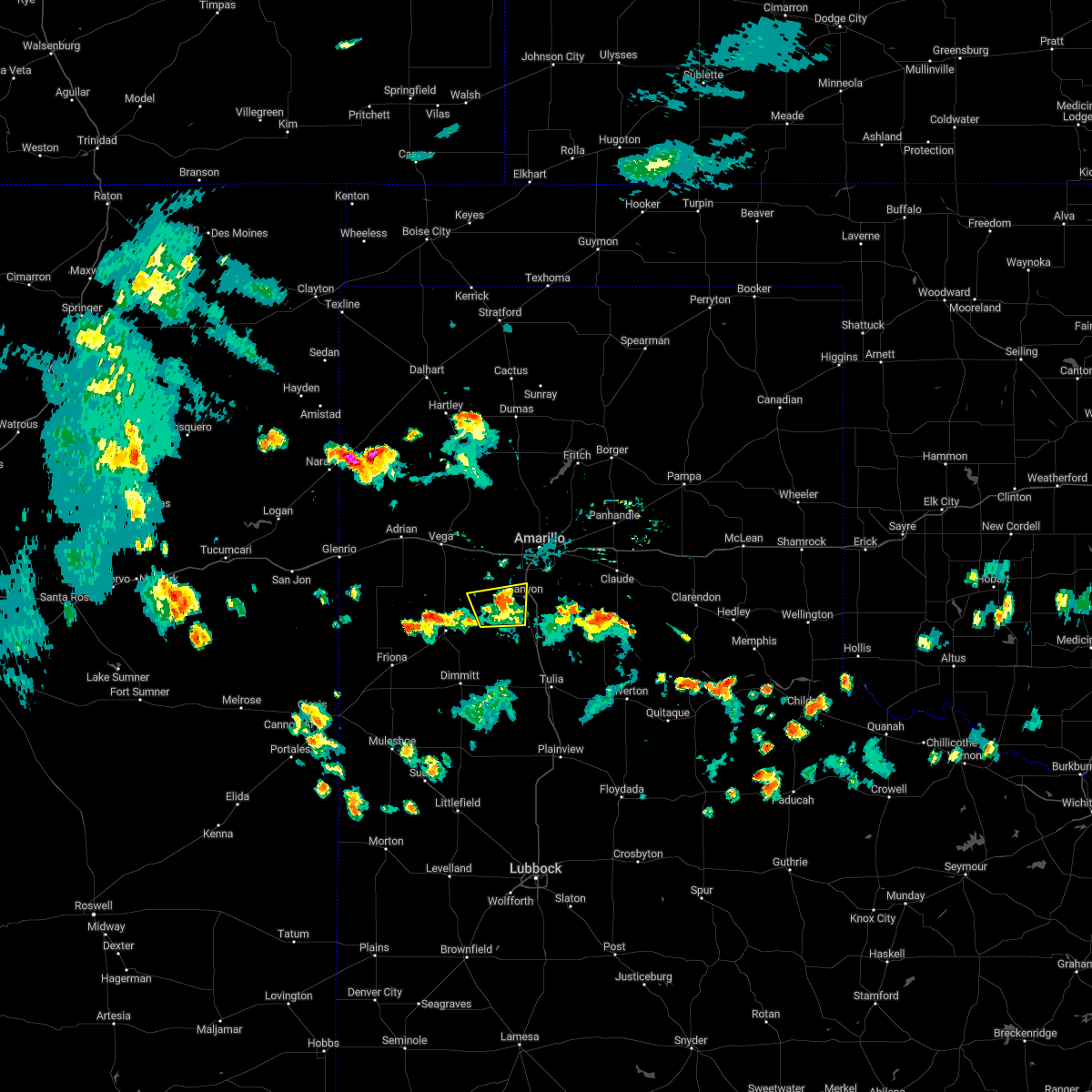 At 646 pm cdt, a severe thunderstorm was located 5 miles northwest of canyon, moving north at 15 mph (radar indicated). Hazards include 60 mph wind gusts. Minor damage to roofs, siding, and trees is possible. locations impacted include, canyon, umbarger, buffalo lake, dawn and mescalero park. hail threat, radar indicated max hail size, <. 75 in wind threat, radar indicated max wind gust, 60 mph. At 646 pm cdt, a severe thunderstorm was located 5 miles northwest of canyon, moving north at 15 mph (radar indicated). Hazards include 60 mph wind gusts. Minor damage to roofs, siding, and trees is possible. locations impacted include, canyon, umbarger, buffalo lake, dawn and mescalero park. hail threat, radar indicated max hail size, <. 75 in wind threat, radar indicated max wind gust, 60 mph.
|
| 7/28/2022 6:34 PM CDT |
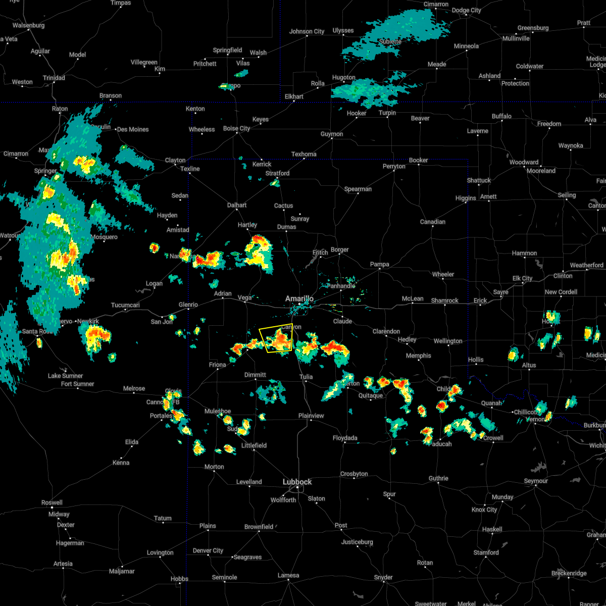 At 634 pm cdt, a severe thunderstorm was located near umbarger, or 7 miles west of canyon, moving north at 15 mph (radar indicated). Hazards include 60 mph wind gusts. Minor damage to roofs, siding, and trees is possible. locations impacted include, canyon, umbarger, buffalo lake, dawn and mescalero park. hail threat, radar indicated max hail size, <. 75 in wind threat, radar indicated max wind gust, 60 mph. At 634 pm cdt, a severe thunderstorm was located near umbarger, or 7 miles west of canyon, moving north at 15 mph (radar indicated). Hazards include 60 mph wind gusts. Minor damage to roofs, siding, and trees is possible. locations impacted include, canyon, umbarger, buffalo lake, dawn and mescalero park. hail threat, radar indicated max hail size, <. 75 in wind threat, radar indicated max wind gust, 60 mph.
|
| 7/28/2022 6:23 PM CDT |
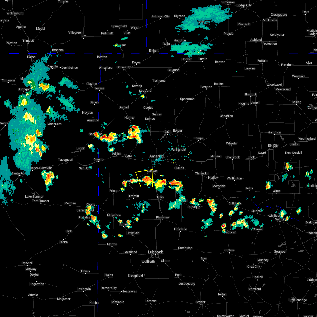 At 623 pm cdt, a severe thunderstorm was located over umbarger, or 9 miles southwest of canyon, moving north at 15 mph (radar indicated). Hazards include 60 mph wind gusts. Minor damage to roofs, siding, and trees is possible. locations impacted include, canyon, umbarger, buffalo lake, dawn and mescalero park. hail threat, radar indicated max hail size, <. 75 in wind threat, radar indicated max wind gust, 60 mph. At 623 pm cdt, a severe thunderstorm was located over umbarger, or 9 miles southwest of canyon, moving north at 15 mph (radar indicated). Hazards include 60 mph wind gusts. Minor damage to roofs, siding, and trees is possible. locations impacted include, canyon, umbarger, buffalo lake, dawn and mescalero park. hail threat, radar indicated max hail size, <. 75 in wind threat, radar indicated max wind gust, 60 mph.
|
| 7/28/2022 5:53 PM CDT |
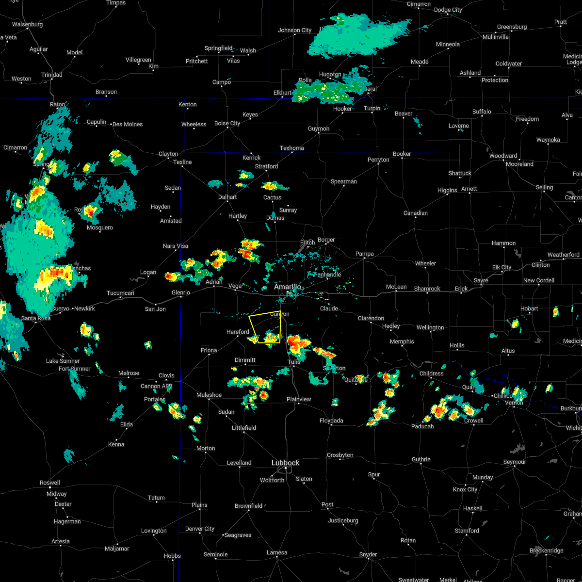 At 553 pm cdt, a severe thunderstorm was located 6 miles southeast of buffalo lake, or 13 miles southwest of canyon, moving north at 15 mph (radar indicated). Hazards include 60 mph wind gusts. minor damage to roofs, siding, and trees is possible At 553 pm cdt, a severe thunderstorm was located 6 miles southeast of buffalo lake, or 13 miles southwest of canyon, moving north at 15 mph (radar indicated). Hazards include 60 mph wind gusts. minor damage to roofs, siding, and trees is possible
|
| 6/9/2022 10:40 PM CDT | Storm damage reported in randall county TX, 9.1 miles E of Canyon, TX |
| 6/8/2022 6:36 AM CDT |
 At 636 am cdt, severe thunderstorms were located along a line extending from 7 miles north of sweetwater to 5 miles north of lefors to 7 miles west of panhandle to 8 miles northeast of bushland, moving southeast at 55 mph (radar indicated). Hazards include 70 mph wind gusts and quarter size hail. Expect some tree damage. damage is likely to mobile homes, roofs, and outbuildings. Hail damage to vehicles is expected. At 636 am cdt, severe thunderstorms were located along a line extending from 7 miles north of sweetwater to 5 miles north of lefors to 7 miles west of panhandle to 8 miles northeast of bushland, moving southeast at 55 mph (radar indicated). Hazards include 70 mph wind gusts and quarter size hail. Expect some tree damage. damage is likely to mobile homes, roofs, and outbuildings. Hail damage to vehicles is expected.
|
| 6/1/2022 8:57 PM CDT |
 At 857 pm cdt, a severe thunderstorm was located 6 miles north of happy, or 10 miles south of canyon, moving northeast at 25 mph (radar indicated). Hazards include 60 mph wind gusts and quarter size hail. Minor damage to roofs, siding, and trees is possible. Hail damage to vehicles is expected. At 857 pm cdt, a severe thunderstorm was located 6 miles north of happy, or 10 miles south of canyon, moving northeast at 25 mph (radar indicated). Hazards include 60 mph wind gusts and quarter size hail. Minor damage to roofs, siding, and trees is possible. Hail damage to vehicles is expected.
|
| 5/18/2022 10:04 PM CDT |
 At 1003 pm cdt, severe thunderstorms were located along a line extending from 6 miles south of canyon to near dawn, moving southeast at 25 mph (trained weather spotters). Hazards include golf ball size hail and 60 mph wind gusts. Minor damage to roofs, siding, and trees is possible. people and animals outdoors will be injured. expect hail damage to roofs, siding, windows, and vehicles. locations impacted include, dawn, umbarger and buffalo lake. thunderstorm damage threat, considerable hail threat, radar indicated max hail size, 1. 75 in wind threat, radar indicated max wind gust, 60 mph. At 1003 pm cdt, severe thunderstorms were located along a line extending from 6 miles south of canyon to near dawn, moving southeast at 25 mph (trained weather spotters). Hazards include golf ball size hail and 60 mph wind gusts. Minor damage to roofs, siding, and trees is possible. people and animals outdoors will be injured. expect hail damage to roofs, siding, windows, and vehicles. locations impacted include, dawn, umbarger and buffalo lake. thunderstorm damage threat, considerable hail threat, radar indicated max hail size, 1. 75 in wind threat, radar indicated max wind gust, 60 mph.
|
| 5/18/2022 9:50 PM CDT | Golf Ball sized hail reported 11.6 miles ENE of Canyon, TX |
| 5/18/2022 9:47 PM CDT | Golf Ball sized hail reported 11.2 miles ENE of Canyon, TX, time estimated by radar. |
| 5/18/2022 9:46 PM CDT |
 At 946 pm cdt, severe thunderstorms were located along a line extending from 3 miles west of canyon to 7 miles west of dawn, moving southeast at 25 mph (radar indicated). Hazards include tennis ball size hail and 60 mph wind gusts. Minor damage to roofs, siding, and trees is possible. people and animals outdoors will be injured. expect hail damage to roofs, siding, windows, and vehicles. locations impacted include, hereford, canyon, umbarger, buffalo lake and dawn. thunderstorm damage threat, considerable hail threat, radar indicated max hail size, 2. 50 in wind threat, radar indicated max wind gust, 60 mph. At 946 pm cdt, severe thunderstorms were located along a line extending from 3 miles west of canyon to 7 miles west of dawn, moving southeast at 25 mph (radar indicated). Hazards include tennis ball size hail and 60 mph wind gusts. Minor damage to roofs, siding, and trees is possible. people and animals outdoors will be injured. expect hail damage to roofs, siding, windows, and vehicles. locations impacted include, hereford, canyon, umbarger, buffalo lake and dawn. thunderstorm damage threat, considerable hail threat, radar indicated max hail size, 2. 50 in wind threat, radar indicated max wind gust, 60 mph.
|
| 5/18/2022 9:31 PM CDT |
 At 931 pm cdt, severe thunderstorms were located along a line extending from 5 miles northeast of umbarger to 12 miles north of hereford, moving southeast at 25 mph. these are destructive storms for for highway 60 between hereford and umbarger (radar indicated). Hazards include baseball size hail and 60 mph wind gusts. People and animals outdoors will be severely injured. expect shattered windows, extensive damage to roofs, siding, and vehicles. locations impacted include, hereford, canyon, umbarger, buffalo lake and dawn. thunderstorm damage threat, destructive hail threat, radar indicated max hail size, 2. 75 in wind threat, radar indicated max wind gust, 60 mph. At 931 pm cdt, severe thunderstorms were located along a line extending from 5 miles northeast of umbarger to 12 miles north of hereford, moving southeast at 25 mph. these are destructive storms for for highway 60 between hereford and umbarger (radar indicated). Hazards include baseball size hail and 60 mph wind gusts. People and animals outdoors will be severely injured. expect shattered windows, extensive damage to roofs, siding, and vehicles. locations impacted include, hereford, canyon, umbarger, buffalo lake and dawn. thunderstorm damage threat, destructive hail threat, radar indicated max hail size, 2. 75 in wind threat, radar indicated max wind gust, 60 mph.
|
| 5/18/2022 9:22 PM CDT |
 At 920 pm cdt, severe thunderstorms were located along a line extending from 7 miles north of umbarger to 11 miles east of simms, moving southeast at 25 mph. these are destructive storms for highway 60 between hereford and umbarger (radar indicated). Hazards include baseball size hail and 60 mph wind gusts. People and animals outdoors will be severely injured. expect shattered windows, extensive damage to roofs, siding, and vehicles. locations impacted include, hereford, canyon, vega, buffalo lake, dawn, umbarger and wildorado. thunderstorm damage threat, destructive hail threat, radar indicated max hail size, 2. 75 in wind threat, radar indicated max wind gust, 60 mph. At 920 pm cdt, severe thunderstorms were located along a line extending from 7 miles north of umbarger to 11 miles east of simms, moving southeast at 25 mph. these are destructive storms for highway 60 between hereford and umbarger (radar indicated). Hazards include baseball size hail and 60 mph wind gusts. People and animals outdoors will be severely injured. expect shattered windows, extensive damage to roofs, siding, and vehicles. locations impacted include, hereford, canyon, vega, buffalo lake, dawn, umbarger and wildorado. thunderstorm damage threat, destructive hail threat, radar indicated max hail size, 2. 75 in wind threat, radar indicated max wind gust, 60 mph.
|
| 5/18/2022 9:15 PM CDT |
 At 915 pm cdt, severe thunderstorms were located along a line extending from 8 miles north of umbarger to 10 miles east of simms, moving southeast at 25 mph (radar indicated). Hazards include two inch hail and 60 mph wind gusts. Minor damage to roofs, siding, and trees is possible. people and animals outdoors will be injured. Expect hail damage to roofs, siding, windows, and vehicles. At 915 pm cdt, severe thunderstorms were located along a line extending from 8 miles north of umbarger to 10 miles east of simms, moving southeast at 25 mph (radar indicated). Hazards include two inch hail and 60 mph wind gusts. Minor damage to roofs, siding, and trees is possible. people and animals outdoors will be injured. Expect hail damage to roofs, siding, windows, and vehicles.
|
| 5/10/2022 7:09 PM CDT | West texas mesonet at palo duro canyon park ri in randall county TX, 13 miles W of Canyon, TX |
| 5/10/2022 7:09 PM CDT |
 At 708 pm cdt, a severe thunderstorm was located 6 miles east of happy, or 16 miles north of tulia, moving east at 20 mph. this is a destructive storm for southern randall county (radar indicated). Hazards include 80 mph wind gusts and quarter size hail. Flying debris will be dangerous to those caught without shelter. mobile homes will be heavily damaged. expect considerable damage to roofs, windows, and vehicles. tree damage and power outages are likely. Hail damage to vehicles is expected. At 708 pm cdt, a severe thunderstorm was located 6 miles east of happy, or 16 miles north of tulia, moving east at 20 mph. this is a destructive storm for southern randall county (radar indicated). Hazards include 80 mph wind gusts and quarter size hail. Flying debris will be dangerous to those caught without shelter. mobile homes will be heavily damaged. expect considerable damage to roofs, windows, and vehicles. tree damage and power outages are likely. Hail damage to vehicles is expected.
|
| 5/10/2022 6:44 PM CDT |
 At 643 pm cdt, severe thunderstorms were located along a line extending from 4 miles east of vega to 4 miles south of washburn, moving northeast at 50 mph (radar indicated). Hazards include golf ball size hail and 70 mph wind gusts. Expect some tree damage. damage is likely to mobile homes, roofs, and outbuildings. people and animals outdoors will be injured. expect hail damage to roofs, siding, windows, and vehicles. locations impacted include, amarillo, canyon, panhandle, vega, lake tanglewood, bushland, valley de oro, washburn, boys ranch, umbarger, wildorado, palo duro canyon, mescalero park, timbercreek canyon and pantex. thunderstorm damage threat, considerable hail threat, radar indicated max hail size, 1. 75 in wind threat, radar indicated max wind gust, 70 mph. At 643 pm cdt, severe thunderstorms were located along a line extending from 4 miles east of vega to 4 miles south of washburn, moving northeast at 50 mph (radar indicated). Hazards include golf ball size hail and 70 mph wind gusts. Expect some tree damage. damage is likely to mobile homes, roofs, and outbuildings. people and animals outdoors will be injured. expect hail damage to roofs, siding, windows, and vehicles. locations impacted include, amarillo, canyon, panhandle, vega, lake tanglewood, bushland, valley de oro, washburn, boys ranch, umbarger, wildorado, palo duro canyon, mescalero park, timbercreek canyon and pantex. thunderstorm damage threat, considerable hail threat, radar indicated max hail size, 1. 75 in wind threat, radar indicated max wind gust, 70 mph.
|
| 5/10/2022 6:43 PM CDT | Ping Pong Ball sized hail reported 3.1 miles WSW of Canyon, TX |
| 5/10/2022 6:35 PM CDT | Quarter sized hail reported 1.3 miles NW of Canyon, TX, report from mping: quarter (1.00 in.). |
| 5/10/2022 6:32 PM CDT | Golf Ball sized hail reported 3.4 miles WSW of Canyon, TX |
| 5/10/2022 6:30 PM CDT | Golf Ball sized hail reported 2.9 miles WNW of Canyon, TX |
| 5/10/2022 6:29 PM CDT | Storm damage reported in randall county TX, 9.2 miles E of Canyon, TX |
| 5/10/2022 6:29 PM CDT |
 At 629 pm cdt, severe thunderstorms were located along a line extending from 10 miles northeast of simms to palo duro canyon, moving northeast at 50 mph (radar indicated). Hazards include 70 mph wind gusts and ping pong ball size hail. Expect some tree damage. damage is likely to mobile homes, roofs, and outbuildings. people and animals outdoors will be injured. Expect hail damage to roofs, siding, windows, and vehicles. At 629 pm cdt, severe thunderstorms were located along a line extending from 10 miles northeast of simms to palo duro canyon, moving northeast at 50 mph (radar indicated). Hazards include 70 mph wind gusts and ping pong ball size hail. Expect some tree damage. damage is likely to mobile homes, roofs, and outbuildings. people and animals outdoors will be injured. Expect hail damage to roofs, siding, windows, and vehicles.
|
| 5/10/2022 6:14 PM CDT |
 At 614 pm cdt, a severe thunderstorm was located over hereford, moving north at 30 mph (radar indicated). Hazards include 70 mph wind gusts and quarter size hail. Expect some tree damage. damage is likely to mobile homes, roofs, and outbuildings. hail damage to vehicles is expected. locations impacted include, amarillo, hereford, canyon, mescalero park, buffalo lake, dawn, umbarger and timbercreek canyon. thunderstorm damage threat, considerable hail threat, radar indicated max hail size, 1. 00in wind threat, radar indicated max wind gust, 70 mph. At 614 pm cdt, a severe thunderstorm was located over hereford, moving north at 30 mph (radar indicated). Hazards include 70 mph wind gusts and quarter size hail. Expect some tree damage. damage is likely to mobile homes, roofs, and outbuildings. hail damage to vehicles is expected. locations impacted include, amarillo, hereford, canyon, mescalero park, buffalo lake, dawn, umbarger and timbercreek canyon. thunderstorm damage threat, considerable hail threat, radar indicated max hail size, 1. 00in wind threat, radar indicated max wind gust, 70 mph.
|
| 5/10/2022 5:45 PM CDT |
 At 545 pm cdt, a severe thunderstorm was located 4 miles west of easter, or 10 miles northwest of dimmitt, moving north at 30 mph (radar indicated). Hazards include 60 mph wind gusts and quarter size hail. Minor damage to roofs, siding, and trees is possible. Hail damage to vehicles is expected. At 545 pm cdt, a severe thunderstorm was located 4 miles west of easter, or 10 miles northwest of dimmitt, moving north at 30 mph (radar indicated). Hazards include 60 mph wind gusts and quarter size hail. Minor damage to roofs, siding, and trees is possible. Hail damage to vehicles is expected.
|
| 5/4/2022 2:01 PM CDT |
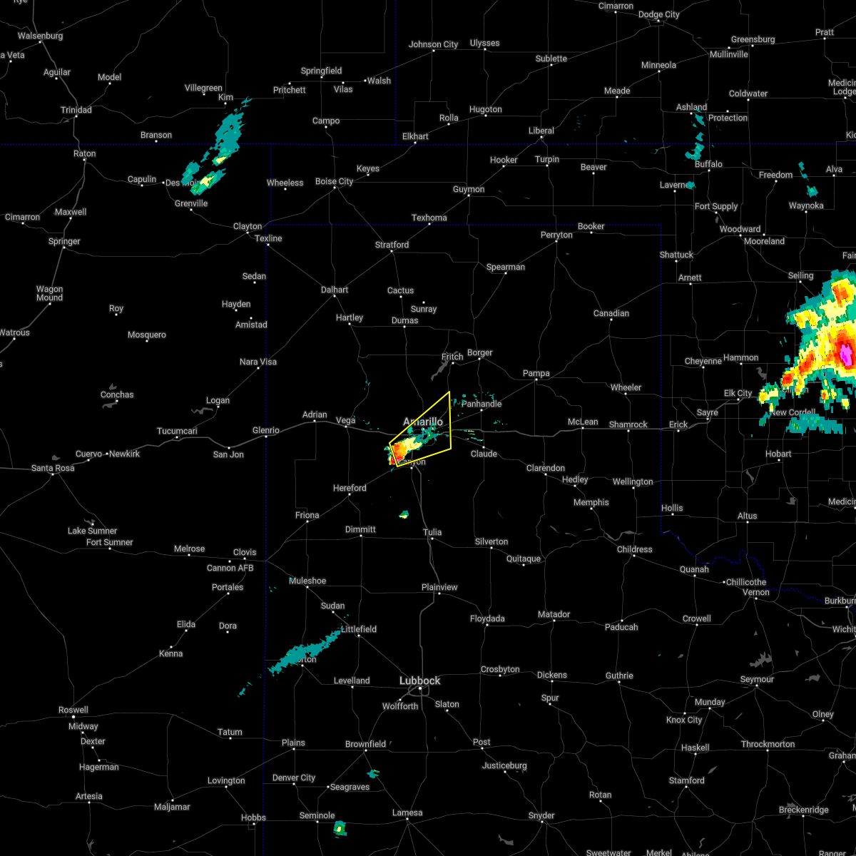 At 201 pm cdt, a severe thunderstorm was located near mescalero park, or 7 miles north of canyon, moving northeast at 40 mph (trained weather spotters). Hazards include 60 mph wind gusts and half dollar size hail. Minor damage to roofs, siding, and trees is possible. hail damage to vehicles is expected. locations impacted include, amarillo, canyon, lake tanglewood, mescalero park and timbercreek canyon. hail threat, radar indicated max hail size, 1. 25 in wind threat, radar indicated max wind gust, 60 mph. At 201 pm cdt, a severe thunderstorm was located near mescalero park, or 7 miles north of canyon, moving northeast at 40 mph (trained weather spotters). Hazards include 60 mph wind gusts and half dollar size hail. Minor damage to roofs, siding, and trees is possible. hail damage to vehicles is expected. locations impacted include, amarillo, canyon, lake tanglewood, mescalero park and timbercreek canyon. hail threat, radar indicated max hail size, 1. 25 in wind threat, radar indicated max wind gust, 60 mph.
|
| 5/4/2022 1:50 PM CDT | Quarter sized hail reported 10.5 miles ESE of Canyon, TX |
| 5/4/2022 1:45 PM CDT |
 At 145 pm cdt, a severe thunderstorm was located near umbarger, or 11 miles west of canyon, moving northeast at 30 mph (radar indicated). Hazards include 60 mph wind gusts and half dollar size hail. Minor damage to roofs, siding, and trees is possible. Hail damage to vehicles is expected. At 145 pm cdt, a severe thunderstorm was located near umbarger, or 11 miles west of canyon, moving northeast at 30 mph (radar indicated). Hazards include 60 mph wind gusts and half dollar size hail. Minor damage to roofs, siding, and trees is possible. Hail damage to vehicles is expected.
|
| 5/1/2022 7:01 PM CDT | Mesonet station 76 umbarger 3nne. severe gusts lasted 2 minute in randall county TX, 9.1 miles E of Canyon, TX |
| 5/1/2022 6:56 PM CDT |
 At 653 pm cdt, a severe thunderstorm was located 4 miles northwest of dawn, or 11 miles northeast of hereford, moving northeast at 40 mph. this is a destructive storm for areas near dawn, just north of hereford and near umbarger (storm chasers reported blown out windows due to baseball size hail. widespread damage reported in herford with blown out windows. a 67 mph wind gust was reported at the hereford mesonet station). Hazards include baseball size hail and 70 mph wind gusts. People and animals outdoors will be severely injured. expect shattered windows, extensive damage to roofs, siding, and vehicles. locations impacted include, hereford, canyon, umbarger, buffalo lake, dawn and mescalero park. thunderstorm damage threat, destructive hail threat, observed max hail size, 2. 75 in wind threat, observed max wind gust, 70 mph. At 653 pm cdt, a severe thunderstorm was located 4 miles northwest of dawn, or 11 miles northeast of hereford, moving northeast at 40 mph. this is a destructive storm for areas near dawn, just north of hereford and near umbarger (storm chasers reported blown out windows due to baseball size hail. widespread damage reported in herford with blown out windows. a 67 mph wind gust was reported at the hereford mesonet station). Hazards include baseball size hail and 70 mph wind gusts. People and animals outdoors will be severely injured. expect shattered windows, extensive damage to roofs, siding, and vehicles. locations impacted include, hereford, canyon, umbarger, buffalo lake, dawn and mescalero park. thunderstorm damage threat, destructive hail threat, observed max hail size, 2. 75 in wind threat, observed max wind gust, 70 mph.
|
| 5/1/2022 6:55 PM CDT | Baseball sized hail reported 16 miles E of Canyon, TX |
| 5/1/2022 6:44 PM CDT |
 At 641 pm cdt, a severe thunderstorm was located near hereford, moving northeast at 50 mph. this is a destructive storm for hereford and locations along highway 60 west of dawn (storm chasers reported destructive hail breaking windows). Hazards include baseball size hail and 70 mph wind gusts. People and animals outdoors will be severely injured. expect shattered windows, extensive damage to roofs, siding, and vehicles. locations impacted include, hereford, canyon, umbarger, buffalo lake, dawn and mescalero park. thunderstorm damage threat, destructive hail threat, radar indicated max hail size, 2. 75 in wind threat, radar indicated max wind gust, 70 mph. At 641 pm cdt, a severe thunderstorm was located near hereford, moving northeast at 50 mph. this is a destructive storm for hereford and locations along highway 60 west of dawn (storm chasers reported destructive hail breaking windows). Hazards include baseball size hail and 70 mph wind gusts. People and animals outdoors will be severely injured. expect shattered windows, extensive damage to roofs, siding, and vehicles. locations impacted include, hereford, canyon, umbarger, buffalo lake, dawn and mescalero park. thunderstorm damage threat, destructive hail threat, radar indicated max hail size, 2. 75 in wind threat, radar indicated max wind gust, 70 mph.
|
| 5/1/2022 6:35 PM CDT |
 At 635 pm cdt, a severe thunderstorm was located 5 miles south of hereford, moving northeast at 45 mph (radar indicated). Hazards include tennis ball size hail and 60 mph wind gusts. Minor damage to roofs, siding, and trees is possible. people and animals outdoors will be injured. expect hail damage to roofs, siding, windows, and vehicles. locations impacted include, hereford, canyon, umbarger, buffalo lake, dawn and mescalero park. thunderstorm damage threat, considerable hail threat, radar indicated max hail size, 2. 50 in wind threat, radar indicated max wind gust, 60 mph. At 635 pm cdt, a severe thunderstorm was located 5 miles south of hereford, moving northeast at 45 mph (radar indicated). Hazards include tennis ball size hail and 60 mph wind gusts. Minor damage to roofs, siding, and trees is possible. people and animals outdoors will be injured. expect hail damage to roofs, siding, windows, and vehicles. locations impacted include, hereford, canyon, umbarger, buffalo lake, dawn and mescalero park. thunderstorm damage threat, considerable hail threat, radar indicated max hail size, 2. 50 in wind threat, radar indicated max wind gust, 60 mph.
|
| 5/1/2022 6:28 PM CDT |
 At 628 pm cdt, a severe thunderstorm was located over easter, or 10 miles northwest of dimmitt, moving northeast at 40 mph (radar indicated). Hazards include two inch hail and 60 mph wind gusts. Minor damage to roofs, siding, and trees is possible. people and animals outdoors will be injured. Expect hail damage to roofs, siding, windows, and vehicles. At 628 pm cdt, a severe thunderstorm was located over easter, or 10 miles northwest of dimmitt, moving northeast at 40 mph (radar indicated). Hazards include two inch hail and 60 mph wind gusts. Minor damage to roofs, siding, and trees is possible. people and animals outdoors will be injured. Expect hail damage to roofs, siding, windows, and vehicles.
|
| 4/22/2022 7:41 PM CDT |
 At 741 pm cdt, a severe thunderstorm was located over palo duro canyon, or 12 miles east of canyon, moving northeast at 50 mph (radar indicated). Hazards include golf ball size hail and 60 mph wind gusts. Minor damage to roofs, siding, and trees is possible. people and animals outdoors will be injured. expect hail damage to roofs, siding, windows, and vehicles. locations impacted include, canyon, claude, lake tanglewood, wayside, washburn, palo duro canyon and timbercreek canyon. thunderstorm damage threat, considerable hail threat, radar indicated max hail size, 1. 75 in wind threat, radar indicated max wind gust, 60 mph. At 741 pm cdt, a severe thunderstorm was located over palo duro canyon, or 12 miles east of canyon, moving northeast at 50 mph (radar indicated). Hazards include golf ball size hail and 60 mph wind gusts. Minor damage to roofs, siding, and trees is possible. people and animals outdoors will be injured. expect hail damage to roofs, siding, windows, and vehicles. locations impacted include, canyon, claude, lake tanglewood, wayside, washburn, palo duro canyon and timbercreek canyon. thunderstorm damage threat, considerable hail threat, radar indicated max hail size, 1. 75 in wind threat, radar indicated max wind gust, 60 mph.
|
| 4/22/2022 7:31 PM CDT |
 At 730 pm cdt, a severe thunderstorm was located 5 miles northeast of happy, or 14 miles southeast of canyon, moving northeast at 50 mph (radar indicated). Hazards include ping pong ball size hail and 60 mph wind gusts. Minor damage to roofs, siding, and trees is possible. people and animals outdoors will be injured. Expect hail damage to roofs, siding, windows, and vehicles. At 730 pm cdt, a severe thunderstorm was located 5 miles northeast of happy, or 14 miles southeast of canyon, moving northeast at 50 mph (radar indicated). Hazards include ping pong ball size hail and 60 mph wind gusts. Minor damage to roofs, siding, and trees is possible. people and animals outdoors will be injured. Expect hail damage to roofs, siding, windows, and vehicles.
|
| 8/21/2021 6:41 PM CDT |
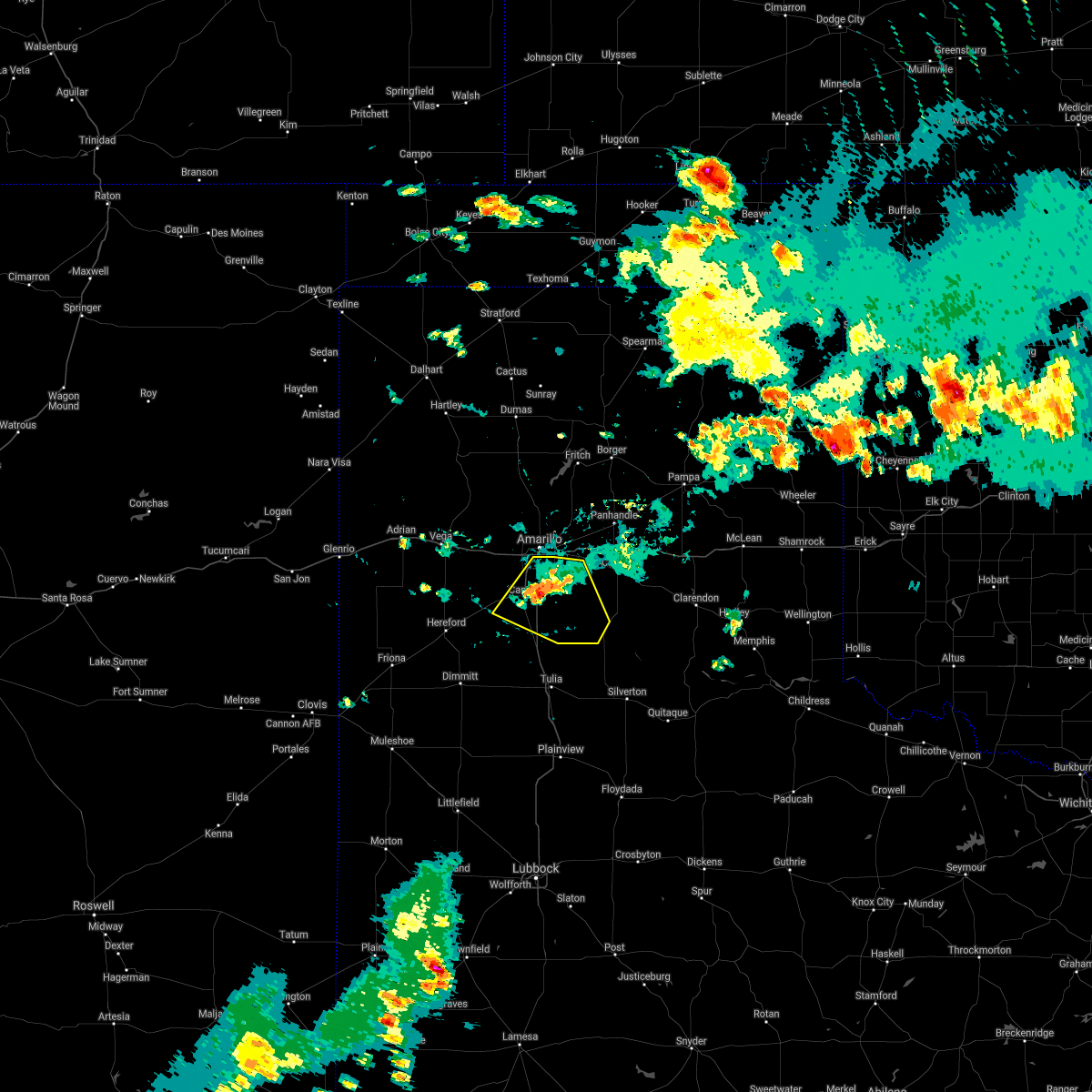 The severe thunderstorm warning for western armstrong and randall counties will expire at 645 pm cdt, the storm which prompted the warning has weakened below severe limits, and no longer poses an immediate threat to life or property. therefore, the warning will be allowed to expire. however gusty winds are still possible with this thunderstorm. The severe thunderstorm warning for western armstrong and randall counties will expire at 645 pm cdt, the storm which prompted the warning has weakened below severe limits, and no longer poses an immediate threat to life or property. therefore, the warning will be allowed to expire. however gusty winds are still possible with this thunderstorm.
|
| 8/21/2021 6:10 PM CDT |
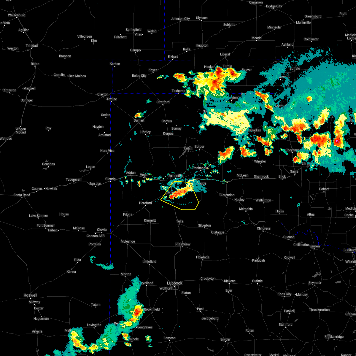 At 610 pm cdt, a severe thunderstorm was located over canyon, moving northeast at 15 mph (radar indicated). Hazards include 60 mph wind gusts and quarter size hail. Minor damage to roofs, siding, and trees is possible. hail damage to vehicles is expected. locations impacted include, amarillo, canyon, lake tanglewood, mescalero park, wayside, palo duro canyon and timbercreek canyon. hail threat, radar indicated max hail size, 1. 00in wind threat, radar indicated max wind gust, 60 mph. At 610 pm cdt, a severe thunderstorm was located over canyon, moving northeast at 15 mph (radar indicated). Hazards include 60 mph wind gusts and quarter size hail. Minor damage to roofs, siding, and trees is possible. hail damage to vehicles is expected. locations impacted include, amarillo, canyon, lake tanglewood, mescalero park, wayside, palo duro canyon and timbercreek canyon. hail threat, radar indicated max hail size, 1. 00in wind threat, radar indicated max wind gust, 60 mph.
|
| 8/21/2021 5:57 PM CDT |
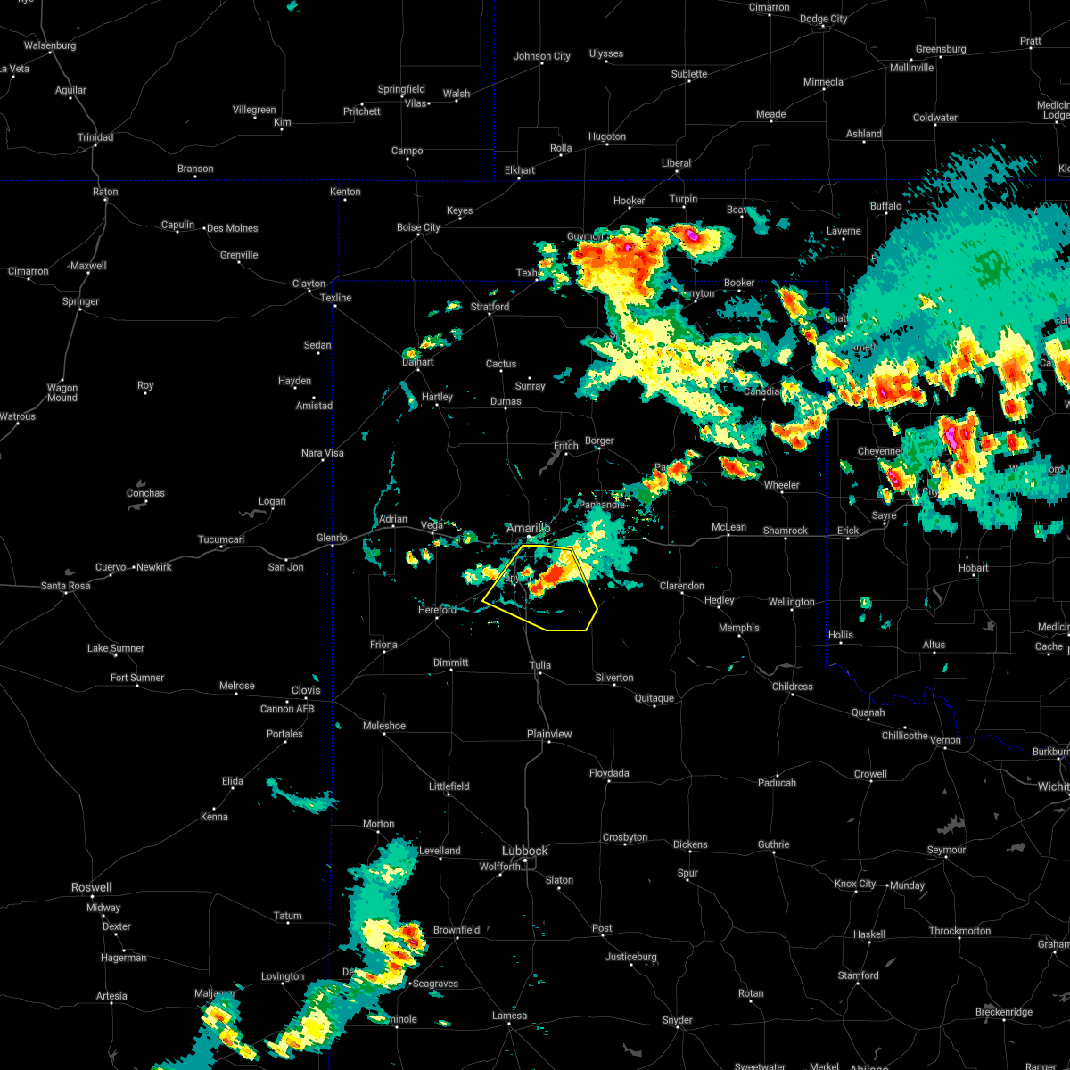 At 556 pm cdt, a severe thunderstorm was located 6 miles north of palo duro canyon, or 15 miles east of canyon, moving northeast at 10 mph (radar indicated). Hazards include 60 mph wind gusts. Minor damage to roofs, siding, and trees is possible. locations impacted include, amarillo, canyon, lake tanglewood, mescalero park, wayside, palo duro canyon and timbercreek canyon. hail threat, radar indicated max hail size, <. 75 in wind threat, radar indicated max wind gust, 60 mph. At 556 pm cdt, a severe thunderstorm was located 6 miles north of palo duro canyon, or 15 miles east of canyon, moving northeast at 10 mph (radar indicated). Hazards include 60 mph wind gusts. Minor damage to roofs, siding, and trees is possible. locations impacted include, amarillo, canyon, lake tanglewood, mescalero park, wayside, palo duro canyon and timbercreek canyon. hail threat, radar indicated max hail size, <. 75 in wind threat, radar indicated max wind gust, 60 mph.
|
| 8/21/2021 5:33 PM CDT |
 At 533 pm cdt, a severe thunderstorm was located 7 miles north of palo duro canyon, or 15 miles west of claude, moving northeast at 20 mph (radar indicated). Hazards include 60 mph wind gusts and nickel size hail. Minor damage to roofs, siding, and trees is possible. locations impacted include, amarillo, canyon, panhandle, claude, lake tanglewood, mescalero park, wayside, washburn, palo duro canyon, timbercreek canyon and pantex. hail threat, radar indicated max hail size, 0. 88in wind threat, radar indicated max wind gust, 60 mph. At 533 pm cdt, a severe thunderstorm was located 7 miles north of palo duro canyon, or 15 miles west of claude, moving northeast at 20 mph (radar indicated). Hazards include 60 mph wind gusts and nickel size hail. Minor damage to roofs, siding, and trees is possible. locations impacted include, amarillo, canyon, panhandle, claude, lake tanglewood, mescalero park, wayside, washburn, palo duro canyon, timbercreek canyon and pantex. hail threat, radar indicated max hail size, 0. 88in wind threat, radar indicated max wind gust, 60 mph.
|
| 8/21/2021 5:14 PM CDT |
 At 514 pm cdt, a severe thunderstorm was located 6 miles south of washburn, or 13 miles west of claude, moving northeast at 15 mph (radar indicated). Hazards include 60 mph wind gusts and quarter size hail. Minor damage to roofs, siding, and trees is possible. Hail damage to vehicles is expected. At 514 pm cdt, a severe thunderstorm was located 6 miles south of washburn, or 13 miles west of claude, moving northeast at 15 mph (radar indicated). Hazards include 60 mph wind gusts and quarter size hail. Minor damage to roofs, siding, and trees is possible. Hail damage to vehicles is expected.
|
| 8/21/2021 4:29 PM CDT |
 At 428 pm cdt, a severe thunderstorm was located near umbarger, or 11 miles west of canyon, moving northeast at 5 mph (radar indicated). Hazards include 60 mph wind gusts. Minor damage to roofs, siding, and trees is possible. locations impacted include, amarillo, canyon, mescalero park, bushland and timbercreek canyon. hail threat, radar indicated max hail size, <. 75 in wind threat, radar indicated max wind gust, 60 mph. At 428 pm cdt, a severe thunderstorm was located near umbarger, or 11 miles west of canyon, moving northeast at 5 mph (radar indicated). Hazards include 60 mph wind gusts. Minor damage to roofs, siding, and trees is possible. locations impacted include, amarillo, canyon, mescalero park, bushland and timbercreek canyon. hail threat, radar indicated max hail size, <. 75 in wind threat, radar indicated max wind gust, 60 mph.
|
| 8/21/2021 4:11 PM CDT |
 At 410 pm cdt, a severe thunderstorm was located near amarillo, moving northeast at 15 mph (radar indicated). Hazards include 60 mph wind gusts and penny size hail. Minor damage to roofs, siding, and trees is possible. locations impacted include, amarillo, canyon, lake tanglewood, mescalero park, bushland, washburn, timbercreek canyon and pantex. hail threat, radar indicated max hail size, 0. 75in wind threat, radar indicated max wind gust, 60 mph. At 410 pm cdt, a severe thunderstorm was located near amarillo, moving northeast at 15 mph (radar indicated). Hazards include 60 mph wind gusts and penny size hail. Minor damage to roofs, siding, and trees is possible. locations impacted include, amarillo, canyon, lake tanglewood, mescalero park, bushland, washburn, timbercreek canyon and pantex. hail threat, radar indicated max hail size, 0. 75in wind threat, radar indicated max wind gust, 60 mph.
|
| 8/21/2021 4:03 PM CDT |
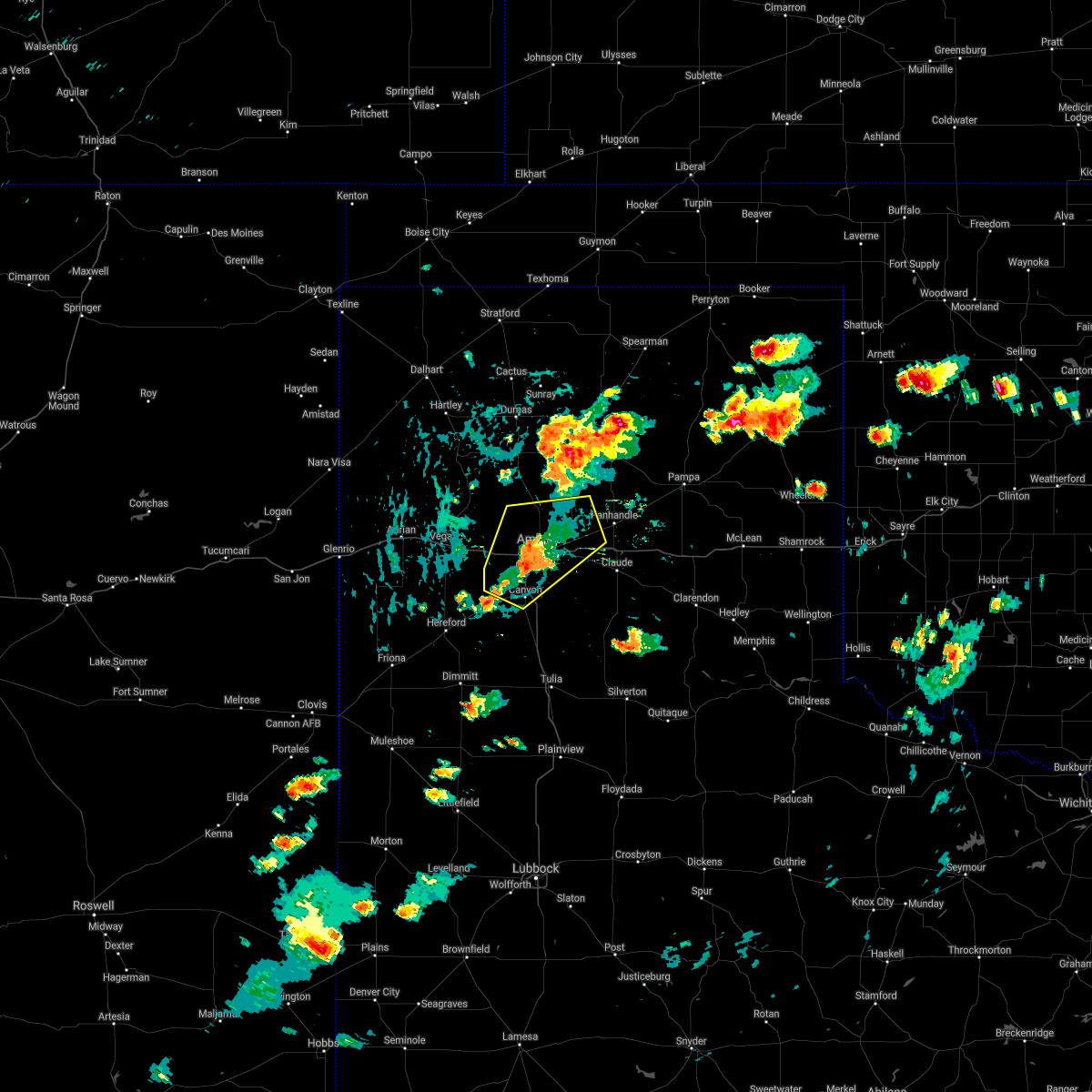 At 403 pm cdt, a severe thunderstorm was located 5 miles southwest of amarillo, moving northeast at 10 mph (radar indicated). Hazards include 60 mph wind gusts and quarter size hail. Minor damage to roofs, siding, and trees is possible. hail damage to vehicles is expected. locations impacted include, amarillo, canyon, lake tanglewood, mescalero park, bushland, washburn, timbercreek canyon and pantex. hail threat, radar indicated max hail size, 1. 00in wind threat, radar indicated max wind gust, 60 mph. At 403 pm cdt, a severe thunderstorm was located 5 miles southwest of amarillo, moving northeast at 10 mph (radar indicated). Hazards include 60 mph wind gusts and quarter size hail. Minor damage to roofs, siding, and trees is possible. hail damage to vehicles is expected. locations impacted include, amarillo, canyon, lake tanglewood, mescalero park, bushland, washburn, timbercreek canyon and pantex. hail threat, radar indicated max hail size, 1. 00in wind threat, radar indicated max wind gust, 60 mph.
|
| 8/21/2021 3:54 PM CDT |
 At 353 pm cdt, a severe thunderstorm was located 5 miles southwest of amarillo, moving northeast at 15 mph (trained weather spotters). Hazards include 70 mph wind gusts and quarter size hail. Expect some tree damage. damage is likely to mobile homes, roofs, and outbuildings. hail damage to vehicles is expected. locations impacted include, amarillo, canyon, lake tanglewood, mescalero park, bushland, washburn, timbercreek canyon and pantex. thunderstorm damage threat, considerable hail threat, radar indicated max hail size, 1. 00in wind threat, radar indicated max wind gust, 70 mph. At 353 pm cdt, a severe thunderstorm was located 5 miles southwest of amarillo, moving northeast at 15 mph (trained weather spotters). Hazards include 70 mph wind gusts and quarter size hail. Expect some tree damage. damage is likely to mobile homes, roofs, and outbuildings. hail damage to vehicles is expected. locations impacted include, amarillo, canyon, lake tanglewood, mescalero park, bushland, washburn, timbercreek canyon and pantex. thunderstorm damage threat, considerable hail threat, radar indicated max hail size, 1. 00in wind threat, radar indicated max wind gust, 70 mph.
|
| 8/21/2021 3:46 PM CDT |
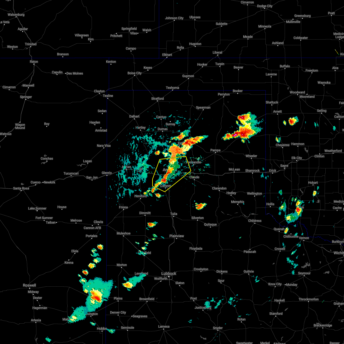 At 346 pm cdt, a severe thunderstorm was located 4 miles north of mescalero park, or 7 miles southwest of amarillo, moving northeast at 15 mph (trained weather spotters). Hazards include 60 mph wind gusts and half dollar size hail. Minor damage to roofs, siding, and trees is possible. hail damage to vehicles is expected. locations impacted include, amarillo, canyon, lake tanglewood, mescalero park, bushland, washburn, timbercreek canyon and pantex. hail threat, radar indicated max hail size, 1. 25 in wind threat, radar indicated max wind gust, 60 mph. At 346 pm cdt, a severe thunderstorm was located 4 miles north of mescalero park, or 7 miles southwest of amarillo, moving northeast at 15 mph (trained weather spotters). Hazards include 60 mph wind gusts and half dollar size hail. Minor damage to roofs, siding, and trees is possible. hail damage to vehicles is expected. locations impacted include, amarillo, canyon, lake tanglewood, mescalero park, bushland, washburn, timbercreek canyon and pantex. hail threat, radar indicated max hail size, 1. 25 in wind threat, radar indicated max wind gust, 60 mph.
|
| 8/21/2021 3:42 PM CDT |
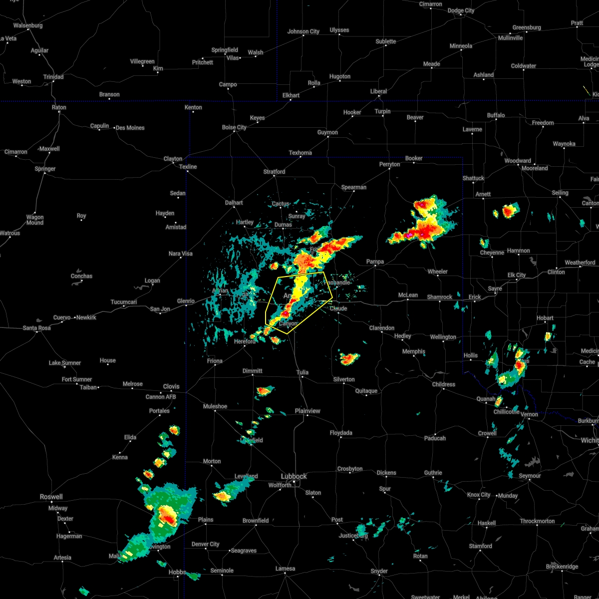 At 342 pm cdt, a severe thunderstorm was located 4 miles northwest of mescalero park, or 8 miles north of canyon, moving northeast at 15 mph (radar indicated). Hazards include 60 mph wind gusts and half dollar size hail. Minor damage to roofs, siding, and trees is possible. Hail damage to vehicles is expected. At 342 pm cdt, a severe thunderstorm was located 4 miles northwest of mescalero park, or 8 miles north of canyon, moving northeast at 15 mph (radar indicated). Hazards include 60 mph wind gusts and half dollar size hail. Minor damage to roofs, siding, and trees is possible. Hail damage to vehicles is expected.
|
| 8/12/2021 6:24 PM CDT |
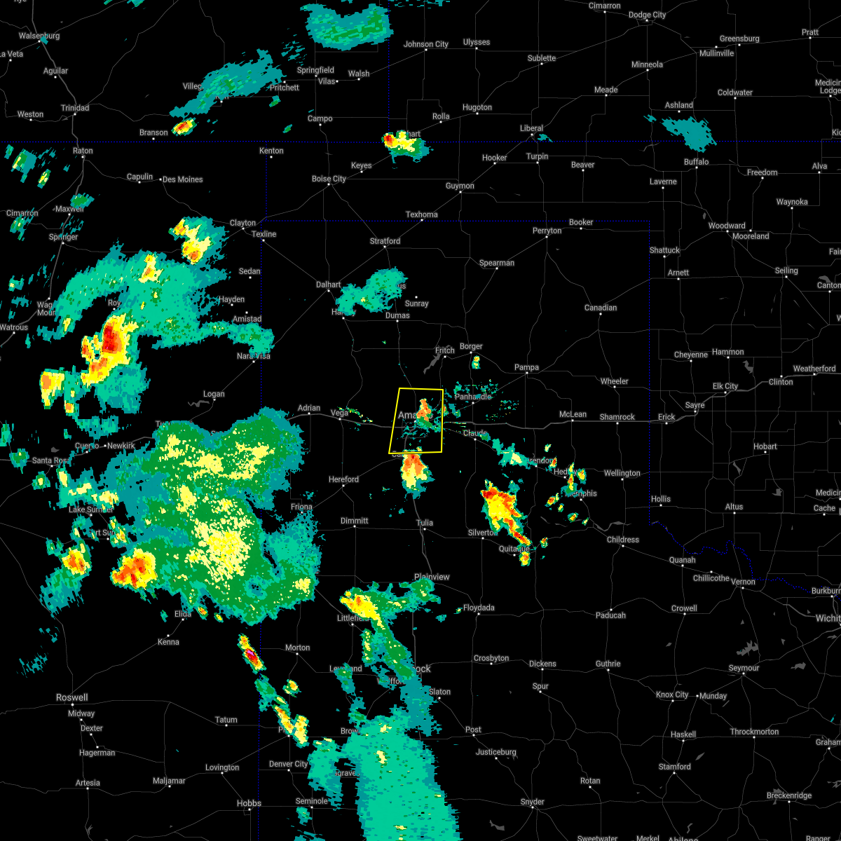 At 623 pm cdt, a severe thunderstorm was located 4 miles north of lake tanglewood, or 6 miles southeast of amarillo, moving north at 25 mph (radar indicated). Hazards include 60 mph wind gusts. minor damage to roofs, siding, and trees is possible At 623 pm cdt, a severe thunderstorm was located 4 miles north of lake tanglewood, or 6 miles southeast of amarillo, moving north at 25 mph (radar indicated). Hazards include 60 mph wind gusts. minor damage to roofs, siding, and trees is possible
|
| 8/12/2021 6:17 PM CDT |
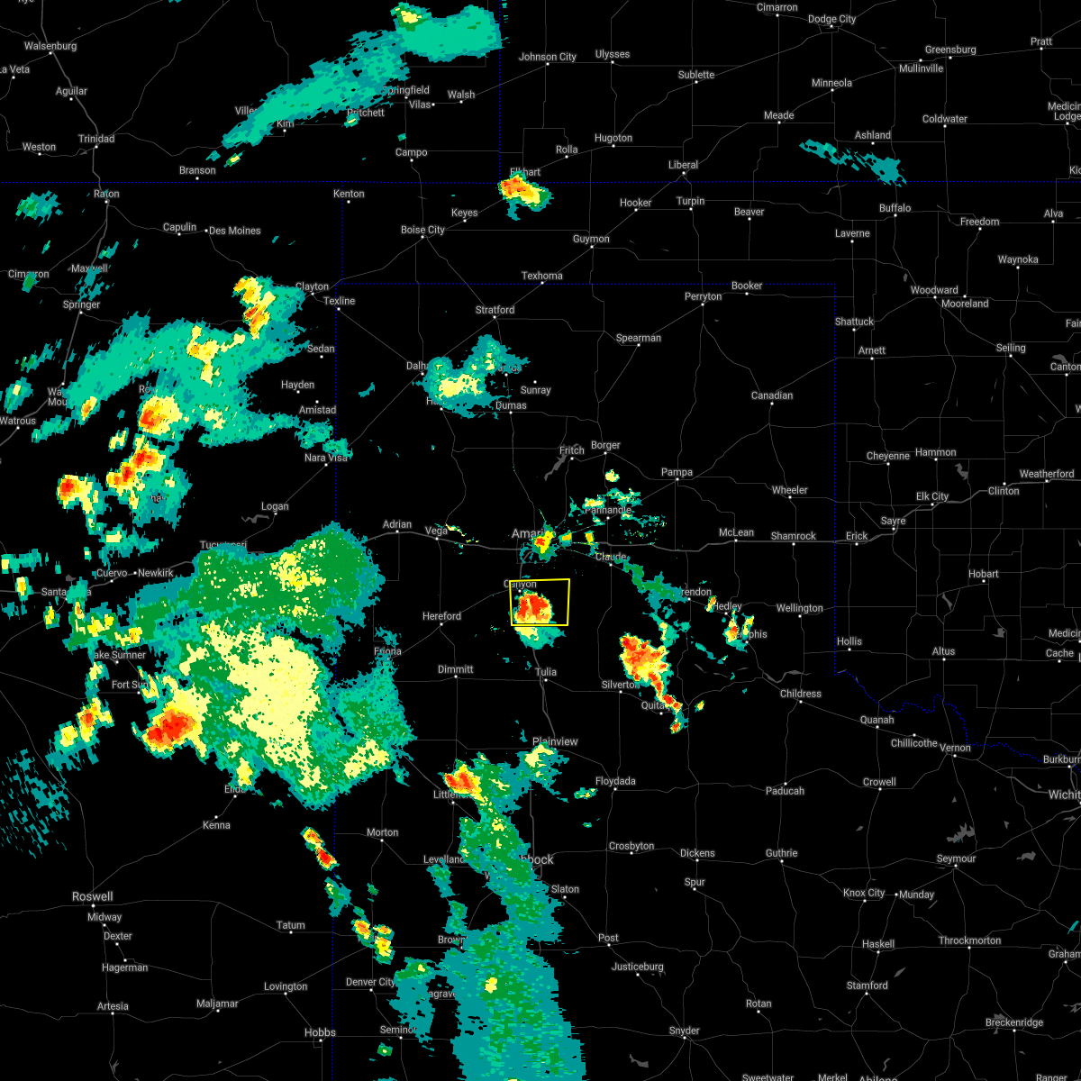 At 617 pm cdt, a severe thunderstorm was located 5 miles east of canyon, moving north at 25 mph (radar indicated). Hazards include 60 mph wind gusts and nickel size hail. Minor damage to roofs, siding, and trees is possible. locations impacted include, canyon, palo duro canyon and mescalero park. hail threat, radar indicated max hail size, 0. 88in wind threat, radar indicated max wind gust, 60 mph. At 617 pm cdt, a severe thunderstorm was located 5 miles east of canyon, moving north at 25 mph (radar indicated). Hazards include 60 mph wind gusts and nickel size hail. Minor damage to roofs, siding, and trees is possible. locations impacted include, canyon, palo duro canyon and mescalero park. hail threat, radar indicated max hail size, 0. 88in wind threat, radar indicated max wind gust, 60 mph.
|
| 8/7/2021 7:50 PM CDT |
 The severe thunderstorm warning for central randall and southeastern potter counties will expire at 800 pm cdt, the storm which prompted the warning has moved out of the area. therefore, the warning will be allowed to expire. however gusty winds are still possible with this thunderstorm. The severe thunderstorm warning for central randall and southeastern potter counties will expire at 800 pm cdt, the storm which prompted the warning has moved out of the area. therefore, the warning will be allowed to expire. however gusty winds are still possible with this thunderstorm.
|
| 8/7/2021 7:27 PM CDT |
 At 726 pm cdt, a severe thunderstorm was located 4 miles north of lake tanglewood, or 6 miles southeast of amarillo, moving east at 20 mph (radar indicated). Hazards include 60 mph wind gusts. Minor damage to roofs, siding, and trees is possible. locations impacted include, amarillo, canyon, lake tanglewood, mescalero park, buffalo lake, umbarger, palo duro canyon and timbercreek canyon. hail threat, radar indicated max hail size, <. 75 in wind threat, radar indicated max wind gust, 60 mph. At 726 pm cdt, a severe thunderstorm was located 4 miles north of lake tanglewood, or 6 miles southeast of amarillo, moving east at 20 mph (radar indicated). Hazards include 60 mph wind gusts. Minor damage to roofs, siding, and trees is possible. locations impacted include, amarillo, canyon, lake tanglewood, mescalero park, buffalo lake, umbarger, palo duro canyon and timbercreek canyon. hail threat, radar indicated max hail size, <. 75 in wind threat, radar indicated max wind gust, 60 mph.
|
| 8/7/2021 7:04 PM CDT |
 At 704 pm cdt, a severe thunderstorm was located 4 miles north of mescalero park, or 7 miles southwest of amarillo, moving east at 20 mph (radar indicated). Hazards include 60 mph wind gusts and quarter size hail. Minor damage to roofs, siding, and trees is possible. Hail damage to vehicles is expected. At 704 pm cdt, a severe thunderstorm was located 4 miles north of mescalero park, or 7 miles southwest of amarillo, moving east at 20 mph (radar indicated). Hazards include 60 mph wind gusts and quarter size hail. Minor damage to roofs, siding, and trees is possible. Hail damage to vehicles is expected.
|
| 7/31/2021 7:37 PM CDT |
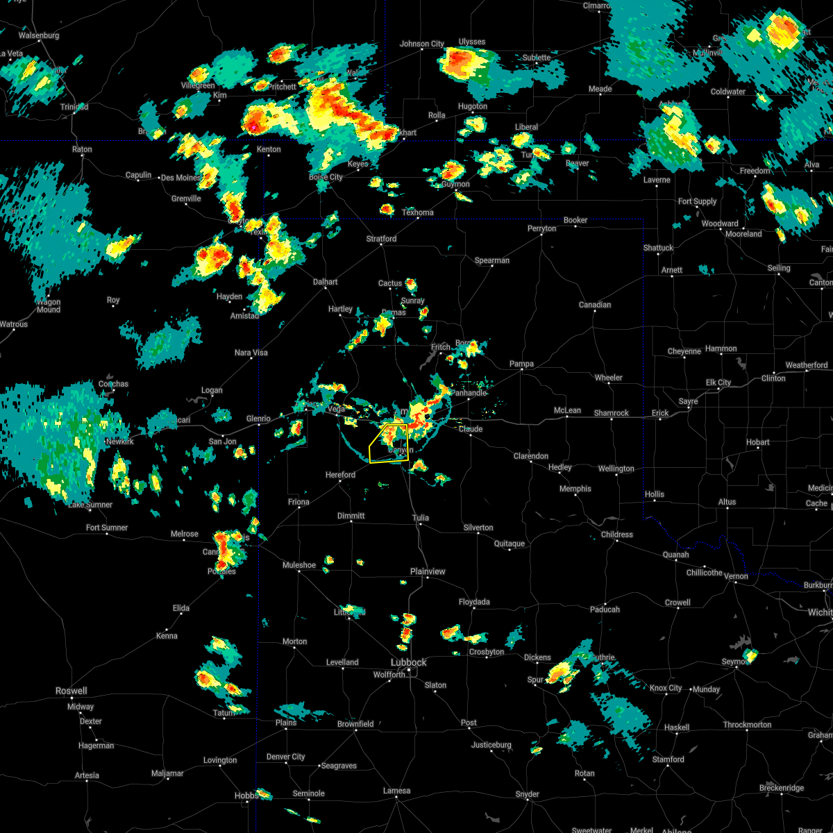 The severe thunderstorm warning for northwestern randall county will expire at 745 pm cdt, the storm which prompted the warning has weakened below severe limits, and has exited the warned area. therefore, the warning will be allowed to expire. however gusty winds and heavy rain are still possible with this thunderstorm. The severe thunderstorm warning for northwestern randall county will expire at 745 pm cdt, the storm which prompted the warning has weakened below severe limits, and has exited the warned area. therefore, the warning will be allowed to expire. however gusty winds and heavy rain are still possible with this thunderstorm.
|
| 7/31/2021 7:20 PM CDT |
 At 719 pm cdt, a severe thunderstorm was located 5 miles northeast of umbarger, or 7 miles west of canyon, moving south at 15 mph (radar indicated). Hazards include 60 mph wind gusts and nickel size hail. Minor damage to roofs, siding, and trees is possible. Locations impacted include, amarillo, canyon, umbarger and mescalero park. At 719 pm cdt, a severe thunderstorm was located 5 miles northeast of umbarger, or 7 miles west of canyon, moving south at 15 mph (radar indicated). Hazards include 60 mph wind gusts and nickel size hail. Minor damage to roofs, siding, and trees is possible. Locations impacted include, amarillo, canyon, umbarger and mescalero park.
|
| 7/31/2021 6:54 PM CDT |
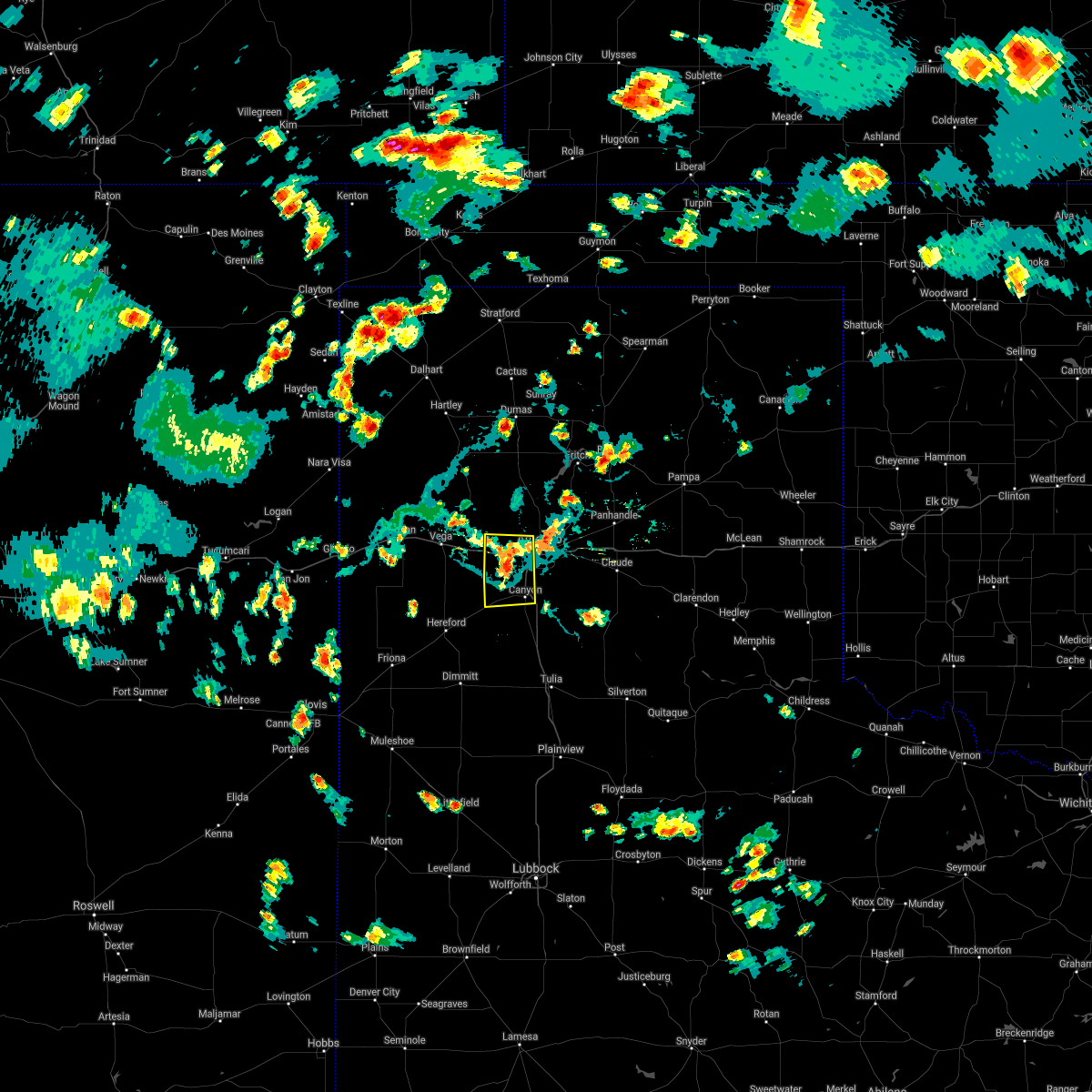 At 654 pm cdt, a severe thunderstorm was located 7 miles west of mescalero park, or 9 miles northwest of canyon, moving south at 15 mph (radar indicated). Hazards include 60 mph wind gusts and nickel size hail. minor damage to roofs, siding, and trees is possible At 654 pm cdt, a severe thunderstorm was located 7 miles west of mescalero park, or 9 miles northwest of canyon, moving south at 15 mph (radar indicated). Hazards include 60 mph wind gusts and nickel size hail. minor damage to roofs, siding, and trees is possible
|
| 7/17/2021 7:58 PM CDT |
 At 758 pm cdt, severe thunderstorms were located along a line extending from 7 miles south of canyon to 12 miles northwest of dawn to 10 miles north of bellview, moving southwest at 15 mph (radar indicated). Hazards include 70 mph wind gusts and quarter size hail. Expect some tree damage. damage is likely to mobile homes, roofs, and outbuildings. hail damage to vehicles is expected. Locations impacted include, amarillo, hereford, canyon, mescalero park, buffalo lake, dawn, umbarger, bootleg and simms. At 758 pm cdt, severe thunderstorms were located along a line extending from 7 miles south of canyon to 12 miles northwest of dawn to 10 miles north of bellview, moving southwest at 15 mph (radar indicated). Hazards include 70 mph wind gusts and quarter size hail. Expect some tree damage. damage is likely to mobile homes, roofs, and outbuildings. hail damage to vehicles is expected. Locations impacted include, amarillo, hereford, canyon, mescalero park, buffalo lake, dawn, umbarger, bootleg and simms.
|
| 7/17/2021 7:51 PM CDT |
 At 751 pm cdt, severe thunderstorms were located along a line extending from 8 miles south of canyon to 12 miles northwest of dawn to 10 miles north of bellview, moving southwest at 15 mph (radar indicated). Hazards include 70 mph wind gusts and penny size hail. Expect some tree damage. Damage is likely to mobile homes, roofs, and outbuildings. At 751 pm cdt, severe thunderstorms were located along a line extending from 8 miles south of canyon to 12 miles northwest of dawn to 10 miles north of bellview, moving southwest at 15 mph (radar indicated). Hazards include 70 mph wind gusts and penny size hail. Expect some tree damage. Damage is likely to mobile homes, roofs, and outbuildings.
|
| 7/17/2021 7:25 PM CDT | 58 mph gust / 51 mph sustained win in randall county TX, 9.1 miles E of Canyon, TX |
| 7/5/2021 2:43 AM CDT |
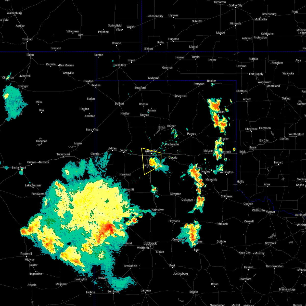 The severe thunderstorm warning for northeastern randall and southeastern potter counties will expire at 245 am cdt, the storm which prompted the warning has weakened below severe limits, and no longer poses an immediate threat to life or property. therefore, the warning will be allowed to expire. however small hail, gusty winds and heavy rain are still possible with this thunderstorm. The severe thunderstorm warning for northeastern randall and southeastern potter counties will expire at 245 am cdt, the storm which prompted the warning has weakened below severe limits, and no longer poses an immediate threat to life or property. therefore, the warning will be allowed to expire. however small hail, gusty winds and heavy rain are still possible with this thunderstorm.
|
| 7/5/2021 2:26 AM CDT |
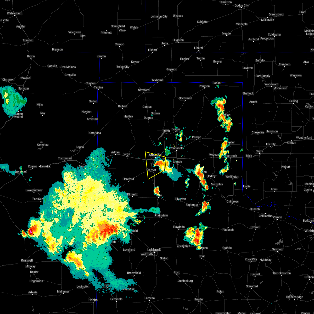 At 226 am cdt, a severe thunderstorm was located 5 miles southwest of amarillo, moving west at 20 mph (radar indicated). Hazards include 70 mph wind gusts and ping pong ball size hail. Expect some tree damage. damage is likely to mobile homes, roofs, and outbuildings. people and animals outdoors will be injured. expect hail damage to roofs, siding, windows, and vehicles. Locations impacted include, amarillo, canyon, lake tanglewood, mescalero park and timbercreek canyon. At 226 am cdt, a severe thunderstorm was located 5 miles southwest of amarillo, moving west at 20 mph (radar indicated). Hazards include 70 mph wind gusts and ping pong ball size hail. Expect some tree damage. damage is likely to mobile homes, roofs, and outbuildings. people and animals outdoors will be injured. expect hail damage to roofs, siding, windows, and vehicles. Locations impacted include, amarillo, canyon, lake tanglewood, mescalero park and timbercreek canyon.
|
| 7/5/2021 2:15 AM CDT |
 At 215 am cdt, a severe thunderstorm was located over amarillo, moving west at 20 mph (radar indicated). Hazards include 60 mph wind gusts and quarter size hail. Minor damage to roofs, siding, and trees is possible. hail damage to vehicles is expected. Locations impacted include, amarillo, canyon, lake tanglewood, washburn, mescalero park and timbercreek canyon. At 215 am cdt, a severe thunderstorm was located over amarillo, moving west at 20 mph (radar indicated). Hazards include 60 mph wind gusts and quarter size hail. Minor damage to roofs, siding, and trees is possible. hail damage to vehicles is expected. Locations impacted include, amarillo, canyon, lake tanglewood, washburn, mescalero park and timbercreek canyon.
|
| 7/5/2021 1:58 AM CDT |
 At 158 am cdt, a severe thunderstorm was located 6 miles east of amarillo, moving west at 20 mph (radar indicated). Hazards include 70 mph wind gusts and ping pong ball size hail. Expect some tree damage. damage is likely to mobile homes, roofs, and outbuildings. people and animals outdoors will be injured. expect hail damage to roofs, siding, windows, and vehicles. Locations impacted include, amarillo, canyon, claude, lake tanglewood, mescalero park, washburn and timbercreek canyon. At 158 am cdt, a severe thunderstorm was located 6 miles east of amarillo, moving west at 20 mph (radar indicated). Hazards include 70 mph wind gusts and ping pong ball size hail. Expect some tree damage. damage is likely to mobile homes, roofs, and outbuildings. people and animals outdoors will be injured. expect hail damage to roofs, siding, windows, and vehicles. Locations impacted include, amarillo, canyon, claude, lake tanglewood, mescalero park, washburn and timbercreek canyon.
|
| 7/5/2021 1:41 AM CDT |
 At 141 am cdt, a severe thunderstorm was located near washburn, or 11 miles east of amarillo, moving west at 20 mph. this is a very dangerous storm (radar indicated). Hazards include 80 mph wind gusts and ping pong ball size hail. Flying debris will be dangerous to those caught without shelter. mobile homes will be heavily damaged. expect considerable damage to roofs, windows, and vehicles. tree damage and power outages are likely. people and animals outdoors will be injured. expect hail damage to roofs, siding, windows, and vehicles. Locations impacted include, amarillo, canyon, claude, lake tanglewood, mescalero park, washburn and timbercreek canyon. At 141 am cdt, a severe thunderstorm was located near washburn, or 11 miles east of amarillo, moving west at 20 mph. this is a very dangerous storm (radar indicated). Hazards include 80 mph wind gusts and ping pong ball size hail. Flying debris will be dangerous to those caught without shelter. mobile homes will be heavily damaged. expect considerable damage to roofs, windows, and vehicles. tree damage and power outages are likely. people and animals outdoors will be injured. expect hail damage to roofs, siding, windows, and vehicles. Locations impacted include, amarillo, canyon, claude, lake tanglewood, mescalero park, washburn and timbercreek canyon.
|
| 7/5/2021 1:31 AM CDT |
 At 131 am cdt, a severe thunderstorm was located over washburn, or 13 miles northwest of claude, moving west at 20 mph (radar indicated). Hazards include 70 mph wind gusts and ping pong ball size hail. Expect some tree damage. damage is likely to mobile homes, roofs, and outbuildings. people and animals outdoors will be injured. Expect hail damage to roofs, siding, windows, and vehicles. At 131 am cdt, a severe thunderstorm was located over washburn, or 13 miles northwest of claude, moving west at 20 mph (radar indicated). Hazards include 70 mph wind gusts and ping pong ball size hail. Expect some tree damage. damage is likely to mobile homes, roofs, and outbuildings. people and animals outdoors will be injured. Expect hail damage to roofs, siding, windows, and vehicles.
|
| 6/24/2021 9:28 PM CDT | West texas mesonet umbarger 3nne measured 58 mph wind gus in randall county TX, 9.1 miles E of Canyon, TX |
| 6/7/2021 10:07 PM CDT | 60 mph wind gust at the wtm site at umbarger. occurred in light rai in randall county TX, 9.1 miles E of Canyon, TX |
| 6/6/2021 10:28 PM CDT |
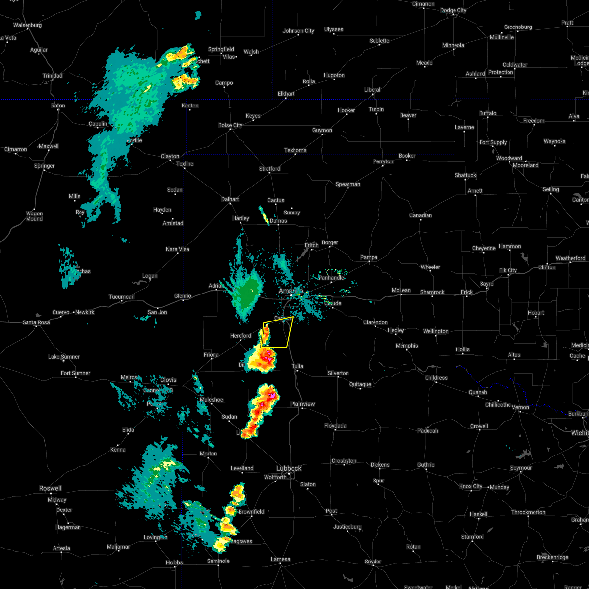 At 1027 pm cdt, severe thunderstorms were located along a line extending from umbarger to 9 miles south of buffalo lake, moving east at 15 mph (radar indicated). Hazards include 60 mph wind gusts and quarter size hail. Minor damage to roofs, siding, and trees is possible. hail damage to vehicles is expected. Locations impacted include, canyon, umbarger and buffalo lake. At 1027 pm cdt, severe thunderstorms were located along a line extending from umbarger to 9 miles south of buffalo lake, moving east at 15 mph (radar indicated). Hazards include 60 mph wind gusts and quarter size hail. Minor damage to roofs, siding, and trees is possible. hail damage to vehicles is expected. Locations impacted include, canyon, umbarger and buffalo lake.
|
| 6/6/2021 10:10 PM CDT |
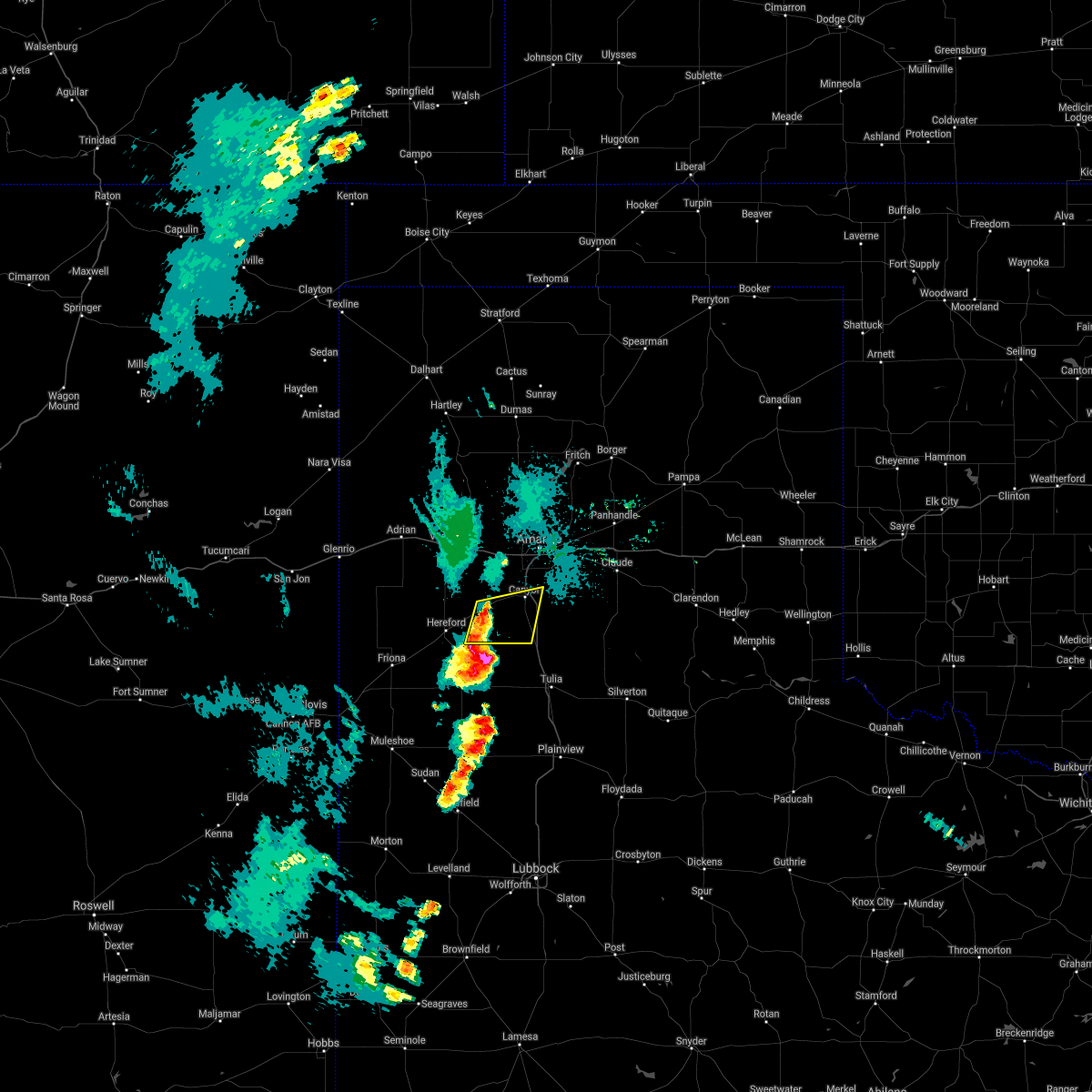 At 1009 pm cdt, severe thunderstorms were located along a line extending from near umbarger to 9 miles southwest of buffalo lake, moving east at 15 mph (radar indicated). Hazards include 60 mph wind gusts and quarter size hail. Minor damage to roofs, siding, and trees is possible. hail damage to vehicles is expected. Locations impacted include, canyon, umbarger, buffalo lake and dawn. At 1009 pm cdt, severe thunderstorms were located along a line extending from near umbarger to 9 miles southwest of buffalo lake, moving east at 15 mph (radar indicated). Hazards include 60 mph wind gusts and quarter size hail. Minor damage to roofs, siding, and trees is possible. hail damage to vehicles is expected. Locations impacted include, canyon, umbarger, buffalo lake and dawn.
|
| 6/6/2021 9:40 PM CDT |
 At 940 pm cdt, severe thunderstorms were located along a line extending from near wildorado to 7 miles southeast of hereford, moving east at 15 mph (radar indicated). Hazards include 60 mph wind gusts and quarter size hail. Minor damage to roofs, siding, and trees is possible. Hail damage to vehicles is expected. At 940 pm cdt, severe thunderstorms were located along a line extending from near wildorado to 7 miles southeast of hereford, moving east at 15 mph (radar indicated). Hazards include 60 mph wind gusts and quarter size hail. Minor damage to roofs, siding, and trees is possible. Hail damage to vehicles is expected.
|
| 5/26/2021 9:43 PM CDT |
 At 943 pm cdt, severe thunderstorms were located along a line extending from canyon to 4 miles northeast of happy, moving northeast at 50 mph (radar indicated). Hazards include 60 mph wind gusts. Minor damage to roofs, siding, and trees is possible. locations impacted include, canyon, wayside and palo duro canyon. A tornado watch remains in effect until midnight cdt for the panhandle of texas. At 943 pm cdt, severe thunderstorms were located along a line extending from canyon to 4 miles northeast of happy, moving northeast at 50 mph (radar indicated). Hazards include 60 mph wind gusts. Minor damage to roofs, siding, and trees is possible. locations impacted include, canyon, wayside and palo duro canyon. A tornado watch remains in effect until midnight cdt for the panhandle of texas.
|
| 5/26/2021 9:29 PM CDT |
 At 929 pm cdt, severe thunderstorms were located along a line extending from buffalo lake to 7 miles southwest of happy to 12 miles northeast of hart, moving east at 40 mph (radar indicated). Hazards include 60 mph wind gusts and quarter size hail. Minor damage to roofs, siding, and trees is possible. hail damage to vehicles is expected. locations impacted include, canyon, buffalo lake, wayside and palo duro canyon. A tornado watch remains in effect until midnight cdt for the panhandle of texas. At 929 pm cdt, severe thunderstorms were located along a line extending from buffalo lake to 7 miles southwest of happy to 12 miles northeast of hart, moving east at 40 mph (radar indicated). Hazards include 60 mph wind gusts and quarter size hail. Minor damage to roofs, siding, and trees is possible. hail damage to vehicles is expected. locations impacted include, canyon, buffalo lake, wayside and palo duro canyon. A tornado watch remains in effect until midnight cdt for the panhandle of texas.
|
| 5/26/2021 9:11 PM CDT |
 At 911 pm cdt, severe thunderstorms were located along a line extending from 5 miles southeast of hereford to 9 miles east of dimmitt to 7 miles northwest of hart, moving east at 40 mph (radar indicated). Hazards include ping pong ball size hail and 60 mph wind gusts. Minor damage to roofs, siding, and trees is possible. people and animals outdoors will be injured. Expect hail damage to roofs, siding, windows, and vehicles. At 911 pm cdt, severe thunderstorms were located along a line extending from 5 miles southeast of hereford to 9 miles east of dimmitt to 7 miles northwest of hart, moving east at 40 mph (radar indicated). Hazards include ping pong ball size hail and 60 mph wind gusts. Minor damage to roofs, siding, and trees is possible. people and animals outdoors will be injured. Expect hail damage to roofs, siding, windows, and vehicles.
|
| 5/26/2021 6:47 PM CDT |
 At 646 pm cdt, two severe thunderstorms, the first over lake tanglewood and the second 3 miles south of palo duro canyon, were moving northeast at 40 mph (radar indicated). Hazards include ping pong ball size hail and 60 mph wind gusts. Minor damage to roofs, siding, and trees is possible. people and animals outdoors will be injured. Expect hail damage to roofs, siding, windows, and vehicles. At 646 pm cdt, two severe thunderstorms, the first over lake tanglewood and the second 3 miles south of palo duro canyon, were moving northeast at 40 mph (radar indicated). Hazards include ping pong ball size hail and 60 mph wind gusts. Minor damage to roofs, siding, and trees is possible. people and animals outdoors will be injured. Expect hail damage to roofs, siding, windows, and vehicles.
|
| 5/26/2021 6:36 PM CDT |
 At 635 pm cdt, two severe thunderstorms, the first 4 miles southwest of lake tanglewood and the second 7 miles southwest of palo duro canyon, were moving northeast at 40 mph (radar indicated). Hazards include 60 mph wind gusts and quarter size hail. Minor damage to roofs, siding, and trees is possible. hail damage to vehicles is expected. locations impacted include, canyon, lake tanglewood, wayside, palo duro canyon, mescalero park and timbercreek canyon. A tornado watch remains in effect until midnight cdt for the panhandle of texas. At 635 pm cdt, two severe thunderstorms, the first 4 miles southwest of lake tanglewood and the second 7 miles southwest of palo duro canyon, were moving northeast at 40 mph (radar indicated). Hazards include 60 mph wind gusts and quarter size hail. Minor damage to roofs, siding, and trees is possible. hail damage to vehicles is expected. locations impacted include, canyon, lake tanglewood, wayside, palo duro canyon, mescalero park and timbercreek canyon. A tornado watch remains in effect until midnight cdt for the panhandle of texas.
|
| 5/26/2021 6:11 PM CDT |
 At 611 pm cdt, a severe thunderstorm was located 7 miles northwest of happy, or 13 miles south of canyon, moving northeast at 40 mph (radar indicated). Hazards include 60 mph wind gusts and quarter size hail. Minor damage to roofs, siding, and trees is possible. Hail damage to vehicles is expected. At 611 pm cdt, a severe thunderstorm was located 7 miles northwest of happy, or 13 miles south of canyon, moving northeast at 40 mph (radar indicated). Hazards include 60 mph wind gusts and quarter size hail. Minor damage to roofs, siding, and trees is possible. Hail damage to vehicles is expected.
|
| 5/25/2021 7:54 PM CDT | Hen Egg sized hail reported 7.5 miles NNE of Canyon, TX, mping report. |
| 5/25/2021 7:49 PM CDT |
 At 748 pm cdt, a severe thunderstorm was located 7 miles south of canyon, moving southeast at 15 mph (trained weather spotters. at 729 pm cdt, trained spotters reported golf ball size hail 5 miles east northeast of umbarger). Hazards include two inch hail and 60 mph wind gusts. Minor damage to roofs, siding, and trees is possible. people and animals outdoors will be injured. expect hail damage to roofs, siding, windows, and vehicles. Locations impacted include, canyon and umbarger. At 748 pm cdt, a severe thunderstorm was located 7 miles south of canyon, moving southeast at 15 mph (trained weather spotters. at 729 pm cdt, trained spotters reported golf ball size hail 5 miles east northeast of umbarger). Hazards include two inch hail and 60 mph wind gusts. Minor damage to roofs, siding, and trees is possible. people and animals outdoors will be injured. expect hail damage to roofs, siding, windows, and vehicles. Locations impacted include, canyon and umbarger.
|
| 5/25/2021 7:48 PM CDT | Hen Egg sized hail reported 7.2 miles NE of Canyon, TX, reported via mping. |
| 5/25/2021 7:38 PM CDT | Quarter sized hail reported 5.8 miles NNE of Canyon, TX, reported via twitter. |
| 5/25/2021 7:32 PM CDT |
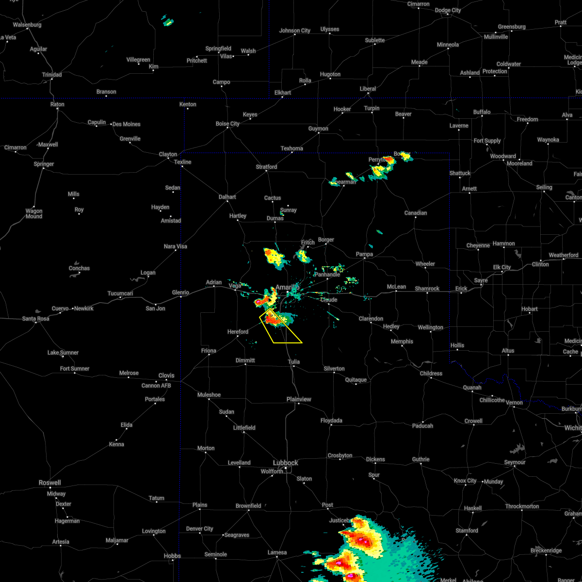 At 731 pm cdt, a severe thunderstorm was located 6 miles southeast of umbarger, or 6 miles southwest of canyon, moving southeast at 20 mph (trained weather spotters. at 728 pm cdt, two inch diameter hail was reported 10 miles west of canyon). Hazards include two inch hail and 60 mph wind gusts. Minor damage to roofs, siding, and trees is possible. people and animals outdoors will be injured. expect hail damage to roofs, siding, windows, and vehicles. Locations impacted include, canyon and umbarger. At 731 pm cdt, a severe thunderstorm was located 6 miles southeast of umbarger, or 6 miles southwest of canyon, moving southeast at 20 mph (trained weather spotters. at 728 pm cdt, two inch diameter hail was reported 10 miles west of canyon). Hazards include two inch hail and 60 mph wind gusts. Minor damage to roofs, siding, and trees is possible. people and animals outdoors will be injured. expect hail damage to roofs, siding, windows, and vehicles. Locations impacted include, canyon and umbarger.
|
| 5/25/2021 7:30 PM CDT |
 At 730 pm cdt, a severe thunderstorm was located 7 miles southwest of bushland, or 15 miles northwest of canyon, moving southeast at 5 mph (radar indicated). Hazards include 60 mph wind gusts and half dollar size hail. Minor damage to roofs, siding, and trees is possible. hail damage to vehicles is expected. Locations impacted include, amarillo, canyon, umbarger and mescalero park. At 730 pm cdt, a severe thunderstorm was located 7 miles southwest of bushland, or 15 miles northwest of canyon, moving southeast at 5 mph (radar indicated). Hazards include 60 mph wind gusts and half dollar size hail. Minor damage to roofs, siding, and trees is possible. hail damage to vehicles is expected. Locations impacted include, amarillo, canyon, umbarger and mescalero park.
|
| 5/25/2021 7:29 PM CDT | Golf Ball sized hail reported 6.3 miles E of Canyon, TX, reported 6 miles west of canyon on highway 60 via twitter. |
| 5/25/2021 7:28 PM CDT | Hen Egg sized hail reported 9.3 miles E of Canyon, TX, report received on twitter. |
| 5/25/2021 7:28 PM CDT |
 At 728 pm cdt, a severe thunderstorm was located 5 miles east of umbarger, or 6 miles southwest of canyon, moving southeast at 20 mph (radar indicated). Hazards include 60 mph wind gusts and half dollar size hail. Minor damage to roofs, siding, and trees is possible. Hail damage to vehicles is expected. At 728 pm cdt, a severe thunderstorm was located 5 miles east of umbarger, or 6 miles southwest of canyon, moving southeast at 20 mph (radar indicated). Hazards include 60 mph wind gusts and half dollar size hail. Minor damage to roofs, siding, and trees is possible. Hail damage to vehicles is expected.
|
| 5/25/2021 6:56 PM CDT |
 At 655 pm cdt, a severe thunderstorm was located 8 miles southwest of bushland, or 14 miles northwest of canyon, moving east at 10 mph (radar indicated). Hazards include 60 mph wind gusts and quarter size hail. Minor damage to roofs, siding, and trees is possible. Hail damage to vehicles is expected. At 655 pm cdt, a severe thunderstorm was located 8 miles southwest of bushland, or 14 miles northwest of canyon, moving east at 10 mph (radar indicated). Hazards include 60 mph wind gusts and quarter size hail. Minor damage to roofs, siding, and trees is possible. Hail damage to vehicles is expected.
|
| 5/18/2021 6:36 PM CDT |
 At 636 pm cdt, severe thunderstorms were located along a line extending from 6 miles east of masterson to near palo duro canyon, moving east at 25 mph (radar indicated). Hazards include 60 mph wind gusts and quarter size hail. Minor damage to roofs, siding, and trees is possible. hail damage to vehicles is expected. Locations impacted include, amarillo, canyon, lake tanglewood, mescalero park, washburn, masterson, lake meredith, timbercreek canyon and pantex. At 636 pm cdt, severe thunderstorms were located along a line extending from 6 miles east of masterson to near palo duro canyon, moving east at 25 mph (radar indicated). Hazards include 60 mph wind gusts and quarter size hail. Minor damage to roofs, siding, and trees is possible. hail damage to vehicles is expected. Locations impacted include, amarillo, canyon, lake tanglewood, mescalero park, washburn, masterson, lake meredith, timbercreek canyon and pantex.
|
| 5/18/2021 6:26 PM CDT |
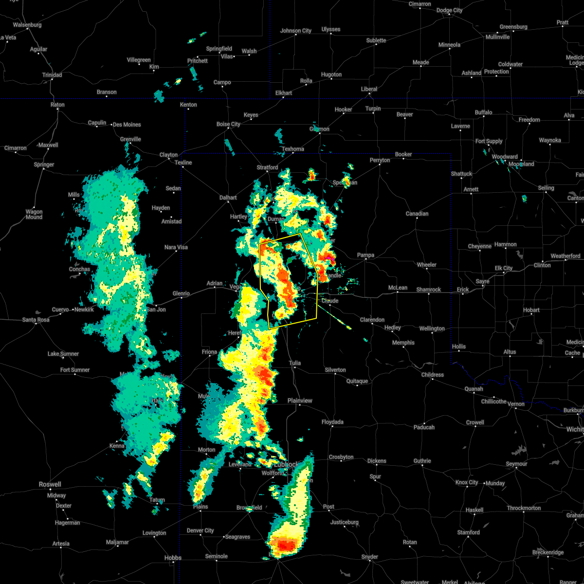 At 625 pm cdt, severe thunderstorms were located along a line extending from 3 miles southeast of masterson to near palo duro canyon, moving east at 15 mph (radar indicated). Hazards include 60 mph wind gusts and quarter size hail. Minor damage to roofs, siding, and trees is possible. hail damage to vehicles is expected. Locations impacted include, amarillo, canyon, lake tanglewood, mescalero park, bushland, four way, valley de oro, washburn, masterson, lake meredith, timbercreek canyon and pantex. At 625 pm cdt, severe thunderstorms were located along a line extending from 3 miles southeast of masterson to near palo duro canyon, moving east at 15 mph (radar indicated). Hazards include 60 mph wind gusts and quarter size hail. Minor damage to roofs, siding, and trees is possible. hail damage to vehicles is expected. Locations impacted include, amarillo, canyon, lake tanglewood, mescalero park, bushland, four way, valley de oro, washburn, masterson, lake meredith, timbercreek canyon and pantex.
|
| 5/18/2021 6:18 PM CDT |
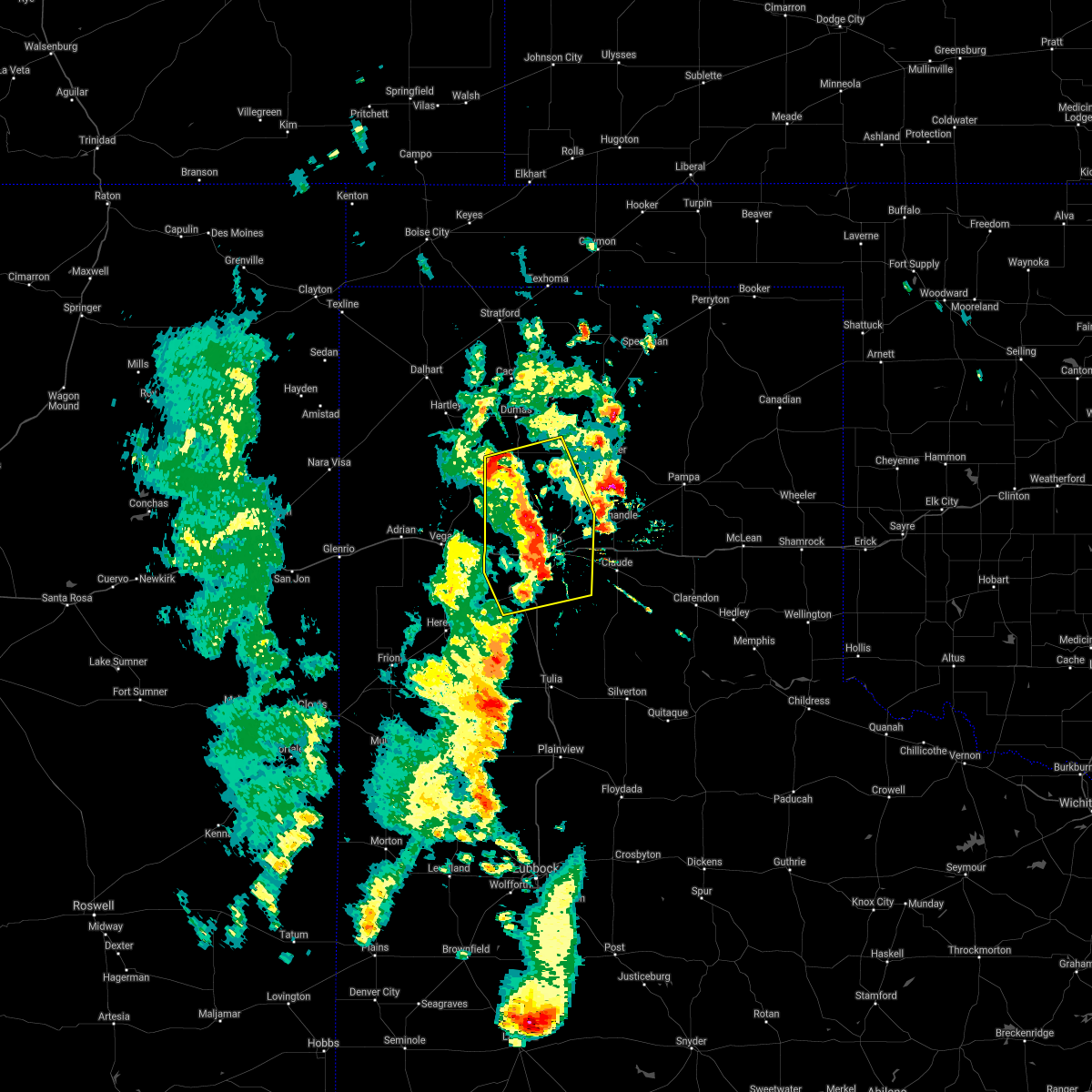 At 617 pm cdt, severe thunderstorms were located along a line extending from near masterson to 4 miles northwest of palo duro canyon, moving east at 15 mph (radar indicated). Hazards include 60 mph wind gusts and quarter size hail. Minor damage to roofs, siding, and trees is possible. hail damage to vehicles is expected. Locations impacted include, amarillo, canyon, lake tanglewood, mescalero park, bushland, four way, valley de oro, washburn, masterson, lake meredith, timbercreek canyon and pantex. At 617 pm cdt, severe thunderstorms were located along a line extending from near masterson to 4 miles northwest of palo duro canyon, moving east at 15 mph (radar indicated). Hazards include 60 mph wind gusts and quarter size hail. Minor damage to roofs, siding, and trees is possible. hail damage to vehicles is expected. Locations impacted include, amarillo, canyon, lake tanglewood, mescalero park, bushland, four way, valley de oro, washburn, masterson, lake meredith, timbercreek canyon and pantex.
|
| 5/18/2021 6:05 PM CDT |
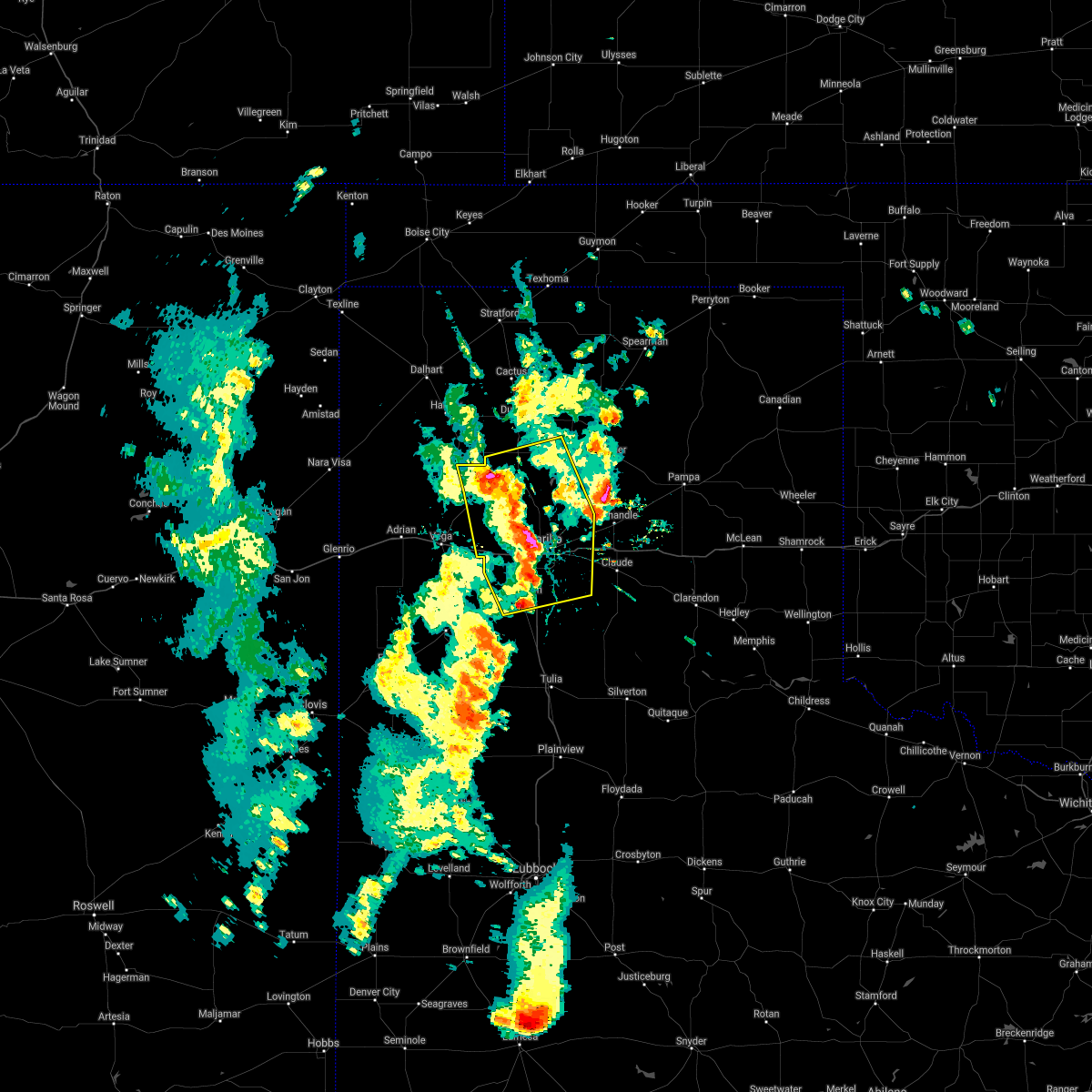 At 604 pm cdt, severe thunderstorms were located along a line extending from 3 miles southwest of masterson to 6 miles south of lake tanglewood, moving east at 20 mph (radar indicated). Hazards include 60 mph wind gusts and quarter size hail. Minor damage to roofs, siding, and trees is possible. hail damage to vehicles is expected. Locations impacted include, amarillo, canyon, lake tanglewood, bushland, valley de oro, washburn, boys ranch, mescalero park, four way, masterson, lake meredith, timbercreek canyon and pantex. At 604 pm cdt, severe thunderstorms were located along a line extending from 3 miles southwest of masterson to 6 miles south of lake tanglewood, moving east at 20 mph (radar indicated). Hazards include 60 mph wind gusts and quarter size hail. Minor damage to roofs, siding, and trees is possible. hail damage to vehicles is expected. Locations impacted include, amarillo, canyon, lake tanglewood, bushland, valley de oro, washburn, boys ranch, mescalero park, four way, masterson, lake meredith, timbercreek canyon and pantex.
|
| 5/18/2021 5:54 PM CDT |
 At 553 pm cdt, severe thunderstorms were located along a line extending from 5 miles northeast of valley de oro to 3 miles north of mescalero park, moving east at 15 mph (radar indicated). Hazards include 60 mph wind gusts and quarter size hail. Minor damage to roofs, siding, and trees is possible. hail damage to vehicles is expected. Locations impacted include, amarillo, canyon, lake tanglewood, bushland, valley de oro, washburn, boys ranch, mescalero park, four way, masterson, lake meredith, timbercreek canyon and pantex. At 553 pm cdt, severe thunderstorms were located along a line extending from 5 miles northeast of valley de oro to 3 miles north of mescalero park, moving east at 15 mph (radar indicated). Hazards include 60 mph wind gusts and quarter size hail. Minor damage to roofs, siding, and trees is possible. hail damage to vehicles is expected. Locations impacted include, amarillo, canyon, lake tanglewood, bushland, valley de oro, washburn, boys ranch, mescalero park, four way, masterson, lake meredith, timbercreek canyon and pantex.
|
| 5/18/2021 5:41 PM CDT |
 At 541 pm cdt, severe thunderstorms were located along a line extending from near valley de oro to 4 miles northwest of mescalero park, moving east at 20 mph (radar indicated). Hazards include 60 mph wind gusts and quarter size hail. Minor damage to roofs, siding, and trees is possible. hail damage to vehicles is expected. Locations impacted include, amarillo, canyon, lake tanglewood, bushland, valley de oro, washburn, boys ranch, mescalero park, four way, masterson, lake meredith, timbercreek canyon and pantex. At 541 pm cdt, severe thunderstorms were located along a line extending from near valley de oro to 4 miles northwest of mescalero park, moving east at 20 mph (radar indicated). Hazards include 60 mph wind gusts and quarter size hail. Minor damage to roofs, siding, and trees is possible. hail damage to vehicles is expected. Locations impacted include, amarillo, canyon, lake tanglewood, bushland, valley de oro, washburn, boys ranch, mescalero park, four way, masterson, lake meredith, timbercreek canyon and pantex.
|
| 5/18/2021 5:32 PM CDT |
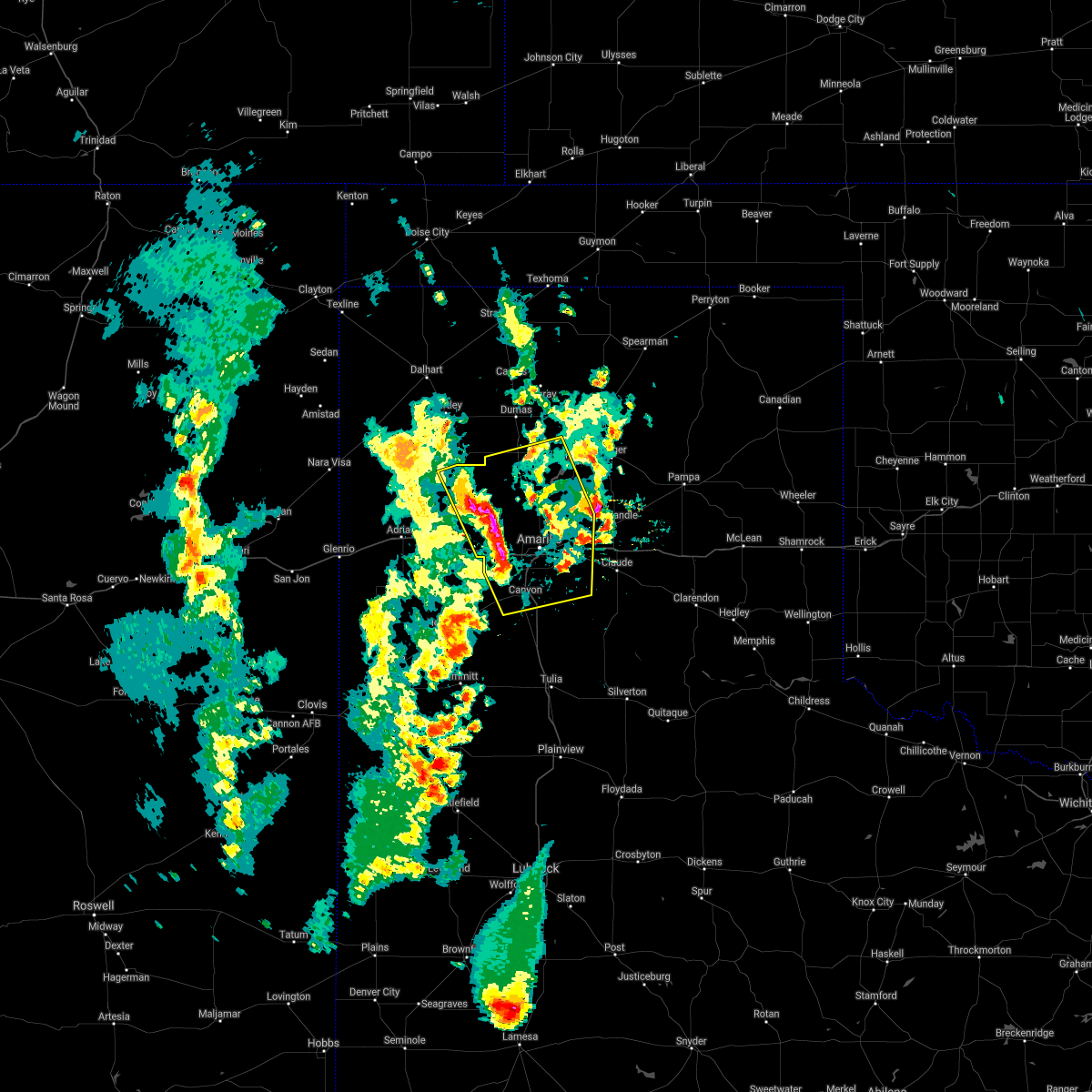 At 532 pm cdt, severe thunderstorms were located along a line extending from valley de oro to 4 miles northwest of mescalero park, moving east at 20 mph (radar indicated). Hazards include 60 mph wind gusts and half dollar size hail. Minor damage to roofs, siding, and trees is possible. hail damage to vehicles is expected. Locations impacted include, amarillo, canyon, lake tanglewood, bushland, valley de oro, washburn, boys ranch, mescalero park, four way, masterson, lake meredith, timbercreek canyon and pantex. At 532 pm cdt, severe thunderstorms were located along a line extending from valley de oro to 4 miles northwest of mescalero park, moving east at 20 mph (radar indicated). Hazards include 60 mph wind gusts and half dollar size hail. Minor damage to roofs, siding, and trees is possible. hail damage to vehicles is expected. Locations impacted include, amarillo, canyon, lake tanglewood, bushland, valley de oro, washburn, boys ranch, mescalero park, four way, masterson, lake meredith, timbercreek canyon and pantex.
|
| 5/18/2021 5:19 PM CDT |
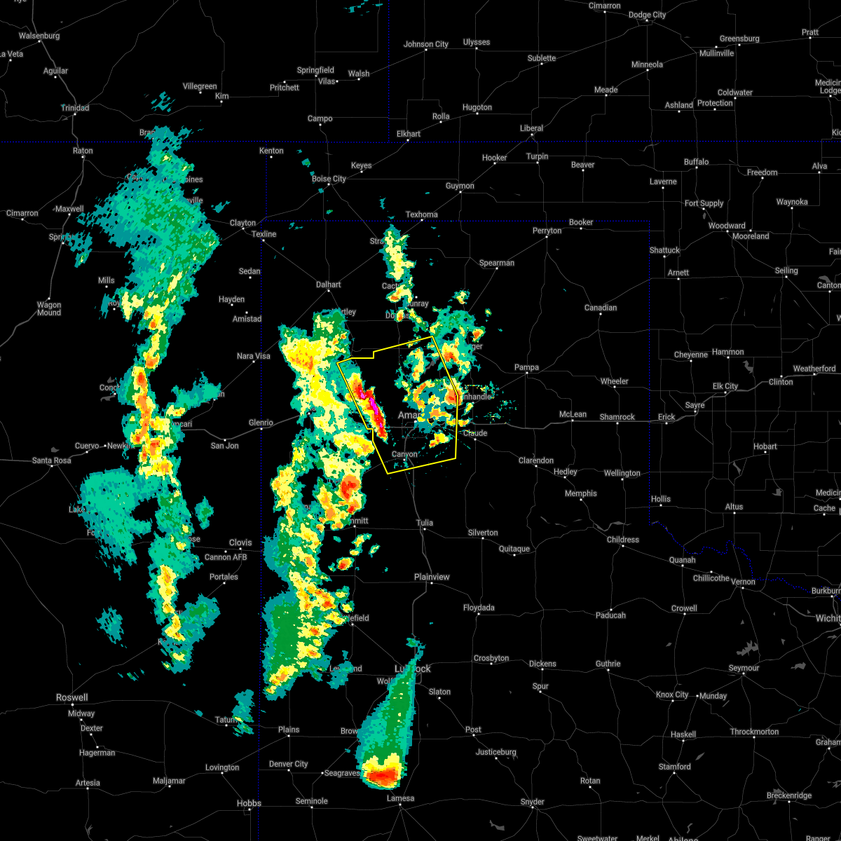 At 519 pm cdt, severe thunderstorms were located along a line extending from 6 miles west of valley de oro to 4 miles south of bushland, moving east at 20 mph (radar indicated). Hazards include 60 mph wind gusts and half dollar size hail. Minor damage to roofs, siding, and trees is possible. Hail damage to vehicles is expected. At 519 pm cdt, severe thunderstorms were located along a line extending from 6 miles west of valley de oro to 4 miles south of bushland, moving east at 20 mph (radar indicated). Hazards include 60 mph wind gusts and half dollar size hail. Minor damage to roofs, siding, and trees is possible. Hail damage to vehicles is expected.
|
| 5/17/2021 7:59 PM CDT |
 The national weather service in amarillo has issued a * severe thunderstorm warning for. armstrong county in the panhandle of texas. randall county in the panhandle of texas. carson county in the panhandle of texas. Southwestern hutchinson county in the panhandle of texas. The national weather service in amarillo has issued a * severe thunderstorm warning for. armstrong county in the panhandle of texas. randall county in the panhandle of texas. carson county in the panhandle of texas. Southwestern hutchinson county in the panhandle of texas.
|
| 5/17/2021 7:33 PM CDT |
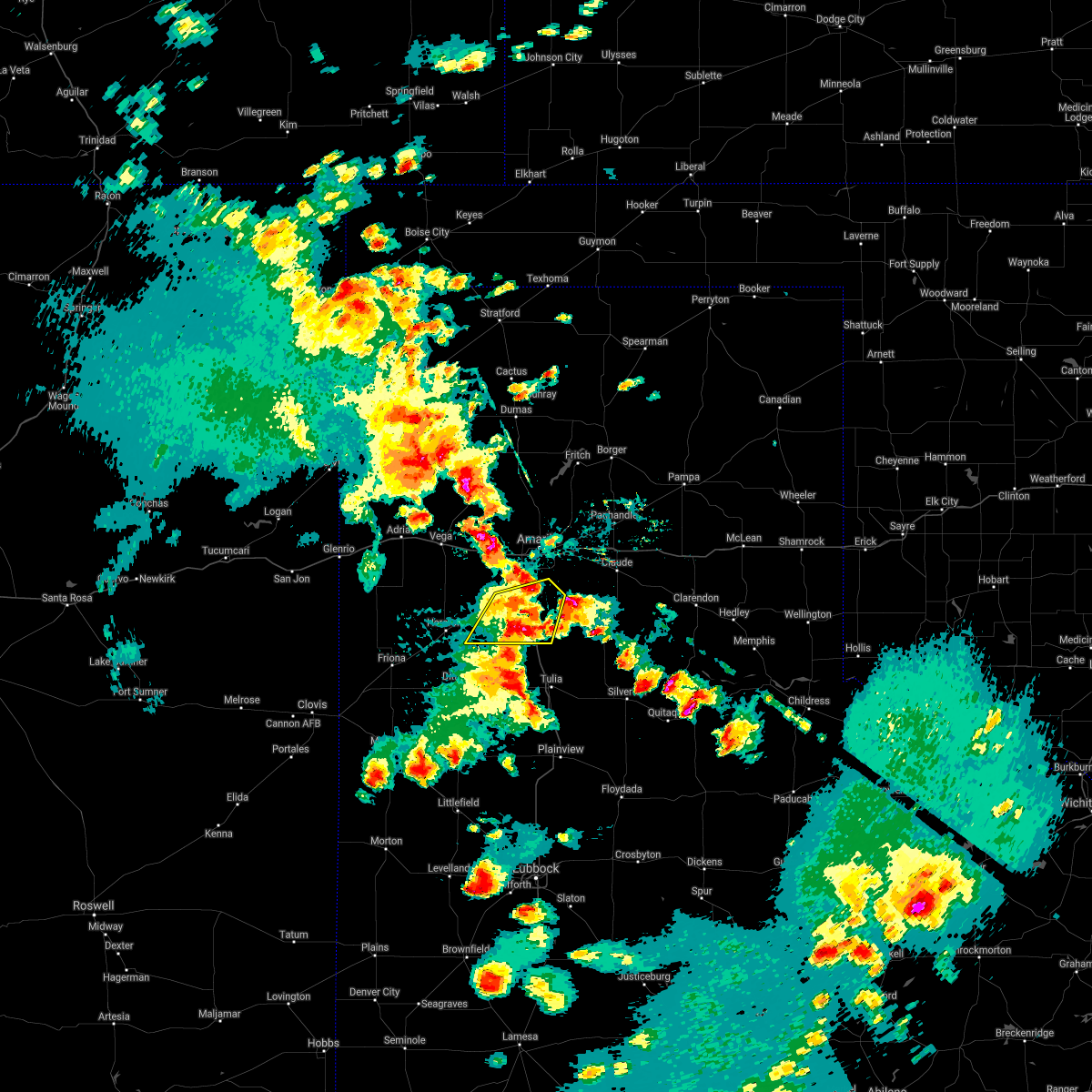 At 733 pm cdt, a severe thunderstorm was located 7 miles northwest of happy, or 9 miles south of canyon, moving northeast at 35 mph (radar indicated). Hazards include 60 mph wind gusts and half dollar size hail. Minor damage to roofs, siding, and trees is possible. Hail damage to vehicles is expected. At 733 pm cdt, a severe thunderstorm was located 7 miles northwest of happy, or 9 miles south of canyon, moving northeast at 35 mph (radar indicated). Hazards include 60 mph wind gusts and half dollar size hail. Minor damage to roofs, siding, and trees is possible. Hail damage to vehicles is expected.
|
| 5/17/2021 7:26 PM CDT | Storm damage reported in randall county TX, 9.2 miles E of Canyon, TX |
| 5/17/2021 7:15 PM CDT |
 At 715 pm cdt, severe thunderstorms were located along a line extending from 3 miles west of boys ranch to 8 miles northeast of wildorado to 10 miles northwest of umbarger, moving north at 30 mph (radar indicated). Hazards include golf ball size hail and 60 mph wind gusts. Minor damage to roofs, siding, and trees is possible. people and animals outdoors will be injured. Expect hail damage to roofs, siding, windows, and vehicles. At 715 pm cdt, severe thunderstorms were located along a line extending from 3 miles west of boys ranch to 8 miles northeast of wildorado to 10 miles northwest of umbarger, moving north at 30 mph (radar indicated). Hazards include golf ball size hail and 60 mph wind gusts. Minor damage to roofs, siding, and trees is possible. people and animals outdoors will be injured. Expect hail damage to roofs, siding, windows, and vehicles.
|
| 5/17/2021 7:15 PM CDT |
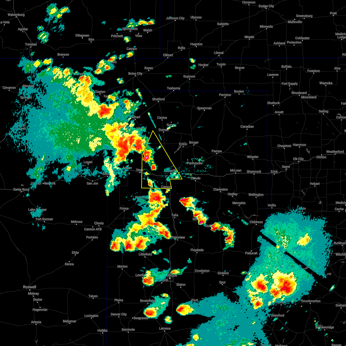 At 715 pm cdt, severe thunderstorms were located along a line extending from 3 miles west of boys ranch to 8 miles northeast of wildorado to 10 miles northwest of umbarger, moving north at 30 mph (radar indicated). Hazards include golf ball size hail and 60 mph wind gusts. Minor damage to roofs, siding, and trees is possible. people and animals outdoors will be injured. Expect hail damage to roofs, siding, windows, and vehicles. At 715 pm cdt, severe thunderstorms were located along a line extending from 3 miles west of boys ranch to 8 miles northeast of wildorado to 10 miles northwest of umbarger, moving north at 30 mph (radar indicated). Hazards include golf ball size hail and 60 mph wind gusts. Minor damage to roofs, siding, and trees is possible. people and animals outdoors will be injured. Expect hail damage to roofs, siding, windows, and vehicles.
|
| 5/17/2021 6:28 PM CDT |
 At 628 pm cdt, a severe thunderstorm was located 5 miles northeast of easter, or 8 miles south of hereford, moving northeast at 25 mph (radar indicated). Hazards include 60 mph wind gusts and half dollar size hail. Minor damage to roofs, siding, and trees is possible. Hail damage to vehicles is expected. At 628 pm cdt, a severe thunderstorm was located 5 miles northeast of easter, or 8 miles south of hereford, moving northeast at 25 mph (radar indicated). Hazards include 60 mph wind gusts and half dollar size hail. Minor damage to roofs, siding, and trees is possible. Hail damage to vehicles is expected.
|
| 5/16/2021 8:28 PM CDT |
 At 828 pm cdt, a severe thunderstorm was located 6 miles west of palo duro canyon, or 7 miles east of canyon, moving east at 25 mph (radar indicated). Hazards include 60 mph wind gusts and half dollar size hail. Minor damage to roofs, siding, and trees is possible. hail damage to vehicles is expected. Locations impacted include, timbercreek canyon. At 828 pm cdt, a severe thunderstorm was located 6 miles west of palo duro canyon, or 7 miles east of canyon, moving east at 25 mph (radar indicated). Hazards include 60 mph wind gusts and half dollar size hail. Minor damage to roofs, siding, and trees is possible. hail damage to vehicles is expected. Locations impacted include, timbercreek canyon.
|
| 5/16/2021 8:22 PM CDT | Quarter sized hail reported 4.2 miles WNW of Canyon, TX, report from mping: quarter (1.00 in.). |
| 5/16/2021 8:15 PM CDT |
 At 815 pm cdt, a severe thunderstorm was located over canyon, and is nearly stationary (radar indicated). Hazards include golf ball size hail and 60 mph wind gusts. Minor damage to roofs, siding, and trees is possible. people and animals outdoors will be injured. expect hail damage to roofs, siding, windows, and vehicles. hail may accumulate on roadways causing hazardous travel. Locations impacted include, canyon, lake tanglewood, mescalero park and timbercreek canyon. At 815 pm cdt, a severe thunderstorm was located over canyon, and is nearly stationary (radar indicated). Hazards include golf ball size hail and 60 mph wind gusts. Minor damage to roofs, siding, and trees is possible. people and animals outdoors will be injured. expect hail damage to roofs, siding, windows, and vehicles. hail may accumulate on roadways causing hazardous travel. Locations impacted include, canyon, lake tanglewood, mescalero park and timbercreek canyon.
|
| 5/16/2021 8:13 PM CDT | Ping Pong Ball sized hail reported 1.3 miles NW of Canyon, TX, picture of half dollar size hail received. |
| 5/16/2021 8:08 PM CDT | Ping Pong Ball sized hail reported 1 miles NE of Canyon, TX |
| 5/16/2021 8:03 PM CDT | Half Dollar sized hail reported 1 miles NE of Canyon, TX, report received via twitter. |
| 5/16/2021 8:02 PM CDT |
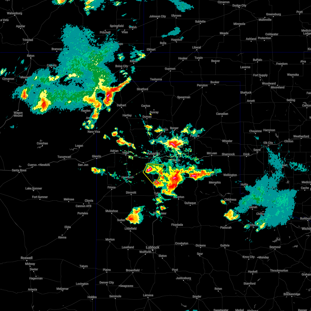 At 802 pm cdt, a severe thunderstorm was located over canyon, moving east at 10 mph (radar indicated). Hazards include golf ball size hail and 60 mph wind gusts. Minor damage to roofs, siding, and trees is possible. people and animals outdoors will be injured. expect hail damage to roofs, siding, windows, and vehicles. hail may accumulate on roadways causing hazardous travel. Locations impacted include, canyon, lake tanglewood, mescalero park and timbercreek canyon. At 802 pm cdt, a severe thunderstorm was located over canyon, moving east at 10 mph (radar indicated). Hazards include golf ball size hail and 60 mph wind gusts. Minor damage to roofs, siding, and trees is possible. people and animals outdoors will be injured. expect hail damage to roofs, siding, windows, and vehicles. hail may accumulate on roadways causing hazardous travel. Locations impacted include, canyon, lake tanglewood, mescalero park and timbercreek canyon.
|
| 5/16/2021 8:00 PM CDT | Quarter sized hail reported 2.9 miles WNW of Canyon, TX |
| 5/16/2021 7:59 PM CDT | Golf Ball sized hail reported 8 miles E of Canyon, TX, report from mping: golf ball (1.75 in.). |
| 5/16/2021 7:57 PM CDT | Half Dollar sized hail reported 7.4 miles E of Canyon, TX, report from mping: half dollar (1.25 in.). |
| 5/16/2021 7:44 PM CDT | Ping Pong Ball sized hail reported 8 miles E of Canyon, TX, report from mping: ping pong ball (1.50 in.). |
| 5/16/2021 7:44 PM CDT |
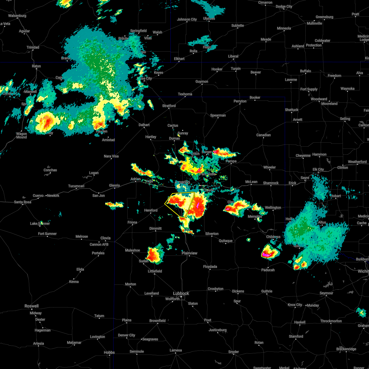 At 744 pm cdt, a severe thunderstorm was located over canyon, and is nearly stationary. at 738 pm cdt, the public reported half dollar size hail 5 miles east southeast of canyon (public). Hazards include 60 mph wind gusts and half dollar size hail. Minor damage to roofs, siding, and trees is possible. hail damage to vehicles is expected. Hail may accumulate on roadways causing hazardous travel. At 744 pm cdt, a severe thunderstorm was located over canyon, and is nearly stationary. at 738 pm cdt, the public reported half dollar size hail 5 miles east southeast of canyon (public). Hazards include 60 mph wind gusts and half dollar size hail. Minor damage to roofs, siding, and trees is possible. hail damage to vehicles is expected. Hail may accumulate on roadways causing hazardous travel.
|
| 5/16/2021 7:38 PM CDT | Half Dollar sized hail reported 5.2 miles NW of Canyon, TX, report from mping: half dollar (1.25 in.). |
| 5/16/2021 7:30 PM CDT | Quarter sized hail reported 5.2 miles NW of Canyon, TX, report from mping: quarter (1.00 in.). |
| 5/16/2021 7:10 PM CDT |
 At 710 pm cdt, a severe thunderstorm was located 6 miles southwest of palo duro canyon, or 9 miles southeast of canyon, moving southeast at 20 mph (radar indicated). Hazards include 70 mph wind gusts and ping pong ball size hail. Expect some tree damage. damage is likely to mobile homes, roofs, and outbuildings. people and animals outdoors will be injured. expect hail damage to roofs, siding, windows, and vehicles. Locations impacted include, amarillo, canyon, lake tanglewood, mescalero park, palo duro canyon and timbercreek canyon. At 710 pm cdt, a severe thunderstorm was located 6 miles southwest of palo duro canyon, or 9 miles southeast of canyon, moving southeast at 20 mph (radar indicated). Hazards include 70 mph wind gusts and ping pong ball size hail. Expect some tree damage. damage is likely to mobile homes, roofs, and outbuildings. people and animals outdoors will be injured. expect hail damage to roofs, siding, windows, and vehicles. Locations impacted include, amarillo, canyon, lake tanglewood, mescalero park, palo duro canyon and timbercreek canyon.
|
| 5/16/2021 6:56 PM CDT | Hen Egg sized hail reported 2.9 miles WNW of Canyon, TX |
| 5/16/2021 6:45 PM CDT | Downed powerlines reported at 23rd st and 10th ave in canyo in randall county TX, 0.7 miles N of Canyon, TX |
| 5/16/2021 6:45 PM CDT | Arcing powerlines causing power flashe in randall county TX, 1.4 miles N of Canyon, TX |
| 5/16/2021 6:45 PM CDT |
 At 645 pm cdt, a severe thunderstorm was located 4 miles northeast of canyon, and is nearly stationary. at 644 pm cdt a trained spotter reports ping pong size hail and estimated 70 mph wind gusts in canyon (trained weather spotters). Hazards include golf ball size hail and 70 mph wind gusts. Expect some tree damage. damage is likely to mobile homes, roofs, and outbuildings. people and animals outdoors will be injured. expect hail damage to roofs, siding, windows, and vehicles. hail may accumulate on roadways causing hazardous travel. Locations impacted include, amarillo, canyon, lake tanglewood, mescalero park, umbarger, palo duro canyon and timbercreek canyon. At 645 pm cdt, a severe thunderstorm was located 4 miles northeast of canyon, and is nearly stationary. at 644 pm cdt a trained spotter reports ping pong size hail and estimated 70 mph wind gusts in canyon (trained weather spotters). Hazards include golf ball size hail and 70 mph wind gusts. Expect some tree damage. damage is likely to mobile homes, roofs, and outbuildings. people and animals outdoors will be injured. expect hail damage to roofs, siding, windows, and vehicles. hail may accumulate on roadways causing hazardous travel. Locations impacted include, amarillo, canyon, lake tanglewood, mescalero park, umbarger, palo duro canyon and timbercreek canyon.
|
| 5/16/2021 6:44 PM CDT | Golf Ball sized hail reported 0.7 miles N of Canyon, TX |
| 5/16/2021 6:42 PM CDT | Quarter sized hail reported 4.9 miles SE of Canyon, TX, report from mping: quarter (1.00 in.). |
| 5/16/2021 6:41 PM CDT |
 The national weather service in amarillo has issued a * severe thunderstorm warning for. northwestern armstrong county in the panhandle of texas. randall county in the panhandle of texas. until 745 pm cdt. At 641 pm cdt, a severe thunderstorm was located 4 miles northeast. The national weather service in amarillo has issued a * severe thunderstorm warning for. northwestern armstrong county in the panhandle of texas. randall county in the panhandle of texas. until 745 pm cdt. At 641 pm cdt, a severe thunderstorm was located 4 miles northeast.
|
| 5/16/2021 6:34 PM CDT | Half Dollar sized hail reported 3.1 miles WSW of Canyon, TX, report from mping: half dollar (1.25 in.). |
| 5/16/2021 6:30 PM CDT |
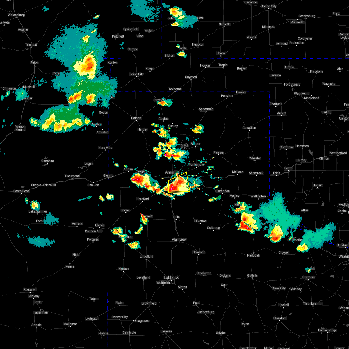 At 630 pm cdt, a severe thunderstorm was located over lake tanglewood, or 7 miles northeast of canyon, and is nearly stationary (radar indicated). Hazards include golf ball size hail and 60 mph wind gusts. Minor damage to roofs, siding, and trees is possible. people and animals outdoors will be injured. expect hail damage to roofs, siding, windows, and vehicles. hail may accumulate on roadways causing hazardous travel. Locations impacted include, amarillo, canyon, lake tanglewood, washburn, mescalero park and timbercreek canyon. At 630 pm cdt, a severe thunderstorm was located over lake tanglewood, or 7 miles northeast of canyon, and is nearly stationary (radar indicated). Hazards include golf ball size hail and 60 mph wind gusts. Minor damage to roofs, siding, and trees is possible. people and animals outdoors will be injured. expect hail damage to roofs, siding, windows, and vehicles. hail may accumulate on roadways causing hazardous travel. Locations impacted include, amarillo, canyon, lake tanglewood, washburn, mescalero park and timbercreek canyon.
|
| 5/16/2021 6:23 PM CDT |
 At 623 pm cdt, a severe thunderstorm was located over lake tanglewood, or 9 miles southeast of amarillo, moving east at 10 mph (radar indicated). Hazards include two inch hail and 60 mph wind gusts. Minor damage to roofs, siding, and trees is possible. people and animals outdoors will be injured. expect hail damage to roofs, siding, windows, and vehicles. hail may accumulate on roadways causing hazardous travel. Locations impacted include, amarillo, canyon, panhandle, claude, lake tanglewood, mescalero park, washburn and timbercreek canyon. At 623 pm cdt, a severe thunderstorm was located over lake tanglewood, or 9 miles southeast of amarillo, moving east at 10 mph (radar indicated). Hazards include two inch hail and 60 mph wind gusts. Minor damage to roofs, siding, and trees is possible. people and animals outdoors will be injured. expect hail damage to roofs, siding, windows, and vehicles. hail may accumulate on roadways causing hazardous travel. Locations impacted include, amarillo, canyon, panhandle, claude, lake tanglewood, mescalero park, washburn and timbercreek canyon.
|
| 5/16/2021 6:17 PM CDT |
 At 616 pm cdt, a severe thunderstorm was located over lake tanglewood, or 9 miles northeast of canyon, moving east at 10 mph. at 614 pm cdt, a trained spotter reports just under tennis ball size hail 4 miles east northeast of canyon (trained weather spotters). Hazards include two inch hail and 60 mph wind gusts. Minor damage to roofs, siding, and trees is possible. people and animals outdoors will be injured. expect hail damage to roofs, siding, windows, and vehicles. hail may accumulate on roadways causing hazardous travel. Locations impacted include, amarillo, canyon, panhandle, claude, lake tanglewood, mescalero park, washburn and timbercreek canyon. At 616 pm cdt, a severe thunderstorm was located over lake tanglewood, or 9 miles northeast of canyon, moving east at 10 mph. at 614 pm cdt, a trained spotter reports just under tennis ball size hail 4 miles east northeast of canyon (trained weather spotters). Hazards include two inch hail and 60 mph wind gusts. Minor damage to roofs, siding, and trees is possible. people and animals outdoors will be injured. expect hail damage to roofs, siding, windows, and vehicles. hail may accumulate on roadways causing hazardous travel. Locations impacted include, amarillo, canyon, panhandle, claude, lake tanglewood, mescalero park, washburn and timbercreek canyon.
|
| 5/16/2021 6:15 PM CDT | Ping Pong Ball sized hail reported 2.9 miles WNW of Canyon, TX, quarter to ping pong ball size hail reported. |
| 5/16/2021 6:14 PM CDT | Hen Egg sized hail reported 3.4 miles WSW of Canyon, TX, two inch to 2.25 inch hail reported along tx highway 217. |
| 5/16/2021 6:12 PM CDT | Quarter sized hail reported 1.8 miles WSW of Canyon, TX, report received via twitter. |
| 5/16/2021 6:11 PM CDT | Quarter sized hail reported 0.1 miles ENE of Canyon, TX, report received via twitter. |
| 5/16/2021 6:03 PM CDT |
 At 603 pm cdt, a severe thunderstorm was located over lake tanglewood, or 8 miles northeast of canyon, moving northeast at 5 mph (radar indicated). Hazards include golf ball size hail and 60 mph wind gusts. Minor damage to roofs, siding, and trees is possible. people and animals outdoors will be injured. expect hail damage to roofs, siding, windows, and vehicles. hail may accumulate on roadways causing hazardous travel. Locations impacted include, amarillo, canyon, panhandle, claude, lake tanglewood, mescalero park, washburn and timbercreek canyon. At 603 pm cdt, a severe thunderstorm was located over lake tanglewood, or 8 miles northeast of canyon, moving northeast at 5 mph (radar indicated). Hazards include golf ball size hail and 60 mph wind gusts. Minor damage to roofs, siding, and trees is possible. people and animals outdoors will be injured. expect hail damage to roofs, siding, windows, and vehicles. hail may accumulate on roadways causing hazardous travel. Locations impacted include, amarillo, canyon, panhandle, claude, lake tanglewood, mescalero park, washburn and timbercreek canyon.
|
| 5/16/2021 5:45 PM CDT |
 At 545 pm cdt, a severe thunderstorm was located 4 miles northeast of lake tanglewood, or 9 miles southeast of amarillo, moving east at 10 mph (radar indicated). Hazards include ping pong ball size hail and 60 mph wind gusts. Minor damage to roofs, siding, and trees is possible. people and animals outdoors will be injured. Expect hail damage to roofs, siding, windows, and vehicles. At 545 pm cdt, a severe thunderstorm was located 4 miles northeast of lake tanglewood, or 9 miles southeast of amarillo, moving east at 10 mph (radar indicated). Hazards include ping pong ball size hail and 60 mph wind gusts. Minor damage to roofs, siding, and trees is possible. people and animals outdoors will be injured. Expect hail damage to roofs, siding, windows, and vehicles.
|
| 5/16/2021 4:58 PM CDT |
 At 458 pm cdt, a severe thunderstorm was located near mescalero park, or 7 miles south of amarillo, moving northeast at 10 mph (radar indicated). Hazards include 60 mph wind gusts and half dollar size hail. Minor damage to roofs, siding, and trees is possible. hail damage to vehicles is expected. Locations impacted include, amarillo, canyon, lake tanglewood, mescalero park and timbercreek canyon. At 458 pm cdt, a severe thunderstorm was located near mescalero park, or 7 miles south of amarillo, moving northeast at 10 mph (radar indicated). Hazards include 60 mph wind gusts and half dollar size hail. Minor damage to roofs, siding, and trees is possible. hail damage to vehicles is expected. Locations impacted include, amarillo, canyon, lake tanglewood, mescalero park and timbercreek canyon.
|
| 5/16/2021 4:46 PM CDT |
 At 446 pm cdt, a severe thunderstorm was located over mescalero park, or 7 miles north of canyon, moving northeast at 10 mph (radar indicated). Hazards include 60 mph wind gusts and quarter size hail. Minor damage to roofs, siding, and trees is possible. Hail damage to vehicles is expected. At 446 pm cdt, a severe thunderstorm was located over mescalero park, or 7 miles north of canyon, moving northeast at 10 mph (radar indicated). Hazards include 60 mph wind gusts and quarter size hail. Minor damage to roofs, siding, and trees is possible. Hail damage to vehicles is expected.
|
| 5/14/2021 7:41 PM CDT |
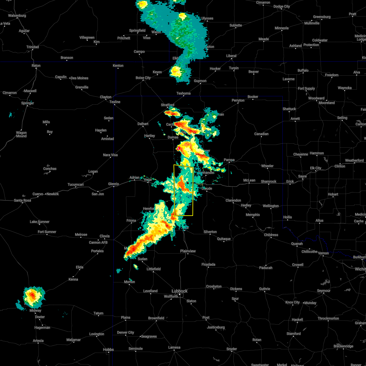 At 741 pm cdt, severe thunderstorms were located along a line extending from 5 miles north of amarillo to 7 miles northeast of lake tanglewood, moving northeast at 30 mph (radar indicated). Hazards include 70 mph wind gusts. Expect some tree damage. damage is likely to mobile homes, roofs, and outbuildings. Locations impacted include, amarillo, canyon, lake tanglewood, mescalero park, palo duro canyon and timbercreek canyon. At 741 pm cdt, severe thunderstorms were located along a line extending from 5 miles north of amarillo to 7 miles northeast of lake tanglewood, moving northeast at 30 mph (radar indicated). Hazards include 70 mph wind gusts. Expect some tree damage. damage is likely to mobile homes, roofs, and outbuildings. Locations impacted include, amarillo, canyon, lake tanglewood, mescalero park, palo duro canyon and timbercreek canyon.
|
| 5/14/2021 7:06 PM CDT |
 At 705 pm cdt, severe thunderstorms were located along a line extending from 3 miles south of vega to bushland to 8 miles south of buffalo lake, moving east at 20 mph (automated weather equipment 4 miles east of vega reported 70 mph wind gust at 700 pm cdt). Hazards include 70 mph wind gusts and quarter size hail. Expect some tree damage. damage is likely to mobile homes, roofs, and outbuildings. Hail damage to vehicles is expected. At 705 pm cdt, severe thunderstorms were located along a line extending from 3 miles south of vega to bushland to 8 miles south of buffalo lake, moving east at 20 mph (automated weather equipment 4 miles east of vega reported 70 mph wind gust at 700 pm cdt). Hazards include 70 mph wind gusts and quarter size hail. Expect some tree damage. damage is likely to mobile homes, roofs, and outbuildings. Hail damage to vehicles is expected.
|
| 5/14/2021 6:46 PM CDT |
 At 645 pm cdt, severe thunderstorms were located along a line extending from 12 miles north of vega to 4 miles northwest of bushland to 4 miles north of hereford, moving northeast at 20 mph (radar indicated). Hazards include 60 mph wind gusts and quarter size hail. Minor damage to roofs, siding, and trees is possible. hail damage to vehicles is expected. Locations impacted include, amarillo, hereford, canyon, vega, adrian, bushland, buffalo lake, dawn, umbarger, wildorado, simms and mescalero park. At 645 pm cdt, severe thunderstorms were located along a line extending from 12 miles north of vega to 4 miles northwest of bushland to 4 miles north of hereford, moving northeast at 20 mph (radar indicated). Hazards include 60 mph wind gusts and quarter size hail. Minor damage to roofs, siding, and trees is possible. hail damage to vehicles is expected. Locations impacted include, amarillo, hereford, canyon, vega, adrian, bushland, buffalo lake, dawn, umbarger, wildorado, simms and mescalero park.
|
| 5/14/2021 5:55 PM CDT |
 At 555 pm cdt, severe thunderstorms were located along a line extending from adrian to 8 miles south of wildorado to near summerfield, moving northeast at 20 mph (radar indicated). Hazards include 70 mph wind gusts and half dollar size hail. Expect some tree damage. damage is likely to mobile homes, roofs, and outbuildings. Hail damage to vehicles is expected. At 555 pm cdt, severe thunderstorms were located along a line extending from adrian to 8 miles south of wildorado to near summerfield, moving northeast at 20 mph (radar indicated). Hazards include 70 mph wind gusts and half dollar size hail. Expect some tree damage. damage is likely to mobile homes, roofs, and outbuildings. Hail damage to vehicles is expected.
|
| 5/7/2021 6:54 PM CDT |
 At 653 pm cdt, severe thunderstorms were located along a line extending from 3 miles southwest of white deer to 6 miles southwest of groom to 10 miles northeast of wayside, moving east at 45 mph (radar indicated). Hazards include 60 mph wind gusts and quarter size hail. Minor damage to roofs, siding, and trees is possible. hail damage to vehicles is expected. Locations impacted include, amarillo, hereford, canyon, panhandle, claude, lake tanglewood, buffalo lake, washburn, umbarger, palo duro canyon, mescalero park, dawn, timbercreek canyon and pantex. At 653 pm cdt, severe thunderstorms were located along a line extending from 3 miles southwest of white deer to 6 miles southwest of groom to 10 miles northeast of wayside, moving east at 45 mph (radar indicated). Hazards include 60 mph wind gusts and quarter size hail. Minor damage to roofs, siding, and trees is possible. hail damage to vehicles is expected. Locations impacted include, amarillo, hereford, canyon, panhandle, claude, lake tanglewood, buffalo lake, washburn, umbarger, palo duro canyon, mescalero park, dawn, timbercreek canyon and pantex.
|
| 5/7/2021 6:40 PM CDT |
 At 640 pm cdt, severe thunderstorms were located along a line extending from 3 miles north of panhandle to 3 miles north of claude to 3 miles southeast of palo duro canyon, moving east at 45 mph (radar indicated). Hazards include 60 mph wind gusts and quarter size hail. Minor damage to roofs, siding, and trees is possible. hail damage to vehicles is expected. Locations impacted include, amarillo, hereford, canyon, panhandle, claude, vega, fritch, lake tanglewood, bushland, buffalo lake, washburn, umbarger, wildorado, palo duro canyon, mescalero park, dawn, timbercreek canyon and pantex. At 640 pm cdt, severe thunderstorms were located along a line extending from 3 miles north of panhandle to 3 miles north of claude to 3 miles southeast of palo duro canyon, moving east at 45 mph (radar indicated). Hazards include 60 mph wind gusts and quarter size hail. Minor damage to roofs, siding, and trees is possible. hail damage to vehicles is expected. Locations impacted include, amarillo, hereford, canyon, panhandle, claude, vega, fritch, lake tanglewood, bushland, buffalo lake, washburn, umbarger, wildorado, palo duro canyon, mescalero park, dawn, timbercreek canyon and pantex.
|
| 5/7/2021 5:38 PM CDT |
 At 538 pm cdt, severe thunderstorms were located along a line extending from 5 miles southwest of valley de oro to 5 miles southeast of wildorado to 6 miles north of hereford, moving east at 45 mph (radar indicated). Hazards include 60 mph wind gusts and quarter size hail. Minor damage to roofs, siding, and trees is possible. Hail damage to vehicles is expected. At 538 pm cdt, severe thunderstorms were located along a line extending from 5 miles southwest of valley de oro to 5 miles southeast of wildorado to 6 miles north of hereford, moving east at 45 mph (radar indicated). Hazards include 60 mph wind gusts and quarter size hail. Minor damage to roofs, siding, and trees is possible. Hail damage to vehicles is expected.
|
| 3/13/2021 4:15 PM CST | Damage at the entrance to palo duro canyon state park occurred between 355 pm cst and 415 pm cst in randall county TX, 11.3 miles W of Canyon, TX |
| 3/13/2021 4:05 PM CST | Mesonet reported 3 one min obs from 68 to 76 mph gust in randall county TX, 13 miles W of Canyon, TX |
| 3/13/2021 3:50 PM CST |
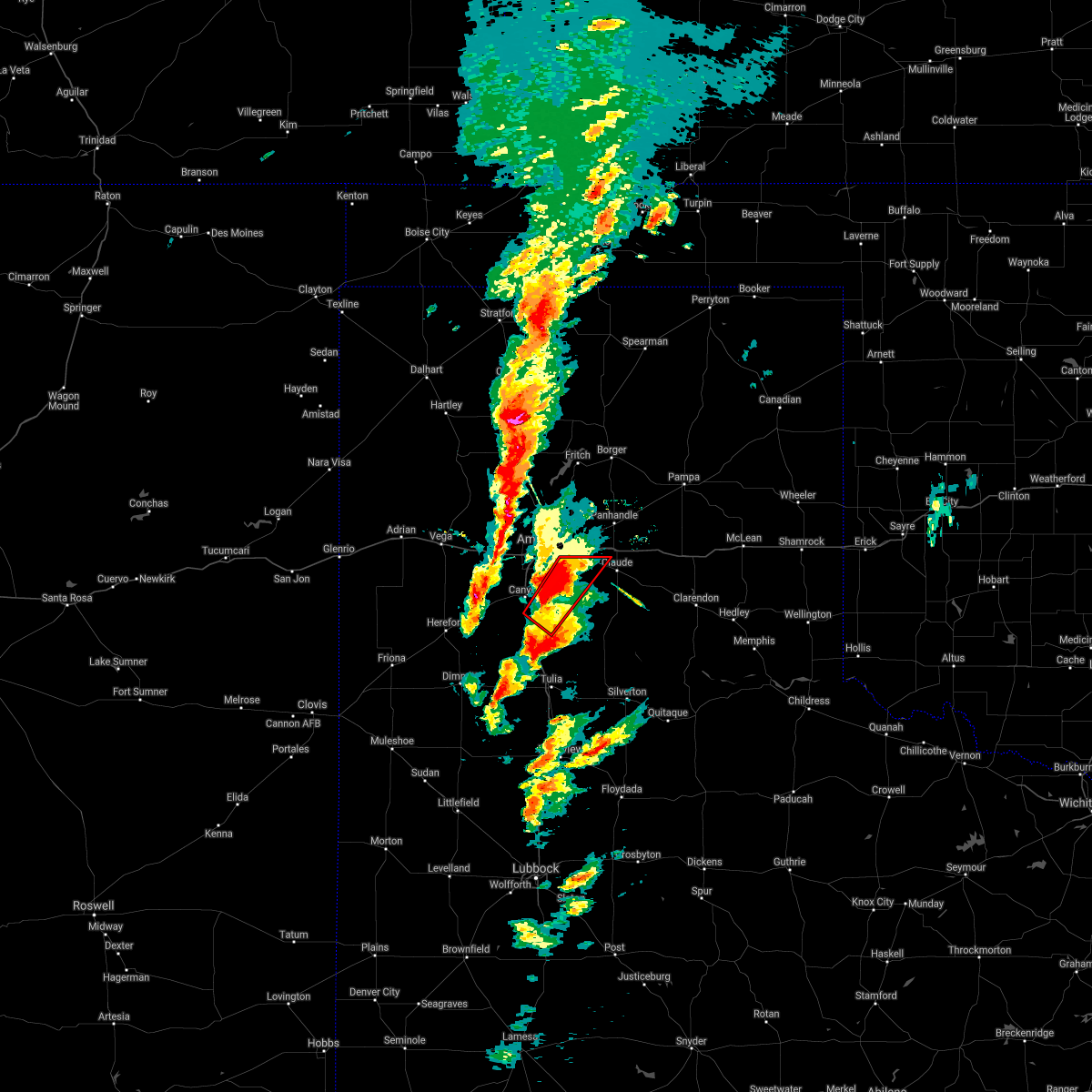 At 350 pm cst, a confirmed large and extremely dangerous tornado was located 7 miles west of palo duro canyon, or 7 miles southeast of canyon, moving northeast at 30 mph. this is a particularly dangerous situation. take cover now! (weather spotters confirmed tornado). Hazards include damaging tornado. You are in a life-threatening situation. flying debris may be deadly to those caught without shelter. mobile homes will be destroyed. Considerable damage to homes, businesses, and vehicles is likely and complete destruction is possible. At 350 pm cst, a confirmed large and extremely dangerous tornado was located 7 miles west of palo duro canyon, or 7 miles southeast of canyon, moving northeast at 30 mph. this is a particularly dangerous situation. take cover now! (weather spotters confirmed tornado). Hazards include damaging tornado. You are in a life-threatening situation. flying debris may be deadly to those caught without shelter. mobile homes will be destroyed. Considerable damage to homes, businesses, and vehicles is likely and complete destruction is possible.
|
| 3/13/2021 3:41 PM CST |
 At 341 pm cst, a confirmed large and extremely dangerous tornado was located 9 miles southeast of canyon, moving northeast at 45 mph. this is a particularly dangerous situation. take cover now! (weather spotters confirmed tornado). Hazards include damaging tornado. You are in a life-threatening situation. flying debris may be deadly to those caught without shelter. mobile homes will be destroyed. considerable damage to homes, businesses, and vehicles is likely and complete destruction is possible. Locations impacted include, palo duro canyon. At 341 pm cst, a confirmed large and extremely dangerous tornado was located 9 miles southeast of canyon, moving northeast at 45 mph. this is a particularly dangerous situation. take cover now! (weather spotters confirmed tornado). Hazards include damaging tornado. You are in a life-threatening situation. flying debris may be deadly to those caught without shelter. mobile homes will be destroyed. considerable damage to homes, businesses, and vehicles is likely and complete destruction is possible. Locations impacted include, palo duro canyon.
|
| 3/13/2021 3:37 PM CST |
 At 337 pm cst, a confirmed tornado was located 6 miles north of happy, or 10 miles south of canyon, moving northeast at 45 mph (weather spotters confirmed tornado). Hazards include damaging tornado and golf ball size hail. Flying debris will be dangerous to those caught without shelter. mobile homes will be damaged or destroyed. damage to roofs, windows, and vehicles will occur. tree damage is likely. Locations impacted include, palo duro canyon. At 337 pm cst, a confirmed tornado was located 6 miles north of happy, or 10 miles south of canyon, moving northeast at 45 mph (weather spotters confirmed tornado). Hazards include damaging tornado and golf ball size hail. Flying debris will be dangerous to those caught without shelter. mobile homes will be damaged or destroyed. damage to roofs, windows, and vehicles will occur. tree damage is likely. Locations impacted include, palo duro canyon.
|
| 3/13/2021 3:26 PM CST |
 At 325 pm cst, a confirmed tornado was located 5 miles west of happy, or 16 miles south of canyon, moving northeast at 40 mph (weather spotters confirmed tornado). Hazards include damaging tornado and golf ball size hail. Flying debris will be dangerous to those caught without shelter. mobile homes will be damaged or destroyed. damage to roofs, windows, and vehicles will occur. tree damage is likely. Locations impacted include, palo duro canyon. At 325 pm cst, a confirmed tornado was located 5 miles west of happy, or 16 miles south of canyon, moving northeast at 40 mph (weather spotters confirmed tornado). Hazards include damaging tornado and golf ball size hail. Flying debris will be dangerous to those caught without shelter. mobile homes will be damaged or destroyed. damage to roofs, windows, and vehicles will occur. tree damage is likely. Locations impacted include, palo duro canyon.
|
| 3/13/2021 3:12 PM CST |
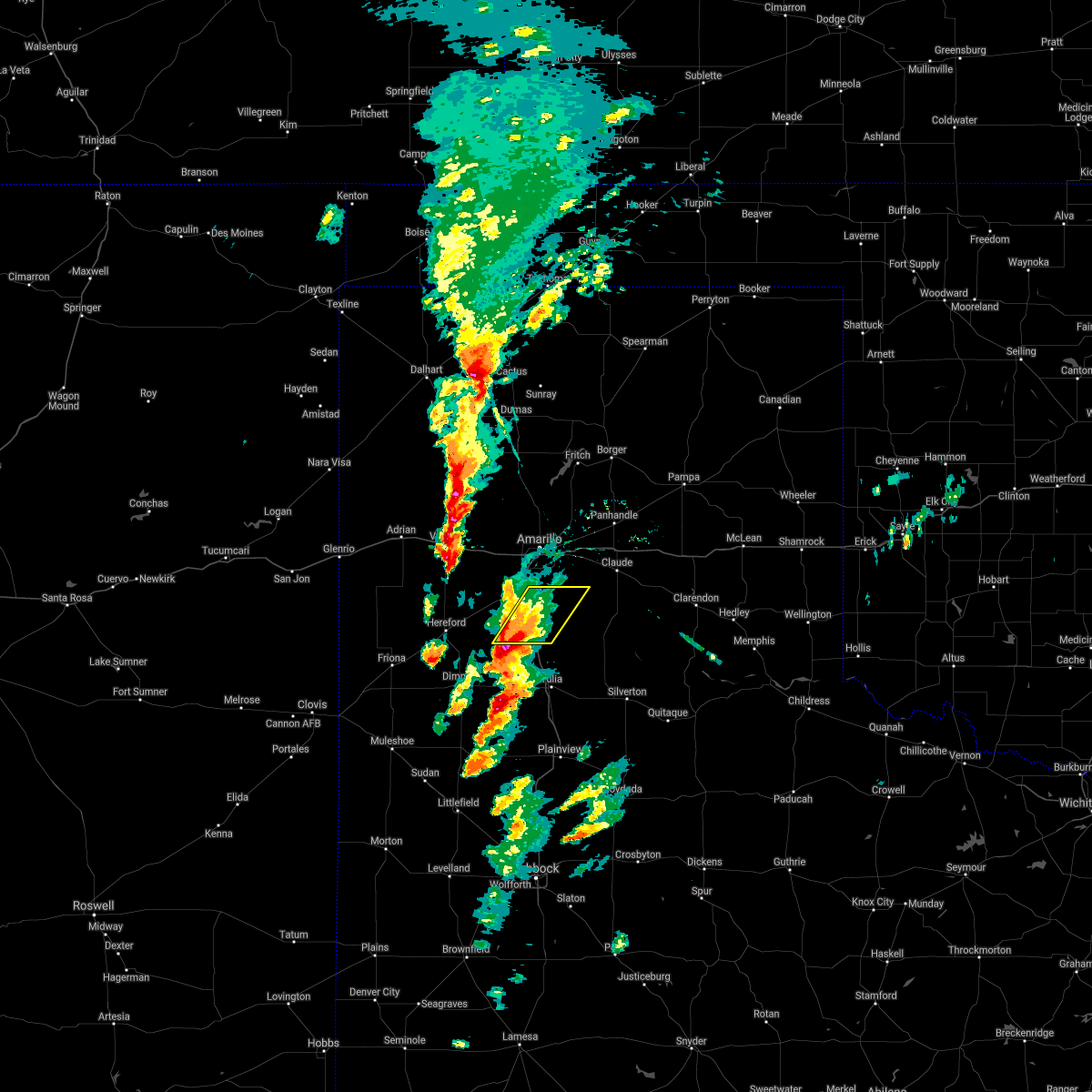 At 312 pm cst, a severe thunderstorm was located 11 miles southwest of happy, or 16 miles northwest of tulia, moving northeast at 40 mph (radar indicated). Hazards include ping pong ball size hail and 60 mph wind gusts. Minor damage to roofs, siding, and trees is possible. people and animals outdoors will be injured. Expect hail damage to roofs, siding, windows, and vehicles. At 312 pm cst, a severe thunderstorm was located 11 miles southwest of happy, or 16 miles northwest of tulia, moving northeast at 40 mph (radar indicated). Hazards include ping pong ball size hail and 60 mph wind gusts. Minor damage to roofs, siding, and trees is possible. people and animals outdoors will be injured. Expect hail damage to roofs, siding, windows, and vehicles.
|
| 8/29/2020 9:03 PM CDT |
 At 903 pm cdt, a severe thunderstorm was located 5 miles east of buffalo lake, or 9 miles southwest of canyon, moving east at 20 mph (radar indicated). Hazards include 60 mph wind gusts and quarter size hail. Minor damage to roofs, siding, and trees is possible. hail damage to vehicles is expected. Locations impacted include, amarillo, canyon, lake tanglewood, mescalero park, buffalo lake, umbarger, palo duro canyon and timbercreek canyon. At 903 pm cdt, a severe thunderstorm was located 5 miles east of buffalo lake, or 9 miles southwest of canyon, moving east at 20 mph (radar indicated). Hazards include 60 mph wind gusts and quarter size hail. Minor damage to roofs, siding, and trees is possible. hail damage to vehicles is expected. Locations impacted include, amarillo, canyon, lake tanglewood, mescalero park, buffalo lake, umbarger, palo duro canyon and timbercreek canyon.
|
| 8/29/2020 8:29 PM CDT |
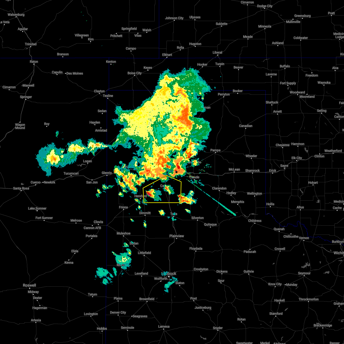 At 829 pm cdt, a severe thunderstorm was located 4 miles southwest of dawn, or 8 miles northeast of hereford, moving east at 20 mph (radar indicated). Hazards include 70 mph wind gusts and half dollar size hail. Expect some tree damage. damage is likely to mobile homes, roofs, and outbuildings. Hail damage to vehicles is expected. At 829 pm cdt, a severe thunderstorm was located 4 miles southwest of dawn, or 8 miles northeast of hereford, moving east at 20 mph (radar indicated). Hazards include 70 mph wind gusts and half dollar size hail. Expect some tree damage. damage is likely to mobile homes, roofs, and outbuildings. Hail damage to vehicles is expected.
|
| 8/14/2020 5:13 PM CDT |
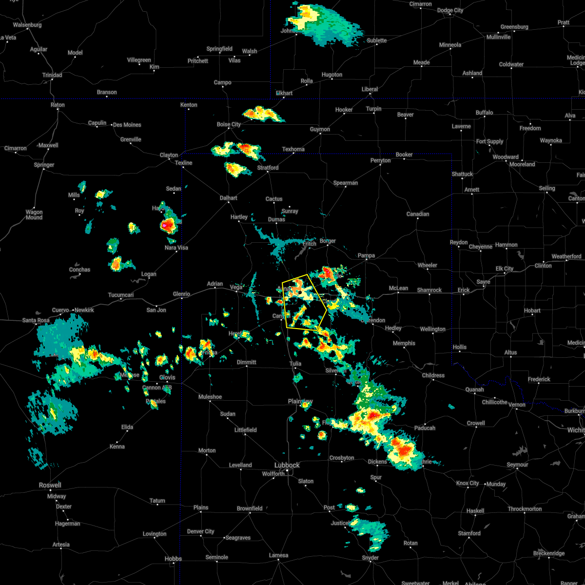 At 513 pm cdt, a severe thunderstorm was located 4 miles northeast of amarillo, moving southeast at 5 mph (radar indicated). Hazards include 60 mph wind gusts and quarter size hail. Minor damage to roofs, siding, and trees is possible. hail damage to vehicles is expected. Locations impacted include, amarillo, lake tanglewood, washburn, palo duro canyon, timbercreek canyon and pantex. At 513 pm cdt, a severe thunderstorm was located 4 miles northeast of amarillo, moving southeast at 5 mph (radar indicated). Hazards include 60 mph wind gusts and quarter size hail. Minor damage to roofs, siding, and trees is possible. hail damage to vehicles is expected. Locations impacted include, amarillo, lake tanglewood, washburn, palo duro canyon, timbercreek canyon and pantex.
|
| 8/14/2020 4:58 PM CDT |
 At 458 pm cdt, a severe thunderstorm was located 5 miles northeast of amarillo, moving southeast at 10 mph (radar indicated). Hazards include 60 mph wind gusts and quarter size hail. Minor damage to roofs, siding, and trees is possible. Hail damage to vehicles is expected. At 458 pm cdt, a severe thunderstorm was located 5 miles northeast of amarillo, moving southeast at 10 mph (radar indicated). Hazards include 60 mph wind gusts and quarter size hail. Minor damage to roofs, siding, and trees is possible. Hail damage to vehicles is expected.
|
| 8/10/2020 8:03 PM CDT |
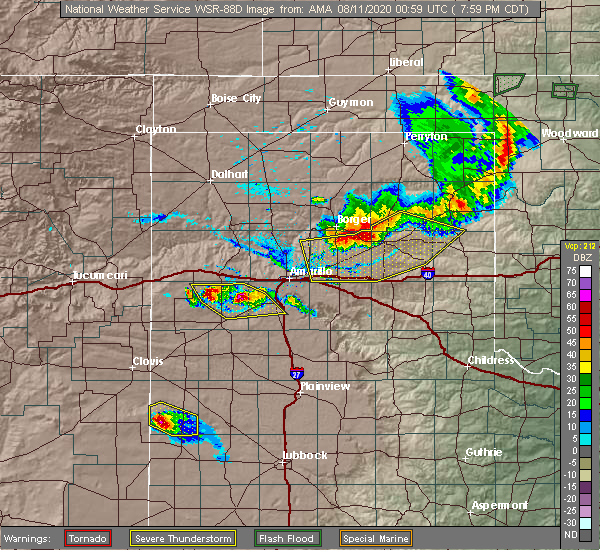 At 802 pm cdt, severe thunderstorms were located along a line extending from 10 miles northeast of simms to 9 miles northwest of umbarger, moving southeast at 20 mph (radar indicated). Hazards include two inch hail and 60 mph wind gusts. Minor damage to roofs, siding, and trees is possible. people and animals outdoors will be injured. expect hail damage to roofs, siding, windows, and vehicles. Locations impacted include, canyon, umbarger, buffalo lake and dawn. At 802 pm cdt, severe thunderstorms were located along a line extending from 10 miles northeast of simms to 9 miles northwest of umbarger, moving southeast at 20 mph (radar indicated). Hazards include two inch hail and 60 mph wind gusts. Minor damage to roofs, siding, and trees is possible. people and animals outdoors will be injured. expect hail damage to roofs, siding, windows, and vehicles. Locations impacted include, canyon, umbarger, buffalo lake and dawn.
|
| 8/10/2020 7:49 PM CDT |
 At 748 pm cdt, severe thunderstorms were located along a line extending from 9 miles northeast of simms to 8 miles south of wildorado, moving southeast at 20 mph (radar indicated). Hazards include 60 mph wind gusts and half dollar size hail. Minor damage to roofs, siding, and trees is possible. Hail damage to vehicles is expected. At 748 pm cdt, severe thunderstorms were located along a line extending from 9 miles northeast of simms to 8 miles south of wildorado, moving southeast at 20 mph (radar indicated). Hazards include 60 mph wind gusts and half dollar size hail. Minor damage to roofs, siding, and trees is possible. Hail damage to vehicles is expected.
|
| 6/22/2020 9:28 PM CDT |
 The severe thunderstorm warning for northern armstrong, randall, southwestern carson, deaf smith and southern potter counties will expire at 930 pm cdt, the storms which prompted the warning have moved out of the area. therefore, the warning will be allowed to expire. a severe thunderstorm watch remains in effect until 1100 pm cdt for the panhandle of texas. The severe thunderstorm warning for northern armstrong, randall, southwestern carson, deaf smith and southern potter counties will expire at 930 pm cdt, the storms which prompted the warning have moved out of the area. therefore, the warning will be allowed to expire. a severe thunderstorm watch remains in effect until 1100 pm cdt for the panhandle of texas.
|
| 6/22/2020 9:07 PM CDT |
 At 907 pm cdt, severe thunderstorms were located along a line extending from near claude to 8 miles southeast of buffalo lake, moving southeast at 50 mph (radar indicated). Hazards include 60 mph wind gusts. Minor damage to roofs, siding, and trees is possible. Locations impacted include, amarillo, hereford, canyon, panhandle, claude, lake tanglewood, buffalo lake, bushland, washburn, umbarger, bootleg, goodnight, palo duro canyon, mescalero park, dawn, simms, timbercreek canyon and pantex. At 907 pm cdt, severe thunderstorms were located along a line extending from near claude to 8 miles southeast of buffalo lake, moving southeast at 50 mph (radar indicated). Hazards include 60 mph wind gusts. Minor damage to roofs, siding, and trees is possible. Locations impacted include, amarillo, hereford, canyon, panhandle, claude, lake tanglewood, buffalo lake, bushland, washburn, umbarger, bootleg, goodnight, palo duro canyon, mescalero park, dawn, simms, timbercreek canyon and pantex.
|
| 6/22/2020 8:38 PM CDT |
 At 837 pm cdt, severe thunderstorms were located along a line extending from 9 miles northwest of washburn to 11 miles north of hereford, moving south at 40 mph (trained weather spotters). Hazards include 70 mph wind gusts and half dollar size hail. Expect some tree damage. damage is likely to mobile homes, roofs, and outbuildings. Locations impacted include, amarillo, hereford, canyon, panhandle, claude, lake tanglewood, buffalo lake, bushland, washburn, umbarger, bootleg, goodnight, palo duro canyon, mescalero park, dawn, simms, timbercreek canyon and pantex. At 837 pm cdt, severe thunderstorms were located along a line extending from 9 miles northwest of washburn to 11 miles north of hereford, moving south at 40 mph (trained weather spotters). Hazards include 70 mph wind gusts and half dollar size hail. Expect some tree damage. damage is likely to mobile homes, roofs, and outbuildings. Locations impacted include, amarillo, hereford, canyon, panhandle, claude, lake tanglewood, buffalo lake, bushland, washburn, umbarger, bootleg, goodnight, palo duro canyon, mescalero park, dawn, simms, timbercreek canyon and pantex.
|
| 6/22/2020 8:01 PM CDT |
 At 800 pm cdt, severe thunderstorms were located along a line extending from 8 miles east of four way to 4 miles southeast of vega, moving southeast at 50 mph. these are very dangerous storms (trained weather spotters). Hazards include 80 mph wind gusts and golf ball size hail. Flying debris will be dangerous to those caught without shelter. mobile homes could be heavily damaged. expect considerable damage to roofs, windows, and vehicles. tree damage and power outages are possible. people and animals outdoors will be injured. Expect hail damage to roofs, siding, windows, and vehicles. At 800 pm cdt, severe thunderstorms were located along a line extending from 8 miles east of four way to 4 miles southeast of vega, moving southeast at 50 mph. these are very dangerous storms (trained weather spotters). Hazards include 80 mph wind gusts and golf ball size hail. Flying debris will be dangerous to those caught without shelter. mobile homes could be heavily damaged. expect considerable damage to roofs, windows, and vehicles. tree damage and power outages are possible. people and animals outdoors will be injured. Expect hail damage to roofs, siding, windows, and vehicles.
|
| 6/19/2020 7:16 PM CDT |
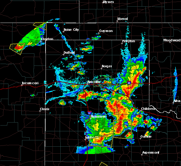 At 716 pm cdt, a severe thunderstorm was located 8 miles southeast of canyon, moving east at 30 mph (radar indicated). Hazards include 60 mph wind gusts and quarter size hail. Minor damage to roofs, siding, and trees is possible. Hail damage to vehicles is expected. At 716 pm cdt, a severe thunderstorm was located 8 miles southeast of canyon, moving east at 30 mph (radar indicated). Hazards include 60 mph wind gusts and quarter size hail. Minor damage to roofs, siding, and trees is possible. Hail damage to vehicles is expected.
|
| 6/19/2020 7:09 PM CDT | Quarter sized hail reported 8.1 miles NNW of Canyon, TX, spotter network report. |
| 5/23/2020 4:59 PM CDT |
 At 442 pm cdt, a severe thunderstorm was located 5 miles west of happy, or 16 miles northwest of tulia, moving northeast at 20 mph (radar indicated). Hazards include golf ball size hail and 60 mph wind gusts. Minor damage to roofs, siding, and trees is possible. people and animals outdoors will be injured. Expect hail damage to roofs, siding, windows, and vehicles. At 442 pm cdt, a severe thunderstorm was located 5 miles west of happy, or 16 miles northwest of tulia, moving northeast at 20 mph (radar indicated). Hazards include golf ball size hail and 60 mph wind gusts. Minor damage to roofs, siding, and trees is possible. people and animals outdoors will be injured. Expect hail damage to roofs, siding, windows, and vehicles.
|
| 5/23/2020 4:42 PM CDT |
 At 442 pm cdt, a severe thunderstorm was located 5 miles west of happy, or 16 miles northwest of tulia, moving northeast at 20 mph (radar indicated). Hazards include golf ball size hail and 60 mph wind gusts. Minor damage to roofs, siding, and trees is possible. people and animals outdoors will be injured. Expect hail damage to roofs, siding, windows, and vehicles. At 442 pm cdt, a severe thunderstorm was located 5 miles west of happy, or 16 miles northwest of tulia, moving northeast at 20 mph (radar indicated). Hazards include golf ball size hail and 60 mph wind gusts. Minor damage to roofs, siding, and trees is possible. people and animals outdoors will be injured. Expect hail damage to roofs, siding, windows, and vehicles.
|
| 5/11/2020 9:12 PM CDT |
 The severe thunderstorm warning for southwestern armstrong and eastern randall counties will expire at 915 pm cdt, the storms which prompted the warning have weakened below severe limits, and no longer pose an immediate threat to life or property. therefore, the warning will be allowed to expire. however gusty winds and heavy rain are still possible with these thunderstorms. a severe thunderstorm watch remains in effect until midnight cdt for the panhandle of texas. The severe thunderstorm warning for southwestern armstrong and eastern randall counties will expire at 915 pm cdt, the storms which prompted the warning have weakened below severe limits, and no longer pose an immediate threat to life or property. therefore, the warning will be allowed to expire. however gusty winds and heavy rain are still possible with these thunderstorms. a severe thunderstorm watch remains in effect until midnight cdt for the panhandle of texas.
|
| 5/11/2020 9:02 PM CDT |
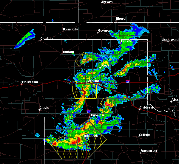 At 901 pm cdt, severe thunderstorms were located along a line extending from lake tanglewood to 10 miles south of canyon to 6 miles southwest of happy, moving east at 40 mph (radar indicated). Hazards include 60 mph wind gusts and nickel size hail. Minor damage to roofs, siding, and trees is possible. Locations impacted include, canyon, lake tanglewood, mescalero park, wayside, palo duro canyon and timbercreek canyon. At 901 pm cdt, severe thunderstorms were located along a line extending from lake tanglewood to 10 miles south of canyon to 6 miles southwest of happy, moving east at 40 mph (radar indicated). Hazards include 60 mph wind gusts and nickel size hail. Minor damage to roofs, siding, and trees is possible. Locations impacted include, canyon, lake tanglewood, mescalero park, wayside, palo duro canyon and timbercreek canyon.
|
| 5/11/2020 8:49 PM CDT |
 At 848 pm cdt, severe thunderstorms were located along a line extending from mescalero park to 7 miles south of canyon to 9 miles west of happy, moving east at 45 mph (radar indicated). Hazards include 60 mph wind gusts and quarter size hail. Minor damage to roofs, siding, and trees is possible. hail damage to vehicles is expected. Locations impacted include, amarillo, canyon, lake tanglewood, mescalero park, buffalo lake, bushland, wayside, umbarger, palo duro canyon and timbercreek canyon. At 848 pm cdt, severe thunderstorms were located along a line extending from mescalero park to 7 miles south of canyon to 9 miles west of happy, moving east at 45 mph (radar indicated). Hazards include 60 mph wind gusts and quarter size hail. Minor damage to roofs, siding, and trees is possible. hail damage to vehicles is expected. Locations impacted include, amarillo, canyon, lake tanglewood, mescalero park, buffalo lake, bushland, wayside, umbarger, palo duro canyon and timbercreek canyon.
|
| 5/11/2020 8:32 PM CDT |
 At 832 pm cdt, severe thunderstorms were located along a line extending from 6 miles southwest of bushland to buffalo lake to 12 miles south of dawn, moving east at 45 mph (radar indicated). Hazards include 60 mph wind gusts and quarter size hail. Minor damage to roofs, siding, and trees is possible. hail damage to vehicles is expected. Locations impacted include, amarillo, hereford, canyon, vega, lake tanglewood, buffalo lake, bushland, wayside, umbarger, wildorado, palo duro canyon, mescalero park, dawn and timbercreek canyon. At 832 pm cdt, severe thunderstorms were located along a line extending from 6 miles southwest of bushland to buffalo lake to 12 miles south of dawn, moving east at 45 mph (radar indicated). Hazards include 60 mph wind gusts and quarter size hail. Minor damage to roofs, siding, and trees is possible. hail damage to vehicles is expected. Locations impacted include, amarillo, hereford, canyon, vega, lake tanglewood, buffalo lake, bushland, wayside, umbarger, wildorado, palo duro canyon, mescalero park, dawn and timbercreek canyon.
|
| 5/11/2020 8:15 PM CDT |
 At 815 pm cdt, severe thunderstorms were located along a line extending from 6 miles southeast of vega to 8 miles northwest of dawn to near hereford, moving east at 45 mph (radar indicated). Hazards include 60 mph wind gusts and quarter size hail. Minor damage to roofs, siding, and trees is possible. Hail damage to vehicles is expected. At 815 pm cdt, severe thunderstorms were located along a line extending from 6 miles southeast of vega to 8 miles northwest of dawn to near hereford, moving east at 45 mph (radar indicated). Hazards include 60 mph wind gusts and quarter size hail. Minor damage to roofs, siding, and trees is possible. Hail damage to vehicles is expected.
|
| 5/11/2020 7:02 PM CDT | Half Dollar sized hail reported 6.9 miles N of Canyon, TX |
| 5/11/2020 6:55 PM CDT | Quarter sized hail reported 6.9 miles NNE of Canyon, TX |
| 5/11/2020 6:52 PM CDT |
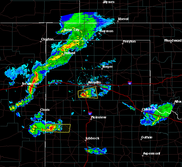 At 652 pm cdt, a severe thunderstorm was located 5 miles south of canyon, moving east at 20 mph (radar indicated). Hazards include 60 mph wind gusts and half dollar size hail. Minor damage to roofs, siding, and trees is possible. hail damage to vehicles is expected. Locations impacted include, canyon and palo duro canyon. At 652 pm cdt, a severe thunderstorm was located 5 miles south of canyon, moving east at 20 mph (radar indicated). Hazards include 60 mph wind gusts and half dollar size hail. Minor damage to roofs, siding, and trees is possible. hail damage to vehicles is expected. Locations impacted include, canyon and palo duro canyon.
|
| 5/11/2020 6:41 PM CDT |
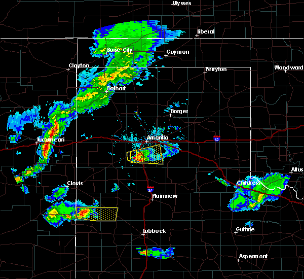 At 640 pm cdt, a severe thunderstorm was located near canyon, moving east at 30 mph (radar indicated). Hazards include 60 mph wind gusts and half dollar size hail. Minor damage to roofs, siding, and trees is possible. hail damage to vehicles is expected. Locations impacted include, canyon, lake tanglewood, mescalero park, palo duro canyon and timbercreek canyon. At 640 pm cdt, a severe thunderstorm was located near canyon, moving east at 30 mph (radar indicated). Hazards include 60 mph wind gusts and half dollar size hail. Minor damage to roofs, siding, and trees is possible. hail damage to vehicles is expected. Locations impacted include, canyon, lake tanglewood, mescalero park, palo duro canyon and timbercreek canyon.
|
| 5/11/2020 6:35 PM CDT |
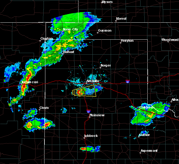 At 635 pm cdt, a severe thunderstorm was located 4 miles east of umbarger, or 5 miles west of canyon, moving east at 30 mph (radar indicated). Hazards include 60 mph wind gusts and quarter size hail. Minor damage to roofs, siding, and trees is possible. hail damage to vehicles is expected. Locations impacted include, canyon, lake tanglewood, mescalero park, palo duro canyon and timbercreek canyon. At 635 pm cdt, a severe thunderstorm was located 4 miles east of umbarger, or 5 miles west of canyon, moving east at 30 mph (radar indicated). Hazards include 60 mph wind gusts and quarter size hail. Minor damage to roofs, siding, and trees is possible. hail damage to vehicles is expected. Locations impacted include, canyon, lake tanglewood, mescalero park, palo duro canyon and timbercreek canyon.
|
| 5/11/2020 6:28 PM CDT |
 At 628 pm cdt, a severe thunderstorm was located over umbarger, or 9 miles west of canyon, moving east at 30 mph (radar indicated). Hazards include ping pong ball size hail and 60 mph wind gusts. Minor damage to roofs, siding, and trees is possible. people and animals outdoors will be injured. Expect hail damage to roofs, siding, windows, and vehicles. At 628 pm cdt, a severe thunderstorm was located over umbarger, or 9 miles west of canyon, moving east at 30 mph (radar indicated). Hazards include ping pong ball size hail and 60 mph wind gusts. Minor damage to roofs, siding, and trees is possible. people and animals outdoors will be injured. Expect hail damage to roofs, siding, windows, and vehicles.
|
| 5/11/2020 6:22 PM CDT | Half Dollar sized hail reported 13.6 miles ENE of Canyon, TX |
| 9/28/2019 8:17 PM CDT |
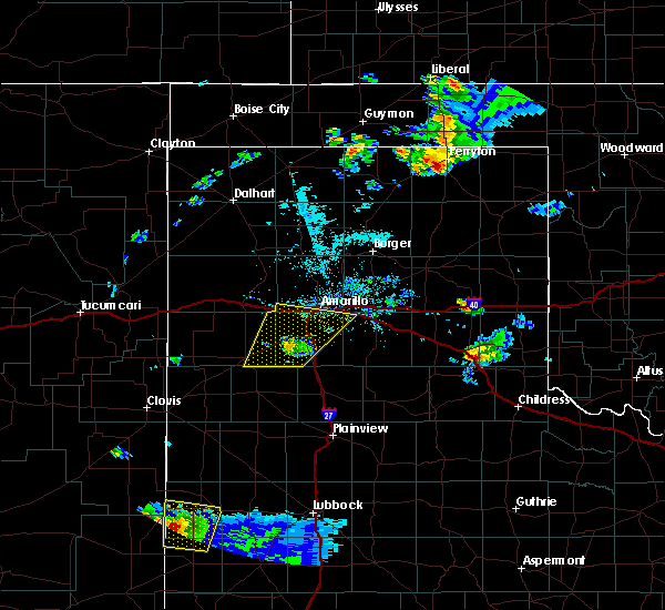 At 817 pm cdt, a severe thunderstorm was located near buffalo lake, or 10 miles southwest of canyon, moving northeast at 35 mph (law enforcement reported downed power lines in dimmitt). Hazards include 70 mph wind gusts. Expect some tree damage. damage is likely to mobile homes, roofs, and outbuildings. Locations impacted include, amarillo, canyon, lake tanglewood, mescalero park, buffalo lake, bushland, umbarger and timbercreek canyon. At 817 pm cdt, a severe thunderstorm was located near buffalo lake, or 10 miles southwest of canyon, moving northeast at 35 mph (law enforcement reported downed power lines in dimmitt). Hazards include 70 mph wind gusts. Expect some tree damage. damage is likely to mobile homes, roofs, and outbuildings. Locations impacted include, amarillo, canyon, lake tanglewood, mescalero park, buffalo lake, bushland, umbarger and timbercreek canyon.
|
| 9/28/2019 8:10 PM CDT |
 At 809 pm cdt, a severe thunderstorm was located near umbarger, or 8 miles southwest of canyon, moving northeast at 45 mph (law enforcement reported downed power poles in south dimmitt). Hazards include 70 mph wind gusts and quarter size hail. Expect some tree damage. damage is likely to mobile homes, roofs, and outbuildings. hail damage to vehicles is expected. Locations impacted include, amarillo, hereford, canyon, lake tanglewood, mescalero park, buffalo lake, bushland, dawn, umbarger and timbercreek canyon. At 809 pm cdt, a severe thunderstorm was located near umbarger, or 8 miles southwest of canyon, moving northeast at 45 mph (law enforcement reported downed power poles in south dimmitt). Hazards include 70 mph wind gusts and quarter size hail. Expect some tree damage. damage is likely to mobile homes, roofs, and outbuildings. hail damage to vehicles is expected. Locations impacted include, amarillo, hereford, canyon, lake tanglewood, mescalero park, buffalo lake, bushland, dawn, umbarger and timbercreek canyon.
|
| 9/28/2019 7:48 PM CDT |
 At 748 pm cdt, a severe thunderstorm was located 12 miles northeast of easter, or 13 miles northeast of dimmitt, moving northeast at 50 mph (radar indicated). Hazards include 70 mph wind gusts and quarter size hail. Expect some tree damage. damage is likely to mobile homes, roofs, and outbuildings. Hail damage to vehicles is expected. At 748 pm cdt, a severe thunderstorm was located 12 miles northeast of easter, or 13 miles northeast of dimmitt, moving northeast at 50 mph (radar indicated). Hazards include 70 mph wind gusts and quarter size hail. Expect some tree damage. damage is likely to mobile homes, roofs, and outbuildings. Hail damage to vehicles is expected.
|
| 9/20/2019 11:18 PM CDT |
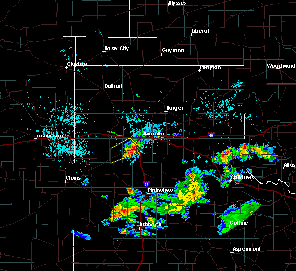 At 1118 pm cdt, a severe thunderstorm was located 5 miles west of mescalero park, or 5 miles northwest of canyon, moving east at 30 mph (radar indicated). Hazards include 60 mph wind gusts and penny size hail. Minor damage to roofs, siding, and trees is possible. Locations impacted include, canyon, umbarger, buffalo lake, dawn and mescalero park. At 1118 pm cdt, a severe thunderstorm was located 5 miles west of mescalero park, or 5 miles northwest of canyon, moving east at 30 mph (radar indicated). Hazards include 60 mph wind gusts and penny size hail. Minor damage to roofs, siding, and trees is possible. Locations impacted include, canyon, umbarger, buffalo lake, dawn and mescalero park.
|
| 9/20/2019 11:11 PM CDT |
 At 1111 pm cdt, a severe thunderstorm was located 5 miles northeast of umbarger, or 7 miles west of canyon, moving east at 30 mph (radar indicated). Hazards include 60 mph wind gusts and quarter size hail. Minor damage to roofs, siding, and trees is possible. hail damage to vehicles is expected. Locations impacted include, canyon, umbarger, buffalo lake, dawn and mescalero park. At 1111 pm cdt, a severe thunderstorm was located 5 miles northeast of umbarger, or 7 miles west of canyon, moving east at 30 mph (radar indicated). Hazards include 60 mph wind gusts and quarter size hail. Minor damage to roofs, siding, and trees is possible. hail damage to vehicles is expected. Locations impacted include, canyon, umbarger, buffalo lake, dawn and mescalero park.
|
| 9/20/2019 11:01 PM CDT |
 At 1100 pm cdt, a severe thunderstorm was located over umbarger, or 11 miles west of canyon, moving east at 30 mph (radar indicated). Hazards include 60 mph wind gusts and quarter size hail. Minor damage to roofs, siding, and trees is possible. hail damage to vehicles is expected. Locations impacted include, hereford, canyon, umbarger, buffalo lake, dawn and mescalero park. At 1100 pm cdt, a severe thunderstorm was located over umbarger, or 11 miles west of canyon, moving east at 30 mph (radar indicated). Hazards include 60 mph wind gusts and quarter size hail. Minor damage to roofs, siding, and trees is possible. hail damage to vehicles is expected. Locations impacted include, hereford, canyon, umbarger, buffalo lake, dawn and mescalero park.
|
| 9/20/2019 10:52 PM CDT |
 At 1051 pm cdt, a severe thunderstorm was located 4 miles north of dawn, or 15 miles northeast of hereford, moving east at 30 mph (radar indicated). Hazards include 60 mph wind gusts and quarter size hail. Minor damage to roofs, siding, and trees is possible. Hail damage to vehicles is expected. At 1051 pm cdt, a severe thunderstorm was located 4 miles north of dawn, or 15 miles northeast of hereford, moving east at 30 mph (radar indicated). Hazards include 60 mph wind gusts and quarter size hail. Minor damage to roofs, siding, and trees is possible. Hail damage to vehicles is expected.
|
| 8/9/2019 4:17 PM CDT |
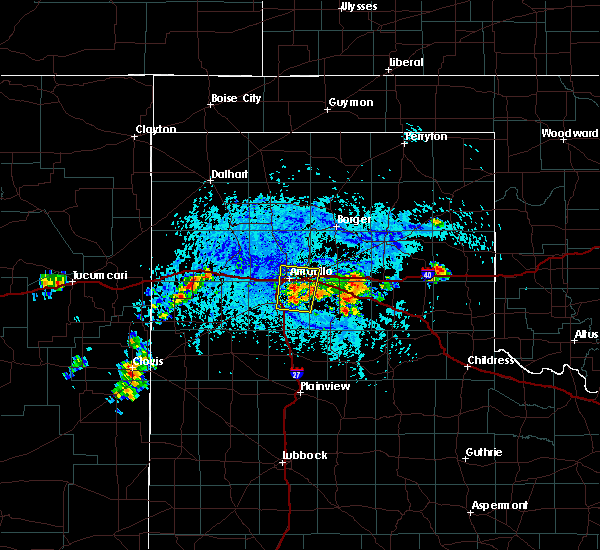 At 416 pm cdt, a severe thunderstorm was located near lake tanglewood, or 7 miles southeast of amarillo, moving north at 5 mph (radar indicated). Hazards include 60 mph wind gusts and quarter size hail. Minor damage to roofs, siding, and trees is possible. Hail damage to vehicles is expected. At 416 pm cdt, a severe thunderstorm was located near lake tanglewood, or 7 miles southeast of amarillo, moving north at 5 mph (radar indicated). Hazards include 60 mph wind gusts and quarter size hail. Minor damage to roofs, siding, and trees is possible. Hail damage to vehicles is expected.
|
| 8/7/2019 5:02 PM CDT |
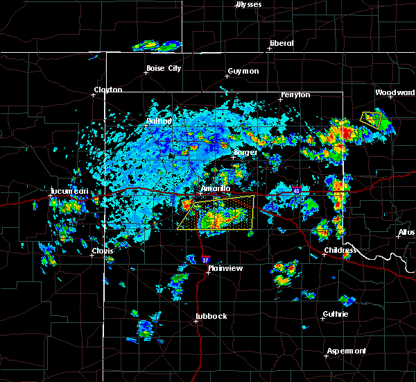 At 502 pm cdt, a severe thunderstorm was located near mescalero park, or 6 miles north of canyon, moving northeast at 20 mph (radar indicated). Hazards include 70 mph wind gusts and penny size hail. Expect some tree damage. Damage is likely to mobile homes, roofs, and outbuildings. At 502 pm cdt, a severe thunderstorm was located near mescalero park, or 6 miles north of canyon, moving northeast at 20 mph (radar indicated). Hazards include 70 mph wind gusts and penny size hail. Expect some tree damage. Damage is likely to mobile homes, roofs, and outbuildings.
|
| 8/7/2019 4:22 PM CDT |
 At 422 pm cdt, severe thunderstorms were located along a line extending from 11 miles north of wayside to 5 miles south of palo duro canyon to 5 miles north of happy, moving east at 15 mph (radar indicated). Hazards include 70 mph wind gusts and penny size hail. Expect some tree damage. Damage is likely to mobile homes, roofs, and outbuildings. At 422 pm cdt, severe thunderstorms were located along a line extending from 11 miles north of wayside to 5 miles south of palo duro canyon to 5 miles north of happy, moving east at 15 mph (radar indicated). Hazards include 70 mph wind gusts and penny size hail. Expect some tree damage. Damage is likely to mobile homes, roofs, and outbuildings.
|
| 7/10/2019 3:34 PM CDT |
 At 333 pm cdt, a severe thunderstorm was located over dawn, or 13 miles northeast of hereford, moving southwest at 35 mph (radar indicated). Hazards include 60 mph wind gusts and penny size hail. Minor damage to roofs, siding, and trees is possible. Locations impacted include, hereford, umbarger, buffalo lake and dawn. At 333 pm cdt, a severe thunderstorm was located over dawn, or 13 miles northeast of hereford, moving southwest at 35 mph (radar indicated). Hazards include 60 mph wind gusts and penny size hail. Minor damage to roofs, siding, and trees is possible. Locations impacted include, hereford, umbarger, buffalo lake and dawn.
|
| 7/10/2019 3:10 PM CDT |
 At 309 pm cdt, a severe thunderstorm was located 4 miles west of mescalero park, or 6 miles northwest of canyon, moving southwest at 35 mph (radar indicated). Hazards include 60 mph wind gusts and quarter size hail. Minor damage to roofs, siding, and trees is possible. Hail damage to vehicles is expected. At 309 pm cdt, a severe thunderstorm was located 4 miles west of mescalero park, or 6 miles northwest of canyon, moving southwest at 35 mph (radar indicated). Hazards include 60 mph wind gusts and quarter size hail. Minor damage to roofs, siding, and trees is possible. Hail damage to vehicles is expected.
|
| 6/25/2019 7:53 PM CDT |
 At 731 pm cdt, a severe thunderstorm was located 8 miles northeast of happy, or 15 miles southeast of canyon, moving north at 15 mph (radar indicated). Hazards include 60 mph wind gusts and half dollar size hail. Minor damage to roofs, siding, and trees is possible. Hail damage to vehicles is expected. At 731 pm cdt, a severe thunderstorm was located 8 miles northeast of happy, or 15 miles southeast of canyon, moving north at 15 mph (radar indicated). Hazards include 60 mph wind gusts and half dollar size hail. Minor damage to roofs, siding, and trees is possible. Hail damage to vehicles is expected.
|
| 6/25/2019 7:31 PM CDT |
 At 731 pm cdt, a severe thunderstorm was located 8 miles northeast of happy, or 15 miles southeast of canyon, moving north at 15 mph (radar indicated). Hazards include 60 mph wind gusts and half dollar size hail. Minor damage to roofs, siding, and trees is possible. Hail damage to vehicles is expected. At 731 pm cdt, a severe thunderstorm was located 8 miles northeast of happy, or 15 miles southeast of canyon, moving north at 15 mph (radar indicated). Hazards include 60 mph wind gusts and half dollar size hail. Minor damage to roofs, siding, and trees is possible. Hail damage to vehicles is expected.
|
| 6/18/2019 7:27 PM CDT | Half Dollar sized hail reported 3.1 miles WNW of Canyon, TX, twitter photo of quarter to half dollar size hail. |
| 6/18/2019 7:07 PM CDT | Half Dollar sized hail reported 1.8 miles E of Canyon, TX |
| 6/18/2019 7:05 PM CDT |
 At 704 pm cdt, a severe thunderstorm was located over canyon, moving east at 25 mph (radar indicated). Hazards include golf ball size hail and 60 mph wind gusts. accumulating hail is also possible with this storm. Minor damage to roofs, siding, and trees is possible. people and animals outdoors will be injured. expect hail damage to roofs, siding, windows, and vehicles. hail may accumulate on roadways causing hazardous travel. Locations impacted include, canyon, lake tanglewood, mescalero park, palo duro canyon and timbercreek canyon. At 704 pm cdt, a severe thunderstorm was located over canyon, moving east at 25 mph (radar indicated). Hazards include golf ball size hail and 60 mph wind gusts. accumulating hail is also possible with this storm. Minor damage to roofs, siding, and trees is possible. people and animals outdoors will be injured. expect hail damage to roofs, siding, windows, and vehicles. hail may accumulate on roadways causing hazardous travel. Locations impacted include, canyon, lake tanglewood, mescalero park, palo duro canyon and timbercreek canyon.
|
| 6/18/2019 6:55 PM CDT | Half Dollar sized hail reported 3.7 miles ESE of Canyon, TX |
| 6/18/2019 6:55 PM CDT |
 At 655 pm cdt, a severe thunderstorm was located near canyon, moving east at 25 mph (radar indicated). Hazards include golf ball size hail and 60 mph wind gusts. Minor damage to roofs, siding, and trees is possible. people and animals outdoors will be injured. expect hail damage to roofs, siding, windows, and vehicles. Locations impacted include, amarillo, canyon, lake tanglewood, mescalero park, palo duro canyon and timbercreek canyon. At 655 pm cdt, a severe thunderstorm was located near canyon, moving east at 25 mph (radar indicated). Hazards include golf ball size hail and 60 mph wind gusts. Minor damage to roofs, siding, and trees is possible. people and animals outdoors will be injured. expect hail damage to roofs, siding, windows, and vehicles. Locations impacted include, amarillo, canyon, lake tanglewood, mescalero park, palo duro canyon and timbercreek canyon.
|
| 6/18/2019 6:52 PM CDT |
 At 651 pm cdt, a severe thunderstorm was located 5 miles northeast of umbarger, or 7 miles west of canyon, moving east at 25 mph (radar indicated). Hazards include 60 mph wind gusts and half dollar size hail. Minor damage to roofs, siding, and trees is possible. Hail damage to vehicles is expected. At 651 pm cdt, a severe thunderstorm was located 5 miles northeast of umbarger, or 7 miles west of canyon, moving east at 25 mph (radar indicated). Hazards include 60 mph wind gusts and half dollar size hail. Minor damage to roofs, siding, and trees is possible. Hail damage to vehicles is expected.
|
| 6/18/2019 6:50 PM CDT |
 At 650 pm cdt, a severe thunderstorm was located 4 miles north of umbarger, or 9 miles west of canyon, moving east at 30 mph (radar indicated). Hazards include 60 mph wind gusts and half dollar size hail. Minor damage to roofs, siding, and trees is possible. Hail damage to vehicles is expected. At 650 pm cdt, a severe thunderstorm was located 4 miles north of umbarger, or 9 miles west of canyon, moving east at 30 mph (radar indicated). Hazards include 60 mph wind gusts and half dollar size hail. Minor damage to roofs, siding, and trees is possible. Hail damage to vehicles is expected.
|
| 6/17/2019 10:06 PM CDT |
 The severe thunderstorm warning for randall and potter counties will expire at 1015 pm cdt, the storms which prompted the warning have weakened below severe limits, and no longer pose an immediate threat to life or property. therefore, the warning will be allowed to expire. The severe thunderstorm warning for randall and potter counties will expire at 1015 pm cdt, the storms which prompted the warning have weakened below severe limits, and no longer pose an immediate threat to life or property. therefore, the warning will be allowed to expire.
|
| 6/17/2019 9:49 PM CDT |
 At 948 pm cdt, severe thunderstorms were located along a line extending from 10 miles south of masterson to 8 miles west of amarillo to 4 miles southwest of bushland to 8 miles south of buffalo lake, moving east at 30 mph (trained weather spotters). Hazards include 60 mph wind gusts. Minor damage to roofs, siding, and trees is possible. Locations impacted include, amarillo, canyon, lake tanglewood, mescalero park, buffalo lake, bushland, valley de oro, umbarger and timbercreek canyon. At 948 pm cdt, severe thunderstorms were located along a line extending from 10 miles south of masterson to 8 miles west of amarillo to 4 miles southwest of bushland to 8 miles south of buffalo lake, moving east at 30 mph (trained weather spotters). Hazards include 60 mph wind gusts. Minor damage to roofs, siding, and trees is possible. Locations impacted include, amarillo, canyon, lake tanglewood, mescalero park, buffalo lake, bushland, valley de oro, umbarger and timbercreek canyon.
|
| 6/17/2019 9:21 PM CDT |
 At 920 pm cdt, severe thunderstorms were located along a line extending from 8 miles north of valley de oro to 4 miles west of wildorado to 9 miles northwest of summerfield, moving southeast at 40 mph (trained weather spotters. at 915 pm cdt, storm chasers reported at least 60 mph gusts and blowing dust in vega). Hazards include 60 mph wind gusts. Minor damage to roofs, siding, and trees is possible. Locations impacted include, amarillo, hereford, canyon, vega, lake tanglewood, adrian, buffalo lake, bushland, valley de oro, boys ranch, umbarger, bootleg, wildorado, mescalero park, dawn, simms and timbercreek canyon. At 920 pm cdt, severe thunderstorms were located along a line extending from 8 miles north of valley de oro to 4 miles west of wildorado to 9 miles northwest of summerfield, moving southeast at 40 mph (trained weather spotters. at 915 pm cdt, storm chasers reported at least 60 mph gusts and blowing dust in vega). Hazards include 60 mph wind gusts. Minor damage to roofs, siding, and trees is possible. Locations impacted include, amarillo, hereford, canyon, vega, lake tanglewood, adrian, buffalo lake, bushland, valley de oro, boys ranch, umbarger, bootleg, wildorado, mescalero park, dawn, simms and timbercreek canyon.
|
| 6/17/2019 9:09 PM CDT |
 At 907 pm cdt, severe thunderstorms were located along a line extending from 5 miles northeast of boys ranch to vega to 3 miles northeast of bootleg, moving southeast at 30 mph (automated weather equipment. at 857 pm cdt, a 67 mph gust was recorded 11 miles west northwest of bootleg). Hazards include 60 mph wind gusts. minor damage to roofs, siding, and trees is possible At 907 pm cdt, severe thunderstorms were located along a line extending from 5 miles northeast of boys ranch to vega to 3 miles northeast of bootleg, moving southeast at 30 mph (automated weather equipment. at 857 pm cdt, a 67 mph gust was recorded 11 miles west northwest of bootleg). Hazards include 60 mph wind gusts. minor damage to roofs, siding, and trees is possible
|
| 6/5/2019 7:27 PM CDT |
 The severe thunderstorm warning for randall, armstrong, western carson and southern potter counties will expire at 730 pm cdt, the storms which prompted the warning have weakened below severe limits, and no longer pose an immediate threat to life or property. therefore, the warning will be allowed to expire. however small hail, gusty winds up to 55 mph, and heavy rain are still possible with these thunderstorms. The severe thunderstorm warning for randall, armstrong, western carson and southern potter counties will expire at 730 pm cdt, the storms which prompted the warning have weakened below severe limits, and no longer pose an immediate threat to life or property. therefore, the warning will be allowed to expire. however small hail, gusty winds up to 55 mph, and heavy rain are still possible with these thunderstorms.
|
| 6/5/2019 6:49 PM CDT |
 At 649 pm cdt, severe thunderstorms were located along a line extending from 12 miles southeast of valley de oro to 3 miles northwest of lake tanglewood to 3 miles northeast of happy, moving east at 35 mph (automated weather equipment. at 627 pm cdt, automated weather equipment recorded a 58 mph wind gust at umbarger). Hazards include 60 mph wind gusts and quarter size hail. Minor damage to roofs, siding, and trees is possible. hail damage to vehicles is expected. Locations impacted include, amarillo, canyon, panhandle, claude, lake tanglewood, mescalero park, bushland, wayside, washburn, palo duro canyon, timbercreek canyon and pantex. At 649 pm cdt, severe thunderstorms were located along a line extending from 12 miles southeast of valley de oro to 3 miles northwest of lake tanglewood to 3 miles northeast of happy, moving east at 35 mph (automated weather equipment. at 627 pm cdt, automated weather equipment recorded a 58 mph wind gust at umbarger). Hazards include 60 mph wind gusts and quarter size hail. Minor damage to roofs, siding, and trees is possible. hail damage to vehicles is expected. Locations impacted include, amarillo, canyon, panhandle, claude, lake tanglewood, mescalero park, bushland, wayside, washburn, palo duro canyon, timbercreek canyon and pantex.
|
| 6/5/2019 6:38 PM CDT |
 At 637 pm cdt, severe thunderstorms were located along a line extending from 9 miles southeast of valley de oro to near mescalero park to 3 miles northwest of happy, moving east at 35 mph (automated weather equipment. at 627 pm cdt, automated weather equipment at umbarger recorded a 58 mph wind gust). Hazards include 60 mph wind gusts and penny size hail. minor damage to roofs, siding, and trees is possible At 637 pm cdt, severe thunderstorms were located along a line extending from 9 miles southeast of valley de oro to near mescalero park to 3 miles northwest of happy, moving east at 35 mph (automated weather equipment. at 627 pm cdt, automated weather equipment at umbarger recorded a 58 mph wind gust). Hazards include 60 mph wind gusts and penny size hail. minor damage to roofs, siding, and trees is possible
|
| 6/5/2019 6:27 PM CDT | Storm damage reported in randall county TX, 9.1 miles E of Canyon, TX |
| 6/1/2019 8:36 PM CDT |
 At 836 pm cdt, severe thunderstorms were located along a line extending from 7 miles north of washburn to 3 miles northeast of palo duro canyon to 7 miles southeast of canyon, moving east at 35 mph (radar indicated). Hazards include 70 mph wind gusts and quarter size hail. Expect some tree damage. damage is likely to mobile homes, roofs, and outbuildings. hail damage to vehicles is expected. Locations impacted include, amarillo, canyon, claude, lake tanglewood, mescalero park, wayside, washburn, palo duro canyon, timbercreek canyon and pantex. At 836 pm cdt, severe thunderstorms were located along a line extending from 7 miles north of washburn to 3 miles northeast of palo duro canyon to 7 miles southeast of canyon, moving east at 35 mph (radar indicated). Hazards include 70 mph wind gusts and quarter size hail. Expect some tree damage. damage is likely to mobile homes, roofs, and outbuildings. hail damage to vehicles is expected. Locations impacted include, amarillo, canyon, claude, lake tanglewood, mescalero park, wayside, washburn, palo duro canyon, timbercreek canyon and pantex.
|
| 6/1/2019 8:24 PM CDT |
 At 823 pm cdt, automated weather equipment reported severe thunderstorms were located along a line extending from 11 miles northeast of amarillo to near lake tanglewood to 3 miles southwest of canyon, moving southeast at 35 mph. these are very dangerous storms (automated weather equipment. at 804 pm cdt, automated weather equipment recorded a 91 mph wind gust 7 miles south southeast of amarillo). Hazards include 90 mph wind gusts and quarter size hail. You are in a life-threatening situation. flying debris may be deadly to those caught without shelter. mobile homes will be heavily damaged or destroyed. homes and businesses will have substantial roof and window damage. expect extensive tree damage and power outages. Locations impacted include, amarillo, canyon, claude, lake tanglewood, mescalero park, wayside, washburn, palo duro canyon, timbercreek canyon and pantex. At 823 pm cdt, automated weather equipment reported severe thunderstorms were located along a line extending from 11 miles northeast of amarillo to near lake tanglewood to 3 miles southwest of canyon, moving southeast at 35 mph. these are very dangerous storms (automated weather equipment. at 804 pm cdt, automated weather equipment recorded a 91 mph wind gust 7 miles south southeast of amarillo). Hazards include 90 mph wind gusts and quarter size hail. You are in a life-threatening situation. flying debris may be deadly to those caught without shelter. mobile homes will be heavily damaged or destroyed. homes and businesses will have substantial roof and window damage. expect extensive tree damage and power outages. Locations impacted include, amarillo, canyon, claude, lake tanglewood, mescalero park, wayside, washburn, palo duro canyon, timbercreek canyon and pantex.
|
| 6/1/2019 8:08 PM CDT |
 At 807 pm cdt, severe thunderstorms were located along a line extending from 16 miles east of valley de oro to 5 miles south of amarillo to 5 miles northeast of umbarger, moving southeast at 35 mph (trained weather spotters. at 806 pm cdt, trained weather spotters estimated a 60 mph wind gust 3 miles east of amarillo). Hazards include 70 mph wind gusts and quarter size hail. Expect some tree damage. damage is likely to mobile homes, roofs, and outbuildings. hail damage to vehicles is expected. Locations impacted include, amarillo, canyon, claude, lake tanglewood, mescalero park, wayside, washburn, palo duro canyon, timbercreek canyon and pantex. At 807 pm cdt, severe thunderstorms were located along a line extending from 16 miles east of valley de oro to 5 miles south of amarillo to 5 miles northeast of umbarger, moving southeast at 35 mph (trained weather spotters. at 806 pm cdt, trained weather spotters estimated a 60 mph wind gust 3 miles east of amarillo). Hazards include 70 mph wind gusts and quarter size hail. Expect some tree damage. damage is likely to mobile homes, roofs, and outbuildings. hail damage to vehicles is expected. Locations impacted include, amarillo, canyon, claude, lake tanglewood, mescalero park, wayside, washburn, palo duro canyon, timbercreek canyon and pantex.
|
| 6/1/2019 8:00 PM CDT |
 The national weather service in amarillo has issued a * severe thunderstorm warning for. randall county in the panhandle of texas. western armstrong county in the panhandle of texas. southwestern carson county in the panhandle of texas. Eastern potter county in the panhandle of texas. The national weather service in amarillo has issued a * severe thunderstorm warning for. randall county in the panhandle of texas. western armstrong county in the panhandle of texas. southwestern carson county in the panhandle of texas. Eastern potter county in the panhandle of texas.
|
| 6/1/2019 7:56 PM CDT |
 At 756 pm cdt, automated weather equipment reported a severe thunderstorm was located over amarillo, moving southeast at 35 mph (automated weather equipment. at 754 pm cdt, a storm chaser recorded a 66 mph wind gust on the southwest side of amarillo). Hazards include ping pong ball size hail and 60 mph wind gusts. Minor damage to roofs, siding, and trees is possible. people and animals outdoors will be injured. expect hail damage to roofs, siding, windows, and vehicles. hail may accumulate on roadways causing hazardous travel. Locations impacted include, amarillo, canyon, lake tanglewood, mescalero park, bushland, valley de oro and timbercreek canyon. At 756 pm cdt, automated weather equipment reported a severe thunderstorm was located over amarillo, moving southeast at 35 mph (automated weather equipment. at 754 pm cdt, a storm chaser recorded a 66 mph wind gust on the southwest side of amarillo). Hazards include ping pong ball size hail and 60 mph wind gusts. Minor damage to roofs, siding, and trees is possible. people and animals outdoors will be injured. expect hail damage to roofs, siding, windows, and vehicles. hail may accumulate on roadways causing hazardous travel. Locations impacted include, amarillo, canyon, lake tanglewood, mescalero park, bushland, valley de oro and timbercreek canyon.
|
| 6/1/2019 7:16 PM CDT |
 At 715 pm cdt, a severe thunderstorm was located over valley de oro, or 21 miles northwest of amarillo, moving southeast at 35 mph (automated weather equipment. at 703 pm cdt, automated weather equipment recorded a 60 mph wind gust at boys ranch). Hazards include ping pong ball size hail and 60 mph wind gusts. Minor damage to roofs, siding, and trees is possible. people and animals outdoors will be injured. expect hail damage to roofs, siding, windows, and vehicles. hail may accumulate on roadways causing hazardous travel. Locations impacted include, amarillo, canyon, lake tanglewood, mescalero park, bushland, valley de oro, boys ranch, wildorado and timbercreek canyon. At 715 pm cdt, a severe thunderstorm was located over valley de oro, or 21 miles northwest of amarillo, moving southeast at 35 mph (automated weather equipment. at 703 pm cdt, automated weather equipment recorded a 60 mph wind gust at boys ranch). Hazards include ping pong ball size hail and 60 mph wind gusts. Minor damage to roofs, siding, and trees is possible. people and animals outdoors will be injured. expect hail damage to roofs, siding, windows, and vehicles. hail may accumulate on roadways causing hazardous travel. Locations impacted include, amarillo, canyon, lake tanglewood, mescalero park, bushland, valley de oro, boys ranch, wildorado and timbercreek canyon.
|
| 6/1/2019 7:12 PM CDT |
 At 711 pm cdt, a severe thunderstorm was located over valley de oro, or 22 miles northeast of vega, moving southeast at 35 mph (radar indicated). Hazards include ping pong ball size hail and 60 mph wind gusts. Minor damage to roofs, siding, and trees is possible. people and animals outdoors will be injured. expect hail damage to roofs, siding, windows, and vehicles. Hail may accumulate on roadways causing hazardous travel. At 711 pm cdt, a severe thunderstorm was located over valley de oro, or 22 miles northeast of vega, moving southeast at 35 mph (radar indicated). Hazards include ping pong ball size hail and 60 mph wind gusts. Minor damage to roofs, siding, and trees is possible. people and animals outdoors will be injured. expect hail damage to roofs, siding, windows, and vehicles. Hail may accumulate on roadways causing hazardous travel.
|
| 5/26/2019 9:42 PM CDT |
 At 941 pm cdt, severe thunderstorms were located along a line extending from 7 miles northeast of amarillo to 4 miles southeast of mescalero park, moving northeast at 45 mph (emergency management. at 934 pm cdt, quarter size hail was reported in amarillo). Hazards include 60 mph wind gusts and quarter size hail. Minor damage to roofs, siding, and trees is possible. Hail damage to vehicles is expected. At 941 pm cdt, severe thunderstorms were located along a line extending from 7 miles northeast of amarillo to 4 miles southeast of mescalero park, moving northeast at 45 mph (emergency management. at 934 pm cdt, quarter size hail was reported in amarillo). Hazards include 60 mph wind gusts and quarter size hail. Minor damage to roofs, siding, and trees is possible. Hail damage to vehicles is expected.
|
| 5/26/2019 9:23 PM CDT |
 At 922 pm cdt, severe thunderstorms were located along a line extending from 7 miles southwest of lake meredith to 9 miles north of amarillo to 5 miles northwest of mescalero park, moving east at 40 mph (emergency management. at 921 pm, emergency management reported quarter size hail at hillside and soncy in amarillo). Hazards include 60 mph wind gusts and quarter size hail. Minor damage to roofs, siding, and trees is possible. hail damage to vehicles is expected. locations impacted include, amarillo, canyon, borger, panhandle, fritch, lake tanglewood, bushland, washburn, umbarger, palo duro canyon, mescalero park, timbercreek canyon and pantex. A tornado watch remains in effect until 200 am cdt for the panhandle of texas. At 922 pm cdt, severe thunderstorms were located along a line extending from 7 miles southwest of lake meredith to 9 miles north of amarillo to 5 miles northwest of mescalero park, moving east at 40 mph (emergency management. at 921 pm, emergency management reported quarter size hail at hillside and soncy in amarillo). Hazards include 60 mph wind gusts and quarter size hail. Minor damage to roofs, siding, and trees is possible. hail damage to vehicles is expected. locations impacted include, amarillo, canyon, borger, panhandle, fritch, lake tanglewood, bushland, washburn, umbarger, palo duro canyon, mescalero park, timbercreek canyon and pantex. A tornado watch remains in effect until 200 am cdt for the panhandle of texas.
|
| 5/26/2019 8:52 PM CDT |
 At 851 pm cdt, severe thunderstorms were located along a line extending from 5 miles southwest of valley de oro to 3 miles southwest of wildorado to 7 miles north of hereford, moving east at 55 mph (radar indicated). Hazards include 70 mph wind gusts and quarter size hail. Expect some tree damage. damage is likely to mobile homes, roofs, and outbuildings. Hail damage to vehicles is expected. At 851 pm cdt, severe thunderstorms were located along a line extending from 5 miles southwest of valley de oro to 3 miles southwest of wildorado to 7 miles north of hereford, moving east at 55 mph (radar indicated). Hazards include 70 mph wind gusts and quarter size hail. Expect some tree damage. damage is likely to mobile homes, roofs, and outbuildings. Hail damage to vehicles is expected.
|
| 5/25/2019 7:32 PM CDT |
 At 732 pm cdt, a severe thunderstorm was located 5 miles east of umbarger, or 5 miles southwest of canyon, moving northeast at 45 mph (radar indicated). Hazards include 60 mph wind gusts and nickel size hail. Minor damage to roofs, siding, and trees is possible. Locations impacted include, canyon, umbarger and mescalero park. At 732 pm cdt, a severe thunderstorm was located 5 miles east of umbarger, or 5 miles southwest of canyon, moving northeast at 45 mph (radar indicated). Hazards include 60 mph wind gusts and nickel size hail. Minor damage to roofs, siding, and trees is possible. Locations impacted include, canyon, umbarger and mescalero park.
|
| 5/25/2019 7:22 PM CDT |
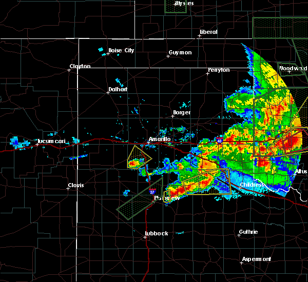 At 722 pm cdt, a severe thunderstorm was located near buffalo lake, or 13 miles southwest of canyon, moving northeast at 45 mph (radar indicated). Hazards include 60 mph wind gusts and quarter size hail. Minor damage to roofs, siding, and trees is possible. hail damage to vehicles is expected. Locations impacted include, canyon, umbarger, buffalo lake and mescalero park. At 722 pm cdt, a severe thunderstorm was located near buffalo lake, or 13 miles southwest of canyon, moving northeast at 45 mph (radar indicated). Hazards include 60 mph wind gusts and quarter size hail. Minor damage to roofs, siding, and trees is possible. hail damage to vehicles is expected. Locations impacted include, canyon, umbarger, buffalo lake and mescalero park.
|
| 5/25/2019 7:04 PM CDT |
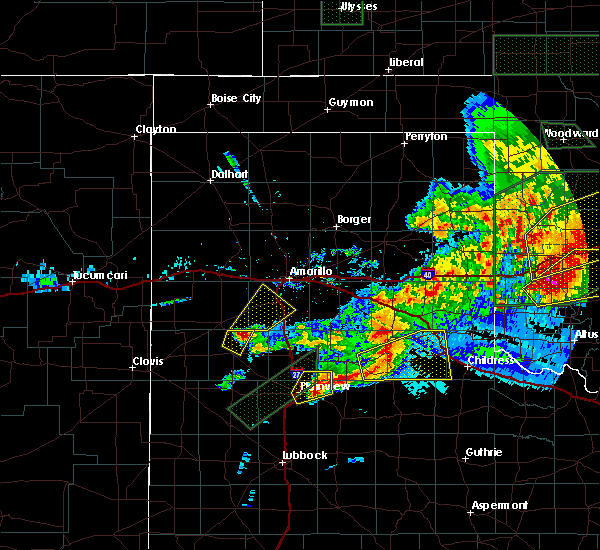 At 704 pm cdt, a severe thunderstorm was located 10 miles east of easter, or 11 miles northeast of dimmitt, moving northeast at 40 mph (radar indicated). Hazards include 60 mph wind gusts and half dollar size hail. Minor damage to roofs, siding, and trees is possible. Hail damage to vehicles is expected. At 704 pm cdt, a severe thunderstorm was located 10 miles east of easter, or 11 miles northeast of dimmitt, moving northeast at 40 mph (radar indicated). Hazards include 60 mph wind gusts and half dollar size hail. Minor damage to roofs, siding, and trees is possible. Hail damage to vehicles is expected.
|
| 5/23/2019 6:59 PM CDT |
 At 651 pm cdt, a severe thunderstorm was located 4 miles west of mescalero park, or 6 miles northwest of canyon, moving northeast at 45 mph (radar indicated). Hazards include tennis ball size hail and 60 mph wind gusts. Minor damage to roofs, siding, and trees is possible. people and animals outdoors will be injured. expect hail damage to roofs, siding, windows, and vehicles. locations impacted include, amarillo, canyon, mescalero park, bushland and pantex. A tornado watch remains in effect until 1000 pm cdt for the panhandle of texas. At 651 pm cdt, a severe thunderstorm was located 4 miles west of mescalero park, or 6 miles northwest of canyon, moving northeast at 45 mph (radar indicated). Hazards include tennis ball size hail and 60 mph wind gusts. Minor damage to roofs, siding, and trees is possible. people and animals outdoors will be injured. expect hail damage to roofs, siding, windows, and vehicles. locations impacted include, amarillo, canyon, mescalero park, bushland and pantex. A tornado watch remains in effect until 1000 pm cdt for the panhandle of texas.
|
| 5/23/2019 6:52 PM CDT |
 At 651 pm cdt, a severe thunderstorm was located 4 miles west of mescalero park, or 6 miles northwest of canyon, moving northeast at 45 mph (radar indicated). Hazards include tennis ball size hail and 60 mph wind gusts. Minor damage to roofs, siding, and trees is possible. people and animals outdoors will be injured. expect hail damage to roofs, siding, windows, and vehicles. locations impacted include, amarillo, canyon, mescalero park, bushland and pantex. A tornado watch remains in effect until 1000 pm cdt for the panhandle of texas. At 651 pm cdt, a severe thunderstorm was located 4 miles west of mescalero park, or 6 miles northwest of canyon, moving northeast at 45 mph (radar indicated). Hazards include tennis ball size hail and 60 mph wind gusts. Minor damage to roofs, siding, and trees is possible. people and animals outdoors will be injured. expect hail damage to roofs, siding, windows, and vehicles. locations impacted include, amarillo, canyon, mescalero park, bushland and pantex. A tornado watch remains in effect until 1000 pm cdt for the panhandle of texas.
|
| 5/23/2019 6:45 PM CDT | Quarter sized hail reported 8.1 miles E of Canyon, TX |
| 5/23/2019 6:44 PM CDT |
 At 644 pm cdt, a severe thunderstorm was located near umbarger, or 7 miles west of canyon, moving northeast at 45 mph (radar indicated). Hazards include ping pong ball size hail and 60 mph wind gusts. Minor damage to roofs, siding, and trees is possible. people and animals outdoors will be injured. Expect hail damage to roofs, siding, windows, and vehicles. At 644 pm cdt, a severe thunderstorm was located near umbarger, or 7 miles west of canyon, moving northeast at 45 mph (radar indicated). Hazards include ping pong ball size hail and 60 mph wind gusts. Minor damage to roofs, siding, and trees is possible. people and animals outdoors will be injured. Expect hail damage to roofs, siding, windows, and vehicles.
|
| 5/23/2019 6:11 PM CDT |
 At 611 pm cdt, a severe thunderstorm was located 6 miles north of umbarger, or 11 miles west of canyon, moving north at 60 mph (radar indicated). Hazards include ping pong ball size hail and 60 mph wind gusts. Minor damage to roofs, siding, and trees is possible. people and animals outdoors will be injured. expect hail damage to roofs, siding, windows, and vehicles. locations impacted include, amarillo, hereford, canyon, lake tanglewood, mescalero park, buffalo lake, bushland, dawn, valley de oro, umbarger, wildorado and timbercreek canyon. A tornado watch remains in effect until 1000 pm cdt for the panhandle of texas. At 611 pm cdt, a severe thunderstorm was located 6 miles north of umbarger, or 11 miles west of canyon, moving north at 60 mph (radar indicated). Hazards include ping pong ball size hail and 60 mph wind gusts. Minor damage to roofs, siding, and trees is possible. people and animals outdoors will be injured. expect hail damage to roofs, siding, windows, and vehicles. locations impacted include, amarillo, hereford, canyon, lake tanglewood, mescalero park, buffalo lake, bushland, dawn, valley de oro, umbarger, wildorado and timbercreek canyon. A tornado watch remains in effect until 1000 pm cdt for the panhandle of texas.
|
| 5/23/2019 5:47 PM CDT |
 At 547 pm cdt, a severe thunderstorm was located 9 miles northeast of easter, or 9 miles southeast of hereford, moving northeast at 55 mph (radar indicated). Hazards include 60 mph wind gusts and quarter size hail. Minor damage to roofs, siding, and trees is possible. Hail damage to vehicles is expected. At 547 pm cdt, a severe thunderstorm was located 9 miles northeast of easter, or 9 miles southeast of hereford, moving northeast at 55 mph (radar indicated). Hazards include 60 mph wind gusts and quarter size hail. Minor damage to roofs, siding, and trees is possible. Hail damage to vehicles is expected.
|
| 5/23/2019 4:51 PM CDT |
 At 450 pm cdt, a severe thunderstorm was located 11 miles northwest of dawn, or 12 miles north of hereford, moving northeast at 55 mph (radar indicated). Hazards include 60 mph wind gusts and half dollar size hail. Minor damage to roofs, siding, and trees is possible. hail damage to vehicles is expected. locations impacted include, amarillo, hereford, canyon, vega, mescalero park, bushland, dawn, umbarger, wildorado and timbercreek canyon. A tornado watch remains in effect until 1000 pm cdt for the panhandle of texas. At 450 pm cdt, a severe thunderstorm was located 11 miles northwest of dawn, or 12 miles north of hereford, moving northeast at 55 mph (radar indicated). Hazards include 60 mph wind gusts and half dollar size hail. Minor damage to roofs, siding, and trees is possible. hail damage to vehicles is expected. locations impacted include, amarillo, hereford, canyon, vega, mescalero park, bushland, dawn, umbarger, wildorado and timbercreek canyon. A tornado watch remains in effect until 1000 pm cdt for the panhandle of texas.
|
| 5/23/2019 4:40 PM CDT |
 At 440 pm cdt, a severe thunderstorm was located 5 miles northwest of hereford, moving northeast at 55 mph (radar indicated). Hazards include 60 mph wind gusts and quarter size hail. Minor damage to roofs, siding, and trees is possible. Hail damage to vehicles is expected. At 440 pm cdt, a severe thunderstorm was located 5 miles northwest of hereford, moving northeast at 55 mph (radar indicated). Hazards include 60 mph wind gusts and quarter size hail. Minor damage to roofs, siding, and trees is possible. Hail damage to vehicles is expected.
|
| 5/20/2019 8:24 AM CDT |
 A severe thunderstorm warning remains in effect until 915 am cdt for northern randall. northwestern armstrong. northwestern carson. hutchinson. potter. northwestern roberts and eastern moore counties. At 823 am cdt, severe thunderstorms were located along a line extending from 13 miles northeast of bushland to 8 miles northeast of. A severe thunderstorm warning remains in effect until 915 am cdt for northern randall. northwestern armstrong. northwestern carson. hutchinson. potter. northwestern roberts and eastern moore counties. At 823 am cdt, severe thunderstorms were located along a line extending from 13 miles northeast of bushland to 8 miles northeast of.
|
| 5/20/2019 8:10 AM CDT |
 The national weather service in amarillo has issued a * severe thunderstorm warning for. northern randall county in the panhandle of texas. northwestern armstrong county in the panhandle of texas. northwestern carson county in the panhandle of texas. Hutchinson county in the panhandle of texas. The national weather service in amarillo has issued a * severe thunderstorm warning for. northern randall county in the panhandle of texas. northwestern armstrong county in the panhandle of texas. northwestern carson county in the panhandle of texas. Hutchinson county in the panhandle of texas.
|
| 5/20/2019 8:06 AM CDT |
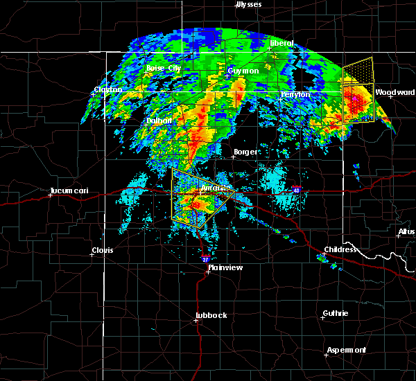 At 806 am cdt, severe thunderstorms were located along a line extending from 4 miles southeast of bushland to lake tanglewood, moving northeast at 70 mph (public). Hazards include 60 mph wind gusts and quarter size hail. Minor damage to roofs, siding, and trees is possible. hail damage to vehicles is expected. Locations impacted include, amarillo, canyon, lake tanglewood, mescalero park, buffalo lake, bushland, valley de oro, washburn, umbarger, palo duro canyon and timbercreek canyon. At 806 am cdt, severe thunderstorms were located along a line extending from 4 miles southeast of bushland to lake tanglewood, moving northeast at 70 mph (public). Hazards include 60 mph wind gusts and quarter size hail. Minor damage to roofs, siding, and trees is possible. hail damage to vehicles is expected. Locations impacted include, amarillo, canyon, lake tanglewood, mescalero park, buffalo lake, bushland, valley de oro, washburn, umbarger, palo duro canyon and timbercreek canyon.
|
| 5/20/2019 8:00 AM CDT | Quarter sized hail reported 0.7 miles N of Canyon, TX, picture from social media of quarter sized hail. |
| 5/20/2019 7:56 AM CDT |
 At 756 am cdt, severe thunderstorms were located along a line extending from 4 miles north of umbarger to near canyon, moving northeast at 70 mph (radar indicated). Hazards include golf ball size hail and 60 mph wind gusts. Minor damage to roofs, siding, and trees is possible. people and animals outdoors will be injured. expect hail damage to roofs, siding, windows, and vehicles. Locations impacted include, amarillo, canyon, lake tanglewood, mescalero park, buffalo lake, bushland, dawn, valley de oro, washburn, umbarger, palo duro canyon and timbercreek canyon. At 756 am cdt, severe thunderstorms were located along a line extending from 4 miles north of umbarger to near canyon, moving northeast at 70 mph (radar indicated). Hazards include golf ball size hail and 60 mph wind gusts. Minor damage to roofs, siding, and trees is possible. people and animals outdoors will be injured. expect hail damage to roofs, siding, windows, and vehicles. Locations impacted include, amarillo, canyon, lake tanglewood, mescalero park, buffalo lake, bushland, dawn, valley de oro, washburn, umbarger, palo duro canyon and timbercreek canyon.
|
| 5/20/2019 7:49 AM CDT |
 At 748 am cdt, severe thunderstorms were located along a line extending from 3 miles northeast of dawn to 8 miles south of canyon, moving northeast at 70 mph (radar indicated). Hazards include 60 mph wind gusts and half dollar size hail. Minor damage to roofs, siding, and trees is possible. hail damage to vehicles is expected. Locations impacted include, amarillo, canyon, lake tanglewood, buffalo lake, bushland, valley de oro, washburn, umbarger, wildorado, palo duro canyon, mescalero park, dawn and timbercreek canyon. At 748 am cdt, severe thunderstorms were located along a line extending from 3 miles northeast of dawn to 8 miles south of canyon, moving northeast at 70 mph (radar indicated). Hazards include 60 mph wind gusts and half dollar size hail. Minor damage to roofs, siding, and trees is possible. hail damage to vehicles is expected. Locations impacted include, amarillo, canyon, lake tanglewood, buffalo lake, bushland, valley de oro, washburn, umbarger, wildorado, palo duro canyon, mescalero park, dawn and timbercreek canyon.
|
| 5/20/2019 7:40 AM CDT |
 At 740 am cdt, severe thunderstorms were located along a line extending from 4 miles south of dawn to 9 miles southeast of buffalo lake, moving northeast at 70 mph (radar indicated). Hazards include ping pong ball size hail and 60 mph wind gusts. Minor damage to roofs, siding, and trees is possible. people and animals outdoors will be injured. expect hail damage to roofs, siding, windows, and vehicles. Locations impacted include, amarillo, hereford, canyon, lake tanglewood, buffalo lake, bushland, valley de oro, washburn, umbarger, wildorado, palo duro canyon, mescalero park, dawn and timbercreek canyon. At 740 am cdt, severe thunderstorms were located along a line extending from 4 miles south of dawn to 9 miles southeast of buffalo lake, moving northeast at 70 mph (radar indicated). Hazards include ping pong ball size hail and 60 mph wind gusts. Minor damage to roofs, siding, and trees is possible. people and animals outdoors will be injured. expect hail damage to roofs, siding, windows, and vehicles. Locations impacted include, amarillo, hereford, canyon, lake tanglewood, buffalo lake, bushland, valley de oro, washburn, umbarger, wildorado, palo duro canyon, mescalero park, dawn and timbercreek canyon.
|
| 5/20/2019 7:30 AM CDT |
 At 729 am cdt, severe thunderstorms were located along a line extending from 6 miles northeast of easter to 13 miles northeast of dimmitt, moving northeast at 70 mph (radar indicated). Hazards include two inch hail and 60 mph wind gusts. Minor damage to roofs, siding, and trees is possible. people and animals outdoors will be injured. Expect hail damage to roofs, siding, windows, and vehicles. At 729 am cdt, severe thunderstorms were located along a line extending from 6 miles northeast of easter to 13 miles northeast of dimmitt, moving northeast at 70 mph (radar indicated). Hazards include two inch hail and 60 mph wind gusts. Minor damage to roofs, siding, and trees is possible. people and animals outdoors will be injured. Expect hail damage to roofs, siding, windows, and vehicles.
|
| 5/7/2019 8:44 PM CDT |
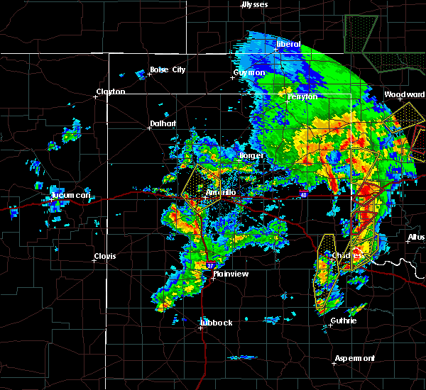 At 843 pm cdt, severe thunderstorms were located along a line extending from 5 miles east of bushland to 3 miles northeast of canyon, moving northeast at 50 mph (radar indicated). Hazards include quarter size hail. damage to vehicles is expected At 843 pm cdt, severe thunderstorms were located along a line extending from 5 miles east of bushland to 3 miles northeast of canyon, moving northeast at 50 mph (radar indicated). Hazards include quarter size hail. damage to vehicles is expected
|
| 5/7/2019 5:11 PM CDT |
 The severe thunderstorm warning for northwestern randall and southwestern potter counties will expire at 515 pm cdt, the storm which prompted the warning has weakened below severe limits, and has exited the warned area. therefore, the warning will be allowed to expire. a tornado watch remains in effect until 1000 pm cdt for the panhandle of texas. The severe thunderstorm warning for northwestern randall and southwestern potter counties will expire at 515 pm cdt, the storm which prompted the warning has weakened below severe limits, and has exited the warned area. therefore, the warning will be allowed to expire. a tornado watch remains in effect until 1000 pm cdt for the panhandle of texas.
|
| 5/7/2019 4:52 PM CDT |
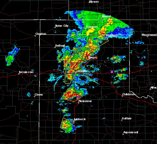 At 452 pm cdt, a severe thunderstorm was located over bushland, or 13 miles west of amarillo, moving north at 55 mph (radar indicated). Hazards include 60 mph wind gusts and quarter size hail. Minor damage to roofs, siding, and trees is possible. hail damage to vehicles is expected. locations impacted include, amarillo, canyon, mescalero park and bushland. A tornado watch remains in effect until 1000 pm cdt for the panhandle of texas. At 452 pm cdt, a severe thunderstorm was located over bushland, or 13 miles west of amarillo, moving north at 55 mph (radar indicated). Hazards include 60 mph wind gusts and quarter size hail. Minor damage to roofs, siding, and trees is possible. hail damage to vehicles is expected. locations impacted include, amarillo, canyon, mescalero park and bushland. A tornado watch remains in effect until 1000 pm cdt for the panhandle of texas.
|
| 5/7/2019 4:37 PM CDT |
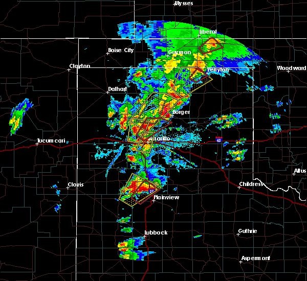 At 436 pm cdt, a severe thunderstorm was located over umbarger, or 10 miles west of canyon, moving north at 55 mph (radar indicated). Hazards include two inch hail and 60 mph wind gusts. Minor damage to roofs, siding, and trees is possible. people and animals outdoors will be injured. Expect hail damage to roofs, siding, windows, and vehicles. At 436 pm cdt, a severe thunderstorm was located over umbarger, or 10 miles west of canyon, moving north at 55 mph (radar indicated). Hazards include two inch hail and 60 mph wind gusts. Minor damage to roofs, siding, and trees is possible. people and animals outdoors will be injured. Expect hail damage to roofs, siding, windows, and vehicles.
|
| 5/7/2019 4:17 PM CDT |
 At 416 pm cdt, a severe thunderstorm was located over canyon, moving north at 40 mph (radar indicated). Hazards include 60 mph wind gusts and half dollar size hail. Minor damage to roofs, siding, and trees is possible. Hail damage to vehicles is expected. At 416 pm cdt, a severe thunderstorm was located over canyon, moving north at 40 mph (radar indicated). Hazards include 60 mph wind gusts and half dollar size hail. Minor damage to roofs, siding, and trees is possible. Hail damage to vehicles is expected.
|
| 5/6/2019 7:50 PM CDT |
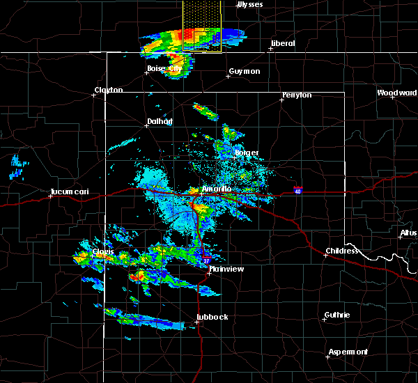 At 750 pm cdt, a severe thunderstorm was located over mescalero park, or 5 miles north of canyon, moving northeast at 30 mph (radar indicated). Hazards include golf ball size hail and 60 mph wind gusts. Minor damage to roofs, siding, and trees is possible. people and animals outdoors will be injured. Expect hail damage to roofs, siding, windows, and vehicles. At 750 pm cdt, a severe thunderstorm was located over mescalero park, or 5 miles north of canyon, moving northeast at 30 mph (radar indicated). Hazards include golf ball size hail and 60 mph wind gusts. Minor damage to roofs, siding, and trees is possible. people and animals outdoors will be injured. Expect hail damage to roofs, siding, windows, and vehicles.
|
| 5/6/2019 6:29 PM CDT |
 At 629 pm cdt, a severe thunderstorm was located 4 miles west of umbarger, or 14 miles west of canyon, moving northeast at 25 mph (radar indicated). Hazards include 60 mph wind gusts and half dollar size hail. Minor damage to roofs, siding, and trees is possible. hail damage to vehicles is expected. Locations impacted include, hereford, canyon, umbarger, buffalo lake and dawn. At 629 pm cdt, a severe thunderstorm was located 4 miles west of umbarger, or 14 miles west of canyon, moving northeast at 25 mph (radar indicated). Hazards include 60 mph wind gusts and half dollar size hail. Minor damage to roofs, siding, and trees is possible. hail damage to vehicles is expected. Locations impacted include, hereford, canyon, umbarger, buffalo lake and dawn.
|
| 5/6/2019 6:17 PM CDT |
 At 617 pm cdt, a severe thunderstorm was located over dawn, or 10 miles northeast of hereford, moving northeast at 25 mph (radar indicated). Hazards include golf ball size hail and 70 mph wind gusts. Expect some tree damage. damage is likely to mobile homes, roofs, and outbuildings. people and animals outdoors will be injured. expect hail damage to roofs, siding, windows, and vehicles. Locations impacted include, hereford, canyon, umbarger, buffalo lake and dawn. At 617 pm cdt, a severe thunderstorm was located over dawn, or 10 miles northeast of hereford, moving northeast at 25 mph (radar indicated). Hazards include golf ball size hail and 70 mph wind gusts. Expect some tree damage. damage is likely to mobile homes, roofs, and outbuildings. people and animals outdoors will be injured. expect hail damage to roofs, siding, windows, and vehicles. Locations impacted include, hereford, canyon, umbarger, buffalo lake and dawn.
|
| 5/6/2019 6:00 PM CDT |
 At 600 pm cdt, a severe thunderstorm was located near hereford, moving northeast at 25 mph (radar indicated). Hazards include golf ball size hail and 70 mph wind gusts. Expect some tree damage. damage is likely to mobile homes, roofs, and outbuildings. people and animals outdoors will be injured. expect hail damage to roofs, siding, windows, and vehicles. Locations impacted include, hereford, canyon, umbarger, buffalo lake and dawn. At 600 pm cdt, a severe thunderstorm was located near hereford, moving northeast at 25 mph (radar indicated). Hazards include golf ball size hail and 70 mph wind gusts. Expect some tree damage. damage is likely to mobile homes, roofs, and outbuildings. people and animals outdoors will be injured. expect hail damage to roofs, siding, windows, and vehicles. Locations impacted include, hereford, canyon, umbarger, buffalo lake and dawn.
|
| 5/6/2019 5:53 PM CDT |
 At 553 pm cdt, a severe thunderstorm was located over hereford, moving northeast at 25 mph (radar indicated). Hazards include golf ball size hail and 70 mph wind gusts. Expect some tree damage. damage is likely to mobile homes, roofs, and outbuildings. people and animals outdoors will be injured. expect hail damage to roofs, siding, windows, and vehicles. Locations impacted include, hereford, canyon, umbarger, buffalo lake and dawn. At 553 pm cdt, a severe thunderstorm was located over hereford, moving northeast at 25 mph (radar indicated). Hazards include golf ball size hail and 70 mph wind gusts. Expect some tree damage. damage is likely to mobile homes, roofs, and outbuildings. people and animals outdoors will be injured. expect hail damage to roofs, siding, windows, and vehicles. Locations impacted include, hereford, canyon, umbarger, buffalo lake and dawn.
|
| 5/6/2019 5:49 PM CDT |
 At 549 pm cdt, a severe thunderstorm was located near hereford, moving northeast at 25 mph (radar indicated). Hazards include 70 mph wind gusts and quarter size hail. Expect some tree damage. damage is likely to mobile homes, roofs, and outbuildings. Hail damage to vehicles is expected. At 549 pm cdt, a severe thunderstorm was located near hereford, moving northeast at 25 mph (radar indicated). Hazards include 70 mph wind gusts and quarter size hail. Expect some tree damage. damage is likely to mobile homes, roofs, and outbuildings. Hail damage to vehicles is expected.
|
| 5/5/2019 6:43 PM CDT |
 The severe thunderstorm warning for southwestern randall county will expire at 645 pm cdt, the storm which prompted the warning has moved out of the area. therefore, the warning will be allowed to expire. a severe thunderstorm watch remains in effect until 1100 pm cdt for the panhandle of texas. The severe thunderstorm warning for southwestern randall county will expire at 645 pm cdt, the storm which prompted the warning has moved out of the area. therefore, the warning will be allowed to expire. a severe thunderstorm watch remains in effect until 1100 pm cdt for the panhandle of texas.
|
| 5/5/2019 6:36 PM CDT |
 At 636 pm cdt, a severe thunderstorm was located 6 miles south of canyon, moving southeast at 25 mph (radar indicated). Hazards include 60 mph wind gusts and quarter size hail. Minor damage to roofs, siding, and trees is possible. hail damage to vehicles is expected. Locations impacted include, canyon. At 636 pm cdt, a severe thunderstorm was located 6 miles south of canyon, moving southeast at 25 mph (radar indicated). Hazards include 60 mph wind gusts and quarter size hail. Minor damage to roofs, siding, and trees is possible. hail damage to vehicles is expected. Locations impacted include, canyon.
|
| 5/5/2019 6:26 PM CDT |
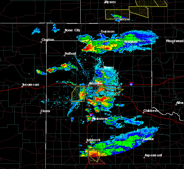 At 625 pm cdt, a severe thunderstorm was located 6 miles southwest of canyon, moving east at 20 mph (radar indicated). Hazards include 60 mph wind gusts and quarter size hail. Minor damage to roofs, siding, and trees is possible. hail damage to vehicles is expected. Locations impacted include, amarillo, canyon, umbarger and mescalero park. At 625 pm cdt, a severe thunderstorm was located 6 miles southwest of canyon, moving east at 20 mph (radar indicated). Hazards include 60 mph wind gusts and quarter size hail. Minor damage to roofs, siding, and trees is possible. hail damage to vehicles is expected. Locations impacted include, amarillo, canyon, umbarger and mescalero park.
|
| 5/5/2019 6:14 PM CDT |
 At 613 pm cdt, a severe thunderstorm was located over umbarger, or 9 miles west of canyon, moving east at 35 mph (radar indicated). Hazards include ping pong ball size hail and 60 mph wind gusts. Minor damage to roofs, siding, and trees is possible. people and animals outdoors will be injured. expect hail damage to roofs, siding, windows, and vehicles. Locations impacted include, amarillo, canyon, umbarger, buffalo lake, dawn and mescalero park. At 613 pm cdt, a severe thunderstorm was located over umbarger, or 9 miles west of canyon, moving east at 35 mph (radar indicated). Hazards include ping pong ball size hail and 60 mph wind gusts. Minor damage to roofs, siding, and trees is possible. people and animals outdoors will be injured. expect hail damage to roofs, siding, windows, and vehicles. Locations impacted include, amarillo, canyon, umbarger, buffalo lake, dawn and mescalero park.
|
| 5/5/2019 6:07 PM CDT | Quarter sized hail reported 13.6 miles ENE of Canyon, TX |
| 5/5/2019 6:04 PM CDT |
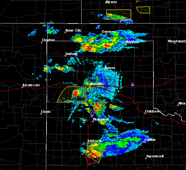 At 604 pm cdt, a severe thunderstorm was located over dawn, or 13 miles northeast of hereford, moving east at 25 mph (radar indicated). Hazards include ping pong ball size hail and 60 mph wind gusts. Minor damage to roofs, siding, and trees is possible. people and animals outdoors will be injured. expect hail damage to roofs, siding, windows, and vehicles. Locations impacted include, amarillo, hereford, canyon, buffalo lake, dawn, umbarger and mescalero park. At 604 pm cdt, a severe thunderstorm was located over dawn, or 13 miles northeast of hereford, moving east at 25 mph (radar indicated). Hazards include ping pong ball size hail and 60 mph wind gusts. Minor damage to roofs, siding, and trees is possible. people and animals outdoors will be injured. expect hail damage to roofs, siding, windows, and vehicles. Locations impacted include, amarillo, hereford, canyon, buffalo lake, dawn, umbarger and mescalero park.
|
| 5/5/2019 5:56 PM CDT |
 At 556 pm cdt, a severe thunderstorm was located 5 miles northwest of dawn, or 11 miles northeast of hereford, moving east at 25 mph (radar indicated). Hazards include golf ball size hail and 60 mph wind gusts. Minor damage to roofs, siding, and trees is possible. people and animals outdoors will be injured. expect hail damage to roofs, siding, windows, and vehicles. Locations impacted include, amarillo, hereford, canyon, buffalo lake, dawn, umbarger and mescalero park. At 556 pm cdt, a severe thunderstorm was located 5 miles northwest of dawn, or 11 miles northeast of hereford, moving east at 25 mph (radar indicated). Hazards include golf ball size hail and 60 mph wind gusts. Minor damage to roofs, siding, and trees is possible. people and animals outdoors will be injured. expect hail damage to roofs, siding, windows, and vehicles. Locations impacted include, amarillo, hereford, canyon, buffalo lake, dawn, umbarger and mescalero park.
|
| 5/5/2019 5:40 PM CDT |
 At 540 pm cdt, a severe thunderstorm was located 10 miles north of hereford, moving east at 25 mph (radar indicated). Hazards include ping pong ball size hail and 60 mph wind gusts. Minor damage to roofs, siding, and trees is possible. people and animals outdoors will be injured. expect hail damage to roofs, siding, windows, and vehicles. Locations impacted include, amarillo, hereford, canyon, buffalo lake, dawn, umbarger and mescalero park. At 540 pm cdt, a severe thunderstorm was located 10 miles north of hereford, moving east at 25 mph (radar indicated). Hazards include ping pong ball size hail and 60 mph wind gusts. Minor damage to roofs, siding, and trees is possible. people and animals outdoors will be injured. expect hail damage to roofs, siding, windows, and vehicles. Locations impacted include, amarillo, hereford, canyon, buffalo lake, dawn, umbarger and mescalero park.
|
| 5/5/2019 5:32 PM CDT |
 At 532 pm cdt, a severe thunderstorm was located 10 miles north of hereford, moving east at 25 mph (radar indicated). Hazards include ping pong ball size hail and 60 mph wind gusts. Minor damage to roofs, siding, and trees is possible. people and animals outdoors will be injured. expect hail damage to roofs, siding, windows, and vehicles. Locations impacted include, amarillo, hereford, canyon, buffalo lake, dawn, umbarger, simms and mescalero park. At 532 pm cdt, a severe thunderstorm was located 10 miles north of hereford, moving east at 25 mph (radar indicated). Hazards include ping pong ball size hail and 60 mph wind gusts. Minor damage to roofs, siding, and trees is possible. people and animals outdoors will be injured. expect hail damage to roofs, siding, windows, and vehicles. Locations impacted include, amarillo, hereford, canyon, buffalo lake, dawn, umbarger, simms and mescalero park.
|
| 5/5/2019 5:22 PM CDT |
 At 522 pm cdt, a severe thunderstorm was located 5 miles east of simms, or 16 miles northwest of hereford, moving east at 20 mph (radar indicated). Hazards include 60 mph wind gusts and half dollar size hail. Minor damage to roofs, siding, and trees is possible. hail damage to vehicles is expected. Locations impacted include, amarillo, hereford, canyon, buffalo lake, dawn, umbarger, bootleg, simms and mescalero park. At 522 pm cdt, a severe thunderstorm was located 5 miles east of simms, or 16 miles northwest of hereford, moving east at 20 mph (radar indicated). Hazards include 60 mph wind gusts and half dollar size hail. Minor damage to roofs, siding, and trees is possible. hail damage to vehicles is expected. Locations impacted include, amarillo, hereford, canyon, buffalo lake, dawn, umbarger, bootleg, simms and mescalero park.
|
| 5/5/2019 5:12 PM CDT |
 At 511 pm cdt, a severe thunderstorm was located over simms, or 18 miles southwest of vega, moving east at 20 mph (radar indicated). Hazards include 60 mph wind gusts and half dollar size hail. Minor damage to roofs, siding, and trees is possible. Hail damage to vehicles is expected. At 511 pm cdt, a severe thunderstorm was located over simms, or 18 miles southwest of vega, moving east at 20 mph (radar indicated). Hazards include 60 mph wind gusts and half dollar size hail. Minor damage to roofs, siding, and trees is possible. Hail damage to vehicles is expected.
|
| 5/4/2019 9:09 PM CDT |
 At 908 pm cdt, severe thunderstorms were located along a line extending from 4 miles east of umbarger to 7 miles east of hereford to 8 miles east of bootleg, moving southeast at 30 mph (radar indicated). Hazards include 60 mph wind gusts and quarter size hail. Minor damage to roofs, siding, and trees is possible. hail damage to vehicles is expected. Locations impacted include, hereford, canyon, umbarger, buffalo lake and dawn. At 908 pm cdt, severe thunderstorms were located along a line extending from 4 miles east of umbarger to 7 miles east of hereford to 8 miles east of bootleg, moving southeast at 30 mph (radar indicated). Hazards include 60 mph wind gusts and quarter size hail. Minor damage to roofs, siding, and trees is possible. hail damage to vehicles is expected. Locations impacted include, hereford, canyon, umbarger, buffalo lake and dawn.
|
| 5/4/2019 8:55 PM CDT |
 At 854 pm cdt, a severe thunderstorm was located over hereford, moving southeast at 25 mph (radar indicated). Hazards include 60 mph wind gusts and quarter size hail. Minor damage to roofs, siding, and trees is possible. hail damage to vehicles is expected. Locations impacted include, hereford, canyon, umbarger, bootleg, buffalo lake and dawn. At 854 pm cdt, a severe thunderstorm was located over hereford, moving southeast at 25 mph (radar indicated). Hazards include 60 mph wind gusts and quarter size hail. Minor damage to roofs, siding, and trees is possible. hail damage to vehicles is expected. Locations impacted include, hereford, canyon, umbarger, bootleg, buffalo lake and dawn.
|
| 5/4/2019 8:41 PM CDT |
 At 841 pm cdt, a severe thunderstorm was located 8 miles northwest of hereford, moving southeast at 25 mph (radar indicated). Hazards include golf ball size hail and 60 mph wind gusts. Minor damage to roofs, siding, and trees is possible. people and animals outdoors will be injured. Expect hail damage to roofs, siding, windows, and vehicles. At 841 pm cdt, a severe thunderstorm was located 8 miles northwest of hereford, moving southeast at 25 mph (radar indicated). Hazards include golf ball size hail and 60 mph wind gusts. Minor damage to roofs, siding, and trees is possible. people and animals outdoors will be injured. Expect hail damage to roofs, siding, windows, and vehicles.
|
| 4/17/2019 5:28 PM CDT |
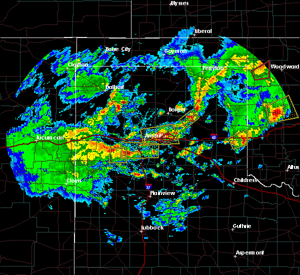 At 528 pm cdt, severe thunderstorms were located along a line extending from 4 miles north of dawn to 3 miles north of palo duro canyon, moving north at 20 mph (radar indicated). Hazards include 60 mph wind gusts and quarter size hail. Minor damage to roofs, siding, and trees is possible. Hail damage to vehicles is expected. At 528 pm cdt, severe thunderstorms were located along a line extending from 4 miles north of dawn to 3 miles north of palo duro canyon, moving north at 20 mph (radar indicated). Hazards include 60 mph wind gusts and quarter size hail. Minor damage to roofs, siding, and trees is possible. Hail damage to vehicles is expected.
|
| 3/22/2019 8:36 PM CDT |
 At 833 pm cdt, a severe thunderstorm was located 4 miles northeast of lake tanglewood, or 9 miles southeast of amarillo, moving east at 30 mph (radar indicated. trained weather spotters reported half dollar size hail in lake tanglewood at 8:29 pm cdt). Hazards include golf ball size hail. People and animals outdoors will be injured. expect damage to roofs, siding, windows, and vehicles. Locations impacted include, amarillo, canyon, panhandle, claude, white deer, lake tanglewood, skellytown, wayside, washburn, palo duro canyon, mescalero park, timbercreek canyon and pantex. At 833 pm cdt, a severe thunderstorm was located 4 miles northeast of lake tanglewood, or 9 miles southeast of amarillo, moving east at 30 mph (radar indicated. trained weather spotters reported half dollar size hail in lake tanglewood at 8:29 pm cdt). Hazards include golf ball size hail. People and animals outdoors will be injured. expect damage to roofs, siding, windows, and vehicles. Locations impacted include, amarillo, canyon, panhandle, claude, white deer, lake tanglewood, skellytown, wayside, washburn, palo duro canyon, mescalero park, timbercreek canyon and pantex.
|
| 3/22/2019 8:15 PM CDT | Quarter sized hail reported 2.3 miles WNW of Canyon, TX, highway is covered with hail up to the size of quarters. |
| 3/22/2019 8:13 PM CDT | Quarter sized hail reported 3.4 miles S of Canyon, TX |
| 3/22/2019 8:10 PM CDT |
 At 807 pm cdt, a severe thunderstorm was located over canyon, moving east at 40 mph. other less intense storms were located from near amarillo to north of panhandle (trained weather spotters reported tennis ball size hail 4 miles west of canyon at 8:05 pm cdt). Hazards include tennis ball size hail and 60 mph wind gusts. Minor damage to roofs, siding, and trees is possible. people and animals outdoors will be injured. expect hail damage to roofs, siding, windows, and vehicles. Locations impacted include, amarillo, canyon, panhandle, claude, white deer, lake tanglewood, skellytown, buffalo lake, wayside, washburn, umbarger, palo duro canyon, mescalero park, dawn, timbercreek canyon and pantex. At 807 pm cdt, a severe thunderstorm was located over canyon, moving east at 40 mph. other less intense storms were located from near amarillo to north of panhandle (trained weather spotters reported tennis ball size hail 4 miles west of canyon at 8:05 pm cdt). Hazards include tennis ball size hail and 60 mph wind gusts. Minor damage to roofs, siding, and trees is possible. people and animals outdoors will be injured. expect hail damage to roofs, siding, windows, and vehicles. Locations impacted include, amarillo, canyon, panhandle, claude, white deer, lake tanglewood, skellytown, buffalo lake, wayside, washburn, umbarger, palo duro canyon, mescalero park, dawn, timbercreek canyon and pantex.
|
| 3/22/2019 8:08 PM CDT | Tennis Ball sized hail reported 0.7 miles S of Canyon, TX, report received via spotter network. |
| 3/22/2019 8:07 PM CDT | Quarter sized hail reported 1.8 miles E of Canyon, TX, mping report. |
| 3/22/2019 8:05 PM CDT | Tennis Ball sized hail reported 4.6 miles E of Canyon, TX |
| 3/22/2019 8:03 PM CDT | Golf Ball sized hail reported 8 miles E of Canyon, TX, report received via spotter network. |
| 3/22/2019 8:01 PM CDT |
 At 800 pm cdt, severe thunderstorms were located along a line extending from 6 miles north of panhandle to 4 miles east of buffalo lake, moving northeast at 40 mph (radar indicated). Hazards include 60 mph wind gusts and quarter size hail. Minor damage to roofs, siding, and trees is possible. Hail damage to vehicles is expected. At 800 pm cdt, severe thunderstorms were located along a line extending from 6 miles north of panhandle to 4 miles east of buffalo lake, moving northeast at 40 mph (radar indicated). Hazards include 60 mph wind gusts and quarter size hail. Minor damage to roofs, siding, and trees is possible. Hail damage to vehicles is expected.
|
| 3/22/2019 7:56 PM CDT |
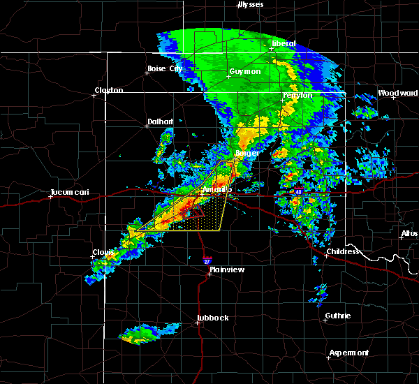 At 755 pm cdt, a severe thunderstorm capable of producing a tornado was located 5 miles east of umbarger, or 5 miles southwest of canyon, moving northeast at 25 mph (radar indicated rotation). Hazards include tornado and quarter size hail. Flying debris will be dangerous to those caught without shelter. mobile homes will be damaged or destroyed. damage to roofs, windows, and vehicles will occur. Tree damage is likely. At 755 pm cdt, a severe thunderstorm capable of producing a tornado was located 5 miles east of umbarger, or 5 miles southwest of canyon, moving northeast at 25 mph (radar indicated rotation). Hazards include tornado and quarter size hail. Flying debris will be dangerous to those caught without shelter. mobile homes will be damaged or destroyed. damage to roofs, windows, and vehicles will occur. Tree damage is likely.
|
| 3/22/2019 7:49 PM CDT |
 At 749 pm cdt, severe thunderstorms were located along a line extending from 5 miles northwest of panhandle to 5 miles southeast of hereford, moving east at 15 mph (radar indicated). Hazards include 60 mph wind gusts and quarter size hail. Minor damage to roofs, siding, and trees is possible. hail damage to vehicles is expected. hail may accumulate on roadways causing hazardous travel. Locations impacted include, amarillo, hereford, canyon, fritch, lake tanglewood, buffalo lake, washburn, umbarger, palo duro canyon, mescalero park, dawn, timbercreek canyon and pantex. At 749 pm cdt, severe thunderstorms were located along a line extending from 5 miles northwest of panhandle to 5 miles southeast of hereford, moving east at 15 mph (radar indicated). Hazards include 60 mph wind gusts and quarter size hail. Minor damage to roofs, siding, and trees is possible. hail damage to vehicles is expected. hail may accumulate on roadways causing hazardous travel. Locations impacted include, amarillo, hereford, canyon, fritch, lake tanglewood, buffalo lake, washburn, umbarger, palo duro canyon, mescalero park, dawn, timbercreek canyon and pantex.
|
| 3/22/2019 7:20 PM CDT |
 At 720 pm cdt, severe thunderstorms were located along a line extending from 5 miles north of lake meredith to 4 miles east of amarillo to near hereford, moving east at 10 mph (radar indicated). Hazards include tennis ball size hail and 60 mph wind gusts. Minor damage to roofs, siding, and trees is possible. people and animals outdoors will be injured. expect hail damage to roofs, siding, windows, and vehicles. hail may accumulate on roadways causing hazardous travel. Locations impacted include, amarillo, hereford, canyon, borger, fritch, stinnett, lake tanglewood, sanford, buffalo lake, bushland, washburn, umbarger, palo duro canyon, mescalero park, dawn, lake meredith, timbercreek canyon and pantex. At 720 pm cdt, severe thunderstorms were located along a line extending from 5 miles north of lake meredith to 4 miles east of amarillo to near hereford, moving east at 10 mph (radar indicated). Hazards include tennis ball size hail and 60 mph wind gusts. Minor damage to roofs, siding, and trees is possible. people and animals outdoors will be injured. expect hail damage to roofs, siding, windows, and vehicles. hail may accumulate on roadways causing hazardous travel. Locations impacted include, amarillo, hereford, canyon, borger, fritch, stinnett, lake tanglewood, sanford, buffalo lake, bushland, washburn, umbarger, palo duro canyon, mescalero park, dawn, lake meredith, timbercreek canyon and pantex.
|
| 3/22/2019 6:36 PM CDT |
 At 634 pm cdt, severe thunderstorms were located along a line extending from 4 miles southwest of masterson to 4 miles northwest of amarillo to near summerfield, moving east at 30 mph (radar indicated). Hazards include tennis ball size hail and 70 mph wind gusts. Expect some tree damage. damage is likely to mobile homes, roofs, and outbuildings. people and animals outdoors will be injured. Expect hail damage to roofs, siding, windows, and vehicles. At 634 pm cdt, severe thunderstorms were located along a line extending from 4 miles southwest of masterson to 4 miles northwest of amarillo to near summerfield, moving east at 30 mph (radar indicated). Hazards include tennis ball size hail and 70 mph wind gusts. Expect some tree damage. damage is likely to mobile homes, roofs, and outbuildings. people and animals outdoors will be injured. Expect hail damage to roofs, siding, windows, and vehicles.
|
| 12/26/2018 3:16 PM CST |
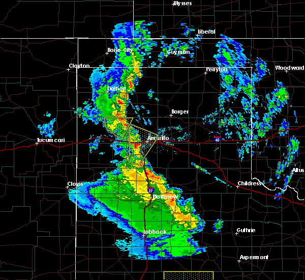 At 315 pm cst, a severe thunderstorm was located 6 miles southeast of bushland, or 8 miles southwest of amarillo, moving north at 35 mph (trained weather spotters). Hazards include quarter size hail. Damage to vehicles is expected. Locations impacted include, amarillo, canyon, mescalero park, bushland, valley de oro, umbarger and timbercreek canyon. At 315 pm cst, a severe thunderstorm was located 6 miles southeast of bushland, or 8 miles southwest of amarillo, moving north at 35 mph (trained weather spotters). Hazards include quarter size hail. Damage to vehicles is expected. Locations impacted include, amarillo, canyon, mescalero park, bushland, valley de oro, umbarger and timbercreek canyon.
|
| 12/26/2018 3:06 PM CST | Quarter sized hail reported 5.8 miles SE of Canyon, TX, quarter sized hail reported just south of the randall county feed yard. |
| 12/26/2018 2:59 PM CST |
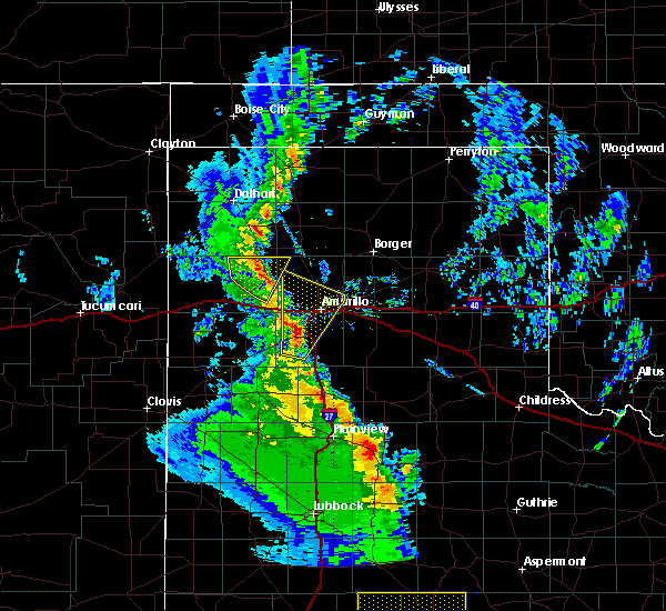 At 258 pm cst, a severe thunderstorm was located 4 miles northwest of canyon, moving north at 50 mph (radar indicated). Hazards include half dollar size hail. damage to vehicles is expected At 258 pm cst, a severe thunderstorm was located 4 miles northwest of canyon, moving north at 50 mph (radar indicated). Hazards include half dollar size hail. damage to vehicles is expected
|
| 9/1/2018 6:28 PM CDT |
 At 627 pm cdt, a severe thunderstorm was located 7 miles northwest of amarillo, moving north at 25 mph (radar indicated). Hazards include 60 mph wind gusts and half dollar size hail. Minor damage to roofs, siding, and trees is possible. hail damage to vehicles is expected. Locations impacted include, amarillo, canyon, lake tanglewood, mescalero park, palo duro canyon and timbercreek canyon. At 627 pm cdt, a severe thunderstorm was located 7 miles northwest of amarillo, moving north at 25 mph (radar indicated). Hazards include 60 mph wind gusts and half dollar size hail. Minor damage to roofs, siding, and trees is possible. hail damage to vehicles is expected. Locations impacted include, amarillo, canyon, lake tanglewood, mescalero park, palo duro canyon and timbercreek canyon.
|
| 9/1/2018 6:15 PM CDT |
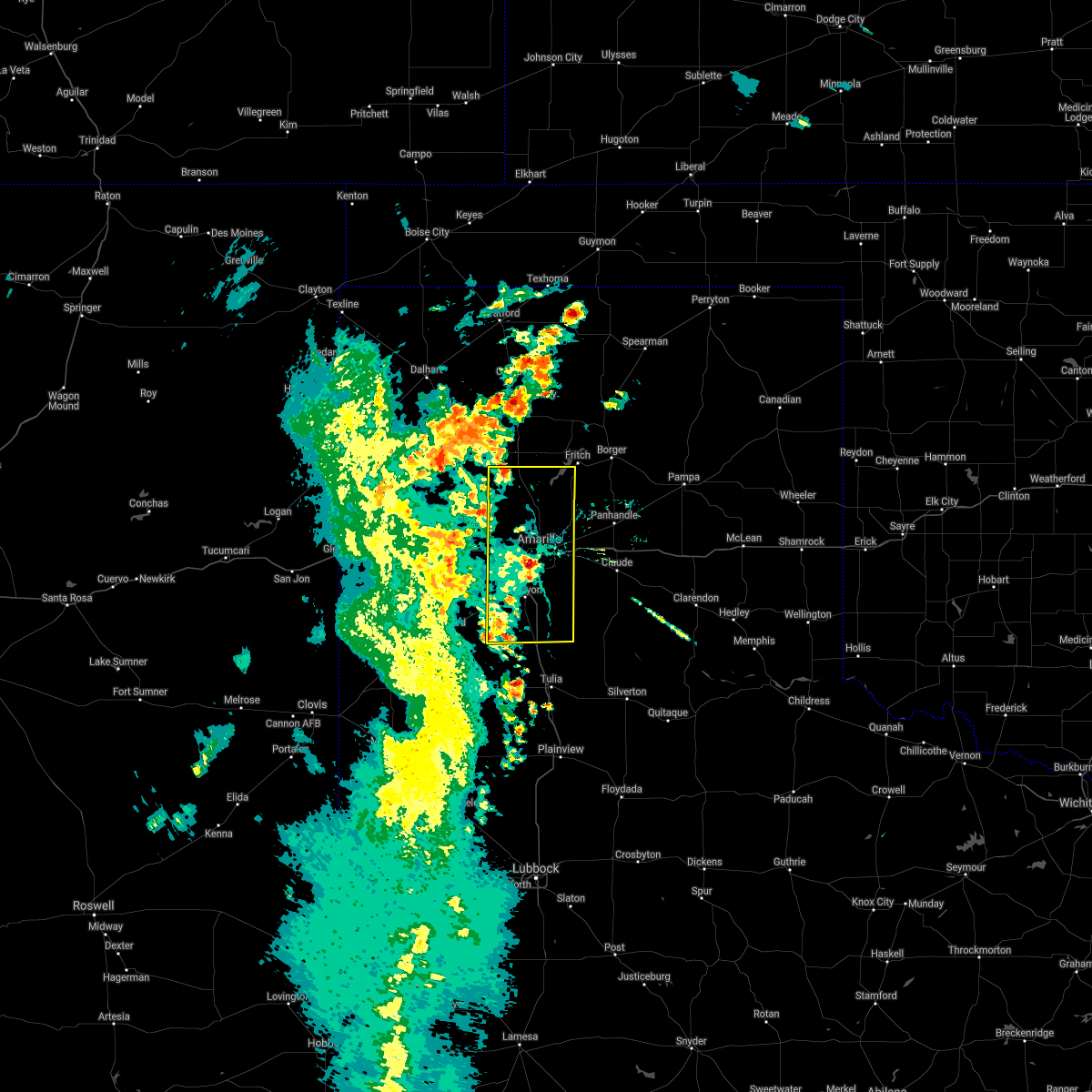 At 614 pm cdt, a severe thunderstorm was located near amarillo, moving north at 25 mph (trained weather spotters). Hazards include golf ball size hail was reported at randall high school. 60 mph winds still possible with this storm. Minor damage to roofs, siding, and trees is possible. people and animals outdoors will be injured. expect hail damage to roofs, siding, windows, and vehicles. Locations impacted include, amarillo, canyon, lake tanglewood, mescalero park, buffalo lake, bushland, valley de oro, umbarger, palo duro canyon and timbercreek canyon. At 614 pm cdt, a severe thunderstorm was located near amarillo, moving north at 25 mph (trained weather spotters). Hazards include golf ball size hail was reported at randall high school. 60 mph winds still possible with this storm. Minor damage to roofs, siding, and trees is possible. people and animals outdoors will be injured. expect hail damage to roofs, siding, windows, and vehicles. Locations impacted include, amarillo, canyon, lake tanglewood, mescalero park, buffalo lake, bushland, valley de oro, umbarger, palo duro canyon and timbercreek canyon.
|
| 9/1/2018 6:11 PM CDT |
 The national weather service in amarillo has issued a * severe thunderstorm warning for. randall county in the panhandle of texas. potter county in the panhandle of texas. until 715 pm cdt. At 609 pm cdt, a severe thunderstorm was located near amarillo,. The national weather service in amarillo has issued a * severe thunderstorm warning for. randall county in the panhandle of texas. potter county in the panhandle of texas. until 715 pm cdt. At 609 pm cdt, a severe thunderstorm was located near amarillo,.
|
| 9/1/2018 6:05 PM CDT | Schoolnet in randall county TX, 3 miles NNW of Canyon, TX |
| 8/14/2018 8:53 PM CDT |
 At 853 pm cdt, a severe thunderstorm was located over buffalo lake, or 14 miles east of hereford, moving south at 15 mph (radar indicated). Hazards include 60 mph wind gusts and quarter size hail. Minor damage to roofs, siding, and trees is possible. hail damage to vehicles is expected. Locations impacted include, hereford, umbarger, buffalo lake and dawn. At 853 pm cdt, a severe thunderstorm was located over buffalo lake, or 14 miles east of hereford, moving south at 15 mph (radar indicated). Hazards include 60 mph wind gusts and quarter size hail. Minor damage to roofs, siding, and trees is possible. hail damage to vehicles is expected. Locations impacted include, hereford, umbarger, buffalo lake and dawn.
|
| 8/14/2018 8:40 PM CDT |
 At 840 pm cdt, a severe thunderstorm was located 4 miles southeast of buffalo lake, or 11 miles southwest of canyon, moving southeast at 20 mph (radar indicated). Hazards include 60 mph wind gusts and quarter size hail. Minor damage to roofs, siding, and trees is possible. hail damage to vehicles is expected. Locations impacted include, hereford, canyon, umbarger, mescalero park, buffalo lake and dawn. At 840 pm cdt, a severe thunderstorm was located 4 miles southeast of buffalo lake, or 11 miles southwest of canyon, moving southeast at 20 mph (radar indicated). Hazards include 60 mph wind gusts and quarter size hail. Minor damage to roofs, siding, and trees is possible. hail damage to vehicles is expected. Locations impacted include, hereford, canyon, umbarger, mescalero park, buffalo lake and dawn.
|
| 8/14/2018 8:37 PM CDT | Quarter sized hail reported 15.1 miles E of Canyon, TX |
| 8/14/2018 8:22 PM CDT |
 At 822 pm cdt, a severe thunderstorm was located over umbarger, or 10 miles west of canyon, moving southeast at 20 mph (radar indicated). Hazards include 60 mph wind gusts and half dollar size hail. Minor damage to roofs, siding, and trees is possible. Hail damage to vehicles is expected. At 822 pm cdt, a severe thunderstorm was located over umbarger, or 10 miles west of canyon, moving southeast at 20 mph (radar indicated). Hazards include 60 mph wind gusts and half dollar size hail. Minor damage to roofs, siding, and trees is possible. Hail damage to vehicles is expected.
|
| 8/8/2018 2:35 AM CDT |
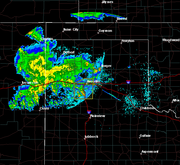 The severe thunderstorm warning for randall and southern potter counties will expire at 245 am cdt, the storms which prompted the warning have weakened below severe limits, and have exited the warned area. therefore, the warning will be allowed to expire. however gusty winds are still possible with these thunderstorms. The severe thunderstorm warning for randall and southern potter counties will expire at 245 am cdt, the storms which prompted the warning have weakened below severe limits, and have exited the warned area. therefore, the warning will be allowed to expire. however gusty winds are still possible with these thunderstorms.
|
| 8/8/2018 2:06 AM CDT |
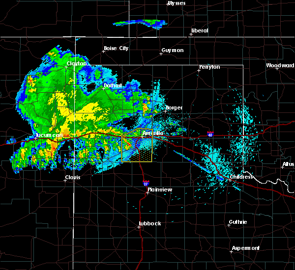 At 206 am cdt, severe thunderstorms were located along a line extending from 5 miles northwest of amarillo to 9 miles south of buffalo lake, moving east at 40 mph (radar indicated). Hazards include 60 mph wind gusts. Minor damage to roofs, siding, and trees is possible. Locations impacted include, amarillo, canyon, lake tanglewood, mescalero park, buffalo lake, bushland, umbarger, palo duro canyon and timbercreek canyon. At 206 am cdt, severe thunderstorms were located along a line extending from 5 miles northwest of amarillo to 9 miles south of buffalo lake, moving east at 40 mph (radar indicated). Hazards include 60 mph wind gusts. Minor damage to roofs, siding, and trees is possible. Locations impacted include, amarillo, canyon, lake tanglewood, mescalero park, buffalo lake, bushland, umbarger, palo duro canyon and timbercreek canyon.
|
| 8/8/2018 1:39 AM CDT |
 At 139 am cdt, severe thunderstorms were located along a line extending from 8 miles northwest of amarillo to 7 miles southeast of bootleg, moving southeast at 35 mph (radar indicated). Hazards include 60 mph wind gusts and penny size hail. minor damage to roofs, siding, and trees is possible At 139 am cdt, severe thunderstorms were located along a line extending from 8 miles northwest of amarillo to 7 miles southeast of bootleg, moving southeast at 35 mph (radar indicated). Hazards include 60 mph wind gusts and penny size hail. minor damage to roofs, siding, and trees is possible
|
| 8/1/2018 8:33 PM CDT |
 At 833 pm cdt, a severe thunderstorm was located 11 miles south of buffalo lake, or 13 miles southeast of hereford, moving south at 30 mph (radar indicated). Hazards include 60 mph wind gusts and penny size hail. Minor damage to roofs, siding, and trees is possible. Locations impacted include, hereford, canyon, umbarger, buffalo lake and dawn. At 833 pm cdt, a severe thunderstorm was located 11 miles south of buffalo lake, or 13 miles southeast of hereford, moving south at 30 mph (radar indicated). Hazards include 60 mph wind gusts and penny size hail. Minor damage to roofs, siding, and trees is possible. Locations impacted include, hereford, canyon, umbarger, buffalo lake and dawn.
|
| 8/1/2018 8:24 PM CDT |
 The severe thunderstorm warning for western randall and east central deaf smith counties will expire at 830 pm cdt, the storm which prompted the warning has moved out of the area. therefore, the warning will be allowed to expire. The severe thunderstorm warning for western randall and east central deaf smith counties will expire at 830 pm cdt, the storm which prompted the warning has moved out of the area. therefore, the warning will be allowed to expire.
|
| 8/1/2018 8:08 PM CDT |
 At 807 pm cdt, a severe thunderstorm was located over buffalo lake, or 13 miles southwest of canyon, moving southwest at 30 mph (radar indicated). Hazards include 70 mph wind gusts and quarter size hail. Expect some tree damage. damage is likely to mobile homes, roofs, and outbuildings. Hail damage to vehicles is expected. At 807 pm cdt, a severe thunderstorm was located over buffalo lake, or 13 miles southwest of canyon, moving southwest at 30 mph (radar indicated). Hazards include 70 mph wind gusts and quarter size hail. Expect some tree damage. damage is likely to mobile homes, roofs, and outbuildings. Hail damage to vehicles is expected.
|
| 8/1/2018 7:55 PM CDT |
 The severe thunderstorm warning for northeastern randall, northwestern armstrong, southwestern carson and southern potter counties will expire at 800 pm cdt, the storm which prompted the warning has moved out of the area. therefore, the warning will be allowed to expire. The severe thunderstorm warning for northeastern randall, northwestern armstrong, southwestern carson and southern potter counties will expire at 800 pm cdt, the storm which prompted the warning has moved out of the area. therefore, the warning will be allowed to expire.
|
| 8/1/2018 7:54 PM CDT | Storm damage reported in randall county TX, 9.1 miles E of Canyon, TX |
| 8/1/2018 7:53 PM CDT | Storm damage reported in randall county TX, 8.1 miles E of Canyon, TX |
| 8/1/2018 7:51 PM CDT |
 At 750 pm cdt, a severe thunderstorm was located 6 miles north of umbarger, or 11 miles west of canyon, moving southwest at 20 mph (radar indicated). Hazards include ping pong ball size hail and 60 mph wind gusts. Minor damage to roofs, siding, and trees is possible. people and animals outdoors will be injured. expect hail damage to roofs, siding, windows, and vehicles. Locations impacted include, amarillo, canyon, umbarger, mescalero park, buffalo lake and dawn. At 750 pm cdt, a severe thunderstorm was located 6 miles north of umbarger, or 11 miles west of canyon, moving southwest at 20 mph (radar indicated). Hazards include ping pong ball size hail and 60 mph wind gusts. Minor damage to roofs, siding, and trees is possible. people and animals outdoors will be injured. expect hail damage to roofs, siding, windows, and vehicles. Locations impacted include, amarillo, canyon, umbarger, mescalero park, buffalo lake and dawn.
|
| 8/1/2018 7:26 PM CDT |
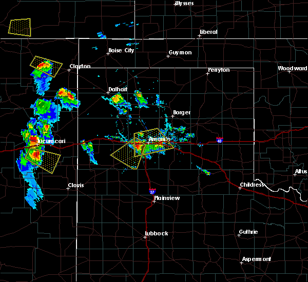 At 726 pm cdt, a severe thunderstorm was located near bushland, or 12 miles west of amarillo, moving southwest at 20 mph (radar indicated). Hazards include 60 mph wind gusts and quarter size hail. Minor damage to roofs, siding, and trees is possible. Hail damage to vehicles is expected. At 726 pm cdt, a severe thunderstorm was located near bushland, or 12 miles west of amarillo, moving southwest at 20 mph (radar indicated). Hazards include 60 mph wind gusts and quarter size hail. Minor damage to roofs, siding, and trees is possible. Hail damage to vehicles is expected.
|
| 8/1/2018 7:18 PM CDT |
 At 718 pm cdt, a severe thunderstorm was located over amarillo, moving south at 10 mph (radar indicated). Hazards include 60 mph wind gusts and nickel size hail. Minor damage to roofs, siding, and trees is possible. Locations impacted include, amarillo, canyon, lake tanglewood, mescalero park, washburn, timbercreek canyon and pantex. At 718 pm cdt, a severe thunderstorm was located over amarillo, moving south at 10 mph (radar indicated). Hazards include 60 mph wind gusts and nickel size hail. Minor damage to roofs, siding, and trees is possible. Locations impacted include, amarillo, canyon, lake tanglewood, mescalero park, washburn, timbercreek canyon and pantex.
|
| 8/1/2018 6:55 PM CDT |
 At 655 pm cdt, a severe thunderstorm was located 4 miles north of amarillo, moving south at 10 mph (radar indicated). Hazards include 60 mph wind gusts and nickel size hail. minor damage to roofs, siding, and trees is possible At 655 pm cdt, a severe thunderstorm was located 4 miles north of amarillo, moving south at 10 mph (radar indicated). Hazards include 60 mph wind gusts and nickel size hail. minor damage to roofs, siding, and trees is possible
|
| 7/15/2018 5:43 PM CDT |
 The national weather service in amarillo has issued a * severe thunderstorm warning for. northwestern randall county in the panhandle of texas. until 645 pm cdt. At 543 pm cdt, a severe thunderstorm was located 6 miles north of umbarger, or 11 miles northwest of canyon, moving southeast at 10. The national weather service in amarillo has issued a * severe thunderstorm warning for. northwestern randall county in the panhandle of texas. until 645 pm cdt. At 543 pm cdt, a severe thunderstorm was located 6 miles north of umbarger, or 11 miles northwest of canyon, moving southeast at 10.
|
| 6/25/2018 12:02 AM CDT | Storm damage reported in randall county TX, 9.1 miles E of Canyon, TX |
| 6/24/2018 11:58 PM CDT | Schoolnet at canyon hills church of christ in randall county TX, 2 miles S of Canyon, TX |
| 6/13/2018 1:09 AM CDT |
 At 109 am cdt, a severe thunderstorm was located 7 miles northwest of wayside, or 17 miles southeast of canyon, moving south at 20 mph (radar indicated). Hazards include ping pong ball size hail and 60 mph wind gusts. Minor damage to roofs, siding, and trees is possible. people and animals outdoors will be injured. expect hail damage to roofs, siding, windows, and vehicles. Locations impacted include, hereford, canyon, buffalo lake, dawn, wayside, umbarger and palo duro canyon. At 109 am cdt, a severe thunderstorm was located 7 miles northwest of wayside, or 17 miles southeast of canyon, moving south at 20 mph (radar indicated). Hazards include ping pong ball size hail and 60 mph wind gusts. Minor damage to roofs, siding, and trees is possible. people and animals outdoors will be injured. expect hail damage to roofs, siding, windows, and vehicles. Locations impacted include, hereford, canyon, buffalo lake, dawn, wayside, umbarger and palo duro canyon.
|
| 6/13/2018 12:38 AM CDT |
 At 1238 am cdt, a severe thunderstorm was located over palo duro canyon, or 12 miles east of canyon, moving south at 25 mph (public). Hazards include 60 mph wind gusts and quarter size hail. Minor damage to roofs, siding, and trees is possible. hail damage to vehicles is expected. Locations impacted include, amarillo, canyon, lake tanglewood, mescalero park, palo duro canyon and timbercreek canyon. At 1238 am cdt, a severe thunderstorm was located over palo duro canyon, or 12 miles east of canyon, moving south at 25 mph (public). Hazards include 60 mph wind gusts and quarter size hail. Minor damage to roofs, siding, and trees is possible. hail damage to vehicles is expected. Locations impacted include, amarillo, canyon, lake tanglewood, mescalero park, palo duro canyon and timbercreek canyon.
|
| 6/13/2018 12:22 AM CDT |
 At 1222 am cdt, a severe thunderstorm was located over lake tanglewood, or 10 miles southeast of amarillo, moving south at 20 mph (radar indicated). Hazards include 70 mph wind gusts and quarter size hail. Expect some tree damage. damage is likely to mobile homes, roofs, and outbuildings. Hail damage to vehicles is expected. At 1222 am cdt, a severe thunderstorm was located over lake tanglewood, or 10 miles southeast of amarillo, moving south at 20 mph (radar indicated). Hazards include 70 mph wind gusts and quarter size hail. Expect some tree damage. damage is likely to mobile homes, roofs, and outbuildings. Hail damage to vehicles is expected.
|
| 6/13/2018 12:20 AM CDT |
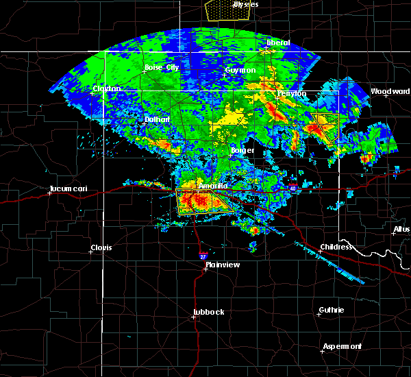 At 1219 am cdt, a severe thunderstorm was located near lake tanglewood, or 9 miles southeast of amarillo, moving south at 20 mph (public). Hazards include 70 mph wind gusts and quarter size hail. Expect some tree damage. damage is likely to mobile homes, roofs, and outbuildings. hail damage to vehicles is expected. Locations impacted include, amarillo, canyon, lake tanglewood, mescalero park, bushland, palo duro canyon and timbercreek canyon. At 1219 am cdt, a severe thunderstorm was located near lake tanglewood, or 9 miles southeast of amarillo, moving south at 20 mph (public). Hazards include 70 mph wind gusts and quarter size hail. Expect some tree damage. damage is likely to mobile homes, roofs, and outbuildings. hail damage to vehicles is expected. Locations impacted include, amarillo, canyon, lake tanglewood, mescalero park, bushland, palo duro canyon and timbercreek canyon.
|
| 6/13/2018 12:09 AM CDT |
 At 1209 am cdt, a severe thunderstorm was located 5 miles northeast of lake tanglewood, or 7 miles southeast of amarillo, moving south at 25 mph (public). Hazards include 60 mph wind gusts and quarter size hail. Minor damage to roofs, siding, and trees is possible. hail damage to vehicles is expected. Locations impacted include, amarillo, canyon, lake tanglewood, mescalero park, bushland, washburn, palo duro canyon and timbercreek canyon. At 1209 am cdt, a severe thunderstorm was located 5 miles northeast of lake tanglewood, or 7 miles southeast of amarillo, moving south at 25 mph (public). Hazards include 60 mph wind gusts and quarter size hail. Minor damage to roofs, siding, and trees is possible. hail damage to vehicles is expected. Locations impacted include, amarillo, canyon, lake tanglewood, mescalero park, bushland, washburn, palo duro canyon and timbercreek canyon.
|
| 6/13/2018 12:02 AM CDT | Storm damage reported in randall county TX, 9.1 miles E of Canyon, TX |
| 6/12/2018 11:53 PM CDT |
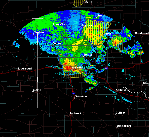 At 1152 pm cdt, a severe thunderstorm was located over amarillo, moving south at 25 mph (radar indicated). Hazards include 60 mph wind gusts and quarter size hail. Minor damage to roofs, siding, and trees is possible. Hail damage to vehicles is expected. At 1152 pm cdt, a severe thunderstorm was located over amarillo, moving south at 25 mph (radar indicated). Hazards include 60 mph wind gusts and quarter size hail. Minor damage to roofs, siding, and trees is possible. Hail damage to vehicles is expected.
|
| 10/6/2017 9:38 PM CDT |
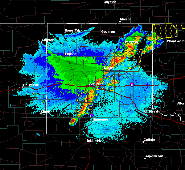 The severe thunderstorm warning for western randall county will expire at 945 pm cdt, the storm which prompted the warning has weakened below severe limits, and no longer poses an immediate threat to life or property. therefore the warning will be allowed to expire. however gusty winds are still possible with this thunderstorm. a severe thunderstorm watch remains in effect until 100 am cdt for the panhandle of texas. The severe thunderstorm warning for western randall county will expire at 945 pm cdt, the storm which prompted the warning has weakened below severe limits, and no longer poses an immediate threat to life or property. therefore the warning will be allowed to expire. however gusty winds are still possible with this thunderstorm. a severe thunderstorm watch remains in effect until 100 am cdt for the panhandle of texas.
|
| 10/6/2017 9:23 PM CDT |
 At 922 pm cdt, a severe thunderstorm was located 4 miles southwest of canyon, moving east at 50 mph (radar indicated). Hazards include 60 mph wind gusts and quarter size hail. Minor damage to roofs, siding, and trees is possible. hail damage to vehicles is expected. Locations impacted include, canyon and mescalero park. At 922 pm cdt, a severe thunderstorm was located 4 miles southwest of canyon, moving east at 50 mph (radar indicated). Hazards include 60 mph wind gusts and quarter size hail. Minor damage to roofs, siding, and trees is possible. hail damage to vehicles is expected. Locations impacted include, canyon and mescalero park.
|
| 10/6/2017 9:01 PM CDT |
 At 901 pm cdt, a severe thunderstorm was located 4 miles southwest of dawn, or 9 miles east of hereford, moving east at 50 mph (radar indicated). Hazards include 60 mph wind gusts and quarter size hail. Minor damage to roofs, siding, and trees is possible. hail damage to vehicles is expected. Locations impacted include, hereford, canyon, umbarger, mescalero park, buffalo lake and dawn. At 901 pm cdt, a severe thunderstorm was located 4 miles southwest of dawn, or 9 miles east of hereford, moving east at 50 mph (radar indicated). Hazards include 60 mph wind gusts and quarter size hail. Minor damage to roofs, siding, and trees is possible. hail damage to vehicles is expected. Locations impacted include, hereford, canyon, umbarger, mescalero park, buffalo lake and dawn.
|
| 10/6/2017 8:37 PM CDT |
 At 837 pm cdt, a severe thunderstorm was located over summerfield, or 9 miles southwest of hereford, moving east at 50 mph (radar indicated). Hazards include 60 mph wind gusts and quarter size hail. Minor damage to roofs, siding, and trees is possible. Hail damage to vehicles is expected. At 837 pm cdt, a severe thunderstorm was located over summerfield, or 9 miles southwest of hereford, moving east at 50 mph (radar indicated). Hazards include 60 mph wind gusts and quarter size hail. Minor damage to roofs, siding, and trees is possible. Hail damage to vehicles is expected.
|
| 8/17/2017 7:59 PM CDT |
 At 758 pm cdt, a severe thunderstorm was located over lake tanglewood, or 8 miles south of amarillo, moving east at 15 mph (radar indicated). Hazards include 60 mph wind gusts and penny size hail. Minor damage to roofs, siding, and trees is possible. Locations impacted include, amarillo, claude, lake tanglewood, mescalero park and timbercreek canyon. At 758 pm cdt, a severe thunderstorm was located over lake tanglewood, or 8 miles south of amarillo, moving east at 15 mph (radar indicated). Hazards include 60 mph wind gusts and penny size hail. Minor damage to roofs, siding, and trees is possible. Locations impacted include, amarillo, claude, lake tanglewood, mescalero park and timbercreek canyon.
|
| 8/17/2017 7:20 PM CDT |
 At 720 pm cdt, a severe thunderstorm was located 5 miles north of mescalero park, or 8 miles southwest of amarillo, moving east at 25 mph (radar indicated). Hazards include 60 mph wind gusts and quarter size hail. Minor damage to roofs, siding, and trees is possible. Hail damage to vehicles is expected. At 720 pm cdt, a severe thunderstorm was located 5 miles north of mescalero park, or 8 miles southwest of amarillo, moving east at 25 mph (radar indicated). Hazards include 60 mph wind gusts and quarter size hail. Minor damage to roofs, siding, and trees is possible. Hail damage to vehicles is expected.
|
| 8/14/2017 11:40 PM CDT |
 At 1139 pm cdt, severe thunderstorms were located along a line extending from 3 miles northwest of claude to 7 miles west of wayside to 11 miles south of buffalo lake, moving southeast at 35 mph (radar indicated). Hazards include 60 mph wind gusts. Minor damage to roofs, siding, and trees is possible. Locations impacted include, hereford, canyon, clarendon, claude, mclean, groom, howardwick, buffalo lake, lake mcclellan, wayside, washburn, palo duro canyon, goodnight, dawn, alanreed and greenbelt lake. At 1139 pm cdt, severe thunderstorms were located along a line extending from 3 miles northwest of claude to 7 miles west of wayside to 11 miles south of buffalo lake, moving southeast at 35 mph (radar indicated). Hazards include 60 mph wind gusts. Minor damage to roofs, siding, and trees is possible. Locations impacted include, hereford, canyon, clarendon, claude, mclean, groom, howardwick, buffalo lake, lake mcclellan, wayside, washburn, palo duro canyon, goodnight, dawn, alanreed and greenbelt lake.
|
| 8/14/2017 11:21 PM CDT |
 At 1121 pm cdt, severe thunderstorms were located along a line extending from 7 miles northwest of claude to 12 miles south of buffalo lake, moving southeast at 30 mph (radar indicated). Hazards include 60 mph wind gusts. Minor damage to roofs, siding, and trees is possible. Locations impacted include, amarillo, hereford, canyon, panhandle, clarendon, claude, lake tanglewood, mclean, groom, howardwick, buffalo lake, lake mcclellan, wayside, washburn, umbarger, palo duro canyon, goodnight, mescalero park, dawn and alanreed. At 1121 pm cdt, severe thunderstorms were located along a line extending from 7 miles northwest of claude to 12 miles south of buffalo lake, moving southeast at 30 mph (radar indicated). Hazards include 60 mph wind gusts. Minor damage to roofs, siding, and trees is possible. Locations impacted include, amarillo, hereford, canyon, panhandle, clarendon, claude, lake tanglewood, mclean, groom, howardwick, buffalo lake, lake mcclellan, wayside, washburn, umbarger, palo duro canyon, goodnight, mescalero park, dawn and alanreed.
|
| 8/14/2017 10:40 PM CDT |
 At 1038 pm cdt, severe thunderstorms were located along a line extending from 15 miles north of amarillo to 6 miles north of hereford, moving southeast at 40 mph (radar indicated). Hazards include 60 mph wind gusts. minor damage to roofs, siding, and trees is possible At 1038 pm cdt, severe thunderstorms were located along a line extending from 15 miles north of amarillo to 6 miles north of hereford, moving southeast at 40 mph (radar indicated). Hazards include 60 mph wind gusts. minor damage to roofs, siding, and trees is possible
|
| 8/13/2017 8:27 PM CDT |
 At 827 pm cdt, severe thunderstorms were located along a line extending from 6 miles south of panhandle to 5 miles northeast of umbarger, moving southeast at 25 mph (radar indicated). Hazards include 60 mph wind gusts and penny size hail. Minor damage to roofs, siding, and trees is possible. Locations impacted include, amarillo, canyon, panhandle, claude, lake tanglewood, groom, buffalo lake, wayside, washburn, umbarger, palo duro canyon, mescalero park, timbercreek canyon and pantex. At 827 pm cdt, severe thunderstorms were located along a line extending from 6 miles south of panhandle to 5 miles northeast of umbarger, moving southeast at 25 mph (radar indicated). Hazards include 60 mph wind gusts and penny size hail. Minor damage to roofs, siding, and trees is possible. Locations impacted include, amarillo, canyon, panhandle, claude, lake tanglewood, groom, buffalo lake, wayside, washburn, umbarger, palo duro canyon, mescalero park, timbercreek canyon and pantex.
|
| 8/13/2017 7:50 PM CDT |
 At 749 pm cdt, severe thunderstorms were located along a line extending from 10 miles south of fritch to 3 miles southwest of bushland, moving southeast at 35 mph. these are very dangerous storms (radar indicated). Hazards include 80 mph wind gusts and penny size hail. Flying debris will be dangerous to those caught without shelter. mobile homes will be heavily damaged. expect considerable damage to roofs, windows, and vehicles. Tree damage and power outages are likely. At 749 pm cdt, severe thunderstorms were located along a line extending from 10 miles south of fritch to 3 miles southwest of bushland, moving southeast at 35 mph. these are very dangerous storms (radar indicated). Hazards include 80 mph wind gusts and penny size hail. Flying debris will be dangerous to those caught without shelter. mobile homes will be heavily damaged. expect considerable damage to roofs, windows, and vehicles. Tree damage and power outages are likely.
|
| 7/4/2017 10:32 PM CDT |
 At 1031 pm cdt, a severe thunderstorm was located 4 miles east of lake tanglewood, or 11 miles southeast of amarillo, moving southeast at 25 mph (radar indicated). Hazards include 70 mph wind gusts and ping pong ball size hail. Expect some tree damage. damage is likely to mobile homes, roofs, and outbuildings. people and animals outdoors will be injured. Expect hail damage to roofs, siding, windows, and vehicles. At 1031 pm cdt, a severe thunderstorm was located 4 miles east of lake tanglewood, or 11 miles southeast of amarillo, moving southeast at 25 mph (radar indicated). Hazards include 70 mph wind gusts and ping pong ball size hail. Expect some tree damage. damage is likely to mobile homes, roofs, and outbuildings. people and animals outdoors will be injured. Expect hail damage to roofs, siding, windows, and vehicles.
|
| 7/3/2017 7:12 PM CDT | Thunderstorm wind gusts up to 60 mph reporte in randall county TX, 2.9 miles WNW of Canyon, TX |
| 7/3/2017 7:08 PM CDT |
 At 708 pm cdt, a severe thunderstorm was located 6 miles north of mescalero park, or 7 miles southwest of amarillo, moving east at 30 mph (radar indicated). Hazards include 60 mph wind gusts and quarter size hail. Minor damage to roofs, siding, and trees is possible. hail damage to vehicles is expected. Locations impacted include, amarillo, canyon, lake tanglewood, mescalero park, bushland and timbercreek canyon. At 708 pm cdt, a severe thunderstorm was located 6 miles north of mescalero park, or 7 miles southwest of amarillo, moving east at 30 mph (radar indicated). Hazards include 60 mph wind gusts and quarter size hail. Minor damage to roofs, siding, and trees is possible. hail damage to vehicles is expected. Locations impacted include, amarillo, canyon, lake tanglewood, mescalero park, bushland and timbercreek canyon.
|
| 7/3/2017 7:04 PM CDT |
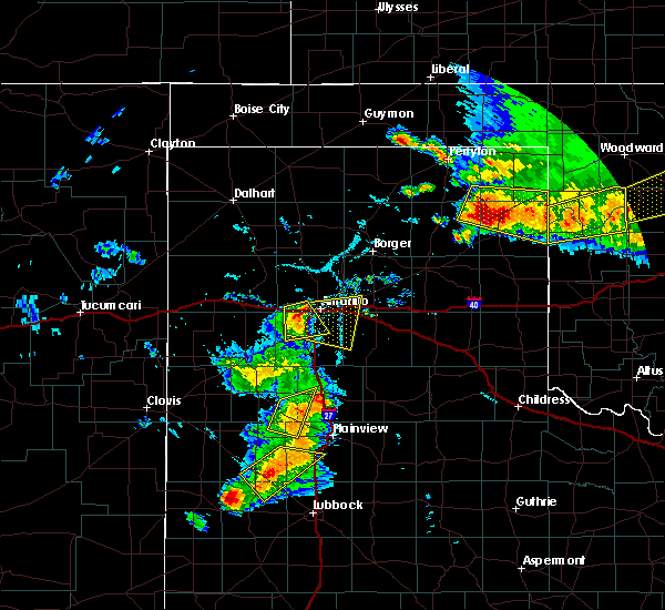 At 704 pm cdt, a severe thunderstorm was located 5 miles southeast of bushland, or 9 miles west of amarillo, moving east at 25 mph (radar indicated). Hazards include 60 mph wind gusts and quarter size hail. quarter size hail was reported in bushland around 7pm. Minor damage to roofs, siding, and trees is possible. Hail damage to vehicles is expected. At 704 pm cdt, a severe thunderstorm was located 5 miles southeast of bushland, or 9 miles west of amarillo, moving east at 25 mph (radar indicated). Hazards include 60 mph wind gusts and quarter size hail. quarter size hail was reported in bushland around 7pm. Minor damage to roofs, siding, and trees is possible. Hail damage to vehicles is expected.
|
| 7/3/2017 6:49 PM CDT |
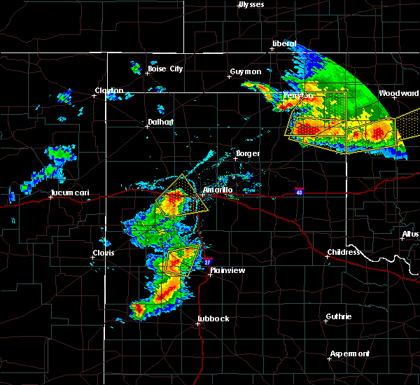 At 621 pm cdt, a severe thunderstorm was located 4 miles south of wildorado, or 12 miles southeast of vega, moving northeast at 30 mph (radar indicated). Hazards include golf ball size hail and 70 mph wind gusts. Expect some tree damage. damage is likely to mobile homes, roofs, and outbuildings. people and animals outdoors will be injured. Expect hail damage to roofs, siding, windows, and vehicles. At 621 pm cdt, a severe thunderstorm was located 4 miles south of wildorado, or 12 miles southeast of vega, moving northeast at 30 mph (radar indicated). Hazards include golf ball size hail and 70 mph wind gusts. Expect some tree damage. damage is likely to mobile homes, roofs, and outbuildings. people and animals outdoors will be injured. Expect hail damage to roofs, siding, windows, and vehicles.
|
| 7/3/2017 6:21 PM CDT |
 At 621 pm cdt, a severe thunderstorm was located 4 miles south of wildorado, or 12 miles southeast of vega, moving northeast at 30 mph (radar indicated). Hazards include golf ball size hail and 70 mph wind gusts. Expect some tree damage. damage is likely to mobile homes, roofs, and outbuildings. people and animals outdoors will be injured. Expect hail damage to roofs, siding, windows, and vehicles. At 621 pm cdt, a severe thunderstorm was located 4 miles south of wildorado, or 12 miles southeast of vega, moving northeast at 30 mph (radar indicated). Hazards include golf ball size hail and 70 mph wind gusts. Expect some tree damage. damage is likely to mobile homes, roofs, and outbuildings. people and animals outdoors will be injured. Expect hail damage to roofs, siding, windows, and vehicles.
|
| 6/24/2017 2:35 AM CDT |
 At 234 am cdt, a severe thunderstorm was located 10 miles west of palo duro canyon, or 10 miles east of canyon, moving east at 20 mph (radar indicated). Hazards include quarter size hail. Damage to vehicles is expected. Locations impacted include, canyon, lake tanglewood, mescalero park and timbercreek canyon. At 234 am cdt, a severe thunderstorm was located 10 miles west of palo duro canyon, or 10 miles east of canyon, moving east at 20 mph (radar indicated). Hazards include quarter size hail. Damage to vehicles is expected. Locations impacted include, canyon, lake tanglewood, mescalero park and timbercreek canyon.
|
| 6/24/2017 2:02 AM CDT | Quarter sized hail reported 0.7 miles N of Canyon, TX |
| 6/24/2017 2:00 AM CDT |
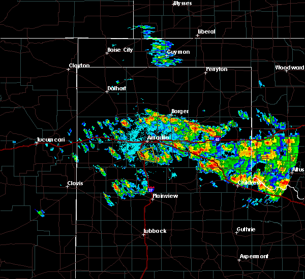 At 156 am cdt, a severe thunderstorm was located near canyon, moving east at 20 mph. this severe storm has weakened some as of 156 am cdt (trained weather spotters reported ping pong ball to golfball size hail 1 to 2 miles west and northwest of canyon between 145 am and 148 am cdt). Hazards include half dollar size hail. Damage to vehicles is expected. Locations impacted include, canyon, lake tanglewood, mescalero park and timbercreek canyon. At 156 am cdt, a severe thunderstorm was located near canyon, moving east at 20 mph. this severe storm has weakened some as of 156 am cdt (trained weather spotters reported ping pong ball to golfball size hail 1 to 2 miles west and northwest of canyon between 145 am and 148 am cdt). Hazards include half dollar size hail. Damage to vehicles is expected. Locations impacted include, canyon, lake tanglewood, mescalero park and timbercreek canyon.
|
| 6/24/2017 1:47 AM CDT | Ping Pong Ball sized hail reported 1.4 miles ENE of Canyon, TX |
| 6/24/2017 1:46 AM CDT | Golf Ball sized hail reported 1.9 miles ESE of Canyon, TX |
| 6/24/2017 1:45 AM CDT | Half Dollar sized hail reported 0.6 miles E of Canyon, TX |
| 6/24/2017 1:44 AM CDT | Half Dollar sized hail reported 0.7 miles N of Canyon, TX, quarter size hail and slightly larger falling in canyon. |
| 6/24/2017 1:43 AM CDT | Half Dollar sized hail reported 1.8 miles E of Canyon, TX, quarter to half dollar size hail in canyon |
| 6/24/2017 1:43 AM CDT |
 At 142 am cdt, a severe thunderstorm was located over canyon, moving east at 20 mph (radar indicated). Hazards include half dollar size hail. damage to vehicles is expected At 142 am cdt, a severe thunderstorm was located over canyon, moving east at 20 mph (radar indicated). Hazards include half dollar size hail. damage to vehicles is expected
|
| 6/8/2017 9:47 PM CDT | Quarter sized hail reported 5.2 miles SW of Canyon, TX, 6 - 8 inches of hail covering both sides of washington just north or camp don harrington |
| 6/8/2017 9:38 PM CDT |
 At 938 pm cdt, a severe thunderstorm was located 8 miles south of canyon, moving south at 20 mph (radar indicated). Hazards include 60 mph wind gusts and quarter size hail. Minor damage to roofs, siding, and trees is possible. Hail damage to vehicles is expected. At 938 pm cdt, a severe thunderstorm was located 8 miles south of canyon, moving south at 20 mph (radar indicated). Hazards include 60 mph wind gusts and quarter size hail. Minor damage to roofs, siding, and trees is possible. Hail damage to vehicles is expected.
|
| 6/8/2017 9:16 PM CDT |
 At 915 pm cdt, a severe thunderstorm was located 5 miles east of canyon, moving south at 30 mph (trained weather spotters). Hazards include golf ball size hail and 70 mph wind gusts. Expect some tree damage. damage is likely to mobile homes, roofs, and outbuildings. people and animals outdoors will be injured. expect hail damage to roofs, siding, windows, and vehicles. hail may accumulate on roadways causing hazardous travel. Locations impacted include, canyon, lake tanglewood, mescalero park, palo duro canyon and timbercreek canyon. At 915 pm cdt, a severe thunderstorm was located 5 miles east of canyon, moving south at 30 mph (trained weather spotters). Hazards include golf ball size hail and 70 mph wind gusts. Expect some tree damage. damage is likely to mobile homes, roofs, and outbuildings. people and animals outdoors will be injured. expect hail damage to roofs, siding, windows, and vehicles. hail may accumulate on roadways causing hazardous travel. Locations impacted include, canyon, lake tanglewood, mescalero park, palo duro canyon and timbercreek canyon.
|
| 6/8/2017 9:12 PM CDT | Storm damage reported in randall county TX, 0.7 miles N of Canyon, TX |
| 6/8/2017 9:10 PM CDT | Storm damage reported in randall county TX, 2.9 miles WNW of Canyon, TX |
| 6/8/2017 9:04 PM CDT |
 At 902 pm cdt, a severe thunderstorm was located near lake tanglewood, or 6 miles northeast of canyon, moving south at 25 mph (radar indicated). Hazards include golf ball size hail and 70 mph wind gusts. Expect some tree damage. damage is likely to mobile homes, roofs, and outbuildings. people and animals outdoors will be injured. expect hail damage to roofs, siding, windows, and vehicles. Locations impacted include, amarillo, canyon, lake tanglewood, mescalero park, palo duro canyon and timbercreek canyon. At 902 pm cdt, a severe thunderstorm was located near lake tanglewood, or 6 miles northeast of canyon, moving south at 25 mph (radar indicated). Hazards include golf ball size hail and 70 mph wind gusts. Expect some tree damage. damage is likely to mobile homes, roofs, and outbuildings. people and animals outdoors will be injured. expect hail damage to roofs, siding, windows, and vehicles. Locations impacted include, amarillo, canyon, lake tanglewood, mescalero park, palo duro canyon and timbercreek canyon.
|
| 6/8/2017 9:03 PM CDT | Storm damage reported in randall county TX, 2 miles S of Canyon, TX |
| 6/8/2017 8:56 PM CDT |
 At 855 pm cdt, a severe thunderstorm was located over lake tanglewood, or 9 miles south of amarillo, moving south at 30 mph (trained weather spotters). Hazards include golf ball size hail and 60 mph wind gusts. Minor damage to roofs, siding, and trees is possible. people and animals outdoors will be injured. expect hail damage to roofs, siding, windows, and vehicles. hail may accumulate on roadways causing hazardous travel. Locations impacted include, amarillo, canyon, lake tanglewood, mescalero park, palo duro canyon and timbercreek canyon. At 855 pm cdt, a severe thunderstorm was located over lake tanglewood, or 9 miles south of amarillo, moving south at 30 mph (trained weather spotters). Hazards include golf ball size hail and 60 mph wind gusts. Minor damage to roofs, siding, and trees is possible. people and animals outdoors will be injured. expect hail damage to roofs, siding, windows, and vehicles. hail may accumulate on roadways causing hazardous travel. Locations impacted include, amarillo, canyon, lake tanglewood, mescalero park, palo duro canyon and timbercreek canyon.
|
| 6/8/2017 8:38 PM CDT |
 At 837 pm cdt, a severe thunderstorm was located over amarillo, moving south at 30 mph (trained weather spotters). Hazards include two inch hail and 60 mph wind gusts. Minor damage to roofs, siding, and trees is possible. people and animals outdoors will be injured. expect hail damage to roofs, siding, windows, and vehicles. Hail may accumulate on roadways causing hazardous travel. At 837 pm cdt, a severe thunderstorm was located over amarillo, moving south at 30 mph (trained weather spotters). Hazards include two inch hail and 60 mph wind gusts. Minor damage to roofs, siding, and trees is possible. people and animals outdoors will be injured. expect hail damage to roofs, siding, windows, and vehicles. Hail may accumulate on roadways causing hazardous travel.
|
| 6/8/2017 8:35 PM CDT |
 At 835 pm cdt, a severe thunderstorm was located 4 miles southeast of amarillo, moving south at 30 mph (trained weather spotters). Hazards include two inch hail and 60 mph wind gusts. Minor damage to roofs, siding, and trees is possible. people and animals outdoors will be injured. expect hail damage to roofs, siding, windows, and vehicles. Locations impacted include, amarillo, canyon, lake tanglewood, mescalero park, washburn, timbercreek canyon and pantex. At 835 pm cdt, a severe thunderstorm was located 4 miles southeast of amarillo, moving south at 30 mph (trained weather spotters). Hazards include two inch hail and 60 mph wind gusts. Minor damage to roofs, siding, and trees is possible. people and animals outdoors will be injured. expect hail damage to roofs, siding, windows, and vehicles. Locations impacted include, amarillo, canyon, lake tanglewood, mescalero park, washburn, timbercreek canyon and pantex.
|
| 6/8/2017 8:08 PM CDT |
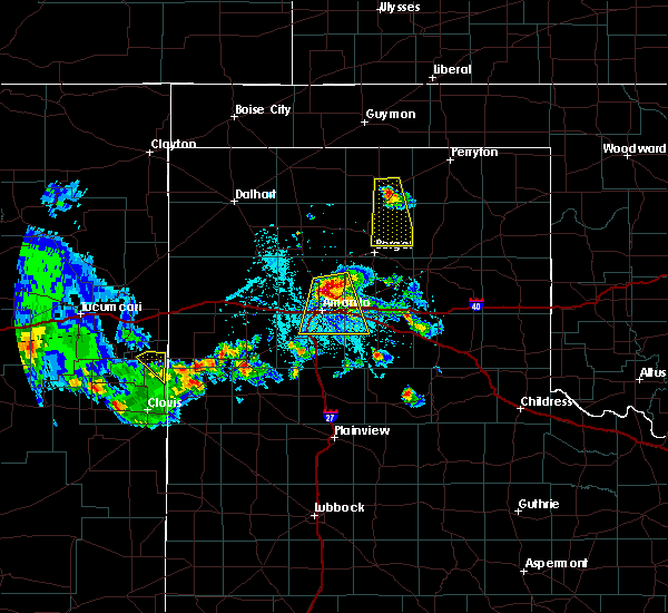 At 807 pm cdt, a severe thunderstorm was located 9 miles north of amarillo, moving south at 30 mph (radar indicated. a 64 mph wind gust was reported 14 miles north of amarillo). Hazards include ping pong ball size hail and 60 mph wind gusts. Minor damage to roofs, siding, and trees is possible. people and animals outdoors will be injured. expect hail damage to roofs, siding, windows, and vehicles. Locations impacted include, amarillo, canyon, lake tanglewood, mescalero park, washburn, timbercreek canyon and pantex. At 807 pm cdt, a severe thunderstorm was located 9 miles north of amarillo, moving south at 30 mph (radar indicated. a 64 mph wind gust was reported 14 miles north of amarillo). Hazards include ping pong ball size hail and 60 mph wind gusts. Minor damage to roofs, siding, and trees is possible. people and animals outdoors will be injured. expect hail damage to roofs, siding, windows, and vehicles. Locations impacted include, amarillo, canyon, lake tanglewood, mescalero park, washburn, timbercreek canyon and pantex.
|
| 6/8/2017 7:45 PM CDT |
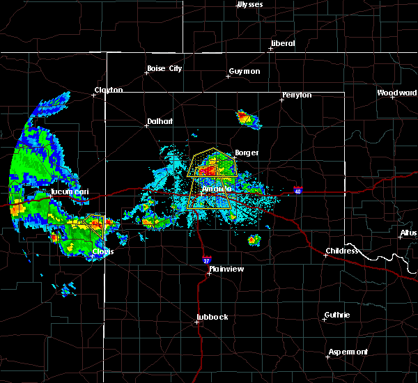 At 745 pm cdt, a severe thunderstorm was located 14 miles southwest of lake meredith, or 18 miles north of amarillo, moving south at 25 mph (radar indicated). Hazards include ping pong ball size hail and 60 mph wind gusts. Minor damage to roofs, siding, and trees is possible. people and animals outdoors will be injured. Expect hail damage to roofs, siding, windows, and vehicles. At 745 pm cdt, a severe thunderstorm was located 14 miles southwest of lake meredith, or 18 miles north of amarillo, moving south at 25 mph (radar indicated). Hazards include ping pong ball size hail and 60 mph wind gusts. Minor damage to roofs, siding, and trees is possible. people and animals outdoors will be injured. Expect hail damage to roofs, siding, windows, and vehicles.
|
| 5/10/2017 3:50 AM CDT |
 At 350 am cdt, a severe thunderstorm was located over lake tanglewood, or 8 miles northeast of canyon, moving northeast at 30 mph (radar indicated). Hazards include ping pong ball size hail. People and animals outdoors will be injured. expect damage to roofs, siding, windows, and vehicles. Locations impacted include, amarillo, canyon, lake tanglewood, washburn, mescalero park and timbercreek canyon. At 350 am cdt, a severe thunderstorm was located over lake tanglewood, or 8 miles northeast of canyon, moving northeast at 30 mph (radar indicated). Hazards include ping pong ball size hail. People and animals outdoors will be injured. expect damage to roofs, siding, windows, and vehicles. Locations impacted include, amarillo, canyon, lake tanglewood, washburn, mescalero park and timbercreek canyon.
|
| 5/10/2017 3:37 AM CDT |
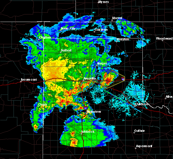 At 336 am cdt, a severe thunderstorm was located 4 miles east of canyon, moving northeast at 30 mph (radar indicated). Hazards include ping pong ball size hail. People and animals outdoors will be injured. Expect damage to roofs, siding, windows, and vehicles. At 336 am cdt, a severe thunderstorm was located 4 miles east of canyon, moving northeast at 30 mph (radar indicated). Hazards include ping pong ball size hail. People and animals outdoors will be injured. Expect damage to roofs, siding, windows, and vehicles.
|
| 3/23/2017 8:14 PM CDT | Storm damage reported in randall county TX, 9.1 miles E of Canyon, TX |
| 3/23/2017 8:12 PM CDT | 58 mph wind gust at shcoolnet site at the brandt farms in randall county TX, 8.1 miles E of Canyon, TX |
| 7/15/2016 8:49 PM CDT |
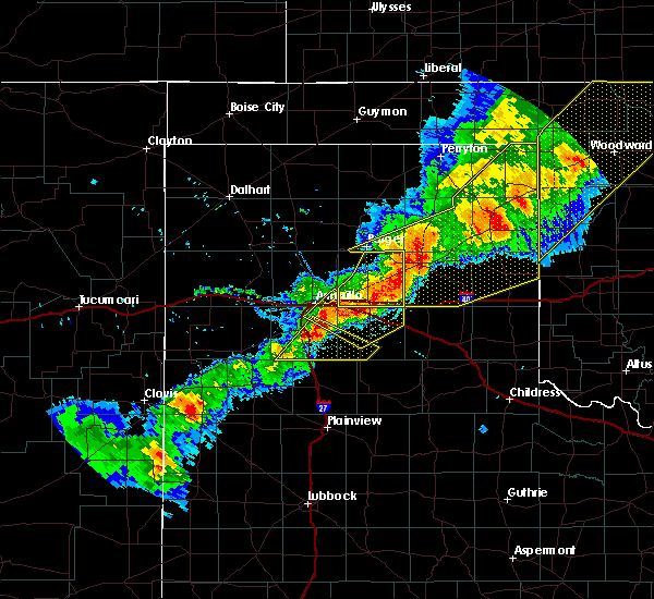 At 848 pm cdt, a severe thunderstorm was located 6 miles south of lake tanglewood, or 7 miles east of canyon, moving east at 30 mph (radar indicated). Hazards include 60 mph wind gusts and quarter size hail. Minor damage to roofs. siding. and trees is possible. Hail damage to vehicles is expected. At 848 pm cdt, a severe thunderstorm was located 6 miles south of lake tanglewood, or 7 miles east of canyon, moving east at 30 mph (radar indicated). Hazards include 60 mph wind gusts and quarter size hail. Minor damage to roofs. siding. and trees is possible. Hail damage to vehicles is expected.
|
| 7/15/2016 7:40 PM CDT |
 At 740 pm cdt, severe thunderstorms were located along a line extending from 6 miles southwest of lake meredith to bushland, moving east at 40 mph (radar indicated). Hazards include 60 mph wind gusts. Minor damage to roofs. siding. and trees is possible. Locations impacted include, amarillo, canyon, lake tanglewood, bushland, mescalero park and timbercreek canyon. At 740 pm cdt, severe thunderstorms were located along a line extending from 6 miles southwest of lake meredith to bushland, moving east at 40 mph (radar indicated). Hazards include 60 mph wind gusts. Minor damage to roofs. siding. and trees is possible. Locations impacted include, amarillo, canyon, lake tanglewood, bushland, mescalero park and timbercreek canyon.
|
| 7/15/2016 7:28 PM CDT |
 At 728 pm cdt, severe thunderstorms were located along a line extending from near masterson to 10 miles southeast of valley de oro to 3 miles west of wildorado, moving east at 45 mph (radar indicated). Hazards include 60 mph wind gusts. Minor damage to roofs. siding. And trees is possible. At 728 pm cdt, severe thunderstorms were located along a line extending from near masterson to 10 miles southeast of valley de oro to 3 miles west of wildorado, moving east at 45 mph (radar indicated). Hazards include 60 mph wind gusts. Minor damage to roofs. siding. And trees is possible.
|
| 7/14/2016 8:36 PM CDT |
 At 836 pm cdt, a severe thunderstorm was located over lake tanglewood, or 9 miles south of amarillo, moving south at 10 mph (trained weather spotters). Hazards include half dollar size hail. Damage to vehicles is expected. locations impacted include, amarillo, canyon, lake tanglewood, mescalero park, palo duro canyon and timbercreek canyon. This includes interstate 27 between mile markers 101 and 110, and near mile marker 121. At 836 pm cdt, a severe thunderstorm was located over lake tanglewood, or 9 miles south of amarillo, moving south at 10 mph (trained weather spotters). Hazards include half dollar size hail. Damage to vehicles is expected. locations impacted include, amarillo, canyon, lake tanglewood, mescalero park, palo duro canyon and timbercreek canyon. This includes interstate 27 between mile markers 101 and 110, and near mile marker 121.
|
| 7/14/2016 8:20 PM CDT |
 At 819 pm cdt, severe thunderstorms were located along a line extending from 5 miles north of mescalero park to 6 miles east of lake tanglewood, moving southwest at 5 mph (radar indicated). Hazards include 60 mph wind gusts and half dollar size hail. Minor damage to roofs. siding. and trees is possible. Hail damage to vehicles is expected. At 819 pm cdt, severe thunderstorms were located along a line extending from 5 miles north of mescalero park to 6 miles east of lake tanglewood, moving southwest at 5 mph (radar indicated). Hazards include 60 mph wind gusts and half dollar size hail. Minor damage to roofs. siding. and trees is possible. Hail damage to vehicles is expected.
|
| 6/26/2016 1:53 PM CDT |
 At 152 pm cdt, a severe thunderstorm was located 5 miles south of lake tanglewood or 6 miles east of canyon, moving north at 10 mph (radar indicated). Hazards include 60 mph wind gusts and half dollar size hail. Minor damage to roofs. siding. and trees is possible. hail damage to vehicles is expected. locations impacted include, canyon, lake tanglewood and timbercreek canyon. This includes interstate 27 between mile markers 103 and 106. At 152 pm cdt, a severe thunderstorm was located 5 miles south of lake tanglewood or 6 miles east of canyon, moving north at 10 mph (radar indicated). Hazards include 60 mph wind gusts and half dollar size hail. Minor damage to roofs. siding. and trees is possible. hail damage to vehicles is expected. locations impacted include, canyon, lake tanglewood and timbercreek canyon. This includes interstate 27 between mile markers 103 and 106.
|
| 6/26/2016 1:40 PM CDT | A large 4 to 6 inch diameter tree limb was blown down in the strong wind associated with the severe thunderstor in randall county TX, 5.1 miles W of Canyon, TX |
| 6/26/2016 1:39 PM CDT |
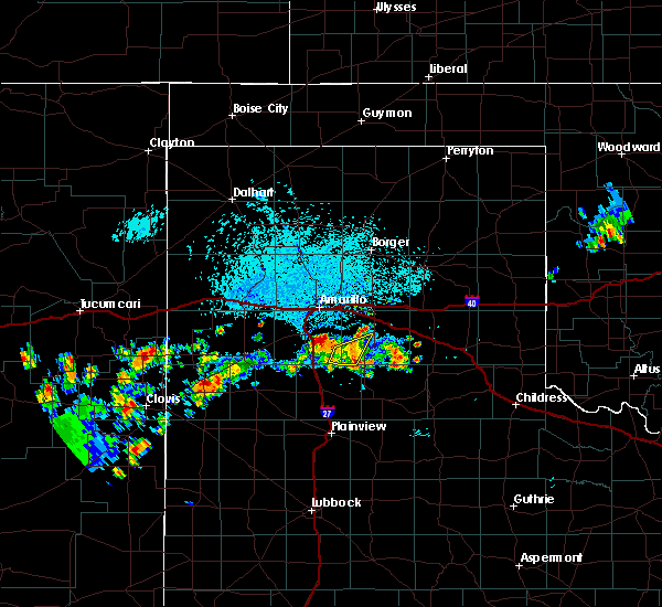 At 139 pm cdt, a severe thunderstorm was located 5 miles west of palo duro canyon, or 9 miles east of canyon, moving northeast at 20 mph (radar indicated). Hazards include ping pong ball size hail and 60 mph wind gusts. Minor damage to roofs. siding. and trees is possible. people and animals outdoors will be injured. Expect hail damage to roofs, siding, windows, and vehicles. At 139 pm cdt, a severe thunderstorm was located 5 miles west of palo duro canyon, or 9 miles east of canyon, moving northeast at 20 mph (radar indicated). Hazards include ping pong ball size hail and 60 mph wind gusts. Minor damage to roofs. siding. and trees is possible. people and animals outdoors will be injured. Expect hail damage to roofs, siding, windows, and vehicles.
|
| 6/13/2016 10:01 PM CDT |
 At 1001 pm cdt, a severe thunderstorm was located over lake tanglewood, or 8 miles south of amarillo, moving east at 35 mph (trained weather spotters). Hazards include up to golf ball size hail. People and animals outdoors will be injured. expect damage to roofs, siding, windows, and vehicles. locations impacted include, amarillo, lake tanglewood, mescalero park and timbercreek canyon. A tornado watch remains in effect until 200 am cdt for the panhandle of texas. At 1001 pm cdt, a severe thunderstorm was located over lake tanglewood, or 8 miles south of amarillo, moving east at 35 mph (trained weather spotters). Hazards include up to golf ball size hail. People and animals outdoors will be injured. expect damage to roofs, siding, windows, and vehicles. locations impacted include, amarillo, lake tanglewood, mescalero park and timbercreek canyon. A tornado watch remains in effect until 200 am cdt for the panhandle of texas.
|
| 6/13/2016 9:53 PM CDT | Quarter sized hail reported 0.9 miles NW of Canyon, TX, some roadways flooding in town |
| 6/13/2016 9:51 PM CDT |
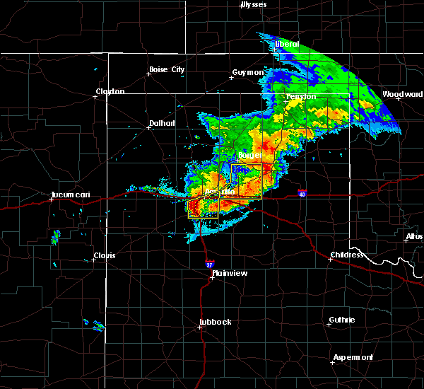 At 950 pm cdt, a severe thunderstorm was located over mescalero park, or 6 miles north of canyon, moving east at 35 mph (radar indicated). Hazards include 60 mph wind gusts and half dollar size hail. Minor damage to roofs. siding. and trees is possible. hail damage to vehicles is expected. locations impacted include, amarillo, canyon, lake tanglewood, mescalero park, palo duro canyon and timbercreek canyon. A tornado watch remains in effect until 200 am cdt for the panhandle of texas. At 950 pm cdt, a severe thunderstorm was located over mescalero park, or 6 miles north of canyon, moving east at 35 mph (radar indicated). Hazards include 60 mph wind gusts and half dollar size hail. Minor damage to roofs. siding. and trees is possible. hail damage to vehicles is expected. locations impacted include, amarillo, canyon, lake tanglewood, mescalero park, palo duro canyon and timbercreek canyon. A tornado watch remains in effect until 200 am cdt for the panhandle of texas.
|
| 6/13/2016 9:48 PM CDT | Quarter sized hail reported 3.5 miles ENE of Canyon, TX |
| 6/13/2016 9:39 PM CDT |
 At 938 pm cdt, severe thunderstorms were located along a line extending from 3 miles southeast of bushland to umbarger, moving east at 30 mph (radar indicated). Hazards include ping pong ball size hail and 60 mph wind gusts. Minor damage to roofs. siding. and trees is possible. people and animals outdoors will be injured. Expect hail damage to roofs, siding, windows, and vehicles. At 938 pm cdt, severe thunderstorms were located along a line extending from 3 miles southeast of bushland to umbarger, moving east at 30 mph (radar indicated). Hazards include ping pong ball size hail and 60 mph wind gusts. Minor damage to roofs. siding. and trees is possible. people and animals outdoors will be injured. Expect hail damage to roofs, siding, windows, and vehicles.
|
| 4/20/2016 7:49 PM CDT |
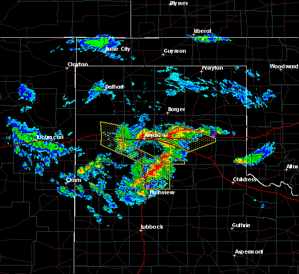 At 749 pm cdt, a severe thunderstorm was located 6 miles northwest of umbarger, or 15 miles west of canyon, moving southeast at 30 mph (radar indicated). Hazards include 60 mph wind gusts and quarter size hail. Minor damage to roofs. siding. and trees is possible. hail damage to vehicles is expected. Hail may accumulate on roadways causing hazardous travel. At 749 pm cdt, a severe thunderstorm was located 6 miles northwest of umbarger, or 15 miles west of canyon, moving southeast at 30 mph (radar indicated). Hazards include 60 mph wind gusts and quarter size hail. Minor damage to roofs. siding. and trees is possible. hail damage to vehicles is expected. Hail may accumulate on roadways causing hazardous travel.
|
| 4/10/2016 9:33 PM CDT |
 At 932 pm cdt, severe thunderstorms were located along a line extending from 8 miles southeast of valley de oro to 4 miles northwest of palo duro canyon, moving northeast at 50 mph (radar indicated). Hazards include 60 mph wind gusts. Minor damage to roofs. siding. And trees is possible. At 932 pm cdt, severe thunderstorms were located along a line extending from 8 miles southeast of valley de oro to 4 miles northwest of palo duro canyon, moving northeast at 50 mph (radar indicated). Hazards include 60 mph wind gusts. Minor damage to roofs. siding. And trees is possible.
|
| 11/16/2015 7:55 PM CST | Quarter sized hail reported 1.8 miles WNW of Canyon, TX |
| 11/16/2015 7:37 PM CST |
 At 737 pm cst, a severe thunderstorm was located over happy, or 14 miles north of tulia, moving north at 60 mph (radar indicated). Hazards include ping pong ball size hail and 60 mph wind gusts. People and animals outdoors will be injured. expect hail damage to roofs, siding, windows and vehicles. Minor wind damage to roofs, siding and trees is possible. At 737 pm cst, a severe thunderstorm was located over happy, or 14 miles north of tulia, moving north at 60 mph (radar indicated). Hazards include ping pong ball size hail and 60 mph wind gusts. People and animals outdoors will be injured. expect hail damage to roofs, siding, windows and vehicles. Minor wind damage to roofs, siding and trees is possible.
|
| 11/16/2015 6:19 PM CST |
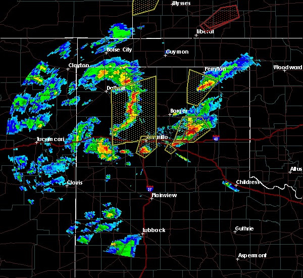 At 619 pm cst, a severe thunderstorm was located near canyon, moving northeast at 45 mph (radar indicated). Hazards include ping pong ball size hail and 60 mph wind gusts. People and animals outdoors will be injured. expect hail damage to roofs, siding, windows and vehicles. Minor wind damage to roofs, siding and trees is possible. At 619 pm cst, a severe thunderstorm was located near canyon, moving northeast at 45 mph (radar indicated). Hazards include ping pong ball size hail and 60 mph wind gusts. People and animals outdoors will be injured. expect hail damage to roofs, siding, windows and vehicles. Minor wind damage to roofs, siding and trees is possible.
|
| 8/19/2015 2:15 AM CDT | Storm damage reported in randall county TX, 9.1 miles E of Canyon, TX |
| 8/19/2015 2:12 AM CDT | Storm damage reported in randall county TX, 9.1 miles E of Canyon, TX |
| 8/19/2015 2:10 AM CDT | An empty tractor trailer was blown up on top of a 10 foot stack of equipment and was resting on its side. power is out and there is quite a bit of fence damage. also. in randall county TX, 3.4 miles S of Canyon, TX |
| 8/19/2015 2:05 AM CDT | Power poles down just east of canyon.. trees blown down just north of canyon. an rv trailer was flipped over just north of canyon as wel in randall county TX, 1.3 miles NW of Canyon, TX |
| 8/19/2015 2:04 AM CDT | Storm damage reported in randall county TX, 0.7 miles N of Canyon, TX |
| 8/19/2015 1:59 AM CDT |
 At 159 am cdt, severe thunderstorms were located along a line extending from near canyon to near happy to 13 miles northeast of dimmitt, moving southeast at 45 mph (radar indicated). Hazards include golf ball size hail and 60 mph wind gusts. People and animals outdoors will be injured. expect hail damage to roofs, siding, windows and vehicles. hail may accumulate on roadways causing hazardous travel. minor wind damage to roofs, siding and trees is possible. Locations impacted include, hereford, canyon, palo duro canyon, umbarger, mescalero park, buffalo lake and dawn. At 159 am cdt, severe thunderstorms were located along a line extending from near canyon to near happy to 13 miles northeast of dimmitt, moving southeast at 45 mph (radar indicated). Hazards include golf ball size hail and 60 mph wind gusts. People and animals outdoors will be injured. expect hail damage to roofs, siding, windows and vehicles. hail may accumulate on roadways causing hazardous travel. minor wind damage to roofs, siding and trees is possible. Locations impacted include, hereford, canyon, palo duro canyon, umbarger, mescalero park, buffalo lake and dawn.
|
| 8/19/2015 1:25 AM CDT |
 At 125 am cdt, severe thunderstorms were located along a line extending from near wildorado to 6 miles northwest of dawn to near hereford, moving southeast at 45 mph (radar indicated). Hazards include golf ball size hail and 60 mph wind gusts. People and animals outdoors will be injured. expect hail damage to roofs, siding, windows and vehicles. hail may accumulate on roadways causing hazardous travel. Minor wind damage to roofs, siding and trees is possible. At 125 am cdt, severe thunderstorms were located along a line extending from near wildorado to 6 miles northwest of dawn to near hereford, moving southeast at 45 mph (radar indicated). Hazards include golf ball size hail and 60 mph wind gusts. People and animals outdoors will be injured. expect hail damage to roofs, siding, windows and vehicles. hail may accumulate on roadways causing hazardous travel. Minor wind damage to roofs, siding and trees is possible.
|
| 8/18/2015 11:35 PM CDT |
 At 1135 pm cdt, a severe thunderstorm was located near umbarger, or 7 miles southwest of canyon, moving southeast at 30 mph (radar indicated). Hazards include 60 mph wind gusts and quarter size hail. Hail damage to vehicles is expected. minor wind damage to roofs, siding and trees is possible. Locations impacted include, canyon, umbarger, buffalo lake, dawn and mescalero park. At 1135 pm cdt, a severe thunderstorm was located near umbarger, or 7 miles southwest of canyon, moving southeast at 30 mph (radar indicated). Hazards include 60 mph wind gusts and quarter size hail. Hail damage to vehicles is expected. minor wind damage to roofs, siding and trees is possible. Locations impacted include, canyon, umbarger, buffalo lake, dawn and mescalero park.
|
| 8/18/2015 11:22 PM CDT |
 At 1119 pm cdt, a severe thunderstorm was located over umbarger, or 12 miles west of canyon, moving southeast at 30 mph (radar indicated). Hazards include 60 mph wind gusts and half dollar size hail. Hail damage to vehicles is expected. minor wind damage to roofs, siding and trees is possible. Locations impacted include, amarillo, hereford, canyon, umbarger, mescalero park, buffalo lake and dawn. At 1119 pm cdt, a severe thunderstorm was located over umbarger, or 12 miles west of canyon, moving southeast at 30 mph (radar indicated). Hazards include 60 mph wind gusts and half dollar size hail. Hail damage to vehicles is expected. minor wind damage to roofs, siding and trees is possible. Locations impacted include, amarillo, hereford, canyon, umbarger, mescalero park, buffalo lake and dawn.
|
| 8/18/2015 11:10 PM CDT |
 At 1109 pm cdt, a severe thunderstorm was located near dawn, or 14 miles northeast of hereford, moving southeast at 30 mph (radar indicated). Hazards include 60 mph wind gusts and half dollar size hail. Hail damage to vehicles is expected. minor wind damage to roofs, siding and trees is possible. Locations impacted include, amarillo, hereford, canyon, wildorado, bushland, umbarger, mescalero park, buffalo lake and dawn. At 1109 pm cdt, a severe thunderstorm was located near dawn, or 14 miles northeast of hereford, moving southeast at 30 mph (radar indicated). Hazards include 60 mph wind gusts and half dollar size hail. Hail damage to vehicles is expected. minor wind damage to roofs, siding and trees is possible. Locations impacted include, amarillo, hereford, canyon, wildorado, bushland, umbarger, mescalero park, buffalo lake and dawn.
|
| 8/18/2015 10:55 PM CDT |
 At 1055 pm cdt, a severe thunderstorm was located 13 miles northwest of dawn, or 14 miles south of vega, moving southeast at 35 mph (radar indicated). Hazards include 60 mph wind gusts and half dollar size hail. Hail damage to vehicles is expected. Minor wind damage to roofs, siding and trees is possible. At 1055 pm cdt, a severe thunderstorm was located 13 miles northwest of dawn, or 14 miles south of vega, moving southeast at 35 mph (radar indicated). Hazards include 60 mph wind gusts and half dollar size hail. Hail damage to vehicles is expected. Minor wind damage to roofs, siding and trees is possible.
|
| 7/17/2015 4:27 PM CDT |
 At 424 pm cdt, a severe thunderstorm was located 6 miles north of canyon, and moving northeast at 20 mph (radar indicated). Hazards include 60 mph wind gusts and nickel size hail. Minor damage to roofs. Siding and trees is possible. At 424 pm cdt, a severe thunderstorm was located 6 miles north of canyon, and moving northeast at 20 mph (radar indicated). Hazards include 60 mph wind gusts and nickel size hail. Minor damage to roofs. Siding and trees is possible.
|
| 7/17/2015 4:22 PM CDT | Report relayed by broadcast media of tree and power pole damage from the intersections of helium road and rockwell road to the intersection of soncy and fm 2219. time e in randall county TX, 3.9 miles SSE of Canyon, TX |
| 7/17/2015 4:19 PM CDT |
 At 416 pm cdt, a severe thunderstorm was located 6 miles northwest of canyon, and moving northeast at 20 mph (radar indicated). Hazards include 60 mph wind gusts and quarter size hail. Hail damage to vehicles is expected. Minor wind damage to roofs, siding and trees is possible. At 416 pm cdt, a severe thunderstorm was located 6 miles northwest of canyon, and moving northeast at 20 mph (radar indicated). Hazards include 60 mph wind gusts and quarter size hail. Hail damage to vehicles is expected. Minor wind damage to roofs, siding and trees is possible.
|
| 7/17/2015 4:11 PM CDT |
 At 408 pm cdt, a severe thunderstorm was located 6 miles northeast of umbarger, and moving east at 25 mph (radar indicated). Hazards include 60 mph wind gusts and quarter size hail. Hail damage to vehicles is expected. Minor wind damage to roofs, siding and trees is possible. At 408 pm cdt, a severe thunderstorm was located 6 miles northeast of umbarger, and moving east at 25 mph (radar indicated). Hazards include 60 mph wind gusts and quarter size hail. Hail damage to vehicles is expected. Minor wind damage to roofs, siding and trees is possible.
|
| 7/8/2015 11:35 PM CDT |
 At 1133 pm cdt, a severe thunderstorm was located near lake tanglewood, and moving east at 30 mph (radar indicated). Hazards include 60 mph wind gusts and quarter size hail. Hail damage to vehicles is expected. Minor wind damage to roofs, siding and trees is possible. At 1133 pm cdt, a severe thunderstorm was located near lake tanglewood, and moving east at 30 mph (radar indicated). Hazards include 60 mph wind gusts and quarter size hail. Hail damage to vehicles is expected. Minor wind damage to roofs, siding and trees is possible.
|
| 7/8/2015 11:01 PM CDT |
 At 1058 pm cdt, a severe thunderstorm was located 6 miles southwest of bushland, and moving east at 25 mph (radar indicated). Hazards include 60 mph wind gusts and quarter size hail. Hail damage to vehicles is expected. Minor wind damage to roofs, siding and trees is possible. At 1058 pm cdt, a severe thunderstorm was located 6 miles southwest of bushland, and moving east at 25 mph (radar indicated). Hazards include 60 mph wind gusts and quarter size hail. Hail damage to vehicles is expected. Minor wind damage to roofs, siding and trees is possible.
|
| 7/8/2015 9:53 PM CDT |
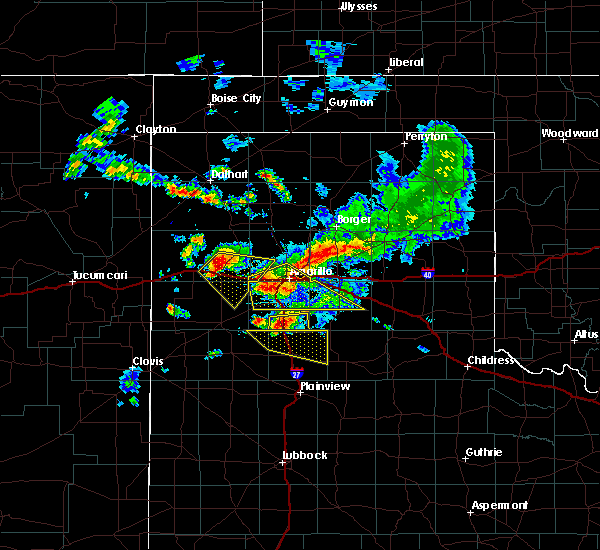 At 951 pm cdt, severe thunderstorms were located along a line extending from amarillo to 6 miles southeast of bushland, and moving southeast at 30 mph (emergency management. at 916 pm...golf ball size hail was reported 5 miles northeast of wildorado). Hazards include golf ball size hail and 60 mph wind gusts. People and animals outdoors will be injured. expect hail damage to roofs, siding, windows and vehicles. Minor wind damage to roofs, siding and trees is possible. At 951 pm cdt, severe thunderstorms were located along a line extending from amarillo to 6 miles southeast of bushland, and moving southeast at 30 mph (emergency management. at 916 pm...golf ball size hail was reported 5 miles northeast of wildorado). Hazards include golf ball size hail and 60 mph wind gusts. People and animals outdoors will be injured. expect hail damage to roofs, siding, windows and vehicles. Minor wind damage to roofs, siding and trees is possible.
|
| 7/8/2015 9:44 PM CDT |
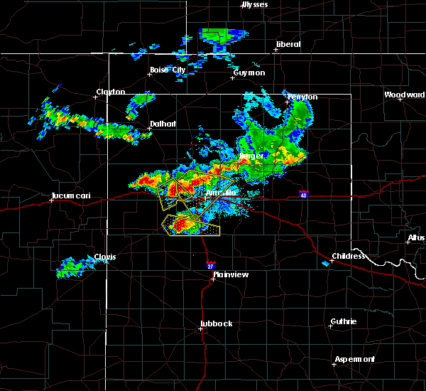 At 942 pm cdt, severe thunderstorms were located along a line extending from amarillo to bushland, and moving southeast at 30 mph (emergency management). Hazards include golf ball size hail and 60 mph wind gusts. People and animals outdoors will be injured. expect hail damage to roofs, siding, windows and vehicles. Minor wind damage to roofs, siding and trees is possible. At 942 pm cdt, severe thunderstorms were located along a line extending from amarillo to bushland, and moving southeast at 30 mph (emergency management). Hazards include golf ball size hail and 60 mph wind gusts. People and animals outdoors will be injured. expect hail damage to roofs, siding, windows and vehicles. Minor wind damage to roofs, siding and trees is possible.
|
| 7/8/2015 9:21 PM CDT |
 At 919 pm cdt, severe thunderstorms were located along a line extending from 11 miles northwest of amarillo to wildorado, and moving southeast at 20 mph (radar indicated). Hazards include 60 mph wind gusts and half dollar size hail. Hail damage to vehicles is expected. Minor wind damage to roofs, siding and trees is possible. At 919 pm cdt, severe thunderstorms were located along a line extending from 11 miles northwest of amarillo to wildorado, and moving southeast at 20 mph (radar indicated). Hazards include 60 mph wind gusts and half dollar size hail. Hail damage to vehicles is expected. Minor wind damage to roofs, siding and trees is possible.
|
| 7/8/2015 8:55 PM CDT |
 At 852 pm cdt, a severe thunderstorm was located 5 miles southeast of valley de oro, and moving southeast at 20 mph (radar indicated). Hazards include 60 mph wind gusts and half dollar size hail. Hail damage to vehicles is expected. Minor wind damage to roofs, siding and trees is possible. At 852 pm cdt, a severe thunderstorm was located 5 miles southeast of valley de oro, and moving southeast at 20 mph (radar indicated). Hazards include 60 mph wind gusts and half dollar size hail. Hail damage to vehicles is expected. Minor wind damage to roofs, siding and trees is possible.
|
| 7/8/2015 8:35 PM CDT |
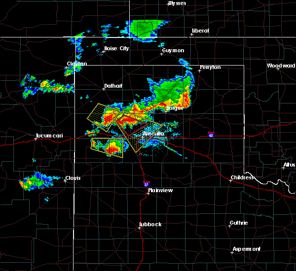 At 831 pm cdt, a severe thunderstorm was located near valley de oro, and moving southeast at 15 mph (trained weather spotters). Hazards include golf ball size hail and 60 mph wind gusts. People and animals outdoors will be injured. expect hail damage to roofs, siding, windows and vehicles. Minor wind damage to roofs, siding and trees is possible. At 831 pm cdt, a severe thunderstorm was located near valley de oro, and moving southeast at 15 mph (trained weather spotters). Hazards include golf ball size hail and 60 mph wind gusts. People and animals outdoors will be injured. expect hail damage to roofs, siding, windows and vehicles. Minor wind damage to roofs, siding and trees is possible.
|
| 7/8/2015 8:14 PM CDT |
 At 813 pm cdt, a severe thunderstorm was located near boys ranch, and moving southeast at 20 mph (trained weather spotters). Hazards include golf ball size hail and 60 mph wind gusts. People and animals outdoors will be injured. expect hail damage to roofs, siding, windows and vehicles. Minor wind damage to roofs, siding and trees is possible. At 813 pm cdt, a severe thunderstorm was located near boys ranch, and moving southeast at 20 mph (trained weather spotters). Hazards include golf ball size hail and 60 mph wind gusts. People and animals outdoors will be injured. expect hail damage to roofs, siding, windows and vehicles. Minor wind damage to roofs, siding and trees is possible.
|
| 7/3/2015 9:48 PM CDT |
 At 945 pm cdt, a severe thunderstorm was located 8 miles southwest of amarillo, and moving southwest at 20 mph (radar indicated). Hazards include 70 mph wind gusts and penny size hail. Expect some tree damage. damage is likely to mobile homes. Roofs and outbuildings. At 945 pm cdt, a severe thunderstorm was located 8 miles southwest of amarillo, and moving southwest at 20 mph (radar indicated). Hazards include 70 mph wind gusts and penny size hail. Expect some tree damage. damage is likely to mobile homes. Roofs and outbuildings.
|
| 7/3/2015 9:24 PM CDT |
 At 921 pm cdt, a severe thunderstorm was located near amarillo, and moving south at 30 mph (radar indicated). Hazards include 70 mph wind gusts and penny size hail. Expect some tree damage. Damage is likely to mobile homes, roofs and outbuildings. At 921 pm cdt, a severe thunderstorm was located near amarillo, and moving south at 30 mph (radar indicated). Hazards include 70 mph wind gusts and penny size hail. Expect some tree damage. Damage is likely to mobile homes, roofs and outbuildings.
|
| 7/3/2015 9:14 PM CDT |
 At 912 pm cdt, a severe thunderstorm was located near amarillo, and moving south at 30 mph (radar indicated). Hazards include 60 mph wind gusts and penny size hail. Minor damage to roofs. Siding and trees is possible. At 912 pm cdt, a severe thunderstorm was located near amarillo, and moving south at 30 mph (radar indicated). Hazards include 60 mph wind gusts and penny size hail. Minor damage to roofs. Siding and trees is possible.
|
| 7/3/2015 9:03 PM CDT |
 At 901 pm cdt, a severe thunderstorm was located near washburn, and moving south at 30 mph (radar indicated). Hazards include 60 mph wind gusts and penny size hail. Minor damage to roofs. Siding and trees is possible. At 901 pm cdt, a severe thunderstorm was located near washburn, and moving south at 30 mph (radar indicated). Hazards include 60 mph wind gusts and penny size hail. Minor damage to roofs. Siding and trees is possible.
|
| 7/3/2015 8:28 PM CDT |
 At 826 pm cdt, a severe thunderstorm was located 8 miles northwest of panhandle, and moving south at 30 mph (radar indicated). Hazards include 70 mph wind gusts and quarter size hail. Hail damage to vehicles is expected. expect some tree damage. Wind damage is also likely to mobile homes, roofs and outbuildings. At 826 pm cdt, a severe thunderstorm was located 8 miles northwest of panhandle, and moving south at 30 mph (radar indicated). Hazards include 70 mph wind gusts and quarter size hail. Hail damage to vehicles is expected. expect some tree damage. Wind damage is also likely to mobile homes, roofs and outbuildings.
|
| 6/14/2015 6:28 PM CDT |
 At 625 pm cdt, a severe thunderstorm was located near bushland, and moving northeast at 30 mph (radar indicated). Hazards include 75 mph wind gusts and quarter size hail. Hail damage to vehicles is expected. expect some tree damage. Wind damage is also likely to mobile homes, roofs and outbuildings. At 625 pm cdt, a severe thunderstorm was located near bushland, and moving northeast at 30 mph (radar indicated). Hazards include 75 mph wind gusts and quarter size hail. Hail damage to vehicles is expected. expect some tree damage. Wind damage is also likely to mobile homes, roofs and outbuildings.
|
| 6/14/2015 6:14 PM CDT |
 At 612 pm cdt, a severe thunderstorm was located 10 miles northwest of umbarger, and moving northeast at 30 mph (radar indicated). Hazards include 70 mph wind gusts and quarter size hail. Hail damage to vehicles is expected. expect some tree damage. Wind damage is also likely to mobile homes, roofs and outbuildings. At 612 pm cdt, a severe thunderstorm was located 10 miles northwest of umbarger, and moving northeast at 30 mph (radar indicated). Hazards include 70 mph wind gusts and quarter size hail. Hail damage to vehicles is expected. expect some tree damage. Wind damage is also likely to mobile homes, roofs and outbuildings.
|
| 5/28/2015 2:10 AM CDT | At 206 am cdt, a severe thunderstorm was located 5 miles west of lake tanglewood, and moving east at 10 mph (radar indicated). Hazards include ping pong ball size hail. People and animals outdoors will be injured. Expect damage to roofs, siding, windows and vehicles. |
| 5/28/2015 2:05 AM CDT | Golf Ball sized hail reported 4.1 miles SSW of Canyon, TX, received via facebook. |
| 5/28/2015 2:02 AM CDT | At 201 am cdt, a severe thunderstorm was located 5 miles north of canyon, and moving east at 15 mph (trained weather spotters). Hazards include half dollar size hail. damage to vehicles is expected |
| 5/27/2015 11:57 PM CDT | At 1154 pm cdt, a severe thunderstorm was located 6 miles southeast of canyon, and moving east at 20 mph (radar indicated). Hazards include ping pong ball size hail and 60 mph wind gusts. People and animals outdoors will be injured. expect hail damage to roofs, siding, windows and vehicles. Minor wind damage to roofs, siding and trees is possible. |
| 5/27/2015 11:40 PM CDT | Ping Pong Ball sized hail reported 0.7 miles N of Canyon, TX |
| 5/27/2015 11:40 PM CDT | At 1137 pm cdt, a severe thunderstorm was located near canyon, and moving northeast at 15 mph (trained weather spotters). Hazards include hail up to golf ball size. People and animals outdoors will be injured. Expect damage to roofs, siding, windows and vehicles. |
| 5/27/2015 11:37 PM CDT | Quarter sized hail reported 0.7 miles N of Canyon, TX |
| 5/27/2015 11:32 PM CDT | At 1130 pm cdt, a severe thunderstorm was located near canyon, and moving northeast at 15 mph (public). Hazards include golf ball size hail. People and animals outdoors will be injured. Expect damage to roofs, siding, windows and vehicles. |
| 5/27/2015 11:30 PM CDT | Quarter sized hail reported 0.7 miles N of Canyon, TX |
| 5/27/2015 11:27 PM CDT | Quarter sized hail reported 0.7 miles N of Canyon, TX |
| 5/27/2015 11:24 PM CDT | Golf Ball sized hail reported 0.7 miles N of Canyon, TX |
| 5/27/2015 11:24 PM CDT | Ping Pong Ball sized hail reported 4.4 miles SW of Canyon, TX |
| 5/27/2015 11:20 PM CDT | At 1118 pm cdt, a severe thunderstorm was located near canyon, and moving northeast at 10 mph (radar indicated). Hazards include half dollar size hail. damage to vehicles is expected |
| 5/27/2015 11:15 PM CDT | Ping Pong Ball sized hail reported 0.7 miles N of Canyon, TX |
| 5/27/2015 11:02 PM CDT | At 1100 pm cdt, a severe thunderstorm was located near canyon, and moving northeast at 10 mph (radar indicated). Hazards include half dollar size hail. damage to vehicles is expected |
| 5/23/2015 3:31 PM CDT | At 328 pm cdt, a severe thunderstorm was located near lake tanglewood, and moving northeast at 35 mph (radar indicated). Hazards include 60 mph wind gusts. Minor damage to roofs. Siding and trees is possible. |
| 5/23/2015 3:22 PM CDT | At 320 pm cdt, a severe thunderstorm was located near lake tanglewood, and moving northeast at 35 mph (radar indicated). Hazards include 60 mph wind gusts and penny size hail. Minor damage to roofs. Siding and trees is possible. |
| 5/23/2015 3:12 PM CDT | At 310 pm cdt, a severe thunderstorm was located near canyon, and moving northeast at 35 mph (radar indicated). Hazards include 60 mph wind gusts and quarter size hail. Hail damage to vehicles is expected. Minor wind damage to roofs, siding and trees is possible. |
| 5/23/2015 5:44 AM CDT | At 544 am cdt, severe thunderstorms were located along a line extending from 10 miles west of panhandle to washburn to palo duro canyon, and moving east at 40 mph (radar indicated). Hazards include 60 mph wind gusts and quarter size hail. Hail damage to vehicles is expected. Minor wind damage to roofs, siding and trees is possible. |
| 5/23/2015 5:24 AM CDT | At 523 am cdt, severe thunderstorms were located along a line extending from 9 miles north of amarillo to 5 miles southeast of amarillo to canyon, and moving east at 40 mph (radar indicated. a 64 mph thunderstorm wind gust was reported at tradewind elementary school at 5:18 am). Hazards include 65 mph wind gusts and quarter size hail. Hail damage to vehicles is expected. Minor wind damage to roofs, siding and trees is possible. |
| 5/23/2015 5:09 AM CDT | At 509 am cdt, severe thunderstorms were located along a line extending from 11 miles northwest of amarillo to 6 miles southwest of amarillo to canyon, and moving east at 40 mph (radar indicated). Hazards include 65 mph wind gusts and quarter size hail. Hail damage to vehicles is expected. Minor wind damage to roofs, siding and trees is possible. |
| 5/19/2015 4:10 PM CDT | At 408 pm cdt, a severe thunderstorm was located 5 miles north of canyon, and moving east at 35 mph (trained weather spotters). Hazards include 60 mph wind gusts and half dollar size hail. Hail damage to vehicles is expected. Minor wind damage to roofs, siding and trees is possible. |
| 5/19/2015 4:08 PM CDT | Quarter sized hail reported 3.5 miles S of Canyon, TX, i-27 and rockwell. also received 60-65mph winds. |
| 5/19/2015 4:05 PM CDT | At 403 pm cdt, a severe thunderstorm was located near canyon, and moving east at 35 mph (radar indicated). Hazards include half dollar size hail. damage to vehicles is expected |
| 5/16/2015 12:38 AM CDT | At 1236 am cdt, severe thunderstorms were located along a line extending from 6 miles south of wildorado to buffalo lake to 22 miles southeast of summerfield, and moving northeast at 45 mph (radar indicated). Hazards include 60 mph wind gusts and quarter size hail. Hail damage to vehicles is expected. Minor wind damage to roofs, siding and trees is possible. |
| 5/16/2015 12:32 AM CDT | At 1231 am cdt, severe thunderstorms were located along a line extending from 5 miles southwest of bushland to umbarger to 22 miles southwest of happy, and moving northeast at 120 mph (radar indicated). Hazards include 60 mph wind gusts and quarter size hail. Hail damage to vehicles is expected. Minor wind damage to roofs, siding and trees is possible. |
| 5/16/2015 12:20 AM CDT | At 1218 am cdt, severe thunderstorms were located along a line extending from 10 miles southwest of wildorado to 7 miles southwest of buffalo lake to 20 miles southeast of summerfield, and moving northeast at 45 mph (radar indicated). Hazards include 60 mph wind gusts and quarter size hail. Hail damage to vehicles is expected. Minor wind damage to roofs, siding and trees is possible. |
| 5/16/2015 12:05 AM CDT | At 1202 am cdt, severe thunderstorms were located along a line extending from simms to summerfield to 21 miles south of black, and moving northeast at 45 mph (radar indicated). Hazards include 60 mph wind gusts and quarter size hail. Hail damage to vehicles is expected. Minor wind damage to roofs, siding and trees is possible. |
| 5/5/2015 6:30 PM CDT | Storm damage reported in randall county TX, 1.8 miles E of Canyon, TX |
| 5/5/2015 6:15 PM CDT | Storm damage reported in randall county TX, 1.8 miles E of Canyon, TX |
| 5/5/2015 6:15 PM CDT | A large tree was uprooted in canyon in randall county TX, 0.7 miles N of Canyon, TX |
| 5/5/2015 6:08 PM CDT | At 605 pm cdt, severe thunderstorms were located along a line extending from 8 miles south of wildorado to 5 miles south of buffalo lake, and moving northeast at 40 mph (radar indicated). Hazards include 60 mph wind gusts and quarter size hail. Hail damage to vehicles is expected. Minor wind damage to roofs, siding and trees is possible. |
| 4/22/2015 6:21 PM CDT | At 616 pm cdt, severe thunderstorms were located along a line extending from canyon to 10 miles west of happy, and moving east at 25 mph. these are very dangerous storms (law enforcement. hail up to the size of baseballs was reported in happy). Hazards include baseball size hail and 60 mph wind gusts. People and animals outdoors will be severely injured. Expect shattered windows, extensive damage to roofs, siding and vehicles. |
| 4/22/2015 5:59 PM CDT | At 556 pm cdt, severe thunderstorms were located along a line extending from buffalo lake to 6 miles northeast of hereford, and moving east at 35 mph (radar indicated). Hazards include golf ball size hail and 60 mph wind gusts. People and animals outdoors will be injured. expect hail damage to roofs, siding, windows and vehicles. Minor wind damage to roofs, siding and trees is possible. |
| 4/16/2015 3:24 PM CDT | At 322 pm cdt, a severe thunderstorm was located near lake tanglewood, and moving north at 30 mph (radar indicated). Hazards include quarter size hail. damage to vehicles is expected |
| 4/16/2015 3:12 PM CDT | At 309 pm cdt, a severe thunderstorm was located near lake tanglewood, and moving north at 30 mph (radar indicated). Hazards include ping pong ball size hail and 60 mph wind gusts. People and animals outdoors will be injured. expect hail damage to roofs, siding, windows and vehicles. Minor wind damage to roofs, siding and trees is possible. |
| 4/16/2015 2:42 PM CDT | At 240 pm cdt, a severe thunderstorm was located 6 miles northwest of lake tanglewood, and moving northeast at 15 mph (radar indicated). Hazards include ping pong ball size hail and 60 mph wind gusts. People and animals outdoors will be injured. expect hail damage to roofs, siding, windows and vehicles. Minor wind damage to roofs, siding and trees is possible. |
| 4/16/2015 2:32 PM CDT | At 229 pm cdt, a severe thunderstorm was located 6 miles west of lake tanglewood, and moving northeast at 15 mph (radar indicated). Hazards include 60 mph wind gusts and half dollar size hail. Hail damage to vehicles is expected. Minor wind damage to roofs, siding and trees is possible. |
| 10/12/2014 5:58 PM CDT | Storm damage reported in randall county TX, 2 miles S of Canyon, TX |
| 10/12/2014 5:48 PM CDT | Storm damage reported in randall county TX, 9.1 miles E of Canyon, TX |
| 9/24/2014 2:35 PM CDT | Quarter sized hail reported 0.9 miles SE of Canyon, TX |
| 6/24/2014 8:15 AM CDT | Quarter sized hail reported 17.6 miles NE of Canyon, TX |
| 6/24/2014 7:02 AM CDT | Quarter sized hail reported 10.9 miles E of Canyon, TX |
| 6/22/2014 11:36 PM CDT | Storm damage reported in randall county TX, 4.8 miles S of Canyon, TX |
| 6/6/2014 9:26 PM CDT | Large tree limbs down near rockwell road and fm 2590 in randall county TX, 3.6 miles SSE of Canyon, TX |
| 6/6/2014 9:23 PM CDT | Via kvii schoolnet in randall county TX, 2 miles S of Canyon, TX |
| 6/20/2013 8:41 PM CDT | Quarter sized hail reported 13.4 miles ESE of Canyon, TX |
| 6/20/2013 7:41 PM CDT | Quarter sized hail reported 13.4 miles ESE of Canyon, TX |
| 6/17/2013 1:05 AM CDT | Multiple 10 inch diameter tree limbs broken off in the hunsley hills neighborhood of canyon. some roads were blocked brielfy due to the number of limbs in the roa in randall county TX, 0.6 miles E of Canyon, TX |
| 6/17/2013 12:50 AM CDT | Storm damage reported in randall county TX, 0.7 miles N of Canyon, TX |
| 6/17/2013 12:38 AM CDT | Storm damage reported in randall county TX, 9.2 miles E of Canyon, TX |
| 5/28/2013 5:18 PM CDT | Power poles down west of canyon on highway 60. winds estimated at 50 to 60 mp in randall county TX, 1.4 miles ENE of Canyon, TX |
| 5/21/2013 8:05 AM CDT | Two semi trucks overturned along i27 in randall county TX, 0.7 miles N of Canyon, TX |
| 5/21/2013 8:02 AM CDT | 61 mph gust on east side of canyon near wtamu events center in randall county TX, 1.3 miles NW of Canyon, TX |
| 12/14/2012 4:10 PM CST | Power lines are down at 15th and railroad tracks in randall county TX, 0.7 miles N of Canyon, TX |
| 12/14/2012 4:00 PM CST | Radio tower blown down...lying over raildroad tracks in randall county TX, 5.3 miles SSW of Canyon, TX |
| 12/14/2012 3:52 PM CST | Canyon junior high school in randall county TX, 1.4 miles ENE of Canyon, TX |
| 12/14/2012 3:50 PM CST | Semi blown over on interstate 27. time estimated from rada in randall county TX, 1.6 miles W of Canyon, TX |
| 8/18/2012 6:11 PM CDT | 3 to 5 inch diameter tree limbs down in hunsley hills in randall county TX, 0.9 miles SE of Canyon, TX |
| 6/1/2012 6:30 PM CDT | Golf Ball sized hail reported 14.4 miles W of Canyon, TX, pea to golfball size hail |
| 4/26/2012 5:35 PM CDT | Fence blown over. empty semi truck trailer blown ove in randall county TX, 3.4 miles S of Canyon, TX |
| 4/26/2012 5:26 PM CDT | Storm damage reported in randall county TX, 3.4 miles S of Canyon, TX |
| 4/26/2012 5:17 PM CDT | Storm damage reported in randall county TX, 2.4 miles SSE of Canyon, TX |
| 4/26/2012 5:15 PM CDT | One inch tree limbs down at palo duro creek golf course. time estimated based on radar dat in randall county TX, 0.7 miles N of Canyon, TX |
| 4/26/2012 5:15 PM CDT | One inch tree limbs down at palo duro creek golf course. time estimated based on radar data. wind gust measured at 54 mph using anemometer at nws employee home in hunsl in randall county TX, 0.7 miles N of Canyon, TX |
| 4/26/2012 5:05 PM CDT | Storage unit destroyed by thunderstorm wind gust just south of rockwell road and interstate 27 on joy avenu in randall county TX, 4.1 miles S of Canyon, TX |
| 4/26/2012 4:35 PM CDT | Half Dollar sized hail reported 3.4 miles S of Canyon, TX |
| 4/26/2012 4:32 PM CDT | Quarter sized hail reported 0.7 miles S of Canyon, TX, reported pea to quarter size hail around interstate 27 and rockwell and mccormick roads. |
| 4/26/2012 4:32 PM CDT | Quarter sized hail reported 3.4 miles S of Canyon, TX, reported pea to quarter size hail around interstate 27 and rockwell and mccormick roads. |
| 4/11/2012 8:27 PM CDT | Quarter sized hail reported 11.2 miles ENE of Canyon, TX, hail covering highway 60. roads are slick in umbarger. |
| 11/7/2011 4:12 PM CST | Half Dollar sized hail reported 6.8 miles W of Canyon, TX |
| 1/1/0001 12:00 AM | Storm damage reported in randall county TX, 4.1 miles S of Canyon, TX |
| 1/1/0001 12:00 AM | Two power poles were broken about one half mile north of canyon along fm2590 or vfw roa in randall county TX, 0.7 miles S of Canyon, TX |
| 1/1/0001 12:00 AM | Storm damage reported in randall county TX, 3.4 miles S of Canyon, TX |
| 1/1/0001 12:00 AM | Storm damage reported in randall county TX, 13 miles NNE of Canyon, TX |
| 1/1/0001 12:00 AM | Lost power in randall county TX, 13 miles NNE of Canyon, TX |
| 1/1/0001 12:00 AM | Quarter sized hail reported 10.9 miles E of Canyon, TX |
| 1/1/0001 12:00 AM | Quarter sized hail reported 11.6 miles ENE of Canyon, TX |
Hail Maps for Canyon, TX
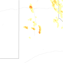
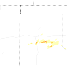
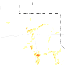
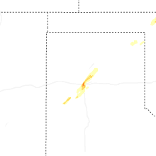
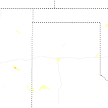
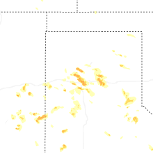
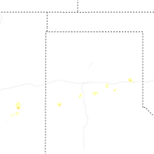
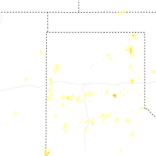
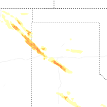
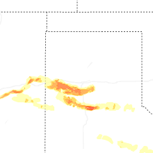
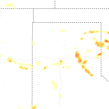


Connect with Interactive Hail Maps