

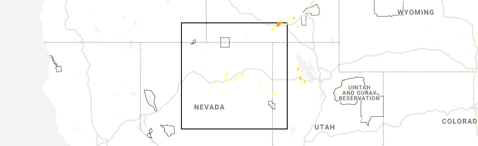
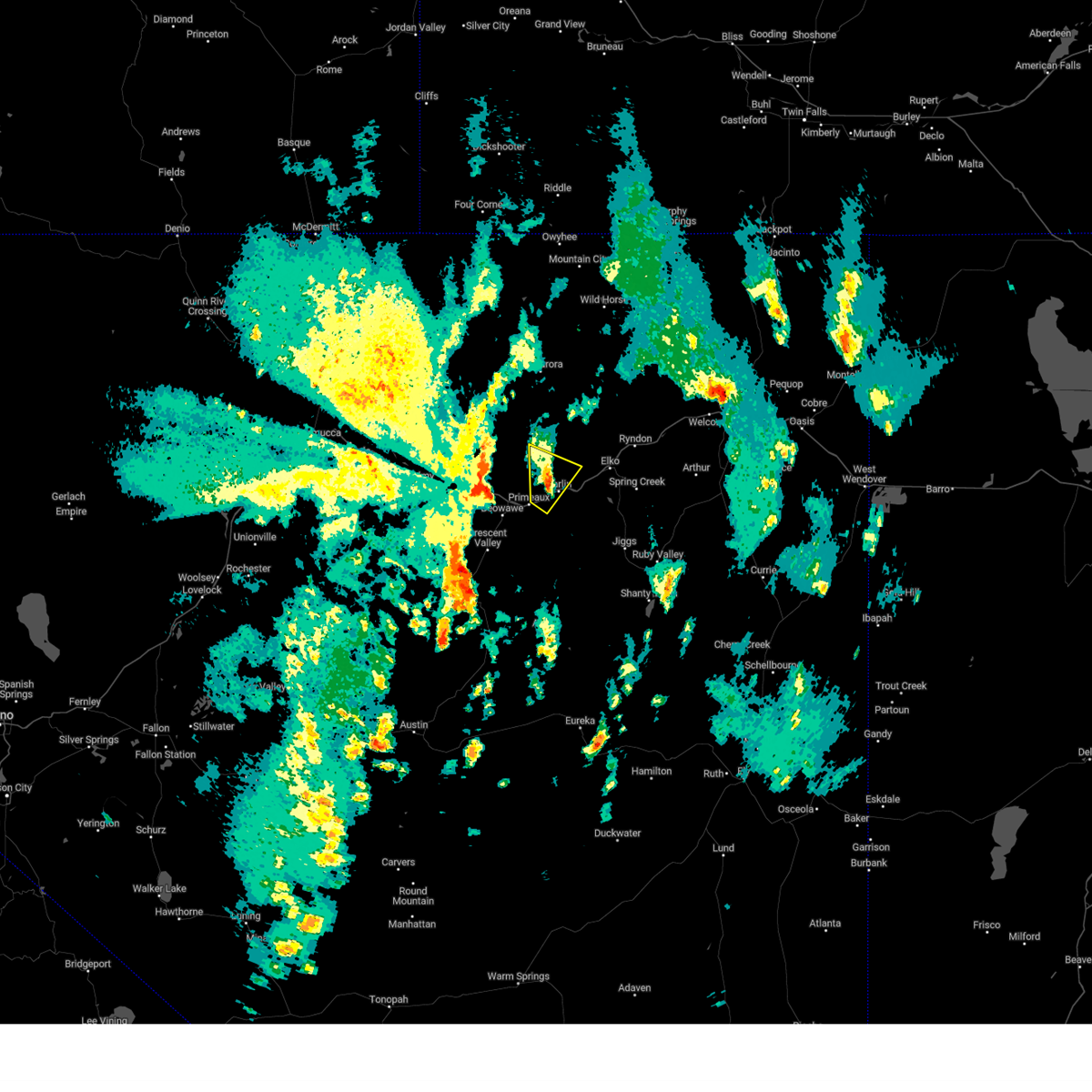
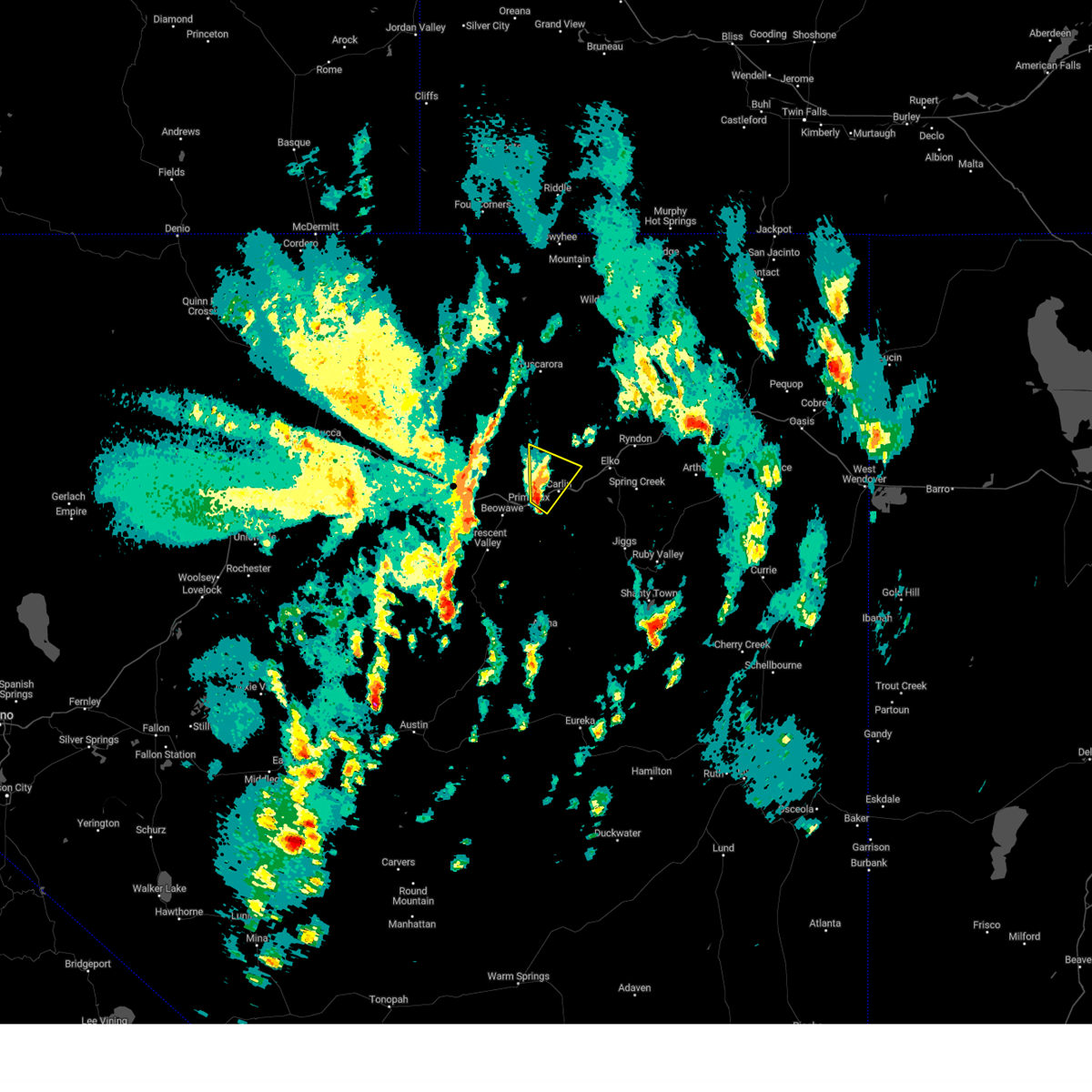
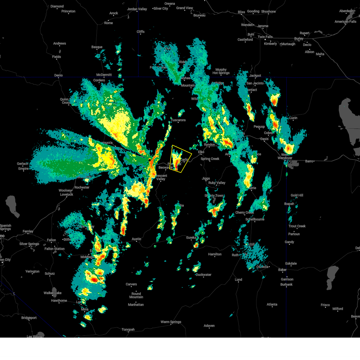
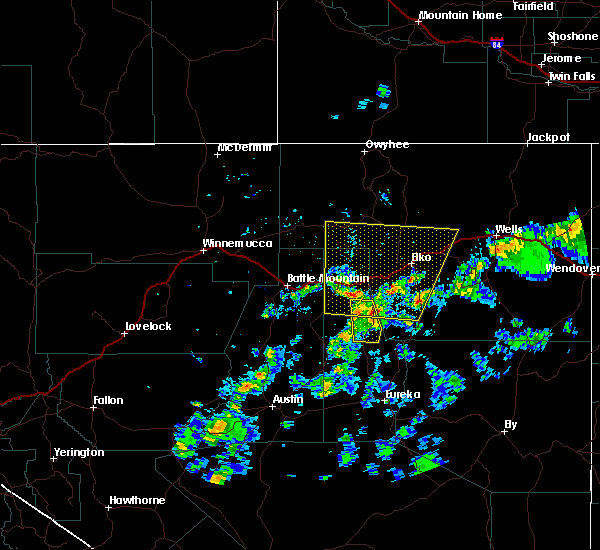
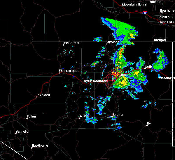
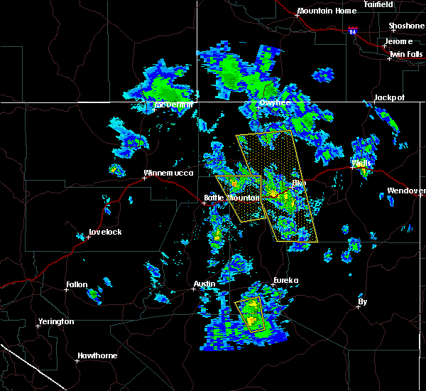
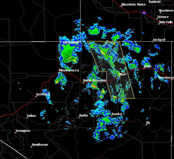
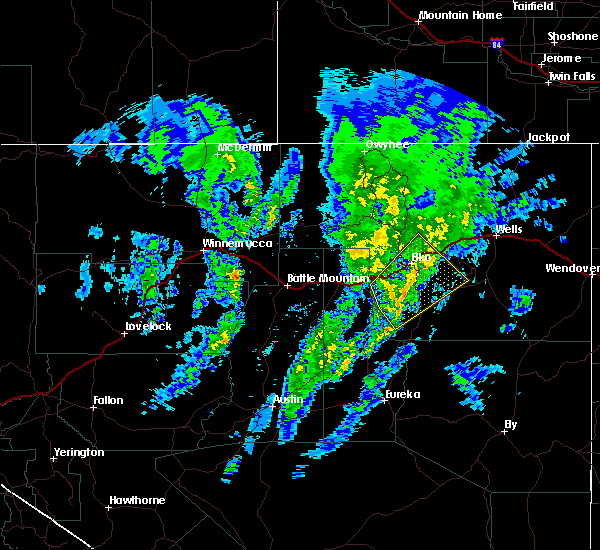
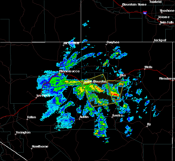
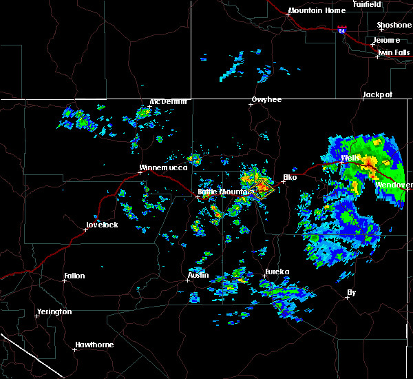
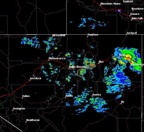
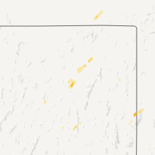
Hail Map for Carlin, NV
The Carlin, NV area has had 2 reports of on-the-ground hail by trained spotters, and has been under severe weather warnings 3 times during the past 12 months. Doppler radar has detected hail at or near Carlin, NV on 4 occasions, including 2 occasions during the past year.
| Name: | Carlin, NV |
| Where Located: | 19.4 miles WSW of Elko, NV |
| Map: | Google Map for Carlin, NV |
| Population: | 2368 |
| Housing Units: | 1043 |
| More Info: | Search Google for Carlin, NV |
4
The Top Recent Hail Date for Carlin, NV is Wednesday, May 24, 2023 (3rd out of 4)
Hail and Wind Damage Spotted near Carlin, NV
| Date / Time | Report Details |
|---|---|
| 9/3/2023 1:10 PM PDT |
 The severe thunderstorm warning for central elko and north central eureka counties will expire at 115 pm pdt, the storm which prompted the warning has weakened below severe limits, and no longer poses an immediate threat to life or property. therefore, the warning will be allowed to expire. however, gusty winds and heavy rain are still possible with this thunderstorm. a severe thunderstorm watch remains in effect until 800 pm pdt for north central and northeastern nevada. The severe thunderstorm warning for central elko and north central eureka counties will expire at 115 pm pdt, the storm which prompted the warning has weakened below severe limits, and no longer poses an immediate threat to life or property. therefore, the warning will be allowed to expire. however, gusty winds and heavy rain are still possible with this thunderstorm. a severe thunderstorm watch remains in effect until 800 pm pdt for north central and northeastern nevada.
|
| 9/3/2023 12:55 PM PDT |
 At 1255 pm pdt, a severe thunderstorm was located near carlin, moving north at 25 mph (radar indicated). Hazards include 60 mph wind gusts and nickel size hail. Expect damage to roofs, siding, and trees. locations impacted include, carlin and south area mine. hail threat, radar indicated max hail size, 0. 88 in wind threat, radar indicated max wind gust, 60 mph. At 1255 pm pdt, a severe thunderstorm was located near carlin, moving north at 25 mph (radar indicated). Hazards include 60 mph wind gusts and nickel size hail. Expect damage to roofs, siding, and trees. locations impacted include, carlin and south area mine. hail threat, radar indicated max hail size, 0. 88 in wind threat, radar indicated max wind gust, 60 mph.
|
| 9/3/2023 12:45 PM PDT |
 At 1245 pm pdt, a severe thunderstorm was located near emigrant pass, moving north at 25 mph (radar indicated). Hazards include 60 mph wind gusts and nickel size hail. expect damage to roofs, siding, and trees At 1245 pm pdt, a severe thunderstorm was located near emigrant pass, moving north at 25 mph (radar indicated). Hazards include 60 mph wind gusts and nickel size hail. expect damage to roofs, siding, and trees
|
| 5/24/2023 2:30 PM PDT | Quarter sized hail reported 7.7 miles ENE of Carlin, NV, hail covering i-80 seen from ndot camera at emigrant pass. report from travelers that hail sounded like a shotgun when hitting vehicle. |
| 5/30/2018 2:34 PM PDT |
 At 233 pm pdt, an area of several thunderstorms over northern eureka county and southwest elko county was moring northeast at around 30 mph (radar indicated). Hazards include 60 mph wind gusts and nickel size hail. expect damage to roofs, siding, and trees At 233 pm pdt, an area of several thunderstorms over northern eureka county and southwest elko county was moring northeast at around 30 mph (radar indicated). Hazards include 60 mph wind gusts and nickel size hail. expect damage to roofs, siding, and trees
|
| 5/27/2018 6:56 PM PDT |
 At 654 pm pdt, a severe thunderstorm capable of producing a tornado was located 8 miles northwest of elko, moving southwest at 20 mph (radar indicated rotation). Hazards include tornado and golf ball or larger size hail. Flying debris will be dangerous to those caught without shelter. mobile homes will be damaged or destroyed. damage to roofs, windows, and vehicles will occur. tree damage is likely. this dangerous storm will be near, carlin around 740 pm pdt. Other locations impacted by this tornadic thunderstorm include interstate 80, south area mine and adobe summit. At 654 pm pdt, a severe thunderstorm capable of producing a tornado was located 8 miles northwest of elko, moving southwest at 20 mph (radar indicated rotation). Hazards include tornado and golf ball or larger size hail. Flying debris will be dangerous to those caught without shelter. mobile homes will be damaged or destroyed. damage to roofs, windows, and vehicles will occur. tree damage is likely. this dangerous storm will be near, carlin around 740 pm pdt. Other locations impacted by this tornadic thunderstorm include interstate 80, south area mine and adobe summit.
|
| 5/6/2017 4:42 PM PDT |
 At 440 pm pdt, a severe thunderstorm was located near south fork, moving north at 30 mph (radar indicated). Hazards include 60 mph wind gusts and penny size hail. these storms have already produced winds over 50 mph at automated sites. expect damage to roofs, siding, and trees At 440 pm pdt, a severe thunderstorm was located near south fork, moving north at 30 mph (radar indicated). Hazards include 60 mph wind gusts and penny size hail. these storms have already produced winds over 50 mph at automated sites. expect damage to roofs, siding, and trees
|
| 5/6/2017 3:44 PM PDT |
 At 343 pm pdt, a severe thunderstorm was located 9 miles west of ryndon, moving north at 45 mph. this storm has produced winds of 57 mph at elko (radar indicated). Hazards include 60 mph wind gusts and penny size hail. Expect damage to roofs, siding, and trees. Winds could blow vehicles off roads. At 343 pm pdt, a severe thunderstorm was located 9 miles west of ryndon, moving north at 45 mph. this storm has produced winds of 57 mph at elko (radar indicated). Hazards include 60 mph wind gusts and penny size hail. Expect damage to roofs, siding, and trees. Winds could blow vehicles off roads.
|
| 10/30/2016 4:39 PM PDT |
 At 439 pm pdt, doppler radar indicated a severe thunderstorm capable of producing damaging winds in excess of 60 mph. this storm was located 12 miles west of jiggs, and moving northeast at 45 mph. penny size hail may also accompany the damaging winds. At 439 pm pdt, doppler radar indicated a severe thunderstorm capable of producing damaging winds in excess of 60 mph. this storm was located 12 miles west of jiggs, and moving northeast at 45 mph. penny size hail may also accompany the damaging winds.
|
| 10/30/2016 4:13 PM PDT | Mesonet station carlin tunnel west ndot /ctwnv in elko county NV, 1.9 miles W of Carlin, NV |
| 10/30/2016 4:13 PM PDT | Mesonet station 5 e carlin /ceenv in elko county NV, 5 miles W of Carlin, NV |
| 9/13/2016 1:38 PM PDT |
 At 136 pm pdt, doppler radar indicated a severe thunderstorm capable of producing quarter size hail and destructive winds in excess of 70 mph. this storm was located 16 miles southeast of pine valley, or about 16 miles southwest of jiggs, and moving north at 30 mph. this storm has some rotation in it and is life threatening. At 136 pm pdt, doppler radar indicated a severe thunderstorm capable of producing quarter size hail and destructive winds in excess of 70 mph. this storm was located 16 miles southeast of pine valley, or about 16 miles southwest of jiggs, and moving north at 30 mph. this storm has some rotation in it and is life threatening.
|
| 6/6/2016 3:27 PM PDT | The severe thunderstorm warning for northern eureka and central elko counties will expire at 330 pm pdt, the storm which prompted the warning has weakened below severe limits, and no longer poses an immediate threat to life or property. therefore the warning will be allowed to expire. however gusty winds are still possible with this thunderstorm. |
| 6/6/2016 3:18 PM PDT |
 At 317 pm pdt, doppler radar indicated a severe thunderstorm capable of producing damaging winds in excess of 60 mph. this storm was located over carlin, moving southwest at 10 mph. penny size hail may also accompany the damaging winds. locations impacted include, carlin. At 317 pm pdt, doppler radar indicated a severe thunderstorm capable of producing damaging winds in excess of 60 mph. this storm was located over carlin, moving southwest at 10 mph. penny size hail may also accompany the damaging winds. locations impacted include, carlin.
|
| 6/6/2016 3:02 PM PDT |
 At 301 pm pdt, doppler radar indicated a severe thunderstorm capable of producing damaging winds in excess of 60 mph. this storm was located near carlin, and moving southwest at 10 mph. penny size hail may also accompany the damaging winds. At 301 pm pdt, doppler radar indicated a severe thunderstorm capable of producing damaging winds in excess of 60 mph. this storm was located near carlin, and moving southwest at 10 mph. penny size hail may also accompany the damaging winds.
|
| 7/22/2015 2:20 PM PDT | Numerous reports from spotters and public of up to 6 inch tree branches broken off in elko county NV, 0.3 miles W of Carlin, NV |
| 8/13/2014 12:30 PM PDT | Half Dollar sized hail reported 5.2 miles SE of Carlin, NV, public reported hail sizes from dimes to larger than quarters at gold quarry mine. |
| 7/1/2013 7:34 PM PDT | 61 mph wind gust measured at emigrant pass along interstate 80 at the ndot weather sensor at 734 pd in eureka county NV, 9.9 miles ENE of Carlin, NV |
Hail Maps for Carlin, NV


Connect with Interactive Hail Maps