

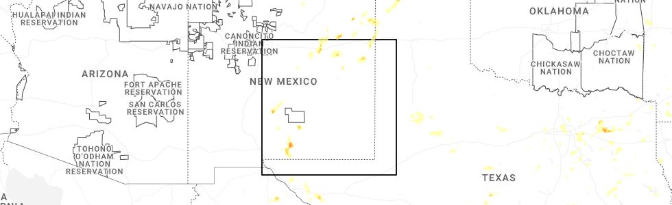
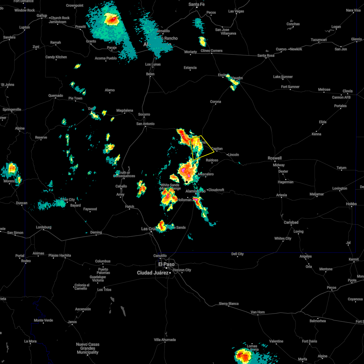
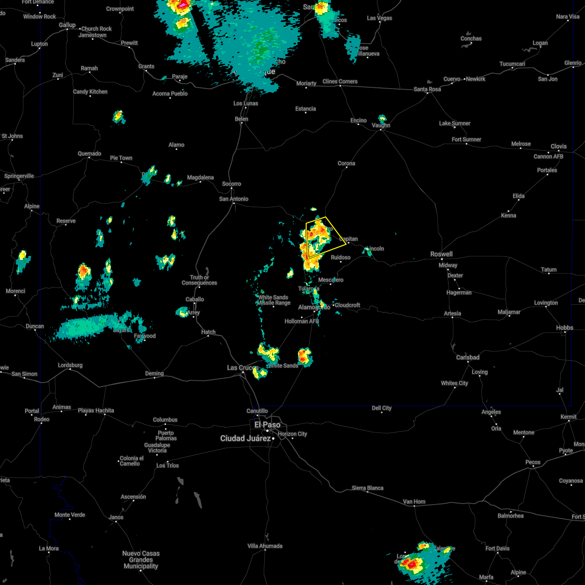
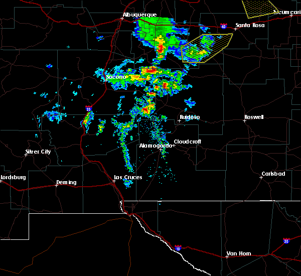
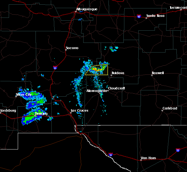
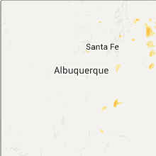
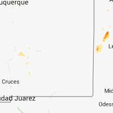
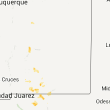
Hail Map for Carrizozo, NM
The Carrizozo, NM area has had 2 reports of on-the-ground hail by trained spotters, and has been under severe weather warnings 5 times during the past 12 months. Doppler radar has detected hail at or near Carrizozo, NM on 22 occasions, including 1 occasion during the past year.
| Name: | Carrizozo, NM |
| Where Located: | 78.4 miles WNW of Roswell, NM |
| Map: | Google Map for Carrizozo, NM |
| Population: | 996 |
| Housing Units: | 558 |
| More Info: | Search Google for Carrizozo, NM |
0
The Top Recent Hail Date for Carrizozo, NM is Tuesday, June 2, 2026 (5th out of 22)
Hail and Wind Damage Spotted near Carrizozo, NM
| Date / Time | Report Details |
|---|---|
| 9/28/2025 4:44 PM MDT | the severe thunderstorm warning has been cancelled and is no longer in effect |
| 9/28/2025 4:30 PM MDT | Svrabq the national weather service in albuquerque has issued a * severe thunderstorm warning for, southwestern lincoln county in central new mexico, * until 515 pm mdt. * at 430 pm mdt, a severe thunderstorm was located 14 miles southwest of bonito lake, or 17 miles west of ruidoso, moving north at 30 mph (radar indicated). Hazards include 60 mph wind gusts and quarter size hail. Hail damage to vehicles is expected. Expect wind damage to roofs, siding, and trees. |
| 9/22/2025 5:14 PM MDT | The storms which prompted the warning have weakened below severe limits, and no longer pose an immediate threat to life or property. therefore, the warning will be allowed to expire. however, gusty winds are still possible with these thunderstorms. |
| 9/22/2025 4:50 PM MDT | Mesonet station wsm30 phillips hill (wsmr in lincoln county NM, 21 miles NE of Carrizozo, NM |
| 9/22/2025 4:50 PM MDT | At 450 pm mdt, severe thunderstorms were located along a line from 12 miles southwest of carrizozo to 34 miles southwest of bonito lake, moving east at 35 mph (radar indicated). Hazards include 60 mph wind gusts and small hail. Expect damage to roofs, siding, and trees. locations impacted include, carrizozo and oscuro. This includes highway 380 between mile markers 64 and 70. |
| 9/22/2025 4:34 PM MDT | Svrabq the national weather service in albuquerque has issued a * severe thunderstorm warning for, southwestern lincoln county in central new mexico, * until 515 pm mdt. * at 434 pm mdt, severe thunderstorms were located along a line from 19 miles west of carrizozo to 40 miles southwest of carrizozo, moving east at 35 mph (radar indicated). Hazards include 60 mph wind gusts and small hail. expect damage to roofs, siding, and trees |
| 7/8/2025 5:39 PM MDT | Mesonet station bchn5 carrizozo 15 nw (chupadera in socorro county NM, 16.9 miles ESE of Carrizozo, NM |
| 7/8/2025 5:15 PM MDT | Mesonet station wsm30 phillips hill (wsmr in lincoln county NM, 21 miles NE of Carrizozo, NM |
| 7/22/2024 7:50 PM MDT | Mesonet station wsm30 phillips hill (wsmr in lincoln county NM, 21 miles NE of Carrizozo, NM |
| 7/25/2021 1:28 PM MDT |
 At 128 pm mdt, a severe thunderstorm was located over bonito lake, or 9 miles north of ruidoso, moving northwest at 10 mph (radar indicated). Hazards include 60 mph wind gusts and quarter size hail. Hail damage to vehicles is expected. Expect wind damage to roofs, siding, and trees. At 128 pm mdt, a severe thunderstorm was located over bonito lake, or 9 miles north of ruidoso, moving northwest at 10 mph (radar indicated). Hazards include 60 mph wind gusts and quarter size hail. Hail damage to vehicles is expected. Expect wind damage to roofs, siding, and trees.
|
| 7/11/2021 6:13 PM MDT |
 At 613 pm mdt, a severe thunderstorm was located over carrizozo, moving southeast at 10 mph (radar indicated). Hazards include 60 mph wind gusts and quarter size hail. Hail damage to vehicles is expected. expect wind damage to roofs, siding, and trees. locations impacted include, carrizozo and nogal. This includes highway 380 between mile markers 55 and 76. At 613 pm mdt, a severe thunderstorm was located over carrizozo, moving southeast at 10 mph (radar indicated). Hazards include 60 mph wind gusts and quarter size hail. Hail damage to vehicles is expected. expect wind damage to roofs, siding, and trees. locations impacted include, carrizozo and nogal. This includes highway 380 between mile markers 55 and 76.
|
| 7/11/2021 5:54 PM MDT | Quarter sized hail reported 1.8 miles E of Carrizozo, NM |
| 7/11/2021 5:48 PM MDT |
 At 547 pm mdt, a severe thunderstorm was located over carrizozo, moving southeast at 10 mph (radar indicated). Hazards include ping pong ball size hail and 60 mph wind gusts. People and animals outdoors will be injured. expect hail damage to roofs, siding, windows, and vehicles. Expect wind damage to roofs, siding, and trees. At 547 pm mdt, a severe thunderstorm was located over carrizozo, moving southeast at 10 mph (radar indicated). Hazards include ping pong ball size hail and 60 mph wind gusts. People and animals outdoors will be injured. expect hail damage to roofs, siding, windows, and vehicles. Expect wind damage to roofs, siding, and trees.
|
| 7/11/2021 5:39 PM MDT |
 The severe thunderstorm warning for southwestern lincoln county will expire at 545 pm mdt, the storm which prompted the warning has weakened below severe limits, and no longer poses an immediate threat to life or property. therefore, the warning will be allowed to expire. however small hail and heavy rain are still possible with this thunderstorm. The severe thunderstorm warning for southwestern lincoln county will expire at 545 pm mdt, the storm which prompted the warning has weakened below severe limits, and no longer poses an immediate threat to life or property. therefore, the warning will be allowed to expire. however small hail and heavy rain are still possible with this thunderstorm.
|
| 7/11/2021 5:20 PM MDT |
 At 520 pm mdt, a severe thunderstorm was located over carrizozo, moving south at 5 mph (radar indicated). Hazards include 60 mph wind gusts and quarter size hail. Hail damage to vehicles is expected. expect wind damage to roofs, siding, and trees. locations impacted include, capitan, carrizozo and nogal. This includes highway 380 between mile markers 54 and 78. At 520 pm mdt, a severe thunderstorm was located over carrizozo, moving south at 5 mph (radar indicated). Hazards include 60 mph wind gusts and quarter size hail. Hail damage to vehicles is expected. expect wind damage to roofs, siding, and trees. locations impacted include, capitan, carrizozo and nogal. This includes highway 380 between mile markers 54 and 78.
|
| 7/11/2021 5:00 PM MDT | Quarter sized hail reported 5.7 miles SE of Carrizozo, NM, valley of fires park |
| 7/11/2021 4:54 PM MDT |
 At 454 pm mdt, a severe thunderstorm was located over carrizozo, moving south at 5 mph (radar indicated). Hazards include ping pong ball size hail and 60 mph wind gusts. People and animals outdoors will be injured. expect hail damage to roofs, siding, windows, and vehicles. Expect wind damage to roofs, siding, and trees. At 454 pm mdt, a severe thunderstorm was located over carrizozo, moving south at 5 mph (radar indicated). Hazards include ping pong ball size hail and 60 mph wind gusts. People and animals outdoors will be injured. expect hail damage to roofs, siding, windows, and vehicles. Expect wind damage to roofs, siding, and trees.
|
| 2/14/2021 10:30 AM MST | Blew four of the huge cargo containers off a train. the containers were empt in lincoln county NM, 2.1 miles ESE of Carrizozo, NM |
| 6/23/2020 5:10 PM MDT | Storm damage reported in lincoln county NM, 5.3 miles S of Carrizozo, NM |
| 6/23/2020 4:46 PM MDT |
 At 446 pm mdt, a severe thunderstorm was located 17 miles northwest of three rivers, or 20 miles west of carrizozo, moving east at 15 mph (radar indicated). Hazards include 60 mph wind gusts and quarter size hail. Hail damage to vehicles is expected. Expect wind damage to roofs, siding, and trees. At 446 pm mdt, a severe thunderstorm was located 17 miles northwest of three rivers, or 20 miles west of carrizozo, moving east at 15 mph (radar indicated). Hazards include 60 mph wind gusts and quarter size hail. Hail damage to vehicles is expected. Expect wind damage to roofs, siding, and trees.
|
| 8/1/2018 7:03 PM MDT |
 At 703 pm mdt, a severe thunderstorm was located near carrizozo, moving east at 20 mph (radar indicated). Hazards include 60 mph wind gusts and half dollar size hail. Hail damage to vehicles is expected. expect wind damage to roofs, siding, and trees. Locations impacted include, carrizozo, nogal and white oaks. At 703 pm mdt, a severe thunderstorm was located near carrizozo, moving east at 20 mph (radar indicated). Hazards include 60 mph wind gusts and half dollar size hail. Hail damage to vehicles is expected. expect wind damage to roofs, siding, and trees. Locations impacted include, carrizozo, nogal and white oaks.
|
| 8/1/2018 6:37 PM MDT |
 At 637 pm mdt, a severe thunderstorm was located 10 miles northwest of carrizozo, moving southeast at 20 mph (radar indicated). Hazards include golf ball size hail and 60 mph wind gusts. People and animals outdoors will be injured. expect hail damage to roofs, siding, windows, and vehicles. Expect wind damage to roofs, siding, and trees. At 637 pm mdt, a severe thunderstorm was located 10 miles northwest of carrizozo, moving southeast at 20 mph (radar indicated). Hazards include golf ball size hail and 60 mph wind gusts. People and animals outdoors will be injured. expect hail damage to roofs, siding, windows, and vehicles. Expect wind damage to roofs, siding, and trees.
|
| 7/31/2018 6:40 PM MDT |
 At 640 pm mdt, a severe thunderstorm was located over carrizozo, moving southwest at 30 mph (radar indicated). Hazards include 60 mph wind gusts and half dollar size hail. Hail damage to vehicles is expected. Expect wind damage to roofs, siding, and trees. At 640 pm mdt, a severe thunderstorm was located over carrizozo, moving southwest at 30 mph (radar indicated). Hazards include 60 mph wind gusts and half dollar size hail. Hail damage to vehicles is expected. Expect wind damage to roofs, siding, and trees.
|
| 10/5/2017 7:55 PM MDT |
 At 755 pm mdt, a severe thunderstorm was located 11 miles southwest of carrizozo, moving east at 40 mph (radar indicated). Hazards include 60 mph wind gusts and half dollar size hail. Hail damage to vehicles is expected. Expect wind damage to roofs, siding, and trees. At 755 pm mdt, a severe thunderstorm was located 11 miles southwest of carrizozo, moving east at 40 mph (radar indicated). Hazards include 60 mph wind gusts and half dollar size hail. Hail damage to vehicles is expected. Expect wind damage to roofs, siding, and trees.
|
| 7/5/2017 3:25 PM MDT | White sands missile range - phillips hil in lincoln county NM, 21 miles NE of Carrizozo, NM |
| 6/20/2017 1:35 PM MDT |
 At 134 pm mdt, a severe thunderstorm was located near jicarilla, or 17 miles northeast of carrizozo, moving northeast at 10 mph (radar indicated). Hazards include 60 mph wind gusts and quarter size hail. Hail damage to vehicles is expected. expect wind damage to roofs, siding, and trees. Locations impacted include, capitan, white oaks, nogal and jicarilla. At 134 pm mdt, a severe thunderstorm was located near jicarilla, or 17 miles northeast of carrizozo, moving northeast at 10 mph (radar indicated). Hazards include 60 mph wind gusts and quarter size hail. Hail damage to vehicles is expected. expect wind damage to roofs, siding, and trees. Locations impacted include, capitan, white oaks, nogal and jicarilla.
|
| 6/20/2017 1:20 PM MDT |
 At 120 pm mdt, a severe thunderstorm was located near white oaks, or 13 miles east of carrizozo, moving northeast at 10 mph (radar indicated). Hazards include 60 mph wind gusts and half dollar size hail. Hail damage to vehicles is expected. Expect wind damage to roofs, siding, and trees. At 120 pm mdt, a severe thunderstorm was located near white oaks, or 13 miles east of carrizozo, moving northeast at 10 mph (radar indicated). Hazards include 60 mph wind gusts and half dollar size hail. Hail damage to vehicles is expected. Expect wind damage to roofs, siding, and trees.
|
| 6/7/2017 5:58 PM MDT |
 At 558 pm mdt, a severe thunderstorm was located near encinoso, or 17 miles east of carrizozo, moving southwest at 15 mph (radar indicated). Hazards include 60 mph wind gusts and quarter size hail. Hail damage to vehicles is expected. Expect wind damage to roofs, siding, and trees. At 558 pm mdt, a severe thunderstorm was located near encinoso, or 17 miles east of carrizozo, moving southwest at 15 mph (radar indicated). Hazards include 60 mph wind gusts and quarter size hail. Hail damage to vehicles is expected. Expect wind damage to roofs, siding, and trees.
|
| 10/6/2015 8:18 PM MDT |
 At 818 pm mdt, a severe thunderstorm was located 10 miles southwest of carrizozo, moving northeast at 25 mph (radar indicated). Hazards include 60 mph wind gusts and quarter size hail. Hail damage to vehicles is expected. expect wind damage to roofs, siding and trees. Locations impacted include, carrizozo and white oaks. At 818 pm mdt, a severe thunderstorm was located 10 miles southwest of carrizozo, moving northeast at 25 mph (radar indicated). Hazards include 60 mph wind gusts and quarter size hail. Hail damage to vehicles is expected. expect wind damage to roofs, siding and trees. Locations impacted include, carrizozo and white oaks.
|
| 10/6/2015 8:00 PM MDT |
 At 759 pm mdt, a severe thunderstorm was located 12 miles north of three rivers, or 16 miles southwest of carrizozo, moving northeast at 30 mph (radar indicated). Hazards include quarter size hail and 60 mph wind gusts. Hail damage to vehicles is expected. Expect wind damage to roofs, siding and trees. At 759 pm mdt, a severe thunderstorm was located 12 miles north of three rivers, or 16 miles southwest of carrizozo, moving northeast at 30 mph (radar indicated). Hazards include quarter size hail and 60 mph wind gusts. Hail damage to vehicles is expected. Expect wind damage to roofs, siding and trees.
|
| 6/19/2015 7:58 PM MDT |
 At 758 pm mdt, a severe thunderstorm was located 10 miles north of three rivers, or 14 miles southwest of carrizozo, moving south at 25 mph (radar indicated). Hazards include 60 mph wind gusts. Expect damage to roofs. siding and trees. Locations impacted include, carrizozo, bonito lake and oscuro. At 758 pm mdt, a severe thunderstorm was located 10 miles north of three rivers, or 14 miles southwest of carrizozo, moving south at 25 mph (radar indicated). Hazards include 60 mph wind gusts. Expect damage to roofs. siding and trees. Locations impacted include, carrizozo, bonito lake and oscuro.
|
| 6/19/2015 7:46 PM MDT |
 At 746 pm mdt, a severe thunderstorm was located 10 miles southwest of carrizozo, moving south at 20 mph (radar indicated). Hazards include 60 mph wind gusts. Expect damage to roofs. Siding and trees. At 746 pm mdt, a severe thunderstorm was located 10 miles southwest of carrizozo, moving south at 20 mph (radar indicated). Hazards include 60 mph wind gusts. Expect damage to roofs. Siding and trees.
|
| 6/13/2015 4:45 PM MDT | White sands missile range - oscura range cam in lincoln county NM, 21.5 miles ENE of Carrizozo, NM |
| 9/29/2014 3:33 PM MDT | Storm damage reported in lincoln county NM, 21.4 miles NE of Carrizozo, NM |
| 7/2/2013 6:30 PM MDT | White sands missile range - oscura range cam in lincoln county NM, 21.5 miles ENE of Carrizozo, NM |
| 7/2/2013 5:50 PM MDT | Chupadera raw in socorro county NM, 16.9 miles ESE of Carrizozo, NM |
| 6/30/2013 6:15 PM MDT | White sands missile range - phillips hil in lincoln county NM, 21 miles NE of Carrizozo, NM |
| 6/30/2013 6:00 PM MDT | White sands missile range - oscura range cam in lincoln county NM, 21.5 miles ENE of Carrizozo, NM |
| 3/8/2013 5:45 PM MST | Several roofs off with uprooted tree in lincoln county NM, 1.8 miles E of Carrizozo, NM |
| 8/23/2012 3:01 PM MDT | White sands missile range - oscura range camp.... white sands missile range - oscura range cam in lincoln county NM, 21.5 miles ENE of Carrizozo, NM |
| 8/18/2012 6:00 PM MDT | White sands missile range - phillips hil in lincoln county NM, 21 miles NE of Carrizozo, NM |
| 5/13/2012 6:53 PM MDT | White sands missile range - phillips hil in lincoln county NM, 21 miles NE of Carrizozo, NM |
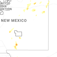
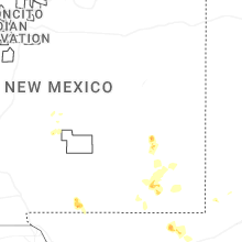
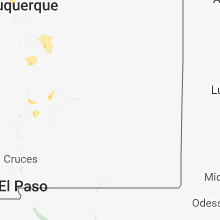
Hail Maps for Carrizozo, NM


Connect with Interactive Hail Maps