

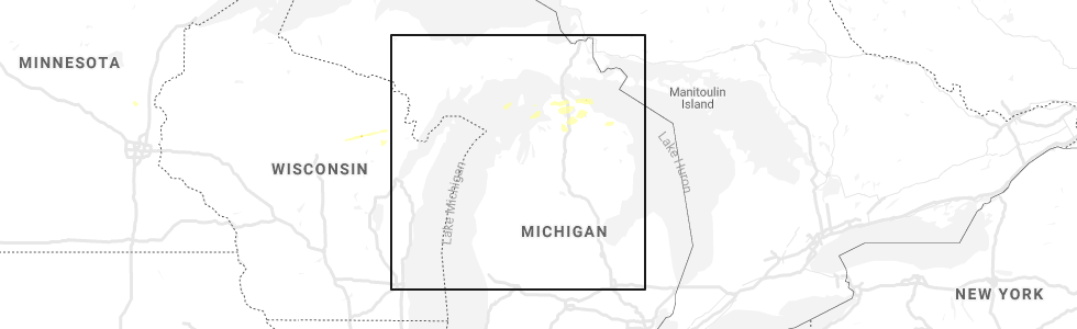
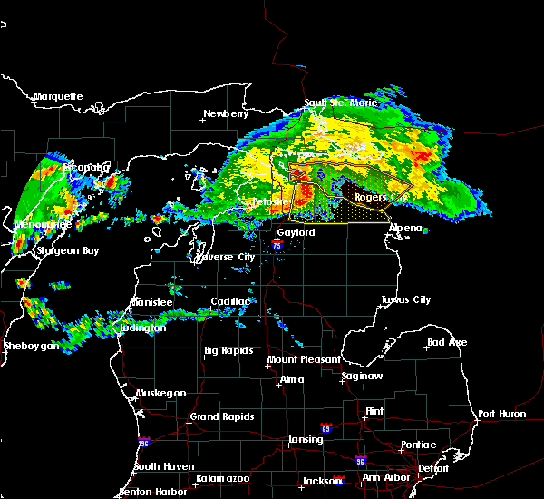
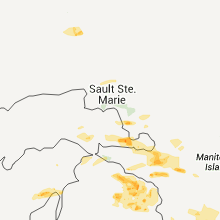
Hail Map for Cheboygan, MI
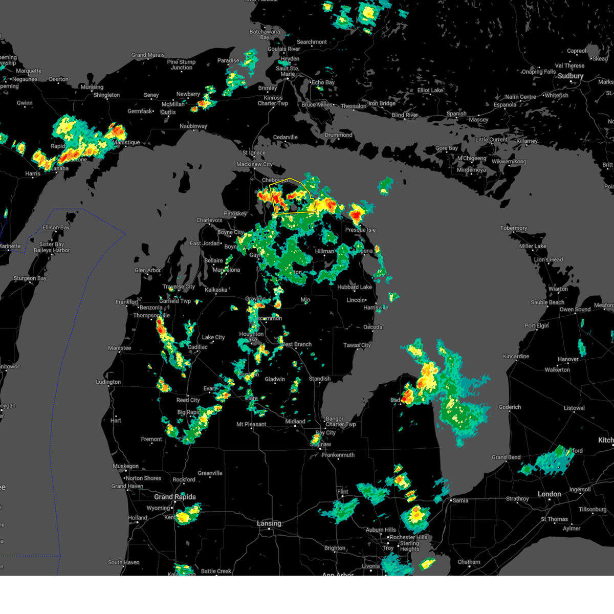
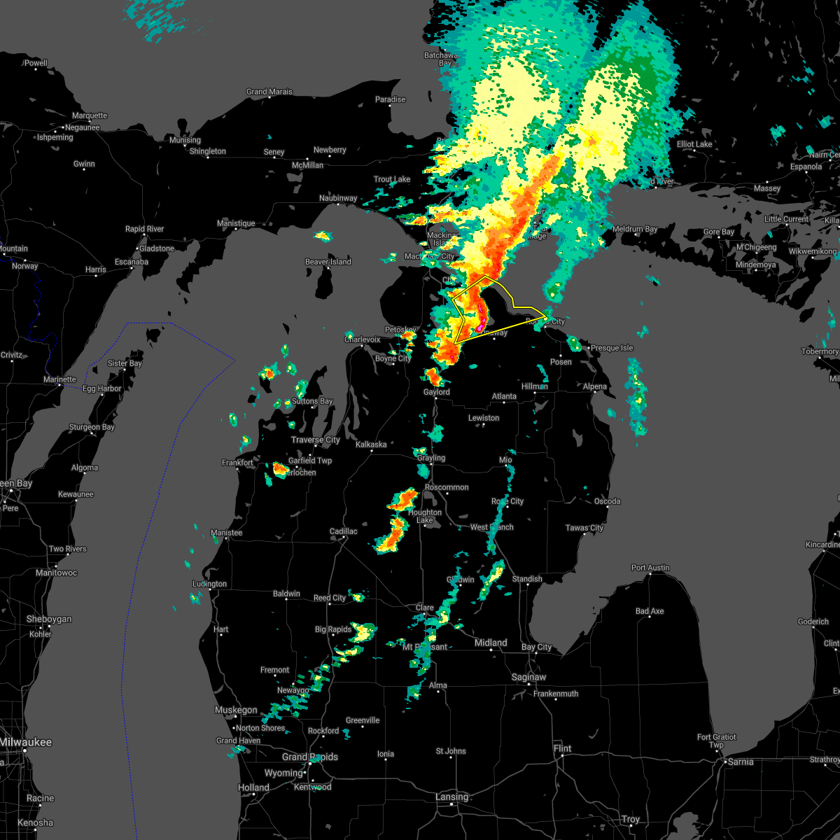
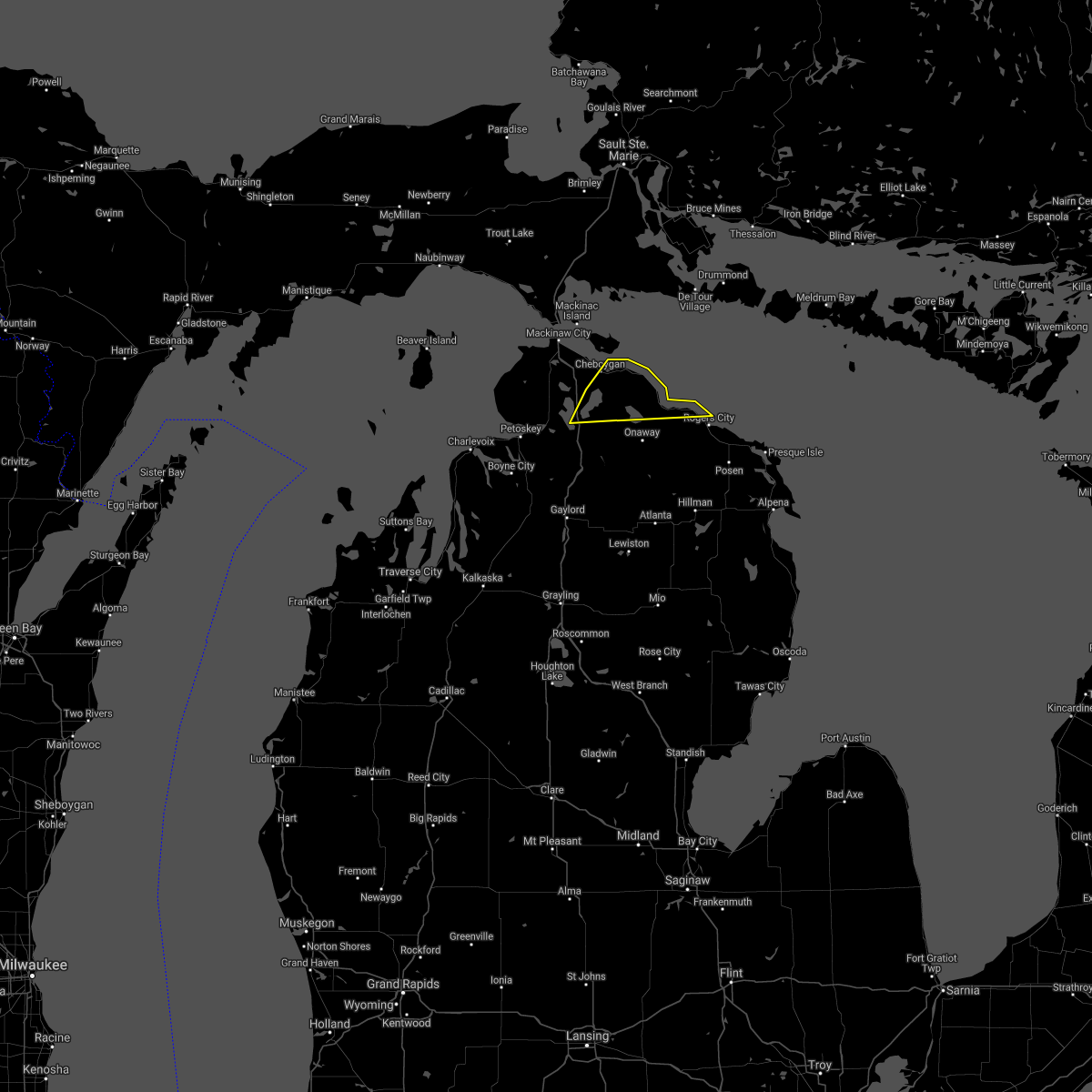
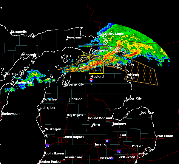
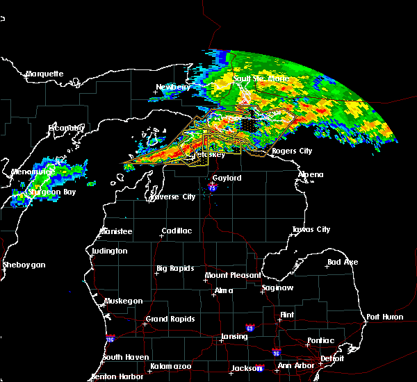
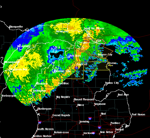
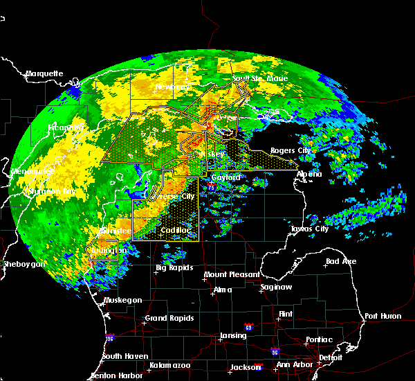
The Cheboygan, MI area has had 0 reports of on-the-ground hail by trained spotters, and has been under severe weather warnings 1 time during the past 12 months. Doppler radar has detected hail at or near Cheboygan, MI on 6 occasions.
| Name: | Cheboygan, MI |
| Where Located: | 58.5 miles S of Sault Sainte Marie, MI |
| Map: | Google Map for Cheboygan, MI |
| Population: | 4867 |
| Housing Units: | 2415 |
| More Info: | Search Google for Cheboygan, MI |
5
The Top Recent Hail Date for Cheboygan, MI is Monday, September 30, 2019 (1st out of 6)
Hail and Wind Damage Spotted near Cheboygan, MI
| Date / Time | Report Details |
|---|---|
| 7/23/2023 4:22 PM EDT |
 At 422 pm edt, a severe thunderstorm was located over alverno, or 7 miles southeast of cheboygan, moving east at 10 mph (radar indicated). Hazards include 60 mph wind gusts and quarter size hail. Hail damage to vehicles is expected. Expect wind damage to roofs, siding, and trees. At 422 pm edt, a severe thunderstorm was located over alverno, or 7 miles southeast of cheboygan, moving east at 10 mph (radar indicated). Hazards include 60 mph wind gusts and quarter size hail. Hail damage to vehicles is expected. Expect wind damage to roofs, siding, and trees.
|
| 5/20/2022 2:52 PM EDT |
 At 251 pm edt, a severe thunderstorm was located 11 miles west of good hart, or 13 miles southeast of saint james on beaver island, moving northeast at 60 mph (radar indicated). Hazards include 60 mph wind gusts and quarter size hail. Hail damage to vehicles is expected. expect wind damage to roofs, siding, and trees. this severe thunderstorm will be near, good hart around 300 pm edt. cross village around 305 pm edt. wilderness state park around 310 pm edt. other locations in the path of this severe thunderstorm include carp lake, bliss, mackinaw city, st. ignace, straits state park, evergreen shores and mackinac island. hail threat, radar indicated max hail size, 1. 00 in wind threat, radar indicated max wind gust, 60 mph. At 251 pm edt, a severe thunderstorm was located 11 miles west of good hart, or 13 miles southeast of saint james on beaver island, moving northeast at 60 mph (radar indicated). Hazards include 60 mph wind gusts and quarter size hail. Hail damage to vehicles is expected. expect wind damage to roofs, siding, and trees. this severe thunderstorm will be near, good hart around 300 pm edt. cross village around 305 pm edt. wilderness state park around 310 pm edt. other locations in the path of this severe thunderstorm include carp lake, bliss, mackinaw city, st. ignace, straits state park, evergreen shores and mackinac island. hail threat, radar indicated max hail size, 1. 00 in wind threat, radar indicated max wind gust, 60 mph.
|
| 9/14/2021 9:22 AM EDT |
 At 921 am edt, severe thunderstorms were located along a line extending from alverno to near black lake to near koehler township, moving northeast at 60 mph (radar indicated). Hazards include 60 mph wind gusts and penny size hail. Expect damage to roofs, siding, and trees. severe thunderstorms will be near, black lake around 925 am edt. nine mile point and onaway state park around 930 am edt. huron beach around 935 am edt. forty mile point and p h hoeft state park around 940 am edt. hail threat, radar indicated max hail size, 0. 75 in wind threat, radar indicated max wind gust, 60 mph. At 921 am edt, severe thunderstorms were located along a line extending from alverno to near black lake to near koehler township, moving northeast at 60 mph (radar indicated). Hazards include 60 mph wind gusts and penny size hail. Expect damage to roofs, siding, and trees. severe thunderstorms will be near, black lake around 925 am edt. nine mile point and onaway state park around 930 am edt. huron beach around 935 am edt. forty mile point and p h hoeft state park around 940 am edt. hail threat, radar indicated max hail size, 0. 75 in wind threat, radar indicated max wind gust, 60 mph.
|
| 8/29/2021 2:20 PM EDT |
 At 220 pm edt, severe thunderstorms were located along a line extending from near cheboygan to near brutus to reasoners corner, moving east at 35 mph (radar indicated). Hazards include 60 mph wind gusts. Expect damage to roofs, siding, and trees. locations impacted include, cheboygan, cheboygan state park, mullet lake, aloha, aloha state park, alverno, afton, koehler township and nine mile point. hail threat, radar indicated max hail size, <. 75 in wind threat, radar indicated max wind gust, 60 mph. At 220 pm edt, severe thunderstorms were located along a line extending from near cheboygan to near brutus to reasoners corner, moving east at 35 mph (radar indicated). Hazards include 60 mph wind gusts. Expect damage to roofs, siding, and trees. locations impacted include, cheboygan, cheboygan state park, mullet lake, aloha, aloha state park, alverno, afton, koehler township and nine mile point. hail threat, radar indicated max hail size, <. 75 in wind threat, radar indicated max wind gust, 60 mph.
|
| 8/29/2021 1:58 PM EDT |
 At 158 pm edt, severe thunderstorms were located along a line extending from near levering to near pleasant view to near bayshore, moving east at 40 mph (radar indicated). Hazards include 60 mph wind gusts. Expect damage to roofs, siding, and trees. severe thunderstorms will be near, carp lake and levering around 205 pm edt. pellston and brutus around 210 pm edt. other locations in the path of these severe thunderstorms include cheboygan, reasoners corner, alanson, burt lake, mullet lake, burt lake state park, indian river, topinabee, alverno, cheboygan state park, aloha, aloha state park, nine mile point and koehler township. hail threat, radar indicated max hail size, <. 75 in wind threat, radar indicated max wind gust, 60 mph. At 158 pm edt, severe thunderstorms were located along a line extending from near levering to near pleasant view to near bayshore, moving east at 40 mph (radar indicated). Hazards include 60 mph wind gusts. Expect damage to roofs, siding, and trees. severe thunderstorms will be near, carp lake and levering around 205 pm edt. pellston and brutus around 210 pm edt. other locations in the path of these severe thunderstorms include cheboygan, reasoners corner, alanson, burt lake, mullet lake, burt lake state park, indian river, topinabee, alverno, cheboygan state park, aloha, aloha state park, nine mile point and koehler township. hail threat, radar indicated max hail size, <. 75 in wind threat, radar indicated max wind gust, 60 mph.
|
| 8/11/2021 5:56 PM EDT |
 At 556 pm edt, severe thunderstorms were located along a line extending from near cheboygan state park to near koehler township, moving east at 55 mph (radar indicated). Hazards include 60 mph wind gusts. Expect damage to roofs, siding, and trees. locations impacted include, black lake, nine mile point, huron beach, forty mile point and p h hoeft state park. hail threat, radar indicated max hail size, <. 75 in wind threat, radar indicated max wind gust, 60 mph. At 556 pm edt, severe thunderstorms were located along a line extending from near cheboygan state park to near koehler township, moving east at 55 mph (radar indicated). Hazards include 60 mph wind gusts. Expect damage to roofs, siding, and trees. locations impacted include, black lake, nine mile point, huron beach, forty mile point and p h hoeft state park. hail threat, radar indicated max hail size, <. 75 in wind threat, radar indicated max wind gust, 60 mph.
|
| 8/11/2021 5:43 PM EDT |
 At 543 pm edt, severe thunderstorms were located along a line extending from 6 miles southwest of point aux pins on to burt lake, moving east at 55 mph (radar indicated). Hazards include 60 mph wind gusts. Expect damage to roofs, siding, and trees. severe thunderstorms will be near, cheboygan and cheboygan state park around 550 pm edt. mullet lake around 555 pm edt. aloha, aloha state park, nine mile point and alverno around 600 pm edt. other locations in the path of these severe thunderstorms include black lake, huron beach, forty mile point and p h hoeft state park. hail threat, radar indicated max hail size, <. 75 in wind threat, radar indicated max wind gust, 60 mph. At 543 pm edt, severe thunderstorms were located along a line extending from 6 miles southwest of point aux pins on to burt lake, moving east at 55 mph (radar indicated). Hazards include 60 mph wind gusts. Expect damage to roofs, siding, and trees. severe thunderstorms will be near, cheboygan and cheboygan state park around 550 pm edt. mullet lake around 555 pm edt. aloha, aloha state park, nine mile point and alverno around 600 pm edt. other locations in the path of these severe thunderstorms include black lake, huron beach, forty mile point and p h hoeft state park. hail threat, radar indicated max hail size, <. 75 in wind threat, radar indicated max wind gust, 60 mph.
|
| 8/11/2021 5:16 PM EDT |
 At 515 pm edt, a severe thunderstorm was located near nine mile point, or 11 miles northeast of cheboygan, moving east at 50 mph. a new storm is moving in from the west, this new storm produced a 45 mph gust at pellston airport (radar indicated). Hazards include 60 mph wind gusts. Expect damage to roofs, siding, and trees. This severe thunderstorm will remain over mainly rural areas of northern cheboygan county, including the following locations, riggsville. At 515 pm edt, a severe thunderstorm was located near nine mile point, or 11 miles northeast of cheboygan, moving east at 50 mph. a new storm is moving in from the west, this new storm produced a 45 mph gust at pellston airport (radar indicated). Hazards include 60 mph wind gusts. Expect damage to roofs, siding, and trees. This severe thunderstorm will remain over mainly rural areas of northern cheboygan county, including the following locations, riggsville.
|
| 8/11/2021 4:54 PM EDT |
 At 454 pm edt, a severe thunderstorm was located 7 miles west of cheboygan, moving east at 50 mph (radar indicated). Hazards include 60 mph wind gusts. Expect damage to roofs, siding, and trees. this severe thunderstorm will be near, cheboygan around 500 pm edt. Cheboygan state park around 505 pm edt. At 454 pm edt, a severe thunderstorm was located 7 miles west of cheboygan, moving east at 50 mph (radar indicated). Hazards include 60 mph wind gusts. Expect damage to roofs, siding, and trees. this severe thunderstorm will be near, cheboygan around 500 pm edt. Cheboygan state park around 505 pm edt.
|
| 9/26/2020 2:57 AM EDT |
 At 257 am edt, a severe thunderstorm was located near mullet lake, or near cheboygan, moving east at 40 mph (radar indicated). Hazards include quarter size hail. Damage to vehicles is possible. Locations impacted include, cheboygan, cheboygan state park, mullet lake, alverno and riggsville. At 257 am edt, a severe thunderstorm was located near mullet lake, or near cheboygan, moving east at 40 mph (radar indicated). Hazards include quarter size hail. Damage to vehicles is possible. Locations impacted include, cheboygan, cheboygan state park, mullet lake, alverno and riggsville.
|
| 9/26/2020 2:32 AM EDT |
 At 231 am edt, a severe thunderstorm was located near bliss, or 8 miles northwest of pellston, moving east at 40 mph (radar indicated). Hazards include quarter size hail. damage to vehicles is possible At 231 am edt, a severe thunderstorm was located near bliss, or 8 miles northwest of pellston, moving east at 40 mph (radar indicated). Hazards include quarter size hail. damage to vehicles is possible
|
| 7/19/2020 5:26 AM EDT |
 At 525 am edt, severe thunderstorms were located along a line extending from 6 miles north of torch lake to near omena, moving east at 40 mph (radar indicated). Hazards include 60 mph wind gusts and quarter size hail. Hail damage to vehicles is expected. Expect wind damage to roofs, siding, and trees. At 525 am edt, severe thunderstorms were located along a line extending from 6 miles north of torch lake to near omena, moving east at 40 mph (radar indicated). Hazards include 60 mph wind gusts and quarter size hail. Hail damage to vehicles is expected. Expect wind damage to roofs, siding, and trees.
|
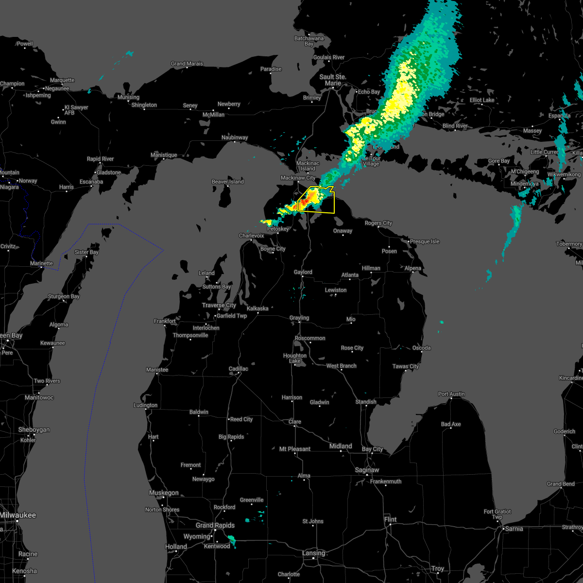
| 7/18/2020 10:35 AM EDT |
 At 1034 am edt, a severe thunderstorm was located near point aux pins on, or near mackinaw city, moving east at 50 mph (radar indicated). Hazards include 60 mph wind gusts. Expect damage to roofs, siding, and trees. Locations impacted include, cheboygan, mackinaw city, mackinac island, cheboygan state park and point aux pins on. At 1034 am edt, a severe thunderstorm was located near point aux pins on, or near mackinaw city, moving east at 50 mph (radar indicated). Hazards include 60 mph wind gusts. Expect damage to roofs, siding, and trees. Locations impacted include, cheboygan, mackinaw city, mackinac island, cheboygan state park and point aux pins on.
|
| 7/18/2020 10:20 AM EDT |
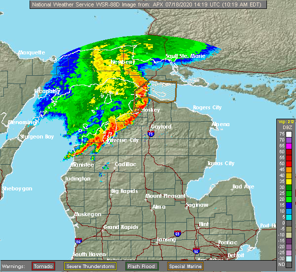 At 1020 am edt, a severe thunderstorm was located over bliss, or 7 miles southwest of mackinaw city, moving east at 50 mph (radar indicated). Hazards include 60 mph wind gusts. expect damage to roofs, siding, and trees At 1020 am edt, a severe thunderstorm was located over bliss, or 7 miles southwest of mackinaw city, moving east at 50 mph (radar indicated). Hazards include 60 mph wind gusts. expect damage to roofs, siding, and trees
|
| 5/25/2020 4:01 PM EDT |
 At 349 pm edt, a severe thunderstorm was located near alverno and aloha, moving northeast at 15 mph (radar indicated). Hazards include half dollar size hail. damage to vehicles is expected At 349 pm edt, a severe thunderstorm was located near alverno and aloha, moving northeast at 15 mph (radar indicated). Hazards include half dollar size hail. damage to vehicles is expected
|
| 5/25/2020 3:50 PM EDT |
 At 349 pm edt, a severe thunderstorm was located near alverno and aloha, moving northeast at 15 mph (radar indicated). Hazards include half dollar size hail. damage to vehicles is expected At 349 pm edt, a severe thunderstorm was located near alverno and aloha, moving northeast at 15 mph (radar indicated). Hazards include half dollar size hail. damage to vehicles is expected
|
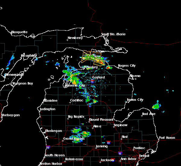
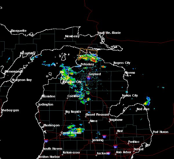
| 9/30/2019 4:38 PM EDT |
 The severe thunderstorm warning for cheboygan county will expire at 445 pm edt, the storms which prompted the warning have moved out of the area. therefore, the warning will be allowed to expire. The severe thunderstorm warning for cheboygan county will expire at 445 pm edt, the storms which prompted the warning have moved out of the area. therefore, the warning will be allowed to expire.
|
| 9/30/2019 4:07 PM EDT |
 At 407 pm edt, severe thunderstorms were located along a line extending from near cheboygan state park to near oden, moving east at 50 mph (radar indicated). Hazards include 60 mph wind gusts and penny size hail. Expect damage to roofs, siding, and trees. Locations impacted include, cheboygan, indian river, aloha, wolverine, aloha state park, topinabee, burt lake state park, afton, nine mile point, koehler township, black lake, alverno, burt lake, tower, mullet lake and pigeon river state forest. At 407 pm edt, severe thunderstorms were located along a line extending from near cheboygan state park to near oden, moving east at 50 mph (radar indicated). Hazards include 60 mph wind gusts and penny size hail. Expect damage to roofs, siding, and trees. Locations impacted include, cheboygan, indian river, aloha, wolverine, aloha state park, topinabee, burt lake state park, afton, nine mile point, koehler township, black lake, alverno, burt lake, tower, mullet lake and pigeon river state forest.
|
| 9/30/2019 3:47 PM EDT |
 At 347 pm edt, severe thunderstorms were located along a line extending from near point aux pins on to horton bay, moving southeast at 55 mph (radar indicated). Hazards include 60 mph wind gusts and penny size hail. expect damage to roofs, siding, and trees At 347 pm edt, severe thunderstorms were located along a line extending from near point aux pins on to horton bay, moving southeast at 55 mph (radar indicated). Hazards include 60 mph wind gusts and penny size hail. expect damage to roofs, siding, and trees
|
| 9/30/2019 3:27 PM EDT |
 At 327 pm edt, severe thunderstorms were located along a line extending from 7 miles north of wilderness state park to 14 miles northwest of fishermans island state park, moving southeast at 50 mph (radar indicated). Hazards include 60 mph wind gusts and penny size hail. expect damage to roofs, siding, and trees At 327 pm edt, severe thunderstorms were located along a line extending from 7 miles north of wilderness state park to 14 miles northwest of fishermans island state park, moving southeast at 50 mph (radar indicated). Hazards include 60 mph wind gusts and penny size hail. expect damage to roofs, siding, and trees
|
| 9/30/2019 3:20 PM EDT |
 At 320 pm edt, a severe thunderstorm was located over levering, or near pellston, moving east at 40 mph (radar indicated). Hazards include 60 mph wind gusts and quarter size hail. Hail damage to vehicles is expected. Expect wind damage to roofs, siding, and trees. At 320 pm edt, a severe thunderstorm was located over levering, or near pellston, moving east at 40 mph (radar indicated). Hazards include 60 mph wind gusts and quarter size hail. Hail damage to vehicles is expected. Expect wind damage to roofs, siding, and trees.
|
| 8/28/2018 2:16 AM EDT |
 At 215 am edt, severe thunderstorms were located along a line extending from 10 miles southwest of saint marys river to near johannesburg, moving east at 60 mph (radar indicated. at 155 am, wind gusts to 59 mph were reported at harbor springs). Hazards include 60 mph wind gusts. Expect damage to roofs, siding, and trees. Locations impacted include, cheboygan, rogers city, onaway, mackinaw city, presque isle light, indian river, presque isle, aloha, ocqueoc, metz, wolverine, posen, millersburg, tomahawk creek flooding, aloha state park, hawks, thompsons harbor state park, bisma township, alverno and burt lake. At 215 am edt, severe thunderstorms were located along a line extending from 10 miles southwest of saint marys river to near johannesburg, moving east at 60 mph (radar indicated. at 155 am, wind gusts to 59 mph were reported at harbor springs). Hazards include 60 mph wind gusts. Expect damage to roofs, siding, and trees. Locations impacted include, cheboygan, rogers city, onaway, mackinaw city, presque isle light, indian river, presque isle, aloha, ocqueoc, metz, wolverine, posen, millersburg, tomahawk creek flooding, aloha state park, hawks, thompsons harbor state park, bisma township, alverno and burt lake.
|
| 8/28/2018 1:47 AM EDT |
 At 147 am edt, severe thunderstorms were located along a line extending from near mackinac island to near jordan township, moving east at 60 mph (radar indicated). Hazards include 60 mph wind gusts. expect damage to roofs, siding, and trees At 147 am edt, severe thunderstorms were located along a line extending from near mackinac island to near jordan township, moving east at 60 mph (radar indicated). Hazards include 60 mph wind gusts. expect damage to roofs, siding, and trees
|
| 6/11/2017 5:07 PM EDT |
 At 507 pm edt, severe thunderstorms were located along a line extending from 7 miles east of munuscong to near saint marys river to 12 miles east of nine mile point to onaway, moving east at 50 mph (radar indicated). Hazards include 70 mph wind gusts and penny size hail. Expect considerable tree damage. damage is likely to mobile homes, roofs, and outbuildings. Locations impacted include, cheboygan, drummond island, false detour channel, saint marys river, potagannissing bay, cheboygan state park, detour village, goetzville, nine mile point and raber. At 507 pm edt, severe thunderstorms were located along a line extending from 7 miles east of munuscong to near saint marys river to 12 miles east of nine mile point to onaway, moving east at 50 mph (radar indicated). Hazards include 70 mph wind gusts and penny size hail. Expect considerable tree damage. damage is likely to mobile homes, roofs, and outbuildings. Locations impacted include, cheboygan, drummond island, false detour channel, saint marys river, potagannissing bay, cheboygan state park, detour village, goetzville, nine mile point and raber.
|
| 6/11/2017 5:03 PM EDT | A couple large trees down... including one on a vehicle. time estimate in cheboygan county MI, 14.2 miles NW of Cheboygan, MI |
| 6/11/2017 5:02 PM EDT | Trees down at black lake campground. relayed via law enforcemen in cheboygan county MI, 14.9 miles NW of Cheboygan, MI |
| 6/11/2017 4:55 PM EDT | Picture relayed via social media of roof damage at aloha township fire hall. time estimate in cheboygan county MI, 10.3 miles N of Cheboygan, MI |
| 6/11/2017 4:48 PM EDT |
 At 447 pm edt, severe thunderstorms were located along a line extending from near kinross to 7 miles south of cedarville to near cheboygan state park, moving east at 55 mph (radar indicated. at 438 pm edt...60 mph wind was reported on mackinac island). Hazards include 70 mph wind gusts and penny size hail. Expect considerable tree damage. Damage is likely to mobile homes, roofs, and outbuildings. At 447 pm edt, severe thunderstorms were located along a line extending from near kinross to 7 miles south of cedarville to near cheboygan state park, moving east at 55 mph (radar indicated. at 438 pm edt...60 mph wind was reported on mackinac island). Hazards include 70 mph wind gusts and penny size hail. Expect considerable tree damage. Damage is likely to mobile homes, roofs, and outbuildings.
|
| 6/11/2017 4:40 PM EDT |
 At 439 pm edt, severe thunderstorms were located along a line extending from 9 miles south of rudyard to 6 miles northeast of mackinac island to 6 miles east of carp lake to petoskey, moving east at 50 mph (radar indicated). Hazards include 60 mph wind gusts and penny size hail. Expect damage to roofs, siding, and trees. locations impacted include, cheboygan, st. Ignace, harbor springs, pellston, mackinaw city, mackinac island, indian river, moran, aloha, carp lake, alanson, bliss, cross village, cedarville, aloha state park, good hart, hessel, stutsmanville, straits state park and cheboygan state park. At 439 pm edt, severe thunderstorms were located along a line extending from 9 miles south of rudyard to 6 miles northeast of mackinac island to 6 miles east of carp lake to petoskey, moving east at 50 mph (radar indicated). Hazards include 60 mph wind gusts and penny size hail. Expect damage to roofs, siding, and trees. locations impacted include, cheboygan, st. Ignace, harbor springs, pellston, mackinaw city, mackinac island, indian river, moran, aloha, carp lake, alanson, bliss, cross village, cedarville, aloha state park, good hart, hessel, stutsmanville, straits state park and cheboygan state park.
|
| 6/11/2017 4:20 PM EDT |
 At 420 pm edt, severe thunderstorms were located along a line extending from near brevort to 6 miles northwest of wilderness state park to near good hart to 8 miles north of grand traverse light, moving northeast at 55 mph (radar indicated). Hazards include 60 mph wind gusts and penny size hail. expect damage to roofs, siding, and trees At 420 pm edt, severe thunderstorms were located along a line extending from near brevort to 6 miles northwest of wilderness state park to near good hart to 8 miles north of grand traverse light, moving northeast at 55 mph (radar indicated). Hazards include 60 mph wind gusts and penny size hail. expect damage to roofs, siding, and trees
|
| 7/8/2016 1:22 PM EDT |
 At 121 pm edt, a severe thunderstorm was located near point aux pins on, or near mackinaw city, moving east at 55 mph (radar indicated). Hazards include two inch hail and 60 mph wind gusts. People and animals outdoors will be injured. expect hail damage to roofs, siding, windows, and vehicles. Expect wind damage to roofs, siding, and trees. At 121 pm edt, a severe thunderstorm was located near point aux pins on, or near mackinaw city, moving east at 55 mph (radar indicated). Hazards include two inch hail and 60 mph wind gusts. People and animals outdoors will be injured. expect hail damage to roofs, siding, windows, and vehicles. Expect wind damage to roofs, siding, and trees.
|
| 5/26/2016 4:55 PM EDT |
 At 454 pm edt, a severe thunderstorm was located over alanson, or 7 miles west of indian river, moving northeast at 35 mph (radar indicated). Hazards include 60 mph wind gusts and penny size hail. Expect damage to roofs. siding. And trees. At 454 pm edt, a severe thunderstorm was located over alanson, or 7 miles west of indian river, moving northeast at 35 mph (radar indicated). Hazards include 60 mph wind gusts and penny size hail. Expect damage to roofs. siding. And trees.
|
| 8/2/2015 10:34 AM EDT |
 At 1034 am edt, severe thunderstorms were located along a line extending from near nine mile point to near onaway state park to near wolverine, moving east at 70 mph (radar indicated). Hazards include 60 mph wind gusts and penny size hail. Expect damage to roofs. Siding and trees. At 1034 am edt, severe thunderstorms were located along a line extending from near nine mile point to near onaway state park to near wolverine, moving east at 70 mph (radar indicated). Hazards include 60 mph wind gusts and penny size hail. Expect damage to roofs. Siding and trees.
|
| 1/1/0001 12:00 AM | 2 trees and powerlines down. one of the trees down onto a garag in cheboygan county MI, 0.6 miles NNE of Cheboygan, MI |
Hail Maps for Cheboygan, MI


Connect with Interactive Hail Maps