

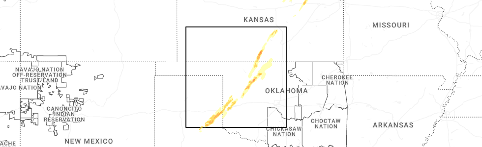
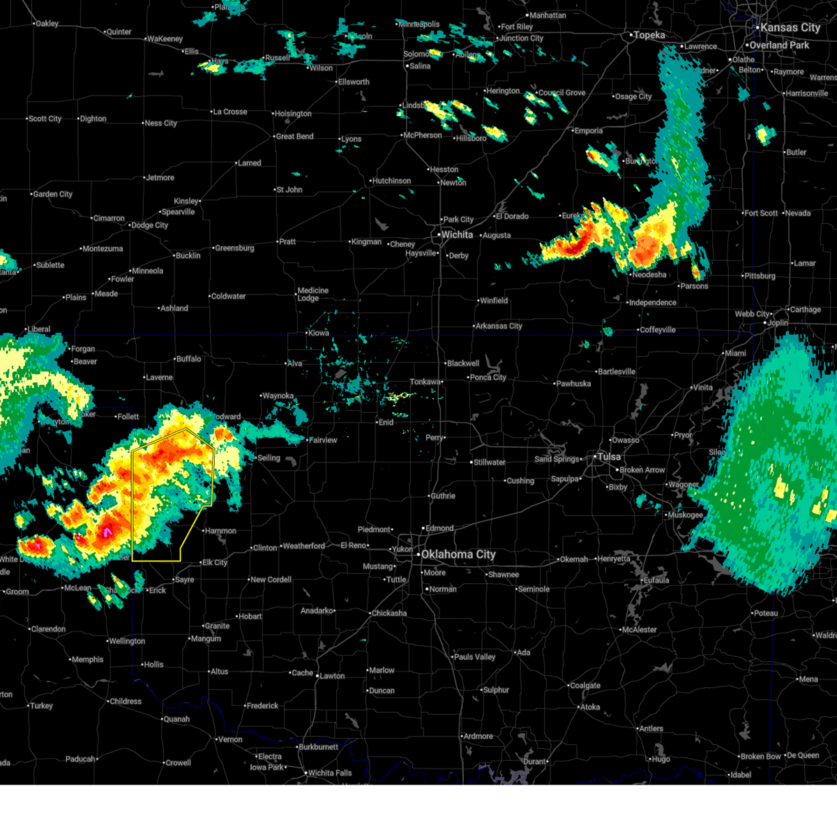
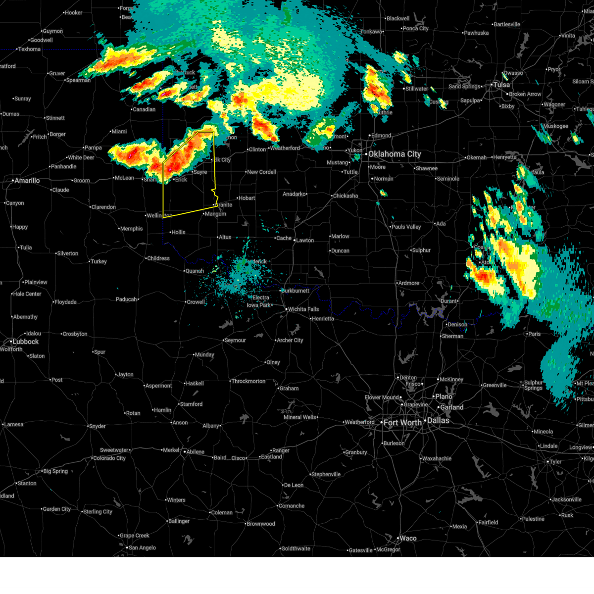
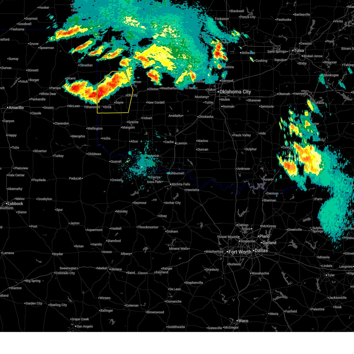
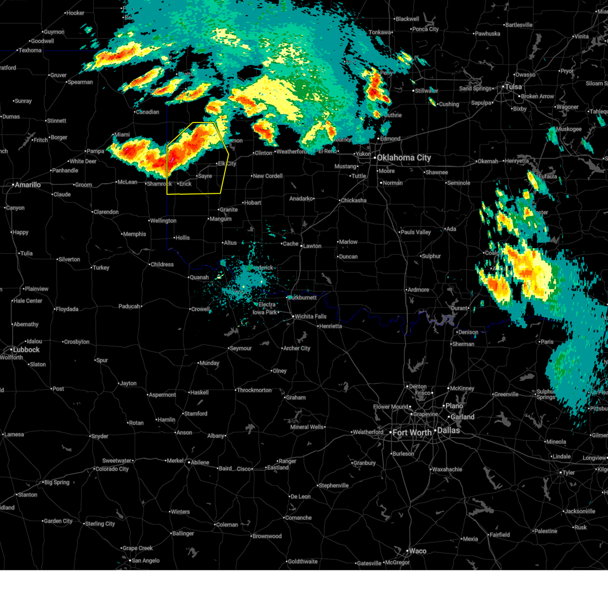
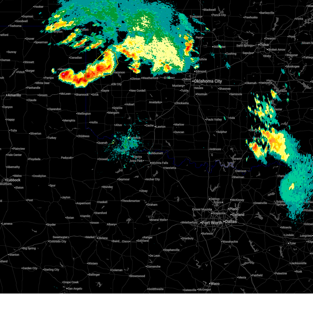
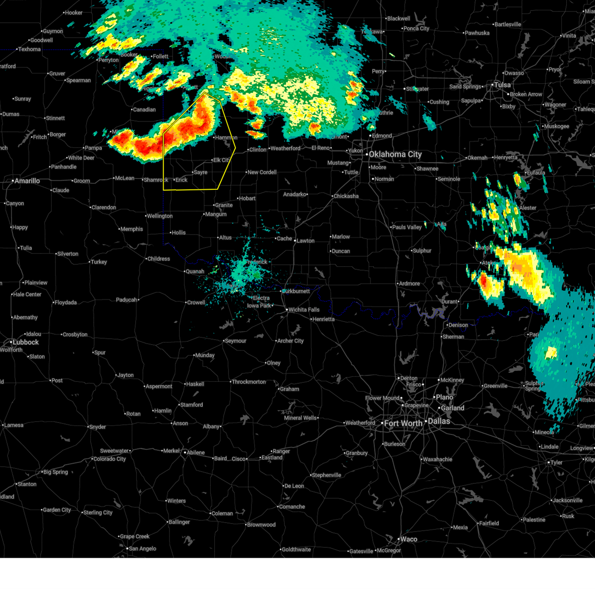
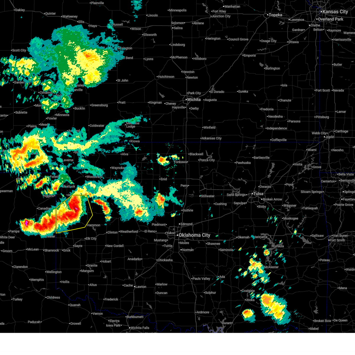
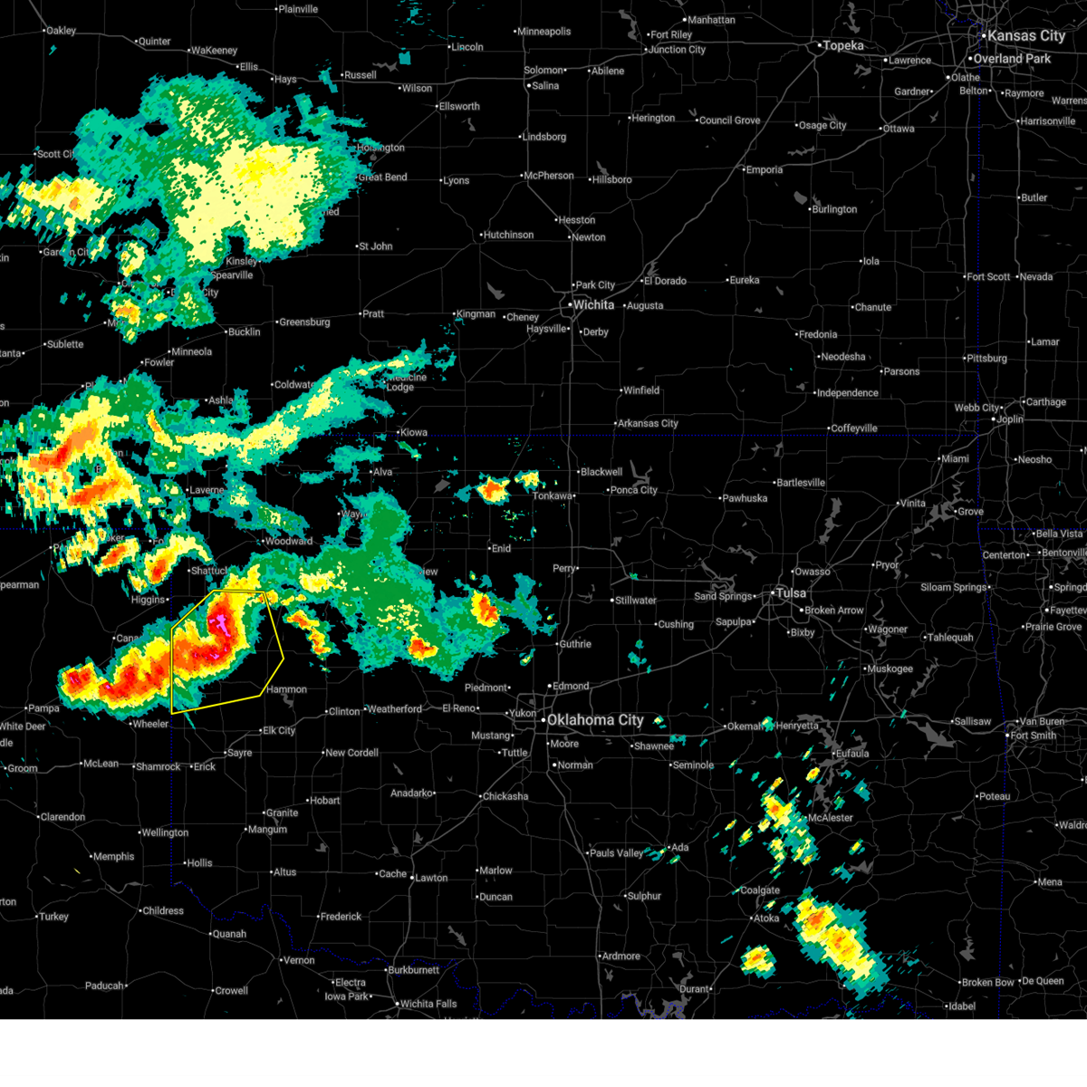
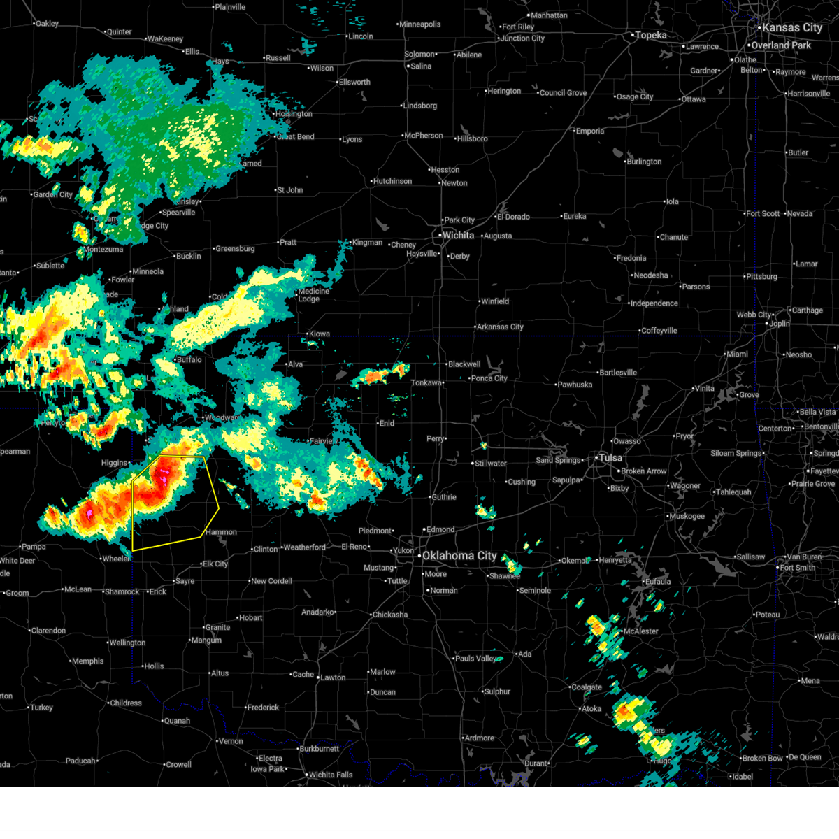
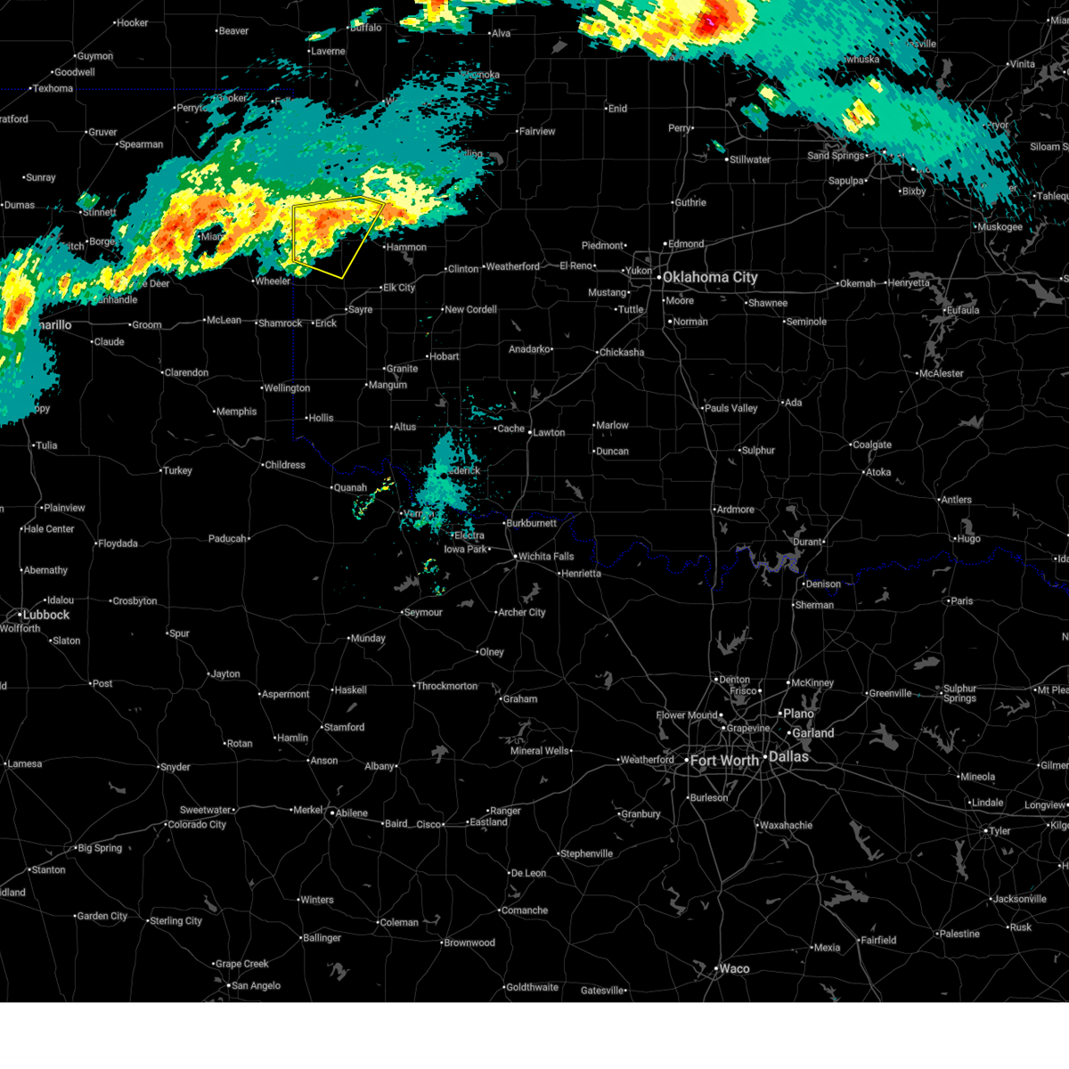
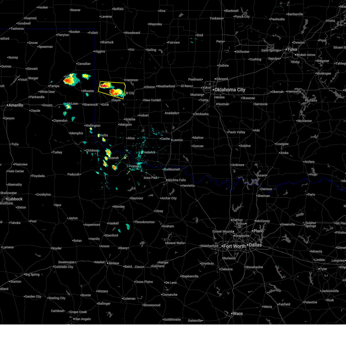
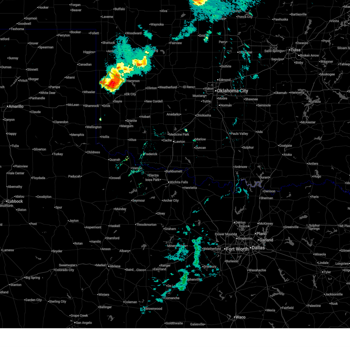
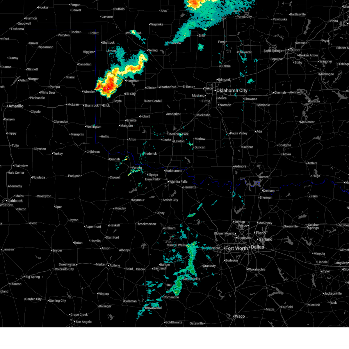
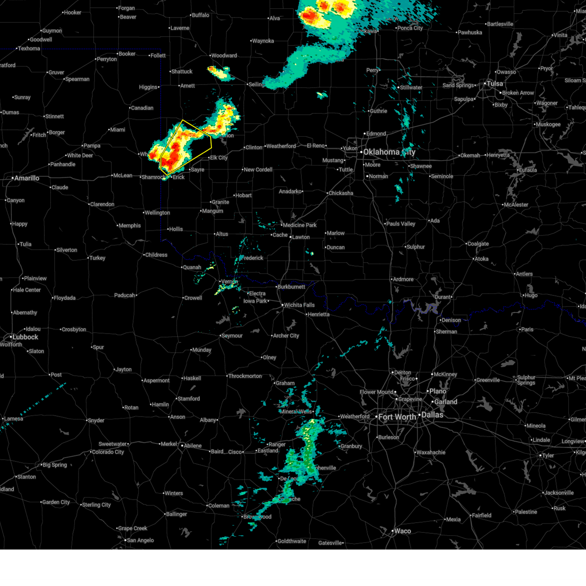
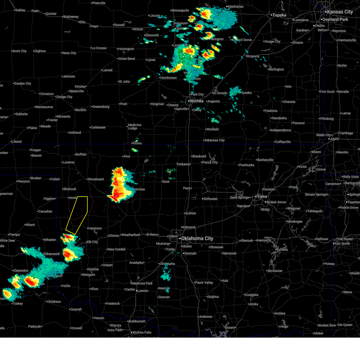
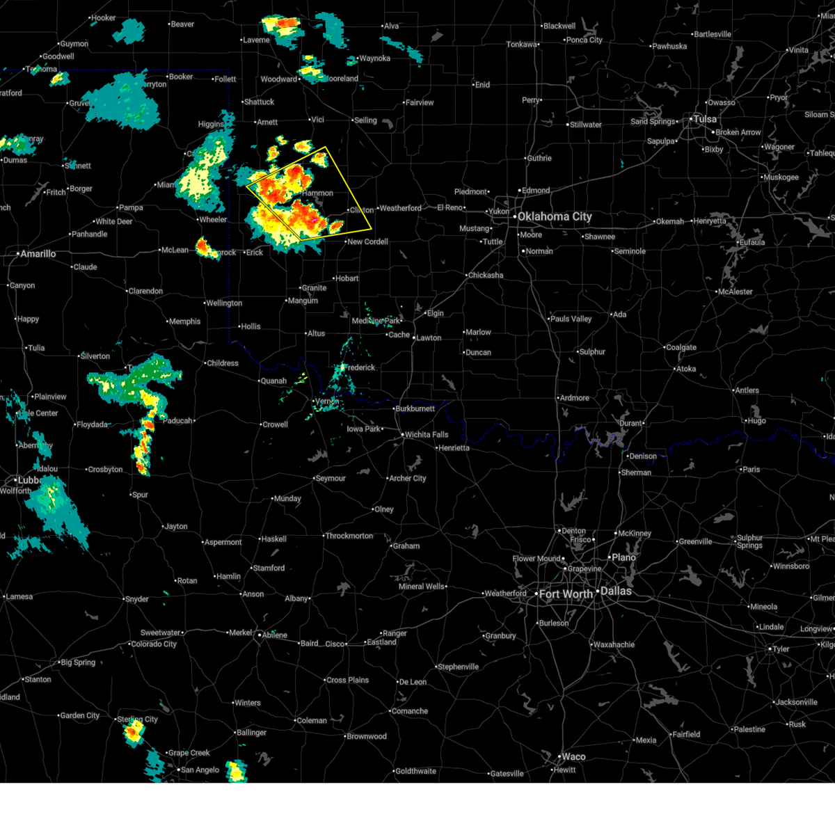
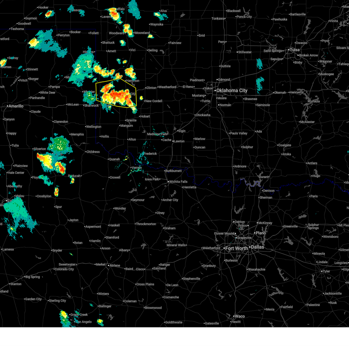
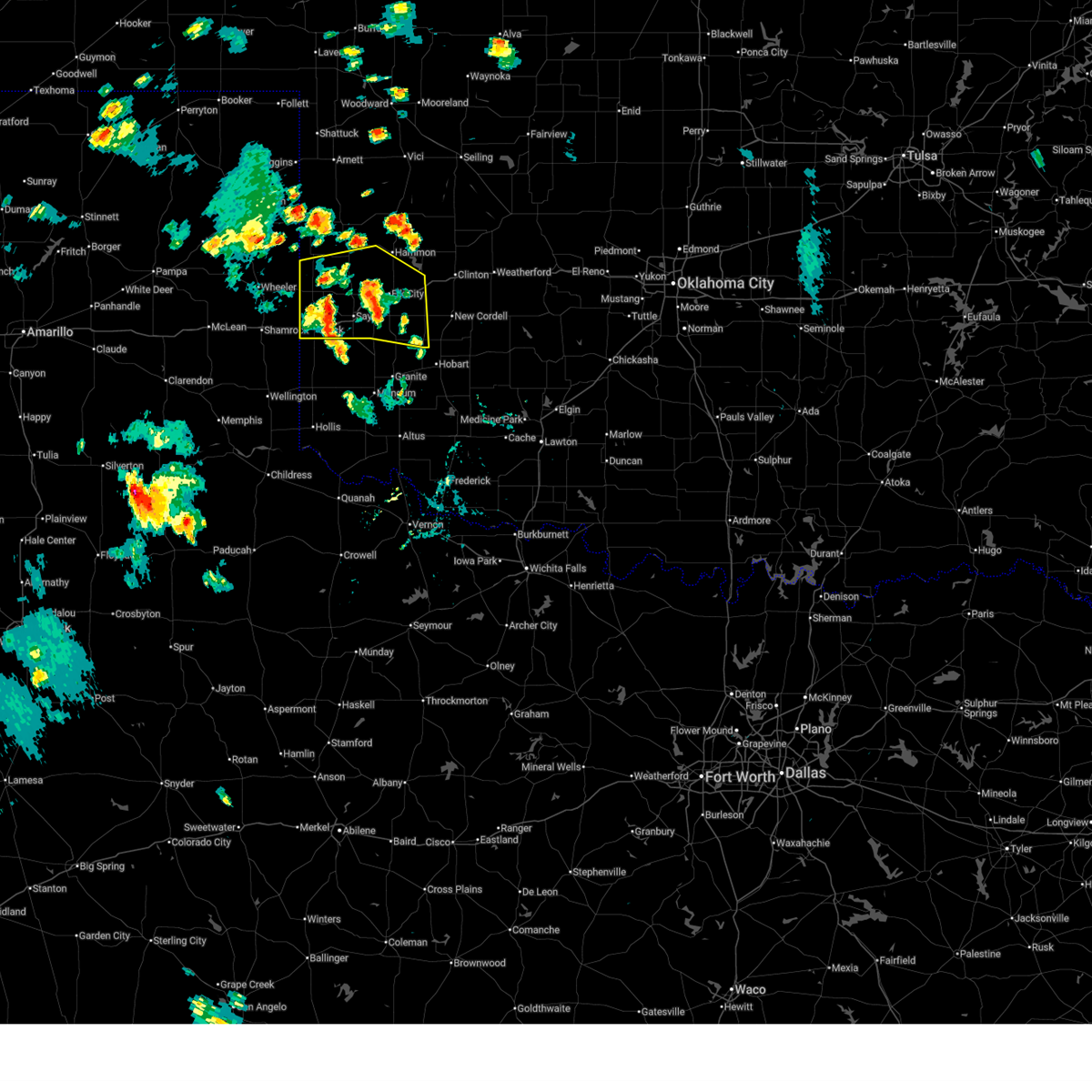
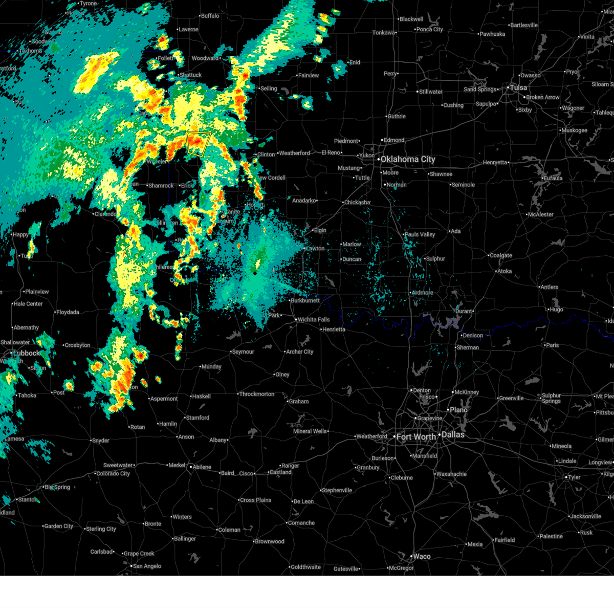
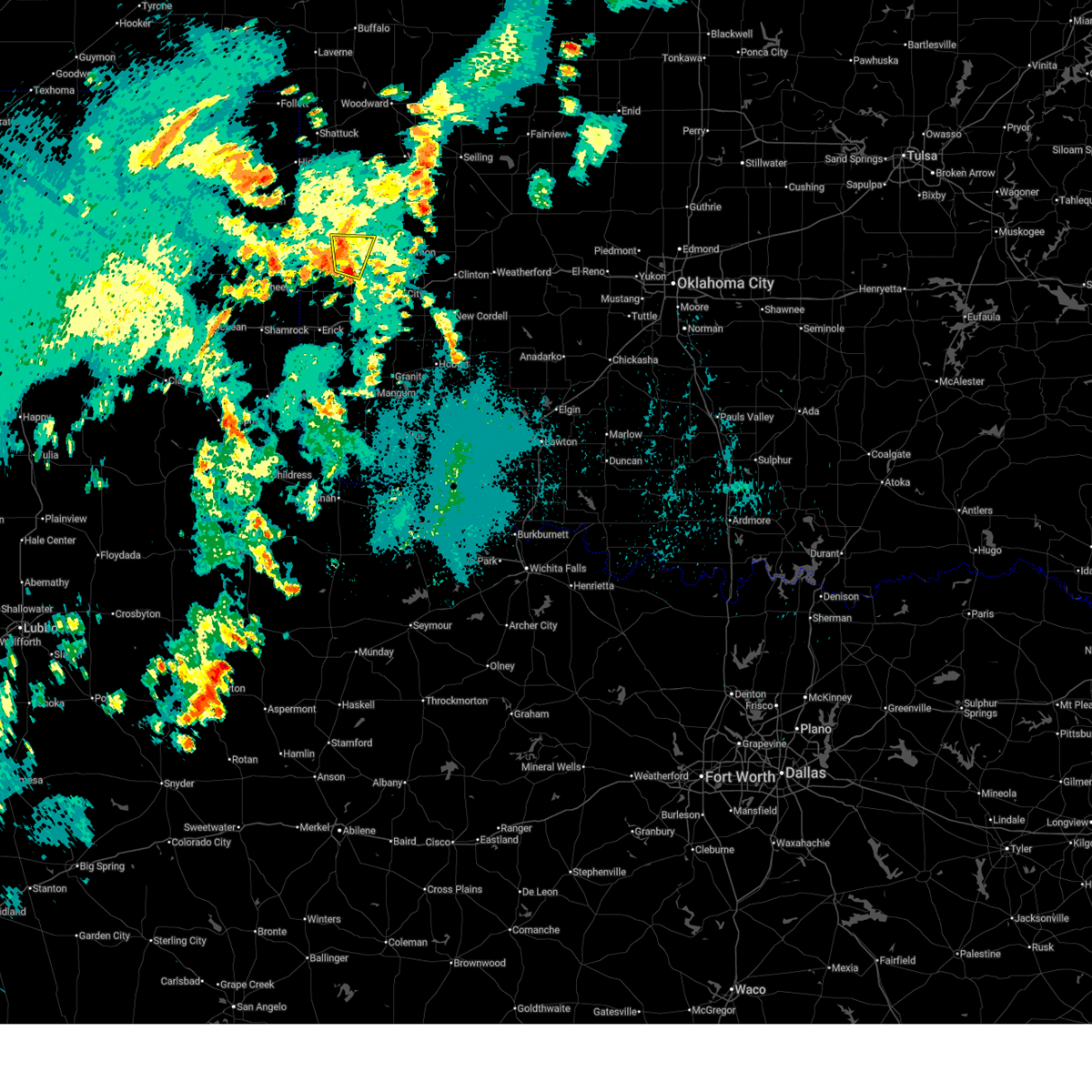
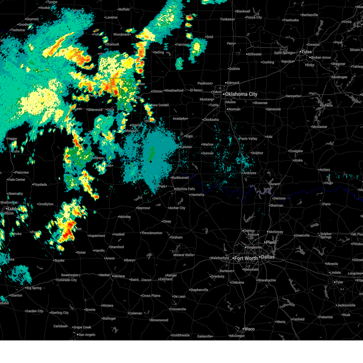
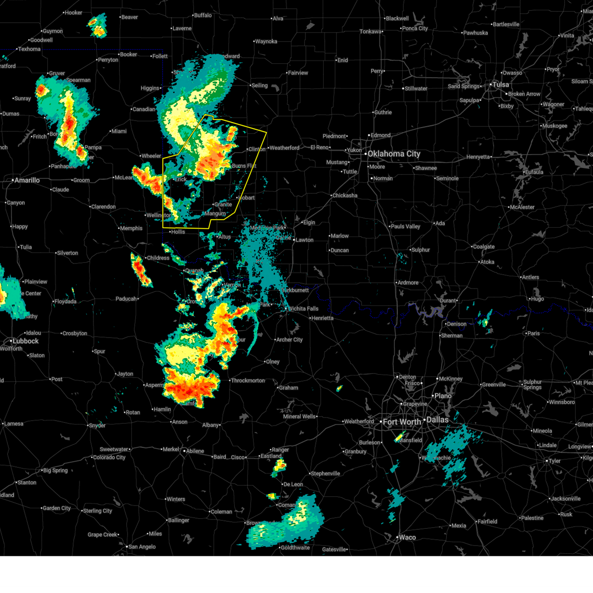
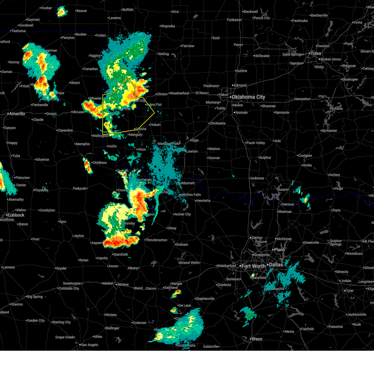
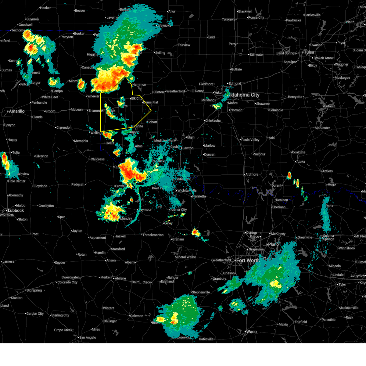
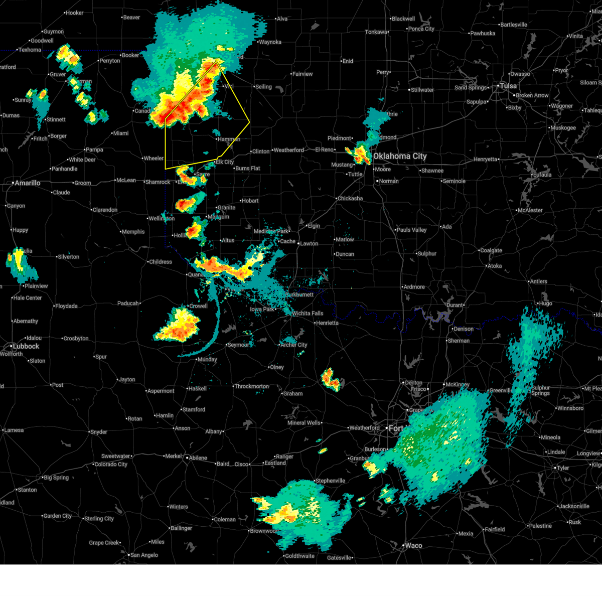
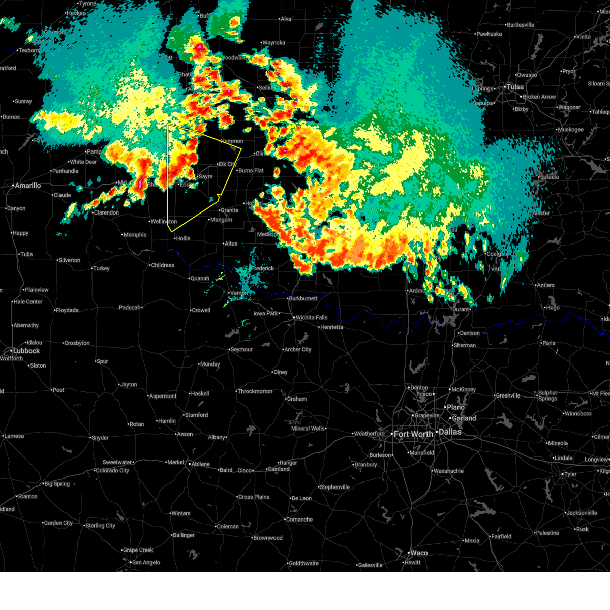
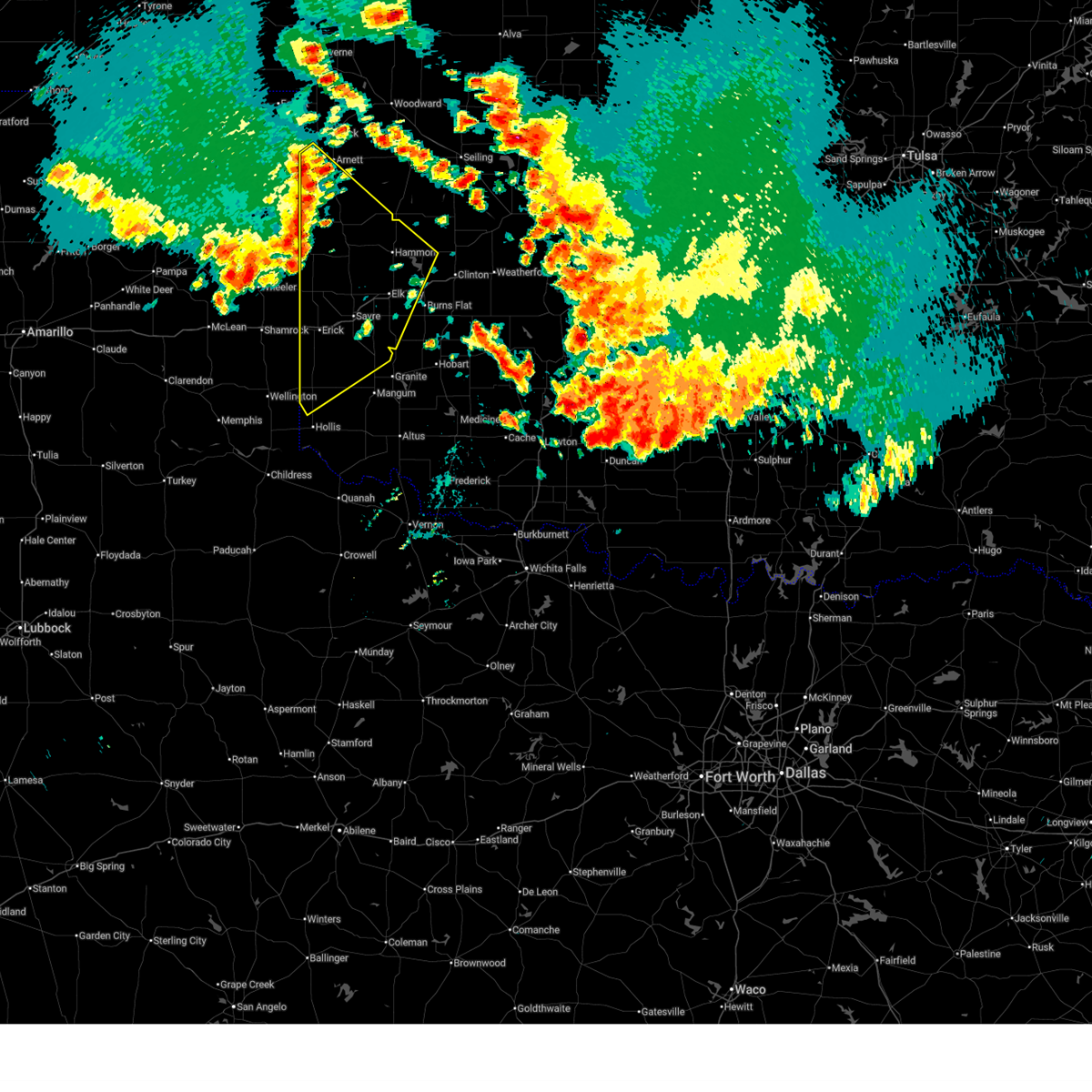
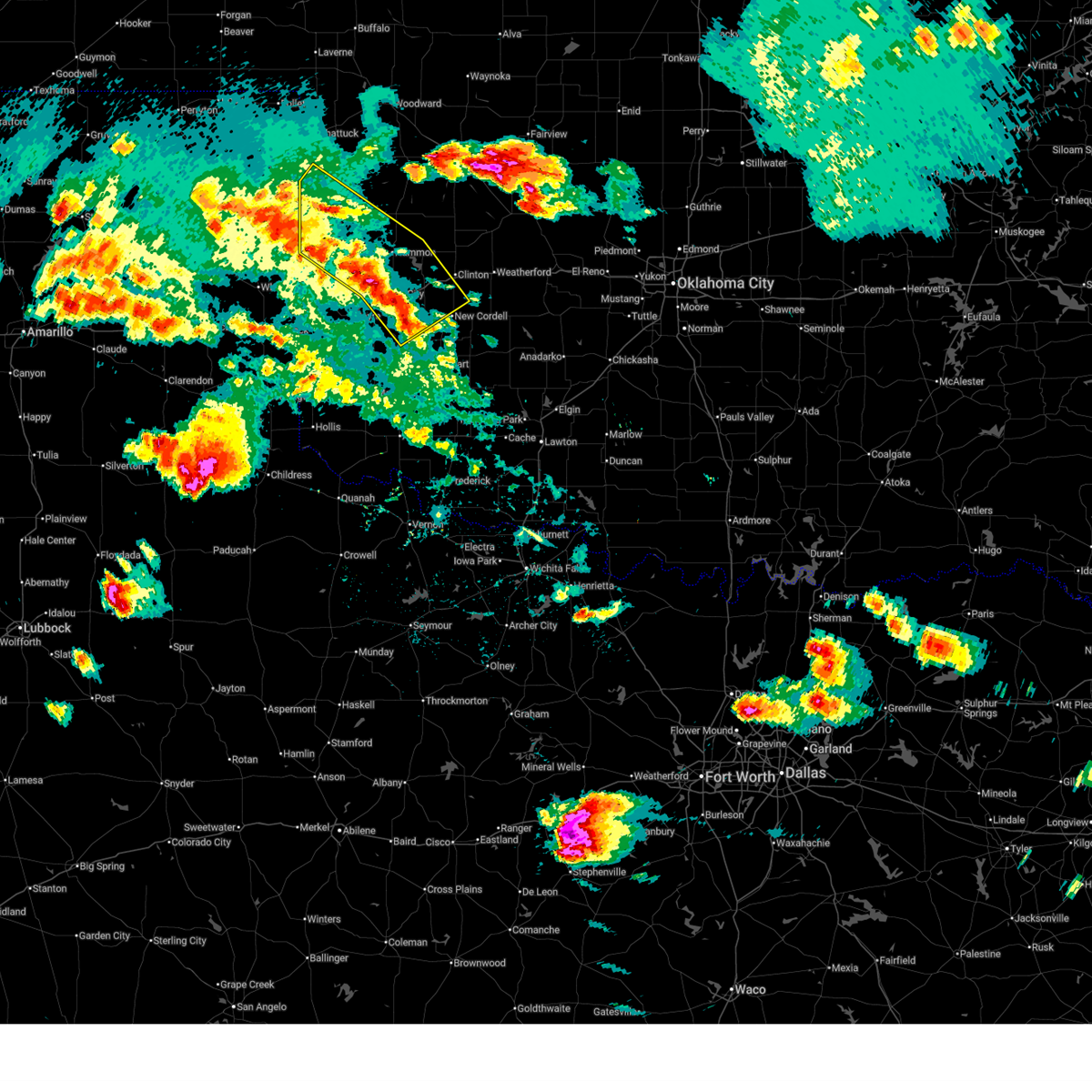
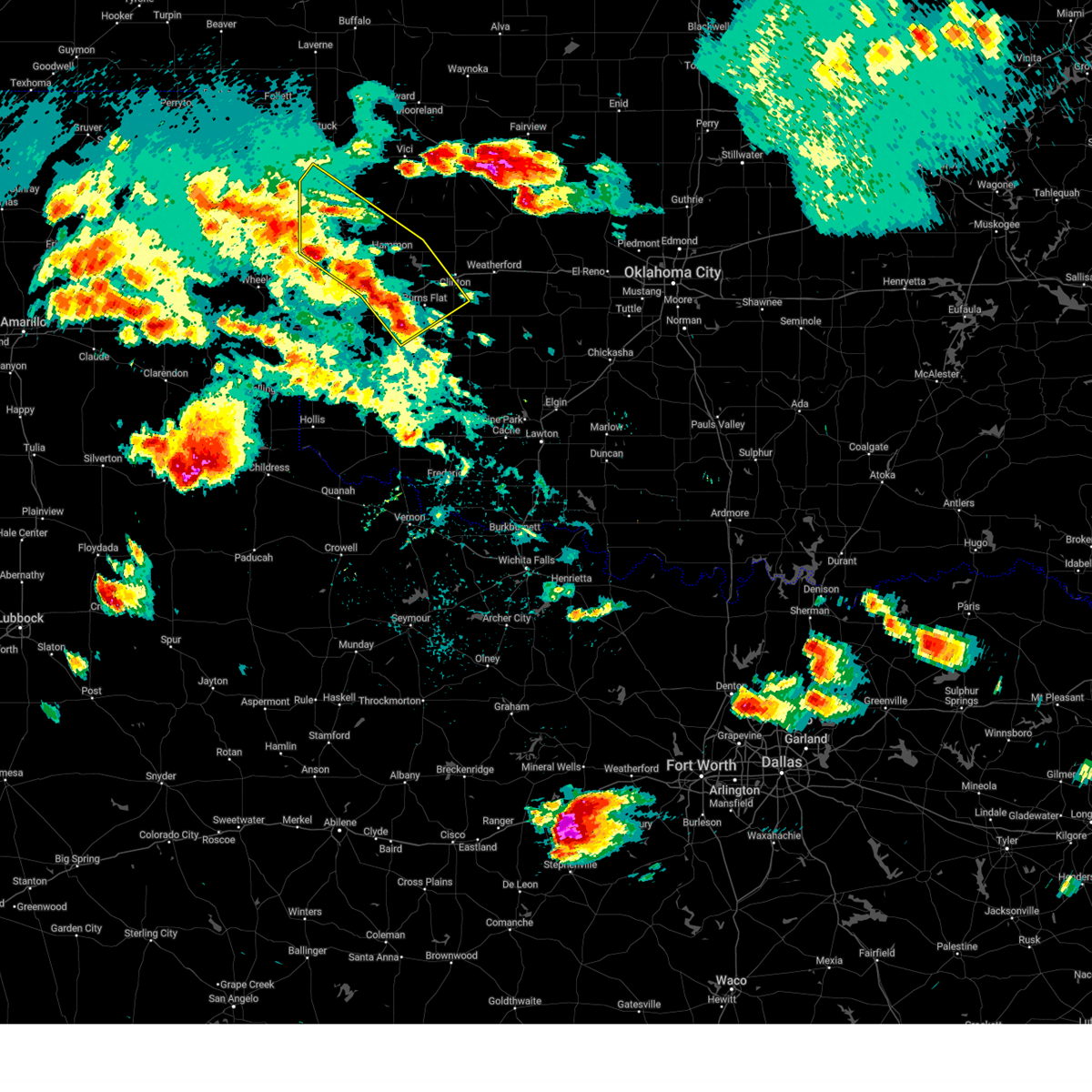
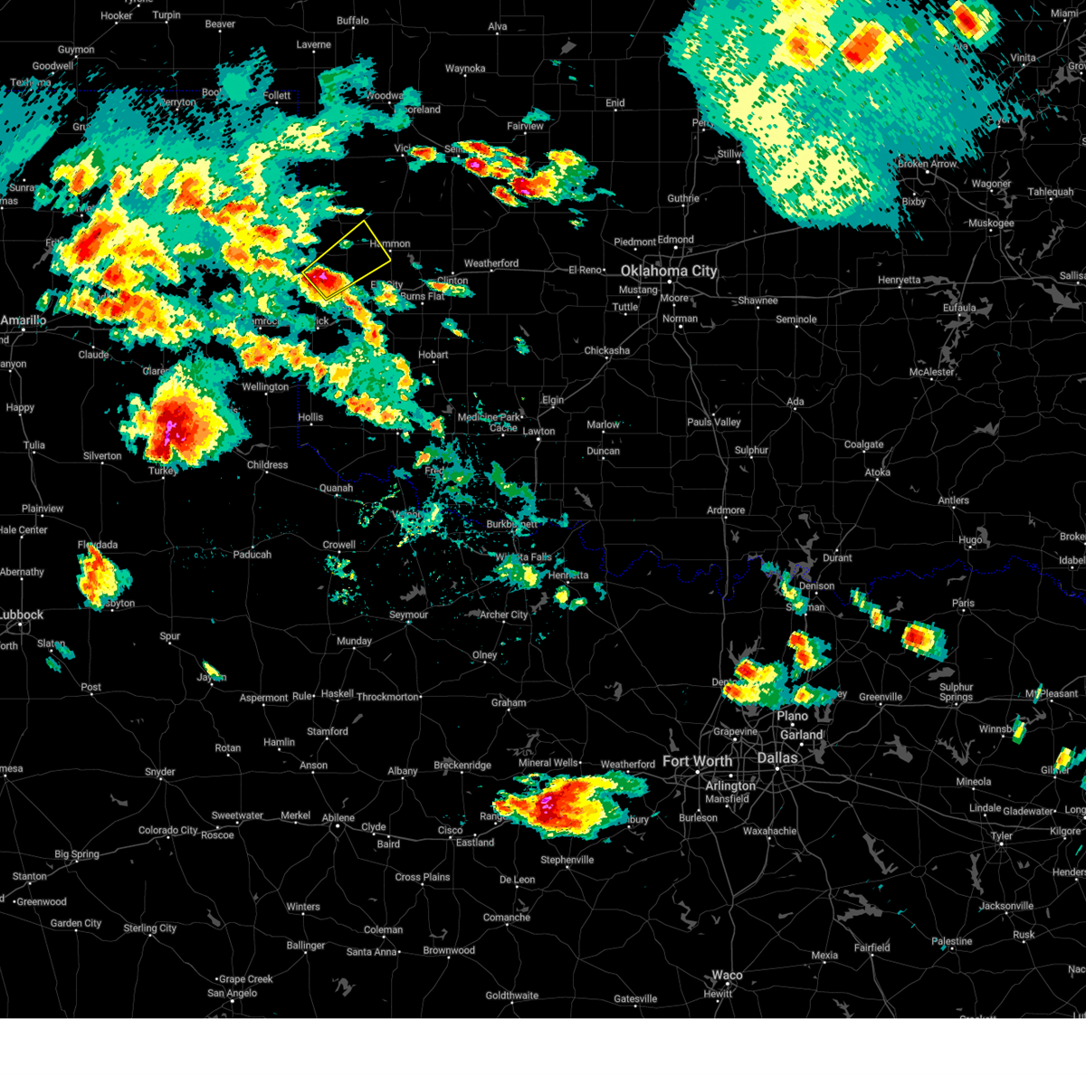
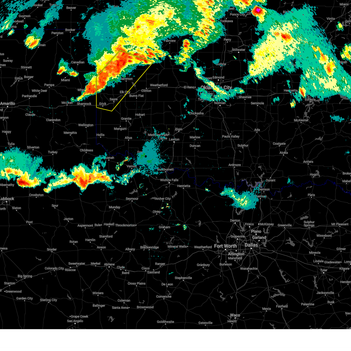
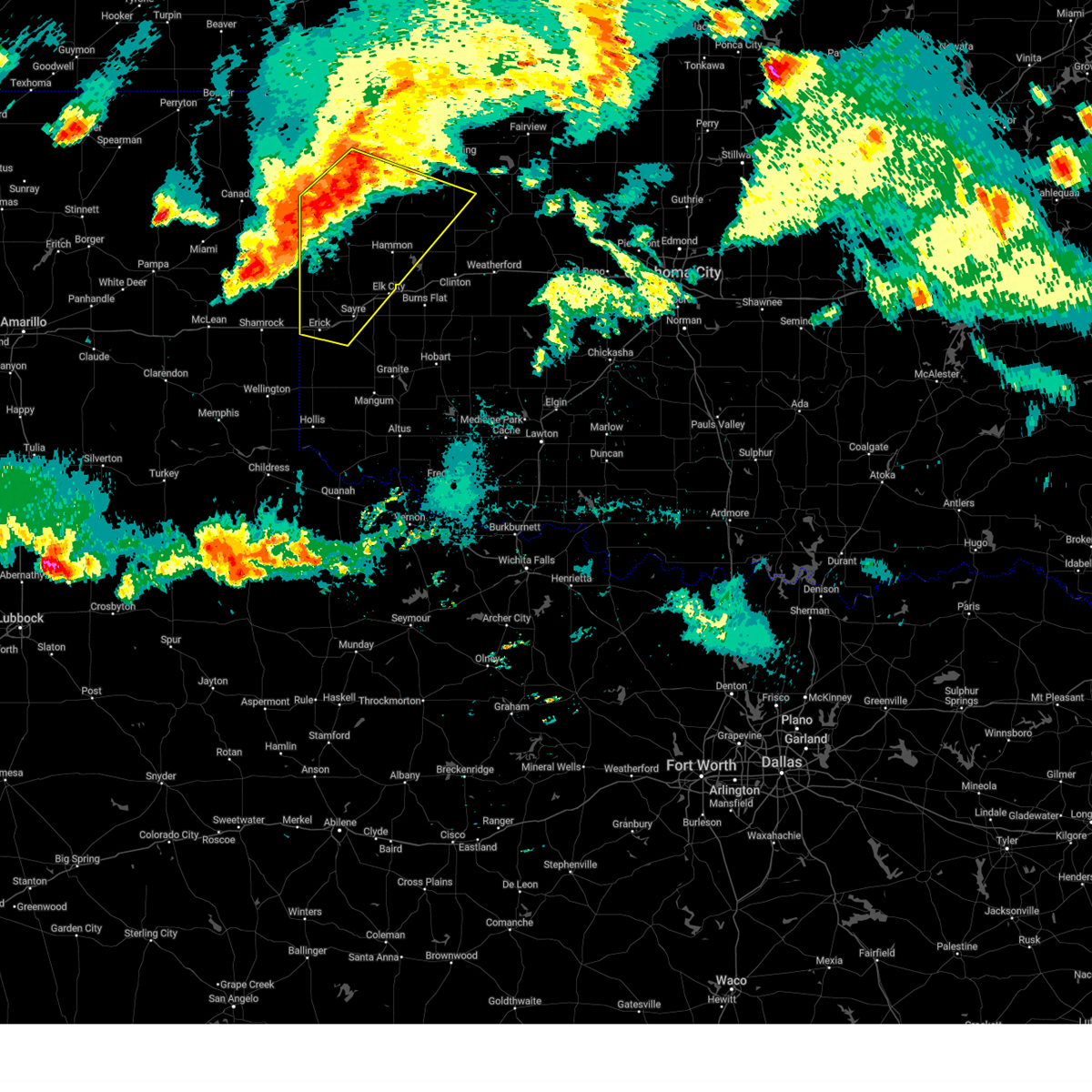
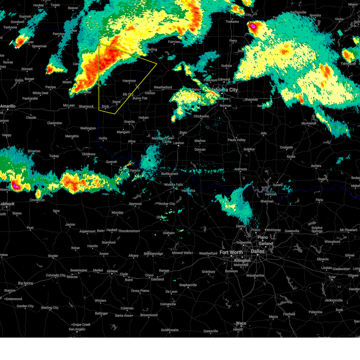
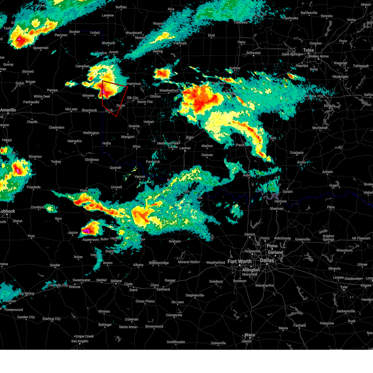
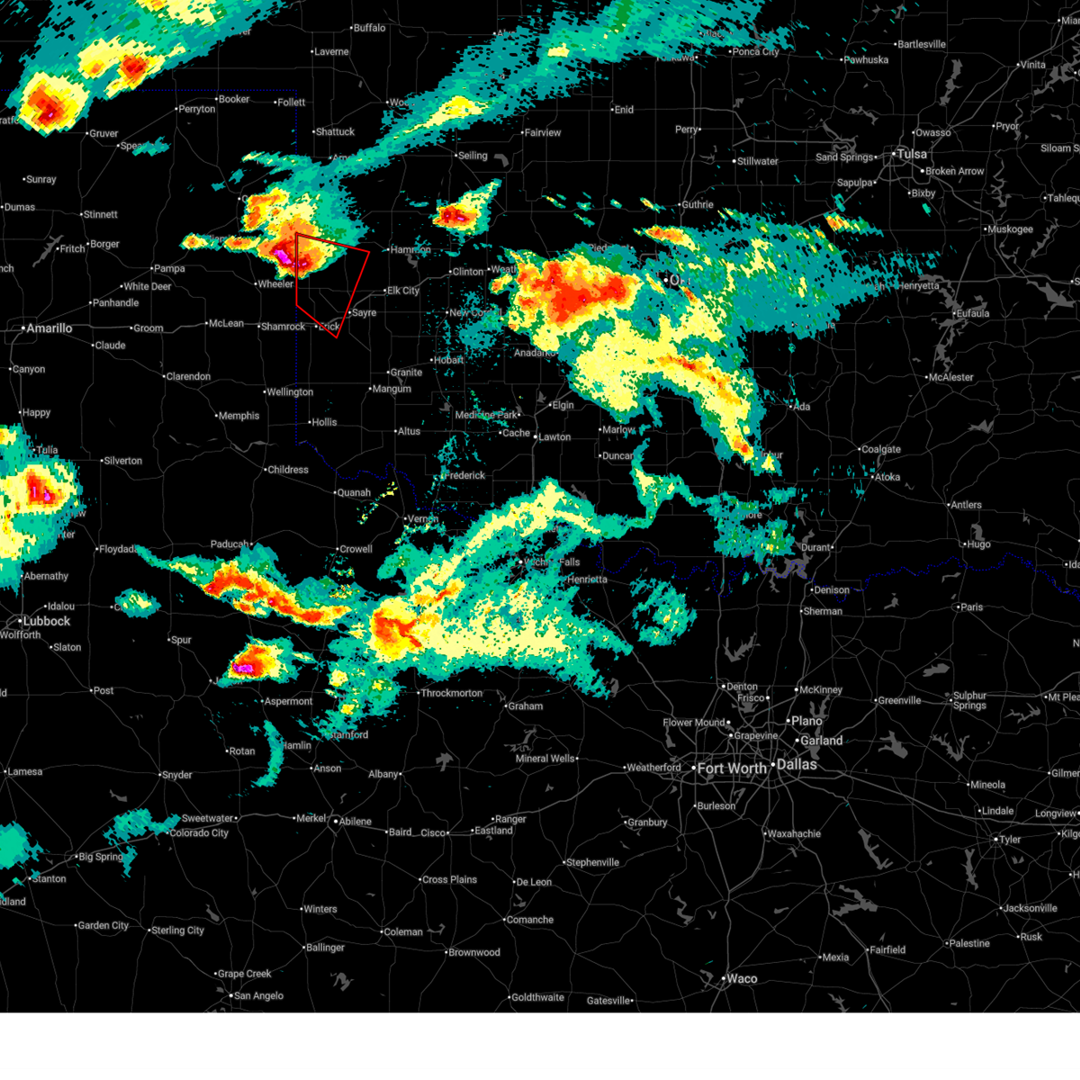
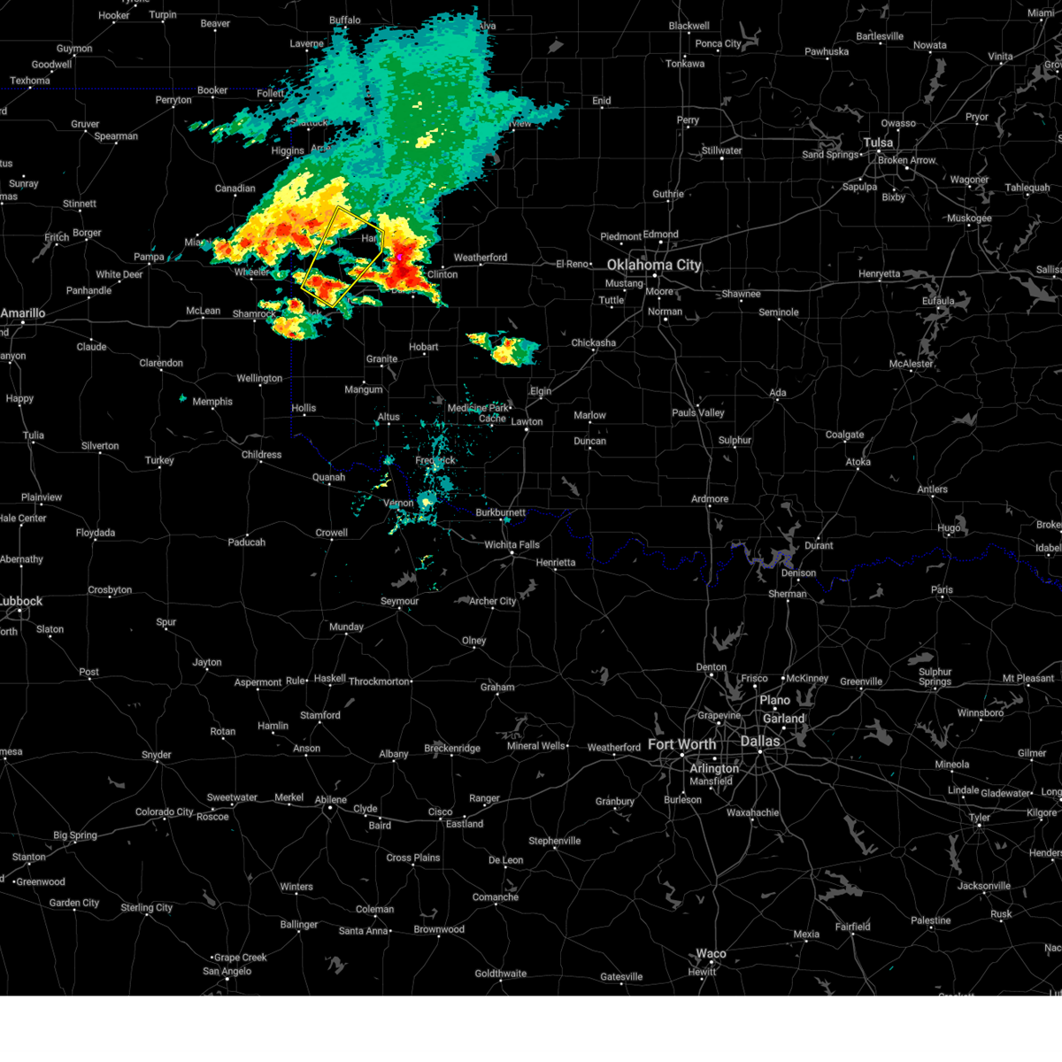
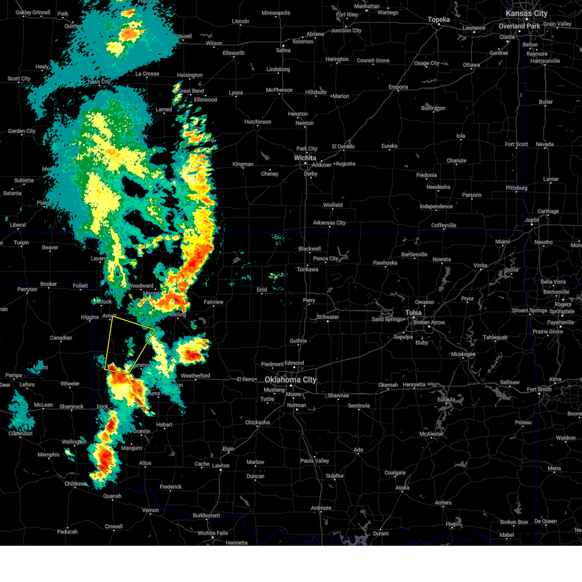
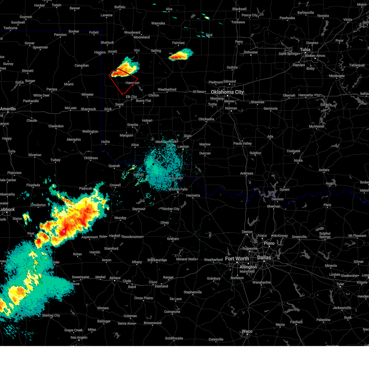
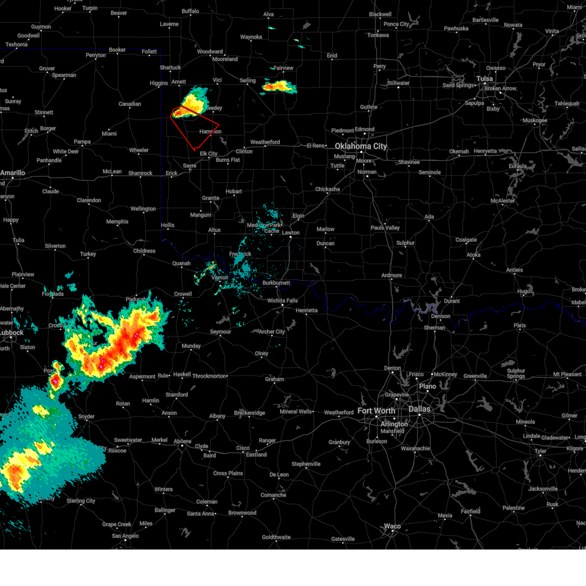
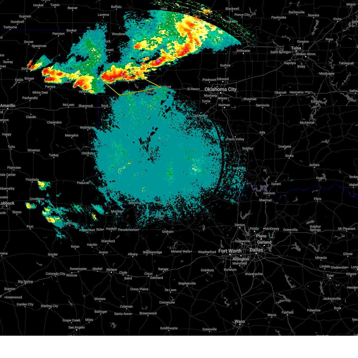
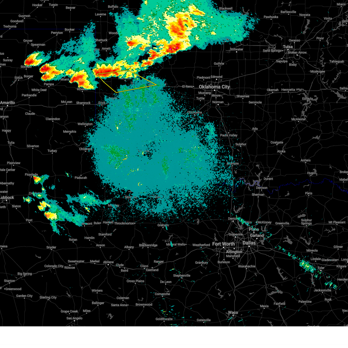
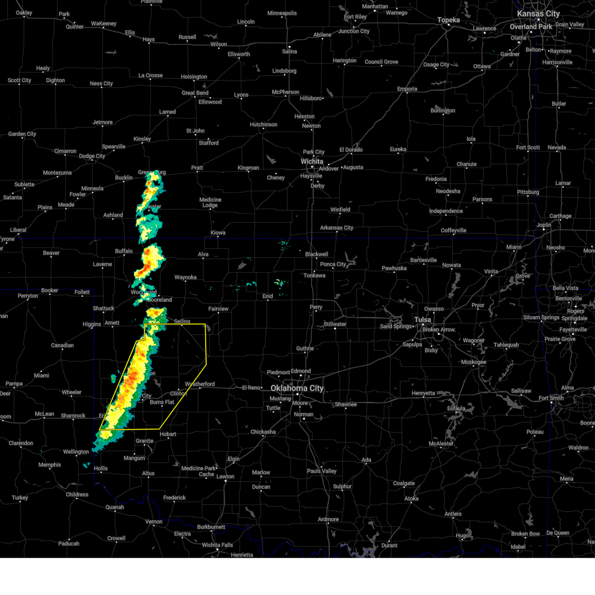
Hail Map for Cheyenne, OK
The Cheyenne, OK area has had 32 reports of on-the-ground hail by trained spotters, and has been under severe weather warnings 43 times during the past 12 months. Doppler radar has detected hail at or near Cheyenne, OK on 89 occasions, including 5 occasions during the past year.
| Name: | Cheyenne, OK |
| Where Located: | 58.9 miles SSW of Woodward, OK |
| Map: | Google Map for Cheyenne, OK |
| Population: | 801 |
| Housing Units: | 427 |
| More Info: | Search Google for Cheyenne, OK |
1
The Top Recent Hail Date for Cheyenne, OK is Thursday, March 5, 2026 (13th out of 89)
Hail and Wind Damage Spotted near Cheyenne, OK
| Date / Time | Report Details |
|---|---|
| 6/25/2026 7:43 PM CDT |
 At 742 pm cdt, severe thunderstorms were located along a line extending from near vici to 4 miles northwest of moorewood to 6 miles southeast of allison, moving southeast at 15 mph (radar indicated). Hazards include golf ball size hail and 70 mph wind gusts. People and animals outdoors will be injured. expect hail damage to roofs, siding, windows, and vehicles. expect considerable tree damage. wind damage is also likely to mobile homes, roofs, and outbuildings. Locations impacted include, cheyenne, vici, leedey, reydon, sweetwater, strong city, crawford, roll, angora, berlin, and dempsey. At 742 pm cdt, severe thunderstorms were located along a line extending from near vici to 4 miles northwest of moorewood to 6 miles southeast of allison, moving southeast at 15 mph (radar indicated). Hazards include golf ball size hail and 70 mph wind gusts. People and animals outdoors will be injured. expect hail damage to roofs, siding, windows, and vehicles. expect considerable tree damage. wind damage is also likely to mobile homes, roofs, and outbuildings. Locations impacted include, cheyenne, vici, leedey, reydon, sweetwater, strong city, crawford, roll, angora, berlin, and dempsey.
|
| 6/25/2026 7:27 PM CDT |
 At 727 pm cdt, severe thunderstorms were located along a line extending from 4 miles northwest of vici to 3 miles northwest of angora to 4 miles south of allison, moving southeast at 30 mph (radar indicated). Hazards include 70 mph wind gusts and half dollar size hail. Hail damage to vehicles is expected. expect considerable tree damage. wind damage is also likely to mobile homes, roofs, and outbuildings. Locations impacted include, cheyenne, vici, leedey, reydon, sweetwater, strong city, angora, crawford, harmon, roll, durham, berlin, and dempsey. At 727 pm cdt, severe thunderstorms were located along a line extending from 4 miles northwest of vici to 3 miles northwest of angora to 4 miles south of allison, moving southeast at 30 mph (radar indicated). Hazards include 70 mph wind gusts and half dollar size hail. Hail damage to vehicles is expected. expect considerable tree damage. wind damage is also likely to mobile homes, roofs, and outbuildings. Locations impacted include, cheyenne, vici, leedey, reydon, sweetwater, strong city, angora, crawford, harmon, roll, durham, berlin, and dempsey.
|
| 6/25/2026 7:17 PM CDT |
 At 717 pm cdt, severe thunderstorms were located along a line extending from 5 miles northwest of vici to 10 miles northwest of angora to 4 miles south of allison, moving east at 20 mph (radar indicated). Hazards include 70 mph wind gusts and half dollar size hail. Hail damage to vehicles is expected. expect considerable tree damage. wind damage is also likely to mobile homes, roofs, and outbuildings. Locations impacted include, cheyenne, arnett, vici, leedey, reydon, sweetwater, strong city, angora, crawford, harmon, roll, durham, berlin, and dempsey. At 717 pm cdt, severe thunderstorms were located along a line extending from 5 miles northwest of vici to 10 miles northwest of angora to 4 miles south of allison, moving east at 20 mph (radar indicated). Hazards include 70 mph wind gusts and half dollar size hail. Hail damage to vehicles is expected. expect considerable tree damage. wind damage is also likely to mobile homes, roofs, and outbuildings. Locations impacted include, cheyenne, arnett, vici, leedey, reydon, sweetwater, strong city, angora, crawford, harmon, roll, durham, berlin, and dempsey.
|
| 6/25/2026 6:57 PM CDT |
 Svroun the national weather service in norman has issued a * severe thunderstorm warning for, southern ellis county in northwestern oklahoma, roger mills county in western oklahoma, western dewey county in northwestern oklahoma, southwestern woodward county in northwestern oklahoma, * until 800 pm cdt. * at 657 pm cdt, severe thunderstorms were located along a line extending from 6 miles northeast of harmon to 3 miles southwest of arnett to near briscoe, moving east at 15 mph (radar indicated). Hazards include 70 mph wind gusts and half dollar size hail. Hail damage to vehicles is expected. expect considerable tree damage. Wind damage is also likely to mobile homes, roofs, and outbuildings. Svroun the national weather service in norman has issued a * severe thunderstorm warning for, southern ellis county in northwestern oklahoma, roger mills county in western oklahoma, western dewey county in northwestern oklahoma, southwestern woodward county in northwestern oklahoma, * until 800 pm cdt. * at 657 pm cdt, severe thunderstorms were located along a line extending from 6 miles northeast of harmon to 3 miles southwest of arnett to near briscoe, moving east at 15 mph (radar indicated). Hazards include 70 mph wind gusts and half dollar size hail. Hail damage to vehicles is expected. expect considerable tree damage. Wind damage is also likely to mobile homes, roofs, and outbuildings.
|
| 6/23/2026 10:55 AM CDT |
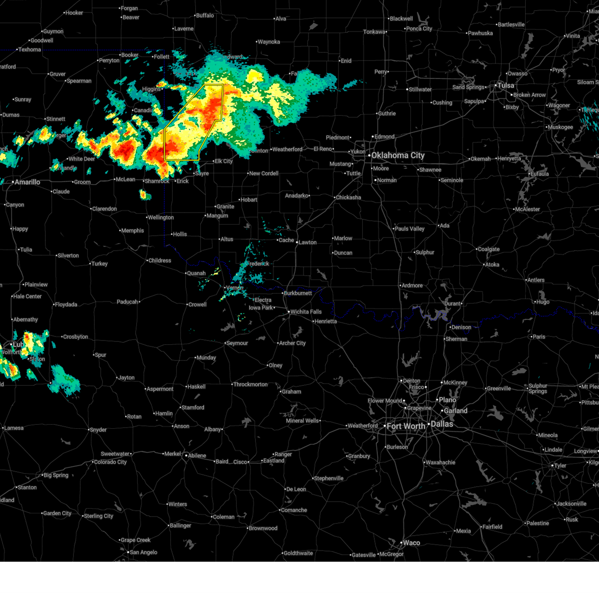
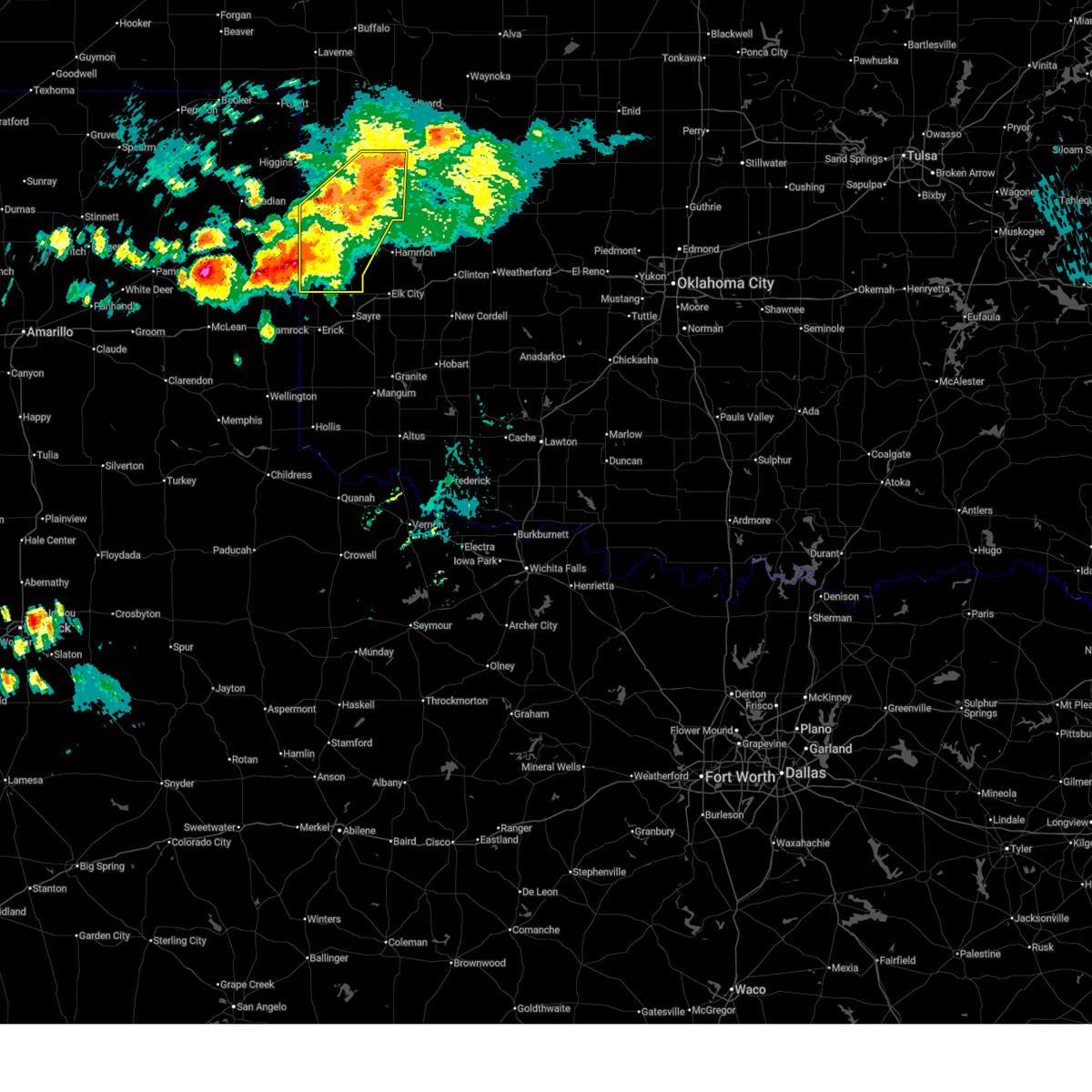
 Svroun the national weather service in norman has issued a * severe thunderstorm warning for, southeastern roger mills county in western oklahoma, northern harmon county in southwestern oklahoma, northern greer county in southwestern oklahoma, beckham county in western oklahoma, * until 1145 am cdt. * at 1054 am cdt, severe thunderstorms were located along a line extending from 3 miles northwest of kellerville to 3 miles east of texola to 4 miles east of cheyenne, moving south at 30 mph (radar indicated). Hazards include 70 mph wind gusts and quarter size hail. Hail damage to vehicles is expected. expect considerable tree damage. Wind damage is also likely to mobile homes, roofs, and outbuildings. Svroun the national weather service in norman has issued a * severe thunderstorm warning for, southeastern roger mills county in western oklahoma, northern harmon county in southwestern oklahoma, northern greer county in southwestern oklahoma, beckham county in western oklahoma, * until 1145 am cdt. * at 1054 am cdt, severe thunderstorms were located along a line extending from 3 miles northwest of kellerville to 3 miles east of texola to 4 miles east of cheyenne, moving south at 30 mph (radar indicated). Hazards include 70 mph wind gusts and quarter size hail. Hail damage to vehicles is expected. expect considerable tree damage. Wind damage is also likely to mobile homes, roofs, and outbuildings.
|
| 6/23/2026 10:41 AM CDT |
 the severe thunderstorm warning has been cancelled and is no longer in effect the severe thunderstorm warning has been cancelled and is no longer in effect
|
| 6/23/2026 10:41 AM CDT |
 At 1040 am cdt, severe thunderstorms were located along a line extending from 5 miles east of strong city to 6 miles south of sweetwater to 5 miles north of kellerville, moving southeast at 30 mph (radar indicated). Hazards include 70 mph wind gusts and quarter size hail. Hail damage to vehicles is expected. expect considerable tree damage. wind damage is also likely to mobile homes, roofs, and outbuildings. Locations impacted include, elk city, sayre, cheyenne, erick, hammon, canute, carter, sweetwater, strong city, texola, retrop, delhi, roll, berlin, and dempsey. At 1040 am cdt, severe thunderstorms were located along a line extending from 5 miles east of strong city to 6 miles south of sweetwater to 5 miles north of kellerville, moving southeast at 30 mph (radar indicated). Hazards include 70 mph wind gusts and quarter size hail. Hail damage to vehicles is expected. expect considerable tree damage. wind damage is also likely to mobile homes, roofs, and outbuildings. Locations impacted include, elk city, sayre, cheyenne, erick, hammon, canute, carter, sweetwater, strong city, texola, retrop, delhi, roll, berlin, and dempsey.
|
| 6/23/2026 10:20 AM CDT |
 At 1020 am cdt, severe thunderstorms were located along a line extending from 5 miles north of angora to 5 miles east of strong city to 7 miles northeast of wheeler, moving southeast at 30 mph (radar indicated). Hazards include 70 mph wind gusts and quarter size hail. Hail damage to vehicles is expected. expect considerable tree damage. wind damage is also likely to mobile homes, roofs, and outbuildings. Locations impacted include, cheyenne, hammon, leedey, reydon, strong city, moorewood, crawford, roll, and angora. At 1020 am cdt, severe thunderstorms were located along a line extending from 5 miles north of angora to 5 miles east of strong city to 7 miles northeast of wheeler, moving southeast at 30 mph (radar indicated). Hazards include 70 mph wind gusts and quarter size hail. Hail damage to vehicles is expected. expect considerable tree damage. wind damage is also likely to mobile homes, roofs, and outbuildings. Locations impacted include, cheyenne, hammon, leedey, reydon, strong city, moorewood, crawford, roll, and angora.
|
| 6/23/2026 10:19 AM CDT |
 Svroun the national weather service in norman has issued a * severe thunderstorm warning for, northwestern washita county in western oklahoma, southeastern ellis county in northwestern oklahoma, roger mills county in western oklahoma, western custer county in western oklahoma, southwestern dewey county in northwestern oklahoma, beckham county in western oklahoma, * until 1100 am cdt. * at 1018 am cdt, severe thunderstorms were located along a line extending from near angora to 4 miles north of sweetwater to 6 miles northwest of new mobeetie, moving southeast at 30 mph (radar indicated). Hazards include 70 mph wind gusts and quarter size hail. Hail damage to vehicles is expected. expect considerable tree damage. Wind damage is also likely to mobile homes, roofs, and outbuildings. Svroun the national weather service in norman has issued a * severe thunderstorm warning for, northwestern washita county in western oklahoma, southeastern ellis county in northwestern oklahoma, roger mills county in western oklahoma, western custer county in western oklahoma, southwestern dewey county in northwestern oklahoma, beckham county in western oklahoma, * until 1100 am cdt. * at 1018 am cdt, severe thunderstorms were located along a line extending from near angora to 4 miles north of sweetwater to 6 miles northwest of new mobeetie, moving southeast at 30 mph (radar indicated). Hazards include 70 mph wind gusts and quarter size hail. Hail damage to vehicles is expected. expect considerable tree damage. Wind damage is also likely to mobile homes, roofs, and outbuildings.
|
| 6/23/2026 10:01 AM CDT |
 At 1000 am cdt, severe thunderstorms were located along a line extending from 10 miles south of harmon to 5 miles north of strong city to near briscoe, moving southeast at 30 mph (radar indicated). Hazards include 70 mph wind gusts and quarter size hail. Hail damage to vehicles is expected. expect considerable tree damage. wind damage is also likely to mobile homes, roofs, and outbuildings. Locations impacted include, cheyenne, hammon, leedey, reydon, strong city, moorewood, crawford, roll, durham, and angora. At 1000 am cdt, severe thunderstorms were located along a line extending from 10 miles south of harmon to 5 miles north of strong city to near briscoe, moving southeast at 30 mph (radar indicated). Hazards include 70 mph wind gusts and quarter size hail. Hail damage to vehicles is expected. expect considerable tree damage. wind damage is also likely to mobile homes, roofs, and outbuildings. Locations impacted include, cheyenne, hammon, leedey, reydon, strong city, moorewood, crawford, roll, durham, and angora.
|
| 6/23/2026 9:47 AM CDT |
 At 946 am cdt, severe thunderstorms were located along a line extending from 6 miles south of harmon to near crawford to 9 miles northwest of briscoe, moving southeast at 30 mph (mesonet. at 935 am cdt, the arnett mesonet recorded a 58 mph wind gust). Hazards include 70 mph wind gusts and quarter size hail. Hail damage to vehicles is expected. expect considerable tree damage. wind damage is also likely to mobile homes, roofs, and outbuildings. Locations impacted include, cheyenne, arnett, hammon, leedey, reydon, strong city, moorewood, crawford, harmon, roll, durham, and angora. At 946 am cdt, severe thunderstorms were located along a line extending from 6 miles south of harmon to near crawford to 9 miles northwest of briscoe, moving southeast at 30 mph (mesonet. at 935 am cdt, the arnett mesonet recorded a 58 mph wind gust). Hazards include 70 mph wind gusts and quarter size hail. Hail damage to vehicles is expected. expect considerable tree damage. wind damage is also likely to mobile homes, roofs, and outbuildings. Locations impacted include, cheyenne, arnett, hammon, leedey, reydon, strong city, moorewood, crawford, harmon, roll, durham, and angora.
|
| 6/23/2026 9:38 AM CDT |
 Svroun the national weather service in norman has issued a * severe thunderstorm warning for, southern ellis county in northwestern oklahoma, roger mills county in western oklahoma, northwestern custer county in western oklahoma, southwestern dewey county in northwestern oklahoma, * until 1030 am cdt. * at 938 am cdt, severe thunderstorms were located along a line extending from 6 miles southwest of harmon to near crawford to 8 miles east of lora, moving southeast at 30 mph (radar indicated). Hazards include 70 mph wind gusts and quarter size hail. Hail damage to vehicles is expected. expect considerable tree damage. Wind damage is also likely to mobile homes, roofs, and outbuildings. Svroun the national weather service in norman has issued a * severe thunderstorm warning for, southern ellis county in northwestern oklahoma, roger mills county in western oklahoma, northwestern custer county in western oklahoma, southwestern dewey county in northwestern oklahoma, * until 1030 am cdt. * at 938 am cdt, severe thunderstorms were located along a line extending from 6 miles southwest of harmon to near crawford to 8 miles east of lora, moving southeast at 30 mph (radar indicated). Hazards include 70 mph wind gusts and quarter size hail. Hail damage to vehicles is expected. expect considerable tree damage. Wind damage is also likely to mobile homes, roofs, and outbuildings.
|
| 6/22/2026 12:47 AM CDT |
 Svroun the national weather service in norman has issued a * severe thunderstorm warning for, northern washita county in western oklahoma, northwestern caddo county in southwestern oklahoma, southeastern roger mills county in western oklahoma, custer county in western oklahoma, southwestern blaine county in northwestern oklahoma, northeastern beckham county in western oklahoma, * until 130 am cdt. * at 1247 am cdt, severe thunderstorms were located along a line extending from 9 miles southeast of cheyenne to 4 miles southeast of foss reservoir to near custer city, moving southeast at 35 mph (radar indicated). Hazards include 70 mph wind gusts and quarter size hail. Hail damage to vehicles is expected. expect considerable tree damage. Wind damage is also likely to mobile homes, roofs, and outbuildings. Svroun the national weather service in norman has issued a * severe thunderstorm warning for, northern washita county in western oklahoma, northwestern caddo county in southwestern oklahoma, southeastern roger mills county in western oklahoma, custer county in western oklahoma, southwestern blaine county in northwestern oklahoma, northeastern beckham county in western oklahoma, * until 130 am cdt. * at 1247 am cdt, severe thunderstorms were located along a line extending from 9 miles southeast of cheyenne to 4 miles southeast of foss reservoir to near custer city, moving southeast at 35 mph (radar indicated). Hazards include 70 mph wind gusts and quarter size hail. Hail damage to vehicles is expected. expect considerable tree damage. Wind damage is also likely to mobile homes, roofs, and outbuildings.
|
| 6/13/2026 11:08 PM CDT |
 At 1108 pm cdt, severe thunderstorms were located along a line extending from 5 miles northeast of reydon to near erick, moving southeast at 30 mph (radar indicated). Hazards include 60 mph wind gusts and quarter size hail. Hail damage to vehicles is expected. expect wind damage to roofs, siding, and trees. Locations impacted include, cheyenne, erick, reydon, sweetwater, texola, and dempsey. At 1108 pm cdt, severe thunderstorms were located along a line extending from 5 miles northeast of reydon to near erick, moving southeast at 30 mph (radar indicated). Hazards include 60 mph wind gusts and quarter size hail. Hail damage to vehicles is expected. expect wind damage to roofs, siding, and trees. Locations impacted include, cheyenne, erick, reydon, sweetwater, texola, and dempsey.
|
| 6/13/2026 10:49 PM CDT |
 Svroun the national weather service in norman has issued a * severe thunderstorm warning for, southwestern roger mills county in western oklahoma, northwestern greer county in southwestern oklahoma, western beckham county in western oklahoma, * until 1130 pm cdt. * at 1048 pm cdt, severe thunderstorms were located along a line extending from 10 miles southwest of durham to 7 miles northwest of texola, moving southeast at 30 mph (radar indicated). Hazards include 60 mph wind gusts and quarter size hail. Hail damage to vehicles is expected. Expect wind damage to roofs, siding, and trees. Svroun the national weather service in norman has issued a * severe thunderstorm warning for, southwestern roger mills county in western oklahoma, northwestern greer county in southwestern oklahoma, western beckham county in western oklahoma, * until 1130 pm cdt. * at 1048 pm cdt, severe thunderstorms were located along a line extending from 10 miles southwest of durham to 7 miles northwest of texola, moving southeast at 30 mph (radar indicated). Hazards include 60 mph wind gusts and quarter size hail. Hail damage to vehicles is expected. Expect wind damage to roofs, siding, and trees.
|
| 6/13/2026 9:48 PM CDT |
 At 948 pm cdt, a severe thunderstorm was located 6 miles southwest of roll, moving east at 30 mph (radar indicated). Hazards include 60 mph wind gusts. Expect damage to roofs, siding, and trees. Locations impacted include, cheyenne, reydon, strong city, crawford, roll, durham, angora, and dempsey. At 948 pm cdt, a severe thunderstorm was located 6 miles southwest of roll, moving east at 30 mph (radar indicated). Hazards include 60 mph wind gusts. Expect damage to roofs, siding, and trees. Locations impacted include, cheyenne, reydon, strong city, crawford, roll, durham, angora, and dempsey.
|
| 6/13/2026 9:37 PM CDT |
 At 937 pm cdt, a severe thunderstorm was located 6 miles northeast of reydon, moving east at 35 mph (radar indicated). Hazards include 60 mph wind gusts. Expect damage to roofs, siding, and trees. Locations impacted include, cheyenne, reydon, strong city, crawford, roll, durham, angora, and dempsey. At 937 pm cdt, a severe thunderstorm was located 6 miles northeast of reydon, moving east at 35 mph (radar indicated). Hazards include 60 mph wind gusts. Expect damage to roofs, siding, and trees. Locations impacted include, cheyenne, reydon, strong city, crawford, roll, durham, angora, and dempsey.
|
| 6/13/2026 9:12 PM CDT |
 Svroun the national weather service in norman has issued a * severe thunderstorm warning for, southwestern ellis county in northwestern oklahoma, roger mills county in western oklahoma, * until 1000 pm cdt. * at 912 pm cdt, a severe thunderstorm was located 7 miles southwest of durham, moving east at 35 mph (radar indicated). Hazards include 60 mph wind gusts. expect damage to roofs, siding, and trees Svroun the national weather service in norman has issued a * severe thunderstorm warning for, southwestern ellis county in northwestern oklahoma, roger mills county in western oklahoma, * until 1000 pm cdt. * at 912 pm cdt, a severe thunderstorm was located 7 miles southwest of durham, moving east at 35 mph (radar indicated). Hazards include 60 mph wind gusts. expect damage to roofs, siding, and trees
|
| 5/9/2026 5:41 PM CDT |
 At 540 pm cdt, a severe thunderstorm was located 8 miles south of cheyenne, moving east at 25 mph (radar indicated). Hazards include golf ball size hail and 70 mph wind gusts. People and animals outdoors will be injured. expect hail damage to roofs, siding, windows, and vehicles. expect considerable tree damage. wind damage is also likely to mobile homes, roofs, and outbuildings. Locations impacted include, elk city and berlin. At 540 pm cdt, a severe thunderstorm was located 8 miles south of cheyenne, moving east at 25 mph (radar indicated). Hazards include golf ball size hail and 70 mph wind gusts. People and animals outdoors will be injured. expect hail damage to roofs, siding, windows, and vehicles. expect considerable tree damage. wind damage is also likely to mobile homes, roofs, and outbuildings. Locations impacted include, elk city and berlin.
|
| 5/9/2026 5:24 PM CDT |
 At 524 pm cdt, a severe thunderstorm was located 8 miles southwest of cheyenne, moving east at 25 mph (radar indicated). Hazards include golf ball size hail and 70 mph wind gusts. People and animals outdoors will be injured. expect hail damage to roofs, siding, windows, and vehicles. expect considerable tree damage. wind damage is also likely to mobile homes, roofs, and outbuildings. Locations impacted include, elk city, berlin, and dempsey. At 524 pm cdt, a severe thunderstorm was located 8 miles southwest of cheyenne, moving east at 25 mph (radar indicated). Hazards include golf ball size hail and 70 mph wind gusts. People and animals outdoors will be injured. expect hail damage to roofs, siding, windows, and vehicles. expect considerable tree damage. wind damage is also likely to mobile homes, roofs, and outbuildings. Locations impacted include, elk city, berlin, and dempsey.
|
| 5/9/2026 5:18 PM CDT |
 At 518 pm cdt, a severe thunderstorm was located 9 miles northeast of sweetwater, moving east at 25 mph (radar indicated). Hazards include ping pong ball size hail and 60 mph wind gusts. People and animals outdoors will be injured. expect hail damage to roofs, siding, windows, and vehicles. expect wind damage to roofs, siding, and trees. Locations impacted include, elk city, berlin, and dempsey. At 518 pm cdt, a severe thunderstorm was located 9 miles northeast of sweetwater, moving east at 25 mph (radar indicated). Hazards include ping pong ball size hail and 60 mph wind gusts. People and animals outdoors will be injured. expect hail damage to roofs, siding, windows, and vehicles. expect wind damage to roofs, siding, and trees. Locations impacted include, elk city, berlin, and dempsey.
|
| 4/17/2026 8:22 PM CDT |
 Svroun the national weather service in norman has issued a * severe thunderstorm warning for, northwestern washita county in western oklahoma, southeastern roger mills county in western oklahoma, western custer county in western oklahoma, northeastern beckham county in western oklahoma, * until 915 pm cdt. * at 822 pm cdt, a severe thunderstorm was located near strong city, moving east at 35 mph (emergency management). Hazards include 60 mph wind gusts and quarter size hail. Hail damage to vehicles is expected. Expect wind damage to roofs, siding, and trees. Svroun the national weather service in norman has issued a * severe thunderstorm warning for, northwestern washita county in western oklahoma, southeastern roger mills county in western oklahoma, western custer county in western oklahoma, northeastern beckham county in western oklahoma, * until 915 pm cdt. * at 822 pm cdt, a severe thunderstorm was located near strong city, moving east at 35 mph (emergency management). Hazards include 60 mph wind gusts and quarter size hail. Hail damage to vehicles is expected. Expect wind damage to roofs, siding, and trees.
|
| 4/17/2026 8:18 PM CDT | Quarter sized hail reported 0.6 miles W of Cheyenne, OK |
| 4/1/2026 7:09 PM CDT |
 the severe thunderstorm warning has been cancelled and is no longer in effect the severe thunderstorm warning has been cancelled and is no longer in effect
|
| 4/1/2026 6:40 PM CDT |
 Svroun the national weather service in norman has issued a * severe thunderstorm warning for, northwestern washita county in western oklahoma, roger mills county in western oklahoma, western custer county in western oklahoma, southwestern dewey county in northwestern oklahoma, north central greer county in southwestern oklahoma, beckham county in western oklahoma, * until 730 pm cdt. * at 640 pm cdt, severe thunderstorms were located along a line extending from 3 miles north of strong city to 5 miles west of sayre to 9 miles southwest of delhi, moving northeast at 55 mph (radar indicated). Hazards include 60 mph wind gusts and quarter size hail. Hail damage to vehicles is expected. Expect wind damage to roofs, siding, and trees. Svroun the national weather service in norman has issued a * severe thunderstorm warning for, northwestern washita county in western oklahoma, roger mills county in western oklahoma, western custer county in western oklahoma, southwestern dewey county in northwestern oklahoma, north central greer county in southwestern oklahoma, beckham county in western oklahoma, * until 730 pm cdt. * at 640 pm cdt, severe thunderstorms were located along a line extending from 3 miles north of strong city to 5 miles west of sayre to 9 miles southwest of delhi, moving northeast at 55 mph (radar indicated). Hazards include 60 mph wind gusts and quarter size hail. Hail damage to vehicles is expected. Expect wind damage to roofs, siding, and trees.
|
| 3/30/2026 7:55 PM CDT | Due to heat burs in roger mills county OK, 5.2 miles NE of Cheyenne, OK |
| 3/30/2026 7:50 PM CDT | Due to heat burs in roger mills county OK, 5.2 miles NE of Cheyenne, OK |
| 3/30/2026 7:30 PM CDT | Due to heat burs in roger mills county OK, 5.2 miles NE of Cheyenne, OK |
| 3/5/2026 11:15 PM CST | Quarter sized hail reported 6.3 miles WSW of Cheyenne, OK |
| 3/5/2026 11:13 PM CST |
 At 1112 pm cst, a large severe thunderstorm was centered near cheyenne, moving northeast at 35 mph (radar indicated). Hazards include 60 mph wind gusts and quarter size hail. Hail damage to vehicles is expected. expect wind damage to roofs, siding, and trees. Locations impacted include, cheyenne and strong city. At 1112 pm cst, a large severe thunderstorm was centered near cheyenne, moving northeast at 35 mph (radar indicated). Hazards include 60 mph wind gusts and quarter size hail. Hail damage to vehicles is expected. expect wind damage to roofs, siding, and trees. Locations impacted include, cheyenne and strong city.
|
| 3/5/2026 11:03 PM CST |
 At 1102 pm cst, the leading edge of a large severe thunderstorm was located near cheyenne, moving northeast at 35 mph. a tornado warning is also in effect for south central roger mills county (radar indicated). Hazards include 60 mph wind gusts and half dollar size hail. Hail damage to vehicles is expected. expect wind damage to roofs, siding, and trees. Locations impacted include, cheyenne, strong city, berlin, and dempsey. At 1102 pm cst, the leading edge of a large severe thunderstorm was located near cheyenne, moving northeast at 35 mph. a tornado warning is also in effect for south central roger mills county (radar indicated). Hazards include 60 mph wind gusts and half dollar size hail. Hail damage to vehicles is expected. expect wind damage to roofs, siding, and trees. Locations impacted include, cheyenne, strong city, berlin, and dempsey.
|
| 3/5/2026 11:03 PM CST |
 the severe thunderstorm warning has been cancelled and is no longer in effect the severe thunderstorm warning has been cancelled and is no longer in effect
|
| 3/5/2026 10:39 PM CST |
 Svroun the national weather service in norman has issued a * severe thunderstorm warning for, southern roger mills county in western oklahoma, northern beckham county in western oklahoma, * until 1130 pm cst. * at 1039 pm cst, a severe thunderstorm was located near sweetwater, moving northeast at 35 mph (radar indicated). Hazards include 60 mph wind gusts and quarter size hail. Hail damage to vehicles is expected. Expect wind damage to roofs, siding, and trees. Svroun the national weather service in norman has issued a * severe thunderstorm warning for, southern roger mills county in western oklahoma, northern beckham county in western oklahoma, * until 1130 pm cst. * at 1039 pm cst, a severe thunderstorm was located near sweetwater, moving northeast at 35 mph (radar indicated). Hazards include 60 mph wind gusts and quarter size hail. Hail damage to vehicles is expected. Expect wind damage to roofs, siding, and trees.
|
| 3/5/2026 8:13 PM CST | Golf Ball sized hail reported 5.5 miles S of Cheyenne, OK |
| 3/5/2026 8:06 PM CST |
 Svroun the national weather service in norman has issued a * severe thunderstorm warning for, southeastern ellis county in northwestern oklahoma, eastern roger mills county in western oklahoma, * until 845 pm cst. * at 806 pm cst, a severe thunderstorm was located near cheyenne, moving northeast at 50 mph (radar indicated). Hazards include half dollar size hail. damage to vehicles is expected Svroun the national weather service in norman has issued a * severe thunderstorm warning for, southeastern ellis county in northwestern oklahoma, eastern roger mills county in western oklahoma, * until 845 pm cst. * at 806 pm cst, a severe thunderstorm was located near cheyenne, moving northeast at 50 mph (radar indicated). Hazards include half dollar size hail. damage to vehicles is expected
|
| 3/5/2026 7:32 PM CST |
 Svroun the national weather service in norman has issued a * severe thunderstorm warning for, southwestern roger mills county in western oklahoma, western beckham county in western oklahoma, * until 815 pm cst. * at 731 pm cst, severe thunderstorms were located 3 miles northeast of texola and 11 miles northwest of vinson, moving northeast at 35 mph (radar indicated). Hazards include 60 mph wind gusts and half dollar size hail. Hail damage to vehicles is expected. Expect wind damage to roofs, siding, and trees. Svroun the national weather service in norman has issued a * severe thunderstorm warning for, southwestern roger mills county in western oklahoma, western beckham county in western oklahoma, * until 815 pm cst. * at 731 pm cst, severe thunderstorms were located 3 miles northeast of texola and 11 miles northwest of vinson, moving northeast at 35 mph (radar indicated). Hazards include 60 mph wind gusts and half dollar size hail. Hail damage to vehicles is expected. Expect wind damage to roofs, siding, and trees.
|
| 9/1/2025 7:04 PM CDT |
 the severe thunderstorm warning has been cancelled and is no longer in effect the severe thunderstorm warning has been cancelled and is no longer in effect
|
| 9/1/2025 6:56 PM CDT |
 At 656 pm cdt, a severe thunderstorm was located near cheyenne, moving south at 30 mph (radar indicated). Hazards include 60 mph wind gusts. Expect damage to roofs, siding, and trees. Locations impacted include, cheyenne, strong city, and berlin. At 656 pm cdt, a severe thunderstorm was located near cheyenne, moving south at 30 mph (radar indicated). Hazards include 60 mph wind gusts. Expect damage to roofs, siding, and trees. Locations impacted include, cheyenne, strong city, and berlin.
|
| 9/1/2025 6:37 PM CDT |
 Svroun the national weather service in norman has issued a * severe thunderstorm warning for, southeastern roger mills county in western oklahoma, northeastern beckham county in western oklahoma, * until 730 pm cdt. * at 637 pm cdt, a severe thunderstorm was located 4 miles east of roll, moving south at 25 mph (radar indicated). Hazards include 60 mph wind gusts and quarter size hail. Hail damage to vehicles is expected. Expect wind damage to roofs, siding, and trees. Svroun the national weather service in norman has issued a * severe thunderstorm warning for, southeastern roger mills county in western oklahoma, northeastern beckham county in western oklahoma, * until 730 pm cdt. * at 637 pm cdt, a severe thunderstorm was located 4 miles east of roll, moving south at 25 mph (radar indicated). Hazards include 60 mph wind gusts and quarter size hail. Hail damage to vehicles is expected. Expect wind damage to roofs, siding, and trees.
|
| 8/17/2025 7:10 PM CDT |
 Svroun the national weather service in norman has issued a * severe thunderstorm warning for, northern washita county in western oklahoma, southeastern roger mills county in western oklahoma, western custer county in western oklahoma, southwestern dewey county in northwestern oklahoma, northeastern beckham county in western oklahoma, * until 800 pm cdt. * at 709 pm cdt, severe thunderstorms were located along a line extending from near strong city to near foss, moving east at 30 mph (radar indicated). Hazards include 60 mph wind gusts and penny size hail. expect damage to roofs, siding, and trees Svroun the national weather service in norman has issued a * severe thunderstorm warning for, northern washita county in western oklahoma, southeastern roger mills county in western oklahoma, western custer county in western oklahoma, southwestern dewey county in northwestern oklahoma, northeastern beckham county in western oklahoma, * until 800 pm cdt. * at 709 pm cdt, severe thunderstorms were located along a line extending from near strong city to near foss, moving east at 30 mph (radar indicated). Hazards include 60 mph wind gusts and penny size hail. expect damage to roofs, siding, and trees
|
| 8/17/2025 6:42 PM CDT |
 At 642 pm cdt, severe thunderstorms were located along a line extending from 8 miles northeast of sweetwater to 7 miles north of sayre to near elk city to 7 miles northeast of retrop, moving northeast at 10 mph (radar indicated). Hazards include 60 mph wind gusts and quarter size hail. Hail damage to vehicles is expected. expect wind damage to roofs, siding, and trees. Locations impacted include, elk city, sayre, cheyenne, burns flat, canute, carter, foss, sweetwater, berlin, and dempsey. At 642 pm cdt, severe thunderstorms were located along a line extending from 8 miles northeast of sweetwater to 7 miles north of sayre to near elk city to 7 miles northeast of retrop, moving northeast at 10 mph (radar indicated). Hazards include 60 mph wind gusts and quarter size hail. Hail damage to vehicles is expected. expect wind damage to roofs, siding, and trees. Locations impacted include, elk city, sayre, cheyenne, burns flat, canute, carter, foss, sweetwater, berlin, and dempsey.
|
| 8/17/2025 6:27 PM CDT |
 Svroun the national weather service in norman has issued a * severe thunderstorm warning for, western washita county in western oklahoma, southern roger mills county in western oklahoma, southwestern custer county in western oklahoma, beckham county in western oklahoma, * until 715 pm cdt. * at 627 pm cdt, severe thunderstorms were located along a line extending from 5 miles southeast of sweetwater to 5 miles west of elk city to 6 miles northwest of sentinel, moving north at 15 mph (radar indicated). Hazards include 60 mph wind gusts and nickel size hail. expect damage to roofs, siding, and trees Svroun the national weather service in norman has issued a * severe thunderstorm warning for, western washita county in western oklahoma, southern roger mills county in western oklahoma, southwestern custer county in western oklahoma, beckham county in western oklahoma, * until 715 pm cdt. * at 627 pm cdt, severe thunderstorms were located along a line extending from 5 miles southeast of sweetwater to 5 miles west of elk city to 6 miles northwest of sentinel, moving north at 15 mph (radar indicated). Hazards include 60 mph wind gusts and nickel size hail. expect damage to roofs, siding, and trees
|
| 7/25/2025 1:13 AM CDT |
 The storm which prompted the warning has weakened below severe limits, therefore the warning will be allowed to expire. however, gusty winds are still possible with this thunderstorm. The storm which prompted the warning has weakened below severe limits, therefore the warning will be allowed to expire. however, gusty winds are still possible with this thunderstorm.
|
| 7/25/2025 1:02 AM CDT |
 At 101 am cdt, a severe thunderstorm was located near cheyenne, moving north at 25 mph (radar indicated). Hazards include 60 mph wind gusts. Expect damage to roofs, siding, and trees. Locations impacted include, cheyenne and strong city. At 101 am cdt, a severe thunderstorm was located near cheyenne, moving north at 25 mph (radar indicated). Hazards include 60 mph wind gusts. Expect damage to roofs, siding, and trees. Locations impacted include, cheyenne and strong city.
|
| 7/25/2025 12:51 AM CDT |
 Svroun the national weather service in norman has issued a * severe thunderstorm warning for, southeastern roger mills county in western oklahoma, * until 115 am cdt. * at 1251 am cdt, a severe thunderstorm was located 6 miles south of cheyenne, moving north at 25 mph (radar indicated). Hazards include 60 mph wind gusts. expect damage to roofs, siding, and trees Svroun the national weather service in norman has issued a * severe thunderstorm warning for, southeastern roger mills county in western oklahoma, * until 115 am cdt. * at 1251 am cdt, a severe thunderstorm was located 6 miles south of cheyenne, moving north at 25 mph (radar indicated). Hazards include 60 mph wind gusts. expect damage to roofs, siding, and trees
|
| 7/8/2025 11:44 PM CDT |
 Svroun the national weather service in norman has issued a * severe thunderstorm warning for, western washita county in western oklahoma, southeastern roger mills county in western oklahoma, custer county in western oklahoma, northwestern kiowa county in southwestern oklahoma, northern harmon county in southwestern oklahoma, greer county in southwestern oklahoma, beckham county in western oklahoma, * until 1230 am cdt. * at 1144 pm cdt, severe thunderstorms were located along a line extending from near foss reservoir to 4 miles east of carter to 8 miles north of vinson, moving southeast at 50 mph (radar indicated). Hazards include 60 mph wind gusts and quarter size hail. Hail damage to vehicles is expected. Expect wind damage to roofs, siding, and trees. Svroun the national weather service in norman has issued a * severe thunderstorm warning for, western washita county in western oklahoma, southeastern roger mills county in western oklahoma, custer county in western oklahoma, northwestern kiowa county in southwestern oklahoma, northern harmon county in southwestern oklahoma, greer county in southwestern oklahoma, beckham county in western oklahoma, * until 1230 am cdt. * at 1144 pm cdt, severe thunderstorms were located along a line extending from near foss reservoir to 4 miles east of carter to 8 miles north of vinson, moving southeast at 50 mph (radar indicated). Hazards include 60 mph wind gusts and quarter size hail. Hail damage to vehicles is expected. Expect wind damage to roofs, siding, and trees.
|
| 7/8/2025 11:33 PM CDT |
 At 1133 pm cdt, severe thunderstorms were located along a line extending from 4 miles southwest of canute to near carter to 5 miles west of delhi, moving southeast at 45 mph (radar indicated). Hazards include 60 mph wind gusts. Expect damage to roofs, siding, and trees. Locations impacted include, elk city, sayre, cheyenne, granite, burns flat, erick, sentinel, hammon, dill city, canute, carter, willow, sweetwater, strong city, texola, retrop, delhi, vinson, madge, and brinkman. At 1133 pm cdt, severe thunderstorms were located along a line extending from 4 miles southwest of canute to near carter to 5 miles west of delhi, moving southeast at 45 mph (radar indicated). Hazards include 60 mph wind gusts. Expect damage to roofs, siding, and trees. Locations impacted include, elk city, sayre, cheyenne, granite, burns flat, erick, sentinel, hammon, dill city, canute, carter, willow, sweetwater, strong city, texola, retrop, delhi, vinson, madge, and brinkman.
|
| 7/8/2025 10:55 PM CDT |
 Svroun the national weather service in norman has issued a * severe thunderstorm warning for, western washita county in western oklahoma, southern roger mills county in western oklahoma, northwestern kiowa county in southwestern oklahoma, northern harmon county in southwestern oklahoma, northern greer county in southwestern oklahoma, beckham county in western oklahoma, * until 1145 pm cdt. * at 1055 pm cdt, severe thunderstorms were located along a line extending from 3 miles north of strong city to 8 miles southwest of cheyenne to 7 miles southeast of allison, moving southeast at 45 mph (radar indicated). Hazards include 70 mph wind gusts. Expect considerable tree damage. Damage is likely to mobile homes, roofs, and outbuildings. Svroun the national weather service in norman has issued a * severe thunderstorm warning for, western washita county in western oklahoma, southern roger mills county in western oklahoma, northwestern kiowa county in southwestern oklahoma, northern harmon county in southwestern oklahoma, northern greer county in southwestern oklahoma, beckham county in western oklahoma, * until 1145 pm cdt. * at 1055 pm cdt, severe thunderstorms were located along a line extending from 3 miles north of strong city to 8 miles southwest of cheyenne to 7 miles southeast of allison, moving southeast at 45 mph (radar indicated). Hazards include 70 mph wind gusts. Expect considerable tree damage. Damage is likely to mobile homes, roofs, and outbuildings.
|
| 7/8/2025 10:28 PM CDT |
 Svroun the national weather service in norman has issued a * severe thunderstorm warning for, southeastern ellis county in northwestern oklahoma, roger mills county in western oklahoma, western custer county in western oklahoma, western dewey county in northwestern oklahoma, northern beckham county in western oklahoma, southwestern woodward county in northwestern oklahoma, * until 1115 pm cdt. * at 1028 pm cdt, severe thunderstorms were located along a line extending from 5 miles southwest of sharon to 5 miles southwest of durham, moving southeast at 35 mph (radar indicated). Hazards include 70 mph wind gusts. Expect considerable tree damage. Damage is likely to mobile homes, roofs, and outbuildings. Svroun the national weather service in norman has issued a * severe thunderstorm warning for, southeastern ellis county in northwestern oklahoma, roger mills county in western oklahoma, western custer county in western oklahoma, western dewey county in northwestern oklahoma, northern beckham county in western oklahoma, southwestern woodward county in northwestern oklahoma, * until 1115 pm cdt. * at 1028 pm cdt, severe thunderstorms were located along a line extending from 5 miles southwest of sharon to 5 miles southwest of durham, moving southeast at 35 mph (radar indicated). Hazards include 70 mph wind gusts. Expect considerable tree damage. Damage is likely to mobile homes, roofs, and outbuildings.
|
| 6/15/2025 6:18 AM CDT |
 the severe thunderstorm warning has been cancelled and is no longer in effect the severe thunderstorm warning has been cancelled and is no longer in effect
|
| 6/15/2025 6:18 AM CDT |
 At 618 am cdt, severe thunderstorms were located along a line extending from 4 miles southwest of angora to 4 miles west of sayre to 4 miles southwest of texola, moving southeast at 40 mph (radar indicated). Hazards include 60 mph wind gusts. Expect damage to roofs, siding, and trees. Locations impacted include, elk city, sayre, cheyenne, erick, hammon, canute, carter, reydon, foss, willow, sweetwater, strong city, texola, retrop, delhi, foss reservoir, vinson, madge, brinkman, and berlin. At 618 am cdt, severe thunderstorms were located along a line extending from 4 miles southwest of angora to 4 miles west of sayre to 4 miles southwest of texola, moving southeast at 40 mph (radar indicated). Hazards include 60 mph wind gusts. Expect damage to roofs, siding, and trees. Locations impacted include, elk city, sayre, cheyenne, erick, hammon, canute, carter, reydon, foss, willow, sweetwater, strong city, texola, retrop, delhi, foss reservoir, vinson, madge, brinkman, and berlin.
|
| 6/15/2025 5:47 AM CDT |
 Svroun the national weather service in norman has issued a * severe thunderstorm warning for, northwestern washita county in western oklahoma, southwestern ellis county in northwestern oklahoma, roger mills county in western oklahoma, western custer county in western oklahoma, northern harmon county in southwestern oklahoma, northwestern greer county in southwestern oklahoma, beckham county in western oklahoma, * until 630 am cdt. * at 546 am cdt, severe thunderstorms were located along a line extending from 9 miles south of arnett to 5 miles northwest of sweetwater to near wheeler, moving southeast at 50 mph (radar indicated). Hazards include 60 mph wind gusts and nickel size hail. expect damage to roofs, siding, and trees Svroun the national weather service in norman has issued a * severe thunderstorm warning for, northwestern washita county in western oklahoma, southwestern ellis county in northwestern oklahoma, roger mills county in western oklahoma, western custer county in western oklahoma, northern harmon county in southwestern oklahoma, northwestern greer county in southwestern oklahoma, beckham county in western oklahoma, * until 630 am cdt. * at 546 am cdt, severe thunderstorms were located along a line extending from 9 miles south of arnett to 5 miles northwest of sweetwater to near wheeler, moving southeast at 50 mph (radar indicated). Hazards include 60 mph wind gusts and nickel size hail. expect damage to roofs, siding, and trees
|
| 6/8/2025 5:47 PM CDT |
 At 546 pm cdt, severe thunderstorms were located along a line extending from 8 miles southeast of lake marvin to 7 miles northwest of elk city to 7 miles west of dill city, moving northeast at 25 mph (radar indicated). Hazards include ping pong ball size hail and 60 mph wind gusts. People and animals outdoors will be injured. expect hail damage to roofs, siding, windows, and vehicles. expect wind damage to roofs, siding, and trees. Locations impacted include, elk city, clinton, cordell, cheyenne, burns flat, hammon, dill city, canute, butler, reydon, bessie, foss, strong city, foss reservoir, angora, moorewood, crawford, roll, durham, and retrop. At 546 pm cdt, severe thunderstorms were located along a line extending from 8 miles southeast of lake marvin to 7 miles northwest of elk city to 7 miles west of dill city, moving northeast at 25 mph (radar indicated). Hazards include ping pong ball size hail and 60 mph wind gusts. People and animals outdoors will be injured. expect hail damage to roofs, siding, windows, and vehicles. expect wind damage to roofs, siding, and trees. Locations impacted include, elk city, clinton, cordell, cheyenne, burns flat, hammon, dill city, canute, butler, reydon, bessie, foss, strong city, foss reservoir, angora, moorewood, crawford, roll, durham, and retrop.
|
| 6/8/2025 5:39 PM CDT |
 Svroun the national weather service in norman has issued a * severe thunderstorm warning for, northwestern washita county in western oklahoma, southwestern ellis county in northwestern oklahoma, roger mills county in western oklahoma, southwestern custer county in western oklahoma, northeastern beckham county in western oklahoma, * until 630 pm cdt. * at 539 pm cdt, severe thunderstorms were located along a line extending from 8 miles south of lake marvin to 7 miles west of elk city to 5 miles north of retrop, moving northeast at 20 mph (radar indicated). Hazards include 60 mph wind gusts and half dollar size hail. Hail damage to vehicles is expected. Expect wind damage to roofs, siding, and trees. Svroun the national weather service in norman has issued a * severe thunderstorm warning for, northwestern washita county in western oklahoma, southwestern ellis county in northwestern oklahoma, roger mills county in western oklahoma, southwestern custer county in western oklahoma, northeastern beckham county in western oklahoma, * until 630 pm cdt. * at 539 pm cdt, severe thunderstorms were located along a line extending from 8 miles south of lake marvin to 7 miles west of elk city to 5 miles north of retrop, moving northeast at 20 mph (radar indicated). Hazards include 60 mph wind gusts and half dollar size hail. Hail damage to vehicles is expected. Expect wind damage to roofs, siding, and trees.
|
| 6/8/2025 5:20 PM CDT | Golf Ball sized hail reported 10.5 miles NE of Cheyenne, OK |
| 6/8/2025 5:19 PM CDT |
 Svroun the national weather service in norman has issued a * severe thunderstorm warning for, southern roger mills county in western oklahoma, north central beckham county in western oklahoma, * until 545 pm cdt. * at 518 pm cdt, a severe thunderstorm was located 8 miles northeast of sweetwater, moving northeast at 35 mph (radar indicated). Hazards include golf ball size hail and 60 mph wind gusts. People and animals outdoors will be injured. expect hail damage to roofs, siding, windows, and vehicles. Expect wind damage to roofs, siding, and trees. Svroun the national weather service in norman has issued a * severe thunderstorm warning for, southern roger mills county in western oklahoma, north central beckham county in western oklahoma, * until 545 pm cdt. * at 518 pm cdt, a severe thunderstorm was located 8 miles northeast of sweetwater, moving northeast at 35 mph (radar indicated). Hazards include golf ball size hail and 60 mph wind gusts. People and animals outdoors will be injured. expect hail damage to roofs, siding, windows, and vehicles. Expect wind damage to roofs, siding, and trees.
|
| 6/7/2025 2:11 AM CDT |
 At 211 am cdt, severe thunderstorms were located along a line extending from 3 miles southwest of camargo to 8 miles west of sweetwater, moving east at 60 mph (radar indicated). Hazards include 60 mph wind gusts and penny size hail. Expect damage to roofs, siding, and trees. Locations impacted include, elk city, sayre, cheyenne, erick, hammon, leedey, butler, reydon, camargo, sweetwater, strong city, texola, putnam, delhi, angora, moorewood, crawford, roll, foss reservoir, and berlin. At 211 am cdt, severe thunderstorms were located along a line extending from 3 miles southwest of camargo to 8 miles west of sweetwater, moving east at 60 mph (radar indicated). Hazards include 60 mph wind gusts and penny size hail. Expect damage to roofs, siding, and trees. Locations impacted include, elk city, sayre, cheyenne, erick, hammon, leedey, butler, reydon, camargo, sweetwater, strong city, texola, putnam, delhi, angora, moorewood, crawford, roll, foss reservoir, and berlin.
|
| 6/7/2025 2:00 AM CDT |
 At 159 am cdt, severe thunderstorms were located along a line extending from 8 miles southeast of harmon to 3 miles east of wheeler, moving southeast at 50 mph (radar indicated). Hazards include 60 mph wind gusts and penny size hail. Expect damage to roofs, siding, and trees. Locations impacted include, elk city, sayre, cheyenne, erick, hammon, leedey, butler, reydon, camargo, sweetwater, strong city, texola, putnam, delhi, angora, moorewood, crawford, harmon, roll, and durham. At 159 am cdt, severe thunderstorms were located along a line extending from 8 miles southeast of harmon to 3 miles east of wheeler, moving southeast at 50 mph (radar indicated). Hazards include 60 mph wind gusts and penny size hail. Expect damage to roofs, siding, and trees. Locations impacted include, elk city, sayre, cheyenne, erick, hammon, leedey, butler, reydon, camargo, sweetwater, strong city, texola, putnam, delhi, angora, moorewood, crawford, harmon, roll, and durham.
|
| 6/7/2025 1:50 AM CDT |
 Svroun the national weather service in norman has issued a * severe thunderstorm warning for, southern ellis county in northwestern oklahoma, roger mills county in western oklahoma, western custer county in western oklahoma, southwestern dewey county in northwestern oklahoma, beckham county in western oklahoma, * until 230 am cdt. * at 150 am cdt, severe thunderstorms were located along a line extending from 6 miles southwest of harmon to near allison, moving east at 50 mph (radar indicated). Hazards include 60 mph wind gusts and quarter size hail. Hail damage to vehicles is expected. Expect wind damage to roofs, siding, and trees. Svroun the national weather service in norman has issued a * severe thunderstorm warning for, southern ellis county in northwestern oklahoma, roger mills county in western oklahoma, western custer county in western oklahoma, southwestern dewey county in northwestern oklahoma, beckham county in western oklahoma, * until 230 am cdt. * at 150 am cdt, severe thunderstorms were located along a line extending from 6 miles southwest of harmon to near allison, moving east at 50 mph (radar indicated). Hazards include 60 mph wind gusts and quarter size hail. Hail damage to vehicles is expected. Expect wind damage to roofs, siding, and trees.
|
| 6/6/2025 11:31 PM CDT |
 At 1131 pm cdt, a confirmed tornado was located 5 miles northwest of sweetwater, moving southeast at 35 mph (weather spotters confirmed tornado). Hazards include damaging tornado and tennis ball size hail. Flying debris will be dangerous to those caught without shelter. mobile homes will be damaged or destroyed. damage to roofs, windows, and vehicles will occur. tree damage is likely. locations impacted include, cheyenne, reydon, sweetwater, berlin, and dempsey. This includes interstate 40 between mile markers 9 and 18. At 1131 pm cdt, a confirmed tornado was located 5 miles northwest of sweetwater, moving southeast at 35 mph (weather spotters confirmed tornado). Hazards include damaging tornado and tennis ball size hail. Flying debris will be dangerous to those caught without shelter. mobile homes will be damaged or destroyed. damage to roofs, windows, and vehicles will occur. tree damage is likely. locations impacted include, cheyenne, reydon, sweetwater, berlin, and dempsey. This includes interstate 40 between mile markers 9 and 18.
|
| 6/6/2025 11:24 PM CDT |
 Toroun the national weather service in norman has issued a * tornado warning for, southern roger mills county in western oklahoma, northwestern beckham county in western oklahoma, * until 1215 am cdt. * at 1124 pm cdt, a severe thunderstorm capable of producing a tornado was located 7 miles southeast of allison, moving southeast at 35 mph (radar indicated rotation). Hazards include tornado and tennis ball size hail. Flying debris will be dangerous to those caught without shelter. mobile homes will be damaged or destroyed. damage to roofs, windows, and vehicles will occur. Tree damage is likely. Toroun the national weather service in norman has issued a * tornado warning for, southern roger mills county in western oklahoma, northwestern beckham county in western oklahoma, * until 1215 am cdt. * at 1124 pm cdt, a severe thunderstorm capable of producing a tornado was located 7 miles southeast of allison, moving southeast at 35 mph (radar indicated rotation). Hazards include tornado and tennis ball size hail. Flying debris will be dangerous to those caught without shelter. mobile homes will be damaged or destroyed. damage to roofs, windows, and vehicles will occur. Tree damage is likely.
|
| 6/5/2025 2:17 PM CDT |
 Svroun the national weather service in norman has issued a * severe thunderstorm warning for, southeastern roger mills county in western oklahoma, northwestern beckham county in western oklahoma, * until 300 pm cdt. * at 217 pm cdt, a severe thunderstorm was located 10 miles northwest of sayre, moving northeast at 45 mph (radar indicated). Hazards include 60 mph wind gusts and quarter size hail. Hail damage to vehicles is expected. expect wind damage to roofs, siding, and trees. This severe thunderstorm will remain over mainly rural areas of southeastern roger mills and northwestern beckham counties, including the following locations, berlin and dempsey. Svroun the national weather service in norman has issued a * severe thunderstorm warning for, southeastern roger mills county in western oklahoma, northwestern beckham county in western oklahoma, * until 300 pm cdt. * at 217 pm cdt, a severe thunderstorm was located 10 miles northwest of sayre, moving northeast at 45 mph (radar indicated). Hazards include 60 mph wind gusts and quarter size hail. Hail damage to vehicles is expected. expect wind damage to roofs, siding, and trees. This severe thunderstorm will remain over mainly rural areas of southeastern roger mills and northwestern beckham counties, including the following locations, berlin and dempsey.
|
| 6/5/2025 1:42 PM CDT |
 At 142 pm cdt, a severe thunderstorm was located over cheyenne, moving east at 30 mph (radar indicated). Hazards include 60 mph wind gusts and quarter size hail. Hail damage to vehicles is expected. expect wind damage to roofs, siding, and trees. This severe thunderstorm will remain over mainly rural areas of southeastern roger mills and northeastern beckham counties. At 142 pm cdt, a severe thunderstorm was located over cheyenne, moving east at 30 mph (radar indicated). Hazards include 60 mph wind gusts and quarter size hail. Hail damage to vehicles is expected. expect wind damage to roofs, siding, and trees. This severe thunderstorm will remain over mainly rural areas of southeastern roger mills and northeastern beckham counties.
|
| 6/5/2025 1:27 PM CDT |
 At 127 pm cdt, a severe thunderstorm was located near cheyenne, moving east at 25 mph (radar indicated). Hazards include 60 mph wind gusts and quarter size hail. Hail damage to vehicles is expected. expect wind damage to roofs, siding, and trees. This severe storm will be near, cheyenne around 130 pm cdt. At 127 pm cdt, a severe thunderstorm was located near cheyenne, moving east at 25 mph (radar indicated). Hazards include 60 mph wind gusts and quarter size hail. Hail damage to vehicles is expected. expect wind damage to roofs, siding, and trees. This severe storm will be near, cheyenne around 130 pm cdt.
|
| 6/5/2025 1:10 PM CDT |
 Svroun the national weather service in norman has issued a * severe thunderstorm warning for, southern roger mills county in western oklahoma, northeastern beckham county in western oklahoma, * until 215 pm cdt. * at 109 pm cdt, a severe thunderstorm was located near reydon, or 9 miles northwest of cheyenne, moving east at 30 mph (radar indicated). Hazards include 60 mph wind gusts and quarter size hail. Hail damage to vehicles is expected. expect wind damage to roofs, siding, and trees. this severe thunderstorm will be near, cheyenne around 120 pm cdt. strong city around 125 pm cdt. Hammon around 155 pm cdt. Svroun the national weather service in norman has issued a * severe thunderstorm warning for, southern roger mills county in western oklahoma, northeastern beckham county in western oklahoma, * until 215 pm cdt. * at 109 pm cdt, a severe thunderstorm was located near reydon, or 9 miles northwest of cheyenne, moving east at 30 mph (radar indicated). Hazards include 60 mph wind gusts and quarter size hail. Hail damage to vehicles is expected. expect wind damage to roofs, siding, and trees. this severe thunderstorm will be near, cheyenne around 120 pm cdt. strong city around 125 pm cdt. Hammon around 155 pm cdt.
|
| 6/2/2025 8:52 PM CDT | Storm damage reported in roger mills county OK, 0.6 miles W of Cheyenne, OK |
| 6/2/2025 8:51 PM CDT |
 Svroun the national weather service in norman has issued a * severe thunderstorm warning for, southeastern ellis county in northwestern oklahoma, northeastern roger mills county in western oklahoma, west central dewey county in northwestern oklahoma, * until 930 pm cdt. * at 850 pm cdt, a severe thunderstorm was located near cheyenne, moving northeast at 40 mph (radar indicated). Hazards include 60 mph wind gusts and quarter size hail. Hail damage to vehicles is expected. Expect wind damage to roofs, siding, and trees. Svroun the national weather service in norman has issued a * severe thunderstorm warning for, southeastern ellis county in northwestern oklahoma, northeastern roger mills county in western oklahoma, west central dewey county in northwestern oklahoma, * until 930 pm cdt. * at 850 pm cdt, a severe thunderstorm was located near cheyenne, moving northeast at 40 mph (radar indicated). Hazards include 60 mph wind gusts and quarter size hail. Hail damage to vehicles is expected. Expect wind damage to roofs, siding, and trees.
|
| 6/2/2025 8:11 PM CDT |
 Svroun the national weather service in norman has issued a * severe thunderstorm warning for, southeastern roger mills county in western oklahoma, central beckham county in western oklahoma, * until 900 pm cdt. * at 811 pm cdt, a severe thunderstorm was located 5 miles east of erick, moving north at 30 mph (radar indicated). Hazards include 60 mph wind gusts and quarter size hail. Hail damage to vehicles is expected. Expect wind damage to roofs, siding, and trees. Svroun the national weather service in norman has issued a * severe thunderstorm warning for, southeastern roger mills county in western oklahoma, central beckham county in western oklahoma, * until 900 pm cdt. * at 811 pm cdt, a severe thunderstorm was located 5 miles east of erick, moving north at 30 mph (radar indicated). Hazards include 60 mph wind gusts and quarter size hail. Hail damage to vehicles is expected. Expect wind damage to roofs, siding, and trees.
|
| 5/26/2025 9:35 PM CDT |
 Svroun the national weather service in norman has issued a * severe thunderstorm warning for, south central ellis county in northwestern oklahoma, roger mills county in western oklahoma, * until 1015 pm cdt. * at 935 pm cdt, severe thunderstorms were located along a line extending from 3 miles northeast of crawford to near reydon to near allison, moving southeast at 30 mph (radar indicated). Hazards include 60 mph wind gusts and quarter size hail. Hail damage to vehicles is expected. Expect wind damage to roofs, siding, and trees. Svroun the national weather service in norman has issued a * severe thunderstorm warning for, south central ellis county in northwestern oklahoma, roger mills county in western oklahoma, * until 1015 pm cdt. * at 935 pm cdt, severe thunderstorms were located along a line extending from 3 miles northeast of crawford to near reydon to near allison, moving southeast at 30 mph (radar indicated). Hazards include 60 mph wind gusts and quarter size hail. Hail damage to vehicles is expected. Expect wind damage to roofs, siding, and trees.
|
| 5/24/2025 10:04 PM CDT |
 At 1004 pm cdt, a severe thunderstorm capable of producing a tornado was located near roll, moving southeast at 15 mph (radar indicated rotation). Hazards include tornado and ping pong ball size hail. Flying debris will be dangerous to those caught without shelter. mobile homes will be damaged or destroyed. damage to roofs, windows, and vehicles will occur. tree damage is likely. Locations impacted include, cheyenne, strong city, crawford, roll, and moorewood. At 1004 pm cdt, a severe thunderstorm capable of producing a tornado was located near roll, moving southeast at 15 mph (radar indicated rotation). Hazards include tornado and ping pong ball size hail. Flying debris will be dangerous to those caught without shelter. mobile homes will be damaged or destroyed. damage to roofs, windows, and vehicles will occur. tree damage is likely. Locations impacted include, cheyenne, strong city, crawford, roll, and moorewood.
|
| 5/24/2025 9:56 PM CDT |
 At 956 pm cdt, a severe thunderstorm capable of producing a tornado was located near roll, moving southeast at 10 mph (radar indicated rotation). Hazards include tornado and quarter size hail. Flying debris will be dangerous to those caught without shelter. mobile homes will be damaged or destroyed. damage to roofs, windows, and vehicles will occur. tree damage is likely. Locations impacted include, cheyenne, strong city, crawford, roll, and moorewood. At 956 pm cdt, a severe thunderstorm capable of producing a tornado was located near roll, moving southeast at 10 mph (radar indicated rotation). Hazards include tornado and quarter size hail. Flying debris will be dangerous to those caught without shelter. mobile homes will be damaged or destroyed. damage to roofs, windows, and vehicles will occur. tree damage is likely. Locations impacted include, cheyenne, strong city, crawford, roll, and moorewood.
|
| 5/24/2025 9:30 PM CDT |
 Toroun the national weather service in norman has issued a * tornado warning for, south central ellis county in northwestern oklahoma, central roger mills county in western oklahoma, west central custer county in western oklahoma, * until 1015 pm cdt. * at 930 pm cdt, a severe thunderstorm capable of producing a tornado was located near crawford, moving southeast at 25 mph (radar indicated rotation). Hazards include tornado and golf ball size hail. Flying debris will be dangerous to those caught without shelter. mobile homes will be damaged or destroyed. damage to roofs, windows, and vehicles will occur. Tree damage is likely. Toroun the national weather service in norman has issued a * tornado warning for, south central ellis county in northwestern oklahoma, central roger mills county in western oklahoma, west central custer county in western oklahoma, * until 1015 pm cdt. * at 930 pm cdt, a severe thunderstorm capable of producing a tornado was located near crawford, moving southeast at 25 mph (radar indicated rotation). Hazards include tornado and golf ball size hail. Flying debris will be dangerous to those caught without shelter. mobile homes will be damaged or destroyed. damage to roofs, windows, and vehicles will occur. Tree damage is likely.
|
| 4/24/2025 11:20 PM CDT |
 At 1119 pm cdt, severe thunderstorms were located along a line extending from near cheyenne to 5 miles west of hammon to 5 miles northwest of butler, moving southeast at 45 mph (radar indicated). Hazards include 70 mph wind gusts and quarter size hail. Hail damage to vehicles is expected. expect considerable tree damage. wind damage is also likely to mobile homes, roofs, and outbuildings. Locations impacted include, clinton, cheyenne, arapaho, hammon, butler, strong city, moorewood, foss reservoir, and stafford. At 1119 pm cdt, severe thunderstorms were located along a line extending from near cheyenne to 5 miles west of hammon to 5 miles northwest of butler, moving southeast at 45 mph (radar indicated). Hazards include 70 mph wind gusts and quarter size hail. Hail damage to vehicles is expected. expect considerable tree damage. wind damage is also likely to mobile homes, roofs, and outbuildings. Locations impacted include, clinton, cheyenne, arapaho, hammon, butler, strong city, moorewood, foss reservoir, and stafford.
|
| 4/24/2025 11:00 PM CDT |
 Svroun the national weather service in norman has issued a * severe thunderstorm warning for, central roger mills county in western oklahoma, southwestern custer county in western oklahoma, northeastern beckham county in western oklahoma, * until 1145 pm cdt. * at 1100 pm cdt, severe thunderstorms were located along a line extending from 5 miles northeast of reydon to 3 miles northwest of strong city to 4 miles west of moorewood, moving southeast at 30 mph (radar indicated). Hazards include 60 mph wind gusts and quarter size hail. Hail damage to vehicles is expected. Expect wind damage to roofs, siding, and trees. Svroun the national weather service in norman has issued a * severe thunderstorm warning for, central roger mills county in western oklahoma, southwestern custer county in western oklahoma, northeastern beckham county in western oklahoma, * until 1145 pm cdt. * at 1100 pm cdt, severe thunderstorms were located along a line extending from 5 miles northeast of reydon to 3 miles northwest of strong city to 4 miles west of moorewood, moving southeast at 30 mph (radar indicated). Hazards include 60 mph wind gusts and quarter size hail. Hail damage to vehicles is expected. Expect wind damage to roofs, siding, and trees.
|
| 3/3/2025 9:23 PM CST |
 Svroun the national weather service in norman has issued a * severe thunderstorm warning for, western washita county in western oklahoma, eastern roger mills county in western oklahoma, custer county in western oklahoma, dewey county in northwestern oklahoma, beckham county in western oklahoma, * until 1015 pm cst. * at 923 pm cst, severe thunderstorms were located along a line extending from near camargo to 3 miles southwest of hammon to 4 miles northwest of delhi, moving east at 55 mph (radar indicated). Hazards include 60 mph wind gusts and quarter size hail. Hail damage to vehicles is expected. Expect wind damage to roofs, siding, and trees. Svroun the national weather service in norman has issued a * severe thunderstorm warning for, western washita county in western oklahoma, eastern roger mills county in western oklahoma, custer county in western oklahoma, dewey county in northwestern oklahoma, beckham county in western oklahoma, * until 1015 pm cst. * at 923 pm cst, severe thunderstorms were located along a line extending from near camargo to 3 miles southwest of hammon to 4 miles northwest of delhi, moving east at 55 mph (radar indicated). Hazards include 60 mph wind gusts and quarter size hail. Hail damage to vehicles is expected. Expect wind damage to roofs, siding, and trees.
|
| 5/30/2024 9:57 PM CDT |
 The storms which prompted the warning have weakened below severe limits, therefore the warning will be allowed to expire. however, small hail and gusty winds are still possible with these thunderstorms. The storms which prompted the warning have weakened below severe limits, therefore the warning will be allowed to expire. however, small hail and gusty winds are still possible with these thunderstorms.
|
| 5/30/2024 9:46 PM CDT |
 At 946 pm cdt, severe thunderstorms were located along a line extending from 6 miles north of strong city to 6 miles north of elk city to near carter, moving east at 30 mph (radar indicated). Hazards include 60 mph wind gusts and penny size hail. Expect damage to roofs, siding, and trees. Locations impacted include, elk city, sayre, cheyenne, hammon, canute, butler, strong city, moorewood, foss reservoir, roll, and berlin. At 946 pm cdt, severe thunderstorms were located along a line extending from 6 miles north of strong city to 6 miles north of elk city to near carter, moving east at 30 mph (radar indicated). Hazards include 60 mph wind gusts and penny size hail. Expect damage to roofs, siding, and trees. Locations impacted include, elk city, sayre, cheyenne, hammon, canute, butler, strong city, moorewood, foss reservoir, roll, and berlin.
|
| 5/30/2024 9:33 PM CDT |
 At 933 pm cdt, severe thunderstorms were located along a line extending from 6 miles northeast of roll to 8 miles northwest of elk city to 4 miles northeast of delhi, moving east at 30 mph (radar indicated). Hazards include 60 mph wind gusts and nickel size hail. Expect damage to roofs, siding, and trees. Locations impacted include, elk city, sayre, cheyenne, hammon, canute, butler, strong city, foss reservoir, angora, moorewood, crawford, roll, durham, berlin, and dempsey. At 933 pm cdt, severe thunderstorms were located along a line extending from 6 miles northeast of roll to 8 miles northwest of elk city to 4 miles northeast of delhi, moving east at 30 mph (radar indicated). Hazards include 60 mph wind gusts and nickel size hail. Expect damage to roofs, siding, and trees. Locations impacted include, elk city, sayre, cheyenne, hammon, canute, butler, strong city, foss reservoir, angora, moorewood, crawford, roll, durham, berlin, and dempsey.
|
| 5/30/2024 9:12 PM CDT |
 Svroun the national weather service in norman has issued a * severe thunderstorm warning for, northwestern washita county in western oklahoma, roger mills county in western oklahoma, western custer county in western oklahoma, northern beckham county in western oklahoma, * until 1000 pm cdt. * at 911 pm cdt, severe thunderstorms were located along a line extending from near durham to 9 miles southeast of cheyenne to near erick, moving east at 40 mph (radar indicated). Hazards include 60 mph wind gusts and nickel size hail. expect damage to roofs, siding, and trees Svroun the national weather service in norman has issued a * severe thunderstorm warning for, northwestern washita county in western oklahoma, roger mills county in western oklahoma, western custer county in western oklahoma, northern beckham county in western oklahoma, * until 1000 pm cdt. * at 911 pm cdt, severe thunderstorms were located along a line extending from near durham to 9 miles southeast of cheyenne to near erick, moving east at 40 mph (radar indicated). Hazards include 60 mph wind gusts and nickel size hail. expect damage to roofs, siding, and trees
|
| 5/30/2024 8:54 PM CDT |
 At 853 pm cdt, severe thunderstorms were located along a line extending from 4 miles northwest of durham to 9 miles northeast of sweetwater to 7 miles northwest of texola, moving east at 35 mph (radar indicated). Hazards include 60 mph wind gusts and nickel size hail. Expect damage to roofs, siding, and trees. Locations impacted include, sayre, cheyenne, reydon, sweetwater, strong city, crawford, roll, durham, berlin, and dempsey. At 853 pm cdt, severe thunderstorms were located along a line extending from 4 miles northwest of durham to 9 miles northeast of sweetwater to 7 miles northwest of texola, moving east at 35 mph (radar indicated). Hazards include 60 mph wind gusts and nickel size hail. Expect damage to roofs, siding, and trees. Locations impacted include, sayre, cheyenne, reydon, sweetwater, strong city, crawford, roll, durham, berlin, and dempsey.
|
| 5/30/2024 8:34 PM CDT |
 Svroun the national weather service in norman has issued a * severe thunderstorm warning for, roger mills county in western oklahoma, northwestern beckham county in western oklahoma, * until 915 pm cdt. * at 833 pm cdt, severe thunderstorms were located along a line extending from near lake marvin to near reydon to 4 miles northeast of shamrock, moving east at 40 mph (radar indicated). Hazards include 60 mph wind gusts and penny size hail. expect damage to roofs, siding, and trees Svroun the national weather service in norman has issued a * severe thunderstorm warning for, roger mills county in western oklahoma, northwestern beckham county in western oklahoma, * until 915 pm cdt. * at 833 pm cdt, severe thunderstorms were located along a line extending from near lake marvin to near reydon to 4 miles northeast of shamrock, moving east at 40 mph (radar indicated). Hazards include 60 mph wind gusts and penny size hail. expect damage to roofs, siding, and trees
|
| 5/23/2024 5:45 PM CDT |
 Svroun the national weather service in norman has issued a * severe thunderstorm warning for, southeastern ellis county in northwestern oklahoma, northeastern roger mills county in western oklahoma, northwestern dewey county in northwestern oklahoma, * until 630 pm cdt. * at 545 pm cdt, a severe thunderstorm was located 4 miles southeast of roll, moving northeast at 40 mph (radar indicated). Hazards include 60 mph wind gusts and quarter size hail. Hail damage to vehicles is expected. Expect wind damage to roofs, siding, and trees. Svroun the national weather service in norman has issued a * severe thunderstorm warning for, southeastern ellis county in northwestern oklahoma, northeastern roger mills county in western oklahoma, northwestern dewey county in northwestern oklahoma, * until 630 pm cdt. * at 545 pm cdt, a severe thunderstorm was located 4 miles southeast of roll, moving northeast at 40 mph (radar indicated). Hazards include 60 mph wind gusts and quarter size hail. Hail damage to vehicles is expected. Expect wind damage to roofs, siding, and trees.
|
| 5/19/2024 6:12 PM CDT | Storm damage reported in roger mills county OK, 9 miles S of Cheyenne, OK |
| 5/19/2024 6:05 PM CDT |
 Svroun the national weather service in norman has issued a * severe thunderstorm warning for, south central ellis county in northwestern oklahoma, eastern roger mills county in western oklahoma, * until 645 pm cdt. * at 604 pm cdt, a severe thunderstorm was located near roll, moving east at 25 mph (radar indicated). Hazards include tennis ball size hail and 70 mph wind gusts. People and animals outdoors will be injured. expect hail damage to roofs, siding, windows, and vehicles. expect considerable tree damage. Wind damage is also likely to mobile homes, roofs, and outbuildings. Svroun the national weather service in norman has issued a * severe thunderstorm warning for, south central ellis county in northwestern oklahoma, eastern roger mills county in western oklahoma, * until 645 pm cdt. * at 604 pm cdt, a severe thunderstorm was located near roll, moving east at 25 mph (radar indicated). Hazards include tennis ball size hail and 70 mph wind gusts. People and animals outdoors will be injured. expect hail damage to roofs, siding, windows, and vehicles. expect considerable tree damage. Wind damage is also likely to mobile homes, roofs, and outbuildings.
|
| 4/27/2024 1:28 PM CDT |
 Svroun the national weather service in norman has issued a * severe thunderstorm warning for, eastern roger mills county in western oklahoma, northwestern custer county in western oklahoma, northeastern beckham county in western oklahoma, * until 215 pm cdt. * at 128 pm cdt, a severe thunderstorm was located 7 miles northwest of sayre, moving northeast at 50 mph (radar indicated). Hazards include 60 mph wind gusts and quarter size hail. Hail damage to vehicles is expected. Expect wind damage to roofs, siding, and trees. Svroun the national weather service in norman has issued a * severe thunderstorm warning for, eastern roger mills county in western oklahoma, northwestern custer county in western oklahoma, northeastern beckham county in western oklahoma, * until 215 pm cdt. * at 128 pm cdt, a severe thunderstorm was located 7 miles northwest of sayre, moving northeast at 50 mph (radar indicated). Hazards include 60 mph wind gusts and quarter size hail. Hail damage to vehicles is expected. Expect wind damage to roofs, siding, and trees.
|
| 4/27/2024 11:49 AM CDT |
 At 1148 am cdt, severe thunderstorms were located along a line extending from 3 miles southwest of camargo to 4 miles north of strong city, moving northeast at 60 mph (radar indicated). Hazards include 60 mph wind gusts and quarter size hail. Hail damage to vehicles is expected. expect wind damage to roofs, siding, and trees. Locations impacted include, cheyenne, hammon, leedey, camargo, strong city, moorewood, roll, angora, and dempsey. At 1148 am cdt, severe thunderstorms were located along a line extending from 3 miles southwest of camargo to 4 miles north of strong city, moving northeast at 60 mph (radar indicated). Hazards include 60 mph wind gusts and quarter size hail. Hail damage to vehicles is expected. expect wind damage to roofs, siding, and trees. Locations impacted include, cheyenne, hammon, leedey, camargo, strong city, moorewood, roll, angora, and dempsey.
|
| 4/27/2024 11:28 AM CDT |
 the severe thunderstorm warning has been cancelled and is no longer in effect the severe thunderstorm warning has been cancelled and is no longer in effect
|
| 4/27/2024 11:28 AM CDT |
 At 1128 am cdt, severe thunderstorms were located along a line extending from 5 miles northwest of angora to 9 miles northeast of sweetwater, moving northeast at 45 mph (radar indicated). Hazards include 60 mph wind gusts and quarter size hail. Hail damage to vehicles is expected. expect wind damage to roofs, siding, and trees. Locations impacted include, cheyenne, hammon, leedey, camargo, strong city, moorewood, roll, angora, and dempsey. At 1128 am cdt, severe thunderstorms were located along a line extending from 5 miles northwest of angora to 9 miles northeast of sweetwater, moving northeast at 45 mph (radar indicated). Hazards include 60 mph wind gusts and quarter size hail. Hail damage to vehicles is expected. expect wind damage to roofs, siding, and trees. Locations impacted include, cheyenne, hammon, leedey, camargo, strong city, moorewood, roll, angora, and dempsey.
|
| 4/27/2024 11:16 AM CDT |
 Svroun the national weather service in norman has issued a * severe thunderstorm warning for, southeastern ellis county in northwestern oklahoma, roger mills county in western oklahoma, northwestern custer county in western oklahoma, western dewey county in northwestern oklahoma, northwestern beckham county in western oklahoma, * until noon cdt. * at 1114 am cdt, severe thunderstorms were located along a line extending from 5 miles northwest of angora to near sweetwater, moving northeast at 60 mph (radar indicated). Hazards include 60 mph wind gusts and quarter size hail. Hail damage to vehicles is expected. Expect wind damage to roofs, siding, and trees. Svroun the national weather service in norman has issued a * severe thunderstorm warning for, southeastern ellis county in northwestern oklahoma, roger mills county in western oklahoma, northwestern custer county in western oklahoma, western dewey county in northwestern oklahoma, northwestern beckham county in western oklahoma, * until noon cdt. * at 1114 am cdt, severe thunderstorms were located along a line extending from 5 miles northwest of angora to near sweetwater, moving northeast at 60 mph (radar indicated). Hazards include 60 mph wind gusts and quarter size hail. Hail damage to vehicles is expected. Expect wind damage to roofs, siding, and trees.
|
| 4/27/2024 9:50 AM CDT |
 Svroun the national weather service in norman has issued a * severe thunderstorm warning for, southeastern ellis county in northwestern oklahoma, roger mills county in western oklahoma, * until 1030 am cdt. * at 950 am cdt, a severe thunderstorm was located 5 miles southwest of cheyenne, moving northeast at 35 mph (radar indicated). Hazards include 60 mph wind gusts and quarter size hail. Hail damage to vehicles is expected. Expect wind damage to roofs, siding, and trees. Svroun the national weather service in norman has issued a * severe thunderstorm warning for, southeastern ellis county in northwestern oklahoma, roger mills county in western oklahoma, * until 1030 am cdt. * at 950 am cdt, a severe thunderstorm was located 5 miles southwest of cheyenne, moving northeast at 35 mph (radar indicated). Hazards include 60 mph wind gusts and quarter size hail. Hail damage to vehicles is expected. Expect wind damage to roofs, siding, and trees.
|
| 3/24/2024 4:03 PM CDT |
 the severe thunderstorm warning has been cancelled and is no longer in effect the severe thunderstorm warning has been cancelled and is no longer in effect
|
| 3/24/2024 3:45 PM CDT |
 Svroun the national weather service in norman has issued a * severe thunderstorm warning for, southern roger mills county in western oklahoma, northwestern beckham county in western oklahoma, * until 430 pm cdt. * at 344 pm cdt, a severe thunderstorm was located 4 miles northwest of sweetwater, moving northeast at 50 mph (radar indicated). Hazards include 60 mph wind gusts and quarter size hail. Hail damage to vehicles is expected. Expect wind damage to roofs, siding, and trees. Svroun the national weather service in norman has issued a * severe thunderstorm warning for, southern roger mills county in western oklahoma, northwestern beckham county in western oklahoma, * until 430 pm cdt. * at 344 pm cdt, a severe thunderstorm was located 4 miles northwest of sweetwater, moving northeast at 50 mph (radar indicated). Hazards include 60 mph wind gusts and quarter size hail. Hail damage to vehicles is expected. Expect wind damage to roofs, siding, and trees.
|
| 8/13/2023 8:51 PM CDT |
 The severe thunderstorm warning for southeastern roger mills, northwestern custer and northern beckham counties will expire at 900 pm cdt, the storms which prompted the warning have weakened below severe limits, therefore the warning will be allowed to expire. however, gusty winds are still possible with these thunderstorms. The severe thunderstorm warning for southeastern roger mills, northwestern custer and northern beckham counties will expire at 900 pm cdt, the storms which prompted the warning have weakened below severe limits, therefore the warning will be allowed to expire. however, gusty winds are still possible with these thunderstorms.
|
| 8/13/2023 8:18 PM CDT |
 At 818 pm cdt, a severe thunderstorm was located 10 miles south of cheyenne, moving northeast at 25 mph (radar indicated). Hazards include 60 mph wind gusts and quarter size hail. Hail damage to vehicles is expected. Expect wind damage to roofs, siding, and trees. At 818 pm cdt, a severe thunderstorm was located 10 miles south of cheyenne, moving northeast at 25 mph (radar indicated). Hazards include 60 mph wind gusts and quarter size hail. Hail damage to vehicles is expected. Expect wind damage to roofs, siding, and trees.
|
| 8/13/2023 5:46 PM CDT |
 At 546 pm cdt, severe thunderstorms were located along a line extending from 4 miles south of durham to 6 miles north of sweetwater, moving east at 25 mph (radar indicated). Hazards include 60 mph wind gusts and nickel size hail. Expect damage to roofs, siding, and trees. locations impacted include, reydon, sweetwater, crawford, durham, and dempsey. hail threat, radar indicated max hail size, 0. 88 in wind threat, radar indicated max wind gust, 60 mph. At 546 pm cdt, severe thunderstorms were located along a line extending from 4 miles south of durham to 6 miles north of sweetwater, moving east at 25 mph (radar indicated). Hazards include 60 mph wind gusts and nickel size hail. Expect damage to roofs, siding, and trees. locations impacted include, reydon, sweetwater, crawford, durham, and dempsey. hail threat, radar indicated max hail size, 0. 88 in wind threat, radar indicated max wind gust, 60 mph.
|
| 8/13/2023 5:23 PM CDT |
 At 523 pm cdt, severe thunderstorms were located along a line extending from 6 miles north of allison to 7 miles west of sweetwater, moving northeast at 25 mph (radar indicated). Hazards include 60 mph wind gusts and nickel size hail. expect damage to roofs, siding, and trees At 523 pm cdt, severe thunderstorms were located along a line extending from 6 miles north of allison to 7 miles west of sweetwater, moving northeast at 25 mph (radar indicated). Hazards include 60 mph wind gusts and nickel size hail. expect damage to roofs, siding, and trees
|
| 8/11/2023 6:23 PM CDT |
 At 623 pm cdt, a severe thunderstorm was located near cheyenne, moving northeast at 25 mph (radar indicated). Hazards include 60 mph wind gusts. expect damage to roofs, siding, and trees At 623 pm cdt, a severe thunderstorm was located near cheyenne, moving northeast at 25 mph (radar indicated). Hazards include 60 mph wind gusts. expect damage to roofs, siding, and trees
|
| 8/9/2023 12:13 AM CDT |
 At 1213 am cdt, severe thunderstorms were located along a line extending from 10 miles south of cheyenne to 4 miles north of carter to 3 miles east of willow, moving northeast at 60 mph (radar indicated). Hazards include 60 mph wind gusts. expect damage to roofs, siding, and trees At 1213 am cdt, severe thunderstorms were located along a line extending from 10 miles south of cheyenne to 4 miles north of carter to 3 miles east of willow, moving northeast at 60 mph (radar indicated). Hazards include 60 mph wind gusts. expect damage to roofs, siding, and trees
|
| 7/9/2023 2:10 AM CDT | Storm damage reported in roger mills county OK, 5.7 miles NE of Cheyenne, OK |
| 7/9/2023 1:32 AM CDT |
 At 131 am cdt, severe thunderstorms were located along a line extending from 3 miles southwest of shattuck to 5 miles east of lake marvin to 7 miles east of lora, moving southeast at 45 mph (radar indicated). Hazards include 60 mph wind gusts and penny size hail. expect damage to roofs, siding, and trees At 131 am cdt, severe thunderstorms were located along a line extending from 3 miles southwest of shattuck to 5 miles east of lake marvin to 7 miles east of lora, moving southeast at 45 mph (radar indicated). Hazards include 60 mph wind gusts and penny size hail. expect damage to roofs, siding, and trees
|
| 7/7/2023 8:41 PM CDT |
 At 841 pm cdt, severe thunderstorms were located along a line extending from 5 miles east of fargo to 3 miles northwest of vici to 4 miles northeast of leedey to 3 miles south of canute, moving east at 45 mph (radar indicated). Hazards include 70 mph wind gusts and penny size hail. Expect considerable tree damage. damage is likely to mobile homes, roofs, and outbuildings. locations impacted include, woodward, elk city, cheyenne, burns flat, mooreland, vici, hammon, canute, gage, leedey, fargo, butler, camargo, foss, sharon, mutual, strong city, foss reservoir, angora, and moorewood. thunderstorm damage threat, considerable hail threat, radar indicated max hail size, 0. 75 in wind threat, radar indicated max wind gust, 70 mph. At 841 pm cdt, severe thunderstorms were located along a line extending from 5 miles east of fargo to 3 miles northwest of vici to 4 miles northeast of leedey to 3 miles south of canute, moving east at 45 mph (radar indicated). Hazards include 70 mph wind gusts and penny size hail. Expect considerable tree damage. damage is likely to mobile homes, roofs, and outbuildings. locations impacted include, woodward, elk city, cheyenne, burns flat, mooreland, vici, hammon, canute, gage, leedey, fargo, butler, camargo, foss, sharon, mutual, strong city, foss reservoir, angora, and moorewood. thunderstorm damage threat, considerable hail threat, radar indicated max hail size, 0. 75 in wind threat, radar indicated max wind gust, 70 mph.
|
| 7/7/2023 8:25 PM CDT |
 At 824 pm cdt, severe thunderstorms were located along a line extending from 6 miles north of fargo to 9 miles south of harmon to 10 miles northwest of elk city, moving east at 45 mph (radar indicated). Hazards include 70 mph wind gusts and penny size hail. Expect considerable tree damage. damage is likely to mobile homes, roofs, and outbuildings. locations impacted include, woodward, elk city, cheyenne, arnett, burns flat, mooreland, vici, hammon, canute, gage, leedey, fargo, butler, camargo, foss, sharon, mutual, strong city, foss reservoir, and angora. thunderstorm damage threat, considerable hail threat, radar indicated max hail size, 0. 75 in wind threat, radar indicated max wind gust, 70 mph. At 824 pm cdt, severe thunderstorms were located along a line extending from 6 miles north of fargo to 9 miles south of harmon to 10 miles northwest of elk city, moving east at 45 mph (radar indicated). Hazards include 70 mph wind gusts and penny size hail. Expect considerable tree damage. damage is likely to mobile homes, roofs, and outbuildings. locations impacted include, woodward, elk city, cheyenne, arnett, burns flat, mooreland, vici, hammon, canute, gage, leedey, fargo, butler, camargo, foss, sharon, mutual, strong city, foss reservoir, and angora. thunderstorm damage threat, considerable hail threat, radar indicated max hail size, 0. 75 in wind threat, radar indicated max wind gust, 70 mph.
|
| 7/7/2023 8:13 PM CDT |
 At 813 pm cdt, severe thunderstorms were located along a line extending from 7 miles northwest of fargo to 11 miles southeast of arnett to 5 miles south of cheyenne, moving east at 45 mph (radar indicated). Hazards include 60 mph wind gusts and penny size hail. expect damage to roofs, siding, and trees At 813 pm cdt, severe thunderstorms were located along a line extending from 7 miles northwest of fargo to 11 miles southeast of arnett to 5 miles south of cheyenne, moving east at 45 mph (radar indicated). Hazards include 60 mph wind gusts and penny size hail. expect damage to roofs, siding, and trees
|
| 7/7/2023 7:33 PM CDT |
 At 731 pm cdt, severe thunderstorms were located along a line extending from 3 miles northwest of follett to 3 miles northeast of briscoe to 9 miles southeast of mclean, moving east at 40 mph (west texas mesonet. at 722 pm a 66 mph wind gust was reported east of miami). Hazards include 70 mph wind gusts and penny size hail. Expect considerable tree damage. Damage is likely to mobile homes, roofs, and outbuildings. At 731 pm cdt, severe thunderstorms were located along a line extending from 3 miles northwest of follett to 3 miles northeast of briscoe to 9 miles southeast of mclean, moving east at 40 mph (west texas mesonet. at 722 pm a 66 mph wind gust was reported east of miami). Hazards include 70 mph wind gusts and penny size hail. Expect considerable tree damage. Damage is likely to mobile homes, roofs, and outbuildings.
|
| 7/6/2023 5:20 AM CDT |
 At 520 am cdt, severe thunderstorms were located along a line extending from 4 miles south of angora to 3 miles south of strong city to near sweetwater, moving east at 30 mph (radar indicated). Hazards include 60 mph wind gusts and penny size hail. expect damage to roofs, siding, and trees At 520 am cdt, severe thunderstorms were located along a line extending from 4 miles south of angora to 3 miles south of strong city to near sweetwater, moving east at 30 mph (radar indicated). Hazards include 60 mph wind gusts and penny size hail. expect damage to roofs, siding, and trees
|
| 7/6/2023 4:43 AM CDT |
 At 442 am cdt, severe thunderstorms were located along a line extending from 10 miles southeast of arnett to 6 miles south of crawford to 5 miles northwest of allison, moving southeast at 35 mph (oklahoma mesonet. at 425 am, a 59 mph wind gust was reported near arnett). Hazards include 60 mph wind gusts. expect damage to roofs, siding, and trees At 442 am cdt, severe thunderstorms were located along a line extending from 10 miles southeast of arnett to 6 miles south of crawford to 5 miles northwest of allison, moving southeast at 35 mph (oklahoma mesonet. at 425 am, a 59 mph wind gust was reported near arnett). Hazards include 60 mph wind gusts. expect damage to roofs, siding, and trees
|
| 6/22/2023 5:00 PM CDT |
 At 459 pm cdt, a severe thunderstorm was located 10 miles west of elk city, moving east at 35 mph (radar indicated. at 550 pm cdt, the cheyenne mesonet measured a 63 mph wind gust). Hazards include ping pong ball size hail and 60 mph wind gusts. People and animals outdoors will be injured. expect hail damage to roofs, siding, windows, and vehicles. expect wind damage to roofs, siding, and trees. Locations impacted include, elk city, cheyenne, hammon, and berlin. At 459 pm cdt, a severe thunderstorm was located 10 miles west of elk city, moving east at 35 mph (radar indicated. at 550 pm cdt, the cheyenne mesonet measured a 63 mph wind gust). Hazards include ping pong ball size hail and 60 mph wind gusts. People and animals outdoors will be injured. expect hail damage to roofs, siding, windows, and vehicles. expect wind damage to roofs, siding, and trees. Locations impacted include, elk city, cheyenne, hammon, and berlin.
|
| 6/22/2023 4:50 PM CDT |
 At 448 pm cdt, a severe thunderstorm was located 8 miles south of cheyenne, moving east at 35 mph (radar indicated. at 540 pm cdt, the cheyenne mesonet station measured a 60 mph wind gust). Hazards include golf ball size hail and 60 mph wind gusts. People and animals outdoors will be injured. expect hail damage to roofs, siding, windows, and vehicles. expect wind damage to roofs, siding, and trees. Locations impacted include, elk city, sayre, cheyenne, hammon, berlin, and dempsey. At 448 pm cdt, a severe thunderstorm was located 8 miles south of cheyenne, moving east at 35 mph (radar indicated. at 540 pm cdt, the cheyenne mesonet station measured a 60 mph wind gust). Hazards include golf ball size hail and 60 mph wind gusts. People and animals outdoors will be injured. expect hail damage to roofs, siding, windows, and vehicles. expect wind damage to roofs, siding, and trees. Locations impacted include, elk city, sayre, cheyenne, hammon, berlin, and dempsey.
|
| 6/22/2023 4:40 PM CDT | Storm damage reported in roger mills county OK, 5.7 miles NE of Cheyenne, OK |
| 6/22/2023 4:40 PM CDT | Storm damage reported in roger mills county OK, 5.2 miles NE of Cheyenne, OK |
| 6/22/2023 4:36 PM CDT |
 At 435 pm cdt, a severe thunderstorm was located 8 miles northeast of sweetwater, moving east at 25 mph (radar indicated). Hazards include two inch hail and 60 mph wind gusts. People and animals outdoors will be injured. expect hail damage to roofs, siding, windows, and vehicles. expect wind damage to roofs, siding, and trees. Locations impacted include, elk city, sayre, cheyenne, hammon, sweetwater, berlin, and dempsey. At 435 pm cdt, a severe thunderstorm was located 8 miles northeast of sweetwater, moving east at 25 mph (radar indicated). Hazards include two inch hail and 60 mph wind gusts. People and animals outdoors will be injured. expect hail damage to roofs, siding, windows, and vehicles. expect wind damage to roofs, siding, and trees. Locations impacted include, elk city, sayre, cheyenne, hammon, sweetwater, berlin, and dempsey.
|
| 6/22/2023 4:25 PM CDT |
 At 424 pm cdt, a severe thunderstorm was located 4 miles southeast of reydon, moving east at 35 mph (radar indicated). Hazards include two inch hail and 60 mph wind gusts. People and animals outdoors will be injured. expect hail damage to roofs, siding, windows, and vehicles. Expect wind damage to roofs, siding, and trees. At 424 pm cdt, a severe thunderstorm was located 4 miles southeast of reydon, moving east at 35 mph (radar indicated). Hazards include two inch hail and 60 mph wind gusts. People and animals outdoors will be injured. expect hail damage to roofs, siding, windows, and vehicles. Expect wind damage to roofs, siding, and trees.
|
| 6/22/2023 4:09 PM CDT |
 At 408 pm cdt, severe thunderstorms were located along a line extending from 6 miles southwest of arnett to 6 miles southwest of crawford to 5 miles southeast of allison, moving east at 35 mph (radar indicated). Hazards include two inch hail and 60 mph wind gusts. People and animals outdoors will be injured. expect hail damage to roofs, siding, windows, and vehicles. expect wind damage to roofs, siding, and trees. Locations impacted include, cheyenne, reydon, sweetwater, strong city, crawford, roll, durham, and dempsey. At 408 pm cdt, severe thunderstorms were located along a line extending from 6 miles southwest of arnett to 6 miles southwest of crawford to 5 miles southeast of allison, moving east at 35 mph (radar indicated). Hazards include two inch hail and 60 mph wind gusts. People and animals outdoors will be injured. expect hail damage to roofs, siding, windows, and vehicles. expect wind damage to roofs, siding, and trees. Locations impacted include, cheyenne, reydon, sweetwater, strong city, crawford, roll, durham, and dempsey.
|
| 6/22/2023 3:56 PM CDT |
 At 355 pm cdt, severe thunderstorms were located along a line extending from near higgins to 5 miles southwest of durham to 4 miles southwest of allison, moving east at 35 mph (radar indicated). Hazards include two inch hail and 60 mph wind gusts. People and animals outdoors will be injured. expect hail damage to roofs, siding, windows, and vehicles. expect wind damage to roofs, siding, and trees. Locations impacted include, cheyenne, reydon, sweetwater, strong city, crawford, roll, durham, and dempsey. At 355 pm cdt, severe thunderstorms were located along a line extending from near higgins to 5 miles southwest of durham to 4 miles southwest of allison, moving east at 35 mph (radar indicated). Hazards include two inch hail and 60 mph wind gusts. People and animals outdoors will be injured. expect hail damage to roofs, siding, windows, and vehicles. expect wind damage to roofs, siding, and trees. Locations impacted include, cheyenne, reydon, sweetwater, strong city, crawford, roll, durham, and dempsey.
|
| 6/22/2023 3:53 PM CDT |
 At 352 pm cdt, severe thunderstorms were located along a line extending from near higgins to 6 miles southwest of durham to 5 miles east of briscoe, moving east at 35 mph (radar indicated). Hazards include 60 mph wind gusts and half dollar size hail. Hail damage to vehicles is expected. expect wind damage to roofs, siding, and trees. Locations impacted include, cheyenne, reydon, sweetwater, strong city, crawford, roll, durham, and dempsey. At 352 pm cdt, severe thunderstorms were located along a line extending from near higgins to 6 miles southwest of durham to 5 miles east of briscoe, moving east at 35 mph (radar indicated). Hazards include 60 mph wind gusts and half dollar size hail. Hail damage to vehicles is expected. expect wind damage to roofs, siding, and trees. Locations impacted include, cheyenne, reydon, sweetwater, strong city, crawford, roll, durham, and dempsey.
|
| 6/22/2023 3:48 PM CDT |
 At 347 pm cdt, severe thunderstorms were located along a line extending from near higgins to 7 miles southeast of lake marvin to near briscoe, moving east at 35 mph (radar indicated). Hazards include 60 mph wind gusts and half dollar size hail. Hail damage to vehicles is expected. Expect wind damage to roofs, siding, and trees. At 347 pm cdt, severe thunderstorms were located along a line extending from near higgins to 7 miles southeast of lake marvin to near briscoe, moving east at 35 mph (radar indicated). Hazards include 60 mph wind gusts and half dollar size hail. Hail damage to vehicles is expected. Expect wind damage to roofs, siding, and trees.
|
| 6/17/2023 10:26 PM CDT |
 At 1026 pm cdt, a severe thunderstorm was located 9 miles southeast of reydon, moving east at 50 mph (radar indicated). Hazards include 70 mph wind gusts and quarter size hail. Hail damage to vehicles is expected. expect considerable tree damage. Wind damage is also likely to mobile homes, roofs, and outbuildings. At 1026 pm cdt, a severe thunderstorm was located 9 miles southeast of reydon, moving east at 50 mph (radar indicated). Hazards include 70 mph wind gusts and quarter size hail. Hail damage to vehicles is expected. expect considerable tree damage. Wind damage is also likely to mobile homes, roofs, and outbuildings.
|
| 6/17/2023 9:56 PM CDT |
 At 956 pm cdt, severe thunderstorms were located along a line extending from 8 miles north of durham to 4 miles northwest of wheeler, moving east at 40 mph (radar indicated). Hazards include 60 mph wind gusts and quarter size hail. Hail damage to vehicles is expected. Expect wind damage to roofs, siding, and trees. At 956 pm cdt, severe thunderstorms were located along a line extending from 8 miles north of durham to 4 miles northwest of wheeler, moving east at 40 mph (radar indicated). Hazards include 60 mph wind gusts and quarter size hail. Hail damage to vehicles is expected. Expect wind damage to roofs, siding, and trees.
|
| 6/17/2023 9:11 PM CDT |
 At 911 pm cdt, severe thunderstorms were located along a line extending from 3 miles northeast of vici to 6 miles west of durham, moving east at 70 mph (radar indicated). Hazards include 70 mph wind gusts and quarter size hail. Hail damage to vehicles is expected. expect considerable tree damage. Wind damage is also likely to mobile homes, roofs, and outbuildings. At 911 pm cdt, severe thunderstorms were located along a line extending from 3 miles northeast of vici to 6 miles west of durham, moving east at 70 mph (radar indicated). Hazards include 70 mph wind gusts and quarter size hail. Hail damage to vehicles is expected. expect considerable tree damage. Wind damage is also likely to mobile homes, roofs, and outbuildings.
|
| 6/15/2023 7:51 PM CDT |
 The tornado warning for northwestern washita, southeastern roger mills, southwestern custer and northeastern beckham counties will expire at 800 pm cdt, the storm which prompted the warning has moved out of the area. therefore, the warning will be allowed to expire. The tornado warning for northwestern washita, southeastern roger mills, southwestern custer and northeastern beckham counties will expire at 800 pm cdt, the storm which prompted the warning has moved out of the area. therefore, the warning will be allowed to expire.
|
| 6/15/2023 7:27 PM CDT |
 At 726 pm cdt, severe thunderstorms were located along a line extending from 9 miles south of waynoka to 3 miles east of hammon to 6 miles north of erick, moving southeast at 40 mph (radar indicated). Hazards include tennis ball size hail and 70 mph wind gusts. People and animals outdoors will be injured. expect hail damage to roofs, siding, windows, and vehicles. expect considerable tree damage. Wind damage is also likely to mobile homes, roofs, and outbuildings. At 726 pm cdt, severe thunderstorms were located along a line extending from 9 miles south of waynoka to 3 miles east of hammon to 6 miles north of erick, moving southeast at 40 mph (radar indicated). Hazards include tennis ball size hail and 70 mph wind gusts. People and animals outdoors will be injured. expect hail damage to roofs, siding, windows, and vehicles. expect considerable tree damage. Wind damage is also likely to mobile homes, roofs, and outbuildings.
|
| 6/15/2023 7:20 PM CDT |
 At 720 pm cdt, a severe thunderstorm capable of producing a tornado was located near cheyenne, moving southeast at 45 mph (radar indicated rotation). Hazards include tornado and golf ball size hail. Flying debris will be dangerous to those caught without shelter. mobile homes will be damaged or destroyed. damage to roofs, windows, and vehicles will occur. Tree damage is likely. At 720 pm cdt, a severe thunderstorm capable of producing a tornado was located near cheyenne, moving southeast at 45 mph (radar indicated rotation). Hazards include tornado and golf ball size hail. Flying debris will be dangerous to those caught without shelter. mobile homes will be damaged or destroyed. damage to roofs, windows, and vehicles will occur. Tree damage is likely.
|
| 6/15/2023 7:06 PM CDT |
 At 706 pm cdt, severe thunderstorms were located along a line extending from 7 miles northwest of angora to 6 miles southeast of allison, moving southeast at 45 mph (radar indicated). Hazards include golf ball size hail and 70 mph wind gusts. People and animals outdoors will be injured. expect hail damage to roofs, siding, windows, and vehicles. expect considerable tree damage. Wind damage is also likely to mobile homes, roofs, and outbuildings. At 706 pm cdt, severe thunderstorms were located along a line extending from 7 miles northwest of angora to 6 miles southeast of allison, moving southeast at 45 mph (radar indicated). Hazards include golf ball size hail and 70 mph wind gusts. People and animals outdoors will be injured. expect hail damage to roofs, siding, windows, and vehicles. expect considerable tree damage. Wind damage is also likely to mobile homes, roofs, and outbuildings.
|
| 6/15/2023 7:02 PM CDT |
 At 701 pm cdt, severe thunderstorms were located along a line extending from near mooreland to 7 miles north of angora to 6 miles south of reydon, moving southeast at 50 mph (radar indicated). Hazards include tennis ball size hail and 70 mph wind gusts. People and animals outdoors will be injured. expect hail damage to roofs, siding, windows, and vehicles. expect considerable tree damage. wind damage is also likely to mobile homes, roofs, and outbuildings. Locations impacted include, woodward, cheyenne, arnett, taloga, mooreland, seiling, vici, hammon, gage, leedey, fargo, reydon, camargo, sharon, mutual, strong city, angora, moorewood, harmon, and cestos. At 701 pm cdt, severe thunderstorms were located along a line extending from near mooreland to 7 miles north of angora to 6 miles south of reydon, moving southeast at 50 mph (radar indicated). Hazards include tennis ball size hail and 70 mph wind gusts. People and animals outdoors will be injured. expect hail damage to roofs, siding, windows, and vehicles. expect considerable tree damage. wind damage is also likely to mobile homes, roofs, and outbuildings. Locations impacted include, woodward, cheyenne, arnett, taloga, mooreland, seiling, vici, hammon, gage, leedey, fargo, reydon, camargo, sharon, mutual, strong city, angora, moorewood, harmon, and cestos.
|
| 6/15/2023 6:40 PM CDT |
 At 640 pm cdt, severe thunderstorms were located along a line extending from 4 miles south of fort supply to 6 miles southeast of arnett to 7 miles northwest of reydon, moving east at 50 mph (radar indicated). Hazards include two inch hail and 70 mph wind gusts. People and animals outdoors will be injured. expect hail damage to roofs, siding, windows, and vehicles. expect considerable tree damage. Wind damage is also likely to mobile homes, roofs, and outbuildings. At 640 pm cdt, severe thunderstorms were located along a line extending from 4 miles south of fort supply to 6 miles southeast of arnett to 7 miles northwest of reydon, moving east at 50 mph (radar indicated). Hazards include two inch hail and 70 mph wind gusts. People and animals outdoors will be injured. expect hail damage to roofs, siding, windows, and vehicles. expect considerable tree damage. Wind damage is also likely to mobile homes, roofs, and outbuildings.
|
| 6/10/2023 4:51 AM CDT |
 At 451 am cdt, a severe thunderstorm was located 8 miles south of hammon, moving east at 30 mph (radar indicated). Hazards include golf ball size hail. People and animals outdoors will be injured. expect damage to roofs, siding, windows, and vehicles. locations impacted include, elk city, clinton, sayre, cheyenne, arapaho, hammon, canute, butler, foss, strong city, foss reservoir, moorewood, stafford, and berlin. thunderstorm damage threat, considerable hail threat, radar indicated max hail size, 1. 75 in wind threat, radar indicated max wind gust, <50 mph. At 451 am cdt, a severe thunderstorm was located 8 miles south of hammon, moving east at 30 mph (radar indicated). Hazards include golf ball size hail. People and animals outdoors will be injured. expect damage to roofs, siding, windows, and vehicles. locations impacted include, elk city, clinton, sayre, cheyenne, arapaho, hammon, canute, butler, foss, strong city, foss reservoir, moorewood, stafford, and berlin. thunderstorm damage threat, considerable hail threat, radar indicated max hail size, 1. 75 in wind threat, radar indicated max wind gust, <50 mph.
|
| 6/10/2023 4:30 AM CDT |
 At 429 am cdt, a severe thunderstorm was located 8 miles south of cheyenne, moving east at 20 mph (radar indicated). Hazards include half dollar size hail. damage to vehicles is expected At 429 am cdt, a severe thunderstorm was located 8 miles south of cheyenne, moving east at 20 mph (radar indicated). Hazards include half dollar size hail. damage to vehicles is expected
|
| 5/31/2023 10:40 PM CDT |
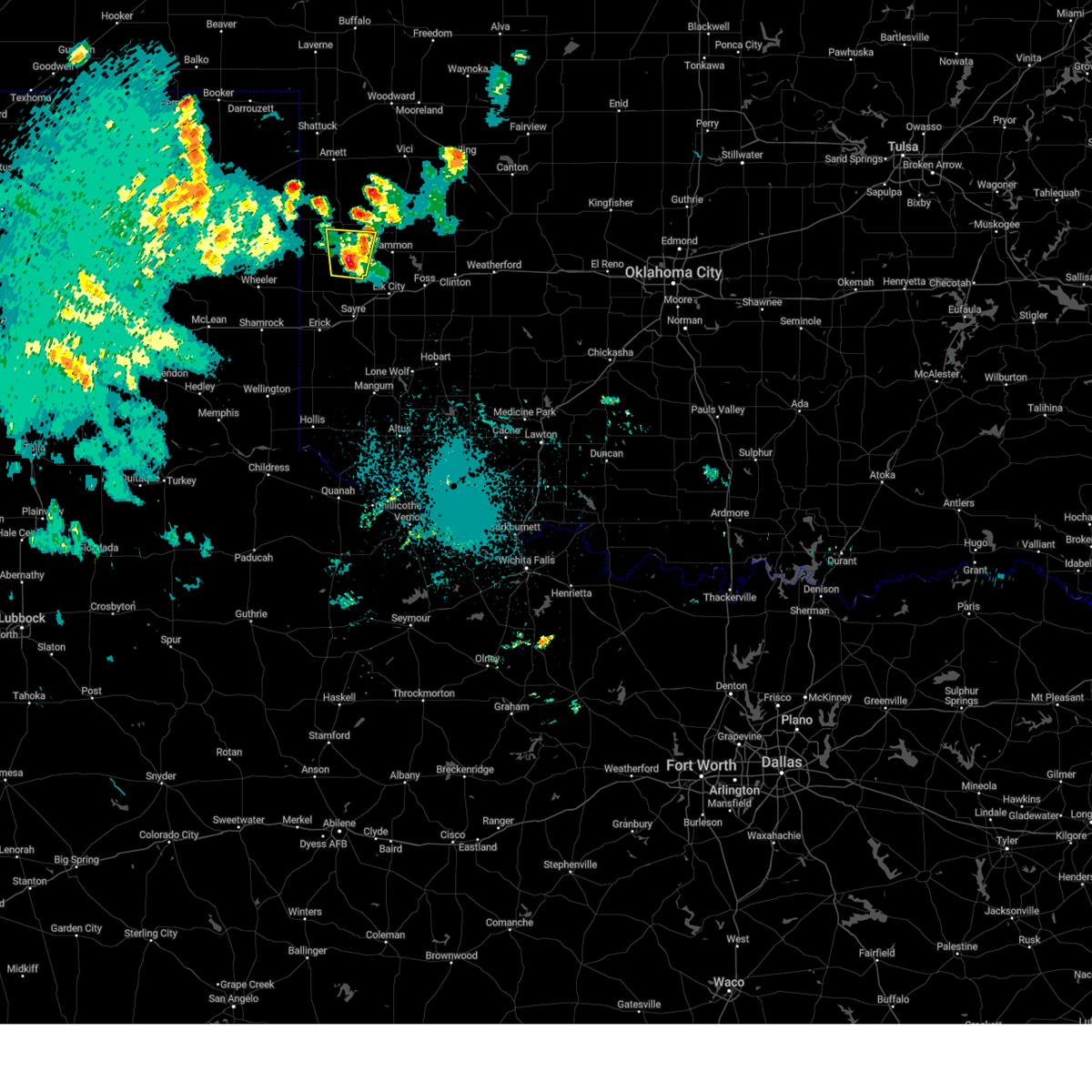 At 1040 pm cdt, a severe thunderstorm was located near cheyenne, moving north at 10 mph (radar indicated). Hazards include 60 mph wind gusts and half dollar size hail. Hail damage to vehicles is expected. expect wind damage to roofs, siding, and trees. locations impacted include, cheyenne and strong city. hail threat, radar indicated max hail size, 1. 25 in wind threat, radar indicated max wind gust, 60 mph. At 1040 pm cdt, a severe thunderstorm was located near cheyenne, moving north at 10 mph (radar indicated). Hazards include 60 mph wind gusts and half dollar size hail. Hail damage to vehicles is expected. expect wind damage to roofs, siding, and trees. locations impacted include, cheyenne and strong city. hail threat, radar indicated max hail size, 1. 25 in wind threat, radar indicated max wind gust, 60 mph.
|
| 5/31/2023 10:36 PM CDT |
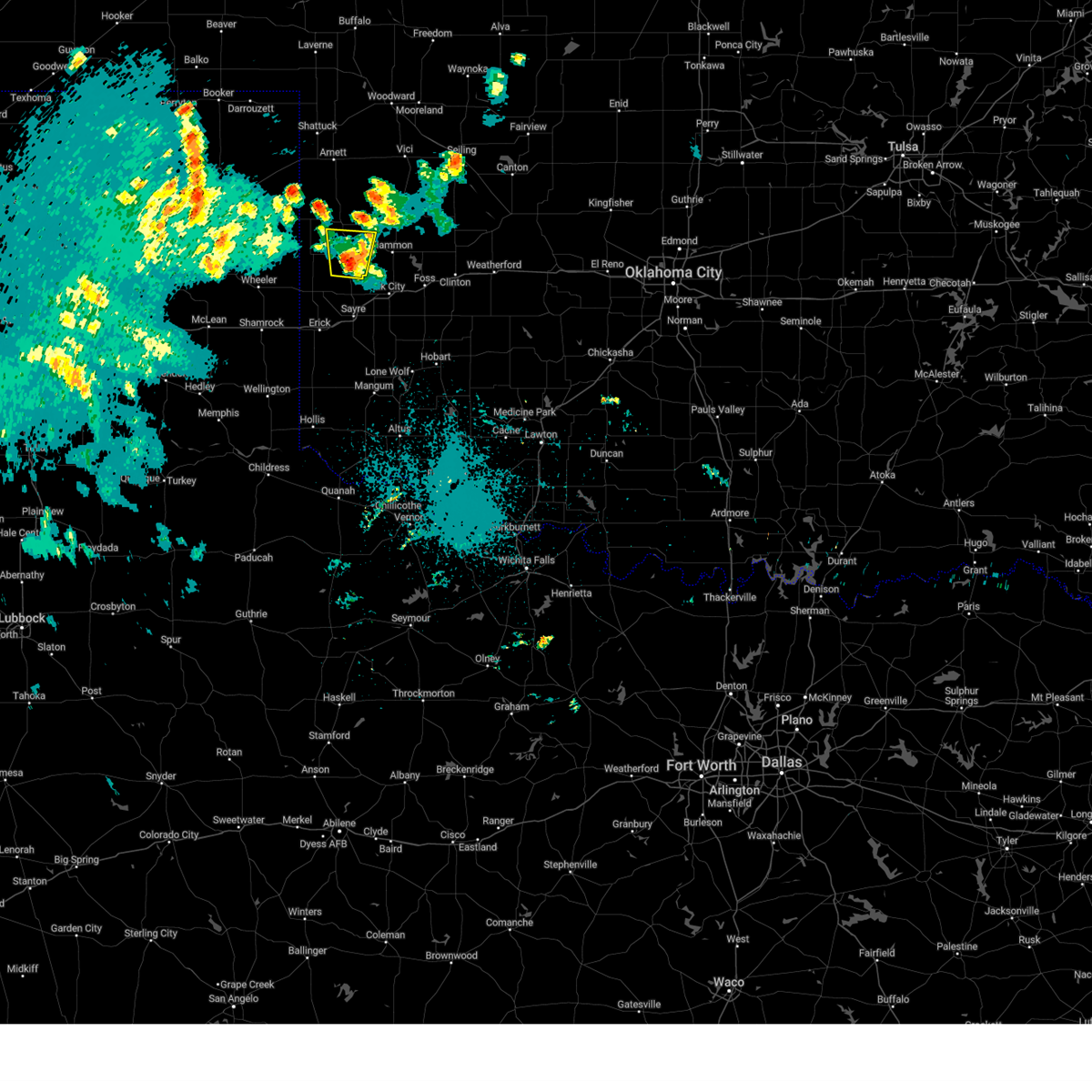 At 1036 pm cdt, a severe thunderstorm was located near cheyenne, moving north at 10 mph (radar indicated). Hazards include 60 mph wind gusts and quarter size hail. Hail damage to vehicles is expected. Expect wind damage to roofs, siding, and trees. At 1036 pm cdt, a severe thunderstorm was located near cheyenne, moving north at 10 mph (radar indicated). Hazards include 60 mph wind gusts and quarter size hail. Hail damage to vehicles is expected. Expect wind damage to roofs, siding, and trees.
|
| 2/26/2023 7:18 PM CST |
 At 717 pm cst, a severe thunderstorm capable of producing a tornado was located 4 miles west of strong city, moving northeast at 50 mph (radar indicated rotation). Hazards include tornado and quarter size hail. Flying debris will be dangerous to those caught without shelter. mobile homes will be damaged or destroyed. damage to roofs, windows, and vehicles will occur. tree damage is likely. Locations impacted include, cheyenne, taloga, seiling, vici, leedey, camargo, sharon, mutual, strong city, putnam, angora, moorewood, roll, cestos and hucmac. At 717 pm cst, a severe thunderstorm capable of producing a tornado was located 4 miles west of strong city, moving northeast at 50 mph (radar indicated rotation). Hazards include tornado and quarter size hail. Flying debris will be dangerous to those caught without shelter. mobile homes will be damaged or destroyed. damage to roofs, windows, and vehicles will occur. tree damage is likely. Locations impacted include, cheyenne, taloga, seiling, vici, leedey, camargo, sharon, mutual, strong city, putnam, angora, moorewood, roll, cestos and hucmac.
|
| 2/26/2023 7:15 PM CST | 2 manufactured homes destroyed. 1 state barn damaged. time estimated based on rada in roger mills county OK, 0.6 miles W of Cheyenne, OK |
| 2/26/2023 7:03 PM CST |
 At 703 pm cst, a severe thunderstorm capable of producing a tornado was located 6 miles southeast of reydon, moving northeast at 85 mph (radar indicated rotation). Hazards include tornado and ping pong ball size hail. Flying debris will be dangerous to those caught without shelter. mobile homes will be damaged or destroyed. damage to roofs, windows, and vehicles will occur. Tree damage is likely. At 703 pm cst, a severe thunderstorm capable of producing a tornado was located 6 miles southeast of reydon, moving northeast at 85 mph (radar indicated rotation). Hazards include tornado and ping pong ball size hail. Flying debris will be dangerous to those caught without shelter. mobile homes will be damaged or destroyed. damage to roofs, windows, and vehicles will occur. Tree damage is likely.
|
| 2/26/2023 6:56 PM CST |
 At 655 pm cst, a severe thunderstorm capable of producing a tornado was located 6 miles north of sweetwater, moving northeast at 60 mph (radar indicated rotation). Hazards include tornado and quarter size hail. Flying debris will be dangerous to those caught without shelter. mobile homes will be damaged or destroyed. damage to roofs, windows, and vehicles will occur. tree damage is likely. Locations impacted include, cheyenne, hammon, reydon, sweetwater, strong city, roll, angora and dempsey. At 655 pm cst, a severe thunderstorm capable of producing a tornado was located 6 miles north of sweetwater, moving northeast at 60 mph (radar indicated rotation). Hazards include tornado and quarter size hail. Flying debris will be dangerous to those caught without shelter. mobile homes will be damaged or destroyed. damage to roofs, windows, and vehicles will occur. tree damage is likely. Locations impacted include, cheyenne, hammon, reydon, sweetwater, strong city, roll, angora and dempsey.
|
| 2/26/2023 6:37 PM CST |
 At 637 pm cst, a severe thunderstorm capable of producing a tornado was located 4 miles northeast of twitty, moving northeast at 70 mph (radar indicated rotation). Hazards include tornado and ping pong ball size hail. Flying debris will be dangerous to those caught without shelter. mobile homes will be damaged or destroyed. damage to roofs, windows, and vehicles will occur. Tree damage is likely. At 637 pm cst, a severe thunderstorm capable of producing a tornado was located 4 miles northeast of twitty, moving northeast at 70 mph (radar indicated rotation). Hazards include tornado and ping pong ball size hail. Flying debris will be dangerous to those caught without shelter. mobile homes will be damaged or destroyed. damage to roofs, windows, and vehicles will occur. Tree damage is likely.
|
| 10/15/2022 11:26 PM CDT |
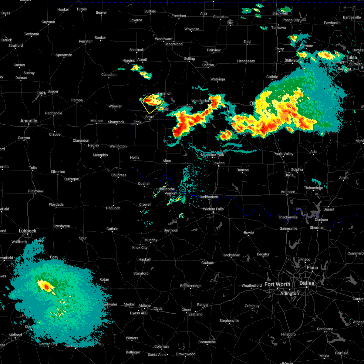 At 1126 pm cdt, a severe thunderstorm was located 4 miles southwest of cheyenne, moving southeast at 10 mph (radar indicated). Hazards include ping pong ball size hail and 60 mph wind gusts. People and animals outdoors will be injured. expect hail damage to roofs, siding, windows, and vehicles. Expect wind damage to roofs, siding, and trees. At 1126 pm cdt, a severe thunderstorm was located 4 miles southwest of cheyenne, moving southeast at 10 mph (radar indicated). Hazards include ping pong ball size hail and 60 mph wind gusts. People and animals outdoors will be injured. expect hail damage to roofs, siding, windows, and vehicles. Expect wind damage to roofs, siding, and trees.
|
| 10/15/2022 9:30 PM CDT |
 At 930 pm cdt, a severe thunderstorm was located 6 miles southwest of cheyenne, moving southeast at 15 mph (radar indicated). Hazards include quarter size hail. damage to vehicles is expected At 930 pm cdt, a severe thunderstorm was located 6 miles southwest of cheyenne, moving southeast at 15 mph (radar indicated). Hazards include quarter size hail. damage to vehicles is expected
|
| 10/15/2022 8:50 PM CDT |
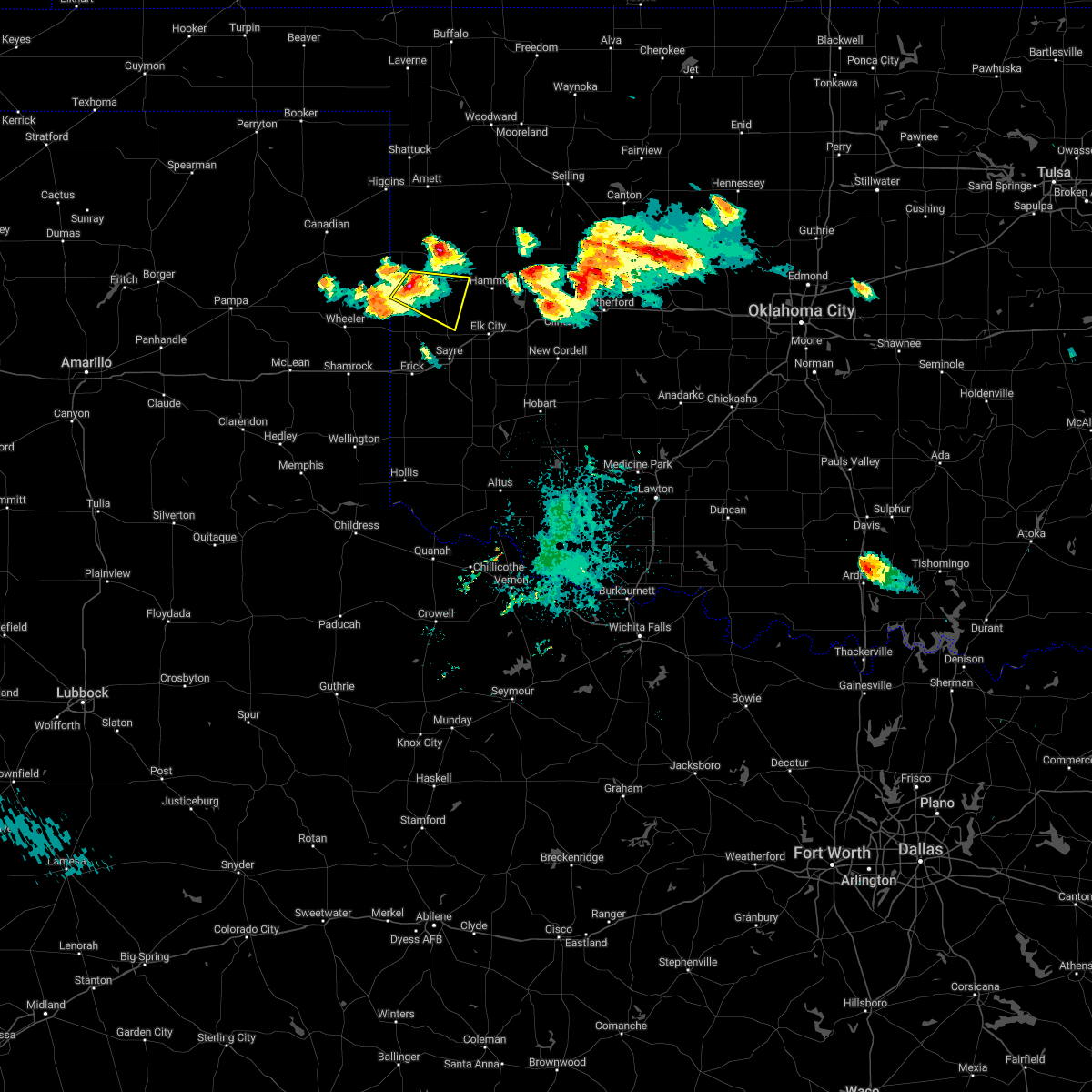 At 850 pm cdt, a severe thunderstorm was located near reydon, moving east at 15 mph (radar indicated). Hazards include quarter size hail. damage to vehicles is expected At 850 pm cdt, a severe thunderstorm was located near reydon, moving east at 15 mph (radar indicated). Hazards include quarter size hail. damage to vehicles is expected
|
| 7/8/2022 8:41 PM CDT |
 The severe thunderstorm warning for central roger mills county will expire at 845 pm cdt, the storm which prompted the warning has weakened below severe limits, therefore the warning will be allowed to expire. however gusty winds are still possible with this thunderstorm. The severe thunderstorm warning for central roger mills county will expire at 845 pm cdt, the storm which prompted the warning has weakened below severe limits, therefore the warning will be allowed to expire. however gusty winds are still possible with this thunderstorm.
|
| 7/8/2022 8:12 PM CDT |
 At 811 pm cdt, a severe thunderstorm was located near strong city, moving south at 20 mph (radar indicated). Hazards include 70 mph wind gusts and half dollar size hail. Hail damage to vehicles is expected. expect considerable tree damage. wind damage is also likely to mobile homes, roofs, and outbuildings. locations impacted include, cheyenne, hammon, strong city, crawford, roll and angora. thunderstorm damage threat, considerable hail threat, radar indicated max hail size, 1. 25 in wind threat, radar indicated max wind gust, 70 mph. At 811 pm cdt, a severe thunderstorm was located near strong city, moving south at 20 mph (radar indicated). Hazards include 70 mph wind gusts and half dollar size hail. Hail damage to vehicles is expected. expect considerable tree damage. wind damage is also likely to mobile homes, roofs, and outbuildings. locations impacted include, cheyenne, hammon, strong city, crawford, roll and angora. thunderstorm damage threat, considerable hail threat, radar indicated max hail size, 1. 25 in wind threat, radar indicated max wind gust, 70 mph.
|
| 7/8/2022 7:59 PM CDT |
 At 759 pm cdt, a severe thunderstorm was located 4 miles north of roll, moving south at 10 mph (radar indicated). Hazards include 70 mph wind gusts and half dollar size hail. Hail damage to vehicles is expected. expect considerable tree damage. wind damage is also likely to mobile homes, roofs, and outbuildings. locations impacted include, cheyenne, hammon, reydon, strong city, crawford, roll and durham. thunderstorm damage threat, considerable hail threat, radar indicated max hail size, 1. 25 in wind threat, radar indicated max wind gust, 70 mph. At 759 pm cdt, a severe thunderstorm was located 4 miles north of roll, moving south at 10 mph (radar indicated). Hazards include 70 mph wind gusts and half dollar size hail. Hail damage to vehicles is expected. expect considerable tree damage. wind damage is also likely to mobile homes, roofs, and outbuildings. locations impacted include, cheyenne, hammon, reydon, strong city, crawford, roll and durham. thunderstorm damage threat, considerable hail threat, radar indicated max hail size, 1. 25 in wind threat, radar indicated max wind gust, 70 mph.
|
| 7/8/2022 7:42 PM CDT |
 At 742 pm cdt, a severe thunderstorm was located 6 miles north of roll, moving south at 5 mph (radar indicated). Hazards include 70 mph wind gusts and half dollar size hail. Hail damage to vehicles is expected. expect considerable tree damage. Wind damage is also likely to mobile homes, roofs, and outbuildings. At 742 pm cdt, a severe thunderstorm was located 6 miles north of roll, moving south at 5 mph (radar indicated). Hazards include 70 mph wind gusts and half dollar size hail. Hail damage to vehicles is expected. expect considerable tree damage. Wind damage is also likely to mobile homes, roofs, and outbuildings.
|
| 6/25/2022 6:03 PM CDT | Quarter sized hail reported 2.2 miles NNW of Cheyenne, OK, em relayed in nwschat |
| 6/25/2022 5:59 PM CDT |
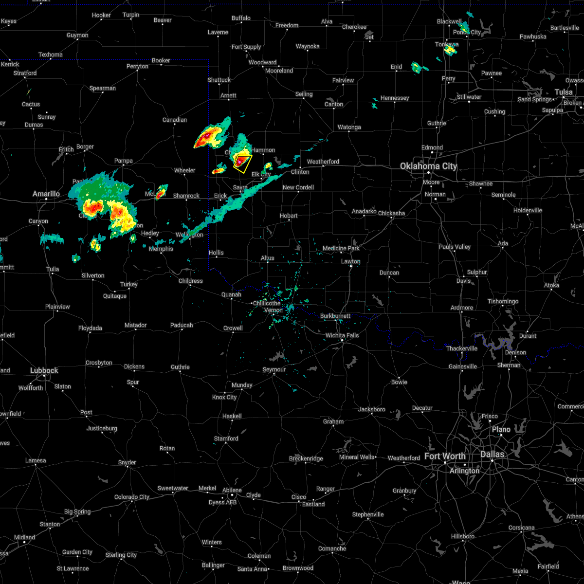 At 559 pm cdt, a severe thunderstorm was located 4 miles south of cheyenne, moving east at 5 mph (radar indicated). Hazards include 60 mph wind gusts and quarter size hail. Hail damage to vehicles is expected. expect wind damage to roofs, siding, and trees. locations impacted include, cheyenne. hail threat, radar indicated max hail size, 1. 00 in wind threat, radar indicated max wind gust, 60 mph. At 559 pm cdt, a severe thunderstorm was located 4 miles south of cheyenne, moving east at 5 mph (radar indicated). Hazards include 60 mph wind gusts and quarter size hail. Hail damage to vehicles is expected. expect wind damage to roofs, siding, and trees. locations impacted include, cheyenne. hail threat, radar indicated max hail size, 1. 00 in wind threat, radar indicated max wind gust, 60 mph.
|
| 6/25/2022 5:51 PM CDT |
 At 551 pm cdt, a severe thunderstorm was located near cheyenne, moving east at 5 mph (radar indicated). Hazards include 60 mph wind gusts and half dollar size hail. Hail damage to vehicles is expected. Expect wind damage to roofs, siding, and trees. At 551 pm cdt, a severe thunderstorm was located near cheyenne, moving east at 5 mph (radar indicated). Hazards include 60 mph wind gusts and half dollar size hail. Hail damage to vehicles is expected. Expect wind damage to roofs, siding, and trees.
|
| 6/25/2022 5:41 PM CDT |
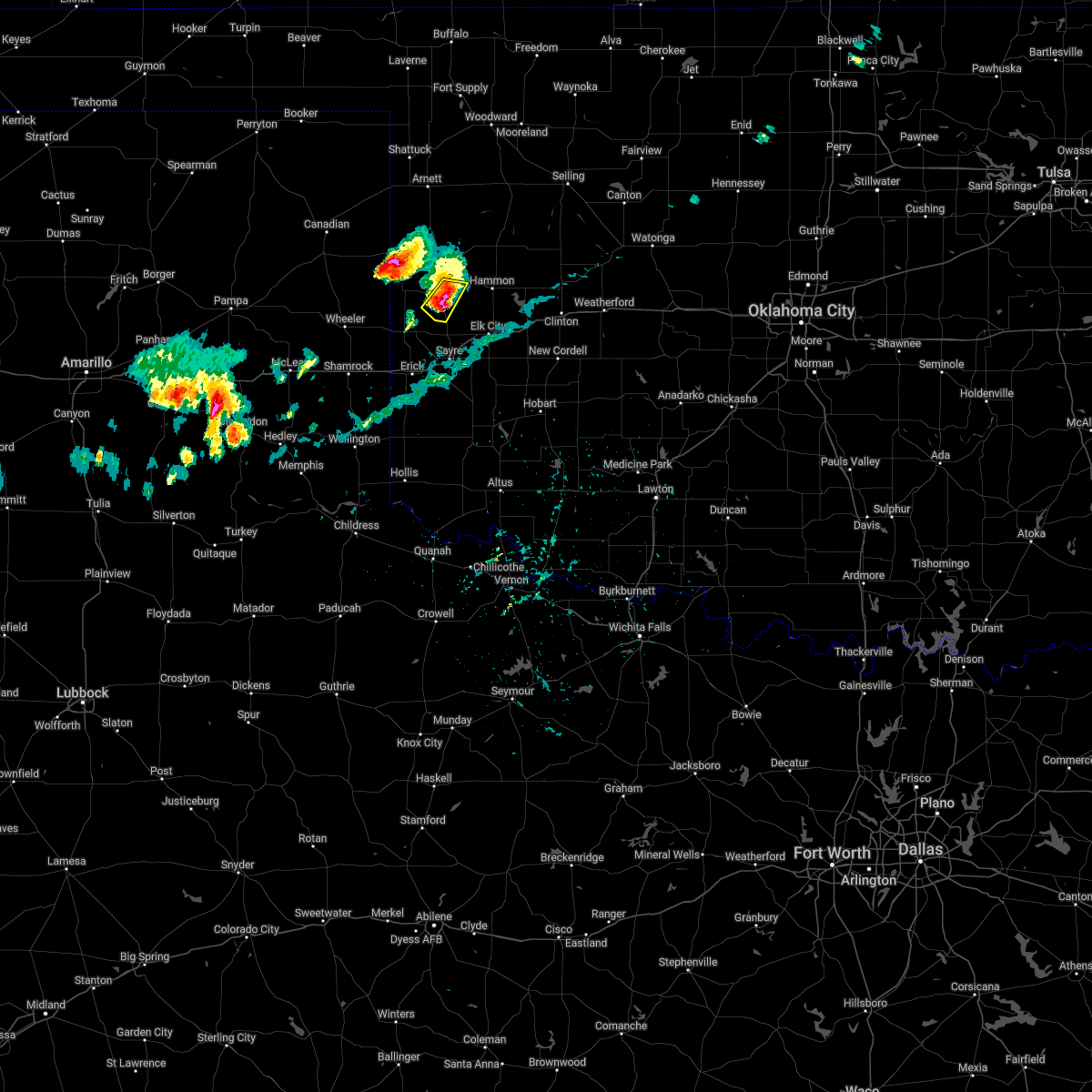 At 541 pm cdt, a severe thunderstorm was located near cheyenne, moving east at 5 mph (radar indicated). Hazards include golf ball size hail and 70 mph wind gusts. People and animals outdoors will be injured. expect hail damage to roofs, siding, windows, and vehicles. expect considerable tree damage. wind damage is also likely to mobile homes, roofs, and outbuildings. locations impacted include, cheyenne and strong city. thunderstorm damage threat, considerable hail threat, radar indicated max hail size, 1. 75 in wind threat, radar indicated max wind gust, 70 mph. At 541 pm cdt, a severe thunderstorm was located near cheyenne, moving east at 5 mph (radar indicated). Hazards include golf ball size hail and 70 mph wind gusts. People and animals outdoors will be injured. expect hail damage to roofs, siding, windows, and vehicles. expect considerable tree damage. wind damage is also likely to mobile homes, roofs, and outbuildings. locations impacted include, cheyenne and strong city. thunderstorm damage threat, considerable hail threat, radar indicated max hail size, 1. 75 in wind threat, radar indicated max wind gust, 70 mph.
|
| 6/25/2022 5:40 PM CDT | Golf Ball sized hail reported 0.9 miles NW of Cheyenne, OK, twitter video forwarded by broadcast media... time is radar estimated. |
| 6/25/2022 5:29 PM CDT |
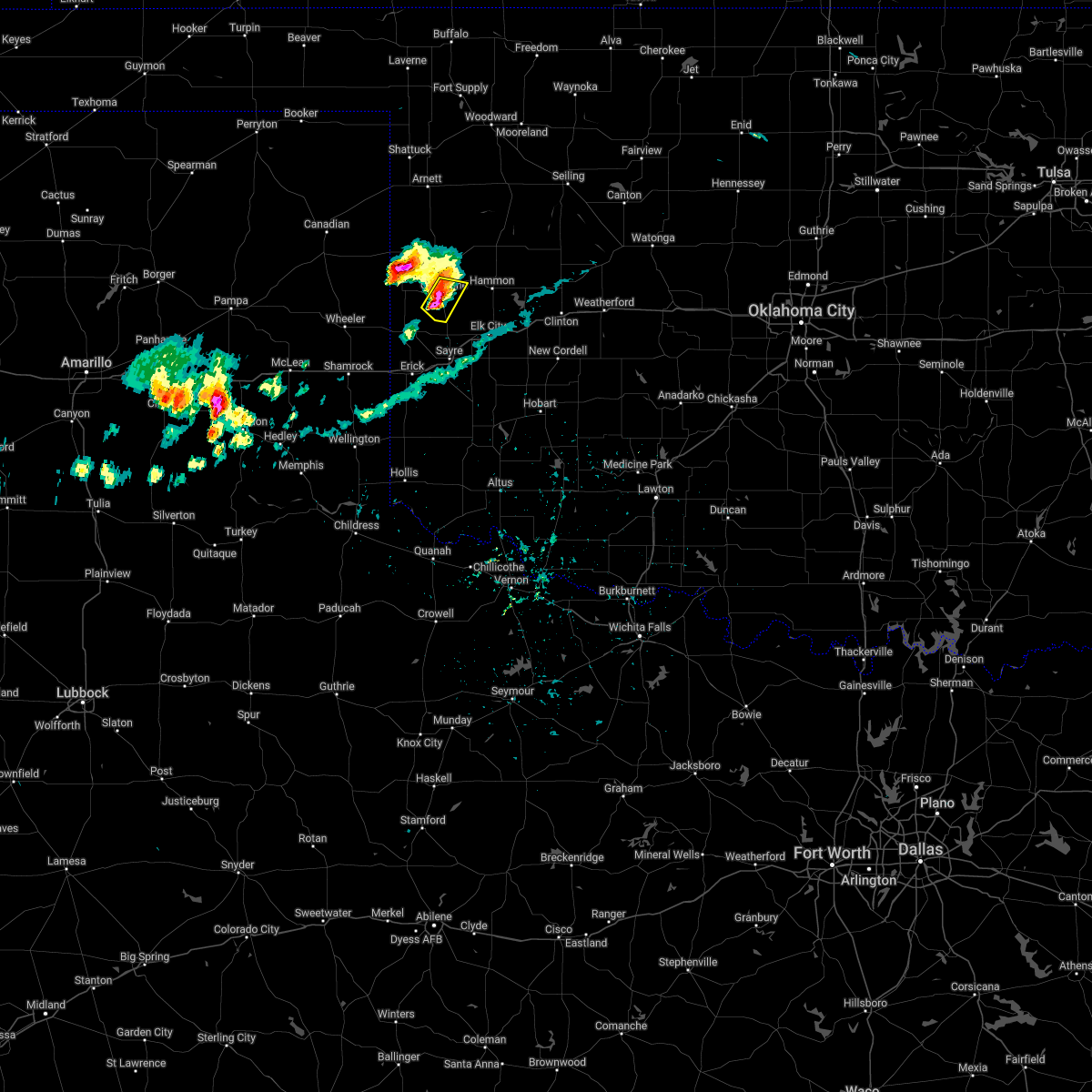 At 528 pm cdt, a severe thunderstorm was located near cheyenne, moving southeast at 5 mph (radar indicated). Hazards include tennis ball size hail and 70 mph wind gusts. People and animals outdoors will be injured. expect hail damage to roofs, siding, windows, and vehicles. expect considerable tree damage. wind damage is also likely to mobile homes, roofs, and outbuildings. locations impacted include, cheyenne and strong city. thunderstorm damage threat, considerable hail threat, radar indicated max hail size, 2. 50 in wind threat, radar indicated max wind gust, 70 mph. At 528 pm cdt, a severe thunderstorm was located near cheyenne, moving southeast at 5 mph (radar indicated). Hazards include tennis ball size hail and 70 mph wind gusts. People and animals outdoors will be injured. expect hail damage to roofs, siding, windows, and vehicles. expect considerable tree damage. wind damage is also likely to mobile homes, roofs, and outbuildings. locations impacted include, cheyenne and strong city. thunderstorm damage threat, considerable hail threat, radar indicated max hail size, 2. 50 in wind threat, radar indicated max wind gust, 70 mph.
|
| 6/25/2022 5:25 PM CDT | Quarter sized hail reported 1.7 miles E of Cheyenne, OK, em relayed in nwschat with picture in the report. |
| 6/25/2022 5:21 PM CDT |
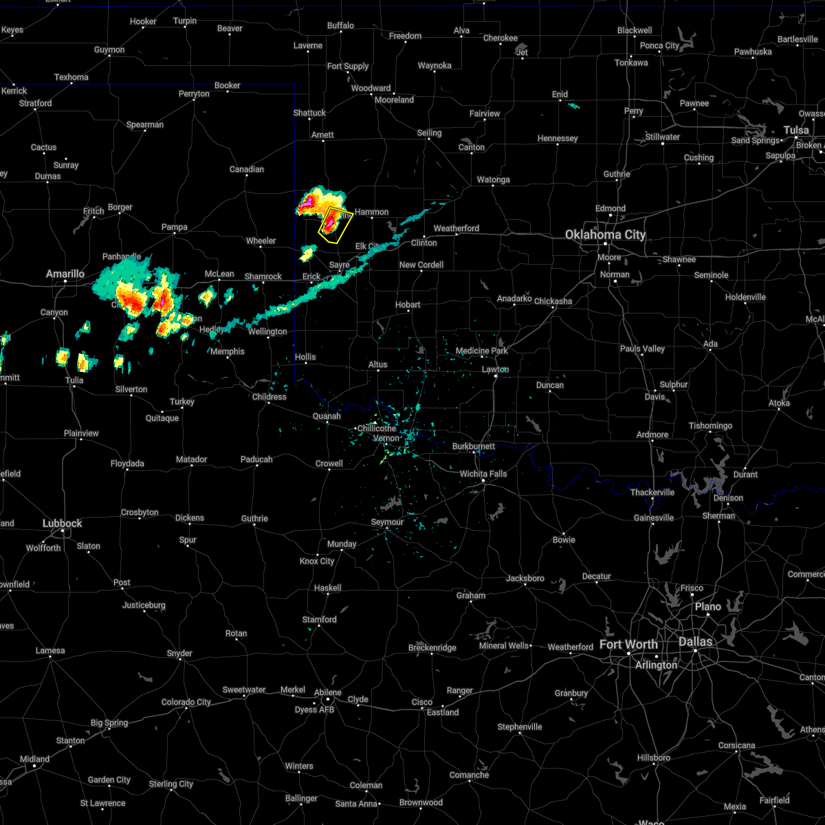 At 520 pm cdt, a severe thunderstorm was located near cheyenne, and is nearly stationary (radar indicated). Hazards include golf ball size hail and 70 mph wind gusts. People and animals outdoors will be injured. expect hail damage to roofs, siding, windows, and vehicles. expect considerable tree damage. Wind damage is also likely to mobile homes, roofs, and outbuildings. At 520 pm cdt, a severe thunderstorm was located near cheyenne, and is nearly stationary (radar indicated). Hazards include golf ball size hail and 70 mph wind gusts. People and animals outdoors will be injured. expect hail damage to roofs, siding, windows, and vehicles. expect considerable tree damage. Wind damage is also likely to mobile homes, roofs, and outbuildings.
|
| 6/25/2022 5:01 PM CDT |
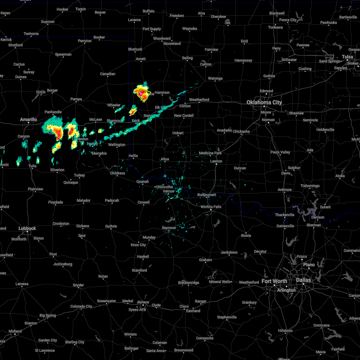 At 501 pm cdt, a severe thunderstorm was located 5 miles northwest of cheyenne, and is nearly stationary (radar indicated). Hazards include 70 mph wind gusts and ping pong ball size hail. People and animals outdoors will be injured. expect hail damage to roofs, siding, windows, and vehicles. expect considerable tree damage. wind damage is also likely to mobile homes, roofs, and outbuildings. locations impacted include, cheyenne and strong city. thunderstorm damage threat, considerable hail threat, radar indicated max hail size, 1. 50 in wind threat, radar indicated max wind gust, 70 mph. At 501 pm cdt, a severe thunderstorm was located 5 miles northwest of cheyenne, and is nearly stationary (radar indicated). Hazards include 70 mph wind gusts and ping pong ball size hail. People and animals outdoors will be injured. expect hail damage to roofs, siding, windows, and vehicles. expect considerable tree damage. wind damage is also likely to mobile homes, roofs, and outbuildings. locations impacted include, cheyenne and strong city. thunderstorm damage threat, considerable hail threat, radar indicated max hail size, 1. 50 in wind threat, radar indicated max wind gust, 70 mph.
|
| 6/25/2022 4:50 PM CDT |
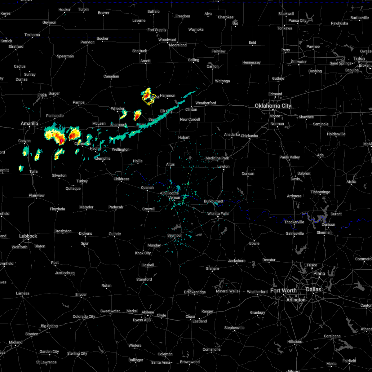 At 449 pm cdt, a severe thunderstorm was located 5 miles northwest of cheyenne, moving southeast at 5 mph (radar indicated). Hazards include 60 mph wind gusts and quarter size hail. Hail damage to vehicles is expected. Expect wind damage to roofs, siding, and trees. At 449 pm cdt, a severe thunderstorm was located 5 miles northwest of cheyenne, moving southeast at 5 mph (radar indicated). Hazards include 60 mph wind gusts and quarter size hail. Hail damage to vehicles is expected. Expect wind damage to roofs, siding, and trees.
|
| 6/9/2022 10:14 PM CDT |
 At 1014 pm cdt, severe thunderstorms were located along a line extending from 4 miles east of allison to 3 miles northwest of twitty, moving east at 40 mph (radar indicated). Hazards include 60 mph wind gusts and penny size hail. expect damage to roofs, siding, and trees At 1014 pm cdt, severe thunderstorms were located along a line extending from 4 miles east of allison to 3 miles northwest of twitty, moving east at 40 mph (radar indicated). Hazards include 60 mph wind gusts and penny size hail. expect damage to roofs, siding, and trees
|
| 6/8/2022 6:41 AM CDT | Quarter sized hail reported 0.6 miles W of Cheyenne, OK |
| 6/8/2022 6:38 AM CDT |
 At 637 am cdt, severe thunderstorms were located along a line extending from 3 miles west of arapaho to 7 miles northwest of canute to 6 miles southeast of strong city to 8 miles southwest of cheyenne to 6 miles north of sweetwater, moving southeast at 25 mph (emergency management reported golf ball size hail west of cheyenne). Hazards include golf ball size hail and 70 mph wind gusts. People and animals outdoors will be injured. expect hail damage to roofs, siding, windows, and vehicles. expect considerable tree damage. wind damage is also likely to mobile homes, roofs, and outbuildings. locations impacted include, elk city, clinton, cheyenne, arapaho, hammon, canute, butler, reydon, foss, strong city, foss reservoir, berlin, stafford and dempsey. thunderstorm damage threat, considerable hail threat, observed max hail size, 1. 75 in wind threat, radar indicated max wind gust, 70 mph. At 637 am cdt, severe thunderstorms were located along a line extending from 3 miles west of arapaho to 7 miles northwest of canute to 6 miles southeast of strong city to 8 miles southwest of cheyenne to 6 miles north of sweetwater, moving southeast at 25 mph (emergency management reported golf ball size hail west of cheyenne). Hazards include golf ball size hail and 70 mph wind gusts. People and animals outdoors will be injured. expect hail damage to roofs, siding, windows, and vehicles. expect considerable tree damage. wind damage is also likely to mobile homes, roofs, and outbuildings. locations impacted include, elk city, clinton, cheyenne, arapaho, hammon, canute, butler, reydon, foss, strong city, foss reservoir, berlin, stafford and dempsey. thunderstorm damage threat, considerable hail threat, observed max hail size, 1. 75 in wind threat, radar indicated max wind gust, 70 mph.
|
| 6/8/2022 6:22 AM CDT |
 At 622 am cdt, severe thunderstorms were located along a line extending from 4 miles southeast of butler to 5 miles southwest of hammon to near strong city to 6 miles southeast of reydon, moving southeast at 25 mph (radar indicated). Hazards include golf ball size hail and 70 mph wind gusts. People and animals outdoors will be injured. expect hail damage to roofs, siding, windows, and vehicles. expect considerable tree damage. Wind damage is also likely to mobile homes, roofs, and outbuildings. At 622 am cdt, severe thunderstorms were located along a line extending from 4 miles southeast of butler to 5 miles southwest of hammon to near strong city to 6 miles southeast of reydon, moving southeast at 25 mph (radar indicated). Hazards include golf ball size hail and 70 mph wind gusts. People and animals outdoors will be injured. expect hail damage to roofs, siding, windows, and vehicles. expect considerable tree damage. Wind damage is also likely to mobile homes, roofs, and outbuildings.
|
| 6/8/2022 6:13 AM CDT |
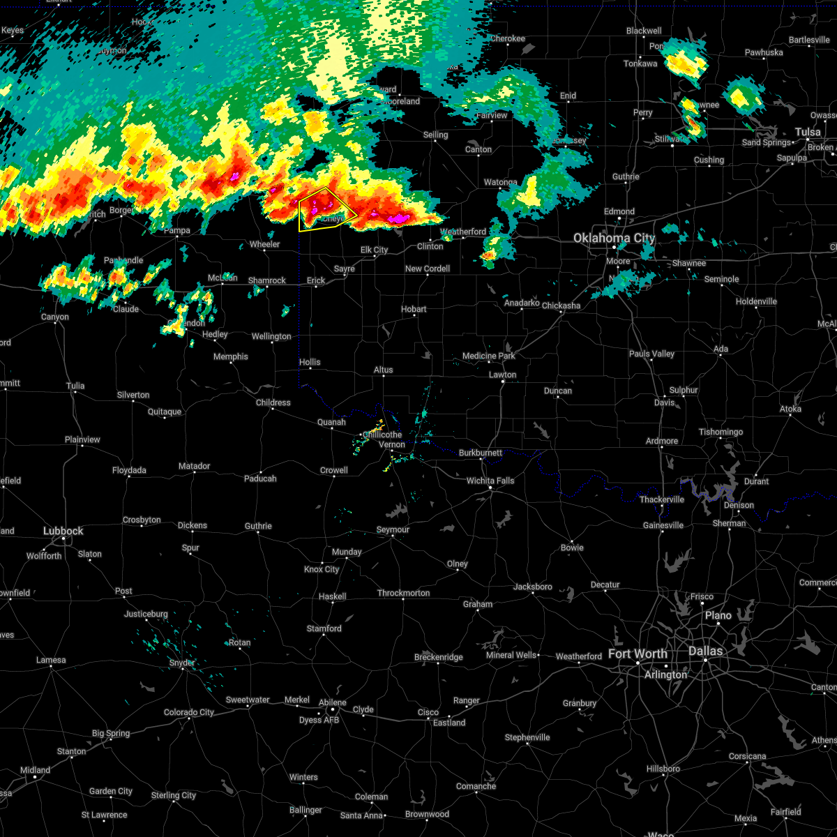 At 612 am cdt, a severe thunderstorm was located 7 miles northeast of reydon, moving southeast at 20 mph (radar indicated). Hazards include golf ball size hail and 70 mph wind gusts. People and animals outdoors will be injured. expect hail damage to roofs, siding, windows, and vehicles. expect considerable tree damage. wind damage is also likely to mobile homes, roofs, and outbuildings. locations impacted include, cheyenne, reydon, strong city, crawford and roll. thunderstorm damage threat, considerable hail threat, radar indicated max hail size, 1. 75 in wind threat, radar indicated max wind gust, 70 mph. At 612 am cdt, a severe thunderstorm was located 7 miles northeast of reydon, moving southeast at 20 mph (radar indicated). Hazards include golf ball size hail and 70 mph wind gusts. People and animals outdoors will be injured. expect hail damage to roofs, siding, windows, and vehicles. expect considerable tree damage. wind damage is also likely to mobile homes, roofs, and outbuildings. locations impacted include, cheyenne, reydon, strong city, crawford and roll. thunderstorm damage threat, considerable hail threat, radar indicated max hail size, 1. 75 in wind threat, radar indicated max wind gust, 70 mph.
|
| 6/8/2022 5:59 AM CDT |
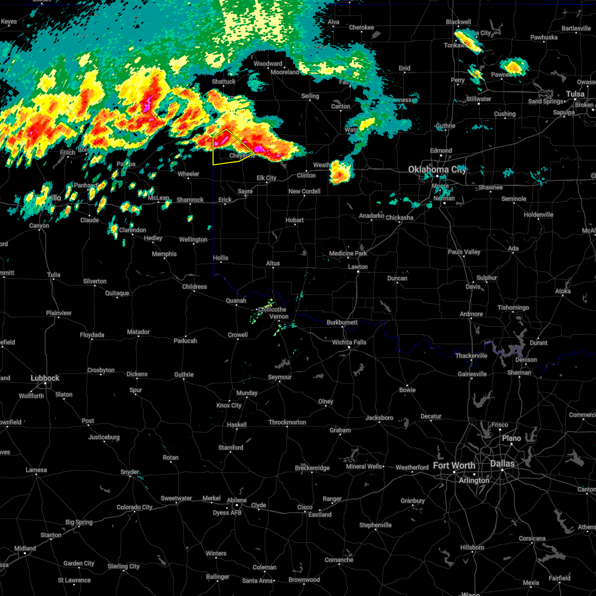 At 558 am cdt, a severe thunderstorm was located 5 miles southeast of durham, moving southeast at 20 mph (radar indicated). Hazards include 70 mph wind gusts and half dollar size hail. Hail damage to vehicles is expected. expect considerable tree damage. Wind damage is also likely to mobile homes, roofs, and outbuildings. At 558 am cdt, a severe thunderstorm was located 5 miles southeast of durham, moving southeast at 20 mph (radar indicated). Hazards include 70 mph wind gusts and half dollar size hail. Hail damage to vehicles is expected. expect considerable tree damage. Wind damage is also likely to mobile homes, roofs, and outbuildings.
|
| 5/31/2022 6:01 PM CDT |
 At 601 pm cdt, a severe thunderstorm was located 8 miles southwest of cheyenne, moving northeast at 45 mph (radar indicated). Hazards include 60 mph wind gusts and half dollar size hail. Hail damage to vehicles is expected. expect wind damage to roofs, siding, and trees. locations impacted include, cheyenne, sweetwater, strong city, roll and dempsey. hail threat, radar indicated max hail size, 1. 25 in wind threat, radar indicated max wind gust, 60 mph. At 601 pm cdt, a severe thunderstorm was located 8 miles southwest of cheyenne, moving northeast at 45 mph (radar indicated). Hazards include 60 mph wind gusts and half dollar size hail. Hail damage to vehicles is expected. expect wind damage to roofs, siding, and trees. locations impacted include, cheyenne, sweetwater, strong city, roll and dempsey. hail threat, radar indicated max hail size, 1. 25 in wind threat, radar indicated max wind gust, 60 mph.
|
| 5/31/2022 5:40 PM CDT |
 At 540 pm cdt, a severe thunderstorm was located 4 miles southwest of sweetwater, moving northeast at 45 mph (radar indicated). Hazards include 60 mph wind gusts and half dollar size hail. Hail damage to vehicles is expected. Expect wind damage to roofs, siding, and trees. At 540 pm cdt, a severe thunderstorm was located 4 miles southwest of sweetwater, moving northeast at 45 mph (radar indicated). Hazards include 60 mph wind gusts and half dollar size hail. Hail damage to vehicles is expected. Expect wind damage to roofs, siding, and trees.
|
| 5/19/2022 1:12 AM CDT |
 At 110 am cdt, severe thunderstorms were located along a line extending from near cestos to 4 miles west of moorewood to 5 miles south of cheyenne, moving east at 45 mph. these are destructive storms for the camargo, cestos, and taloga areas! (an 80 mph wind gust was measured by the camargo mesonet weather station at 100 am!). Hazards include 80 mph wind gusts and quarter size hail. Flying debris will be dangerous to those caught without shelter. mobile homes will be heavily damaged. expect considerable damage to roofs, windows, and vehicles. extensive tree damage and power outages are likely. locations impacted include, elk city, cheyenne, taloga, seiling, arapaho, vici, hammon, canute, leedey, custer city, butler, camargo, foss, oakwood, strong city, putnam, foss reservoir, angora, moorewood and cestos. thunderstorm damage threat, destructive hail threat, radar indicated max hail size, 1. 00 in wind threat, observed max wind gust, 80 mph. At 110 am cdt, severe thunderstorms were located along a line extending from near cestos to 4 miles west of moorewood to 5 miles south of cheyenne, moving east at 45 mph. these are destructive storms for the camargo, cestos, and taloga areas! (an 80 mph wind gust was measured by the camargo mesonet weather station at 100 am!). Hazards include 80 mph wind gusts and quarter size hail. Flying debris will be dangerous to those caught without shelter. mobile homes will be heavily damaged. expect considerable damage to roofs, windows, and vehicles. extensive tree damage and power outages are likely. locations impacted include, elk city, cheyenne, taloga, seiling, arapaho, vici, hammon, canute, leedey, custer city, butler, camargo, foss, oakwood, strong city, putnam, foss reservoir, angora, moorewood and cestos. thunderstorm damage threat, destructive hail threat, radar indicated max hail size, 1. 00 in wind threat, observed max wind gust, 80 mph.
|
| 5/19/2022 1:05 AM CDT |
 At 105 am cdt, severe thunderstorms were located along a line extending from 3 miles southeast of vici to 4 miles southwest of angora to 6 miles southwest of cheyenne, moving east at 45 mph (radar indicated). Hazards include 60 mph wind gusts and quarter size hail. Hail damage to vehicles is expected. Expect wind damage to roofs, siding, and trees. At 105 am cdt, severe thunderstorms were located along a line extending from 3 miles southeast of vici to 4 miles southwest of angora to 6 miles southwest of cheyenne, moving east at 45 mph (radar indicated). Hazards include 60 mph wind gusts and quarter size hail. Hail damage to vehicles is expected. Expect wind damage to roofs, siding, and trees.
|
| 5/19/2022 12:55 AM CDT | Storm damage reported in roger mills county OK, 5.7 miles NE of Cheyenne, OK |
| 5/19/2022 12:48 AM CDT |
 At 1247 am cdt, severe thunderstorms were located along a line extending from 3 miles southeast of harmon to 5 miles southwest of roll to 5 miles south of reydon, moving east at 50 mph (trained weather spotters reported damage to a power pole 1 mile east of arnett). Hazards include 70 mph wind gusts and quarter size hail. Hail damage to vehicles is expected. expect considerable tree damage. wind damage is also likely to mobile homes, roofs, and outbuildings. locations impacted include, cheyenne, arnett, vici, leedey, reydon, camargo, strong city, crawford, harmon, roll, durham and angora. thunderstorm damage threat, considerable hail threat, radar indicated max hail size, 1. 00 in wind threat, observed max wind gust, 70 mph. At 1247 am cdt, severe thunderstorms were located along a line extending from 3 miles southeast of harmon to 5 miles southwest of roll to 5 miles south of reydon, moving east at 50 mph (trained weather spotters reported damage to a power pole 1 mile east of arnett). Hazards include 70 mph wind gusts and quarter size hail. Hail damage to vehicles is expected. expect considerable tree damage. wind damage is also likely to mobile homes, roofs, and outbuildings. locations impacted include, cheyenne, arnett, vici, leedey, reydon, camargo, strong city, crawford, harmon, roll, durham and angora. thunderstorm damage threat, considerable hail threat, radar indicated max hail size, 1. 00 in wind threat, observed max wind gust, 70 mph.
|
| 5/19/2022 12:29 AM CDT |
 At 1229 am cdt, severe thunderstorms were located along a line extending from 6 miles southwest of arnett to 6 miles east of lake marvin to 8 miles northeast of briscoe, moving east at 50 mph (radar indicated). Hazards include 70 mph wind gusts and quarter size hail. Hail damage to vehicles is expected. expect considerable tree damage. Wind damage is also likely to mobile homes, roofs, and outbuildings. At 1229 am cdt, severe thunderstorms were located along a line extending from 6 miles southwest of arnett to 6 miles east of lake marvin to 8 miles northeast of briscoe, moving east at 50 mph (radar indicated). Hazards include 70 mph wind gusts and quarter size hail. Hail damage to vehicles is expected. expect considerable tree damage. Wind damage is also likely to mobile homes, roofs, and outbuildings.
|
| 5/17/2022 8:29 PM CDT |
 At 829 pm cdt, a cluster of severe thunderstorms were located from 10 miles east of sweetwater to 3 miles west of delhi to 8 miles southwest of gould, moving east at 30 mph (radar indicated). Hazards include 60 mph wind gusts and penny size hail. expect damage to roofs, siding, and trees At 829 pm cdt, a cluster of severe thunderstorms were located from 10 miles east of sweetwater to 3 miles west of delhi to 8 miles southwest of gould, moving east at 30 mph (radar indicated). Hazards include 60 mph wind gusts and penny size hail. expect damage to roofs, siding, and trees
|
| 5/17/2022 8:17 PM CDT |
 At 816 pm cdt, a cluster of severe thunderstorms were located from 6 miles southeast of sweetwater to near erick to 8 miles north of vinson, moving east at 45 mph. additional thunderstorms were located from elk city to sayre to near carter, moving east at 40 mph (radar indicated). Hazards include 60 mph wind gusts and nickel size hail. Expect damage to roofs, siding, and trees. locations impacted include, elk city, sayre, cheyenne, erick, carter, willow, sweetwater, strong city, texola, delhi, brinkman, berlin and dempsey. hail threat, radar indicated max hail size, 0. 88 in wind threat, radar indicated max wind gust, 60 mph. At 816 pm cdt, a cluster of severe thunderstorms were located from 6 miles southeast of sweetwater to near erick to 8 miles north of vinson, moving east at 45 mph. additional thunderstorms were located from elk city to sayre to near carter, moving east at 40 mph (radar indicated). Hazards include 60 mph wind gusts and nickel size hail. Expect damage to roofs, siding, and trees. locations impacted include, elk city, sayre, cheyenne, erick, carter, willow, sweetwater, strong city, texola, delhi, brinkman, berlin and dempsey. hail threat, radar indicated max hail size, 0. 88 in wind threat, radar indicated max wind gust, 60 mph.
|
| 5/17/2022 7:41 PM CDT |
 At 741 pm cdt, a cluster of severe thunderstorms were located from 4 miles southwest of sweetwater to 4 miles northwest of erick to 6 miles north of vinson, moving northeast at 40 mph (radar indicated). Hazards include 60 mph wind gusts. expect damage to roofs, siding, and trees At 741 pm cdt, a cluster of severe thunderstorms were located from 4 miles southwest of sweetwater to 4 miles northwest of erick to 6 miles north of vinson, moving northeast at 40 mph (radar indicated). Hazards include 60 mph wind gusts. expect damage to roofs, siding, and trees
|
| 5/17/2022 7:03 PM CDT |
 At 703 pm cdt, severe thunderstorms were located along a line extending from 4 miles northwest of canute to 8 miles northwest of sayre to 6 miles southwest of sweetwater, moving northeast at 25 mph (radar indicated). Hazards include 60 mph wind gusts. expect damage to roofs, siding, and trees At 703 pm cdt, severe thunderstorms were located along a line extending from 4 miles northwest of canute to 8 miles northwest of sayre to 6 miles southwest of sweetwater, moving northeast at 25 mph (radar indicated). Hazards include 60 mph wind gusts. expect damage to roofs, siding, and trees
|
| 5/10/2022 10:38 PM CDT |
 The severe thunderstorm warning for western washita, southern ellis, roger mills, western custer, western dewey, northern harmon, northwestern greer and beckham counties will expire at 1045 pm cdt, the storms which prompted the warning have weakened below severe limits, therefore the warning will be allowed to expire. however gusty winds are still possible with these thunderstorms. The severe thunderstorm warning for western washita, southern ellis, roger mills, western custer, western dewey, northern harmon, northwestern greer and beckham counties will expire at 1045 pm cdt, the storms which prompted the warning have weakened below severe limits, therefore the warning will be allowed to expire. however gusty winds are still possible with these thunderstorms.
|
| 5/10/2022 10:13 PM CDT |
 At 1013 pm cdt, severe thunderstorms were located along a line extending from 9 miles north of roll to 9 miles southeast of cheyenne to near delhi to 10 miles west of vinson, moving east at 35 mph (radar indicated). Hazards include 60 mph wind gusts. Expect damage to roofs, siding, and trees. locations impacted include, elk city, sayre, cheyenne, arnett, burns flat, erick, vici, hammon, canute, leedey, butler, carter, reydon, camargo, foss, willow, sweetwater, strong city, texola and retrop. hail threat, radar indicated max hail size, <. 75 in wind threat, radar indicated max wind gust, 60 mph. At 1013 pm cdt, severe thunderstorms were located along a line extending from 9 miles north of roll to 9 miles southeast of cheyenne to near delhi to 10 miles west of vinson, moving east at 35 mph (radar indicated). Hazards include 60 mph wind gusts. Expect damage to roofs, siding, and trees. locations impacted include, elk city, sayre, cheyenne, arnett, burns flat, erick, vici, hammon, canute, leedey, butler, carter, reydon, camargo, foss, willow, sweetwater, strong city, texola and retrop. hail threat, radar indicated max hail size, <. 75 in wind threat, radar indicated max wind gust, 60 mph.
|
| 5/10/2022 9:53 PM CDT |
 At 953 pm cdt, severe thunderstorms were located along a line extending from 6 miles northwest of crawford to 7 miles southwest of cheyenne to 5 miles south of erick to 5 miles north of wellington, moving east at 35 mph (radar indicated). Hazards include 70 mph wind gusts and penny size hail. Expect considerable tree damage. Damage is likely to mobile homes, roofs, and outbuildings. At 953 pm cdt, severe thunderstorms were located along a line extending from 6 miles northwest of crawford to 7 miles southwest of cheyenne to 5 miles south of erick to 5 miles north of wellington, moving east at 35 mph (radar indicated). Hazards include 70 mph wind gusts and penny size hail. Expect considerable tree damage. Damage is likely to mobile homes, roofs, and outbuildings.
|
| 5/10/2022 9:33 PM CDT |
 At 933 pm cdt, severe thunderstorms were located along a line extending from 4 miles north of durham to 5 miles north of sweetwater to near texola to 4 miles southeast of quail, moving east at 40 mph (radar indicated). Hazards include 70 mph wind gusts and penny size hail. Expect considerable tree damage. damage is likely to mobile homes, roofs, and outbuildings. locations impacted include, cheyenne, erick, reydon, sweetwater, strong city, texola, crawford, roll, durham, madge, berlin and dempsey. thunderstorm damage threat, considerable hail threat, radar indicated max hail size, 0. 75 in wind threat, radar indicated max wind gust, 70 mph. At 933 pm cdt, severe thunderstorms were located along a line extending from 4 miles north of durham to 5 miles north of sweetwater to near texola to 4 miles southeast of quail, moving east at 40 mph (radar indicated). Hazards include 70 mph wind gusts and penny size hail. Expect considerable tree damage. damage is likely to mobile homes, roofs, and outbuildings. locations impacted include, cheyenne, erick, reydon, sweetwater, strong city, texola, crawford, roll, durham, madge, berlin and dempsey. thunderstorm damage threat, considerable hail threat, radar indicated max hail size, 0. 75 in wind threat, radar indicated max wind gust, 70 mph.
|
| 5/10/2022 9:05 PM CDT |
 At 904 pm cdt, severe thunderstorms were located along a line extending from 6 miles southeast of lake marvin to near twitty to 6 miles northwest of quail to 5 miles southwest of memphis, moving east at 35 mph (radar indicated). Hazards include 70 mph wind gusts and penny size hail. Expect considerable tree damage. Damage is likely to mobile homes, roofs, and outbuildings. At 904 pm cdt, severe thunderstorms were located along a line extending from 6 miles southeast of lake marvin to near twitty to 6 miles northwest of quail to 5 miles southwest of memphis, moving east at 35 mph (radar indicated). Hazards include 70 mph wind gusts and penny size hail. Expect considerable tree damage. Damage is likely to mobile homes, roofs, and outbuildings.
|
| 5/4/2022 12:47 PM CDT |
 At 1247 pm cdt, a severe thunderstorm was located near sentinel, moving northeast at 40 mph. other severe thuderstorms were located south of elk city (radar indicated). Hazards include 60 mph wind gusts and quarter size hail. Hail damage to vehicles is expected. Expect wind damage to roofs, siding, and trees. At 1247 pm cdt, a severe thunderstorm was located near sentinel, moving northeast at 40 mph. other severe thuderstorms were located south of elk city (radar indicated). Hazards include 60 mph wind gusts and quarter size hail. Hail damage to vehicles is expected. Expect wind damage to roofs, siding, and trees.
|
| 10/26/2021 8:23 PM CDT |
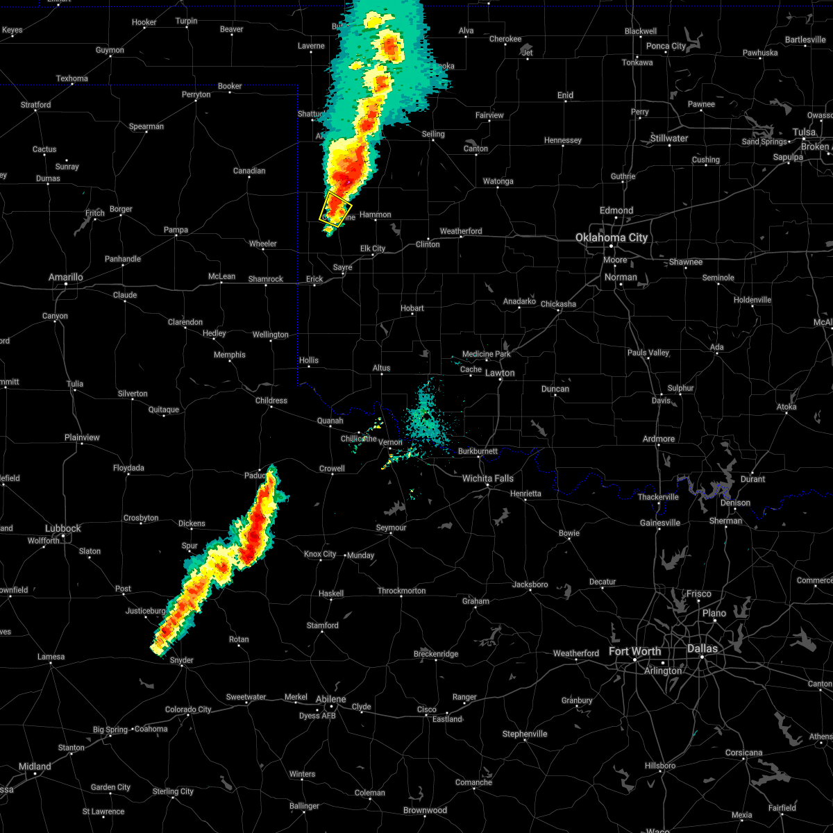 At 822 pm cdt, a severe thunderstorm was located 7 miles east of reydon, moving northeast at 40 mph (radar indicated). Hazards include ping pong ball size hail and 60 mph wind gusts. People and animals outdoors will be injured. expect hail damage to roofs, siding, windows, and vehicles. expect wind damage to roofs, siding, and trees. locations impacted include, cheyenne and roll. hail threat, radar indicated max hail size, 1. 50 in wind threat, radar indicated max wind gust, 60 mph. At 822 pm cdt, a severe thunderstorm was located 7 miles east of reydon, moving northeast at 40 mph (radar indicated). Hazards include ping pong ball size hail and 60 mph wind gusts. People and animals outdoors will be injured. expect hail damage to roofs, siding, windows, and vehicles. expect wind damage to roofs, siding, and trees. locations impacted include, cheyenne and roll. hail threat, radar indicated max hail size, 1. 50 in wind threat, radar indicated max wind gust, 60 mph.
|
| 10/26/2021 8:19 PM CDT |
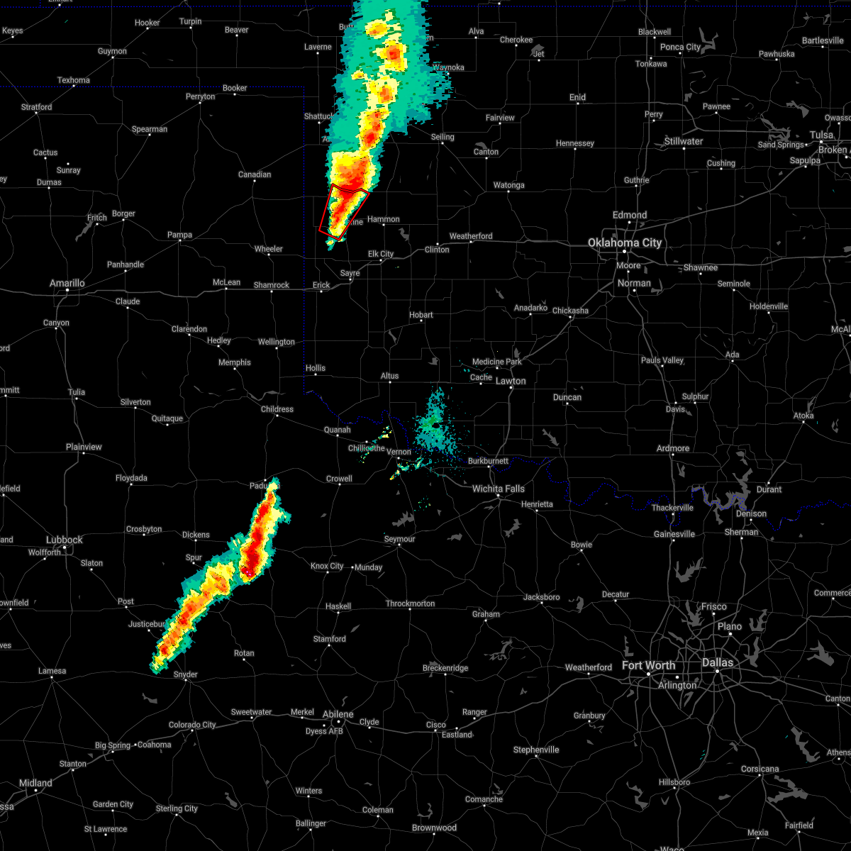 At 819 pm cdt, a severe thunderstorm capable of producing a tornado was located 5 miles east of roll, moving northeast at 50 mph (radar indicated rotation). Hazards include tornado and ping pong ball size hail. Flying debris will be dangerous to those caught without shelter. mobile homes will be damaged or destroyed. damage to roofs, windows, and vehicles will occur. tree damage is likely. Locations impacted include, cheyenne, crawford and roll. At 819 pm cdt, a severe thunderstorm capable of producing a tornado was located 5 miles east of roll, moving northeast at 50 mph (radar indicated rotation). Hazards include tornado and ping pong ball size hail. Flying debris will be dangerous to those caught without shelter. mobile homes will be damaged or destroyed. damage to roofs, windows, and vehicles will occur. tree damage is likely. Locations impacted include, cheyenne, crawford and roll.
|
| 10/26/2021 8:17 PM CDT | Quarter sized hail reported 8 miles SE of Cheyenne, OK |
| 10/26/2021 8:04 PM CDT |
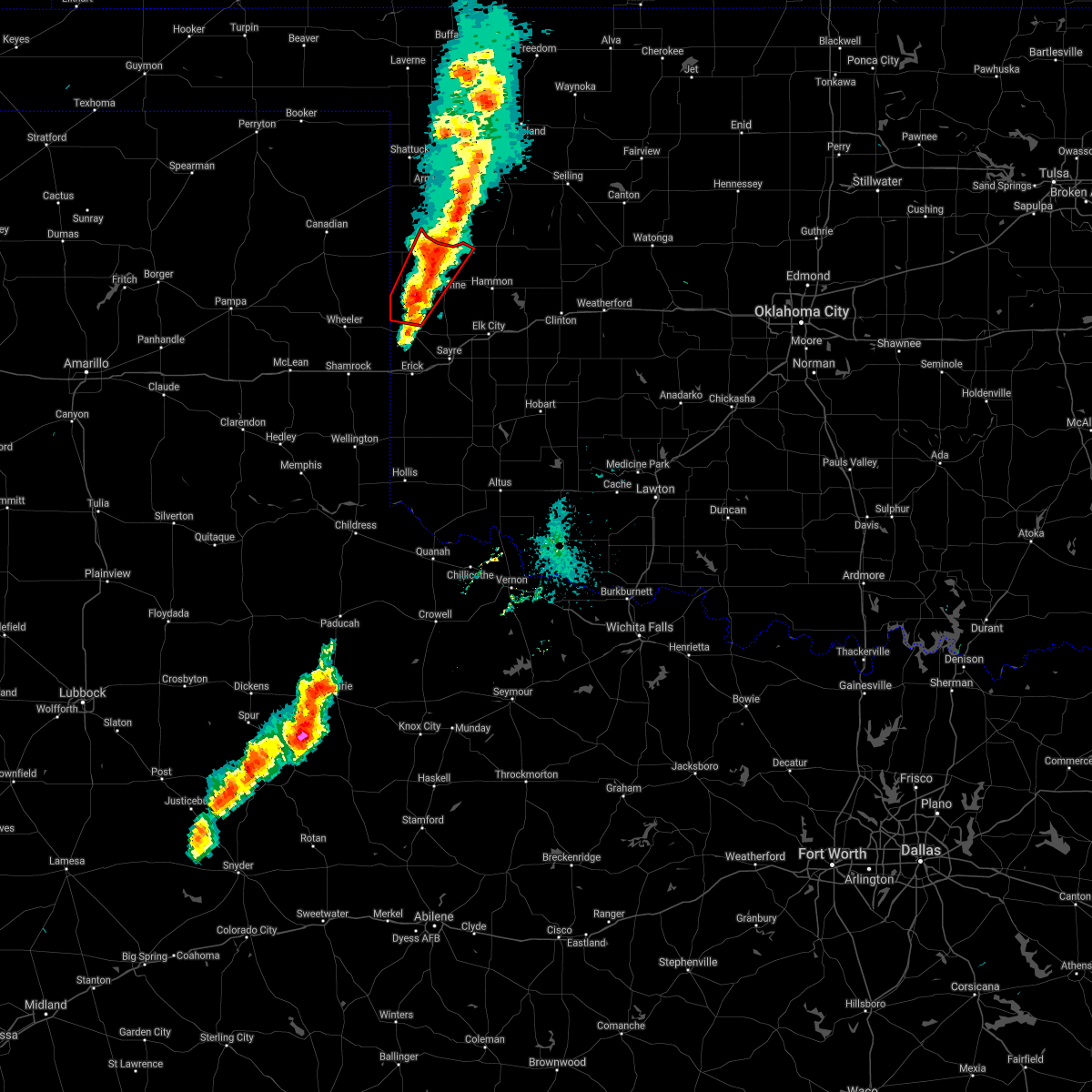 At 804 pm cdt, a severe thunderstorm capable of producing a tornado was located 5 miles southeast of reydon, moving northeast at 55 mph (radar indicated rotation). Hazards include tornado and ping pong ball size hail. Flying debris will be dangerous to those caught without shelter. mobile homes will be damaged or destroyed. damage to roofs, windows, and vehicles will occur. tree damage is likely. Locations impacted include, cheyenne, reydon, crawford, roll and dempsey. At 804 pm cdt, a severe thunderstorm capable of producing a tornado was located 5 miles southeast of reydon, moving northeast at 55 mph (radar indicated rotation). Hazards include tornado and ping pong ball size hail. Flying debris will be dangerous to those caught without shelter. mobile homes will be damaged or destroyed. damage to roofs, windows, and vehicles will occur. tree damage is likely. Locations impacted include, cheyenne, reydon, crawford, roll and dempsey.
|
| 10/26/2021 7:55 PM CDT |
 At 754 pm cdt, a severe thunderstorm capable of producing a tornado was located near sweetwater, moving northeast at 55 mph (radar indicated rotation). Hazards include tornado and ping pong ball size hail. Flying debris will be dangerous to those caught without shelter. mobile homes will be damaged or destroyed. damage to roofs, windows, and vehicles will occur. Tree damage is likely. At 754 pm cdt, a severe thunderstorm capable of producing a tornado was located near sweetwater, moving northeast at 55 mph (radar indicated rotation). Hazards include tornado and ping pong ball size hail. Flying debris will be dangerous to those caught without shelter. mobile homes will be damaged or destroyed. damage to roofs, windows, and vehicles will occur. Tree damage is likely.
|
| 10/26/2021 7:42 PM CDT |
 At 742 pm cdt, a severe thunderstorm was located 7 miles southwest of sweetwater, moving northeast at 40 mph (radar indicated). Hazards include ping pong ball size hail and 60 mph wind gusts. People and animals outdoors will be injured. expect hail damage to roofs, siding, windows, and vehicles. Expect wind damage to roofs, siding, and trees. At 742 pm cdt, a severe thunderstorm was located 7 miles southwest of sweetwater, moving northeast at 40 mph (radar indicated). Hazards include ping pong ball size hail and 60 mph wind gusts. People and animals outdoors will be injured. expect hail damage to roofs, siding, windows, and vehicles. Expect wind damage to roofs, siding, and trees.
|
| 10/26/2021 7:34 PM CDT |
 At 733 pm cdt, a severe thunderstorm was located over reydon, moving northeast at 40 mph (radar indicated). Hazards include ping pong ball size hail and 60 mph wind gusts. People and animals outdoors will be injured. expect hail damage to roofs, siding, windows, and vehicles. expect wind damage to roofs, siding, and trees. locations impacted include, reydon, sweetwater, crawford, roll, durham and dempsey. hail threat, radar indicated max hail size, 1. 50 in wind threat, radar indicated max wind gust, 60 mph. At 733 pm cdt, a severe thunderstorm was located over reydon, moving northeast at 40 mph (radar indicated). Hazards include ping pong ball size hail and 60 mph wind gusts. People and animals outdoors will be injured. expect hail damage to roofs, siding, windows, and vehicles. expect wind damage to roofs, siding, and trees. locations impacted include, reydon, sweetwater, crawford, roll, durham and dempsey. hail threat, radar indicated max hail size, 1. 50 in wind threat, radar indicated max wind gust, 60 mph.
|
| 10/26/2021 7:06 PM CDT |
 At 706 pm cdt, a severe thunderstorm was located 9 miles west of sweetwater, moving northeast at 40 mph (radar indicated). Hazards include 60 mph wind gusts and quarter size hail. Hail damage to vehicles is expected. Expect wind damage to roofs, siding, and trees. At 706 pm cdt, a severe thunderstorm was located 9 miles west of sweetwater, moving northeast at 40 mph (radar indicated). Hazards include 60 mph wind gusts and quarter size hail. Hail damage to vehicles is expected. Expect wind damage to roofs, siding, and trees.
|
| 10/26/2021 6:37 PM CDT |
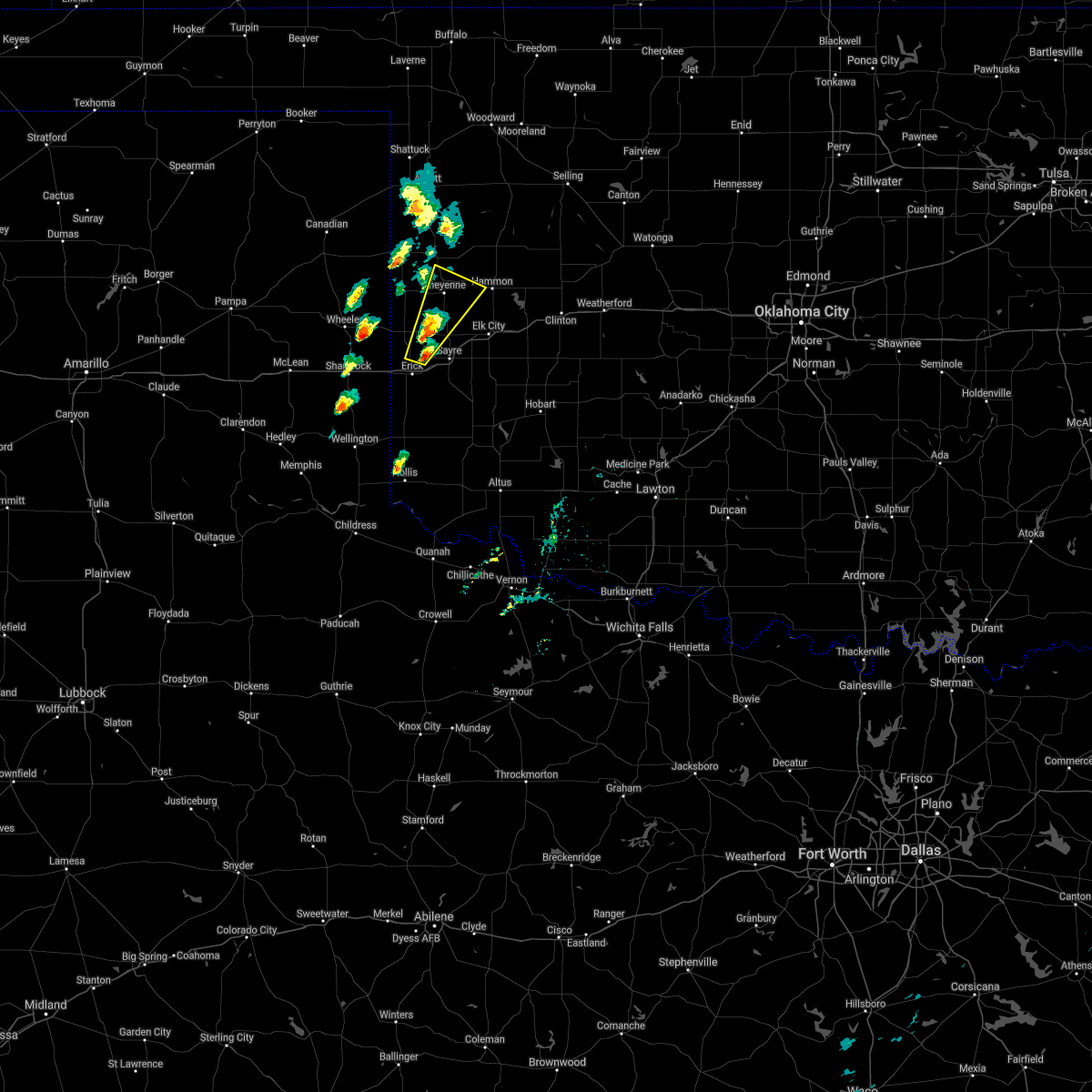 At 637 pm cdt, a severe thunderstorm was located 7 miles east of sweetwater, moving northeast at 35 mph (radar indicated). Hazards include 60 mph wind gusts and quarter size hail. Hail damage to vehicles is expected. expect wind damage to roofs, siding, and trees. locations impacted include, cheyenne, strong city, berlin and dempsey. hail threat, radar indicated max hail size, 1. 00 in wind threat, radar indicated max wind gust, 60 mph. At 637 pm cdt, a severe thunderstorm was located 7 miles east of sweetwater, moving northeast at 35 mph (radar indicated). Hazards include 60 mph wind gusts and quarter size hail. Hail damage to vehicles is expected. expect wind damage to roofs, siding, and trees. locations impacted include, cheyenne, strong city, berlin and dempsey. hail threat, radar indicated max hail size, 1. 00 in wind threat, radar indicated max wind gust, 60 mph.
|
| 10/26/2021 6:21 PM CDT |
 At 620 pm cdt, a severe thunderstorm was located 4 miles north of erick, moving northeast at 35 mph (radar indicated). Hazards include 60 mph wind gusts and quarter size hail. Hail damage to vehicles is expected. Expect wind damage to roofs, siding, and trees. At 620 pm cdt, a severe thunderstorm was located 4 miles north of erick, moving northeast at 35 mph (radar indicated). Hazards include 60 mph wind gusts and quarter size hail. Hail damage to vehicles is expected. Expect wind damage to roofs, siding, and trees.
|
| 10/13/2021 1:44 AM CDT |
 At 144 am cdt, severe thunderstorms were located along a line extending from 8 miles west of angora to near cheyenne to 4 miles northeast of sweetwater, moving east at 55 mph (radar indicated). Hazards include 60 mph wind gusts and nickel size hail. expect damage to roofs, siding, and trees At 144 am cdt, severe thunderstorms were located along a line extending from 8 miles west of angora to near cheyenne to 4 miles northeast of sweetwater, moving east at 55 mph (radar indicated). Hazards include 60 mph wind gusts and nickel size hail. expect damage to roofs, siding, and trees
|
| 10/13/2021 1:31 AM CDT |
 At 131 am cdt, severe thunderstorms were located along a line extending from near crawford to near reydon to near sweetwater, moving northeast at 50 mph (radar indicated). Hazards include 60 mph wind gusts and quarter size hail. Hail damage to vehicles is expected. expect wind damage to roofs, siding, and trees. locations impacted include, cheyenne, hammon, reydon, strong city, crawford, roll and angora. hail threat, radar indicated max hail size, 1. 00 in wind threat, radar indicated max wind gust, 60 mph. At 131 am cdt, severe thunderstorms were located along a line extending from near crawford to near reydon to near sweetwater, moving northeast at 50 mph (radar indicated). Hazards include 60 mph wind gusts and quarter size hail. Hail damage to vehicles is expected. expect wind damage to roofs, siding, and trees. locations impacted include, cheyenne, hammon, reydon, strong city, crawford, roll and angora. hail threat, radar indicated max hail size, 1. 00 in wind threat, radar indicated max wind gust, 60 mph.
|
| 10/13/2021 1:16 AM CDT |
 At 116 am cdt, a severe thunderstorm was located near crawford, moving east at 50 mph (radar indicated). Hazards include 60 mph wind gusts and quarter size hail. Hail damage to vehicles is expected. expect wind damage to roofs, siding, and trees. locations impacted include, cheyenne, hammon, reydon, strong city, crawford, harmon, roll, durham and angora. hail threat, radar indicated max hail size, 1. 00 in wind threat, radar indicated max wind gust, 60 mph. At 116 am cdt, a severe thunderstorm was located near crawford, moving east at 50 mph (radar indicated). Hazards include 60 mph wind gusts and quarter size hail. Hail damage to vehicles is expected. expect wind damage to roofs, siding, and trees. locations impacted include, cheyenne, hammon, reydon, strong city, crawford, harmon, roll, durham and angora. hail threat, radar indicated max hail size, 1. 00 in wind threat, radar indicated max wind gust, 60 mph.
|
| 10/13/2021 12:38 AM CDT |
 At 1238 am cdt, severe thunderstorms were located along a line extending from near shattuck to 3 miles northeast of lake marvin to near briscoe, moving northeast at 60 mph (radar indicated). Hazards include 70 mph wind gusts and quarter size hail. Hail damage to vehicles is expected. expect considerable tree damage. Wind damage is also likely to mobile homes, roofs, and outbuildings. At 1238 am cdt, severe thunderstorms were located along a line extending from near shattuck to 3 miles northeast of lake marvin to near briscoe, moving northeast at 60 mph (radar indicated). Hazards include 70 mph wind gusts and quarter size hail. Hail damage to vehicles is expected. expect considerable tree damage. Wind damage is also likely to mobile homes, roofs, and outbuildings.
|
| 6/25/2021 8:45 PM CDT |
 At 845 pm cdt, severe thunderstorms were located along a line extending from 7 miles northeast of roll to 4 miles west of moorewood to near hammon to 6 miles west of elk city, moving east at 45 mph (radar indicated). Hazards include 70 mph wind gusts and quarter size hail. Hail damage to vehicles is expected. expect considerable tree damage. wind damage is also likely to mobile homes, roofs, and outbuildings. Locations impacted include, elk city, cheyenne, hammon, canute, leedey, butler, camargo, strong city, foss reservoir, angora, moorewood, roll and berlin. At 845 pm cdt, severe thunderstorms were located along a line extending from 7 miles northeast of roll to 4 miles west of moorewood to near hammon to 6 miles west of elk city, moving east at 45 mph (radar indicated). Hazards include 70 mph wind gusts and quarter size hail. Hail damage to vehicles is expected. expect considerable tree damage. wind damage is also likely to mobile homes, roofs, and outbuildings. Locations impacted include, elk city, cheyenne, hammon, canute, leedey, butler, camargo, strong city, foss reservoir, angora, moorewood, roll and berlin.
|
| 6/25/2021 8:28 PM CDT |
 At 828 pm cdt, severe thunderstorms were located along a line extending from 5 miles south of roll to 4 miles south of cheyenne to 6 miles northwest of sayre, moving east at 40 mph (radar indicated). Hazards include 70 mph wind gusts and quarter size hail. Hail damage to vehicles is expected. expect considerable tree damage. Wind damage is also likely to mobile homes, roofs, and outbuildings. At 828 pm cdt, severe thunderstorms were located along a line extending from 5 miles south of roll to 4 miles south of cheyenne to 6 miles northwest of sayre, moving east at 40 mph (radar indicated). Hazards include 70 mph wind gusts and quarter size hail. Hail damage to vehicles is expected. expect considerable tree damage. Wind damage is also likely to mobile homes, roofs, and outbuildings.
|
| 6/25/2021 8:19 PM CDT |
 At 819 pm cdt, severe thunderstorms were located along a line extending from 3 miles northwest of cheyenne to 9 miles southeast of reydon to 7 miles east of sweetwater to 4 miles north of erick, moving east at 40 mph (radar indicated). Hazards include 70 mph wind gusts and quarter size hail. Hail damage to vehicles is expected. expect considerable tree damage. wind damage is also likely to mobile homes, roofs, and outbuildings. Locations impacted include, sayre, cheyenne, reydon, sweetwater, texola, dempsey and berlin. At 819 pm cdt, severe thunderstorms were located along a line extending from 3 miles northwest of cheyenne to 9 miles southeast of reydon to 7 miles east of sweetwater to 4 miles north of erick, moving east at 40 mph (radar indicated). Hazards include 70 mph wind gusts and quarter size hail. Hail damage to vehicles is expected. expect considerable tree damage. wind damage is also likely to mobile homes, roofs, and outbuildings. Locations impacted include, sayre, cheyenne, reydon, sweetwater, texola, dempsey and berlin.
|
| 6/25/2021 7:59 PM CDT |
 The national weather service in norman has issued a * severe thunderstorm warning for. southwestern roger mills county in western oklahoma. western beckham county in western oklahoma. until 845 pm cdt. At 758 pm cdt, severe thunderstorms were located along a line. The national weather service in norman has issued a * severe thunderstorm warning for. southwestern roger mills county in western oklahoma. western beckham county in western oklahoma. until 845 pm cdt. At 758 pm cdt, severe thunderstorms were located along a line.
|
| 6/22/2020 2:53 AM CDT |
 At 252 am cdt, severe thunderstorms were located along a line extending from near sweetwater to near elk city to near burns flat, moving southeast at 35 mph. the strongest storms are just west of burns flat and near elk city (radar indicated). Hazards include 60 mph wind gusts and quarter size hail. Hail damage to vehicles is expected. expect wind damage to roofs, siding, and trees. Locations impacted include, elk city, sayre, burns flat, dill city, canute, carter, foss, berlin and dempsey. At 252 am cdt, severe thunderstorms were located along a line extending from near sweetwater to near elk city to near burns flat, moving southeast at 35 mph. the strongest storms are just west of burns flat and near elk city (radar indicated). Hazards include 60 mph wind gusts and quarter size hail. Hail damage to vehicles is expected. expect wind damage to roofs, siding, and trees. Locations impacted include, elk city, sayre, burns flat, dill city, canute, carter, foss, berlin and dempsey.
|
| 6/22/2020 2:21 AM CDT |
 At 221 am cdt, severe thunderstorms were located along a line extending from 7 miles north of sweetwater to 10 miles southeast of cheyenne to 3 miles northeast of elk city, moving southeast at 30 mph (radar indicated). Hazards include 60 mph wind gusts and quarter size hail. Hail damage to vehicles is expected. Expect wind damage to roofs, siding, and trees. At 221 am cdt, severe thunderstorms were located along a line extending from 7 miles north of sweetwater to 10 miles southeast of cheyenne to 3 miles northeast of elk city, moving southeast at 30 mph (radar indicated). Hazards include 60 mph wind gusts and quarter size hail. Hail damage to vehicles is expected. Expect wind damage to roofs, siding, and trees.
|
| 6/21/2020 11:10 PM CDT |
 The severe thunderstorm warning for southern roger mills county will expire at 1115 pm cdt, the storm which prompted the warning has weakened below severe limits, therefore the warning will be allowed to expire. however small hail, gusty winds and heavy rain are still possible with this thunderstorm. The severe thunderstorm warning for southern roger mills county will expire at 1115 pm cdt, the storm which prompted the warning has weakened below severe limits, therefore the warning will be allowed to expire. however small hail, gusty winds and heavy rain are still possible with this thunderstorm.
|
| 6/21/2020 10:55 PM CDT |
 At 1055 pm cdt, a severe thunderstorm was located 5 miles east of reydon, moving southeast at 20 mph (radar indicated). Hazards include 60 mph wind gusts and quarter size hail. Hail damage to vehicles is expected. expect wind damage to roofs, siding, and trees. Locations impacted include, cheyenne, reydon, strong city, roll and dempsey. At 1055 pm cdt, a severe thunderstorm was located 5 miles east of reydon, moving southeast at 20 mph (radar indicated). Hazards include 60 mph wind gusts and quarter size hail. Hail damage to vehicles is expected. expect wind damage to roofs, siding, and trees. Locations impacted include, cheyenne, reydon, strong city, roll and dempsey.
|
| 6/21/2020 10:28 PM CDT |
 At 1028 pm cdt, a severe thunderstorm was located 6 miles northeast of reydon, moving southeast at 35 mph (radar indicated). Hazards include 60 mph wind gusts and quarter size hail. Hail damage to vehicles is expected. expect wind damage to roofs, siding, and trees. Locations impacted include, cheyenne, hammon, reydon, strong city, crawford, roll, durham and dempsey. At 1028 pm cdt, a severe thunderstorm was located 6 miles northeast of reydon, moving southeast at 35 mph (radar indicated). Hazards include 60 mph wind gusts and quarter size hail. Hail damage to vehicles is expected. expect wind damage to roofs, siding, and trees. Locations impacted include, cheyenne, hammon, reydon, strong city, crawford, roll, durham and dempsey.
|
| 6/21/2020 10:09 PM CDT |
 At 1008 pm cdt, a severe thunderstorm was located near durham, moving southeast at 30 mph. another severe thunderstorm was located 2 miles north of roll, also moving southeast at 30 mph (radar indicated). Hazards include 60 mph wind gusts and quarter size hail. Hail damage to vehicles is expected. Expect wind damage to roofs, siding, and trees. At 1008 pm cdt, a severe thunderstorm was located near durham, moving southeast at 30 mph. another severe thunderstorm was located 2 miles north of roll, also moving southeast at 30 mph (radar indicated). Hazards include 60 mph wind gusts and quarter size hail. Hail damage to vehicles is expected. Expect wind damage to roofs, siding, and trees.
|
| 6/4/2020 6:20 PM CDT | Storm damage reported in roger mills county OK, 5.7 miles NE of Cheyenne, OK |
| 6/4/2020 6:20 PM CDT |
 At 618 pm cdt, severe thunderstorms were located along a line extending from near cestos to near leedey to near hammon to near cheyenne, moving southeast at 40 mph. these are very dangerous storms (emergency management reported damage in cheyenne and across other portions of roger mills county. broadcast meteorologists measured an 80 mph wind in cheyenne). Hazards include 80 mph wind gusts. Flying debris will be dangerous to those caught without shelter. mobile homes will be heavily damaged. expect considerable damage to roofs, windows, and vehicles. extensive tree damage and power outages are likely. Locations impacted include, elk city, weatherford, clinton, sayre, cordell, cheyenne, taloga, burns flat, thomas, erick, sentinel, seiling, arapaho, hammon, dill city, canute, corn, leedey, custer city and butler. At 618 pm cdt, severe thunderstorms were located along a line extending from near cestos to near leedey to near hammon to near cheyenne, moving southeast at 40 mph. these are very dangerous storms (emergency management reported damage in cheyenne and across other portions of roger mills county. broadcast meteorologists measured an 80 mph wind in cheyenne). Hazards include 80 mph wind gusts. Flying debris will be dangerous to those caught without shelter. mobile homes will be heavily damaged. expect considerable damage to roofs, windows, and vehicles. extensive tree damage and power outages are likely. Locations impacted include, elk city, weatherford, clinton, sayre, cordell, cheyenne, taloga, burns flat, thomas, erick, sentinel, seiling, arapaho, hammon, dill city, canute, corn, leedey, custer city and butler.
|
| 6/4/2020 6:15 PM CDT | Storm damage reported in roger mills county OK, 0 miles W of Cheyenne, OK |
| 6/4/2020 6:09 PM CDT |
 At 607 pm cdt, severe thunderstorms were located along a line extending from 5 miles southwest of camargo to near strong city to near reydon, moving southeast at 40 mph. these are very dangerous storms (trained weather spotters measured 80 mph winds in cheyenne. wind damage has been reported in roger mills county). Hazards include 80 mph wind gusts. Flying debris will be dangerous to those caught without shelter. mobile homes will be heavily damaged. expect considerable damage to roofs, windows, and vehicles. extensive tree damage and power outages are likely. Locations impacted include, elk city, weatherford, clinton, sayre, cordell, cheyenne, taloga, burns flat, thomas, erick, sentinel, seiling, arapaho, vici, hammon, dill city, canute, corn, leedey and custer city. At 607 pm cdt, severe thunderstorms were located along a line extending from 5 miles southwest of camargo to near strong city to near reydon, moving southeast at 40 mph. these are very dangerous storms (trained weather spotters measured 80 mph winds in cheyenne. wind damage has been reported in roger mills county). Hazards include 80 mph wind gusts. Flying debris will be dangerous to those caught without shelter. mobile homes will be heavily damaged. expect considerable damage to roofs, windows, and vehicles. extensive tree damage and power outages are likely. Locations impacted include, elk city, weatherford, clinton, sayre, cordell, cheyenne, taloga, burns flat, thomas, erick, sentinel, seiling, arapaho, vici, hammon, dill city, canute, corn, leedey and custer city.
|
| 6/4/2020 6:06 PM CDT |
 At 605 pm cdt, severe thunderstorms were located along a line extending from 5 miles southwest of camargo to near strong city to 3 miles southeast of reydon, moving southeast at 40 mph (emergency management reported 65 mph winds and trees down in roger mills county). Hazards include 70 mph wind gusts and nickel size hail. Expect considerable tree damage. Damage is likely to mobile homes, roofs, and outbuildings. At 605 pm cdt, severe thunderstorms were located along a line extending from 5 miles southwest of camargo to near strong city to 3 miles southeast of reydon, moving southeast at 40 mph (emergency management reported 65 mph winds and trees down in roger mills county). Hazards include 70 mph wind gusts and nickel size hail. Expect considerable tree damage. Damage is likely to mobile homes, roofs, and outbuildings.
|
| 6/4/2020 6:05 PM CDT | Two large doors blown in on county bar in roger mills county OK, 1.4 miles S of Cheyenne, OK |
| 6/4/2020 6:04 PM CDT | Also reported lots of tree damage on the south side of town... and power flashes on the north side of tow in roger mills county OK, 0 miles W of Cheyenne, OK |
| 6/4/2020 6:01 PM CDT | Em relayed through nwscha in roger mills county OK, 0 miles W of Cheyenne, OK |
| 6/4/2020 5:57 PM CDT | Quarter sized hail reported 11.8 miles S of Cheyenne, OK, em relayed through nwschat... at the intersection of highways 47 and 283 |
| 6/4/2020 5:49 PM CDT |
 At 548 pm cdt, a severe thunderstorm was located near roll, moving east at 35 mph (emergency management reported measured 65 mph wind in roll. trees were blown down in crawford). Hazards include 70 mph wind gusts and ping pong ball size hail. People and animals outdoors will be injured. expect hail damage to roofs, siding, windows, and vehicles. expect considerable tree damage. wind damage is also likely to mobile homes, roofs, and outbuildings. Locations impacted include, cheyenne, hammon, leedey, reydon, strong city, moorewood, crawford, roll, durham, angora and dempsey. At 548 pm cdt, a severe thunderstorm was located near roll, moving east at 35 mph (emergency management reported measured 65 mph wind in roll. trees were blown down in crawford). Hazards include 70 mph wind gusts and ping pong ball size hail. People and animals outdoors will be injured. expect hail damage to roofs, siding, windows, and vehicles. expect considerable tree damage. wind damage is also likely to mobile homes, roofs, and outbuildings. Locations impacted include, cheyenne, hammon, leedey, reydon, strong city, moorewood, crawford, roll, durham, angora and dempsey.
|
| 6/4/2020 5:47 PM CDT | Signs also blown down at highway 47 and 283 in roger mills county OK, 11.8 miles S of Cheyenne, OK |
| 6/4/2020 5:40 PM CDT | Nwschat report... blowing dust as well in roger mills county OK, 11.8 miles S of Cheyenne, OK |
| 6/4/2020 5:38 PM CDT |
 At 538 pm cdt, a severe thunderstorm was located near durham, moving east at 35 mph (radar indicated). Hazards include up to golf ball size hail and 60 mph wind gusts. People and animals outdoors will be injured. expect hail damage to roofs, siding, windows, and vehicles. expect wind damage to roofs, siding, and trees. Locations impacted include, cheyenne, hammon, leedey, reydon, strong city, moorewood, crawford, roll, durham, angora and dempsey. At 538 pm cdt, a severe thunderstorm was located near durham, moving east at 35 mph (radar indicated). Hazards include up to golf ball size hail and 60 mph wind gusts. People and animals outdoors will be injured. expect hail damage to roofs, siding, windows, and vehicles. expect wind damage to roofs, siding, and trees. Locations impacted include, cheyenne, hammon, leedey, reydon, strong city, moorewood, crawford, roll, durham, angora and dempsey.
|
| 6/4/2020 5:27 PM CDT |
 At 527 pm cdt, severe thunderstorms were located along a line extending from near harmon to 9 miles south of arnett to 6 miles north of allison, moving east at 25 mph (radar indicated). Hazards include 60 mph wind gusts and quarter size hail. Hail damage to vehicles is expected. Expect wind damage to roofs, siding, and trees. At 527 pm cdt, severe thunderstorms were located along a line extending from near harmon to 9 miles south of arnett to 6 miles north of allison, moving east at 25 mph (radar indicated). Hazards include 60 mph wind gusts and quarter size hail. Hail damage to vehicles is expected. Expect wind damage to roofs, siding, and trees.
|
| 5/13/2020 8:42 PM CDT | Ping Pong Ball sized hail reported 8.2 miles SSW of Cheyenne, OK |
| 5/13/2020 7:06 PM CDT |
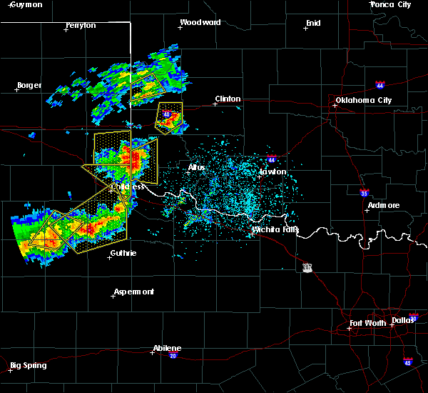 The severe thunderstorm warning for west central roger mills county will expire at 715 pm cdt, the storm which prompted the warning has weakened below severe limits, therefore the warning will be allowed to expire. however gusty winds and heavy rain are still possible with this thunderstorm. The severe thunderstorm warning for west central roger mills county will expire at 715 pm cdt, the storm which prompted the warning has weakened below severe limits, therefore the warning will be allowed to expire. however gusty winds and heavy rain are still possible with this thunderstorm.
|
| 5/13/2020 6:46 PM CDT |
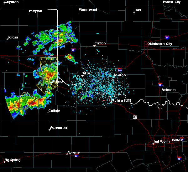 At 644 pm cdt, a severe thunderstorm was located near reydon, moving northeast at 30 mph (trained weather spotters have reported quarter size hail 2 miles southwest of reydon). Hazards include 60 mph wind gusts and quarter size hail. Hail damage to vehicles is expected. expect wind damage to roofs, siding, and trees. Locations impacted include, cheyenne, reydon, strong city, crawford and roll. At 644 pm cdt, a severe thunderstorm was located near reydon, moving northeast at 30 mph (trained weather spotters have reported quarter size hail 2 miles southwest of reydon). Hazards include 60 mph wind gusts and quarter size hail. Hail damage to vehicles is expected. expect wind damage to roofs, siding, and trees. Locations impacted include, cheyenne, reydon, strong city, crawford and roll.
|
| 5/13/2020 6:32 PM CDT |
 At 632 pm cdt, a severe thunderstorm was located 4 miles east of allison, moving northeast at 35 mph (radar indicated). Hazards include ping pong ball size hail and 60 mph wind gusts. People and animals outdoors will be injured. expect hail damage to roofs, siding, windows, and vehicles. Expect wind damage to roofs, siding, and trees. At 632 pm cdt, a severe thunderstorm was located 4 miles east of allison, moving northeast at 35 mph (radar indicated). Hazards include ping pong ball size hail and 60 mph wind gusts. People and animals outdoors will be injured. expect hail damage to roofs, siding, windows, and vehicles. Expect wind damage to roofs, siding, and trees.
|
| 5/8/2020 12:01 AM CDT |
 At 1201 am cdt, severe thunderstorms were located along a line extending from 4 miles northeast of hammon to 3 miles southwest of elk city, moving southeast at 45 mph (radar indicated). Hazards include ping pong ball size hail and 60 mph wind gusts. People and animals outdoors will be injured. expect hail damage to roofs, siding, windows, and vehicles. expect wind damage to roofs, siding, and trees. Locations impacted include, elk city, sayre, cheyenne, arapaho, hammon, canute, butler, foss, strong city, foss reservoir, moorewood, stafford and berlin. At 1201 am cdt, severe thunderstorms were located along a line extending from 4 miles northeast of hammon to 3 miles southwest of elk city, moving southeast at 45 mph (radar indicated). Hazards include ping pong ball size hail and 60 mph wind gusts. People and animals outdoors will be injured. expect hail damage to roofs, siding, windows, and vehicles. expect wind damage to roofs, siding, and trees. Locations impacted include, elk city, sayre, cheyenne, arapaho, hammon, canute, butler, foss, strong city, foss reservoir, moorewood, stafford and berlin.
|
| 5/7/2020 11:51 PM CDT |
 At 1151 pm cdt, severe thunderstorms were located along a line extending from 3 miles west of moorewood to 8 miles west of elk city with another strong thunderstorm near dempsey. these storms are moving southeast at 45 mph (radar indicated). Hazards include 60 mph wind gusts and quarter size hail. Hail damage to vehicles is expected. expect wind damage to roofs, siding, and trees. Locations impacted include, elk city, sayre, cheyenne, arapaho, hammon, canute, butler, reydon, foss, sweetwater, strong city, delhi, foss reservoir, angora, moorewood, crawford, roll, stafford, berlin and dempsey. At 1151 pm cdt, severe thunderstorms were located along a line extending from 3 miles west of moorewood to 8 miles west of elk city with another strong thunderstorm near dempsey. these storms are moving southeast at 45 mph (radar indicated). Hazards include 60 mph wind gusts and quarter size hail. Hail damage to vehicles is expected. expect wind damage to roofs, siding, and trees. Locations impacted include, elk city, sayre, cheyenne, arapaho, hammon, canute, butler, reydon, foss, sweetwater, strong city, delhi, foss reservoir, angora, moorewood, crawford, roll, stafford, berlin and dempsey.
|
| 5/7/2020 11:25 PM CDT |
 At 1125 pm cdt, severe thunderstorms were located along a line extending from 5 miles northeast of roll to near allison texas, moving southeast at 45 mph (radar indicated). Hazards include 60 mph wind gusts and quarter size hail. Hail damage to vehicles is expected. Expect wind damage to roofs, siding, and trees. At 1125 pm cdt, severe thunderstorms were located along a line extending from 5 miles northeast of roll to near allison texas, moving southeast at 45 mph (radar indicated). Hazards include 60 mph wind gusts and quarter size hail. Hail damage to vehicles is expected. Expect wind damage to roofs, siding, and trees.
|
| 4/21/2020 8:34 PM CDT |
 At 834 pm cdt, a severe thunderstorm was located 6 miles southeast of cheyenne, moving southeast at 35 mph (radar indicated). Hazards include two inch hail and 70 mph wind gusts. People and animals outdoors will be injured. expect hail damage to roofs, siding, windows, and vehicles. expect considerable tree damage. wind damage is also likely to mobile homes, roofs, and outbuildings. Locations impacted include, cheyenne, hammon, strong city, berlin and dempsey. At 834 pm cdt, a severe thunderstorm was located 6 miles southeast of cheyenne, moving southeast at 35 mph (radar indicated). Hazards include two inch hail and 70 mph wind gusts. People and animals outdoors will be injured. expect hail damage to roofs, siding, windows, and vehicles. expect considerable tree damage. wind damage is also likely to mobile homes, roofs, and outbuildings. Locations impacted include, cheyenne, hammon, strong city, berlin and dempsey.
|
| 4/21/2020 8:18 PM CDT | Golf Ball sized hail reported 7.1 miles SE of Cheyenne, OK |
| 4/21/2020 8:13 PM CDT |
 At 813 pm cdt, a severe thunderstorm was located 5 miles east of reydon, moving east at 25 mph (radar indicated). Hazards include two inch hail and 70 mph wind gusts. People and animals outdoors will be injured. expect hail damage to roofs, siding, windows, and vehicles. expect considerable tree damage. Wind damage is also likely to mobile homes, roofs, and outbuildings. At 813 pm cdt, a severe thunderstorm was located 5 miles east of reydon, moving east at 25 mph (radar indicated). Hazards include two inch hail and 70 mph wind gusts. People and animals outdoors will be injured. expect hail damage to roofs, siding, windows, and vehicles. expect considerable tree damage. Wind damage is also likely to mobile homes, roofs, and outbuildings.
|
| 4/21/2020 8:02 PM CDT | Golf Ball sized hail reported 16.2 miles SE of Cheyenne, OK |
| 4/21/2020 7:55 PM CDT |
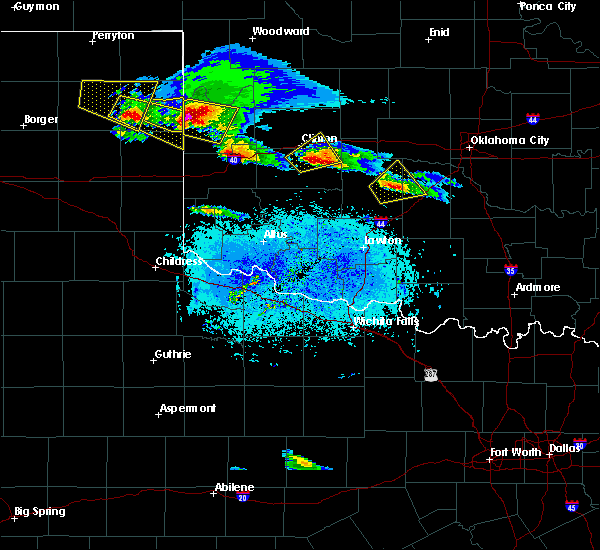 At 755 pm cdt, a severe thunderstorm was located 6 miles north of reydon, moving east at 20 mph. this is a very dangerous storm (radar indicated). Hazards include baseball size hail and 70 mph wind gusts. People and animals outdoors will be severely injured. expect shattered windows, extensive damage to roofs, siding, and vehicles. Locations impacted include, cheyenne, reydon, strong city, crawford, roll and durham. At 755 pm cdt, a severe thunderstorm was located 6 miles north of reydon, moving east at 20 mph. this is a very dangerous storm (radar indicated). Hazards include baseball size hail and 70 mph wind gusts. People and animals outdoors will be severely injured. expect shattered windows, extensive damage to roofs, siding, and vehicles. Locations impacted include, cheyenne, reydon, strong city, crawford, roll and durham.
|
| 4/21/2020 7:34 PM CDT |
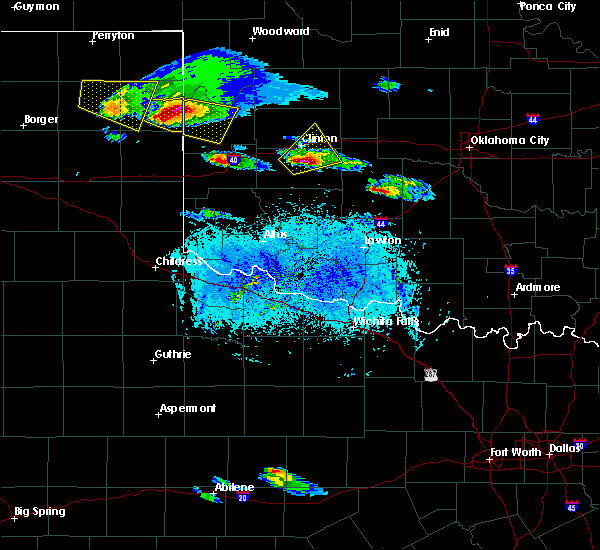 At 733 pm cdt, a severe thunderstorm was located 8 miles southwest of durham, moving east at 25 mph (radar indicated). Hazards include two inch hail and 60 mph wind gusts. People and animals outdoors will be injured. expect hail damage to roofs, siding, windows, and vehicles. expect wind damage to roofs, siding, and trees. Locations impacted include, cheyenne, reydon, strong city, crawford, roll and durham. At 733 pm cdt, a severe thunderstorm was located 8 miles southwest of durham, moving east at 25 mph (radar indicated). Hazards include two inch hail and 60 mph wind gusts. People and animals outdoors will be injured. expect hail damage to roofs, siding, windows, and vehicles. expect wind damage to roofs, siding, and trees. Locations impacted include, cheyenne, reydon, strong city, crawford, roll and durham.
|
| 4/21/2020 7:15 PM CDT |
 At 715 pm cdt, a severe thunderstorm was located 5 miles south of lake marvin, moving east at 25 mph (radar indicated). Hazards include two inch hail and 60 mph wind gusts. People and animals outdoors will be injured. expect hail damage to roofs, siding, windows, and vehicles. Expect wind damage to roofs, siding, and trees. At 715 pm cdt, a severe thunderstorm was located 5 miles south of lake marvin, moving east at 25 mph (radar indicated). Hazards include two inch hail and 60 mph wind gusts. People and animals outdoors will be injured. expect hail damage to roofs, siding, windows, and vehicles. Expect wind damage to roofs, siding, and trees.
|
| 6/23/2019 10:13 PM CDT |
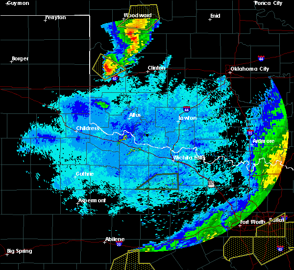 At 1013 pm cdt, a severe thunderstorm was located 6 miles south of cheyenne, moving southeast at 35 mph (radar indicated). Hazards include 60 mph wind gusts and nickel size hail. Expect damage to roofs, siding, and trees. Locations impacted include, cheyenne, strong city and berlin. At 1013 pm cdt, a severe thunderstorm was located 6 miles south of cheyenne, moving southeast at 35 mph (radar indicated). Hazards include 60 mph wind gusts and nickel size hail. Expect damage to roofs, siding, and trees. Locations impacted include, cheyenne, strong city and berlin.
|
| 6/23/2019 9:59 PM CDT |
 At 959 pm cdt, a severe thunderstorm was located 5 miles southwest of cheyenne, moving southeast at 35 mph (radar indicated). Hazards include 60 mph wind gusts and nickel size hail. Expect damage to roofs, siding, and trees. Locations impacted include, cheyenne, strong city, berlin and dempsey. At 959 pm cdt, a severe thunderstorm was located 5 miles southwest of cheyenne, moving southeast at 35 mph (radar indicated). Hazards include 60 mph wind gusts and nickel size hail. Expect damage to roofs, siding, and trees. Locations impacted include, cheyenne, strong city, berlin and dempsey.
|
| 6/23/2019 9:38 PM CDT |
 At 938 pm cdt, severe thunderstorms were located along a line extending from 5 miles north of roll to 8 miles south of crawford to 4 miles west of reydon, moving southeast at 40 mph (radar indicated). Hazards include 60 mph wind gusts and nickel size hail. expect damage to roofs, siding, and trees At 938 pm cdt, severe thunderstorms were located along a line extending from 5 miles north of roll to 8 miles south of crawford to 4 miles west of reydon, moving southeast at 40 mph (radar indicated). Hazards include 60 mph wind gusts and nickel size hail. expect damage to roofs, siding, and trees
|
| 6/23/2019 2:51 AM CDT |
 At 251 am cdt, a severe thunderstorm was located 8 miles northeast of butler, moving northeast at 50 mph (radar indicated). Hazards include 60 mph wind gusts and quarter size hail. Hail damage to vehicles is expected. expect wind damage to roofs, siding, and trees. Locations impacted include, cheyenne, hammon, butler, strong city, moorewood, foss reservoir and stafford. At 251 am cdt, a severe thunderstorm was located 8 miles northeast of butler, moving northeast at 50 mph (radar indicated). Hazards include 60 mph wind gusts and quarter size hail. Hail damage to vehicles is expected. expect wind damage to roofs, siding, and trees. Locations impacted include, cheyenne, hammon, butler, strong city, moorewood, foss reservoir and stafford.
|
| 6/23/2019 2:13 AM CDT |
 At 212 am cdt, a severe thunderstorm was located 8 miles southeast of cheyenne, moving northeast at 50 mph (radar indicated). Hazards include 70 mph wind gusts and ping pong ball size hail. People and animals outdoors will be injured. expect hail damage to roofs, siding, windows, and vehicles. expect considerable tree damage. Wind damage is also likely to mobile homes, roofs, and outbuildings. At 212 am cdt, a severe thunderstorm was located 8 miles southeast of cheyenne, moving northeast at 50 mph (radar indicated). Hazards include 70 mph wind gusts and ping pong ball size hail. People and animals outdoors will be injured. expect hail damage to roofs, siding, windows, and vehicles. expect considerable tree damage. Wind damage is also likely to mobile homes, roofs, and outbuildings.
|
| 6/23/2019 2:10 AM CDT | Quarter sized hail reported 2.7 miles NE of Cheyenne, OK |
| 6/23/2019 1:41 AM CDT |
 At 141 am cdt, a severe thunderstorm capable of producing a tornado was located near sweetwater, moving northeast at 35 mph (radar indicated rotation). Hazards include tornado and golf ball size hail. Flying debris will be dangerous to those caught without shelter. mobile homes will be damaged or destroyed. damage to roofs, windows, and vehicles will occur. Tree damage is likely. At 141 am cdt, a severe thunderstorm capable of producing a tornado was located near sweetwater, moving northeast at 35 mph (radar indicated rotation). Hazards include tornado and golf ball size hail. Flying debris will be dangerous to those caught without shelter. mobile homes will be damaged or destroyed. damage to roofs, windows, and vehicles will occur. Tree damage is likely.
|
| 6/23/2019 1:28 AM CDT |
 At 128 am cdt, a severe thunderstorm was located 7 miles west of sweetwater, moving northeast at 30 mph (radar indicated). Hazards include two inch hail and 70 mph wind gusts. People and animals outdoors will be injured. expect hail damage to roofs, siding, windows, and vehicles. expect considerable tree damage. Wind damage is also likely to mobile homes, roofs, and outbuildings. At 128 am cdt, a severe thunderstorm was located 7 miles west of sweetwater, moving northeast at 30 mph (radar indicated). Hazards include two inch hail and 70 mph wind gusts. People and animals outdoors will be injured. expect hail damage to roofs, siding, windows, and vehicles. expect considerable tree damage. Wind damage is also likely to mobile homes, roofs, and outbuildings.
|
| 6/15/2019 9:11 PM CDT |
 At 911 pm cdt, severe thunderstorms were located along a line extending from 3 miles southwest of roll to 5 miles southwest of hammon to 4 miles southeast of elk city, moving northeast at 50 mph (radar indicated). Hazards include 70 mph wind gusts and quarter size hail. Hail damage to vehicles is expected. expect considerable tree damage. Wind damage is also likely to mobile homes, roofs, and outbuildings. At 911 pm cdt, severe thunderstorms were located along a line extending from 3 miles southwest of roll to 5 miles southwest of hammon to 4 miles southeast of elk city, moving northeast at 50 mph (radar indicated). Hazards include 70 mph wind gusts and quarter size hail. Hail damage to vehicles is expected. expect considerable tree damage. Wind damage is also likely to mobile homes, roofs, and outbuildings.
|
| 5/25/2019 6:59 PM CDT |
 A severe thunderstorm warning remains in effect until 715 pm cdt for northwestern washita. southeastern roger mills. custer. southwestern dewey and northeastern beckham counties. At 659 pm cdt, severe thunderstorms were located along a line extending from 8 miles northeast of moorewood to 5 miles northwest of clinton to 8 miles southwest of burns flat, moving east at 40 mph. A severe thunderstorm warning remains in effect until 715 pm cdt for northwestern washita. southeastern roger mills. custer. southwestern dewey and northeastern beckham counties. At 659 pm cdt, severe thunderstorms were located along a line extending from 8 miles northeast of moorewood to 5 miles northwest of clinton to 8 miles southwest of burns flat, moving east at 40 mph.
|
| 5/25/2019 6:26 PM CDT |
 At 626 pm cdt, severe thunderstorms were located along a line extending from 3 miles east of strong city to 3 miles northeast of elk city to near delhi, moving east at 40 mph (radar indicated). Hazards include 70 mph wind gusts and quarter size hail. Hail damage to vehicles is expected. expect considerable tree damage. Wind damage is also likely to mobile homes, roofs, and outbuildings. At 626 pm cdt, severe thunderstorms were located along a line extending from 3 miles east of strong city to 3 miles northeast of elk city to near delhi, moving east at 40 mph (radar indicated). Hazards include 70 mph wind gusts and quarter size hail. Hail damage to vehicles is expected. expect considerable tree damage. Wind damage is also likely to mobile homes, roofs, and outbuildings.
|
| 5/25/2019 6:00 PM CDT |
 At 600 pm cdt, severe thunderstorms were located along a line extending from near reydon to 4 miles southeast of cheyenne to near sayre, moving east at 55 mph (radar indicated). Hazards include 70 mph wind gusts and quarter size hail. Hail damage to vehicles is expected. expect considerable tree damage. wind damage is also likely to mobile homes, roofs, and outbuildings. Locations impacted include, elk city, sayre, cheyenne, erick, hammon, reydon, sweetwater, strong city, texola, delhi, angora, crawford, roll, durham, berlin and dempsey. At 600 pm cdt, severe thunderstorms were located along a line extending from near reydon to 4 miles southeast of cheyenne to near sayre, moving east at 55 mph (radar indicated). Hazards include 70 mph wind gusts and quarter size hail. Hail damage to vehicles is expected. expect considerable tree damage. wind damage is also likely to mobile homes, roofs, and outbuildings. Locations impacted include, elk city, sayre, cheyenne, erick, hammon, reydon, sweetwater, strong city, texola, delhi, angora, crawford, roll, durham, berlin and dempsey.
|
| 5/25/2019 5:34 PM CDT |
 The national weather service in norman has issued a * severe thunderstorm warning for. southern ellis county in northwestern oklahoma. roger mills county in western oklahoma. beckham county in western oklahoma. Until 630 pm cdt. The national weather service in norman has issued a * severe thunderstorm warning for. southern ellis county in northwestern oklahoma. roger mills county in western oklahoma. beckham county in western oklahoma. Until 630 pm cdt.
|
| 5/24/2019 2:59 PM CDT |
 At 259 pm cdt, a severe thunderstorm was located 7 miles north of sweetwater, moving northeast at 40 mph (radar indicated). Hazards include quarter size hail. damage to vehicles is expected At 259 pm cdt, a severe thunderstorm was located 7 miles north of sweetwater, moving northeast at 40 mph (radar indicated). Hazards include quarter size hail. damage to vehicles is expected
|
| 5/20/2019 4:47 PM CDT |
 At 447 pm cdt, severe thunderstorms were located along a line extending from 5 miles north of strong city to 5 miles north of elk city, moving northeast at 50 mph (radar indicated). Hazards include 60 mph wind gusts and quarter size hail. Hail damage to vehicles is expected. Expect wind damage to roofs, siding, and trees. At 447 pm cdt, severe thunderstorms were located along a line extending from 5 miles north of strong city to 5 miles north of elk city, moving northeast at 50 mph (radar indicated). Hazards include 60 mph wind gusts and quarter size hail. Hail damage to vehicles is expected. Expect wind damage to roofs, siding, and trees.
|
| 5/20/2019 3:59 PM CDT |
 At 358 pm cdt, the leading edge of a line of severe thunderstorms was located from 3 miles south of leedey to 7 miles southwest of hammon, moving northeast at 40 mph. another severe storm was located near thomas (radar indicated). Hazards include 60 mph wind gusts and quarter size hail. Hail damage to vehicles is expected. Expect wind damage to roofs, siding, and trees. At 358 pm cdt, the leading edge of a line of severe thunderstorms was located from 3 miles south of leedey to 7 miles southwest of hammon, moving northeast at 40 mph. another severe storm was located near thomas (radar indicated). Hazards include 60 mph wind gusts and quarter size hail. Hail damage to vehicles is expected. Expect wind damage to roofs, siding, and trees.
|
| 5/20/2019 3:34 PM CDT | Quarter sized hail reported 0.9 miles SW of Cheyenne, OK |
| 5/20/2019 3:21 PM CDT |
 At 321 pm cdt, a severe thunderstorm was located 6 miles west of cheyenne, moving northeast at 50 mph (radar indicated). Hazards include ping pong ball size hail and 60 mph wind gusts. People and animals outdoors will be injured. expect hail damage to roofs, siding, windows, and vehicles. Expect wind damage to roofs, siding, and trees. At 321 pm cdt, a severe thunderstorm was located 6 miles west of cheyenne, moving northeast at 50 mph (radar indicated). Hazards include ping pong ball size hail and 60 mph wind gusts. People and animals outdoors will be injured. expect hail damage to roofs, siding, windows, and vehicles. Expect wind damage to roofs, siding, and trees.
|
| 5/20/2019 2:32 PM CDT |
 At 224 pm cdt, a severe thunderstorm capable of producing a tornado was located 8 miles southwest of cheyenne, moving northeast at 35 mph (radar indicated rotation). Hazards include tornado and hail up to two inches in diameter. Flying debris will be dangerous to those caught without shelter. mobile homes will be damaged or destroyed. damage to roofs, windows, and vehicles will occur. Tree damage is likely. At 224 pm cdt, a severe thunderstorm capable of producing a tornado was located 8 miles southwest of cheyenne, moving northeast at 35 mph (radar indicated rotation). Hazards include tornado and hail up to two inches in diameter. Flying debris will be dangerous to those caught without shelter. mobile homes will be damaged or destroyed. damage to roofs, windows, and vehicles will occur. Tree damage is likely.
|
| 5/20/2019 2:24 PM CDT |
 At 224 pm cdt, a severe thunderstorm capable of producing a tornado was located 8 miles southwest of cheyenne, moving northeast at 35 mph (radar indicated rotation). Hazards include tornado and hail up to two inches in diameter. Flying debris will be dangerous to those caught without shelter. mobile homes will be damaged or destroyed. damage to roofs, windows, and vehicles will occur. Tree damage is likely. At 224 pm cdt, a severe thunderstorm capable of producing a tornado was located 8 miles southwest of cheyenne, moving northeast at 35 mph (radar indicated rotation). Hazards include tornado and hail up to two inches in diameter. Flying debris will be dangerous to those caught without shelter. mobile homes will be damaged or destroyed. damage to roofs, windows, and vehicles will occur. Tree damage is likely.
|
| 4/17/2019 5:11 PM CDT | Half Dollar sized hail reported 7 miles SW of Cheyenne, OK |
| 4/17/2019 5:11 PM CDT |
 At 511 pm cdt, a severe thunderstorm was located near strong city, moving northeast at 25 mph (radar indicated). Hazards include ping pong ball size hail and 60 mph wind gusts. People and animals outdoors will be injured. expect hail damage to roofs, siding, windows, and vehicles. expect wind damage to roofs, siding, and trees. Locations impacted include, cheyenne, strong city, roll and dempsey. At 511 pm cdt, a severe thunderstorm was located near strong city, moving northeast at 25 mph (radar indicated). Hazards include ping pong ball size hail and 60 mph wind gusts. People and animals outdoors will be injured. expect hail damage to roofs, siding, windows, and vehicles. expect wind damage to roofs, siding, and trees. Locations impacted include, cheyenne, strong city, roll and dempsey.
|
| 4/17/2019 4:59 PM CDT |
 At 458 pm cdt, a severe thunderstorm was located between dempsey and cheyenne, moving northeast at 35 mph (radar indicated). Hazards include ping pong ball size hail and 60 mph wind gusts. People and animals outdoors will be injured. expect hail damage to roofs, siding, windows, and vehicles. expect wind damage to roofs, siding, and trees. Locations impacted include, cheyenne, reydon, strong city, roll and dempsey. At 458 pm cdt, a severe thunderstorm was located between dempsey and cheyenne, moving northeast at 35 mph (radar indicated). Hazards include ping pong ball size hail and 60 mph wind gusts. People and animals outdoors will be injured. expect hail damage to roofs, siding, windows, and vehicles. expect wind damage to roofs, siding, and trees. Locations impacted include, cheyenne, reydon, strong city, roll and dempsey.
|
| 4/17/2019 4:45 PM CDT | Golf Ball sized hail reported 11.2 miles NE of Cheyenne, OK, spotternetwork report |
| 4/17/2019 4:39 PM CDT |
 At 439 pm cdt, a severe thunderstorm was located 8 miles northeast of sweetwater, moving northeast at 25 mph (radar indicated). Hazards include ping pong ball size hail and 60 mph wind gusts. People and animals outdoors will be injured. expect hail damage to roofs, siding, windows, and vehicles. Expect wind damage to roofs, siding, and trees. At 439 pm cdt, a severe thunderstorm was located 8 miles northeast of sweetwater, moving northeast at 25 mph (radar indicated). Hazards include ping pong ball size hail and 60 mph wind gusts. People and animals outdoors will be injured. expect hail damage to roofs, siding, windows, and vehicles. Expect wind damage to roofs, siding, and trees.
|
| 4/17/2019 4:21 PM CDT |
 At 420 pm cdt, a severe thunderstorm was located 4 miles northeast of sweetwater, moving northeast at 20 to 25 mph. a 60 mph wind gusts was reported with this storm north of sweetwater (radar indicated). Hazards include golf ball size hail and 60 mph wind gusts. People and animals outdoors will be injured. expect hail damage to roofs, siding, windows, and vehicles. expect wind damage to roofs, siding, and trees. Locations impacted include, cheyenne, reydon, sweetwater, strong city and dempsey. At 420 pm cdt, a severe thunderstorm was located 4 miles northeast of sweetwater, moving northeast at 20 to 25 mph. a 60 mph wind gusts was reported with this storm north of sweetwater (radar indicated). Hazards include golf ball size hail and 60 mph wind gusts. People and animals outdoors will be injured. expect hail damage to roofs, siding, windows, and vehicles. expect wind damage to roofs, siding, and trees. Locations impacted include, cheyenne, reydon, sweetwater, strong city and dempsey.
|
| 4/17/2019 4:06 PM CDT |
 At 405 pm cdt, a severe thunderstorm was located near sweetwater, moving northeast at 35 mph (radar indicated). Hazards include golf ball size hail and 60 mph wind gusts. People and animals outdoors will be injured. expect hail damage to roofs, siding, windows, and vehicles. Expect wind damage to roofs, siding, and trees. At 405 pm cdt, a severe thunderstorm was located near sweetwater, moving northeast at 35 mph (radar indicated). Hazards include golf ball size hail and 60 mph wind gusts. People and animals outdoors will be injured. expect hail damage to roofs, siding, windows, and vehicles. Expect wind damage to roofs, siding, and trees.
|
| 12/26/2018 6:02 PM CST |
 At 602 pm cst, severe thunderstorms were located along a line extending from 6 miles northwest of sayre to near willow to near blair to 5 miles south of tipton, moving east at 45 mph (radar indicated). Hazards include 70 mph wind gusts. Expect considerable tree damage. damage is likely to mobile homes, roofs, and outbuildings. Locations impacted include, altus, elk city, sayre, hobart, mangum, cheyenne, granite, snyder, erick, sentinel, tipton, blair, olustee, lone wolf, mountain park, carter, roosevelt, manitou, martha and willow. At 602 pm cst, severe thunderstorms were located along a line extending from 6 miles northwest of sayre to near willow to near blair to 5 miles south of tipton, moving east at 45 mph (radar indicated). Hazards include 70 mph wind gusts. Expect considerable tree damage. damage is likely to mobile homes, roofs, and outbuildings. Locations impacted include, altus, elk city, sayre, hobart, mangum, cheyenne, granite, snyder, erick, sentinel, tipton, blair, olustee, lone wolf, mountain park, carter, roosevelt, manitou, martha and willow.
|
| 12/26/2018 5:40 PM CST |
 At 540 pm cst, severe thunderstorms were located along a line extending from 4 miles southwest of erick to 8 miles east of vinson to 5 miles northwest of olustee to 5 miles south of odell, moving northeast at 50 mph (radar indicated). Hazards include 60 mph wind gusts. expect damage to roofs, siding, and trees At 540 pm cst, severe thunderstorms were located along a line extending from 4 miles southwest of erick to 8 miles east of vinson to 5 miles northwest of olustee to 5 miles south of odell, moving northeast at 50 mph (radar indicated). Hazards include 60 mph wind gusts. expect damage to roofs, siding, and trees
|
| 8/28/2018 8:45 PM CDT | 8 inch tree limbs blocking highway 283. time estimated from rada in roger mills county OK, 9.1 miles S of Cheyenne, OK |
| 7/6/2018 2:55 PM CDT |
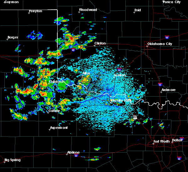 At 255 pm cdt, a severe thunderstorm was located over strong city, moving west at 15 mph (radar indicated). Hazards include 70 mph wind gusts and quarter size hail. Hail damage to vehicles is expected. expect considerable tree damage. Wind damage is also likely to mobile homes, roofs, and outbuildings. At 255 pm cdt, a severe thunderstorm was located over strong city, moving west at 15 mph (radar indicated). Hazards include 70 mph wind gusts and quarter size hail. Hail damage to vehicles is expected. expect considerable tree damage. Wind damage is also likely to mobile homes, roofs, and outbuildings.
|
| 6/25/2018 12:45 AM CDT |
 At 1244 am cdt, a severe thunderstorm was located near reydon, moving east at 45 mph (radar indicated). Hazards include 70 mph wind gusts and ping pong ball size hail. People and animals outdoors will be injured. expect hail damage to roofs, siding, windows, and vehicles. expect considerable tree damage. Wind damage is also likely to mobile homes, roofs, and outbuildings. At 1244 am cdt, a severe thunderstorm was located near reydon, moving east at 45 mph (radar indicated). Hazards include 70 mph wind gusts and ping pong ball size hail. People and animals outdoors will be injured. expect hail damage to roofs, siding, windows, and vehicles. expect considerable tree damage. Wind damage is also likely to mobile homes, roofs, and outbuildings.
|
| 6/22/2018 11:00 PM CDT |
 At 1100 pm cdt, a severe thunderstorm was located 8 miles southeast of sweetwater, moving east at 40 mph. this is a very dangerous storm (radar indicated). Hazards include 80 mph wind gusts and quarter size hail. Flying debris will be dangerous to those caught without shelter. mobile homes will be heavily damaged. expect considerable damage to roofs, windows, and vehicles. extensive tree damage and power outages are likely. locations impacted include, elk city, sayre, cheyenne, erick, carter, sweetwater, berlin and dempsey. This includes interstate 40 between mile markers 4 and 41. At 1100 pm cdt, a severe thunderstorm was located 8 miles southeast of sweetwater, moving east at 40 mph. this is a very dangerous storm (radar indicated). Hazards include 80 mph wind gusts and quarter size hail. Flying debris will be dangerous to those caught without shelter. mobile homes will be heavily damaged. expect considerable damage to roofs, windows, and vehicles. extensive tree damage and power outages are likely. locations impacted include, elk city, sayre, cheyenne, erick, carter, sweetwater, berlin and dempsey. This includes interstate 40 between mile markers 4 and 41.
|
| 6/22/2018 10:44 PM CDT |
 At 1044 pm cdt, a severe thunderstorm was located 6 miles west of sweetwater, moving east at 35 mph. this is a very dangerous storm (radar indicated). Hazards include 80 mph wind gusts and ping pong ball size hail. Flying debris will be dangerous to those caught without shelter. mobile homes will be heavily damaged. expect considerable damage to roofs, windows, and vehicles. Extensive tree damage and power outages are likely. At 1044 pm cdt, a severe thunderstorm was located 6 miles west of sweetwater, moving east at 35 mph. this is a very dangerous storm (radar indicated). Hazards include 80 mph wind gusts and ping pong ball size hail. Flying debris will be dangerous to those caught without shelter. mobile homes will be heavily damaged. expect considerable damage to roofs, windows, and vehicles. Extensive tree damage and power outages are likely.
|
| 6/22/2018 9:44 PM CDT |
 At 942 pm cdt, severe thunderstorms were located along a line extending from 7 miles east of canton to 4 miles north of custer city to near sayre, moving east at 55 mph (radar indicated). Hazards include 70 mph wind gusts and penny size hail. Expect considerable tree damage. damage is likely to mobile homes, roofs, and outbuildings. locations impacted include, elk city, clinton, sayre, cheyenne, taloga, burns flat, thomas, sentinel, seiling, arapaho, canton, hammon, dill city, canute, leedey, custer city, butler, carter, reydon and bessie. This includes interstate 40 between mile markers 15 and 74. At 942 pm cdt, severe thunderstorms were located along a line extending from 7 miles east of canton to 4 miles north of custer city to near sayre, moving east at 55 mph (radar indicated). Hazards include 70 mph wind gusts and penny size hail. Expect considerable tree damage. damage is likely to mobile homes, roofs, and outbuildings. locations impacted include, elk city, clinton, sayre, cheyenne, taloga, burns flat, thomas, sentinel, seiling, arapaho, canton, hammon, dill city, canute, leedey, custer city, butler, carter, reydon and bessie. This includes interstate 40 between mile markers 15 and 74.
|
| 6/22/2018 9:11 PM CDT |
 At 911 pm cdt, severe thunderstorms were located along a line extending from near seiling to 5 miles southwest of sweetwater, moving east at 60 mph (radar indicated). Hazards include 70 mph wind gusts and penny size hail. Expect considerable tree damage. Damage is likely to mobile homes, roofs, and outbuildings. At 911 pm cdt, severe thunderstorms were located along a line extending from near seiling to 5 miles southwest of sweetwater, moving east at 60 mph (radar indicated). Hazards include 70 mph wind gusts and penny size hail. Expect considerable tree damage. Damage is likely to mobile homes, roofs, and outbuildings.
|
| 6/13/2018 1:54 AM CDT |
 At 153 am cdt, severe thunderstorms extended from 5 miles southeast of hammon to just south of cheyenne to 3 miles west of delhi, moving south and southeast at 10 mph (radar indicated). Hazards include 70 mph wind gusts and ping pong ball size hail. People and animals outdoors will be injured. expect hail damage to roofs, siding, windows, and vehicles. expect considerable tree damage. Wind damage is also likely to mobile homes, roofs, and outbuildings. At 153 am cdt, severe thunderstorms extended from 5 miles southeast of hammon to just south of cheyenne to 3 miles west of delhi, moving south and southeast at 10 mph (radar indicated). Hazards include 70 mph wind gusts and ping pong ball size hail. People and animals outdoors will be injured. expect hail damage to roofs, siding, windows, and vehicles. expect considerable tree damage. Wind damage is also likely to mobile homes, roofs, and outbuildings.
|
| 5/14/2018 6:32 PM CDT |
 At 632 pm cdt, severe thunderstorms were located along a line extending from 5 miles southeast of strong city to 5 miles southwest of elk city, moving east at 30 mph (radar indicated). Hazards include 60 mph wind gusts and penny size hail. Expect damage to roofs, siding, and trees. Locations impacted include, elk city, cheyenne, hammon and berlin. At 632 pm cdt, severe thunderstorms were located along a line extending from 5 miles southeast of strong city to 5 miles southwest of elk city, moving east at 30 mph (radar indicated). Hazards include 60 mph wind gusts and penny size hail. Expect damage to roofs, siding, and trees. Locations impacted include, elk city, cheyenne, hammon and berlin.
|
| 5/14/2018 6:15 PM CDT |
 At 615 pm cdt, a severe thunderstorm was located 10 miles north of sayre, moving east at 25 mph (radar indicated). Hazards include 70 mph wind gusts and quarter size hail. Hail damage to vehicles is expected. expect considerable tree damage. wind damage is also likely to mobile homes, roofs, and outbuildings. Locations impacted include, elk city, cheyenne, hammon and berlin. At 615 pm cdt, a severe thunderstorm was located 10 miles north of sayre, moving east at 25 mph (radar indicated). Hazards include 70 mph wind gusts and quarter size hail. Hail damage to vehicles is expected. expect considerable tree damage. wind damage is also likely to mobile homes, roofs, and outbuildings. Locations impacted include, elk city, cheyenne, hammon and berlin.
|
| 5/14/2018 6:05 PM CDT |
 At 605 pm cdt, a severe thunderstorm was located 8 miles east of sweetwater, moving east at 25 mph (radar indicated). Hazards include 70 mph wind gusts and quarter size hail. Hail damage to vehicles is expected. expect considerable tree damage. Wind damage is also likely to mobile homes, roofs, and outbuildings. At 605 pm cdt, a severe thunderstorm was located 8 miles east of sweetwater, moving east at 25 mph (radar indicated). Hazards include 70 mph wind gusts and quarter size hail. Hail damage to vehicles is expected. expect considerable tree damage. Wind damage is also likely to mobile homes, roofs, and outbuildings.
|
| 5/11/2018 8:15 PM CDT |
 The national weather service in norman has issued a * severe thunderstorm warning for. central roger mills county in western oklahoma. Until 900 pm cdt * at 815 pm cdt, a severe thunderstorm was located 6 miles west of cheyenne, moving northeast at 45 mph. The national weather service in norman has issued a * severe thunderstorm warning for. central roger mills county in western oklahoma. Until 900 pm cdt * at 815 pm cdt, a severe thunderstorm was located 6 miles west of cheyenne, moving northeast at 45 mph.
|
| 5/11/2018 7:57 PM CDT |
 At 756 pm cdt, severe thunderstorms were located along a line extending from 8 miles northwest of sweetwater to 4 miles south of sweetwater, moving northeast at 25 mph (radar indicated). Hazards include 60 mph wind gusts and quarter size hail. Hail damage to vehicles is expected. expect wind damage to roofs, siding, and trees. Locations impacted include, cheyenne, reydon, sweetwater, roll and dempsey. At 756 pm cdt, severe thunderstorms were located along a line extending from 8 miles northwest of sweetwater to 4 miles south of sweetwater, moving northeast at 25 mph (radar indicated). Hazards include 60 mph wind gusts and quarter size hail. Hail damage to vehicles is expected. expect wind damage to roofs, siding, and trees. Locations impacted include, cheyenne, reydon, sweetwater, roll and dempsey.
|
| 5/11/2018 7:36 PM CDT |
 At 735 pm cdt, severe thunderstorms were located along a line extending from 5 miles southeast of allison texas to 8 miles east of twitty texas, moving northeast at 25 mph (radar indicated). Hazards include golf ball size hail and 60 mph wind gusts. People and animals outdoors will be injured. expect hail damage to roofs, siding, windows, and vehicles. Expect wind damage to roofs, siding, and trees. At 735 pm cdt, severe thunderstorms were located along a line extending from 5 miles southeast of allison texas to 8 miles east of twitty texas, moving northeast at 25 mph (radar indicated). Hazards include golf ball size hail and 60 mph wind gusts. People and animals outdoors will be injured. expect hail damage to roofs, siding, windows, and vehicles. Expect wind damage to roofs, siding, and trees.
|
| 5/2/2018 3:57 PM CDT |
 At 357 pm cdt, a severe thunderstorm was located 6 miles southeast of cheyenne, moving east at 25 mph (radar indicated). Hazards include tennis ball size hail and 60 mph wind gusts. People and animals outdoors will be injured. expect hail damage to roofs, siding, windows, and vehicles. expect wind damage to roofs, siding, and trees. Locations impacted include, cheyenne, hammon and berlin. At 357 pm cdt, a severe thunderstorm was located 6 miles southeast of cheyenne, moving east at 25 mph (radar indicated). Hazards include tennis ball size hail and 60 mph wind gusts. People and animals outdoors will be injured. expect hail damage to roofs, siding, windows, and vehicles. expect wind damage to roofs, siding, and trees. Locations impacted include, cheyenne, hammon and berlin.
|
| 5/2/2018 3:44 PM CDT |
 At 342 pm cdt, a severe thunderstorm was located 8 miles southwest of cheyenne, moving east at 25 mph. this is a very dangerous storm (trained weather spotters). Hazards include baseball size hail and 60 mph wind gusts. People and animals outdoors will be severely injured. expect shattered windows, extensive damage to roofs, siding, and vehicles. Locations impacted include, cheyenne, hammon and berlin. At 342 pm cdt, a severe thunderstorm was located 8 miles southwest of cheyenne, moving east at 25 mph. this is a very dangerous storm (trained weather spotters). Hazards include baseball size hail and 60 mph wind gusts. People and animals outdoors will be severely injured. expect shattered windows, extensive damage to roofs, siding, and vehicles. Locations impacted include, cheyenne, hammon and berlin.
|
| 5/2/2018 3:39 PM CDT |
 At 339 pm cdt, a severe thunderstorm was located 9 miles northeast of sweetwater, moving east at 25 mph (radar indicated). Hazards include two inch hail and 60 mph wind gusts. People and animals outdoors will be injured. expect hail damage to roofs, siding, windows, and vehicles. Expect wind damage to roofs, siding, and trees. At 339 pm cdt, a severe thunderstorm was located 9 miles northeast of sweetwater, moving east at 25 mph (radar indicated). Hazards include two inch hail and 60 mph wind gusts. People and animals outdoors will be injured. expect hail damage to roofs, siding, windows, and vehicles. Expect wind damage to roofs, siding, and trees.
|
| 10/6/2017 11:07 PM CDT |
 At 1106 pm cdt, severe thunderstorms were located along a line extending from near mutual to 4 miles northwest of angora to 5 miles west of sweetwater to 6 miles north of quail, moving east at 40 mph (radar indicated). Hazards include 60 mph wind gusts and penny size hail. expect damage to roofs, siding, and trees At 1106 pm cdt, severe thunderstorms were located along a line extending from near mutual to 4 miles northwest of angora to 5 miles west of sweetwater to 6 miles north of quail, moving east at 40 mph (radar indicated). Hazards include 60 mph wind gusts and penny size hail. expect damage to roofs, siding, and trees
|
| 8/18/2017 1:31 AM CDT |
 At 131 am cdt, a severe thunderstorm was located 4 miles east of roll, moving east at 25 mph (radar indicated). Hazards include 60 mph wind gusts and quarter size hail. Hail damage to vehicles is expected. Expect wind damage to roofs, siding, and trees. At 131 am cdt, a severe thunderstorm was located 4 miles east of roll, moving east at 25 mph (radar indicated). Hazards include 60 mph wind gusts and quarter size hail. Hail damage to vehicles is expected. Expect wind damage to roofs, siding, and trees.
|
| 8/18/2017 12:50 AM CDT |
 At 1250 am cdt, a severe thunderstorm was located near durham, moving southeast at 30 mph (radar indicated). Hazards include 60 mph wind gusts and quarter size hail. Hail damage to vehicles is expected. Expect wind damage to roofs, siding, and trees. At 1250 am cdt, a severe thunderstorm was located near durham, moving southeast at 30 mph (radar indicated). Hazards include 60 mph wind gusts and quarter size hail. Hail damage to vehicles is expected. Expect wind damage to roofs, siding, and trees.
|
| 8/5/2017 9:35 PM CDT |
 At 935 pm cdt, a severe thunderstorm was located near strong city, moving east at 20 mph (radar indicated). Hazards include 60 mph wind gusts and quarter size hail. Hail damage to vehicles is expected. expect wind damage to roofs, siding, and trees. Locations impacted include, cheyenne, hammon and strong city. At 935 pm cdt, a severe thunderstorm was located near strong city, moving east at 20 mph (radar indicated). Hazards include 60 mph wind gusts and quarter size hail. Hail damage to vehicles is expected. expect wind damage to roofs, siding, and trees. Locations impacted include, cheyenne, hammon and strong city.
|
| 8/5/2017 9:09 PM CDT |
 At 909 pm cdt, a severe thunderstorm was located 6 miles east of reydon, moving east at 25 mph (radar indicated). Hazards include 60 mph wind gusts and quarter size hail. Hail damage to vehicles is expected. Expect wind damage to roofs, siding, and trees. At 909 pm cdt, a severe thunderstorm was located 6 miles east of reydon, moving east at 25 mph (radar indicated). Hazards include 60 mph wind gusts and quarter size hail. Hail damage to vehicles is expected. Expect wind damage to roofs, siding, and trees.
|
| 7/27/2017 7:38 PM CDT |
 At 737 pm cdt, a severe thunderstorm was located 9 miles east of sweetwater, moving south at 15 mph (radar indicated). Hazards include 70 mph wind gusts and quarter size hail. Hail damage to vehicles is expected. expect considerable tree damage. Wind damage is also likely to mobile homes, roofs, and outbuildings. At 737 pm cdt, a severe thunderstorm was located 9 miles east of sweetwater, moving south at 15 mph (radar indicated). Hazards include 70 mph wind gusts and quarter size hail. Hail damage to vehicles is expected. expect considerable tree damage. Wind damage is also likely to mobile homes, roofs, and outbuildings.
|
| 7/15/2017 4:13 PM CDT |
 At 413 pm cdt, a severe thunderstorm was located 4 miles southeast of cheyenne, and is nearly stationary (radar indicated). Hazards include 60 mph wind gusts. expect damage to roofs, siding, and trees At 413 pm cdt, a severe thunderstorm was located 4 miles southeast of cheyenne, and is nearly stationary (radar indicated). Hazards include 60 mph wind gusts. expect damage to roofs, siding, and trees
|
| 7/3/2017 8:27 PM CDT |
 At 827 pm cdt, a severe thunderstorm was located 7 miles west of hammon, moving east at 25 mph (radar indicated). Hazards include 60 mph wind gusts and quarter size hail. Hail damage to vehicles is expected. Expect wind damage to roofs, siding, and trees. At 827 pm cdt, a severe thunderstorm was located 7 miles west of hammon, moving east at 25 mph (radar indicated). Hazards include 60 mph wind gusts and quarter size hail. Hail damage to vehicles is expected. Expect wind damage to roofs, siding, and trees.
|
| 7/3/2017 8:02 PM CDT |
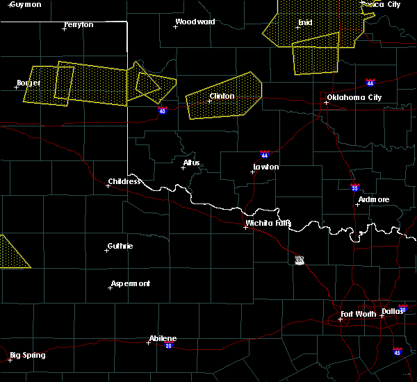 At 801 pm cdt, a severe thunderstorm was located 6 miles southwest of roll, moving southeast at 20 mph (radar indicated). Hazards include 70 mph wind gusts and ping pong ball size hail. People and animals outdoors will be injured. expect hail damage to roofs, siding, windows, and vehicles. expect considerable tree damage. Wind damage is also likely to mobile homes, roofs, and outbuildings. At 801 pm cdt, a severe thunderstorm was located 6 miles southwest of roll, moving southeast at 20 mph (radar indicated). Hazards include 70 mph wind gusts and ping pong ball size hail. People and animals outdoors will be injured. expect hail damage to roofs, siding, windows, and vehicles. expect considerable tree damage. Wind damage is also likely to mobile homes, roofs, and outbuildings.
|
| 7/3/2017 7:37 PM CDT |
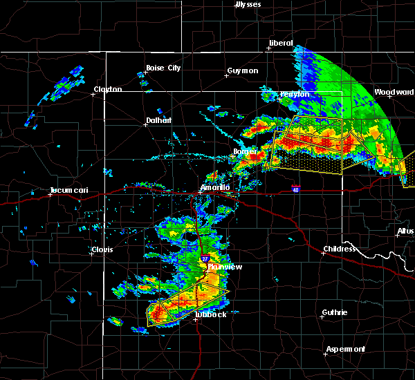 At 737 pm cdt, a severe thunderstorm was located near durham, moving southeast at 20 mph (radar indicated). Hazards include 70 mph wind gusts and quarter size hail. Hail damage to vehicles is expected. expect considerable tree damage. wind damage is also likely to mobile homes, roofs, and outbuildings. Locations impacted include, cheyenne, reydon, strong city, crawford, roll and durham. At 737 pm cdt, a severe thunderstorm was located near durham, moving southeast at 20 mph (radar indicated). Hazards include 70 mph wind gusts and quarter size hail. Hail damage to vehicles is expected. expect considerable tree damage. wind damage is also likely to mobile homes, roofs, and outbuildings. Locations impacted include, cheyenne, reydon, strong city, crawford, roll and durham.
|
| 7/3/2017 7:28 PM CDT |
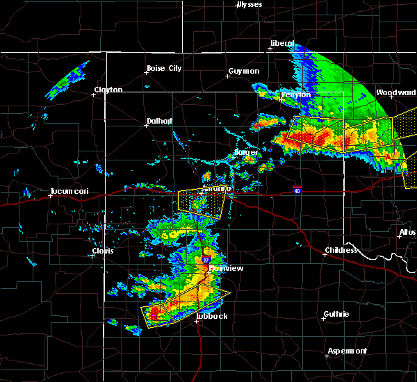 At 728 pm cdt, a severe thunderstorm was located near durham, moving southeast at 20 mph (radar indicated). Hazards include 60 mph wind gusts and quarter size hail. Hail damage to vehicles is expected. Expect wind damage to roofs, siding, and trees. At 728 pm cdt, a severe thunderstorm was located near durham, moving southeast at 20 mph (radar indicated). Hazards include 60 mph wind gusts and quarter size hail. Hail damage to vehicles is expected. Expect wind damage to roofs, siding, and trees.
|
| 5/18/2017 2:56 PM CDT |
 At 256 pm cdt, a severe thunderstorm was located near sayre, moving northeast at 35 mph (radar indicated). Hazards include ping pong ball size hail and 60 mph wind gusts. People and animals outdoors will be injured. expect hail damage to roofs, siding, windows, and vehicles. expect wind damage to roofs, siding, and trees. locations impacted include, elk city, sayre, cheyenne, carter, strong city, delhi and berlin. This includes interstate 40 between mile markers 16 and 44. At 256 pm cdt, a severe thunderstorm was located near sayre, moving northeast at 35 mph (radar indicated). Hazards include ping pong ball size hail and 60 mph wind gusts. People and animals outdoors will be injured. expect hail damage to roofs, siding, windows, and vehicles. expect wind damage to roofs, siding, and trees. locations impacted include, elk city, sayre, cheyenne, carter, strong city, delhi and berlin. This includes interstate 40 between mile markers 16 and 44.
|
| 5/18/2017 2:43 PM CDT |
 At 242 pm cdt, severe thunderstorms extended from near hammon to near sayre, moving north at 35 mph (radar indicated). Hazards include ping pong ball size hail and 60 mph wind gusts. People and animals outdoors will be injured. expect hail damage to roofs, siding, windows, and vehicles. expect wind damage to roofs, siding, and trees. locations impacted include, elk city, sayre, cheyenne, hammon, butler, carter, strong city, delhi, moorewood, foss reservoir and berlin. This includes interstate 40 between mile markers 12 and 44. At 242 pm cdt, severe thunderstorms extended from near hammon to near sayre, moving north at 35 mph (radar indicated). Hazards include ping pong ball size hail and 60 mph wind gusts. People and animals outdoors will be injured. expect hail damage to roofs, siding, windows, and vehicles. expect wind damage to roofs, siding, and trees. locations impacted include, elk city, sayre, cheyenne, hammon, butler, carter, strong city, delhi, moorewood, foss reservoir and berlin. This includes interstate 40 between mile markers 12 and 44.
|
| 5/18/2017 2:25 PM CDT |
 At 224 pm cdt, severe thunderstorms were located along a line extending from 5 miles northwest of canute to near delhi, moving north at 25 mph (radar indicated). Hazards include ping pong ball size hail and 60 mph wind gusts. People and animals outdoors will be injured. expect hail damage to roofs, siding, windows, and vehicles. Expect wind damage to roofs, siding, and trees. At 224 pm cdt, severe thunderstorms were located along a line extending from 5 miles northwest of canute to near delhi, moving north at 25 mph (radar indicated). Hazards include ping pong ball size hail and 60 mph wind gusts. People and animals outdoors will be injured. expect hail damage to roofs, siding, windows, and vehicles. Expect wind damage to roofs, siding, and trees.
|
| 5/16/2017 10:27 PM CDT |
 At 1026 pm cdt, severe thunderstorms were located along a line extending from 4 miles west of camargo to 6 miles west of hammon, moving northeast at 30 mph (radar indicated). Hazards include 70 mph wind gusts and half dollar size hail. Hail damage to vehicles is expected. expect considerable tree damage. Wind damage is also likely to mobile homes, roofs, and outbuildings. At 1026 pm cdt, severe thunderstorms were located along a line extending from 4 miles west of camargo to 6 miles west of hammon, moving northeast at 30 mph (radar indicated). Hazards include 70 mph wind gusts and half dollar size hail. Hail damage to vehicles is expected. expect considerable tree damage. Wind damage is also likely to mobile homes, roofs, and outbuildings.
|
| 5/16/2017 9:51 PM CDT |
 At 950 pm cdt, severe thunderstorms were located along a line extending from 4 miles north of angora to 3 miles southwest of sweetwater, moving northeast at 35 mph (radar indicated). Hazards include 70 mph wind gusts and quarter size hail. Hail damage to vehicles is expected. expect considerable tree damage. Wind damage is also likely to mobile homes, roofs, and outbuildings. At 950 pm cdt, severe thunderstorms were located along a line extending from 4 miles north of angora to 3 miles southwest of sweetwater, moving northeast at 35 mph (radar indicated). Hazards include 70 mph wind gusts and quarter size hail. Hail damage to vehicles is expected. expect considerable tree damage. Wind damage is also likely to mobile homes, roofs, and outbuildings.
|
| 5/16/2017 6:54 PM CDT |
 At 654 pm cdt, a severe thunderstorm was located 5 miles west of angora, moving northeast at 45 mph (radar indicated). Hazards include golf ball size hail and 70 mph wind gusts. People and animals outdoors will be injured. expect hail damage to roofs, siding, windows, and vehicles. expect considerable tree damage. wind damage is also likely to mobile homes, roofs, and outbuildings. Locations impacted include, cheyenne, taloga, vici, leedey, camargo, strong city, putnam, moorewood, roll, angora and cestos. At 654 pm cdt, a severe thunderstorm was located 5 miles west of angora, moving northeast at 45 mph (radar indicated). Hazards include golf ball size hail and 70 mph wind gusts. People and animals outdoors will be injured. expect hail damage to roofs, siding, windows, and vehicles. expect considerable tree damage. wind damage is also likely to mobile homes, roofs, and outbuildings. Locations impacted include, cheyenne, taloga, vici, leedey, camargo, strong city, putnam, moorewood, roll, angora and cestos.
|
| 5/16/2017 6:39 PM CDT |
 At 639 pm cdt, a severe thunderstorm was located near roll, moving northeast at 45 mph (radar indicated). Hazards include two inch hail and 70 mph wind gusts. People and animals outdoors will be injured. expect hail damage to roofs, siding, windows, and vehicles. expect considerable tree damage. Wind damage is also likely to mobile homes, roofs, and outbuildings. At 639 pm cdt, a severe thunderstorm was located near roll, moving northeast at 45 mph (radar indicated). Hazards include two inch hail and 70 mph wind gusts. People and animals outdoors will be injured. expect hail damage to roofs, siding, windows, and vehicles. expect considerable tree damage. Wind damage is also likely to mobile homes, roofs, and outbuildings.
|
| 5/16/2017 6:22 PM CDT |
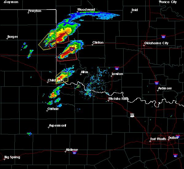 At 622 pm cdt, a confirmed tornado was located near reydon, moving northeast at 25 mph (weather spotters confirmed tornado). Hazards include damaging tornado and tennis ball size hail. Flying debris will be dangerous to those caught without shelter. mobile homes will be damaged or destroyed. damage to roofs, windows, and vehicles will occur. tree damage is likely. Locations impacted include, cheyenne, reydon and roll. At 622 pm cdt, a confirmed tornado was located near reydon, moving northeast at 25 mph (weather spotters confirmed tornado). Hazards include damaging tornado and tennis ball size hail. Flying debris will be dangerous to those caught without shelter. mobile homes will be damaged or destroyed. damage to roofs, windows, and vehicles will occur. tree damage is likely. Locations impacted include, cheyenne, reydon and roll.
|
| 5/16/2017 6:14 PM CDT |
 At 614 pm cdt, a severe thunderstorm capable of producing a tornado was located near reydon, moving northeast at 35 mph (radar indicated rotation). Hazards include tornado and tennis ball size hail. Flying debris will be dangerous to those caught without shelter. mobile homes will be damaged or destroyed. damage to roofs, windows, and vehicles will occur. tree damage is likely. Locations impacted include, cheyenne, reydon and roll. At 614 pm cdt, a severe thunderstorm capable of producing a tornado was located near reydon, moving northeast at 35 mph (radar indicated rotation). Hazards include tornado and tennis ball size hail. Flying debris will be dangerous to those caught without shelter. mobile homes will be damaged or destroyed. damage to roofs, windows, and vehicles will occur. tree damage is likely. Locations impacted include, cheyenne, reydon and roll.
|
| 5/16/2017 5:55 PM CDT |
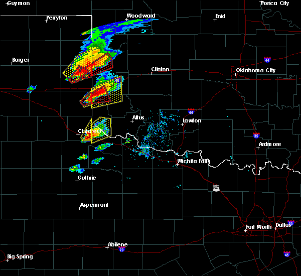 At 555 pm cdt, a confirmed tornado was located 5 miles south of allison, moving northeast at 35 mph (nws employee confirmed tornado). Hazards include damaging tornado and golf ball size hail. Flying debris will be dangerous to those caught without shelter. mobile homes will be damaged or destroyed. damage to roofs, windows, and vehicles will occur. Tree damage is likely. At 555 pm cdt, a confirmed tornado was located 5 miles south of allison, moving northeast at 35 mph (nws employee confirmed tornado). Hazards include damaging tornado and golf ball size hail. Flying debris will be dangerous to those caught without shelter. mobile homes will be damaged or destroyed. damage to roofs, windows, and vehicles will occur. Tree damage is likely.
|
| 5/11/2017 2:15 PM CDT | Quarter sized hail reported 8.7 miles SW of Cheyenne, OK, nickel and quarter hail |
| 4/29/2017 2:01 AM CDT |
 At 200 am cdt, one severe thunderstorm was located 6 miles southwest of cheyenne. a new severe thunderstorm was located 7 miles north of erick. the storms were moving north-northeast at 45 mph (radar indicated). Hazards include 60 mph wind gusts and half dollar size hail. Hail damage to vehicles is expected. expect wind damage to roofs, siding, and trees. locations impacted include, cheyenne, sweetwater, strong city, crawford, roll, angora, berlin and dempsey. This includes interstate 40 between mile markers 15 and 17. At 200 am cdt, one severe thunderstorm was located 6 miles southwest of cheyenne. a new severe thunderstorm was located 7 miles north of erick. the storms were moving north-northeast at 45 mph (radar indicated). Hazards include 60 mph wind gusts and half dollar size hail. Hail damage to vehicles is expected. expect wind damage to roofs, siding, and trees. locations impacted include, cheyenne, sweetwater, strong city, crawford, roll, angora, berlin and dempsey. This includes interstate 40 between mile markers 15 and 17.
|
| 4/29/2017 1:38 AM CDT |
 At 138 am cdt, a severe thunderstorm was located 8 miles northeast of erick, moving north-northeast at 55 mph (radar indicated). Hazards include half dollar size hail. damage to vehicles is expected At 138 am cdt, a severe thunderstorm was located 8 miles northeast of erick, moving north-northeast at 55 mph (radar indicated). Hazards include half dollar size hail. damage to vehicles is expected
|
| 4/21/2017 4:07 AM CDT |
 At 406 am cdt, a severe thunderstorm was located 5 miles southeast of cheyenne, moving northeast at 35 mph (radar indicated). Hazards include half dollar size hail. Damage to vehicles is expected. locations impacted include, elk city, cheyenne, hammon and berlin. This includes interstate 40 near mile marker 42. At 406 am cdt, a severe thunderstorm was located 5 miles southeast of cheyenne, moving northeast at 35 mph (radar indicated). Hazards include half dollar size hail. Damage to vehicles is expected. locations impacted include, elk city, cheyenne, hammon and berlin. This includes interstate 40 near mile marker 42.
|
| 4/21/2017 3:47 AM CDT |
 At 347 am cdt, a severe thunderstorm was located 10 miles east of sweetwater, moving northeast at 30 mph (radar indicated). Hazards include 60 mph wind gusts and half dollar size hail. Hail damage to vehicles is expected. Expect wind damage to roofs, siding, and trees. At 347 am cdt, a severe thunderstorm was located 10 miles east of sweetwater, moving northeast at 30 mph (radar indicated). Hazards include 60 mph wind gusts and half dollar size hail. Hail damage to vehicles is expected. Expect wind damage to roofs, siding, and trees.
|
| 4/3/2017 11:21 PM CDT |
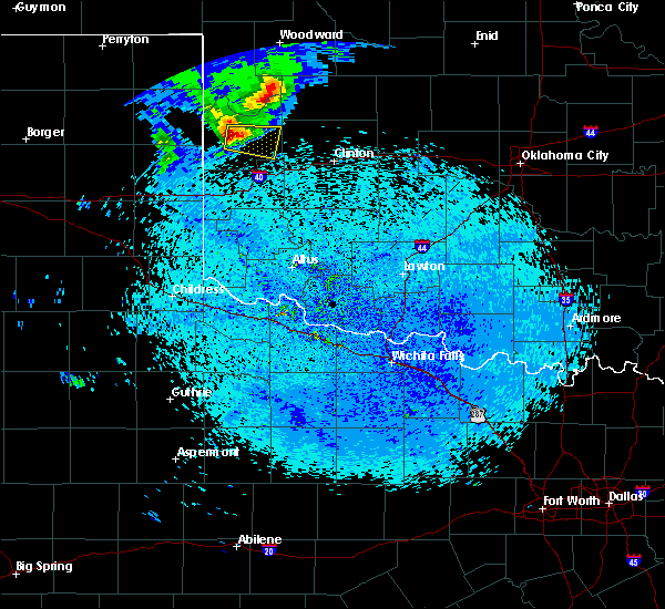 At 1121 pm cdt, a severe thunderstorm was located 5 miles northwest of cheyenne, moving east at 35 mph (radar indicated). Hazards include 60 mph wind gusts and quarter size hail. Hail damage to vehicles is expected. expect wind damage to roofs, siding, and trees. Locations impacted include, cheyenne and strong city. At 1121 pm cdt, a severe thunderstorm was located 5 miles northwest of cheyenne, moving east at 35 mph (radar indicated). Hazards include 60 mph wind gusts and quarter size hail. Hail damage to vehicles is expected. expect wind damage to roofs, siding, and trees. Locations impacted include, cheyenne and strong city.
|
| 4/3/2017 11:14 PM CDT |
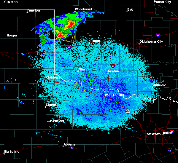 At 1114 pm cdt, a severe thunderstorm was located 6 miles east of reydon, moving east at 35 mph (radar indicated). Hazards include 60 mph wind gusts and quarter size hail. Hail damage to vehicles is expected. Expect wind damage to roofs, siding, and trees. At 1114 pm cdt, a severe thunderstorm was located 6 miles east of reydon, moving east at 35 mph (radar indicated). Hazards include 60 mph wind gusts and quarter size hail. Hail damage to vehicles is expected. Expect wind damage to roofs, siding, and trees.
|
| 9/18/2016 12:10 AM CDT |
 At 1209 am cdt, severe thunderstorms were located along a line extending from 10 miles south of harmon to 6 miles northeast of strong city to near cheyenne, moving east at 35 mph (radar indicated). Hazards include 60 mph wind gusts and nickel size hail. Expect damage to roofs. siding. and trees. Locations impacted include, cheyenne, strong city, roll and angora. At 1209 am cdt, severe thunderstorms were located along a line extending from 10 miles south of harmon to 6 miles northeast of strong city to near cheyenne, moving east at 35 mph (radar indicated). Hazards include 60 mph wind gusts and nickel size hail. Expect damage to roofs. siding. and trees. Locations impacted include, cheyenne, strong city, roll and angora.
|
| 9/18/2016 12:03 AM CDT | Storm damage reported in roger mills county OK, 0 miles W of Cheyenne, OK |
| 9/17/2016 11:57 PM CDT |
 At 1157 pm cdt, severe thunderstorms were located along a line extending from 9 miles south of harmon to near roll to 3 miles east of reydon, moving east at 45 mph (radar indicated). Hazards include 60 mph wind gusts and nickel size hail. Expect damage to roofs. siding. and trees. Locations impacted include, cheyenne, reydon, strong city, roll, angora and crawford. At 1157 pm cdt, severe thunderstorms were located along a line extending from 9 miles south of harmon to near roll to 3 miles east of reydon, moving east at 45 mph (radar indicated). Hazards include 60 mph wind gusts and nickel size hail. Expect damage to roofs. siding. and trees. Locations impacted include, cheyenne, reydon, strong city, roll, angora and crawford.
|
| 9/17/2016 11:48 PM CDT |
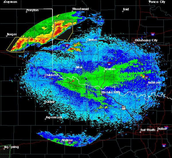 At 1148 pm cdt, severe thunderstorms were located along a line extending from 6 miles south of arnett to near crawford to 3 miles southwest of reydon, moving east at 50 mph (radar indicated). Hazards include 60 mph wind gusts and quarter size hail. Hail damage to vehicles is expected. expect wind damage to roofs, siding, and trees. Locations impacted include, cheyenne, arnett, reydon, strong city, harmon, roll, angora, durham and crawford. At 1148 pm cdt, severe thunderstorms were located along a line extending from 6 miles south of arnett to near crawford to 3 miles southwest of reydon, moving east at 50 mph (radar indicated). Hazards include 60 mph wind gusts and quarter size hail. Hail damage to vehicles is expected. expect wind damage to roofs, siding, and trees. Locations impacted include, cheyenne, arnett, reydon, strong city, harmon, roll, angora, durham and crawford.
|
| 9/17/2016 11:34 PM CDT |
 At 1134 pm cdt, severe thunderstorms were located along a line extending from 5 miles east of higgins to 4 miles northwest of allison, moving east at 30 mph (radar indicated). Hazards include 60 mph wind gusts and nickel size hail. Expect damage to roofs. siding. And trees. At 1134 pm cdt, severe thunderstorms were located along a line extending from 5 miles east of higgins to 4 miles northwest of allison, moving east at 30 mph (radar indicated). Hazards include 60 mph wind gusts and nickel size hail. Expect damage to roofs. siding. And trees.
|
| 8/25/2016 4:26 PM CDT |
 At 425 pm cdt, a severe thunderstorm capable of producing a tornado was located 4 miles southeast of cheyenne, moving east at 25 mph (radar indicated rotation). Hazards include tornado and hail up to two inches in diameter. Flying debris will be dangerous to those caught without shelter. mobile homes will be damaged or destroyed. damage to roofs, windows, and vehicles will occur. Tree damage is likely. At 425 pm cdt, a severe thunderstorm capable of producing a tornado was located 4 miles southeast of cheyenne, moving east at 25 mph (radar indicated rotation). Hazards include tornado and hail up to two inches in diameter. Flying debris will be dangerous to those caught without shelter. mobile homes will be damaged or destroyed. damage to roofs, windows, and vehicles will occur. Tree damage is likely.
|
| 8/25/2016 4:20 PM CDT |
 At 420 pm cdt, a severe thunderstorm was located near cheyenne, moving northeast at 30 mph. this is a very dangerous storm (radar indicated). Hazards include 80 mph wind gusts and golf ball size hail. Flying debris will be dangerous to those caught without shelter. mobile homes will be heavily damaged. expect considerable damage to roofs, windows, and vehicles. extensive tree damage and power outages are likely. Locations impacted include, cheyenne, hammon, strong city, moorewood and angora. At 420 pm cdt, a severe thunderstorm was located near cheyenne, moving northeast at 30 mph. this is a very dangerous storm (radar indicated). Hazards include 80 mph wind gusts and golf ball size hail. Flying debris will be dangerous to those caught without shelter. mobile homes will be heavily damaged. expect considerable damage to roofs, windows, and vehicles. extensive tree damage and power outages are likely. Locations impacted include, cheyenne, hammon, strong city, moorewood and angora.
|
| 8/25/2016 4:13 PM CDT |
 At 413 pm cdt, a severe thunderstorm was located near cheyenne, moving northeast at 30 mph (radar indicated). Hazards include 70 mph wind gusts and quarter size hail. Hail damage to vehicles is expected. expect considerable tree damage. Wind damage is also likely to mobile homes, roofs, and outbuildings. At 413 pm cdt, a severe thunderstorm was located near cheyenne, moving northeast at 30 mph (radar indicated). Hazards include 70 mph wind gusts and quarter size hail. Hail damage to vehicles is expected. expect considerable tree damage. Wind damage is also likely to mobile homes, roofs, and outbuildings.
|
| 8/23/2016 6:23 PM CDT |
 At 622 pm cdt, severe thunderstorms were located along a line extending from 7 miles northwest of cheyenne to 7 miles southeast of allison, moving northeast at 25 mph (radar indicated). Hazards include 60 mph wind gusts and nickel size hail. Expect damage to roofs. siding. and trees. Locations impacted include, reydon, roll, crawford and dempsey. At 622 pm cdt, severe thunderstorms were located along a line extending from 7 miles northwest of cheyenne to 7 miles southeast of allison, moving northeast at 25 mph (radar indicated). Hazards include 60 mph wind gusts and nickel size hail. Expect damage to roofs. siding. and trees. Locations impacted include, reydon, roll, crawford and dempsey.
|
| 8/23/2016 6:10 PM CDT |
 At 610 pm cdt, severe thunderstorms were located along a line extending from near reydon to 9 miles south of allison, moving northeast at 20 mph (radar indicated). Hazards include 60 mph wind gusts and nickel size hail. Expect damage to roofs. siding. And trees. At 610 pm cdt, severe thunderstorms were located along a line extending from near reydon to 9 miles south of allison, moving northeast at 20 mph (radar indicated). Hazards include 60 mph wind gusts and nickel size hail. Expect damage to roofs. siding. And trees.
|
| 8/23/2016 5:26 PM CDT |
 At 526 pm cdt, a severe thunderstorm was located 6 miles southeast of cheyenne, moving east at 25 mph (radar indicated). Hazards include 60 mph wind gusts and quarter size hail. Hail damage to vehicles is expected. expect wind damage to roofs, siding, and trees. Locations impacted include, hammon. At 526 pm cdt, a severe thunderstorm was located 6 miles southeast of cheyenne, moving east at 25 mph (radar indicated). Hazards include 60 mph wind gusts and quarter size hail. Hail damage to vehicles is expected. expect wind damage to roofs, siding, and trees. Locations impacted include, hammon.
|
| 8/23/2016 5:15 PM CDT |
 At 515 pm cdt, a severe thunderstorm was located near cheyenne, moving east at 25 mph (radar indicated). Hazards include 60 mph wind gusts and quarter size hail. Hail damage to vehicles is expected. expect wind damage to roofs, siding, and trees. Locations impacted include, cheyenne and hammon. At 515 pm cdt, a severe thunderstorm was located near cheyenne, moving east at 25 mph (radar indicated). Hazards include 60 mph wind gusts and quarter size hail. Hail damage to vehicles is expected. expect wind damage to roofs, siding, and trees. Locations impacted include, cheyenne and hammon.
|
| 8/23/2016 5:05 PM CDT |
 At 504 pm cdt, a severe thunderstorm was located near cheyenne, moving east at 30 mph (radar indicated). Hazards include 60 mph wind gusts and quarter size hail. Hail damage to vehicles is expected. Expect wind damage to roofs, siding, and trees. At 504 pm cdt, a severe thunderstorm was located near cheyenne, moving east at 30 mph (radar indicated). Hazards include 60 mph wind gusts and quarter size hail. Hail damage to vehicles is expected. Expect wind damage to roofs, siding, and trees.
|
| 7/15/2016 10:24 PM CDT |
 At 1022 pm cdt, severe thunderstorms were located along a line extending from near taloga to near foss reservoir to near erick, moving southeast at 25 mph (radar indicated). Hazards include 70 mph wind gusts and quarter size hail. Hail damage to vehicles is expected. expect considerable tree damage. wind damage is also likely to mobile homes, roofs, and outbuildings. locations impacted include, elk city, clinton, sayre, cheyenne, taloga, burns flat, okeene, thomas, erick, seiling, arapaho, canton, hammon, dill city, canute, leedey, custer city, butler, longdale and carter. This includes interstate 40 between the texas state line and mile marker 77. At 1022 pm cdt, severe thunderstorms were located along a line extending from near taloga to near foss reservoir to near erick, moving southeast at 25 mph (radar indicated). Hazards include 70 mph wind gusts and quarter size hail. Hail damage to vehicles is expected. expect considerable tree damage. wind damage is also likely to mobile homes, roofs, and outbuildings. locations impacted include, elk city, clinton, sayre, cheyenne, taloga, burns flat, okeene, thomas, erick, seiling, arapaho, canton, hammon, dill city, canute, leedey, custer city, butler, longdale and carter. This includes interstate 40 between the texas state line and mile marker 77.
|
| 7/15/2016 9:58 PM CDT |
 At 957 pm cdt, severe thunderstorms were located along a line extending from 4 miles northeast of cestos to near moorewood to 5 miles south of sweetwater, moving east at 35 mph (radar indicated). Hazards include 70 mph wind gusts and nickel size hail. Expect considerable tree damage. Damage is likely to mobile homes, roofs, and outbuildings. At 957 pm cdt, severe thunderstorms were located along a line extending from 4 miles northeast of cestos to near moorewood to 5 miles south of sweetwater, moving east at 35 mph (radar indicated). Hazards include 70 mph wind gusts and nickel size hail. Expect considerable tree damage. Damage is likely to mobile homes, roofs, and outbuildings.
|
| 7/15/2016 9:19 PM CDT |
 At 918 pm cdt, severe thunderstorms were located along a line extending from 6 miles west of vici to 10 miles west-southwest of reydon, moving southeast at 25 mph (radar indicated). Hazards include 70 mph wind gusts and quarter size hail. Hail damage to vehicles is expected. expect considerable tree damage. Wind damage is also likely to mobile homes, roofs, and outbuildings. At 918 pm cdt, severe thunderstorms were located along a line extending from 6 miles west of vici to 10 miles west-southwest of reydon, moving southeast at 25 mph (radar indicated). Hazards include 70 mph wind gusts and quarter size hail. Hail damage to vehicles is expected. expect considerable tree damage. Wind damage is also likely to mobile homes, roofs, and outbuildings.
|
| 7/14/2016 11:07 PM CDT |
 At 1107 pm cdt, a severe thunderstorm was located near strong city, moving southeast at 25 mph (radar indicated). Hazards include 60 mph wind gusts and quarter size hail. Hail damage to vehicles is expected. Expect wind damage to roofs, siding, and trees. At 1107 pm cdt, a severe thunderstorm was located near strong city, moving southeast at 25 mph (radar indicated). Hazards include 60 mph wind gusts and quarter size hail. Hail damage to vehicles is expected. Expect wind damage to roofs, siding, and trees.
|
| 6/28/2016 7:04 PM CDT |
 At 702 pm cdt, severe thunderstorms were located along a line extending from 3 miles northeast of moorewood to 11 miles northeast of greenfield, moving south at 45 mph (radar indicated). Hazards include golf ball size hail and 70 mph wind gusts. People and animals outdoors will be injured. expect hail damage to roofs, siding, windows, and vehicles. expect considerable tree damage. wind damage is also likely to mobile homes, roofs, and outbuildings. locations impacted include, weatherford, clinton, watonga, cheyenne, thomas, arapaho, hammon, leedey, custer city, butler, camargo, hitchcock, greenfield, oakwood, strong city, putnam, angora, fay, foss reservoir and roll. This includes interstate 40 between mile markers 68 and 84. At 702 pm cdt, severe thunderstorms were located along a line extending from 3 miles northeast of moorewood to 11 miles northeast of greenfield, moving south at 45 mph (radar indicated). Hazards include golf ball size hail and 70 mph wind gusts. People and animals outdoors will be injured. expect hail damage to roofs, siding, windows, and vehicles. expect considerable tree damage. wind damage is also likely to mobile homes, roofs, and outbuildings. locations impacted include, weatherford, clinton, watonga, cheyenne, thomas, arapaho, hammon, leedey, custer city, butler, camargo, hitchcock, greenfield, oakwood, strong city, putnam, angora, fay, foss reservoir and roll. This includes interstate 40 between mile markers 68 and 84.
|
| 6/28/2016 6:49 PM CDT |
 At 647 pm cdt, severe thunderstorms were located along a line extending from 4 miles north of leedey to 6 miles northwest of loyal, moving south at 45 mph (radar indicated. at 645 mph...golf ball size hail was reported at watonga). Hazards include golf ball size hail and 70 mph wind gusts. People and animals outdoors will be injured. expect hail damage to roofs, siding, windows, and vehicles. expect considerable tree damage. wind damage is also likely to mobile homes, roofs, and outbuildings. locations impacted include, weatherford, clinton, watonga, cheyenne, taloga, okeene, thomas, arapaho, canton, hammon, leedey, custer city, butler, camargo, hitchcock, greenfield, oakwood, strong city, putnam and angora. This includes interstate 40 between mile markers 68 and 84. At 647 pm cdt, severe thunderstorms were located along a line extending from 4 miles north of leedey to 6 miles northwest of loyal, moving south at 45 mph (radar indicated. at 645 mph...golf ball size hail was reported at watonga). Hazards include golf ball size hail and 70 mph wind gusts. People and animals outdoors will be injured. expect hail damage to roofs, siding, windows, and vehicles. expect considerable tree damage. wind damage is also likely to mobile homes, roofs, and outbuildings. locations impacted include, weatherford, clinton, watonga, cheyenne, taloga, okeene, thomas, arapaho, canton, hammon, leedey, custer city, butler, camargo, hitchcock, greenfield, oakwood, strong city, putnam and angora. This includes interstate 40 between mile markers 68 and 84.
|
| 6/28/2016 6:40 PM CDT |
 At 639 pm cdt, severe thunderstorms were located along a line extending from 4 miles southeast of camargo to 4 miles southwest of okeene, moving south at 40 mph (radar indicated). Hazards include 70 mph wind gusts and ping pong ball size hail. People and animals outdoors will be injured. expect hail damage to roofs, siding, windows, and vehicles. expect considerable tree damage. Wind damage is also likely to mobile homes, roofs, and outbuildings. At 639 pm cdt, severe thunderstorms were located along a line extending from 4 miles southeast of camargo to 4 miles southwest of okeene, moving south at 40 mph (radar indicated). Hazards include 70 mph wind gusts and ping pong ball size hail. People and animals outdoors will be injured. expect hail damage to roofs, siding, windows, and vehicles. expect considerable tree damage. Wind damage is also likely to mobile homes, roofs, and outbuildings.
|
| 6/28/2016 6:23 PM CDT |
 At 622 pm cdt, severe thunderstorms were located along a line extending from 6 miles northeast of harmon to 4 miles north of isabella, moving south at 30 mph (radar indicated. at 615 pm...a 68 mph wind gust was measured by oklahoma mesonet 1 mile west of fairview). Hazards include golf ball size hail and 70 mph wind gusts. People and animals outdoors will be injured. expect hail damage to roofs, siding, windows, and vehicles. expect considerable tree damage. Wind damage is also likely to mobile homes, roofs, and outbuildings. At 622 pm cdt, severe thunderstorms were located along a line extending from 6 miles northeast of harmon to 4 miles north of isabella, moving south at 30 mph (radar indicated. at 615 pm...a 68 mph wind gust was measured by oklahoma mesonet 1 mile west of fairview). Hazards include golf ball size hail and 70 mph wind gusts. People and animals outdoors will be injured. expect hail damage to roofs, siding, windows, and vehicles. expect considerable tree damage. Wind damage is also likely to mobile homes, roofs, and outbuildings.
|
| 6/26/2016 2:24 PM CDT |
 At 223 pm cdt, a severe thunderstorm was located 4 miles east of reydon, moving northeast at 20 mph (radar indicated). Hazards include 60 mph wind gusts and quarter size hail. Hail damage to vehicles is expected. Expect wind damage to roofs, siding, and trees. At 223 pm cdt, a severe thunderstorm was located 4 miles east of reydon, moving northeast at 20 mph (radar indicated). Hazards include 60 mph wind gusts and quarter size hail. Hail damage to vehicles is expected. Expect wind damage to roofs, siding, and trees.
|
| 5/26/2016 9:45 PM CDT | Half Dollar sized hail reported 12.5 miles S of Cheyenne, OK |
| 5/26/2016 8:58 PM CDT |
 At 858 pm cdt, severe thunderstorms were located along a line extending from 3 miles northeast of angora to near reydon, moving northeast at 25 mph (radar indicated). Hazards include 60 mph wind gusts and half dollar size hail. Hail damage to vehicles is expected. Expect wind damage to roofs, siding, and trees. At 858 pm cdt, severe thunderstorms were located along a line extending from 3 miles northeast of angora to near reydon, moving northeast at 25 mph (radar indicated). Hazards include 60 mph wind gusts and half dollar size hail. Hail damage to vehicles is expected. Expect wind damage to roofs, siding, and trees.
|
| 5/26/2016 8:15 PM CDT |
 At 815 pm cdt, severe thunderstorms were located along a line extending from 7 miles southeast of harmon to 3 miles east of strong city, moving northeast at 40 mph (radar indicated). Hazards include 60 mph wind gusts and half dollar size hail. Hail damage to vehicles is expected. Expect wind damage to roofs, siding, and trees. At 815 pm cdt, severe thunderstorms were located along a line extending from 7 miles southeast of harmon to 3 miles east of strong city, moving northeast at 40 mph (radar indicated). Hazards include 60 mph wind gusts and half dollar size hail. Hail damage to vehicles is expected. Expect wind damage to roofs, siding, and trees.
|
| 5/26/2016 8:06 PM CDT |
 At 805 pm cdt, a severe thunderstorm was located 9 miles northwest of angora, moving northeast at 40 mph (radar indicated). Hazards include 60 mph wind gusts and half dollar size hail. Hail damage to vehicles is expected. expect wind damage to roofs, siding, and trees. Locations impacted include, cheyenne, hammon, strong city, roll and angora. At 805 pm cdt, a severe thunderstorm was located 9 miles northwest of angora, moving northeast at 40 mph (radar indicated). Hazards include 60 mph wind gusts and half dollar size hail. Hail damage to vehicles is expected. expect wind damage to roofs, siding, and trees. Locations impacted include, cheyenne, hammon, strong city, roll and angora.
|
| 5/26/2016 7:32 PM CDT |
 At 731 pm cdt, severe thunderstorms were located along a line extending from 5 miles northwest of cheyenne to 6 miles southeast of sweetwater, moving northeast at 35 mph (radar indicated). Hazards include 60 mph wind gusts and half dollar size hail. Hail damage to vehicles is expected. Expect wind damage to roofs, siding, and trees. At 731 pm cdt, severe thunderstorms were located along a line extending from 5 miles northwest of cheyenne to 6 miles southeast of sweetwater, moving northeast at 35 mph (radar indicated). Hazards include 60 mph wind gusts and half dollar size hail. Hail damage to vehicles is expected. Expect wind damage to roofs, siding, and trees.
|
| 5/16/2016 10:42 PM CDT |
 At 1040 pm cdt, severe thunderstorms were located along a line extending from 3 miles southeast of moorewood to 6 miles north of carter to near delhi, moving southeast at 40 mph. the potential for damaging winds will move into the elk city area and carter areas (radar indicated). Hazards include golf ball size hail and 70 mph wind gusts. People and animals outdoors will be injured. expect hail damage to roofs, siding, windows, and vehicles. expect considerable tree damage. wind damage is also likely to mobile homes, roofs, and outbuildings. Locations impacted include, elk city, sayre, cheyenne, erick, hammon, canute, butler, carter, foss, strong city, foss reservoir, delhi, moorewood, retrop, berlin and stafford. At 1040 pm cdt, severe thunderstorms were located along a line extending from 3 miles southeast of moorewood to 6 miles north of carter to near delhi, moving southeast at 40 mph. the potential for damaging winds will move into the elk city area and carter areas (radar indicated). Hazards include golf ball size hail and 70 mph wind gusts. People and animals outdoors will be injured. expect hail damage to roofs, siding, windows, and vehicles. expect considerable tree damage. wind damage is also likely to mobile homes, roofs, and outbuildings. Locations impacted include, elk city, sayre, cheyenne, erick, hammon, canute, butler, carter, foss, strong city, foss reservoir, delhi, moorewood, retrop, berlin and stafford.
|
| 5/16/2016 10:30 PM CDT | Six to eight inch diameter tree branches broken along highway 3 in roger mills county OK, 9.4 miles WSW of Cheyenne, OK |
| 5/16/2016 10:29 PM CDT | Half Dollar sized hail reported 7.3 miles NNE of Cheyenne, OK |
| 5/16/2016 10:29 PM CDT |
 At 1029 pm cdt, severe thunderstorms were located along a line extending from 3 miles west of moorewood to 5 miles northeast of sayre to 4 miles northwest of delhi, moving southeast at 50 mph (radar indicated). Hazards include golf ball size hail and 70 mph wind gusts. People and animals outdoors will be injured. expect hail damage to roofs, siding, windows, and vehicles. expect considerable tree damage. Wind damage is also likely to mobile homes, roofs, and outbuildings. At 1029 pm cdt, severe thunderstorms were located along a line extending from 3 miles west of moorewood to 5 miles northeast of sayre to 4 miles northwest of delhi, moving southeast at 50 mph (radar indicated). Hazards include golf ball size hail and 70 mph wind gusts. People and animals outdoors will be injured. expect hail damage to roofs, siding, windows, and vehicles. expect considerable tree damage. Wind damage is also likely to mobile homes, roofs, and outbuildings.
|
| 5/16/2016 10:26 PM CDT | Half Dollar sized hail reported 8.4 miles NE of Cheyenne, OK |
| 5/16/2016 10:07 PM CDT | Half Dollar sized hail reported 7.7 miles SW of Cheyenne, OK |
| 5/16/2016 9:57 PM CDT |
 At 956 pm cdt, severe thunderstorms were located along a line extending from near roll to 5 miles northwest of sweetwater to 10 miles southwest of sweetwater, moving southeast at 45 mph (radar indicated). Hazards include golf ball size hail and 70 mph wind gusts. People and animals outdoors will be injured. expect hail damage to roofs, siding, windows, and vehicles. expect considerable tree damage. Wind damage is also likely to mobile homes, roofs, and outbuildings. At 956 pm cdt, severe thunderstorms were located along a line extending from near roll to 5 miles northwest of sweetwater to 10 miles southwest of sweetwater, moving southeast at 45 mph (radar indicated). Hazards include golf ball size hail and 70 mph wind gusts. People and animals outdoors will be injured. expect hail damage to roofs, siding, windows, and vehicles. expect considerable tree damage. Wind damage is also likely to mobile homes, roofs, and outbuildings.
|
| 5/16/2016 9:14 PM CDT |
 At 912 pm cdt, a severe thunderstorm was located near lake marvin texas, or about 13 miles west-northwest of durham oklahoma. the storm is moving southeast at 40 mph. this storm has a history of producing wind damage in the texas panhandle (radar indicated). Hazards include tennis ball size hail and 70 mph wind gusts. People and animals outdoors will be injured. expect hail damage to roofs, siding, windows, and vehicles. expect considerable tree damage. Wind damage is also likely to mobile homes, roofs, and outbuildings. At 912 pm cdt, a severe thunderstorm was located near lake marvin texas, or about 13 miles west-northwest of durham oklahoma. the storm is moving southeast at 40 mph. this storm has a history of producing wind damage in the texas panhandle (radar indicated). Hazards include tennis ball size hail and 70 mph wind gusts. People and animals outdoors will be injured. expect hail damage to roofs, siding, windows, and vehicles. expect considerable tree damage. Wind damage is also likely to mobile homes, roofs, and outbuildings.
|
| 4/26/2016 5:45 PM CDT | Large tree limbs dow in roger mills county OK, 6.1 miles SW of Cheyenne, OK |
| 4/26/2016 5:13 PM CDT |
 At 512 pm cdt, a severe thunderstorm was located 10 miles north of durham, moving northeast at 55 mph. another severe storm was located near reydon and was also moving northeast at 55 mph (radar indicated). Hazards include 60 mph wind gusts and quarter size hail. Hail damage to vehicles is expected. Expect wind damage to roofs, siding, and trees. At 512 pm cdt, a severe thunderstorm was located 10 miles north of durham, moving northeast at 55 mph. another severe storm was located near reydon and was also moving northeast at 55 mph (radar indicated). Hazards include 60 mph wind gusts and quarter size hail. Hail damage to vehicles is expected. Expect wind damage to roofs, siding, and trees.
|
| 10/15/2015 7:22 PM CDT |
 At 722 pm cdt, a severe thunderstorm was located near crawford, moving southeast at 20 mph (radar indicated). Hazards include ping pong ball size hail and 60 mph wind gusts. People and animals outdoors will be injured. expect hail damage to roofs, siding, windows and vehicles. Expect wind damage to roofs, siding and trees. At 722 pm cdt, a severe thunderstorm was located near crawford, moving southeast at 20 mph (radar indicated). Hazards include ping pong ball size hail and 60 mph wind gusts. People and animals outdoors will be injured. expect hail damage to roofs, siding, windows and vehicles. Expect wind damage to roofs, siding and trees.
|
| 8/19/2015 1:24 AM CDT |
 The severe thunderstorm warning for southwestern roger mills county will expire at 130 am cdt, the storm which prompted the warning has weakened below severe limits and exited the warned area. therefore, the warning will be allowed to expire. however, gusty winds and heavy rain are still possible with this thunderstorm. The severe thunderstorm warning for southwestern roger mills county will expire at 130 am cdt, the storm which prompted the warning has weakened below severe limits and exited the warned area. therefore, the warning will be allowed to expire. however, gusty winds and heavy rain are still possible with this thunderstorm.
|
| 8/19/2015 12:54 AM CDT |
 At 1253 am cdt, a severe thunderstorm was located 4 miles west of cheyenne, moving southeast at 30 mph (radar indicated). Hazards include 60 mph wind gusts and quarter size hail. Hail damage to vehicles is expected. Expect wind damage to roofs, siding and trees. At 1253 am cdt, a severe thunderstorm was located 4 miles west of cheyenne, moving southeast at 30 mph (radar indicated). Hazards include 60 mph wind gusts and quarter size hail. Hail damage to vehicles is expected. Expect wind damage to roofs, siding and trees.
|
| 8/19/2015 12:38 AM CDT |
 At 1237 am cdt, a severe thunderstorm was located near reydon, moving southeast at 40 mph (radar indicated). Hazards include 60 mph wind gusts and quarter size hail. Hail damage to vehicles is expected. expect wind damage to roofs, siding and trees. Locations impacted include, cheyenne, reydon, sweetwater, strong city, roll, durham, crawford, berlin and dempsey. At 1237 am cdt, a severe thunderstorm was located near reydon, moving southeast at 40 mph (radar indicated). Hazards include 60 mph wind gusts and quarter size hail. Hail damage to vehicles is expected. expect wind damage to roofs, siding and trees. Locations impacted include, cheyenne, reydon, sweetwater, strong city, roll, durham, crawford, berlin and dempsey.
|
| 8/19/2015 12:16 AM CDT |
 At 1215 am cdt, a severe thunderstorm was located 9 miles north of allison, or 9 miles southwest of durham, moving southeast at 45 mph (radar indicated). Hazards include 60 mph wind gusts and quarter size hail. Hail damage to vehicles is expected. Expect wind damage to roofs, siding and trees. At 1215 am cdt, a severe thunderstorm was located 9 miles north of allison, or 9 miles southwest of durham, moving southeast at 45 mph (radar indicated). Hazards include 60 mph wind gusts and quarter size hail. Hail damage to vehicles is expected. Expect wind damage to roofs, siding and trees.
|
| 6/7/2015 8:40 PM CDT | The severe thunderstorm warning for roger mills, western dewey, woodward and ellis counties will expire at 845 pm cdt, the storms which prompted the warning have weakened below severe limits, and no longer pose an immediate threat to life or property. therefore the warning will be allowed to expire. however wind gusts to near 50 mph and heavy rain are still possible with these thunderstorms. |
| 6/7/2015 7:48 PM CDT | At 747 pm cdt, severe thunderstorms were located along a line extending from 4 miles east of fort supply to 9 miles west of shattuck to 9 miles northwest of lora, moving east at 45 mph (radar indicated). Hazards include 70 mph wind gusts. Expect considerable tree damage. Damage is likely to mobile homes, roofs and outbuildings. |
| 5/27/2015 10:16 PM CDT | At 1015 pm cdt, a severe thunderstorm was located near strong city, moving east at 20 mph (radar indicated). Hazards include two inch hail and 60 mph wind gusts. People and animals outdoors will be injured. expect hail damage to roofs, siding, windows and vehicles. Expect wind damage to roofs, siding and trees. |
| 5/27/2015 10:07 PM CDT | At 1006 pm cdt, severe thunderstorms were located along a line extending from near vici to near angora to 4 miles southeast of reydon, moving northeast at 25 mph (radar indicated). Hazards include two inch hail and 60 mph wind gusts. People and animals outdoors will be injured. expect hail damage to roofs, siding, windows and vehicles. expect wind damage to roofs, siding and trees. Locations impacted include, cheyenne, hammon, leedey, butler, reydon, camargo, strong city, angora, foss reservoir, durham, crawford, roll, moorewood and dempsey. |
| 5/27/2015 9:30 PM CDT | At 930 pm cdt, severe thunderstorms were located along a line extending from 5 miles south of harmon to near roll to 4 miles north of allison, moving east at 25 mph (radar indicated). Hazards include tennis ball size hail and 70 mph wind gusts. People and animals outdoors will be injured. expect hail damage to roofs, siding, windows and vehicles. expect considerable tree damage. Wind damage is also likely to mobile homes, roofs and outbuildings. |
| 5/16/2015 4:58 PM CDT | At 457 pm cdt, severe thunderstorms were located along a line extending from 8 miles west of camargo to 4 miles south of leedey to near erick, moving northeast at 50 mph (radar indicated). Hazards include tennis ball size hail and 70 mph wind gusts. People and animals outdoors will be injured. expect hail damage to roofs, siding, windows and vehicles. expect considerable tree damage. Wind damage is also likely to mobile homes, roofs and outbuildings. |
| 5/16/2015 4:42 PM CDT | At 441 pm cdt, a severe thunderstorm was located 4 miles east of strong city, moving northeast at 55 mph. other strong to severe storms were located just south of harmon and near texola (radar indicated). Hazards include tennis ball size hail and 70 mph wind gusts. People and animals outdoors will be injured. expect hail damage to roofs, siding, windows and vehicles. expect considerable tree damage. wind damage is also likely to mobile homes, roofs and outbuildings. locations impacted include, sayre, cheyenne, erick, vici, hammon, leedey, reydon, camargo, sweetwater, strong city, texola, angora, harmon, roll, moorewood, berlin and dempsey. 2. 50in. |
| 5/16/2015 4:15 PM CDT | At 415 pm cdt, severe thunderstorms were located along a line extending from near crawford to near cheyenne to near texola, moving northeast at 50 mph (radar indicated). Hazards include 70 mph wind gusts and ping pong ball size hail. People and animals outdoors will be injured. expect hail damage to roofs, siding, windows and vehicles. expect considerable tree damage. Wind damage is also likely to mobile homes, roofs and outbuildings. |
| 5/16/2015 3:51 PM CDT | At 350 pm cdt, severe thunderstorms were located along a line extending from 9 miles southeast of allison texas to 6 miles southwest of sweetwater to near lutie texas, moving northeast at 45 mph. very strong winds will move into the sweetwater area (radar indicated). Hazards include golf ball size hail and 70 mph wind gusts. People and animals outdoors will be injured. expect hail damage to roofs, siding, windows and vehicles. expect considerable tree damage. wind damage is also likely to mobile homes, roofs and outbuildings. locations impacted include, cheyenne, erick, reydon, sweetwater, strong city, texola, roll, angora, dempsey and berlin. 1. 75in. |
| 5/16/2015 3:36 PM CDT | At 336 pm cdt, severe thunderstorms were located along a line extending from 8 miles west of sweetwater to near quail texas, moving northeast at 50 mph (radar indicated). Hazards include tennis ball size hail and 70 mph wind gusts. People and animals outdoors will be injured. expect hail damage to roofs, siding, windows and vehicles. expect considerable tree damage. Wind damage is also likely to mobile homes, roofs and outbuildings. |
| 4/22/2015 4:27 AM CDT | At 426 am cdt, a severe thunderstorm was located 4 miles southeast of strong city, moving east at 35 mph (radar indicated). Hazards include 60 mph wind gusts and quarter size hail. Hail damage to vehicles is expected. expect wind damage to roofs, siding and trees. locations impacted include, cheyenne, hammon, strong city and moorewood. 1. 00in. |
| 4/22/2015 4:13 AM CDT | At 412 am cdt, a severe thunderstorm was located 4 miles south of roll, moving east at 40 mph (radar indicated). Hazards include 60 mph wind gusts and quarter size hail. Hail damage to vehicles is expected. expect wind damage to roofs, siding and trees. locations impacted include, cheyenne, hammon, reydon, strong city, roll, angora, moorewood and crawford. 1. 00in. |
| 4/22/2015 3:56 AM CDT | At 355 am cdt, a severe thunderstorm was located near durham, moving east at 35 mph (radar indicated). Hazards include 60 mph wind gusts and quarter size hail. Hail damage to vehicles is expected. Expect wind damage to roofs, siding and trees. |
| 4/18/2015 7:57 PM CDT | At 756 pm cdt, severe thunderstorms were located along a line extending from 5 miles south of cheyenne to 5 miles north of sayre to 6 miles northwest of delhi, moving northeast at 15 mph (radar indicated). Hazards include 60 mph wind gusts and half dollar size hail. Hail damage to vehicles is expected. Expect wind damage to roofs, siding and trees. |
| 4/18/2015 7:10 PM CDT | At 709 pm cdt, severe thunderstorms were located along a line extending from 6 miles northeast of roll to 4 miles northeast of sweetwater, moving northeast at 25 mph. another severe storm was located near vici (radar indicated). Hazards include 60 mph wind gusts and half dollar size hail. Hail damage to vehicles is expected. Expect wind damage to roofs, siding and trees. |
| 4/17/2015 4:13 AM CDT | At 412 am cdt, severe thunderstorms were located along a line extending from 8 miles northeast of sweetwater to 6 miles south of elk city to near granite, moving northeast at 35 mph (radar indicated). Hazards include 60 mph wind gusts and quarter size hail. Hail damage to vehicles is expected. Expect wind damage to roofs, siding and trees. |
| 4/17/2015 4:06 AM CDT | At 405 am cdt, severe thunderstorms were located along a line extending from 12 miles east of sweetwater to 6 miles east of sayre to 3 miles southwest of retrop, moving northeast at 45 mph (radar indicated). Hazards include 60 mph wind gusts and quarter size hail. Hail damage to vehicles is expected. expect wind damage to roofs, siding and trees. locations impacted include, elk city, sayre, cheyenne, hammon, canute, carter, willow, strong city, delhi, retrop, foss reservoir, berlin and brinkman. 1. 00in. |
| 4/17/2015 3:58 AM CDT | At 358 am cdt, severe thunderstorms were located along a line extending from 10 miles east of sweetwater to 4 miles east of sayre to near willow, moving northeast at 50 mph (radar indicated). Hazards include 60 mph wind gusts and quarter size hail. Hail damage to vehicles is expected. expect wind damage to roofs, siding and trees. locations impacted include, elk city, sayre, cheyenne, erick, hammon, canute, carter, willow, strong city, texola, delhi, retrop, foss reservoir, berlin and brinkman. 1. 00in. |
| 4/17/2015 3:33 AM CDT | At 332 am cdt, severe thunderstorms were located along a line extending from 5 miles southeast of texola to 9 miles southwest of delhi to 8 miles southeast of vinson, moving northeast at 50 mph (radar indicated). Hazards include 60 mph wind gusts and quarter size hail. Hail damage to vehicles is expected. Expect wind damage to roofs, siding and trees. |
| 4/17/2015 1:25 AM CDT | At 124 am cdt, severe thunderstorms were located along a line extending from 3 miles east of lake marvin to 7 miles north of allison to 6 miles northeast of wheeler, moving northeast at 45 mph (radar indicated). Hazards include 60 mph wind gusts and quarter size hail. Hail damage to vehicles is expected. Expect wind damage to roofs, siding and trees. |
| 4/16/2015 10:35 PM CDT | Quarter sized hail reported 0 miles W of Cheyenne, OK |
| 4/16/2015 10:29 PM CDT | Half Dollar sized hail reported 0 miles W of Cheyenne, OK |
| 4/16/2015 10:29 PM CDT | At 1028 pm cdt, severe thunderstorms were located along a line extending from 9 miles southeast of camargo to 5 miles east of strong city to near cheyenne, moving northeast at 35 mph (radar indicated). Hazards include 60 mph wind gusts and half dollar size hail. Hail damage to vehicles is expected. expect wind damage to roofs, siding and trees. locations impacted include, cheyenne, hammon, leedey, butler, camargo, strong city, roll, angora, moorewood, foss reservoir and dempsey. a tornado watch remains in effect until midnight cdt for northwestern oklahoma. Possible. |
| 4/16/2015 10:11 PM CDT | Storm damage reported in roger mills county OK, 2.1 miles S of Cheyenne, OK |
| 4/16/2015 9:58 PM CDT | The tornado warning for northern beckham and southern roger mills counties will expire at 1000 pm cdt. the tornado threat has diminished. therefore the tornado warning will be allowed to expire. however. Large hail and damaging winds remain likely and a severe thunderstorm warning remains in effect for the area. |
| 4/16/2015 9:57 PM CDT | At 956 pm cdt, severe thunderstorms were located along a line extending from near angora to 5 miles southeast of roll to near cheyenne to 10 miles northeast of sweetwater, moving northeast at 20 mph (radar indicated). Hazards include ping pong ball size hail and 60 mph wind gusts. People and animals outdoors will be injured. expect hail damage to roofs, siding, windows and vehicles. Expect wind damage to roofs, siding and trees. |
| 4/16/2015 9:50 PM CDT | A tornado warning remains in effect until 1000 pm cdt for northern beckham and southern roger mills counties. at 949 pm cdt. a severe thunderstorm capable of producing a tornado was located 8 miles northeast of sweetwater. moving northeast at 15 mph. a second severe thunderstorm capable of producing a tornado was located 3 miles west of cheyenne. Moving northeast at 15 mph. |
| 4/16/2015 9:34 PM CDT | A tornado warning remains in effect until 1000 pm cdt for northern beckham and southern roger mills counties. at 932 pm cdt. a severe thunderstorm capable of producing a tornado was located 6 miles southwest of cheyenne. moving northeast at 20 mph. a second severe thunderstorm capable of producing a tornado was located 2 miles north of sweetwater. Moving northeast at 20 mph. |
| 4/16/2015 9:20 PM CDT | A tornado warning remains in effect until 1000 pm cdt for northern beckham and southern roger mills counties. at 920 pm cdt. a severe thunderstorm capable of producing a tornado was located 6 miles southwest of cheyenne. moving northeast at 35 mph. a second severe thunderstorm capable of producing a tornado was located 2 miles west of sweetwater. Moving northeast at 35 mph. |
| 4/16/2015 9:11 PM CDT | The national weather service in norman has issued a * tornado warning for. northern beckham county in western oklahoma. southern roger mills county in western oklahoma. until 1000 pm cdt * at 911 pm cdt. A severe thunderstorm capable of producing a. |
| 4/16/2015 8:25 PM CDT | At 825 pm cdt, severe thunderstorms were located along a line extending from near roll to near reydon to 7 miles southeast of allison, moving northeast at 20 mph (radar indicated). Hazards include 70 mph wind gusts and half dollar size hail. Hail damage to vehicles is expected. expect considerable tree damage. wind damage is also likely to mobile homes, roofs and outbuildings. locations impacted include, elk city, cheyenne, hammon, reydon, sweetwater, strong city, roll, angora, durham, crawford, berlin and dempsey. a tornado watch remains in effect until midnight cdt for northwestern oklahoma. Possible. |
| 4/16/2015 8:00 PM CDT | At 759 pm cdt, severe thunderstorms were located along a line extending from near fargo to 7 miles southwest of harmon to 11 miles northeast of crawford to near reydon to 8 miles east of wheeler, moving northeast at 45 mph (trained weather spotters). Hazards include tennis ball size hail and 70 mph wind gusts. People and animals outdoors will be injured. expect hail damage to roofs, siding, windows and vehicles. expect considerable tree damage. wind damage is also likely to mobile homes, roofs and outbuildings. locations impacted include, elk city, shattuck, cheyenne, arnett, hammon, gage, fargo, reydon, sweetwater, strong city, angora, durham, crawford, harmon, roll, berlin, dempsey and tangier. a tornado watch remains in effect until midnight cdt for northwestern oklahoma. Possible. |
| 4/16/2015 7:42 PM CDT | At 741 pm cdt, severe thunderstorms were located along a line extending from 4 miles southeast of gage to 9 miles northeast of durham to near crawford to 8 miles west of elk city, moving north at 20 mph (trained weather spotters). Hazards include tennis ball size hail and 70 mph wind gusts. People and animals outdoors will be injured. expect hail damage to roofs, siding, windows and vehicles. expect considerable tree damage. Wind damage is also likely to mobile homes, roofs and outbuildings. |
| 4/16/2015 7:29 PM CDT | At 729 pm cdt, severe thunderstorms were located along a line extending from 4 miles northeast of durham to near crawford to 7 miles northeast of reydon, moving northeast at 45 mph (trained weather spotters). Hazards include two inch hail and 70 mph wind gusts. People and animals outdoors will be injured. expect hail damage to roofs, siding, windows and vehicles. expect considerable tree damage. wind damage is also likely to mobile homes, roofs and outbuildings. locations impacted include, cheyenne, reydon, strong city, roll, crawford and durham. a tornado watch remains in effect until midnight cdt for northwestern oklahoma. Possible. |
| 4/16/2015 6:55 PM CDT | At 655 pm cdt, severe thunderstorms were located along a line extending from 6 miles west of durham to 10 miles northeast of allison to 6 miles west of reydon, moving northeast at 25 mph (trained weather spotters). Hazards include two inch hail and 60 mph wind gusts. People and animals outdoors will be injured. expect hail damage to roofs, siding, windows and vehicles. expect wind damage to roofs, siding and trees. locations impacted include, cheyenne, reydon, strong city, roll, crawford and durham. a tornado watch remains in effect until midnight cdt for northwestern oklahoma. Possible. |
| 4/16/2015 6:42 PM CDT | At 641 pm cdt, severe thunderstorms were located along a line extending from 4 miles southeast of lake marvin texas to 11 miles northwest of reydon to 3 miles northeast of allison texas, moving east at 25 mph (radar indicated). Hazards include golf ball size hail and 60 mph wind gusts. People and animals outdoors will be injured. expect hail damage to roofs, siding, windows and vehicles. Expect wind damage to roofs, siding and trees. |
| 4/12/2015 9:12 PM CDT | A severe thunderstorm warning remains in effect until 930 pm cdt for southern roger mills county. at 912 pm cdt. severe thunderstorms were located along a line extending from 5 miles west of hammon to 8 miles southwest of cheyenne. moving east at 40 mph. hazard. 60 mph wind gusts and quarter size hail. |
| 4/12/2015 8:45 PM CDT | The national weather service in norman has issued a * severe thunderstorm warning for. roger mills county in western oklahoma. until 930 pm cdt * at 845 pm cdt. Severe thunderstorms were located along a line extending from 5 miles northeast of strong city to 4 miles. |
| 4/12/2015 8:18 PM CDT | A severe thunderstorm warning remains in effect until 845 pm cdt for roger mills county. at 818 pm cdt. a severe thunderstorm was located near strong city. moving east at 20 mph. hazard. 60 mph wind gusts and half dollar size hail. source. Radar indicated. |
| 4/12/2015 7:57 PM CDT | The national weather service in norman has issued a * severe thunderstorm warning for. roger mills county in western oklahoma. until 845 pm cdt * at 757 pm cdt. a severe thunderstorm was located 4 miles northwest of cheyenne. Moving east at 20 mph. |
| 4/12/2015 7:50 PM CDT | A severe thunderstorm warning remains in effect until 800 pm cdt for central roger mills county. at 749 pm cdt. a severe thunderstorm was located 5 miles northwest of cheyenne. moving east at 25 mph. hazard. 70 mph wind gusts and ping pong ball size hail. source. Radar indicated. |
| 4/12/2015 7:44 PM CDT | Trees snapped and uproote in roger mills county OK, 7 miles ESE of Cheyenne, OK |
| 4/12/2015 7:34 PM CDT | A severe thunderstorm warning remains in effect until 800 pm cdt for central roger mills county. at 733 pm cdt. a severe thunderstorm was located 6 miles east of reydon. moving east at 25 mph. hazard. 60 mph wind gusts and half dollar size hail. source. Radar indicated. |
| 4/12/2015 7:13 PM CDT | The national weather service in norman has issued a * severe thunderstorm warning for. central roger mills county in western oklahoma. until 800 pm cdt * at 713 pm cdt. a severe thunderstorm was located near reydon. Moving east at 30 mph. |
| 4/8/2015 8:53 PM CDT | The national weather service in norman has issued a * severe thunderstorm warning for. northwestern blaine county in northwestern oklahoma. northeastern beckham county in western oklahoma. southeastern roger mills county in western oklahoma. Dewey county in northwestern oklahoma. |
| 4/8/2015 8:46 PM CDT | A severe thunderstorm warning remains in effect until 900 pm cdt for southeastern roger mills. southwestern dewey and northwestern custer counties. at 846 pm cdt. a severe thunderstorm was located near moorewood. moving northeast at 45 mph. This is a very dangerous storm. |
| 4/8/2015 8:44 PM CDT | The national weather service in norman has issued a * severe thunderstorm warning for. northwestern beckham county in western oklahoma. southwestern roger mills county in western oklahoma. until 915 pm cdt * at 844 pm cdt. A severe thunderstorm was located 8 miles east of. |
| 4/8/2015 8:31 PM CDT | A severe thunderstorm warning remains in effect until 900 pm cdt for northern beckham. southeastern roger mills. southwestern dewey and northwestern custer counties. at 830 pm cdt. a severe thunderstorm was located near strong city. moving northeast at 45 mph. This is a very dangerous storm. |
| 4/8/2015 8:25 PM CDT | Hen Egg sized hail reported 3.5 miles N of Cheyenne, OK |
| 4/8/2015 8:25 PM CDT | A severe thunderstorm warning remains in effect until 900 pm cdt for northern beckham. southeastern roger mills. southwestern dewey and northwestern custer counties. at 825 pm cdt. a severe thunderstorm was located near strong city. moving northeast at 40 mph. This is a very dangerous storm. |
| 4/8/2015 8:21 PM CDT | Ping Pong Ball sized hail reported 0.6 miles W of Cheyenne, OK |
| 4/8/2015 8:20 PM CDT | Storm damage reported in roger mills county OK, 7.4 miles NW of Cheyenne, OK |
| 4/8/2015 8:20 PM CDT | A severe thunderstorm warning remains in effect until 900 pm cdt for northern beckham. southeastern roger mills. southwestern dewey and northwestern custer counties. at 819 pm cdt. a severe thunderstorm was located near cheyenne. moving northeast at 45 mph. This is a very dangerous storm. |
| 4/8/2015 8:11 PM CDT | The national weather service in norman has issued a * severe thunderstorm warning for. northern beckham county in western oklahoma. southeastern roger mills county in western oklahoma. southwestern dewey county in northwestern oklahoma. Northwestern custer county in western oklahoma. |
| 4/8/2015 8:07 PM CDT | A severe thunderstorm warning remains in effect until 815 pm cdt for southwestern roger mills county. at 807 pm cdt. a severe thunderstorm was located 7 miles southwest of cheyenne. moving northeast at 45 mph. hazard. tennis ball size hail and 60 mph wind gusts. source. Trained weather spotters. |
| 4/8/2015 8:03 PM CDT | A severe thunderstorm warning remains in effect until 815 pm cdt for southwestern roger mills county. at 803 pm cdt. a severe thunderstorm was located 8 miles southwest of cheyenne. moving northeast at 50 mph. hazard. tennis ball size hail and 60 mph wind gusts. source. Trained weather spotters. |
| 4/8/2015 7:57 PM CDT | A severe thunderstorm warning remains in effect until 815 pm cdt for southwestern roger mills county. at 757 pm cdt. a severe thunderstorm was located 6 miles north of sweetwater. moving northeast at 40 mph. hazard. two inch hail and 60 mph wind gusts. source. Trained weather spotters. |
| 4/8/2015 7:46 PM CDT | A severe thunderstorm warning remains in effect until 815 pm cdt for northwestern beckham and southwestern roger mills counties. at 746 pm cdt. a severe thunderstorm was located near sweetwater. moving northeast at 45 mph. hazard. two inch hail and 60 mph wind gusts. source. Trained weather spotters. |
| 4/8/2015 7:41 PM CDT | The national weather service in norman has issued a * severe thunderstorm warning for. northwestern beckham county in western oklahoma. southwestern roger mills county in western oklahoma. until 815 pm cdt * at 741 pm cdt. A severe thunderstorm was located near. |
| 3/31/2015 8:55 PM CDT | A severe thunderstorm warning remains in effect until 930 pm cdt for northeastern beckham. southeastern roger mills. northwestern washita. southwestern dewey and custer counties. at 854 pm cdt. Severe thunderstorms were located along a line extending from 11 miles southwest of putnam to 4 miles northeast of butler to 4 miles east of foss reservoir to 4 miles north of canute. |
| 3/31/2015 8:39 PM CDT | The national weather service in norman has issued a * severe thunderstorm warning for. northeastern beckham county in western oklahoma. southeastern roger mills county in western oklahoma. northwestern washita county in western oklahoma. Southwestern dewey county in northwestern oklahoma. |
| 7/1/2014 1:00 AM CDT | Storm damage reported in roger mills county OK, 5.7 miles NE of Cheyenne, OK |
| 5/29/2013 5:25 PM CDT | Storm damage reported in roger mills county OK, 5.7 miles NE of Cheyenne, OK |
| 5/27/2013 7:10 PM CDT | Storm damage reported in roger mills county OK, 5.7 miles NE of Cheyenne, OK |
| 5/24/2013 7:30 PM CDT | Storm damage reported in roger mills county OK, 5.7 miles NE of Cheyenne, OK |
| 8/25/2012 5:30 PM CDT | Storm damage reported in roger mills county OK, 8.9 miles ENE of Cheyenne, OK |
| 5/25/2012 8:35 PM CDT | Quarter sized hail reported 8.9 miles ENE of Cheyenne, OK |
| 4/15/2012 1:45 AM CDT | Storm damage reported in roger mills county OK, 0 miles W of Cheyenne, OK |
| 4/15/2012 12:30 AM CDT | Storm damage reported in roger mills county OK, 0 miles W of Cheyenne, OK |
| 3/30/2012 12:23 AM CDT | Ping Pong Ball sized hail reported 12.7 miles SSE of Cheyenne, OK |
| 3/30/2012 12:20 AM CDT | Softball sized hail reported 16 miles S of Cheyenne, OK, time estimated based on radar |
| 3/30/2012 12:15 AM CDT | Grapefruit sized hail reported 14.6 miles S of Cheyenne, OK |
| 1/1/0001 12:00 AM | Storm damage reported in roger mills county OK, 5.7 miles NE of Cheyenne, OK |
| 1/1/0001 12:00 AM | Quarter sized hail reported 11.8 miles S of Cheyenne, OK |
| 1/1/0001 12:00 AM | Hen Egg sized hail reported 11.8 miles S of Cheyenne, OK |
Hail Maps for Cheyenne, OK
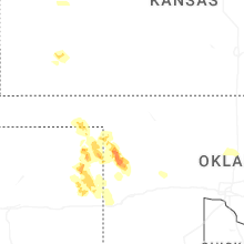
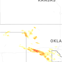
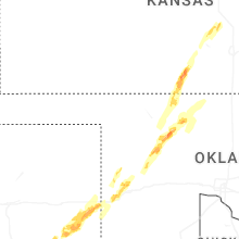
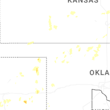
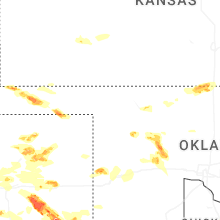
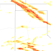

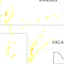
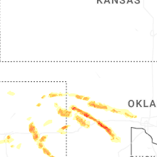
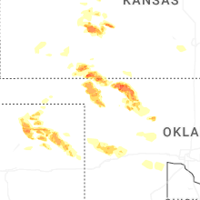


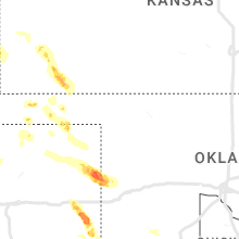


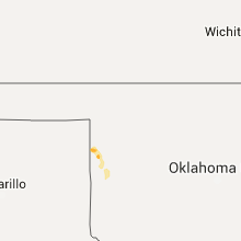


Connect with Interactive Hail Maps