

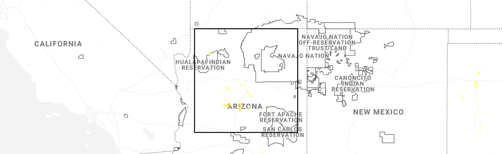
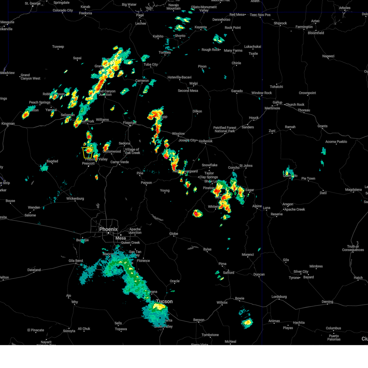
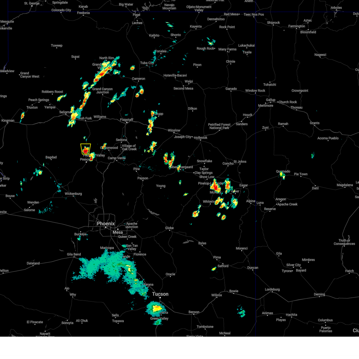
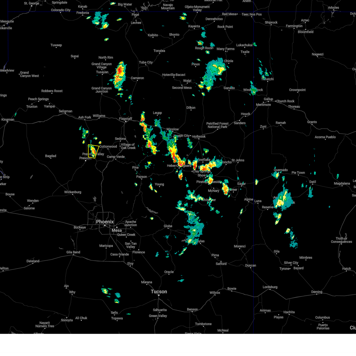
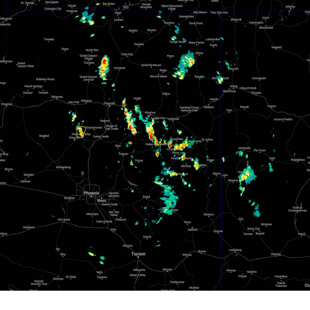
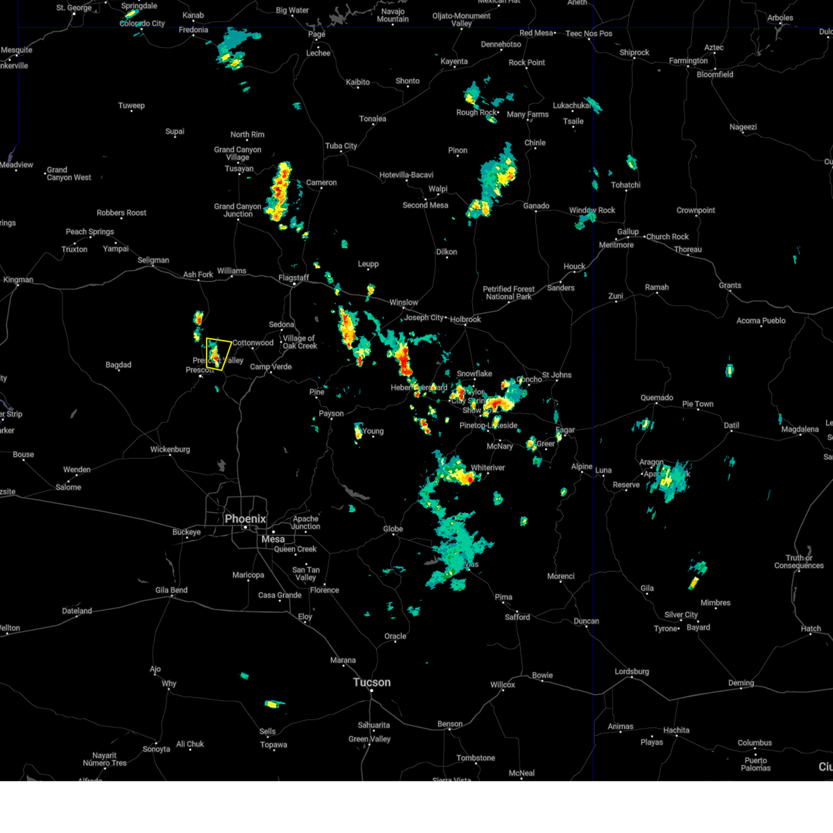
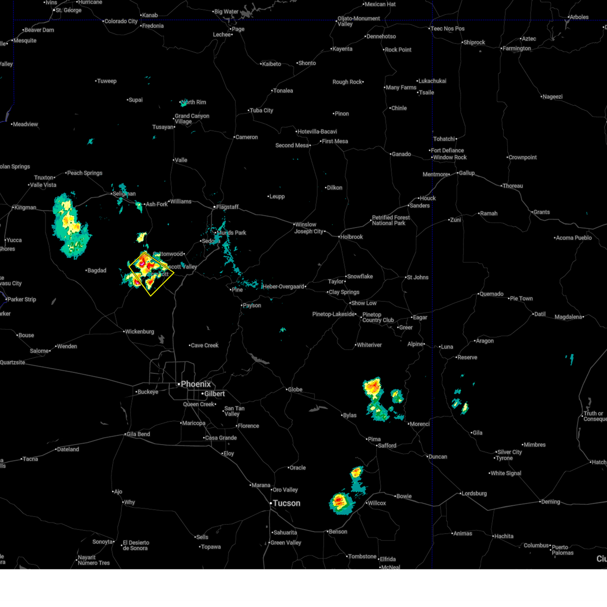
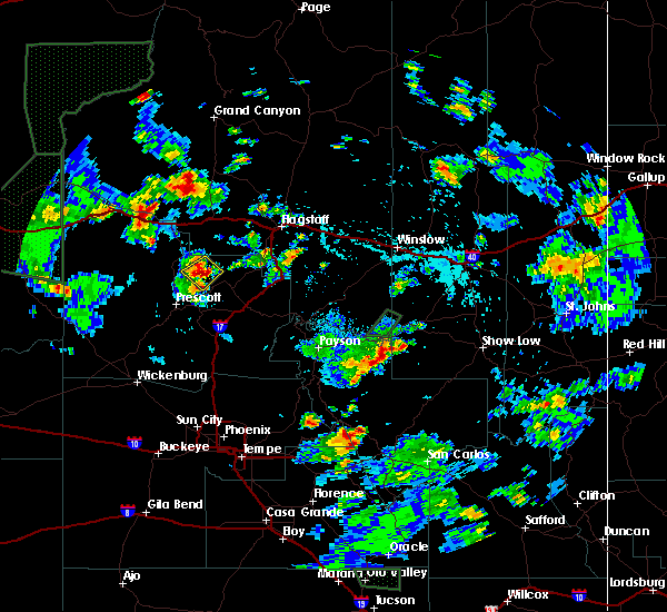
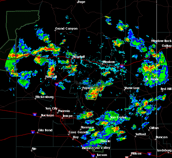
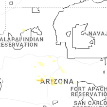
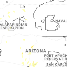
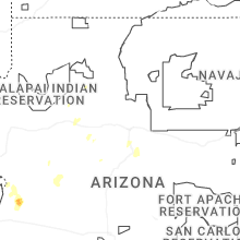
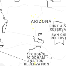
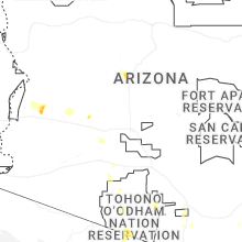
Hail Map for Chino Valley, AZ
The Chino Valley, AZ area has had 3 reports of on-the-ground hail by trained spotters, and has been under severe weather warnings 0 times during the past 12 months. Doppler radar has detected hail at or near Chino Valley, AZ on 64 occasions, including 4 occasions during the past year.
| Name: | Chino Valley, AZ |
| Where Located: | 52.9 miles WSW of Flagstaff, AZ |
| Map: | Google Map for Chino Valley, AZ |
| Population: | 10817 |
| Housing Units: | 4967 |
| More Info: | Search Google for Chino Valley, AZ |
0
The Top Recent Hail Date for Chino Valley, AZ is Sunday, July 12, 2026 (41st out of 64)
Hail and Wind Damage Spotted near Chino Valley, AZ
| Date / Time | Report Details |
|---|---|
| 8/21/2024 12:29 PM MST |
 The storm which prompted the warning near chino valley has weakened below severe limits, and no longer poses an immediate threat to life or property. therefore, the warning will be allowed to expire. The storm which prompted the warning near chino valley has weakened below severe limits, and no longer poses an immediate threat to life or property. therefore, the warning will be allowed to expire.
|
| 8/21/2024 12:01 PM MST |
 Svrfgz the national weather service in flagstaff has issued a * severe thunderstorm warning for, yavapai county in west central arizona, * until 1230 pm mst. * at 1200 pm mst, a severe thunderstorm was located over chino valley, moving north at 10 mph (radar indicated). Hazards include quarter size hail and winds up to 40 mph. damage to vehicles is expected Svrfgz the national weather service in flagstaff has issued a * severe thunderstorm warning for, yavapai county in west central arizona, * until 1230 pm mst. * at 1200 pm mst, a severe thunderstorm was located over chino valley, moving north at 10 mph (radar indicated). Hazards include quarter size hail and winds up to 40 mph. damage to vehicles is expected
|
| 8/12/2024 1:12 PM MST |
 The storm which prompted the warning has weakened below severe limits, and no longer poses an immediate threat to life or property. therefore, the warning will be allowed to expire. however, small hail and gusty winds are still possible with this thunderstorm. The storm which prompted the warning has weakened below severe limits, and no longer poses an immediate threat to life or property. therefore, the warning will be allowed to expire. however, small hail and gusty winds are still possible with this thunderstorm.
|
| 8/12/2024 1:07 PM MST |
 At 106 pm mst, a severe thunderstorm was located near yavapai county fairgrounds, or near prescott valley, moving north at 5 mph (public). Hazards include quarter size hail. Damage to vehicles is expected. locations impacted include, yavapai county fairgrounds, prescott valley, mountainview park, prescott regional airport, chino valley, and prescott. This includes state route 89a between mile markers 319 and 329. At 106 pm mst, a severe thunderstorm was located near yavapai county fairgrounds, or near prescott valley, moving north at 5 mph (public). Hazards include quarter size hail. Damage to vehicles is expected. locations impacted include, yavapai county fairgrounds, prescott valley, mountainview park, prescott regional airport, chino valley, and prescott. This includes state route 89a between mile markers 319 and 329.
|
| 8/12/2024 12:46 PM MST |
 Svrfgz the national weather service in flagstaff has issued a * severe thunderstorm warning for, yavapai county in west central arizona, * until 115 pm mst. * at 1245 pm mst, a severe thunderstorm was located over yavapai county fairgrounds, or near prescott valley, moving north at 5 mph (public). Hazards include quarter size hail. damage to vehicles is expected Svrfgz the national weather service in flagstaff has issued a * severe thunderstorm warning for, yavapai county in west central arizona, * until 115 pm mst. * at 1245 pm mst, a severe thunderstorm was located over yavapai county fairgrounds, or near prescott valley, moving north at 5 mph (public). Hazards include quarter size hail. damage to vehicles is expected
|
| 7/12/2024 4:33 PM MST |
 the severe thunderstorm warning has been cancelled and is no longer in effect the severe thunderstorm warning has been cancelled and is no longer in effect
|
| 7/12/2024 4:14 PM MST |
 At 413 pm mst, a severe thunderstorm was located over sullivan buttes, or 10 miles northwest of chino valley, moving southwest at 5 mph (radar indicated). Hazards include quarter size hail. Damage to vehicles is expected. Locations impacted include, sullivan buttes and paulden. At 413 pm mst, a severe thunderstorm was located over sullivan buttes, or 10 miles northwest of chino valley, moving southwest at 5 mph (radar indicated). Hazards include quarter size hail. Damage to vehicles is expected. Locations impacted include, sullivan buttes and paulden.
|
| 7/12/2024 3:56 PM MST |
 Svrfgz the national weather service in flagstaff has issued a * severe thunderstorm warning for, yavapai county in west central arizona, * until 445 pm mst. * at 356 pm mst, a severe thunderstorm was located near paulden, or 12 miles northwest of chino valley, moving west at 5 mph (radar indicated). Hazards include quarter size hail. damage to vehicles is expected Svrfgz the national weather service in flagstaff has issued a * severe thunderstorm warning for, yavapai county in west central arizona, * until 445 pm mst. * at 356 pm mst, a severe thunderstorm was located near paulden, or 12 miles northwest of chino valley, moving west at 5 mph (radar indicated). Hazards include quarter size hail. damage to vehicles is expected
|
| 7/10/2024 3:44 PM MST |
 The storm which prompted the warning has weakened below severe limits, and no longer poses an immediate threat to life or property. therefore, the warning will be allowed to expire. however, small hail, gusty winds up to 50 mph and heavy rain are still possible with this thunderstorm. The storm which prompted the warning has weakened below severe limits, and no longer poses an immediate threat to life or property. therefore, the warning will be allowed to expire. however, small hail, gusty winds up to 50 mph and heavy rain are still possible with this thunderstorm.
|
| 7/10/2024 3:35 PM MST |
 At 335 pm mst, a severe thunderstorm was located over lynx lake, or near prescott, moving southeast at 15 mph (radar indicated). Hazards include 60 mph wind gusts and penny size hail. Expect damage to roofs, siding, and trees. locations impacted include, quartz mountain, thumbe butte, rancho vista estates, willow creek reservoir, poland junction, prescott gateway mall, iron springs, embry-riddle aeronautical university, acker park, prescott valley, goldwater lake park, wildwood estates, fain lake, alto pit ohv, courthouse plaza, prescott regional airport, goldwater lake, lynx lake, potato patch, and palace station. this includes the following highways, state route 89 between mile markers 302 and 326. state route 89a between mile markers 318 and 325. State route 69 between mile markers 275 and 296. At 335 pm mst, a severe thunderstorm was located over lynx lake, or near prescott, moving southeast at 15 mph (radar indicated). Hazards include 60 mph wind gusts and penny size hail. Expect damage to roofs, siding, and trees. locations impacted include, quartz mountain, thumbe butte, rancho vista estates, willow creek reservoir, poland junction, prescott gateway mall, iron springs, embry-riddle aeronautical university, acker park, prescott valley, goldwater lake park, wildwood estates, fain lake, alto pit ohv, courthouse plaza, prescott regional airport, goldwater lake, lynx lake, potato patch, and palace station. this includes the following highways, state route 89 between mile markers 302 and 326. state route 89a between mile markers 318 and 325. State route 69 between mile markers 275 and 296.
|
| 7/10/2024 3:21 PM MST |
 Svrfgz the national weather service in flagstaff has issued a * severe thunderstorm warning for, yavapai county in west central arizona, * until 345 pm mst. * at 320 pm mst, a severe thunderstorm was located over embry-riddle aeronautical university, or near prescott, moving southeast at 15 mph (radar indicated). Hazards include 60 mph wind gusts and penny size hail. expect damage to roofs, siding, and trees Svrfgz the national weather service in flagstaff has issued a * severe thunderstorm warning for, yavapai county in west central arizona, * until 345 pm mst. * at 320 pm mst, a severe thunderstorm was located over embry-riddle aeronautical university, or near prescott, moving southeast at 15 mph (radar indicated). Hazards include 60 mph wind gusts and penny size hail. expect damage to roofs, siding, and trees
|
| 7/31/2023 2:52 PM MST |
 At 251 pm mst, a severe thunderstorm was located over prescott, moving northeast at 15 mph (radar indicated). Hazards include 60 mph wind gusts and quarter size hail. Hail damage to vehicles is expected. Expect wind damage to roofs, siding, and trees. At 251 pm mst, a severe thunderstorm was located over prescott, moving northeast at 15 mph (radar indicated). Hazards include 60 mph wind gusts and quarter size hail. Hail damage to vehicles is expected. Expect wind damage to roofs, siding, and trees.
|
| 7/28/2023 11:30 AM MST |
 At 1130 am mst, a severe thunderstorm was located near prescott valley, moving north at 10 mph (radar indicated). Hazards include 60 mph wind gusts and quarter size hail. Hail damage to vehicles is expected. Expect wind damage to roofs, siding, and trees. At 1130 am mst, a severe thunderstorm was located near prescott valley, moving north at 10 mph (radar indicated). Hazards include 60 mph wind gusts and quarter size hail. Hail damage to vehicles is expected. Expect wind damage to roofs, siding, and trees.
|
| 7/28/2023 10:50 AM MST |
 At 1049 am mst, a severe thunderstorm was located near yavapai campground, or near prescott, moving northeast at 5 mph (radar indicated). Hazards include 60 mph wind gusts and quarter size hail. Hail damage to vehicles is expected. Expect wind damage to roofs, siding, and trees. At 1049 am mst, a severe thunderstorm was located near yavapai campground, or near prescott, moving northeast at 5 mph (radar indicated). Hazards include 60 mph wind gusts and quarter size hail. Hail damage to vehicles is expected. Expect wind damage to roofs, siding, and trees.
|
| 7/22/2023 6:35 PM MST |
 At 634 pm mst, a severe thunderstorm was located over prescott gateway mall, or near prescott valley, moving west at 10 mph (radar indicated). Hazards include 60 mph wind gusts and penny size hail. Expect damage to roofs, siding, and trees. locations impacted include, prescott valley, prescott, yavapai campground, prescott airport, prescott gateway mall, iron springs, and prescott valley event center. this includes the following highways, state route 89 between mile markers 312 and 324. state route 89a between mile markers 318 and 325. state route 69 between mile markers 286 and 296. hail threat, radar indicated max hail size, 0. 75 in wind threat, radar indicated max wind gust, 60 mph. At 634 pm mst, a severe thunderstorm was located over prescott gateway mall, or near prescott valley, moving west at 10 mph (radar indicated). Hazards include 60 mph wind gusts and penny size hail. Expect damage to roofs, siding, and trees. locations impacted include, prescott valley, prescott, yavapai campground, prescott airport, prescott gateway mall, iron springs, and prescott valley event center. this includes the following highways, state route 89 between mile markers 312 and 324. state route 89a between mile markers 318 and 325. state route 69 between mile markers 286 and 296. hail threat, radar indicated max hail size, 0. 75 in wind threat, radar indicated max wind gust, 60 mph.
|
| 7/22/2023 6:24 PM MST |
 At 624 pm mst, a severe thunderstorm was located over prescott valley, moving west at 10 mph (radar indicated). Hazards include 60 mph wind gusts and penny size hail. Expect damage to roofs, siding, and trees. locations impacted include, chino valley, prescott valley, prescott, yavapai county fairgrounds, yavapai campground, prescott airport, prescott gateway mall, iron springs, and prescott valley event center. this includes the following highways, state route 89 between mile markers 312 and 330. state route 89a between mile markers 318 and 328. state route 69 between mile markers 286 and 296. hail threat, radar indicated max hail size, 0. 75 in wind threat, radar indicated max wind gust, 60 mph. At 624 pm mst, a severe thunderstorm was located over prescott valley, moving west at 10 mph (radar indicated). Hazards include 60 mph wind gusts and penny size hail. Expect damage to roofs, siding, and trees. locations impacted include, chino valley, prescott valley, prescott, yavapai county fairgrounds, yavapai campground, prescott airport, prescott gateway mall, iron springs, and prescott valley event center. this includes the following highways, state route 89 between mile markers 312 and 330. state route 89a between mile markers 318 and 328. state route 69 between mile markers 286 and 296. hail threat, radar indicated max hail size, 0. 75 in wind threat, radar indicated max wind gust, 60 mph.
|
| 7/22/2023 6:12 PM MST |
 At 611 pm mst, a severe thunderstorm was located over prescott valley, moving northwest at 10 mph (radar indicated). Hazards include 60 mph wind gusts and penny size hail. expect damage to roofs, siding, and trees At 611 pm mst, a severe thunderstorm was located over prescott valley, moving northwest at 10 mph (radar indicated). Hazards include 60 mph wind gusts and penny size hail. expect damage to roofs, siding, and trees
|
| 10/3/2022 2:38 PM MST |
 The severe thunderstorm warning for coconino and yavapai counties will expire at 245 pm mst, the severe thunderstorm which prompted the warning has weakened. therefore, the warning will be allowed to expire. however heavy rain is still possible with this thunderstorm. The severe thunderstorm warning for coconino and yavapai counties will expire at 245 pm mst, the severe thunderstorm which prompted the warning has weakened. therefore, the warning will be allowed to expire. however heavy rain is still possible with this thunderstorm.
|
| 10/3/2022 2:07 PM MST |
 At 207 pm mst, a severe thunderstorm was located near perkinsville, or 14 miles east of chino valley, moving east at 20 mph (radar indicated). Hazards include 60 mph wind gusts and quarter size hail. Hail damage to vehicles is expected. Expect wind damage to roofs, siding, and trees. At 207 pm mst, a severe thunderstorm was located near perkinsville, or 14 miles east of chino valley, moving east at 20 mph (radar indicated). Hazards include 60 mph wind gusts and quarter size hail. Hail damage to vehicles is expected. Expect wind damage to roofs, siding, and trees.
|
| 9/13/2022 10:45 AM MST |
 At 1045 am mst, a severe thunderstorm was located near paulden, or 7 miles northeast of chino valley, moving north at 5 mph (radar indicated). Hazards include quarter size hail. Damage to vehicles is expected. locations impacted include, chino valley and paulden. this includes state route 89 between mile markers 328 and 344. hail threat, radar indicated max hail size, 1. 00 in wind threat, radar indicated max wind gust, <50 mph. At 1045 am mst, a severe thunderstorm was located near paulden, or 7 miles northeast of chino valley, moving north at 5 mph (radar indicated). Hazards include quarter size hail. Damage to vehicles is expected. locations impacted include, chino valley and paulden. this includes state route 89 between mile markers 328 and 344. hail threat, radar indicated max hail size, 1. 00 in wind threat, radar indicated max wind gust, <50 mph.
|
| 9/13/2022 10:27 AM MST |
 At 1027 am mst, a severe thunderstorm was located near paulden, or near chino valley, moving north at 5 mph (radar indicated). Hazards include quarter size hail. damage to vehicles is expected At 1027 am mst, a severe thunderstorm was located near paulden, or near chino valley, moving north at 5 mph (radar indicated). Hazards include quarter size hail. damage to vehicles is expected
|
| 8/8/2022 5:13 PM MST |
 At 512 pm mst, a severe thunderstorm was located near prescott, moving south at 10 mph (radar indicated). Hazards include 60 mph wind gusts, half inch to penny size hail, and heavy rainfall. Expect damage to roofs, siding, and trees. locations impacted include, prescott valley, prescott, groom creek subdivision, prescott airport, walker, prescott gateway mall, yavapai campground, downtown prescott, ponderosa park, indian hill west prescott, oak knoll village, lynx lake dam, prescott valley event center and white spar campground. hail threat, radar indicated max hail size, 0. 75 in wind threat, radar indicated max wind gust, 60 mph. At 512 pm mst, a severe thunderstorm was located near prescott, moving south at 10 mph (radar indicated). Hazards include 60 mph wind gusts, half inch to penny size hail, and heavy rainfall. Expect damage to roofs, siding, and trees. locations impacted include, prescott valley, prescott, groom creek subdivision, prescott airport, walker, prescott gateway mall, yavapai campground, downtown prescott, ponderosa park, indian hill west prescott, oak knoll village, lynx lake dam, prescott valley event center and white spar campground. hail threat, radar indicated max hail size, 0. 75 in wind threat, radar indicated max wind gust, 60 mph.
|
| 8/8/2022 5:10 PM MST |
 The severe thunderstorm warning for yavapai county will expire at 515 pm mst, the storm which prompted the warning near chino valley has moved out of the area and towards prescott. therefore, this warning will be allowed to expire. however gusty winds and heavy rain are still possible with this thunderstorm. The severe thunderstorm warning for yavapai county will expire at 515 pm mst, the storm which prompted the warning near chino valley has moved out of the area and towards prescott. therefore, this warning will be allowed to expire. however gusty winds and heavy rain are still possible with this thunderstorm.
|
| 8/8/2022 5:02 PM MST |
 At 501 pm mst, a severe thunderstorm was located over prescott airport, or near prescott, moving south at 10 mph (radar indicated). Hazards include 60 mph wind gusts, quarter size hail, and heavy rainfall. Hail damage to vehicles is expected. Expect wind damage to roofs, siding, and trees. At 501 pm mst, a severe thunderstorm was located over prescott airport, or near prescott, moving south at 10 mph (radar indicated). Hazards include 60 mph wind gusts, quarter size hail, and heavy rainfall. Hail damage to vehicles is expected. Expect wind damage to roofs, siding, and trees.
|
| 8/8/2022 4:54 PM MST |
 At 453 pm mst, a severe thunderstorm was located over prescott airport, or near chino valley, moving southwest at 10 mph (radar indicated). Hazards include 60 mph wind gusts, penny size hail, and heavy rainfall. Expect damage to roofs, siding, and trees. locations impacted include, chino valley, prescott valley, prescott airport and williamson valley. hail threat, radar indicated max hail size, 0. 75 in wind threat, radar indicated max wind gust, 60 mph. At 453 pm mst, a severe thunderstorm was located over prescott airport, or near chino valley, moving southwest at 10 mph (radar indicated). Hazards include 60 mph wind gusts, penny size hail, and heavy rainfall. Expect damage to roofs, siding, and trees. locations impacted include, chino valley, prescott valley, prescott airport and williamson valley. hail threat, radar indicated max hail size, 0. 75 in wind threat, radar indicated max wind gust, 60 mph.
|
| 8/8/2022 4:30 PM MST |
 At 430 pm mst, a severe thunderstorm was located near prescott airport, or near chino valley, moving southwest at 10 mph (radar indicated). Hazards include 60 mph wind gusts and quarter size hail. Hail damage to vehicles is expected. Expect wind damage to roofs, siding, and trees. At 430 pm mst, a severe thunderstorm was located near prescott airport, or near chino valley, moving southwest at 10 mph (radar indicated). Hazards include 60 mph wind gusts and quarter size hail. Hail damage to vehicles is expected. Expect wind damage to roofs, siding, and trees.
|
| 8/7/2022 3:14 PM MST |
 At 313 pm mst, a severe thunderstorm was located near perkinsville, or 13 miles northeast of chino valley, moving southwest at 10 mph (radar indicated). Hazards include 60 mph wind gusts and half dollar size hail. Hail damage to vehicles is expected. Expect wind damage to roofs, siding, and trees. At 313 pm mst, a severe thunderstorm was located near perkinsville, or 13 miles northeast of chino valley, moving southwest at 10 mph (radar indicated). Hazards include 60 mph wind gusts and half dollar size hail. Hail damage to vehicles is expected. Expect wind damage to roofs, siding, and trees.
|
| 8/15/2021 11:44 PM MST |
 At 1143 pm mst, a severe thunderstorm was located near yavapai campground, or 10 miles southwest of chino valley, moving southwest at 30 mph (radar indicated). Hazards include 60 mph wind gusts and quarter size hail. Hail damage to vehicles is expected. expect wind damage to roofs, siding, and trees. locations impacted include, prescott, yavapai campground and williamson valley. hail threat, radar indicated max hail size, 1. 00 in wind threat, radar indicated max wind gust, 60 mph. At 1143 pm mst, a severe thunderstorm was located near yavapai campground, or 10 miles southwest of chino valley, moving southwest at 30 mph (radar indicated). Hazards include 60 mph wind gusts and quarter size hail. Hail damage to vehicles is expected. expect wind damage to roofs, siding, and trees. locations impacted include, prescott, yavapai campground and williamson valley. hail threat, radar indicated max hail size, 1. 00 in wind threat, radar indicated max wind gust, 60 mph.
|
| 8/15/2021 11:27 PM MST |
 At 1127 pm mst, a severe thunderstorm was located over chino valley, moving southwest at 30 mph (radar indicated). Hazards include 60 mph wind gusts and quarter size hail. Hail damage to vehicles is expected. Expect wind damage to roofs, siding, and trees. At 1127 pm mst, a severe thunderstorm was located over chino valley, moving southwest at 30 mph (radar indicated). Hazards include 60 mph wind gusts and quarter size hail. Hail damage to vehicles is expected. Expect wind damage to roofs, siding, and trees.
|
| 8/15/2021 11:15 PM MST | Quarter sized hail reported 1.9 miles NNE of Chino Valley, AZ, quarter size hail reported by three different sources on fb at 11:15 pm including photos. |
| 8/15/2021 11:13 PM MST |
 At 1113 pm mst, a severe thunderstorm was located near paulden, or near chino valley, moving southwest at 30 mph (radar indicated). Hazards include ping pong ball size hail. People and animals outdoors will be injured. expect damage to roofs, siding, windows, and vehicles. locations impacted include, chino valley and paulden. hail threat, radar indicated max hail size, 1. 50 in wind threat, radar indicated max wind gust, <50 mph. At 1113 pm mst, a severe thunderstorm was located near paulden, or near chino valley, moving southwest at 30 mph (radar indicated). Hazards include ping pong ball size hail. People and animals outdoors will be injured. expect damage to roofs, siding, windows, and vehicles. locations impacted include, chino valley and paulden. hail threat, radar indicated max hail size, 1. 50 in wind threat, radar indicated max wind gust, <50 mph.
|
| 8/15/2021 11:06 PM MST |
 At 1106 pm mst, a severe thunderstorm was located over paulden, or 9 miles north of chino valley, moving southwest at 30 mph (radar indicated). Hazards include half dollar size hail. damage to vehicles is expected At 1106 pm mst, a severe thunderstorm was located over paulden, or 9 miles north of chino valley, moving southwest at 30 mph (radar indicated). Hazards include half dollar size hail. damage to vehicles is expected
|
| 7/29/2021 1:23 PM MST |
 At 123 pm mst, a severe thunderstorm was located near yavapai county fairgrounds, or 14 miles east of chino valley, moving northwest at 10 mph (radar indicated). Hazards include 60 mph wind gusts and half dollar size hail. Hail damage to vehicles is expected. Expect wind damage to roofs, siding, and trees. At 123 pm mst, a severe thunderstorm was located near yavapai county fairgrounds, or 14 miles east of chino valley, moving northwest at 10 mph (radar indicated). Hazards include 60 mph wind gusts and half dollar size hail. Hail damage to vehicles is expected. Expect wind damage to roofs, siding, and trees.
|
| 7/23/2021 1:50 PM MST |
 At 149 pm mst, a severe thunderstorm was located near yavapai county fairgrounds, or near prescott valley, moving southeast at 20 mph (radar indicated). Hazards include 60 mph wind gusts and quarter size hail. Hail damage to vehicles is expected. expect wind damage to roofs, siding, and trees. Locations impacted include, prescott valley, yavapai county fairgrounds, prescott airport and prescott valley event center. At 149 pm mst, a severe thunderstorm was located near yavapai county fairgrounds, or near prescott valley, moving southeast at 20 mph (radar indicated). Hazards include 60 mph wind gusts and quarter size hail. Hail damage to vehicles is expected. expect wind damage to roofs, siding, and trees. Locations impacted include, prescott valley, yavapai county fairgrounds, prescott airport and prescott valley event center.
|
| 7/23/2021 1:31 PM MST |
 At 131 pm mst, a severe thunderstorm was located near chino valley, moving southeast at 25 mph (radar indicated). Hazards include 60 mph wind gusts and quarter size hail. Hail damage to vehicles is expected. Expect wind damage to roofs, siding, and trees. At 131 pm mst, a severe thunderstorm was located near chino valley, moving southeast at 25 mph (radar indicated). Hazards include 60 mph wind gusts and quarter size hail. Hail damage to vehicles is expected. Expect wind damage to roofs, siding, and trees.
|
| 7/18/2021 11:21 AM MST |
 At 1120 am mst, a severe thunderstorm was located near prescott and is nearly stationary (radar indicated). Hazards include 60 mph wind gusts and quarter size hail. Hail damage to vehicles is expected. expect wind damage to roofs, siding, and trees. Locations impacted include, chino valley, prescott valley, prescott, yavapai campground, downtown prescott, prescott airport, oak knoll village, prescott gateway mall, lynx lake dam and prescott valley event center. At 1120 am mst, a severe thunderstorm was located near prescott and is nearly stationary (radar indicated). Hazards include 60 mph wind gusts and quarter size hail. Hail damage to vehicles is expected. expect wind damage to roofs, siding, and trees. Locations impacted include, chino valley, prescott valley, prescott, yavapai campground, downtown prescott, prescott airport, oak knoll village, prescott gateway mall, lynx lake dam and prescott valley event center.
|
| 7/18/2021 10:58 AM MST |
 At 1058 am mst, a severe thunderstorm was located over prescott valley, and is nearly stationary (radar indicated). Hazards include 60 mph wind gusts and quarter size hail. Hail damage to vehicles is expected. Expect wind damage to roofs, siding, and trees. At 1058 am mst, a severe thunderstorm was located over prescott valley, and is nearly stationary (radar indicated). Hazards include 60 mph wind gusts and quarter size hail. Hail damage to vehicles is expected. Expect wind damage to roofs, siding, and trees.
|
| 7/11/2021 4:40 PM MST |
 At 440 pm mst, a severe thunderstorm was located over yavapai campground, or 8 miles northwest of prescott valley, moving west at 10 mph (trained weather spotters). Hazards include 70 mph wind gusts and quarter size hail. Hail damage to vehicles is expected. expect considerable tree damage. wind damage is also likely to mobile homes, roofs, and outbuildings. Locations impacted include, chino valley, prescott, yavapai campground, williamson valley and iron springs. At 440 pm mst, a severe thunderstorm was located over yavapai campground, or 8 miles northwest of prescott valley, moving west at 10 mph (trained weather spotters). Hazards include 70 mph wind gusts and quarter size hail. Hail damage to vehicles is expected. expect considerable tree damage. wind damage is also likely to mobile homes, roofs, and outbuildings. Locations impacted include, chino valley, prescott, yavapai campground, williamson valley and iron springs.
|
| 7/11/2021 4:25 PM MST |
 At 424 pm mst, a severe thunderstorm was located near prescott airport, or near prescott valley, moving west at 10 mph (trained spotters and automated observations). Hazards include 70 mph wind gusts and half dollar size hail. Hail damage to vehicles is expected. expect considerable tree damage. Wind damage is also likely to mobile homes, roofs, and outbuildings. At 424 pm mst, a severe thunderstorm was located near prescott airport, or near prescott valley, moving west at 10 mph (trained spotters and automated observations). Hazards include 70 mph wind gusts and half dollar size hail. Hail damage to vehicles is expected. expect considerable tree damage. Wind damage is also likely to mobile homes, roofs, and outbuildings.
|
| 7/10/2021 2:56 PM MST |
 The severe thunderstorm warning for yavapai county will expire at 300 pm mst, the storm which prompted the warning has weakened below severe limits, and no longer poses an immediate threat to life or property. therefore, the warning will be allowed to expire. however small hail and gusty winds up to 50 mph are still possible with this thunderstorm. The severe thunderstorm warning for yavapai county will expire at 300 pm mst, the storm which prompted the warning has weakened below severe limits, and no longer poses an immediate threat to life or property. therefore, the warning will be allowed to expire. however small hail and gusty winds up to 50 mph are still possible with this thunderstorm.
|
| 7/10/2021 2:48 PM MST |
 At 247 pm mst, a severe thunderstorm was located 7 miles east of chino valley, moving southwest at 10 mph (radar indicated). Hazards include 60 mph wind gusts and quarter size hail. Hail damage to vehicles is expected. expect wind damage to roofs, siding, and trees. This severe thunderstorm will remain over mainly rural areas of yavapai county. At 247 pm mst, a severe thunderstorm was located 7 miles east of chino valley, moving southwest at 10 mph (radar indicated). Hazards include 60 mph wind gusts and quarter size hail. Hail damage to vehicles is expected. expect wind damage to roofs, siding, and trees. This severe thunderstorm will remain over mainly rural areas of yavapai county.
|
| 7/10/2021 2:33 PM MST |
 At 233 pm mst, a severe thunderstorm was located 9 miles southwest of perkinsville, or 9 miles east of chino valley, moving southwest at 10 mph (radar indicated). Hazards include 60 mph wind gusts and quarter size hail. Hail damage to vehicles is expected. expect wind damage to roofs, siding, and trees. This severe thunderstorm will remain over mainly rural areas of yavapai county. At 233 pm mst, a severe thunderstorm was located 9 miles southwest of perkinsville, or 9 miles east of chino valley, moving southwest at 10 mph (radar indicated). Hazards include 60 mph wind gusts and quarter size hail. Hail damage to vehicles is expected. expect wind damage to roofs, siding, and trees. This severe thunderstorm will remain over mainly rural areas of yavapai county.
|
| 7/10/2021 2:21 PM MST |
 At 221 pm mst, a severe thunderstorm was located 7 miles southwest of perkinsville, or 12 miles east of chino valley, moving southwest at 10 mph (radar indicated). Hazards include 60 mph wind gusts and quarter size hail. Hail damage to vehicles is expected. expect wind damage to roofs, siding, and trees. This severe thunderstorm will remain over mainly rural areas of yavapai county. At 221 pm mst, a severe thunderstorm was located 7 miles southwest of perkinsville, or 12 miles east of chino valley, moving southwest at 10 mph (radar indicated). Hazards include 60 mph wind gusts and quarter size hail. Hail damage to vehicles is expected. expect wind damage to roofs, siding, and trees. This severe thunderstorm will remain over mainly rural areas of yavapai county.
|
| 8/22/2020 6:10 PM MST | Window broken by fallen pole. power out in town. two 30-ft travel trailers flipped. time estimate in yavapai county AZ, 3 miles E of Chino Valley, AZ |
| 8/9/2018 5:26 PM MST |
 At 525 pm mst, severe thunderstorms were located along a line extending from 10 miles north of perkinsville to near chino valley, moving southwest at 25 mph (radar indicated). Hazards include ping pong ball size hail and 60 mph wind gusts. People and animals outdoors will be injured. expect hail damage to roofs, siding, windows, and vehicles. expect wind damage to roofs, siding, and trees. locations impacted include, perkinsville. This includes state route 89 between mile markers 343 and 349. At 525 pm mst, severe thunderstorms were located along a line extending from 10 miles north of perkinsville to near chino valley, moving southwest at 25 mph (radar indicated). Hazards include ping pong ball size hail and 60 mph wind gusts. People and animals outdoors will be injured. expect hail damage to roofs, siding, windows, and vehicles. expect wind damage to roofs, siding, and trees. locations impacted include, perkinsville. This includes state route 89 between mile markers 343 and 349.
|
| 8/9/2018 4:58 PM MST |
 The national weather service in flagstaff has issued a * severe thunderstorm warning for. yavapai county in west central arizona. coconino county in north central arizona. Until 545 pm mst * at 458 pm mst, severe thunderstorms were located along a line. The national weather service in flagstaff has issued a * severe thunderstorm warning for. yavapai county in west central arizona. coconino county in north central arizona. Until 545 pm mst * at 458 pm mst, severe thunderstorms were located along a line.
|
| 8/2/2018 2:26 PM MST |
 At 201 pm mst, a severe thunderstorm was located near prescott airport, or near chino valley, moving northeast at 15 mph (radar indicated). Hazards include 60 mph wind gusts and quarter size hail. Hail damage to vehicles is expected. expect wind damage to roofs, siding, and trees. locations impacted include, chino valley, prescott valley, prescott, prescott airport, williamson valley, prescott gateway mall, iron springs, yavapai campground, downtown prescott, indian hill west prescott, oak knoll village, prescott valley event center and white spar campground. this includes the following highways, state route 89 between mile markers 308 and 326. state route 89a between mile markers 318 and 321. State route 69 between mile markers 287 and 296. At 201 pm mst, a severe thunderstorm was located near prescott airport, or near chino valley, moving northeast at 15 mph (radar indicated). Hazards include 60 mph wind gusts and quarter size hail. Hail damage to vehicles is expected. expect wind damage to roofs, siding, and trees. locations impacted include, chino valley, prescott valley, prescott, prescott airport, williamson valley, prescott gateway mall, iron springs, yavapai campground, downtown prescott, indian hill west prescott, oak knoll village, prescott valley event center and white spar campground. this includes the following highways, state route 89 between mile markers 308 and 326. state route 89a between mile markers 318 and 321. State route 69 between mile markers 287 and 296.
|
| 8/2/2018 2:01 PM MST |
 At 201 pm mst, a severe thunderstorm was located near prescott airport, or near chino valley, moving northeast at 15 mph (radar indicated). Hazards include 60 mph wind gusts and quarter size hail. Hail damage to vehicles is expected. expect wind damage to roofs, siding, and trees. locations impacted include, chino valley, prescott valley, prescott, prescott airport, williamson valley, prescott gateway mall, iron springs, yavapai campground, downtown prescott, indian hill west prescott, oak knoll village, prescott valley event center and white spar campground. this includes the following highways, state route 89 between mile markers 308 and 326. state route 89a between mile markers 318 and 321. State route 69 between mile markers 287 and 296. At 201 pm mst, a severe thunderstorm was located near prescott airport, or near chino valley, moving northeast at 15 mph (radar indicated). Hazards include 60 mph wind gusts and quarter size hail. Hail damage to vehicles is expected. expect wind damage to roofs, siding, and trees. locations impacted include, chino valley, prescott valley, prescott, prescott airport, williamson valley, prescott gateway mall, iron springs, yavapai campground, downtown prescott, indian hill west prescott, oak knoll village, prescott valley event center and white spar campground. this includes the following highways, state route 89 between mile markers 308 and 326. state route 89a between mile markers 318 and 321. State route 69 between mile markers 287 and 296.
|
| 8/2/2018 1:39 PM MST |
 At 139 pm mst, a severe thunderstorm was located over yavapai campground, or 8 miles west of prescott valley, moving northeast at 15 mph (radar indicated). Hazards include 60 mph wind gusts and quarter size hail. Hail damage to vehicles is expected. Expect wind damage to roofs, siding, and trees. At 139 pm mst, a severe thunderstorm was located over yavapai campground, or 8 miles west of prescott valley, moving northeast at 15 mph (radar indicated). Hazards include 60 mph wind gusts and quarter size hail. Hail damage to vehicles is expected. Expect wind damage to roofs, siding, and trees.
|
| 7/28/2018 5:30 PM MST | Yavapai co. s.o. indicates several trees and power poles down in the chino valley area... occurring around 5:30 p in yavapai county AZ, 2.1 miles NE of Chino Valley, AZ |
| 7/14/2018 12:16 PM MST |
 At 1215 pm mst, a severe thunderstorm was located over north prescott, or 7 miles northwest of prescott valley, moving south at 5 mph (radar indicated). Hazards include 60 mph wind gusts and penny size hail. expect damage to roofs, siding, and trees At 1215 pm mst, a severe thunderstorm was located over north prescott, or 7 miles northwest of prescott valley, moving south at 5 mph (radar indicated). Hazards include 60 mph wind gusts and penny size hail. expect damage to roofs, siding, and trees
|
| 7/7/2018 3:15 PM MST | Power pole broken at hwy 89 and road 4 in yavapai county AZ, 0.8 miles ESE of Chino Valley, AZ |
| 7/23/2017 3:43 PM MST |
 At 342 pm mst, a severe thunderstorm was located over verde village, or 12 miles northwest of camp verde, moving south at 10 mph (radar indicated). Hazards include 60 mph wind gusts and penny size hail. Expect damage to roofs, siding, and trees. locations impacted include, clarkdale, verde village, bridgeport, perkinsville, cottonwood, jerome, dead horse ranch state park, mingus mountain campground, playground group campground, potato patch campground and tuzigoot national monument. this includes the following highways, state route 260 between mile markers 207 and 209. State route 89a between mile markers 329 and 359. At 342 pm mst, a severe thunderstorm was located over verde village, or 12 miles northwest of camp verde, moving south at 10 mph (radar indicated). Hazards include 60 mph wind gusts and penny size hail. Expect damage to roofs, siding, and trees. locations impacted include, clarkdale, verde village, bridgeport, perkinsville, cottonwood, jerome, dead horse ranch state park, mingus mountain campground, playground group campground, potato patch campground and tuzigoot national monument. this includes the following highways, state route 260 between mile markers 207 and 209. State route 89a between mile markers 329 and 359.
|
| 7/23/2017 3:10 PM MST |
 At 309 pm mst, a severe thunderstorm was located near clarkdale, or 15 miles west of sedona, moving east at 10 mph (radar indicated). Hazards include 60 mph wind gusts and quarter size hail. Hail damage to vehicles is expected. Expect wind damage to roofs, siding, and trees. At 309 pm mst, a severe thunderstorm was located near clarkdale, or 15 miles west of sedona, moving east at 10 mph (radar indicated). Hazards include 60 mph wind gusts and quarter size hail. Hail damage to vehicles is expected. Expect wind damage to roofs, siding, and trees.
|
| 7/18/2017 2:58 PM MST |
 At 257 pm mst, a severe thunderstorm was located near perkinsville, or 12 miles east of chino valley, moving southwest at 10 mph (radar indicated). Hazards include 60 mph wind gusts and quarter size hail. Hail damage to vehicles is expected. expect wind damage to roofs, siding, and trees. this severe thunderstorm will remain over mainly rural areas of yavapai county. This includes state route 89a near mile marker 329. At 257 pm mst, a severe thunderstorm was located near perkinsville, or 12 miles east of chino valley, moving southwest at 10 mph (radar indicated). Hazards include 60 mph wind gusts and quarter size hail. Hail damage to vehicles is expected. expect wind damage to roofs, siding, and trees. this severe thunderstorm will remain over mainly rural areas of yavapai county. This includes state route 89a near mile marker 329.
|
| 7/18/2017 2:49 PM MST |
 At 245 pm mst, a severe thunderstorm was located 8 miles southwest of perkinsville, or 10 miles east of chino valley, moving southwest at 15 mph (radar indicated). Hazards include 60 mph wind gusts and nickel size hail. Expect damage to roofs, siding, and trees. Locations impacted include, perkinsville. At 245 pm mst, a severe thunderstorm was located 8 miles southwest of perkinsville, or 10 miles east of chino valley, moving southwest at 15 mph (radar indicated). Hazards include 60 mph wind gusts and nickel size hail. Expect damage to roofs, siding, and trees. Locations impacted include, perkinsville.
|
| 7/18/2017 2:33 PM MST |
 At 232 pm mst, a severe thunderstorm was located near perkinsville, or 14 miles northeast of chino valley, moving southwest at 15 mph (radar indicated). Hazards include 60 mph wind gusts and quarter size hail. Hail damage to vehicles is expected. Expect wind damage to roofs, siding, and trees. At 232 pm mst, a severe thunderstorm was located near perkinsville, or 14 miles northeast of chino valley, moving southwest at 15 mph (radar indicated). Hazards include 60 mph wind gusts and quarter size hail. Hail damage to vehicles is expected. Expect wind damage to roofs, siding, and trees.
|
| 7/17/2017 3:36 PM MST |
 At 335 pm mst, a severe thunderstorm was located near paulden, or just north of chino valley, moving south at 20 mph (radar indicated). Hazards include 60 mph wind gusts and quarter size hail. Hail damage to vehicles is expected. expect wind damage to roofs, siding, and trees. locations impacted include, chino valley and paulden. This includes state route 89 between mile markers 332 and 338. At 335 pm mst, a severe thunderstorm was located near paulden, or just north of chino valley, moving south at 20 mph (radar indicated). Hazards include 60 mph wind gusts and quarter size hail. Hail damage to vehicles is expected. expect wind damage to roofs, siding, and trees. locations impacted include, chino valley and paulden. This includes state route 89 between mile markers 332 and 338.
|
| 7/17/2017 3:20 PM MST |
 At 318 pm mst, a severe thunderstorm was located near paulden, or 11 miles north of chino valley, moving south at 20 mph (radar indicated). Hazards include 60 mph wind gusts and quarter size hail. Hail damage to vehicles is expected. Expect wind damage to roofs, siding, and trees. At 318 pm mst, a severe thunderstorm was located near paulden, or 11 miles north of chino valley, moving south at 20 mph (radar indicated). Hazards include 60 mph wind gusts and quarter size hail. Hail damage to vehicles is expected. Expect wind damage to roofs, siding, and trees.
|
| 7/16/2017 2:27 PM MST |
 At 226 pm mst, a severe thunderstorm was located over prescott airport, or near chino valley, moving southwest at 15 mph (radar indicated). Hazards include 60 mph wind gusts and quarter size hail. Hail damage to vehicles is expected. Expect wind damage to roofs, siding, and trees. At 226 pm mst, a severe thunderstorm was located over prescott airport, or near chino valley, moving southwest at 15 mph (radar indicated). Hazards include 60 mph wind gusts and quarter size hail. Hail damage to vehicles is expected. Expect wind damage to roofs, siding, and trees.
|
| 8/20/2016 3:25 PM MST |
 The severe thunderstorm warning for yavapai and coconino counties will expire at 330 pm mst, the storm which prompted the warning has weakened below severe limits, and no longer poses an immediate threat to life or property. therefore the warning will be allowed to expire. however small hail and heavy rain are still possible with this thunderstorm. The severe thunderstorm warning for yavapai and coconino counties will expire at 330 pm mst, the storm which prompted the warning has weakened below severe limits, and no longer poses an immediate threat to life or property. therefore the warning will be allowed to expire. however small hail and heavy rain are still possible with this thunderstorm.
|
| 8/20/2016 3:06 PM MST |
 At 306 pm mst, doppler radar indicated a severe thunderstorm capable of producing half dollar size hail and damaging winds in excess of 60 mph. this storm was located 7 miles southwest of perkinsville, or 10 miles northeast of chino valley, and moving northwest at 10 mph. At 306 pm mst, doppler radar indicated a severe thunderstorm capable of producing half dollar size hail and damaging winds in excess of 60 mph. this storm was located 7 miles southwest of perkinsville, or 10 miles northeast of chino valley, and moving northwest at 10 mph.
|
| 8/2/2015 2:39 PM MST |
 The severe thunderstorm warning for northern yavapai county will expire at 245 pm mst, the storm which prompted the warning has weakened below severe limits, and no longer poses an immediate threat to life or property. therefore the warning will be allowed to expire. other strong to severe thunderstorms may develop in the general area this afternoon. The severe thunderstorm warning for northern yavapai county will expire at 245 pm mst, the storm which prompted the warning has weakened below severe limits, and no longer poses an immediate threat to life or property. therefore the warning will be allowed to expire. other strong to severe thunderstorms may develop in the general area this afternoon.
|
| 8/2/2015 2:17 PM MST |
 At 217 pm mst, doppler radar indicated a severe thunderstorm capable of producing quarter size hail. this storm was located near paulden, or near chino valley, and moving east at 15 mph. At 217 pm mst, doppler radar indicated a severe thunderstorm capable of producing quarter size hail. this storm was located near paulden, or near chino valley, and moving east at 15 mph.
|
| 6/29/2015 4:49 PM MST |
 At 448 pm mst, doppler radar indicated a severe thunderstorm capable of producing quarter size hail and damaging winds in excess of 60 mph. this storm was located over prescott valley, and moving southwest at 20 mph. At 448 pm mst, doppler radar indicated a severe thunderstorm capable of producing quarter size hail and damaging winds in excess of 60 mph. this storm was located over prescott valley, and moving southwest at 20 mph.
|
| 10/9/2014 5:50 PM MST | Golf Ball sized hail reported 1.9 miles NNE of Chino Valley, AZ, some vehicle damage in chino valley between 540 pm to 600 pm. reports of golf ball sized hail. |
| 9/10/2011 1:38 PM MST | Quarter sized hail reported 1.9 miles NNE of Chino Valley, AZ |
| 1/1/0001 12:00 AM | Several trees knocked down...up to about 18 inches in diameter. a few septic storage tanks about 15 feet in diameter blew across route 89....damaging 1 vehicl in yavapai county AZ, 1.9 miles NNE of Chino Valley, AZ |
Hail Maps for Chino Valley, AZ


Connect with Interactive Hail Maps