

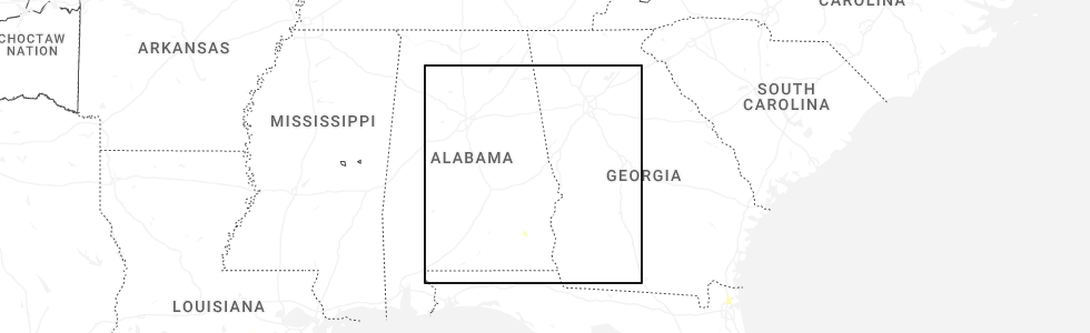
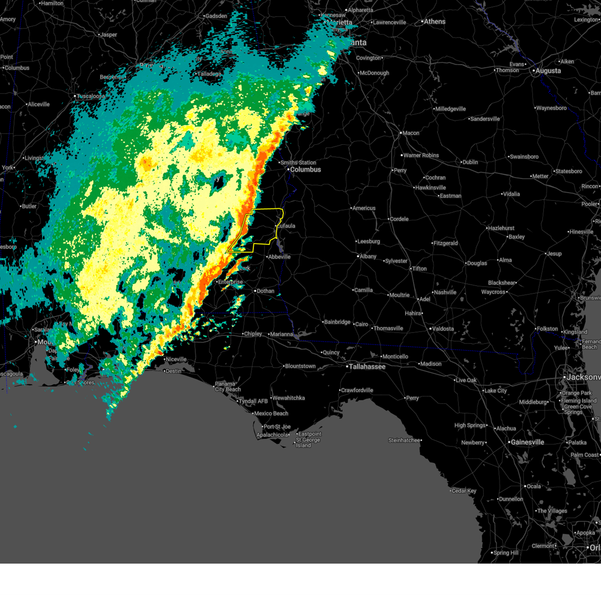
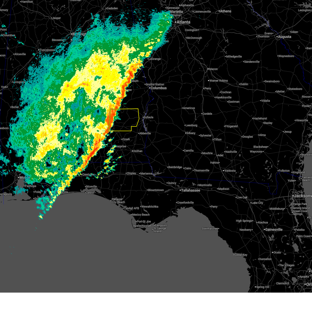
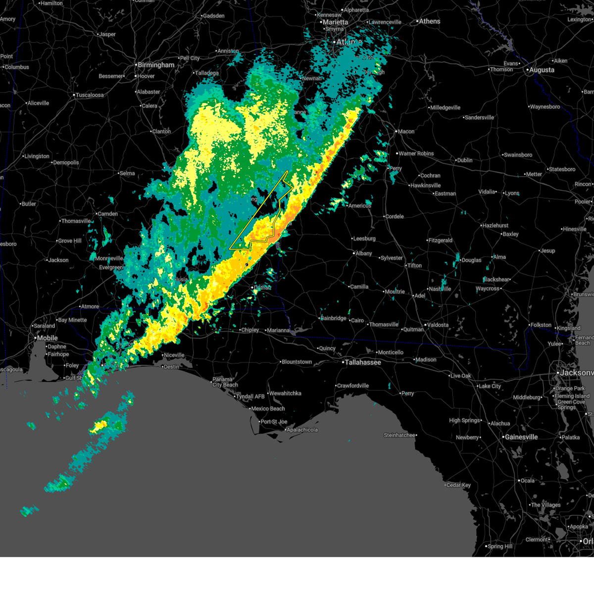
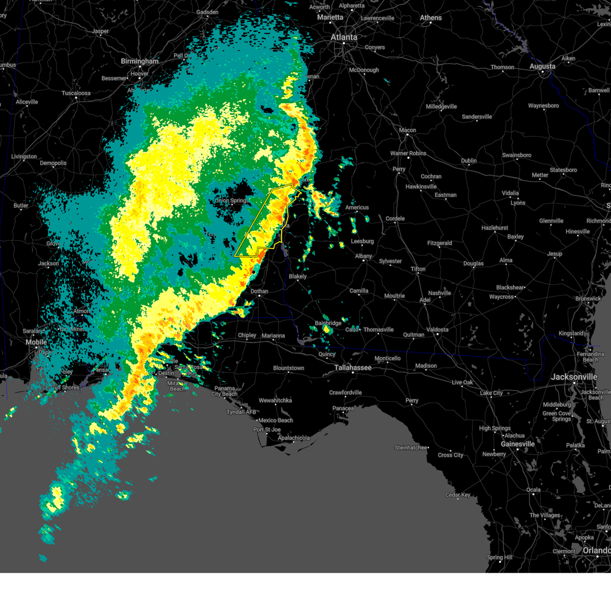
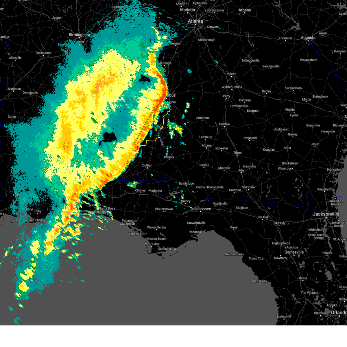
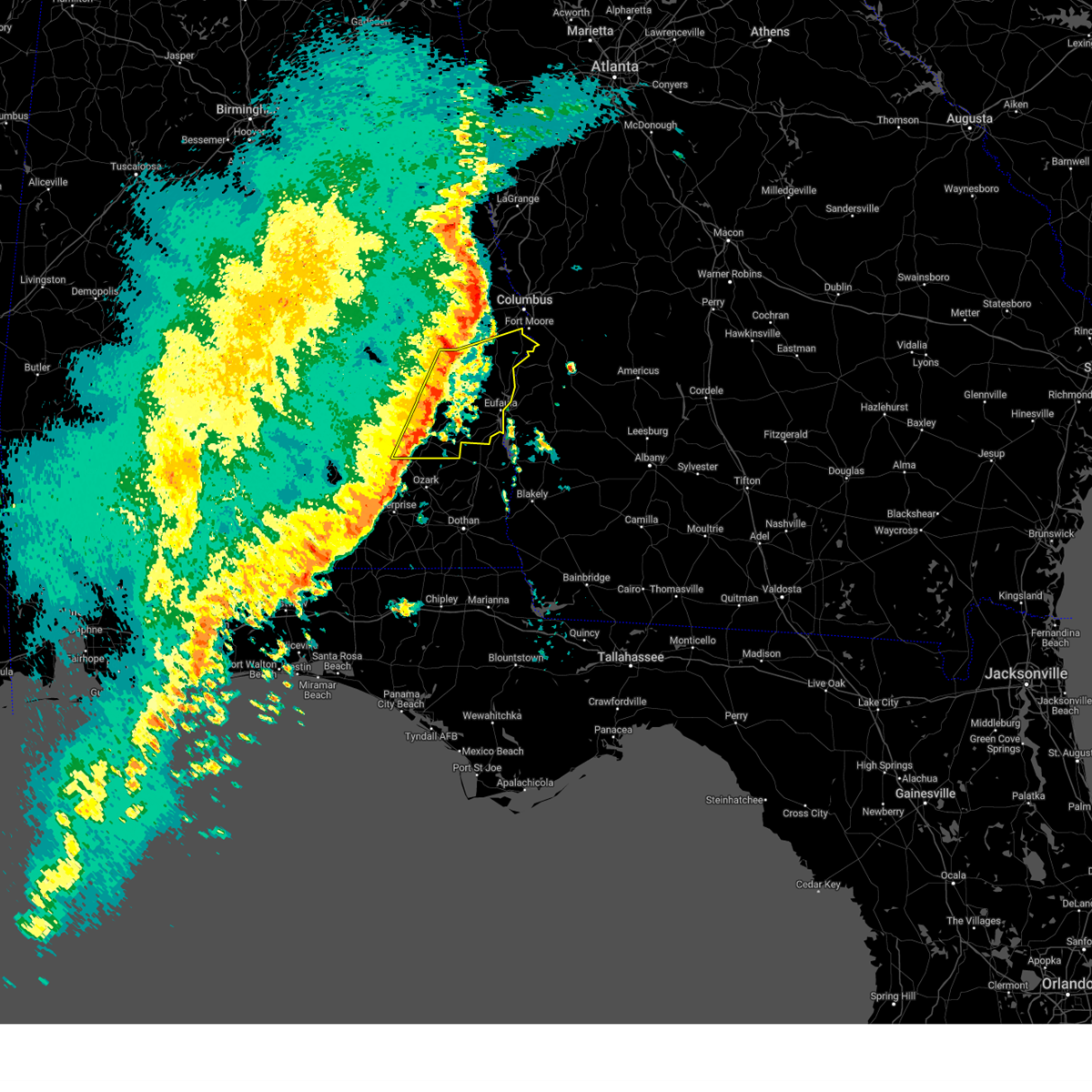
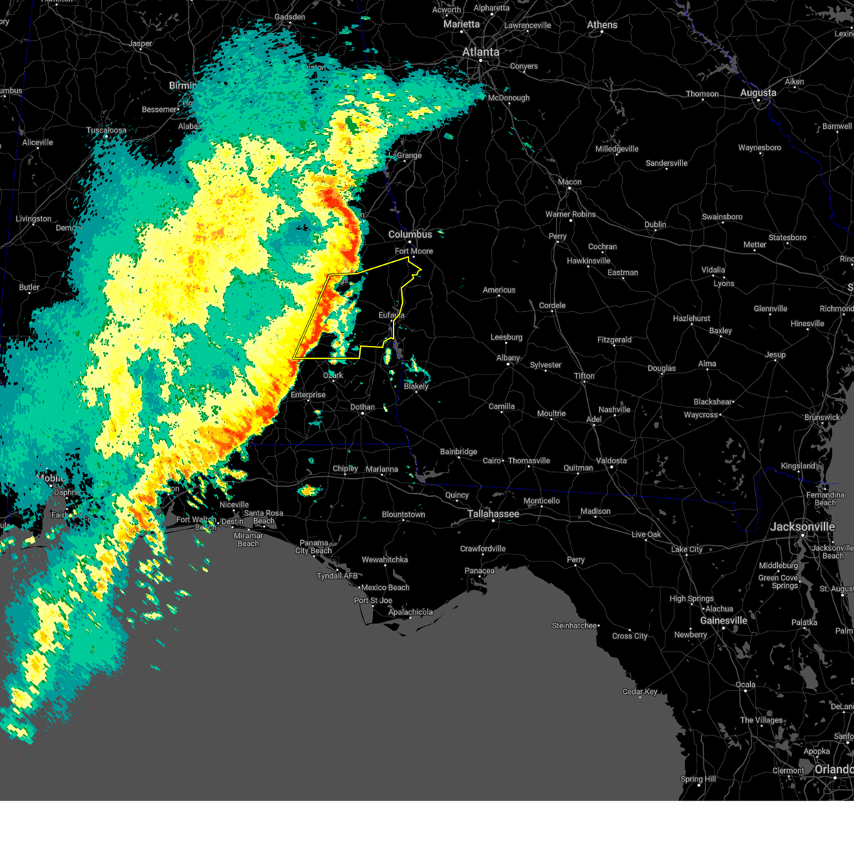
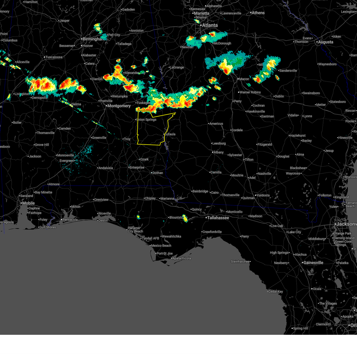
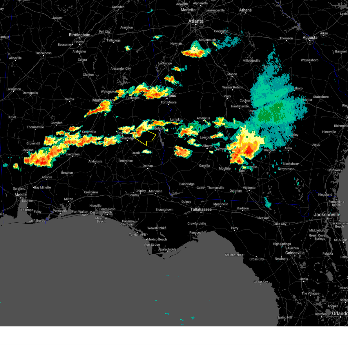
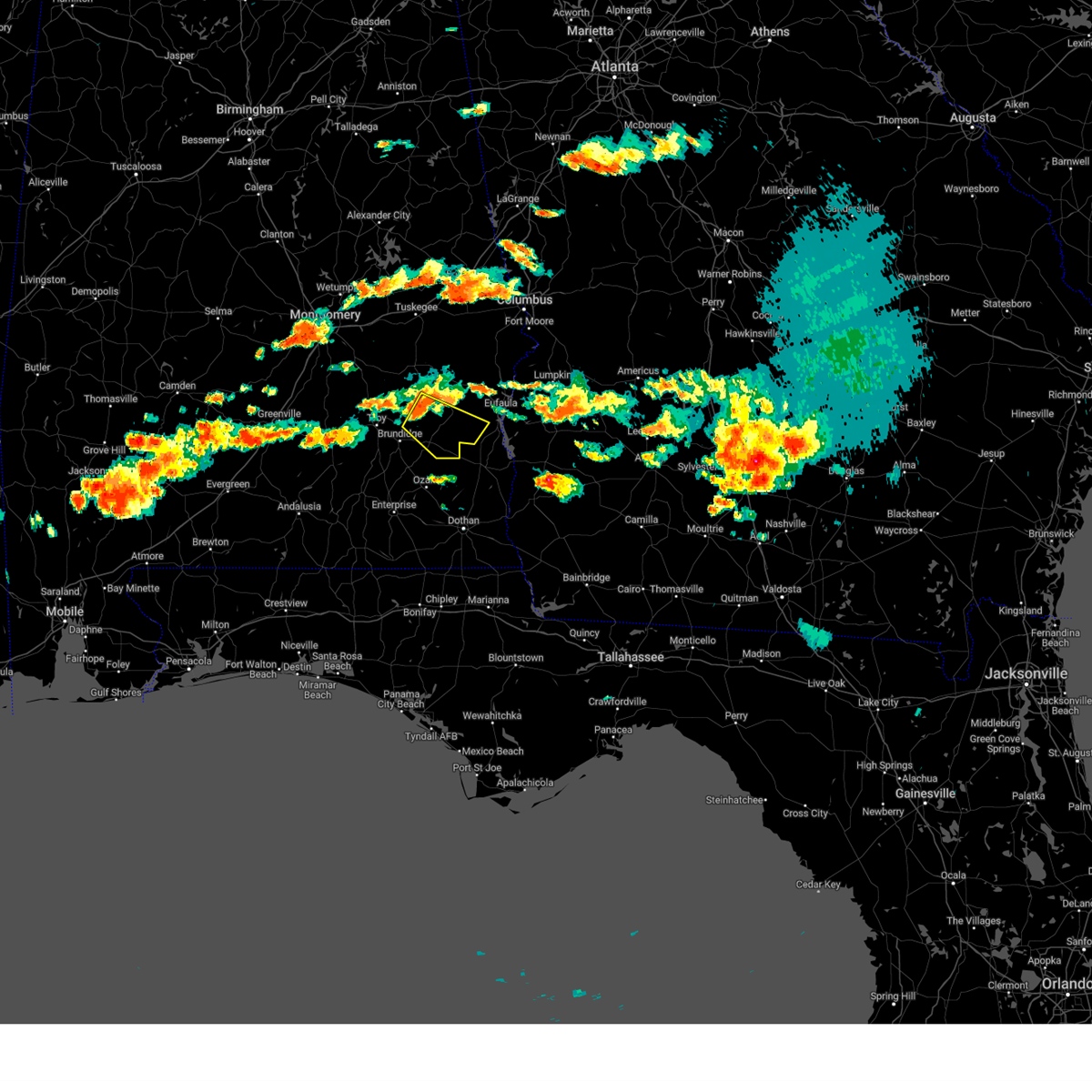
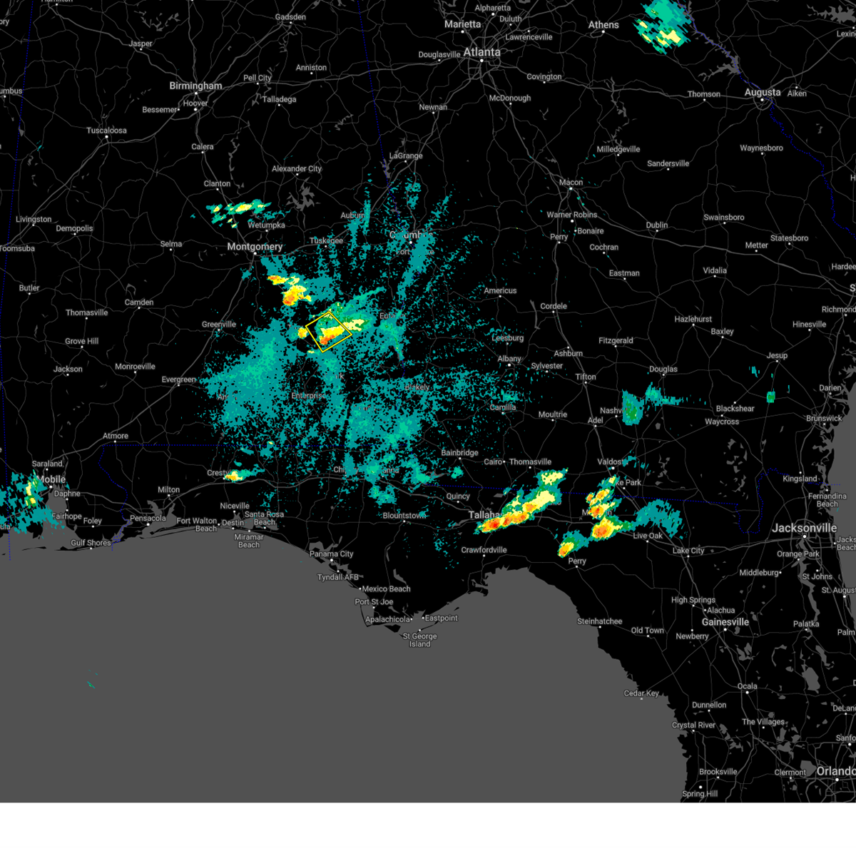
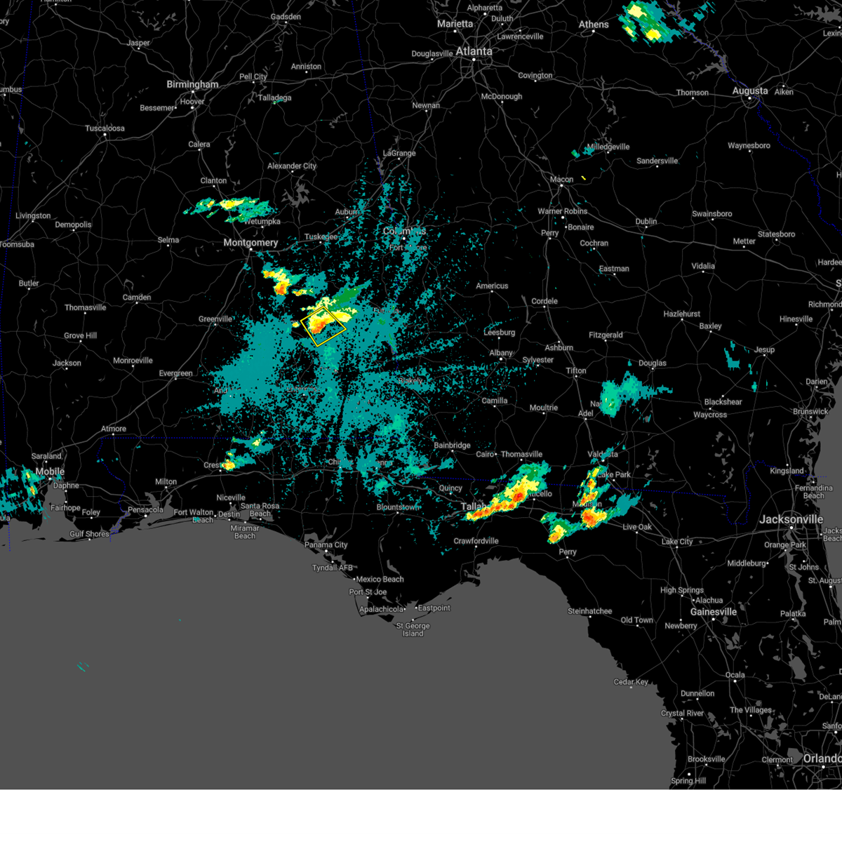
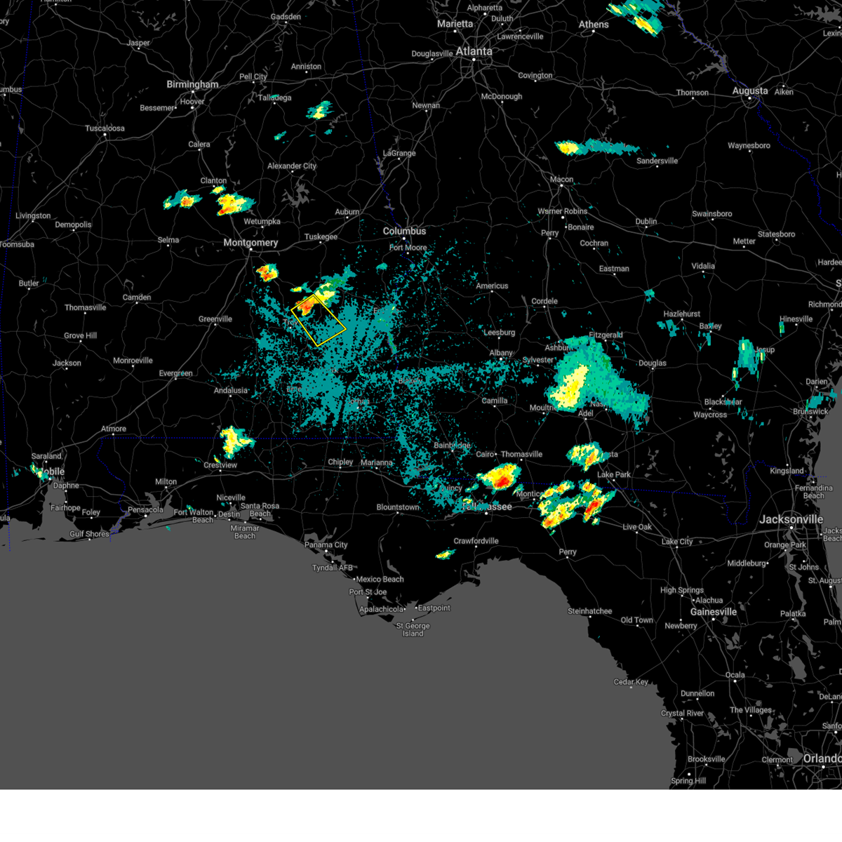
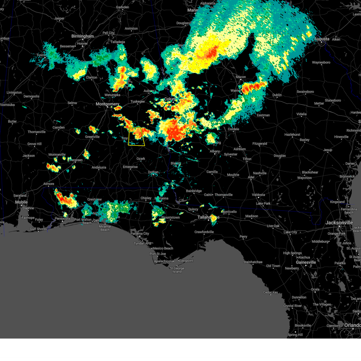
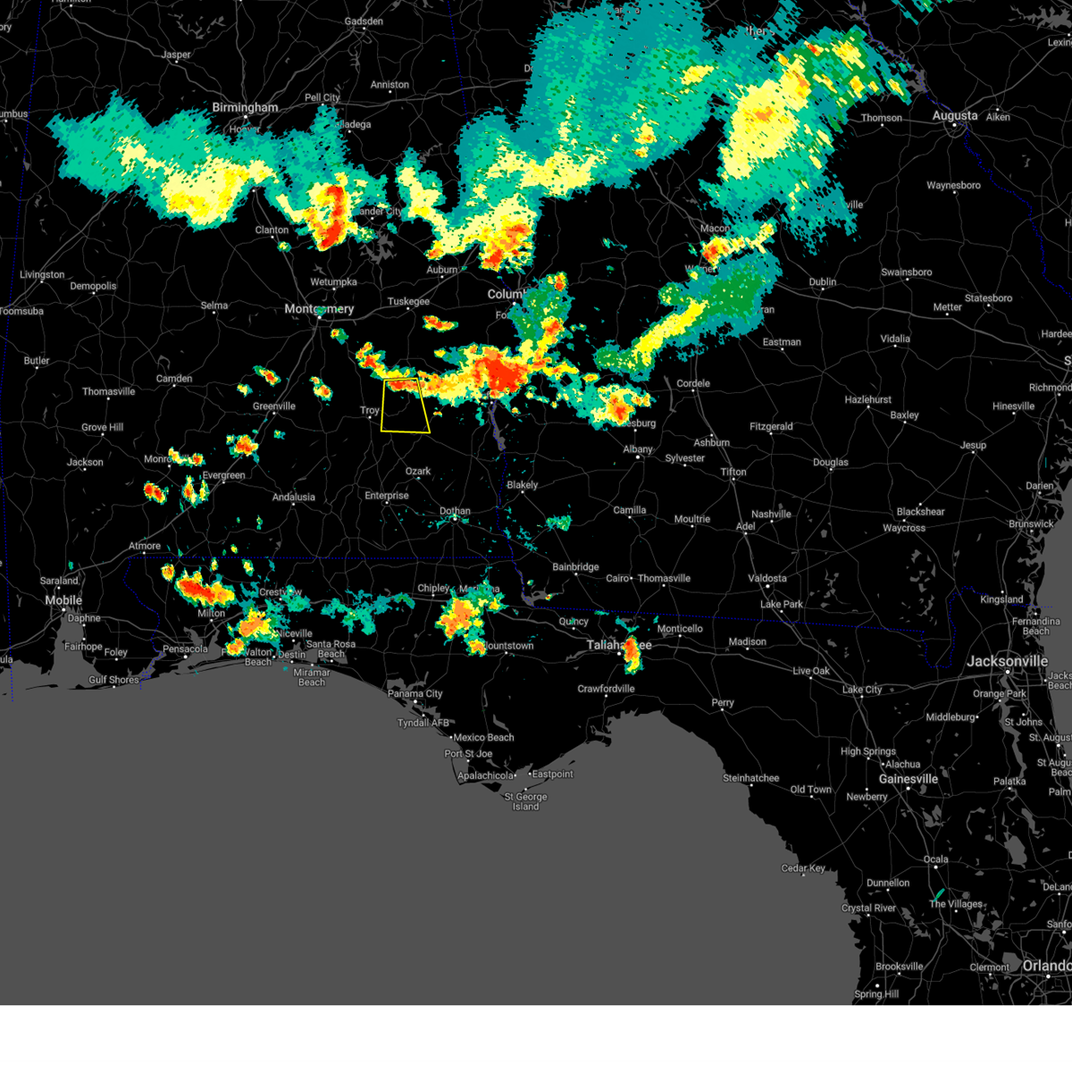
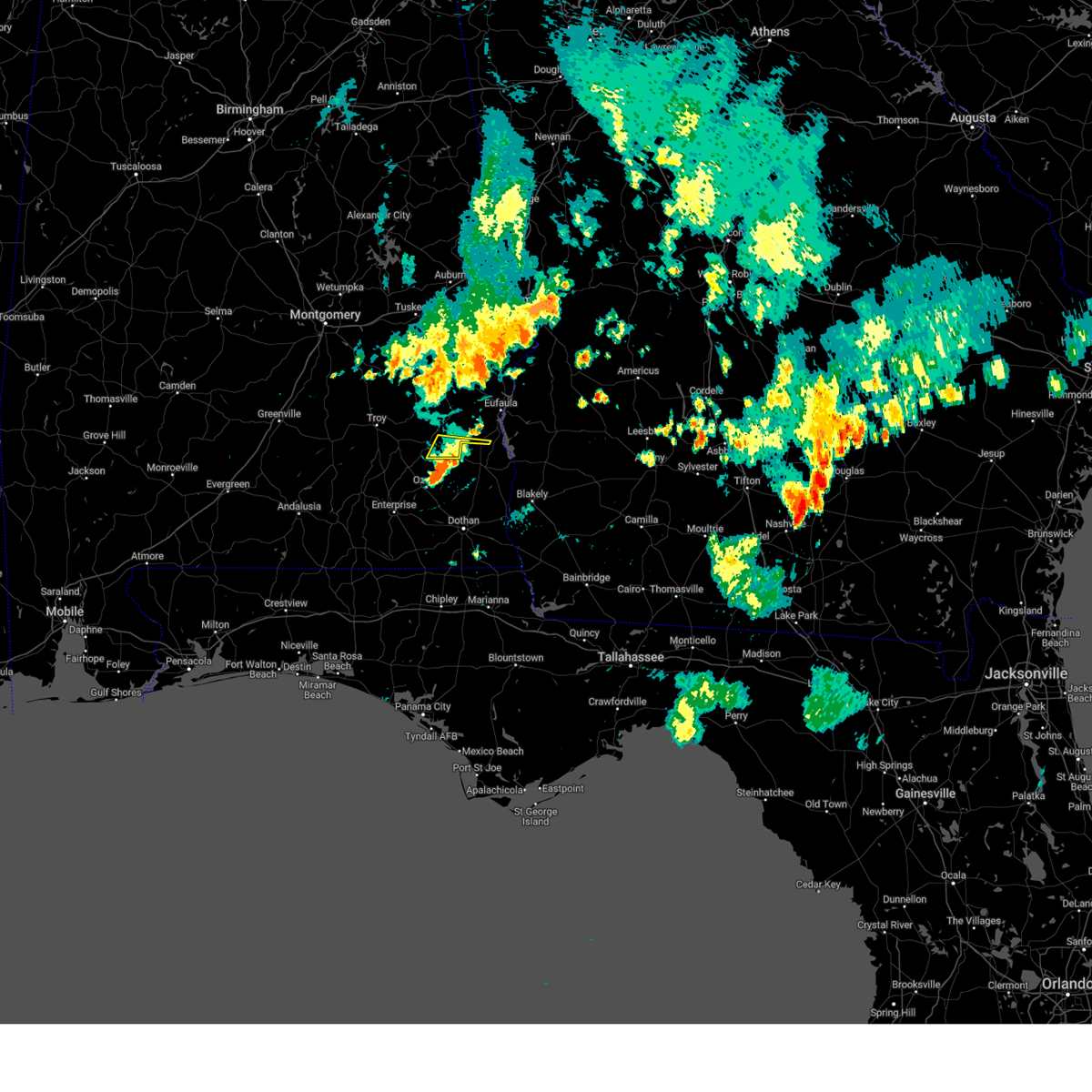
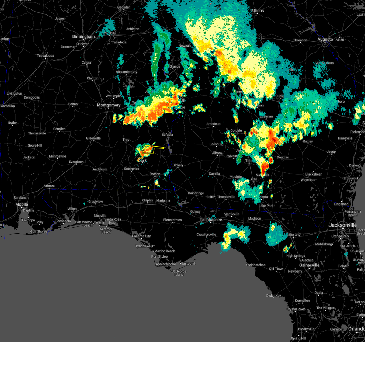
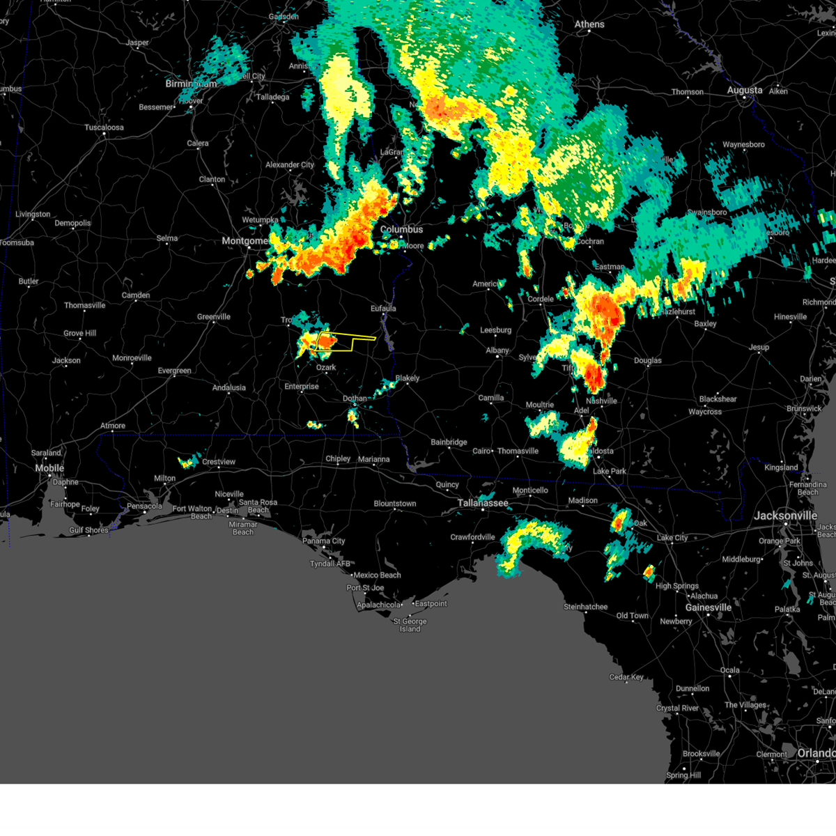
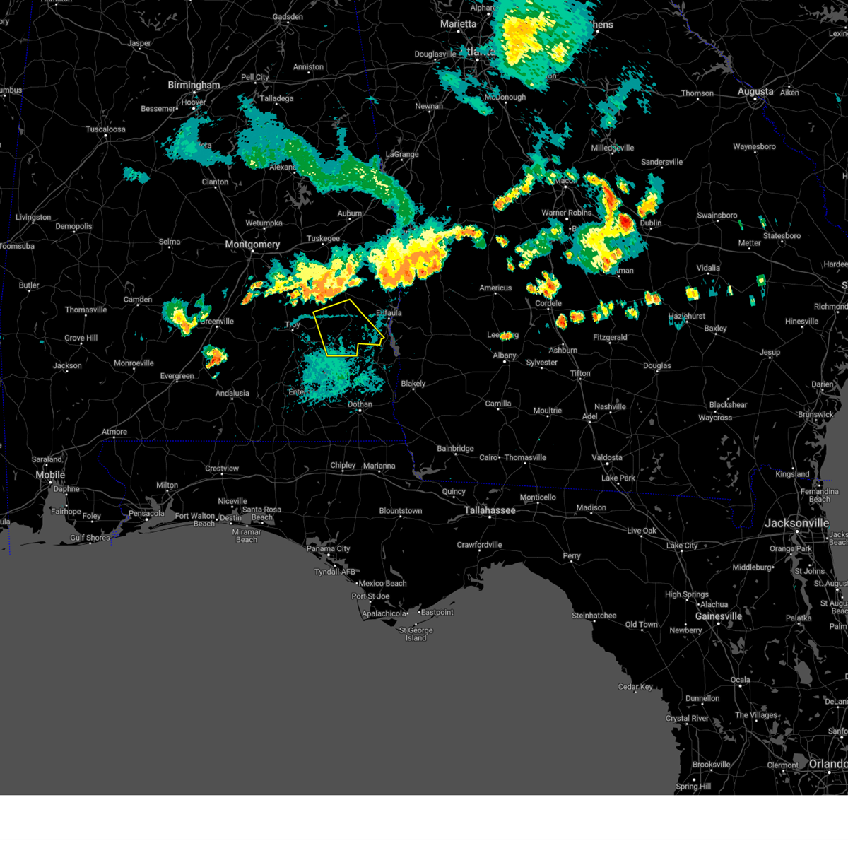
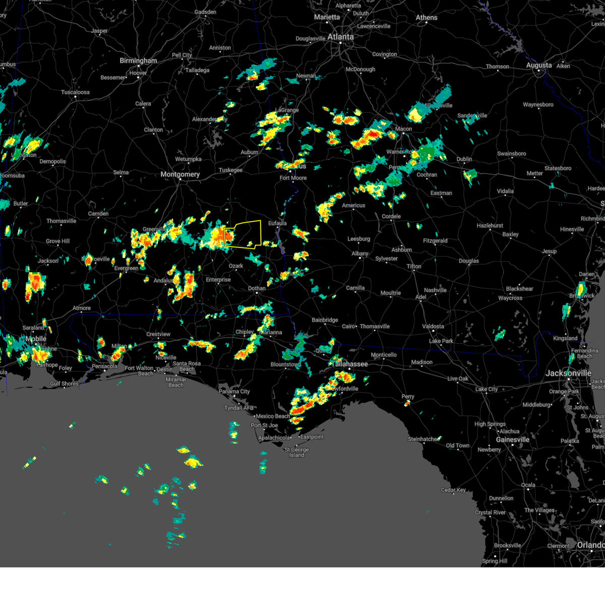
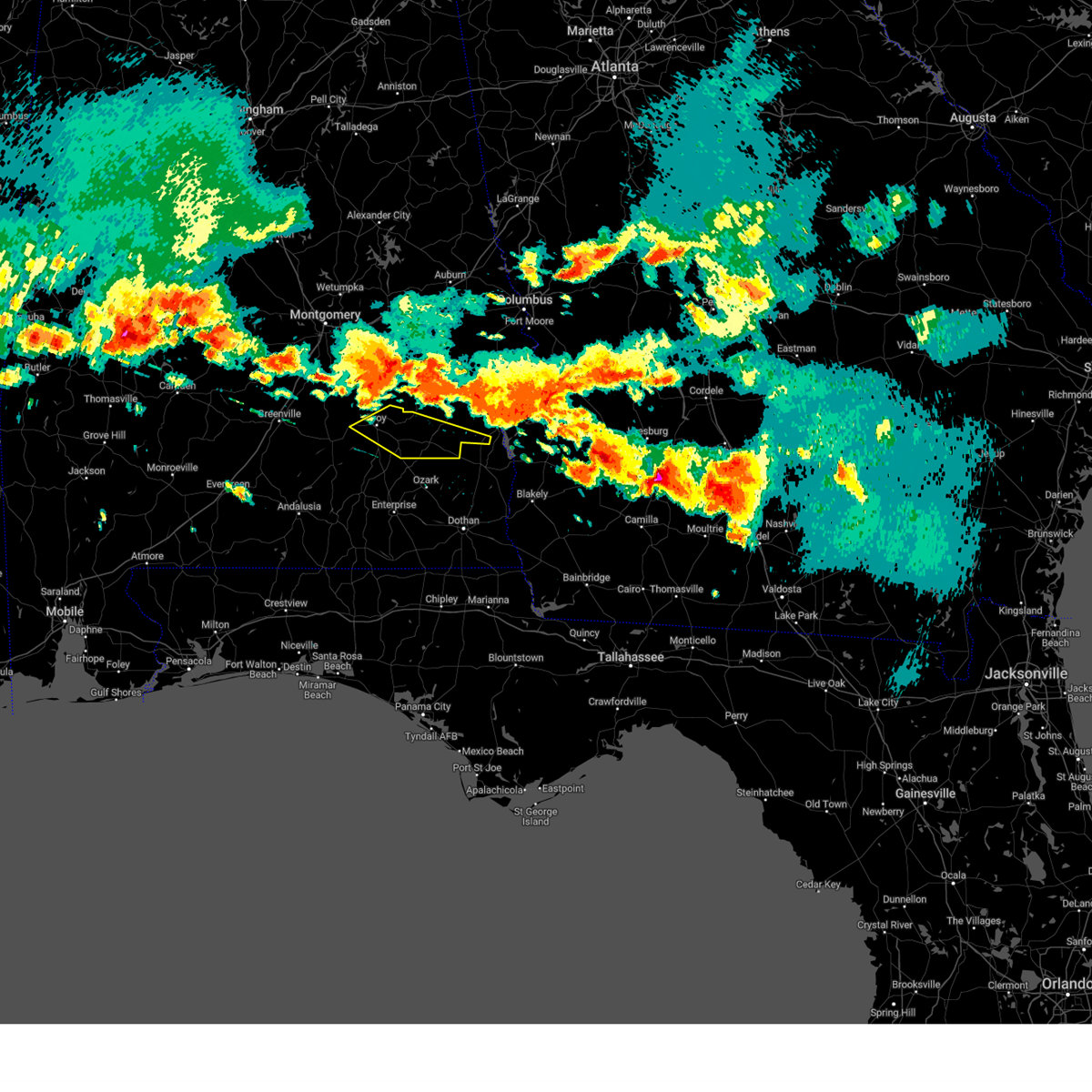
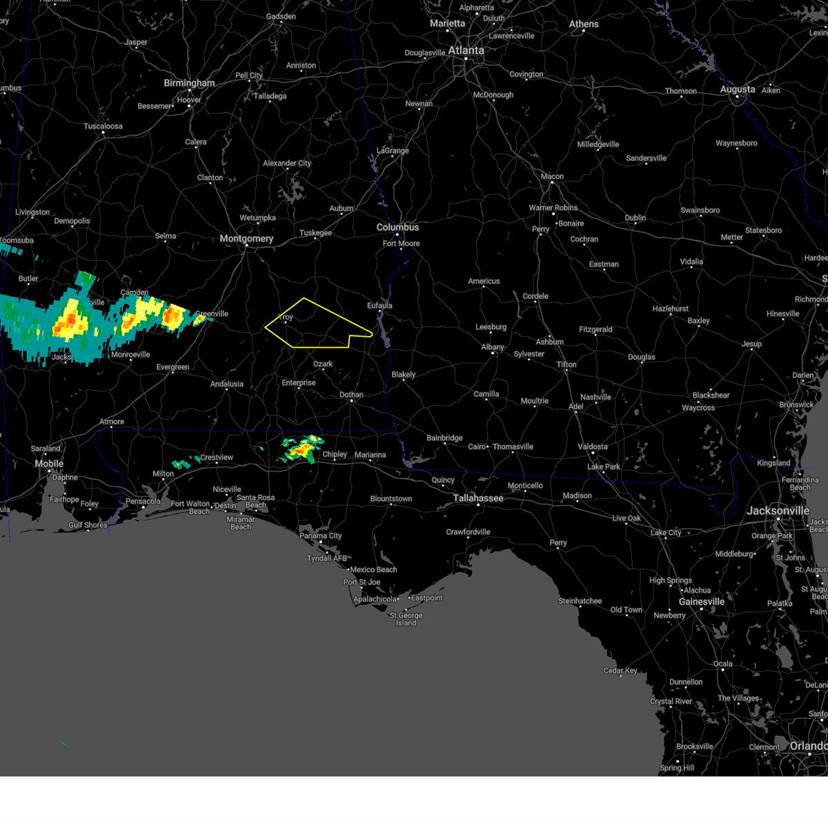
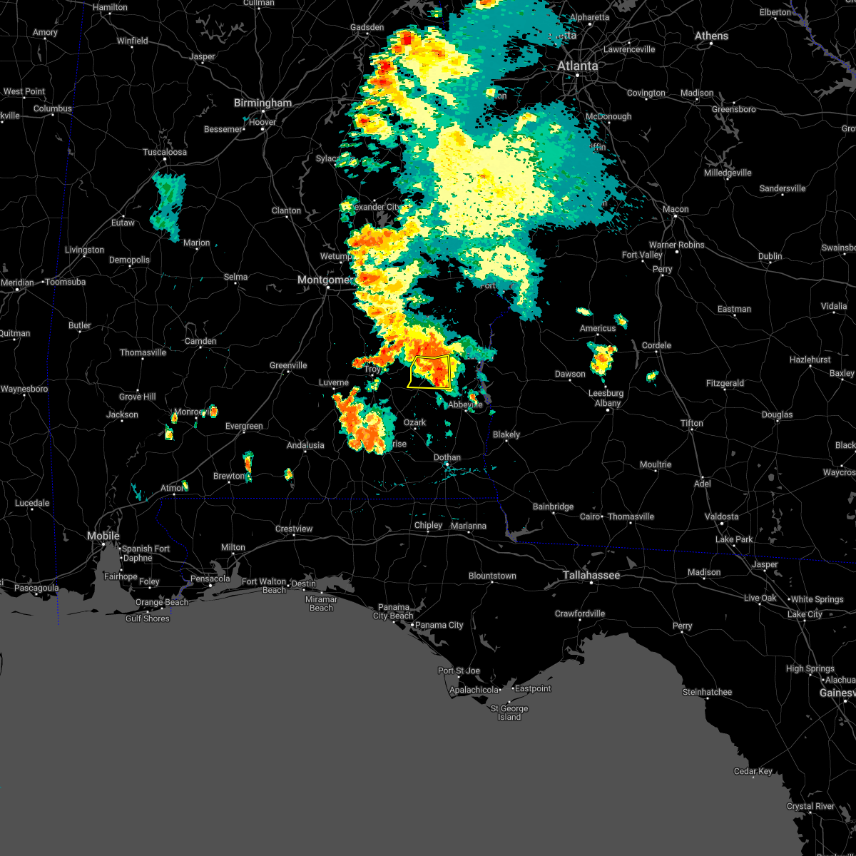
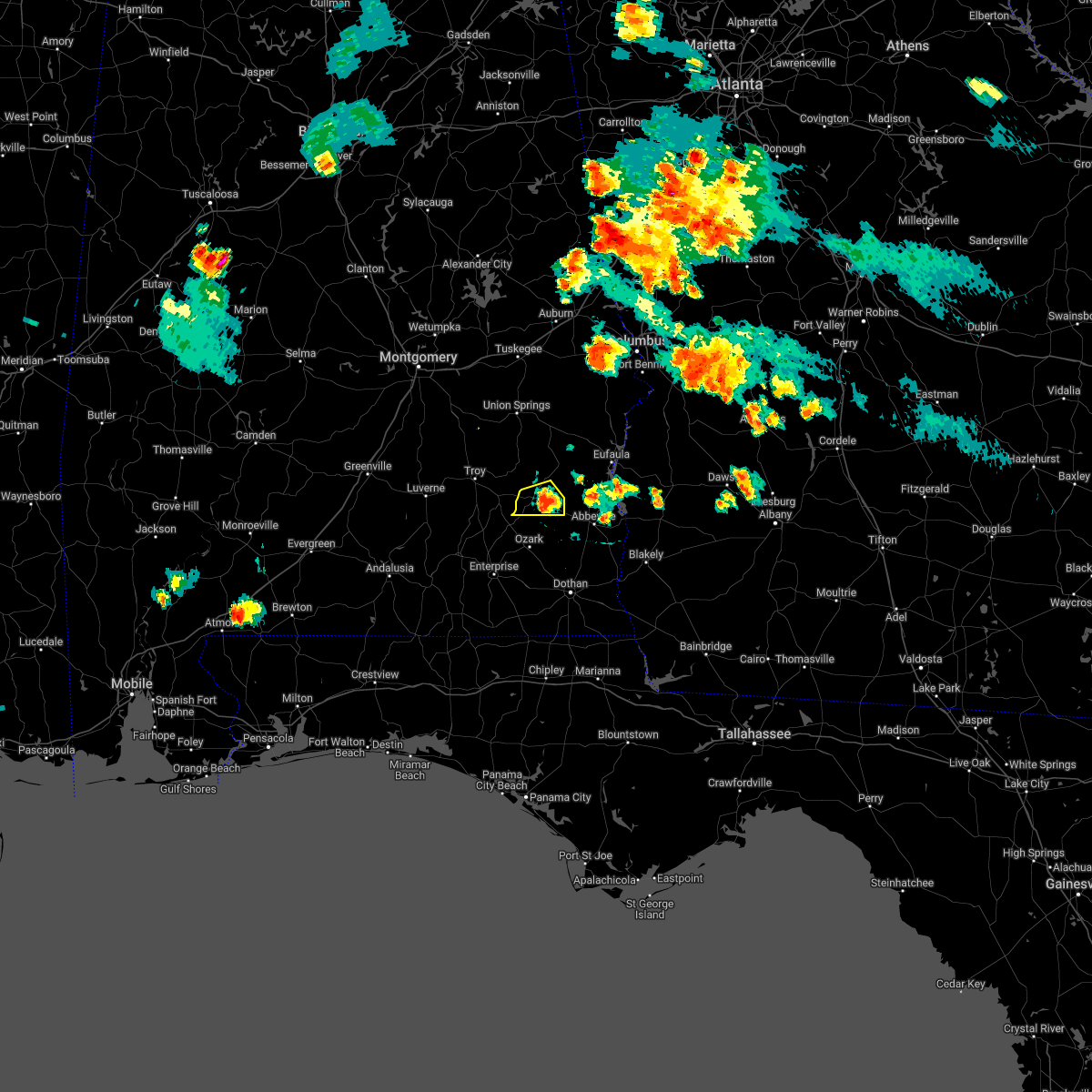
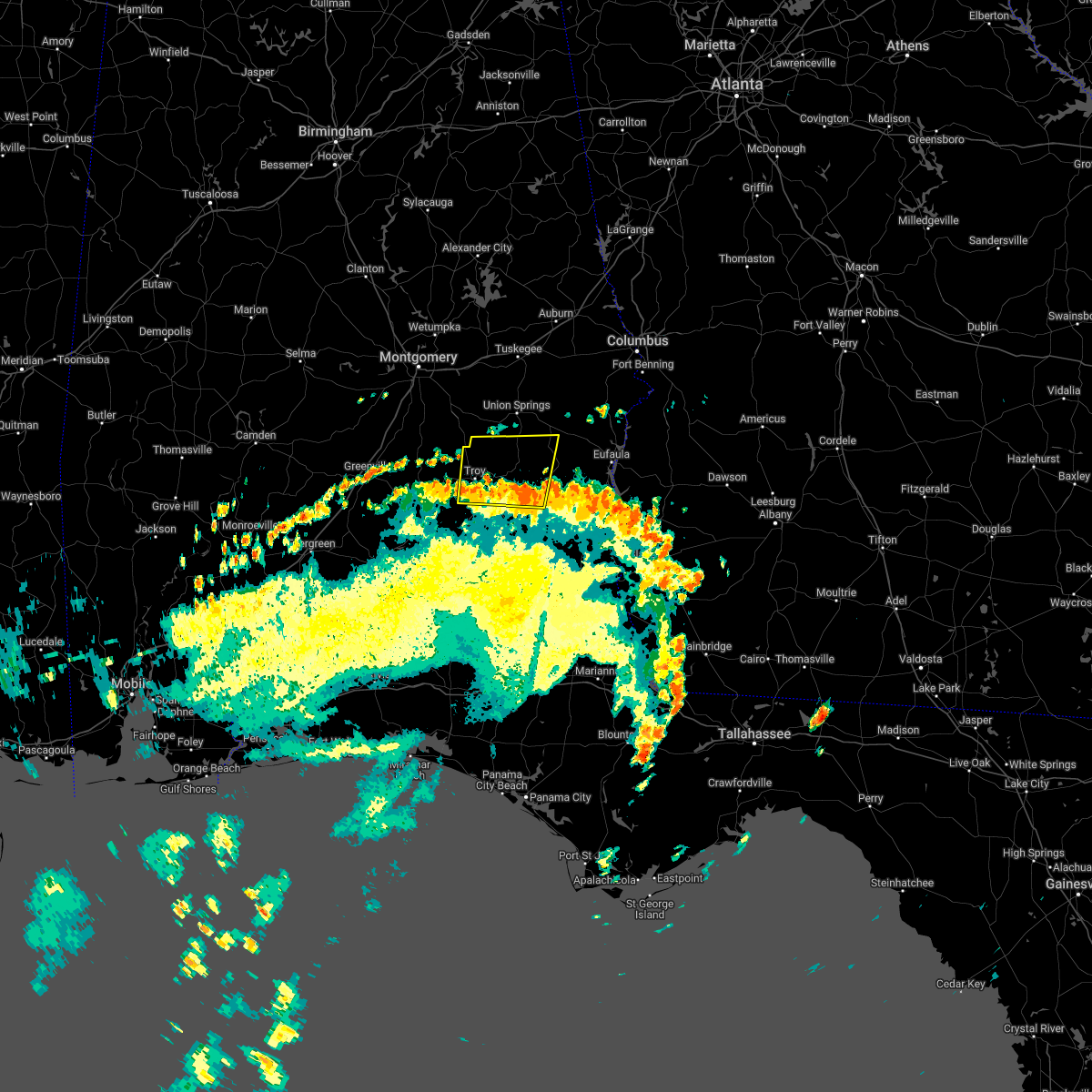
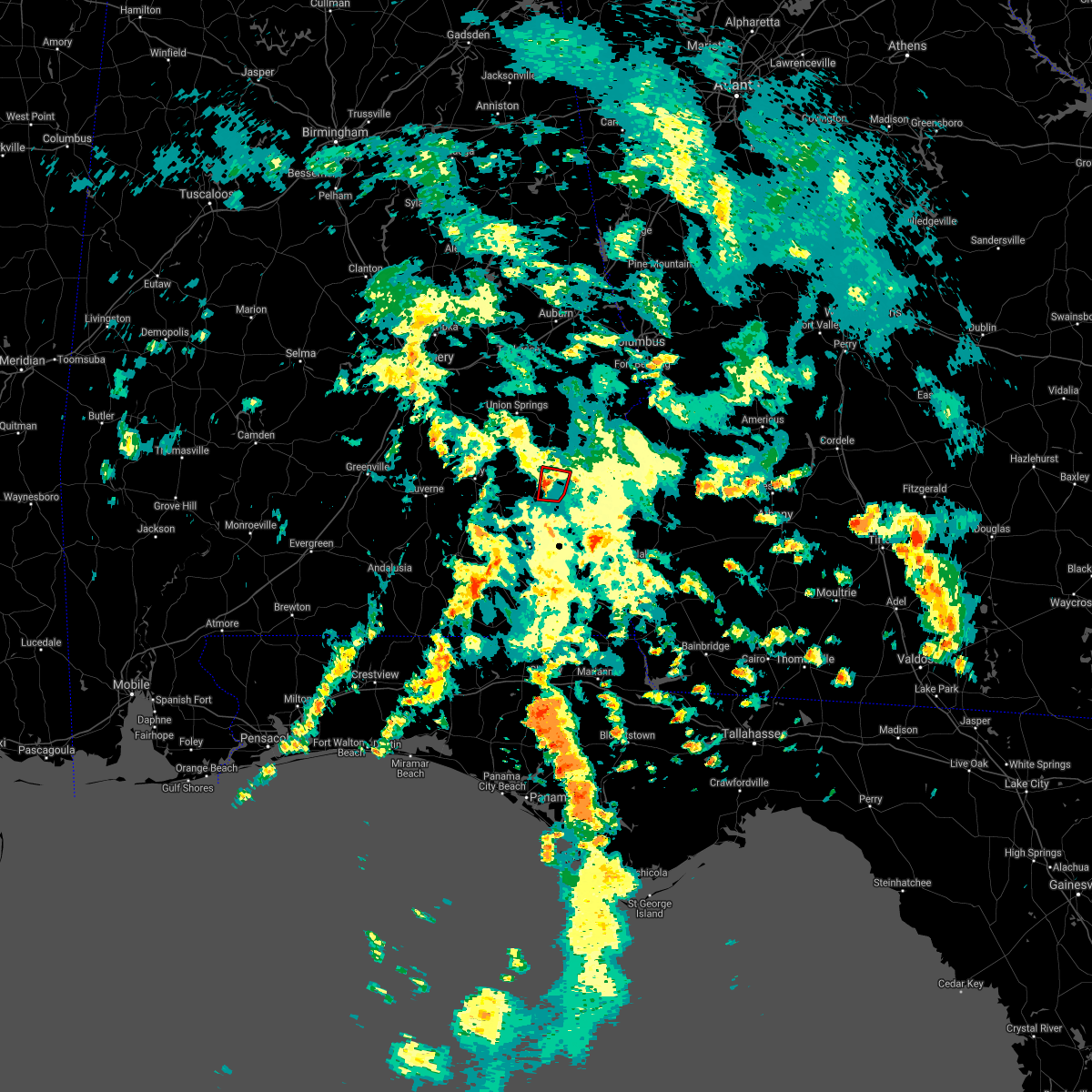
Hail Map for Clio, AL
The Clio, AL area has had 0 reports of on-the-ground hail by trained spotters, and has been under severe weather warnings 14 times during the past 12 months. Doppler radar has detected hail at or near Clio, AL on 66 occasions, including 2 occasions during the past year.
| Name: | Clio, AL |
| Where Located: | 62.4 miles S of Auburn, AL |
| Map: | Google Map for Clio, AL |
| Population: | 1399 |
| Housing Units: | 634 |
| More Info: | Search Google for Clio, AL |
0
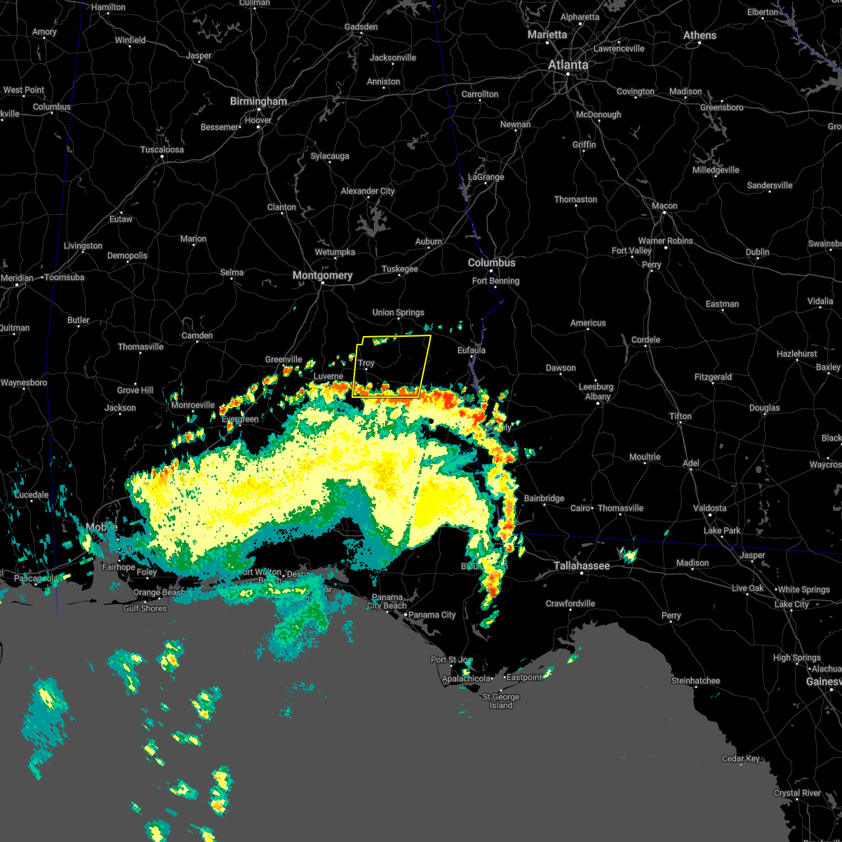
The Top Recent Hail Date for Clio, AL is Tuesday, August 5, 2025 (66th out of 66)
Hail and Wind Damage Spotted near Clio, AL
| Date / Time | Report Details |
|---|---|
| 6/1/2026 6:07 PM CDT |
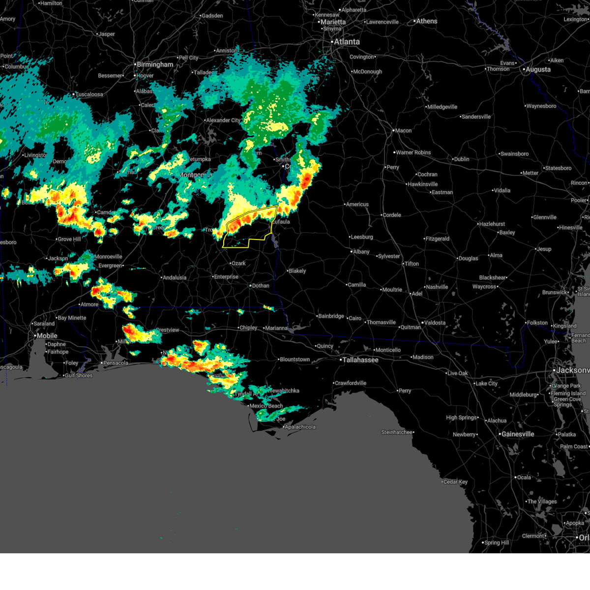 At 607 pm cdt, severe thunderstorms were located along a line extending from near lumpkin to near texasville to 7 miles east of goshen, moving southeast at 40 mph (radar indicated). Hazards include 60 mph wind gusts and quarter size hail. Hail damage to vehicles is expected. expect wind damage to roofs, siding, and trees. Locations impacted include, eufaula, clio, clayton, louisville, blue springs, tyler crossroads, doster, gaino, barbour county public lake dam, blue springs state park, osco, texasville, richards crossroads, white oak, lakepoint resort state park, boot hill, millers ford, batesville, clayton municipal airport, and lugo. At 607 pm cdt, severe thunderstorms were located along a line extending from near lumpkin to near texasville to 7 miles east of goshen, moving southeast at 40 mph (radar indicated). Hazards include 60 mph wind gusts and quarter size hail. Hail damage to vehicles is expected. expect wind damage to roofs, siding, and trees. Locations impacted include, eufaula, clio, clayton, louisville, blue springs, tyler crossroads, doster, gaino, barbour county public lake dam, blue springs state park, osco, texasville, richards crossroads, white oak, lakepoint resort state park, boot hill, millers ford, batesville, clayton municipal airport, and lugo.
|
| 6/1/2026 5:46 PM CDT |
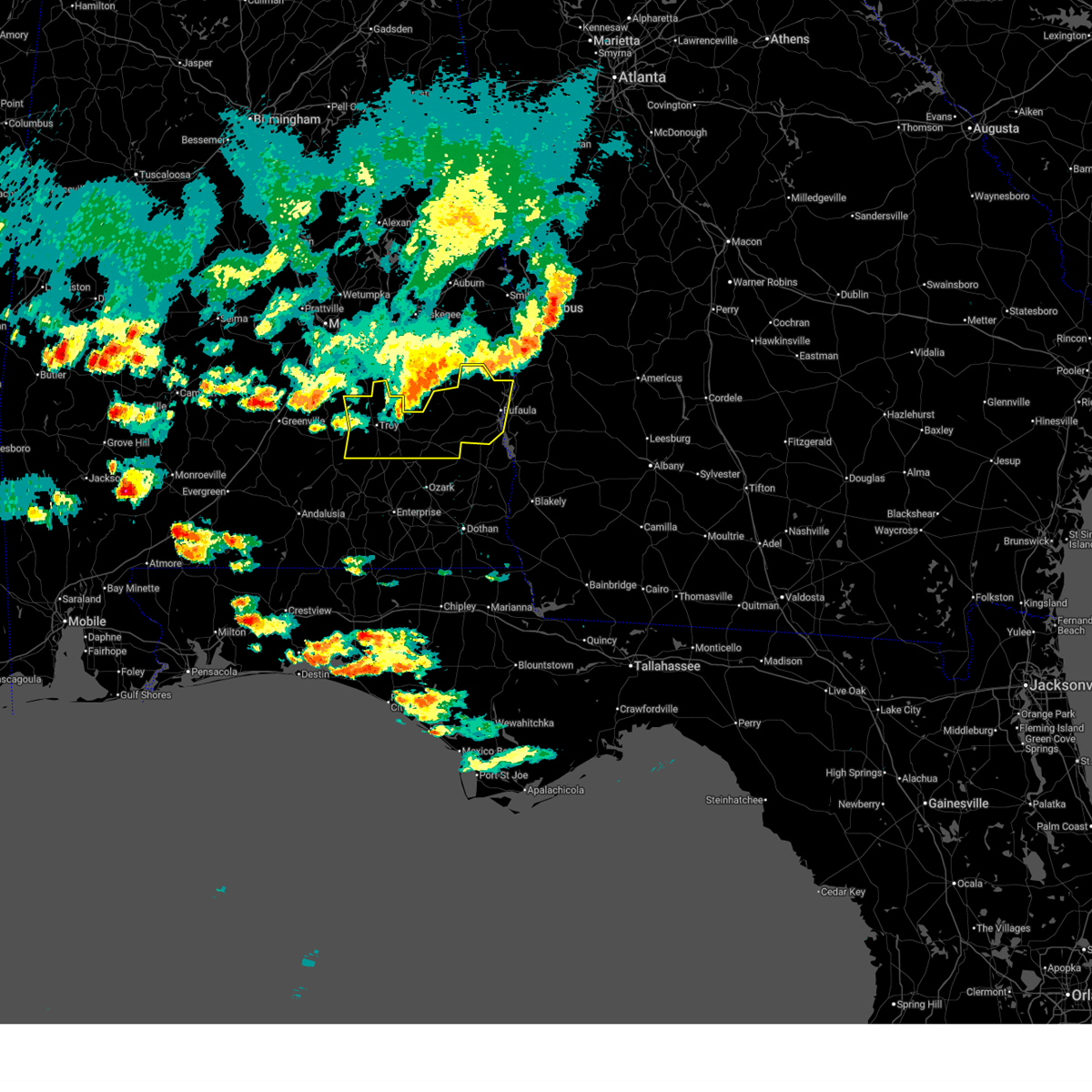 At 546 pm cdt, severe thunderstorms were located along a line extending from 10 miles northwest of lumpkin to near pickett to near ansley, moving southeast at 40 mph (radar indicated). Hazards include 60 mph wind gusts and quarter size hail. Hail damage to vehicles is expected. expect wind damage to roofs, siding, and trees. Locations impacted include, troy, eufaula, brundidge, clio, goshen, georgetown, clayton, louisville, banks, blue springs, tyler crossroads, richards crossroads, white oak, doster, gaino, comer, barbour county public lake dam, ansley, texasville, and troy municipal airport. At 546 pm cdt, severe thunderstorms were located along a line extending from 10 miles northwest of lumpkin to near pickett to near ansley, moving southeast at 40 mph (radar indicated). Hazards include 60 mph wind gusts and quarter size hail. Hail damage to vehicles is expected. expect wind damage to roofs, siding, and trees. Locations impacted include, troy, eufaula, brundidge, clio, goshen, georgetown, clayton, louisville, banks, blue springs, tyler crossroads, richards crossroads, white oak, doster, gaino, comer, barbour county public lake dam, ansley, texasville, and troy municipal airport.
|
| 6/1/2026 5:23 PM CDT |
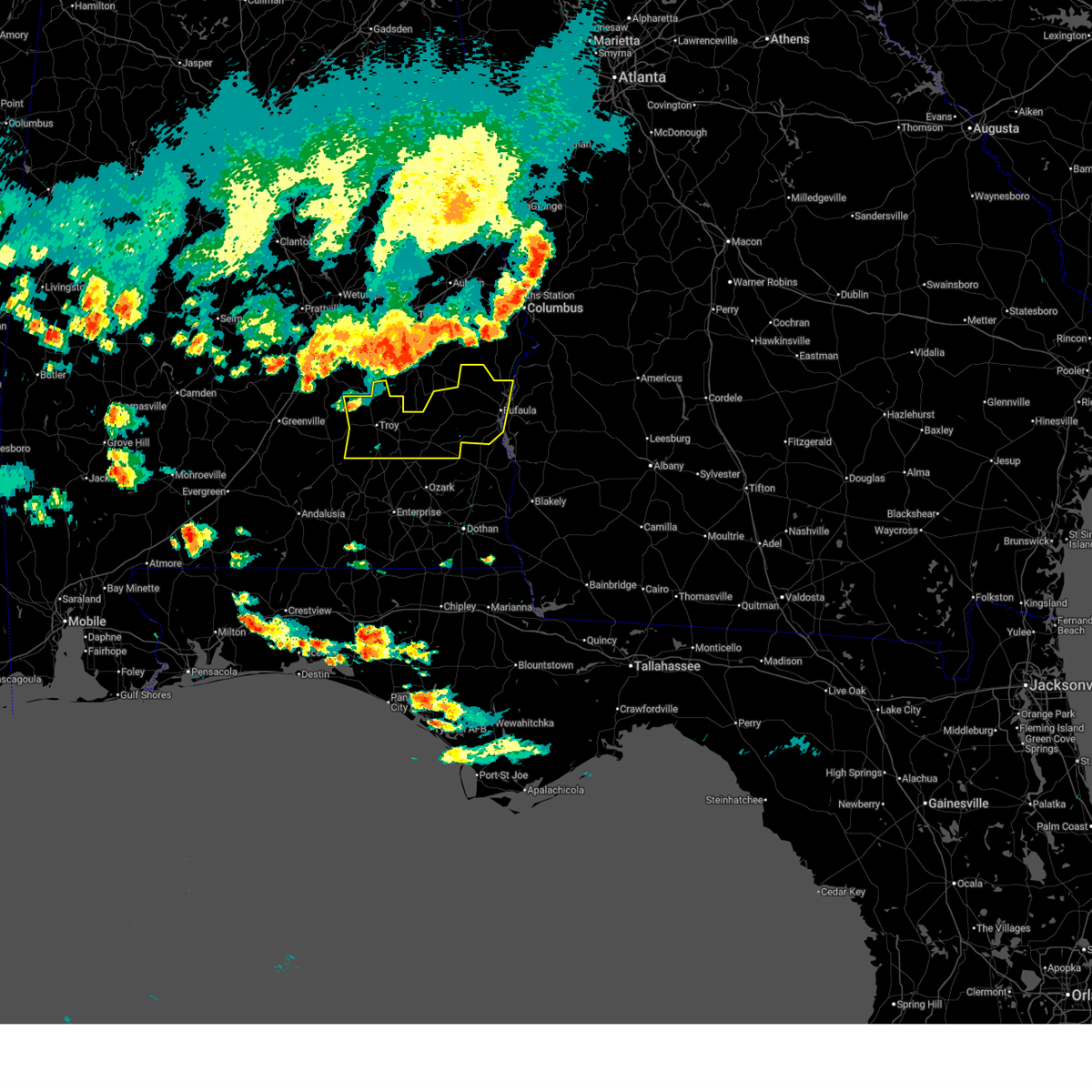 Svrbmx the national weather service in birmingham has issued a * severe thunderstorm warning for, pike county in southeastern alabama, barbour county in southeastern alabama, * until 630 pm cdt. * at 522 pm cdt, severe thunderstorms were located along a line extending from near fort benning/lawson army air fld to near union springs to grady, moving southeast at 40 mph (radar indicated). Hazards include 60 mph wind gusts and quarter size hail. Hail damage to vehicles is expected. Expect wind damage to roofs, siding, and trees. Svrbmx the national weather service in birmingham has issued a * severe thunderstorm warning for, pike county in southeastern alabama, barbour county in southeastern alabama, * until 630 pm cdt. * at 522 pm cdt, severe thunderstorms were located along a line extending from near fort benning/lawson army air fld to near union springs to grady, moving southeast at 40 mph (radar indicated). Hazards include 60 mph wind gusts and quarter size hail. Hail damage to vehicles is expected. Expect wind damage to roofs, siding, and trees.
|
| 3/12/2026 3:38 AM CDT |
 Svrbmx the national weather service in birmingham has issued a * severe thunderstorm warning for, barbour county in southeastern alabama, * until 430 am cdt. * at 338 am cdt, severe thunderstorms were located along a line extending from near comer to near barbour county public lake dam to near louisville to doster, moving east at 40 mph (radar indicated). Hazards include 60 mph wind gusts. expect damage to roofs, siding, and trees Svrbmx the national weather service in birmingham has issued a * severe thunderstorm warning for, barbour county in southeastern alabama, * until 430 am cdt. * at 338 am cdt, severe thunderstorms were located along a line extending from near comer to near barbour county public lake dam to near louisville to doster, moving east at 40 mph (radar indicated). Hazards include 60 mph wind gusts. expect damage to roofs, siding, and trees
|
| 3/12/2026 3:30 AM CDT |
 the tornado warning has been cancelled and is no longer in effect the tornado warning has been cancelled and is no longer in effect
|
| 3/12/2026 3:25 AM CDT |
 At 325 am cdt, a severe thunderstorm capable of producing a tornado was located near clio, moving east at 45 mph (radar indicated rotation). Hazards include tornado. Flying debris will be dangerous to those caught without shelter. mobile homes will be damaged or destroyed. damage to roofs, windows, and vehicles will occur. tree damage is likely. Locations impacted include, clio, louisville, blue springs, tyler crossroads, texasville, blue springs state park, and millers ford. At 325 am cdt, a severe thunderstorm capable of producing a tornado was located near clio, moving east at 45 mph (radar indicated rotation). Hazards include tornado. Flying debris will be dangerous to those caught without shelter. mobile homes will be damaged or destroyed. damage to roofs, windows, and vehicles will occur. tree damage is likely. Locations impacted include, clio, louisville, blue springs, tyler crossroads, texasville, blue springs state park, and millers ford.
|
| 3/12/2026 3:25 AM CDT |
 the tornado warning has been cancelled and is no longer in effect the tornado warning has been cancelled and is no longer in effect
|
| 3/12/2026 3:21 AM CDT |
 At 320 am cdt, severe thunderstorms were located along a line extending from near pickett to near boot hill to near brundidge, moving east at 50 mph (radar indicated). Hazards include 60 mph wind gusts. Expect damage to roofs, siding, and trees. Locations impacted include, brundidge, clio, clayton, louisville, blue springs, tyler crossroads, pickett, blue springs state park, white oak, boot hill, doster, gaino, comer, barbour county public lake dam, texasville, tennille, millers ford, perote, josie, and mount andrew. At 320 am cdt, severe thunderstorms were located along a line extending from near pickett to near boot hill to near brundidge, moving east at 50 mph (radar indicated). Hazards include 60 mph wind gusts. Expect damage to roofs, siding, and trees. Locations impacted include, brundidge, clio, clayton, louisville, blue springs, tyler crossroads, pickett, blue springs state park, white oak, boot hill, doster, gaino, comer, barbour county public lake dam, texasville, tennille, millers ford, perote, josie, and mount andrew.
|
| 3/12/2026 3:20 AM CDT |
 At 320 am cdt, a severe thunderstorm capable of producing a tornado was located near brundidge, moving east at 45 mph (radar indicated rotation). Hazards include tornado. Flying debris will be dangerous to those caught without shelter. mobile homes will be damaged or destroyed. damage to roofs, windows, and vehicles will occur. tree damage is likely. Locations impacted include, brundidge, clio, louisville, blue springs, tyler crossroads, texasville, blue springs state park, and millers ford. At 320 am cdt, a severe thunderstorm capable of producing a tornado was located near brundidge, moving east at 45 mph (radar indicated rotation). Hazards include tornado. Flying debris will be dangerous to those caught without shelter. mobile homes will be damaged or destroyed. damage to roofs, windows, and vehicles will occur. tree damage is likely. Locations impacted include, brundidge, clio, louisville, blue springs, tyler crossroads, texasville, blue springs state park, and millers ford.
|
| 3/12/2026 3:13 AM CDT |
 At 313 am cdt, a severe thunderstorm capable of producing a tornado was located over brundidge, moving east at 45 mph (radar indicated rotation). Hazards include tornado. Flying debris will be dangerous to those caught without shelter. mobile homes will be damaged or destroyed. damage to roofs, windows, and vehicles will occur. tree damage is likely. Locations impacted include, brundidge, clio, clayton, louisville, blue springs, tyler crossroads, doster, texasville, antioch, blue springs state park, millers ford, and brundidge municipal airport. At 313 am cdt, a severe thunderstorm capable of producing a tornado was located over brundidge, moving east at 45 mph (radar indicated rotation). Hazards include tornado. Flying debris will be dangerous to those caught without shelter. mobile homes will be damaged or destroyed. damage to roofs, windows, and vehicles will occur. tree damage is likely. Locations impacted include, brundidge, clio, clayton, louisville, blue springs, tyler crossroads, doster, texasville, antioch, blue springs state park, millers ford, and brundidge municipal airport.
|
| 3/12/2026 3:10 AM CDT |
 At 310 am cdt, severe thunderstorms were located along a line extending from near linwood to banks to near brundidge, moving east at 50 mph (radar indicated). Hazards include 60 mph wind gusts. Expect damage to roofs, siding, and trees. Locations impacted include, troy, brundidge, clio, clayton, louisville, banks, blue springs, tyler crossroads, pickett, blue springs state park, beans crossroads, linwood, white oak, boot hill, doster, gaino, comer, antioch, barbour county public lake dam, and texasville. At 310 am cdt, severe thunderstorms were located along a line extending from near linwood to banks to near brundidge, moving east at 50 mph (radar indicated). Hazards include 60 mph wind gusts. Expect damage to roofs, siding, and trees. Locations impacted include, troy, brundidge, clio, clayton, louisville, banks, blue springs, tyler crossroads, pickett, blue springs state park, beans crossroads, linwood, white oak, boot hill, doster, gaino, comer, antioch, barbour county public lake dam, and texasville.
|
| 3/12/2026 3:10 AM CDT |
 At 310 am cdt, a severe thunderstorm capable of producing a tornado was located over brundidge, moving east at 45 mph (radar indicated rotation). Hazards include tornado. Flying debris will be dangerous to those caught without shelter. mobile homes will be damaged or destroyed. damage to roofs, windows, and vehicles will occur. tree damage is likely. Locations impacted include, troy, brundidge, clio, clayton, louisville, blue springs, tyler crossroads, doster, antioch, blue springs state park, texasville, millers ford, hamilton crossroads, tarentum, and brundidge municipal airport. At 310 am cdt, a severe thunderstorm capable of producing a tornado was located over brundidge, moving east at 45 mph (radar indicated rotation). Hazards include tornado. Flying debris will be dangerous to those caught without shelter. mobile homes will be damaged or destroyed. damage to roofs, windows, and vehicles will occur. tree damage is likely. Locations impacted include, troy, brundidge, clio, clayton, louisville, blue springs, tyler crossroads, doster, antioch, blue springs state park, texasville, millers ford, hamilton crossroads, tarentum, and brundidge municipal airport.
|
| 3/12/2026 3:03 AM CDT |
 Torbmx the national weather service in birmingham has issued a * tornado warning for, southeastern pike county in southeastern alabama, southwestern barbour county in southeastern alabama, * until 345 am cdt. * at 302 am cdt, a severe thunderstorm capable of producing a tornado was located near antioch, or near troy, moving east at 45 mph (radar indicated rotation). Hazards include tornado. Flying debris will be dangerous to those caught without shelter. mobile homes will be damaged or destroyed. damage to roofs, windows, and vehicles will occur. Tree damage is likely. Torbmx the national weather service in birmingham has issued a * tornado warning for, southeastern pike county in southeastern alabama, southwestern barbour county in southeastern alabama, * until 345 am cdt. * at 302 am cdt, a severe thunderstorm capable of producing a tornado was located near antioch, or near troy, moving east at 45 mph (radar indicated rotation). Hazards include tornado. Flying debris will be dangerous to those caught without shelter. mobile homes will be damaged or destroyed. damage to roofs, windows, and vehicles will occur. Tree damage is likely.
|
| 3/12/2026 2:57 AM CDT |
 Svrbmx the national weather service in birmingham has issued a * severe thunderstorm warning for, pike county in southeastern alabama, southern bullock county in southeastern alabama, barbour county in southeastern alabama, * until 345 am cdt. * at 256 am cdt, severe thunderstorms were located along a line extending from near troy municipal airport to troy to 6 miles southeast of goshen, moving east at 50 mph (radar indicated). Hazards include 60 mph wind gusts. expect damage to roofs, siding, and trees Svrbmx the national weather service in birmingham has issued a * severe thunderstorm warning for, pike county in southeastern alabama, southern bullock county in southeastern alabama, barbour county in southeastern alabama, * until 345 am cdt. * at 256 am cdt, severe thunderstorms were located along a line extending from near troy municipal airport to troy to 6 miles southeast of goshen, moving east at 50 mph (radar indicated). Hazards include 60 mph wind gusts. expect damage to roofs, siding, and trees
|
| 3/16/2025 12:41 AM CDT |
 Torbmx the national weather service in birmingham has issued a * tornado warning for, central barbour county in southeastern alabama, * until 130 am cdt. * at 1241 am cdt, a severe thunderstorm capable of producing a tornado was located over tyler crossroads, or 7 miles east of clio, moving northeast at 55 mph (radar indicated rotation). Hazards include tornado. Flying debris will be dangerous to those caught without shelter. mobile homes will be damaged or destroyed. damage to roofs, windows, and vehicles will occur. Tree damage is likely. Torbmx the national weather service in birmingham has issued a * tornado warning for, central barbour county in southeastern alabama, * until 130 am cdt. * at 1241 am cdt, a severe thunderstorm capable of producing a tornado was located over tyler crossroads, or 7 miles east of clio, moving northeast at 55 mph (radar indicated rotation). Hazards include tornado. Flying debris will be dangerous to those caught without shelter. mobile homes will be damaged or destroyed. damage to roofs, windows, and vehicles will occur. Tree damage is likely.
|
| 2/16/2025 4:21 AM CST |
 The storms which prompted the warning have moved out of the area. therefore, the warning will be allowed to expire. a tornado watch remains in effect until 600 am cst for southeastern alabama. The storms which prompted the warning have moved out of the area. therefore, the warning will be allowed to expire. a tornado watch remains in effect until 600 am cst for southeastern alabama.
|
| 2/16/2025 4:02 AM CST |
 At 402 am cst, severe thunderstorms were located along a line extending from near fort moore/lawson army air fld to blue springs state park, moving east at 55 mph (radar indicated). Hazards include 60 mph wind gusts. Expect damage to roofs, siding, and trees. Locations impacted include, eufaula, clio, clayton, blue springs, tyler crossroads, hawkinsville, gaino, blue springs state park, osco, texasville, richards crossroads, white oak, lakepoint resort state park, millers ford, batesville, twin springs, lugo, baker hill, uchee creek, and fort mitchell. At 402 am cst, severe thunderstorms were located along a line extending from near fort moore/lawson army air fld to blue springs state park, moving east at 55 mph (radar indicated). Hazards include 60 mph wind gusts. Expect damage to roofs, siding, and trees. Locations impacted include, eufaula, clio, clayton, blue springs, tyler crossroads, hawkinsville, gaino, blue springs state park, osco, texasville, richards crossroads, white oak, lakepoint resort state park, millers ford, batesville, twin springs, lugo, baker hill, uchee creek, and fort mitchell.
|
| 2/16/2025 3:48 AM CST |
 At 348 am cst, severe thunderstorms were located along a line extending from columbus to near doster, moving east at 55 mph (radar indicated). Hazards include 60 mph wind gusts. Expect damage to roofs, siding, and trees. Locations impacted include, columbus, phenix city, eufaula, clio, clayton, louisville, blue springs, tyler crossroads, hawkinsville, spring hill, blue springs state park, osco, richards crossroads, white oak, doster, russell county sports complex, gaino, seale, comer, and barbour county public lake dam. At 348 am cst, severe thunderstorms were located along a line extending from columbus to near doster, moving east at 55 mph (radar indicated). Hazards include 60 mph wind gusts. Expect damage to roofs, siding, and trees. Locations impacted include, columbus, phenix city, eufaula, clio, clayton, louisville, blue springs, tyler crossroads, hawkinsville, spring hill, blue springs state park, osco, richards crossroads, white oak, doster, russell county sports complex, gaino, seale, comer, and barbour county public lake dam.
|
| 2/16/2025 3:14 AM CST |
 Svrbmx the national weather service in birmingham has issued a * severe thunderstorm warning for, barbour county in southeastern alabama, russell county in southeastern alabama, * until 430 am cst. * at 313 am cst, severe thunderstorms were located along a line extending from near opelika to near goshen, moving east at 65 mph (radar indicated). Hazards include 70 mph wind gusts. Expect considerable tree damage. Damage is likely to mobile homes, roofs, and outbuildings. Svrbmx the national weather service in birmingham has issued a * severe thunderstorm warning for, barbour county in southeastern alabama, russell county in southeastern alabama, * until 430 am cst. * at 313 am cst, severe thunderstorms were located along a line extending from near opelika to near goshen, moving east at 65 mph (radar indicated). Hazards include 70 mph wind gusts. Expect considerable tree damage. Damage is likely to mobile homes, roofs, and outbuildings.
|
| 12/29/2024 2:52 AM CST |
 the severe thunderstorm warning has been cancelled and is no longer in effect the severe thunderstorm warning has been cancelled and is no longer in effect
|
| 12/29/2024 2:28 AM CST |
 the severe thunderstorm warning has been cancelled and is no longer in effect the severe thunderstorm warning has been cancelled and is no longer in effect
|
| 12/29/2024 2:28 AM CST |
 At 227 am cst, severe thunderstorms were located along a line extending from near seale to near blue springs state park, moving east at 40 mph (radar indicated). Hazards include 60 mph wind gusts. Expect damage to roofs, siding, and trees. Locations impacted include, eufaula, clio, clayton, louisville, blue springs, tyler crossroads, hawkinsville, spring hill, blue springs state park, osco, richards crossroads, white oak, gaino, seale, comer, barbour county public lake dam, texasville, lakepoint resort state park, millers ford, and twin springs. At 227 am cst, severe thunderstorms were located along a line extending from near seale to near blue springs state park, moving east at 40 mph (radar indicated). Hazards include 60 mph wind gusts. Expect damage to roofs, siding, and trees. Locations impacted include, eufaula, clio, clayton, louisville, blue springs, tyler crossroads, hawkinsville, spring hill, blue springs state park, osco, richards crossroads, white oak, gaino, seale, comer, barbour county public lake dam, texasville, lakepoint resort state park, millers ford, and twin springs.
|
| 12/29/2024 2:11 AM CST |
 At 211 am cst, severe thunderstorms were located along a line extending from near hurtsboro to near ariton, moving east at 40 mph (radar indicated). Hazards include 60 mph wind gusts. Expect damage to roofs, siding, and trees. Locations impacted include, eufaula, brundidge, clio, hurtsboro, midway, clayton, louisville, blue springs, tyler crossroads, pickett, hawkinsville, spring hill, blue springs state park, guerryton, osco, richards crossroads, white oak, boot hill, doster, and gaino. At 211 am cst, severe thunderstorms were located along a line extending from near hurtsboro to near ariton, moving east at 40 mph (radar indicated). Hazards include 60 mph wind gusts. Expect damage to roofs, siding, and trees. Locations impacted include, eufaula, brundidge, clio, hurtsboro, midway, clayton, louisville, blue springs, tyler crossroads, pickett, hawkinsville, spring hill, blue springs state park, guerryton, osco, richards crossroads, white oak, boot hill, doster, and gaino.
|
| 12/29/2024 1:57 AM CST |
 Svrbmx the national weather service in birmingham has issued a * severe thunderstorm warning for, eastern pike county in southeastern alabama, eastern bullock county in southeastern alabama, barbour county in southeastern alabama, southern russell county in southeastern alabama, * until 315 am cst. * at 157 am cst, severe thunderstorms were located along a line extending from near guerryton to 7 miles southwest of brundidge, moving east at 40 mph (radar indicated). Hazards include 60 mph wind gusts. expect damage to roofs, siding, and trees Svrbmx the national weather service in birmingham has issued a * severe thunderstorm warning for, eastern pike county in southeastern alabama, eastern bullock county in southeastern alabama, barbour county in southeastern alabama, southern russell county in southeastern alabama, * until 315 am cst. * at 157 am cst, severe thunderstorms were located along a line extending from near guerryton to 7 miles southwest of brundidge, moving east at 40 mph (radar indicated). Hazards include 60 mph wind gusts. expect damage to roofs, siding, and trees
|
| 8/18/2024 5:39 PM CDT |
 Svrbmx the national weather service in birmingham has issued a * severe thunderstorm warning for, eastern bullock county in southeastern alabama, southeastern macon county in southeastern alabama, barbour county in southeastern alabama, southern russell county in southeastern alabama, * until 645 pm cdt. * at 539 pm cdt, severe thunderstorms were located along a line extending from near seale to near spring hill to near union springs, moving south at 40 mph (radar indicated). Hazards include 70 mph wind gusts and quarter size hail. Hail damage to vehicles is expected. expect considerable tree damage. Wind damage is also likely to mobile homes, roofs, and outbuildings. Svrbmx the national weather service in birmingham has issued a * severe thunderstorm warning for, eastern bullock county in southeastern alabama, southeastern macon county in southeastern alabama, barbour county in southeastern alabama, southern russell county in southeastern alabama, * until 645 pm cdt. * at 539 pm cdt, severe thunderstorms were located along a line extending from near seale to near spring hill to near union springs, moving south at 40 mph (radar indicated). Hazards include 70 mph wind gusts and quarter size hail. Hail damage to vehicles is expected. expect considerable tree damage. Wind damage is also likely to mobile homes, roofs, and outbuildings.
|
| 5/27/2024 5:51 PM CDT |
 the severe thunderstorm warning has been cancelled and is no longer in effect the severe thunderstorm warning has been cancelled and is no longer in effect
|
| 5/27/2024 5:51 PM CDT |
 At 550 pm cdt, a severe thunderstorm was located near louisville, or 8 miles northeast of clio, moving southeast at 35 mph (radar indicated). Hazards include 60 mph wind gusts and nickel size hail. Expect damage to roofs, siding, and trees. Locations impacted include, clio, clayton, louisville, blue springs, tyler crossroads, texasville, gaino, millers ford, baker hill, and clayton municipal airport. At 550 pm cdt, a severe thunderstorm was located near louisville, or 8 miles northeast of clio, moving southeast at 35 mph (radar indicated). Hazards include 60 mph wind gusts and nickel size hail. Expect damage to roofs, siding, and trees. Locations impacted include, clio, clayton, louisville, blue springs, tyler crossroads, texasville, gaino, millers ford, baker hill, and clayton municipal airport.
|
| 5/27/2024 5:32 PM CDT |
 Svrbmx the national weather service in birmingham has issued a * severe thunderstorm warning for, east central pike county in southeastern alabama, south central bullock county in southeastern alabama, southwestern barbour county in southeastern alabama, * until 630 pm cdt. * at 532 pm cdt, a severe thunderstorm was located near boot hill, or 12 miles northwest of clio, moving southeast at 25 mph (radar indicated). Hazards include 60 mph wind gusts and nickel size hail. expect damage to roofs, siding, and trees Svrbmx the national weather service in birmingham has issued a * severe thunderstorm warning for, east central pike county in southeastern alabama, south central bullock county in southeastern alabama, southwestern barbour county in southeastern alabama, * until 630 pm cdt. * at 532 pm cdt, a severe thunderstorm was located near boot hill, or 12 miles northwest of clio, moving southeast at 25 mph (radar indicated). Hazards include 60 mph wind gusts and nickel size hail. expect damage to roofs, siding, and trees
|
| 5/25/2024 12:45 PM CDT |
 the severe thunderstorm warning has been cancelled and is no longer in effect the severe thunderstorm warning has been cancelled and is no longer in effect
|
| 5/25/2024 12:36 PM CDT |
 At 1236 pm cdt, a severe thunderstorm was located near clayton, or 11 miles northeast of clio, moving southeast at 30 mph (radar indicated). Hazards include 60 mph wind gusts and penny size hail. Expect damage to roofs, siding, and trees. Locations impacted include, clio, clayton, louisville, blue springs, tyler crossroads, gaino, barbour county public lake dam, blue springs state park, texasville, richards crossroads, white oak, boot hill, millers ford, clayton municipal airport, baker hill, and mount andrew. At 1236 pm cdt, a severe thunderstorm was located near clayton, or 11 miles northeast of clio, moving southeast at 30 mph (radar indicated). Hazards include 60 mph wind gusts and penny size hail. Expect damage to roofs, siding, and trees. Locations impacted include, clio, clayton, louisville, blue springs, tyler crossroads, gaino, barbour county public lake dam, blue springs state park, texasville, richards crossroads, white oak, boot hill, millers ford, clayton municipal airport, baker hill, and mount andrew.
|
| 5/25/2024 12:12 PM CDT |
 Svrbmx the national weather service in birmingham has issued a * severe thunderstorm warning for, barbour county in southeastern alabama, * until 115 pm cdt. * at 1212 pm cdt, a severe thunderstorm was located over pickett, or near midway, moving southeast at 30 mph (radar indicated). Hazards include 60 mph wind gusts and penny size hail. expect damage to roofs, siding, and trees Svrbmx the national weather service in birmingham has issued a * severe thunderstorm warning for, barbour county in southeastern alabama, * until 115 pm cdt. * at 1212 pm cdt, a severe thunderstorm was located over pickett, or near midway, moving southeast at 30 mph (radar indicated). Hazards include 60 mph wind gusts and penny size hail. expect damage to roofs, siding, and trees
|
| 5/10/2024 3:30 AM CDT |
 At 330 am cdt, severe thunderstorms were located along a line extending from midway to near blue springs state park, moving east at 60 mph (radar indicated). Hazards include 70 mph wind gusts and penny size hail. Expect considerable tree damage. damage is likely to mobile homes, roofs, and outbuildings. Locations impacted include, eufaula, clio, midway, clayton, louisville, blue springs, tyler crossroads, pickett, hawkinsville, spring hill, blue springs state park, osco, richards crossroads, white oak, boot hill, doster, gaino, comer, barbour county public lake dam, and texasville. At 330 am cdt, severe thunderstorms were located along a line extending from midway to near blue springs state park, moving east at 60 mph (radar indicated). Hazards include 70 mph wind gusts and penny size hail. Expect considerable tree damage. damage is likely to mobile homes, roofs, and outbuildings. Locations impacted include, eufaula, clio, midway, clayton, louisville, blue springs, tyler crossroads, pickett, hawkinsville, spring hill, blue springs state park, osco, richards crossroads, white oak, boot hill, doster, gaino, comer, barbour county public lake dam, and texasville.
|
| 5/10/2024 3:30 AM CDT |
 the severe thunderstorm warning has been cancelled and is no longer in effect the severe thunderstorm warning has been cancelled and is no longer in effect
|
| 5/10/2024 3:11 AM CDT |
 Svrbmx the national weather service in birmingham has issued a * severe thunderstorm warning for, eastern pike county in southeastern alabama, southern bullock county in southeastern alabama, barbour county in southeastern alabama, * until 415 am cdt. * at 310 am cdt, severe thunderstorms were located along a line extending from near shopton to 7 miles southwest of brundidge, moving east at 60 mph (radar indicated). Hazards include 60 mph wind gusts and penny size hail. expect damage to roofs, siding, and trees Svrbmx the national weather service in birmingham has issued a * severe thunderstorm warning for, eastern pike county in southeastern alabama, southern bullock county in southeastern alabama, barbour county in southeastern alabama, * until 415 am cdt. * at 310 am cdt, severe thunderstorms were located along a line extending from near shopton to 7 miles southwest of brundidge, moving east at 60 mph (radar indicated). Hazards include 60 mph wind gusts and penny size hail. expect damage to roofs, siding, and trees
|
| 5/9/2024 11:18 PM CDT |
 the severe thunderstorm warning has been cancelled and is no longer in effect the severe thunderstorm warning has been cancelled and is no longer in effect
|
| 5/9/2024 11:18 PM CDT |
 At 1118 pm cdt, severe thunderstorms were located along a line extending from near eufaula to 8 miles south of blue springs to 6 miles north of fort rucker, moving southeast at 45 mph (radar indicated). Hazards include 60 mph wind gusts. Expect damage to roofs, siding, and trees. Locations impacted include, eufaula, clio, louisville, blue springs, tyler crossroads, doster, gaino, blue springs state park, osco, texasville, richards crossroads, lakepoint resort state park, boot hill, millers ford, lugo, and baker hill. At 1118 pm cdt, severe thunderstorms were located along a line extending from near eufaula to 8 miles south of blue springs to 6 miles north of fort rucker, moving southeast at 45 mph (radar indicated). Hazards include 60 mph wind gusts. Expect damage to roofs, siding, and trees. Locations impacted include, eufaula, clio, louisville, blue springs, tyler crossroads, doster, gaino, blue springs state park, osco, texasville, richards crossroads, lakepoint resort state park, boot hill, millers ford, lugo, and baker hill.
|
| 5/9/2024 10:37 PM CDT |
 Svrbmx the national weather service in birmingham has issued a * severe thunderstorm warning for, central pike county in southeastern alabama, barbour county in southeastern alabama, * until 1130 pm cdt. * at 1037 pm cdt, severe thunderstorms were located along a line extending from near guerryton to 6 miles southeast of linwood to near troy municipal airport, moving southeast at 50 mph (radar indicated). Hazards include 60 mph wind gusts. expect damage to roofs, siding, and trees Svrbmx the national weather service in birmingham has issued a * severe thunderstorm warning for, central pike county in southeastern alabama, barbour county in southeastern alabama, * until 1130 pm cdt. * at 1037 pm cdt, severe thunderstorms were located along a line extending from near guerryton to 6 miles southeast of linwood to near troy municipal airport, moving southeast at 50 mph (radar indicated). Hazards include 60 mph wind gusts. expect damage to roofs, siding, and trees
|
| 9/13/2023 8:24 PM CDT |
 The severe thunderstorm warning for southeastern pike, south central bullock and west central barbour counties will expire at 830 pm cdt, the storm which prompted the warning has weakened below severe limits, and no longer poses an immediate threat to life or property. therefore, the warning will be allowed to expire. however, gusty winds are still possible with this thunderstorm. The severe thunderstorm warning for southeastern pike, south central bullock and west central barbour counties will expire at 830 pm cdt, the storm which prompted the warning has weakened below severe limits, and no longer poses an immediate threat to life or property. therefore, the warning will be allowed to expire. however, gusty winds are still possible with this thunderstorm.
|
| 9/13/2023 8:17 PM CDT |
 At 817 pm cdt, a severe thunderstorm was located near clio, moving southeast at 25 mph (radar indicated). Hazards include 60 mph wind gusts and quarter size hail. Hail damage to vehicles is expected. expect wind damage to roofs, siding, and trees. locations impacted include, clio, louisville, banks, boot hill, tanyard, monticello, and josie. hail threat, radar indicated max hail size, 1. 00 in wind threat, radar indicated max wind gust, 60 mph. At 817 pm cdt, a severe thunderstorm was located near clio, moving southeast at 25 mph (radar indicated). Hazards include 60 mph wind gusts and quarter size hail. Hail damage to vehicles is expected. expect wind damage to roofs, siding, and trees. locations impacted include, clio, louisville, banks, boot hill, tanyard, monticello, and josie. hail threat, radar indicated max hail size, 1. 00 in wind threat, radar indicated max wind gust, 60 mph.
|
| 9/13/2023 7:44 PM CDT |
 At 744 pm cdt, a severe thunderstorm was located near linwood, or 13 miles northeast of troy, moving southeast at 25 mph (radar indicated). Hazards include 60 mph wind gusts and quarter size hail. Hail damage to vehicles is expected. Expect wind damage to roofs, siding, and trees. At 744 pm cdt, a severe thunderstorm was located near linwood, or 13 miles northeast of troy, moving southeast at 25 mph (radar indicated). Hazards include 60 mph wind gusts and quarter size hail. Hail damage to vehicles is expected. Expect wind damage to roofs, siding, and trees.
|
| 8/12/2023 6:55 PM CDT |
 At 655 pm cdt, a severe thunderstorm was located near banks, or 10 miles northeast of brundidge, moving south at 15 mph (radar indicated). Hazards include 60 mph wind gusts. Expect damage to roofs, siding, and trees. locations impacted include, brundidge, clio, louisville, banks, beans crossroads, linwood, boot hill, tanyard, monticello, perote, josie, sandfield and brundidge municipal airport. hail threat, radar indicated max hail size, <. 75 in wind threat, radar indicated max wind gust, 60 mph. At 655 pm cdt, a severe thunderstorm was located near banks, or 10 miles northeast of brundidge, moving south at 15 mph (radar indicated). Hazards include 60 mph wind gusts. Expect damage to roofs, siding, and trees. locations impacted include, brundidge, clio, louisville, banks, beans crossroads, linwood, boot hill, tanyard, monticello, perote, josie, sandfield and brundidge municipal airport. hail threat, radar indicated max hail size, <. 75 in wind threat, radar indicated max wind gust, 60 mph.
|
| 8/12/2023 6:31 PM CDT |
 At 631 pm cdt, a severe thunderstorm was located near beans crossroads, or 12 miles south of union springs, moving south at 15 mph (radar indicated). Hazards include 60 mph wind gusts. expect damage to roofs, siding, and trees At 631 pm cdt, a severe thunderstorm was located near beans crossroads, or 12 miles south of union springs, moving south at 15 mph (radar indicated). Hazards include 60 mph wind gusts. expect damage to roofs, siding, and trees
|
| 8/8/2023 3:13 PM CDT |
 At 313 pm cdt, severe thunderstorms were located along a line extending from 8 miles north of hawkinsville to near eufaula to near ariton, moving east at 55 mph (radar indicated). Hazards include 60 mph wind gusts. Expect damage to roofs, siding, and trees. locations impacted include, eufaula, brundidge, clio, clayton, louisville, blue springs, tyler crossroads, hawkinsville, spring hill, gaino, comer, osco, texasville, richards crossroads, white oak, lakepoint resort state park, millers ford, batesville, twin springs and brundidge municipal airport. hail threat, radar indicated max hail size, <. 75 in wind threat, radar indicated max wind gust, 60 mph. At 313 pm cdt, severe thunderstorms were located along a line extending from 8 miles north of hawkinsville to near eufaula to near ariton, moving east at 55 mph (radar indicated). Hazards include 60 mph wind gusts. Expect damage to roofs, siding, and trees. locations impacted include, eufaula, brundidge, clio, clayton, louisville, blue springs, tyler crossroads, hawkinsville, spring hill, gaino, comer, osco, texasville, richards crossroads, white oak, lakepoint resort state park, millers ford, batesville, twin springs and brundidge municipal airport. hail threat, radar indicated max hail size, <. 75 in wind threat, radar indicated max wind gust, 60 mph.
|
| 8/8/2023 2:59 PM CDT |
 At 258 pm cdt, severe thunderstorms were located along a line extending from near spring hill to near brundidge, moving east at 40 mph (radar indicated). Hazards include 60 mph wind gusts. Expect damage to roofs, siding, and trees. locations impacted include, troy, eufaula, brundidge, clio, goshen, clayton, louisville, banks, blue springs, tyler crossroads, pickett, hawkinsville, spring hill, linwood, osco, richards crossroads, white oak, boot hill, gaino and comer. hail threat, radar indicated max hail size, <. 75 in wind threat, radar indicated max wind gust, 60 mph. At 258 pm cdt, severe thunderstorms were located along a line extending from near spring hill to near brundidge, moving east at 40 mph (radar indicated). Hazards include 60 mph wind gusts. Expect damage to roofs, siding, and trees. locations impacted include, troy, eufaula, brundidge, clio, goshen, clayton, louisville, banks, blue springs, tyler crossroads, pickett, hawkinsville, spring hill, linwood, osco, richards crossroads, white oak, boot hill, gaino and comer. hail threat, radar indicated max hail size, <. 75 in wind threat, radar indicated max wind gust, 60 mph.
|
| 8/8/2023 2:37 PM CDT |
 At 237 pm cdt, severe thunderstorms were located along a line extending from near aberfoil to 8 miles southeast of goshen, moving east at 40 mph (radar indicated). Hazards include 60 mph wind gusts. expect damage to roofs, siding, and trees At 237 pm cdt, severe thunderstorms were located along a line extending from near aberfoil to 8 miles southeast of goshen, moving east at 40 mph (radar indicated). Hazards include 60 mph wind gusts. expect damage to roofs, siding, and trees
|
| 8/6/2023 7:08 PM CDT |
 The severe thunderstorm warning for south central barbour county will expire at 715 pm cdt, the storm which prompted the warning has moved out of the area. therefore, the warning will be allowed to expire. The severe thunderstorm warning for south central barbour county will expire at 715 pm cdt, the storm which prompted the warning has moved out of the area. therefore, the warning will be allowed to expire.
|
| 8/6/2023 6:59 PM CDT |
 At 659 pm cdt, severe thunderstorms were located along a line extending from near fort moore/lawson army air fld to barbour county public lake dam to near meadville, moving southeast at 35 mph (radar indicated). Hazards include 60 mph wind gusts. Expect damage to roofs, siding, and trees. locations impacted include, eufaula, clio, meadville, clayton, louisville, banks, pickett, pine level, hawkinsville, aberfoil, beans crossroads, linwood, shopton, osco, richards crossroads, white oak, boot hill, gaino, sprague and lakepoint resort state park. hail threat, radar indicated max hail size, <. 75 in wind threat, radar indicated max wind gust, 60 mph. At 659 pm cdt, severe thunderstorms were located along a line extending from near fort moore/lawson army air fld to barbour county public lake dam to near meadville, moving southeast at 35 mph (radar indicated). Hazards include 60 mph wind gusts. Expect damage to roofs, siding, and trees. locations impacted include, eufaula, clio, meadville, clayton, louisville, banks, pickett, pine level, hawkinsville, aberfoil, beans crossroads, linwood, shopton, osco, richards crossroads, white oak, boot hill, gaino, sprague and lakepoint resort state park. hail threat, radar indicated max hail size, <. 75 in wind threat, radar indicated max wind gust, 60 mph.
|
| 8/6/2023 6:53 PM CDT |
 At 653 pm cdt, a severe thunderstorm was located over blue springs, or 8 miles east of clio, moving east at 30 mph (radar indicated). Hazards include 60 mph wind gusts. Expect damage to roofs, siding, and trees. locations impacted include, clio, blue springs, tyler crossroads, blue springs state park and texasville. hail threat, radar indicated max hail size, <. 75 in wind threat, radar indicated max wind gust, 60 mph. At 653 pm cdt, a severe thunderstorm was located over blue springs, or 8 miles east of clio, moving east at 30 mph (radar indicated). Hazards include 60 mph wind gusts. Expect damage to roofs, siding, and trees. locations impacted include, clio, blue springs, tyler crossroads, blue springs state park and texasville. hail threat, radar indicated max hail size, <. 75 in wind threat, radar indicated max wind gust, 60 mph.
|
| 8/6/2023 6:45 PM CDT | Tree down on county road 15 with vehicle acciden in barbour county AL, 4.1 miles N of Clio, AL |
| 8/6/2023 6:44 PM CDT |
 At 644 pm cdt, severe thunderstorms were located along a line extending from near ladonia to near comer to pine level, moving southeast at 35 mph (radar indicated). Hazards include 60 mph wind gusts. expect damage to roofs, siding, and trees At 644 pm cdt, severe thunderstorms were located along a line extending from near ladonia to near comer to pine level, moving southeast at 35 mph (radar indicated). Hazards include 60 mph wind gusts. expect damage to roofs, siding, and trees
|
| 8/6/2023 6:35 PM CDT |
 At 635 pm cdt, a severe thunderstorm was located over clio, moving east at 35 mph (radar indicated). Hazards include 60 mph wind gusts. expect damage to roofs, siding, and trees At 635 pm cdt, a severe thunderstorm was located over clio, moving east at 35 mph (radar indicated). Hazards include 60 mph wind gusts. expect damage to roofs, siding, and trees
|
| 8/6/2023 1:53 PM CDT |
 At 152 pm cdt, a severe thunderstorm was located over clayton, or 13 miles northeast of clio, moving east at 25 mph (radar indicated). Hazards include 60 mph wind gusts and quarter size hail. Hail damage to vehicles is expected. Expect wind damage to roofs, siding, and trees. At 152 pm cdt, a severe thunderstorm was located over clayton, or 13 miles northeast of clio, moving east at 25 mph (radar indicated). Hazards include 60 mph wind gusts and quarter size hail. Hail damage to vehicles is expected. Expect wind damage to roofs, siding, and trees.
|
| 7/21/2023 9:02 PM CDT |
 At 902 pm cdt, a severe thunderstorm was located over pickett, or 10 miles southwest of midway, moving southeast at 40 mph (radar indicated). Hazards include 60 mph wind gusts. expect damage to roofs, siding, and trees At 902 pm cdt, a severe thunderstorm was located over pickett, or 10 miles southwest of midway, moving southeast at 40 mph (radar indicated). Hazards include 60 mph wind gusts. expect damage to roofs, siding, and trees
|
| 7/4/2023 1:27 PM CDT |
 At 127 pm cdt, a severe thunderstorm was located near boot hill, or 7 miles northwest of clio, moving east at 15 mph (radar indicated). Hazards include 60 mph wind gusts and quarter size hail. Hail damage to vehicles is expected. Expect wind damage to roofs, siding, and trees. At 127 pm cdt, a severe thunderstorm was located near boot hill, or 7 miles northwest of clio, moving east at 15 mph (radar indicated). Hazards include 60 mph wind gusts and quarter size hail. Hail damage to vehicles is expected. Expect wind damage to roofs, siding, and trees.
|
| 6/19/2023 5:51 AM CDT |
 At 551 am cdt, severe thunderstorms were located along a line extending from near texasville to 6 miles southeast of blue springs to ozark, moving east at 60 mph (radar indicated). Hazards include 60 mph wind gusts. Expect damage to roofs, siding, and trees. locations impacted include, clio, blue springs, tyler crossroads, texasville, richards crossroads, blue springs state park, millers ford and baker hill. hail threat, radar indicated max hail size, <. 75 in wind threat, radar indicated max wind gust, 60 mph. At 551 am cdt, severe thunderstorms were located along a line extending from near texasville to 6 miles southeast of blue springs to ozark, moving east at 60 mph (radar indicated). Hazards include 60 mph wind gusts. Expect damage to roofs, siding, and trees. locations impacted include, clio, blue springs, tyler crossroads, texasville, richards crossroads, blue springs state park, millers ford and baker hill. hail threat, radar indicated max hail size, <. 75 in wind threat, radar indicated max wind gust, 60 mph.
|
| 6/19/2023 5:33 AM CDT |
 At 533 am cdt, a severe thunderstorm was located over ariton, or 8 miles southwest of clio, moving east at 65 mph (radar indicated). Hazards include 70 mph wind gusts. Expect considerable tree damage. damage is likely to mobile homes, roofs, and outbuildings. locations impacted include, clio, louisville, blue springs, tyler crossroads, doster, texasville, richards crossroads, blue springs state park, boot hill, millers ford and baker hill. thunderstorm damage threat, considerable hail threat, radar indicated max hail size, <. 75 in wind threat, radar indicated max wind gust, 70 mph. At 533 am cdt, a severe thunderstorm was located over ariton, or 8 miles southwest of clio, moving east at 65 mph (radar indicated). Hazards include 70 mph wind gusts. Expect considerable tree damage. damage is likely to mobile homes, roofs, and outbuildings. locations impacted include, clio, louisville, blue springs, tyler crossroads, doster, texasville, richards crossroads, blue springs state park, boot hill, millers ford and baker hill. thunderstorm damage threat, considerable hail threat, radar indicated max hail size, <. 75 in wind threat, radar indicated max wind gust, 70 mph.
|
| 6/19/2023 5:28 AM CDT |
 At 528 am cdt, a severe thunderstorm was located near brundidge, moving east at 65 mph (radar indicated). Hazards include 60 mph wind gusts. expect damage to roofs, siding, and trees At 528 am cdt, a severe thunderstorm was located near brundidge, moving east at 65 mph (radar indicated). Hazards include 60 mph wind gusts. expect damage to roofs, siding, and trees
|
| 6/16/2023 10:41 PM CDT |
 The severe thunderstorm warning for southwestern barbour county will expire at 1045 pm cdt, the storm which prompted the warning has weakened below severe limits, and no longer poses an immediate threat to life or property. therefore, the warning will be allowed to expire. however gusty winds are still possible with this thunderstorm. to report severe weather, contact your nearest law enforcement agency. they will relay your report to the national weather service birmingham. The severe thunderstorm warning for southwestern barbour county will expire at 1045 pm cdt, the storm which prompted the warning has weakened below severe limits, and no longer poses an immediate threat to life or property. therefore, the warning will be allowed to expire. however gusty winds are still possible with this thunderstorm. to report severe weather, contact your nearest law enforcement agency. they will relay your report to the national weather service birmingham.
|
| 6/16/2023 10:26 PM CDT |
 At 1026 pm cdt, a severe thunderstorm was located over doster, or near clio, moving southeast at 40 mph (radar indicated). Hazards include 60 mph wind gusts and penny size hail. expect damage to roofs, siding, and trees At 1026 pm cdt, a severe thunderstorm was located over doster, or near clio, moving southeast at 40 mph (radar indicated). Hazards include 60 mph wind gusts and penny size hail. expect damage to roofs, siding, and trees
|
| 6/14/2023 6:23 PM CDT |
 At 623 pm cdt, severe thunderstorms were located along a line extending from near osco to near richards crossroads to near doster, moving east at 65 mph (radar indicated). Hazards include 70 mph wind gusts. Expect considerable tree damage. damage is likely to mobile homes, roofs, and outbuildings. locations impacted include, eufaula, clio, clayton, louisville, blue springs, tyler crossroads, doster, gaino, blue springs state park, osco, texasville, richards crossroads, white oak, millers ford and baker hill. thunderstorm damage threat, considerable hail threat, radar indicated max hail size, <. 75 in wind threat, radar indicated max wind gust, 70 mph. At 623 pm cdt, severe thunderstorms were located along a line extending from near osco to near richards crossroads to near doster, moving east at 65 mph (radar indicated). Hazards include 70 mph wind gusts. Expect considerable tree damage. damage is likely to mobile homes, roofs, and outbuildings. locations impacted include, eufaula, clio, clayton, louisville, blue springs, tyler crossroads, doster, gaino, blue springs state park, osco, texasville, richards crossroads, white oak, millers ford and baker hill. thunderstorm damage threat, considerable hail threat, radar indicated max hail size, <. 75 in wind threat, radar indicated max wind gust, 70 mph.
|
| 6/14/2023 6:22 PM CDT | A few trees were blown down onto the roadway near lury walker road and spivey pitt roa in barbour county AL, 11.5 miles WNW of Clio, AL |
| 6/14/2023 6:15 PM CDT |
 At 614 pm cdt, severe thunderstorms were located along a line extending from near midway to near boot hill to near ariton, moving east at 65 mph. these are destructive storms for clio, louisville, and blue springs state park (radar indicated). Hazards include 80 mph wind gusts. Flying debris will be dangerous to those caught without shelter. mobile homes will be heavily damaged. expect considerable damage to roofs, windows, and vehicles. extensive tree damage and power outages are likely. locations impacted include, eufaula, clio, clayton, louisville, blue springs, tyler crossroads, hawkinsville, spring hill, blue springs state park, osco, richards crossroads, white oak, boot hill, doster, gaino, comer, barbour county public lake dam, texasville, lakepoint resort state park and millers ford. thunderstorm damage threat, destructive hail threat, radar indicated max hail size, <. 75 in wind threat, radar indicated max wind gust, 80 mph. At 614 pm cdt, severe thunderstorms were located along a line extending from near midway to near boot hill to near ariton, moving east at 65 mph. these are destructive storms for clio, louisville, and blue springs state park (radar indicated). Hazards include 80 mph wind gusts. Flying debris will be dangerous to those caught without shelter. mobile homes will be heavily damaged. expect considerable damage to roofs, windows, and vehicles. extensive tree damage and power outages are likely. locations impacted include, eufaula, clio, clayton, louisville, blue springs, tyler crossroads, hawkinsville, spring hill, blue springs state park, osco, richards crossroads, white oak, boot hill, doster, gaino, comer, barbour county public lake dam, texasville, lakepoint resort state park and millers ford. thunderstorm damage threat, destructive hail threat, radar indicated max hail size, <. 75 in wind threat, radar indicated max wind gust, 80 mph.
|
| 6/14/2023 6:13 PM CDT |
 At 613 pm cdt, severe thunderstorms were located along a line extending from near midway to near boot hill to near ariton, moving east at 65 mph (radar indicated). Hazards include 70 mph wind gusts. Expect considerable tree damage. damage is likely to mobile homes, roofs, and outbuildings. locations impacted include, eufaula, clio, clayton, louisville, blue springs, tyler crossroads, hawkinsville, spring hill, blue springs state park, osco, richards crossroads, white oak, boot hill, doster, gaino, comer, barbour county public lake dam, texasville, lakepoint resort state park and millers ford. thunderstorm damage threat, considerable hail threat, radar indicated max hail size, <. 75 in wind threat, radar indicated max wind gust, 70 mph. At 613 pm cdt, severe thunderstorms were located along a line extending from near midway to near boot hill to near ariton, moving east at 65 mph (radar indicated). Hazards include 70 mph wind gusts. Expect considerable tree damage. damage is likely to mobile homes, roofs, and outbuildings. locations impacted include, eufaula, clio, clayton, louisville, blue springs, tyler crossroads, hawkinsville, spring hill, blue springs state park, osco, richards crossroads, white oak, boot hill, doster, gaino, comer, barbour county public lake dam, texasville, lakepoint resort state park and millers ford. thunderstorm damage threat, considerable hail threat, radar indicated max hail size, <. 75 in wind threat, radar indicated max wind gust, 70 mph.
|
| 6/14/2023 5:59 PM CDT |
 At 559 pm cdt, severe thunderstorms were located along a line extending from 6 miles northeast of union springs to near linwood to near goshen, moving east at 60 mph (radar indicated). Hazards include 70 mph wind gusts. Expect considerable tree damage. Damage is likely to mobile homes, roofs, and outbuildings. At 559 pm cdt, severe thunderstorms were located along a line extending from 6 miles northeast of union springs to near linwood to near goshen, moving east at 60 mph (radar indicated). Hazards include 70 mph wind gusts. Expect considerable tree damage. Damage is likely to mobile homes, roofs, and outbuildings.
|
| 6/14/2023 5:04 PM CDT |
 At 504 pm cdt, a severe thunderstorm was located over tyler crossroads, or near clio, moving southeast at 40 mph (radar indicated). Hazards include 60 mph wind gusts and quarter size hail. Hail damage to vehicles is expected. expect wind damage to roofs, siding, and trees. locations impacted include, clio, louisville, blue springs, tyler crossroads, texasville, richards crossroads, blue springs state park and millers ford. hail threat, radar indicated max hail size, 1. 00 in wind threat, radar indicated max wind gust, 60 mph. At 504 pm cdt, a severe thunderstorm was located over tyler crossroads, or near clio, moving southeast at 40 mph (radar indicated). Hazards include 60 mph wind gusts and quarter size hail. Hail damage to vehicles is expected. expect wind damage to roofs, siding, and trees. locations impacted include, clio, louisville, blue springs, tyler crossroads, texasville, richards crossroads, blue springs state park and millers ford. hail threat, radar indicated max hail size, 1. 00 in wind threat, radar indicated max wind gust, 60 mph.
|
| 6/14/2023 4:55 PM CDT |
 At 455 pm cdt, a severe thunderstorm was located near clio, moving southeast at 50 mph (radar indicated). Hazards include 70 mph wind gusts and half dollar size hail. Hail damage to vehicles is expected. expect considerable tree damage. wind damage is also likely to mobile homes, roofs, and outbuildings. locations impacted include, clio, louisville, blue springs, tyler crossroads, texasville, richards crossroads, blue springs state park and millers ford. thunderstorm damage threat, considerable hail threat, radar indicated max hail size, 1. 25 in wind threat, radar indicated max wind gust, 70 mph. At 455 pm cdt, a severe thunderstorm was located near clio, moving southeast at 50 mph (radar indicated). Hazards include 70 mph wind gusts and half dollar size hail. Hail damage to vehicles is expected. expect considerable tree damage. wind damage is also likely to mobile homes, roofs, and outbuildings. locations impacted include, clio, louisville, blue springs, tyler crossroads, texasville, richards crossroads, blue springs state park and millers ford. thunderstorm damage threat, considerable hail threat, radar indicated max hail size, 1. 25 in wind threat, radar indicated max wind gust, 70 mph.
|
| 6/14/2023 4:52 PM CDT |
 At 452 pm cdt, a severe thunderstorm was located near boot hill, or 8 miles northwest of clio, moving southeast at 50 mph (radar indicated). Hazards include 70 mph wind gusts and half dollar size hail. Hail damage to vehicles is expected. expect considerable tree damage. wind damage is also likely to mobile homes, roofs, and outbuildings. locations impacted include, brundidge, clio, louisville, banks, blue springs, tyler crossroads, blue springs state park, texasville, richards crossroads, millers ford, monticello, josie and brundidge municipal airport. thunderstorm damage threat, considerable hail threat, radar indicated max hail size, 1. 25 in wind threat, radar indicated max wind gust, 70 mph. At 452 pm cdt, a severe thunderstorm was located near boot hill, or 8 miles northwest of clio, moving southeast at 50 mph (radar indicated). Hazards include 70 mph wind gusts and half dollar size hail. Hail damage to vehicles is expected. expect considerable tree damage. wind damage is also likely to mobile homes, roofs, and outbuildings. locations impacted include, brundidge, clio, louisville, banks, blue springs, tyler crossroads, blue springs state park, texasville, richards crossroads, millers ford, monticello, josie and brundidge municipal airport. thunderstorm damage threat, considerable hail threat, radar indicated max hail size, 1. 25 in wind threat, radar indicated max wind gust, 70 mph.
|
| 6/14/2023 4:39 PM CDT |
 At 438 pm cdt, a severe thunderstorm was located near banks, or near troy, moving southeast at 60 mph (radar indicated). Hazards include 70 mph wind gusts and half dollar size hail. Hail damage to vehicles is expected. expect considerable tree damage. Wind damage is also likely to mobile homes, roofs, and outbuildings. At 438 pm cdt, a severe thunderstorm was located near banks, or near troy, moving southeast at 60 mph (radar indicated). Hazards include 70 mph wind gusts and half dollar size hail. Hail damage to vehicles is expected. expect considerable tree damage. Wind damage is also likely to mobile homes, roofs, and outbuildings.
|
| 6/13/2023 1:21 PM CDT |
 At 120 pm cdt, a severe thunderstorm was located over banks, or 7 miles east of troy, moving southeast at 25 mph (radar indicated). Hazards include 60 mph wind gusts and quarter size hail. Hail damage to vehicles is expected. Expect wind damage to roofs, siding, and trees. At 120 pm cdt, a severe thunderstorm was located over banks, or 7 miles east of troy, moving southeast at 25 mph (radar indicated). Hazards include 60 mph wind gusts and quarter size hail. Hail damage to vehicles is expected. Expect wind damage to roofs, siding, and trees.
|
| 1/12/2023 3:34 PM CST |
 At 334 pm cst, a confirmed tornado was located over blue springs state park, or near clio, moving east at 55 mph (radar confirmed tornado). Hazards include damaging tornado. Flying debris will be dangerous to those caught without shelter. mobile homes will be damaged or destroyed. damage to roofs, windows, and vehicles will occur. tree damage is likely. Locations impacted include, clio, blue springs, tyler crossroads, richards crossroads, blue springs state park and texasville. At 334 pm cst, a confirmed tornado was located over blue springs state park, or near clio, moving east at 55 mph (radar confirmed tornado). Hazards include damaging tornado. Flying debris will be dangerous to those caught without shelter. mobile homes will be damaged or destroyed. damage to roofs, windows, and vehicles will occur. tree damage is likely. Locations impacted include, clio, blue springs, tyler crossroads, richards crossroads, blue springs state park and texasville.
|
| 1/12/2023 3:30 PM CST |
 At 330 pm cst, a severe thunderstorm was located over tyler crossroads, or near clio, moving east at 65 mph (radar indicated). Hazards include 70 mph wind gusts and quarter size hail. Hail damage to vehicles is expected. expect considerable tree damage. wind damage is also likely to mobile homes, roofs, and outbuildings. locations impacted include, eufaula, clio, louisville, blue springs, tyler crossroads, doster, gaino, blue springs state park, osco, texasville, richards crossroads, millers ford and baker hill. thunderstorm damage threat, considerable hail threat, radar indicated max hail size, 1. 00 in wind threat, radar indicated max wind gust, 70 mph. At 330 pm cst, a severe thunderstorm was located over tyler crossroads, or near clio, moving east at 65 mph (radar indicated). Hazards include 70 mph wind gusts and quarter size hail. Hail damage to vehicles is expected. expect considerable tree damage. wind damage is also likely to mobile homes, roofs, and outbuildings. locations impacted include, eufaula, clio, louisville, blue springs, tyler crossroads, doster, gaino, blue springs state park, osco, texasville, richards crossroads, millers ford and baker hill. thunderstorm damage threat, considerable hail threat, radar indicated max hail size, 1. 00 in wind threat, radar indicated max wind gust, 70 mph.
|
| 1/12/2023 3:28 PM CST |
 At 328 pm cst, a confirmed tornado was located over doster, or near clio, moving east at 50 mph (radar confirmed tornado). Hazards include damaging tornado. Flying debris will be dangerous to those caught without shelter. mobile homes will be damaged or destroyed. damage to roofs, windows, and vehicles will occur. tree damage is likely. Locations impacted include, clio, blue springs, tyler crossroads, doster, texasville, richards crossroads and blue springs state park. At 328 pm cst, a confirmed tornado was located over doster, or near clio, moving east at 50 mph (radar confirmed tornado). Hazards include damaging tornado. Flying debris will be dangerous to those caught without shelter. mobile homes will be damaged or destroyed. damage to roofs, windows, and vehicles will occur. tree damage is likely. Locations impacted include, clio, blue springs, tyler crossroads, doster, texasville, richards crossroads and blue springs state park.
|
| 1/12/2023 3:22 PM CST |
 At 322 pm cst, a severe thunderstorm was located over doster, or near clio, moving east at 50 mph (radar indicated). Hazards include 70 mph wind gusts and quarter size hail. Hail damage to vehicles is expected. expect considerable tree damage. wind damage is also likely to mobile homes, roofs, and outbuildings. locations impacted include, eufaula, brundidge, clio, louisville, blue springs, tyler crossroads, doster, gaino, blue springs state park, osco, texasville, richards crossroads, tennille, millers ford and baker hill. thunderstorm damage threat, considerable hail threat, radar indicated max hail size, 1. 00 in wind threat, radar indicated max wind gust, 70 mph. At 322 pm cst, a severe thunderstorm was located over doster, or near clio, moving east at 50 mph (radar indicated). Hazards include 70 mph wind gusts and quarter size hail. Hail damage to vehicles is expected. expect considerable tree damage. wind damage is also likely to mobile homes, roofs, and outbuildings. locations impacted include, eufaula, brundidge, clio, louisville, blue springs, tyler crossroads, doster, gaino, blue springs state park, osco, texasville, richards crossroads, tennille, millers ford and baker hill. thunderstorm damage threat, considerable hail threat, radar indicated max hail size, 1. 00 in wind threat, radar indicated max wind gust, 70 mph.
|
| 1/12/2023 3:17 PM CST |
 At 317 pm cst, a severe thunderstorm capable of producing a tornado was located near ariton, or 8 miles south of brundidge, moving east at 45 mph (radar indicated rotation). Hazards include tornado. Flying debris will be dangerous to those caught without shelter. mobile homes will be damaged or destroyed. damage to roofs, windows, and vehicles will occur. Tree damage is likely. At 317 pm cst, a severe thunderstorm capable of producing a tornado was located near ariton, or 8 miles south of brundidge, moving east at 45 mph (radar indicated rotation). Hazards include tornado. Flying debris will be dangerous to those caught without shelter. mobile homes will be damaged or destroyed. damage to roofs, windows, and vehicles will occur. Tree damage is likely.
|
| 1/12/2023 3:11 PM CST |
 At 311 pm cst, a severe thunderstorm was located 7 miles south of brundidge, moving east at 65 mph (radar indicated). Hazards include 60 mph wind gusts and quarter size hail. Hail damage to vehicles is expected. Expect wind damage to roofs, siding, and trees. At 311 pm cst, a severe thunderstorm was located 7 miles south of brundidge, moving east at 65 mph (radar indicated). Hazards include 60 mph wind gusts and quarter size hail. Hail damage to vehicles is expected. Expect wind damage to roofs, siding, and trees.
|
| 11/30/2022 5:52 AM CST |
 At 552 am cst, severe thunderstorms were located along a line extending from near boot hill to doster, moving east at 50 mph (radar indicated). Hazards include 60 mph wind gusts. expect damage to roofs, siding, and trees At 552 am cst, severe thunderstorms were located along a line extending from near boot hill to doster, moving east at 50 mph (radar indicated). Hazards include 60 mph wind gusts. expect damage to roofs, siding, and trees
|
| 6/15/2022 9:13 PM CDT |
 At 913 pm cdt, a severe thunderstorm was located near clayton, or 11 miles northeast of clio, moving west at 25 mph (radar indicated). Hazards include 60 mph wind gusts. Expect damage to roofs, siding, and trees. locations impacted include, clio, clayton, louisville, boot hill, clayton municipal airport and millers ford. hail threat, radar indicated max hail size, <. 75 in wind threat, radar indicated max wind gust, 60 mph. At 913 pm cdt, a severe thunderstorm was located near clayton, or 11 miles northeast of clio, moving west at 25 mph (radar indicated). Hazards include 60 mph wind gusts. Expect damage to roofs, siding, and trees. locations impacted include, clio, clayton, louisville, boot hill, clayton municipal airport and millers ford. hail threat, radar indicated max hail size, <. 75 in wind threat, radar indicated max wind gust, 60 mph.
|
| 6/15/2022 8:38 PM CDT |
 At 838 pm cdt, a severe thunderstorm was located over georgetown, moving west at 15 mph (radar indicated). Hazards include 60 mph wind gusts. expect damage to roofs, siding, and trees At 838 pm cdt, a severe thunderstorm was located over georgetown, moving west at 15 mph (radar indicated). Hazards include 60 mph wind gusts. expect damage to roofs, siding, and trees
|
| 6/15/2022 7:12 PM CDT |
 At 712 pm cdt, a severe thunderstorm was located over tyler crossroads, or near clio, moving west at 20 mph (radar indicated). Hazards include 60 mph wind gusts and quarter size hail. Hail damage to vehicles is expected. Expect wind damage to roofs, siding, and trees. At 712 pm cdt, a severe thunderstorm was located over tyler crossroads, or near clio, moving west at 20 mph (radar indicated). Hazards include 60 mph wind gusts and quarter size hail. Hail damage to vehicles is expected. Expect wind damage to roofs, siding, and trees.
|
| 5/22/2022 12:20 PM CDT |
 At 1220 pm cdt, a severe thunderstorm was located near banks, or 10 miles north of brundidge, moving north at 45 mph (radar indicated). Hazards include 60 mph wind gusts and quarter size hail. Hail damage to vehicles is expected. expect wind damage to roofs, siding, and trees. locations impacted include, troy, brundidge, clio, louisville, banks, pickett, antioch, beans crossroads, linwood, troy municipal airport, troy university, boot hill, tanyard, monticello, orion, springhill, perote, josie, sandfield and brundidge municipal airport. hail threat, radar indicated max hail size, 1. 00 in wind threat, radar indicated max wind gust, 60 mph. At 1220 pm cdt, a severe thunderstorm was located near banks, or 10 miles north of brundidge, moving north at 45 mph (radar indicated). Hazards include 60 mph wind gusts and quarter size hail. Hail damage to vehicles is expected. expect wind damage to roofs, siding, and trees. locations impacted include, troy, brundidge, clio, louisville, banks, pickett, antioch, beans crossroads, linwood, troy municipal airport, troy university, boot hill, tanyard, monticello, orion, springhill, perote, josie, sandfield and brundidge municipal airport. hail threat, radar indicated max hail size, 1. 00 in wind threat, radar indicated max wind gust, 60 mph.
|
| 5/22/2022 12:05 PM CDT |
 At 1205 pm cdt, a severe thunderstorm was located over brundidge, moving north at 45 mph (radar indicated). Hazards include 60 mph wind gusts and quarter size hail. Hail damage to vehicles is expected. Expect wind damage to roofs, siding, and trees. At 1205 pm cdt, a severe thunderstorm was located over brundidge, moving north at 45 mph (radar indicated). Hazards include 60 mph wind gusts and quarter size hail. Hail damage to vehicles is expected. Expect wind damage to roofs, siding, and trees.
|
| 4/5/2022 12:27 PM CDT |
 At 1227 pm cdt, severe thunderstorms were located along a line extending from fort benning/lawson army air fld to near fort gaines, moving east at 60 mph (radar indicated). Hazards include 60 mph wind gusts and penny size hail. Expect damage to roofs, siding, and trees. locations impacted include, columbus, phenix city, eufaula, clio, clayton, louisville, tyler crossroads, hawkinsville, spring hill, blue springs state park, osco, richards crossroads, white oak, doster, russell county sports complex, gaino, seale, comer, barbour county public lake dam and ladonia. hail threat, radar indicated max hail size, 0. 75 in wind threat, radar indicated max wind gust, 60 mph. At 1227 pm cdt, severe thunderstorms were located along a line extending from fort benning/lawson army air fld to near fort gaines, moving east at 60 mph (radar indicated). Hazards include 60 mph wind gusts and penny size hail. Expect damage to roofs, siding, and trees. locations impacted include, columbus, phenix city, eufaula, clio, clayton, louisville, tyler crossroads, hawkinsville, spring hill, blue springs state park, osco, richards crossroads, white oak, doster, russell county sports complex, gaino, seale, comer, barbour county public lake dam and ladonia. hail threat, radar indicated max hail size, 0. 75 in wind threat, radar indicated max wind gust, 60 mph.
|
| 4/5/2022 12:09 PM CDT |
 At 1209 pm cdt, severe thunderstorms were located along a line extending from near uchee to near abbeville, moving east at 60 mph (radar indicated). Hazards include 60 mph wind gusts and penny size hail. Expect damage to roofs, siding, and trees. locations impacted include, columbus, phenix city, eufaula, brundidge, clio, hurtsboro, midway, georgetown, clayton, louisville, banks, tyler crossroads, pickett, guerryton, richards crossroads, white oak, doster, gaino, seale and comer. hail threat, radar indicated max hail size, 0. 75 in wind threat, radar indicated max wind gust, 60 mph. At 1209 pm cdt, severe thunderstorms were located along a line extending from near uchee to near abbeville, moving east at 60 mph (radar indicated). Hazards include 60 mph wind gusts and penny size hail. Expect damage to roofs, siding, and trees. locations impacted include, columbus, phenix city, eufaula, brundidge, clio, hurtsboro, midway, georgetown, clayton, louisville, banks, tyler crossroads, pickett, guerryton, richards crossroads, white oak, doster, gaino, seale and comer. hail threat, radar indicated max hail size, 0. 75 in wind threat, radar indicated max wind gust, 60 mph.
|
| 4/5/2022 11:52 AM CDT |
 At 1152 am cdt, severe thunderstorms were located along a line extending from 7 miles north of guerryton to near blue springs state park, moving east at 60 mph (radar indicated). Hazards include 60 mph wind gusts and penny size hail. Expect damage to roofs, siding, and trees. locations impacted include, columbus, phenix city, troy, eufaula, tuskegee, union springs, brundidge, clio, hurtsboro, midway, georgetown, clayton, louisville, banks, tyler crossroads, pickett, lake tuskegee, beans crossroads, guerryton and tuskegee national forest. hail threat, radar indicated max hail size, 0. 75 in wind threat, radar indicated max wind gust, 60 mph. At 1152 am cdt, severe thunderstorms were located along a line extending from 7 miles north of guerryton to near blue springs state park, moving east at 60 mph (radar indicated). Hazards include 60 mph wind gusts and penny size hail. Expect damage to roofs, siding, and trees. locations impacted include, columbus, phenix city, troy, eufaula, tuskegee, union springs, brundidge, clio, hurtsboro, midway, georgetown, clayton, louisville, banks, tyler crossroads, pickett, lake tuskegee, beans crossroads, guerryton and tuskegee national forest. hail threat, radar indicated max hail size, 0. 75 in wind threat, radar indicated max wind gust, 60 mph.
|
| 4/5/2022 11:21 AM CDT | At 1120 am cdt, severe thunderstorms were located along a line extending from near waugh to 8 miles southeast of glenwood, moving east at 60 mph (radar indicated). Hazards include 60 mph wind gusts and penny size hail. expect damage to roofs, siding, and trees |
| 12/30/2021 2:36 PM CST |
 At 236 pm cst, a severe thunderstorm was located over clio, moving east at 40 mph (radar indicated). Hazards include 60 mph wind gusts and half dollar size hail. Hail damage to vehicles is expected. expect wind damage to roofs, siding, and trees. locations impacted include, clio, louisville, tyler crossroads, texasville, richards crossroads, millers ford and baker hill. hail threat, radar indicated max hail size, 1. 25 in wind threat, radar indicated max wind gust, 60 mph. At 236 pm cst, a severe thunderstorm was located over clio, moving east at 40 mph (radar indicated). Hazards include 60 mph wind gusts and half dollar size hail. Hail damage to vehicles is expected. expect wind damage to roofs, siding, and trees. locations impacted include, clio, louisville, tyler crossroads, texasville, richards crossroads, millers ford and baker hill. hail threat, radar indicated max hail size, 1. 25 in wind threat, radar indicated max wind gust, 60 mph.
|
| 12/30/2021 2:16 PM CST |
 At 216 pm cst, a severe thunderstorm was located over brundidge, moving east at 40 mph (radar indicated). Hazards include golf ball size hail and 60 mph wind gusts. People and animals outdoors will be injured. expect hail damage to roofs, siding, windows, and vehicles. Expect wind damage to roofs, siding, and trees. At 216 pm cst, a severe thunderstorm was located over brundidge, moving east at 40 mph (radar indicated). Hazards include golf ball size hail and 60 mph wind gusts. People and animals outdoors will be injured. expect hail damage to roofs, siding, windows, and vehicles. Expect wind damage to roofs, siding, and trees.
|
| 6/19/2021 2:40 PM CDT |
 At 239 pm cdt, a severe thunderstorm capable of producing a tornado was located over tyler crossroads, or near clio, moving north at 35 mph (radar indicated rotation). Hazards include tornado. Flying debris will be dangerous to those caught without shelter. mobile homes will be damaged or destroyed. damage to roofs, windows, and vehicles will occur. tree damage is likely. Locations impacted include, clio, louisville, tyler crossroads and millers ford. At 239 pm cdt, a severe thunderstorm capable of producing a tornado was located over tyler crossroads, or near clio, moving north at 35 mph (radar indicated rotation). Hazards include tornado. Flying debris will be dangerous to those caught without shelter. mobile homes will be damaged or destroyed. damage to roofs, windows, and vehicles will occur. tree damage is likely. Locations impacted include, clio, louisville, tyler crossroads and millers ford.
|
| 6/19/2021 2:27 PM CDT |
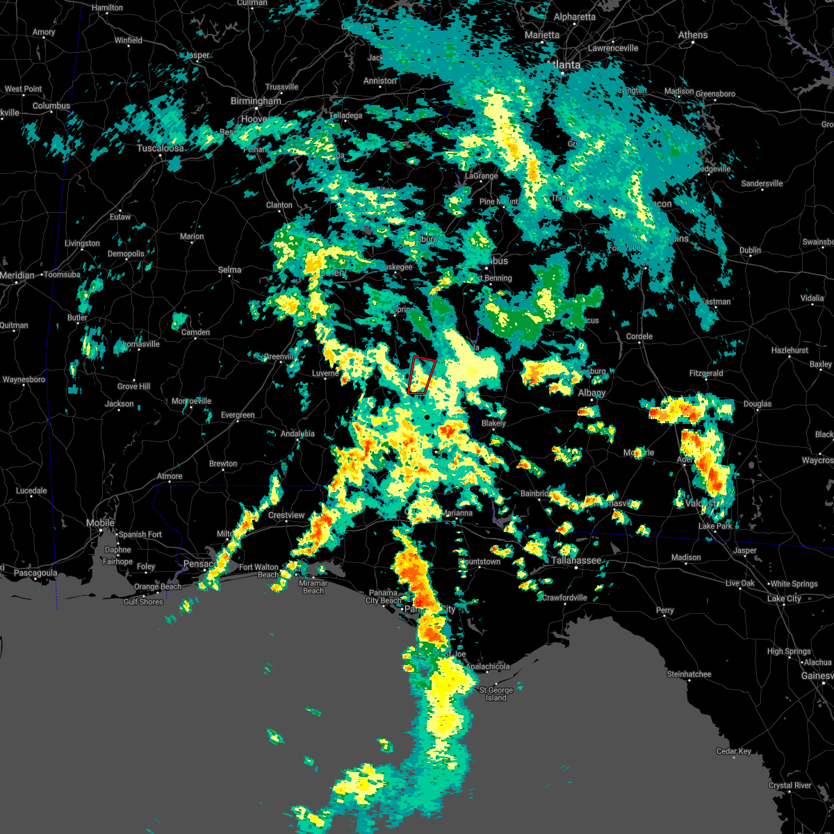 At 227 pm cdt, a severe thunderstorm capable of producing a tornado was located near blue springs state park, or 7 miles southeast of clio, moving north at 35 mph (radar indicated rotation). Hazards include tornado. Flying debris will be dangerous to those caught without shelter. mobile homes will be damaged or destroyed. damage to roofs, windows, and vehicles will occur. Tree damage is likely. At 227 pm cdt, a severe thunderstorm capable of producing a tornado was located near blue springs state park, or 7 miles southeast of clio, moving north at 35 mph (radar indicated rotation). Hazards include tornado. Flying debris will be dangerous to those caught without shelter. mobile homes will be damaged or destroyed. damage to roofs, windows, and vehicles will occur. Tree damage is likely.
|
| 5/4/2021 8:09 PM CDT |
 The severe thunderstorm warning for barbour county will expire at 815 pm cdt, the storms which prompted the warning have weakened below severe limits, and no longer pose an immediate threat to life or property. therefore, the warning will be allowed to expire. however gusty winds and heavy rain are still possible with these thunderstorms. a severe thunderstorm watch remains in effect until midnight cdt for southeastern alabama. to report severe weather, contact your nearest law enforcement agency. they will relay your report to the national weather service birmingham. The severe thunderstorm warning for barbour county will expire at 815 pm cdt, the storms which prompted the warning have weakened below severe limits, and no longer pose an immediate threat to life or property. therefore, the warning will be allowed to expire. however gusty winds and heavy rain are still possible with these thunderstorms. a severe thunderstorm watch remains in effect until midnight cdt for southeastern alabama. to report severe weather, contact your nearest law enforcement agency. they will relay your report to the national weather service birmingham.
|
| 5/4/2021 7:58 PM CDT |
 At 758 pm cdt, severe thunderstorms were located along a line extending from 7 miles east of lakepoint resort state park to near ariton, moving southeast at 50 mph (radar indicated). Hazards include 60 mph wind gusts. Expect damage to roofs, siding, and trees. Locations impacted include, eufaula, clio, clayton, louisville, tyler crossroads, doster, gaino, blue springs state park, osco, texasville, richards crossroads, white oak, lakepoint resort state park, millers ford, lugo and baker hill. At 758 pm cdt, severe thunderstorms were located along a line extending from 7 miles east of lakepoint resort state park to near ariton, moving southeast at 50 mph (radar indicated). Hazards include 60 mph wind gusts. Expect damage to roofs, siding, and trees. Locations impacted include, eufaula, clio, clayton, louisville, tyler crossroads, doster, gaino, blue springs state park, osco, texasville, richards crossroads, white oak, lakepoint resort state park, millers ford, lugo and baker hill.
|
| 5/4/2021 7:31 PM CDT |
 At 731 pm cdt, severe thunderstorms were located along a line extending from near spring hill to 7 miles southeast of goshen, moving southeast at 50 mph (radar indicated). Hazards include 60 mph wind gusts. a wind gust to 53 mph was recently recorded at the troy airport. wind damage has also been reported with this line of storms. Expect damage to roofs, siding, and trees. Locations impacted include, eufaula, clio, clayton, louisville, tyler crossroads, doster, hawkinsville, spring hill, gaino, comer, barbour county public lake dam, blue springs state park, osco, texasville, richards crossroads, white oak, lakepoint resort state park, boot hill, millers ford and batesville. At 731 pm cdt, severe thunderstorms were located along a line extending from near spring hill to 7 miles southeast of goshen, moving southeast at 50 mph (radar indicated). Hazards include 60 mph wind gusts. a wind gust to 53 mph was recently recorded at the troy airport. wind damage has also been reported with this line of storms. Expect damage to roofs, siding, and trees. Locations impacted include, eufaula, clio, clayton, louisville, tyler crossroads, doster, hawkinsville, spring hill, gaino, comer, barbour county public lake dam, blue springs state park, osco, texasville, richards crossroads, white oak, lakepoint resort state park, boot hill, millers ford and batesville.
|
| 5/4/2021 7:21 PM CDT |
 At 720 pm cdt, severe thunderstorms were located along a line extending from near guerryton to goshen, moving southeast at 50 mph (radar indicated). Hazards include 60 mph wind gusts. high winds and wind damage have been reported with this line of storms. expect damage to roofs, siding, and trees At 720 pm cdt, severe thunderstorms were located along a line extending from near guerryton to goshen, moving southeast at 50 mph (radar indicated). Hazards include 60 mph wind gusts. high winds and wind damage have been reported with this line of storms. expect damage to roofs, siding, and trees
|
| 4/24/2021 6:33 PM CDT |
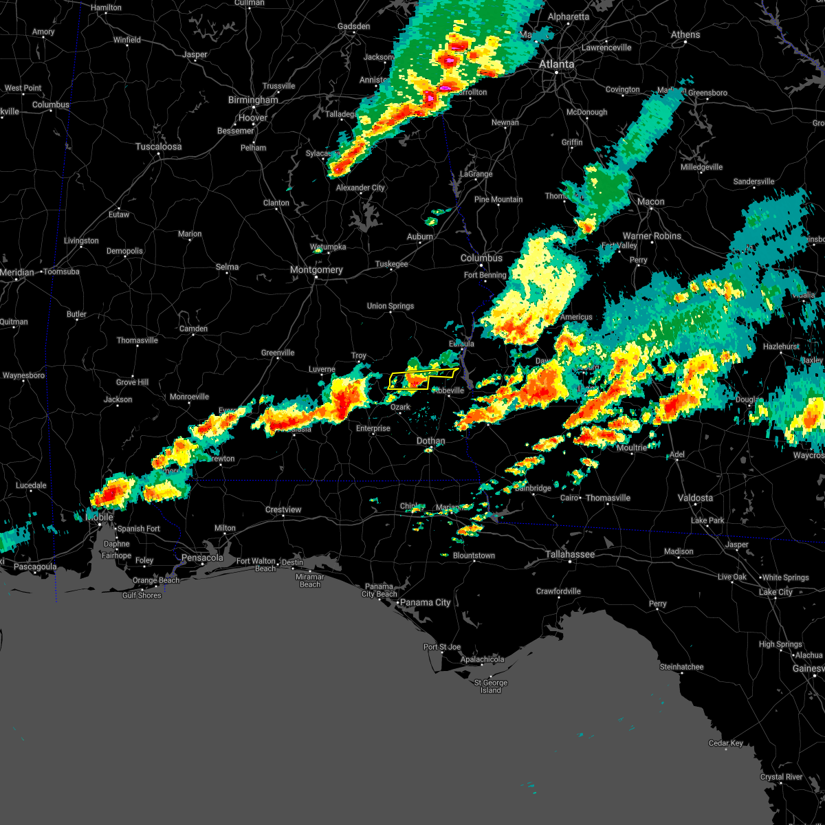 At 633 pm cdt, a severe thunderstorm was located near doster, or near clio, moving east at 60 mph (radar indicated). Hazards include 60 mph wind gusts and quarter size hail. Hail damage to vehicles is expected. expect wind damage to roofs, siding, and trees. Locations impacted include, clio, tyler crossroads, doster, texasville, richards crossroads and blue springs state park. At 633 pm cdt, a severe thunderstorm was located near doster, or near clio, moving east at 60 mph (radar indicated). Hazards include 60 mph wind gusts and quarter size hail. Hail damage to vehicles is expected. expect wind damage to roofs, siding, and trees. Locations impacted include, clio, tyler crossroads, doster, texasville, richards crossroads and blue springs state park.
|
| 4/24/2021 6:22 PM CDT |
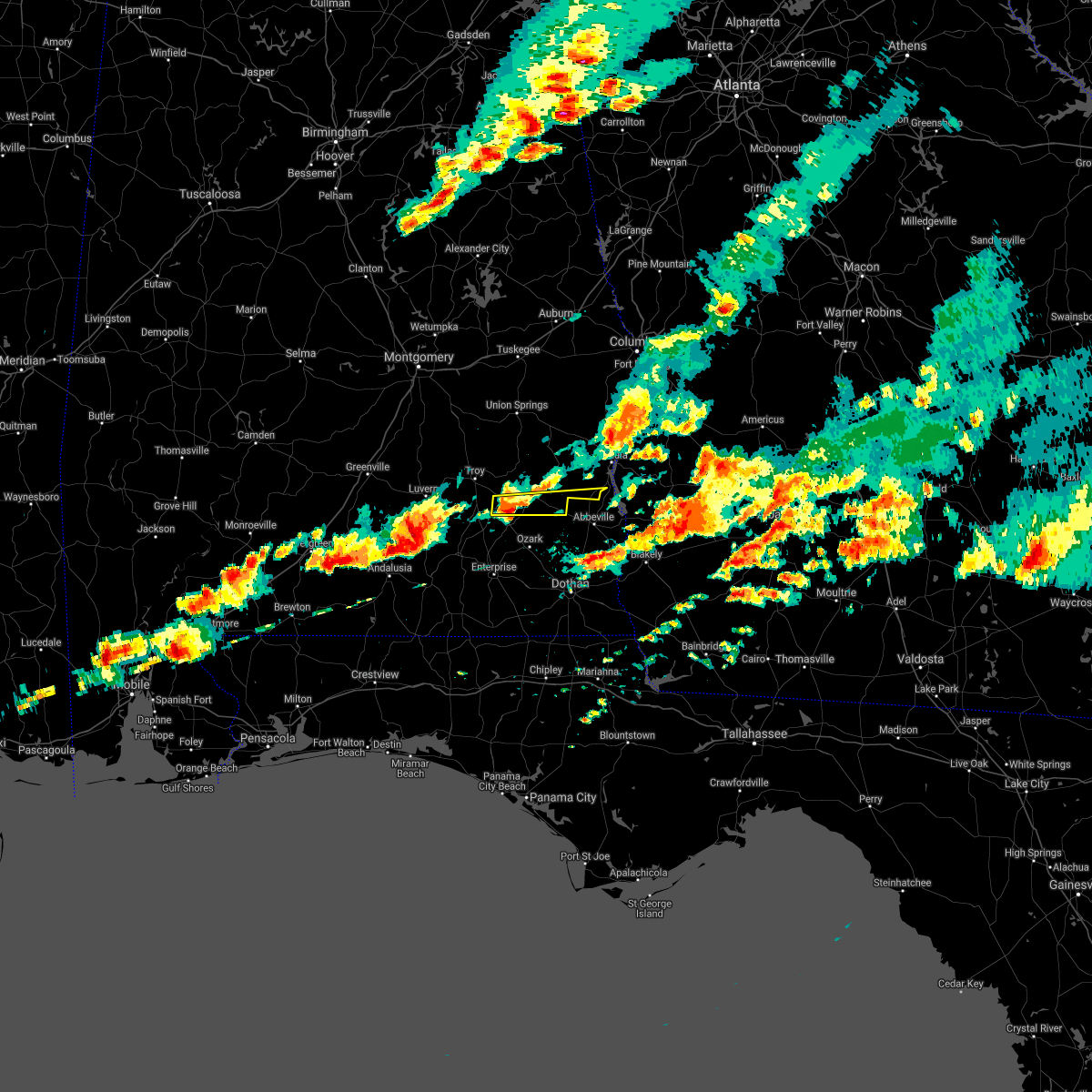 At 622 pm cdt, a severe thunderstorm was located near brundidge, moving east at 60 mph (radar indicated). Hazards include 60 mph wind gusts and quarter size hail. Hail damage to vehicles is expected. Expect wind damage to roofs, siding, and trees. At 622 pm cdt, a severe thunderstorm was located near brundidge, moving east at 60 mph (radar indicated). Hazards include 60 mph wind gusts and quarter size hail. Hail damage to vehicles is expected. Expect wind damage to roofs, siding, and trees.
|
| 4/19/2020 11:40 PM CDT | Multiple trees down in the 3300 block of cr 5 in barbour county AL, 9.9 miles WNW of Clio, AL |
| 4/19/2020 11:32 PM CDT | Trees down on hwy 10 at dale cr 10 in barbour county AL, 12.9 miles WNW of Clio, AL |
| 4/19/2020 11:27 PM CDT | Trees down in the area with some roads blocke in barbour county AL, 0.5 miles W of Clio, AL |
| 4/19/2020 11:25 PM CDT | Tree on house in the 700 block of brundidge st. everyone is out and saf in barbour county AL, 0.1 miles ESE of Clio, AL |
| 4/19/2020 11:21 PM CDT |
 At 1121 pm cdt, a severe thunderstorm was located near doster, or near clio, moving east at 60 mph. this is a very dangerous storm (radar indicated). Hazards include 90 mph wind gusts. You are in a life-threatening situation. flying debris may be deadly to those caught without shelter. mobile homes will be heavily damaged or destroyed. homes and businesses will have substantial roof and window damage. expect extensive tree damage and power outages. Locations impacted include, clio, louisville, tyler crossroads, doster, texasville and blue springs state park. At 1121 pm cdt, a severe thunderstorm was located near doster, or near clio, moving east at 60 mph. this is a very dangerous storm (radar indicated). Hazards include 90 mph wind gusts. You are in a life-threatening situation. flying debris may be deadly to those caught without shelter. mobile homes will be heavily damaged or destroyed. homes and businesses will have substantial roof and window damage. expect extensive tree damage and power outages. Locations impacted include, clio, louisville, tyler crossroads, doster, texasville and blue springs state park.
|
| 4/19/2020 11:18 PM CDT |
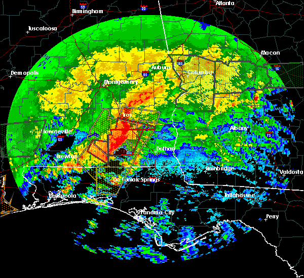 At 1118 pm cdt, a severe thunderstorm capable of producing a tornado was located over doster, or near clio, moving east at 60 mph (radar indicated rotation). Hazards include tornado. Flying debris will be dangerous to those caught without shelter. mobile homes will be damaged or destroyed. damage to roofs, windows, and vehicles will occur. tree damage is likely. Locations impacted include, brundidge, clio, doster, blue springs state park, tennille, brundidge municipal airport and hamilton crossroads. At 1118 pm cdt, a severe thunderstorm capable of producing a tornado was located over doster, or near clio, moving east at 60 mph (radar indicated rotation). Hazards include tornado. Flying debris will be dangerous to those caught without shelter. mobile homes will be damaged or destroyed. damage to roofs, windows, and vehicles will occur. tree damage is likely. Locations impacted include, brundidge, clio, doster, blue springs state park, tennille, brundidge municipal airport and hamilton crossroads.
|
| 4/19/2020 10:59 PM CDT |
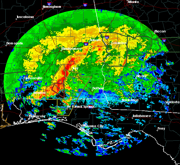 At 1059 pm cdt, a severe thunderstorm capable of producing a tornado was located near troy university, or near troy, moving east at 55 mph (radar indicated rotation). Hazards include tornado. Flying debris will be dangerous to those caught without shelter. mobile homes will be damaged or destroyed. damage to roofs, windows, and vehicles will occur. Tree damage is likely. At 1059 pm cdt, a severe thunderstorm capable of producing a tornado was located near troy university, or near troy, moving east at 55 mph (radar indicated rotation). Hazards include tornado. Flying debris will be dangerous to those caught without shelter. mobile homes will be damaged or destroyed. damage to roofs, windows, and vehicles will occur. Tree damage is likely.
|
| 4/19/2020 10:58 PM CDT |
 At 1057 pm cdt, a severe thunderstorm was located near troy university, or near troy, moving east at 55 mph (radar indicated). Hazards include 70 mph wind gusts. Expect considerable tree damage. Damage is likely to mobile homes, roofs, and outbuildings. At 1057 pm cdt, a severe thunderstorm was located near troy university, or near troy, moving east at 55 mph (radar indicated). Hazards include 70 mph wind gusts. Expect considerable tree damage. Damage is likely to mobile homes, roofs, and outbuildings.
|
| 3/31/2020 10:50 AM CDT |
 At 1050 am cdt, severe thunderstorms were located along a line extending from near banks to 6 miles southwest of brundidge, moving east at 50 mph (radar indicated). Hazards include 60 mph wind gusts. expect damage to roofs, siding, and trees At 1050 am cdt, severe thunderstorms were located along a line extending from near banks to 6 miles southwest of brundidge, moving east at 50 mph (radar indicated). Hazards include 60 mph wind gusts. expect damage to roofs, siding, and trees
|
| 3/4/2020 7:27 AM CST |
 At 725 am cst, a severe thunderstorm was located over clayton, or 15 miles northeast of clio, moving east at 35 mph (pike county sheriff has reported trees down in and around the city of troy). Hazards include 60 mph wind gusts. expect damage to roofs, siding, and trees At 725 am cst, a severe thunderstorm was located over clayton, or 15 miles northeast of clio, moving east at 35 mph (pike county sheriff has reported trees down in and around the city of troy). Hazards include 60 mph wind gusts. expect damage to roofs, siding, and trees
|
| 3/4/2020 7:14 AM CST |
 At 712 am cst, a severe thunderstorm was located near boot hill, or 8 miles north of clio, moving east at 40 mph. pike county sheriff reports trees down around in and around the city of troy. wind damage can be expected with this storm (law enforcement). Hazards include 60 mph wind gusts. Expect damage to roofs, siding, and trees. Locations impacted include, eufaula, brundidge, clio, clayton, louisville, banks, tyler crossroads, gaino, antioch, blue springs state park, osco, texasville, richards crossroads, white oak, boot hill, tanyard, millers ford, clayton municipal airport, monticello and josie. At 712 am cst, a severe thunderstorm was located near boot hill, or 8 miles north of clio, moving east at 40 mph. pike county sheriff reports trees down around in and around the city of troy. wind damage can be expected with this storm (law enforcement). Hazards include 60 mph wind gusts. Expect damage to roofs, siding, and trees. Locations impacted include, eufaula, brundidge, clio, clayton, louisville, banks, tyler crossroads, gaino, antioch, blue springs state park, osco, texasville, richards crossroads, white oak, boot hill, tanyard, millers ford, clayton municipal airport, monticello and josie.
|
| 3/4/2020 7:08 AM CST |
 At 706 am cst, a severe thunderstorm was located near boot hill, or 8 miles north of clio, moving east at 40 mph (radar indicated. at 641 am, a 59 mph wind gust was reported at troy municipal airport). Hazards include 60 mph wind gusts. Expect damage to roofs, siding, and trees. Locations impacted include, eufaula, brundidge, clio, clayton, louisville, banks, tyler crossroads, gaino, antioch, blue springs state park, osco, texasville, richards crossroads, white oak, boot hill, tanyard, millers ford, clayton municipal airport, monticello and josie. At 706 am cst, a severe thunderstorm was located near boot hill, or 8 miles north of clio, moving east at 40 mph (radar indicated. at 641 am, a 59 mph wind gust was reported at troy municipal airport). Hazards include 60 mph wind gusts. Expect damage to roofs, siding, and trees. Locations impacted include, eufaula, brundidge, clio, clayton, louisville, banks, tyler crossroads, gaino, antioch, blue springs state park, osco, texasville, richards crossroads, white oak, boot hill, tanyard, millers ford, clayton municipal airport, monticello and josie.
|
| 3/4/2020 6:52 AM CST |
 At 652 am cst, a severe thunderstorm was located over banks, or 8 miles north of brundidge, moving east at 40 mph (radar indicated). Hazards include 60 mph wind gusts. expect damage to roofs, siding, and trees At 652 am cst, a severe thunderstorm was located over banks, or 8 miles north of brundidge, moving east at 40 mph (radar indicated). Hazards include 60 mph wind gusts. expect damage to roofs, siding, and trees
|
| 1/11/2020 4:21 PM CST |
 At 421 pm cst, severe thunderstorms were located along a line extending from near seale to near blue springs state park, moving northeast at 50 mph (radar indicated). Hazards include 60 mph wind gusts. Expect damage to roofs, siding, and trees. Locations impacted include, eufaula, clio, clayton, louisville, tyler crossroads, hawkinsville, spring hill, gaino, comer, barbour county public lake dam, blue springs state park, osco, texasville, richards crossroads, white oak, lakepoint resort state park, millers ford, batesville, clayton municipal airport and twin springs. At 421 pm cst, severe thunderstorms were located along a line extending from near seale to near blue springs state park, moving northeast at 50 mph (radar indicated). Hazards include 60 mph wind gusts. Expect damage to roofs, siding, and trees. Locations impacted include, eufaula, clio, clayton, louisville, tyler crossroads, hawkinsville, spring hill, gaino, comer, barbour county public lake dam, blue springs state park, osco, texasville, richards crossroads, white oak, lakepoint resort state park, millers ford, batesville, clayton municipal airport and twin springs.
|
| 1/11/2020 4:08 PM CST |
 At 408 pm cst, severe thunderstorms were located along a line extending from near seale to near doster, moving northeast at 50 mph (radar indicated). Hazards include 60 mph wind gusts. Expect damage to roofs, siding, and trees. Locations impacted include, eufaula, clio, clayton, louisville, tyler crossroads, hawkinsville, spring hill, blue springs state park, osco, richards crossroads, white oak, boot hill, doster, gaino, comer, barbour county public lake dam, texasville, lakepoint resort state park, millers ford and twin springs. At 408 pm cst, severe thunderstorms were located along a line extending from near seale to near doster, moving northeast at 50 mph (radar indicated). Hazards include 60 mph wind gusts. Expect damage to roofs, siding, and trees. Locations impacted include, eufaula, clio, clayton, louisville, tyler crossroads, hawkinsville, spring hill, blue springs state park, osco, richards crossroads, white oak, boot hill, doster, gaino, comer, barbour county public lake dam, texasville, lakepoint resort state park, millers ford and twin springs.
|
| 1/11/2020 3:42 PM CST |
 At 342 pm cst, severe thunderstorms were located along a line extending from near hurtsboro to 7 miles north of new brockton, moving northeast at 60 mph (radar indicated). Hazards include 60 mph wind gusts. expect damage to roofs, siding, and trees At 342 pm cst, severe thunderstorms were located along a line extending from near hurtsboro to 7 miles north of new brockton, moving northeast at 60 mph (radar indicated). Hazards include 60 mph wind gusts. expect damage to roofs, siding, and trees
|
| 11/27/2019 9:30 AM CST |
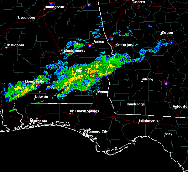 At 930 am cst, a severe thunderstorm capable of producing a tornado was located over tyler crossroads, or near clio, moving east at 35 mph (radar indicated rotation). Hazards include tornado. Flying debris will be dangerous to those caught without shelter. mobile homes will be damaged or destroyed. damage to roofs, windows, and vehicles will occur. tree damage is likely. Locations impacted include, louisville, tyler crossroads, texasville and millers ford. At 930 am cst, a severe thunderstorm capable of producing a tornado was located over tyler crossroads, or near clio, moving east at 35 mph (radar indicated rotation). Hazards include tornado. Flying debris will be dangerous to those caught without shelter. mobile homes will be damaged or destroyed. damage to roofs, windows, and vehicles will occur. tree damage is likely. Locations impacted include, louisville, tyler crossroads, texasville and millers ford.
|
| 11/27/2019 9:24 AM CST | Power lines down. possible tornado. time estimated by rada in barbour county AL, 3.2 miles WSW of Clio, AL |
| 11/27/2019 9:19 AM CST |
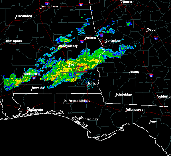 At 918 am cst, a severe thunderstorm capable of producing a tornado was located over clio, moving east at 30 mph (radar indicated rotation). Hazards include tornado. Flying debris will be dangerous to those caught without shelter. mobile homes will be damaged or destroyed. damage to roofs, windows, and vehicles will occur. tree damage is likely. Locations impacted include, clio, louisville, tyler crossroads, texasville, blue springs state park and millers ford. At 918 am cst, a severe thunderstorm capable of producing a tornado was located over clio, moving east at 30 mph (radar indicated rotation). Hazards include tornado. Flying debris will be dangerous to those caught without shelter. mobile homes will be damaged or destroyed. damage to roofs, windows, and vehicles will occur. tree damage is likely. Locations impacted include, clio, louisville, tyler crossroads, texasville, blue springs state park and millers ford.
|
| 11/27/2019 9:18 AM CST | Damage to a portion of a roof on a home by a weak fallen tree. time estimated by radar. possible tornad in barbour county AL, 1.5 miles ESE of Clio, AL |
| 11/27/2019 9:13 AM CST |
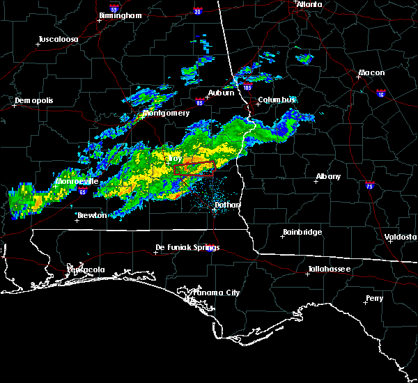 At 911 am cst, a severe thunderstorm capable of producing a tornado was located near brundidge, moving east at 30 mph (radar indicated rotation). Hazards include tornado. Flying debris will be dangerous to those caught without shelter. mobile homes will be damaged or destroyed. damage to roofs, windows, and vehicles will occur. tree damage is likely. Locations impacted include, clio, louisville, tyler crossroads, texasville, blue springs state park and millers ford. At 911 am cst, a severe thunderstorm capable of producing a tornado was located near brundidge, moving east at 30 mph (radar indicated rotation). Hazards include tornado. Flying debris will be dangerous to those caught without shelter. mobile homes will be damaged or destroyed. damage to roofs, windows, and vehicles will occur. tree damage is likely. Locations impacted include, clio, louisville, tyler crossroads, texasville, blue springs state park and millers ford.
|
| 11/27/2019 9:00 AM CST |
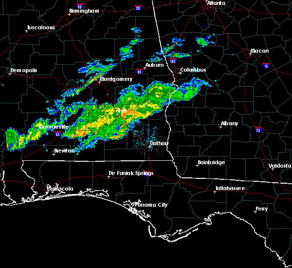 At 900 am cst, a severe thunderstorm capable of producing a tornado was located over brundidge, moving east at 30 mph (radar indicated rotation). Hazards include tornado. Flying debris will be dangerous to those caught without shelter. mobile homes will be damaged or destroyed. damage to roofs, windows, and vehicles will occur. Tree damage is likely. At 900 am cst, a severe thunderstorm capable of producing a tornado was located over brundidge, moving east at 30 mph (radar indicated rotation). Hazards include tornado. Flying debris will be dangerous to those caught without shelter. mobile homes will be damaged or destroyed. damage to roofs, windows, and vehicles will occur. Tree damage is likely.
|
| 9/9/2019 2:34 PM CDT |
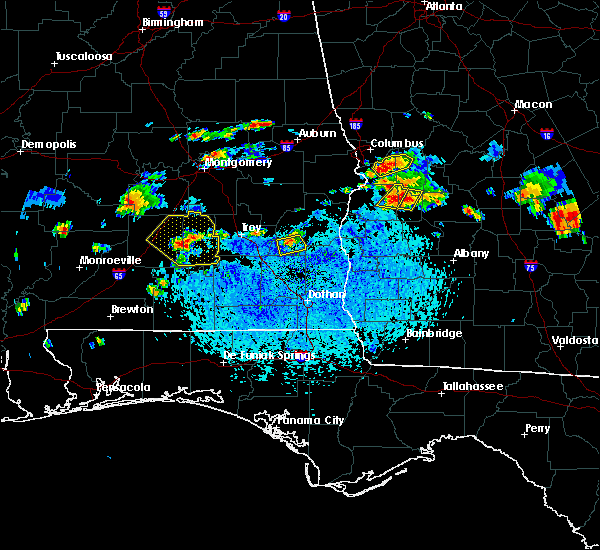 At 234 pm cdt, a severe thunderstorm was located over tyler crossroads, or near clio, and is nearly stationary (radar indicated). Hazards include 60 mph wind gusts. Expect damage to roofs, siding, and trees. Locations impacted include, clio, louisville, tyler crossroads, blue springs state park and texasville. At 234 pm cdt, a severe thunderstorm was located over tyler crossroads, or near clio, and is nearly stationary (radar indicated). Hazards include 60 mph wind gusts. Expect damage to roofs, siding, and trees. Locations impacted include, clio, louisville, tyler crossroads, blue springs state park and texasville.
|
| 9/9/2019 2:19 PM CDT |
 At 219 pm cdt, a severe thunderstorm was located over louisville, or near clio, moving north at 5 mph (radar indicated). Hazards include 60 mph wind gusts. expect damage to roofs, siding, and trees At 219 pm cdt, a severe thunderstorm was located over louisville, or near clio, moving north at 5 mph (radar indicated). Hazards include 60 mph wind gusts. expect damage to roofs, siding, and trees
|
| 6/20/2019 3:09 PM CDT |
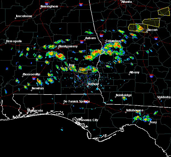 At 258 pm cdt, a severe thunderstorm was located over clio, moving east at 30 mph (radar indicated). Hazards include 60 mph wind gusts and quarter size hail. Hail damage to vehicles is expected. Expect wind damage to roofs, siding, and trees. At 258 pm cdt, a severe thunderstorm was located over clio, moving east at 30 mph (radar indicated). Hazards include 60 mph wind gusts and quarter size hail. Hail damage to vehicles is expected. Expect wind damage to roofs, siding, and trees.
|
| 6/20/2019 2:58 PM CDT |
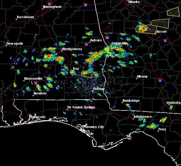 At 258 pm cdt, a severe thunderstorm was located over clio, moving east at 30 mph (radar indicated). Hazards include 60 mph wind gusts and quarter size hail. Hail damage to vehicles is expected. Expect wind damage to roofs, siding, and trees. At 258 pm cdt, a severe thunderstorm was located over clio, moving east at 30 mph (radar indicated). Hazards include 60 mph wind gusts and quarter size hail. Hail damage to vehicles is expected. Expect wind damage to roofs, siding, and trees.
|
| 3/3/2019 4:07 PM CST |
 At 407 pm cst, severe thunderstorms were located along a line extending from 10 miles northeast of lakepoint resort state park to 6 miles northwest of ozark, moving northeast at 40 mph (radar indicated). Hazards include 60 mph wind gusts and nickel size hail. Expect damage to roofs, siding, and trees. locations impacted include, eufaula, clio, tyler crossroads, osco, texasville, gaino, richards crossroads, lakepoint resort state park, blue springs state park, millers ford, lugo and baker hill. A tornado watch remains in effect until 600 pm cst for southeastern alabama. At 407 pm cst, severe thunderstorms were located along a line extending from 10 miles northeast of lakepoint resort state park to 6 miles northwest of ozark, moving northeast at 40 mph (radar indicated). Hazards include 60 mph wind gusts and nickel size hail. Expect damage to roofs, siding, and trees. locations impacted include, eufaula, clio, tyler crossroads, osco, texasville, gaino, richards crossroads, lakepoint resort state park, blue springs state park, millers ford, lugo and baker hill. A tornado watch remains in effect until 600 pm cst for southeastern alabama.
|
| 3/3/2019 3:59 PM CST |
 At 359 pm cst, severe thunderstorms were located along a line extending from near lakepoint resort state park to near fort rucker, moving east at 25 mph (radar indicated). Hazards include 60 mph wind gusts and nickel size hail. Expect damage to roofs, siding, and trees. locations impacted include, eufaula, clio, clayton, louisville, tyler crossroads, doster, hawkinsville, gaino, blue springs state park, osco, texasville, richards crossroads, white oak, lakepoint resort state park, millers ford, batesville, lugo and baker hill. A tornado watch remains in effect until 600 pm cst for southeastern alabama. At 359 pm cst, severe thunderstorms were located along a line extending from near lakepoint resort state park to near fort rucker, moving east at 25 mph (radar indicated). Hazards include 60 mph wind gusts and nickel size hail. Expect damage to roofs, siding, and trees. locations impacted include, eufaula, clio, clayton, louisville, tyler crossroads, doster, hawkinsville, gaino, blue springs state park, osco, texasville, richards crossroads, white oak, lakepoint resort state park, millers ford, batesville, lugo and baker hill. A tornado watch remains in effect until 600 pm cst for southeastern alabama.
|
| 3/3/2019 3:46 PM CST |
 At 346 pm cst, severe thunderstorms were located along a line extending from near hawkinsville to near new brockton, moving east at 45 mph (radar indicated). Hazards include 60 mph wind gusts and nickel size hail. Expect damage to roofs, siding, and trees. locations impacted include, eufaula, clio, clayton, louisville, tyler crossroads, doster, hawkinsville, spring hill, gaino, comer, barbour county public lake dam, blue springs state park, osco, texasville, richards crossroads, white oak, lakepoint resort state park, boot hill, millers ford and batesville. A tornado watch remains in effect until 600 pm cst for southeastern alabama. At 346 pm cst, severe thunderstorms were located along a line extending from near hawkinsville to near new brockton, moving east at 45 mph (radar indicated). Hazards include 60 mph wind gusts and nickel size hail. Expect damage to roofs, siding, and trees. locations impacted include, eufaula, clio, clayton, louisville, tyler crossroads, doster, hawkinsville, spring hill, gaino, comer, barbour county public lake dam, blue springs state park, osco, texasville, richards crossroads, white oak, lakepoint resort state park, boot hill, millers ford and batesville. A tornado watch remains in effect until 600 pm cst for southeastern alabama.
|
| 3/3/2019 3:37 PM CST |
 At 337 pm cst, severe thunderstorms were located along a line extending from near comer to elba, moving southeast at 45 mph (radar indicated). Hazards include 60 mph wind gusts and nickel size hail. Expect damage to roofs, siding, and trees. locations impacted include, eufaula, brundidge, clio, midway, clayton, louisville, banks, tyler crossroads, pickett, hawkinsville, spring hill, blue springs state park, osco, richards crossroads, white oak, boot hill, doster, gaino, comer and barbour county public lake dam. A tornado watch remains in effect until 600 pm cst for southeastern alabama. At 337 pm cst, severe thunderstorms were located along a line extending from near comer to elba, moving southeast at 45 mph (radar indicated). Hazards include 60 mph wind gusts and nickel size hail. Expect damage to roofs, siding, and trees. locations impacted include, eufaula, brundidge, clio, midway, clayton, louisville, banks, tyler crossroads, pickett, hawkinsville, spring hill, blue springs state park, osco, richards crossroads, white oak, boot hill, doster, gaino, comer and barbour county public lake dam. A tornado watch remains in effect until 600 pm cst for southeastern alabama.
|
| 3/3/2019 3:25 PM CST |
 At 325 pm cst, severe thunderstorms were located along a line extending from 6 miles southeast of hurtsboro to 7 miles southeast of brantley, moving east at 55 mph (radar indicated). Hazards include 60 mph wind gusts and nickel size hail. Expect damage to roofs, siding, and trees. locations impacted include, troy, eufaula, brundidge, clio, midway, goshen, clayton, louisville, banks, tyler crossroads, pickett, hawkinsville, aberfoil, spring hill, blue springs state park, guerryton, linwood, osco, richards crossroads and white oak. A tornado watch remains in effect until 600 pm cst for southeastern alabama. At 325 pm cst, severe thunderstorms were located along a line extending from 6 miles southeast of hurtsboro to 7 miles southeast of brantley, moving east at 55 mph (radar indicated). Hazards include 60 mph wind gusts and nickel size hail. Expect damage to roofs, siding, and trees. locations impacted include, troy, eufaula, brundidge, clio, midway, goshen, clayton, louisville, banks, tyler crossroads, pickett, hawkinsville, aberfoil, spring hill, blue springs state park, guerryton, linwood, osco, richards crossroads and white oak. A tornado watch remains in effect until 600 pm cst for southeastern alabama.
|
| 3/3/2019 3:12 PM CST |
 At 312 pm cst, severe thunderstorms were located along a line extending from near guerryton to near brantley, moving east at 40 mph (radar indicated). Hazards include 60 mph wind gusts and nickel size hail. expect damage to roofs, siding, and trees At 312 pm cst, severe thunderstorms were located along a line extending from near guerryton to near brantley, moving east at 40 mph (radar indicated). Hazards include 60 mph wind gusts and nickel size hail. expect damage to roofs, siding, and trees
|
| 1/23/2019 7:06 PM CST |
 At 706 pm cst, a severe squall line capable of producing both tornadoes and straight line wind damage was located along a line extending from clayton to near clio, moving east at 35 mph (radar indicated rotation). Hazards include tornado. Flying debris will be dangerous to those caught without shelter. mobile homes will be damaged or destroyed. damage to roofs, windows, and vehicles will occur. tree damage is likely. Locations impacted include, clio, louisville, tyler crossroads, texasville, blue springs state park and millers ford. At 706 pm cst, a severe squall line capable of producing both tornadoes and straight line wind damage was located along a line extending from clayton to near clio, moving east at 35 mph (radar indicated rotation). Hazards include tornado. Flying debris will be dangerous to those caught without shelter. mobile homes will be damaged or destroyed. damage to roofs, windows, and vehicles will occur. tree damage is likely. Locations impacted include, clio, louisville, tyler crossroads, texasville, blue springs state park and millers ford.
|
| 1/23/2019 6:58 PM CST |
 At 658 pm cst, severe thunderstorms were located along a line extending from near boot hill to clio, moving east at 40 mph. a tornado warning is also in effect for this area (radar indicated). Hazards include 60 mph wind gusts. Expect damage to roofs, siding, and trees. Locations impacted include, clio, clayton, louisville, tyler crossroads, doster and blue springs state park. At 658 pm cst, severe thunderstorms were located along a line extending from near boot hill to clio, moving east at 40 mph. a tornado warning is also in effect for this area (radar indicated). Hazards include 60 mph wind gusts. Expect damage to roofs, siding, and trees. Locations impacted include, clio, clayton, louisville, tyler crossroads, doster and blue springs state park.
|
| 1/23/2019 6:56 PM CST |
 At 656 pm cst, severe thunderstorms capable of producing tornadoes were located along a line extending from near boot hill to doster, moving east at 40 mph (radar indicated rotation). Hazards include tornado. Flying debris will be dangerous to those caught without shelter. mobile homes will be damaged or destroyed. damage to roofs, windows, and vehicles will occur. tree damage is likely. Locations impacted include, clio, louisville, tyler crossroads, doster, texasville, blue springs state park and millers ford. At 656 pm cst, severe thunderstorms capable of producing tornadoes were located along a line extending from near boot hill to doster, moving east at 40 mph (radar indicated rotation). Hazards include tornado. Flying debris will be dangerous to those caught without shelter. mobile homes will be damaged or destroyed. damage to roofs, windows, and vehicles will occur. tree damage is likely. Locations impacted include, clio, louisville, tyler crossroads, doster, texasville, blue springs state park and millers ford.
|
| 1/23/2019 6:41 PM CST |
 At 641 pm cst, a severe thunderstorm capable of producing a tornado was located over brundidge, moving east at 40 mph (radar indicated rotation). Hazards include tornado. Flying debris will be dangerous to those caught without shelter. mobile homes will be damaged or destroyed. damage to roofs, windows, and vehicles will occur. Tree damage is likely. At 641 pm cst, a severe thunderstorm capable of producing a tornado was located over brundidge, moving east at 40 mph (radar indicated rotation). Hazards include tornado. Flying debris will be dangerous to those caught without shelter. mobile homes will be damaged or destroyed. damage to roofs, windows, and vehicles will occur. Tree damage is likely.
|
| 1/23/2019 6:29 PM CST |
 At 628 pm cst, severe thunderstorms were located along a line extending from troy university to 9 miles southwest of antioch, moving east at 40 mph (radar indicated). Hazards include 60 mph wind gusts. expect damage to roofs, siding, and trees At 628 pm cst, severe thunderstorms were located along a line extending from troy university to 9 miles southwest of antioch, moving east at 40 mph (radar indicated). Hazards include 60 mph wind gusts. expect damage to roofs, siding, and trees
|
| 6/28/2018 5:13 PM CDT |
 At 512 pm cdt, severe thunderstorms were located along a line extending from near lakepoint resort state park to near louisville to ansley, moving south at 30 mph (radar indicated). Hazards include 60 mph wind gusts. expect damage to roofs, siding, and trees At 512 pm cdt, severe thunderstorms were located along a line extending from near lakepoint resort state park to near louisville to ansley, moving south at 30 mph (radar indicated). Hazards include 60 mph wind gusts. expect damage to roofs, siding, and trees
|
| 6/28/2018 4:50 PM CDT |
 At 450 pm cdt, severe thunderstorms were located along a line extending from 8 miles southeast of seale to near lapine, moving southeast at 25 mph (radar indicated). Hazards include 60 mph wind gusts. expect damage to roofs, siding, and trees At 450 pm cdt, severe thunderstorms were located along a line extending from 8 miles southeast of seale to near lapine, moving southeast at 25 mph (radar indicated). Hazards include 60 mph wind gusts. expect damage to roofs, siding, and trees
|
| 4/5/2017 10:56 AM CDT |
 At 1056 am cdt, a severe thunderstorm was located near clayton, or 11 miles northeast of clio, moving northeast at 50 mph (radar indicated). Hazards include 60 mph wind gusts and quarter size hail. Hail damage to vehicles is expected. Expect wind damage to roofs, siding, and trees. At 1056 am cdt, a severe thunderstorm was located near clayton, or 11 miles northeast of clio, moving northeast at 50 mph (radar indicated). Hazards include 60 mph wind gusts and quarter size hail. Hail damage to vehicles is expected. Expect wind damage to roofs, siding, and trees.
|
| 4/5/2017 9:35 AM CDT |
 At 934 am cdt, a severe thunderstorm was located 9 miles south of antioch, or 9 miles southwest of brundidge, moving northeast at 40 mph (radar indicated). Hazards include 60 mph wind gusts and quarter size hail. Hail damage to vehicles is expected. Expect wind damage to roofs, siding, and trees. At 934 am cdt, a severe thunderstorm was located 9 miles south of antioch, or 9 miles southwest of brundidge, moving northeast at 40 mph (radar indicated). Hazards include 60 mph wind gusts and quarter size hail. Hail damage to vehicles is expected. Expect wind damage to roofs, siding, and trees.
|
| 4/5/2017 2:13 AM CDT |
 At 213 am cdt, severe thunderstorms were located along a line extending from near clio to near eufaula, moving northeast at 50 mph (radar indicated). Hazards include 60 mph wind gusts and half dollar size hail. Hail damage to vehicles is expected. expect wind damage to roofs, siding, and trees. Locations impacted include, eufaula, clio, clayton, louisville, tyler crossroads, hawkinsville, gaino, barbour county public lake dam, osco, texasville, white oak, lakepoint resort state park, millers ford, batesville, clayton municipal airport, twin springs, lugo and baker hill. At 213 am cdt, severe thunderstorms were located along a line extending from near clio to near eufaula, moving northeast at 50 mph (radar indicated). Hazards include 60 mph wind gusts and half dollar size hail. Hail damage to vehicles is expected. expect wind damage to roofs, siding, and trees. Locations impacted include, eufaula, clio, clayton, louisville, tyler crossroads, hawkinsville, gaino, barbour county public lake dam, osco, texasville, white oak, lakepoint resort state park, millers ford, batesville, clayton municipal airport, twin springs, lugo and baker hill.
|
| 4/5/2017 2:08 AM CDT |
 At 208 am cdt, a severe thunderstorm was located over osco, or near eufaula, moving northeast at 50 mph. an additional severe thunderstorm is near clio (radar indicated). Hazards include ping pong ball size hail and 60 mph wind gusts. People and animals outdoors will be injured. expect hail damage to roofs, siding, windows, and vehicles. expect wind damage to roofs, siding, and trees. Locations impacted include, eufaula, clio, tyler crossroads, osco, texasville, gaino, richards crossroads, millers ford and baker hill. At 208 am cdt, a severe thunderstorm was located over osco, or near eufaula, moving northeast at 50 mph. an additional severe thunderstorm is near clio (radar indicated). Hazards include ping pong ball size hail and 60 mph wind gusts. People and animals outdoors will be injured. expect hail damage to roofs, siding, windows, and vehicles. expect wind damage to roofs, siding, and trees. Locations impacted include, eufaula, clio, tyler crossroads, osco, texasville, gaino, richards crossroads, millers ford and baker hill.
|
| 4/5/2017 2:04 AM CDT |
 At 203 am cdt, severe thunderstorms were located along a line extending from near ariton to near richards crossroads, moving northeast at 50 mph (radar indicated). Hazards include 60 mph wind gusts and half dollar size hail. Hail damage to vehicles is expected. Expect wind damage to roofs, siding, and trees. At 203 am cdt, severe thunderstorms were located along a line extending from near ariton to near richards crossroads, moving northeast at 50 mph (radar indicated). Hazards include 60 mph wind gusts and half dollar size hail. Hail damage to vehicles is expected. Expect wind damage to roofs, siding, and trees.
|
| 4/5/2017 1:40 AM CDT |
 At 140 am cdt, a severe thunderstorm was located over blue springs state park, or 7 miles southeast of clio, moving northeast at 45 mph (radar indicated). Hazards include ping pong ball size hail and 60 mph wind gusts. People and animals outdoors will be injured. expect hail damage to roofs, siding, windows, and vehicles. expect wind damage to roofs, siding, and trees. Locations impacted include, eufaula, clio, tyler crossroads, osco, texasville, gaino, richards crossroads, blue springs state park, millers ford and baker hill. At 140 am cdt, a severe thunderstorm was located over blue springs state park, or 7 miles southeast of clio, moving northeast at 45 mph (radar indicated). Hazards include ping pong ball size hail and 60 mph wind gusts. People and animals outdoors will be injured. expect hail damage to roofs, siding, windows, and vehicles. expect wind damage to roofs, siding, and trees. Locations impacted include, eufaula, clio, tyler crossroads, osco, texasville, gaino, richards crossroads, blue springs state park, millers ford and baker hill.
|
| 4/5/2017 1:24 AM CDT |
 At 123 am cdt, a severe thunderstorm was located near ozark, moving northeast at 45 mph (radar indicated). Hazards include 60 mph wind gusts and half dollar size hail. Hail damage to vehicles is expected. Expect wind damage to roofs, siding, and trees. At 123 am cdt, a severe thunderstorm was located near ozark, moving northeast at 45 mph (radar indicated). Hazards include 60 mph wind gusts and half dollar size hail. Hail damage to vehicles is expected. Expect wind damage to roofs, siding, and trees.
|
| 4/3/2017 10:02 AM CDT |
 At 1001 am cdt, severe thunderstorms were located along a line extending from near midway to near pickett to near blue springs state park, moving east at 35 mph (radar indicated). Hazards include 60 mph wind gusts. Expect damage to roofs, siding, and trees. Locations impacted include, eufaula, clio, midway, clayton, louisville, tyler crossroads, pickett, hawkinsville, aberfoil, spring hill, blue springs state park, osco, richards crossroads, white oak, boot hill, doster, gaino, comer, barbour county public lake dam and texasville. At 1001 am cdt, severe thunderstorms were located along a line extending from near midway to near pickett to near blue springs state park, moving east at 35 mph (radar indicated). Hazards include 60 mph wind gusts. Expect damage to roofs, siding, and trees. Locations impacted include, eufaula, clio, midway, clayton, louisville, tyler crossroads, pickett, hawkinsville, aberfoil, spring hill, blue springs state park, osco, richards crossroads, white oak, boot hill, doster, gaino, comer, barbour county public lake dam and texasville.
|
| 4/3/2017 9:40 AM CDT |
 At 940 am cdt, severe thunderstorms were located along a line extending from near beans crossroads to 7 miles northeast of linwood to near ariton, moving east at 40 mph (radar indicated). Hazards include 60 mph wind gusts. expect damage to roofs, siding, and trees At 940 am cdt, severe thunderstorms were located along a line extending from near beans crossroads to 7 miles northeast of linwood to near ariton, moving east at 40 mph (radar indicated). Hazards include 60 mph wind gusts. expect damage to roofs, siding, and trees
|
| 1/21/2017 9:46 AM CST |
 At 946 am cst, tornado producing storms were located along a line extending from barbour county public lake dam to near blue springs state park, moving east at 50 mph (radar confirmed tornado). Hazards include damaging tornado. Flying debris will be dangerous to those caught without shelter. mobile homes will be damaged or destroyed. damage to roofs, windows, and vehicles will occur. tree damage is likely. Locations impacted include, eufaula, clio, clayton, louisville, gaino, texasville, white oak, richards crossroads, osco, hawkinsville, barbour county public lake dam, lakepoint resort state park, blue springs state park, tyler crossroads, clayton municipal airport, millers ford, lugo, baker hill, twin springs and batesville. At 946 am cst, tornado producing storms were located along a line extending from barbour county public lake dam to near blue springs state park, moving east at 50 mph (radar confirmed tornado). Hazards include damaging tornado. Flying debris will be dangerous to those caught without shelter. mobile homes will be damaged or destroyed. damage to roofs, windows, and vehicles will occur. tree damage is likely. Locations impacted include, eufaula, clio, clayton, louisville, gaino, texasville, white oak, richards crossroads, osco, hawkinsville, barbour county public lake dam, lakepoint resort state park, blue springs state park, tyler crossroads, clayton municipal airport, millers ford, lugo, baker hill, twin springs and batesville.
|
| 1/21/2017 9:39 AM CST |
 At 939 am cst, tornado producing storms were located along a line extending from near barbour county public lake dam to near doster, moving east at 55 mph (radar confirmed tornado). Hazards include damaging tornado. Flying debris will be dangerous to those caught without shelter. mobile homes will be damaged or destroyed. damage to roofs, windows, and vehicles will occur. tree damage is likely. Locations impacted include, eufaula, clio, clayton, louisville, gaino, texasville, white oak, boot hill, richards crossroads, osco, hawkinsville, doster, barbour county public lake dam, lakepoint resort state park, blue springs state park, tyler crossroads, clayton municipal airport, millers ford, lugo and baker hill. At 939 am cst, tornado producing storms were located along a line extending from near barbour county public lake dam to near doster, moving east at 55 mph (radar confirmed tornado). Hazards include damaging tornado. Flying debris will be dangerous to those caught without shelter. mobile homes will be damaged or destroyed. damage to roofs, windows, and vehicles will occur. tree damage is likely. Locations impacted include, eufaula, clio, clayton, louisville, gaino, texasville, white oak, boot hill, richards crossroads, osco, hawkinsville, doster, barbour county public lake dam, lakepoint resort state park, blue springs state park, tyler crossroads, clayton municipal airport, millers ford, lugo and baker hill.
|
| 1/21/2017 9:36 AM CST |
 At 936 am cst, a severe squall line capable of producing both tornadoes and extensive straight line wind damage was located along a line extending from near pickett to near doster, moving east at 50 mph (radar indicated rotation). Hazards include tornado. Flying debris will be dangerous to those caught without shelter. mobile homes will be damaged or destroyed. damage to roofs, windows, and vehicles will occur. tree damage is likely. Locations impacted include, eufaula, clio, clayton, louisville, gaino, texasville, white oak, boot hill, richards crossroads, osco, hawkinsville, doster, barbour county public lake dam, lakepoint resort state park, blue springs state park, tyler crossroads, clayton municipal airport, millers ford, lugo and baker hill. At 936 am cst, a severe squall line capable of producing both tornadoes and extensive straight line wind damage was located along a line extending from near pickett to near doster, moving east at 50 mph (radar indicated rotation). Hazards include tornado. Flying debris will be dangerous to those caught without shelter. mobile homes will be damaged or destroyed. damage to roofs, windows, and vehicles will occur. tree damage is likely. Locations impacted include, eufaula, clio, clayton, louisville, gaino, texasville, white oak, boot hill, richards crossroads, osco, hawkinsville, doster, barbour county public lake dam, lakepoint resort state park, blue springs state park, tyler crossroads, clayton municipal airport, millers ford, lugo and baker hill.
|
| 1/21/2017 9:23 AM CST |
 At 923 am cst, severe thunderstorms capable of producing both tornadoes and extensive straight line wind damage were located along a line extending from near pickett to 7 miles west of ariton, moving east at 55 mph (radar indicated rotation). Hazards include tornado. Flying debris will be dangerous to those caught without shelter. mobile homes will be damaged or destroyed. damage to roofs, windows, and vehicles will occur. Tree damage is likely. At 923 am cst, severe thunderstorms capable of producing both tornadoes and extensive straight line wind damage were located along a line extending from near pickett to 7 miles west of ariton, moving east at 55 mph (radar indicated rotation). Hazards include tornado. Flying debris will be dangerous to those caught without shelter. mobile homes will be damaged or destroyed. damage to roofs, windows, and vehicles will occur. Tree damage is likely.
|
| 6/17/2016 6:58 PM CDT |
 At 658 pm cdt, severe thunderstorms were located along a line extending from 7 miles east of richards crossroads to doster, moving south at 35 mph (radar indicated). Hazards include 60 mph wind gusts. Expect damage to roofs. siding. and trees. Locations impacted include, clio, louisville, gaino, texasville, richards crossroads, doster, blue springs state park, tyler crossroads, millers ford and baker hill. At 658 pm cdt, severe thunderstorms were located along a line extending from 7 miles east of richards crossroads to doster, moving south at 35 mph (radar indicated). Hazards include 60 mph wind gusts. Expect damage to roofs. siding. and trees. Locations impacted include, clio, louisville, gaino, texasville, richards crossroads, doster, blue springs state park, tyler crossroads, millers ford and baker hill.
|
| 6/17/2016 6:45 PM CDT |
 At 645 pm cdt, severe thunderstorms were located along a line extending from near georgetown to near boot hill, moving southeast at 40 mph (radar indicated). Hazards include 60 mph wind gusts. Expect damage to roofs. siding. and trees. Locations impacted include, eufaula, clio, clayton, louisville, gaino, texasville, white oak, boot hill, richards crossroads, osco, doster, blue springs state park, tyler crossroads, clayton municipal airport, millers ford and baker hill. At 645 pm cdt, severe thunderstorms were located along a line extending from near georgetown to near boot hill, moving southeast at 40 mph (radar indicated). Hazards include 60 mph wind gusts. Expect damage to roofs. siding. and trees. Locations impacted include, eufaula, clio, clayton, louisville, gaino, texasville, white oak, boot hill, richards crossroads, osco, doster, blue springs state park, tyler crossroads, clayton municipal airport, millers ford and baker hill.
|
| 6/17/2016 6:38 PM CDT |
 At 638 pm cdt, severe thunderstorms were located along a line extending from georgetown to near boot hill, moving southeast at 40 mph (radar indicated). Hazards include 60 mph wind gusts. Expect damage to roofs. siding. and trees. Locations impacted include, eufaula, clio, clayton, louisville, gaino, texasville, white oak, boot hill, comer, richards crossroads, osco, hawkinsville, doster, barbour county public lake dam, lakepoint resort state park, blue springs state park, tyler crossroads, clayton municipal airport, mount andrew and millers ford. At 638 pm cdt, severe thunderstorms were located along a line extending from georgetown to near boot hill, moving southeast at 40 mph (radar indicated). Hazards include 60 mph wind gusts. Expect damage to roofs. siding. and trees. Locations impacted include, eufaula, clio, clayton, louisville, gaino, texasville, white oak, boot hill, comer, richards crossroads, osco, hawkinsville, doster, barbour county public lake dam, lakepoint resort state park, blue springs state park, tyler crossroads, clayton municipal airport, mount andrew and millers ford.
|
| 6/17/2016 6:22 PM CDT |
 At 622 pm cdt, severe thunderstorms were located along a line extending from near hawkinsville to near beans crossroads, moving southeast at 40 mph (radar indicated). Hazards include 60 mph wind gusts. Expect damage to roofs. siding. and trees. Locations impacted include, eufaula, clio, clayton, louisville, gaino, texasville, white oak, boot hill, comer, richards crossroads, osco, hawkinsville, doster, barbour county public lake dam, spring hill, lakepoint resort state park, blue springs state park, tyler crossroads, clayton municipal airport and mount andrew. At 622 pm cdt, severe thunderstorms were located along a line extending from near hawkinsville to near beans crossroads, moving southeast at 40 mph (radar indicated). Hazards include 60 mph wind gusts. Expect damage to roofs. siding. and trees. Locations impacted include, eufaula, clio, clayton, louisville, gaino, texasville, white oak, boot hill, comer, richards crossroads, osco, hawkinsville, doster, barbour county public lake dam, spring hill, lakepoint resort state park, blue springs state park, tyler crossroads, clayton municipal airport and mount andrew.
|
| 6/17/2016 6:05 PM CDT |
 At 604 pm cdt, severe thunderstorms were located along a line extending from 6 miles southwest of seale to near aberfoil, moving southeast at 40 mph (radar indicated). Hazards include 60 mph wind gusts. Expect damage to roofs. siding. And trees. At 604 pm cdt, severe thunderstorms were located along a line extending from 6 miles southwest of seale to near aberfoil, moving southeast at 40 mph (radar indicated). Hazards include 60 mph wind gusts. Expect damage to roofs. siding. And trees.
|
| 3/24/2016 4:01 PM CDT |
 At 401 pm cdt, severe thunderstorms were located along a line extending from near boot hill to clio to 7 miles south of blue springs state park, moving northeast at 45 mph (radar indicated). Hazards include 60 mph wind gusts. Expect damage to roofs. siding. and trees. Locations impacted include, eufaula, clio, clayton, louisville, gaino, texasville, white oak, richards crossroads, osco, lakepoint resort state park, blue springs state park, tyler crossroads, clayton municipal airport, millers ford, lugo and baker hill. At 401 pm cdt, severe thunderstorms were located along a line extending from near boot hill to clio to 7 miles south of blue springs state park, moving northeast at 45 mph (radar indicated). Hazards include 60 mph wind gusts. Expect damage to roofs. siding. and trees. Locations impacted include, eufaula, clio, clayton, louisville, gaino, texasville, white oak, richards crossroads, osco, lakepoint resort state park, blue springs state park, tyler crossroads, clayton municipal airport, millers ford, lugo and baker hill.
|
| 3/24/2016 3:39 PM CDT |
 At 338 pm cdt, severe thunderstorms were located along a line extending from near antioch to near brundidge to near fort rucker, moving east at 45 mph (radar indicated). Hazards include 60 mph wind gusts and quarter size hail. Hail damage to vehicles is expected. Expect wind damage to roofs, siding, and trees. At 338 pm cdt, severe thunderstorms were located along a line extending from near antioch to near brundidge to near fort rucker, moving east at 45 mph (radar indicated). Hazards include 60 mph wind gusts and quarter size hail. Hail damage to vehicles is expected. Expect wind damage to roofs, siding, and trees.
|
| 2/15/2016 6:46 PM CST |
 At 646 pm cst, severe thunderstorms were located along a line extending from near guerryton to near blue springs state park, moving east at 50 mph (radar indicated). Hazards include 60 mph wind gusts. Expect damage to roofs. siding and trees. locations impacted include, eufaula, clio, clayton, louisville, gaino, texasville, white oak, comer, richards crossroads, osco, hawkinsville, barbour county public lake dam, spring hill, lakepoint resort state park, blue springs state park, tyler crossroads, clayton municipal airport, mount andrew, millers ford and lugo. A tornado watch remains in effect until 900 pm cst for southeastern alabama. At 646 pm cst, severe thunderstorms were located along a line extending from near guerryton to near blue springs state park, moving east at 50 mph (radar indicated). Hazards include 60 mph wind gusts. Expect damage to roofs. siding and trees. locations impacted include, eufaula, clio, clayton, louisville, gaino, texasville, white oak, comer, richards crossroads, osco, hawkinsville, barbour county public lake dam, spring hill, lakepoint resort state park, blue springs state park, tyler crossroads, clayton municipal airport, mount andrew, millers ford and lugo. A tornado watch remains in effect until 900 pm cst for southeastern alabama.
|
| 2/15/2016 6:21 PM CST |
 At 621 pm cst, severe thunderstorms were located along a line extending from near franklin field to 9 miles west of ariton, moving east at 50 mph (radar indicated). Hazards include 60 mph wind gusts. Expect damage to roofs. Siding and trees. At 621 pm cst, severe thunderstorms were located along a line extending from near franklin field to 9 miles west of ariton, moving east at 50 mph (radar indicated). Hazards include 60 mph wind gusts. Expect damage to roofs. Siding and trees.
|
| 12/24/2015 8:40 AM CST |
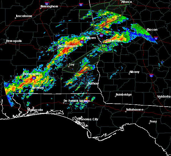 At 840 am cst, a severe thunderstorm capable of producing a tornado was located near blue springs state park, or near clio, moving northeast at 20 mph (radar indicated rotation). Hazards include tornado. Flying debris will be dangerous to those caught without shelter. mobile homes will be damaged or destroyed. damage to roofs, windows and vehicles will occur. tree damage is likely. this dangerous storm will be near, blue springs, tyler crossroads and blue springs state park around 855 am cst. texasville around 915 am cst. Other locations impacted by this tornadic thunderstorm include millers ford. At 840 am cst, a severe thunderstorm capable of producing a tornado was located near blue springs state park, or near clio, moving northeast at 20 mph (radar indicated rotation). Hazards include tornado. Flying debris will be dangerous to those caught without shelter. mobile homes will be damaged or destroyed. damage to roofs, windows and vehicles will occur. tree damage is likely. this dangerous storm will be near, blue springs, tyler crossroads and blue springs state park around 855 am cst. texasville around 915 am cst. Other locations impacted by this tornadic thunderstorm include millers ford.
|
| 7/22/2015 3:18 PM CDT |
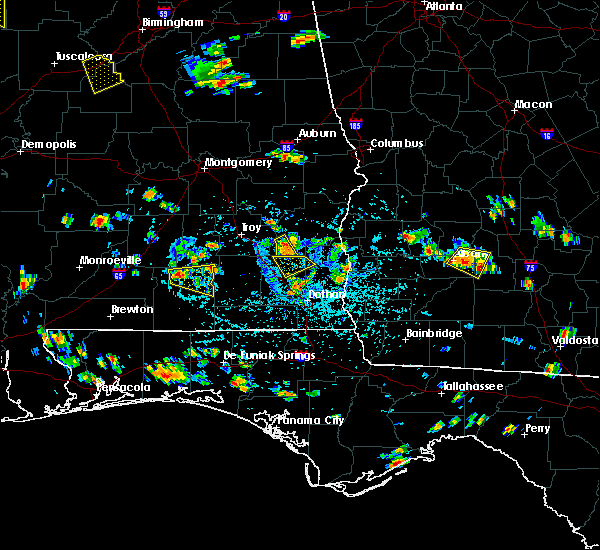 At 317 pm cdt, a severe thunderstorm was located over clio, moving northeast at 10 mph (radar indicated). Hazards include 60 mph wind gusts and quarter size hail. Hail damage to vehicles is expected. expect wind damage to roofs, siding and trees. Locations impacted include, clio, louisville, blue springs state park and tyler crossroads. At 317 pm cdt, a severe thunderstorm was located over clio, moving northeast at 10 mph (radar indicated). Hazards include 60 mph wind gusts and quarter size hail. Hail damage to vehicles is expected. expect wind damage to roofs, siding and trees. Locations impacted include, clio, louisville, blue springs state park and tyler crossroads.
|
| 7/22/2015 3:01 PM CDT |
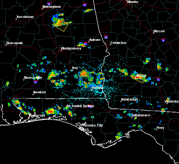 At 301 pm cdt, a severe thunderstorm was located over clio, moving southeast at 10 mph (radar indicated). Hazards include 60 mph wind gusts and quarter size hail. Hail damage to vehicles is expected. Expect wind damage to roofs, siding and trees. At 301 pm cdt, a severe thunderstorm was located over clio, moving southeast at 10 mph (radar indicated). Hazards include 60 mph wind gusts and quarter size hail. Hail damage to vehicles is expected. Expect wind damage to roofs, siding and trees.
|
| 7/22/2015 2:25 PM CDT |
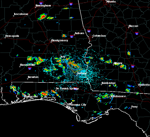 At 225 pm cdt, a severe thunderstorm was located near doster, or near clio, moving southeast at 5 mph (radar indicated). Hazards include 60 mph wind gusts and penny size hail. Expect damage to roofs. siding and trees. Locations impacted include, clio and doster. At 225 pm cdt, a severe thunderstorm was located near doster, or near clio, moving southeast at 5 mph (radar indicated). Hazards include 60 mph wind gusts and penny size hail. Expect damage to roofs. siding and trees. Locations impacted include, clio and doster.
|
| 7/22/2015 2:07 PM CDT |
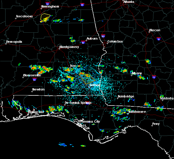 At 206 pm cdt, a severe thunderstorm was located over doster, or near clio, moving southeast at 5 mph (radar indicated). Hazards include 60 mph wind gusts and penny size hail. Expect damage to roofs. Siding and trees. At 206 pm cdt, a severe thunderstorm was located over doster, or near clio, moving southeast at 5 mph (radar indicated). Hazards include 60 mph wind gusts and penny size hail. Expect damage to roofs. Siding and trees.
|
Hail Maps for Clio, AL


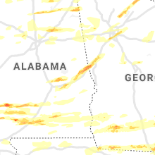


Connect with Interactive Hail Maps