

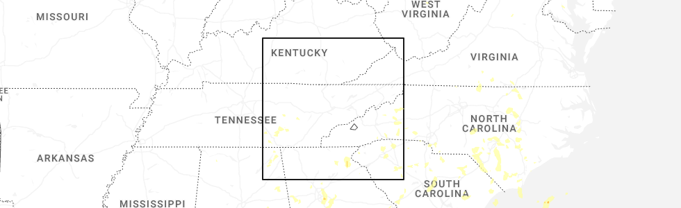
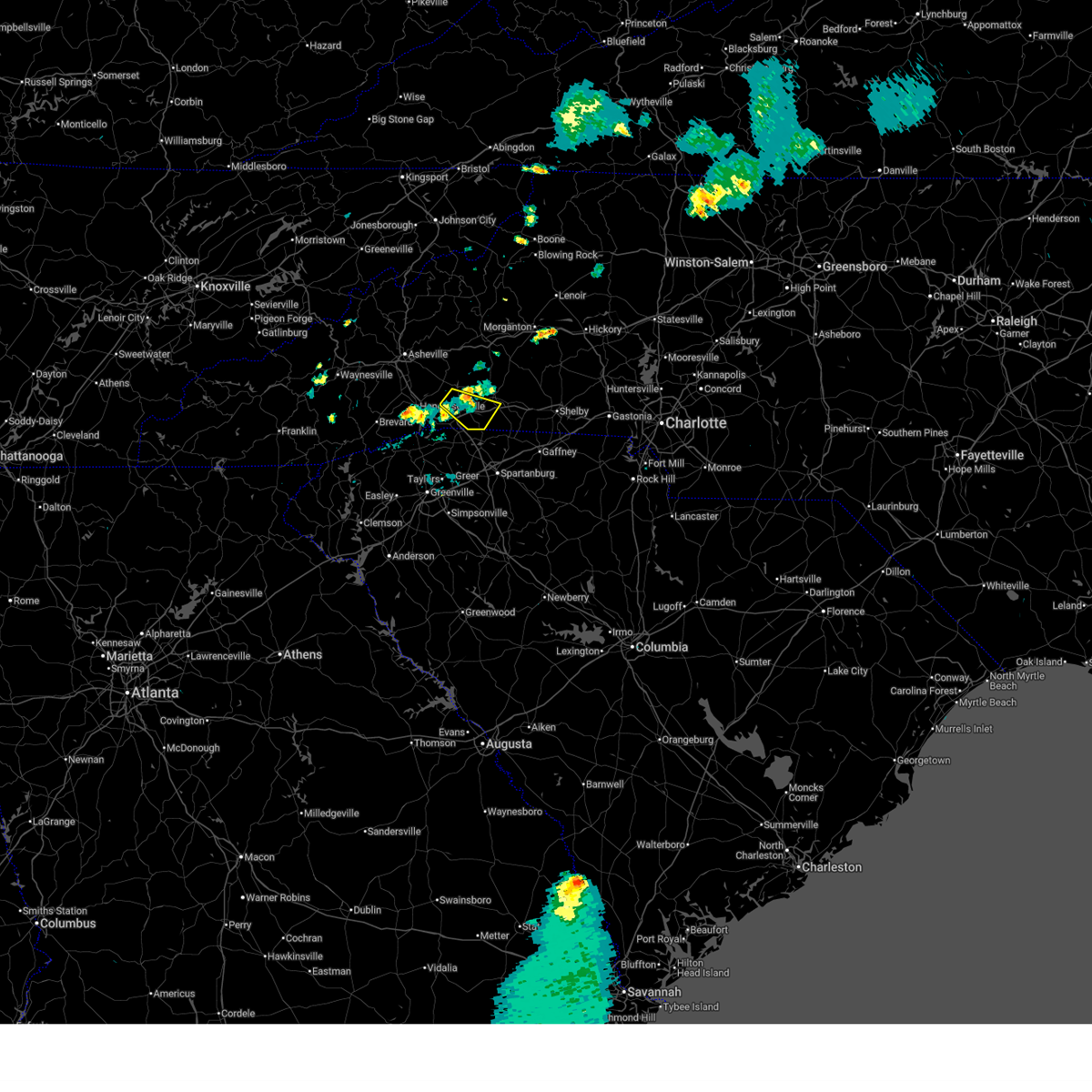
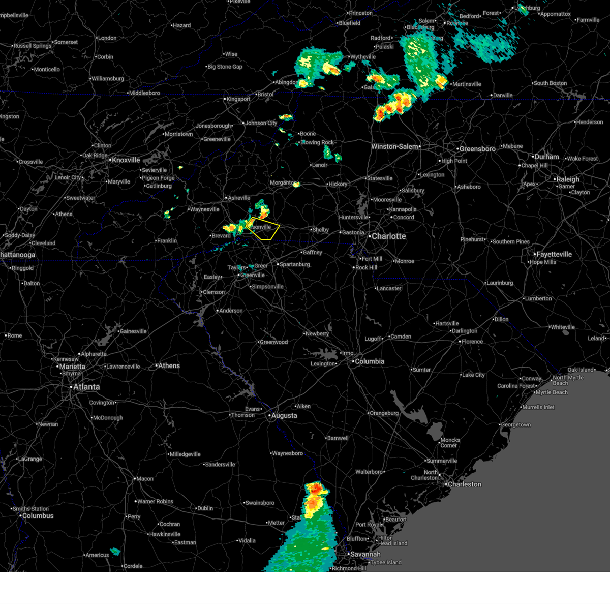
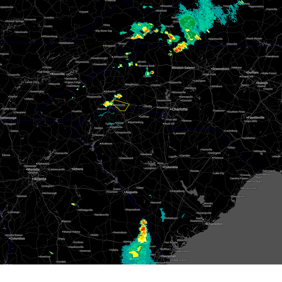
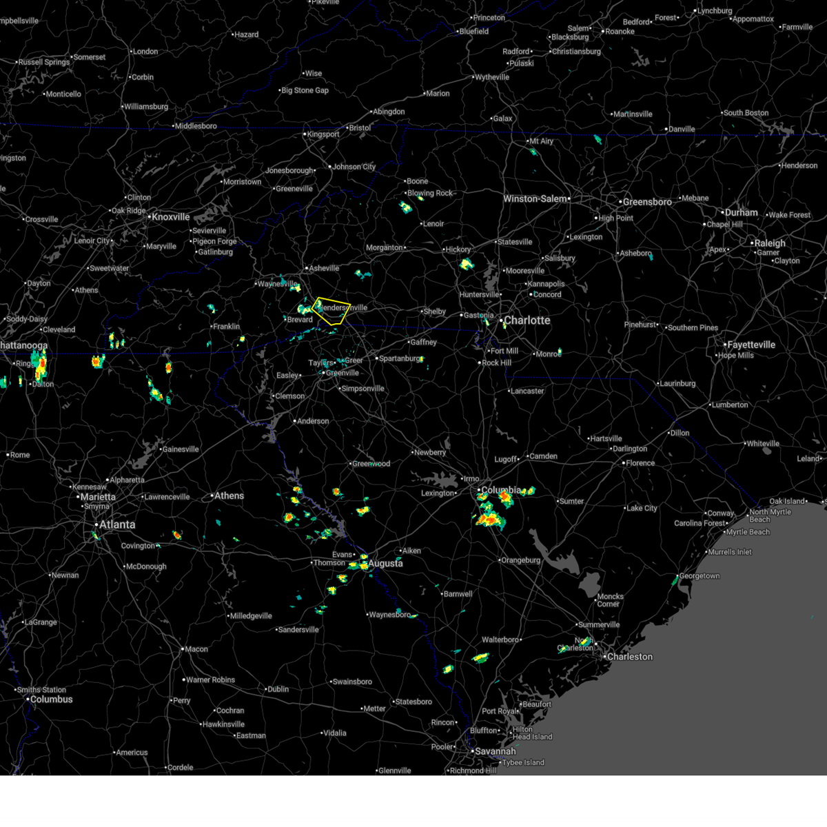
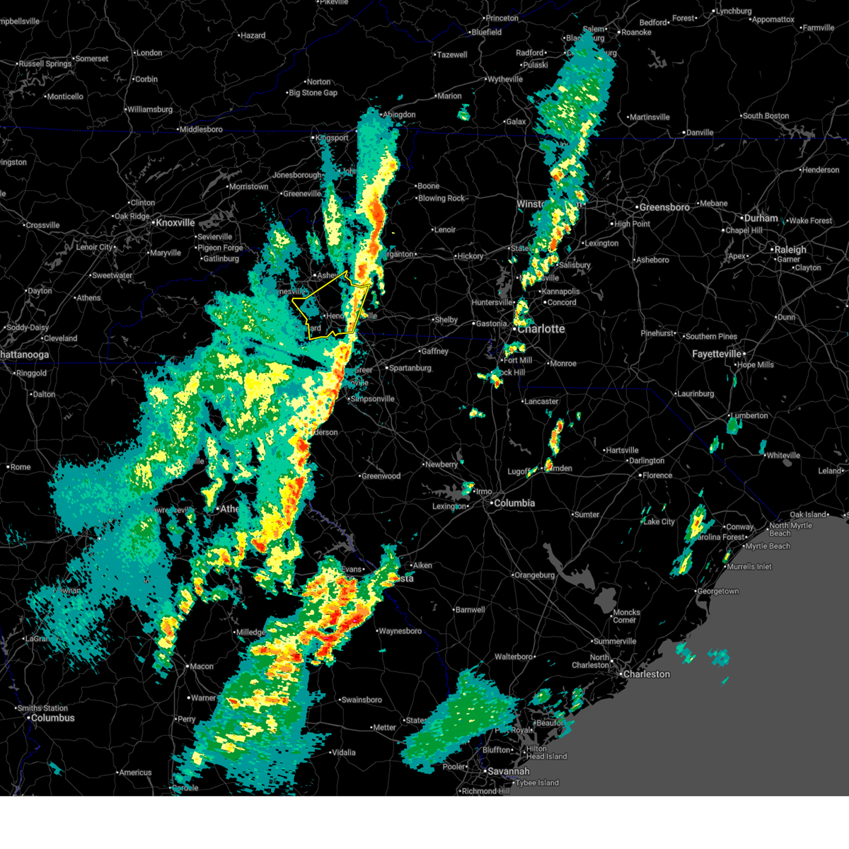
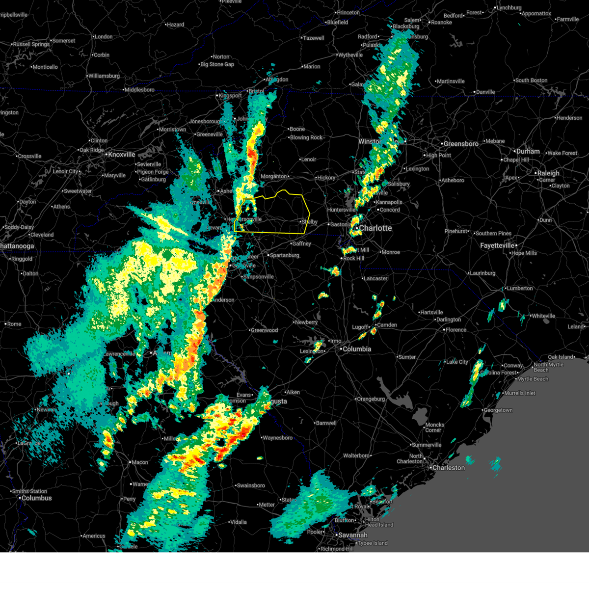
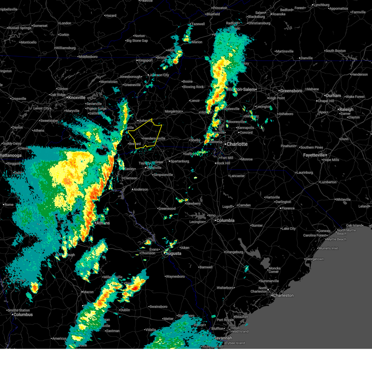
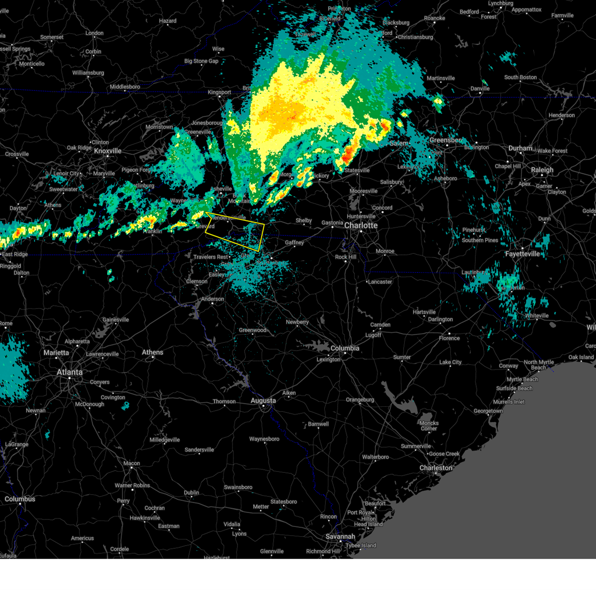
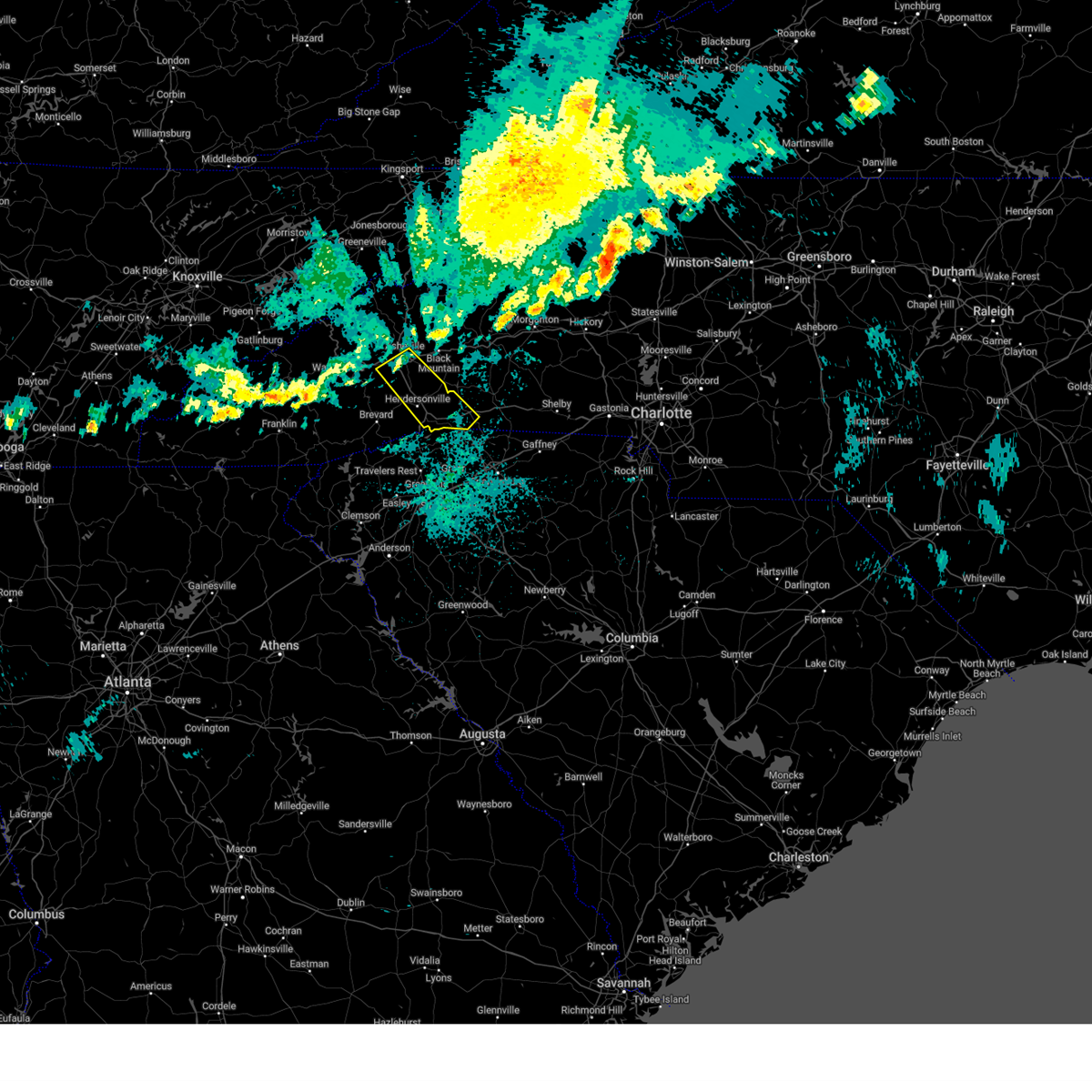
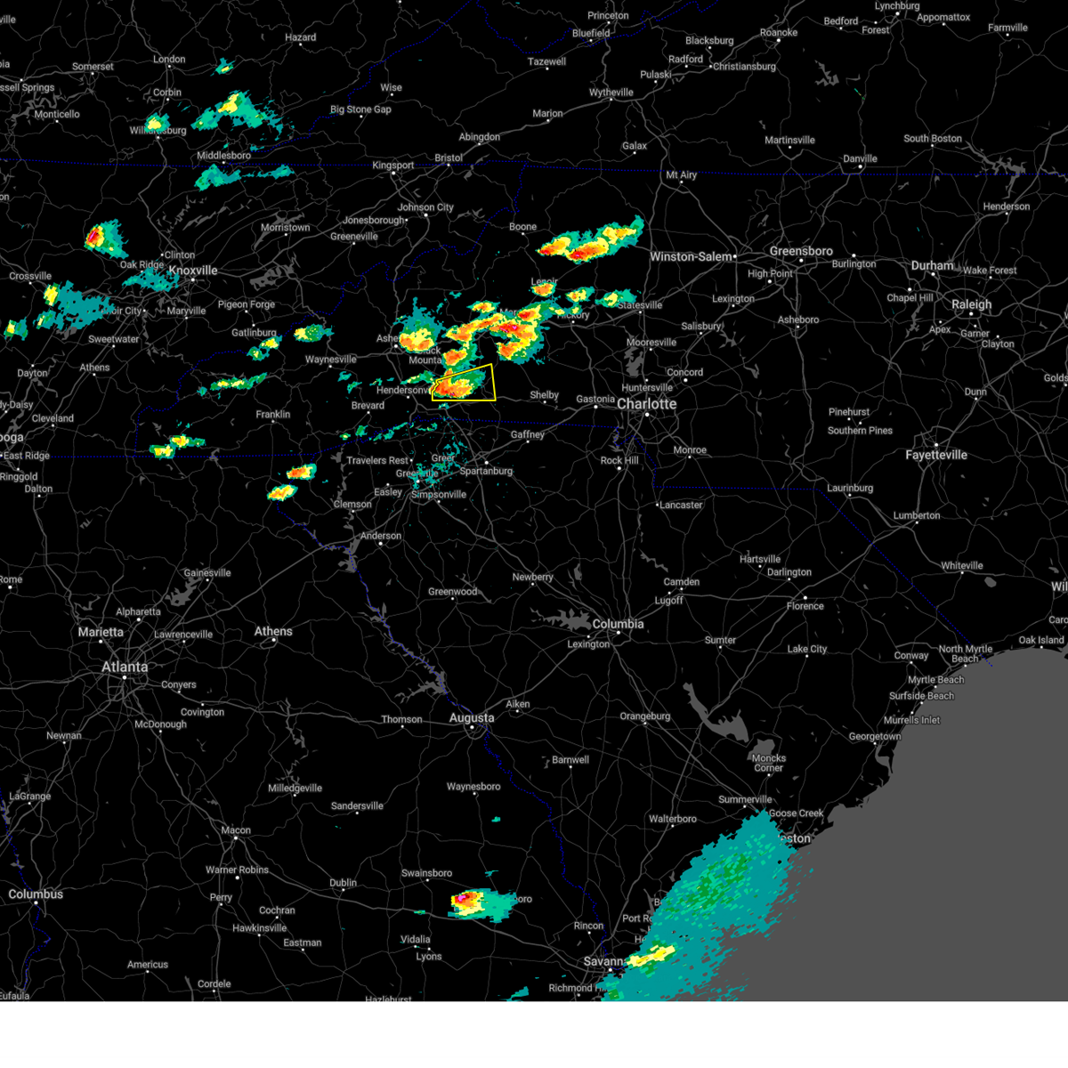
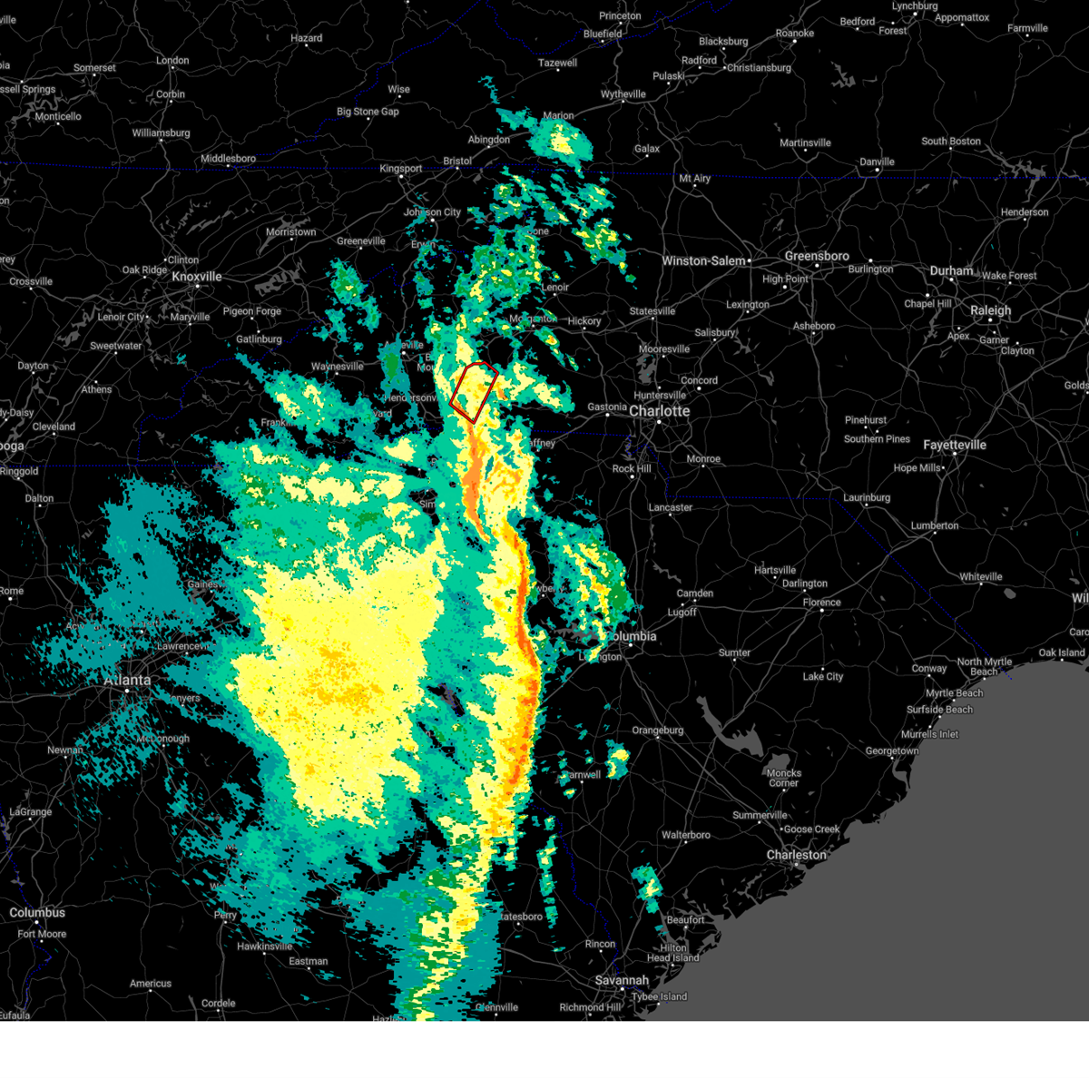
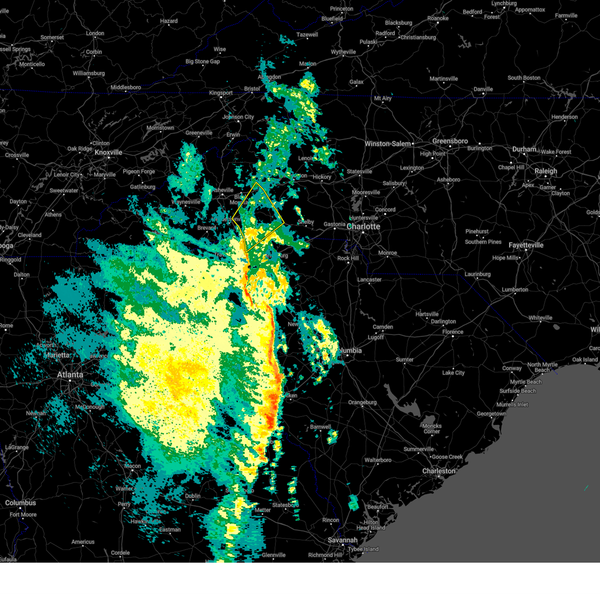
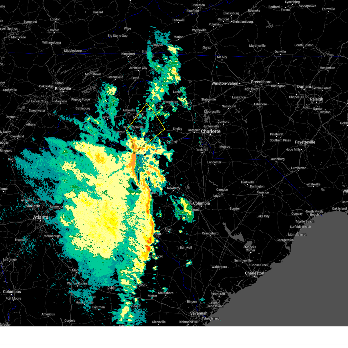
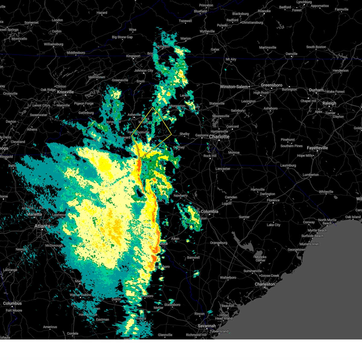
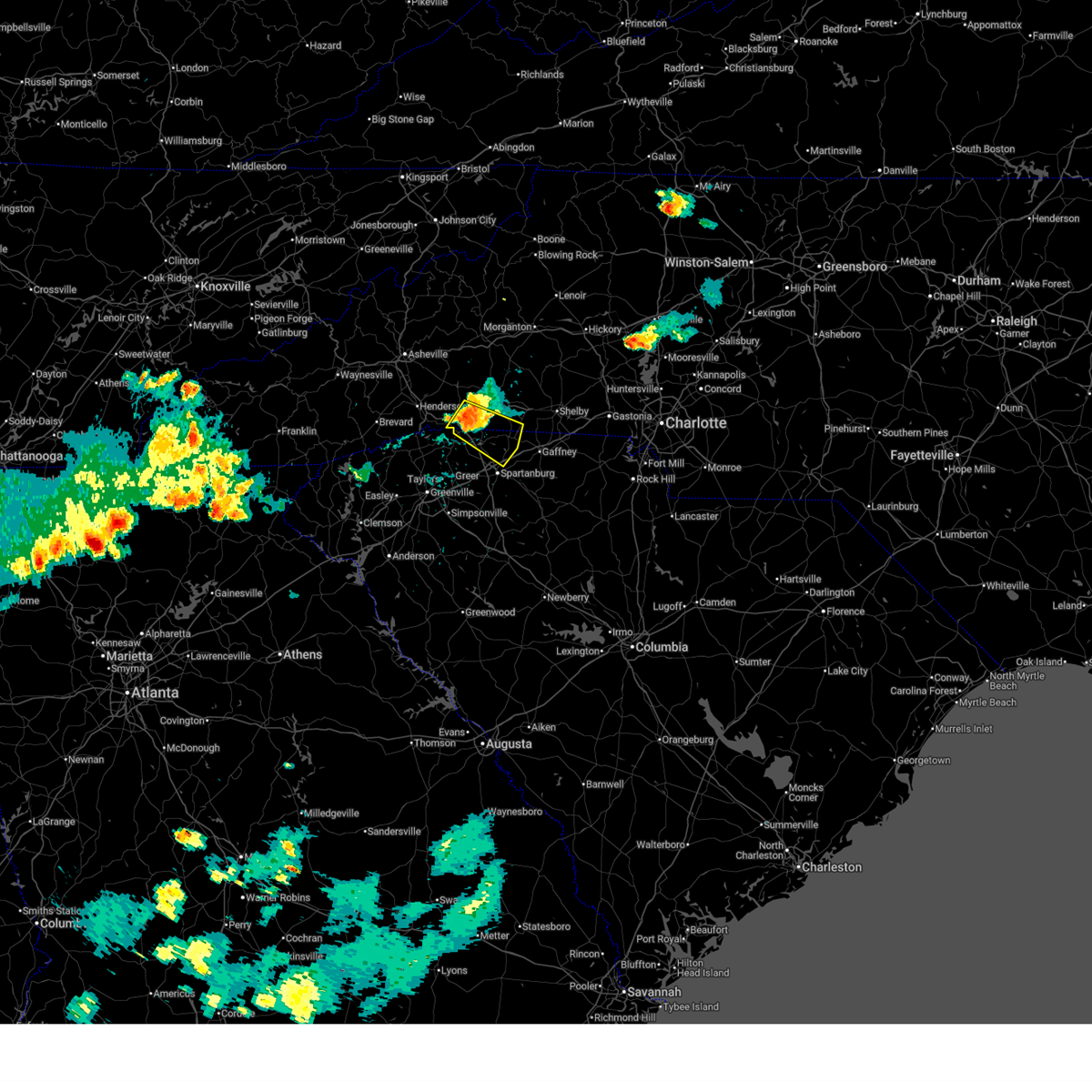
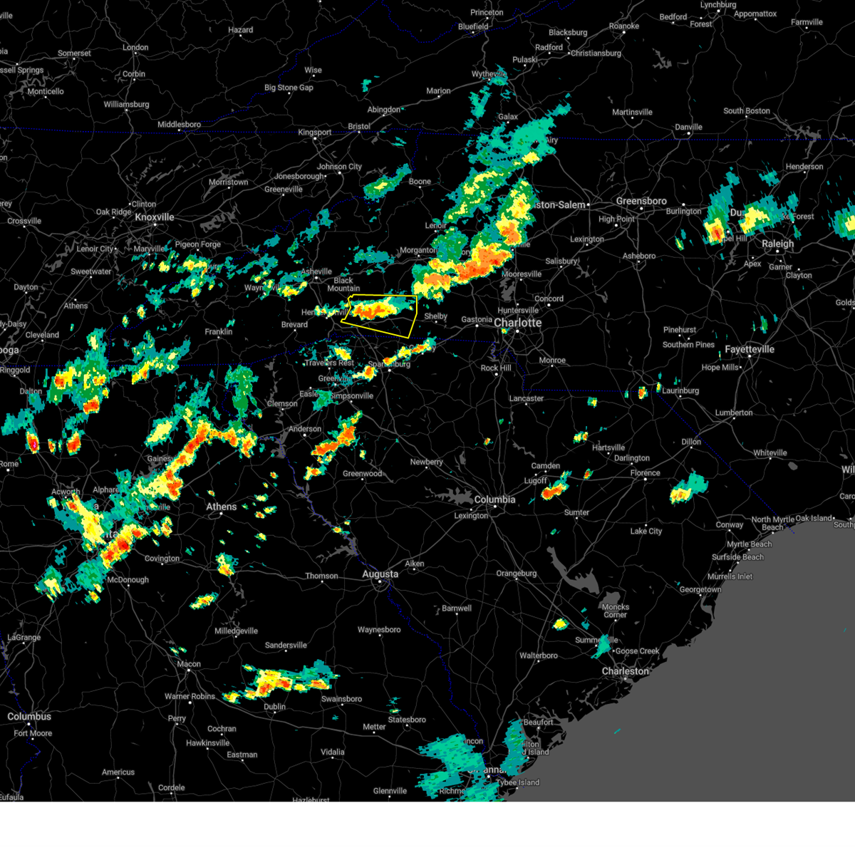
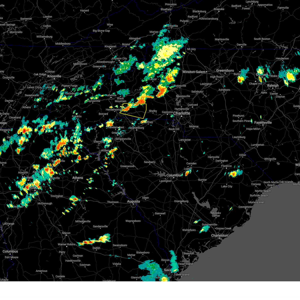
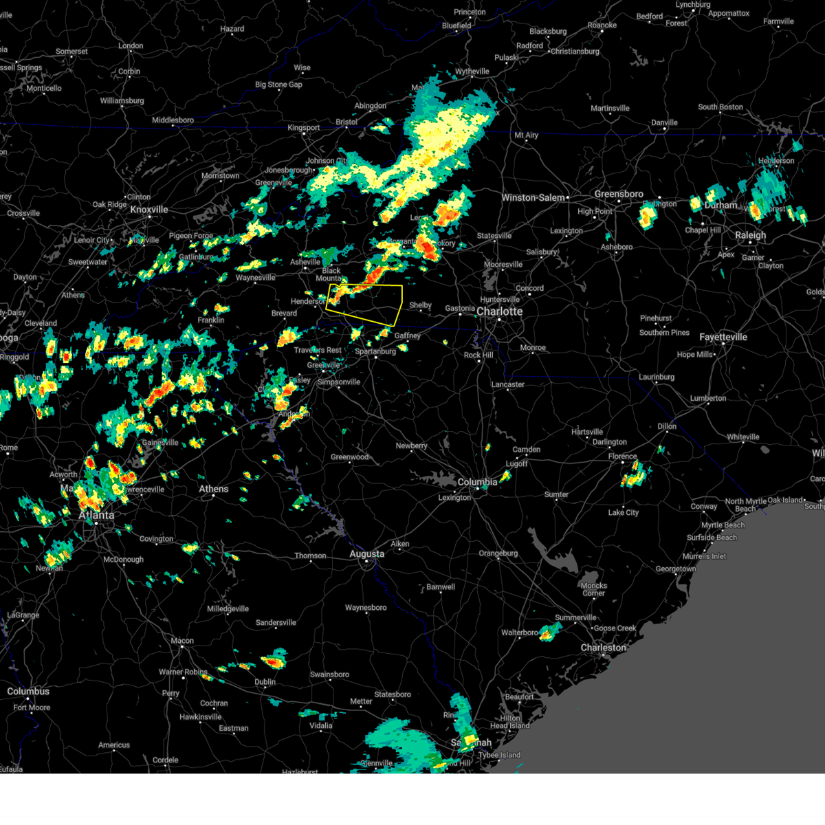
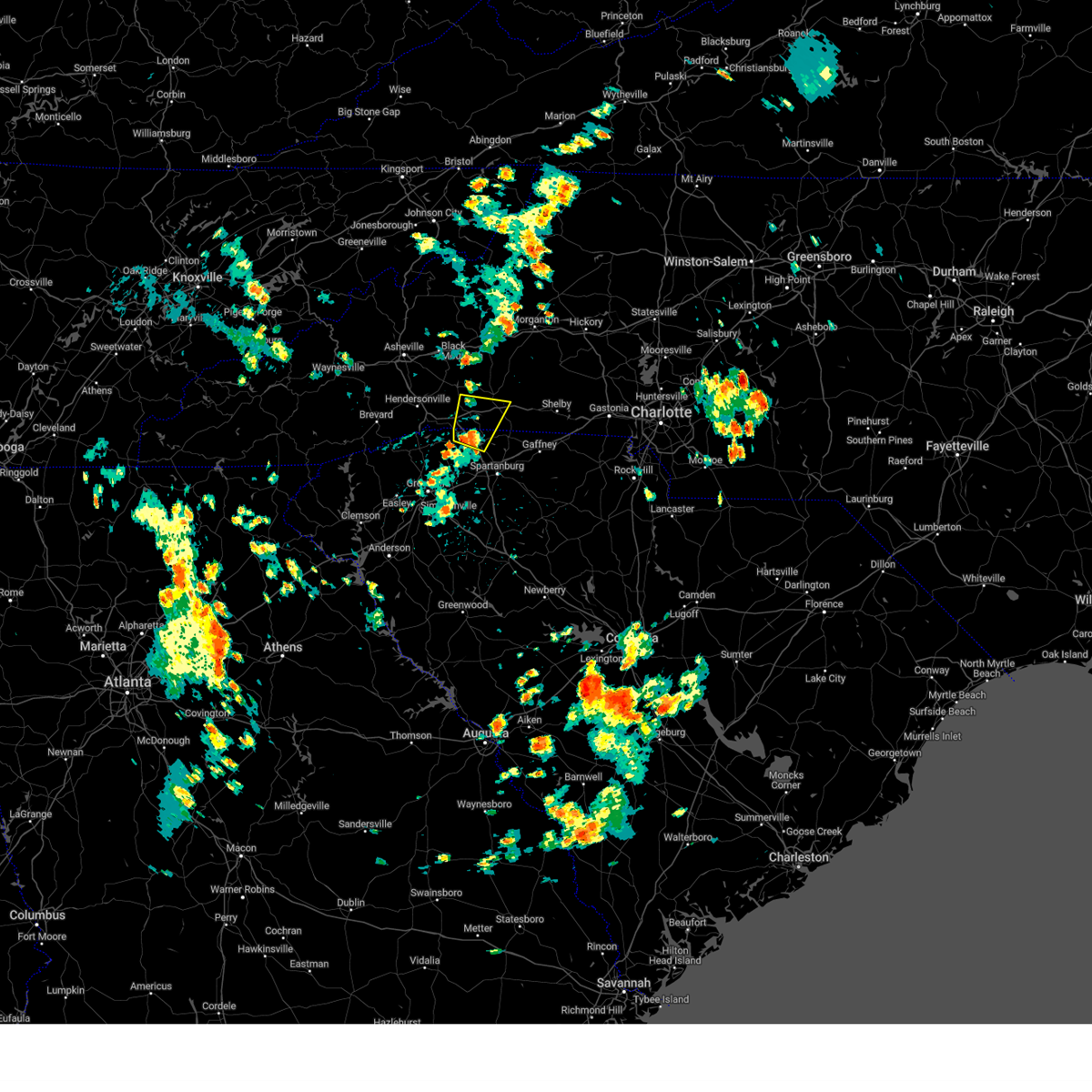
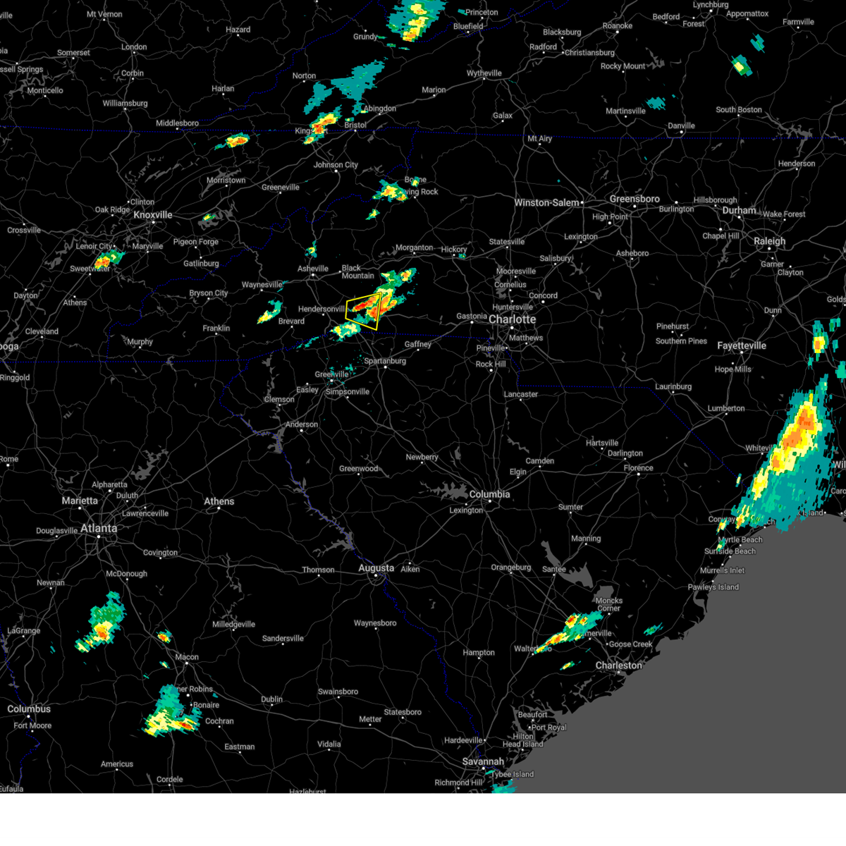
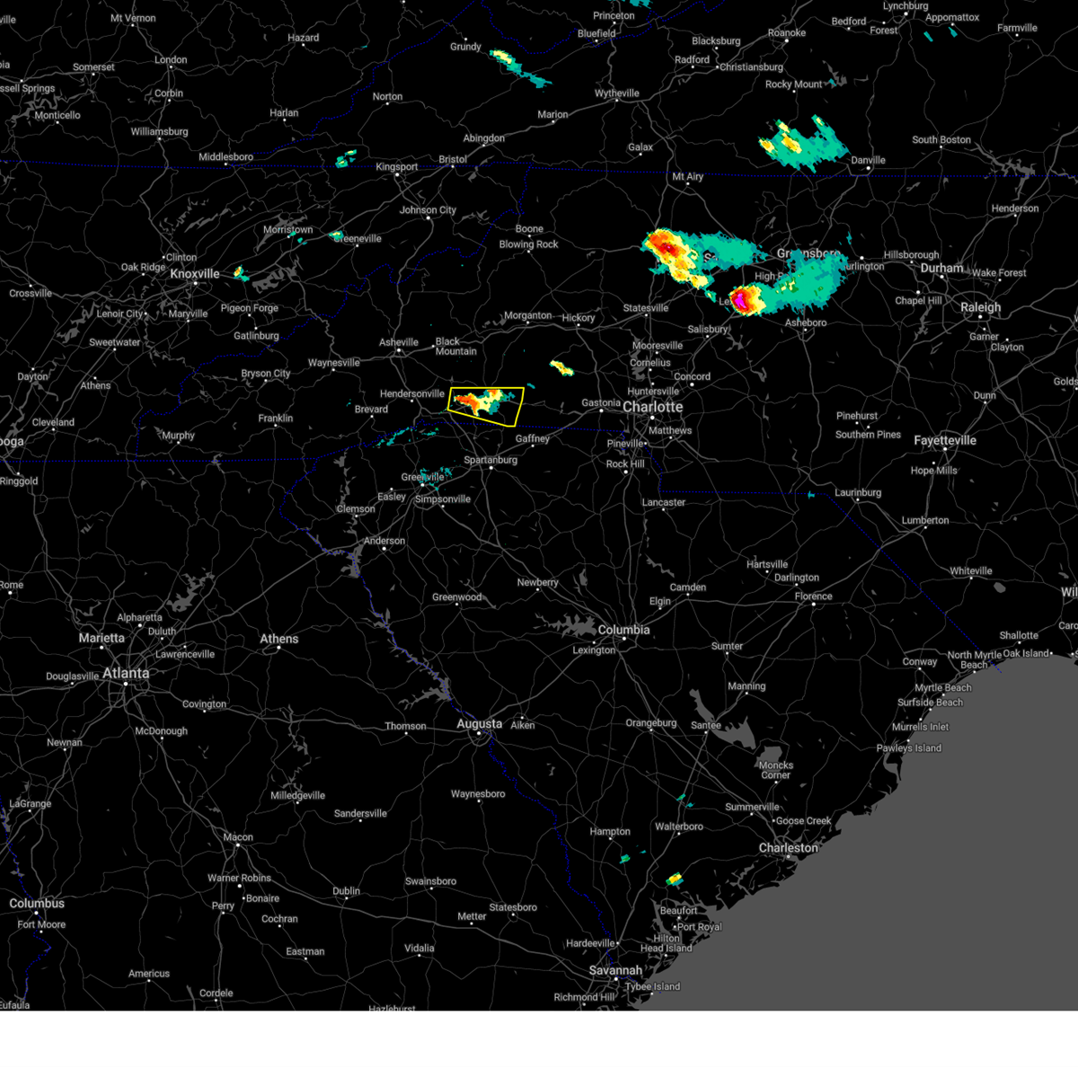
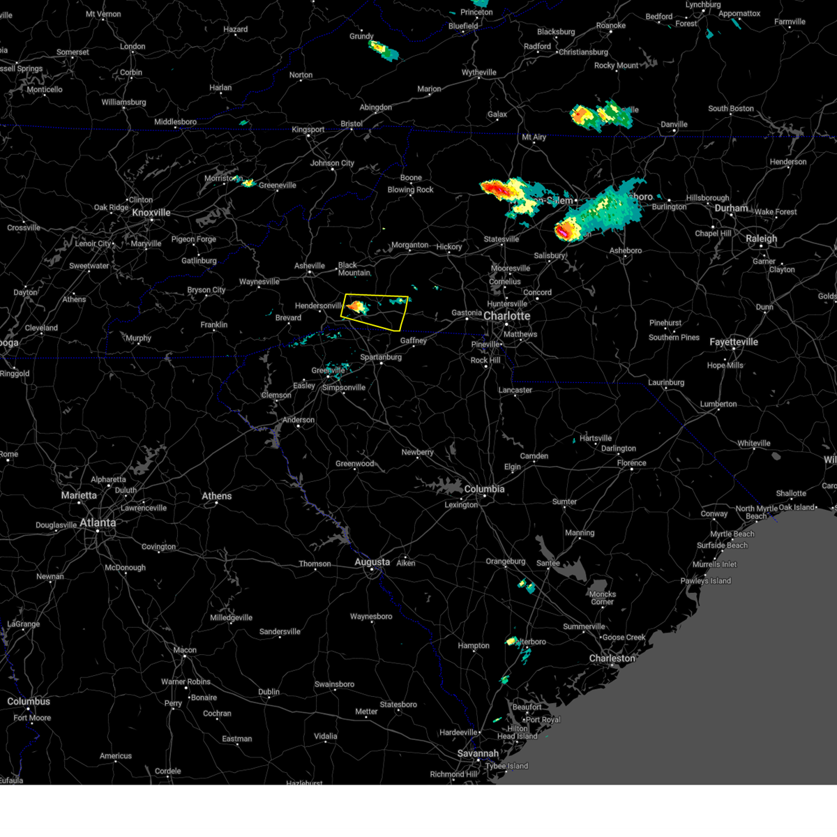
Hail Map for Columbus, NC
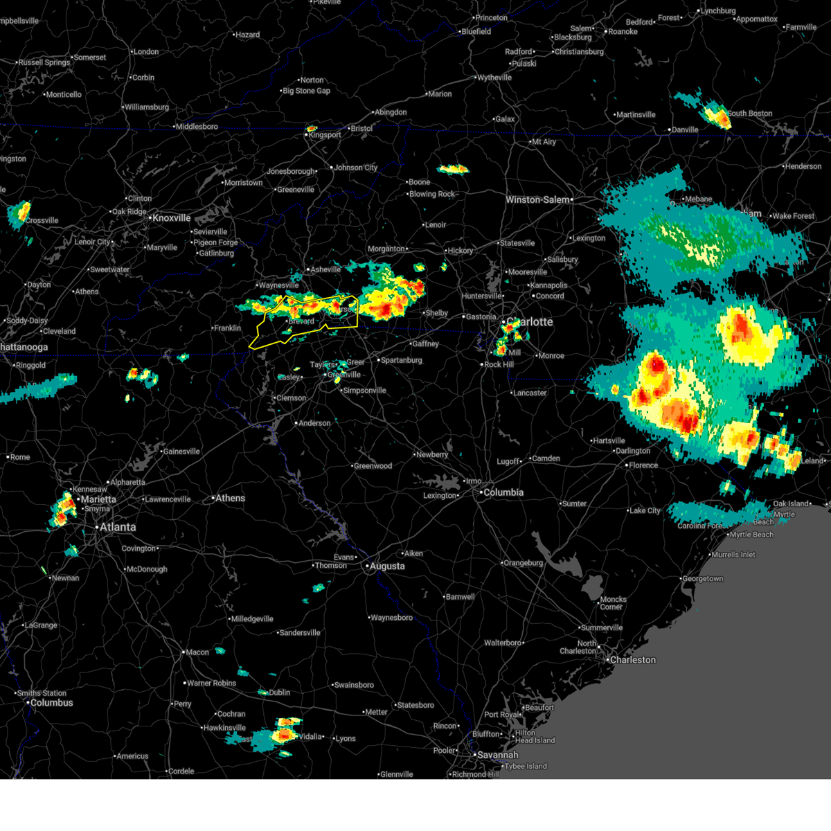
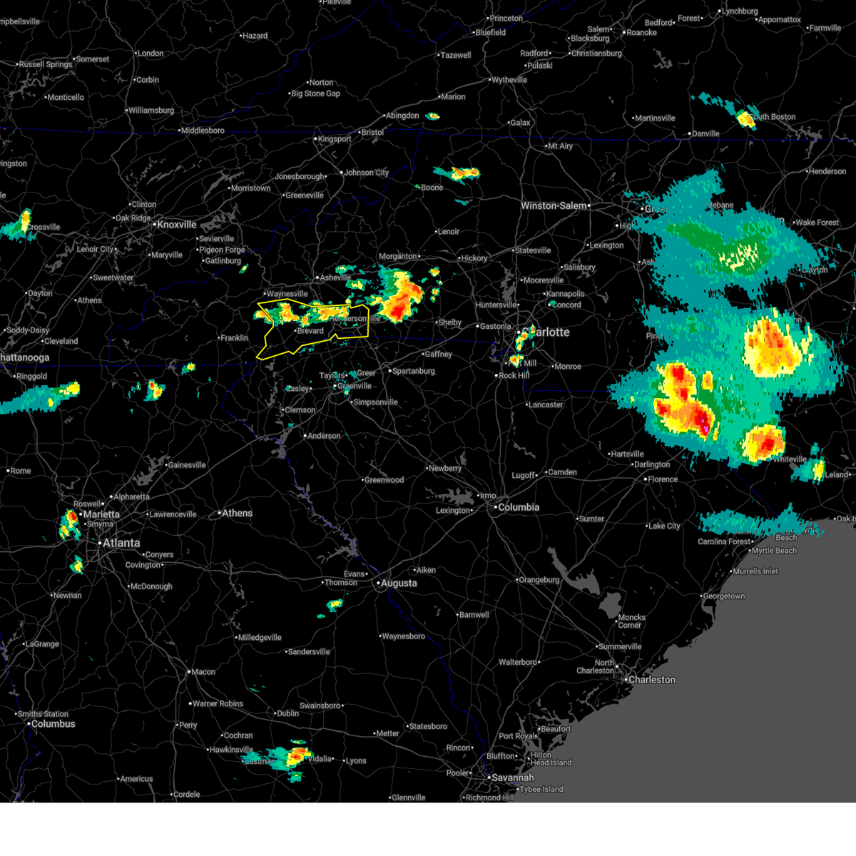
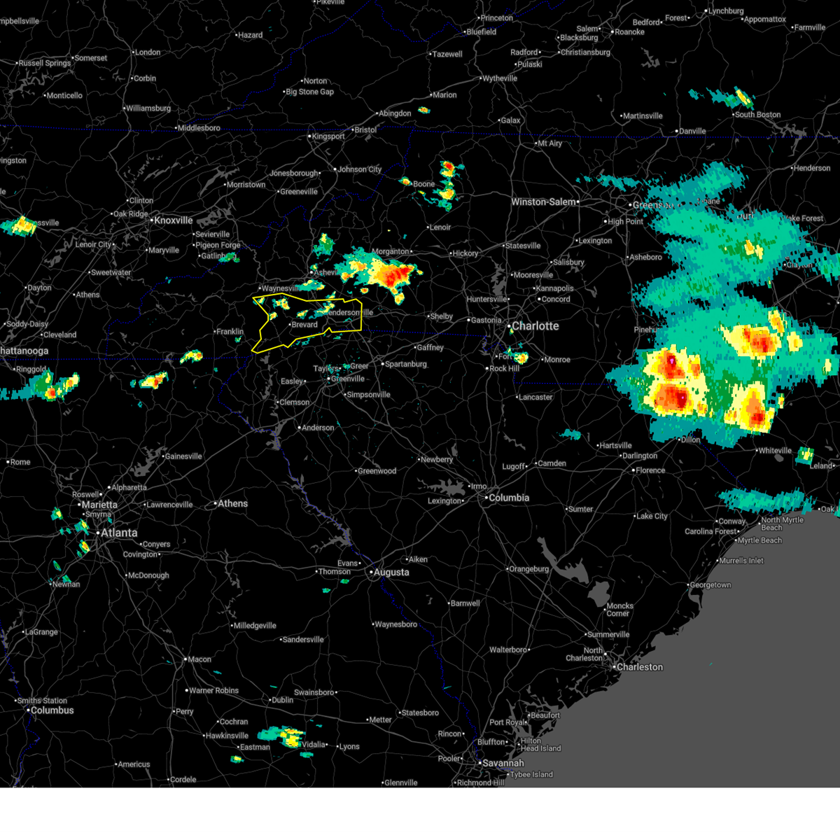
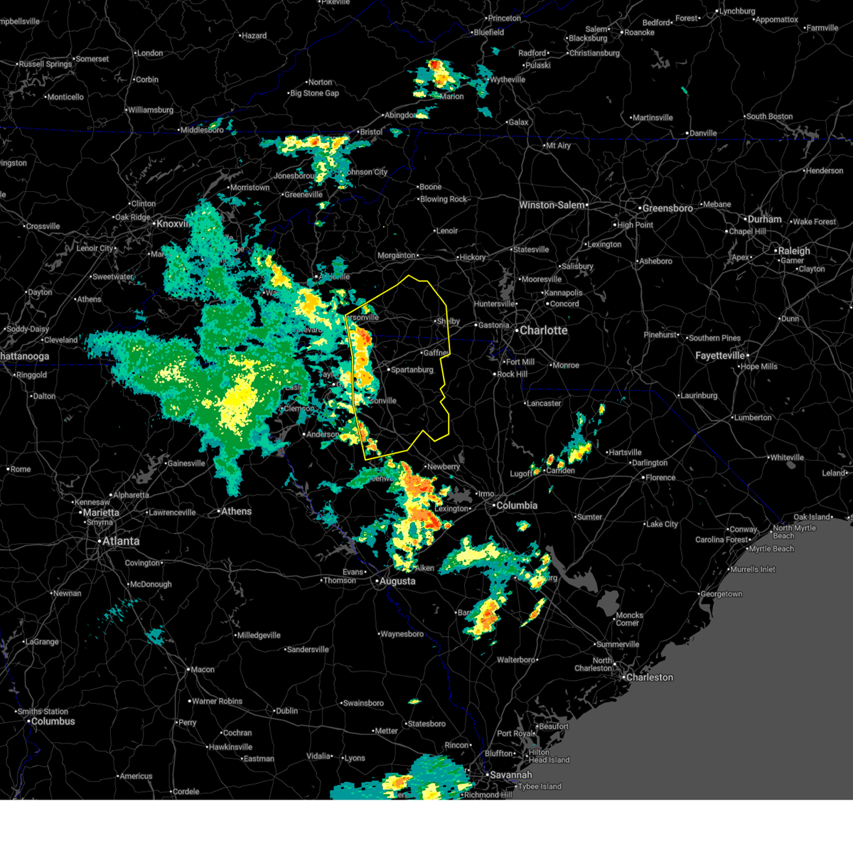
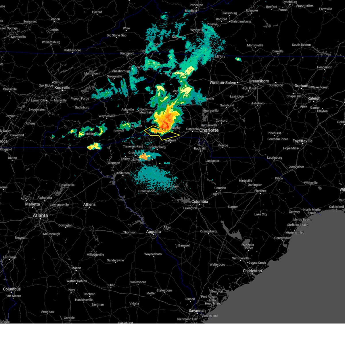
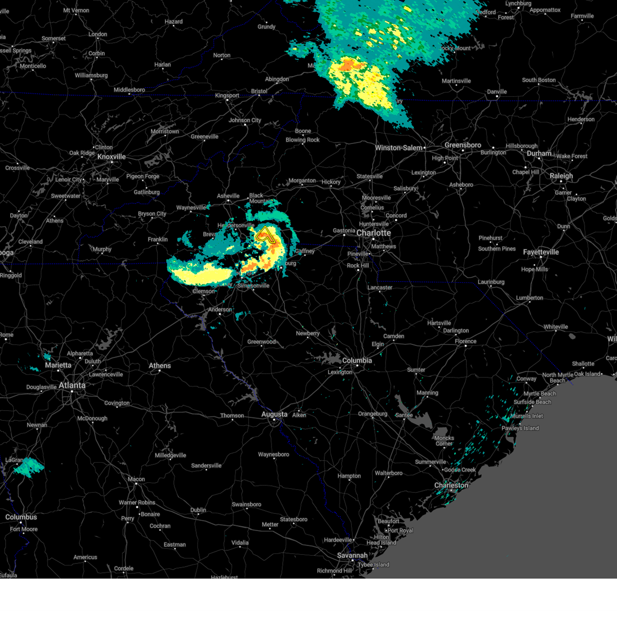
The Columbus, NC area has had 2 reports of on-the-ground hail by trained spotters, and has been under severe weather warnings 7 times during the past 12 months. Doppler radar has detected hail at or near Columbus, NC on 44 occasions.
| Name: | Columbus, NC |
| Where Located: | 37.4 miles NE of Greenville, SC |
| Map: | Google Map for Columbus, NC |
| Population: | 999 |
| Housing Units: | 508 |
| More Info: | Search Google for Columbus, NC |
0
The Top Recent Hail Date for Columbus, NC is Wednesday, June 25, 2025 (22nd out of 44)
Hail and Wind Damage Spotted near Columbus, NC
| Date / Time | Report Details |
|---|---|
| 6/12/2026 7:59 PM EDT |
 the severe thunderstorm warning has been cancelled and is no longer in effect the severe thunderstorm warning has been cancelled and is no longer in effect
|
| 6/12/2026 7:34 PM EDT |
 At 734 pm edt, a severe thunderstorm was located 5 miles northeast of columbus, moving southeast at 20 mph (radar indicated). Hazards include 60 mph wind gusts and nickel size hail. Expect damage to trees and power lines. Locations impacted include, columbus, mill spring, green creek, lake adger, and rutherfordton. At 734 pm edt, a severe thunderstorm was located 5 miles northeast of columbus, moving southeast at 20 mph (radar indicated). Hazards include 60 mph wind gusts and nickel size hail. Expect damage to trees and power lines. Locations impacted include, columbus, mill spring, green creek, lake adger, and rutherfordton.
|
| 6/12/2026 7:16 PM EDT |
 Svrgsp the national weather service in greenville-spartanburg has issued a * severe thunderstorm warning for, southwestern rutherford county in western north carolina, east central henderson county in western north carolina, polk county in western north carolina, * until 815 pm edt. * at 716 pm edt, a severe thunderstorm was located 8 miles northwest of columbus, or 6 miles south of bat cave, moving southeast at 20 mph (radar indicated). Hazards include 60 mph wind gusts and nickel size hail. expect damage to trees and power lines Svrgsp the national weather service in greenville-spartanburg has issued a * severe thunderstorm warning for, southwestern rutherford county in western north carolina, east central henderson county in western north carolina, polk county in western north carolina, * until 815 pm edt. * at 716 pm edt, a severe thunderstorm was located 8 miles northwest of columbus, or 6 miles south of bat cave, moving southeast at 20 mph (radar indicated). Hazards include 60 mph wind gusts and nickel size hail. expect damage to trees and power lines
|
| 6/11/2026 3:39 PM EDT |
 Svrgsp the national weather service in greenville-spartanburg has issued a * severe thunderstorm warning for, southeastern henderson county in western north carolina, southwestern polk county in western north carolina, * until 445 pm edt. * at 338 pm edt, a severe thunderstorm was located near hendersonville, or near flat rock, moving southeast at 10 mph (radar indicated). Hazards include 60 mph wind gusts and quarter size hail. Minor hail damage to vehicles is expected. Expect wind damage to trees and power lines. Svrgsp the national weather service in greenville-spartanburg has issued a * severe thunderstorm warning for, southeastern henderson county in western north carolina, southwestern polk county in western north carolina, * until 445 pm edt. * at 338 pm edt, a severe thunderstorm was located near hendersonville, or near flat rock, moving southeast at 10 mph (radar indicated). Hazards include 60 mph wind gusts and quarter size hail. Minor hail damage to vehicles is expected. Expect wind damage to trees and power lines.
|
| 3/16/2026 7:51 AM EDT |
 The storms which prompted the warning have moved out of the area. therefore, the warning will be allowed to expire. a severe thunderstorm watch remains in effect until 1100 am edt for western north carolina, and upstate south carolina. to report severe weather to the national weather service greenville-spartanburg, call toll free, 1, 800, 2 6 7, 8 1 0 1, or post on our facebook page, or post it to x using hashtag nwsgsp. your message should describe the event and the specific location where it occurred. remember, a severe thunderstorm warning still remains in effect for rutherford and polk counties until 845 am edt. The storms which prompted the warning have moved out of the area. therefore, the warning will be allowed to expire. a severe thunderstorm watch remains in effect until 1100 am edt for western north carolina, and upstate south carolina. to report severe weather to the national weather service greenville-spartanburg, call toll free, 1, 800, 2 6 7, 8 1 0 1, or post on our facebook page, or post it to x using hashtag nwsgsp. your message should describe the event and the specific location where it occurred. remember, a severe thunderstorm warning still remains in effect for rutherford and polk counties until 845 am edt.
|
| 3/16/2026 7:42 AM EDT |
 Svrgsp the national weather service in greenville-spartanburg has issued a * severe thunderstorm warning for, rutherford county in western north carolina, polk county in western north carolina, cleveland county in the piedmont of north carolina, * until 845 am edt. * at 742 am edt, severe thunderstorms were located along a line extending from 17 miles east of downtown asheville to 10 miles southeast of hendersonville, moving east at 45 mph (radar indicated). Hazards include 60 mph wind gusts. expect damage to trees and power lines Svrgsp the national weather service in greenville-spartanburg has issued a * severe thunderstorm warning for, rutherford county in western north carolina, polk county in western north carolina, cleveland county in the piedmont of north carolina, * until 845 am edt. * at 742 am edt, severe thunderstorms were located along a line extending from 17 miles east of downtown asheville to 10 miles southeast of hendersonville, moving east at 45 mph (radar indicated). Hazards include 60 mph wind gusts. expect damage to trees and power lines
|
| 3/16/2026 7:05 AM EDT |
 Svrgsp the national weather service in greenville-spartanburg has issued a * severe thunderstorm warning for, northwestern rutherford county in western north carolina, henderson county in western north carolina, western polk county in western north carolina, southeastern buncombe county in western north carolina, * until 800 am edt. * at 705 am edt, severe thunderstorms were located along a line extending from 13 miles north of brevard to 15 miles northwest of pickens, moving east at 40 mph (radar indicated). Hazards include 60 mph wind gusts. expect damage to trees and power lines Svrgsp the national weather service in greenville-spartanburg has issued a * severe thunderstorm warning for, northwestern rutherford county in western north carolina, henderson county in western north carolina, western polk county in western north carolina, southeastern buncombe county in western north carolina, * until 800 am edt. * at 705 am edt, severe thunderstorms were located along a line extending from 13 miles north of brevard to 15 miles northwest of pickens, moving east at 40 mph (radar indicated). Hazards include 60 mph wind gusts. expect damage to trees and power lines
|
| 6/25/2025 5:26 PM EDT |
 At 525 pm edt, a severe thunderstorm was located near hendersonville, and is nearly stationary (radar indicated). Hazards include 60 mph wind gusts and quarter size hail. Minor hail damage to vehicles is expected. expect wind damage to trees and power lines. Locations impacted include, hendersonville, brevard, columbus, flat rock, etowah, mountain home, laurel park, tryon, saluda, and rosman. At 525 pm edt, a severe thunderstorm was located near hendersonville, and is nearly stationary (radar indicated). Hazards include 60 mph wind gusts and quarter size hail. Minor hail damage to vehicles is expected. expect wind damage to trees and power lines. Locations impacted include, hendersonville, brevard, columbus, flat rock, etowah, mountain home, laurel park, tryon, saluda, and rosman.
|
| 6/25/2025 5:26 PM EDT |
 the severe thunderstorm warning has been cancelled and is no longer in effect the severe thunderstorm warning has been cancelled and is no longer in effect
|
| 6/25/2025 5:11 PM EDT |
 At 511 pm edt, a severe thunderstorm was located near hendersonville, moving southwest at 15 mph (radar indicated). Hazards include 60 mph wind gusts and quarter size hail. Minor hail damage to vehicles is expected. expect wind damage to trees and power lines. Locations impacted include, hendersonville, brevard, columbus, mills river, flat rock, etowah, mountain home, laurel park, tryon, and saluda. At 511 pm edt, a severe thunderstorm was located near hendersonville, moving southwest at 15 mph (radar indicated). Hazards include 60 mph wind gusts and quarter size hail. Minor hail damage to vehicles is expected. expect wind damage to trees and power lines. Locations impacted include, hendersonville, brevard, columbus, mills river, flat rock, etowah, mountain home, laurel park, tryon, and saluda.
|
| 6/25/2025 4:49 PM EDT |
 Svrgsp the national weather service in greenville-spartanburg has issued a * severe thunderstorm warning for, transylvania county in western north carolina, henderson county in western north carolina, polk county in western north carolina, southeastern haywood county in western north carolina, * until 600 pm edt. * at 449 pm edt, a severe thunderstorm was located 7 miles northeast of hendersonville, or 6 miles southwest of bat cave, and is nearly stationary (radar indicated). Hazards include 60 mph wind gusts and nickel size hail. expect damage to trees and power lines Svrgsp the national weather service in greenville-spartanburg has issued a * severe thunderstorm warning for, transylvania county in western north carolina, henderson county in western north carolina, polk county in western north carolina, southeastern haywood county in western north carolina, * until 600 pm edt. * at 449 pm edt, a severe thunderstorm was located 7 miles northeast of hendersonville, or 6 miles southwest of bat cave, and is nearly stationary (radar indicated). Hazards include 60 mph wind gusts and nickel size hail. expect damage to trees and power lines
|
| 6/17/2025 9:19 PM EDT |
 the severe thunderstorm warning has been cancelled and is no longer in effect the severe thunderstorm warning has been cancelled and is no longer in effect
|
| 6/17/2025 9:19 PM EDT |
 At 918 pm edt, severe thunderstorms were located along a line extending from 4 miles north of columbus to 13 miles south of rutherfordton to 5 miles southwest of spartanburg to near laurens, moving east at 50 mph (radar indicated). Hazards include 60 mph wind gusts. Expect damage to trees and power lines. Locations impacted include, spartanburg, shelby, gaffney, laurens, union, forest city, rutherfordton, columbus, greer, and clinton. At 918 pm edt, severe thunderstorms were located along a line extending from 4 miles north of columbus to 13 miles south of rutherfordton to 5 miles southwest of spartanburg to near laurens, moving east at 50 mph (radar indicated). Hazards include 60 mph wind gusts. Expect damage to trees and power lines. Locations impacted include, spartanburg, shelby, gaffney, laurens, union, forest city, rutherfordton, columbus, greer, and clinton.
|
| 6/17/2025 9:18 PM EDT | Social media picture of several trees down in mill sprin in polk county NC, 3.4 miles SW of Columbus, NC |
| 6/17/2025 8:50 PM EDT |
 Svrgsp the national weather service in greenville-spartanburg has issued a * severe thunderstorm warning for, rutherford county in western north carolina, southeastern henderson county in western north carolina, polk county in western north carolina, cleveland county in the piedmont of north carolina, laurens county in upstate south carolina, northeastern pickens county in upstate south carolina, union county in upstate south carolina, greenville county in upstate south carolina, spartanburg county in upstate south carolina, eastern anderson county in upstate south carolina, cherokee county in upstate south carolina, northeastern abbeville county in upstate south carolina, northwestern greenwood county in upstate south carolina, * until 945 pm edt. * at 849 pm edt, severe thunderstorms were located along a line extending from 12 miles south of hendersonville to 18 miles southwest of columbus to 7 miles south of greenville downtown to 11 miles north of abbeville, moving northeast at 50 mph (radar indicated). Hazards include 60 mph wind gusts. expect damage to trees and power lines Svrgsp the national weather service in greenville-spartanburg has issued a * severe thunderstorm warning for, rutherford county in western north carolina, southeastern henderson county in western north carolina, polk county in western north carolina, cleveland county in the piedmont of north carolina, laurens county in upstate south carolina, northeastern pickens county in upstate south carolina, union county in upstate south carolina, greenville county in upstate south carolina, spartanburg county in upstate south carolina, eastern anderson county in upstate south carolina, cherokee county in upstate south carolina, northeastern abbeville county in upstate south carolina, northwestern greenwood county in upstate south carolina, * until 945 pm edt. * at 849 pm edt, severe thunderstorms were located along a line extending from 12 miles south of hendersonville to 18 miles southwest of columbus to 7 miles south of greenville downtown to 11 miles north of abbeville, moving northeast at 50 mph (radar indicated). Hazards include 60 mph wind gusts. expect damage to trees and power lines
|
| 5/17/2025 5:06 AM EDT |
 Svrgsp the national weather service in greenville-spartanburg has issued a * severe thunderstorm warning for, east central transylvania county in western north carolina, central henderson county in western north carolina, polk county in western north carolina, northeastern greenville county in upstate south carolina, northwestern spartanburg county in upstate south carolina, * until 545 am edt. * at 506 am edt, a severe thunderstorm was located near brevard, moving east at 45 mph (radar indicated). Hazards include 60 mph wind gusts and quarter size hail. Minor hail damage to vehicles is expected. Expect wind damage to trees and power lines. Svrgsp the national weather service in greenville-spartanburg has issued a * severe thunderstorm warning for, east central transylvania county in western north carolina, central henderson county in western north carolina, polk county in western north carolina, northeastern greenville county in upstate south carolina, northwestern spartanburg county in upstate south carolina, * until 545 am edt. * at 506 am edt, a severe thunderstorm was located near brevard, moving east at 45 mph (radar indicated). Hazards include 60 mph wind gusts and quarter size hail. Minor hail damage to vehicles is expected. Expect wind damage to trees and power lines.
|
| 5/17/2025 4:35 AM EDT |
 Svrgsp the national weather service in greenville-spartanburg has issued a * severe thunderstorm warning for, henderson county in western north carolina, polk county in western north carolina, southwestern buncombe county in western north carolina, * until 500 am edt. * at 435 am edt, a severe thunderstorm was located 6 miles south of downtown asheville, or near skyland, moving southeast at 50 mph (radar indicated). Hazards include 60 mph wind gusts and nickel size hail. expect damage to trees and power lines Svrgsp the national weather service in greenville-spartanburg has issued a * severe thunderstorm warning for, henderson county in western north carolina, polk county in western north carolina, southwestern buncombe county in western north carolina, * until 500 am edt. * at 435 am edt, a severe thunderstorm was located 6 miles south of downtown asheville, or near skyland, moving southeast at 50 mph (radar indicated). Hazards include 60 mph wind gusts and nickel size hail. expect damage to trees and power lines
|
| 5/8/2025 7:11 PM EDT |
 The storm which prompted the warning has weakened below severe limits, and no longer poses an immediate threat to life or property. therefore, the warning will be allowed to expire. however, gusty winds, heavy rain, and small hail are still possible with thunderstorms over central rutherford county through 800 pm. a severe thunderstorm watch remains in effect until midnight edt for western north carolina. The storm which prompted the warning has weakened below severe limits, and no longer poses an immediate threat to life or property. therefore, the warning will be allowed to expire. however, gusty winds, heavy rain, and small hail are still possible with thunderstorms over central rutherford county through 800 pm. a severe thunderstorm watch remains in effect until midnight edt for western north carolina.
|
| 5/8/2025 6:18 PM EDT |
 Svrgsp the national weather service in greenville-spartanburg has issued a * severe thunderstorm warning for, central rutherford county in western north carolina, northeastern henderson county in western north carolina, northern polk county in western north carolina, * until 715 pm edt. * at 618 pm edt, a severe thunderstorm was located 12 miles north of columbus, or near chimney rock village, moving east at 20 mph (radar indicated). Hazards include half dollar size hail. minor damage to vehicles is expected Svrgsp the national weather service in greenville-spartanburg has issued a * severe thunderstorm warning for, central rutherford county in western north carolina, northeastern henderson county in western north carolina, northern polk county in western north carolina, * until 715 pm edt. * at 618 pm edt, a severe thunderstorm was located 12 miles north of columbus, or near chimney rock village, moving east at 20 mph (radar indicated). Hazards include half dollar size hail. minor damage to vehicles is expected
|
| 5/8/2025 4:33 PM EDT |
 Svrgsp the national weather service in greenville-spartanburg has issued a * severe thunderstorm warning for, central rutherford county in western north carolina, northern polk county in western north carolina, * until 530 pm edt. * at 433 pm edt, a severe thunderstorm was located 8 miles north of columbus, or 5 miles south of lake lure, moving east at 15 mph (radar indicated). Hazards include 60 mph wind gusts and quarter size hail. Minor hail damage to vehicles is expected. Expect wind damage to trees and power lines. Svrgsp the national weather service in greenville-spartanburg has issued a * severe thunderstorm warning for, central rutherford county in western north carolina, northern polk county in western north carolina, * until 530 pm edt. * at 433 pm edt, a severe thunderstorm was located 8 miles north of columbus, or 5 miles south of lake lure, moving east at 15 mph (radar indicated). Hazards include 60 mph wind gusts and quarter size hail. Minor hail damage to vehicles is expected. Expect wind damage to trees and power lines.
|
| 12/29/2024 8:13 AM EST |
 Torgsp the national weather service in greenville-spartanburg has issued a * tornado warning for, central rutherford county in western north carolina, central polk county in western north carolina, * until 845 am est. * at 813 am est, a severe thunderstorm capable of producing a tornado was located 6 miles northeast of columbus, moving north at 45 mph (radar indicated rotation). Hazards include tornado. Flying debris will be dangerous to those caught without shelter. mobile homes will be damaged or destroyed. damage to roofs, windows, and vehicles will occur. tree damage is likely. This dangerous thunderstorm will remain over mainly rural areas of central rutherford and central polk counties, including the following locations, shingle hollow, green hill, mill spring, thermal city, and lake adger. Torgsp the national weather service in greenville-spartanburg has issued a * tornado warning for, central rutherford county in western north carolina, central polk county in western north carolina, * until 845 am est. * at 813 am est, a severe thunderstorm capable of producing a tornado was located 6 miles northeast of columbus, moving north at 45 mph (radar indicated rotation). Hazards include tornado. Flying debris will be dangerous to those caught without shelter. mobile homes will be damaged or destroyed. damage to roofs, windows, and vehicles will occur. tree damage is likely. This dangerous thunderstorm will remain over mainly rural areas of central rutherford and central polk counties, including the following locations, shingle hollow, green hill, mill spring, thermal city, and lake adger.
|
| 12/29/2024 8:01 AM EST |
 At 801 am est, severe thunderstorms were located along a line extending from 9 miles northeast of hendersonville to 3 miles southeast of columbus to 16 miles northwest of spartanburg, moving northeast at 55 mph (radar indicated). Hazards include 60 mph wind gusts. Expect damage to trees and power lines. Locations impacted include, forest city, rutherfordton, columbus, spindale, landrum, tryon, lake lure, old fort, campobello, and bostic. At 801 am est, severe thunderstorms were located along a line extending from 9 miles northeast of hendersonville to 3 miles southeast of columbus to 16 miles northwest of spartanburg, moving northeast at 55 mph (radar indicated). Hazards include 60 mph wind gusts. Expect damage to trees and power lines. Locations impacted include, forest city, rutherfordton, columbus, spindale, landrum, tryon, lake lure, old fort, campobello, and bostic.
|
| 12/29/2024 7:43 AM EST |
 At 743 am est, severe thunderstorms were located along a line extending from 13 miles northeast of brevard to near hendersonville to 11 miles southwest of columbus to 13 miles north of greenville downtown, moving northeast at 50 mph (radar indicated). Hazards include 60 mph wind gusts. Expect damage to trees and power lines. Locations impacted include, hendersonville, forest city, rutherfordton, columbus, travelers rest, spindale, flat rock, landrum, mountain home, and laurel park. At 743 am est, severe thunderstorms were located along a line extending from 13 miles northeast of brevard to near hendersonville to 11 miles southwest of columbus to 13 miles north of greenville downtown, moving northeast at 50 mph (radar indicated). Hazards include 60 mph wind gusts. Expect damage to trees and power lines. Locations impacted include, hendersonville, forest city, rutherfordton, columbus, travelers rest, spindale, flat rock, landrum, mountain home, and laurel park.
|
| 12/29/2024 7:43 AM EST |
 the severe thunderstorm warning has been cancelled and is no longer in effect the severe thunderstorm warning has been cancelled and is no longer in effect
|
| 12/29/2024 7:26 AM EST |
 Svrgsp the national weather service in greenville-spartanburg has issued a * severe thunderstorm warning for, southwestern mcdowell county in western north carolina, central rutherford county in western north carolina, east central transylvania county in western north carolina, henderson county in western north carolina, polk county in western north carolina, southeastern buncombe county in western north carolina, southeastern yancey county in western north carolina, northern greenville county in upstate south carolina, northwestern spartanburg county in upstate south carolina, * until 845 am est. * at 726 am est, severe thunderstorms were located along a line extending from near brevard to 14 miles southwest of hendersonville to 13 miles northeast of pickens to 6 miles north of easley, moving northeast at 50 mph (radar indicated). Hazards include 60 mph wind gusts. expect damage to trees and power lines Svrgsp the national weather service in greenville-spartanburg has issued a * severe thunderstorm warning for, southwestern mcdowell county in western north carolina, central rutherford county in western north carolina, east central transylvania county in western north carolina, henderson county in western north carolina, polk county in western north carolina, southeastern buncombe county in western north carolina, southeastern yancey county in western north carolina, northern greenville county in upstate south carolina, northwestern spartanburg county in upstate south carolina, * until 845 am est. * at 726 am est, severe thunderstorms were located along a line extending from near brevard to 14 miles southwest of hendersonville to 13 miles northeast of pickens to 6 miles north of easley, moving northeast at 50 mph (radar indicated). Hazards include 60 mph wind gusts. expect damage to trees and power lines
|
| 8/17/2024 5:30 PM EDT |
 Svrgsp the national weather service in greenville-spartanburg has issued a * severe thunderstorm warning for, south central rutherford county in western north carolina, southeastern polk county in western north carolina, northern spartanburg county in upstate south carolina, northwestern cherokee county in upstate south carolina, * until 615 pm edt. * at 529 pm edt, a severe thunderstorm was located near columbus, moving southeast at 20 mph (radar indicated). Hazards include 60 mph wind gusts and quarter size hail. Minor hail damage to vehicles is expected. Expect wind damage to trees and power lines. Svrgsp the national weather service in greenville-spartanburg has issued a * severe thunderstorm warning for, south central rutherford county in western north carolina, southeastern polk county in western north carolina, northern spartanburg county in upstate south carolina, northwestern cherokee county in upstate south carolina, * until 615 pm edt. * at 529 pm edt, a severe thunderstorm was located near columbus, moving southeast at 20 mph (radar indicated). Hazards include 60 mph wind gusts and quarter size hail. Minor hail damage to vehicles is expected. Expect wind damage to trees and power lines.
|
| 8/17/2024 5:05 PM EDT | 911 call centers received numerous reports of downed trees across polk county. duke energy reports a couple hundred customers without power near white oak mountain rd i in polk county NC, 1.4 miles ESE of Columbus, NC |
| 8/17/2024 4:49 PM EDT |
 Svrgsp the national weather service in greenville-spartanburg has issued a * severe thunderstorm warning for, southeastern henderson county in western north carolina, polk county in western north carolina, northeastern greenville county in upstate south carolina, northwestern spartanburg county in upstate south carolina, * until 530 pm edt. * at 448 pm edt, a severe thunderstorm was located 6 miles northwest of columbus, or 5 miles northeast of saluda, moving southeast at 15 mph (radar indicated). Hazards include 60 mph wind gusts and quarter size hail. Minor hail damage to vehicles is expected. Expect wind damage to trees and power lines. Svrgsp the national weather service in greenville-spartanburg has issued a * severe thunderstorm warning for, southeastern henderson county in western north carolina, polk county in western north carolina, northeastern greenville county in upstate south carolina, northwestern spartanburg county in upstate south carolina, * until 530 pm edt. * at 448 pm edt, a severe thunderstorm was located 6 miles northwest of columbus, or 5 miles northeast of saluda, moving southeast at 15 mph (radar indicated). Hazards include 60 mph wind gusts and quarter size hail. Minor hail damage to vehicles is expected. Expect wind damage to trees and power lines.
|
| 8/16/2024 8:13 PM EDT |
 Svrgsp the national weather service in greenville-spartanburg has issued a * severe thunderstorm warning for, southeastern rutherford county in western north carolina, polk county in western north carolina, cleveland county in the piedmont of north carolina, northern spartanburg county in upstate south carolina, northwestern cherokee county in upstate south carolina, * until 915 pm edt. * at 813 pm edt, severe thunderstorms were located along a line extending from 8 miles south of marion to 9 miles northwest of rutherfordton to 13 miles northeast of hendersonville, moving southeast at 35 mph (radar indicated). Hazards include 60 mph wind gusts and penny size hail. expect damage to trees and power lines Svrgsp the national weather service in greenville-spartanburg has issued a * severe thunderstorm warning for, southeastern rutherford county in western north carolina, polk county in western north carolina, cleveland county in the piedmont of north carolina, northern spartanburg county in upstate south carolina, northwestern cherokee county in upstate south carolina, * until 915 pm edt. * at 813 pm edt, severe thunderstorms were located along a line extending from 8 miles south of marion to 9 miles northwest of rutherfordton to 13 miles northeast of hendersonville, moving southeast at 35 mph (radar indicated). Hazards include 60 mph wind gusts and penny size hail. expect damage to trees and power lines
|
| 7/29/2024 3:22 PM EDT |
 Svrgsp the national weather service in greenville-spartanburg has issued a * severe thunderstorm warning for, south central rutherford county in western north carolina, southern polk county in western north carolina, northeastern greenville county in upstate south carolina, spartanburg county in upstate south carolina, northwestern cherokee county in upstate south carolina, * until 415 pm edt. * at 322 pm edt, a severe thunderstorm was located 10 miles southeast of columbus, or near lake bowen, moving southeast at 30 mph (radar indicated). Hazards include 60 mph wind gusts. expect damage to trees and power lines Svrgsp the national weather service in greenville-spartanburg has issued a * severe thunderstorm warning for, south central rutherford county in western north carolina, southern polk county in western north carolina, northeastern greenville county in upstate south carolina, spartanburg county in upstate south carolina, northwestern cherokee county in upstate south carolina, * until 415 pm edt. * at 322 pm edt, a severe thunderstorm was located 10 miles southeast of columbus, or near lake bowen, moving southeast at 30 mph (radar indicated). Hazards include 60 mph wind gusts. expect damage to trees and power lines
|
| 7/18/2024 3:52 PM EDT |
 The storm which prompted the warning has weakened below severe limits, and no longer poses an immediate threat to life or property. therefore, the warning will be allowed to expire. however, gusty winds are still possible with this thunderstorm. The storm which prompted the warning has weakened below severe limits, and no longer poses an immediate threat to life or property. therefore, the warning will be allowed to expire. however, gusty winds are still possible with this thunderstorm.
|
| 7/18/2024 3:20 PM EDT |
 the severe thunderstorm warning has been cancelled and is no longer in effect the severe thunderstorm warning has been cancelled and is no longer in effect
|
| 7/18/2024 3:20 PM EDT |
 At 320 pm edt, a severe thunderstorm was located near rutherfordton, moving east at 30 mph (radar indicated). Hazards include 60 mph wind gusts and penny size hail. Expect damage to trees and power lines. Locations impacted include, forest city, rutherfordton, spindale, lake lure, ellenboro, bostic, chimney rock village, chimney rock state park, cliffside, and green hill. At 320 pm edt, a severe thunderstorm was located near rutherfordton, moving east at 30 mph (radar indicated). Hazards include 60 mph wind gusts and penny size hail. Expect damage to trees and power lines. Locations impacted include, forest city, rutherfordton, spindale, lake lure, ellenboro, bostic, chimney rock village, chimney rock state park, cliffside, and green hill.
|
| 7/18/2024 2:57 PM EDT |
 Svrgsp the national weather service in greenville-spartanburg has issued a * severe thunderstorm warning for, rutherford county in western north carolina, northeastern henderson county in western north carolina, polk county in western north carolina, * until 400 pm edt. * at 257 pm edt, a severe thunderstorm was located 8 miles north of columbus, or 4 miles south of lake lure, moving east at 30 mph (radar indicated). Hazards include 60 mph wind gusts and penny size hail. expect damage to trees and power lines Svrgsp the national weather service in greenville-spartanburg has issued a * severe thunderstorm warning for, rutherford county in western north carolina, northeastern henderson county in western north carolina, polk county in western north carolina, * until 400 pm edt. * at 257 pm edt, a severe thunderstorm was located 8 miles north of columbus, or 4 miles south of lake lure, moving east at 30 mph (radar indicated). Hazards include 60 mph wind gusts and penny size hail. expect damage to trees and power lines
|
| 7/7/2024 4:23 PM EDT |
 Svrgsp the national weather service in greenville-spartanburg has issued a * severe thunderstorm warning for, southwestern polk county in western north carolina, northeastern greenville county in upstate south carolina, northwestern spartanburg county in upstate south carolina, * until 515 pm edt. * at 423 pm edt, a severe thunderstorm was located 4 miles west of columbus, or near tryon, moving southeast at 5 mph (radar indicated). Hazards include 60 mph wind gusts and penny size hail. expect damage to trees and power lines Svrgsp the national weather service in greenville-spartanburg has issued a * severe thunderstorm warning for, southwestern polk county in western north carolina, northeastern greenville county in upstate south carolina, northwestern spartanburg county in upstate south carolina, * until 515 pm edt. * at 423 pm edt, a severe thunderstorm was located 4 miles west of columbus, or near tryon, moving southeast at 5 mph (radar indicated). Hazards include 60 mph wind gusts and penny size hail. expect damage to trees and power lines
|
| 6/4/2024 3:22 PM EDT |
 Svrgsp the national weather service in greenville-spartanburg has issued a * severe thunderstorm warning for, south central rutherford county in western north carolina, eastern polk county in western north carolina, northwestern spartanburg county in upstate south carolina, * until 400 pm edt. * at 322 pm edt, a severe thunderstorm was located 7 miles southeast of columbus, or 5 miles east of landrum, moving north at 20 mph (radar indicated). Hazards include 60 mph wind gusts and quarter size hail. Minor hail damage to vehicles is expected. Expect wind damage to trees and power lines. Svrgsp the national weather service in greenville-spartanburg has issued a * severe thunderstorm warning for, south central rutherford county in western north carolina, eastern polk county in western north carolina, northwestern spartanburg county in upstate south carolina, * until 400 pm edt. * at 322 pm edt, a severe thunderstorm was located 7 miles southeast of columbus, or 5 miles east of landrum, moving north at 20 mph (radar indicated). Hazards include 60 mph wind gusts and quarter size hail. Minor hail damage to vehicles is expected. Expect wind damage to trees and power lines.
|
| 5/26/2024 7:49 PM EDT |
 Svrgsp the national weather service in greenville-spartanburg has issued a * severe thunderstorm warning for, southern mcdowell county in western north carolina, central rutherford county in western north carolina, northeastern henderson county in western north carolina, central polk county in western north carolina, southeastern buncombe county in western north carolina, * until 845 pm edt. * at 749 pm edt, a severe thunderstorm was located 9 miles southeast of downtown asheville, or near fairview in buncombe county, moving east at 40 mph (radar indicated). Hazards include 60 mph wind gusts and quarter size hail. Minor hail damage to vehicles is expected. Expect wind damage to trees and power lines. Svrgsp the national weather service in greenville-spartanburg has issued a * severe thunderstorm warning for, southern mcdowell county in western north carolina, central rutherford county in western north carolina, northeastern henderson county in western north carolina, central polk county in western north carolina, southeastern buncombe county in western north carolina, * until 845 pm edt. * at 749 pm edt, a severe thunderstorm was located 9 miles southeast of downtown asheville, or near fairview in buncombe county, moving east at 40 mph (radar indicated). Hazards include 60 mph wind gusts and quarter size hail. Minor hail damage to vehicles is expected. Expect wind damage to trees and power lines.
|
| 5/8/2024 3:03 PM EDT |
 At 303 pm edt, a severe thunderstorm was located near forest city, moving east at 35 mph (radar indicated). Hazards include 70 mph wind gusts and ping pong ball size hail. People and animals outdoors will be injured. expect hail damage to roofs, siding, windows, and vehicles. expect considerable tree damage. wind damage is also likely to mobile homes, roofs, and outbuildings. Locations impacted include, boiling springs nc, earl, cowpens national battlefield, cliffside, henrietta, green creek, harris, caroleen, mill spring, and chesnee. At 303 pm edt, a severe thunderstorm was located near forest city, moving east at 35 mph (radar indicated). Hazards include 70 mph wind gusts and ping pong ball size hail. People and animals outdoors will be injured. expect hail damage to roofs, siding, windows, and vehicles. expect considerable tree damage. wind damage is also likely to mobile homes, roofs, and outbuildings. Locations impacted include, boiling springs nc, earl, cowpens national battlefield, cliffside, henrietta, green creek, harris, caroleen, mill spring, and chesnee.
|
| 5/8/2024 2:53 PM EDT |
 the severe thunderstorm warning has been cancelled and is no longer in effect the severe thunderstorm warning has been cancelled and is no longer in effect
|
| 5/8/2024 2:53 PM EDT |
 At 253 pm edt, severe thunderstorms were located along a line extending from near forest city to 12 miles south of rutherfordton to 8 miles southwest of columbus, moving east at 35 mph (radar indicated). Hazards include 70 mph wind gusts and quarter size hail. Minor hail damage to vehicles is expected. expect considerable tree damage. wind damage is also likely to mobile homes, roofs, and outbuildings. Locations impacted include, boiling springs nc, earl, cowpens national battlefield, cliffside, henrietta, green creek, harris, caroleen, mill spring, and chesnee. At 253 pm edt, severe thunderstorms were located along a line extending from near forest city to 12 miles south of rutherfordton to 8 miles southwest of columbus, moving east at 35 mph (radar indicated). Hazards include 70 mph wind gusts and quarter size hail. Minor hail damage to vehicles is expected. expect considerable tree damage. wind damage is also likely to mobile homes, roofs, and outbuildings. Locations impacted include, boiling springs nc, earl, cowpens national battlefield, cliffside, henrietta, green creek, harris, caroleen, mill spring, and chesnee.
|
| 5/8/2024 2:53 PM EDT |
 the severe thunderstorm warning has been cancelled and is no longer in effect the severe thunderstorm warning has been cancelled and is no longer in effect
|
| 5/8/2024 2:31 PM EDT |
 Svrgsp the national weather service in greenville-spartanburg has issued a * severe thunderstorm warning for, southern rutherford county in western north carolina, polk county in western north carolina, southwestern cleveland county in the piedmont of north carolina, northeastern greenville county in upstate south carolina, northwestern spartanburg county in upstate south carolina, northwestern cherokee county in upstate south carolina, * until 345 pm edt. * at 231 pm edt, severe thunderstorms were located along a line extending from 9 miles west of rutherfordton to near columbus to 9 miles southwest of hendersonville, moving east at 35 mph (radar indicated). Hazards include 70 mph wind gusts and quarter size hail. Minor hail damage to vehicles is expected. expect considerable tree damage. Wind damage is also likely to mobile homes, roofs, and outbuildings. Svrgsp the national weather service in greenville-spartanburg has issued a * severe thunderstorm warning for, southern rutherford county in western north carolina, polk county in western north carolina, southwestern cleveland county in the piedmont of north carolina, northeastern greenville county in upstate south carolina, northwestern spartanburg county in upstate south carolina, northwestern cherokee county in upstate south carolina, * until 345 pm edt. * at 231 pm edt, severe thunderstorms were located along a line extending from 9 miles west of rutherfordton to near columbus to 9 miles southwest of hendersonville, moving east at 35 mph (radar indicated). Hazards include 70 mph wind gusts and quarter size hail. Minor hail damage to vehicles is expected. expect considerable tree damage. Wind damage is also likely to mobile homes, roofs, and outbuildings.
|
| 5/8/2024 2:11 PM EDT |
 Svrgsp the national weather service in greenville-spartanburg has issued a * severe thunderstorm warning for, northeastern transylvania county in western north carolina, henderson county in western north carolina, southwestern polk county in western north carolina, * until 315 pm edt. * at 211 pm edt, a severe thunderstorm was located near hendersonville, or near mountain home, moving southeast at 50 mph (radar indicated). Hazards include 70 mph wind gusts and quarter size hail. Minor hail damage to vehicles is expected. expect considerable tree damage. Wind damage is also likely to mobile homes, roofs, and outbuildings. Svrgsp the national weather service in greenville-spartanburg has issued a * severe thunderstorm warning for, northeastern transylvania county in western north carolina, henderson county in western north carolina, southwestern polk county in western north carolina, * until 315 pm edt. * at 211 pm edt, a severe thunderstorm was located near hendersonville, or near mountain home, moving southeast at 50 mph (radar indicated). Hazards include 70 mph wind gusts and quarter size hail. Minor hail damage to vehicles is expected. expect considerable tree damage. Wind damage is also likely to mobile homes, roofs, and outbuildings.
|
| 8/14/2023 4:28 PM EDT |
 At 428 pm edt, severe thunderstorms were located along a line extending from 6 miles east of columbus to 12 miles south of hendersonville, moving east at 10 mph (radar indicated). Hazards include 60 mph wind gusts and penny size hail. Expect damage to trees and power lines. locations impacted include, columbus, landrum, tryon, campobello, gowensville, north saluda reservoir, glassy mountain, green creek, lake bowen and fingerville. hail threat, radar indicated max hail size, 0. 75 in wind threat, radar indicated max wind gust, 60 mph. At 428 pm edt, severe thunderstorms were located along a line extending from 6 miles east of columbus to 12 miles south of hendersonville, moving east at 10 mph (radar indicated). Hazards include 60 mph wind gusts and penny size hail. Expect damage to trees and power lines. locations impacted include, columbus, landrum, tryon, campobello, gowensville, north saluda reservoir, glassy mountain, green creek, lake bowen and fingerville. hail threat, radar indicated max hail size, 0. 75 in wind threat, radar indicated max wind gust, 60 mph.
|
| 8/14/2023 4:13 PM EDT |
 At 413 pm edt, severe thunderstorms were located along a line extending from 4 miles east of columbus to 11 miles southeast of hendersonville, moving east at 20 mph (radar indicated). Hazards include 60 mph wind gusts and nickel size hail. expect damage to trees and power lines At 413 pm edt, severe thunderstorms were located along a line extending from 4 miles east of columbus to 11 miles southeast of hendersonville, moving east at 20 mph (radar indicated). Hazards include 60 mph wind gusts and nickel size hail. expect damage to trees and power lines
|
| 8/12/2023 5:50 PM EDT | Tree down on utility equipment in columbu in polk county NC, 0.4 miles WNW of Columbus, NC |
| 8/12/2023 5:50 PM EDT |
 At 550 pm edt, severe thunderstorms were located along a line extending from 6 miles northwest of marion to 10 miles northwest of rutherfordton to 5 miles south of columbus, moving east at 25 mph (radar indicated). Hazards include 60 mph wind gusts and penny size hail. Expect damage to trees and power lines. locations impacted include, forest city, marion, rutherfordton, columbus, spindale, tryon, lake lure, old fort, saluda and bostic. hail threat, radar indicated max hail size, 0. 75 in wind threat, radar indicated max wind gust, 60 mph. At 550 pm edt, severe thunderstorms were located along a line extending from 6 miles northwest of marion to 10 miles northwest of rutherfordton to 5 miles south of columbus, moving east at 25 mph (radar indicated). Hazards include 60 mph wind gusts and penny size hail. Expect damage to trees and power lines. locations impacted include, forest city, marion, rutherfordton, columbus, spindale, tryon, lake lure, old fort, saluda and bostic. hail threat, radar indicated max hail size, 0. 75 in wind threat, radar indicated max wind gust, 60 mph.
|
| 8/12/2023 5:40 PM EDT |
 At 540 pm edt, severe thunderstorms were located along a line extending from 12 miles west of marion to 14 miles northwest of rutherfordton to 6 miles southwest of columbus, moving east at 20 mph (radar indicated). Hazards include 60 mph wind gusts and penny size hail. Expect damage to trees and power lines. locations impacted include, forest city, marion, rutherfordton, columbus, black mountain, spindale, tryon, lake lure, old fort and saluda. hail threat, radar indicated max hail size, 0. 75 in wind threat, radar indicated max wind gust, 60 mph. At 540 pm edt, severe thunderstorms were located along a line extending from 12 miles west of marion to 14 miles northwest of rutherfordton to 6 miles southwest of columbus, moving east at 20 mph (radar indicated). Hazards include 60 mph wind gusts and penny size hail. Expect damage to trees and power lines. locations impacted include, forest city, marion, rutherfordton, columbus, black mountain, spindale, tryon, lake lure, old fort and saluda. hail threat, radar indicated max hail size, 0. 75 in wind threat, radar indicated max wind gust, 60 mph.
|
| 8/12/2023 5:27 PM EDT |
 At 527 pm edt, severe thunderstorms were located along a line extending from 12 miles south of burnsville to 16 miles southwest of marion to 6 miles west of columbus, moving east at 20 mph (radar indicated). Hazards include 60 mph wind gusts and penny size hail. expect damage to trees and power lines At 527 pm edt, severe thunderstorms were located along a line extending from 12 miles south of burnsville to 16 miles southwest of marion to 6 miles west of columbus, moving east at 20 mph (radar indicated). Hazards include 60 mph wind gusts and penny size hail. expect damage to trees and power lines
|
| 8/7/2023 4:21 PM EDT |
 At 421 pm edt, severe thunderstorms were located along a line extending from 10 miles southwest of marion to 5 miles southeast of brevard, moving east at 50 mph (radar indicated). Hazards include 60 mph wind gusts. Expect damage to trees and power lines. locations impacted include, hendersonville, brevard, marion, rutherfordton, columbus, flat rock, etowah, mountain home, laurel park and tryon. hail threat, radar indicated max hail size, <. 75 in wind threat, radar indicated max wind gust, 60 mph. At 421 pm edt, severe thunderstorms were located along a line extending from 10 miles southwest of marion to 5 miles southeast of brevard, moving east at 50 mph (radar indicated). Hazards include 60 mph wind gusts. Expect damage to trees and power lines. locations impacted include, hendersonville, brevard, marion, rutherfordton, columbus, flat rock, etowah, mountain home, laurel park and tryon. hail threat, radar indicated max hail size, <. 75 in wind threat, radar indicated max wind gust, 60 mph.
|
| 8/7/2023 4:02 PM EDT |
 At 401 pm edt, severe thunderstorms were located along a line extending from 9 miles east of downtown asheville to 9 miles southwest of brevard, moving east at 50 mph (radar indicated). Hazards include 70 mph wind gusts and penny size hail. Expect considerable tree damage. Damage is likely to mobile homes, roofs, and outbuildings. At 401 pm edt, severe thunderstorms were located along a line extending from 9 miles east of downtown asheville to 9 miles southwest of brevard, moving east at 50 mph (radar indicated). Hazards include 70 mph wind gusts and penny size hail. Expect considerable tree damage. Damage is likely to mobile homes, roofs, and outbuildings.
|
| 7/29/2023 6:58 PM EDT |
 At 655 pm edt, a severe thunderstorm was located near columbus, moving southeast at 15 mph (radar indicated). Hazards include 60 mph wind gusts and quarter size hail. Minor hail damage to vehicles is expected. Expect wind damage to trees and power lines. At 655 pm edt, a severe thunderstorm was located near columbus, moving southeast at 15 mph (radar indicated). Hazards include 60 mph wind gusts and quarter size hail. Minor hail damage to vehicles is expected. Expect wind damage to trees and power lines.
|
| 7/29/2023 6:35 PM EDT |
 At 635 pm edt, a severe thunderstorm was located 6 miles southeast of hendersonville, or near flat rock, moving southeast at 20 mph (radar indicated). Hazards include 60 mph wind gusts and penny size hail. Expect damage to trees and power lines. locations impacted include, hendersonville, flat rock, laurel park, saluda, valley hill, dana, tuxedo, crab creek, east flat rock and tryon. hail threat, radar indicated max hail size, 0. 75 in wind threat, radar indicated max wind gust, 60 mph. At 635 pm edt, a severe thunderstorm was located 6 miles southeast of hendersonville, or near flat rock, moving southeast at 20 mph (radar indicated). Hazards include 60 mph wind gusts and penny size hail. Expect damage to trees and power lines. locations impacted include, hendersonville, flat rock, laurel park, saluda, valley hill, dana, tuxedo, crab creek, east flat rock and tryon. hail threat, radar indicated max hail size, 0. 75 in wind threat, radar indicated max wind gust, 60 mph.
|
| 7/29/2023 6:26 PM EDT |
 At 625 pm edt, a severe thunderstorm was located near hendersonville, or near flat rock, moving southeast at 20 mph (radar indicated). Hazards include 60 mph wind gusts and penny size hail. expect damage to trees and power lines At 625 pm edt, a severe thunderstorm was located near hendersonville, or near flat rock, moving southeast at 20 mph (radar indicated). Hazards include 60 mph wind gusts and penny size hail. expect damage to trees and power lines
|
| 7/29/2023 6:18 PM EDT |
 At 618 pm edt, a severe thunderstorm was located near hendersonville, or over laurel park, moving southeast at 20 mph (radar indicated). Hazards include 60 mph wind gusts and quarter size hail. Minor hail damage to vehicles is expected. Expect wind damage to trees and power lines. At 618 pm edt, a severe thunderstorm was located near hendersonville, or over laurel park, moving southeast at 20 mph (radar indicated). Hazards include 60 mph wind gusts and quarter size hail. Minor hail damage to vehicles is expected. Expect wind damage to trees and power lines.
|
| 7/28/2023 6:25 PM EDT | A few trees down... some involving power lines... mainly in the green creek area. time estimated from rada in polk county NC, 8.8 miles WNW of Columbus, NC |
| 7/28/2023 6:16 PM EDT |
 At 616 pm edt, a severe thunderstorm was located 6 miles east of columbus, moving southwest at 15 mph (radar indicated). Hazards include 60 mph wind gusts and nickel size hail. expect damage to trees and power lines At 616 pm edt, a severe thunderstorm was located 6 miles east of columbus, moving southwest at 15 mph (radar indicated). Hazards include 60 mph wind gusts and nickel size hail. expect damage to trees and power lines
|
| 7/19/2023 2:11 AM EDT |
 At 211 am edt, severe thunderstorms were located along a line extending from 7 miles northeast of columbus to 6 miles southwest of forest city to 11 miles north of spartanburg, moving northeast at 40 mph (radar indicated). Hazards include 60 mph wind gusts. Expect damage to trees and power lines. locations impacted include, columbus, mill spring and green creek. hail threat, radar indicated max hail size, <. 75 in wind threat, radar indicated max wind gust, 60 mph. At 211 am edt, severe thunderstorms were located along a line extending from 7 miles northeast of columbus to 6 miles southwest of forest city to 11 miles north of spartanburg, moving northeast at 40 mph (radar indicated). Hazards include 60 mph wind gusts. Expect damage to trees and power lines. locations impacted include, columbus, mill spring and green creek. hail threat, radar indicated max hail size, <. 75 in wind threat, radar indicated max wind gust, 60 mph.
|
| 7/19/2023 2:02 AM EDT |
 At 202 am edt, severe thunderstorms were located along a line extending from 6 miles northeast of columbus to 12 miles west of spartanburg, moving east at 40 mph (radar indicated). Hazards include 60 mph wind gusts. Expect damage to trees and power lines. locations impacted include, columbus, duncan, lyman, wellford, inman, lake bowen, mill spring, green creek, fingerville and boiling springs sc. hail threat, radar indicated max hail size, <. 75 in wind threat, radar indicated max wind gust, 60 mph. At 202 am edt, severe thunderstorms were located along a line extending from 6 miles northeast of columbus to 12 miles west of spartanburg, moving east at 40 mph (radar indicated). Hazards include 60 mph wind gusts. Expect damage to trees and power lines. locations impacted include, columbus, duncan, lyman, wellford, inman, lake bowen, mill spring, green creek, fingerville and boiling springs sc. hail threat, radar indicated max hail size, <. 75 in wind threat, radar indicated max wind gust, 60 mph.
|
| 7/19/2023 1:54 AM EDT |
 At 154 am edt, severe thunderstorms were located along a line extending from near columbus to 14 miles northwest of spartanburg to 9 miles east of greenville downtown, moving northeast at 50 mph (radar indicated). Hazards include 60 mph wind gusts. Expect damage to trees and power lines. locations impacted include, columbus, duncan, lyman, landrum, wellford, inman, tryon, campobello, lake bowen and gsp airport. hail threat, radar indicated max hail size, <. 75 in wind threat, radar indicated max wind gust, 60 mph. At 154 am edt, severe thunderstorms were located along a line extending from near columbus to 14 miles northwest of spartanburg to 9 miles east of greenville downtown, moving northeast at 50 mph (radar indicated). Hazards include 60 mph wind gusts. Expect damage to trees and power lines. locations impacted include, columbus, duncan, lyman, landrum, wellford, inman, tryon, campobello, lake bowen and gsp airport. hail threat, radar indicated max hail size, <. 75 in wind threat, radar indicated max wind gust, 60 mph.
|
| 7/19/2023 1:46 AM EDT |
 At 146 am edt, severe thunderstorms were located along a line extending from 3 miles southeast of hendersonville to 10 miles south of columbus to 3 miles east of greenville downtown, moving east at 35 mph (radar indicated). Hazards include 60 mph wind gusts. Expect damage to trees and power lines. locations impacted include, columbus, greenville eastside, greer, taylors, duncan, lyman, landrum, wellford, inman and tryon. hail threat, radar indicated max hail size, <. 75 in wind threat, radar indicated max wind gust, 60 mph. At 146 am edt, severe thunderstorms were located along a line extending from 3 miles southeast of hendersonville to 10 miles south of columbus to 3 miles east of greenville downtown, moving east at 35 mph (radar indicated). Hazards include 60 mph wind gusts. Expect damage to trees and power lines. locations impacted include, columbus, greenville eastside, greer, taylors, duncan, lyman, landrum, wellford, inman and tryon. hail threat, radar indicated max hail size, <. 75 in wind threat, radar indicated max wind gust, 60 mph.
|
| 7/19/2023 1:33 AM EDT |
 At 133 am edt, severe thunderstorms were located along a line extending from 4 miles southwest of hendersonville to 14 miles southwest of columbus to 3 miles west of greenville downtown, moving east at 35 mph (radar indicated). Hazards include 60 mph wind gusts. expect damage to trees and power lines At 133 am edt, severe thunderstorms were located along a line extending from 4 miles southwest of hendersonville to 14 miles southwest of columbus to 3 miles west of greenville downtown, moving east at 35 mph (radar indicated). Hazards include 60 mph wind gusts. expect damage to trees and power lines
|
| 7/4/2023 4:28 PM EDT |
 The severe thunderstorm warning for southeastern henderson, southwestern polk and north central greenville counties will expire at 430 pm edt, the storm which prompted the warning has weakened below severe limits, and no longer poses an immediate threat to life or property. therefore, the warning will be allowed to expire at 430 pm. however, gusty winds to 40 mph are still possible with this thunderstorm. The severe thunderstorm warning for southeastern henderson, southwestern polk and north central greenville counties will expire at 430 pm edt, the storm which prompted the warning has weakened below severe limits, and no longer poses an immediate threat to life or property. therefore, the warning will be allowed to expire at 430 pm. however, gusty winds to 40 mph are still possible with this thunderstorm.
|
| 7/4/2023 4:02 PM EDT |
 At 402 pm edt, a severe thunderstorm was located 4 miles southeast of hendersonville, or near flat rock, moving southeast at 10 mph (radar indicated). Hazards include 60 mph wind gusts and quarter size hail. Minor hail damage to vehicles is expected. expect wind damage to trees and power lines. locations impacted include, hendersonville, flat rock, tryon, saluda, valley hill, tuxedo, north saluda reservoir, glassy mountain, crab creek and dana. hail threat, radar indicated max hail size, 1. 00 in wind threat, radar indicated max wind gust, 60 mph. At 402 pm edt, a severe thunderstorm was located 4 miles southeast of hendersonville, or near flat rock, moving southeast at 10 mph (radar indicated). Hazards include 60 mph wind gusts and quarter size hail. Minor hail damage to vehicles is expected. expect wind damage to trees and power lines. locations impacted include, hendersonville, flat rock, tryon, saluda, valley hill, tuxedo, north saluda reservoir, glassy mountain, crab creek and dana. hail threat, radar indicated max hail size, 1. 00 in wind threat, radar indicated max wind gust, 60 mph.
|
| 7/4/2023 3:47 PM EDT |
 At 347 pm edt, a severe thunderstorm was located near hendersonville, or near flat rock, moving southeast at 5 mph (radar indicated). Hazards include 60 mph wind gusts and quarter size hail. Minor hail damage to vehicles is expected. Expect wind damage to trees and power lines. At 347 pm edt, a severe thunderstorm was located near hendersonville, or near flat rock, moving southeast at 5 mph (radar indicated). Hazards include 60 mph wind gusts and quarter size hail. Minor hail damage to vehicles is expected. Expect wind damage to trees and power lines.
|
| 7/3/2023 3:35 PM EDT |
 At 335 pm edt, a severe thunderstorm was located 8 miles north of columbus, or 5 miles southeast of lake lure, moving east at 10 mph (radar indicated). Hazards include 60 mph wind gusts and quarter size hail. Minor hail damage to vehicles is expected. Expect wind damage to trees and power lines. At 335 pm edt, a severe thunderstorm was located 8 miles north of columbus, or 5 miles southeast of lake lure, moving east at 10 mph (radar indicated). Hazards include 60 mph wind gusts and quarter size hail. Minor hail damage to vehicles is expected. Expect wind damage to trees and power lines.
|
| 7/2/2023 8:50 PM EDT | Tree down on roadwa in polk county NC, 0.9 miles NNW of Columbus, NC |
| 7/1/2023 3:56 PM EDT |
 The severe thunderstorm warning for west central rutherford and polk counties will expire at 400 pm edt, the storm which prompted the warning has weakened below severe limits, and has exited the warned area. therefore, the warning will be allowed to expire. to report severe weather to the national weather service greenville-spartanburg, call toll free, 1, 800, 2 6 7, 8 1 0 1, or post on our facebook page, or tweet it using hashtag nwsgsp. your message should describe the event and the specific location where it occurred. The severe thunderstorm warning for west central rutherford and polk counties will expire at 400 pm edt, the storm which prompted the warning has weakened below severe limits, and has exited the warned area. therefore, the warning will be allowed to expire. to report severe weather to the national weather service greenville-spartanburg, call toll free, 1, 800, 2 6 7, 8 1 0 1, or post on our facebook page, or tweet it using hashtag nwsgsp. your message should describe the event and the specific location where it occurred.
|
| 7/1/2023 3:36 PM EDT | Trees and power lines down across the mill spring are in polk county NC, 3.4 miles SW of Columbus, NC |
| 7/1/2023 3:28 PM EDT |
 At 328 pm edt, a severe thunderstorm was located 6 miles north of columbus, or 6 miles south of lake lure, moving south at 15 mph (radar indicated). Hazards include ping pong ball size hail and 60 mph wind gusts. People and animals outdoors will be injured. expect hail damage to roofs, siding, windows, and vehicles. Expect wind damage to trees and power lines. At 328 pm edt, a severe thunderstorm was located 6 miles north of columbus, or 6 miles south of lake lure, moving south at 15 mph (radar indicated). Hazards include ping pong ball size hail and 60 mph wind gusts. People and animals outdoors will be injured. expect hail damage to roofs, siding, windows, and vehicles. Expect wind damage to trees and power lines.
|
| 7/1/2023 3:26 PM EDT | Several trees down along lake adger parkwa in polk county NC, 4.8 miles S of Columbus, NC |
| 7/1/2023 3:18 PM EDT |
 At 318 pm edt, a severe thunderstorm was located 8 miles north of columbus, or 5 miles southeast of lake lure, moving south at 20 mph (radar indicated). Hazards include 60 mph wind gusts and half dollar size hail. Minor hail damage to vehicles is expected. expect wind damage to trees and power lines. locations impacted include, rutherfordton, columbus, tryon, lake lure, chimney rock village, chimney rock state park, green hill, mill spring, thermal city and lake adger. hail threat, observed max hail size, 1. 25 in wind threat, radar indicated max wind gust, 60 mph. At 318 pm edt, a severe thunderstorm was located 8 miles north of columbus, or 5 miles southeast of lake lure, moving south at 20 mph (radar indicated). Hazards include 60 mph wind gusts and half dollar size hail. Minor hail damage to vehicles is expected. expect wind damage to trees and power lines. locations impacted include, rutherfordton, columbus, tryon, lake lure, chimney rock village, chimney rock state park, green hill, mill spring, thermal city and lake adger. hail threat, observed max hail size, 1. 25 in wind threat, radar indicated max wind gust, 60 mph.
|
| 7/1/2023 3:07 PM EDT |
 At 306 pm edt, a severe thunderstorm was located 11 miles west of rutherfordton, or near lake lure, moving south at 20 mph (radar indicated). Hazards include 60 mph wind gusts and quarter size hail. Minor hail damage to vehicles is expected. Expect wind damage to trees and power lines. At 306 pm edt, a severe thunderstorm was located 11 miles west of rutherfordton, or near lake lure, moving south at 20 mph (radar indicated). Hazards include 60 mph wind gusts and quarter size hail. Minor hail damage to vehicles is expected. Expect wind damage to trees and power lines.
|
| 6/26/2023 7:15 PM EDT |
 At 715 pm edt, a severe thunderstorm was located 6 miles southwest of rutherfordton, moving east at 25 mph (radar indicated). Hazards include 60 mph wind gusts and quarter size hail. Minor hail damage to vehicles is expected. expect wind damage to trees and power lines. locations impacted include, forest city, rutherfordton, spindale, ellenboro, bostic, cliffside, mill spring, henrietta, harris and lake adger. hail threat, radar indicated max hail size, 1. 00 in wind threat, radar indicated max wind gust, 60 mph. At 715 pm edt, a severe thunderstorm was located 6 miles southwest of rutherfordton, moving east at 25 mph (radar indicated). Hazards include 60 mph wind gusts and quarter size hail. Minor hail damage to vehicles is expected. expect wind damage to trees and power lines. locations impacted include, forest city, rutherfordton, spindale, ellenboro, bostic, cliffside, mill spring, henrietta, harris and lake adger. hail threat, radar indicated max hail size, 1. 00 in wind threat, radar indicated max wind gust, 60 mph.
|
| 6/26/2023 6:54 PM EDT |
 At 653 pm edt, a severe thunderstorm was located 7 miles northeast of columbus, moving east at 30 mph (radar indicated). Hazards include 60 mph wind gusts and quarter size hail. Minor hail damage to vehicles is expected. Expect wind damage to trees and power lines. At 653 pm edt, a severe thunderstorm was located 7 miles northeast of columbus, moving east at 30 mph (radar indicated). Hazards include 60 mph wind gusts and quarter size hail. Minor hail damage to vehicles is expected. Expect wind damage to trees and power lines.
|
| 5/7/2023 8:06 PM EDT |
 At 805 pm edt, severe thunderstorms were located along a line extending from 6 miles east of columbus to 17 miles southeast of hendersonville to 12 miles southeast of brevard, moving southeast at 30 mph (radar indicated). Hazards include 60 mph wind gusts and penny size hail. Expect damage to trees and power lines. locations impacted include, columbus, landrum, tryon, campobello, tigerville, pleasant ridge state park, jones gap state park, north saluda reservoir, glassy mountain and crab creek. hail threat, radar indicated max hail size, 0. 75 in wind threat, radar indicated max wind gust, 60 mph. At 805 pm edt, severe thunderstorms were located along a line extending from 6 miles east of columbus to 17 miles southeast of hendersonville to 12 miles southeast of brevard, moving southeast at 30 mph (radar indicated). Hazards include 60 mph wind gusts and penny size hail. Expect damage to trees and power lines. locations impacted include, columbus, landrum, tryon, campobello, tigerville, pleasant ridge state park, jones gap state park, north saluda reservoir, glassy mountain and crab creek. hail threat, radar indicated max hail size, 0. 75 in wind threat, radar indicated max wind gust, 60 mph.
|
| 5/7/2023 7:37 PM EDT |
 At 736 pm edt, severe thunderstorms were located along a line extending from 11 miles north of columbus to 4 miles southeast of hendersonville to 3 miles northeast of brevard, moving southeast at 25 mph (radar indicated). Hazards include 60 mph wind gusts and penny size hail. expect damage to trees and power lines At 736 pm edt, severe thunderstorms were located along a line extending from 11 miles north of columbus to 4 miles southeast of hendersonville to 3 miles northeast of brevard, moving southeast at 25 mph (radar indicated). Hazards include 60 mph wind gusts and penny size hail. expect damage to trees and power lines
|
| 1/12/2023 5:10 PM EST |
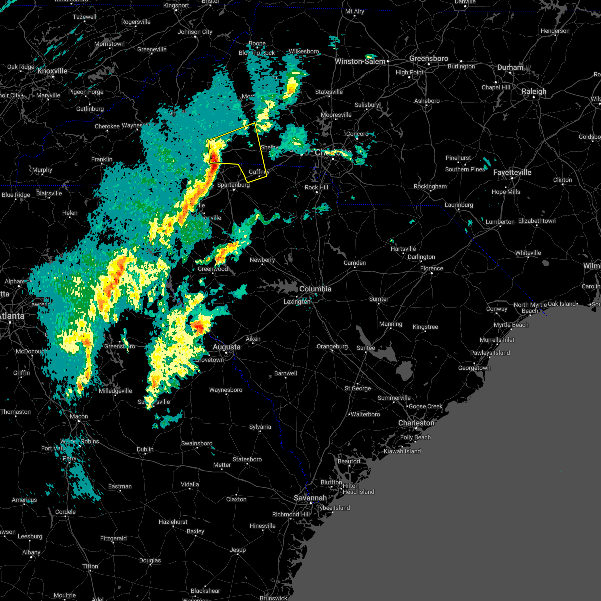 At 510 pm est, severe thunderstorms were located along a line extending from 7 miles northeast of columbus to 17 miles northwest of spartanburg to 14 miles northeast of greenville downtown, moving east at 45 mph (radar indicated). Hazards include 60 mph wind gusts and nickel size hail. expect damage to trees and power lines At 510 pm est, severe thunderstorms were located along a line extending from 7 miles northeast of columbus to 17 miles northwest of spartanburg to 14 miles northeast of greenville downtown, moving east at 45 mph (radar indicated). Hazards include 60 mph wind gusts and nickel size hail. expect damage to trees and power lines
|
| 1/12/2023 4:36 PM EST | 911 call center reports multiple trees down across polk county and quarter to half inch sized hai in polk county NC, 4.2 miles SSE of Columbus, NC |
| 1/12/2023 4:33 PM EST |
 At 432 pm est, a severe thunderstorm was located 6 miles east of hendersonville, or 6 miles north of saluda, moving northeast at 70 mph (radar indicated). Hazards include 60 mph wind gusts and quarter size hail. Minor hail damage to vehicles is expected. expect wind damage to trees and power lines. locations impacted include, flat rock, lake lure, saluda, chimney rock village, chimney rock state park, bat cave, pleasant ridge state park, jones gap state park, tuxedo and north saluda reservoir. hail threat, radar indicated max hail size, 1. 00 in wind threat, radar indicated max wind gust, 60 mph. At 432 pm est, a severe thunderstorm was located 6 miles east of hendersonville, or 6 miles north of saluda, moving northeast at 70 mph (radar indicated). Hazards include 60 mph wind gusts and quarter size hail. Minor hail damage to vehicles is expected. expect wind damage to trees and power lines. locations impacted include, flat rock, lake lure, saluda, chimney rock village, chimney rock state park, bat cave, pleasant ridge state park, jones gap state park, tuxedo and north saluda reservoir. hail threat, radar indicated max hail size, 1. 00 in wind threat, radar indicated max wind gust, 60 mph.
|
| 1/12/2023 4:21 PM EST |
 At 421 pm est, a severe thunderstorm was located 8 miles south of hendersonville, or 5 miles south of flat rock, moving northeast at 70 mph (radar indicated). Hazards include 60 mph wind gusts and quarter size hail. Minor hail damage to vehicles is expected. Expect wind damage to trees and power lines. At 421 pm est, a severe thunderstorm was located 8 miles south of hendersonville, or 5 miles south of flat rock, moving northeast at 70 mph (radar indicated). Hazards include 60 mph wind gusts and quarter size hail. Minor hail damage to vehicles is expected. Expect wind damage to trees and power lines.
|
| 8/15/2022 5:33 PM EDT |
 At 533 pm edt, severe thunderstorms were located along a line extending from near rutherfordton to 9 miles west of forest city to near columbus, moving southeast at 20 mph (radar indicated). Hazards include 60 mph wind gusts and quarter size hail. Minor hail damage to vehicles is expected. Expect wind damage to trees and power lines. At 533 pm edt, severe thunderstorms were located along a line extending from near rutherfordton to 9 miles west of forest city to near columbus, moving southeast at 20 mph (radar indicated). Hazards include 60 mph wind gusts and quarter size hail. Minor hail damage to vehicles is expected. Expect wind damage to trees and power lines.
|
| 8/5/2022 5:55 PM EDT |
 The severe thunderstorm warning for southwestern polk, northeastern greenville and northwestern spartanburg counties will expire at 600 pm edt, the storm which prompted the warning has weakened below severe limits, and no longer poses an immediate threat to life or property. therefore, the warning will be allowed to expire. however gusty winds and heavy rain are still possible with this thunderstorm. The severe thunderstorm warning for southwestern polk, northeastern greenville and northwestern spartanburg counties will expire at 600 pm edt, the storm which prompted the warning has weakened below severe limits, and no longer poses an immediate threat to life or property. therefore, the warning will be allowed to expire. however gusty winds and heavy rain are still possible with this thunderstorm.
|
| 8/5/2022 5:42 PM EDT |
 At 542 pm edt, a severe thunderstorm was located 6 miles south of columbus, or near landrum, moving northeast at 5 mph (radar indicated). Hazards include 60 mph wind gusts and penny size hail. Expect damage to trees and power lines. locations impacted include, columbus, landrum, tryon, campobello, gowensville, glassy mountain, saluda, green creek, north saluda reservoir and lake bowen. hail threat, radar indicated max hail size, 0. 75 in wind threat, radar indicated max wind gust, 60 mph. At 542 pm edt, a severe thunderstorm was located 6 miles south of columbus, or near landrum, moving northeast at 5 mph (radar indicated). Hazards include 60 mph wind gusts and penny size hail. Expect damage to trees and power lines. locations impacted include, columbus, landrum, tryon, campobello, gowensville, glassy mountain, saluda, green creek, north saluda reservoir and lake bowen. hail threat, radar indicated max hail size, 0. 75 in wind threat, radar indicated max wind gust, 60 mph.
|
| 8/5/2022 5:16 PM EDT |
 At 516 pm edt, a severe thunderstorm was located 9 miles south of columbus, or 5 miles southwest of landrum, moving northeast at 5 mph (radar indicated). Hazards include 60 mph wind gusts and penny size hail. expect damage to trees and power lines At 516 pm edt, a severe thunderstorm was located 9 miles south of columbus, or 5 miles southwest of landrum, moving northeast at 5 mph (radar indicated). Hazards include 60 mph wind gusts and penny size hail. expect damage to trees and power lines
|
| 7/25/2022 3:12 PM EDT |
 At 311 pm edt, a severe thunderstorm was located 6 miles northwest of columbus, moving east at 15 mph (radar indicated). Hazards include 60 mph wind gusts and penny size hail. Expect damage to trees and power lines. locations impacted include, columbus, green hill, mill spring, green creek, lake adger, tryon, saluda, lake lure and chimney rock state park. hail threat, radar indicated max hail size, 0. 75 in wind threat, radar indicated max wind gust, 60 mph. At 311 pm edt, a severe thunderstorm was located 6 miles northwest of columbus, moving east at 15 mph (radar indicated). Hazards include 60 mph wind gusts and penny size hail. Expect damage to trees and power lines. locations impacted include, columbus, green hill, mill spring, green creek, lake adger, tryon, saluda, lake lure and chimney rock state park. hail threat, radar indicated max hail size, 0. 75 in wind threat, radar indicated max wind gust, 60 mph.
|
| 7/25/2022 2:56 PM EDT |
 At 255 pm edt, a severe thunderstorm was located 7 miles east of hendersonville, or 6 miles north of saluda, moving east at 15 mph (radar indicated). Hazards include 60 mph wind gusts and quarter size hail. Minor hail damage to vehicles is expected. Expect wind damage to trees and power lines. At 255 pm edt, a severe thunderstorm was located 7 miles east of hendersonville, or 6 miles north of saluda, moving east at 15 mph (radar indicated). Hazards include 60 mph wind gusts and quarter size hail. Minor hail damage to vehicles is expected. Expect wind damage to trees and power lines.
|
| 7/20/2022 4:38 PM EDT |
 At 436 pm edt, severe thunderstorms were located along a line extending from 7 miles southwest of morganton to 8 miles north of forest city to 6 miles north of columbus, moving east at 30 mph (radar indicated). Hazards include 60 mph wind gusts and quarter size hail. Minor hail damage to vehicles is expected. expect wind damage to trees and power lines. locations impacted include, forest city, rutherfordton, spindale, polkville, ellenboro, lattimore, mooresboro, bostic, casar and kingstown. hail threat, radar indicated max hail size, 1. 00 in wind threat, radar indicated max wind gust, 60 mph. At 436 pm edt, severe thunderstorms were located along a line extending from 7 miles southwest of morganton to 8 miles north of forest city to 6 miles north of columbus, moving east at 30 mph (radar indicated). Hazards include 60 mph wind gusts and quarter size hail. Minor hail damage to vehicles is expected. expect wind damage to trees and power lines. locations impacted include, forest city, rutherfordton, spindale, polkville, ellenboro, lattimore, mooresboro, bostic, casar and kingstown. hail threat, radar indicated max hail size, 1. 00 in wind threat, radar indicated max wind gust, 60 mph.
|
| 7/20/2022 4:15 PM EDT |
 At 414 pm edt, severe thunderstorms were located along a line extending from 3 miles east of marion to 10 miles north of rutherfordton to 9 miles northeast of hendersonville, moving east at 20 mph (radar indicated). Hazards include 60 mph wind gusts and quarter size hail. Minor hail damage to vehicles is expected. Expect wind damage to trees and power lines. At 414 pm edt, severe thunderstorms were located along a line extending from 3 miles east of marion to 10 miles north of rutherfordton to 9 miles northeast of hendersonville, moving east at 20 mph (radar indicated). Hazards include 60 mph wind gusts and quarter size hail. Minor hail damage to vehicles is expected. Expect wind damage to trees and power lines.
|
| 7/19/2022 5:27 PM EDT |
 At 527 pm edt, a severe thunderstorm was located 4 miles south of hendersonville, or near flat rock, moving southeast at 15 mph (radar indicated). Hazards include 60 mph wind gusts and quarter size hail. Minor hail damage to vehicles is expected. expect wind damage to trees and power lines. locations impacted include, hendersonville, columbus, flat rock, laurel park, tryon, saluda, tigerville, pleasant ridge state park, valley hill and tuxedo. hail threat, radar indicated max hail size, 1. 00 in wind threat, radar indicated max wind gust, 60 mph. At 527 pm edt, a severe thunderstorm was located 4 miles south of hendersonville, or near flat rock, moving southeast at 15 mph (radar indicated). Hazards include 60 mph wind gusts and quarter size hail. Minor hail damage to vehicles is expected. expect wind damage to trees and power lines. locations impacted include, hendersonville, columbus, flat rock, laurel park, tryon, saluda, tigerville, pleasant ridge state park, valley hill and tuxedo. hail threat, radar indicated max hail size, 1. 00 in wind threat, radar indicated max wind gust, 60 mph.
|
| 7/19/2022 5:12 PM EDT |
 The severe thunderstorm warning for southern rutherford, polk and north central spartanburg counties will expire at 515 pm edt, the storms which prompted the warning have weakened below severe limits, and no longer pose an immediate threat to life or property. therefore, the warning will be allowed to expire. however, gusty winds and heavy rain are still possible with these thunderstorms. The severe thunderstorm warning for southern rutherford, polk and north central spartanburg counties will expire at 515 pm edt, the storms which prompted the warning have weakened below severe limits, and no longer pose an immediate threat to life or property. therefore, the warning will be allowed to expire. however, gusty winds and heavy rain are still possible with these thunderstorms.
|
| 7/19/2022 5:07 PM EDT |
 At 507 pm edt, a severe thunderstorm was located 5 miles southwest of hendersonville, or near flat rock, moving southeast at 15 mph (radar indicated). Hazards include 60 mph wind gusts and quarter size hail. Minor hail damage to vehicles is expected. Expect wind damage to trees and power lines. At 507 pm edt, a severe thunderstorm was located 5 miles southwest of hendersonville, or near flat rock, moving southeast at 15 mph (radar indicated). Hazards include 60 mph wind gusts and quarter size hail. Minor hail damage to vehicles is expected. Expect wind damage to trees and power lines.
|
| 7/19/2022 4:47 PM EDT |
 At 447 pm edt, severe thunderstorms were located along a line extending from 8 miles west of rutherfordton to 5 miles west of columbus, moving southeast at 10 mph (radar indicated). Hazards include 60 mph wind gusts and quarter size hail. Minor hail damage to vehicles is expected. expect wind damage to trees and power lines. locations impacted include, columbus, landrum, lake bowen, mill spring, harris, lake adger, green creek, fingerville, tryon and rutherfordton. hail threat, radar indicated max hail size, 1. 00 in wind threat, radar indicated max wind gust, 60 mph. At 447 pm edt, severe thunderstorms were located along a line extending from 8 miles west of rutherfordton to 5 miles west of columbus, moving southeast at 10 mph (radar indicated). Hazards include 60 mph wind gusts and quarter size hail. Minor hail damage to vehicles is expected. expect wind damage to trees and power lines. locations impacted include, columbus, landrum, lake bowen, mill spring, harris, lake adger, green creek, fingerville, tryon and rutherfordton. hail threat, radar indicated max hail size, 1. 00 in wind threat, radar indicated max wind gust, 60 mph.
|
| 7/19/2022 4:45 PM EDT | A couple of trees down in mill sprin in polk county NC, 3.4 miles SW of Columbus, NC |
| 7/19/2022 4:26 PM EDT |
 At 426 pm edt, a severe thunderstorm was located 5 miles north of columbus, moving southeast at 20 mph (radar indicated). Hazards include 60 mph wind gusts and quarter size hail. Minor hail damage to vehicles is expected. Expect wind damage to trees and power lines. At 426 pm edt, a severe thunderstorm was located 5 miles north of columbus, moving southeast at 20 mph (radar indicated). Hazards include 60 mph wind gusts and quarter size hail. Minor hail damage to vehicles is expected. Expect wind damage to trees and power lines.
|
| 7/18/2022 7:52 PM EDT |
 At 752 pm edt, a severe thunderstorm was located 11 miles north of greenville downtown, or 4 miles north of travelers rest, moving east at 25 mph (radar indicated). Hazards include 60 mph wind gusts and penny size hail. expect damage to trees and power lines At 752 pm edt, a severe thunderstorm was located 11 miles north of greenville downtown, or 4 miles north of travelers rest, moving east at 25 mph (radar indicated). Hazards include 60 mph wind gusts and penny size hail. expect damage to trees and power lines
|
| 7/6/2022 5:36 PM EDT |
 At 535 pm edt, a severe thunderstorm was located 7 miles southeast of hendersonville, or near saluda, moving east at 15 mph (radar indicated). Hazards include 60 mph wind gusts and half dollar size hail. Minor hail damage to vehicles is expected. expect wind damage to trees and power lines. locations impacted include, saluda, dana, lake adger, tryon, north saluda reservoir, glassy mountain and tuxedo. hail threat, radar indicated max hail size, 1. 25 in wind threat, radar indicated max wind gust, 60 mph. At 535 pm edt, a severe thunderstorm was located 7 miles southeast of hendersonville, or near saluda, moving east at 15 mph (radar indicated). Hazards include 60 mph wind gusts and half dollar size hail. Minor hail damage to vehicles is expected. expect wind damage to trees and power lines. locations impacted include, saluda, dana, lake adger, tryon, north saluda reservoir, glassy mountain and tuxedo. hail threat, radar indicated max hail size, 1. 25 in wind threat, radar indicated max wind gust, 60 mph.
|
| 7/6/2022 5:08 PM EDT |
 At 508 pm edt, a severe thunderstorm was located over hendersonville, moving east at 15 mph (radar indicated). Hazards include 60 mph wind gusts and half dollar size hail. Minor hail damage to vehicles is expected. Expect wind damage to trees and power lines. At 508 pm edt, a severe thunderstorm was located over hendersonville, moving east at 15 mph (radar indicated). Hazards include 60 mph wind gusts and half dollar size hail. Minor hail damage to vehicles is expected. Expect wind damage to trees and power lines.
|
| 7/5/2022 7:29 PM EDT |
 At 729 pm edt, severe thunderstorms were located along a line extending from 5 miles west of downtown asheville to 12 miles southwest of marion to 10 miles south of morganton, moving south at 20 mph (radar indicated). Hazards include 60 mph wind gusts and nickel size hail. expect damage to trees and power lines At 729 pm edt, severe thunderstorms were located along a line extending from 5 miles west of downtown asheville to 12 miles southwest of marion to 10 miles south of morganton, moving south at 20 mph (radar indicated). Hazards include 60 mph wind gusts and nickel size hail. expect damage to trees and power lines
|
| 6/16/2022 3:13 PM EDT |
 At 313 pm edt, severe thunderstorms were located along a line extending from 4 miles south of rutherfordton to 13 miles west of spartanburg, moving east at 20 mph (radar indicated). Hazards include 60 mph wind gusts and quarter size hail. Minor hail damage to vehicles is expected. Expect wind damage to trees and power lines. At 313 pm edt, severe thunderstorms were located along a line extending from 4 miles south of rutherfordton to 13 miles west of spartanburg, moving east at 20 mph (radar indicated). Hazards include 60 mph wind gusts and quarter size hail. Minor hail damage to vehicles is expected. Expect wind damage to trees and power lines.
|
| 6/16/2022 2:47 PM EDT | Trees down from millspring to rutherford county lin in polk county NC, 7 miles SW of Columbus, NC |
| 6/16/2022 2:45 PM EDT |
 At 244 pm edt, a severe thunderstorm was located 7 miles southwest of rutherfordton, moving south at 20 mph (radar indicated). Hazards include 60 mph wind gusts and half dollar size hail. Minor hail damage to vehicles is expected. expect wind damage to trees and power lines. The strongest winds moving ahead of the rain, so do not wait for the rain to begin to take shelter. At 244 pm edt, a severe thunderstorm was located 7 miles southwest of rutherfordton, moving south at 20 mph (radar indicated). Hazards include 60 mph wind gusts and half dollar size hail. Minor hail damage to vehicles is expected. expect wind damage to trees and power lines. The strongest winds moving ahead of the rain, so do not wait for the rain to begin to take shelter.
|
| 6/15/2022 2:38 PM EDT |
 At 238 pm edt, a severe thunderstorm was located 8 miles northeast of hendersonville, or 5 miles west of bat cave, moving south at 10 mph (radar indicated). Hazards include 60 mph wind gusts and quarter size hail. Minor hail damage to vehicles is expected. Expect wind damage to trees and power lines. At 238 pm edt, a severe thunderstorm was located 8 miles northeast of hendersonville, or 5 miles west of bat cave, moving south at 10 mph (radar indicated). Hazards include 60 mph wind gusts and quarter size hail. Minor hail damage to vehicles is expected. Expect wind damage to trees and power lines.
|
| 6/2/2022 4:50 PM EDT |
 At 450 pm edt, a severe thunderstorm was located 6 miles northwest of columbus, moving east at 10 mph (radar indicated). Hazards include 60 mph wind gusts and quarter size hail. Minor hail damage to vehicles is expected. expect wind damage to trees and power lines. locations impacted include, hendersonville, columbus, flat rock, saluda, dana, mill spring, edneyville, lake adger, east flat rock and tryon. hail threat, radar indicated max hail size, 1. 00 in wind threat, radar indicated max wind gust, 60 mph. At 450 pm edt, a severe thunderstorm was located 6 miles northwest of columbus, moving east at 10 mph (radar indicated). Hazards include 60 mph wind gusts and quarter size hail. Minor hail damage to vehicles is expected. expect wind damage to trees and power lines. locations impacted include, hendersonville, columbus, flat rock, saluda, dana, mill spring, edneyville, lake adger, east flat rock and tryon. hail threat, radar indicated max hail size, 1. 00 in wind threat, radar indicated max wind gust, 60 mph.
|
| 6/2/2022 4:40 PM EDT | Trees down in mill spring. time estimated from radar in polk county NC, 3.4 miles SW of Columbus, NC |
| 6/2/2022 4:32 PM EDT |
 At 432 pm edt, a severe thunderstorm was located 7 miles northwest of columbus, or 5 miles north of saluda, moving east at 10 mph (radar indicated). Hazards include 60 mph wind gusts and quarter size hail. Minor hail damage to vehicles is expected. Expect wind damage to trees and power lines. At 432 pm edt, a severe thunderstorm was located 7 miles northwest of columbus, or 5 miles north of saluda, moving east at 10 mph (radar indicated). Hazards include 60 mph wind gusts and quarter size hail. Minor hail damage to vehicles is expected. Expect wind damage to trees and power lines.
|
| 6/2/2022 4:07 PM EDT |
 At 406 pm edt, a severe thunderstorm was located 5 miles northwest of columbus, moving east at 10 mph (radar indicated). Hazards include 60 mph wind gusts and quarter size hail. Minor hail damage to vehicles is expected. expect wind damage to trees and power lines. locations impacted include, columbus, mill spring, lake adger, dana and saluda. hail threat, radar indicated max hail size, 1. 00 in wind threat, radar indicated max wind gust, 60 mph. At 406 pm edt, a severe thunderstorm was located 5 miles northwest of columbus, moving east at 10 mph (radar indicated). Hazards include 60 mph wind gusts and quarter size hail. Minor hail damage to vehicles is expected. expect wind damage to trees and power lines. locations impacted include, columbus, mill spring, lake adger, dana and saluda. hail threat, radar indicated max hail size, 1. 00 in wind threat, radar indicated max wind gust, 60 mph.
|
| 6/2/2022 3:45 PM EDT |
 At 345 pm edt, a severe thunderstorm was located 7 miles northwest of columbus, or 5 miles north of saluda, moving east at 10 mph (radar indicated). Hazards include 60 mph wind gusts and penny size hail. expect damage to trees and power lines At 345 pm edt, a severe thunderstorm was located 7 miles northwest of columbus, or 5 miles north of saluda, moving east at 10 mph (radar indicated). Hazards include 60 mph wind gusts and penny size hail. expect damage to trees and power lines
|
| 5/16/2022 3:28 PM EDT | Tree snapped on jolley l in polk county NC, 10.4 miles WNW of Columbus, NC |
| 3/23/2022 10:16 PM EDT |
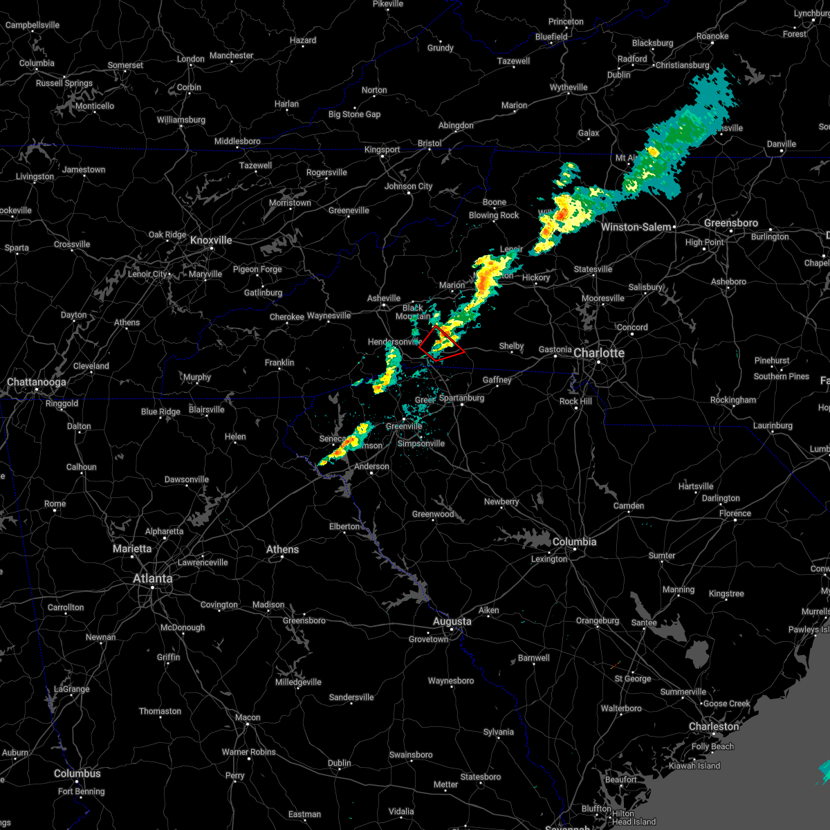 At 1016 pm edt, a severe thunderstorm capable of producing a tornado was located 7 miles northeast of columbus, moving northeast at 35 mph (radar indicated rotation). Hazards include tornado. Flying debris will be dangerous to those caught without shelter. mobile homes will be damaged or destroyed. damage to roofs, windows, and vehicles will occur. tree damage is likely. Locations impacted include, lake adger and mill spring. At 1016 pm edt, a severe thunderstorm capable of producing a tornado was located 7 miles northeast of columbus, moving northeast at 35 mph (radar indicated rotation). Hazards include tornado. Flying debris will be dangerous to those caught without shelter. mobile homes will be damaged or destroyed. damage to roofs, windows, and vehicles will occur. tree damage is likely. Locations impacted include, lake adger and mill spring.
|
| 3/23/2022 10:03 PM EDT |
 At 1003 pm edt, a severe thunderstorm capable of producing a tornado was located over columbus, moving northeast at 35 mph (radar indicated rotation). Hazards include tornado. Flying debris will be dangerous to those caught without shelter. mobile homes will be damaged or destroyed. damage to roofs, windows, and vehicles will occur. tree damage is likely. This dangerous thunderstorm will remain over mainly rural areas of central rutherford and polk counties, including the following locations, lake adger and mill spring. At 1003 pm edt, a severe thunderstorm capable of producing a tornado was located over columbus, moving northeast at 35 mph (radar indicated rotation). Hazards include tornado. Flying debris will be dangerous to those caught without shelter. mobile homes will be damaged or destroyed. damage to roofs, windows, and vehicles will occur. tree damage is likely. This dangerous thunderstorm will remain over mainly rural areas of central rutherford and polk counties, including the following locations, lake adger and mill spring.
|
| 9/8/2021 1:36 PM EDT |
 At 136 pm edt, a severe thunderstorm was located 10 miles northeast of hendersonville, or 4 miles south of bat cave, moving east at 25 mph (radar indicated). Hazards include 60 mph wind gusts and quarter size hail. Minor hail damage to vehicles is expected. Expect wind damage to trees and power lines. At 136 pm edt, a severe thunderstorm was located 10 miles northeast of hendersonville, or 4 miles south of bat cave, moving east at 25 mph (radar indicated). Hazards include 60 mph wind gusts and quarter size hail. Minor hail damage to vehicles is expected. Expect wind damage to trees and power lines.
|
| 8/31/2021 5:04 PM EDT |
 At 503 pm edt, severe thunderstorms were located along a line extending from 9 miles east of hendersonville to 8 miles north of columbus to 6 miles southwest of rutherfordton, moving north at 45 mph (radar indicated). Hazards include 60 mph wind gusts. Expect damage to trees and power lines. locations impacted include, lake lure, mill spring, lake adger, chimney rock state park, rutherfordton, green hill, chimney rock village and green creek. hail threat, radar indicated max hail size, <. 75 in wind threat, radar indicated max wind gust, 60 mph. At 503 pm edt, severe thunderstorms were located along a line extending from 9 miles east of hendersonville to 8 miles north of columbus to 6 miles southwest of rutherfordton, moving north at 45 mph (radar indicated). Hazards include 60 mph wind gusts. Expect damage to trees and power lines. locations impacted include, lake lure, mill spring, lake adger, chimney rock state park, rutherfordton, green hill, chimney rock village and green creek. hail threat, radar indicated max hail size, <. 75 in wind threat, radar indicated max wind gust, 60 mph.
|
| 8/31/2021 4:41 PM EDT |
 At 441 pm edt, severe thunderstorms were located along a line extending from 11 miles southeast of hendersonville to 4 miles south of columbus to 14 miles northwest of spartanburg, moving north at 45 mph (radar indicated). Hazards include 60 mph wind gusts. Expect damage to trees and power lines. locations impacted include, columbus, boiling springs sc, landrum, inman, tryon, lake lure, campobello, saluda, chimney rock village and tigerville. hail threat, radar indicated max hail size, <. 75 in wind threat, radar indicated max wind gust, 60 mph. At 441 pm edt, severe thunderstorms were located along a line extending from 11 miles southeast of hendersonville to 4 miles south of columbus to 14 miles northwest of spartanburg, moving north at 45 mph (radar indicated). Hazards include 60 mph wind gusts. Expect damage to trees and power lines. locations impacted include, columbus, boiling springs sc, landrum, inman, tryon, lake lure, campobello, saluda, chimney rock village and tigerville. hail threat, radar indicated max hail size, <. 75 in wind threat, radar indicated max wind gust, 60 mph.
|
| 8/31/2021 4:30 PM EDT |
 At 429 pm edt, severe thunderstorms were located along a line extending from 15 miles north of greenville downtown to 12 miles south of columbus to 10 miles west of spartanburg, moving north at 45 mph (radar indicated). Hazards include 60 mph wind gusts. expect damage to trees and power lines At 429 pm edt, severe thunderstorms were located along a line extending from 15 miles north of greenville downtown to 12 miles south of columbus to 10 miles west of spartanburg, moving north at 45 mph (radar indicated). Hazards include 60 mph wind gusts. expect damage to trees and power lines
|
| 8/19/2021 4:06 PM EDT |
 The severe thunderstorm warning for west central rutherford, henderson and western polk counties will expire at 415 pm edt, the storm which prompted the warning has weakened below severe limits, and no longer poses an immediate threat to life or property. therefore, the warning will be allowed to expire. however gusty winds and heavy rain are still possible with this thunderstorm. The severe thunderstorm warning for west central rutherford, henderson and western polk counties will expire at 415 pm edt, the storm which prompted the warning has weakened below severe limits, and no longer poses an immediate threat to life or property. therefore, the warning will be allowed to expire. however gusty winds and heavy rain are still possible with this thunderstorm.
|
| 8/19/2021 3:52 PM EDT |
 At 352 pm edt, a severe thunderstorm was located near hendersonville, moving east at 25 mph (radar indicated). Hazards include 60 mph wind gusts and penny size hail. Expect damage to trees and power lines. locations impacted include, hendersonville, columbus, fletcher, flat rock, etowah, mountain home, laurel park, lake lure, saluda and chimney rock village. hail threat, radar indicated max hail size, 0. 75 in wind threat, radar indicated max wind gust, 60 mph. At 352 pm edt, a severe thunderstorm was located near hendersonville, moving east at 25 mph (radar indicated). Hazards include 60 mph wind gusts and penny size hail. Expect damage to trees and power lines. locations impacted include, hendersonville, columbus, fletcher, flat rock, etowah, mountain home, laurel park, lake lure, saluda and chimney rock village. hail threat, radar indicated max hail size, 0. 75 in wind threat, radar indicated max wind gust, 60 mph.
|
| 8/19/2021 3:35 PM EDT |
 At 335 pm edt, a severe thunderstorm was located 6 miles west of hendersonville, or near etowah, moving east at 25 mph (radar indicated). Hazards include 60 mph wind gusts and penny size hail. expect damage to trees and power lines At 335 pm edt, a severe thunderstorm was located 6 miles west of hendersonville, or near etowah, moving east at 25 mph (radar indicated). Hazards include 60 mph wind gusts and penny size hail. expect damage to trees and power lines
|
| 8/17/2021 4:20 PM EDT |
 At 420 pm edt, a severe thunderstorm capable of producing a tornado was located 6 miles northwest of columbus, moving north at 35 mph (radar indicated rotation). Hazards include tornado. Flying debris will be dangerous to those caught without shelter. mobile homes will be damaged or destroyed. damage to roofs, windows, and vehicles will occur. tree damage is likely. this dangerous storm will be near, lake lure around 430 pm edt. chimney rock village, bat cave and chimney rock state park around 440 pm edt. Other locations impacted by this dangerous thunderstorm include dana, mill spring, gerton, lake adger and edneyville. At 420 pm edt, a severe thunderstorm capable of producing a tornado was located 6 miles northwest of columbus, moving north at 35 mph (radar indicated rotation). Hazards include tornado. Flying debris will be dangerous to those caught without shelter. mobile homes will be damaged or destroyed. damage to roofs, windows, and vehicles will occur. tree damage is likely. this dangerous storm will be near, lake lure around 430 pm edt. chimney rock village, bat cave and chimney rock state park around 440 pm edt. Other locations impacted by this dangerous thunderstorm include dana, mill spring, gerton, lake adger and edneyville.
|
| 3/25/2021 3:03 PM EDT |
 At 302 pm edt, a severe thunderstorm capable of producing a tornado was located 14 miles southeast of brevard, or near pleasant ridge state park, moving east at 40 mph (radar indicated rotation). Hazards include tornado. Flying debris will be dangerous to those caught without shelter. mobile homes will be damaged or destroyed. damage to roofs, windows, and vehicles will occur. tree damage is likely. this dangerous storm will be near, tigerville around 320 pm edt. tryon around 330 pm edt. columbus, landrum and campobello around 340 pm edt. Other locations impacted by this dangerous storm include glassy mountain, gowensville, cleveland and north saluda reservoir. At 302 pm edt, a severe thunderstorm capable of producing a tornado was located 14 miles southeast of brevard, or near pleasant ridge state park, moving east at 40 mph (radar indicated rotation). Hazards include tornado. Flying debris will be dangerous to those caught without shelter. mobile homes will be damaged or destroyed. damage to roofs, windows, and vehicles will occur. tree damage is likely. this dangerous storm will be near, tigerville around 320 pm edt. tryon around 330 pm edt. columbus, landrum and campobello around 340 pm edt. Other locations impacted by this dangerous storm include glassy mountain, gowensville, cleveland and north saluda reservoir.
|
| 3/25/2021 2:40 PM EDT |
 At 240 pm edt, a severe thunderstorm capable of producing a tornado was located 10 miles north of pickens, or near table rock state park, moving east at 40 mph (radar indicated rotation). Hazards include tornado. Flying debris will be dangerous to those caught without shelter. mobile homes will be damaged or destroyed. damage to roofs, windows, and vehicles will occur. tree damage is likely. this dangerous storm will be near, jones gap state park and caesars head state park around 300 pm edt. pleasant ridge state park, tigerville, slater-marietta and travelers rest around 310 pm edt. lake robinson around 320 pm edt. campobello, landrum and tryon around 330 pm edt. Other locations impacted by this dangerous thunderstorm include sunset, gowensville, pumpkintown, north saluda reservoir and glassy mountain. At 240 pm edt, a severe thunderstorm capable of producing a tornado was located 10 miles north of pickens, or near table rock state park, moving east at 40 mph (radar indicated rotation). Hazards include tornado. Flying debris will be dangerous to those caught without shelter. mobile homes will be damaged or destroyed. damage to roofs, windows, and vehicles will occur. tree damage is likely. this dangerous storm will be near, jones gap state park and caesars head state park around 300 pm edt. pleasant ridge state park, tigerville, slater-marietta and travelers rest around 310 pm edt. lake robinson around 320 pm edt. campobello, landrum and tryon around 330 pm edt. Other locations impacted by this dangerous thunderstorm include sunset, gowensville, pumpkintown, north saluda reservoir and glassy mountain.
|
| 8/19/2020 3:20 PM EDT |
 At 320 pm edt, a severe thunderstorm was located near columbus, or near tryon, moving southeast at 15 mph (radar indicated). Hazards include 60 mph wind gusts and penny size hail. Expect damage to trees and power lines. Locations impacted include, columbus, landrum, tryon, saluda, gowensville, tuxedo, north saluda reservoir, glassy mountain, dana and tigerville. At 320 pm edt, a severe thunderstorm was located near columbus, or near tryon, moving southeast at 15 mph (radar indicated). Hazards include 60 mph wind gusts and penny size hail. Expect damage to trees and power lines. Locations impacted include, columbus, landrum, tryon, saluda, gowensville, tuxedo, north saluda reservoir, glassy mountain, dana and tigerville.
|
| 8/19/2020 3:00 PM EDT |
 At 300 pm edt, a severe thunderstorm was located 6 miles west of columbus, or near saluda, moving southeast at 15 mph (radar indicated). Hazards include 60 mph wind gusts and penny size hail. expect damage to trees and power lines At 300 pm edt, a severe thunderstorm was located 6 miles west of columbus, or near saluda, moving southeast at 15 mph (radar indicated). Hazards include 60 mph wind gusts and penny size hail. expect damage to trees and power lines
|
| 7/22/2020 2:51 PM EDT |
 The severe thunderstorm warning for western polk county will expire at 300 pm edt, the storm which prompted the warning has weakened below severe limits, and no longer poses an immediate threat to life or property. therefore the warning will be allowed to expire. however, heavy rain is still possible with this thunderstorm. The severe thunderstorm warning for western polk county will expire at 300 pm edt, the storm which prompted the warning has weakened below severe limits, and no longer poses an immediate threat to life or property. therefore the warning will be allowed to expire. however, heavy rain is still possible with this thunderstorm.
|
| 7/22/2020 2:41 PM EDT |
 At 241 pm edt, a severe thunderstorm was located near columbus, moving east at 15 mph (radar indicated). Hazards include 60 mph wind gusts and quarter size hail. Minor hail damage to vehicles is expected. expect wind damage to trees and power lines. Locations impacted include, columbus, mill spring, lake adger, saluda and chimney rock state park. At 241 pm edt, a severe thunderstorm was located near columbus, moving east at 15 mph (radar indicated). Hazards include 60 mph wind gusts and quarter size hail. Minor hail damage to vehicles is expected. expect wind damage to trees and power lines. Locations impacted include, columbus, mill spring, lake adger, saluda and chimney rock state park.
|
| 7/22/2020 2:20 PM EDT |
 At 220 pm edt, a severe thunderstorm was located 4 miles southeast of hendersonville, or near flat rock, moving northeast at 15 mph (radar indicated). Hazards include 60 mph wind gusts and quarter size hail. Minor hail damage to vehicles is expected. Expect wind damage to trees and power lines. At 220 pm edt, a severe thunderstorm was located 4 miles southeast of hendersonville, or near flat rock, moving northeast at 15 mph (radar indicated). Hazards include 60 mph wind gusts and quarter size hail. Minor hail damage to vehicles is expected. Expect wind damage to trees and power lines.
|
| 6/20/2020 2:52 PM EDT |
 At 252 pm edt, a severe thunderstorm was located 5 miles southeast of columbus, or near landrum, moving southeast at 15 mph (radar indicated). Hazards include 60 mph wind gusts and quarter size hail. Minor hail damage to vehicles is expected. expect wind damage to trees and power lines. Locations impacted include, columbus, landrum, inman, tryon, campobello, lake bowen and gowensville. At 252 pm edt, a severe thunderstorm was located 5 miles southeast of columbus, or near landrum, moving southeast at 15 mph (radar indicated). Hazards include 60 mph wind gusts and quarter size hail. Minor hail damage to vehicles is expected. expect wind damage to trees and power lines. Locations impacted include, columbus, landrum, inman, tryon, campobello, lake bowen and gowensville.
|
| 6/20/2020 2:35 PM EDT | Several trees blown down and a few snapped in hal in polk county NC, 1 miles NE of Columbus, NC |
| 6/20/2020 2:31 PM EDT |
 At 230 pm edt, a severe thunderstorm was located near columbus, moving southeast at 15 mph (radar indicated). Hazards include 60 mph wind gusts and quarter size hail. Minor hail damage to vehicles is expected. Expect wind damage to trees and power lines. At 230 pm edt, a severe thunderstorm was located near columbus, moving southeast at 15 mph (radar indicated). Hazards include 60 mph wind gusts and quarter size hail. Minor hail damage to vehicles is expected. Expect wind damage to trees and power lines.
|
| 5/5/2020 4:24 PM EDT |
 At 424 pm edt, a severe thunderstorm was located 7 miles southeast of brevard, or near dupont state forest, moving east at 40 mph (radar indicated). Hazards include 60 mph wind gusts and quarter size hail. Minor hail damage to vehicles is expected. Expect wind damage to trees and power lines. At 424 pm edt, a severe thunderstorm was located 7 miles southeast of brevard, or near dupont state forest, moving east at 40 mph (radar indicated). Hazards include 60 mph wind gusts and quarter size hail. Minor hail damage to vehicles is expected. Expect wind damage to trees and power lines.
|
| 4/25/2020 8:33 PM EDT |
 At 832 pm edt, a severe thunderstorm capable of producing a tornado was located 14 miles northeast of greenville downtown, or near lake robinson, moving east at 45 mph (radar indicated rotation). Hazards include tornado and quarter size hail. Flying debris will be dangerous to those caught without shelter. mobile homes will be damaged or destroyed. damage to roofs, windows, and vehicles will occur. tree damage is likely. this dangerous storm will be near, campobello around 840 pm edt. lake bowen and inman around 850 pm edt. Other locations impacted by this dangerous storm include glassy mountain, gowensville and north saluda reservoir. At 832 pm edt, a severe thunderstorm capable of producing a tornado was located 14 miles northeast of greenville downtown, or near lake robinson, moving east at 45 mph (radar indicated rotation). Hazards include tornado and quarter size hail. Flying debris will be dangerous to those caught without shelter. mobile homes will be damaged or destroyed. damage to roofs, windows, and vehicles will occur. tree damage is likely. this dangerous storm will be near, campobello around 840 pm edt. lake bowen and inman around 850 pm edt. Other locations impacted by this dangerous storm include glassy mountain, gowensville and north saluda reservoir.
|
| 4/25/2020 8:24 PM EDT |
 At 824 pm edt, a severe thunderstorm capable of producing a tornado was located 11 miles north of greenville downtown, or near tigerville, moving east at 45 mph (radar indicated rotation). Hazards include tornado and quarter size hail. Flying debris will be dangerous to those caught without shelter. mobile homes will be damaged or destroyed. damage to roofs, windows, and vehicles will occur. tree damage is likely. this dangerous storm will be near, lake robinson around 830 pm edt. campobello and greer around 840 pm edt. inman and lake bowen around 850 pm edt. Other locations impacted by this dangerous thunderstorm include glassy mountain, gowensville, cleveland and north saluda reservoir. At 824 pm edt, a severe thunderstorm capable of producing a tornado was located 11 miles north of greenville downtown, or near tigerville, moving east at 45 mph (radar indicated rotation). Hazards include tornado and quarter size hail. Flying debris will be dangerous to those caught without shelter. mobile homes will be damaged or destroyed. damage to roofs, windows, and vehicles will occur. tree damage is likely. this dangerous storm will be near, lake robinson around 830 pm edt. campobello and greer around 840 pm edt. inman and lake bowen around 850 pm edt. Other locations impacted by this dangerous thunderstorm include glassy mountain, gowensville, cleveland and north saluda reservoir.
|
| 1/11/2020 7:32 PM EST |
 At 732 pm est, severe thunderstorms were located along a line extending from 10 miles southwest of burnsville to 10 miles south of hendersonville, moving northeast at 40 mph (radar indicated). Hazards include 60 mph wind gusts. expect damage to trees and power lines At 732 pm est, severe thunderstorms were located along a line extending from 10 miles southwest of burnsville to 10 miles south of hendersonville, moving northeast at 40 mph (radar indicated). Hazards include 60 mph wind gusts. expect damage to trees and power lines
|
| 10/31/2019 3:36 PM EDT |
 At 336 pm edt, severe thunderstorms were located along a line extending from 7 miles southwest of columbus to near greenville downtown to 7 miles east of anderson, moving east at 45 mph (radar indicated). Hazards include 60 mph wind gusts. Expect damage to trees and power lines. Locations impacted include, greenville downtown, anderson, columbus, greenville eastside, west greenville, greer, mauldin, taylors, simpsonville and berea. At 336 pm edt, severe thunderstorms were located along a line extending from 7 miles southwest of columbus to near greenville downtown to 7 miles east of anderson, moving east at 45 mph (radar indicated). Hazards include 60 mph wind gusts. Expect damage to trees and power lines. Locations impacted include, greenville downtown, anderson, columbus, greenville eastside, west greenville, greer, mauldin, taylors, simpsonville and berea.
|
| 10/31/2019 3:15 PM EDT |
 At 315 pm edt, severe thunderstorms were located along a line extending from 14 miles southeast of brevard to 4 miles south of easley to 10 miles east of hartwell, moving northeast at 45 mph (radar indicated). Hazards include 60 mph wind gusts. expect damage to trees and power lines At 315 pm edt, severe thunderstorms were located along a line extending from 14 miles southeast of brevard to 4 miles south of easley to 10 miles east of hartwell, moving northeast at 45 mph (radar indicated). Hazards include 60 mph wind gusts. expect damage to trees and power lines
|
| 10/31/2019 3:15 PM EDT |
 The national weather service in greenville-spartanburg has issued a * severe thunderstorm warning for. polk county in western north carolina. greenville county in upstate south carolina. northwestern spartanburg county in upstate south carolina. Central anderson county in upstate south carolina. The national weather service in greenville-spartanburg has issued a * severe thunderstorm warning for. polk county in western north carolina. greenville county in upstate south carolina. northwestern spartanburg county in upstate south carolina. Central anderson county in upstate south carolina.
|
| 9/13/2019 5:52 PM EDT |
 At 512 pm edt, a severe thunderstorm was located 8 miles south of rutherfordton, moving west at 10 mph (radar indicated). Hazards include 60 mph wind gusts and quarter size hail. Minor hail damage to vehicles is expected. Expect wind damage to trees and power lines. At 512 pm edt, a severe thunderstorm was located 8 miles south of rutherfordton, moving west at 10 mph (radar indicated). Hazards include 60 mph wind gusts and quarter size hail. Minor hail damage to vehicles is expected. Expect wind damage to trees and power lines.
|
| 9/13/2019 5:13 PM EDT |
 At 512 pm edt, a severe thunderstorm was located 8 miles south of rutherfordton, moving west at 10 mph (radar indicated). Hazards include 60 mph wind gusts and quarter size hail. Minor hail damage to vehicles is expected. Expect wind damage to trees and power lines. At 512 pm edt, a severe thunderstorm was located 8 miles south of rutherfordton, moving west at 10 mph (radar indicated). Hazards include 60 mph wind gusts and quarter size hail. Minor hail damage to vehicles is expected. Expect wind damage to trees and power lines.
|
| 8/22/2019 2:18 PM EDT |
 At 156 pm edt, severe thunderstorms were located along a line extending from 12 miles east of spruce pine to 8 miles east of marion to 15 miles northwest of rutherfordton to near hendersonville, moving east at 10 mph (radar indicated). Hazards include 60 mph wind gusts and quarter size hail. Minor hail damage to vehicles is expected. Expect wind damage to trees and power lines. At 156 pm edt, severe thunderstorms were located along a line extending from 12 miles east of spruce pine to 8 miles east of marion to 15 miles northwest of rutherfordton to near hendersonville, moving east at 10 mph (radar indicated). Hazards include 60 mph wind gusts and quarter size hail. Minor hail damage to vehicles is expected. Expect wind damage to trees and power lines.
|
| 8/22/2019 1:56 PM EDT |
 At 156 pm edt, severe thunderstorms were located along a line extending from 12 miles east of spruce pine to 8 miles east of marion to 15 miles northwest of rutherfordton to near hendersonville, moving east at 10 mph (radar indicated). Hazards include 60 mph wind gusts and quarter size hail. Minor hail damage to vehicles is expected. Expect wind damage to trees and power lines. At 156 pm edt, severe thunderstorms were located along a line extending from 12 miles east of spruce pine to 8 miles east of marion to 15 miles northwest of rutherfordton to near hendersonville, moving east at 10 mph (radar indicated). Hazards include 60 mph wind gusts and quarter size hail. Minor hail damage to vehicles is expected. Expect wind damage to trees and power lines.
|
| 8/13/2019 3:19 PM EDT |
 The national weather service in greenville-spartanburg has issued a * severe thunderstorm warning for. south central rutherford county in western north carolina. southeastern polk county in western north carolina. northwestern spartanburg county in upstate south carolina. Until 400 pm edt. The national weather service in greenville-spartanburg has issued a * severe thunderstorm warning for. south central rutherford county in western north carolina. southeastern polk county in western north carolina. northwestern spartanburg county in upstate south carolina. Until 400 pm edt.
|
| 7/20/2019 1:52 AM EDT |
 The severe thunderstorm warning for central polk county will expire at 200 am edt, the storm which prompted the warning has weakened below severe limits, and no longer poses an immediate threat to life or property. therefore the warning will be allowed to expire. if you observed large hail or wind damage, please report it to the national weather service greenville-spartanburg by calling toll free, 1, 800, 2 6 7, 8 1 0 1, or by posting on our facebook page, or tweet it using hashtag nwsgsp. your message should describe the event and the specific location where it occurred. The severe thunderstorm warning for central polk county will expire at 200 am edt, the storm which prompted the warning has weakened below severe limits, and no longer poses an immediate threat to life or property. therefore the warning will be allowed to expire. if you observed large hail or wind damage, please report it to the national weather service greenville-spartanburg by calling toll free, 1, 800, 2 6 7, 8 1 0 1, or by posting on our facebook page, or tweet it using hashtag nwsgsp. your message should describe the event and the specific location where it occurred.
|
| 7/20/2019 1:32 AM EDT |
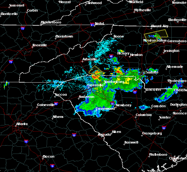 At 131 am edt, a severe thunderstorm was located 4 miles northeast of columbus, moving northwest at 15 mph (radar indicated). Hazards include 60 mph wind gusts and quarter size hail. Minor hail damage to vehicles is expected. expect wind damage to trees and power lines. Locations impacted include, columbus, mill spring, lake adger and chimney rock state park. At 131 am edt, a severe thunderstorm was located 4 miles northeast of columbus, moving northwest at 15 mph (radar indicated). Hazards include 60 mph wind gusts and quarter size hail. Minor hail damage to vehicles is expected. expect wind damage to trees and power lines. Locations impacted include, columbus, mill spring, lake adger and chimney rock state park.
|
| 7/20/2019 1:17 AM EDT |
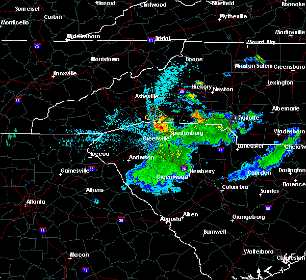 At 117 am edt, a severe thunderstorm was located 7 miles east of columbus, moving northwest at 15 mph (radar indicated). Hazards include 60 mph wind gusts and quarter size hail. Minor hail damage to vehicles is expected. Expect wind damage to trees and power lines. At 117 am edt, a severe thunderstorm was located 7 miles east of columbus, moving northwest at 15 mph (radar indicated). Hazards include 60 mph wind gusts and quarter size hail. Minor hail damage to vehicles is expected. Expect wind damage to trees and power lines.
|
| 7/18/2019 3:12 PM EDT |
 At 312 pm edt, a severe thunderstorm was located 6 miles southeast of columbus, or near landrum, moving southeast at 10 mph (radar indicated). Hazards include 60 mph wind gusts and penny size hail. expect damage to trees and power lines At 312 pm edt, a severe thunderstorm was located 6 miles southeast of columbus, or near landrum, moving southeast at 10 mph (radar indicated). Hazards include 60 mph wind gusts and penny size hail. expect damage to trees and power lines
|
| 7/4/2019 9:09 PM EDT |
 The severe thunderstorm warning for south central rutherford, southeastern henderson, polk, northeastern greenville and northwestern spartanburg counties will expire at 915 pm edt, the storm which prompted the warning has weakened below severe limits, and no longer poses an immediate threat to life or property. therefore the warning will be allowed to expire. however small hail, gusty winds and heavy rain are still possible with this thunderstorm. The severe thunderstorm warning for south central rutherford, southeastern henderson, polk, northeastern greenville and northwestern spartanburg counties will expire at 915 pm edt, the storm which prompted the warning has weakened below severe limits, and no longer poses an immediate threat to life or property. therefore the warning will be allowed to expire. however small hail, gusty winds and heavy rain are still possible with this thunderstorm.
|
| 7/4/2019 9:09 PM EDT |
 At 833 pm edt, a severe thunderstorm was located 6 miles east of columbus, moving southeast at 10 mph (radar indicated). Hazards include 70 mph wind gusts and half dollar size hail. Minor hail damage to vehicles is expected. expect considerable tree damage. Wind damage is also likely to mobile homes, roofs, and outbuildings. At 833 pm edt, a severe thunderstorm was located 6 miles east of columbus, moving southeast at 10 mph (radar indicated). Hazards include 70 mph wind gusts and half dollar size hail. Minor hail damage to vehicles is expected. expect considerable tree damage. Wind damage is also likely to mobile homes, roofs, and outbuildings.
|
| 7/4/2019 8:53 PM EDT |
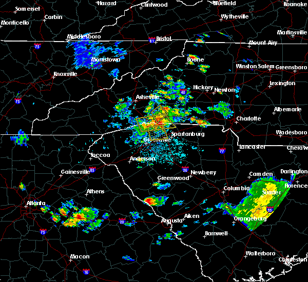 The severe thunderstorm warning for west central rutherford and central polk counties will expire at 900 pm edt, the storm which prompted the warning has moved out of the area. therefore the warning will be allowed to expire. however gusty winds and heavy rain are still possible with this thunderstorm. The severe thunderstorm warning for west central rutherford and central polk counties will expire at 900 pm edt, the storm which prompted the warning has moved out of the area. therefore the warning will be allowed to expire. however gusty winds and heavy rain are still possible with this thunderstorm.
|
| 7/4/2019 8:41 PM EDT |
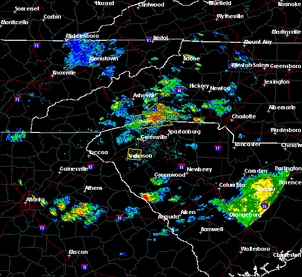 At 841 pm edt, a severe thunderstorm was located 7 miles southwest of rutherfordton, moving southeast at 5 mph (radar indicated). Hazards include 70 mph wind gusts and half dollar size hail. Minor hail damage to vehicles is expected. expect considerable tree damage. wind damage is also likely to mobile homes, roofs, and outbuildings. Locations impacted include, green hill, mill spring, lake adger, lake lure, columbus and chimney rock state park. At 841 pm edt, a severe thunderstorm was located 7 miles southwest of rutherfordton, moving southeast at 5 mph (radar indicated). Hazards include 70 mph wind gusts and half dollar size hail. Minor hail damage to vehicles is expected. expect considerable tree damage. wind damage is also likely to mobile homes, roofs, and outbuildings. Locations impacted include, green hill, mill spring, lake adger, lake lure, columbus and chimney rock state park.
|
| 7/4/2019 8:34 PM EDT |
 At 833 pm edt, a severe thunderstorm was located 6 miles east of columbus, moving southeast at 10 mph (radar indicated). Hazards include 70 mph wind gusts and half dollar size hail. Minor hail damage to vehicles is expected. expect considerable tree damage. Wind damage is also likely to mobile homes, roofs, and outbuildings. At 833 pm edt, a severe thunderstorm was located 6 miles east of columbus, moving southeast at 10 mph (radar indicated). Hazards include 70 mph wind gusts and half dollar size hail. Minor hail damage to vehicles is expected. expect considerable tree damage. Wind damage is also likely to mobile homes, roofs, and outbuildings.
|
| 7/4/2019 8:20 PM EDT | 911 call center reported trees down in the columbus area. time estimated from rada in polk county NC, 0.8 miles N of Columbus, NC |
| 7/4/2019 8:15 PM EDT | Social media reported trees down on smith waldrop rd. time estimated from rada in polk county NC, 4.6 miles WSW of Columbus, NC |
| 7/4/2019 8:13 PM EDT |
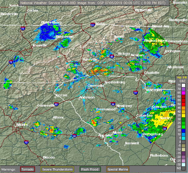 At 812 pm edt, a severe thunderstorm was located 8 miles west of rutherfordton, or 7 miles southeast of lake lure, moving southeast at 5 mph (radar indicated). Hazards include 70 mph wind gusts and half dollar size hail. Minor hail damage to vehicles is expected. expect considerable tree damage. Wind damage is also likely to mobile homes, roofs, and outbuildings. At 812 pm edt, a severe thunderstorm was located 8 miles west of rutherfordton, or 7 miles southeast of lake lure, moving southeast at 5 mph (radar indicated). Hazards include 70 mph wind gusts and half dollar size hail. Minor hail damage to vehicles is expected. expect considerable tree damage. Wind damage is also likely to mobile homes, roofs, and outbuildings.
|
| 7/4/2019 8:03 PM EDT |
 At 802 pm edt, a severe thunderstorm was located near columbus, or near tryon, moving southeast at 5 mph (radar indicated). Hazards include 60 mph wind gusts and quarter size hail. Minor hail damage to vehicles is expected. expect wind damage to trees and power lines. Locations impacted include, columbus, tryon, saluda, east flat rock and dana. At 802 pm edt, a severe thunderstorm was located near columbus, or near tryon, moving southeast at 5 mph (radar indicated). Hazards include 60 mph wind gusts and quarter size hail. Minor hail damage to vehicles is expected. expect wind damage to trees and power lines. Locations impacted include, columbus, tryon, saluda, east flat rock and dana.
|
| 7/4/2019 8:02 PM EDT |
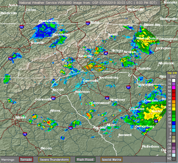 At 801 pm edt, a severe thunderstorm was located 9 miles west of rutherfordton, or 6 miles southeast of lake lure, moving southeast at 5 mph (radar indicated). Hazards include 60 mph wind gusts and quarter size hail. Minor hail damage to vehicles is expected. expect wind damage to trees and power lines. Locations impacted include, lake lure, chimney rock state park, shingle hollow, green hill, mill spring, lake adger, columbus and chimney rock village. At 801 pm edt, a severe thunderstorm was located 9 miles west of rutherfordton, or 6 miles southeast of lake lure, moving southeast at 5 mph (radar indicated). Hazards include 60 mph wind gusts and quarter size hail. Minor hail damage to vehicles is expected. expect wind damage to trees and power lines. Locations impacted include, lake lure, chimney rock state park, shingle hollow, green hill, mill spring, lake adger, columbus and chimney rock village.
|
| 7/4/2019 7:43 PM EDT |
 At 743 pm edt, a severe thunderstorm was located 5 miles west of columbus, or near saluda, moving southeast at 5 mph (radar indicated). Hazards include 60 mph wind gusts and quarter size hail. Minor hail damage to vehicles is expected. Expect wind damage to trees and power lines. At 743 pm edt, a severe thunderstorm was located 5 miles west of columbus, or near saluda, moving southeast at 5 mph (radar indicated). Hazards include 60 mph wind gusts and quarter size hail. Minor hail damage to vehicles is expected. Expect wind damage to trees and power lines.
|
| 7/4/2019 7:31 PM EDT |
 At 730 pm edt, a severe thunderstorm was located 11 miles north of columbus, or near lake lure, moving southeast at 5 mph (radar indicated). Hazards include 60 mph wind gusts and quarter size hail. Minor hail damage to vehicles is expected. Expect wind damage to trees and power lines. At 730 pm edt, a severe thunderstorm was located 11 miles north of columbus, or near lake lure, moving southeast at 5 mph (radar indicated). Hazards include 60 mph wind gusts and quarter size hail. Minor hail damage to vehicles is expected. Expect wind damage to trees and power lines.
|
| 4/19/2019 6:42 PM EDT |
 At 641 pm edt, a severe thunderstorm was located 13 miles south of columbus, or 5 miles northeast of lake robinson, moving northeast at 35 mph (radar indicated). Hazards include 60 mph wind gusts. Expect damage to trees and power lines. locations impacted include, columbus, greer, taylors, five forks, boiling springs sc, duncan, lyman, landrum, wellford and inman. A tornado watch remains in effect until 800 pm edt for western north carolina, and upstate south carolina. At 641 pm edt, a severe thunderstorm was located 13 miles south of columbus, or 5 miles northeast of lake robinson, moving northeast at 35 mph (radar indicated). Hazards include 60 mph wind gusts. Expect damage to trees and power lines. locations impacted include, columbus, greer, taylors, five forks, boiling springs sc, duncan, lyman, landrum, wellford and inman. A tornado watch remains in effect until 800 pm edt for western north carolina, and upstate south carolina.
|
| 4/19/2019 6:12 PM EDT |
 At 612 pm edt, a severe thunderstorm was located over greenville downtown, moving northeast at 35 mph (radar indicated). Hazards include 60 mph wind gusts. expect damage to trees and power lines At 612 pm edt, a severe thunderstorm was located over greenville downtown, moving northeast at 35 mph (radar indicated). Hazards include 60 mph wind gusts. expect damage to trees and power lines
|
| 4/19/2019 9:25 AM EDT |
 At 924 am edt, a severe thunderstorm was located 11 miles south of hendersonville, or 4 miles north of pleasant ridge state park, moving northeast at 40 mph (radar indicated). Hazards include 60 mph wind gusts. expect damage to trees and power lines At 924 am edt, a severe thunderstorm was located 11 miles south of hendersonville, or 4 miles north of pleasant ridge state park, moving northeast at 40 mph (radar indicated). Hazards include 60 mph wind gusts. expect damage to trees and power lines
|
| 4/14/2019 3:15 PM EDT | Emergency mngr reported a tree was uprooted and fell on a mobile home causing significant damage. no injuries were reported. time estimated from rada in polk county NC, 3.5 miles SSW of Columbus, NC |
| 4/14/2019 3:12 PM EDT |
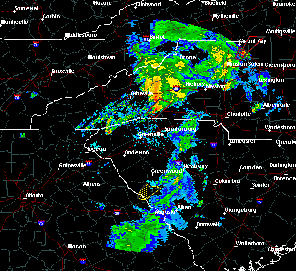 At 312 pm edt, a severe thunderstorm capable of producing a tornado was located 6 miles northeast of columbus, moving northeast at 50 mph (radar indicated rotation). Hazards include tornado. Flying debris will be dangerous to those caught without shelter. mobile homes will be damaged or destroyed. damage to roofs, windows, and vehicles will occur. tree damage is likely. this dangerous storm will be near, rutherfordton around 320 pm edt. spindale around 330 pm edt. Other locations impacted by this dangerous thunderstorm include green hill, mill spring, thermal city and union mills. At 312 pm edt, a severe thunderstorm capable of producing a tornado was located 6 miles northeast of columbus, moving northeast at 50 mph (radar indicated rotation). Hazards include tornado. Flying debris will be dangerous to those caught without shelter. mobile homes will be damaged or destroyed. damage to roofs, windows, and vehicles will occur. tree damage is likely. this dangerous storm will be near, rutherfordton around 320 pm edt. spindale around 330 pm edt. Other locations impacted by this dangerous thunderstorm include green hill, mill spring, thermal city and union mills.
|
| 4/14/2019 3:00 PM EDT | Emergency mngr reported numerous trees down across polk county especially near saluda...tryon...and mill spring. time estimated from rada in polk county NC, 1 miles NE of Columbus, NC |
| 4/13/2019 2:07 PM EDT |
 At 207 pm edt, a severe thunderstorm was located 14 miles south of columbus, or near lake robinson, moving northeast at 25 mph (radar indicated). Hazards include 60 mph wind gusts and quarter size hail. Minor hail damage to vehicles is expected. Expect wind damage to trees and power lines. At 207 pm edt, a severe thunderstorm was located 14 miles south of columbus, or near lake robinson, moving northeast at 25 mph (radar indicated). Hazards include 60 mph wind gusts and quarter size hail. Minor hail damage to vehicles is expected. Expect wind damage to trees and power lines.
|
| 9/27/2018 7:51 PM EDT |
 At 749 pm edt, severe thunderstorms were located along a line extending from 12 miles southwest of columbus to near inman to spartanburg to near pauline, moving northeast at 55 mph (law enforcement). Hazards include 60 mph wind gusts and penny size hail. expect damage to trees and power lines At 749 pm edt, severe thunderstorms were located along a line extending from 12 miles southwest of columbus to near inman to spartanburg to near pauline, moving northeast at 55 mph (law enforcement). Hazards include 60 mph wind gusts and penny size hail. expect damage to trees and power lines
|
| 9/27/2018 7:30 PM EDT |
 At 729 pm edt, severe thunderstorms were located along a line extending from 5 miles northeast of easley to 3 miles east of downtown greenville to 18 miles southwest of spartanburg to 8 miles northwest of laurens, moving northeast at 45 mph (radar indicated). Hazards include 60 mph wind gusts. Expect damage to trees and power lines. Locations impacted include, greenville, spartanburg, columbus, greer, mauldin, taylors, berea and five forks. At 729 pm edt, severe thunderstorms were located along a line extending from 5 miles northeast of easley to 3 miles east of downtown greenville to 18 miles southwest of spartanburg to 8 miles northwest of laurens, moving northeast at 45 mph (radar indicated). Hazards include 60 mph wind gusts. Expect damage to trees and power lines. Locations impacted include, greenville, spartanburg, columbus, greer, mauldin, taylors, berea and five forks.
|
| 9/27/2018 7:12 PM EDT |
 At 712 pm edt, severe thunderstorms were located along a line extending from 3 miles southwest of easley to 13 miles south of greenville downtown to 12 miles west of laurens, moving northeast at 50 mph (radar indicated). Hazards include 70 mph wind gusts. Expect considerable tree damage. damage is likely to mobile homes, roofs, and outbuildings. Locations impacted include, greenville, spartanburg, easley, columbus, greer, mauldin, taylors and simpsonville. At 712 pm edt, severe thunderstorms were located along a line extending from 3 miles southwest of easley to 13 miles south of greenville downtown to 12 miles west of laurens, moving northeast at 50 mph (radar indicated). Hazards include 70 mph wind gusts. Expect considerable tree damage. damage is likely to mobile homes, roofs, and outbuildings. Locations impacted include, greenville, spartanburg, easley, columbus, greer, mauldin, taylors and simpsonville.
|
| 9/27/2018 6:53 PM EDT |
 The national weather service in greenville-spartanburg has issued a * severe thunderstorm warning for. southeastern henderson county in western north carolina. southern polk county in western north carolina. northwestern laurens county in upstate south carolina. Greenville county in upstate south carolina. The national weather service in greenville-spartanburg has issued a * severe thunderstorm warning for. southeastern henderson county in western north carolina. southern polk county in western north carolina. northwestern laurens county in upstate south carolina. Greenville county in upstate south carolina.
|
| 8/8/2018 3:39 PM EDT |
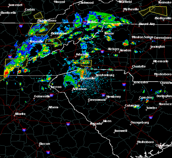 At 339 pm edt, a severe thunderstorm was located 9 miles northwest of columbus, or 5 miles south of bat cave, moving east at 10 mph (radar indicated). Hazards include ping pong ball size hail and 60 mph wind gusts. People and animals outdoors will be injured. expect hail damage to roofs, siding, windows, and vehicles. expect wind damage to trees and power lines. Locations impacted include, chimney rock state park, bat cave, mill spring, edneyville, lake adger, dana, green hill and shingle hollow. At 339 pm edt, a severe thunderstorm was located 9 miles northwest of columbus, or 5 miles south of bat cave, moving east at 10 mph (radar indicated). Hazards include ping pong ball size hail and 60 mph wind gusts. People and animals outdoors will be injured. expect hail damage to roofs, siding, windows, and vehicles. expect wind damage to trees and power lines. Locations impacted include, chimney rock state park, bat cave, mill spring, edneyville, lake adger, dana, green hill and shingle hollow.
|
| 8/8/2018 3:27 PM EDT |
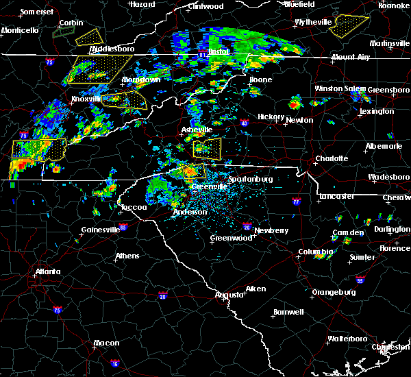 At 327 pm edt, a severe thunderstorm was located 10 miles northwest of columbus, or 5 miles south of bat cave, moving east at 15 mph (radar indicated). Hazards include 60 mph wind gusts and quarter size hail. Minor hail damage to vehicles is expected. Expect wind damage to trees and power lines. At 327 pm edt, a severe thunderstorm was located 10 miles northwest of columbus, or 5 miles south of bat cave, moving east at 15 mph (radar indicated). Hazards include 60 mph wind gusts and quarter size hail. Minor hail damage to vehicles is expected. Expect wind damage to trees and power lines.
|
| 7/21/2018 6:16 PM EDT |
 At 615 pm edt, a severe thunderstorm was located 6 miles south of rutherfordton, moving southeast at 20 mph (radar indicated). Hazards include 60 mph wind gusts and quarter size hail. Minor hail damage to vehicles is expected. Expect wind damage to trees and power lines. At 615 pm edt, a severe thunderstorm was located 6 miles south of rutherfordton, moving southeast at 20 mph (radar indicated). Hazards include 60 mph wind gusts and quarter size hail. Minor hail damage to vehicles is expected. Expect wind damage to trees and power lines.
|
| 7/21/2018 6:16 PM EDT |
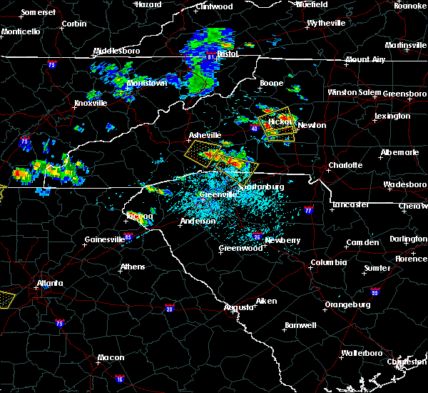 At 615 pm edt, a severe thunderstorm was located 6 miles south of rutherfordton, moving southeast at 20 mph (radar indicated). Hazards include 60 mph wind gusts and quarter size hail. Minor hail damage to vehicles is expected. Expect wind damage to trees and power lines. At 615 pm edt, a severe thunderstorm was located 6 miles south of rutherfordton, moving southeast at 20 mph (radar indicated). Hazards include 60 mph wind gusts and quarter size hail. Minor hail damage to vehicles is expected. Expect wind damage to trees and power lines.
|
| 7/21/2018 5:57 PM EDT |
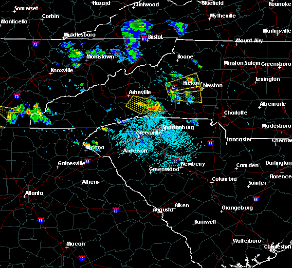 At 557 pm edt, a severe thunderstorm was located 7 miles northeast of columbus, moving southeast at 15 mph (radar indicated). Hazards include 70 mph wind gusts and half dollar size hail. Minor hail damage to vehicles is expected. expect considerable tree damage. wind damage is also likely to mobile homes, roofs, and outbuildings. Locations impacted include, green hill, mill spring, green creek, lake adger and rutherfordton. At 557 pm edt, a severe thunderstorm was located 7 miles northeast of columbus, moving southeast at 15 mph (radar indicated). Hazards include 70 mph wind gusts and half dollar size hail. Minor hail damage to vehicles is expected. expect considerable tree damage. wind damage is also likely to mobile homes, roofs, and outbuildings. Locations impacted include, green hill, mill spring, green creek, lake adger and rutherfordton.
|
| 7/21/2018 5:46 PM EDT |
 At 546 pm edt, a severe thunderstorm was located 7 miles north of columbus, moving southeast at 15 mph (radar indicated). Hazards include 70 mph wind gusts and half dollar size hail. Minor hail damage to vehicles is expected. expect considerable tree damage. wind damage is also likely to mobile homes, roofs, and outbuildings. Locations impacted include, chimney rock state park, green hill, mill spring, green creek, lake adger, rutherfordton and bat cave. At 546 pm edt, a severe thunderstorm was located 7 miles north of columbus, moving southeast at 15 mph (radar indicated). Hazards include 70 mph wind gusts and half dollar size hail. Minor hail damage to vehicles is expected. expect considerable tree damage. wind damage is also likely to mobile homes, roofs, and outbuildings. Locations impacted include, chimney rock state park, green hill, mill spring, green creek, lake adger, rutherfordton and bat cave.
|
| 7/21/2018 5:33 PM EDT |
 At 533 pm edt, a severe thunderstorm was located 8 miles north of columbus, or 5 miles south of chimney rock state park, moving southeast at 15 mph (radar indicated). Hazards include 60 mph wind gusts and quarter size hail. Minor hail damage to vehicles is expected. Expect wind damage to trees and power lines. At 533 pm edt, a severe thunderstorm was located 8 miles north of columbus, or 5 miles south of chimney rock state park, moving southeast at 15 mph (radar indicated). Hazards include 60 mph wind gusts and quarter size hail. Minor hail damage to vehicles is expected. Expect wind damage to trees and power lines.
|
| 7/21/2018 4:57 PM EDT |
 At 435 pm edt, a severe thunderstorm was located near columbus, or over tryon, moving east at 15 mph (radar indicated). Hazards include 60 mph wind gusts and quarter size hail. Minor hail damage to vehicles is expected. expect wind damage to trees and power lines. Locations impacted include, columbus, landrum, tryon, campobello, mill spring, gowensville, glassy mountain and lake adger. At 435 pm edt, a severe thunderstorm was located near columbus, or over tryon, moving east at 15 mph (radar indicated). Hazards include 60 mph wind gusts and quarter size hail. Minor hail damage to vehicles is expected. expect wind damage to trees and power lines. Locations impacted include, columbus, landrum, tryon, campobello, mill spring, gowensville, glassy mountain and lake adger.
|
| 7/21/2018 4:57 PM EDT |
 The severe thunderstorm warning for southern polk, northeastern greenville and northwestern spartanburg counties will expire at 500 pm edt, the storm which prompted the warning has weakened below severe limits, and no longer poses an immediate threat to life or property. therefore the warning will be allowed to expire. however gusty winds and small hail are still possible with thunderstorms this afternoon and evening. The severe thunderstorm warning for southern polk, northeastern greenville and northwestern spartanburg counties will expire at 500 pm edt, the storm which prompted the warning has weakened below severe limits, and no longer poses an immediate threat to life or property. therefore the warning will be allowed to expire. however gusty winds and small hail are still possible with thunderstorms this afternoon and evening.
|
| 7/21/2018 4:35 PM EDT |
 At 435 pm edt, a severe thunderstorm was located near columbus, or over tryon, moving east at 15 mph (radar indicated). Hazards include 60 mph wind gusts and quarter size hail. Minor hail damage to vehicles is expected. expect wind damage to trees and power lines. Locations impacted include, columbus, landrum, tryon, campobello, mill spring, gowensville, glassy mountain and lake adger. At 435 pm edt, a severe thunderstorm was located near columbus, or over tryon, moving east at 15 mph (radar indicated). Hazards include 60 mph wind gusts and quarter size hail. Minor hail damage to vehicles is expected. expect wind damage to trees and power lines. Locations impacted include, columbus, landrum, tryon, campobello, mill spring, gowensville, glassy mountain and lake adger.
|
| 7/21/2018 4:17 PM EDT |
 At 416 pm edt, a severe thunderstorm was located 7 miles west of columbus, or near saluda, moving east at 15 mph (radar indicated). Hazards include 60 mph wind gusts and quarter size hail. Minor hail damage to vehicles is expected. Expect wind damage to trees and power lines. At 416 pm edt, a severe thunderstorm was located 7 miles west of columbus, or near saluda, moving east at 15 mph (radar indicated). Hazards include 60 mph wind gusts and quarter size hail. Minor hail damage to vehicles is expected. Expect wind damage to trees and power lines.
|
| 7/6/2018 1:40 PM EDT |
 The severe thunderstorm warning for west central rutherford, northeastern henderson, northwestern polk and southeastern buncombe counties will expire at 145 pm edt, the storm which prompted the warning has weakened below severe limits, and no longer poses an immediate threat to life or property. therefore the warning will be allowed to expire. The severe thunderstorm warning for west central rutherford, northeastern henderson, northwestern polk and southeastern buncombe counties will expire at 145 pm edt, the storm which prompted the warning has weakened below severe limits, and no longer poses an immediate threat to life or property. therefore the warning will be allowed to expire.
|
| 7/6/2018 1:29 PM EDT |
 At 128 pm edt, a severe thunderstorm was located 11 miles northeast of hendersonville, or near bat cave, moving south at 15 mph. storm has weakend, but severe wind gusts will be possible for another 15 minutes (radar indicated). Hazards include 60 mph wind gusts. Expect damage to trees and power lines. Locations impacted include, fairview in buncombe county, chimney rock state park, bat cave, dana, gerton, edneyville, lake adger, mill spring, hendersonville and east flat rock. At 128 pm edt, a severe thunderstorm was located 11 miles northeast of hendersonville, or near bat cave, moving south at 15 mph. storm has weakend, but severe wind gusts will be possible for another 15 minutes (radar indicated). Hazards include 60 mph wind gusts. Expect damage to trees and power lines. Locations impacted include, fairview in buncombe county, chimney rock state park, bat cave, dana, gerton, edneyville, lake adger, mill spring, hendersonville and east flat rock.
|
| 7/6/2018 1:18 PM EDT |
 At 118 pm edt, a severe thunderstorm was located 4 miles northeast of marion, or near lake james state park, moving southwest at 40 mph (radar indicated). Hazards include 60 mph wind gusts and quarter size hail. Minor hail damage to vehicles is expected. Expect wind damage to trees and power lines. At 118 pm edt, a severe thunderstorm was located 4 miles northeast of marion, or near lake james state park, moving southwest at 40 mph (radar indicated). Hazards include 60 mph wind gusts and quarter size hail. Minor hail damage to vehicles is expected. Expect wind damage to trees and power lines.
|
| 7/6/2018 12:58 PM EDT |
 At 1258 pm edt, a severe thunderstorm was located 15 miles east of downtown asheville, or 4 miles north of bat cave, moving south at 15 mph (radar indicated). Hazards include 60 mph wind gusts and quarter size hail. Minor hail damage to vehicles is expected. Expect wind damage to trees and power lines. At 1258 pm edt, a severe thunderstorm was located 15 miles east of downtown asheville, or 4 miles north of bat cave, moving south at 15 mph (radar indicated). Hazards include 60 mph wind gusts and quarter size hail. Minor hail damage to vehicles is expected. Expect wind damage to trees and power lines.
|
| 6/27/2018 3:31 PM EDT |
 At 331 pm edt, a severe thunderstorm was located 10 miles south of forest city, or 4 miles northwest of chesnee, moving east at 20 mph (radar indicated). Hazards include 60 mph wind gusts and quarter size hail. Minor hail damage to vehicles is expected. expect wind damage to trees and power lines. Locations impacted include, columbus, boiling springs sc, landrum, tryon, chesnee, campobello, lake bowen, mill spring, harris and lake adger. At 331 pm edt, a severe thunderstorm was located 10 miles south of forest city, or 4 miles northwest of chesnee, moving east at 20 mph (radar indicated). Hazards include 60 mph wind gusts and quarter size hail. Minor hail damage to vehicles is expected. expect wind damage to trees and power lines. Locations impacted include, columbus, boiling springs sc, landrum, tryon, chesnee, campobello, lake bowen, mill spring, harris and lake adger.
|
| 6/27/2018 3:15 PM EDT | 911 call center and public reported numerous trees blown down in the area around fox mountain road smith dairy rd and huntview l in polk county NC, 2.1 miles W of Columbus, NC |
| 6/27/2018 3:08 PM EDT |
 At 308 pm edt, a severe thunderstorm was located over columbus, moving east at 20 mph (radar indicated). Hazards include 60 mph wind gusts and quarter size hail. Minor hail damage to vehicles is expected. Expect wind damage to trees and power lines. At 308 pm edt, a severe thunderstorm was located over columbus, moving east at 20 mph (radar indicated). Hazards include 60 mph wind gusts and quarter size hail. Minor hail damage to vehicles is expected. Expect wind damage to trees and power lines.
|
| 6/26/2018 3:53 PM EDT |
 At 353 pm edt, severe thunderstorms were located along a line extending from near forest city to 3 miles south of rutherfordton to 8 miles northeast of columbus, moving southeast at 20 mph (radar indicated). Hazards include 60 mph wind gusts and quarter size hail. Minor hail damage to vehicles is expected. expect wind damage to trees and power lines. Locations impacted include, forest city, rutherfordton, columbus, spindale, bostic, chimney rock state park, green hill, mill spring, lake adger and union mills. At 353 pm edt, severe thunderstorms were located along a line extending from near forest city to 3 miles south of rutherfordton to 8 miles northeast of columbus, moving southeast at 20 mph (radar indicated). Hazards include 60 mph wind gusts and quarter size hail. Minor hail damage to vehicles is expected. expect wind damage to trees and power lines. Locations impacted include, forest city, rutherfordton, columbus, spindale, bostic, chimney rock state park, green hill, mill spring, lake adger and union mills.
|
| 6/26/2018 3:47 PM EDT |
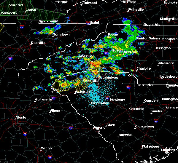 At 346 pm edt, a severe thunderstorm was located 12 miles southwest of forest city, or 6 miles west of chesnee, moving southeast at 20 mph (radar indicated). Hazards include 60 mph wind gusts and quarter size hail. Minor hail damage to vehicles is expected. expect wind damage to trees and power lines. Locations impacted include, lake bowen, green creek, harris, fingerville, columbus, inman and landrum. At 346 pm edt, a severe thunderstorm was located 12 miles southwest of forest city, or 6 miles west of chesnee, moving southeast at 20 mph (radar indicated). Hazards include 60 mph wind gusts and quarter size hail. Minor hail damage to vehicles is expected. expect wind damage to trees and power lines. Locations impacted include, lake bowen, green creek, harris, fingerville, columbus, inman and landrum.
|
| 6/26/2018 3:47 PM EDT |
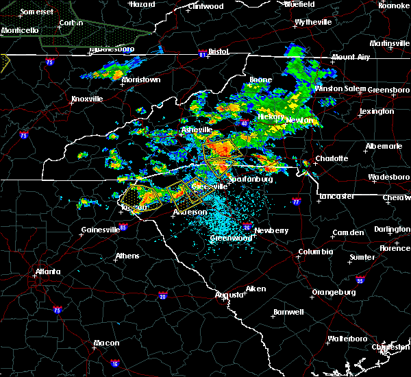 At 346 pm edt, a severe thunderstorm was located 12 miles southwest of forest city, or 6 miles west of chesnee, moving southeast at 20 mph (radar indicated). Hazards include 60 mph wind gusts and quarter size hail. Minor hail damage to vehicles is expected. expect wind damage to trees and power lines. Locations impacted include, lake bowen, green creek, harris, fingerville, columbus, inman and landrum. At 346 pm edt, a severe thunderstorm was located 12 miles southwest of forest city, or 6 miles west of chesnee, moving southeast at 20 mph (radar indicated). Hazards include 60 mph wind gusts and quarter size hail. Minor hail damage to vehicles is expected. expect wind damage to trees and power lines. Locations impacted include, lake bowen, green creek, harris, fingerville, columbus, inman and landrum.
|
| 6/26/2018 3:33 PM EDT |
 At 333 pm edt, severe thunderstorms were located along a line extending from 3 miles north of rutherfordton to 9 miles northeast of columbus, moving south at 20 mph (radar indicated). Hazards include 60 mph wind gusts and quarter size hail. Minor hail damage to vehicles is expected. Expect wind damage to trees and power lines. At 333 pm edt, severe thunderstorms were located along a line extending from 3 miles north of rutherfordton to 9 miles northeast of columbus, moving south at 20 mph (radar indicated). Hazards include 60 mph wind gusts and quarter size hail. Minor hail damage to vehicles is expected. Expect wind damage to trees and power lines.
|
| 6/26/2018 3:24 PM EDT |
 At 324 pm edt, a severe thunderstorm was located 7 miles east of columbus, or 6 miles northeast of landrum, moving southeast at 20 mph (radar indicated). Hazards include 60 mph wind gusts and quarter size hail. Minor hail damage to vehicles is expected. Expect wind damage to trees and power lines. At 324 pm edt, a severe thunderstorm was located 7 miles east of columbus, or 6 miles northeast of landrum, moving southeast at 20 mph (radar indicated). Hazards include 60 mph wind gusts and quarter size hail. Minor hail damage to vehicles is expected. Expect wind damage to trees and power lines.
|
| 6/25/2018 6:02 PM EDT |
 At 602 pm edt, a severe thunderstorm was located 11 miles east of columbus, or 6 miles northeast of lake bowen, moving southeast at 15 mph (radar indicated). Hazards include 60 mph wind gusts and quarter size hail. Minor hail damage to vehicles is expected. expect wind damage to trees and power lines. Locations impacted include, forest city, rutherfordton, columbus, spindale, landrum, tryon, campobello, saluda, bostic and tigerville. At 602 pm edt, a severe thunderstorm was located 11 miles east of columbus, or 6 miles northeast of lake bowen, moving southeast at 15 mph (radar indicated). Hazards include 60 mph wind gusts and quarter size hail. Minor hail damage to vehicles is expected. expect wind damage to trees and power lines. Locations impacted include, forest city, rutherfordton, columbus, spindale, landrum, tryon, campobello, saluda, bostic and tigerville.
|
| 6/25/2018 5:09 PM EDT |
 At 508 pm edt, a severe thunderstorm was located near columbus, moving southeast at 15 mph (radar indicated). Hazards include 60 mph wind gusts and quarter size hail. Minor hail damage to vehicles is expected. Expect wind damage to trees and power lines. At 508 pm edt, a severe thunderstorm was located near columbus, moving southeast at 15 mph (radar indicated). Hazards include 60 mph wind gusts and quarter size hail. Minor hail damage to vehicles is expected. Expect wind damage to trees and power lines.
|
| 6/23/2018 5:49 PM EDT |
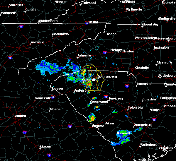 At 548 pm edt, severe thunderstorms were located along a line extending from 8 miles west of columbus to 19 miles southeast of hendersonville to 11 miles northeast of greenville downtown to 15 miles southwest of spartanburg to 14 miles northwest of laurens, moving east at 40 mph (radar indicated). Hazards include 60 mph wind gusts. Expect damage to trees and power lines. Locations impacted include, spartanburg, columbus, greer, five forks, fountain inn, boiling springs sc, woodruff, duncan, lyman and pacolet. At 548 pm edt, severe thunderstorms were located along a line extending from 8 miles west of columbus to 19 miles southeast of hendersonville to 11 miles northeast of greenville downtown to 15 miles southwest of spartanburg to 14 miles northwest of laurens, moving east at 40 mph (radar indicated). Hazards include 60 mph wind gusts. Expect damage to trees and power lines. Locations impacted include, spartanburg, columbus, greer, five forks, fountain inn, boiling springs sc, woodruff, duncan, lyman and pacolet.
|
| 6/23/2018 5:36 PM EDT |
 At 535 pm edt, severe thunderstorms were located along a line extending from 5 miles northwest of hendersonville to 13 miles southwest of columbus to 5 miles southeast of greenville downtown to 15 miles east of anderson, moving east at 45 mph (radar indicated). Hazards include 60 mph wind gusts. Expect damage to trees and power lines. Locations impacted include, greenville downtown, spartanburg, hendersonville, columbus, greenville eastside, west greenville, greer, mauldin, taylors and simpsonville. At 535 pm edt, severe thunderstorms were located along a line extending from 5 miles northwest of hendersonville to 13 miles southwest of columbus to 5 miles southeast of greenville downtown to 15 miles east of anderson, moving east at 45 mph (radar indicated). Hazards include 60 mph wind gusts. Expect damage to trees and power lines. Locations impacted include, greenville downtown, spartanburg, hendersonville, columbus, greenville eastside, west greenville, greer, mauldin, taylors and simpsonville.
|
| 6/23/2018 5:03 PM EDT |
 At 502 pm edt, severe thunderstorms were located along a line extending from 9 miles southeast of waynesville to 5 miles south of brevard to 5 miles south of pickens to 7 miles southeast of clemson, moving east at 55 mph (radar indicated). Hazards include 60 mph wind gusts. expect damage to trees and power lines At 502 pm edt, severe thunderstorms were located along a line extending from 9 miles southeast of waynesville to 5 miles south of brevard to 5 miles south of pickens to 7 miles southeast of clemson, moving east at 55 mph (radar indicated). Hazards include 60 mph wind gusts. expect damage to trees and power lines
|
| 6/3/2018 6:15 PM EDT |
 At 614 pm edt, a severe thunderstorm was located near columbus, moving southeast at 30 mph (radar indicated). Hazards include 60 mph wind gusts and quarter size hail. Minor hail damage to vehicles is expected. Expect wind damage to trees and power lines. At 614 pm edt, a severe thunderstorm was located near columbus, moving southeast at 30 mph (radar indicated). Hazards include 60 mph wind gusts and quarter size hail. Minor hail damage to vehicles is expected. Expect wind damage to trees and power lines.
|
| 6/3/2018 6:02 PM EDT |
 At 543 pm edt, a severe thunderstorm was located near hendersonville, moving southeast at 15 mph (radar indicated). Hazards include 60 mph wind gusts and quarter size hail. Minor hail damage to vehicles is expected. Expect wind damage to trees and power lines. At 543 pm edt, a severe thunderstorm was located near hendersonville, moving southeast at 15 mph (radar indicated). Hazards include 60 mph wind gusts and quarter size hail. Minor hail damage to vehicles is expected. Expect wind damage to trees and power lines.
|
| 6/3/2018 5:43 PM EDT |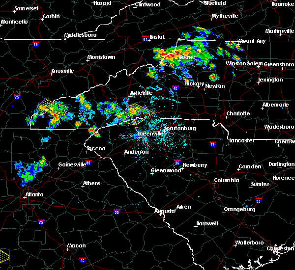
 At 543 pm edt, a severe thunderstorm was located near hendersonville, moving southeast at 15 mph (radar indicated). Hazards include 60 mph wind gusts and quarter size hail. Minor hail damage to vehicles is expected. Expect wind damage to trees and power lines. At 543 pm edt, a severe thunderstorm was located near hendersonville, moving southeast at 15 mph (radar indicated). Hazards include 60 mph wind gusts and quarter size hail. Minor hail damage to vehicles is expected. Expect wind damage to trees and power lines.
|
| 5/31/2018 9:53 PM EDT |
 At 953 pm edt, a severe thunderstorm was located 4 miles southwest of rutherfordton, moving southeast at 25 mph (radar indicated). Hazards include 60 mph wind gusts. Expect damage to trees and power lines. Locations impacted include, rutherfordton, columbus, spindale, flat rock, tryon, saluda, pleasant ridge state park, green hill, mill spring and north saluda reservoir. At 953 pm edt, a severe thunderstorm was located 4 miles southwest of rutherfordton, moving southeast at 25 mph (radar indicated). Hazards include 60 mph wind gusts. Expect damage to trees and power lines. Locations impacted include, rutherfordton, columbus, spindale, flat rock, tryon, saluda, pleasant ridge state park, green hill, mill spring and north saluda reservoir.
|
| 5/31/2018 9:25 PM EDT |
 At 925 pm edt, a severe thunderstorm was located 4 miles northwest of hendersonville, or over mountain home, moving southeast at 25 mph (radar indicated). Hazards include 60 mph wind gusts. expect damage to trees and power lines At 925 pm edt, a severe thunderstorm was located 4 miles northwest of hendersonville, or over mountain home, moving southeast at 25 mph (radar indicated). Hazards include 60 mph wind gusts. expect damage to trees and power lines
|
| 5/11/2018 2:56 PM EDT |
 At 255 pm edt, a severe thunderstorm was located 5 miles north of columbus, moving east at 20 mph (radar indicated). Hazards include quarter size hail. minor damage to vehicles is expected At 255 pm edt, a severe thunderstorm was located 5 miles north of columbus, moving east at 20 mph (radar indicated). Hazards include quarter size hail. minor damage to vehicles is expected
|
| 5/10/2018 4:46 PM EDT |
 At 445 pm edt, a severe thunderstorm was located 5 miles northwest of columbus, moving east at 30 mph (radar indicated). Hazards include 60 mph wind gusts and quarter size hail. Minor hail damage to vehicles is expected. Expect wind damage to trees and power lines. At 445 pm edt, a severe thunderstorm was located 5 miles northwest of columbus, moving east at 30 mph (radar indicated). Hazards include 60 mph wind gusts and quarter size hail. Minor hail damage to vehicles is expected. Expect wind damage to trees and power lines.
|
| 5/10/2018 4:38 PM EDT |
 The severe thunderstorm warning for south central rutherford, polk, northeastern greenville and northwestern spartanburg counties will expire at 445 pm edt, the storm which prompted the warning has weakened below severe limits, and no longer poses an immediate threat to life or property. therefore the warning will be allowed to expire. however small hail, gusty winds and heavy rain are still possible with this thunderstorm. a severe thunderstorm watch remains in effect until 1000 pm edt for western north carolina, and upstate south carolina. The severe thunderstorm warning for south central rutherford, polk, northeastern greenville and northwestern spartanburg counties will expire at 445 pm edt, the storm which prompted the warning has weakened below severe limits, and no longer poses an immediate threat to life or property. therefore the warning will be allowed to expire. however small hail, gusty winds and heavy rain are still possible with this thunderstorm. a severe thunderstorm watch remains in effect until 1000 pm edt for western north carolina, and upstate south carolina.
|
| 5/10/2018 4:15 PM EDT |
 At 415 pm edt, a severe thunderstorm was located 10 miles southwest of forest city, or 6 miles northwest of chesnee, moving east at 25 mph (radar indicated). Hazards include 60 mph wind gusts and quarter size hail. Minor hail damage to vehicles is expected. expect wind damage to trees and power lines. Locations impacted include, forest city, rutherfordton, columbus, spindale, landrum, tryon, chesnee, campobello, lake bowen and mill spring. At 415 pm edt, a severe thunderstorm was located 10 miles southwest of forest city, or 6 miles northwest of chesnee, moving east at 25 mph (radar indicated). Hazards include 60 mph wind gusts and quarter size hail. Minor hail damage to vehicles is expected. expect wind damage to trees and power lines. Locations impacted include, forest city, rutherfordton, columbus, spindale, landrum, tryon, chesnee, campobello, lake bowen and mill spring.
|
| 5/10/2018 3:58 PM EDT |
 The national weather service in greenville-spartanburg has issued a * severe thunderstorm warning for. south central rutherford county in western north carolina. polk county in western north carolina. northeastern greenville county in upstate south carolina. Northwestern spartanburg county in upstate south carolina. The national weather service in greenville-spartanburg has issued a * severe thunderstorm warning for. south central rutherford county in western north carolina. polk county in western north carolina. northeastern greenville county in upstate south carolina. Northwestern spartanburg county in upstate south carolina.
|
| 5/10/2018 3:58 PM EDT |
 At 358 pm edt, a severe thunderstorm was located 7 miles east of columbus, moving east at 25 mph (radar indicated). Hazards include 60 mph wind gusts and quarter size hail. Minor hail damage to vehicles is expected. Expect wind damage to trees and power lines. At 358 pm edt, a severe thunderstorm was located 7 miles east of columbus, moving east at 25 mph (radar indicated). Hazards include 60 mph wind gusts and quarter size hail. Minor hail damage to vehicles is expected. Expect wind damage to trees and power lines.
|
| 5/10/2018 3:42 PM EDT | Quarter sized hail reported 3.4 miles SW of Columbus, NC, quarter sized sized hail. |
| 5/10/2018 3:42 PM EDT | Several trees blown dow in polk county NC, 3.4 miles SW of Columbus, NC |
| 5/10/2018 3:40 PM EDT |
 At 339 pm edt, a severe thunderstorm was located 8 miles east of columbus, moving east at 10 mph (radar indicated). Hazards include 60 mph wind gusts and quarter size hail. Minor hail damage to vehicles is expected. expect wind damage to trees and power lines. Locations impacted include, columbus, mill spring, green creek, lake adger, fingerville, forest city, spindale and rutherfordton. At 339 pm edt, a severe thunderstorm was located 8 miles east of columbus, moving east at 10 mph (radar indicated). Hazards include 60 mph wind gusts and quarter size hail. Minor hail damage to vehicles is expected. expect wind damage to trees and power lines. Locations impacted include, columbus, mill spring, green creek, lake adger, fingerville, forest city, spindale and rutherfordton.
|
| 5/10/2018 3:13 PM EDT |
 At 312 pm edt, a severe thunderstorm was located 4 miles northeast of columbus, moving east at 10 mph (radar indicated). Hazards include 60 mph wind gusts and quarter size hail. Minor hail damage to vehicles is expected. Expect wind damage to trees and power lines. At 312 pm edt, a severe thunderstorm was located 4 miles northeast of columbus, moving east at 10 mph (radar indicated). Hazards include 60 mph wind gusts and quarter size hail. Minor hail damage to vehicles is expected. Expect wind damage to trees and power lines.
|
| 5/10/2018 3:05 PM EDT |
 At 305 pm edt, a severe thunderstorm was located 4 miles northeast of columbus, moving east at 10 mph (radar indicated). Hazards include 60 mph wind gusts and quarter size hail. Minor hail damage to vehicles is expected. expect wind damage to trees and power lines. Locations impacted include, columbus, mill spring, green creek and lake adger. At 305 pm edt, a severe thunderstorm was located 4 miles northeast of columbus, moving east at 10 mph (radar indicated). Hazards include 60 mph wind gusts and quarter size hail. Minor hail damage to vehicles is expected. expect wind damage to trees and power lines. Locations impacted include, columbus, mill spring, green creek and lake adger.
|
| 5/10/2018 2:52 PM EDT |
 At 251 pm edt, a severe thunderstorm was located near columbus, moving east at 10 mph (radar indicated). Hazards include 60 mph wind gusts and quarter size hail. Minor hail damage to vehicles is expected. Expect wind damage to trees and power lines. At 251 pm edt, a severe thunderstorm was located near columbus, moving east at 10 mph (radar indicated). Hazards include 60 mph wind gusts and quarter size hail. Minor hail damage to vehicles is expected. Expect wind damage to trees and power lines.
|
| 5/10/2018 2:15 PM EDT |
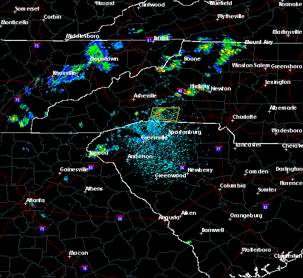 At 215 pm edt, a severe thunderstorm was located 8 miles northeast of columbus, moving east at 25 mph (radar indicated). Hazards include 60 mph wind gusts and quarter size hail. Minor hail damage to vehicles is expected. Expect wind damage to trees and power lines. At 215 pm edt, a severe thunderstorm was located 8 miles northeast of columbus, moving east at 25 mph (radar indicated). Hazards include 60 mph wind gusts and quarter size hail. Minor hail damage to vehicles is expected. Expect wind damage to trees and power lines.
|
| 10/8/2017 5:49 PM EDT |
 At 549 pm edt, a severe thunderstorm was located near columbus, moving north at 30 mph (public). Hazards include 60 mph wind gusts. expect damage to trees and power lines At 549 pm edt, a severe thunderstorm was located near columbus, moving north at 30 mph (public). Hazards include 60 mph wind gusts. expect damage to trees and power lines
|
| 8/7/2017 5:54 PM EDT |
 At 552 pm, the thunderstorms which prompted the warning were weakening as they moved east from greenville county into northern spartanburg county. the warning will be allowed to expire on schedule at 600 pm, however, gusty winds to 35 mph may continue across spartanburg and southern polk counties through 630 pm. At 552 pm, the thunderstorms which prompted the warning were weakening as they moved east from greenville county into northern spartanburg county. the warning will be allowed to expire on schedule at 600 pm, however, gusty winds to 35 mph may continue across spartanburg and southern polk counties through 630 pm.
|
| 8/7/2017 5:40 PM EDT |
 At 540 pm edt, severe thunderstorms were located along a line extending from 6 miles southwest of columbus to 20 miles west of spartanburg to 4 miles northeast of greenville downtown, moving northeast at 40 mph (radar indicated). Hazards include 60 mph wind gusts. Expect damage to trees and power lines. Locations impacted include, greenville downtown, columbus, west greenville, greer, taylors, boiling springs sc, travelers rest, duncan, lyman and landrum. At 540 pm edt, severe thunderstorms were located along a line extending from 6 miles southwest of columbus to 20 miles west of spartanburg to 4 miles northeast of greenville downtown, moving northeast at 40 mph (radar indicated). Hazards include 60 mph wind gusts. Expect damage to trees and power lines. Locations impacted include, greenville downtown, columbus, west greenville, greer, taylors, boiling springs sc, travelers rest, duncan, lyman and landrum.
|
| 8/7/2017 5:18 PM EDT |
 At 518 pm edt, severe thunderstorms were located along a line extending from 13 miles northeast of pickens to 11 miles northeast of easley to 6 miles west of greenville downtown, moving northeast at 40 mph (radar indicated). Hazards include 60 mph wind gusts. expect damage to trees and power lines At 518 pm edt, severe thunderstorms were located along a line extending from 13 miles northeast of pickens to 11 miles northeast of easley to 6 miles west of greenville downtown, moving northeast at 40 mph (radar indicated). Hazards include 60 mph wind gusts. expect damage to trees and power lines
|
| 7/8/2017 4:33 PM EDT |
 At 432 pm edt, a severe thunderstorm was located near hendersonville, or near flat rock, moving east at 15 mph. storm has weakened slightly, but some golf-ball sized hail was reported 10 minutes ago and the potential continues form hail and severe wind gusts (radar indicated). Hazards include 60 mph wind gusts and nickel size hail. Expect damage to trees and power lines. Locations impacted include, hendersonville, columbus, flat rock, laurel park, tryon, saluda, valley hill, tuxedo, edneyville and crab creek. At 432 pm edt, a severe thunderstorm was located near hendersonville, or near flat rock, moving east at 15 mph. storm has weakened slightly, but some golf-ball sized hail was reported 10 minutes ago and the potential continues form hail and severe wind gusts (radar indicated). Hazards include 60 mph wind gusts and nickel size hail. Expect damage to trees and power lines. Locations impacted include, hendersonville, columbus, flat rock, laurel park, tryon, saluda, valley hill, tuxedo, edneyville and crab creek.
|
| 7/8/2017 4:32 PM EDT | Numerous trees down with green creek drive being hit the hardest with a few trees on powerlines. also had hail but during the rush to get inside hail size was not deter in polk county NC, 11 miles WNW of Columbus, NC |
| 7/8/2017 4:15 PM EDT |
 At 414 pm edt, a severe thunderstorm was located near hendersonville, or near laurel park, moving east at 15 mph (radar indicated). Hazards include 60 mph wind gusts and nickel size hail. expect damage to trees and power lines At 414 pm edt, a severe thunderstorm was located near hendersonville, or near laurel park, moving east at 15 mph (radar indicated). Hazards include 60 mph wind gusts and nickel size hail. expect damage to trees and power lines
|
| 7/8/2017 4:05 PM EDT |
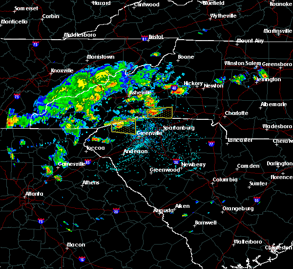 At 404 pm edt, a severe thunderstorm was located 4 miles east of columbus, moving east at 15 mph (radar indicated). Hazards include 60 mph wind gusts and nickel size hail. expect damage to trees and power lines At 404 pm edt, a severe thunderstorm was located 4 miles east of columbus, moving east at 15 mph (radar indicated). Hazards include 60 mph wind gusts and nickel size hail. expect damage to trees and power lines
|
| 7/6/2017 2:44 PM EDT |
 At 243 pm edt, a severe thunderstorm was located 9 miles south of columbus, or 4 miles west of campobello, moving east at 20 mph (radar indicated). Hazards include 60 mph wind gusts and penny size hail. Expect damage to trees and power lines. Locations impacted include, landrum, tryon, campobello, saluda, tigerville, gowensville, north saluda reservoir, glassy mountain, lake robinson and lake bowen. At 243 pm edt, a severe thunderstorm was located 9 miles south of columbus, or 4 miles west of campobello, moving east at 20 mph (radar indicated). Hazards include 60 mph wind gusts and penny size hail. Expect damage to trees and power lines. Locations impacted include, landrum, tryon, campobello, saluda, tigerville, gowensville, north saluda reservoir, glassy mountain, lake robinson and lake bowen.
|
| 7/1/2017 5:22 PM EDT |
 The severe thunderstorm warning for south central rutherford, polk and northwestern spartanburg counties will expire at 530 pm edt, the storms which prompted the warning have weakened below severe limits, and no longer pose an immediate threat to life or property. therefore the warning will be allowed to expire. however gusty winds and heavy rain are still possible with these thunderstorms. The severe thunderstorm warning for south central rutherford, polk and northwestern spartanburg counties will expire at 530 pm edt, the storms which prompted the warning have weakened below severe limits, and no longer pose an immediate threat to life or property. therefore the warning will be allowed to expire. however gusty winds and heavy rain are still possible with these thunderstorms.
|
| 7/1/2017 5:07 PM EDT |
 At 506 pm edt, severe thunderstorms were located along a line extending from 8 miles southwest of rutherfordton to 3 miles southwest of columbus, moving southeast at 15 mph (radar indicated). Hazards include 60 mph wind gusts and quarter size hail. Minor hail damage to vehicles is expected. expect wind damage to trees and power lines. Locations impacted include, columbus, landrum, tryon, mill spring, green creek, lake adger, fingerville and lake bowen. At 506 pm edt, severe thunderstorms were located along a line extending from 8 miles southwest of rutherfordton to 3 miles southwest of columbus, moving southeast at 15 mph (radar indicated). Hazards include 60 mph wind gusts and quarter size hail. Minor hail damage to vehicles is expected. expect wind damage to trees and power lines. Locations impacted include, columbus, landrum, tryon, mill spring, green creek, lake adger, fingerville and lake bowen.
|
| 7/1/2017 4:57 PM EDT | Numerous trees down on landrum rd in the green creek are in polk county NC, 5.7 miles WNW of Columbus, NC |
| 7/1/2017 4:51 PM EDT |
 At 450 pm edt, severe thunderstorms were located along a line extending from 9 miles southwest of rutherfordton to 5 miles west of columbus, moving east at 15 mph (radar indicated). Hazards include 60 mph wind gusts and quarter size hail. Minor hail damage to vehicles is expected. Expect wind damage to trees and power lines. At 450 pm edt, severe thunderstorms were located along a line extending from 9 miles southwest of rutherfordton to 5 miles west of columbus, moving east at 15 mph (radar indicated). Hazards include 60 mph wind gusts and quarter size hail. Minor hail damage to vehicles is expected. Expect wind damage to trees and power lines.
|
| 5/28/2017 1:07 AM EDT |
 At 107 am edt, severe thunderstorms were located along a line extending from 6 miles west of rutherfordton to 12 miles south of columbus to near greenville downtown, moving southeast at 50 mph (radar indicated). Hazards include 60 mph wind gusts and penny size hail. Expect damage to trees and power lines. Locations impacted include, marion, rutherfordton, columbus, spindale, tryon, old fort, chimney rock state park, green hill, mill spring and thermal city. At 107 am edt, severe thunderstorms were located along a line extending from 6 miles west of rutherfordton to 12 miles south of columbus to near greenville downtown, moving southeast at 50 mph (radar indicated). Hazards include 60 mph wind gusts and penny size hail. Expect damage to trees and power lines. Locations impacted include, marion, rutherfordton, columbus, spindale, tryon, old fort, chimney rock state park, green hill, mill spring and thermal city.
|
| 5/28/2017 12:48 AM EDT |
 At 1248 am edt, severe thunderstorms were located along a line extending from 15 miles northeast of hendersonville to 9 miles southwest of columbus to 6 miles north of easley, moving southeast at 50 mph (radar indicated). Hazards include 60 mph wind gusts and penny size hail. Expect damage to trees and power lines. Locations impacted include, marion, rutherfordton, columbus, taylors, berea, welcome, travelers rest, spindale, landrum and slater-marietta. At 1248 am edt, severe thunderstorms were located along a line extending from 15 miles northeast of hendersonville to 9 miles southwest of columbus to 6 miles north of easley, moving southeast at 50 mph (radar indicated). Hazards include 60 mph wind gusts and penny size hail. Expect damage to trees and power lines. Locations impacted include, marion, rutherfordton, columbus, taylors, berea, welcome, travelers rest, spindale, landrum and slater-marietta.
|
| 5/28/2017 12:18 AM EDT |
 At 1217 am edt, severe thunderstorms were located along a line extending from 4 miles northwest of downtown asheville to 6 miles northeast of brevard to 17 miles northwest of pickens, moving southeast at 45 mph (radar indicated). Hazards include 60 mph wind gusts and penny size hail. expect damage to trees and power lines At 1217 am edt, severe thunderstorms were located along a line extending from 4 miles northwest of downtown asheville to 6 miles northeast of brevard to 17 miles northwest of pickens, moving southeast at 45 mph (radar indicated). Hazards include 60 mph wind gusts and penny size hail. expect damage to trees and power lines
|
| 5/19/2017 3:09 PM EDT |
 At 309 pm edt, severe thunderstorms were located along a line extending from 6 miles north of brevard to 5 miles south of hendersonville, moving east at 15 mph (radar indicated). Hazards include 60 mph wind gusts and quarter size hail. Minor hail damage to vehicles is expected. Expect wind damage to trees and power lines. At 309 pm edt, severe thunderstorms were located along a line extending from 6 miles north of brevard to 5 miles south of hendersonville, moving east at 15 mph (radar indicated). Hazards include 60 mph wind gusts and quarter size hail. Minor hail damage to vehicles is expected. Expect wind damage to trees and power lines.
|
| 5/19/2017 2:06 PM EDT |
 At 205 pm edt, a severe thunderstorm was located 5 miles northwest of columbus, or 4 miles northeast of saluda, moving southeast at 15 mph (radar indicated). Hazards include 60 mph wind gusts and quarter size hail. Minor hail damage to vehicles is expected. expect wind damage to trees and power lines. Locations impacted include, columbus, tryon, saluda and lake adger. At 205 pm edt, a severe thunderstorm was located 5 miles northwest of columbus, or 4 miles northeast of saluda, moving southeast at 15 mph (radar indicated). Hazards include 60 mph wind gusts and quarter size hail. Minor hail damage to vehicles is expected. expect wind damage to trees and power lines. Locations impacted include, columbus, tryon, saluda and lake adger.
|
| 5/19/2017 1:42 PM EDT |
 At 141 pm edt, a severe thunderstorm was located 4 miles east of hendersonville, moving southeast at 20 mph (radar indicated). Hazards include 60 mph wind gusts and quarter size hail. Minor hail damage to vehicles is expected. Expect wind damage to trees and power lines. At 141 pm edt, a severe thunderstorm was located 4 miles east of hendersonville, moving southeast at 20 mph (radar indicated). Hazards include 60 mph wind gusts and quarter size hail. Minor hail damage to vehicles is expected. Expect wind damage to trees and power lines.
|
| 3/1/2017 5:03 PM EST |
 At 502 pm est, a severe thunderstorm was located 4 miles west of columbus, or near saluda, moving east at 60 mph (radar indicated. at 5:02 pm dime size hail was reported near saluda). Hazards include 60 mph wind gusts and quarter size hail. Hail damage to vehicles is expected. Expect wind damage to roofs, siding and trees. At 502 pm est, a severe thunderstorm was located 4 miles west of columbus, or near saluda, moving east at 60 mph (radar indicated. at 5:02 pm dime size hail was reported near saluda). Hazards include 60 mph wind gusts and quarter size hail. Hail damage to vehicles is expected. Expect wind damage to roofs, siding and trees.
|
| 11/30/2016 4:41 PM EST |
 At 441 pm est, severe thunderstorms were located along a line extending from 7 miles west of rutherfordton to near greenville downtown to 18 miles southeast of easley to 5 miles northeast of abbeville to 21 miles northeast of washington, moving east at 55 mph (radar indicated). Hazards include 60 mph wind gusts. Expect damage to roofs. Siding and trees. At 441 pm est, severe thunderstorms were located along a line extending from 7 miles west of rutherfordton to near greenville downtown to 18 miles southeast of easley to 5 miles northeast of abbeville to 21 miles northeast of washington, moving east at 55 mph (radar indicated). Hazards include 60 mph wind gusts. Expect damage to roofs. Siding and trees.
|
| 11/30/2016 3:59 PM EST |
 At 359 pm est, severe thunderstorms were located along a line extending from 11 miles northwest of pickens to 6 miles south of clemson to near hartwell to 9 miles north of elberton to 4 miles southwest of lexington, moving east at 40 mph (radar indicated). Hazards include 60 mph wind gusts. Expect damage to roofs. Siding and trees. At 359 pm est, severe thunderstorms were located along a line extending from 11 miles northwest of pickens to 6 miles south of clemson to near hartwell to 9 miles north of elberton to 4 miles southwest of lexington, moving east at 40 mph (radar indicated). Hazards include 60 mph wind gusts. Expect damage to roofs. Siding and trees.
|
| 8/17/2016 4:22 PM EDT |
 At 422 pm edt, a severe thunderstorm was located 6 miles south of columbus, or near landrum, moving east at 10 mph (radar indicated). Hazards include 60 mph wind gusts. Expect damage to roofs. siding and trees. Locations impacted include, columbus, landrum, inman, tryon, campobello, lake bowen, gowensville, glassy mountain, green creek and fingerville. At 422 pm edt, a severe thunderstorm was located 6 miles south of columbus, or near landrum, moving east at 10 mph (radar indicated). Hazards include 60 mph wind gusts. Expect damage to roofs. siding and trees. Locations impacted include, columbus, landrum, inman, tryon, campobello, lake bowen, gowensville, glassy mountain, green creek and fingerville.
|
| 8/17/2016 4:03 PM EDT |
 At 403 pm edt, a severe thunderstorm was located 7 miles southwest of columbus, or 4 miles south of tryon, moving east at 10 mph (radar indicated). Hazards include 60 mph wind gusts. Expect damage to roofs. Siding and trees. At 403 pm edt, a severe thunderstorm was located 7 miles southwest of columbus, or 4 miles south of tryon, moving east at 10 mph (radar indicated). Hazards include 60 mph wind gusts. Expect damage to roofs. Siding and trees.
|
| 8/5/2016 6:21 PM EDT |
 The severe thunderstorm warning for central rutherford and polk counties will expire at 630 pm edt, the storm which prompted the warning has weakened below severe limits, and no longer poses an immediate threat to life or property. therefore the warning will be allowed to expire. however gusty winds and heavy rain are still possible with this thunderstorm. The severe thunderstorm warning for central rutherford and polk counties will expire at 630 pm edt, the storm which prompted the warning has weakened below severe limits, and no longer poses an immediate threat to life or property. therefore the warning will be allowed to expire. however gusty winds and heavy rain are still possible with this thunderstorm.
|
| 8/5/2016 5:57 PM EDT |
 At 557 pm edt, a severe thunderstorm was located 6 miles north of columbus, moving east at 15 mph (radar indicated). Hazards include 60 mph wind gusts. Expect damage to roofs. siding and trees. Locations impacted include, rutherfordton, columbus, green hill, mill spring, lake adger, green creek, spindale, lake lure and chimney rock state park. At 557 pm edt, a severe thunderstorm was located 6 miles north of columbus, moving east at 15 mph (radar indicated). Hazards include 60 mph wind gusts. Expect damage to roofs. siding and trees. Locations impacted include, rutherfordton, columbus, green hill, mill spring, lake adger, green creek, spindale, lake lure and chimney rock state park.
|
| 8/5/2016 5:42 PM EDT |
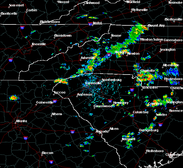 At 541 pm edt, a severe thunderstorm was located 6 miles north of columbus, moving east at 15 mph (radar indicated). Hazards include 60 mph wind gusts and penny size hail. Expect damage to roofs. Siding and trees. At 541 pm edt, a severe thunderstorm was located 6 miles north of columbus, moving east at 15 mph (radar indicated). Hazards include 60 mph wind gusts and penny size hail. Expect damage to roofs. Siding and trees.
|
| 7/18/2016 3:58 PM EDT |
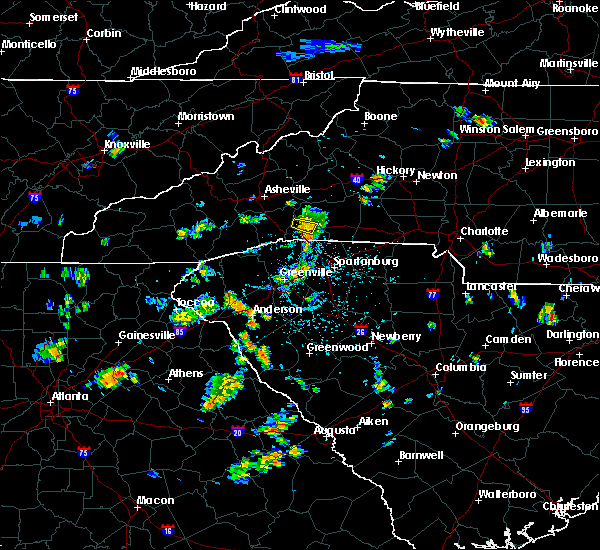 At 358 pm edt, a severe thunderstorm was located 4 miles northeast of columbus, moving south at 15 mph (radar indicated). Hazards include 60 mph wind gusts. Expect damage to roofs. siding and trees. Locations impacted include, mill spring and lake adger. At 358 pm edt, a severe thunderstorm was located 4 miles northeast of columbus, moving south at 15 mph (radar indicated). Hazards include 60 mph wind gusts. Expect damage to roofs. siding and trees. Locations impacted include, mill spring and lake adger.
|
| 7/18/2016 3:51 PM EDT |
 At 351 pm edt, a severe thunderstorm was located 5 miles northeast of columbus, moving south at 15 mph (radar indicated). Hazards include 60 mph wind gusts. Expect damage to roofs. siding and trees. Locations impacted include, lake lure, chimney rock state park, green hill, mill spring and lake adger. At 351 pm edt, a severe thunderstorm was located 5 miles northeast of columbus, moving south at 15 mph (radar indicated). Hazards include 60 mph wind gusts. Expect damage to roofs. siding and trees. Locations impacted include, lake lure, chimney rock state park, green hill, mill spring and lake adger.
|
| 7/18/2016 3:38 PM EDT |
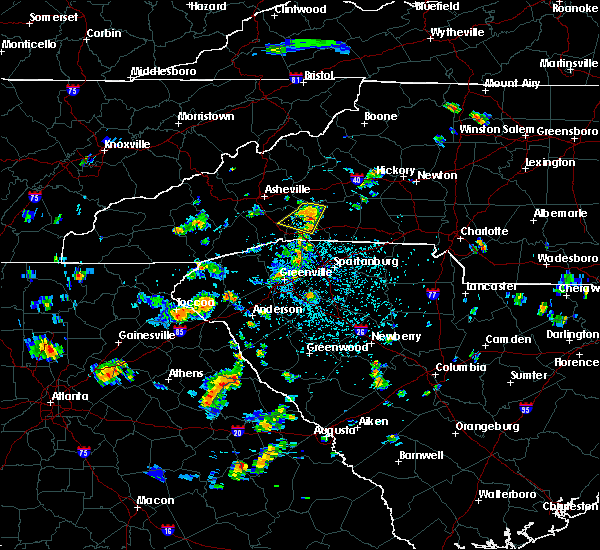 At 337 pm edt, a severe thunderstorm was located 11 miles north of columbus, or near lake lure, moving south at 15 mph (radar indicated). Hazards include 60 mph wind gusts and penny size hail. Expect damage to roofs. siding and trees. Locations impacted include, lake lure, chimney rock state park, green hill, dana, shingle hollow, mill spring, lake adger, edneyville and bat cave. At 337 pm edt, a severe thunderstorm was located 11 miles north of columbus, or near lake lure, moving south at 15 mph (radar indicated). Hazards include 60 mph wind gusts and penny size hail. Expect damage to roofs. siding and trees. Locations impacted include, lake lure, chimney rock state park, green hill, dana, shingle hollow, mill spring, lake adger, edneyville and bat cave.
|
| 7/18/2016 3:20 PM EDT |
 At 320 pm edt, a severe thunderstorm was located 14 miles northwest of rutherfordton, or near lake lure, moving south at 15 mph (radar indicated). Hazards include 60 mph wind gusts and quarter size hail. Hail damage to vehicles is expected. Expect wind damage to roofs, siding and trees. At 320 pm edt, a severe thunderstorm was located 14 miles northwest of rutherfordton, or near lake lure, moving south at 15 mph (radar indicated). Hazards include 60 mph wind gusts and quarter size hail. Hail damage to vehicles is expected. Expect wind damage to roofs, siding and trees.
|
| 7/11/2016 2:35 PM EDT |
 At 235 pm edt, a severe thunderstorm was located 14 miles south of columbus, or near lake robinson, moving east at 15 mph (radar indicated). Hazards include 60 mph wind gusts and quarter size hail. Hail damage to vehicles is expected. Expect wind damage to roofs, siding and trees. At 235 pm edt, a severe thunderstorm was located 14 miles south of columbus, or near lake robinson, moving east at 15 mph (radar indicated). Hazards include 60 mph wind gusts and quarter size hail. Hail damage to vehicles is expected. Expect wind damage to roofs, siding and trees.
|
| 7/8/2016 8:56 PM EDT |
 At 855 pm edt, severe thunderstorms were located along a line extending from 8 miles northeast of hendersonville to 7 miles east of hartwell, moving east at 35 mph (radar indicated). Hazards include 60 mph wind gusts and quarter size hail. Hail damage to vehicles is expected. Expect wind damage to roofs, siding and trees. At 855 pm edt, severe thunderstorms were located along a line extending from 8 miles northeast of hendersonville to 7 miles east of hartwell, moving east at 35 mph (radar indicated). Hazards include 60 mph wind gusts and quarter size hail. Hail damage to vehicles is expected. Expect wind damage to roofs, siding and trees.
|
| 6/29/2016 4:01 PM EDT | Media relayed report from mill spring fd of powerlines down on hickory nut r in polk county NC, 4.2 miles SSE of Columbus, NC |
| 6/29/2016 4:01 PM EDT | Media relayed report from mill spring fd of powerlines down on hickory nut r in polk county NC, 4.2 miles SSE of Columbus, NC |
| 6/29/2016 4:01 PM EDT |
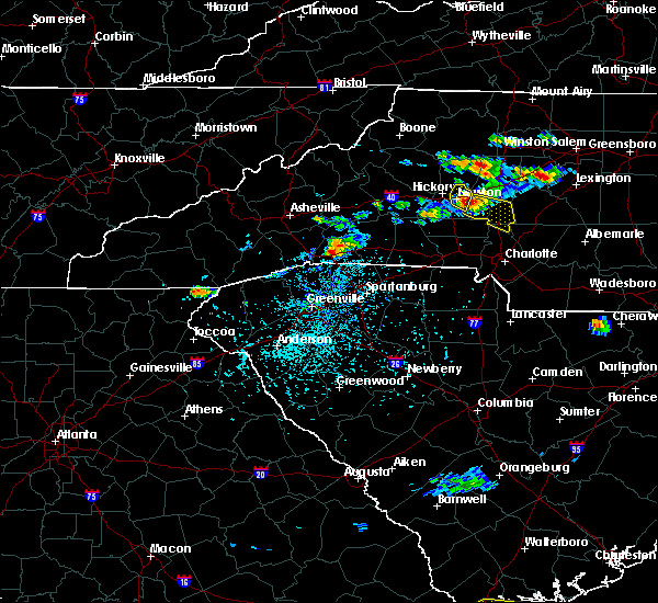 At 401 pm edt, a severe thunderstorm was located near columbus, moving east at 15 mph (radar indicated). Hazards include 60 mph wind gusts and quarter size hail. Hail damage to vehicles is expected. Expect wind damage to roofs, siding and trees. At 401 pm edt, a severe thunderstorm was located near columbus, moving east at 15 mph (radar indicated). Hazards include 60 mph wind gusts and quarter size hail. Hail damage to vehicles is expected. Expect wind damage to roofs, siding and trees.
|
| 6/14/2016 7:31 PM EDT |
 At 730 pm edt, severe thunderstorms were located along a line extending from 3 miles south of columbus to 12 miles north of spartanburg to 9 miles south of gaffney, moving east at 20 mph (radar indicated). Hazards include 60 mph wind gusts and nickel size hail. Expect damage to roofs. siding and trees. Locations impacted include, spartanburg, gaffney, columbus, boiling springs sc, pacolet, landrum, cowpens, inman, mayo and chesnee. At 730 pm edt, severe thunderstorms were located along a line extending from 3 miles south of columbus to 12 miles north of spartanburg to 9 miles south of gaffney, moving east at 20 mph (radar indicated). Hazards include 60 mph wind gusts and nickel size hail. Expect damage to roofs. siding and trees. Locations impacted include, spartanburg, gaffney, columbus, boiling springs sc, pacolet, landrum, cowpens, inman, mayo and chesnee.
|
| 6/14/2016 7:06 PM EDT |
 At 706 pm edt, severe thunderstorms were located along a line extending from 12 miles south of hendersonville to 11 miles southeast of columbus to 11 miles east of spartanburg, moving northeast at 15 mph (radar indicated). Hazards include 60 mph wind gusts and nickel size hail. Expect damage to roofs. Siding and trees. At 706 pm edt, severe thunderstorms were located along a line extending from 12 miles south of hendersonville to 11 miles southeast of columbus to 11 miles east of spartanburg, moving northeast at 15 mph (radar indicated). Hazards include 60 mph wind gusts and nickel size hail. Expect damage to roofs. Siding and trees.
|
| 5/31/2016 4:36 PM EDT |
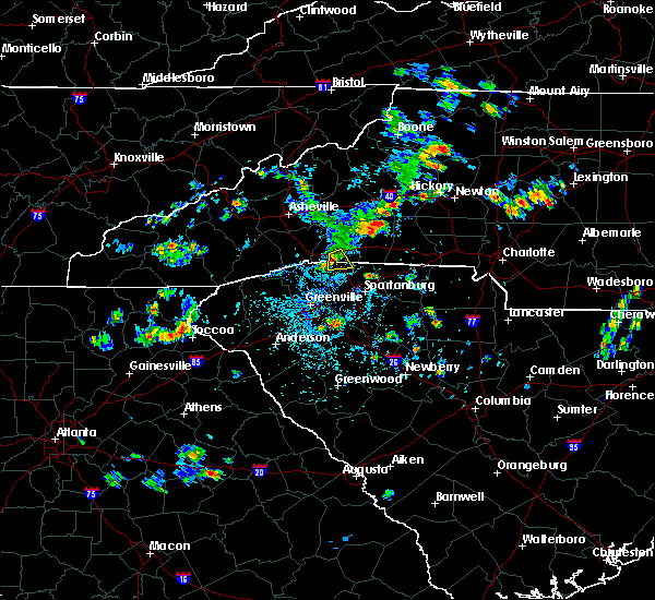 The severe thunderstorm warning for south central polk and northwestern spartanburg counties will expire at 445 pm edt, the storm which prompted the warning has weakened below severe limits, and no longer poses an immediate threat to life or property. therefore the warning will be allowed to expire. however heavy rain is still possible with this thunderstorm. The severe thunderstorm warning for south central polk and northwestern spartanburg counties will expire at 445 pm edt, the storm which prompted the warning has weakened below severe limits, and no longer poses an immediate threat to life or property. therefore the warning will be allowed to expire. however heavy rain is still possible with this thunderstorm.
|
| 5/31/2016 4:36 PM EDT |
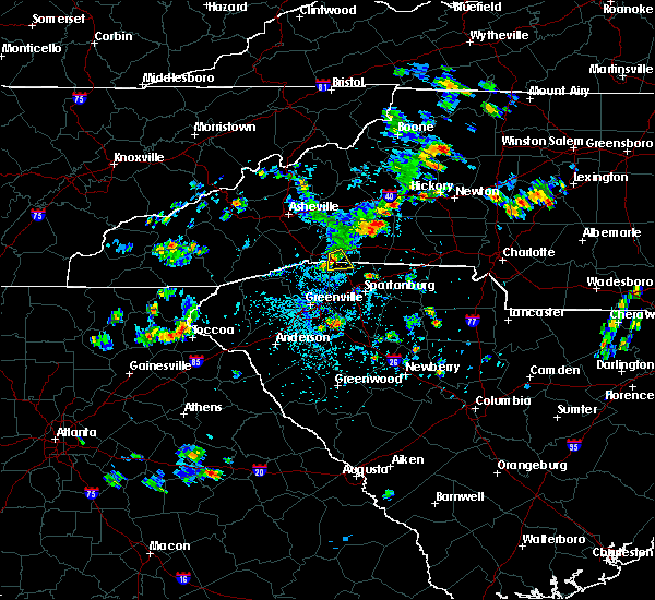 The severe thunderstorm warning for south central polk and northwestern spartanburg counties will expire at 445 pm edt, the storm which prompted the warning has weakened below severe limits, and no longer poses an immediate threat to life or property. therefore the warning will be allowed to expire. however heavy rain is still possible with this thunderstorm. The severe thunderstorm warning for south central polk and northwestern spartanburg counties will expire at 445 pm edt, the storm which prompted the warning has weakened below severe limits, and no longer poses an immediate threat to life or property. therefore the warning will be allowed to expire. however heavy rain is still possible with this thunderstorm.
|
| 5/31/2016 4:14 PM EDT | Quarter sized hail reported 2.4 miles NNW of Columbus, NC, location of the report estimated to align with radar data. |
| 5/31/2016 4:14 PM EDT |
 At 413 pm edt, a severe thunderstorm was located near columbus, and is nearly stationary (radar indicated). Hazards include 60 mph wind gusts and quarter size hail. Hail damage to vehicles is expected. expect wind damage to roofs, siding and trees. Locations impacted include, columbus, landrum, fingerville, gowensville and green creek. At 413 pm edt, a severe thunderstorm was located near columbus, and is nearly stationary (radar indicated). Hazards include 60 mph wind gusts and quarter size hail. Hail damage to vehicles is expected. expect wind damage to roofs, siding and trees. Locations impacted include, columbus, landrum, fingerville, gowensville and green creek.
|
| 5/31/2016 4:00 PM EDT |
 At 359 pm edt, a severe thunderstorm was located near columbus, or near landrum, moving south at 5 mph (radar indicated). Hazards include 60 mph wind gusts and quarter size hail. Hail damage to vehicles is expected. Expect wind damage to roofs, siding and trees. At 359 pm edt, a severe thunderstorm was located near columbus, or near landrum, moving south at 5 mph (radar indicated). Hazards include 60 mph wind gusts and quarter size hail. Hail damage to vehicles is expected. Expect wind damage to roofs, siding and trees.
|
| 5/31/2016 4:00 PM EDT |
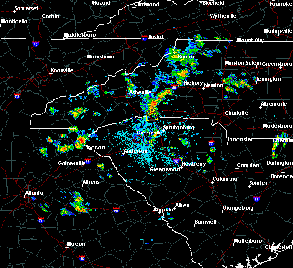 At 359 pm edt, a severe thunderstorm was located near columbus, or near landrum, moving south at 5 mph (radar indicated). Hazards include 60 mph wind gusts and quarter size hail. Hail damage to vehicles is expected. Expect wind damage to roofs, siding and trees. At 359 pm edt, a severe thunderstorm was located near columbus, or near landrum, moving south at 5 mph (radar indicated). Hazards include 60 mph wind gusts and quarter size hail. Hail damage to vehicles is expected. Expect wind damage to roofs, siding and trees.
|
| 5/1/2016 3:57 PM EDT | One tree down near the intersection of landrum road and highway 9 in the green creek communit in polk county NC, 6.3 miles WNW of Columbus, NC |
| 8/5/2015 7:29 PM EDT |
 At 729 pm edt, doppler radar indicated a severe thunderstorm capable of producing damaging winds in excess of 60 mph. this storm was located 9 miles east of columbus, or 6 miles north of lake bowen, and moving east at 30 mph. nickel size hail may also accompany the damaging winds. * locations in the warning include, forest city, rutherfordton, columbus, spindale, landrum, tryon, ellenboro, bostic, mill spring and caroleen. At 729 pm edt, doppler radar indicated a severe thunderstorm capable of producing damaging winds in excess of 60 mph. this storm was located 9 miles east of columbus, or 6 miles north of lake bowen, and moving east at 30 mph. nickel size hail may also accompany the damaging winds. * locations in the warning include, forest city, rutherfordton, columbus, spindale, landrum, tryon, ellenboro, bostic, mill spring and caroleen.
|
| 7/21/2015 3:41 PM EDT |
 At 341 pm edt, doppler radar indicated a severe thunderstorm capable of producing damaging winds in excess of 60 mph. this storm was located 8 miles east of columbus, or 6 miles north of lake bowen, moving southeast at 20 mph. penny size hail may also accompany the damaging winds. locations impacted include, columbus, landrum, tryon, lake bowen, green creek, harris, fingerville, campobello and mill spring. At 341 pm edt, doppler radar indicated a severe thunderstorm capable of producing damaging winds in excess of 60 mph. this storm was located 8 miles east of columbus, or 6 miles north of lake bowen, moving southeast at 20 mph. penny size hail may also accompany the damaging winds. locations impacted include, columbus, landrum, tryon, lake bowen, green creek, harris, fingerville, campobello and mill spring.
|
| 7/21/2015 3:13 PM EDT |
 At 312 pm edt, doppler radar indicated a severe thunderstorm capable of producing quarter size hail and damaging winds in excess of 60 mph. this storm was located near columbus, and moving southeast at 20 mph. * locations in the warning include, columbus, landrum, tryon, campobello, lake bowen, lake adger, green creek, mill spring, harris and fingerville. At 312 pm edt, doppler radar indicated a severe thunderstorm capable of producing quarter size hail and damaging winds in excess of 60 mph. this storm was located near columbus, and moving southeast at 20 mph. * locations in the warning include, columbus, landrum, tryon, campobello, lake bowen, lake adger, green creek, mill spring, harris and fingerville.
|
| 7/20/2015 9:22 PM EDT |
 At 920 pm edt, doppler radar indicated a line of severe thunderstorms capable of producing damaging winds in excess of 60 mph. these storms were located along a line extending from 6 miles northwest of columbus to 11 miles northeast of greenville downtown to 5 miles southeast of easley, moving east at 25 mph. locations impacted include, greenville downtown, spartanburg, columbus, greer, mauldin, taylors, simpsonville, five forks, boiling springs sc and duncan. At 920 pm edt, doppler radar indicated a line of severe thunderstorms capable of producing damaging winds in excess of 60 mph. these storms were located along a line extending from 6 miles northwest of columbus to 11 miles northeast of greenville downtown to 5 miles southeast of easley, moving east at 25 mph. locations impacted include, greenville downtown, spartanburg, columbus, greer, mauldin, taylors, simpsonville, five forks, boiling springs sc and duncan.
|
| 7/20/2015 8:36 PM EDT |
 At 835 pm edt, doppler radar indicated a line of severe thunderstorms capable of producing damaging winds in excess of 60 mph. these storms were located along a line extending from 5 miles west of hendersonville to 15 miles north of easley to 6 miles southwest of pickens, and moving east at 30 mph. * locations in the warning include, greenville downtown, spartanburg, easley, hendersonville, pickens, columbus, greer, mauldin, taylors and simpsonville. At 835 pm edt, doppler radar indicated a line of severe thunderstorms capable of producing damaging winds in excess of 60 mph. these storms were located along a line extending from 5 miles west of hendersonville to 15 miles north of easley to 6 miles southwest of pickens, and moving east at 30 mph. * locations in the warning include, greenville downtown, spartanburg, easley, hendersonville, pickens, columbus, greer, mauldin, taylors and simpsonville.
|
| 7/14/2015 8:41 AM EDT |
 The severe thunderstorm warning for rutherford, southern buncombe, southern mcdowell, polk and henderson counties will expire at 845 am edt, the line of storms which prompted the warning have weakened below severe limits, and no longer poses an immediate threat to life or property. therefore the warning will be allowed to expire. however gusty winds and heavy rain are still possible with these thunderstorms. The severe thunderstorm warning for rutherford, southern buncombe, southern mcdowell, polk and henderson counties will expire at 845 am edt, the line of storms which prompted the warning have weakened below severe limits, and no longer poses an immediate threat to life or property. therefore the warning will be allowed to expire. however gusty winds and heavy rain are still possible with these thunderstorms.
|
| 7/14/2015 8:08 AM EDT |
 At 808 am edt, doppler radar indicated a line of severe thunderstorms capable of producing damaging winds in excess of 60 mph. these storms were located along a line extending from 10 miles southwest of morganton to 16 miles north of columbus to 12 miles east of waynesville, moving southeast at 50 mph. penny size hail may also accompany the damaging winds. locations impacted include, hendersonville, forest city, marion, rutherfordton, columbus, arden, mills river, fletcher, spindale and flat rock. At 808 am edt, doppler radar indicated a line of severe thunderstorms capable of producing damaging winds in excess of 60 mph. these storms were located along a line extending from 10 miles southwest of morganton to 16 miles north of columbus to 12 miles east of waynesville, moving southeast at 50 mph. penny size hail may also accompany the damaging winds. locations impacted include, hendersonville, forest city, marion, rutherfordton, columbus, arden, mills river, fletcher, spindale and flat rock.
|
| 7/14/2015 7:47 AM EDT |
 At 747 am edt, doppler radar indicated a line of severe thunderstorms capable of producing damaging winds in excess of 60 mph. these storms were located along a line extending from 9 miles north of marion to 11 miles northeast of downtown asheville to 9 miles northeast of waynesville, and moving southeast at 50 mph. penny size hail may also accompany the damaging winds. At 747 am edt, doppler radar indicated a line of severe thunderstorms capable of producing damaging winds in excess of 60 mph. these storms were located along a line extending from 9 miles north of marion to 11 miles northeast of downtown asheville to 9 miles northeast of waynesville, and moving southeast at 50 mph. penny size hail may also accompany the damaging winds.
|
| 7/13/2015 8:16 PM EDT |
 At 815 pm edt, doppler radar indicated a line of showers and thunderstorms capable of producing damaging winds in excess of 60 mph. these storms were located along a line extending from 9 miles south of marion to 8 miles north of brevard, and moving southeast at 35 mph. At 815 pm edt, doppler radar indicated a line of showers and thunderstorms capable of producing damaging winds in excess of 60 mph. these storms were located along a line extending from 9 miles south of marion to 8 miles north of brevard, and moving southeast at 35 mph.
|
| 7/8/2015 5:23 PM EDT |
 The severe thunderstorm warning for western polk county will expire at 530 pm edt, the storm which prompted the warning has weakened below severe limits, and no longer poses an immediate threat to life or property. therefore the warning will be allowed to expire. however gusty winds and heavy rain are still possible with this thunderstorm. The severe thunderstorm warning for western polk county will expire at 530 pm edt, the storm which prompted the warning has weakened below severe limits, and no longer poses an immediate threat to life or property. therefore the warning will be allowed to expire. however gusty winds and heavy rain are still possible with this thunderstorm.
|
| 7/8/2015 5:13 PM EDT |
 At 512 pm edt, doppler radar indicated a severe thunderstorm capable of producing damaging winds in excess of 60 mph. this storm was located 5 miles northwest of columbus. this storm was nearly stationary. quarter size hail may also accompany the damaging winds. locations impacted include, columbus, tryon, saluda, mill spring and lake adger. At 512 pm edt, doppler radar indicated a severe thunderstorm capable of producing damaging winds in excess of 60 mph. this storm was located 5 miles northwest of columbus. this storm was nearly stationary. quarter size hail may also accompany the damaging winds. locations impacted include, columbus, tryon, saluda, mill spring and lake adger.
|
| 7/8/2015 4:46 PM EDT |
 At 446 pm edt, doppler radar indicated a severe thunderstorm capable of producing damaging winds in excess of 60 mph. this storm was located 5 miles northwest of columbus, and moving southeast at 10 mph. penny size hail may also accompany the damaging winds. At 446 pm edt, doppler radar indicated a severe thunderstorm capable of producing damaging winds in excess of 60 mph. this storm was located 5 miles northwest of columbus, and moving southeast at 10 mph. penny size hail may also accompany the damaging winds.
|
| 6/19/2015 1:35 PM EDT |
 At 134 pm edt, doppler radar indicated a severe thunderstorm capable of producing damaging winds in excess of 60 mph. this storm was located 7 miles northeast of columbus, moving east at 15 mph. penny size hail may also accompany the damaging winds. other strong to severe thunderstorm cells will continue to develop within the warned area. locations impacted include, columbus, tryon, saluda, lake adger, green creek, mill spring and green hill. At 134 pm edt, doppler radar indicated a severe thunderstorm capable of producing damaging winds in excess of 60 mph. this storm was located 7 miles northeast of columbus, moving east at 15 mph. penny size hail may also accompany the damaging winds. other strong to severe thunderstorm cells will continue to develop within the warned area. locations impacted include, columbus, tryon, saluda, lake adger, green creek, mill spring and green hill.
|
| 6/19/2015 1:22 PM EDT | First report. several trees down around mill spring and near columbus. trees down on moore rd...john shehan rd...and near polk central schoo in polk county NC, 3.4 miles SW of Columbus, NC |
| 6/19/2015 1:13 PM EDT |
 At 112 pm edt, doppler radar indicated a severe thunderstorm capable of producing damaging winds in excess of 60 mph. this storm was located near columbus, and moving east at 10 mph. penny size hail may also accompany the damaging winds. At 112 pm edt, doppler radar indicated a severe thunderstorm capable of producing damaging winds in excess of 60 mph. this storm was located near columbus, and moving east at 10 mph. penny size hail may also accompany the damaging winds.
|
| 6/17/2015 3:49 PM EDT |
 At 349 pm edt, doppler radar indicated a severe thunderstorm capable of producing damaging winds in excess of 60 mph. this storm was located 4 miles south of hendersonville, or near flat rock, moving east at 10 mph. penny size hail may also accompany the damaging winds. locations impacted include, flat rock, laurel park, tryon, saluda, pleasant ridge state park, tigerville, lake robinson, valley hill, east flat rock and north saluda reservoir. At 349 pm edt, doppler radar indicated a severe thunderstorm capable of producing damaging winds in excess of 60 mph. this storm was located 4 miles south of hendersonville, or near flat rock, moving east at 10 mph. penny size hail may also accompany the damaging winds. locations impacted include, flat rock, laurel park, tryon, saluda, pleasant ridge state park, tigerville, lake robinson, valley hill, east flat rock and north saluda reservoir.
|
| 6/17/2015 3:37 PM EDT |
 At 336 pm edt, doppler radar indicated a severe thunderstorm capable of producing damaging winds in excess of 60 mph. this storm was located 7 miles southwest of hendersonville, or 5 miles southwest of flat rock, and moving southeast at 15 mph. penny size hail may also accompany the damaging winds. At 336 pm edt, doppler radar indicated a severe thunderstorm capable of producing damaging winds in excess of 60 mph. this storm was located 7 miles southwest of hendersonville, or 5 miles southwest of flat rock, and moving southeast at 15 mph. penny size hail may also accompany the damaging winds.
|
| 6/8/2015 10:32 PM EDT | At 1032 pm edt, doppler radar indicated a line of severe thunderstorms capable of producing damaging winds in excess of 60 mph. these storms were located along a line extending from 4 miles southwest of hendersonville to 6 miles west of pickens, moving east at 35 mph. locations impacted include, easley, hendersonville, brevard, walhalla, pickens, columbus, berea, travelers rest, liberty and flat rock. |
| 6/8/2015 10:32 PM EDT | At 1032 pm edt, doppler radar indicated a line of severe thunderstorms capable of producing damaging winds in excess of 60 mph. these storms were located along a line extending from 4 miles southwest of hendersonville to 6 miles west of pickens, moving east at 35 mph. locations impacted include, easley, hendersonville, brevard, walhalla, pickens, columbus, berea, travelers rest, liberty and flat rock. |
| 6/8/2015 10:05 PM EDT | At 1004 pm edt, doppler radar indicated a line of severe thunderstorms capable of producing damaging winds in excess of 60 mph. these storms were located along a line extending from 4 miles west of brevard to 3 miles northwest of walhalla, and moving east at 35 mph. |
| 6/8/2015 10:05 PM EDT | At 1004 pm edt, doppler radar indicated a line of severe thunderstorms capable of producing damaging winds in excess of 60 mph. these storms were located along a line extending from 4 miles west of brevard to 3 miles northwest of walhalla, and moving east at 35 mph. |
| 4/7/2015 5:52 PM EDT | A severe thunderstorm warning remains in effect until 600 pm edt for northwestern rutherford. central polk and east central henderson counties. at 551 pm edt. doppler radar indicated a severe thunderstorm capable of producing quarter size hail. this storm was located 10 miles north of columbus. or near lake lure. Moving northeast at 35. |
| 4/7/2015 5:22 PM EDT | The national weather service in greenville-spartanburg has issued a * severe thunderstorm warning for. northwestern rutherford county in western north carolina. polk county in western north carolina. eastern henderson county in western north carolina. Until 600 pm edt. |
| 8/23/2013 4:53 PM EDT | Tree down on house 3144 collinsville rd. time estimated from rada in polk county NC, 0.8 miles N of Columbus, NC |
| 5/22/2013 6:35 PM EDT | Jat reported 5 inch limbs blown down near his in polk county NC, 4.5 miles W of Columbus, NC |
| 5/22/2013 6:08 PM EDT | Sheriff office said trees down scattered throughout the county. best downburst potential based on radar out ahead of storm collapse east of lake adge in polk county NC, 7.2 miles SSW of Columbus, NC |
| 1/30/2013 5:40 PM EST | Trees down in green creek are in polk county NC, 3.9 miles WNW of Columbus, NC |
| 8/14/2012 4:50 PM EDT | One small tree down just outside the reception area for brights creek golf and equestrian communit in polk county NC, 5.6 miles SSE of Columbus, NC |
| 7/1/2012 5:51 PM EDT | Trees down in mill spring and sunnyview area in polk county NC, 3.4 miles SW of Columbus, NC |
| 1/1/0001 12:00 AM | A tree down on garrett roa in polk county NC, 6.1 miles S of Columbus, NC |
Hail Maps for Columbus, NC


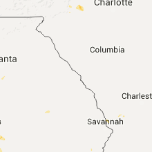


Connect with Interactive Hail Maps