

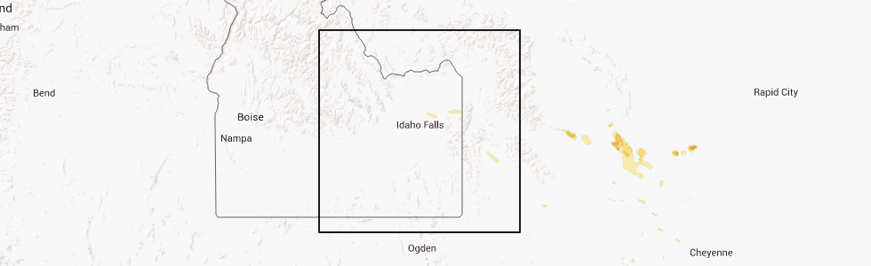
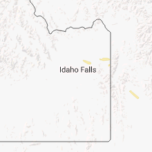
Hail Map for Cora, WY
The Cora, WY area has had 0 reports of on-the-ground hail by trained spotters, and has been under severe weather warnings 3 times during the past 12 months. Doppler radar has detected hail at or near Cora, WY on 2 occasions.
| Name: | Cora, WY |
| Where Located: | 81.4 miles W of Riverton, WY |
| Map: | Google Map for Cora, WY |
| Population: | 142 |
| Housing Units: | 79 |
| More Info: | Search Google for Cora, WY |
0
The Top Recent Hail Date for Cora, WY is Tuesday, July 15, 2014 (2nd out of 2)
Hail and Wind Damage Spotted near Cora, WY
| Date / Time | Report Details |
|---|---|
| 8/22/2023 5:50 PM MDT |
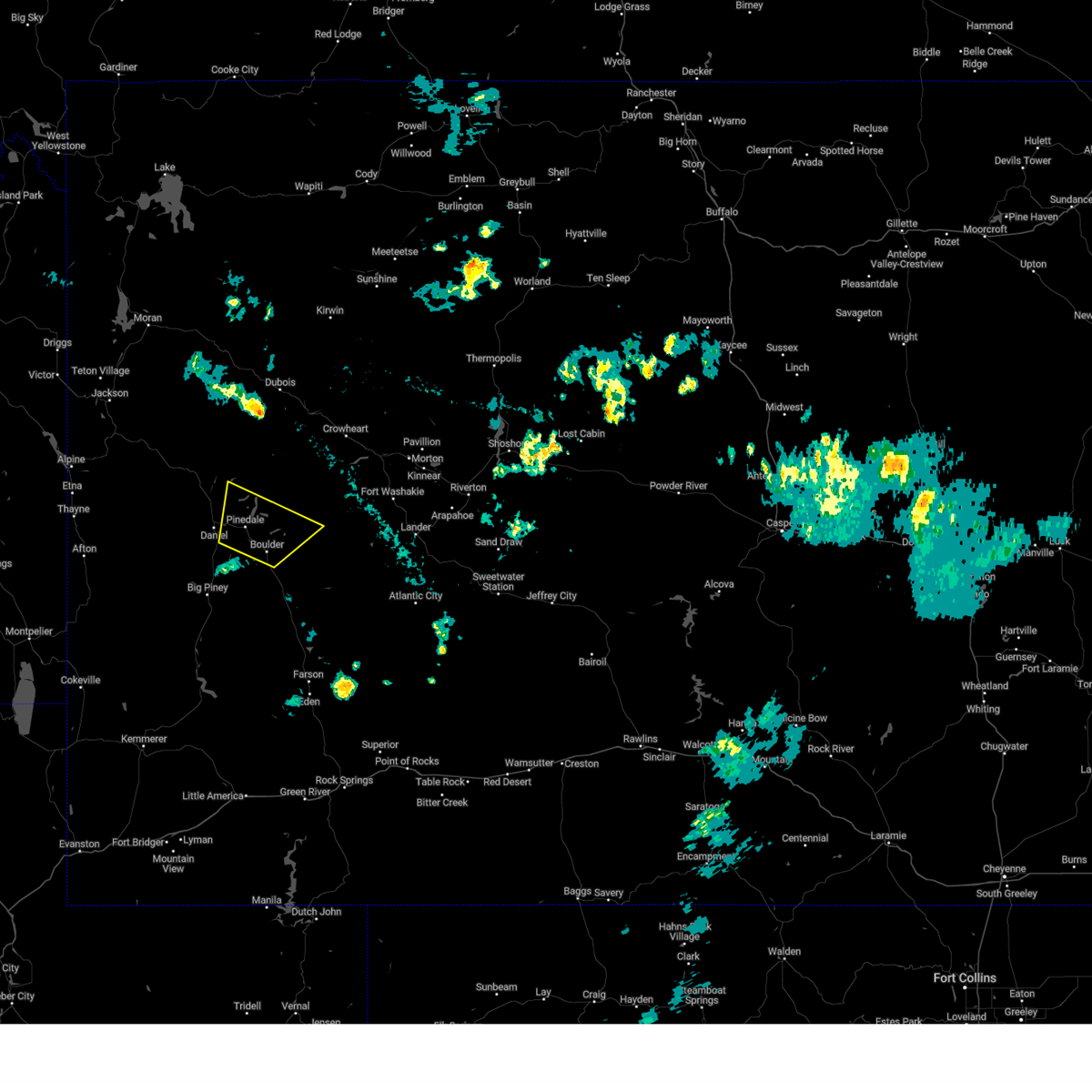 At 550 pm mdt, a severe thunderstorm was located near pinedale, moving northeast at 40 mph (radar indicated). Hazards include 60 mph wind gusts. Expect damage to roofs, siding, and trees. locations impacted include, half moon lake, willow lake and fremont lake. hail threat, radar indicated max hail size, <. 75 in wind threat, observed max wind gust, 60 mph. At 550 pm mdt, a severe thunderstorm was located near pinedale, moving northeast at 40 mph (radar indicated). Hazards include 60 mph wind gusts. Expect damage to roofs, siding, and trees. locations impacted include, half moon lake, willow lake and fremont lake. hail threat, radar indicated max hail size, <. 75 in wind threat, observed max wind gust, 60 mph.
|
| 8/22/2023 5:29 PM MDT |
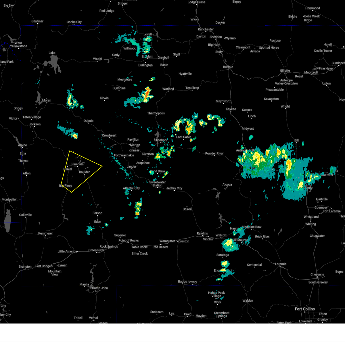 At 528 pm mdt, a severe thunderstorm was located 11 miles northeast of marbleton, which is also 12 miles southwest of pinedale, moving northeast at 40 mph (radar indicated). Hazards include 60 mph wind gusts. Expect damage to roofs, siding, and trees. this severe thunderstorm will be near, pinedale around 545 pm mdt. other locations in the path of this severe thunderstorm include half moon lake, willow lake and fremont lake. hail threat, radar indicated max hail size, <. 75 in wind threat, observed max wind gust, 60 mph. At 528 pm mdt, a severe thunderstorm was located 11 miles northeast of marbleton, which is also 12 miles southwest of pinedale, moving northeast at 40 mph (radar indicated). Hazards include 60 mph wind gusts. Expect damage to roofs, siding, and trees. this severe thunderstorm will be near, pinedale around 545 pm mdt. other locations in the path of this severe thunderstorm include half moon lake, willow lake and fremont lake. hail threat, radar indicated max hail size, <. 75 in wind threat, observed max wind gust, 60 mph.
|
| 7/3/2023 3:36 PM MDT |
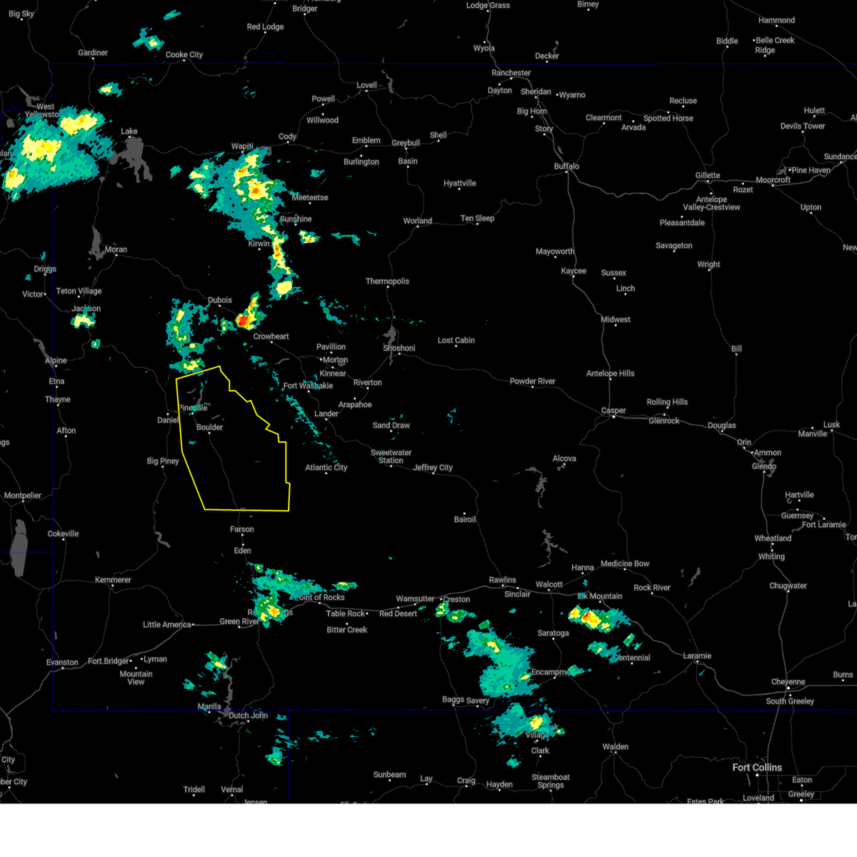 At 335 pm mdt, severe thunderstorms were moving eastward across the upper green river basin, moving east at 40 mph (emergency management. at 330 pm mdt tree damage and wind gusts near 60 mph were reported near big piney). Hazards include 60 mph wind gusts. Expect damage to roofs, siding, and trees. severe thunderstorms will be near, big sandy around 350 pm mdt. fremont peak around 355 pm mdt. other locations in the path of these severe thunderstorms include big sandy opening and cirque of the towers. hail threat, radar indicated max hail size, <. 75 in wind threat, observed max wind gust, 60 mph. At 335 pm mdt, severe thunderstorms were moving eastward across the upper green river basin, moving east at 40 mph (emergency management. at 330 pm mdt tree damage and wind gusts near 60 mph were reported near big piney). Hazards include 60 mph wind gusts. Expect damage to roofs, siding, and trees. severe thunderstorms will be near, big sandy around 350 pm mdt. fremont peak around 355 pm mdt. other locations in the path of these severe thunderstorms include big sandy opening and cirque of the towers. hail threat, radar indicated max hail size, <. 75 in wind threat, observed max wind gust, 60 mph.
|
Hail Maps for Cora, WY

Connect with Interactive Hail Maps