

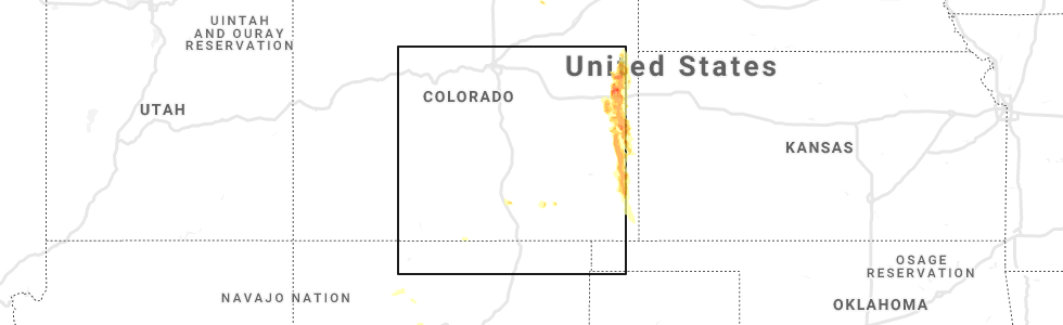
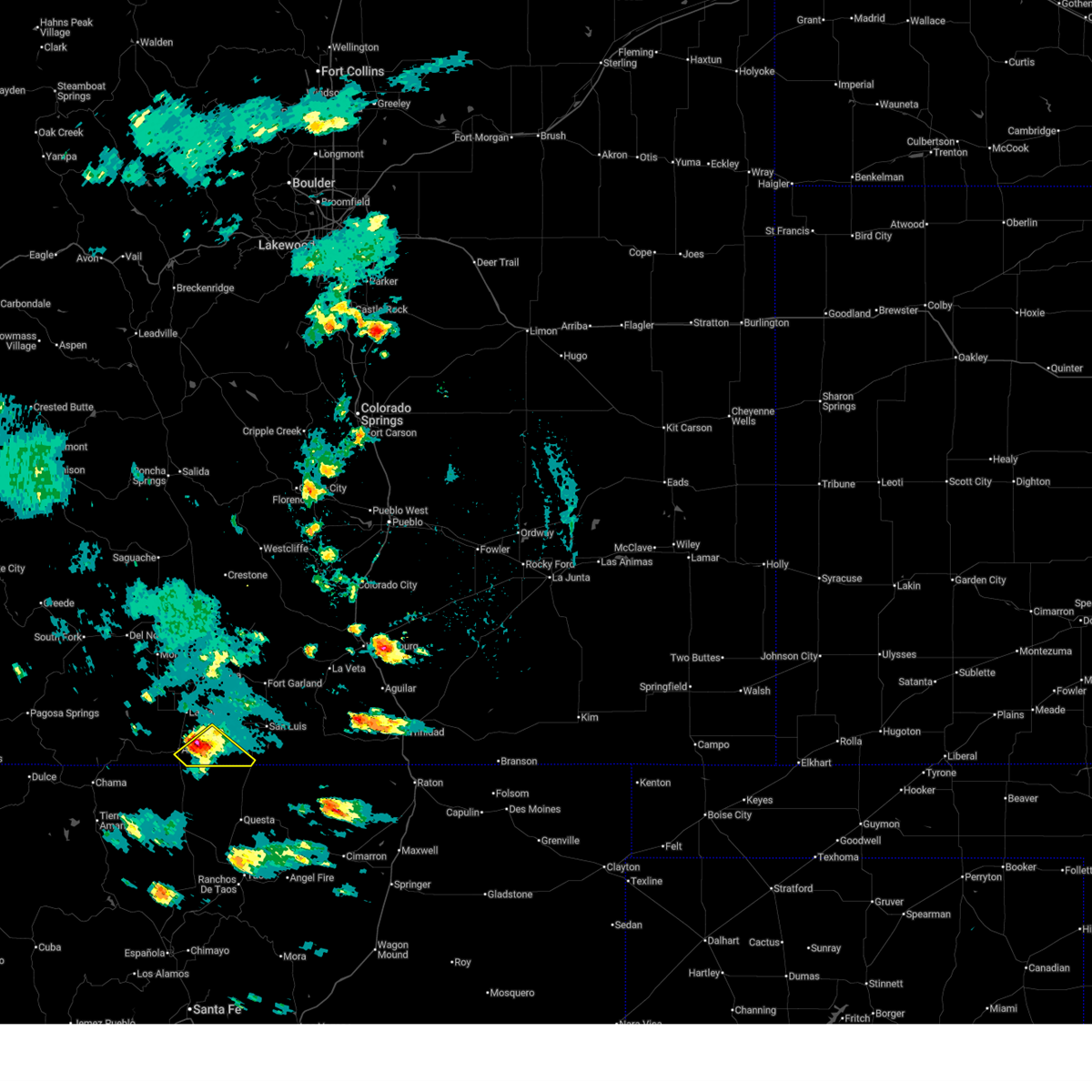
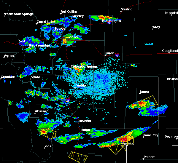
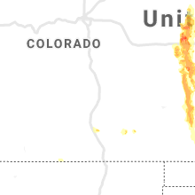
Hail Map for Costilla, NM
The Costilla, NM area has had 0 reports of on-the-ground hail by trained spotters, and has been under severe weather warnings 5 times during the past 12 months. Doppler radar has detected hail at or near Costilla, NM on 5 occasions.
| Name: | Costilla, NM |
| Where Located: | 38.8 miles N of Taos, NM |
| Map: | Google Map for Costilla, NM |
| Population: | 205 |
| Housing Units: | 137 |
| More Info: | Search Google for Costilla, NM |
0
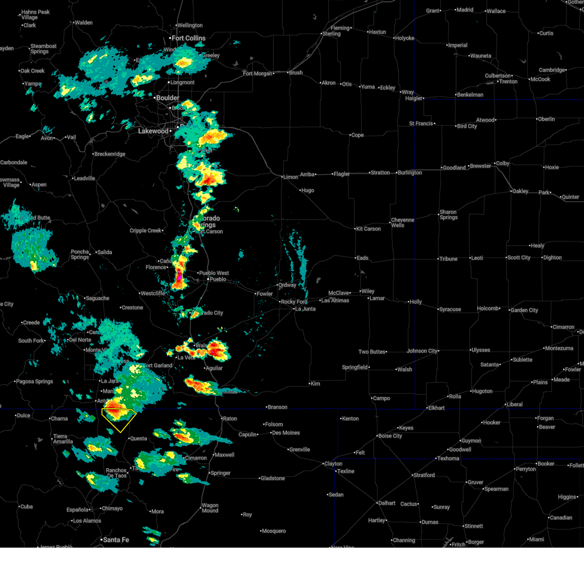
The Top Recent Hail Date for Costilla, NM is Wednesday, August 14, 2019 (5th out of 5)
Hail and Wind Damage Spotted near Costilla, NM
| Date / Time | Report Details |
|---|---|
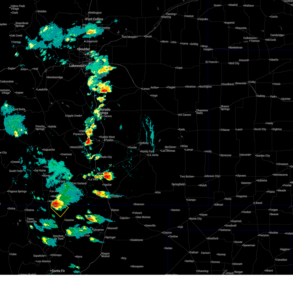
| 8/1/2025 3:27 PM MDT |
 The storm which prompted the warning has weakened below severe limits, and no longer poses an immediate threat to life or property. therefore, the warning will be allowed to expire. however, small hail, gusty winds, and heavy rain are still possible with this thunderstorm. The storm which prompted the warning has weakened below severe limits, and no longer poses an immediate threat to life or property. therefore, the warning will be allowed to expire. however, small hail, gusty winds, and heavy rain are still possible with this thunderstorm.
|
| 8/1/2025 3:18 PM MDT |
 At 318 pm mdt, a severe thunderstorm was located 13 miles west of costilla, or 23 miles northwest of questa, moving southeast at 20 mph (radar indicated). Hazards include 60 mph wind gusts and quarter size hail. Hail damage to vehicles is expected. expect wind damage to roofs, siding, and trees. Locations impacted include, sunshine valley. At 318 pm mdt, a severe thunderstorm was located 13 miles west of costilla, or 23 miles northwest of questa, moving southeast at 20 mph (radar indicated). Hazards include 60 mph wind gusts and quarter size hail. Hail damage to vehicles is expected. expect wind damage to roofs, siding, and trees. Locations impacted include, sunshine valley.
|
| 8/1/2025 3:07 PM MDT |
 Svrabq the national weather service in albuquerque has issued a * severe thunderstorm warning for, north central taos county in north central new mexico, * until 330 pm mdt. * at 307 pm mdt, a severe thunderstorm was located 17 miles west of costilla, or 26 miles northwest of questa, moving southeast at 20 mph (radar indicated). Hazards include 60 mph wind gusts and quarter size hail. Hail damage to vehicles is expected. Expect wind damage to roofs, siding, and trees. Svrabq the national weather service in albuquerque has issued a * severe thunderstorm warning for, north central taos county in north central new mexico, * until 330 pm mdt. * at 307 pm mdt, a severe thunderstorm was located 17 miles west of costilla, or 26 miles northwest of questa, moving southeast at 20 mph (radar indicated). Hazards include 60 mph wind gusts and quarter size hail. Hail damage to vehicles is expected. Expect wind damage to roofs, siding, and trees.
|
| 8/1/2025 3:05 PM MDT |
 At 305 pm mdt, a severe thunderstorm was located 9 miles southeast of manassa, or 25 miles south of san luis valley airport, moving southeast at 25 mph (radar indicated). Hazards include 60 mph wind gusts and quarter size hail. Hail damage to vehicles is expected. expect wind damage to roofs, siding, and trees. Locations impacted include, antonito, jaroso, and garcia. At 305 pm mdt, a severe thunderstorm was located 9 miles southeast of manassa, or 25 miles south of san luis valley airport, moving southeast at 25 mph (radar indicated). Hazards include 60 mph wind gusts and quarter size hail. Hail damage to vehicles is expected. expect wind damage to roofs, siding, and trees. Locations impacted include, antonito, jaroso, and garcia.
|
| 8/1/2025 2:57 PM MDT |
 Svrpub the national weather service in pueblo has issued a * severe thunderstorm warning for, southwestern costilla county in south central colorado, southeastern conejos county in south central colorado, * until 330 pm mdt. * at 257 pm mdt, a severe thunderstorm was located near manassa, or 23 miles south of san luis valley airport, moving southeast at 25 mph (radar indicated). Hazards include 60 mph wind gusts and quarter size hail. Hail damage to vehicles is expected. Expect wind damage to roofs, siding, and trees. Svrpub the national weather service in pueblo has issued a * severe thunderstorm warning for, southwestern costilla county in south central colorado, southeastern conejos county in south central colorado, * until 330 pm mdt. * at 257 pm mdt, a severe thunderstorm was located near manassa, or 23 miles south of san luis valley airport, moving southeast at 25 mph (radar indicated). Hazards include 60 mph wind gusts and quarter size hail. Hail damage to vehicles is expected. Expect wind damage to roofs, siding, and trees.
|
| 8/13/2017 3:34 PM MDT |
 At 334 pm mdt, a severe thunderstorm was located near costilla, or 14 miles north of questa, moving southeast at 20 mph (radar indicated). Hazards include 60 mph wind gusts and quarter size hail. Hail damage to vehicles is expected. Expect wind damage to roofs, siding, and trees. At 334 pm mdt, a severe thunderstorm was located near costilla, or 14 miles north of questa, moving southeast at 20 mph (radar indicated). Hazards include 60 mph wind gusts and quarter size hail. Hail damage to vehicles is expected. Expect wind damage to roofs, siding, and trees.
|
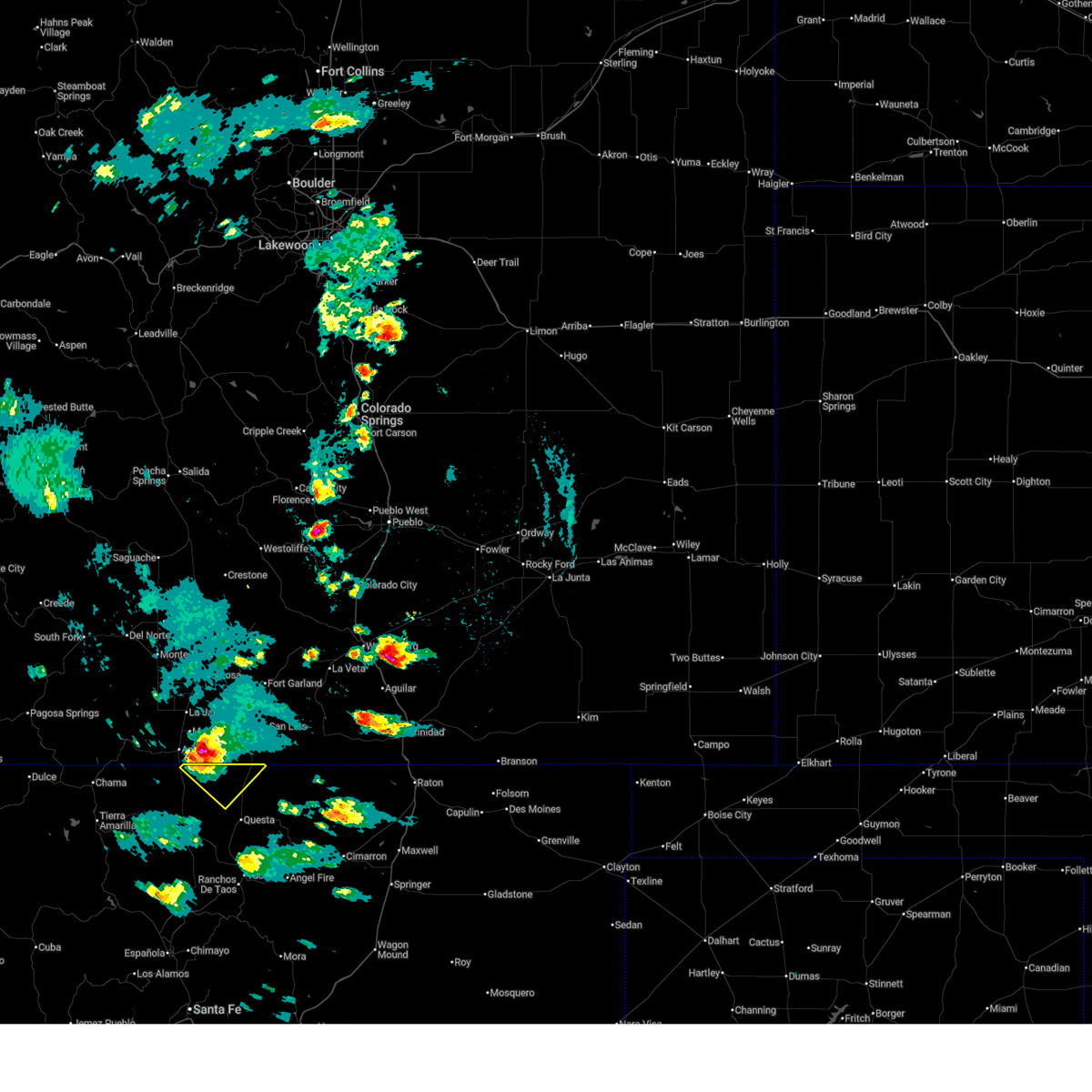
Hail Maps for Costilla, NM


Connect with Interactive Hail Maps