

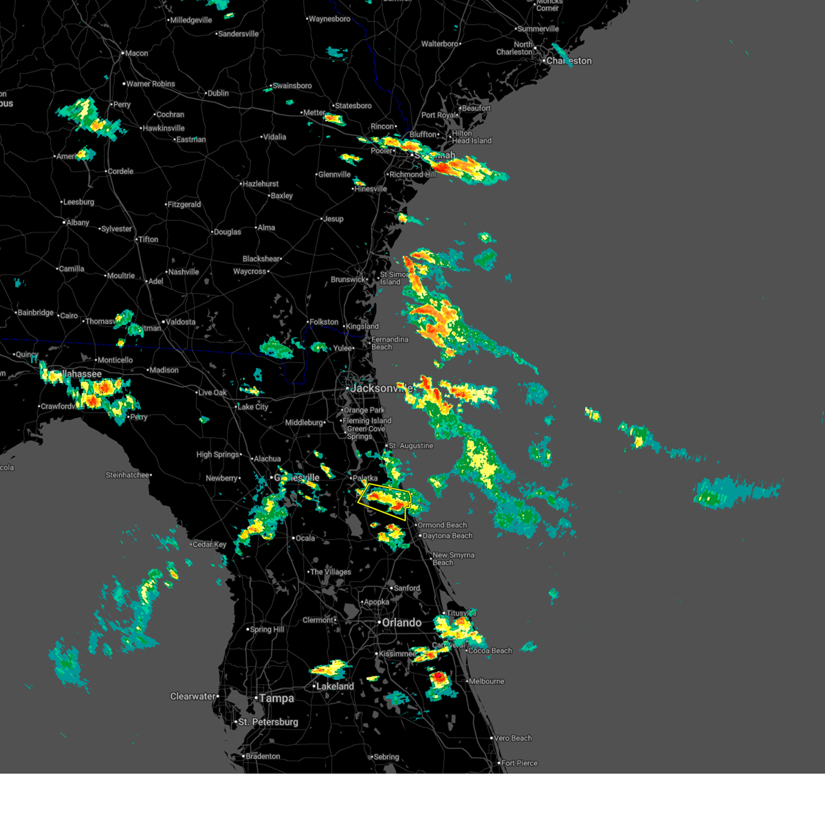
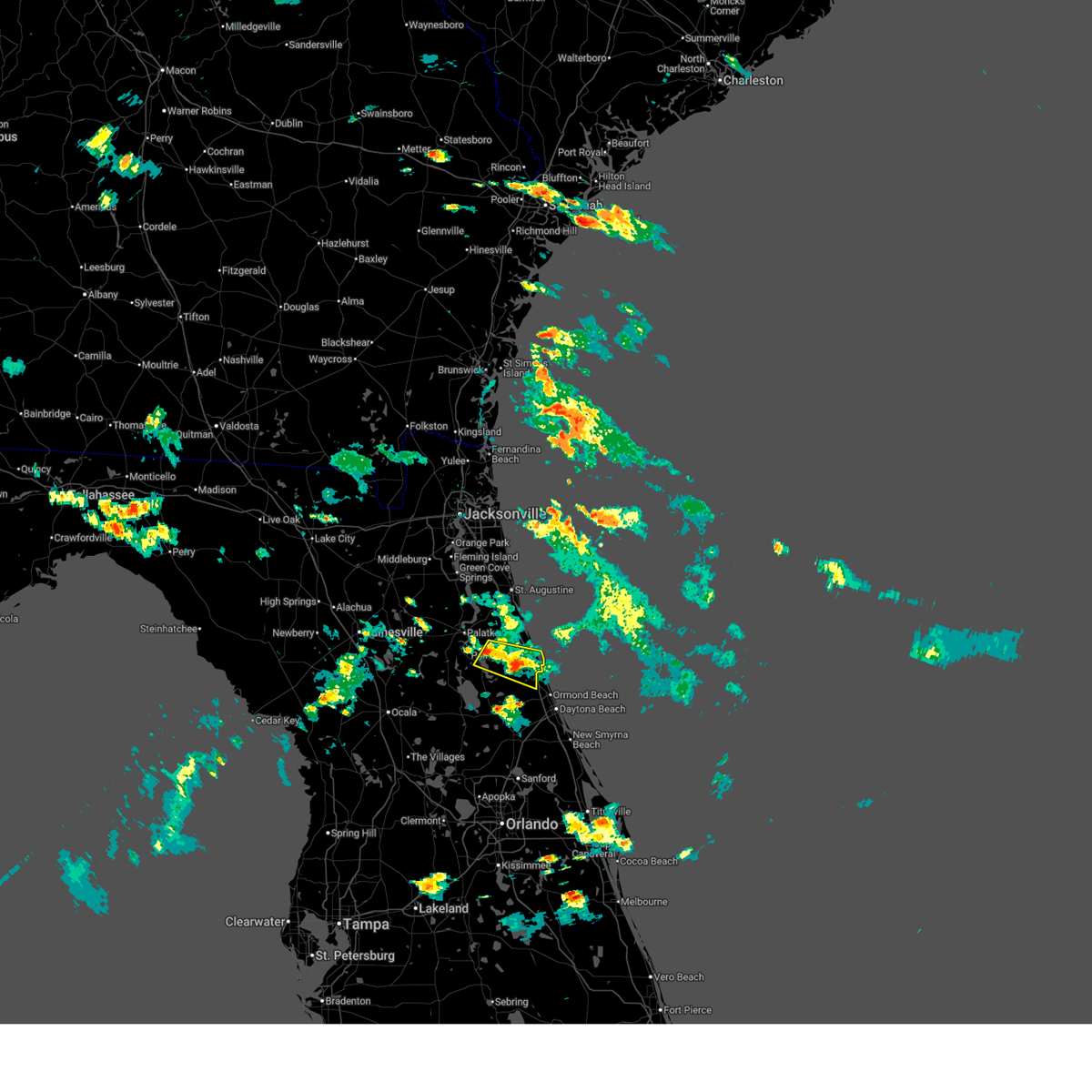
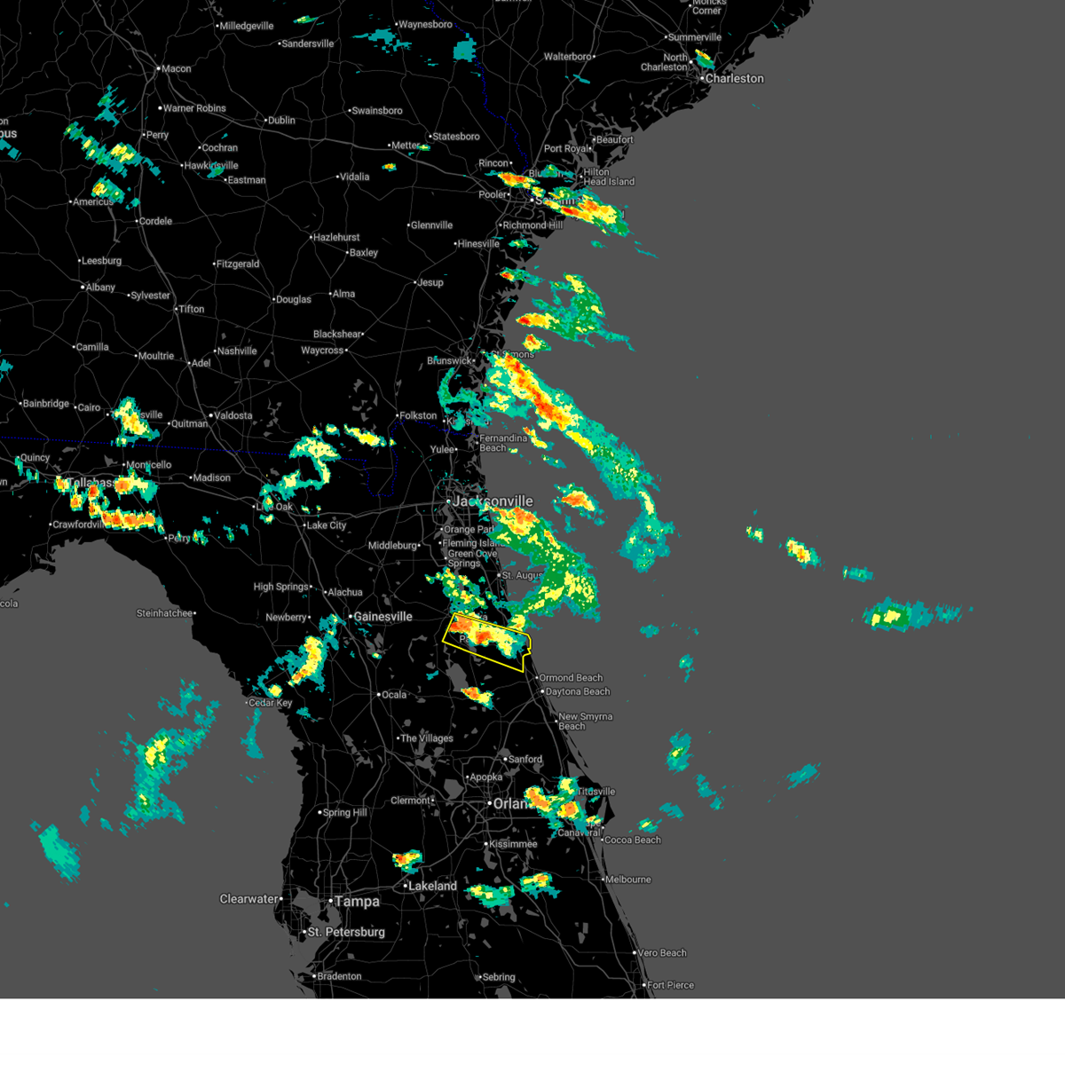
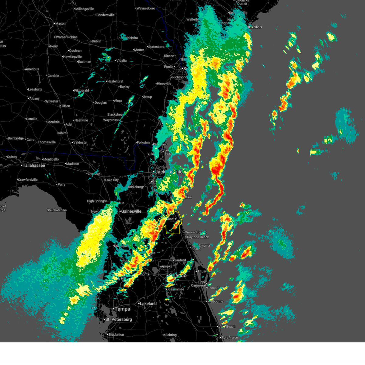
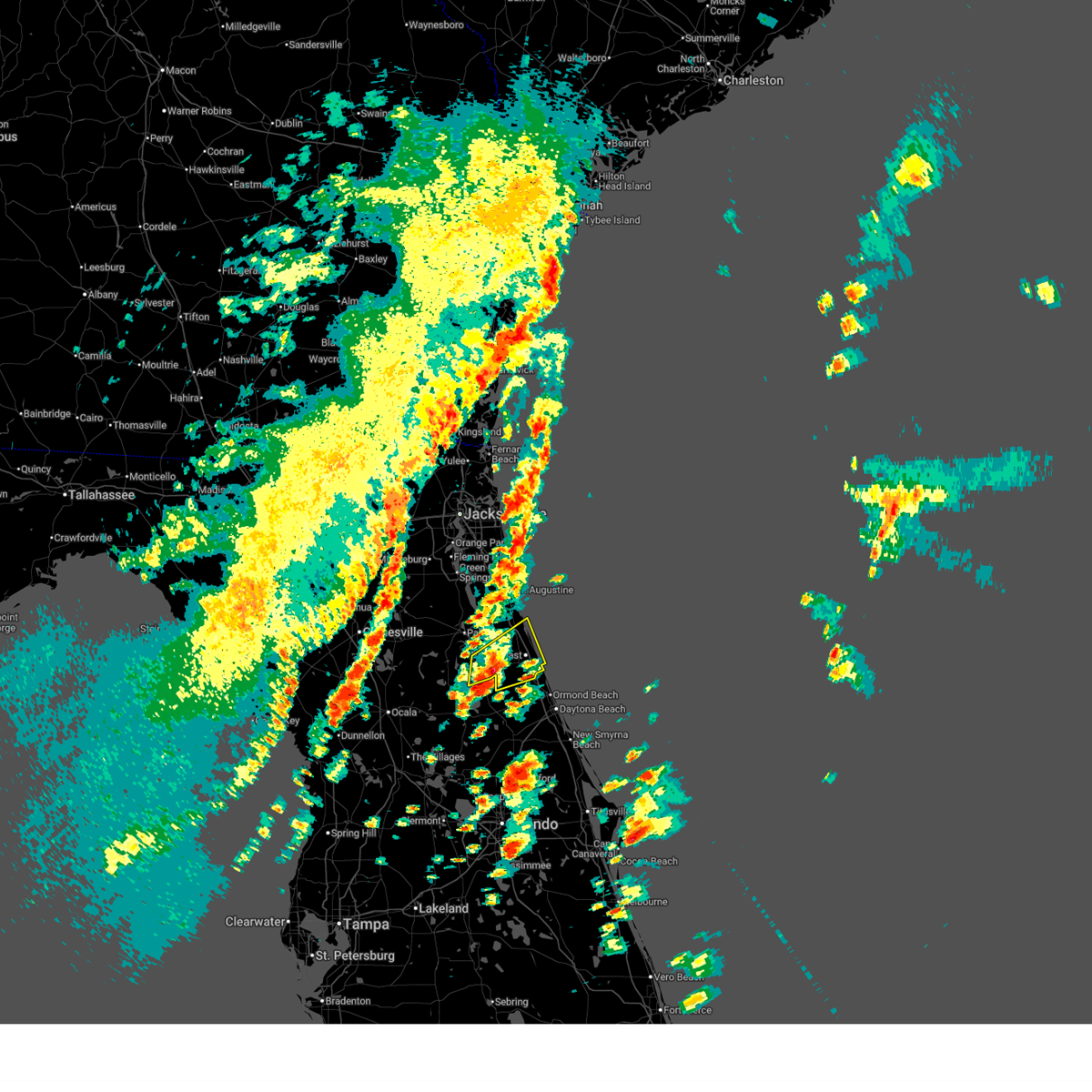
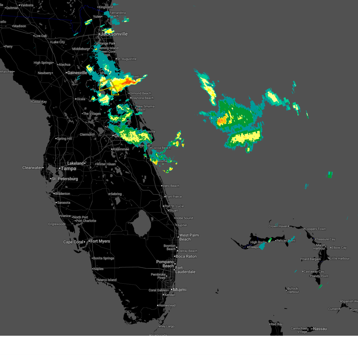
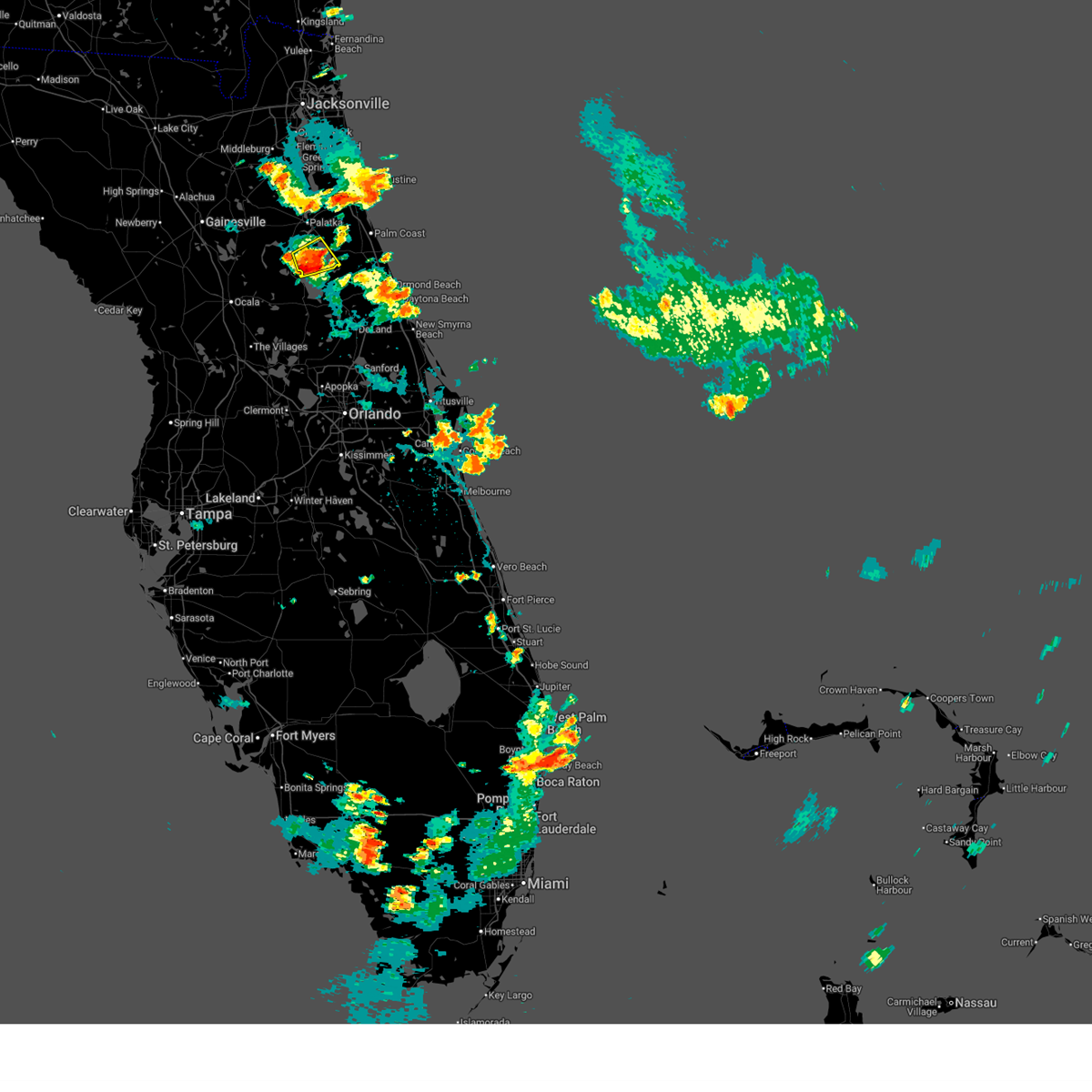
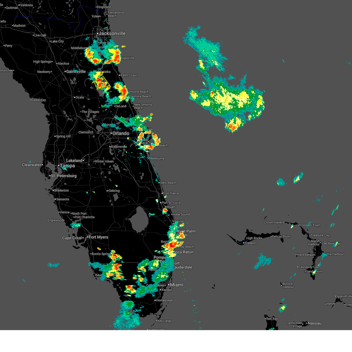
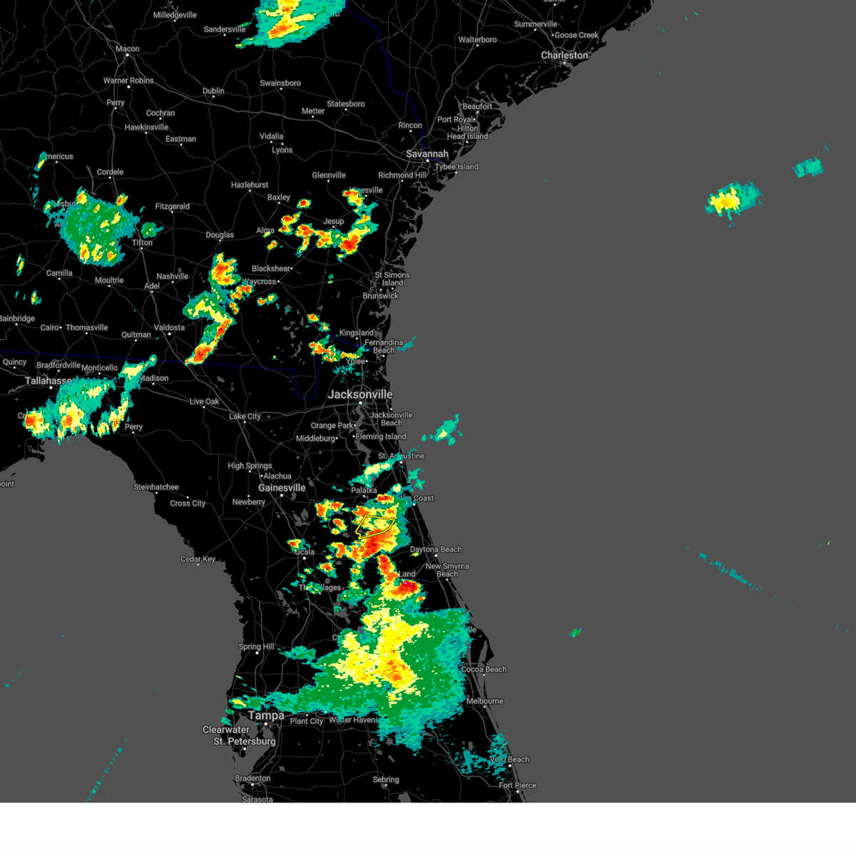
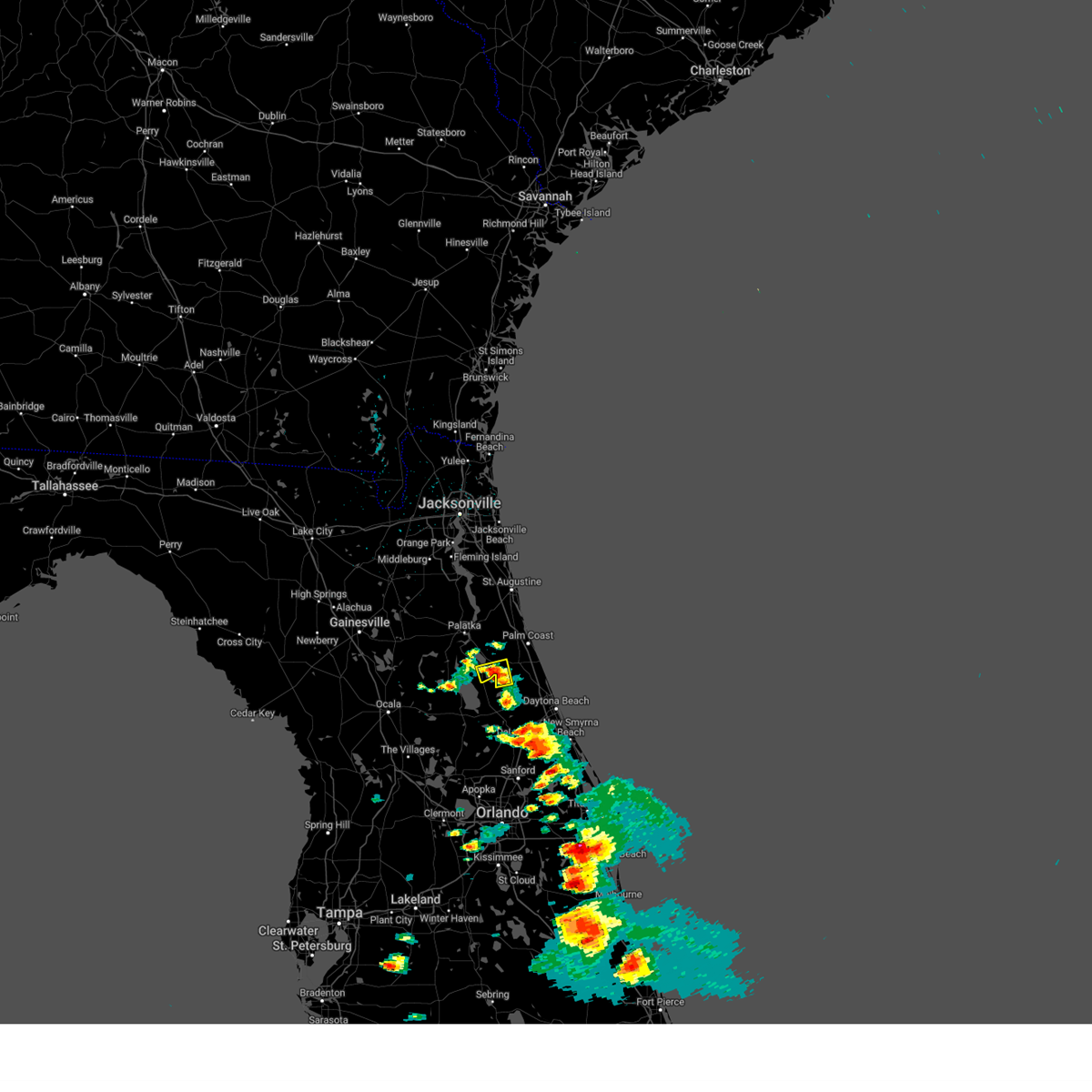
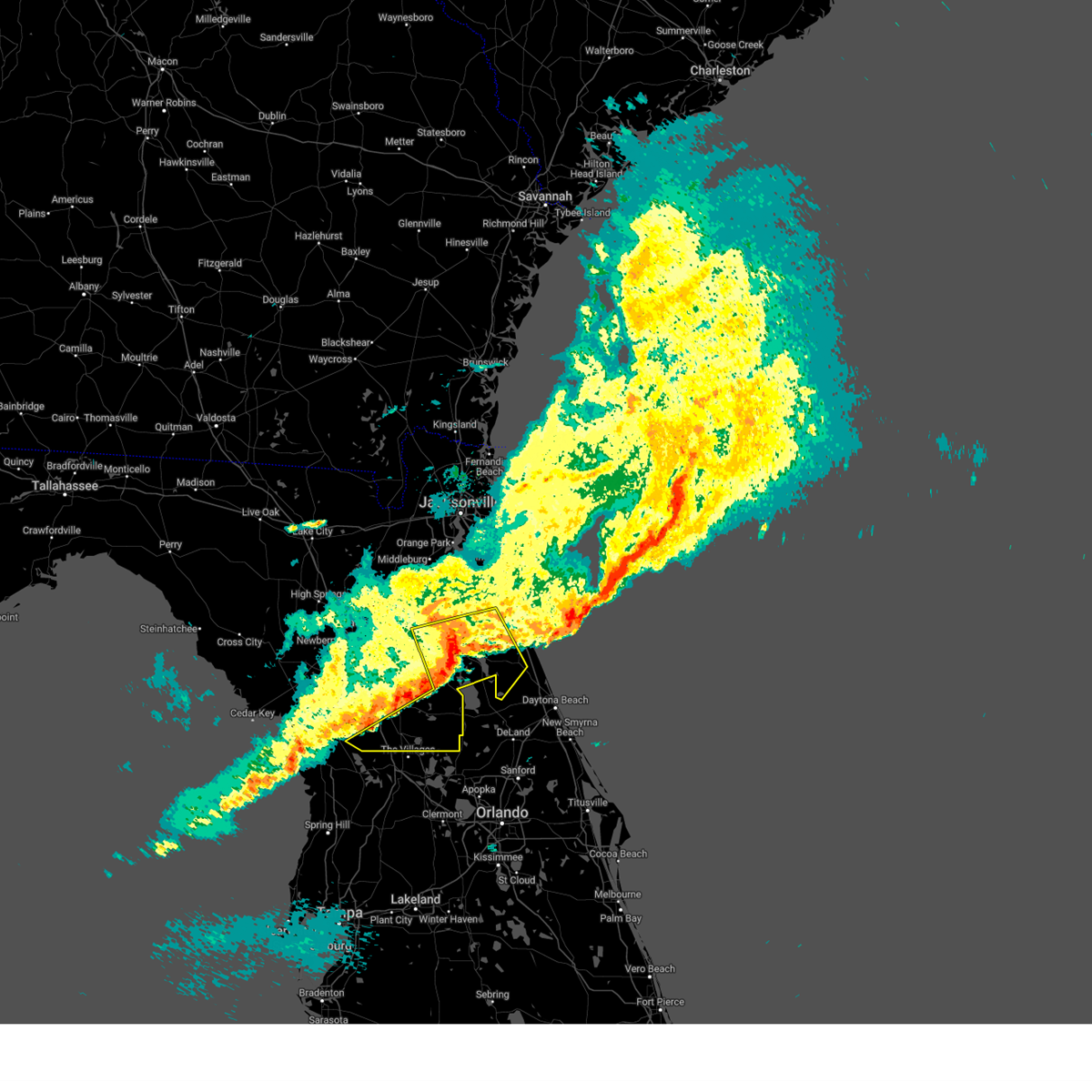
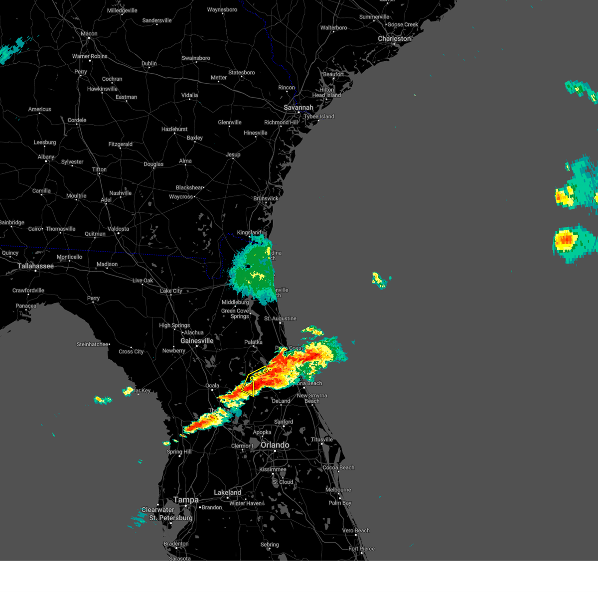
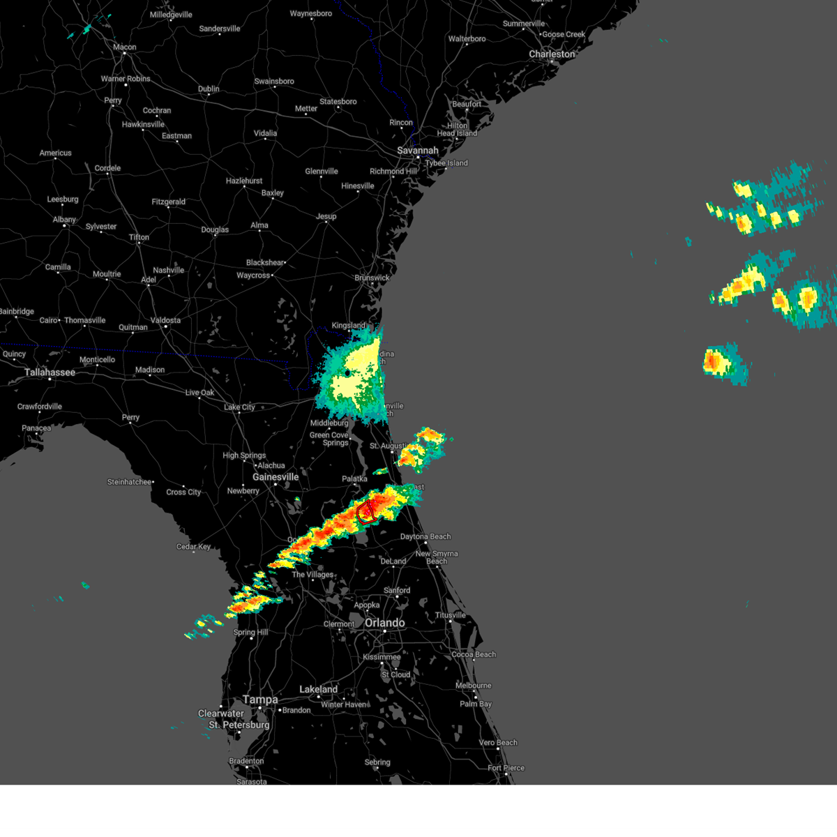
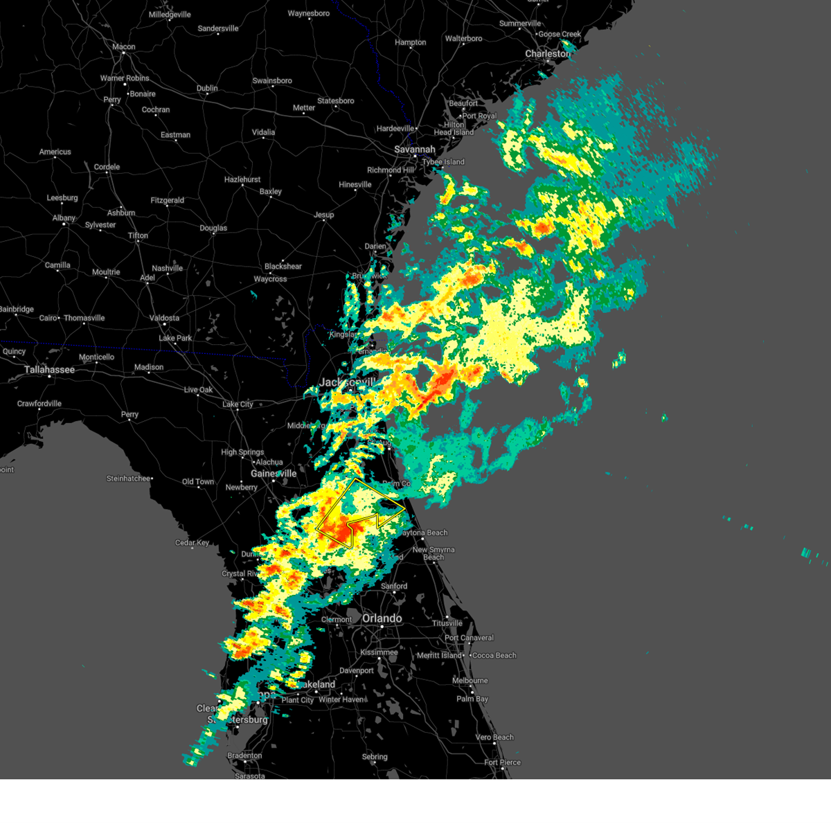
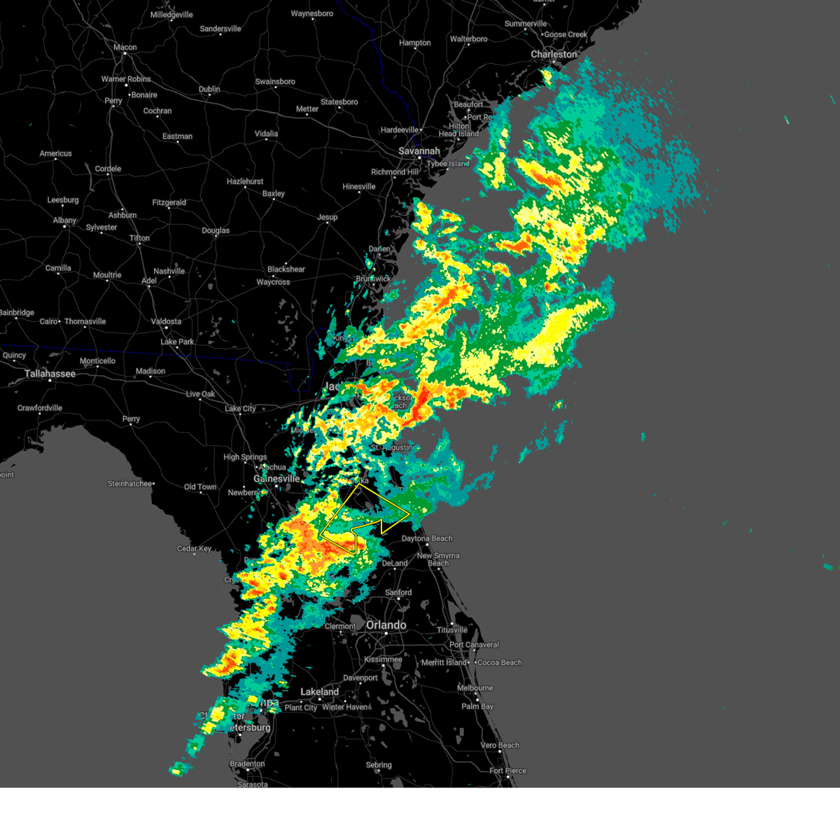
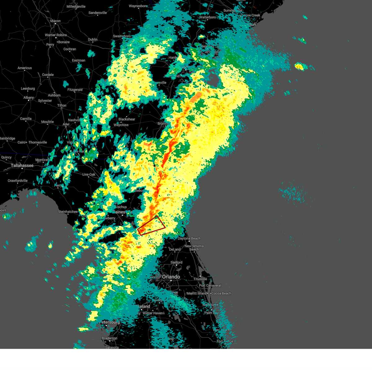
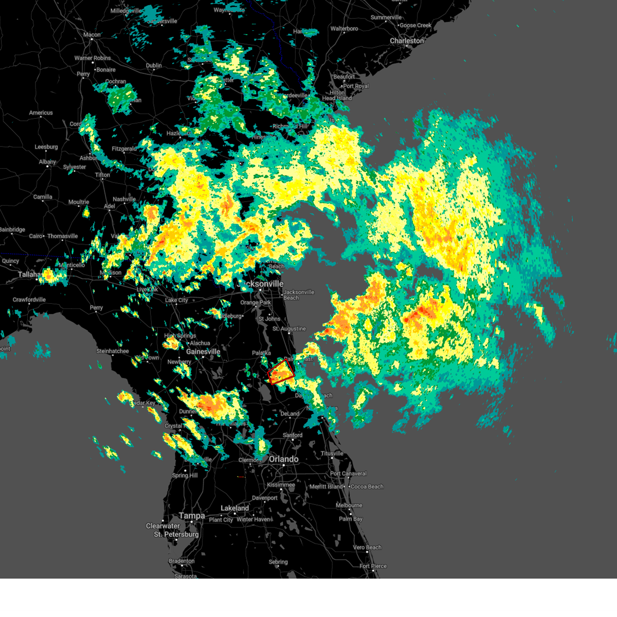
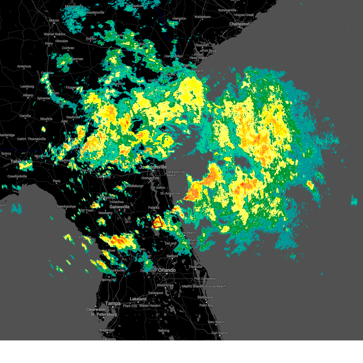
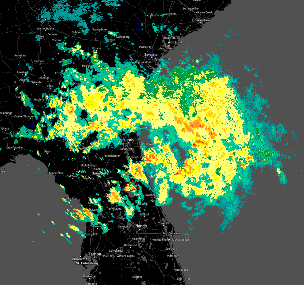
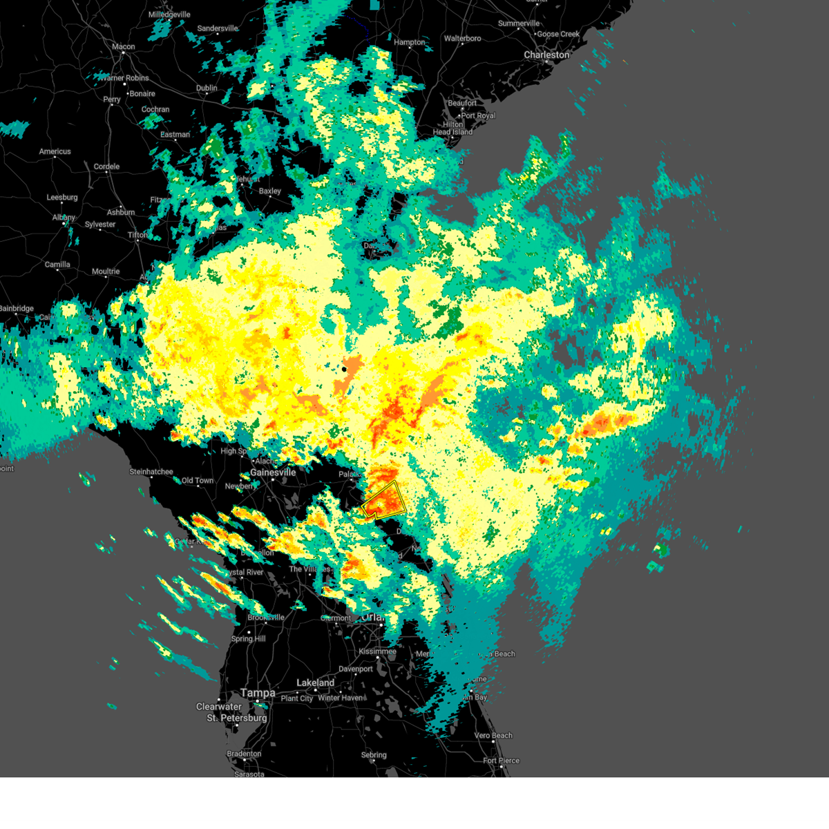
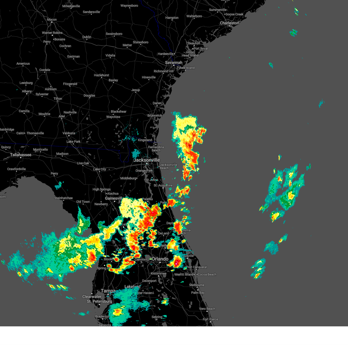
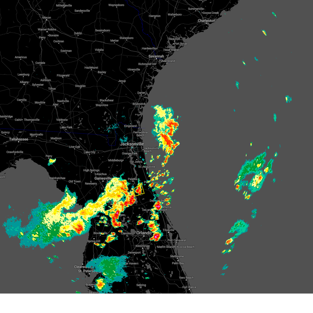
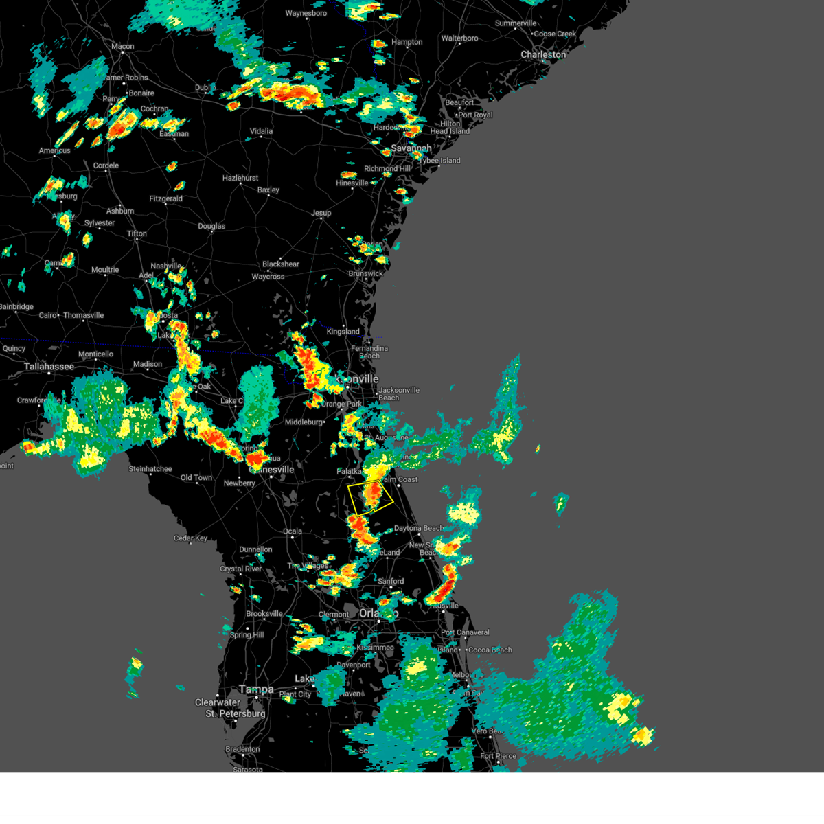
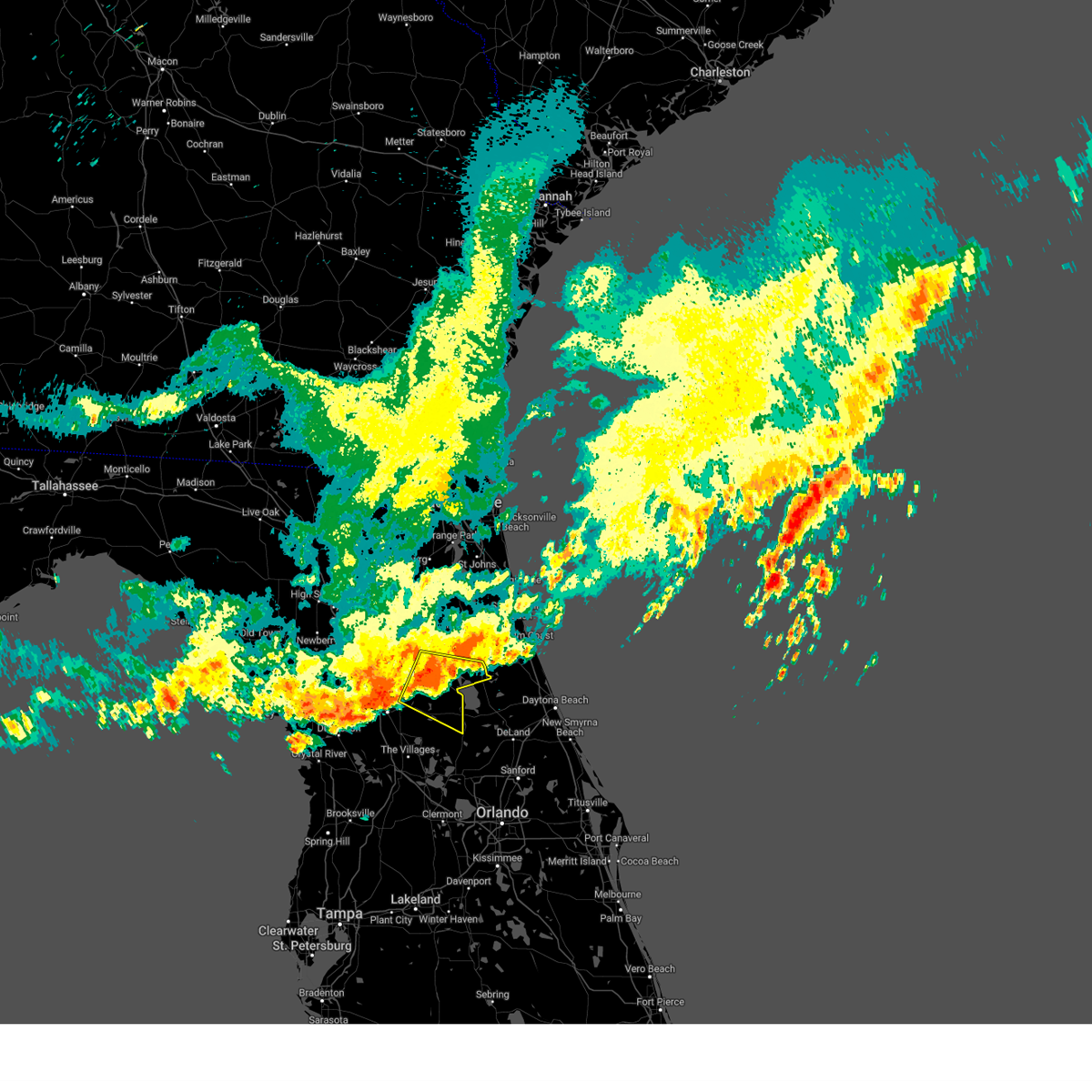
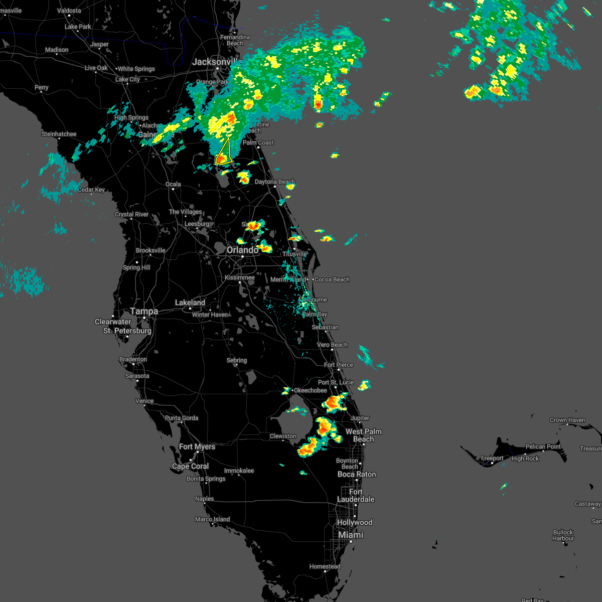
Hail Map for Crescent City, FL
The Crescent City, FL area has had 2 reports of on-the-ground hail by trained spotters, and has been under severe weather warnings 12 times during the past 12 months. Doppler radar has detected hail at or near Crescent City, FL on 60 occasions, including 3 occasions during the past year.
| Name: | Crescent City, FL |
| Where Located: | 62.6 miles N of Orlando, FL |
| Map: | Google Map for Crescent City, FL |
| Population: | 1577 |
| Housing Units: | 889 |
| More Info: | Search Google for Crescent City, FL |
0
The Top Recent Hail Date for Crescent City, FL is Friday, May 8, 2026 (52nd out of 60)

Hail and Wind Damage Spotted near Crescent City, FL
| Date / Time | Report Details |
|---|---|
| 5/30/2026 7:02 PM EDT |
 the severe thunderstorm warning has been cancelled and is no longer in effect the severe thunderstorm warning has been cancelled and is no longer in effect
|
| 5/30/2026 6:49 PM EDT |
 At 648 pm edt, a severe thunderstorm was located over andalusia, moving east at 30 mph (radar indicated). Hazards include 60 mph wind gusts. Expect damage to roofs, siding, and trees. Locations impacted include, palm coast, flagler beach, bunnell, crescent city, andalusia, beverly beach, and espanola. At 648 pm edt, a severe thunderstorm was located over andalusia, moving east at 30 mph (radar indicated). Hazards include 60 mph wind gusts. Expect damage to roofs, siding, and trees. Locations impacted include, palm coast, flagler beach, bunnell, crescent city, andalusia, beverly beach, and espanola.
|
| 5/30/2026 6:30 PM EDT |
 Svrjax the national weather service in jacksonville has issued a * severe thunderstorm warning for, flagler county in northeastern florida, southern st. johns county in northeastern florida, east central putnam county in northeastern florida, * until 715 pm edt. * at 630 pm edt, a severe thunderstorm was located over san mateo, or near pomona park, moving east at 30 mph (radar indicated). Hazards include 60 mph wind gusts. expect damage to roofs, siding, and trees Svrjax the national weather service in jacksonville has issued a * severe thunderstorm warning for, flagler county in northeastern florida, southern st. johns county in northeastern florida, east central putnam county in northeastern florida, * until 715 pm edt. * at 630 pm edt, a severe thunderstorm was located over san mateo, or near pomona park, moving east at 30 mph (radar indicated). Hazards include 60 mph wind gusts. expect damage to roofs, siding, and trees
|
| 3/16/2026 3:48 PM EDT |
 Svrjax the national weather service in jacksonville has issued a * severe thunderstorm warning for, flagler county in northeastern florida, southeastern putnam county in northeastern florida, * until 430 pm edt. * at 348 pm edt, severe thunderstorms were located along a line extending from near andalusia to near juniper springs, moving northeast at 45 mph (radar indicated). Hazards include 60 mph wind gusts and penny size hail. expect damage to roofs, siding, and trees Svrjax the national weather service in jacksonville has issued a * severe thunderstorm warning for, flagler county in northeastern florida, southeastern putnam county in northeastern florida, * until 430 pm edt. * at 348 pm edt, severe thunderstorms were located along a line extending from near andalusia to near juniper springs, moving northeast at 45 mph (radar indicated). Hazards include 60 mph wind gusts and penny size hail. expect damage to roofs, siding, and trees
|
| 3/16/2026 2:27 PM EDT |
 At 227 pm edt, a severe thunderstorm was located over palm coast, moving northeast at 55 mph (radar indicated). Hazards include 60 mph wind gusts and quarter size hail. Hail damage to vehicles is expected. expect wind damage to roofs, siding, and trees. Locations impacted include, palm coast, flagler beach, bunnell, crescent city, pomona park, andalusia, marineland, beverly beach, espanola, and lake como. At 227 pm edt, a severe thunderstorm was located over palm coast, moving northeast at 55 mph (radar indicated). Hazards include 60 mph wind gusts and quarter size hail. Hail damage to vehicles is expected. expect wind damage to roofs, siding, and trees. Locations impacted include, palm coast, flagler beach, bunnell, crescent city, pomona park, andalusia, marineland, beverly beach, espanola, and lake como.
|
| 3/16/2026 2:23 PM EDT |
 Svrjax the national weather service in jacksonville has issued a * severe thunderstorm warning for, flagler county in northeastern florida, southeastern st. johns county in northeastern florida, southeastern putnam county in northeastern florida, * until 300 pm edt. * at 223 pm edt, a severe thunderstorm was located near bunnell, moving northeast at 50 mph (radar indicated). Hazards include 60 mph wind gusts and quarter size hail. Hail damage to vehicles is expected. Expect wind damage to roofs, siding, and trees. Svrjax the national weather service in jacksonville has issued a * severe thunderstorm warning for, flagler county in northeastern florida, southeastern st. johns county in northeastern florida, southeastern putnam county in northeastern florida, * until 300 pm edt. * at 223 pm edt, a severe thunderstorm was located near bunnell, moving northeast at 50 mph (radar indicated). Hazards include 60 mph wind gusts and quarter size hail. Hail damage to vehicles is expected. Expect wind damage to roofs, siding, and trees.
|
| 3/16/2026 2:15 PM EDT | Trees were reported down in crescent city along south highway 17 and union camp rd. time was estimated by rada in putnam county FL, 0.7 miles NNW of Crescent City, FL |
| 7/13/2025 10:00 PM EDT |
 At 1000 pm edt, a severe thunderstorm was located over crescent city, moving southeast at 20 mph (radar indicated). Hazards include 60 mph wind gusts. Expect damage to roofs, siding, and trees. Locations impacted include, crescent city, pomona park, andalusia, fruitland, lake como, and georgetown. At 1000 pm edt, a severe thunderstorm was located over crescent city, moving southeast at 20 mph (radar indicated). Hazards include 60 mph wind gusts. Expect damage to roofs, siding, and trees. Locations impacted include, crescent city, pomona park, andalusia, fruitland, lake como, and georgetown.
|
| 7/13/2025 9:53 PM EDT |
 At 953 pm edt, a severe thunderstorm was located over pomona park, moving south at 20 mph (radar indicated). Hazards include 60 mph wind gusts. Expect damage to roofs, siding, and trees. Locations impacted include, crescent city, pomona park, andalusia, fruitland, welaka, lake como, and georgetown. At 953 pm edt, a severe thunderstorm was located over pomona park, moving south at 20 mph (radar indicated). Hazards include 60 mph wind gusts. Expect damage to roofs, siding, and trees. Locations impacted include, crescent city, pomona park, andalusia, fruitland, welaka, lake como, and georgetown.
|
| 7/13/2025 9:53 PM EDT |
 the severe thunderstorm warning has been cancelled and is no longer in effect the severe thunderstorm warning has been cancelled and is no longer in effect
|
| 7/13/2025 9:45 PM EDT |
 Svrjax the national weather service in jacksonville has issued a * severe thunderstorm warning for, western flagler county in northeastern florida, south central st. johns county in northeastern florida, southeastern putnam county in northeastern florida, * until 1015 pm edt. * at 945 pm edt, a severe thunderstorm was located over pomona park, moving south at 20 mph (radar indicated). Hazards include 60 mph wind gusts. expect damage to roofs, siding, and trees Svrjax the national weather service in jacksonville has issued a * severe thunderstorm warning for, western flagler county in northeastern florida, south central st. johns county in northeastern florida, southeastern putnam county in northeastern florida, * until 1015 pm edt. * at 945 pm edt, a severe thunderstorm was located over pomona park, moving south at 20 mph (radar indicated). Hazards include 60 mph wind gusts. expect damage to roofs, siding, and trees
|
| 7/13/2025 3:50 PM EDT |
 The storm which prompted the warning has weakened below severe limits, and no longer poses an immediate threat to life or property. therefore, the warning will be allowed to expire. The storm which prompted the warning has weakened below severe limits, and no longer poses an immediate threat to life or property. therefore, the warning will be allowed to expire.
|
| 7/13/2025 3:34 PM EDT |
 Svrjax the national weather service in jacksonville has issued a * severe thunderstorm warning for, west central flagler county in northeastern florida, southeastern putnam county in northeastern florida, * until 400 pm edt. * at 334 pm edt, a severe thunderstorm was located near fruitland, or near pomona park, moving southeast at 20 mph (radar indicated). Hazards include 60 mph wind gusts and quarter size hail. Hail damage to vehicles is expected. Expect wind damage to roofs, siding, and trees. Svrjax the national weather service in jacksonville has issued a * severe thunderstorm warning for, west central flagler county in northeastern florida, southeastern putnam county in northeastern florida, * until 400 pm edt. * at 334 pm edt, a severe thunderstorm was located near fruitland, or near pomona park, moving southeast at 20 mph (radar indicated). Hazards include 60 mph wind gusts and quarter size hail. Hail damage to vehicles is expected. Expect wind damage to roofs, siding, and trees.
|
| 6/10/2025 8:39 PM EDT |
 the severe thunderstorm warning has been cancelled and is no longer in effect the severe thunderstorm warning has been cancelled and is no longer in effect
|
| 6/10/2025 8:23 PM EDT |
 Svrjax the national weather service in jacksonville has issued a * severe thunderstorm warning for, west central flagler county in northeastern florida, southeastern putnam county in northeastern florida, * until 900 pm edt. * at 823 pm edt, a severe thunderstorm was located near lake george, or 7 miles southwest of crescent city, moving northeast at 5 mph (radar indicated). Hazards include 60 mph wind gusts and quarter size hail. Hail damage to vehicles is expected. Expect wind damage to roofs, siding, and trees. Svrjax the national weather service in jacksonville has issued a * severe thunderstorm warning for, west central flagler county in northeastern florida, southeastern putnam county in northeastern florida, * until 900 pm edt. * at 823 pm edt, a severe thunderstorm was located near lake george, or 7 miles southwest of crescent city, moving northeast at 5 mph (radar indicated). Hazards include 60 mph wind gusts and quarter size hail. Hail damage to vehicles is expected. Expect wind damage to roofs, siding, and trees.
|
| 5/24/2025 3:54 PM EDT |
 Svrjax the national weather service in jacksonville has issued a * severe thunderstorm warning for, southwestern flagler county in northeastern florida, southeastern putnam county in northeastern florida, * until 430 pm edt. * at 353 pm edt, a severe thunderstorm was located near crescent city, and is nearly stationary (radar indicated). Hazards include 60 mph wind gusts and quarter size hail. Hail damage to vehicles is expected. Expect wind damage to roofs, siding, and trees. Svrjax the national weather service in jacksonville has issued a * severe thunderstorm warning for, southwestern flagler county in northeastern florida, southeastern putnam county in northeastern florida, * until 430 pm edt. * at 353 pm edt, a severe thunderstorm was located near crescent city, and is nearly stationary (radar indicated). Hazards include 60 mph wind gusts and quarter size hail. Hail damage to vehicles is expected. Expect wind damage to roofs, siding, and trees.
|
| 5/9/2025 8:15 PM EDT | Two reports of trees down on powerlines in crescent cit in putnam county FL, 0.4 miles ESE of Crescent City, FL |
| 1/19/2025 7:42 AM EST |
 At 742 am est, severe thunderstorms were located along a line extending from near palatka to fruitland to 10 miles southwest of ocala airport, moving east at 70 mph (radar indicated). Hazards include 70 mph wind gusts and quarter size hail. Hail damage to vehicles is expected. expect considerable tree damage. wind damage is also likely to mobile homes, roofs, and outbuildings. Locations impacted include, palatka, bunnell, crescent city, interlachen, pomona park, hastings, east palatka, salt springs, andalusia, and juniper springs. At 742 am est, severe thunderstorms were located along a line extending from near palatka to fruitland to 10 miles southwest of ocala airport, moving east at 70 mph (radar indicated). Hazards include 70 mph wind gusts and quarter size hail. Hail damage to vehicles is expected. expect considerable tree damage. wind damage is also likely to mobile homes, roofs, and outbuildings. Locations impacted include, palatka, bunnell, crescent city, interlachen, pomona park, hastings, east palatka, salt springs, andalusia, and juniper springs.
|
| 1/19/2025 7:32 AM EST |
 Svrjax the national weather service in jacksonville has issued a * severe thunderstorm warning for, western flagler county in northeastern florida, south central st. johns county in northeastern florida, eastern marion county in northern florida, putnam county in northeastern florida, * until 800 am est. * at 732 am est, severe thunderstorms were located along a line extending from near lake geneva to near fort mccoy to 8 miles southwest of rainbow lakes estates, moving east at 55 mph (radar indicated). Hazards include 70 mph wind gusts and quarter size hail. Hail damage to vehicles is expected. expect considerable tree damage. Wind damage is also likely to mobile homes, roofs, and outbuildings. Svrjax the national weather service in jacksonville has issued a * severe thunderstorm warning for, western flagler county in northeastern florida, south central st. johns county in northeastern florida, eastern marion county in northern florida, putnam county in northeastern florida, * until 800 am est. * at 732 am est, severe thunderstorms were located along a line extending from near lake geneva to near fort mccoy to 8 miles southwest of rainbow lakes estates, moving east at 55 mph (radar indicated). Hazards include 70 mph wind gusts and quarter size hail. Hail damage to vehicles is expected. expect considerable tree damage. Wind damage is also likely to mobile homes, roofs, and outbuildings.
|
| 1/19/2025 7:01 AM EST | At 701 am est, severe thunderstorms were located along a line extending from near bostwick to satsuma to near fort mccoy, moving east at 60 mph (radar indicated). Hazards include 60 mph wind gusts. Expect damage to roofs, siding, and trees. Locations impacted include, palatka, crescent city, pomona park, hastings, east palatka, andalusia, saint augustine beach, lake delancy, federal point, and orange springs. |
| 1/19/2025 6:51 AM EST |
 Svrjax the national weather service in jacksonville has issued a * severe thunderstorm warning for, northwestern flagler county in northeastern florida, southeastern st. johns county in northeastern florida, northeastern marion county in northern florida, putnam county in northeastern florida, * until 715 am est. * at 650 am est, severe thunderstorms were located along a line extending from near bardin to 6 miles south of hollister to near sparr, moving east at 55 mph (radar indicated). Hazards include 60 mph wind gusts. expect damage to roofs, siding, and trees Svrjax the national weather service in jacksonville has issued a * severe thunderstorm warning for, northwestern flagler county in northeastern florida, southeastern st. johns county in northeastern florida, northeastern marion county in northern florida, putnam county in northeastern florida, * until 715 am est. * at 650 am est, severe thunderstorms were located along a line extending from near bardin to 6 miles south of hollister to near sparr, moving east at 55 mph (radar indicated). Hazards include 60 mph wind gusts. expect damage to roofs, siding, and trees
|
| 8/4/2024 3:10 PM EDT |
 Svrjax the national weather service in jacksonville has issued a * severe thunderstorm warning for, west central flagler county in northeastern florida, northeastern marion county in northern florida, central putnam county in northeastern florida, * until 345 pm edt. * at 309 pm edt, a severe thunderstorm was located over pomona park, moving northwest at 25 mph (radar indicated). Hazards include 60 mph wind gusts. expect damage to roofs, siding, and trees Svrjax the national weather service in jacksonville has issued a * severe thunderstorm warning for, west central flagler county in northeastern florida, northeastern marion county in northern florida, central putnam county in northeastern florida, * until 345 pm edt. * at 309 pm edt, a severe thunderstorm was located over pomona park, moving northwest at 25 mph (radar indicated). Hazards include 60 mph wind gusts. expect damage to roofs, siding, and trees
|
| 5/15/2024 3:50 AM EDT |
 The storm which prompted the warning has moved out of the area. therefore, the warning will be allowed to expire. however, small hail, gusty winds and heavy rain are still possible with this thunderstorm. a tornado watch remains in effect until 1100 am edt for northern and northeastern florida. The storm which prompted the warning has moved out of the area. therefore, the warning will be allowed to expire. however, small hail, gusty winds and heavy rain are still possible with this thunderstorm. a tornado watch remains in effect until 1100 am edt for northern and northeastern florida.
|
| 5/15/2024 3:39 AM EDT |
 At 339 am edt, a severe thunderstorm was located near juniper springs, moving east at 20 mph (radar indicated). Hazards include 60 mph wind gusts and quarter size hail. Hail damage to vehicles is expected. expect wind damage to roofs, siding, and trees. Locations impacted include, crescent city and juniper springs. At 339 am edt, a severe thunderstorm was located near juniper springs, moving east at 20 mph (radar indicated). Hazards include 60 mph wind gusts and quarter size hail. Hail damage to vehicles is expected. expect wind damage to roofs, siding, and trees. Locations impacted include, crescent city and juniper springs.
|
| 5/15/2024 3:21 AM EDT |
 Svrjax the national weather service in jacksonville has issued a * severe thunderstorm warning for, east central marion county in northern florida, southeastern putnam county in northeastern florida, * until 400 am edt. * at 321 am edt, a severe thunderstorm was located near juniper springs, moving east at 20 mph (radar indicated). Hazards include 60 mph wind gusts and quarter size hail. Hail damage to vehicles is expected. Expect wind damage to roofs, siding, and trees. Svrjax the national weather service in jacksonville has issued a * severe thunderstorm warning for, east central marion county in northern florida, southeastern putnam county in northeastern florida, * until 400 am edt. * at 321 am edt, a severe thunderstorm was located near juniper springs, moving east at 20 mph (radar indicated). Hazards include 60 mph wind gusts and quarter size hail. Hail damage to vehicles is expected. Expect wind damage to roofs, siding, and trees.
|
| 5/15/2024 2:52 AM EDT |
 The storm which prompted the warning has moved out of the area. therefore, the warning will be allowed to expire. however, small hail, gusty winds and heavy rain are still possible with this thunderstorm. a tornado watch remains in effect until 1100 am edt for northeastern florida. The storm which prompted the warning has moved out of the area. therefore, the warning will be allowed to expire. however, small hail, gusty winds and heavy rain are still possible with this thunderstorm. a tornado watch remains in effect until 1100 am edt for northeastern florida.
|
| 5/15/2024 2:46 AM EDT |
 At 246 am edt, a severe thunderstorm capable of producing a tornado was located over crescent city, moving east at 30 mph (radar indicated rotation). Hazards include tornado and quarter size hail. Flying debris will be dangerous to those caught without shelter. mobile homes will be damaged or destroyed. damage to roofs, windows, and vehicles will occur. tree damage is likely. this dangerous storm will be near, crescent city around 250 am edt. Other locations impacted by this tornadic thunderstorm include lake como. At 246 am edt, a severe thunderstorm capable of producing a tornado was located over crescent city, moving east at 30 mph (radar indicated rotation). Hazards include tornado and quarter size hail. Flying debris will be dangerous to those caught without shelter. mobile homes will be damaged or destroyed. damage to roofs, windows, and vehicles will occur. tree damage is likely. this dangerous storm will be near, crescent city around 250 am edt. Other locations impacted by this tornadic thunderstorm include lake como.
|
| 5/15/2024 2:31 AM EDT |
 the tornado warning has been cancelled and is no longer in effect the tornado warning has been cancelled and is no longer in effect
|
| 5/15/2024 2:31 AM EDT |
 At 231 am edt, a severe thunderstorm capable of producing a tornado was located near fruitland, or near salt springs, moving east at 30 mph (radar indicated rotation). Hazards include tornado. Flying debris will be dangerous to those caught without shelter. mobile homes will be damaged or destroyed. damage to roofs, windows, and vehicles will occur. tree damage is likely. this dangerous storm will be near, fruitland around 235 am edt. crescent city around 240 am edt. Other locations impacted by this tornadic thunderstorm include lake como and georgetown. At 231 am edt, a severe thunderstorm capable of producing a tornado was located near fruitland, or near salt springs, moving east at 30 mph (radar indicated rotation). Hazards include tornado. Flying debris will be dangerous to those caught without shelter. mobile homes will be damaged or destroyed. damage to roofs, windows, and vehicles will occur. tree damage is likely. this dangerous storm will be near, fruitland around 235 am edt. crescent city around 240 am edt. Other locations impacted by this tornadic thunderstorm include lake como and georgetown.
|
| 5/15/2024 2:26 AM EDT |
 Torjax the national weather service in jacksonville has issued a * tornado warning for, northeastern marion county in northern florida, southeastern putnam county in northeastern florida, * until 300 am edt. * at 226 am edt, a severe thunderstorm capable of producing a tornado was located over salt springs, moving east at 30 mph (radar indicated rotation). Hazards include tornado. Flying debris will be dangerous to those caught without shelter. mobile homes will be damaged or destroyed. damage to roofs, windows, and vehicles will occur. tree damage is likely. this dangerous storm will be near, fruitland around 230 am edt. crescent city around 245 am edt. Other locations impacted by this tornadic thunderstorm include lake como, welaka, and georgetown. Torjax the national weather service in jacksonville has issued a * tornado warning for, northeastern marion county in northern florida, southeastern putnam county in northeastern florida, * until 300 am edt. * at 226 am edt, a severe thunderstorm capable of producing a tornado was located over salt springs, moving east at 30 mph (radar indicated rotation). Hazards include tornado. Flying debris will be dangerous to those caught without shelter. mobile homes will be damaged or destroyed. damage to roofs, windows, and vehicles will occur. tree damage is likely. this dangerous storm will be near, fruitland around 230 am edt. crescent city around 245 am edt. Other locations impacted by this tornadic thunderstorm include lake como, welaka, and georgetown.
|
| 5/10/2024 10:00 AM EDT |
 the severe thunderstorm warning has been cancelled and is no longer in effect the severe thunderstorm warning has been cancelled and is no longer in effect
|
| 5/10/2024 9:59 AM EDT |
 The storms which prompted the warning have moved out of the area. therefore, the warning will be allowed to expire. however, heavy rain is still possible with these thunderstorms. a severe thunderstorm watch remains in effect until noon edt for northern and northeastern florida, and southeastern georgia. The storms which prompted the warning have moved out of the area. therefore, the warning will be allowed to expire. however, heavy rain is still possible with these thunderstorms. a severe thunderstorm watch remains in effect until noon edt for northern and northeastern florida, and southeastern georgia.
|
| 5/10/2024 9:45 AM EDT |
 Svrjax the national weather service in jacksonville has issued a * severe thunderstorm warning for, northwestern flagler county in northeastern florida, northeastern nassau county in northeastern florida, st. johns county in northeastern florida, putnam county in northeastern florida, northeastern clay county in northeastern florida, duval county in northeastern florida, southeastern camden county in southeastern georgia, * until 1015 am edt. * at 945 am edt, severe thunderstorms were located along a line extending from near st. marys to near bostwick to near lake delancy, moving east at 55 mph (radar indicated). Hazards include 60 mph wind gusts and penny size hail. expect damage to roofs, siding, and trees Svrjax the national weather service in jacksonville has issued a * severe thunderstorm warning for, northwestern flagler county in northeastern florida, northeastern nassau county in northeastern florida, st. johns county in northeastern florida, putnam county in northeastern florida, northeastern clay county in northeastern florida, duval county in northeastern florida, southeastern camden county in southeastern georgia, * until 1015 am edt. * at 945 am edt, severe thunderstorms were located along a line extending from near st. marys to near bostwick to near lake delancy, moving east at 55 mph (radar indicated). Hazards include 60 mph wind gusts and penny size hail. expect damage to roofs, siding, and trees
|
| 5/10/2024 9:25 AM EDT |
 Svrjax the national weather service in jacksonville has issued a * severe thunderstorm warning for, nassau county in northeastern florida, southeastern alachua county in northern florida, st. johns county in northeastern florida, central marion county in northern florida, putnam county in northeastern florida, clay county in northeastern florida, duval county in northeastern florida, camden county in southeastern georgia, northeastern charlton county in southeastern georgia, * until 1000 am edt. * at 925 am edt, severe thunderstorms were located along a line extending from near kings ferry to near florahome to near williston municipal airport, moving east at 60 mph (radar indicated). Hazards include 60 mph wind gusts and penny size hail. expect damage to roofs, siding, and trees Svrjax the national weather service in jacksonville has issued a * severe thunderstorm warning for, nassau county in northeastern florida, southeastern alachua county in northern florida, st. johns county in northeastern florida, central marion county in northern florida, putnam county in northeastern florida, clay county in northeastern florida, duval county in northeastern florida, camden county in southeastern georgia, northeastern charlton county in southeastern georgia, * until 1000 am edt. * at 925 am edt, severe thunderstorms were located along a line extending from near kings ferry to near florahome to near williston municipal airport, moving east at 60 mph (radar indicated). Hazards include 60 mph wind gusts and penny size hail. expect damage to roofs, siding, and trees
|
| 4/11/2024 1:40 PM EDT | Delayed report of 2 trees down in crescent city on route 17. time estimated by rada in putnam county FL, 0.7 miles NNW of Crescent City, FL |
| 4/11/2024 12:40 PM EDT | Corrects previous tstm wnd dmg report from 1 sse crescent city. delayed report of 2 trees down in crescent city on route 17. time estimated by rada in putnam county FL, 0.7 miles NNW of Crescent City, FL |
| 4/11/2024 12:40 PM EDT |
 Torjax the national weather service in jacksonville has issued a * tornado warning for, southwestern flagler county in northeastern florida, southeastern putnam county in northeastern florida, * until 115 pm edt. * at 1239 pm edt, a severe thunderstorm capable of producing a tornado was located over lake george, or 7 miles northwest of pierson, moving northeast at 55 mph (radar indicated rotation). Hazards include tornado. Flying debris will be dangerous to those caught without shelter. mobile homes will be damaged or destroyed. damage to roofs, windows, and vehicles will occur. tree damage is likely. this dangerous storm will be near, bunnell around 100 pm edt. Other locations impacted by this tornadic thunderstorm include espanola. Torjax the national weather service in jacksonville has issued a * tornado warning for, southwestern flagler county in northeastern florida, southeastern putnam county in northeastern florida, * until 115 pm edt. * at 1239 pm edt, a severe thunderstorm capable of producing a tornado was located over lake george, or 7 miles northwest of pierson, moving northeast at 55 mph (radar indicated rotation). Hazards include tornado. Flying debris will be dangerous to those caught without shelter. mobile homes will be damaged or destroyed. damage to roofs, windows, and vehicles will occur. tree damage is likely. this dangerous storm will be near, bunnell around 100 pm edt. Other locations impacted by this tornadic thunderstorm include espanola.
|
| 4/11/2024 12:31 PM EDT |
 At 1230 pm edt, a severe thunderstorm was located near lynne, moving northeast at 55 mph (radar indicated). Hazards include 70 mph wind gusts. possible tornado heafing towards lake george. Expect considerable tree damage. damage is likely to mobile homes, roofs, and outbuildings. Locations impacted include, bunnell, crescent city, pomona park, salt springs, east palatka, andalusia, juniper springs, lake delancy, fruitland, and san mateo. At 1230 pm edt, a severe thunderstorm was located near lynne, moving northeast at 55 mph (radar indicated). Hazards include 70 mph wind gusts. possible tornado heafing towards lake george. Expect considerable tree damage. damage is likely to mobile homes, roofs, and outbuildings. Locations impacted include, bunnell, crescent city, pomona park, salt springs, east palatka, andalusia, juniper springs, lake delancy, fruitland, and san mateo.
|
| 4/11/2024 12:18 PM EDT |
 Svrjax the national weather service in jacksonville has issued a * severe thunderstorm warning for, southern flagler county in northeastern florida, northeastern marion county in northern florida, southeastern putnam county in northeastern florida, * until 1245 pm edt. * at 1217 pm edt, a severe thunderstorm was located near salt springs, moving northeast at 50 mph (radar indicated). Hazards include 60 mph wind gusts. expect damage to roofs, siding, and trees Svrjax the national weather service in jacksonville has issued a * severe thunderstorm warning for, southern flagler county in northeastern florida, northeastern marion county in northern florida, southeastern putnam county in northeastern florida, * until 1245 pm edt. * at 1217 pm edt, a severe thunderstorm was located near salt springs, moving northeast at 50 mph (radar indicated). Hazards include 60 mph wind gusts. expect damage to roofs, siding, and trees
|
| 4/3/2024 2:45 PM EDT | 911 call center reported single tree dow in putnam county FL, 3.4 miles N of Crescent City, FL |
| 4/3/2024 2:45 PM EDT | 911 call center reported single tree dow in putnam county FL, 4.1 miles N of Crescent City, FL |
| 2/4/2024 6:11 PM EST |
 At 610 pm est, a severe thunderstorm was located near lake george, or near pierson, moving northeast at 45 mph (radar indicated). Hazards include 60 mph wind gusts and half dollar size hail. Hail damage to vehicles is expected. Expect wind damage to roofs, siding, and trees. At 610 pm est, a severe thunderstorm was located near lake george, or near pierson, moving northeast at 45 mph (radar indicated). Hazards include 60 mph wind gusts and half dollar size hail. Hail damage to vehicles is expected. Expect wind damage to roofs, siding, and trees.
|
| 1/9/2024 5:02 PM EST |
 A severe thunderstorm warning remains in effect until 515 pm est for flagler. southeastern st. johns and southeastern putnam counties. At 501 pm est, severe thunderstorms were located along a line extending from near marineland to 6 miles northeast of eustis, moving east at 60 mph. A severe thunderstorm warning remains in effect until 515 pm est for flagler. southeastern st. johns and southeastern putnam counties. At 501 pm est, severe thunderstorms were located along a line extending from near marineland to 6 miles northeast of eustis, moving east at 60 mph.
|
| 1/9/2024 4:57 PM EST |
 At 457 pm est, a severe thunderstorm capable of producing a tornado was located near lake george, or near pierson, moving northeast at 55 mph (radar indicated rotation). Hazards include tornado. Flying debris will be dangerous to those caught without shelter. mobile homes will be damaged or destroyed. damage to roofs, windows, and vehicles will occur. tree damage is likely. this dangerous storm will be near, palm coast and bunnell around 515 pm est. flagler beach around 525 pm est. Other locations impacted by this tornadic thunderstorm include beverly beach and espanola. At 457 pm est, a severe thunderstorm capable of producing a tornado was located near lake george, or near pierson, moving northeast at 55 mph (radar indicated rotation). Hazards include tornado. Flying debris will be dangerous to those caught without shelter. mobile homes will be damaged or destroyed. damage to roofs, windows, and vehicles will occur. tree damage is likely. this dangerous storm will be near, palm coast and bunnell around 515 pm est. flagler beach around 525 pm est. Other locations impacted by this tornadic thunderstorm include beverly beach and espanola.
|
| 1/9/2024 4:42 PM EST |
 At 442 pm est, severe thunderstorms were located along a line extending from near hastings to lady lake, moving east at 60 mph (radar indicated). Hazards include 60 mph wind gusts. expect damage to roofs, siding, and trees At 442 pm est, severe thunderstorms were located along a line extending from near hastings to lady lake, moving east at 60 mph (radar indicated). Hazards include 60 mph wind gusts. expect damage to roofs, siding, and trees
|
| 1/9/2024 4:40 PM EST |
 The severe thunderstorm warning for western flagler, southeastern st. johns, eastern marion and eastern putnam counties will expire at 445 pm est, the storms that prompted this severe thunderstorm warning continue to impact putnam, marion, st johns and flagler counties. a new severe thunderstorm warning will reissued for these threatened areas. a tornado watch remains in effect until 600 pm est for northern and northeastern florida. The severe thunderstorm warning for western flagler, southeastern st. johns, eastern marion and eastern putnam counties will expire at 445 pm est, the storms that prompted this severe thunderstorm warning continue to impact putnam, marion, st johns and flagler counties. a new severe thunderstorm warning will reissued for these threatened areas. a tornado watch remains in effect until 600 pm est for northern and northeastern florida.
|
| 1/9/2024 4:30 PM EST |
 A severe thunderstorm warning remains in effect until 445 pm est for western flagler. southeastern st. johns. eastern marion and eastern putnam counties. at 430 pm est, severe thunderstorms were located along a line extending from near hastings to lady lake, moving east at 45 mph. hazard. 60 mph wind gusts. A severe thunderstorm warning remains in effect until 445 pm est for western flagler. southeastern st. johns. eastern marion and eastern putnam counties. at 430 pm est, severe thunderstorms were located along a line extending from near hastings to lady lake, moving east at 45 mph. hazard. 60 mph wind gusts.
|
| 1/9/2024 4:01 PM EST |
 At 401 pm est, severe thunderstorms were located along a line extending from near bardin to 9 miles northeast of inverness highlands north, moving east at 45 mph (radar indicated). Hazards include 60 mph wind gusts. expect damage to roofs, siding, and trees At 401 pm est, severe thunderstorms were located along a line extending from near bardin to 9 miles northeast of inverness highlands north, moving east at 45 mph (radar indicated). Hazards include 60 mph wind gusts. expect damage to roofs, siding, and trees
|
| 1/9/2024 3:59 PM EST |
 At 358 pm est, a severe thunderstorm capable of producing a tornado was located near fort mccoy, moving northeast at 50 mph (radar indicated rotation). Hazards include tornado. Flying debris will be dangerous to those caught without shelter. mobile homes will be damaged or destroyed. damage to roofs, windows, and vehicles will occur. tree damage is likely. this dangerous storm will be near, lake delancy around 405 pm est. pomona park and satsuma around 420 pm est. Other locations impacted by this tornadic thunderstorm include lake como, welaka, and hog valley. At 358 pm est, a severe thunderstorm capable of producing a tornado was located near fort mccoy, moving northeast at 50 mph (radar indicated rotation). Hazards include tornado. Flying debris will be dangerous to those caught without shelter. mobile homes will be damaged or destroyed. damage to roofs, windows, and vehicles will occur. tree damage is likely. this dangerous storm will be near, lake delancy around 405 pm est. pomona park and satsuma around 420 pm est. Other locations impacted by this tornadic thunderstorm include lake como, welaka, and hog valley.
|
| 10/12/2023 7:40 AM EDT |
 The tornado warning for southeastern putnam county will expire at 745 am edt, the storm which prompted the warning has moved out of the area. therefore, the warning will be allowed to expire. a tornado watch remains in effect until 900 am edt for northeastern florida. The tornado warning for southeastern putnam county will expire at 745 am edt, the storm which prompted the warning has moved out of the area. therefore, the warning will be allowed to expire. a tornado watch remains in effect until 900 am edt for northeastern florida.
|
| 10/12/2023 7:36 AM EDT |
 At 736 am edt, a thunderstorm capable of producing a tornado was located over andalusia, moving northeast at 45 mph (radar indicated rotation). Hazards include tornado. Flying debris will be dangerous to those caught without shelter. mobile homes will be damaged or destroyed. damage to roofs, windows, and vehicles will occur. tree damage is likely. This tornadic thunderstorm will remain over mainly rural areas of northwestern flagler and southeastern putnam counties, including the following locations, espanola. At 736 am edt, a thunderstorm capable of producing a tornado was located over andalusia, moving northeast at 45 mph (radar indicated rotation). Hazards include tornado. Flying debris will be dangerous to those caught without shelter. mobile homes will be damaged or destroyed. damage to roofs, windows, and vehicles will occur. tree damage is likely. This tornadic thunderstorm will remain over mainly rural areas of northwestern flagler and southeastern putnam counties, including the following locations, espanola.
|
| 10/12/2023 7:30 AM EDT |
 At 730 am edt, a severe thunderstorm capable of producing a tornado was located over crescent city, moving northeast at 45 mph (radar indicated rotation). Hazards include tornado. Flying debris will be dangerous to those caught without shelter. mobile homes will be damaged or destroyed. damage to roofs, windows, and vehicles will occur. tree damage is likely. This tornadic thunderstorm will remain over mainly rural areas of southeastern putnam county, including the following locations, lake como and georgetown. At 730 am edt, a severe thunderstorm capable of producing a tornado was located over crescent city, moving northeast at 45 mph (radar indicated rotation). Hazards include tornado. Flying debris will be dangerous to those caught without shelter. mobile homes will be damaged or destroyed. damage to roofs, windows, and vehicles will occur. tree damage is likely. This tornadic thunderstorm will remain over mainly rural areas of southeastern putnam county, including the following locations, lake como and georgetown.
|
| 10/12/2023 7:17 AM EDT |
 At 716 am edt, a severe thunderstorm capable of producing a tornado was located over salt springs, moving northeast at 45 mph (radar indicated rotation). Hazards include tornado. Flying debris will be dangerous to those caught without shelter. mobile homes will be damaged or destroyed. damage to roofs, windows, and vehicles will occur. tree damage is likely. this dangerous storm will be near, fruitland around 720 am edt. crescent city around 725 am edt. Other locations impacted by this tornadic thunderstorm include lake como and georgetown. At 716 am edt, a severe thunderstorm capable of producing a tornado was located over salt springs, moving northeast at 45 mph (radar indicated rotation). Hazards include tornado. Flying debris will be dangerous to those caught without shelter. mobile homes will be damaged or destroyed. damage to roofs, windows, and vehicles will occur. tree damage is likely. this dangerous storm will be near, fruitland around 720 am edt. crescent city around 725 am edt. Other locations impacted by this tornadic thunderstorm include lake como and georgetown.
|
| 10/12/2023 7:06 AM EDT |
 The tornado warning for west central flagler and southeastern putnam counties will expire at 715 am edt, the storm which prompted the warning has weakened below severe limits, and has exited the warned area. therefore, the warning will be allowed to expire. a tornado watch remains in effect until 900 am edt for northern and northeastern florida. The tornado warning for west central flagler and southeastern putnam counties will expire at 715 am edt, the storm which prompted the warning has weakened below severe limits, and has exited the warned area. therefore, the warning will be allowed to expire. a tornado watch remains in effect until 900 am edt for northern and northeastern florida.
|
| 10/12/2023 6:48 AM EDT |
 At 647 am edt, a severe thunderstorm capable of producing a tornado was located over fruitland, or near pomona park, moving northeast at 45 mph (radar indicated rotation). Hazards include tornado. Flying debris will be dangerous to those caught without shelter. mobile homes will be damaged or destroyed. damage to roofs, windows, and vehicles will occur. tree damage is likely. this dangerous storm will be near, crescent city and pomona park around 655 am edt. andalusia around 700 am edt. Other locations impacted by this tornadic thunderstorm include lake como, welaka, and georgetown. At 647 am edt, a severe thunderstorm capable of producing a tornado was located over fruitland, or near pomona park, moving northeast at 45 mph (radar indicated rotation). Hazards include tornado. Flying debris will be dangerous to those caught without shelter. mobile homes will be damaged or destroyed. damage to roofs, windows, and vehicles will occur. tree damage is likely. this dangerous storm will be near, crescent city and pomona park around 655 am edt. andalusia around 700 am edt. Other locations impacted by this tornadic thunderstorm include lake como, welaka, and georgetown.
|
| 10/12/2023 6:41 AM EDT |
 At 641 am edt, a severe thunderstorm capable of producing a tornado was located near salt springs, moving northeast at 45 mph (radar indicated rotation). Hazards include tornado. Flying debris will be dangerous to those caught without shelter. mobile homes will be damaged or destroyed. damage to roofs, windows, and vehicles will occur. tree damage is likely. this dangerous storm will be near, fruitland around 645 am edt. pomona park around 650 am edt. crescent city around 655 am edt. andalusia around 700 am edt. Other locations impacted by this tornadic thunderstorm include lake como, welaka, and georgetown. At 641 am edt, a severe thunderstorm capable of producing a tornado was located near salt springs, moving northeast at 45 mph (radar indicated rotation). Hazards include tornado. Flying debris will be dangerous to those caught without shelter. mobile homes will be damaged or destroyed. damage to roofs, windows, and vehicles will occur. tree damage is likely. this dangerous storm will be near, fruitland around 645 am edt. pomona park around 650 am edt. crescent city around 655 am edt. andalusia around 700 am edt. Other locations impacted by this tornadic thunderstorm include lake como, welaka, and georgetown.
|
| 10/12/2023 4:20 AM EDT |
 At 420 am edt, a severe thunderstorm was located near crescent city, moving northeast at 30 mph (radar indicated). Hazards include 60 mph wind gusts. expect damage to roofs, siding, and trees At 420 am edt, a severe thunderstorm was located near crescent city, moving northeast at 30 mph (radar indicated). Hazards include 60 mph wind gusts. expect damage to roofs, siding, and trees
|
| 9/11/2023 7:22 PM EDT |
 The severe thunderstorm warning for northwestern flagler, south central st. johns and southeastern putnam counties will expire at 730 pm edt, the storm which prompted the warning has weakened below severe limits, and no longer poses an immediate threat to life or property. therefore, the warning will be allowed to expire. however, gusty winds and heavy rain are still possible with this thunderstorm. The severe thunderstorm warning for northwestern flagler, south central st. johns and southeastern putnam counties will expire at 730 pm edt, the storm which prompted the warning has weakened below severe limits, and no longer poses an immediate threat to life or property. therefore, the warning will be allowed to expire. however, gusty winds and heavy rain are still possible with this thunderstorm.
|
| 9/11/2023 6:58 PM EDT |
 At 658 pm edt, a severe thunderstorm was located over pomona park, moving east at 20 mph (radar indicated). Hazards include 60 mph wind gusts and penny size hail. Expect damage to roofs, siding, and trees. locations impacted include, crescent city, pomona park, andalusia, fruitland, san mateo, satsuma, welaka, and lake como. hail threat, radar indicated max hail size, 0. 75 in wind threat, radar indicated max wind gust, 60 mph. At 658 pm edt, a severe thunderstorm was located over pomona park, moving east at 20 mph (radar indicated). Hazards include 60 mph wind gusts and penny size hail. Expect damage to roofs, siding, and trees. locations impacted include, crescent city, pomona park, andalusia, fruitland, san mateo, satsuma, welaka, and lake como. hail threat, radar indicated max hail size, 0. 75 in wind threat, radar indicated max wind gust, 60 mph.
|
| 9/11/2023 6:44 PM EDT |
 At 644 pm edt, a severe thunderstorm was located near satsuma, or near pomona park, moving northeast at 15 mph (radar indicated). Hazards include 60 mph wind gusts. expect damage to roofs, siding, and trees At 644 pm edt, a severe thunderstorm was located near satsuma, or near pomona park, moving northeast at 15 mph (radar indicated). Hazards include 60 mph wind gusts. expect damage to roofs, siding, and trees
|
| 9/8/2023 12:24 PM EDT |
 At 1224 pm edt, a severe thunderstorm was located near andalusia, moving northeast at 10 mph (radar indicated). Hazards include 60 mph wind gusts and quarter size hail. Hail damage to vehicles is expected. Expect wind damage to roofs, siding, and trees. At 1224 pm edt, a severe thunderstorm was located near andalusia, moving northeast at 10 mph (radar indicated). Hazards include 60 mph wind gusts and quarter size hail. Hail damage to vehicles is expected. Expect wind damage to roofs, siding, and trees.
|
| 9/8/2023 12:06 PM EDT |
 At 1206 pm edt, a severe thunderstorm was located near andalusia, moving northeast at 20 mph (law enforcement reported quarter sized hail near crescent city). Hazards include 60 mph wind gusts and quarter size hail. Hail damage to vehicles is expected. expect wind damage to roofs, siding, and trees. locations impacted include, crescent city, pomona park, andalusia, and lake como. hail threat, observed max hail size, 1. 00 in wind threat, radar indicated max wind gust, 60 mph. At 1206 pm edt, a severe thunderstorm was located near andalusia, moving northeast at 20 mph (law enforcement reported quarter sized hail near crescent city). Hazards include 60 mph wind gusts and quarter size hail. Hail damage to vehicles is expected. expect wind damage to roofs, siding, and trees. locations impacted include, crescent city, pomona park, andalusia, and lake como. hail threat, observed max hail size, 1. 00 in wind threat, radar indicated max wind gust, 60 mph.
|
| 9/8/2023 11:50 AM EDT | Quarter sized hail reported 0.4 miles ESE of Crescent City, FL, sheriff deputy in crescent city reported hail to near 1 inch in size. |
| 9/8/2023 11:47 AM EDT |
 At 1146 am edt, a severe thunderstorm was located over crescent city, moving northeast at 20 mph (radar indicated). Hazards include 60 mph wind gusts and quarter size hail. Hail damage to vehicles is expected. Expect wind damage to roofs, siding, and trees. At 1146 am edt, a severe thunderstorm was located over crescent city, moving northeast at 20 mph (radar indicated). Hazards include 60 mph wind gusts and quarter size hail. Hail damage to vehicles is expected. Expect wind damage to roofs, siding, and trees.
|
| 7/7/2023 6:27 PM EDT |
 The severe thunderstorm warning for northwestern flagler and southeastern putnam counties will expire at 630 pm edt, the storm which prompted the warning has weakened below severe limits, and no longer poses an immediate threat to life or property. therefore, the warning will be allowed to expire. however gusty winds are still possible with this thunderstorm. The severe thunderstorm warning for northwestern flagler and southeastern putnam counties will expire at 630 pm edt, the storm which prompted the warning has weakened below severe limits, and no longer poses an immediate threat to life or property. therefore, the warning will be allowed to expire. however gusty winds are still possible with this thunderstorm.
|
| 7/7/2023 6:13 PM EDT |
 At 612 pm edt, a severe thunderstorm was located near andalusia, moving southeast at 20 mph (radar indicated). Hazards include 60 mph wind gusts and penny size hail. Expect damage to roofs, siding, and trees. locations impacted include, bunnell, crescent city, pomona park, andalusia, espanola and lake como. hail threat, radar indicated max hail size, 0. 75 in wind threat, radar indicated max wind gust, 60 mph. At 612 pm edt, a severe thunderstorm was located near andalusia, moving southeast at 20 mph (radar indicated). Hazards include 60 mph wind gusts and penny size hail. Expect damage to roofs, siding, and trees. locations impacted include, bunnell, crescent city, pomona park, andalusia, espanola and lake como. hail threat, radar indicated max hail size, 0. 75 in wind threat, radar indicated max wind gust, 60 mph.
|
| 7/7/2023 5:59 PM EDT |
 At 559 pm edt, a severe thunderstorm was located near san mateo, or near east palatka, moving southeast at 20 mph (radar indicated). Hazards include 60 mph wind gusts and penny size hail. expect damage to roofs, siding, and trees At 559 pm edt, a severe thunderstorm was located near san mateo, or near east palatka, moving southeast at 20 mph (radar indicated). Hazards include 60 mph wind gusts and penny size hail. expect damage to roofs, siding, and trees
|
| 7/7/2023 5:52 PM EDT |
 At 552 pm edt, a severe thunderstorm was located near andalusia, moving south at 30 mph (radar indicated). Hazards include 60 mph wind gusts and penny size hail. Expect damage to roofs, siding, and trees. Locations impacted include, palatka, pomona park, hastings, east palatka, andalusia, orange mills, san mateo, spuds, lake como and elkton. At 552 pm edt, a severe thunderstorm was located near andalusia, moving south at 30 mph (radar indicated). Hazards include 60 mph wind gusts and penny size hail. Expect damage to roofs, siding, and trees. Locations impacted include, palatka, pomona park, hastings, east palatka, andalusia, orange mills, san mateo, spuds, lake como and elkton.
|
| 7/7/2023 5:32 PM EDT |
 At 532 pm edt, a severe thunderstorm was located over orange mills, or over hastings, moving south at 30 mph (radar indicated). Hazards include 60 mph wind gusts and penny size hail. expect damage to roofs, siding, and trees At 532 pm edt, a severe thunderstorm was located over orange mills, or over hastings, moving south at 30 mph (radar indicated). Hazards include 60 mph wind gusts and penny size hail. expect damage to roofs, siding, and trees
|
| 6/22/2023 2:22 PM EDT |
 The severe thunderstorm warning for southwestern flagler and southeastern putnam counties will expire at 230 pm edt, the storm which prompted the warning has weakened below severe limits, and no longer poses an immediate threat to life or property. therefore, the warning will be allowed to expire. however gusty winds are still possible with this thunderstorm. The severe thunderstorm warning for southwestern flagler and southeastern putnam counties will expire at 230 pm edt, the storm which prompted the warning has weakened below severe limits, and no longer poses an immediate threat to life or property. therefore, the warning will be allowed to expire. however gusty winds are still possible with this thunderstorm.
|
| 6/22/2023 1:51 PM EDT |
 At 151 pm edt, a severe thunderstorm was located near lake george, or 7 miles east of salt springs, moving northeast at 10 mph (radar indicated). Hazards include 60 mph wind gusts and penny size hail. expect damage to roofs, siding, and trees At 151 pm edt, a severe thunderstorm was located near lake george, or 7 miles east of salt springs, moving northeast at 10 mph (radar indicated). Hazards include 60 mph wind gusts and penny size hail. expect damage to roofs, siding, and trees
|
| 6/14/2023 11:58 PM EDT |
 At 1158 pm edt, a severe thunderstorm was located near salt springs, moving southeast at 45 mph (radar indicated). Hazards include 60 mph wind gusts. Expect damage to roofs, siding, and trees. locations impacted include, crescent city, fort mccoy, salt springs, juniper springs, lynne, lake delancy, fruitland, welaka, hog valley and lake como. hail threat, radar indicated max hail size, <. 75 in wind threat, radar indicated max wind gust, 60 mph. At 1158 pm edt, a severe thunderstorm was located near salt springs, moving southeast at 45 mph (radar indicated). Hazards include 60 mph wind gusts. Expect damage to roofs, siding, and trees. locations impacted include, crescent city, fort mccoy, salt springs, juniper springs, lynne, lake delancy, fruitland, welaka, hog valley and lake como. hail threat, radar indicated max hail size, <. 75 in wind threat, radar indicated max wind gust, 60 mph.
|
| 6/14/2023 11:44 PM EDT |
 At 1144 pm edt, a severe thunderstorm was located near fort mccoy, moving southeast at 45 mph (radar indicated). Hazards include 60 mph wind gusts. expect damage to roofs, siding, and trees At 1144 pm edt, a severe thunderstorm was located near fort mccoy, moving southeast at 45 mph (radar indicated). Hazards include 60 mph wind gusts. expect damage to roofs, siding, and trees
|
| 5/18/2023 3:52 PM EDT |
 At 351 pm edt, a severe thunderstorm was located over andalusia, moving northeast at 10 mph (radar indicated). Hazards include 60 mph wind gusts and penny size hail. expect damage to roofs, siding, and trees At 351 pm edt, a severe thunderstorm was located over andalusia, moving northeast at 10 mph (radar indicated). Hazards include 60 mph wind gusts and penny size hail. expect damage to roofs, siding, and trees
|
| 8/19/2022 5:57 PM EDT |
 At 557 pm edt, a severe thunderstorm was located near crescent city, moving east at 10 mph (radar indicated). Hazards include 60 mph wind gusts and quarter size hail. Hail damage to vehicles is expected. expect wind damage to roofs, siding, and trees. locations impacted include, crescent city, andalusia and espanola. hail threat, radar indicated max hail size, 1. 00 in wind threat, radar indicated max wind gust, 60 mph. At 557 pm edt, a severe thunderstorm was located near crescent city, moving east at 10 mph (radar indicated). Hazards include 60 mph wind gusts and quarter size hail. Hail damage to vehicles is expected. expect wind damage to roofs, siding, and trees. locations impacted include, crescent city, andalusia and espanola. hail threat, radar indicated max hail size, 1. 00 in wind threat, radar indicated max wind gust, 60 mph.
|
| 8/19/2022 5:48 PM EDT |
 At 548 pm edt, a severe thunderstorm was located near crescent city, moving south at 10 mph (radar indicated). Hazards include 60 mph wind gusts and quarter size hail. Hail damage to vehicles is expected. expect wind damage to roofs, siding, and trees. locations impacted include, crescent city, andalusia and espanola. hail threat, radar indicated max hail size, 1. 00 in wind threat, radar indicated max wind gust, 60 mph. At 548 pm edt, a severe thunderstorm was located near crescent city, moving south at 10 mph (radar indicated). Hazards include 60 mph wind gusts and quarter size hail. Hail damage to vehicles is expected. expect wind damage to roofs, siding, and trees. locations impacted include, crescent city, andalusia and espanola. hail threat, radar indicated max hail size, 1. 00 in wind threat, radar indicated max wind gust, 60 mph.
|
| 8/19/2022 5:40 PM EDT |
 At 540 pm edt, a severe thunderstorm was located near andalusia, moving east at 10 mph (radar indicated). Hazards include 60 mph wind gusts and quarter size hail. Hail damage to vehicles is expected. Expect wind damage to roofs, siding, and trees. At 540 pm edt, a severe thunderstorm was located near andalusia, moving east at 10 mph (radar indicated). Hazards include 60 mph wind gusts and quarter size hail. Hail damage to vehicles is expected. Expect wind damage to roofs, siding, and trees.
|
| 7/1/2022 5:25 PM EDT |
 The severe thunderstorm warning for southwestern flagler and southeastern putnam counties will expire at 530 pm edt, the storm which prompted the warning has weakened below severe limits, and no longer poses an immediate threat to life or property. therefore, the warning will be allowed to expire. however gusty winds and heavy rain are still possible with this thunderstorm. The severe thunderstorm warning for southwestern flagler and southeastern putnam counties will expire at 530 pm edt, the storm which prompted the warning has weakened below severe limits, and no longer poses an immediate threat to life or property. therefore, the warning will be allowed to expire. however gusty winds and heavy rain are still possible with this thunderstorm.
|
| 7/1/2022 5:06 PM EDT |
 At 506 pm edt, a severe thunderstorm was located near lake george, or 7 miles northwest of pierson, moving northeast at 15 mph (radar indicated). Hazards include 60 mph wind gusts. expect damage to roofs, siding, and trees At 506 pm edt, a severe thunderstorm was located near lake george, or 7 miles northwest of pierson, moving northeast at 15 mph (radar indicated). Hazards include 60 mph wind gusts. expect damage to roofs, siding, and trees
|
| 6/24/2022 2:37 PM EDT |
 The severe thunderstorm warning for putnam county will expire at 245 pm edt, the storm which prompted the warning has weakened below severe limits, and no longer poses an immediate threat to life or property. therefore, the warning will be allowed to expire. however gusty winds and heavy rain are still possible with this thunderstorm. The severe thunderstorm warning for putnam county will expire at 245 pm edt, the storm which prompted the warning has weakened below severe limits, and no longer poses an immediate threat to life or property. therefore, the warning will be allowed to expire. however gusty winds and heavy rain are still possible with this thunderstorm.
|
| 6/24/2022 2:17 PM EDT |
 At 216 pm edt, a severe thunderstorm was located over palatka, moving northeast at 5 mph (radar indicated). Hazards include 60 mph wind gusts and quarter size hail. Hail damage to vehicles is expected. Expect wind damage to roofs, siding, and trees. At 216 pm edt, a severe thunderstorm was located over palatka, moving northeast at 5 mph (radar indicated). Hazards include 60 mph wind gusts and quarter size hail. Hail damage to vehicles is expected. Expect wind damage to roofs, siding, and trees.
|
| 6/24/2022 2:04 PM EDT |
 At 203 pm edt, a severe thunderstorm was located over crescent city, moving southwest at 10 mph (radar indicated). Hazards include 70 mph wind gusts and quarter size hail. Hail damage to vehicles is expected. expect considerable tree damage. wind damage is also likely to mobile homes, roofs, and outbuildings. locations impacted include, palatka, bunnell, crescent city, interlachen, pomona park, east palatka, andalusia, lake delancy, fruitland and melrose landing. thunderstorm damage threat, considerable hail threat, radar indicated max hail size, 1. 00 in wind threat, radar indicated max wind gust, 70 mph. At 203 pm edt, a severe thunderstorm was located over crescent city, moving southwest at 10 mph (radar indicated). Hazards include 70 mph wind gusts and quarter size hail. Hail damage to vehicles is expected. expect considerable tree damage. wind damage is also likely to mobile homes, roofs, and outbuildings. locations impacted include, palatka, bunnell, crescent city, interlachen, pomona park, east palatka, andalusia, lake delancy, fruitland and melrose landing. thunderstorm damage threat, considerable hail threat, radar indicated max hail size, 1. 00 in wind threat, radar indicated max wind gust, 70 mph.
|
| 6/24/2022 1:55 PM EDT |
 At 155 pm edt, a severe thunderstorm was located near andalusia, moving south at 15 mph (radar indicated). Hazards include 70 mph wind gusts and quarter size hail. Hail damage to vehicles is expected. expect considerable tree damage. wind damage is also likely to mobile homes, roofs, and outbuildings. locations impacted include, palatka, bunnell, crescent city, interlachen, pomona park, east palatka, andalusia, lake delancy, fruitland and melrose landing. thunderstorm damage threat, considerable hail threat, radar indicated max hail size, 1. 00 in wind threat, radar indicated max wind gust, 70 mph. At 155 pm edt, a severe thunderstorm was located near andalusia, moving south at 15 mph (radar indicated). Hazards include 70 mph wind gusts and quarter size hail. Hail damage to vehicles is expected. expect considerable tree damage. wind damage is also likely to mobile homes, roofs, and outbuildings. locations impacted include, palatka, bunnell, crescent city, interlachen, pomona park, east palatka, andalusia, lake delancy, fruitland and melrose landing. thunderstorm damage threat, considerable hail threat, radar indicated max hail size, 1. 00 in wind threat, radar indicated max wind gust, 70 mph.
|
| 6/24/2022 1:40 PM EDT |
 At 139 pm edt, a severe thunderstorm was located near san mateo, or near andalusia, moving southwest at 10 mph (radar indicated). Hazards include 60 mph wind gusts. expect damage to roofs, siding, and trees At 139 pm edt, a severe thunderstorm was located near san mateo, or near andalusia, moving southwest at 10 mph (radar indicated). Hazards include 60 mph wind gusts. expect damage to roofs, siding, and trees
|
| 4/7/2022 10:00 AM EDT |
 At 1000 am edt, a severe thunderstorm capable of producing a tornado was located over andalusia, moving east at 40 mph (radar indicated rotation). Hazards include tornado. Flying debris will be dangerous to those caught without shelter. mobile homes will be damaged or destroyed. damage to roofs, windows, and vehicles will occur. tree damage is likely. this dangerous storm will be near, palm coast and bunnell around 1025 am edt. Other locations impacted by this tornadic thunderstorm include espanola. At 1000 am edt, a severe thunderstorm capable of producing a tornado was located over andalusia, moving east at 40 mph (radar indicated rotation). Hazards include tornado. Flying debris will be dangerous to those caught without shelter. mobile homes will be damaged or destroyed. damage to roofs, windows, and vehicles will occur. tree damage is likely. this dangerous storm will be near, palm coast and bunnell around 1025 am edt. Other locations impacted by this tornadic thunderstorm include espanola.
|
| 4/7/2022 9:53 AM EDT |
 At 953 am edt, a severe thunderstorm capable of producing a tornado was located over crescent city, moving east at 40 mph (radar indicated rotation). Hazards include tornado. Flying debris will be dangerous to those caught without shelter. mobile homes will be damaged or destroyed. damage to roofs, windows, and vehicles will occur. tree damage is likely. this dangerous storm will be near, palm coast and bunnell around 1020 am edt. Other locations impacted by this tornadic thunderstorm include lake como and espanola. At 953 am edt, a severe thunderstorm capable of producing a tornado was located over crescent city, moving east at 40 mph (radar indicated rotation). Hazards include tornado. Flying debris will be dangerous to those caught without shelter. mobile homes will be damaged or destroyed. damage to roofs, windows, and vehicles will occur. tree damage is likely. this dangerous storm will be near, palm coast and bunnell around 1020 am edt. Other locations impacted by this tornadic thunderstorm include lake como and espanola.
|
| 4/7/2022 9:42 AM EDT |
 At 942 am edt, a severe thunderstorm capable of producing a tornado was located over fruitland, or near pomona park, moving east at 45 mph (radar indicated rotation). Hazards include tornado. Flying debris will be dangerous to those caught without shelter. mobile homes will be damaged or destroyed. damage to roofs, windows, and vehicles will occur. tree damage is likely. this dangerous storm will be near, pomona park around 945 am edt. crescent city around 950 am edt. andalusia around 955 am edt. palm coast and bunnell around 1015 am edt. Other locations impacted by this tornadic thunderstorm include espanola, lake como, welaka and georgetown. At 942 am edt, a severe thunderstorm capable of producing a tornado was located over fruitland, or near pomona park, moving east at 45 mph (radar indicated rotation). Hazards include tornado. Flying debris will be dangerous to those caught without shelter. mobile homes will be damaged or destroyed. damage to roofs, windows, and vehicles will occur. tree damage is likely. this dangerous storm will be near, pomona park around 945 am edt. crescent city around 950 am edt. andalusia around 955 am edt. palm coast and bunnell around 1015 am edt. Other locations impacted by this tornadic thunderstorm include espanola, lake como, welaka and georgetown.
|
| 4/7/2022 9:38 AM EDT |
 At 938 am edt, a severe thunderstorm was located over fruitland, or near pomona park, moving east at 50 mph (radar indicated). Hazards include 60 mph wind gusts and nickel size hail. Expect damage to roofs, siding, and trees. Locations impacted include, crescent city, pomona park, salt springs, andalusia, lake delancy, fruitland, satsuma, welaka, espanola and lake como. At 938 am edt, a severe thunderstorm was located over fruitland, or near pomona park, moving east at 50 mph (radar indicated). Hazards include 60 mph wind gusts and nickel size hail. Expect damage to roofs, siding, and trees. Locations impacted include, crescent city, pomona park, salt springs, andalusia, lake delancy, fruitland, satsuma, welaka, espanola and lake como.
|
| 4/7/2022 9:22 AM EDT |
 At 922 am edt, a severe thunderstorm was located near lake delancy, or near salt springs, moving east at 55 mph (radar indicated). Hazards include 60 mph wind gusts and nickel size hail. expect damage to roofs, siding, and trees At 922 am edt, a severe thunderstorm was located near lake delancy, or near salt springs, moving east at 55 mph (radar indicated). Hazards include 60 mph wind gusts and nickel size hail. expect damage to roofs, siding, and trees
|
| 4/6/2022 1:52 PM EDT |
 At 152 pm edt, severe thunderstorms were located along a line extending from near andalusia to 9 miles southeast of crescent city, moving northeast at 40 mph (radar indicated). Hazards include 60 mph wind gusts and quarter size hail. Hail damage to vehicles is expected. expect wind damage to roofs, siding, and trees. locations impacted include, palm coast, flagler beach, bunnell, crescent city, pomona park, andalusia, marineland, crescent beach, beverly beach and espanola. hail threat, radar indicated max hail size, 1. 00 in wind threat, radar indicated max wind gust, 60 mph. At 152 pm edt, severe thunderstorms were located along a line extending from near andalusia to 9 miles southeast of crescent city, moving northeast at 40 mph (radar indicated). Hazards include 60 mph wind gusts and quarter size hail. Hail damage to vehicles is expected. expect wind damage to roofs, siding, and trees. locations impacted include, palm coast, flagler beach, bunnell, crescent city, pomona park, andalusia, marineland, crescent beach, beverly beach and espanola. hail threat, radar indicated max hail size, 1. 00 in wind threat, radar indicated max wind gust, 60 mph.
|
| 4/6/2022 1:38 PM EDT |
 At 138 pm edt, severe thunderstorms were located along a line extending from near pomona park to near lake george, moving northeast at 35 mph (radar indicated). Hazards include 60 mph wind gusts and quarter size hail. Hail damage to vehicles is expected. Expect wind damage to roofs, siding, and trees. At 138 pm edt, severe thunderstorms were located along a line extending from near pomona park to near lake george, moving northeast at 35 mph (radar indicated). Hazards include 60 mph wind gusts and quarter size hail. Hail damage to vehicles is expected. Expect wind damage to roofs, siding, and trees.
|
| 4/2/2022 2:00 PM EDT | *** 1 inj *** state warning point reported a tree was blown down across summit street in crescent city. a vehicle crashed into the downed tree... which resulted in an u in putnam county FL, 0.3 miles WSW of Crescent City, FL |
| 4/2/2022 2:00 PM EDT |
 At 200 pm edt, a severe thunderstorm was located 7 miles northwest of bunnell, moving east at 45 mph (radar indicated). Hazards include 60 mph wind gusts and quarter size hail. Hail damage to vehicles is expected. expect wind damage to roofs, siding, and trees. locations impacted include, palm coast, flagler beach, bunnell, crescent city, pomona park, andalusia, marineland, crescent beach, san mateo and beverly beach. hail threat, radar indicated max hail size, 1. 00 in wind threat, radar indicated max wind gust, 60 mph. At 200 pm edt, a severe thunderstorm was located 7 miles northwest of bunnell, moving east at 45 mph (radar indicated). Hazards include 60 mph wind gusts and quarter size hail. Hail damage to vehicles is expected. expect wind damage to roofs, siding, and trees. locations impacted include, palm coast, flagler beach, bunnell, crescent city, pomona park, andalusia, marineland, crescent beach, san mateo and beverly beach. hail threat, radar indicated max hail size, 1. 00 in wind threat, radar indicated max wind gust, 60 mph.
|
| 4/2/2022 1:44 PM EDT |
 At 144 pm edt, a severe thunderstorm was located over pomona park, moving east at 45 mph (radar indicated). Hazards include 60 mph wind gusts and quarter size hail. Hail damage to vehicles is expected. Expect wind damage to roofs, siding, and trees. At 144 pm edt, a severe thunderstorm was located over pomona park, moving east at 45 mph (radar indicated). Hazards include 60 mph wind gusts and quarter size hail. Hail damage to vehicles is expected. Expect wind damage to roofs, siding, and trees.
|
| 3/12/2022 9:20 AM EST | Report from putnam co. em of possible tornado and damage to 2 homes at 120 eagle trail... crescent cit in putnam county FL, 4.9 miles NNW of Crescent City, FL |
| 3/12/2022 8:55 AM EST |
 The severe thunderstorm warning for northeastern marion and southeastern putnam counties will expire at 900 am est, the storm which prompted the warning has moved out of the area. therefore, the warning will be allowed to expire. however gusty winds and heavy rain are still possible with this thunderstorm. a tornado watch remains in effect until 1100 am est for northern and northeastern florida. to report severe weather, contact your nearest law enforcement agency. they will relay your report to the national weather service jacksonville. The severe thunderstorm warning for northeastern marion and southeastern putnam counties will expire at 900 am est, the storm which prompted the warning has moved out of the area. therefore, the warning will be allowed to expire. however gusty winds and heavy rain are still possible with this thunderstorm. a tornado watch remains in effect until 1100 am est for northern and northeastern florida. to report severe weather, contact your nearest law enforcement agency. they will relay your report to the national weather service jacksonville.
|
| 3/12/2022 8:44 AM EST |
 At 844 am est, a severe thunderstorm was located over salt springs, moving northeast at 45 mph (radar indicated). Hazards include 60 mph wind gusts. Expect damage to roofs, siding, and trees. locations impacted include, crescent city, salt springs, fruitland and georgetown. hail threat, radar indicated max hail size, <. 75 in wind threat, radar indicated max wind gust, 60 mph. At 844 am est, a severe thunderstorm was located over salt springs, moving northeast at 45 mph (radar indicated). Hazards include 60 mph wind gusts. Expect damage to roofs, siding, and trees. locations impacted include, crescent city, salt springs, fruitland and georgetown. hail threat, radar indicated max hail size, <. 75 in wind threat, radar indicated max wind gust, 60 mph.
|
| 3/12/2022 8:37 AM EST |
 At 837 am est, a severe thunderstorm was located near salt springs, moving northeast at 45 mph (radar indicated). Hazards include 60 mph wind gusts. expect damage to roofs, siding, and trees At 837 am est, a severe thunderstorm was located near salt springs, moving northeast at 45 mph (radar indicated). Hazards include 60 mph wind gusts. expect damage to roofs, siding, and trees
|
| 3/11/2022 4:06 PM EST |
 The severe thunderstorm warning for east central putnam county will expire at 415 pm est, the storm which prompted the warning has weakened below severe limits, and no longer poses an immediate threat to life or property. therefore, the warning will be allowed to expire. however small hail and gusty winds are still possible with this thunderstorm. The severe thunderstorm warning for east central putnam county will expire at 415 pm est, the storm which prompted the warning has weakened below severe limits, and no longer poses an immediate threat to life or property. therefore, the warning will be allowed to expire. however small hail and gusty winds are still possible with this thunderstorm.
|
| 3/11/2022 4:01 PM EST |
 At 401 pm est, a severe thunderstorm was located near andalusia, moving northeast at 30 mph (radar indicated). Hazards include 60 mph wind gusts and quarter size hail. Hail damage to vehicles is expected. expect wind damage to roofs, siding, and trees. locations impacted include, pomona park and lake como. hail threat, radar indicated max hail size, 1. 00 in wind threat, radar indicated max wind gust, 60 mph. At 401 pm est, a severe thunderstorm was located near andalusia, moving northeast at 30 mph (radar indicated). Hazards include 60 mph wind gusts and quarter size hail. Hail damage to vehicles is expected. expect wind damage to roofs, siding, and trees. locations impacted include, pomona park and lake como. hail threat, radar indicated max hail size, 1. 00 in wind threat, radar indicated max wind gust, 60 mph.
|
| 3/11/2022 3:53 PM EST |
 At 353 pm est, a severe thunderstorm was located over pomona park, moving northeast at 30 mph (radar indicated). Hazards include 60 mph wind gusts and quarter size hail. Hail damage to vehicles is expected. expect wind damage to roofs, siding, and trees. locations impacted include, crescent city, pomona park, welaka and lake como. hail threat, radar indicated max hail size, 1. 00 in wind threat, radar indicated max wind gust, 60 mph. At 353 pm est, a severe thunderstorm was located over pomona park, moving northeast at 30 mph (radar indicated). Hazards include 60 mph wind gusts and quarter size hail. Hail damage to vehicles is expected. expect wind damage to roofs, siding, and trees. locations impacted include, crescent city, pomona park, welaka and lake como. hail threat, radar indicated max hail size, 1. 00 in wind threat, radar indicated max wind gust, 60 mph.
|
| 3/11/2022 3:48 PM EST |
 At 348 pm est, a severe thunderstorm was located over pomona park, moving northeast at 30 mph (radar indicated). Hazards include 60 mph wind gusts and quarter size hail. Hail damage to vehicles is expected. expect wind damage to roofs, siding, and trees. locations impacted include, crescent city, pomona park, fruitland, san mateo, satsuma, welaka, lake como and georgetown. hail threat, radar indicated max hail size, 1. 00 in wind threat, radar indicated max wind gust, 60 mph. At 348 pm est, a severe thunderstorm was located over pomona park, moving northeast at 30 mph (radar indicated). Hazards include 60 mph wind gusts and quarter size hail. Hail damage to vehicles is expected. expect wind damage to roofs, siding, and trees. locations impacted include, crescent city, pomona park, fruitland, san mateo, satsuma, welaka, lake como and georgetown. hail threat, radar indicated max hail size, 1. 00 in wind threat, radar indicated max wind gust, 60 mph.
|
| 3/11/2022 3:42 PM EST |
 At 342 pm est, a severe thunderstorm was located over fruitland, or near pomona park, moving northeast at 30 mph (radar indicated). Hazards include 60 mph wind gusts and quarter size hail. Hail damage to vehicles is expected. Expect wind damage to roofs, siding, and trees. At 342 pm est, a severe thunderstorm was located over fruitland, or near pomona park, moving northeast at 30 mph (radar indicated). Hazards include 60 mph wind gusts and quarter size hail. Hail damage to vehicles is expected. Expect wind damage to roofs, siding, and trees.
|
| 10/28/2021 1:56 PM EDT |
 At 156 pm edt, severe thunderstorms were located along a line extending from near andalusia to 7 miles northwest of pittman, moving east at 30 mph (radar indicated). Hazards include 60 mph wind gusts. Expect damage to roofs, siding, and trees. Locations impacted include, palm coast, flagler beach, bunnell, crescent city, andalusia, juniper springs, marineland, weirsdale, moss bluff and crescent beach. At 156 pm edt, severe thunderstorms were located along a line extending from near andalusia to 7 miles northwest of pittman, moving east at 30 mph (radar indicated). Hazards include 60 mph wind gusts. Expect damage to roofs, siding, and trees. Locations impacted include, palm coast, flagler beach, bunnell, crescent city, andalusia, juniper springs, marineland, weirsdale, moss bluff and crescent beach.
|
| 10/28/2021 1:25 PM EDT |
 At 125 pm edt, severe thunderstorms were located along a line extending from near pomona park to ocklawaha, moving east at 30 mph (radar indicated). Hazards include 60 mph wind gusts. expect damage to roofs, siding, and trees At 125 pm edt, severe thunderstorms were located along a line extending from near pomona park to ocklawaha, moving east at 30 mph (radar indicated). Hazards include 60 mph wind gusts. expect damage to roofs, siding, and trees
|
| 10/8/2021 3:10 PM EDT |
 The severe thunderstorm warning for northwestern flagler, south central st. johns and east central putnam counties will expire at 315 pm edt, the storm which prompted the warning has weakened below severe limits, and no longer poses an immediate threat to life or property. therefore, the warning will be allowed to expire. however gusty winds are still possible with this thunderstorm. The severe thunderstorm warning for northwestern flagler, south central st. johns and east central putnam counties will expire at 315 pm edt, the storm which prompted the warning has weakened below severe limits, and no longer poses an immediate threat to life or property. therefore, the warning will be allowed to expire. however gusty winds are still possible with this thunderstorm.
|
| 10/8/2021 3:02 PM EDT |
 At 302 pm edt, a severe thunderstorm was located over satsuma, or near pomona park, moving east at 35 mph (radar indicated). Hazards include 60 mph wind gusts and penny size hail. Expect damage to roofs, siding, and trees. locations impacted include, palatka, crescent city, pomona park, east palatka, andalusia, san mateo, satsuma, welaka and lake como. hail threat, radar indicated max hail size, 0. 75 in wind threat, radar indicated max wind gust, 60 mph. At 302 pm edt, a severe thunderstorm was located over satsuma, or near pomona park, moving east at 35 mph (radar indicated). Hazards include 60 mph wind gusts and penny size hail. Expect damage to roofs, siding, and trees. locations impacted include, palatka, crescent city, pomona park, east palatka, andalusia, san mateo, satsuma, welaka and lake como. hail threat, radar indicated max hail size, 0. 75 in wind threat, radar indicated max wind gust, 60 mph.
|
| 10/8/2021 2:47 PM EDT |
 At 247 pm edt, a severe thunderstorm was located near palatka, moving east at 40 mph (radar indicated). Hazards include 60 mph wind gusts and penny size hail. expect damage to roofs, siding, and trees At 247 pm edt, a severe thunderstorm was located near palatka, moving east at 40 mph (radar indicated). Hazards include 60 mph wind gusts and penny size hail. expect damage to roofs, siding, and trees
|
| 7/12/2021 1:40 PM EDT |
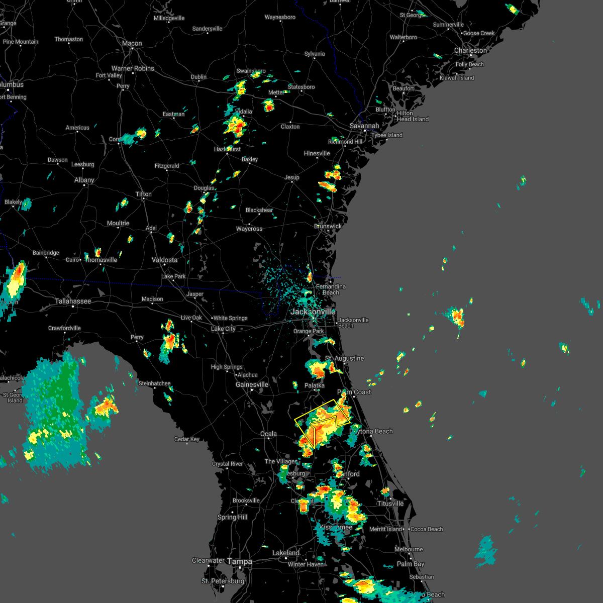 The severe thunderstorm warning for southwestern flagler, east central marion and southeastern putnam counties will expire at 145 pm edt, the storms which prompted the warning have weakened below severe limits, and no longer pose an immediate threat to life or property. therefore, the warning will be allowed to expire. however heavy rain is still possible with these thunderstorms. The severe thunderstorm warning for southwestern flagler, east central marion and southeastern putnam counties will expire at 145 pm edt, the storms which prompted the warning have weakened below severe limits, and no longer pose an immediate threat to life or property. therefore, the warning will be allowed to expire. however heavy rain is still possible with these thunderstorms.
|
| 7/12/2021 1:29 PM EDT |
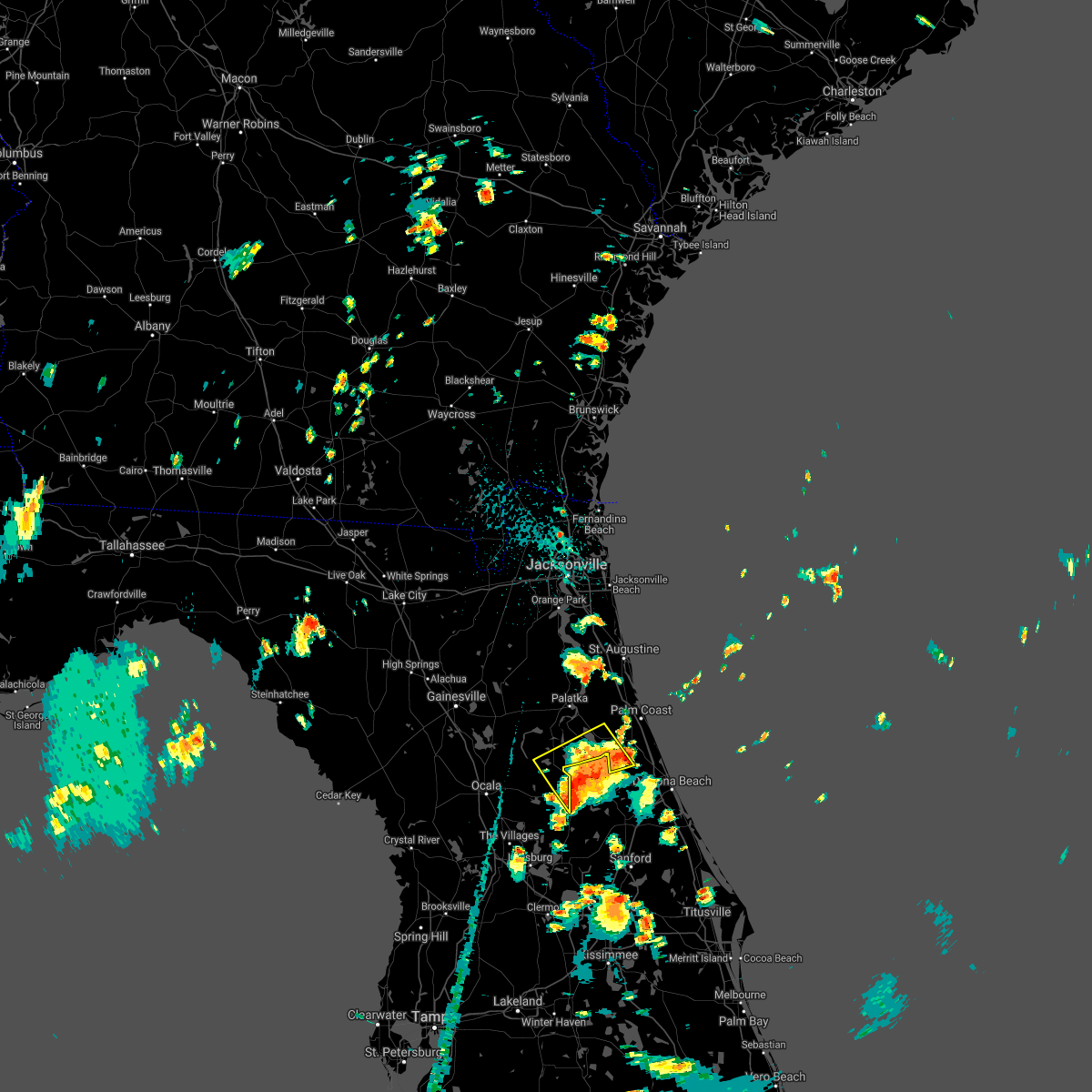 At 129 pm edt, severe thunderstorms were located along a line extending from near juniper springs to near fruitland to near bunnell, moving northwest at 20 mph (radar indicated). Hazards include 60 mph wind gusts and penny size hail. Expect damage to roofs, siding, and trees. Locations impacted include, crescent city, salt springs, andalusia, fruitland, lake como and georgetown. At 129 pm edt, severe thunderstorms were located along a line extending from near juniper springs to near fruitland to near bunnell, moving northwest at 20 mph (radar indicated). Hazards include 60 mph wind gusts and penny size hail. Expect damage to roofs, siding, and trees. Locations impacted include, crescent city, salt springs, andalusia, fruitland, lake como and georgetown.
|
| 7/12/2021 1:08 PM EDT |
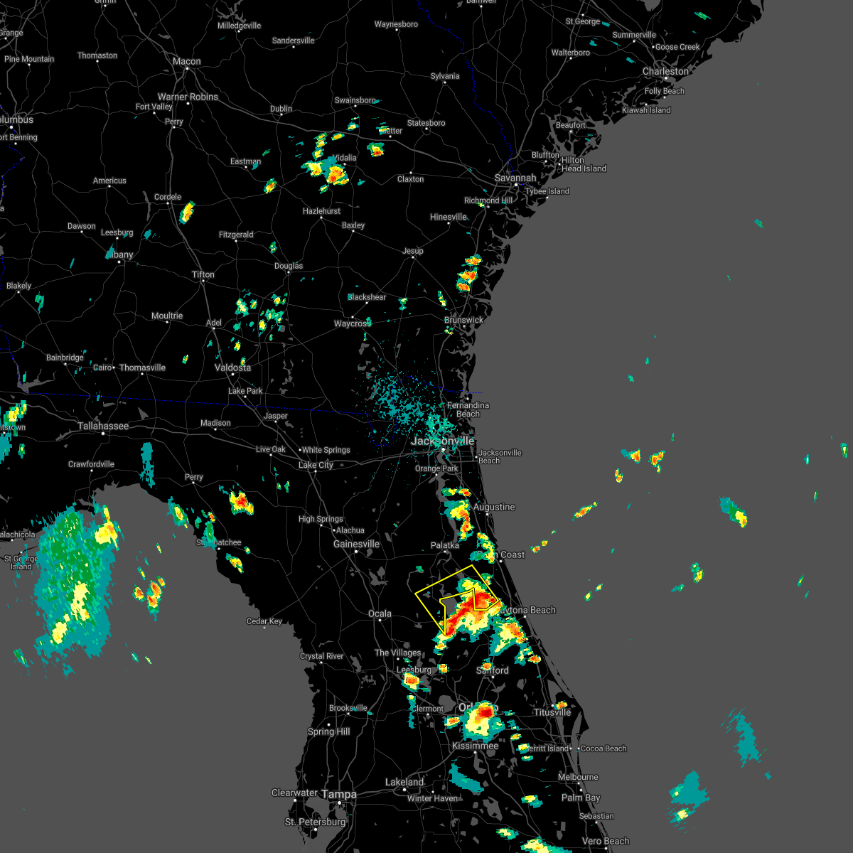 At 108 pm edt, a severe thunderstorm was located 7 miles southeast of crescent city, moving northwest at 15 mph (radar indicated). Hazards include 60 mph wind gusts and penny size hail. expect damage to roofs, siding, and trees At 108 pm edt, a severe thunderstorm was located 7 miles southeast of crescent city, moving northwest at 15 mph (radar indicated). Hazards include 60 mph wind gusts and penny size hail. expect damage to roofs, siding, and trees
|
| 6/13/2021 3:35 PM EDT |
 At 335 pm edt, a severe thunderstorm was located near lake delancy, or 7 miles west of pomona park, moving south at 10 mph (radar indicated). Hazards include 60 mph wind gusts and half dollar size hail. Hail damage to vehicles is expected. Expect wind damage to roofs, siding, and trees. At 335 pm edt, a severe thunderstorm was located near lake delancy, or 7 miles west of pomona park, moving south at 10 mph (radar indicated). Hazards include 60 mph wind gusts and half dollar size hail. Hail damage to vehicles is expected. Expect wind damage to roofs, siding, and trees.
|
| 5/6/2021 1:19 PM EDT |
 At 118 pm edt, a severe thunderstorm was located near crescent city, moving east at 40 mph (radar indicated). Hazards include 60 mph wind gusts and quarter size hail. Hail damage to vehicles is expected. Expect wind damage to roofs, siding, and trees. At 118 pm edt, a severe thunderstorm was located near crescent city, moving east at 40 mph (radar indicated). Hazards include 60 mph wind gusts and quarter size hail. Hail damage to vehicles is expected. Expect wind damage to roofs, siding, and trees.
|
| 2/6/2021 5:49 PM EST |
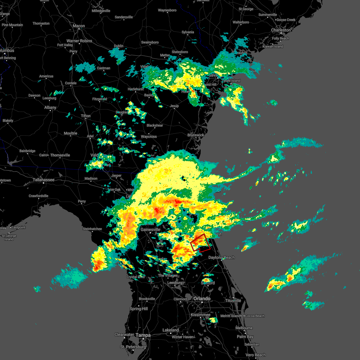 At 549 pm est, a severe thunderstorm capable of producing a tornado was located over andalusia, moving northeast at 30 mph (radar indicated rotation). Hazards include tornado. Flying debris will be dangerous to those caught without shelter. mobile homes will be damaged or destroyed. damage to roofs, windows, and vehicles will occur. tree damage is likely. this dangerous storm will be near, bunnell around 615 pm est. Other locations impacted by this tornadic thunderstorm include lake como and espanola. At 549 pm est, a severe thunderstorm capable of producing a tornado was located over andalusia, moving northeast at 30 mph (radar indicated rotation). Hazards include tornado. Flying debris will be dangerous to those caught without shelter. mobile homes will be damaged or destroyed. damage to roofs, windows, and vehicles will occur. tree damage is likely. this dangerous storm will be near, bunnell around 615 pm est. Other locations impacted by this tornadic thunderstorm include lake como and espanola.
|
| 2/6/2021 5:41 PM EST |
 At 541 pm est, a severe thunderstorm capable of producing a tornado was located near crescent city, moving northeast at 25 mph (radar indicated rotation). Hazards include tornado. Flying debris will be dangerous to those caught without shelter. mobile homes will be damaged or destroyed. damage to roofs, windows, and vehicles will occur. tree damage is likely. this dangerous storm will be near, crescent city around 550 pm est. andalusia around 600 pm est. Other locations impacted by this tornadic thunderstorm include lake como, espanola and georgetown. At 541 pm est, a severe thunderstorm capable of producing a tornado was located near crescent city, moving northeast at 25 mph (radar indicated rotation). Hazards include tornado. Flying debris will be dangerous to those caught without shelter. mobile homes will be damaged or destroyed. damage to roofs, windows, and vehicles will occur. tree damage is likely. this dangerous storm will be near, crescent city around 550 pm est. andalusia around 600 pm est. Other locations impacted by this tornadic thunderstorm include lake como, espanola and georgetown.
|
| 7/14/2020 6:43 PM EDT |
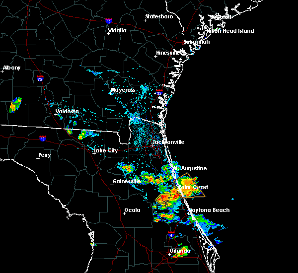 At 641 pm edt, a severe thunderstorm was located near crescent city, moving south at 5 mph (radar indicated). Hazards include 60 mph wind gusts. Expect damage to roofs, siding, and trees. Locations impacted include, crescent city and andalusia. At 641 pm edt, a severe thunderstorm was located near crescent city, moving south at 5 mph (radar indicated). Hazards include 60 mph wind gusts. Expect damage to roofs, siding, and trees. Locations impacted include, crescent city and andalusia.
|
| 7/14/2020 6:25 PM EDT |
 At 625 pm edt, a severe thunderstorm was located over crescent city, moving south at 5 mph (radar indicated). Hazards include 60 mph wind gusts and penny size hail. expect damage to roofs, siding, and trees At 625 pm edt, a severe thunderstorm was located over crescent city, moving south at 5 mph (radar indicated). Hazards include 60 mph wind gusts and penny size hail. expect damage to roofs, siding, and trees
|
| 6/28/2020 6:11 PM EDT |
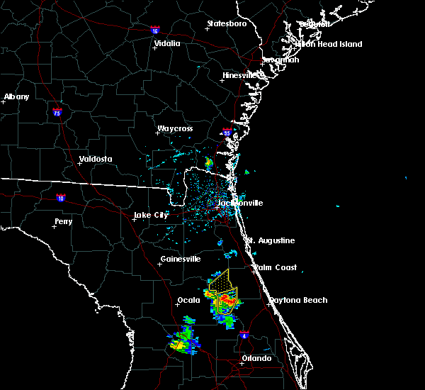 The severe thunderstorm warning for southeastern putnam county will expire at 615 pm edt, the storm which prompted the warning has weakened below severe limits, and no longer poses an immediate threat to life or property. therefore, the warning will be allowed to expire. however small hail, gusty winds and heavy rain are still possible with this thunderstorm. The severe thunderstorm warning for southeastern putnam county will expire at 615 pm edt, the storm which prompted the warning has weakened below severe limits, and no longer poses an immediate threat to life or property. therefore, the warning will be allowed to expire. however small hail, gusty winds and heavy rain are still possible with this thunderstorm.
|
| 6/28/2020 6:02 PM EDT |
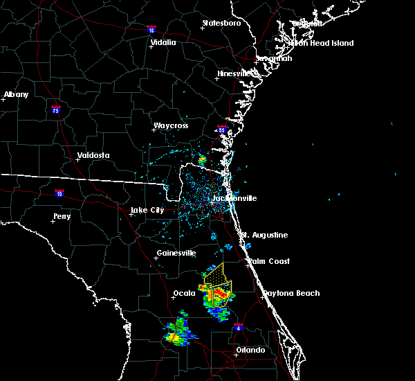 At 602 pm edt, a severe thunderstorm was located near lake george, or near salt springs, moving northeast at 20 mph (radar indicated). Hazards include ping pong ball size hail and 60 mph wind gusts. People and animals outdoors will be injured. expect hail damage to roofs, siding, windows, and vehicles. expect wind damage to roofs, siding, and trees. Locations impacted include, crescent city, pomona park, fruitland, welaka, lake como and georgetown. At 602 pm edt, a severe thunderstorm was located near lake george, or near salt springs, moving northeast at 20 mph (radar indicated). Hazards include ping pong ball size hail and 60 mph wind gusts. People and animals outdoors will be injured. expect hail damage to roofs, siding, windows, and vehicles. expect wind damage to roofs, siding, and trees. Locations impacted include, crescent city, pomona park, fruitland, welaka, lake como and georgetown.
|
| 6/28/2020 5:35 PM EDT |
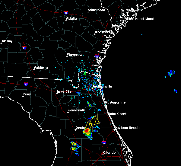 At 535 pm edt, a severe thunderstorm was located near juniper springs, moving northeast at 20 mph (radar indicated). Hazards include ping pong ball size hail and 60 mph wind gusts. People and animals outdoors will be injured. expect hail damage to roofs, siding, windows, and vehicles. Expect wind damage to roofs, siding, and trees. At 535 pm edt, a severe thunderstorm was located near juniper springs, moving northeast at 20 mph (radar indicated). Hazards include ping pong ball size hail and 60 mph wind gusts. People and animals outdoors will be injured. expect hail damage to roofs, siding, windows, and vehicles. Expect wind damage to roofs, siding, and trees.
|
| 4/24/2020 4:29 AM EDT |
 At 429 am edt, a severe thunderstorm was located over crescent city, moving east at 45 mph (radar indicated). Hazards include 60 mph wind gusts. expect damage to roofs, siding, and trees At 429 am edt, a severe thunderstorm was located over crescent city, moving east at 45 mph (radar indicated). Hazards include 60 mph wind gusts. expect damage to roofs, siding, and trees
|
| 2/6/2020 11:25 PM EST |
 At 1125 pm est, severe thunderstorms were located along a line extending from 6 miles southwest of crescent beach to near emeralda, moving east at 35 mph (radar indicated). Hazards include 60 mph wind gusts. Expect damage to roofs, siding, and trees. Locations impacted include, palm coast, flagler beach, bunnell, crescent city, pomona park, andalusia, juniper springs, marineland, fruitland and beverly beach. At 1125 pm est, severe thunderstorms were located along a line extending from 6 miles southwest of crescent beach to near emeralda, moving east at 35 mph (radar indicated). Hazards include 60 mph wind gusts. Expect damage to roofs, siding, and trees. Locations impacted include, palm coast, flagler beach, bunnell, crescent city, pomona park, andalusia, juniper springs, marineland, fruitland and beverly beach.
|
| 2/6/2020 10:57 PM EST |
 At 1056 pm est, severe thunderstorms were located along a line extending from near satsuma to near the villages, moving east at 45 mph (radar indicated). Hazards include 60 to 70 mph wind gusts. Expect considerable tree damage. Damage is likely to mobile homes, roofs, and outbuildings. At 1056 pm est, severe thunderstorms were located along a line extending from near satsuma to near the villages, moving east at 45 mph (radar indicated). Hazards include 60 to 70 mph wind gusts. Expect considerable tree damage. Damage is likely to mobile homes, roofs, and outbuildings.
|
| 2/6/2020 10:49 PM EST |
 At 1049 pm est, severe thunderstorms were located along a line extending from 6 miles north of lake delancy to 6 miles southeast of fort mccoy to 7 miles north of wildwood, moving east at 50 mph (radar indicated). Hazards include 60 mph wind gusts. Expect damage to roofs, siding, and trees. Locations impacted include, ocala, crescent city, pomona park, fort mccoy, salt springs, juniper springs, lynne, lake delancy, sparr and moss bluff. At 1049 pm est, severe thunderstorms were located along a line extending from 6 miles north of lake delancy to 6 miles southeast of fort mccoy to 7 miles north of wildwood, moving east at 50 mph (radar indicated). Hazards include 60 mph wind gusts. Expect damage to roofs, siding, and trees. Locations impacted include, ocala, crescent city, pomona park, fort mccoy, salt springs, juniper springs, lynne, lake delancy, sparr and moss bluff.
|
| 2/6/2020 10:11 PM EST |
 At 1011 pm est, severe thunderstorms were located along a line extending from near cross creek to 9 miles west of anthony to near beverly hills, moving east at 50 mph (radar indicated). Hazards include 60 mph wind gusts. expect damage to roofs, siding, and trees At 1011 pm est, severe thunderstorms were located along a line extending from near cross creek to 9 miles west of anthony to near beverly hills, moving east at 50 mph (radar indicated). Hazards include 60 mph wind gusts. expect damage to roofs, siding, and trees
|
| 12/14/2019 5:08 AM EST |
 At 508 am est, a severe thunderstorm was located near crescent city, moving east at 50 mph (radar indicated). Hazards include 60 mph wind gusts. Expect damage to roofs, siding, and trees. Locations impacted include, palm coast, flagler beach, bunnell, crescent city, marineland, beverly beach and espanola. At 508 am est, a severe thunderstorm was located near crescent city, moving east at 50 mph (radar indicated). Hazards include 60 mph wind gusts. Expect damage to roofs, siding, and trees. Locations impacted include, palm coast, flagler beach, bunnell, crescent city, marineland, beverly beach and espanola.
|
| 12/14/2019 4:57 AM EST |
 The national weather service in jacksonville has issued a * severe thunderstorm warning for. flagler county in northeastern florida. east central marion county in northern florida. southeastern putnam county in northeastern florida. Until 545 am est. The national weather service in jacksonville has issued a * severe thunderstorm warning for. flagler county in northeastern florida. east central marion county in northern florida. southeastern putnam county in northeastern florida. Until 545 am est.
|
| 5/5/2019 12:35 PM EDT |
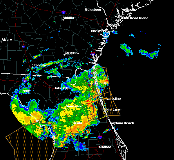 The severe thunderstorm warning for eastern putnam county will expire at 1245 pm edt, the storms which prompted the warning have moved out of the area. therefore, the warning will be allowed to expire. however gusty winds and heavy rain are still possible with these thunderstorms. to report severe weather, contact your nearest law enforcement agency. they will relay your report to the national weather service jacksonville. The severe thunderstorm warning for eastern putnam county will expire at 1245 pm edt, the storms which prompted the warning have moved out of the area. therefore, the warning will be allowed to expire. however gusty winds and heavy rain are still possible with these thunderstorms. to report severe weather, contact your nearest law enforcement agency. they will relay your report to the national weather service jacksonville.
|
| 5/5/2019 12:26 PM EDT |
 At 1225 pm edt, severe thunderstorms were located along a line extending from near george`s lake to near palatka to pomona park, moving northeast at 45 mph (radar indicated). Hazards include 60 mph wind gusts. Expect damage to roofs, siding, and trees. Locations impacted include, palatka, crescent city, pomona park, east palatka, fruitland, bostwick, federal point, orange mills, bardin and san mateo. At 1225 pm edt, severe thunderstorms were located along a line extending from near george`s lake to near palatka to pomona park, moving northeast at 45 mph (radar indicated). Hazards include 60 mph wind gusts. Expect damage to roofs, siding, and trees. Locations impacted include, palatka, crescent city, pomona park, east palatka, fruitland, bostwick, federal point, orange mills, bardin and san mateo.
|
| 5/5/2019 12:25 PM EDT |
 At 1224 pm edt, severe thunderstorms were located along a line extending from near bostwick to near orange mills to near crescent city, moving northeast at 45 mph (radar indicated). Hazards include 60 mph wind gusts. expect damage to roofs, siding, and trees At 1224 pm edt, severe thunderstorms were located along a line extending from near bostwick to near orange mills to near crescent city, moving northeast at 45 mph (radar indicated). Hazards include 60 mph wind gusts. expect damage to roofs, siding, and trees
|
| 5/5/2019 12:05 PM EDT |
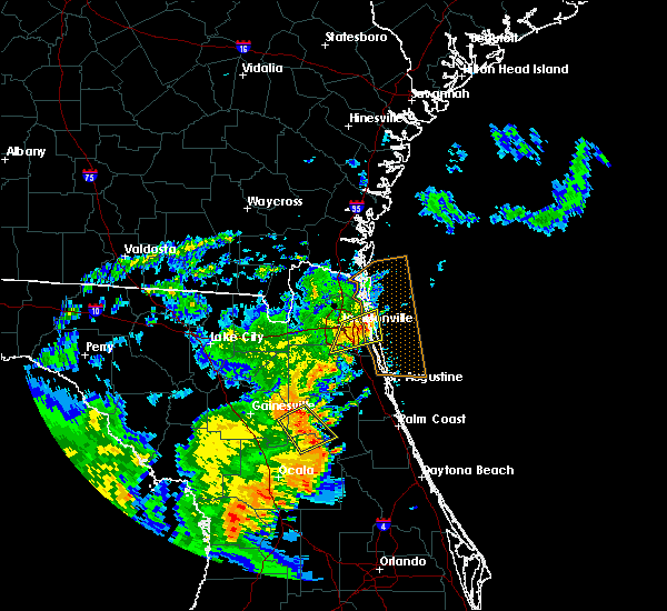 At 1204 pm edt, severe thunderstorms were located along a line extending from near melrose landing to near orange springs to near salt springs, moving northeast at 45 mph. rotation was also noted within this line near putnam hall (radar indicated). Hazards include 60 mph wind gusts. expect damage to roofs, siding, and trees At 1204 pm edt, severe thunderstorms were located along a line extending from near melrose landing to near orange springs to near salt springs, moving northeast at 45 mph. rotation was also noted within this line near putnam hall (radar indicated). Hazards include 60 mph wind gusts. expect damage to roofs, siding, and trees
|
| 4/19/2019 2:03 PM EDT |
 At 203 pm edt, severe thunderstorms were located along a line extending from 24 miles east of sawgrass to near pittman, moving east at 40 mph (radar indicated). Hazards include 60 mph wind gusts. Expect damage to roofs, siding, and trees. Locations impacted include, palm coast, saint augustine, flagler beach, bunnell, crescent city, pomona park, andalusia, saint augustine beach, marineland and fruitland. At 203 pm edt, severe thunderstorms were located along a line extending from 24 miles east of sawgrass to near pittman, moving east at 40 mph (radar indicated). Hazards include 60 mph wind gusts. Expect damage to roofs, siding, and trees. Locations impacted include, palm coast, saint augustine, flagler beach, bunnell, crescent city, pomona park, andalusia, saint augustine beach, marineland and fruitland.
|
| 4/19/2019 1:56 PM EDT |
 At 156 pm edt, severe thunderstorms were located along a line extending from 20 miles east of sawgrass to near pittman, moving east at 40 mph (radar indicated). Hazards include 60 mph wind gusts. Expect damage to roofs, siding, and trees. Locations impacted include, palm coast, saint augustine, flagler beach, bunnell, crescent city, pomona park, hastings, salt springs, andalusia and juniper springs. At 156 pm edt, severe thunderstorms were located along a line extending from 20 miles east of sawgrass to near pittman, moving east at 40 mph (radar indicated). Hazards include 60 mph wind gusts. Expect damage to roofs, siding, and trees. Locations impacted include, palm coast, saint augustine, flagler beach, bunnell, crescent city, pomona park, hastings, salt springs, andalusia and juniper springs.
|
| 4/19/2019 1:55 PM EDT | Putnam co em reported that summit st is closed near the usps office in cresecent city due to downed trees and power lines. the usps office sign also sustained some dama in putnam county FL, 0.7 miles NNW of Crescent City, FL |
| 4/19/2019 1:25 PM EDT |
 At 125 pm edt, severe thunderstorms were located along a line extending from sawgrass to near lake weir, moving east at 40 mph (radar indicated). Hazards include 60 mph wind gusts. expect damage to roofs, siding, and trees At 125 pm edt, severe thunderstorms were located along a line extending from sawgrass to near lake weir, moving east at 40 mph (radar indicated). Hazards include 60 mph wind gusts. expect damage to roofs, siding, and trees
|
| 4/19/2019 12:45 PM EDT |
 At 1244 pm edt, severe thunderstorms were located along a line extending from near green cove springs to 10 miles northeast of inverness highlands north, moving east at 50 mph (radar indicated). Hazards include 60 mph wind gusts. expect damage to roofs, siding, and trees At 1244 pm edt, severe thunderstorms were located along a line extending from near green cove springs to 10 miles northeast of inverness highlands north, moving east at 50 mph (radar indicated). Hazards include 60 mph wind gusts. expect damage to roofs, siding, and trees
|
| 3/2/2019 4:30 PM EST |
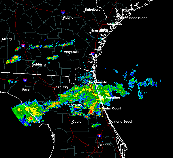 At 429 pm est, a severe thunderstorm was located over pomona park, moving east at 30 mph (radar indicated). Hazards include 60 mph wind gusts and penny size hail. expect damage to roofs, siding, and trees At 429 pm est, a severe thunderstorm was located over pomona park, moving east at 30 mph (radar indicated). Hazards include 60 mph wind gusts and penny size hail. expect damage to roofs, siding, and trees
|
| 7/22/2018 2:10 PM EDT |
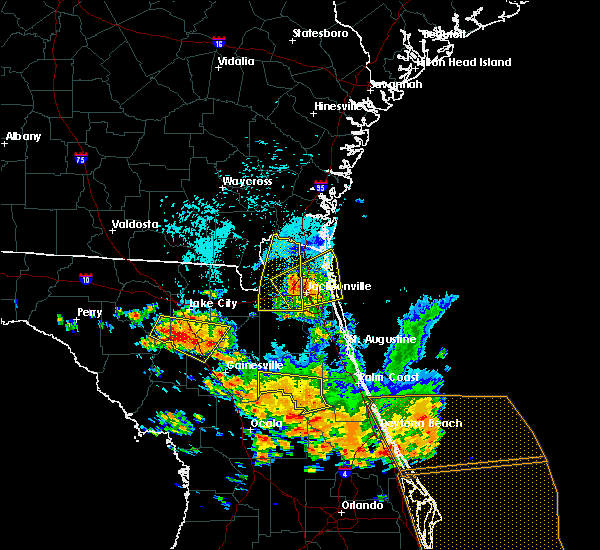 The severe thunderstorm warning for central putnam county will expire at 215 pm edt, the storm which prompted the warning has weakened below severe limits, and no longer poses an immediate threat to life or property. therefore, the warning will be allowed to expire. however small hail, gusty winds and heavy rain are still possible with this thunderstorm. a severe thunderstorm watch remains in effect until 800 pm edt for northern and northeastern florida. The severe thunderstorm warning for central putnam county will expire at 215 pm edt, the storm which prompted the warning has weakened below severe limits, and no longer poses an immediate threat to life or property. therefore, the warning will be allowed to expire. however small hail, gusty winds and heavy rain are still possible with this thunderstorm. a severe thunderstorm watch remains in effect until 800 pm edt for northern and northeastern florida.
|
| 7/22/2018 1:58 PM EDT |
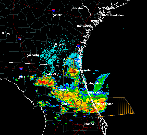 At 158 pm edt, a severe thunderstorm was located over satsuma, or near pomona park, moving southeast at 35 mph (radar indicated). Hazards include 70 mph wind gusts and quarter size hail. Hail damage to vehicles is expected. expect considerable tree damage. wind damage is also likely to mobile homes, roofs, and outbuildings. Locations impacted include, crescent city, interlachen, pomona park, fruitland, melrose landing, hollister, san mateo, satsuma, welaka and johnson. At 158 pm edt, a severe thunderstorm was located over satsuma, or near pomona park, moving southeast at 35 mph (radar indicated). Hazards include 70 mph wind gusts and quarter size hail. Hail damage to vehicles is expected. expect considerable tree damage. wind damage is also likely to mobile homes, roofs, and outbuildings. Locations impacted include, crescent city, interlachen, pomona park, fruitland, melrose landing, hollister, san mateo, satsuma, welaka and johnson.
|
| 7/22/2018 1:38 PM EDT |
 At 138 pm edt, a severe thunderstorm was located over interlachen, moving southeast at 40 mph (radar indicated). Hazards include 70 mph wind gusts and quarter size hail. Hail damage to vehicles is expected. expect considerable tree damage. wind damage is also likely to mobile homes, roofs, and outbuildings. Locations impacted include, palatka, crescent city, interlachen, pomona park, east palatka, melrose, george`s lake, fruitland, florahome and bostwick. At 138 pm edt, a severe thunderstorm was located over interlachen, moving southeast at 40 mph (radar indicated). Hazards include 70 mph wind gusts and quarter size hail. Hail damage to vehicles is expected. expect considerable tree damage. wind damage is also likely to mobile homes, roofs, and outbuildings. Locations impacted include, palatka, crescent city, interlachen, pomona park, east palatka, melrose, george`s lake, fruitland, florahome and bostwick.
|
| 7/22/2018 1:31 PM EDT |
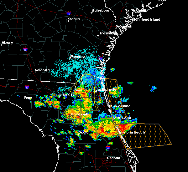 The national weather service in jacksonville has issued a * severe thunderstorm warning for. putnam county in northeastern florida. until 215 pm edt. At 131 pm edt, a severe thunderstorm was located near melrose landing, or near melrose, moving southeast at 35 mph. The national weather service in jacksonville has issued a * severe thunderstorm warning for. putnam county in northeastern florida. until 215 pm edt. At 131 pm edt, a severe thunderstorm was located near melrose landing, or near melrose, moving southeast at 35 mph.
|
| 7/22/2018 1:09 PM EDT |
 At 109 pm edt, severe thunderstorms were located along a line extending from near palm coast to 7 miles southeast of crescent city, moving east at 50 mph (radar indicated). Hazards include 70 mph wind gusts and quarter size hail. Hail damage to vehicles is expected. expect considerable tree damage. wind damage is also likely to mobile homes, roofs, and outbuildings. Locations impacted include, palm coast, bunnell, crescent city, andalusia, beverly beach and espanola. At 109 pm edt, severe thunderstorms were located along a line extending from near palm coast to 7 miles southeast of crescent city, moving east at 50 mph (radar indicated). Hazards include 70 mph wind gusts and quarter size hail. Hail damage to vehicles is expected. expect considerable tree damage. wind damage is also likely to mobile homes, roofs, and outbuildings. Locations impacted include, palm coast, bunnell, crescent city, andalusia, beverly beach and espanola.
|
| 7/22/2018 1:03 PM EDT |
 At 103 pm edt, severe thunderstorms were located along a line extending from palm coast to 9 miles northeast of pierson, moving southeast at 35 mph (radar indicated). Hazards include 60 mph wind gusts and quarter size hail. Hail damage to vehicles is expected. expect wind damage to roofs, siding, and trees. Locations impacted include, palm coast, flagler beach, bunnell, crescent city, andalusia, marineland, beverly beach and espanola. At 103 pm edt, severe thunderstorms were located along a line extending from palm coast to 9 miles northeast of pierson, moving southeast at 35 mph (radar indicated). Hazards include 60 mph wind gusts and quarter size hail. Hail damage to vehicles is expected. expect wind damage to roofs, siding, and trees. Locations impacted include, palm coast, flagler beach, bunnell, crescent city, andalusia, marineland, beverly beach and espanola.
|
| 7/22/2018 12:59 PM EDT |
 At 1259 pm edt, severe thunderstorms were located along a line extending from satsuma to sparr, moving southeast at 20 mph (radar indicated). Hazards include 70 mph wind gusts and quarter size hail. Hail damage to vehicles is expected. expect considerable tree damage. wind damage is also likely to mobile homes, roofs, and outbuildings. Locations impacted include, palatka, crescent city, interlachen, pomona park, fort mccoy, citra, east palatka, lake delancy, sparr and anthony. At 1259 pm edt, severe thunderstorms were located along a line extending from satsuma to sparr, moving southeast at 20 mph (radar indicated). Hazards include 70 mph wind gusts and quarter size hail. Hail damage to vehicles is expected. expect considerable tree damage. wind damage is also likely to mobile homes, roofs, and outbuildings. Locations impacted include, palatka, crescent city, interlachen, pomona park, fort mccoy, citra, east palatka, lake delancy, sparr and anthony.
|
| 7/22/2018 12:48 PM EDT |
 At 1247 pm edt, severe thunderstorms were located along a line extending from near butler beach to near fruitland, moving east at 50 mph (radar indicated). Hazards include 60 mph wind gusts and quarter size hail. Hail damage to vehicles is expected. Expect wind damage to roofs, siding, and trees. At 1247 pm edt, severe thunderstorms were located along a line extending from near butler beach to near fruitland, moving east at 50 mph (radar indicated). Hazards include 60 mph wind gusts and quarter size hail. Hail damage to vehicles is expected. Expect wind damage to roofs, siding, and trees.
|
| 7/22/2018 12:34 PM EDT |
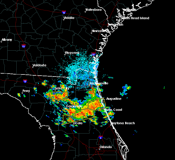 At 1233 pm edt, severe thunderstorms were located along a line extending from palatka to 6 miles southeast of williston, moving south at 20 mph (radar indicated). Hazards include 70 mph wind gusts and quarter size hail. Hail damage to vehicles is expected. expect considerable tree damage. Wind damage is also likely to mobile homes, roofs, and outbuildings. At 1233 pm edt, severe thunderstorms were located along a line extending from palatka to 6 miles southeast of williston, moving south at 20 mph (radar indicated). Hazards include 70 mph wind gusts and quarter size hail. Hail damage to vehicles is expected. expect considerable tree damage. Wind damage is also likely to mobile homes, roofs, and outbuildings.
|
| 4/15/2018 2:59 PM EDT |
 At 259 pm edt, severe thunderstorms were located along a line extending from near lake geneva to interlachen to emeralda, moving northeast at 35 mph (radar indicated). Hazards include 70 mph wind gusts. Expect considerable tree damage. damage is likely to mobile homes, roofs, and outbuildings. locations impacted include, palatka, crescent city, interlachen, pomona park, east palatka, salt springs, juniper springs, lake delancy, florahome and melrose landing. A tornado watch remains in effect until 600 pm edt for northern and northeastern florida. At 259 pm edt, severe thunderstorms were located along a line extending from near lake geneva to interlachen to emeralda, moving northeast at 35 mph (radar indicated). Hazards include 70 mph wind gusts. Expect considerable tree damage. damage is likely to mobile homes, roofs, and outbuildings. locations impacted include, palatka, crescent city, interlachen, pomona park, east palatka, salt springs, juniper springs, lake delancy, florahome and melrose landing. A tornado watch remains in effect until 600 pm edt for northern and northeastern florida.
|
| 4/15/2018 2:40 PM EDT |
 At 240 pm edt, severe thunderstorms were located along a line extending from near kingsley to interlachen to near weirsdale, moving northeast at 50 mph (radar indicated). Hazards include 60 mph wind gusts. expect damage to roofs, siding, and trees At 240 pm edt, severe thunderstorms were located along a line extending from near kingsley to interlachen to near weirsdale, moving northeast at 50 mph (radar indicated). Hazards include 60 mph wind gusts. expect damage to roofs, siding, and trees
|
| 9/1/2017 4:11 PM EDT |
 At 411 pm edt, a severe thunderstorm was located near fruitland, or near salt springs, moving northeast at 15 mph (radar indicated). Hazards include 60 mph wind gusts and quarter size hail. Hail damage to vehicles is expected. Expect wind damage to roofs, siding, and trees. At 411 pm edt, a severe thunderstorm was located near fruitland, or near salt springs, moving northeast at 15 mph (radar indicated). Hazards include 60 mph wind gusts and quarter size hail. Hail damage to vehicles is expected. Expect wind damage to roofs, siding, and trees.
|
| 8/8/2017 8:55 PM EDT |
 At 855 pm edt, a severe thunderstorm was located near lake delancy, or near salt springs, moving northeast at 15 mph (radar indicated). Hazards include 60 mph wind gusts and nickel size hail. expect damage to roofs, siding, and trees At 855 pm edt, a severe thunderstorm was located near lake delancy, or near salt springs, moving northeast at 15 mph (radar indicated). Hazards include 60 mph wind gusts and nickel size hail. expect damage to roofs, siding, and trees
|
| 4/4/2017 1:03 PM EDT |
 At 103 pm edt, severe thunderstorms were located along a line extending from near lake george to 6 miles southeast of juniper springs to near emeralda, moving east at 30 mph (radar indicated). Hazards include 60 mph wind gusts and penny size hail. Expect damage to roofs, siding, and trees. Locations impacted include, juniper springs, weirsdale, ocklawaha, moss bluff and lake weir. At 103 pm edt, severe thunderstorms were located along a line extending from near lake george to 6 miles southeast of juniper springs to near emeralda, moving east at 30 mph (radar indicated). Hazards include 60 mph wind gusts and penny size hail. Expect damage to roofs, siding, and trees. Locations impacted include, juniper springs, weirsdale, ocklawaha, moss bluff and lake weir.
|
| 4/4/2017 12:45 PM EDT |
 At 1245 pm edt, severe thunderstorms were located along a line extending from near fruitland to near juniper springs to ocklawaha, moving east at 30 mph (radar indicated). Hazards include 60 mph wind gusts and quarter size hail. Hail damage to vehicles is expected. expect wind damage to roofs, siding, and trees. Locations impacted include, ocala, juniper springs, lynne, salt springs, weirsdale, fruitland, ocklawaha, moss bluff, silver springs shores and lake weir. At 1245 pm edt, severe thunderstorms were located along a line extending from near fruitland to near juniper springs to ocklawaha, moving east at 30 mph (radar indicated). Hazards include 60 mph wind gusts and quarter size hail. Hail damage to vehicles is expected. expect wind damage to roofs, siding, and trees. Locations impacted include, ocala, juniper springs, lynne, salt springs, weirsdale, fruitland, ocklawaha, moss bluff, silver springs shores and lake weir.
|
| 4/4/2017 12:12 PM EDT |
 At 1210 pm edt, severe thunderstorms were located along a line extending from near orange springs to near ocala to near ocala airport, moving east at 25 mph (radar indicated). Hazards include 60 mph wind gusts and quarter size hail. doppler radar continues to indicate weak rotation within this storm. a tornado may form at any time. Hail damage to vehicles is expected. Expect wind damage to roofs, siding, and trees. At 1210 pm edt, severe thunderstorms were located along a line extending from near orange springs to near ocala to near ocala airport, moving east at 25 mph (radar indicated). Hazards include 60 mph wind gusts and quarter size hail. doppler radar continues to indicate weak rotation within this storm. a tornado may form at any time. Hail damage to vehicles is expected. Expect wind damage to roofs, siding, and trees.
|
| 1/22/2017 7:55 PM EST |
 The severe thunderstorm warning for southeastern putnam, southeastern marion and flagler counties will expire at 800 pm est, the storms which prompted the warning have weakened below severe limits, and have exited the warned area. therefore the warning will be allowed to expire. however gusty winds are still possible with these thunderstorms. The severe thunderstorm warning for southeastern putnam, southeastern marion and flagler counties will expire at 800 pm est, the storms which prompted the warning have weakened below severe limits, and have exited the warned area. therefore the warning will be allowed to expire. however gusty winds are still possible with these thunderstorms.
|
| 1/22/2017 7:47 PM EST |
 At 747 pm est, severe thunderstorms were located along a line extending from 8 miles west of palm coast to near pittman, moving northeast at 50 mph (radar indicated). Hazards include 60 mph wind gusts and quarter size hail. Hail damage to vehicles is expected. expect wind damage to roofs, siding, and trees. Locations impacted include, palm coast, flagler beach, bunnell, crescent city, juniper springs, andalusia, fruitland, beverly beach, lake como and georgetown. At 747 pm est, severe thunderstorms were located along a line extending from 8 miles west of palm coast to near pittman, moving northeast at 50 mph (radar indicated). Hazards include 60 mph wind gusts and quarter size hail. Hail damage to vehicles is expected. expect wind damage to roofs, siding, and trees. Locations impacted include, palm coast, flagler beach, bunnell, crescent city, juniper springs, andalusia, fruitland, beverly beach, lake como and georgetown.
|
| 1/22/2017 7:31 PM EST |
 At 731 pm est, severe thunderstorms were located along a line extending from near andalusia to near emeralda, moving east at 35 mph (radar indicated). Hazards include 60 mph wind gusts and quarter size hail. Hail damage to vehicles is expected. expect wind damage to roofs, siding, and trees. locations impacted include, palm coast, flagler beach, bunnell, crescent city, pomona park, andalusia, juniper springs, salt springs, moss bluff and fruitland. A tornado watch remains in effect until 800 pm est for northern and northeastern florida. At 731 pm est, severe thunderstorms were located along a line extending from near andalusia to near emeralda, moving east at 35 mph (radar indicated). Hazards include 60 mph wind gusts and quarter size hail. Hail damage to vehicles is expected. expect wind damage to roofs, siding, and trees. locations impacted include, palm coast, flagler beach, bunnell, crescent city, pomona park, andalusia, juniper springs, salt springs, moss bluff and fruitland. A tornado watch remains in effect until 800 pm est for northern and northeastern florida.
|
| 1/22/2017 7:02 PM EST |
 At 702 pm est, severe thunderstorms were located along a line extending from lake delancy to near wildwood, moving northeast at 75 mph (radar indicated). Hazards include 60 mph wind gusts and quarter size hail. Hail damage to vehicles is expected. expect wind damage to roofs, siding, and trees. locations impacted include, palm coast, flagler beach, bunnell, crescent city, pomona park, fort mccoy, andalusia, juniper springs, salt springs and lynne. A tornado watch remains in effect until 800 pm est for northern and northeastern florida. At 702 pm est, severe thunderstorms were located along a line extending from lake delancy to near wildwood, moving northeast at 75 mph (radar indicated). Hazards include 60 mph wind gusts and quarter size hail. Hail damage to vehicles is expected. expect wind damage to roofs, siding, and trees. locations impacted include, palm coast, flagler beach, bunnell, crescent city, pomona park, fort mccoy, andalusia, juniper springs, salt springs and lynne. A tornado watch remains in effect until 800 pm est for northern and northeastern florida.
|
| 1/22/2017 6:56 PM EST |
 At 656 pm est, a severe thunderstorm capable of producing a tornado was located near lake george, or near salt springs, moving northeast at 55 mph (radar indicated rotation). Hazards include tornado and quarter size hail. Flying debris will be dangerous to those caught without shelter. mobile homes will be damaged or destroyed. damage to roofs, windows, and vehicles will occur. Tree damage is likely. At 656 pm est, a severe thunderstorm capable of producing a tornado was located near lake george, or near salt springs, moving northeast at 55 mph (radar indicated rotation). Hazards include tornado and quarter size hail. Flying debris will be dangerous to those caught without shelter. mobile homes will be damaged or destroyed. damage to roofs, windows, and vehicles will occur. Tree damage is likely.
|
| 1/22/2017 6:53 PM EST |
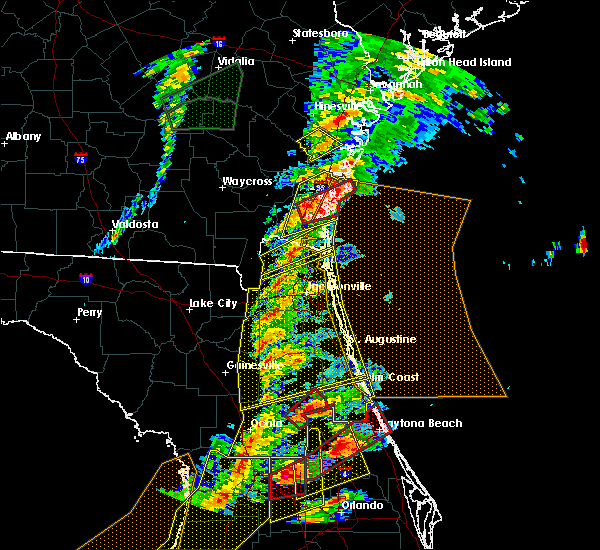 At 653 pm est, a severe thunderstorm capable of producing a tornado was located over salt springs, moving northeast at 45 mph (radar indicated rotation). Hazards include tornado and quarter size hail. Flying debris will be dangerous to those caught without shelter. mobile homes will be damaged or destroyed. damage to roofs, windows, and vehicles will occur. tree damage is likely. Locations impacted include, crescent city, pomona park, salt springs, fruitland, georgetown and lake como. At 653 pm est, a severe thunderstorm capable of producing a tornado was located over salt springs, moving northeast at 45 mph (radar indicated rotation). Hazards include tornado and quarter size hail. Flying debris will be dangerous to those caught without shelter. mobile homes will be damaged or destroyed. damage to roofs, windows, and vehicles will occur. tree damage is likely. Locations impacted include, crescent city, pomona park, salt springs, fruitland, georgetown and lake como.
|
| 1/22/2017 6:49 PM EST |
 At 649 pm est, a severe thunderstorm capable of producing a tornado was located near salt springs, moving northeast at 45 mph (radar indicated rotation). Hazards include tornado and quarter size hail. Flying debris will be dangerous to those caught without shelter. mobile homes will be damaged or destroyed. damage to roofs, windows, and vehicles will occur. tree damage is likely. Locations impacted include, crescent city, pomona park, salt springs, fruitland, welaka, lake como and georgetown. At 649 pm est, a severe thunderstorm capable of producing a tornado was located near salt springs, moving northeast at 45 mph (radar indicated rotation). Hazards include tornado and quarter size hail. Flying debris will be dangerous to those caught without shelter. mobile homes will be damaged or destroyed. damage to roofs, windows, and vehicles will occur. tree damage is likely. Locations impacted include, crescent city, pomona park, salt springs, fruitland, welaka, lake como and georgetown.
|
| 1/22/2017 6:47 PM EST |
 At 647 pm est, severe thunderstorms were located along a line extending from near anthony to inverness highlands south, moving northeast at 75 mph (radar indicated). Hazards include 60 mph wind gusts and quarter size hail. Hail damage to vehicles is expected. expect wind damage to roofs, siding, and trees. locations impacted include, palm coast, ocala, flagler beach, bunnell, crescent city, pomona park, fort mccoy, andalusia, juniper springs and salt springs. A tornado watch remains in effect until 800 pm est for northern and northeastern florida. At 647 pm est, severe thunderstorms were located along a line extending from near anthony to inverness highlands south, moving northeast at 75 mph (radar indicated). Hazards include 60 mph wind gusts and quarter size hail. Hail damage to vehicles is expected. expect wind damage to roofs, siding, and trees. locations impacted include, palm coast, ocala, flagler beach, bunnell, crescent city, pomona park, fort mccoy, andalusia, juniper springs and salt springs. A tornado watch remains in effect until 800 pm est for northern and northeastern florida.
|
| 1/22/2017 6:40 PM EST |
 At 640 pm est, severe thunderstorms were located along a line extending from near anthony to 6 miles southwest of inverness highlands south, moving northeast at 75 mph (radar indicated). Hazards include 60 mph wind gusts and quarter size hail. Hail damage to vehicles is expected. Expect wind damage to roofs, siding, and trees. At 640 pm est, severe thunderstorms were located along a line extending from near anthony to 6 miles southwest of inverness highlands south, moving northeast at 75 mph (radar indicated). Hazards include 60 mph wind gusts and quarter size hail. Hail damage to vehicles is expected. Expect wind damage to roofs, siding, and trees.
|
| 1/22/2017 6:38 PM EST |
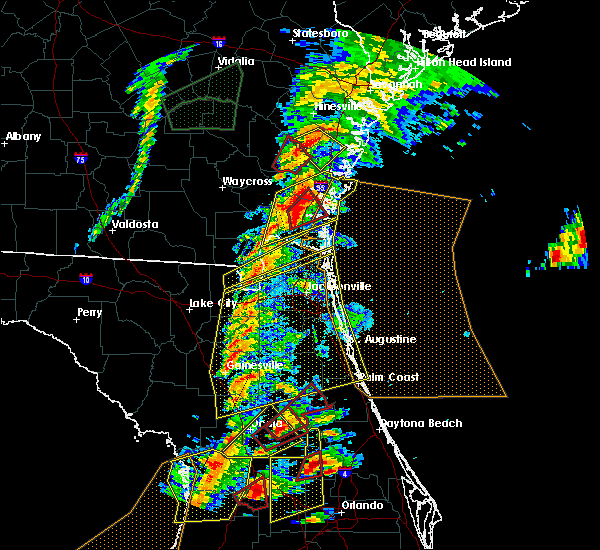 At 637 pm est, a severe thunderstorm capable of producing a tornado was located over lynne, moving northeast at 45 mph (radar indicated rotation). Hazards include tornado and quarter size hail. Flying debris will be dangerous to those caught without shelter. mobile homes will be damaged or destroyed. damage to roofs, windows, and vehicles will occur. Tree damage is likely. At 637 pm est, a severe thunderstorm capable of producing a tornado was located over lynne, moving northeast at 45 mph (radar indicated rotation). Hazards include tornado and quarter size hail. Flying debris will be dangerous to those caught without shelter. mobile homes will be damaged or destroyed. damage to roofs, windows, and vehicles will occur. Tree damage is likely.
|
| 7/14/2016 6:45 PM EDT |
 At 645 pm edt, a severe thunderstorm was located over fruitland, or near salt springs, and is nearly stationary (radar indicated). Hazards include 60 mph wind gusts and quarter size hail. Hail damage to vehicles is expected. Expect wind damage to roofs, siding, and trees. At 645 pm edt, a severe thunderstorm was located over fruitland, or near salt springs, and is nearly stationary (radar indicated). Hazards include 60 mph wind gusts and quarter size hail. Hail damage to vehicles is expected. Expect wind damage to roofs, siding, and trees.
|
| 7/7/2016 5:29 PM EDT |
 At 529 pm edt, a severe thunderstorm was located near fruitland, or near pomona park, moving north at 15 mph (radar indicated). Hazards include 60 mph wind gusts...frequent lightning strikes. Expect damage to roofs. siding. and trees. Locations impacted include, crescent city, pomona park, fruitland, welaka and lake como. At 529 pm edt, a severe thunderstorm was located near fruitland, or near pomona park, moving north at 15 mph (radar indicated). Hazards include 60 mph wind gusts...frequent lightning strikes. Expect damage to roofs. siding. and trees. Locations impacted include, crescent city, pomona park, fruitland, welaka and lake como.
|
| 7/7/2016 5:20 PM EDT |
 At 519 pm edt, a severe thunderstorm was located over fruitland, or near salt springs, moving north at 15 mph (radar indicated). Hazards include 60 mph wind gusts. Expect damage to roofs. siding. And trees. At 519 pm edt, a severe thunderstorm was located over fruitland, or near salt springs, moving north at 15 mph (radar indicated). Hazards include 60 mph wind gusts. Expect damage to roofs. siding. And trees.
|
| 5/31/2016 7:52 PM EDT |
 At 752 pm edt, a severe thunderstorm was located over andalusia, moving south at 10 mph (radar indicated). Hazards include 60 mph wind gusts and penny size hail. Expect damage to roofs. siding. and trees. Locations impacted include, crescent city, pomona park, andalusia and lake como. At 752 pm edt, a severe thunderstorm was located over andalusia, moving south at 10 mph (radar indicated). Hazards include 60 mph wind gusts and penny size hail. Expect damage to roofs. siding. and trees. Locations impacted include, crescent city, pomona park, andalusia and lake como.
|
| 5/31/2016 7:29 PM EDT |
 At 729 pm edt, a severe thunderstorm was located near andalusia, moving south at 10 mph (radar indicated). Hazards include 60 mph wind gusts and penny size hail. Expect damage to roofs. siding. And trees. At 729 pm edt, a severe thunderstorm was located near andalusia, moving south at 10 mph (radar indicated). Hazards include 60 mph wind gusts and penny size hail. Expect damage to roofs. siding. And trees.
|
| 6/24/2015 6:42 PM EDT |
 At 641 pm edt, doppler radar indicated a line of severe thunderstorms capable of producing quarter size hail and damaging winds in excess of 60 mph. these storms were located along a line extending from near bayard to near pierson. these storms were nearly stationary. locations impacted include, green cove springs, crescent city, hastings, andalusia, fruit cove, world golf village, durbin, switzerland, federal point, picolata, orange mills, spuds, elkton and bakersville. At 641 pm edt, doppler radar indicated a line of severe thunderstorms capable of producing quarter size hail and damaging winds in excess of 60 mph. these storms were located along a line extending from near bayard to near pierson. these storms were nearly stationary. locations impacted include, green cove springs, crescent city, hastings, andalusia, fruit cove, world golf village, durbin, switzerland, federal point, picolata, orange mills, spuds, elkton and bakersville.
|
| 6/24/2015 6:29 PM EDT |
 At 629 pm edt, doppler radar indicated a line of severe thunderstorms capable of producing quarter size hail and damaging winds in excess of 60 mph. these storms were located along a line extending from near bayard to near pierson, and moving east at 15 mph. At 629 pm edt, doppler radar indicated a line of severe thunderstorms capable of producing quarter size hail and damaging winds in excess of 60 mph. these storms were located along a line extending from near bayard to near pierson, and moving east at 15 mph.
|
| 6/19/2015 6:51 PM EDT |
 At 650 pm edt, doppler radar indicated severe thunderstorms capable of producing quarter size hail and damaging winds in excess of 60 mph located 7 miles southeast of crescent city, and over san mateo, moving north at 10 mph. locations impacted include, crescent city, pomona park, andalusia, east palatka, san mateo and orange mills. At 650 pm edt, doppler radar indicated severe thunderstorms capable of producing quarter size hail and damaging winds in excess of 60 mph located 7 miles southeast of crescent city, and over san mateo, moving north at 10 mph. locations impacted include, crescent city, pomona park, andalusia, east palatka, san mateo and orange mills.
|
| 6/19/2015 6:36 PM EDT |
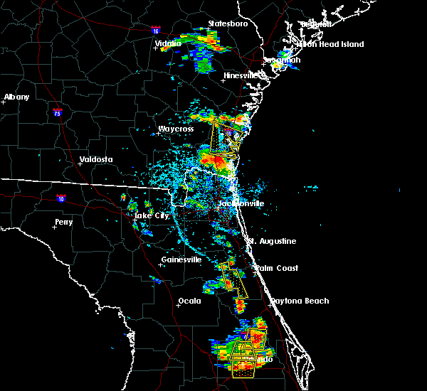 At 636 pm edt, doppler radar indicated a severe thunderstorm capable of producing quarter size hail and damaging winds in excess of 60 mph. this storm was located 8 miles southeast of crescent city, and moving north at 15 mph. At 636 pm edt, doppler radar indicated a severe thunderstorm capable of producing quarter size hail and damaging winds in excess of 60 mph. this storm was located 8 miles southeast of crescent city, and moving north at 15 mph.
|
| 6/12/2015 4:54 PM EDT |
 At 454 pm edt, doppler radar indicated a severe thunderstorm capable of producing damaging winds in excess of 60 mph. this storm was located over fruitland, or near salt springs, and moving north at 15 mph. penny size hail may also accompany the damaging winds. At 454 pm edt, doppler radar indicated a severe thunderstorm capable of producing damaging winds in excess of 60 mph. this storm was located over fruitland, or near salt springs, and moving north at 15 mph. penny size hail may also accompany the damaging winds.
|
| 6/10/2015 2:46 PM EDT |
 At 245 pm edt, doppler radar indicated a line of severe thunderstorms capable of producing quarter size hail and damaging winds in excess of 60 mph. the strongest of the winds and hail will impact the greater st. augustine area. these storms were located along a line extending from bayard to 7 miles southeast of crescent city. these storms were nearly stationary. locations impacted include, palm coast, saint augustine, flagler beach, bunnell, crescent city, hastings, andalusia, world golf village, saint augustine beach, marineland, vilano beach, saint augustine shores, saint augustine south, federal point, south ponte vedra, butler beach, crescent beach, beverly beach, dupont center and anastasia. At 245 pm edt, doppler radar indicated a line of severe thunderstorms capable of producing quarter size hail and damaging winds in excess of 60 mph. the strongest of the winds and hail will impact the greater st. augustine area. these storms were located along a line extending from bayard to 7 miles southeast of crescent city. these storms were nearly stationary. locations impacted include, palm coast, saint augustine, flagler beach, bunnell, crescent city, hastings, andalusia, world golf village, saint augustine beach, marineland, vilano beach, saint augustine shores, saint augustine south, federal point, south ponte vedra, butler beach, crescent beach, beverly beach, dupont center and anastasia.
|
| 6/10/2015 2:28 PM EDT |
 At 228 pm edt, doppler radar indicated a line of severe thunderstorms capable of producing quarter size hail and damaging winds in excess of 60 mph. these storms were located along a line extending from bayard to 7 miles southeast of crescent city, and moving east at 25 mph. At 228 pm edt, doppler radar indicated a line of severe thunderstorms capable of producing quarter size hail and damaging winds in excess of 60 mph. these storms were located along a line extending from bayard to 7 miles southeast of crescent city, and moving east at 25 mph.
|
| 5/20/2015 4:31 PM EDT | At 430 pm edt, doppler radar indicated a severe thunderstorm capable of producing quarter size hail and damaging winds in excess of 60 mph. this storm was located over fruitland, or near salt springs, moving east at 10 mph. locations impacted include, crescent city, pomona park, andalusia, fruitland, welaka, lake como and georgetown. |
| 5/20/2015 4:08 PM EDT | At 408 pm edt, doppler radar indicated a severe thunderstorm capable of producing quarter size hail and damaging winds in excess of 60 mph. this storm was located over fruitland, or near salt springs, and moving east at 15 mph. |
| 4/20/2015 3:45 PM EDT | At 345 pm edt, doppler radar indicated a line of severe thunderstorms capable of producing quarter size hail and damaging winds in excess of 60 mph. these storms were located along a line extending from near bardin to near pomona park, moving east at 45 mph. locations impacted include, palatka, crescent city, pomona park, east palatka, satsuma, bostwick, federal point, bardin, fruitland, san mateo, orange mills, welaka, lake como and georgetown. |
| 4/20/2015 3:24 PM EDT | At 324 pm edt, doppler radar indicated a line of severe thunderstorms capable of producing quarter size hail and damaging winds in excess of 60 mph. these storms were located along a line extending from florahome to near orange springs, and moving east at 45 mph. |
| 4/19/2015 4:47 PM EDT | At 444 pm edt, doppler radar indicated a severe thunderstorm capable of producing quarter size hail and damaging winds in excess of 60 mph. this storm was located near salt springs, moving northeast at 20 mph. locations impacted include, crescent city, pomona park, andalusia, salt springs, fruitland, san mateo, satsuma, lake delancy, welaka, lake como and georgetown. |
| 4/19/2015 4:40 PM EDT | this alert has expired |
| 3/19/2015 5:28 PM EDT | The national weather service in jacksonville has issued a * severe thunderstorm warning for. northeastern putnam county in northeastern florida. northwestern flagler county in northeastern florida. south central st. johns county in northeastern florida. Until 600 pm edt. |
| 7/2/2012 5:10 PM EDT | Quarter sized hail reported 7.7 miles E of Crescent City, FL, public citizen reports hail of at least quarter size and strong wind gusts at a local restaurant in the vicinity of georgetown. time of event based on radar imagery. |
| 6/10/2012 6:34 PM EDT | 911 call center reported several trees down in the crescent city are in putnam county FL, 3 miles SE of Crescent City, FL |
| 1/1/0001 12:00 AM | Three large trees were blown down across huninton road at the railroad tracks. the amtrack train had to be stopped an the tracks were still being cleared of debris abou in putnam county FL, 2.2 miles E of Crescent City, FL |
| 1/1/0001 12:00 AM | Large oak tree blown over by thunderstorm winds on central avenue in crescent city. time estimated by rada in putnam county FL, 0.7 miles NNW of Crescent City, FL |
| 1/1/0001 12:00 AM | A restaurant in crescent city reported trees down near u.s. highway 17. the time given was based on rada in putnam county FL, 0.4 miles ESE of Crescent City, FL |
Hail Maps for Crescent City, FL


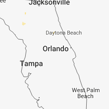


Connect with Interactive Hail Maps