

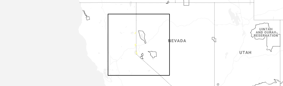
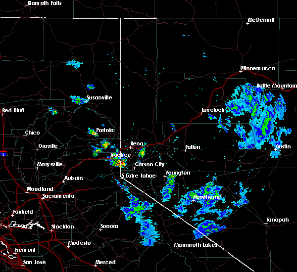
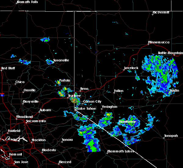
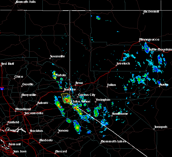
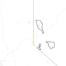
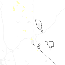
Hail Map for Crystal Bay, CA
The Crystal Bay, CA area has had 0 reports of on-the-ground hail by trained spotters, and has been under severe weather warnings 3 times during the past 12 months. Doppler radar has detected hail at or near Crystal Bay, CA on 5 occasions, including 2 occasions during the past year.
| Name: | Crystal Bay, CA |
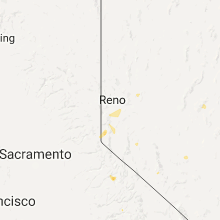
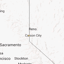
| Where Located: | 23 miles SSW of Reno, NV |
| Map: | Google Map for Crystal Bay, CA |
| Population: | 305 |
| Housing Units: | 285 |
| More Info: | Search Google for Crystal Bay, CA |
5
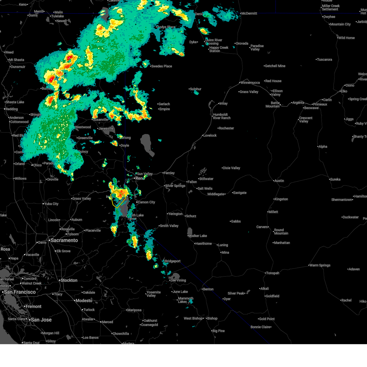
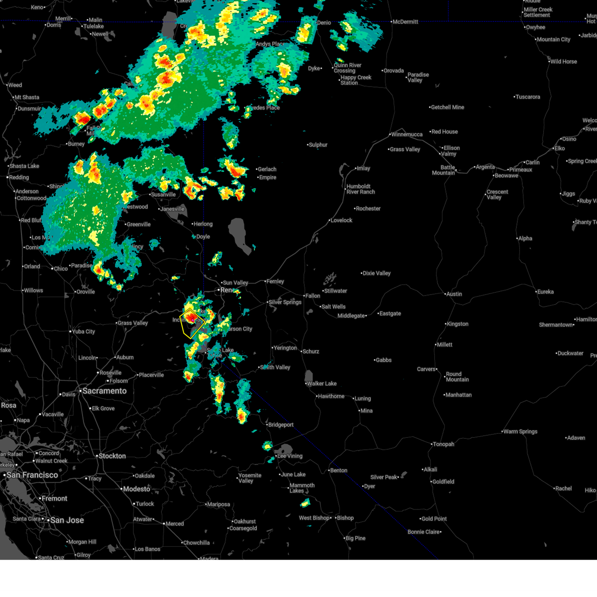
The Top Recent Hail Date for Crystal Bay, CA is Saturday, August 23, 2025 (1st out of 5)
Hail and Wind Damage Spotted near Crystal Bay, CA
| Date / Time | Report Details |
|---|---|
| 8/23/2025 1:46 PM PDT |
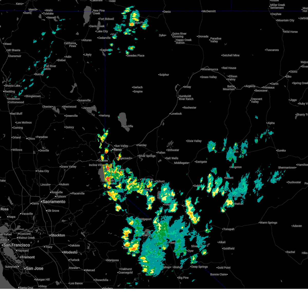 Svrrev the national weather service in reno has issued a * severe thunderstorm warning for, el dorado county in northern california, placer county in central california, southern washoe county in western nevada, douglas county in western nevada, western carson city in western nevada, * until 215 pm pdt. * at 145 pm pdt, a severe thunderstorm was located over zephyr cove-round hill village, or near south lake tahoe, moving north at 30 mph (radar indicated). Hazards include quarter size hail with torrential rain. Damage to property from hail. Ponding of water on roadways due to torrential rainfall. Svrrev the national weather service in reno has issued a * severe thunderstorm warning for, el dorado county in northern california, placer county in central california, southern washoe county in western nevada, douglas county in western nevada, western carson city in western nevada, * until 215 pm pdt. * at 145 pm pdt, a severe thunderstorm was located over zephyr cove-round hill village, or near south lake tahoe, moving north at 30 mph (radar indicated). Hazards include quarter size hail with torrential rain. Damage to property from hail. Ponding of water on roadways due to torrential rainfall.
|
| 7/25/2025 4:52 PM PDT |
 The storm which prompted the warning has weakened below severe limits, and no longer poses an immediate threat to life or property. therefore, the warning will be allowed to expire. however, small hail and heavy rain are still possible with this thunderstorm. The storm which prompted the warning has weakened below severe limits, and no longer poses an immediate threat to life or property. therefore, the warning will be allowed to expire. however, small hail and heavy rain are still possible with this thunderstorm.
|
| 7/25/2025 4:28 PM PDT |
 Svrrev the national weather service in reno has issued a * severe thunderstorm warning for, placer county in central california, nevada county in northern california, southern washoe county in western nevada, * until 500 pm pdt. * at 428 pm pdt, a severe thunderstorm was located near northstar, or near tahoe city, moving southwest at 5 mph (radar indicated). Hazards include half dollar size hail. damage to vehicles is expected Svrrev the national weather service in reno has issued a * severe thunderstorm warning for, placer county in central california, nevada county in northern california, southern washoe county in western nevada, * until 500 pm pdt. * at 428 pm pdt, a severe thunderstorm was located near northstar, or near tahoe city, moving southwest at 5 mph (radar indicated). Hazards include half dollar size hail. damage to vehicles is expected
|
| 7/20/2020 5:15 PM PDT |
 At 514 pm pdt, a severe thunderstorm was located over incline village, and is nearly stationary (radar indicated). Hazards include 60 mph wind gusts and quarter size hail. Hail damage to vehicles is expected. Expect wind damage to roofs, siding, fencing and trees. At 514 pm pdt, a severe thunderstorm was located over incline village, and is nearly stationary (radar indicated). Hazards include 60 mph wind gusts and quarter size hail. Hail damage to vehicles is expected. Expect wind damage to roofs, siding, fencing and trees.
|
| 7/20/2020 4:43 PM PDT |
 At 442 pm pdt, a severe thunderstorm was located near crystal bay, or near incline village, and is nearly stationary (radar indicated). Hazards include 60 mph wind gusts and quarter size hail. Hail damage to vehicles is expected. Expect wind damage to roofs, siding, fencing and trees. At 442 pm pdt, a severe thunderstorm was located near crystal bay, or near incline village, and is nearly stationary (radar indicated). Hazards include 60 mph wind gusts and quarter size hail. Hail damage to vehicles is expected. Expect wind damage to roofs, siding, fencing and trees.
|
| 9/8/2017 2:24 PM PDT |
 At 222 pm pdt, a severe thunderstorm was located over western lake tahoe near meeks bay moving northwest at 20 mph (radar indicated). Hazards include 60 mph wind gusts and penny size hail. expect tree damage and the larger waves on lake tahoe At 222 pm pdt, a severe thunderstorm was located over western lake tahoe near meeks bay moving northwest at 20 mph (radar indicated). Hazards include 60 mph wind gusts and penny size hail. expect tree damage and the larger waves on lake tahoe
|
Hail Maps for Crystal Bay, CA

Connect with Interactive Hail Maps