

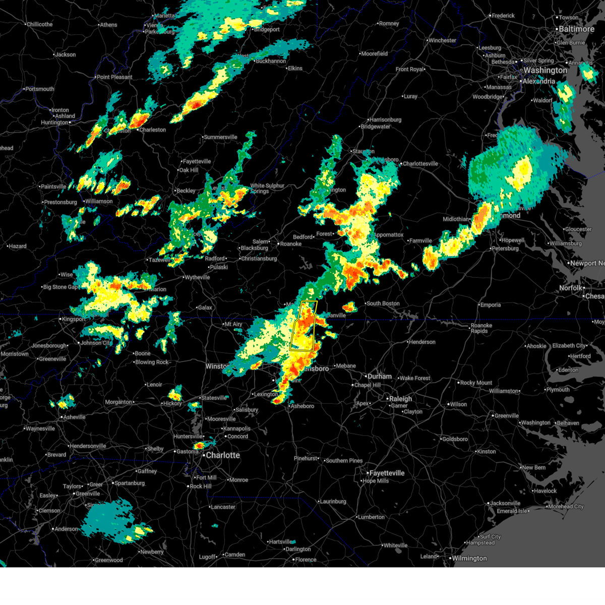
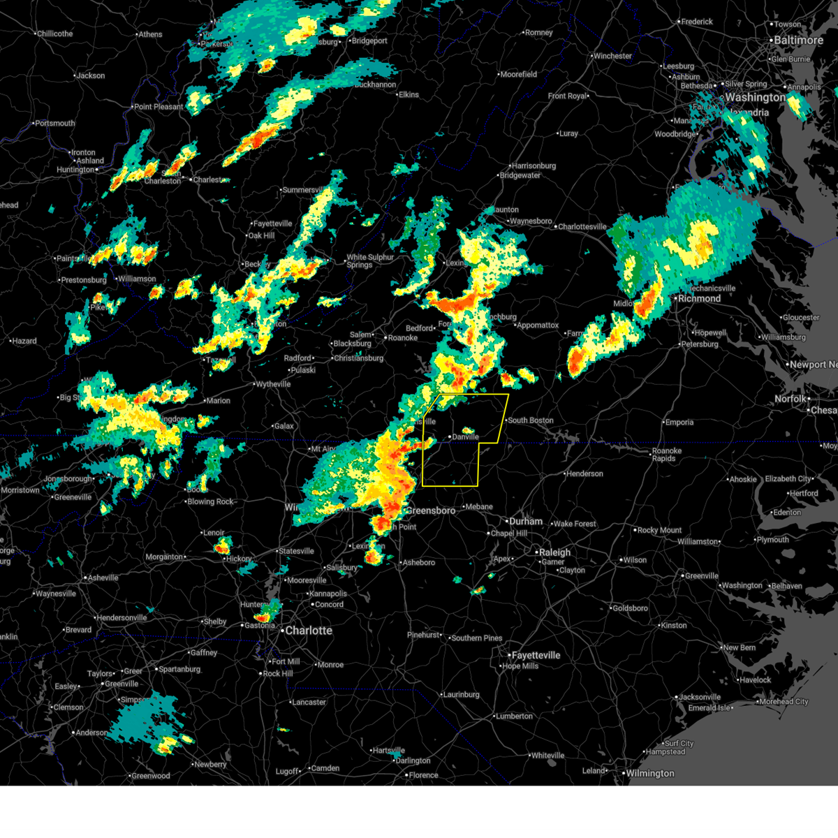
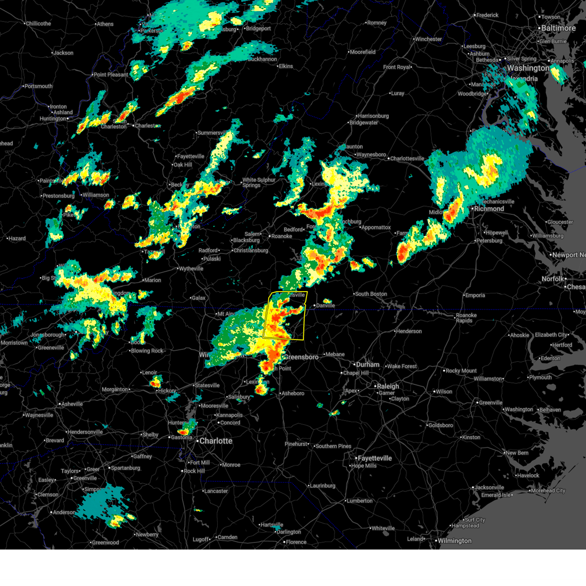
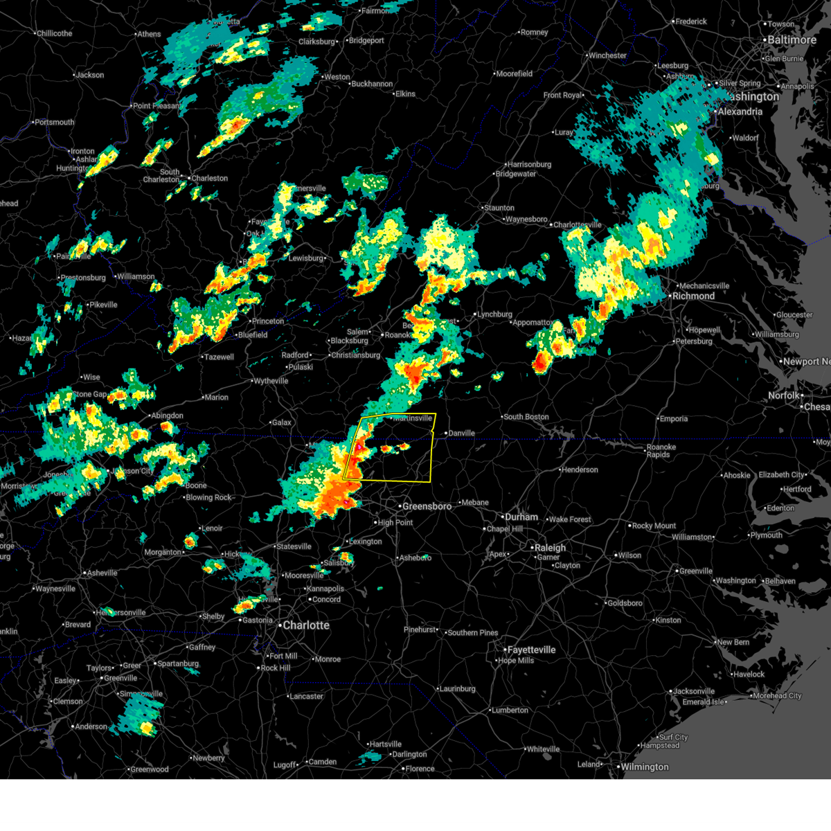
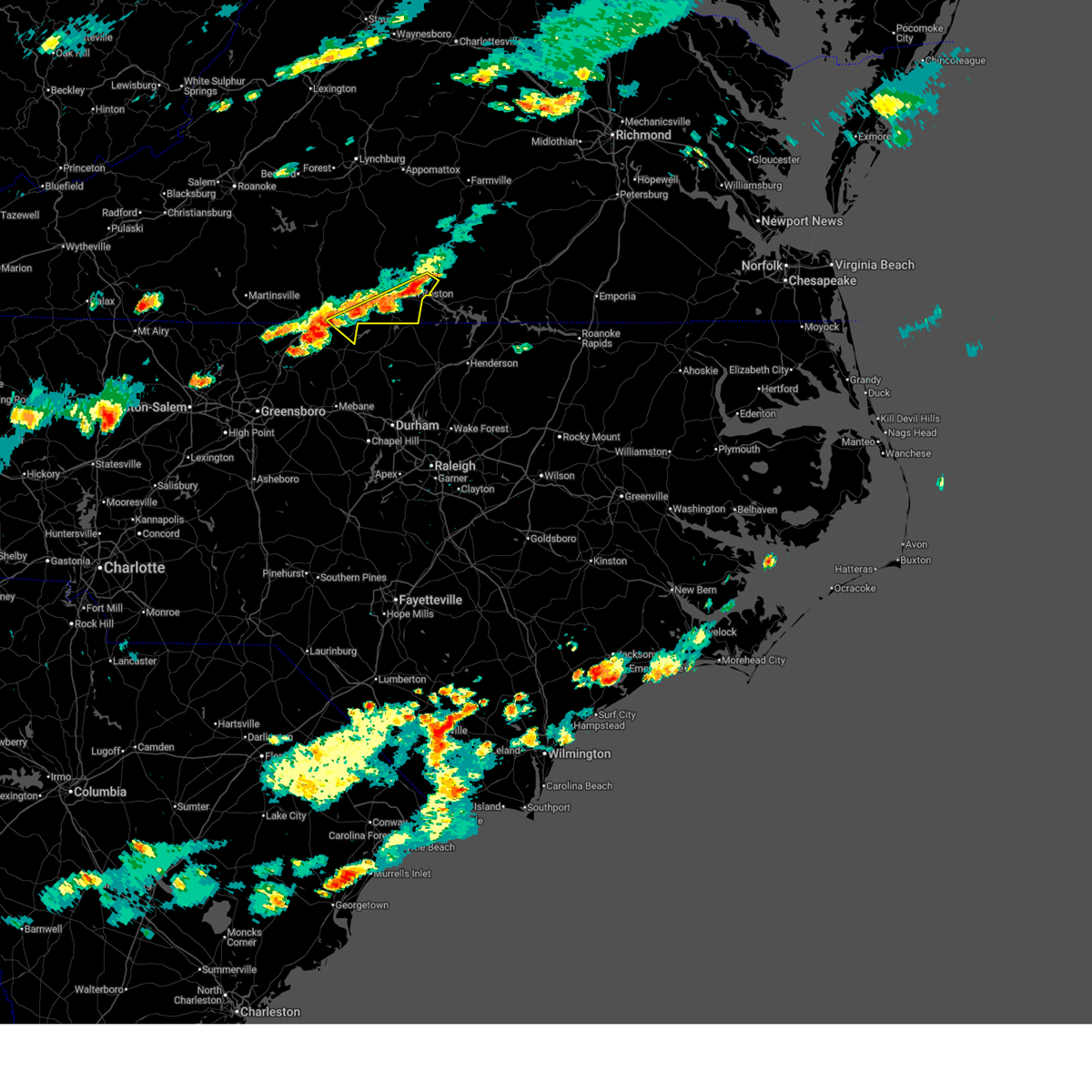
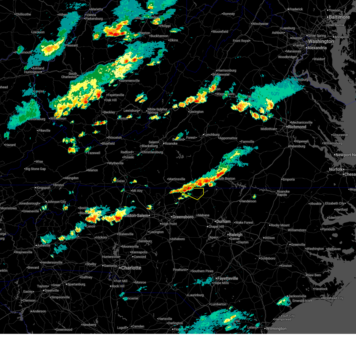
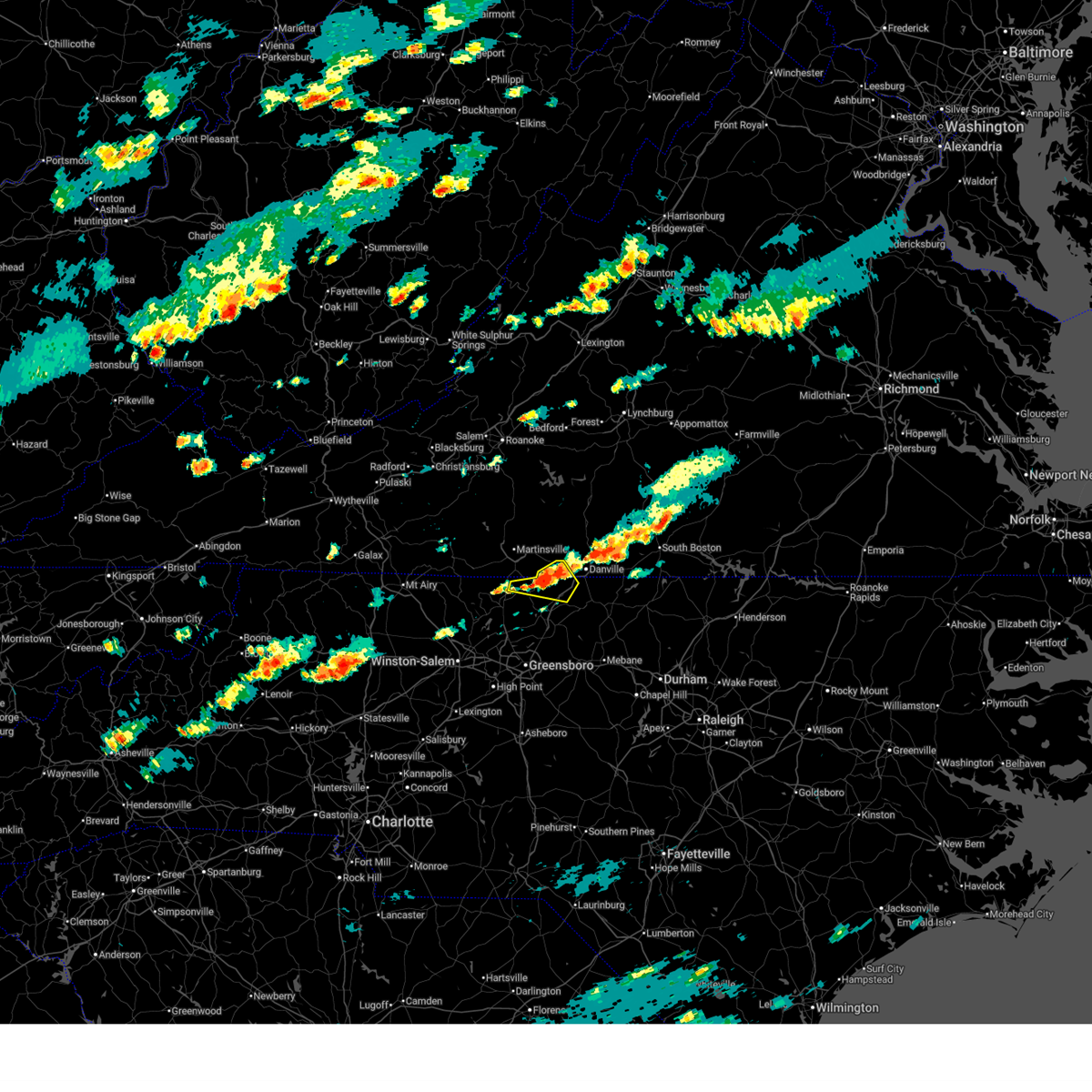
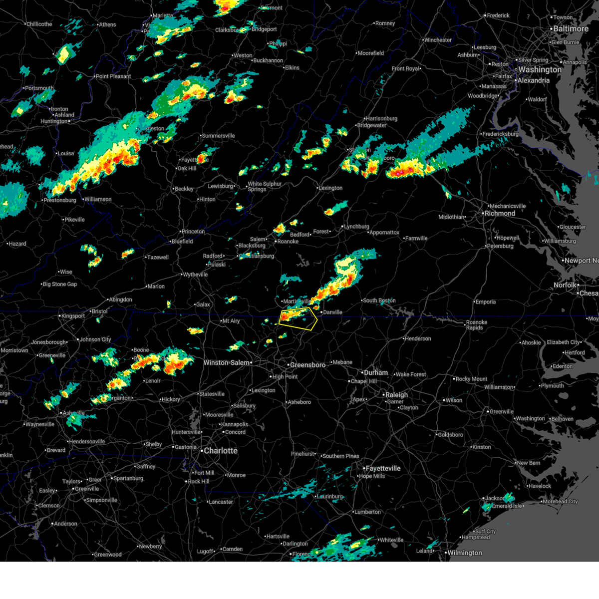
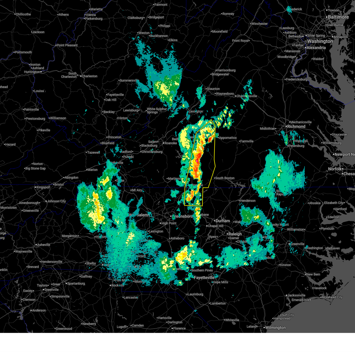
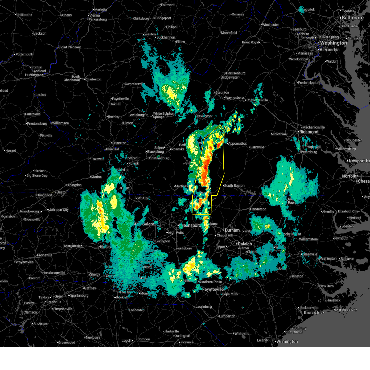
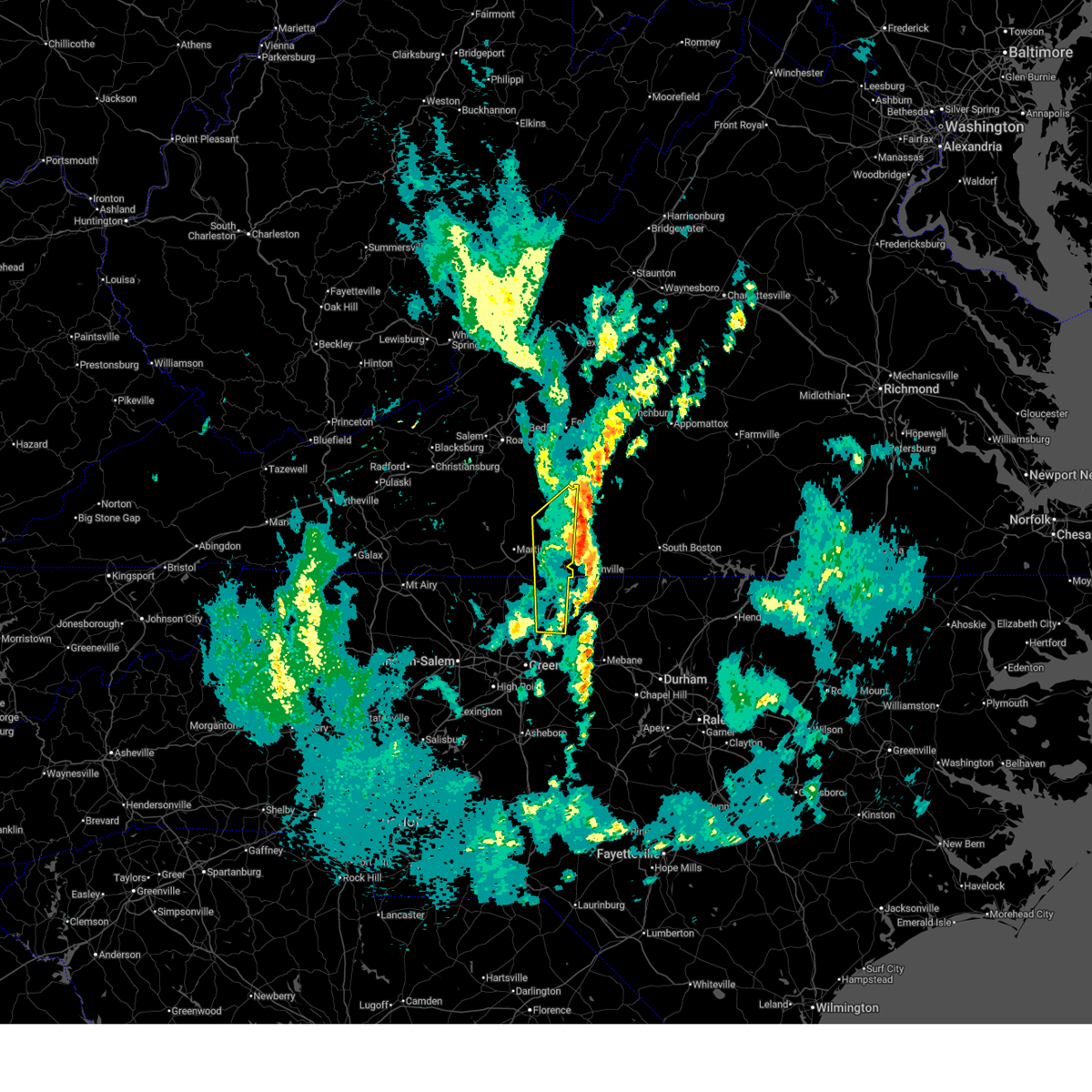
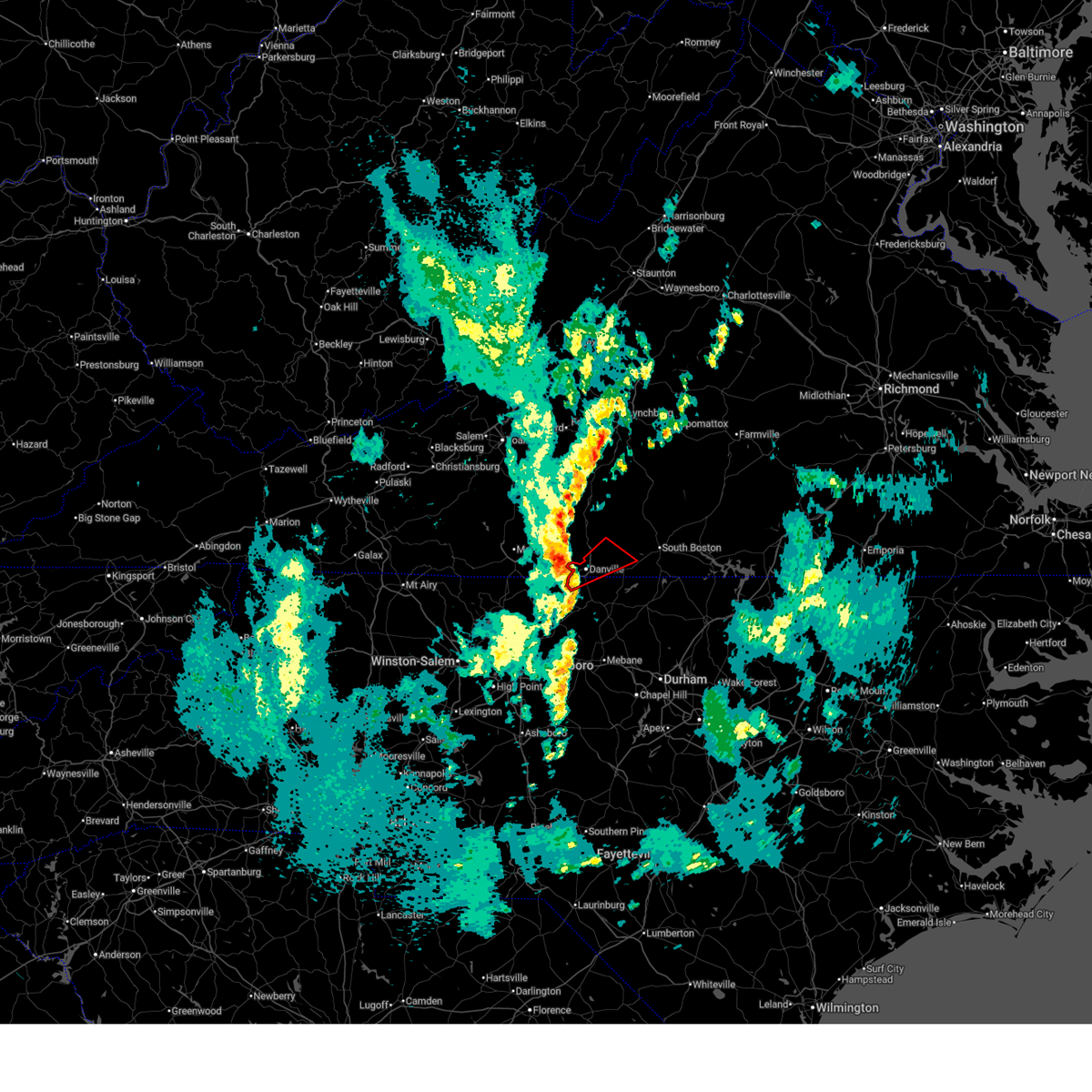
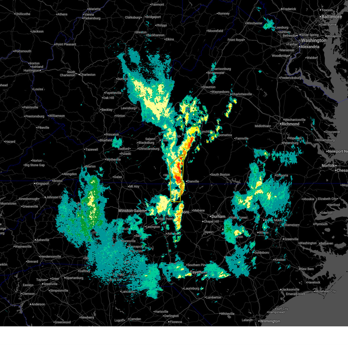
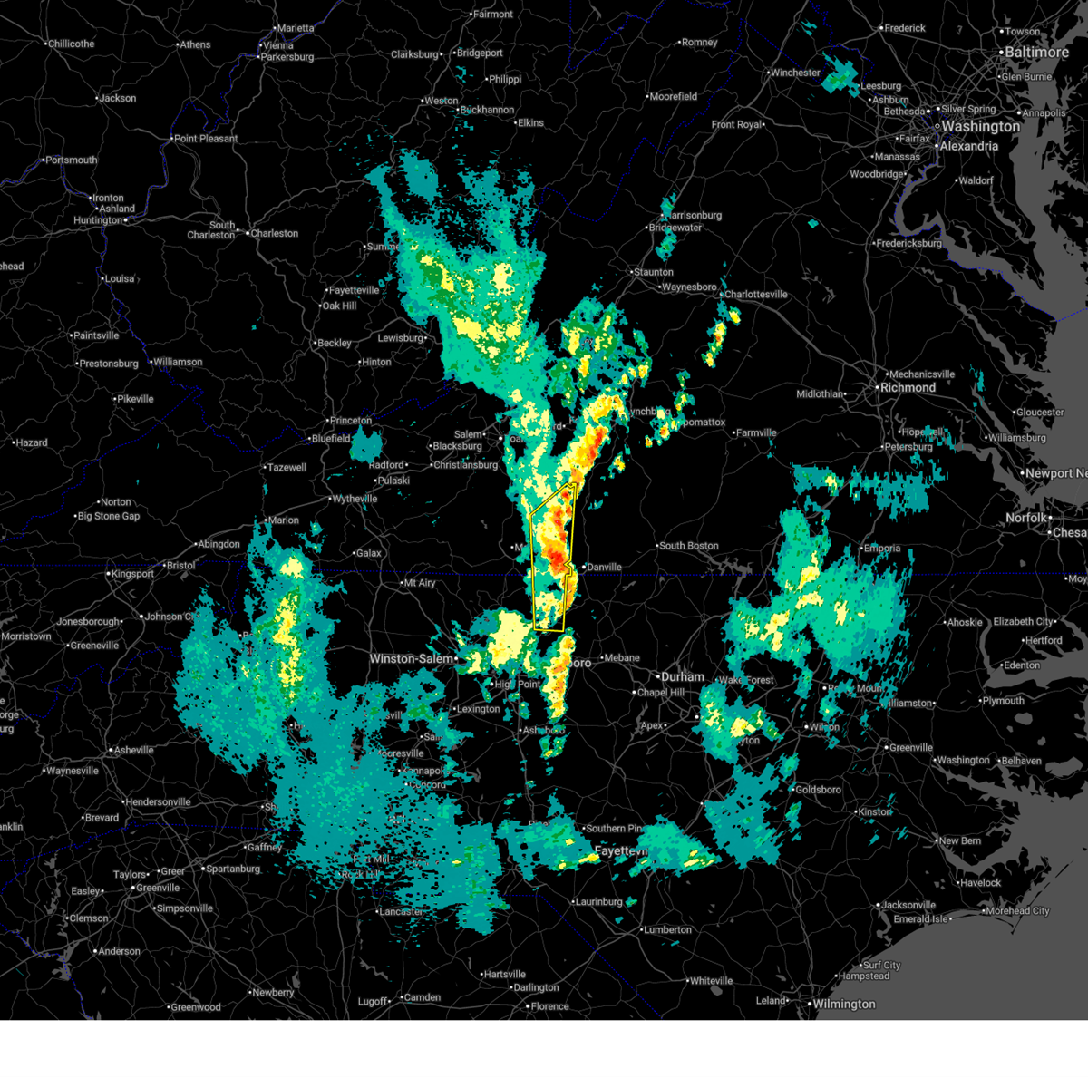
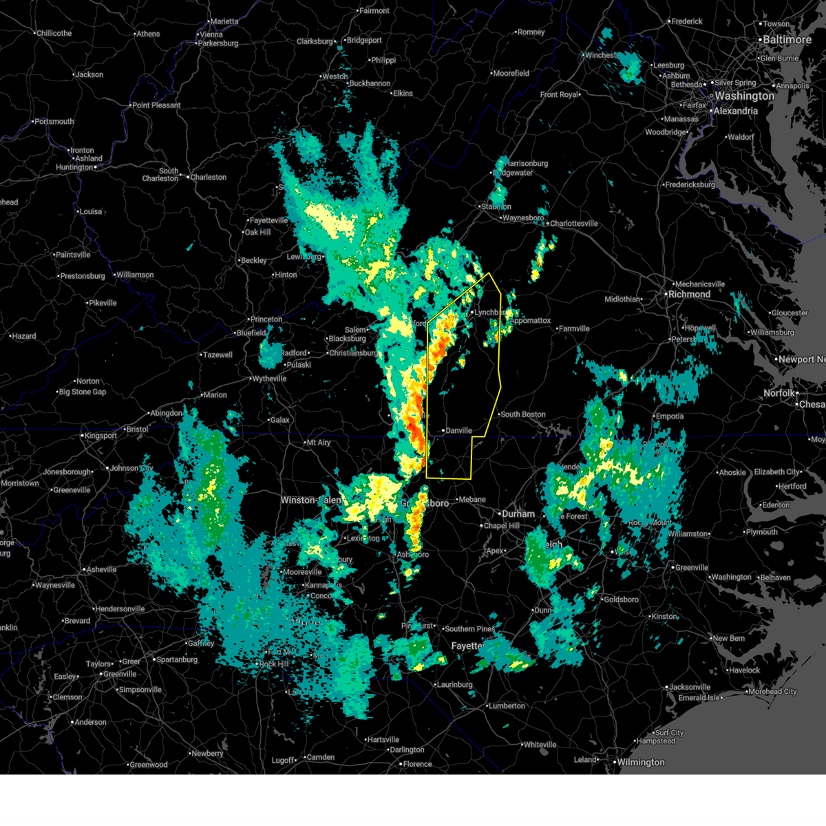
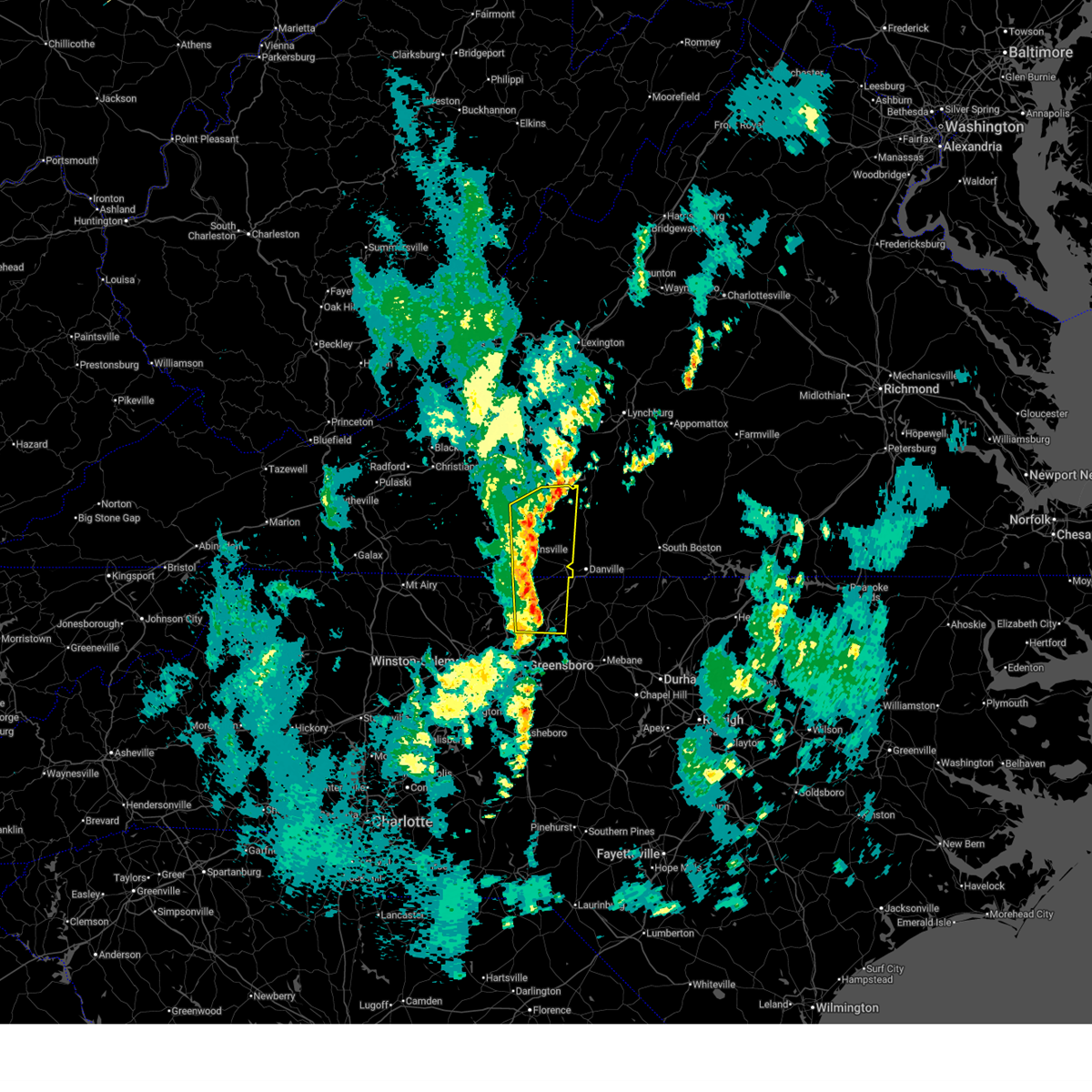
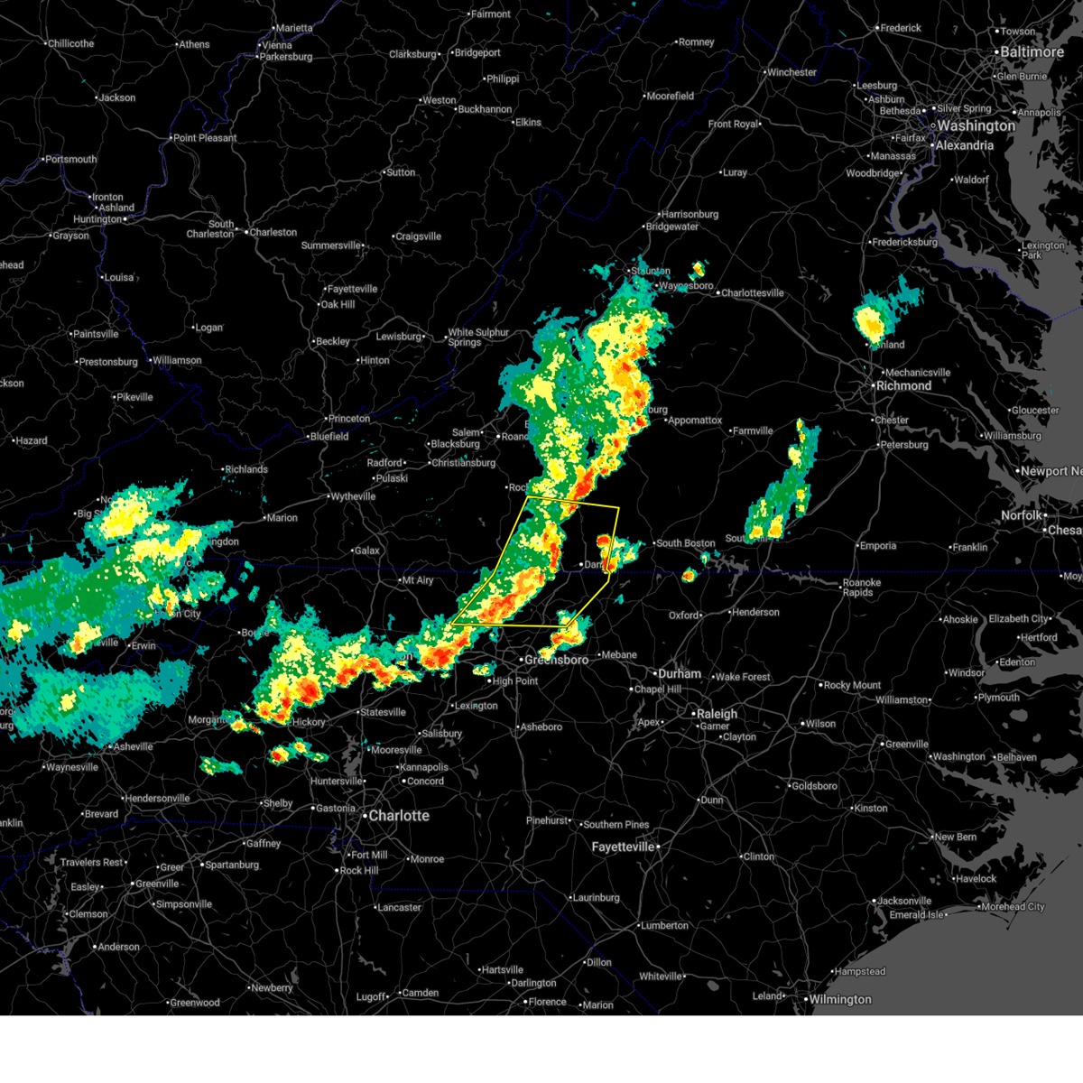
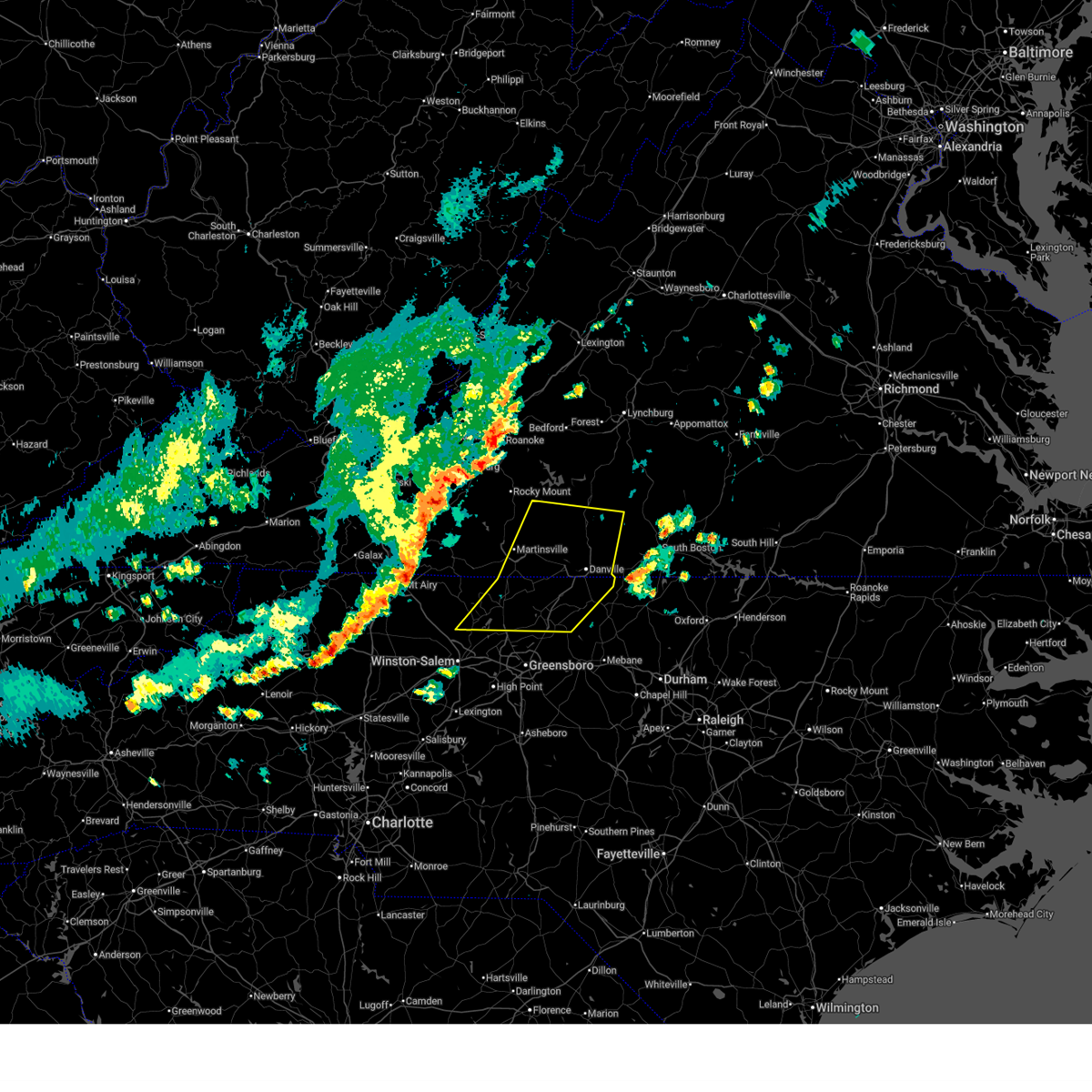
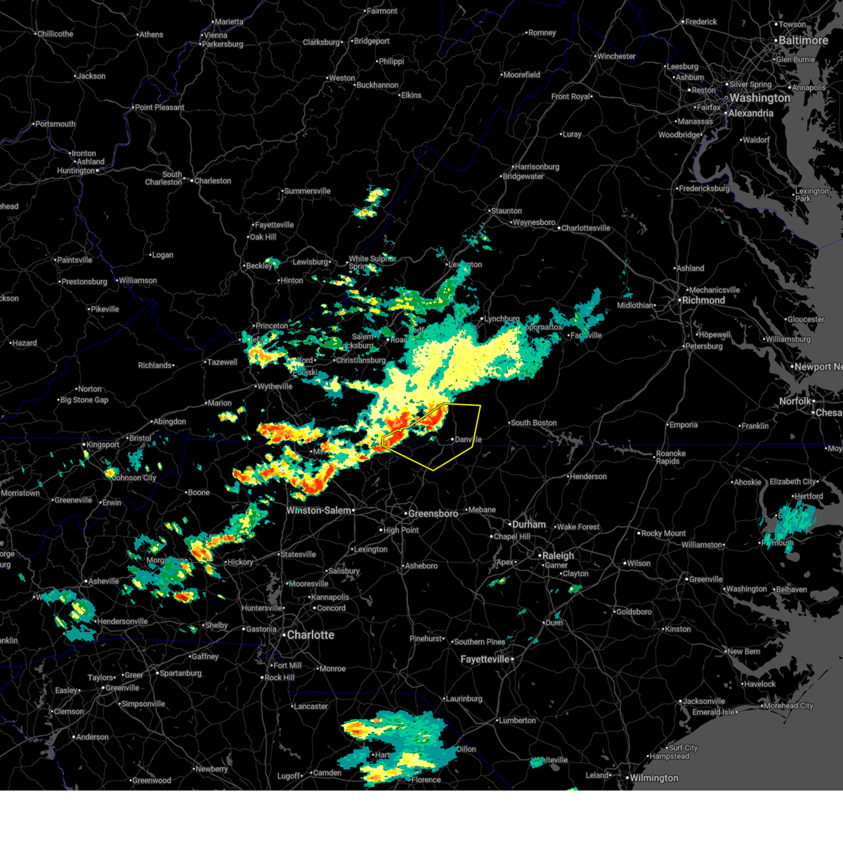
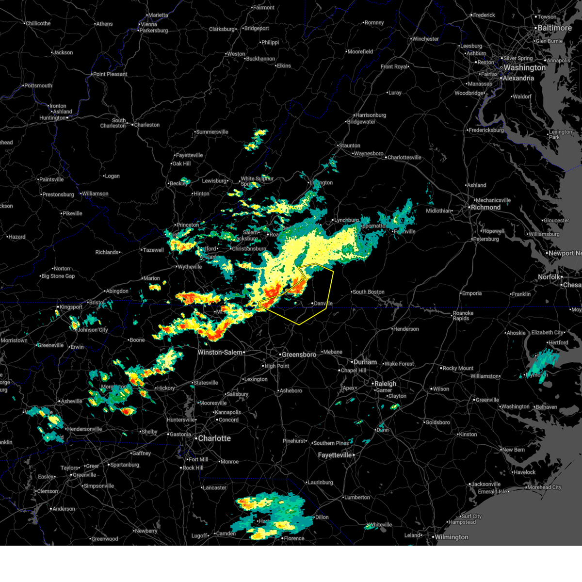
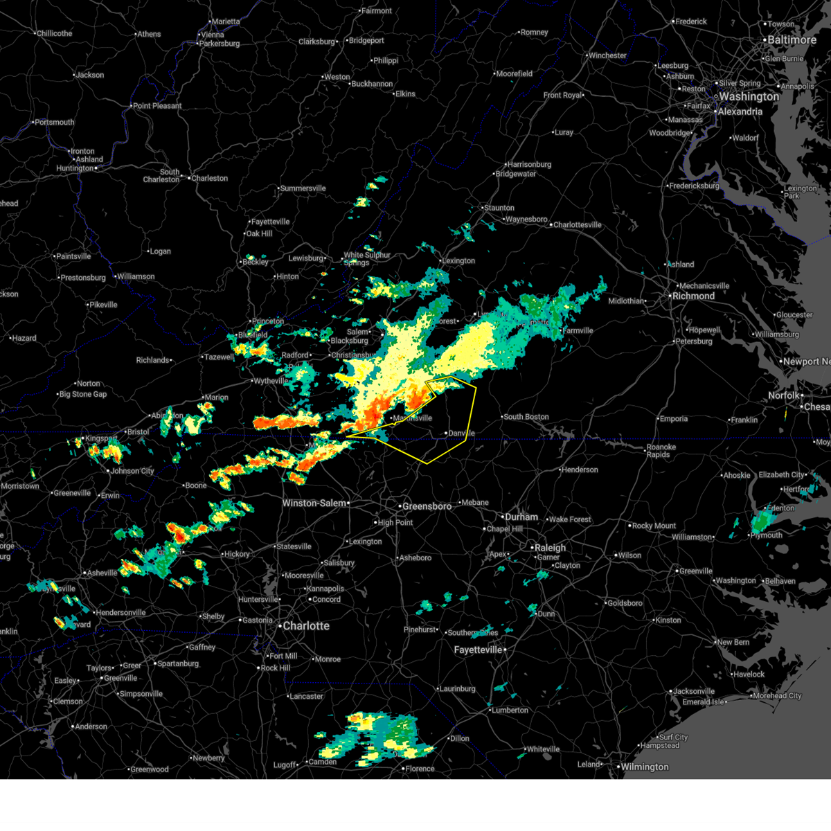
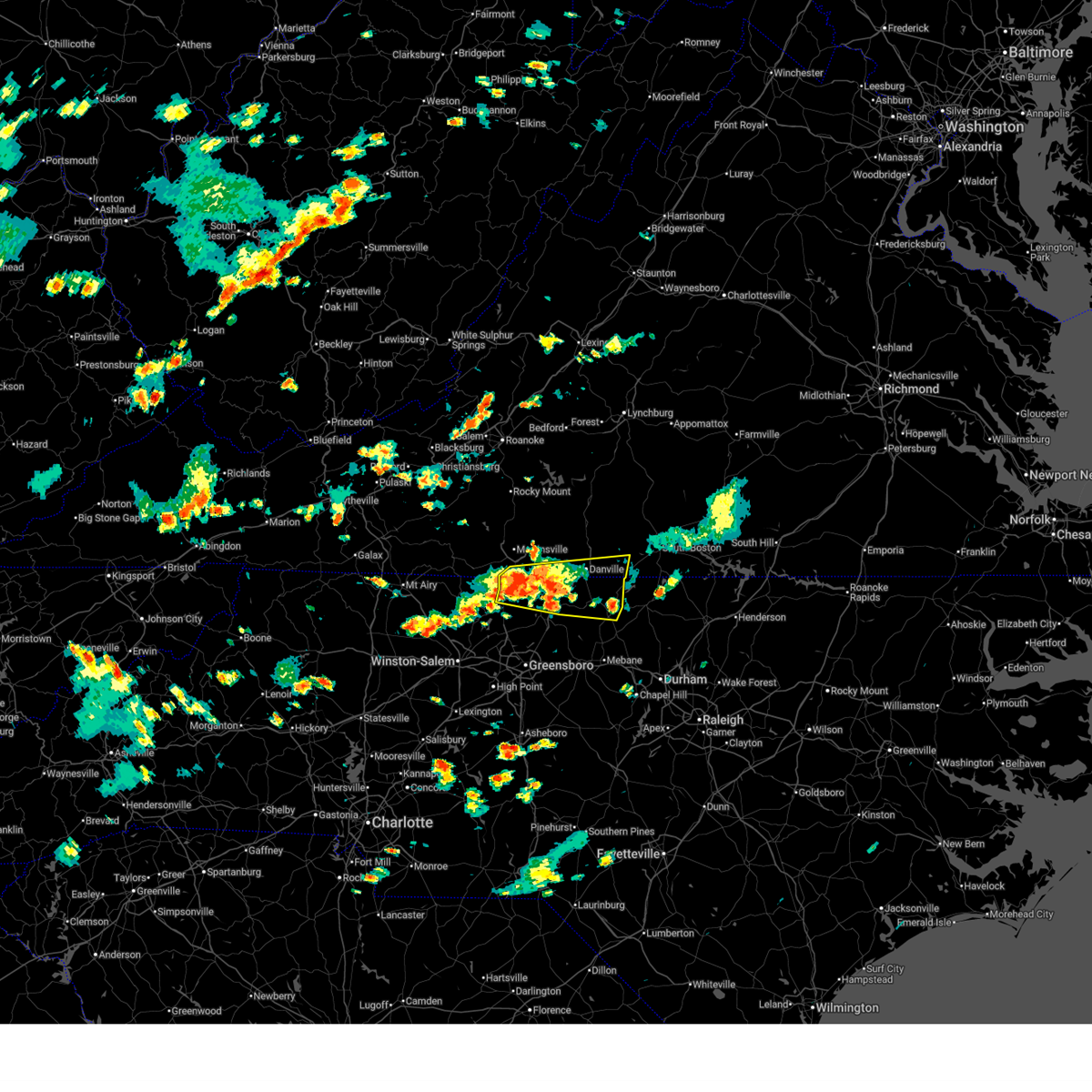
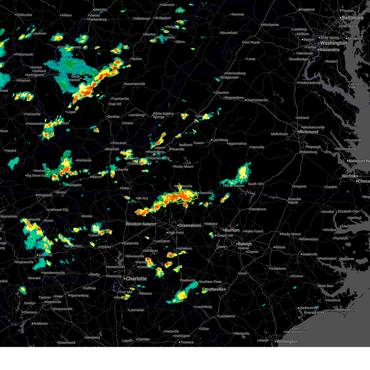
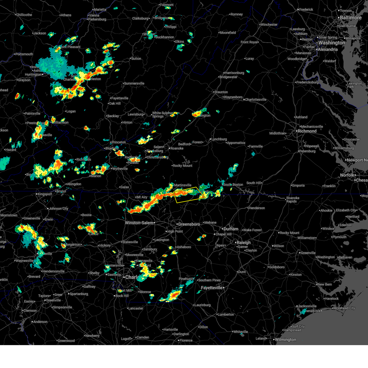
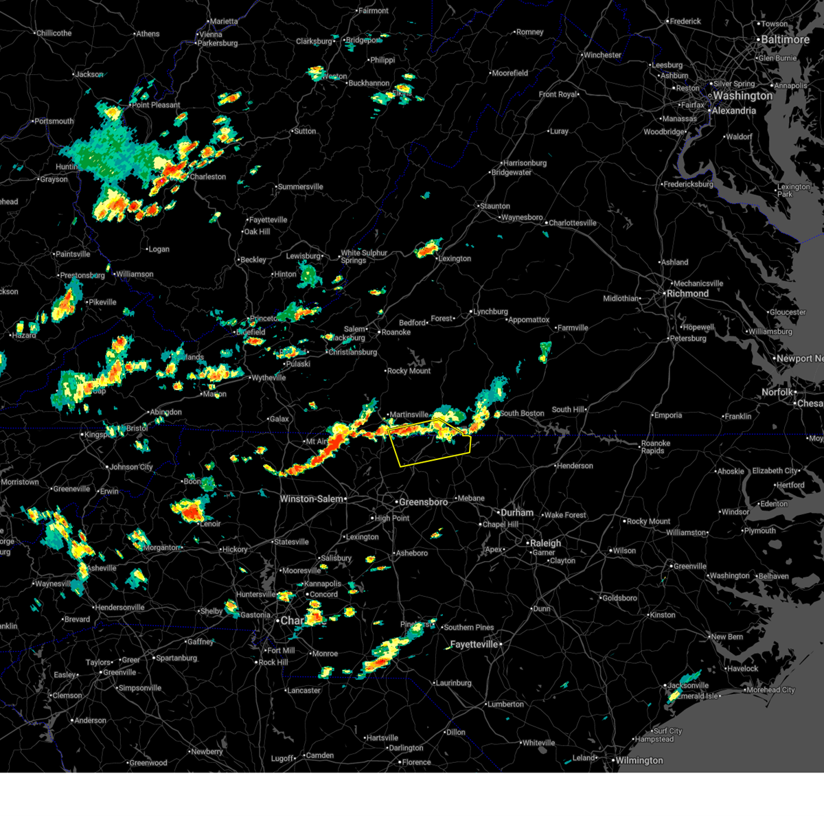
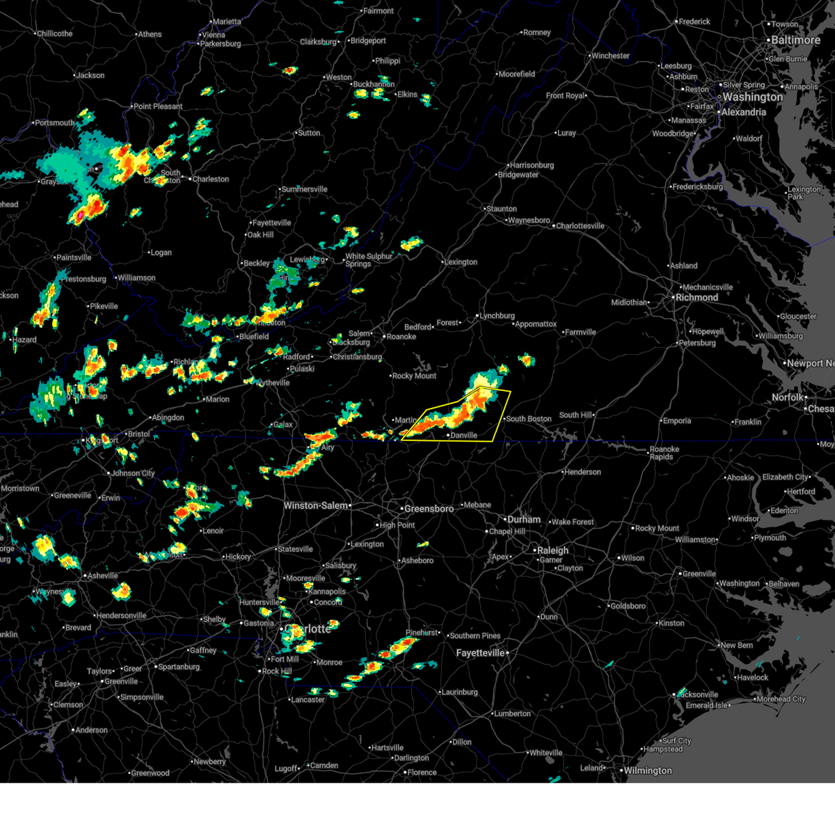
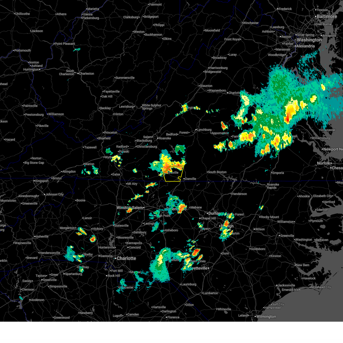
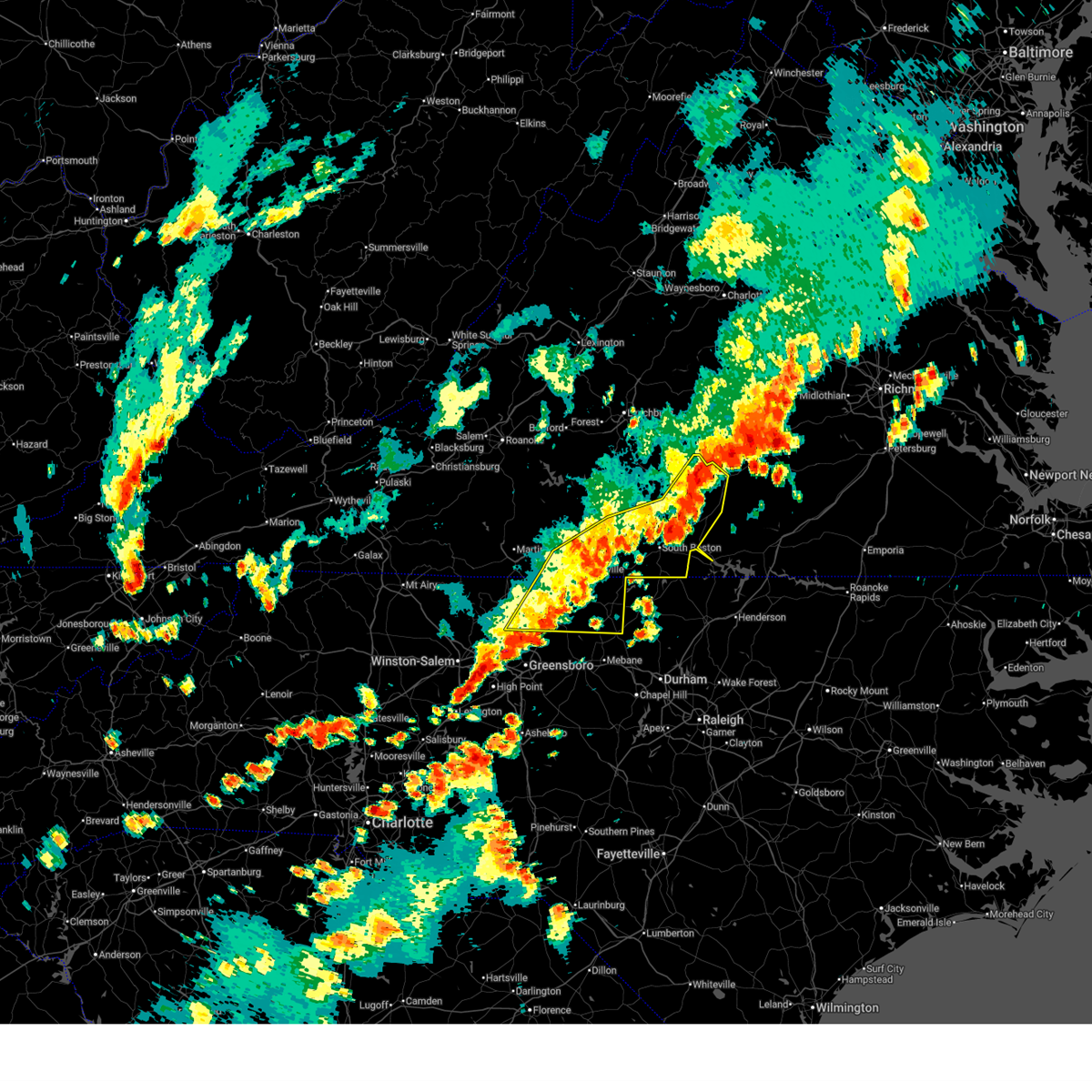
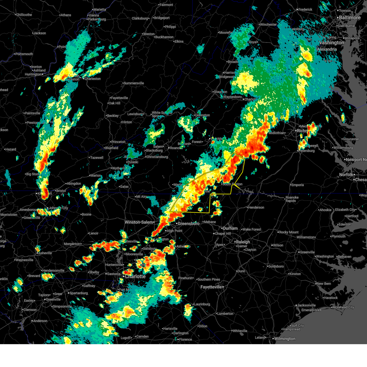
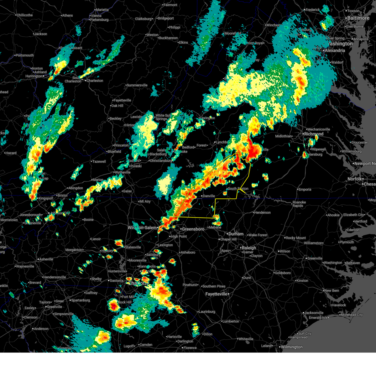
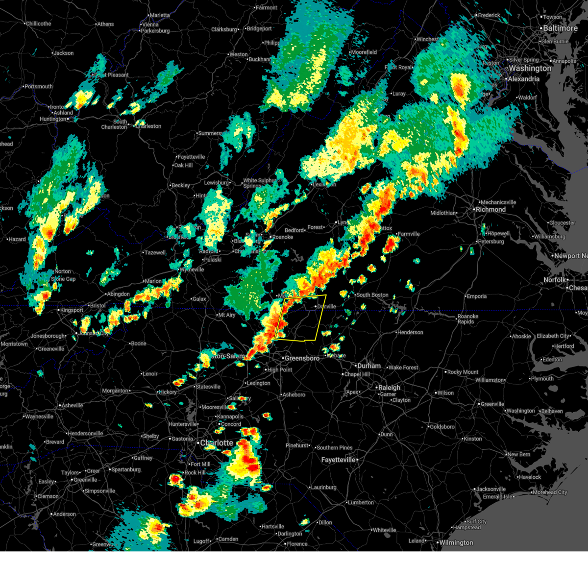
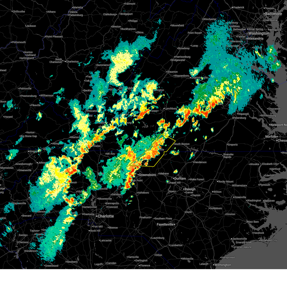
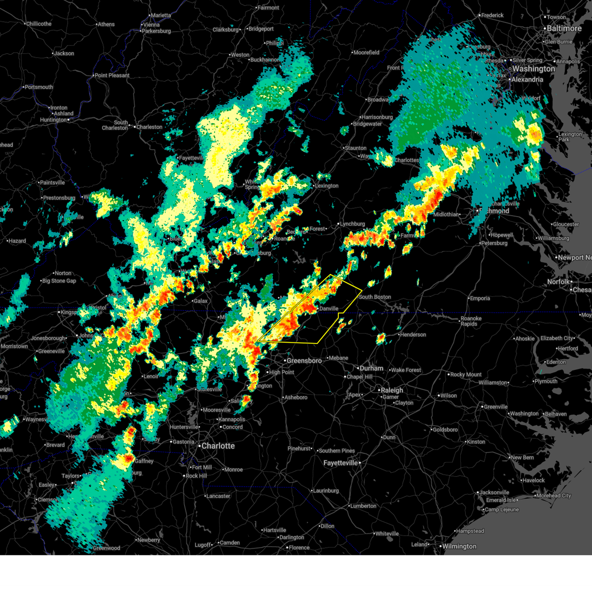
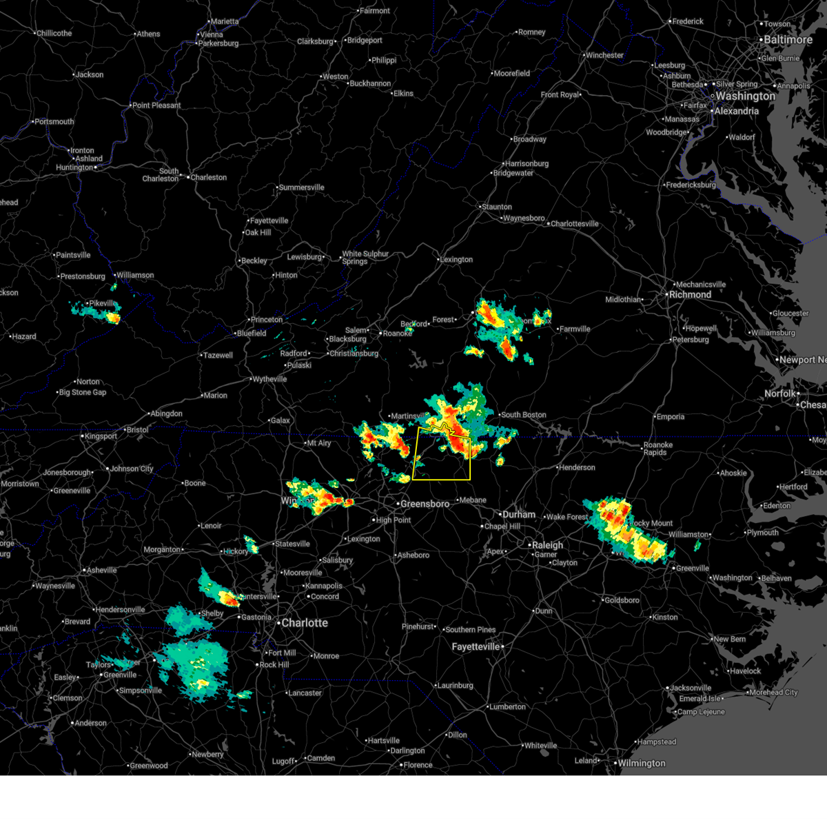
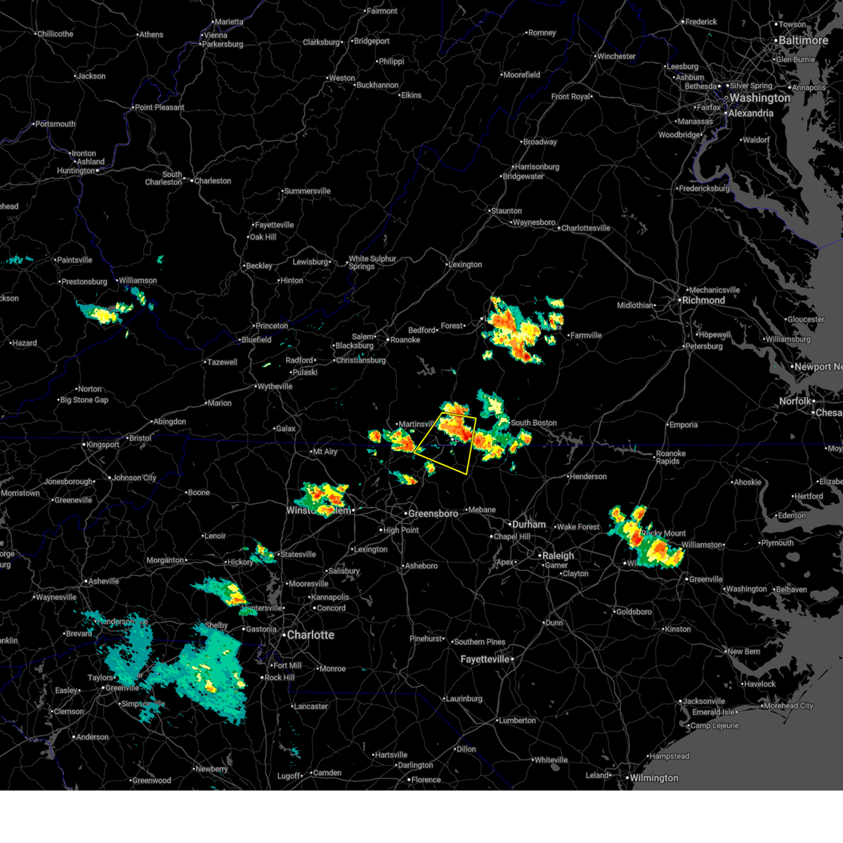
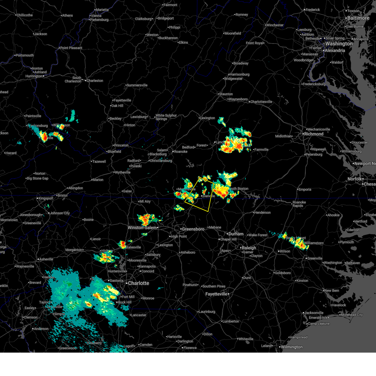
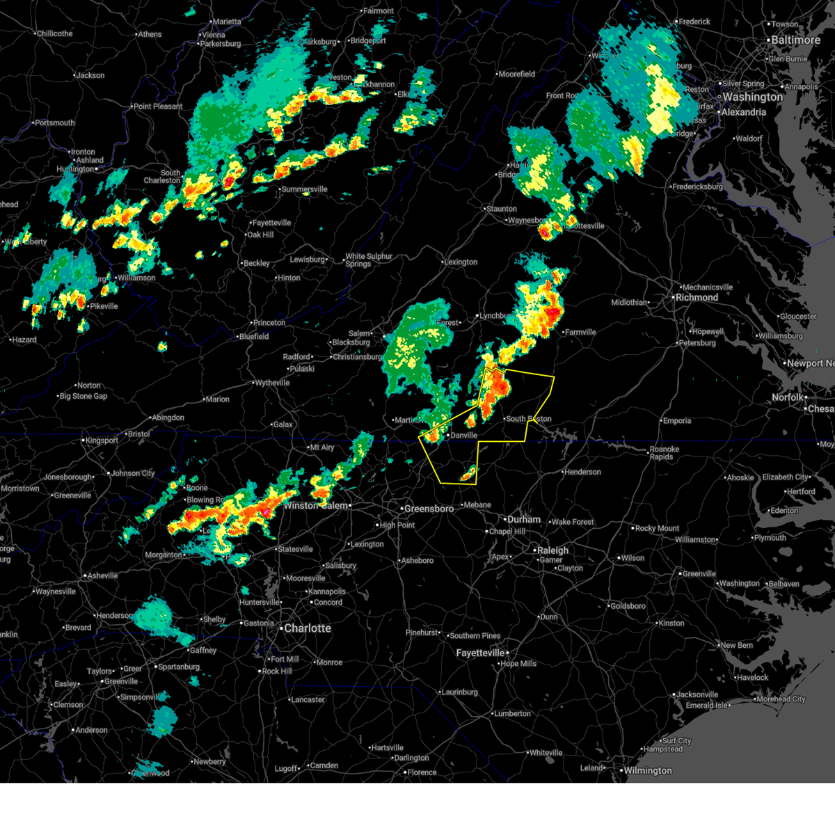
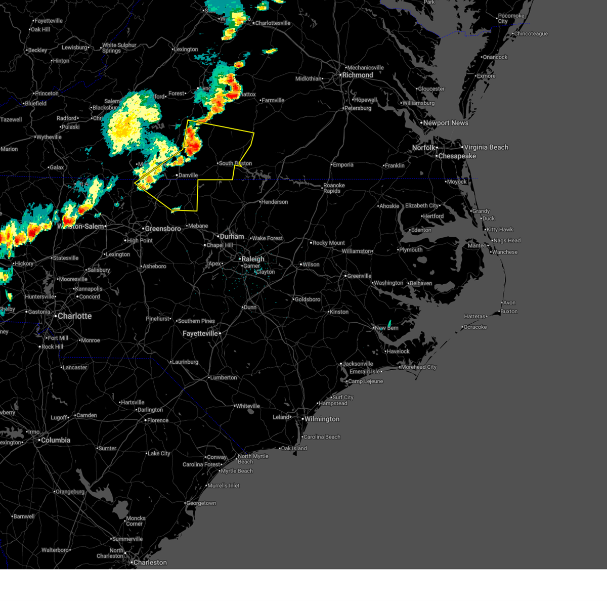
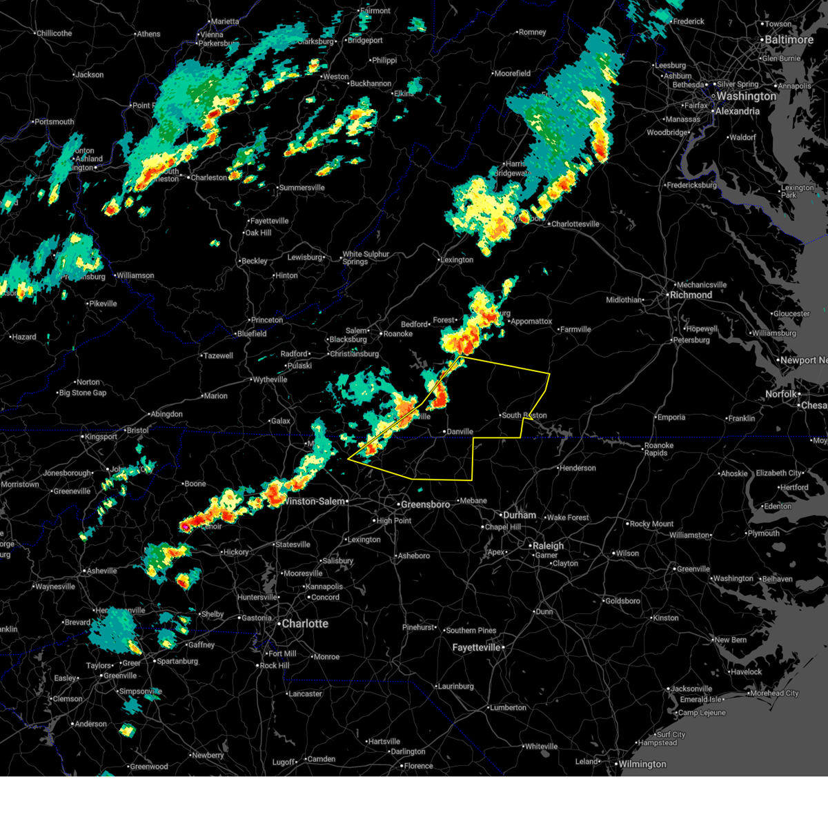
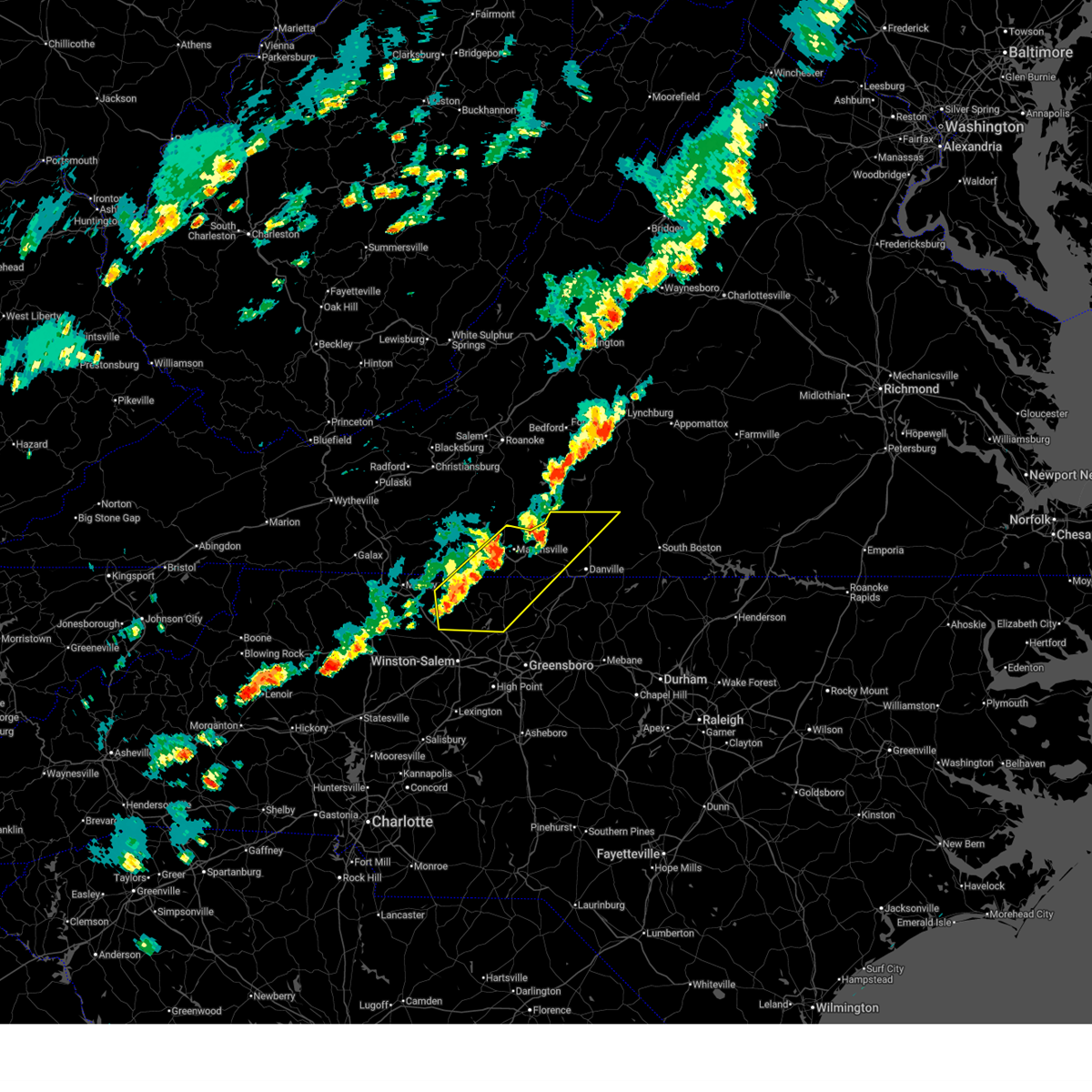
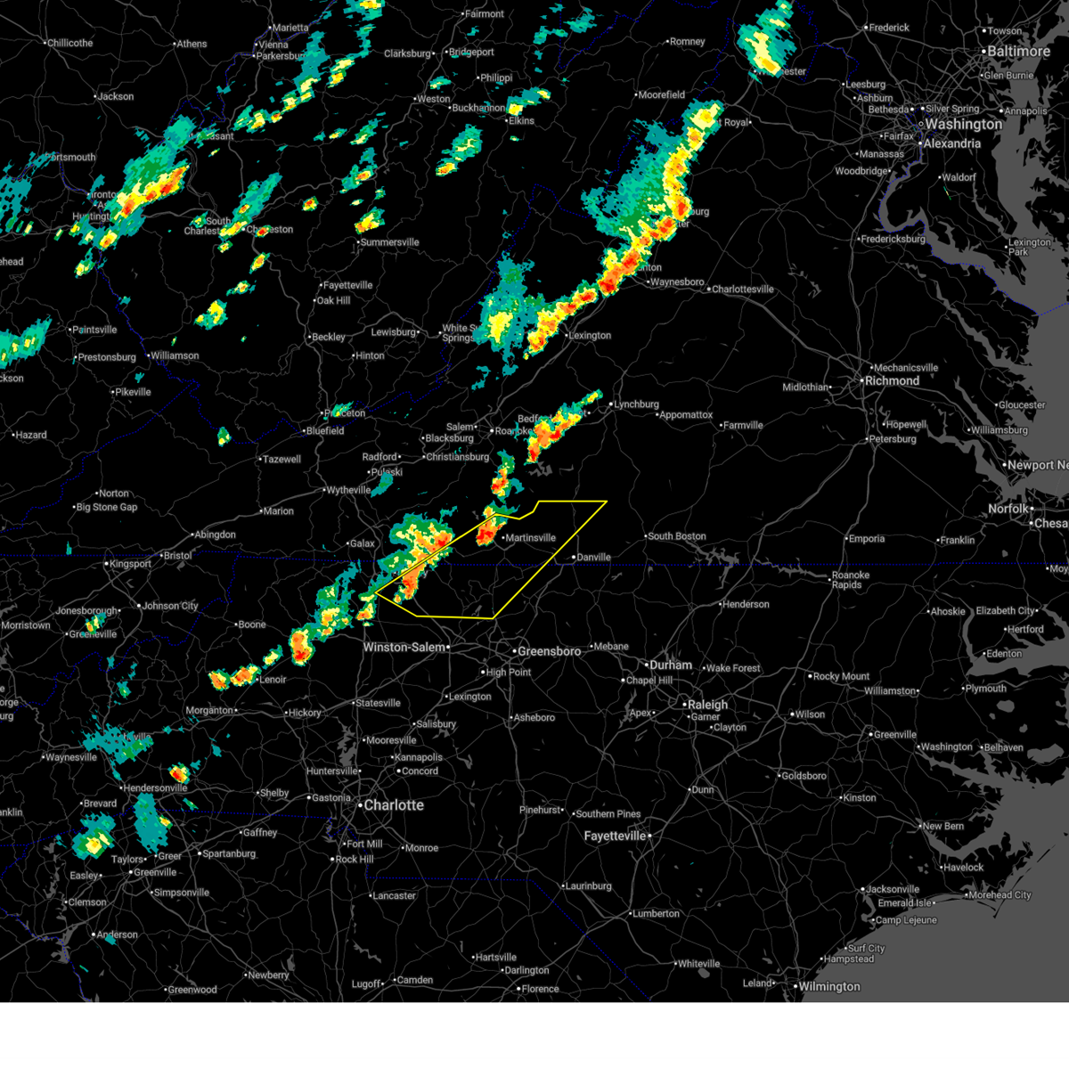
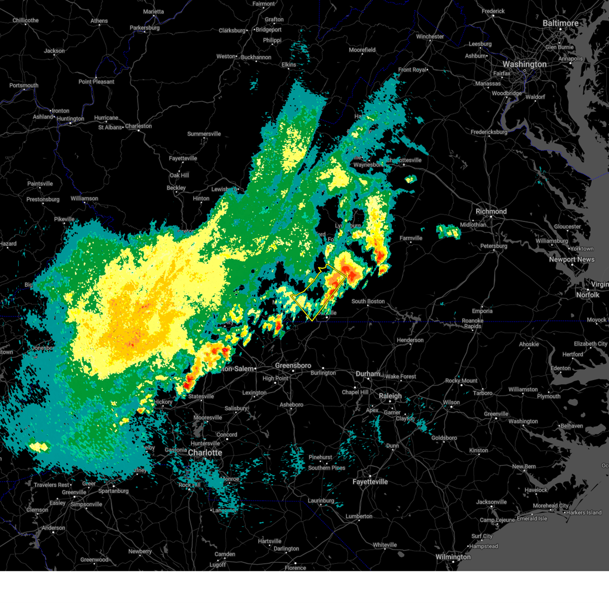
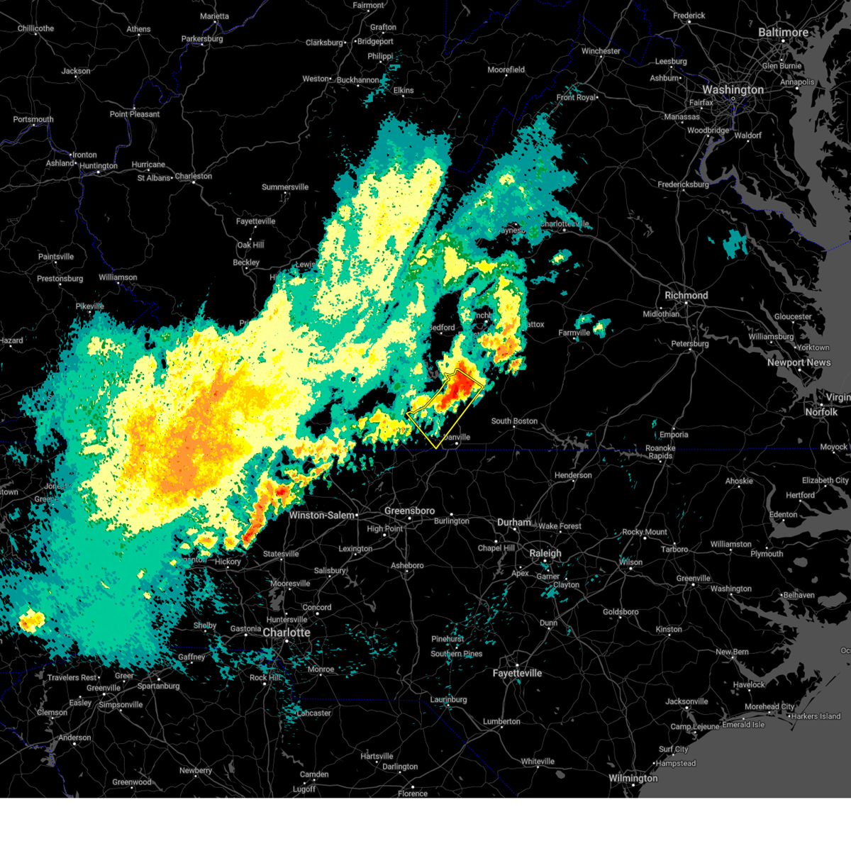
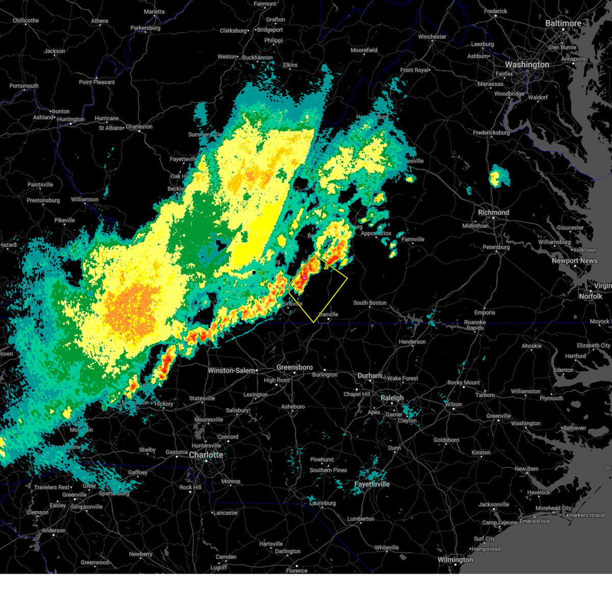
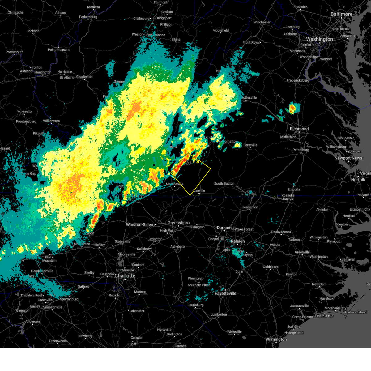
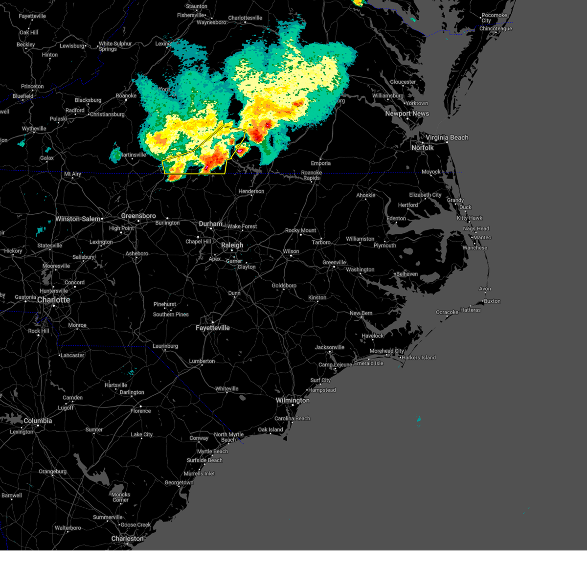
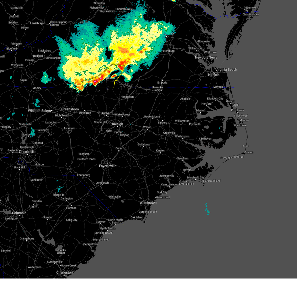
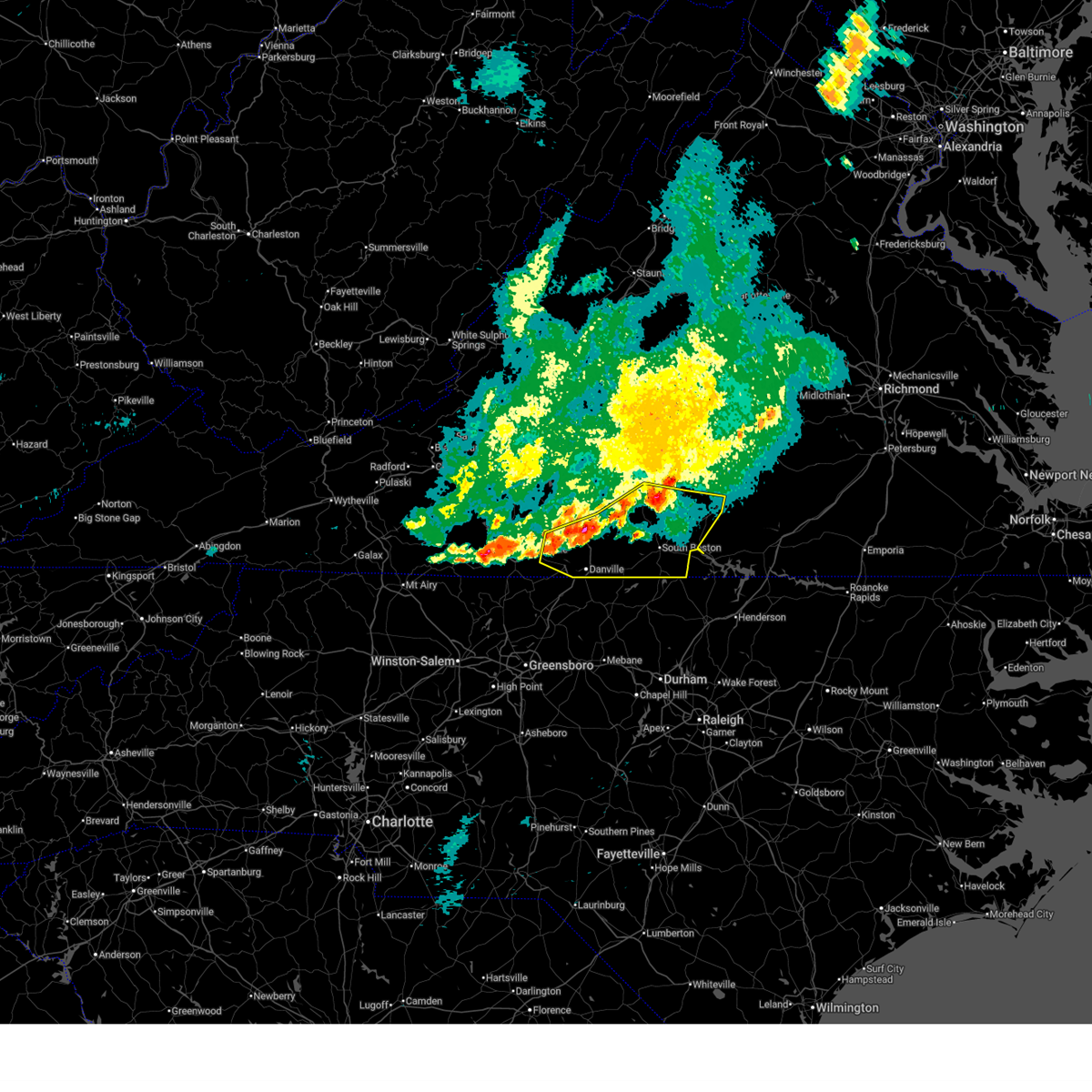
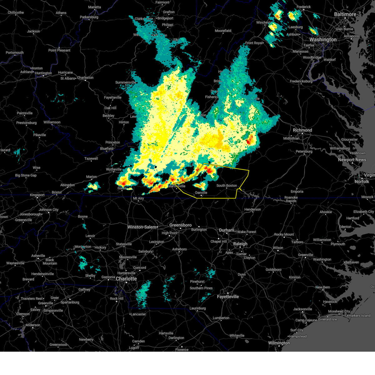
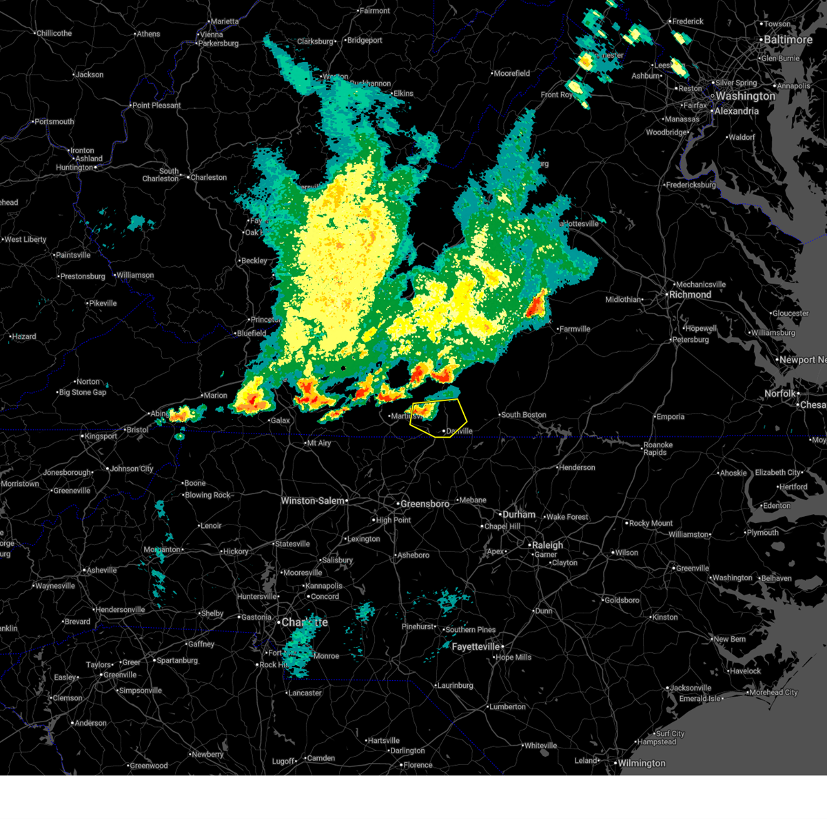
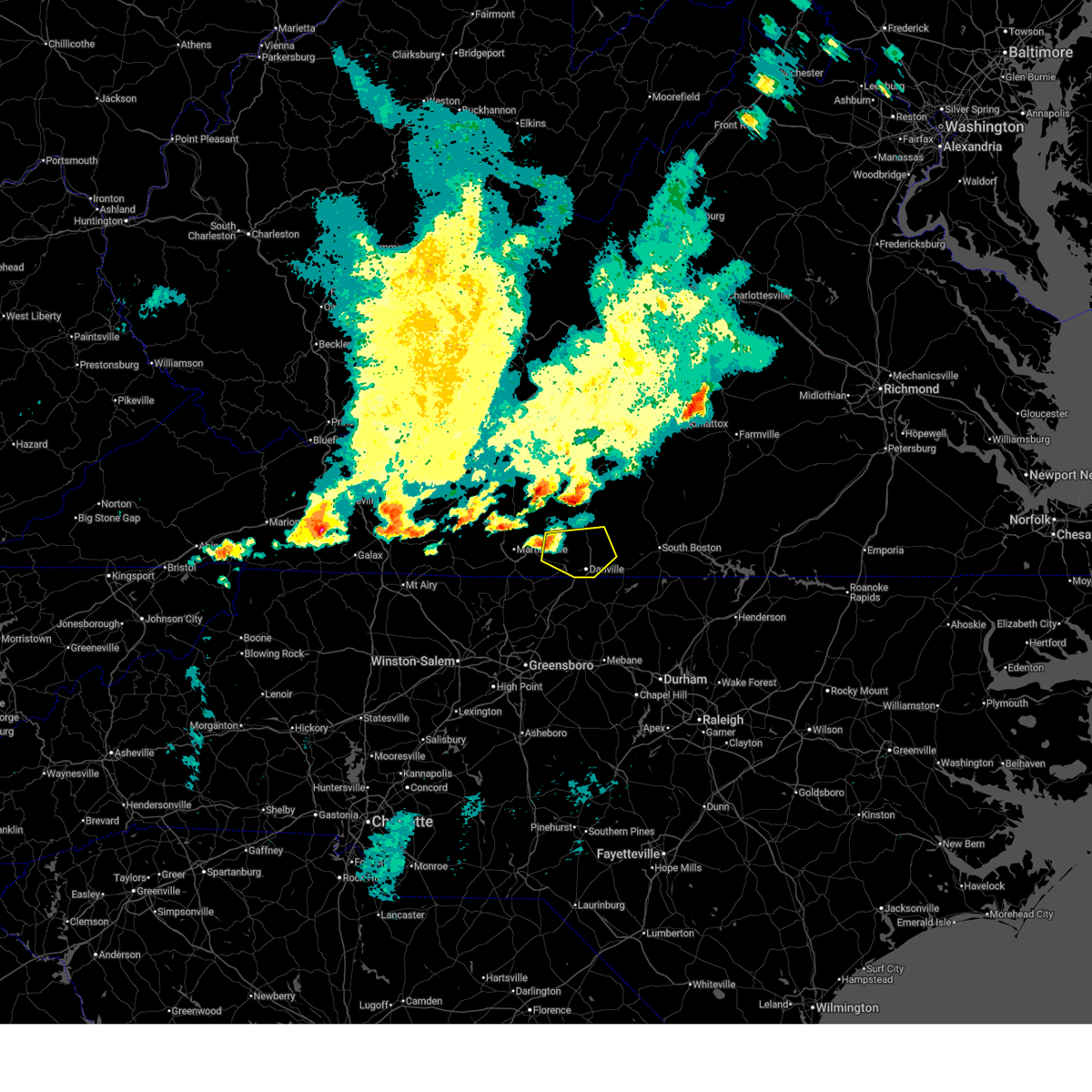
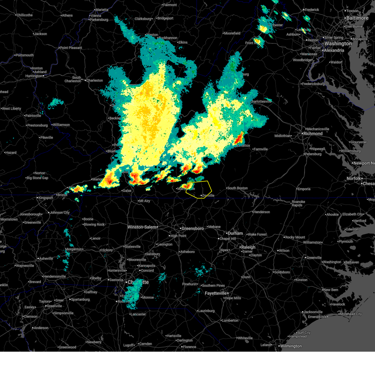
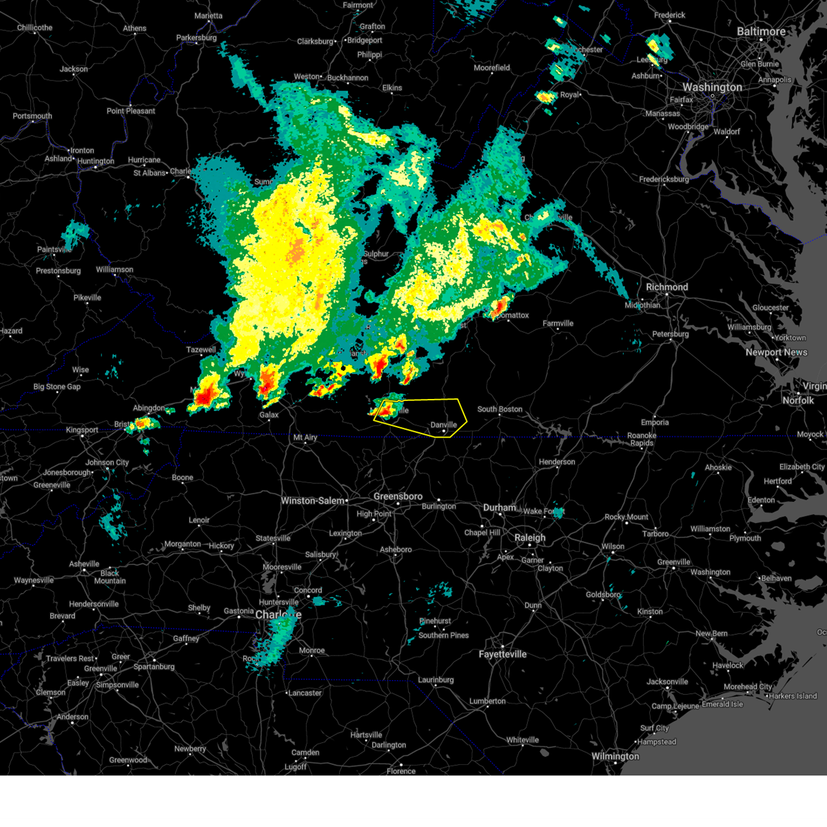
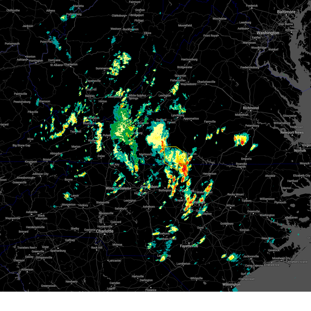
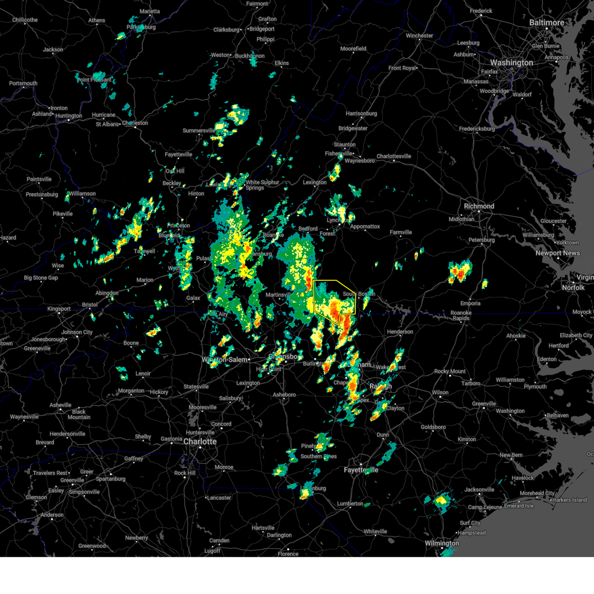
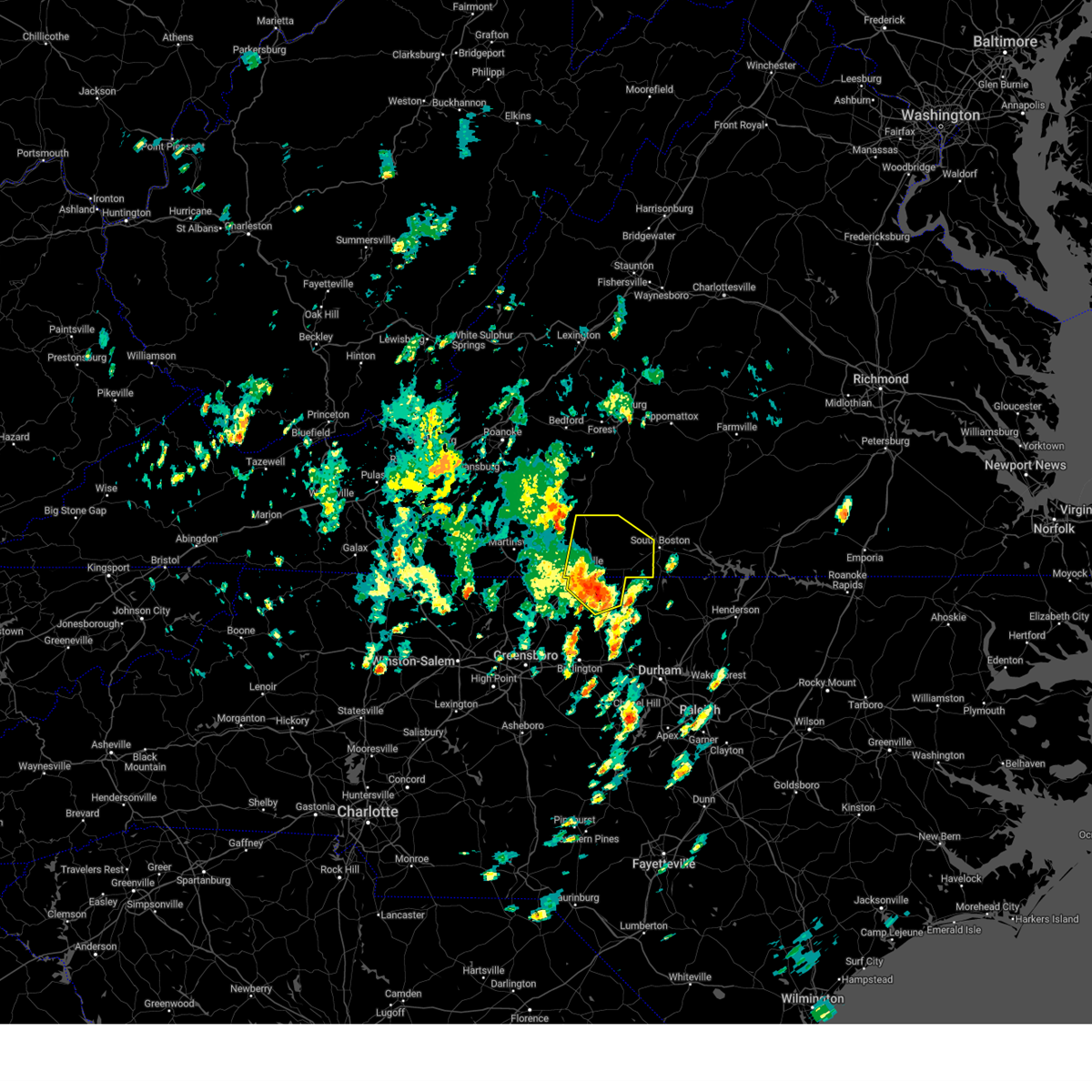
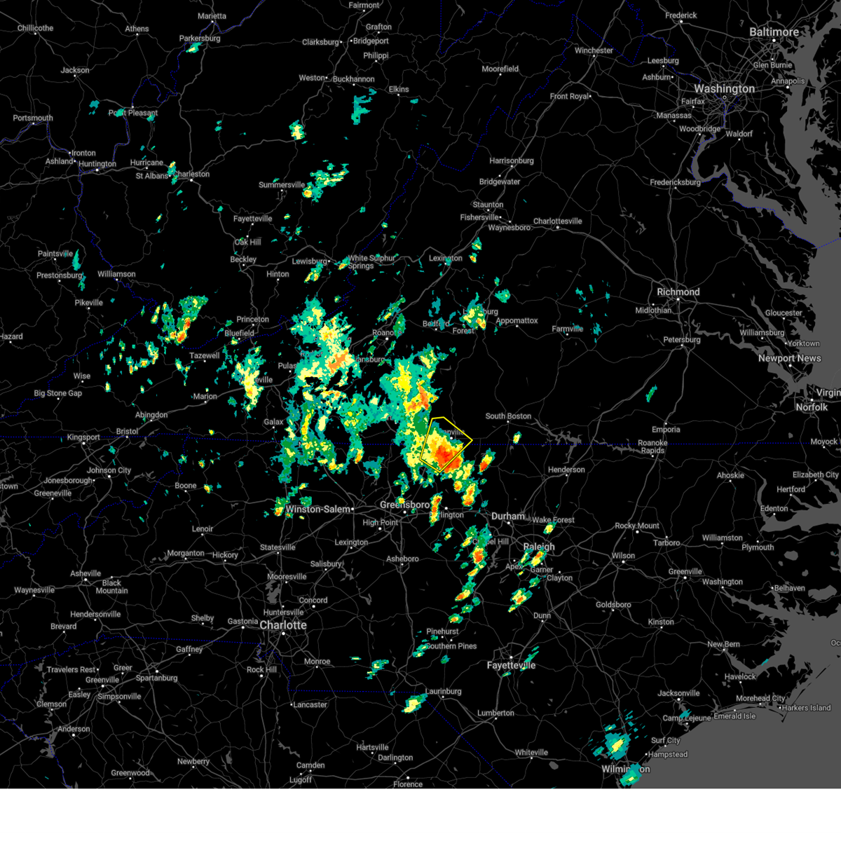
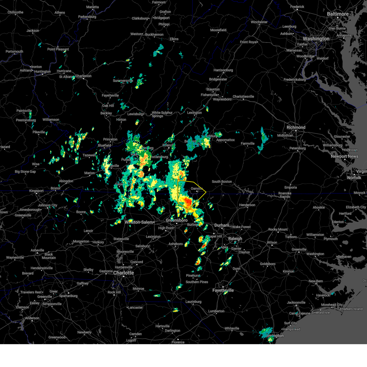
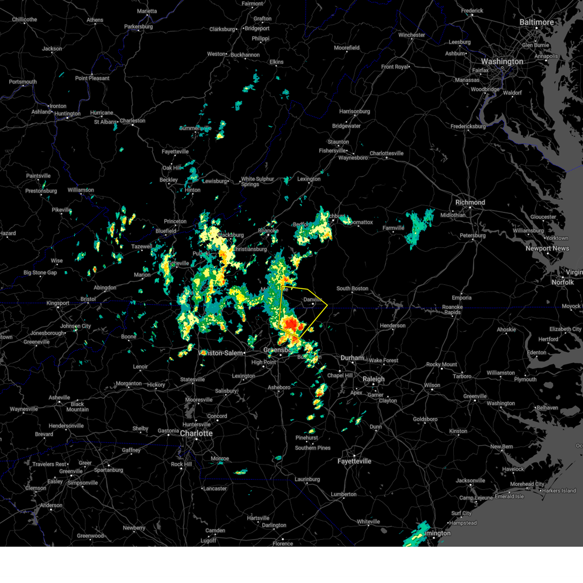
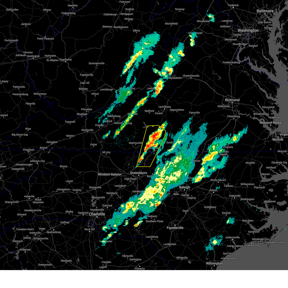
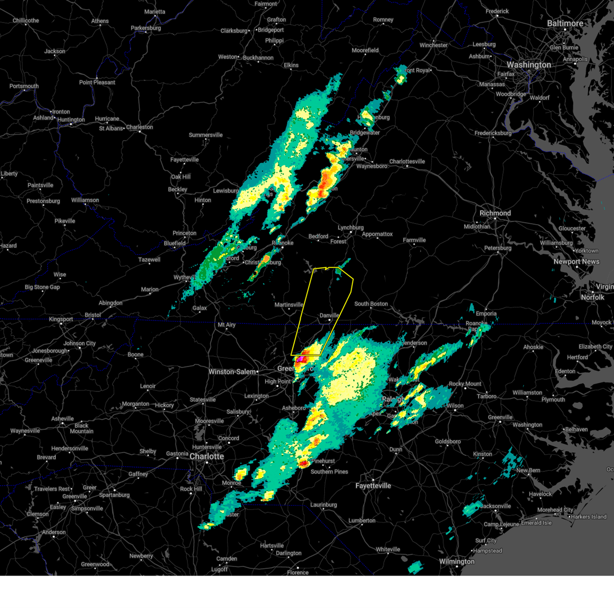
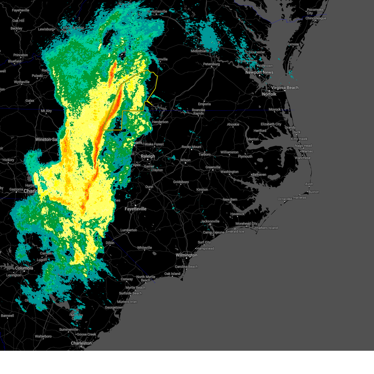
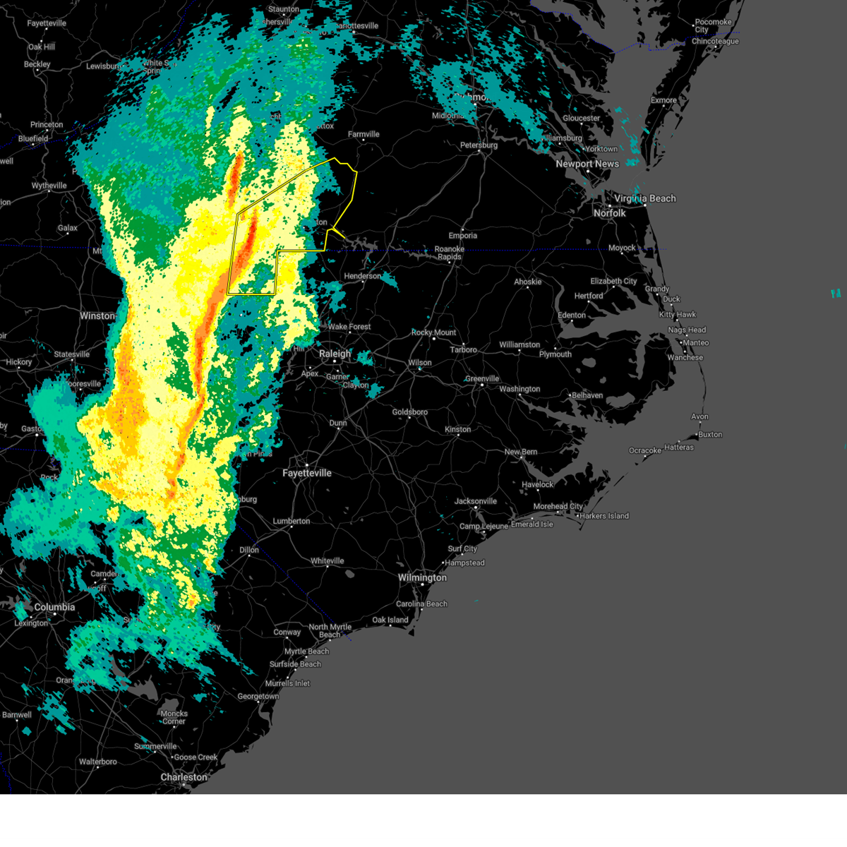
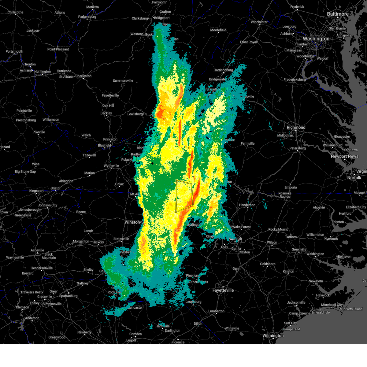
Hail Map for Danville, VA
The Danville, VA area has had 33 reports of on-the-ground hail by trained spotters, and has been under severe weather warnings 53 times during the past 12 months. Doppler radar has detected hail at or near Danville, VA on 75 occasions, including 2 occasions during the past year.
| Name: | Danville, VA |
| Where Located: | 56.2 miles SSE of Roanoke, VA |
| Map: | Google Map for Danville, VA |
| Population: | 43055 |
| Housing Units: | 22438 |
| More Info: | Search Google for Danville, VA |
1
The Top Recent Hail Date for Danville, VA is Wednesday, May 27, 2026 (29th out of 75)

Hail and Wind Damage Spotted near Danville, VA
| Date / Time | Report Details |
|---|---|
| 6/22/2026 7:48 PM EDT | Tree down across road near the intersection of fall creek rd and kentuck r in pittsylvania county VA, 3.5 miles SW of Danville, VA |
| 6/22/2026 7:35 PM EDT | Tree down across road near the intersection of mount cross road and laniers mill roa in pittsylvania county VA, 6.7 miles ESE of Danville, VA |
| 6/22/2026 7:16 PM EDT |
 At 716 pm edt, a severe thunderstorm was located near harrisons crossroads, or near reidsville, moving east at 30 mph (radar indicated). Hazards include 60 mph wind gusts. Expect damage to roofs, siding, and trees. Locations impacted include, eden, reidsville, wentworth, mayfield, harrisons crossroads, ruffin, and aiken summit. At 716 pm edt, a severe thunderstorm was located near harrisons crossroads, or near reidsville, moving east at 30 mph (radar indicated). Hazards include 60 mph wind gusts. Expect damage to roofs, siding, and trees. Locations impacted include, eden, reidsville, wentworth, mayfield, harrisons crossroads, ruffin, and aiken summit.
|
| 6/22/2026 7:05 PM EDT |
 Svrrnk the national weather service in blacksburg has issued a * severe thunderstorm warning for, eastern rockingham county in north central north carolina, caswell county in north central north carolina, the city of danville in south central virginia, southern pittsylvania county in south central virginia, southwestern halifax county in south central virginia, * until 800 pm edt. * at 705 pm edt, severe thunderstorms were located along a line extending from near westover hills to near mayfield to near harrisons crossroads to near reidsville to near mcleansville, moving northeast at 35 mph (radar indicated). Hazards include 60 mph wind gusts. expect damage to roofs, siding, and trees Svrrnk the national weather service in blacksburg has issued a * severe thunderstorm warning for, eastern rockingham county in north central north carolina, caswell county in north central north carolina, the city of danville in south central virginia, southern pittsylvania county in south central virginia, southwestern halifax county in south central virginia, * until 800 pm edt. * at 705 pm edt, severe thunderstorms were located along a line extending from near westover hills to near mayfield to near harrisons crossroads to near reidsville to near mcleansville, moving northeast at 35 mph (radar indicated). Hazards include 60 mph wind gusts. expect damage to roofs, siding, and trees
|
| 6/22/2026 7:02 PM EDT |
 At 702 pm edt, a severe thunderstorm was located over wentworth, moving east at 30 mph (radar indicated). Hazards include 60 mph wind gusts. Expect damage to roofs, siding, and trees. Locations impacted include, eden, reidsville, martinsville, wentworth, mayodan, madison, and stoneville. At 702 pm edt, a severe thunderstorm was located over wentworth, moving east at 30 mph (radar indicated). Hazards include 60 mph wind gusts. Expect damage to roofs, siding, and trees. Locations impacted include, eden, reidsville, martinsville, wentworth, mayodan, madison, and stoneville.
|
| 6/22/2026 6:24 PM EDT |
 Svrrnk the national weather service in blacksburg has issued a * severe thunderstorm warning for, eastern stokes county in north central north carolina, rockingham county in north central north carolina, southwestern pittsylvania county in south central virginia, the city of martinsville in south central virginia, southern henry county in south central virginia, southeastern patrick county in southwestern virginia, * until 730 pm edt. * at 624 pm edt, a severe thunderstorm was located near meadows, or near danbury, moving east at 30 mph (radar indicated). Hazards include 60 mph wind gusts. expect damage to roofs, siding, and trees Svrrnk the national weather service in blacksburg has issued a * severe thunderstorm warning for, eastern stokes county in north central north carolina, rockingham county in north central north carolina, southwestern pittsylvania county in south central virginia, the city of martinsville in south central virginia, southern henry county in south central virginia, southeastern patrick county in southwestern virginia, * until 730 pm edt. * at 624 pm edt, a severe thunderstorm was located near meadows, or near danbury, moving east at 30 mph (radar indicated). Hazards include 60 mph wind gusts. expect damage to roofs, siding, and trees
|
| 5/27/2026 4:23 PM EDT |
 Svrrnk the national weather service in blacksburg has issued a * severe thunderstorm warning for, northeastern caswell county in north central north carolina, southern charlotte county in south central virginia, south central pittsylvania county in south central virginia, southern halifax county in south central virginia, * until 515 pm edt. * at 422 pm edt, severe thunderstorms were located along a line extending from dryburg to near blanch, moving southeast at 20 mph (radar indicated). Hazards include 60 mph wind gusts. expect damage to roofs, siding, and trees Svrrnk the national weather service in blacksburg has issued a * severe thunderstorm warning for, northeastern caswell county in north central north carolina, southern charlotte county in south central virginia, south central pittsylvania county in south central virginia, southern halifax county in south central virginia, * until 515 pm edt. * at 422 pm edt, severe thunderstorms were located along a line extending from dryburg to near blanch, moving southeast at 20 mph (radar indicated). Hazards include 60 mph wind gusts. expect damage to roofs, siding, and trees
|
| 5/27/2026 4:17 PM EDT |
 The storms which prompted the warning have moved out of the area. therefore, the warning has been allowed to expire. a severe thunderstorm watch remains in effect until 900 pm edt for south central, southwestern and west central virginia. remember, a newer severe thunderstorm warning still remains in effect for northern caswell county until 500 pm edt. The storms which prompted the warning have moved out of the area. therefore, the warning has been allowed to expire. a severe thunderstorm watch remains in effect until 900 pm edt for south central, southwestern and west central virginia. remember, a newer severe thunderstorm warning still remains in effect for northern caswell county until 500 pm edt.
|
| 5/27/2026 4:09 PM EDT |
 Svrrnk the national weather service in blacksburg has issued a * severe thunderstorm warning for, eastern rockingham county in north central north carolina, northern caswell county in north central north carolina, the southeastern city of danville in south central virginia, * until 500 pm edt. * at 408 pm edt, severe thunderstorms were located along a line extending from gatewood to near mayfield, moving east at 30 mph (radar indicated). Hazards include 60 mph wind gusts and quarter size hail. Hail damage to vehicles is expected. Expect wind damage to roofs, siding, and trees. Svrrnk the national weather service in blacksburg has issued a * severe thunderstorm warning for, eastern rockingham county in north central north carolina, northern caswell county in north central north carolina, the southeastern city of danville in south central virginia, * until 500 pm edt. * at 408 pm edt, severe thunderstorms were located along a line extending from gatewood to near mayfield, moving east at 30 mph (radar indicated). Hazards include 60 mph wind gusts and quarter size hail. Hail damage to vehicles is expected. Expect wind damage to roofs, siding, and trees.
|
| 5/27/2026 3:51 PM EDT |
 At 350 pm edt, severe thunderstorms were located along a line extending from near westover hills to near stoneville, moving east at 20 mph (radar indicated). Hazards include 60 mph wind gusts. Expect damage to roofs, siding, and trees. Locations impacted include, eden, stoneville, mayfield, oregon hill, ruffin, draper, and pelham. At 350 pm edt, severe thunderstorms were located along a line extending from near westover hills to near stoneville, moving east at 20 mph (radar indicated). Hazards include 60 mph wind gusts. Expect damage to roofs, siding, and trees. Locations impacted include, eden, stoneville, mayfield, oregon hill, ruffin, draper, and pelham.
|
| 5/27/2026 3:28 PM EDT |
 Svrrnk the national weather service in blacksburg has issued a * severe thunderstorm warning for, northeastern rockingham county in north central north carolina, northwestern caswell county in north central north carolina, southwestern pittsylvania county in south central virginia, southeastern henry county in south central virginia, * until 415 pm edt. * at 328 pm edt, a severe thunderstorm was located near ridgeway, or near eden, moving east at 25 mph (radar indicated). Hazards include 60 mph wind gusts. expect damage to roofs, siding, and trees Svrrnk the national weather service in blacksburg has issued a * severe thunderstorm warning for, northeastern rockingham county in north central north carolina, northwestern caswell county in north central north carolina, southwestern pittsylvania county in south central virginia, southeastern henry county in south central virginia, * until 415 pm edt. * at 328 pm edt, a severe thunderstorm was located near ridgeway, or near eden, moving east at 25 mph (radar indicated). Hazards include 60 mph wind gusts. expect damage to roofs, siding, and trees
|
| 3/16/2026 11:37 AM EDT |
 At 1136 am edt, severe thunderstorms were located along a line extending from near riverville to java to near turbeville, moving northeast at 45 mph (radar indicated). Hazards include 60 mph wind gusts. Expect damage to roofs, siding, and trees. Locations impacted include, lynchburg, danville, altavista, amherst, yanceyville, bethel, and halifax. At 1136 am edt, severe thunderstorms were located along a line extending from near riverville to java to near turbeville, moving northeast at 45 mph (radar indicated). Hazards include 60 mph wind gusts. Expect damage to roofs, siding, and trees. Locations impacted include, lynchburg, danville, altavista, amherst, yanceyville, bethel, and halifax.
|
| 3/16/2026 11:37 AM EDT |
 the severe thunderstorm warning has been cancelled and is no longer in effect the severe thunderstorm warning has been cancelled and is no longer in effect
|
| 3/16/2026 11:27 AM EDT |
 The storms which prompted the warning have moved out of the area. therefore, the warning will be allowed to expire. however, gusty winds are still possible with these thunderstorms. a tornado watch remains in effect until 200 pm edt for north central north carolina, and south central, central, southwestern and west central virginia. The storms which prompted the warning have moved out of the area. therefore, the warning will be allowed to expire. however, gusty winds are still possible with these thunderstorms. a tornado watch remains in effect until 200 pm edt for north central north carolina, and south central, central, southwestern and west central virginia.
|
| 3/16/2026 11:15 AM EDT |
 Torrnk the national weather service in blacksburg has issued a * tornado warning for, northwestern caswell county in north central north carolina, the city of danville in south central virginia, southeastern pittsylvania county in south central virginia, southwestern halifax county in south central virginia, * until 1145 am edt. * at 1115 am edt, a severe thunderstorm capable of producing a tornado was located over pelham, or near bethel, moving northeast at 45 mph (radar indicated rotation). Hazards include tornado. Flying debris will be dangerous to those caught without shelter. mobile homes will be damaged or destroyed. damage to roofs, windows, and vehicles will occur. Tree damage is likely. Torrnk the national weather service in blacksburg has issued a * tornado warning for, northwestern caswell county in north central north carolina, the city of danville in south central virginia, southeastern pittsylvania county in south central virginia, southwestern halifax county in south central virginia, * until 1145 am edt. * at 1115 am edt, a severe thunderstorm capable of producing a tornado was located over pelham, or near bethel, moving northeast at 45 mph (radar indicated rotation). Hazards include tornado. Flying debris will be dangerous to those caught without shelter. mobile homes will be damaged or destroyed. damage to roofs, windows, and vehicles will occur. Tree damage is likely.
|
| 3/16/2026 11:13 AM EDT |
 the severe thunderstorm warning has been cancelled and is no longer in effect the severe thunderstorm warning has been cancelled and is no longer in effect
|
| 3/16/2026 11:13 AM EDT |
 At 1112 am edt, severe thunderstorms were located along a line extending from near pittsville to near camp springs, moving east at 40 mph (radar indicated). Hazards include 60 mph wind gusts. Expect damage to roofs, siding, and trees. Locations impacted include, eden, reidsville, wentworth, mayfield, callands, axton, and harrisons crossroads. At 1112 am edt, severe thunderstorms were located along a line extending from near pittsville to near camp springs, moving east at 40 mph (radar indicated). Hazards include 60 mph wind gusts. Expect damage to roofs, siding, and trees. Locations impacted include, eden, reidsville, wentworth, mayfield, callands, axton, and harrisons crossroads.
|
| 3/16/2026 11:11 AM EDT |
 Svrrnk the national weather service in blacksburg has issued a * severe thunderstorm warning for, eastern rockingham county in north central north carolina, caswell county in north central north carolina, western appomattox county in central virginia, the city of danville in south central virginia, campbell county in central virginia, pittsylvania county in south central virginia, western halifax county in south central virginia, southeastern bedford county in south central virginia, southeastern amherst county in central virginia, the city of lynchburg in central virginia, * until 1215 pm edt. * at 1110 am edt, severe thunderstorms were located along a line extending from forest to near sandy river to near quick, moving northeast at 40 mph (radar indicated). Hazards include 60 mph wind gusts. expect damage to roofs, siding, and trees Svrrnk the national weather service in blacksburg has issued a * severe thunderstorm warning for, eastern rockingham county in north central north carolina, caswell county in north central north carolina, western appomattox county in central virginia, the city of danville in south central virginia, campbell county in central virginia, pittsylvania county in south central virginia, western halifax county in south central virginia, southeastern bedford county in south central virginia, southeastern amherst county in central virginia, the city of lynchburg in central virginia, * until 1215 pm edt. * at 1110 am edt, severe thunderstorms were located along a line extending from forest to near sandy river to near quick, moving northeast at 40 mph (radar indicated). Hazards include 60 mph wind gusts. expect damage to roofs, siding, and trees
|
| 3/16/2026 11:00 AM EDT |
 At 1059 am edt, severe thunderstorms were located along a line extending from near southern smith mountain lake to near monroeton, moving east at 40 mph (radar indicated). Hazards include 60 mph wind gusts. Expect damage to roofs, siding, and trees. Locations impacted include, eden, reidsville, martinsville, wentworth, axton, penhook, and mayfield. At 1059 am edt, severe thunderstorms were located along a line extending from near southern smith mountain lake to near monroeton, moving east at 40 mph (radar indicated). Hazards include 60 mph wind gusts. Expect damage to roofs, siding, and trees. Locations impacted include, eden, reidsville, martinsville, wentworth, axton, penhook, and mayfield.
|
| 3/16/2026 10:44 AM EDT |
 Svrrnk the national weather service in blacksburg has issued a * severe thunderstorm warning for, rockingham county in north central north carolina, western pittsylvania county in south central virginia, the city of martinsville in south central virginia, henry county in south central virginia, southeastern franklin county in west central virginia, * until 1130 am edt. * at 1043 am edt, severe thunderstorms were located along a line extending from near sontag to near bethany, moving east at 40 mph (radar indicated). Hazards include 60 mph wind gusts. expect damage to roofs, siding, and trees Svrrnk the national weather service in blacksburg has issued a * severe thunderstorm warning for, rockingham county in north central north carolina, western pittsylvania county in south central virginia, the city of martinsville in south central virginia, henry county in south central virginia, southeastern franklin county in west central virginia, * until 1130 am edt. * at 1043 am edt, severe thunderstorms were located along a line extending from near sontag to near bethany, moving east at 40 mph (radar indicated). Hazards include 60 mph wind gusts. expect damage to roofs, siding, and trees
|
| 3/16/2026 9:20 AM EDT |
 At 919 am edt, severe thunderstorms were located along a line extending from near staunton to near new glasgow to near chatham, moving northeast at 60 mph (radar indicated). Hazards include 60 mph wind gusts. Expect damage to roofs, siding, and trees. Locations impacted include, lynchburg, danville, buena vista, altavista, amherst, appomattox, and hurt. At 919 am edt, severe thunderstorms were located along a line extending from near staunton to near new glasgow to near chatham, moving northeast at 60 mph (radar indicated). Hazards include 60 mph wind gusts. Expect damage to roofs, siding, and trees. Locations impacted include, lynchburg, danville, buena vista, altavista, amherst, appomattox, and hurt.
|
| 3/16/2026 9:20 AM EDT |
 the severe thunderstorm warning has been cancelled and is no longer in effect the severe thunderstorm warning has been cancelled and is no longer in effect
|
| 3/16/2026 8:39 AM EDT |
 Svrrnk the national weather service in blacksburg has issued a * severe thunderstorm warning for, caswell county in north central north carolina, appomattox county in central virginia, the city of danville in south central virginia, the city of buena vista in west central virginia, the city of lexington in west central virginia, rockbridge county in west central virginia, campbell county in central virginia, pittsylvania county in south central virginia, western halifax county in south central virginia, eastern bedford county in south central virginia, amherst county in central virginia, the city of lynchburg in central virginia, * until 945 am edt. * at 838 am edt, severe thunderstorms were located along a line extending from near lexington to near evington to near wentworth, moving northeast at 70 mph (radar indicated). Hazards include 60 mph wind gusts. expect damage to roofs, siding, and trees Svrrnk the national weather service in blacksburg has issued a * severe thunderstorm warning for, caswell county in north central north carolina, appomattox county in central virginia, the city of danville in south central virginia, the city of buena vista in west central virginia, the city of lexington in west central virginia, rockbridge county in west central virginia, campbell county in central virginia, pittsylvania county in south central virginia, western halifax county in south central virginia, eastern bedford county in south central virginia, amherst county in central virginia, the city of lynchburg in central virginia, * until 945 am edt. * at 838 am edt, severe thunderstorms were located along a line extending from near lexington to near evington to near wentworth, moving northeast at 70 mph (radar indicated). Hazards include 60 mph wind gusts. expect damage to roofs, siding, and trees
|
| 9/6/2025 2:32 PM EDT |
 Svrrnk the national weather service in blacksburg has issued a * severe thunderstorm warning for, northeastern caswell county in north central north carolina, the southeastern city of danville in south central virginia, southeastern pittsylvania county in south central virginia, southwestern halifax county in south central virginia, * until 330 pm edt. * at 231 pm edt, a severe thunderstorm was located over providence, moving northeast at 10 mph (radar indicated). Hazards include 60 mph wind gusts and quarter size hail. Hail damage to vehicles is expected. Expect wind damage to roofs, siding, and trees. Svrrnk the national weather service in blacksburg has issued a * severe thunderstorm warning for, northeastern caswell county in north central north carolina, the southeastern city of danville in south central virginia, southeastern pittsylvania county in south central virginia, southwestern halifax county in south central virginia, * until 330 pm edt. * at 231 pm edt, a severe thunderstorm was located over providence, moving northeast at 10 mph (radar indicated). Hazards include 60 mph wind gusts and quarter size hail. Hail damage to vehicles is expected. Expect wind damage to roofs, siding, and trees.
|
| 9/4/2025 4:26 PM EDT |
 The storms which prompted the warning have weakened below severe limits, and no longer pose an immediate threat to life or property. therefore, the warning will be allowed to expire. however, gusty winds and heavy rain are still possible with these thunderstorms. The storms which prompted the warning have weakened below severe limits, and no longer pose an immediate threat to life or property. therefore, the warning will be allowed to expire. however, gusty winds and heavy rain are still possible with these thunderstorms.
|
| 9/4/2025 4:06 PM EDT |
 the severe thunderstorm warning has been cancelled and is no longer in effect the severe thunderstorm warning has been cancelled and is no longer in effect
|
| 9/4/2025 4:06 PM EDT |
 At 405 pm edt, severe thunderstorms were located along a line extending from near sago to draper to near kernersville, moving east at 35 mph (radar indicated). Hazards include 60 mph wind gusts. Expect damage to roofs, siding, and trees. Locations impacted include, danville, eden, reidsville, martinsville, wentworth, mayodan, and madison. At 405 pm edt, severe thunderstorms were located along a line extending from near sago to draper to near kernersville, moving east at 35 mph (radar indicated). Hazards include 60 mph wind gusts. Expect damage to roofs, siding, and trees. Locations impacted include, danville, eden, reidsville, martinsville, wentworth, mayodan, and madison.
|
| 9/4/2025 3:32 PM EDT |
 Svrrnk the national weather service in blacksburg has issued a * severe thunderstorm warning for, southeastern surry county in northwestern north carolina, stokes county in north central north carolina, rockingham county in north central north carolina, northwestern caswell county in north central north carolina, the city of danville in south central virginia, pittsylvania county in south central virginia, the city of martinsville in south central virginia, henry county in south central virginia, southeastern patrick county in southwestern virginia, southeastern franklin county in west central virginia, * until 430 pm edt. * at 331 pm edt, severe thunderstorms were located along a line extending from near sydnorsville to near price to near enon, moving east at 35 mph (radar indicated). Hazards include 60 mph wind gusts. expect damage to roofs, siding, and trees Svrrnk the national weather service in blacksburg has issued a * severe thunderstorm warning for, southeastern surry county in northwestern north carolina, stokes county in north central north carolina, rockingham county in north central north carolina, northwestern caswell county in north central north carolina, the city of danville in south central virginia, pittsylvania county in south central virginia, the city of martinsville in south central virginia, henry county in south central virginia, southeastern patrick county in southwestern virginia, southeastern franklin county in west central virginia, * until 430 pm edt. * at 331 pm edt, severe thunderstorms were located along a line extending from near sydnorsville to near price to near enon, moving east at 35 mph (radar indicated). Hazards include 60 mph wind gusts. expect damage to roofs, siding, and trees
|
| 8/1/2025 3:44 PM EDT |
 The storms which prompted the warning have moved out of the area. therefore, the warning will be allowed to expire. however, gusty winds and heavy rain are still possible with these thunderstorms. remember, a severe thunderstorm warning still remains in effect for caswell county and for southeastern rockingham county until 445 pm edt. The storms which prompted the warning have moved out of the area. therefore, the warning will be allowed to expire. however, gusty winds and heavy rain are still possible with these thunderstorms. remember, a severe thunderstorm warning still remains in effect for caswell county and for southeastern rockingham county until 445 pm edt.
|
| 8/1/2025 3:09 PM EDT | Thunderstorm winds blew down one tree near the 1200 block of sandy creek roa in pittsylvania county VA, 7.2 miles SE of Danville, VA |
| 8/1/2025 3:03 PM EDT |
 At 302 pm edt, severe thunderstorms were located along a line extending from near dry fork to near price, moving southeast at 20 mph (radar indicated). Hazards include 60 mph wind gusts. Expect damage to roofs, siding, and trees. Locations impacted include, danville, eden, bethel, chatham, axton, providence, and mayfield. At 302 pm edt, severe thunderstorms were located along a line extending from near dry fork to near price, moving southeast at 20 mph (radar indicated). Hazards include 60 mph wind gusts. Expect damage to roofs, siding, and trees. Locations impacted include, danville, eden, bethel, chatham, axton, providence, and mayfield.
|
| 8/1/2025 2:50 PM EDT |
 At 249 pm edt, severe thunderstorms were located along a line extending from chatham to near horse pasture, moving east at 20 mph (radar indicated). Hazards include 60 mph wind gusts. Expect damage to roofs, siding, and trees. Locations impacted include, danville, eden, bethel, chatham, gretna, axton, and providence. At 249 pm edt, severe thunderstorms were located along a line extending from chatham to near horse pasture, moving east at 20 mph (radar indicated). Hazards include 60 mph wind gusts. Expect damage to roofs, siding, and trees. Locations impacted include, danville, eden, bethel, chatham, gretna, axton, and providence.
|
| 8/1/2025 2:50 PM EDT |
 the severe thunderstorm warning has been cancelled and is no longer in effect the severe thunderstorm warning has been cancelled and is no longer in effect
|
| 8/1/2025 2:27 PM EDT |
 Svrrnk the national weather service in blacksburg has issued a * severe thunderstorm warning for, northeastern rockingham county in north central north carolina, northwestern caswell county in north central north carolina, the city of danville in south central virginia, pittsylvania county in south central virginia, southern henry county in south central virginia, southeastern patrick county in southwestern virginia, * until 345 pm edt. * at 226 pm edt, severe thunderstorms were located along a line extending from climax to penns store, moving east at 20 mph (radar indicated). Hazards include 60 mph wind gusts. expect damage to roofs, siding, and trees Svrrnk the national weather service in blacksburg has issued a * severe thunderstorm warning for, northeastern rockingham county in north central north carolina, northwestern caswell county in north central north carolina, the city of danville in south central virginia, pittsylvania county in south central virginia, southern henry county in south central virginia, southeastern patrick county in southwestern virginia, * until 345 pm edt. * at 226 pm edt, severe thunderstorms were located along a line extending from climax to penns store, moving east at 20 mph (radar indicated). Hazards include 60 mph wind gusts. expect damage to roofs, siding, and trees
|
| 7/17/2025 3:29 PM EDT |
 Svrrnk the national weather service in blacksburg has issued a * severe thunderstorm warning for, northern rockingham county in north central north carolina, caswell county in north central north carolina, the city of danville in south central virginia, southern pittsylvania county in south central virginia, southwestern halifax county in south central virginia, southeastern henry county in south central virginia, * until 430 pm edt. * at 328 pm edt, clusters of severe thunderstorms were located along a line extending from near ridgeway to sandy level to near eden to near stoneville. additional clusters of severe thunderstorms were located from aiken summit to reidsville. movement was east at 40 mph (radar indicated). Hazards include 60 mph wind gusts. expect damage to roofs, siding, and trees Svrrnk the national weather service in blacksburg has issued a * severe thunderstorm warning for, northern rockingham county in north central north carolina, caswell county in north central north carolina, the city of danville in south central virginia, southern pittsylvania county in south central virginia, southwestern halifax county in south central virginia, southeastern henry county in south central virginia, * until 430 pm edt. * at 328 pm edt, clusters of severe thunderstorms were located along a line extending from near ridgeway to sandy level to near eden to near stoneville. additional clusters of severe thunderstorms were located from aiken summit to reidsville. movement was east at 40 mph (radar indicated). Hazards include 60 mph wind gusts. expect damage to roofs, siding, and trees
|
| 7/17/2025 3:18 PM EDT |
 the severe thunderstorm warning has been cancelled and is no longer in effect the severe thunderstorm warning has been cancelled and is no longer in effect
|
| 7/17/2025 3:18 PM EDT |
 At 317 pm edt, severe thunderstorms were located along a line extending from near pelham to near eden, moving southeast at 10 mph (radar indicated). Hazards include 60 mph wind gusts. Expect damage to roofs, siding, and trees. Locations impacted include, eden, wentworth, mayfield, ridgeway, oregon hill, draper, and pelham. At 317 pm edt, severe thunderstorms were located along a line extending from near pelham to near eden, moving southeast at 10 mph (radar indicated). Hazards include 60 mph wind gusts. Expect damage to roofs, siding, and trees. Locations impacted include, eden, wentworth, mayfield, ridgeway, oregon hill, draper, and pelham.
|
| 7/17/2025 2:56 PM EDT |
 At 255 pm edt, severe thunderstorms were located along a line extending from near westover hills to near eden, moving southeast at 10 mph (radar indicated). Hazards include 60 mph wind gusts. Expect damage to roofs, siding, and trees. Locations impacted include, danville, eden, wentworth, providence, mayfield, ridgeway, and blanch. At 255 pm edt, severe thunderstorms were located along a line extending from near westover hills to near eden, moving southeast at 10 mph (radar indicated). Hazards include 60 mph wind gusts. Expect damage to roofs, siding, and trees. Locations impacted include, danville, eden, wentworth, providence, mayfield, ridgeway, and blanch.
|
| 7/17/2025 2:35 PM EDT |
 Svrrnk the national weather service in blacksburg has issued a * severe thunderstorm warning for, northeastern rockingham county in north central north carolina, northern caswell county in north central north carolina, the city of danville in south central virginia, southwestern pittsylvania county in south central virginia, southeastern henry county in south central virginia, * until 330 pm edt. * at 234 pm edt, severe thunderstorms were located along a line extending from westover hills to sandy level, moving southeast at 10 mph (radar indicated). Hazards include 60 mph wind gusts. expect damage to roofs, siding, and trees Svrrnk the national weather service in blacksburg has issued a * severe thunderstorm warning for, northeastern rockingham county in north central north carolina, northern caswell county in north central north carolina, the city of danville in south central virginia, southwestern pittsylvania county in south central virginia, southeastern henry county in south central virginia, * until 330 pm edt. * at 234 pm edt, severe thunderstorms were located along a line extending from westover hills to sandy level, moving southeast at 10 mph (radar indicated). Hazards include 60 mph wind gusts. expect damage to roofs, siding, and trees
|
| 7/17/2025 2:05 PM EDT |
 At 204 pm edt, a severe thunderstorm was located near blairs, moving east at 20 mph (radar indicated). Hazards include 60 mph wind gusts. Expect damage to roofs, siding, and trees. Locations impacted include, danville, south boston, halifax, blairs, turbeville, ingram, and java. At 204 pm edt, a severe thunderstorm was located near blairs, moving east at 20 mph (radar indicated). Hazards include 60 mph wind gusts. Expect damage to roofs, siding, and trees. Locations impacted include, danville, south boston, halifax, blairs, turbeville, ingram, and java.
|
| 7/17/2025 2:00 PM EDT |
 Svrrnk the national weather service in blacksburg has issued a * severe thunderstorm warning for, the city of danville in south central virginia, pittsylvania county in south central virginia, southwestern halifax county in south central virginia, southeastern henry county in south central virginia, * until 300 pm edt. * at 200 pm edt, a severe thunderstorm was located near swansonville, or 7 miles west of blairs, moving east at 20 mph (radar indicated). Hazards include 60 mph wind gusts. expect damage to roofs, siding, and trees Svrrnk the national weather service in blacksburg has issued a * severe thunderstorm warning for, the city of danville in south central virginia, pittsylvania county in south central virginia, southwestern halifax county in south central virginia, southeastern henry county in south central virginia, * until 300 pm edt. * at 200 pm edt, a severe thunderstorm was located near swansonville, or 7 miles west of blairs, moving east at 20 mph (radar indicated). Hazards include 60 mph wind gusts. expect damage to roofs, siding, and trees
|
| 7/14/2025 11:02 PM EDT |
 the severe thunderstorm warning has been cancelled and is no longer in effect the severe thunderstorm warning has been cancelled and is no longer in effect
|
| 7/14/2025 10:45 PM EDT |
 the severe thunderstorm warning has been cancelled and is no longer in effect the severe thunderstorm warning has been cancelled and is no longer in effect
|
| 7/14/2025 10:45 PM EDT |
 At 1045 pm edt, a severe thunderstorm was located near swansonville, or 7 miles east of axton, moving southeast at 15 mph (radar indicated). Hazards include 60 mph wind gusts. Expect damage to roofs, siding, and trees. Locations impacted include, aiken summit, sandy river, swansonville, dry fork, and cascade. At 1045 pm edt, a severe thunderstorm was located near swansonville, or 7 miles east of axton, moving southeast at 15 mph (radar indicated). Hazards include 60 mph wind gusts. Expect damage to roofs, siding, and trees. Locations impacted include, aiken summit, sandy river, swansonville, dry fork, and cascade.
|
| 7/14/2025 10:15 PM EDT |
 Svrrnk the national weather service in blacksburg has issued a * severe thunderstorm warning for, southwestern pittsylvania county in south central virginia, southeastern henry county in south central virginia, * until 1115 pm edt. * at 1014 pm edt, a severe thunderstorm was located over leatherwood, or near axton, moving southeast at 15 mph (radar indicated). Hazards include 60 mph wind gusts. expect damage to roofs, siding, and trees Svrrnk the national weather service in blacksburg has issued a * severe thunderstorm warning for, southwestern pittsylvania county in south central virginia, southeastern henry county in south central virginia, * until 1115 pm edt. * at 1014 pm edt, a severe thunderstorm was located over leatherwood, or near axton, moving southeast at 15 mph (radar indicated). Hazards include 60 mph wind gusts. expect damage to roofs, siding, and trees
|
| 7/9/2025 6:18 PM EDT |
 At 618 pm edt, severe thunderstorms were located along a line extending from cullen to near scottsburg to near ringgold to monroeton, moving northeast at 20 mph (radar indicated). Hazards include 60 mph wind gusts and quarter size hail. Hail damage to vehicles is expected. expect wind damage to roofs, siding, and trees. Locations impacted include, danville, eden, reidsville, south boston, wentworth, yanceyville, and bethel. At 618 pm edt, severe thunderstorms were located along a line extending from cullen to near scottsburg to near ringgold to monroeton, moving northeast at 20 mph (radar indicated). Hazards include 60 mph wind gusts and quarter size hail. Hail damage to vehicles is expected. expect wind damage to roofs, siding, and trees. Locations impacted include, danville, eden, reidsville, south boston, wentworth, yanceyville, and bethel.
|
| 7/9/2025 6:18 PM EDT |
 the severe thunderstorm warning has been cancelled and is no longer in effect the severe thunderstorm warning has been cancelled and is no longer in effect
|
| 7/9/2025 6:10 PM EDT | Tree fell onto house. power lines also dow in pittsylvania county VA, 2.7 miles SW of Danville, VA |
| 7/9/2025 6:00 PM EDT | Tree down... completely blocking roa in pittsylvania county VA, 6.3 miles SSW of Danville, VA |
| 7/9/2025 6:00 PM EDT | Tree dow in pittsylvania county VA, 7.5 miles SE of Danville, VA |
| 7/9/2025 5:52 PM EDT | Tree on power lin in city of danville county VA, 6.9 miles ESE of Danville, VA |
| 7/9/2025 5:46 PM EDT |
 Svrrnk the national weather service in blacksburg has issued a * severe thunderstorm warning for, eastern rockingham county in north central north carolina, caswell county in north central north carolina, the city of danville in south central virginia, charlotte county in south central virginia, southeastern campbell county in central virginia, southern pittsylvania county in south central virginia, halifax county in south central virginia, * until 715 pm edt. * at 545 pm edt, severe thunderstorms were located along a line extending from hat creek to near bethany, moving east at 30 mph (radar indicated). Hazards include 60 mph wind gusts and quarter size hail. Hail damage to vehicles is expected. Expect wind damage to roofs, siding, and trees. Svrrnk the national weather service in blacksburg has issued a * severe thunderstorm warning for, eastern rockingham county in north central north carolina, caswell county in north central north carolina, the city of danville in south central virginia, charlotte county in south central virginia, southeastern campbell county in central virginia, southern pittsylvania county in south central virginia, halifax county in south central virginia, * until 715 pm edt. * at 545 pm edt, severe thunderstorms were located along a line extending from hat creek to near bethany, moving east at 30 mph (radar indicated). Hazards include 60 mph wind gusts and quarter size hail. Hail damage to vehicles is expected. Expect wind damage to roofs, siding, and trees.
|
| 7/9/2025 5:29 PM EDT |
 Svrrnk the national weather service in blacksburg has issued a * severe thunderstorm warning for, rockingham county in north central north carolina, western caswell county in north central north carolina, the city of danville in south central virginia, southwestern pittsylvania county in south central virginia, southeastern henry county in south central virginia, * until 615 pm edt. * at 529 pm edt, severe thunderstorms were located along a line extending from aiken summit to near bethany, moving east at 30 mph (radar indicated). Hazards include 60 mph wind gusts and quarter size hail. Hail damage to vehicles is expected. Expect wind damage to roofs, siding, and trees. Svrrnk the national weather service in blacksburg has issued a * severe thunderstorm warning for, rockingham county in north central north carolina, western caswell county in north central north carolina, the city of danville in south central virginia, southwestern pittsylvania county in south central virginia, southeastern henry county in south central virginia, * until 615 pm edt. * at 529 pm edt, severe thunderstorms were located along a line extending from aiken summit to near bethany, moving east at 30 mph (radar indicated). Hazards include 60 mph wind gusts and quarter size hail. Hail damage to vehicles is expected. Expect wind damage to roofs, siding, and trees.
|
| 7/8/2025 9:24 PM EDT |
 the severe thunderstorm warning has been cancelled and is no longer in effect the severe thunderstorm warning has been cancelled and is no longer in effect
|
| 7/8/2025 9:04 PM EDT |
 At 904 pm edt, severe thunderstorms were located along a line extending from danville to near yanceyville to near camp springs, moving northeast at 20 mph (radar indicated). Hazards include 60 mph wind gusts. Expect damage to roofs, siding, and trees. Locations impacted include, danville, yanceyville, bethel, providence, milton, quick, and blanch. At 904 pm edt, severe thunderstorms were located along a line extending from danville to near yanceyville to near camp springs, moving northeast at 20 mph (radar indicated). Hazards include 60 mph wind gusts. Expect damage to roofs, siding, and trees. Locations impacted include, danville, yanceyville, bethel, providence, milton, quick, and blanch.
|
| 7/8/2025 9:04 PM EDT |
 the severe thunderstorm warning has been cancelled and is no longer in effect the severe thunderstorm warning has been cancelled and is no longer in effect
|
| 7/8/2025 8:39 PM EDT |
 Svrrnk the national weather service in blacksburg has issued a * severe thunderstorm warning for, eastern rockingham county in north central north carolina, caswell county in north central north carolina, the city of danville in south central virginia, southeastern pittsylvania county in south central virginia, southwestern halifax county in south central virginia, * until 945 pm edt. * at 839 pm edt, severe thunderstorms were located along a line extending from near pelham to quick to near camp springs, moving northeast at 20 mph (radar indicated). Hazards include 60 mph wind gusts. expect damage to roofs, siding, and trees Svrrnk the national weather service in blacksburg has issued a * severe thunderstorm warning for, eastern rockingham county in north central north carolina, caswell county in north central north carolina, the city of danville in south central virginia, southeastern pittsylvania county in south central virginia, southwestern halifax county in south central virginia, * until 945 pm edt. * at 839 pm edt, severe thunderstorms were located along a line extending from near pelham to quick to near camp springs, moving northeast at 20 mph (radar indicated). Hazards include 60 mph wind gusts. expect damage to roofs, siding, and trees
|
| 7/1/2025 8:17 PM EDT |
 At 816 pm edt, severe thunderstorms were located along a line extending from elmo to monroeton, moving northeast at 35 mph (radar indicated). Hazards include 60 mph wind gusts. Expect damage to roofs, siding, and trees. Locations impacted include, danville, reidsville, south boston, wentworth, yanceyville, bethel, and halifax. At 816 pm edt, severe thunderstorms were located along a line extending from elmo to monroeton, moving northeast at 35 mph (radar indicated). Hazards include 60 mph wind gusts. Expect damage to roofs, siding, and trees. Locations impacted include, danville, reidsville, south boston, wentworth, yanceyville, bethel, and halifax.
|
| 7/1/2025 8:17 PM EDT |
 the severe thunderstorm warning has been cancelled and is no longer in effect the severe thunderstorm warning has been cancelled and is no longer in effect
|
| 7/1/2025 7:54 PM EDT | Tree down partially blocking blairmont drive near finch drive. time estimated from rada in pittsylvania county VA, 5.7 miles S of Danville, VA |
| 7/1/2025 7:47 PM EDT |
 Svrrnk the national weather service in blacksburg has issued a * severe thunderstorm warning for, southeastern stokes county in north central north carolina, rockingham county in north central north carolina, caswell county in north central north carolina, the city of danville in south central virginia, southern pittsylvania county in south central virginia, southwestern halifax county in south central virginia, * until 845 pm edt. * at 747 pm edt, severe thunderstorms were located along a line extending from danville to near kernersville, moving northeast at 40 mph (radar indicated). Hazards include 60 mph wind gusts. expect damage to roofs, siding, and trees Svrrnk the national weather service in blacksburg has issued a * severe thunderstorm warning for, southeastern stokes county in north central north carolina, rockingham county in north central north carolina, caswell county in north central north carolina, the city of danville in south central virginia, southern pittsylvania county in south central virginia, southwestern halifax county in south central virginia, * until 845 pm edt. * at 747 pm edt, severe thunderstorms were located along a line extending from danville to near kernersville, moving northeast at 40 mph (radar indicated). Hazards include 60 mph wind gusts. expect damage to roofs, siding, and trees
|
| 7/1/2025 6:43 PM EDT | A power line was blown down by thunderstorm winds near the intersection of cross stitch road and mount cross road. time estimated from rada in pittsylvania county VA, 10.1 miles SE of Danville, VA |
| 6/26/2025 12:11 AM EDT |
 The storm which prompted the warning has moved out of the area. therefore, the warning will be allowed to expire. however, gusty winds and heavy rain are still possible with this thunderstorm. remember, a new severe thunderstorm warning is in effect until 115 am for danville, southern pittsylvania county, caswell county and eastern rockingham county. The storm which prompted the warning has moved out of the area. therefore, the warning will be allowed to expire. however, gusty winds and heavy rain are still possible with this thunderstorm. remember, a new severe thunderstorm warning is in effect until 115 am for danville, southern pittsylvania county, caswell county and eastern rockingham county.
|
| 6/26/2025 12:08 AM EDT |
 Svrrnk the national weather service in blacksburg has issued a * severe thunderstorm warning for, eastern rockingham county in north central north carolina, caswell county in north central north carolina, the city of danville in south central virginia, south central pittsylvania county in south central virginia, * until 115 am edt. * at 1208 am edt, a severe thunderstorm was located over yanceyville, moving southwest at 20 mph (radar indicated). Hazards include 60 mph wind gusts and quarter size hail. Hail damage to vehicles is expected. Expect wind damage to roofs, siding, and trees. Svrrnk the national weather service in blacksburg has issued a * severe thunderstorm warning for, eastern rockingham county in north central north carolina, caswell county in north central north carolina, the city of danville in south central virginia, south central pittsylvania county in south central virginia, * until 115 am edt. * at 1208 am edt, a severe thunderstorm was located over yanceyville, moving southwest at 20 mph (radar indicated). Hazards include 60 mph wind gusts and quarter size hail. Hail damage to vehicles is expected. Expect wind damage to roofs, siding, and trees.
|
| 6/25/2025 11:56 PM EDT | Trees down in blanc in caswell county NC, 7.3 miles NW of Danville, VA |
| 6/25/2025 11:54 PM EDT |
 At 1154 pm edt, a severe thunderstorm was located over ringgold, or near providence, moving south at 15 mph (radar indicated). Hazards include 60 mph wind gusts and quarter size hail. Hail damage to vehicles is expected. expect wind damage to roofs, siding, and trees. Locations impacted include, danville, eden, yanceyville, bethel, providence, mayfield, and blairs. At 1154 pm edt, a severe thunderstorm was located over ringgold, or near providence, moving south at 15 mph (radar indicated). Hazards include 60 mph wind gusts and quarter size hail. Hail damage to vehicles is expected. expect wind damage to roofs, siding, and trees. Locations impacted include, danville, eden, yanceyville, bethel, providence, mayfield, and blairs.
|
| 6/25/2025 11:18 PM EDT |
 Svrrnk the national weather service in blacksburg has issued a * severe thunderstorm warning for, northeastern rockingham county in north central north carolina, northwestern caswell county in north central north carolina, the city of danville in south central virginia, southern pittsylvania county in south central virginia, * until 1215 am edt. * at 1118 pm edt, a severe thunderstorm was located near blairs, moving southwest at 10 mph (radar indicated). Hazards include 60 mph wind gusts. expect damage to roofs, siding, and trees Svrrnk the national weather service in blacksburg has issued a * severe thunderstorm warning for, northeastern rockingham county in north central north carolina, northwestern caswell county in north central north carolina, the city of danville in south central virginia, southern pittsylvania county in south central virginia, * until 1215 am edt. * at 1118 pm edt, a severe thunderstorm was located near blairs, moving southwest at 10 mph (radar indicated). Hazards include 60 mph wind gusts. expect damage to roofs, siding, and trees
|
| 6/19/2025 3:56 PM EDT |
 the severe thunderstorm warning has been cancelled and is no longer in effect the severe thunderstorm warning has been cancelled and is no longer in effect
|
| 6/19/2025 3:56 PM EDT |
 At 355 pm edt, severe thunderstorms were located along a line extending from near madisonville to near mt laurel to near mayfield, moving east at 50 mph (radar indicated). Hazards include 60 mph wind gusts. Expect damage to roofs, siding, and trees. Locations impacted include, danville, south boston, yanceyville, bethel, halifax, prospect hill, and turbeville. At 355 pm edt, severe thunderstorms were located along a line extending from near madisonville to near mt laurel to near mayfield, moving east at 50 mph (radar indicated). Hazards include 60 mph wind gusts. Expect damage to roofs, siding, and trees. Locations impacted include, danville, south boston, yanceyville, bethel, halifax, prospect hill, and turbeville.
|
| 6/19/2025 3:38 PM EDT |
 the severe thunderstorm warning has been cancelled and is no longer in effect the severe thunderstorm warning has been cancelled and is no longer in effect
|
| 6/19/2025 3:38 PM EDT |
 At 337 pm edt, severe thunderstorms were located along a line extending from near hat creek to near leda to eden, moving east at 45 mph (radar indicated). Hazards include 60 mph wind gusts. Expect damage to roofs, siding, and trees. Locations impacted include, danville, eden, reidsville, south boston, wentworth, yanceyville, and bethel. At 337 pm edt, severe thunderstorms were located along a line extending from near hat creek to near leda to eden, moving east at 45 mph (radar indicated). Hazards include 60 mph wind gusts. Expect damage to roofs, siding, and trees. Locations impacted include, danville, eden, reidsville, south boston, wentworth, yanceyville, and bethel.
|
| 6/19/2025 3:35 PM EDT | Tree down on pine lake roa in pittsylvania county VA, 8.9 miles ESE of Danville, VA |
| 6/19/2025 3:30 PM EDT | Tree is down and blocking finch drive near danville... va. time is estimated from rada in pittsylvania county VA, 5.7 miles S of Danville, VA |
| 6/19/2025 3:13 PM EDT |
 Svrrnk the national weather service in blacksburg has issued a * severe thunderstorm warning for, east central stokes county in north central north carolina, rockingham county in north central north carolina, caswell county in north central north carolina, the city of danville in south central virginia, central charlotte county in south central virginia, south central campbell county in central virginia, pittsylvania county in south central virginia, halifax county in south central virginia, southeastern henry county in south central virginia, * until 415 pm edt. * at 313 pm edt, severe thunderstorms were located along a line extending from near hurt to dry fork to dillard, moving east at 50 mph (radar indicated). Hazards include 60 mph wind gusts. expect damage to roofs, siding, and trees Svrrnk the national weather service in blacksburg has issued a * severe thunderstorm warning for, east central stokes county in north central north carolina, rockingham county in north central north carolina, caswell county in north central north carolina, the city of danville in south central virginia, central charlotte county in south central virginia, south central campbell county in central virginia, pittsylvania county in south central virginia, halifax county in south central virginia, southeastern henry county in south central virginia, * until 415 pm edt. * at 313 pm edt, severe thunderstorms were located along a line extending from near hurt to dry fork to dillard, moving east at 50 mph (radar indicated). Hazards include 60 mph wind gusts. expect damage to roofs, siding, and trees
|
| 6/19/2025 2:50 PM EDT |
 the severe thunderstorm warning has been cancelled and is no longer in effect the severe thunderstorm warning has been cancelled and is no longer in effect
|
| 6/19/2025 2:50 PM EDT |
 At 249 pm edt, severe thunderstorms were located along a line extending from mountain valley to near francisco, moving northeast at 40 mph (radar indicated). Hazards include 60 mph wind gusts and quarter size hail. Hail damage to vehicles is expected. expect wind damage to roofs, siding, and trees. Locations impacted include, eden, martinsville, wentworth, mayodan, madison, walnut cove, and chatham. At 249 pm edt, severe thunderstorms were located along a line extending from mountain valley to near francisco, moving northeast at 40 mph (radar indicated). Hazards include 60 mph wind gusts and quarter size hail. Hail damage to vehicles is expected. expect wind damage to roofs, siding, and trees. Locations impacted include, eden, martinsville, wentworth, mayodan, madison, walnut cove, and chatham.
|
| 6/19/2025 2:22 PM EDT |
 Svrrnk the national weather service in blacksburg has issued a * severe thunderstorm warning for, southeastern surry county in northwestern north carolina, stokes county in north central north carolina, western rockingham county in north central north carolina, southern pittsylvania county in south central virginia, the city of martinsville in south central virginia, henry county in south central virginia, southeastern patrick county in southwestern virginia, * until 315 pm edt. * at 222 pm edt, severe thunderstorms were located along a line extending from near fieldale to ararat, moving northeast at 40 mph (radar indicated). Hazards include 60 mph wind gusts and quarter size hail. Hail damage to vehicles is expected. Expect wind damage to roofs, siding, and trees. Svrrnk the national weather service in blacksburg has issued a * severe thunderstorm warning for, southeastern surry county in northwestern north carolina, stokes county in north central north carolina, western rockingham county in north central north carolina, southern pittsylvania county in south central virginia, the city of martinsville in south central virginia, henry county in south central virginia, southeastern patrick county in southwestern virginia, * until 315 pm edt. * at 222 pm edt, severe thunderstorms were located along a line extending from near fieldale to ararat, moving northeast at 40 mph (radar indicated). Hazards include 60 mph wind gusts and quarter size hail. Hail damage to vehicles is expected. Expect wind damage to roofs, siding, and trees.
|
| 5/17/2025 4:53 AM EDT |
 The storms which prompted the warning have weakened below severe limits, and no longer pose an immediate threat to life or property. therefore, the warning will be allowed to expire. however, gusty winds and heavy rain are still possible with these thunderstorms. a severe thunderstorm watch remains in effect until noon edt for north central north carolina, and south central virginia. The storms which prompted the warning have weakened below severe limits, and no longer pose an immediate threat to life or property. therefore, the warning will be allowed to expire. however, gusty winds and heavy rain are still possible with these thunderstorms. a severe thunderstorm watch remains in effect until noon edt for north central north carolina, and south central virginia.
|
| 5/17/2025 4:50 AM EDT | Tree down on huntington trail road... between oak hill road and mountain run road... and blocking both lane in pittsylvania county VA, 12.9 miles E of Danville, VA |
| 5/17/2025 4:42 AM EDT |
 the severe thunderstorm warning has been cancelled and is no longer in effect the severe thunderstorm warning has been cancelled and is no longer in effect
|
| 5/17/2025 4:42 AM EDT |
 At 441 am edt, severe thunderstorms were located along a line extending from near gretna to sandy river, moving southeast at 35 mph (radar indicated). Hazards include 60 mph wind gusts and quarter size hail. Hail damage to vehicles is expected. expect wind damage to roofs, siding, and trees. Locations impacted include, chatham, gretna, callands, mt airy, swansonville, dry fork, and leatherwood. At 441 am edt, severe thunderstorms were located along a line extending from near gretna to sandy river, moving southeast at 35 mph (radar indicated). Hazards include 60 mph wind gusts and quarter size hail. Hail damage to vehicles is expected. expect wind damage to roofs, siding, and trees. Locations impacted include, chatham, gretna, callands, mt airy, swansonville, dry fork, and leatherwood.
|
| 5/17/2025 4:25 AM EDT |
 At 424 am edt, severe thunderstorms were located along a line extending from near smith mountain lake state park to snow creek, moving southeast at 35 mph (radar indicated). Hazards include ping pong ball size hail and 60 mph wind gusts. People and animals outdoors will be injured. expect hail damage to roofs, siding, windows, and vehicles. expect wind damage to roofs, siding, and trees. Locations impacted include, chatham, gretna, callands, sydnorsville, penhook, mt airy, and snow creek. At 424 am edt, severe thunderstorms were located along a line extending from near smith mountain lake state park to snow creek, moving southeast at 35 mph (radar indicated). Hazards include ping pong ball size hail and 60 mph wind gusts. People and animals outdoors will be injured. expect hail damage to roofs, siding, windows, and vehicles. expect wind damage to roofs, siding, and trees. Locations impacted include, chatham, gretna, callands, sydnorsville, penhook, mt airy, and snow creek.
|
| 5/17/2025 4:11 AM EDT |
 Svrrnk the national weather service in blacksburg has issued a * severe thunderstorm warning for, central pittsylvania county in south central virginia, south central bedford county in south central virginia, northeastern henry county in south central virginia, southeastern franklin county in west central virginia, * until 500 am edt. * at 411 am edt, severe thunderstorms were located along a line extending from near moneta to near sydnorsville, moving southeast at 35 mph (radar indicated). Hazards include 60 mph wind gusts and quarter size hail. Hail damage to vehicles is expected. Expect wind damage to roofs, siding, and trees. Svrrnk the national weather service in blacksburg has issued a * severe thunderstorm warning for, central pittsylvania county in south central virginia, south central bedford county in south central virginia, northeastern henry county in south central virginia, southeastern franklin county in west central virginia, * until 500 am edt. * at 411 am edt, severe thunderstorms were located along a line extending from near moneta to near sydnorsville, moving southeast at 35 mph (radar indicated). Hazards include 60 mph wind gusts and quarter size hail. Hail damage to vehicles is expected. Expect wind damage to roofs, siding, and trees.
|
| 5/16/2025 5:28 PM EDT |
 The storms which prompted the warning have moved out of the area. therefore, the warning will be allowed to expire. a severe thunderstorm watch remains in effect until 1100 pm edt for north central north carolina, and south central virginia. The storms which prompted the warning have moved out of the area. therefore, the warning will be allowed to expire. a severe thunderstorm watch remains in effect until 1100 pm edt for north central north carolina, and south central virginia.
|
| 5/16/2025 5:13 PM EDT |
 At 513 pm edt, severe thunderstorms were located along a line extending from near clover to near turbeville to near ringgold, moving east at 40 mph (law enforcement). Hazards include 60 mph wind gusts and quarter size hail. Hail damage to vehicles is expected. expect wind damage to roofs, siding, and trees. Locations impacted include, danville, south boston, halifax, turbeville, ingram, redoak, and clover. At 513 pm edt, severe thunderstorms were located along a line extending from near clover to near turbeville to near ringgold, moving east at 40 mph (law enforcement). Hazards include 60 mph wind gusts and quarter size hail. Hail damage to vehicles is expected. expect wind damage to roofs, siding, and trees. Locations impacted include, danville, south boston, halifax, turbeville, ingram, redoak, and clover.
|
| 5/16/2025 5:05 PM EDT | A large tree and power lines were downed onto a house. time estimated from rada in pittsylvania county VA, 6.3 miles SSW of Danville, VA |
| 5/16/2025 4:50 PM EDT |
 At 450 pm edt, severe thunderstorms were located along a line extending from near nathalie to near java to near swansonville, moving east at 35 mph (radar indicated). Hazards include 60 mph wind gusts and quarter size hail. Hail damage to vehicles is expected. expect wind damage to roofs, siding, and trees. Locations impacted include, danville, south boston, halifax, chatham, turbeville, ingram, and mt airy. At 450 pm edt, severe thunderstorms were located along a line extending from near nathalie to near java to near swansonville, moving east at 35 mph (radar indicated). Hazards include 60 mph wind gusts and quarter size hail. Hail damage to vehicles is expected. expect wind damage to roofs, siding, and trees. Locations impacted include, danville, south boston, halifax, chatham, turbeville, ingram, and mt airy.
|
| 5/16/2025 4:50 PM EDT |
 the severe thunderstorm warning has been cancelled and is no longer in effect the severe thunderstorm warning has been cancelled and is no longer in effect
|
| 5/16/2025 4:28 PM EDT |
 Svrrnk the national weather service in blacksburg has issued a * severe thunderstorm warning for, the city of danville in south central virginia, southern charlotte county in south central virginia, pittsylvania county in south central virginia, halifax county in south central virginia, northeastern henry county in south central virginia, * until 530 pm edt. * at 428 pm edt, severe thunderstorms were located along a line extending from near mt airy to near climax to near leatherwood, moving east at 40 mph (radar indicated). Hazards include 60 mph wind gusts and quarter size hail. Hail damage to vehicles is expected. Expect wind damage to roofs, siding, and trees. Svrrnk the national weather service in blacksburg has issued a * severe thunderstorm warning for, the city of danville in south central virginia, southern charlotte county in south central virginia, pittsylvania county in south central virginia, halifax county in south central virginia, northeastern henry county in south central virginia, * until 530 pm edt. * at 428 pm edt, severe thunderstorms were located along a line extending from near mt airy to near climax to near leatherwood, moving east at 40 mph (radar indicated). Hazards include 60 mph wind gusts and quarter size hail. Hail damage to vehicles is expected. Expect wind damage to roofs, siding, and trees.
|
| 5/16/2025 4:17 PM EDT |
 the severe thunderstorm warning has been cancelled and is no longer in effect the severe thunderstorm warning has been cancelled and is no longer in effect
|
| 5/16/2025 4:10 PM EDT |
 At 410 pm edt, a severe thunderstorm was located over swansonville, or near axton, moving east at 50 mph (radar indicated). Hazards include 60 mph wind gusts. Expect damage to roofs, siding, and trees. Locations impacted include, danville, blairs, swansonville, dry fork, westover hills, sandy river, and ringgold. At 410 pm edt, a severe thunderstorm was located over swansonville, or near axton, moving east at 50 mph (radar indicated). Hazards include 60 mph wind gusts. Expect damage to roofs, siding, and trees. Locations impacted include, danville, blairs, swansonville, dry fork, westover hills, sandy river, and ringgold.
|
| 5/16/2025 4:10 PM EDT |
 the severe thunderstorm warning has been cancelled and is no longer in effect the severe thunderstorm warning has been cancelled and is no longer in effect
|
| 5/16/2025 3:57 PM EDT |
 Svrrnk the national weather service in blacksburg has issued a * severe thunderstorm warning for, the city of danville in south central virginia, southern pittsylvania county in south central virginia, the city of martinsville in south central virginia, central henry county in south central virginia, * until 500 pm edt. * at 357 pm edt, a severe thunderstorm was located over martinsville, moving east at 50 mph (radar indicated). Hazards include 60 mph wind gusts and quarter size hail. Hail damage to vehicles is expected. Expect wind damage to roofs, siding, and trees. Svrrnk the national weather service in blacksburg has issued a * severe thunderstorm warning for, the city of danville in south central virginia, southern pittsylvania county in south central virginia, the city of martinsville in south central virginia, central henry county in south central virginia, * until 500 pm edt. * at 357 pm edt, a severe thunderstorm was located over martinsville, moving east at 50 mph (radar indicated). Hazards include 60 mph wind gusts and quarter size hail. Hail damage to vehicles is expected. Expect wind damage to roofs, siding, and trees.
|
| 5/14/2025 1:31 PM EDT |
 the severe thunderstorm warning has been cancelled and is no longer in effect the severe thunderstorm warning has been cancelled and is no longer in effect
|
| 5/14/2025 1:12 PM EDT |
 At 111 pm edt, a severe thunderstorm was located near ringgold, or 9 miles southwest of ingram, moving northeast at 25 mph (radar indicated). Hazards include 60 mph wind gusts and quarter size hail. Hail damage to vehicles is expected. expect wind damage to roofs, siding, and trees. Locations impacted include, danville, south boston, chatham, blairs, turbeville, ingram, and milton. At 111 pm edt, a severe thunderstorm was located near ringgold, or 9 miles southwest of ingram, moving northeast at 25 mph (radar indicated). Hazards include 60 mph wind gusts and quarter size hail. Hail damage to vehicles is expected. expect wind damage to roofs, siding, and trees. Locations impacted include, danville, south boston, chatham, blairs, turbeville, ingram, and milton.
|
| 5/14/2025 12:50 PM EDT | Tree downed by thunderstorm winds on blanch roa in caswell county NC, 7.8 miles NNW of Danville, VA |
| 5/14/2025 12:43 PM EDT |
 Svrrnk the national weather service in blacksburg has issued a * severe thunderstorm warning for, northern caswell county in north central north carolina, the city of danville in south central virginia, southeastern pittsylvania county in south central virginia, southwestern halifax county in south central virginia, * until 145 pm edt. * at 1242 pm edt, a severe thunderstorm was located over providence, moving northeast at 25 mph (radar indicated). Hazards include 60 mph wind gusts and quarter size hail. Hail damage to vehicles is expected. Expect wind damage to roofs, siding, and trees. Svrrnk the national weather service in blacksburg has issued a * severe thunderstorm warning for, northern caswell county in north central north carolina, the city of danville in south central virginia, southeastern pittsylvania county in south central virginia, southwestern halifax county in south central virginia, * until 145 pm edt. * at 1242 pm edt, a severe thunderstorm was located over providence, moving northeast at 25 mph (radar indicated). Hazards include 60 mph wind gusts and quarter size hail. Hail damage to vehicles is expected. Expect wind damage to roofs, siding, and trees.
|
| 5/14/2025 12:34 PM EDT |
 the severe thunderstorm warning has been cancelled and is no longer in effect the severe thunderstorm warning has been cancelled and is no longer in effect
|
| 5/14/2025 12:34 PM EDT |
 At 1233 pm edt, a severe thunderstorm was located over westover hills, or near danville, moving northeast at 25 mph (radar indicated). Hazards include 60 mph wind gusts and quarter size hail. Hail damage to vehicles is expected. expect wind damage to roofs, siding, and trees. Locations impacted include, danville, bethel, providence, mayfield, blairs, quick, and blanch. At 1233 pm edt, a severe thunderstorm was located over westover hills, or near danville, moving northeast at 25 mph (radar indicated). Hazards include 60 mph wind gusts and quarter size hail. Hail damage to vehicles is expected. expect wind damage to roofs, siding, and trees. Locations impacted include, danville, bethel, providence, mayfield, blairs, quick, and blanch.
|
| 5/14/2025 12:15 PM EDT |
 At 1212 pm edt, a severe thunderstorm was located over ruffin, or near bethel, moving northeast at 25 mph (radar indicated). Hazards include 60 mph wind gusts and quarter size hail. Hail damage to vehicles is expected. expect wind damage to roofs, siding, and trees. Locations impacted include, danville, eden, reidsville, wentworth, bethel, axton, and providence. At 1212 pm edt, a severe thunderstorm was located over ruffin, or near bethel, moving northeast at 25 mph (radar indicated). Hazards include 60 mph wind gusts and quarter size hail. Hail damage to vehicles is expected. expect wind damage to roofs, siding, and trees. Locations impacted include, danville, eden, reidsville, wentworth, bethel, axton, and providence.
|
| 5/14/2025 11:52 AM EDT |
 Svrrnk the national weather service in blacksburg has issued a * severe thunderstorm warning for, eastern rockingham county in north central north carolina, northwestern caswell county in north central north carolina, the city of danville in south central virginia, southwestern pittsylvania county in south central virginia, southeastern henry county in south central virginia, * until 1245 pm edt. * at 1152 am edt, a severe thunderstorm was located over reidsville, moving northeast at 25 mph (radar indicated). Hazards include 60 mph wind gusts and quarter size hail. Hail damage to vehicles is expected. Expect wind damage to roofs, siding, and trees. Svrrnk the national weather service in blacksburg has issued a * severe thunderstorm warning for, eastern rockingham county in north central north carolina, northwestern caswell county in north central north carolina, the city of danville in south central virginia, southwestern pittsylvania county in south central virginia, southeastern henry county in south central virginia, * until 1245 pm edt. * at 1152 am edt, a severe thunderstorm was located over reidsville, moving northeast at 25 mph (radar indicated). Hazards include 60 mph wind gusts and quarter size hail. Hail damage to vehicles is expected. Expect wind damage to roofs, siding, and trees.
|
| 3/16/2025 8:28 PM EDT |
 At 827 pm edt, a severe thunderstorm was located near gretna, moving northeast at 55 mph (radar indicated). Hazards include ping pong ball size hail and 60 mph wind gusts. People and animals outdoors will be injured. expect hail damage to roofs, siding, windows, and vehicles. expect wind damage to roofs, siding, and trees. locations impacted include, danville, eden, reidsville, wentworth, bethel, hurt, and chatham. This includes the following location danville airport. At 827 pm edt, a severe thunderstorm was located near gretna, moving northeast at 55 mph (radar indicated). Hazards include ping pong ball size hail and 60 mph wind gusts. People and animals outdoors will be injured. expect hail damage to roofs, siding, windows, and vehicles. expect wind damage to roofs, siding, and trees. locations impacted include, danville, eden, reidsville, wentworth, bethel, hurt, and chatham. This includes the following location danville airport.
|
| 3/16/2025 7:51 PM EDT |
 Svrrnk the national weather service in blacksburg has issued a * severe thunderstorm warning for, eastern rockingham county in north central north carolina, western caswell county in north central north carolina, the city of danville in south central virginia, pittsylvania county in south central virginia, south central bedford county in south central virginia, southeastern henry county in south central virginia, * until 845 pm edt. * at 750 pm edt, a severe thunderstorm was located near monroeton, or near reidsville, moving north at 50 mph (radar indicated). Hazards include 60 mph wind gusts and quarter size hail. Hail damage to vehicles is expected. Expect wind damage to roofs, siding, and trees. Svrrnk the national weather service in blacksburg has issued a * severe thunderstorm warning for, eastern rockingham county in north central north carolina, western caswell county in north central north carolina, the city of danville in south central virginia, pittsylvania county in south central virginia, south central bedford county in south central virginia, southeastern henry county in south central virginia, * until 845 pm edt. * at 750 pm edt, a severe thunderstorm was located near monroeton, or near reidsville, moving north at 50 mph (radar indicated). Hazards include 60 mph wind gusts and quarter size hail. Hail damage to vehicles is expected. Expect wind damage to roofs, siding, and trees.
|
| 3/5/2025 10:04 AM EST |
 At 1003 am est, a severe thunderstorm was located over ingram, moving northeast at 45 mph (radar indicated). Hazards include 60 mph wind gusts. Expect damage to roofs, siding, and trees. locations impacted include, danville, south boston, yanceyville, halifax, brookneal, keysville, and charlotte court house. This includes the following location danville airport. At 1003 am est, a severe thunderstorm was located over ingram, moving northeast at 45 mph (radar indicated). Hazards include 60 mph wind gusts. Expect damage to roofs, siding, and trees. locations impacted include, danville, south boston, yanceyville, halifax, brookneal, keysville, and charlotte court house. This includes the following location danville airport.
|
| 3/5/2025 10:04 AM EST |
 the severe thunderstorm warning has been cancelled and is no longer in effect the severe thunderstorm warning has been cancelled and is no longer in effect
|
| 3/5/2025 9:46 AM EST |
 At 945 am est, a severe thunderstorm was located near ringgold, or near blairs, moving northeast at 50 mph (radar indicated). Hazards include 60 mph wind gusts. Expect damage to roofs, siding, and trees. locations impacted include, danville, south boston, yanceyville, bethel, halifax, chatham, and brookneal. This includes the following location danville airport. At 945 am est, a severe thunderstorm was located near ringgold, or near blairs, moving northeast at 50 mph (radar indicated). Hazards include 60 mph wind gusts. Expect damage to roofs, siding, and trees. locations impacted include, danville, south boston, yanceyville, bethel, halifax, chatham, and brookneal. This includes the following location danville airport.
|
| 3/5/2025 9:44 AM EST | Report from mping: trees uprooted or snapped; roof blown off near the intersection of r & l smith dr and hunting hills r in pittsylvania county VA, 8.5 miles S of Danville, VA |
| 3/5/2025 9:43 AM EST |
 The storm which prompted the warning has moved out of the area. therefore, the warning will be allowed to expire. a tornado watch remains in effect until 100 pm est for north central north carolina. remember, a severe thunderstorm warning still remains in effect for eastern pittsylvania county. The storm which prompted the warning has moved out of the area. therefore, the warning will be allowed to expire. a tornado watch remains in effect until 100 pm est for north central north carolina. remember, a severe thunderstorm warning still remains in effect for eastern pittsylvania county.
|
| 3/5/2025 9:32 AM EST |
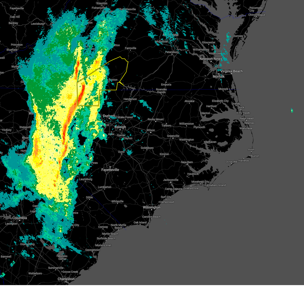 Svrrnk the national weather service in blacksburg has issued a * severe thunderstorm warning for, eastern rockingham county in north central north carolina, caswell county in north central north carolina, the city of danville in south central virginia, charlotte county in south central virginia, southeastern campbell county in central virginia, southern pittsylvania county in south central virginia, halifax county in south central virginia, * until 1030 am est. * at 932 am est, a severe thunderstorm was located near westover hills, or near danville, moving northeast at 50 mph (radar indicated). Hazards include 60 mph wind gusts. expect damage to roofs, siding, and trees Svrrnk the national weather service in blacksburg has issued a * severe thunderstorm warning for, eastern rockingham county in north central north carolina, caswell county in north central north carolina, the city of danville in south central virginia, charlotte county in south central virginia, southeastern campbell county in central virginia, southern pittsylvania county in south central virginia, halifax county in south central virginia, * until 1030 am est. * at 932 am est, a severe thunderstorm was located near westover hills, or near danville, moving northeast at 50 mph (radar indicated). Hazards include 60 mph wind gusts. expect damage to roofs, siding, and trees
|
| 3/5/2025 9:28 AM EST |
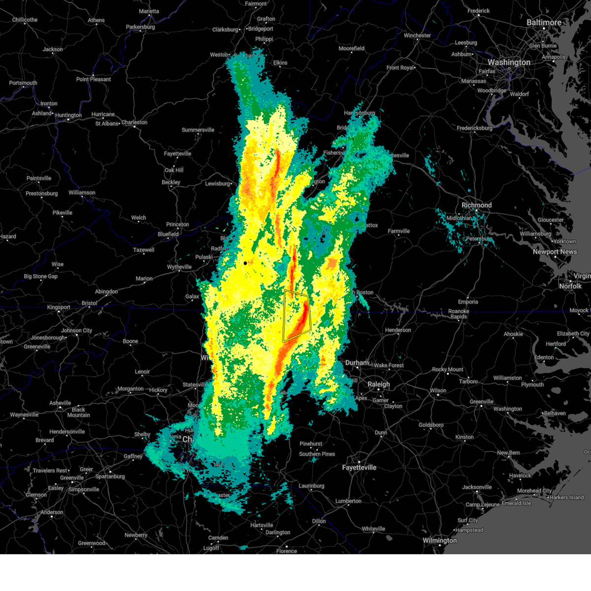 the severe thunderstorm warning has been cancelled and is no longer in effect the severe thunderstorm warning has been cancelled and is no longer in effect
|
| 3/5/2025 9:28 AM EST |
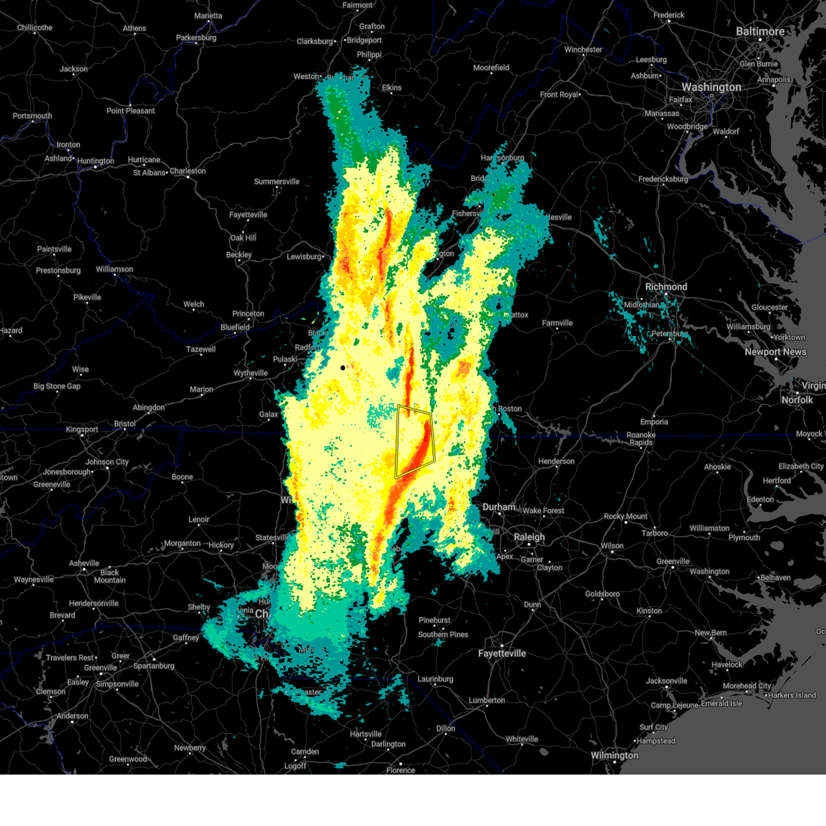 At 928 am est, a severe thunderstorm was located near westover hills, or 7 miles northwest of danville, moving northeast at 50 mph (radar indicated). Hazards include 60 mph wind gusts. Expect damage to roofs, siding, and trees. Locations impacted include, danville, eden, reidsville, wentworth, mayfield, axton, and quick. At 928 am est, a severe thunderstorm was located near westover hills, or 7 miles northwest of danville, moving northeast at 50 mph (radar indicated). Hazards include 60 mph wind gusts. Expect damage to roofs, siding, and trees. Locations impacted include, danville, eden, reidsville, wentworth, mayfield, axton, and quick.
|
| 3/5/2025 9:25 AM EST | A tree was observed blown down onto vandola church road... partially blocking traffi in pittsylvania county VA, 7.3 miles E of Danville, VA |
| 3/5/2025 9:16 AM EST |
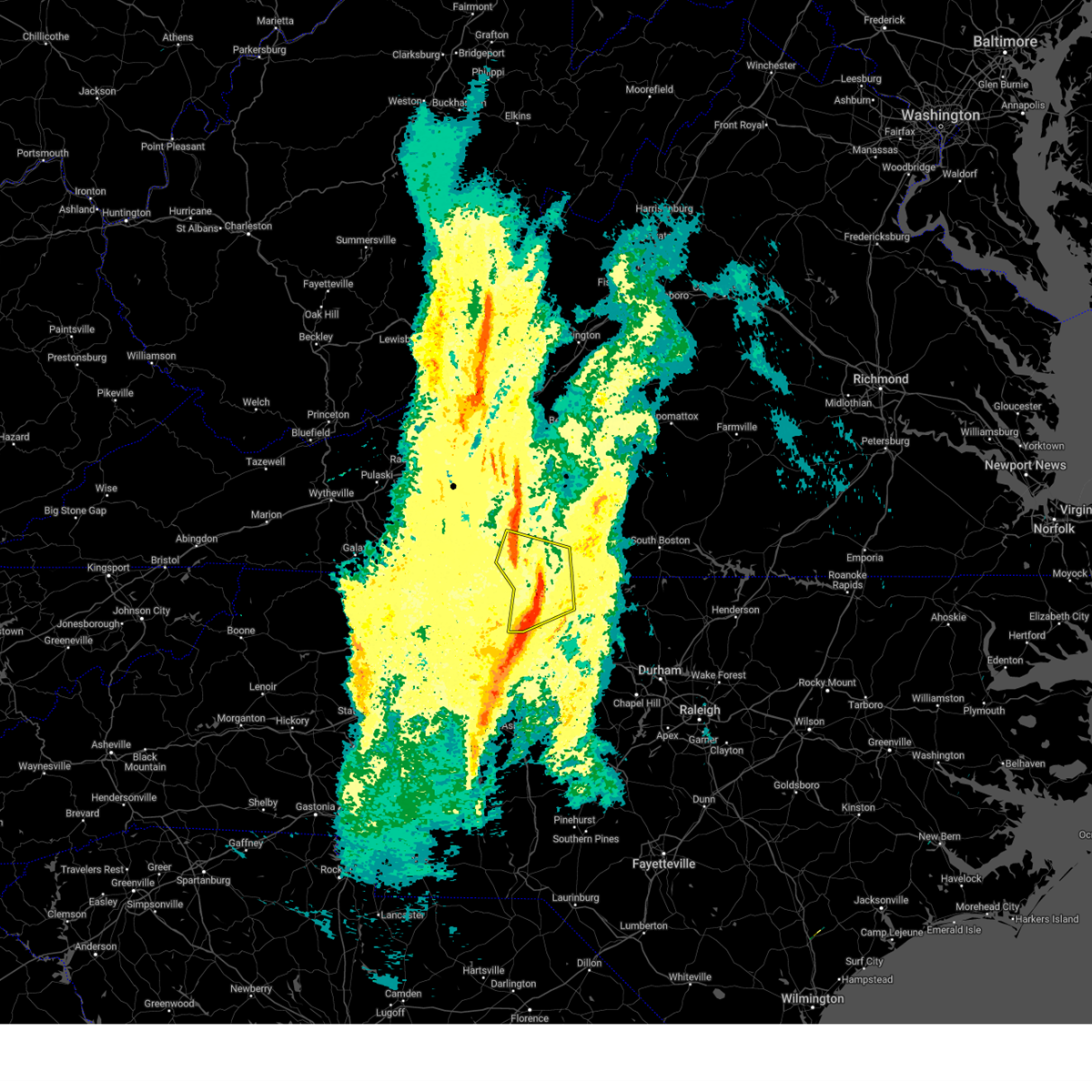 At 915 am est, a severe thunderstorm was located over draper, or near eden, moving northeast at 50 mph (radar indicated). Hazards include 60 mph wind gusts. Expect damage to roofs, siding, and trees. locations impacted include, danville, eden, reidsville, martinsville, wentworth, axton, and mayfield. This includes the following locations the martinsville speedway and martinsville airport. At 915 am est, a severe thunderstorm was located over draper, or near eden, moving northeast at 50 mph (radar indicated). Hazards include 60 mph wind gusts. Expect damage to roofs, siding, and trees. locations impacted include, danville, eden, reidsville, martinsville, wentworth, axton, and mayfield. This includes the following locations the martinsville speedway and martinsville airport.
|
| 3/5/2025 9:16 AM EST |
 the severe thunderstorm warning has been cancelled and is no longer in effect the severe thunderstorm warning has been cancelled and is no longer in effect
|
| 3/5/2025 9:01 AM EST |
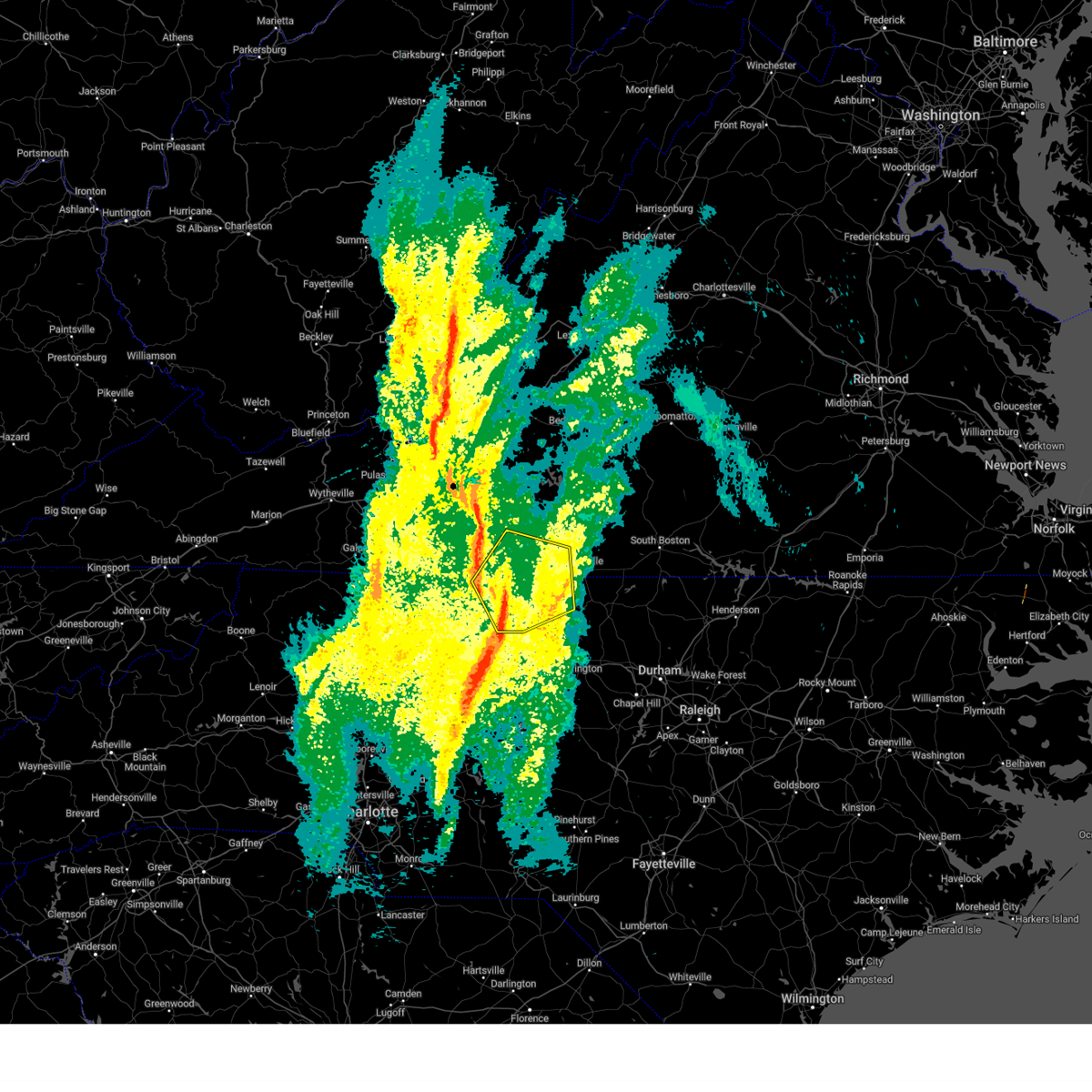 At 901 am est, a severe thunderstorm was located near intelligence, or near stoneville, moving northeast at 50 mph (radar indicated). Hazards include 60 mph wind gusts. Expect damage to roofs, siding, and trees. locations impacted include, danville, eden, reidsville, martinsville, wentworth, mayodan, and madison. This includes the following locations the martinsville speedway and martinsville airport. At 901 am est, a severe thunderstorm was located near intelligence, or near stoneville, moving northeast at 50 mph (radar indicated). Hazards include 60 mph wind gusts. Expect damage to roofs, siding, and trees. locations impacted include, danville, eden, reidsville, martinsville, wentworth, mayodan, and madison. This includes the following locations the martinsville speedway and martinsville airport.
|
| 3/5/2025 8:39 AM EST |
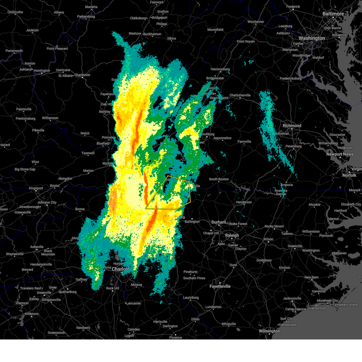 Svrrnk the national weather service in blacksburg has issued a * severe thunderstorm warning for, eastern stokes county in north central north carolina, rockingham county in north central north carolina, northwestern caswell county in north central north carolina, the west central city of danville in south central virginia, southwestern pittsylvania county in south central virginia, the city of martinsville in south central virginia, henry county in south central virginia, southeastern patrick county in southwestern virginia, * until 945 am est. * at 839 am est, a severe thunderstorm was located near walnut cove, moving northeast at 50 mph (radar indicated). Hazards include 60 mph wind gusts. expect damage to roofs, siding, and trees Svrrnk the national weather service in blacksburg has issued a * severe thunderstorm warning for, eastern stokes county in north central north carolina, rockingham county in north central north carolina, northwestern caswell county in north central north carolina, the west central city of danville in south central virginia, southwestern pittsylvania county in south central virginia, the city of martinsville in south central virginia, henry county in south central virginia, southeastern patrick county in southwestern virginia, * until 945 am est. * at 839 am est, a severe thunderstorm was located near walnut cove, moving northeast at 50 mph (radar indicated). Hazards include 60 mph wind gusts. expect damage to roofs, siding, and trees
|
| 9/27/2024 4:32 PM EDT |
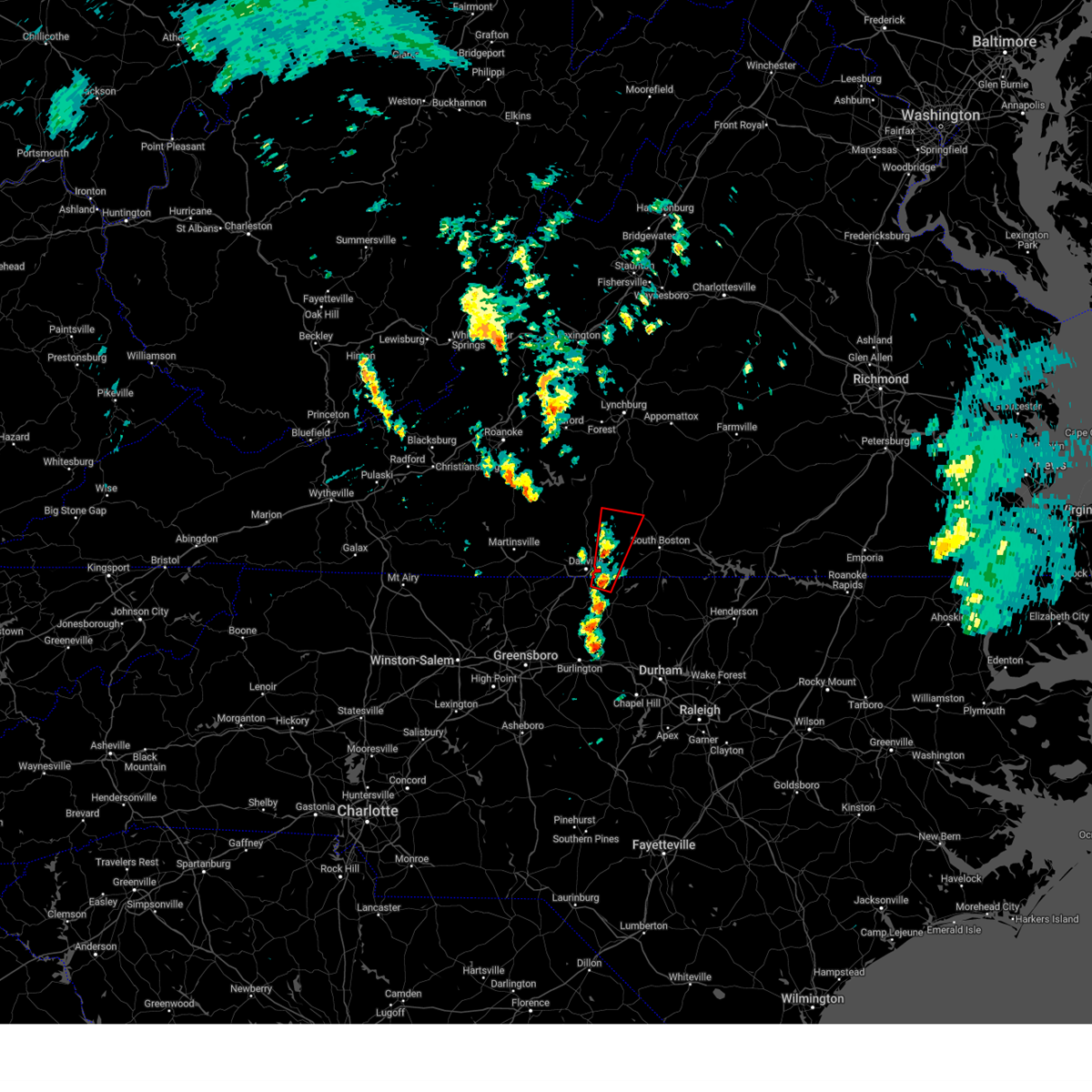 Torrnk the national weather service in blacksburg has issued a * tornado warning for, northeastern caswell county in north central north carolina, southeastern pittsylvania county in south central virginia, southwestern halifax county in south central virginia, * until 500 pm edt. * at 432 pm edt, a severe thunderstorm capable of producing a tornado was located over blanch, or near providence, moving north at 30 mph (radar indicated rotation). Hazards include tornado. Flying debris will be dangerous to those caught without shelter. mobile homes will be damaged or destroyed. damage to roofs, windows, and vehicles will occur. Tree damage is likely. Torrnk the national weather service in blacksburg has issued a * tornado warning for, northeastern caswell county in north central north carolina, southeastern pittsylvania county in south central virginia, southwestern halifax county in south central virginia, * until 500 pm edt. * at 432 pm edt, a severe thunderstorm capable of producing a tornado was located over blanch, or near providence, moving north at 30 mph (radar indicated rotation). Hazards include tornado. Flying debris will be dangerous to those caught without shelter. mobile homes will be damaged or destroyed. damage to roofs, windows, and vehicles will occur. Tree damage is likely.
|
| 9/27/2024 4:09 PM EDT |
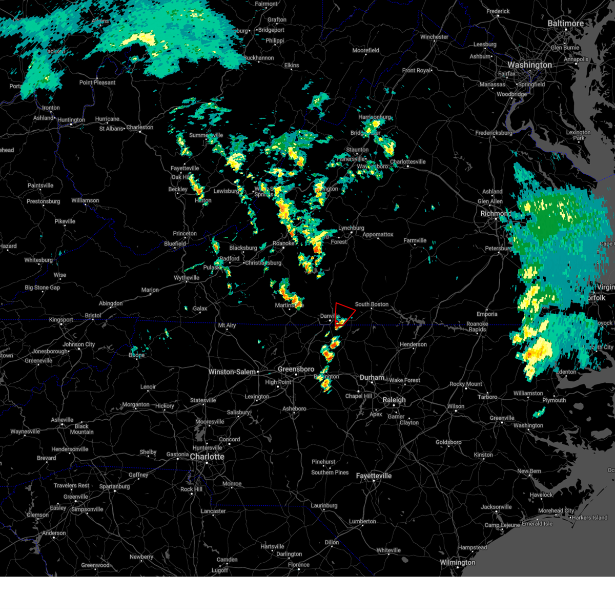 Torrnk the national weather service in blacksburg has issued a * tornado warning for, southeastern pittsylvania county in south central virginia, western halifax county in south central virginia, * until 445 pm edt. * at 409 pm edt, a severe thunderstorm capable of producing a tornado was located over ringgold, or 7 miles northeast of providence, moving north at 25 mph (radar indicated rotation). Hazards include tornado. Flying debris will be dangerous to those caught without shelter. mobile homes will be damaged or destroyed. damage to roofs, windows, and vehicles will occur. Tree damage is likely. Torrnk the national weather service in blacksburg has issued a * tornado warning for, southeastern pittsylvania county in south central virginia, western halifax county in south central virginia, * until 445 pm edt. * at 409 pm edt, a severe thunderstorm capable of producing a tornado was located over ringgold, or 7 miles northeast of providence, moving north at 25 mph (radar indicated rotation). Hazards include tornado. Flying debris will be dangerous to those caught without shelter. mobile homes will be damaged or destroyed. damage to roofs, windows, and vehicles will occur. Tree damage is likely.
|
| 9/27/2024 2:33 PM EDT |
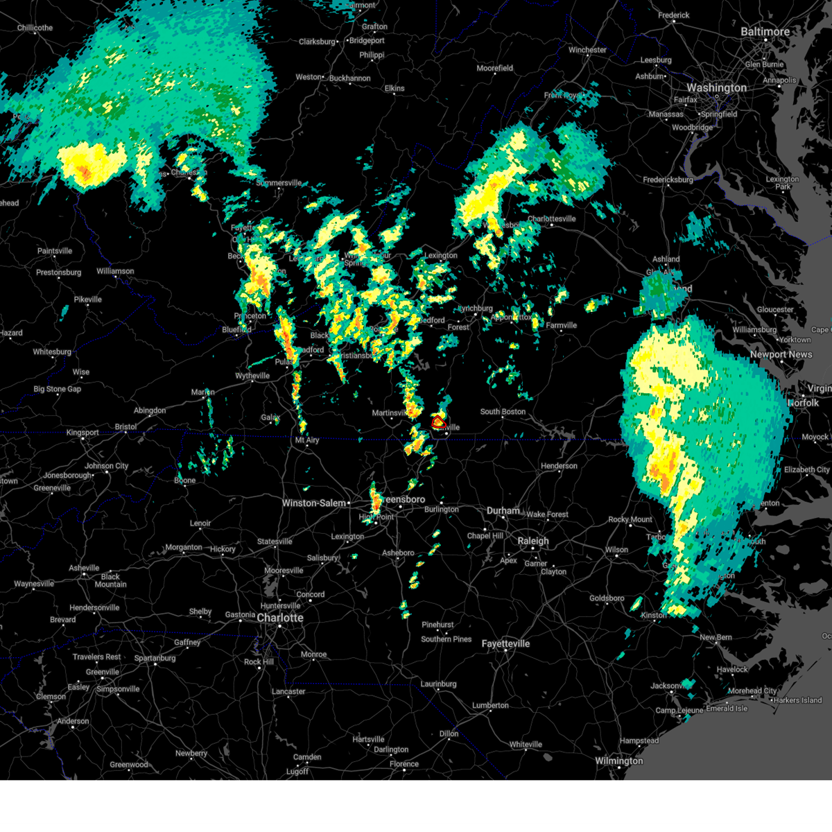 the tornado warning has been cancelled and is no longer in effect the tornado warning has been cancelled and is no longer in effect
|
| 9/27/2024 2:33 PM EDT |
 At 232 pm edt, a severe thunderstorm capable of producing a tornado was located near westover hills, or near blairs, moving north at 25 mph (radar indicated rotation). Hazards include tornado. Flying debris will be dangerous to those caught without shelter. mobile homes will be damaged or destroyed. damage to roofs, windows, and vehicles will occur. tree damage is likely. This tornadic thunderstorm will remain over mainly rural areas of south central pittsylvania county. At 232 pm edt, a severe thunderstorm capable of producing a tornado was located near westover hills, or near blairs, moving north at 25 mph (radar indicated rotation). Hazards include tornado. Flying debris will be dangerous to those caught without shelter. mobile homes will be damaged or destroyed. damage to roofs, windows, and vehicles will occur. tree damage is likely. This tornadic thunderstorm will remain over mainly rural areas of south central pittsylvania county.
|
| 9/27/2024 2:20 PM EDT |
 the tornado warning has been cancelled and is no longer in effect the tornado warning has been cancelled and is no longer in effect
|
| 9/27/2024 2:20 PM EDT |
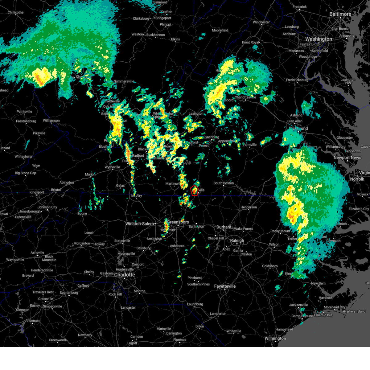 At 220 pm edt, a severe thunderstorm capable of producing a tornado was located over westover hills, or near danville, moving north at 25 mph (radar indicated rotation). Hazards include tornado. Flying debris will be dangerous to those caught without shelter. mobile homes will be damaged or destroyed. damage to roofs, windows, and vehicles will occur. tree damage is likely. Locations impacted include, danville, and westover hills. At 220 pm edt, a severe thunderstorm capable of producing a tornado was located over westover hills, or near danville, moving north at 25 mph (radar indicated rotation). Hazards include tornado. Flying debris will be dangerous to those caught without shelter. mobile homes will be damaged or destroyed. damage to roofs, windows, and vehicles will occur. tree damage is likely. Locations impacted include, danville, and westover hills.
|
| 9/27/2024 2:13 PM EDT |
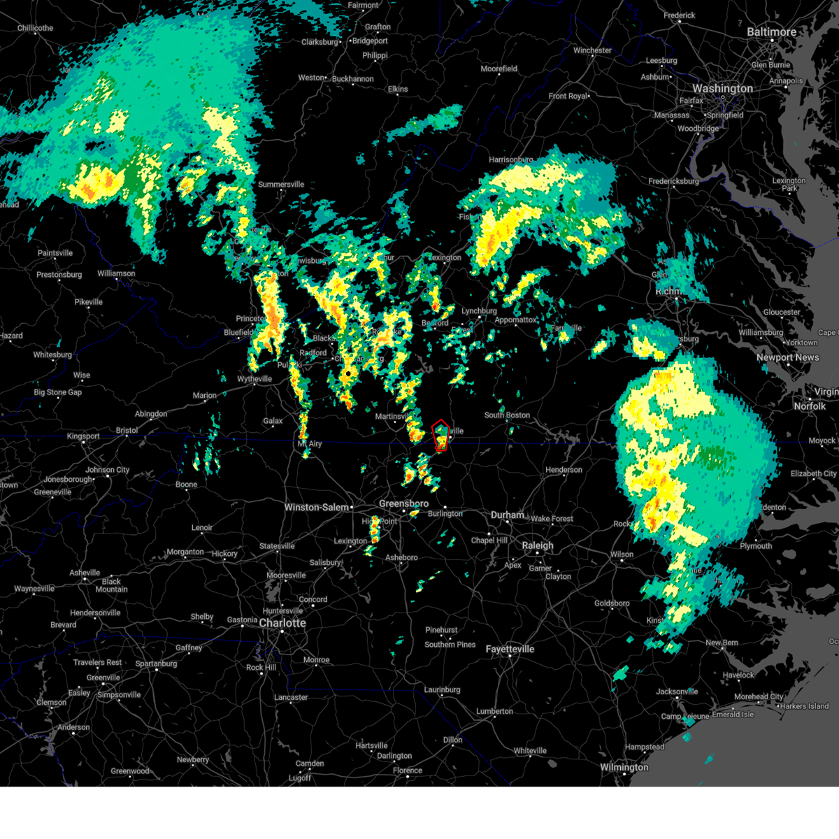 Torrnk the national weather service in blacksburg has issued a * tornado warning for, northwestern caswell county in north central north carolina, the western city of danville in south central virginia, south central pittsylvania county in south central virginia, * until 245 pm edt. * at 213 pm edt, a severe thunderstorm capable of producing a tornado was located over pelham, or near mayfield, moving north at 25 mph (radar indicated rotation). Hazards include tornado. Flying debris will be dangerous to those caught without shelter. mobile homes will be damaged or destroyed. damage to roofs, windows, and vehicles will occur. Tree damage is likely. Torrnk the national weather service in blacksburg has issued a * tornado warning for, northwestern caswell county in north central north carolina, the western city of danville in south central virginia, south central pittsylvania county in south central virginia, * until 245 pm edt. * at 213 pm edt, a severe thunderstorm capable of producing a tornado was located over pelham, or near mayfield, moving north at 25 mph (radar indicated rotation). Hazards include tornado. Flying debris will be dangerous to those caught without shelter. mobile homes will be damaged or destroyed. damage to roofs, windows, and vehicles will occur. Tree damage is likely.
|
| 9/27/2024 11:30 AM EDT |
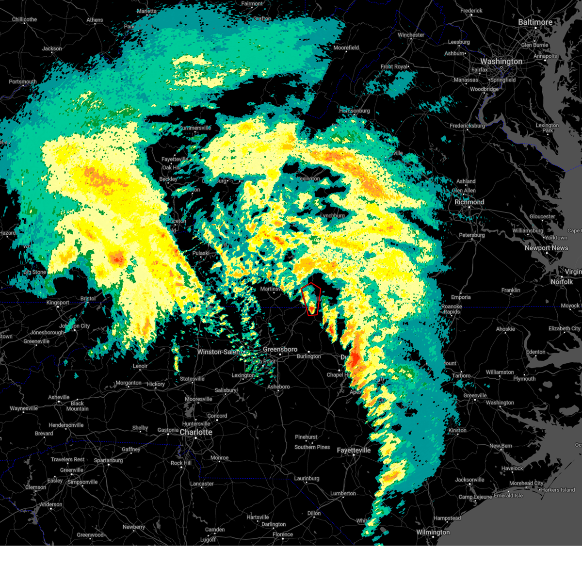 Torrnk the national weather service in blacksburg has issued a * tornado warning for, northwestern caswell county in north central north carolina, the city of danville in south central virginia, south central pittsylvania county in south central virginia, * until noon edt. * at 1129 am edt, a severe thunderstorm capable of producing a tornado was located over gatewood, or over providence, moving north at 35 mph (radar indicated rotation). Hazards include tornado. Flying debris will be dangerous to those caught without shelter. mobile homes will be damaged or destroyed. damage to roofs, windows, and vehicles will occur. Tree damage is likely. Torrnk the national weather service in blacksburg has issued a * tornado warning for, northwestern caswell county in north central north carolina, the city of danville in south central virginia, south central pittsylvania county in south central virginia, * until noon edt. * at 1129 am edt, a severe thunderstorm capable of producing a tornado was located over gatewood, or over providence, moving north at 35 mph (radar indicated rotation). Hazards include tornado. Flying debris will be dangerous to those caught without shelter. mobile homes will be damaged or destroyed. damage to roofs, windows, and vehicles will occur. Tree damage is likely.
|
| 9/24/2024 7:42 PM EDT |
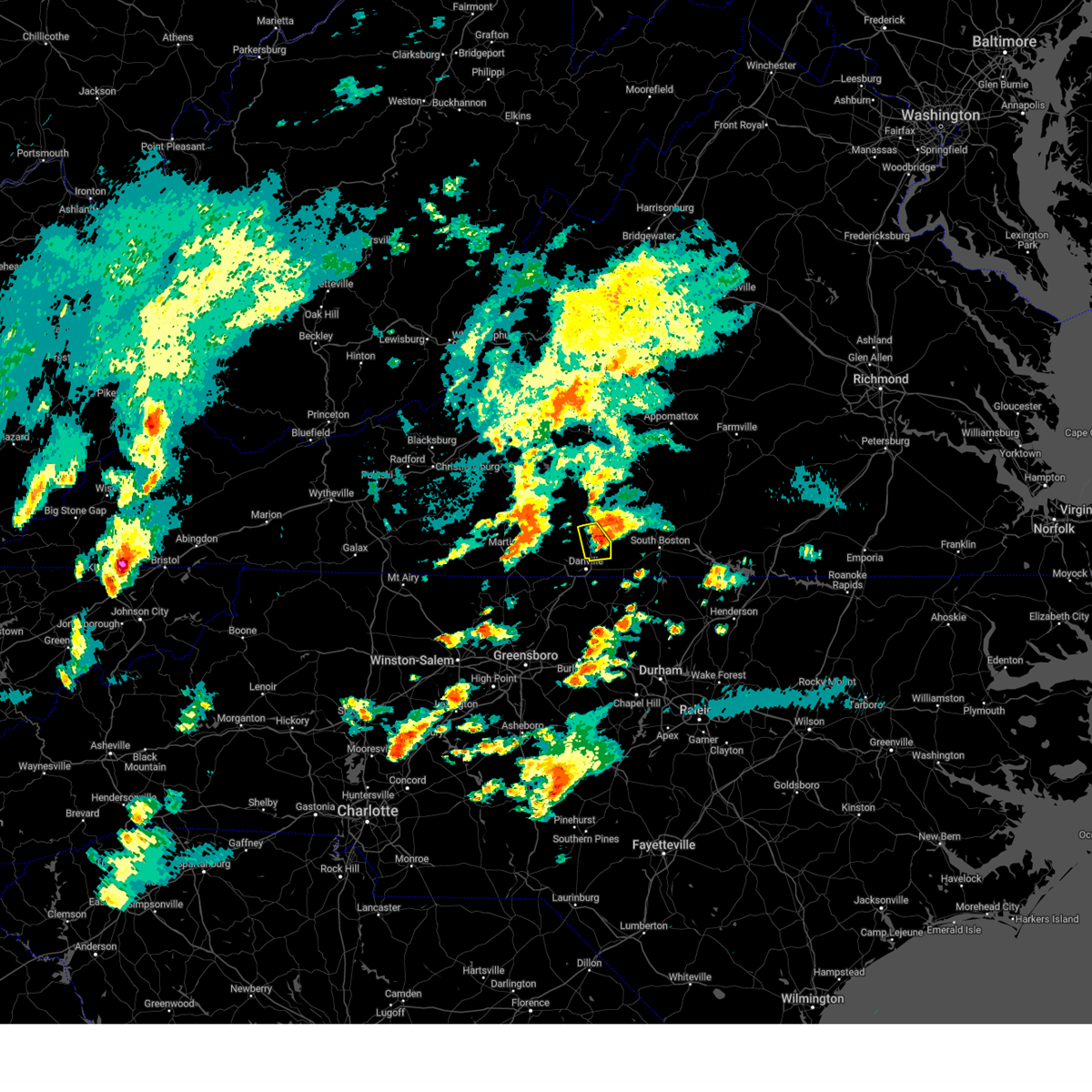 The storm which prompted the warning has weakened below severe limits, and has exited the warned area. therefore, the warning will be allowed to expire. The storm which prompted the warning has weakened below severe limits, and has exited the warned area. therefore, the warning will be allowed to expire.
|
| 9/24/2024 7:31 PM EDT |
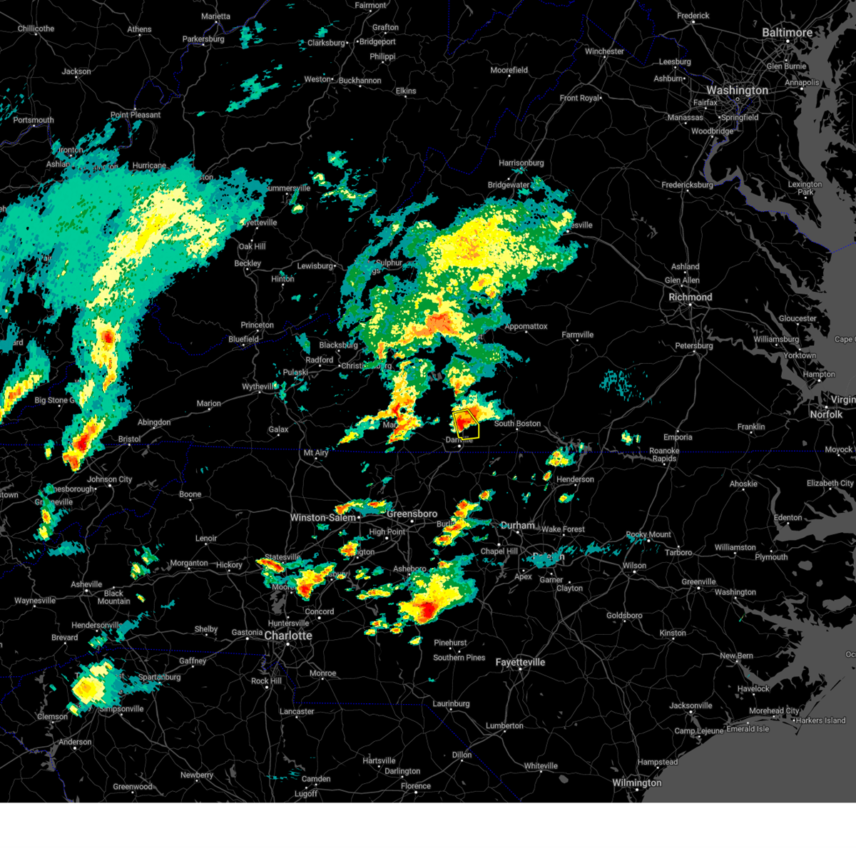 the severe thunderstorm warning has been cancelled and is no longer in effect the severe thunderstorm warning has been cancelled and is no longer in effect
|
| 9/24/2024 7:31 PM EDT |
 At 730 pm edt, a severe thunderstorm was located over keeling, or near blairs, moving east at 20 mph (radar indicated). Hazards include 60 mph wind gusts and quarter size hail. Hail damage to vehicles is expected. expect wind damage to roofs, siding, and trees. Locations impacted include, chatham, blairs, dry fork, and keeling. At 730 pm edt, a severe thunderstorm was located over keeling, or near blairs, moving east at 20 mph (radar indicated). Hazards include 60 mph wind gusts and quarter size hail. Hail damage to vehicles is expected. expect wind damage to roofs, siding, and trees. Locations impacted include, chatham, blairs, dry fork, and keeling.
|
| 9/24/2024 7:06 PM EDT |
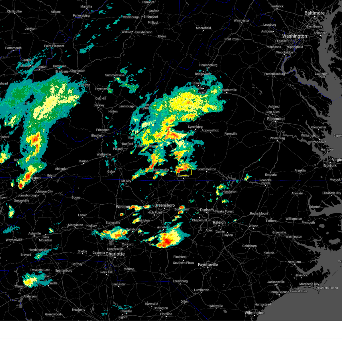 At 706 pm edt, a severe thunderstorm was located near dry fork, or near blairs, moving east at 15 mph (radar indicated). Hazards include 60 mph wind gusts and quarter size hail. Hail damage to vehicles is expected. expect wind damage to roofs, siding, and trees. Locations impacted include, chatham, blairs, dry fork, and keeling. At 706 pm edt, a severe thunderstorm was located near dry fork, or near blairs, moving east at 15 mph (radar indicated). Hazards include 60 mph wind gusts and quarter size hail. Hail damage to vehicles is expected. expect wind damage to roofs, siding, and trees. Locations impacted include, chatham, blairs, dry fork, and keeling.
|
| 9/24/2024 6:42 PM EDT |
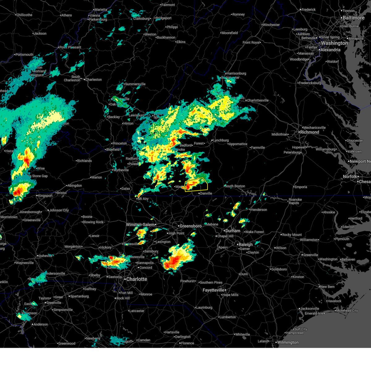 Svrrnk the national weather service in blacksburg has issued a * severe thunderstorm warning for, the north central city of danville in south central virginia, southern pittsylvania county in south central virginia, * until 745 pm edt. * at 640 pm edt, a severe thunderstorm was located near swansonville, or 7 miles east of axton, moving east at 20 mph (radar indicated). Hazards include 60 mph wind gusts and quarter size hail. Hail damage to vehicles is expected. Expect wind damage to roofs, siding, and trees. Svrrnk the national weather service in blacksburg has issued a * severe thunderstorm warning for, the north central city of danville in south central virginia, southern pittsylvania county in south central virginia, * until 745 pm edt. * at 640 pm edt, a severe thunderstorm was located near swansonville, or 7 miles east of axton, moving east at 20 mph (radar indicated). Hazards include 60 mph wind gusts and quarter size hail. Hail damage to vehicles is expected. Expect wind damage to roofs, siding, and trees.
|
| 9/24/2024 6:21 PM EDT |
 the severe thunderstorm warning has been cancelled and is no longer in effect the severe thunderstorm warning has been cancelled and is no longer in effect
|
| 9/24/2024 6:21 PM EDT |
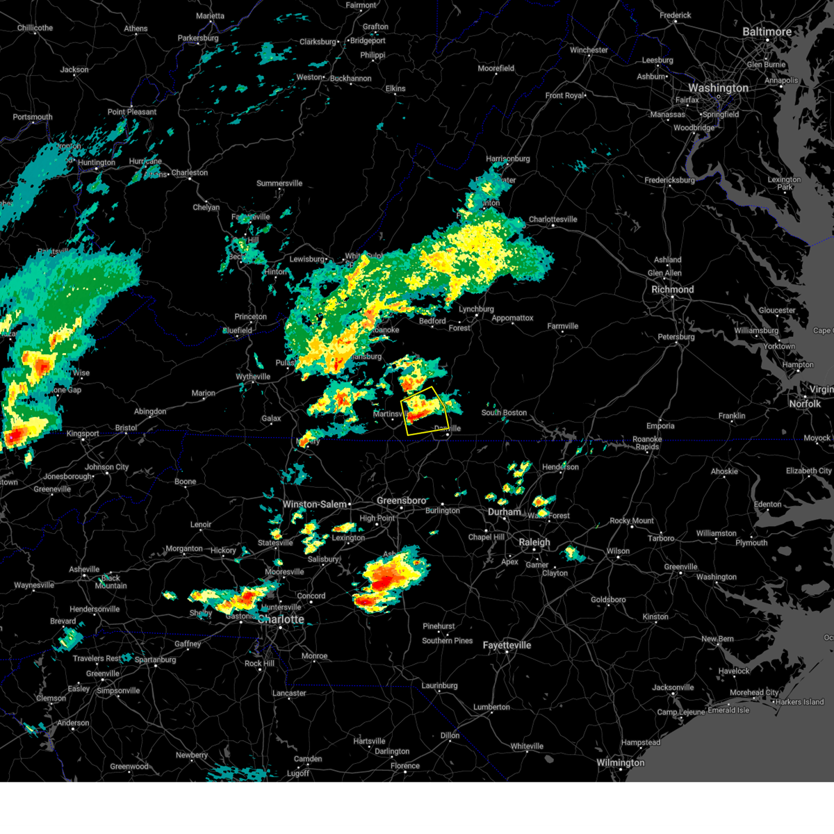 At 620 pm edt, a severe thunderstorm was located over sandy river, or near axton, moving east at 15 mph (radar indicated). Hazards include 60 mph wind gusts and quarter size hail. Hail damage to vehicles is expected. expect wind damage to roofs, siding, and trees. Locations impacted include, axton, callands, snow creek, sago, leatherwood, swansonville, and dry fork. At 620 pm edt, a severe thunderstorm was located over sandy river, or near axton, moving east at 15 mph (radar indicated). Hazards include 60 mph wind gusts and quarter size hail. Hail damage to vehicles is expected. expect wind damage to roofs, siding, and trees. Locations impacted include, axton, callands, snow creek, sago, leatherwood, swansonville, and dry fork.
|
| 9/24/2024 6:08 PM EDT |
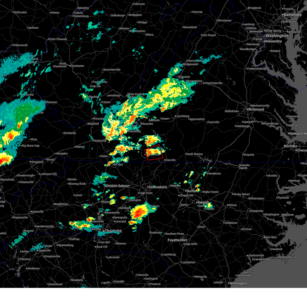 Torrnk the national weather service in blacksburg has issued a * tornado warning for, southwestern pittsylvania county in south central virginia, eastern henry county in south central virginia, * until 645 pm edt. * at 608 pm edt, a severe thunderstorm capable of producing a tornado was located over laurel park, or over axton, moving east at 15 mph (radar indicated rotation). Hazards include tornado and quarter size hail. Flying debris will be dangerous to those caught without shelter. mobile homes will be damaged or destroyed. damage to roofs, windows, and vehicles will occur. Tree damage is likely. Torrnk the national weather service in blacksburg has issued a * tornado warning for, southwestern pittsylvania county in south central virginia, eastern henry county in south central virginia, * until 645 pm edt. * at 608 pm edt, a severe thunderstorm capable of producing a tornado was located over laurel park, or over axton, moving east at 15 mph (radar indicated rotation). Hazards include tornado and quarter size hail. Flying debris will be dangerous to those caught without shelter. mobile homes will be damaged or destroyed. damage to roofs, windows, and vehicles will occur. Tree damage is likely.
|
| 9/24/2024 5:52 PM EDT |
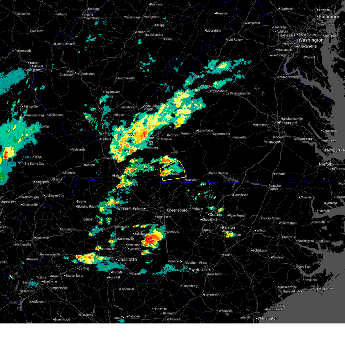 Svrrnk the national weather service in blacksburg has issued a * severe thunderstorm warning for, the northwestern city of danville in south central virginia, southwestern pittsylvania county in south central virginia, the city of martinsville in south central virginia, eastern henry county in south central virginia, southeastern franklin county in west central virginia, * until 645 pm edt. * at 552 pm edt, a severe thunderstorm was located over laurel park, or near axton, moving east at 15 mph (radar indicated). Hazards include 60 mph wind gusts and quarter size hail. Hail damage to vehicles is expected. Expect wind damage to roofs, siding, and trees. Svrrnk the national weather service in blacksburg has issued a * severe thunderstorm warning for, the northwestern city of danville in south central virginia, southwestern pittsylvania county in south central virginia, the city of martinsville in south central virginia, eastern henry county in south central virginia, southeastern franklin county in west central virginia, * until 645 pm edt. * at 552 pm edt, a severe thunderstorm was located over laurel park, or near axton, moving east at 15 mph (radar indicated). Hazards include 60 mph wind gusts and quarter size hail. Hail damage to vehicles is expected. Expect wind damage to roofs, siding, and trees.
|
| 8/8/2024 11:10 AM EDT | The pittsylvania county 911 center reported that a large tree was down across tom fork road in the 3000 block of the roadway. the downed tree was blocking the entire ro in pittsylvania county VA, 3.8 miles W of Danville, VA |
| 8/3/2024 6:58 PM EDT |
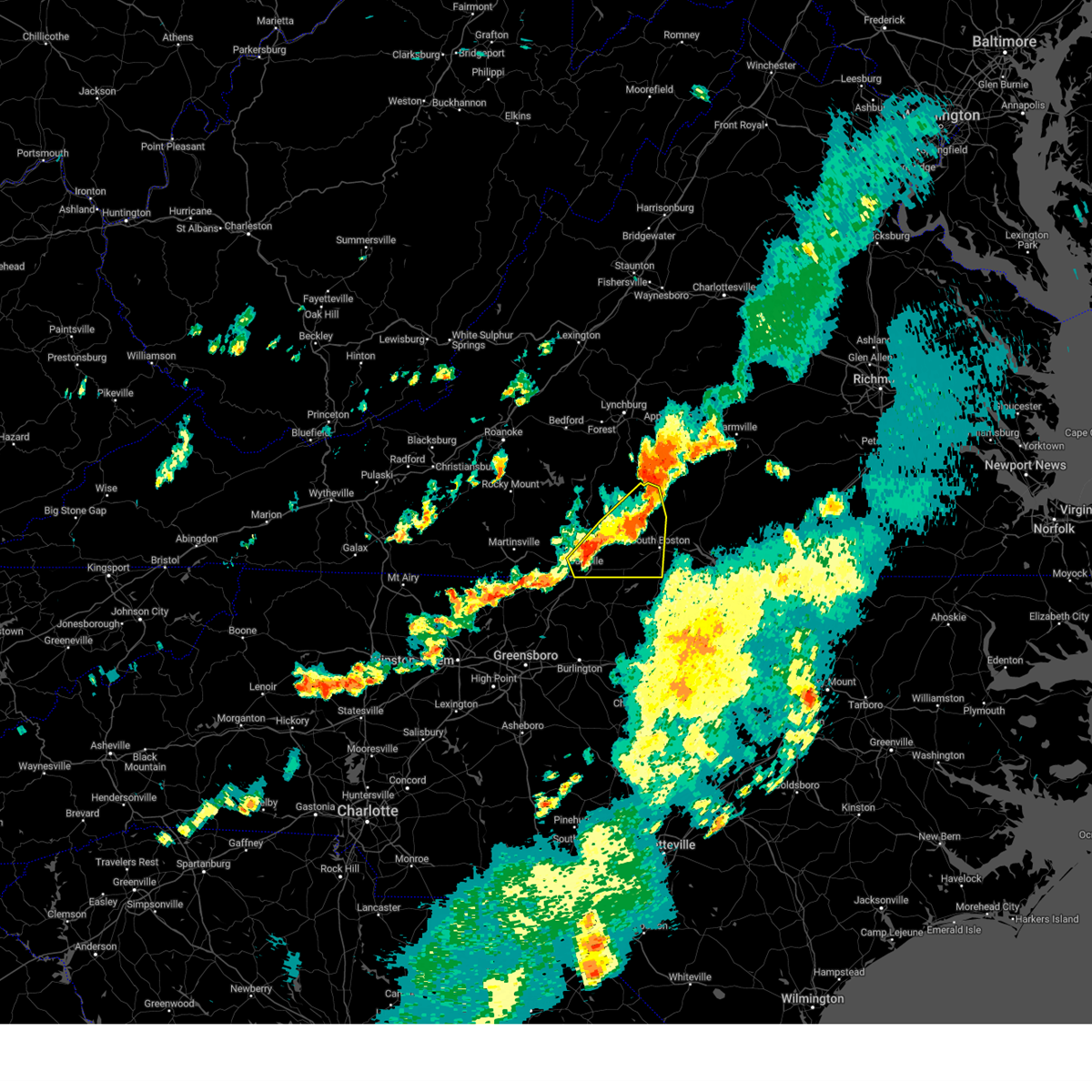 At 658 pm edt, severe thunderstorms were located along a line extending from near brookneal to near leda to near westover hills, moving east at 15 mph (radar indicated). Hazards include 60 mph wind gusts and quarter size hail. Hail damage to vehicles is expected. expect wind damage to roofs, siding, and trees. locations impacted include, danville, south boston, halifax, blairs, turbeville, ingram, and nathalie. This includes the following location danville airport. At 658 pm edt, severe thunderstorms were located along a line extending from near brookneal to near leda to near westover hills, moving east at 15 mph (radar indicated). Hazards include 60 mph wind gusts and quarter size hail. Hail damage to vehicles is expected. expect wind damage to roofs, siding, and trees. locations impacted include, danville, south boston, halifax, blairs, turbeville, ingram, and nathalie. This includes the following location danville airport.
|
| 8/3/2024 6:31 PM EDT | Large limb laying in the roadway on franklin pike. 4900 bloc in pittsylvania county VA, 6.7 miles SSE of Danville, VA |
| 8/3/2024 6:31 PM EDT | Powerlines down on twin springs driv in pittsylvania county VA, 7.4 miles SSE of Danville, VA |
| 8/3/2024 6:27 PM EDT |
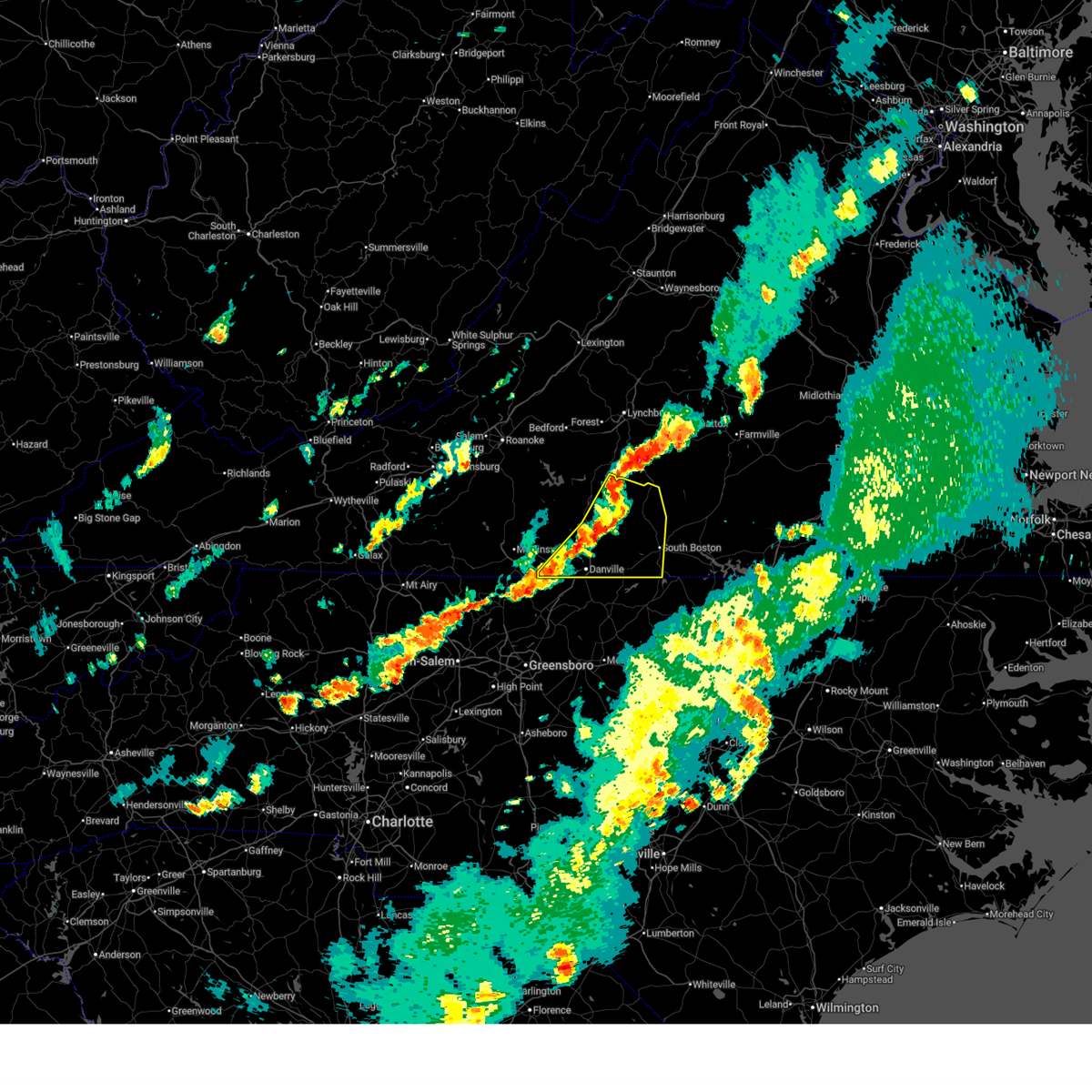 Svrrnk the national weather service in blacksburg has issued a * severe thunderstorm warning for, the city of danville in south central virginia, pittsylvania county in south central virginia, halifax county in south central virginia, * until 730 pm edt. * at 627 pm edt, severe thunderstorms were located along a line extending from near straightstone to near java to near cascade, moving east at 15 mph (radar indicated). Hazards include 60 mph wind gusts and quarter size hail. Hail damage to vehicles is expected. Expect wind damage to roofs, siding, and trees. Svrrnk the national weather service in blacksburg has issued a * severe thunderstorm warning for, the city of danville in south central virginia, pittsylvania county in south central virginia, halifax county in south central virginia, * until 730 pm edt. * at 627 pm edt, severe thunderstorms were located along a line extending from near straightstone to near java to near cascade, moving east at 15 mph (radar indicated). Hazards include 60 mph wind gusts and quarter size hail. Hail damage to vehicles is expected. Expect wind damage to roofs, siding, and trees.
|
| 8/3/2024 6:16 PM EDT |
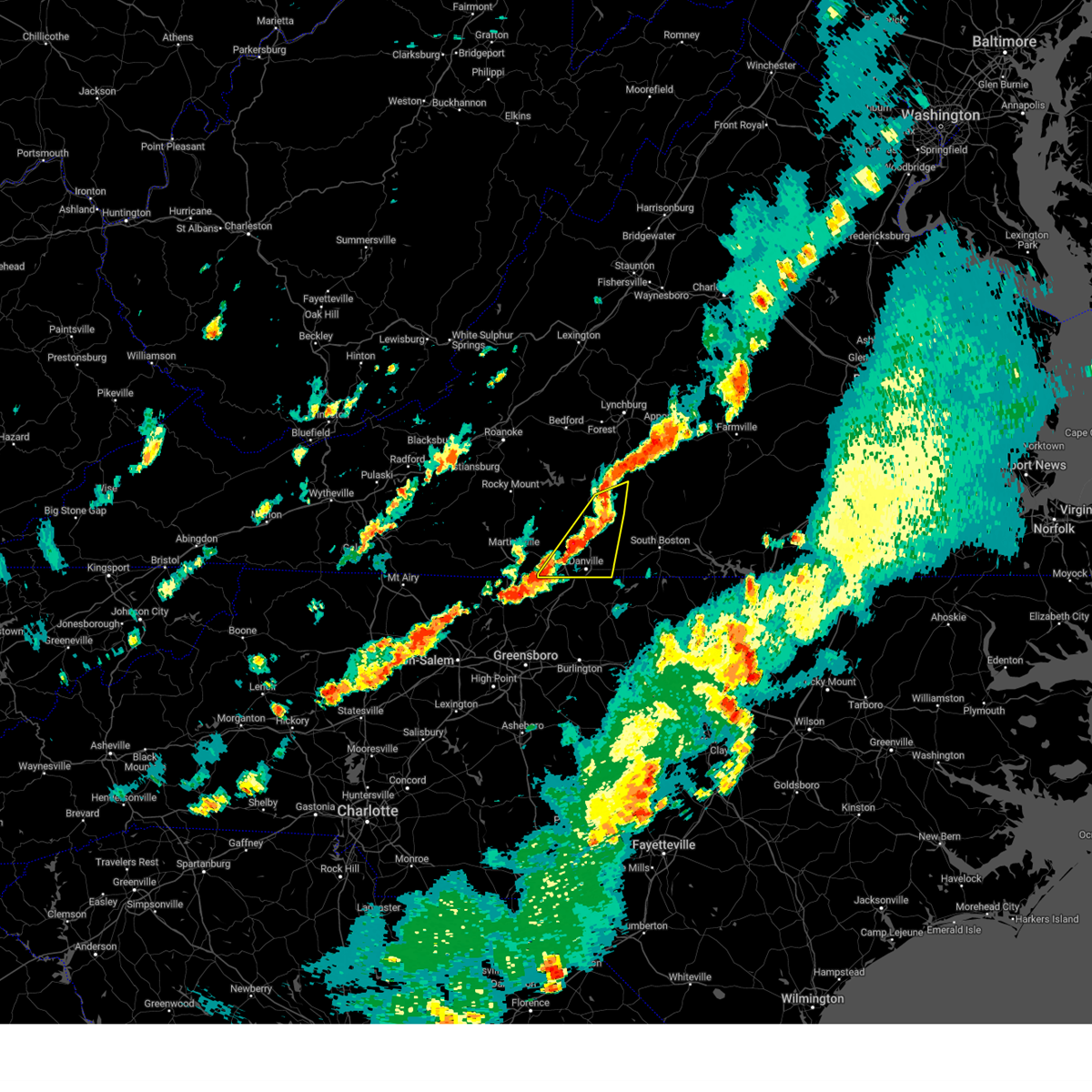 At 615 pm edt, a severe thunderstorm was located near blairs, moving northeast at 30 mph (radar indicated). Hazards include 60 mph wind gusts and quarter size hail. Hail damage to vehicles is expected. expect wind damage to roofs, siding, and trees. locations impacted include, danville, chatham, gretna, blairs, mt airy, java, and dry fork. This includes the following location danville airport. At 615 pm edt, a severe thunderstorm was located near blairs, moving northeast at 30 mph (radar indicated). Hazards include 60 mph wind gusts and quarter size hail. Hail damage to vehicles is expected. expect wind damage to roofs, siding, and trees. locations impacted include, danville, chatham, gretna, blairs, mt airy, java, and dry fork. This includes the following location danville airport.
|
| 8/3/2024 5:30 PM EDT |
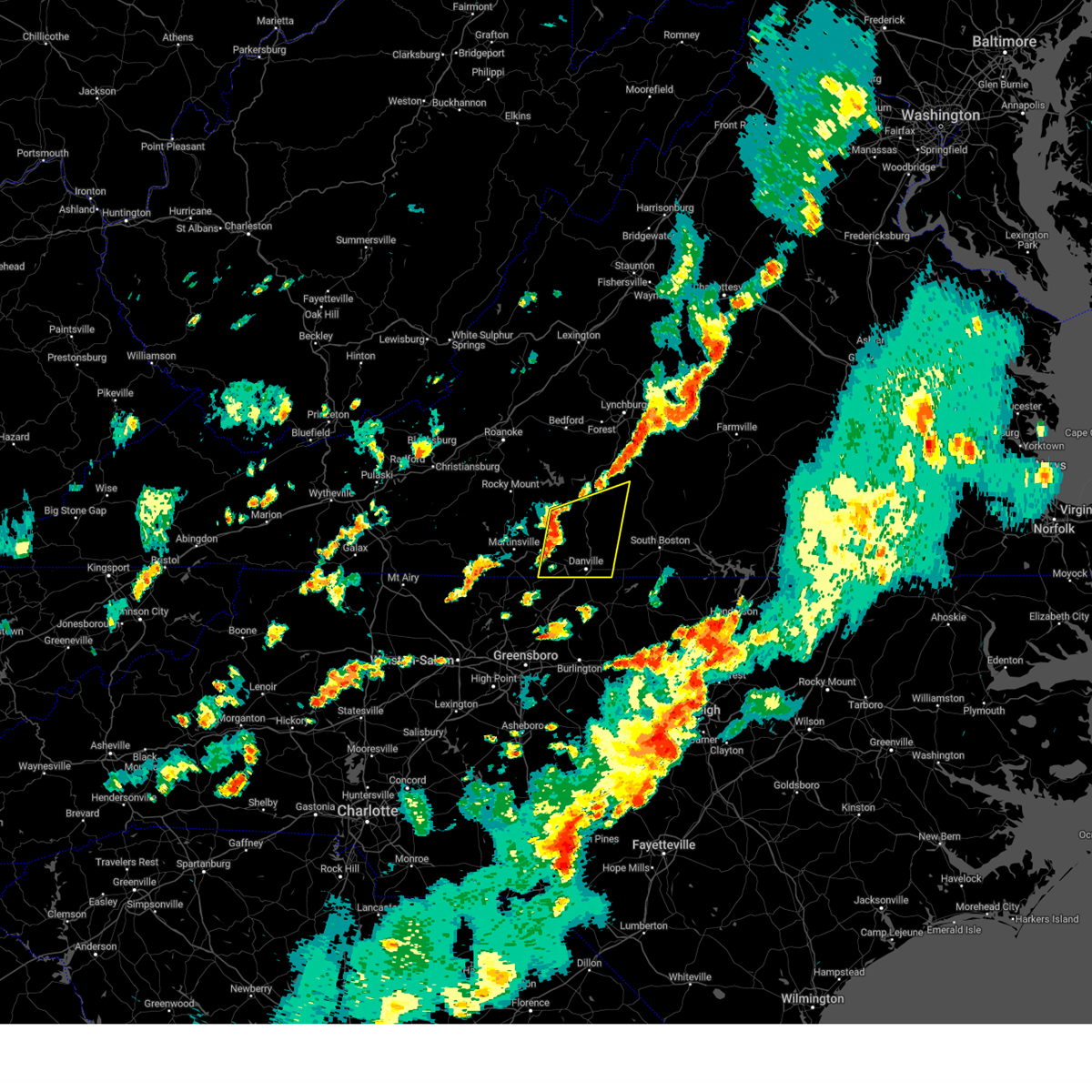 Svrrnk the national weather service in blacksburg has issued a * severe thunderstorm warning for, the city of danville in south central virginia, pittsylvania county in south central virginia, * until 630 pm edt. * at 530 pm edt, a severe thunderstorm was located over callands, moving east at 35 mph (radar indicated). Hazards include 60 mph wind gusts and quarter size hail. Hail damage to vehicles is expected. Expect wind damage to roofs, siding, and trees. Svrrnk the national weather service in blacksburg has issued a * severe thunderstorm warning for, the city of danville in south central virginia, pittsylvania county in south central virginia, * until 630 pm edt. * at 530 pm edt, a severe thunderstorm was located over callands, moving east at 35 mph (radar indicated). Hazards include 60 mph wind gusts and quarter size hail. Hail damage to vehicles is expected. Expect wind damage to roofs, siding, and trees.
|
| 8/2/2024 5:56 PM EDT | Thunderstorm winds blew down a tree on a house... taking power lines down with it on mountain hill roa in pittsylvania county VA, 4.2 miles NW of Danville, VA |
| 8/2/2024 5:55 PM EDT | Thunderstorm winds blew down a tree on 803 bertha wilson roa in caswell county NC, 6.3 miles NNW of Danville, VA |
| 8/2/2024 5:52 PM EDT | Thunderstorm winds blew down a tree on the 300 block of walters mill roa in caswell county NC, 5 miles NNW of Danville, VA |
| 8/2/2024 5:35 PM EDT | Thunderstorm winds blew down a tree on 600-blk ringgold depot roa in pittsylvania county VA, 5.7 miles WSW of Danville, VA |
| 8/2/2024 5:10 PM EDT | Thunderstorm winds blew down a tree on 4700 ringgold church roa in pittsylvania county VA, 5.2 miles WSW of Danville, VA |
| 8/2/2024 4:05 PM EDT | Large pine tree down on springlake plac in pittsylvania county VA, 8.4 miles S of Danville, VA |
| 7/17/2024 6:50 PM EDT | Tree dow in pittsylvania county VA, 4.9 miles W of Danville, VA |
| 6/30/2024 6:37 PM EDT |
 The storm which prompted the warning has weakened below severe limits, and no longer poses an immediate threat to life or property. therefore, the warning will be allowed to expire. however, heavy rain is still possible with this thunderstorm. a severe thunderstorm watch remains in effect until 1100 pm edt for south central virginia. The storm which prompted the warning has weakened below severe limits, and no longer poses an immediate threat to life or property. therefore, the warning will be allowed to expire. however, heavy rain is still possible with this thunderstorm. a severe thunderstorm watch remains in effect until 1100 pm edt for south central virginia.
|
| 6/30/2024 6:27 PM EDT |
 At 627 pm edt, a severe thunderstorm was located near westover hills, or 8 miles northwest of danville, moving southeast at 20 mph (radar indicated). Hazards include 60 mph wind gusts. Expect damage to roofs, siding, and trees. locations impacted include, danville, eden, bethel, providence, mayfield, blairs, and milton. This includes the following location danville airport. At 627 pm edt, a severe thunderstorm was located near westover hills, or 8 miles northwest of danville, moving southeast at 20 mph (radar indicated). Hazards include 60 mph wind gusts. Expect damage to roofs, siding, and trees. locations impacted include, danville, eden, bethel, providence, mayfield, blairs, and milton. This includes the following location danville airport.
|
| 6/30/2024 6:09 PM EDT |
 At 608 pm edt, a severe thunderstorm was located over swansonville, or 7 miles south of callands, moving southeast at 10 mph (radar indicated). Hazards include 60 mph wind gusts. Expect damage to roofs, siding, and trees. locations impacted include, danville, eden, bethel, providence, mayfield, blairs, and axton. This includes the following location danville airport. At 608 pm edt, a severe thunderstorm was located over swansonville, or 7 miles south of callands, moving southeast at 10 mph (radar indicated). Hazards include 60 mph wind gusts. Expect damage to roofs, siding, and trees. locations impacted include, danville, eden, bethel, providence, mayfield, blairs, and axton. This includes the following location danville airport.
|
| 6/30/2024 5:57 PM EDT | Tree down across portion of milton highway. time based on rada in pittsylvania county VA, 7.2 miles W of Danville, VA |
| 6/30/2024 5:45 PM EDT |
 Svrrnk the national weather service in blacksburg has issued a * severe thunderstorm warning for, northeastern rockingham county in north central north carolina, northern caswell county in north central north carolina, the city of danville in south central virginia, southern pittsylvania county in south central virginia, southwestern halifax county in south central virginia, northeastern henry county in south central virginia, * until 645 pm edt. * at 545 pm edt, a severe thunderstorm was located over swansonville, or 7 miles south of callands, and is nearly stationary (radar indicated). Hazards include 60 mph wind gusts. expect damage to roofs, siding, and trees Svrrnk the national weather service in blacksburg has issued a * severe thunderstorm warning for, northeastern rockingham county in north central north carolina, northern caswell county in north central north carolina, the city of danville in south central virginia, southern pittsylvania county in south central virginia, southwestern halifax county in south central virginia, northeastern henry county in south central virginia, * until 645 pm edt. * at 545 pm edt, a severe thunderstorm was located over swansonville, or 7 miles south of callands, and is nearly stationary (radar indicated). Hazards include 60 mph wind gusts. expect damage to roofs, siding, and trees
|
| 6/30/2024 5:18 PM EDT |
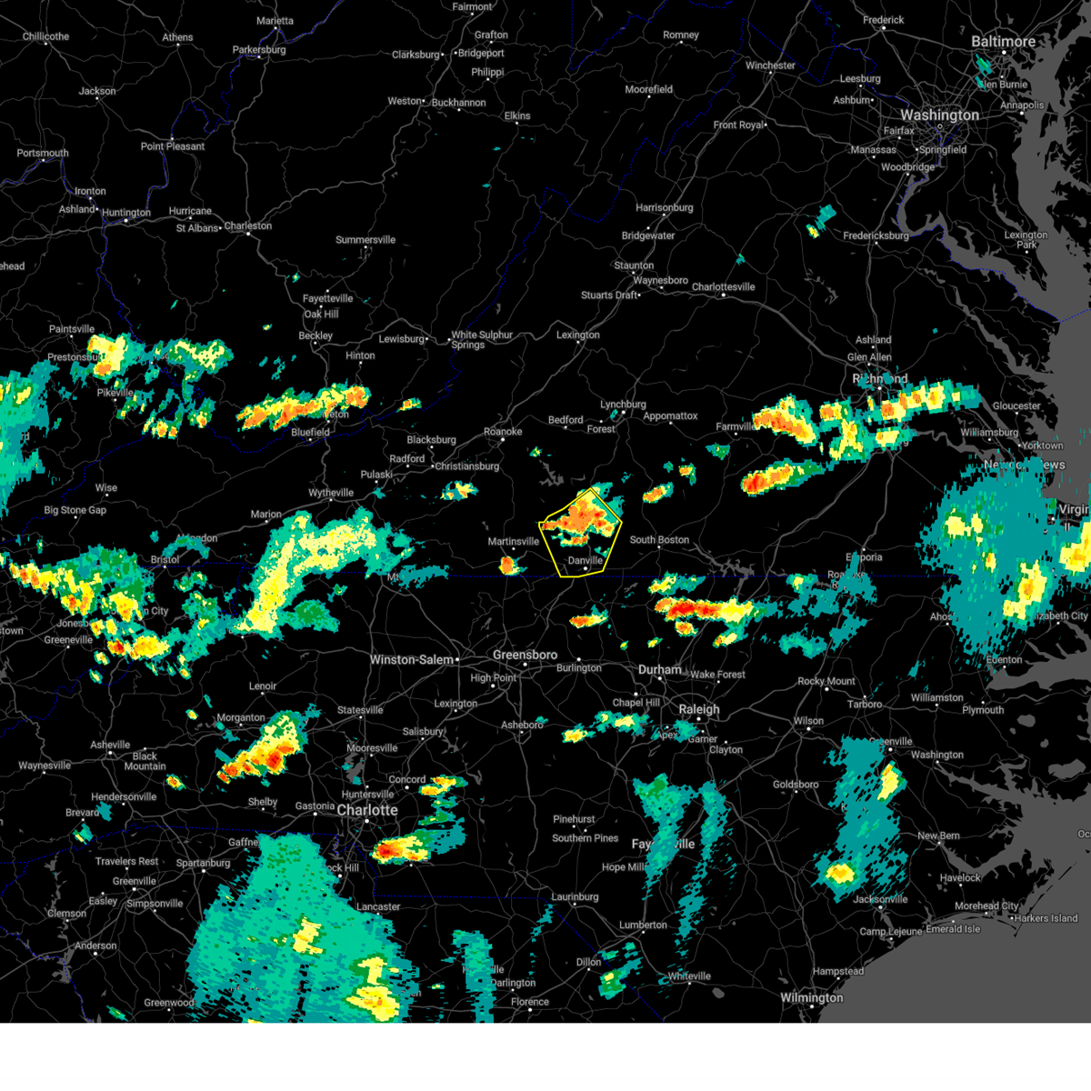 At 518 pm edt, a severe thunderstorm was located over dry fork, or near chatham, moving southeast at 20 mph (radar indicated). Hazards include 60 mph wind gusts and quarter size hail. Hail damage to vehicles is expected. expect wind damage to roofs, siding, and trees. locations impacted include, danville, chatham, gretna, blairs, callands, java, and dry fork. This includes the following location danville airport. At 518 pm edt, a severe thunderstorm was located over dry fork, or near chatham, moving southeast at 20 mph (radar indicated). Hazards include 60 mph wind gusts and quarter size hail. Hail damage to vehicles is expected. expect wind damage to roofs, siding, and trees. locations impacted include, danville, chatham, gretna, blairs, callands, java, and dry fork. This includes the following location danville airport.
|
| 6/30/2024 5:04 PM EDT |
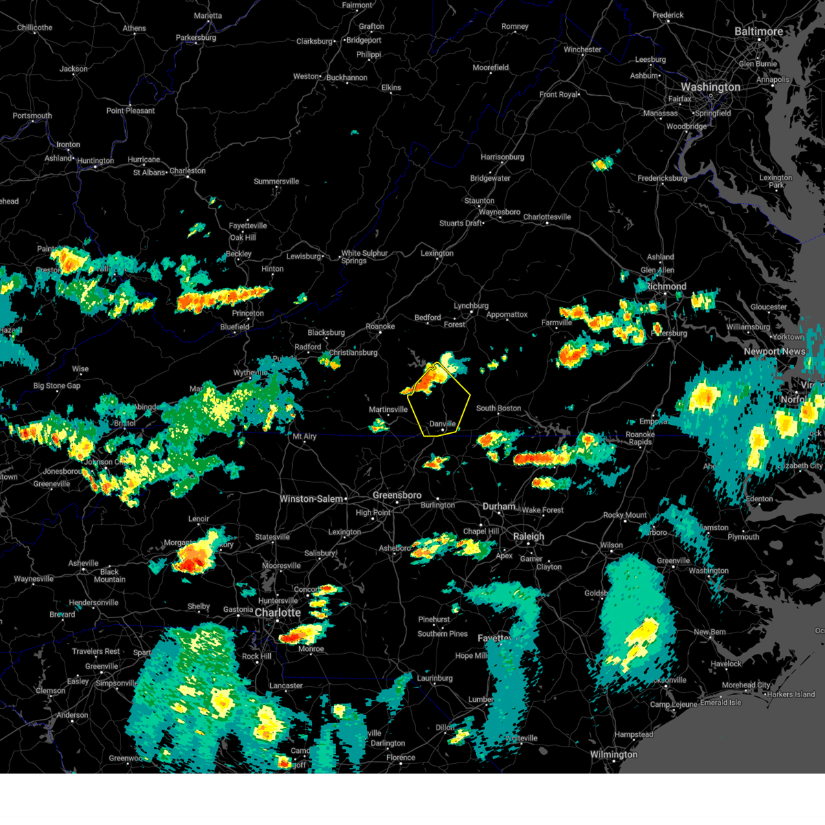 At 503 pm edt, a severe thunderstorm was located near climax, or near chatham, moving southeast at 25 mph (radar indicated). Hazards include 60 mph wind gusts and quarter size hail. Hail damage to vehicles is expected. expect wind damage to roofs, siding, and trees. locations impacted include, danville, chatham, gretna, blairs, callands, java, and dry fork. This includes the following location danville airport. At 503 pm edt, a severe thunderstorm was located near climax, or near chatham, moving southeast at 25 mph (radar indicated). Hazards include 60 mph wind gusts and quarter size hail. Hail damage to vehicles is expected. expect wind damage to roofs, siding, and trees. locations impacted include, danville, chatham, gretna, blairs, callands, java, and dry fork. This includes the following location danville airport.
|
| 6/30/2024 5:04 PM EDT |
 the severe thunderstorm warning has been cancelled and is no longer in effect the severe thunderstorm warning has been cancelled and is no longer in effect
|
| 6/30/2024 4:37 PM EDT |
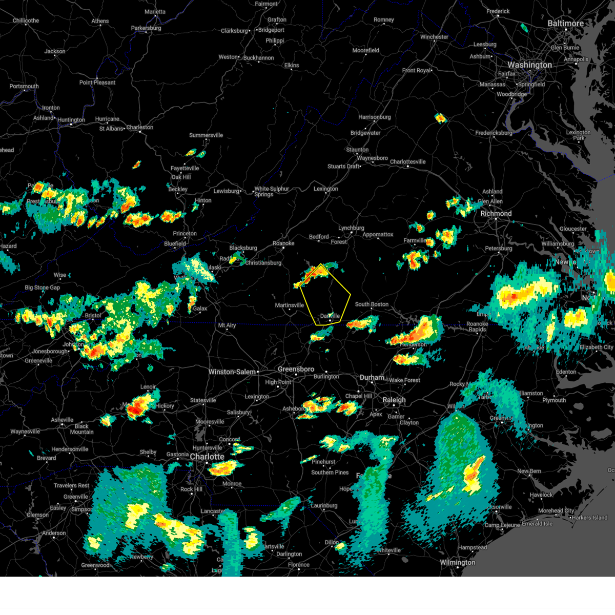 Svrrnk the national weather service in blacksburg has issued a * severe thunderstorm warning for, the city of danville in south central virginia, pittsylvania county in south central virginia, south central bedford county in south central virginia, northeastern henry county in south central virginia, southeastern franklin county in west central virginia, * until 545 pm edt. * at 437 pm edt, a severe thunderstorm was located near sago, or near penhook, moving southeast at 30 mph (radar indicated). Hazards include 60 mph wind gusts. expect damage to roofs, siding, and trees Svrrnk the national weather service in blacksburg has issued a * severe thunderstorm warning for, the city of danville in south central virginia, pittsylvania county in south central virginia, south central bedford county in south central virginia, northeastern henry county in south central virginia, southeastern franklin county in west central virginia, * until 545 pm edt. * at 437 pm edt, a severe thunderstorm was located near sago, or near penhook, moving southeast at 30 mph (radar indicated). Hazards include 60 mph wind gusts. expect damage to roofs, siding, and trees
|
| 5/26/2024 9:44 PM EDT |
 the severe thunderstorm warning has been cancelled and is no longer in effect the severe thunderstorm warning has been cancelled and is no longer in effect
|
| 5/26/2024 9:21 PM EDT |
 At 921 pm edt, a severe thunderstorm was located over yanceyville, moving east at 40 mph (radar indicated). Hazards include 60 mph wind gusts. Expect damage to roofs, siding, and trees. locations impacted include, danville, yanceyville, bethel, jericho, prospect hill, turbeville, and camp springs. This includes the following location danville airport. At 921 pm edt, a severe thunderstorm was located over yanceyville, moving east at 40 mph (radar indicated). Hazards include 60 mph wind gusts. Expect damage to roofs, siding, and trees. locations impacted include, danville, yanceyville, bethel, jericho, prospect hill, turbeville, and camp springs. This includes the following location danville airport.
|
| 5/26/2024 8:59 PM EDT |
 Svrrnk the national weather service in blacksburg has issued a * severe thunderstorm warning for, eastern rockingham county in north central north carolina, caswell county in north central north carolina, the city of danville in south central virginia, southeastern pittsylvania county in south central virginia, southwestern halifax county in south central virginia, * until 1000 pm edt. * at 859 pm edt, a severe thunderstorm was located over lawsonville, or near reidsville, moving east at 40 mph (radar indicated). Hazards include 60 mph wind gusts and quarter size hail. Hail damage to vehicles is expected. Expect wind damage to roofs, siding, and trees. Svrrnk the national weather service in blacksburg has issued a * severe thunderstorm warning for, eastern rockingham county in north central north carolina, caswell county in north central north carolina, the city of danville in south central virginia, southeastern pittsylvania county in south central virginia, southwestern halifax county in south central virginia, * until 1000 pm edt. * at 859 pm edt, a severe thunderstorm was located over lawsonville, or near reidsville, moving east at 40 mph (radar indicated). Hazards include 60 mph wind gusts and quarter size hail. Hail damage to vehicles is expected. Expect wind damage to roofs, siding, and trees.
|
| 5/7/2024 7:48 PM EDT |
 The storm which prompted the warning has weakened below severe limits, and no longer poses an immediate threat to life or property. therefore, the warning has been allowed to expire. however, small hail, gusty winds and heavy rain are still possible with this thunderstorm. The storm which prompted the warning has weakened below severe limits, and no longer poses an immediate threat to life or property. therefore, the warning has been allowed to expire. however, small hail, gusty winds and heavy rain are still possible with this thunderstorm.
|
| 5/7/2024 7:32 PM EDT | Quarter sized hail reported 1.9 miles SE of Danville, VA |
| 5/7/2024 7:29 PM EDT |
 At 729 pm edt, a severe thunderstorm was located over danville, moving east at 25 mph (radar indicated). Hazards include 60 mph wind gusts and quarter size hail. Hail damage to vehicles is expected. expect wind damage to roofs, siding, and trees. locations impacted include, danville, yanceyville, bethel, providence, mayfield, blairs, and blanch. This includes the following location danville airport. At 729 pm edt, a severe thunderstorm was located over danville, moving east at 25 mph (radar indicated). Hazards include 60 mph wind gusts and quarter size hail. Hail damage to vehicles is expected. expect wind damage to roofs, siding, and trees. locations impacted include, danville, yanceyville, bethel, providence, mayfield, blairs, and blanch. This includes the following location danville airport.
|
| 5/7/2024 7:29 PM EDT |
 the severe thunderstorm warning has been cancelled and is no longer in effect the severe thunderstorm warning has been cancelled and is no longer in effect
|
| 5/7/2024 7:21 PM EDT | Quarter sized hail reported 7.5 miles SE of Danville, VA |
| 5/7/2024 7:09 PM EDT |
 Svrrnk the national weather service in blacksburg has issued a * severe thunderstorm warning for, northeastern rockingham county in north central north carolina, northwestern caswell county in north central north carolina, the city of danville in south central virginia, southern pittsylvania county in south central virginia, southeastern henry county in south central virginia, * until 745 pm edt. * at 709 pm edt, a severe thunderstorm was located near cascade, or near mayfield, moving east at 35 mph (radar indicated). Hazards include 60 mph wind gusts and quarter size hail. Hail damage to vehicles is expected. Expect wind damage to roofs, siding, and trees. Svrrnk the national weather service in blacksburg has issued a * severe thunderstorm warning for, northeastern rockingham county in north central north carolina, northwestern caswell county in north central north carolina, the city of danville in south central virginia, southern pittsylvania county in south central virginia, southeastern henry county in south central virginia, * until 745 pm edt. * at 709 pm edt, a severe thunderstorm was located near cascade, or near mayfield, moving east at 35 mph (radar indicated). Hazards include 60 mph wind gusts and quarter size hail. Hail damage to vehicles is expected. Expect wind damage to roofs, siding, and trees.
|
| 4/11/2024 10:28 PM EDT |
 The storms which prompted the warning are moving east and out of the area. therefore, the warning will be allowed to expire. however, gusty winds are still possible in the wake of these thunderstorms. a tornado watch remains in effect until 1100 pm edt for north central north carolina, and central and south central virginia. remember, a severe thunderstorm warning still remains in effect for eastern halifax and into charlotte, appomattox, and buckingham counties until 1115 pm. The storms which prompted the warning are moving east and out of the area. therefore, the warning will be allowed to expire. however, gusty winds are still possible in the wake of these thunderstorms. a tornado watch remains in effect until 1100 pm edt for north central north carolina, and central and south central virginia. remember, a severe thunderstorm warning still remains in effect for eastern halifax and into charlotte, appomattox, and buckingham counties until 1115 pm.
|
| 4/11/2024 10:18 PM EDT | Tree down across the road in the 800 block of r & l smith drive in danvill in pittsylvania county VA, 9.1 miles S of Danville, VA |
| 4/11/2024 10:00 PM EDT | Tree down on a house in the 100 block of charlotte street in danvill in city of danville county VA, 3.5 miles ESE of Danville, VA |
| 4/11/2024 9:57 PM EDT | Tree down across the road in the 4700 block of berry hill road... danville v in pittsylvania county VA, 10.2 miles E of Danville, VA |
| 4/11/2024 9:56 PM EDT | Tree down across r & l smith drive near its intersection with big sky road and hunting hills roa in pittsylvania county VA, 8.5 miles S of Danville, VA |
| 4/11/2024 9:40 PM EDT | Large tree blocking the tunnel on witt roa in pittsylvania county VA, 7 miles S of Danville, VA |
| 4/11/2024 9:38 PM EDT |
 the severe thunderstorm warning has been cancelled and is no longer in effect the severe thunderstorm warning has been cancelled and is no longer in effect
|
| 4/11/2024 9:38 PM EDT |
 At 938 pm edt, severe thunderstorms were located along a line extending from near dry fork to near danville to near lawsonville, moving east at 45 mph (radar indicated). Hazards include 60 mph wind gusts. Expect damage to roofs, siding, and trees. locations impacted include, danville, reidsville, wentworth, yanceyville, bethel, providence, and mayfield. This includes the following location danville airport. At 938 pm edt, severe thunderstorms were located along a line extending from near dry fork to near danville to near lawsonville, moving east at 45 mph (radar indicated). Hazards include 60 mph wind gusts. Expect damage to roofs, siding, and trees. locations impacted include, danville, reidsville, wentworth, yanceyville, bethel, providence, and mayfield. This includes the following location danville airport.
|
| 4/11/2024 9:37 PM EDT | Tree and powerlines down on hunting hills r in pittsylvania county VA, 7.9 miles SSE of Danville, VA |
| 4/11/2024 9:34 PM EDT |
 Svrrnk the national weather service in blacksburg has issued a * severe thunderstorm warning for, northeastern rockingham county in north central north carolina, northern caswell county in north central north carolina, the city of danville in south central virginia, northwestern charlotte county in south central virginia, campbell county in central virginia, pittsylvania county in south central virginia, halifax county in south central virginia, bedford county in south central virginia, southwestern amherst county in central virginia, the city of lynchburg in central virginia, * until 1030 pm edt. * at 934 pm edt, severe thunderstorms were located along a line extending from near chamblissburg to near huddleston to near blairs to near lawsonville, moving northeast at 50 mph (radar indicated). Hazards include 60 mph wind gusts. expect damage to roofs, siding, and trees Svrrnk the national weather service in blacksburg has issued a * severe thunderstorm warning for, northeastern rockingham county in north central north carolina, northern caswell county in north central north carolina, the city of danville in south central virginia, northwestern charlotte county in south central virginia, campbell county in central virginia, pittsylvania county in south central virginia, halifax county in south central virginia, bedford county in south central virginia, southwestern amherst county in central virginia, the city of lynchburg in central virginia, * until 1030 pm edt. * at 934 pm edt, severe thunderstorms were located along a line extending from near chamblissburg to near huddleston to near blairs to near lawsonville, moving northeast at 50 mph (radar indicated). Hazards include 60 mph wind gusts. expect damage to roofs, siding, and trees
|
| 4/11/2024 9:00 PM EDT |
 Svrrnk the national weather service in blacksburg has issued a * severe thunderstorm warning for, rockingham county in north central north carolina, caswell county in north central north carolina, the city of danville in south central virginia, southwestern pittsylvania county in south central virginia, the city of martinsville in south central virginia, eastern henry county in south central virginia, * until 1000 pm edt. * at 900 pm edt, severe thunderstorms were located along a line extending from horse pasture to near eden to 7 miles south of ellisboro, moving east at 45 mph (radar indicated). Hazards include 60 mph wind gusts. expect damage to roofs, siding, and trees Svrrnk the national weather service in blacksburg has issued a * severe thunderstorm warning for, rockingham county in north central north carolina, caswell county in north central north carolina, the city of danville in south central virginia, southwestern pittsylvania county in south central virginia, the city of martinsville in south central virginia, eastern henry county in south central virginia, * until 1000 pm edt. * at 900 pm edt, severe thunderstorms were located along a line extending from horse pasture to near eden to 7 miles south of ellisboro, moving east at 45 mph (radar indicated). Hazards include 60 mph wind gusts. expect damage to roofs, siding, and trees
|
| 1/9/2024 4:52 PM EST |
 The severe thunderstorm warning for caswell, southeastern pittsylvania and southwestern halifax counties and the city of danville will expire at 500 pm est, the storm which prompted the warning has moved out of the area. therefore, the warning will be allowed to expire. however, heavy rain is still possible with this thunderstorm. a tornado watch remains in effect until 900 pm est for north central north carolina, and central and south central virginia. The severe thunderstorm warning for caswell, southeastern pittsylvania and southwestern halifax counties and the city of danville will expire at 500 pm est, the storm which prompted the warning has moved out of the area. therefore, the warning will be allowed to expire. however, heavy rain is still possible with this thunderstorm. a tornado watch remains in effect until 900 pm est for north central north carolina, and central and south central virginia.
|
| 1/9/2024 4:32 PM EST | Thunderstorm winds blew down a pine tree that blocked both lanes of ferguson roa in pittsylvania county VA, 5.2 miles WSW of Danville, VA |
| 1/9/2024 4:16 PM EST |
 At 416 pm est, a severe thunderstorm was located over camp springs, moving northeast at 55 mph (radar indicated). Hazards include 60 mph wind gusts. Expect damage to roofs, siding, and trees. locations impacted include, danville, yanceyville, bethel, jericho, prospect hill, turbeville, and ingram. this includes the following location danville airport. hail threat, radar indicated max hail size, <. 75 in wind threat, radar indicated max wind gust, 60 mph. At 416 pm est, a severe thunderstorm was located over camp springs, moving northeast at 55 mph (radar indicated). Hazards include 60 mph wind gusts. Expect damage to roofs, siding, and trees. locations impacted include, danville, yanceyville, bethel, jericho, prospect hill, turbeville, and ingram. this includes the following location danville airport. hail threat, radar indicated max hail size, <. 75 in wind threat, radar indicated max wind gust, 60 mph.
|
| 1/9/2024 3:57 PM EST |
 At 356 pm est, a severe thunderstorm was located near greensboro, moving northeast at 55 mph (radar indicated). Hazards include 60 mph wind gusts. expect damage to roofs, siding, and trees At 356 pm est, a severe thunderstorm was located near greensboro, moving northeast at 55 mph (radar indicated). Hazards include 60 mph wind gusts. expect damage to roofs, siding, and trees
|
| 1/9/2024 3:12 PM EST |
 The severe thunderstorm warning for eastern rockingham, caswell, southern pittsylvania, northwestern halifax and southeastern henry counties and the city of danville will expire at 315 pm est, the storms which prompted the warning have moved out of the area. therefore, the warning will be allowed to expire. a tornado watch remains in effect until 900 pm est for north central north carolina, and central and south central virginia. remember, a severe thunderstorm warning still remains in effect for halifax county, eastern pittsylvania county and caswell county. The severe thunderstorm warning for eastern rockingham, caswell, southern pittsylvania, northwestern halifax and southeastern henry counties and the city of danville will expire at 315 pm est, the storms which prompted the warning have moved out of the area. therefore, the warning will be allowed to expire. a tornado watch remains in effect until 900 pm est for north central north carolina, and central and south central virginia. remember, a severe thunderstorm warning still remains in effect for halifax county, eastern pittsylvania county and caswell county.
|
| 1/9/2024 3:08 PM EST |
 At 307 pm est, severe thunderstorms were located along a line extending from near java to near camp springs, moving east at 45 mph (radar indicated). Hazards include 60 mph wind gusts. expect damage to roofs, siding, and trees At 307 pm est, severe thunderstorms were located along a line extending from near java to near camp springs, moving east at 45 mph (radar indicated). Hazards include 60 mph wind gusts. expect damage to roofs, siding, and trees
|
| 1/9/2024 3:00 PM EST | Thunderstorm winds blew down trees on jamerson road sout in pittsylvania county VA, 4.9 miles SE of Danville, VA |
| 1/9/2024 2:54 PM EST | A tree was blown down in the 1300 block of sandy creek between b jones road and hutson road. the tree was on the roa in pittsylvania county VA, 7.6 miles SE of Danville, VA |
| 1/9/2024 2:42 PM EST |
 At 242 pm est, severe thunderstorms were located along a line extending from swansonville to wentworth, moving northeast at 45 mph (radar indicated). Hazards include 60 mph wind gusts. Expect damage to roofs, siding, and trees. locations impacted include, danville, eden, reidsville, wentworth, yanceyville, bethel, and chatham. this includes the following location danville airport. hail threat, radar indicated max hail size, <. 75 in wind threat, radar indicated max wind gust, 60 mph. At 242 pm est, severe thunderstorms were located along a line extending from swansonville to wentworth, moving northeast at 45 mph (radar indicated). Hazards include 60 mph wind gusts. Expect damage to roofs, siding, and trees. locations impacted include, danville, eden, reidsville, wentworth, yanceyville, bethel, and chatham. this includes the following location danville airport. hail threat, radar indicated max hail size, <. 75 in wind threat, radar indicated max wind gust, 60 mph.
|
| 1/9/2024 2:26 PM EST |
 At 226 pm est, severe thunderstorms were located along a line extending from laurel park to near intelligence, moving northeast at 45 mph (radar indicated). Hazards include 60 mph wind gusts. Expect damage to roofs, siding, and trees. locations impacted include, danville, eden, reidsville, martinsville, wentworth, madison, and yanceyville. this includes the following locations the martinsville speedway, martinsville airport, and danville airport. hail threat, radar indicated max hail size, <. 75 in wind threat, radar indicated max wind gust, 60 mph. At 226 pm est, severe thunderstorms were located along a line extending from laurel park to near intelligence, moving northeast at 45 mph (radar indicated). Hazards include 60 mph wind gusts. Expect damage to roofs, siding, and trees. locations impacted include, danville, eden, reidsville, martinsville, wentworth, madison, and yanceyville. this includes the following locations the martinsville speedway, martinsville airport, and danville airport. hail threat, radar indicated max hail size, <. 75 in wind threat, radar indicated max wind gust, 60 mph.
|
| 1/9/2024 2:09 PM EST |
 At 209 pm est, severe thunderstorms were located along a line extending from near horse pasture to near walnut cove, moving northeast at 45 mph (radar indicated). Hazards include 60 mph wind gusts. expect damage to roofs, siding, and trees At 209 pm est, severe thunderstorms were located along a line extending from near horse pasture to near walnut cove, moving northeast at 45 mph (radar indicated). Hazards include 60 mph wind gusts. expect damage to roofs, siding, and trees
|
| 9/9/2023 12:28 PM EDT |
 The severe thunderstorm warning for caswell, charlotte, pittsylvania and halifax counties as well as the city of danville will expire at 1230 pm edt, the storms which prompted the warning have weakened below severe limits, and no longer pose an immediate threat to life or property. therefore, the warning will be allowed to expire. however, gusty winds, heavy rain, and frequent cloud-to-ground lightning are still possible with these thunderstorms. you should remain indoors until the storms have passed and thunder is no longer heard. The severe thunderstorm warning for caswell, charlotte, pittsylvania and halifax counties as well as the city of danville will expire at 1230 pm edt, the storms which prompted the warning have weakened below severe limits, and no longer pose an immediate threat to life or property. therefore, the warning will be allowed to expire. however, gusty winds, heavy rain, and frequent cloud-to-ground lightning are still possible with these thunderstorms. you should remain indoors until the storms have passed and thunder is no longer heard.
|
| 9/9/2023 12:05 PM EDT |
 At 1203 pm edt, severe thunderstorms were located along a line extending from danville to ringgold to ingram to wylliesburg, moving north at 45 mph (radar indicated). Hazards include 60 mph wind gusts. Expect damage to roofs, siding, and trees. locations impacted include, danville, south boston, halifax, charlotte court house, turbeville, ingram, and redoak. this includes the following location danville airport. hail threat, radar indicated max hail size, <. 75 in wind threat, radar indicated max wind gust, 60 mph. At 1203 pm edt, severe thunderstorms were located along a line extending from danville to ringgold to ingram to wylliesburg, moving north at 45 mph (radar indicated). Hazards include 60 mph wind gusts. Expect damage to roofs, siding, and trees. locations impacted include, danville, south boston, halifax, charlotte court house, turbeville, ingram, and redoak. this includes the following location danville airport. hail threat, radar indicated max hail size, <. 75 in wind threat, radar indicated max wind gust, 60 mph.
|
| 9/9/2023 11:37 AM EDT |
 At 1135 am edt, severe thunderstorms were located along a line extending from near gatewood to near wylliesburg, moving north at 40 mph (radar indicated). Hazards include 60 mph wind gusts. expect damage to roofs, siding, and trees At 1135 am edt, severe thunderstorms were located along a line extending from near gatewood to near wylliesburg, moving north at 40 mph (radar indicated). Hazards include 60 mph wind gusts. expect damage to roofs, siding, and trees
|
| 9/7/2023 8:05 PM EDT |
 The severe thunderstorm warning for southeastern pittsylvania and southwestern halifax counties will expire at 815 pm edt, the storm which prompted the warning has weakened below severe limits, and no longer poses an immediate threat to life or property. therefore, the warning will be allowed to expire. The severe thunderstorm warning for southeastern pittsylvania and southwestern halifax counties will expire at 815 pm edt, the storm which prompted the warning has weakened below severe limits, and no longer poses an immediate threat to life or property. therefore, the warning will be allowed to expire.
|
| 9/7/2023 7:34 PM EDT |
 At 734 pm edt, a severe thunderstorm was located near elmo, or 7 miles west of turbeville, moving northeast at 10 mph (radar indicated). Hazards include 60 mph wind gusts and quarter size hail. Hail damage to vehicles is expected. expect wind damage to roofs, siding, and trees. locations impacted include, south boston, turbeville, ingram, milton, elmo, ringgold, and alton. hail threat, radar indicated max hail size, 1. 00 in wind threat, radar indicated max wind gust, 60 mph. At 734 pm edt, a severe thunderstorm was located near elmo, or 7 miles west of turbeville, moving northeast at 10 mph (radar indicated). Hazards include 60 mph wind gusts and quarter size hail. Hail damage to vehicles is expected. expect wind damage to roofs, siding, and trees. locations impacted include, south boston, turbeville, ingram, milton, elmo, ringgold, and alton. hail threat, radar indicated max hail size, 1. 00 in wind threat, radar indicated max wind gust, 60 mph.
|
| 9/7/2023 7:16 PM EDT |
 At 716 pm edt, a severe thunderstorm was located over milton, or 9 miles west of turbeville, moving northeast at 10 mph (radar indicated). Hazards include 60 mph wind gusts and quarter size hail. Hail damage to vehicles is expected. Expect wind damage to roofs, siding, and trees. At 716 pm edt, a severe thunderstorm was located over milton, or 9 miles west of turbeville, moving northeast at 10 mph (radar indicated). Hazards include 60 mph wind gusts and quarter size hail. Hail damage to vehicles is expected. Expect wind damage to roofs, siding, and trees.
|
| 8/6/2023 6:00 PM EDT | Danville city 911 center reported that a power line was damaged on main street in the city likely caused by strong thunderstorm winds. the wires were hanging down low in city of danville county VA, 0.6 miles ESE of Danville, VA |
| 8/6/2023 5:55 PM EDT | The pittsylvania county 911 center reported that another tree was down in the danville area. the precise location was not given except near danville. time estimated fro in city of danville county VA, 5.1 miles E of Danville, VA |
| 8/6/2023 5:50 PM EDT | Tree down on a power line on tunstall road in danville. time estimated by rada in city of danville county VA, 2.1 miles NE of Danville, VA |
| 8/6/2023 5:41 PM EDT |
 At 540 pm edt, severe thunderstorms were located along a line extending from near callands to near bethel, moving northeast at 25 mph (radar indicated). Hazards include 60 mph wind gusts. expect damage to roofs, siding, and trees At 540 pm edt, severe thunderstorms were located along a line extending from near callands to near bethel, moving northeast at 25 mph (radar indicated). Hazards include 60 mph wind gusts. expect damage to roofs, siding, and trees
|
| 7/29/2023 8:23 PM EDT |
 The severe thunderstorm warning for eastern rockingham, caswell, southeastern pittsylvania and southwestern halifax counties and the city of danville will expire at 830 pm edt, the storms which prompted the warning have moved out of the area. therefore, the warning will be allowed to expire. a severe thunderstorm watch remains in effect until 1000 pm edt for north central north carolina, and south central, central and west central virginia. The severe thunderstorm warning for eastern rockingham, caswell, southeastern pittsylvania and southwestern halifax counties and the city of danville will expire at 830 pm edt, the storms which prompted the warning have moved out of the area. therefore, the warning will be allowed to expire. a severe thunderstorm watch remains in effect until 1000 pm edt for north central north carolina, and south central, central and west central virginia.
|
| 7/29/2023 7:53 PM EDT |
 At 752 pm edt, severe thunderstorms were located along a line extending from near elmo to 7 miles southeast of monroeton, moving east at 35 mph (radar indicated). Hazards include 60 mph wind gusts. Expect damage to roofs, siding, and trees. locations impacted include, danville, reidsville, yanceyville, bethel, jericho, prospect hill, and turbeville. this includes the following location danville airport. hail threat, radar indicated max hail size, <. 75 in wind threat, radar indicated max wind gust, 60 mph. At 752 pm edt, severe thunderstorms were located along a line extending from near elmo to 7 miles southeast of monroeton, moving east at 35 mph (radar indicated). Hazards include 60 mph wind gusts. Expect damage to roofs, siding, and trees. locations impacted include, danville, reidsville, yanceyville, bethel, jericho, prospect hill, and turbeville. this includes the following location danville airport. hail threat, radar indicated max hail size, <. 75 in wind threat, radar indicated max wind gust, 60 mph.
|
| 7/29/2023 7:36 PM EDT |
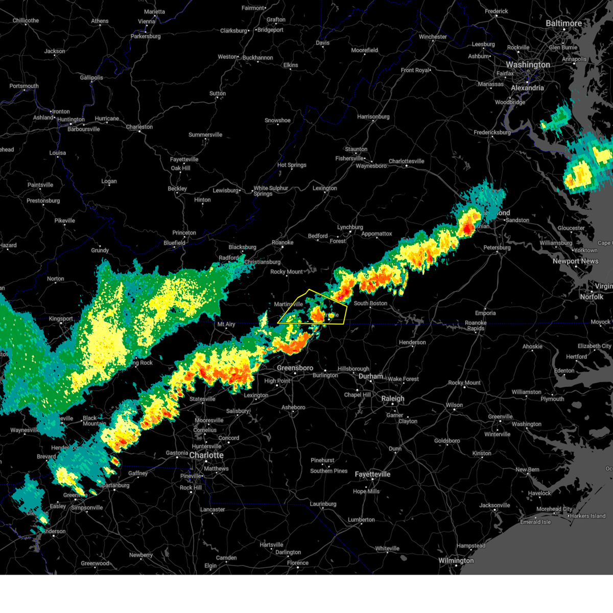 The severe thunderstorm warning for southern pittsylvania and eastern henry counties, the city of danville and the southeastern city of martinsville will expire at 745 pm edt, the storms which prompted the warning have moved out of the area. therefore, the warning will be allowed to expire. a severe thunderstorm watch remains in effect until 1000 pm edt for north central north carolina, and south central, central, southwestern and west central virginia. The severe thunderstorm warning for southern pittsylvania and eastern henry counties, the city of danville and the southeastern city of martinsville will expire at 745 pm edt, the storms which prompted the warning have moved out of the area. therefore, the warning will be allowed to expire. a severe thunderstorm watch remains in effect until 1000 pm edt for north central north carolina, and south central, central, southwestern and west central virginia.
|
| 7/29/2023 7:29 PM EDT |
 At 729 pm edt, severe thunderstorms were located along a line extending from near java to near bethany, moving east at 40 mph (radar indicated). Hazards include 60 mph wind gusts. expect damage to roofs, siding, and trees At 729 pm edt, severe thunderstorms were located along a line extending from near java to near bethany, moving east at 40 mph (radar indicated). Hazards include 60 mph wind gusts. expect damage to roofs, siding, and trees
|
| 7/29/2023 7:20 PM EDT | Tree down near intersection of river ridge road and pine lake roa in pittsylvania county VA, 8.9 miles ESE of Danville, VA |
| 7/29/2023 7:15 PM EDT |
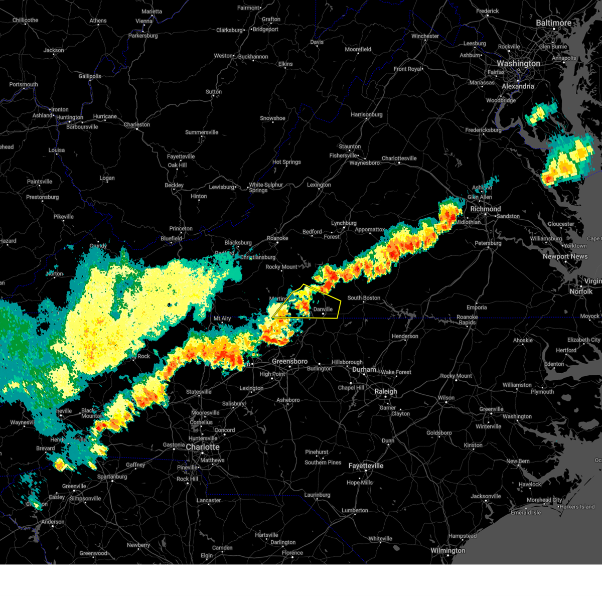 At 715 pm edt, severe thunderstorms were located along a line extending from near dry fork to near price, moving east at 35 mph (radar indicated). Hazards include 60 mph wind gusts. Expect damage to roofs, siding, and trees. locations impacted include, danville, martinsville, blairs, callands, axton, ridgeway, and leatherwood. this includes the following locations the martinsville speedway, martinsville airport, and danville airport. hail threat, radar indicated max hail size, <. 75 in wind threat, radar indicated max wind gust, 60 mph. At 715 pm edt, severe thunderstorms were located along a line extending from near dry fork to near price, moving east at 35 mph (radar indicated). Hazards include 60 mph wind gusts. Expect damage to roofs, siding, and trees. locations impacted include, danville, martinsville, blairs, callands, axton, ridgeway, and leatherwood. this includes the following locations the martinsville speedway, martinsville airport, and danville airport. hail threat, radar indicated max hail size, <. 75 in wind threat, radar indicated max wind gust, 60 mph.
|
| 7/29/2023 6:50 PM EDT |
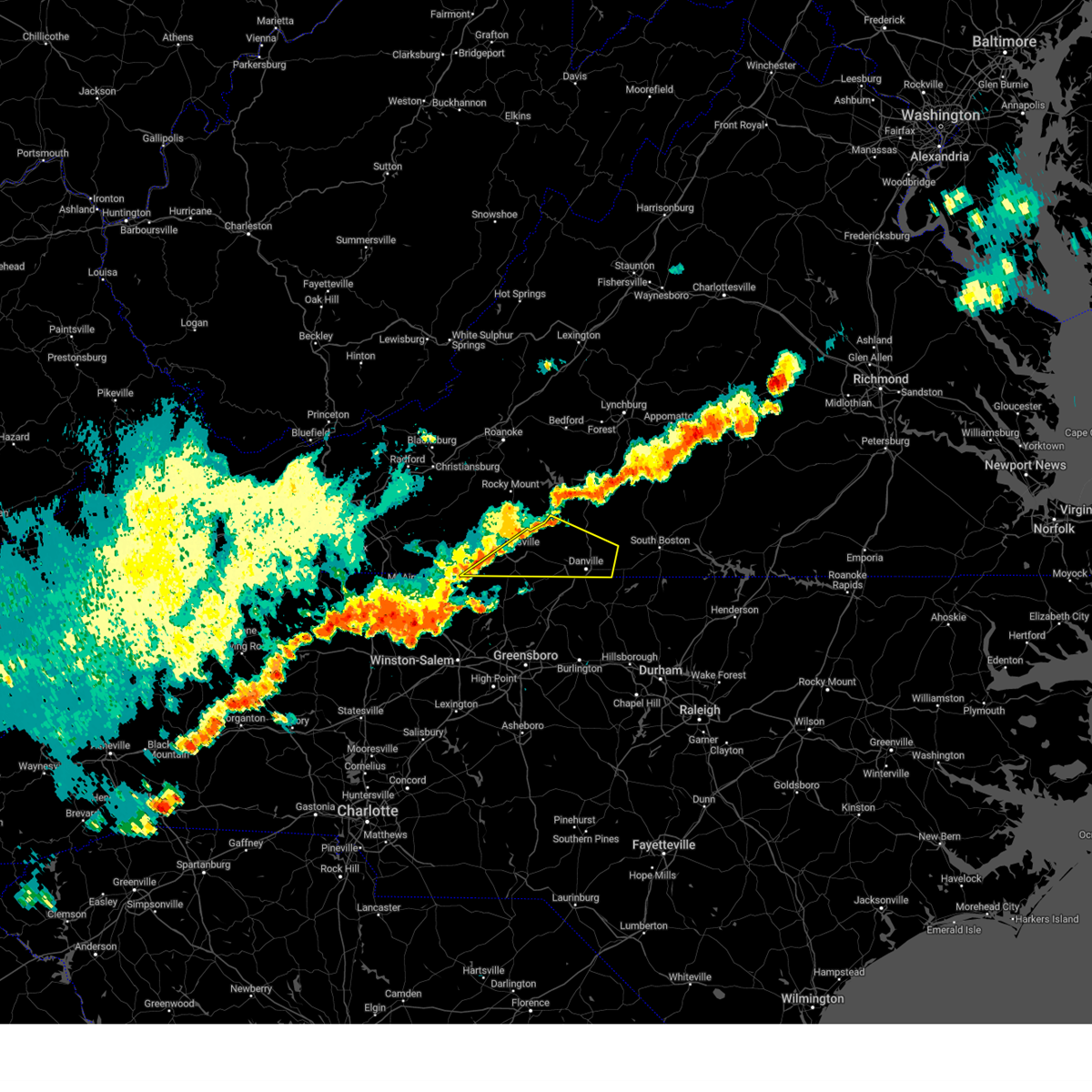 At 650 pm edt, severe thunderstorms were located along a line extending from near mountain valley to near penns store, moving east at 35 mph (radar indicated). Hazards include 60 mph wind gusts. expect damage to roofs, siding, and trees At 650 pm edt, severe thunderstorms were located along a line extending from near mountain valley to near penns store, moving east at 35 mph (radar indicated). Hazards include 60 mph wind gusts. expect damage to roofs, siding, and trees
|
| 7/23/2023 5:02 PM EDT |
 At 501 pm edt, a severe thunderstorm was located over ringgold, or near blairs, moving east at 20 mph (radar indicated). Hazards include 60 mph wind gusts and quarter size hail. Hail damage to vehicles is expected. expect wind damage to roofs, siding, and trees. locations impacted include, danville, south boston, blairs, turbeville, milton, cluster springs, and elmo. this includes the following location danville airport. hail threat, radar indicated max hail size, 1. 00 in wind threat, radar indicated max wind gust, 60 mph. At 501 pm edt, a severe thunderstorm was located over ringgold, or near blairs, moving east at 20 mph (radar indicated). Hazards include 60 mph wind gusts and quarter size hail. Hail damage to vehicles is expected. expect wind damage to roofs, siding, and trees. locations impacted include, danville, south boston, blairs, turbeville, milton, cluster springs, and elmo. this includes the following location danville airport. hail threat, radar indicated max hail size, 1. 00 in wind threat, radar indicated max wind gust, 60 mph.
|
| 7/23/2023 4:50 PM EDT | Numerous trees downed by thunderstorm winds scattered around southern half of count in pittsylvania county VA, 8 miles ESE of Danville, VA |
| 7/23/2023 4:38 PM EDT |
 At 438 pm edt, a severe thunderstorm was located near westover hills, or near danville, moving east at 30 mph (radar indicated). Hazards include 60 mph wind gusts and quarter size hail. Hail damage to vehicles is expected. Expect wind damage to roofs, siding, and trees. At 438 pm edt, a severe thunderstorm was located near westover hills, or near danville, moving east at 30 mph (radar indicated). Hazards include 60 mph wind gusts and quarter size hail. Hail damage to vehicles is expected. Expect wind damage to roofs, siding, and trees.
|
| 7/23/2023 4:24 PM EDT | Multiple large limbs downed by thunderstorm winds near the dixon family homeplac in pittsylvania county VA, 12 miles E of Danville, VA |
| 7/9/2023 12:53 PM EDT |
 The severe thunderstorm warning for caswell, southeastern pittsylvania and southwestern halifax counties and the southeastern city of danville will expire at 100 pm edt, the storm which prompted the warning has moved out of the area. therefore, the warning will be allowed to expire. however heavy rain is still possible with this thunderstorm. a severe thunderstorm watch remains in effect until 800 pm edt for north central north carolina, and central and south central virginia. The severe thunderstorm warning for caswell, southeastern pittsylvania and southwestern halifax counties and the southeastern city of danville will expire at 100 pm edt, the storm which prompted the warning has moved out of the area. therefore, the warning will be allowed to expire. however heavy rain is still possible with this thunderstorm. a severe thunderstorm watch remains in effect until 800 pm edt for north central north carolina, and central and south central virginia.
|
| 7/9/2023 12:38 PM EDT |
 At 1237 pm edt, a severe thunderstorm was located over semora, or 10 miles southwest of turbeville, moving northeast at 20 mph (radar indicated). Hazards include 60 mph wind gusts and quarter size hail. Hail damage to vehicles is expected. expect wind damage to roofs, siding, and trees. locations impacted include, danville, south boston, yanceyville, halifax, virgilina, jericho, and prospect hill. this includes the following location danville airport. hail threat, radar indicated max hail size, 1. 00 in wind threat, radar indicated max wind gust, 60 mph. At 1237 pm edt, a severe thunderstorm was located over semora, or 10 miles southwest of turbeville, moving northeast at 20 mph (radar indicated). Hazards include 60 mph wind gusts and quarter size hail. Hail damage to vehicles is expected. expect wind damage to roofs, siding, and trees. locations impacted include, danville, south boston, yanceyville, halifax, virgilina, jericho, and prospect hill. this includes the following location danville airport. hail threat, radar indicated max hail size, 1. 00 in wind threat, radar indicated max wind gust, 60 mph.
|
| 7/9/2023 12:15 PM EDT |
 At 1214 pm edt, a severe thunderstorm was located over blanch, or near providence, moving northeast at 25 mph (radar indicated). Hazards include golf ball size hail and 60 mph wind gusts. People and animals outdoors will be injured. expect hail damage to roofs, siding, windows, and vehicles. expect wind damage to roofs, siding, and trees. locations impacted include, danville, south boston, yanceyville, bethel, halifax, jericho, and prospect hill. this includes the following location danville airport. thunderstorm damage threat, considerable hail threat, radar indicated max hail size, 1. 75 in wind threat, radar indicated max wind gust, 60 mph. At 1214 pm edt, a severe thunderstorm was located over blanch, or near providence, moving northeast at 25 mph (radar indicated). Hazards include golf ball size hail and 60 mph wind gusts. People and animals outdoors will be injured. expect hail damage to roofs, siding, windows, and vehicles. expect wind damage to roofs, siding, and trees. locations impacted include, danville, south boston, yanceyville, bethel, halifax, jericho, and prospect hill. this includes the following location danville airport. thunderstorm damage threat, considerable hail threat, radar indicated max hail size, 1. 75 in wind threat, radar indicated max wind gust, 60 mph.
|
| 7/9/2023 11:54 AM EDT |
 At 1153 am edt, a severe thunderstorm was located over bethel, moving northeast at 25 mph (radar indicated). Hazards include 60 mph wind gusts and quarter size hail. Hail damage to vehicles is expected. Expect wind damage to roofs, siding, and trees. At 1153 am edt, a severe thunderstorm was located over bethel, moving northeast at 25 mph (radar indicated). Hazards include 60 mph wind gusts and quarter size hail. Hail damage to vehicles is expected. Expect wind damage to roofs, siding, and trees.
|
| 7/2/2023 2:36 PM EDT | Large tree limb down on walters mill roa in caswell county NC, 5.6 miles NNW of Danville, VA |
| 7/2/2023 2:29 PM EDT |
 At 229 pm edt, severe thunderstorms were located along a line extending from near leda to near danville to bethel, moving east at 55 mph (radar indicated). Hazards include 60 mph wind gusts and quarter size hail. Hail damage to vehicles is expected. Expect wind damage to roofs, siding, and trees. At 229 pm edt, severe thunderstorms were located along a line extending from near leda to near danville to bethel, moving east at 55 mph (radar indicated). Hazards include 60 mph wind gusts and quarter size hail. Hail damage to vehicles is expected. Expect wind damage to roofs, siding, and trees.
|
| 7/2/2023 2:23 PM EDT |
 At 222 pm edt, severe thunderstorms were located along a line extending from near java to near blairs to near westover hills to ruffin, moving east at 30 mph (law enforcement). Hazards include 60 mph wind gusts and quarter size hail. Hail damage to vehicles is expected. expect wind damage to roofs, siding, and trees. locations impacted include, danville, chatham, mayfield, blairs, java, dry fork, and ruffin. this includes the following location danville airport. hail threat, radar indicated max hail size, 1. 00 in wind threat, observed max wind gust, 60 mph. At 222 pm edt, severe thunderstorms were located along a line extending from near java to near blairs to near westover hills to ruffin, moving east at 30 mph (law enforcement). Hazards include 60 mph wind gusts and quarter size hail. Hail damage to vehicles is expected. expect wind damage to roofs, siding, and trees. locations impacted include, danville, chatham, mayfield, blairs, java, dry fork, and ruffin. this includes the following location danville airport. hail threat, radar indicated max hail size, 1. 00 in wind threat, observed max wind gust, 60 mph.
|
| 7/2/2023 2:23 PM EDT |
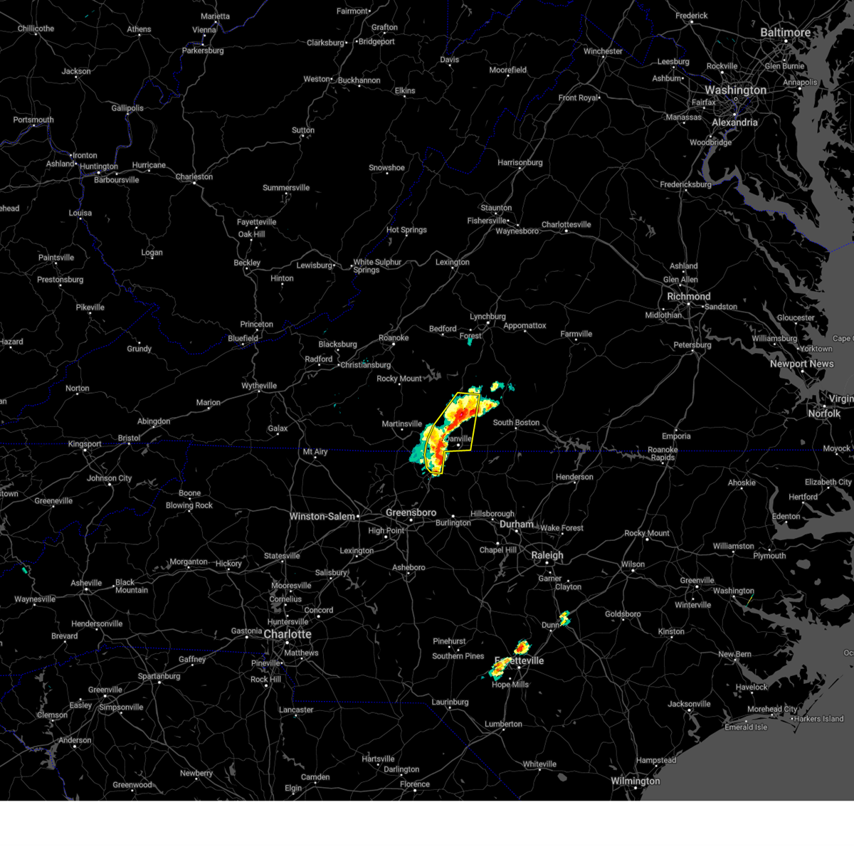 At 222 pm edt, severe thunderstorms were located along a line extending from near java to near blairs to near westover hills to ruffin, moving east at 30 mph (law enforcement). Hazards include 60 mph wind gusts and quarter size hail. Hail damage to vehicles is expected. expect wind damage to roofs, siding, and trees. locations impacted include, danville, chatham, mayfield, blairs, java, dry fork, and ruffin. this includes the following location danville airport. hail threat, radar indicated max hail size, 1. 00 in wind threat, observed max wind gust, 60 mph. At 222 pm edt, severe thunderstorms were located along a line extending from near java to near blairs to near westover hills to ruffin, moving east at 30 mph (law enforcement). Hazards include 60 mph wind gusts and quarter size hail. Hail damage to vehicles is expected. expect wind damage to roofs, siding, and trees. locations impacted include, danville, chatham, mayfield, blairs, java, dry fork, and ruffin. this includes the following location danville airport. hail threat, radar indicated max hail size, 1. 00 in wind threat, observed max wind gust, 60 mph.
|
| 7/2/2023 2:02 PM EDT |
 At 201 pm edt, severe thunderstorms were located along a line extending from near chatham to swansonville to aiken summit to stoneville to meadows, moving east at 20 mph (radar indicated). Hazards include 60 mph wind gusts and quarter size hail. Hail damage to vehicles is expected. expect wind damage to roofs, siding, and trees. locations impacted include, danville, eden, reidsville, martinsville, wentworth, mayodan, and madison. this includes the following locations the martinsville speedway, martinsville airport, and danville airport. hail threat, radar indicated max hail size, 1. 00 in wind threat, radar indicated max wind gust, 60 mph. At 201 pm edt, severe thunderstorms were located along a line extending from near chatham to swansonville to aiken summit to stoneville to meadows, moving east at 20 mph (radar indicated). Hazards include 60 mph wind gusts and quarter size hail. Hail damage to vehicles is expected. expect wind damage to roofs, siding, and trees. locations impacted include, danville, eden, reidsville, martinsville, wentworth, mayodan, and madison. this includes the following locations the martinsville speedway, martinsville airport, and danville airport. hail threat, radar indicated max hail size, 1. 00 in wind threat, radar indicated max wind gust, 60 mph.
|
| 7/2/2023 1:45 PM EDT |
 At 144 pm edt, severe thunderstorms were located along a line extending from near climax to near sandy river to near ridgeway to near ayersville to capella, moving east at 20 mph (radar indicated). Hazards include 60 mph wind gusts and quarter size hail. Hail damage to vehicles is expected. Expect wind damage to roofs, siding, and trees. At 144 pm edt, severe thunderstorms were located along a line extending from near climax to near sandy river to near ridgeway to near ayersville to capella, moving east at 20 mph (radar indicated). Hazards include 60 mph wind gusts and quarter size hail. Hail damage to vehicles is expected. Expect wind damage to roofs, siding, and trees.
|
| 6/19/2023 2:51 PM EDT |
 At 250 pm edt, severe thunderstorms were located along a line extending from dry fork to near providence, moving northeast at 25 mph (radar indicated). Hazards include 60 mph wind gusts. Expect damage to roofs, siding, and trees. locations impacted include, danville, yanceyville, bethel, chatham, gretna, providence, and blairs. this includes the following location danville airport. hail threat, radar indicated max hail size, <. 75 in wind threat, radar indicated max wind gust, 60 mph. At 250 pm edt, severe thunderstorms were located along a line extending from dry fork to near providence, moving northeast at 25 mph (radar indicated). Hazards include 60 mph wind gusts. Expect damage to roofs, siding, and trees. locations impacted include, danville, yanceyville, bethel, chatham, gretna, providence, and blairs. this includes the following location danville airport. hail threat, radar indicated max hail size, <. 75 in wind threat, radar indicated max wind gust, 60 mph.
|
| 6/19/2023 2:28 PM EDT |
 At 227 pm edt, severe thunderstorms were located along a line extending from near swansonville to quick, moving northeast at 25 mph (radar indicated). Hazards include 60 mph wind gusts. expect damage to roofs, siding, and trees At 227 pm edt, severe thunderstorms were located along a line extending from near swansonville to quick, moving northeast at 25 mph (radar indicated). Hazards include 60 mph wind gusts. expect damage to roofs, siding, and trees
|
| 6/16/2023 3:33 PM EDT | Thunderstorm winds blew down several trees in providenc in caswell county NC, 6.2 miles N of Danville, VA |
| 6/16/2023 3:27 PM EDT | Half Dollar sized hail reported 4 miles N of Danville, VA |
| 6/16/2023 3:22 PM EDT | Wset relayed a report from a viewer of considerable wind damage to trees in the westover hills area on the west side of danville. several trees fell on homes causing st in city of danville county VA, 3.5 miles ESE of Danville, VA |
| 6/16/2023 3:22 PM EDT | Thunderstorm winds blew out a window at the danville regional hospita in city of danville county VA, 1.3 miles ENE of Danville, VA |
| 6/16/2023 3:21 PM EDT | A couple of trees down in ballou par in city of danville county VA, 2.1 miles NE of Danville, VA |
| 6/16/2023 3:20 PM EDT | Several trees down near w. main stree in city of danville county VA, 2.6 miles ENE of Danville, VA |
| 6/16/2023 3:20 PM EDT |
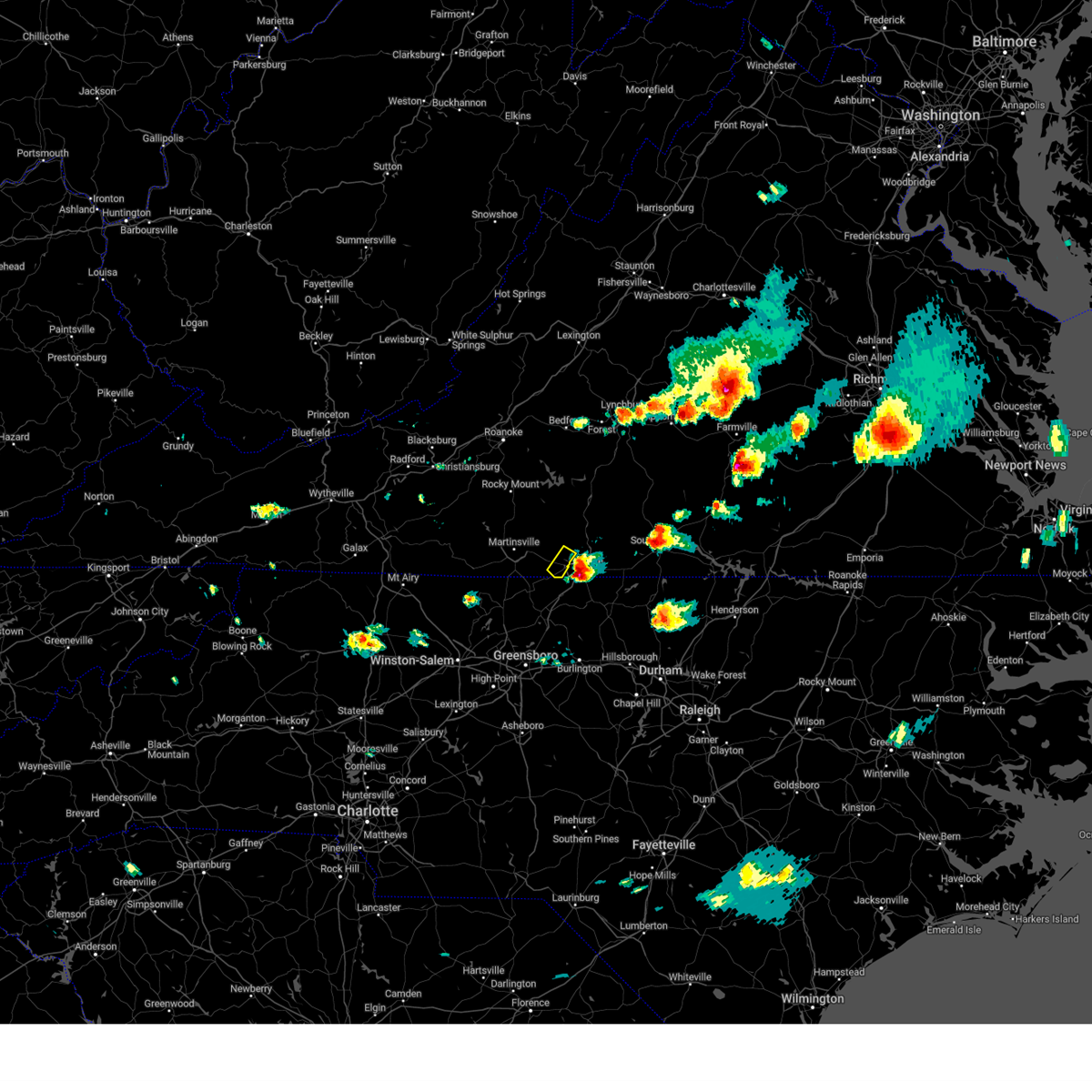 At 319 pm edt, a severe thunderstorm was located over mayfield, moving southeast at 30 mph (radar indicated). Hazards include 60 mph wind gusts and quarter size hail. Hail damage to vehicles is expected. expect wind damage to roofs, siding, and trees. numerous trees have been reported down in martinsville and southern henry county as a result of this storm passing through the area during the past hour. hail threat, radar indicated max hail size, 1. 00 in wind threat, observed max wind gust, 60 mph. At 319 pm edt, a severe thunderstorm was located over mayfield, moving southeast at 30 mph (radar indicated). Hazards include 60 mph wind gusts and quarter size hail. Hail damage to vehicles is expected. expect wind damage to roofs, siding, and trees. numerous trees have been reported down in martinsville and southern henry county as a result of this storm passing through the area during the past hour. hail threat, radar indicated max hail size, 1. 00 in wind threat, observed max wind gust, 60 mph.
|
| 6/16/2023 3:15 PM EDT |
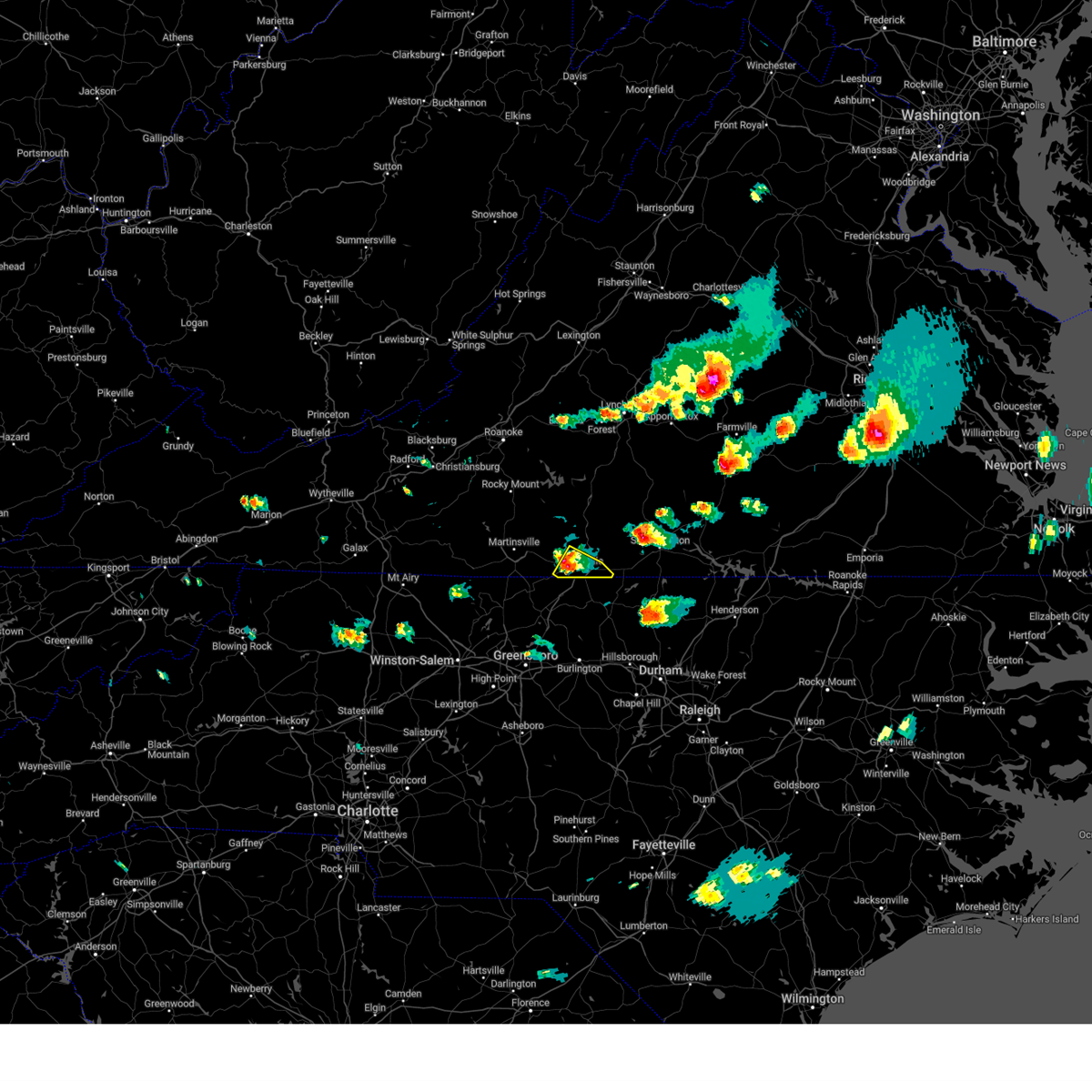 At 315 pm edt, a severe thunderstorm was located over westover hills, or near danville, moving southeast at 40 mph (radar indicated). Hazards include 60 mph wind gusts and quarter size hail. Hail damage to vehicles is expected. Expect wind damage to roofs, siding, and trees. At 315 pm edt, a severe thunderstorm was located over westover hills, or near danville, moving southeast at 40 mph (radar indicated). Hazards include 60 mph wind gusts and quarter size hail. Hail damage to vehicles is expected. Expect wind damage to roofs, siding, and trees.
|
| 6/16/2023 2:55 PM EDT |
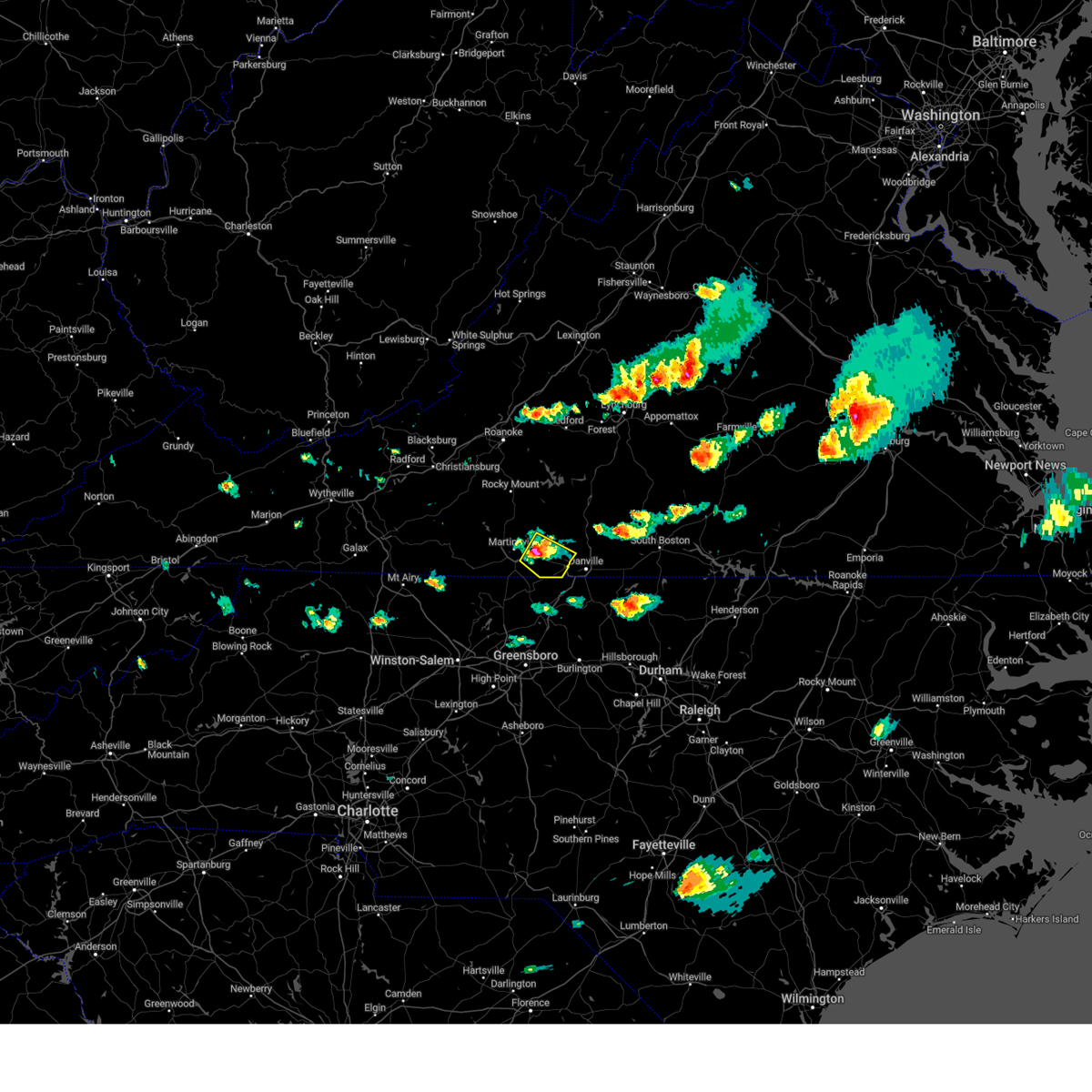 At 254 pm edt, a severe thunderstorm was located over axton, moving southeast at 30 mph (radar indicated). Hazards include 60 mph wind gusts and quarter size hail. Hail damage to vehicles is expected. Expect wind damage to roofs, siding, and trees. At 254 pm edt, a severe thunderstorm was located over axton, moving southeast at 30 mph (radar indicated). Hazards include 60 mph wind gusts and quarter size hail. Hail damage to vehicles is expected. Expect wind damage to roofs, siding, and trees.
|
| 5/16/2023 8:29 PM EDT |
 At 829 pm edt, severe thunderstorms were located along a line extending from near long island to near mayfield, moving east at 55 mph (radar indicated). Hazards include 60 mph wind gusts. Expect damage to roofs, siding, and trees. locations impacted include, danville, south boston, halifax, brookneal, keysville, charlotte court house, and turbeville. this includes the following location danville airport. hail threat, radar indicated max hail size, <. 75 in wind threat, radar indicated max wind gust, 60 mph. At 829 pm edt, severe thunderstorms were located along a line extending from near long island to near mayfield, moving east at 55 mph (radar indicated). Hazards include 60 mph wind gusts. Expect damage to roofs, siding, and trees. locations impacted include, danville, south boston, halifax, brookneal, keysville, charlotte court house, and turbeville. this includes the following location danville airport. hail threat, radar indicated max hail size, <. 75 in wind threat, radar indicated max wind gust, 60 mph.
|
| 5/16/2023 8:15 PM EDT |
 At 814 pm edt, severe thunderstorms were located along a line extending from near leesville to near sandy level, moving east at 55 mph (radar indicated). Hazards include 70 mph wind gusts. Expect considerable tree damage. Damage is likely to mobile homes, roofs, and outbuildings. At 814 pm edt, severe thunderstorms were located along a line extending from near leesville to near sandy level, moving east at 55 mph (radar indicated). Hazards include 70 mph wind gusts. Expect considerable tree damage. Damage is likely to mobile homes, roofs, and outbuildings.
|
| 5/16/2023 7:53 PM EDT |
 At 751 pm edt, a severe thunderstorm was located over ringgold, or 8 miles east of danville, moving east at 35 mph (radar indicated). Hazards include 60 mph wind gusts and quarter size hail. Hail damage to vehicles is expected. expect wind damage to roofs, siding, and trees. locations impacted include, milton, blanch, semora, alton, ringgold, and hyco lake. hail threat, radar indicated max hail size, 1. 00 in wind threat, radar indicated max wind gust, 60 mph. At 751 pm edt, a severe thunderstorm was located over ringgold, or 8 miles east of danville, moving east at 35 mph (radar indicated). Hazards include 60 mph wind gusts and quarter size hail. Hail damage to vehicles is expected. expect wind damage to roofs, siding, and trees. locations impacted include, milton, blanch, semora, alton, ringgold, and hyco lake. hail threat, radar indicated max hail size, 1. 00 in wind threat, radar indicated max wind gust, 60 mph.
|
| 5/16/2023 7:47 PM EDT | Thunderstorm winds blew down about twenty trees along ringgold church road from the barker road intersection to the countryside drive intersectio in pittsylvania county VA, 5.4 miles WSW of Danville, VA |
| 5/16/2023 7:47 PM EDT | Large tree down on a roof of a house and another tree fell onto a large propane tan in pittsylvania county VA, 5.2 miles WSW of Danville, VA |
| 5/16/2023 7:41 PM EDT | Thunderstorm winds blew down one tree onto forestdale driv in city of danville county VA, 2.3 miles SSW of Danville, VA |
| 5/16/2023 7:25 PM EDT |
 At 725 pm edt, a severe thunderstorm was located near westover hills, or 7 miles west of blairs, moving east at 30 mph (radar indicated). Hazards include 60 mph wind gusts and quarter size hail. Hail damage to vehicles is expected. Expect wind damage to roofs, siding, and trees. At 725 pm edt, a severe thunderstorm was located near westover hills, or 7 miles west of blairs, moving east at 30 mph (radar indicated). Hazards include 60 mph wind gusts and quarter size hail. Hail damage to vehicles is expected. Expect wind damage to roofs, siding, and trees.
|
| 5/16/2023 6:56 PM EDT |
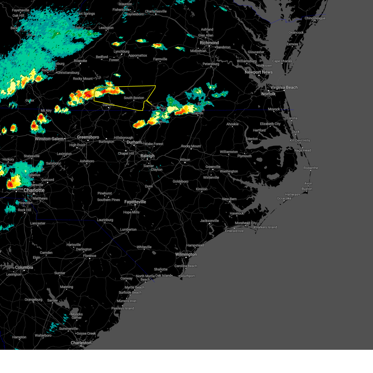 At 656 pm edt, severe thunderstorms were located along a line extending from near java to sandy river, moving east at 65 mph (radar indicated). Hazards include 60 mph wind gusts and quarter size hail. Hail damage to vehicles is expected. Expect wind damage to roofs, siding, and trees. At 656 pm edt, severe thunderstorms were located along a line extending from near java to sandy river, moving east at 65 mph (radar indicated). Hazards include 60 mph wind gusts and quarter size hail. Hail damage to vehicles is expected. Expect wind damage to roofs, siding, and trees.
|
| 5/16/2023 5:41 PM EDT |
 At 541 pm edt, a severe thunderstorm was located over gatewood, or over danville, moving east at 35 mph (radar indicated). Hazards include 60 mph wind gusts and quarter size hail. Hail damage to vehicles is expected. Expect wind damage to roofs, siding, and trees. At 541 pm edt, a severe thunderstorm was located over gatewood, or over danville, moving east at 35 mph (radar indicated). Hazards include 60 mph wind gusts and quarter size hail. Hail damage to vehicles is expected. Expect wind damage to roofs, siding, and trees.
|
| 5/16/2023 5:33 PM EDT | Thunderstorm winds blew down one tree on to a power line along westover driv in city of danville county VA, 4.1 miles ESE of Danville, VA |
| 5/16/2023 5:22 PM EDT |
 At 522 pm edt, a severe thunderstorm was located near ringgold, or 8 miles southeast of blairs, moving east at 30 mph (radar indicated). Hazards include 60 mph wind gusts and quarter size hail. Hail damage to vehicles is expected. expect wind damage to roofs, siding, and trees. locations impacted include, danville, south boston, halifax, blairs, turbeville, milton, and cluster springs. this includes the following location danville airport. hail threat, radar indicated max hail size, 1. 00 in wind threat, radar indicated max wind gust, 60 mph. At 522 pm edt, a severe thunderstorm was located near ringgold, or 8 miles southeast of blairs, moving east at 30 mph (radar indicated). Hazards include 60 mph wind gusts and quarter size hail. Hail damage to vehicles is expected. expect wind damage to roofs, siding, and trees. locations impacted include, danville, south boston, halifax, blairs, turbeville, milton, and cluster springs. this includes the following location danville airport. hail threat, radar indicated max hail size, 1. 00 in wind threat, radar indicated max wind gust, 60 mph.
|
| 5/16/2023 5:08 PM EDT | Multiple trees down in ringgold area... including ringgold depot rd.... oliver dr.... and gunn garland r in pittsylvania county VA, 5.2 miles WSW of Danville, VA |
| 5/16/2023 4:47 PM EDT |
 At 447 pm edt, a severe thunderstorm was located near swansonville, or near blairs, moving east at 35 mph (radar indicated). Hazards include 60 mph wind gusts and quarter size hail. Hail damage to vehicles is expected. Expect wind damage to roofs, siding, and trees. At 447 pm edt, a severe thunderstorm was located near swansonville, or near blairs, moving east at 35 mph (radar indicated). Hazards include 60 mph wind gusts and quarter size hail. Hail damage to vehicles is expected. Expect wind damage to roofs, siding, and trees.
|
| 4/6/2023 6:48 PM EDT |
 At 647 pm edt, a severe thunderstorm was located over ringgold, or near danville, moving northeast at 20 mph (radar indicated). Hazards include 60 mph wind gusts and quarter size hail. Hail damage to vehicles is expected. expect wind damage to roofs, siding, and trees. locations impacted include, danville, gatewood, blanch, ringgold, and westover hills. this includes the following location danville airport. hail threat, radar indicated max hail size, 1. 00 in wind threat, radar indicated max wind gust, 60 mph. At 647 pm edt, a severe thunderstorm was located over ringgold, or near danville, moving northeast at 20 mph (radar indicated). Hazards include 60 mph wind gusts and quarter size hail. Hail damage to vehicles is expected. expect wind damage to roofs, siding, and trees. locations impacted include, danville, gatewood, blanch, ringgold, and westover hills. this includes the following location danville airport. hail threat, radar indicated max hail size, 1. 00 in wind threat, radar indicated max wind gust, 60 mph.
|
| 4/6/2023 6:48 PM EDT |
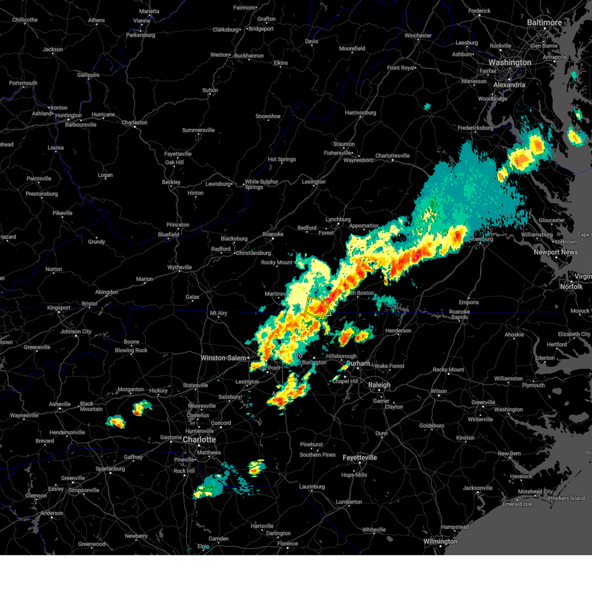 At 647 pm edt, a severe thunderstorm was located over ringgold, or near danville, moving northeast at 20 mph (radar indicated). Hazards include 60 mph wind gusts and quarter size hail. Hail damage to vehicles is expected. expect wind damage to roofs, siding, and trees. locations impacted include, danville, gatewood, blanch, ringgold, and westover hills. this includes the following location danville airport. hail threat, radar indicated max hail size, 1. 00 in wind threat, radar indicated max wind gust, 60 mph. At 647 pm edt, a severe thunderstorm was located over ringgold, or near danville, moving northeast at 20 mph (radar indicated). Hazards include 60 mph wind gusts and quarter size hail. Hail damage to vehicles is expected. expect wind damage to roofs, siding, and trees. locations impacted include, danville, gatewood, blanch, ringgold, and westover hills. this includes the following location danville airport. hail threat, radar indicated max hail size, 1. 00 in wind threat, radar indicated max wind gust, 60 mph.
|
| 4/6/2023 6:39 PM EDT |
 At 639 pm edt, a severe thunderstorm was located over danville, moving east at 35 mph (radar indicated). Hazards include 60 mph wind gusts and quarter size hail. Hail damage to vehicles is expected. expect wind damage to roofs, siding, and trees. locations impacted include, danville, bethel, providence, mayfield, gatewood, blanch, and westover hills. this includes the following location danville airport. hail threat, radar indicated max hail size, 1. 00 in wind threat, radar indicated max wind gust, 60 mph. At 639 pm edt, a severe thunderstorm was located over danville, moving east at 35 mph (radar indicated). Hazards include 60 mph wind gusts and quarter size hail. Hail damage to vehicles is expected. expect wind damage to roofs, siding, and trees. locations impacted include, danville, bethel, providence, mayfield, gatewood, blanch, and westover hills. this includes the following location danville airport. hail threat, radar indicated max hail size, 1. 00 in wind threat, radar indicated max wind gust, 60 mph.
|
| 4/6/2023 6:01 PM EDT |
 At 601 pm edt, a severe thunderstorm was located over eden, moving northeast at 20 mph (radar indicated). Hazards include 60 mph wind gusts and quarter size hail. Hail damage to vehicles is expected. Expect wind damage to roofs, siding, and trees. At 601 pm edt, a severe thunderstorm was located over eden, moving northeast at 20 mph (radar indicated). Hazards include 60 mph wind gusts and quarter size hail. Hail damage to vehicles is expected. Expect wind damage to roofs, siding, and trees.
|
| 8/5/2022 3:51 PM EDT |
 The severe thunderstorm warning for northern caswell and southeastern pittsylvania counties and the city of danville will expire at 400 pm edt, the storm which prompted the warning has weakened below severe limits, and no longer poses an immediate threat to life or property. therefore, the warning will be allowed to expire. however heavy rain is still possible with this thunderstorm. The severe thunderstorm warning for northern caswell and southeastern pittsylvania counties and the city of danville will expire at 400 pm edt, the storm which prompted the warning has weakened below severe limits, and no longer poses an immediate threat to life or property. therefore, the warning will be allowed to expire. however heavy rain is still possible with this thunderstorm.
|
| 8/5/2022 3:30 PM EDT |
 At 330 pm edt, a severe thunderstorm was located near gatewood, or near danville, and is nearly stationary (radar indicated). Hazards include 60 mph wind gusts and quarter size hail. Hail damage to vehicles is expected. expect wind damage to roofs, siding, and trees. locations impacted include, danville, providence, milton, gatewood, blanch, westover hills, and pelham. hail threat, radar indicated max hail size, 1. 00 in wind threat, radar indicated max wind gust, 60 mph. At 330 pm edt, a severe thunderstorm was located near gatewood, or near danville, and is nearly stationary (radar indicated). Hazards include 60 mph wind gusts and quarter size hail. Hail damage to vehicles is expected. expect wind damage to roofs, siding, and trees. locations impacted include, danville, providence, milton, gatewood, blanch, westover hills, and pelham. hail threat, radar indicated max hail size, 1. 00 in wind threat, radar indicated max wind gust, 60 mph.
|
| 8/5/2022 3:10 PM EDT | Thunderstorm winds blew down several trees along south main street between route 58 and the dan river. a few of them were close to the danville community colleg in city of danville county VA, 1.7 miles NE of Danville, VA |
| 8/5/2022 2:55 PM EDT |
 At 254 pm edt, a severe thunderstorm was located over westover hills, or over danville, moving east at 5 mph (radar indicated). Hazards include 60 mph wind gusts and quarter size hail. Hail damage to vehicles is expected. Expect wind damage to roofs, siding, and trees. At 254 pm edt, a severe thunderstorm was located over westover hills, or over danville, moving east at 5 mph (radar indicated). Hazards include 60 mph wind gusts and quarter size hail. Hail damage to vehicles is expected. Expect wind damage to roofs, siding, and trees.
|
| 7/26/2022 5:04 PM EDT | Tree down near intersection of tom fork and witcher roa in pittsylvania county VA, 5.5 miles W of Danville, VA |
| 7/26/2022 4:58 PM EDT |
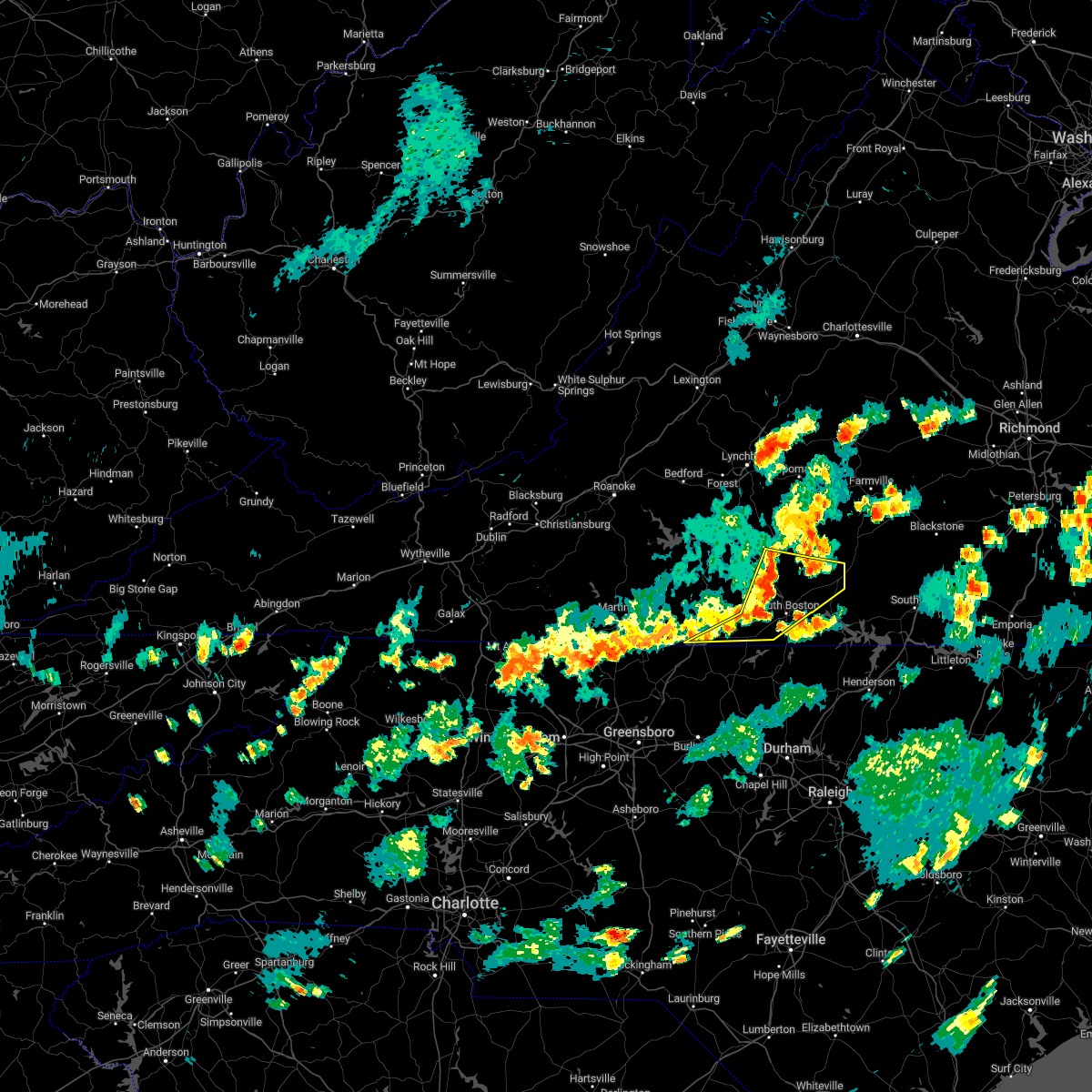 At 458 pm edt, severe thunderstorms were located along a line extending from near nathalie to near halifax to danville, moving east at 35 mph (radar indicated). Hazards include 60 mph wind gusts. Expect damage to roofs, siding, and trees. locations impacted include, danville, south boston, halifax, redoak, clover, turbeville, and ingram. hail threat, radar indicated max hail size, <. 75 in wind threat, radar indicated max wind gust, 60 mph. At 458 pm edt, severe thunderstorms were located along a line extending from near nathalie to near halifax to danville, moving east at 35 mph (radar indicated). Hazards include 60 mph wind gusts. Expect damage to roofs, siding, and trees. locations impacted include, danville, south boston, halifax, redoak, clover, turbeville, and ingram. hail threat, radar indicated max hail size, <. 75 in wind threat, radar indicated max wind gust, 60 mph.
|
| 7/26/2022 4:37 PM EDT | Tree down on west witt roa in pittsylvania county VA, 6.4 miles S of Danville, VA |
| 7/26/2022 4:34 PM EDT |
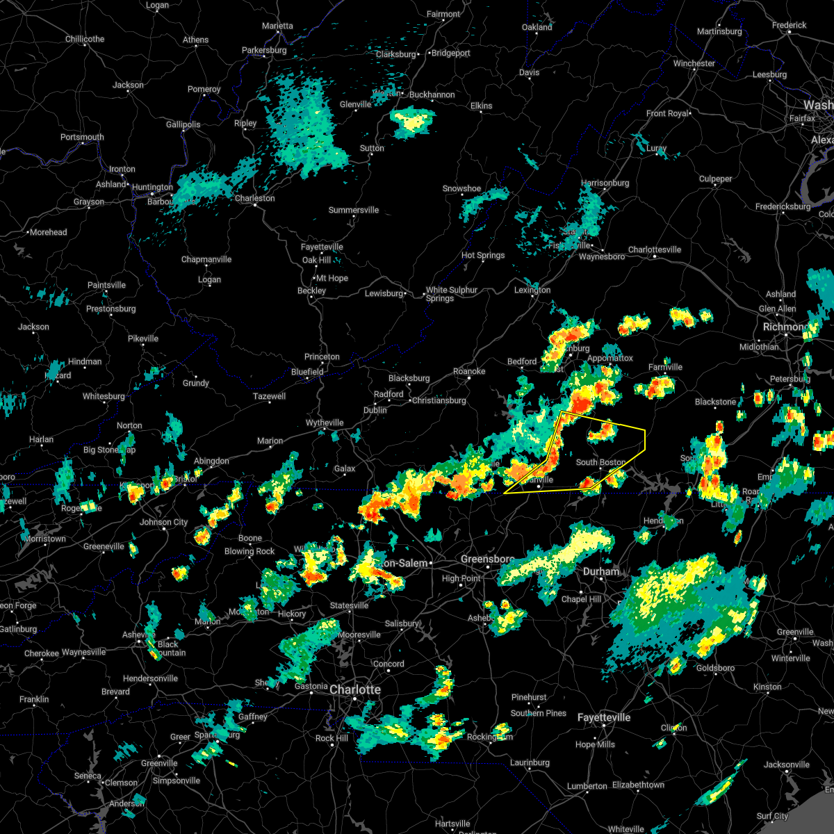 At 433 pm edt, severe thunderstorms were located along a line extending from near straightstone to near java to 6 miles northwest of westover hills, moving northeast at 20 mph (radar indicated). Hazards include 60 mph wind gusts. expect damage to roofs, siding, and trees At 433 pm edt, severe thunderstorms were located along a line extending from near straightstone to near java to 6 miles northwest of westover hills, moving northeast at 20 mph (radar indicated). Hazards include 60 mph wind gusts. expect damage to roofs, siding, and trees
|
| 7/16/2022 3:38 PM EDT |
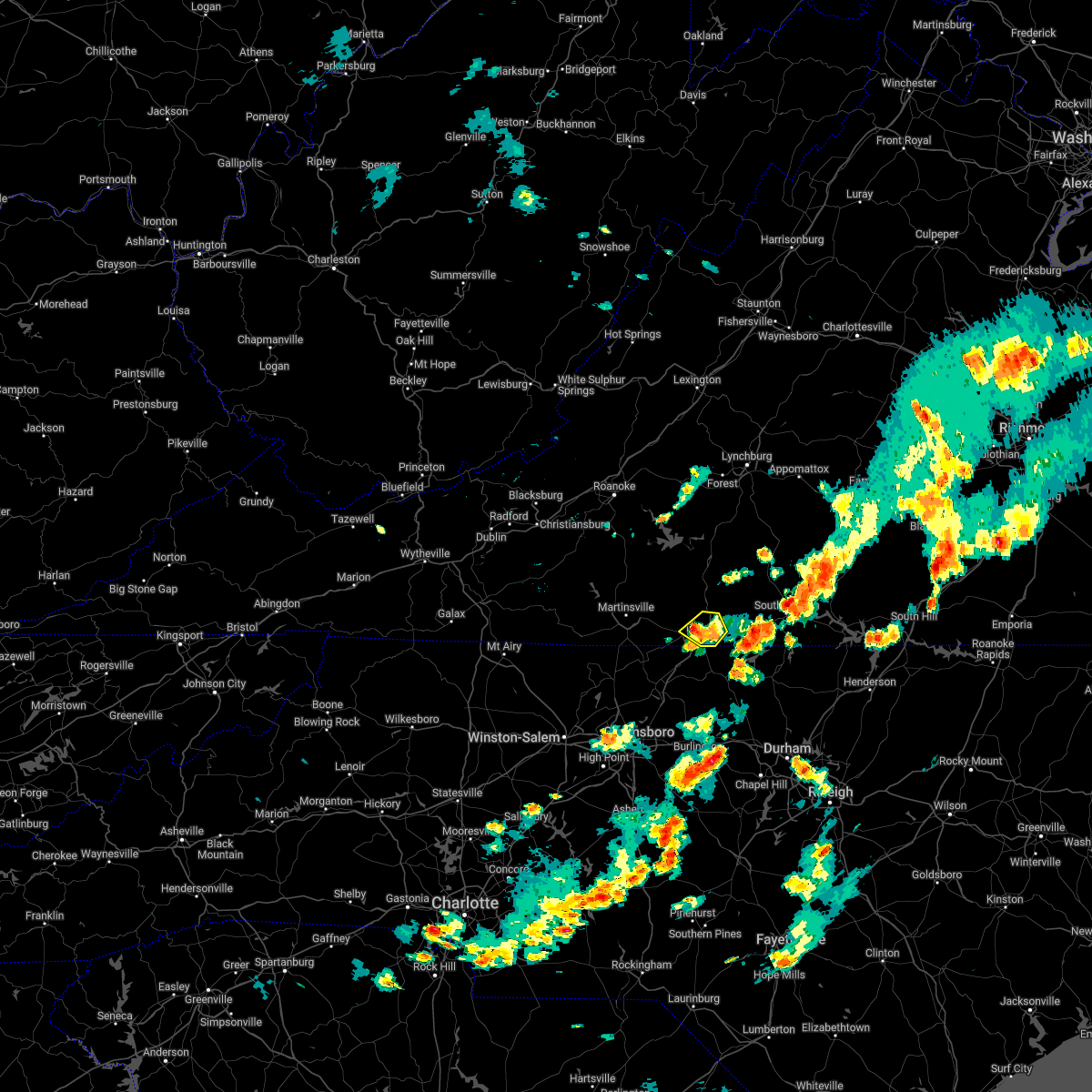 At 338 pm edt, a severe thunderstorm was located over westover hills, or near danville, moving north at 5 mph (radar indicated). Hazards include 60 mph wind gusts and quarter size hail. Hail damage to vehicles is expected. expect wind damage to roofs, siding, and trees. locations impacted include, danville, blairs, ringgold, and westover hills. hail threat, radar indicated max hail size, 1. 00 in wind threat, radar indicated max wind gust, 60 mph. At 338 pm edt, a severe thunderstorm was located over westover hills, or near danville, moving north at 5 mph (radar indicated). Hazards include 60 mph wind gusts and quarter size hail. Hail damage to vehicles is expected. expect wind damage to roofs, siding, and trees. locations impacted include, danville, blairs, ringgold, and westover hills. hail threat, radar indicated max hail size, 1. 00 in wind threat, radar indicated max wind gust, 60 mph.
|
| 7/16/2022 3:34 PM EDT | One tree down due to thunderstorm winds along walnut creek roa in pittsylvania county VA, 3.4 miles SSE of Danville, VA |
| 7/16/2022 3:31 PM EDT | One tree down along west parker road due to thunderstorm wind in pittsylvania county VA, 2.7 miles ESE of Danville, VA |
| 7/16/2022 3:26 PM EDT |
 The severe thunderstorm warning for northeastern rockingham, northwestern caswell and south central pittsylvania counties will expire at 330 pm edt, the storm which prompted the warning has weakened below severe limits, and has exited the warned area. therefore, the warning will be allowed to expire. however gusty winds and heavy rain are still possible with this thunderstorm. The severe thunderstorm warning for northeastern rockingham, northwestern caswell and south central pittsylvania counties will expire at 330 pm edt, the storm which prompted the warning has weakened below severe limits, and has exited the warned area. therefore, the warning will be allowed to expire. however gusty winds and heavy rain are still possible with this thunderstorm.
|
| 7/16/2022 3:26 PM EDT |
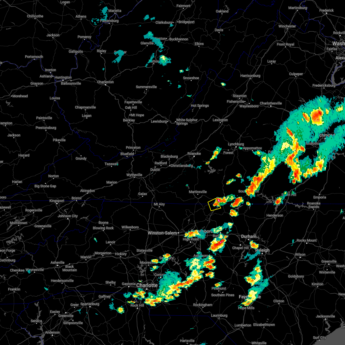 The severe thunderstorm warning for northeastern rockingham, northwestern caswell and south central pittsylvania counties will expire at 330 pm edt, the storm which prompted the warning has weakened below severe limits, and has exited the warned area. therefore, the warning will be allowed to expire. however gusty winds and heavy rain are still possible with this thunderstorm. The severe thunderstorm warning for northeastern rockingham, northwestern caswell and south central pittsylvania counties will expire at 330 pm edt, the storm which prompted the warning has weakened below severe limits, and has exited the warned area. therefore, the warning will be allowed to expire. however gusty winds and heavy rain are still possible with this thunderstorm.
|
| 7/16/2022 3:23 PM EDT | Quarter sized hail reported 1.2 miles E of Danville, VA, quarter size hail observed in danville city. report via mping. |
| 7/16/2022 3:21 PM EDT | Quarter sized hail reported 1.9 miles ESE of Danville, VA, quarter size hail observed north of danville. report via mping. |
| 7/16/2022 3:19 PM EDT |
 At 318 pm edt, a severe thunderstorm was located over danville, and is nearly stationary (radar indicated). Hazards include 60 mph wind gusts and quarter size hail. Hail damage to vehicles is expected. Expect wind damage to roofs, siding, and trees. At 318 pm edt, a severe thunderstorm was located over danville, and is nearly stationary (radar indicated). Hazards include 60 mph wind gusts and quarter size hail. Hail damage to vehicles is expected. Expect wind damage to roofs, siding, and trees.
|
| 7/16/2022 3:17 PM EDT |
 At 316 pm edt, a severe thunderstorm was located over mayfield, moving east at 10 mph (radar indicated). Hazards include 60 mph wind gusts and quarter size hail. Hail damage to vehicles is expected. expect wind damage to roofs, siding, and trees. locations impacted include, mayfield, pelham, cascade, and ruffin. hail threat, radar indicated max hail size, 1. 00 in wind threat, radar indicated max wind gust, 60 mph. At 316 pm edt, a severe thunderstorm was located over mayfield, moving east at 10 mph (radar indicated). Hazards include 60 mph wind gusts and quarter size hail. Hail damage to vehicles is expected. expect wind damage to roofs, siding, and trees. locations impacted include, mayfield, pelham, cascade, and ruffin. hail threat, radar indicated max hail size, 1. 00 in wind threat, radar indicated max wind gust, 60 mph.
|
| 7/16/2022 3:06 PM EDT |
 At 305 pm edt, a severe thunderstorm was located over mayfield, moving east at 10 mph (radar indicated). Hazards include 60 mph wind gusts and quarter size hail. Hail damage to vehicles is expected. Expect wind damage to roofs, siding, and trees. At 305 pm edt, a severe thunderstorm was located over mayfield, moving east at 10 mph (radar indicated). Hazards include 60 mph wind gusts and quarter size hail. Hail damage to vehicles is expected. Expect wind damage to roofs, siding, and trees.
|
| 7/5/2022 5:23 PM EDT |
 At 522 pm edt, severe thunderstorms were located along a line extending from near elmo to near pelham, moving southeast at 25 mph (radar indicated). Hazards include 60 mph wind gusts and quarter size hail. Hail damage to vehicles is expected. expect wind damage to roofs, siding, and trees. locations impacted include, danville, yanceyville, bethel, providence, mayfield, milton, and blanch. this includes the following location danville airport. hail threat, radar indicated max hail size, 1. 00 in wind threat, radar indicated max wind gust, 60 mph. At 522 pm edt, severe thunderstorms were located along a line extending from near elmo to near pelham, moving southeast at 25 mph (radar indicated). Hazards include 60 mph wind gusts and quarter size hail. Hail damage to vehicles is expected. expect wind damage to roofs, siding, and trees. locations impacted include, danville, yanceyville, bethel, providence, mayfield, milton, and blanch. this includes the following location danville airport. hail threat, radar indicated max hail size, 1. 00 in wind threat, radar indicated max wind gust, 60 mph.
|
| 7/5/2022 4:57 PM EDT | Corrects previous tstm wnd dmg report from danville city. 3 trees down near danville community colleg in city of danville county VA, 1.2 miles E of Danville, VA |
| 7/5/2022 4:56 PM EDT |
 At 456 pm edt, severe thunderstorms were located along a line extending from near keeling to cascade, moving southeast at 25 mph (radar indicated). Hazards include 60 mph wind gusts and quarter size hail. Hail damage to vehicles is expected. Expect wind damage to roofs, siding, and trees. At 456 pm edt, severe thunderstorms were located along a line extending from near keeling to cascade, moving southeast at 25 mph (radar indicated). Hazards include 60 mph wind gusts and quarter size hail. Hail damage to vehicles is expected. Expect wind damage to roofs, siding, and trees.
|
| 7/5/2022 4:55 PM EDT | 3 trees down near danville community colleg in city of danville county VA, 1.2 miles E of Danville, VA |
| 7/5/2022 4:44 PM EDT | Tree down on brandon roa in pittsylvania county VA, 4.6 miles SSE of Danville, VA |
| 6/17/2022 5:54 PM EDT |
 The severe thunderstorm warning for stokes, rockingham, western caswell, yadkin, pittsylvania and henry counties, the city of danville and the city of martinsville will expire at 600 pm edt, the storms which prompted the warning have moved southeast and out of the warned area. therefore, the warning will be allowed to expire. at 545 pm edt, regional radars indicated severe thunderstorms were moving southeast through southside virginia and into the northern piedmont of north carolina between south boston, virginia, and burlington, north carolina, moving southeast at 50 mph. The severe thunderstorm warning for stokes, rockingham, western caswell, yadkin, pittsylvania and henry counties, the city of danville and the city of martinsville will expire at 600 pm edt, the storms which prompted the warning have moved southeast and out of the warned area. therefore, the warning will be allowed to expire. at 545 pm edt, regional radars indicated severe thunderstorms were moving southeast through southside virginia and into the northern piedmont of north carolina between south boston, virginia, and burlington, north carolina, moving southeast at 50 mph.
|
| 6/17/2022 5:26 PM EDT | Tree down on a house on old richmond roa in pittsylvania county VA, 4.2 miles SSW of Danville, VA |
| 6/17/2022 5:20 PM EDT | One tree down on a powerline on moorefield bridge r in pittsylvania county VA, 6.9 miles ESE of Danville, VA |
| 6/17/2022 5:16 PM EDT |
 At 510 pm edt, strong winds were being produced by thunderstorms that were aligned just east of the blue ridge, and were moving into southside virginia and then piedmont of north carolina. wind gusts of 40 to 60 mph were being reported with these storms (radar indicated). Hazards include 60 mph wind gusts and penny size hail. Expect damage to roofs, siding, and trees. locations impacted include, danville, eden, reidsville, martinsville, yadkinville, wentworth, and mayodan. this includes the following locations the martinsville speedway, martinsville airport, and danville airport. hail threat, radar indicated max hail size, 0. 75 in wind threat, radar indicated max wind gust, 60 mph. At 510 pm edt, strong winds were being produced by thunderstorms that were aligned just east of the blue ridge, and were moving into southside virginia and then piedmont of north carolina. wind gusts of 40 to 60 mph were being reported with these storms (radar indicated). Hazards include 60 mph wind gusts and penny size hail. Expect damage to roofs, siding, and trees. locations impacted include, danville, eden, reidsville, martinsville, yadkinville, wentworth, and mayodan. this includes the following locations the martinsville speedway, martinsville airport, and danville airport. hail threat, radar indicated max hail size, 0. 75 in wind threat, radar indicated max wind gust, 60 mph.
|
| 6/17/2022 4:40 PM EDT |
 At 436 pm edt, severe thunderstorms were located along a line extending from near rocky mount virginia to wilkesboro north carolina, moving southeast at 50 mph. additional thunderstorms were developing ahead of this line, near wentworth and yadkinville, north carolina (radar indicated). Hazards include 60 mph wind gusts and quarter size hail. Hail damage to vehicles is expected. Expect wind damage to roofs, siding, and trees. At 436 pm edt, severe thunderstorms were located along a line extending from near rocky mount virginia to wilkesboro north carolina, moving southeast at 50 mph. additional thunderstorms were developing ahead of this line, near wentworth and yadkinville, north carolina (radar indicated). Hazards include 60 mph wind gusts and quarter size hail. Hail damage to vehicles is expected. Expect wind damage to roofs, siding, and trees.
|
| 6/16/2022 3:51 PM EDT |
 At 350 pm edt, a severe thunderstorm was located over topnot, or near yanceyville, moving southeast at 35 mph (radar indicated). Hazards include 60 mph wind gusts and quarter size hail. Hail damage to vehicles is expected. expect wind damage to roofs, siding, and trees. locations impacted include, danville, reidsville, yanceyville, bethel, jericho, prospect hill, and camp springs. this includes the following location danville airport. hail threat, radar indicated max hail size, 1. 00 in wind threat, radar indicated max wind gust, 60 mph. At 350 pm edt, a severe thunderstorm was located over topnot, or near yanceyville, moving southeast at 35 mph (radar indicated). Hazards include 60 mph wind gusts and quarter size hail. Hail damage to vehicles is expected. expect wind damage to roofs, siding, and trees. locations impacted include, danville, reidsville, yanceyville, bethel, jericho, prospect hill, and camp springs. this includes the following location danville airport. hail threat, radar indicated max hail size, 1. 00 in wind threat, radar indicated max wind gust, 60 mph.
|
| 6/16/2022 3:42 PM EDT | Multiple trees down reported throughout providence... n in caswell county NC, 6.2 miles N of Danville, VA |
| 6/16/2022 3:39 PM EDT |
 At 339 pm edt, a severe thunderstorm was located over hillsborough, moving southeast at 65 mph (radar indicated). Hazards include 60 mph wind gusts and quarter size hail. Hail damage to vehicles is expected. expect wind damage to roofs, siding, and trees. locations impacted include, danville, eden, reidsville, yanceyville, bethel, chatham, and jericho. this includes the following location danville airport. hail threat, radar indicated max hail size, 1. 00 in wind threat, radar indicated max wind gust, 60 mph. At 339 pm edt, a severe thunderstorm was located over hillsborough, moving southeast at 65 mph (radar indicated). Hazards include 60 mph wind gusts and quarter size hail. Hail damage to vehicles is expected. expect wind damage to roofs, siding, and trees. locations impacted include, danville, eden, reidsville, yanceyville, bethel, chatham, and jericho. this includes the following location danville airport. hail threat, radar indicated max hail size, 1. 00 in wind threat, radar indicated max wind gust, 60 mph.
|
| 6/16/2022 3:38 PM EDT | Tree down on rocksprings roa in pittsylvania county VA, 8.5 miles WSW of Danville, VA |
| 6/16/2022 3:38 PM EDT | Tree on powerline in the 2900 block of south boston hw in pittsylvania county VA, 7.2 miles W of Danville, VA |
| 6/16/2022 3:32 PM EDT | Tree on power line. time estimated from rada in city of danville county VA, 2.9 miles S of Danville, VA |
| 6/16/2022 3:28 PM EDT | Tree on power lin in city of danville county VA, 2.2 miles SW of Danville, VA |
| 6/16/2022 3:28 PM EDT | Tree and power line down. time estimated from rada in city of danville county VA, 2.3 miles SSW of Danville, VA |
| 6/16/2022 3:26 PM EDT | Tree and power lines down. time estimated from rada in city of danville county VA, 1.9 miles SE of Danville, VA |
| 6/16/2022 3:25 PM EDT | Tree on house. time estimated from rada in city of danville county VA, 2.2 miles S of Danville, VA |
| 6/16/2022 3:20 PM EDT | Tree on vehicle. time estimated from rada in city of danville county VA, 5.7 miles E of Danville, VA |
| 6/16/2022 3:10 PM EDT | Tree down on mount view rd near blairs v in pittsylvania county VA, 7.7 miles S of Danville, VA |
| 6/16/2022 3:04 PM EDT | Tree on powerline on hickory forest r in pittsylvania county VA, 6.8 miles ESE of Danville, VA |
| 6/16/2022 3:00 PM EDT |
 At 300 pm edt, a severe thunderstorm was located over westover hills, or near danville, moving southeast at 65 mph (radar indicated). Hazards include 60 mph wind gusts and quarter size hail. Hail damage to vehicles is expected. Expect wind damage to roofs, siding, and trees. At 300 pm edt, a severe thunderstorm was located over westover hills, or near danville, moving southeast at 65 mph (radar indicated). Hazards include 60 mph wind gusts and quarter size hail. Hail damage to vehicles is expected. Expect wind damage to roofs, siding, and trees.
|
| 6/16/2022 2:18 PM EDT |
 At 218 pm edt, a severe thunderstorm was located over callands, moving southeast at 40 mph (radar indicated). Hazards include 60 mph wind gusts and quarter size hail. Hail damage to vehicles is expected. Expect wind damage to roofs, siding, and trees. At 218 pm edt, a severe thunderstorm was located over callands, moving southeast at 40 mph (radar indicated). Hazards include 60 mph wind gusts and quarter size hail. Hail damage to vehicles is expected. Expect wind damage to roofs, siding, and trees.
|
| 6/14/2022 1:52 PM EDT |
 At 151 pm edt, severe thunderstorms were located along a line extending from cody to near java to near pittsville, moving south at 50 mph (radar indicated). Hazards include 60 mph wind gusts. expect damage to roofs, siding, and trees At 151 pm edt, severe thunderstorms were located along a line extending from cody to near java to near pittsville, moving south at 50 mph (radar indicated). Hazards include 60 mph wind gusts. expect damage to roofs, siding, and trees
|
| 6/8/2022 5:26 PM EDT |
 The severe thunderstorm warning for southeastern pittsylvania county and the city of danville will expire at 530 pm edt, the storm which prompted the warning has weakened below severe limits, and no longer poses an immediate threat to life or property. therefore, the warning will be allowed to expire. however gusty winds and heavy rain are still possible with this thunderstorm. The severe thunderstorm warning for southeastern pittsylvania county and the city of danville will expire at 530 pm edt, the storm which prompted the warning has weakened below severe limits, and no longer poses an immediate threat to life or property. therefore, the warning will be allowed to expire. however gusty winds and heavy rain are still possible with this thunderstorm.
|
| 6/8/2022 5:07 PM EDT |
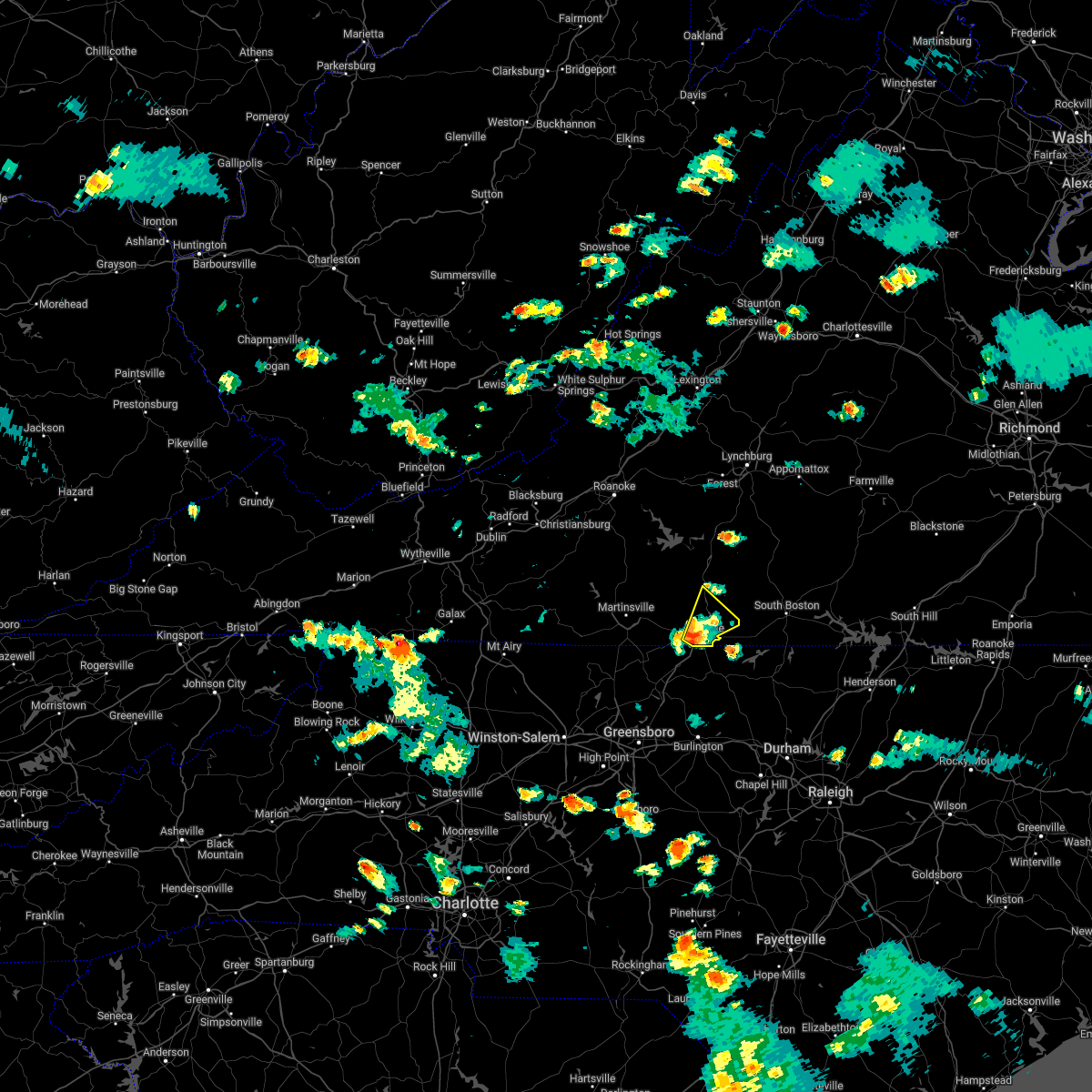 At 507 pm edt, a severe thunderstorm was located over danville, moving northeast at 15 mph (radar indicated). Hazards include 60 mph wind gusts and quarter size hail. Hail damage to vehicles is expected. expect wind damage to roofs, siding, and trees. locations impacted include, danville, chatham, blairs, dry fork, westover hills, ringgold, and keeling. this includes the following location danville airport. hail threat, radar indicated max hail size, 1. 00 in wind threat, radar indicated max wind gust, 60 mph. At 507 pm edt, a severe thunderstorm was located over danville, moving northeast at 15 mph (radar indicated). Hazards include 60 mph wind gusts and quarter size hail. Hail damage to vehicles is expected. expect wind damage to roofs, siding, and trees. locations impacted include, danville, chatham, blairs, dry fork, westover hills, ringgold, and keeling. this includes the following location danville airport. hail threat, radar indicated max hail size, 1. 00 in wind threat, radar indicated max wind gust, 60 mph.
|
| 1/1/0001 12:00 AM | Trees... limbs... and power lines down. time estimated by rada in city of danville county VA, 2.9 miles E of Danville, VA |
| 6/8/2022 4:53 PM EDT |
 At 452 pm edt, a severe thunderstorm was located over westover hills, or near danville, moving northeast at 20 mph (radar indicated). Hazards include 60 mph wind gusts and quarter size hail. Hail damage to vehicles is expected. Expect wind damage to roofs, siding, and trees. At 452 pm edt, a severe thunderstorm was located over westover hills, or near danville, moving northeast at 20 mph (radar indicated). Hazards include 60 mph wind gusts and quarter size hail. Hail damage to vehicles is expected. Expect wind damage to roofs, siding, and trees.
|
| 6/2/2022 3:33 PM EDT | Multiple trees down in pittsylvania county in the dry fork area of the county. one tree on a hous in pittsylvania county VA, 11.2 miles S of Danville, VA |
| 5/27/2022 8:09 AM EDT |
 At 809 am edt, a severe thunderstorm was located over java, or near mt airy, moving northeast at 60 mph (radar indicated). Hazards include 60 mph wind gusts. Expect damage to roofs, siding, and trees. locations impacted include, danville, south boston, altavista, halifax, hurt, chatham, and gretna. This includes the following location danville airport. At 809 am edt, a severe thunderstorm was located over java, or near mt airy, moving northeast at 60 mph (radar indicated). Hazards include 60 mph wind gusts. Expect damage to roofs, siding, and trees. locations impacted include, danville, south boston, altavista, halifax, hurt, chatham, and gretna. This includes the following location danville airport.
|
| 5/27/2022 8:08 AM EDT | One large tree down onto a home due to thunderstorm winds along the 1100 block of dr milmas road. no injuries to report... but extensive damage was done to the hom in pittsylvania county VA, 11.9 miles WSW of Danville, VA |
| 5/27/2022 8:07 AM EDT | One tree down across the road due to thunderstorm winds along the 1800 block of double creek roa in pittsylvania county VA, 10.8 miles WSW of Danville, VA |
| 5/27/2022 8:05 AM EDT | One tree down due to thunderstorm winds along the 3600 block of rocksprings roa in pittsylvania county VA, 8.8 miles WSW of Danville, VA |
| 5/27/2022 8:04 AM EDT | One tree down due to thunderstorm winds at the intersection of rocksprings road and deerfield lan in pittsylvania county VA, 8.3 miles WSW of Danville, VA |
| 5/27/2022 7:52 AM EDT |
 At 752 am edt, a severe thunderstorm was located over dry fork, or near blairs, moving northeast at 50 mph (radar indicated). Hazards include 60 mph wind gusts. Expect damage to roofs, siding, and trees. locations impacted include, danville, south boston, altavista, yanceyville, halifax, hurt, and chatham. This includes the following location danville airport. At 752 am edt, a severe thunderstorm was located over dry fork, or near blairs, moving northeast at 50 mph (radar indicated). Hazards include 60 mph wind gusts. Expect damage to roofs, siding, and trees. locations impacted include, danville, south boston, altavista, yanceyville, halifax, hurt, and chatham. This includes the following location danville airport.
|
| 5/27/2022 7:36 AM EDT |
 At 736 am edt, a severe thunderstorm was located over westover hills, or over danville, moving northeast at 60 mph (radar indicated). Hazards include 60 mph wind gusts. expect damage to roofs, siding, and trees At 736 am edt, a severe thunderstorm was located over westover hills, or over danville, moving northeast at 60 mph (radar indicated). Hazards include 60 mph wind gusts. expect damage to roofs, siding, and trees
|
| 5/27/2022 7:28 AM EDT |
 The severe thunderstorm warning for rockingham, northwestern caswell, southwestern pittsylvania and southeastern henry counties will expire at 730 am edt, the storm which prompted the warning has weakened below severe limits, and no longer poses an immediate threat to life or property. therefore, the warning will be allowed to expire. however gusty winds and heavy rain are still possible with this thunderstorm. a tornado watch remains in effect until 200 pm edt for north central north carolina, and south central and west central virginia. The severe thunderstorm warning for rockingham, northwestern caswell, southwestern pittsylvania and southeastern henry counties will expire at 730 am edt, the storm which prompted the warning has weakened below severe limits, and no longer poses an immediate threat to life or property. therefore, the warning will be allowed to expire. however gusty winds and heavy rain are still possible with this thunderstorm. a tornado watch remains in effect until 200 pm edt for north central north carolina, and south central and west central virginia.
|
| 5/27/2022 7:10 AM EDT |
 At 709 am edt, a severe thunderstorm was located over wentworth, moving northeast at 55 mph (radar indicated). Hazards include 60 mph wind gusts. Expect damage to roofs, siding, and trees. Locations impacted include, eden, reidsville, wentworth, bethel, stoneville, mayfield, and quick. At 709 am edt, a severe thunderstorm was located over wentworth, moving northeast at 55 mph (radar indicated). Hazards include 60 mph wind gusts. Expect damage to roofs, siding, and trees. Locations impacted include, eden, reidsville, wentworth, bethel, stoneville, mayfield, and quick.
|
| 5/27/2022 6:48 AM EDT |
 At 647 am edt, a severe thunderstorm was located near ellisboro, or 9 miles south of madison, moving northeast at 45 mph (radar indicated). Hazards include 60 mph wind gusts. expect damage to roofs, siding, and trees At 647 am edt, a severe thunderstorm was located near ellisboro, or 9 miles south of madison, moving northeast at 45 mph (radar indicated). Hazards include 60 mph wind gusts. expect damage to roofs, siding, and trees
|
| 5/16/2022 3:22 PM EDT |
 At 321 pm edt, a severe thunderstorm was located over ruffin, or near mayfield, moving east at 40 mph (radar indicated). Hazards include 60 mph wind gusts and quarter size hail. Hail damage to vehicles is expected. expect wind damage to roofs, siding, and trees. locations impacted include, danville, eden, wentworth, yanceyville, bethel, providence, and mayfield. this includes the following location danville airport. hail threat, radar indicated max hail size, 1. 00 in wind threat, radar indicated max wind gust, 60 mph. At 321 pm edt, a severe thunderstorm was located over ruffin, or near mayfield, moving east at 40 mph (radar indicated). Hazards include 60 mph wind gusts and quarter size hail. Hail damage to vehicles is expected. expect wind damage to roofs, siding, and trees. locations impacted include, danville, eden, wentworth, yanceyville, bethel, providence, and mayfield. this includes the following location danville airport. hail threat, radar indicated max hail size, 1. 00 in wind threat, radar indicated max wind gust, 60 mph.
|
| 5/16/2022 3:11 PM EDT |
 At 310 pm edt, a severe thunderstorm was located over draper, or over eden, moving east at 45 mph (radar indicated). Hazards include 60 mph wind gusts and quarter size hail. Hail damage to vehicles is expected. expect wind damage to roofs, siding, and trees. locations impacted include, danville, eden, wentworth, yanceyville, bethel, stoneville, and providence. this includes the following location danville airport. hail threat, radar indicated max hail size, 1. 00 in wind threat, radar indicated max wind gust, 60 mph. At 310 pm edt, a severe thunderstorm was located over draper, or over eden, moving east at 45 mph (radar indicated). Hazards include 60 mph wind gusts and quarter size hail. Hail damage to vehicles is expected. expect wind damage to roofs, siding, and trees. locations impacted include, danville, eden, wentworth, yanceyville, bethel, stoneville, and providence. this includes the following location danville airport. hail threat, radar indicated max hail size, 1. 00 in wind threat, radar indicated max wind gust, 60 mph.
|
| 5/16/2022 2:49 PM EDT |
 At 248 pm edt, a severe thunderstorm was located over price, or near stoneville, moving east at 40 mph (radar indicated). Hazards include 60 mph wind gusts and quarter size hail. Hail damage to vehicles is expected. Expect wind damage to roofs, siding, and trees. At 248 pm edt, a severe thunderstorm was located over price, or near stoneville, moving east at 40 mph (radar indicated). Hazards include 60 mph wind gusts and quarter size hail. Hail damage to vehicles is expected. Expect wind damage to roofs, siding, and trees.
|
| 5/6/2022 8:30 PM EDT | Golf Ball sized hail reported 5.6 miles WNW of Danville, VA |
| 5/6/2022 8:30 PM EDT |
 At 830 pm edt, a severe thunderstorm was located over blanch, or near providence, moving east at 30 mph (radar indicated). Hazards include 60 mph wind gusts and half dollar size hail. Hail damage to vehicles is expected. Expect wind damage to roofs, siding, and trees. At 830 pm edt, a severe thunderstorm was located over blanch, or near providence, moving east at 30 mph (radar indicated). Hazards include 60 mph wind gusts and half dollar size hail. Hail damage to vehicles is expected. Expect wind damage to roofs, siding, and trees.
|
| 5/6/2022 8:13 PM EDT | Tennis Ball sized hail reported 7.3 miles NNE of Danville, VA, social media photo showing multiple large hail stones in pelham. |
| 5/6/2022 8:13 PM EDT | Golf Ball sized hail reported 7 miles NE of Danville, VA |
| 5/1/2022 6:13 PM EDT |
 The severe thunderstorm warning for northeastern rockingham, northwestern caswell and south central pittsylvania counties and the city of danville will expire at 615 pm edt, the storm which prompted the warning has moved out of the area. therefore, the warning will be allowed to expire. a severe thunderstorm watch remains in effect until 900 pm edt for north central north carolina, and south central and west central virginia. remember, a severe thunderstorm warning still remains in effect for northeastern caswell county until 645 pm edt. The severe thunderstorm warning for northeastern rockingham, northwestern caswell and south central pittsylvania counties and the city of danville will expire at 615 pm edt, the storm which prompted the warning has moved out of the area. therefore, the warning will be allowed to expire. a severe thunderstorm watch remains in effect until 900 pm edt for north central north carolina, and south central and west central virginia. remember, a severe thunderstorm warning still remains in effect for northeastern caswell county until 645 pm edt.
|
| 5/1/2022 6:13 PM EDT |
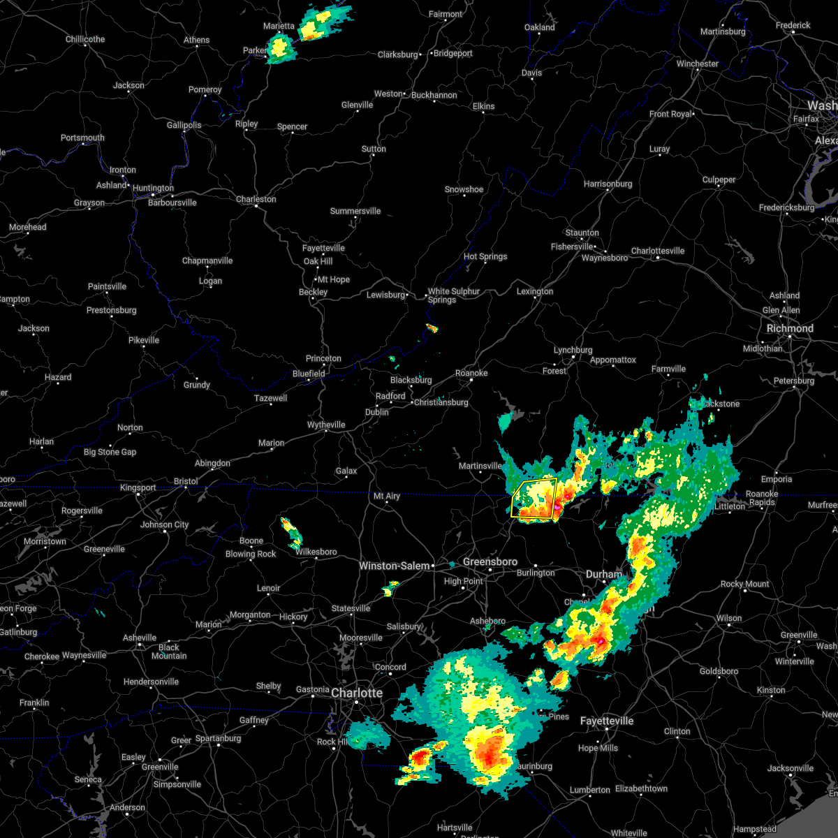 The severe thunderstorm warning for northeastern rockingham, northwestern caswell and south central pittsylvania counties and the city of danville will expire at 615 pm edt, the storm which prompted the warning has moved out of the area. therefore, the warning will be allowed to expire. a severe thunderstorm watch remains in effect until 900 pm edt for north central north carolina, and south central and west central virginia. remember, a severe thunderstorm warning still remains in effect for northeastern caswell county until 645 pm edt. The severe thunderstorm warning for northeastern rockingham, northwestern caswell and south central pittsylvania counties and the city of danville will expire at 615 pm edt, the storm which prompted the warning has moved out of the area. therefore, the warning will be allowed to expire. a severe thunderstorm watch remains in effect until 900 pm edt for north central north carolina, and south central and west central virginia. remember, a severe thunderstorm warning still remains in effect for northeastern caswell county until 645 pm edt.
|
| 5/1/2022 5:54 PM EDT |
 At 553 pm edt, a severe thunderstorm was located over pelham, or over bethel, moving east at 25 mph (the public reported quarter size hail in eden). Hazards include 60 mph wind gusts and quarter size hail. Hail damage to vehicles is expected. expect wind damage to roofs, siding, and trees. locations impacted include, danville, yanceyville, bethel, providence, mayfield, gatewood, and ruffin. this includes the following location danville airport. hail threat, observed max hail size, 1. 00 in wind threat, radar indicated max wind gust, 60 mph. At 553 pm edt, a severe thunderstorm was located over pelham, or over bethel, moving east at 25 mph (the public reported quarter size hail in eden). Hazards include 60 mph wind gusts and quarter size hail. Hail damage to vehicles is expected. expect wind damage to roofs, siding, and trees. locations impacted include, danville, yanceyville, bethel, providence, mayfield, gatewood, and ruffin. this includes the following location danville airport. hail threat, observed max hail size, 1. 00 in wind threat, radar indicated max wind gust, 60 mph.
|
| 5/1/2022 5:54 PM EDT |
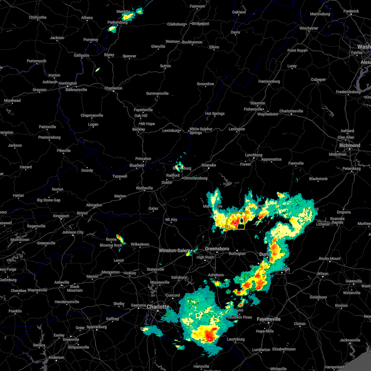 At 553 pm edt, a severe thunderstorm was located over pelham, or over bethel, moving east at 25 mph (the public reported quarter size hail in eden). Hazards include 60 mph wind gusts and quarter size hail. Hail damage to vehicles is expected. expect wind damage to roofs, siding, and trees. locations impacted include, danville, yanceyville, bethel, providence, mayfield, gatewood, and ruffin. this includes the following location danville airport. hail threat, observed max hail size, 1. 00 in wind threat, radar indicated max wind gust, 60 mph. At 553 pm edt, a severe thunderstorm was located over pelham, or over bethel, moving east at 25 mph (the public reported quarter size hail in eden). Hazards include 60 mph wind gusts and quarter size hail. Hail damage to vehicles is expected. expect wind damage to roofs, siding, and trees. locations impacted include, danville, yanceyville, bethel, providence, mayfield, gatewood, and ruffin. this includes the following location danville airport. hail threat, observed max hail size, 1. 00 in wind threat, radar indicated max wind gust, 60 mph.
|
| 5/1/2022 5:37 PM EDT |
 At 536 pm edt, a severe thunderstorm was located over oregon hill, or near mayfield, moving east at 30 mph (radar indicated). Hazards include 60 mph wind gusts and quarter size hail. Hail damage to vehicles is expected. expect wind damage to roofs, siding, and trees. locations impacted include, danville, eden, yanceyville, bethel, providence, mayfield, and harrisons crossroads. this includes the following location danville airport. hail threat, radar indicated max hail size, 1. 00 in wind threat, radar indicated max wind gust, 60 mph. At 536 pm edt, a severe thunderstorm was located over oregon hill, or near mayfield, moving east at 30 mph (radar indicated). Hazards include 60 mph wind gusts and quarter size hail. Hail damage to vehicles is expected. expect wind damage to roofs, siding, and trees. locations impacted include, danville, eden, yanceyville, bethel, providence, mayfield, and harrisons crossroads. this includes the following location danville airport. hail threat, radar indicated max hail size, 1. 00 in wind threat, radar indicated max wind gust, 60 mph.
|
| 5/1/2022 5:17 PM EDT |
 At 517 pm edt, a severe thunderstorm was located over eden, moving east at 25 mph (radar indicated). Hazards include 60 mph wind gusts and quarter size hail. Hail damage to vehicles is expected. Expect wind damage to roofs, siding, and trees. At 517 pm edt, a severe thunderstorm was located over eden, moving east at 25 mph (radar indicated). Hazards include 60 mph wind gusts and quarter size hail. Hail damage to vehicles is expected. Expect wind damage to roofs, siding, and trees.
|
| 3/7/2022 3:22 PM EST | Report from mping: 3-inch tree limbs broken; power poles broke in pittsylvania county VA, 5.4 miles ESE of Danville, VA |
| 10/25/2021 7:09 PM EDT | One tree reported down due to thunderstorm winds along mount cross roa in pittsylvania county VA, 10.2 miles ESE of Danville, VA |
| 8/30/2021 8:01 PM EDT |
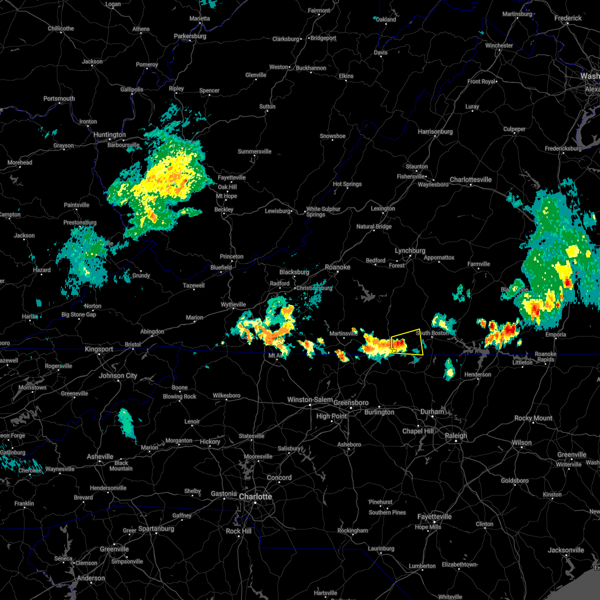 At 747 pm edt, a severe thunderstorm was located over ringgold, or 7 miles southeast of blairs, moving east at 10 mph (radar indicated). Hazards include 60 mph wind gusts and quarter size hail. Hail damage to vehicles is expected. Expect wind damage to roofs, siding, and trees. At 747 pm edt, a severe thunderstorm was located over ringgold, or 7 miles southeast of blairs, moving east at 10 mph (radar indicated). Hazards include 60 mph wind gusts and quarter size hail. Hail damage to vehicles is expected. Expect wind damage to roofs, siding, and trees.
|
| 8/30/2021 7:47 PM EDT |
 At 747 pm edt, a severe thunderstorm was located over ringgold, or 7 miles southeast of blairs, moving east at 10 mph (radar indicated). Hazards include 60 mph wind gusts and quarter size hail. Hail damage to vehicles is expected. Expect wind damage to roofs, siding, and trees. At 747 pm edt, a severe thunderstorm was located over ringgold, or 7 miles southeast of blairs, moving east at 10 mph (radar indicated). Hazards include 60 mph wind gusts and quarter size hail. Hail damage to vehicles is expected. Expect wind damage to roofs, siding, and trees.
|
| 7/17/2021 10:04 PM EDT |
 At 1004 pm edt, severe thunderstorms were located along a line extending from near alton to near ringgold, moving northeast at 25 mph (radar indicated). Hazards include 60 mph wind gusts. expect damage to roofs, siding, and trees At 1004 pm edt, severe thunderstorms were located along a line extending from near alton to near ringgold, moving northeast at 25 mph (radar indicated). Hazards include 60 mph wind gusts. expect damage to roofs, siding, and trees
|
| 7/17/2021 4:36 PM EDT |
 The severe thunderstorm warning for northeastern rockingham, northern caswell and south central pittsylvania counties and the city of danville will expire at 445 pm edt, the severe thunderstorm which prompted the warning has moved out of the warned area. therefore, the warning will be allowed to expire. however gusty winds are still possible with this thunderstorm. when it is safe to do so, please send your reports of hail of any size, as well as reports of any wind damage, including downed trees or large limbs, to the national weather service by calling toll free at 1, 8 6 6, 2 1 5, 4 3 2 4. reports and pictures can also be shared on the national weather service blacksburg facebook page and on twitter. remember, a severe thunderstorm warning still remains in effect for rockingham and casewell counties. The severe thunderstorm warning for northeastern rockingham, northern caswell and south central pittsylvania counties and the city of danville will expire at 445 pm edt, the severe thunderstorm which prompted the warning has moved out of the warned area. therefore, the warning will be allowed to expire. however gusty winds are still possible with this thunderstorm. when it is safe to do so, please send your reports of hail of any size, as well as reports of any wind damage, including downed trees or large limbs, to the national weather service by calling toll free at 1, 8 6 6, 2 1 5, 4 3 2 4. reports and pictures can also be shared on the national weather service blacksburg facebook page and on twitter. remember, a severe thunderstorm warning still remains in effect for rockingham and casewell counties.
|
| 7/17/2021 4:20 PM EDT |
 At 419 pm edt, a severe thunderstorm was located over danville, moving northeast at 15 mph (radar indicated). Hazards include 60 mph wind gusts. Expect damage to roofs, siding, and trees. locations impacted include, danville, bethel, providence, mayfield, blairs, milton, and blanch. This includes the following location danville airport. At 419 pm edt, a severe thunderstorm was located over danville, moving northeast at 15 mph (radar indicated). Hazards include 60 mph wind gusts. Expect damage to roofs, siding, and trees. locations impacted include, danville, bethel, providence, mayfield, blairs, milton, and blanch. This includes the following location danville airport.
|
| 7/17/2021 4:05 PM EDT |
 At 405 pm edt, a severe thunderstorm was located near pelham, or near danville, moving northeast at 15 mph (radar indicated). Hazards include 60 mph wind gusts. Expect damage to roofs, siding, and trees. locations impacted include, danville, bethel, providence, mayfield, blairs, milton, and dry fork. This includes the following location danville airport. At 405 pm edt, a severe thunderstorm was located near pelham, or near danville, moving northeast at 15 mph (radar indicated). Hazards include 60 mph wind gusts. Expect damage to roofs, siding, and trees. locations impacted include, danville, bethel, providence, mayfield, blairs, milton, and dry fork. This includes the following location danville airport.
|
| 7/17/2021 4:00 PM EDT | Quarter sized hail reported 4.9 miles SE of Danville, VA, via social media. |
| 7/17/2021 4:00 PM EDT | 2 trees down. via social medi in pittsylvania county VA, 4.9 miles SE of Danville, VA |
| 7/17/2021 3:48 PM EDT |
 At 348 pm edt, a severe thunderstorm was located over mayfield, moving northeast at 15 mph (radar indicated). Hazards include 60 mph wind gusts. expect damage to roofs, siding, and trees At 348 pm edt, a severe thunderstorm was located over mayfield, moving northeast at 15 mph (radar indicated). Hazards include 60 mph wind gusts. expect damage to roofs, siding, and trees
|
| 7/11/2021 1:38 PM EDT |
 At 137 pm edt, severe thunderstorms were located along a line extending from altavista to near java to near jericho, moving northeast at 20 mph (radar indicated). Hazards include 60 mph wind gusts. expect damage to roofs, siding, and trees At 137 pm edt, severe thunderstorms were located along a line extending from altavista to near java to near jericho, moving northeast at 20 mph (radar indicated). Hazards include 60 mph wind gusts. expect damage to roofs, siding, and trees
|
| 6/11/2021 2:10 PM EDT |
 At 146 pm edt, a severe thunderstorm was located over eden, moving east at 15 mph (radar indicated). Hazards include 60 mph wind gusts and quarter size hail. Hail damage to vehicles is expected. Expect wind damage to roofs, siding, and trees. At 146 pm edt, a severe thunderstorm was located over eden, moving east at 15 mph (radar indicated). Hazards include 60 mph wind gusts and quarter size hail. Hail damage to vehicles is expected. Expect wind damage to roofs, siding, and trees.
|
| 6/11/2021 2:10 PM EDT |
 At 210 pm edt, a severe thunderstorm was located over draper, or over eden, moving east at 15 mph (radar indicated). Hazards include 60 mph wind gusts. Expect damage to roofs, siding, and trees. locations impacted include, danville, eden, wentworth, yanceyville, bethel, providence, and mayfield. This includes the following location danville airport. At 210 pm edt, a severe thunderstorm was located over draper, or over eden, moving east at 15 mph (radar indicated). Hazards include 60 mph wind gusts. Expect damage to roofs, siding, and trees. locations impacted include, danville, eden, wentworth, yanceyville, bethel, providence, and mayfield. This includes the following location danville airport.
|
| 6/11/2021 1:46 PM EDT |
 At 146 pm edt, a severe thunderstorm was located over eden, moving east at 15 mph (radar indicated). Hazards include 60 mph wind gusts and quarter size hail. Hail damage to vehicles is expected. Expect wind damage to roofs, siding, and trees. At 146 pm edt, a severe thunderstorm was located over eden, moving east at 15 mph (radar indicated). Hazards include 60 mph wind gusts and quarter size hail. Hail damage to vehicles is expected. Expect wind damage to roofs, siding, and trees.
|
| 6/3/2021 6:55 PM EDT |
 At 654 pm edt, severe thunderstorms were located along a line extending from near hat creek to westover hills, moving east at 20 mph (radar indicated). Hazards include 60 mph wind gusts. Expect damage to roofs, siding, and trees. locations impacted include, danville, blairs, mt airy, ingram, nathalie, java, and leda. This includes the following location danville airport. At 654 pm edt, severe thunderstorms were located along a line extending from near hat creek to westover hills, moving east at 20 mph (radar indicated). Hazards include 60 mph wind gusts. Expect damage to roofs, siding, and trees. locations impacted include, danville, blairs, mt airy, ingram, nathalie, java, and leda. This includes the following location danville airport.
|
| 6/3/2021 6:44 PM EDT |
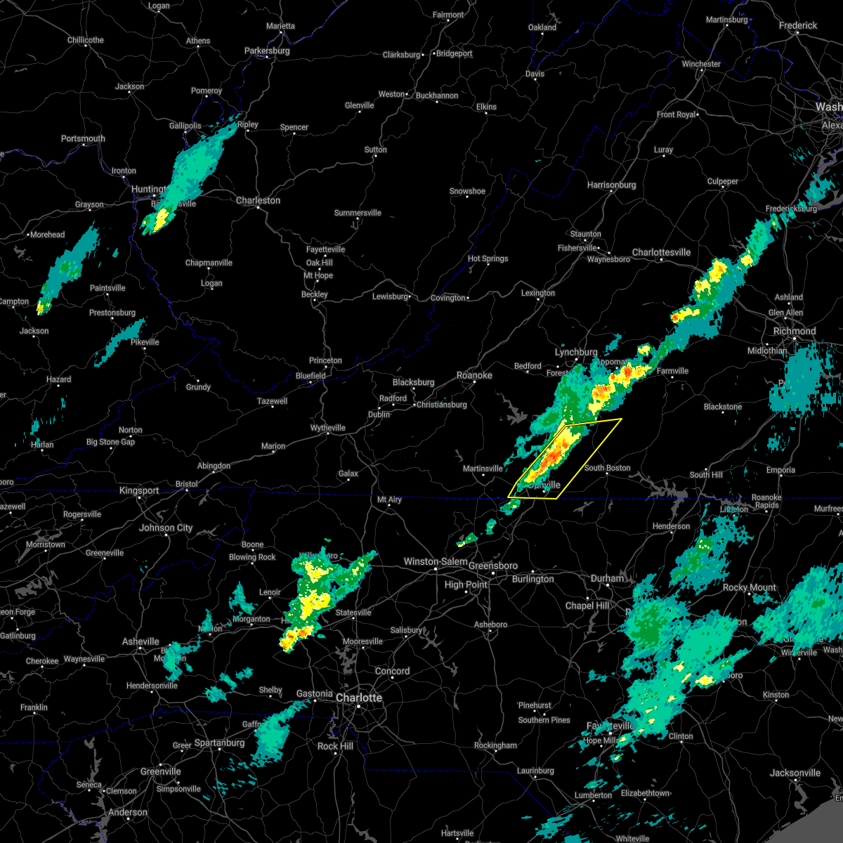 At 644 pm edt, severe thunderstorms were located along a line extending from near brookneal to near westover hills, moving east at 20 mph (radar indicated). Hazards include 60 mph wind gusts. Expect damage to roofs, siding, and trees. locations impacted include, danville, chatham, blairs, ingram, mt airy, nathalie, and java. This includes the following location danville airport. At 644 pm edt, severe thunderstorms were located along a line extending from near brookneal to near westover hills, moving east at 20 mph (radar indicated). Hazards include 60 mph wind gusts. Expect damage to roofs, siding, and trees. locations impacted include, danville, chatham, blairs, ingram, mt airy, nathalie, and java. This includes the following location danville airport.
|
| 6/3/2021 6:33 PM EDT |
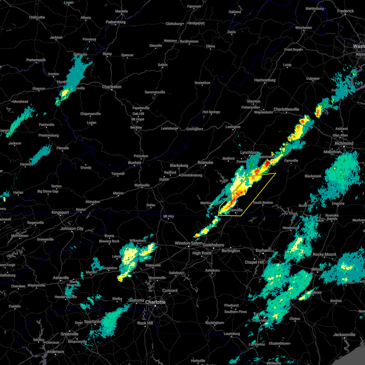 At 632 pm edt, severe thunderstorms were located along a line extending from near long island to near cascade, moving east at 20 mph (radar indicated). Hazards include 60 mph wind gusts. Expect damage to roofs, siding, and trees. locations impacted include, danville, chatham, gretna, brookneal, phenix, ingram, and mt airy. This includes the following location danville airport. At 632 pm edt, severe thunderstorms were located along a line extending from near long island to near cascade, moving east at 20 mph (radar indicated). Hazards include 60 mph wind gusts. Expect damage to roofs, siding, and trees. locations impacted include, danville, chatham, gretna, brookneal, phenix, ingram, and mt airy. This includes the following location danville airport.
|
| 6/3/2021 6:08 PM EDT |
 At 608 pm edt, severe thunderstorms were located along a line extending from near hodges to sandy level, moving east at 20 mph (radar indicated). Hazards include 60 mph wind gusts. expect damage to roofs, siding, and trees At 608 pm edt, severe thunderstorms were located along a line extending from near hodges to sandy level, moving east at 20 mph (radar indicated). Hazards include 60 mph wind gusts. expect damage to roofs, siding, and trees
|
| 4/9/2021 5:27 PM EDT | Quarter sized hail reported 5.7 miles SW of Danville, VA |
| 4/9/2021 5:21 PM EDT |
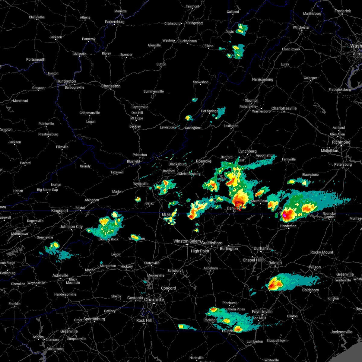 At 521 pm edt, a severe thunderstorm capable of producing a tornado was located over blairs, moving east at 25 mph (radar indicated rotation). Hazards include tornado and golf ball size hail. Flying debris will be dangerous to those caught without shelter. mobile homes will be damaged or destroyed. damage to roofs, windows, and vehicles will occur. tree damage is likely. Locations impacted include, keeling, and ringgold. At 521 pm edt, a severe thunderstorm capable of producing a tornado was located over blairs, moving east at 25 mph (radar indicated rotation). Hazards include tornado and golf ball size hail. Flying debris will be dangerous to those caught without shelter. mobile homes will be damaged or destroyed. damage to roofs, windows, and vehicles will occur. tree damage is likely. Locations impacted include, keeling, and ringgold.
|
| 4/9/2021 5:13 PM EDT |
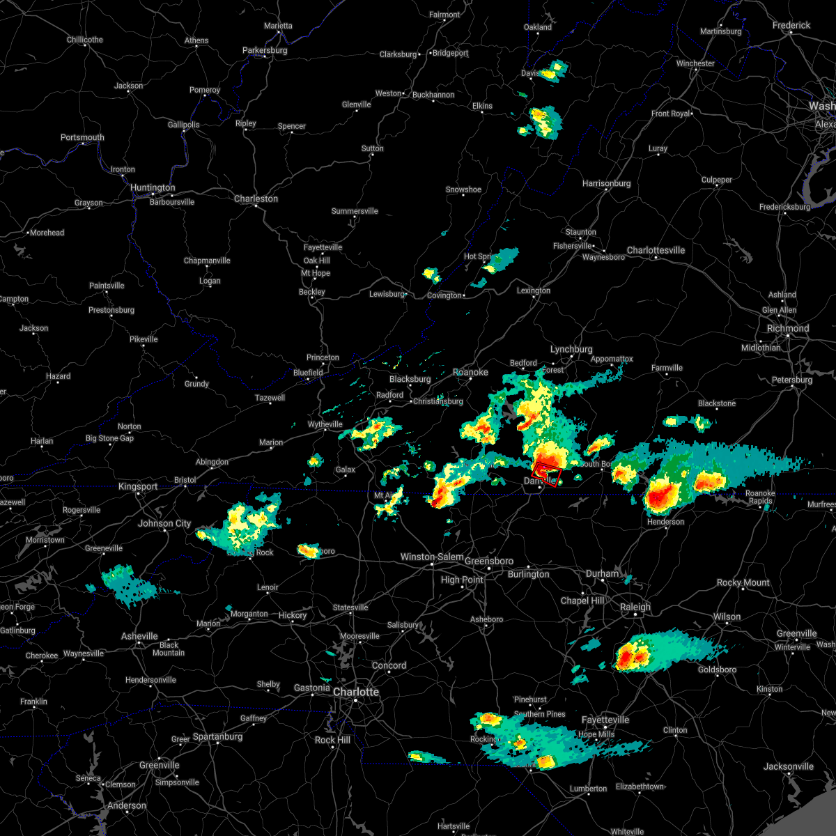 At 513 pm edt, a severe thunderstorm capable of producing a tornado was located over blairs, moving east at 15 mph (radar indicated rotation). Hazards include tornado and golf ball size hail. Flying debris will be dangerous to those caught without shelter. mobile homes will be damaged or destroyed. damage to roofs, windows, and vehicles will occur. Tree damage is likely. At 513 pm edt, a severe thunderstorm capable of producing a tornado was located over blairs, moving east at 15 mph (radar indicated rotation). Hazards include tornado and golf ball size hail. Flying debris will be dangerous to those caught without shelter. mobile homes will be damaged or destroyed. damage to roofs, windows, and vehicles will occur. Tree damage is likely.
|
| 4/9/2021 5:12 PM EDT | Half Dollar sized hail reported 6.6 miles SSE of Danville, VA, time estimated from radar. |
| 4/9/2021 5:10 PM EDT |
 At 509 pm edt, a severe thunderstorm was located near blairs, moving east at 20 mph (radar indicated). Hazards include golf ball size hail and 70 mph wind gusts. People and animals outdoors will be injured. expect hail damage to roofs, siding, windows, and vehicles. expect considerable tree damage. Wind damage is also likely to mobile homes, roofs, and outbuildings. At 509 pm edt, a severe thunderstorm was located near blairs, moving east at 20 mph (radar indicated). Hazards include golf ball size hail and 70 mph wind gusts. People and animals outdoors will be injured. expect hail damage to roofs, siding, windows, and vehicles. expect considerable tree damage. Wind damage is also likely to mobile homes, roofs, and outbuildings.
|
| 10/29/2020 12:07 PM EDT |
 The severe thunderstorm warning for charlotte, southeastern campbell, eastern pittsylvania and halifax counties and the city of danville will expire at 1215 pm edt, the storm which prompted the warning has weakened below severe limits, and no longer poses an immediate threat to life or property. therefore, the warning will be allowed to expire. however gusty winds are still possible into the mid afternoon due to tropical storm zeta. when it is safe to do so, please send your reports of hail of any size, as well as reports of any wind damage, including downed trees or large limbs, to the national weather service by calling toll free at 1, 8 6 6, 2 1 5, 4 3 2 4. reports and pictures can also be shared on the national weather service blacksburg facebook page and on twitter. The severe thunderstorm warning for charlotte, southeastern campbell, eastern pittsylvania and halifax counties and the city of danville will expire at 1215 pm edt, the storm which prompted the warning has weakened below severe limits, and no longer poses an immediate threat to life or property. therefore, the warning will be allowed to expire. however gusty winds are still possible into the mid afternoon due to tropical storm zeta. when it is safe to do so, please send your reports of hail of any size, as well as reports of any wind damage, including downed trees or large limbs, to the national weather service by calling toll free at 1, 8 6 6, 2 1 5, 4 3 2 4. reports and pictures can also be shared on the national weather service blacksburg facebook page and on twitter.
|
| 10/29/2020 11:59 AM EDT |
 At 1157 am edt, severe tropical showers were located over brookneal, moving northeast at 40 mph (radar indicated). Hazards include 70 mph wind gusts. Expect considerable tree damage. damage is likely to mobile homes, roofs, and outbuildings. locations impacted include, danville, south boston, halifax, chatham, brookneal, keysville, and charlotte court house. This includes the following location danville airport. At 1157 am edt, severe tropical showers were located over brookneal, moving northeast at 40 mph (radar indicated). Hazards include 70 mph wind gusts. Expect considerable tree damage. damage is likely to mobile homes, roofs, and outbuildings. locations impacted include, danville, south boston, halifax, chatham, brookneal, keysville, and charlotte court house. This includes the following location danville airport.
|
| 10/29/2020 11:11 AM EDT |
 At 1108 am edt, severe tropical showers were located over climax, or near chatham, moving northeast at 55 mph (radar indicated. numerous trees were reported down in hanging rock and martinsville). Hazards include 70 mph wind gusts. Expect considerable tree damage. Damage is likely to mobile homes, roofs, and outbuildings. At 1108 am edt, severe tropical showers were located over climax, or near chatham, moving northeast at 55 mph (radar indicated. numerous trees were reported down in hanging rock and martinsville). Hazards include 70 mph wind gusts. Expect considerable tree damage. Damage is likely to mobile homes, roofs, and outbuildings.
|
| 8/3/2020 12:35 AM EDT |
 At 1235 am edt, a severe thunderstorm was located over ringgold, or just east of danville, moving northeast at 30 mph (radar indicated). Hazards include 60 mph wind gusts. expect damage to roofs, siding, and trees At 1235 am edt, a severe thunderstorm was located over ringgold, or just east of danville, moving northeast at 30 mph (radar indicated). Hazards include 60 mph wind gusts. expect damage to roofs, siding, and trees
|
| 7/28/2020 3:29 PM EDT |
 At 329 pm edt, severe thunderstorms were located along a line extending from near nathalie to mayfield, moving east at 25 mph (radar indicated). Hazards include 60 mph wind gusts. Expect damage to roofs, siding, and trees. locations impacted include, danville, bethel, mayfield, blairs, ingram, java, and harrisons crossroads. This includes the following location danville airport. At 329 pm edt, severe thunderstorms were located along a line extending from near nathalie to mayfield, moving east at 25 mph (radar indicated). Hazards include 60 mph wind gusts. Expect damage to roofs, siding, and trees. locations impacted include, danville, bethel, mayfield, blairs, ingram, java, and harrisons crossroads. This includes the following location danville airport.
|
| 7/28/2020 3:24 PM EDT | Storms brought powerlines down along halifax rd. in the city of danvill in city of danville county VA, 1.6 miles W of Danville, VA |
| 7/28/2020 3:15 PM EDT | A large limb was reported down in the city of danville mt. view cemeter in city of danville county VA, 1.3 miles ENE of Danville, VA |
| 7/28/2020 3:09 PM EDT |
 A severe thunderstorm warning remains in effect until 345 pm edt for northeastern rockingham. northwestern caswell. southeastern pittsylvania and west central halifax counties and the city of danville. At 308 pm edt, severe thunderstorms were located along a line. A severe thunderstorm warning remains in effect until 345 pm edt for northeastern rockingham. northwestern caswell. southeastern pittsylvania and west central halifax counties and the city of danville. At 308 pm edt, severe thunderstorms were located along a line.
|
| 7/28/2020 3:09 PM EDT |
 At 308 pm edt, severe thunderstorms were located along a line extending from leda to draper, moving east at 25 mph (radar indicated). Hazards include 60 mph wind gusts. Expect damage to roofs, siding, and trees. locations impacted include, danville, eden, wentworth, bethel, chatham, ingram, and mt airy. This includes the following location danville airport. At 308 pm edt, severe thunderstorms were located along a line extending from leda to draper, moving east at 25 mph (radar indicated). Hazards include 60 mph wind gusts. Expect damage to roofs, siding, and trees. locations impacted include, danville, eden, wentworth, bethel, chatham, ingram, and mt airy. This includes the following location danville airport.
|
| 7/28/2020 2:48 PM EDT |
 At 247 pm edt, severe thunderstorms were located along a line extending from near chalk level to near stoneville, moving east at 25 mph (radar indicated). Hazards include 60 mph wind gusts. expect damage to roofs, siding, and trees At 247 pm edt, severe thunderstorms were located along a line extending from near chalk level to near stoneville, moving east at 25 mph (radar indicated). Hazards include 60 mph wind gusts. expect damage to roofs, siding, and trees
|
| 7/21/2020 10:06 PM EDT | Large tree blown onto power lines on third avenue... partially blocking the road. time estimated from rada in city of danville county VA, 1.5 miles S of Danville, VA |
| 7/21/2020 10:03 PM EDT | Tree blown down on arnett boulevard. time estimated from rada in city of danville county VA, 1.6 miles SSE of Danville, VA |
| 7/21/2020 10:02 PM EDT |
 At 957 pm edt, a severe thunderstorm was located near westover hills, or near the city of danville, moving northeast at 20 mph. another storm was on the east side of martinsville, headed northeast toward callands in pittsylvania county (radar indicated). Hazards include 60 mph wind gusts. Expect damage to roofs, siding, and trees. Locations impacted include, danville, martinsville, chatham, blairs, axton, and callands, of pittsylvania county. At 957 pm edt, a severe thunderstorm was located near westover hills, or near the city of danville, moving northeast at 20 mph. another storm was on the east side of martinsville, headed northeast toward callands in pittsylvania county (radar indicated). Hazards include 60 mph wind gusts. Expect damage to roofs, siding, and trees. Locations impacted include, danville, martinsville, chatham, blairs, axton, and callands, of pittsylvania county.
|
| 7/21/2020 10:01 PM EDT | Tree blown down on summit road near the intersection with idlewood terrace. time estimated from rada in city of danville county VA, 1.4 miles SE of Danville, VA |
| 7/21/2020 9:27 PM EDT |
 At 926 pm edt, a thunderstorms were intensifying along the virginia, north carolina border, moving northeast at 20 mph (radar indicated). Hazards include 60 mph wind gusts and quarter size hail. Hail damage to vehicles is expected. Expect wind damage to roofs, siding, and trees. At 926 pm edt, a thunderstorms were intensifying along the virginia, north carolina border, moving northeast at 20 mph (radar indicated). Hazards include 60 mph wind gusts and quarter size hail. Hail damage to vehicles is expected. Expect wind damage to roofs, siding, and trees.
|
| 7/19/2020 7:00 PM EDT |
 At 659 pm edt, a severe thunderstorm was located over leatherwood, or 7 miles northeast of martinsville, moving east at 20 mph. there have been reports of wind damage to trees and utility poles with this storm (radar indicated). Hazards include 60 mph wind gusts. Expect damage to roofs, siding, and trees. locations impacted include, martinsville, callands, axton, penhook, snow creek, leatherwood, and villa heights. This includes the following locations the martinsville speedway and martinsville airport. At 659 pm edt, a severe thunderstorm was located over leatherwood, or 7 miles northeast of martinsville, moving east at 20 mph. there have been reports of wind damage to trees and utility poles with this storm (radar indicated). Hazards include 60 mph wind gusts. Expect damage to roofs, siding, and trees. locations impacted include, martinsville, callands, axton, penhook, snow creek, leatherwood, and villa heights. This includes the following locations the martinsville speedway and martinsville airport.
|
| 7/19/2020 6:27 PM EDT |
 At 626 pm edt, a severe thunderstorm was located over bassett, moving east at 20 mph (radar indicated). Hazards include 60 mph wind gusts and quarter size hail. Hail damage to vehicles is expected. Expect wind damage to roofs, siding, and trees. At 626 pm edt, a severe thunderstorm was located over bassett, moving east at 20 mph (radar indicated). Hazards include 60 mph wind gusts and quarter size hail. Hail damage to vehicles is expected. Expect wind damage to roofs, siding, and trees.
|
| 7/10/2020 9:21 PM EDT |
 The severe thunderstorm warning for northeastern caswell, southeastern pittsylvania and southwestern halifax counties will expire at 930 pm edt, the storms which prompted the warning have weakened below severe limits, and have exited the warned area. therefore, the warning will be allowed to expire. when it is safe to do so, please send your reports of hail of any size, as well as reports of any wind damage, including downed trees or large limbs, to the national weather service by calling toll free at 1, 8 6 6, 2 1 5, 4 3 2 4. reports and pictures can also be shared on the national weather service blacksburg facebook page and on twitter. The severe thunderstorm warning for northeastern caswell, southeastern pittsylvania and southwestern halifax counties will expire at 930 pm edt, the storms which prompted the warning have weakened below severe limits, and have exited the warned area. therefore, the warning will be allowed to expire. when it is safe to do so, please send your reports of hail of any size, as well as reports of any wind damage, including downed trees or large limbs, to the national weather service by calling toll free at 1, 8 6 6, 2 1 5, 4 3 2 4. reports and pictures can also be shared on the national weather service blacksburg facebook page and on twitter.
|
| 7/10/2020 9:08 PM EDT |
 At 907 pm edt, severe thunderstorms were located along a line extending from near elmo to semora, moving east at 25 mph (radar indicated). Hazards include 60 mph wind gusts and quarter size hail. Hail damage to vehicles is expected. expect wind damage to roofs, siding, and trees. Locations impacted include, yanceyville, ingram, providence, blairs, milton, blanch, and leasburg. At 907 pm edt, severe thunderstorms were located along a line extending from near elmo to semora, moving east at 25 mph (radar indicated). Hazards include 60 mph wind gusts and quarter size hail. Hail damage to vehicles is expected. expect wind damage to roofs, siding, and trees. Locations impacted include, yanceyville, ingram, providence, blairs, milton, blanch, and leasburg.
|
| 7/10/2020 8:41 PM EDT | One large pine tree down in power lines on mountain hill roa in pittsylvania county VA, 3.5 miles WNW of Danville, VA |
| 7/10/2020 8:27 PM EDT | Large portion of a tree split off and fell at the intersection of lanier ave and baltimore av in city of danville county VA, 2.1 miles NE of Danville, VA |
| 7/10/2020 8:27 PM EDT |
 At 826 pm edt, severe thunderstorms were located along a line extending from westover hills to near bethel, moving east at 25 mph (radar indicated). Hazards include 60 mph wind gusts and quarter size hail. Hail damage to vehicles is expected. Expect wind damage to roofs, siding, and trees. At 826 pm edt, severe thunderstorms were located along a line extending from westover hills to near bethel, moving east at 25 mph (radar indicated). Hazards include 60 mph wind gusts and quarter size hail. Hail damage to vehicles is expected. Expect wind damage to roofs, siding, and trees.
|
| 4/13/2020 6:00 AM EDT |
 At 600 am edt, severe thunderstorms were located along a line extending from near stonewall to bethel, moving northeast at 50 mph (radar indicated). Hazards include 60 mph wind gusts. Expect damage to roofs, siding, and trees. locations impacted include, danville, reidsville, south boston, yanceyville, appomattox, bethel, and halifax. this includes the following location danville airport. A tornado watch remains in effect until noon edt for north central north carolina, and central and south central virginia. At 600 am edt, severe thunderstorms were located along a line extending from near stonewall to bethel, moving northeast at 50 mph (radar indicated). Hazards include 60 mph wind gusts. Expect damage to roofs, siding, and trees. locations impacted include, danville, reidsville, south boston, yanceyville, appomattox, bethel, and halifax. this includes the following location danville airport. A tornado watch remains in effect until noon edt for north central north carolina, and central and south central virginia.
|
| 4/13/2020 5:51 AM EDT |
 At 551 am edt, severe thunderstorms were located along a line extending from near concord to near lawsonville, moving northeast at 50 mph (radar indicated). Hazards include 60 mph wind gusts. Expect damage to roofs, siding, and trees. locations impacted include, danville, eden, reidsville, south boston, altavista, wentworth, and yanceyville. this includes the following location danville airport. A tornado watch remains in effect until noon edt for north central north carolina, and central and south central virginia. At 551 am edt, severe thunderstorms were located along a line extending from near concord to near lawsonville, moving northeast at 50 mph (radar indicated). Hazards include 60 mph wind gusts. Expect damage to roofs, siding, and trees. locations impacted include, danville, eden, reidsville, south boston, altavista, wentworth, and yanceyville. this includes the following location danville airport. A tornado watch remains in effect until noon edt for north central north carolina, and central and south central virginia.
|
| 4/13/2020 5:44 AM EDT |
 At 543 am edt, a severe thunderstorm capable of producing a tornado was located over westover hills, or near danville, moving northeast at 65 mph (radar indicated rotation). Hazards include tornado. Flying debris will be dangerous to those caught without shelter. mobile homes will be damaged or destroyed. damage to roofs, windows, and vehicles will occur. tree damage is likely. locations impacted include, danville, blairs, dry fork, ringgold, westover hills, and keeling. This includes the following location danville airport. At 543 am edt, a severe thunderstorm capable of producing a tornado was located over westover hills, or near danville, moving northeast at 65 mph (radar indicated rotation). Hazards include tornado. Flying debris will be dangerous to those caught without shelter. mobile homes will be damaged or destroyed. damage to roofs, windows, and vehicles will occur. tree damage is likely. locations impacted include, danville, blairs, dry fork, ringgold, westover hills, and keeling. This includes the following location danville airport.
|
| 4/13/2020 5:36 AM EDT |
 At 536 am edt, a severe thunderstorm capable of producing a tornado was located over cascade, or near mayfield, moving northeast at 65 mph (radar indicated rotation). Hazards include tornado. Flying debris will be dangerous to those caught without shelter. mobile homes will be damaged or destroyed. damage to roofs, windows, and vehicles will occur. Tree damage is likely. At 536 am edt, a severe thunderstorm capable of producing a tornado was located over cascade, or near mayfield, moving northeast at 65 mph (radar indicated rotation). Hazards include tornado. Flying debris will be dangerous to those caught without shelter. mobile homes will be damaged or destroyed. damage to roofs, windows, and vehicles will occur. Tree damage is likely.
|
| 4/13/2020 5:30 AM EDT |
 At 530 am edt, severe thunderstorms were located along a line extending from evington to near monroeton, moving northeast at 50 mph (radar indicated). Hazards include 60 mph wind gusts. expect damage to roofs, siding, and trees At 530 am edt, severe thunderstorms were located along a line extending from evington to near monroeton, moving northeast at 50 mph (radar indicated). Hazards include 60 mph wind gusts. expect damage to roofs, siding, and trees
|
| 4/13/2020 5:19 AM EDT |
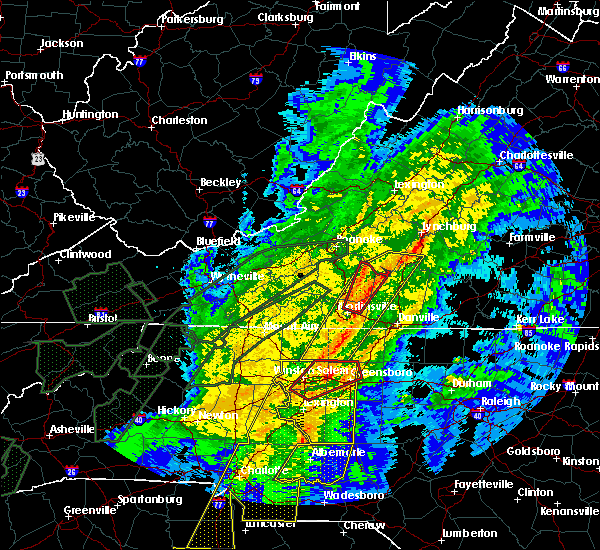 At 519 am edt, a severe thunderstorm capable of producing a tornado was located over intelligence, or near mayodan, moving northeast at 55 mph (radar indicated rotation). Hazards include tornado. Flying debris will be dangerous to those caught without shelter. mobile homes will be damaged or destroyed. damage to roofs, windows, and vehicles will occur. Tree damage is likely. At 519 am edt, a severe thunderstorm capable of producing a tornado was located over intelligence, or near mayodan, moving northeast at 55 mph (radar indicated rotation). Hazards include tornado. Flying debris will be dangerous to those caught without shelter. mobile homes will be damaged or destroyed. damage to roofs, windows, and vehicles will occur. Tree damage is likely.
|
| 4/8/2020 6:28 PM EDT |
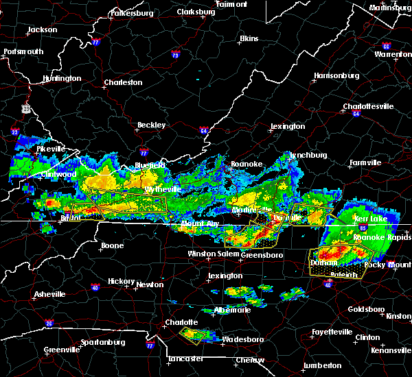 At 628 pm edt, severe thunderstorms were located along a line extending from blairs to near danville to gatewood, moving southeast at 50 mph (radar indicated). Hazards include 60 mph wind gusts and half dollar size hail. Hail damage to vehicles is expected. expect wind damage to roofs, siding, and trees. locations impacted include, danville, providence, blairs, gatewood, ringgold, and westover hills. This includes the following location danville airport. At 628 pm edt, severe thunderstorms were located along a line extending from blairs to near danville to gatewood, moving southeast at 50 mph (radar indicated). Hazards include 60 mph wind gusts and half dollar size hail. Hail damage to vehicles is expected. expect wind damage to roofs, siding, and trees. locations impacted include, danville, providence, blairs, gatewood, ringgold, and westover hills. This includes the following location danville airport.
|
| 4/8/2020 6:26 PM EDT | Quarter sized hail reported 0.8 miles S of Danville, VA, report from mping: quarter size hail. |
| 4/8/2020 6:16 PM EDT |
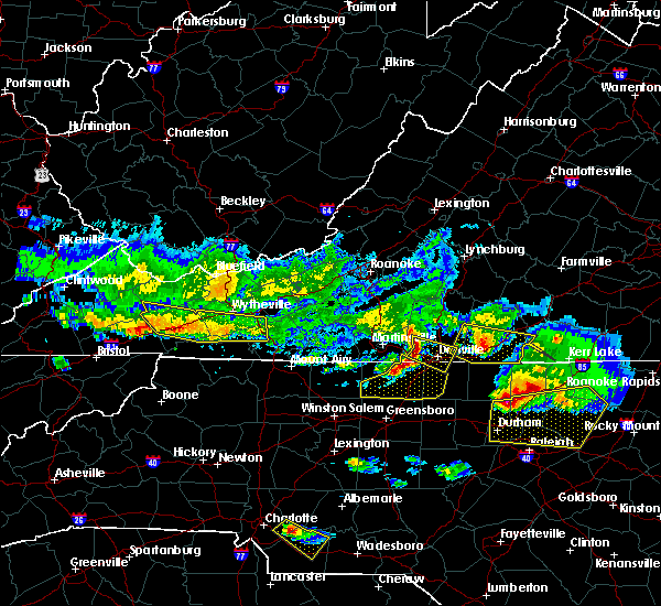 At 615 pm edt, severe thunderstorms were located along a line extending from swansonville to 6 miles northwest of westover hills to near cascade, moving southeast at 50 mph (radar indicated). Hazards include 60 mph wind gusts and half dollar size hail. Hail damage to vehicles is expected. expect wind damage to roofs, siding, and trees. locations impacted include, danville, providence, blairs, gatewood, swansonville, westover hills, and ringgold. This includes the following location danville airport. At 615 pm edt, severe thunderstorms were located along a line extending from swansonville to 6 miles northwest of westover hills to near cascade, moving southeast at 50 mph (radar indicated). Hazards include 60 mph wind gusts and half dollar size hail. Hail damage to vehicles is expected. expect wind damage to roofs, siding, and trees. locations impacted include, danville, providence, blairs, gatewood, swansonville, westover hills, and ringgold. This includes the following location danville airport.
|
| 4/8/2020 5:59 PM EDT |
 At 559 pm edt, a severe thunderstorm was located over leatherwood, or near axton, moving southeast at 45 mph (radar indicated). Hazards include 60 mph wind gusts and half dollar size hail. Hail damage to vehicles is expected. Expect wind damage to roofs, siding, and trees. At 559 pm edt, a severe thunderstorm was located over leatherwood, or near axton, moving southeast at 45 mph (radar indicated). Hazards include 60 mph wind gusts and half dollar size hail. Hail damage to vehicles is expected. Expect wind damage to roofs, siding, and trees.
|
| 4/8/2020 5:59 PM EDT |
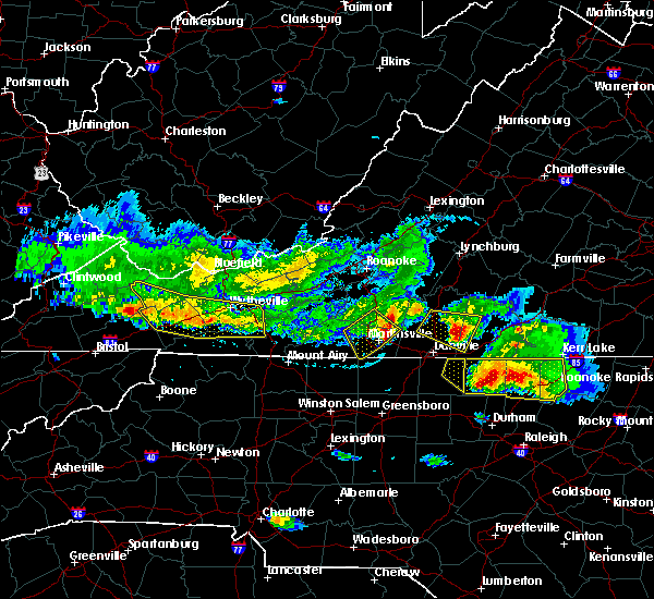 At 559 pm edt, a severe thunderstorm was located over leatherwood, or near axton, moving southeast at 45 mph (radar indicated). Hazards include 60 mph wind gusts and half dollar size hail. Hail damage to vehicles is expected. Expect wind damage to roofs, siding, and trees. At 559 pm edt, a severe thunderstorm was located over leatherwood, or near axton, moving southeast at 45 mph (radar indicated). Hazards include 60 mph wind gusts and half dollar size hail. Hail damage to vehicles is expected. Expect wind damage to roofs, siding, and trees.
|
| 1/11/2020 11:50 PM EST |
 At 1149 pm est, severe thunderstorms were located along a line extending from near ingram to near prospect hill, moving northeast at 70 mph (radar indicated). Hazards include 60 mph wind gusts. Expect damage to roofs, siding, and trees. locations impacted include, danville, south boston, yanceyville, bethel, jericho, prospect hill, and turbeville. This includes the following location danville airport. At 1149 pm est, severe thunderstorms were located along a line extending from near ingram to near prospect hill, moving northeast at 70 mph (radar indicated). Hazards include 60 mph wind gusts. Expect damage to roofs, siding, and trees. locations impacted include, danville, south boston, yanceyville, bethel, jericho, prospect hill, and turbeville. This includes the following location danville airport.
|
| 1/11/2020 11:21 PM EST |
 At 1121 pm est, severe thunderstorms were located along a line extending from near swansonville to 9 miles east of randleman, moving northeast at 75 mph (radar indicated). Hazards include 60 mph wind gusts. expect damage to roofs, siding, and trees At 1121 pm est, severe thunderstorms were located along a line extending from near swansonville to 9 miles east of randleman, moving northeast at 75 mph (radar indicated). Hazards include 60 mph wind gusts. expect damage to roofs, siding, and trees
|
| 1/11/2020 11:07 PM EST |
 At 1106 pm est, severe thunderstorms were located along a line extending from 7 miles southwest of wintergreen to near jericho, moving east at 50 mph (radar indicated). Hazards include 60 mph wind gusts. Expect damage to roofs, siding, and trees. locations impacted include, lynchburg, danville, bedford, altavista, amherst, yanceyville, and bethel. This includes the following locations liberty university, danville airport, and lynchburg airport. At 1106 pm est, severe thunderstorms were located along a line extending from 7 miles southwest of wintergreen to near jericho, moving east at 50 mph (radar indicated). Hazards include 60 mph wind gusts. Expect damage to roofs, siding, and trees. locations impacted include, lynchburg, danville, bedford, altavista, amherst, yanceyville, and bethel. This includes the following locations liberty university, danville airport, and lynchburg airport.
|
| 1/11/2020 10:33 PM EST |
 At 1032 pm est, severe thunderstorms were located along a line extending from near buena vista to 6 miles northwest of greensboro, moving northeast at 75 mph (radar indicated. numerous trees were reported down by this line of storms in giles county and in galax). Hazards include 60 mph wind gusts. expect damage to roofs, siding, and trees At 1032 pm est, severe thunderstorms were located along a line extending from near buena vista to 6 miles northwest of greensboro, moving northeast at 75 mph (radar indicated. numerous trees were reported down by this line of storms in giles county and in galax). Hazards include 60 mph wind gusts. expect damage to roofs, siding, and trees
|
| 10/31/2019 6:58 PM EDT |
 At 658 pm edt, a severe thunderstorm was located over blairs, moving northeast at 50 mph (radar indicated). Hazards include 60 mph wind gusts. Expect damage to roofs, siding, and trees. locations impacted include, danville, bethel, providence, blairs, gatewood, westover hills, and pelham. this includes the following location danville airport. A tornado watch remains in effect until 1100 pm edt for north central north carolina, and south central, central and west central virginia. At 658 pm edt, a severe thunderstorm was located over blairs, moving northeast at 50 mph (radar indicated). Hazards include 60 mph wind gusts. Expect damage to roofs, siding, and trees. locations impacted include, danville, bethel, providence, blairs, gatewood, westover hills, and pelham. this includes the following location danville airport. A tornado watch remains in effect until 1100 pm edt for north central north carolina, and south central, central and west central virginia.
|
| 10/31/2019 6:41 PM EDT |
 The national weather service in blacksburg has issued a * severe thunderstorm warning for. northwestern caswell county in north central north carolina. the city of danville in south central virginia. southern pittsylvania county in south central virginia. Until 745 pm edt. The national weather service in blacksburg has issued a * severe thunderstorm warning for. northwestern caswell county in north central north carolina. the city of danville in south central virginia. southern pittsylvania county in south central virginia. Until 745 pm edt.
|
| 10/31/2019 6:41 PM EDT |
 At 641 pm edt, a severe thunderstorm was located over mayfield, moving northeast at 50 mph (radar indicated). Hazards include 60 mph wind gusts. expect damage to roofs, siding, and trees At 641 pm edt, a severe thunderstorm was located over mayfield, moving northeast at 50 mph (radar indicated). Hazards include 60 mph wind gusts. expect damage to roofs, siding, and trees
|
| 8/23/2019 6:56 PM EDT | Tree blocking multiple lanes of traffic on memorial drive just north of intersection with central boulevard. time estimated from rada in city of danville county VA, 1.2 miles E of Danville, VA |
| 8/23/2019 6:43 PM EDT |
 At 642 pm edt, severe thunderstorms were located along a line extending from near keeling to near eden, moving east at 30 mph (radar indicated). Hazards include 60 mph wind gusts. Expect damage to roofs, siding, and trees. locations impacted include, danville, eden, reidsville, wentworth, and mayodan. This includes the following location danville airport. At 642 pm edt, severe thunderstorms were located along a line extending from near keeling to near eden, moving east at 30 mph (radar indicated). Hazards include 60 mph wind gusts. Expect damage to roofs, siding, and trees. locations impacted include, danville, eden, reidsville, wentworth, and mayodan. This includes the following location danville airport.
|
| 8/23/2019 6:21 PM EDT |
 At 621 pm edt, severe thunderstorms were located along a line extending from near blairs to near price, moving east at 30 mph (radar indicated). Hazards include 60 mph wind gusts. expect damage to roofs, siding, and trees At 621 pm edt, severe thunderstorms were located along a line extending from near blairs to near price, moving east at 30 mph (radar indicated). Hazards include 60 mph wind gusts. expect damage to roofs, siding, and trees
|
| 8/22/2019 5:27 PM EDT |
 The severe thunderstorm warning for pittsylvania county and the city of danville will expire at 530 pm edt. the storms which prompted the warning have weakened below severe limits, and have exited the warned area. therefore, the warning will be allowed to expire. However gusty winds and heavy rain are still. The severe thunderstorm warning for pittsylvania county and the city of danville will expire at 530 pm edt. the storms which prompted the warning have weakened below severe limits, and have exited the warned area. therefore, the warning will be allowed to expire. However gusty winds and heavy rain are still.
|
| 8/22/2019 5:04 PM EDT |
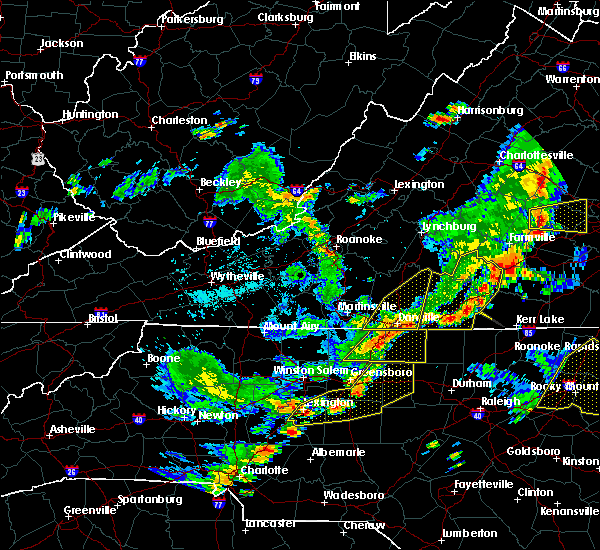 A severe thunderstorm warning remains in effect until 530 pm edt for pittsylvania county and the city of danville. at 503 pm edt, severe thunderstorms were located along a line extending from lakeside village to near blairs, moving northeast at 25 mph. hazard. 60 mph wind gusts. A severe thunderstorm warning remains in effect until 530 pm edt for pittsylvania county and the city of danville. at 503 pm edt, severe thunderstorms were located along a line extending from lakeside village to near blairs, moving northeast at 25 mph. hazard. 60 mph wind gusts.
|
| 8/22/2019 4:45 PM EDT | Numerous trees knocked down in the westover hills area of danville. one house was destroyed... another house and a mobile home suffered structural damage. more details in city of danville county VA, 4.6 miles E of Danville, VA |
| 8/22/2019 4:41 PM EDT |
 The national weather service in blacksburg has issued a * severe thunderstorm warning for. southeastern appomattox county in central virginia. the city of danville in south central virginia. southeastern campbell county in central virginia. Pittsylvania county in south central virginia. The national weather service in blacksburg has issued a * severe thunderstorm warning for. southeastern appomattox county in central virginia. the city of danville in south central virginia. southeastern campbell county in central virginia. Pittsylvania county in south central virginia.
|
| 8/22/2019 4:16 PM EDT |
 At 414 pm edt, severe thunderstorms were located along a line extending from near montpelier to near darlington heights, moving east at 75 mph (radar indicated). Hazards include 60 mph wind gusts. Expect damage to roofs, siding, and trees. locations impacted include, lynchburg, danville, buckingham, altavista, and appomattox. This includes the following locations liberty university, danville airport, and lynchburg airport. At 414 pm edt, severe thunderstorms were located along a line extending from near montpelier to near darlington heights, moving east at 75 mph (radar indicated). Hazards include 60 mph wind gusts. Expect damage to roofs, siding, and trees. locations impacted include, lynchburg, danville, buckingham, altavista, and appomattox. This includes the following locations liberty university, danville airport, and lynchburg airport.
|
| 8/22/2019 4:13 PM EDT | Shingles blown off hom in city of danville county VA, 2.3 miles SSW of Danville, VA |
| 8/22/2019 4:08 PM EDT | Tree down along mt. cross roa in city of danville county VA, 3.2 miles ESE of Danville, VA |
| 8/22/2019 3:58 PM EDT | Power lines down along mt. cross roa in pittsylvania county VA, 7.5 miles SE of Danville, VA |
| 8/22/2019 3:53 PM EDT | Tree down along mt. cross roa in pittsylvania county VA, 7.5 miles SE of Danville, VA |
| 8/22/2019 3:53 PM EDT | Corrects previous tstm wnd dmg report from 5 nnw westover hills. tree down along clearview driv in pittsylvania county VA, 7.9 miles SE of Danville, VA |
| 8/22/2019 3:53 PM EDT | Tree diown along clearview driv in pittsylvania county VA, 7.9 miles SE of Danville, VA |
| 8/22/2019 3:31 PM EDT |
 At 331 pm edt, severe thunderstorms were located along a line extending from near centenary to near leesville, moving east at 75 mph (radar indicated). Hazards include 60 mph wind gusts. expect damage to roofs, siding, and trees At 331 pm edt, severe thunderstorms were located along a line extending from near centenary to near leesville, moving east at 75 mph (radar indicated). Hazards include 60 mph wind gusts. expect damage to roofs, siding, and trees
|
| 8/15/2019 11:03 PM EDT |
 At 1103 pm edt, severe thunderstorms were located along a line extending from near pelham to near camp springs, moving east at 15 mph (radar indicated). Hazards include 60 mph wind gusts. Expect damage to roofs, siding, and trees. locations impacted include, danville, yanceyville, bethel, providence, and mayfield. This includes the following location danville airport. At 1103 pm edt, severe thunderstorms were located along a line extending from near pelham to near camp springs, moving east at 15 mph (radar indicated). Hazards include 60 mph wind gusts. Expect damage to roofs, siding, and trees. locations impacted include, danville, yanceyville, bethel, providence, and mayfield. This includes the following location danville airport.
|
| 8/15/2019 11:03 PM EDT |
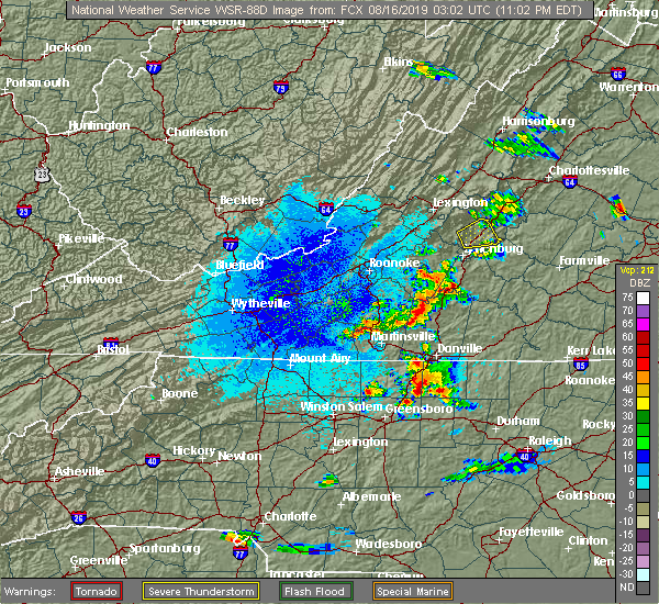 At 1103 pm edt, severe thunderstorms were located along a line extending from near pelham to near camp springs, moving east at 15 mph (radar indicated). Hazards include 60 mph wind gusts. Expect damage to roofs, siding, and trees. locations impacted include, danville, yanceyville, bethel, providence, and mayfield. This includes the following location danville airport. At 1103 pm edt, severe thunderstorms were located along a line extending from near pelham to near camp springs, moving east at 15 mph (radar indicated). Hazards include 60 mph wind gusts. Expect damage to roofs, siding, and trees. locations impacted include, danville, yanceyville, bethel, providence, and mayfield. This includes the following location danville airport.
|
| 8/15/2019 10:37 PM EDT |
 At 1037 pm edt, a severe thunderstorm was located near oregon hill, moving northeast at 15 mph (radar indicated). Hazards include 60 mph wind gusts and quarter size hail. Hail damage to vehicles is expected. Expect wind damage to roofs, siding, and trees. At 1037 pm edt, a severe thunderstorm was located near oregon hill, moving northeast at 15 mph (radar indicated). Hazards include 60 mph wind gusts and quarter size hail. Hail damage to vehicles is expected. Expect wind damage to roofs, siding, and trees.
|
| 8/13/2019 3:22 PM EDT |
 A severe thunderstorm warning remains in effect until 345 pm edt for east central surry. stokes. northern rockingham. southern pittsylvania. southwestern halifax. henry and southeastern patrick counties. the city of danville and the city of martinsville. At 322 pm edt, severe thunderstorms were located along a line extending from near keeling to near pilot mountain, moving east at 25. A severe thunderstorm warning remains in effect until 345 pm edt for east central surry. stokes. northern rockingham. southern pittsylvania. southwestern halifax. henry and southeastern patrick counties. the city of danville and the city of martinsville. At 322 pm edt, severe thunderstorms were located along a line extending from near keeling to near pilot mountain, moving east at 25.
|
| 8/13/2019 3:22 PM EDT |
 At 322 pm edt, severe thunderstorms were located along a line extending from near keeling to near pilot mountain, moving east at 25 mph (radar indicated). Hazards include 60 mph wind gusts and quarter size hail. Hail damage to vehicles is expected. expect wind damage to roofs, siding, and trees. locations impacted include, danville, eden, martinsville, south boston, and mayodan. This includes the following locations the martinsville speedway, martinsville airport, and danville airport. At 322 pm edt, severe thunderstorms were located along a line extending from near keeling to near pilot mountain, moving east at 25 mph (radar indicated). Hazards include 60 mph wind gusts and quarter size hail. Hail damage to vehicles is expected. expect wind damage to roofs, siding, and trees. locations impacted include, danville, eden, martinsville, south boston, and mayodan. This includes the following locations the martinsville speedway, martinsville airport, and danville airport.
|
| 8/13/2019 3:04 PM EDT | Powerlines downed on ridgecrest rd. time estimated by rada in pittsylvania county VA, 5.5 miles SSE of Danville, VA |
| 8/13/2019 2:54 PM EDT |
 The national weather service in blacksburg has issued a * severe thunderstorm warning for. northeastern surry county in northwestern north carolina. stokes county in north central north carolina. northern rockingham county in north central north carolina. The city of danville in south central virginia. The national weather service in blacksburg has issued a * severe thunderstorm warning for. northeastern surry county in northwestern north carolina. stokes county in north central north carolina. northern rockingham county in north central north carolina. The city of danville in south central virginia.
|
| 8/13/2019 2:54 PM EDT |
 At 253 pm edt, severe thunderstorms were located along a line extending from dry fork to white plains, moving east at 25 mph (radar indicated). Hazards include 60 mph wind gusts and quarter size hail. Hail damage to vehicles is expected. Expect wind damage to roofs, siding, and trees. At 253 pm edt, severe thunderstorms were located along a line extending from dry fork to white plains, moving east at 25 mph (radar indicated). Hazards include 60 mph wind gusts and quarter size hail. Hail damage to vehicles is expected. Expect wind damage to roofs, siding, and trees.
|
| 8/1/2019 6:05 PM EDT |
 The severe thunderstorm warning for southern pittsylvania and southwestern halifax counties and the city of danville will expire at 615 pm edt, the storm which prompted the warning has weakened below severe limits, and no longer poses an immediate threat to life or property. therefore, the warning will be allowed to expire. when it is safe to do so, please send your reports of hail of any size, as well as reports of any wind damage, including downed trees or large limbs, to the national weather service by calling toll free at 1, 8 6 6, 2 1 5, 4 3 2 4. reports and pictures can also be shared on the national weather service blacksburg facebook page and on twitter. The severe thunderstorm warning for southern pittsylvania and southwestern halifax counties and the city of danville will expire at 615 pm edt, the storm which prompted the warning has weakened below severe limits, and no longer poses an immediate threat to life or property. therefore, the warning will be allowed to expire. when it is safe to do so, please send your reports of hail of any size, as well as reports of any wind damage, including downed trees or large limbs, to the national weather service by calling toll free at 1, 8 6 6, 2 1 5, 4 3 2 4. reports and pictures can also be shared on the national weather service blacksburg facebook page and on twitter.
|
| 8/1/2019 5:39 PM EDT |
 At 538 pm edt, a severe thunderstorm was located over ringgold, moving east at 15 mph (radar indicated). Hazards include 60 mph wind gusts and quarter size hail. Hail damage to vehicles is expected. expect wind damage to roofs, siding, and trees. locations impacted include, danville, blairs, ingram, callands, and milton. This includes the following location danville airport. At 538 pm edt, a severe thunderstorm was located over ringgold, moving east at 15 mph (radar indicated). Hazards include 60 mph wind gusts and quarter size hail. Hail damage to vehicles is expected. expect wind damage to roofs, siding, and trees. locations impacted include, danville, blairs, ingram, callands, and milton. This includes the following location danville airport.
|
| 8/1/2019 5:35 PM EDT | Quarter sized hail reported 5.7 miles SW of Danville, VA |
| 8/1/2019 5:17 PM EDT |
 At 516 pm edt, a severe thunderstorm was located over ringgold, moving east at 10 mph (radar indicated). Hazards include 60 mph wind gusts and quarter size hail. Hail damage to vehicles is expected. Expect wind damage to roofs, siding, and trees. At 516 pm edt, a severe thunderstorm was located over ringgold, moving east at 10 mph (radar indicated). Hazards include 60 mph wind gusts and quarter size hail. Hail damage to vehicles is expected. Expect wind damage to roofs, siding, and trees.
|
| 7/2/2019 6:56 PM EDT |
 At 655 pm edt, a severe thunderstorm was located over providence, moving east at 20 mph (radar indicated). Hazards include 60 mph wind gusts and quarter size hail. Hail damage to vehicles is expected. expect wind damage to roofs, siding, and trees. locations impacted include, danville, yanceyville, bethel, providence, and turbeville. This includes the following location danville airport. At 655 pm edt, a severe thunderstorm was located over providence, moving east at 20 mph (radar indicated). Hazards include 60 mph wind gusts and quarter size hail. Hail damage to vehicles is expected. expect wind damage to roofs, siding, and trees. locations impacted include, danville, yanceyville, bethel, providence, and turbeville. This includes the following location danville airport.
|
| 7/2/2019 6:30 PM EDT |
 At 629 pm edt, a severe thunderstorm was located over pelham, moving east at 20 mph (radar indicated). Hazards include 60 mph wind gusts and quarter size hail. Hail damage to vehicles is expected. Expect wind damage to roofs, siding, and trees. At 629 pm edt, a severe thunderstorm was located over pelham, moving east at 20 mph (radar indicated). Hazards include 60 mph wind gusts and quarter size hail. Hail damage to vehicles is expected. Expect wind damage to roofs, siding, and trees.
|
| 7/2/2019 4:56 PM EDT |
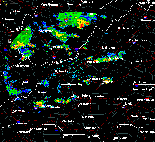 The severe thunderstorm warning for southeastern pittsylvania county will expire at 500 pm edt, the storm which prompted the warning has weakened below severe limits, and no longer poses an immediate threat to life or property. therefore, the warning will be allowed to expire. however gusty winds are still possible with this thunderstorm. when it is safe to do so, please send your reports of hail of any size, as well as reports of any wind damage, including downed trees or large limbs, to the national weather service by calling toll free at 1, 8 6 6, 2 1 5, 4 3 2 4. reports and pictures can also be shared on the national weather service blacksburg facebook page and on twitter. The severe thunderstorm warning for southeastern pittsylvania county will expire at 500 pm edt, the storm which prompted the warning has weakened below severe limits, and no longer poses an immediate threat to life or property. therefore, the warning will be allowed to expire. however gusty winds are still possible with this thunderstorm. when it is safe to do so, please send your reports of hail of any size, as well as reports of any wind damage, including downed trees or large limbs, to the national weather service by calling toll free at 1, 8 6 6, 2 1 5, 4 3 2 4. reports and pictures can also be shared on the national weather service blacksburg facebook page and on twitter.
|
| 7/2/2019 4:48 PM EDT |
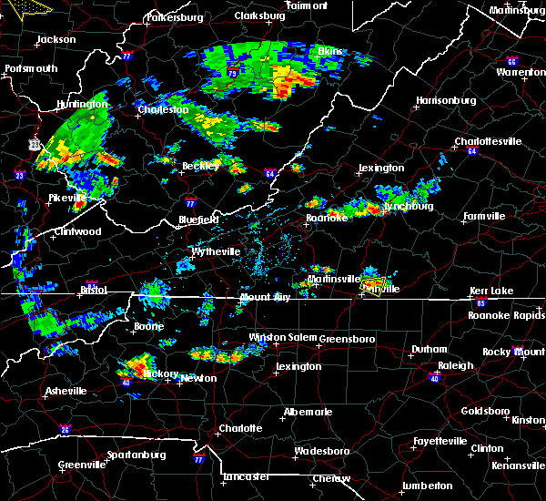 At 447 pm edt, a severe thunderstorm was located over blairs, moving east at 20 mph (radar indicated). Hazards include 60 mph wind gusts. Expect damage to roofs, siding, and trees. Locations impacted include, blairs, keeling, and ringgold. At 447 pm edt, a severe thunderstorm was located over blairs, moving east at 20 mph (radar indicated). Hazards include 60 mph wind gusts. Expect damage to roofs, siding, and trees. Locations impacted include, blairs, keeling, and ringgold.
|
| 7/2/2019 4:40 PM EDT | Tree down in 1000 block of hunting hills r in pittsylvania county VA, 7.9 miles SSE of Danville, VA |
| 6/20/2019 2:36 PM EDT |
 At 234 pm edt, a severe thunderstorm capable of producing a tornado was located over milton, moving east at 45 mph (radar indicated rotation). Hazards include tornado. Flying debris will be dangerous to those caught without shelter. mobile homes will be damaged or destroyed. damage to roofs, windows, and vehicles will occur. tree damage is likely. Locations impacted include, providence, turbeville, milton, blanch, and hamer. At 234 pm edt, a severe thunderstorm capable of producing a tornado was located over milton, moving east at 45 mph (radar indicated rotation). Hazards include tornado. Flying debris will be dangerous to those caught without shelter. mobile homes will be damaged or destroyed. damage to roofs, windows, and vehicles will occur. tree damage is likely. Locations impacted include, providence, turbeville, milton, blanch, and hamer.
|
| 6/20/2019 2:28 PM EDT |
 At 227 pm edt, a severe thunderstorm capable of producing a tornado was located over blanch, moving east at 45 mph (radar indicated rotation). Hazards include tornado. Flying debris will be dangerous to those caught without shelter. mobile homes will be damaged or destroyed. damage to roofs, windows, and vehicles will occur. Tree damage is likely. At 227 pm edt, a severe thunderstorm capable of producing a tornado was located over blanch, moving east at 45 mph (radar indicated rotation). Hazards include tornado. Flying debris will be dangerous to those caught without shelter. mobile homes will be damaged or destroyed. damage to roofs, windows, and vehicles will occur. Tree damage is likely.
|
| 6/20/2019 2:19 PM EDT |
 At 219 pm edt, a severe thunderstorm was located over quick, moving east at 55 mph (radar indicated). Hazards include 70 mph wind gusts and quarter size hail. Hail damage to vehicles is expected. expect considerable tree damage. wind damage is also likely to mobile homes, roofs, and outbuildings. locations impacted include, danville, reidsville, south boston, yanceyville, and bethel. This includes the following location danville airport. At 219 pm edt, a severe thunderstorm was located over quick, moving east at 55 mph (radar indicated). Hazards include 70 mph wind gusts and quarter size hail. Hail damage to vehicles is expected. expect considerable tree damage. wind damage is also likely to mobile homes, roofs, and outbuildings. locations impacted include, danville, reidsville, south boston, yanceyville, and bethel. This includes the following location danville airport.
|
| 6/20/2019 2:11 PM EDT |
 The severe thunderstorm warning for eastern stokes, rockingham, western caswell, southwestern pittsylvania and southern henry counties will expire at 215 pm edt, the storm which prompted the warning has moved out of the area. therefore, the warning will be allowed to expire. a severe thunderstorm watch remains in effect until 1000 pm edt for north central north carolina, and south central virginia. when it is safe to do so, please send your reports of hail of any size, as well as reports of any wind damage, including downed trees or large limbs, to the national weather service by calling toll free at 1, 8 6 6, 2 1 5, 4 3 2 4. reports and pictures can also be shared on the national weather service blacksburg facebook page and on twitter. remember, a severe thunderstorm warning still remains in effect for southwestern pittsylvania, eastern rockingham and caswell counties. The severe thunderstorm warning for eastern stokes, rockingham, western caswell, southwestern pittsylvania and southern henry counties will expire at 215 pm edt, the storm which prompted the warning has moved out of the area. therefore, the warning will be allowed to expire. a severe thunderstorm watch remains in effect until 1000 pm edt for north central north carolina, and south central virginia. when it is safe to do so, please send your reports of hail of any size, as well as reports of any wind damage, including downed trees or large limbs, to the national weather service by calling toll free at 1, 8 6 6, 2 1 5, 4 3 2 4. reports and pictures can also be shared on the national weather service blacksburg facebook page and on twitter. remember, a severe thunderstorm warning still remains in effect for southwestern pittsylvania, eastern rockingham and caswell counties.
|
| 6/20/2019 2:11 PM EDT |
 At 158 pm edt, a severe thunderstorm was located over draper, moving east at 55 mph (radar indicated). Hazards include 60 mph wind gusts and quarter size hail. Hail damage to vehicles is expected. expect wind damage to roofs, siding, and trees. Locations impacted include, eden, reidsville, wentworth, mayodan, and madison. At 158 pm edt, a severe thunderstorm was located over draper, moving east at 55 mph (radar indicated). Hazards include 60 mph wind gusts and quarter size hail. Hail damage to vehicles is expected. expect wind damage to roofs, siding, and trees. Locations impacted include, eden, reidsville, wentworth, mayodan, and madison.
|
| 6/20/2019 2:06 PM EDT |
 At 206 pm edt, a severe thunderstorm was located over wentworth, moving east at 55 mph (radar indicated). Hazards include 60 mph wind gusts and quarter size hail. Hail damage to vehicles is expected. Expect wind damage to roofs, siding, and trees. At 206 pm edt, a severe thunderstorm was located over wentworth, moving east at 55 mph (radar indicated). Hazards include 60 mph wind gusts and quarter size hail. Hail damage to vehicles is expected. Expect wind damage to roofs, siding, and trees.
|
| 6/20/2019 1:59 PM EDT |
 A severe thunderstorm warning remains in effect until 215 pm edt for eastern stokes. rockingham. western caswell. southwestern pittsylvania and southern henry counties. At 158 pm edt, a severe thunderstorm was located over draper, moving east at 55 mph. A severe thunderstorm warning remains in effect until 215 pm edt for eastern stokes. rockingham. western caswell. southwestern pittsylvania and southern henry counties. At 158 pm edt, a severe thunderstorm was located over draper, moving east at 55 mph.
|
| 6/20/2019 1:59 PM EDT |
 At 158 pm edt, a severe thunderstorm was located over draper, moving east at 55 mph (radar indicated). Hazards include 60 mph wind gusts and quarter size hail. Hail damage to vehicles is expected. expect wind damage to roofs, siding, and trees. Locations impacted include, eden, reidsville, wentworth, mayodan, and madison. At 158 pm edt, a severe thunderstorm was located over draper, moving east at 55 mph (radar indicated). Hazards include 60 mph wind gusts and quarter size hail. Hail damage to vehicles is expected. expect wind damage to roofs, siding, and trees. Locations impacted include, eden, reidsville, wentworth, mayodan, and madison.
|
| 6/20/2019 1:40 PM EDT |
 At 139 pm edt, a severe thunderstorm was located over ayersville, moving east at 55 mph (radar indicated). Hazards include 60 mph wind gusts and quarter size hail. Hail damage to vehicles is expected. Expect wind damage to roofs, siding, and trees. At 139 pm edt, a severe thunderstorm was located over ayersville, moving east at 55 mph (radar indicated). Hazards include 60 mph wind gusts and quarter size hail. Hail damage to vehicles is expected. Expect wind damage to roofs, siding, and trees.
|
| 6/18/2019 6:50 PM EDT |
 The severe thunderstorm warning for eastern rockingham, and western caswell counties and the southwestern city of danville will expire at 700 pm edt, the storm which prompted the warning has weakened below severe limits, and no longer poses an immediate threat to life or property. therefore, the warning will be allowed to expire. however heavy rain is still possible with this thunderstorm. when it is safe to do so, please send your reports of hail of any size, as well as reports of any wind damage, including downed trees or large limbs, to the national weather service by calling toll free at 1, 8 6 6, 2 1 5, 4 3 2 4. reports and pictures can also be shared on the national weather service blacksburg facebook page and on twitter. The severe thunderstorm warning for eastern rockingham, and western caswell counties and the southwestern city of danville will expire at 700 pm edt, the storm which prompted the warning has weakened below severe limits, and no longer poses an immediate threat to life or property. therefore, the warning will be allowed to expire. however heavy rain is still possible with this thunderstorm. when it is safe to do so, please send your reports of hail of any size, as well as reports of any wind damage, including downed trees or large limbs, to the national weather service by calling toll free at 1, 8 6 6, 2 1 5, 4 3 2 4. reports and pictures can also be shared on the national weather service blacksburg facebook page and on twitter.
|
| 6/18/2019 6:19 PM EDT |
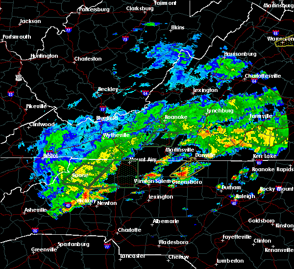 At 607 pm edt, a severe thunderstorm was located over monroeton, moving northeast at 20 mph (radar indicated). Hazards include 60 mph wind gusts and quarter size hail. Hail damage to vehicles is expected. Expect wind damage to roofs, siding, and trees. At 607 pm edt, a severe thunderstorm was located over monroeton, moving northeast at 20 mph (radar indicated). Hazards include 60 mph wind gusts and quarter size hail. Hail damage to vehicles is expected. Expect wind damage to roofs, siding, and trees.
|
| 6/18/2019 6:07 PM EDT |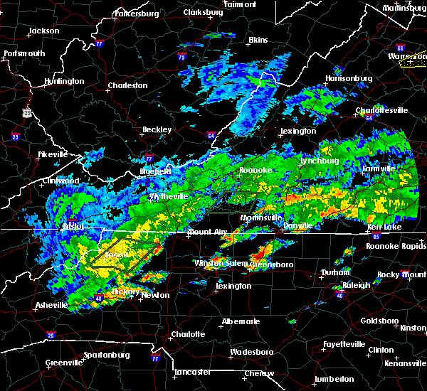
 At 607 pm edt, a severe thunderstorm was located over monroeton, moving northeast at 20 mph (radar indicated). Hazards include 60 mph wind gusts and quarter size hail. Hail damage to vehicles is expected. Expect wind damage to roofs, siding, and trees. At 607 pm edt, a severe thunderstorm was located over monroeton, moving northeast at 20 mph (radar indicated). Hazards include 60 mph wind gusts and quarter size hail. Hail damage to vehicles is expected. Expect wind damage to roofs, siding, and trees.
|
| 5/31/2019 4:05 PM EDT |
 At 404 pm edt, a severe thunderstorm was located over bethel, moving east at 35 mph. quarter size hail was reported with this system near harrisons crossroads at 3:42 pm (radar indicated). Hazards include 60 mph wind gusts and quarter size hail. Hail damage to vehicles is expected. expect wind damage to roofs, siding, and trees. locations impacted include, danville, yanceyville, bethel, providence, and mayfield. This includes the following location danville airport. At 404 pm edt, a severe thunderstorm was located over bethel, moving east at 35 mph. quarter size hail was reported with this system near harrisons crossroads at 3:42 pm (radar indicated). Hazards include 60 mph wind gusts and quarter size hail. Hail damage to vehicles is expected. expect wind damage to roofs, siding, and trees. locations impacted include, danville, yanceyville, bethel, providence, and mayfield. This includes the following location danville airport.
|
| 5/31/2019 3:55 PM EDT |
 The severe thunderstorm warning for northeastern rockingham, western caswell, southwestern pittsylvania and southeastern henry counties and the southwestern city of danville will expire at 400 pm edt, the storm which prompted the warning has moved out of the area. therefore, the warning will be allowed to expire. a new severe thunderstorm warning is in effect for the city of danville, eastern rockingham, southern pittsylvania and caswell counties. a severe thunderstorm watch remains in effect until 1100 pm edt for north central north carolina, and south central, southwestern and west central virginia. when it is safe to do so, please send your reports of hail of any size, as well as reports of any wind damage, including downed trees or large limbs, to the national weather service by calling toll free at 1, 8 6 6, 2 1 5, 4 3 2 4. reports and pictures can also be shared on the national weather service blacksburg facebook page and on twitter. The severe thunderstorm warning for northeastern rockingham, western caswell, southwestern pittsylvania and southeastern henry counties and the southwestern city of danville will expire at 400 pm edt, the storm which prompted the warning has moved out of the area. therefore, the warning will be allowed to expire. a new severe thunderstorm warning is in effect for the city of danville, eastern rockingham, southern pittsylvania and caswell counties. a severe thunderstorm watch remains in effect until 1100 pm edt for north central north carolina, and south central, southwestern and west central virginia. when it is safe to do so, please send your reports of hail of any size, as well as reports of any wind damage, including downed trees or large limbs, to the national weather service by calling toll free at 1, 8 6 6, 2 1 5, 4 3 2 4. reports and pictures can also be shared on the national weather service blacksburg facebook page and on twitter.
|
| 5/31/2019 3:52 PM EDT |
 At 352 pm edt, a severe thunderstorm was located over oregon hill, moving east at 35 mph (radar indicated). Hazards include 60 mph wind gusts and quarter size hail. Hail damage to vehicles is expected. Expect wind damage to roofs, siding, and trees. At 352 pm edt, a severe thunderstorm was located over oregon hill, moving east at 35 mph (radar indicated). Hazards include 60 mph wind gusts and quarter size hail. Hail damage to vehicles is expected. Expect wind damage to roofs, siding, and trees.
|
| 5/31/2019 3:46 PM EDT |
 At 328 pm edt, a severe thunderstorm was located over wentworth, moving east at 30 mph (radar indicated). Hazards include 60 mph wind gusts and quarter size hail. Hail damage to vehicles is expected. expect wind damage to roofs, siding, and trees. Locations impacted include, danville, eden, reidsville, wentworth, and bethel. At 328 pm edt, a severe thunderstorm was located over wentworth, moving east at 30 mph (radar indicated). Hazards include 60 mph wind gusts and quarter size hail. Hail damage to vehicles is expected. expect wind damage to roofs, siding, and trees. Locations impacted include, danville, eden, reidsville, wentworth, and bethel.
|
| 5/31/2019 3:46 PM EDT |
 At 345 pm edt, a severe thunderstorm was located over oregon hill, moving east at 30 mph (radar indicated). Hazards include 60 mph wind gusts and quarter size hail. Hail damage to vehicles is expected. expect wind damage to roofs, siding, and trees. Locations impacted include, danville, eden, reidsville, wentworth, and bethel. At 345 pm edt, a severe thunderstorm was located over oregon hill, moving east at 30 mph (radar indicated). Hazards include 60 mph wind gusts and quarter size hail. Hail damage to vehicles is expected. expect wind damage to roofs, siding, and trees. Locations impacted include, danville, eden, reidsville, wentworth, and bethel.
|
| 5/31/2019 3:28 PM EDT |
 At 328 pm edt, a severe thunderstorm was located over wentworth, moving east at 30 mph (radar indicated). Hazards include 60 mph wind gusts and quarter size hail. Hail damage to vehicles is expected. expect wind damage to roofs, siding, and trees. Locations impacted include, danville, eden, reidsville, wentworth, and bethel. At 328 pm edt, a severe thunderstorm was located over wentworth, moving east at 30 mph (radar indicated). Hazards include 60 mph wind gusts and quarter size hail. Hail damage to vehicles is expected. expect wind damage to roofs, siding, and trees. Locations impacted include, danville, eden, reidsville, wentworth, and bethel.
|
| 5/31/2019 3:14 PM EDT |
 At 313 pm edt, a severe thunderstorm was located over mayodan, moving east at 30 mph. this storm has a history of damaging winds and quarter size hail (radar indicated). Hazards include 60 mph wind gusts and quarter size hail. Hail damage to vehicles is expected. Expect wind damage to roofs, siding, and trees. At 313 pm edt, a severe thunderstorm was located over mayodan, moving east at 30 mph. this storm has a history of damaging winds and quarter size hail (radar indicated). Hazards include 60 mph wind gusts and quarter size hail. Hail damage to vehicles is expected. Expect wind damage to roofs, siding, and trees.
|
| 5/29/2019 7:29 PM EDT |
 At 728 pm edt, severe thunderstorms were located along a line extending from near burkeville to wylliesburg to near ridgeway to near wentworth, moving east at 40 mph (radar indicated). Hazards include 60 mph wind gusts. Expect damage to roofs, siding, and trees. locations impacted include, danville, eden, reidsville, south boston, and wentworth. This includes the following location danville airport. At 728 pm edt, severe thunderstorms were located along a line extending from near burkeville to wylliesburg to near ridgeway to near wentworth, moving east at 40 mph (radar indicated). Hazards include 60 mph wind gusts. Expect damage to roofs, siding, and trees. locations impacted include, danville, eden, reidsville, south boston, and wentworth. This includes the following location danville airport.
|
| 5/29/2019 6:55 PM EDT |
 At 654 pm edt, severe thunderstorms were located along a line extending from near darlington heights to near nathalie to near chatham to near danbury, moving east at 40 mph (radar indicated). Hazards include 60 mph wind gusts and quarter size hail. Hail damage to vehicles is expected. Expect wind damage to roofs, siding, and trees. At 654 pm edt, severe thunderstorms were located along a line extending from near darlington heights to near nathalie to near chatham to near danbury, moving east at 40 mph (radar indicated). Hazards include 60 mph wind gusts and quarter size hail. Hail damage to vehicles is expected. Expect wind damage to roofs, siding, and trees.
|
| 5/25/2019 9:44 PM EDT |
 At 943 pm edt, a severe thunderstorm was located over blanch, moving east at 25 mph (radar indicated). Hazards include 60 mph wind gusts and quarter size hail. Hail damage to vehicles is expected. expect wind damage to roofs, siding, and trees. locations impacted include, danville, yanceyville, providence, milton, and gatewood. This includes the following location danville airport. At 943 pm edt, a severe thunderstorm was located over blanch, moving east at 25 mph (radar indicated). Hazards include 60 mph wind gusts and quarter size hail. Hail damage to vehicles is expected. expect wind damage to roofs, siding, and trees. locations impacted include, danville, yanceyville, providence, milton, and gatewood. This includes the following location danville airport.
|
| 5/25/2019 9:32 PM EDT | Quarter sized hail reported 5.5 miles N of Danville, VA, county deputies reported hail up to the size of quarters around the community of providence. |
| 5/25/2019 9:32 PM EDT |
 At 932 pm edt, a severe thunderstorm was located over providence, moving southeast at 25 mph (radar indicated). Hazards include 60 mph wind gusts and quarter size hail. Hail damage to vehicles is expected. Expect wind damage to roofs, siding, and trees. At 932 pm edt, a severe thunderstorm was located over providence, moving southeast at 25 mph (radar indicated). Hazards include 60 mph wind gusts and quarter size hail. Hail damage to vehicles is expected. Expect wind damage to roofs, siding, and trees.
|
| 5/25/2019 9:32 PM EDT |
 The national weather service in blacksburg has issued a * severe thunderstorm warning for. northern caswell county in north central north carolina. the eastern city of danville in south central virginia. south central pittsylvania county in south central virginia. Until 1030 pm edt. The national weather service in blacksburg has issued a * severe thunderstorm warning for. northern caswell county in north central north carolina. the eastern city of danville in south central virginia. south central pittsylvania county in south central virginia. Until 1030 pm edt.
|
| 4/19/2019 3:45 PM EDT |
 At 345 pm edt, a severe thunderstorm was located near sandy river, moving northeast at 50 mph (radar indicated). Hazards include 60 mph wind gusts and quarter size hail. Hail damage to vehicles is expected. Expect wind damage to roofs, siding, and trees. At 345 pm edt, a severe thunderstorm was located near sandy river, moving northeast at 50 mph (radar indicated). Hazards include 60 mph wind gusts and quarter size hail. Hail damage to vehicles is expected. Expect wind damage to roofs, siding, and trees.
|
| 4/19/2019 3:05 PM EDT |
 At 305 pm edt, a severe thunderstorm was located near kernersville, moving northeast at 50 mph (radar indicated). Hazards include 60 mph wind gusts and quarter size hail. Hail damage to vehicles is expected. Expect wind damage to roofs, siding, and trees. At 305 pm edt, a severe thunderstorm was located near kernersville, moving northeast at 50 mph (radar indicated). Hazards include 60 mph wind gusts and quarter size hail. Hail damage to vehicles is expected. Expect wind damage to roofs, siding, and trees.
|
| 4/8/2019 4:13 PM EDT |
 At 413 pm edt, severe thunderstorms were located along a line extending from near keeling to near monroeton, moving northeast at 40 mph (radar indicated). Hazards include 60 mph wind gusts and quarter size hail. Hail damage to vehicles is expected. Expect wind damage to roofs, siding, and trees. At 413 pm edt, severe thunderstorms were located along a line extending from near keeling to near monroeton, moving northeast at 40 mph (radar indicated). Hazards include 60 mph wind gusts and quarter size hail. Hail damage to vehicles is expected. Expect wind damage to roofs, siding, and trees.
|
| 10/11/2018 5:08 PM EDT |
 The severe thunderstorm warning for caswell, southeastern pittsylvania and halifax counties and the city of danville will expire at 515 pm edt, the storms which prompted the warning have weakened below severe limits, and have exited the warned area. therefore, the warning will be allowed to expire. however gusty winds and heavy rain are still possible with these storms. a tornado watch remains in effect until 900 pm edt for north central north carolina, and central and south central virginia. when it is safe to do so, please send your reports of hail of any size, as well as reports of any wind damage, including downed trees or large limbs, to the national weather service by calling toll free at 1, 8 6 6, 2 1 5, 4 3 2 4. reports and pictures can also be shared on the national weather service blacksburg facebook page and on twitter. The severe thunderstorm warning for caswell, southeastern pittsylvania and halifax counties and the city of danville will expire at 515 pm edt, the storms which prompted the warning have weakened below severe limits, and have exited the warned area. therefore, the warning will be allowed to expire. however gusty winds and heavy rain are still possible with these storms. a tornado watch remains in effect until 900 pm edt for north central north carolina, and central and south central virginia. when it is safe to do so, please send your reports of hail of any size, as well as reports of any wind damage, including downed trees or large limbs, to the national weather service by calling toll free at 1, 8 6 6, 2 1 5, 4 3 2 4. reports and pictures can also be shared on the national weather service blacksburg facebook page and on twitter.
|
| 10/11/2018 5:02 PM EDT |
 At 500 pm edt, severe thunderstorms were located along a line extending from near south boston to near camp springs, moving southeast at 30 mph (radar indicated). Hazards include 70 mph wind gusts. Expect considerable tree damage. damage is likely to mobile homes, roofs, and outbuildings. locations impacted include, danville, south boston, yanceyville, bethel, and halifax. this includes the following location danville airport. A tornado watch remains in effect until 900 pm edt for north central north carolina, and central and south central virginia. At 500 pm edt, severe thunderstorms were located along a line extending from near south boston to near camp springs, moving southeast at 30 mph (radar indicated). Hazards include 70 mph wind gusts. Expect considerable tree damage. damage is likely to mobile homes, roofs, and outbuildings. locations impacted include, danville, south boston, yanceyville, bethel, and halifax. this includes the following location danville airport. A tornado watch remains in effect until 900 pm edt for north central north carolina, and central and south central virginia.
|
| 10/11/2018 4:40 PM EDT |
 At 439 pm edt, severe storms were located along a line extending from near halifax to near lawsonville, moving southeast at 5 mph (radar indicated). Hazards include 70 mph wind gusts. Expect considerable tree damage. damage is likely to mobile homes, roofs, and outbuildings. locations impacted include, danville, eden, reidsville, south boston, and wentworth. this includes the following location danville airport. A tornado watch remains in effect until 900 pm edt for north central north carolina, and central and south central virginia. At 439 pm edt, severe storms were located along a line extending from near halifax to near lawsonville, moving southeast at 5 mph (radar indicated). Hazards include 70 mph wind gusts. Expect considerable tree damage. damage is likely to mobile homes, roofs, and outbuildings. locations impacted include, danville, eden, reidsville, south boston, and wentworth. this includes the following location danville airport. A tornado watch remains in effect until 900 pm edt for north central north carolina, and central and south central virginia.
|
| 10/11/2018 4:23 PM EDT |
 The tornado warning for eastern rockingham, caswell, southeastern pittsylvania and southwestern halifax counties and the city of danville will expire at 430 pm edt, the tornado threat has diminished and the tornado warning has been cancelled. however, damaging winds remain likely and a severe thunderstorm warning remains in effect for the area. additional strong storm may develop this afternoon. a tornado watch remains in effect until 900 pm edt for north central north carolina, and south central and central virginia. when it is safe to do so, please send your reports of hail of any size, as well as reports of any wind damage, including downed trees or large limbs, to the national weather service by calling toll free at 1, 8 6 6, 2 1 5, 4 3 2 4. reports and pictures can also be shared on the national weather service blacksburg facebook page and on twitter. remember, a severe thunderstorm warning still remains in effect for until 515 pm. The tornado warning for eastern rockingham, caswell, southeastern pittsylvania and southwestern halifax counties and the city of danville will expire at 430 pm edt, the tornado threat has diminished and the tornado warning has been cancelled. however, damaging winds remain likely and a severe thunderstorm warning remains in effect for the area. additional strong storm may develop this afternoon. a tornado watch remains in effect until 900 pm edt for north central north carolina, and south central and central virginia. when it is safe to do so, please send your reports of hail of any size, as well as reports of any wind damage, including downed trees or large limbs, to the national weather service by calling toll free at 1, 8 6 6, 2 1 5, 4 3 2 4. reports and pictures can also be shared on the national weather service blacksburg facebook page and on twitter. remember, a severe thunderstorm warning still remains in effect for until 515 pm.
|
| 10/11/2018 4:11 PM EDT |
 At 408 pm edt, severe thunderstorms were located along a line extending from halifax to near lawsonville, moving south at 40 mph (radar indicated). Hazards include 70 mph wind gusts. Expect considerable tree damage. Damage is likely to mobile homes, roofs, and outbuildings. At 408 pm edt, severe thunderstorms were located along a line extending from halifax to near lawsonville, moving south at 40 mph (radar indicated). Hazards include 70 mph wind gusts. Expect considerable tree damage. Damage is likely to mobile homes, roofs, and outbuildings.
|
| 10/11/2018 4:06 PM EDT |
 At 405 pm edt, severe storms were located along a line extending from near halifax to quick, moving southeast at 35 mph (radar indicated). Hazards include 70 mph wind gusts. Expect considerable tree damage. damage is likely to mobile homes, roofs, and outbuildings. locations impacted include, danville, eden, reidsville, south boston, and wentworth. this includes the following location danville airport. A tornado watch remains in effect until 900 pm edt for north central north carolina, and central and south central virginia. At 405 pm edt, severe storms were located along a line extending from near halifax to quick, moving southeast at 35 mph (radar indicated). Hazards include 70 mph wind gusts. Expect considerable tree damage. damage is likely to mobile homes, roofs, and outbuildings. locations impacted include, danville, eden, reidsville, south boston, and wentworth. this includes the following location danville airport. A tornado watch remains in effect until 900 pm edt for north central north carolina, and central and south central virginia.
|
| 10/11/2018 3:59 PM EDT |
 At 357 pm edt, a severe thunderstorm capable of producing a tornado was located over quick, moving south at 25 mph. a second storm capable of a tornado was located near ringgold moving south at 25 mph (radar indicated rotation). Hazards include tornado. Flying debris will be dangerous to those caught without shelter. mobile homes will be damaged or destroyed. damage to roofs, windows, and vehicles will occur. tree damage is likely. locations impacted include, danville, reidsville, yanceyville, bethel, and jericho. This includes the following location danville airport. At 357 pm edt, a severe thunderstorm capable of producing a tornado was located over quick, moving south at 25 mph. a second storm capable of a tornado was located near ringgold moving south at 25 mph (radar indicated rotation). Hazards include tornado. Flying debris will be dangerous to those caught without shelter. mobile homes will be damaged or destroyed. damage to roofs, windows, and vehicles will occur. tree damage is likely. locations impacted include, danville, reidsville, yanceyville, bethel, and jericho. This includes the following location danville airport.
|
| 10/11/2018 3:45 PM EDT | Possible tornado witnessed by law enforcement. several large trees down in the blue park section of danville cit in city of danville county VA, 1.8 miles ENE of Danville, VA |
| 10/11/2018 3:42 PM EDT |
 At 342 pm edt, a severe storm capable of producing one or more tornadoes was located over pelham, moving south at 25 mph (radar indicated rotation). Hazards include tornado. Flying debris will be dangerous to those caught without shelter. mobile homes will be damaged or destroyed. damage to roofs, windows, and vehicles will occur. Tree damage is likely. At 342 pm edt, a severe storm capable of producing one or more tornadoes was located over pelham, moving south at 25 mph (radar indicated rotation). Hazards include tornado. Flying debris will be dangerous to those caught without shelter. mobile homes will be damaged or destroyed. damage to roofs, windows, and vehicles will occur. Tree damage is likely.
|
| 10/11/2018 3:10 PM EDT |
 At 308 pm edt, band of showers with damaging winds were located along a line extending from near turbeville to near camp springs, moving south at 35 mph (radar indicated). Hazards include 70 mph wind gusts. Expect considerable tree damage. Damage is likely to mobile homes, roofs, and outbuildings. At 308 pm edt, band of showers with damaging winds were located along a line extending from near turbeville to near camp springs, moving south at 35 mph (radar indicated). Hazards include 70 mph wind gusts. Expect considerable tree damage. Damage is likely to mobile homes, roofs, and outbuildings.
|
| 9/1/2018 5:10 PM EDT |
 At 510 pm edt, severe thunderstorms were located along a line extending from blairs to yanceyville to near camp springs, moving northeast at 10 mph (radar indicated). Hazards include 60 mph wind gusts and quarter size hail. Hail damage to vehicles is expected. Expect wind damage to roofs, siding, and trees. At 510 pm edt, severe thunderstorms were located along a line extending from blairs to yanceyville to near camp springs, moving northeast at 10 mph (radar indicated). Hazards include 60 mph wind gusts and quarter size hail. Hail damage to vehicles is expected. Expect wind damage to roofs, siding, and trees.
|
| 9/1/2018 4:48 PM EDT | Power lines down along silver creek r in pittsylvania county VA, 8 miles ESE of Danville, VA |
| 9/1/2018 2:27 AM EDT |
 At 227 am edt, a severe thunderstorm was located over blairs, moving northeast at 5 mph (radar indicated). Hazards include 60 mph wind gusts and quarter size hail. Hail damage to vehicles is expected. expect wind damage to roofs, siding, and trees. Locations impacted include, danville, blairs, dry fork, and keeling. At 227 am edt, a severe thunderstorm was located over blairs, moving northeast at 5 mph (radar indicated). Hazards include 60 mph wind gusts and quarter size hail. Hail damage to vehicles is expected. expect wind damage to roofs, siding, and trees. Locations impacted include, danville, blairs, dry fork, and keeling.
|
| 9/1/2018 2:08 AM EDT |
 At 207 am edt, a severe thunderstorm was located near westover hills, moving northeast at 5 mph (radar indicated). Hazards include 60 mph wind gusts and quarter size hail. Hail damage to vehicles is expected. Expect wind damage to roofs, siding, and trees. At 207 am edt, a severe thunderstorm was located near westover hills, moving northeast at 5 mph (radar indicated). Hazards include 60 mph wind gusts and quarter size hail. Hail damage to vehicles is expected. Expect wind damage to roofs, siding, and trees.
|
| 8/13/2018 4:53 PM EDT |
 At 452 pm edt, a severe thunderstorm was located over callands, moving southeast at 15 mph (radar indicated). Hazards include 60 mph wind gusts and quarter size hail. Hail damage to vehicles is expected. Expect wind damage to roofs, siding, and trees. At 452 pm edt, a severe thunderstorm was located over callands, moving southeast at 15 mph (radar indicated). Hazards include 60 mph wind gusts and quarter size hail. Hail damage to vehicles is expected. Expect wind damage to roofs, siding, and trees.
|
| 8/8/2018 3:40 PM EDT |
 At 340 pm edt, a severe thunderstorm was located over milton, moving east at 30 mph (radar indicated). Hazards include 60 mph wind gusts and quarter size hail. Hail damage to vehicles is expected. Expect wind damage to roofs, siding, and trees. At 340 pm edt, a severe thunderstorm was located over milton, moving east at 30 mph (radar indicated). Hazards include 60 mph wind gusts and quarter size hail. Hail damage to vehicles is expected. Expect wind damage to roofs, siding, and trees.
|
| 8/8/2018 3:31 PM EDT | Trees down in city of danville county VA, 1.6 miles W of Danville, VA |
| 8/8/2018 3:23 PM EDT |
 At 323 pm edt, a severe thunderstorm was located near ringgold, moving east at 30 mph (radar indicated). Hazards include 60 mph wind gusts and quarter size hail. Hail damage to vehicles is expected. expect wind damage to roofs, siding, and trees. locations impacted include, danville, turbeville, ingram, blairs, and milton. This includes the following location danville airport. At 323 pm edt, a severe thunderstorm was located near ringgold, moving east at 30 mph (radar indicated). Hazards include 60 mph wind gusts and quarter size hail. Hail damage to vehicles is expected. expect wind damage to roofs, siding, and trees. locations impacted include, danville, turbeville, ingram, blairs, and milton. This includes the following location danville airport.
|
| 8/8/2018 3:22 PM EDT | Tree down on house in city of danville county VA, 0.8 miles S of Danville, VA |
| 8/8/2018 2:57 PM EDT |
 At 243 pm edt, a severe thunderstorm was located near cascade, moving east at 30 mph (radar indicated). Hazards include 60 mph wind gusts and quarter size hail. Hail damage to vehicles is expected. Expect wind damage to roofs, siding, and trees. At 243 pm edt, a severe thunderstorm was located near cascade, moving east at 30 mph (radar indicated). Hazards include 60 mph wind gusts and quarter size hail. Hail damage to vehicles is expected. Expect wind damage to roofs, siding, and trees.
|
| 8/8/2018 2:57 PM EDT |
 At 257 pm edt, a severe thunderstorm was located over westover hills, moving east at 30 mph (radar indicated). Hazards include 60 mph wind gusts and quarter size hail. Hail damage to vehicles is expected. expect wind damage to roofs, siding, and trees. locations impacted include, danville, eden, blairs, turbeville, and ingram. This includes the following location danville airport. At 257 pm edt, a severe thunderstorm was located over westover hills, moving east at 30 mph (radar indicated). Hazards include 60 mph wind gusts and quarter size hail. Hail damage to vehicles is expected. expect wind damage to roofs, siding, and trees. locations impacted include, danville, eden, blairs, turbeville, and ingram. This includes the following location danville airport.
|
| 8/8/2018 2:43 PM EDT |
 At 243 pm edt, a severe thunderstorm was located near cascade, moving east at 30 mph (radar indicated). Hazards include 60 mph wind gusts and quarter size hail. Hail damage to vehicles is expected. Expect wind damage to roofs, siding, and trees. At 243 pm edt, a severe thunderstorm was located near cascade, moving east at 30 mph (radar indicated). Hazards include 60 mph wind gusts and quarter size hail. Hail damage to vehicles is expected. Expect wind damage to roofs, siding, and trees.
|
| 8/7/2018 6:36 PM EDT |
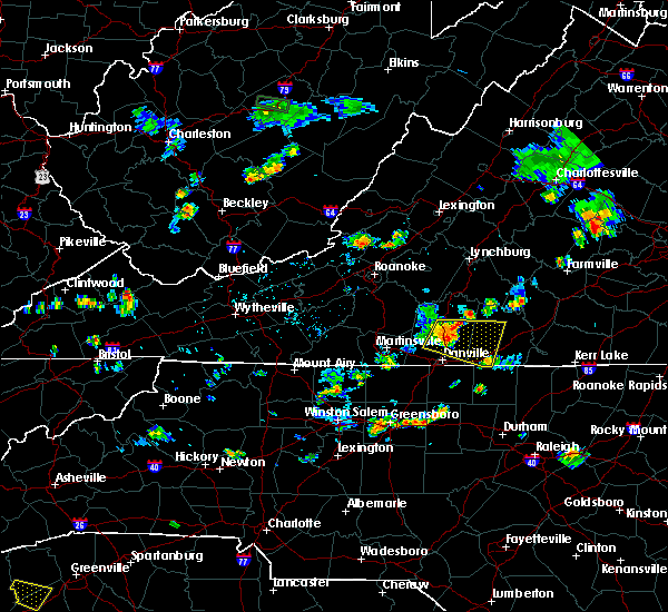 At 635 pm edt, a severe thunderstorm was located near chatham, moving east at 25 mph (radar indicated). Hazards include 60 mph wind gusts and quarter size hail. Hail damage to vehicles is expected. expect wind damage to roofs, siding, and trees. Locations impacted include, halifax, chatham, blairs, turbeville, and ingram. At 635 pm edt, a severe thunderstorm was located near chatham, moving east at 25 mph (radar indicated). Hazards include 60 mph wind gusts and quarter size hail. Hail damage to vehicles is expected. expect wind damage to roofs, siding, and trees. Locations impacted include, halifax, chatham, blairs, turbeville, and ingram.
|
| 8/7/2018 6:18 PM EDT |
 At 617 pm edt, a severe thunderstorm was located over chatham, moving east at 25 mph (radar indicated). Hazards include 60 mph wind gusts and nickel sized hail. expect damage to roofs, siding, and trees At 617 pm edt, a severe thunderstorm was located over chatham, moving east at 25 mph (radar indicated). Hazards include 60 mph wind gusts and nickel sized hail. expect damage to roofs, siding, and trees
|
| 8/3/2018 5:10 PM EDT |
 At 510 pm edt, severe thunderstorms were located along a line extending from near forest to near evington to chalk level to near quick, moving northeast at 25 mph (radar indicated). Hazards include 60 mph wind gusts. Expect damage to roofs, siding, and trees. locations impacted include, lynchburg, danville, altavista, yanceyville, and bethel. This includes the following locations liberty university, danville airport, and lynchburg airport. At 510 pm edt, severe thunderstorms were located along a line extending from near forest to near evington to chalk level to near quick, moving northeast at 25 mph (radar indicated). Hazards include 60 mph wind gusts. Expect damage to roofs, siding, and trees. locations impacted include, lynchburg, danville, altavista, yanceyville, and bethel. This includes the following locations liberty university, danville airport, and lynchburg airport.
|
| 8/3/2018 5:10 PM EDT |
 At 442 pm edt, severe thunderstorms were located along a line extending from near bedford to leesville to near climax to near reidsville, moving northeast at 25 mph (radar indicated). Hazards include 60 mph wind gusts. Expect damage to roofs, siding, and trees. locations impacted include, lynchburg, danville, eden, reidsville, and bedford. This includes the following locations liberty university, the national d-day memorial, danville airport, and lynchburg airport. At 442 pm edt, severe thunderstorms were located along a line extending from near bedford to leesville to near climax to near reidsville, moving northeast at 25 mph (radar indicated). Hazards include 60 mph wind gusts. Expect damage to roofs, siding, and trees. locations impacted include, lynchburg, danville, eden, reidsville, and bedford. This includes the following locations liberty university, the national d-day memorial, danville airport, and lynchburg airport.
|
| 8/3/2018 4:42 PM EDT |
 At 442 pm edt, severe thunderstorms were located along a line extending from near bedford to leesville to near climax to near reidsville, moving northeast at 25 mph (radar indicated). Hazards include 60 mph wind gusts. Expect damage to roofs, siding, and trees. locations impacted include, lynchburg, danville, eden, reidsville, and bedford. This includes the following locations liberty university, the national d-day memorial, danville airport, and lynchburg airport. At 442 pm edt, severe thunderstorms were located along a line extending from near bedford to leesville to near climax to near reidsville, moving northeast at 25 mph (radar indicated). Hazards include 60 mph wind gusts. Expect damage to roofs, siding, and trees. locations impacted include, lynchburg, danville, eden, reidsville, and bedford. This includes the following locations liberty university, the national d-day memorial, danville airport, and lynchburg airport.
|
| 8/3/2018 4:27 PM EDT |
 At 426 pm edt, severe thunderstorms were located along a line extending from near moneta to near smith mountain lake state park to callands to near monroeton, moving northeast at 25 mph (radar indicated). Hazards include 60 mph wind gusts. expect damage to roofs, siding, and trees At 426 pm edt, severe thunderstorms were located along a line extending from near moneta to near smith mountain lake state park to callands to near monroeton, moving northeast at 25 mph (radar indicated). Hazards include 60 mph wind gusts. expect damage to roofs, siding, and trees
|
| 7/22/2018 10:11 PM EDT |
 The severe thunderstorm warning for pittsylvania, henry and southeastern franklin counties, the city of danville and the city of martinsville will expire at 1015 pm edt, the storms which prompted the warning have weakened below severe limits, and no longer pose an immediate threat to life or property. therefore, the warning will be allowed to expire. however gusty winds and heavy rain are still possible with these thunderstorms. when it is safe to do so, please send your reports of hail of any size, as well as reports of any wind damage, including downed trees or large limbs, to the national weather service by calling toll free at 1, 8 6 6, 2 1 5, 4 3 2 4. reports and pictures can also be shared on the national weather service blacksburg facebook page and on twitter. The severe thunderstorm warning for pittsylvania, henry and southeastern franklin counties, the city of danville and the city of martinsville will expire at 1015 pm edt, the storms which prompted the warning have weakened below severe limits, and no longer pose an immediate threat to life or property. therefore, the warning will be allowed to expire. however gusty winds and heavy rain are still possible with these thunderstorms. when it is safe to do so, please send your reports of hail of any size, as well as reports of any wind damage, including downed trees or large limbs, to the national weather service by calling toll free at 1, 8 6 6, 2 1 5, 4 3 2 4. reports and pictures can also be shared on the national weather service blacksburg facebook page and on twitter.
|
| 7/22/2018 10:00 PM EDT |
 At 958 pm edt, severe thunderstorms were located along a line extending from near dry fork to near philpott dam, moving north at 30 mph (radar indicated). Hazards include 60 mph wind gusts and quarter size hail. Hail damage to vehicles is expected. expect wind damage to roofs, siding, and trees. locations impacted include, danville, martinsville, altavista, hurt, and chatham. This includes the following locations the martinsville speedway, martinsville airport, and danville airport. At 958 pm edt, severe thunderstorms were located along a line extending from near dry fork to near philpott dam, moving north at 30 mph (radar indicated). Hazards include 60 mph wind gusts and quarter size hail. Hail damage to vehicles is expected. expect wind damage to roofs, siding, and trees. locations impacted include, danville, martinsville, altavista, hurt, and chatham. This includes the following locations the martinsville speedway, martinsville airport, and danville airport.
|
| 7/22/2018 9:23 PM EDT |
 At 923 pm edt, severe thunderstorms were located along a line extending from gatewood to near ayersville, moving north at 35 mph (radar indicated). Hazards include 60 mph wind gusts and quarter size hail. Hail damage to vehicles is expected. expect wind damage to roofs, siding, and trees. locations impacted include, danville, martinsville, altavista, hurt, and chatham. This includes the following locations the martinsville speedway, martinsville airport, and danville airport. At 923 pm edt, severe thunderstorms were located along a line extending from gatewood to near ayersville, moving north at 35 mph (radar indicated). Hazards include 60 mph wind gusts and quarter size hail. Hail damage to vehicles is expected. expect wind damage to roofs, siding, and trees. locations impacted include, danville, martinsville, altavista, hurt, and chatham. This includes the following locations the martinsville speedway, martinsville airport, and danville airport.
|
| 7/22/2018 9:21 PM EDT |
 The severe thunderstorm warning for northeastern stokes, rockingham and caswell counties will expire at 930 pm edt, the storms which prompted the warning have moved out of the area. therefore, the warning will be allowed to expire. when it is safe to do so, please send your reports of hail of any size, as well as reports of any wind damage, including downed trees or large limbs, to the national weather service by calling toll free at 1, 8 6 6, 2 1 5, 4 3 2 4. reports and pictures can also be shared on the national weather service blacksburg facebook page and on twitter. The severe thunderstorm warning for northeastern stokes, rockingham and caswell counties will expire at 930 pm edt, the storms which prompted the warning have moved out of the area. therefore, the warning will be allowed to expire. when it is safe to do so, please send your reports of hail of any size, as well as reports of any wind damage, including downed trees or large limbs, to the national weather service by calling toll free at 1, 8 6 6, 2 1 5, 4 3 2 4. reports and pictures can also be shared on the national weather service blacksburg facebook page and on twitter.
|
| 7/22/2018 9:14 PM EDT |
 At 914 pm edt, severe thunderstorms were located along a line extending from near yanceyville to near ayersville, moving north at 20 mph (radar indicated). Hazards include 60 mph wind gusts and quarter size hail. Hail damage to vehicles is expected. expect wind damage to roofs, siding, and trees. Locations impacted include, eden, reidsville, wentworth, mayodan, and madison. At 914 pm edt, severe thunderstorms were located along a line extending from near yanceyville to near ayersville, moving north at 20 mph (radar indicated). Hazards include 60 mph wind gusts and quarter size hail. Hail damage to vehicles is expected. expect wind damage to roofs, siding, and trees. Locations impacted include, eden, reidsville, wentworth, mayodan, and madison.
|
| 7/22/2018 9:08 PM EDT |
 At 907 pm edt, severe thunderstorms were located along a line extending from yanceyville to dillard, moving north at 30 mph (radar indicated). Hazards include 60 mph wind gusts and quarter size hail. Hail damage to vehicles is expected. Expect wind damage to roofs, siding, and trees. At 907 pm edt, severe thunderstorms were located along a line extending from yanceyville to dillard, moving north at 30 mph (radar indicated). Hazards include 60 mph wind gusts and quarter size hail. Hail damage to vehicles is expected. Expect wind damage to roofs, siding, and trees.
|
| 7/22/2018 8:42 PM EDT |
 At 841 pm edt, severe thunderstorms were located along a line extending from near camp springs to near pine hall, moving north at 25 mph (radar indicated). Hazards include 60 mph wind gusts and quarter size hail. Hail damage to vehicles is expected. expect wind damage to roofs, siding, and trees. Locations impacted include, eden, reidsville, wentworth, mayodan, and madison. At 841 pm edt, severe thunderstorms were located along a line extending from near camp springs to near pine hall, moving north at 25 mph (radar indicated). Hazards include 60 mph wind gusts and quarter size hail. Hail damage to vehicles is expected. expect wind damage to roofs, siding, and trees. Locations impacted include, eden, reidsville, wentworth, mayodan, and madison.
|
| 7/22/2018 8:15 PM EDT |
 At 814 pm edt, severe thunderstorms were located along a line extending from elon college to near kernersville, moving north at 25 mph (radar indicated). Hazards include 60 mph wind gusts and quarter size hail. Hail damage to vehicles is expected. Expect wind damage to roofs, siding, and trees. At 814 pm edt, severe thunderstorms were located along a line extending from elon college to near kernersville, moving north at 25 mph (radar indicated). Hazards include 60 mph wind gusts and quarter size hail. Hail damage to vehicles is expected. Expect wind damage to roofs, siding, and trees.
|
| 7/11/2018 7:52 PM EDT |
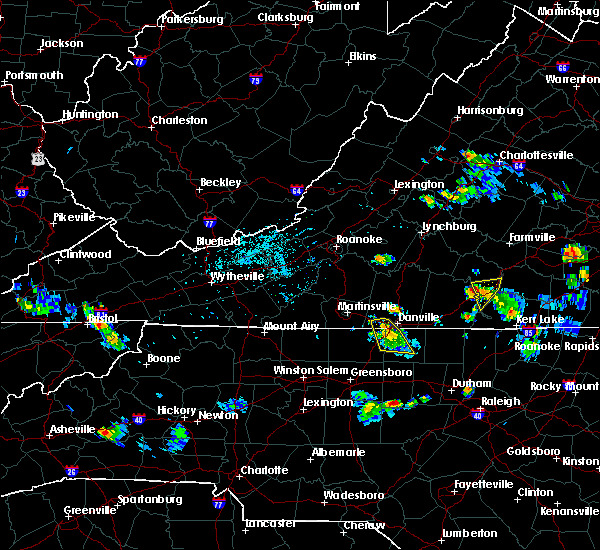 The severe thunderstorm warning for northeastern rockingham, northwestern caswell and south central pittsylvania counties and the southwestern city of danville will expire at 800 pm edt, the storm which prompted the warning has weakened below severe limits, and no longer poses an immediate threat to life or property. therefore, the warning will be allowed to expire. when it is safe to do so, please send your reports of hail of any size, as well as reports of any wind damage, including downed trees or large limbs, to the national weather service by calling toll free at 1, 8 6 6, 2 1 5, 4 3 2 4. reports and pictures can also be shared on the national weather service blacksburg facebook page and on twitter. The severe thunderstorm warning for northeastern rockingham, northwestern caswell and south central pittsylvania counties and the southwestern city of danville will expire at 800 pm edt, the storm which prompted the warning has weakened below severe limits, and no longer poses an immediate threat to life or property. therefore, the warning will be allowed to expire. when it is safe to do so, please send your reports of hail of any size, as well as reports of any wind damage, including downed trees or large limbs, to the national weather service by calling toll free at 1, 8 6 6, 2 1 5, 4 3 2 4. reports and pictures can also be shared on the national weather service blacksburg facebook page and on twitter.
|
| 7/11/2018 7:38 PM EDT | Trees down near chandler mill road in caswell county NC, 7.3 miles NE of Danville, VA |
| 7/11/2018 7:38 PM EDT |
 At 738 pm edt, a severe thunderstorm was located over bethel, moving south at 15 mph (radar indicated). Hazards include 60 mph wind gusts and quarter size hail. Hail damage to vehicles is expected. expect wind damage to roofs, siding, and trees. Locations impacted include, danville, yanceyville, bethel, providence, and mayfield. At 738 pm edt, a severe thunderstorm was located over bethel, moving south at 15 mph (radar indicated). Hazards include 60 mph wind gusts and quarter size hail. Hail damage to vehicles is expected. expect wind damage to roofs, siding, and trees. Locations impacted include, danville, yanceyville, bethel, providence, and mayfield.
|
| 7/11/2018 7:38 PM EDT |
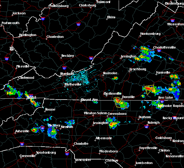 At 738 pm edt, a severe thunderstorm was located over bethel, moving south at 15 mph (radar indicated). Hazards include 60 mph wind gusts and quarter size hail. Hail damage to vehicles is expected. expect wind damage to roofs, siding, and trees. Locations impacted include, danville, yanceyville, bethel, providence, and mayfield. At 738 pm edt, a severe thunderstorm was located over bethel, moving south at 15 mph (radar indicated). Hazards include 60 mph wind gusts and quarter size hail. Hail damage to vehicles is expected. expect wind damage to roofs, siding, and trees. Locations impacted include, danville, yanceyville, bethel, providence, and mayfield.
|
| 7/11/2018 7:03 PM EDT |
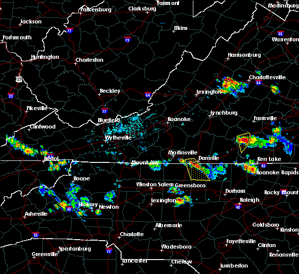 At 702 pm edt, a severe thunderstorm was located over pelham, moving south at 10 mph (radar indicated). Hazards include 60 mph wind gusts and quarter size hail. Hail damage to vehicles is expected. Expect wind damage to roofs, siding, and trees. At 702 pm edt, a severe thunderstorm was located over pelham, moving south at 10 mph (radar indicated). Hazards include 60 mph wind gusts and quarter size hail. Hail damage to vehicles is expected. Expect wind damage to roofs, siding, and trees.
|
| 7/11/2018 6:38 PM EDT | A tree and several tree limbs about the size of a wrist were reported downed on blanch rd in blanch... n in caswell county NC, 7.8 miles NNW of Danville, VA |
| 6/21/2018 10:42 PM EDT |
 At 1041 pm edt, severe thunderstorms were located along a line extending from near pelham to near camp springs, moving east at 40 mph (radar indicated). Hazards include 60 mph wind gusts. Expect damage to roofs, siding, and trees. locations impacted include, danville, reidsville, yanceyville, bethel, and jericho. This includes the following location danville airport. At 1041 pm edt, severe thunderstorms were located along a line extending from near pelham to near camp springs, moving east at 40 mph (radar indicated). Hazards include 60 mph wind gusts. Expect damage to roofs, siding, and trees. locations impacted include, danville, reidsville, yanceyville, bethel, and jericho. This includes the following location danville airport.
|
| 6/21/2018 10:15 PM EDT |
 At 1015 pm edt, severe thunderstorms were located along a line extending from eden to near monroeton, moving east at 40 mph (radar indicated). Hazards include 60 mph wind gusts. expect damage to roofs, siding, and trees At 1015 pm edt, severe thunderstorms were located along a line extending from eden to near monroeton, moving east at 40 mph (radar indicated). Hazards include 60 mph wind gusts. expect damage to roofs, siding, and trees
|
| 6/10/2018 8:37 PM EDT |
 At 835 pm edt, severe thunderstorms were located along a line extending from near cullen to near crystal hill to ingram to yanceyville, moving southeast at 10 mph (radar indicated). Hazards include 60 mph wind gusts and quarter size hail. Hail damage to vehicles is expected. expect wind damage to roofs, siding, and trees. Locations impacted include, south boston, halifax, keysville, charlotte court house, and providence. At 835 pm edt, severe thunderstorms were located along a line extending from near cullen to near crystal hill to ingram to yanceyville, moving southeast at 10 mph (radar indicated). Hazards include 60 mph wind gusts and quarter size hail. Hail damage to vehicles is expected. expect wind damage to roofs, siding, and trees. Locations impacted include, south boston, halifax, keysville, charlotte court house, and providence.
|
| 6/10/2018 8:22 PM EDT |
 At 821 pm edt, severe thunderstorms were located along a line extending from near phenix to near nathalie to near ingram to near providence, moving southeast at 10 mph (radar indicated). Hazards include 60 mph wind gusts and quarter size hail. Hail damage to vehicles is expected. expect wind damage to roofs, siding, and trees. locations impacted include, danville, south boston, halifax, keysville, and charlotte court house. This includes the following location danville airport. At 821 pm edt, severe thunderstorms were located along a line extending from near phenix to near nathalie to near ingram to near providence, moving southeast at 10 mph (radar indicated). Hazards include 60 mph wind gusts and quarter size hail. Hail damage to vehicles is expected. expect wind damage to roofs, siding, and trees. locations impacted include, danville, south boston, halifax, keysville, and charlotte court house. This includes the following location danville airport.
|
| 6/10/2018 8:08 PM EDT |
 At 808 pm edt, severe thunderstorms were located along a line extending from near red house to near nathalie to near java to providence, moving southeast at 10 mph (radar indicated). Hazards include 60 mph wind gusts and quarter size hail. Hail damage to vehicles is expected. Expect wind damage to roofs, siding, and trees. At 808 pm edt, severe thunderstorms were located along a line extending from near red house to near nathalie to near java to providence, moving southeast at 10 mph (radar indicated). Hazards include 60 mph wind gusts and quarter size hail. Hail damage to vehicles is expected. Expect wind damage to roofs, siding, and trees.
|
| 5/10/2018 4:27 PM EDT |
 At 426 pm edt, severe thunderstorms were located along a line extending from elmo to near burlington, moving east at 65 mph (radar indicated). Hazards include 60 mph wind gusts and quarter size hail. Hail damage to vehicles is expected. Expect wind damage to roofs, siding, and trees. At 426 pm edt, severe thunderstorms were located along a line extending from elmo to near burlington, moving east at 65 mph (radar indicated). Hazards include 60 mph wind gusts and quarter size hail. Hail damage to vehicles is expected. Expect wind damage to roofs, siding, and trees.
|
| 5/10/2018 4:25 PM EDT | 2 trees and numerous large limbs blow down near ringold in pittsylvania county VA, 4 miles SW of Danville, VA |
| 5/10/2018 4:17 PM EDT |
 At 416 pm edt, severe thunderstorms were located along a line extending from near virgilina to near prospect hill, moving east at 30 mph (radar indicated). Hazards include 60 mph wind gusts and quarter size hail. Hail damage to vehicles is expected. expect wind damage to roofs, siding, and trees. locations impacted include, danville, eden, reidsville, wentworth, and bethel. This includes the following location danville airport. At 416 pm edt, severe thunderstorms were located along a line extending from near virgilina to near prospect hill, moving east at 30 mph (radar indicated). Hazards include 60 mph wind gusts and quarter size hail. Hail damage to vehicles is expected. expect wind damage to roofs, siding, and trees. locations impacted include, danville, eden, reidsville, wentworth, and bethel. This includes the following location danville airport.
|
| 5/10/2018 4:05 PM EDT |
 At 404 pm edt, severe thunderstorms were located along a line extending from cluster springs to baynes, moving east at 30 mph (radar indicated). Hazards include 60 mph wind gusts and quarter size hail. Hail damage to vehicles is expected. expect wind damage to roofs, siding, and trees. locations impacted include, danville, eden, reidsville, wentworth, and mayodan. This includes the following location danville airport. At 404 pm edt, severe thunderstorms were located along a line extending from cluster springs to baynes, moving east at 30 mph (radar indicated). Hazards include 60 mph wind gusts and quarter size hail. Hail damage to vehicles is expected. expect wind damage to roofs, siding, and trees. locations impacted include, danville, eden, reidsville, wentworth, and mayodan. This includes the following location danville airport.
|
| 5/10/2018 3:46 PM EDT |
 At 345 pm edt, severe thunderstorms were located along a line extending from laurel park to meadows, moving east at 30 mph (radar indicated). Hazards include 60 mph wind gusts and quarter size hail. Hail damage to vehicles is expected. expect wind damage to roofs, siding, and trees. locations impacted include, danville, eden, reidsville, martinsville, and wentworth. This includes the following locations the martinsville speedway, martinsville airport, and danville airport. At 345 pm edt, severe thunderstorms were located along a line extending from laurel park to meadows, moving east at 30 mph (radar indicated). Hazards include 60 mph wind gusts and quarter size hail. Hail damage to vehicles is expected. expect wind damage to roofs, siding, and trees. locations impacted include, danville, eden, reidsville, martinsville, and wentworth. This includes the following locations the martinsville speedway, martinsville airport, and danville airport.
|
| 5/10/2018 3:29 PM EDT |
 At 329 pm edt, severe thunderstorms were located along a line extending from near collinsville to hanging rock state park, moving east at 30 mph (radar indicated). Hazards include 60 mph wind gusts and quarter size hail. Hail damage to vehicles is expected. Expect wind damage to roofs, siding, and trees. At 329 pm edt, severe thunderstorms were located along a line extending from near collinsville to hanging rock state park, moving east at 30 mph (radar indicated). Hazards include 60 mph wind gusts and quarter size hail. Hail damage to vehicles is expected. Expect wind damage to roofs, siding, and trees.
|
| 4/15/2018 6:34 PM EDT |
 At 634 pm edt, severe thunderstorms were located along a line extending from near ridgeway to near roxboro, moving northeast at 45 mph (radar indicated). Hazards include 60 mph wind gusts and quarter size hail. Hail damage to vehicles is expected. expect wind damage to roofs, siding, and trees. locations impacted include, danville, south boston, halifax, turbeville, and ingram. A tornado watch remains in effect until 1100 pm edt for north central north carolina, and central and south central virginia. At 634 pm edt, severe thunderstorms were located along a line extending from near ridgeway to near roxboro, moving northeast at 45 mph (radar indicated). Hazards include 60 mph wind gusts and quarter size hail. Hail damage to vehicles is expected. expect wind damage to roofs, siding, and trees. locations impacted include, danville, south boston, halifax, turbeville, and ingram. A tornado watch remains in effect until 1100 pm edt for north central north carolina, and central and south central virginia.
|
| 4/15/2018 6:06 PM EDT |
 At 606 pm edt, a confirmed tornado was located over blairs, moving northeast at 50 mph (radar confirmed tornado). Hazards include damaging tornado and quarter size hail. Flying debris will be dangerous to those caught without shelter. mobile homes will be damaged or destroyed. damage to roofs, windows, and vehicles will occur. tree damage is likely. locations impacted include, danville, chatham, blairs, callands, and mt airy. This includes the following location danville airport. At 606 pm edt, a confirmed tornado was located over blairs, moving northeast at 50 mph (radar confirmed tornado). Hazards include damaging tornado and quarter size hail. Flying debris will be dangerous to those caught without shelter. mobile homes will be damaged or destroyed. damage to roofs, windows, and vehicles will occur. tree damage is likely. locations impacted include, danville, chatham, blairs, callands, and mt airy. This includes the following location danville airport.
|
| 4/15/2018 6:04 PM EDT |
 At 603 pm edt, severe thunderstorms were located along a line extending from near providence to 7 miles west of carrboro, moving northeast at 65 mph (radar indicated). Hazards include 60 mph wind gusts and quarter size hail. Hail damage to vehicles is expected. Expect wind damage to roofs, siding, and trees. At 603 pm edt, severe thunderstorms were located along a line extending from near providence to 7 miles west of carrboro, moving northeast at 65 mph (radar indicated). Hazards include 60 mph wind gusts and quarter size hail. Hail damage to vehicles is expected. Expect wind damage to roofs, siding, and trees.
|
| 4/15/2018 6:02 PM EDT | Multiple trees down and power poles snapped at 1948 blair loop rd. time estimated from rada in city of danville county VA, 4.1 miles ESE of Danville, VA |
| 4/15/2018 5:58 PM EDT | Thunderstorm winds blew down the sign of a business and damaged the roof of a home along highway 58. several trees were blown down as wel in city of danville county VA, 4 miles E of Danville, VA |
| 4/15/2018 5:57 PM EDT | A large tree was blown down along beechtree court by thunderstorm wind in city of danville county VA, 4.5 miles E of Danville, VA |
| 4/15/2018 5:57 PM EDT | Trees down. possible tornado. between westover drive and riverside driv in city of danville county VA, 5.6 miles E of Danville, VA |
| 4/15/2018 5:57 PM EDT | 12 to 14 trees down. possible tornad in city of danville county VA, 4.1 miles ESE of Danville, VA |
| 4/15/2018 5:56 PM EDT | Possible tornado. numerous trees and power lines down. damage to structure in city of danville county VA, 4.4 miles ENE of Danville, VA |
| 4/15/2018 5:55 PM EDT | Numerous trees snapped off and down across the road near westover drive and church ave. time estimated by rada in city of danville county VA, 1.8 miles ENE of Danville, VA |
| 4/15/2018 5:55 PM EDT |
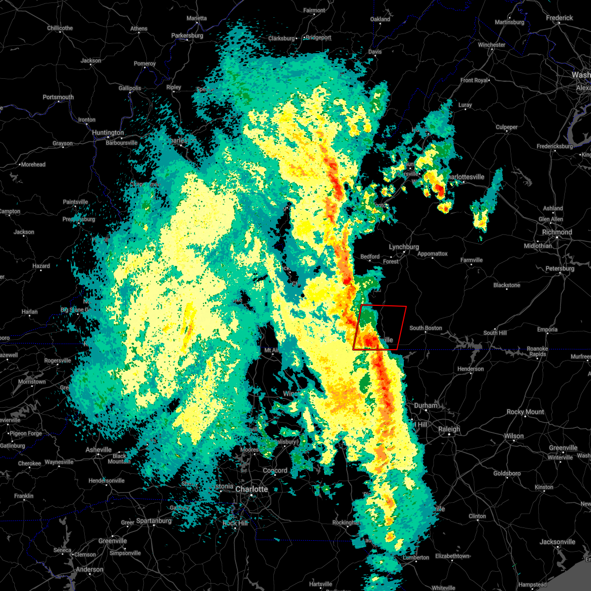 At 554 pm edt, a confirmed tornado was located near mayfield, moving northeast at 50 mph (radar confirmed tornado). Hazards include damaging tornado and quarter size hail. damage was reported by emergency managers in rockingham county, north carolina. Flying debris will be dangerous to those caught without shelter. mobile homes will be damaged or destroyed. damage to roofs, windows, and vehicles will occur. tree damage is likely. locations impacted include, danville, chatham, blairs, callands, and mt airy. This includes the following location danville airport. At 554 pm edt, a confirmed tornado was located near mayfield, moving northeast at 50 mph (radar confirmed tornado). Hazards include damaging tornado and quarter size hail. damage was reported by emergency managers in rockingham county, north carolina. Flying debris will be dangerous to those caught without shelter. mobile homes will be damaged or destroyed. damage to roofs, windows, and vehicles will occur. tree damage is likely. locations impacted include, danville, chatham, blairs, callands, and mt airy. This includes the following location danville airport.
|
| 4/15/2018 5:45 PM EDT |
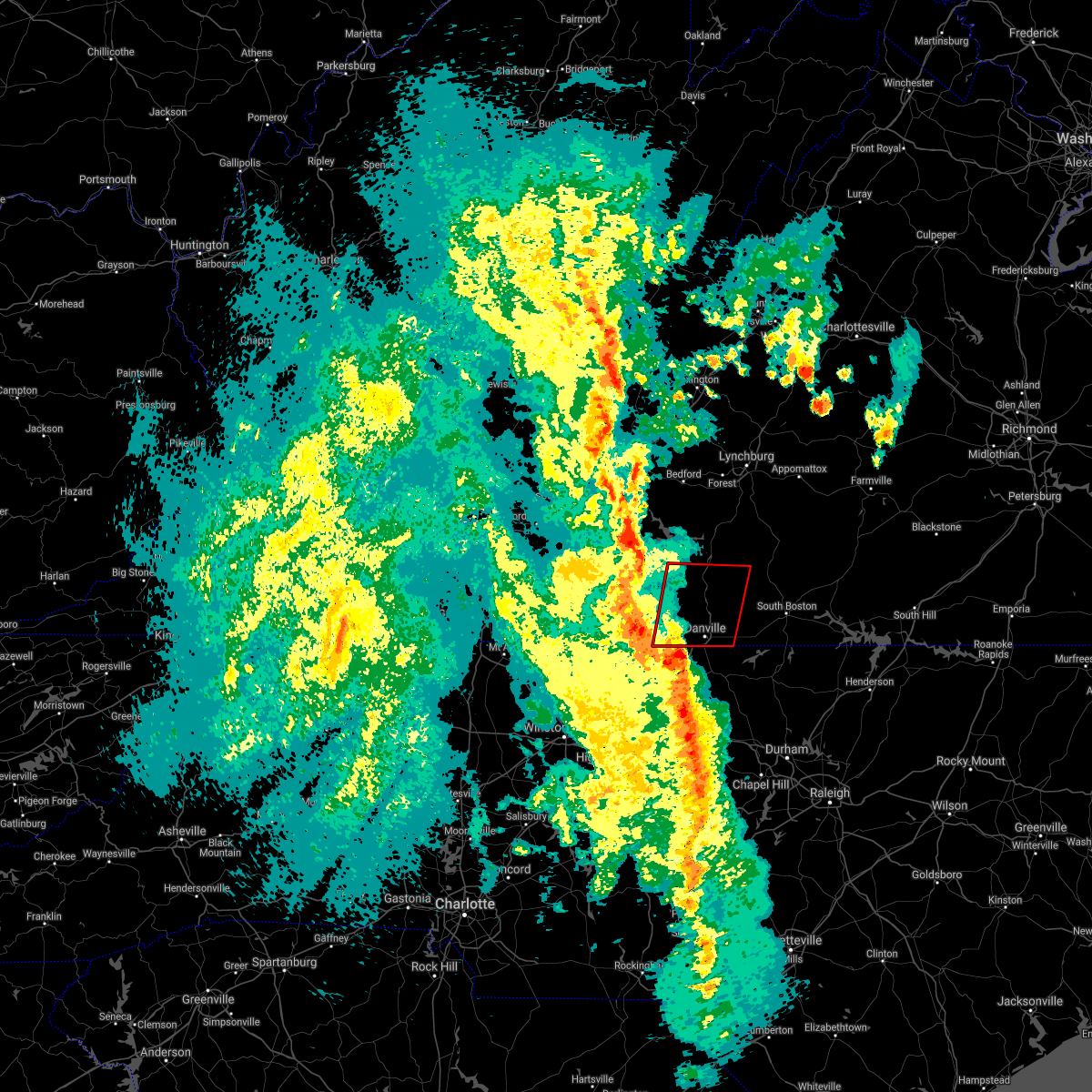 At 545 pm edt, a severe thunderstorm capable of producing a tornado was located over ruffin, moving northeast at 50 mph (radar indicated rotation). Hazards include tornado and quarter size hail. this storm has a history of producing a tornado in guliford county, north carolina. Flying debris will be dangerous to those caught without shelter. mobile homes will be damaged or destroyed. damage to roofs, windows, and vehicles will occur. Tree damage is likely. At 545 pm edt, a severe thunderstorm capable of producing a tornado was located over ruffin, moving northeast at 50 mph (radar indicated rotation). Hazards include tornado and quarter size hail. this storm has a history of producing a tornado in guliford county, north carolina. Flying debris will be dangerous to those caught without shelter. mobile homes will be damaged or destroyed. damage to roofs, windows, and vehicles will occur. Tree damage is likely.
|
| 10/23/2017 7:41 PM EDT |
 The tornado warning for eastern rockingham, northern caswell, pittsylvania, henry and southeastern franklin counties, the city of danville and the city of martinsville will expire at 745 pm edt, the storms which prompted the warning have weakened below severe limits, and no longer appear capable of producing a tornado. therefore the warning will be allowed to expire. however gusty winds are still possible with these thunderstorms. a tornado watch remains in effect until 900 pm edt for north central north carolina. a tornado watch also remains in effect until 200 am edt for south central, central, southwestern and west central virginia. when it is safe to do so, please send your reports of hail of any size, as well as reports of any wind damage, including downed trees or large limbs, to the national weather service by calling toll free at 1, 8 6 6, 2 1 5, 4 3 2 4. reports and pictures can also be shared on the national weather service blacksburg facebook page and on twitter. The tornado warning for eastern rockingham, northern caswell, pittsylvania, henry and southeastern franklin counties, the city of danville and the city of martinsville will expire at 745 pm edt, the storms which prompted the warning have weakened below severe limits, and no longer appear capable of producing a tornado. therefore the warning will be allowed to expire. however gusty winds are still possible with these thunderstorms. a tornado watch remains in effect until 900 pm edt for north central north carolina. a tornado watch also remains in effect until 200 am edt for south central, central, southwestern and west central virginia. when it is safe to do so, please send your reports of hail of any size, as well as reports of any wind damage, including downed trees or large limbs, to the national weather service by calling toll free at 1, 8 6 6, 2 1 5, 4 3 2 4. reports and pictures can also be shared on the national weather service blacksburg facebook page and on twitter.
|
| 10/23/2017 7:31 PM EDT | Thunderstorm winds downed a power pole across inman road... temporarily closing i in pittsylvania county VA, 11.7 miles ESE of Danville, VA |
| 10/23/2017 7:16 PM EDT |
 At 716 pm edt, severe thunderstorms capable of producing a tornado were located along a line extending from near ferrum to near sandy level, moving southeast at 55 mph (radar indicated rotation). Hazards include tornado. Flying debris will be dangerous to those caught without shelter. mobile homes will be damaged or destroyed. damage to roofs, windows, and vehicles will occur. Tree damage is likely. At 716 pm edt, severe thunderstorms capable of producing a tornado were located along a line extending from near ferrum to near sandy level, moving southeast at 55 mph (radar indicated rotation). Hazards include tornado. Flying debris will be dangerous to those caught without shelter. mobile homes will be damaged or destroyed. damage to roofs, windows, and vehicles will occur. Tree damage is likely.
|
| 7/21/2017 5:54 PM EDT | Tree down on ferry road at the fire department in pittsylvania county VA, 5.2 miles ENE of Danville, VA |
| 7/18/2017 7:37 PM EDT |
 The severe thunderstorm warning for eastern rockingham, northern caswell, southern pittsylvania, southwestern halifax and southeastern henry counties and the city of danville will expire at 745 pm edt, the storm which prompted the warning has weakened below severe limits, and has exited the warned area. therefore, the warning will be allowed to expire. when it is safe to do so, please send your reports of hail of any size, as well as reports of any wind damage, including downed trees or large limbs, to the national weather service by calling toll free at 1, 8 6 6, 2 1 5, 4 3 2 4. reports and pictures can also be shared on the national weather service blacksburg facebook page and on twitter. The severe thunderstorm warning for eastern rockingham, northern caswell, southern pittsylvania, southwestern halifax and southeastern henry counties and the city of danville will expire at 745 pm edt, the storm which prompted the warning has weakened below severe limits, and has exited the warned area. therefore, the warning will be allowed to expire. when it is safe to do so, please send your reports of hail of any size, as well as reports of any wind damage, including downed trees or large limbs, to the national weather service by calling toll free at 1, 8 6 6, 2 1 5, 4 3 2 4. reports and pictures can also be shared on the national weather service blacksburg facebook page and on twitter.
|
| 7/18/2017 7:19 PM EDT |
 At 719 pm edt, a severe thunderstorm was located over westover hills, moving southwest at 25 mph (radar indicated). Hazards include 60 mph wind gusts and quarter size hail. Hail damage to vehicles is expected. expect wind damage to roofs, siding, and trees. Locations impacted include, danville, eden, reidsville, wentworth, and yanceyville. At 719 pm edt, a severe thunderstorm was located over westover hills, moving southwest at 25 mph (radar indicated). Hazards include 60 mph wind gusts and quarter size hail. Hail damage to vehicles is expected. expect wind damage to roofs, siding, and trees. Locations impacted include, danville, eden, reidsville, wentworth, and yanceyville.
|
| 7/18/2017 6:51 PM EDT |
 At 651 pm edt, a severe thunderstorm was located near elmo, moving southwest at 30 mph (radar indicated). Hazards include 60 mph wind gusts and quarter size hail. Hail damage to vehicles is expected. Expect wind damage to roofs, siding, and trees. At 651 pm edt, a severe thunderstorm was located near elmo, moving southwest at 30 mph (radar indicated). Hazards include 60 mph wind gusts and quarter size hail. Hail damage to vehicles is expected. Expect wind damage to roofs, siding, and trees.
|
| 7/8/2017 6:11 PM EDT |
 At 610 pm edt, severe thunderstorms were located along a line extending from near ringgold to danville, moving east at 25 mph (radar indicated). Hazards include 60 mph wind gusts and quarter size hail. Hail damage to vehicles is expected. Expect wind damage to roofs, siding, and trees. At 610 pm edt, severe thunderstorms were located along a line extending from near ringgold to danville, moving east at 25 mph (radar indicated). Hazards include 60 mph wind gusts and quarter size hail. Hail damage to vehicles is expected. Expect wind damage to roofs, siding, and trees.
|
| 7/5/2017 9:11 PM EDT | A tree was blown down along park spring roa in caswell county NC, 6.8 miles N of Danville, VA |
| 7/5/2017 9:10 PM EDT |
 At 909 pm edt, severe thunderstorms were located along a line extending from near blanch through mayfield to near harrisons crossroads, moving southeast at 20 mph (radar indicated). Hazards include 60 mph wind gusts. Expect damage to roofs, siding, and trees. Locations impacted include, danville, eden, reidsville, wentworth, and yanceyville. At 909 pm edt, severe thunderstorms were located along a line extending from near blanch through mayfield to near harrisons crossroads, moving southeast at 20 mph (radar indicated). Hazards include 60 mph wind gusts. Expect damage to roofs, siding, and trees. Locations impacted include, danville, eden, reidsville, wentworth, and yanceyville.
|
| 7/5/2017 8:54 PM EDT |
 At 853 pm edt, severe thunderstorms were located along a line extending from near ringgold through draper to near wentworth, moving southeast at 20 mph (radar indicated). Hazards include 60 mph wind gusts. expect damage to roofs, siding, and trees At 853 pm edt, severe thunderstorms were located along a line extending from near ringgold through draper to near wentworth, moving southeast at 20 mph (radar indicated). Hazards include 60 mph wind gusts. expect damage to roofs, siding, and trees
|
| 6/13/2017 5:52 PM EDT |
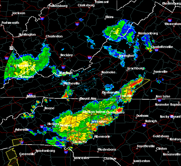 The severe thunderstorm warning for southeastern pittsylvania county will expire at 600 pm edt, the storms which prompted the warning have weakened below severe limits, and have exited the warned area. therefore the warning will be allowed to expire. however heavy rain is still possible with these thunderstorms. when it is safe to do so, please send your reports of hail of any size, as well as reports of any wind damage, including downed trees or large limbs, to the national weather service by calling toll free at 1, 8 6 6, 2 1 5, 4 3 2 4. reports and pictures can also be shared on the national weather service blacksburg facebook page and on twitter. remember, a severe thunderstorm warning still remains in effect for east central pittsylvania until 645 pm edt. The severe thunderstorm warning for southeastern pittsylvania county will expire at 600 pm edt, the storms which prompted the warning have weakened below severe limits, and have exited the warned area. therefore the warning will be allowed to expire. however heavy rain is still possible with these thunderstorms. when it is safe to do so, please send your reports of hail of any size, as well as reports of any wind damage, including downed trees or large limbs, to the national weather service by calling toll free at 1, 8 6 6, 2 1 5, 4 3 2 4. reports and pictures can also be shared on the national weather service blacksburg facebook page and on twitter. remember, a severe thunderstorm warning still remains in effect for east central pittsylvania until 645 pm edt.
|
| 6/13/2017 5:28 PM EDT |
 At 527 pm edt, severe thunderstorms were located along a line extending from java to near ringgold, moving east at 20 mph (radar indicated). Hazards include 60 mph wind gusts and quarter size hail. Hail damage to vehicles is expected. expect wind damage to roofs, siding, and trees. Locations impacted include, java, ringgold, and keeling. At 527 pm edt, severe thunderstorms were located along a line extending from java to near ringgold, moving east at 20 mph (radar indicated). Hazards include 60 mph wind gusts and quarter size hail. Hail damage to vehicles is expected. expect wind damage to roofs, siding, and trees. Locations impacted include, java, ringgold, and keeling.
|
| 6/13/2017 4:53 PM EDT |
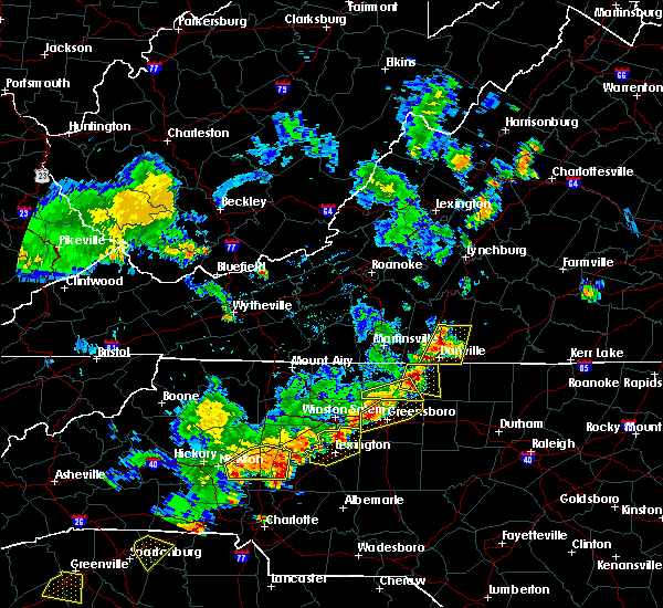 At 453 pm edt, severe thunderstorms were located along a line extending from near chatham to near mayfield, moving east at 10 mph (radar indicated). Hazards include 60 mph wind gusts and quarter size hail. Hail damage to vehicles is expected. Expect wind damage to roofs, siding, and trees. At 453 pm edt, severe thunderstorms were located along a line extending from near chatham to near mayfield, moving east at 10 mph (radar indicated). Hazards include 60 mph wind gusts and quarter size hail. Hail damage to vehicles is expected. Expect wind damage to roofs, siding, and trees.
|
| 5/5/2017 4:21 AM EDT |
 The severe thunderstorm warning for southern pittsylvania and southeastern henry counties and the city of danville will expire at 430 am edt, the storm which prompted the warning has weakened below severe limits, and no longer poses an immediate threat to life or property. therefore the warning will be allowed to expire. however, gusty winds and heavy rain are still possible with this thunderstorm. when it is safe to do so, please send your reports of hail of any size, as well as reports of any wind damage, including downed trees or large limbs, to the national weather service by calling toll free at 1, 8 6 6, 2 1 5, 4 3 2 4. reports and pictures can also be shared on the national weather service blacksburg facebook page and on twitter. The severe thunderstorm warning for southern pittsylvania and southeastern henry counties and the city of danville will expire at 430 am edt, the storm which prompted the warning has weakened below severe limits, and no longer poses an immediate threat to life or property. therefore the warning will be allowed to expire. however, gusty winds and heavy rain are still possible with this thunderstorm. when it is safe to do so, please send your reports of hail of any size, as well as reports of any wind damage, including downed trees or large limbs, to the national weather service by calling toll free at 1, 8 6 6, 2 1 5, 4 3 2 4. reports and pictures can also be shared on the national weather service blacksburg facebook page and on twitter.
|
| 5/5/2017 4:06 AM EDT |
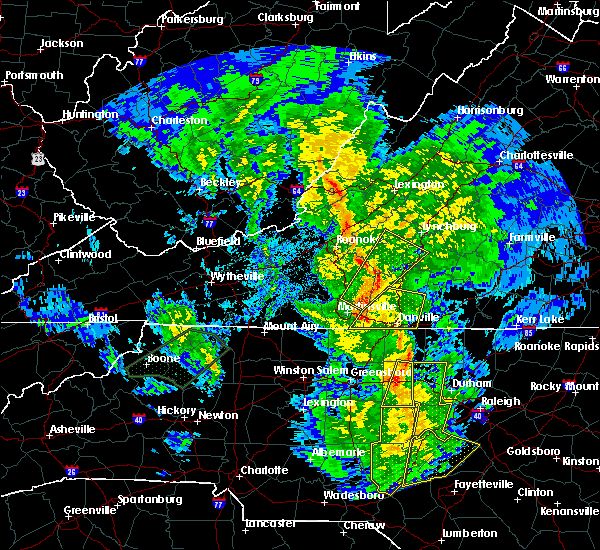 At 406 am edt, a severe thunderstorm with a history of producing wind damage was located near axton, moving northeast at 55 mph (trained weather spotters). Hazards include 60 mph wind gusts. Expect damage to trees and power lines. Locations impacted include, danville, chatham, blairs, axton, and callands. At 406 am edt, a severe thunderstorm with a history of producing wind damage was located near axton, moving northeast at 55 mph (trained weather spotters). Hazards include 60 mph wind gusts. Expect damage to trees and power lines. Locations impacted include, danville, chatham, blairs, axton, and callands.
|
| 5/5/2017 4:00 AM EDT | A tree was blown down on berry hill roa in pittsylvania county VA, 7.9 miles E of Danville, VA |
| 5/5/2017 3:53 AM EDT |
 At 352 am edt, a severe thunderstorm with a history of producing damaging winds was located over draper, moving northeast at 55 mph (trained weather spotters). Hazards include 60 mph wind gusts. Expect damage to trees and power lines. Locations impacted include, danville, eden, yanceyville, bethel, and chatham. At 352 am edt, a severe thunderstorm with a history of producing damaging winds was located over draper, moving northeast at 55 mph (trained weather spotters). Hazards include 60 mph wind gusts. Expect damage to trees and power lines. Locations impacted include, danville, eden, yanceyville, bethel, and chatham.
|
| 5/5/2017 3:36 AM EDT |
 At 336 am edt, a severe thunderstorm was located over bethany, moving northeast at 55 mph (radar indicated). Hazards include 60 mph wind gusts. expect damage to trees and power lines At 336 am edt, a severe thunderstorm was located over bethany, moving northeast at 55 mph (radar indicated). Hazards include 60 mph wind gusts. expect damage to trees and power lines
|
| 5/1/2017 7:27 PM EDT |
 The severe thunderstorm warning for eastern rockingham, caswell, campbell, pittsylvania, southern bedford, south central amherst, and eastern henry counties, the city of danville and the city of lynchburg will expire at 730 pm edt, the storms which prompted the warning have moved out of the area. therefore the warning will be allowed to expire. however, a severe thunderstorm warning has been re-issued for eastern campbell, eastern pittsylvania, southeastern amherst and halifax counties in virginia and extreme southeastern caswell county in north carolina until 815 pm. a severe thunderstorm watch remains in effect until 1100 pm edt for north central north carolina, and central, south central and west central virginia. when it is safe to do so, please send your reports of hail of any size, as well as reports of any wind damage, including downed trees or large limbs, to the national weather service by calling toll free at 1, 8 6 6, 2 1 5, 4 3 2 4. reports and pictures can also be shared on the national weather service blacksburg facebook page and on twitter. The severe thunderstorm warning for eastern rockingham, caswell, campbell, pittsylvania, southern bedford, south central amherst, and eastern henry counties, the city of danville and the city of lynchburg will expire at 730 pm edt, the storms which prompted the warning have moved out of the area. therefore the warning will be allowed to expire. however, a severe thunderstorm warning has been re-issued for eastern campbell, eastern pittsylvania, southeastern amherst and halifax counties in virginia and extreme southeastern caswell county in north carolina until 815 pm. a severe thunderstorm watch remains in effect until 1100 pm edt for north central north carolina, and central, south central and west central virginia. when it is safe to do so, please send your reports of hail of any size, as well as reports of any wind damage, including downed trees or large limbs, to the national weather service by calling toll free at 1, 8 6 6, 2 1 5, 4 3 2 4. reports and pictures can also be shared on the national weather service blacksburg facebook page and on twitter.
|
| 5/1/2017 7:00 PM EDT | Thunderstorm winds downed several trees along rock spring road near countryside driv in pittsylvania county VA, 8.6 miles WSW of Danville, VA |
| 5/1/2017 6:53 PM EDT | Godanriver dot com newspaper reported a tree had fallen on an apartment complex in the 200 block of hughes street in danville. no injuries reported. time estimated from in city of danville county VA, 1.7 miles NE of Danville, VA |
| 5/1/2017 6:53 PM EDT | Thunderstorm winds downed a tree along slayton road near sutherlin... v in pittsylvania county VA, 10.1 miles WSW of Danville, VA |
| 5/1/2017 6:53 PM EDT |
 At 652 pm edt, severe thunderstorms were located along a line extending from near evington to near chatham to near camp springs, moving northeast at 45 mph (law enforcement). Hazards include 60 mph wind gusts and quarter size hail. Minor damage to vehicles is possible. expect wind damage to trees and power lines. Locations impacted include, lynchburg, danville, eden, reidsville, and bedford. At 652 pm edt, severe thunderstorms were located along a line extending from near evington to near chatham to near camp springs, moving northeast at 45 mph (law enforcement). Hazards include 60 mph wind gusts and quarter size hail. Minor damage to vehicles is possible. expect wind damage to trees and power lines. Locations impacted include, lynchburg, danville, eden, reidsville, and bedford.
|
| 5/1/2017 6:47 PM EDT | Thunderstorm winds snapped powerpoles near the intersection of overby street and wagner street. a tree was also reported nearby... but did not seem to be associated wit in city of danville county VA, 0.5 miles WSW of Danville, VA |
| 5/1/2017 6:45 PM EDT | Thunderstorms winds downed 8 trees all at once along private property northeast of the community of pelham... n in caswell county NC, 3.7 miles NNE of Danville, VA |
| 5/1/2017 6:45 PM EDT | Thunderstorm winds downed large tree limbs 8 inches in diameter at the intersection of riverside drive and camelot court. the road was closed temporaril in city of danville county VA, 1.4 miles SE of Danville, VA |
| 5/1/2017 6:25 PM EDT |
 At 625 pm edt, severe thunderstorms were located along a line extending from near north shore to near sandy river to 7 miles north of greensboro, moving northeast at 45 mph (law enforcement). Hazards include 60 mph wind gusts and quarter size hail. Minor damage to vehicles is possible. Expect wind damage to trees and power lines. At 625 pm edt, severe thunderstorms were located along a line extending from near north shore to near sandy river to 7 miles north of greensboro, moving northeast at 45 mph (law enforcement). Hazards include 60 mph wind gusts and quarter size hail. Minor damage to vehicles is possible. Expect wind damage to trees and power lines.
|
| 5/1/2017 6:13 PM EDT |
 The tornado warning for eastern rockingham, and northwestern caswell counties and the southwestern city of danville will expire at 615 pm edt, the tornado threat has diminished and the tornado warning has been allowed to expire. however, large hail and damaging winds remain likely and a severe thunderstorm warning remains in effect for the area. a severe thunderstorm watch remains in effect until 1100 pm edt for north central north carolina, and south central and west central virginia. when it is safe to do so, please send your reports of hail of any size, as well as reports of any wind damage, including downed trees or large limbs, to the national weather service by calling toll free at 1, 8 6 6, 2 1 5, 4 3 2 4. reports and pictures can also be shared on the national weather service blacksburg facebook page and on twitter. The tornado warning for eastern rockingham, and northwestern caswell counties and the southwestern city of danville will expire at 615 pm edt, the tornado threat has diminished and the tornado warning has been allowed to expire. however, large hail and damaging winds remain likely and a severe thunderstorm warning remains in effect for the area. a severe thunderstorm watch remains in effect until 1100 pm edt for north central north carolina, and south central and west central virginia. when it is safe to do so, please send your reports of hail of any size, as well as reports of any wind damage, including downed trees or large limbs, to the national weather service by calling toll free at 1, 8 6 6, 2 1 5, 4 3 2 4. reports and pictures can also be shared on the national weather service blacksburg facebook page and on twitter.
|
| 5/1/2017 6:13 PM EDT |
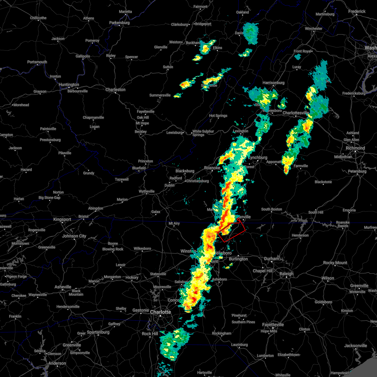 The tornado warning for eastern rockingham. and northwestern caswell counties and the southwestern city of danville will expire at 615 pm edt. the tornado threat has diminished and the tornado warning has been allowed to expire. However, large hail and damaging winds remain likely and a severe thunderstorm warning remains in effect for the. The tornado warning for eastern rockingham. and northwestern caswell counties and the southwestern city of danville will expire at 615 pm edt. the tornado threat has diminished and the tornado warning has been allowed to expire. However, large hail and damaging winds remain likely and a severe thunderstorm warning remains in effect for the.
|
| 5/1/2017 6:08 PM EDT |
 At 608 pm edt, a severe thunderstorm capable of producing a tornado was located over wentworth, moving northeast at 50 mph (radar indicated rotation). Hazards include tornado and quarter size hail. Flying debris will be dangerous to those caught without shelter. mobile homes will be damaged or destroyed. damage to roofs, windows, and vehicles will occur. tree damage is likely. This tornadic thunderstorm will remain over mainly rural areas of eastern rockingham, and northwestern caswell counties and the southwestern city of danville. At 608 pm edt, a severe thunderstorm capable of producing a tornado was located over wentworth, moving northeast at 50 mph (radar indicated rotation). Hazards include tornado and quarter size hail. Flying debris will be dangerous to those caught without shelter. mobile homes will be damaged or destroyed. damage to roofs, windows, and vehicles will occur. tree damage is likely. This tornadic thunderstorm will remain over mainly rural areas of eastern rockingham, and northwestern caswell counties and the southwestern city of danville.
|
| 5/1/2017 6:08 PM EDT |
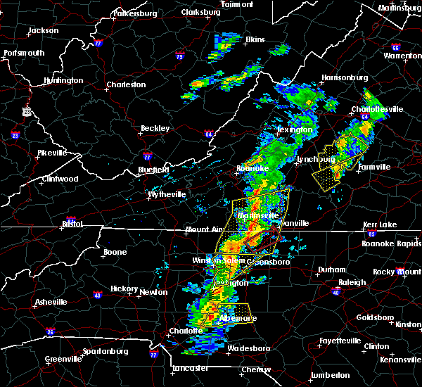 At 608 pm edt, a severe thunderstorm capable of producing a tornado was located over wentworth, moving northeast at 50 mph (radar indicated rotation). Hazards include tornado and quarter size hail. Flying debris will be dangerous to those caught without shelter. mobile homes will be damaged or destroyed. damage to roofs, windows, and vehicles will occur. tree damage is likely. This tornadic thunderstorm will remain over mainly rural areas of eastern rockingham, and northwestern caswell counties and the southwestern city of danville. At 608 pm edt, a severe thunderstorm capable of producing a tornado was located over wentworth, moving northeast at 50 mph (radar indicated rotation). Hazards include tornado and quarter size hail. Flying debris will be dangerous to those caught without shelter. mobile homes will be damaged or destroyed. damage to roofs, windows, and vehicles will occur. tree damage is likely. This tornadic thunderstorm will remain over mainly rural areas of eastern rockingham, and northwestern caswell counties and the southwestern city of danville.
|
| 5/1/2017 6:07 PM EDT |
 At 607 pm edt, severe thunderstorms were located along a line extending from near rocky mount to near price to near kernersville, moving northeast at 45 mph (law enforcement). Hazards include 60 mph wind gusts and quarter size hail. Minor damage to vehicles is possible. expect wind damage to trees and power lines. Locations impacted include, danville, eden, reidsville, martinsville, and wentworth. At 607 pm edt, severe thunderstorms were located along a line extending from near rocky mount to near price to near kernersville, moving northeast at 45 mph (law enforcement). Hazards include 60 mph wind gusts and quarter size hail. Minor damage to vehicles is possible. expect wind damage to trees and power lines. Locations impacted include, danville, eden, reidsville, martinsville, and wentworth.
|
| 5/1/2017 5:51 PM EDT |
 At 551 pm edt, a severe thunderstorm capable of producing a tornado was located near bethany, moving northeast at 50 mph (radar indicated rotation). Hazards include tornado and quarter size hail. Flying debris will be dangerous to those caught without shelter. mobile homes will be damaged or destroyed. damage to roofs, windows, and vehicles will occur. tree damage is likely. this dangerous storm will be near, bethany and intelligence around 555 pm edt. monroeton around 600 pm edt. reidsville and wentworth around 605 pm edt. Other locations impacted by this tornadic thunderstorm include haw river state park and belews lake. At 551 pm edt, a severe thunderstorm capable of producing a tornado was located near bethany, moving northeast at 50 mph (radar indicated rotation). Hazards include tornado and quarter size hail. Flying debris will be dangerous to those caught without shelter. mobile homes will be damaged or destroyed. damage to roofs, windows, and vehicles will occur. tree damage is likely. this dangerous storm will be near, bethany and intelligence around 555 pm edt. monroeton around 600 pm edt. reidsville and wentworth around 605 pm edt. Other locations impacted by this tornadic thunderstorm include haw river state park and belews lake.
|
| 5/1/2017 5:51 PM EDT |
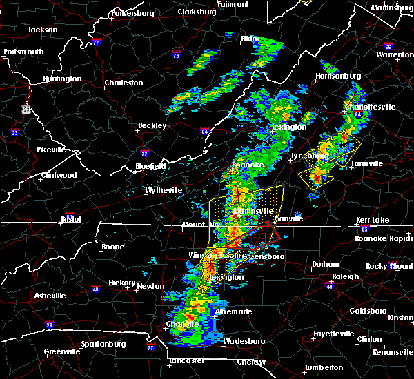 At 551 pm edt, a severe thunderstorm capable of producing a tornado was located near bethany, moving northeast at 50 mph (radar indicated rotation). Hazards include tornado and quarter size hail. Flying debris will be dangerous to those caught without shelter. mobile homes will be damaged or destroyed. damage to roofs, windows, and vehicles will occur. tree damage is likely. this dangerous storm will be near, bethany and intelligence around 555 pm edt. monroeton around 600 pm edt. reidsville and wentworth around 605 pm edt. Other locations impacted by this tornadic thunderstorm include haw river state park and belews lake. At 551 pm edt, a severe thunderstorm capable of producing a tornado was located near bethany, moving northeast at 50 mph (radar indicated rotation). Hazards include tornado and quarter size hail. Flying debris will be dangerous to those caught without shelter. mobile homes will be damaged or destroyed. damage to roofs, windows, and vehicles will occur. tree damage is likely. this dangerous storm will be near, bethany and intelligence around 555 pm edt. monroeton around 600 pm edt. reidsville and wentworth around 605 pm edt. Other locations impacted by this tornadic thunderstorm include haw river state park and belews lake.
|
| 5/1/2017 5:32 PM EDT |
 At 530 pm edt, severe thunderstorms were located along a line extending from near woolwine to near hanging rock state park to 7 miles east of mocksville, moving northeast at 45 mph (law enforcement. at 504 pm, yadkin nc county warning point reported multiple trees down in east bend). Hazards include 60 mph wind gusts and quarter size hail. Minor damage to vehicles is possible. Expect wind damage to trees and power lines. At 530 pm edt, severe thunderstorms were located along a line extending from near woolwine to near hanging rock state park to 7 miles east of mocksville, moving northeast at 45 mph (law enforcement. at 504 pm, yadkin nc county warning point reported multiple trees down in east bend). Hazards include 60 mph wind gusts and quarter size hail. Minor damage to vehicles is possible. Expect wind damage to trees and power lines.
|
| 4/6/2017 6:03 AM EDT |
 At 602 am edt, a severe thunderstorm was located near dry fork, moving northeast at 40 mph (radar indicated). Hazards include 60 mph wind gusts and quarter size hail. Hail damage to vehicles is expected. expect wind damage to roofs, siding, and trees. Locations impacted include, danville, eden, wentworth, mayodan, and madison. At 602 am edt, a severe thunderstorm was located near dry fork, moving northeast at 40 mph (radar indicated). Hazards include 60 mph wind gusts and quarter size hail. Hail damage to vehicles is expected. expect wind damage to roofs, siding, and trees. Locations impacted include, danville, eden, wentworth, mayodan, and madison.
|
| 4/6/2017 5:31 AM EDT |
 At 531 am edt, a severe thunderstorm was located near sandy level, moving northeast at 40 mph (radar indicated). Hazards include 60 mph wind gusts and quarter size hail. Hail damage to vehicles is expected. Expect wind damage to roofs, siding, and trees. At 531 am edt, a severe thunderstorm was located near sandy level, moving northeast at 40 mph (radar indicated). Hazards include 60 mph wind gusts and quarter size hail. Hail damage to vehicles is expected. Expect wind damage to roofs, siding, and trees.
|
| 9/28/2016 4:32 PM EDT |
 At 430 pm edt, severe thunderstorms extended from south boston, to cluster springs, to milton, to yanceyville, moving east at 20 mph (radar indicated). Hazards include golf ball size hail and 60 mph wind gusts. People and animals outdoors will be injured. expect hail damage to roofs, siding, windows, and vehicles. Expect wind damage to roofs, siding, and trees. At 430 pm edt, severe thunderstorms extended from south boston, to cluster springs, to milton, to yanceyville, moving east at 20 mph (radar indicated). Hazards include golf ball size hail and 60 mph wind gusts. People and animals outdoors will be injured. expect hail damage to roofs, siding, windows, and vehicles. Expect wind damage to roofs, siding, and trees.
|
| 9/28/2016 4:14 PM EDT |
 At 414 pm edt, a severe thunderstorm was located near turbeville, moving east at 20 mph (radar indicated). Hazards include golf ball size hail and 60 mph wind gusts. People and animals outdoors will be injured. expect hail damage to roofs, siding, windows, and vehicles. expect wind damage to roofs, siding, and trees. locations impacted include, danville, south boston, halifax, clover, and turbeville. This includes the following location danville airport. At 414 pm edt, a severe thunderstorm was located near turbeville, moving east at 20 mph (radar indicated). Hazards include golf ball size hail and 60 mph wind gusts. People and animals outdoors will be injured. expect hail damage to roofs, siding, windows, and vehicles. expect wind damage to roofs, siding, and trees. locations impacted include, danville, south boston, halifax, clover, and turbeville. This includes the following location danville airport.
|
| 9/28/2016 3:43 PM EDT | Quarter sized hail reported 2.8 miles WNW of Danville, VA, hail to at least quarter size. |
| 9/28/2016 3:32 PM EDT |
 At 331 pm edt, a severe thunderstorm was located just south of danville, moving east at 20 mph (radar indicated). Hazards include two inch hail and 70 mph wind gusts. People and animals outdoors will be injured. expect hail damage to roofs, siding, windows, and vehicles. expect considerable tree damage. Wind damage is also likely to mobile homes, roofs, and outbuildings. At 331 pm edt, a severe thunderstorm was located just south of danville, moving east at 20 mph (radar indicated). Hazards include two inch hail and 70 mph wind gusts. People and animals outdoors will be injured. expect hail damage to roofs, siding, windows, and vehicles. expect considerable tree damage. Wind damage is also likely to mobile homes, roofs, and outbuildings.
|
| 9/28/2016 3:30 PM EDT | Quarter sized hail reported 5 miles W of Danville, VA, hail fell on ringgold road |
| 9/28/2016 3:27 PM EDT | Quarter sized hail reported 5 miles W of Danville, VA, hail to at least quarter size |
| 9/28/2016 3:15 PM EDT | Golf Ball sized hail reported 5.6 miles WNW of Danville, VA |
| 9/28/2016 3:14 PM EDT |
 At 312 pm edt, a severe thunderstorm was located over gatewood, moving east at 20 mph (radar indicated). Hazards include 60 mph wind gusts and quarter size hail. Hail damage to vehicles is expected. expect wind damage to roofs, siding, and trees. locations impacted include, danville, bethel, blairs, providence, and milton. This includes the following location danville airport. At 312 pm edt, a severe thunderstorm was located over gatewood, moving east at 20 mph (radar indicated). Hazards include 60 mph wind gusts and quarter size hail. Hail damage to vehicles is expected. expect wind damage to roofs, siding, and trees. locations impacted include, danville, bethel, blairs, providence, and milton. This includes the following location danville airport.
|
| 9/28/2016 3:07 PM EDT | Golf Ball sized hail reported 4 miles N of Danville, VA |
| 9/28/2016 2:58 PM EDT |
 At 257 pm edt, a severe thunderstorm was located over pelham, moving east at 20 mph (radar indicated). Hazards include 60 mph wind gusts and quarter size hail. Hail damage to vehicles is expected. expect wind damage to roofs, siding, and trees. locations impacted include, danville, bethel, blairs, mayfield, and providence. This includes the following location danville airport. At 257 pm edt, a severe thunderstorm was located over pelham, moving east at 20 mph (radar indicated). Hazards include 60 mph wind gusts and quarter size hail. Hail damage to vehicles is expected. expect wind damage to roofs, siding, and trees. locations impacted include, danville, bethel, blairs, mayfield, and providence. This includes the following location danville airport.
|
| 9/28/2016 2:46 PM EDT | Golf Ball sized hail reported 8.3 miles ENE of Danville, VA, hail caused severe damage to an awning on a home. |
| 9/28/2016 2:45 PM EDT | Quarter sized hail reported 9.2 miles ENE of Danville, VA, quarter size hail was observed along chandler mill road. |
| 9/28/2016 2:26 PM EDT |
 At 226 pm edt, a severe thunderstorm was located over oregon hill, moving east at 20 mph (radar indicated). Hazards include 60 mph wind gusts and quarter size hail. Hail damage to vehicles is expected. Expect wind damage to roofs, siding, and trees. At 226 pm edt, a severe thunderstorm was located over oregon hill, moving east at 20 mph (radar indicated). Hazards include 60 mph wind gusts and quarter size hail. Hail damage to vehicles is expected. Expect wind damage to roofs, siding, and trees.
|
| 9/27/2016 8:28 PM EDT |
 At 828 pm edt, a severe thunderstorm was located over mayfield, moving east at 15 mph (radar indicated). Hazards include 60 mph wind gusts and quarter size hail. Hail damage to vehicles is expected. Expect wind damage to roofs, siding, and trees. At 828 pm edt, a severe thunderstorm was located over mayfield, moving east at 15 mph (radar indicated). Hazards include 60 mph wind gusts and quarter size hail. Hail damage to vehicles is expected. Expect wind damage to roofs, siding, and trees.
|
| 8/17/2016 5:51 PM EDT |
 At 550 pm edt, severe thunderstorms were located along a line extending from near hat creek, to crystal hill, to just east of danville city, moving east at 40 mph (radar indicated). Hazards include 60 mph wind gusts. Expect damage to roofs. siding. and trees. locations impacted include, danville, south boston, altavista, halifax, and hurt. This includes the following location danville airport. At 550 pm edt, severe thunderstorms were located along a line extending from near hat creek, to crystal hill, to just east of danville city, moving east at 40 mph (radar indicated). Hazards include 60 mph wind gusts. Expect damage to roofs. siding. and trees. locations impacted include, danville, south boston, altavista, halifax, and hurt. This includes the following location danville airport.
|
| 8/17/2016 5:33 PM EDT |
 At 533 pm edt, severe thunderstorms were located along a line extending from 7 miles northwest of sutherland to near carson to near lawrenceville, and are nearly stationary (radar indicated). Hazards include 60 mph wind gusts and quarter size hail. Hail damage to vehicles is expected. expect wind damage to roofs, siding, and trees. locations impacted include, danville, south boston, altavista, halifax, and hurt. This includes the following location danville airport. At 533 pm edt, severe thunderstorms were located along a line extending from 7 miles northwest of sutherland to near carson to near lawrenceville, and are nearly stationary (radar indicated). Hazards include 60 mph wind gusts and quarter size hail. Hail damage to vehicles is expected. expect wind damage to roofs, siding, and trees. locations impacted include, danville, south boston, altavista, halifax, and hurt. This includes the following location danville airport.
|
| 8/17/2016 5:03 PM EDT |
 At 502 pm edt, severe thunderstorms were located along a line extending from near hodges to near leda to near ringgold, moving east at 40 mph. another severe thunderstorm was located between williamsburg and crystal hill (radar indicated). Hazards include 60 mph wind gusts and quarter size hail. Hail damage to vehicles is expected. Expect wind damage to roofs, siding, and trees. At 502 pm edt, severe thunderstorms were located along a line extending from near hodges to near leda to near ringgold, moving east at 40 mph. another severe thunderstorm was located between williamsburg and crystal hill (radar indicated). Hazards include 60 mph wind gusts and quarter size hail. Hail damage to vehicles is expected. Expect wind damage to roofs, siding, and trees.
|
| 8/17/2016 4:08 PM EDT |
 At 406 pm edt, severe thunderstorms were located along a line extending from snow creek to near stoneville, moving east at 25 mph (radar indicated). Hazards include 60 mph wind gusts and quarter size hail. Hail damage to vehicles is expected. expect wind damage to roofs, siding, and trees. locations impacted include, eden, martinsville, axton, callands, and spencer. This includes the following locations the martinsville speedway and martinsville airport. At 406 pm edt, severe thunderstorms were located along a line extending from snow creek to near stoneville, moving east at 25 mph (radar indicated). Hazards include 60 mph wind gusts and quarter size hail. Hail damage to vehicles is expected. expect wind damage to roofs, siding, and trees. locations impacted include, eden, martinsville, axton, callands, and spencer. This includes the following locations the martinsville speedway and martinsville airport.
|
| 8/17/2016 3:43 PM EDT |
 At 343 pm edt, severe thunderstorms were located along a line extending from near oak level to prestonville, moving east at 25 mph (radar indicated). Hazards include 60 mph wind gusts and quarter size hail. Hail damage to vehicles is expected. Expect wind damage to roofs, siding, and trees. At 343 pm edt, severe thunderstorms were located along a line extending from near oak level to prestonville, moving east at 25 mph (radar indicated). Hazards include 60 mph wind gusts and quarter size hail. Hail damage to vehicles is expected. Expect wind damage to roofs, siding, and trees.
|
| 7/19/2016 11:41 PM EDT |
 At 1140 pm edt, severe thunderstorms were located along a line extending from near turbeville to near milton to near ringgold, moving south at 25 mph (radar indicated). Hazards include 60 mph wind gusts and quarter size hail. Hail damage to vehicles is expected. Expect wind damage to roofs, siding, and trees. At 1140 pm edt, severe thunderstorms were located along a line extending from near turbeville to near milton to near ringgold, moving south at 25 mph (radar indicated). Hazards include 60 mph wind gusts and quarter size hail. Hail damage to vehicles is expected. Expect wind damage to roofs, siding, and trees.
|
| 7/19/2016 11:35 PM EDT |
 At 1135 pm edt, severe thunderstorms were located along a line extending from keeling to elmo to near halifax, moving south at 15 mph (radar indicated). Hazards include 60 mph wind gusts and quarter size hail. Hail damage to vehicles is expected. expect wind damage to roofs, siding, and trees. locations impacted include, danville, south boston, halifax, chatham, and blairs. This includes the following location danville airport. At 1135 pm edt, severe thunderstorms were located along a line extending from keeling to elmo to near halifax, moving south at 15 mph (radar indicated). Hazards include 60 mph wind gusts and quarter size hail. Hail damage to vehicles is expected. expect wind damage to roofs, siding, and trees. locations impacted include, danville, south boston, halifax, chatham, and blairs. This includes the following location danville airport.
|
| 7/19/2016 11:03 PM EDT |
 At 1102 pm edt, severe thunderstorms were located along a line extending from near chatham to ingram to near ridgeway, moving south at 15 mph (radar indicated). Hazards include 60 mph wind gusts and quarter size hail. Hail damage to vehicles is expected. Expect wind damage to roofs, siding, and trees. At 1102 pm edt, severe thunderstorms were located along a line extending from near chatham to ingram to near ridgeway, moving south at 15 mph (radar indicated). Hazards include 60 mph wind gusts and quarter size hail. Hail damage to vehicles is expected. Expect wind damage to roofs, siding, and trees.
|
| 7/14/2016 4:16 PM EDT |
 At 415 pm edt, a severe thunderstorm was located over leatherwood, moving east at 15 mph (radar indicated). Hazards include 60 mph wind gusts and quarter size hail. Hail damage to vehicles is expected. expect wind damage to roofs, siding, and trees. Locations impacted include, chatham, axton, callands, swansonville, and leatherwood. At 415 pm edt, a severe thunderstorm was located over leatherwood, moving east at 15 mph (radar indicated). Hazards include 60 mph wind gusts and quarter size hail. Hail damage to vehicles is expected. expect wind damage to roofs, siding, and trees. Locations impacted include, chatham, axton, callands, swansonville, and leatherwood.
|
| 7/14/2016 3:52 PM EDT |
 At 352 pm edt, a severe thunderstorm was located near chatmoss, moving east at 15 mph (radar indicated). Hazards include 60 mph wind gusts and quarter size hail. Hail damage to vehicles is expected. Expect wind damage to roofs, siding, and trees. At 352 pm edt, a severe thunderstorm was located near chatmoss, moving east at 15 mph (radar indicated). Hazards include 60 mph wind gusts and quarter size hail. Hail damage to vehicles is expected. Expect wind damage to roofs, siding, and trees.
|
| 7/13/2016 4:33 PM EDT |
 At 432 pm edt, a severe thunderstorm was located over keeling, moving east at 25 mph (radar indicated). Hazards include 60 mph wind gusts. Expect damage to roofs. siding. and trees. locations impacted include, danville, blairs, turbeville, ingram, and milton. This includes danville airport. At 432 pm edt, a severe thunderstorm was located over keeling, moving east at 25 mph (radar indicated). Hazards include 60 mph wind gusts. Expect damage to roofs. siding. and trees. locations impacted include, danville, blairs, turbeville, ingram, and milton. This includes danville airport.
|
| 7/13/2016 4:25 PM EDT | Canopy blown over at a gas station near averett university. reported by wdbj7. time radar estimate in city of danville county VA, 1.3 miles ENE of Danville, VA |
| 7/13/2016 4:20 PM EDT |
 At 420 pm edt, a severe thunderstorm was located over blairs, moving east at 25 mph (radar indicated). Hazards include 60 mph wind gusts. Expect damage to roofs. siding. and trees. locations impacted include, danville, chatham, blairs, ingram, and turbeville. This includes danville airport. At 420 pm edt, a severe thunderstorm was located over blairs, moving east at 25 mph (radar indicated). Hazards include 60 mph wind gusts. Expect damage to roofs. siding. and trees. locations impacted include, danville, chatham, blairs, ingram, and turbeville. This includes danville airport.
|
| 7/13/2016 4:18 PM EDT | Metal roof blown off of a business on riverside dr. reported on by multiple sources. time radar estimate in city of danville county VA, 3.4 miles E of Danville, VA |
| 7/13/2016 4:14 PM EDT | 3 trees down along sandy creek roa in pittsylvania county VA, 7.2 miles SE of Danville, VA |
| 7/13/2016 3:56 PM EDT |
 At 356 pm edt, a severe thunderstorm was located near swansonville, moving east at 25 mph (radar indicated). Hazards include 60 mph wind gusts. Expect damage to roofs. siding. And trees. At 356 pm edt, a severe thunderstorm was located near swansonville, moving east at 25 mph (radar indicated). Hazards include 60 mph wind gusts. Expect damage to roofs. siding. And trees.
|
| 7/12/2016 6:57 PM EDT |
 At 654 pm edt, a severe thunderstorm was located over dry fork, moving east at 15 mph (radar indicated). Hazards include 60 mph wind gusts. this storm may produce a microburst of strong damaging wind. Expect damage to roofs. siding. And trees. At 654 pm edt, a severe thunderstorm was located over dry fork, moving east at 15 mph (radar indicated). Hazards include 60 mph wind gusts. this storm may produce a microburst of strong damaging wind. Expect damage to roofs. siding. And trees.
|
| 7/8/2016 6:46 PM EDT |
 At 645 pm edt, severe thunderstorms were located along a line extending from near aspen to near redoak to near alton to near providence, moving east at 35 mph (radar indicated). Hazards include 60 mph wind gusts and quarter size hail. Hail damage to vehicles is expected. expect wind damage to roofs, siding, and trees. locations impacted include, danville, south boston, halifax, charlotte court house, and clover. This includes danville airport. At 645 pm edt, severe thunderstorms were located along a line extending from near aspen to near redoak to near alton to near providence, moving east at 35 mph (radar indicated). Hazards include 60 mph wind gusts and quarter size hail. Hail damage to vehicles is expected. expect wind damage to roofs, siding, and trees. locations impacted include, danville, south boston, halifax, charlotte court house, and clover. This includes danville airport.
|
| 7/8/2016 6:27 PM EDT | Social media report of a tree down along west main street in the city of danville... v in city of danville county VA, 1.3 miles ENE of Danville, VA |
| 7/8/2016 6:27 PM EDT |
 At 626 pm edt, severe thunderstorms were located along a line extending from near brookneal to near mt laurel to near turbeville to westover hills, moving east at 50 mph (radar indicated). Hazards include 60 mph wind gusts and quarter size hail. Hail damage to vehicles is expected. expect wind damage to roofs, siding, and trees. locations impacted include, danville, south boston, halifax, brookneal, and charlotte court house. This includes danville airport. At 626 pm edt, severe thunderstorms were located along a line extending from near brookneal to near mt laurel to near turbeville to westover hills, moving east at 50 mph (radar indicated). Hazards include 60 mph wind gusts and quarter size hail. Hail damage to vehicles is expected. expect wind damage to roofs, siding, and trees. locations impacted include, danville, south boston, halifax, brookneal, and charlotte court house. This includes danville airport.
|
| 7/8/2016 6:05 PM EDT |
 At 605 pm edt, severe thunderstorms were located along a line extending from hurt to near ridgeway to near pelham, moving east at 30 mph (radar indicated). Hazards include 60 mph wind gusts and quarter size hail. Hail damage to vehicles is expected. Expect wind damage to roofs, siding, and trees. At 605 pm edt, severe thunderstorms were located along a line extending from hurt to near ridgeway to near pelham, moving east at 30 mph (radar indicated). Hazards include 60 mph wind gusts and quarter size hail. Hail damage to vehicles is expected. Expect wind damage to roofs, siding, and trees.
|
| 7/5/2016 1:04 AM EDT |
 At 103 am edt, severe thunderstorms were located along a line extending from near leda to elmo to near ringgold, moving east at 40 mph (radar indicated). Hazards include 60 mph wind gusts. Expect damage to roofs. siding. and trees. locations impacted include, danville, south boston, halifax, chatham, and gretna. This includes danville airport. At 103 am edt, severe thunderstorms were located along a line extending from near leda to elmo to near ringgold, moving east at 40 mph (radar indicated). Hazards include 60 mph wind gusts. Expect damage to roofs. siding. and trees. locations impacted include, danville, south boston, halifax, chatham, and gretna. This includes danville airport.
|
| 7/5/2016 12:41 AM EDT |
 At 1237 am edt, severe thunderstorms were located along a line extending from keysville to near drakes branch to near saxe, moving east at 25 mph (radar indicated). Hazards include 60 mph wind gusts. Expect damage to roofs. siding. and trees. locations impacted include, danville, south boston, halifax, chatham, and gretna. This includes danville airport. At 1237 am edt, severe thunderstorms were located along a line extending from keysville to near drakes branch to near saxe, moving east at 25 mph (radar indicated). Hazards include 60 mph wind gusts. Expect damage to roofs. siding. and trees. locations impacted include, danville, south boston, halifax, chatham, and gretna. This includes danville airport.
|
| 7/5/2016 12:27 AM EDT |
 At 1224 am edt, two lines of severe thunderstorms were indicated. one line extended from near saxe to near mt laurel to near crystal hill. the other line extended from ajax to sandy river. both lines were moving southeast at 35 mph (radar indicated). Hazards include 60 mph wind gusts. Expect damage to roofs. siding. and trees. locations impacted include, danville, south boston, altavista, halifax, and hurt. This includes danville airport. At 1224 am edt, two lines of severe thunderstorms were indicated. one line extended from near saxe to near mt laurel to near crystal hill. the other line extended from ajax to sandy river. both lines were moving southeast at 35 mph (radar indicated). Hazards include 60 mph wind gusts. Expect damage to roofs. siding. and trees. locations impacted include, danville, south boston, altavista, halifax, and hurt. This includes danville airport.
|
| 7/5/2016 12:07 AM EDT |
 At 1207 am edt, severe thunderstorms were located along a line extending from aspen to nathalie to leda, moving southeast at 35 mph (radar indicated). Hazards include 60 mph wind gusts. Expect damage to roofs. siding. and trees. locations impacted include, danville, south boston, altavista, halifax, and hurt. This includes danville airport. At 1207 am edt, severe thunderstorms were located along a line extending from aspen to nathalie to leda, moving southeast at 35 mph (radar indicated). Hazards include 60 mph wind gusts. Expect damage to roofs. siding. and trees. locations impacted include, danville, south boston, altavista, halifax, and hurt. This includes danville airport.
|
| 7/4/2016 11:39 PM EDT |
 At 1138 pm edt, severe thunderstorms were located along a line extending from rustburg to near hodges to near gretna, moving east at 50 mph (radar indicated). Hazards include 60 mph wind gusts. Expect damage to roofs. siding. And trees. At 1138 pm edt, severe thunderstorms were located along a line extending from rustburg to near hodges to near gretna, moving east at 50 mph (radar indicated). Hazards include 60 mph wind gusts. Expect damage to roofs. siding. And trees.
|
| 7/3/2016 1:07 AM EDT | Caswell county 911 center reports a large tree down at the intersection of shady grove road and seamster roa in caswell county NC, 5.7 miles NNE of Danville, VA |
| 7/3/2016 12:20 AM EDT |
 At 1218 am edt, severe thunderstorms were located along a line extending from near turbeville to gatewood to eden, moving east at 50 mph (radar indicated). Hazards include 60 mph wind gusts. Expect damage to roofs. siding. and trees. locations impacted include, danville, eden, martinsville, mayodan, and madison. this includes the following locations the martinsville speedway, martinsville airport, and danville airport. Wind gusts to 60 mph, frequent cloud-to-ground lightning, and torrential rainfall area likely in the danville city area during the next 30 minutes. At 1218 am edt, severe thunderstorms were located along a line extending from near turbeville to gatewood to eden, moving east at 50 mph (radar indicated). Hazards include 60 mph wind gusts. Expect damage to roofs. siding. and trees. locations impacted include, danville, eden, martinsville, mayodan, and madison. this includes the following locations the martinsville speedway, martinsville airport, and danville airport. Wind gusts to 60 mph, frequent cloud-to-ground lightning, and torrential rainfall area likely in the danville city area during the next 30 minutes.
|
| 7/2/2016 11:47 PM EDT |
 At 1147 pm edt, severe thunderstorms were located along a line extending from near dry fork to near price to near patrick springs, moving east-southeast at 50 mph (radar indicated). Hazards include 60 mph wind gusts. Expect damage to roofs. siding. And trees. At 1147 pm edt, severe thunderstorms were located along a line extending from near dry fork to near price to near patrick springs, moving east-southeast at 50 mph (radar indicated). Hazards include 60 mph wind gusts. Expect damage to roofs. siding. And trees.
|
| 6/24/2016 10:11 PM EDT |
 At 1010 pm edt, severe thunderstorms were located along a line extending from draper to yanceyville to semora, moving southeast at 25 mph (radar indicated). Hazards include 60 mph wind gusts. Expect damage to roofs. siding. and trees. locations impacted include, danville, eden, reidsville, yanceyville, and bethel. This includes danville airport. At 1010 pm edt, severe thunderstorms were located along a line extending from draper to yanceyville to semora, moving southeast at 25 mph (radar indicated). Hazards include 60 mph wind gusts. Expect damage to roofs. siding. and trees. locations impacted include, danville, eden, reidsville, yanceyville, and bethel. This includes danville airport.
|
| 6/24/2016 9:57 PM EDT | Danville city 911 center reports that a tree was down on water street at the railroad track in city of danville county VA, 1 miles W of Danville, VA |
| 6/24/2016 9:49 PM EDT |
 At 947 pm edt, severe thunderstorms were located along a line extending from near aiken summit to gatewood to near ringgold, moving southeast at 25 mph. another severe thunderstorm was located near reidsville, almost moving southeast at 25 mph (radar indicated). Hazards include 60 mph wind gusts. Expect damage to roofs. siding. and trees. locations impacted include, danville, eden, reidsville, yanceyville, and bethel. This includes danville airport. At 947 pm edt, severe thunderstorms were located along a line extending from near aiken summit to gatewood to near ringgold, moving southeast at 25 mph. another severe thunderstorm was located near reidsville, almost moving southeast at 25 mph (radar indicated). Hazards include 60 mph wind gusts. Expect damage to roofs. siding. and trees. locations impacted include, danville, eden, reidsville, yanceyville, and bethel. This includes danville airport.
|
| 6/24/2016 9:38 PM EDT |
 At 937 pm edt, severe thunderstorms were located along a line extending from laurel park to near westover hills to near keeling, moving southeast at 25 mph (radar indicated). Hazards include 60 mph wind gusts. Expect damage to roofs. siding. And trees. At 937 pm edt, severe thunderstorms were located along a line extending from laurel park to near westover hills to near keeling, moving southeast at 25 mph (radar indicated). Hazards include 60 mph wind gusts. Expect damage to roofs. siding. And trees.
|
| 6/23/2016 5:27 PM EDT |
 At 527 pm edt, a severe thunderstorm was located over nathalie, moving east at 45 mph (radar indicated). Hazards include 60 mph wind gusts and half dollar size hail. Hail damage to vehicles is expected. Expect wind damage to roofs, siding, and trees. At 527 pm edt, a severe thunderstorm was located over nathalie, moving east at 45 mph (radar indicated). Hazards include 60 mph wind gusts and half dollar size hail. Hail damage to vehicles is expected. Expect wind damage to roofs, siding, and trees.
|
| 6/22/2016 4:43 PM EDT |
 At 443 pm edt, a severe thunderstorm was located over providence, moving southeast at 30 mph (radar indicated). Hazards include 60 mph wind gusts. Expect damage to roofs. siding. and trees. locations impacted include, danville, yanceyville, bethel, jericho, and providence. This includes danville airport. At 443 pm edt, a severe thunderstorm was located over providence, moving southeast at 30 mph (radar indicated). Hazards include 60 mph wind gusts. Expect damage to roofs. siding. and trees. locations impacted include, danville, yanceyville, bethel, jericho, and providence. This includes danville airport.
|
| 6/22/2016 4:11 PM EDT |
 At 411 pm edt, a severe thunderstorm was located near cascade, moving southeast at 35 mph (radar indicated). Hazards include 60 mph wind gusts and quarter size hail. Hail damage to vehicles is expected. Expect wind damage to roofs, siding, and trees. At 411 pm edt, a severe thunderstorm was located near cascade, moving southeast at 35 mph (radar indicated). Hazards include 60 mph wind gusts and quarter size hail. Hail damage to vehicles is expected. Expect wind damage to roofs, siding, and trees.
|
| 6/16/2016 11:40 PM EDT |
 At 1139 pm edt, a severe thunderstorm with a history of producing tree damage was located over semora, moving southeast at 50 mph (trained weather spotters). Hazards include 60 mph wind gusts and penny size hail. Expect damage to roofs. siding. and trees. Locations impacted include, south boston, yanceyville, bethel, prospect hill, and turbeville. At 1139 pm edt, a severe thunderstorm with a history of producing tree damage was located over semora, moving southeast at 50 mph (trained weather spotters). Hazards include 60 mph wind gusts and penny size hail. Expect damage to roofs. siding. and trees. Locations impacted include, south boston, yanceyville, bethel, prospect hill, and turbeville.
|
| 6/16/2016 11:33 PM EDT |
 At 1133 pm edt, a severe thunderstorm was located over milton, moving southeast at 50 mph (radar indicated). Hazards include 60 mph wind gusts and penny size hail. Expect damage to roofs. siding. and trees. locations impacted include, danville, south boston, yanceyville, bethel, and turbeville. This includes danville airport. At 1133 pm edt, a severe thunderstorm was located over milton, moving southeast at 50 mph (radar indicated). Hazards include 60 mph wind gusts and penny size hail. Expect damage to roofs. siding. and trees. locations impacted include, danville, south boston, yanceyville, bethel, and turbeville. This includes danville airport.
|
| 6/16/2016 11:22 PM EDT |
 At 1121 pm edt, a severe thunderstorm was located over danville, moving southeast at 50 mph (radar indicated). Hazards include 60 mph wind gusts and penny size hail. Expect damage to roofs. siding. and trees. locations impacted include, danville, south boston, yanceyville, bethel, and blairs. This includes danville airport. At 1121 pm edt, a severe thunderstorm was located over danville, moving southeast at 50 mph (radar indicated). Hazards include 60 mph wind gusts and penny size hail. Expect damage to roofs. siding. and trees. locations impacted include, danville, south boston, yanceyville, bethel, and blairs. This includes danville airport.
|
| 6/16/2016 11:17 PM EDT | 911 call center reports a tree down along sugar tree church road nw of danville cit in pittsylvania county VA, 11.1 miles ESE of Danville, VA |
| 6/16/2016 11:14 PM EDT |
 At 1114 pm edt, a severe thunderstorm was located near westover hills, moving southeast at 35 mph (radar indicated). Hazards include 60 mph wind gusts. Expect damage to roofs. siding. And trees. At 1114 pm edt, a severe thunderstorm was located near westover hills, moving southeast at 35 mph (radar indicated). Hazards include 60 mph wind gusts. Expect damage to roofs. siding. And trees.
|
| 6/15/2016 8:21 PM EDT |
 At 819 pm edt, a severe thunderstorm was located over draper, moving east at 20 mph (radar indicated). Hazards include 60 mph wind gusts and quarter size hail. Hail damage to vehicles is expected. expect wind damage to roofs, siding, and trees. Locations impacted include, eden, mayfield, cascade, draper, and aiken summit. At 819 pm edt, a severe thunderstorm was located over draper, moving east at 20 mph (radar indicated). Hazards include 60 mph wind gusts and quarter size hail. Hail damage to vehicles is expected. expect wind damage to roofs, siding, and trees. Locations impacted include, eden, mayfield, cascade, draper, and aiken summit.
|
| 6/15/2016 8:01 PM EDT |
 At 801 pm edt, a severe thunderstorm was located over sandy level, moving east at 15 mph (radar indicated). Hazards include 60 mph wind gusts and quarter size hail. Hail damage to vehicles is expected. Expect wind damage to roofs, siding, and trees. At 801 pm edt, a severe thunderstorm was located over sandy level, moving east at 15 mph (radar indicated). Hazards include 60 mph wind gusts and quarter size hail. Hail damage to vehicles is expected. Expect wind damage to roofs, siding, and trees.
|
| 6/5/2016 6:08 PM EDT |
 At 607 pm edt, severe thunderstorms were located along a line extending from pelham to bethel to near quick, moving east- northeast at 50 mph (radar indicated). Hazards include 60 mph wind gusts. Expect damage to roofs. siding. And trees. At 607 pm edt, severe thunderstorms were located along a line extending from pelham to bethel to near quick, moving east- northeast at 50 mph (radar indicated). Hazards include 60 mph wind gusts. Expect damage to roofs. siding. And trees.
|
| 6/4/2016 10:00 PM EDT | Two large tree branches down near riverside dr and james r in city of danville county VA, 4.5 miles E of Danville, VA |
| 6/4/2016 9:33 PM EDT |
 At 933 pm edt, severe thunderstorms were located along a line extending from near pittsville to near harrisons crossroads, moving east at 20 mph (radar indicated). Hazards include 60 mph wind gusts. Expect damage to roofs. siding. And trees. At 933 pm edt, severe thunderstorms were located along a line extending from near pittsville to near harrisons crossroads, moving east at 20 mph (radar indicated). Hazards include 60 mph wind gusts. Expect damage to roofs. siding. And trees.
|
| 5/3/2016 6:27 PM EDT | The severe thunderstorm warning for northeastern rockingham and southwestern pittsylvania counties will expire at 630 pm edt, the storm which prompted the warning has weakened below severe limits, and has exited the warned area. therefore the warning will be allowed to expire. however small hail, gusty winds and heavy rain are still possible with this thunderstorm. when it is safe to do so, please send your reports of hail of any size, as well as any reports of wind damage, including downed trees or large limbs, to the national weather service by calling toll free at 1, 8 6 6, 2 1 5, 4 3 2 4. reports and pictures can also be shared on the national weather service blacksburg facebook page and on twitter. |
| 5/3/2016 6:27 PM EDT | The severe thunderstorm warning for northeastern rockingham and southwestern pittsylvania counties will expire at 630 pm edt, the storm which prompted the warning has weakened below severe limits, and has exited the warned area. therefore the warning will be allowed to expire. however small hail, gusty winds and heavy rain are still possible with this thunderstorm. when it is safe to do so, please send your reports of hail of any size, as well as any reports of wind damage, including downed trees or large limbs, to the national weather service by calling toll free at 1, 8 6 6, 2 1 5, 4 3 2 4. reports and pictures can also be shared on the national weather service blacksburg facebook page and on twitter. |
| 5/3/2016 6:13 PM EDT |
 At 612 pm edt, a severe thunderstorm was located near mayfield, moving east at 25 mph (radar indicated). Hazards include 60 mph wind gusts and quarter size hail. Hail damage to vehicles is expected. expect wind damage to roofs, siding, and trees. Locations impacted include, eden, mayfield, ruffin, cascade, and oregon hill. At 612 pm edt, a severe thunderstorm was located near mayfield, moving east at 25 mph (radar indicated). Hazards include 60 mph wind gusts and quarter size hail. Hail damage to vehicles is expected. expect wind damage to roofs, siding, and trees. Locations impacted include, eden, mayfield, ruffin, cascade, and oregon hill.
|
| 5/3/2016 5:52 PM EDT |
 At 552 pm edt, a severe thunderstorm was located over sandy level, moving east at 25 mph (radar indicated). Hazards include 60 mph wind gusts and quarter size hail. Hail damage to vehicles is expected. expect wind damage to roofs, siding, and trees. Locations impacted include, eden, mayfield, ruffin, aiken summit, and cascade. At 552 pm edt, a severe thunderstorm was located over sandy level, moving east at 25 mph (radar indicated). Hazards include 60 mph wind gusts and quarter size hail. Hail damage to vehicles is expected. expect wind damage to roofs, siding, and trees. Locations impacted include, eden, mayfield, ruffin, aiken summit, and cascade.
|
| 5/3/2016 5:39 PM EDT |
 At 539 pm edt, a severe thunderstorm was located near sandy level, moving east at 25 mph (radar indicated). Hazards include 70 mph wind gusts and half dollar size hail. Hail damage to vehicles is expected. expect considerable tree damage. Wind damage is also likely to mobile homes, roofs, and outbuildings. At 539 pm edt, a severe thunderstorm was located near sandy level, moving east at 25 mph (radar indicated). Hazards include 70 mph wind gusts and half dollar size hail. Hail damage to vehicles is expected. expect considerable tree damage. Wind damage is also likely to mobile homes, roofs, and outbuildings.
|
| 5/2/2016 6:22 PM EDT |
 At 621 pm edt, a severe thunderstorm was located near keeling, moving northeast at 35 mph (radar indicated). Hazards include 60 mph wind gusts and half dollar size hail. Hail damage to vehicles is expected. expect wind damage to roofs, siding, and trees. locations impacted include, danville, chatham, gretna, mt airy, and blairs. This includes danville airport. At 621 pm edt, a severe thunderstorm was located near keeling, moving northeast at 35 mph (radar indicated). Hazards include 60 mph wind gusts and half dollar size hail. Hail damage to vehicles is expected. expect wind damage to roofs, siding, and trees. locations impacted include, danville, chatham, gretna, mt airy, and blairs. This includes danville airport.
|
| 5/2/2016 6:05 PM EDT | Quarter sized hail reported 8.2 miles WSW of Danville, VA, rocksprings rd |
| 5/2/2016 6:05 PM EDT | Quarter sized hail reported 1.2 miles WNW of Danville, VA |
| 5/2/2016 5:56 PM EDT |
 At 556 pm edt, a severe thunderstorm was located over mayfield, moving northeast at 25 mph (radar indicated). Hazards include 60 mph wind gusts and half dollar size hail. Hail damage to vehicles is expected. Expect wind damage to roofs, siding, and trees. At 556 pm edt, a severe thunderstorm was located over mayfield, moving northeast at 25 mph (radar indicated). Hazards include 60 mph wind gusts and half dollar size hail. Hail damage to vehicles is expected. Expect wind damage to roofs, siding, and trees.
|
| 2/24/2016 3:27 PM EST | The tornado warning for southeastern pittsylvania and west central halifax counties will expire at 330 pm est, the storm which prompted the warning has weakened below severe limits, and has exited the warned area. therefore the warning will be allowed to expire. a tornado watch remains in effect until 700 pm est for north central north carolina. a tornado watch also remains in effect until 900 pm est for south central virginia. when it is safe to do so, please send your reports of hail of any size, as well as any reports of wind damage, including downed trees or large limbs, to the national weather service by calling toll free at 1, 8 6 6, 2 1 5, 4 3 2 4. reports and pictures can also be shared on the national weather service blacksburg facebook page and on twitter. |
| 2/24/2016 3:26 PM EST | A tree down across the wilkerson roa in pittsylvania county VA, 3.4 miles WSW of Danville, VA |
| 2/24/2016 3:22 PM EST |
 At 321 pm est, severe thunderstorms were located along a line extending from near brookneal to semora, moving east at 35 mph (radar indicated). Hazards include 60 mph wind gusts and quarter size hail. Hail damage to vehicles is expected. expect wind damage to roofs, siding, and trees. locations impacted include, danville, altavista, hurt, chatham, and gretna. this includes danville airport. a tornado watch remains in effect until 700 pm est for north central north carolina. A tornado watch also remains in effect until 900 pm est for south central virginia. At 321 pm est, severe thunderstorms were located along a line extending from near brookneal to semora, moving east at 35 mph (radar indicated). Hazards include 60 mph wind gusts and quarter size hail. Hail damage to vehicles is expected. expect wind damage to roofs, siding, and trees. locations impacted include, danville, altavista, hurt, chatham, and gretna. this includes danville airport. a tornado watch remains in effect until 700 pm est for north central north carolina. A tornado watch also remains in effect until 900 pm est for south central virginia.
|
| 2/24/2016 3:18 PM EST |
 At 317 pm est, a severe thunderstorm capable of producing a tornado was located over keeling, moving northeast at 50 mph (radar indicated rotation). Hazards include tornado. Flying debris will be dangerous to those caught without shelter. mobile homes will be damaged or destroyed. damage to roofs, windows, and vehicles will occur. tree damage is likely. This dangerous storm will be near, java around 325 pm est. At 317 pm est, a severe thunderstorm capable of producing a tornado was located over keeling, moving northeast at 50 mph (radar indicated rotation). Hazards include tornado. Flying debris will be dangerous to those caught without shelter. mobile homes will be damaged or destroyed. damage to roofs, windows, and vehicles will occur. tree damage is likely. This dangerous storm will be near, java around 325 pm est.
|
| 2/24/2016 3:15 PM EST | Trees and power lines dow in pittsylvania county VA, 6.1 miles SW of Danville, VA |
| 2/24/2016 3:11 PM EST | The tornado warning for central pittsylvania and the city of danville will expire at 315 pm est, the tornado threat has diminished, therefore the tornado warning has been cancelled. however, large hail and damaging winds remain likely and a severe thunderstorm warning remains in effect for the area. heavy rain are still possible with this thunderstorm. a tornado watch remains in effect until 700 pm est for north central north carolina. a tornado watch also remains in effect until 900 pm est for south central virginia. when it is safe to do so, please send your reports of hail of any size, as well as any reports of wind damage, including downed trees or large limbs, to the national weather service by calling toll free at 1, 8 6 6, 2 1 5, 4 3 2 4. reports and pictures can also be shared on the national weather service blacksburg facebook page and on twitter. |
| 2/24/2016 3:00 PM EST | Power lines and poles down on mountain hill roa in pittsylvania county VA, 3.5 miles WNW of Danville, VA |
| 2/24/2016 2:57 PM EST | The severe thunderstorm warning for western caswell, eastern rockingham and southwestern pittsylvania counties will expire at 300 pm est, the storms which prompted the warning have moved out of the area. therefore the warning will be allowed to expire. a tornado watch remains in effect until 700 pm est for north central north carolina. a tornado watch also remains in effect until 900 pm est for south central virginia. when it is safe to do so, please send your reports of hail of any size, as well as any reports of wind damage, including downed trees or large limbs, to the national weather service by calling toll free at 1, 8 6 6, 2 1 5, 4 3 2 4. reports and pictures can also be shared on the national weather service blacksburg facebook page and on twitter. |
| 2/24/2016 2:57 PM EST | The severe thunderstorm warning for western caswell, eastern rockingham and southwestern pittsylvania counties will expire at 300 pm est, the storms which prompted the warning have moved out of the area. therefore the warning will be allowed to expire. a tornado watch remains in effect until 700 pm est for north central north carolina. a tornado watch also remains in effect until 900 pm est for south central virginia. when it is safe to do so, please send your reports of hail of any size, as well as any reports of wind damage, including downed trees or large limbs, to the national weather service by calling toll free at 1, 8 6 6, 2 1 5, 4 3 2 4. reports and pictures can also be shared on the national weather service blacksburg facebook page and on twitter. |
| 2/24/2016 2:55 PM EST |
 At 254 pm est, a severe thunderstorm capable of producing a tornado was located over chalk level, moving northeast at 55 mph (weather spotters reported a funnel cloud). Hazards include tornado and quarter size hail. Flying debris will be dangerous to those caught without shelter. mobile homes will be damaged or destroyed. damage to roofs, windows, and vehicles will occur. tree damage is likely. This dangerous storm will be near, mt airy around 300 pm est. At 254 pm est, a severe thunderstorm capable of producing a tornado was located over chalk level, moving northeast at 55 mph (weather spotters reported a funnel cloud). Hazards include tornado and quarter size hail. Flying debris will be dangerous to those caught without shelter. mobile homes will be damaged or destroyed. damage to roofs, windows, and vehicles will occur. tree damage is likely. This dangerous storm will be near, mt airy around 300 pm est.
|
| 2/24/2016 2:54 PM EST |
 At 254 pm est, a severe thunderstorm capable of producing a tornado was located over danville city, moving northeast at 60 mph (radar indicated rotation). Hazards include tornado. Flying debris will be dangerous to those caught without shelter. mobile homes will be damaged or destroyed. damage to roofs, windows, and vehicles will occur. tree damage is likely. this dangerous storm will be near, blairs and ringgold around 300 pm est. keeling around 305 pm est. elmo around 310 pm est. This includes danville airport. At 254 pm est, a severe thunderstorm capable of producing a tornado was located over danville city, moving northeast at 60 mph (radar indicated rotation). Hazards include tornado. Flying debris will be dangerous to those caught without shelter. mobile homes will be damaged or destroyed. damage to roofs, windows, and vehicles will occur. tree damage is likely. this dangerous storm will be near, blairs and ringgold around 300 pm est. keeling around 305 pm est. elmo around 310 pm est. This includes danville airport.
|
| 2/24/2016 2:47 PM EST |
 At 246 pm est, severe thunderstorms were located along a line extending from near gretna to near ruffin, moving northeast at 40 mph (radar indicated). Hazards include 60 mph wind gusts and quarter size hail. Hail damage to vehicles is expected. expect wind damage to roofs, siding, and trees. locations impacted include, danville, altavista, hurt, chatham, and gretna. this includes danville airport. a tornado watch remains in effect until 700 pm est for north central north carolina. A tornado watch also remains in effect until 900 pm est for south central virginia. At 246 pm est, severe thunderstorms were located along a line extending from near gretna to near ruffin, moving northeast at 40 mph (radar indicated). Hazards include 60 mph wind gusts and quarter size hail. Hail damage to vehicles is expected. expect wind damage to roofs, siding, and trees. locations impacted include, danville, altavista, hurt, chatham, and gretna. this includes danville airport. a tornado watch remains in effect until 700 pm est for north central north carolina. A tornado watch also remains in effect until 900 pm est for south central virginia.
|
| 2/24/2016 2:45 PM EST |
 At 243 pm est, severe thunderstorms were located along a line extending from near westover hills to near lawsonville, moving northeast at 50 mph (radar indicated). Hazards include 60 mph wind gusts. Expect damage to roofs. siding. and trees. locations impacted include, eden, reidsville, wentworth, camp springs, and mayfield. a tornado watch remains in effect until 700 pm est for north central north carolina. A tornado watch also remains in effect until 900 pm est for south central virginia. At 243 pm est, severe thunderstorms were located along a line extending from near westover hills to near lawsonville, moving northeast at 50 mph (radar indicated). Hazards include 60 mph wind gusts. Expect damage to roofs. siding. and trees. locations impacted include, eden, reidsville, wentworth, camp springs, and mayfield. a tornado watch remains in effect until 700 pm est for north central north carolina. A tornado watch also remains in effect until 900 pm est for south central virginia.
|
| 2/24/2016 2:41 PM EST |
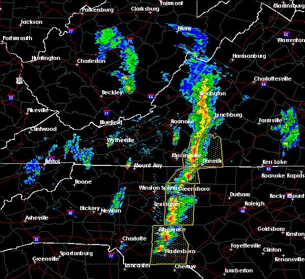 At 241 pm est, a severe thunderstorm capable of producing a tornado was located near swansonville, moving northeast at 40 mph (radar indicated rotation). Hazards include tornado. Flying debris will be dangerous to those caught without shelter. mobile homes will be damaged or destroyed. damage to roofs, windows, and vehicles will occur. tree damage is likely. this dangerous storm will be near, blairs around 250 pm est. dry fork around 255 pm est. Chatham and keeling around 300 pm est. At 241 pm est, a severe thunderstorm capable of producing a tornado was located near swansonville, moving northeast at 40 mph (radar indicated rotation). Hazards include tornado. Flying debris will be dangerous to those caught without shelter. mobile homes will be damaged or destroyed. damage to roofs, windows, and vehicles will occur. tree damage is likely. this dangerous storm will be near, blairs around 250 pm est. dry fork around 255 pm est. Chatham and keeling around 300 pm est.
|
| 2/24/2016 2:30 PM EST |
 At 229 pm est, severe thunderstorms were located along a line extending from near draper to near monroeton, moving northeast at 40 mph (radar indicated). Hazards include 60 mph wind gusts. Expect damage to roofs. siding. and trees. locations impacted include, eden, reidsville, wentworth, camp springs, and mayfield. a tornado watch remains in effect until 700 pm est for north central north carolina. A tornado watch also remains in effect until 900 pm est for south central virginia. At 229 pm est, severe thunderstorms were located along a line extending from near draper to near monroeton, moving northeast at 40 mph (radar indicated). Hazards include 60 mph wind gusts. Expect damage to roofs. siding. and trees. locations impacted include, eden, reidsville, wentworth, camp springs, and mayfield. a tornado watch remains in effect until 700 pm est for north central north carolina. A tornado watch also remains in effect until 900 pm est for south central virginia.
|
| 2/24/2016 2:26 PM EST |
 At 226 pm est, a severe thunderstorm was located over cascade, moving east at 35 mph (radar indicated). Hazards include 60 mph wind gusts and quarter size hail. Hail damage to vehicles is expected. Expect wind damage to roofs, siding, and trees. At 226 pm est, a severe thunderstorm was located over cascade, moving east at 35 mph (radar indicated). Hazards include 60 mph wind gusts and quarter size hail. Hail damage to vehicles is expected. Expect wind damage to roofs, siding, and trees.
|
| 2/24/2016 1:55 PM EST |
 At 154 pm est, severe thunderstorms were located along a line extending from near belews lake to near high point, moving northeast at 40 mph (radar indicated). Hazards include 60 mph wind gusts. Expect damage to roofs. siding. And trees. At 154 pm est, severe thunderstorms were located along a line extending from near belews lake to near high point, moving northeast at 40 mph (radar indicated). Hazards include 60 mph wind gusts. Expect damage to roofs. siding. And trees.
|
| 9/12/2015 4:10 AM EDT |
 The severe thunderstorm warning for southwestern pittsylvania county and the city of danville will expire at 415 am edt, the storms which prompted the warning have weakened below severe limits, and have exited the warned area. therefore the warning will be allowed to expire. when it is safe to do so, please send your reports of hail of any size, as well as any reports of wind damage, including downed trees or large limbs, to the national weather service by calling toll free at 1, 8 6 6, 2 1 5, 4 3 2 4. reports and pictures can also be shared on the national weather service blacksburg facebook page and on twitter. The severe thunderstorm warning for southwestern pittsylvania county and the city of danville will expire at 415 am edt, the storms which prompted the warning have weakened below severe limits, and have exited the warned area. therefore the warning will be allowed to expire. when it is safe to do so, please send your reports of hail of any size, as well as any reports of wind damage, including downed trees or large limbs, to the national weather service by calling toll free at 1, 8 6 6, 2 1 5, 4 3 2 4. reports and pictures can also be shared on the national weather service blacksburg facebook page and on twitter.
|
| 9/12/2015 3:59 AM EDT |
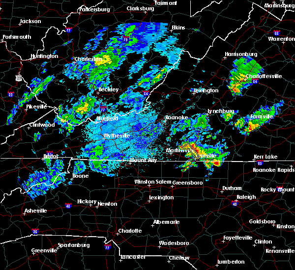 At 358 am edt, severe thunderstorms were located along a line extending from near climax to near chatham to blairs, moving northeast at 35 mph (radar indicated). Hazards include quarter size hail. Damage to vehicles is expected. Locations impacted include, danville, blairs, and callands. At 358 am edt, severe thunderstorms were located along a line extending from near climax to near chatham to blairs, moving northeast at 35 mph (radar indicated). Hazards include quarter size hail. Damage to vehicles is expected. Locations impacted include, danville, blairs, and callands.
|
| 9/12/2015 3:46 AM EDT |
 At 345 am edt, severe thunderstorms were located along a line extending from near callands to near dry fork to near westover hills, moving northeast at 35 mph (radar indicated). Hazards include 60 mph wind gusts and quarter size hail. Hail damage to vehicles is expected. expect wind damage to roofs, siding and trees. locations impacted include, danville, blairs, callands, danville city, and sandy river. This includes danville airport. At 345 am edt, severe thunderstorms were located along a line extending from near callands to near dry fork to near westover hills, moving northeast at 35 mph (radar indicated). Hazards include 60 mph wind gusts and quarter size hail. Hail damage to vehicles is expected. expect wind damage to roofs, siding and trees. locations impacted include, danville, blairs, callands, danville city, and sandy river. This includes danville airport.
|
| 9/12/2015 3:20 AM EDT |
 At 319 am edt, severe thunderstorms were located along a line extending from axton to near cascade to near draper, moving northeast at 35 mph (radar indicated). Hazards include 60 mph wind gusts and quarter size hail. Hail damage to vehicles is expected. Expect wind damage to roofs, siding and trees. At 319 am edt, severe thunderstorms were located along a line extending from axton to near cascade to near draper, moving northeast at 35 mph (radar indicated). Hazards include 60 mph wind gusts and quarter size hail. Hail damage to vehicles is expected. Expect wind damage to roofs, siding and trees.
|
| 9/4/2015 4:36 PM EDT |
 The severe thunderstorm warning for caswell, southeastern rockingham, southeastern pittsylvania and southwestern halifax counties will expire at 445 pm edt, the storm which prompted the warning has weakened below severe limits, and no longer poses an immediate threat to life or property. therefore the warning will be allowed to expire. when it is safe to do so, please send your reports of hail of any size, as well as any reports of wind damage, including downed trees or large limbs, to the national weather service by calling toll free at 1, 8 6 6, 2 1 5, 4 3 2 4. reports and pictures can also be shared on the national weather service blacksburg facebook page and on twitter. The severe thunderstorm warning for caswell, southeastern rockingham, southeastern pittsylvania and southwestern halifax counties will expire at 445 pm edt, the storm which prompted the warning has weakened below severe limits, and no longer poses an immediate threat to life or property. therefore the warning will be allowed to expire. when it is safe to do so, please send your reports of hail of any size, as well as any reports of wind damage, including downed trees or large limbs, to the national weather service by calling toll free at 1, 8 6 6, 2 1 5, 4 3 2 4. reports and pictures can also be shared on the national weather service blacksburg facebook page and on twitter.
|
| 9/4/2015 4:17 PM EDT |
 At 416 pm edt, a severe thunderstorm was located over yanceyville, moving southwest at 20 mph (radar indicated). Hazards include 60 mph wind gusts and quarter size hail. Hail damage to vehicles is expected. expect wind damage to roofs, siding and trees. Locations impacted include, reidsville, yanceyville, bethel, camp springs, and jericho. At 416 pm edt, a severe thunderstorm was located over yanceyville, moving southwest at 20 mph (radar indicated). Hazards include 60 mph wind gusts and quarter size hail. Hail damage to vehicles is expected. expect wind damage to roofs, siding and trees. Locations impacted include, reidsville, yanceyville, bethel, camp springs, and jericho.
|
| 9/4/2015 3:52 PM EDT |
 At 352 pm edt, a severe thunderstorm was located over milton, moving southwest at 30 mph (radar indicated). Hazards include 60 mph wind gusts and quarter size hail. Hail damage to vehicles is expected. Expect wind damage to roofs, siding and trees. At 352 pm edt, a severe thunderstorm was located over milton, moving southwest at 30 mph (radar indicated). Hazards include 60 mph wind gusts and quarter size hail. Hail damage to vehicles is expected. Expect wind damage to roofs, siding and trees.
|
| 8/11/2015 5:02 PM EDT |
 At 501 pm edt, a severe thunderstorm was located over eden, moving southeast at 30 mph (radar indicated). Hazards include 60 mph wind gusts and quarter size hail. Hail damage to vehicles is expected. expect wind damage to roofs, siding and trees. locations impacted include, danville, eden, wentworth, mayodan, and madison. This includes danville airport. At 501 pm edt, a severe thunderstorm was located over eden, moving southeast at 30 mph (radar indicated). Hazards include 60 mph wind gusts and quarter size hail. Hail damage to vehicles is expected. expect wind damage to roofs, siding and trees. locations impacted include, danville, eden, wentworth, mayodan, and madison. This includes danville airport.
|
| 8/11/2015 4:28 PM EDT |
 At 427 pm edt, a severe thunderstorm was located near martinsville airport, moving southeast at 15 mph (radar indicated). Hazards include 60 mph wind gusts and quarter size hail. Hail damage to vehicles is expected. expect wind damage to roofs, siding and trees. locations impacted include, danville, eden, martinsville, wentworth, and mayodan. This includes the following locations the martinsville speedway, martinsville airport, and danville airport. At 427 pm edt, a severe thunderstorm was located near martinsville airport, moving southeast at 15 mph (radar indicated). Hazards include 60 mph wind gusts and quarter size hail. Hail damage to vehicles is expected. expect wind damage to roofs, siding and trees. locations impacted include, danville, eden, martinsville, wentworth, and mayodan. This includes the following locations the martinsville speedway, martinsville airport, and danville airport.
|
| 8/11/2015 4:12 PM EDT |
 At 412 pm edt, a severe thunderstorm was located over martinsville airport, moving southeast at 10 mph (radar indicated). Hazards include 60 mph wind gusts and quarter size hail. Hail damage to vehicles is expected. Expect wind damage to roofs, siding and trees. At 412 pm edt, a severe thunderstorm was located over martinsville airport, moving southeast at 10 mph (radar indicated). Hazards include 60 mph wind gusts and quarter size hail. Hail damage to vehicles is expected. Expect wind damage to roofs, siding and trees.
|
| 7/13/2015 9:21 PM EDT |
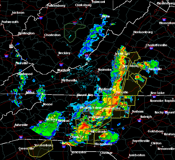 At 920 pm edt, severe thunderstorms were located along a line extending from near bocock to providence, moving east at 30 mph (radar indicated). Hazards include 60 mph wind gusts and quarter size hail. Hail damage to vehicles is expected. expect wind damage to roofs, siding and trees. locations impacted include, danville, altavista, hurt, chatham, and gretna. This includes danville airport and lynchburg airport. At 920 pm edt, severe thunderstorms were located along a line extending from near bocock to providence, moving east at 30 mph (radar indicated). Hazards include 60 mph wind gusts and quarter size hail. Hail damage to vehicles is expected. expect wind damage to roofs, siding and trees. locations impacted include, danville, altavista, hurt, chatham, and gretna. This includes danville airport and lynchburg airport.
|
| 7/13/2015 8:45 PM EDT |
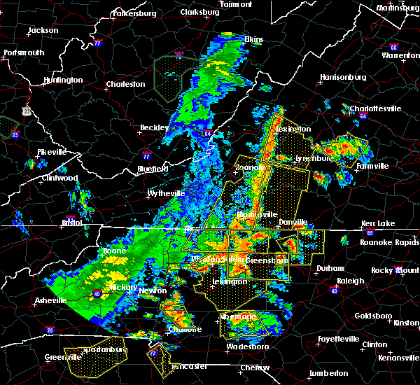 At 844 pm edt, severe thunderstorms were located along a line extending from near bedford city to aiken summit, moving east at 30 mph (radar indicated). Hazards include 60 mph wind gusts and quarter size hail. Hail damage to vehicles is expected. Expect wind damage to roofs, siding and trees. At 844 pm edt, severe thunderstorms were located along a line extending from near bedford city to aiken summit, moving east at 30 mph (radar indicated). Hazards include 60 mph wind gusts and quarter size hail. Hail damage to vehicles is expected. Expect wind damage to roofs, siding and trees.
|
| 7/5/2015 4:40 PM EDT | Multiple trees down along gatewood rd on nc side. time radar estimate in caswell county NC, 3.3 miles N of Danville, VA |
| 7/5/2015 4:12 PM EDT |
 At 410 pm edt, a severe thunderstorm was located over milton, moving east at 20 mph. while there have been some indications of the storm weakening, it is expected to merge with other storms in advance of it. a reintensification is expected when this happens (radar indicated). Hazards include 60 mph wind gusts. Expect damage to roofs. siding and trees. Locations impacted include, turbeville, milton, semora, alton, and elmo. At 410 pm edt, a severe thunderstorm was located over milton, moving east at 20 mph. while there have been some indications of the storm weakening, it is expected to merge with other storms in advance of it. a reintensification is expected when this happens (radar indicated). Hazards include 60 mph wind gusts. Expect damage to roofs. siding and trees. Locations impacted include, turbeville, milton, semora, alton, and elmo.
|
| 7/5/2015 3:53 PM EDT |
 At 353 pm edt, a severe thunderstorm was located over blanch, moving east at 20 mph (radar indicated). Hazards include 60 mph wind gusts and quarter size hail. Hail damage to vehicles is expected. Expect wind damage to roofs, siding and trees. At 353 pm edt, a severe thunderstorm was located over blanch, moving east at 20 mph (radar indicated). Hazards include 60 mph wind gusts and quarter size hail. Hail damage to vehicles is expected. Expect wind damage to roofs, siding and trees.
|
| 7/5/2015 3:50 PM EDT |
 At 349 pm edt, a severe thunderstorm was located over danville airport, moving east at 20 mph (radar indicated). Hazards include 60 mph wind gusts and quarter size hail. Hail damage to vehicles is expected. expect wind damage to roofs, siding and trees. locations impacted include, danville city, gatewood, and westover hills. This includes danville airport. At 349 pm edt, a severe thunderstorm was located over danville airport, moving east at 20 mph (radar indicated). Hazards include 60 mph wind gusts and quarter size hail. Hail damage to vehicles is expected. expect wind damage to roofs, siding and trees. locations impacted include, danville city, gatewood, and westover hills. This includes danville airport.
|
| 7/5/2015 3:50 PM EDT |
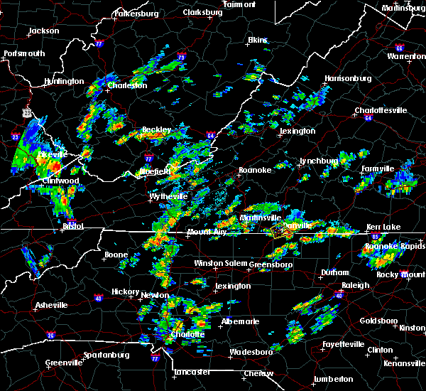 At 349 pm edt, a severe thunderstorm was located over danville airport, moving east at 20 mph (radar indicated). Hazards include 60 mph wind gusts and quarter size hail. Hail damage to vehicles is expected. expect wind damage to roofs, siding and trees. locations impacted include, danville city, gatewood, and westover hills. This includes danville airport. At 349 pm edt, a severe thunderstorm was located over danville airport, moving east at 20 mph (radar indicated). Hazards include 60 mph wind gusts and quarter size hail. Hail damage to vehicles is expected. expect wind damage to roofs, siding and trees. locations impacted include, danville city, gatewood, and westover hills. This includes danville airport.
|
| 7/5/2015 3:47 PM EDT | Tree down at 2331 goodyear blv in city of danville county VA, 3.3 miles N of Danville, VA |
| 7/5/2015 3:40 PM EDT | Tree down at 1398 goodyear blv in city of danville county VA, 3.4 miles N of Danville, VA |
| 7/5/2015 3:36 PM EDT | Tree down blocking north hills apt. comple in city of danville county VA, 2.2 miles S of Danville, VA |
| 7/5/2015 3:29 PM EDT |
 At 329 pm edt, a severe thunderstorm was located over gatewood, moving northeast at 15 mph (radar indicated). Hazards include 70 mph wind gusts and ping pong ball size hail. People and animals outdoors will be injured. expect hail damage to roofs, siding, windows and vehicles. expect considerable tree damage. wind damage is also likely to mobile homes, roofs and outbuildings. locations impacted include, danville city, gatewood, and westover hills. This includes danville airport. At 329 pm edt, a severe thunderstorm was located over gatewood, moving northeast at 15 mph (radar indicated). Hazards include 70 mph wind gusts and ping pong ball size hail. People and animals outdoors will be injured. expect hail damage to roofs, siding, windows and vehicles. expect considerable tree damage. wind damage is also likely to mobile homes, roofs and outbuildings. locations impacted include, danville city, gatewood, and westover hills. This includes danville airport.
|
| 7/5/2015 3:29 PM EDT |
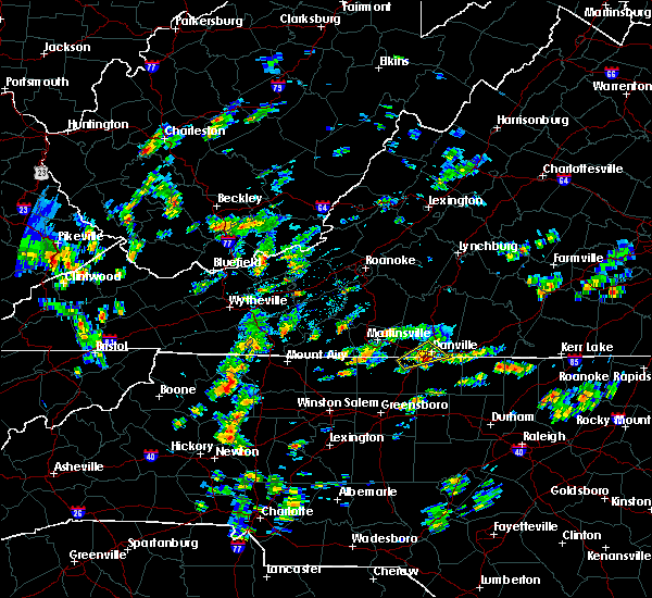 At 329 pm edt, a severe thunderstorm was located over gatewood, moving northeast at 15 mph (radar indicated). Hazards include 70 mph wind gusts and ping pong ball size hail. People and animals outdoors will be injured. expect hail damage to roofs, siding, windows and vehicles. expect considerable tree damage. wind damage is also likely to mobile homes, roofs and outbuildings. locations impacted include, danville city, gatewood, and westover hills. This includes danville airport. At 329 pm edt, a severe thunderstorm was located over gatewood, moving northeast at 15 mph (radar indicated). Hazards include 70 mph wind gusts and ping pong ball size hail. People and animals outdoors will be injured. expect hail damage to roofs, siding, windows and vehicles. expect considerable tree damage. wind damage is also likely to mobile homes, roofs and outbuildings. locations impacted include, danville city, gatewood, and westover hills. This includes danville airport.
|
| 7/5/2015 3:24 PM EDT | Multiple trees down along arch cook rd in pelham. time radar estimate in caswell county NC, 4.9 miles NE of Danville, VA |
| 7/5/2015 3:12 PM EDT |
 At 312 pm edt, a severe thunderstorm was located over pelham, moving north at 15 mph (radar indicated). Hazards include 60 mph wind gusts. Expect damage to roofs. siding and trees. locations impacted include, danville city, mayfield, and pelham. This includes danville airport. At 312 pm edt, a severe thunderstorm was located over pelham, moving north at 15 mph (radar indicated). Hazards include 60 mph wind gusts. Expect damage to roofs. siding and trees. locations impacted include, danville city, mayfield, and pelham. This includes danville airport.
|
| 7/5/2015 2:50 PM EDT |
 At 250 pm edt, a severe thunderstorm was located over mayfield, moving northeast at 10 mph (radar indicated). Hazards include 60 mph wind gusts and quarter size hail. Hail damage to vehicles is expected. Expect wind damage to roofs, siding and trees. At 250 pm edt, a severe thunderstorm was located over mayfield, moving northeast at 10 mph (radar indicated). Hazards include 60 mph wind gusts and quarter size hail. Hail damage to vehicles is expected. Expect wind damage to roofs, siding and trees.
|
| 6/27/2015 8:21 PM EDT |
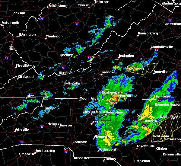 The severe thunderstorm warning for northwestern caswell, northeastern rockingham, southern pittsylvania counties and the city of danville will expire at 830 pm edt, the storms which prompted the warning have weakened below severe limits, and no longer pose an immediate threat to life or property. therefore the warning will be allowed to expire. when it is safe to do so, please send your reports of hail of any size, as well as any reports of wind damage, including downed trees or large limbs, to the national weather service by calling toll free at 1, 8 6 6, 2 1 5, 4 3 2 4. reports and pictures can also be shared on the national weather service blacksburg facebook page and on twitter. The severe thunderstorm warning for northwestern caswell, northeastern rockingham, southern pittsylvania counties and the city of danville will expire at 830 pm edt, the storms which prompted the warning have weakened below severe limits, and no longer pose an immediate threat to life or property. therefore the warning will be allowed to expire. when it is safe to do so, please send your reports of hail of any size, as well as any reports of wind damage, including downed trees or large limbs, to the national weather service by calling toll free at 1, 8 6 6, 2 1 5, 4 3 2 4. reports and pictures can also be shared on the national weather service blacksburg facebook page and on twitter.
|
| 6/27/2015 8:10 PM EDT |
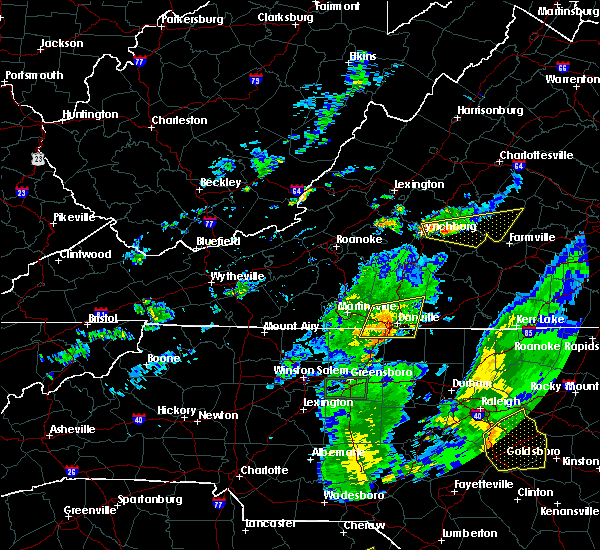 At 808 pm edt, severe thunderstorms extended from near keeling to near providence, and were moving east at 35 mph (radar indicated). Hazards include 60 mph wind gusts. Expect damage to roofs. siding and trees. locations impacted include, danville, bethel, blairs, mayfield, and danville city. This includes danville airport. At 808 pm edt, severe thunderstorms extended from near keeling to near providence, and were moving east at 35 mph (radar indicated). Hazards include 60 mph wind gusts. Expect damage to roofs. siding and trees. locations impacted include, danville, bethel, blairs, mayfield, and danville city. This includes danville airport.
|
| 6/27/2015 7:52 PM EDT |
 At 751 pm edt, severe thunderstorms were located along a line extending from near climax to mayfield, moving east at 30 mph (radar indicated). Hazards include 60 mph wind gusts and quarter size hail. Hail damage to vehicles is expected. expect considerable tree damage. wind damage is also likely to mobile homes, roofs and outbuildings. locations impacted include, danville, eden, bethel, blairs, and mayfield. This includes danville airport. At 751 pm edt, severe thunderstorms were located along a line extending from near climax to mayfield, moving east at 30 mph (radar indicated). Hazards include 60 mph wind gusts and quarter size hail. Hail damage to vehicles is expected. expect considerable tree damage. wind damage is also likely to mobile homes, roofs and outbuildings. locations impacted include, danville, eden, bethel, blairs, and mayfield. This includes danville airport.
|
| 6/27/2015 7:32 PM EDT |
 At 731 pm edt, severe thunderstorms were located along a line extending from callands to eden, moving east at 30 mph (radar indicated). Hazards include 70 mph wind gusts and quarter size hail. Hail damage to vehicles is expected. expect considerable tree damage. Wind damage is also likely to mobile homes, roofs and outbuildings. At 731 pm edt, severe thunderstorms were located along a line extending from callands to eden, moving east at 30 mph (radar indicated). Hazards include 70 mph wind gusts and quarter size hail. Hail damage to vehicles is expected. expect considerable tree damage. Wind damage is also likely to mobile homes, roofs and outbuildings.
|
| 6/25/2015 6:01 PM EDT |
 At 559 pm edt, a severe thunderstorm was located over keeling, moving southeast at 25 mph. this storm has a history of producing quarter to golfball size hail (radar indicated). Hazards include golf ball size hail and 70 mph wind gusts. People and animals outdoors will be injured. expect hail damage to roofs, siding, windows and vehicles. Expect wind damage to roofs, siding and trees. At 559 pm edt, a severe thunderstorm was located over keeling, moving southeast at 25 mph. this storm has a history of producing quarter to golfball size hail (radar indicated). Hazards include golf ball size hail and 70 mph wind gusts. People and animals outdoors will be injured. expect hail damage to roofs, siding, windows and vehicles. Expect wind damage to roofs, siding and trees.
|
| 6/22/2015 6:11 PM EDT |
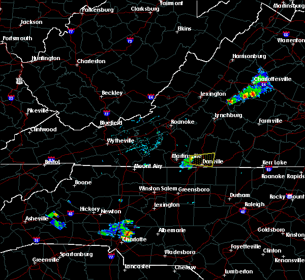 At 610 pm edt, a severe thunderstorm was located over swansonville, moving east at 25 mph (radar indicated). Hazards include 60 mph wind gusts and penny size hail. Expect damage to roofs. siding and trees. locations impacted include, danville, blairs, danville city, swansonville, and danville airport. This includes danville airport. At 610 pm edt, a severe thunderstorm was located over swansonville, moving east at 25 mph (radar indicated). Hazards include 60 mph wind gusts and penny size hail. Expect damage to roofs. siding and trees. locations impacted include, danville, blairs, danville city, swansonville, and danville airport. This includes danville airport.
|
| 6/22/2015 5:51 PM EDT |
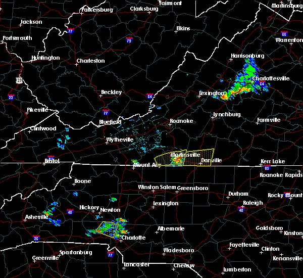 At 549 pm edt, severe thunderstorms were located along a line extending from leatherwood to sandy level, moving east at 25 mph (radar indicated. in addition...at 535 pm...trees were blown down in martinsville). Hazards include 60 mph wind gusts and quarter size hail. Hail damage to vehicles is expected. Expect wind damage to roofs, siding and trees. At 549 pm edt, severe thunderstorms were located along a line extending from leatherwood to sandy level, moving east at 25 mph (radar indicated. in addition...at 535 pm...trees were blown down in martinsville). Hazards include 60 mph wind gusts and quarter size hail. Hail damage to vehicles is expected. Expect wind damage to roofs, siding and trees.
|
| 6/17/2015 6:58 PM EDT | Tree down at intersection of kentuck rd and burch creek r in pittsylvania county VA, 8.3 miles SW of Danville, VA |
| 6/17/2015 6:56 PM EDT | Tree uprooted on twin arch drive in pittsylvania county VA, 3.7 miles SSW of Danville, VA |
| 6/17/2015 6:52 PM EDT |
 At 649 pm edt, severe thunderstorms were located along a line extending from near chalk level to near westover hills, moving southeast at 30 mph (radar indicated). Hazards include 60 mph wind gusts. Expect damage to roofs. Siding and trees. At 649 pm edt, severe thunderstorms were located along a line extending from near chalk level to near westover hills, moving southeast at 30 mph (radar indicated). Hazards include 60 mph wind gusts. Expect damage to roofs. Siding and trees.
|
| 5/31/2015 9:22 PM EDT | The severe thunderstorm warning for south central pittsylvania and the city of danville will expire at 930 pm edt, the storms which prompted the warning have weakened below severe limits, and no longer pose an immediate threat to life or property. therefore the warning will be allowed to expire. when it is safe to do so, please send your reports of hail of any size, as well as any reports of wind damage, including downed trees or large limbs, to the national weather service by calling toll free at 1, 8 6 6, 2 1 5, 4 3 2 4. reports and pictures can also be shared on the national weather service blacksburg facebook page and on twitter. |
| 5/31/2015 9:14 PM EDT | At 913 pm edt, severe thunderstorms were located along a line extending from near blairs to ruffin, moving northeast at 15 mph (radar indicated). Hazards include 60 mph wind gusts. Expect damage to trees. Locations impacted include, danville, danville city, blairs, westover hills, and gatewood. |
| 5/31/2015 9:05 PM EDT | 1 tree down along riverside drive in city of danville county VA, 5.1 miles E of Danville, VA |
| 5/31/2015 8:41 PM EDT | At 840 pm edt, severe thunderstorms were located along a line extending from near cascade to reidsville, moving northeast at 15 mph (radar indicated). Hazards include 60 mph wind gusts. Expect damage to roofs. Siding and trees. |
| 5/31/2015 8:41 PM EDT | At 840 pm edt, severe thunderstorms were located along a line extending from near cascade to reidsville, moving northeast at 15 mph (radar indicated). Hazards include 60 mph wind gusts. Expect damage to roofs. Siding and trees. |
| 10/10/2014 3:20 PM EDT | Tree down near the intersection of goodyear blvd and gypsum roa in city of danville county VA, 2.2 miles NNW of Danville, VA |
| 6/19/2014 5:05 PM EDT | Large tree down on house in brush arbor cour in pittsylvania county VA, 3.6 miles SE of Danville, VA |
| 6/19/2014 5:00 PM EDT | 3 trees down along beaver mill roa in city of danville county VA, 2.5 miles SSE of Danville, VA |
| 5/27/2014 2:45 PM EDT | 2 trees down on cumberland driv in city of danville county VA, 2.6 miles NE of Danville, VA |
| 5/27/2014 2:35 PM EDT | Danville fd reports multiple trees and power lines down on the west side of the city. time estimated by rada in city of danville county VA, 3.4 miles E of Danville, VA |
| 5/27/2014 2:30 PM EDT | Trees and power lines down on mount cross rd in city of danville county VA, 2.4 miles ESE of Danville, VA |
| 5/27/2014 2:30 PM EDT | Siding damage to the advance auto parts store on westover driv in city of danville county VA, 2.3 miles E of Danville, VA |
| 5/27/2014 2:27 PM EDT | Quarter sized hail reported 1.2 miles E of Danville, VA, quarter-sized hail at the intersection of riverside road and piney forest road. |
| 5/27/2014 2:27 PM EDT | At least six trees down near the vicinity of riverside road and piney forrest road in danville cit in city of danville county VA, 1.4 miles SE of Danville, VA |
| 5/10/2014 1:44 PM EDT | Quarter sized hail reported 2.9 miles NNE of Danville, VA, lasted about a minute |
| 5/10/2014 1:44 PM EDT | Quarter sized hail reported 2.3 miles NNE of Danville, VA, lasted about a minute |
| 6/28/2013 4:05 PM EDT | Tree fell on a hous in city of danville county VA, 1.6 miles SSE of Danville, VA |
| 6/26/2013 4:44 PM EDT | Two trees down on the north side of the in city of danville county VA, 1.9 miles ESE of Danville, VA |
| 6/13/2013 4:30 PM EDT | Numerous trees down across the northern part of the county. highway 29 and highway 86 were blocked in several places by fallen trees. motorists were stranded in their v in caswell county NC, 5.4 miles N of Danville, VA |
| 6/13/2013 4:23 PM EDT | Tree down on car on memorial drive with occupants inside. no injuries. danville 911 center also reported many other trees and power lines down across the city at this s in city of danville county VA, 2.3 miles E of Danville, VA |
| 6/13/2013 4:19 PM EDT | Tree down on mobile home with some damage cause in city of danville county VA, 6.2 miles E of Danville, VA |
| 6/13/2013 4:15 PM EDT | Tree down on a car on brooke drive on north side of danvill in city of danville county VA, 2.2 miles S of Danville, VA |
| 4/19/2013 4:18 PM EDT | Trees down on blanch roa in caswell county NC, 7.3 miles NW of Danville, VA |
| 4/18/2013 4:18 PM EDT | Trees down on blanch roa in caswell county NC, 7.3 miles NW of Danville, VA |
| 4/12/2013 5:35 AM EDT | A tree was blown down across highway 86n. a truck traveling the highway struck the fallen tre in caswell county NC, 6.1 miles N of Danville, VA |
| 4/12/2013 5:20 AM EDT | A tree was blown down along highway 70 in caswell county NC, 6.5 miles NE of Danville, VA |
| 1/30/2013 9:50 PM EST | Tree down on rocksprings rd in pittsylvania county VA, 8.5 miles WSW of Danville, VA |
| 1/30/2013 9:50 PM EST | Tree down on cedar rd in pittsylvania county VA, 7.3 miles W of Danville, VA |
| 9/28/2012 2:54 PM EDT | One tree down on corning drive in city of danville county VA, 3.9 miles NE of Danville, VA |
| 7/5/2012 5:38 PM EDT | One tree down and several large limbs fell on kemper road in city of danville county VA, 2.1 miles NE of Danville, VA |
| 7/3/2012 4:00 PM EDT | Power lines down on church street...third avenue...and hunting hills road in city of danville county VA, 0.8 miles S of Danville, VA |
| 7/1/2012 1:20 PM EDT | Tree blown down on buford roa in pittsylvania county VA, 9.2 miles ENE of Danville, VA |
| 6/30/2012 10:03 PM EDT | *** 1 inj *** multiple reports of large trees down along west main street and windsor heights subdivision. person injured by falling tree limb...fell on persons ar in city of danville county VA, 2.9 miles E of Danville, VA |
| 6/29/2012 10:20 PM EDT | Caswell emergency manager reports dozens of trees down throughout the county. damage started at 1020 pm edt in the northwest part of the county and continued until 1050 in caswell county NC, 7.6 miles NE of Danville, VA |
| 6/29/2012 10:10 PM EDT | A few trees and several large tree limbs were blown down along walters mill road near the intersection highway 86 in caswell county NC, 4.1 miles N of Danville, VA |
| 6/29/2012 10:06 PM EDT | Trees and large branches down on timberlake driv in city of danville county VA, 2.2 miles S of Danville, VA |
| 6/29/2012 10:03 PM EDT | *** 1 inj *** multiple reports of large trees down along west main street and windsor heights subdivision. person injured by falling tree limb...fell on persons ar in city of danville county VA, 2.9 miles E of Danville, VA |
| 6/22/2012 3:15 PM EDT | Tree down on shady grove road in caswell county NC, 4.8 miles NNE of Danville, VA |
| 3/20/2012 6:25 PM EDT | Quarter sized hail reported 4.6 miles E of Danville, VA |
| 3/20/2012 6:25 PM EDT | Quarter sized hail reported 9.2 miles SE of Danville, VA |
| 3/20/2012 6:15 PM EDT | Quarter sized hail reported 6.2 miles SE of Danville, VA, lasted until 625 pm edt |
| 3/20/2012 5:50 PM EDT | Quarter sized hail reported 2.6 miles ENE of Danville, VA |
| 3/20/2012 5:45 PM EDT | Quarter sized hail reported 0.2 miles SSE of Danville, VA |
| 1/1/0001 12:00 AM | Trees down in caswell county NC, 6.2 miles N of Danville, VA |
| 1/1/0001 12:00 AM | Shed roof blown of in caswell county NC, 5.4 miles N of Danville, VA |
| 1/1/0001 12:00 AM | Tree down in pittsylvania county VA, 3.4 miles SSE of Danville, VA |
| 1/1/0001 12:00 AM | Tree down in pittsylvania county VA, 12.4 miles ESE of Danville, VA |
| 1/1/0001 12:00 AM | Also reported dime size hail and a few five to six inch diameter limbs dow in pittsylvania county VA, 7.3 miles W of Danville, VA |
| 1/1/0001 12:00 AM | Numerous trees down on sandy creek church road. one on a power lin in pittsylvania county VA, 7.2 miles W of Danville, VA |
| 1/1/0001 12:00 AM | Tree down on holland roa in city of danville county VA, 3 miles NE of Danville, VA |
| 1/1/0001 12:00 AM | Tree down on old 2 in caswell county NC, 5.4 miles N of Danville, VA |
| 1/1/0001 12:00 AM | Tree down on pinecrest drive in city of danville county VA, 6.9 miles ESE of Danville, VA |
| 1/1/0001 12:00 AM | Power and cable lines down on holland road just north of the nc borde in city of danville county VA, 3.9 miles NE of Danville, VA |
| 1/1/0001 12:00 AM | One tree down near the intersection of old highway 29 and holland road in shelto in caswell county NC, 5.2 miles NE of Danville, VA |
| 1/1/0001 12:00 AM | Several trees down in city of danville county VA, 0.6 miles N of Danville, VA |
| 1/1/0001 12:00 AM | Tree blown onto house on walnut stree in city of danville county VA, 1 miles SSW of Danville, VA |
| 1/1/0001 12:00 AM | One tree down on iris lan in pittsylvania county VA, 3.1 miles SSE of Danville, VA |
| 1/1/0001 12:00 AM | Power lines down on vandola church roa in pittsylvania county VA, 7.3 miles E of Danville, VA |
| 1/1/0001 12:00 AM | Power line down in pittsylvania county VA, 5 miles W of Danville, VA |
| 1/1/0001 12:00 AM | Quarter sized hail reported 3.3 miles W of Danville, VA |
| 1/1/0001 12:00 AM | Quarter sized hail reported 6.2 miles WSW of Danville, VA, quarter size hail falling about one half mile north of the intersection of highways 87 and 220. |
| 1/1/0001 12:00 AM | Tree down in pittsylvania county VA, 5 miles W of Danville, VA |
| 1/1/0001 12:00 AM | Tree down in caswell county NC, 5.6 miles NNW of Danville, VA |
| 1/1/0001 12:00 AM | Roof blown off residence in pittsylvania county VA, 4.8 miles SW of Danville, VA |
| 1/1/0001 12:00 AM | Part of roof of trailer home blown off at 5225 kentuck r in pittsylvania county VA, 4 miles SW of Danville, VA |
| 1/1/0001 12:00 AM | Tree down on residence in city of danville county VA, 0.2 miles SSE of Danville, VA |
Hail Maps for Danville, VA
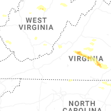
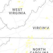


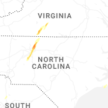


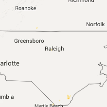


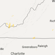


Connect with Interactive Hail Maps