

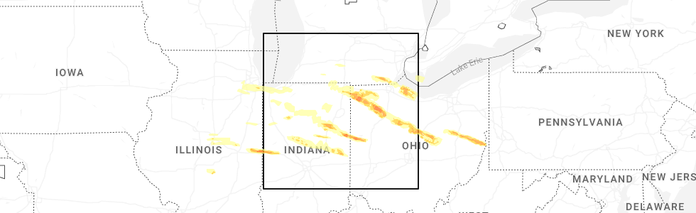
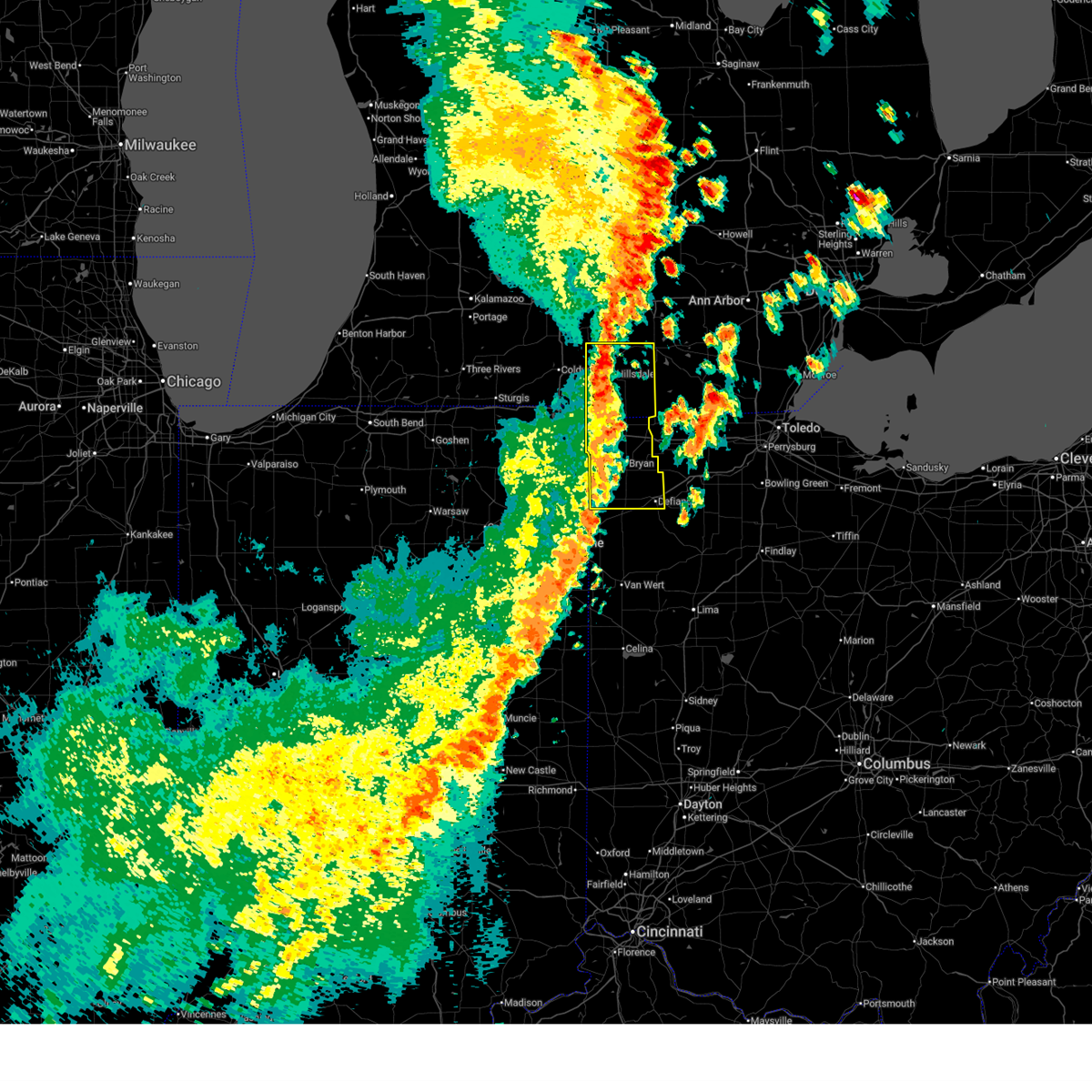
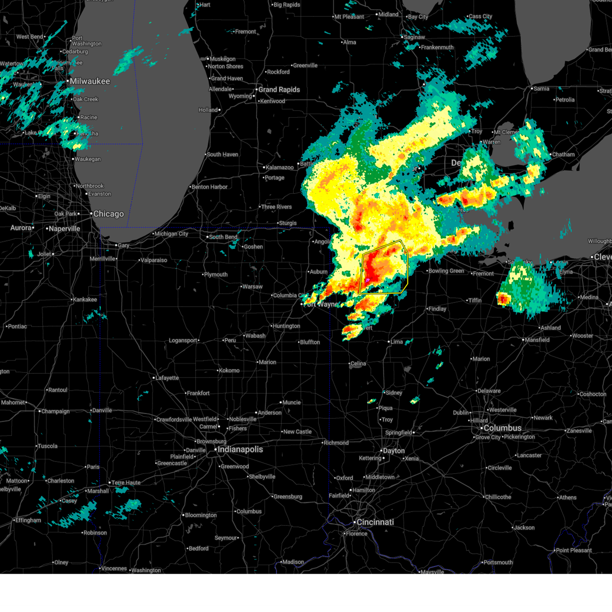
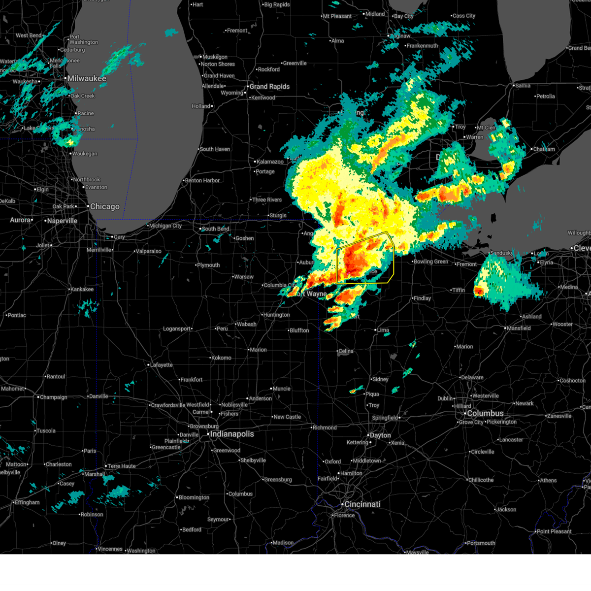
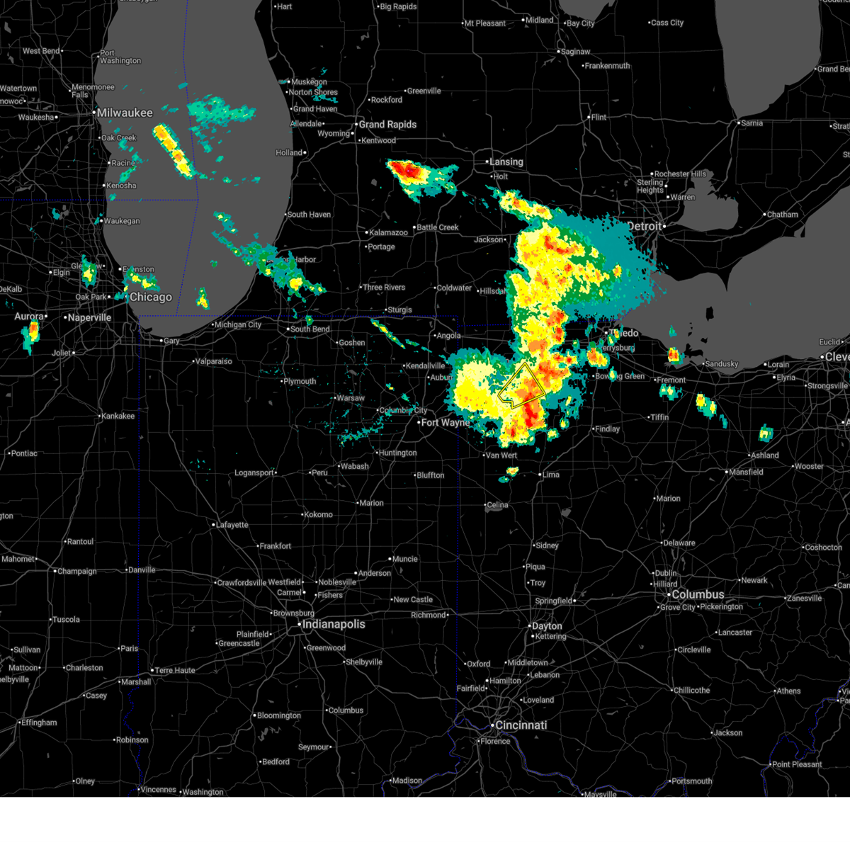
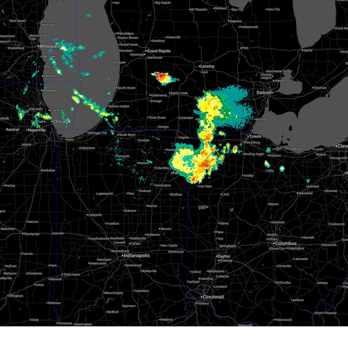
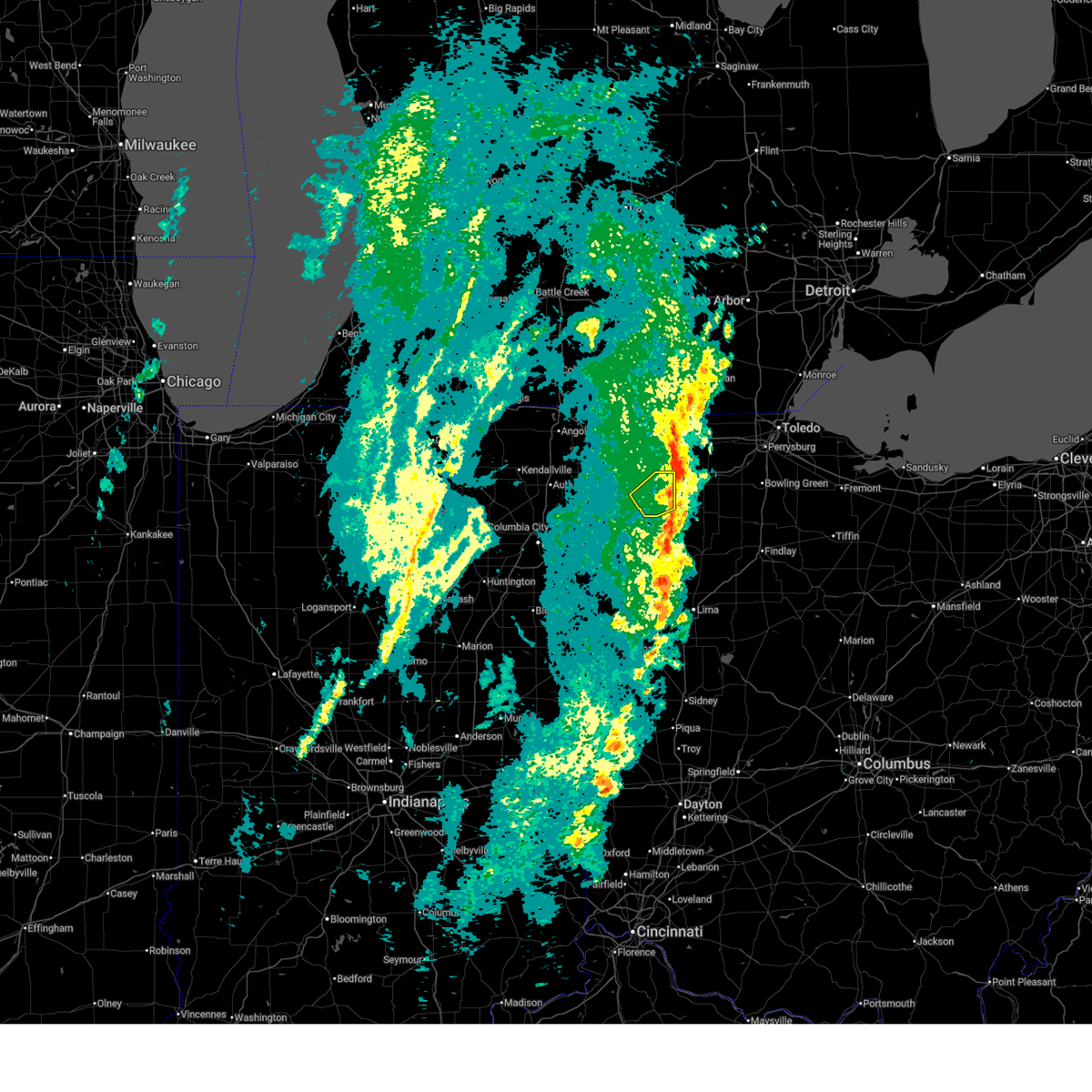
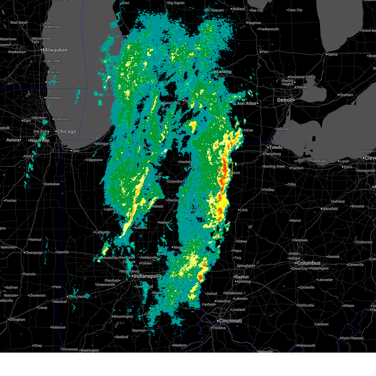
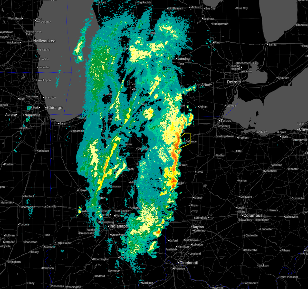
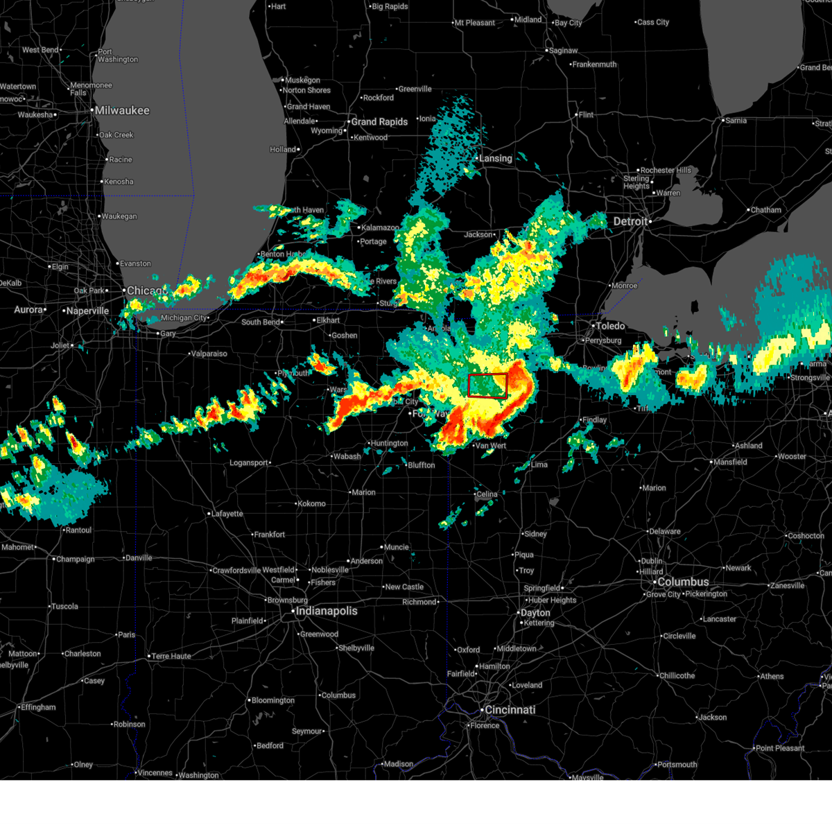
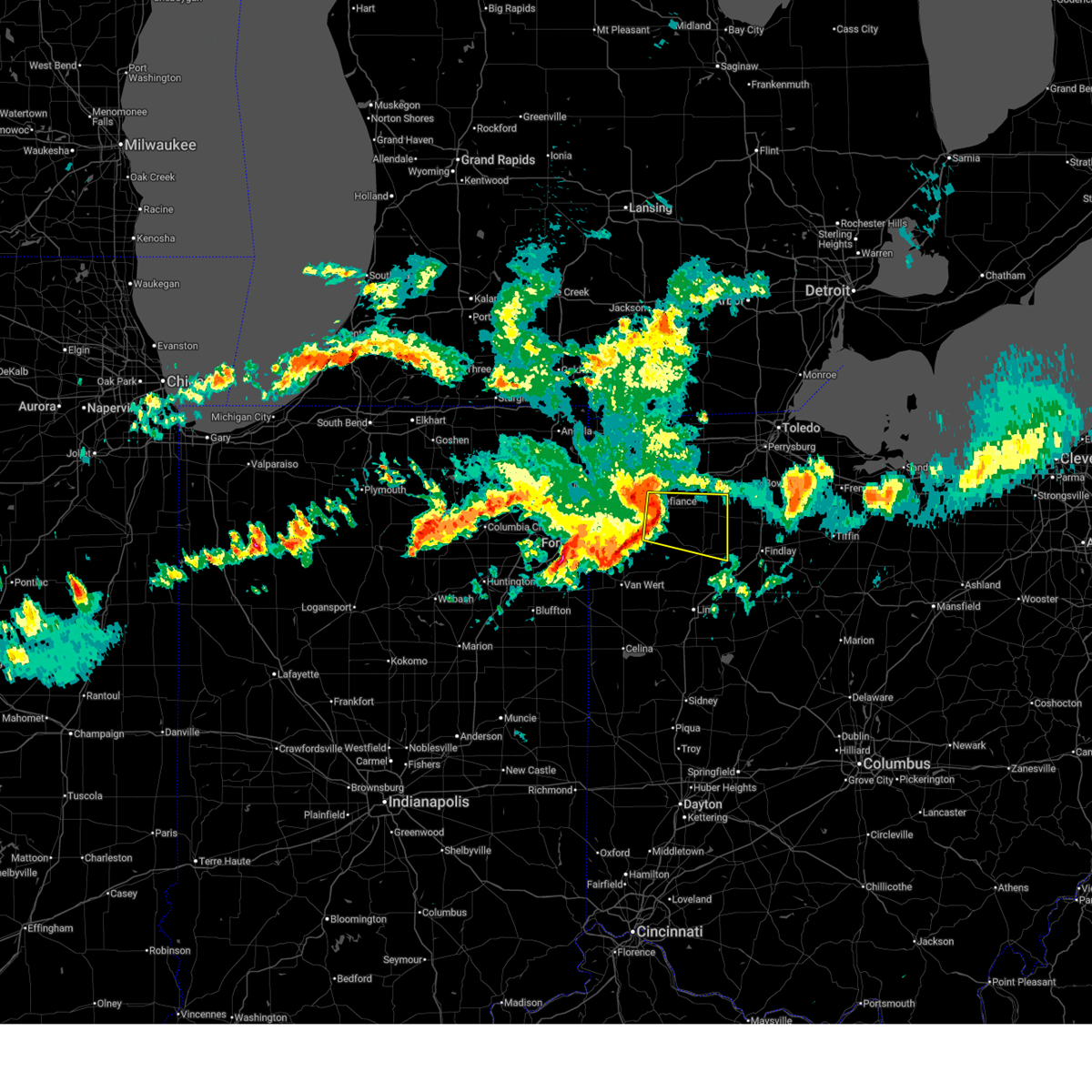
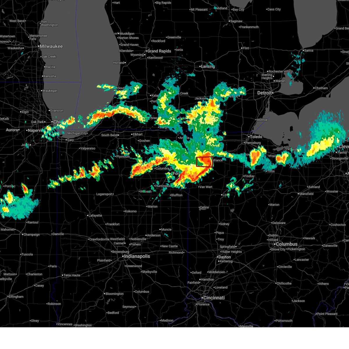
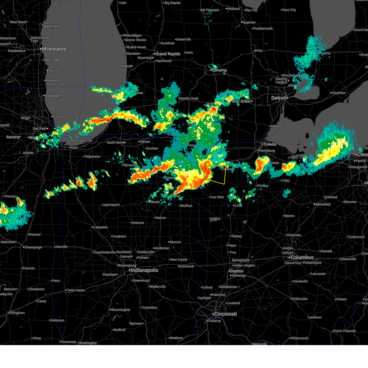
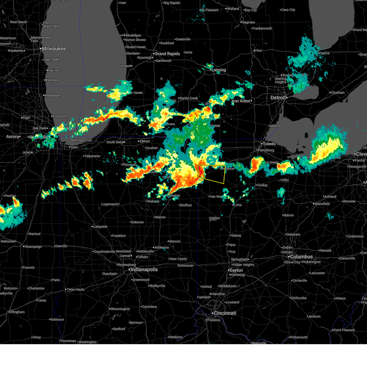
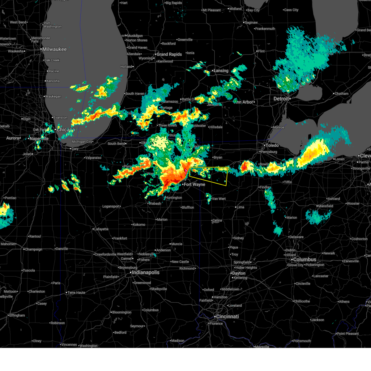
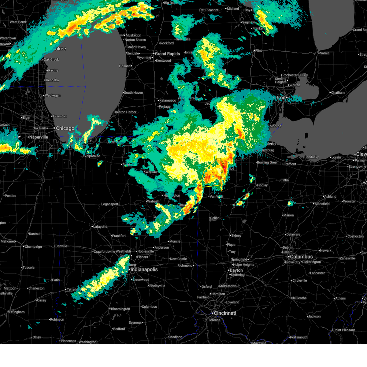
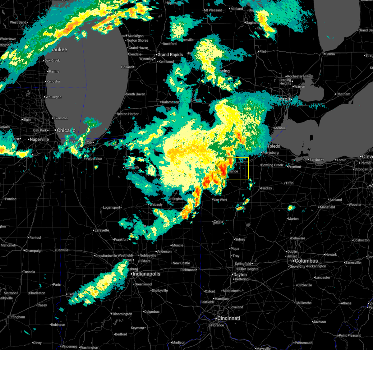
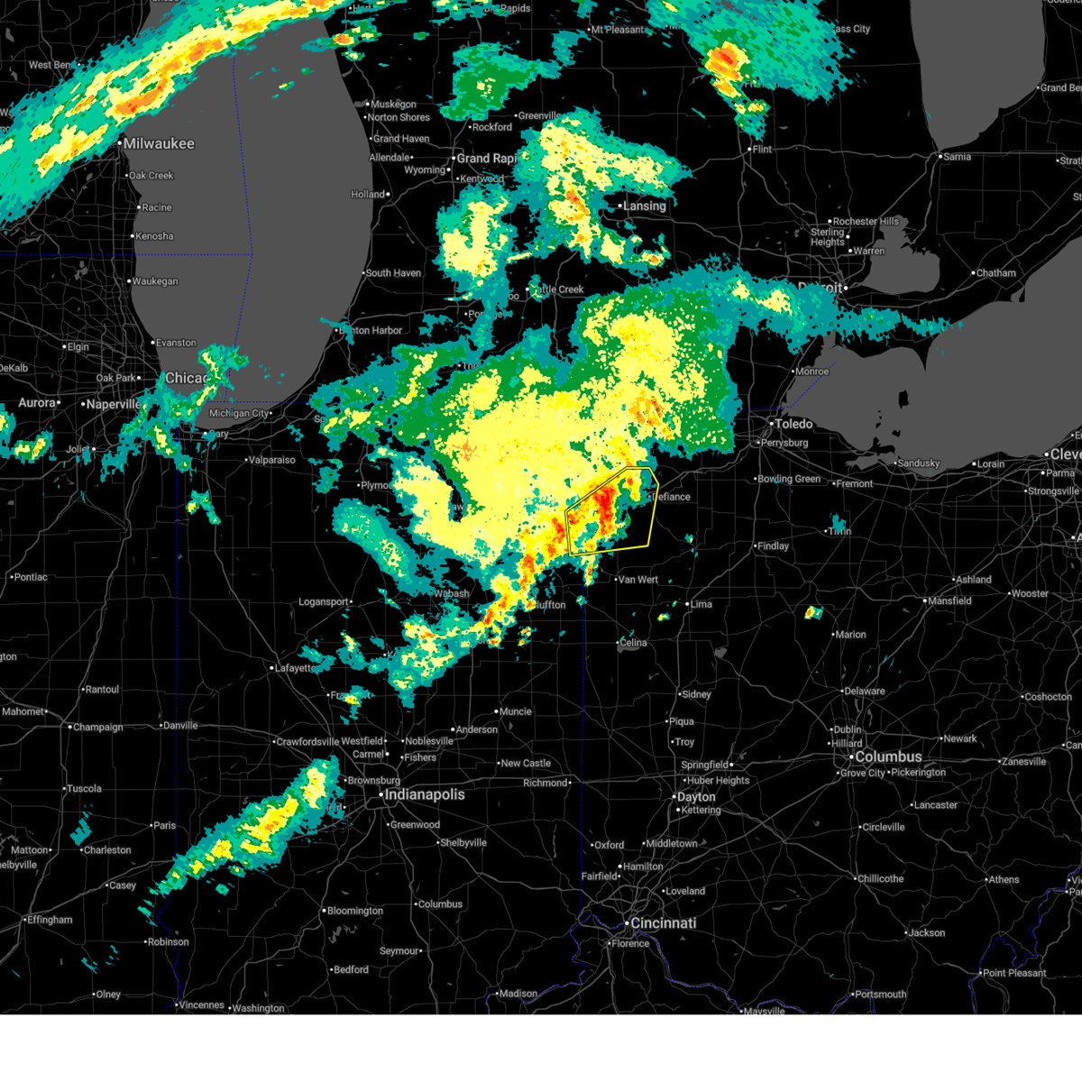
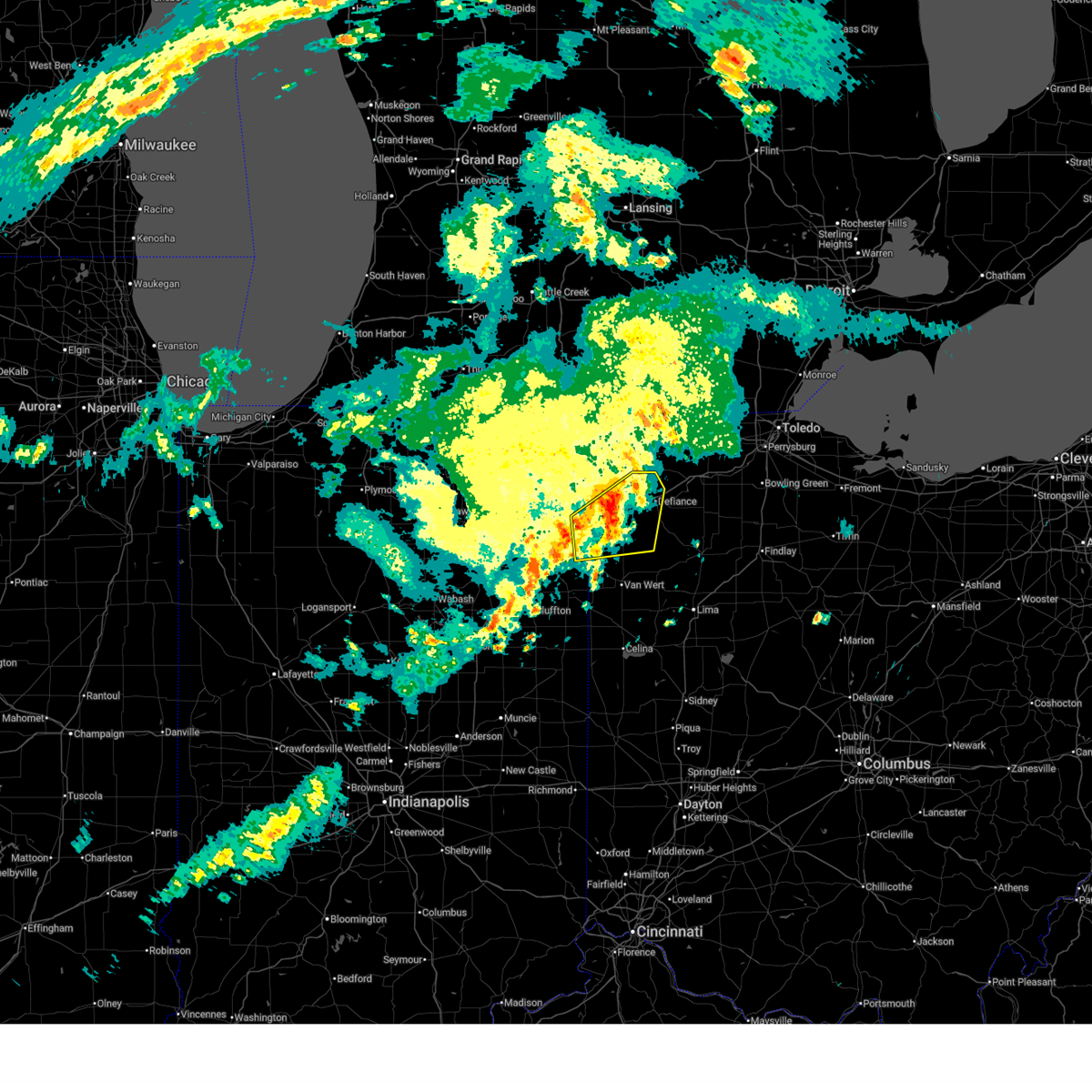
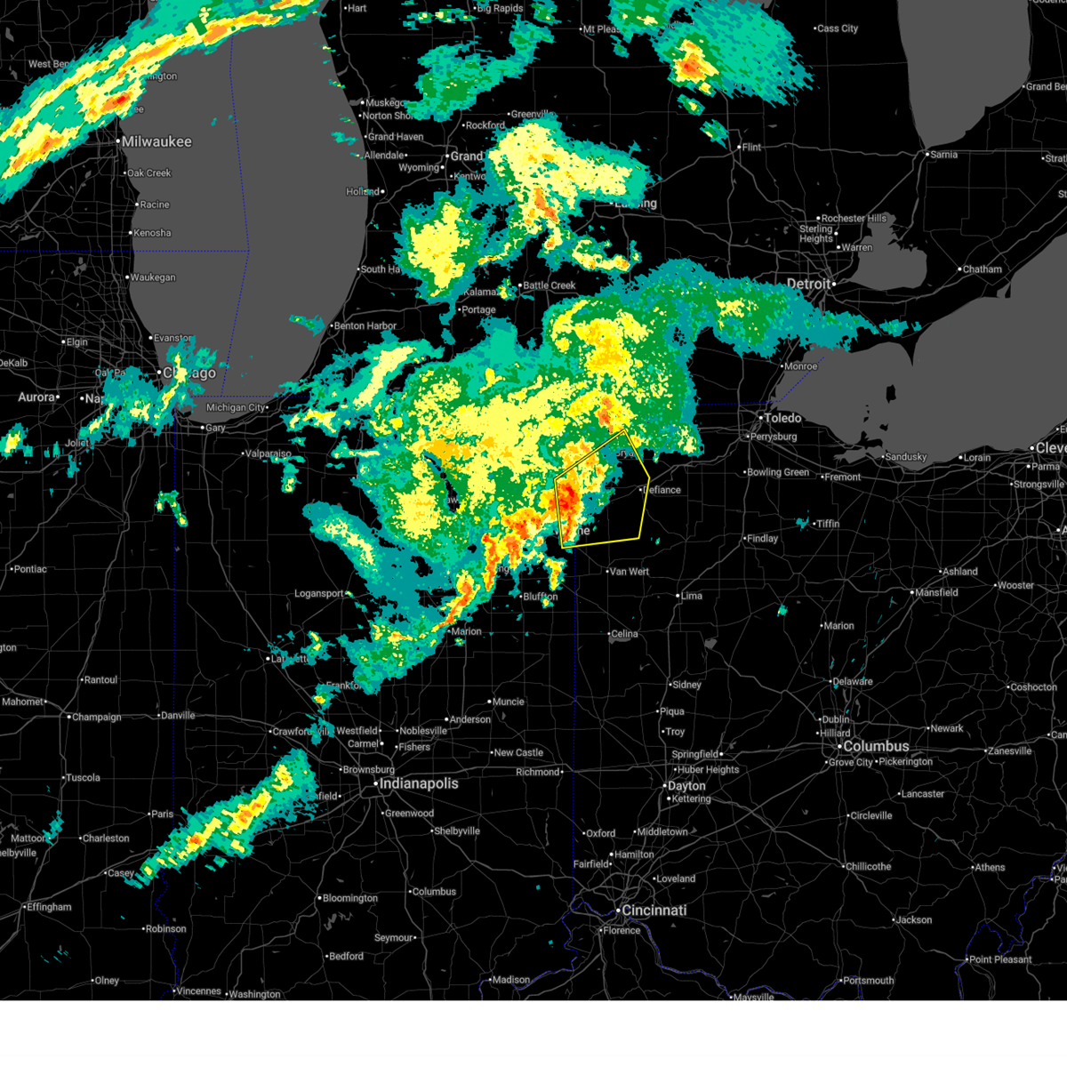
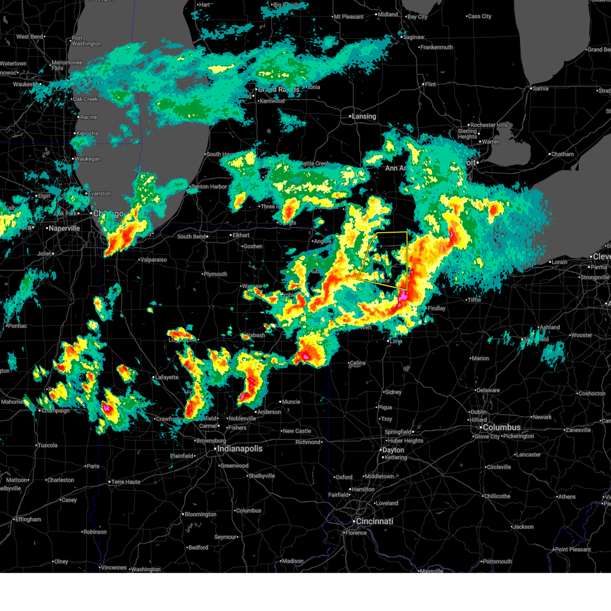
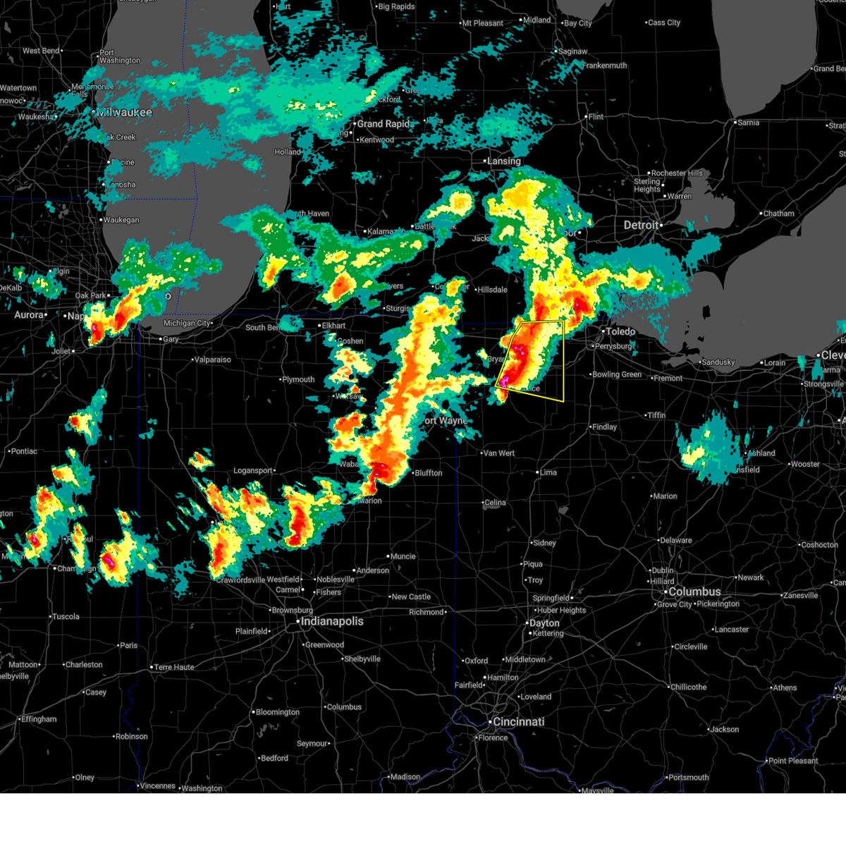
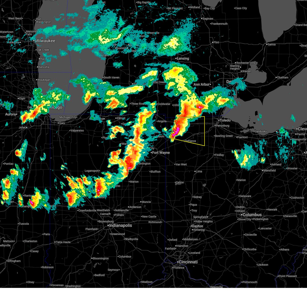
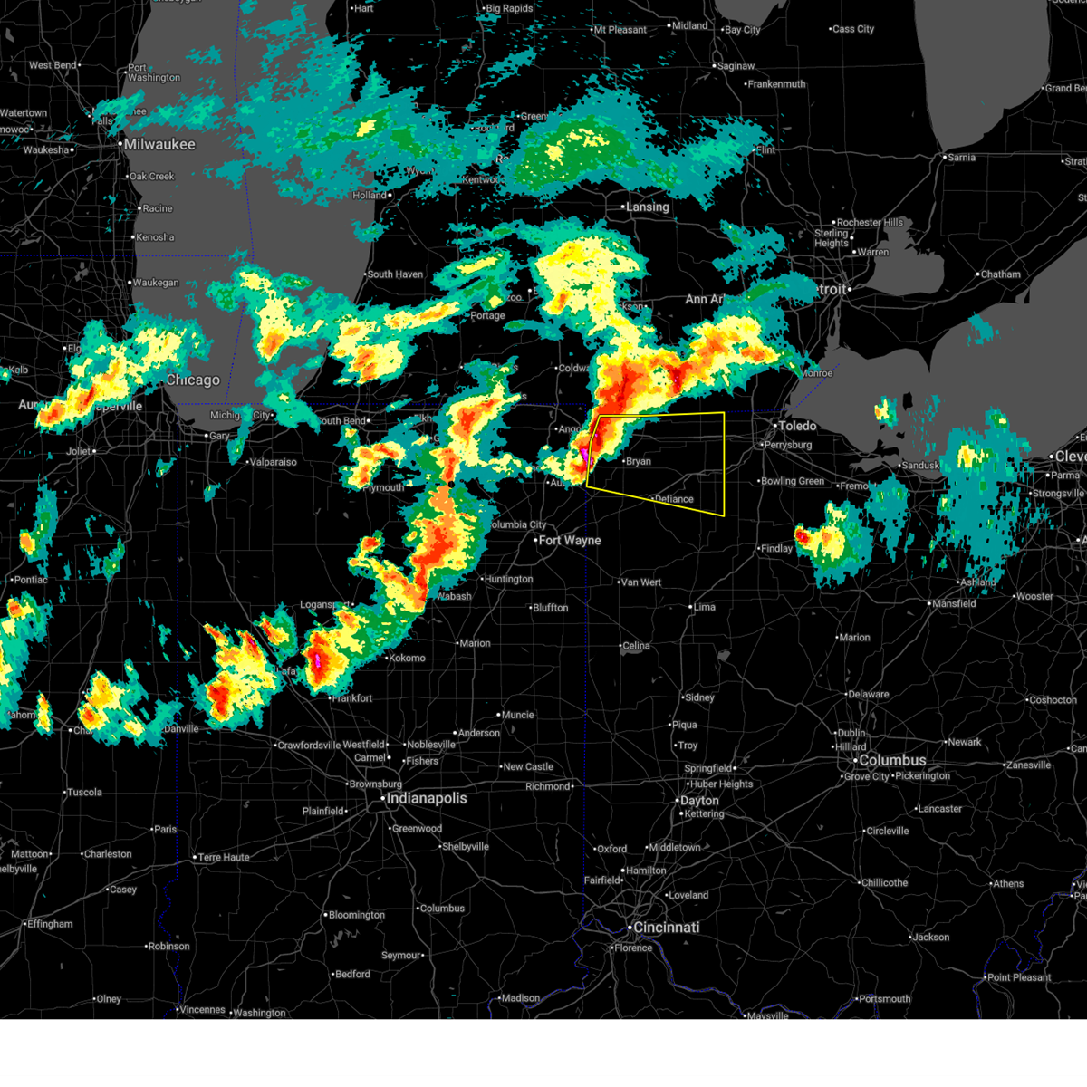
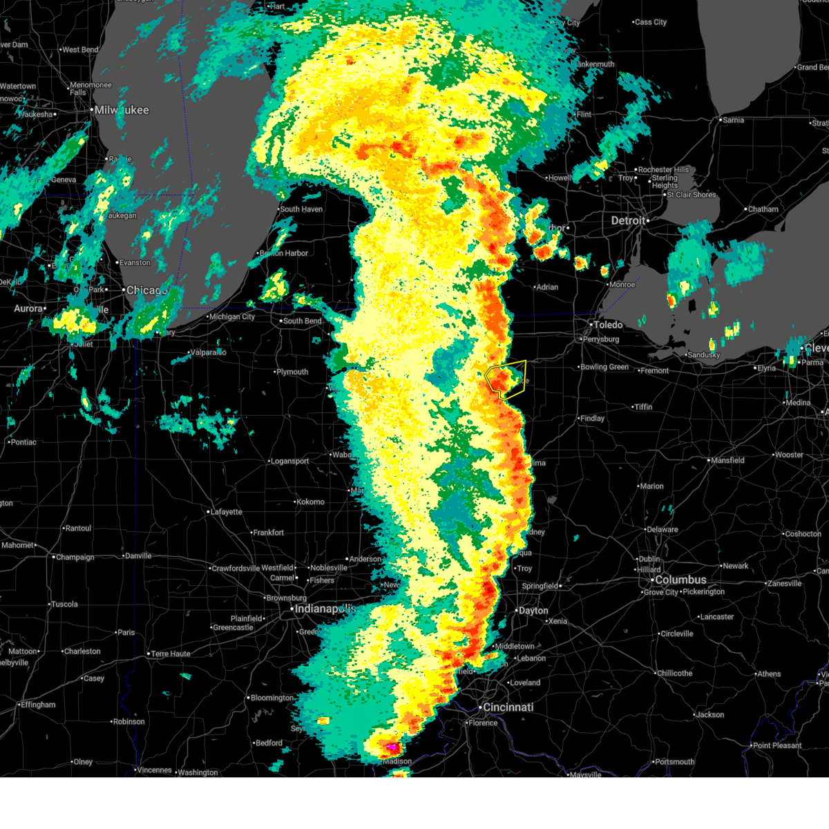
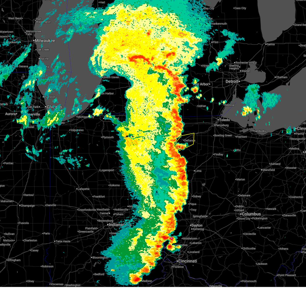
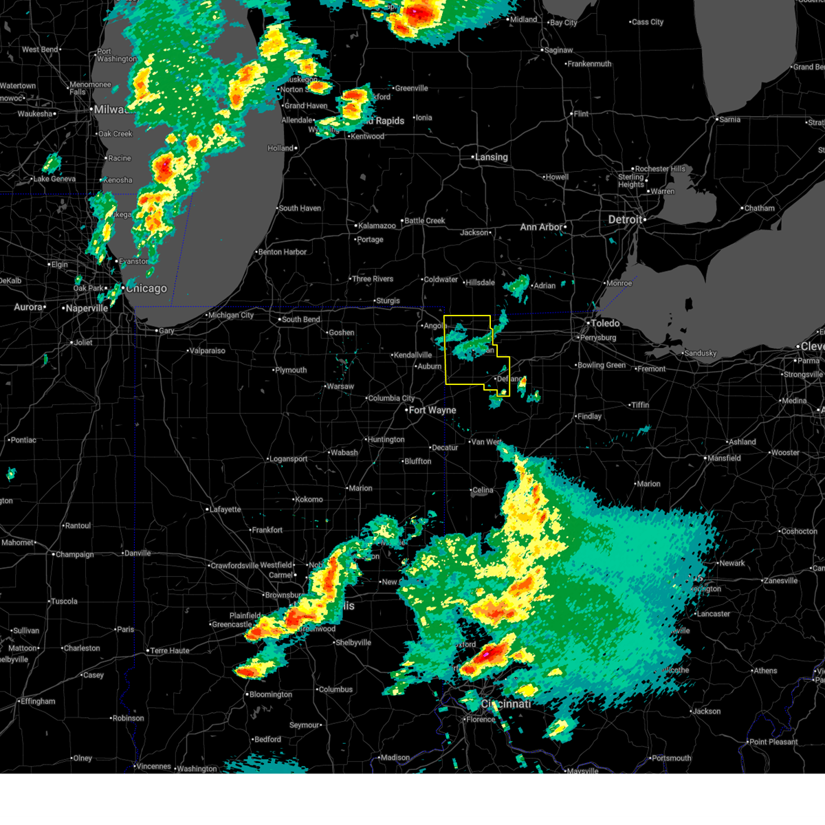
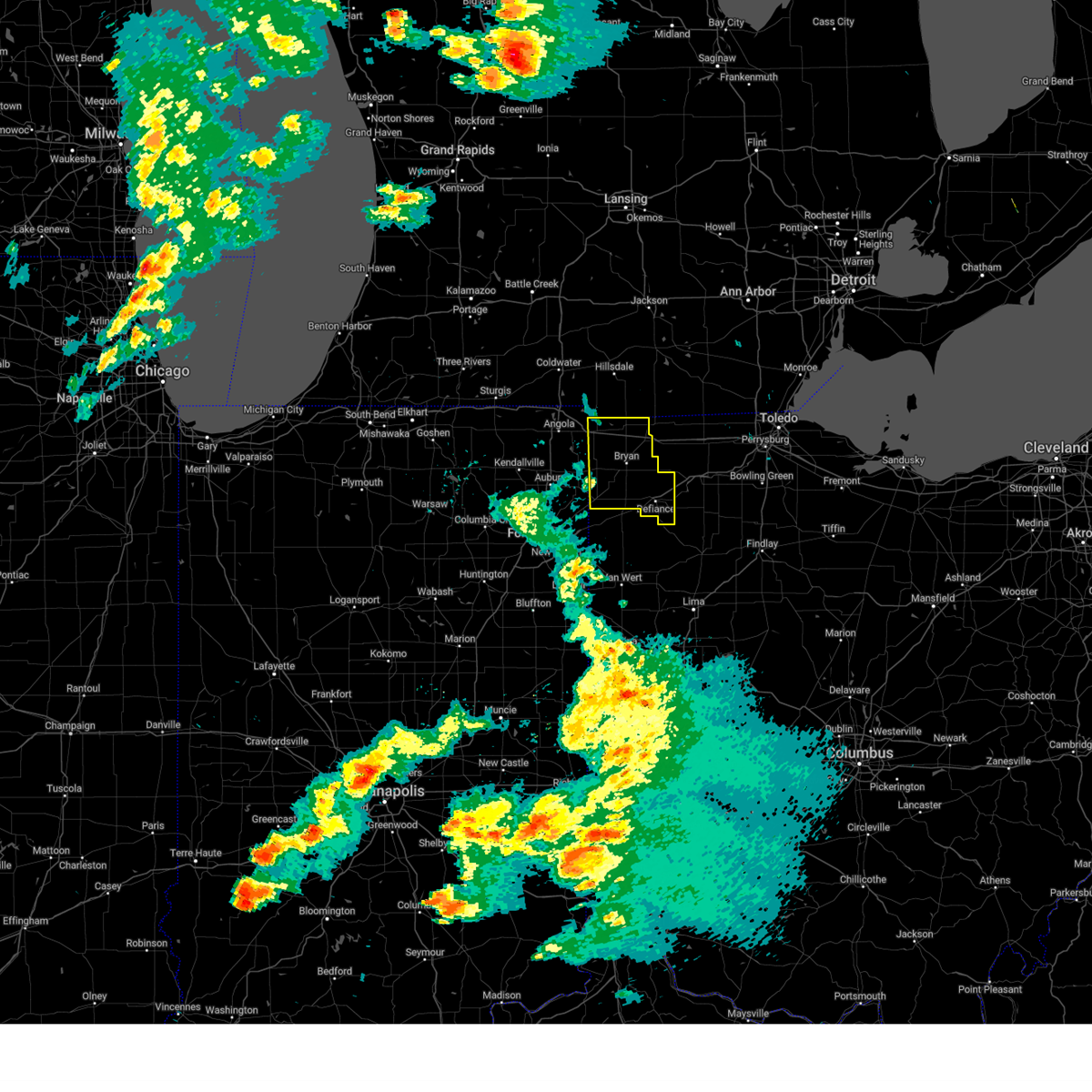
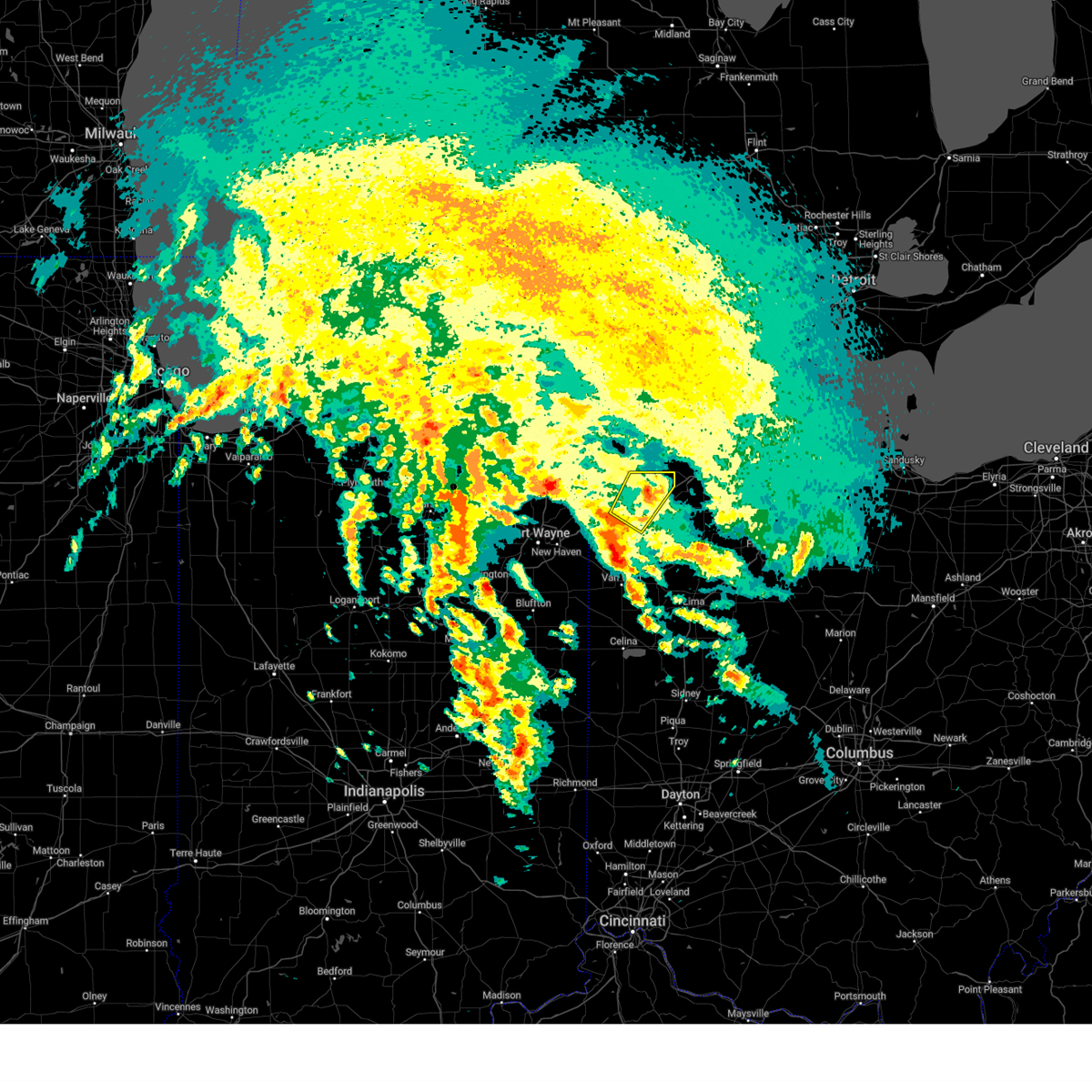
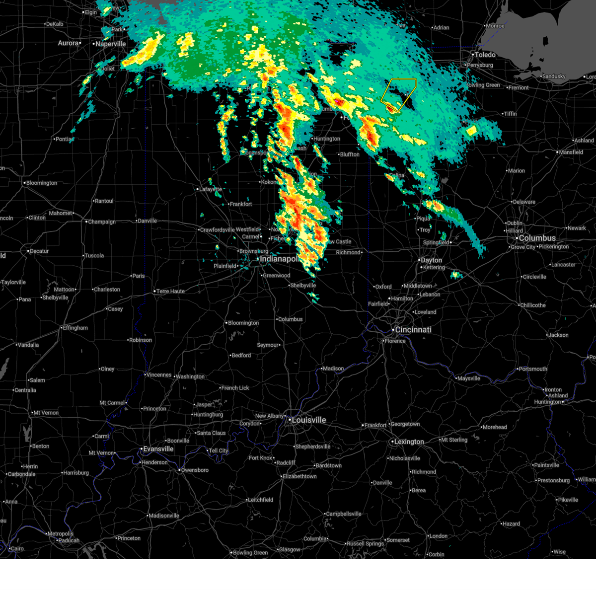
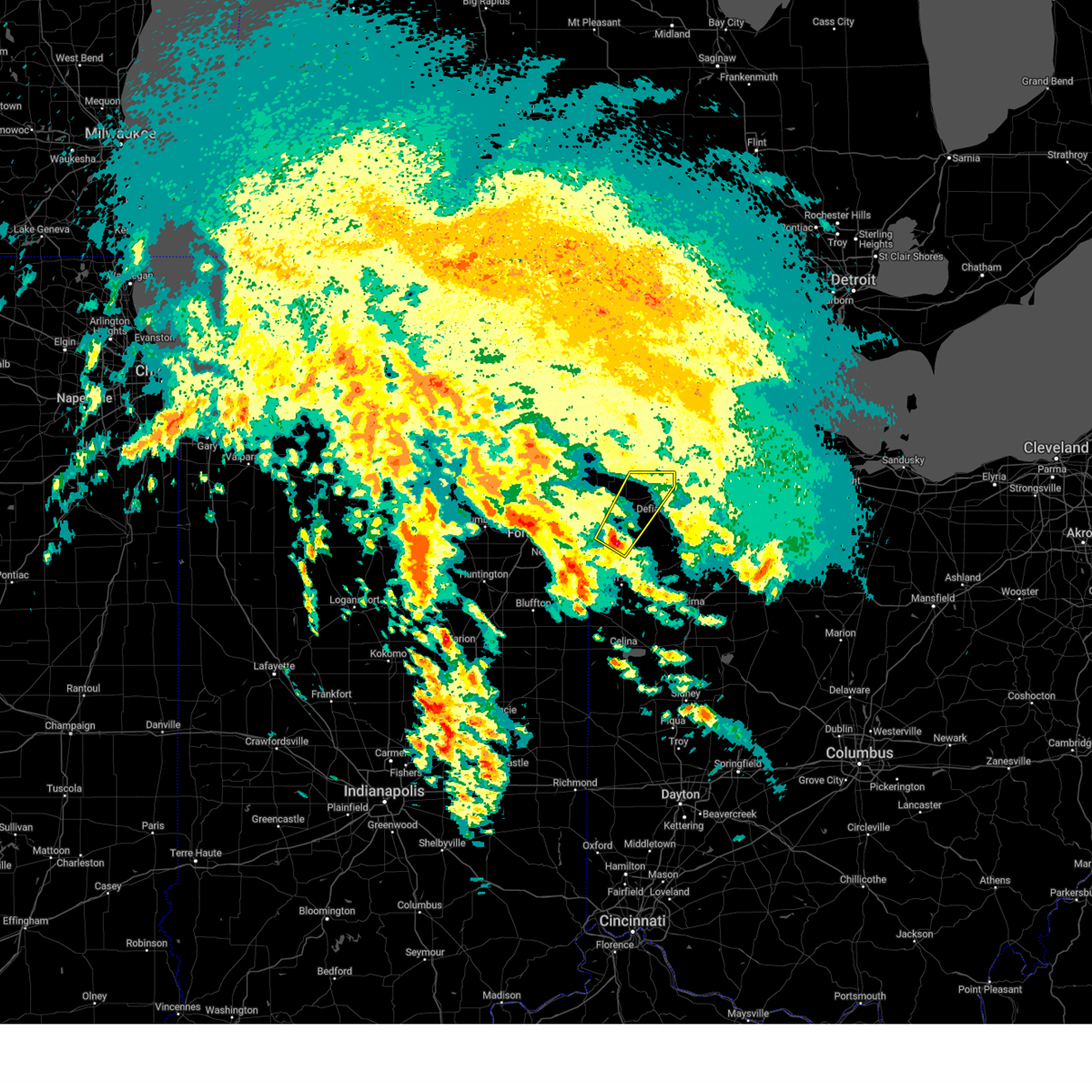
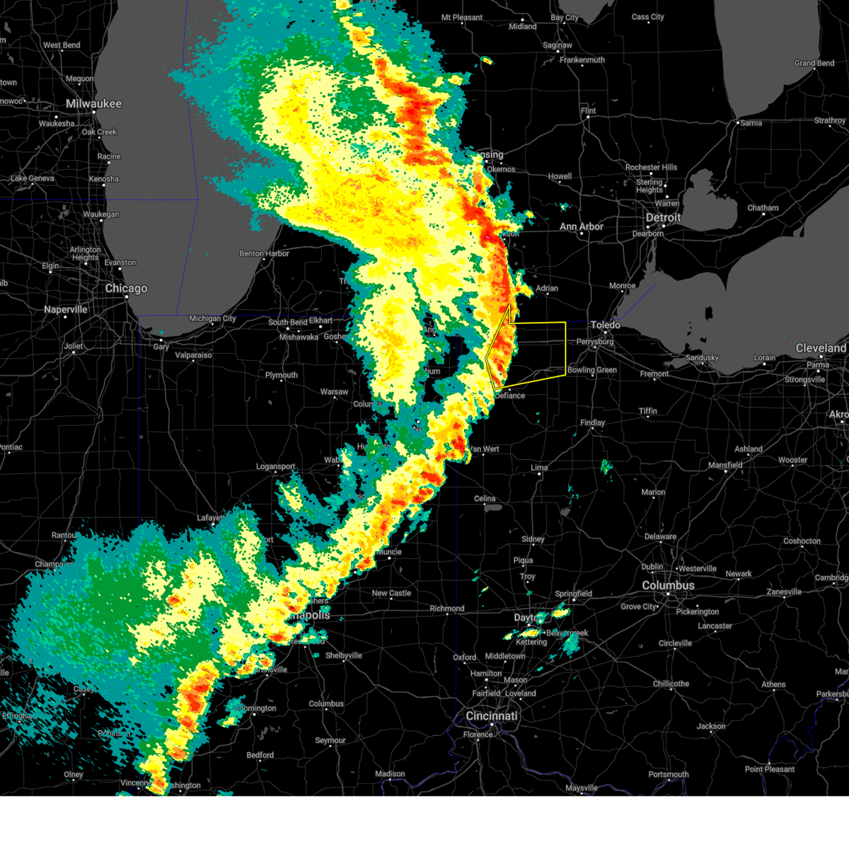
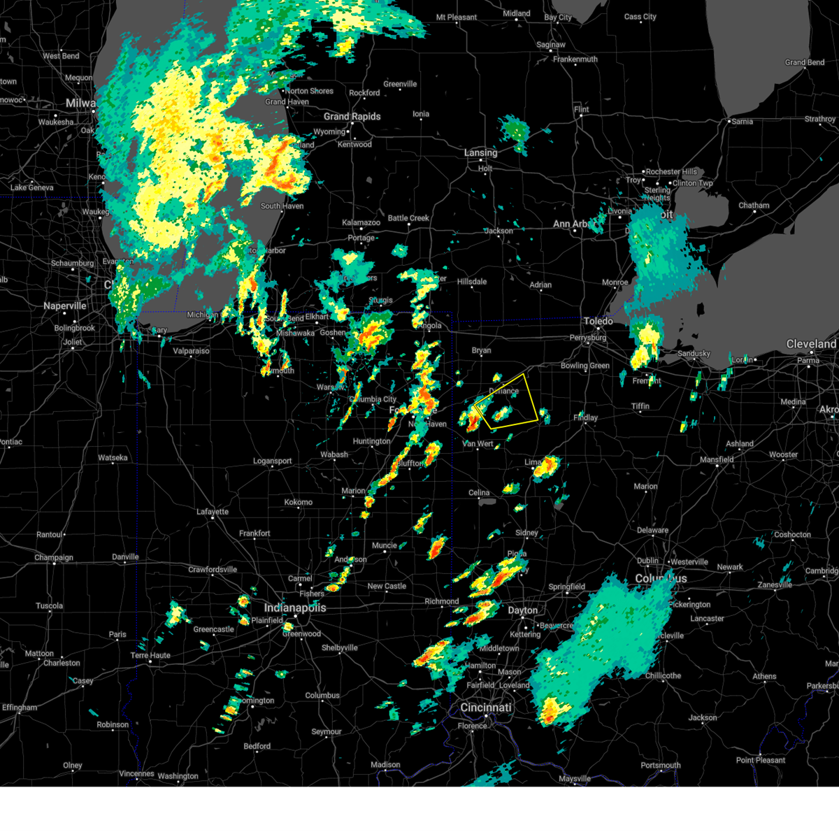
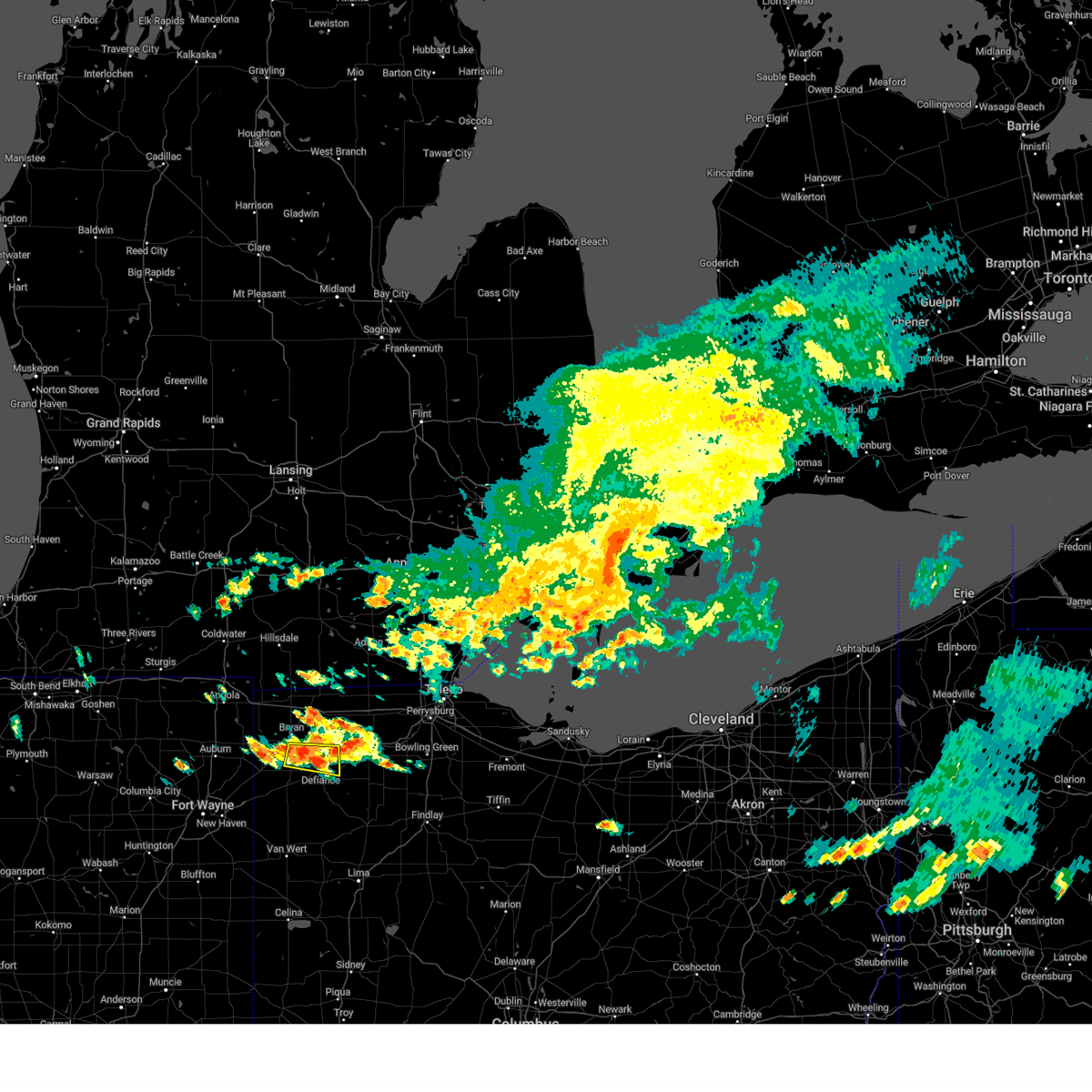
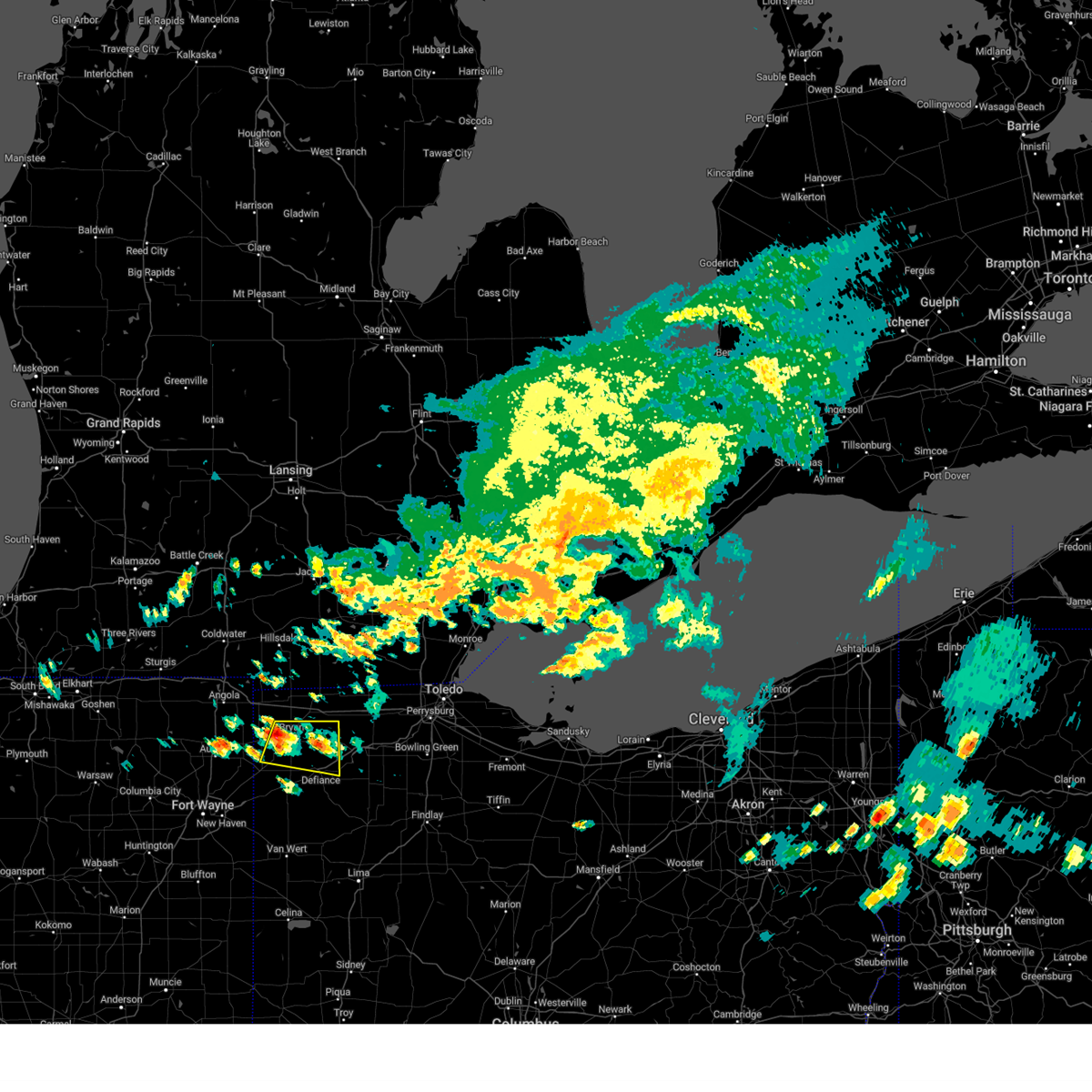
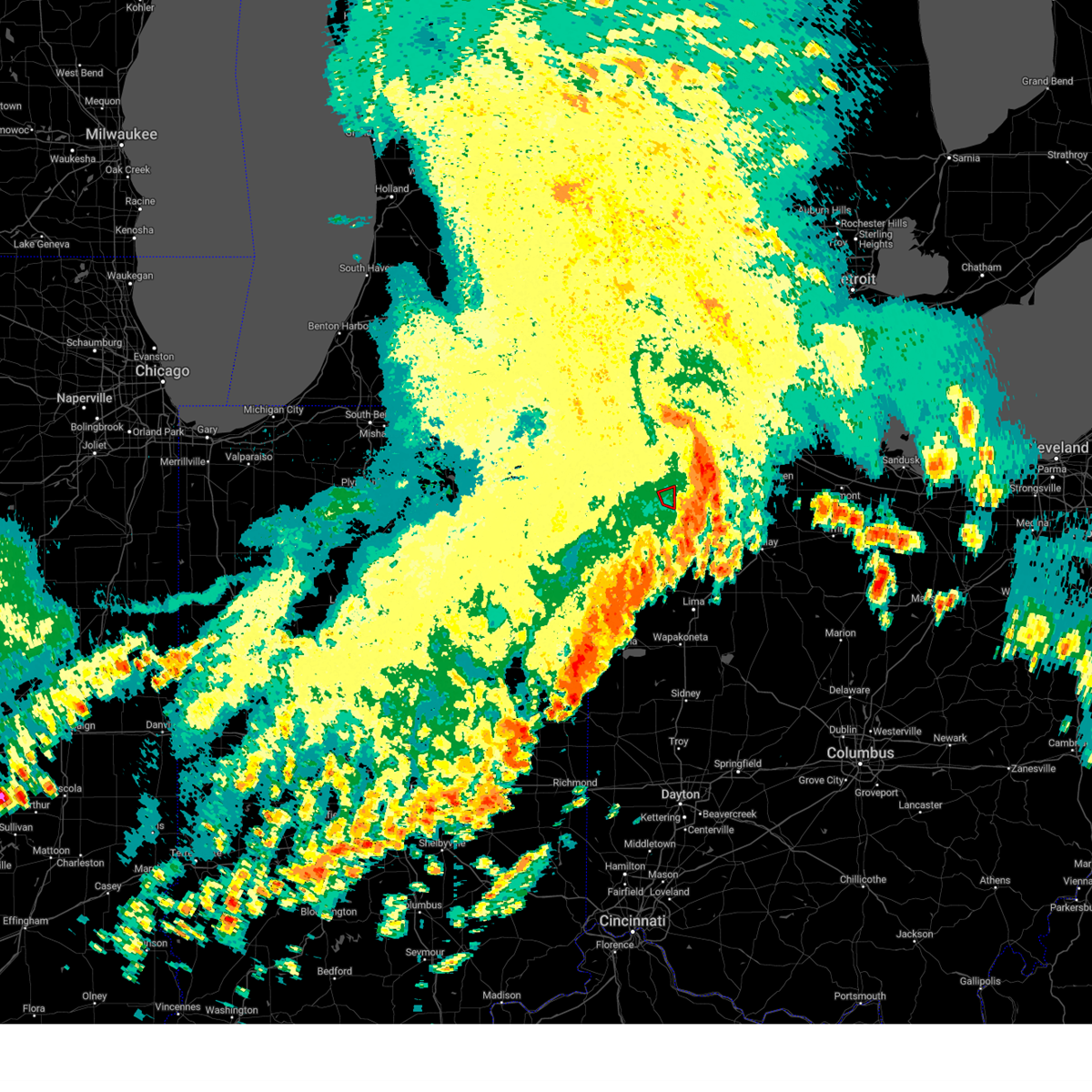
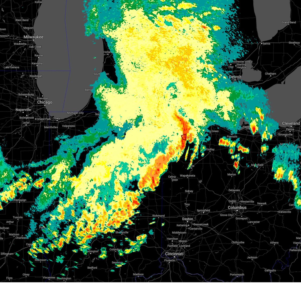
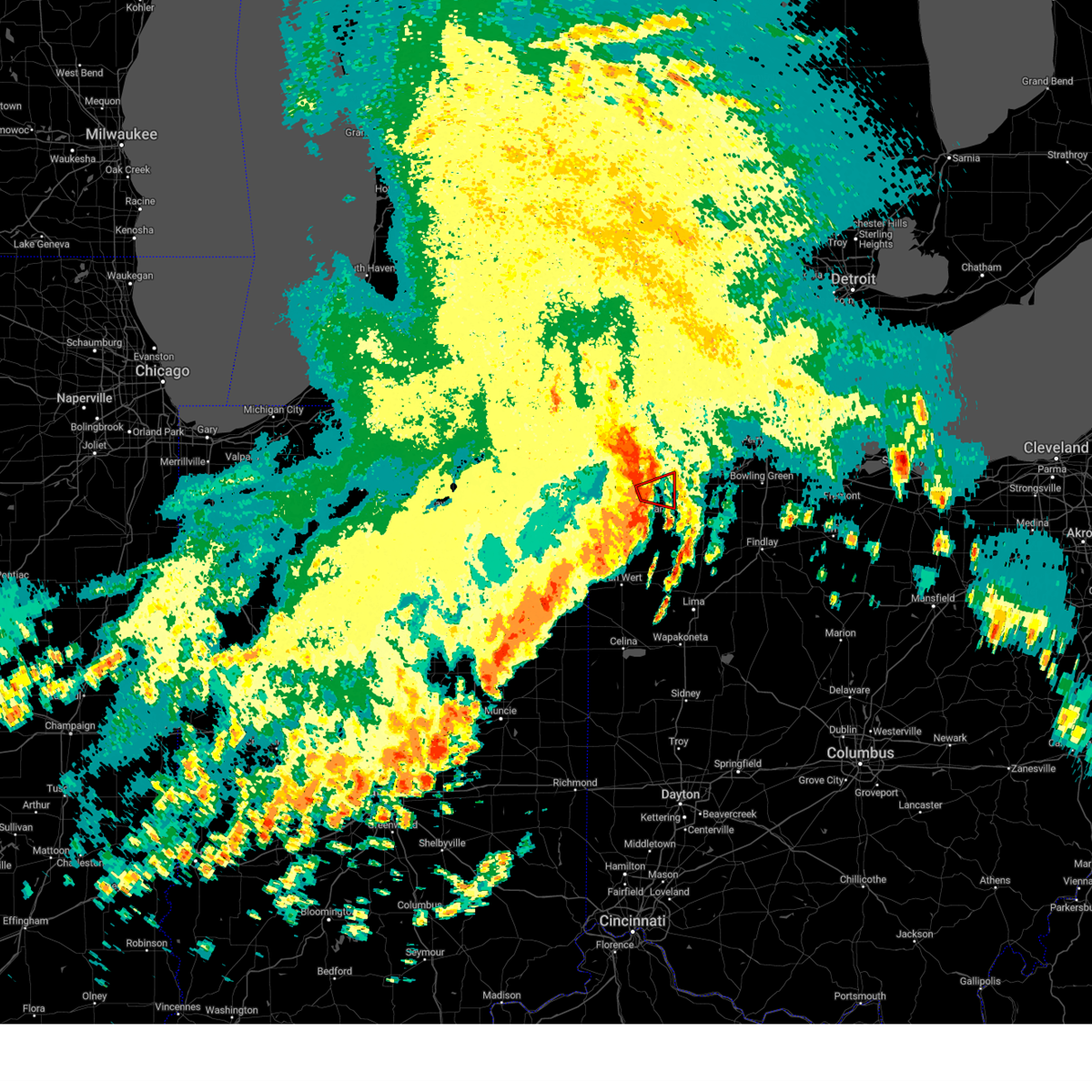
Hail Map for Defiance, OH
The Defiance, OH area has had 18 reports of on-the-ground hail by trained spotters, and has been under severe weather warnings 37 times during the past 12 months. Doppler radar has detected hail at or near Defiance, OH on 45 occasions, including 4 occasions during the past year.
| Name: | Defiance, OH |
| Where Located: | 40.5 miles ENE of Fort Wayne, IN |
| Map: | Google Map for Defiance, OH |
| Population: | 16494 |
| Housing Units: | 7435 |
| More Info: | Search Google for Defiance, OH |
4
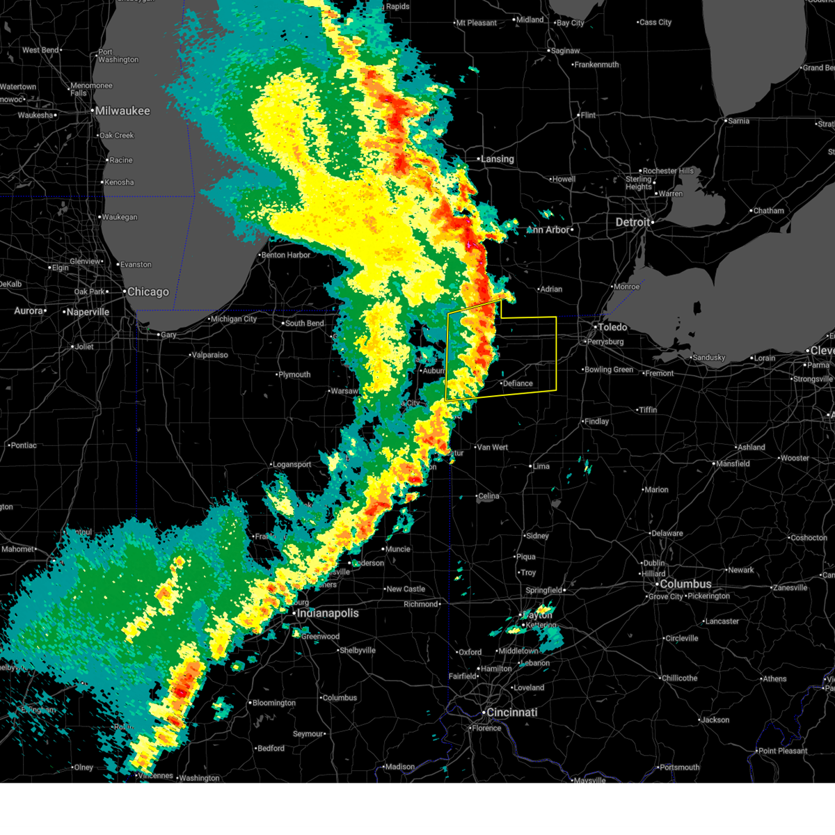
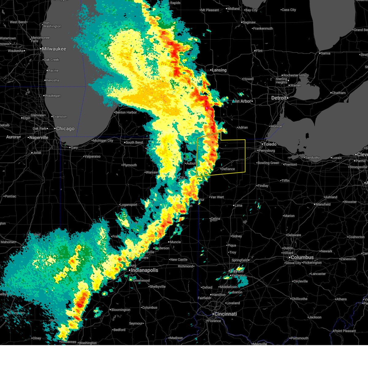
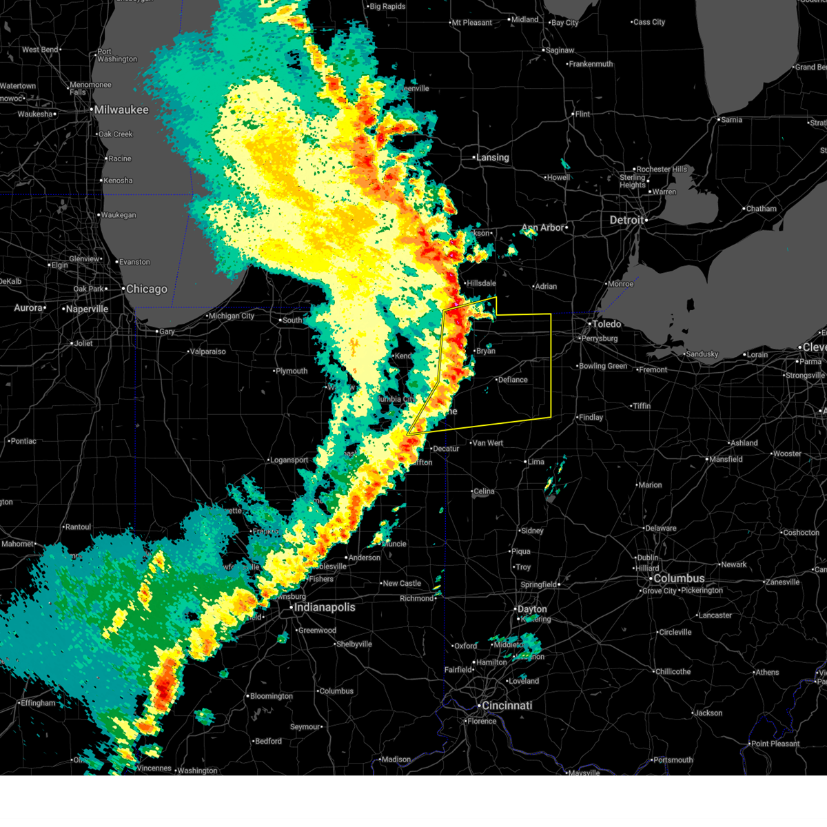
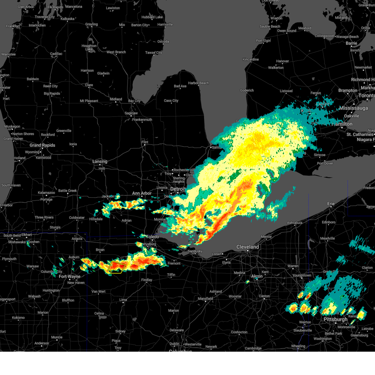
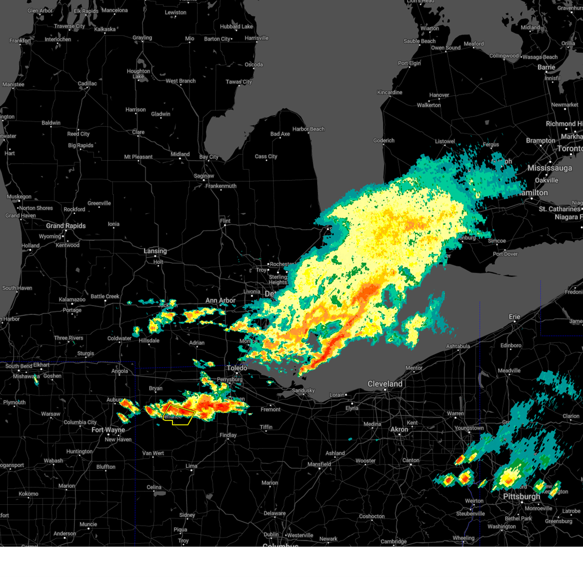
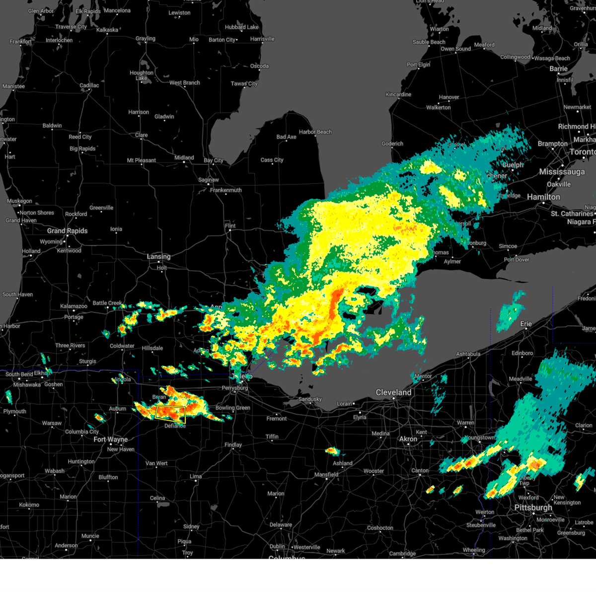
The Top Recent Hail Date for Defiance, OH is Thursday, March 26, 2026 (2nd out of 45)
Hail and Wind Damage Spotted near Defiance, OH
| Date / Time | Report Details |
|---|---|
| 6/11/2026 11:34 PM EDT |
 At 1133 pm edt, severe thunderstorms were located along a line extending from antwerp to 6 miles southeast of payne to near ohio city to 6 miles southwest of fort recovery, moving east at 60 mph (trained weather spotters). Hazards include 70 mph wind gusts. Expect considerable tree damage. damage is likely to mobile homes, roofs, and outbuildings. Locations impacted include, lima, defiance, van wert, delphos, fort shawnee, paulding, spencerville, elida, antwerp, kalida, payne, continental, convoy, ottoville, ohio city, spencerville in allen county, middlebury, middle point, fort jennings, and grover hill. At 1133 pm edt, severe thunderstorms were located along a line extending from antwerp to 6 miles southeast of payne to near ohio city to 6 miles southwest of fort recovery, moving east at 60 mph (trained weather spotters). Hazards include 70 mph wind gusts. Expect considerable tree damage. damage is likely to mobile homes, roofs, and outbuildings. Locations impacted include, lima, defiance, van wert, delphos, fort shawnee, paulding, spencerville, elida, antwerp, kalida, payne, continental, convoy, ottoville, ohio city, spencerville in allen county, middlebury, middle point, fort jennings, and grover hill.
|
| 6/11/2026 11:28 PM EDT |
 Svriwx the national weather service in northern indiana has issued a * severe thunderstorm warning for, southeastern steuben county in northeastern indiana, northeastern allen county in northeastern indiana, de kalb county in northeastern indiana, defiance county in northwestern ohio, northwestern paulding county in west central ohio, williams county in northwestern ohio, * until 1215 am edt. * at 1128 pm edt, severe thunderstorms were located along a line extending from near hamilton to near auburn to near st. joe, moving east at 50 mph (radar indicated). Hazards include 60 mph wind gusts. expect damage to roofs, siding, and trees Svriwx the national weather service in northern indiana has issued a * severe thunderstorm warning for, southeastern steuben county in northeastern indiana, northeastern allen county in northeastern indiana, de kalb county in northeastern indiana, defiance county in northwestern ohio, northwestern paulding county in west central ohio, williams county in northwestern ohio, * until 1215 am edt. * at 1128 pm edt, severe thunderstorms were located along a line extending from near hamilton to near auburn to near st. joe, moving east at 50 mph (radar indicated). Hazards include 60 mph wind gusts. expect damage to roofs, siding, and trees
|
| 6/11/2026 11:19 PM EDT |
 Svriwx the national weather service in northern indiana has issued a * severe thunderstorm warning for, southeastern allen county in northeastern indiana, adams county in northeastern indiana, jay county in east central indiana, southeastern defiance county in northwestern ohio, western putnam county in west central ohio, paulding county in west central ohio, van wert county in west central ohio, southwestern allen county in west central ohio, * until midnight edt. * at 1119 pm edt, severe thunderstorms were located along a line extending from near grabill to monroeville to near monroe to near redkey, moving east at 60 mph (surface observations). Hazards include 70 mph wind gusts. Expect considerable tree damage. Damage is likely to mobile homes, roofs, and outbuildings. Svriwx the national weather service in northern indiana has issued a * severe thunderstorm warning for, southeastern allen county in northeastern indiana, adams county in northeastern indiana, jay county in east central indiana, southeastern defiance county in northwestern ohio, western putnam county in west central ohio, paulding county in west central ohio, van wert county in west central ohio, southwestern allen county in west central ohio, * until midnight edt. * at 1119 pm edt, severe thunderstorms were located along a line extending from near grabill to monroeville to near monroe to near redkey, moving east at 60 mph (surface observations). Hazards include 70 mph wind gusts. Expect considerable tree damage. Damage is likely to mobile homes, roofs, and outbuildings.
|
| 5/18/2026 3:40 PM EDT |
 At 339 pm edt, severe thunderstorms were located along a line extending from 7 miles southeast of albion to 7 miles southeast of reading to near hicksville, moving northeast at 45 mph (radar indicated). Hazards include 60 mph wind gusts and penny size hail. Expect damage to roofs, siding, and trees. locations impacted include, defiance, bryan, hillsdale, montpelier, hicksville, jonesville, edgerton, west unity, pioneer, litchfield, stryker, reading, edon, holiday city, edgerton in williams county, long lake, jerome, somerset, columbia, and west jefferson. this includes the following highways, interstate 80 in indiana near mile marker 156. Interstate 80 in ohio between mile markers 0 and 22. At 339 pm edt, severe thunderstorms were located along a line extending from 7 miles southeast of albion to 7 miles southeast of reading to near hicksville, moving northeast at 45 mph (radar indicated). Hazards include 60 mph wind gusts and penny size hail. Expect damage to roofs, siding, and trees. locations impacted include, defiance, bryan, hillsdale, montpelier, hicksville, jonesville, edgerton, west unity, pioneer, litchfield, stryker, reading, edon, holiday city, edgerton in williams county, long lake, jerome, somerset, columbia, and west jefferson. this includes the following highways, interstate 80 in indiana near mile marker 156. Interstate 80 in ohio between mile markers 0 and 22.
|
| 5/18/2026 3:34 PM EDT |
 Svriwx the national weather service in northern indiana has issued a * severe thunderstorm warning for, southern defiance county in northwestern ohio, paulding county in west central ohio, * until 430 pm edt. * at 334 pm edt, a severe thunderstorm was located near woodburn, or 10 miles northeast of new haven, moving east at 40 mph (radar indicated). Hazards include 60 mph wind gusts. expect damage to roofs, siding, and trees Svriwx the national weather service in northern indiana has issued a * severe thunderstorm warning for, southern defiance county in northwestern ohio, paulding county in west central ohio, * until 430 pm edt. * at 334 pm edt, a severe thunderstorm was located near woodburn, or 10 miles northeast of new haven, moving east at 40 mph (radar indicated). Hazards include 60 mph wind gusts. expect damage to roofs, siding, and trees
|
| 5/18/2026 3:17 PM EDT |
 Svriwx the national weather service in northern indiana has issued a * severe thunderstorm warning for, eastern steuben county in northeastern indiana, eastern branch county in southwestern michigan, hillsdale county in southeastern michigan, defiance county in northwestern ohio, williams county in northwestern ohio, * until 400 pm edt. * at 317 pm edt, severe thunderstorms were located along a line extending from 7 miles southwest of homer to near fremont to near grabill, moving east at 45 mph (radar indicated). Hazards include 60 mph wind gusts and penny size hail. expect damage to roofs, siding, and trees Svriwx the national weather service in northern indiana has issued a * severe thunderstorm warning for, eastern steuben county in northeastern indiana, eastern branch county in southwestern michigan, hillsdale county in southeastern michigan, defiance county in northwestern ohio, williams county in northwestern ohio, * until 400 pm edt. * at 317 pm edt, severe thunderstorms were located along a line extending from 7 miles southwest of homer to near fremont to near grabill, moving east at 45 mph (radar indicated). Hazards include 60 mph wind gusts and penny size hail. expect damage to roofs, siding, and trees
|
| 4/15/2026 3:39 PM EDT |
 At 339 pm edt, a severe thunderstorm was located near holgate, or near napoleon, moving east at 55 mph (trained weather spotters). Hazards include ping pong ball size hail and 60 mph wind gusts. People and animals outdoors will be injured. expect hail damage to roofs, siding, windows, and vehicles. expect wind damage to roofs, siding, and trees. locations impacted include, defiance, napoleon, wauseon, archbold, delta, liberty center, holgate, mcclure, hamler, texas, malinta, florida, new bavaria, grelton, ridgeville corners, gerald, ayersville, colton, okolona, and brailey. This includes interstate 80 in ohio between mile markers 36 and 45. At 339 pm edt, a severe thunderstorm was located near holgate, or near napoleon, moving east at 55 mph (trained weather spotters). Hazards include ping pong ball size hail and 60 mph wind gusts. People and animals outdoors will be injured. expect hail damage to roofs, siding, windows, and vehicles. expect wind damage to roofs, siding, and trees. locations impacted include, defiance, napoleon, wauseon, archbold, delta, liberty center, holgate, mcclure, hamler, texas, malinta, florida, new bavaria, grelton, ridgeville corners, gerald, ayersville, colton, okolona, and brailey. This includes interstate 80 in ohio between mile markers 36 and 45.
|
| 4/15/2026 3:34 PM EDT |
 At 334 pm edt, a severe thunderstorm was located near defiance, moving east at 40 mph (trained weather spotters). Hazards include ping pong ball size hail and 60 mph wind gusts. People and animals outdoors will be injured. expect hail damage to roofs, siding, windows, and vehicles. expect wind damage to roofs, siding, and trees. locations impacted include, defiance, napoleon, wauseon, archbold, delta, stryker, liberty center, holgate, mcclure, hamler, texas, malinta, florida, new bavaria, evansport, grelton, arthur, ridgeville corners, gerald, and ayersville. This includes interstate 80 in ohio between mile markers 34 and 45. At 334 pm edt, a severe thunderstorm was located near defiance, moving east at 40 mph (trained weather spotters). Hazards include ping pong ball size hail and 60 mph wind gusts. People and animals outdoors will be injured. expect hail damage to roofs, siding, windows, and vehicles. expect wind damage to roofs, siding, and trees. locations impacted include, defiance, napoleon, wauseon, archbold, delta, stryker, liberty center, holgate, mcclure, hamler, texas, malinta, florida, new bavaria, evansport, grelton, arthur, ridgeville corners, gerald, and ayersville. This includes interstate 80 in ohio between mile markers 34 and 45.
|
| 4/15/2026 3:32 PM EDT | Ping Pong Ball sized hail reported 0.8 miles NW of Defiance, OH |
| 4/15/2026 3:23 PM EDT |
 At 323 pm edt, a severe thunderstorm was located near defiance, moving east at 50 mph (radar indicated). Hazards include 60 mph wind gusts and quarter size hail. Hail damage to vehicles is expected. expect wind damage to roofs, siding, and trees. locations impacted include, defiance, napoleon, bryan, wauseon, archbold, delta, stryker, liberty center, holgate, mcclure, hamler, texas, ney, malinta, florida, new bavaria, evansport, grelton, arthur, and ridgeville corners. This includes interstate 80 in ohio between mile markers 33 and 45. At 323 pm edt, a severe thunderstorm was located near defiance, moving east at 50 mph (radar indicated). Hazards include 60 mph wind gusts and quarter size hail. Hail damage to vehicles is expected. expect wind damage to roofs, siding, and trees. locations impacted include, defiance, napoleon, bryan, wauseon, archbold, delta, stryker, liberty center, holgate, mcclure, hamler, texas, ney, malinta, florida, new bavaria, evansport, grelton, arthur, and ridgeville corners. This includes interstate 80 in ohio between mile markers 33 and 45.
|
| 4/15/2026 3:15 PM EDT |
 Svriwx the national weather service in northern indiana has issued a * severe thunderstorm warning for, defiance county in northwestern ohio, northeastern paulding county in west central ohio, henry county in northwestern ohio, southeastern williams county in northwestern ohio, southern fulton county in northwestern ohio, * until 400 pm edt. * at 314 pm edt, a severe thunderstorm was located 7 miles northwest of defiance, moving east at 50 mph (radar indicated). Hazards include 60 mph wind gusts and quarter size hail. Hail damage to vehicles is expected. Expect wind damage to roofs, siding, and trees. Svriwx the national weather service in northern indiana has issued a * severe thunderstorm warning for, defiance county in northwestern ohio, northeastern paulding county in west central ohio, henry county in northwestern ohio, southeastern williams county in northwestern ohio, southern fulton county in northwestern ohio, * until 400 pm edt. * at 314 pm edt, a severe thunderstorm was located 7 miles northwest of defiance, moving east at 50 mph (radar indicated). Hazards include 60 mph wind gusts and quarter size hail. Hail damage to vehicles is expected. Expect wind damage to roofs, siding, and trees.
|
| 4/13/2026 8:00 PM EDT |
 the severe thunderstorm warning has been cancelled and is no longer in effect the severe thunderstorm warning has been cancelled and is no longer in effect
|
| 4/13/2026 7:42 PM EDT |
 Svriwx the national weather service in northern indiana has issued a * severe thunderstorm warning for, eastern defiance county in northwestern ohio, western henry county in northwestern ohio, * until 815 pm edt. * at 742 pm edt, a severe thunderstorm was located over defiance, moving northeast at 25 mph (radar indicated). Hazards include 60 mph wind gusts. expect damage to roofs, siding, and trees Svriwx the national weather service in northern indiana has issued a * severe thunderstorm warning for, eastern defiance county in northwestern ohio, western henry county in northwestern ohio, * until 815 pm edt. * at 742 pm edt, a severe thunderstorm was located over defiance, moving northeast at 25 mph (radar indicated). Hazards include 60 mph wind gusts. expect damage to roofs, siding, and trees
|
| 4/4/2026 2:35 PM EDT |
 The storm which prompted the warning has moved out of the area. therefore, the warning will be allowed to expire. however, heavy rain is still possible with this thunderstorm. The storm which prompted the warning has moved out of the area. therefore, the warning will be allowed to expire. however, heavy rain is still possible with this thunderstorm.
|
| 4/4/2026 2:23 PM EDT | Power lines down in defiance. time estimated by rada in defiance county OH, 0.6 miles WSW of Defiance, OH |
| 4/4/2026 2:23 PM EDT |
 At 223 pm edt, a severe thunderstorm was located over defiance, moving northeast at 45 mph (radar indicated). Hazards include 60 mph wind gusts. Expect damage to roofs, siding, and trees. Locations impacted include, defiance, ayersville, jewell, and brunersburg. At 223 pm edt, a severe thunderstorm was located over defiance, moving northeast at 45 mph (radar indicated). Hazards include 60 mph wind gusts. Expect damage to roofs, siding, and trees. Locations impacted include, defiance, ayersville, jewell, and brunersburg.
|
| 4/4/2026 2:23 PM EDT |
 the severe thunderstorm warning has been cancelled and is no longer in effect the severe thunderstorm warning has been cancelled and is no longer in effect
|
| 4/4/2026 2:18 PM EDT | Delayed report... from a variety of sources including ema... defiance pd... broadcast media... trained spotters... tand the public. numerous reports of large trees down in defiance county OH, 0.6 miles WSW of Defiance, OH |
| 4/4/2026 2:18 PM EDT | Power lines down. report came in from mpin in defiance county OH, 1.5 miles S of Defiance, OH |
| 4/4/2026 2:12 PM EDT |
 Svriwx the national weather service in northern indiana has issued a * severe thunderstorm warning for, eastern defiance county in northwestern ohio, northeastern paulding county in west central ohio, * until 245 pm edt. * at 212 pm edt, a severe thunderstorm was located 7 miles northeast of paulding, or 7 miles west of defiance, moving northeast at 45 mph (radar indicated). Hazards include 60 mph wind gusts. expect damage to roofs, siding, and trees Svriwx the national weather service in northern indiana has issued a * severe thunderstorm warning for, eastern defiance county in northwestern ohio, northeastern paulding county in west central ohio, * until 245 pm edt. * at 212 pm edt, a severe thunderstorm was located 7 miles northeast of paulding, or 7 miles west of defiance, moving northeast at 45 mph (radar indicated). Hazards include 60 mph wind gusts. expect damage to roofs, siding, and trees
|
| 3/31/2026 7:38 PM EDT |
 The tornadic thunderstorm which prompted the warning has moved out of the warned area. therefore, the warning will be allowed to expire. a severe thunderstorm watch remains in effect until midnight edt for northwestern and west central ohio. remember, a severe thunderstorm warning still remains in effect for southeastern defiance, northeastern paulding, southern henry, and northern putnam counties in ohio. The tornadic thunderstorm which prompted the warning has moved out of the warned area. therefore, the warning will be allowed to expire. a severe thunderstorm watch remains in effect until midnight edt for northwestern and west central ohio. remember, a severe thunderstorm warning still remains in effect for southeastern defiance, northeastern paulding, southern henry, and northern putnam counties in ohio.
|
| 3/31/2026 7:28 PM EDT | Dispatch reports roof blown off in independence. time estimated via rada in defiance county OH, 4 miles WSW of Defiance, OH |
| 3/31/2026 7:27 PM EDT | Very large tree fell onto car in defiance. unknown if any injuries. time estimated via rada in defiance county OH, 0.6 miles WSW of Defiance, OH |
| 3/31/2026 7:27 PM EDT |
 Svriwx the national weather service in northern indiana has issued a * severe thunderstorm warning for, northern putnam county in west central ohio, southeastern defiance county in northwestern ohio, northeastern paulding county in west central ohio, southeastern henry county in northwestern ohio, * until 800 pm edt. * at 727 pm edt, a severe thunderstorm was located near defiance, moving east at 65 mph (radar indicated). Hazards include 60 mph wind gusts and penny size hail. expect damage to roofs, siding, and trees Svriwx the national weather service in northern indiana has issued a * severe thunderstorm warning for, northern putnam county in west central ohio, southeastern defiance county in northwestern ohio, northeastern paulding county in west central ohio, southeastern henry county in northwestern ohio, * until 800 pm edt. * at 727 pm edt, a severe thunderstorm was located near defiance, moving east at 65 mph (radar indicated). Hazards include 60 mph wind gusts and penny size hail. expect damage to roofs, siding, and trees
|
| 3/31/2026 7:26 PM EDT |
 At 726 pm edt, a severe thunderstorm capable of producing a tornado was located near defiance, moving east at 50 mph (radar indicated rotation). Hazards include tornado. Flying debris will be dangerous to those caught without shelter. mobile homes will be damaged or destroyed. damage to roofs, windows, and vehicles will occur. tree damage is likely. this dangerous storm will be near, defiance around 730 pm edt. Other locations impacted by this tornadic thunderstorm include cecil, arthur, brunersburg, and the bend. At 726 pm edt, a severe thunderstorm capable of producing a tornado was located near defiance, moving east at 50 mph (radar indicated rotation). Hazards include tornado. Flying debris will be dangerous to those caught without shelter. mobile homes will be damaged or destroyed. damage to roofs, windows, and vehicles will occur. tree damage is likely. this dangerous storm will be near, defiance around 730 pm edt. Other locations impacted by this tornadic thunderstorm include cecil, arthur, brunersburg, and the bend.
|
| 3/31/2026 7:25 PM EDT | Large tree uprooted onto home at the intersection of cromley rd and sr 111. time estimated via rada in defiance county OH, 5.1 miles NE of Defiance, OH |
| 3/31/2026 7:23 PM EDT | Dispatch reports roof blown of in defiance county OH, 3.2 miles W of Defiance, OH |
| 3/31/2026 7:20 PM EDT |
 At 720 pm edt, a severe thunderstorm was located 7 miles northeast of paulding, or 7 miles southwest of defiance, moving east at 60 mph (radar indicated). Hazards include 60 mph wind gusts and penny size hail. Expect damage to roofs, siding, and trees. Locations impacted include, defiance, paulding, dupont, melrose, cecil, jewell, arthur, brunersburg, charloe, mark center, ayersville, and the bend. At 720 pm edt, a severe thunderstorm was located 7 miles northeast of paulding, or 7 miles southwest of defiance, moving east at 60 mph (radar indicated). Hazards include 60 mph wind gusts and penny size hail. Expect damage to roofs, siding, and trees. Locations impacted include, defiance, paulding, dupont, melrose, cecil, jewell, arthur, brunersburg, charloe, mark center, ayersville, and the bend.
|
| 3/31/2026 7:13 PM EDT |
 At 713 pm edt, a severe thunderstorm was located near antwerp, or 7 miles southeast of hicksville, moving east at 60 mph (radar indicated). Hazards include 60 mph wind gusts and penny size hail. Expect damage to roofs, siding, and trees. Locations impacted include, defiance, hicksville, paulding, antwerp, dupont, melrose, cecil, jewell, arthur, charloe, ayersville, the bend, brunersburg, and mark center. At 713 pm edt, a severe thunderstorm was located near antwerp, or 7 miles southeast of hicksville, moving east at 60 mph (radar indicated). Hazards include 60 mph wind gusts and penny size hail. Expect damage to roofs, siding, and trees. Locations impacted include, defiance, hicksville, paulding, antwerp, dupont, melrose, cecil, jewell, arthur, charloe, ayersville, the bend, brunersburg, and mark center.
|
| 3/31/2026 7:13 PM EDT |
 the severe thunderstorm warning has been cancelled and is no longer in effect the severe thunderstorm warning has been cancelled and is no longer in effect
|
| 3/31/2026 7:10 PM EDT |
 Toriwx the national weather service in northern indiana has issued a * tornado warning for, central defiance county in northwestern ohio, northern paulding county in west central ohio, * until 745 pm edt. * at 710 pm edt, a severe thunderstorm capable of producing a tornado was located near hicksville, moving east at 50 mph (radar indicated rotation). Hazards include tornado. Flying debris will be dangerous to those caught without shelter. mobile homes will be damaged or destroyed. damage to roofs, windows, and vehicles will occur. tree damage is likely. this dangerous storm will be near, defiance around 725 pm edt. Other locations impacted by this tornadic thunderstorm include mark center, cecil, arthur, brunersburg, and the bend. Toriwx the national weather service in northern indiana has issued a * tornado warning for, central defiance county in northwestern ohio, northern paulding county in west central ohio, * until 745 pm edt. * at 710 pm edt, a severe thunderstorm capable of producing a tornado was located near hicksville, moving east at 50 mph (radar indicated rotation). Hazards include tornado. Flying debris will be dangerous to those caught without shelter. mobile homes will be damaged or destroyed. damage to roofs, windows, and vehicles will occur. tree damage is likely. this dangerous storm will be near, defiance around 725 pm edt. Other locations impacted by this tornadic thunderstorm include mark center, cecil, arthur, brunersburg, and the bend.
|
| 3/31/2026 7:03 PM EDT |
 Svriwx the national weather service in northern indiana has issued a * severe thunderstorm warning for, northeastern allen county in northeastern indiana, southeastern de kalb county in northeastern indiana, northwestern putnam county in west central ohio, central defiance county in northwestern ohio, northern paulding county in west central ohio, * until 730 pm edt. * at 703 pm edt, a severe thunderstorm was located near hicksville, moving east at 60 mph (radar indicated). Hazards include 60 mph wind gusts and penny size hail. expect damage to roofs, siding, and trees Svriwx the national weather service in northern indiana has issued a * severe thunderstorm warning for, northeastern allen county in northeastern indiana, southeastern de kalb county in northeastern indiana, northwestern putnam county in west central ohio, central defiance county in northwestern ohio, northern paulding county in west central ohio, * until 730 pm edt. * at 703 pm edt, a severe thunderstorm was located near hicksville, moving east at 60 mph (radar indicated). Hazards include 60 mph wind gusts and penny size hail. expect damage to roofs, siding, and trees
|
| 3/31/2026 3:43 PM EDT |
 The storms which prompted the warning have moved out of the area. therefore, the warning will be allowed to expire. however, gusty winds are still possible with these thunderstorms. a severe thunderstorm watch remains in effect until 600 pm edt for northwestern and west central ohio. The storms which prompted the warning have moved out of the area. therefore, the warning will be allowed to expire. however, gusty winds are still possible with these thunderstorms. a severe thunderstorm watch remains in effect until 600 pm edt for northwestern and west central ohio.
|
| 3/31/2026 3:33 PM EDT |
 At 332 pm edt, severe thunderstorms were located along a line extending from near liberty center to near deshler, moving east at 50 mph (radar indicated). Hazards include 60 mph wind gusts. Expect damage to roofs, siding, and trees. Locations impacted include, defiance, napoleon, deshler, liberty center, holgate, mcclure, hamler, texas, malinta, florida, new bavaria, evansport, gallup, grelton, jewell, ridgeville corners, gerald, pleasant bend, ayersville, and colton. At 332 pm edt, severe thunderstorms were located along a line extending from near liberty center to near deshler, moving east at 50 mph (radar indicated). Hazards include 60 mph wind gusts. Expect damage to roofs, siding, and trees. Locations impacted include, defiance, napoleon, deshler, liberty center, holgate, mcclure, hamler, texas, malinta, florida, new bavaria, evansport, gallup, grelton, jewell, ridgeville corners, gerald, pleasant bend, ayersville, and colton.
|
| 3/31/2026 3:27 PM EDT |
 The storms which prompted the warning have weakened below severe limits, and have exited the warned area. therefore, the warning will be allowed to expire. however, gusty winds are still possible with these thunderstorms. a severe thunderstorm watch remains in effect until 600 pm edt for northwestern and west central ohio. to report severe weather, contact your nearest law enforcement agency. they will relay your report to the national weather service northern indiana. The storms which prompted the warning have weakened below severe limits, and have exited the warned area. therefore, the warning will be allowed to expire. however, gusty winds are still possible with these thunderstorms. a severe thunderstorm watch remains in effect until 600 pm edt for northwestern and west central ohio. to report severe weather, contact your nearest law enforcement agency. they will relay your report to the national weather service northern indiana.
|
| 3/31/2026 3:15 PM EDT |
 the severe thunderstorm warning has been cancelled and is no longer in effect the severe thunderstorm warning has been cancelled and is no longer in effect
|
| 3/31/2026 3:15 PM EDT |
 At 314 pm edt, severe thunderstorms were located along a line extending from near paulding to 6 miles northeast of convoy, moving east at 45 mph (radar indicated). Hazards include 60 mph wind gusts. Expect damage to roofs, siding, and trees. Locations impacted include, defiance, paulding, payne, melrose, haviland, latty, cecil, broughton, evansport, worstville, arthur, charloe, tipton, the bend, brunersburg, and briceton. At 314 pm edt, severe thunderstorms were located along a line extending from near paulding to 6 miles northeast of convoy, moving east at 45 mph (radar indicated). Hazards include 60 mph wind gusts. Expect damage to roofs, siding, and trees. Locations impacted include, defiance, paulding, payne, melrose, haviland, latty, cecil, broughton, evansport, worstville, arthur, charloe, tipton, the bend, brunersburg, and briceton.
|
| 3/31/2026 3:10 PM EDT |
 Svriwx the national weather service in northern indiana has issued a * severe thunderstorm warning for, eastern defiance county in northwestern ohio, henry county in northwestern ohio, * until 345 pm edt. * at 308 pm edt, severe thunderstorms were located along a line extending from 6 miles north of defiance to 7 miles northwest of continental, moving east at 65 mph (radar indicated). Hazards include 60 mph wind gusts. expect damage to roofs, siding, and trees Svriwx the national weather service in northern indiana has issued a * severe thunderstorm warning for, eastern defiance county in northwestern ohio, henry county in northwestern ohio, * until 345 pm edt. * at 308 pm edt, severe thunderstorms were located along a line extending from 6 miles north of defiance to 7 miles northwest of continental, moving east at 65 mph (radar indicated). Hazards include 60 mph wind gusts. expect damage to roofs, siding, and trees
|
| 3/31/2026 2:59 PM EDT |
 the severe thunderstorm warning has been cancelled and is no longer in effect the severe thunderstorm warning has been cancelled and is no longer in effect
|
| 3/31/2026 2:59 PM EDT |
 At 258 pm edt, severe thunderstorms were located along a line extending from 8 miles south of bryan to near paulding, moving east at 50 mph (radar indicated). Hazards include 60 mph wind gusts. Expect damage to roofs, siding, and trees. Locations impacted include, defiance, hicksville, paulding, antwerp, woodburn, payne, ney, melrose, haviland, latty, cecil, broughton, evansport, arthur, charloe, edgerton in allen county, zulu, mcgill, brunersburg, and townley. At 258 pm edt, severe thunderstorms were located along a line extending from 8 miles south of bryan to near paulding, moving east at 50 mph (radar indicated). Hazards include 60 mph wind gusts. Expect damage to roofs, siding, and trees. Locations impacted include, defiance, hicksville, paulding, antwerp, woodburn, payne, ney, melrose, haviland, latty, cecil, broughton, evansport, arthur, charloe, edgerton in allen county, zulu, mcgill, brunersburg, and townley.
|
| 3/31/2026 2:43 PM EDT |
 Svriwx the national weather service in northern indiana has issued a * severe thunderstorm warning for, northeastern allen county in northeastern indiana, southeastern de kalb county in northeastern indiana, defiance county in northwestern ohio, paulding county in west central ohio, southeastern williams county in northwestern ohio, * until 330 pm edt. * at 242 pm edt, severe thunderstorms were located along a line extending from near st. joe to near antwerp to near monroeville, moving east at 45 mph (radar indicated). Hazards include 60 mph wind gusts. expect damage to roofs, siding, and trees Svriwx the national weather service in northern indiana has issued a * severe thunderstorm warning for, northeastern allen county in northeastern indiana, southeastern de kalb county in northeastern indiana, defiance county in northwestern ohio, paulding county in west central ohio, southeastern williams county in northwestern ohio, * until 330 pm edt. * at 242 pm edt, severe thunderstorms were located along a line extending from near st. joe to near antwerp to near monroeville, moving east at 45 mph (radar indicated). Hazards include 60 mph wind gusts. expect damage to roofs, siding, and trees
|
| 3/26/2026 7:39 PM EDT |
 The storms which prompted the warning have moved out of the area. therefore, the warning will be allowed to expire. however, small hail and heavy rain are still possible with these thunderstorms. a tornado watch remains in effect until 1100 pm edt for northwestern ohio. The storms which prompted the warning have moved out of the area. therefore, the warning will be allowed to expire. however, small hail and heavy rain are still possible with these thunderstorms. a tornado watch remains in effect until 1100 pm edt for northwestern ohio.
|
| 3/26/2026 7:20 PM EDT | Quarter sized hail reported 0.6 miles WSW of Defiance, OH, reported by trained spotter. |
| 3/26/2026 7:18 PM EDT |
 At 717 pm edt, severe thunderstorms were located along a line extending from near wauseon to near napoleon to defiance, moving east at 75 mph. reports of up to golf ball size hail have been reported with the southern most storm when it moved through henry county (radar indicated). Hazards include golf ball size hail and 60 mph wind gusts. People and animals outdoors will be injured. expect hail damage to roofs, siding, windows, and vehicles. expect wind damage to roofs, siding, and trees. locations impacted include, defiance, napoleon, wauseon, archbold, swanton, delta, deshler, liberty center, holgate, mcclure, metamora, hamler, lyons, texas, malinta, florida, evansport, oakshade, grelton, and seward. This includes interstate 80 in ohio between mile markers 26 and 48. At 717 pm edt, severe thunderstorms were located along a line extending from near wauseon to near napoleon to defiance, moving east at 75 mph. reports of up to golf ball size hail have been reported with the southern most storm when it moved through henry county (radar indicated). Hazards include golf ball size hail and 60 mph wind gusts. People and animals outdoors will be injured. expect hail damage to roofs, siding, windows, and vehicles. expect wind damage to roofs, siding, and trees. locations impacted include, defiance, napoleon, wauseon, archbold, swanton, delta, deshler, liberty center, holgate, mcclure, metamora, hamler, lyons, texas, malinta, florida, evansport, oakshade, grelton, and seward. This includes interstate 80 in ohio between mile markers 26 and 48.
|
| 3/26/2026 7:17 PM EDT | Quarter sized hail reported 5.5 miles WSW of Defiance, OH, dime to quarter sized hail. |
| 3/26/2026 7:13 PM EDT | Golf Ball sized hail reported 0.6 miles WSW of Defiance, OH, photo on facebook showing a hailstone the size of a golf ball. time estimated via radar. |
| 3/26/2026 7:13 PM EDT | Ping Pong Ball sized hail reported 0.6 miles WSW of Defiance, OH |
| 3/26/2026 7:12 PM EDT | Ping Pong Ball sized hail reported 1.6 miles SSW of Defiance, OH, between half dollar and ping pong sized hail. |
| 3/26/2026 7:12 PM EDT | Quarter sized hail reported 4.7 miles SE of Defiance, OH, time estimated from radar. |
| 3/26/2026 7:12 PM EDT | Quarter sized hail reported 4.3 miles S of Defiance, OH |
| 3/26/2026 7:12 PM EDT | Quarter sized hail reported 4.9 miles WNW of Defiance, OH, photo on facebook showing numerous quarter size hailstones in ayersville. time estimated via radar. |
| 3/26/2026 7:11 PM EDT | Golf Ball sized hail reported 11.5 miles SSW of Defiance, OH, report from mping: golf ball (1.75 in.). |
| 3/26/2026 7:10 PM EDT | Ping Pong Ball sized hail reported 2.4 miles SSE of Defiance, OH, hail around half-dollar to ping pong sized. |
| 3/26/2026 7:08 PM EDT | Golf Ball sized hail reported 2.4 miles SSE of Defiance, OH, hail between quarter and golf ball size reported just after 7 pm in brunersburg. |
| 3/26/2026 7:08 PM EDT |
 At 707 pm edt, severe thunderstorms were located along a line extending from near fayette to near stryker to 9 miles west of defiance, moving east at 75 mph. reports of quarter size hail have been received near bryan as well as stryker, ohio (radar indicated). Hazards include ping pong ball size hail and 60 mph wind gusts. People and animals outdoors will be injured. expect hail damage to roofs, siding, windows, and vehicles. expect wind damage to roofs, siding, and trees. locations impacted include, defiance, napoleon, bryan, wauseon, archbold, montpelier, swanton, delta, deshler, west unity, stryker, fayette, liberty center, holgate, mcclure, holiday city, west jefferson, pulaski, farmer, and metamora. This includes interstate 80 in ohio between mile markers 14 and 48. At 707 pm edt, severe thunderstorms were located along a line extending from near fayette to near stryker to 9 miles west of defiance, moving east at 75 mph. reports of quarter size hail have been received near bryan as well as stryker, ohio (radar indicated). Hazards include ping pong ball size hail and 60 mph wind gusts. People and animals outdoors will be injured. expect hail damage to roofs, siding, windows, and vehicles. expect wind damage to roofs, siding, and trees. locations impacted include, defiance, napoleon, bryan, wauseon, archbold, montpelier, swanton, delta, deshler, west unity, stryker, fayette, liberty center, holgate, mcclure, holiday city, west jefferson, pulaski, farmer, and metamora. This includes interstate 80 in ohio between mile markers 14 and 48.
|
| 3/26/2026 6:55 PM EDT |
 Svriwx the national weather service in northern indiana has issued a * severe thunderstorm warning for, defiance county in northwestern ohio, henry county in northwestern ohio, williams county in northwestern ohio, fulton county in northwestern ohio, * until 745 pm edt. * at 654 pm edt, severe thunderstorms were located along a line extending from near pioneer to near montpelier to near edgerton in williams county, moving east at 75 mph (radar indicated). Hazards include 60 mph wind gusts and half dollar size hail. Hail damage to vehicles is expected. Expect wind damage to roofs, siding, and trees. Svriwx the national weather service in northern indiana has issued a * severe thunderstorm warning for, defiance county in northwestern ohio, henry county in northwestern ohio, williams county in northwestern ohio, fulton county in northwestern ohio, * until 745 pm edt. * at 654 pm edt, severe thunderstorms were located along a line extending from near pioneer to near montpelier to near edgerton in williams county, moving east at 75 mph (radar indicated). Hazards include 60 mph wind gusts and half dollar size hail. Hail damage to vehicles is expected. Expect wind damage to roofs, siding, and trees.
|
| 6/18/2025 6:50 PM EDT |
 the severe thunderstorm warning has been cancelled and is no longer in effect the severe thunderstorm warning has been cancelled and is no longer in effect
|
| 6/18/2025 6:50 PM EDT |
 At 650 pm edt, a severe thunderstorm was located over defiance, moving northeast at 45 mph (radar indicated). Hazards include 60 mph wind gusts and quarter size hail. Hail damage to vehicles is expected. expect wind damage to roofs, siding, and trees. Locations impacted include, defiance, napoleon, holgate, florida, jewell, brunersburg, okolona, ayersville, and standley. At 650 pm edt, a severe thunderstorm was located over defiance, moving northeast at 45 mph (radar indicated). Hazards include 60 mph wind gusts and quarter size hail. Hail damage to vehicles is expected. expect wind damage to roofs, siding, and trees. Locations impacted include, defiance, napoleon, holgate, florida, jewell, brunersburg, okolona, ayersville, and standley.
|
| 6/18/2025 6:36 PM EDT |
 Svriwx the national weather service in northern indiana has issued a * severe thunderstorm warning for, eastern defiance county in northwestern ohio, northeastern paulding county in west central ohio, central henry county in northwestern ohio, * until 700 pm edt. * at 635 pm edt, a severe thunderstorm was located near defiance, moving northeast at 45 mph (radar indicated). Hazards include 60 mph wind gusts and quarter size hail. Hail damage to vehicles is expected. Expect wind damage to roofs, siding, and trees. Svriwx the national weather service in northern indiana has issued a * severe thunderstorm warning for, eastern defiance county in northwestern ohio, northeastern paulding county in west central ohio, central henry county in northwestern ohio, * until 700 pm edt. * at 635 pm edt, a severe thunderstorm was located near defiance, moving northeast at 45 mph (radar indicated). Hazards include 60 mph wind gusts and quarter size hail. Hail damage to vehicles is expected. Expect wind damage to roofs, siding, and trees.
|
| 5/16/2025 9:05 PM EDT |
 the severe thunderstorm warning has been cancelled and is no longer in effect the severe thunderstorm warning has been cancelled and is no longer in effect
|
| 5/16/2025 8:29 PM EDT |
 Svriwx the national weather service in northern indiana has issued a * severe thunderstorm warning for, defiance county in northwestern ohio, williams county in northwestern ohio, * until 930 pm edt. * at 829 pm edt, severe thunderstorms were located along a line extending from 8 miles north of edon to near hicksville, moving northeast at 55 mph (radar indicated). Hazards include 70 mph wind gusts. Expect considerable tree damage. Damage is likely to mobile homes, roofs, and outbuildings. Svriwx the national weather service in northern indiana has issued a * severe thunderstorm warning for, defiance county in northwestern ohio, williams county in northwestern ohio, * until 930 pm edt. * at 829 pm edt, severe thunderstorms were located along a line extending from 8 miles north of edon to near hicksville, moving northeast at 55 mph (radar indicated). Hazards include 70 mph wind gusts. Expect considerable tree damage. Damage is likely to mobile homes, roofs, and outbuildings.
|
| 4/2/2025 11:31 PM EDT |
 At 1130 pm edt, severe thunderstorms were located along a line extending from defiance to 6 miles northwest of glandorf, moving northeast at 60 mph (radar indicated). Hazards include 60 mph wind gusts. Expect damage to roofs, siding, and trees. Locations impacted include, hamler, malinta, gallup, jewell, grelton, deshler, pleasant bend, new bavaria, liberty center, ayersville, florida, napoleon, colton, texas, okolona, elery, holgate, mcclure, standley, and defiance. At 1130 pm edt, severe thunderstorms were located along a line extending from defiance to 6 miles northwest of glandorf, moving northeast at 60 mph (radar indicated). Hazards include 60 mph wind gusts. Expect damage to roofs, siding, and trees. Locations impacted include, hamler, malinta, gallup, jewell, grelton, deshler, pleasant bend, new bavaria, liberty center, ayersville, florida, napoleon, colton, texas, okolona, elery, holgate, mcclure, standley, and defiance.
|
| 4/2/2025 11:31 PM EDT |
 the severe thunderstorm warning has been cancelled and is no longer in effect the severe thunderstorm warning has been cancelled and is no longer in effect
|
| 4/2/2025 11:19 PM EDT |
 Svriwx the national weather service in northern indiana has issued a * severe thunderstorm warning for, eastern defiance county in northwestern ohio, northeastern paulding county in west central ohio, henry county in northwestern ohio, * until midnight edt. * at 1119 pm edt, severe thunderstorms were located along a line extending from 7 miles southwest of defiance to ottoville, moving northeast at 50 mph (radar indicated). Hazards include 60 mph wind gusts. expect damage to roofs, siding, and trees Svriwx the national weather service in northern indiana has issued a * severe thunderstorm warning for, eastern defiance county in northwestern ohio, northeastern paulding county in west central ohio, henry county in northwestern ohio, * until midnight edt. * at 1119 pm edt, severe thunderstorms were located along a line extending from 7 miles southwest of defiance to ottoville, moving northeast at 50 mph (radar indicated). Hazards include 60 mph wind gusts. expect damage to roofs, siding, and trees
|
| 4/2/2025 8:19 AM EDT | Quarter sized hail reported 4.4 miles SE of Defiance, OH, report from mping: quarter (1.00 in.). |
| 4/2/2025 8:11 AM EDT |
 The storm which prompted the warning has weakened below severe limits, and no longer poses an immediate threat to life or property. therefore, the warning will be allowed to expire. The storm which prompted the warning has weakened below severe limits, and no longer poses an immediate threat to life or property. therefore, the warning will be allowed to expire.
|
| 4/2/2025 8:06 AM EDT |
 At 805 am edt, a severe thunderstorm was located 7 miles west of defiance, moving northeast at 75 mph (emergency management reported hail near dixon, in). Hazards include half dollar size hail. Damage to vehicles is expected. Locations impacted include, evansport, ney, jewell, brunersburg, defiance, cecil, and the bend. At 805 am edt, a severe thunderstorm was located 7 miles west of defiance, moving northeast at 75 mph (emergency management reported hail near dixon, in). Hazards include half dollar size hail. Damage to vehicles is expected. Locations impacted include, evansport, ney, jewell, brunersburg, defiance, cecil, and the bend.
|
| 4/2/2025 7:58 AM EDT |
 Svriwx the national weather service in northern indiana has issued a * severe thunderstorm warning for, eastern defiance county in northwestern ohio, central paulding county in west central ohio, * until 815 am edt. * at 757 am edt, a severe thunderstorm was located over paulding, or 14 miles southeast of hicksville, moving northeast at 75 mph (emergency management reported half dollar size hail near dixon). Hazards include half dollar size hail. damage to vehicles is expected Svriwx the national weather service in northern indiana has issued a * severe thunderstorm warning for, eastern defiance county in northwestern ohio, central paulding county in west central ohio, * until 815 am edt. * at 757 am edt, a severe thunderstorm was located over paulding, or 14 miles southeast of hicksville, moving northeast at 75 mph (emergency management reported half dollar size hail near dixon). Hazards include half dollar size hail. damage to vehicles is expected
|
| 3/30/2025 6:25 PM EDT |
 Svriwx the national weather service in northern indiana has issued a * severe thunderstorm warning for, northeastern defiance county in northwestern ohio, northern henry county in northwestern ohio, fulton county in northwestern ohio, * until 700 pm edt. * at 625 pm edt, severe thunderstorms were located along a line extending from near morenci to 7 miles north of defiance, moving east at 50 mph (radar indicated). Hazards include 60 mph wind gusts and nickel size hail. expect damage to roofs, siding, and trees Svriwx the national weather service in northern indiana has issued a * severe thunderstorm warning for, northeastern defiance county in northwestern ohio, northern henry county in northwestern ohio, fulton county in northwestern ohio, * until 700 pm edt. * at 625 pm edt, severe thunderstorms were located along a line extending from near morenci to 7 miles north of defiance, moving east at 50 mph (radar indicated). Hazards include 60 mph wind gusts and nickel size hail. expect damage to roofs, siding, and trees
|
| 3/30/2025 6:18 PM EDT |
 the severe thunderstorm warning has been cancelled and is no longer in effect the severe thunderstorm warning has been cancelled and is no longer in effect
|
| 3/30/2025 6:18 PM EDT |
 At 618 pm edt, severe thunderstorms were located along a line extending from near west unity to 6 miles southeast of bryan, moving northeast at 45 mph (radar indicated). Hazards include 60 mph wind gusts and nickel size hail. Expect damage to roofs, siding, and trees. locations impacted include, lyons, evansport, oakshade, swanton, ney, alvordton, stryker, seward, ridgeville corners, gerald, denson, waldron, liberty center, fayette, pulaski, assumption, colton, tedrow, brunersburg, and wauseon. This includes interstate 80 in ohio between mile markers 17 and 48. At 618 pm edt, severe thunderstorms were located along a line extending from near west unity to 6 miles southeast of bryan, moving northeast at 45 mph (radar indicated). Hazards include 60 mph wind gusts and nickel size hail. Expect damage to roofs, siding, and trees. locations impacted include, lyons, evansport, oakshade, swanton, ney, alvordton, stryker, seward, ridgeville corners, gerald, denson, waldron, liberty center, fayette, pulaski, assumption, colton, tedrow, brunersburg, and wauseon. This includes interstate 80 in ohio between mile markers 17 and 48.
|
| 3/30/2025 6:08 PM EDT |
 the severe thunderstorm warning has been cancelled and is no longer in effect the severe thunderstorm warning has been cancelled and is no longer in effect
|
| 3/30/2025 6:08 PM EDT |
 At 608 pm edt, severe thunderstorms were located along a line extending from 7 miles northeast of pioneer to near hicksville, moving northeast at 50 mph (radar indicated). Hazards include 60 mph wind gusts and nickel size hail. Expect damage to roofs, siding, and trees. locations impacted include, ney, grelton, seward, ridgeville corners, gerald, liberty center, fayette, lake seneca, tedrow, brunersburg, wauseon, antwerp, okolona, mark center, ottokee, kunkle, bryan, jewell, pettisville, and bridgewater center. this includes the following highways, interstate 80 in indiana near mile marker 156. Interstate 80 in ohio between mile markers 0 and 48. At 608 pm edt, severe thunderstorms were located along a line extending from 7 miles northeast of pioneer to near hicksville, moving northeast at 50 mph (radar indicated). Hazards include 60 mph wind gusts and nickel size hail. Expect damage to roofs, siding, and trees. locations impacted include, ney, grelton, seward, ridgeville corners, gerald, liberty center, fayette, lake seneca, tedrow, brunersburg, wauseon, antwerp, okolona, mark center, ottokee, kunkle, bryan, jewell, pettisville, and bridgewater center. this includes the following highways, interstate 80 in indiana near mile marker 156. Interstate 80 in ohio between mile markers 0 and 48.
|
| 3/30/2025 5:57 PM EDT |
 At 557 pm edt, severe thunderstorms were located along a line extending from 8 miles west of pioneer to woodburn, moving northeast at 45 mph (radar indicated). Hazards include 70 mph wind gusts and nickel size hail. Expect considerable tree damage. damage is likely to mobile homes, roofs, and outbuildings. locations impacted include, paulding, grelton, ridgeville corners, gerald, liberty center, fayette, lake seneca, zulu, tedrow, antwerp, latty, okolona, mark center, kunkle, worstville, bryan, poe, hessen cassel, florida, and winameg. this includes the following highways, interstate 469 between mile markers 12 and 22. interstate 80 in indiana near mile marker 156. Interstate 80 in ohio between mile markers 0 and 48. At 557 pm edt, severe thunderstorms were located along a line extending from 8 miles west of pioneer to woodburn, moving northeast at 45 mph (radar indicated). Hazards include 70 mph wind gusts and nickel size hail. Expect considerable tree damage. damage is likely to mobile homes, roofs, and outbuildings. locations impacted include, paulding, grelton, ridgeville corners, gerald, liberty center, fayette, lake seneca, zulu, tedrow, antwerp, latty, okolona, mark center, kunkle, worstville, bryan, poe, hessen cassel, florida, and winameg. this includes the following highways, interstate 469 between mile markers 12 and 22. interstate 80 in indiana near mile marker 156. Interstate 80 in ohio between mile markers 0 and 48.
|
| 3/30/2025 5:34 PM EDT |
 Svriwx the national weather service in northern indiana has issued a * severe thunderstorm warning for, steuben county in northeastern indiana, allen county in northeastern indiana, de kalb county in northeastern indiana, southern hillsdale county in southeastern michigan, northern putnam county in west central ohio, defiance county in northwestern ohio, paulding county in west central ohio, henry county in northwestern ohio, northwestern van wert county in west central ohio, williams county in northwestern ohio, fulton county in northwestern ohio, * until 630 pm edt. * at 533 pm edt, severe thunderstorms were located along a line extending from angola to near ossian, moving east at 70 mph (radar indicated). Hazards include 70 mph wind gusts and nickel size hail. Expect considerable tree damage. Damage is likely to mobile homes, roofs, and outbuildings. Svriwx the national weather service in northern indiana has issued a * severe thunderstorm warning for, steuben county in northeastern indiana, allen county in northeastern indiana, de kalb county in northeastern indiana, southern hillsdale county in southeastern michigan, northern putnam county in west central ohio, defiance county in northwestern ohio, paulding county in west central ohio, henry county in northwestern ohio, northwestern van wert county in west central ohio, williams county in northwestern ohio, fulton county in northwestern ohio, * until 630 pm edt. * at 533 pm edt, severe thunderstorms were located along a line extending from angola to near ossian, moving east at 70 mph (radar indicated). Hazards include 70 mph wind gusts and nickel size hail. Expect considerable tree damage. Damage is likely to mobile homes, roofs, and outbuildings.
|
| 9/24/2024 4:54 PM EDT |
 At 454 pm edt, a severe thunderstorm was located near continental, or 11 miles south of defiance, moving northeast at 35 mph (radar indicated). Hazards include 60 mph wind gusts and quarter size hail. Hail damage to vehicles is expected. expect wind damage to roofs, siding, and trees. Locations impacted include, defiance, paulding, continental, holgate, grover hill, dupont, melrose, florida, cloverdale, miller city, broughton, new bavaria, kieferville, arthur, charloe, pleasant bend, ayersville, roselms, north creek, and mandale. At 454 pm edt, a severe thunderstorm was located near continental, or 11 miles south of defiance, moving northeast at 35 mph (radar indicated). Hazards include 60 mph wind gusts and quarter size hail. Hail damage to vehicles is expected. expect wind damage to roofs, siding, and trees. Locations impacted include, defiance, paulding, continental, holgate, grover hill, dupont, melrose, florida, cloverdale, miller city, broughton, new bavaria, kieferville, arthur, charloe, pleasant bend, ayersville, roselms, north creek, and mandale.
|
| 9/24/2024 4:36 PM EDT |
 Svriwx the national weather service in northern indiana has issued a * severe thunderstorm warning for, southeastern defiance county in northwestern ohio, northwestern putnam county in west central ohio, eastern paulding county in west central ohio, south central henry county in northwestern ohio, * until 530 pm edt. * at 436 pm edt, a severe thunderstorm was located near paulding, or 13 miles north of van wert, moving northeast at 35 mph (radar indicated). Hazards include quarter size hail. damage to vehicles is expected Svriwx the national weather service in northern indiana has issued a * severe thunderstorm warning for, southeastern defiance county in northwestern ohio, northwestern putnam county in west central ohio, eastern paulding county in west central ohio, south central henry county in northwestern ohio, * until 530 pm edt. * at 436 pm edt, a severe thunderstorm was located near paulding, or 13 miles north of van wert, moving northeast at 35 mph (radar indicated). Hazards include quarter size hail. damage to vehicles is expected
|
| 8/6/2024 3:20 PM EDT | Power lines downe in defiance county OH, 6.3 miles NW of Defiance, OH |
| 8/6/2024 3:07 PM EDT |
 At 306 pm edt, a severe thunderstorm was located near defiance, moving east at 25 mph (radar indicated). Hazards include 60 mph wind gusts and penny size hail. Expect damage to roofs, siding, and trees. Locations impacted include, defiance, holgate, florida, new bavaria, jewell, pleasant bend, ayersville, and standley. At 306 pm edt, a severe thunderstorm was located near defiance, moving east at 25 mph (radar indicated). Hazards include 60 mph wind gusts and penny size hail. Expect damage to roofs, siding, and trees. Locations impacted include, defiance, holgate, florida, new bavaria, jewell, pleasant bend, ayersville, and standley.
|
| 8/6/2024 2:56 PM EDT |
 Svriwx the national weather service in northern indiana has issued a * severe thunderstorm warning for, southeastern defiance county in northwestern ohio, south central henry county in northwestern ohio, * until 330 pm edt. * at 256 pm edt, a severe thunderstorm was located over defiance, moving east at 25 mph (radar indicated). Hazards include 60 mph wind gusts and penny size hail. expect damage to roofs, siding, and trees Svriwx the national weather service in northern indiana has issued a * severe thunderstorm warning for, southeastern defiance county in northwestern ohio, south central henry county in northwestern ohio, * until 330 pm edt. * at 256 pm edt, a severe thunderstorm was located over defiance, moving east at 25 mph (radar indicated). Hazards include 60 mph wind gusts and penny size hail. expect damage to roofs, siding, and trees
|
| 8/6/2024 2:53 PM EDT | Asos station kdfi defianc in defiance county OH, 4.7 miles SE of Defiance, OH |
| 8/6/2024 2:31 PM EDT | A 20 foot tree was down in okolona. time estimated from rada in defiance county OH, 9.2 miles SW of Defiance, OH |
| 8/6/2024 2:20 PM EDT |
 At 219 pm edt, a severe thunderstorm was located near bryan, moving southeast at 20 mph (radar indicated). Hazards include 60 mph wind gusts and penny size hail. Expect damage to roofs, siding, and trees. Locations impacted include, defiance, ney, jewell, and brunersburg. At 219 pm edt, a severe thunderstorm was located near bryan, moving southeast at 20 mph (radar indicated). Hazards include 60 mph wind gusts and penny size hail. Expect damage to roofs, siding, and trees. Locations impacted include, defiance, ney, jewell, and brunersburg.
|
| 8/6/2024 2:20 PM EDT |
 the severe thunderstorm warning has been cancelled and is no longer in effect the severe thunderstorm warning has been cancelled and is no longer in effect
|
| 8/6/2024 2:04 PM EDT |
 Svriwx the national weather service in northern indiana has issued a * severe thunderstorm warning for, northern defiance county in northwestern ohio, northwestern henry county in northwestern ohio, southwestern fulton county in northwestern ohio, southeastern williams county in northwestern ohio, * until 245 pm edt. * at 204 pm edt, a severe thunderstorm was located near edgerton, or near bryan, moving east at 30 mph (radar indicated). Hazards include 60 mph wind gusts and penny size hail. damage to roofs, siding, and trees possible Svriwx the national weather service in northern indiana has issued a * severe thunderstorm warning for, northern defiance county in northwestern ohio, northwestern henry county in northwestern ohio, southwestern fulton county in northwestern ohio, southeastern williams county in northwestern ohio, * until 245 pm edt. * at 204 pm edt, a severe thunderstorm was located near edgerton, or near bryan, moving east at 30 mph (radar indicated). Hazards include 60 mph wind gusts and penny size hail. damage to roofs, siding, and trees possible
|
| 6/5/2024 2:25 PM EDT | Several powerlines downe in defiance county OH, 6.7 miles SSW of Defiance, OH |
| 6/5/2024 2:15 PM EDT | Several powerlines downe in defiance county OH, 1.6 miles NE of Defiance, OH |
| 4/17/2024 2:06 PM EDT |
 The storms which prompted the warning will be moving out of the warned area. therefore, the warning will be allowed to expire. a tornado watch remains in effect until 700 pm edt for northeastern indiana, and northwestern and west central ohio. The storms which prompted the warning will be moving out of the warned area. therefore, the warning will be allowed to expire. a tornado watch remains in effect until 700 pm edt for northeastern indiana, and northwestern and west central ohio.
|
| 4/17/2024 1:47 PM EDT |
 Svriwx the national weather service in northern indiana has issued a * severe thunderstorm warning for, northeastern allen county in northeastern indiana, southeastern de kalb county in northeastern indiana, defiance county in northwestern ohio, northwestern paulding county in west central ohio, southern williams county in northwestern ohio, * until 215 pm edt. * at 146 pm edt, severe thunderstorms were located along a line extending from near edgerton in williams county to near hicksville, moving east at 40 mph (radar indicated). Hazards include 60 mph wind gusts. expect damage to roofs, siding, and trees Svriwx the national weather service in northern indiana has issued a * severe thunderstorm warning for, northeastern allen county in northeastern indiana, southeastern de kalb county in northeastern indiana, defiance county in northwestern ohio, northwestern paulding county in west central ohio, southern williams county in northwestern ohio, * until 215 pm edt. * at 146 pm edt, severe thunderstorms were located along a line extending from near edgerton in williams county to near hicksville, moving east at 40 mph (radar indicated). Hazards include 60 mph wind gusts. expect damage to roofs, siding, and trees
|
| 7/29/2023 3:39 AM EDT |
 The tornado warning for east central defiance county will expire at 345 am edt, the storm which prompted the warning has weakened below severe limits, and has exited the warned area. therefore, the warning will be allowed to expire. a severe thunderstorm watch remains in effect until 500 am edt for northwestern ohio. The tornado warning for east central defiance county will expire at 345 am edt, the storm which prompted the warning has weakened below severe limits, and has exited the warned area. therefore, the warning will be allowed to expire. a severe thunderstorm watch remains in effect until 500 am edt for northwestern ohio.
|
| 7/29/2023 3:27 AM EDT |
 At 327 am edt, a severe thunderstorm capable of producing a tornado was located near holgate, or near defiance, moving east at 40 mph (radar indicated rotation). Hazards include tornado. Flying debris will be dangerous to those caught without shelter. mobile homes will be damaged or destroyed. damage to roofs, windows, and vehicles will occur. tree damage is likely. Locations impacted include, jewell. At 327 am edt, a severe thunderstorm capable of producing a tornado was located near holgate, or near defiance, moving east at 40 mph (radar indicated rotation). Hazards include tornado. Flying debris will be dangerous to those caught without shelter. mobile homes will be damaged or destroyed. damage to roofs, windows, and vehicles will occur. tree damage is likely. Locations impacted include, jewell.
|
| 7/29/2023 3:20 AM EDT |
 At 319 am edt, a severe thunderstorm capable of producing a tornado was located near defiance, moving east at 55 mph (radar indicated rotation). Hazards include tornado. Flying debris will be dangerous to those caught without shelter. mobile homes will be damaged or destroyed. damage to roofs, windows, and vehicles will occur. tree damage is likely. Locations impacted include, defiance, jewell, and brunersburg. At 319 am edt, a severe thunderstorm capable of producing a tornado was located near defiance, moving east at 55 mph (radar indicated rotation). Hazards include tornado. Flying debris will be dangerous to those caught without shelter. mobile homes will be damaged or destroyed. damage to roofs, windows, and vehicles will occur. tree damage is likely. Locations impacted include, defiance, jewell, and brunersburg.
|
| 7/29/2023 3:14 AM EDT |
 At 314 am edt, severe thunderstorms were located along a line extending from near fayette to near defiance to 6 miles east of paulding, moving east at 40 mph (radar indicated). Hazards include 60 mph wind gusts. expect damage to roofs, siding, and trees At 314 am edt, severe thunderstorms were located along a line extending from near fayette to near defiance to 6 miles east of paulding, moving east at 40 mph (radar indicated). Hazards include 60 mph wind gusts. expect damage to roofs, siding, and trees
|
| 7/29/2023 3:07 AM EDT |
 At 307 am edt, a severe thunderstorm capable of producing a tornado was located 9 miles east of hicksville, moving east at 40 mph (radar indicated rotation). Hazards include tornado. Flying debris will be dangerous to those caught without shelter. mobile homes will be damaged or destroyed. damage to roofs, windows, and vehicles will occur. Tree damage is likely. At 307 am edt, a severe thunderstorm capable of producing a tornado was located 9 miles east of hicksville, moving east at 40 mph (radar indicated rotation). Hazards include tornado. Flying debris will be dangerous to those caught without shelter. mobile homes will be damaged or destroyed. damage to roofs, windows, and vehicles will occur. Tree damage is likely.
|
| 7/29/2023 3:02 AM EDT |
 At 302 am edt, severe thunderstorms were located along a line extending from holiday city to near paulding, moving east at 60 mph (radar indicated). Hazards include 60 mph wind gusts. Expect damage to roofs, siding, and trees. locations impacted include, defiance, bryan, montpelier, hicksville, butler, paulding, edgerton, antwerp, west unity, woodburn, stryker, edon, st. joe, holiday city, edgerton in williams county, columbia, west jefferson, pulaski, farmer, and newville. this includes the following highways, interstate 80 in indiana near mile marker 156. Interstate 80 in ohio between mile markers 0 and 22. At 302 am edt, severe thunderstorms were located along a line extending from holiday city to near paulding, moving east at 60 mph (radar indicated). Hazards include 60 mph wind gusts. Expect damage to roofs, siding, and trees. locations impacted include, defiance, bryan, montpelier, hicksville, butler, paulding, edgerton, antwerp, west unity, woodburn, stryker, edon, st. joe, holiday city, edgerton in williams county, columbia, west jefferson, pulaski, farmer, and newville. this includes the following highways, interstate 80 in indiana near mile marker 156. Interstate 80 in ohio between mile markers 0 and 22.
|
| 7/29/2023 2:38 AM EDT |
 At 238 am edt, severe thunderstorms were located along a line extending from angola to near fort wayne, moving east at 60 mph (radar indicated). Hazards include 60 mph wind gusts. expect damage to roofs, siding, and trees At 238 am edt, severe thunderstorms were located along a line extending from angola to near fort wayne, moving east at 60 mph (radar indicated). Hazards include 60 mph wind gusts. expect damage to roofs, siding, and trees
|
| 7/26/2023 10:36 PM EDT |
 The severe thunderstorm warning for northern defiance and southern williams counties will expire at 1045 pm edt, the storms which prompted the warning have weakened below severe limits, and have exited the warned area. therefore, the warning will be allowed to expire. a severe thunderstorm watch remains in effect until midnight edt for northwestern ohio. The severe thunderstorm warning for northern defiance and southern williams counties will expire at 1045 pm edt, the storms which prompted the warning have weakened below severe limits, and have exited the warned area. therefore, the warning will be allowed to expire. a severe thunderstorm watch remains in effect until midnight edt for northwestern ohio.
|
| 7/26/2023 10:15 PM EDT |
 At 1015 pm edt, severe thunderstorms were located along a line extending from near bryan to 8 miles southeast of edgerton in williams county to near hicksville, moving east at 55 mph (radar indicated). Hazards include 60 mph wind gusts. Expect damage to roofs, siding, and trees. locations impacted include, defiance, bryan, edgerton, stryker, edgerton in williams county, farmer, ney, evansport, brunersburg, williams center, melbern, and the bend. hail threat, radar indicated max hail size, <. 75 in wind threat, radar indicated max wind gust, 60 mph. At 1015 pm edt, severe thunderstorms were located along a line extending from near bryan to 8 miles southeast of edgerton in williams county to near hicksville, moving east at 55 mph (radar indicated). Hazards include 60 mph wind gusts. Expect damage to roofs, siding, and trees. locations impacted include, defiance, bryan, edgerton, stryker, edgerton in williams county, farmer, ney, evansport, brunersburg, williams center, melbern, and the bend. hail threat, radar indicated max hail size, <. 75 in wind threat, radar indicated max wind gust, 60 mph.
|
| 7/26/2023 10:01 PM EDT |
 At 1000 pm edt, severe thunderstorms were located along a line extending from near hamilton to near butler to near st. joe, moving east at 50 mph (radar indicated). Hazards include 60 mph wind gusts. expect damage to roofs, siding, and trees At 1000 pm edt, severe thunderstorms were located along a line extending from near hamilton to near butler to near st. joe, moving east at 50 mph (radar indicated). Hazards include 60 mph wind gusts. expect damage to roofs, siding, and trees
|
| 7/20/2023 5:51 PM EDT |
 The severe thunderstorm warning for east central allen, southern defiance and paulding counties will expire at 600 pm edt, the storm which prompted the warning has weakened below severe limits, and no longer poses an immediate threat to life or property. therefore, the warning will be allowed to expire. a severe thunderstorm watch remains in effect until 1100 pm edt for northeastern indiana, and northwestern and west central ohio. The severe thunderstorm warning for east central allen, southern defiance and paulding counties will expire at 600 pm edt, the storm which prompted the warning has weakened below severe limits, and no longer poses an immediate threat to life or property. therefore, the warning will be allowed to expire. a severe thunderstorm watch remains in effect until 1100 pm edt for northeastern indiana, and northwestern and west central ohio.
|
| 7/20/2023 5:31 PM EDT |
 At 530 pm edt, a severe thunderstorm was located near paulding, or 9 miles southeast of hicksville, moving east at 40 mph (radar indicated). Hazards include 70 mph wind gusts and penny size hail. Expect considerable tree damage. damage is likely to mobile homes, roofs, and outbuildings. Locations impacted include, defiance, paulding, antwerp, woodburn, payne, grover hill, melrose, haviland, latty, cecil, broughton, worstville, arthur, charloe, edgerton in allen county, ayersville, roselms, and briceton. At 530 pm edt, a severe thunderstorm was located near paulding, or 9 miles southeast of hicksville, moving east at 40 mph (radar indicated). Hazards include 70 mph wind gusts and penny size hail. Expect considerable tree damage. damage is likely to mobile homes, roofs, and outbuildings. Locations impacted include, defiance, paulding, antwerp, woodburn, payne, grover hill, melrose, haviland, latty, cecil, broughton, worstville, arthur, charloe, edgerton in allen county, ayersville, roselms, and briceton.
|
| 7/20/2023 5:11 PM EDT |
 At 511 pm edt, a severe thunderstorm was located near grabill, or 7 miles southwest of hicksville, moving east at 40 mph (radar indicated). Hazards include 70 mph wind gusts and penny size hail. Expect considerable tree damage. damage is likely to mobile homes, roofs, and outbuildings. locations impacted include, fort wayne, defiance, hicksville, paulding, antwerp, woodburn, payne, grabill, st. joe, newville, grover hill, scott, melrose, haviland, latty, cecil, broughton, arthur, charloe, and edgerton in allen county. This includes interstate 469 between mile markers 22 and 26. At 511 pm edt, a severe thunderstorm was located near grabill, or 7 miles southwest of hicksville, moving east at 40 mph (radar indicated). Hazards include 70 mph wind gusts and penny size hail. Expect considerable tree damage. damage is likely to mobile homes, roofs, and outbuildings. locations impacted include, fort wayne, defiance, hicksville, paulding, antwerp, woodburn, payne, grabill, st. joe, newville, grover hill, scott, melrose, haviland, latty, cecil, broughton, arthur, charloe, and edgerton in allen county. This includes interstate 469 between mile markers 22 and 26.
|
| 7/20/2023 4:53 PM EDT |
 At 453 pm edt, a severe thunderstorm was located near huntertown, or near garrett, moving east at 40 mph (radar indicated). Hazards include 70 mph wind gusts and penny size hail. Expect considerable tree damage. Damage is likely to mobile homes, roofs, and outbuildings. At 453 pm edt, a severe thunderstorm was located near huntertown, or near garrett, moving east at 40 mph (radar indicated). Hazards include 70 mph wind gusts and penny size hail. Expect considerable tree damage. Damage is likely to mobile homes, roofs, and outbuildings.
|
| 4/5/2023 1:56 PM EDT |
 At 156 pm edt, severe thunderstorms were located along a line extending from near morenci to near defiance, moving northeast at 55 mph (radar indicated). Hazards include 60 mph wind gusts. Expect damage to roofs, siding, and trees. locations impacted include, defiance, napoleon, wauseon, ottawa, archbold, swanton, delta, leipsic, deshler, kalida, fayette, liberty center, continental, holgate, glandorf, mcclure, metamora, hamler, lyons and grover hill. This includes interstate 80 in ohio between mile markers 23 and 47. At 156 pm edt, severe thunderstorms were located along a line extending from near morenci to near defiance, moving northeast at 55 mph (radar indicated). Hazards include 60 mph wind gusts. Expect damage to roofs, siding, and trees. locations impacted include, defiance, napoleon, wauseon, ottawa, archbold, swanton, delta, leipsic, deshler, kalida, fayette, liberty center, continental, holgate, glandorf, mcclure, metamora, hamler, lyons and grover hill. This includes interstate 80 in ohio between mile markers 23 and 47.
|
| 4/5/2023 1:46 PM EDT |
 At 146 pm edt, severe thunderstorms were located along a line extending from fayette to paulding, moving northeast at 55 mph (radar indicated). Hazards include 60 mph wind gusts. Expect damage to roofs, siding, and trees. locations impacted include, defiance, napoleon, bryan, wauseon, ottawa, archbold, swanton, paulding, delta, leipsic, deshler, west unity, kalida, stryker, fayette, payne, liberty center, continental, holgate and glandorf. This includes interstate 80 in ohio between mile markers 16 and 47. At 146 pm edt, severe thunderstorms were located along a line extending from fayette to paulding, moving northeast at 55 mph (radar indicated). Hazards include 60 mph wind gusts. Expect damage to roofs, siding, and trees. locations impacted include, defiance, napoleon, bryan, wauseon, ottawa, archbold, swanton, paulding, delta, leipsic, deshler, west unity, kalida, stryker, fayette, payne, liberty center, continental, holgate and glandorf. This includes interstate 80 in ohio between mile markers 16 and 47.
|
| 4/5/2023 1:41 PM EDT |
 At 141 pm edt, severe thunderstorms were located along a line extending from near fayette to near paulding, moving northeast at 55 mph (radar indicated). Hazards include 60 mph wind gusts. expect damage to roofs, siding, and trees At 141 pm edt, severe thunderstorms were located along a line extending from near fayette to near paulding, moving northeast at 55 mph (radar indicated). Hazards include 60 mph wind gusts. expect damage to roofs, siding, and trees
|
| 3/31/2023 11:31 PM EDT | Storm damage reported in defiance county OH, 4.7 miles SE of Defiance, OH |
| 2/27/2023 3:51 PM EST |
 The severe thunderstorm warning for eastern defiance, northwestern putnam, central henry and south central fulton counties will expire at 400 pm est, the storms which prompted the warning have weakened below severe limits, and no longer pose an immediate threat to life or property. therefore, the warning will be allowed to expire. The severe thunderstorm warning for eastern defiance, northwestern putnam, central henry and south central fulton counties will expire at 400 pm est, the storms which prompted the warning have weakened below severe limits, and no longer pose an immediate threat to life or property. therefore, the warning will be allowed to expire.
|
| 2/27/2023 3:33 PM EST |
 At 332 pm est, severe thunderstorms were located along a line extending from 6 miles southwest of holgate to near kalida, moving east at 50 mph (radar indicated). Hazards include 60 mph wind gusts. Expect damage to roofs, siding, and trees. these severe storms will be near, holgate around 340 pm est. Other locations impacted by these severe thunderstorms include hamler, kieferville, malinta, jewell, miller city, gerald, pleasant bend, new bavaria, ayersville and florida. At 332 pm est, severe thunderstorms were located along a line extending from 6 miles southwest of holgate to near kalida, moving east at 50 mph (radar indicated). Hazards include 60 mph wind gusts. Expect damage to roofs, siding, and trees. these severe storms will be near, holgate around 340 pm est. Other locations impacted by these severe thunderstorms include hamler, kieferville, malinta, jewell, miller city, gerald, pleasant bend, new bavaria, ayersville and florida.
|
| 2/27/2023 3:12 PM EST |
 At 311 pm est, severe thunderstorms were located along a line extending from near paulding to 10 miles north of van wert, moving northeast at 55 mph (radar indicated). Hazards include 60 mph wind gusts. Expect damage to roofs, siding, and trees. severe thunderstorms will be near, defiance around 325 pm est. continental around 330 pm est. holgate around 340 pm est. napoleon and wauseon around 350 pm est. delta around 355 pm est. other locations impacted by these severe thunderstorms include hamler, melrose, arthur, ridgeville corners, gerald, charloe, new bavaria, ayersville, brunersburg and dupont. This includes interstate 80 in ohio between mile markers 38 and 41. At 311 pm est, severe thunderstorms were located along a line extending from near paulding to 10 miles north of van wert, moving northeast at 55 mph (radar indicated). Hazards include 60 mph wind gusts. Expect damage to roofs, siding, and trees. severe thunderstorms will be near, defiance around 325 pm est. continental around 330 pm est. holgate around 340 pm est. napoleon and wauseon around 350 pm est. delta around 355 pm est. other locations impacted by these severe thunderstorms include hamler, melrose, arthur, ridgeville corners, gerald, charloe, new bavaria, ayersville, brunersburg and dupont. This includes interstate 80 in ohio between mile markers 38 and 41.
|
| 8/29/2022 5:32 PM EDT | Several trees and tree limbs down in and around defianc in defiance county OH, 0.6 miles WSW of Defiance, OH |
| 8/29/2022 5:04 PM EDT |
 At 503 pm edt, severe thunderstorms were located along a line extending from near edgerton to near woodburn to 6 miles northeast of ossian, moving east at 50 mph (radar indicated). Hazards include 70 mph wind gusts. Expect considerable tree damage. Damage is likely to mobile homes, roofs, and outbuildings. At 503 pm edt, severe thunderstorms were located along a line extending from near edgerton to near woodburn to 6 miles northeast of ossian, moving east at 50 mph (radar indicated). Hazards include 70 mph wind gusts. Expect considerable tree damage. Damage is likely to mobile homes, roofs, and outbuildings.
|
| 8/3/2022 5:40 PM EDT | Multiple trees/power poles down in the area of the cit in defiance county OH, 0.6 miles WSW of Defiance, OH |
| 7/23/2022 8:58 AM EDT |
 At 858 am edt, severe thunderstorms were located along a line extending from near payne to 9 miles south of fort wayne to near ossian, moving east at 35 mph (radar indicated). Hazards include 60 mph wind gusts and penny size hail. Expect damage to roofs, siding, and trees. locations impacted include, fort wayne, defiance, new haven, van wert, decatur, ossian, paulding, monroeville, payne, convoy, middletown, middlebury, preble, zanesville, dixon, grover hill, uniondale, scott, melrose and haviland. this includes the following highways, interstate 469 between mile markers 0 and 20. interstate 69 in indiana between mile markers 296 and 300. hail threat, radar indicated max hail size, 0. 75 in wind threat, radar indicated max wind gust, 60 mph. At 858 am edt, severe thunderstorms were located along a line extending from near payne to 9 miles south of fort wayne to near ossian, moving east at 35 mph (radar indicated). Hazards include 60 mph wind gusts and penny size hail. Expect damage to roofs, siding, and trees. locations impacted include, fort wayne, defiance, new haven, van wert, decatur, ossian, paulding, monroeville, payne, convoy, middletown, middlebury, preble, zanesville, dixon, grover hill, uniondale, scott, melrose and haviland. this includes the following highways, interstate 469 between mile markers 0 and 20. interstate 69 in indiana between mile markers 296 and 300. hail threat, radar indicated max hail size, 0. 75 in wind threat, radar indicated max wind gust, 60 mph.
|
| 7/23/2022 8:30 AM EDT |
 At 829 am edt, severe thunderstorms were located along a line extending from near butler to near new haven to near markle, moving east at 45 mph (radar indicated). Hazards include 60 mph wind gusts. expect damage to roofs, siding, and trees At 829 am edt, severe thunderstorms were located along a line extending from near butler to near new haven to near markle, moving east at 45 mph (radar indicated). Hazards include 60 mph wind gusts. expect damage to roofs, siding, and trees
|
| 6/13/2022 10:15 PM EDT | 2 foot diameter tree down on clinton st at defiance colleg in defiance county OH, 1.6 miles SSW of Defiance, OH |
| 6/13/2022 9:58 PM EDT | Asos station kdfi defianc in defiance county OH, 4.7 miles SE of Defiance, OH |
| 6/13/2022 9:55 PM EDT |
 At 954 pm edt, a severe thunderstorm was located near defiance, moving southeast at 70 mph (radar indicated). Hazards include 70 mph wind gusts and quarter size hail. Hail damage to vehicles is expected. expect considerable tree damage. Wind damage is also likely to mobile homes, roofs, and outbuildings. At 954 pm edt, a severe thunderstorm was located near defiance, moving southeast at 70 mph (radar indicated). Hazards include 70 mph wind gusts and quarter size hail. Hail damage to vehicles is expected. expect considerable tree damage. Wind damage is also likely to mobile homes, roofs, and outbuildings.
|
| 6/13/2022 9:40 PM EDT |
 A severe thunderstorm warning remains in effect until 1015 pm edt for defiance and southern williams counties. at 940 pm edt, a severe thunderstorm was located near hicksville, moving southeast at 75 mph. hazard. 70 mph wind gusts and half dollar size hail. source. Radar indicated. A severe thunderstorm warning remains in effect until 1015 pm edt for defiance and southern williams counties. at 940 pm edt, a severe thunderstorm was located near hicksville, moving southeast at 75 mph. hazard. 70 mph wind gusts and half dollar size hail. source. Radar indicated.
|
| 6/13/2022 9:33 PM EDT |
 At 933 pm edt, a severe thunderstorm was located 7 miles southeast of edgerton, or 7 miles southwest of bryan, moving southeast at 70 mph (radar indicated). Hazards include 70 mph wind gusts and half dollar size hail. Hail damage to vehicles is expected. expect considerable tree damage. Wind damage is also likely to mobile homes, roofs, and outbuildings. At 933 pm edt, a severe thunderstorm was located 7 miles southeast of edgerton, or 7 miles southwest of bryan, moving southeast at 70 mph (radar indicated). Hazards include 70 mph wind gusts and half dollar size hail. Hail damage to vehicles is expected. expect considerable tree damage. Wind damage is also likely to mobile homes, roofs, and outbuildings.
|
| 3/23/2022 3:46 PM EDT |
 At 345 pm edt, severe thunderstorms were located along a line extending from bryan to near stryker to near defiance, moving northeast at 40 mph (radar indicated). Hazards include 60 mph wind gusts and quarter size hail. Hail damage to vehicles is expected. expect wind damage to roofs, siding, and trees. locations impacted include, bryan, archbold, west unity, stryker, pulaski, evansport, elmira, pettisville, brunersburg, ridgeville corners, zone and gerald. This includes interstate 80 in ohio between mile markers 21 and 30. At 345 pm edt, severe thunderstorms were located along a line extending from bryan to near stryker to near defiance, moving northeast at 40 mph (radar indicated). Hazards include 60 mph wind gusts and quarter size hail. Hail damage to vehicles is expected. expect wind damage to roofs, siding, and trees. locations impacted include, bryan, archbold, west unity, stryker, pulaski, evansport, elmira, pettisville, brunersburg, ridgeville corners, zone and gerald. This includes interstate 80 in ohio between mile markers 21 and 30.
|
| 3/23/2022 3:32 PM EDT |
 At 331 pm edt, severe thunderstorms were located along a line extending from near bryan to 6 miles southwest of defiance, moving northeast at 45 mph (radar indicated). Hazards include 60 mph wind gusts and quarter size hail. Hail damage to vehicles is expected. Expect wind damage to roofs, siding, and trees. At 331 pm edt, severe thunderstorms were located along a line extending from near bryan to 6 miles southwest of defiance, moving northeast at 45 mph (radar indicated). Hazards include 60 mph wind gusts and quarter size hail. Hail damage to vehicles is expected. Expect wind damage to roofs, siding, and trees.
|
| 3/6/2022 3:53 AM EST |
 At 352 am est, severe thunderstorms were located along a line extending from wauseon to near kalida to near fort recovery, moving east at 65 mph (radar indicated). Hazards include 70 mph wind gusts. Expect considerable tree damage. damage is likely to mobile homes, roofs, and outbuildings. locations impacted include, lima, defiance, van wert, napoleon, bryan, wauseon, delphos, portland, ottawa, archbold, fort shawnee, paulding, delta, spencerville, columbus grove, elida, kalida, stryker, geneva and payne. This includes interstate 75 between mile markers 119 and 132. At 352 am est, severe thunderstorms were located along a line extending from wauseon to near kalida to near fort recovery, moving east at 65 mph (radar indicated). Hazards include 70 mph wind gusts. Expect considerable tree damage. damage is likely to mobile homes, roofs, and outbuildings. locations impacted include, lima, defiance, van wert, napoleon, bryan, wauseon, delphos, portland, ottawa, archbold, fort shawnee, paulding, delta, spencerville, columbus grove, elida, kalida, stryker, geneva and payne. This includes interstate 75 between mile markers 119 and 132.
|
| 3/6/2022 3:21 AM EST |
 At 321 am est, severe thunderstorms were located along a line extending from near auburn to near monroeville to near matthews, moving east at 80 mph (radar indicated). Hazards include 70 mph wind gusts. Expect considerable tree damage. Damage is likely to mobile homes, roofs, and outbuildings. At 321 am est, severe thunderstorms were located along a line extending from near auburn to near monroeville to near matthews, moving east at 80 mph (radar indicated). Hazards include 70 mph wind gusts. Expect considerable tree damage. Damage is likely to mobile homes, roofs, and outbuildings.
|
| 8/11/2021 2:53 PM EDT |
 At 253 pm edt, severe thunderstorms were located along a line extending from near holgate to near elida to celina, moving east at 45 mph (radar indicated). Hazards include 60 mph wind gusts and penny size hail. Expect damage to roofs, siding, and trees. locations impacted include, defiance, van wert, berne, geneva, convoy, monroe, ohio city, westchester, oakwood, middlebury, nottingham, middle point, grover hill, willshire, scott, melrose, bryant, wren, venedocia and vera cruz. hail threat, radar indicated max hail size, 0. 75 in wind threat, radar indicated max wind gust, 60 mph. At 253 pm edt, severe thunderstorms were located along a line extending from near holgate to near elida to celina, moving east at 45 mph (radar indicated). Hazards include 60 mph wind gusts and penny size hail. Expect damage to roofs, siding, and trees. locations impacted include, defiance, van wert, berne, geneva, convoy, monroe, ohio city, westchester, oakwood, middlebury, nottingham, middle point, grover hill, willshire, scott, melrose, bryant, wren, venedocia and vera cruz. hail threat, radar indicated max hail size, 0. 75 in wind threat, radar indicated max wind gust, 60 mph.
|
| 8/11/2021 2:36 PM EDT |
 At 236 pm edt, severe thunderstorms were located along a line extending from 6 miles northeast of antwerp to near ohio city to near geneva, moving southeast at 40 mph (radar indicated). Hazards include 60 mph wind gusts and penny size hail. Expect damage to roofs, siding, and trees. locations impacted include, fort wayne, defiance, new haven, van wert, bluffton, decatur, berne, hicksville, ossian, paulding, antwerp, woodburn, geneva, monroeville, payne, markle, convoy, monroe, ohio city and westchester. this includes the following highways, interstate 469 near mile marker 6, and between mile markers 9 and 23. interstate 69 in indiana between mile markers 276 and 282. hail threat, radar indicated max hail size, 0. 75 in wind threat, radar indicated max wind gust, 60 mph. At 236 pm edt, severe thunderstorms were located along a line extending from 6 miles northeast of antwerp to near ohio city to near geneva, moving southeast at 40 mph (radar indicated). Hazards include 60 mph wind gusts and penny size hail. Expect damage to roofs, siding, and trees. locations impacted include, fort wayne, defiance, new haven, van wert, bluffton, decatur, berne, hicksville, ossian, paulding, antwerp, woodburn, geneva, monroeville, payne, markle, convoy, monroe, ohio city and westchester. this includes the following highways, interstate 469 near mile marker 6, and between mile markers 9 and 23. interstate 69 in indiana between mile markers 276 and 282. hail threat, radar indicated max hail size, 0. 75 in wind threat, radar indicated max wind gust, 60 mph.
|
| 8/11/2021 2:14 PM EDT |
 At 214 pm edt, severe thunderstorms were located along a line extending from st. joe to near decatur to 7 miles north of montpelier, moving southeast at 40 mph (radar indicated). Hazards include 60 mph wind gusts and penny size hail. expect damage to roofs, siding, and trees At 214 pm edt, severe thunderstorms were located along a line extending from st. joe to near decatur to 7 miles north of montpelier, moving southeast at 40 mph (radar indicated). Hazards include 60 mph wind gusts and penny size hail. expect damage to roofs, siding, and trees
|
| 7/29/2021 6:32 AM EDT |
 At 632 am edt, severe thunderstorms were located along a line extending from near bryan to near paulding to near monroeville, moving east at 55 mph (radar indicated). Hazards include 60 mph wind gusts. Expect damage to roofs, siding, and trees. Locations impacted include, defiance, paulding, antwerp, woodburn, monroeville, payne, continental, convoy, ottoville, oakwood, dixon, grover hill, ney, dupont, scott, melrose, haviland, latty, cecil and cloverdale. At 632 am edt, severe thunderstorms were located along a line extending from near bryan to near paulding to near monroeville, moving east at 55 mph (radar indicated). Hazards include 60 mph wind gusts. Expect damage to roofs, siding, and trees. Locations impacted include, defiance, paulding, antwerp, woodburn, monroeville, payne, continental, convoy, ottoville, oakwood, dixon, grover hill, ney, dupont, scott, melrose, haviland, latty, cecil and cloverdale.
|
| 7/29/2021 6:07 AM EDT |
 At 607 am edt, severe thunderstorms were located along a line extending from near butler to near grabill to near fort wayne, moving east at 50 mph (radar indicated). Hazards include 60 mph wind gusts. expect damage to roofs, siding, and trees At 607 am edt, severe thunderstorms were located along a line extending from near butler to near grabill to near fort wayne, moving east at 50 mph (radar indicated). Hazards include 60 mph wind gusts. expect damage to roofs, siding, and trees
|
| 7/7/2021 6:39 PM EDT |
 At 639 pm edt, a severe thunderstorm was located near holgate, or 8 miles southeast of defiance, moving northeast at 30 mph (radar indicated). Hazards include 60 mph wind gusts and quarter size hail. Hail damage to vehicles is expected. Expect wind damage to roofs, siding, and trees. At 639 pm edt, a severe thunderstorm was located near holgate, or 8 miles southeast of defiance, moving northeast at 30 mph (radar indicated). Hazards include 60 mph wind gusts and quarter size hail. Hail damage to vehicles is expected. Expect wind damage to roofs, siding, and trees.
|
| 7/7/2021 6:20 PM EDT |
 At 619 pm edt, a severe thunderstorm was located near defiance, moving east at 35 mph (radar indicated). Hazards include 60 mph wind gusts and quarter size hail. Hail damage to vehicles is expected. expect wind damage to roofs, siding, and trees. Locations impacted include, defiance, napoleon, wauseon, archbold, swanton, paulding, delta, antwerp, liberty center, ney, melrose, florida, cecil, evansport, arthur, ridgeville corners, charloe, gerald, ayersville and brunersburg. At 619 pm edt, a severe thunderstorm was located near defiance, moving east at 35 mph (radar indicated). Hazards include 60 mph wind gusts and quarter size hail. Hail damage to vehicles is expected. expect wind damage to roofs, siding, and trees. Locations impacted include, defiance, napoleon, wauseon, archbold, swanton, paulding, delta, antwerp, liberty center, ney, melrose, florida, cecil, evansport, arthur, ridgeville corners, charloe, gerald, ayersville and brunersburg.
|
| 7/7/2021 5:54 PM EDT |
 At 553 pm edt, severe thunderstorms were located along a line extending from archbold to woodburn, moving east at 20 mph (radar indicated). Hazards include 60 mph wind gusts and quarter size hail. Hail damage to vehicles is expected. Expect wind damage to roofs, siding, and trees. At 553 pm edt, severe thunderstorms were located along a line extending from archbold to woodburn, moving east at 20 mph (radar indicated). Hazards include 60 mph wind gusts and quarter size hail. Hail damage to vehicles is expected. Expect wind damage to roofs, siding, and trees.
|
| 6/20/2021 9:20 PM EDT | Power lines downe in henry county OH, 10.9 miles SSW of Defiance, OH |
| 8/10/2020 8:26 PM EDT |
 At 824 pm edt, severe thunderstorms were located along a line extending from near stryker to 7 miles east of paulding to near van wert, moving east at 45 mph (emergency management has reported trees and branches down in hicksville, ohio). Hazards include 60 mph wind gusts. Expect damage to roofs, siding, and trees. these severe storms will be near, ottoville around 840 pm edt. Other locations impacted by these severe thunderstorms include evansport, ney, melrose, arthur, charloe, oakwood, wren, cavett, haviland and dull. At 824 pm edt, severe thunderstorms were located along a line extending from near stryker to 7 miles east of paulding to near van wert, moving east at 45 mph (emergency management has reported trees and branches down in hicksville, ohio). Hazards include 60 mph wind gusts. Expect damage to roofs, siding, and trees. these severe storms will be near, ottoville around 840 pm edt. Other locations impacted by these severe thunderstorms include evansport, ney, melrose, arthur, charloe, oakwood, wren, cavett, haviland and dull.
|
| 8/10/2020 7:51 PM EDT |
 At 751 pm edt, severe thunderstorms were located along a line extending from near butler to near woodburn to near decatur, moving east at 45 mph (radar indicated). Hazards include 70 mph wind gusts. Expect considerable tree damage. damage is likely to mobile homes, roofs, and outbuildings. severe thunderstorms will be near, edgerton in williams county around 800 pm edt. antwerp and payne around 805 pm edt. convoy around 810 pm edt. bryan, paulding and ohio city around 815 pm edt. van wert around 820 pm edt. Ottoville around 835 pm edt. At 751 pm edt, severe thunderstorms were located along a line extending from near butler to near woodburn to near decatur, moving east at 45 mph (radar indicated). Hazards include 70 mph wind gusts. Expect considerable tree damage. damage is likely to mobile homes, roofs, and outbuildings. severe thunderstorms will be near, edgerton in williams county around 800 pm edt. antwerp and payne around 805 pm edt. convoy around 810 pm edt. bryan, paulding and ohio city around 815 pm edt. van wert around 820 pm edt. Ottoville around 835 pm edt.
|
| 7/19/2020 3:52 PM EDT |
 The severe thunderstorm warning for eastern defiance and northwestern henry counties will expire at 400 pm edt, the storms which prompted the warning have moved out of the area. therefore, the warning will be allowed to expire. a severe thunderstorm watch remains in effect until 700 pm edt for northwestern ohio. to report severe weather, contact your nearest law enforcement agency. they will relay your report to the national weather service northern indiana. The severe thunderstorm warning for eastern defiance and northwestern henry counties will expire at 400 pm edt, the storms which prompted the warning have moved out of the area. therefore, the warning will be allowed to expire. a severe thunderstorm watch remains in effect until 700 pm edt for northwestern ohio. to report severe weather, contact your nearest law enforcement agency. they will relay your report to the national weather service northern indiana.
|
| 7/19/2020 3:45 PM EDT |
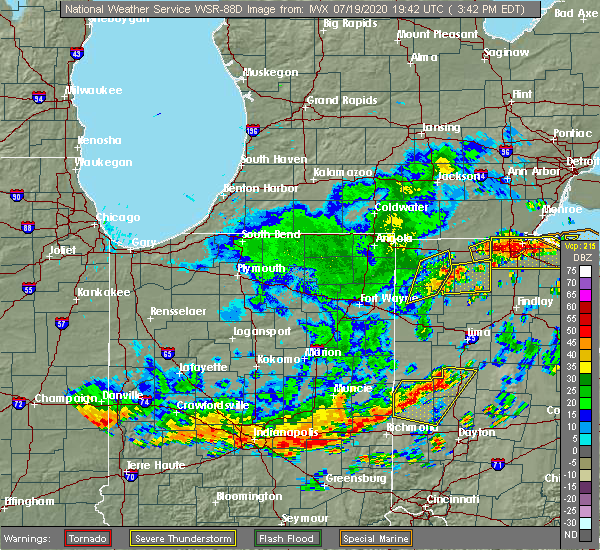 At 344 pm edt, severe thunderstorms were located along a line extending from near archbold to 6 miles west of napoleon to 6 miles southwest of defiance, moving northeast at 45 mph (radar indicated). Hazards include 60 mph wind gusts. Expect damage to roofs, siding, and trees. Locations impacted include, defiance and brunersburg. At 344 pm edt, severe thunderstorms were located along a line extending from near archbold to 6 miles west of napoleon to 6 miles southwest of defiance, moving northeast at 45 mph (radar indicated). Hazards include 60 mph wind gusts. Expect damage to roofs, siding, and trees. Locations impacted include, defiance and brunersburg.
|
| 7/19/2020 3:39 PM EDT |
 At 339 pm edt, severe thunderstorms were located along a line extending from 7 miles west of napoleon to near defiance, moving east at 60 mph (radar indicated). Hazards include 60 mph wind gusts. expect damage to roofs, siding, and trees At 339 pm edt, severe thunderstorms were located along a line extending from 7 miles west of napoleon to near defiance, moving east at 60 mph (radar indicated). Hazards include 60 mph wind gusts. expect damage to roofs, siding, and trees
|
| 7/19/2020 3:33 PM EDT | Large tree limb downed across euclid avenue. gas pump blew over on east 2nd stree in defiance county OH, 1.1 miles W of Defiance, OH |
| 7/19/2020 3:32 PM EDT |
 At 332 pm edt, severe thunderstorms were located along a line extending from near stryker to near defiance to paulding, moving northeast at 55 mph (radar indicated). Hazards include 60 mph wind gusts. Expect damage to roofs, siding, and trees. Locations impacted include, defiance, bryan, archbold, paulding, stryker, pulaski, ney, cecil, evansport, ridgeville corners, the bend, elmira and brunersburg. At 332 pm edt, severe thunderstorms were located along a line extending from near stryker to near defiance to paulding, moving northeast at 55 mph (radar indicated). Hazards include 60 mph wind gusts. Expect damage to roofs, siding, and trees. Locations impacted include, defiance, bryan, archbold, paulding, stryker, pulaski, ney, cecil, evansport, ridgeville corners, the bend, elmira and brunersburg.
|
| 7/19/2020 3:30 PM EDT | A couple of large limbs down on seneca street... one fell onto a power lin in defiance county OH, 1.1 miles W of Defiance, OH |
| 7/19/2020 3:08 PM EDT |
 At 308 pm edt, severe thunderstorms were located along a line extending from near butler to near hicksville to near new haven, moving northeast at 40 mph (radar indicated). Hazards include 60 mph wind gusts. expect damage to roofs, siding, and trees At 308 pm edt, severe thunderstorms were located along a line extending from near butler to near hicksville to near new haven, moving northeast at 40 mph (radar indicated). Hazards include 60 mph wind gusts. expect damage to roofs, siding, and trees
|
| 6/10/2020 5:29 PM EDT |
 At 528 pm edt, severe thunderstorms were located along a line extending from near wauseon to 7 miles southeast of stryker, moving north at 55 mph (radar indicated). Hazards include 60 mph wind gusts and quarter size hail. Hail damage to vehicles is expected. Expect wind damage to roofs, siding, and trees. At 528 pm edt, severe thunderstorms were located along a line extending from near wauseon to 7 miles southeast of stryker, moving north at 55 mph (radar indicated). Hazards include 60 mph wind gusts and quarter size hail. Hail damage to vehicles is expected. Expect wind damage to roofs, siding, and trees.
|
| 5/10/2020 3:22 PM EDT |
 At 320 pm edt, severe thunderstorms were located along a line extending from 7 miles southeast of reading to near west unity to near defiance, moving northeast at 45 mph (radar indicated. at 247 pm, a 61 mph gust was reported by a mesonet station 4 miles northeast of antwerp). Hazards include 60 mph wind gusts. Expect damage to roofs, siding, and trees. Locations impacted include, defiance, napoleon, bryan, wauseon, archbold, montpelier, hicksville, paulding, delta, edgerton, west unity, hamilton, pioneer, stryker, fayette, liberty center, continental, holgate, edon and mcclure. At 320 pm edt, severe thunderstorms were located along a line extending from 7 miles southeast of reading to near west unity to near defiance, moving northeast at 45 mph (radar indicated. at 247 pm, a 61 mph gust was reported by a mesonet station 4 miles northeast of antwerp). Hazards include 60 mph wind gusts. Expect damage to roofs, siding, and trees. Locations impacted include, defiance, napoleon, bryan, wauseon, archbold, montpelier, hicksville, paulding, delta, edgerton, west unity, hamilton, pioneer, stryker, fayette, liberty center, continental, holgate, edon and mcclure.
|
| 5/10/2020 2:53 PM EDT |
 At 252 pm edt, severe thunderstorms were located along a line extending from near waterloo to near hicksville to near paulding, moving northeast at 45 mph (radar indicated. at 247 pm, a 61 mph gust was reported by a mesonet station 4 miles northeast of antwerp). Hazards include 60 mph wind gusts. Expect damage to roofs, siding, and trees. Locations impacted include, defiance, auburn, napoleon, bryan, wauseon, garrett, archbold, montpelier, hicksville, butler, paulding, delta, waterloo, edgerton, antwerp, west unity, hamilton, pioneer, stryker and fayette. At 252 pm edt, severe thunderstorms were located along a line extending from near waterloo to near hicksville to near paulding, moving northeast at 45 mph (radar indicated. at 247 pm, a 61 mph gust was reported by a mesonet station 4 miles northeast of antwerp). Hazards include 60 mph wind gusts. Expect damage to roofs, siding, and trees. Locations impacted include, defiance, auburn, napoleon, bryan, wauseon, garrett, archbold, montpelier, hicksville, butler, paulding, delta, waterloo, edgerton, antwerp, west unity, hamilton, pioneer, stryker and fayette.
|
| 5/10/2020 2:41 PM EDT |
 At 241 pm edt, severe thunderstorms were located along a line extending from near auburn to near antwerp to near convoy, moving northeast at 45 mph (radar indicated). Hazards include 60 mph wind gusts. expect damage to roofs, siding, and trees At 241 pm edt, severe thunderstorms were located along a line extending from near auburn to near antwerp to near convoy, moving northeast at 45 mph (radar indicated). Hazards include 60 mph wind gusts. expect damage to roofs, siding, and trees
|
| 5/10/2020 2:08 PM EDT |
 At 207 pm edt, severe thunderstorms were located along a line extending from grabill to near monroeville to near decatur, moving northeast at 40 mph (radar indicated). Hazards include 60 mph wind gusts. expect damage to roofs, siding, and trees At 207 pm edt, severe thunderstorms were located along a line extending from grabill to near monroeville to near decatur, moving northeast at 40 mph (radar indicated). Hazards include 60 mph wind gusts. expect damage to roofs, siding, and trees
|
| 9/13/2019 4:06 PM EDT |
 At 405 pm edt, a severe thunderstorm was located near defiance, moving northeast at 30 mph (radar indicated). Hazards include 60 mph wind gusts and nickel size hail. expect damage to roofs, siding, and trees At 405 pm edt, a severe thunderstorm was located near defiance, moving northeast at 30 mph (radar indicated). Hazards include 60 mph wind gusts and nickel size hail. expect damage to roofs, siding, and trees
|
| 9/13/2019 4:03 PM EDT | Quarter sized hail reported 7.4 miles NE of Defiance, OH |
| 9/4/2019 12:57 AM EDT |
 The severe thunderstorm warning for defiance, western henry, southwestern fulton and southeastern williams counties will expire at 100 am edt, the storms which prompted the warning have weakened below severe limits. therefore, the warning will be allowed to expire. however gusty winds in excess of 40 mph are still possible with these thunderstorms through 130 am edt. The severe thunderstorm warning for defiance, western henry, southwestern fulton and southeastern williams counties will expire at 100 am edt, the storms which prompted the warning have weakened below severe limits. therefore, the warning will be allowed to expire. however gusty winds in excess of 40 mph are still possible with these thunderstorms through 130 am edt.
|
| 9/4/2019 12:48 AM EDT |
 At 1247 am edt, severe thunderstorms were located along a line extending from near archbold to 8 miles southeast of stryker to near defiance, moving east at 45 mph (radar indicated). Hazards include 60 mph wind gusts. Expect damage to roofs, siding, and trees. Locations impacted include, defiance, napoleon, archbold, stryker, farmer, ney, florida, evansport, jewell, ridgeville corners, gerald, ayersville, the bend, brunersburg, okolona and standley. At 1247 am edt, severe thunderstorms were located along a line extending from near archbold to 8 miles southeast of stryker to near defiance, moving east at 45 mph (radar indicated). Hazards include 60 mph wind gusts. Expect damage to roofs, siding, and trees. Locations impacted include, defiance, napoleon, archbold, stryker, farmer, ney, florida, evansport, jewell, ridgeville corners, gerald, ayersville, the bend, brunersburg, okolona and standley.
|
| 9/4/2019 12:27 AM EDT |
 At 1227 am edt, severe thunderstorms were located along a line extending from holiday city to near bryan to near hicksville, moving east at 50 mph (radar indicated). Hazards include 60 mph wind gusts. expect damage to roofs, siding, and trees At 1227 am edt, severe thunderstorms were located along a line extending from holiday city to near bryan to near hicksville, moving east at 50 mph (radar indicated). Hazards include 60 mph wind gusts. expect damage to roofs, siding, and trees
|
| 8/18/2019 3:36 PM EDT | Quarter sized hail reported 6.7 miles SW of Defiance, OH, relayed via mping. |
| 8/18/2019 2:57 PM EDT |
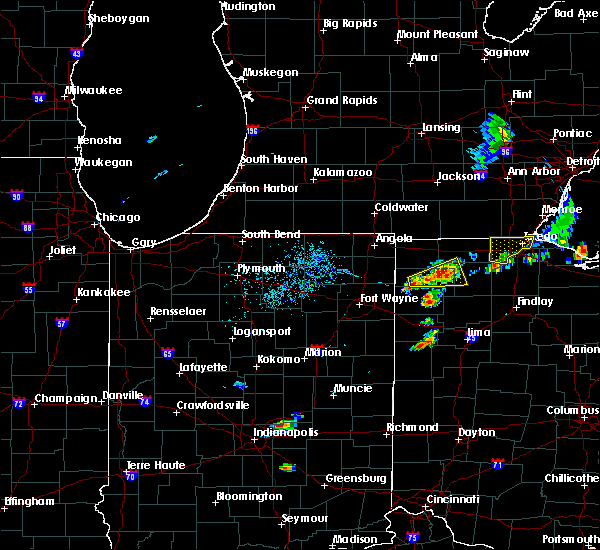 At 257 pm edt, a severe thunderstorm was located near defiance, moving east at 25 mph (radar indicated). Hazards include 60 mph wind gusts and quarter size hail. Hail damage to vehicles is expected. Expect wind damage to roofs, siding, and trees. At 257 pm edt, a severe thunderstorm was located near defiance, moving east at 25 mph (radar indicated). Hazards include 60 mph wind gusts and quarter size hail. Hail damage to vehicles is expected. Expect wind damage to roofs, siding, and trees.
|
| 8/18/2019 2:21 PM EDT |
 The national weather service in northern indiana has issued a * severe thunderstorm warning for. northeastern defiance county in northwestern ohio. northwestern henry county in northwestern ohio. south central fulton county in northwestern ohio. Southeastern williams county in northwestern ohio. The national weather service in northern indiana has issued a * severe thunderstorm warning for. northeastern defiance county in northwestern ohio. northwestern henry county in northwestern ohio. south central fulton county in northwestern ohio. Southeastern williams county in northwestern ohio.
|
| 6/1/2019 9:25 PM EDT |
 A severe thunderstorm warning remains in effect until 945 pm edt for southeastern defiance county. at 925 pm edt, a severe thunderstorm was located near defiance, moving east at 35 mph. hazard. quarter size hail. source. Radar indicated. A severe thunderstorm warning remains in effect until 945 pm edt for southeastern defiance county. at 925 pm edt, a severe thunderstorm was located near defiance, moving east at 35 mph. hazard. quarter size hail. source. Radar indicated.
|
| 6/1/2019 8:58 PM EDT |
 At 858 pm edt, a severe thunderstorm was located near defiance, moving east at 25 mph (radar indicated). Hazards include quarter size hail. damage to vehicles is expected At 858 pm edt, a severe thunderstorm was located near defiance, moving east at 25 mph (radar indicated). Hazards include quarter size hail. damage to vehicles is expected
|
| 6/1/2019 8:38 PM EDT |
 At 838 pm edt, a severe thunderstorm was located 10 miles east of hicksville, moving east at 30 mph (radar indicated). Hazards include ping pong ball size hail. People and animals outdoors will be injured. expect damage to roofs, siding, windows, and vehicles. Locations impacted include, defiance, mark center, jewell, brunersburg and the bend. At 838 pm edt, a severe thunderstorm was located 10 miles east of hicksville, moving east at 30 mph (radar indicated). Hazards include ping pong ball size hail. People and animals outdoors will be injured. expect damage to roofs, siding, windows, and vehicles. Locations impacted include, defiance, mark center, jewell, brunersburg and the bend.
|
| 6/1/2019 8:15 PM EDT |
 At 814 pm edt, a severe thunderstorm was located over hicksville, moving east at 40 mph (radar indicated). Hazards include half dollar size hail. damage to vehicles is expected At 814 pm edt, a severe thunderstorm was located over hicksville, moving east at 40 mph (radar indicated). Hazards include half dollar size hail. damage to vehicles is expected
|
| 6/1/2019 7:43 PM EDT |
 At 743 pm edt, severe thunderstorms were located along a line extending from near stryker to 6 miles northwest of defiance, moving east at 35 mph (radar indicated). Hazards include 60 mph wind gusts and quarter size hail. Hail damage to vehicles is expected. Expect wind damage to roofs, siding, and trees. At 743 pm edt, severe thunderstorms were located along a line extending from near stryker to 6 miles northwest of defiance, moving east at 35 mph (radar indicated). Hazards include 60 mph wind gusts and quarter size hail. Hail damage to vehicles is expected. Expect wind damage to roofs, siding, and trees.
|
| 5/23/2019 6:18 AM EDT |
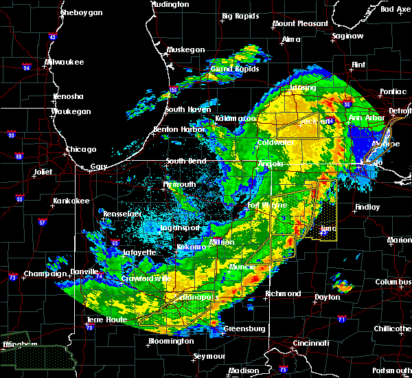 At 617 am edt, severe thunderstorms were located along a line extending from near napoleon to near delphos to near fort recovery, moving east at 50 mph (radar indicated). Hazards include 70 mph wind gusts and penny size hail. Expect considerable tree damage. damage is likely to mobile homes, roofs, and outbuildings. Locations impacted include, defiance, napoleon, delphos, spencerville, continental, ottoville, spencerville in allen county, oakwood, middle point, fort jennings, dupont, melrose, florida, cloverdale, venedocia, elgin, arthur, ayersville, rushmore and jonestown. At 617 am edt, severe thunderstorms were located along a line extending from near napoleon to near delphos to near fort recovery, moving east at 50 mph (radar indicated). Hazards include 70 mph wind gusts and penny size hail. Expect considerable tree damage. damage is likely to mobile homes, roofs, and outbuildings. Locations impacted include, defiance, napoleon, delphos, spencerville, continental, ottoville, spencerville in allen county, oakwood, middle point, fort jennings, dupont, melrose, florida, cloverdale, venedocia, elgin, arthur, ayersville, rushmore and jonestown.
|
| 5/23/2019 5:54 AM EDT | Em reports large limbs and trees down across the county. several power poles down and 2 barns damaged on sr111 between county roads 133 and 13 in paulding county OH, 7.7 miles NE of Defiance, OH |
| 5/23/2019 5:44 AM EDT |
 The national weather service in northern indiana has issued a * severe thunderstorm warning for. eastern adams county in northeastern indiana. jay county in east central indiana. western putnam county in west central ohio. Southern defiance county in northwestern ohio. The national weather service in northern indiana has issued a * severe thunderstorm warning for. eastern adams county in northeastern indiana. jay county in east central indiana. western putnam county in west central ohio. Southern defiance county in northwestern ohio.
|
| 5/23/2019 5:44 AM EDT |
 At 544 am edt, severe thunderstorms were located along a line extending from near hicksville to decatur to dunkirk, moving east at 55 mph (radar indicated). Hazards include 70 mph wind gusts. Expect considerable tree damage. Damage is likely to mobile homes, roofs, and outbuildings. At 544 am edt, severe thunderstorms were located along a line extending from near hicksville to decatur to dunkirk, moving east at 55 mph (radar indicated). Hazards include 70 mph wind gusts. Expect considerable tree damage. Damage is likely to mobile homes, roofs, and outbuildings.
|
| 5/16/2019 11:25 PM EDT |
 At 1125 pm edt, a severe thunderstorm was located near hicksville, moving east at 40 mph (radar indicated). Hazards include quarter size hail. damage to vehicles is expected At 1125 pm edt, a severe thunderstorm was located near hicksville, moving east at 40 mph (radar indicated). Hazards include quarter size hail. damage to vehicles is expected
|
| 5/16/2019 11:25 PM EDT |
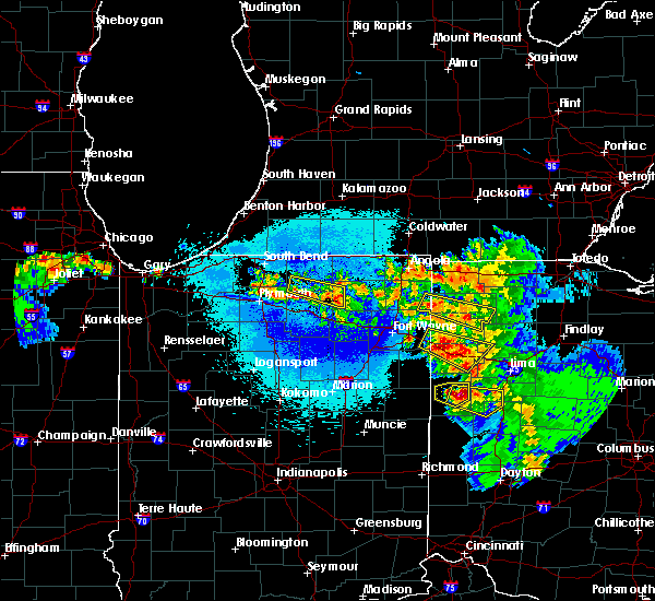 At 1125 pm edt, a severe thunderstorm was located near hicksville, moving east at 40 mph (radar indicated). Hazards include quarter size hail. damage to vehicles is expected At 1125 pm edt, a severe thunderstorm was located near hicksville, moving east at 40 mph (radar indicated). Hazards include quarter size hail. damage to vehicles is expected
|
| 8/8/2018 4:01 PM EDT |
 The national weather service in northern indiana has issued a * severe thunderstorm warning for. southeastern defiance county in northwestern ohio. southeastern henry county in northwestern ohio. until 500 pm edt. At 401 pm edt, a severe thunderstorm was located near defiance,. The national weather service in northern indiana has issued a * severe thunderstorm warning for. southeastern defiance county in northwestern ohio. southeastern henry county in northwestern ohio. until 500 pm edt. At 401 pm edt, a severe thunderstorm was located near defiance,.
|
| 6/8/2018 2:48 PM EDT | Power poles leaning. road not closed. reported at 6135 independence rd. defianc in defiance county OH, 6.5 miles SW of Defiance, OH |
| 6/8/2018 2:48 PM EDT | Power poles reported down and banner school road is closed between adams ridge rd and independence roa in defiance county OH, 7 miles SW of Defiance, OH |
| 5/31/2018 9:57 PM EDT |
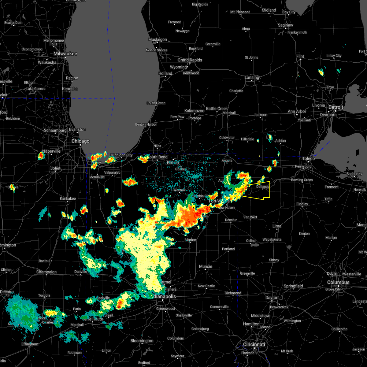 At 932 pm edt, a severe thunderstorm was located over hicksville, moving east at 25 mph (radar indicated). Hazards include 60 mph wind gusts and nickel size hail. expect damage to roofs, siding, and trees At 932 pm edt, a severe thunderstorm was located over hicksville, moving east at 25 mph (radar indicated). Hazards include 60 mph wind gusts and nickel size hail. expect damage to roofs, siding, and trees
|
| 5/31/2018 9:33 PM EDT |
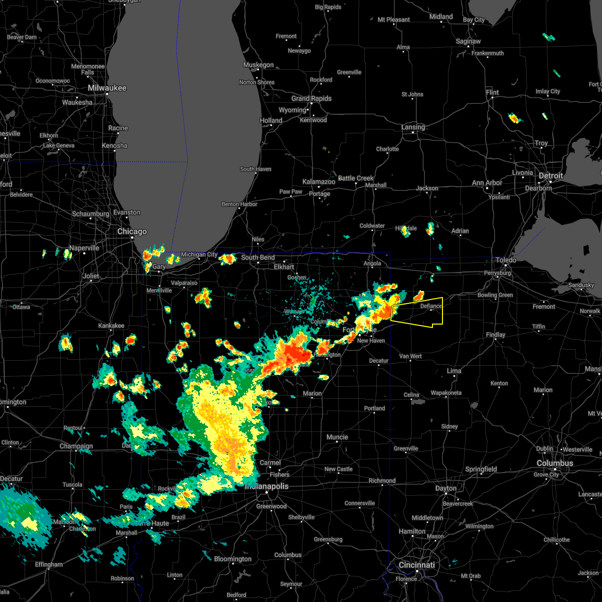 At 932 pm edt, a severe thunderstorm was located over hicksville, moving east at 25 mph (radar indicated). Hazards include 60 mph wind gusts and nickel size hail. expect damage to roofs, siding, and trees At 932 pm edt, a severe thunderstorm was located over hicksville, moving east at 25 mph (radar indicated). Hazards include 60 mph wind gusts and nickel size hail. expect damage to roofs, siding, and trees
|
| 11/5/2017 1:06 PM EDT |
 The severe thunderstorm warning for southeastern steuben, northeastern allen, eastern de kalb, defiance, western paulding and williams counties will expire at 1215 pm est, the storms which prompted the warning have moved out of the area. therefore the warning will be allowed to expire. however heavy rain is still possible with these thunderstorms. The severe thunderstorm warning for southeastern steuben, northeastern allen, eastern de kalb, defiance, western paulding and williams counties will expire at 1215 pm est, the storms which prompted the warning have moved out of the area. therefore the warning will be allowed to expire. however heavy rain is still possible with these thunderstorms.
|
| 11/5/2017 1:05 PM EDT |
 At 1205 pm est, severe thunderstorms were located along a line extending from near fayette to near archbold to near paulding, moving east at 50 mph (radar indicated). Hazards include 70 mph wind gusts. Expect considerable tree damage. Damage is likely to mobile homes, roofs, and outbuildings. At 1205 pm est, severe thunderstorms were located along a line extending from near fayette to near archbold to near paulding, moving east at 50 mph (radar indicated). Hazards include 70 mph wind gusts. Expect considerable tree damage. Damage is likely to mobile homes, roofs, and outbuildings.
|
| 11/5/2017 12:35 PM EDT |
 At 1134 am est, severe thunderstorms were located along a line extending from near edon to near butler to near grabill, moving east at 30 mph. this line has a history of producing isolated wind damage (radar indicated). Hazards include 70 mph wind gusts and quarter size hail. Hail damage to vehicles is expected. expect considerable tree damage. Wind damage is also likely to mobile homes, roofs, and outbuildings. At 1134 am est, severe thunderstorms were located along a line extending from near edon to near butler to near grabill, moving east at 30 mph. this line has a history of producing isolated wind damage (radar indicated). Hazards include 70 mph wind gusts and quarter size hail. Hail damage to vehicles is expected. expect considerable tree damage. Wind damage is also likely to mobile homes, roofs, and outbuildings.
|
| 7/3/2017 4:38 PM EDT |
 The severe thunderstorm warning for southeastern defiance and south central henry counties will expire at 445 pm edt, the storm which prompted the warning has weakened below severe limits, and no longer poses an immediate threat to life or property. therefore the warning will be allowed to expire. The severe thunderstorm warning for southeastern defiance and south central henry counties will expire at 445 pm edt, the storm which prompted the warning has weakened below severe limits, and no longer poses an immediate threat to life or property. therefore the warning will be allowed to expire.
|
| 7/3/2017 4:22 PM EDT |
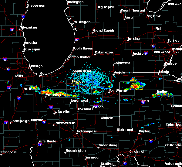 At 421 pm edt, a severe thunderstorm was located near defiance, moving southeast at 35 mph. at 417 pm edt, a report came in from defiance county with wind removing shingles and downing branches (radar indicated). Hazards include 60 mph wind gusts and quarter size hail. Hail damage to vehicles is expected. expect wind damage to roofs, siding, and trees. Locations impacted include, defiance, holgate, new bavaria, jewell, brunersburg, pleasant bend, ayersville and standley. At 421 pm edt, a severe thunderstorm was located near defiance, moving southeast at 35 mph. at 417 pm edt, a report came in from defiance county with wind removing shingles and downing branches (radar indicated). Hazards include 60 mph wind gusts and quarter size hail. Hail damage to vehicles is expected. expect wind damage to roofs, siding, and trees. Locations impacted include, defiance, holgate, new bavaria, jewell, brunersburg, pleasant bend, ayersville and standley.
|
| 7/3/2017 4:07 PM EDT |
 At 406 pm edt, a severe thunderstorm was located near defiance, moving southeast at 25 mph (radar indicated). Hazards include 60 mph wind gusts and quarter size hail. Hail damage to vehicles is expected. expect wind damage to roofs, siding, and trees. Locations impacted include, defiance, holgate, florida, new bavaria, jewell, brunersburg, pleasant bend, ayersville, standley and the bend. At 406 pm edt, a severe thunderstorm was located near defiance, moving southeast at 25 mph (radar indicated). Hazards include 60 mph wind gusts and quarter size hail. Hail damage to vehicles is expected. expect wind damage to roofs, siding, and trees. Locations impacted include, defiance, holgate, florida, new bavaria, jewell, brunersburg, pleasant bend, ayersville, standley and the bend.
|
| 7/3/2017 4:00 PM EDT | Storm winds blew shingles off a garage roof. branches broken off of tree in defiance county OH, 4.7 miles SE of Defiance, OH |
| 7/3/2017 3:53 PM EDT |
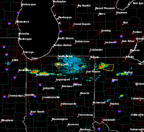 At 353 pm edt, a severe thunderstorm was located 8 miles northwest of defiance, moving east at 25 mph (radar indicated). Hazards include 60 mph wind gusts and quarter size hail. Hail damage to vehicles is expected. Expect wind damage to roofs, siding, and trees. At 353 pm edt, a severe thunderstorm was located 8 miles northwest of defiance, moving east at 25 mph (radar indicated). Hazards include 60 mph wind gusts and quarter size hail. Hail damage to vehicles is expected. Expect wind damage to roofs, siding, and trees.
|
| 6/19/2017 2:53 PM EDT |
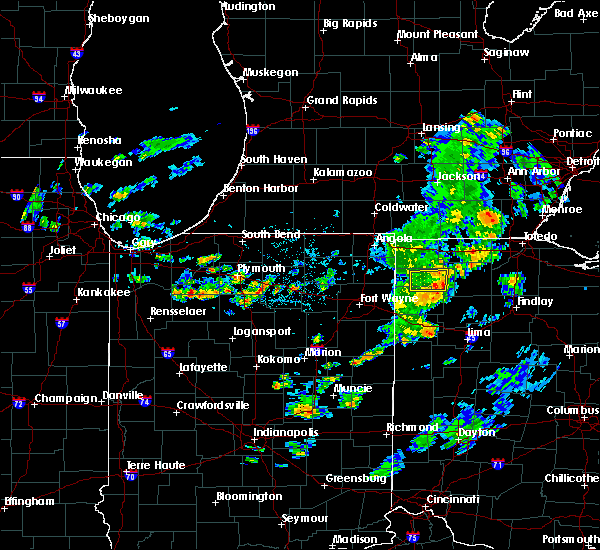 The severe thunderstorm warning for central defiance and north central paulding counties will expire at 300 pm edt, the severe thunderstorm which prompted the warning has weakened. therefore, the warning will be allowed to expire. The severe thunderstorm warning for central defiance and north central paulding counties will expire at 300 pm edt, the severe thunderstorm which prompted the warning has weakened. therefore, the warning will be allowed to expire.
|
| 6/19/2017 2:42 PM EDT |
 At 241 pm edt, a severe thunderstorm was located 10 miles east of hicksville, moving east at 35 mph (radar indicated). Hazards include 60 mph wind gusts and quarter size hail. Hail damage to vehicles is expected. expect wind damage to roofs, siding, and trees. Locations impacted include, defiance, farmer, ney, cecil, brunersburg, mark center and the bend. At 241 pm edt, a severe thunderstorm was located 10 miles east of hicksville, moving east at 35 mph (radar indicated). Hazards include 60 mph wind gusts and quarter size hail. Hail damage to vehicles is expected. expect wind damage to roofs, siding, and trees. Locations impacted include, defiance, farmer, ney, cecil, brunersburg, mark center and the bend.
|
| 6/19/2017 2:19 PM EDT |
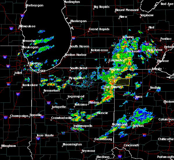 At 219 pm edt, a severe thunderstorm was located over hicksville, moving east at 30 mph (radar indicated). Hazards include 60 mph wind gusts and quarter size hail. Hail damage to vehicles is expected. Expect wind damage to roofs, siding, and trees. At 219 pm edt, a severe thunderstorm was located over hicksville, moving east at 30 mph (radar indicated). Hazards include 60 mph wind gusts and quarter size hail. Hail damage to vehicles is expected. Expect wind damage to roofs, siding, and trees.
|
| 6/13/2017 5:35 PM EDT | Power poles downed on hire road. pea sized hail also observe in defiance county OH, 2.2 miles WNW of Defiance, OH |
| 6/13/2017 5:30 PM EDT | Light pole snapped in half on east second stree in defiance county OH, 1.1 miles W of Defiance, OH |
| 6/13/2017 5:16 PM EDT | Quarter sized hail reported 0.6 miles WSW of Defiance, OH, pea up through quarter-sized hail. |
| 5/28/2017 3:36 PM EDT |
 At 335 pm edt, a severe thunderstorm was located near defiance, moving east at 30 mph (radar indicated). Hazards include 60 mph wind gusts and quarter size hail. Hail damage to vehicles is expected. Expect wind damage to roofs, siding, and trees. At 335 pm edt, a severe thunderstorm was located near defiance, moving east at 30 mph (radar indicated). Hazards include 60 mph wind gusts and quarter size hail. Hail damage to vehicles is expected. Expect wind damage to roofs, siding, and trees.
|
| 5/28/2017 3:25 PM EDT | Quarter sized hail reported 5.6 miles SE of Defiance, OH |
| 5/28/2017 3:22 PM EDT |
 At 322 pm edt, a severe thunderstorm was located 7 miles northwest of defiance, moving east at 25 mph (trained weather spotters). Hazards include 60 mph wind gusts and quarter size hail. Hail damage to vehicles is expected. expect wind damage to roofs, siding, and trees. Locations impacted include, defiance, ney, ridgeville corners, evansport, jewell and brunersburg. At 322 pm edt, a severe thunderstorm was located 7 miles northwest of defiance, moving east at 25 mph (trained weather spotters). Hazards include 60 mph wind gusts and quarter size hail. Hail damage to vehicles is expected. expect wind damage to roofs, siding, and trees. Locations impacted include, defiance, ney, ridgeville corners, evansport, jewell and brunersburg.
|
| 5/28/2017 3:08 PM EDT |
 At 307 pm edt, a severe thunderstorm was located 9 miles south of bryan, moving east at 25 mph (radar indicated). Hazards include 60 mph wind gusts, quarter size hail, and heavy rainfall. Hail damage to vehicles is expected. Expect wind damage to roofs, siding, and trees. At 307 pm edt, a severe thunderstorm was located 9 miles south of bryan, moving east at 25 mph (radar indicated). Hazards include 60 mph wind gusts, quarter size hail, and heavy rainfall. Hail damage to vehicles is expected. Expect wind damage to roofs, siding, and trees.
|
| 4/20/2017 3:49 PM EDT |
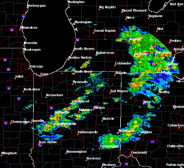 At 348 pm edt, a severe thunderstorm was located over defiance, moving east at 45 mph (radar indicated). Hazards include 60 mph wind gusts and penny size hail. Expect damage to roofs, siding, and trees. This severe thunderstorm will remain over mainly rural areas of northeastern defiance county, including the following locations: jewell, brunersburg and ney. At 348 pm edt, a severe thunderstorm was located over defiance, moving east at 45 mph (radar indicated). Hazards include 60 mph wind gusts and penny size hail. Expect damage to roofs, siding, and trees. This severe thunderstorm will remain over mainly rural areas of northeastern defiance county, including the following locations: jewell, brunersburg and ney.
|
| 4/20/2017 3:38 PM EDT |
 At 338 pm edt, a severe thunderstorm was located 9 miles north of paulding, or 9 miles west of defiance, moving east at 50 mph (radar indicated). Hazards include 60 mph wind gusts and penny size hail. Expect damage to roofs, siding, and trees. this severe thunderstorm will be near, defiance around 350 pm edt. Other locations impacted by this severe thunderstorm include mark center, jewell, the bend, brunersburg and ney. At 338 pm edt, a severe thunderstorm was located 9 miles north of paulding, or 9 miles west of defiance, moving east at 50 mph (radar indicated). Hazards include 60 mph wind gusts and penny size hail. Expect damage to roofs, siding, and trees. this severe thunderstorm will be near, defiance around 350 pm edt. Other locations impacted by this severe thunderstorm include mark center, jewell, the bend, brunersburg and ney.
|
| 4/19/2017 8:29 PM EDT |
 At 826 pm edt, a severe thunderstorm was located near hicksville, moving east at 35 mph (radar indicated). Hazards include quarter size hail. Damage to vehicles is expected. Locations impacted include, defiance, hicksville, paulding, antwerp, cecil, jewell, arthur, brunersburg, mark center, ayersville and the bend. At 826 pm edt, a severe thunderstorm was located near hicksville, moving east at 35 mph (radar indicated). Hazards include quarter size hail. Damage to vehicles is expected. Locations impacted include, defiance, hicksville, paulding, antwerp, cecil, jewell, arthur, brunersburg, mark center, ayersville and the bend.
|
| 4/19/2017 8:13 PM EDT |
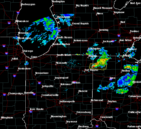 At 812 pm edt, a severe thunderstorm was located over hicksville, moving east at 40 mph (radar indicated). Hazards include quarter size hail and 40 to 50 mph winds. damage to vehicles is expected At 812 pm edt, a severe thunderstorm was located over hicksville, moving east at 40 mph (radar indicated). Hazards include quarter size hail and 40 to 50 mph winds. damage to vehicles is expected
|
| 3/1/2017 3:09 AM EST |
 At 309 am est, severe thunderstorms were located along a line extending from 6 miles southeast of morenci to 6 miles southeast of defiance to convoy, moving east at 65 mph (radar indicated). Hazards include 60 mph wind gusts. Expect damage to roofs, siding, and trees. locations impacted include, fort wayne, defiance, new haven, napoleon, bryan, wauseon, ottawa, archbold, bluffton, swanton, hicksville, paulding, delta, columbus grove, leipsic, deshler, antwerp, west unity, kalida and woodburn. this includes the following highways, interstate 469 between mile markers 10 and 22. interstate 75 between mile markers 134 and 141. interstate 80 in ohio between mile markers 17 and 48. A tornado watch remains in effect until 700 am est for northeastern indiana, and northwestern and west central ohio. At 309 am est, severe thunderstorms were located along a line extending from 6 miles southeast of morenci to 6 miles southeast of defiance to convoy, moving east at 65 mph (radar indicated). Hazards include 60 mph wind gusts. Expect damage to roofs, siding, and trees. locations impacted include, fort wayne, defiance, new haven, napoleon, bryan, wauseon, ottawa, archbold, bluffton, swanton, hicksville, paulding, delta, columbus grove, leipsic, deshler, antwerp, west unity, kalida and woodburn. this includes the following highways, interstate 469 between mile markers 10 and 22. interstate 75 between mile markers 134 and 141. interstate 80 in ohio between mile markers 17 and 48. A tornado watch remains in effect until 700 am est for northeastern indiana, and northwestern and west central ohio.
|
| 3/1/2017 2:54 AM EST |
 At 253 am est, severe thunderstorms were located along a line extending from near pioneer to 7 miles north of paulding to near monroeville, moving east at 70 mph (radar indicated). Hazards include 70 mph wind gusts and penny size hail. Expect considerable tree damage. damage is likely to mobile homes, roofs, and outbuildings. locations impacted include, fort wayne, defiance, new haven, napoleon, bryan, wauseon, delphos, ottawa, archbold, bluffton, montpelier, swanton, hicksville, paulding, delta, columbus grove, leipsic, edgerton, deshler and antwerp. this includes the following highways, interstate 469 between mile markers 9 and 24. interstate 75 between mile markers 133 and 141. interstate 80 in ohio between mile markers 2 and 48. This storm has a history of producing 70 to 80 mph wind gusts! a tornado watch remains in effect until 700 am est for northeastern indiana, and northwestern and west central ohio. At 253 am est, severe thunderstorms were located along a line extending from near pioneer to 7 miles north of paulding to near monroeville, moving east at 70 mph (radar indicated). Hazards include 70 mph wind gusts and penny size hail. Expect considerable tree damage. damage is likely to mobile homes, roofs, and outbuildings. locations impacted include, fort wayne, defiance, new haven, napoleon, bryan, wauseon, delphos, ottawa, archbold, bluffton, montpelier, swanton, hicksville, paulding, delta, columbus grove, leipsic, edgerton, deshler and antwerp. this includes the following highways, interstate 469 between mile markers 9 and 24. interstate 75 between mile markers 133 and 141. interstate 80 in ohio between mile markers 2 and 48. This storm has a history of producing 70 to 80 mph wind gusts! a tornado watch remains in effect until 700 am est for northeastern indiana, and northwestern and west central ohio.
|
| 3/1/2017 2:29 AM EST |
 At 227 am est, severe thunderstorms were located along a line extending from fremont to near auburn to 10 miles west of fort wayne, moving east at 70 mph. these are very dangerous storms (radar indicated). Hazards include 80 mph wind gusts and nickel size hail. Flying debris will be dangerous to those caught without shelter. mobile homes will be heavily damaged. expect considerable damage to roofs, windows, and vehicles. Extensive tree damage and power outages are likely. At 227 am est, severe thunderstorms were located along a line extending from fremont to near auburn to 10 miles west of fort wayne, moving east at 70 mph. these are very dangerous storms (radar indicated). Hazards include 80 mph wind gusts and nickel size hail. Flying debris will be dangerous to those caught without shelter. mobile homes will be heavily damaged. expect considerable damage to roofs, windows, and vehicles. Extensive tree damage and power outages are likely.
|
| 2/28/2017 8:11 PM EST |
 The severe thunderstorm warning for east central defiance and henry counties will expire at 815 pm est, the storm which prompted the warning has weakened below severe limits, and has exited the warned area. therefore, the warning will be allowed to expire. a severe thunderstorm watch remains in effect until 400 am est for northwestern ohio. The severe thunderstorm warning for east central defiance and henry counties will expire at 815 pm est, the storm which prompted the warning has weakened below severe limits, and has exited the warned area. therefore, the warning will be allowed to expire. a severe thunderstorm watch remains in effect until 400 am est for northwestern ohio.
|
| 2/28/2017 7:45 PM EST |
 At 744 pm est, a severe thunderstorm was located over holgate, or 9 miles south of napoleon, moving east at 50 mph (radar indicated). Hazards include quarter size hail. Damage to vehicles is expected. locations impacted include, defiance, deshler, holgate, mcclure, hamler, texas, malinta, florida, new bavaria, grelton, gallup, elery and standley. This thunderstorm produced one inch hail in paulding ohio at 715 pm est. At 744 pm est, a severe thunderstorm was located over holgate, or 9 miles south of napoleon, moving east at 50 mph (radar indicated). Hazards include quarter size hail. Damage to vehicles is expected. locations impacted include, defiance, deshler, holgate, mcclure, hamler, texas, malinta, florida, new bavaria, grelton, gallup, elery and standley. This thunderstorm produced one inch hail in paulding ohio at 715 pm est.
|
| 2/28/2017 7:24 PM EST |
 At 724 pm est, a severe thunderstorm was located 7 miles east of paulding, or 8 miles southwest of defiance, moving east at 50 mph (radar indicated). Hazards include quarter size hail. damage to vehicles is expected At 724 pm est, a severe thunderstorm was located 7 miles east of paulding, or 8 miles southwest of defiance, moving east at 50 mph (radar indicated). Hazards include quarter size hail. damage to vehicles is expected
|
| 8/24/2016 8:52 PM EDT |
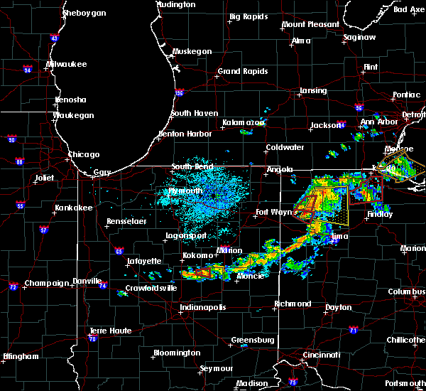 The tornado warning for southeastern defiance and northeastern paulding counties will expire at 900 pm edt, the storm which prompted the warning has moved out of the area. therefore, the warning will be allowed to expire. a tornado watch remains in effect until 900 pm edt for west central and northwestern ohio. to report severe weather, contact your nearest law enforcement agency. they will relay your report to the national weather service northern indiana. The tornado warning for southeastern defiance and northeastern paulding counties will expire at 900 pm edt, the storm which prompted the warning has moved out of the area. therefore, the warning will be allowed to expire. a tornado watch remains in effect until 900 pm edt for west central and northwestern ohio. to report severe weather, contact your nearest law enforcement agency. they will relay your report to the national weather service northern indiana.
|
| 8/24/2016 8:50 PM EDT |
 At 850 pm edt, severe thunderstorms were located along a line extending from near defiance to 7 miles west of continental, moving east at 35 mph (radar indicated). Hazards include 60 mph wind gusts. Expect damage to roofs. siding. And trees. At 850 pm edt, severe thunderstorms were located along a line extending from near defiance to 7 miles west of continental, moving east at 35 mph (radar indicated). Hazards include 60 mph wind gusts. Expect damage to roofs. siding. And trees.
|
| 8/24/2016 8:41 PM EDT |
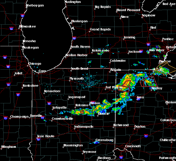 At 841 pm edt, a severe thunderstorm capable of producing a tornado was located near defiance, moving east at 25 mph (radar indicated rotation). Hazards include tornado. Flying debris will be dangerous to those caught without shelter. mobile homes will be damaged or destroyed. damage to roofs, windows, and vehicles will occur. tree damage is likely. this dangerous storm will be near, defiance around 850 pm edt. Other locations impacted by this tornadic thunderstorm include brunersburg. At 841 pm edt, a severe thunderstorm capable of producing a tornado was located near defiance, moving east at 25 mph (radar indicated rotation). Hazards include tornado. Flying debris will be dangerous to those caught without shelter. mobile homes will be damaged or destroyed. damage to roofs, windows, and vehicles will occur. tree damage is likely. this dangerous storm will be near, defiance around 850 pm edt. Other locations impacted by this tornadic thunderstorm include brunersburg.
|
| 8/24/2016 8:25 PM EDT |
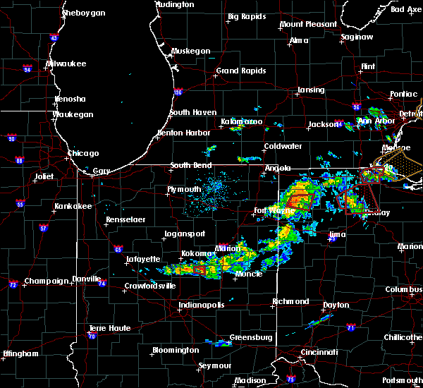 At 824 pm edt, a severe thunderstorm capable of producing a tornado was located 8 miles north of paulding, or 9 miles east of hicksville, moving east at 30 mph (radar indicated rotation). Hazards include tornado. Flying debris will be dangerous to those caught without shelter. mobile homes will be damaged or destroyed. damage to roofs, windows, and vehicles will occur. tree damage is likely. this dangerous storm will be near, defiance around 850 pm edt. Other locations impacted by this tornadic thunderstorm include mark center, the bend, brunersburg and cecil. At 824 pm edt, a severe thunderstorm capable of producing a tornado was located 8 miles north of paulding, or 9 miles east of hicksville, moving east at 30 mph (radar indicated rotation). Hazards include tornado. Flying debris will be dangerous to those caught without shelter. mobile homes will be damaged or destroyed. damage to roofs, windows, and vehicles will occur. tree damage is likely. this dangerous storm will be near, defiance around 850 pm edt. Other locations impacted by this tornadic thunderstorm include mark center, the bend, brunersburg and cecil.
|
| 8/24/2016 6:29 PM EDT |
 At 628 pm edt, a confirmed large and extremely dangerous tornado was located near defiance, moving east at 25 mph. this is a particularly dangerous situation. take cover now! (weather spotters confirmed tornado). Hazards include damaging tornado. You are in a life-threatening situation. flying debris may be deadly to those caught without shelter. mobile homes will be destroyed. considerable damage to homes, businesses, and vehicles is likely and complete destruction is possible. the tornado will be near, napoleon around 705 pm edt. Other locations impacted by this tornadic thunderstorm include okolona, malinta, brunersburg, gerald, ridgeville corners, jewell, florida and elery. At 628 pm edt, a confirmed large and extremely dangerous tornado was located near defiance, moving east at 25 mph. this is a particularly dangerous situation. take cover now! (weather spotters confirmed tornado). Hazards include damaging tornado. You are in a life-threatening situation. flying debris may be deadly to those caught without shelter. mobile homes will be destroyed. considerable damage to homes, businesses, and vehicles is likely and complete destruction is possible. the tornado will be near, napoleon around 705 pm edt. Other locations impacted by this tornadic thunderstorm include okolona, malinta, brunersburg, gerald, ridgeville corners, jewell, florida and elery.
|
| 8/24/2016 6:18 PM EDT |
 A tornado warning remains in effect until 630 pm edt for northeastern defiance and northwestern henry counties. at 616 pm edt. a confirmed large and extremely dangerous tornado was located near defiance. moving northeast at 35 mph. this is a particularly dangerous situation. take cover now! hazard. Damaging tornado. A tornado warning remains in effect until 630 pm edt for northeastern defiance and northwestern henry counties. at 616 pm edt. a confirmed large and extremely dangerous tornado was located near defiance. moving northeast at 35 mph. this is a particularly dangerous situation. take cover now! hazard. Damaging tornado.
|
| 8/24/2016 5:59 PM EDT |
 At 558 pm edt, a confirmed large and extremely dangerous tornado was located 4 miles southwest cecil, moving northeast at 30 mph. this is a particularly dangerous situation. take cover now! (weather spotters confirmed tornado). Hazards include damaging tornado. You are in a life-threatening situation. flying debris may be deadly to those caught without shelter. mobile homes will be destroyed. considerable damage to homes, businesses, and vehicles is likely and complete destruction is possible. the tornado will be near, defiance around 630 pm edt. Other locations impacted by this tornadic thunderstorm include mark center, brunersburg, standley, cecil, ridgeville corners, the bend, jewell, ney and evansport. At 558 pm edt, a confirmed large and extremely dangerous tornado was located 4 miles southwest cecil, moving northeast at 30 mph. this is a particularly dangerous situation. take cover now! (weather spotters confirmed tornado). Hazards include damaging tornado. You are in a life-threatening situation. flying debris may be deadly to those caught without shelter. mobile homes will be destroyed. considerable damage to homes, businesses, and vehicles is likely and complete destruction is possible. the tornado will be near, defiance around 630 pm edt. Other locations impacted by this tornadic thunderstorm include mark center, brunersburg, standley, cecil, ridgeville corners, the bend, jewell, ney and evansport.
|
| 7/13/2016 6:55 PM EDT | Estimated 55-60 mph winds. 5 large trees downed-no estimate on size/health. tree branches blown down-approximately 6 inches in diamete in defiance county OH, 6 miles SSW of Defiance, OH |
| 6/4/2016 7:08 PM EDT | Several reports of tree damage and large tree limbs down in the vicinity of clinton st.... neil st.... greer st.... wabash ave.... and pearl st. report received via soc in defiance county OH, 1.6 miles SSW of Defiance, OH |
| 6/4/2016 7:05 PM EDT | Several large trees down in the vicinity of holgate ave. and 5th street. report received via social medi in defiance county OH, 0.8 miles S of Defiance, OH |
| 8/23/2015 5:43 PM EDT | Report of trees down on homes. time estimated from rada in paulding county OH, 5.4 miles N of Defiance, OH |
| 8/23/2015 5:34 PM EDT | Two large trees down onto power lines. time estimated from rada in paulding county OH, 6 miles ENE of Defiance, OH |
| 6/18/2015 6:28 PM EDT | At 627 pm edt, severe thunderstorms were located along a line extending from 6 miles south of archbold to near continental, moving east at 55 mph (radar indicated). Hazards include 60 mph wind gusts. Damage to roofs. siding and trees possible. Locations impacted include, defiance, napoleon, leipsic, continental, holgate, independence, hamler, malinta, florida, west leipsic, miller city, new bavaria, kieferville, north creek, jewell, okolona, gallup, wisterman, prentiss and ayersville. |
| 6/18/2015 6:26 PM EDT | 4 power poles snapped at the intersection of flory rd and independence r in defiance county OH, 5.1 miles SW of Defiance, OH |
| 6/18/2015 6:04 PM EDT | At 604 pm edt, severe thunderstorms were located along a line extending from near edgerton to near payne, moving east at 45 mph (radar indicated). Hazards include 60 mph wind gusts. Damage to roofs. Siding and trees possible. |
| 6/15/2015 4:20 PM EDT |
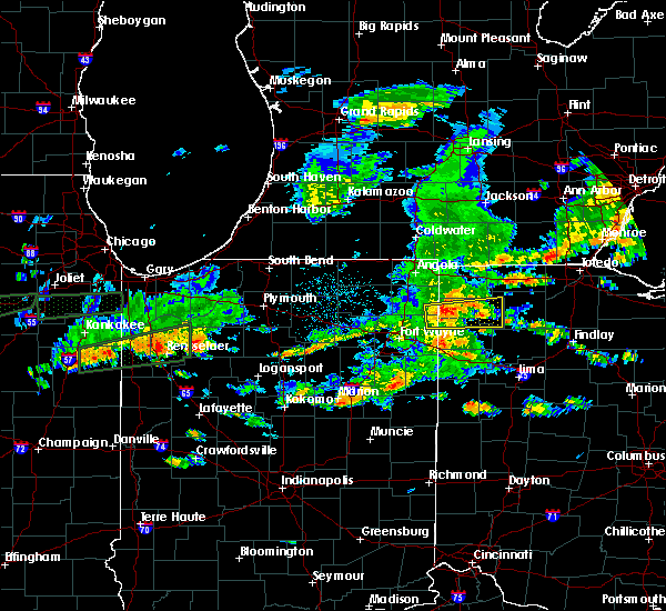 At 419 pm edt, a severe thunderstorm was located 8 miles west of defiance, moving east at 55 mph (radar indicated). Hazards include 60 mph wind gusts. Expect damage to roofs. siding and trees. Locations impacted include, defiance, hicksville, paulding, antwerp, independence, farmer, sherwood, ney, cecil, mark center, the bend, jewell, brunersburg, ayersville and arthur. At 419 pm edt, a severe thunderstorm was located 8 miles west of defiance, moving east at 55 mph (radar indicated). Hazards include 60 mph wind gusts. Expect damage to roofs. siding and trees. Locations impacted include, defiance, hicksville, paulding, antwerp, independence, farmer, sherwood, ney, cecil, mark center, the bend, jewell, brunersburg, ayersville and arthur.
|
| 6/15/2015 4:02 PM EDT |
 At 402 pm edt, a severe thunderstorm was located near hicksville, moving east at 55 mph (radar indicated). Hazards include 60 mph wind gusts. Expect damage to roofs. Siding and trees. At 402 pm edt, a severe thunderstorm was located near hicksville, moving east at 55 mph (radar indicated). Hazards include 60 mph wind gusts. Expect damage to roofs. Siding and trees.
|
| 6/15/2015 4:02 PM EDT |
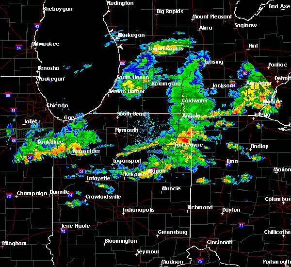 At 402 pm edt, a severe thunderstorm was located near hicksville, moving east at 55 mph (radar indicated). Hazards include 60 mph wind gusts. Expect damage to roofs. Siding and trees. At 402 pm edt, a severe thunderstorm was located near hicksville, moving east at 55 mph (radar indicated). Hazards include 60 mph wind gusts. Expect damage to roofs. Siding and trees.
|
| 6/10/2015 11:11 PM EDT |
 At 1111 pm edt, a severe thunderstorm was located near defiance, moving east at 35 mph (radar indicated). Hazards include 60 mph wind gusts and quarter size hail. Hail damage to vehicles is expected. expect wind damage to roofs, siding and trees. Locations impacted include, defiance, holgate, independence, florida, new bavaria, ayersville, jewell, standley and pleasant bend. At 1111 pm edt, a severe thunderstorm was located near defiance, moving east at 35 mph (radar indicated). Hazards include 60 mph wind gusts and quarter size hail. Hail damage to vehicles is expected. expect wind damage to roofs, siding and trees. Locations impacted include, defiance, holgate, independence, florida, new bavaria, ayersville, jewell, standley and pleasant bend.
|
| 6/10/2015 11:07 PM EDT | Multiple reports of trees down and power outages in defiance. winds estimated between 60 and 65 mph. pea to dime sized hail was also reporte in defiance county OH, 0.6 miles WSW of Defiance, OH |
| 6/10/2015 10:56 PM EDT |
 At 1055 pm edt, a severe thunderstorm was located near defiance, moving east at 35 mph (radar indicated). Hazards include 60 mph wind gusts and quarter size hail. Hail damage to vehicles is expected. Expect wind damage to roofs, siding and trees. At 1055 pm edt, a severe thunderstorm was located near defiance, moving east at 35 mph (radar indicated). Hazards include 60 mph wind gusts and quarter size hail. Hail damage to vehicles is expected. Expect wind damage to roofs, siding and trees.
|
| 5/27/2015 3:43 PM EDT | At 341 pm edt, severe thunderstorms were located along a line extending from 6 miles northwest of leipsic to continental, and moving east at 40 mph (radar indicated). Hazards include quarter size hail and 60 mph wind gusts. Hail damage to vehicles is expected. expect wind damage to roofs, siding and trees. severe thunderstorms will be near, deshler around 355 pm edt. leipsic around 400 pm edt. Other locations in the warning include kieferville, prentiss, miller city, belmore and west leipsic. |
| 5/27/2015 3:17 PM EDT | At 314 pm edt, severe thunderstorms were located along a line extending from defiance to paulding, and moving east at 40 mph (radar indicated). Hazards include quarter size hail and 60 mph wind gusts. Hail damage to vehicles is expected. expect wind damage to roofs, siding and trees. severe thunderstorms will be near, holgate around 330 pm edt. continental around 335 pm edt. mcclure around 345 pm edt. leipsic around 355 pm edt. deshler around 400 pm edt. Other locations in the warning include melrose, florida, oakwood, elery, new bavaria, malinta, wisterman, grelton, kieferville and pleasant bend. |
| 5/27/2015 2:58 PM EDT | At 254 pm edt, severe thunderstorms were located along a line extending from 9 miles east of hicksville to paulding to 7 miles southeast of payne, and moving east at 40 mph. another severe thunderstorm was developing 2 miles northeast of paulding, moving northeast at 35 mph (radar indicated). Hazards include quarter size hail and 60 mph wind gusts. Hail damage to vehicles is expected. Expect wind damage to roofs, siding and trees. |
| 5/27/2015 2:31 PM EDT | At 228 pm edt, a severe thunderstorm was located near bryan, and moving east at 45 mph (radar indicated). Hazards include 60 mph wind gusts and nickel size hail. Expect damage to roofs. siding and trees. the severe thunderstorm will be near, archbold around 240 pm edt. other locations in the warning include burlington, elmira, ridgeville corners and pettisville. This includes interstate 80 90 in ohio between mile markers 14 and 32. |
| 5/27/2015 2:12 PM EDT | At 210 pm edt, severe thunderstorms were located along a line extending from edon to hicksville, and moving east at 50 mph (radar indicated). Hazards include 60 mph wind gusts and nickel size hail. Expect damage to roofs. siding and trees. severe thunderstorms will be near, montpelier and bryan around 220 pm edt. west unity and stryker around 230 pm edt. archbold around 240 pm edt. napoleon around 245 pm edt. other locations in the warning include hallock, williams center, sherwood, the bend, west jefferson, pulaski, ney, evansport, brunersburg and jewell. This includes interstate 80 90 in ohio between mile markers 10 and 32. |
| 5/27/2015 1:59 PM EDT | At 155 pm edt, severe thunderstorms were located along a line extending from hamilton to 6 miles southwest of butler to grabill, and moving east at 50 mph (radar indicated). Hazards include 60 mph wind gusts and nickel size hail. Expect damage to roofs. Siding and trees. |
| 5/27/2015 1:59 PM EDT | At 155 pm edt, severe thunderstorms were located along a line extending from hamilton to 6 miles southwest of butler to grabill, and moving east at 50 mph (radar indicated). Hazards include 60 mph wind gusts and nickel size hail. Expect damage to roofs. Siding and trees. |
| 5/11/2015 2:35 PM EDT | At 233 pm edt, a severe thunderstorm was located near convoy, and moving northeast at 55 mph (radar indicated). Hazards include quarter size hail and 60 mph wind gusts. Hail damage to vehicles is expected. expect wind damage to roofs, siding and trees. locations impacted include, continental, holgate, cavett, scott, haviland, wetzel, grover hill, broughton, roselms, mandale, melrose, cloverdale, charloe, oakwood, dupont, wisterman, arthur, north creek, kieferville and ayersville. 1. 00in. |
| 5/11/2015 2:22 PM EDT | At 219 pm edt, a severe thunderstorm was located 6 miles east of monroe, and moving northeast at 55 mph (radar indicated). Hazards include quarter size hail and 60 mph wind gusts. Hail damage to vehicles is expected. Expect wind damage to roofs, siding and trees. |
| 5/11/2015 2:22 PM EDT | At 219 pm edt, a severe thunderstorm was located 6 miles east of monroe, and moving northeast at 55 mph (radar indicated). Hazards include quarter size hail and 60 mph wind gusts. Hail damage to vehicles is expected. Expect wind damage to roofs, siding and trees. |
| 5/11/2015 2:11 PM EDT | At 209 pm edt, a severe thunderstorm was located 10 miles south of bryan, and moving northeast at 45 mph (radar indicated). Hazards include half dollar size hail and 70 mph wind gusts. Hail damage to vehicles is expected. expect considerable tree damage. wind damage is also likely to mobile homes, roofs and outbuildings. the severe thunderstorm will be near, bryan around 220 pm edt. stryker around 225 pm edt. archbold around 235 pm edt. wauseon around 245 pm edt. delta around 255 pm edt. other locations in the warning include evansport, ridgeville corners, burlington, elmira, pettisville, tedrow, ottokee, oakshade, winameg and lyons. this includes interstate 80 90 in ohio between mile markers 23 and 48. 1. 25in. |
| 5/9/2014 7:10 PM EDT | Few trees were blown down. on county road t218 between t143 and t14 in paulding county OH, 7.5 miles NE of Defiance, OH |
| 11/17/2013 5:00 PM EST | Storm damage reported in defiance county OH, 5.3 miles SE of Defiance, OH |
| 7/27/2013 5:32 PM EDT | 2 inch diameter branches down on 2 cars in defiance county OH, 0.6 miles WSW of Defiance, OH |
| 7/27/2013 5:16 PM EDT | Multiple reports of trees down throughout the city in defiance county OH, 0.6 miles WSW of Defiance, OH |
| 7/27/2013 5:15 PM EDT | Roof damage to approx 15 structures including homes businesses and apt complexes in defiance county OH, 1.5 miles E of Defiance, OH |
| 7/10/2013 2:03 PM EDT | Power pole down house on adams street in defianc in defiance county OH, 0.6 miles WSW of Defiance, OH |
| 7/10/2013 2:00 PM EDT | Tree and power line damage across most of the county in defiance county OH, 0.6 miles WSW of Defiance, OH |
| 6/21/2012 6:24 PM EDT | Three trees and a power pole down along the 6600 block of domersville road near defiance. time estimated from rada in defiance county OH, 4.8 miles SSW of Defiance, OH |
| 1/1/0001 12:00 AM | Few tree branches down throughout the count in defiance county OH, 0.6 miles WSW of Defiance, OH |
| 1/1/0001 12:00 AM | Golf Ball sized hail reported 7.4 miles SW of Defiance, OH |
Hail Maps for Defiance, OH


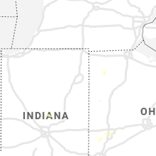


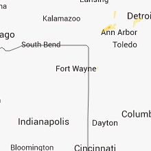


Connect with Interactive Hail Maps