

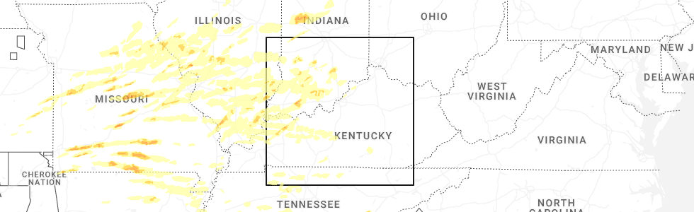
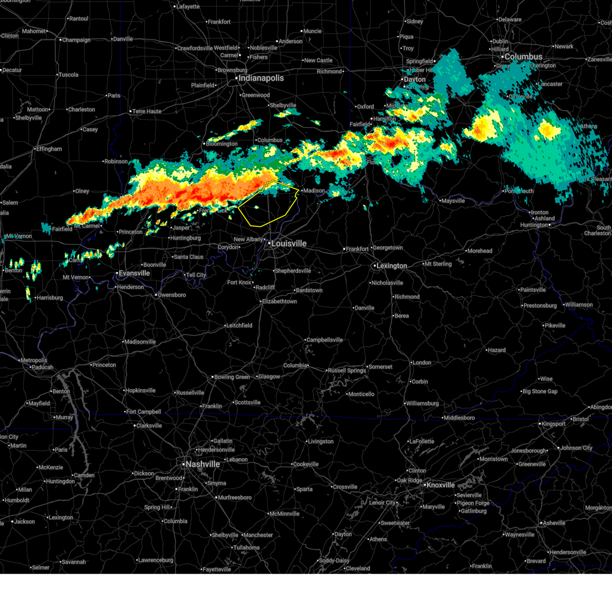
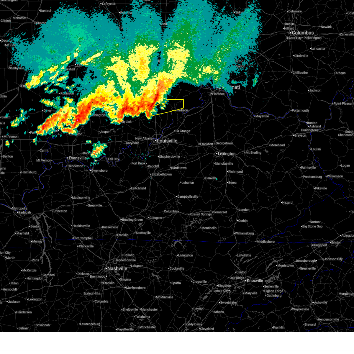
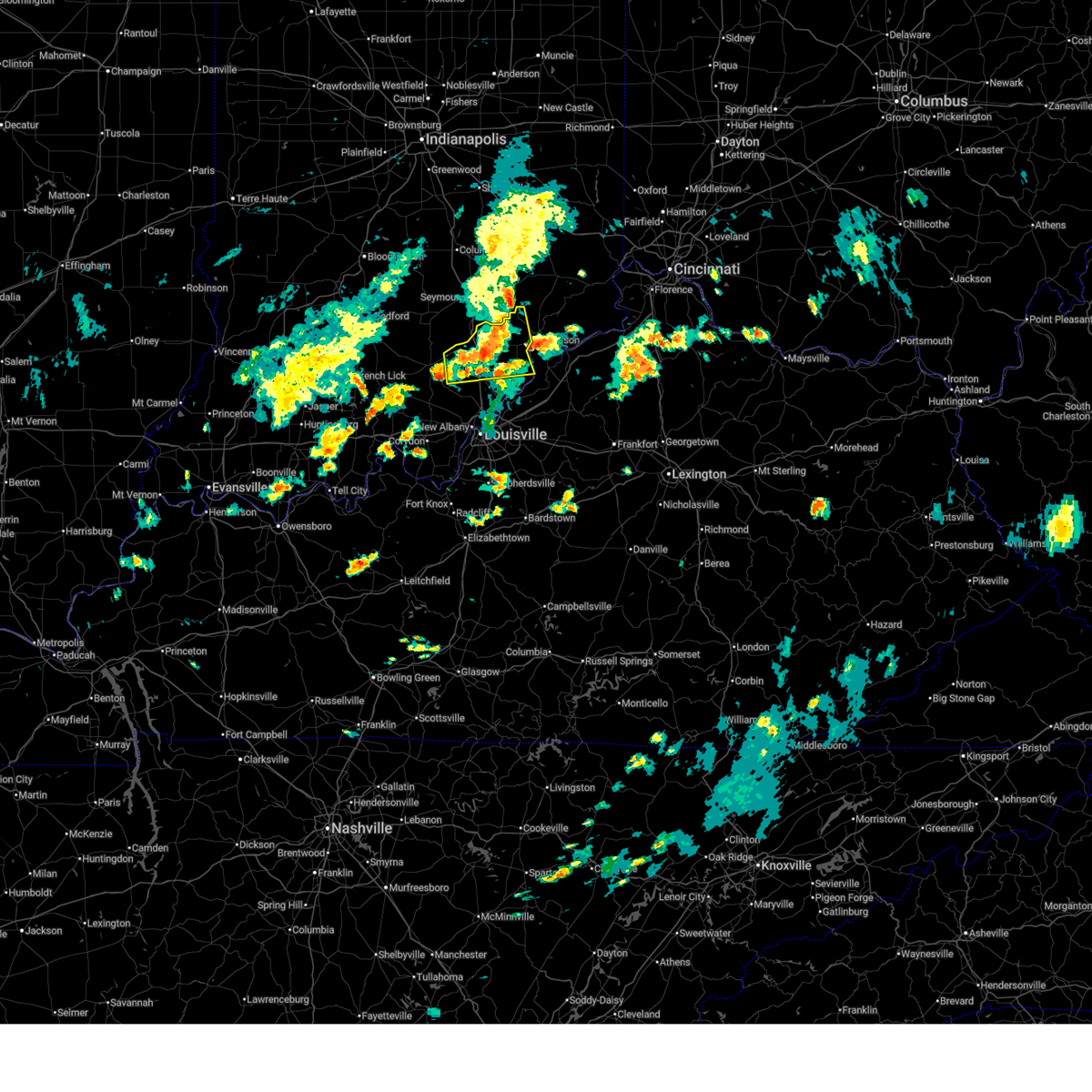
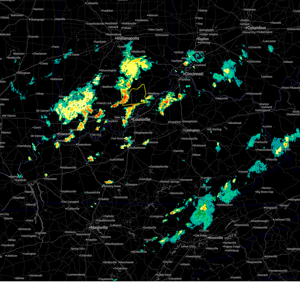
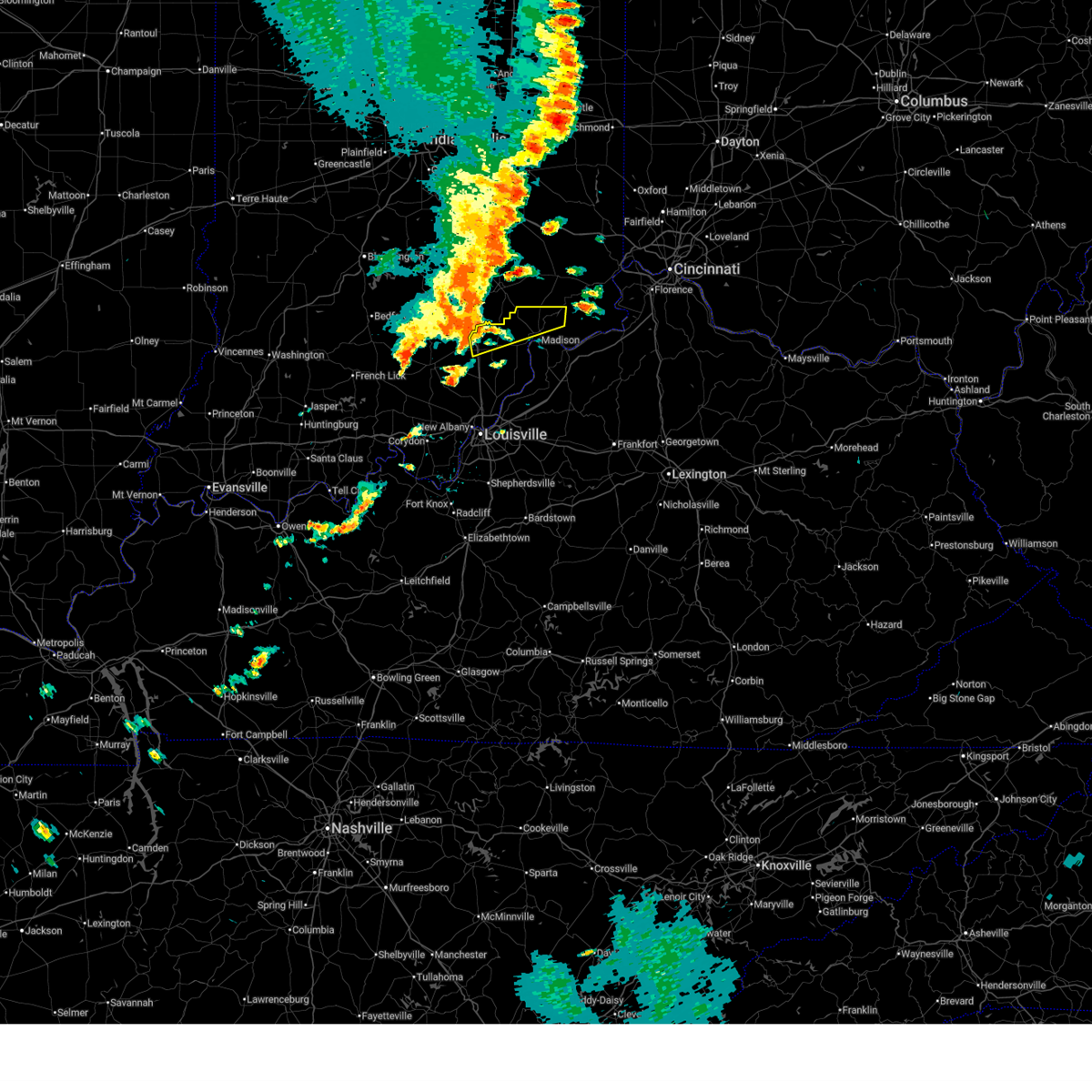
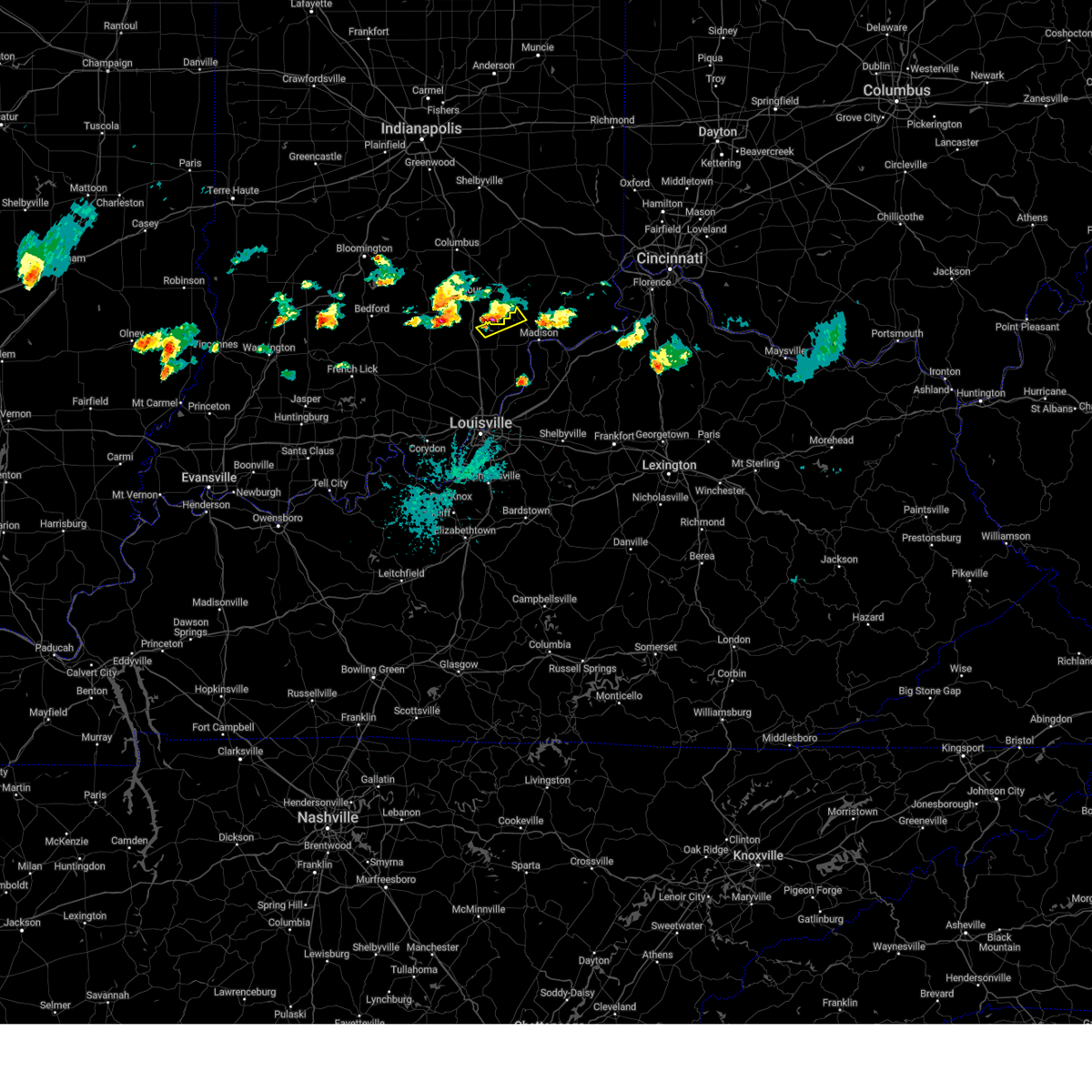
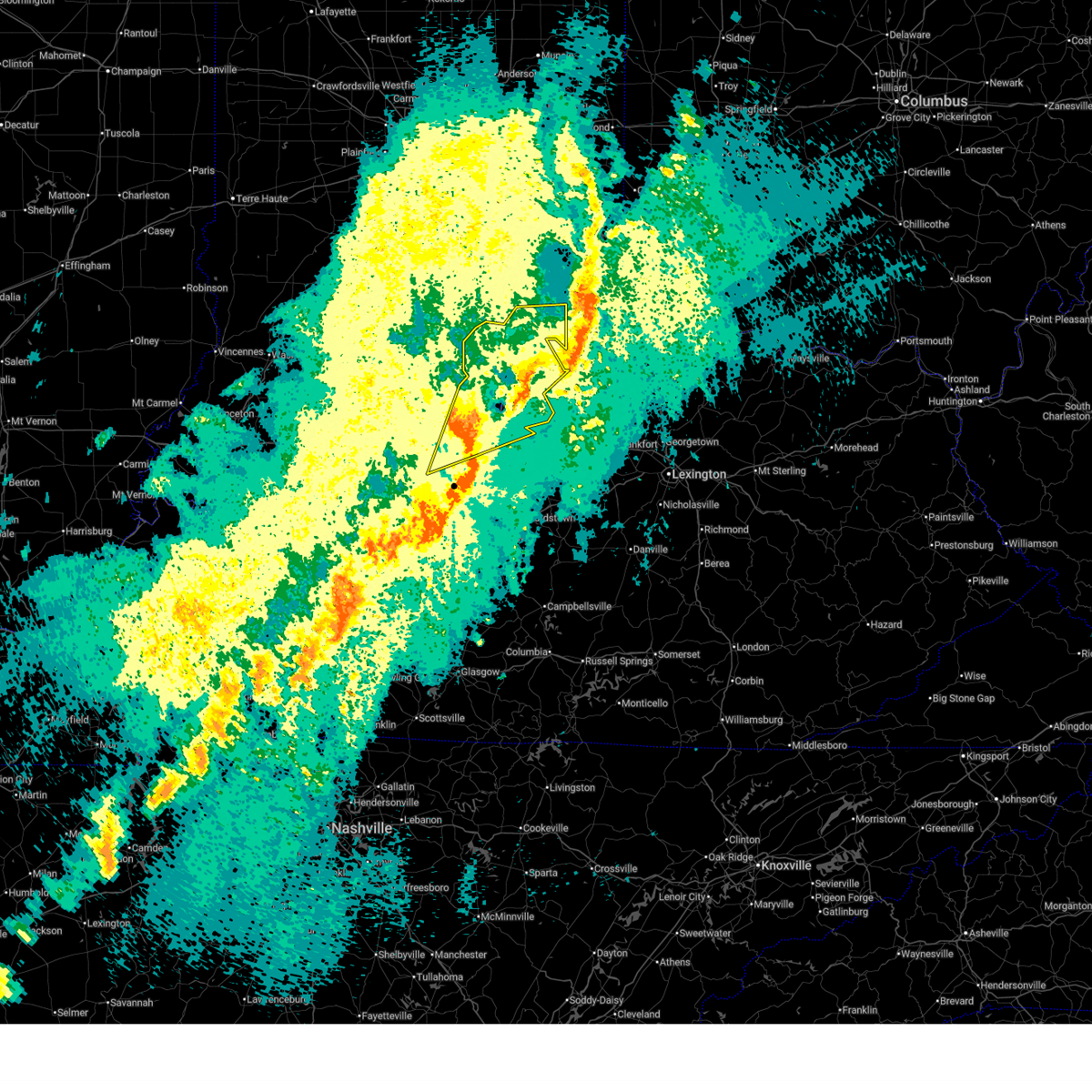
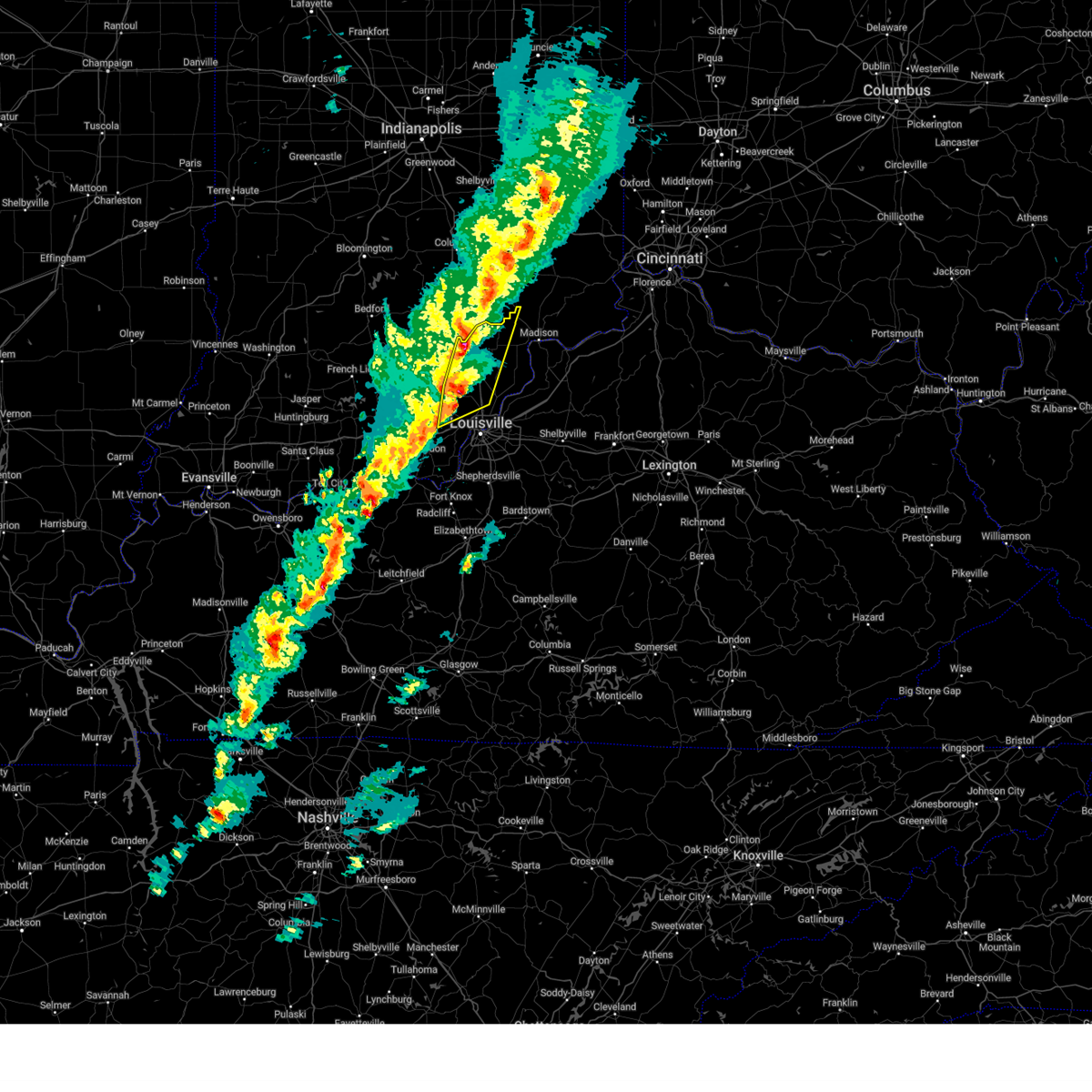
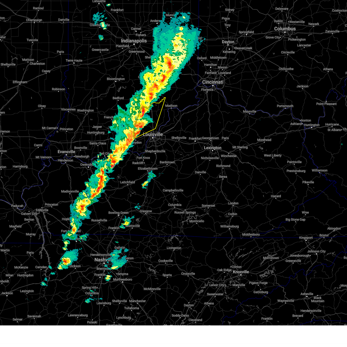
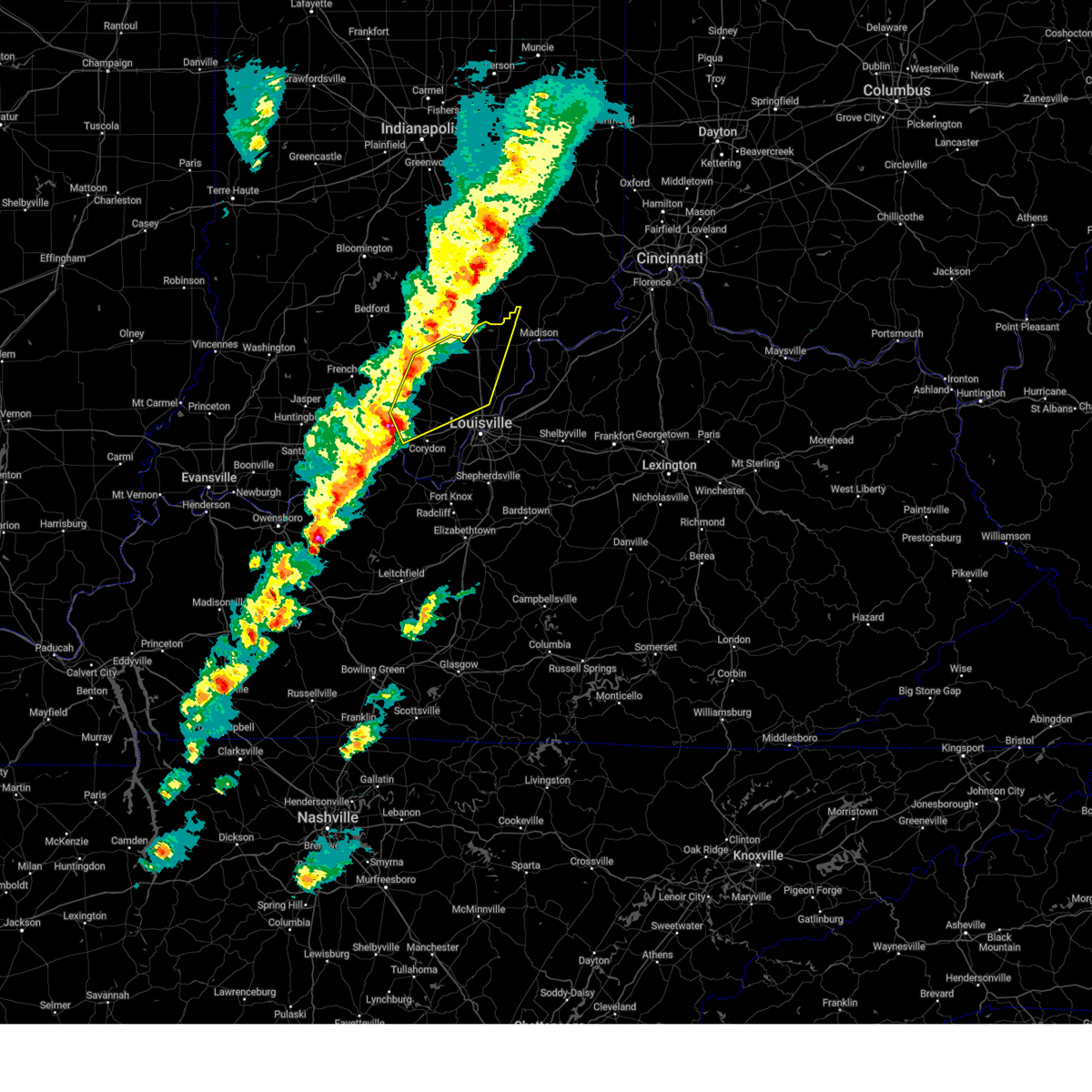
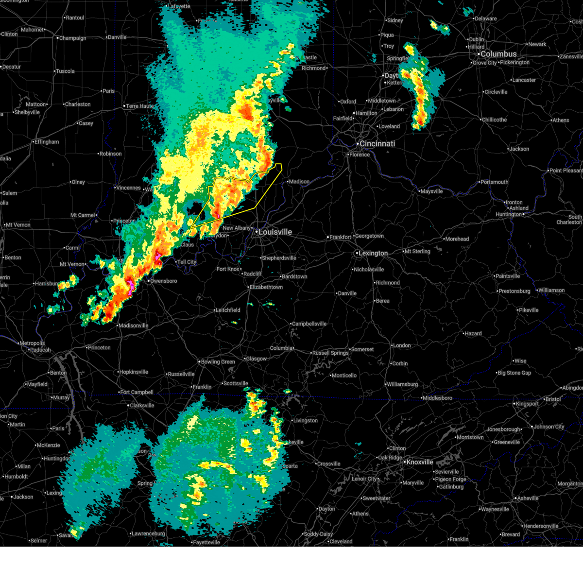
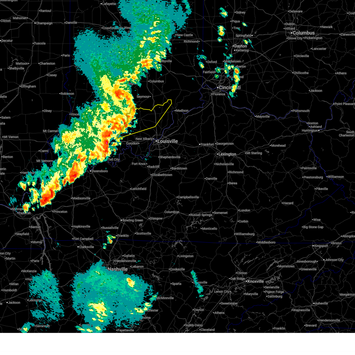
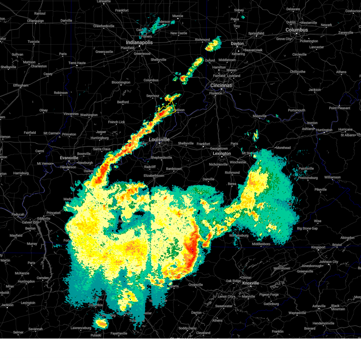
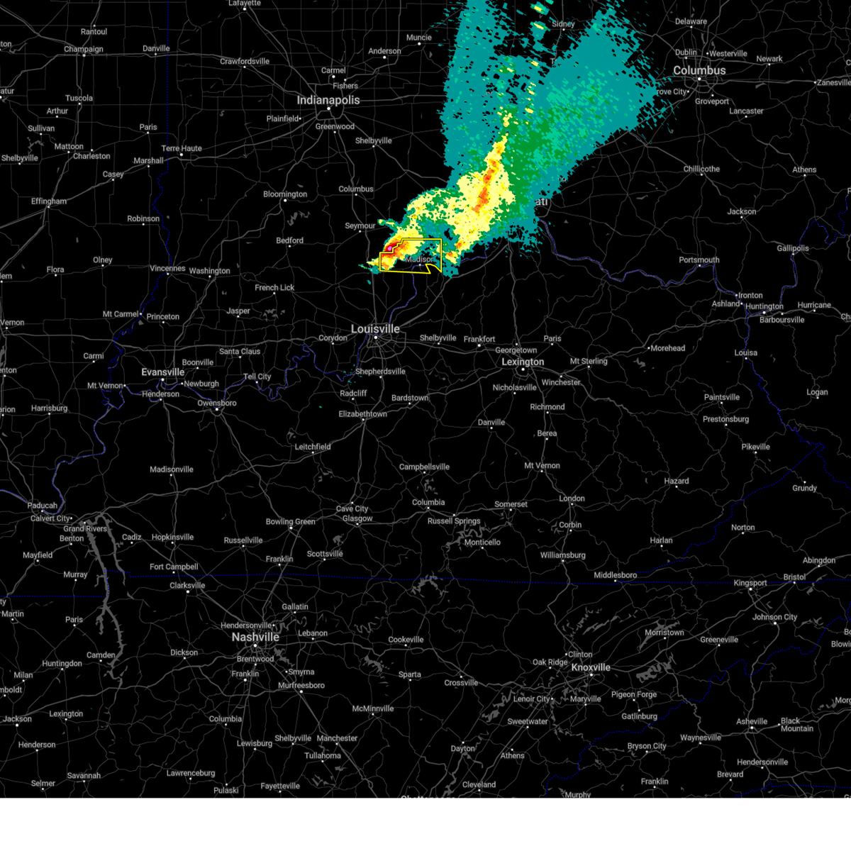
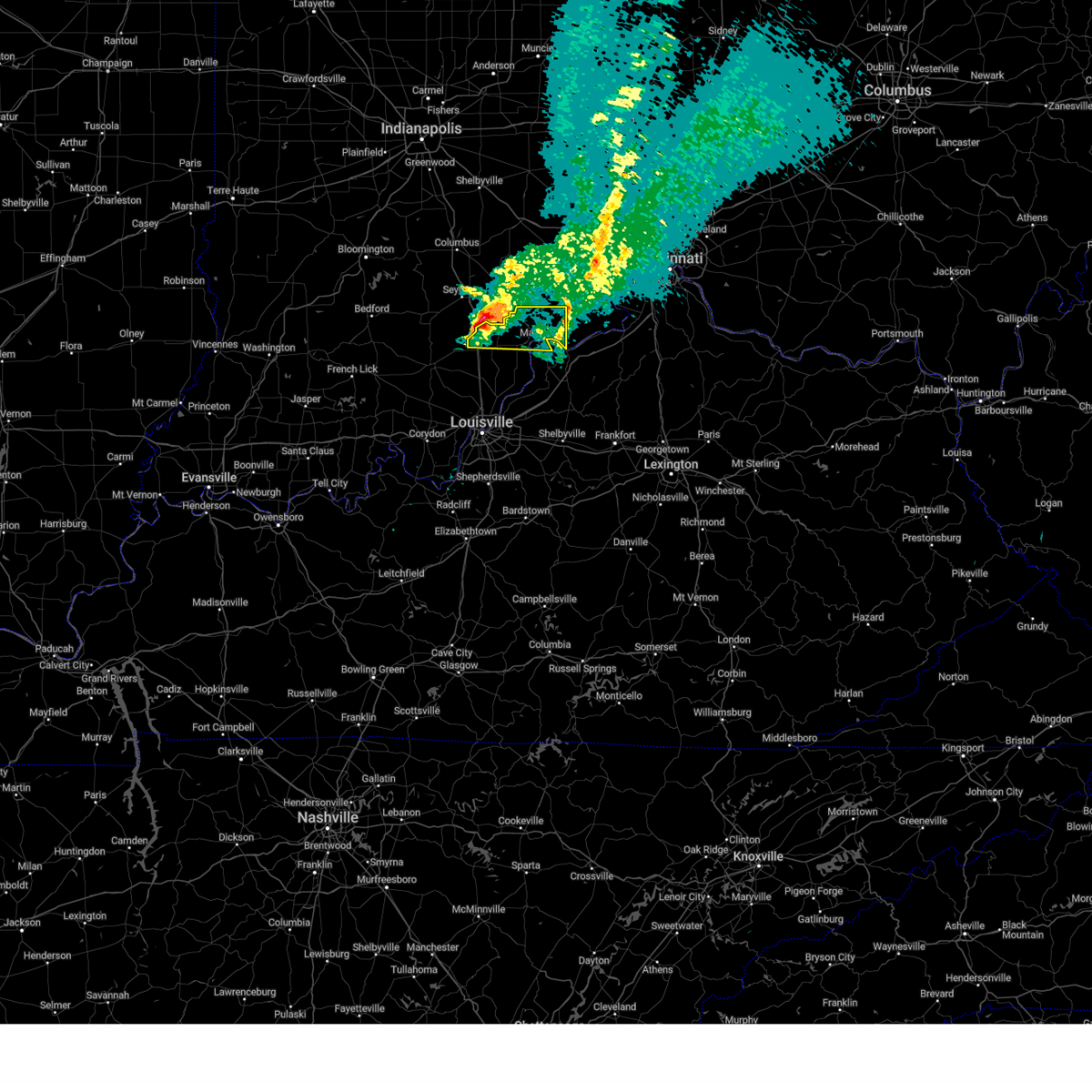
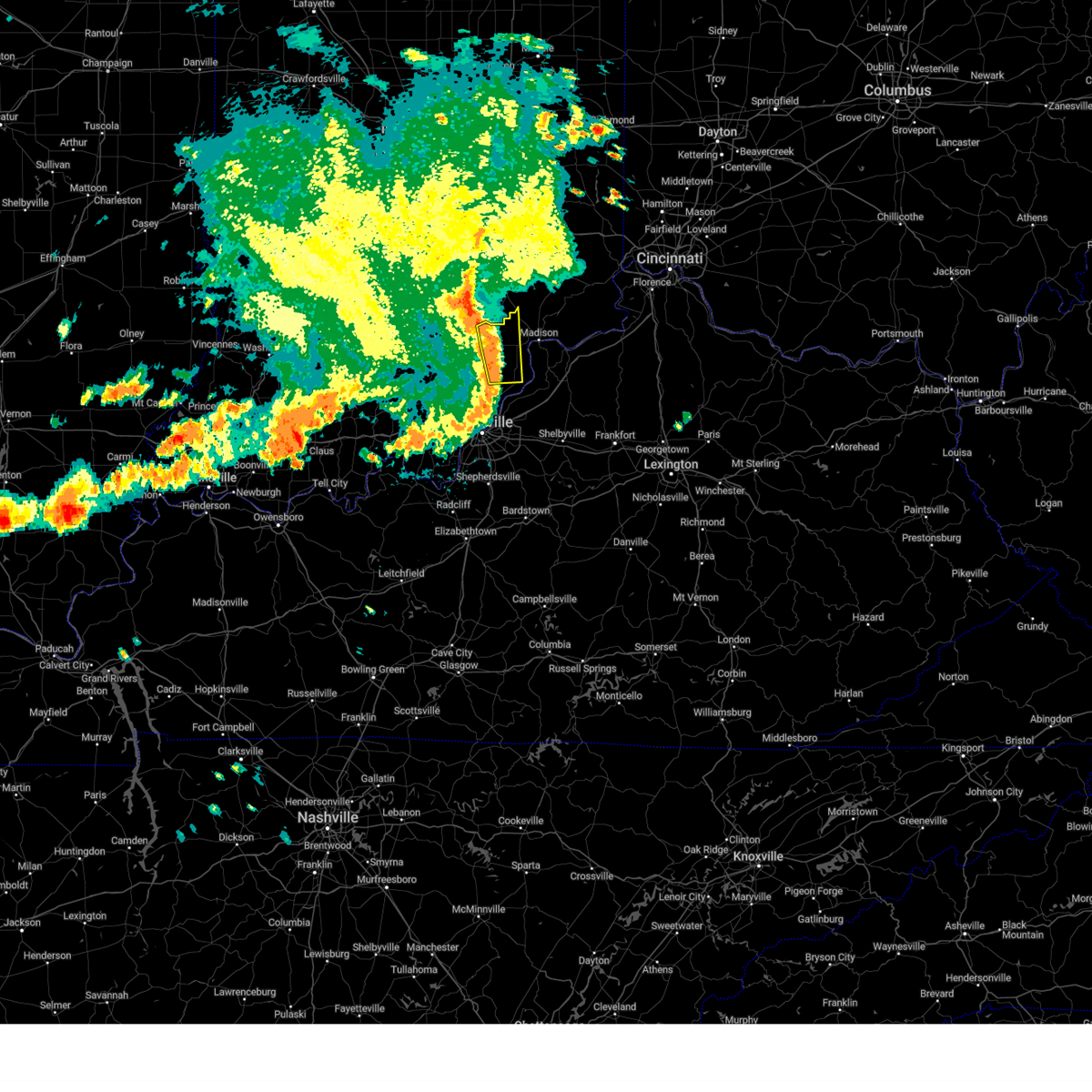
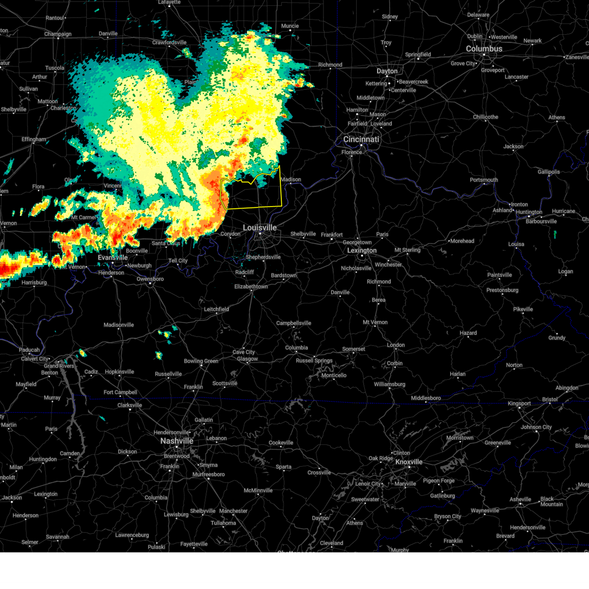
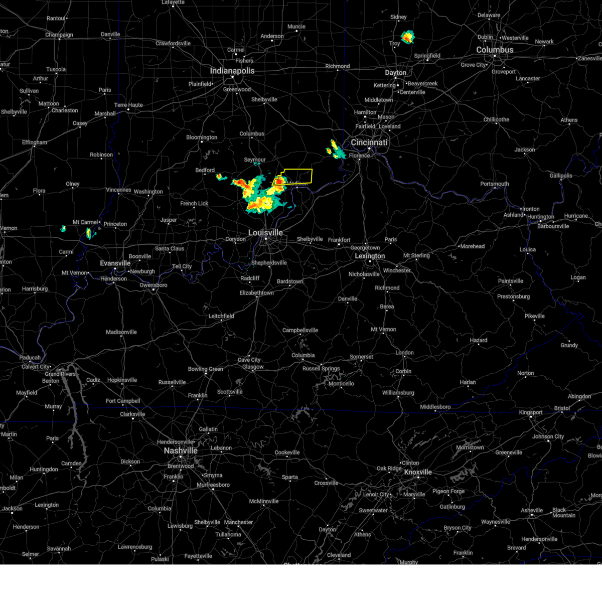
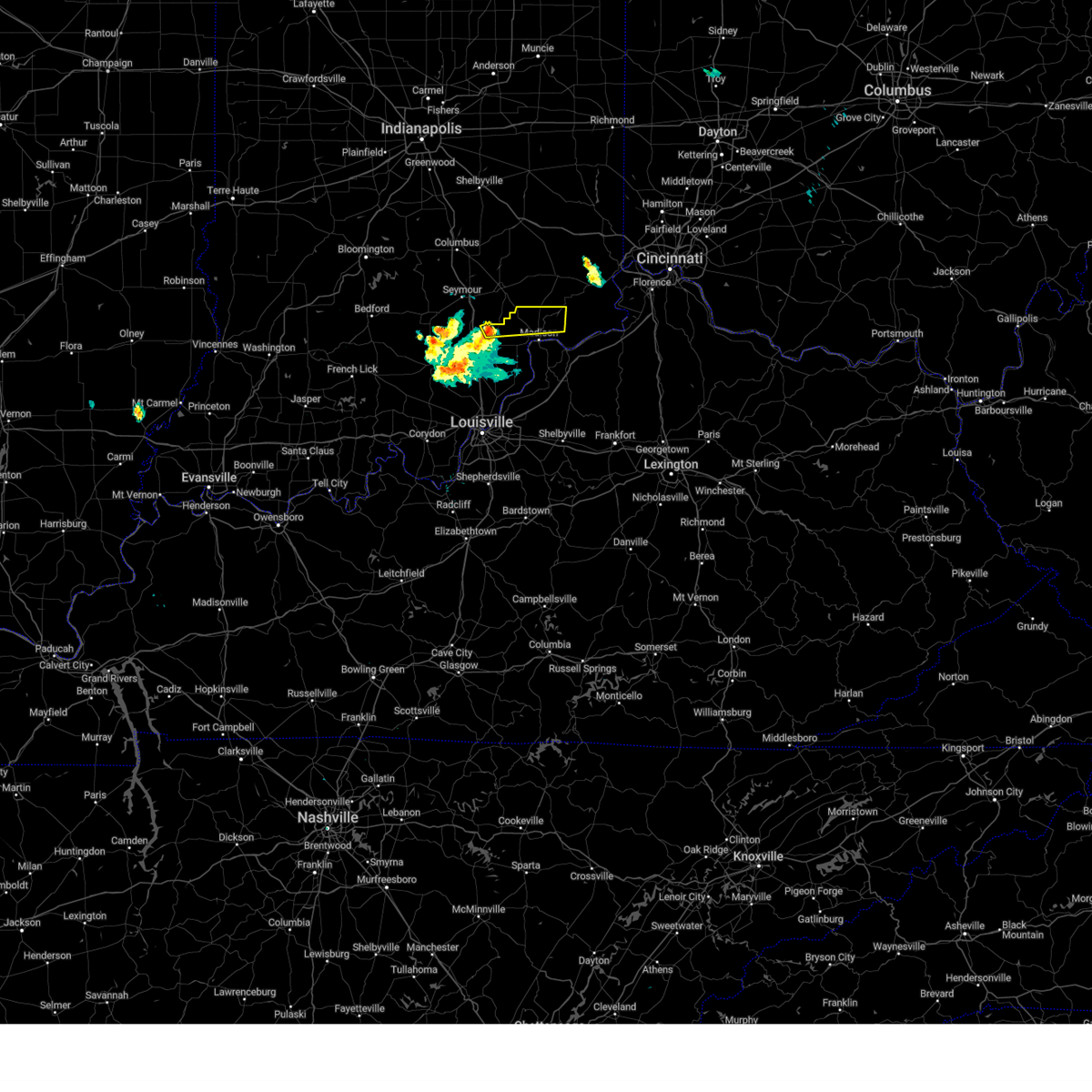
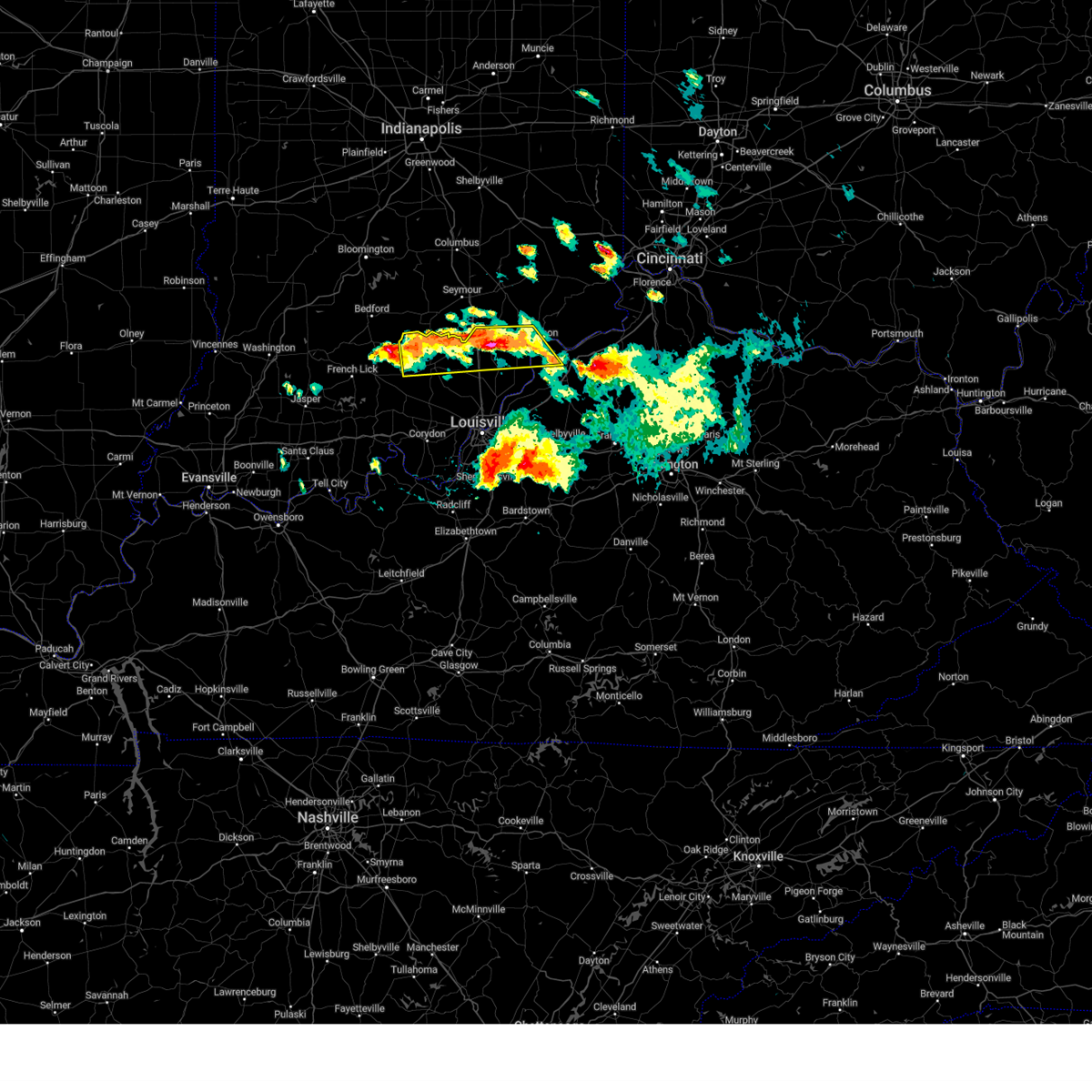
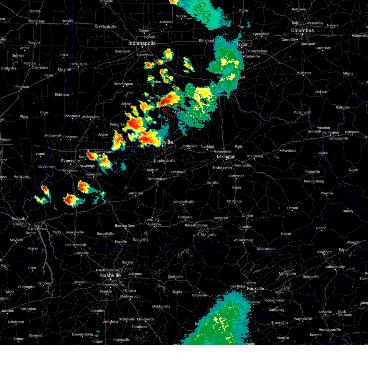
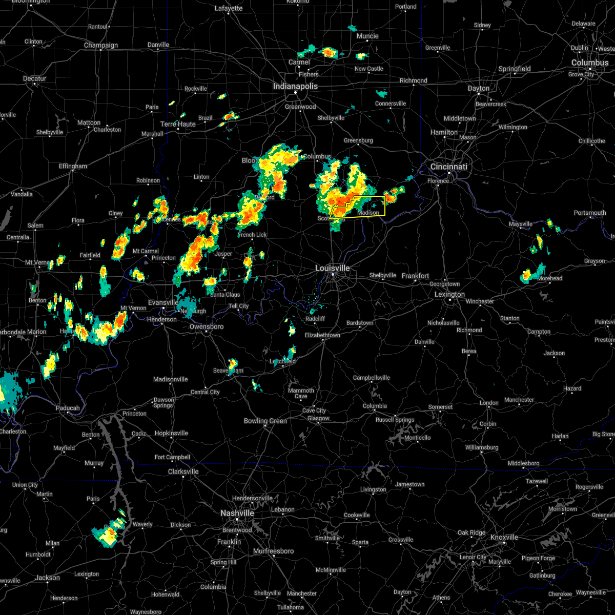
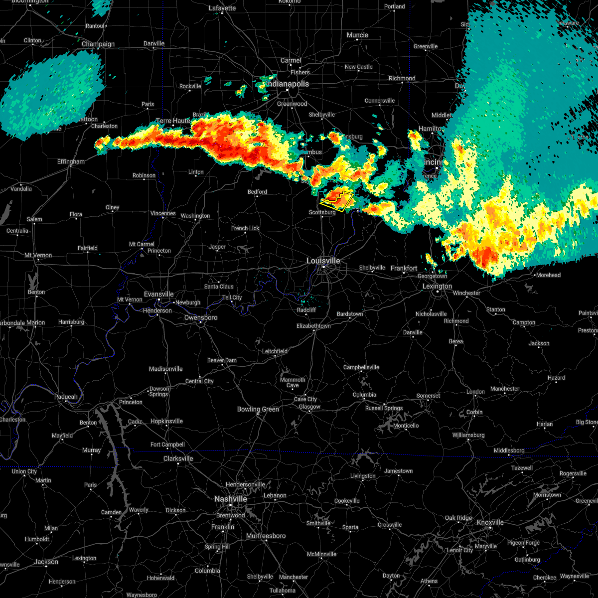
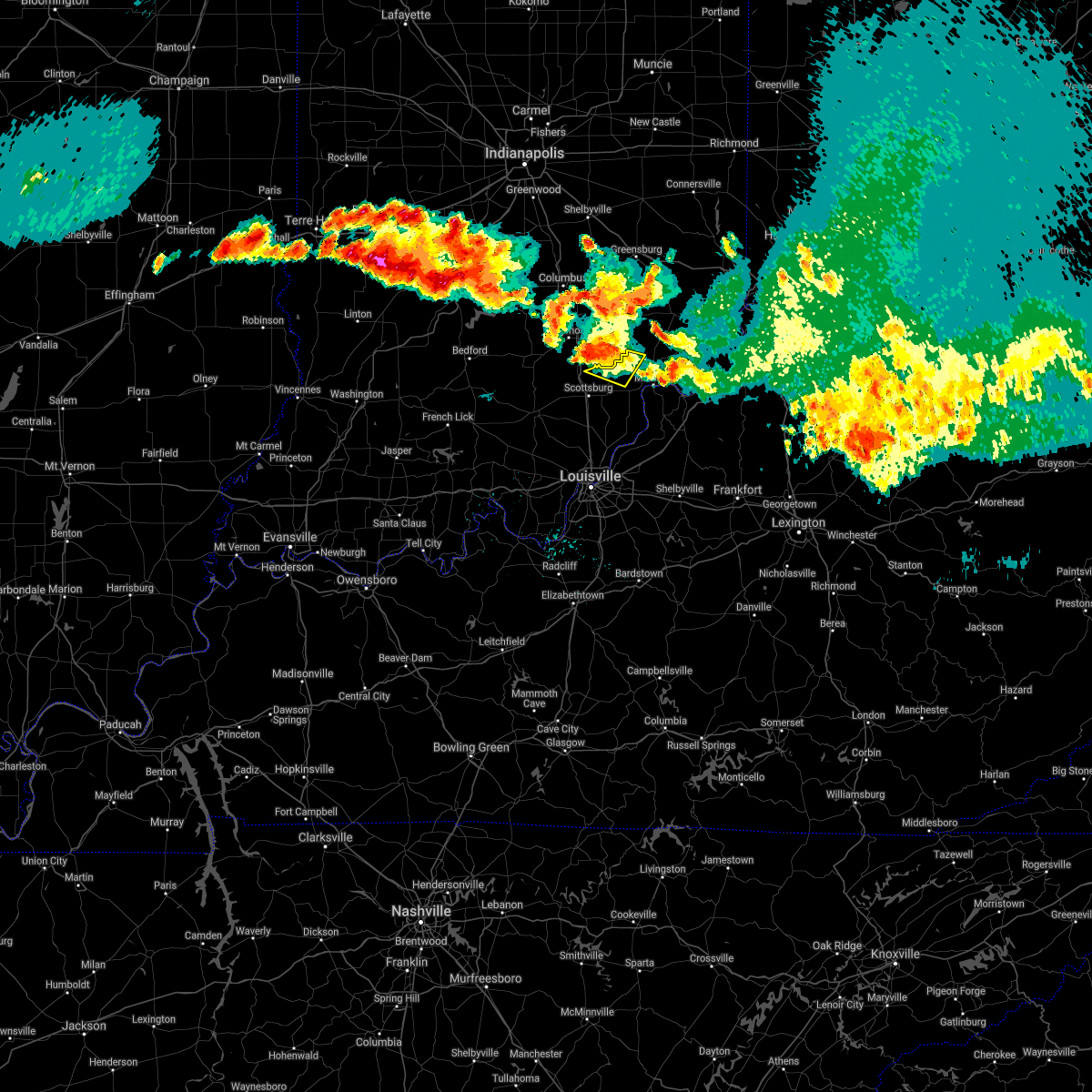
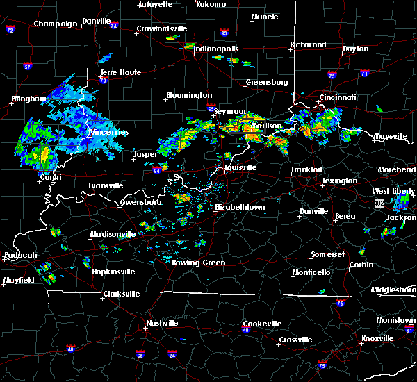
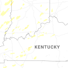
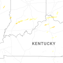
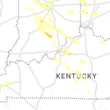
Hail Map for Deputy, IN
The Deputy, IN area has had 0 reports of on-the-ground hail by trained spotters, and has been under severe weather warnings 7 times during the past 12 months. Doppler radar has detected hail at or near Deputy, IN on 47 occasions, including 2 occasions during the past year.
| Name: | Deputy, IN |
| Where Located: | 55.8 miles N of Louisville, KY |
| Map: | Google Map for Deputy, IN |
| Population: | 86 |
| Housing Units: | 45 |
| More Info: | Search Google for Deputy, IN |
0
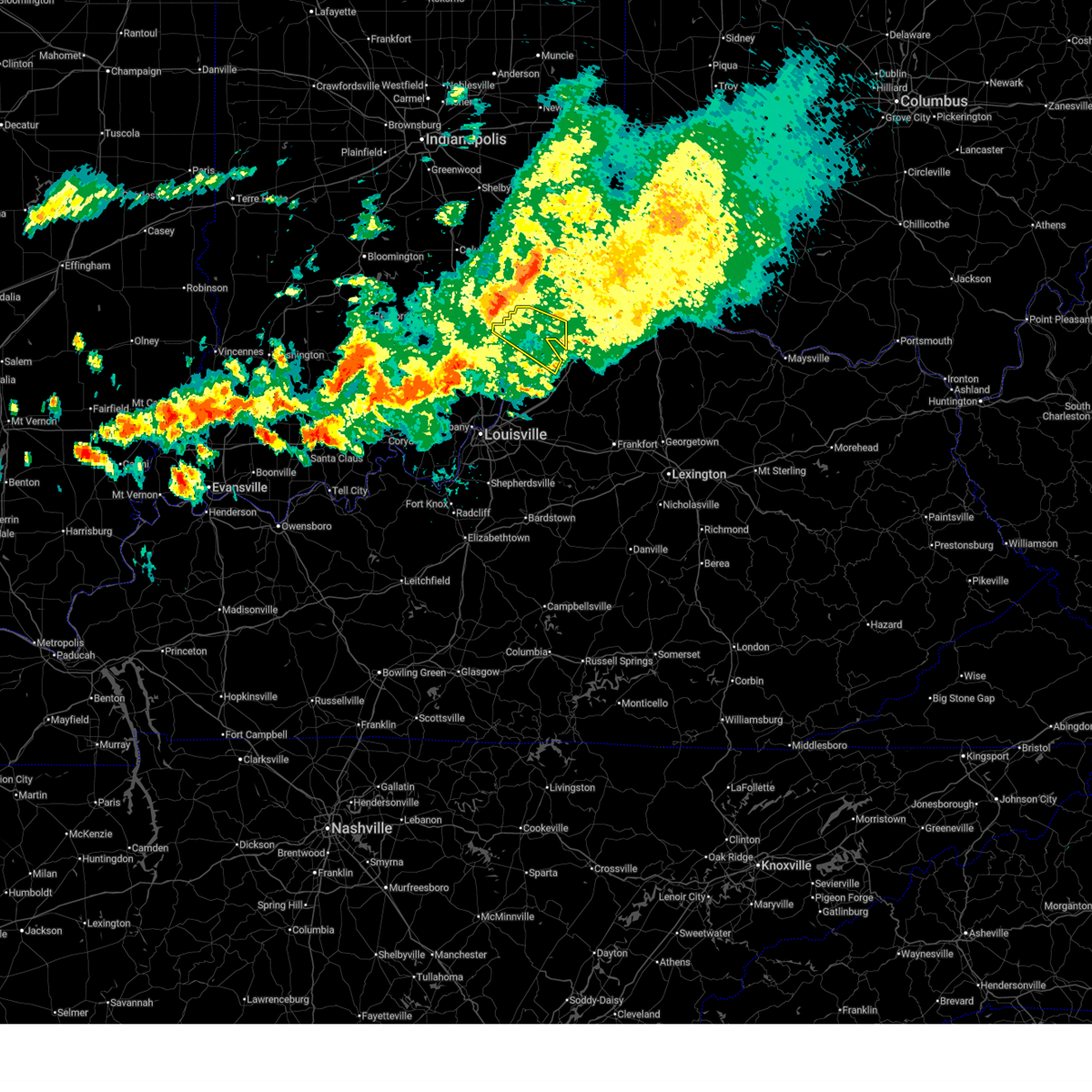
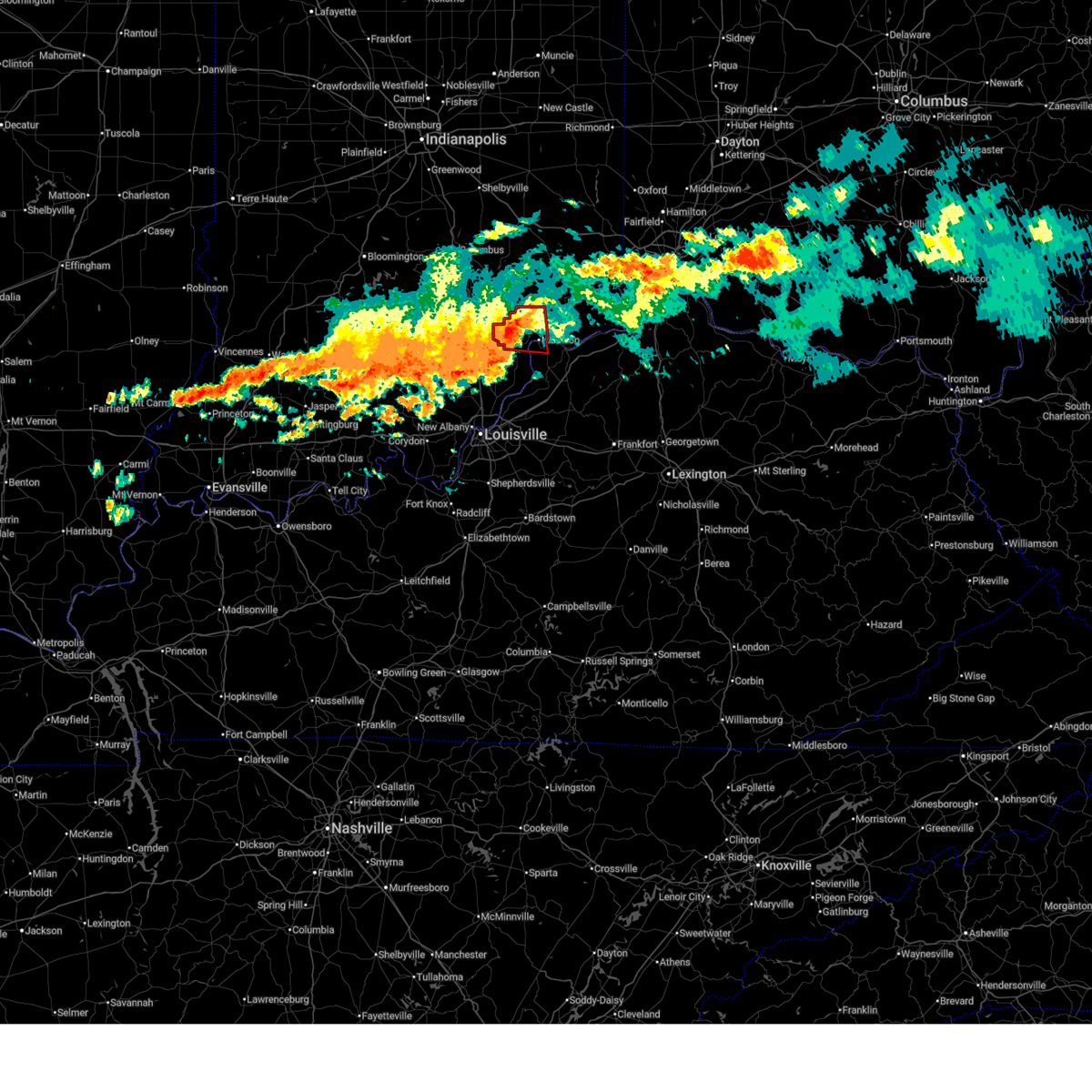
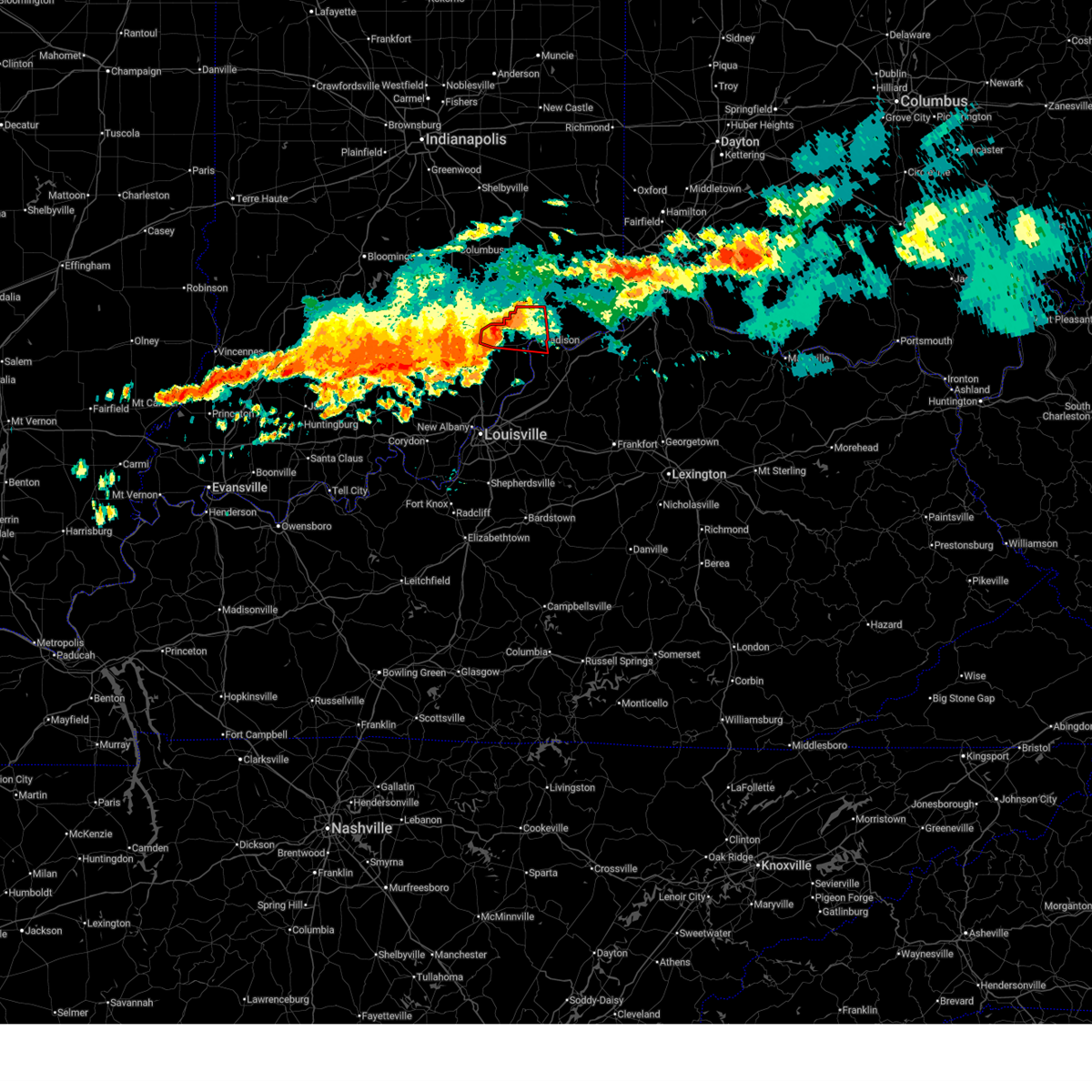
The Top Recent Hail Date for Deputy, IN is Monday, April 27, 2026 (41st out of 47)
Hail and Wind Damage Spotted near Deputy, IN
| Date / Time | Report Details |
|---|---|
| 6/21/2026 9:33 PM EDT |
 Svrlmk the national weather service in louisville has issued a * severe thunderstorm warning for, jefferson county in south central indiana, northern trimble county in central kentucky, * until 1015 pm edt. * at 933 pm edt, a severe thunderstorm was located 9 miles south of vernon, moving southeast at 40 mph (radar indicated). Hazards include 60 mph wind gusts. expect damage to roofs, siding, and trees Svrlmk the national weather service in louisville has issued a * severe thunderstorm warning for, jefferson county in south central indiana, northern trimble county in central kentucky, * until 1015 pm edt. * at 933 pm edt, a severe thunderstorm was located 9 miles south of vernon, moving southeast at 40 mph (radar indicated). Hazards include 60 mph wind gusts. expect damage to roofs, siding, and trees
|
| 6/18/2026 3:20 AM EDT |
 At 320 am edt, a confirmed tornado was located 8 miles west of madison, moving east at 45 mph (radar confirmed tornado). Hazards include damaging tornado. Flying debris will be dangerous to those caught without shelter. mobile homes will be damaged or destroyed. damage to roofs, windows, and vehicles will occur. tree damage is likely. this tornado will be near, madison around 325 am edt. Other locations impacted by this tornadic thunderstorm include wakefield, middlefork, hanover, north madison, volga, kent, deputy, belleview, bryantsburg, and madison municipal airport. At 320 am edt, a confirmed tornado was located 8 miles west of madison, moving east at 45 mph (radar confirmed tornado). Hazards include damaging tornado. Flying debris will be dangerous to those caught without shelter. mobile homes will be damaged or destroyed. damage to roofs, windows, and vehicles will occur. tree damage is likely. this tornado will be near, madison around 325 am edt. Other locations impacted by this tornadic thunderstorm include wakefield, middlefork, hanover, north madison, volga, kent, deputy, belleview, bryantsburg, and madison municipal airport.
|
| 6/18/2026 3:13 AM EDT |
 At 313 am edt, a severe thunderstorm capable of producing a tornado was located 8 miles northeast of scottsburg, moving east at 45 mph (radar indicated rotation). Hazards include tornado. Flying debris will be dangerous to those caught without shelter. mobile homes will be damaged or destroyed. damage to roofs, windows, and vehicles will occur. tree damage is likely. this dangerous storm will be near, madison around 325 am edt. Other locations impacted by this tornadic thunderstorm include wakefield, middlefork, hanover, north madison, volga, kent, deputy, blocher, belleview, and bryantsburg. At 313 am edt, a severe thunderstorm capable of producing a tornado was located 8 miles northeast of scottsburg, moving east at 45 mph (radar indicated rotation). Hazards include tornado. Flying debris will be dangerous to those caught without shelter. mobile homes will be damaged or destroyed. damage to roofs, windows, and vehicles will occur. tree damage is likely. this dangerous storm will be near, madison around 325 am edt. Other locations impacted by this tornadic thunderstorm include wakefield, middlefork, hanover, north madison, volga, kent, deputy, blocher, belleview, and bryantsburg.
|
| 6/18/2026 3:04 AM EDT |
 Svrlmk the national weather service in louisville has issued a * severe thunderstorm warning for, southwestern jefferson county in south central indiana, northwestern clark county in south central indiana, scott county in south central indiana, southeastern washington county in south central indiana, * until 330 am edt. * at 303 am edt, severe thunderstorms were located along a line extending from 11 miles southeast of seymour to 6 miles west of scottsburg to near salem, moving southeast at 35 mph (radar indicated). Hazards include 60 mph wind gusts. expect damage to roofs, siding, and trees Svrlmk the national weather service in louisville has issued a * severe thunderstorm warning for, southwestern jefferson county in south central indiana, northwestern clark county in south central indiana, scott county in south central indiana, southeastern washington county in south central indiana, * until 330 am edt. * at 303 am edt, severe thunderstorms were located along a line extending from 11 miles southeast of seymour to 6 miles west of scottsburg to near salem, moving southeast at 35 mph (radar indicated). Hazards include 60 mph wind gusts. expect damage to roofs, siding, and trees
|
| 4/27/2026 5:10 PM EDT |
 Svrlmk the national weather service in louisville has issued a * severe thunderstorm warning for, jefferson county in south central indiana, central scott county in south central indiana, * until 600 pm edt. * at 510 pm edt, severe thunderstorms were located along a line extending from near north vernon to near scottsburg, moving east at 40 mph (radar indicated). Hazards include 60 mph wind gusts and quarter size hail. Hail damage to vehicles is expected. Expect wind damage to roofs, siding, and trees. Svrlmk the national weather service in louisville has issued a * severe thunderstorm warning for, jefferson county in south central indiana, central scott county in south central indiana, * until 600 pm edt. * at 510 pm edt, severe thunderstorms were located along a line extending from near north vernon to near scottsburg, moving east at 40 mph (radar indicated). Hazards include 60 mph wind gusts and quarter size hail. Hail damage to vehicles is expected. Expect wind damage to roofs, siding, and trees.
|
| 4/1/2026 3:44 PM EDT |
 At 344 pm edt, a severe thunderstorm was located near scottsburg, moving east at 35 mph (radar indicated). Hazards include 60 mph wind gusts and quarter size hail. Hail damage to vehicles is expected. expect wind damage to roofs, siding, and trees. Locations impacted include, madison, scottsburg, vienna, austin, lexington, hanover, blue river, saluda, smyrna, and kent. At 344 pm edt, a severe thunderstorm was located near scottsburg, moving east at 35 mph (radar indicated). Hazards include 60 mph wind gusts and quarter size hail. Hail damage to vehicles is expected. expect wind damage to roofs, siding, and trees. Locations impacted include, madison, scottsburg, vienna, austin, lexington, hanover, blue river, saluda, smyrna, and kent.
|
| 4/1/2026 3:22 PM EDT |
 Svrlmk the national weather service in louisville has issued a * severe thunderstorm warning for, western jefferson county in south central indiana, northeastern clark county in south central indiana, scott county in south central indiana, northeastern washington county in south central indiana, * until 400 pm edt. * at 321 pm edt, a severe thunderstorm was located near new salem, moving east at 35 mph (radar indicated). Hazards include 60 mph wind gusts and quarter size hail. Hail damage to vehicles is expected. Expect wind damage to roofs, siding, and trees. Svrlmk the national weather service in louisville has issued a * severe thunderstorm warning for, western jefferson county in south central indiana, northeastern clark county in south central indiana, scott county in south central indiana, northeastern washington county in south central indiana, * until 400 pm edt. * at 321 pm edt, a severe thunderstorm was located near new salem, moving east at 35 mph (radar indicated). Hazards include 60 mph wind gusts and quarter size hail. Hail damage to vehicles is expected. Expect wind damage to roofs, siding, and trees.
|
| 6/18/2025 5:40 PM EDT |
 Svrlmk the national weather service in louisville has issued a * severe thunderstorm warning for, jefferson county in south central indiana, northern scott county in south central indiana, * until 630 pm edt. * at 534 pm edt, a severe thunderstorm was located 7 miles northwest of scottsburg, moving northeast at 50 mph (radar indicated). Hazards include 60 mph wind gusts and quarter size hail. Hail damage to vehicles is expected. Expect wind damage to roofs, siding, and trees. Svrlmk the national weather service in louisville has issued a * severe thunderstorm warning for, jefferson county in south central indiana, northern scott county in south central indiana, * until 630 pm edt. * at 534 pm edt, a severe thunderstorm was located 7 miles northwest of scottsburg, moving northeast at 50 mph (radar indicated). Hazards include 60 mph wind gusts and quarter size hail. Hail damage to vehicles is expected. Expect wind damage to roofs, siding, and trees.
|
| 4/30/2025 8:37 PM EDT |
 Svrlmk the national weather service in louisville has issued a * severe thunderstorm warning for, northwestern jefferson county in south central indiana, north central scott county in south central indiana, * until 915 pm edt. * at 837 pm edt, a severe thunderstorm was located 9 miles north of scottsburg, moving northeast at 20 mph (radar indicated). Hazards include 60 mph wind gusts and quarter size hail. Hail damage to vehicles is expected. Expect wind damage to roofs, siding, and trees. Svrlmk the national weather service in louisville has issued a * severe thunderstorm warning for, northwestern jefferson county in south central indiana, north central scott county in south central indiana, * until 915 pm edt. * at 837 pm edt, a severe thunderstorm was located 9 miles north of scottsburg, moving northeast at 20 mph (radar indicated). Hazards include 60 mph wind gusts and quarter size hail. Hail damage to vehicles is expected. Expect wind damage to roofs, siding, and trees.
|
| 4/3/2025 12:21 AM EDT |
 The storms which prompted the warning have weakened below severe limits, and have exited the warned area. therefore, the warning will be allowed to expire. however, gusty winds and heavy rain are still possible with these thunderstorms. a tornado watch remains in effect until 200 am edt for south central indiana, and central kentucky. to report severe weather, contact your nearest law enforcement agency. they will relay your report to the national weather service louisville. The storms which prompted the warning have weakened below severe limits, and have exited the warned area. therefore, the warning will be allowed to expire. however, gusty winds and heavy rain are still possible with these thunderstorms. a tornado watch remains in effect until 200 am edt for south central indiana, and central kentucky. to report severe weather, contact your nearest law enforcement agency. they will relay your report to the national weather service louisville.
|
| 4/2/2025 11:39 PM EDT |
 Svrlmk the national weather service in louisville has issued a * severe thunderstorm warning for, southeastern harrison county in south central indiana, jefferson county in south central indiana, clark county in south central indiana, floyd county in south central indiana, scott county in south central indiana, oldham county in central kentucky, trimble county in central kentucky, central jefferson county in central kentucky, * until 1230 am edt. * at 1139 pm edt, severe thunderstorms were located along a line extending from 9 miles south of scottsburg to 7 miles west of pleasure ridge park, moving northeast at 75 mph (radar indicated). Hazards include 60 mph wind gusts. expect damage to roofs, siding, and trees Svrlmk the national weather service in louisville has issued a * severe thunderstorm warning for, southeastern harrison county in south central indiana, jefferson county in south central indiana, clark county in south central indiana, floyd county in south central indiana, scott county in south central indiana, oldham county in central kentucky, trimble county in central kentucky, central jefferson county in central kentucky, * until 1230 am edt. * at 1139 pm edt, severe thunderstorms were located along a line extending from 9 miles south of scottsburg to 7 miles west of pleasure ridge park, moving northeast at 75 mph (radar indicated). Hazards include 60 mph wind gusts. expect damage to roofs, siding, and trees
|
| 3/19/2025 9:38 PM EDT |
 At 938 pm edt, a severe thunderstorm was located near scottsburg, moving northeast at 60 mph (radar indicated). Hazards include 60 mph wind gusts and quarter size hail. Hail damage to vehicles is expected. expect wind damage to roofs, siding, and trees. Locations impacted include, new albany, scottsburg, clarksville, vienna, sellersburg, austin, lexington, galena, blue river, and new pekin. At 938 pm edt, a severe thunderstorm was located near scottsburg, moving northeast at 60 mph (radar indicated). Hazards include 60 mph wind gusts and quarter size hail. Hail damage to vehicles is expected. expect wind damage to roofs, siding, and trees. Locations impacted include, new albany, scottsburg, clarksville, vienna, sellersburg, austin, lexington, galena, blue river, and new pekin.
|
| 3/19/2025 9:26 PM EDT |
 the severe thunderstorm warning has been cancelled and is no longer in effect the severe thunderstorm warning has been cancelled and is no longer in effect
|
| 3/19/2025 9:26 PM EDT |
 At 926 pm edt, a severe thunderstorm was located near scottsburg, moving northeast at 60 mph (radar indicated). Hazards include 60 mph wind gusts and quarter size hail. Hail damage to vehicles is expected. expect wind damage to roofs, siding, and trees. Locations impacted include, new albany, scottsburg, salem, clarksville, vienna, sellersburg, austin, lexington, galena, and blue river. At 926 pm edt, a severe thunderstorm was located near scottsburg, moving northeast at 60 mph (radar indicated). Hazards include 60 mph wind gusts and quarter size hail. Hail damage to vehicles is expected. expect wind damage to roofs, siding, and trees. Locations impacted include, new albany, scottsburg, salem, clarksville, vienna, sellersburg, austin, lexington, galena, and blue river.
|
| 3/19/2025 9:12 PM EDT |
 Svrlmk the national weather service in louisville has issued a * severe thunderstorm warning for, northern harrison county in south central indiana, northwestern jefferson county in south central indiana, northwestern clark county in south central indiana, northeastern crawford county in south central indiana, northern floyd county in south central indiana, southeastern orange county in south central indiana, scott county in south central indiana, washington county in south central indiana, * until 1000 pm edt. * at 912 pm edt, a severe thunderstorm was located near salem, moving northeast at 60 mph (radar indicated). Hazards include 60 mph wind gusts and quarter size hail. Hail damage to vehicles is expected. Expect wind damage to roofs, siding, and trees. Svrlmk the national weather service in louisville has issued a * severe thunderstorm warning for, northern harrison county in south central indiana, northwestern jefferson county in south central indiana, northwestern clark county in south central indiana, northeastern crawford county in south central indiana, northern floyd county in south central indiana, southeastern orange county in south central indiana, scott county in south central indiana, washington county in south central indiana, * until 1000 pm edt. * at 912 pm edt, a severe thunderstorm was located near salem, moving northeast at 60 mph (radar indicated). Hazards include 60 mph wind gusts and quarter size hail. Hail damage to vehicles is expected. Expect wind damage to roofs, siding, and trees.
|
| 3/15/2025 5:42 AM EDT |
 The storms which prompted the warning have weakened below severe limits, and no longer pose an immediate threat to life or property. therefore, the warning will be allowed to expire. a tornado watch remains in effect until 1000 am edt for south central indiana. The storms which prompted the warning have weakened below severe limits, and no longer pose an immediate threat to life or property. therefore, the warning will be allowed to expire. a tornado watch remains in effect until 1000 am edt for south central indiana.
|
| 3/15/2025 5:02 AM EDT |
 Svrlmk the national weather service in louisville has issued a * severe thunderstorm warning for, north central harrison county in south central indiana, northwestern jefferson county in south central indiana, northwestern clark county in south central indiana, northern crawford county in south central indiana, eastern orange county in south central indiana, scott county in south central indiana, washington county in south central indiana, * until 545 am edt. * at 502 am edt, severe thunderstorms were located along a line extending from 9 miles east of bedford to 9 miles west of salem to near english, moving east at 70 mph (radar indicated). Hazards include 60 mph wind gusts. expect damage to roofs, siding, and trees Svrlmk the national weather service in louisville has issued a * severe thunderstorm warning for, north central harrison county in south central indiana, northwestern jefferson county in south central indiana, northwestern clark county in south central indiana, northern crawford county in south central indiana, eastern orange county in south central indiana, scott county in south central indiana, washington county in south central indiana, * until 545 am edt. * at 502 am edt, severe thunderstorms were located along a line extending from 9 miles east of bedford to 9 miles west of salem to near english, moving east at 70 mph (radar indicated). Hazards include 60 mph wind gusts. expect damage to roofs, siding, and trees
|
| 5/26/2024 12:25 PM EDT |
 Svrlmk the national weather service in louisville has issued a * severe thunderstorm warning for, jefferson county in south central indiana, central scott county in south central indiana, northeastern oldham county in central kentucky, northeastern shelby county in central kentucky, trimble county in central kentucky, henry county in central kentucky, northwestern franklin county in central kentucky, * until 130 pm edt. * at 1225 pm edt, a severe thunderstorm was located over la grange, moving northeast at 60 mph (radar indicated). Hazards include 70 mph wind gusts. Expect considerable tree damage. Damage is likely to mobile homes, roofs, and outbuildings. Svrlmk the national weather service in louisville has issued a * severe thunderstorm warning for, jefferson county in south central indiana, central scott county in south central indiana, northeastern oldham county in central kentucky, northeastern shelby county in central kentucky, trimble county in central kentucky, henry county in central kentucky, northwestern franklin county in central kentucky, * until 130 pm edt. * at 1225 pm edt, a severe thunderstorm was located over la grange, moving northeast at 60 mph (radar indicated). Hazards include 70 mph wind gusts. Expect considerable tree damage. Damage is likely to mobile homes, roofs, and outbuildings.
|
| 5/22/2024 6:53 PM EDT |
 Svrlmk the national weather service in louisville has issued a * severe thunderstorm warning for, northwestern jefferson county in south central indiana, central scott county in south central indiana, * until 730 pm edt. * at 653 pm edt, a severe thunderstorm was located near scottsburg, moving northeast at 35 mph (radar indicated). Hazards include 60 mph wind gusts and nickel size hail. expect damage to roofs, siding, and trees Svrlmk the national weather service in louisville has issued a * severe thunderstorm warning for, northwestern jefferson county in south central indiana, central scott county in south central indiana, * until 730 pm edt. * at 653 pm edt, a severe thunderstorm was located near scottsburg, moving northeast at 35 mph (radar indicated). Hazards include 60 mph wind gusts and nickel size hail. expect damage to roofs, siding, and trees
|
| 4/2/2024 5:10 PM EDT |
 At 510 pm edt, a confirmed tornado was located 10 miles south of vernon, moving east at 60 mph (law enforcement confirmed tornado). Hazards include damaging tornado and quarter size hail. Flying debris will be dangerous to those caught without shelter. mobile homes will be damaged or destroyed. damage to roofs, windows, and vehicles will occur. tree damage is likely. Locations impacted include, madison, smyrna, dupont, wakefield, middlefork, canaan, volga, manville, deputy, and belleview. At 510 pm edt, a confirmed tornado was located 10 miles south of vernon, moving east at 60 mph (law enforcement confirmed tornado). Hazards include damaging tornado and quarter size hail. Flying debris will be dangerous to those caught without shelter. mobile homes will be damaged or destroyed. damage to roofs, windows, and vehicles will occur. tree damage is likely. Locations impacted include, madison, smyrna, dupont, wakefield, middlefork, canaan, volga, manville, deputy, and belleview.
|
| 4/2/2024 5:03 PM EDT |
 the tornado warning has been cancelled and is no longer in effect the tornado warning has been cancelled and is no longer in effect
|
| 4/2/2024 5:03 PM EDT |
 At 502 pm edt, a severe thunderstorm capable of producing a tornado was located 7 miles north of scottsburg, moving east at 60 mph (radar indicated rotation). Hazards include tornado and quarter size hail. Flying debris will be dangerous to those caught without shelter. mobile homes will be damaged or destroyed. damage to roofs, windows, and vehicles will occur. tree damage is likely. This tornadic thunderstorm will remain over mainly rural areas of northern jefferson and northwestern scott counties, including the following locations, wakefield, middlefork, canaan, volga, manville, deputy, belleview, bryantsburg, five points, and ringwald. At 502 pm edt, a severe thunderstorm capable of producing a tornado was located 7 miles north of scottsburg, moving east at 60 mph (radar indicated rotation). Hazards include tornado and quarter size hail. Flying debris will be dangerous to those caught without shelter. mobile homes will be damaged or destroyed. damage to roofs, windows, and vehicles will occur. tree damage is likely. This tornadic thunderstorm will remain over mainly rural areas of northern jefferson and northwestern scott counties, including the following locations, wakefield, middlefork, canaan, volga, manville, deputy, belleview, bryantsburg, five points, and ringwald.
|
| 4/2/2024 4:54 PM EDT |
 Torlmk the national weather service in louisville has issued a * tornado warning for, northern jefferson county in south central indiana, northwestern scott county in south central indiana, northeastern washington county in south central indiana, * until 530 pm edt. * at 453 pm edt, a severe thunderstorm capable of producing a tornado was located 7 miles northwest of scottsburg, moving east at 60 mph (radar indicated rotation). Hazards include tornado and quarter size hail. Flying debris will be dangerous to those caught without shelter. mobile homes will be damaged or destroyed. damage to roofs, windows, and vehicles will occur. tree damage is likely. this dangerous storm will be near, scottsburg around 500 pm edt. Other locations impacted by this tornadic thunderstorm include wakefield, middlefork, canaan, volga, north madison, manville, deputy, belleview, bryantsburg, and pumpkin center. Torlmk the national weather service in louisville has issued a * tornado warning for, northern jefferson county in south central indiana, northwestern scott county in south central indiana, northeastern washington county in south central indiana, * until 530 pm edt. * at 453 pm edt, a severe thunderstorm capable of producing a tornado was located 7 miles northwest of scottsburg, moving east at 60 mph (radar indicated rotation). Hazards include tornado and quarter size hail. Flying debris will be dangerous to those caught without shelter. mobile homes will be damaged or destroyed. damage to roofs, windows, and vehicles will occur. tree damage is likely. this dangerous storm will be near, scottsburg around 500 pm edt. Other locations impacted by this tornadic thunderstorm include wakefield, middlefork, canaan, volga, north madison, manville, deputy, belleview, bryantsburg, and pumpkin center.
|
| 3/14/2024 1:43 PM EDT |
 At 143 pm edt, a severe thunderstorm was located 9 miles northeast of scottsburg, moving east at 50 mph (radar indicated). Hazards include golf ball size hail and 60 mph wind gusts. People and animals outdoors will be injured. expect hail damage to roofs, siding, windows, and vehicles. expect wind damage to roofs, siding, and trees. Locations impacted include, madison, hanover, smyrna, milton, kent, dupont, brooksburg, wakefield, canaan, and north madison. At 143 pm edt, a severe thunderstorm was located 9 miles northeast of scottsburg, moving east at 50 mph (radar indicated). Hazards include golf ball size hail and 60 mph wind gusts. People and animals outdoors will be injured. expect hail damage to roofs, siding, windows, and vehicles. expect wind damage to roofs, siding, and trees. Locations impacted include, madison, hanover, smyrna, milton, kent, dupont, brooksburg, wakefield, canaan, and north madison.
|
| 3/14/2024 1:35 PM EDT |
 Svrlmk the national weather service in louisville has issued a * severe thunderstorm warning for, jefferson county in south central indiana, northern scott county in south central indiana, northwestern trimble county in central kentucky, * until 215 pm edt. * at 135 pm edt, a severe thunderstorm was located near scottsburg, moving east at 50 mph (radar indicated). Hazards include 60 mph wind gusts and quarter size hail. Hail damage to vehicles is expected. Expect wind damage to roofs, siding, and trees. Svrlmk the national weather service in louisville has issued a * severe thunderstorm warning for, jefferson county in south central indiana, northern scott county in south central indiana, northwestern trimble county in central kentucky, * until 215 pm edt. * at 135 pm edt, a severe thunderstorm was located near scottsburg, moving east at 50 mph (radar indicated). Hazards include 60 mph wind gusts and quarter size hail. Hail damage to vehicles is expected. Expect wind damage to roofs, siding, and trees.
|
| 8/7/2023 1:45 AM EDT |
 At 145 am edt, severe thunderstorms were located along a line extending from 8 miles south of vernon to 6 miles east of scottsburg to 16 miles southwest of madison, moving east at 55 mph (radar indicated). Hazards include 60 mph wind gusts. Expect damage to roofs, siding, and trees. Locations impacted include, lexington, kent, dupont, wakefield, volga, deputy, blocher, marysville, nabb and chelsea. At 145 am edt, severe thunderstorms were located along a line extending from 8 miles south of vernon to 6 miles east of scottsburg to 16 miles southwest of madison, moving east at 55 mph (radar indicated). Hazards include 60 mph wind gusts. Expect damage to roofs, siding, and trees. Locations impacted include, lexington, kent, dupont, wakefield, volga, deputy, blocher, marysville, nabb and chelsea.
|
| 8/7/2023 1:13 AM EDT |
 At 113 am edt, severe thunderstorms were located along a line extending from 8 miles southwest of brownstown to near salem to 18 miles east of paoli, moving east at 55 mph (radar indicated). Hazards include 60 mph wind gusts and quarter size hail. Hail damage to vehicles is expected. Expect wind damage to roofs, siding, and trees. At 113 am edt, severe thunderstorms were located along a line extending from 8 miles southwest of brownstown to near salem to 18 miles east of paoli, moving east at 55 mph (radar indicated). Hazards include 60 mph wind gusts and quarter size hail. Hail damage to vehicles is expected. Expect wind damage to roofs, siding, and trees.
|
| 7/17/2023 1:13 AM EDT |
 At 112 am edt, a severe thunderstorm was located 11 miles northeast of scottsburg, moving east at 30 mph (radar indicated). Hazards include 60 mph wind gusts and quarter size hail. Hail damage to vehicles is expected. expect wind damage to roofs, siding, and trees. locations impacted include, madison, smyrna, dupont, wakefield, middlefork, canaan, volga, manville, deputy, and belleview. hail threat, radar indicated max hail size, 1. 00 in wind threat, radar indicated max wind gust, 60 mph. At 112 am edt, a severe thunderstorm was located 11 miles northeast of scottsburg, moving east at 30 mph (radar indicated). Hazards include 60 mph wind gusts and quarter size hail. Hail damage to vehicles is expected. expect wind damage to roofs, siding, and trees. locations impacted include, madison, smyrna, dupont, wakefield, middlefork, canaan, volga, manville, deputy, and belleview. hail threat, radar indicated max hail size, 1. 00 in wind threat, radar indicated max wind gust, 60 mph.
|
| 7/17/2023 1:03 AM EDT |
 At 102 am edt, a severe thunderstorm was located 8 miles northeast of scottsburg, moving east at 30 mph (radar indicated). Hazards include 60 mph wind gusts and quarter size hail. Hail damage to vehicles is expected. Expect wind damage to roofs, siding, and trees. At 102 am edt, a severe thunderstorm was located 8 miles northeast of scottsburg, moving east at 30 mph (radar indicated). Hazards include 60 mph wind gusts and quarter size hail. Hail damage to vehicles is expected. Expect wind damage to roofs, siding, and trees.
|
| 6/29/2023 4:57 PM EDT |
 The severe thunderstorm warning for jefferson, clark, floyd and scott counties will expire at 500 pm edt, the storms which prompted the warning have weakened below severe limits, and no longer pose an immediate threat to life or property. therefore, the warning will be allowed to expire. however gusty winds are still possible with these thunderstorms. a severe thunderstorm watch remains in effect until 800 pm edt for south central indiana. a severe thunderstorm watch also remains in effect until 900 pm edt for south central indiana, and central kentucky. The severe thunderstorm warning for jefferson, clark, floyd and scott counties will expire at 500 pm edt, the storms which prompted the warning have weakened below severe limits, and no longer pose an immediate threat to life or property. therefore, the warning will be allowed to expire. however gusty winds are still possible with these thunderstorms. a severe thunderstorm watch remains in effect until 800 pm edt for south central indiana. a severe thunderstorm watch also remains in effect until 900 pm edt for south central indiana, and central kentucky.
|
| 6/29/2023 4:48 PM EDT |
 At 447 pm edt, severe thunderstorms were located along a line extending from 9 miles north of madison to near new albany, moving southeast at 60 mph (radar indicated). Hazards include 60 mph wind gusts. Expect damage to roofs, siding, and trees. locations impacted include, louisville, jeffersonville, new albany, madison, scottsburg, clarksville, vienna, charlestown, sellersburg and lexington. hail threat, radar indicated max hail size, <. 75 in wind threat, radar indicated max wind gust, 60 mph. At 447 pm edt, severe thunderstorms were located along a line extending from 9 miles north of madison to near new albany, moving southeast at 60 mph (radar indicated). Hazards include 60 mph wind gusts. Expect damage to roofs, siding, and trees. locations impacted include, louisville, jeffersonville, new albany, madison, scottsburg, clarksville, vienna, charlestown, sellersburg and lexington. hail threat, radar indicated max hail size, <. 75 in wind threat, radar indicated max wind gust, 60 mph.
|
| 6/29/2023 4:15 PM EDT |
 At 414 pm edt, severe thunderstorms were located along a line extending from 8 miles northwest of seymour to near paoli, moving southeast at 60 mph (radar indicated). Hazards include 60 mph wind gusts and penny size hail. expect damage to roofs, siding, and trees At 414 pm edt, severe thunderstorms were located along a line extending from 8 miles northwest of seymour to near paoli, moving southeast at 60 mph (radar indicated). Hazards include 60 mph wind gusts and penny size hail. expect damage to roofs, siding, and trees
|
| 6/25/2023 7:13 PM EDT |
 At 712 pm edt, severe thunderstorms were located along a line extending from 9 miles east of scottsburg to 8 miles northeast of paoli, moving east at 50 mph (radar indicated). Hazards include quarter size hail. damage to vehicles is expected At 712 pm edt, severe thunderstorms were located along a line extending from 9 miles east of scottsburg to 8 miles northeast of paoli, moving east at 50 mph (radar indicated). Hazards include quarter size hail. damage to vehicles is expected
|
| 6/25/2023 5:46 PM EDT |
 At 546 pm edt, a severe thunderstorm capable of producing a tornado was located 10 miles southeast of seymour, moving east at 30 mph (radar indicated rotation). Hazards include tornado and hail up to two inches in diameter. Flying debris will be dangerous to those caught without shelter. mobile homes will be damaged or destroyed. damage to roofs, windows, and vehicles will occur. Tree damage is likely. At 546 pm edt, a severe thunderstorm capable of producing a tornado was located 10 miles southeast of seymour, moving east at 30 mph (radar indicated rotation). Hazards include tornado and hail up to two inches in diameter. Flying debris will be dangerous to those caught without shelter. mobile homes will be damaged or destroyed. damage to roofs, windows, and vehicles will occur. Tree damage is likely.
|
| 7/8/2021 5:17 PM EDT |
 At 515 pm edt, severe thunderstorms were from 6 miles northwest of madison to 10 miles south of vernon, moving east at 20 mph (radar indicated). Hazards include 60 mph wind gusts and penny size hail. Expect damage to roofs, siding, and trees. Locations impacted include, madison, smyrna, kent, dupont, wakefield, middlefork, canaan, volga, north madison, and manville. At 515 pm edt, severe thunderstorms were from 6 miles northwest of madison to 10 miles south of vernon, moving east at 20 mph (radar indicated). Hazards include 60 mph wind gusts and penny size hail. Expect damage to roofs, siding, and trees. Locations impacted include, madison, smyrna, kent, dupont, wakefield, middlefork, canaan, volga, north madison, and manville.
|
| 7/8/2021 4:58 PM EDT |
 The national weather service in louisville has issued a * severe thunderstorm warning for. jefferson county in south central indiana. northeastern scott county in south central indiana. until 530 pm edt. At 457 pm edt, severe thunderstorms were from 6 miles southeast of. The national weather service in louisville has issued a * severe thunderstorm warning for. jefferson county in south central indiana. northeastern scott county in south central indiana. until 530 pm edt. At 457 pm edt, severe thunderstorms were from 6 miles southeast of.
|
| 6/18/2021 10:45 PM EDT |
 At 1045 pm edt, a severe thunderstorm was located 10 miles northeast of scottsburg, moving east at 30 mph (radar indicated). Hazards include 60 mph wind gusts and quarter size hail. Hail damage to vehicles is expected. expect wind damage to roofs, siding, and trees. Locations impacted include, dupont, wakefield, middlefork, volga, five points and deputy. At 1045 pm edt, a severe thunderstorm was located 10 miles northeast of scottsburg, moving east at 30 mph (radar indicated). Hazards include 60 mph wind gusts and quarter size hail. Hail damage to vehicles is expected. expect wind damage to roofs, siding, and trees. Locations impacted include, dupont, wakefield, middlefork, volga, five points and deputy.
|
| 6/18/2021 10:29 PM EDT |
 At 1029 pm edt, a severe thunderstorm was located 8 miles southeast of seymour, moving east at 30 mph (radar indicated). Hazards include 60 mph wind gusts and quarter size hail. Hail damage to vehicles is expected. expect wind damage to roofs, siding, and trees. This severe thunderstorm will remain over mainly rural areas of northwestern jefferson and north central scott counties, including the following locations, wakefield, middlefork, dupont, volga, five points and deputy. At 1029 pm edt, a severe thunderstorm was located 8 miles southeast of seymour, moving east at 30 mph (radar indicated). Hazards include 60 mph wind gusts and quarter size hail. Hail damage to vehicles is expected. expect wind damage to roofs, siding, and trees. This severe thunderstorm will remain over mainly rural areas of northwestern jefferson and north central scott counties, including the following locations, wakefield, middlefork, dupont, volga, five points and deputy.
|
| 5/16/2019 7:46 PM EDT |
 At 746 pm edt, severe thunderstorms were from 14 miles south of vernon to 19 miles west of madison to near scottsburg, moving southeast at 40 mph (radar indicated). Hazards include 60 mph wind gusts and quarter size hail. Hail damage to vehicles is expected. Expect wind damage to roofs, siding, and trees. At 746 pm edt, severe thunderstorms were from 14 miles south of vernon to 19 miles west of madison to near scottsburg, moving southeast at 40 mph (radar indicated). Hazards include 60 mph wind gusts and quarter size hail. Hail damage to vehicles is expected. Expect wind damage to roofs, siding, and trees.
|
| 8/15/2018 7:49 PM EDT |
 At 748 pm edt/648 pm cdt/, severe thunderstorms were located along a line extending from near seymour to new providence town to 10 miles southeast of hardinsburg, moving northeast at 45 mph (radar indicated). Hazards include 60 mph wind gusts. expect damage to roofs, siding, and trees At 748 pm edt/648 pm cdt/, severe thunderstorms were located along a line extending from near seymour to new providence town to 10 miles southeast of hardinsburg, moving northeast at 45 mph (radar indicated). Hazards include 60 mph wind gusts. expect damage to roofs, siding, and trees
|
| 8/7/2018 3:04 PM EDT |
 The national weather service in louisville has issued a * severe thunderstorm warning for. jefferson county in south central indiana. north central scott county in south central indiana. until 345 pm edt. At 303 pm edt, a severe thunderstorm was located 10 miles northwest. The national weather service in louisville has issued a * severe thunderstorm warning for. jefferson county in south central indiana. north central scott county in south central indiana. until 345 pm edt. At 303 pm edt, a severe thunderstorm was located 10 miles northwest.
|
| 7/20/2018 6:53 PM EDT |
 At 652 pm edt, severe thunderstorms were located along a line extending from 11 miles south of vernon to 6 miles northeast of scottsburg to 13 miles south of seymour, moving southeast at 30 mph (radar indicated). Hazards include 60 mph wind gusts and quarter size hail. Hail damage to vehicles is expected. Expect wind damage to roofs, siding, and trees. At 652 pm edt, severe thunderstorms were located along a line extending from 11 miles south of vernon to 6 miles northeast of scottsburg to 13 miles south of seymour, moving southeast at 30 mph (radar indicated). Hazards include 60 mph wind gusts and quarter size hail. Hail damage to vehicles is expected. Expect wind damage to roofs, siding, and trees.
|
| 7/20/2018 2:32 PM EDT |
 At 232 pm edt, a severe thunderstorm was located 9 miles south of vernon, moving east at 30 mph (radar indicated). Hazards include 70 mph wind gusts and half dollar size hail. Hail damage to vehicles is expected. expect considerable tree damage. Wind damage is also likely to mobile homes, roofs, and outbuildings. At 232 pm edt, a severe thunderstorm was located 9 miles south of vernon, moving east at 30 mph (radar indicated). Hazards include 70 mph wind gusts and half dollar size hail. Hail damage to vehicles is expected. expect considerable tree damage. Wind damage is also likely to mobile homes, roofs, and outbuildings.
|
| 6/26/2018 1:42 PM EDT |
 The severe thunderstorm warning for western jefferson, northeastern clark and scott counties will expire at 145 pm edt, the storms which prompted the warning have moved out of the area. therefore the warning will be allowed to expire. a severe thunderstorm watch remains in effect until 400 pm edt for south central indiana. report severe weather to local law enforcement, post your report to the national weather service louisville facebook page, or tweet your report using hashtag l, m, k, spotter. The severe thunderstorm warning for western jefferson, northeastern clark and scott counties will expire at 145 pm edt, the storms which prompted the warning have moved out of the area. therefore the warning will be allowed to expire. a severe thunderstorm watch remains in effect until 400 pm edt for south central indiana. report severe weather to local law enforcement, post your report to the national weather service louisville facebook page, or tweet your report using hashtag l, m, k, spotter.
|
| 6/26/2018 12:58 PM EDT |
 At 1258 pm edt, severe thunderstorms were located along a line extending from near scottsburg to 10 miles east of new providence town, moving east at 25 mph (radar indicated). Hazards include 60 mph wind gusts. expect damage to roofs, siding, and trees At 1258 pm edt, severe thunderstorms were located along a line extending from near scottsburg to 10 miles east of new providence town, moving east at 25 mph (radar indicated). Hazards include 60 mph wind gusts. expect damage to roofs, siding, and trees
|
| 5/31/2018 2:35 PM EDT |
 At 235 pm edt, severe thunderstorms were located along a line extending from 9 miles south of vernon to brownsboro village, moving northeast at 50 mph (radar indicated). Hazards include 70 mph wind gusts. Expect considerable tree damage. Damage is likely to mobile homes, roofs, and outbuildings. At 235 pm edt, severe thunderstorms were located along a line extending from 9 miles south of vernon to brownsboro village, moving northeast at 50 mph (radar indicated). Hazards include 70 mph wind gusts. Expect considerable tree damage. Damage is likely to mobile homes, roofs, and outbuildings.
|
| 4/3/2018 4:19 PM EDT |
 At 419 pm edt, severe thunderstorms were located along a line extending from 11 miles south of vernon to 6 miles east of scottsburg to 13 miles north of prospect, moving northeast at 45 mph (radar indicated). Hazards include 60 mph wind gusts and nickel size hail. expect damage to roofs, siding, and trees At 419 pm edt, severe thunderstorms were located along a line extending from 11 miles south of vernon to 6 miles east of scottsburg to 13 miles north of prospect, moving northeast at 45 mph (radar indicated). Hazards include 60 mph wind gusts and nickel size hail. expect damage to roofs, siding, and trees
|
| 7/7/2017 7:58 PM EDT |
 At 756 pm edt, severe thunderstorms were located along a line extending from near bedford to near scottsburg, moving southeast at 25 mph. at around 708 pm edt, law enforcement reported a large tree down blocking the road in deputy (law enforcement). Hazards include 60 mph wind gusts and quarter size hail. Hail damage to vehicles is expected. expect wind damage to roofs, siding, and trees. Locations impacted include, madison, scottsburg, bedford, austin, lexington, hanover, saluda, smyrna, milton and kent. At 756 pm edt, severe thunderstorms were located along a line extending from near bedford to near scottsburg, moving southeast at 25 mph. at around 708 pm edt, law enforcement reported a large tree down blocking the road in deputy (law enforcement). Hazards include 60 mph wind gusts and quarter size hail. Hail damage to vehicles is expected. expect wind damage to roofs, siding, and trees. Locations impacted include, madison, scottsburg, bedford, austin, lexington, hanover, saluda, smyrna, milton and kent.
|
| 7/7/2017 7:28 PM EDT |
 At 728 pm edt, severe thunderstorms were located along a line extending from madison to 8 miles north of scottsburg, moving southeast at 25 mph (radar indicated). Hazards include 60 mph wind gusts and quarter size hail. Hail damage to vehicles is expected. Expect wind damage to roofs, siding, and trees. At 728 pm edt, severe thunderstorms were located along a line extending from madison to 8 miles north of scottsburg, moving southeast at 25 mph (radar indicated). Hazards include 60 mph wind gusts and quarter size hail. Hail damage to vehicles is expected. Expect wind damage to roofs, siding, and trees.
|
| 7/7/2017 7:08 PM EDT | Large tree blocking the roa in jefferson county IN, 0.4 miles SSW of Deputy, IN |
| 7/7/2017 6:57 PM EDT |
 The national weather service in louisville has issued a * severe thunderstorm warning for. western jefferson county in south central indiana. northeastern scott county in south central indiana. Until 730 pm edt * at 656 pm edt, a severe thunderstorm was located 11 miles north of. The national weather service in louisville has issued a * severe thunderstorm warning for. western jefferson county in south central indiana. northeastern scott county in south central indiana. Until 730 pm edt * at 656 pm edt, a severe thunderstorm was located 11 miles north of.
|
| 5/19/2017 2:38 PM EDT |
 At 238 pm edt, a severe thunderstorm was located 11 miles south of vernon, moving east at 25 mph (radar indicated). Hazards include 60 mph wind gusts and quarter size hail. Hail damage to vehicles is expected. expect wind damage to roofs, siding, and trees. Locations impacted include, madison, austin, smyrna, dupont, wakefield, middlefork, canaan, volga, north madison and manville. At 238 pm edt, a severe thunderstorm was located 11 miles south of vernon, moving east at 25 mph (radar indicated). Hazards include 60 mph wind gusts and quarter size hail. Hail damage to vehicles is expected. expect wind damage to roofs, siding, and trees. Locations impacted include, madison, austin, smyrna, dupont, wakefield, middlefork, canaan, volga, north madison and manville.
|
| 5/19/2017 2:18 PM EDT |
 At 217 pm edt, a severe thunderstorm was located 7 miles north of scottsburg, moving east at 35 mph (radar indicated). Hazards include 60 mph wind gusts and quarter size hail. Hail damage to vehicles is expected. Expect wind damage to roofs, siding, and trees. At 217 pm edt, a severe thunderstorm was located 7 miles north of scottsburg, moving east at 35 mph (radar indicated). Hazards include 60 mph wind gusts and quarter size hail. Hail damage to vehicles is expected. Expect wind damage to roofs, siding, and trees.
|
| 3/1/2017 5:57 AM EST |
 At 556 am est/456 am cst/, severe thunderstorms were located along a line extending from 9 miles northwest of scottsburg to 10 miles southwest of carefree town, moving east at 55 mph (radar indicated). Hazards include 60 mph wind gusts. expect damage to roofs, siding, and trees At 556 am est/456 am cst/, severe thunderstorms were located along a line extending from 9 miles northwest of scottsburg to 10 miles southwest of carefree town, moving east at 55 mph (radar indicated). Hazards include 60 mph wind gusts. expect damage to roofs, siding, and trees
|
| 3/1/2017 1:19 AM EST |
 At 119 am est, a severe thunderstorm was located 8 miles northwest of scottsburg, moving east at 50 mph (radar indicated). Hazards include golf ball size hail and 60 mph wind gusts. People and animals outdoors will be injured. expect hail damage to roofs, siding, windows, and vehicles. Expect wind damage to roofs, siding, and trees. At 119 am est, a severe thunderstorm was located 8 miles northwest of scottsburg, moving east at 50 mph (radar indicated). Hazards include golf ball size hail and 60 mph wind gusts. People and animals outdoors will be injured. expect hail damage to roofs, siding, windows, and vehicles. Expect wind damage to roofs, siding, and trees.
|
| 9/10/2016 3:29 PM EDT |
 At 329 pm edt, severe thunderstorms were located along a line extending from 8 miles northwest of madison to 6 miles northeast of new providence town, moving east at 40 mph (radar indicated). Hazards include 60 mph wind gusts. Expect damage to roofs. siding. and trees. Locations impacted include, madison, scottsburg, new providence town, vienna, austin, lexington, hanover, saluda, smyrna and borden. At 329 pm edt, severe thunderstorms were located along a line extending from 8 miles northwest of madison to 6 miles northeast of new providence town, moving east at 40 mph (radar indicated). Hazards include 60 mph wind gusts. Expect damage to roofs. siding. and trees. Locations impacted include, madison, scottsburg, new providence town, vienna, austin, lexington, hanover, saluda, smyrna and borden.
|
| 9/10/2016 3:13 PM EDT |
 At 312 pm edt, severe thunderstorms were located along a line extending from 6 miles northeast of scottsburg to near new providence town, moving east at 40 mph (radar indicated). Hazards include 60 mph wind gusts. Expect damage to roofs. siding. And trees. At 312 pm edt, severe thunderstorms were located along a line extending from 6 miles northeast of scottsburg to near new providence town, moving east at 40 mph (radar indicated). Hazards include 60 mph wind gusts. Expect damage to roofs. siding. And trees.
|
| 7/8/2016 11:24 AM EDT |
 At 1123 am edt, a severe thunderstorm was located near madison, moving northeast at 50 mph (radar indicated). Hazards include 60 mph wind gusts. Expect damage to roofs. siding. and trees. Locations impacted include, madison, scottsburg, vienna, austin, lexington, hanover, smyrna, milton, kent and dupont. At 1123 am edt, a severe thunderstorm was located near madison, moving northeast at 50 mph (radar indicated). Hazards include 60 mph wind gusts. Expect damage to roofs. siding. and trees. Locations impacted include, madison, scottsburg, vienna, austin, lexington, hanover, smyrna, milton, kent and dupont.
|
| 7/8/2016 11:18 AM EDT |
 At 1115 am edt, a severe thunderstorm was located near scottsburg, moving east at 45 mph. this cluster of storms has a history of producing wind damage all the way back into western kentucky (radar indicated). Hazards include 60 mph wind gusts. Expect damage to roofs. siding. and trees. Locations impacted include, madison, scottsburg, vienna, austin, lexington, hanover, smyrna, milton, kent and dupont. At 1115 am edt, a severe thunderstorm was located near scottsburg, moving east at 45 mph. this cluster of storms has a history of producing wind damage all the way back into western kentucky (radar indicated). Hazards include 60 mph wind gusts. Expect damage to roofs. siding. and trees. Locations impacted include, madison, scottsburg, vienna, austin, lexington, hanover, smyrna, milton, kent and dupont.
|
| 7/8/2016 11:03 AM EDT |
 At 1102 am edt, a severe thunderstorm was located near scottsburg, moving northeast at 45 mph (law enforcement has reported several trees down across the area). Hazards include 60 mph wind gusts. Expect damage to roofs. siding. and trees. Locations impacted include, madison, scottsburg, salem, vienna, austin, lexington, hanover, new pekin, smyrna and milton. At 1102 am edt, a severe thunderstorm was located near scottsburg, moving northeast at 45 mph (law enforcement has reported several trees down across the area). Hazards include 60 mph wind gusts. Expect damage to roofs. siding. and trees. Locations impacted include, madison, scottsburg, salem, vienna, austin, lexington, hanover, new pekin, smyrna and milton.
|
| 7/8/2016 10:50 AM EDT |
 At 1049 am edt, a severe thunderstorm was located near salem, moving northeast at 50 mph (radar indicated). Hazards include 60 mph wind gusts. Expect damage to roofs. siding. And trees. At 1049 am edt, a severe thunderstorm was located near salem, moving northeast at 50 mph (radar indicated). Hazards include 60 mph wind gusts. Expect damage to roofs. siding. And trees.
|
| 5/11/2016 9:08 PM EDT |
 At 908 pm edt, severe thunderstorms were located along a line extending from near scottsburg to 16 miles north of prospect, moving northeast at 40 mph (radar indicated). Hazards include 60 mph wind gusts and quarter size hail. Hail damage to vehicles is expected. Expect wind damage to roofs, siding, and trees. At 908 pm edt, severe thunderstorms were located along a line extending from near scottsburg to 16 miles north of prospect, moving northeast at 40 mph (radar indicated). Hazards include 60 mph wind gusts and quarter size hail. Hail damage to vehicles is expected. Expect wind damage to roofs, siding, and trees.
|
| 4/26/2016 8:49 PM EDT |
 At 849 pm edt, a severe thunderstorm was located over scottsburg, moving east at 40 mph (radar indicated). Hazards include 60 mph wind gusts. Expect damage to roofs. siding. And trees. At 849 pm edt, a severe thunderstorm was located over scottsburg, moving east at 40 mph (radar indicated). Hazards include 60 mph wind gusts. Expect damage to roofs. siding. And trees.
|
| 12/23/2015 4:24 PM EST | At 424 pm est, a severe thunderstorm capable of producing a tornado was located 10 miles west of madison, moving northeast at 45 mph (radar indicated rotation). Hazards include tornado. Flying debris will be dangerous to those caught without shelter. mobile homes will be damaged or destroyed. damage to roofs, windows and vehicles will occur. tree damage is likely. this dangerous storm will be near, madison around 435 pm est. Other locations impacted by this tornadic thunderstorm include ringwald, smyrna, wakefield, belleview, deputy, wirt, bryantsburg, north madison, madison municipal airport and kent. |
| 12/23/2015 4:14 PM EST | The national weather service in louisville has issued a * tornado warning for. northwestern jefferson county in south central indiana. central scott county in south central indiana. until 445 pm est * at 414 pm est. A severe thunderstorm capable of producing a. |
| 7/13/2015 1:51 PM EDT |
 At 148 pm edt, severe thunderstorms were located along a line extending from 9 miles northwest of madison to scottsburg to 8 miles northeast of salem to 7 miles north of salem to salem, and moving southeast at 50 mph (radar indicated). Hazards include 60 mph wind gusts. Expect damage to roofs. siding and trees. Locations impacted include, madison, lexington, georgetown, smyrna, china, swanville, hanover, madison municipal airport, north madison, ringwald, canton, new salem, hanover beach, manville, new philadelphia, chelsea, saluda, harristown, milton and paynesville. At 148 pm edt, severe thunderstorms were located along a line extending from 9 miles northwest of madison to scottsburg to 8 miles northeast of salem to 7 miles north of salem to salem, and moving southeast at 50 mph (radar indicated). Hazards include 60 mph wind gusts. Expect damage to roofs. siding and trees. Locations impacted include, madison, lexington, georgetown, smyrna, china, swanville, hanover, madison municipal airport, north madison, ringwald, canton, new salem, hanover beach, manville, new philadelphia, chelsea, saluda, harristown, milton and paynesville.
|
| 7/13/2015 1:42 PM EDT | Trees down countywid in jefferson county IN, 0.3 miles NNW of Deputy, IN |
| 7/13/2015 1:18 PM EDT |
 The national weather service in louisville has issued a * severe thunderstorm warning for. jefferson county in south central indiana. scott county in south central indiana. northern washington county in south central indiana. Northern trimble county in north central kentucky. The national weather service in louisville has issued a * severe thunderstorm warning for. jefferson county in south central indiana. scott county in south central indiana. northern washington county in south central indiana. Northern trimble county in north central kentucky.
|
| 7/13/2015 1:18 PM EDT |
 At 116 pm edt, severe thunderstorms were located along a line extending from 8 miles north of vernon to seymour to 8 miles west of brownstown, and moving south at 50 mph (radar indicated). Hazards include 60 mph wind gusts. Expect damage to roofs. Siding and trees. At 116 pm edt, severe thunderstorms were located along a line extending from 8 miles north of vernon to seymour to 8 miles west of brownstown, and moving south at 50 mph (radar indicated). Hazards include 60 mph wind gusts. Expect damage to roofs. Siding and trees.
|
| 6/18/2015 4:31 PM EDT | The severe thunderstorm warning for northwestern trimble and western jefferson counties will expire at 435 pm edt/335 pm cdt/, the storm which prompted the warning has weakened below severe limits, and no longer poses an immediate threat to life or property. however, heavy rain is still possible with this thunderstorm. |
| 6/18/2015 4:31 PM EDT | The severe thunderstorm warning for northwestern trimble and western jefferson counties will expire at 435 pm edt/335 pm cdt/. the storm which prompted the warning has weakened below severe limits. and no longer poses an immediate threat to life or property. however. Heavy rain is still possible with this thunderstorm. |
| 6/18/2015 4:15 PM EDT | At 412 pm edt, a severe thunderstorm was located 11 miles east of scottsburg, and moving east at 25 mph (radar indicated). Hazards include 60 mph wind gusts and penny size hail. Expect damage to roofs. siding and trees. Locations impacted include, kent, chelsea, volga, lancaster, five points, saluda, smyrna, hanover, madison municipal airport, middlefork, hanover beach, wirt, trout and north madison. |
| 6/18/2015 4:15 PM EDT | At 412 pm edt, a severe thunderstorm was located 11 miles east of scottsburg, and moving east at 25 mph (radar indicated). Hazards include 60 mph wind gusts and penny size hail. Expect damage to roofs. siding and trees. Locations impacted include, kent, chelsea, volga, lancaster, five points, saluda, smyrna, hanover, madison municipal airport, middlefork, hanover beach, wirt, trout and north madison. |
| 6/18/2015 4:05 PM EDT | Tree down in northwest part of the county along polk rd. time estimated based on rada in jefferson county IN, 5.2 miles N of Deputy, IN |
| 6/18/2015 4:04 PM EDT | At 402 pm edt, a severe thunderstorm was located 7 miles northeast of scottsburg, and moving east at 25 mph (radar indicated). Hazards include 60 mph wind gusts and penny size hail. Expect damage to roofs. Siding and trees. |
| 6/18/2015 4:04 PM EDT | At 402 pm edt, a severe thunderstorm was located 7 miles northeast of scottsburg, and moving east at 25 mph (radar indicated). Hazards include 60 mph wind gusts and penny size hail. Expect damage to roofs. Siding and trees. |
| 4/10/2015 2:16 AM EDT | A severe thunderstorm warning remains in effect for northwestern jefferson and northwestern scott counties until 230 am edt. at 215 am edt. a severe thunderstorm was located near vernon. and moving northeast at 50 mph. hazard. 60 mph wind gusts and penny size hail. source. Radar indicated. |
| 4/10/2015 1:49 AM EDT | The national weather service in louisville has issued a * severe thunderstorm warning for. western jefferson county in south central indiana. northwestern scott county in south central indiana. northeastern washington county in south central indiana. Until 230 am edt. |
| 4/9/2015 5:41 PM EDT | The severe thunderstorm warning for north central clark. southwestern jefferson and scott counties will expire at 545 pm edt/445 pm cdt/. The storm which prompted the warning has moved out of the warned area. |
| 4/9/2015 5:35 PM EDT | The national weather service in louisville has issued a * severe thunderstorm warning for. jefferson county in south central indiana. until 600 pm edt * at 534 pm edt. a severe thunderstorm was located 9 miles west of madison. And moving northeast at 45 mph. |
| 4/9/2015 5:24 PM EDT | A severe thunderstorm warning remains in effect for north central clark. southwestern jefferson and scott counties until 545 pm edt. at 521 pm edt. a severe thunderstorm was located 6 miles southwest of scottsburg. and moving northeast at 45 mph. hazard. 60 mph wind gusts and quarter size hail. source. Radar indicated. |
| 4/9/2015 5:14 PM EDT | The national weather service in louisville has issued a * severe thunderstorm warning for. northwestern clark county in south central indiana. southwestern jefferson county in south central indiana. scott county in south central indiana. East central washington county in south central indiana. |
| 4/9/2015 4:51 PM EDT | The national weather service in louisville has issued a * severe thunderstorm warning for. northwestern jefferson county in south central indiana. until 510 pm edt * at 448 pm edt. a severe thunderstorm was located 12 miles northeast of scottsburg. And moving northeast at 50 mph. |
| 4/9/2015 4:46 PM EDT | A severe thunderstorm warning remains in effect for north central clark. southwestern jefferson and eastern scott counties until 505 pm edt. at 443 pm edt. a severe thunderstorm was located 8 miles southeast of scottsburg. and moving northeast at 45 mph. hazard. 60 mph wind gusts and quarter size hail. |
| 4/9/2015 4:33 PM EDT | The national weather service in louisville has issued a * severe thunderstorm warning for. central clark county in south central indiana. southwestern jefferson county in south central indiana. eastern scott county in south central indiana. Until 505 pm edt. |
| 4/8/2015 6:15 PM EDT | The national weather service in louisville has issued a * severe thunderstorm warning for. northwestern jefferson county in south central indiana. scott county in south central indiana. until 645 pm edt * at 614 pm edt. A severe thunderstorm was located 6 miles northeast. |
| 7/27/2012 5:36 PM EDT | Spotter reports lots of large tree limbs down in jefferson county IN, 0.3 miles NNW of Deputy, IN |
| 7/19/2012 5:35 PM EDT | Pine tree downe in scott county IN, 3.7 miles E of Deputy, IN |
| 1/1/0001 12:00 AM | Damage to a barn and garage near state road 3 in deputy. trees and power lines were downed county wide in jefferson count in jefferson county IN, 0.4 miles SSW of Deputy, IN |
| 1/1/0001 12:00 AM | Hail was covering the ground... vehicles dented in jefferson county IN, 3.8 miles N of Deputy, IN |
Hail Maps for Deputy, IN


Connect with Interactive Hail Maps