

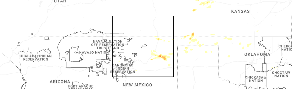
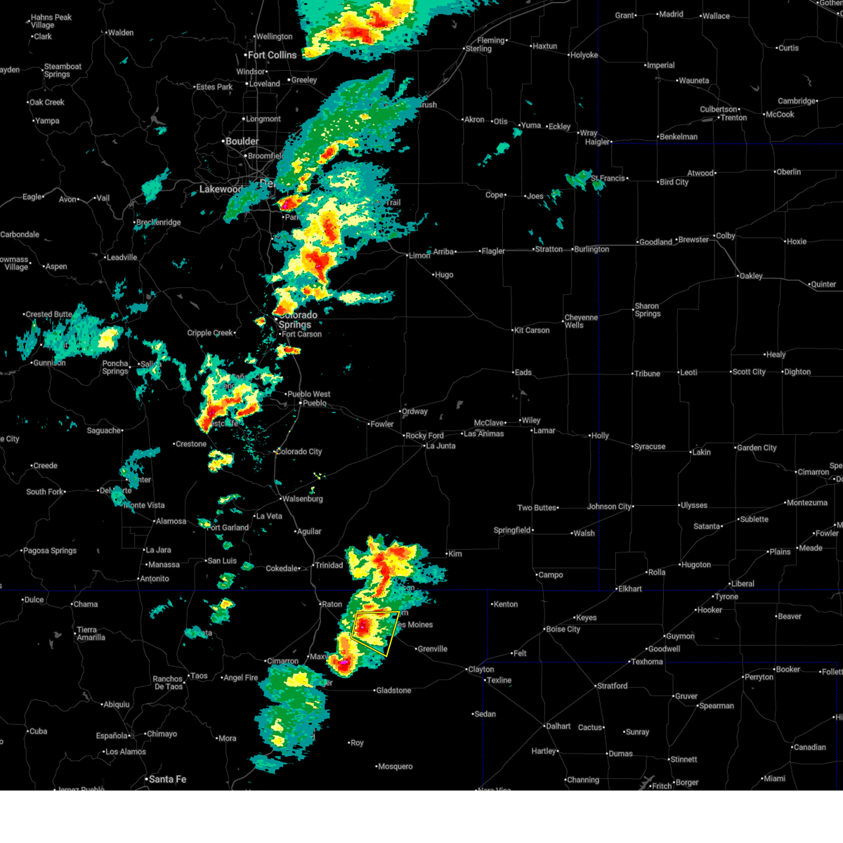
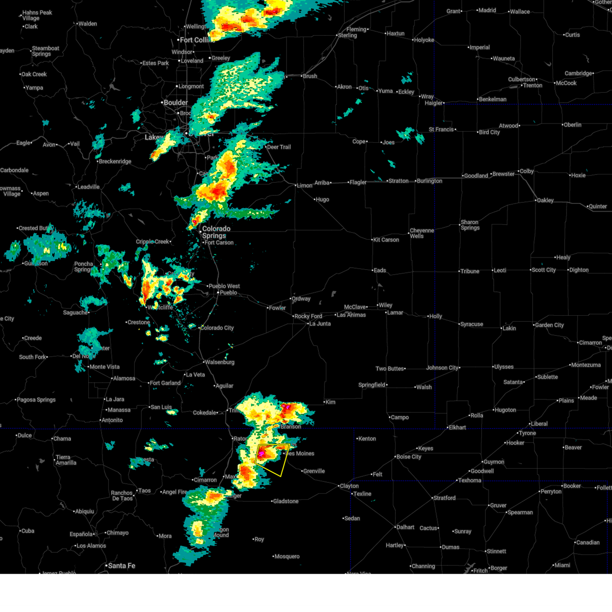
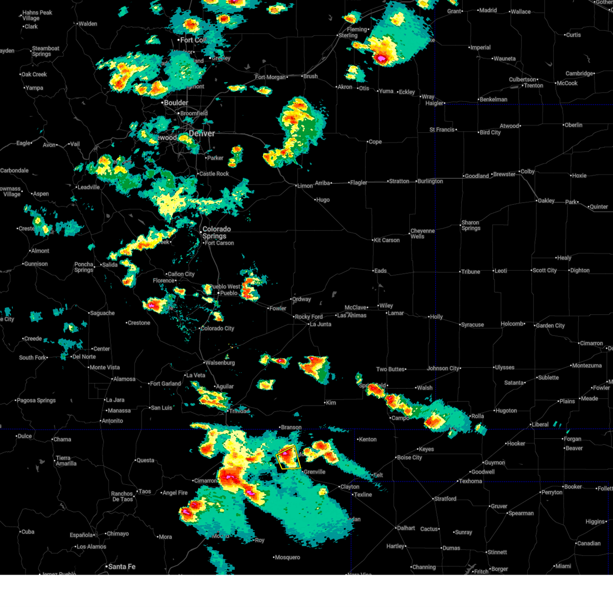
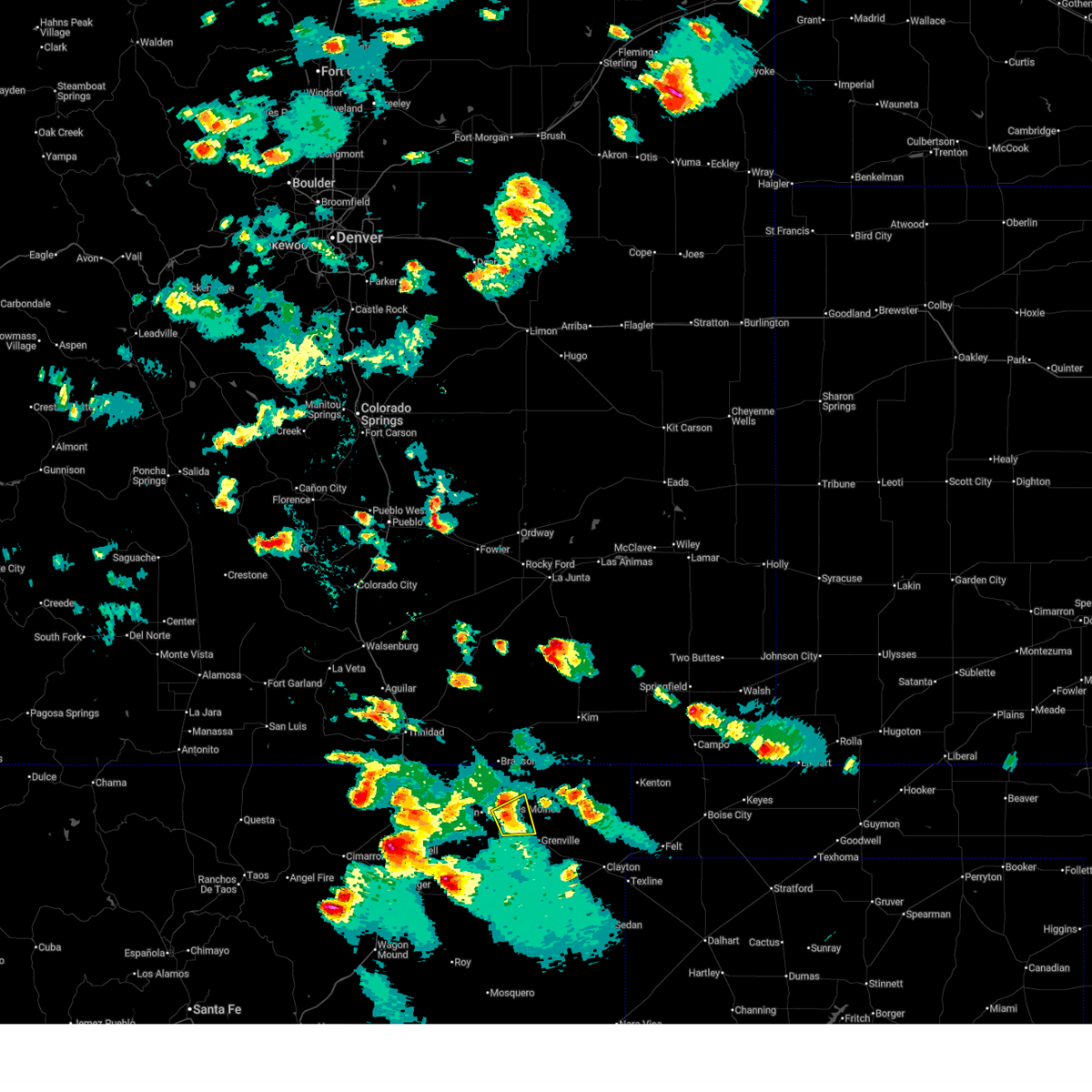
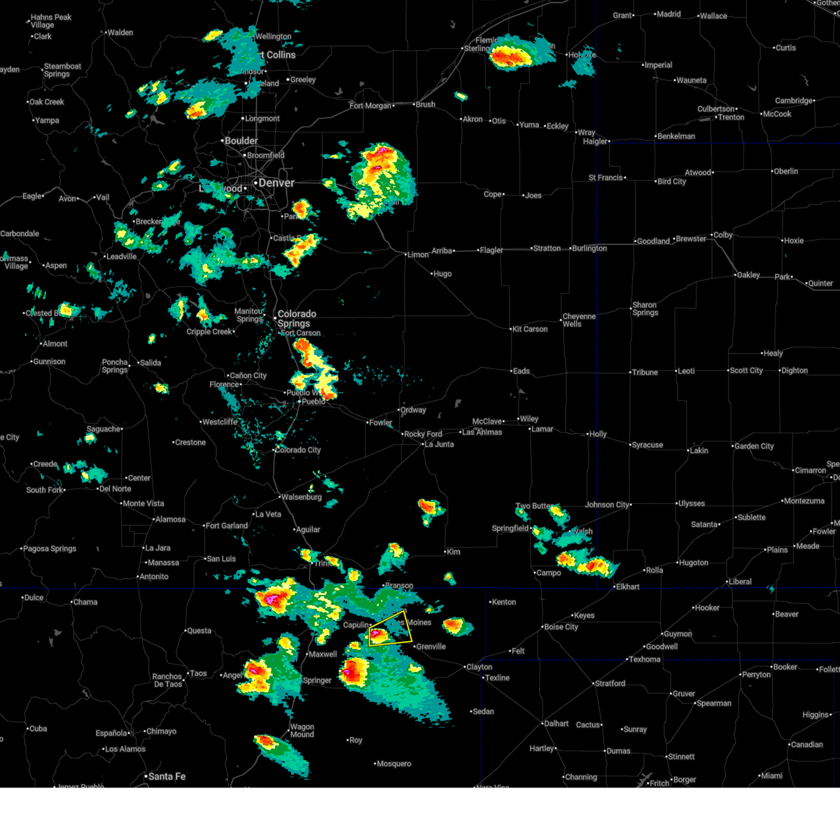
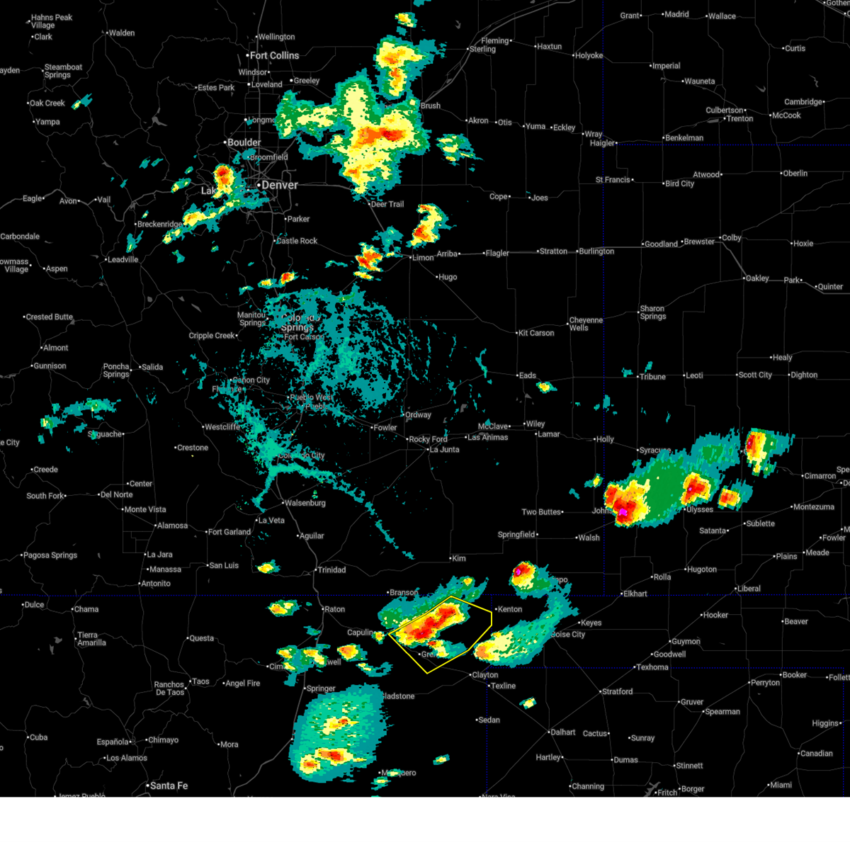
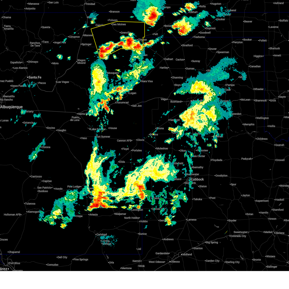
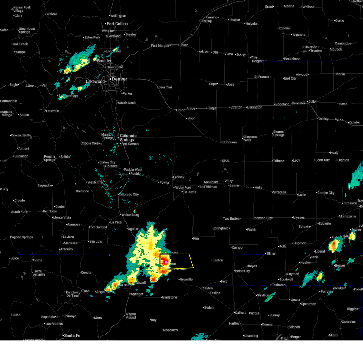
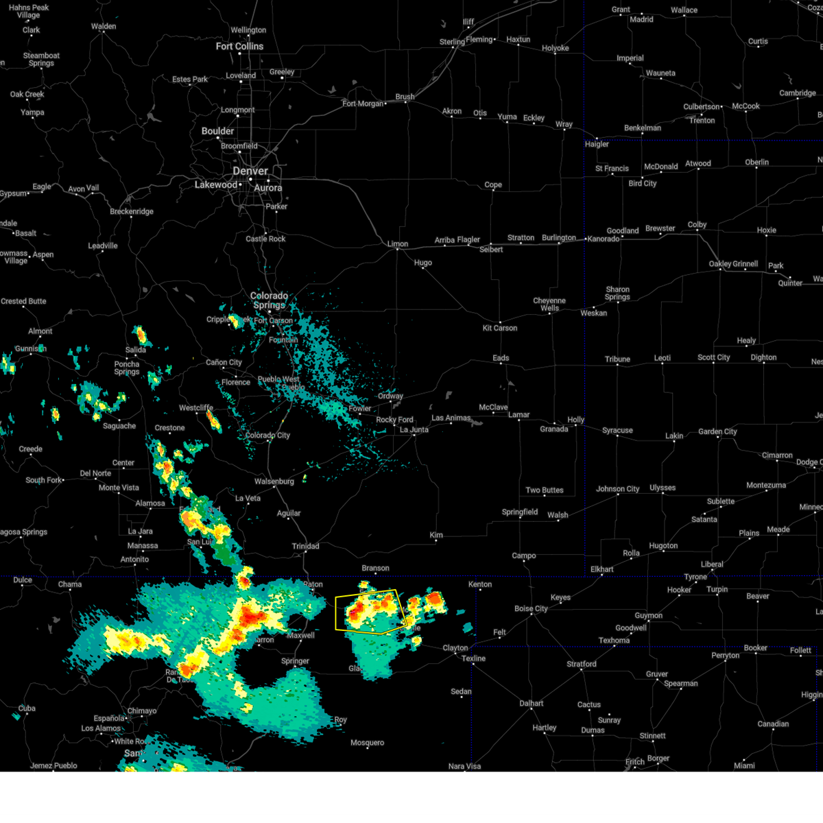
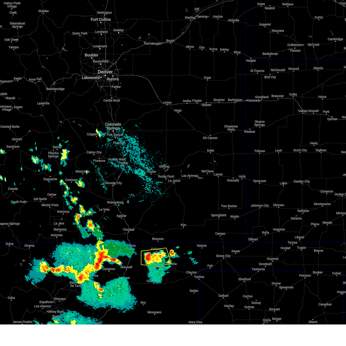
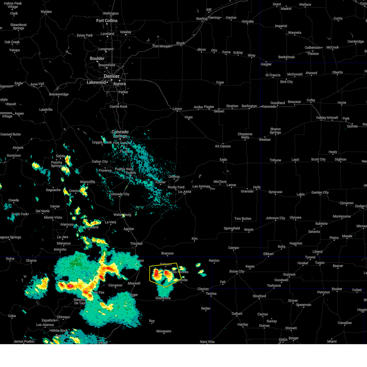
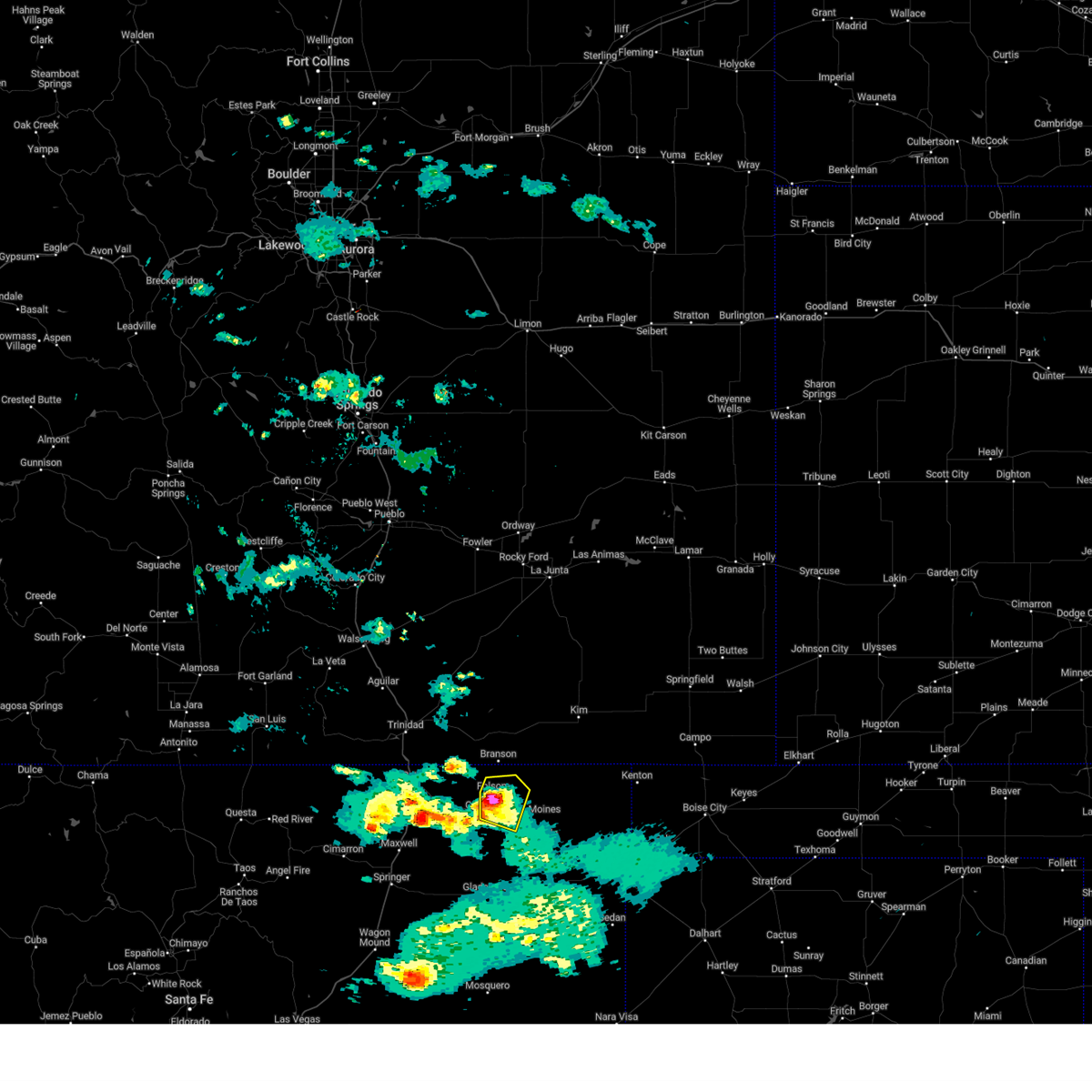
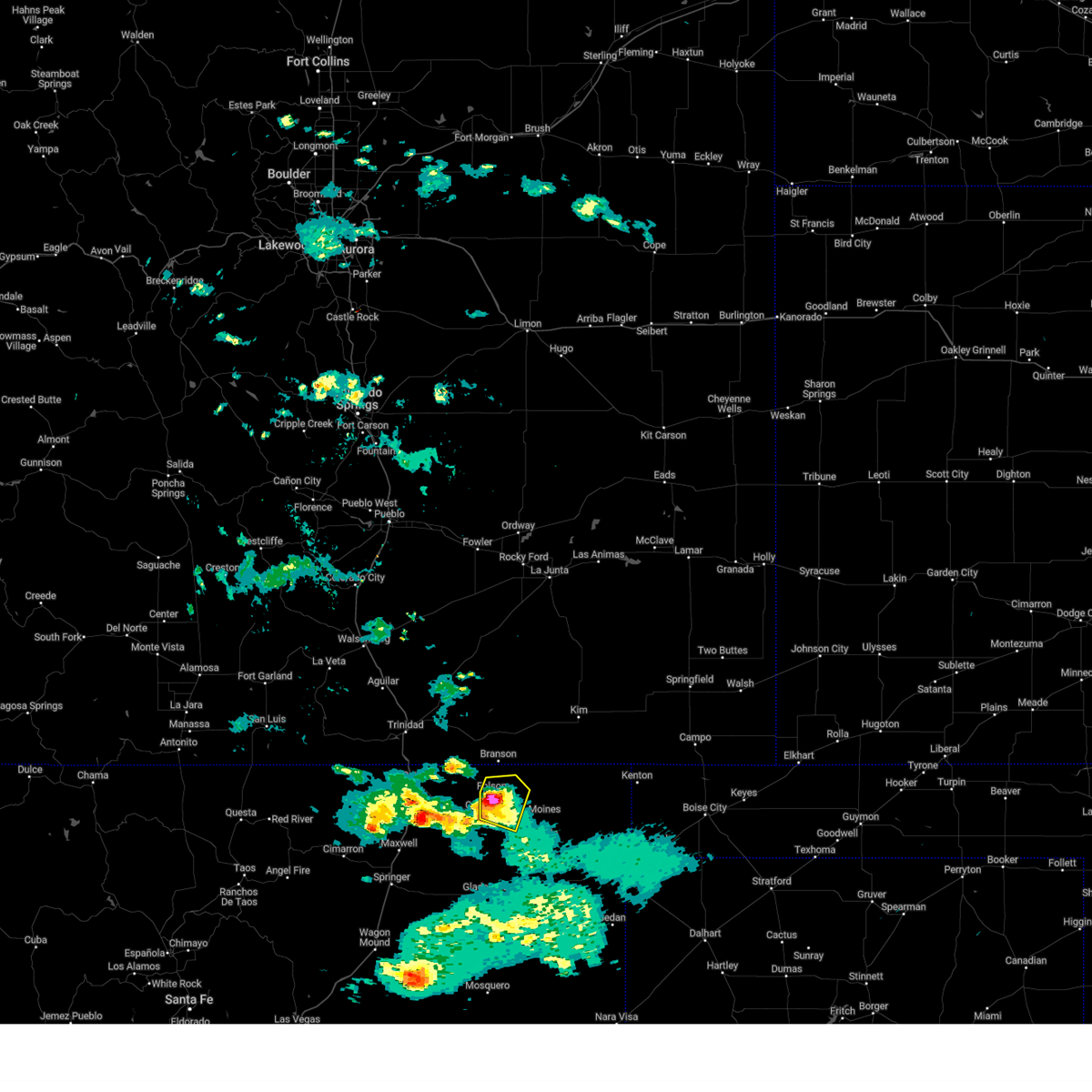
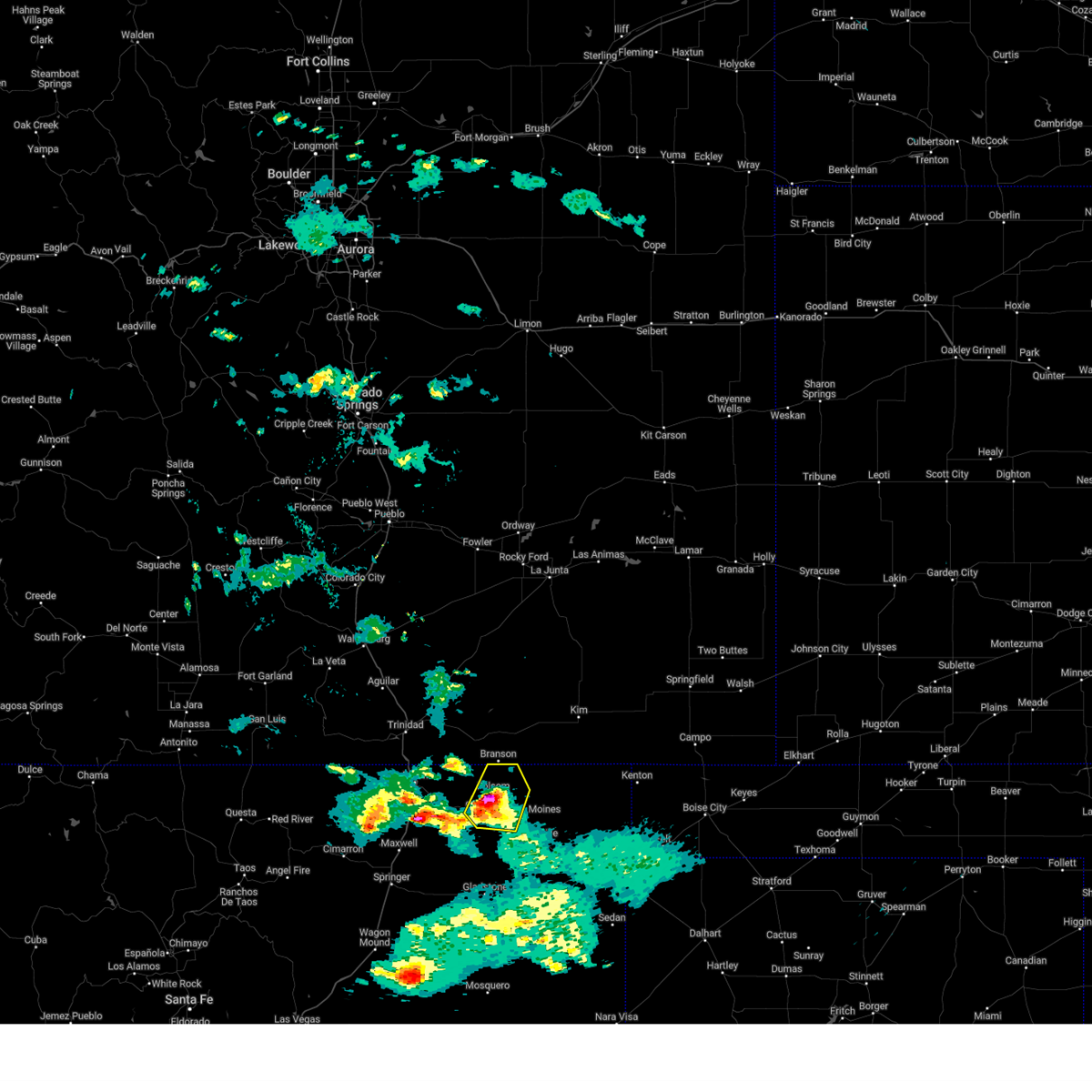
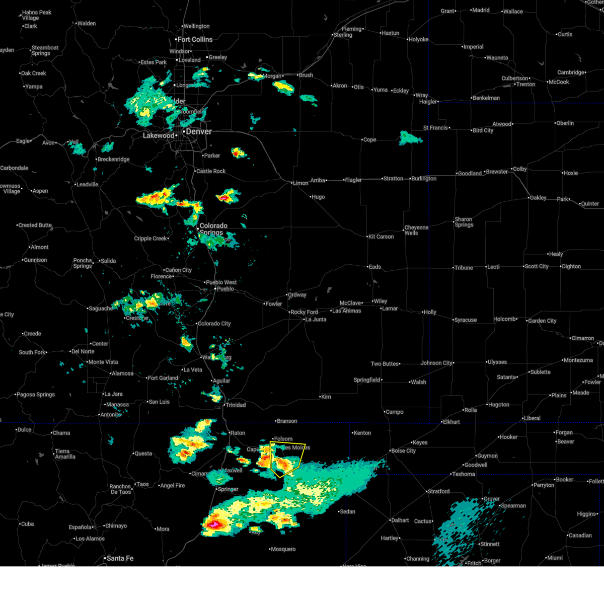
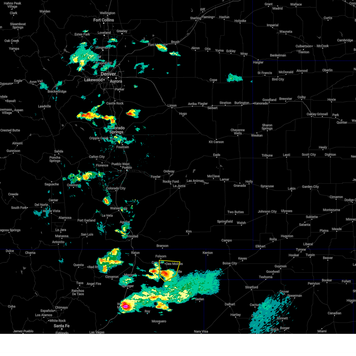
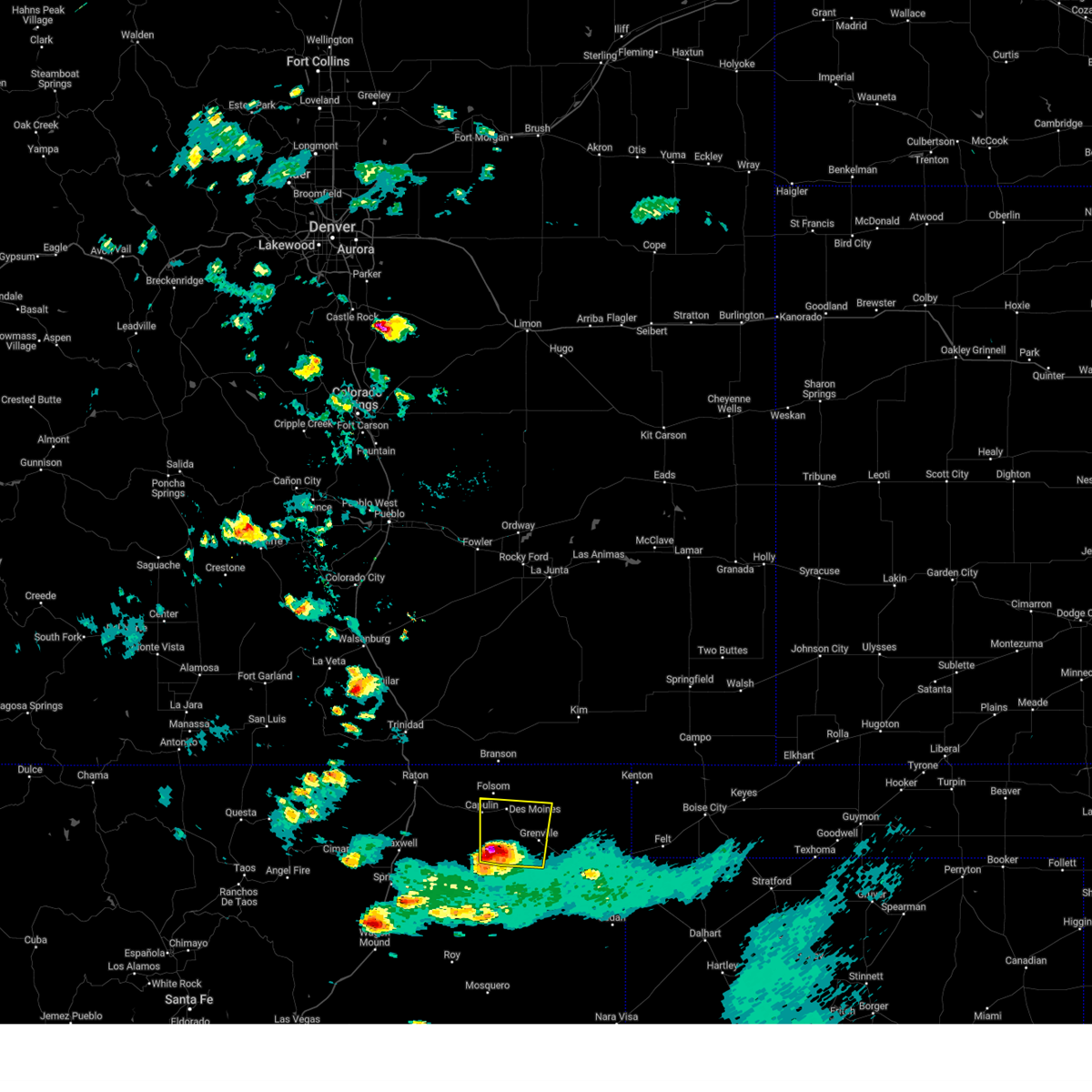
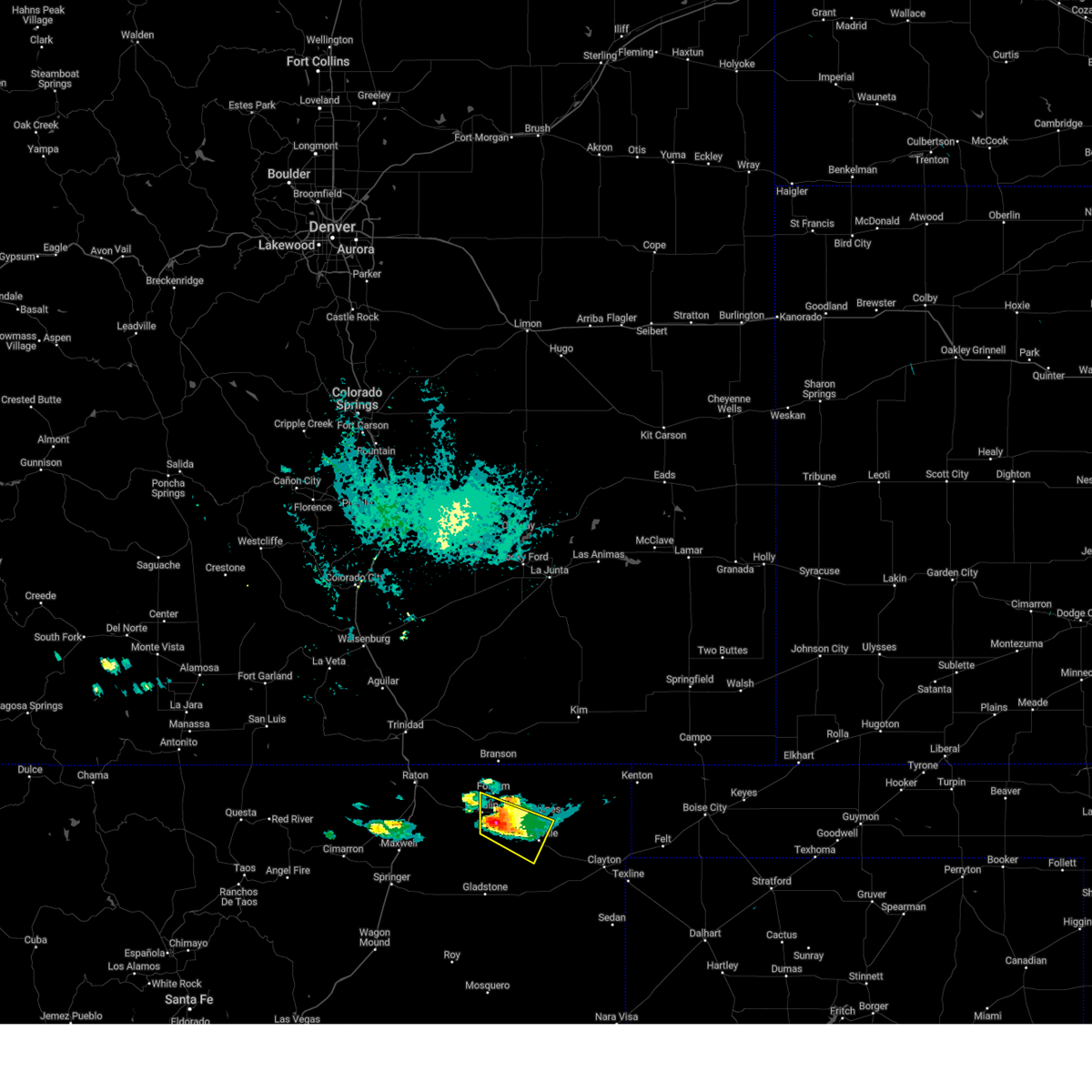
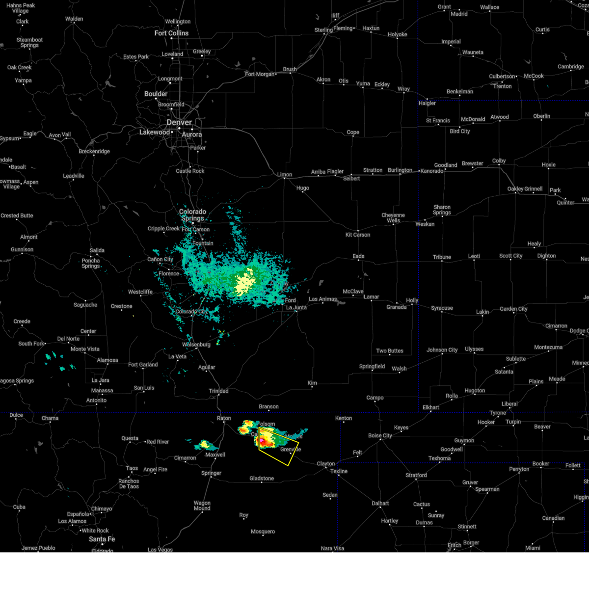
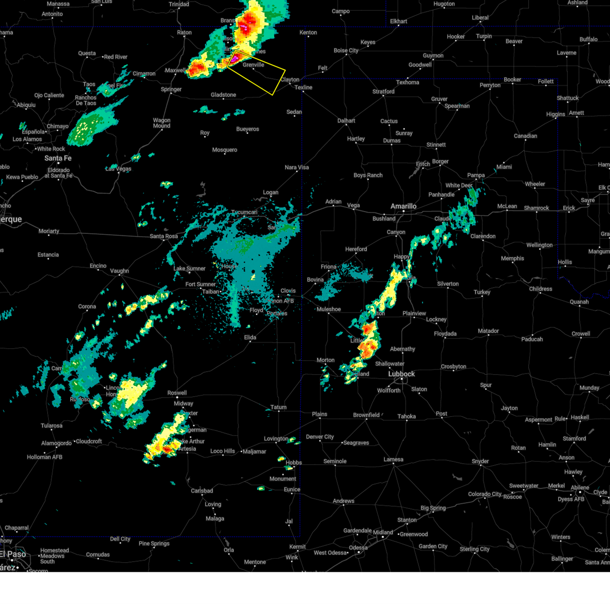
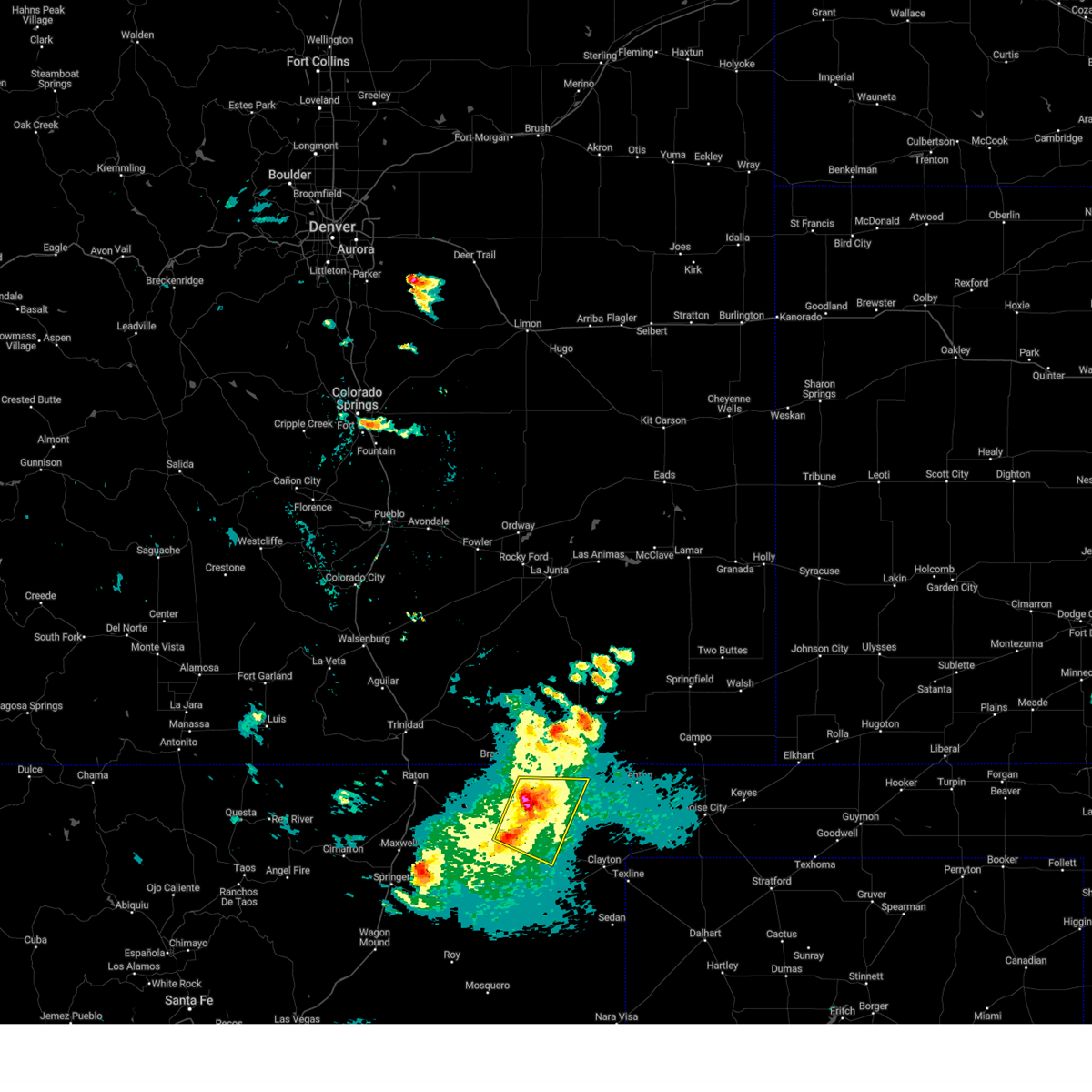
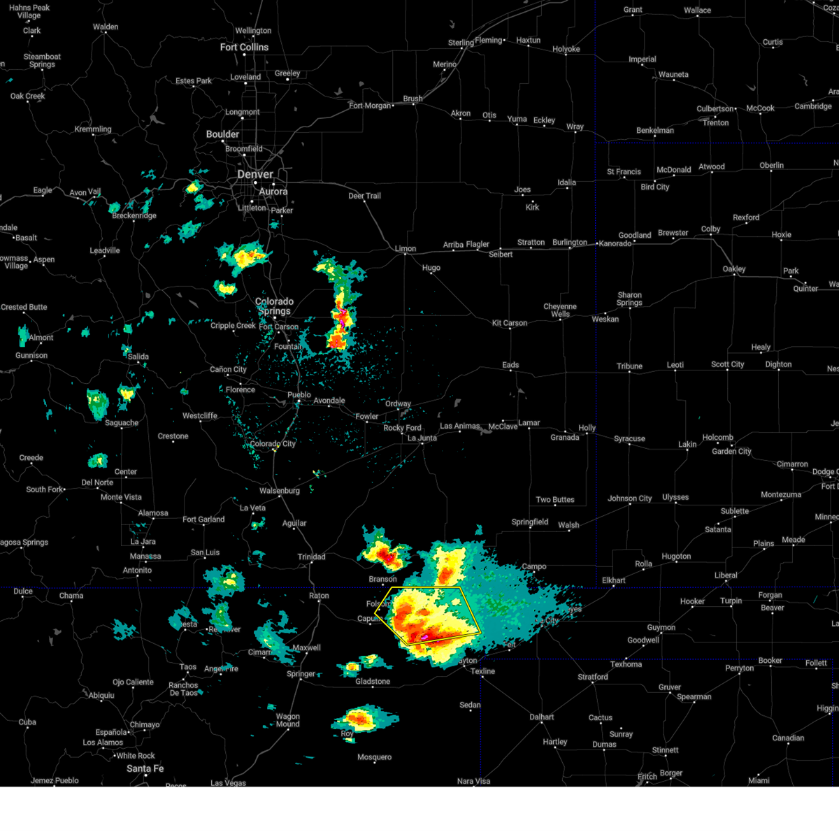
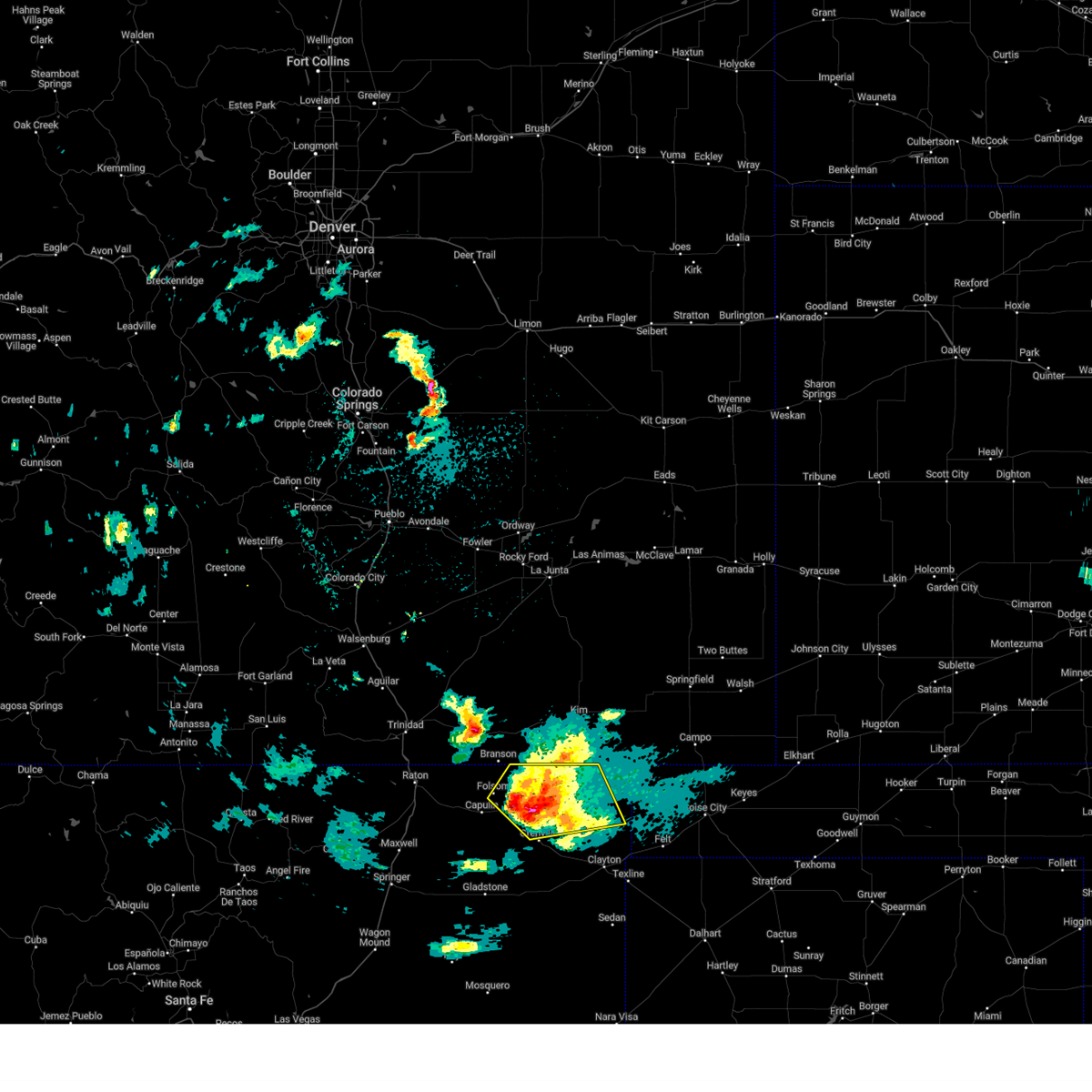
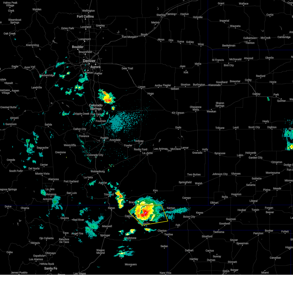
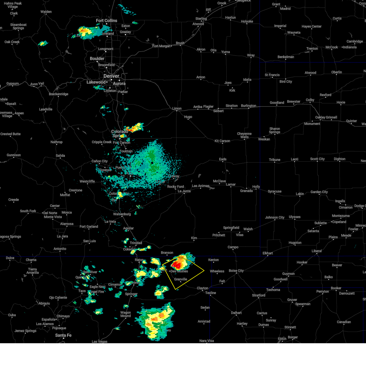
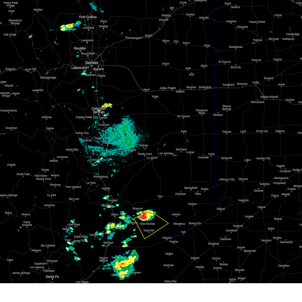
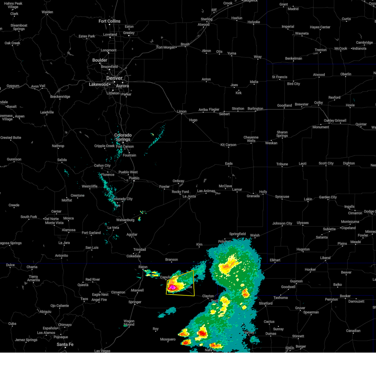
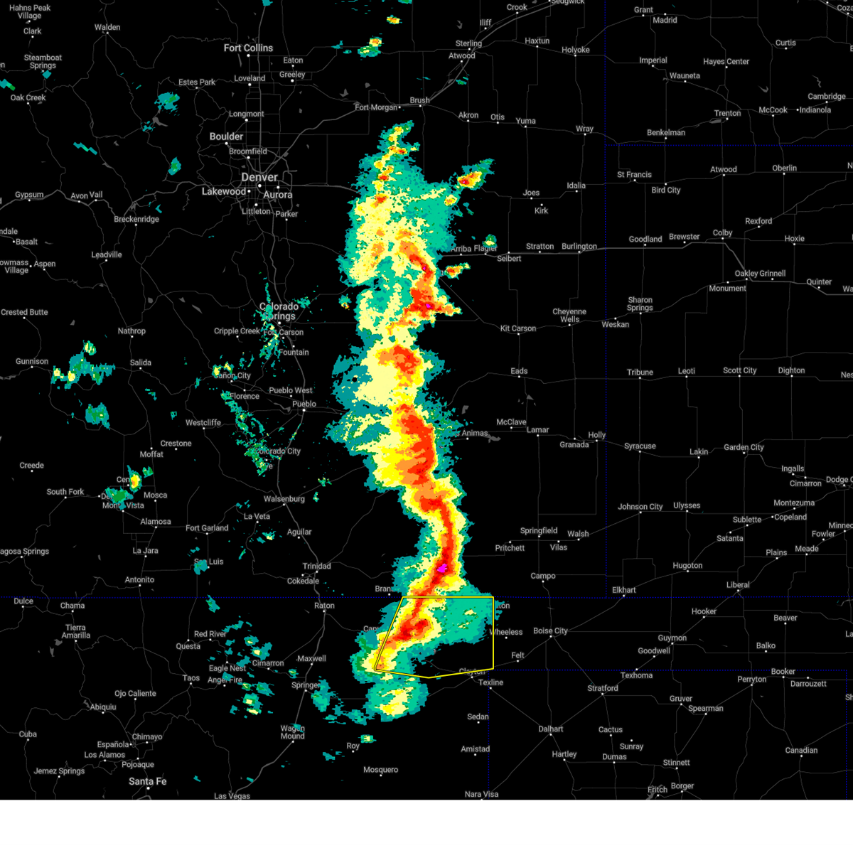
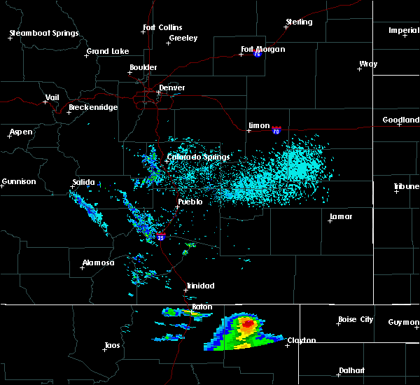
Hail Map for Des Moines, NM
The Des Moines, NM area has had 27 reports of on-the-ground hail by trained spotters, and has been under severe weather warnings 15 times during the past 12 months. Doppler radar has detected hail at or near Des Moines, NM on 72 occasions, including 8 occasions during the past year.
| Name: | Des Moines, NM |
| Where Located: | 99.7 miles ENE of Taos, NM |
| Map: | Google Map for Des Moines, NM |
| Population: | 143 |
| Housing Units: | 98 |
| More Info: | Search Google for Des Moines, NM |
0
The Top Recent Hail Date for Des Moines, NM is Friday, June 12, 2026 (70th out of 72)
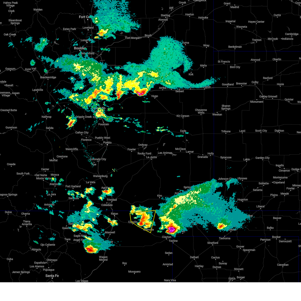
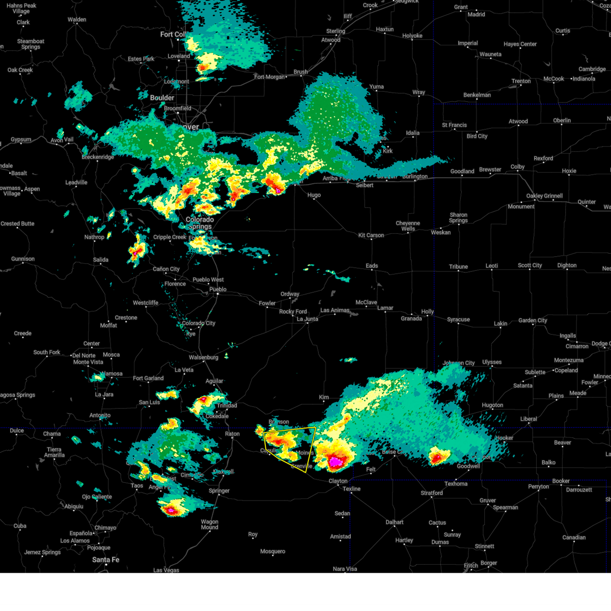
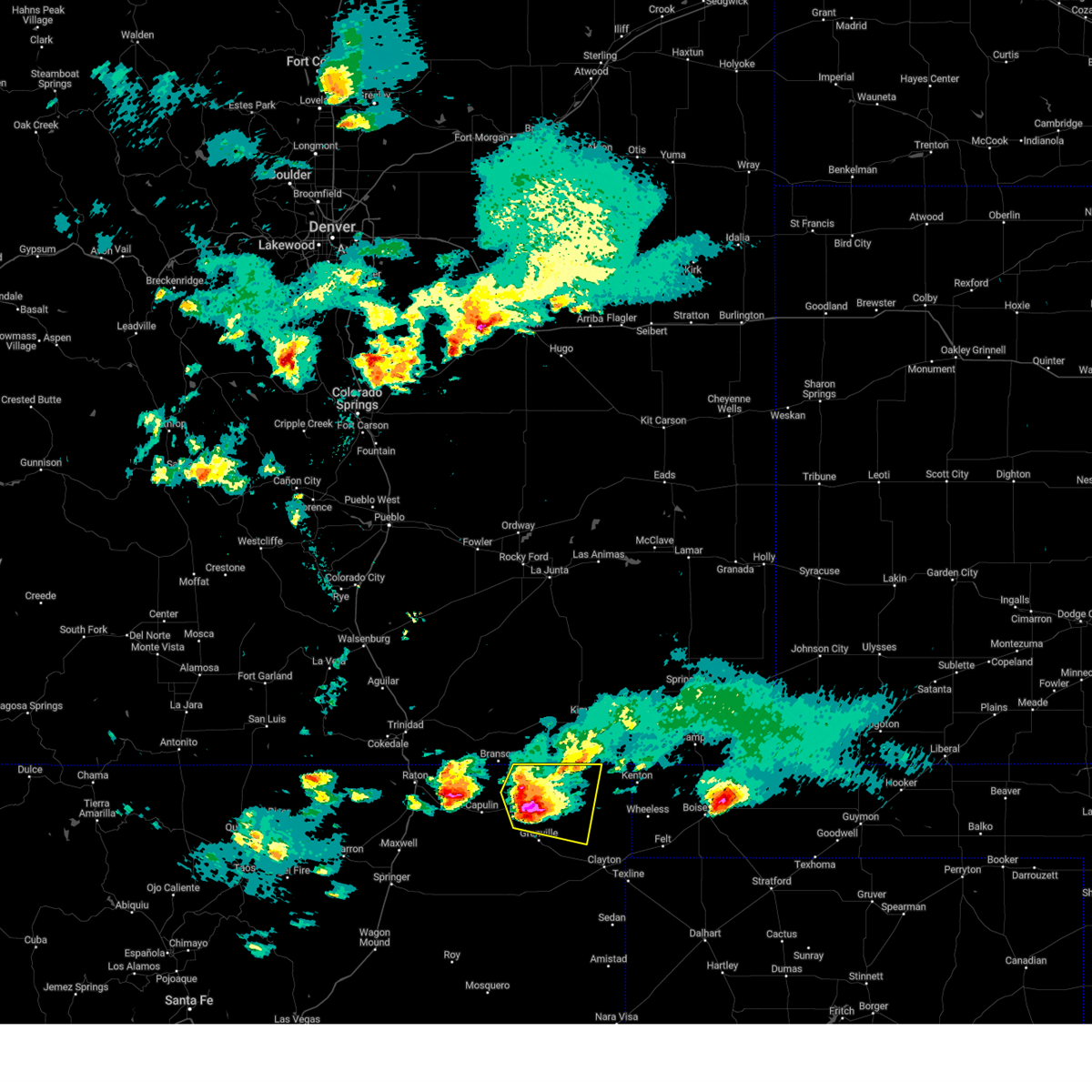
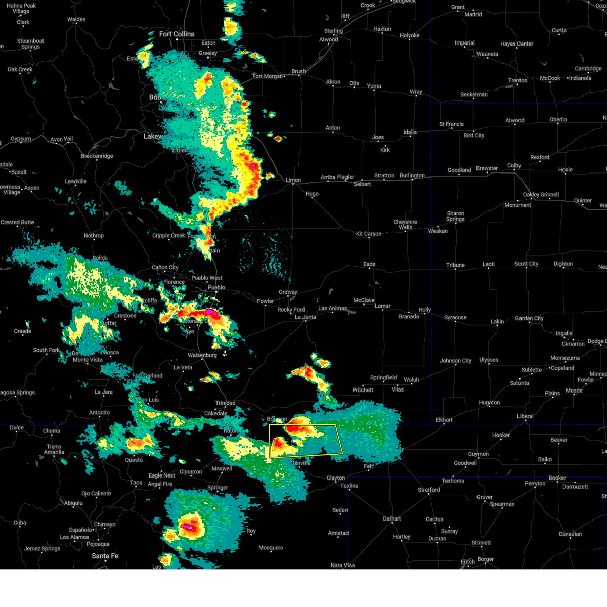
Hail and Wind Damage Spotted near Des Moines, NM
| Date / Time | Report Details |
|---|---|
| 5/28/2026 9:15 PM MDT | Half Dollar sized hail reported 9.2 miles WSW of Des Moines, NM, time estimated based on radar. |
| 5/28/2026 6:30 PM MDT | Ping Pong Ball sized hail reported 15.6 miles WSW of Des Moines, NM, report from mping: ping pong ball (1.50 in.). |
| 9/17/2025 5:56 PM MDT | the severe thunderstorm warning has been cancelled and is no longer in effect |
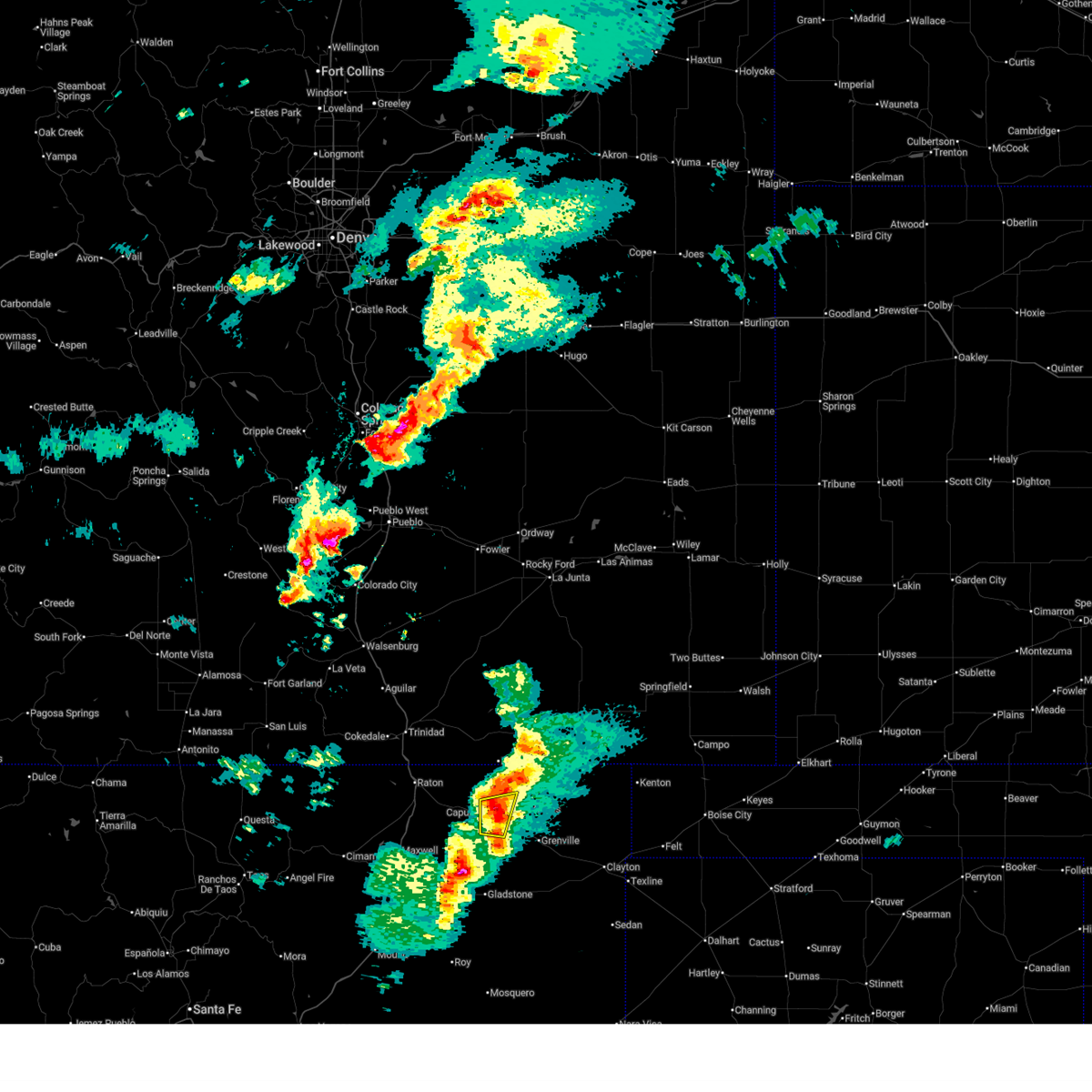
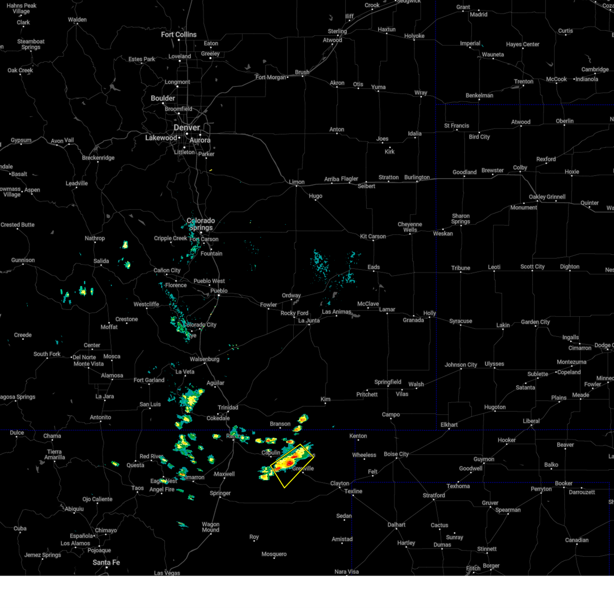
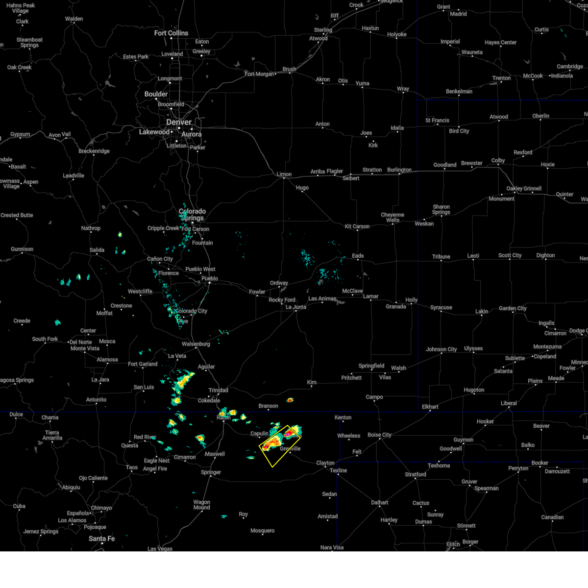
| 9/17/2025 5:50 PM MDT | At 550 pm mdt, a severe thunderstorm was located near des moines, moving southeast at 20 mph (radar indicated). Hazards include 60 mph wind gusts and small hail. Expect damage to roofs, siding, and trees. locations impacted include, des moines and folsom. This includes highway 64 between mile markers 382 and 396. |
| 9/17/2025 5:28 PM MDT | Svrabq the national weather service in albuquerque has issued a * severe thunderstorm warning for, northwestern union county in northeastern new mexico, * until 615 pm mdt. * at 528 pm mdt, a severe thunderstorm was located near folsom, or 8 miles north of des moines, moving southeast at 20 mph (radar indicated). Hazards include 60 mph wind gusts and quarter size hail. Hail damage to vehicles is expected. Expect wind damage to roofs, siding, and trees. |
| 7/16/2025 4:59 PM MDT |
 The storm which prompted the warning has weakened below severe limits, and no longer poses an immediate threat to life or property. therefore, the warning will be allowed to expire. however, small hail, gusty winds, and heavy rain are still possible with this thunderstorm. The storm which prompted the warning has weakened below severe limits, and no longer poses an immediate threat to life or property. therefore, the warning will be allowed to expire. however, small hail, gusty winds, and heavy rain are still possible with this thunderstorm.
|
| 7/16/2025 4:46 PM MDT |
 At 446 pm mdt, a severe thunderstorm was located near des moines, moving east at 25 mph (radar indicated). Hazards include 60 mph wind gusts and quarter size hail. Hail damage to vehicles is expected. expect wind damage to roofs, siding, and trees. locations impacted include, des moines and capulin. This includes highway 64 between mile markers 376 and 388. At 446 pm mdt, a severe thunderstorm was located near des moines, moving east at 25 mph (radar indicated). Hazards include 60 mph wind gusts and quarter size hail. Hail damage to vehicles is expected. expect wind damage to roofs, siding, and trees. locations impacted include, des moines and capulin. This includes highway 64 between mile markers 376 and 388.
|
| 7/16/2025 4:46 PM MDT |
 the severe thunderstorm warning has been cancelled and is no longer in effect the severe thunderstorm warning has been cancelled and is no longer in effect
|
| 7/16/2025 4:40 PM MDT | Ping Pong Ball sized hail reported 4.3 miles E of Des Moines, NM, quarter to ping pong ball size hail. accumulation of dime to nickel size hail on roadways. location estimated via radar. |
| 7/16/2025 4:24 PM MDT |
 At 424 pm mdt, a severe thunderstorm was located over capulin, or 10 miles west of des moines, moving east at 10 mph (radar indicated). Hazards include 60 mph wind gusts and quarter size hail. Hail damage to vehicles is expected. expect wind damage to roofs, siding, and trees. locations impacted include, des moines and capulin. This includes highway 64 between mile markers 371 and 388. At 424 pm mdt, a severe thunderstorm was located over capulin, or 10 miles west of des moines, moving east at 10 mph (radar indicated). Hazards include 60 mph wind gusts and quarter size hail. Hail damage to vehicles is expected. expect wind damage to roofs, siding, and trees. locations impacted include, des moines and capulin. This includes highway 64 between mile markers 371 and 388.
|
| 7/16/2025 4:14 PM MDT |
 At 414 pm mdt, a severe thunderstorm was located near capulin, or 11 miles west of des moines, moving east at 10 mph (radar indicated). Hazards include 60 mph wind gusts and quarter size hail. Hail damage to vehicles is expected. expect wind damage to roofs, siding, and trees. locations impacted include, des moines, folsom and capulin. This includes highway 64 between mile markers 368 and 388. At 414 pm mdt, a severe thunderstorm was located near capulin, or 11 miles west of des moines, moving east at 10 mph (radar indicated). Hazards include 60 mph wind gusts and quarter size hail. Hail damage to vehicles is expected. expect wind damage to roofs, siding, and trees. locations impacted include, des moines, folsom and capulin. This includes highway 64 between mile markers 368 and 388.
|
| 7/16/2025 3:57 PM MDT |
 Svrabq the national weather service in albuquerque has issued a * severe thunderstorm warning for, east central colfax county in northeastern new mexico, northwestern union county in northeastern new mexico, * until 500 pm mdt. * at 357 pm mdt, a severe thunderstorm was located near capulin, or 14 miles west of des moines, moving east at 10 mph (radar indicated). Hazards include golf ball size hail and 60 mph wind gusts. People and animals outdoors will be injured. expect hail damage to roofs, siding, windows, and vehicles. Expect wind damage to roofs, siding, and trees. Svrabq the national weather service in albuquerque has issued a * severe thunderstorm warning for, east central colfax county in northeastern new mexico, northwestern union county in northeastern new mexico, * until 500 pm mdt. * at 357 pm mdt, a severe thunderstorm was located near capulin, or 14 miles west of des moines, moving east at 10 mph (radar indicated). Hazards include golf ball size hail and 60 mph wind gusts. People and animals outdoors will be injured. expect hail damage to roofs, siding, windows, and vehicles. Expect wind damage to roofs, siding, and trees.
|
| 7/11/2025 5:27 PM MDT |
 The storm which prompted the warning has weakened below severe limits, and no longer poses an immediate threat to life or property. therefore, the warning will be allowed to expire. however, small hail and gusty winds are still possible with this thunderstorm. a severe thunderstorm watch remains in effect until 1200 am mdt saturday for a portion of northeast new mexico. The storm which prompted the warning has weakened below severe limits, and no longer poses an immediate threat to life or property. therefore, the warning will be allowed to expire. however, small hail and gusty winds are still possible with this thunderstorm. a severe thunderstorm watch remains in effect until 1200 am mdt saturday for a portion of northeast new mexico.
|
| 7/11/2025 5:15 PM MDT |
 At 515 pm mdt, a severe thunderstorm was located near des moines, moving east at 15 mph (radar indicated). Hazards include 60 mph wind gusts and quarter size hail. Hail damage to vehicles is expected. expect wind damage to roofs, siding, and trees. locations impacted include, des moines. This includes highway 64 between mile markers 381 and 397. At 515 pm mdt, a severe thunderstorm was located near des moines, moving east at 15 mph (radar indicated). Hazards include 60 mph wind gusts and quarter size hail. Hail damage to vehicles is expected. expect wind damage to roofs, siding, and trees. locations impacted include, des moines. This includes highway 64 between mile markers 381 and 397.
|
| 7/11/2025 4:47 PM MDT |
 Svrabq the national weather service in albuquerque has issued a * severe thunderstorm warning for, northwestern union county in northeastern new mexico, * until 530 pm mdt. * at 447 pm mdt, a severe thunderstorm was located near capulin, or 7 miles southwest of des moines, moving east at 15 mph (radar indicated). Hazards include 60 mph wind gusts and quarter size hail. Hail damage to vehicles is expected. Expect wind damage to roofs, siding, and trees. Svrabq the national weather service in albuquerque has issued a * severe thunderstorm warning for, northwestern union county in northeastern new mexico, * until 530 pm mdt. * at 447 pm mdt, a severe thunderstorm was located near capulin, or 7 miles southwest of des moines, moving east at 15 mph (radar indicated). Hazards include 60 mph wind gusts and quarter size hail. Hail damage to vehicles is expected. Expect wind damage to roofs, siding, and trees.
|
| 7/5/2025 4:46 PM MDT |
 Svrabq the national weather service in albuquerque has issued a * severe thunderstorm warning for, northern union county in northeastern new mexico, * until 530 pm mdt. * at 446 pm mdt, severe thunderstorms were located along a line from 20 miles northwest of seneca to 6 miles northwest of grenville, moving southeast at 15 mph (radar indicated). Hazards include 60 mph wind gusts and quarter size hail. Hail damage to vehicles is expected. Expect wind damage to roofs, siding, and trees. Svrabq the national weather service in albuquerque has issued a * severe thunderstorm warning for, northern union county in northeastern new mexico, * until 530 pm mdt. * at 446 pm mdt, severe thunderstorms were located along a line from 20 miles northwest of seneca to 6 miles northwest of grenville, moving southeast at 15 mph (radar indicated). Hazards include 60 mph wind gusts and quarter size hail. Hail damage to vehicles is expected. Expect wind damage to roofs, siding, and trees.
|
| 6/23/2025 6:13 PM MDT |
 Svrabq the national weather service in albuquerque has issued a * severe thunderstorm warning for, southeastern colfax county in northeastern new mexico, north central harding county in northeastern new mexico, central union county in northeastern new mexico, * until 700 pm mdt. * at 613 pm mdt, severe thunderstorms were located along a line from 8 miles southwest of gladstone to 7 miles south of clayton, moving north at 30 mph (radar indicated). Hazards include 60 mph wind gusts and quarter size hail. Hail damage to vehicles is expected. Expect wind damage to roofs, siding, and trees. Svrabq the national weather service in albuquerque has issued a * severe thunderstorm warning for, southeastern colfax county in northeastern new mexico, north central harding county in northeastern new mexico, central union county in northeastern new mexico, * until 700 pm mdt. * at 613 pm mdt, severe thunderstorms were located along a line from 8 miles southwest of gladstone to 7 miles south of clayton, moving north at 30 mph (radar indicated). Hazards include 60 mph wind gusts and quarter size hail. Hail damage to vehicles is expected. Expect wind damage to roofs, siding, and trees.
|
| 6/23/2025 4:08 PM MDT |
 Svrabq the national weather service in albuquerque has issued a * severe thunderstorm warning for, northwestern union county in northeastern new mexico, * until 500 pm mdt. * at 408 pm mdt, a severe thunderstorm was located near folsom, or 8 miles north of des moines, moving east at 30 mph (radar indicated). Hazards include 60 mph wind gusts and quarter size hail. Hail damage to vehicles is expected. Expect wind damage to roofs, siding, and trees. Svrabq the national weather service in albuquerque has issued a * severe thunderstorm warning for, northwestern union county in northeastern new mexico, * until 500 pm mdt. * at 408 pm mdt, a severe thunderstorm was located near folsom, or 8 miles north of des moines, moving east at 30 mph (radar indicated). Hazards include 60 mph wind gusts and quarter size hail. Hail damage to vehicles is expected. Expect wind damage to roofs, siding, and trees.
|
| 6/9/2025 3:10 PM MDT |
 The storm which prompted the warning has weakened below severe limits, and no longer poses an immediate threat to life or property. therefore, the warning will be allowed to expire. The storm which prompted the warning has weakened below severe limits, and no longer poses an immediate threat to life or property. therefore, the warning will be allowed to expire.
|
| 6/9/2025 2:53 PM MDT |
 At 253 pm mdt, a severe thunderstorm was located near capulin, or 13 miles west of des moines, and was nearly stationary (radar indicated). Hazards include 60 mph wind gusts and quarter size hail. Hail damage to vehicles is expected. expect wind damage to roofs, siding, and trees. locations impacted include, des moines, folsom and capulin. This includes highway 64 between mile markers 363 and 397. At 253 pm mdt, a severe thunderstorm was located near capulin, or 13 miles west of des moines, and was nearly stationary (radar indicated). Hazards include 60 mph wind gusts and quarter size hail. Hail damage to vehicles is expected. expect wind damage to roofs, siding, and trees. locations impacted include, des moines, folsom and capulin. This includes highway 64 between mile markers 363 and 397.
|
| 6/9/2025 2:33 PM MDT |
 Svrabq the national weather service in albuquerque has issued a * severe thunderstorm warning for, east central colfax county in northeastern new mexico, northwestern union county in northeastern new mexico, * until 315 pm mdt. * at 233 pm mdt, a severe thunderstorm was located 5 miles west of capulin, or 14 miles west of des moines, and was nearly stationary (radar indicated). Hazards include 60 mph wind gusts and quarter size hail. Hail damage to vehicles is expected. Expect wind damage to roofs, siding, and trees. Svrabq the national weather service in albuquerque has issued a * severe thunderstorm warning for, east central colfax county in northeastern new mexico, northwestern union county in northeastern new mexico, * until 315 pm mdt. * at 233 pm mdt, a severe thunderstorm was located 5 miles west of capulin, or 14 miles west of des moines, and was nearly stationary (radar indicated). Hazards include 60 mph wind gusts and quarter size hail. Hail damage to vehicles is expected. Expect wind damage to roofs, siding, and trees.
|
| 6/8/2025 7:21 PM MDT |
 the severe thunderstorm warning has been cancelled and is no longer in effect the severe thunderstorm warning has been cancelled and is no longer in effect
|
| 6/8/2025 7:21 PM MDT |
 At 721 pm mdt, a severe thunderstorm was located over folsom, or 6 miles northwest of des moines, moving northeast at 15 mph (radar indicated). Hazards include ping pong ball size hail and 60 mph wind gusts. People and animals outdoors will be injured. expect hail damage to roofs, siding, windows, and vehicles. expect wind damage to roofs, siding, and trees. locations impacted include, des moines, folsom and capulin. This includes highway 64 between mile markers 376 and 393. At 721 pm mdt, a severe thunderstorm was located over folsom, or 6 miles northwest of des moines, moving northeast at 15 mph (radar indicated). Hazards include ping pong ball size hail and 60 mph wind gusts. People and animals outdoors will be injured. expect hail damage to roofs, siding, windows, and vehicles. expect wind damage to roofs, siding, and trees. locations impacted include, des moines, folsom and capulin. This includes highway 64 between mile markers 376 and 393.
|
| 6/8/2025 7:12 PM MDT |
 Svrabq the national weather service in albuquerque has issued a * severe thunderstorm warning for, east central colfax county in northeastern new mexico, northwestern union county in northeastern new mexico, * until 800 pm mdt. * at 712 pm mdt, a severe thunderstorm was located near capulin, or 7 miles west of des moines, moving northeast at 10 mph (radar indicated). Hazards include ping pong ball size hail and 60 mph wind gusts. People and animals outdoors will be injured. expect hail damage to roofs, siding, windows, and vehicles. Expect wind damage to roofs, siding, and trees. Svrabq the national weather service in albuquerque has issued a * severe thunderstorm warning for, east central colfax county in northeastern new mexico, northwestern union county in northeastern new mexico, * until 800 pm mdt. * at 712 pm mdt, a severe thunderstorm was located near capulin, or 7 miles west of des moines, moving northeast at 10 mph (radar indicated). Hazards include ping pong ball size hail and 60 mph wind gusts. People and animals outdoors will be injured. expect hail damage to roofs, siding, windows, and vehicles. Expect wind damage to roofs, siding, and trees.
|
| 6/8/2025 6:34 PM MDT |
 the severe thunderstorm warning has been cancelled and is no longer in effect the severe thunderstorm warning has been cancelled and is no longer in effect
|
| 6/8/2025 6:22 PM MDT |
 At 622 pm mdt, a severe thunderstorm was located 8 miles south of des moines, moving northeast at 20 mph (radar indicated). Hazards include 60 mph wind gusts and quarter size hail. Hail damage to vehicles is expected. expect wind damage to roofs, siding, and trees. locations impacted include, des moines and grenville. This includes highway 64 between mile markers 380 and 404. At 622 pm mdt, a severe thunderstorm was located 8 miles south of des moines, moving northeast at 20 mph (radar indicated). Hazards include 60 mph wind gusts and quarter size hail. Hail damage to vehicles is expected. expect wind damage to roofs, siding, and trees. locations impacted include, des moines and grenville. This includes highway 64 between mile markers 380 and 404.
|
| 6/8/2025 5:57 PM MDT |
 Svrabq the national weather service in albuquerque has issued a * severe thunderstorm warning for, northwestern union county in northeastern new mexico, * until 645 pm mdt. * at 557 pm mdt, a severe thunderstorm was located 13 miles south of capulin, or 15 miles south of des moines, moving northeast at 20 mph (radar indicated). Hazards include golf ball size hail and 60 mph wind gusts. People and animals outdoors will be injured. expect hail damage to roofs, siding, windows, and vehicles. Expect wind damage to roofs, siding, and trees. Svrabq the national weather service in albuquerque has issued a * severe thunderstorm warning for, northwestern union county in northeastern new mexico, * until 645 pm mdt. * at 557 pm mdt, a severe thunderstorm was located 13 miles south of capulin, or 15 miles south of des moines, moving northeast at 20 mph (radar indicated). Hazards include golf ball size hail and 60 mph wind gusts. People and animals outdoors will be injured. expect hail damage to roofs, siding, windows, and vehicles. Expect wind damage to roofs, siding, and trees.
|
| 6/7/2025 3:37 PM MDT |
 The storm which prompted the warning has weakened below severe limits, and no longer poses an immediate threat to life or property. therefore, the warning will be allowed to expire. however, small hail and gusty winds are still possible with this thunderstorm. a severe thunderstorm watch remains in effect until 900 pm mdt for a portion of northeast new mexico. The storm which prompted the warning has weakened below severe limits, and no longer poses an immediate threat to life or property. therefore, the warning will be allowed to expire. however, small hail and gusty winds are still possible with this thunderstorm. a severe thunderstorm watch remains in effect until 900 pm mdt for a portion of northeast new mexico.
|
| 6/7/2025 3:18 PM MDT |
 At 318 pm mdt, a severe thunderstorm was located near capulin, or 7 miles southwest of des moines, moving southeast at 25 mph (radar indicated). Hazards include 60 mph wind gusts and quarter size hail. Hail damage to vehicles is expected. expect wind damage to roofs, siding, and trees. locations impacted include, des moines, grenville and capulin. This includes highway 64 between mile markers 376 and 405. At 318 pm mdt, a severe thunderstorm was located near capulin, or 7 miles southwest of des moines, moving southeast at 25 mph (radar indicated). Hazards include 60 mph wind gusts and quarter size hail. Hail damage to vehicles is expected. expect wind damage to roofs, siding, and trees. locations impacted include, des moines, grenville and capulin. This includes highway 64 between mile markers 376 and 405.
|
| 6/7/2025 3:18 PM MDT |
 the severe thunderstorm warning has been cancelled and is no longer in effect the severe thunderstorm warning has been cancelled and is no longer in effect
|
| 6/7/2025 2:56 PM MDT |
 Svrabq the national weather service in albuquerque has issued a * severe thunderstorm warning for, northeastern colfax county in northeastern new mexico, northwestern union county in northeastern new mexico, * until 345 pm mdt. * at 256 pm mdt, a severe thunderstorm was located near capulin, or 12 miles west of des moines, moving southeast at 30 mph (radar indicated). Hazards include 60 mph wind gusts and quarter size hail. Hail damage to vehicles is expected. Expect wind damage to roofs, siding, and trees. Svrabq the national weather service in albuquerque has issued a * severe thunderstorm warning for, northeastern colfax county in northeastern new mexico, northwestern union county in northeastern new mexico, * until 345 pm mdt. * at 256 pm mdt, a severe thunderstorm was located near capulin, or 12 miles west of des moines, moving southeast at 30 mph (radar indicated). Hazards include 60 mph wind gusts and quarter size hail. Hail damage to vehicles is expected. Expect wind damage to roofs, siding, and trees.
|
| 7/3/2024 3:30 PM MDT |
 Svrabq the national weather service in albuquerque has issued a * severe thunderstorm warning for, central union county in northeastern new mexico, * until 430 pm mdt. * at 330 pm mdt, a severe thunderstorm was located near des moines, moving southeast at 25 mph (radar indicated). Hazards include 60 mph wind gusts and quarter size hail. Hail damage to vehicles is expected. Expect wind damage to roofs, siding, and trees. Svrabq the national weather service in albuquerque has issued a * severe thunderstorm warning for, central union county in northeastern new mexico, * until 430 pm mdt. * at 330 pm mdt, a severe thunderstorm was located near des moines, moving southeast at 25 mph (radar indicated). Hazards include 60 mph wind gusts and quarter size hail. Hail damage to vehicles is expected. Expect wind damage to roofs, siding, and trees.
|
| 6/14/2024 3:01 PM MDT |
 Svrabq the national weather service in albuquerque has issued a * severe thunderstorm warning for, union county in northeastern new mexico, east central colfax county in northeastern new mexico, * until 345 pm mdt. * at 301 pm mdt, severe thunderstorms were located along a line extending from 9 miles east of branson to 7 miles east of gladstone, moving northeast at 35 mph (radar indicated). Hazards include 60 mph wind gusts and penny size hail. expect damage to roofs, siding, and trees Svrabq the national weather service in albuquerque has issued a * severe thunderstorm warning for, union county in northeastern new mexico, east central colfax county in northeastern new mexico, * until 345 pm mdt. * at 301 pm mdt, severe thunderstorms were located along a line extending from 9 miles east of branson to 7 miles east of gladstone, moving northeast at 35 mph (radar indicated). Hazards include 60 mph wind gusts and penny size hail. expect damage to roofs, siding, and trees
|
| 6/14/2024 2:47 PM MDT |
 At 247 pm mdt, severe thunderstorms were located along a line extending from near des moines to 19 miles northwest of ute lake state park, moving northeast at 30 mph (radar indicated). Hazards include 60 mph wind gusts and penny size hail. Expect damage to roofs, siding, and trees. Locations impacted include, clayton, des moines, mosquero, amistad, nara visa, folsom, grenville, bueyeros, hayden, and clayton lake state park. At 247 pm mdt, severe thunderstorms were located along a line extending from near des moines to 19 miles northwest of ute lake state park, moving northeast at 30 mph (radar indicated). Hazards include 60 mph wind gusts and penny size hail. Expect damage to roofs, siding, and trees. Locations impacted include, clayton, des moines, mosquero, amistad, nara visa, folsom, grenville, bueyeros, hayden, and clayton lake state park.
|
| 6/14/2024 1:57 PM MDT |
 Svrabq the national weather service in albuquerque has issued a * severe thunderstorm warning for, northeastern san miguel county in northeastern new mexico, harding county in northeastern new mexico, northeastern quay county in east central new mexico, union county in northeastern new mexico, eastern colfax county in northeastern new mexico, * until 300 pm mdt. * at 156 pm mdt, severe thunderstorms were located along a line extending from near folsom to 9 miles southeast of mosquero, moving east at 30 mph (radar indicated). Hazards include 60 mph wind gusts and quarter size hail. Hail damage to vehicles is expected. Expect wind damage to roofs, siding, and trees. Svrabq the national weather service in albuquerque has issued a * severe thunderstorm warning for, northeastern san miguel county in northeastern new mexico, harding county in northeastern new mexico, northeastern quay county in east central new mexico, union county in northeastern new mexico, eastern colfax county in northeastern new mexico, * until 300 pm mdt. * at 156 pm mdt, severe thunderstorms were located along a line extending from near folsom to 9 miles southeast of mosquero, moving east at 30 mph (radar indicated). Hazards include 60 mph wind gusts and quarter size hail. Hail damage to vehicles is expected. Expect wind damage to roofs, siding, and trees.
|
| 5/31/2024 4:12 PM MDT |
 Svrabq the national weather service in albuquerque has issued a * severe thunderstorm warning for, northwestern union county in northeastern new mexico, * until 515 pm mdt. * at 412 pm mdt, a severe thunderstorm was located 8 miles east of des moines, moving east at 10 mph (radar indicated). Hazards include 60 mph wind gusts and half dollar size hail. Hail damage to vehicles is expected. Expect wind damage to roofs, siding, and trees. Svrabq the national weather service in albuquerque has issued a * severe thunderstorm warning for, northwestern union county in northeastern new mexico, * until 515 pm mdt. * at 412 pm mdt, a severe thunderstorm was located 8 miles east of des moines, moving east at 10 mph (radar indicated). Hazards include 60 mph wind gusts and half dollar size hail. Hail damage to vehicles is expected. Expect wind damage to roofs, siding, and trees.
|
| 5/28/2024 2:41 PM MDT |
 The storm which prompted the warning has weakened below severe limits, and has exited the warned area. therefore, the warning will be allowed to expire. however, gusty winds are still possible with this thunderstorm. a severe thunderstorm watch remains in effect until 900 pm mdt for northeastern new mexico. remember, a severe thunderstorm warning remains in effect for northeastern union county until 345 pm mdt. The storm which prompted the warning has weakened below severe limits, and has exited the warned area. therefore, the warning will be allowed to expire. however, gusty winds are still possible with this thunderstorm. a severe thunderstorm watch remains in effect until 900 pm mdt for northeastern new mexico. remember, a severe thunderstorm warning remains in effect for northeastern union county until 345 pm mdt.
|
| 5/28/2024 2:30 PM MDT | Quarter sized hail reported 13.6 miles W of Des Moines, NM |
| 5/28/2024 2:24 PM MDT |
 At 223 pm mdt, a severe thunderstorm was located 23 miles south of kim, or 26 miles northeast of des moines, moving east at 20 mph (radar indicated). Hazards include 60 mph wind gusts and quarter size hail. Hail damage to vehicles is expected. expect wind damage to roofs, siding, and trees. Locations impacted include, des moines, folsom, and moses. At 223 pm mdt, a severe thunderstorm was located 23 miles south of kim, or 26 miles northeast of des moines, moving east at 20 mph (radar indicated). Hazards include 60 mph wind gusts and quarter size hail. Hail damage to vehicles is expected. expect wind damage to roofs, siding, and trees. Locations impacted include, des moines, folsom, and moses.
|
| 5/28/2024 2:02 PM MDT |
 Svrabq the national weather service in albuquerque has issued a * severe thunderstorm warning for, northern union county in northeastern new mexico, * until 245 pm mdt. * at 201 pm mdt, a severe thunderstorm was located 19 miles northeast of des moines, moving east at 20 mph (radar indicated). Hazards include 60 mph wind gusts and quarter size hail. Hail damage to vehicles is expected. Expect wind damage to roofs, siding, and trees. Svrabq the national weather service in albuquerque has issued a * severe thunderstorm warning for, northern union county in northeastern new mexico, * until 245 pm mdt. * at 201 pm mdt, a severe thunderstorm was located 19 miles northeast of des moines, moving east at 20 mph (radar indicated). Hazards include 60 mph wind gusts and quarter size hail. Hail damage to vehicles is expected. Expect wind damage to roofs, siding, and trees.
|
| 5/3/2024 4:22 PM MDT | Quarter sized hail reported 16.3 miles NW of Des Moines, NM |
| 10/2/2023 5:58 PM MDT |
 At 558 pm mdt, severe thunderstorms were located along a line extending from 15 miles east of branson to near mosquero, moving north and northeast at speeds from 35 mph to 50 mph (radar indicated). Hazards include 60 mph wind gusts and quarter size hail. Hail damage to vehicles is expected. Expect wind damage to roofs, siding, and trees. At 558 pm mdt, severe thunderstorms were located along a line extending from 15 miles east of branson to near mosquero, moving north and northeast at speeds from 35 mph to 50 mph (radar indicated). Hazards include 60 mph wind gusts and quarter size hail. Hail damage to vehicles is expected. Expect wind damage to roofs, siding, and trees.
|
| 8/6/2023 6:48 PM MDT | Golf Ball sized hail reported 0.3 miles ENE of Des Moines, NM, home window knocked out by copious amounts of golf ball size hail. |
| 8/6/2023 6:41 PM MDT |
 At 641 pm mdt, a severe thunderstorm was located over des moines, moving southeast at 35 mph (radar indicated). Hazards include two inch hail and 60 mph wind gusts. People and animals outdoors will be injured. expect hail damage to roofs, siding, windows, and vehicles. Expect wind damage to roofs, siding, and trees. At 641 pm mdt, a severe thunderstorm was located over des moines, moving southeast at 35 mph (radar indicated). Hazards include two inch hail and 60 mph wind gusts. People and animals outdoors will be injured. expect hail damage to roofs, siding, windows, and vehicles. Expect wind damage to roofs, siding, and trees.
|
| 7/13/2023 9:51 PM MDT |
 At 951 pm mdt, severe thunderstorms were located along a line extending from near folsom to 7 miles west of raton crews airport, moving south at 15 mph (radar indicated). Hazards include golf ball size hail and 60 mph wind gusts. People and animals outdoors will be injured. expect hail damage to roofs, siding, windows, and vehicles. expect wind damage to roofs, siding, and trees. locations impacted include, raton, des moines, folsom, raton crews airport, capulin, sugarite canyon state park and sugarite. this includes the following highways, interstate 25 between mile markers 431 and 460. highway 64 between mile markers 324 and 378. thunderstorm damage threat, considerable hail threat, radar indicated max hail size, 1. 75 in wind threat, radar indicated max wind gust, 60 mph. At 951 pm mdt, severe thunderstorms were located along a line extending from near folsom to 7 miles west of raton crews airport, moving south at 15 mph (radar indicated). Hazards include golf ball size hail and 60 mph wind gusts. People and animals outdoors will be injured. expect hail damage to roofs, siding, windows, and vehicles. expect wind damage to roofs, siding, and trees. locations impacted include, raton, des moines, folsom, raton crews airport, capulin, sugarite canyon state park and sugarite. this includes the following highways, interstate 25 between mile markers 431 and 460. highway 64 between mile markers 324 and 378. thunderstorm damage threat, considerable hail threat, radar indicated max hail size, 1. 75 in wind threat, radar indicated max wind gust, 60 mph.
|
| 7/13/2023 9:36 PM MDT |
 At 936 pm mdt, severe thunderstorms were located along a line extending from 7 miles south of trinchera to 8 miles west of raton, moving south at 20 mph (radar indicated). Hazards include two inch hail and 60 mph wind gusts. People and animals outdoors will be injured. expect hail damage to roofs, siding, windows, and vehicles. expect wind damage to roofs, siding, and trees. locations impacted include, raton, des moines, folsom, raton crews airport, capulin, sugarite canyon state park and sugarite. this includes the following highways, interstate 25 between mile markers 431 and 460. highway 64 between mile markers 324 and 378. thunderstorm damage threat, considerable hail threat, radar indicated max hail size, 2. 00 in wind threat, radar indicated max wind gust, 60 mph. At 936 pm mdt, severe thunderstorms were located along a line extending from 7 miles south of trinchera to 8 miles west of raton, moving south at 20 mph (radar indicated). Hazards include two inch hail and 60 mph wind gusts. People and animals outdoors will be injured. expect hail damage to roofs, siding, windows, and vehicles. expect wind damage to roofs, siding, and trees. locations impacted include, raton, des moines, folsom, raton crews airport, capulin, sugarite canyon state park and sugarite. this includes the following highways, interstate 25 between mile markers 431 and 460. highway 64 between mile markers 324 and 378. thunderstorm damage threat, considerable hail threat, radar indicated max hail size, 2. 00 in wind threat, radar indicated max wind gust, 60 mph.
|
| 7/13/2023 9:11 PM MDT |
 At 911 pm mdt, severe thunderstorms were located along a line extending from near trinchera to 11 miles southwest of raton pass, moving southeast at 25 mph (radar indicated). Hazards include 60 mph wind gusts and half dollar size hail. Hail damage to vehicles is expected. Expect wind damage to roofs, siding, and trees. At 911 pm mdt, severe thunderstorms were located along a line extending from near trinchera to 11 miles southwest of raton pass, moving southeast at 25 mph (radar indicated). Hazards include 60 mph wind gusts and half dollar size hail. Hail damage to vehicles is expected. Expect wind damage to roofs, siding, and trees.
|
| 7/7/2023 1:32 PM MDT |
 At 132 pm mdt, a severe thunderstorm was located 12 miles east of des moines, moving southeast at 30 mph (radar indicated). Hazards include 60 mph wind gusts and quarter size hail. Hail damage to vehicles is expected. expect wind damage to roofs, siding, and trees. locations impacted include, des moines, folsom and grenville. this includes highway 64 between mile markers 382 and 408. hail threat, radar indicated max hail size, 1. 00 in wind threat, radar indicated max wind gust, 60 mph. At 132 pm mdt, a severe thunderstorm was located 12 miles east of des moines, moving southeast at 30 mph (radar indicated). Hazards include 60 mph wind gusts and quarter size hail. Hail damage to vehicles is expected. expect wind damage to roofs, siding, and trees. locations impacted include, des moines, folsom and grenville. this includes highway 64 between mile markers 382 and 408. hail threat, radar indicated max hail size, 1. 00 in wind threat, radar indicated max wind gust, 60 mph.
|
| 7/7/2023 1:20 PM MDT |
 At 120 pm mdt, a severe thunderstorm was located 10 miles northeast of des moines, moving southeast at 30 mph (radar indicated). Hazards include 60 mph wind gusts and quarter size hail. Hail damage to vehicles is expected. Expect wind damage to roofs, siding, and trees. At 120 pm mdt, a severe thunderstorm was located 10 miles northeast of des moines, moving southeast at 30 mph (radar indicated). Hazards include 60 mph wind gusts and quarter size hail. Hail damage to vehicles is expected. Expect wind damage to roofs, siding, and trees.
|
| 6/23/2023 3:29 AM MDT |
 At 329 am mdt, a severe thunderstorm was located 9 miles south of des moines, moving east at 25 mph (radar indicated). Hazards include golf ball size hail and 60 mph wind gusts. People and animals outdoors will be injured. expect hail damage to roofs, siding, windows, and vehicles. Expect wind damage to roofs, siding, and trees. At 329 am mdt, a severe thunderstorm was located 9 miles south of des moines, moving east at 25 mph (radar indicated). Hazards include golf ball size hail and 60 mph wind gusts. People and animals outdoors will be injured. expect hail damage to roofs, siding, windows, and vehicles. Expect wind damage to roofs, siding, and trees.
|
| 6/23/2023 3:18 AM MDT |
 At 317 am mdt, a severe thunderstorm was located 8 miles south of capulin, or 11 miles southwest of des moines, moving east at 25 mph (radar indicated). Hazards include 60 mph wind gusts and half dollar size hail. Hail damage to vehicles is expected. expect wind damage to roofs, siding, and trees. locations impacted include, des moines and capulin. this includes highway 64 between mile markers 376 and 386. hail threat, radar indicated max hail size, 1. 25 in wind threat, radar indicated max wind gust, 60 mph. At 317 am mdt, a severe thunderstorm was located 8 miles south of capulin, or 11 miles southwest of des moines, moving east at 25 mph (radar indicated). Hazards include 60 mph wind gusts and half dollar size hail. Hail damage to vehicles is expected. expect wind damage to roofs, siding, and trees. locations impacted include, des moines and capulin. this includes highway 64 between mile markers 376 and 386. hail threat, radar indicated max hail size, 1. 25 in wind threat, radar indicated max wind gust, 60 mph.
|
| 6/23/2023 2:54 AM MDT |
 At 254 am mdt, a severe thunderstorm was located 14 miles southwest of capulin, or 20 miles southwest of des moines, moving northeast at 30 mph (radar indicated). Hazards include 60 mph wind gusts and half dollar size hail. Hail damage to vehicles is expected. expect wind damage to roofs, siding, and trees. locations impacted include, des moines and capulin. this includes highway 64 between mile markers 374 and 386. hail threat, radar indicated max hail size, 1. 25 in wind threat, radar indicated max wind gust, 60 mph. At 254 am mdt, a severe thunderstorm was located 14 miles southwest of capulin, or 20 miles southwest of des moines, moving northeast at 30 mph (radar indicated). Hazards include 60 mph wind gusts and half dollar size hail. Hail damage to vehicles is expected. expect wind damage to roofs, siding, and trees. locations impacted include, des moines and capulin. this includes highway 64 between mile markers 374 and 386. hail threat, radar indicated max hail size, 1. 25 in wind threat, radar indicated max wind gust, 60 mph.
|
| 6/23/2023 2:27 AM MDT |
 At 227 am mdt, a severe thunderstorm was located 14 miles southwest of capulin, or 21 miles southwest of des moines, moving east at 20 mph (radar indicated). Hazards include golf ball size hail and 60 mph wind gusts. People and animals outdoors will be injured. expect hail damage to roofs, siding, windows, and vehicles. Expect wind damage to roofs, siding, and trees. At 227 am mdt, a severe thunderstorm was located 14 miles southwest of capulin, or 21 miles southwest of des moines, moving east at 20 mph (radar indicated). Hazards include golf ball size hail and 60 mph wind gusts. People and animals outdoors will be injured. expect hail damage to roofs, siding, windows, and vehicles. Expect wind damage to roofs, siding, and trees.
|
| 6/17/2023 3:22 PM MDT | Golf Ball sized hail reported 13.6 miles W of Des Moines, NM |
| 6/17/2023 3:11 PM MDT |
 At 311 pm mdt, severe thunderstorms were located along a line extending from 17 miles east of branson to 14 miles southeast of capulin, moving east at 45 mph (radar indicated). Hazards include golf ball size hail and 60 mph wind gusts. People and animals outdoors will be injured. expect hail damage to roofs, siding, windows, and vehicles. expect wind damage to roofs, siding, and trees. locations impacted include, des moines, grenville, clayton lake state park, seneca, mount dora and moses. this includes highway 64 between mile markers 383 and 424. thunderstorm damage threat, considerable hail threat, radar indicated max hail size, 1. 75 in wind threat, radar indicated max wind gust, 60 mph. At 311 pm mdt, severe thunderstorms were located along a line extending from 17 miles east of branson to 14 miles southeast of capulin, moving east at 45 mph (radar indicated). Hazards include golf ball size hail and 60 mph wind gusts. People and animals outdoors will be injured. expect hail damage to roofs, siding, windows, and vehicles. expect wind damage to roofs, siding, and trees. locations impacted include, des moines, grenville, clayton lake state park, seneca, mount dora and moses. this includes highway 64 between mile markers 383 and 424. thunderstorm damage threat, considerable hail threat, radar indicated max hail size, 1. 75 in wind threat, radar indicated max wind gust, 60 mph.
|
| 6/17/2023 2:58 PM MDT |
 At 257 pm mdt, severe thunderstorms were located along a line extending from 13 miles east of branson to 10 miles north of farley, moving east at 50 mph (radar indicated). Hazards include 60 mph wind gusts and quarter size hail. Hail damage to vehicles is expected. Expect wind damage to roofs, siding, and trees. At 257 pm mdt, severe thunderstorms were located along a line extending from 13 miles east of branson to 10 miles north of farley, moving east at 50 mph (radar indicated). Hazards include 60 mph wind gusts and quarter size hail. Hail damage to vehicles is expected. Expect wind damage to roofs, siding, and trees.
|
| 6/17/2023 2:55 PM MDT | Ping Pong Ball sized hail reported 0.3 miles WNW of Des Moines, NM |
| 6/17/2023 2:45 PM MDT |
 At 244 pm mdt, a severe thunderstorm was located over folsom, or 7 miles north of des moines, moving east at 40 mph. another severe thunderstorms was located over des moines (trained weather spotters. at 243 pm quarter size hail was reported in des moines). Hazards include 60 mph wind gusts and quarter size hail. Hail damage to vehicles is expected. expect wind damage to roofs, siding, and trees. locations impacted include, des moines, folsom and capulin. this includes highway 64 between mile markers 371 and 396. hail threat, observed max hail size, 1. 00 in wind threat, radar indicated max wind gust, 60 mph. At 244 pm mdt, a severe thunderstorm was located over folsom, or 7 miles north of des moines, moving east at 40 mph. another severe thunderstorms was located over des moines (trained weather spotters. at 243 pm quarter size hail was reported in des moines). Hazards include 60 mph wind gusts and quarter size hail. Hail damage to vehicles is expected. expect wind damage to roofs, siding, and trees. locations impacted include, des moines, folsom and capulin. this includes highway 64 between mile markers 371 and 396. hail threat, observed max hail size, 1. 00 in wind threat, radar indicated max wind gust, 60 mph.
|
| 6/17/2023 2:37 PM MDT | Quarter sized hail reported 0.3 miles ENE of Des Moines, NM |
| 6/17/2023 2:35 PM MDT |
 At 233 pm mdt, a severe thunderstorm was located 7 miles west of folsom, or 12 miles northwest of des moines, moving east at 30 mph. another severe thunderstorm was located near des moines, moving northeast around 25 mph (radar indicated). Hazards include 60 mph wind gusts and penny size hail. Expect damage to roofs, siding, and trees. locations impacted include, des moines, folsom and capulin. this includes highway 64 between mile markers 359 and 396. hail threat, radar indicated max hail size, 0. 75 in wind threat, radar indicated max wind gust, 60 mph. At 233 pm mdt, a severe thunderstorm was located 7 miles west of folsom, or 12 miles northwest of des moines, moving east at 30 mph. another severe thunderstorm was located near des moines, moving northeast around 25 mph (radar indicated). Hazards include 60 mph wind gusts and penny size hail. Expect damage to roofs, siding, and trees. locations impacted include, des moines, folsom and capulin. this includes highway 64 between mile markers 359 and 396. hail threat, radar indicated max hail size, 0. 75 in wind threat, radar indicated max wind gust, 60 mph.
|
| 6/17/2023 2:30 PM MDT | Quarter sized hail reported 0.3 miles ENE of Des Moines, NM |
| 6/17/2023 2:18 PM MDT |
 At 216 pm mdt, a severe thunderstorm was located 11 miles east of sugarite, or 14 miles east of raton, moving east at 45 mph. another severe thunderstorm was located near capulin, moving northeast at 25 mph (radar indicated). Hazards include 70 mph wind gusts and quarter size hail. Hail damage to vehicles is expected. expect considerable tree damage. wind damage is also likely to mobile homes, roofs, and outbuildings. locations impacted include, raton, des moines, folsom, sugarite, capulin and sugarite canyon state park. this includes the following highways, interstate 25 between mile markers 441 and 445. highway 64 near mile marker 343, and between mile markers 350 and 396. thunderstorm damage threat, considerable hail threat, radar indicated max hail size, 1. 00 in wind threat, radar indicated max wind gust, 70 mph. At 216 pm mdt, a severe thunderstorm was located 11 miles east of sugarite, or 14 miles east of raton, moving east at 45 mph. another severe thunderstorm was located near capulin, moving northeast at 25 mph (radar indicated). Hazards include 70 mph wind gusts and quarter size hail. Hail damage to vehicles is expected. expect considerable tree damage. wind damage is also likely to mobile homes, roofs, and outbuildings. locations impacted include, raton, des moines, folsom, sugarite, capulin and sugarite canyon state park. this includes the following highways, interstate 25 between mile markers 441 and 445. highway 64 near mile marker 343, and between mile markers 350 and 396. thunderstorm damage threat, considerable hail threat, radar indicated max hail size, 1. 00 in wind threat, radar indicated max wind gust, 70 mph.
|
| 6/17/2023 1:58 PM MDT |
 At 158 pm mdt, a severe thunderstorm was located over raton, moving east at 50 mph (radar indicated). Hazards include 70 mph wind gusts and quarter size hail. Hail damage to vehicles is expected. expect considerable tree damage. Wind damage is also likely to mobile homes, roofs, and outbuildings. At 158 pm mdt, a severe thunderstorm was located over raton, moving east at 50 mph (radar indicated). Hazards include 70 mph wind gusts and quarter size hail. Hail damage to vehicles is expected. expect considerable tree damage. Wind damage is also likely to mobile homes, roofs, and outbuildings.
|
| 6/12/2023 3:15 PM MDT |
 At 315 pm mdt, a severe thunderstorm was located near des moines, moving east at 25 mph (radar indicated). Hazards include quarter size hail. Damage to vehicles is expected. locations impacted include, des moines, folsom, grenville and capulin. this includes highway 64 between mile markers 367 and 410. hail threat, radar indicated max hail size, 1. 00 in wind threat, radar indicated max wind gust, <50 mph. At 315 pm mdt, a severe thunderstorm was located near des moines, moving east at 25 mph (radar indicated). Hazards include quarter size hail. Damage to vehicles is expected. locations impacted include, des moines, folsom, grenville and capulin. this includes highway 64 between mile markers 367 and 410. hail threat, radar indicated max hail size, 1. 00 in wind threat, radar indicated max wind gust, <50 mph.
|
| 6/12/2023 2:47 PM MDT |
 At 246 pm mdt, a severe thunderstorm was located 8 miles southwest of capulin, or 15 miles southwest of des moines, moving east at 25 mph (radar indicated). Hazards include 60 mph wind gusts and quarter size hail. Hail damage to vehicles is expected. Expect wind damage to roofs, siding, and trees. At 246 pm mdt, a severe thunderstorm was located 8 miles southwest of capulin, or 15 miles southwest of des moines, moving east at 25 mph (radar indicated). Hazards include 60 mph wind gusts and quarter size hail. Hail damage to vehicles is expected. Expect wind damage to roofs, siding, and trees.
|
| 6/11/2023 8:52 PM MDT |
 The severe thunderstorm warning for northwestern union and eastern colfax counties will expire at 900 pm mdt, the storm that prompted the warning has weakened below severe limits, and no longer poses an immediate threat to life or property. therefore, the warning will be allowed to expire. however small hail is still possible with this thunderstorm. a severe thunderstorm watch also remains in effect until 400 am mdt for northeastern new mexico. also, a severe thunderstorm warning remains in effect for northeastern union county, including seneca until 915 pm mdt. The severe thunderstorm warning for northwestern union and eastern colfax counties will expire at 900 pm mdt, the storm that prompted the warning has weakened below severe limits, and no longer poses an immediate threat to life or property. therefore, the warning will be allowed to expire. however small hail is still possible with this thunderstorm. a severe thunderstorm watch also remains in effect until 400 am mdt for northeastern new mexico. also, a severe thunderstorm warning remains in effect for northeastern union county, including seneca until 915 pm mdt.
|
| 6/11/2023 8:33 PM MDT |
 At 832 pm mdt, a severe thunderstorm was located near folsom, or 7 miles north of des moines, moving east at 20 mph (radar indicated). Hazards include 60 mph wind gusts and quarter size hail. Hail damage to vehicles is expected. expect wind damage to roofs, siding, and trees. locations impacted include, des moines, folsom and grenville. this includes highway 64 between mile markers 379 and 396, and between mile markers 401 and 404. hail threat, radar indicated max hail size, 1. 00 in wind threat, radar indicated max wind gust, 60 mph. At 832 pm mdt, a severe thunderstorm was located near folsom, or 7 miles north of des moines, moving east at 20 mph (radar indicated). Hazards include 60 mph wind gusts and quarter size hail. Hail damage to vehicles is expected. expect wind damage to roofs, siding, and trees. locations impacted include, des moines, folsom and grenville. this includes highway 64 between mile markers 379 and 396, and between mile markers 401 and 404. hail threat, radar indicated max hail size, 1. 00 in wind threat, radar indicated max wind gust, 60 mph.
|
| 6/11/2023 8:01 PM MDT |
 At 801 pm mdt, a severe thunderstorm was located near capulin, or 12 miles west of des moines, moving east at 25 mph (radar indicated). Hazards include 60 mph wind gusts and quarter size hail. Hail damage to vehicles is expected. Expect wind damage to roofs, siding, and trees. At 801 pm mdt, a severe thunderstorm was located near capulin, or 12 miles west of des moines, moving east at 25 mph (radar indicated). Hazards include 60 mph wind gusts and quarter size hail. Hail damage to vehicles is expected. Expect wind damage to roofs, siding, and trees.
|
| 6/11/2023 7:45 PM MDT | Ping Pong Ball sized hail reported 13.6 miles W of Des Moines, NM |
| 6/11/2023 7:41 PM MDT |
 At 741 pm mdt, a severe thunderstorm was located 8 miles east of des moines, moving east at 25 mph (radar indicated). Hazards include 60 mph wind gusts and quarter size hail. Hail damage to vehicles is expected. Expect wind damage to roofs, siding, and trees. At 741 pm mdt, a severe thunderstorm was located 8 miles east of des moines, moving east at 25 mph (radar indicated). Hazards include 60 mph wind gusts and quarter size hail. Hail damage to vehicles is expected. Expect wind damage to roofs, siding, and trees.
|
| 6/11/2023 7:20 PM MDT | Quarter sized hail reported 0.3 miles WNW of Des Moines, NM |
| 5/30/2023 4:19 PM MDT |
 At 418 pm mdt, a severe thunderstorm was located near capulin, or 7 miles southwest of des moines, moving northeast at 20 mph (radar indicated). Hazards include 60 mph wind gusts and quarter size hail. Hail damage to vehicles is expected. expect wind damage to roofs, siding, and trees. locations impacted include, des moines, folsom and capulin. this includes highway 64 between mile markers 372 and 395. hail threat, radar indicated max hail size, 1. 00 in wind threat, radar indicated max wind gust, 60 mph. At 418 pm mdt, a severe thunderstorm was located near capulin, or 7 miles southwest of des moines, moving northeast at 20 mph (radar indicated). Hazards include 60 mph wind gusts and quarter size hail. Hail damage to vehicles is expected. expect wind damage to roofs, siding, and trees. locations impacted include, des moines, folsom and capulin. this includes highway 64 between mile markers 372 and 395. hail threat, radar indicated max hail size, 1. 00 in wind threat, radar indicated max wind gust, 60 mph.
|
| 5/30/2023 3:58 PM MDT |
 At 357 pm mdt, a severe thunderstorm was located 9 miles southwest of capulin, or 16 miles southwest of des moines, moving northeast at 30 mph (radar indicated). Hazards include 60 mph wind gusts and quarter size hail. Hail damage to vehicles is expected. Expect wind damage to roofs, siding, and trees. At 357 pm mdt, a severe thunderstorm was located 9 miles southwest of capulin, or 16 miles southwest of des moines, moving northeast at 30 mph (radar indicated). Hazards include 60 mph wind gusts and quarter size hail. Hail damage to vehicles is expected. Expect wind damage to roofs, siding, and trees.
|
| 5/26/2023 8:40 PM MDT |
 At 839 pm mdt, severe thunderstorms were located along a line extending from near des moines to 10 miles northwest of farley, moving east at 15 mph (radar indicated). Hazards include 60 mph wind gusts and quarter size hail. Hail damage to vehicles is expected. expect wind damage to roofs, siding, and trees. locations impacted include, des moines, folsom, capulin and farley. this includes highway 64 between mile markers 369 and 391. hail threat, radar indicated max hail size, 1. 00 in wind threat, radar indicated max wind gust, 60 mph. At 839 pm mdt, severe thunderstorms were located along a line extending from near des moines to 10 miles northwest of farley, moving east at 15 mph (radar indicated). Hazards include 60 mph wind gusts and quarter size hail. Hail damage to vehicles is expected. expect wind damage to roofs, siding, and trees. locations impacted include, des moines, folsom, capulin and farley. this includes highway 64 between mile markers 369 and 391. hail threat, radar indicated max hail size, 1. 00 in wind threat, radar indicated max wind gust, 60 mph.
|
| 5/26/2023 8:19 PM MDT |
 At 817 pm mdt, severe thunderstorms were located along a line extending from 10 miles northeast of des moines to 12 miles north of abbott, moving northeast at 25 mph (radar indicated). Hazards include ping pong ball size hail and 60 mph wind gusts. People and animals outdoors will be injured. expect hail damage to roofs, siding, windows, and vehicles. expect wind damage to roofs, siding, and trees. locations impacted include, des moines, folsom, capulin and farley. this includes highway 64 and 87 between mile markers 368 and 391 and portions of highway 56. hail threat, radar indicated max hail size, 1. 50 in wind threat, radar indicated max wind gust, 60 mph. At 817 pm mdt, severe thunderstorms were located along a line extending from 10 miles northeast of des moines to 12 miles north of abbott, moving northeast at 25 mph (radar indicated). Hazards include ping pong ball size hail and 60 mph wind gusts. People and animals outdoors will be injured. expect hail damage to roofs, siding, windows, and vehicles. expect wind damage to roofs, siding, and trees. locations impacted include, des moines, folsom, capulin and farley. this includes highway 64 and 87 between mile markers 368 and 391 and portions of highway 56. hail threat, radar indicated max hail size, 1. 50 in wind threat, radar indicated max wind gust, 60 mph.
|
| 5/26/2023 7:54 PM MDT |
 At 753 pm mdt, severe thunderstorms were located along a line extending from near folsom to 9 miles northwest of abbott, moving northeast at 35 mph (radar indicated). Hazards include 60 mph wind gusts and half dollar size hail. Hail damage to vehicles is expected. Expect wind damage to roofs, siding, and trees. At 753 pm mdt, severe thunderstorms were located along a line extending from near folsom to 9 miles northwest of abbott, moving northeast at 35 mph (radar indicated). Hazards include 60 mph wind gusts and half dollar size hail. Hail damage to vehicles is expected. Expect wind damage to roofs, siding, and trees.
|
| 5/24/2023 3:35 PM MDT |
 At 334 pm mdt, a severe thunderstorm was located 8 miles east of branson, or 16 miles north of des moines, moving south at 10 mph (radar indicated). Hazards include golf ball size hail and 60 mph wind gusts. People and animals outdoors will be injured. expect hail damage to roofs, siding, windows, and vehicles. Expect wind damage to roofs, siding, and trees. At 334 pm mdt, a severe thunderstorm was located 8 miles east of branson, or 16 miles north of des moines, moving south at 10 mph (radar indicated). Hazards include golf ball size hail and 60 mph wind gusts. People and animals outdoors will be injured. expect hail damage to roofs, siding, windows, and vehicles. Expect wind damage to roofs, siding, and trees.
|
| 5/23/2023 11:53 AM MDT |
 The severe thunderstorm warning for northwestern union county will expire at noon mdt, the storm which prompted the warning has weakened below severe limits, and no longer poses an immediate threat to life or property. therefore, the warning will be allowed to expire. however small hail, gusty winds and heavy rain are still possible with this thunderstorm. to report severe weather, contact your local law enforcement and the national weather service in albuquerque. The severe thunderstorm warning for northwestern union county will expire at noon mdt, the storm which prompted the warning has weakened below severe limits, and no longer poses an immediate threat to life or property. therefore, the warning will be allowed to expire. however small hail, gusty winds and heavy rain are still possible with this thunderstorm. to report severe weather, contact your local law enforcement and the national weather service in albuquerque.
|
| 5/23/2023 11:36 AM MDT |
 At 1135 am mdt, a severe thunderstorm was located 7 miles southeast of des moines, moving south at 10 mph (radar indicated). Hazards include 60 mph wind gusts and quarter size hail. Hail damage to vehicles is expected. expect wind damage to roofs, siding, and trees. locations impacted include, des moines. this includes highway 64 between mile markers 386 and 401. hail threat, radar indicated max hail size, 1. 00 in wind threat, radar indicated max wind gust, 60 mph. At 1135 am mdt, a severe thunderstorm was located 7 miles southeast of des moines, moving south at 10 mph (radar indicated). Hazards include 60 mph wind gusts and quarter size hail. Hail damage to vehicles is expected. expect wind damage to roofs, siding, and trees. locations impacted include, des moines. this includes highway 64 between mile markers 386 and 401. hail threat, radar indicated max hail size, 1. 00 in wind threat, radar indicated max wind gust, 60 mph.
|
| 5/23/2023 11:13 AM MDT |
 At 1113 am mdt, a severe thunderstorm was located 10 miles east of des moines, moving southwest at 10 mph (radar indicated). Hazards include 60 mph wind gusts and quarter size hail. Hail damage to vehicles is expected. Expect wind damage to roofs, siding, and trees. At 1113 am mdt, a severe thunderstorm was located 10 miles east of des moines, moving southwest at 10 mph (radar indicated). Hazards include 60 mph wind gusts and quarter size hail. Hail damage to vehicles is expected. Expect wind damage to roofs, siding, and trees.
|
| 5/10/2023 2:30 PM MDT | A public weather station measured a 61 mph outflow gust just south of capuli in union county NM, 10.1 miles ENE of Des Moines, NM |
| 9/14/2021 6:43 PM MDT |
 The severe thunderstorm warning for northwestern union and northeastern colfax counties will expire at 645 pm mdt, the storm which prompted the warning has weakened below severe limits, and no longer poses an immediate threat to life or property. therefore, the warning will be allowed to expire. however small hail is still possible with this thunderstorm. The severe thunderstorm warning for northwestern union and northeastern colfax counties will expire at 645 pm mdt, the storm which prompted the warning has weakened below severe limits, and no longer poses an immediate threat to life or property. therefore, the warning will be allowed to expire. however small hail is still possible with this thunderstorm.
|
| 9/14/2021 6:36 PM MDT |
 At 635 pm mdt, a severe thunderstorm was located near folsom, or 11 miles northwest of des moines, moving southeast at 20 mph (radar indicated). Hazards include ping pong ball size hail and 60 mph wind gusts. People and animals outdoors will be injured. expect hail damage to roofs, siding, windows, and vehicles. expect wind damage to roofs, siding, and trees. locations impacted include, des moines, folsom and capulin. this includes highway 64 between mile markers 376 and 389. hail threat, radar indicated max hail size, 1. 50 in wind threat, radar indicated max wind gust, 60 mph. At 635 pm mdt, a severe thunderstorm was located near folsom, or 11 miles northwest of des moines, moving southeast at 20 mph (radar indicated). Hazards include ping pong ball size hail and 60 mph wind gusts. People and animals outdoors will be injured. expect hail damage to roofs, siding, windows, and vehicles. expect wind damage to roofs, siding, and trees. locations impacted include, des moines, folsom and capulin. this includes highway 64 between mile markers 376 and 389. hail threat, radar indicated max hail size, 1. 50 in wind threat, radar indicated max wind gust, 60 mph.
|
| 9/14/2021 6:13 PM MDT |
 At 612 pm mdt, a severe thunderstorm was located near trinchera, or 19 miles northwest of des moines, moving southeast at 20 mph (radar indicated). Hazards include 60 mph wind gusts and quarter size hail. Hail damage to vehicles is expected. Expect wind damage to roofs, siding, and trees. At 612 pm mdt, a severe thunderstorm was located near trinchera, or 19 miles northwest of des moines, moving southeast at 20 mph (radar indicated). Hazards include 60 mph wind gusts and quarter size hail. Hail damage to vehicles is expected. Expect wind damage to roofs, siding, and trees.
|
| 7/31/2021 7:28 PM MDT |
 At 728 pm mdt, a severe thunderstorm was located near folsom, or near des moines, moving northeast at 10 mph (radar indicated). Hazards include 60 mph wind gusts and half dollar size hail. Hail damage to vehicles is expected. Expect wind damage to roofs, siding, and trees. At 728 pm mdt, a severe thunderstorm was located near folsom, or near des moines, moving northeast at 10 mph (radar indicated). Hazards include 60 mph wind gusts and half dollar size hail. Hail damage to vehicles is expected. Expect wind damage to roofs, siding, and trees.
|
| 5/28/2021 3:15 PM MDT | Ping Pong Ball sized hail reported 8.8 miles E of Des Moines, NM |
| 5/28/2021 2:30 PM MDT | Quarter sized hail reported 8.8 miles E of Des Moines, NM |
| 5/17/2021 6:27 PM MDT |
 At 557 pm mdt, severe thunderstorms were located along a line extending from 6 miles west of capulin to 11 miles northwest of sedan, moving northeast at 45 mph (radar indicated). Hazards include 60 mph wind gusts and penny size hail. Expect damage to roofs, siding, and trees. locations impacted include, clayton, des moines, folsom, grenville, clayton lake state park, seneca, capulin and mount dora. This includes highway 64 between mile markers 360 and 429. At 557 pm mdt, severe thunderstorms were located along a line extending from 6 miles west of capulin to 11 miles northwest of sedan, moving northeast at 45 mph (radar indicated). Hazards include 60 mph wind gusts and penny size hail. Expect damage to roofs, siding, and trees. locations impacted include, clayton, des moines, folsom, grenville, clayton lake state park, seneca, capulin and mount dora. This includes highway 64 between mile markers 360 and 429.
|
| 5/17/2021 5:58 PM MDT |
 At 557 pm mdt, severe thunderstorms were located along a line extending from 6 miles west of capulin to 11 miles northwest of sedan, moving northeast at 45 mph (radar indicated). Hazards include 60 mph wind gusts and penny size hail. Expect damage to roofs, siding, and trees. locations impacted include, clayton, des moines, folsom, grenville, clayton lake state park, seneca, capulin and mount dora. This includes highway 64 between mile markers 360 and 429. At 557 pm mdt, severe thunderstorms were located along a line extending from 6 miles west of capulin to 11 miles northwest of sedan, moving northeast at 45 mph (radar indicated). Hazards include 60 mph wind gusts and penny size hail. Expect damage to roofs, siding, and trees. locations impacted include, clayton, des moines, folsom, grenville, clayton lake state park, seneca, capulin and mount dora. This includes highway 64 between mile markers 360 and 429.
|
| 5/17/2021 5:30 PM MDT |
 At 530 pm mdt, severe thunderstorms were located along a line extending from 9 miles west of abbott to 7 miles east of bueyeros, moving northeast at 45 mph (radar indicated). Hazards include 60 mph wind gusts and penny size hail. expect damage to roofs, siding, and trees At 530 pm mdt, severe thunderstorms were located along a line extending from 9 miles west of abbott to 7 miles east of bueyeros, moving northeast at 45 mph (radar indicated). Hazards include 60 mph wind gusts and penny size hail. expect damage to roofs, siding, and trees
|
| 5/15/2021 3:43 PM MDT |
 The national weather service in albuquerque has issued a * severe thunderstorm warning for. northwestern union county in northeastern new mexico. northeastern colfax county in northeastern new mexico. until 445 pm mdt. At 342 pm mdt, a severe thunderstorm was located near capulin, or. The national weather service in albuquerque has issued a * severe thunderstorm warning for. northwestern union county in northeastern new mexico. northeastern colfax county in northeastern new mexico. until 445 pm mdt. At 342 pm mdt, a severe thunderstorm was located near capulin, or.
|
| 8/29/2020 2:52 PM MDT |
 At 252 pm mdt, a severe thunderstorm was located 14 miles east of maxwell, or 21 miles south of raton, moving southeast at 35 mph (radar indicated). Hazards include 60 mph wind gusts and quarter size hail. Hail damage to vehicles is expected. expect wind damage to roofs, siding, and trees. locations impacted include, des moines and capulin. this includes the following highways, interstate 25 between mile markers 430 and 435. Highway 64 between mile markers 362 and 390. At 252 pm mdt, a severe thunderstorm was located 14 miles east of maxwell, or 21 miles south of raton, moving southeast at 35 mph (radar indicated). Hazards include 60 mph wind gusts and quarter size hail. Hail damage to vehicles is expected. expect wind damage to roofs, siding, and trees. locations impacted include, des moines and capulin. this includes the following highways, interstate 25 between mile markers 430 and 435. Highway 64 between mile markers 362 and 390.
|
| 8/29/2020 2:30 PM MDT |
 At 230 pm mdt, a severe thunderstorm was located over raton crews airport, or 11 miles south of raton, moving east at 35 mph. this is a very dangerous storm (radar indicated). Hazards include 80 mph wind gusts and quarter size hail. Flying debris will be dangerous to those caught without shelter. mobile homes will be heavily damaged. expect considerable damage to roofs, windows, and vehicles. Extensive tree damage and power outages are likely. At 230 pm mdt, a severe thunderstorm was located over raton crews airport, or 11 miles south of raton, moving east at 35 mph. this is a very dangerous storm (radar indicated). Hazards include 80 mph wind gusts and quarter size hail. Flying debris will be dangerous to those caught without shelter. mobile homes will be heavily damaged. expect considerable damage to roofs, windows, and vehicles. Extensive tree damage and power outages are likely.
|
| 8/4/2020 5:32 PM MDT |
 At 531 pm mdt, a severe thunderstorm was located 7 miles northeast of des moines, moving east at 40 mph (radar indicated). Hazards include 60 mph wind gusts and quarter size hail. Hail damage to vehicles is expected. expect wind damage to roofs, siding, and trees. locations impacted include, des moines and clayton lake state park. This includes highway 64 between mile markers 386 and 387. At 531 pm mdt, a severe thunderstorm was located 7 miles northeast of des moines, moving east at 40 mph (radar indicated). Hazards include 60 mph wind gusts and quarter size hail. Hail damage to vehicles is expected. expect wind damage to roofs, siding, and trees. locations impacted include, des moines and clayton lake state park. This includes highway 64 between mile markers 386 and 387.
|
| 8/4/2020 5:16 PM MDT |
 At 515 pm mdt, a severe thunderstorm was located near des moines, moving east at 35 mph (radar indicated). Hazards include 60 mph wind gusts and quarter size hail. Hail damage to vehicles is expected. Expect wind damage to roofs, siding, and trees. At 515 pm mdt, a severe thunderstorm was located near des moines, moving east at 35 mph (radar indicated). Hazards include 60 mph wind gusts and quarter size hail. Hail damage to vehicles is expected. Expect wind damage to roofs, siding, and trees.
|
| 8/2/2020 6:43 PM MDT |
 The severe thunderstorm warning for northwestern union county will expire at 645 pm mdt, the storm which prompted the warning has weakened below severe limits, and no longer poses an immediate threat to life or property. therefore, the warning will be allowed to expire. however small hail, gusty winds and heavy rain are still possible with this thunderstorm. a severe thunderstorm watch remains in effect until 900 pm mdt for northeastern new mexico. The severe thunderstorm warning for northwestern union county will expire at 645 pm mdt, the storm which prompted the warning has weakened below severe limits, and no longer poses an immediate threat to life or property. therefore, the warning will be allowed to expire. however small hail, gusty winds and heavy rain are still possible with this thunderstorm. a severe thunderstorm watch remains in effect until 900 pm mdt for northeastern new mexico.
|
| 8/2/2020 6:10 PM MDT |
 At 609 pm mdt, a severe thunderstorm was located 7 miles east of des moines, moving southeast at 15 mph (radar indicated). Hazards include 60 mph wind gusts and quarter size hail. Hail damage to vehicles is expected. expect wind damage to roofs, siding, and trees. locations impacted include, des moines and grenville. This includes highway 64 between mile markers 384 and 403. At 609 pm mdt, a severe thunderstorm was located 7 miles east of des moines, moving southeast at 15 mph (radar indicated). Hazards include 60 mph wind gusts and quarter size hail. Hail damage to vehicles is expected. expect wind damage to roofs, siding, and trees. locations impacted include, des moines and grenville. This includes highway 64 between mile markers 384 and 403.
|
| 8/2/2020 5:46 PM MDT |
 At 546 pm mdt, a severe thunderstorm was located over des moines, moving southeast at 15 mph (radar indicated). Hazards include 60 mph wind gusts and quarter size hail. Hail damage to vehicles is expected. Expect wind damage to roofs, siding, and trees. At 546 pm mdt, a severe thunderstorm was located over des moines, moving southeast at 15 mph (radar indicated). Hazards include 60 mph wind gusts and quarter size hail. Hail damage to vehicles is expected. Expect wind damage to roofs, siding, and trees.
|
| 7/15/2020 3:55 PM MDT | Ping Pong Ball sized hail reported 8.8 miles E of Des Moines, NM |
| 7/12/2020 4:49 PM MDT |
 At 449 pm mdt, a severe thunderstorm was located 10 miles north of santa rosa lake state park, or 16 miles north of santa rosa, moving east at 20 mph (radar indicated). Hazards include 60 mph wind gusts and quarter size hail. Hail damage to vehicles is expected. expect wind damage to roofs, siding, and trees. locations impacted include, des moines and capulin. This includes highway 64 between mile markers 371 and 402. At 449 pm mdt, a severe thunderstorm was located 10 miles north of santa rosa lake state park, or 16 miles north of santa rosa, moving east at 20 mph (radar indicated). Hazards include 60 mph wind gusts and quarter size hail. Hail damage to vehicles is expected. expect wind damage to roofs, siding, and trees. locations impacted include, des moines and capulin. This includes highway 64 between mile markers 371 and 402.
|
| 7/12/2020 4:37 PM MDT |
 At 437 pm mdt, a severe thunderstorm was located over colonias, or 15 miles northwest of santa rosa, and is nearly stationary (radar indicated). Hazards include ping pong ball size hail and 60 mph wind gusts. People and animals outdoors will be injured. expect hail damage to roofs, siding, windows, and vehicles. expect wind damage to roofs, siding, and trees. locations impacted include, des moines, folsom and capulin. This includes highway 64 between mile markers 371 and 402. At 437 pm mdt, a severe thunderstorm was located over colonias, or 15 miles northwest of santa rosa, and is nearly stationary (radar indicated). Hazards include ping pong ball size hail and 60 mph wind gusts. People and animals outdoors will be injured. expect hail damage to roofs, siding, windows, and vehicles. expect wind damage to roofs, siding, and trees. locations impacted include, des moines, folsom and capulin. This includes highway 64 between mile markers 371 and 402.
|
| 7/12/2020 4:25 PM MDT |
 At 425 pm mdt, a severe thunderstorm was located 8 miles southwest of capulin, or 16 miles southwest of des moines, moving east at 20 mph (radar indicated). Hazards include 60 mph wind gusts and half dollar size hail. Hail damage to vehicles is expected. Expect wind damage to roofs, siding, and trees. At 425 pm mdt, a severe thunderstorm was located 8 miles southwest of capulin, or 16 miles southwest of des moines, moving east at 20 mph (radar indicated). Hazards include 60 mph wind gusts and half dollar size hail. Hail damage to vehicles is expected. Expect wind damage to roofs, siding, and trees.
|
| 7/11/2020 5:57 PM MDT |
 The national weather service in albuquerque has issued a * severe thunderstorm warning for. northwestern union county in northeastern new mexico. until 630 pm mdt. At 556 pm mdt, a severe thunderstorm was located near des moines, moving east at 10 mph. The national weather service in albuquerque has issued a * severe thunderstorm warning for. northwestern union county in northeastern new mexico. until 630 pm mdt. At 556 pm mdt, a severe thunderstorm was located near des moines, moving east at 10 mph.
|
| 9/10/2019 6:14 PM MDT |
 The national weather service in albuquerque has issued a * severe thunderstorm warning for. northwestern union county in northeastern new mexico. until 700 pm mdt. At 614 pm mdt, a severe thunderstorm was located 8 miles south of des moines, moving northeast at 25 mph. The national weather service in albuquerque has issued a * severe thunderstorm warning for. northwestern union county in northeastern new mexico. until 700 pm mdt. At 614 pm mdt, a severe thunderstorm was located 8 miles south of des moines, moving northeast at 25 mph.
|
| 8/22/2019 5:03 PM MDT |
 At 503 pm mdt, a severe thunderstorm was located near folsom, or near des moines, moving northeast at 25 mph (radar indicated). Hazards include ping pong ball size hail and 60 mph wind gusts. People and animals outdoors will be injured. expect hail damage to roofs, siding, windows, and vehicles. Expect wind damage to roofs, siding, and trees. At 503 pm mdt, a severe thunderstorm was located near folsom, or near des moines, moving northeast at 25 mph (radar indicated). Hazards include ping pong ball size hail and 60 mph wind gusts. People and animals outdoors will be injured. expect hail damage to roofs, siding, windows, and vehicles. Expect wind damage to roofs, siding, and trees.
|
| 8/8/2019 4:40 PM MDT | Half Dollar sized hail reported 8.8 miles E of Des Moines, NM, largest stone half dollar size... winds estimated at 60 mph |
| 8/8/2019 4:32 PM MDT |
 At 432 pm mdt, a severe thunderstorm was located over capulin, or 7 miles west of des moines, moving east at 15 mph (radar indicated). Hazards include 60 mph wind gusts and half dollar size hail. Hail damage to vehicles is expected. Expect wind damage to roofs, siding, and trees. At 432 pm mdt, a severe thunderstorm was located over capulin, or 7 miles west of des moines, moving east at 15 mph (radar indicated). Hazards include 60 mph wind gusts and half dollar size hail. Hail damage to vehicles is expected. Expect wind damage to roofs, siding, and trees.
|
| 6/7/2019 9:00 PM MDT |
 At 900 pm mdt, a severe thunderstorm was located over des moines, moving east at 20 mph (radar indicated). Hazards include golf ball size hail and 60 mph wind gusts. People and animals outdoors will be injured. expect hail damage to roofs, siding, windows, and vehicles. expect wind damage to roofs, siding, and trees. Locations impacted include, des moines, folsom and capulin. At 900 pm mdt, a severe thunderstorm was located over des moines, moving east at 20 mph (radar indicated). Hazards include golf ball size hail and 60 mph wind gusts. People and animals outdoors will be injured. expect hail damage to roofs, siding, windows, and vehicles. expect wind damage to roofs, siding, and trees. Locations impacted include, des moines, folsom and capulin.
|
| 6/7/2019 8:50 PM MDT |
 At 849 pm mdt, a severe thunderstorm was located near des moines, moving east at 20 mph (radar indicated). Hazards include golf ball size hail and 70 mph wind gusts. People and animals outdoors will be injured. expect hail damage to roofs, siding, windows, and vehicles. expect considerable tree damage. wind damage is also likely to mobile homes, roofs, and outbuildings. Locations impacted include, des moines, folsom and capulin. At 849 pm mdt, a severe thunderstorm was located near des moines, moving east at 20 mph (radar indicated). Hazards include golf ball size hail and 70 mph wind gusts. People and animals outdoors will be injured. expect hail damage to roofs, siding, windows, and vehicles. expect considerable tree damage. wind damage is also likely to mobile homes, roofs, and outbuildings. Locations impacted include, des moines, folsom and capulin.
|
| 6/7/2019 8:43 PM MDT |
 At 843 pm mdt, a severe thunderstorm was located near des moines, moving east at 20 mph (radar indicated). Hazards include ping pong ball size hail and 60 mph wind gusts. People and animals outdoors will be injured. expect hail damage to roofs, siding, windows, and vehicles. expect wind damage to roofs, siding, and trees. Locations impacted include, des moines, folsom and capulin. At 843 pm mdt, a severe thunderstorm was located near des moines, moving east at 20 mph (radar indicated). Hazards include ping pong ball size hail and 60 mph wind gusts. People and animals outdoors will be injured. expect hail damage to roofs, siding, windows, and vehicles. expect wind damage to roofs, siding, and trees. Locations impacted include, des moines, folsom and capulin.
|
| 6/7/2019 8:30 PM MDT | Storm damage reported in union county NM, 8.8 miles E of Des Moines, NM |
| 6/7/2019 8:13 PM MDT |
 At 813 pm mdt, a severe thunderstorm was located near capulin, or 12 miles west of des moines, moving east at 25 mph (radar indicated). Hazards include 60 mph wind gusts and half dollar size hail. Hail damage to vehicles is expected. Expect wind damage to roofs, siding, and trees. At 813 pm mdt, a severe thunderstorm was located near capulin, or 12 miles west of des moines, moving east at 25 mph (radar indicated). Hazards include 60 mph wind gusts and half dollar size hail. Hail damage to vehicles is expected. Expect wind damage to roofs, siding, and trees.
|
| 8/5/2018 7:00 PM MDT |
 The national weather service in albuquerque has issued a * severe thunderstorm warning for. northwestern union county in northeastern new mexico. northeastern colfax county in northeastern new mexico. until 745 pm mdt. At 659 pm mdt, a severe thunderstorm was located 8 miles northwest. The national weather service in albuquerque has issued a * severe thunderstorm warning for. northwestern union county in northeastern new mexico. northeastern colfax county in northeastern new mexico. until 745 pm mdt. At 659 pm mdt, a severe thunderstorm was located 8 miles northwest.
|
| 7/23/2018 4:49 PM MDT |
 At 448 pm mdt, a severe thunderstorm was located 9 miles west of capulin, or 17 miles west of des moines, moving east at 40 mph (radar indicated). Hazards include ping pong ball size hail and 60 mph wind gusts. People and animals outdoors will be injured. expect hail damage to roofs, siding, windows, and vehicles. expect wind damage to roofs, siding, and trees. Locations impacted include, des moines, folsom and capulin. At 448 pm mdt, a severe thunderstorm was located 9 miles west of capulin, or 17 miles west of des moines, moving east at 40 mph (radar indicated). Hazards include ping pong ball size hail and 60 mph wind gusts. People and animals outdoors will be injured. expect hail damage to roofs, siding, windows, and vehicles. expect wind damage to roofs, siding, and trees. Locations impacted include, des moines, folsom and capulin.
|
| 7/23/2018 4:35 PM MDT |
 At 435 pm mdt, a severe thunderstorm was located 7 miles west of capulin, or 15 miles west of des moines, moving east at 55 mph (radar indicated). Hazards include ping pong ball size hail and 60 mph wind gusts. People and animals outdoors will be injured. expect hail damage to roofs, siding, windows, and vehicles. Expect wind damage to roofs, siding, and trees. At 435 pm mdt, a severe thunderstorm was located 7 miles west of capulin, or 15 miles west of des moines, moving east at 55 mph (radar indicated). Hazards include ping pong ball size hail and 60 mph wind gusts. People and animals outdoors will be injured. expect hail damage to roofs, siding, windows, and vehicles. Expect wind damage to roofs, siding, and trees.
|
| 6/24/2018 6:09 PM MDT |
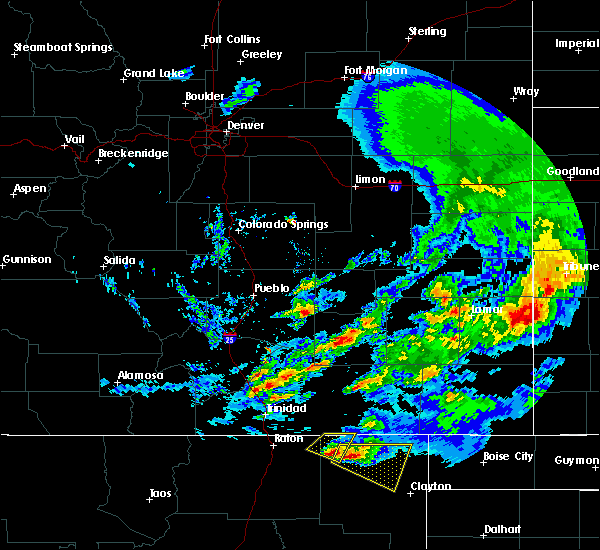 At 608 pm mdt, a severe thunderstorm was located near des moines, moving east at 35 mph (radar indicated). Hazards include 60 mph wind gusts and half dollar size hail. Hail damage to vehicles is expected. Expect wind damage to roofs, siding, and trees. At 608 pm mdt, a severe thunderstorm was located near des moines, moving east at 35 mph (radar indicated). Hazards include 60 mph wind gusts and half dollar size hail. Hail damage to vehicles is expected. Expect wind damage to roofs, siding, and trees.
|
| 6/24/2018 6:00 PM MDT | Ping Pong Ball sized hail reported 3.7 miles SE of Des Moines, NM |
| 6/24/2018 5:46 PM MDT |
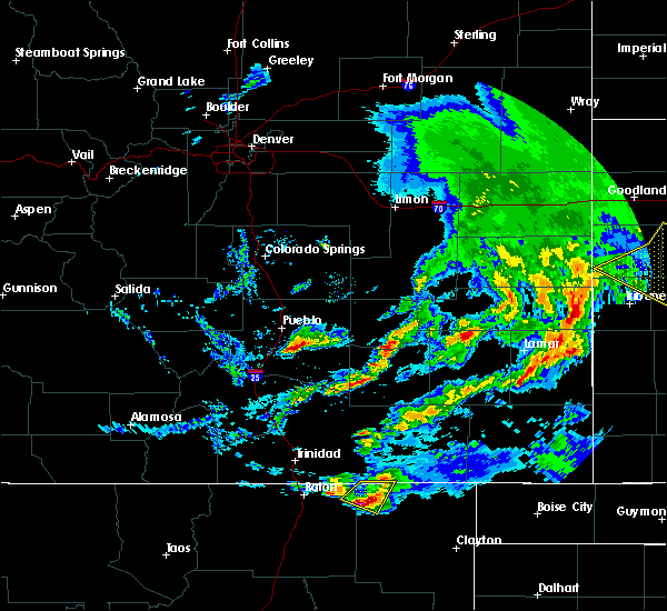 At 546 pm mdt, a severe thunderstorm was located near folsom, or 9 miles northwest of des moines, moving southeast at 25 mph (radar indicated). Hazards include 60 mph wind gusts and half dollar size hail. Hail damage to vehicles is expected. expect wind damage to roofs, siding, and trees. Locations impacted include, des moines and folsom. At 546 pm mdt, a severe thunderstorm was located near folsom, or 9 miles northwest of des moines, moving southeast at 25 mph (radar indicated). Hazards include 60 mph wind gusts and half dollar size hail. Hail damage to vehicles is expected. expect wind damage to roofs, siding, and trees. Locations impacted include, des moines and folsom.
|
| 6/24/2018 5:13 PM MDT |
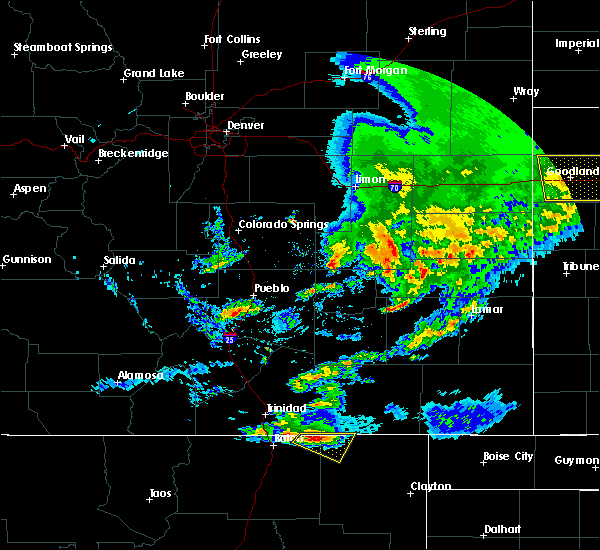 At 512 pm mdt, a severe thunderstorm was located near trinchera, or 19 miles northwest of des moines, moving southeast at 20 mph (radar indicated). Hazards include 60 mph wind gusts and quarter size hail. Hail damage to vehicles is expected. Expect wind damage to roofs, siding, and trees. At 512 pm mdt, a severe thunderstorm was located near trinchera, or 19 miles northwest of des moines, moving southeast at 20 mph (radar indicated). Hazards include 60 mph wind gusts and quarter size hail. Hail damage to vehicles is expected. Expect wind damage to roofs, siding, and trees.
|
| 6/22/2018 4:22 PM MDT |
 At 421 pm mdt, a severe thunderstorm was located 10 miles northeast of des moines, moving southeast at 40 mph (radar indicated). Hazards include 60 mph wind gusts and quarter size hail. Hail damage to vehicles is expected. Expect wind damage to roofs, siding, and trees. At 421 pm mdt, a severe thunderstorm was located 10 miles northeast of des moines, moving southeast at 40 mph (radar indicated). Hazards include 60 mph wind gusts and quarter size hail. Hail damage to vehicles is expected. Expect wind damage to roofs, siding, and trees.
|
| 6/12/2018 4:44 PM MDT | Golf Ball sized hail reported 9.3 miles E of Des Moines, NM |
| 6/12/2018 4:23 PM MDT |
 At 423 pm mdt, a severe thunderstorm was located near capulin, or 7 miles west of des moines, and is nearly stationary (radar indicated). Hazards include 60 mph wind gusts and penny size hail. Expect damage to roofs, siding, and trees. Locations impacted include, des moines, folsom and capulin. At 423 pm mdt, a severe thunderstorm was located near capulin, or 7 miles west of des moines, and is nearly stationary (radar indicated). Hazards include 60 mph wind gusts and penny size hail. Expect damage to roofs, siding, and trees. Locations impacted include, des moines, folsom and capulin.
|
| 6/12/2018 4:06 PM MDT |
 At 406 pm mdt, a severe thunderstorm was located near folsom, or 7 miles west of des moines, moving northeast at 10 mph (radar indicated). Hazards include 60 mph wind gusts and penny size hail. Expect damage to roofs, siding, and trees. Locations impacted include, des moines, folsom and capulin. At 406 pm mdt, a severe thunderstorm was located near folsom, or 7 miles west of des moines, moving northeast at 10 mph (radar indicated). Hazards include 60 mph wind gusts and penny size hail. Expect damage to roofs, siding, and trees. Locations impacted include, des moines, folsom and capulin.
|
| 6/12/2018 3:53 PM MDT |
 At 352 pm mdt, a severe thunderstorm was located near folsom, or 7 miles northwest of des moines, moving northeast at 20 mph (radar indicated). Hazards include 60 mph wind gusts and quarter size hail. Hail damage to vehicles is expected. Expect wind damage to roofs, siding, and trees. At 352 pm mdt, a severe thunderstorm was located near folsom, or 7 miles northwest of des moines, moving northeast at 20 mph (radar indicated). Hazards include 60 mph wind gusts and quarter size hail. Hail damage to vehicles is expected. Expect wind damage to roofs, siding, and trees.
|
| 6/7/2018 4:57 PM MDT |
 At 457 pm mdt, a severe thunderstorm was located near capulin, or near des moines, and is nearly stationary (radar indicated). Hazards include 60 mph wind gusts and quarter size hail. Hail damage to vehicles is expected. expect wind damage to roofs, siding, and trees. Locations impacted include, des moines, grenville and capulin. At 457 pm mdt, a severe thunderstorm was located near capulin, or near des moines, and is nearly stationary (radar indicated). Hazards include 60 mph wind gusts and quarter size hail. Hail damage to vehicles is expected. expect wind damage to roofs, siding, and trees. Locations impacted include, des moines, grenville and capulin.
|
| 6/7/2018 4:27 PM MDT |
 At 427 pm mdt, a severe thunderstorm was located over des moines, moving southeast at 25 mph (radar indicated). Hazards include 60 mph wind gusts and quarter size hail. Hail damage to vehicles is expected. Expect wind damage to roofs, siding, and trees. At 427 pm mdt, a severe thunderstorm was located over des moines, moving southeast at 25 mph (radar indicated). Hazards include 60 mph wind gusts and quarter size hail. Hail damage to vehicles is expected. Expect wind damage to roofs, siding, and trees.
|
| 5/19/2018 4:45 PM MDT | Branches down... greenhouse destroyed. 4-5 of hail covering groun in union county NM, 13.6 miles W of Des Moines, NM |
| 5/19/2018 4:32 PM MDT |
 At 432 pm mdt, a severe thunderstorm was located 12 miles north of grenville, or 12 miles east of des moines, moving east at 10 mph (radar indicated). Hazards include 60 mph wind gusts and half dollar size hail. Hail damage to vehicles is expected. expect wind damage to roofs, siding, and trees. Locations impacted include, des moines. At 432 pm mdt, a severe thunderstorm was located 12 miles north of grenville, or 12 miles east of des moines, moving east at 10 mph (radar indicated). Hazards include 60 mph wind gusts and half dollar size hail. Hail damage to vehicles is expected. expect wind damage to roofs, siding, and trees. Locations impacted include, des moines.
|
| 5/19/2018 4:17 PM MDT |
 At 417 pm mdt, a severe thunderstorm was located 8 miles east of des moines, moving east at 10 mph (radar indicated). Hazards include golf ball size hail and 60 mph wind gusts. People and animals outdoors will be injured. expect hail damage to roofs, siding, windows, and vehicles. expect wind damage to roofs, siding, and trees. Locations impacted include, des moines. At 417 pm mdt, a severe thunderstorm was located 8 miles east of des moines, moving east at 10 mph (radar indicated). Hazards include golf ball size hail and 60 mph wind gusts. People and animals outdoors will be injured. expect hail damage to roofs, siding, windows, and vehicles. expect wind damage to roofs, siding, and trees. Locations impacted include, des moines.
|
| 5/19/2018 4:02 PM MDT |
 At 402 pm mdt, a severe thunderstorm was located near des moines, moving east at 10 mph (radar indicated). Hazards include 60 mph wind gusts and half dollar size hail. Hail damage to vehicles is expected. Expect wind damage to roofs, siding, and trees. At 402 pm mdt, a severe thunderstorm was located near des moines, moving east at 10 mph (radar indicated). Hazards include 60 mph wind gusts and half dollar size hail. Hail damage to vehicles is expected. Expect wind damage to roofs, siding, and trees.
|
| 5/29/2017 3:12 PM MDT |
 At 312 pm mdt, a severe thunderstorm was located over folsom, or 9 miles northwest of des moines, moving east at 15 mph (radar indicated). Hazards include 60 mph wind gusts and quarter size hail. Hail damage to vehicles is expected. Expect wind damage to roofs, siding, and trees. At 312 pm mdt, a severe thunderstorm was located over folsom, or 9 miles northwest of des moines, moving east at 15 mph (radar indicated). Hazards include 60 mph wind gusts and quarter size hail. Hail damage to vehicles is expected. Expect wind damage to roofs, siding, and trees.
|
| 5/27/2017 4:00 PM MDT | Quarter sized hail reported 0.3 miles WNW of Des Moines, NM |
| 5/27/2017 3:33 PM MDT |
 At 332 pm mdt, a severe thunderstorm was located near capulin, or 10 miles west of des moines, moving northeast at 20 mph (radar indicated). Hazards include ping pong ball size hail and 60 mph wind gusts. People and animals outdoors will be injured. expect hail damage to roofs, siding, windows, and vehicles. Expect wind damage to roofs, siding, and trees. At 332 pm mdt, a severe thunderstorm was located near capulin, or 10 miles west of des moines, moving northeast at 20 mph (radar indicated). Hazards include ping pong ball size hail and 60 mph wind gusts. People and animals outdoors will be injured. expect hail damage to roofs, siding, windows, and vehicles. Expect wind damage to roofs, siding, and trees.
|
| 4/20/2017 11:04 PM MDT |
 At 1103 pm mdt, a severe thunderstorm was located near folsom, or near des moines, moving northeast at 25 mph (radar indicated). Hazards include 60 mph wind gusts and quarter size hail. Hail damage to vehicles is expected. expect wind damage to roofs, siding, and trees. Locations impacted include, des moines and folsom. At 1103 pm mdt, a severe thunderstorm was located near folsom, or near des moines, moving northeast at 25 mph (radar indicated). Hazards include 60 mph wind gusts and quarter size hail. Hail damage to vehicles is expected. expect wind damage to roofs, siding, and trees. Locations impacted include, des moines and folsom.
|
| 4/20/2017 10:39 PM MDT |
 At 1038 pm mdt, a severe thunderstorm was located over capulin, or 10 miles west of des moines, moving northeast at 25 mph (radar indicated). Hazards include ping pong ball size hail and 60 mph wind gusts. People and animals outdoors will be injured. expect hail damage to roofs, siding, windows, and vehicles. Expect wind damage to roofs, siding, and trees. At 1038 pm mdt, a severe thunderstorm was located over capulin, or 10 miles west of des moines, moving northeast at 25 mph (radar indicated). Hazards include ping pong ball size hail and 60 mph wind gusts. People and animals outdoors will be injured. expect hail damage to roofs, siding, windows, and vehicles. Expect wind damage to roofs, siding, and trees.
|
| 7/29/2016 5:06 PM MDT |
 The severe thunderstorm warning for northwestern union county will expire at 515 pm mdt, the storm which prompted the warning has weakened below severe limits, and no longer pose an immediate threat to life or property. therefore the warning will be allowed to expire. however small hail and gusty winds are still possible with this thunderstorm. The severe thunderstorm warning for northwestern union county will expire at 515 pm mdt, the storm which prompted the warning has weakened below severe limits, and no longer pose an immediate threat to life or property. therefore the warning will be allowed to expire. however small hail and gusty winds are still possible with this thunderstorm.
|
| 7/29/2016 4:36 PM MDT |
 At 436 pm mdt, a severe thunderstorm was located over folsom, or 8 miles northwest of des moines, moving southeast at 10 mph (radar indicated). Hazards include 60 mph wind gusts and quarter size hail. Hail damage to vehicles is expected. Expect wind damage to roofs, siding, and trees. At 436 pm mdt, a severe thunderstorm was located over folsom, or 8 miles northwest of des moines, moving southeast at 10 mph (radar indicated). Hazards include 60 mph wind gusts and quarter size hail. Hail damage to vehicles is expected. Expect wind damage to roofs, siding, and trees.
|
| 6/6/2016 5:55 PM MDT |
 At 554 pm mdt, a severe thunderstorm was located 7 miles northwest of folsom, or 14 miles northwest of des moines, moving south at 5 mph (radar indicated). Hazards include 60 mph wind gusts and quarter size hail. Hail damage to vehicles is expected. expect wind damage to roofs, siding, and trees. locations impacted include, des moines and folsom. Other locations affected include the following location capulin volcano national monument. At 554 pm mdt, a severe thunderstorm was located 7 miles northwest of folsom, or 14 miles northwest of des moines, moving south at 5 mph (radar indicated). Hazards include 60 mph wind gusts and quarter size hail. Hail damage to vehicles is expected. expect wind damage to roofs, siding, and trees. locations impacted include, des moines and folsom. Other locations affected include the following location capulin volcano national monument.
|
| 6/6/2016 5:24 PM MDT |
 At 524 pm mdt, a severe thunderstorm was located near trinchera, or 17 miles northwest of des moines, moving south at 10 mph (radar indicated). Hazards include quarter size hail and 60 mph wind gusts. Hail damage to vehicles is expected. Expect wind damage to roofs, siding, and trees. At 524 pm mdt, a severe thunderstorm was located near trinchera, or 17 miles northwest of des moines, moving south at 10 mph (radar indicated). Hazards include quarter size hail and 60 mph wind gusts. Hail damage to vehicles is expected. Expect wind damage to roofs, siding, and trees.
|
| 5/16/2016 2:05 PM MDT | Quarter sized hail reported 30.2 miles W of Des Moines, NM, up to quarter sized hail also reported covering nm406 north of seneca. |
| 8/18/2015 8:51 PM MDT |
 At 851 pm mdt, a severe thunderstorm was located over des moines, moving southeast at 25 mph (radar indicated). Hazards include 60 mph wind gusts and quarter size hail. Hail damage to vehicles is expected. expect wind damage to roofs, siding and trees. locations impacted include, des moines, folsom and capulin. Other locations affected include capulin volcano national monument. At 851 pm mdt, a severe thunderstorm was located over des moines, moving southeast at 25 mph (radar indicated). Hazards include 60 mph wind gusts and quarter size hail. Hail damage to vehicles is expected. expect wind damage to roofs, siding and trees. locations impacted include, des moines, folsom and capulin. Other locations affected include capulin volcano national monument.
|
| 8/18/2015 8:26 PM MDT |
 At 825 pm mdt, a severe thunderstorm was located near folsom, or 11 miles northwest of des moines, moving southeast at 25 mph (radar indicated). Hazards include half dollar size hail and 60 mph wind gusts. Hail damage to vehicles is expected. Expect wind damage to roofs, siding and trees. At 825 pm mdt, a severe thunderstorm was located near folsom, or 11 miles northwest of des moines, moving southeast at 25 mph (radar indicated). Hazards include half dollar size hail and 60 mph wind gusts. Hail damage to vehicles is expected. Expect wind damage to roofs, siding and trees.
|
| 8/18/2015 8:18 PM MDT |
 At 817 pm mdt, a severe thunderstorm was located near des moines, moving southeast at 15 mph (radar indicated). Hazards include 60 mph wind gusts and nickel size hail. Expect damage to roofs. siding and trees. Locations impacted include, des moines. At 817 pm mdt, a severe thunderstorm was located near des moines, moving southeast at 15 mph (radar indicated). Hazards include 60 mph wind gusts and nickel size hail. Expect damage to roofs. siding and trees. Locations impacted include, des moines.
|
| 8/18/2015 7:54 PM MDT |
 At 753 pm mdt, a severe thunderstorm was located near capulin, or 9 miles west of des moines, moving southeast at 15 mph (radar indicated). Hazards include half dollar size hail and 60 mph wind gusts. Hail damage to vehicles is expected. Expect wind damage to roofs, siding and trees. At 753 pm mdt, a severe thunderstorm was located near capulin, or 9 miles west of des moines, moving southeast at 15 mph (radar indicated). Hazards include half dollar size hail and 60 mph wind gusts. Hail damage to vehicles is expected. Expect wind damage to roofs, siding and trees.
|
| 8/18/2015 7:23 PM MDT |
 The severe thunderstorm warning for northwestern union county will expire at 730 pm mdt, the storm which prompted the warning has weakened below severe limits and exited the warned area. therefore the warning will be allowed to expire. however gusty winds and heavy rain are still possible with this thunderstorm. The severe thunderstorm warning for northwestern union county will expire at 730 pm mdt, the storm which prompted the warning has weakened below severe limits and exited the warned area. therefore the warning will be allowed to expire. however gusty winds and heavy rain are still possible with this thunderstorm.
|
| 8/18/2015 7:02 PM MDT |
 At 702 pm mdt, a severe thunderstorm was located 6 miles east of des moines, moving southeast at 25 mph (radar indicated). Hazards include 60 mph wind gusts and quarter size hail. Hail damage to vehicles is expected. expect wind damage to roofs, siding and trees. Locations impacted include, des moines and grenville. At 702 pm mdt, a severe thunderstorm was located 6 miles east of des moines, moving southeast at 25 mph (radar indicated). Hazards include 60 mph wind gusts and quarter size hail. Hail damage to vehicles is expected. expect wind damage to roofs, siding and trees. Locations impacted include, des moines and grenville.
|
| 8/18/2015 6:40 PM MDT |
 At 640 pm mdt, a severe thunderstorm was located near folsom, or near des moines, moving southeast at 25 mph (radar indicated). Hazards include quarter size hail and 70 mph wind gusts. Hail damage to vehicles is expected. expect considerable tree damage. Wind damage is also likely to mobile homes, roofs and outbuildings. At 640 pm mdt, a severe thunderstorm was located near folsom, or near des moines, moving southeast at 25 mph (radar indicated). Hazards include quarter size hail and 70 mph wind gusts. Hail damage to vehicles is expected. expect considerable tree damage. Wind damage is also likely to mobile homes, roofs and outbuildings.
|
| 8/18/2015 5:20 PM MDT |
 At 518 pm mdt, a severe thunderstorm was located 7 miles southwest of des moines, moving southeast at 55 mph (radar indicated. at 515 pm hail approximately the size of golf balls was reported at capulin volcano national monument). Hazards include golf ball size hail and 60 mph wind gusts. People and animals outdoors will be injured. expect hail damage to roofs, siding, windows and vehicles. expect wind damage to roofs, siding and trees. Locations impacted include, des moines, folsom, capulin. At 518 pm mdt, a severe thunderstorm was located 7 miles southwest of des moines, moving southeast at 55 mph (radar indicated. at 515 pm hail approximately the size of golf balls was reported at capulin volcano national monument). Hazards include golf ball size hail and 60 mph wind gusts. People and animals outdoors will be injured. expect hail damage to roofs, siding, windows and vehicles. expect wind damage to roofs, siding and trees. Locations impacted include, des moines, folsom, capulin.
|
| 8/18/2015 5:15 PM MDT | Tennis Ball sized hail reported 8.8 miles E of Des Moines, NM |
| 8/18/2015 5:15 PM MDT | Golf Ball sized hail reported 8.8 miles E of Des Moines, NM |
| 8/18/2015 5:09 PM MDT | Golf Ball sized hail reported 0.3 miles WNW of Des Moines, NM, dents to vehicle from golfball sized hail. |
| 8/18/2015 5:00 PM MDT |
 At 500 pm mdt, a severe thunderstorm was located near capulin, or 7 miles west of des moines, moving southeast at 35 mph (radar indicated). Hazards include half dollar size hail and 60 mph wind gusts. Hail damage to vehicles is expected. Expect wind damage to roofs, siding and trees. At 500 pm mdt, a severe thunderstorm was located near capulin, or 7 miles west of des moines, moving southeast at 35 mph (radar indicated). Hazards include half dollar size hail and 60 mph wind gusts. Hail damage to vehicles is expected. Expect wind damage to roofs, siding and trees.
|
| 8/17/2015 5:13 PM MDT | Quarter sized hail reported 13.3 miles NW of Des Moines, NM, pea to quarter size hail along us 64 between des moines and grenville. |
| 8/17/2015 4:28 PM MDT |
 At 427 pm mdt, a severe thunderstorm was located 6 miles east of des moines, moving southeast at 10 mph (radar indicated). Hazards include ping pong size hail and 60 mph wind gusts. People and animals outdoors will be injured. expect hail damage to roofs, siding, windows and vehicles. Expect wind damage to roofs, siding and trees. At 427 pm mdt, a severe thunderstorm was located 6 miles east of des moines, moving southeast at 10 mph (radar indicated). Hazards include ping pong size hail and 60 mph wind gusts. People and animals outdoors will be injured. expect hail damage to roofs, siding, windows and vehicles. Expect wind damage to roofs, siding and trees.
|
| 8/17/2015 4:17 PM MDT |
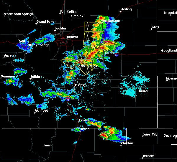 At 417 pm mdt, a severe thunderstorm was located 7 miles east of des moines, moving east at 10 mph (radar indicated). Hazards include 60 mph wind gusts and quarter size hail. Hail damage to vehicles is expected. expect wind damage to roofs, siding and trees. Locations impacted include, des moines. At 417 pm mdt, a severe thunderstorm was located 7 miles east of des moines, moving east at 10 mph (radar indicated). Hazards include 60 mph wind gusts and quarter size hail. Hail damage to vehicles is expected. expect wind damage to roofs, siding and trees. Locations impacted include, des moines.
|
| 8/17/2015 4:00 PM MDT |
 At 400 pm mdt, a severe thunderstorm was located near des moines, moving east at 10 mph (radar indicated). Hazards include quarter size hail and 60 mph wind gusts. Hail damage to vehicles is expected. expect wind damage to roofs, siding and trees. This severe thunderstorm will remain over mainly rural areas of northwestern union county. At 400 pm mdt, a severe thunderstorm was located near des moines, moving east at 10 mph (radar indicated). Hazards include quarter size hail and 60 mph wind gusts. Hail damage to vehicles is expected. expect wind damage to roofs, siding and trees. This severe thunderstorm will remain over mainly rural areas of northwestern union county.
|
| 8/13/2015 7:31 PM MDT |
 At 731 pm mdt, a severe thunderstorm was located near des moines, moving east at 10 mph (law enforcement). Hazards include 60 mph wind gusts and half dollar size hail. Hail damage to vehicles is expected. expect wind damage to roofs, siding and trees. locations impacted include, des moines and capulin. Other locations affected include capulin volcano national monument. At 731 pm mdt, a severe thunderstorm was located near des moines, moving east at 10 mph (law enforcement). Hazards include 60 mph wind gusts and half dollar size hail. Hail damage to vehicles is expected. expect wind damage to roofs, siding and trees. locations impacted include, des moines and capulin. Other locations affected include capulin volcano national monument.
|
| 8/13/2015 7:08 PM MDT |
 At 707 pm mdt, a severe thunderstorm was located near capulin, or 8 miles west of des moines, moving east at 10 mph (law enforcement). Hazards include half dollar size hail and 60 mph wind gusts. Hail damage to vehicles is expected. Expect wind damage to roofs, siding and trees. At 707 pm mdt, a severe thunderstorm was located near capulin, or 8 miles west of des moines, moving east at 10 mph (law enforcement). Hazards include half dollar size hail and 60 mph wind gusts. Hail damage to vehicles is expected. Expect wind damage to roofs, siding and trees.
|
| 6/8/2015 5:04 PM MDT | At 504 pm mdt, a severe thunderstorm was located 8 miles west of grenville, or 9 miles southeast of des moines, moving southeast at 15 mph (radar indicated). Hazards include golf ball size hail and 60 mph wind gusts. People and animals outdoors will be injured. expect hail damage to roofs, siding, windows and vehicles. expect wind damage to roofs, siding and trees. Locations impacted include, des moines and grenville. |
| 6/8/2015 4:37 PM MDT | At 436 pm mdt, a severe thunderstorm was located over des moines, moving southeast at 10 mph (radar indicated). Hazards include quarter size hail and 60 mph wind gusts. Hail damage to vehicles is expected. Expect wind damage to roofs, siding and trees. |
| 6/8/2015 4:36 PM MDT | Quarter sized hail reported 0.3 miles ENE of Des Moines, NM, accumulated to a depth of 2 inches |
| 6/8/2015 4:30 PM MDT | Ping Pong Ball sized hail reported 0.3 miles WNW of Des Moines, NM |
| 6/8/2015 4:10 PM MDT | Quarter sized hail reported 0.3 miles WNW of Des Moines, NM |
| 6/5/2015 4:53 PM MDT | The severe thunderstorm warning for northwestern union county will expire at 500 pm mdt, the storm which prompted the warning has weakened below severe limits, and no longer pose an immediate threat to life or property. therefore the warning will be allowed to expire. however small hail and gusty winds are still possible with this thunderstorm. |
| 6/5/2015 4:38 PM MDT | At 438 pm mdt, a severe thunderstorm was located 8 miles southeast of des moines, moving east at 30 mph (radar indicated). Hazards include 60 mph wind gusts and quarter size hail. Hail damage to vehicles is expected. expect wind damage to roofs, siding and trees. Locations impacted include, grenville. |
| 6/5/2015 4:17 PM MDT | At 416 pm mdt, a severe thunderstorm was located 7 miles south of des moines, moving east at 30 mph (radar indicated). Hazards include quarter size hail and 60 mph wind gusts. Hail damage to vehicles is expected. Expect wind damage to roofs, siding and trees. |
| 5/26/2015 8:07 PM MDT | At 806 pm mdt, severe thunderstorms were located along a line extending from 8 miles northwest of folsom to 9 miles north of grenville, and are nearly stationary (radar indicated). Hazards include quarter size hail and 60 mph wind gusts. Hail damage to vehicles is expected. Expect wind damage to roofs, siding and trees. |
| 5/26/2015 7:57 PM MDT | The severe thunderstorm warning for northwestern union county will expire at 800 pm mdt, the severe thunderstorm which prompted the warning has weakened. therefore the warning will be allowed to expire. however small. |
| 5/26/2015 7:50 PM MDT | At 749 pm mdt, a severe thunderstorm was located near des moines, moving north at 10 mph (radar indicated). Hazards include 60 mph wind gusts and quarter size hail. Hail damage to vehicles is expected. expect wind damage to roofs, siding and trees. locations impacted include, des moines. County road b18. |
| 5/26/2015 7:37 PM MDT | At 737 pm mdt, a severe thunderstorm was located near des moines, moving north at 10 mph (radar indicated). Hazards include quarter size hail and 60 mph wind gusts. Hail damage to vehicles is expected. Expect wind damage to roofs, siding and trees. |
| 5/26/2015 6:41 PM MDT | At 641 pm mdt, a severe thunderstorm was located over folsom, or 7 miles northwest of des moines, and is nearly stationary (radar indicated). Hazards include quarter size hail and 60 mph wind gusts. Hail damage to vehicles is expected. Expect wind damage to roofs, siding and trees. |
Hail Maps for Des Moines, NM
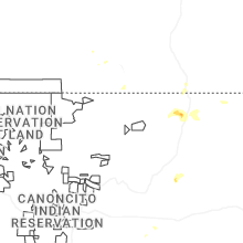
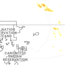
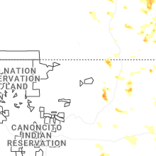
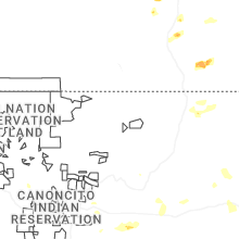
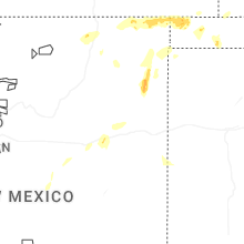
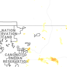
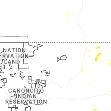
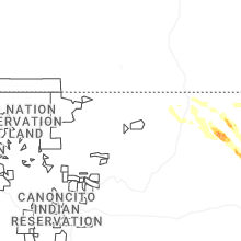
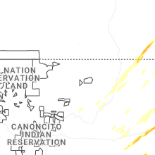


Connect with Interactive Hail Maps