

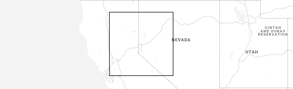
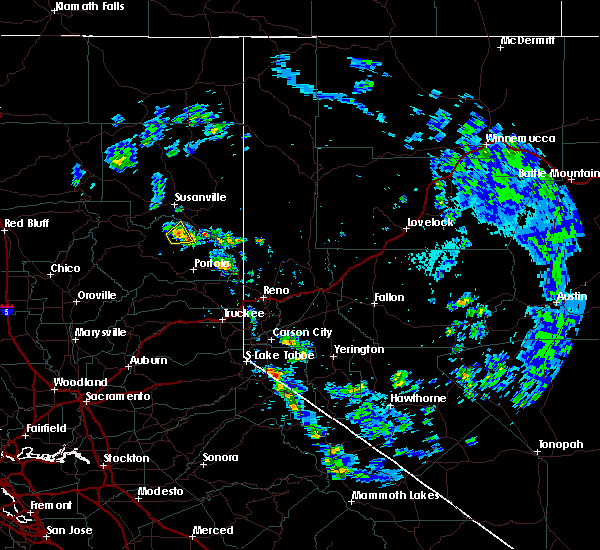
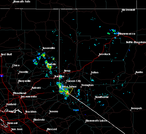
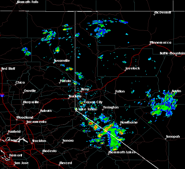
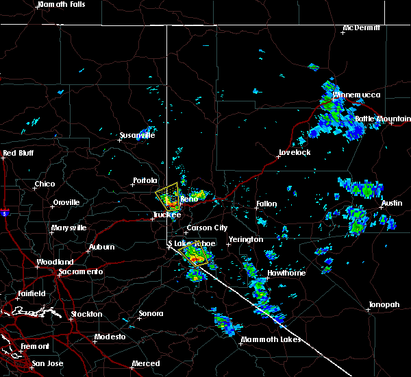
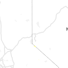
Hail Map for Double Spring, NV
The Double Spring, NV area has had 0 reports of on-the-ground hail by trained spotters, and has been under severe weather warnings 2 times during the past 12 months. Doppler radar has detected hail at or near Double Spring, NV on 3 occasions.
| Name: | Double Spring, NV |
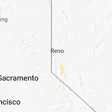
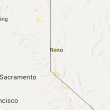
| Where Located: | 52.8 miles SSE of Reno, NV |
| Map: | Google Map for Double Spring, NV |
| Population: | 158 |
| Housing Units: | 71 |
| More Info: | Search Google for Double Spring, NV |
0
The Top Recent Hail Date for Double Spring, NV is Friday, May 29, 2020 (3rd out of 3)
Hail and Wind Damage Spotted near Double Spring, NV
| Date / Time | Report Details |
|---|---|
| 7/25/2025 2:06 PM PDT |
 At 205 pm pdt, a severe thunderstorm was located near topaz lake, moving north at 15 mph (radar indicated). Hazards include quarter size hail. Damage to vehicles is expected. locations impacted include, topaz lake, alpine village, mesa vista, junction ca 89 and ca 4, junction u. S 395 and ca 89, indian creek campground, holbrook junction, monitor pass, paynesville, indian creek reservoir, alpine county airport, topaz lake campground, and markleeville. At 205 pm pdt, a severe thunderstorm was located near topaz lake, moving north at 15 mph (radar indicated). Hazards include quarter size hail. Damage to vehicles is expected. locations impacted include, topaz lake, alpine village, mesa vista, junction ca 89 and ca 4, junction u. S 395 and ca 89, indian creek campground, holbrook junction, monitor pass, paynesville, indian creek reservoir, alpine county airport, topaz lake campground, and markleeville.
|
| 7/25/2025 1:48 PM PDT |
 Svrrev the national weather service in reno has issued a * severe thunderstorm warning for, northern mono county in northern california, alpine county in northern california, douglas county in western nevada, * until 215 pm pdt. * at 148 pm pdt, a severe thunderstorm was located 7 miles southwest of topaz lake, moving north at 15 mph (radar indicated). Hazards include quarter size hail. damage to vehicles is expected Svrrev the national weather service in reno has issued a * severe thunderstorm warning for, northern mono county in northern california, alpine county in northern california, douglas county in western nevada, * until 215 pm pdt. * at 148 pm pdt, a severe thunderstorm was located 7 miles southwest of topaz lake, moving north at 15 mph (radar indicated). Hazards include quarter size hail. damage to vehicles is expected
|
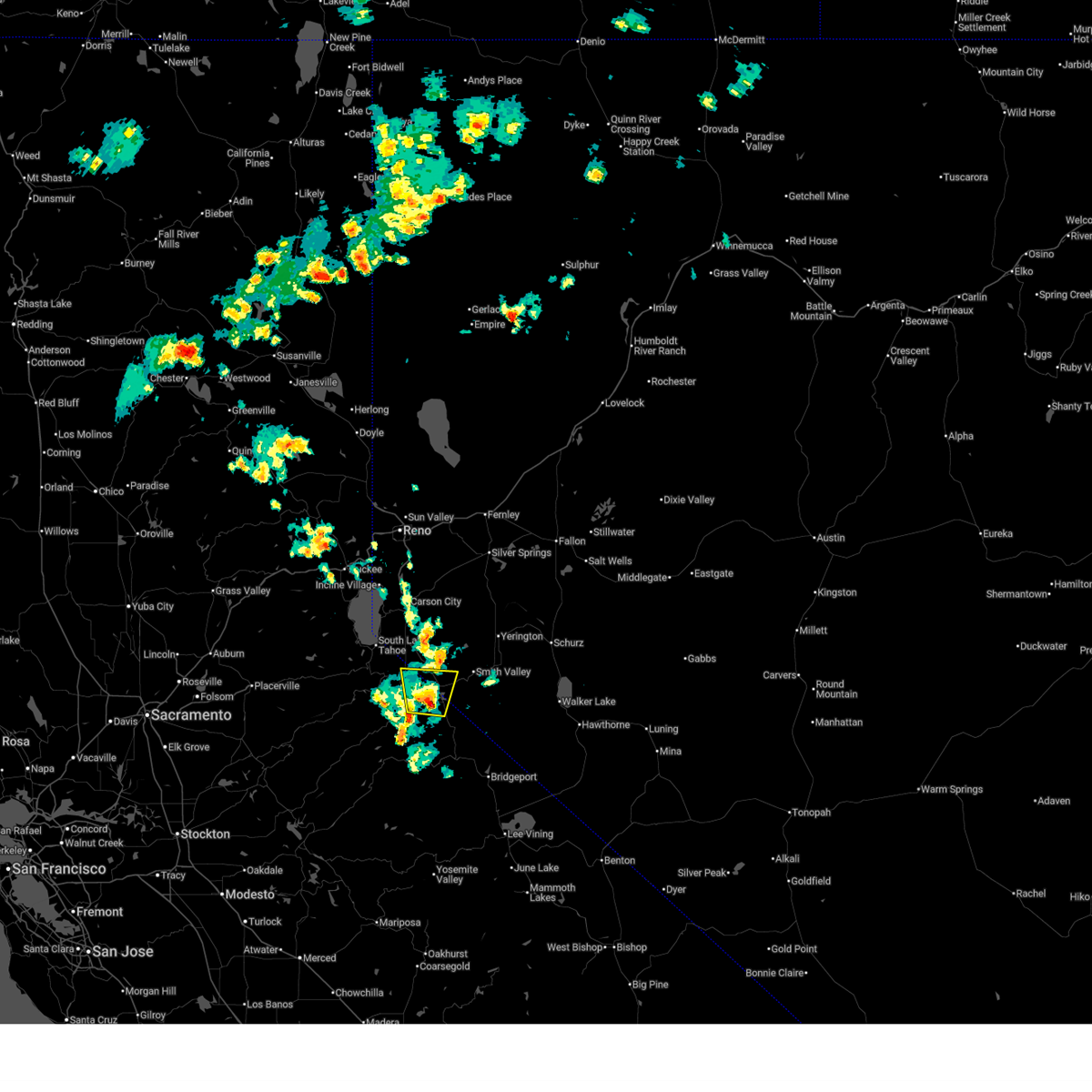
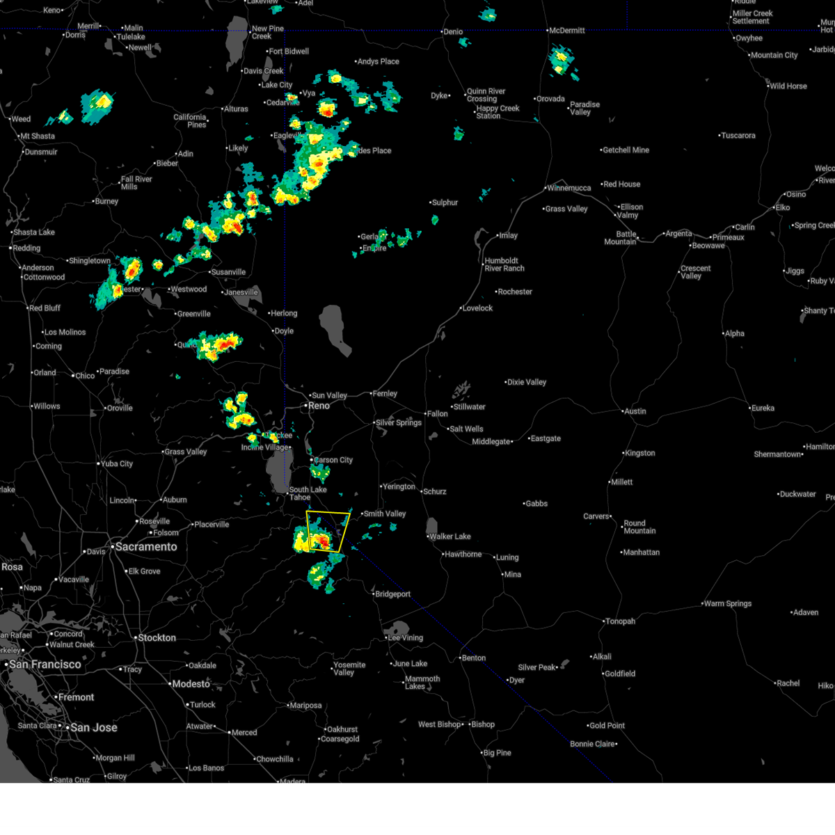
| 7/21/2020 4:13 PM PDT |
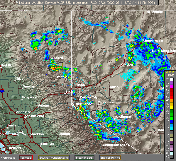 At 412 pm pdt, a severe thunderstorm was located near gardnerville ranchos, or 7 miles south of gardnerville, moving northwest at 5 mph (radar indicated). Hazards include 60 mph wind gusts and quarter size hail. Hail damage to vehicles is expected. expect wind damage to roofs, siding, fencing and trees. locations impacted include, gardnerville, gardnerville ranchos, alpine village, mesa vista, junction u. S 395 and nv 756, paynesville, junction nv 88 and nv 756, junction nv 88 and nv 206, gardnerville ranch and junction ca 88 and nv 88. At 412 pm pdt, a severe thunderstorm was located near gardnerville ranchos, or 7 miles south of gardnerville, moving northwest at 5 mph (radar indicated). Hazards include 60 mph wind gusts and quarter size hail. Hail damage to vehicles is expected. expect wind damage to roofs, siding, fencing and trees. locations impacted include, gardnerville, gardnerville ranchos, alpine village, mesa vista, junction u. S 395 and nv 756, paynesville, junction nv 88 and nv 756, junction nv 88 and nv 206, gardnerville ranch and junction ca 88 and nv 88.
|
| 7/21/2020 3:52 PM PDT |
 At 352 pm pdt, a severe thunderstorm was located near gardnerville ranchos, or 9 miles south of gardnerville, moving northwest at 5 mph (radar indicated). Hazards include 60 mph wind gusts and quarter size hail. Hail damage to vehicles is expected. Expect wind damage to roofs, siding, fencing and trees. At 352 pm pdt, a severe thunderstorm was located near gardnerville ranchos, or 9 miles south of gardnerville, moving northwest at 5 mph (radar indicated). Hazards include 60 mph wind gusts and quarter size hail. Hail damage to vehicles is expected. Expect wind damage to roofs, siding, fencing and trees.
|
| 5/24/2018 2:07 PM PDT |
 At 206 pm pdt, a severe thunderstorm was located near topaz lake, moving north at 10 mph (radar indicated). Hazards include 60 mph wind gusts and quarter size hail. Hail damage to vehicles is expected. expect wind damage to roofs, siding, fencing, and trees. Dust storms resulting in serious accidents. At 206 pm pdt, a severe thunderstorm was located near topaz lake, moving north at 10 mph (radar indicated). Hazards include 60 mph wind gusts and quarter size hail. Hail damage to vehicles is expected. expect wind damage to roofs, siding, fencing, and trees. Dust storms resulting in serious accidents.
|
| 7/6/2015 2:31 PM PDT |
 At 230 pm pdt, doppler radar indicated a severe thunderstorm capable of producing quarter size hail, torrential rainfall and damaging winds in excess of 60 mph. this storm was located over coleville, and moving north at 10 mph. At 230 pm pdt, doppler radar indicated a severe thunderstorm capable of producing quarter size hail, torrential rainfall and damaging winds in excess of 60 mph. this storm was located over coleville, and moving north at 10 mph.
|
| 6/27/2015 5:25 PM PDT |
 At 523 pm pdt, doppler radar indicated a severe thunderstorm capable of producing damaging winds in excess of 60 mph. this storm was located near topaz lake. this storm was moving northwest at 20 mph. penny size hail may also accompany the damaging winds. locations impacted include, gardnerville, gardnerville ranchos, junction u.s 395 and nv 756, gardnerville ranch, junction nv 88 and nv 756, mount siegel, junction nv 88 and nv 206 and minden. At 523 pm pdt, doppler radar indicated a severe thunderstorm capable of producing damaging winds in excess of 60 mph. this storm was located near topaz lake. this storm was moving northwest at 20 mph. penny size hail may also accompany the damaging winds. locations impacted include, gardnerville, gardnerville ranchos, junction u.s 395 and nv 756, gardnerville ranch, junction nv 88 and nv 756, mount siegel, junction nv 88 and nv 206 and minden.
|
| 6/27/2015 5:05 PM PDT |
 At 504 pm pdt, doppler radar indicated a severe thunderstorm capable of producing damaging winds in excess of 60 mph. this storm was located near topaz lake, and moving northwest along highway 395 at 20 mph. penny size hail may also accompany the damaging winds. At 504 pm pdt, doppler radar indicated a severe thunderstorm capable of producing damaging winds in excess of 60 mph. this storm was located near topaz lake, and moving northwest along highway 395 at 20 mph. penny size hail may also accompany the damaging winds.
|
Hail Maps for Double Spring, NV
Connect with Interactive Hail Maps